It’s been awhile since our last post but we have a good excuse, we were busy hiking. Eight straight days of hiking in fact. 😊
For the last two years we’ve had plans to visit SE Oregon in May but each time our vacation week arrived so did rain in the forecast. Since May wasn’t working out we decided to give June a try. A dry Spring had things looking promising but a system moved in at the end of the week prior to our leaving that had us a little worried. There was rain in the Willamette Valley (and snow in Cascades) but our destinations looked like they would escape mostly dry. At least dry enough that we could rearrange a few of our planned hikes to let things dry a bit before attempting the drives that would be impassible if wet.
Before we could even attempt those hikes we had to get to SE Oregon. Conventional wisdom would have had us driving through Bend via Santiam Pass but we aren’t conventional. First the Sisters Rodeo was happening which meant even more traffic than usual in that little town. More importantly we wanted to squeeze a hike in on the way to Bend were we planned to stay with Heather’s parents again.
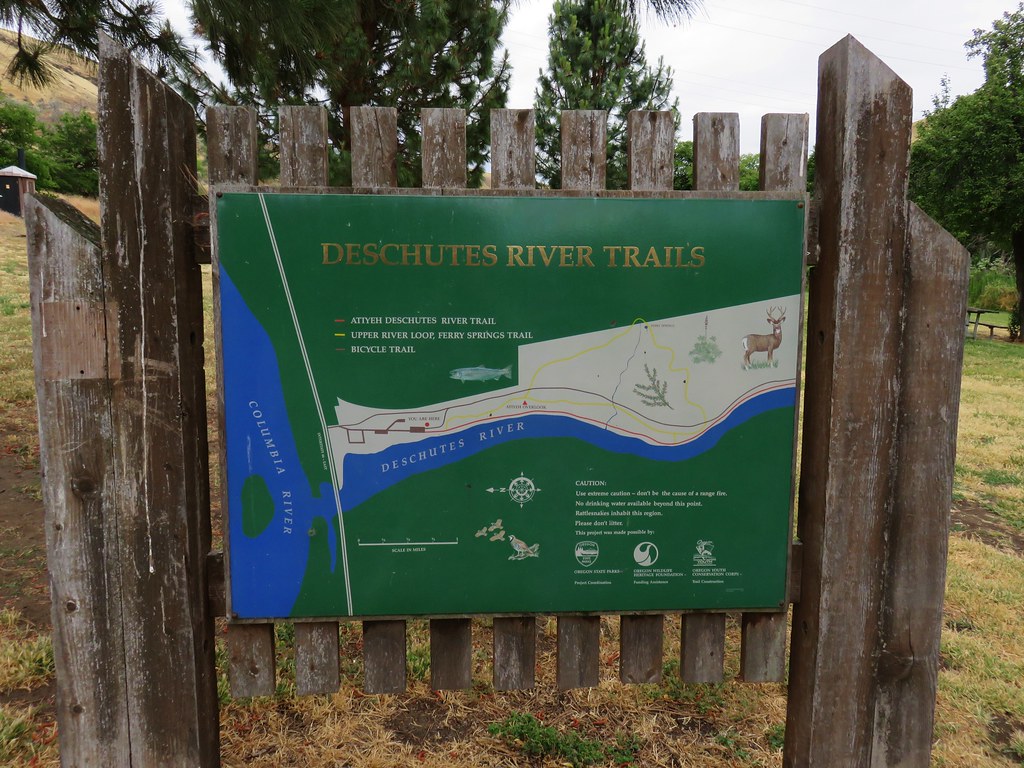
Following up on our recent hike along the Deschutes River at Macks Canyon (post) we decided to kick off our eight days of hiking at the Deschutes River Recreation Area near the mouth of the river. From Salem we drove north to Portland and took Interstate 84 ten miles east of The Dalles to the park. It seems a bit odd to kick off a SE Oregon vacation with a hike near the northern border of the State, but it’s a hike we hadn’t done yet and it was sort of on the way.
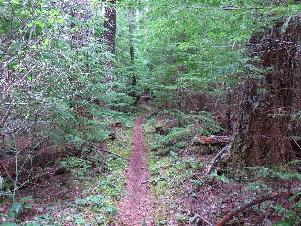
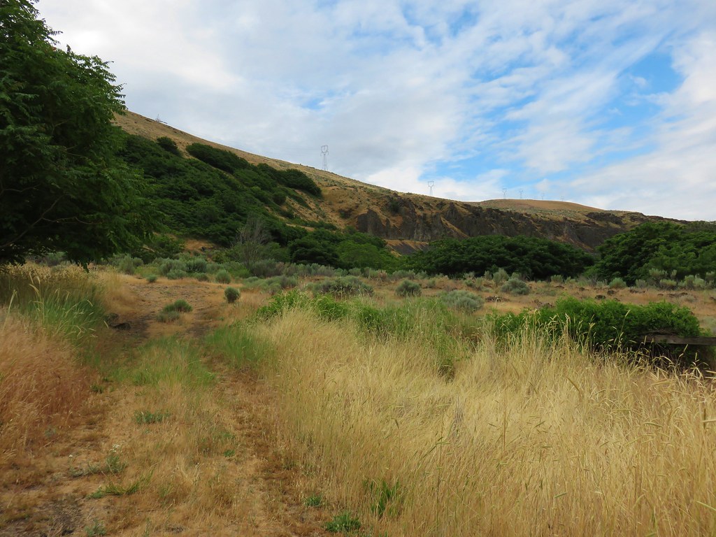
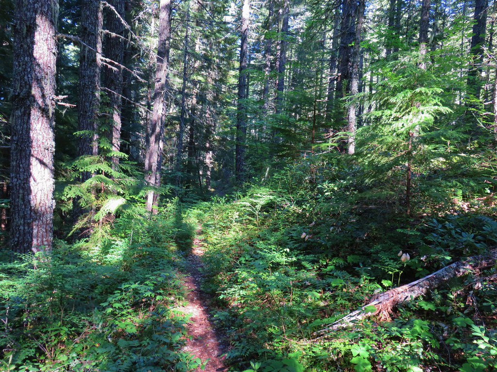
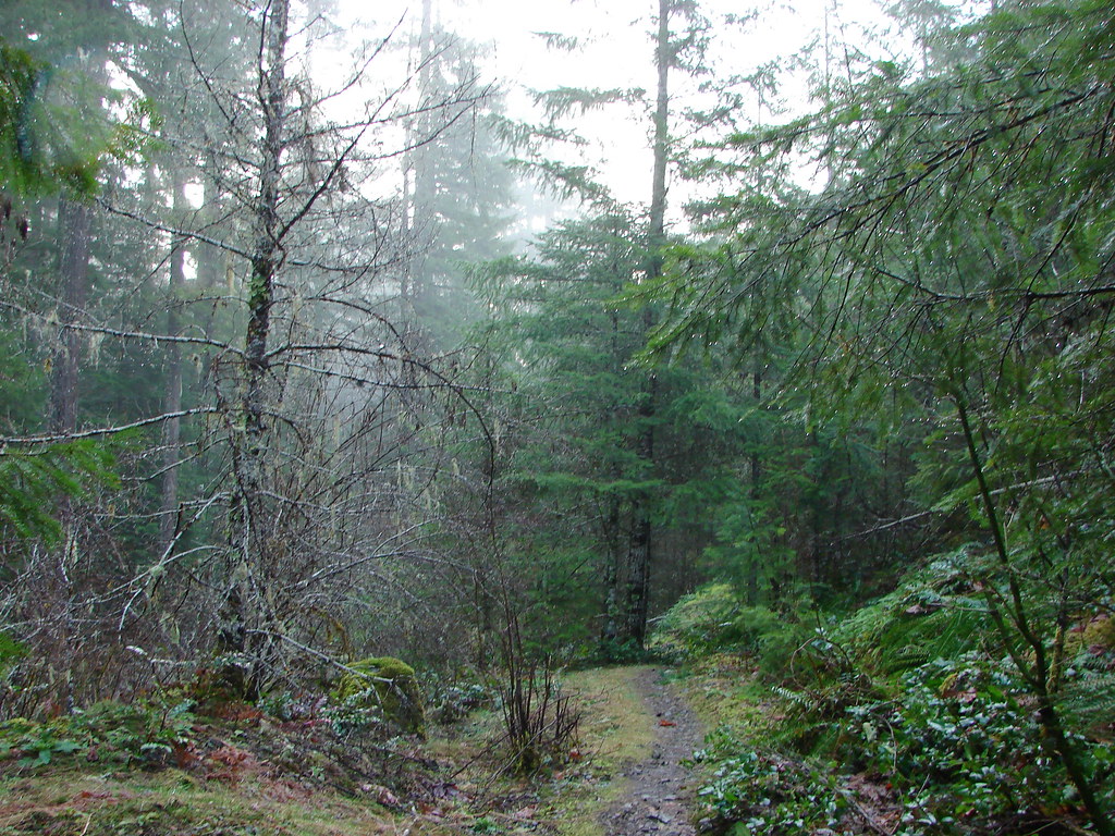
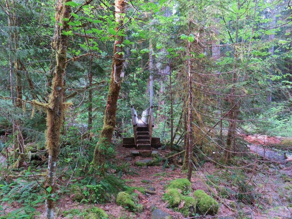
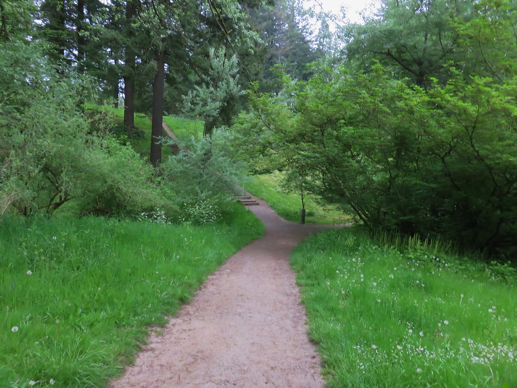
We parked at the end of the park and walked across a grassy area to a trail sign at the far end where we followed a pointer for the River Trail.
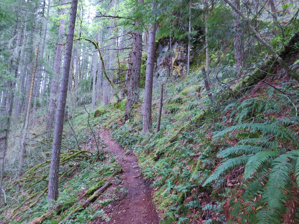
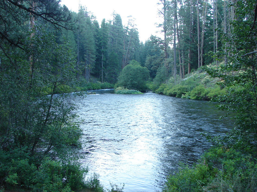
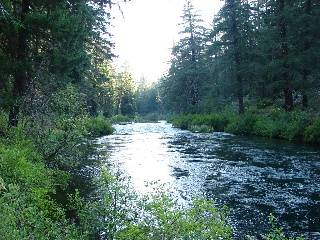
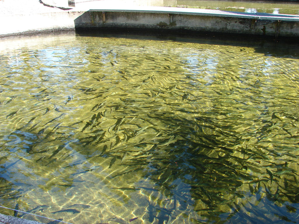
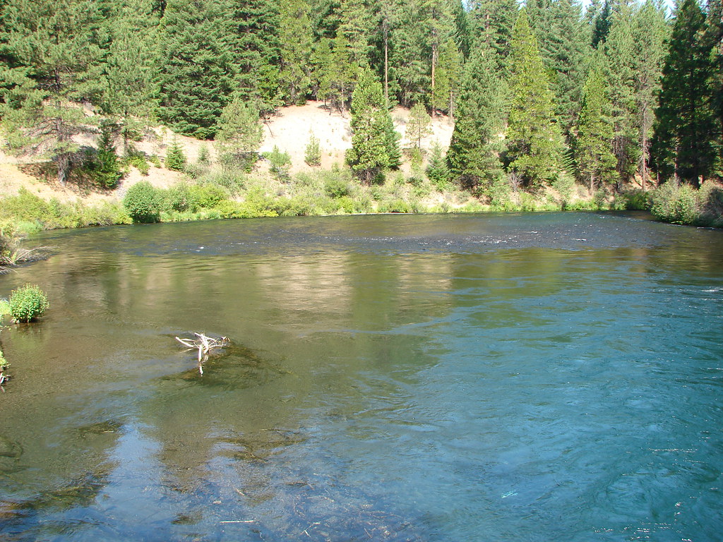
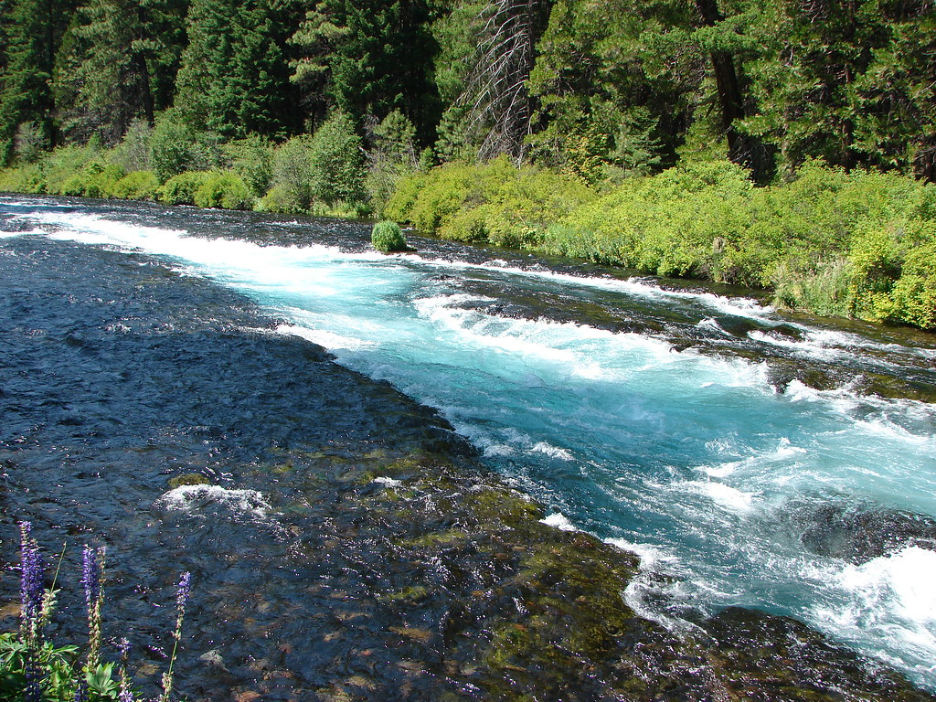
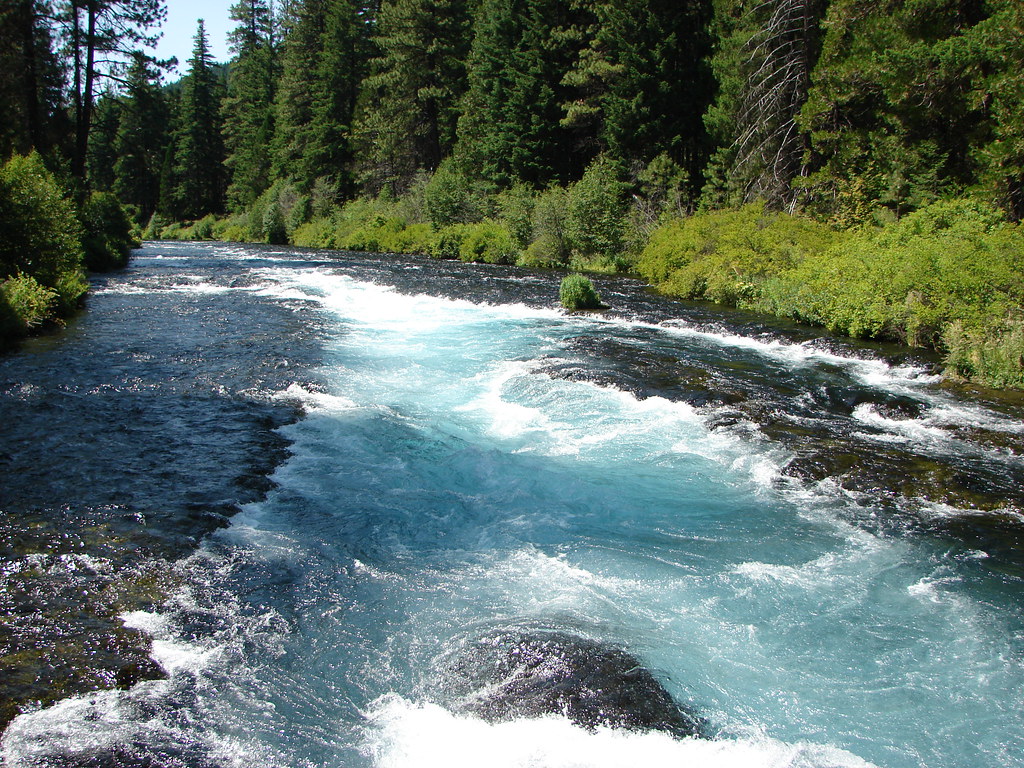
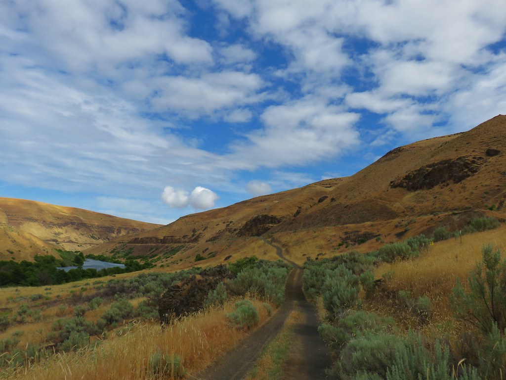
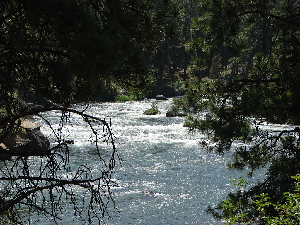
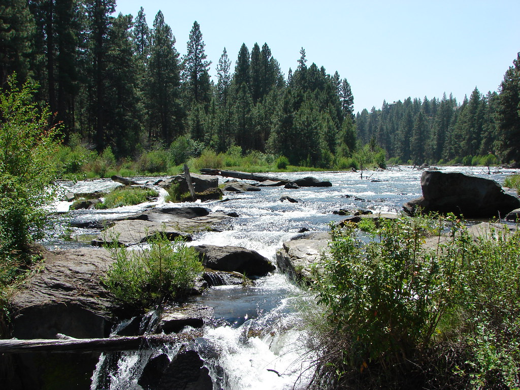
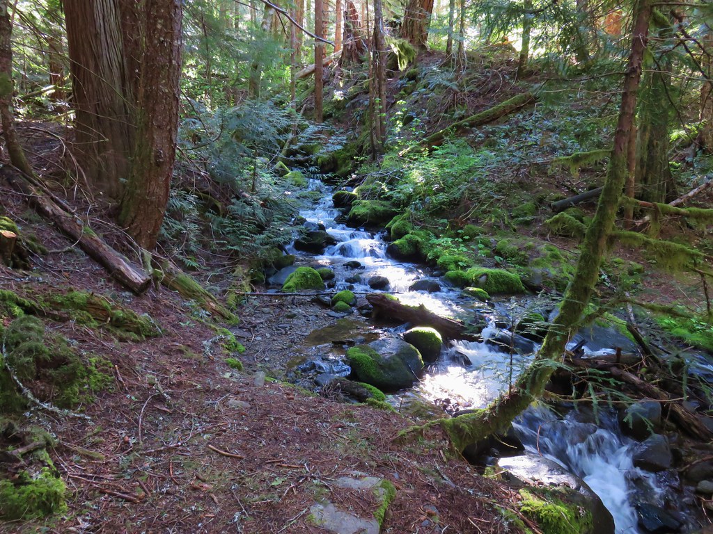
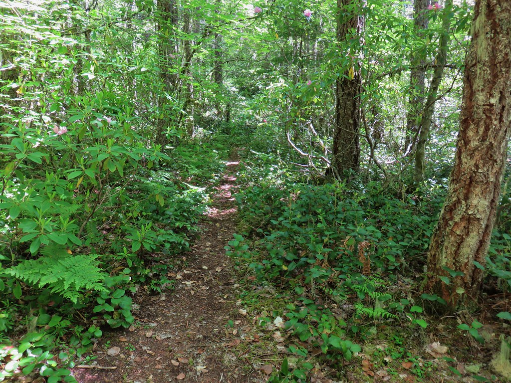
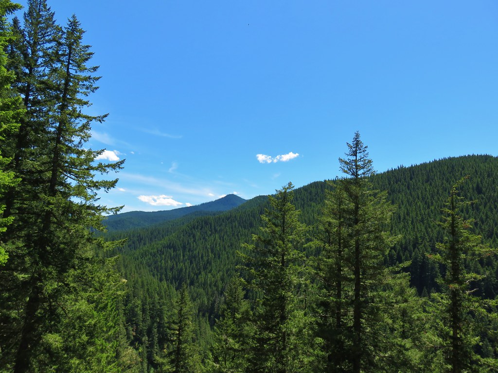
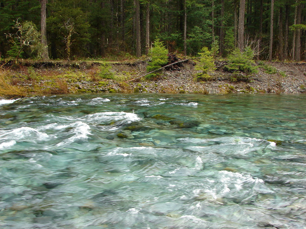
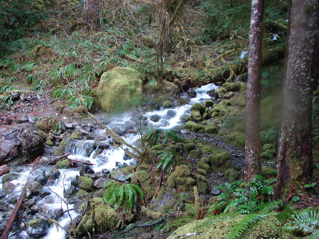
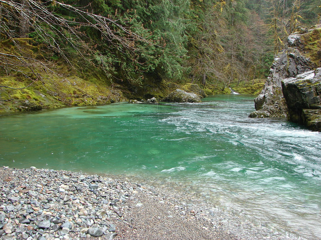
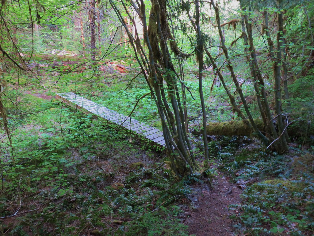
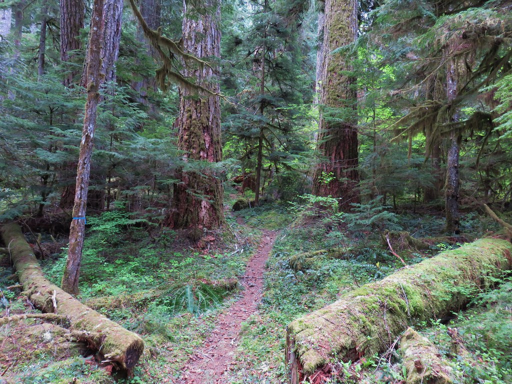
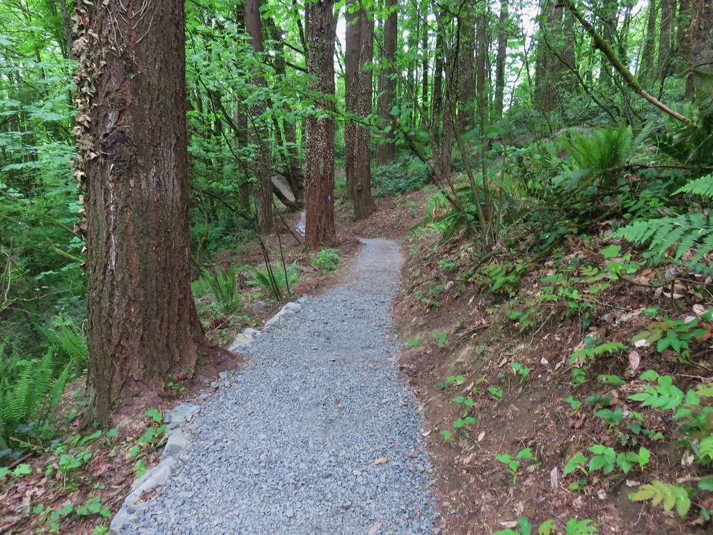
Unlike the trail at Macks Canyon, the River Trail stayed close to the water.

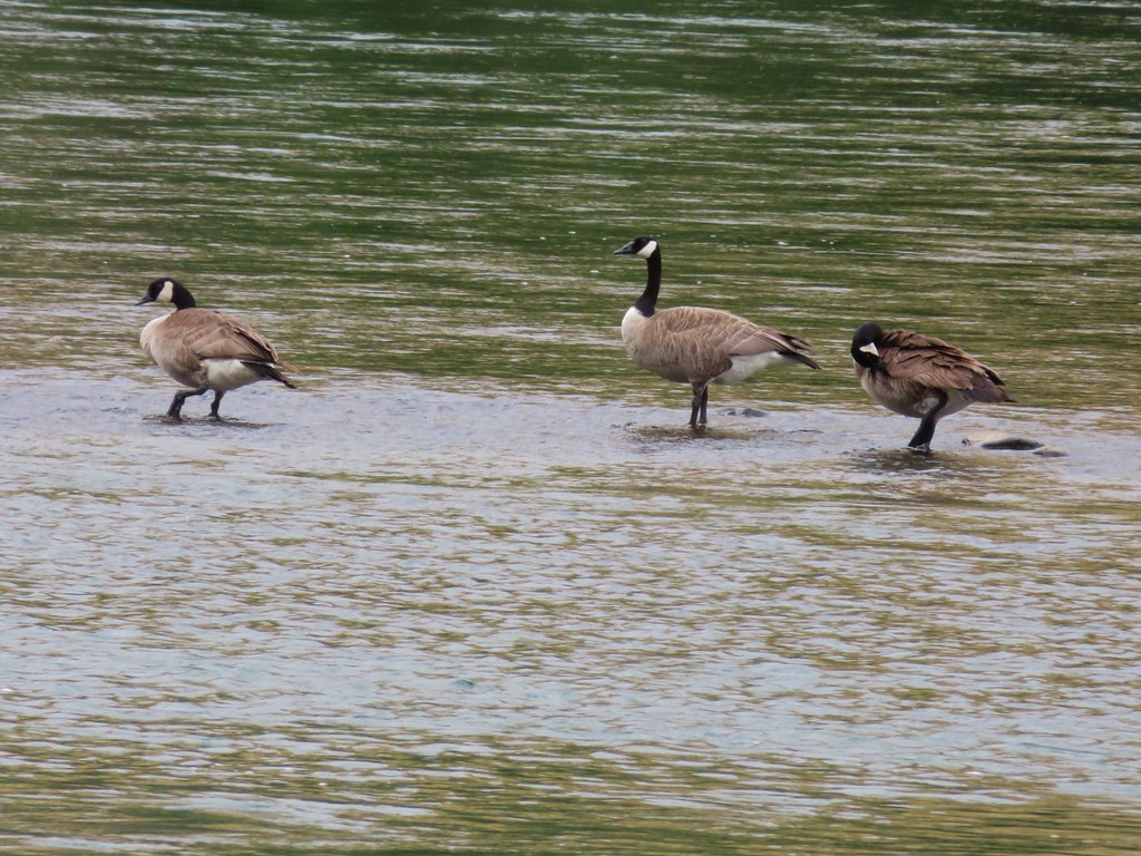
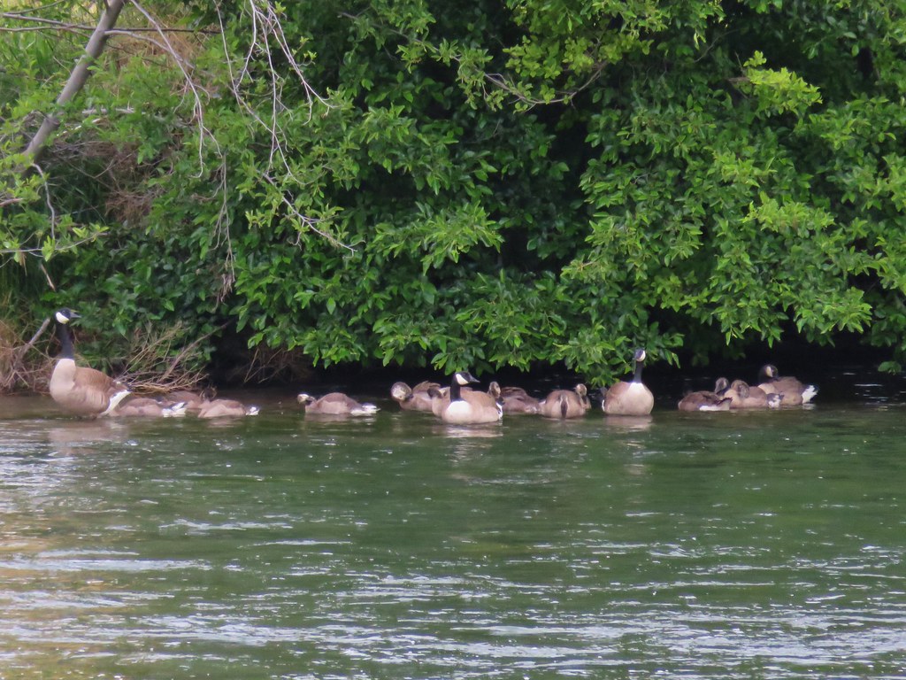
We stayed right at junctions sticking to the River Trail where we passed several groups of Canada geese.
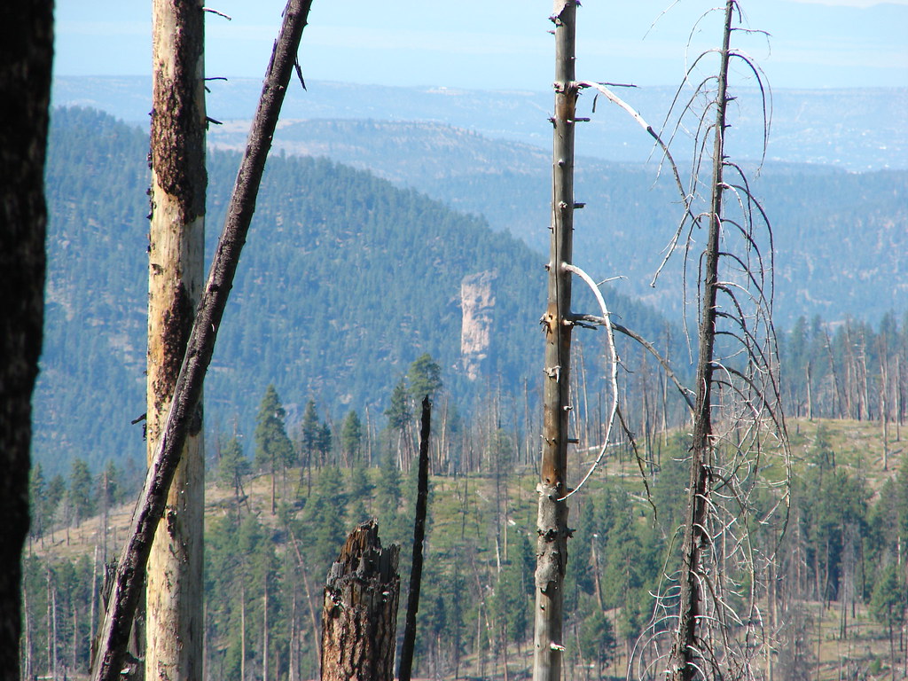
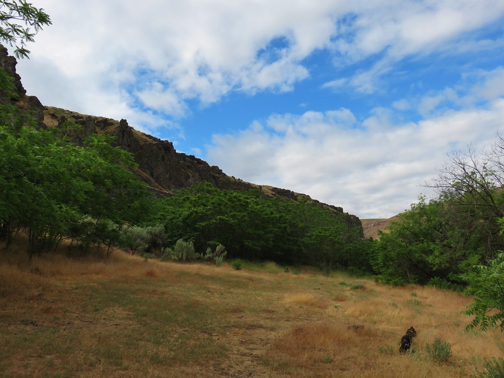
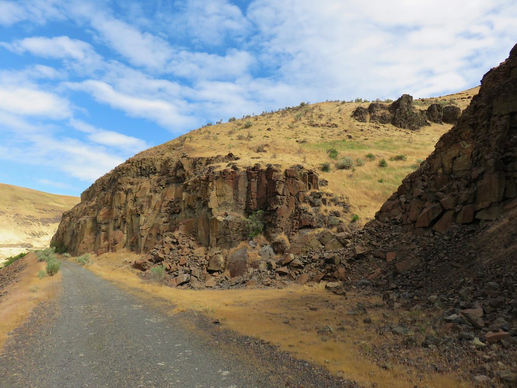
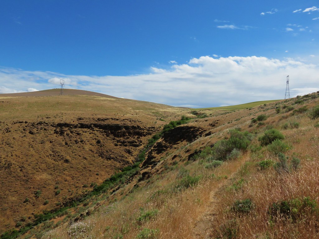
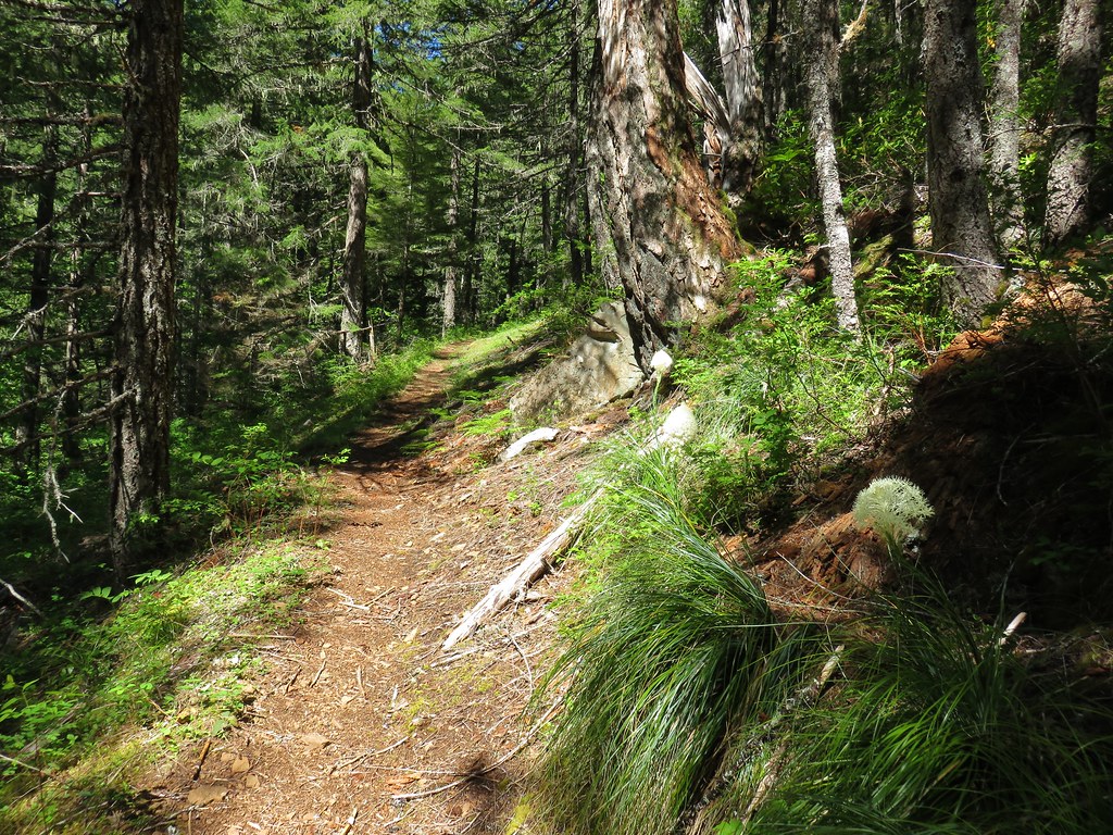
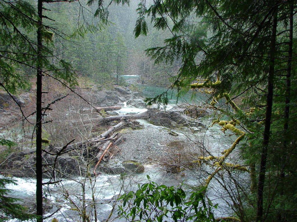
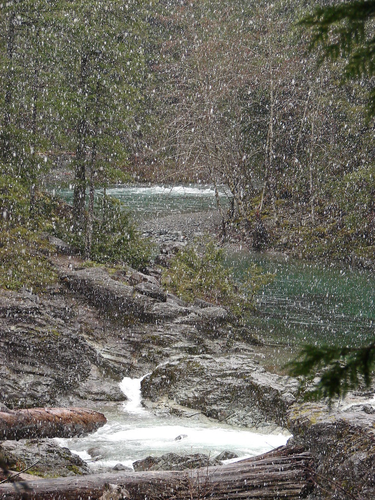
The trail did climb away from the river to cross over a rocky area at the 1.5 mile mark.
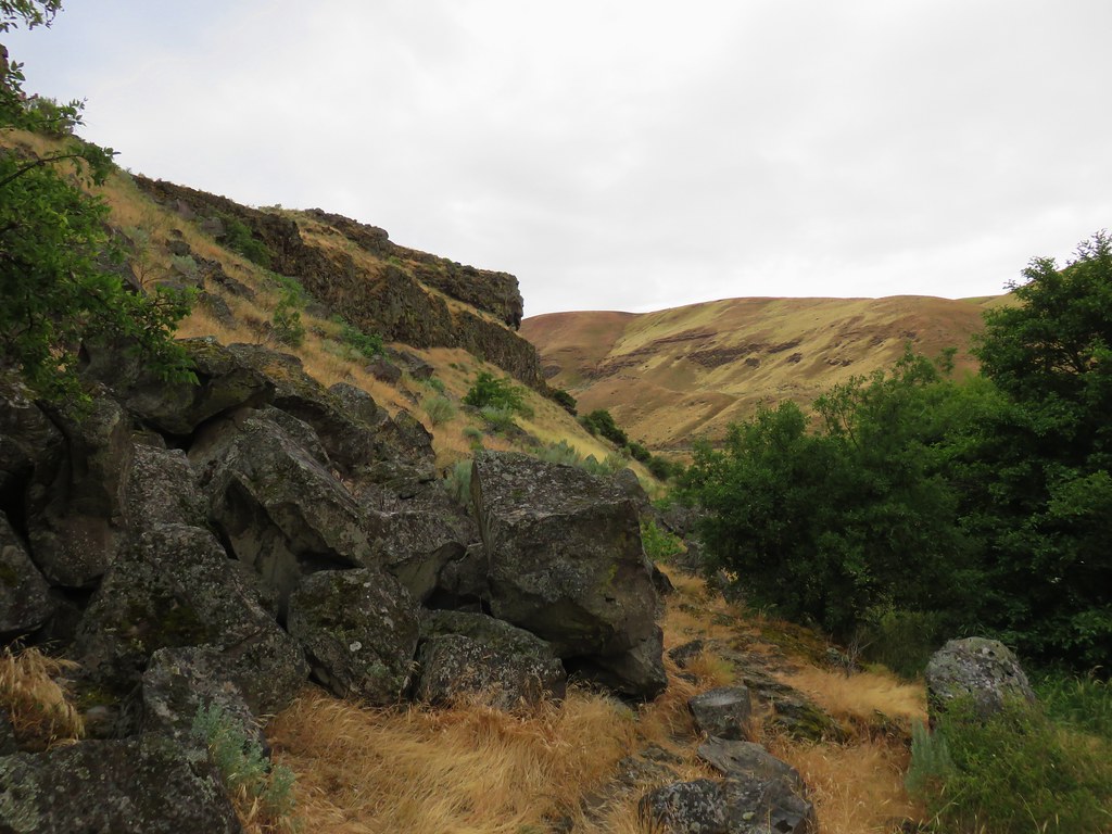
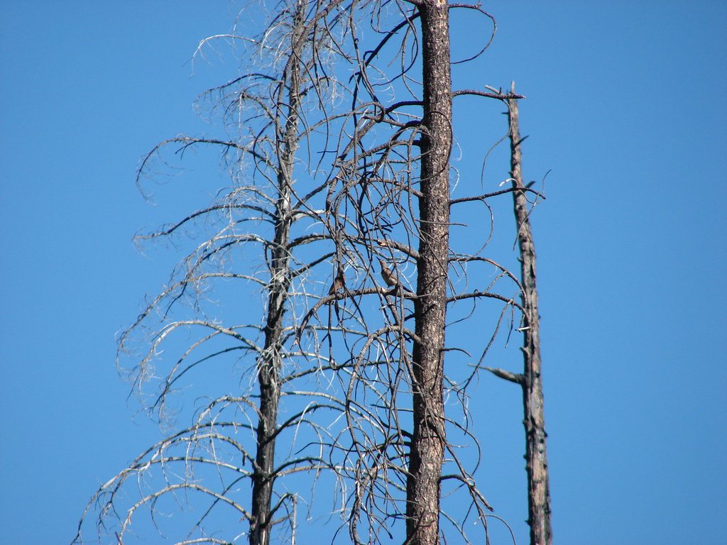
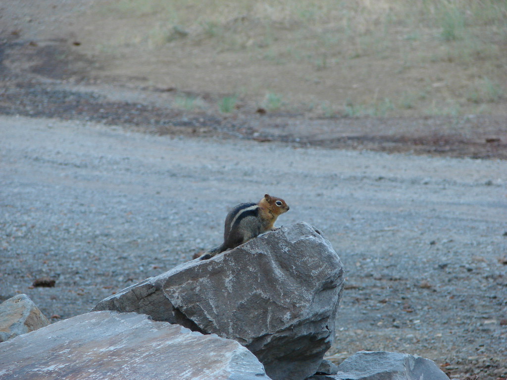
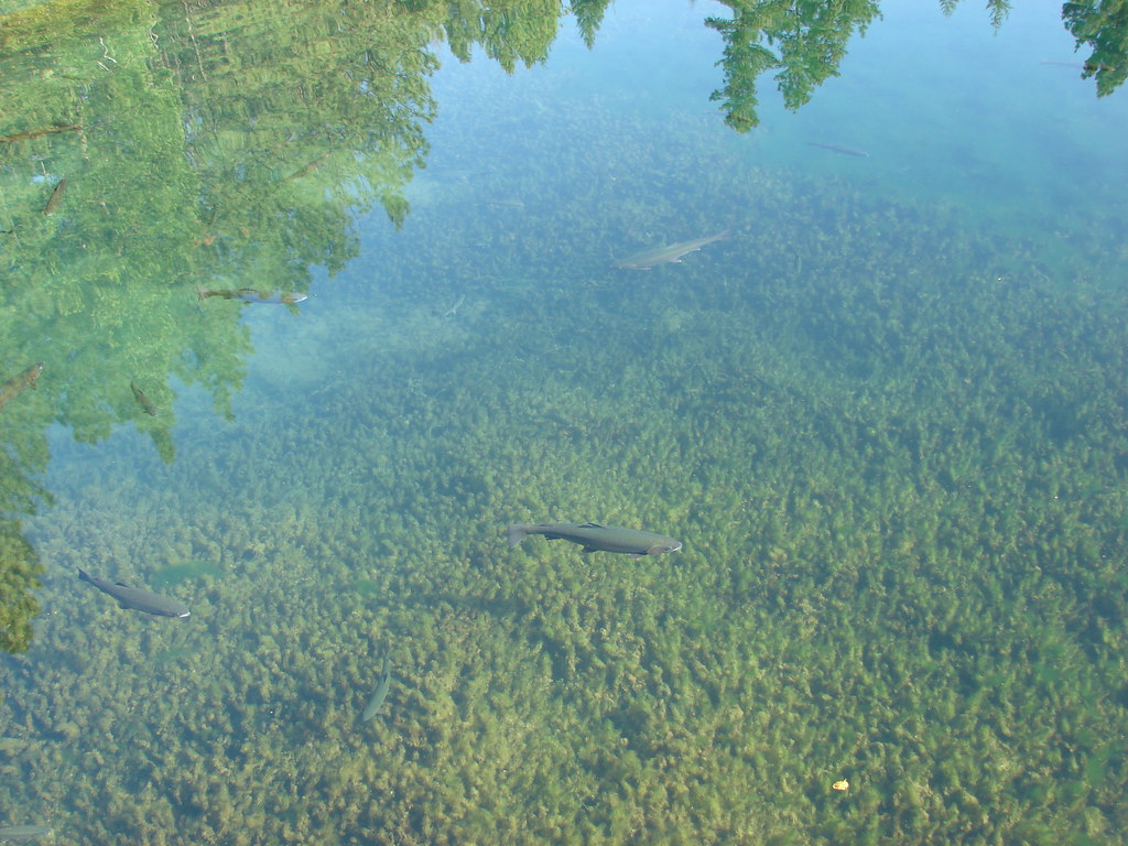
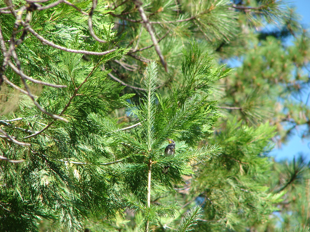
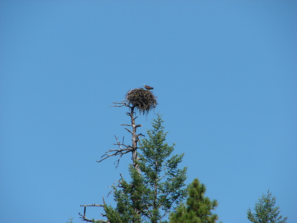
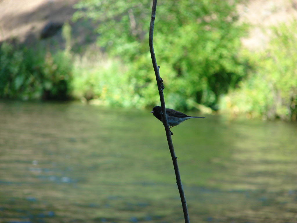
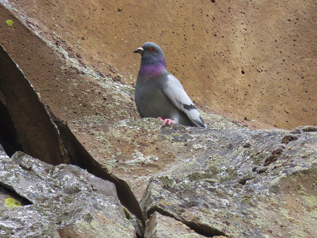
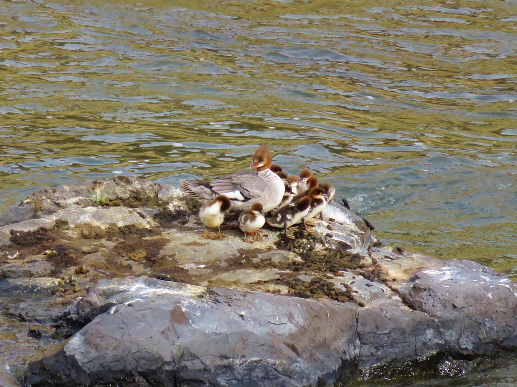
Pigeons kept an eye on us as we passed the rocky cliffs and a family of mergansers sat on a rock in the river below.

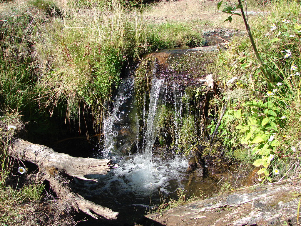
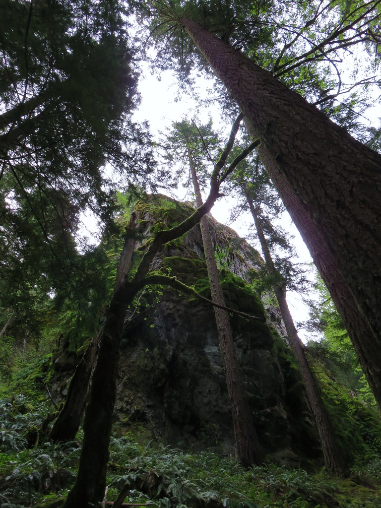
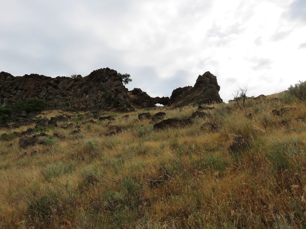
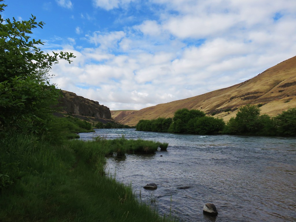
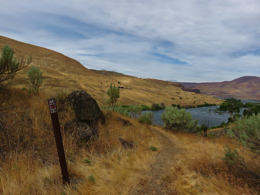
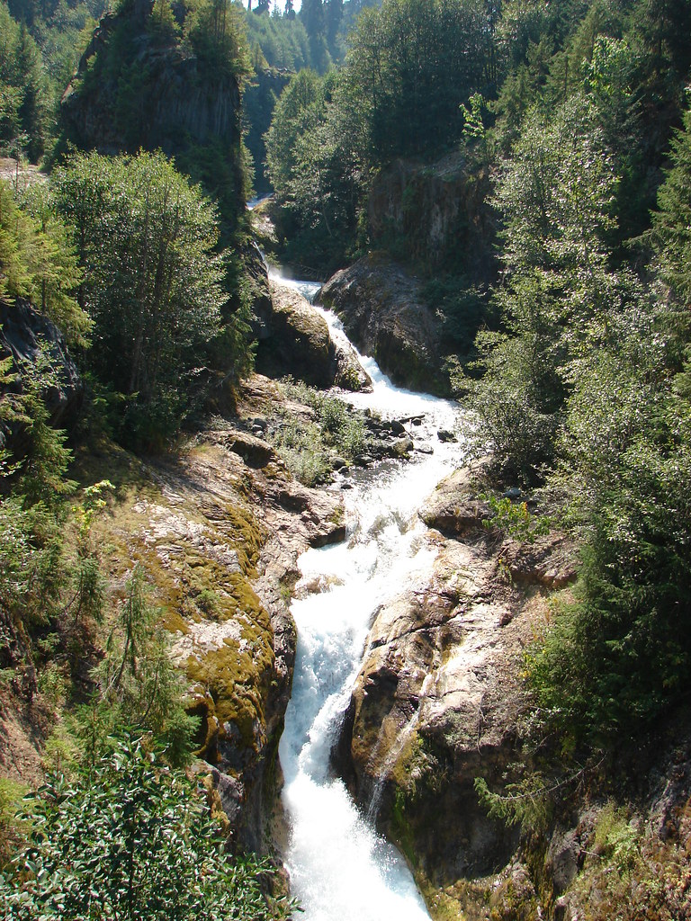
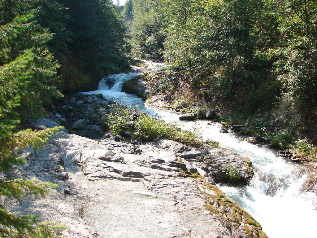
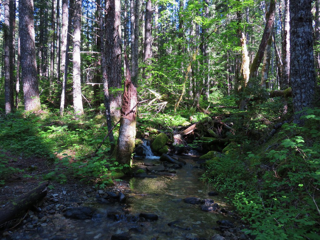
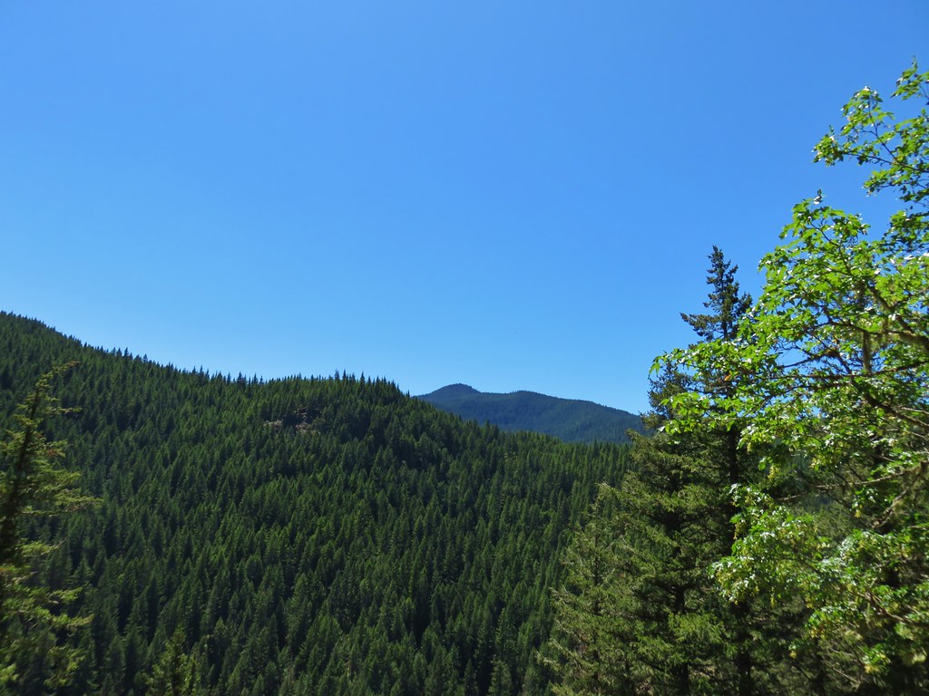
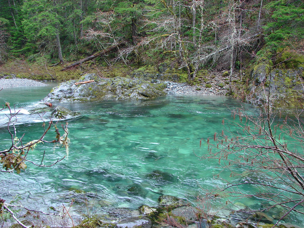
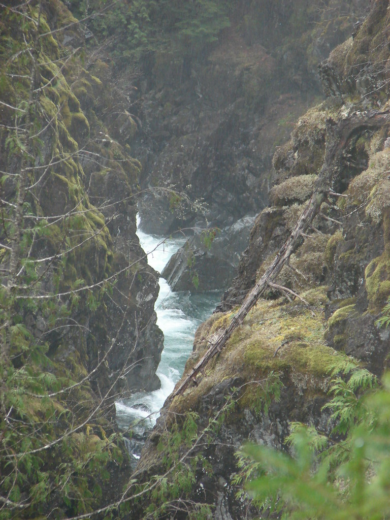
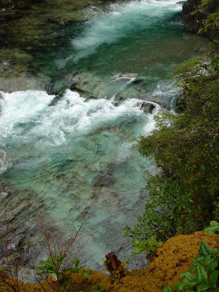
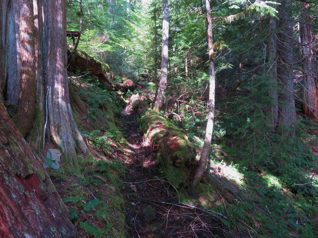
The trail improved again beyond the rocks and it passed below a rock arch.
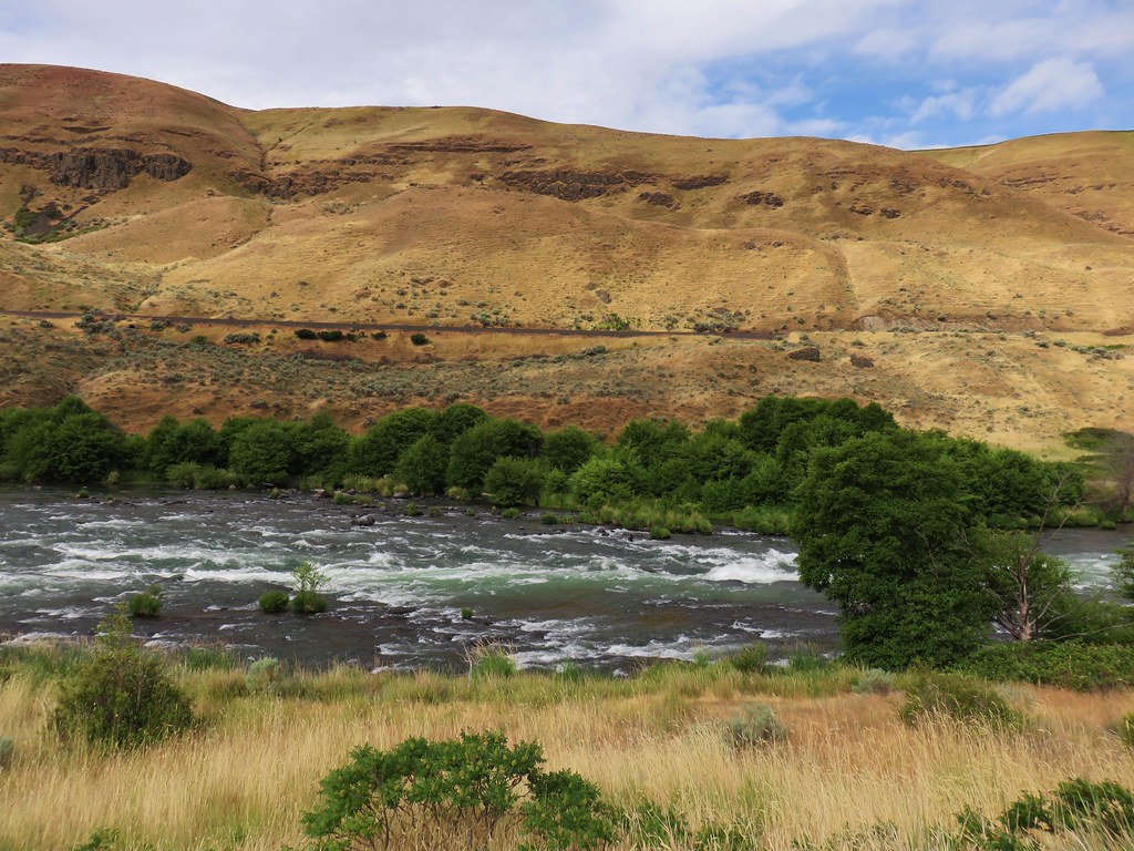
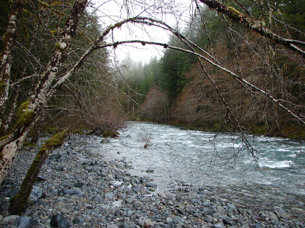
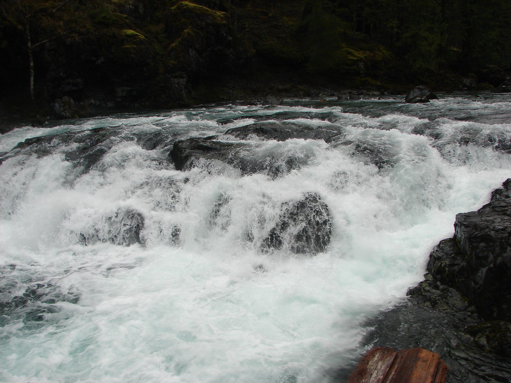
A short distance beyond the arch we passed Rattlesnake Rapids.
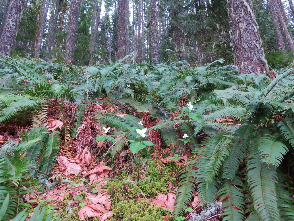
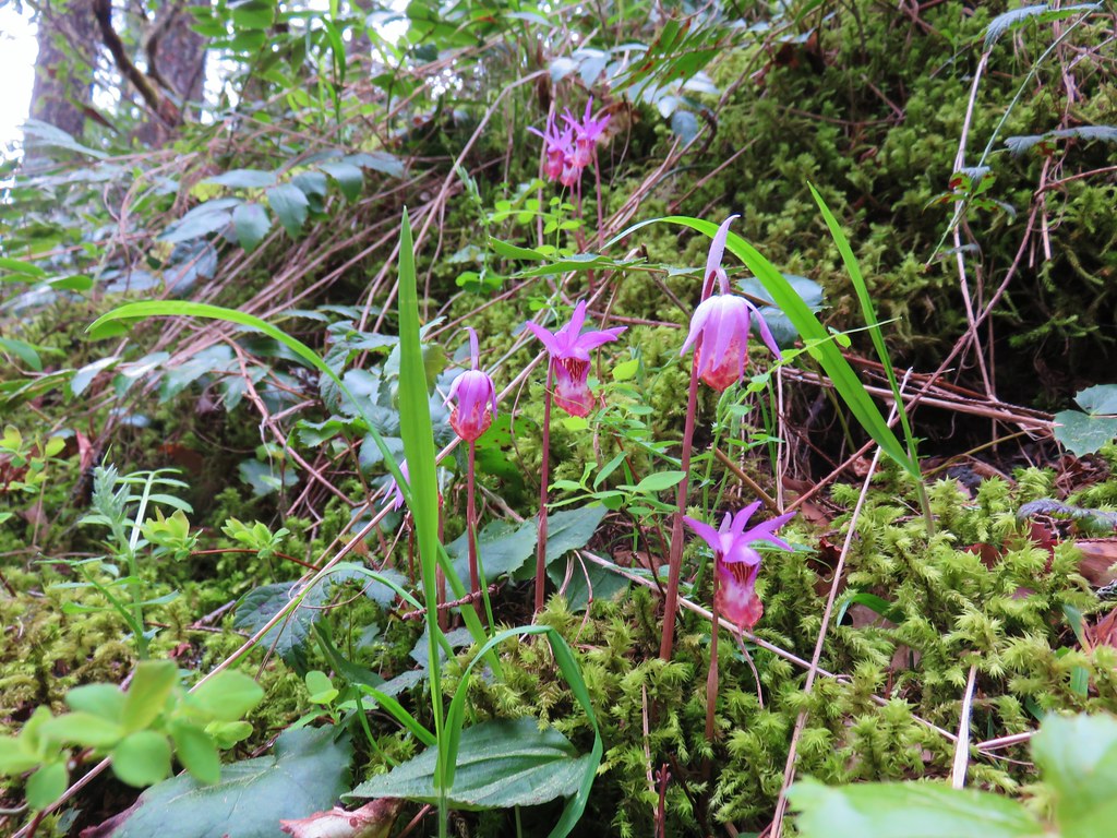
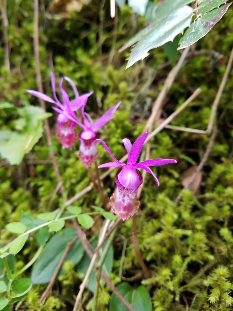
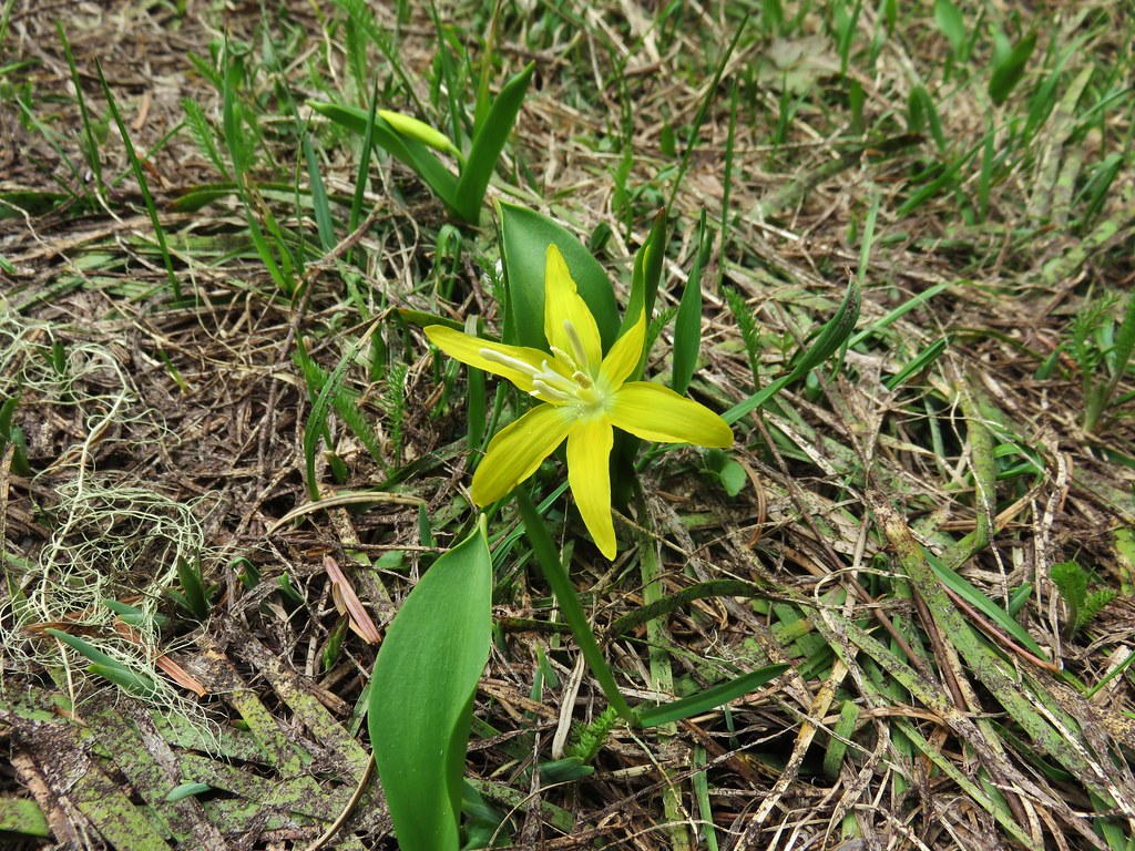
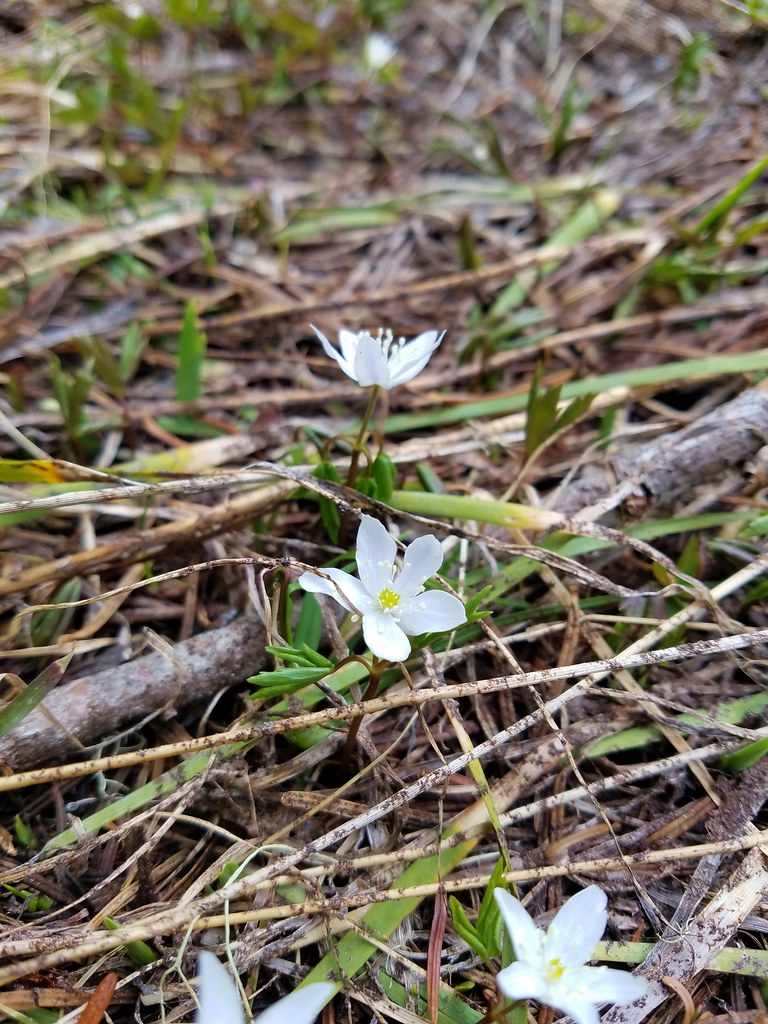
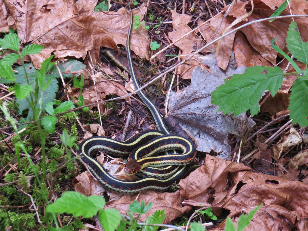
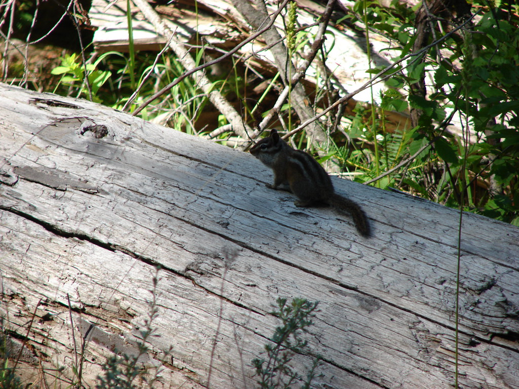
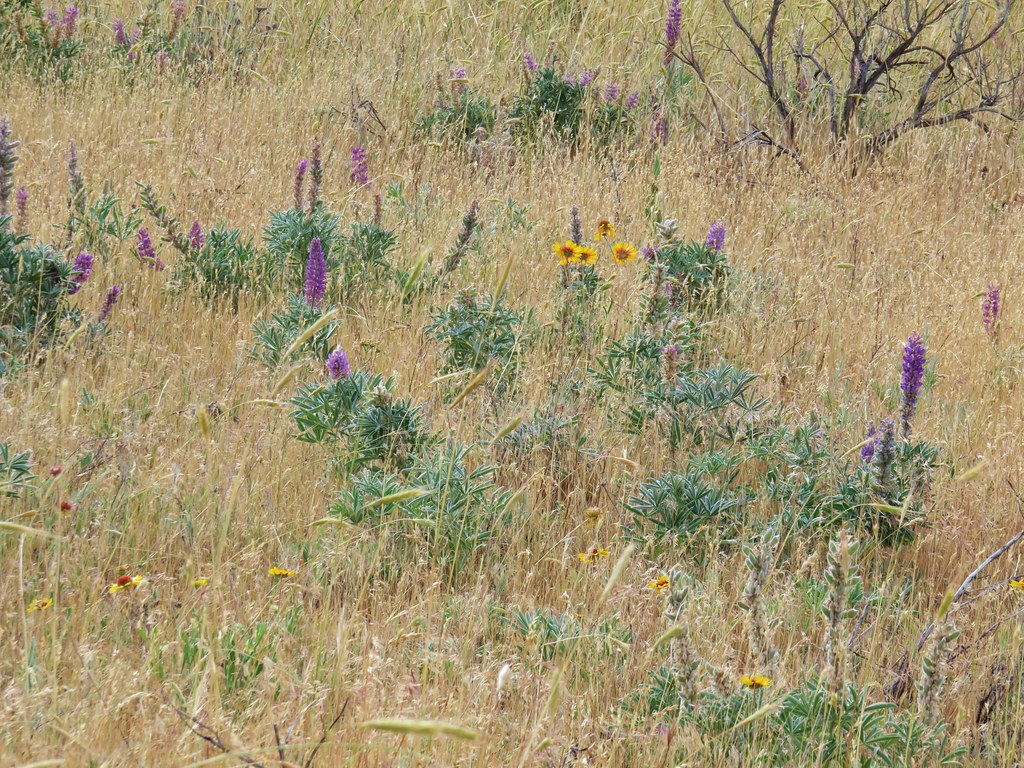
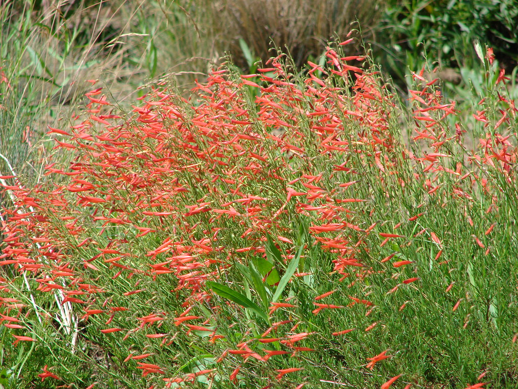
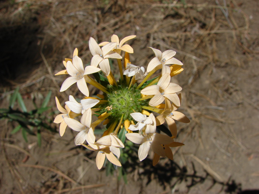
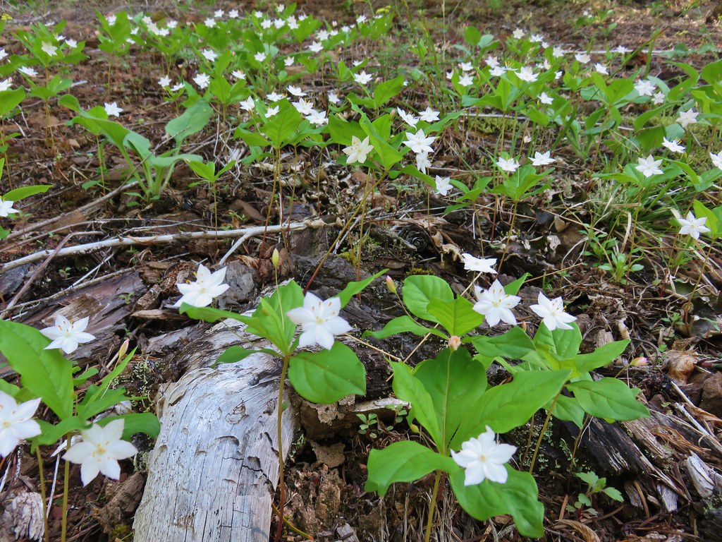
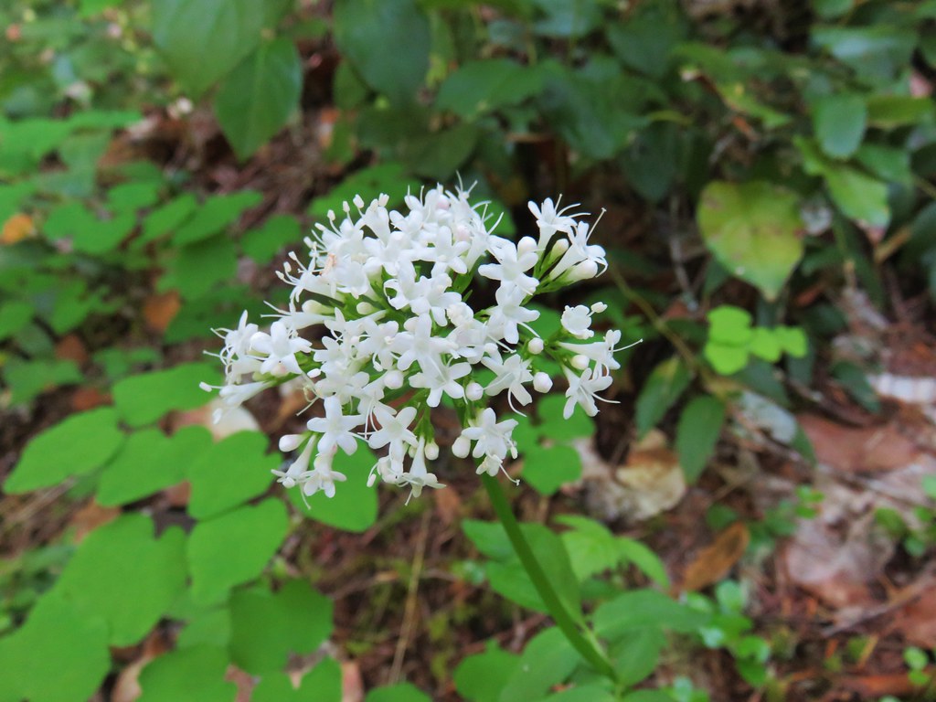
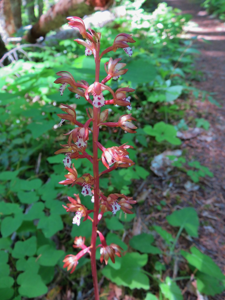
Up to this point we’d seen a few flowers and an interesting dragon fly.
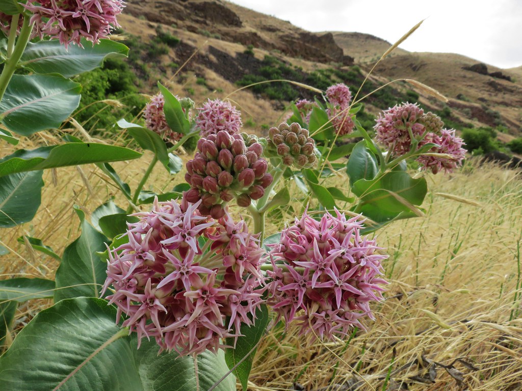 Showy milkweed
 Chicory
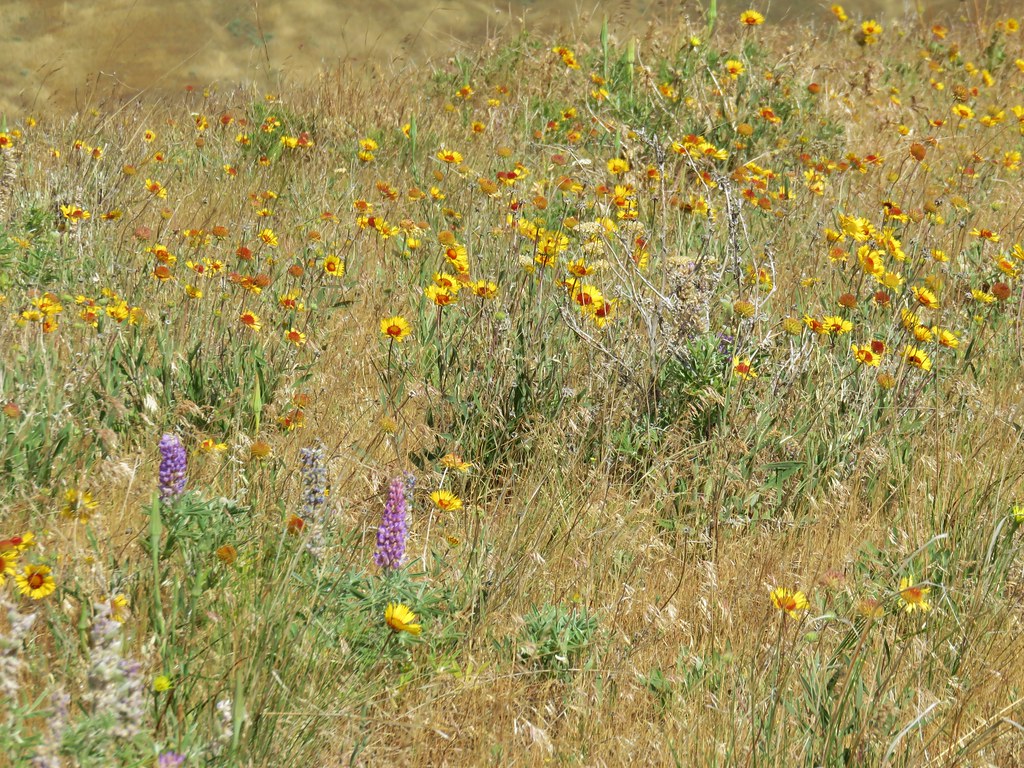
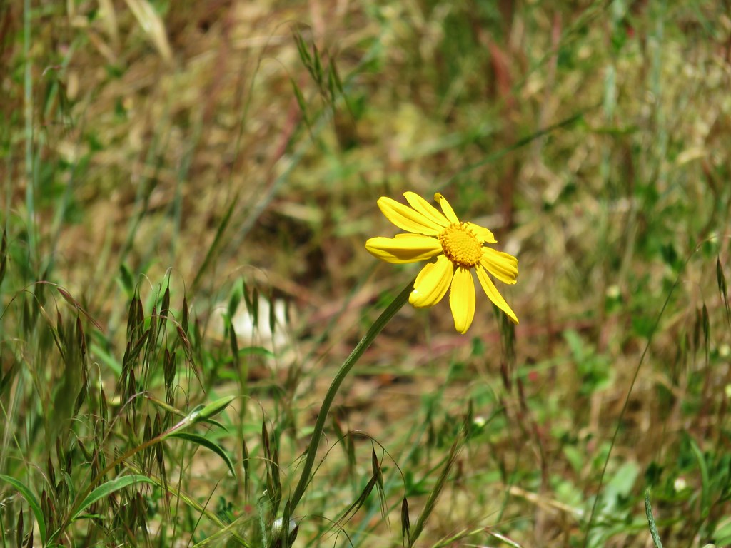
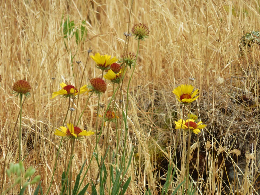 Blanket flower

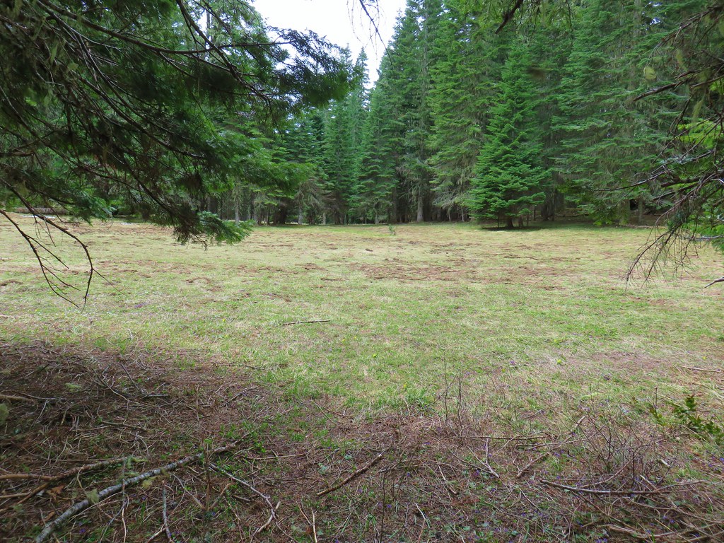
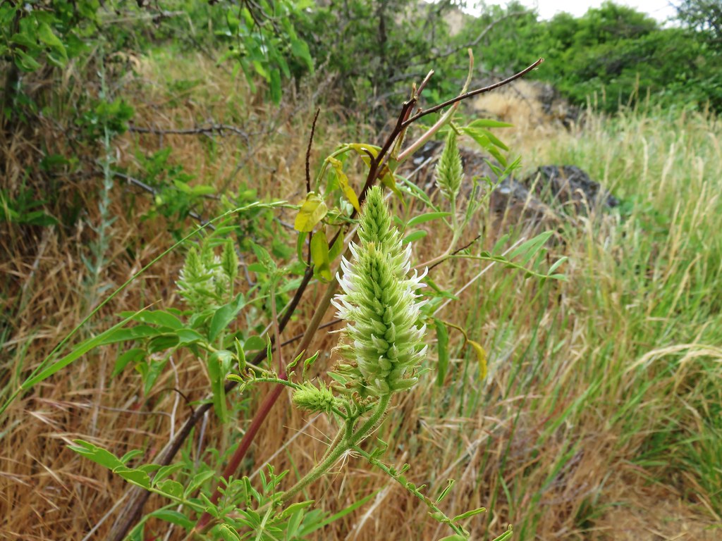
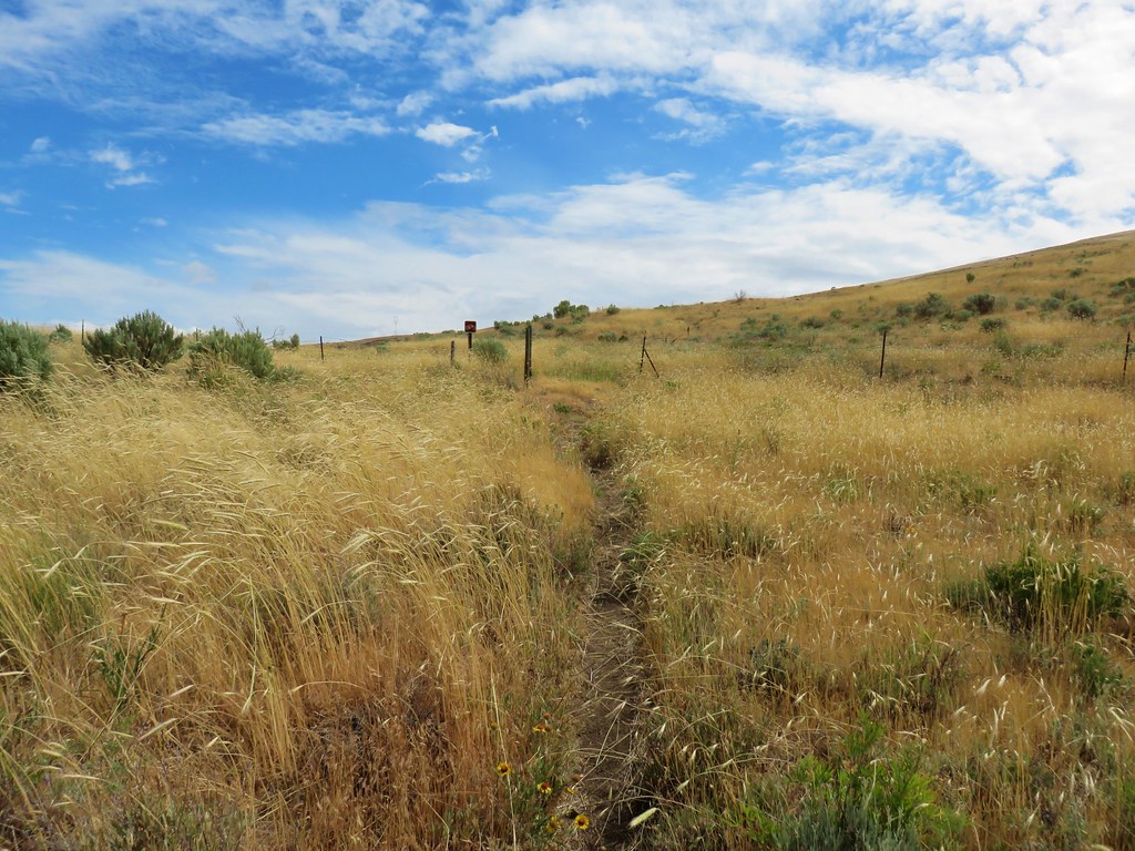
After 3 miles on the River Trail we passed by a 10 acre wheat field.
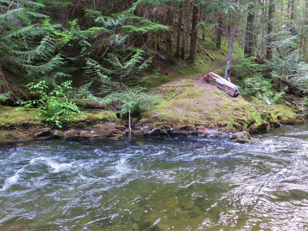
At the far end of the wheat field we followed an old dirt roadbed uphill to a gravel road where we turned right, crossed small Gordon Creek and veered right again on another dirt roadbed down to a primitive camp site.
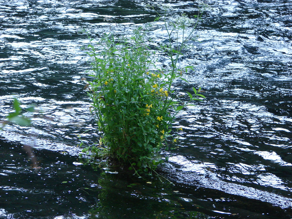
After checking out a small beach where one could wade in the river we headed back to the gravel road.
The road led up to the same old railroad grade that we had followed on our hike at Macks Canyon.
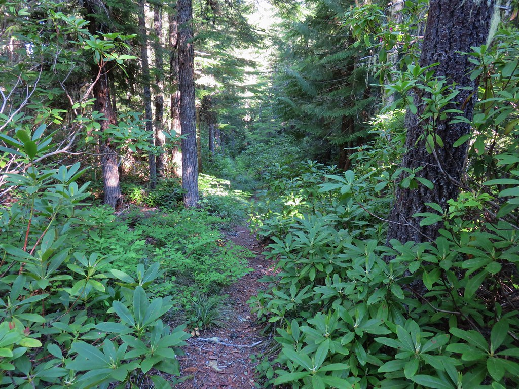
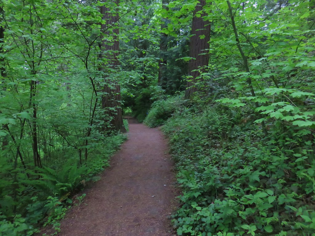
Here the grade is in good shape and used by bicyclists as well as hikers.
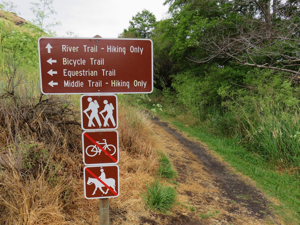
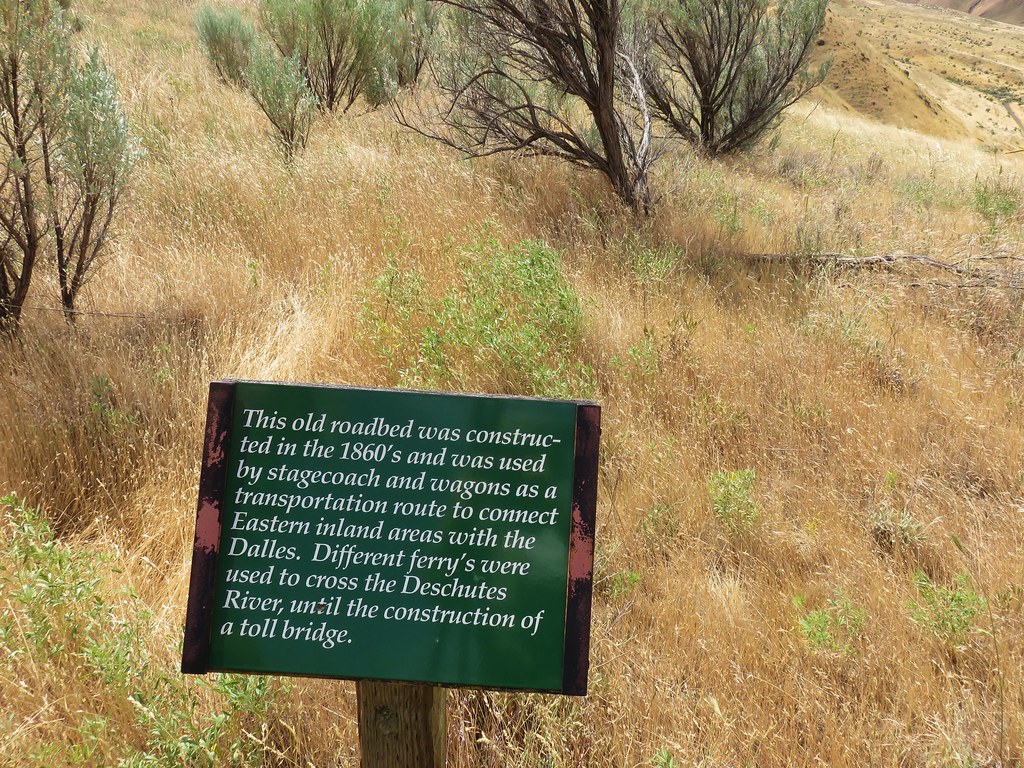
We followed the old railroad grade for a mile and a half from the primitive camp to a signboard.

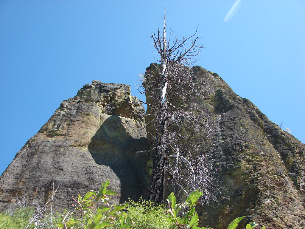
The unmarked Ferry Springs Trail led off to the right a little before the sign and use paths to the left of the sign led to a view of the rock arch from above.
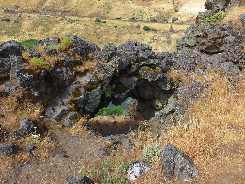
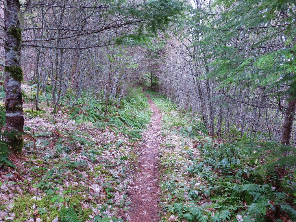
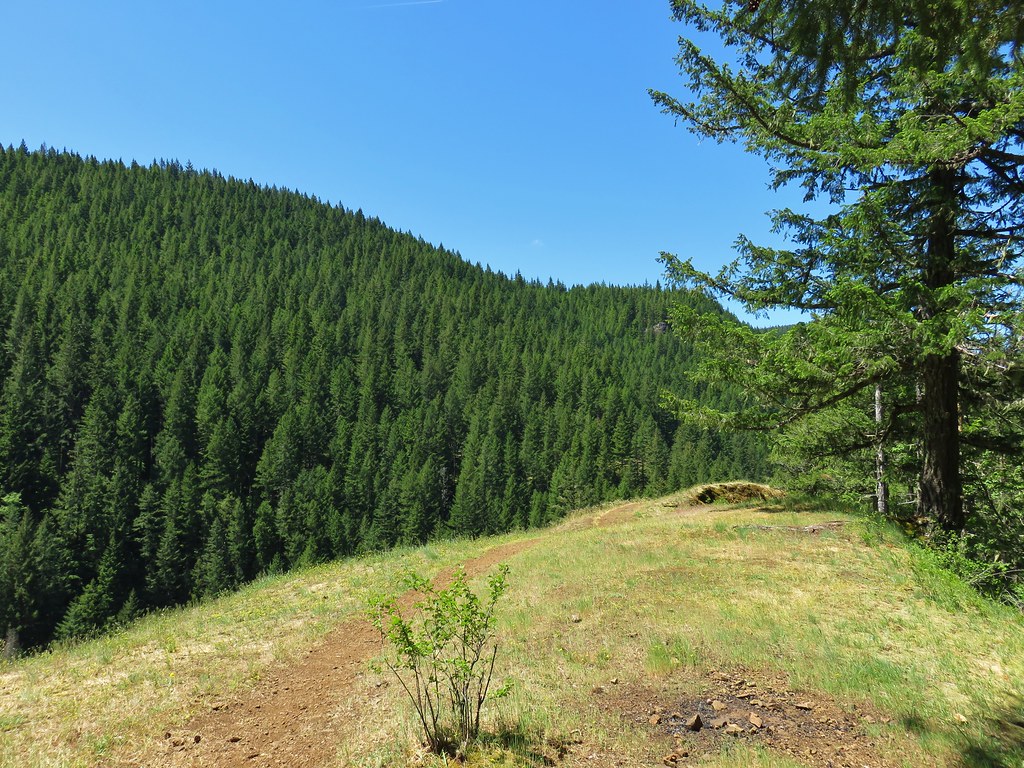
After checking out the arch we took the Ferry Springs Trail uphill.
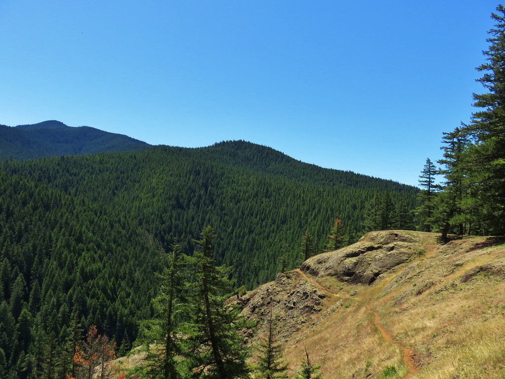
This trail gained nearly 500′ as it climbed up and then traversed the hillside above the Deschutes River.
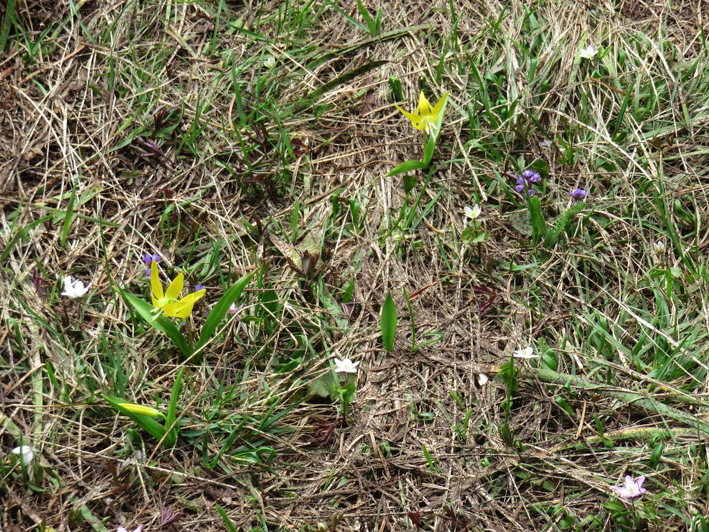
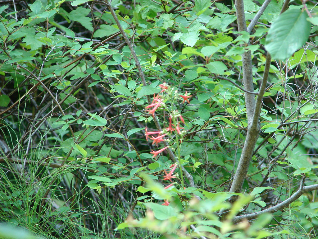
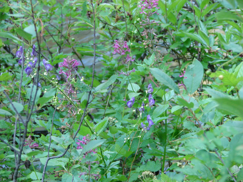
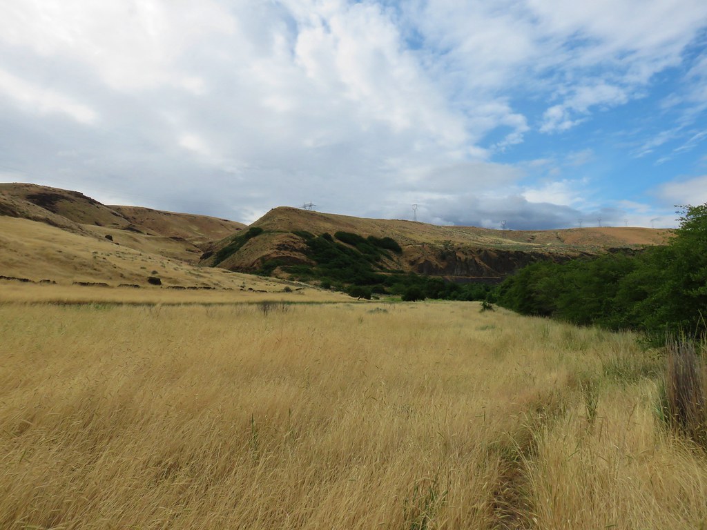
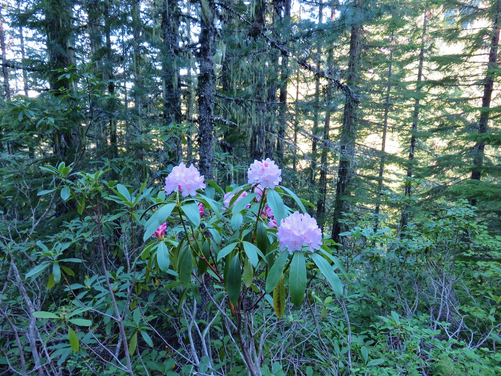
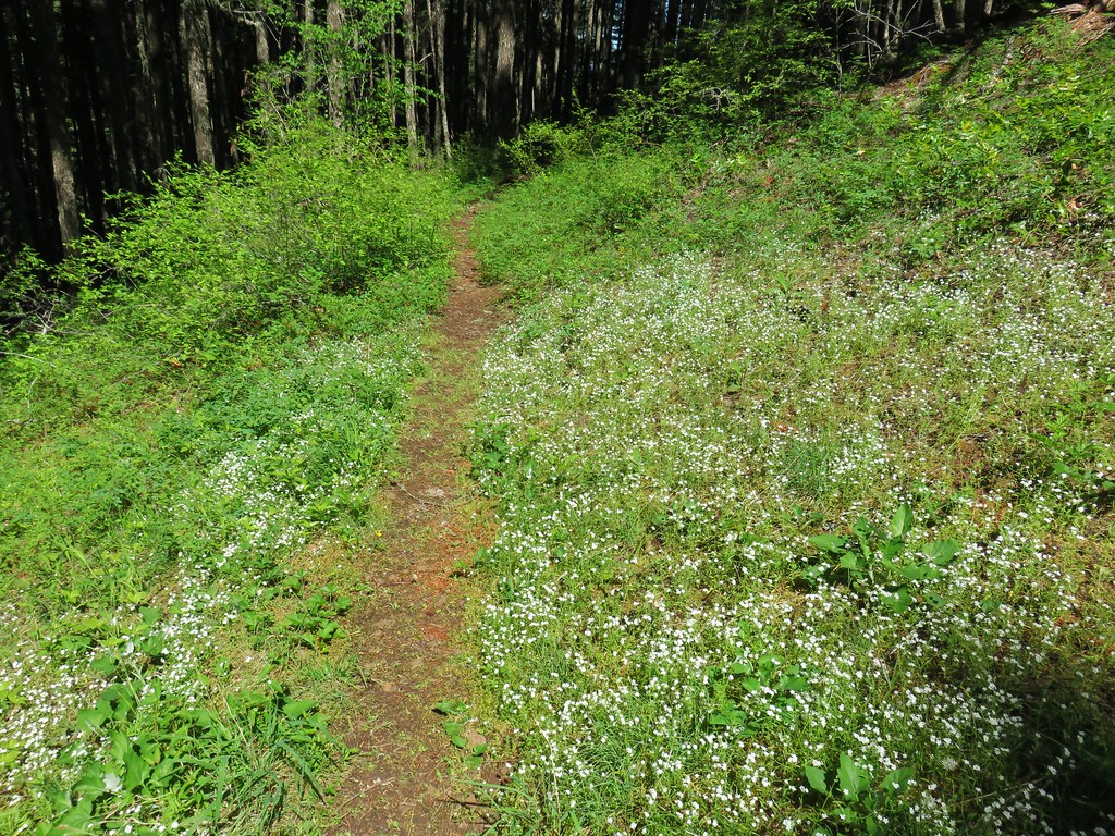
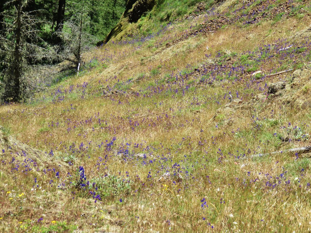
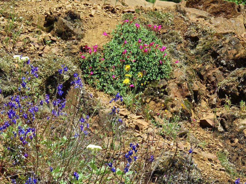
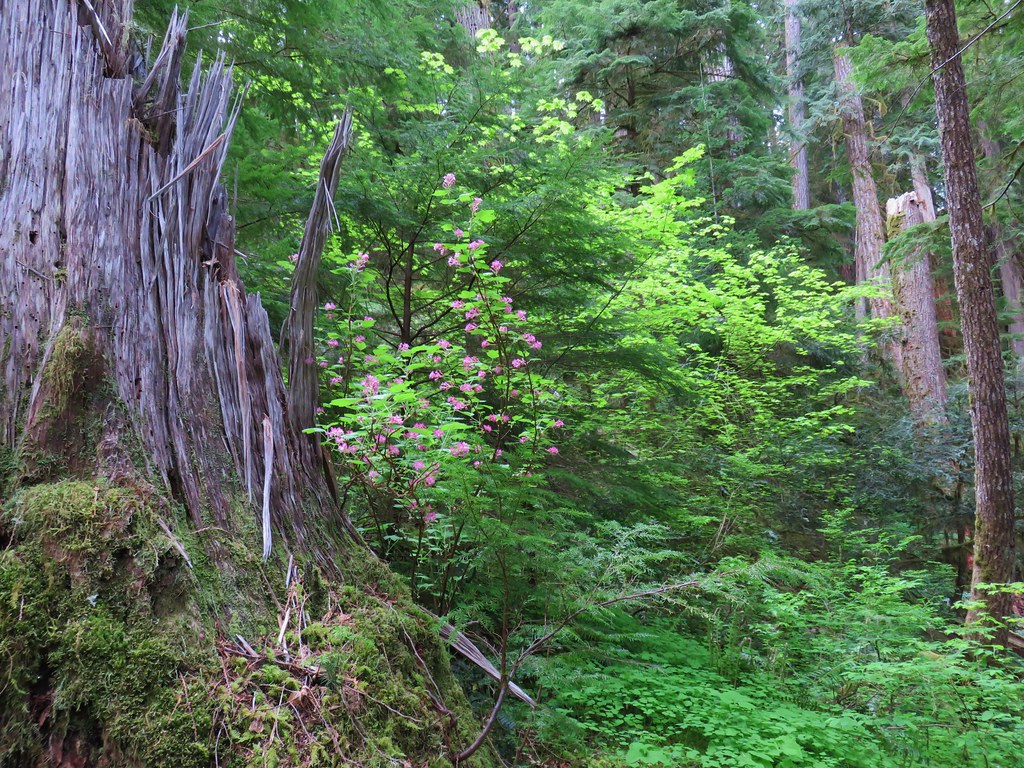
As we gained elevation we also gained more wildflowers, primarily yellow blanket flower and purple lupine.

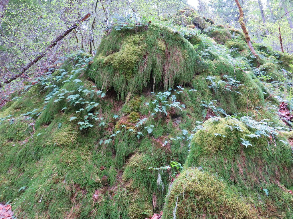
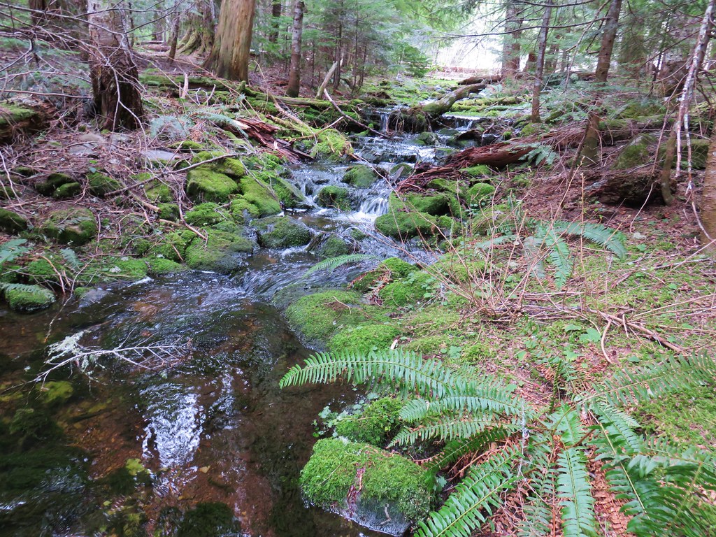
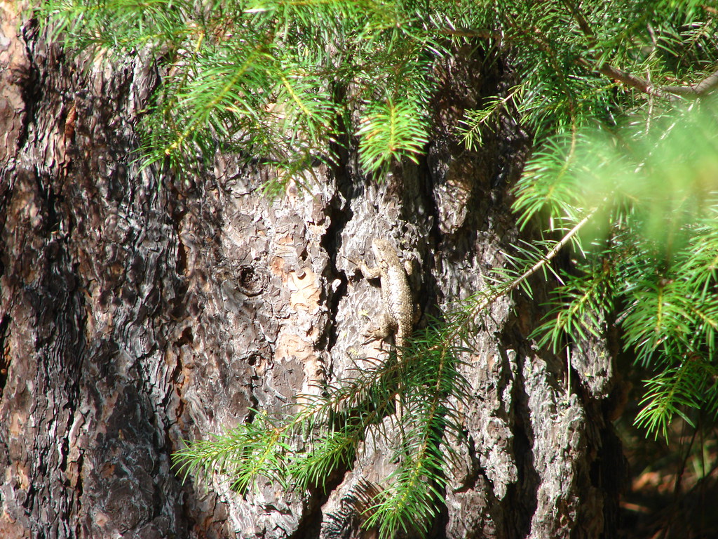
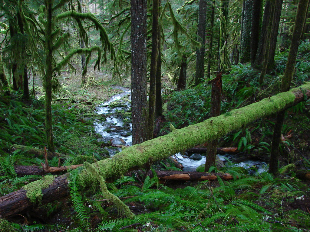
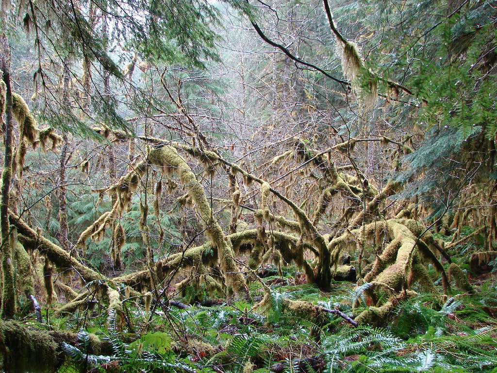
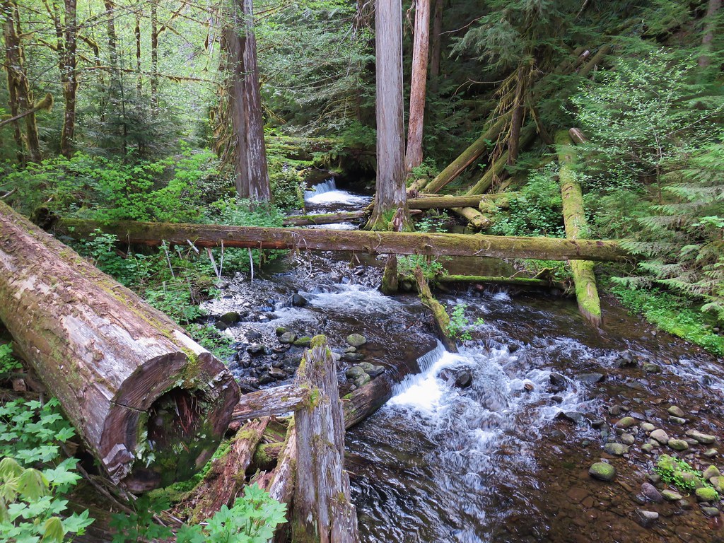
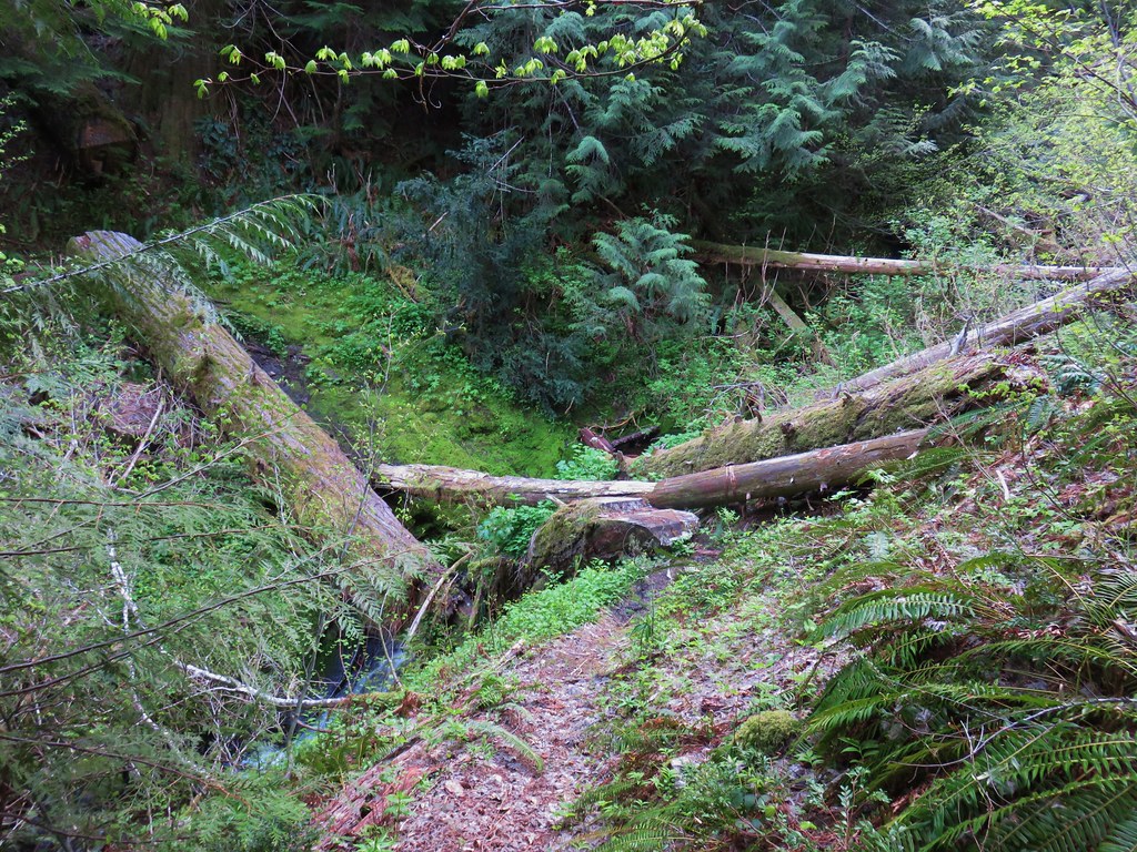
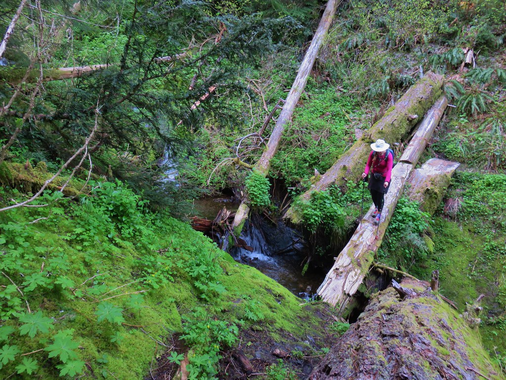
Just over three quarters of a mile along this trail we came to Ferry Springs where we crossed a brushy creek.
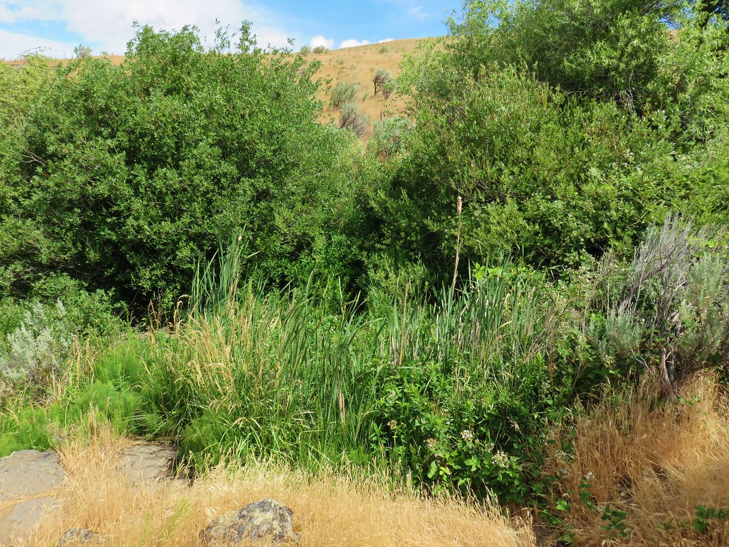
A lizard greeted us on the far side of the creek.

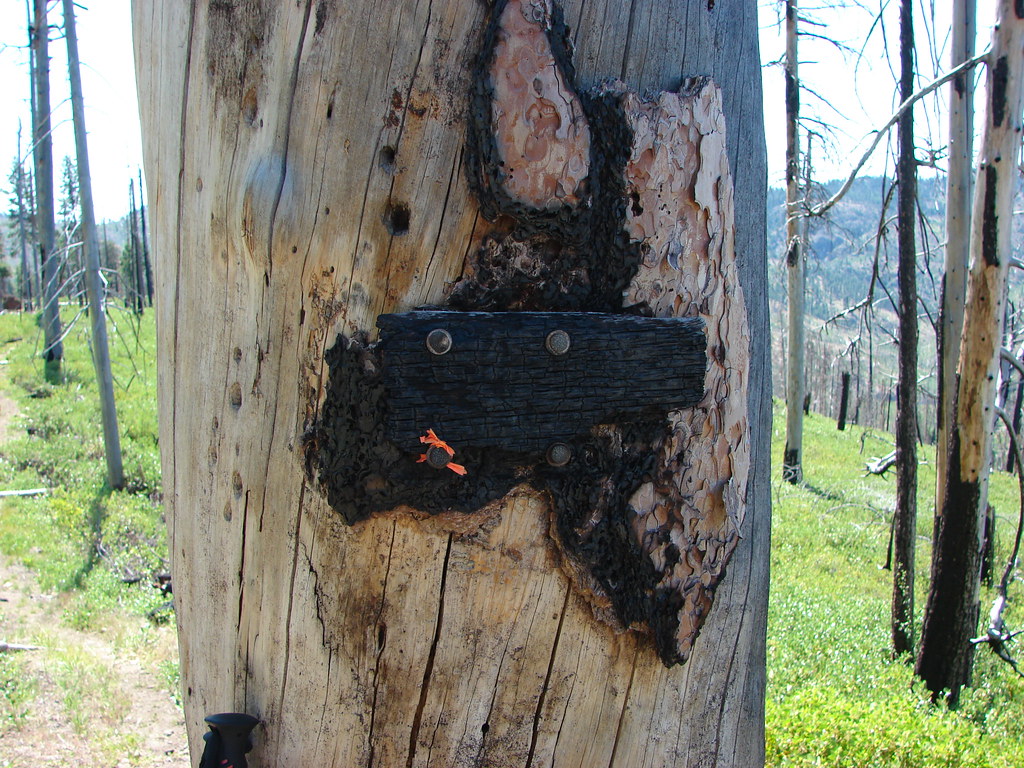
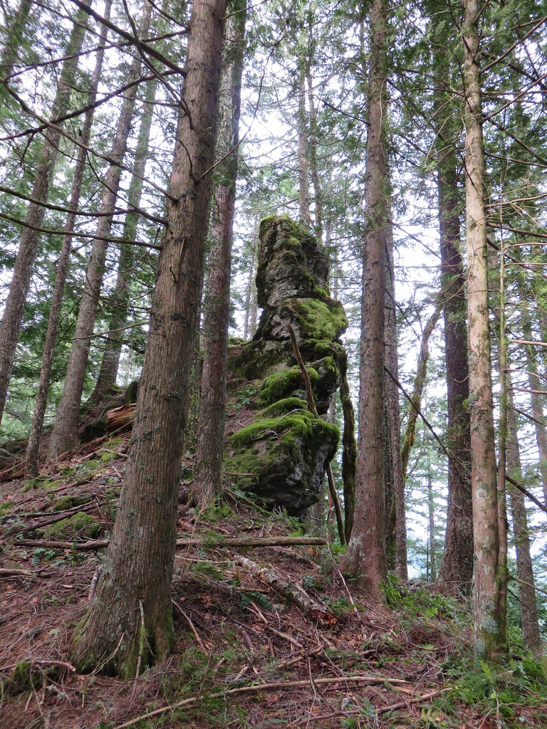
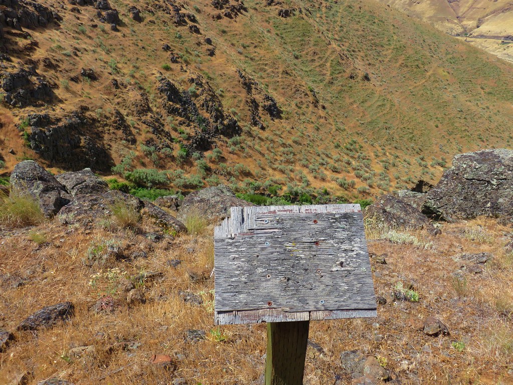
The trail then passed a less than informative sign and passed through an old fence.

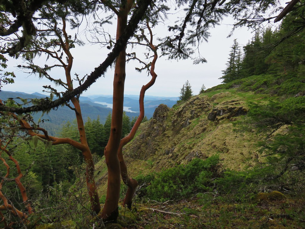
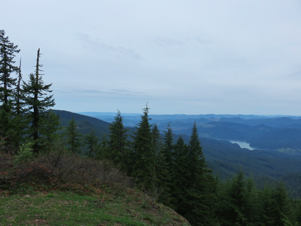
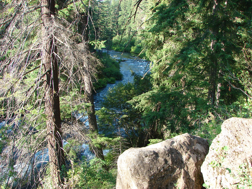
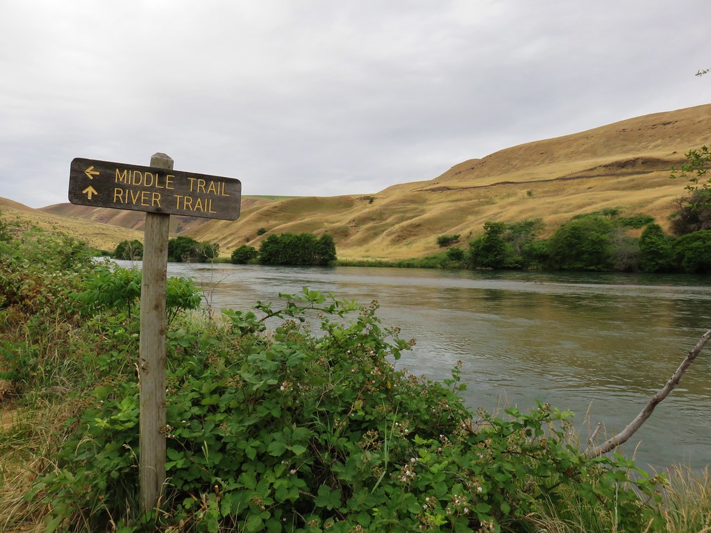
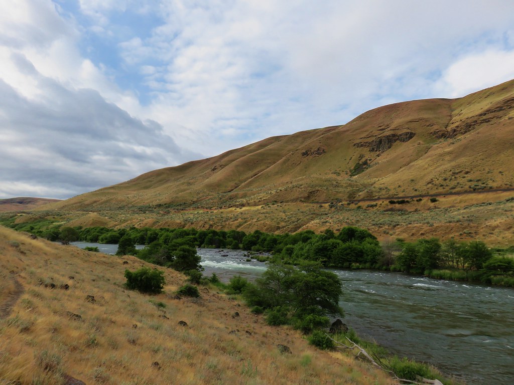
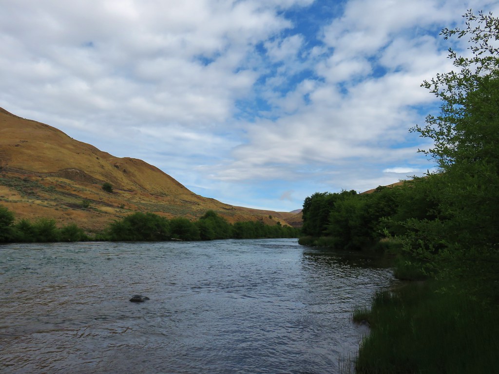
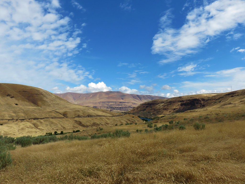
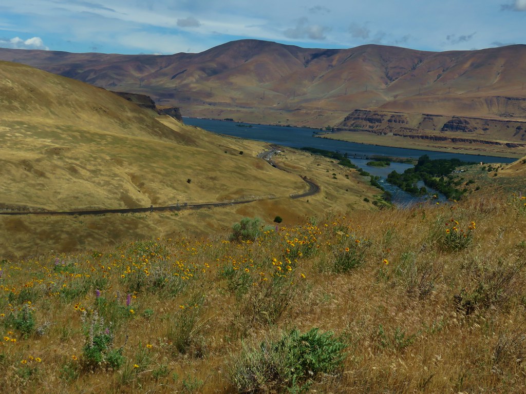
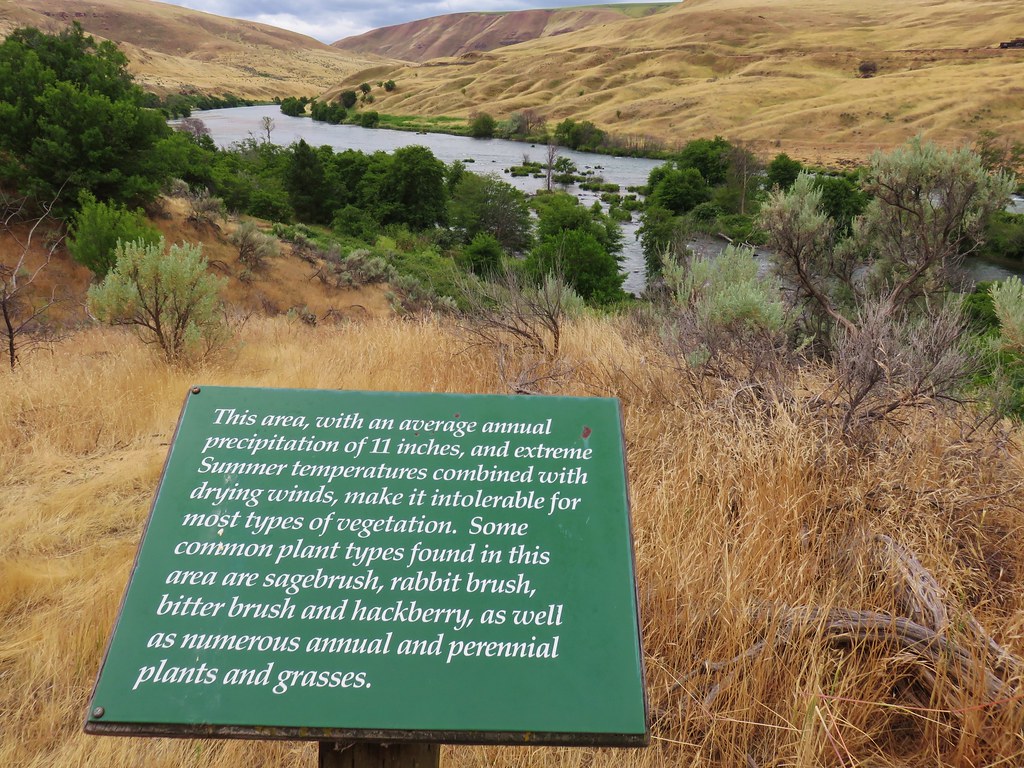
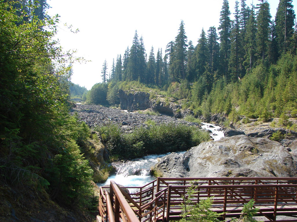
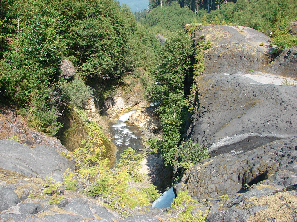
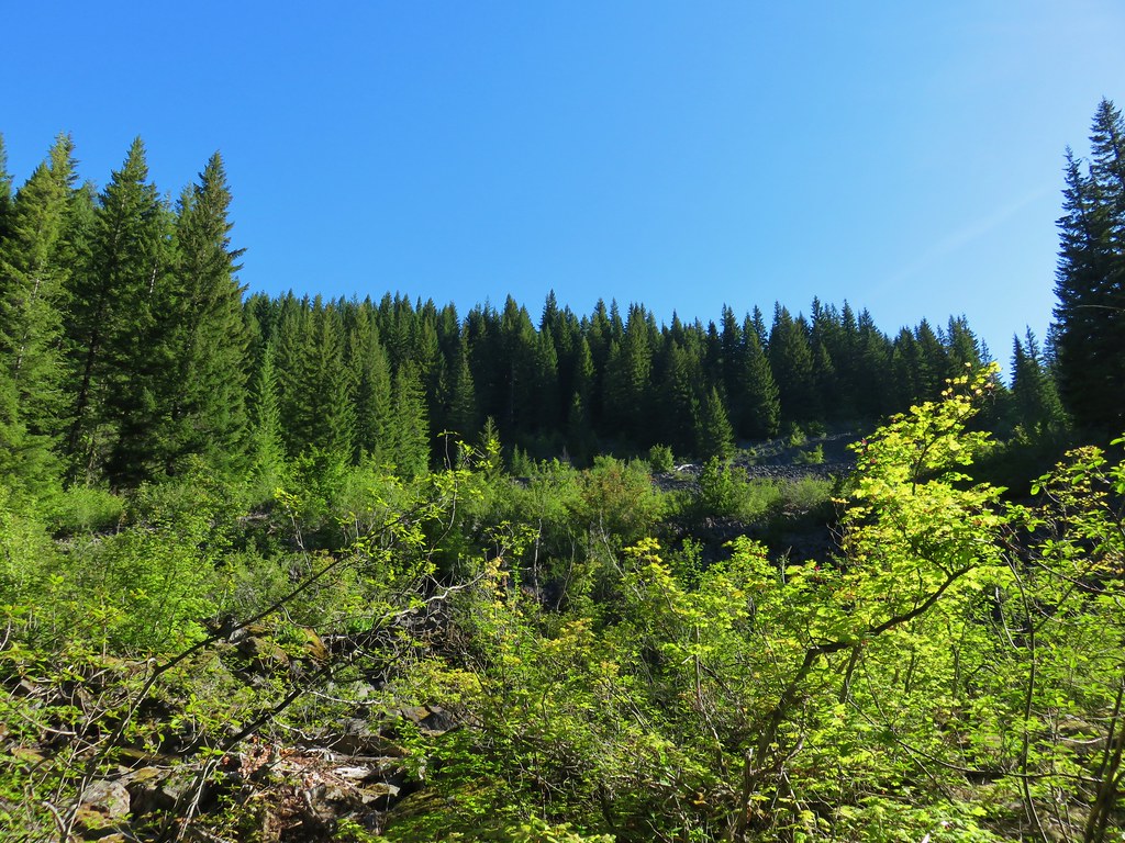
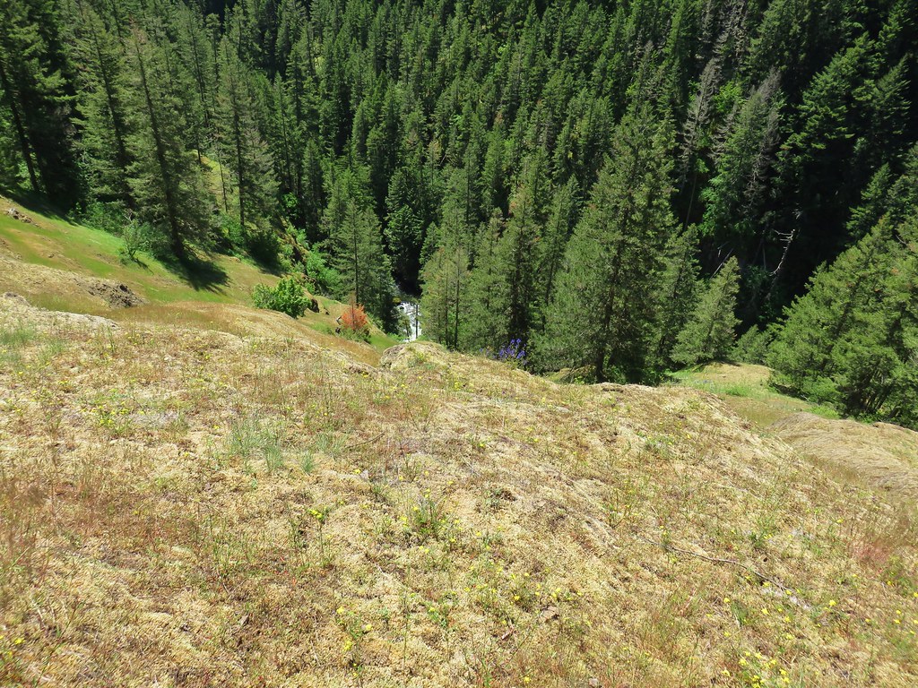
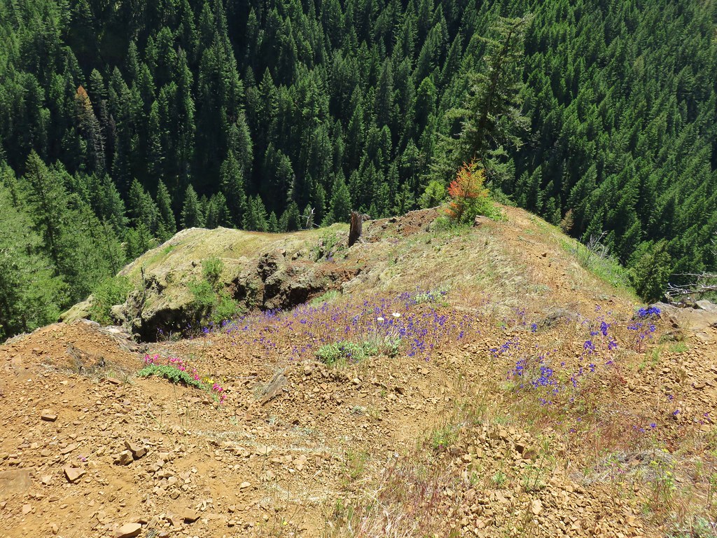
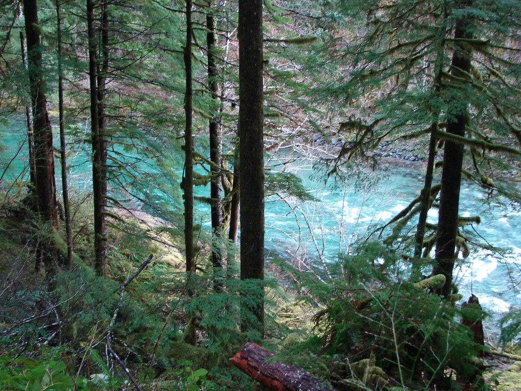
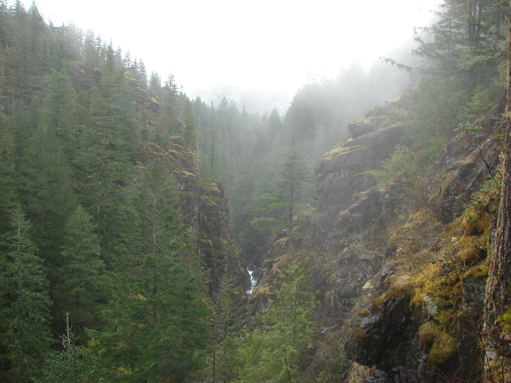
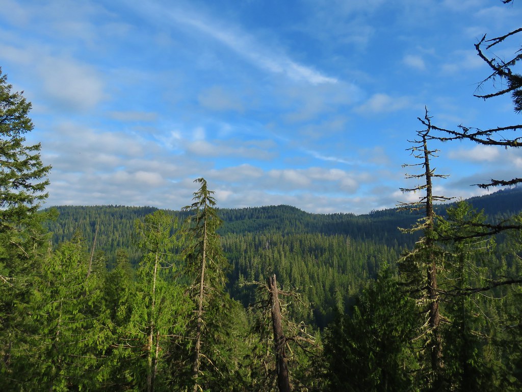
Beyond the fence the trail began to descend back down toward the river. From here we had a good view of the river’s confluence with the Columbia.
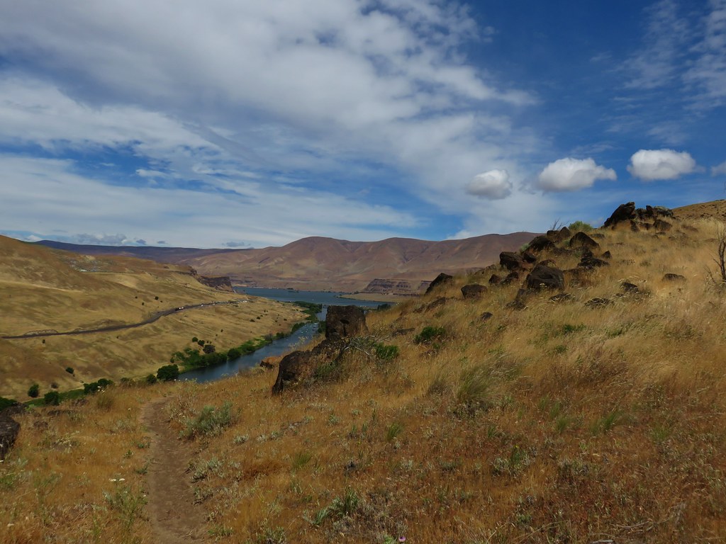
Near the end, the trail follows a section of the Oregon Trail.
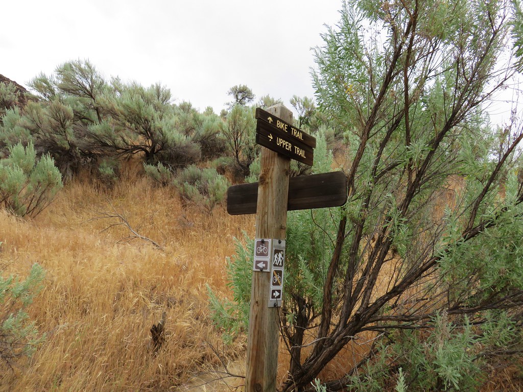
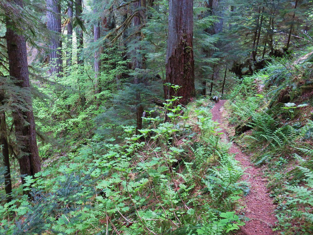
After almost 1.75 miles on the Ferry Springs Trail we arrived back at the railroad grade. Here we had the choice of following it back to the parking area or continuing on hiker only trails. We opted for the hiker trail and flowed a pointer on the far side of the bike path.
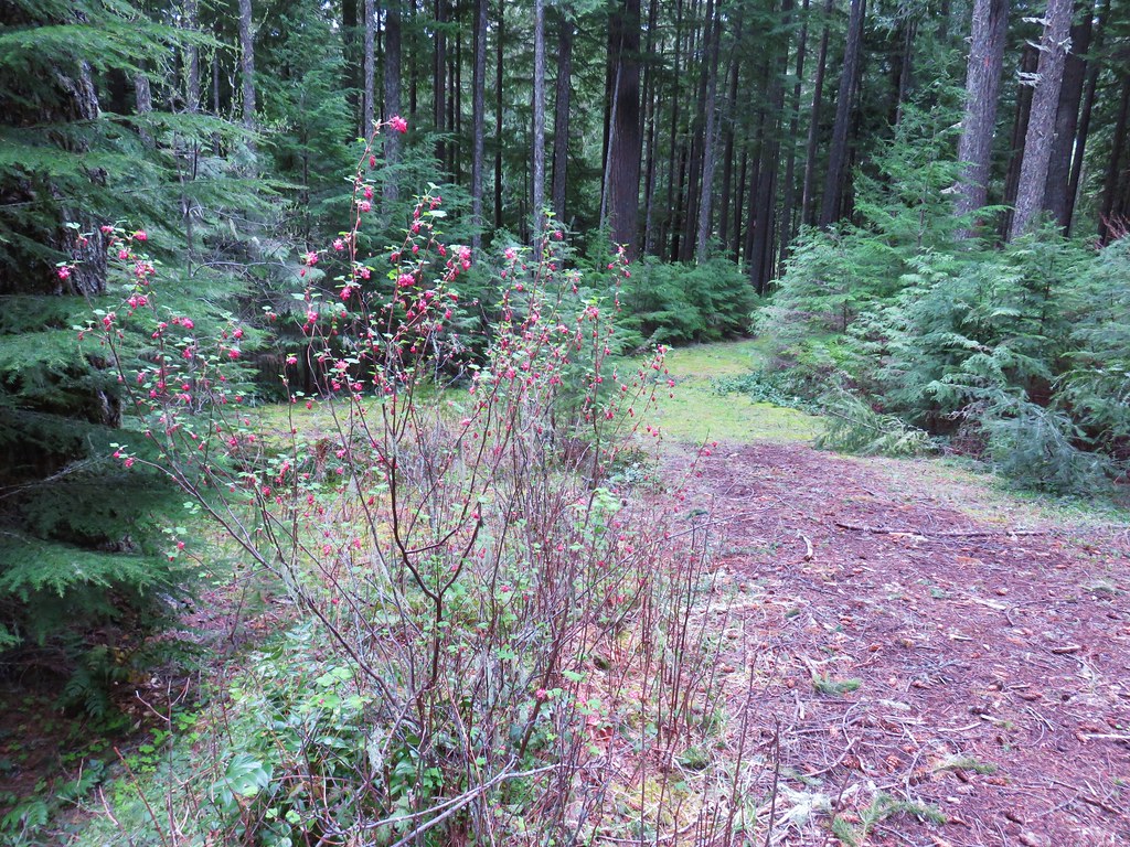
This trail traversed the hillside between the River Trail and the bike path and brought us back to the start of the River Trail in just under three quarters of a mile.
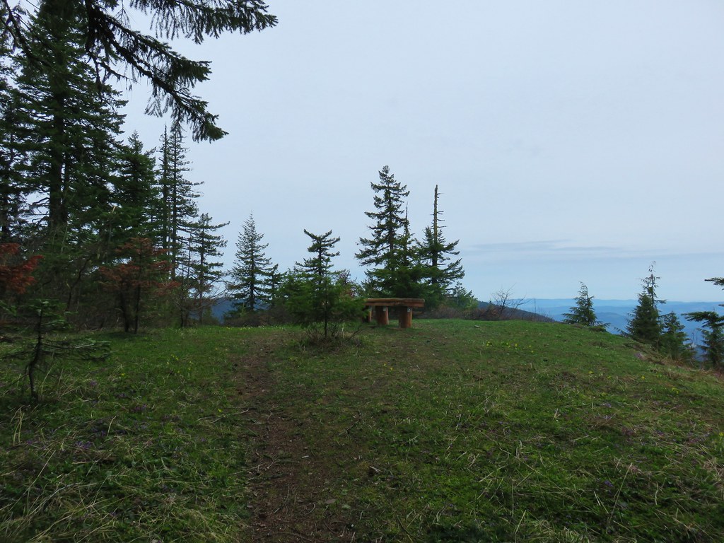
The hike came in just over 8 miles which was a nice way to start a week of hiking. It had been pretty windy (not unusual for the area) but the rain had stayed to the west which we took as an encouraging sign for the rest of our trip. We left the Deschutes and headed east to Biggs Junction where we took Highway 97 south to Bend and had a nice visit with Heather’s parents before heading further east (and south) for more adventures. Happy Trails!
Flickr: Lower Deschutes River


 1
1 2
2 3
3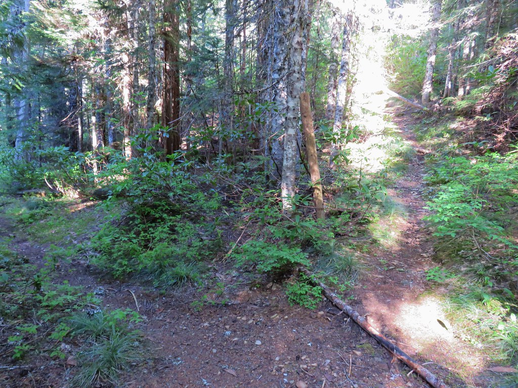


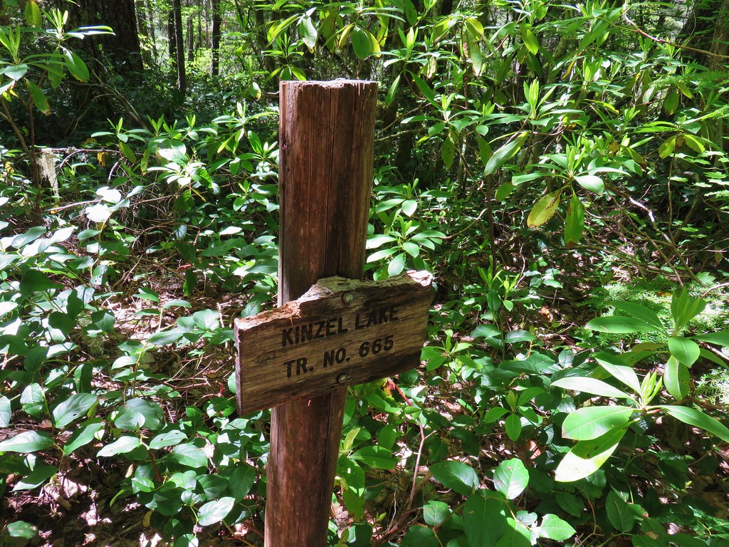
 Kinzel Lake Trail
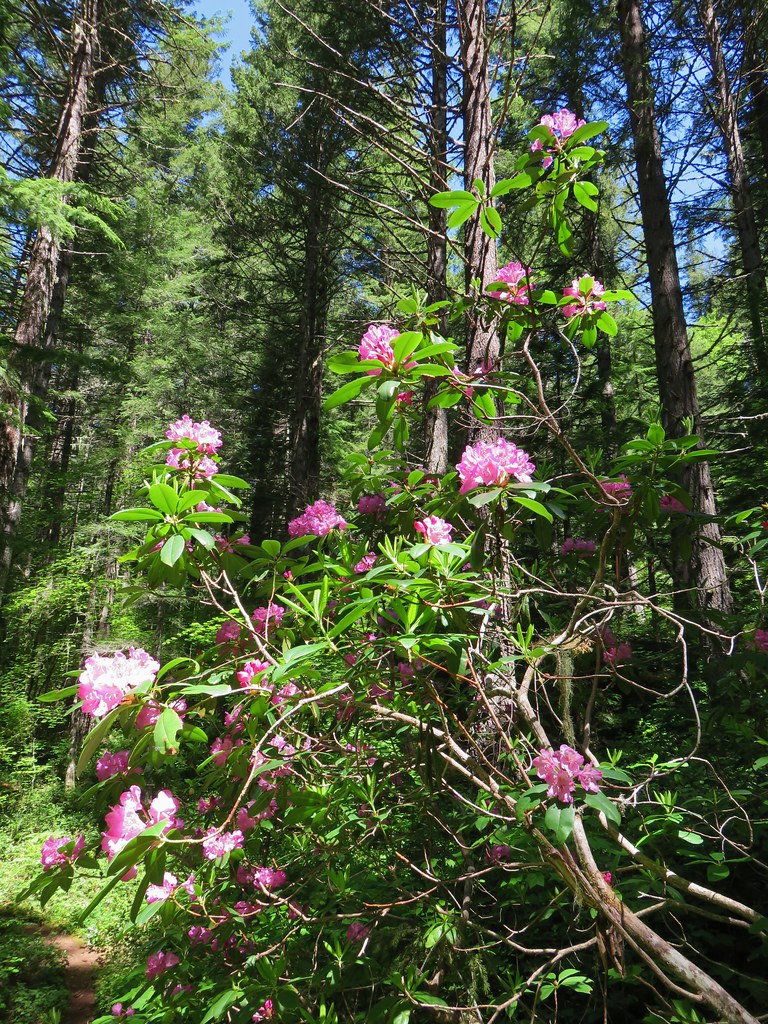
 Spotted coralroot
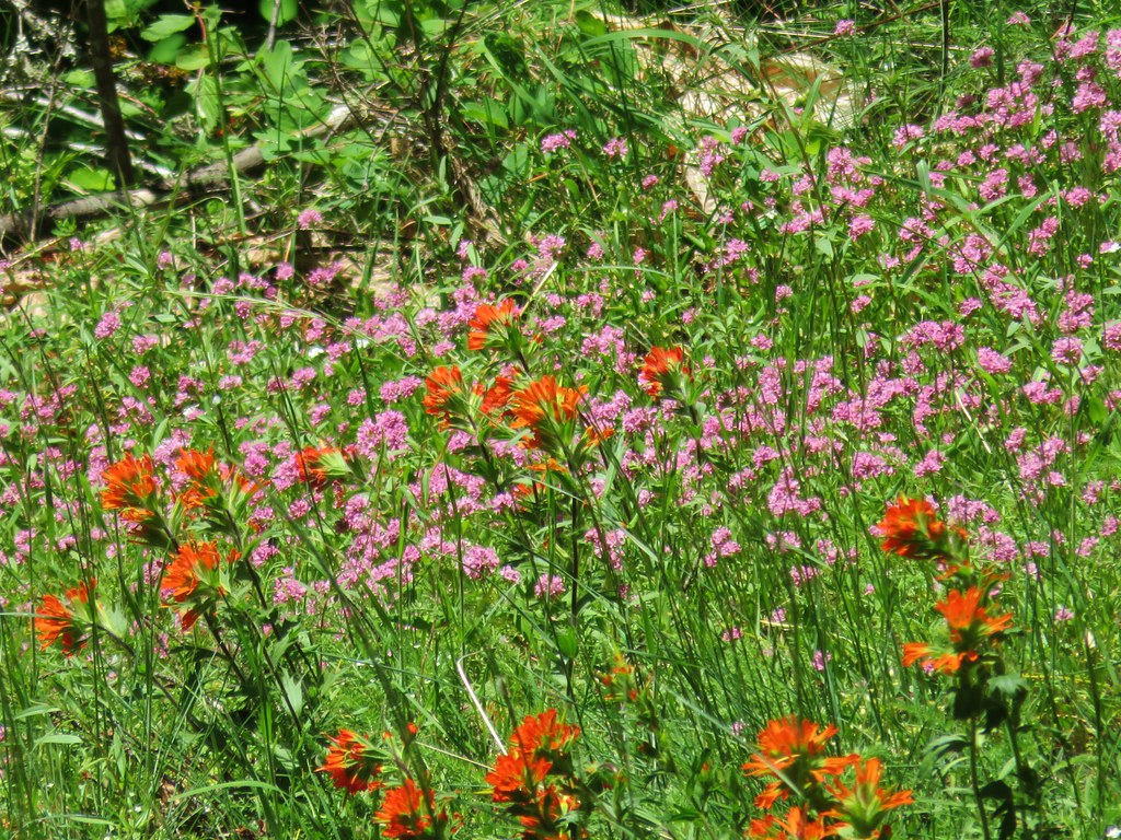 Paintbrush and plectritis
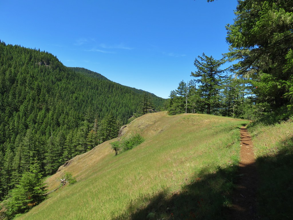
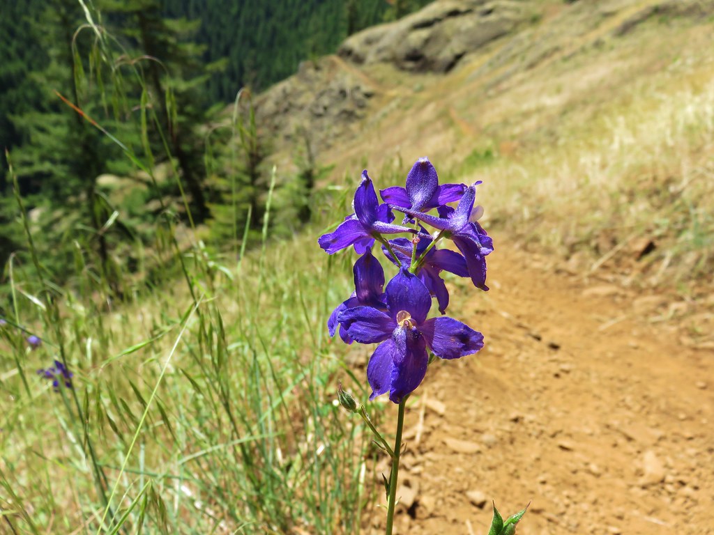
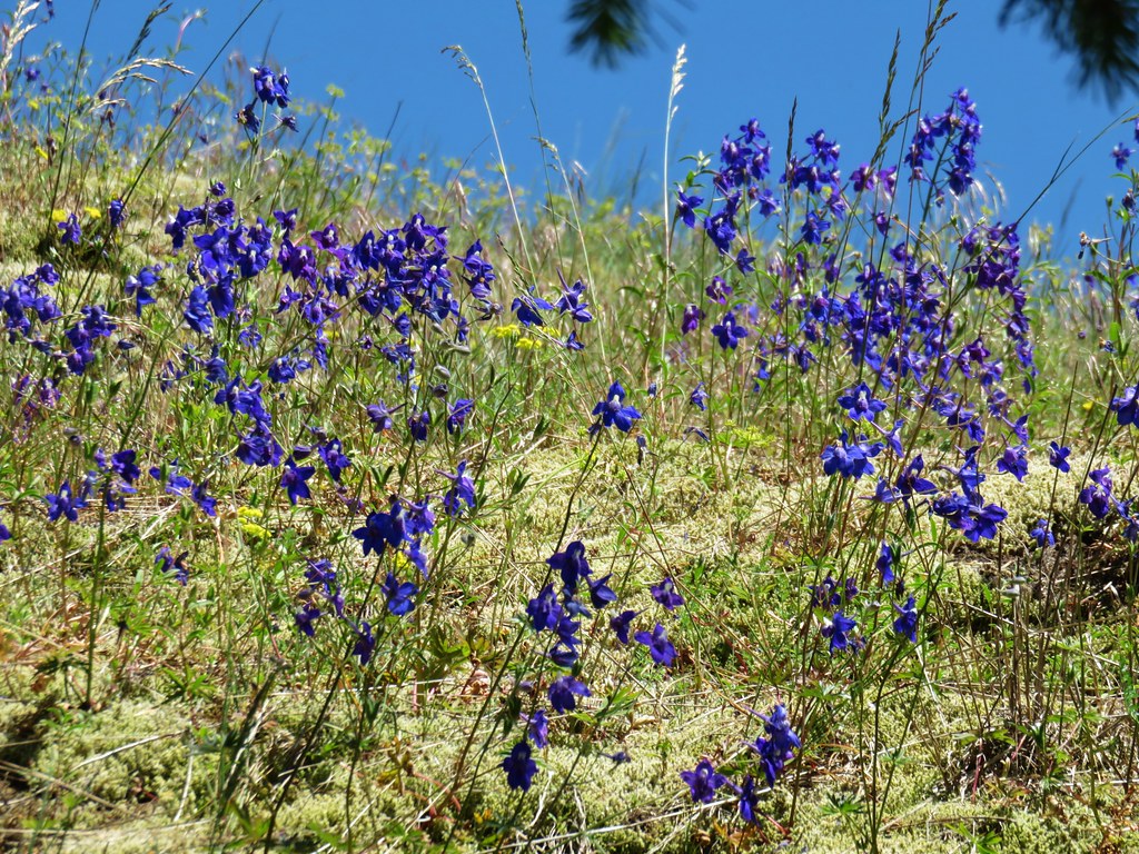
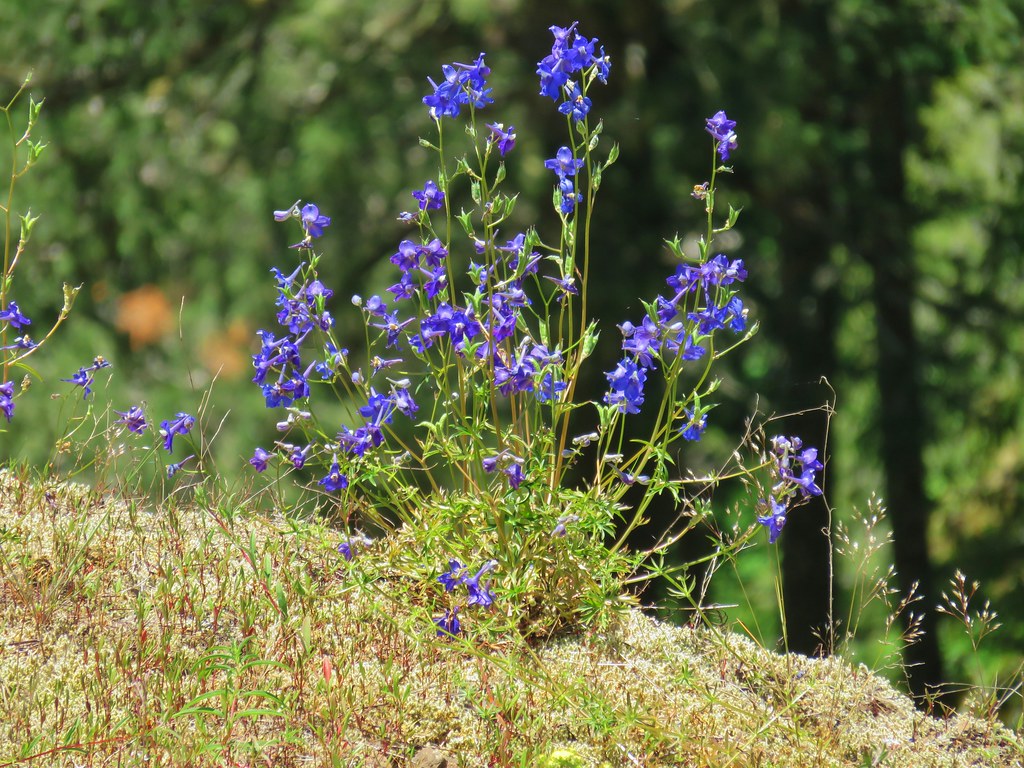 Larkspur
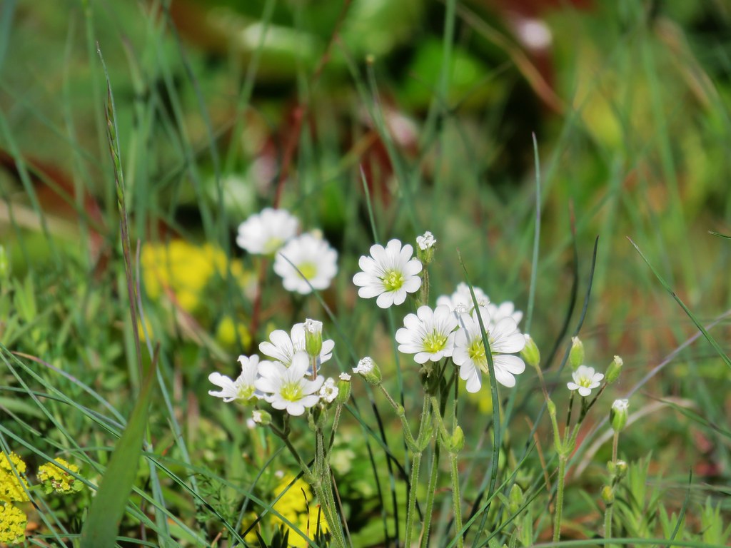 Field chickweed

 Cliffs along the hillside above the Salmon River


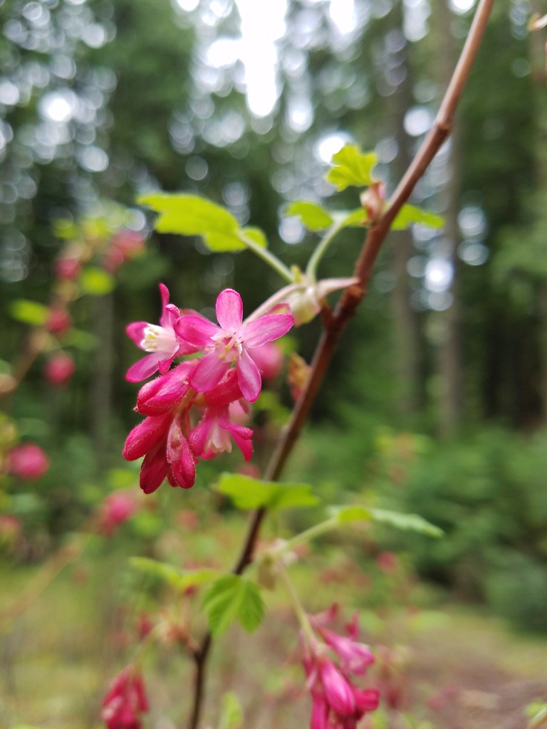
 Red flowering currant
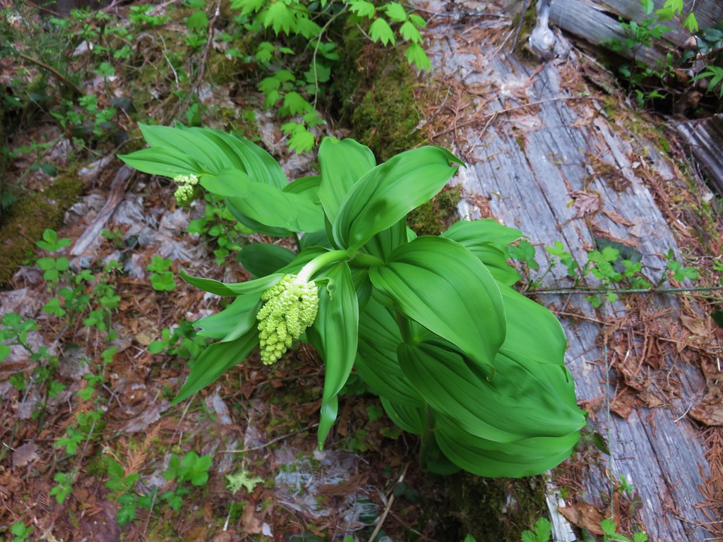 Large solomonseal
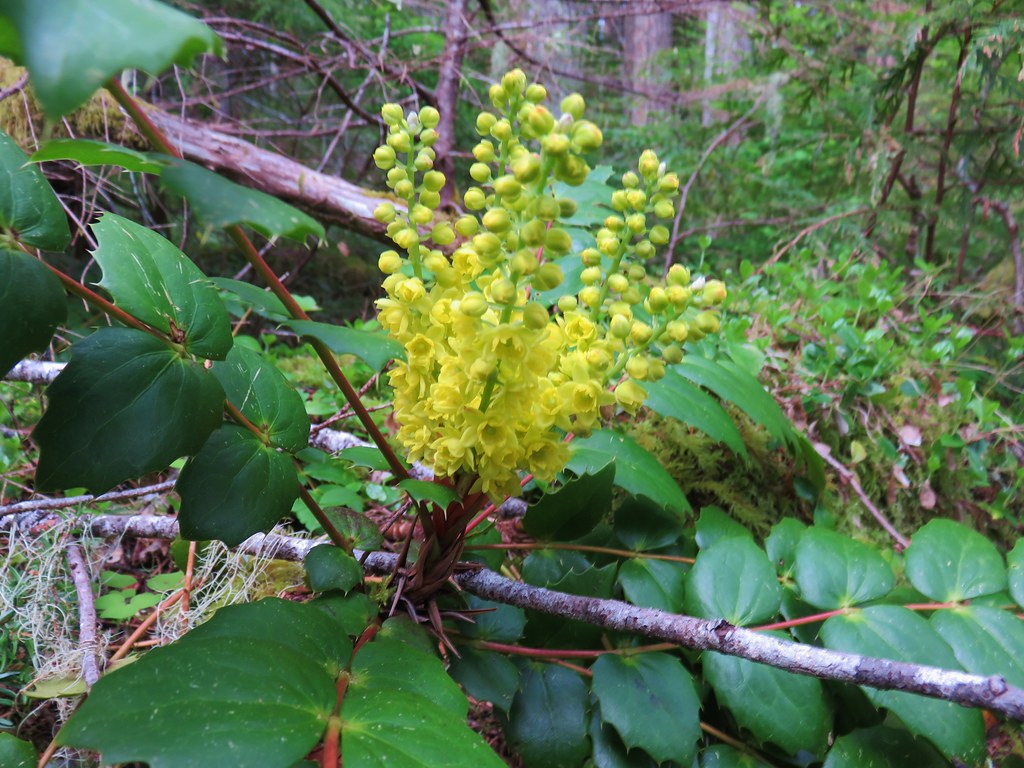 Oregon grape
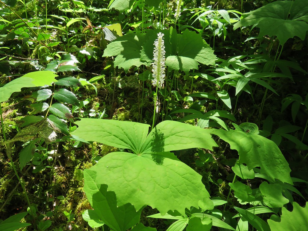 Vanilla leaf
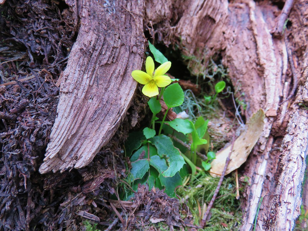
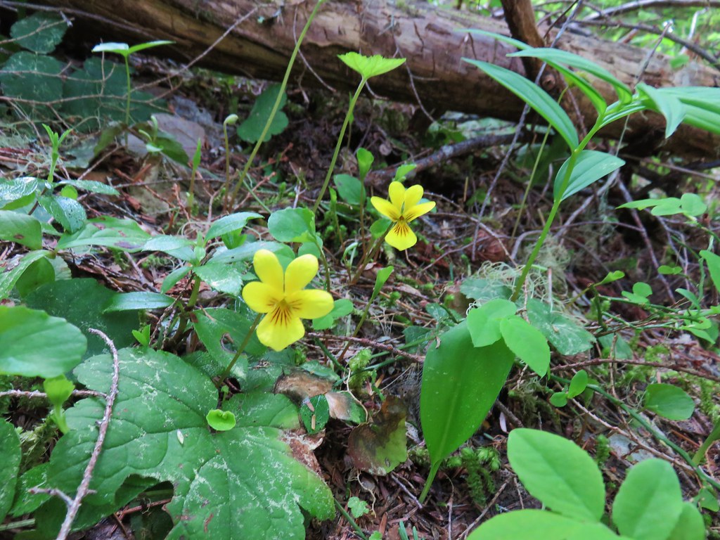 Violets
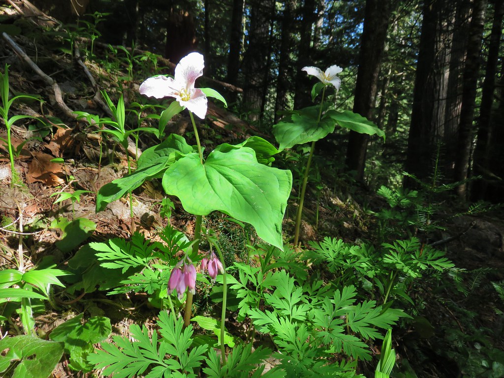 Trillium and bleeding heart
 Bunchberry
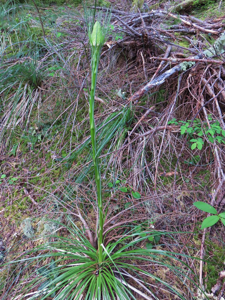
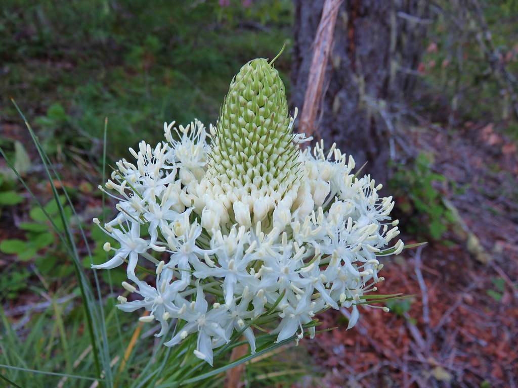
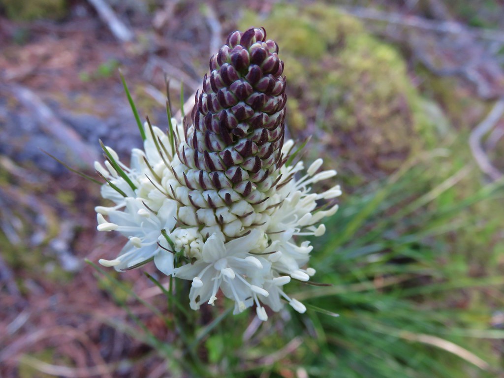 Beargrass
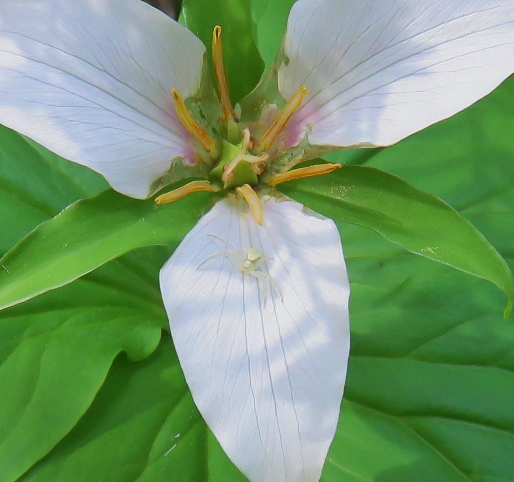 Crab spider on trillium
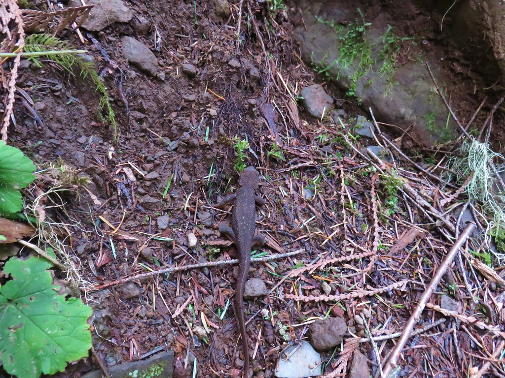 Rough-skinned newt
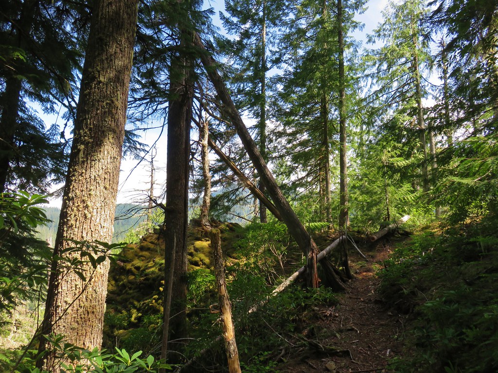


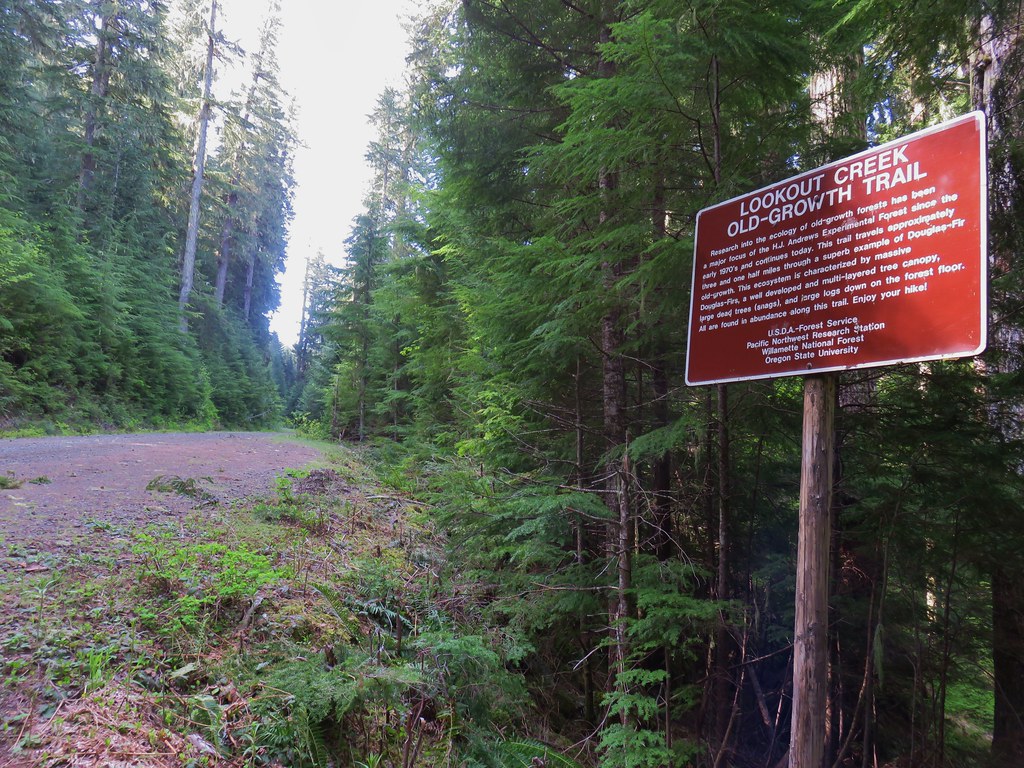
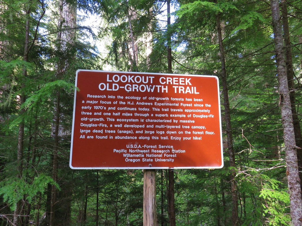
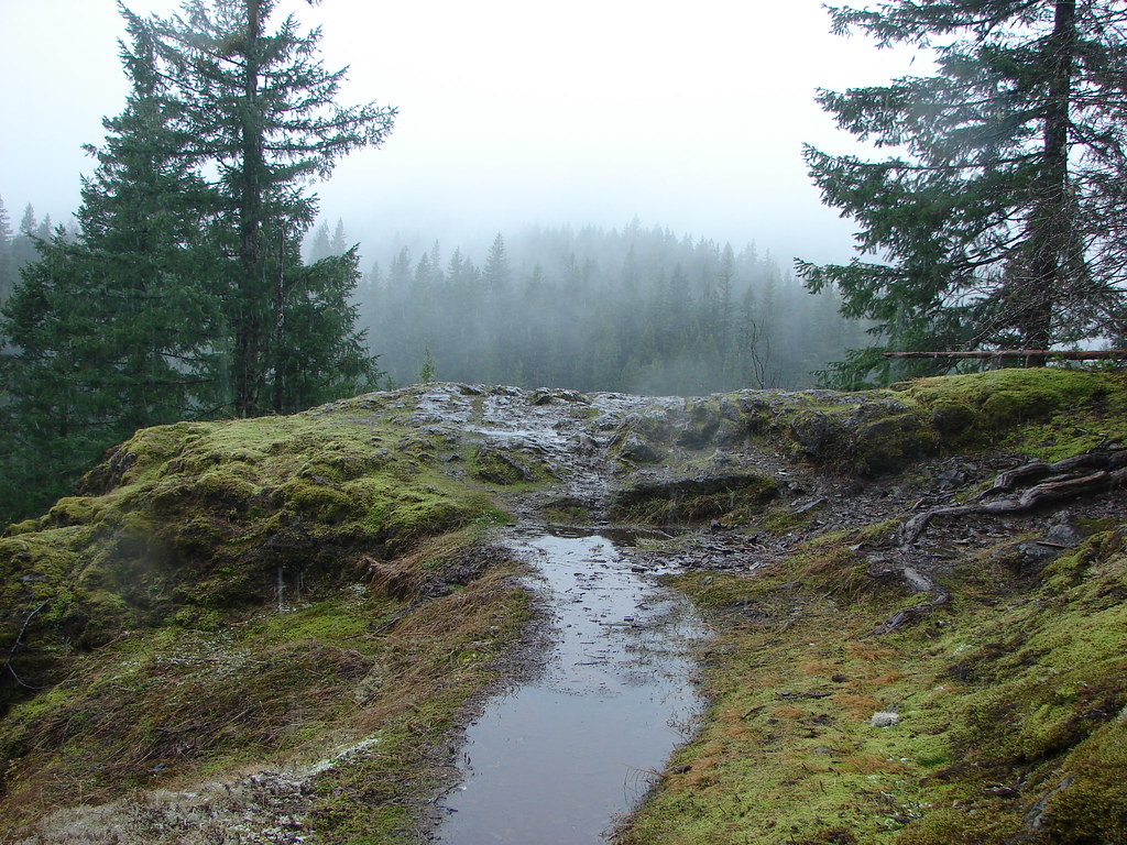
 Snow in the bushes along the Lookout Creek Trail


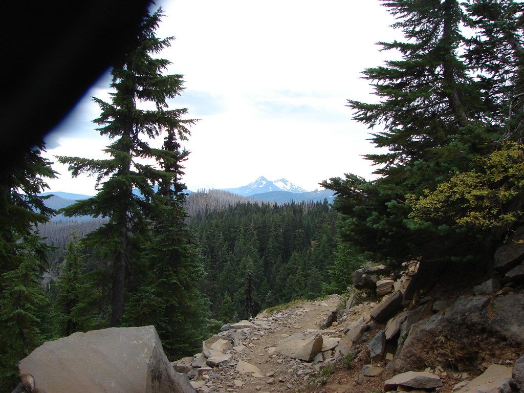
 Looking back down at the route up
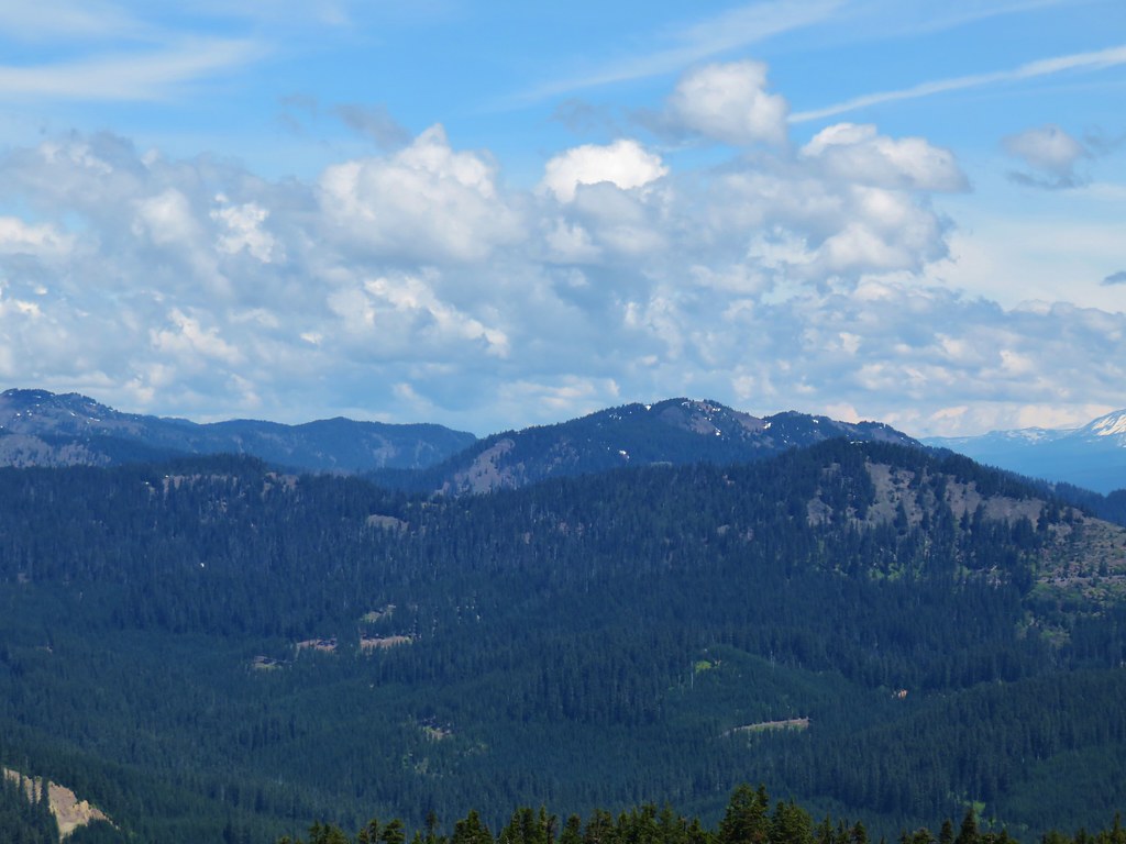
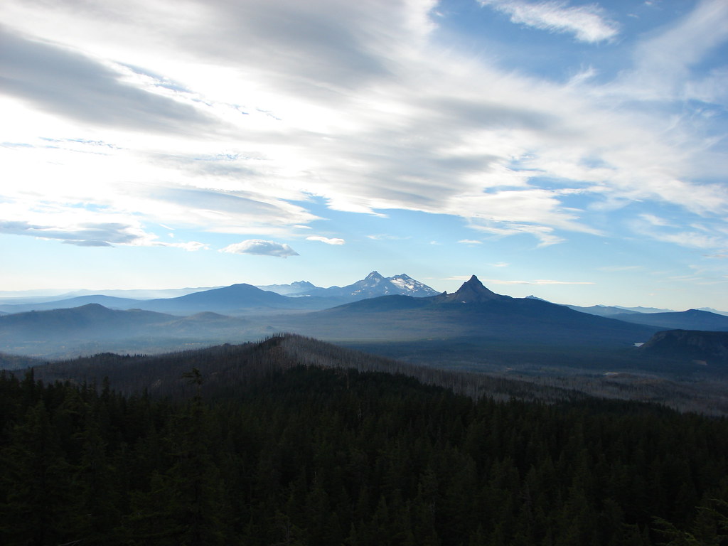
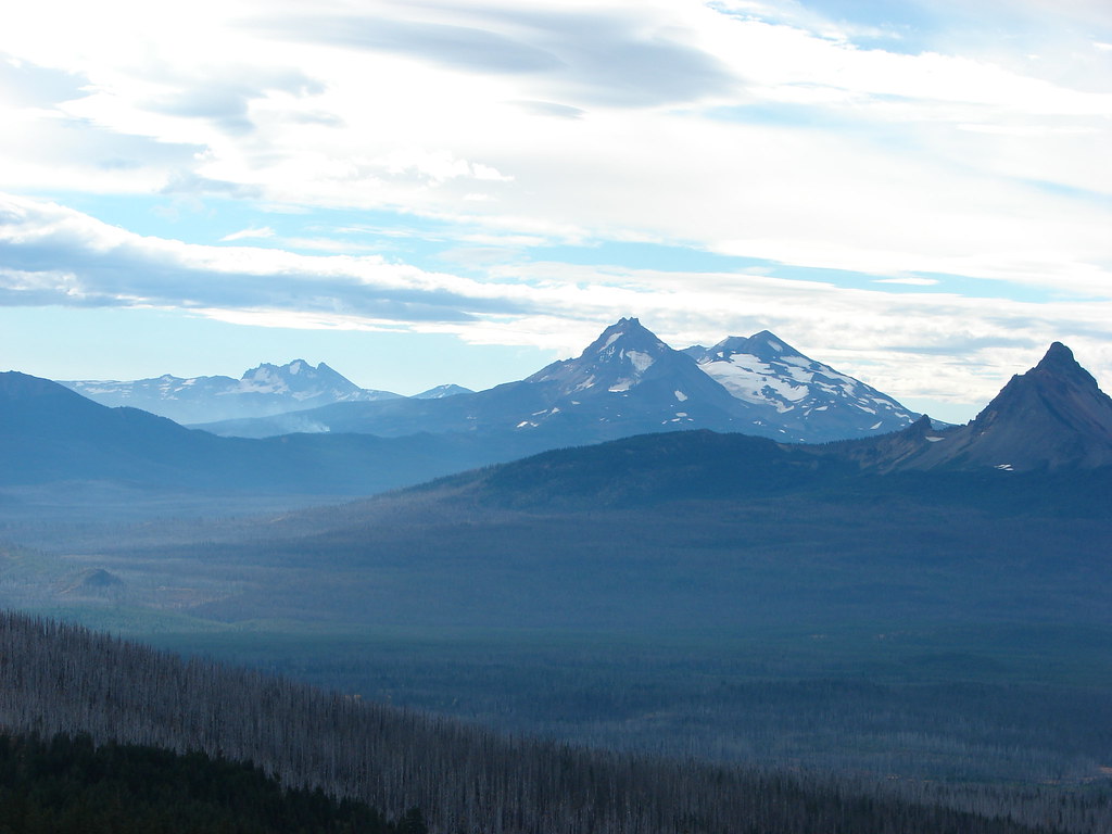
 Mt. Jefferson, Three Fingered Jack and Mt. Washington
 Diamond Peak
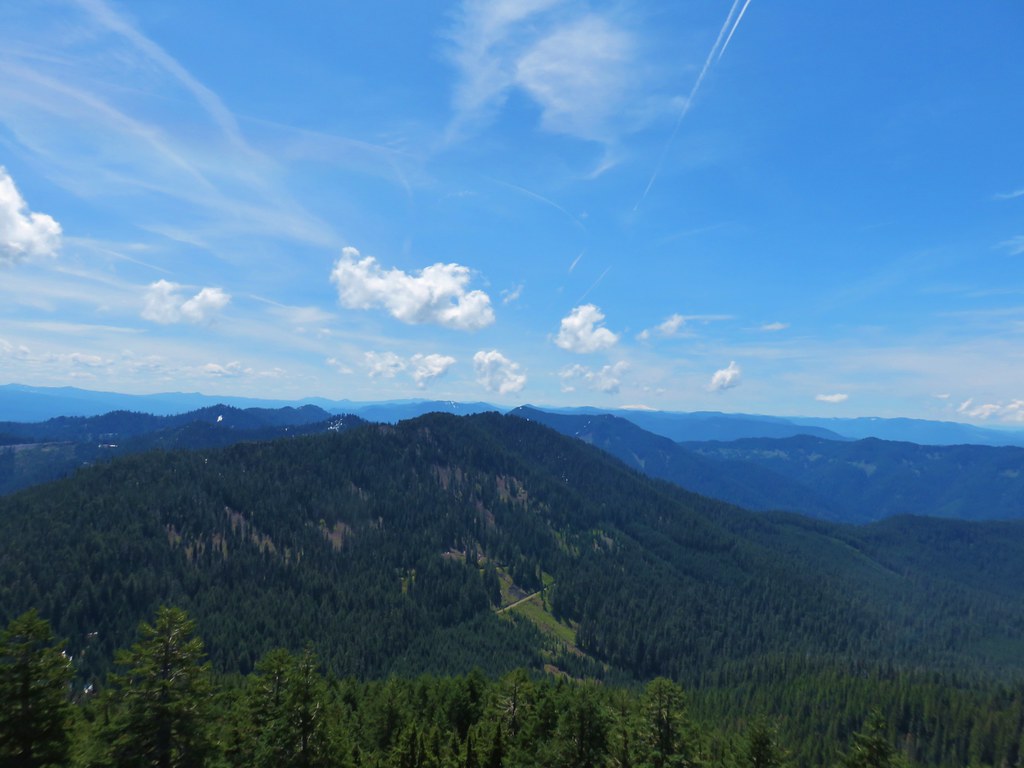
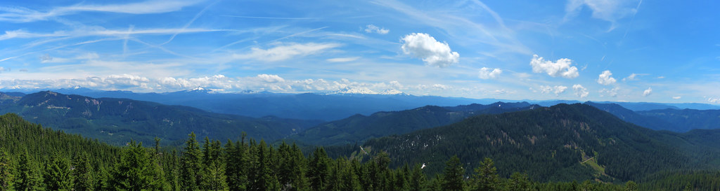 Panorama

 Browder Ridge (
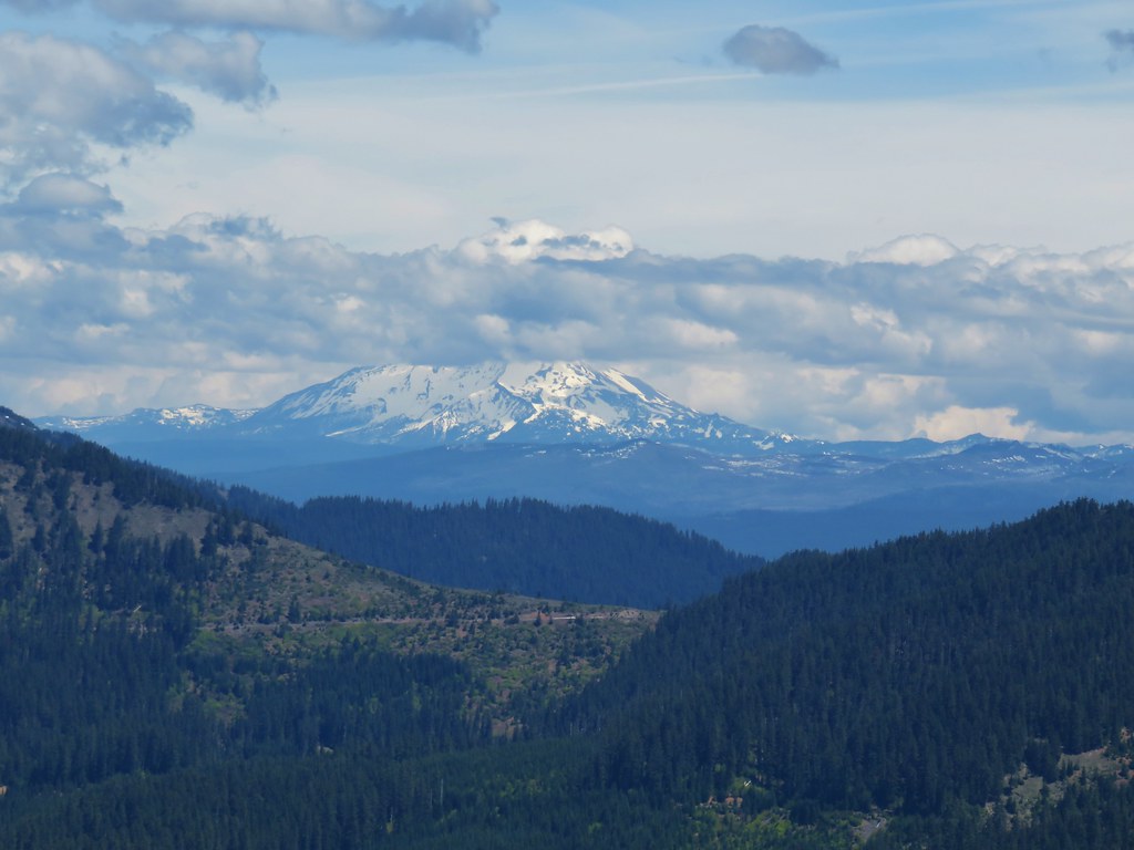 Mt. Jefferson
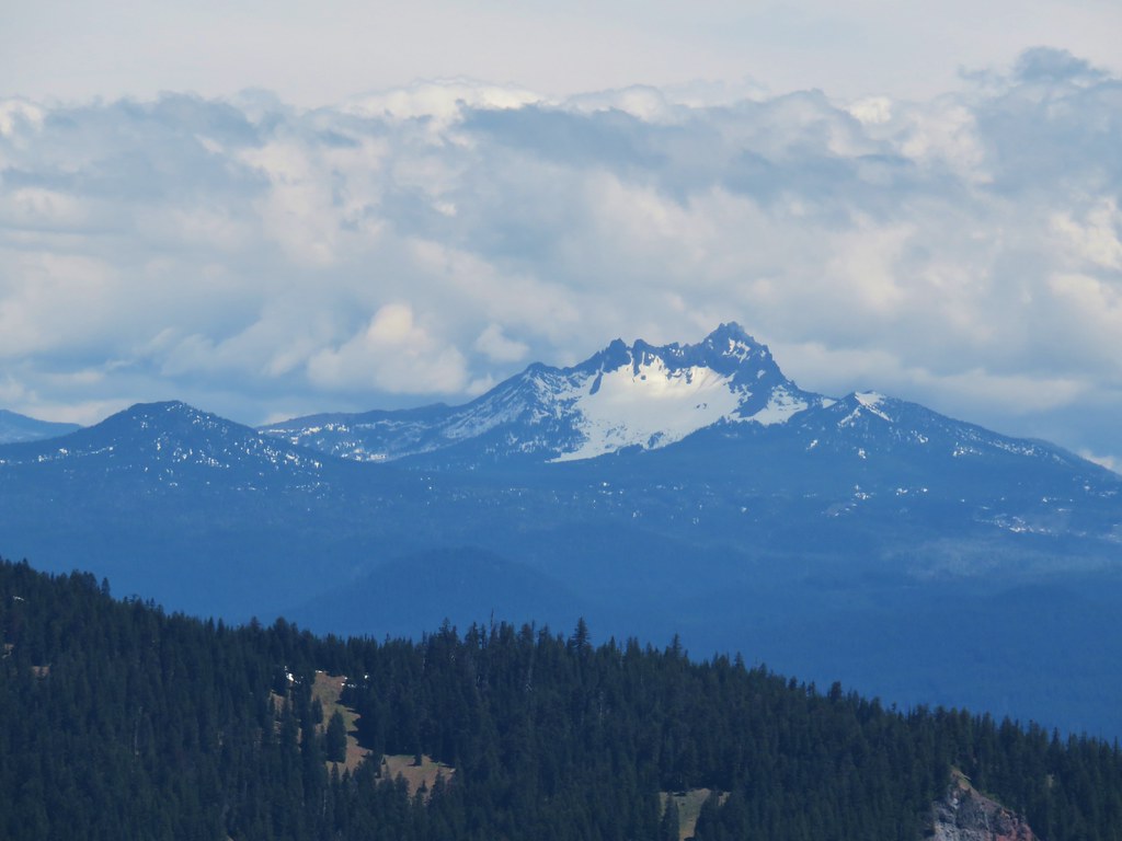 Maxwell Butte (
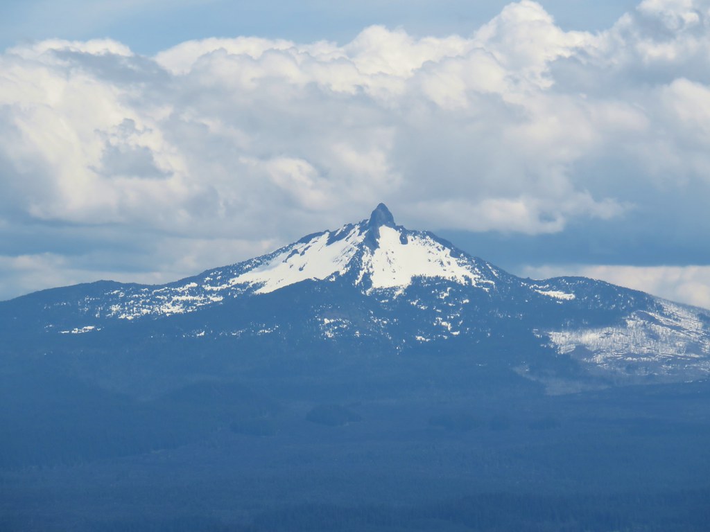 Mt. Washington
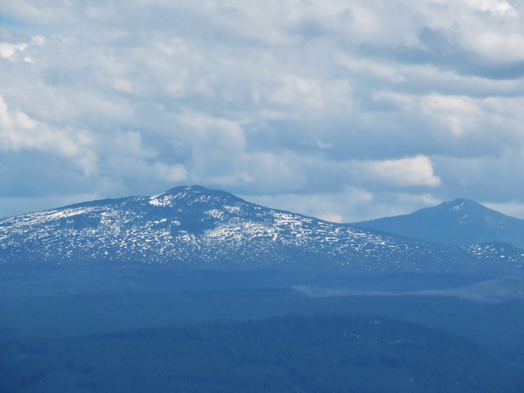 Belknap Crater (
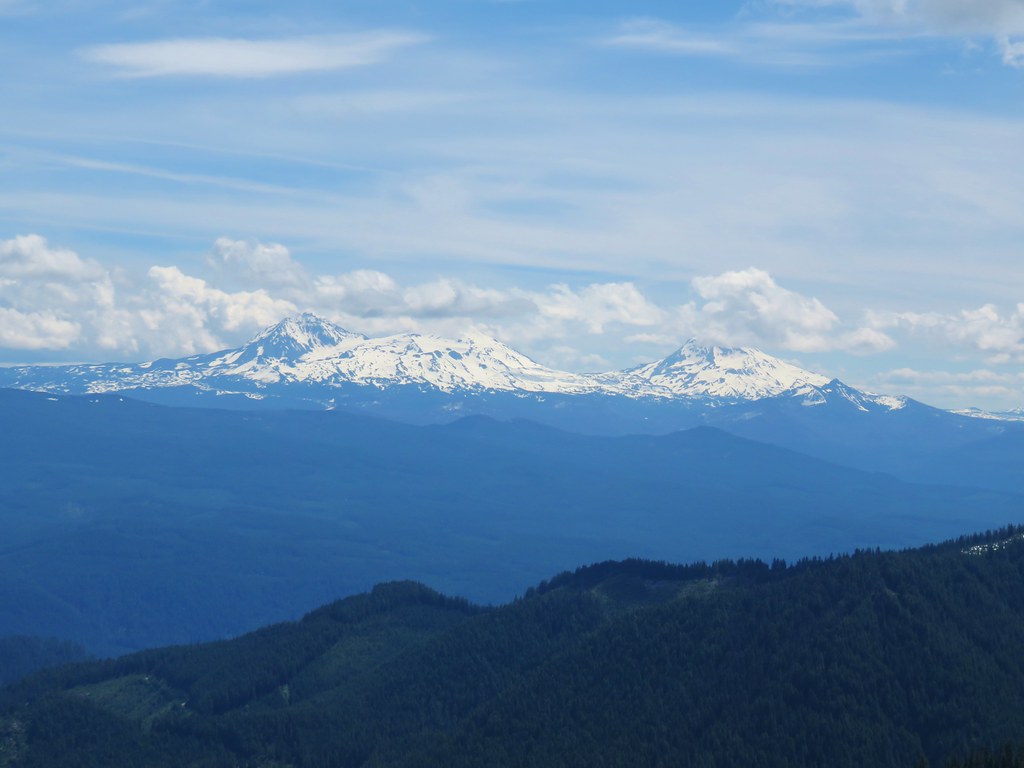 The Three Sisters and The Husband
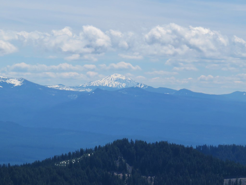 Mt. Bachelor
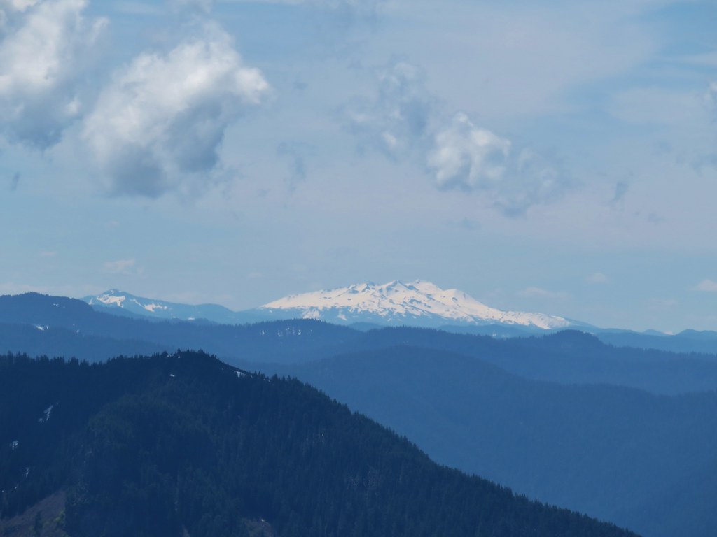 Fuji Mountain (
 Tidbits Mountain


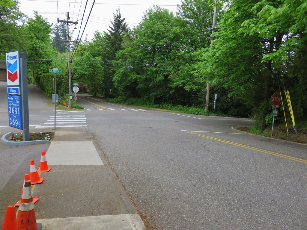 View back to the intersection from SW Talbot Rd