
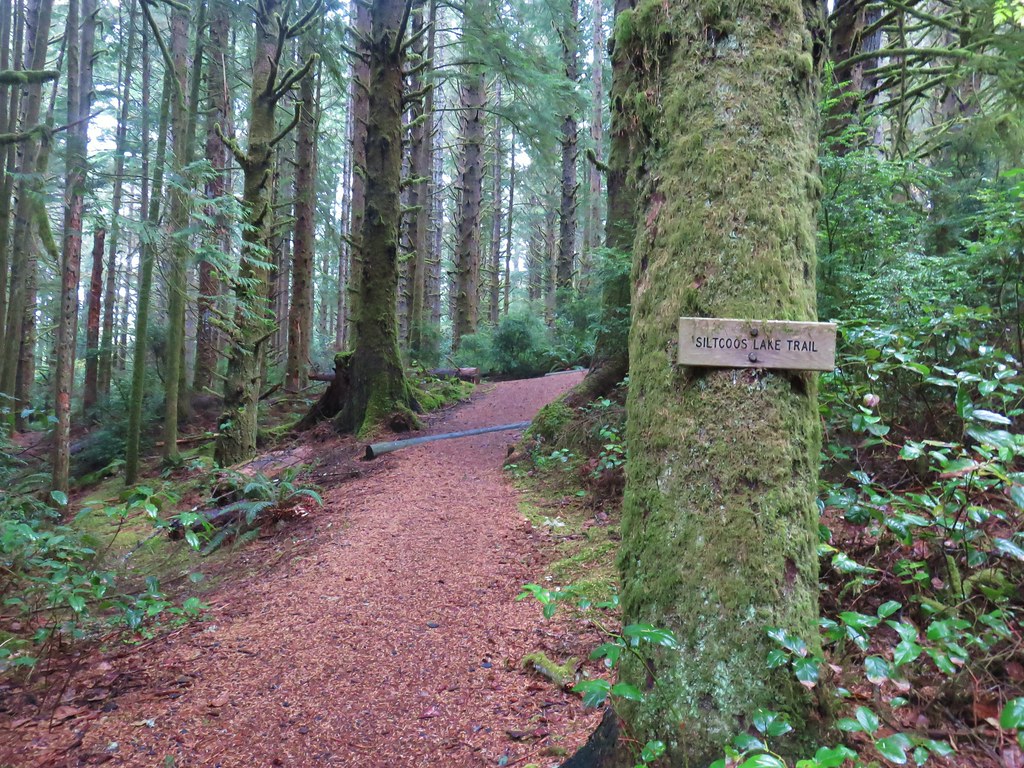
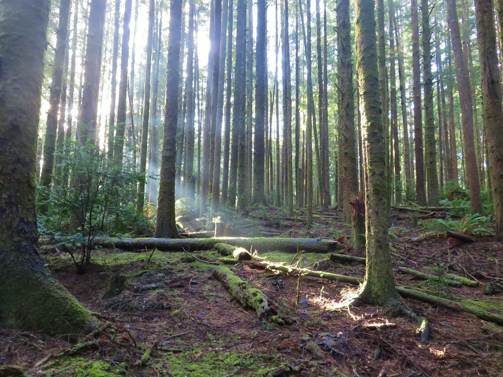
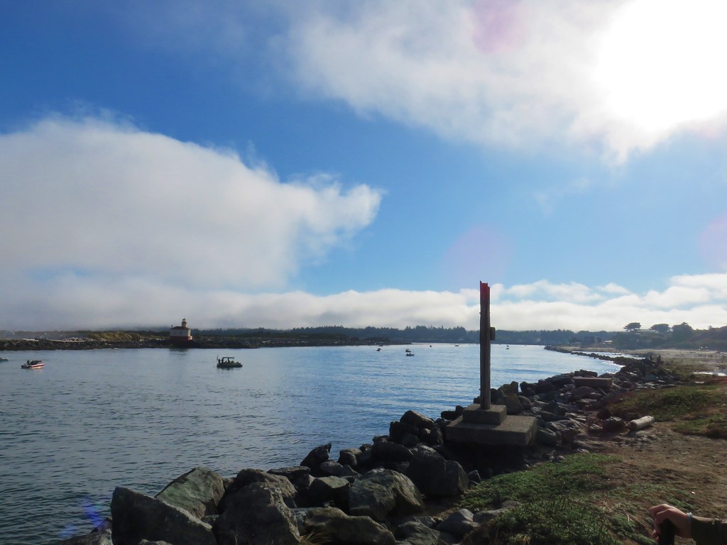
After starting my week of vacation with back-to-back hikes with 4355′ and 5300′ of elevation gain, I took a day off and then picked a much more level hike to wrap up my week. I turned to the William L. Finley National Wildlife Refuge located just south of Corvallis, OR. Despite several visits there were still some portions of trails that I had yet to hike there. Heather and I first visited this refuge in 2017 to complete one of Sullivan’s featured hikes (post). We hiked the Homer Campbell Boardwalk, Woodpecker Loop, and Mill Hill Loop that day. We returned in 2020 to check out the SE corner of the refuge including Pigeon Butte. I returned in 2021 during a solo April vacation and re-hiked many of the trails we’d been on during our previous visits and adding a short section of trail/road that we hadn’t yet hiked. Our most recent visit was in 2023 to the Snag Boat Bend Unit which is located approximately 3-miles east of the main unit on the other side of the Willamette River.
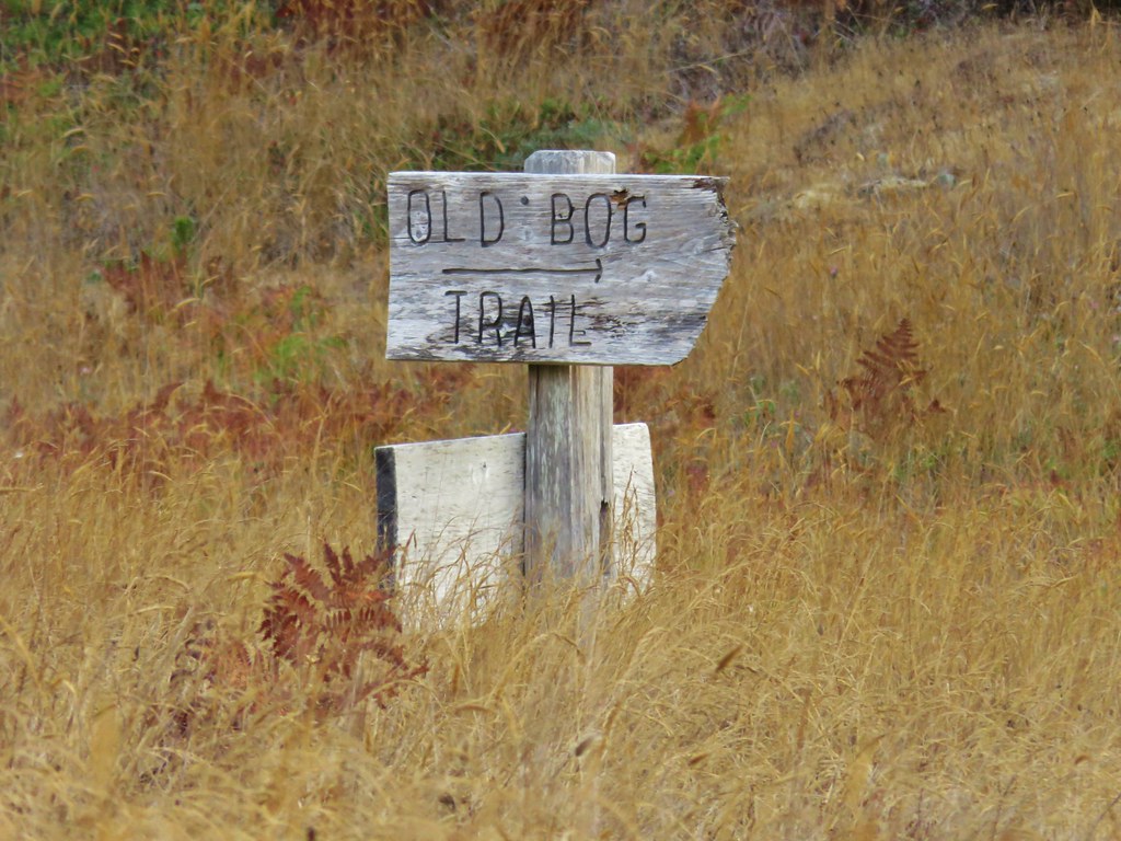
For this visit I mapped out a route starting at the Turtle Flats Walkway Trail. This extremely short (0.02-mile) paved path was one of those trails I had not hiked, and the parking area had a restroom and was close to another trail I had not hiked in its entirety, the Prairie Trail.
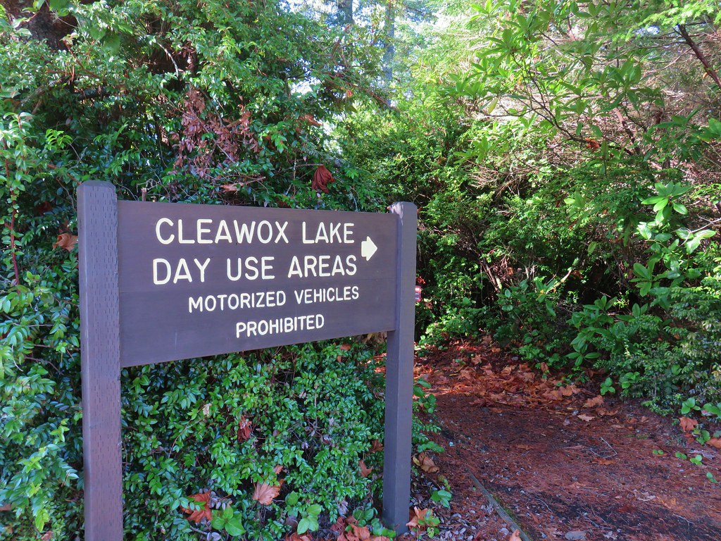
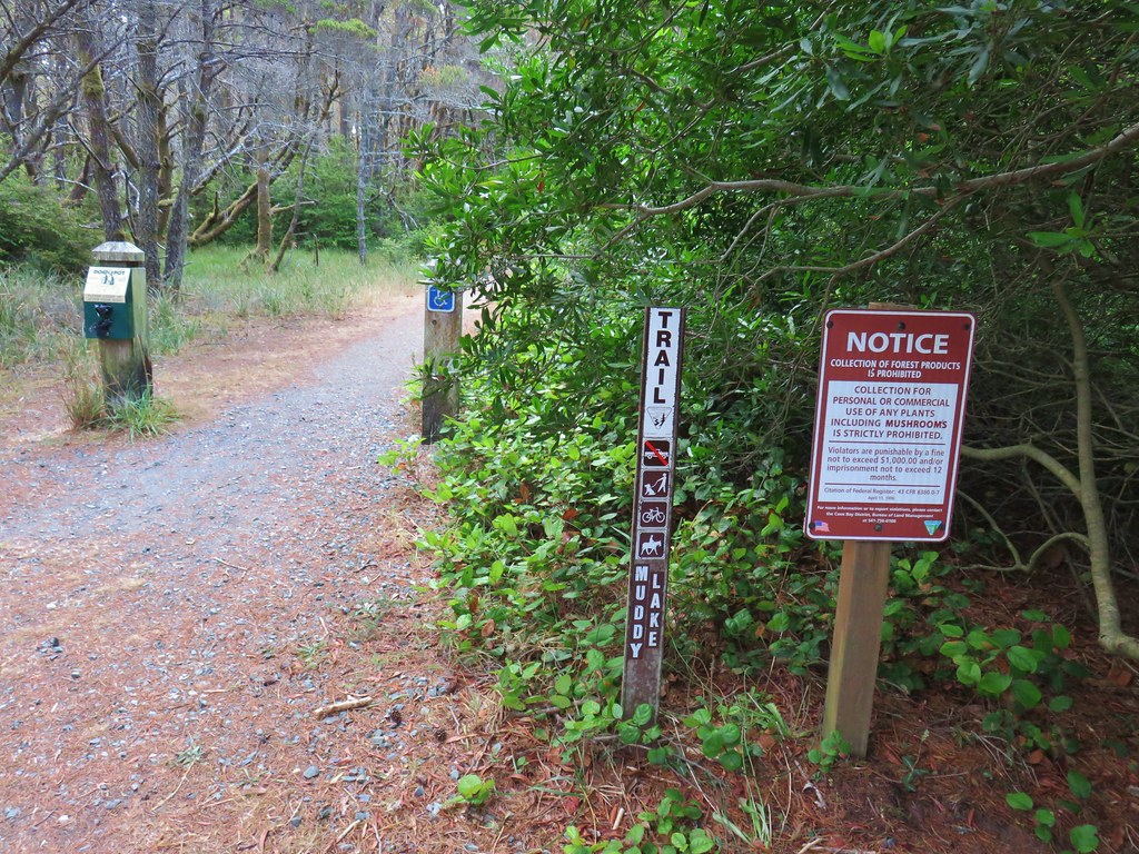
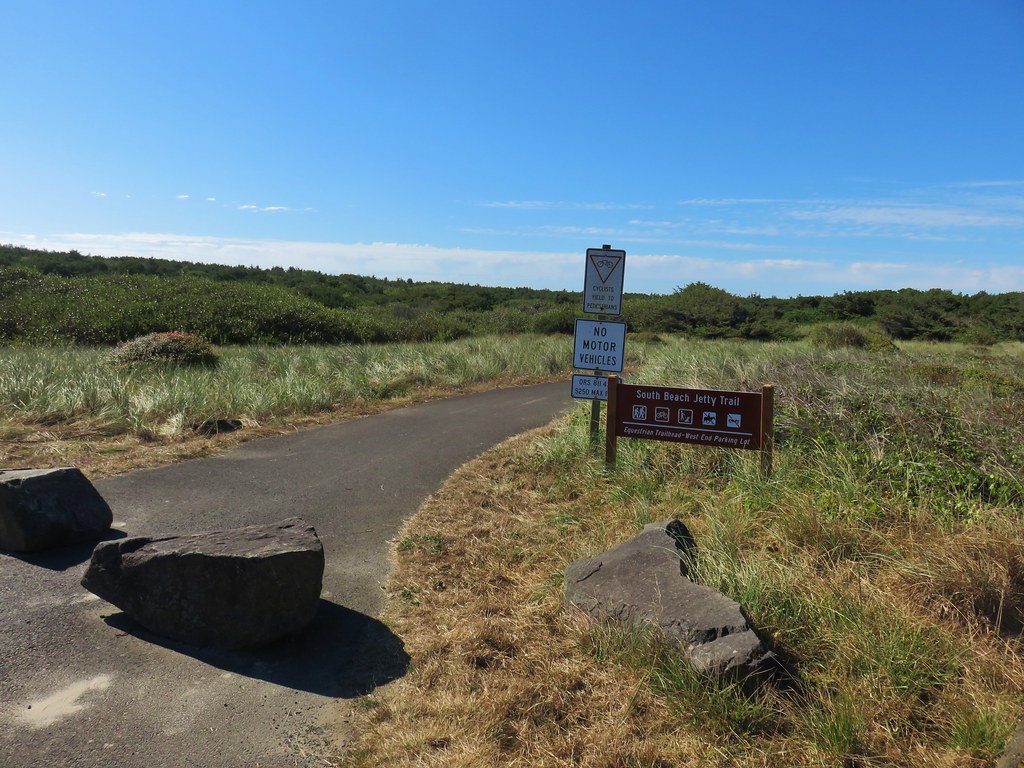
 Hunting information kiosk across from the Turtle Flats parking area.
 The Turtle Flats restrooms. (Photo from the afternoon.)
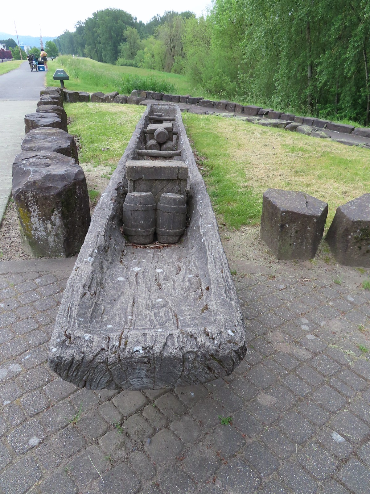
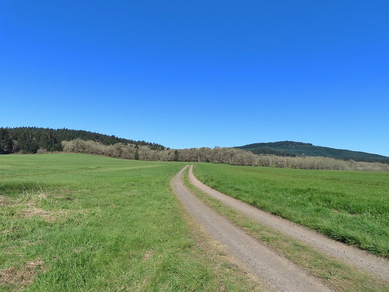
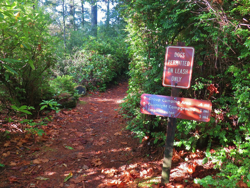
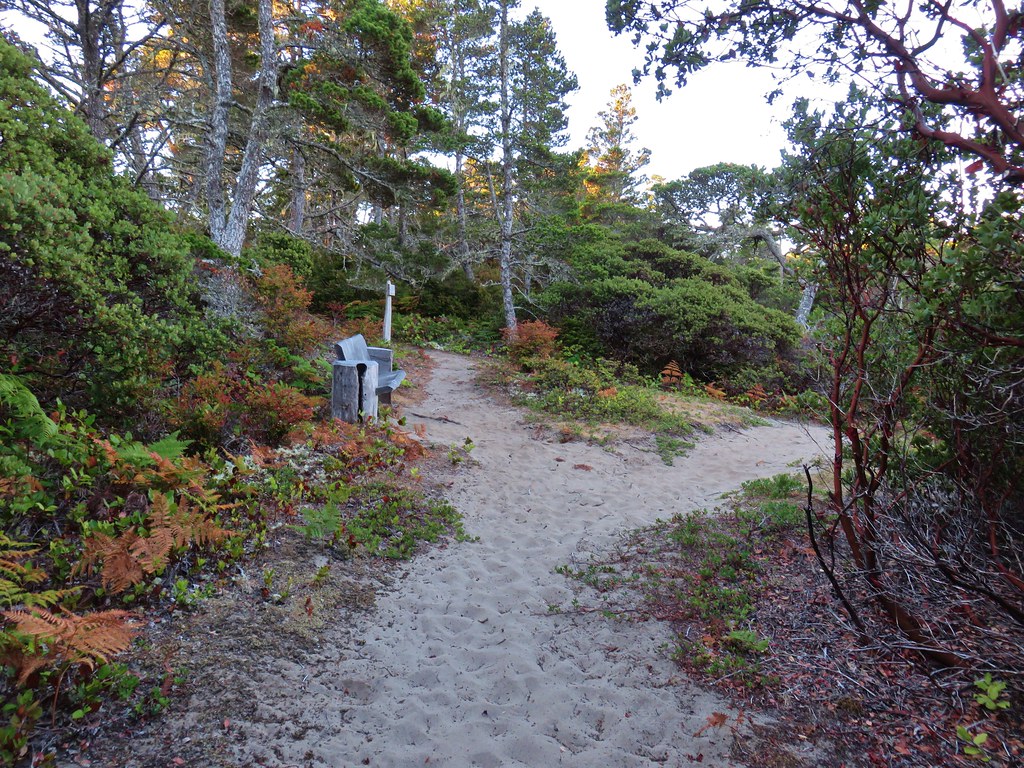
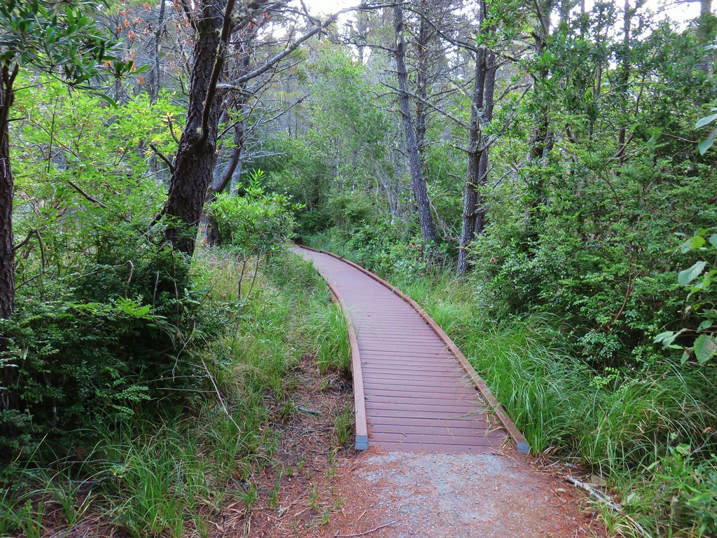
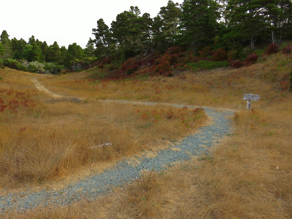
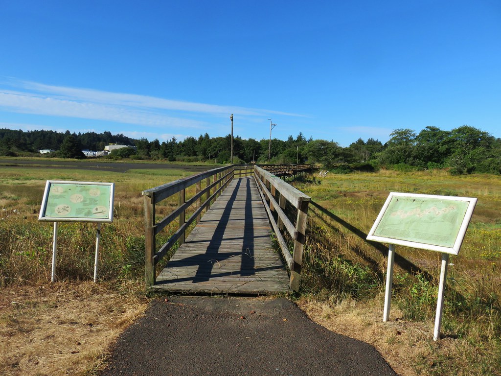
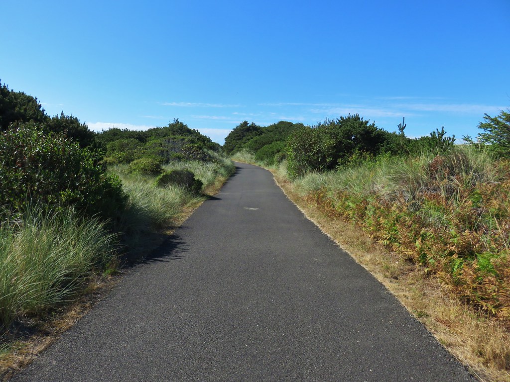
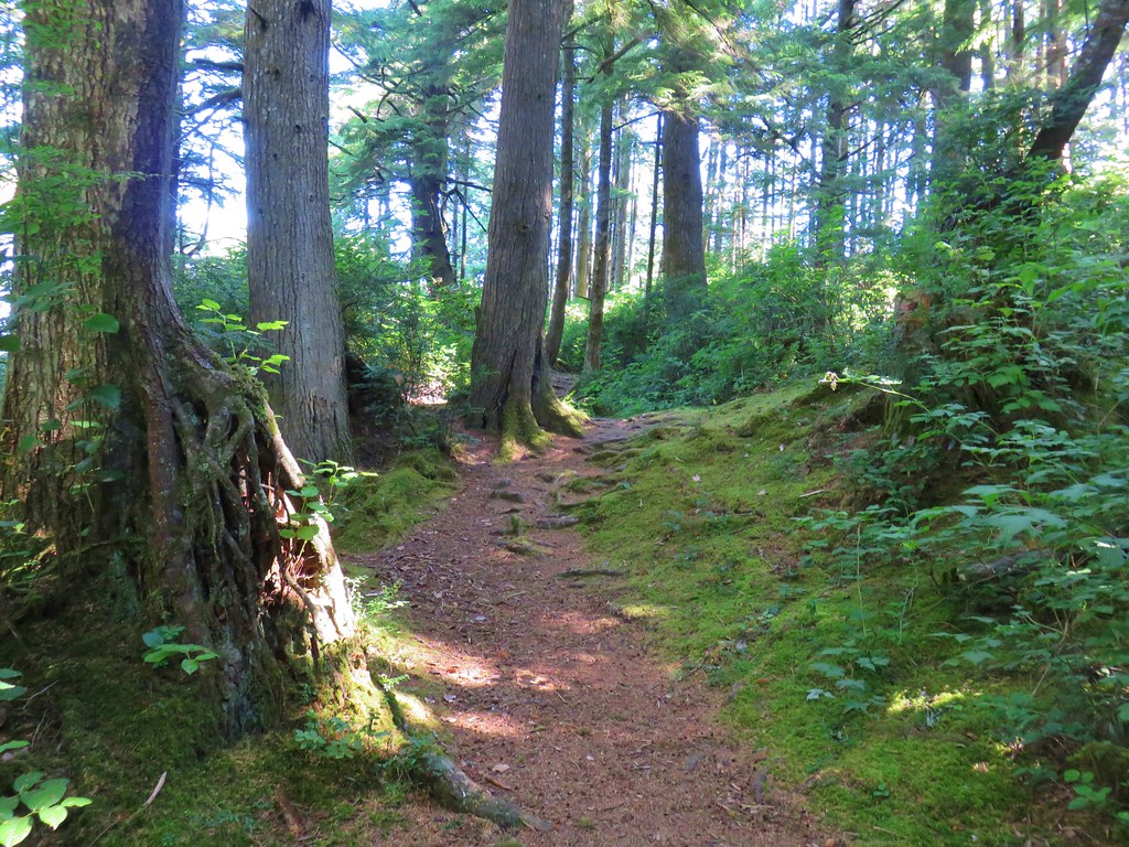
 The entire Turtle Flats Trail in one photo.
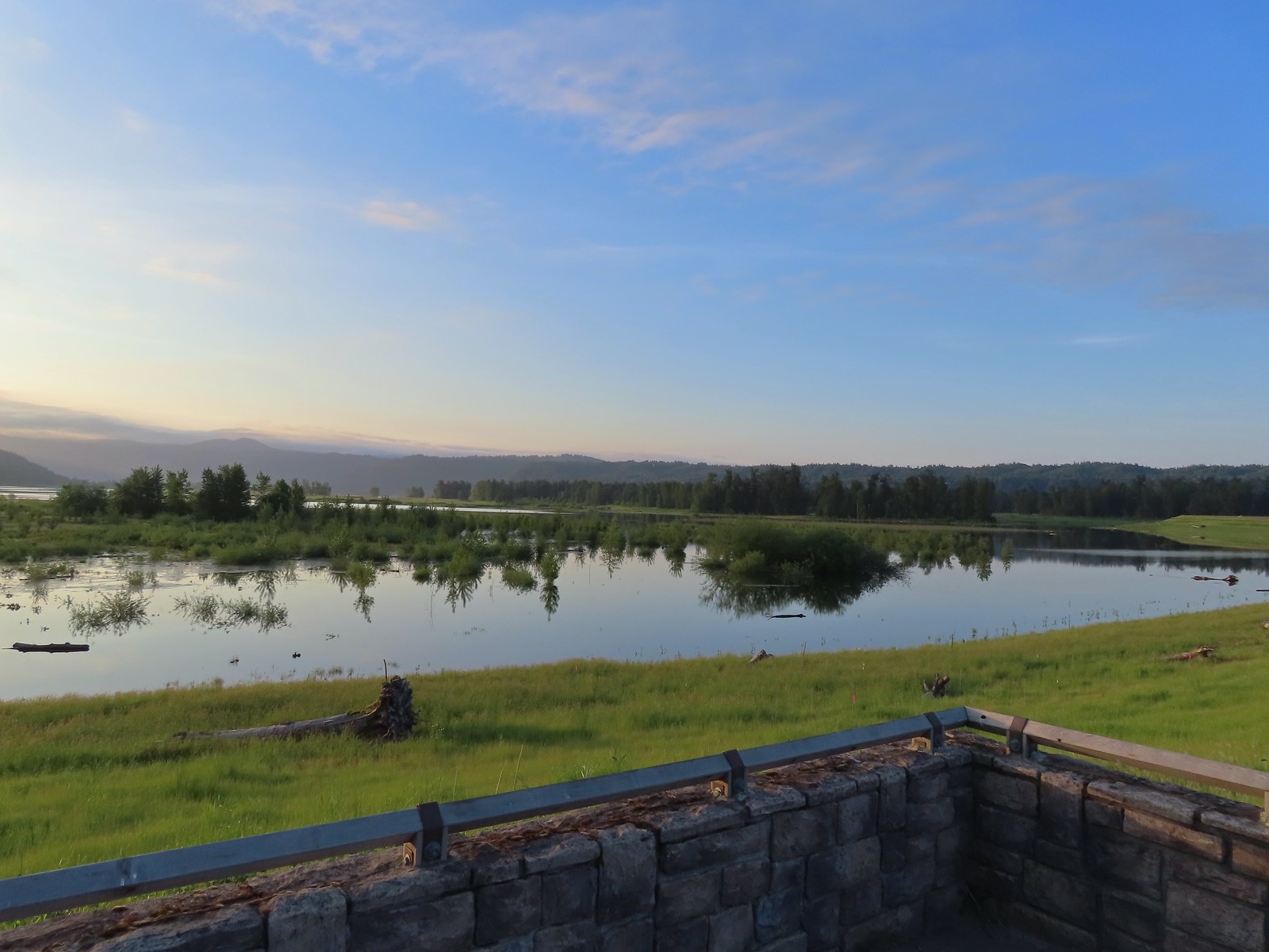
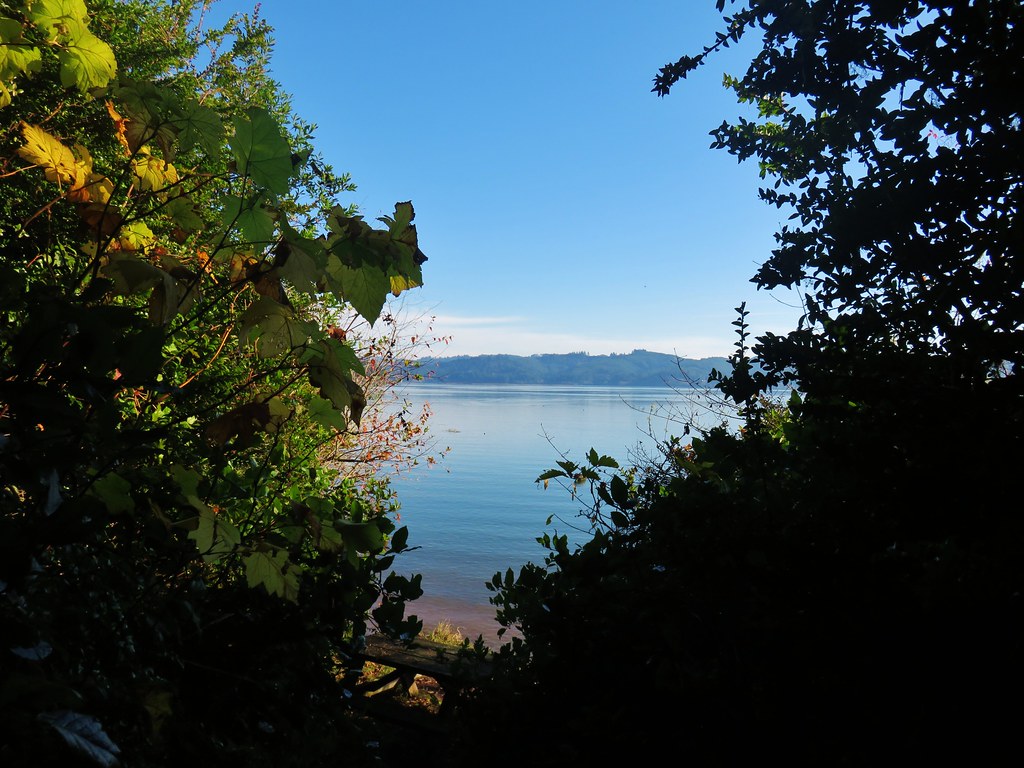
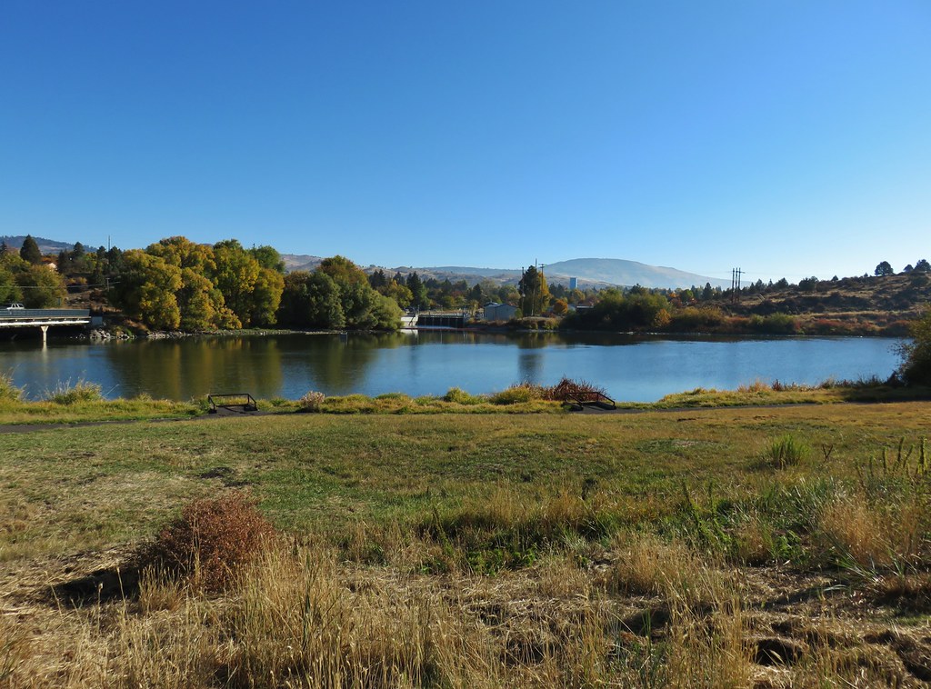
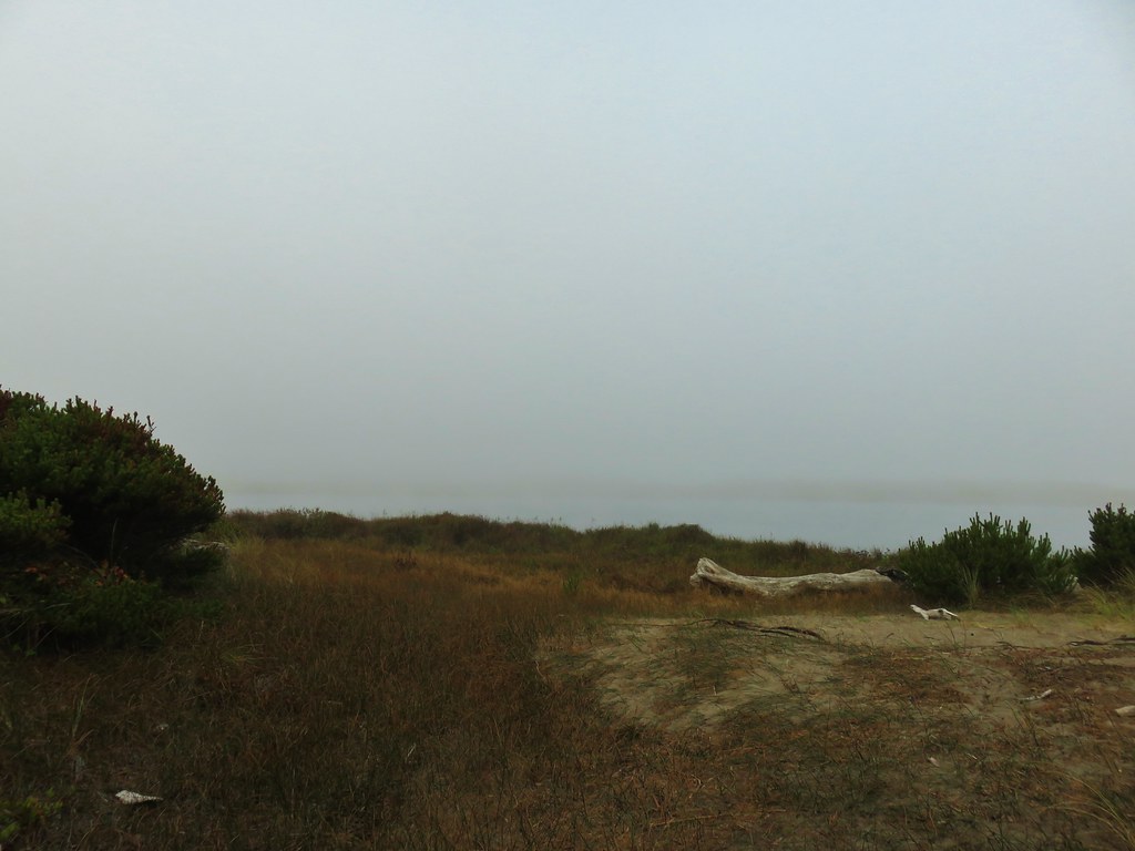
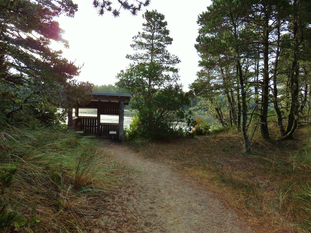
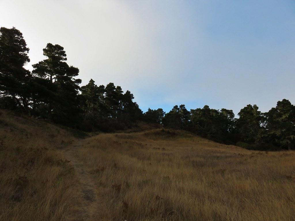
 Viewpoint at the end of the trail.
From the viewpoint a mowed path continued on to Finley Refuge Road across from the start of the Prairie Trail.


The Prairie Trail starts on a roadbed for a short distance then changes to “native surface” as it follows the edge of open fields.


I had a copy of the refuge map with me which came in handy to make sure I stayed along the correct fields.
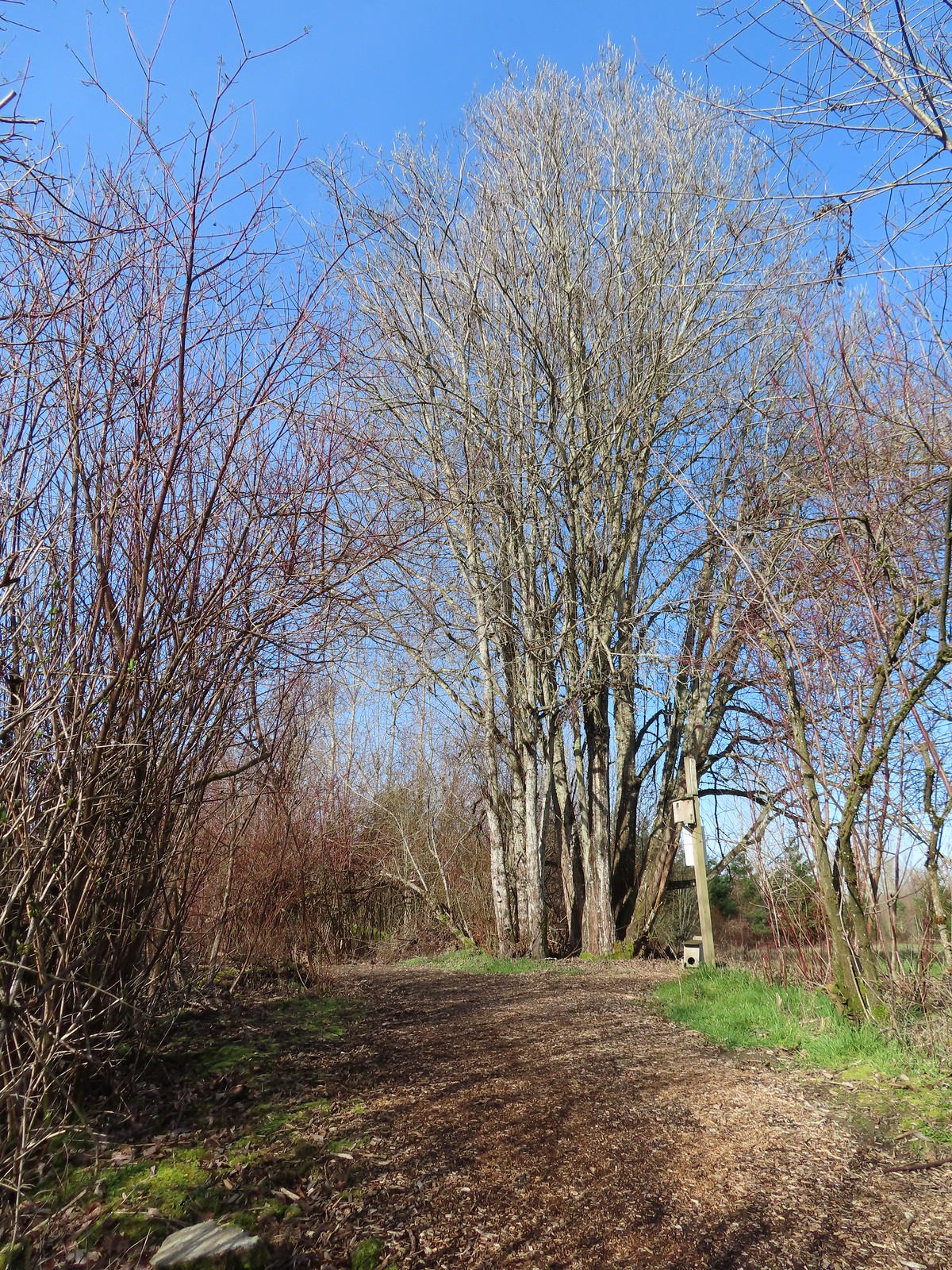
 I turned right here following said map through a small section of trees.
 Poison oak is hard to miss when it is sporting its Fall colors.
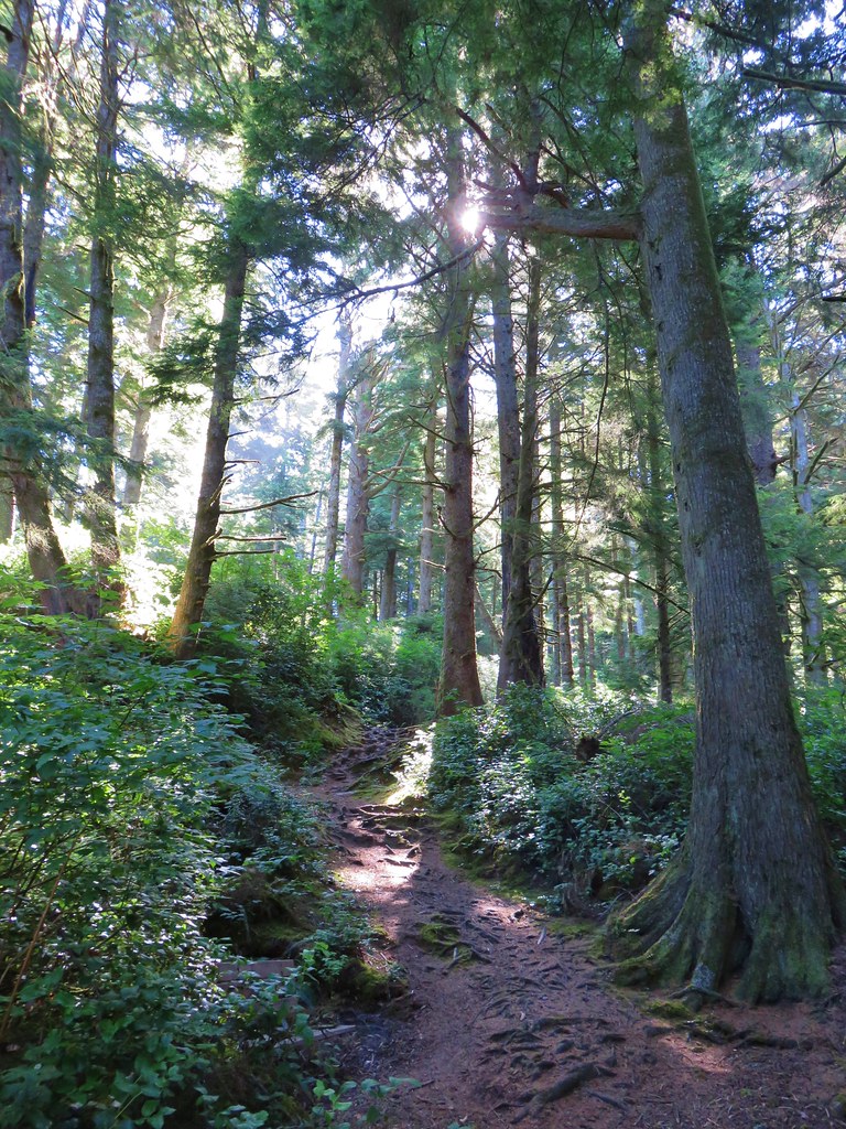
 Emerging from the trees and staying right.
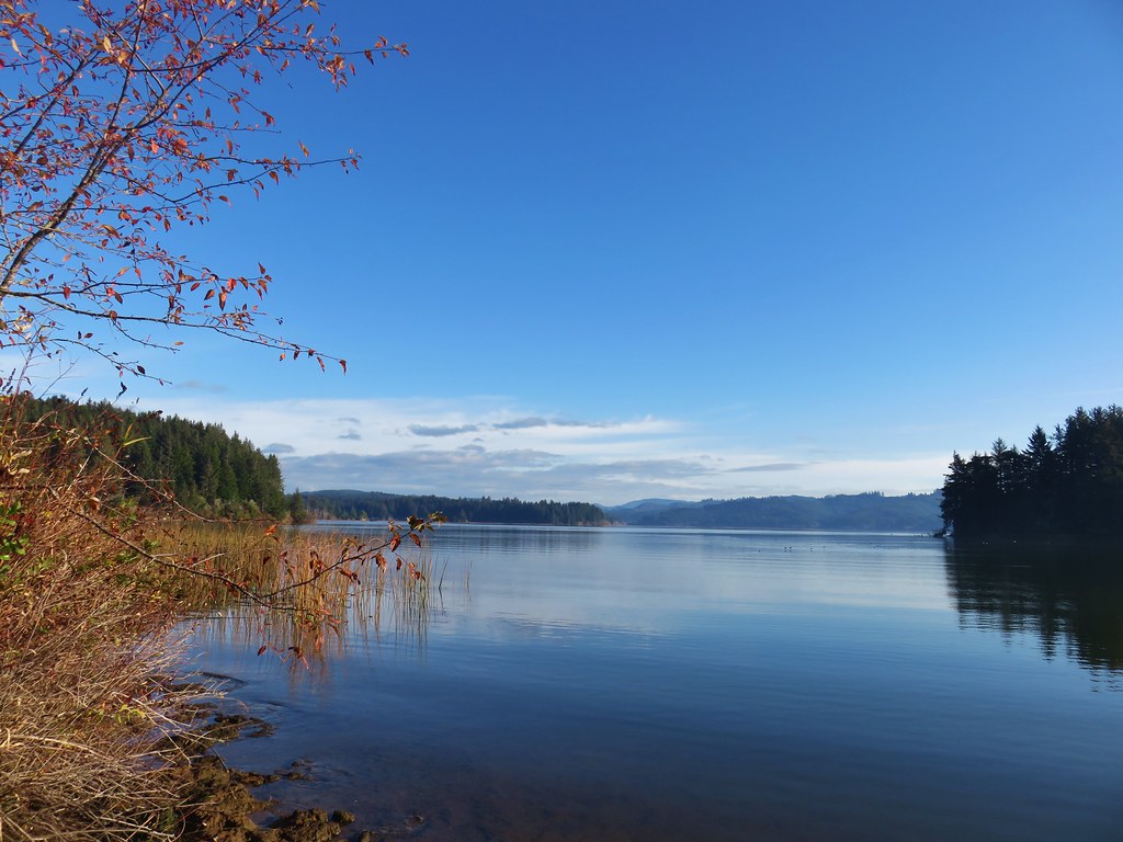
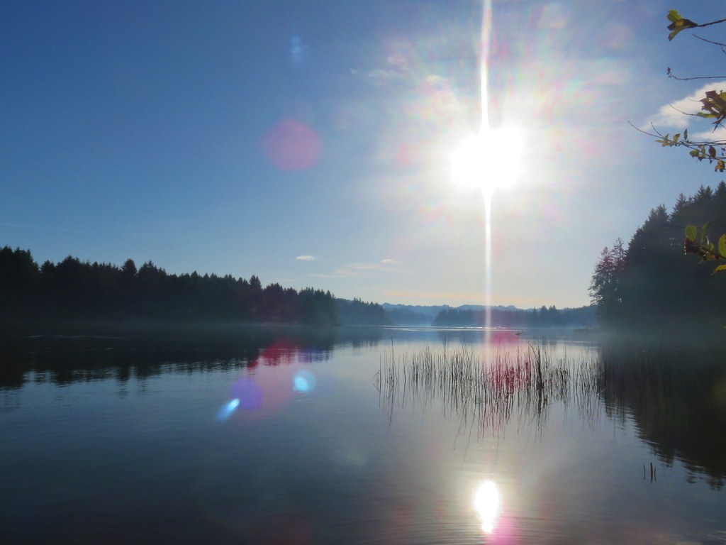
The Prairie Trail turned East shortly after the trees and pointed me toward a pretty spectacular sunrise.


 McCulloch Peak (post), Dimple Hill (post), and Vineyard Mountain (post) in the McDonald-Dunn Forest to the North.
 Mary’s Peak (post) with a few clouds below its summit.
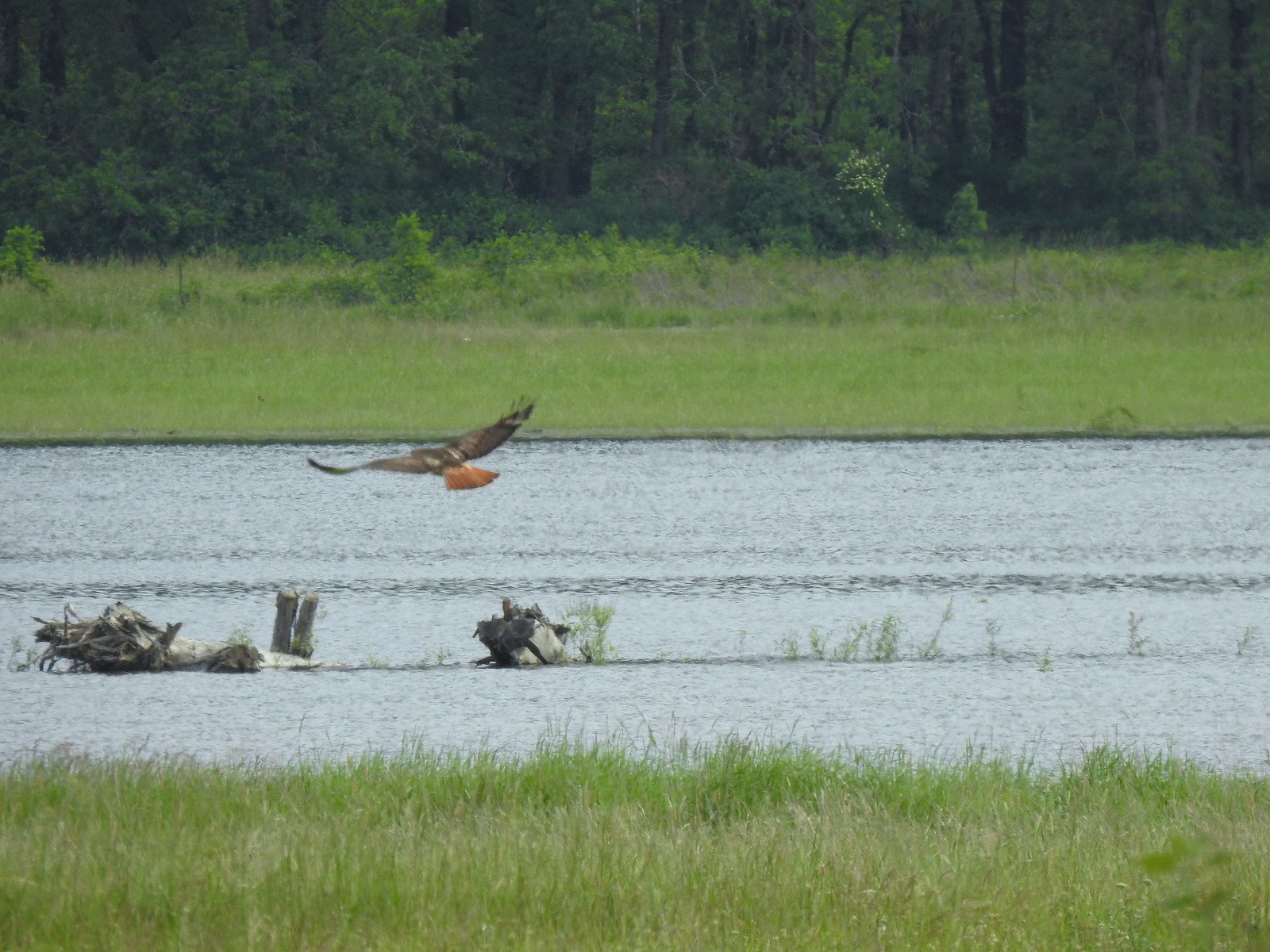
 One of several raptors hunting over the fields.
 Pigeon Butte to the left and Green Peak in the distance.
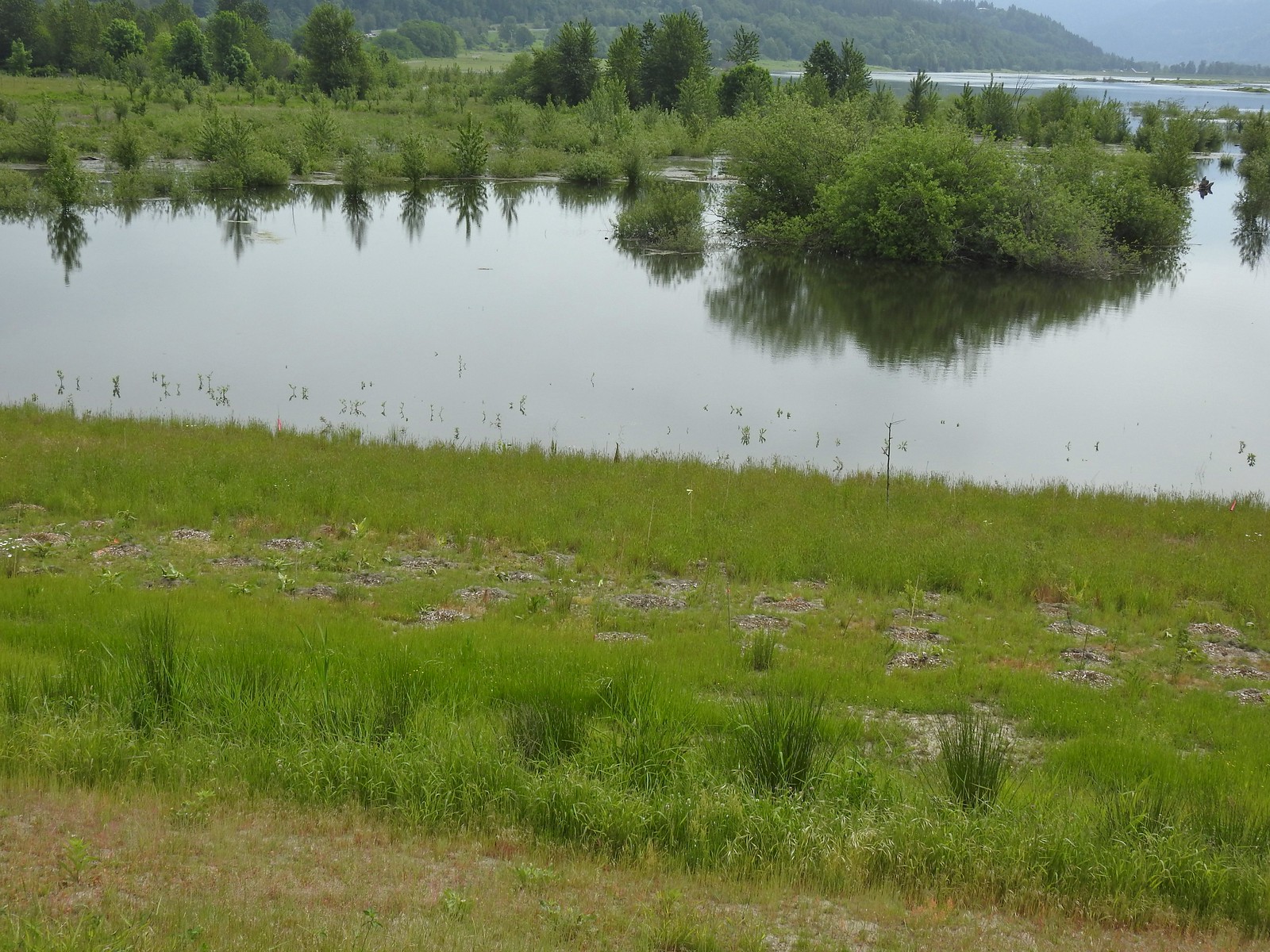
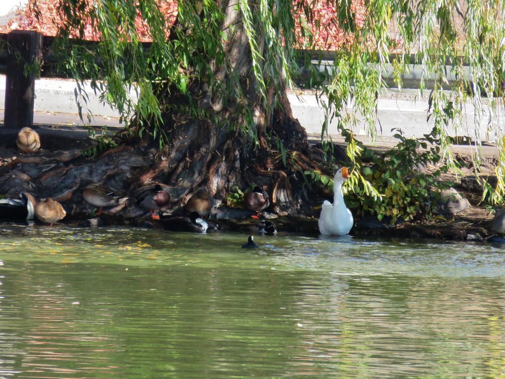
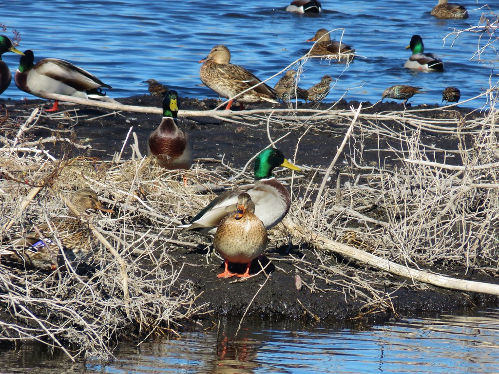
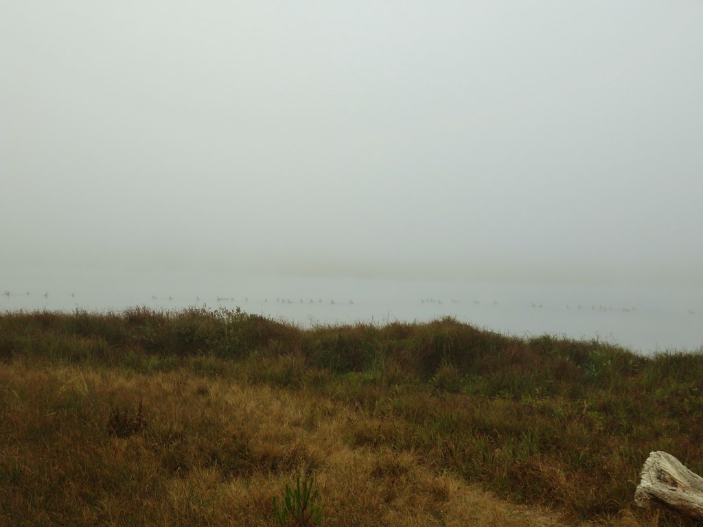
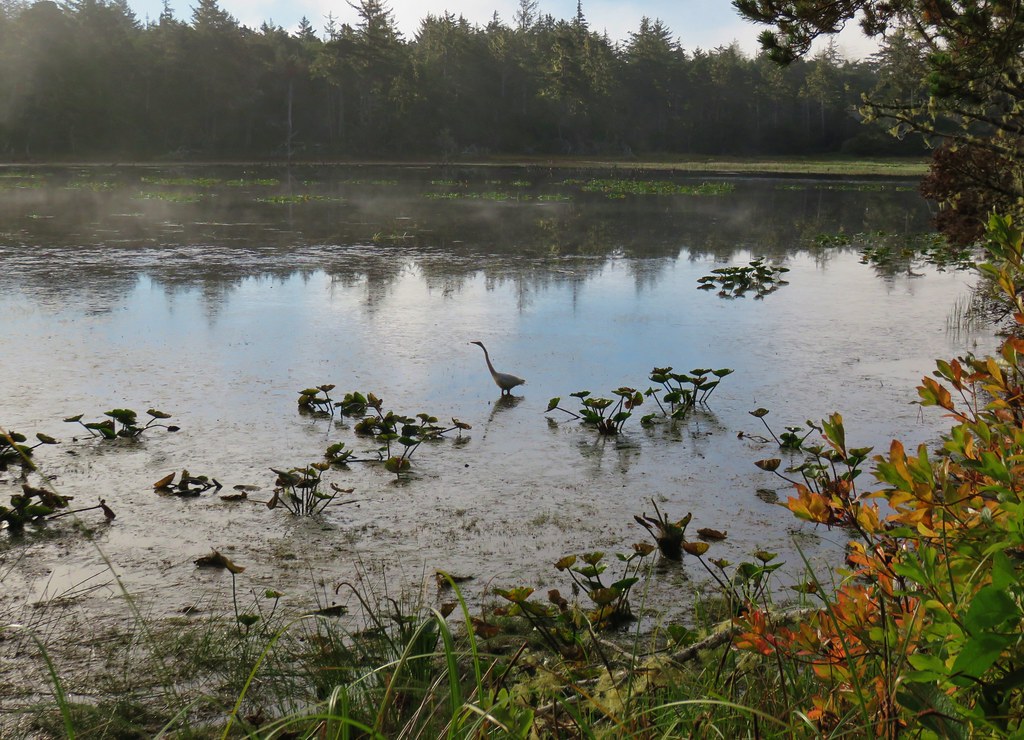
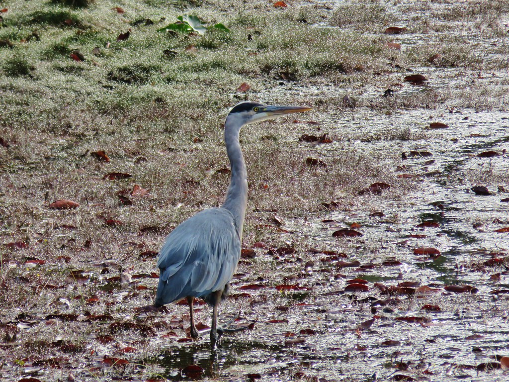
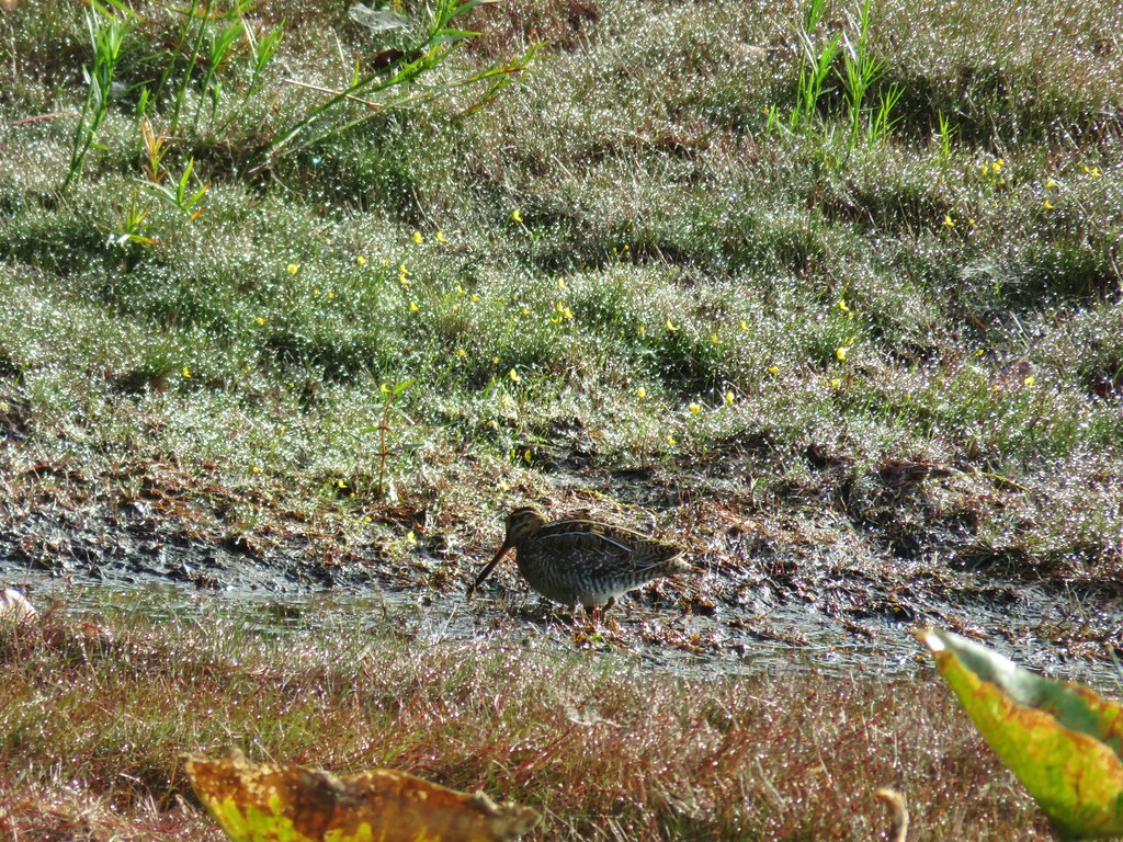
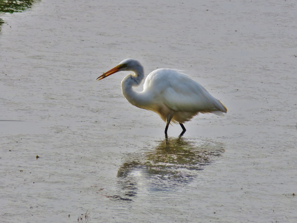
I thought I might see deer or even elk along the edges of the fields being fairly early in the morning, but aside from some fairly fresh deer sign the raptors and lots of smaller birds were all that seemed to be around. That was until I got to the northern end of McFadden Marsh. Still no deer or elk but I spotted the first great blue heron in a field just before arriving at the marsh.


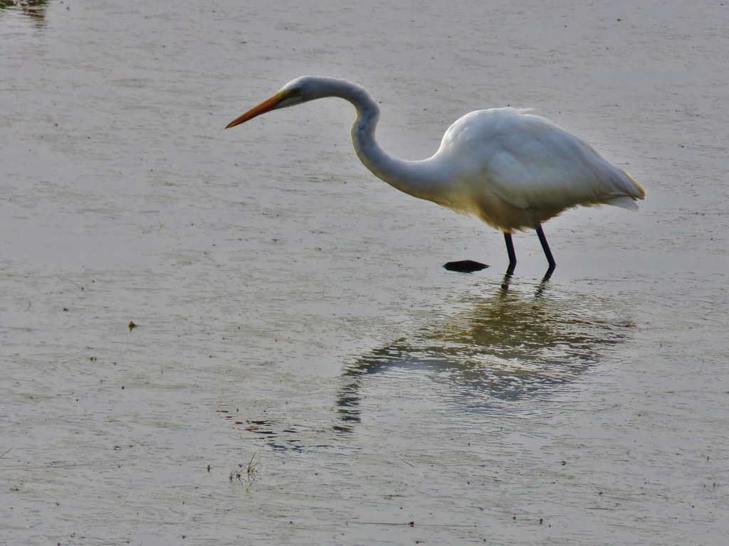
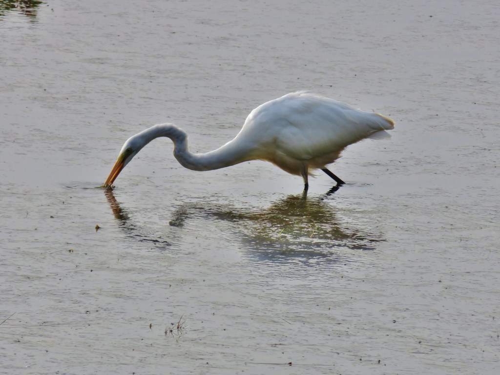
The marsh itself was full of egrets, ducks and a few more herons.
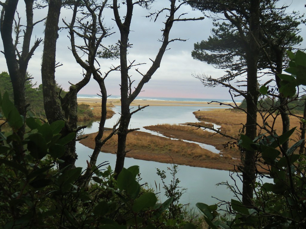
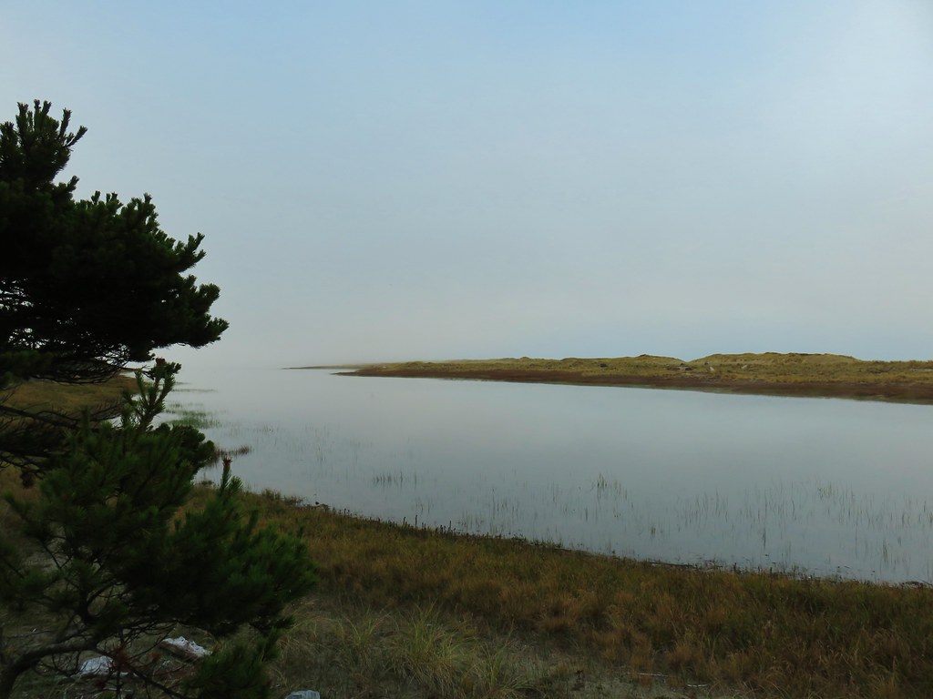
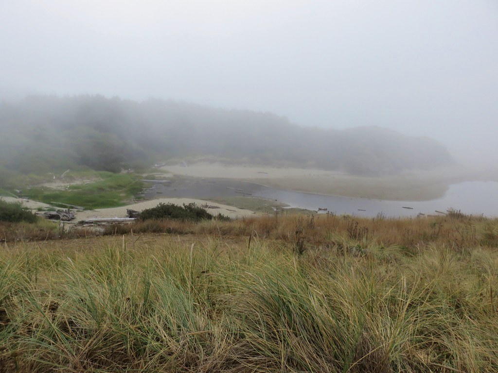
 Fog and McFadden Marsh to the left.
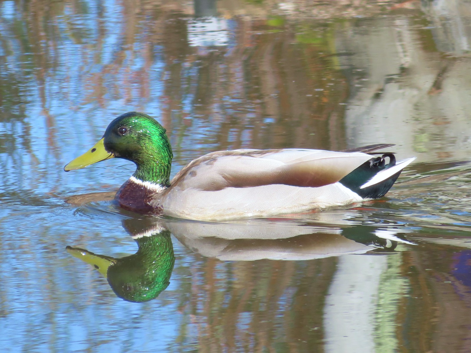
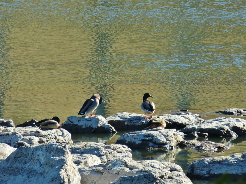
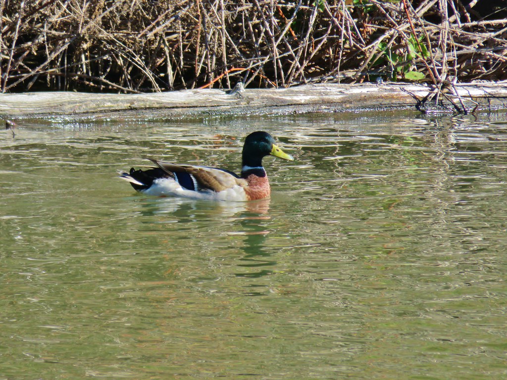
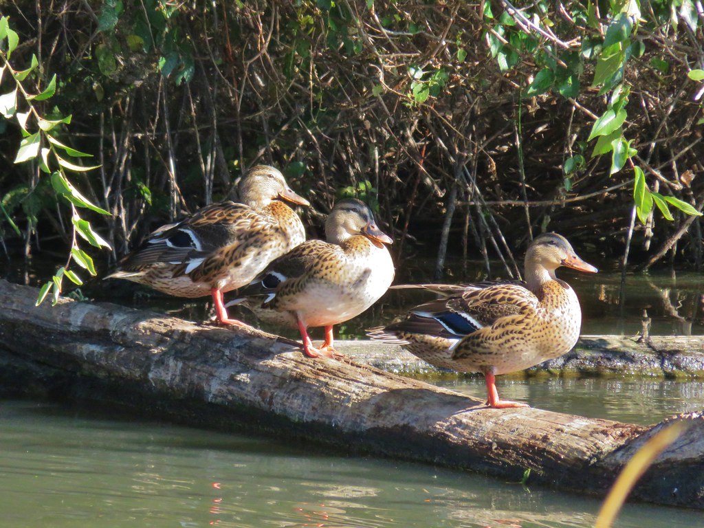
 Mallards
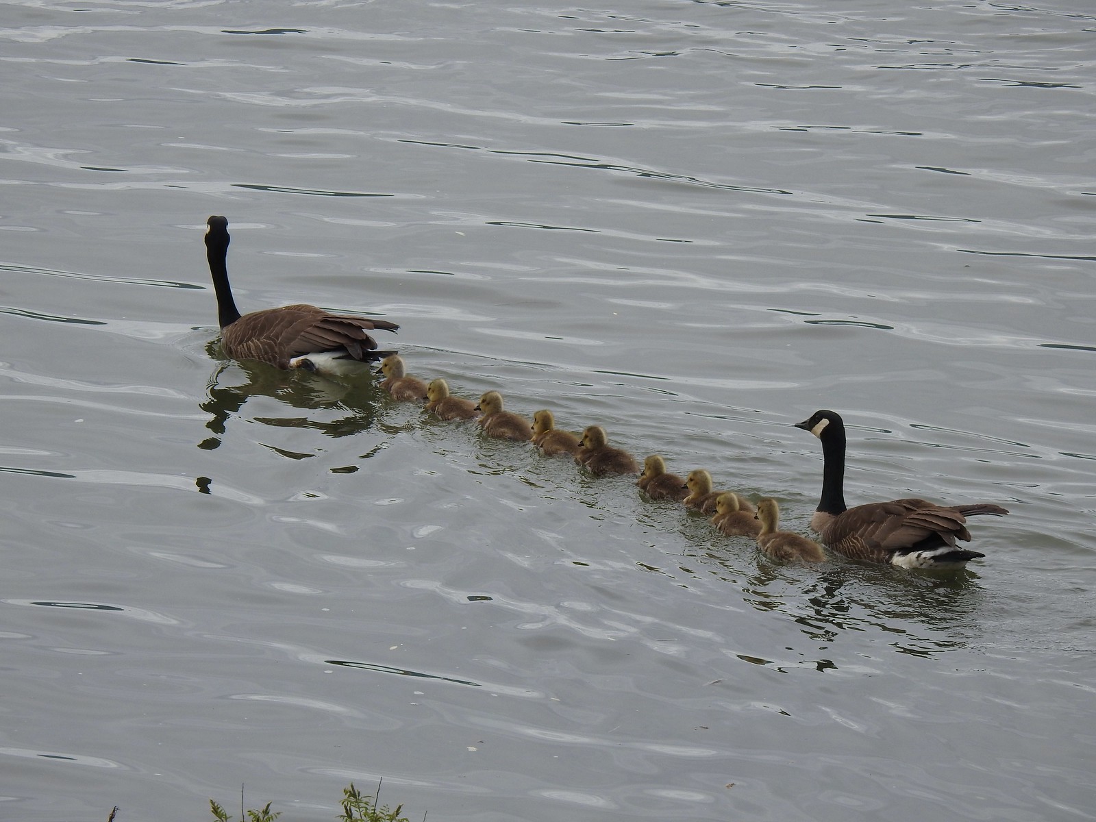
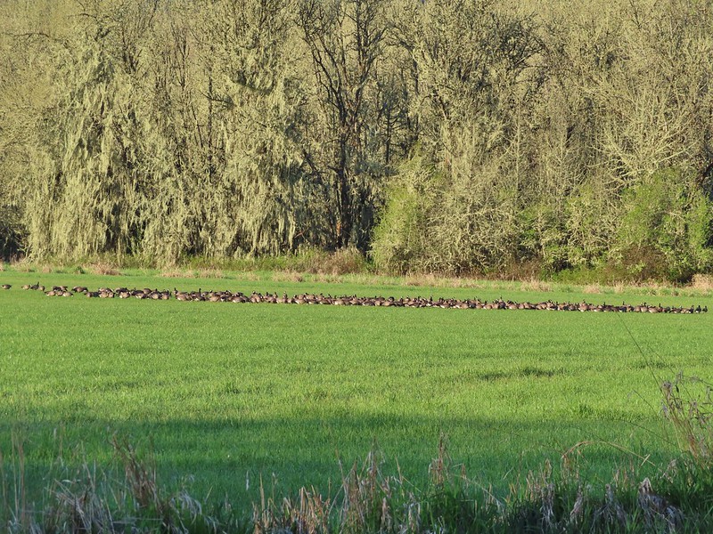
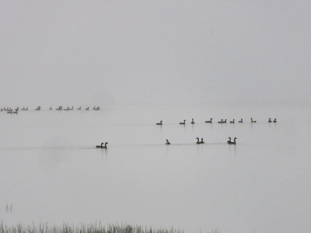
 Geese flying overhead.
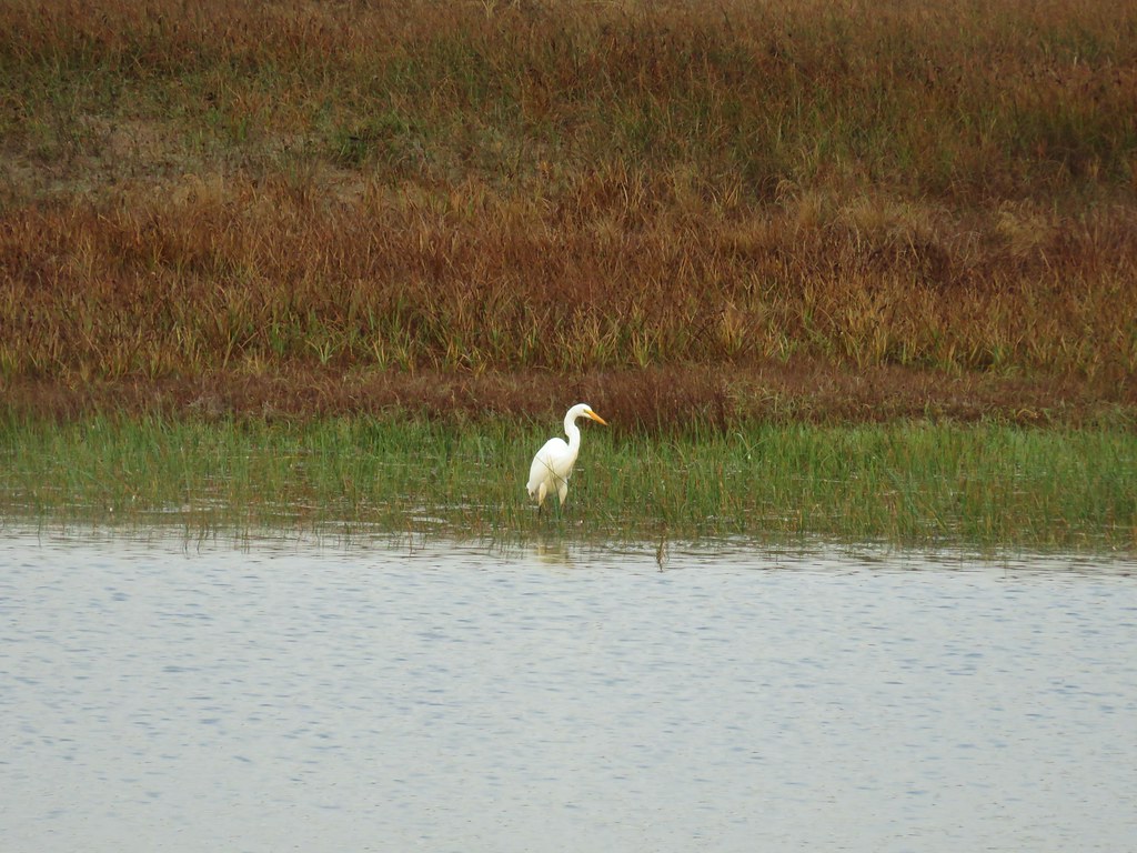
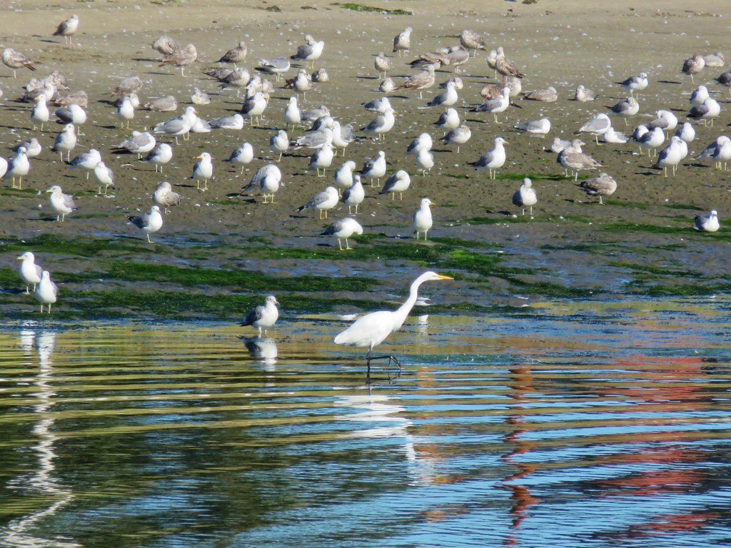
 Egret and ducks

 Egrets
 More egrets
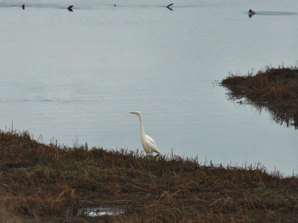
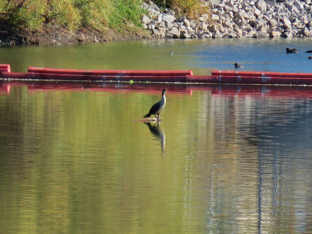
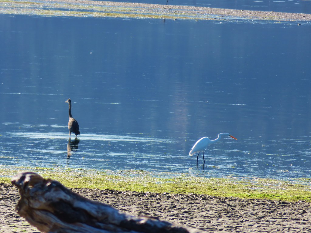
 Heron with the egrets.
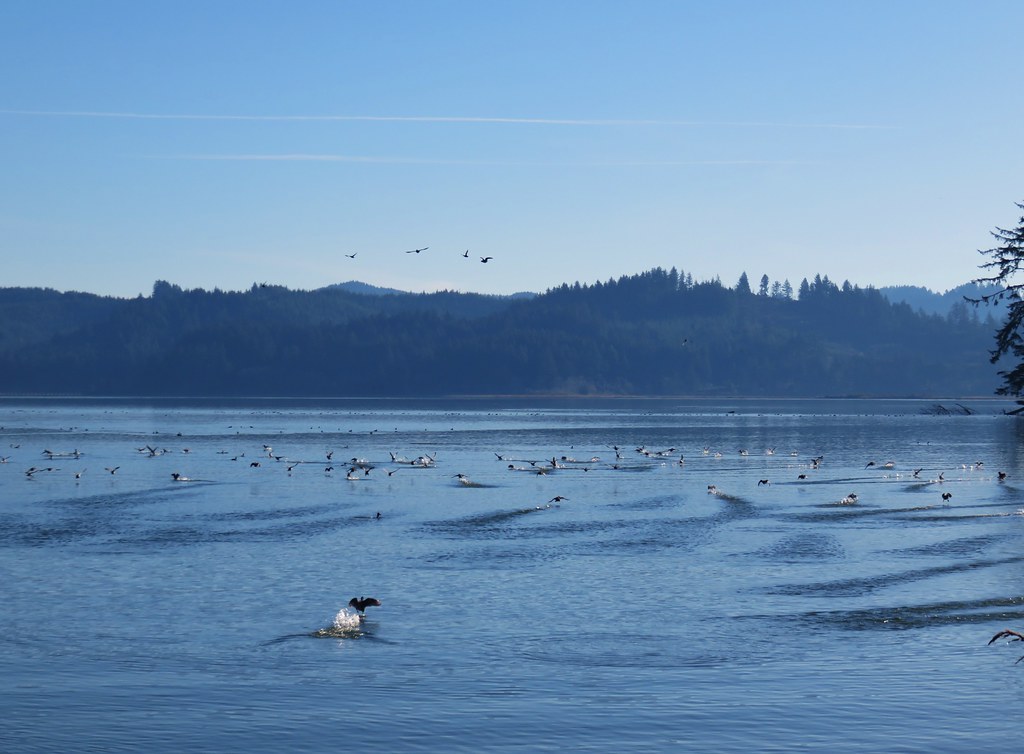
 McFadden Marsh
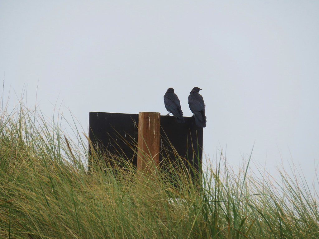
 Egrets and a murder of crows.
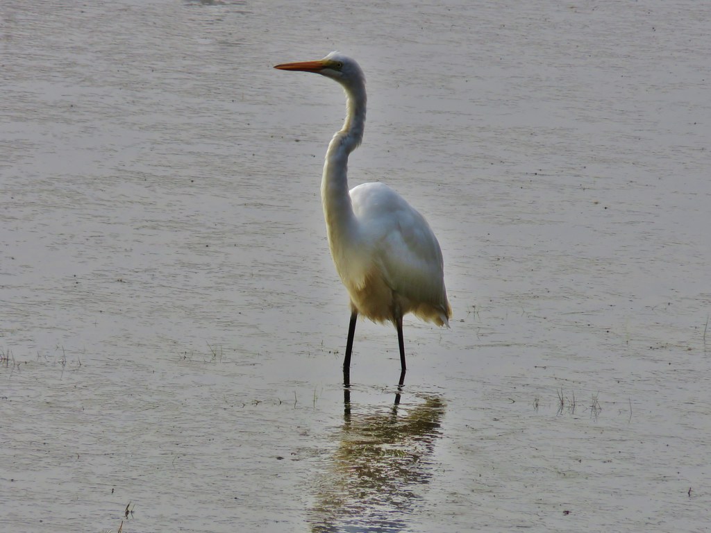
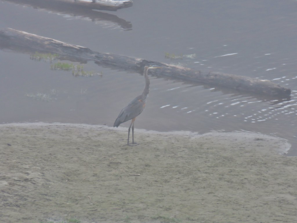
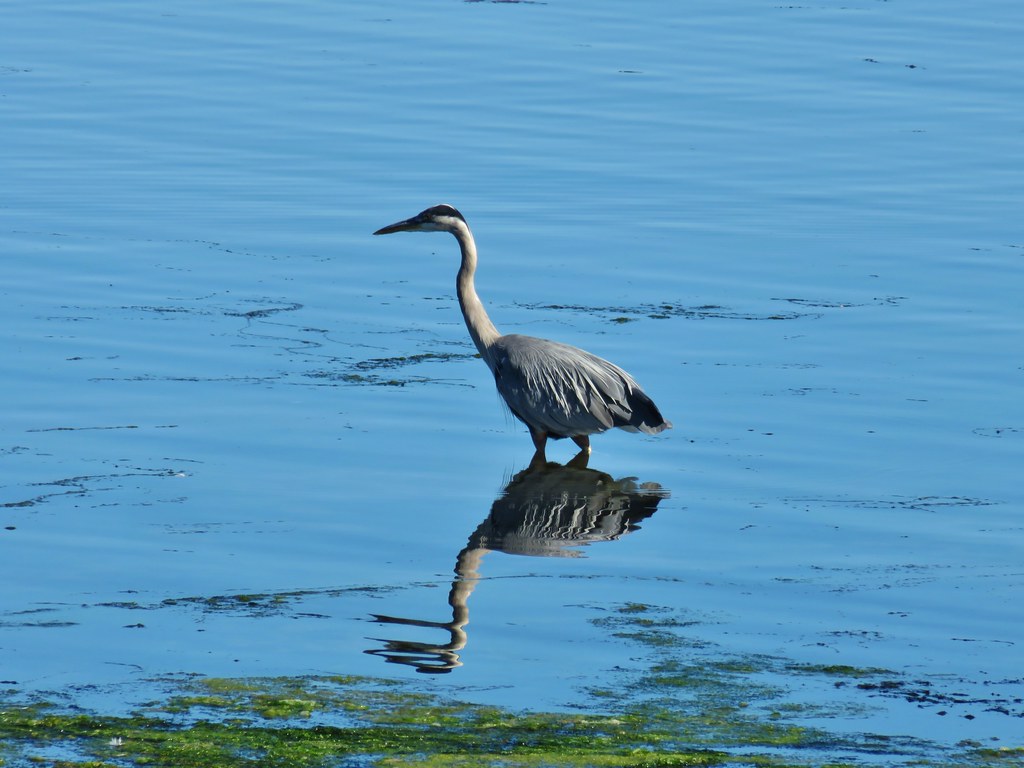
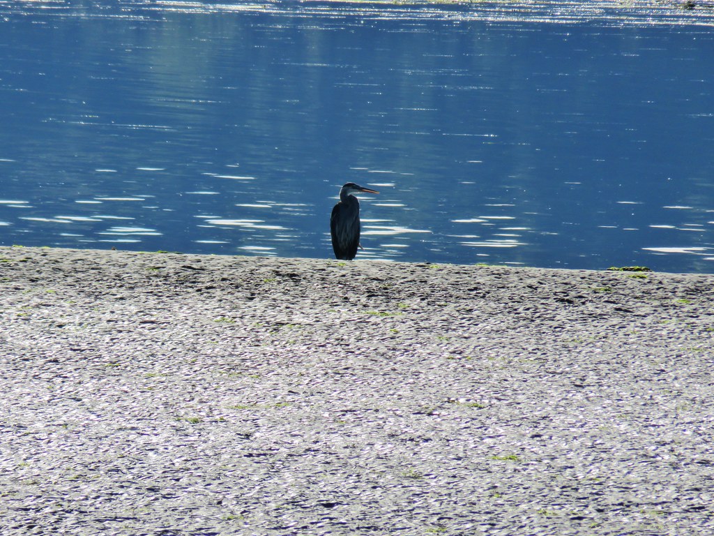
 Great blue heron
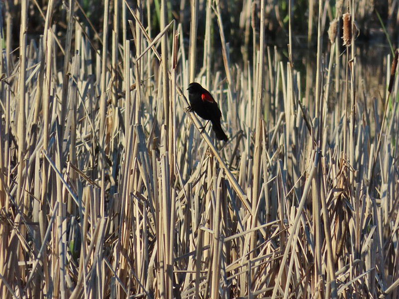
 Red-winged blackbird
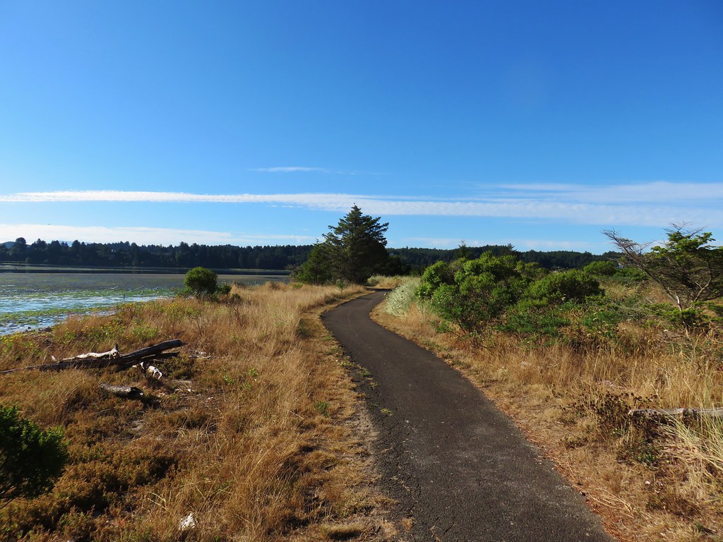
 Prairie Trail along McFadden Marsh.
The Prairie Trail ends at a small pullout on Bruce Road which is where we’d parked for our 2020 hike here.
 I could just make out the railings along Bruce Road from here.
 Nutria family near Bruce Road.
 The nutria family.
 The Prairie Trail at Bruce Road.
I turned right onto gravel Bruce Road of 0.2-miles to a larger parking area on the others side of Muddy Creek.

 Northern flicker
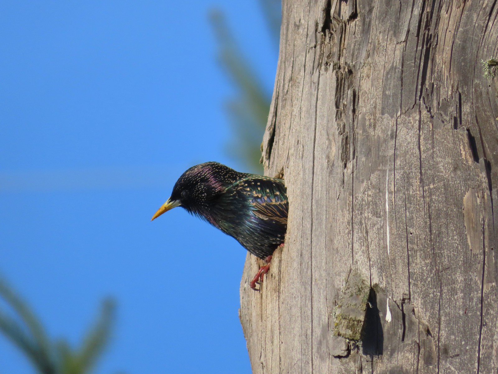
 Starling
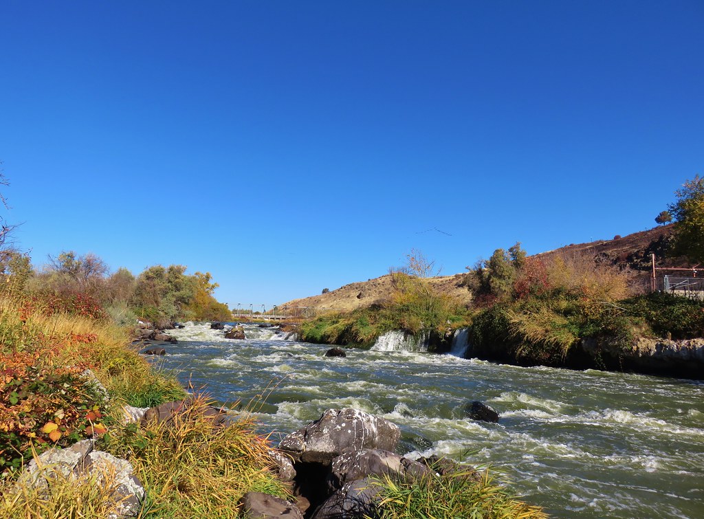
 Muddy Creek
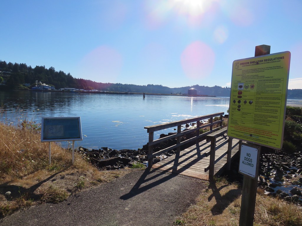
 Interpretive signs at the larger parking area.
At this parking area I turned right onto the first mowed path which is the Cheadle Marsh Trail.

I followed this grassy track, between Cheadle Marsh on the left and Muddy Creek on the right, for almost a mile to a junction near the Cheadle Barn.

 California scrub-jay

 Peregrine falcon?
 Pigeon Butte across Cheadle Marsh.
 While I was photographing this egret I glanced to my left and noticed a buck staring back at me.

 Meanwhile a great blue heron decided it wanted the egret’s perch.

 The heron and egret
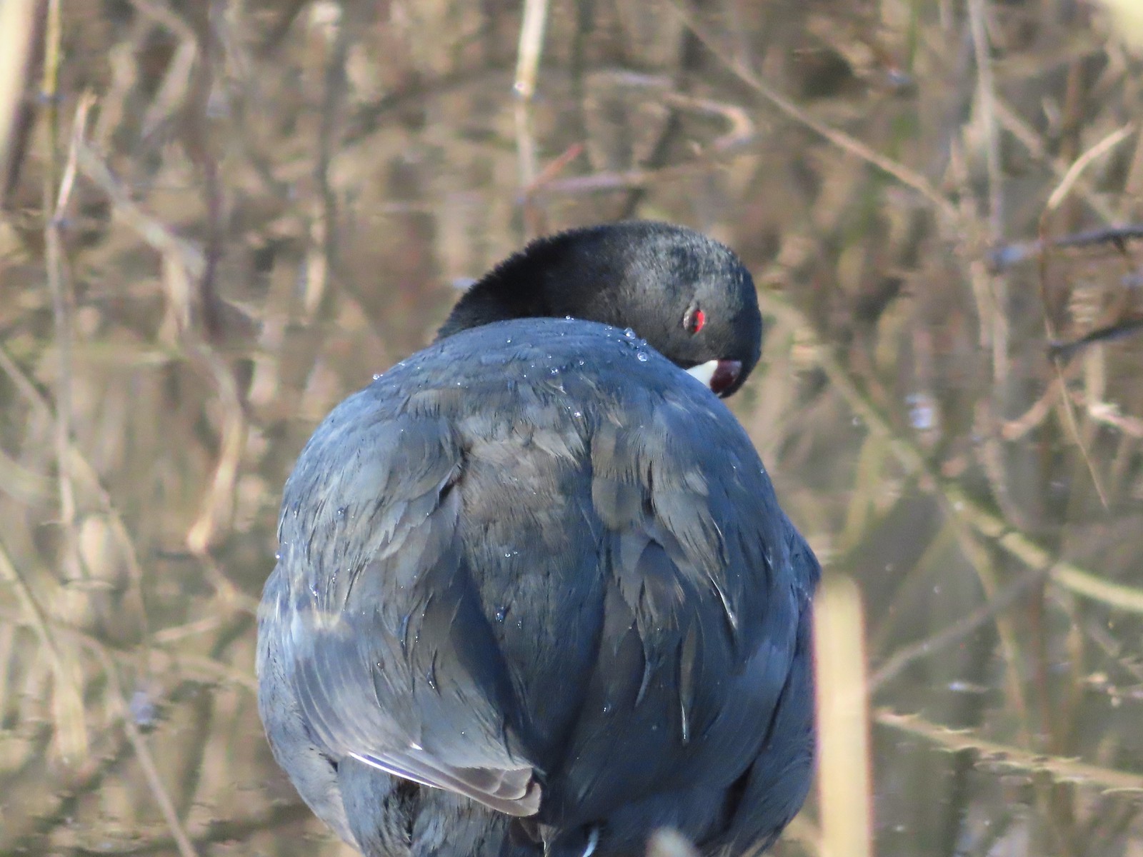
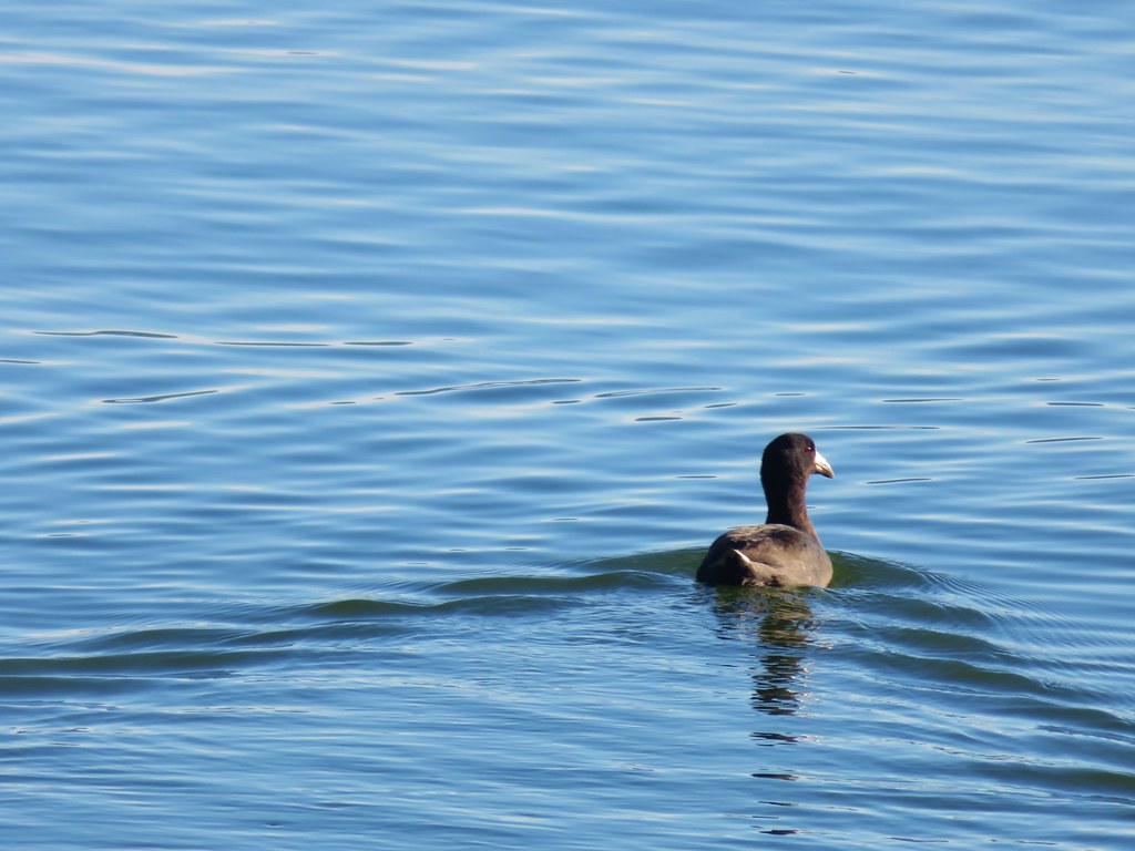
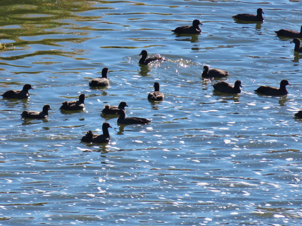
 American coot

 The roof of the Cheadle Barn poking up from the hill.
 California quail escaping into the blackberry bushes.
 The small hill up to the junction below the barn. My legs let me know that even this small hill was more than they were interested in today.
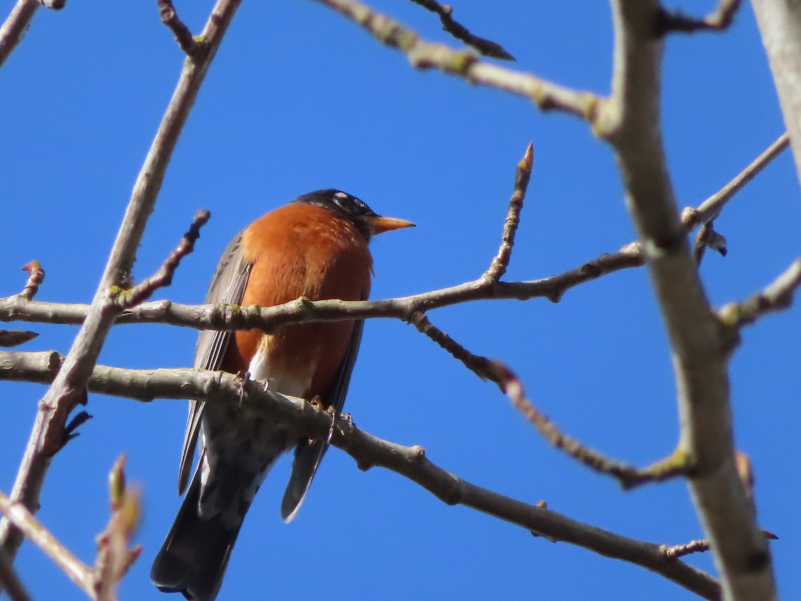
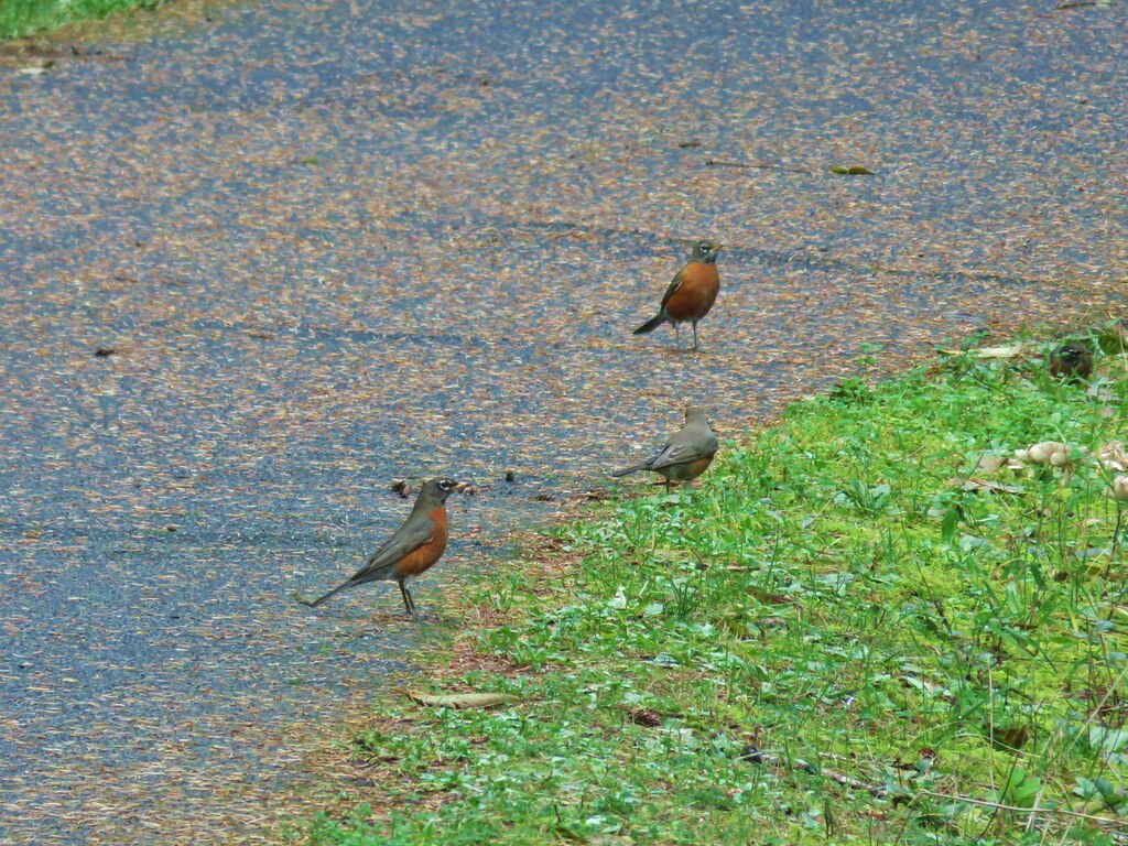
 Robin
Robin
 Spur trail to the Cheadle Barn.
I skipped the barn this time and continued on past a small pond to a junction with the Pigeon Butte Trail.

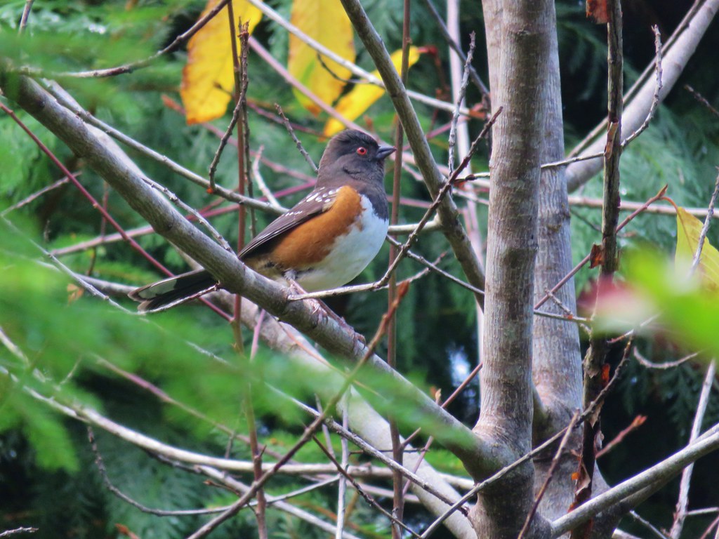
 Spotted towhee
 The pond and Cheadle Barn.
 Ducks in the pond.
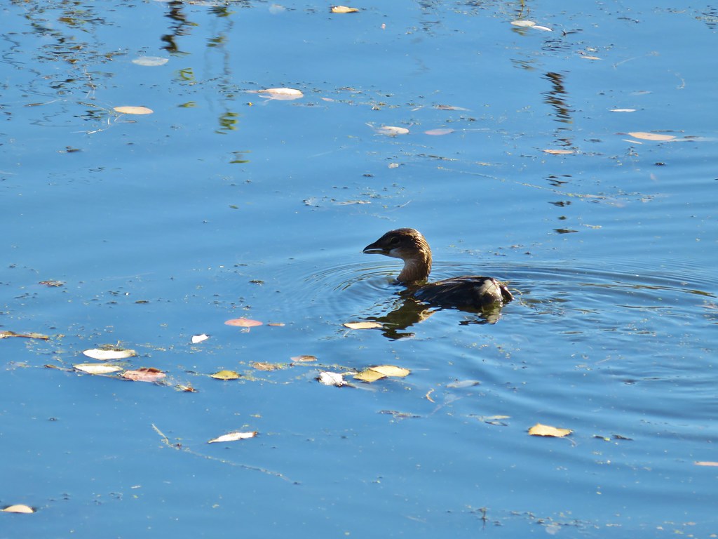
 Pied-billed grebe. I also had a yellow-rumped warbler nearly land on me, but then it disappeared into the trees across the pond.
 The gravel road that serves as the Pigeon Butte Trail ahead.
I turned right on the Pigeon Butte Trail and reluctantly made the gradual climb to a junction on the shoulder of the butte.

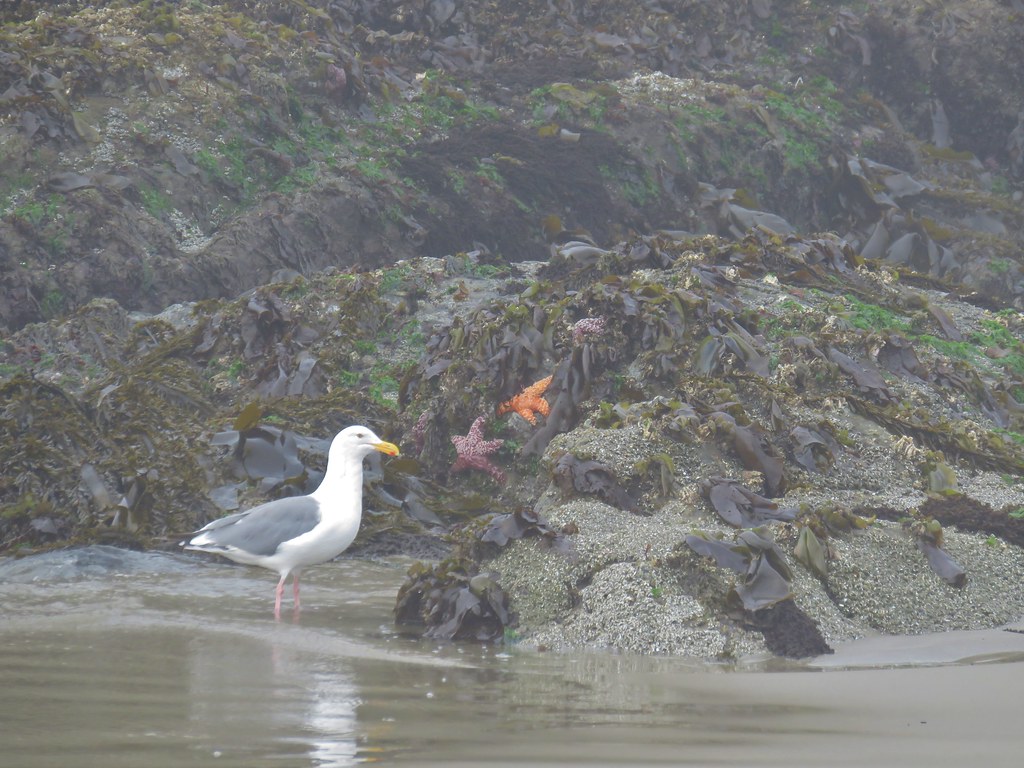
 A successful egret and unfortunate rodent.
 The junction is located at the crest of the trail/road.
 Spur trail to the summit of Pigeon Butte.
My legs had already declared that they were not interested in going uphill and I’d already been up the butte twice, so I skipped the spur trail and continued downhill.

This section of trail passes the Finger Ponds which were almost completely dry this time of year.

 The dry ponds hosted a good number of songbirds.
 It appeared that there had been a number of controlled burns performed throughout the refuge.
 The 0.9-mile section ended at a junction with the Cattail Pond Trail.
I turned left onto that trail (also a roadbed) and followed it a mile to a pointer for Cattail Pond.

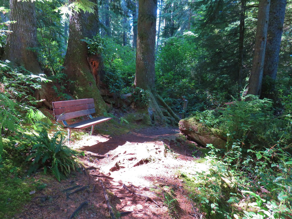
 Viewpoint bench looking toward Cabell Marsh.
 Woolly bear caterpillar sharing the trail.
 Gray Creek

At the pointer the Cattail Pond Trail turns left, and the road becomes the Mid-Refuge Connection Trail. I turned left at the pointer to visit the pond and hike a 0.6-mile section of the Cattail Pond Trail that I’d yet to hike.
 Mallards
 More mallards
 Maple Knoll on the far side of Cattail Pond.

 I’m assuming nutria but am not 100% convinced on this one.
The 0.6-mile section of trail looped around the pond and connected me to the Beaver Pond Trail which is the trail I’d taken on previous visits.
 This section was a mixture of the edge of fields and wooded trail.
 Follow the pointer.
 A cedar waxing joined by a pair of finches.


 I turned right at this sign onto the Beaver Pond Trail and followed it a half mile back to the gravel roadbed.

 Just under 100 yards from the Cattail Pond Trail is this unsigned junction. The left is a half mile out-and-back spur on along the side of Maple Knoll. I stayed right this time having done the spur in 2020 with Heather.
 The trail passes the Beaver Pond just before arriving at the roadbed.
 The Beaver Pond was pretty well deserted given its lack of water.
 I turned left onto the Mid-Refuge Connecting Trail.
The connector trail climbed gradually to a signed 4-way junction that serves as the start of the Mill Hill Loop.

 Authorized personnel only on the right-hand fork here.
 Arriving at the junction.
 The right fork is the trail I came up. The center fork is the Mill Hill Trail, and the left fork is the Mill Hill Loop Trail which loops around Mill Hill in 1.7-miles and arrives back at the junction where I took this photo from.
Having done the Mill Hill Loop twice before I decided to save myself the distance and more climbing and took the center fork which would lead me to the Intertie Trail and eventually the Woodpecker Loop Trail.

 There are several junctions along this stretch, most of which are well signed.
 This junction marks the start of the Intertie Trail.
 Crossing Finley Refuge Road.
I was moving pretty quickly through the forest here and startled a doe that came around a bend from the other direction. She bounded into the trees but didn’t go too far.


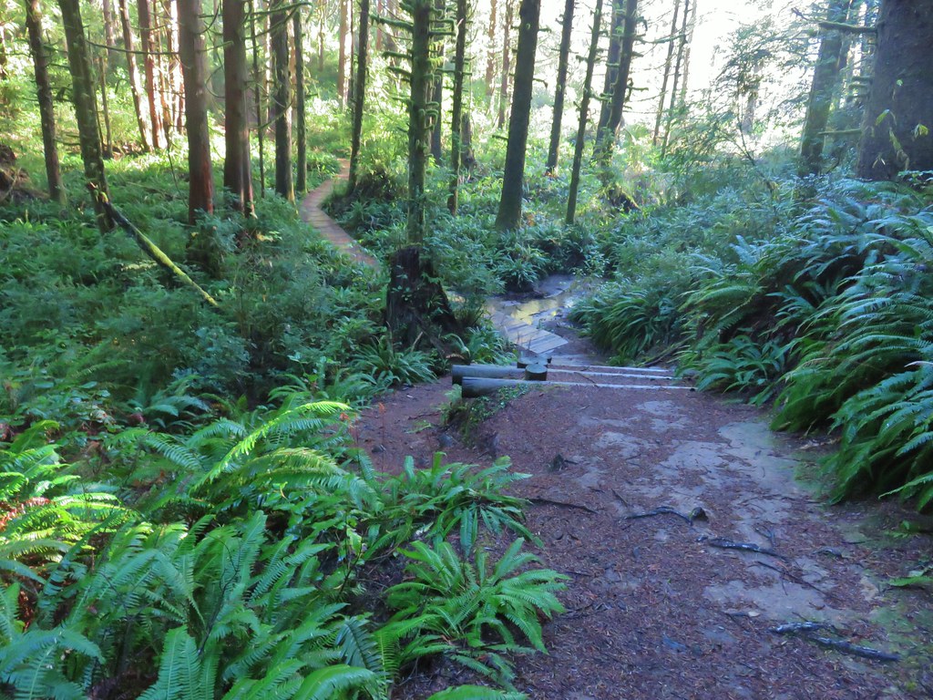
When I arrived at the Woodpecker Hill Loop I turned left. It meant a little bit of climbing, but going this direction would lead me past the Environmental Education Shelter on Woodpecker Hill.

 Signage at the Woodpecker Hill Loop.
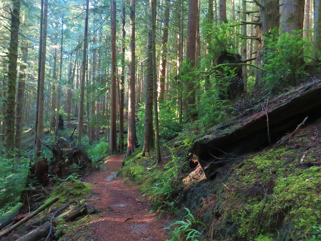
 The Woodpecker Hill Loop is a well-developed interpretive trail.
 Stellar’s jay
 Each of these kiosks has an informational placard inside.
 Near the crest of the trail.
 The shelter on Woodpecker Hill.
I took a quick break on the shaded bench at the shelter then headed downhill to the Woodpecker Hill Trailhead.

 Dragon fly

 Signboard at the Woodpecker Hill Trailhead.
From the trailhead I walked down the entrance road to Finley Wildlife Refuge Road and turned left. I now had a 0.7-mile gravel road walk to reach the Cabell Barn.
 Yay, more uphill.
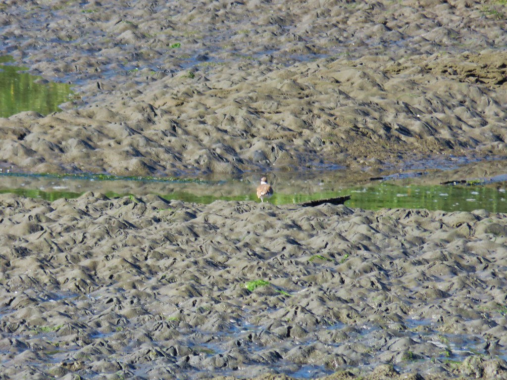
 The back of a killdeer.
 Bald Hill on the left.
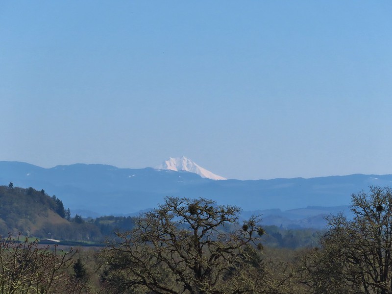
 Winkle Butte is the near rise on the left. On a clearer day Mt. Jefferson would be visible in the distance to the right of Winkle Butte.
 Cabell Barn ahead.
I turned right across from the barn on Cabell Lodge Road following a pointer for the Cabell Marsh Overlook.

 Historic granary
The Cabell Lodge burned on December 13, 2023.

 The lodge in April, 2021.
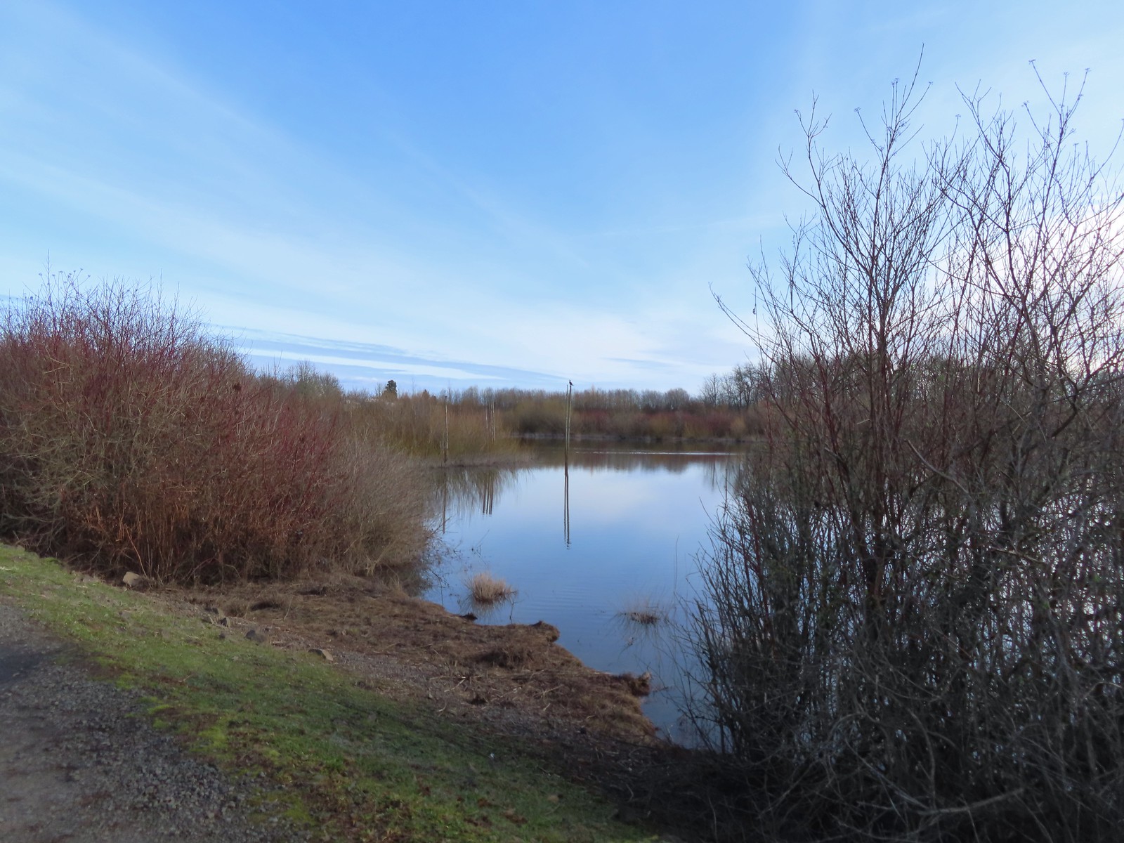
From the parking area at the end of the road I followed a path to the overlook then descended to the marsh on the seasonal trail.


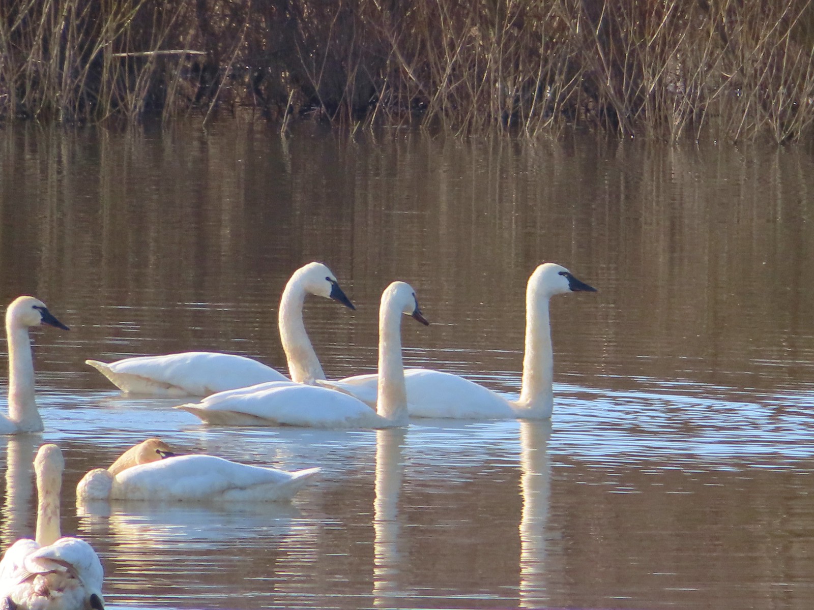
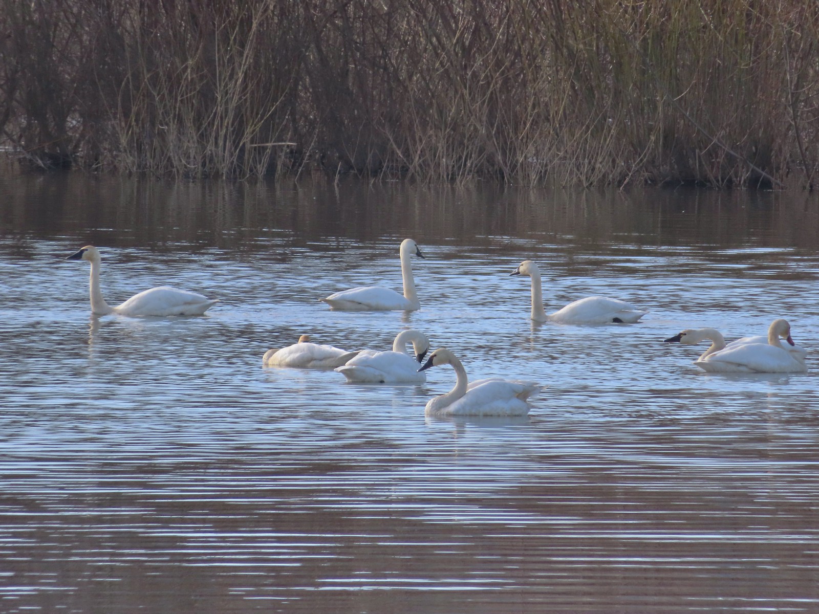
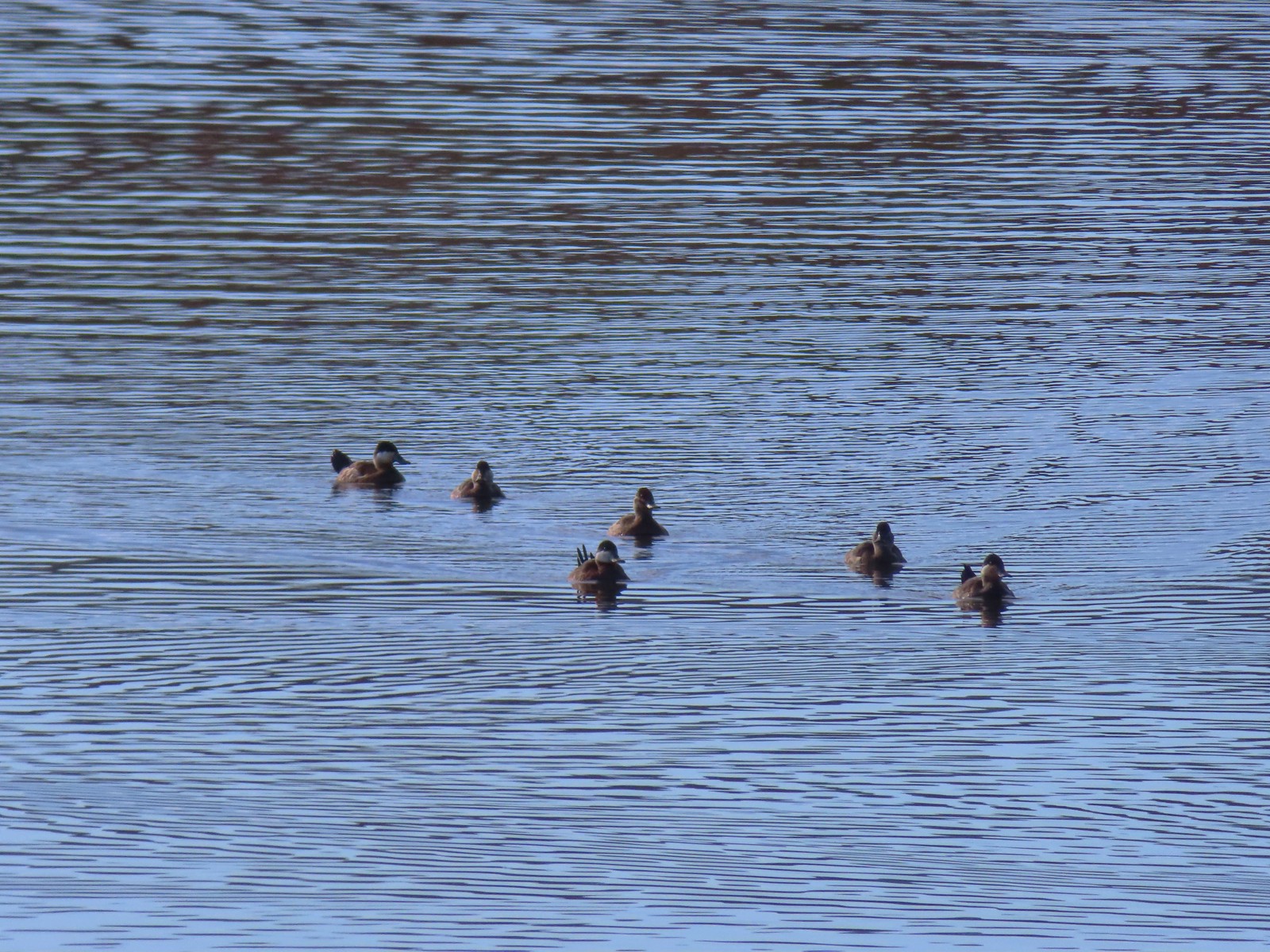
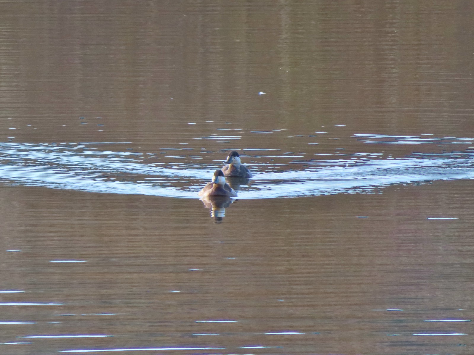
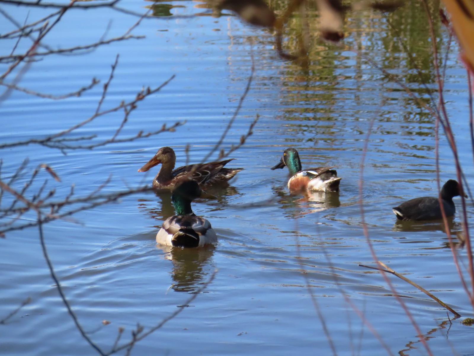
Cabell Marsh was busy with a lot of mallards and a few other species mixed in.


 Geese
Geese
 Pigeon Butte from the marsh.
 Great blue heron towering over the ducks.
 An egret along the shore to the right.
 The egret facing off with the heron. The mallard appeared to be ready to act as the referee.
 After a brief face off the egret moved on.
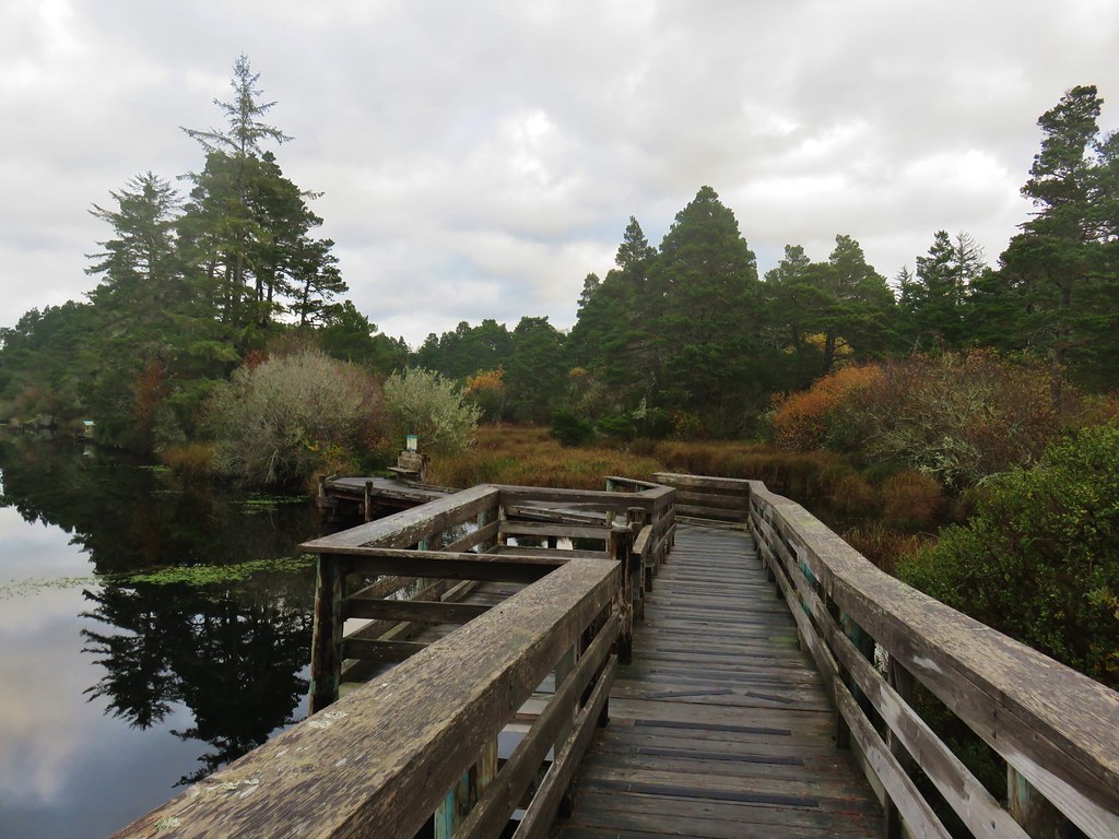
 Observation blind accessed via the Homer Campbell Boardwalk.
When I reached the boardwalk I turned left and followed it a little over a third of a mile to a parking area where I picked up Finely Refuge Road again. I turned right and followed the road a half mile back to the grassy path that led to the Turtle Flats viewpoint.


 Signboard at the boardwalk trailhead.
 Back on the refuge road.
 Muddy Creek
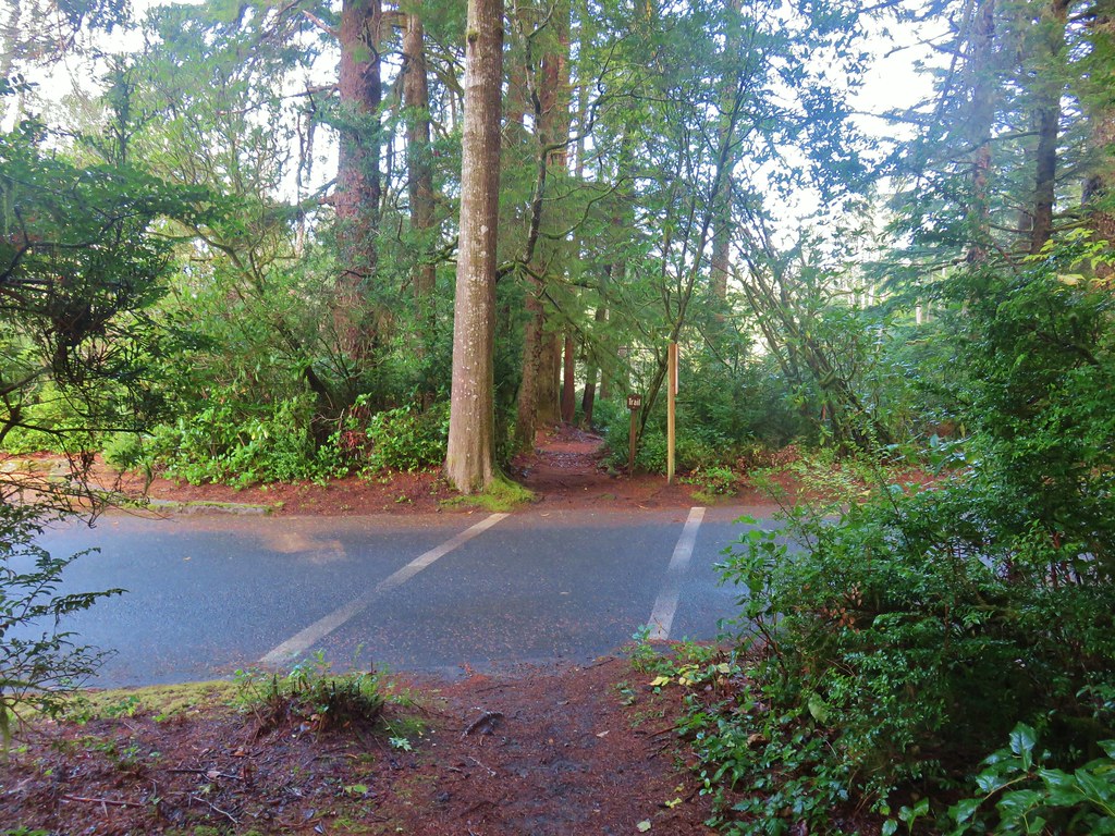
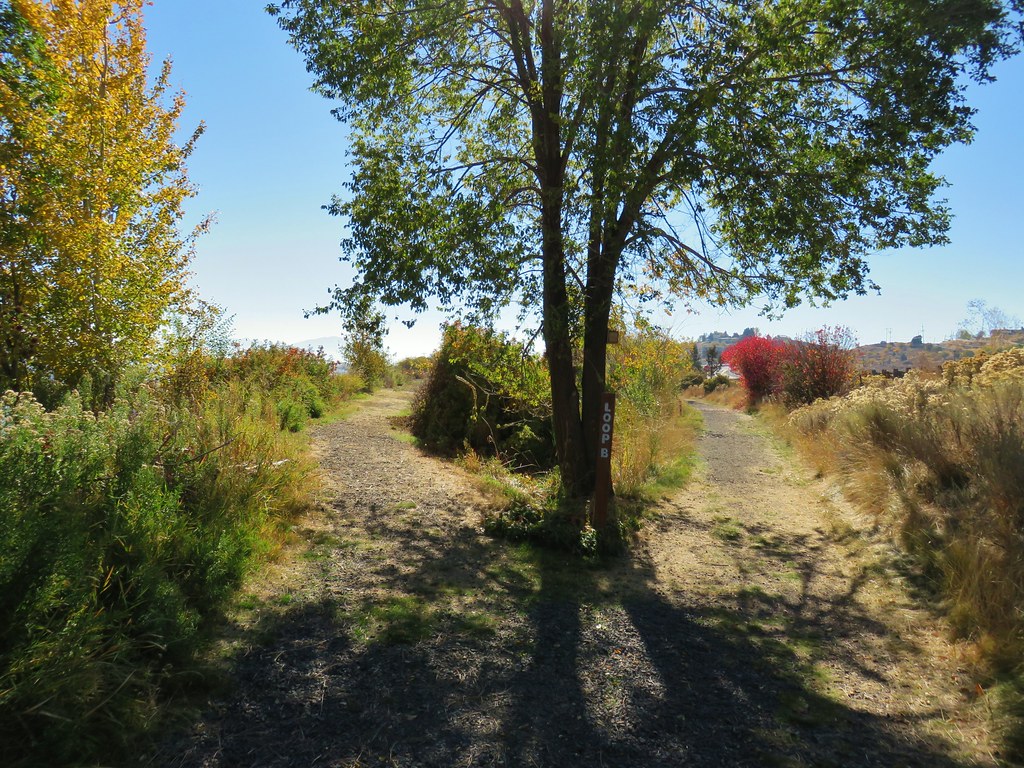
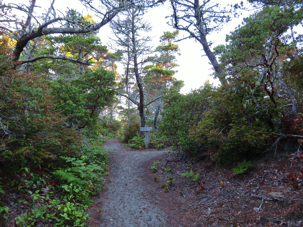
 The path to Turtle Flats on the left and the start of the Prairie Trail ahead on the right.
The loop today came in at 13.2-miles with maybe 400′ of total elevation gain.

This was a nice mix of trail types, and as always seems to be the case here, it was full of wildlife sightings. Much of the refuge is only open seasonally (April 1 through October 31) although the Woodpecker Hill, Intertie, Mill Hill trails and the Homer Campbell Boardwalk (only to the observation blind) are open year-round. It was great to be able to hike some new to me trail and there is still a small unhiked spur off the Prairie Trail for a future visit. Happy Trails!
Flickr: Finley Wildlife Refuge 2024

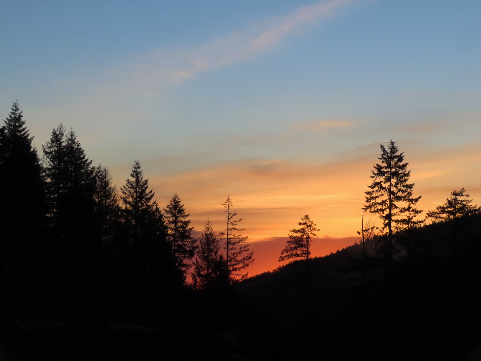 Sunrise from the trailhead.
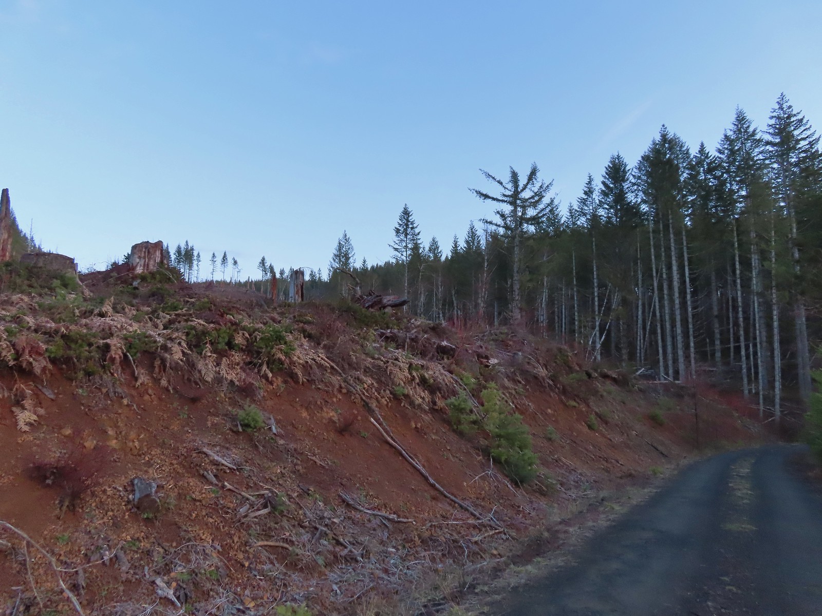 Clear cut at the trailhead.
 This was the view through the forest from Maple Creek Road around the 80-yard mark.
 We could hear the Tualatin River in the valley below and I managed to get far enough down the hill to get a glimpse of the water. I had descended from a pullout with a fire ring about 50-75′ looking for the old roadbed, but I still couldn’t make out where it actually was and had been slipping a lot on wet wood.
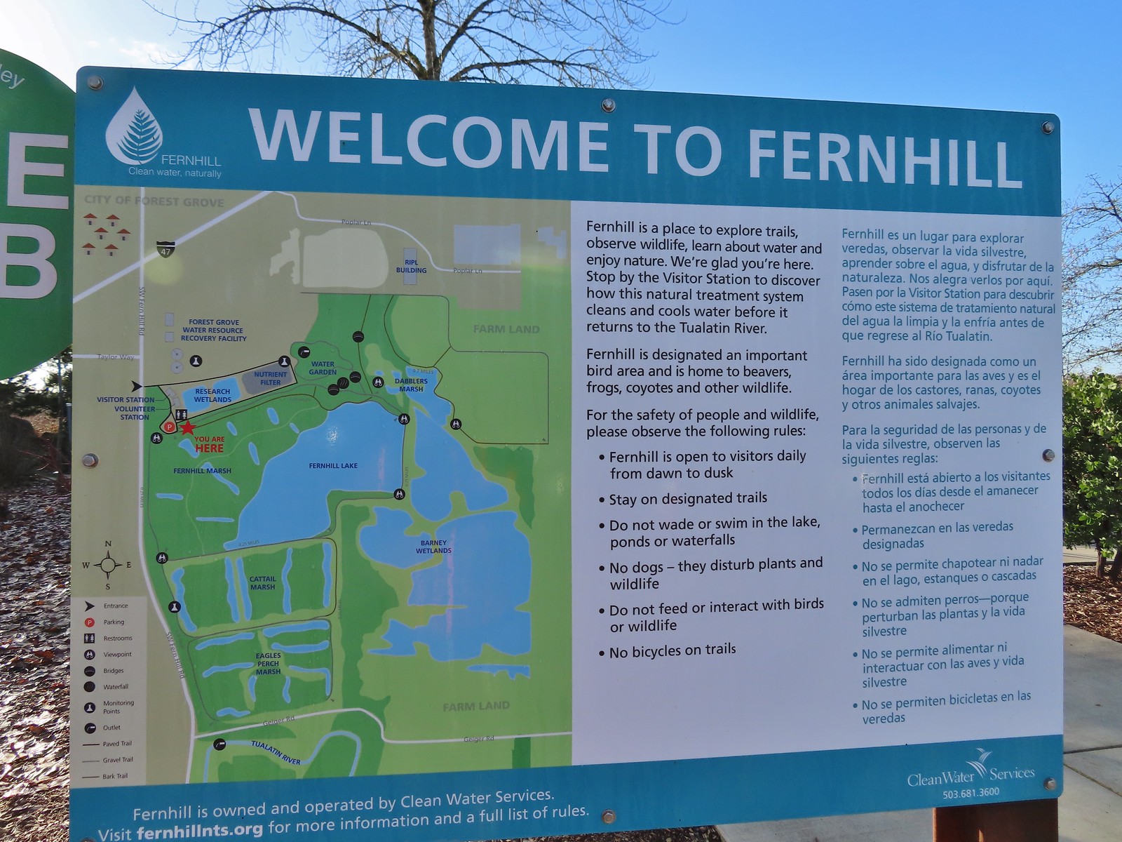 Map and information at the trailhead.
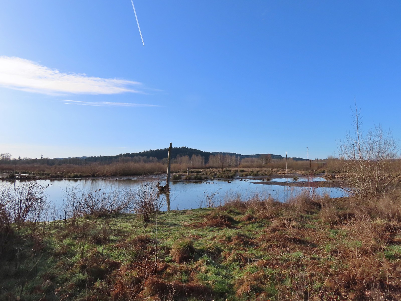
 Starling
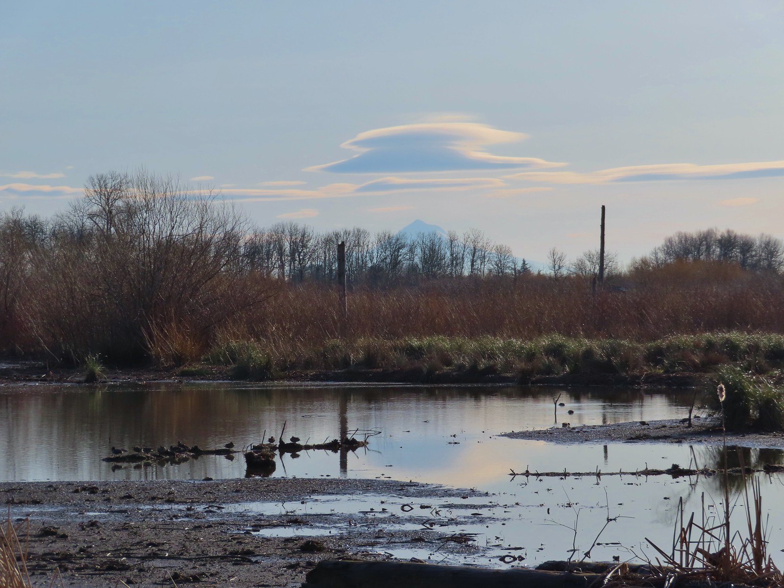 Lenticular clouds over Mt. Hood in the distance.
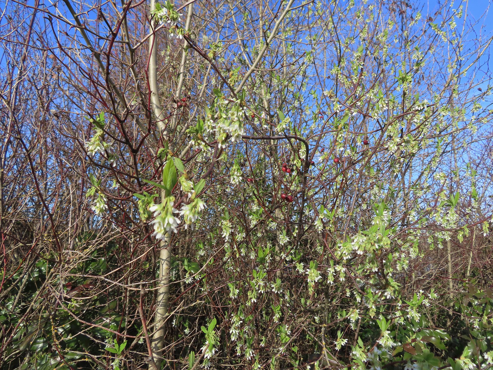 Our first wildflower of the year is Indian plum in 2024.
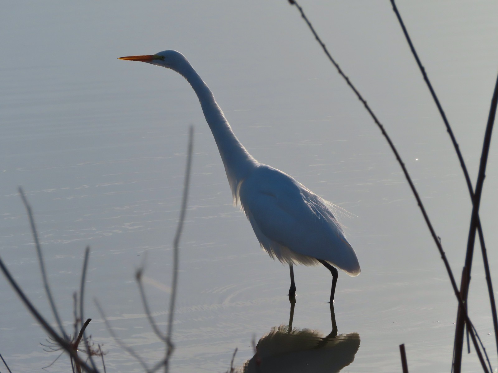 Egret
Egret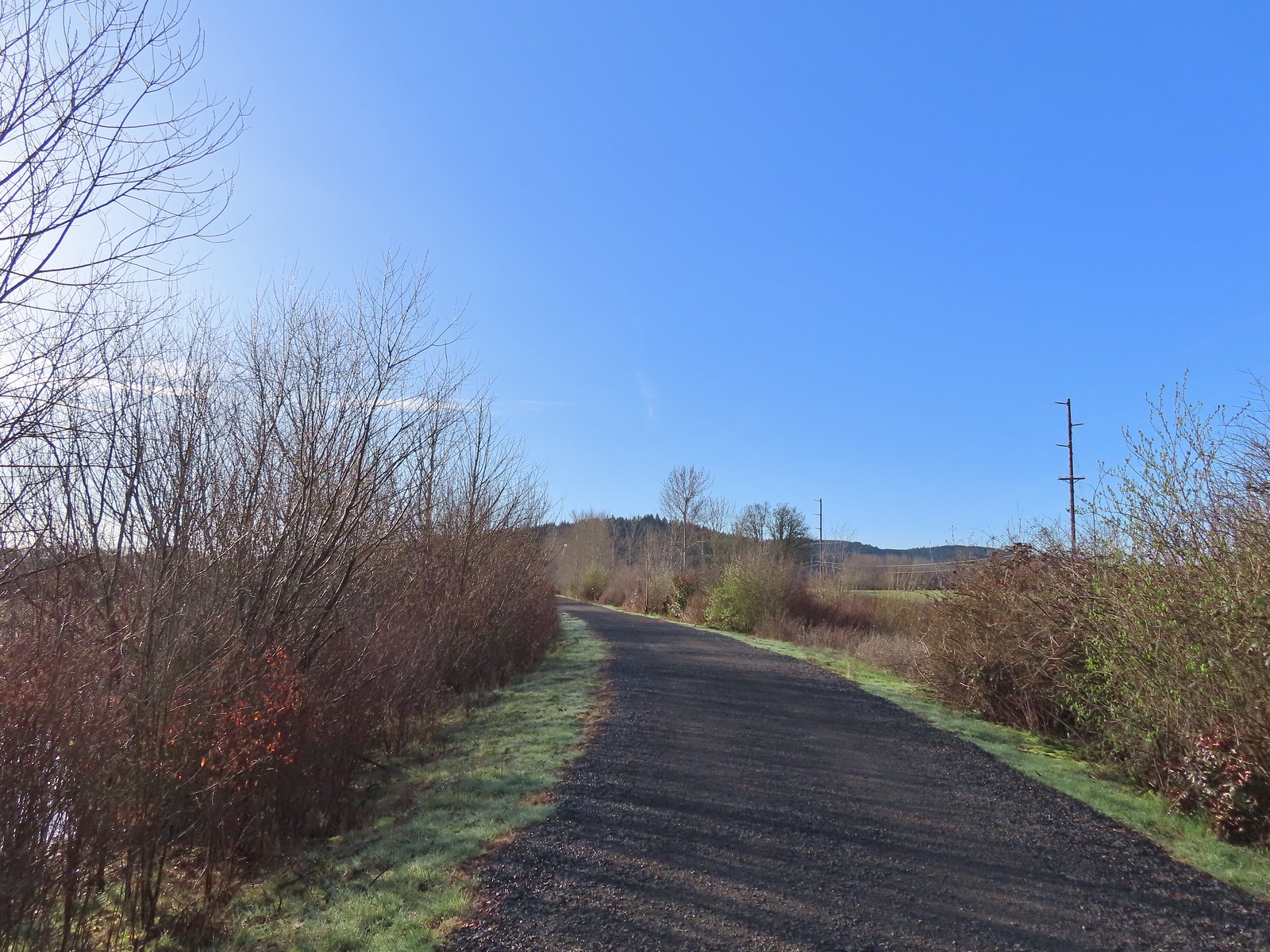 Path at Fernhill Wetlands.
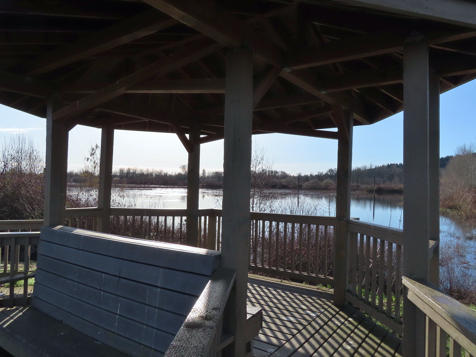 Gazebo overlooking Cattail Marsh.
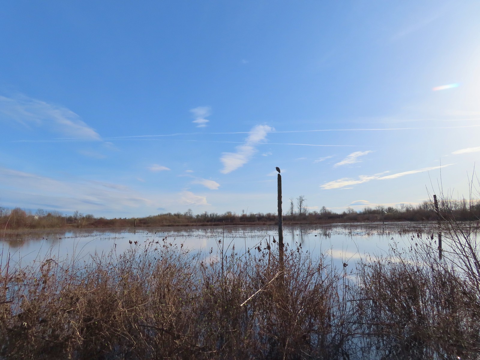 Great blue heron on a post above Cattail Marsh.
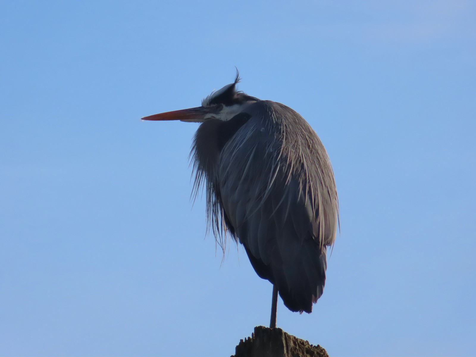
 American coot
 Another great blue heron.
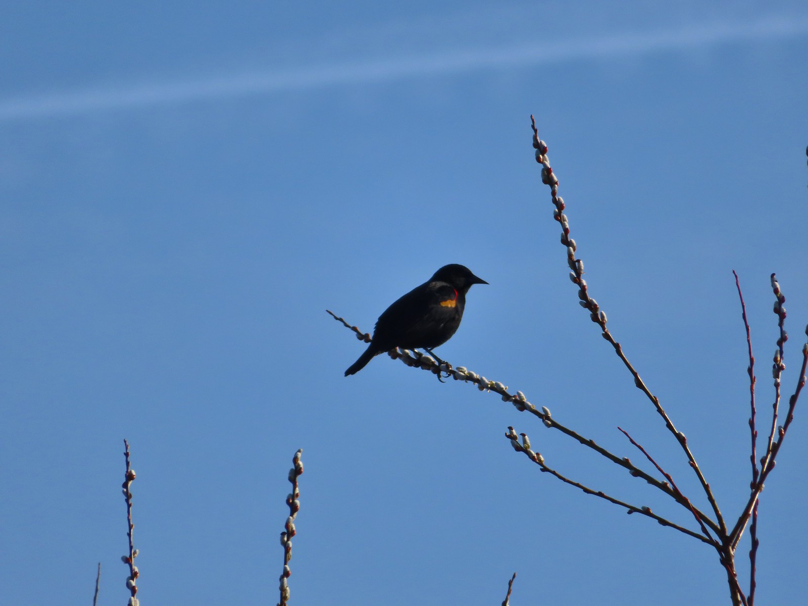 Red-winged blackbird
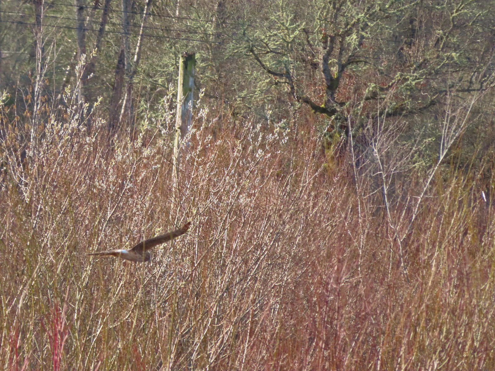 Hawk flying over Eagles Perch Marsh.
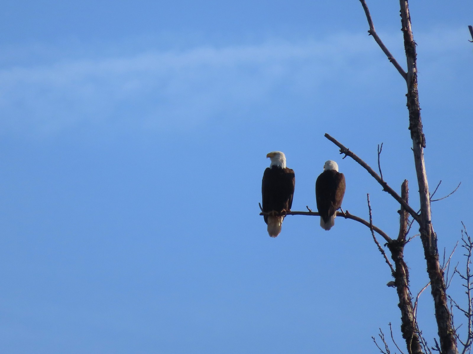

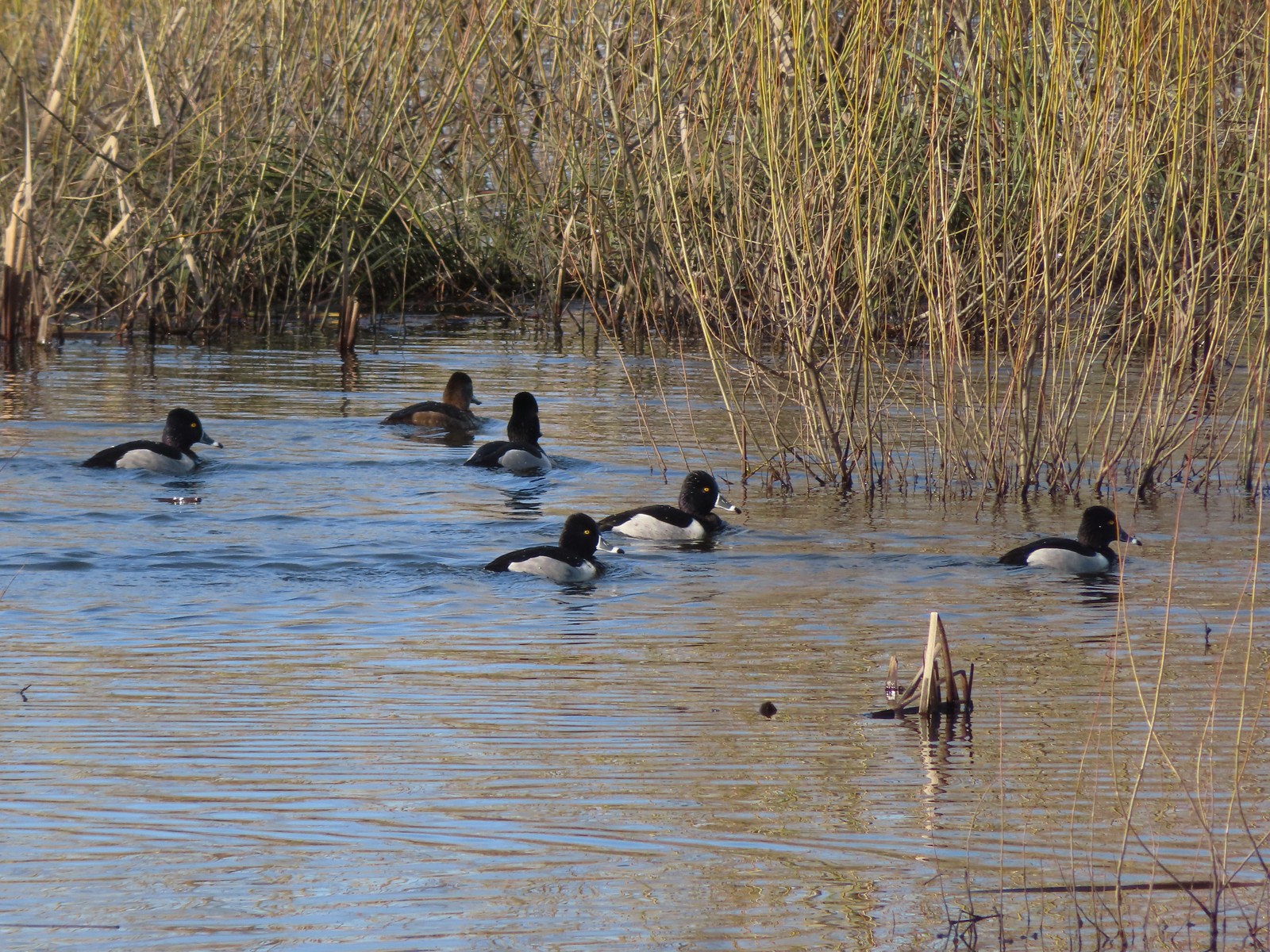 Ring-necked ducks
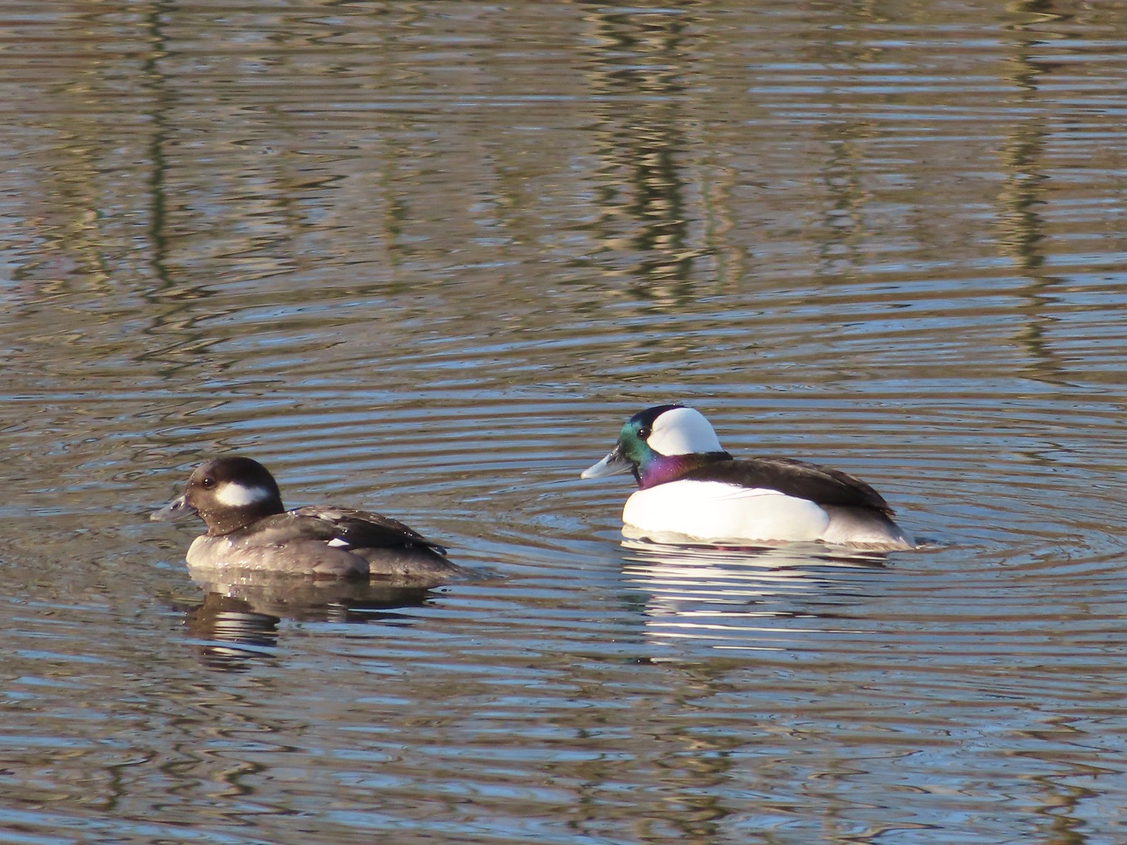 Buffleheads
 This one might be a hooded merganser?
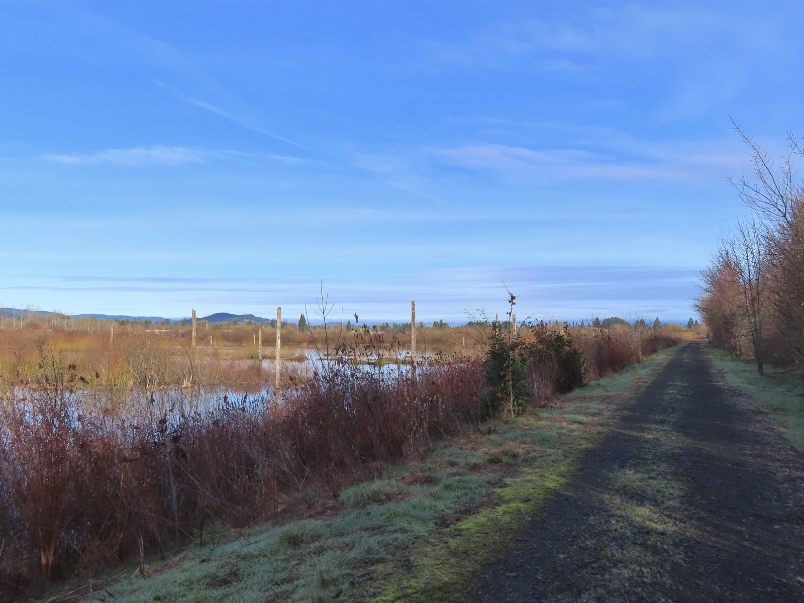
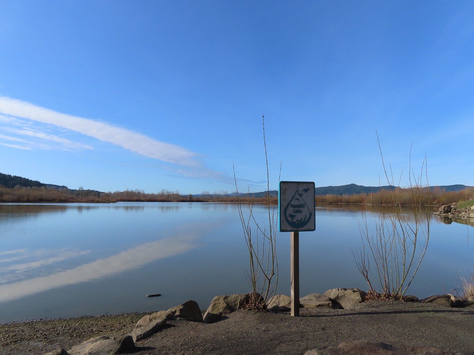
 Fernhill Lake
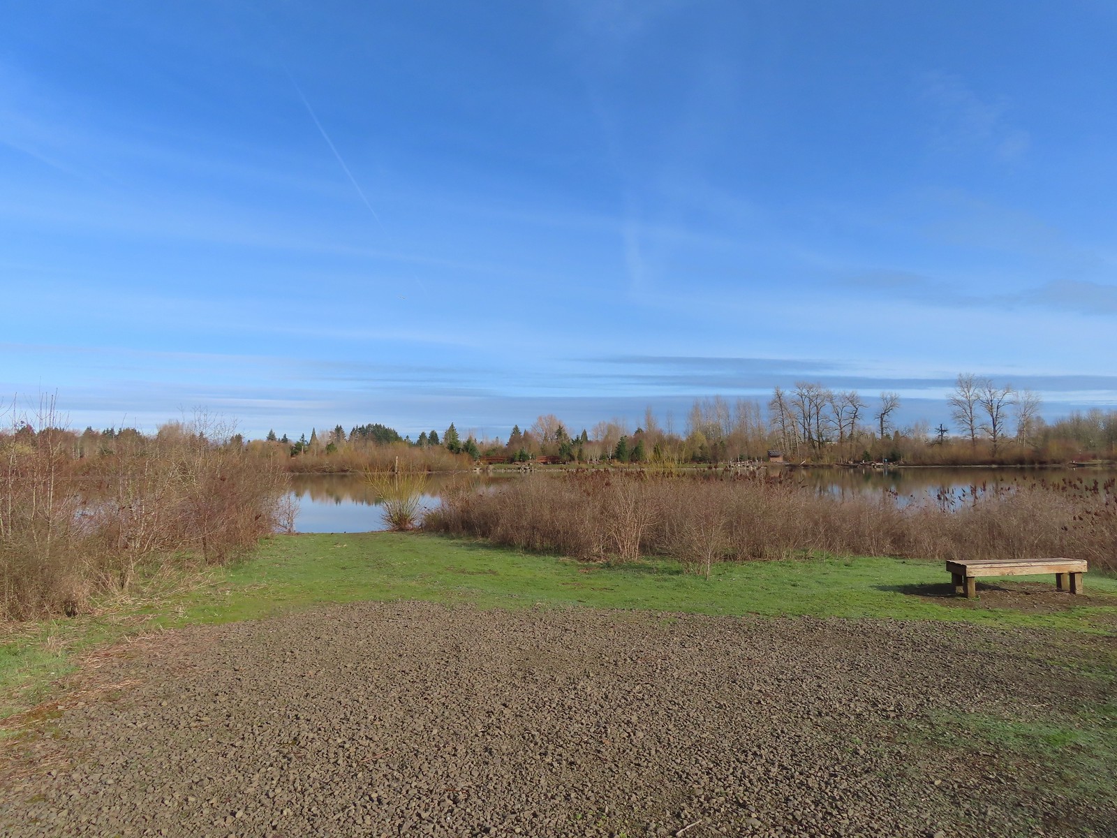 This is where the trail turned east (for obvious reasons).
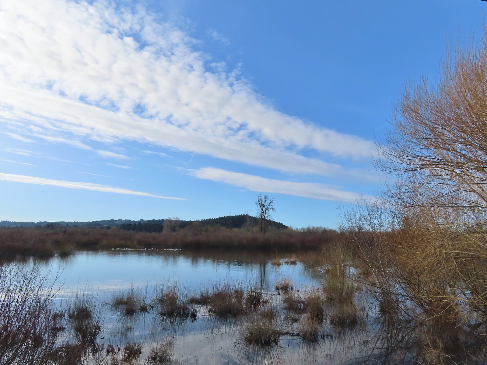 Barney wetlands


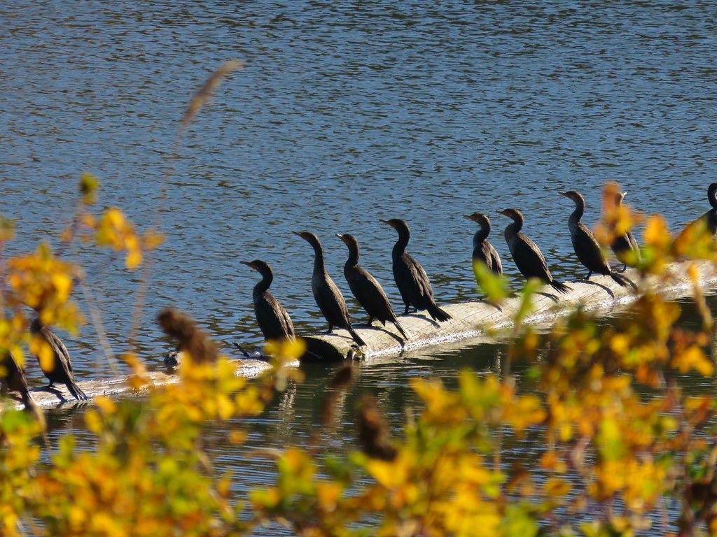
 Double-crested cormorant on a post in Barney Wetlands.
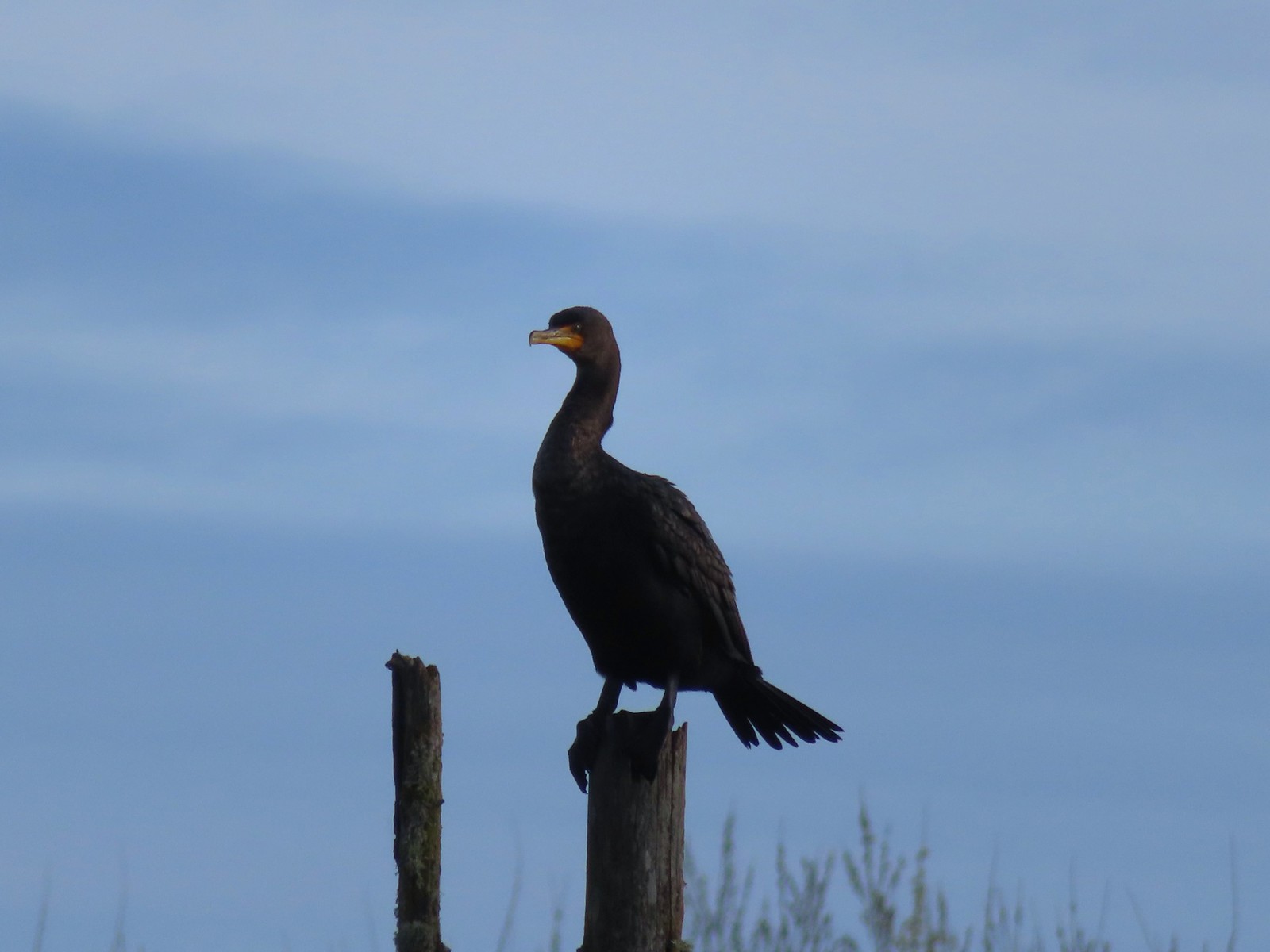 Double-crested cormorant
 Drying off in the sun.
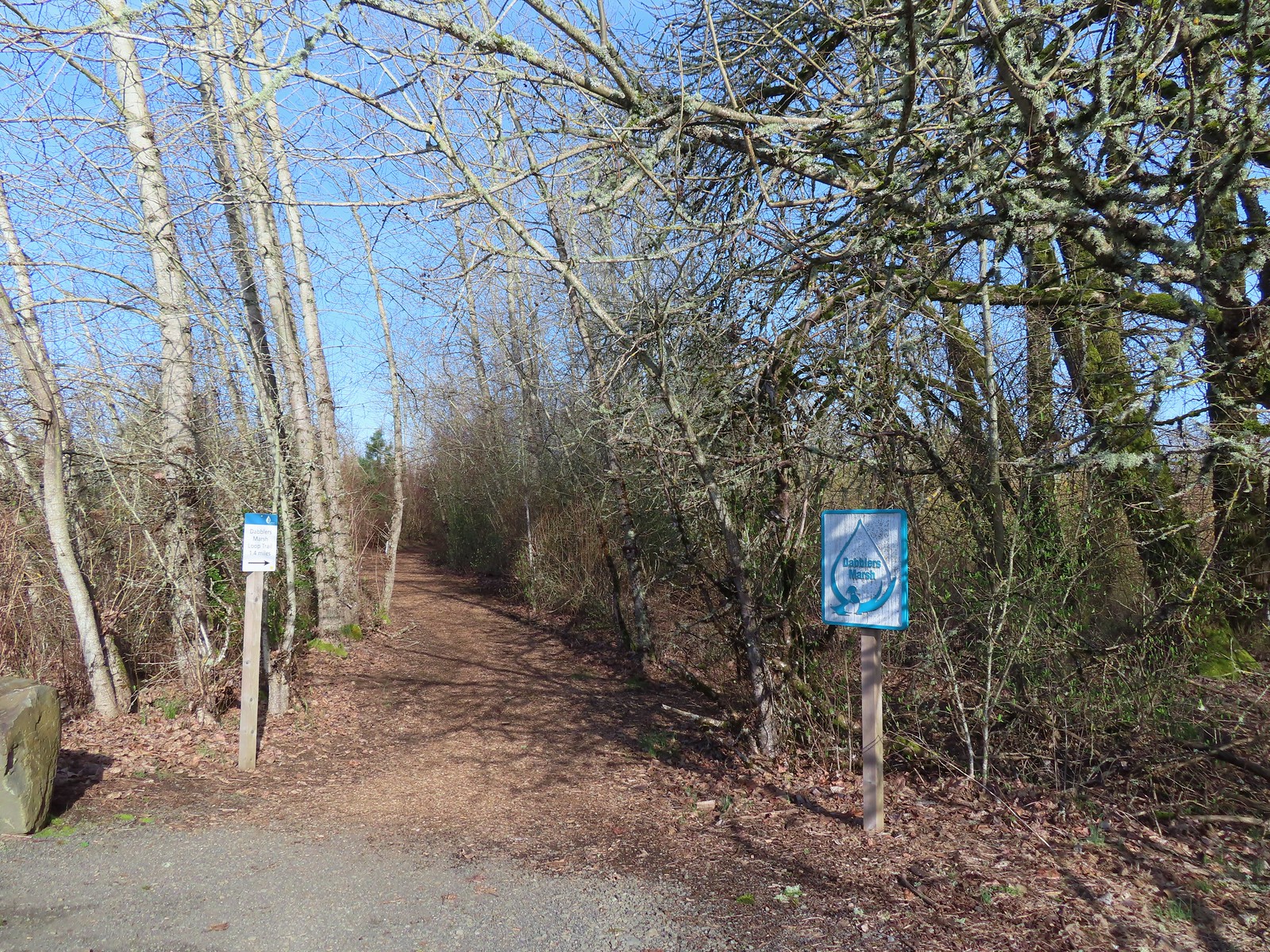
 Nurtia at a bench near Dabblers Marsh
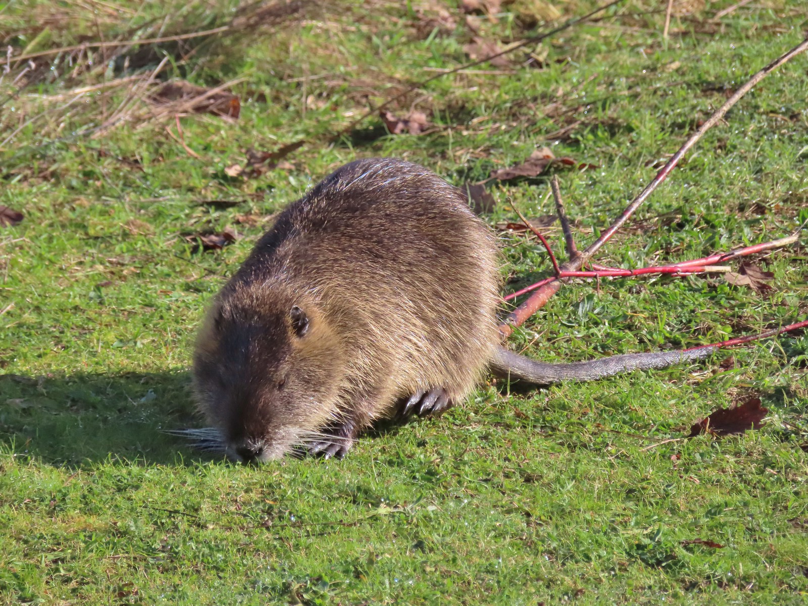 Nutria
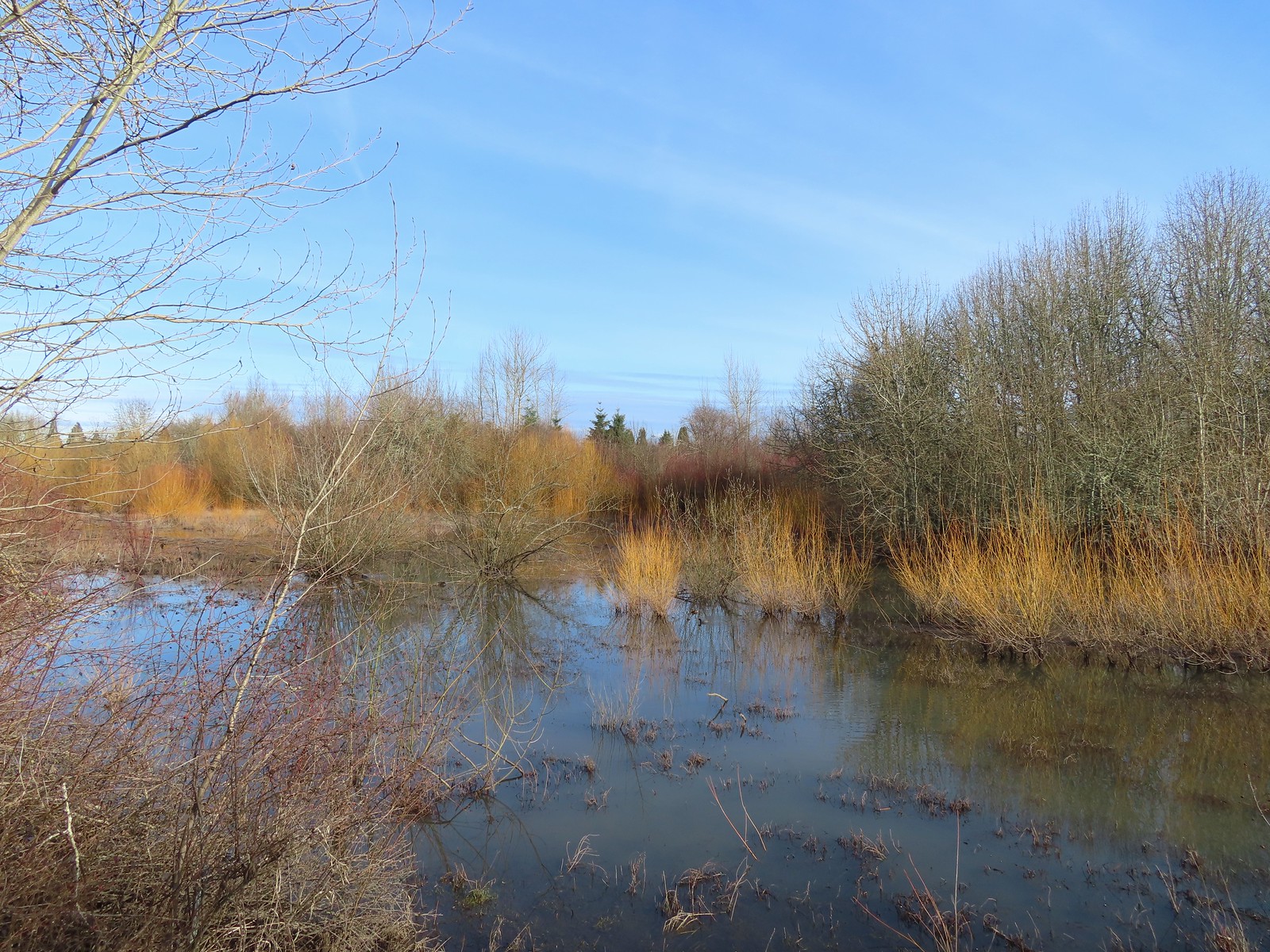 Dabblers Marsh
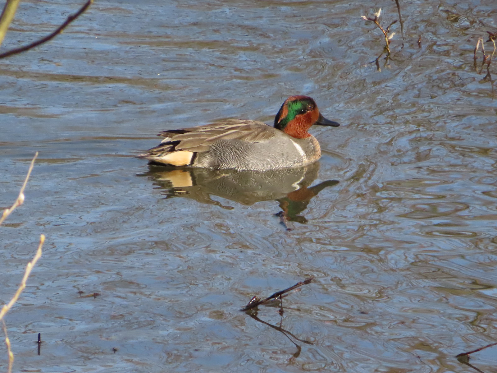 Green-winged teal
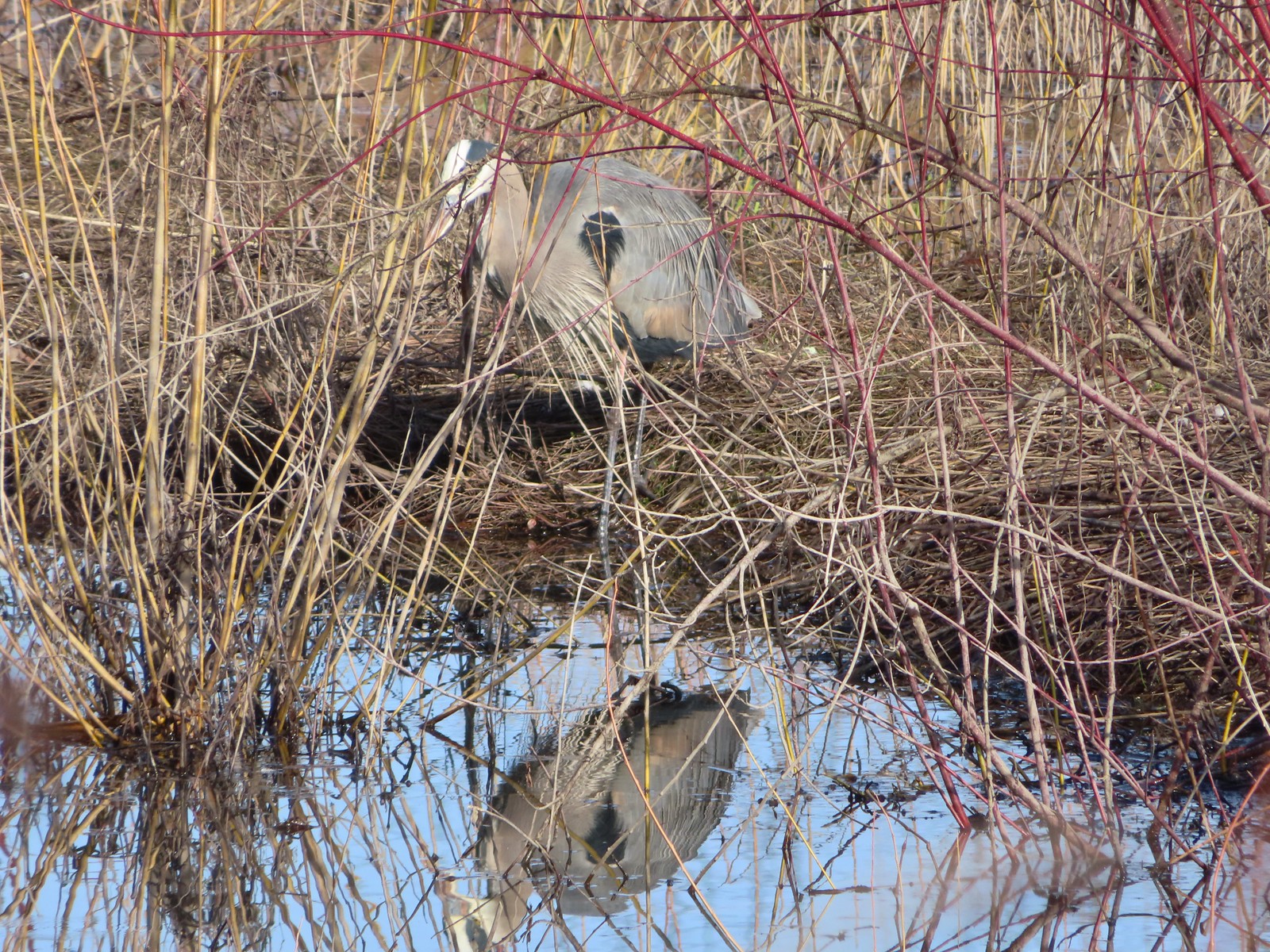 Great blue heron
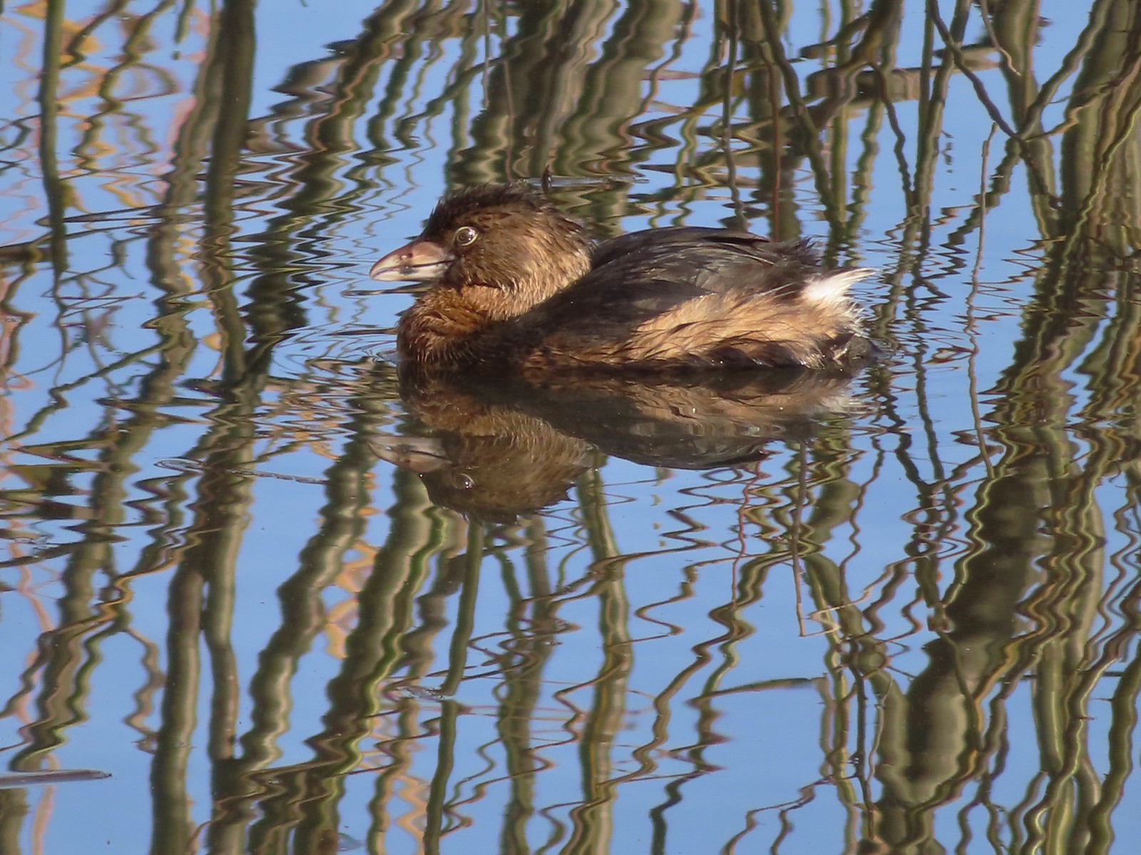 Pie-billed grebe
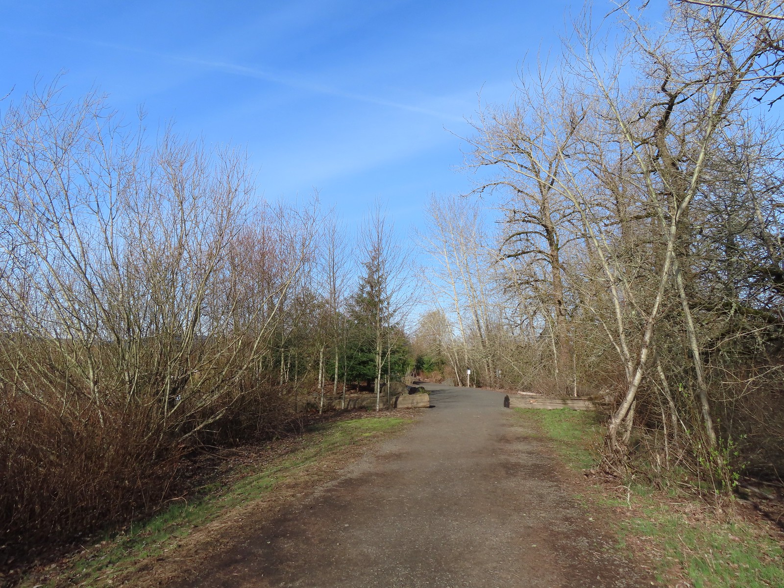
 Robin
Robin
 The start of the loop at the edge of the farmland. We stayed left opting to hike the loop clockwise.
 Anna’s hummingbrid
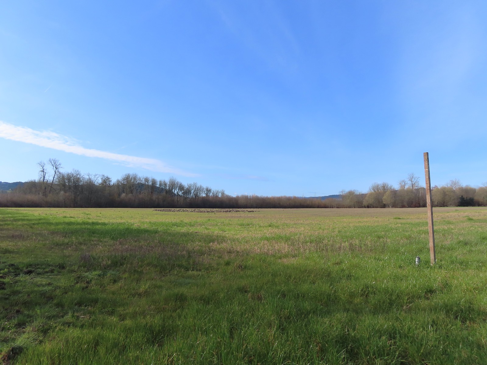 A gaggle of geese in the field.
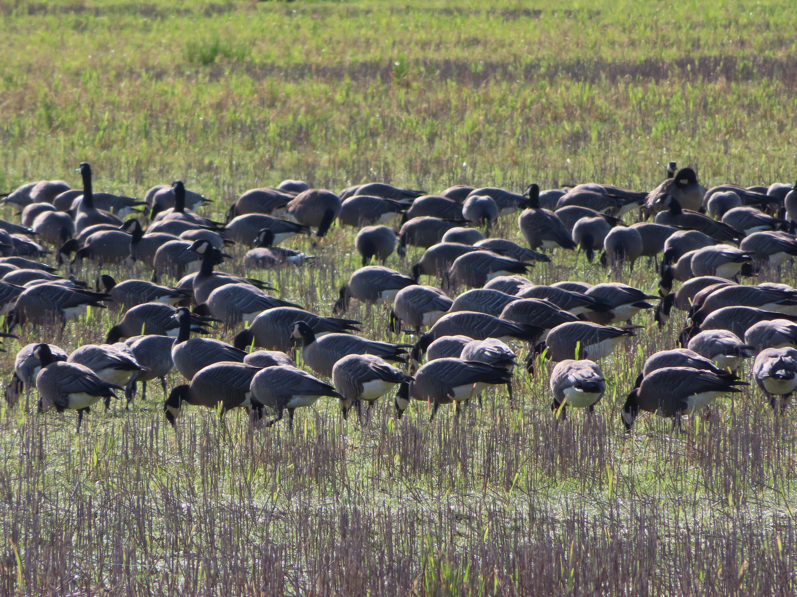
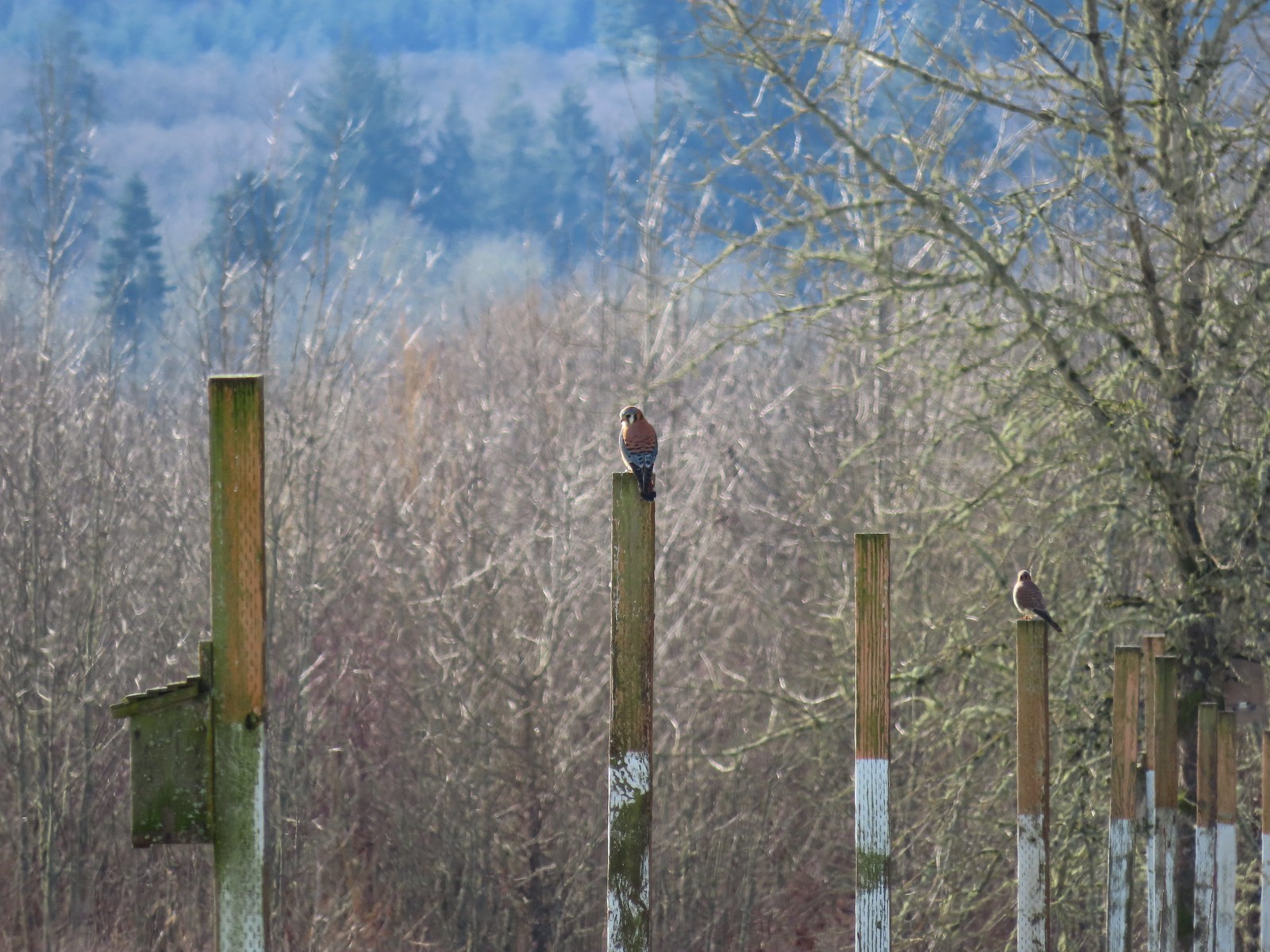 American kestrels manning their posts.
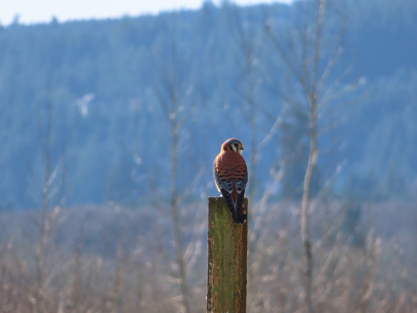
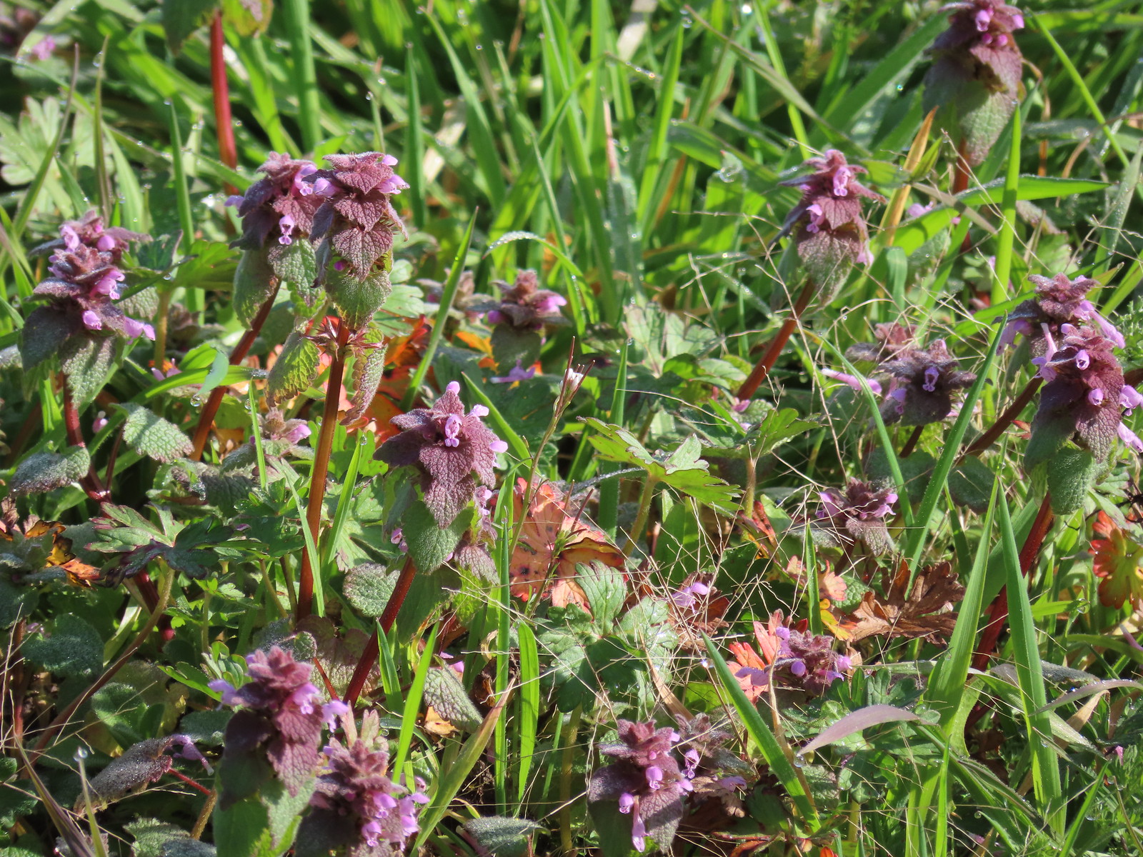 Purple dead-nettle
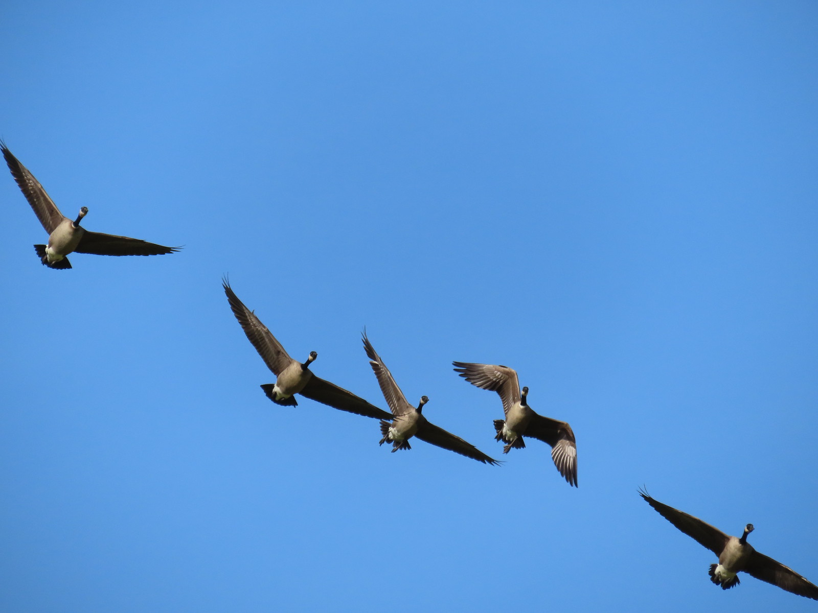 More geese coming in for a landing.
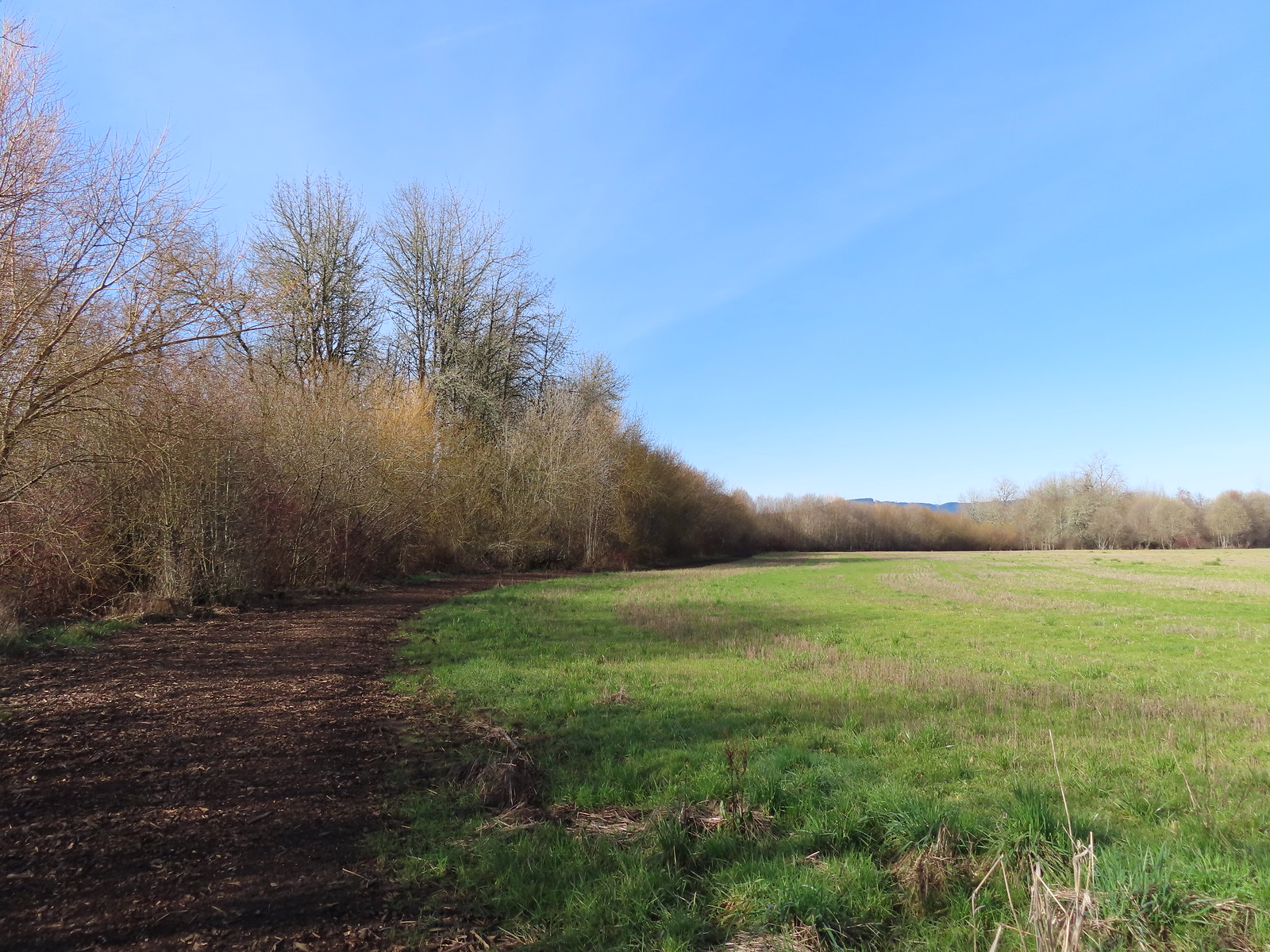
 Near the end of the loop the trail left the field along Dabblers Marsh.
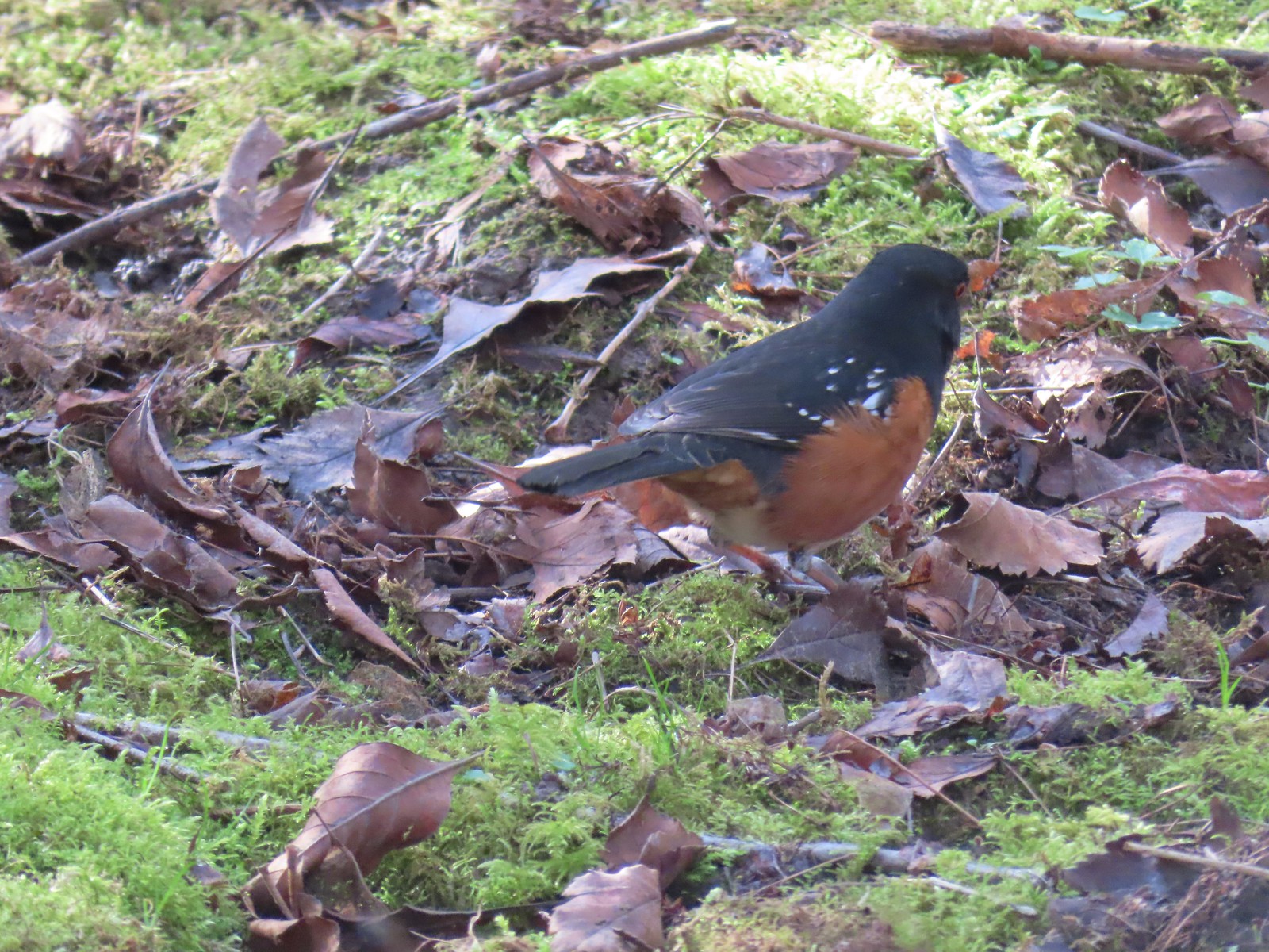 Spotted towhee
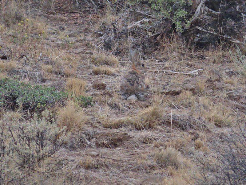
 Rabbit
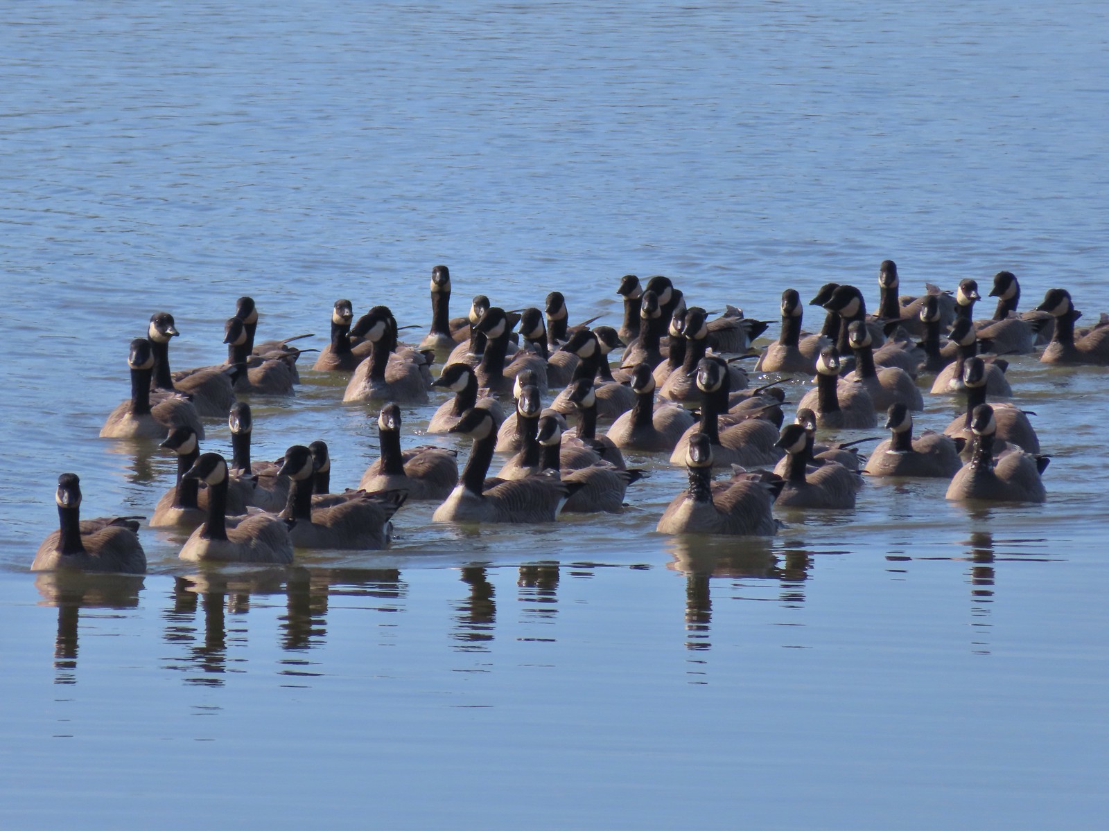 Geese on Fernhill Lake
 Mallard drake
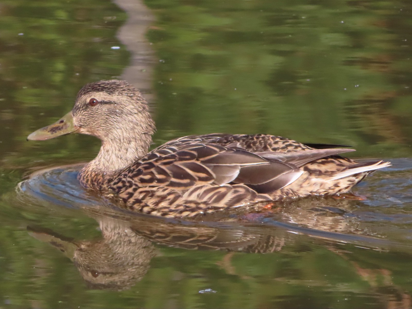 Mallard female
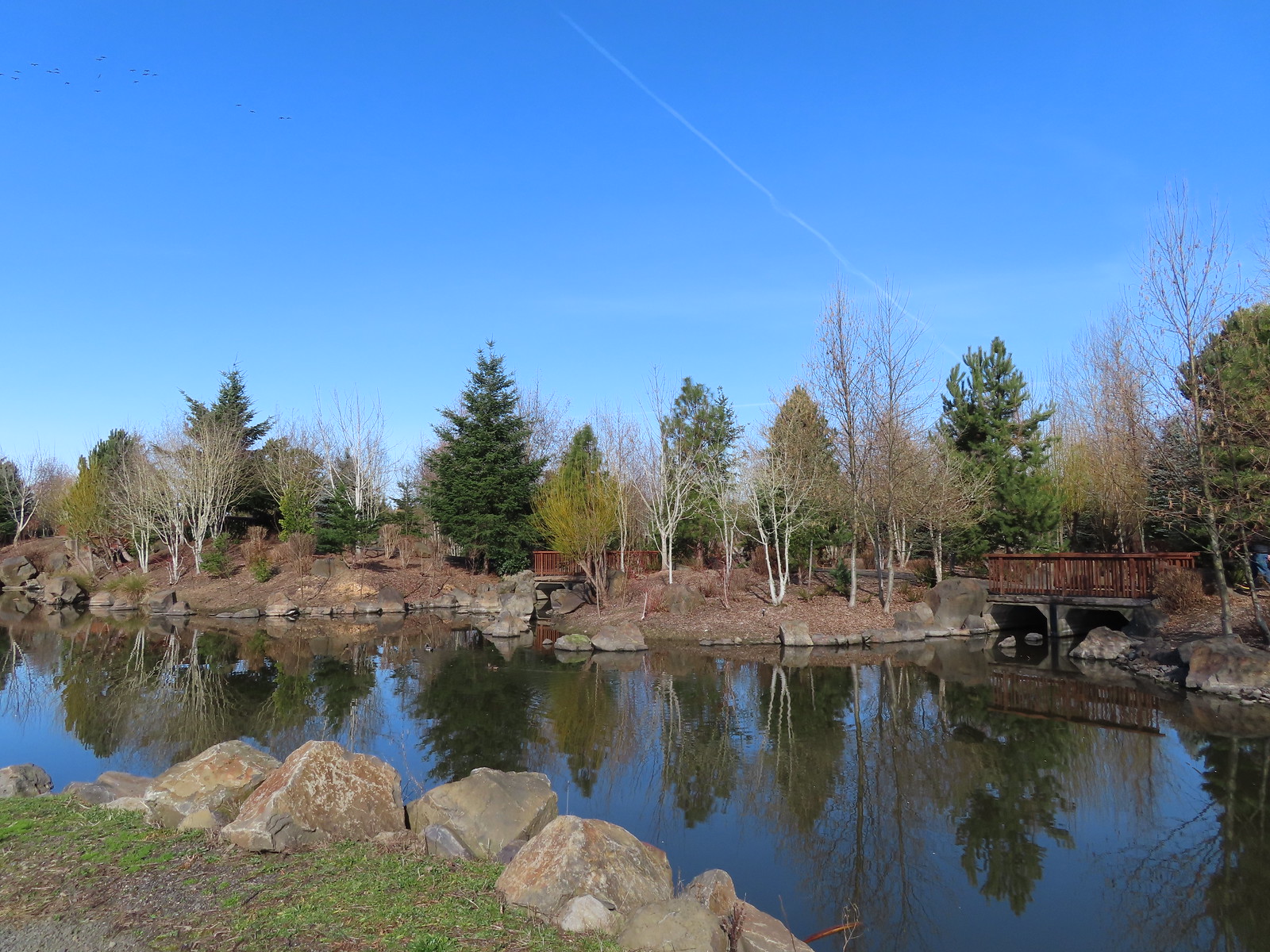 Water Gardens
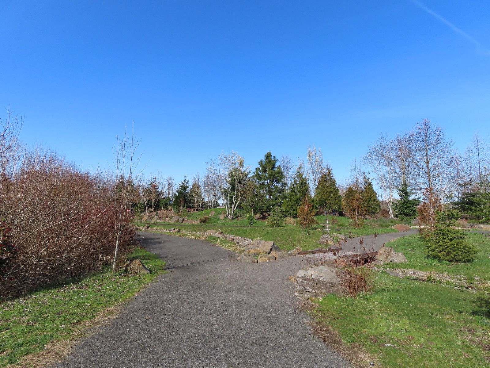

 Northern shovelers, a mallard, and a coot.
 Oregon grape beginning to bloom.
 Northern shoveler
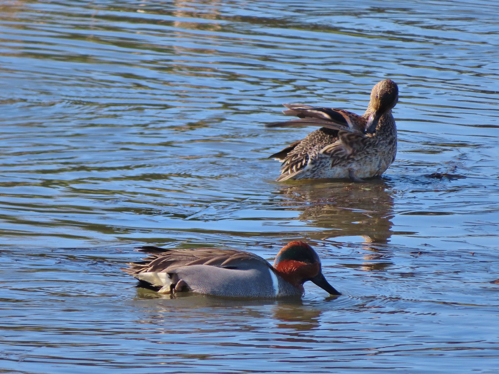 Green-winged teal pair
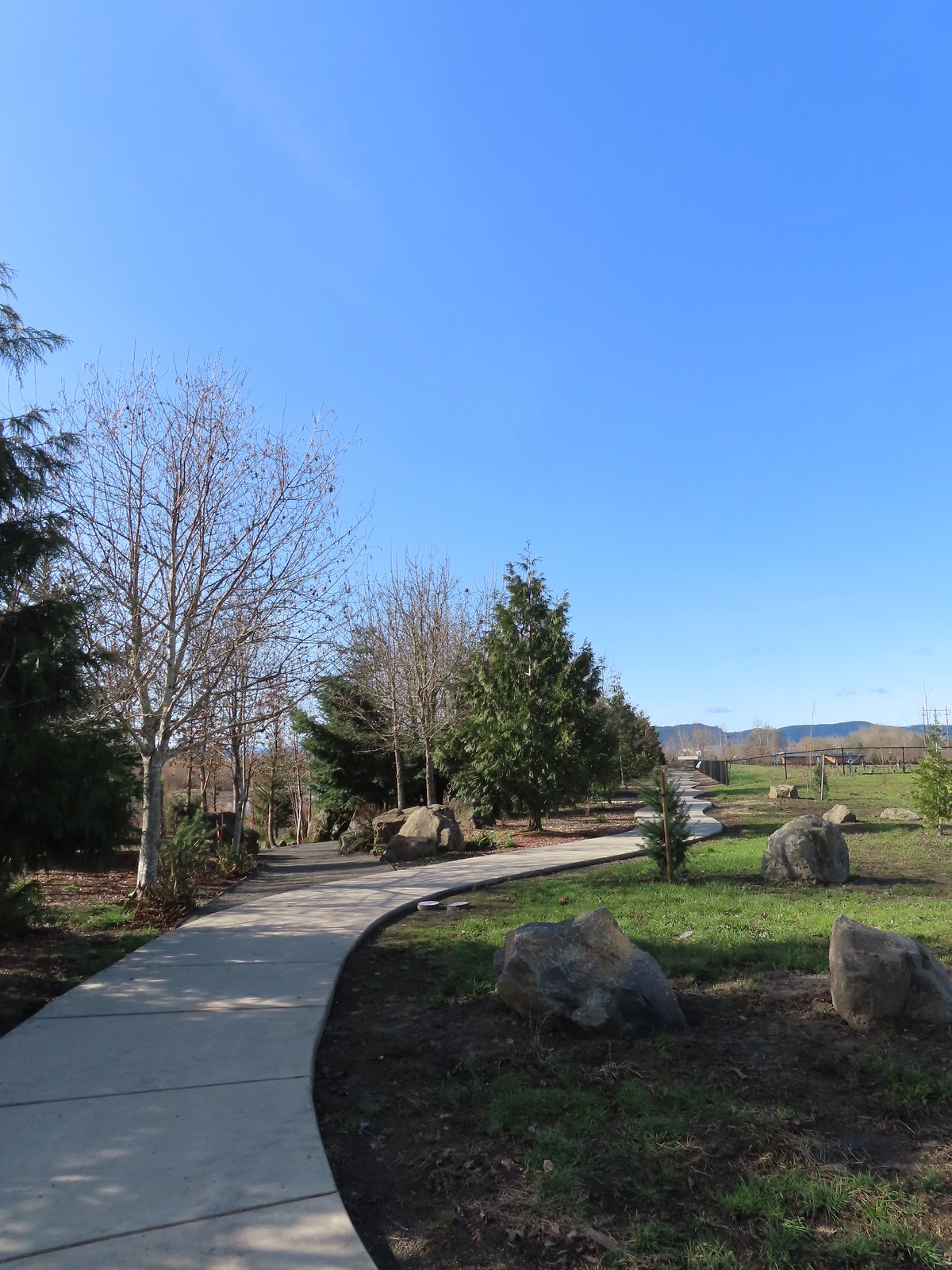 Path along the Research Wetlands.
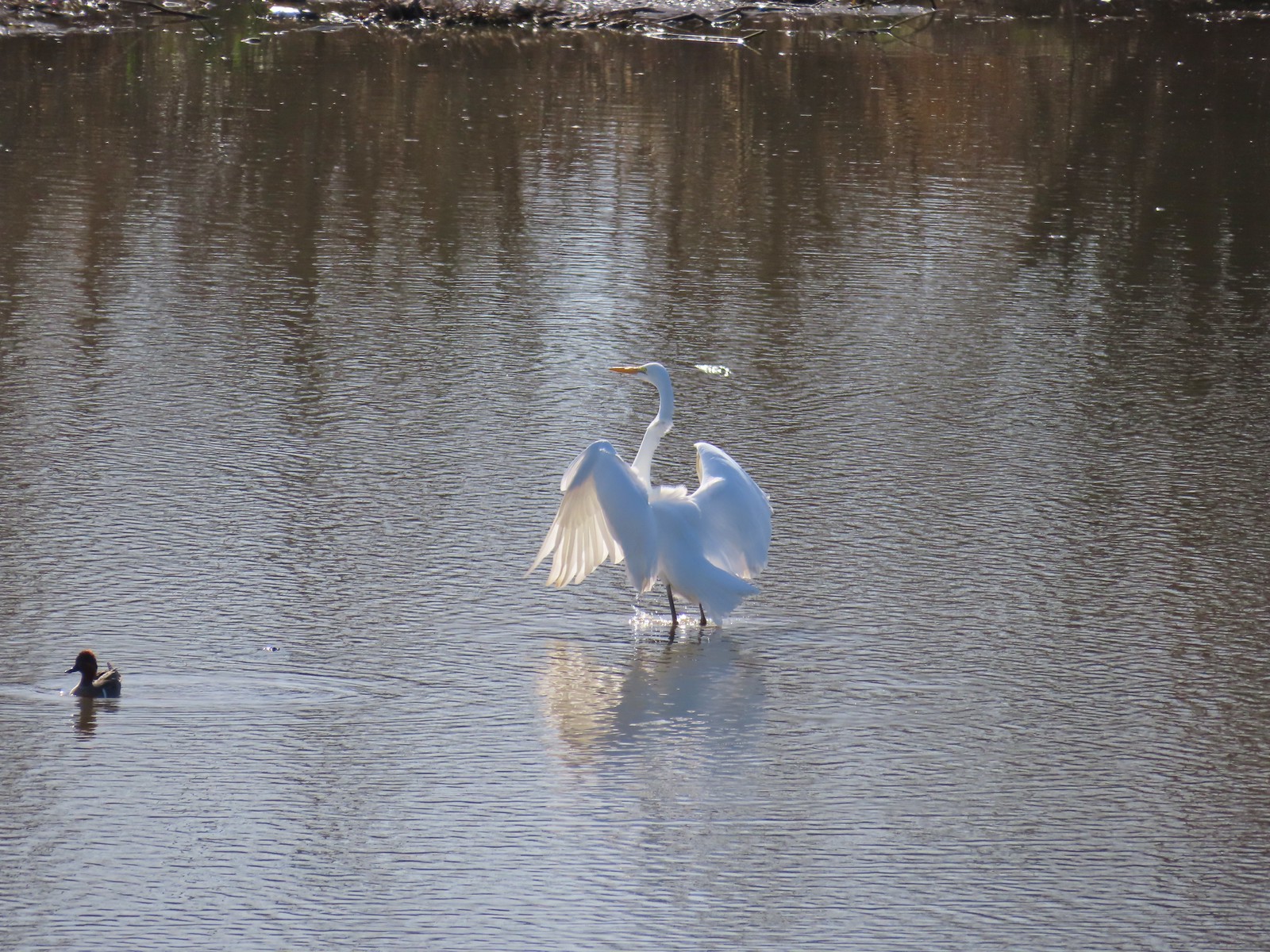 Egret near the parking lot at Fernhill Marsh
 Looking back at the Research Wetlands from the near the trailhead.

 The Mountain View Trail is named so because of the view of Mt. Hood, which on this morning was hiding behind the clouds on the left side of the photo.
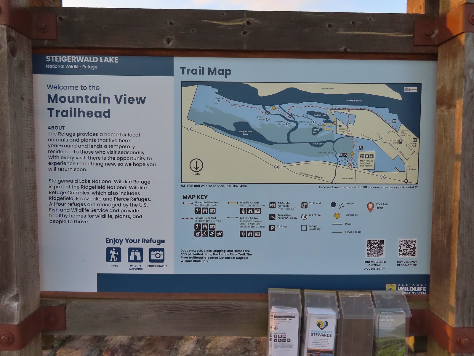 Map and information at the trailhead.
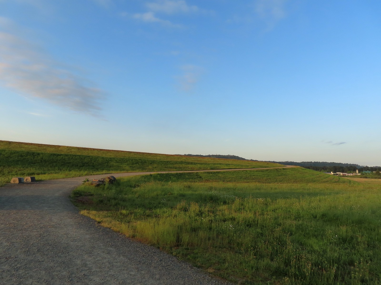
 View to the East.
 Looking West toward Washougal.
 Mallards
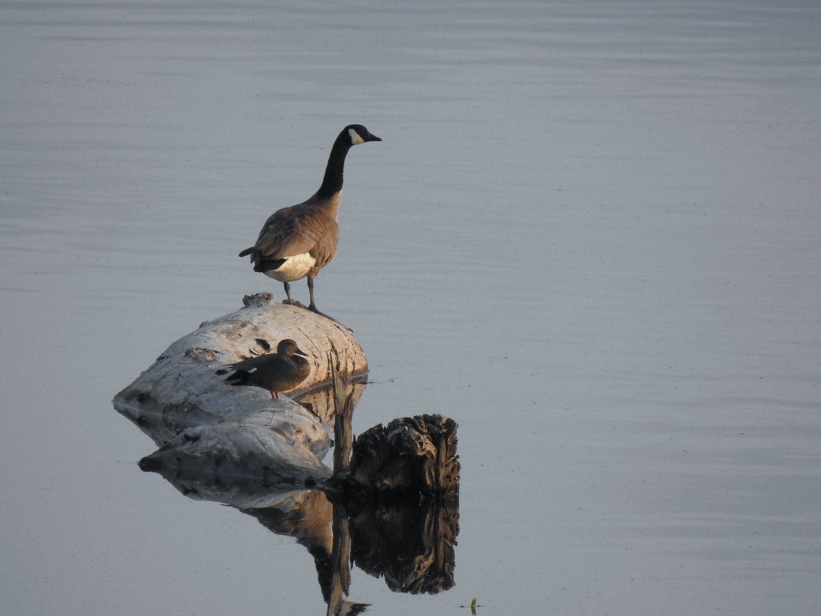 A duck and a goose sharing a log.
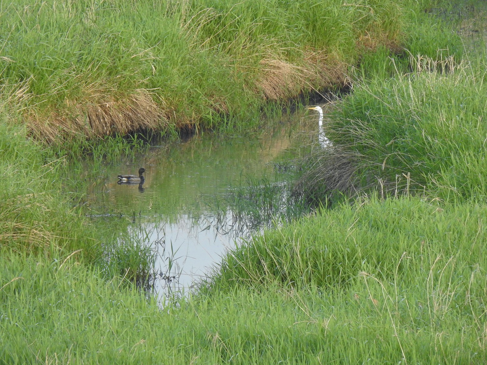 A mallard and an egret in a channel to the West.
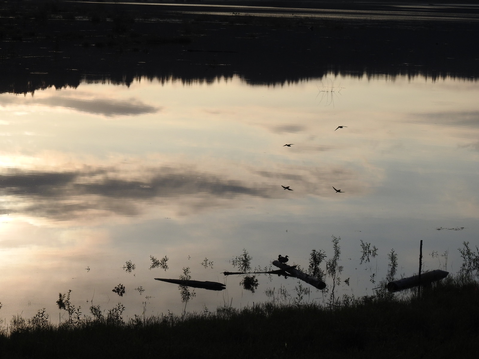 Ducks flying over the wetlands casting clear reflections.
 Water dripping from a mallards bill.
 One of several rabbits we spotted to the West.
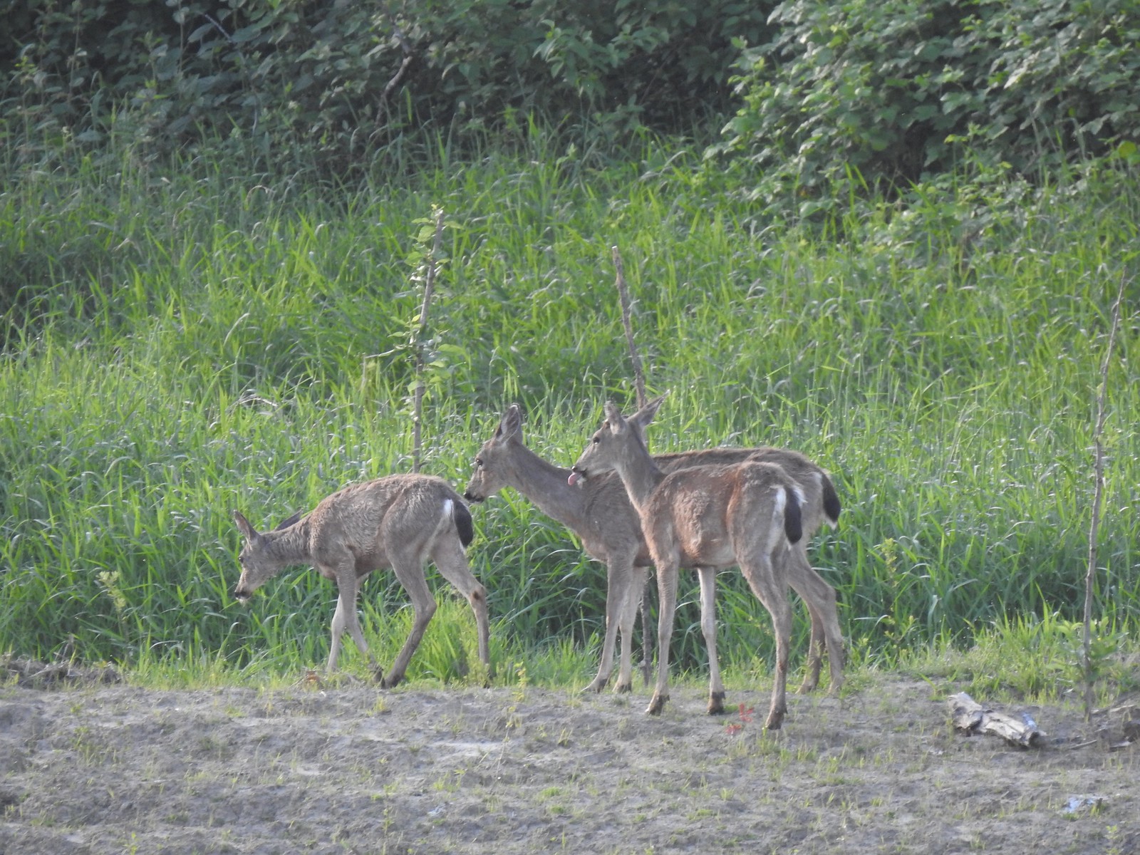 Deer across the wetlands. (The young buck may have been sticking his tongue out at us.)
 Families of geese.
 Wood duck mallard
 Trail sign at the junction with the Refuge River Trail.
 Sparrow
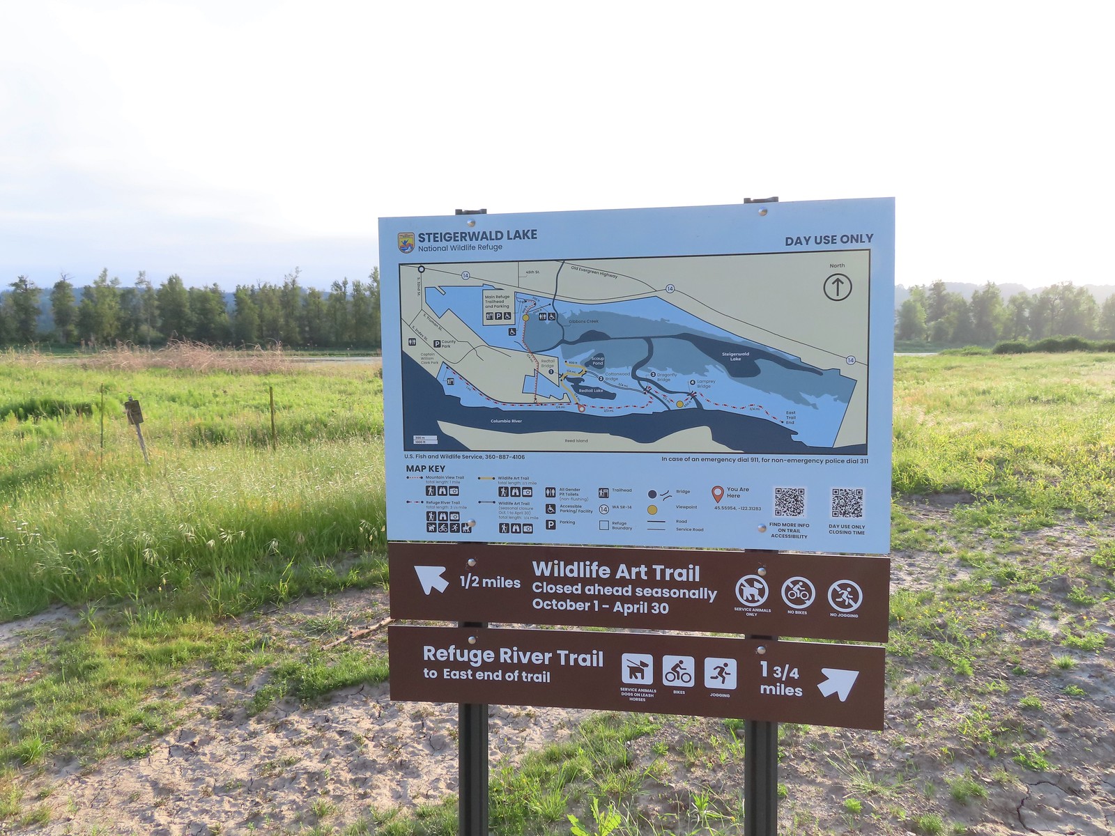
 Coming in for a landing.
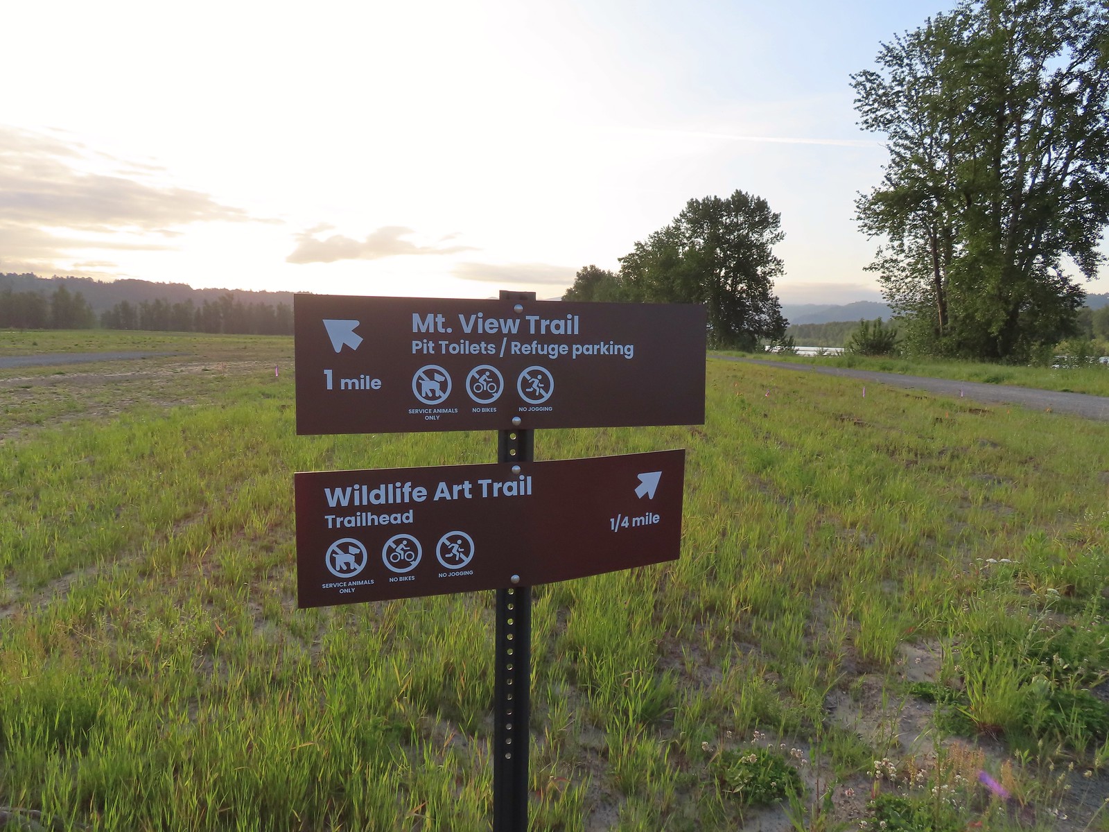
 Red Tail Lake to the right of the Wildlife Art Trail.
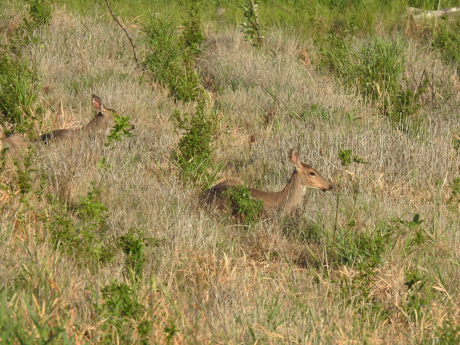 Pretty sure these are the same three we saw from the Mountain View Trail.
 This deer laying along the shore of Red Tail Lake was new though.
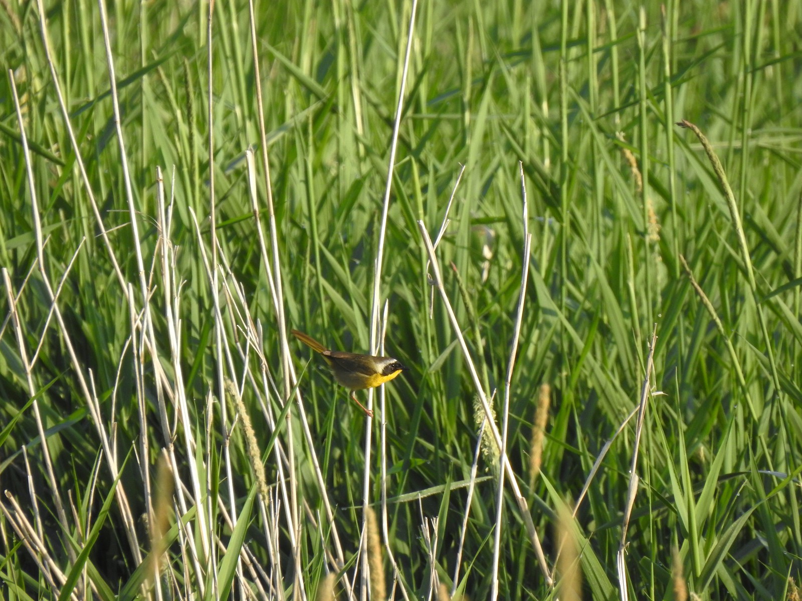 Common yellow throat
 One of many great blue herons that we watched fly overhead throughout the day.
 The Wildlife Art Trail passing around Redtail Lake.
 Gibbons Creek is in that grass somewhere with at least one deer.
 Killdeer along Redtail Lake.
 Turns out the deer laying on the lake shore wasn’t alone.
 Roses
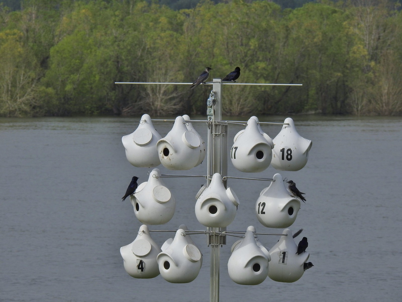
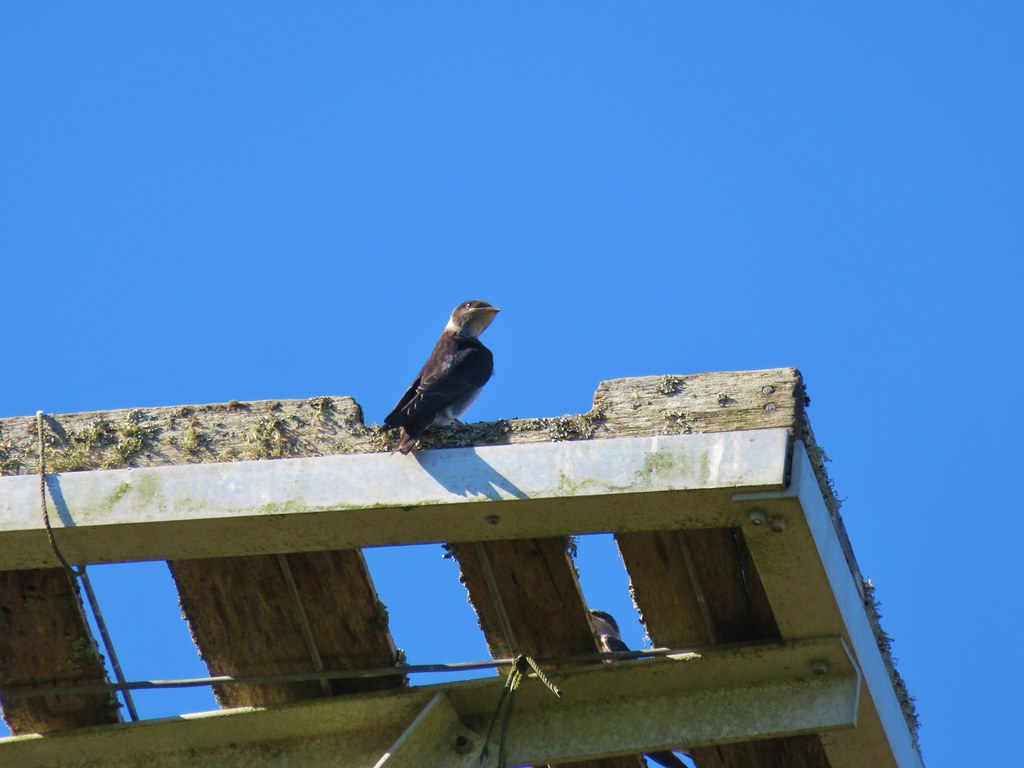
Roses Purple martins
 Just beyond the Cottonwood Bridge the trail forks. To the right is the seasonal section of the loop open May 1st through September 30th. The left-hand fork dead-ends in a tenth of a mile overlooking the wetlands.
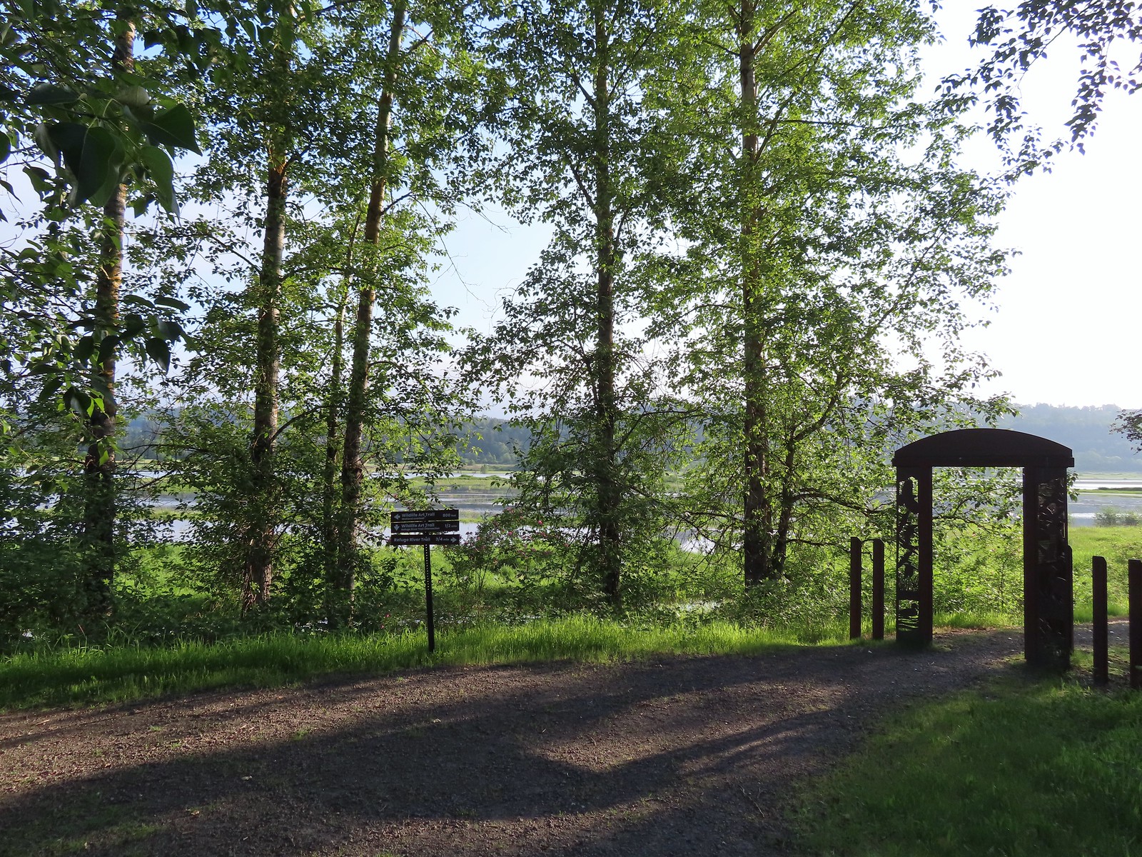 We headed left to the overlook before continuing on the loop.
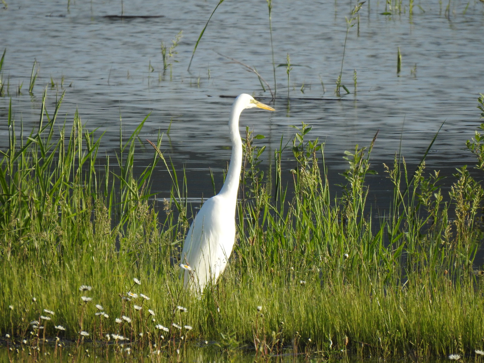 Egret at Scaup Pond.
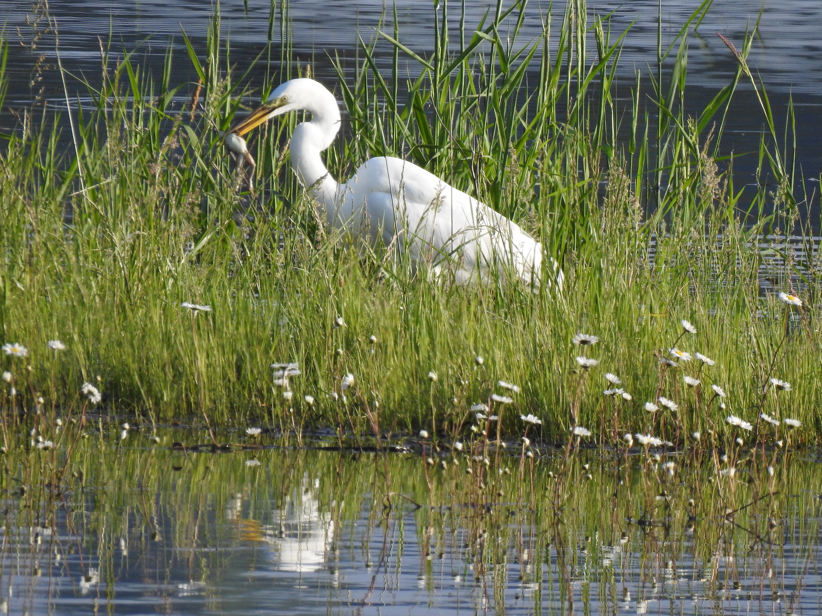 Egret with a frog meal.
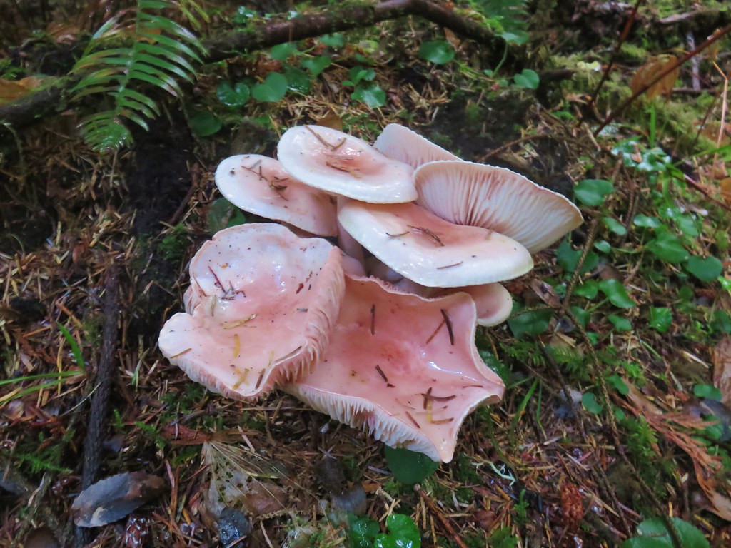
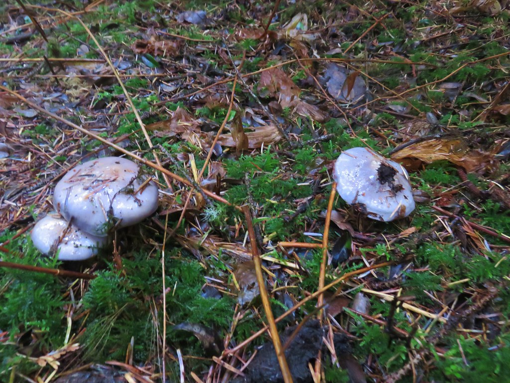
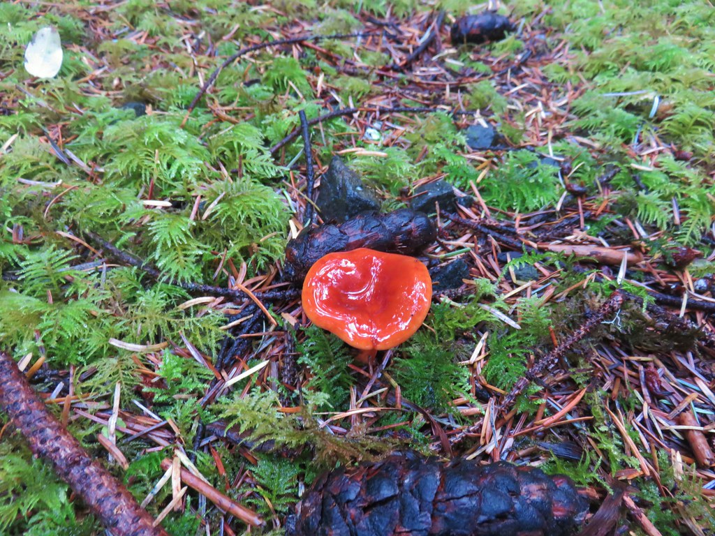
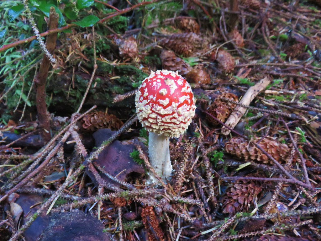
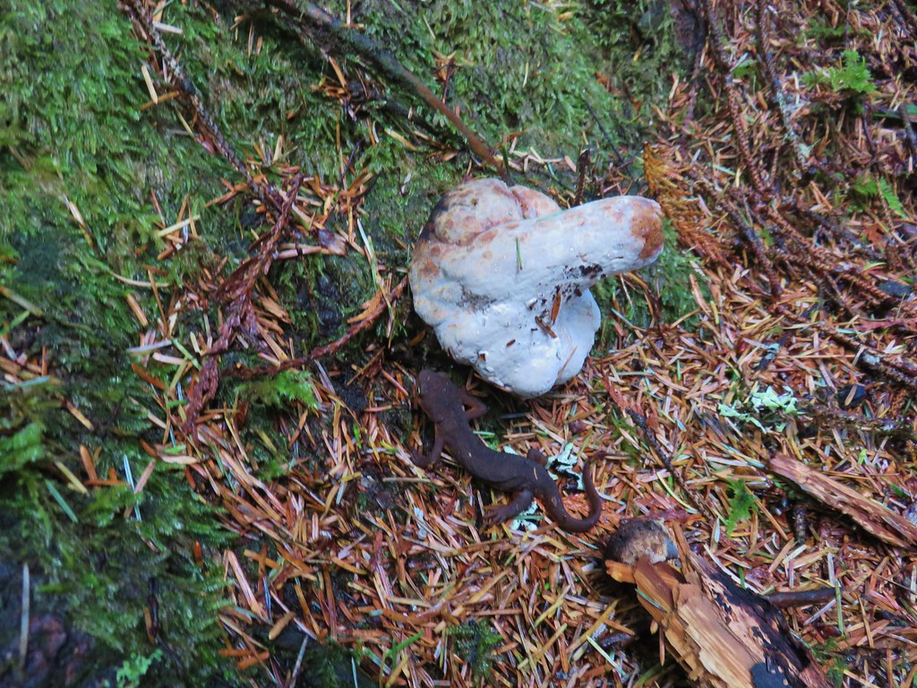
 Mushrooms
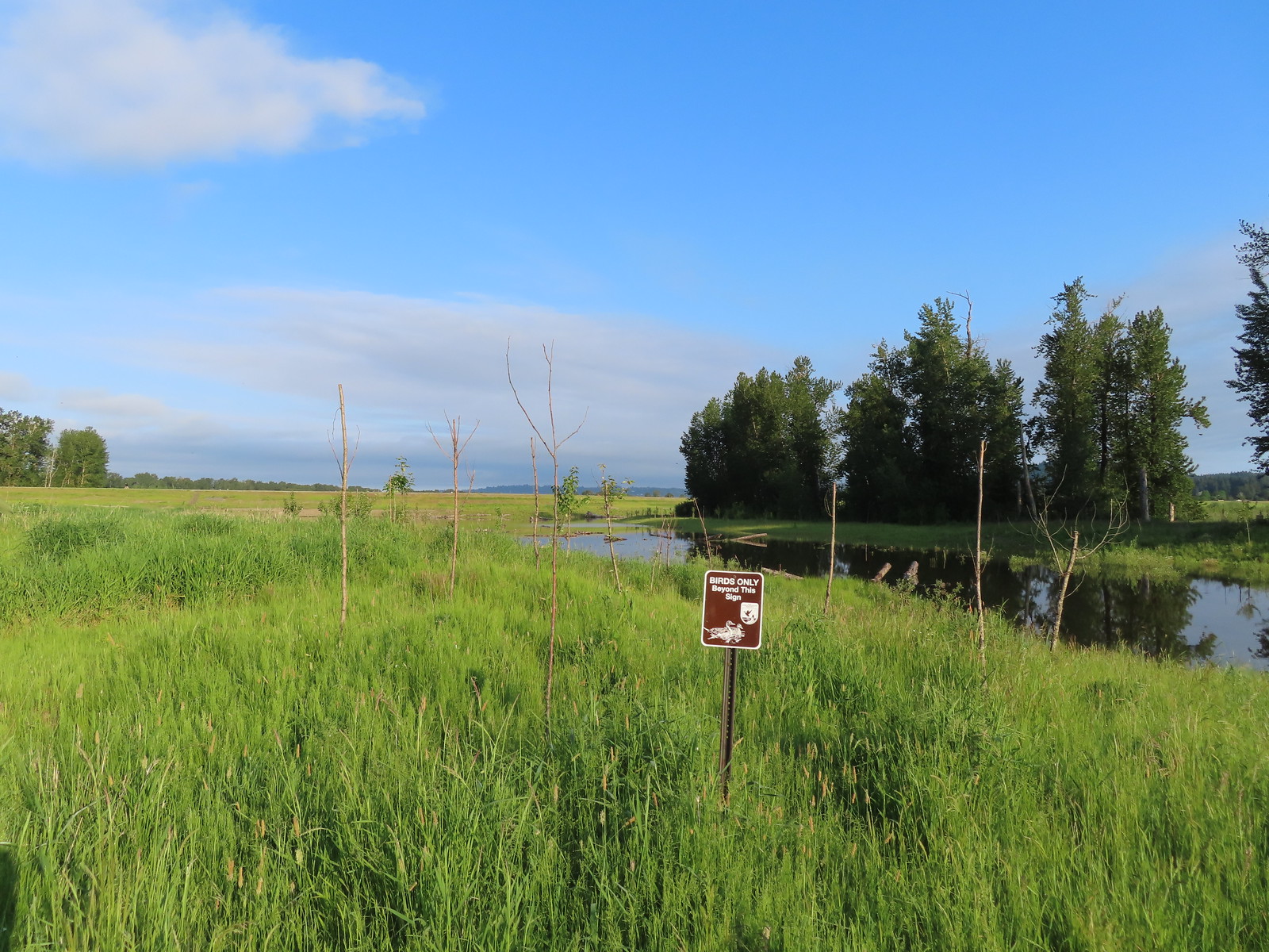 We got a kick out of the “Birds Only Beyond This Sign”.
 Kingfisher
 We’ve only seen two bitterns on our hikes and both times we only spotted them as they flew off from the grassy cover that they’d been hiding in so I was pretty disappointed when I realized I’d been duped, but kudos to the artist because it looked real at first glance to me.

 You have something in your teeth.
 Spotted towhee
 At least two deer in the grass.
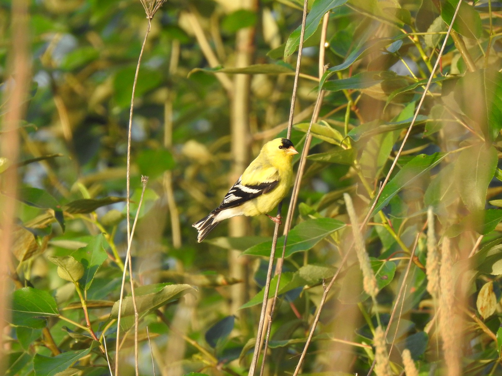
 Another American goldfinch.


 Spotted sandpiper
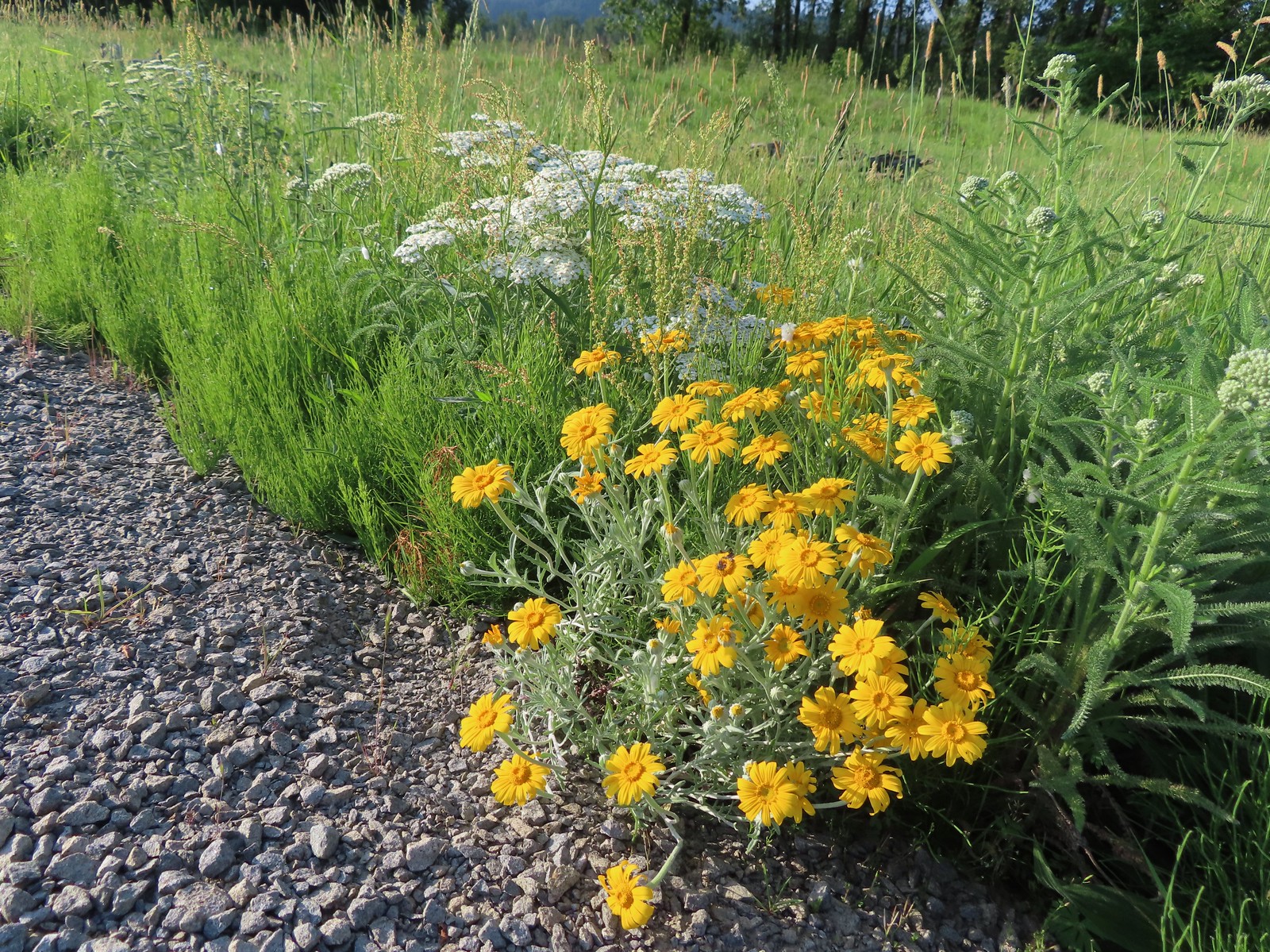 Oregon sunshine and yarrow
 The Columbia River ahead.
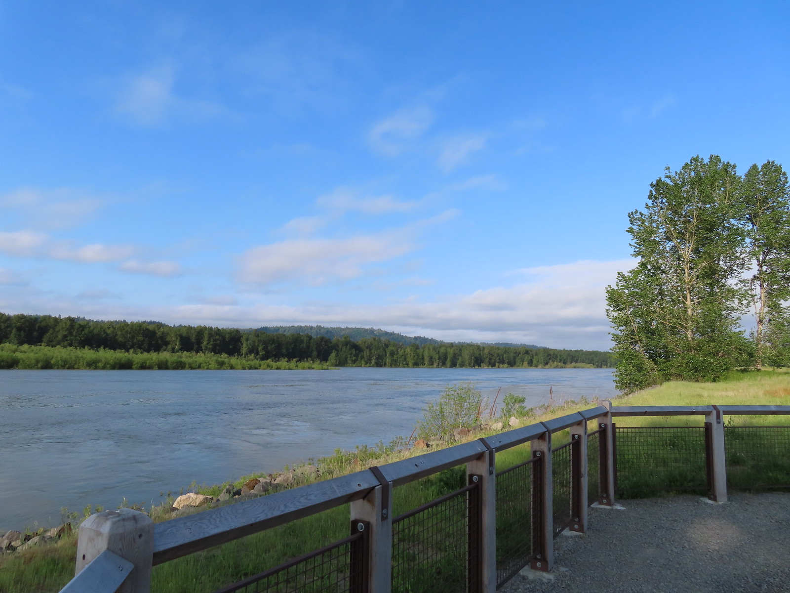 Viewpoint along the Columbia River.
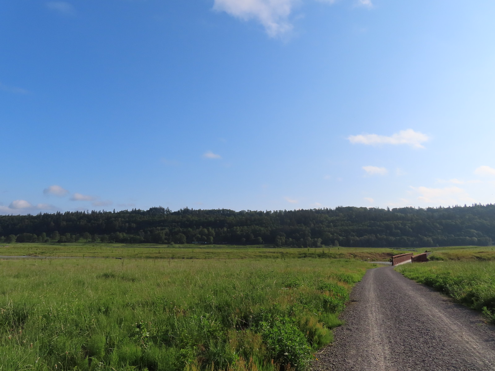 Approaching the Lampray Brdige.
 Looking back from across the bridge there was a bald eagle in the dead snag along the river.
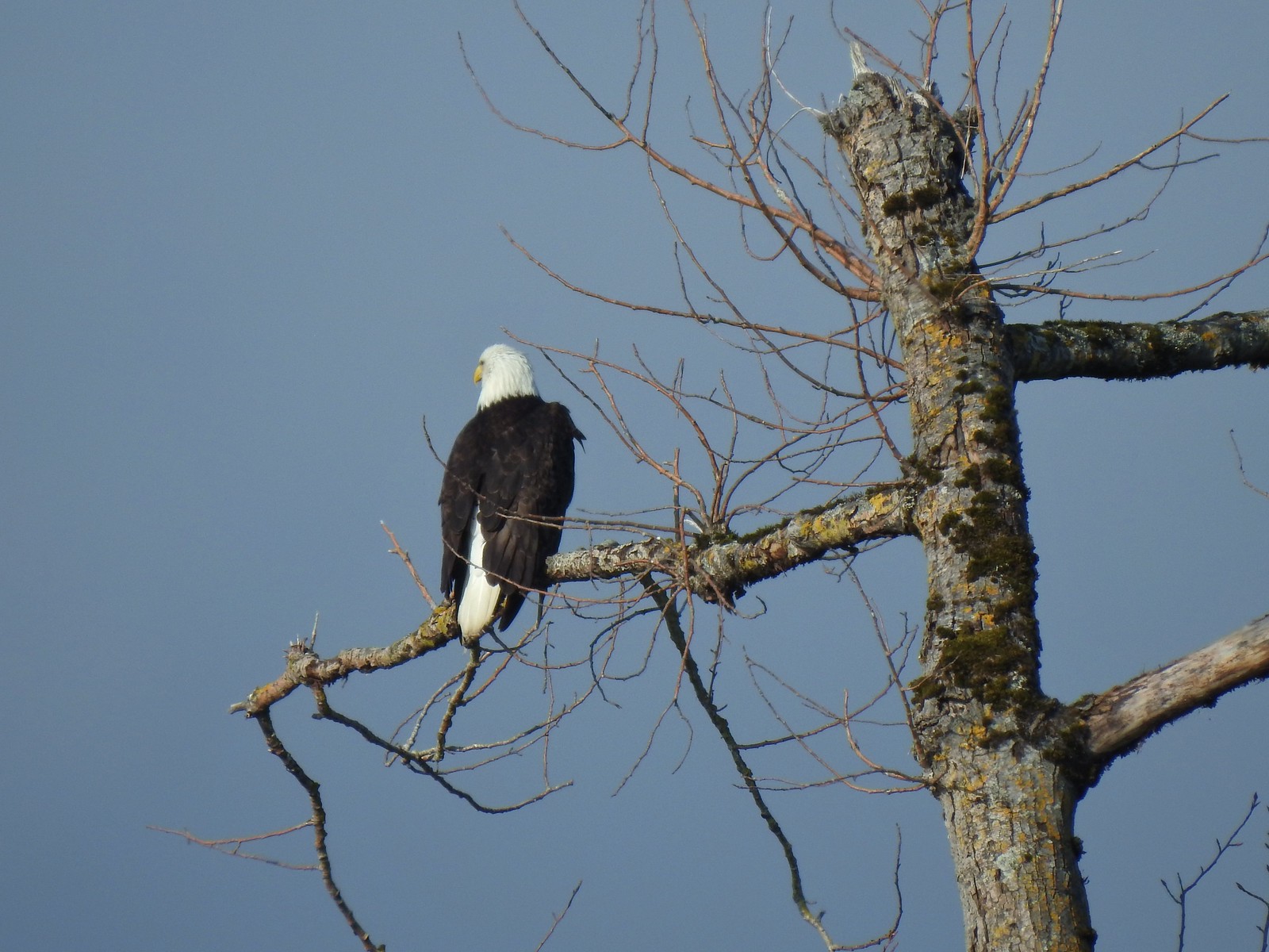
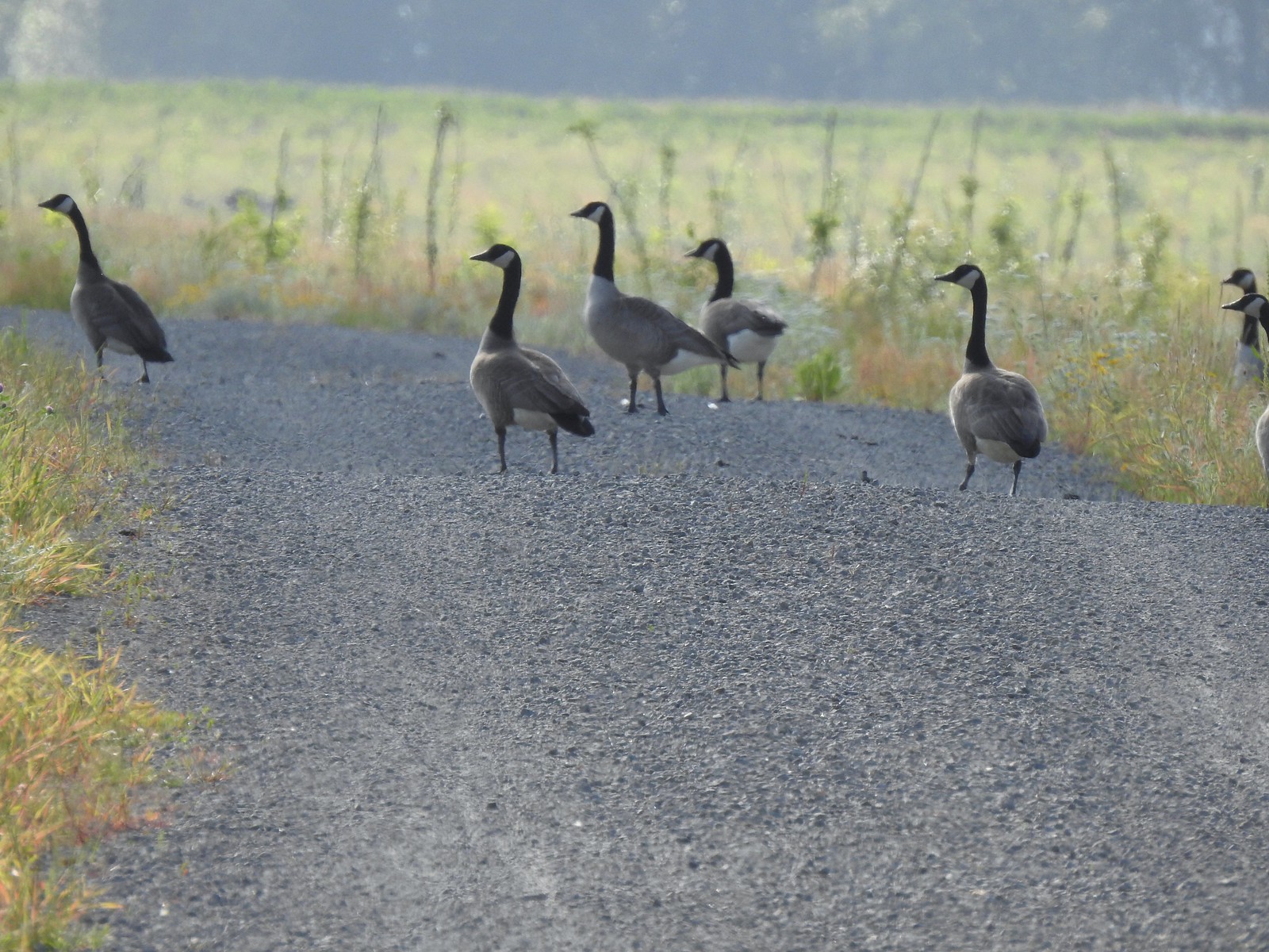 There were lots of geese along this section of trail.
 Red clover in some Oregon sunshine
 Another spotted sandpiper
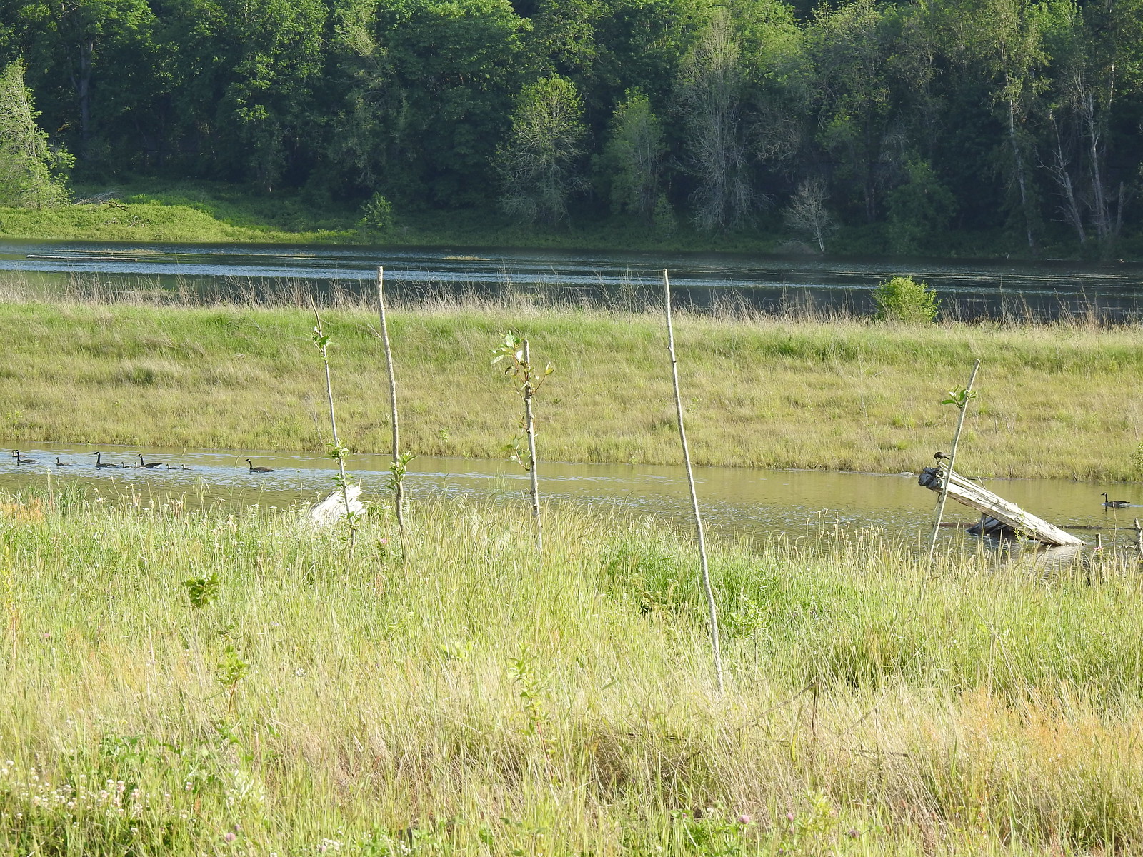 Steigerwald Lake in the distance with a family of geese and crow on a log in the near channel.
 End of the trail.
 It was about 8:15am when we turned around and it was already feeling fairly warm, but there was relief on the way in the form of some clouds coming in from the Pacific.
 Savannah sparrow
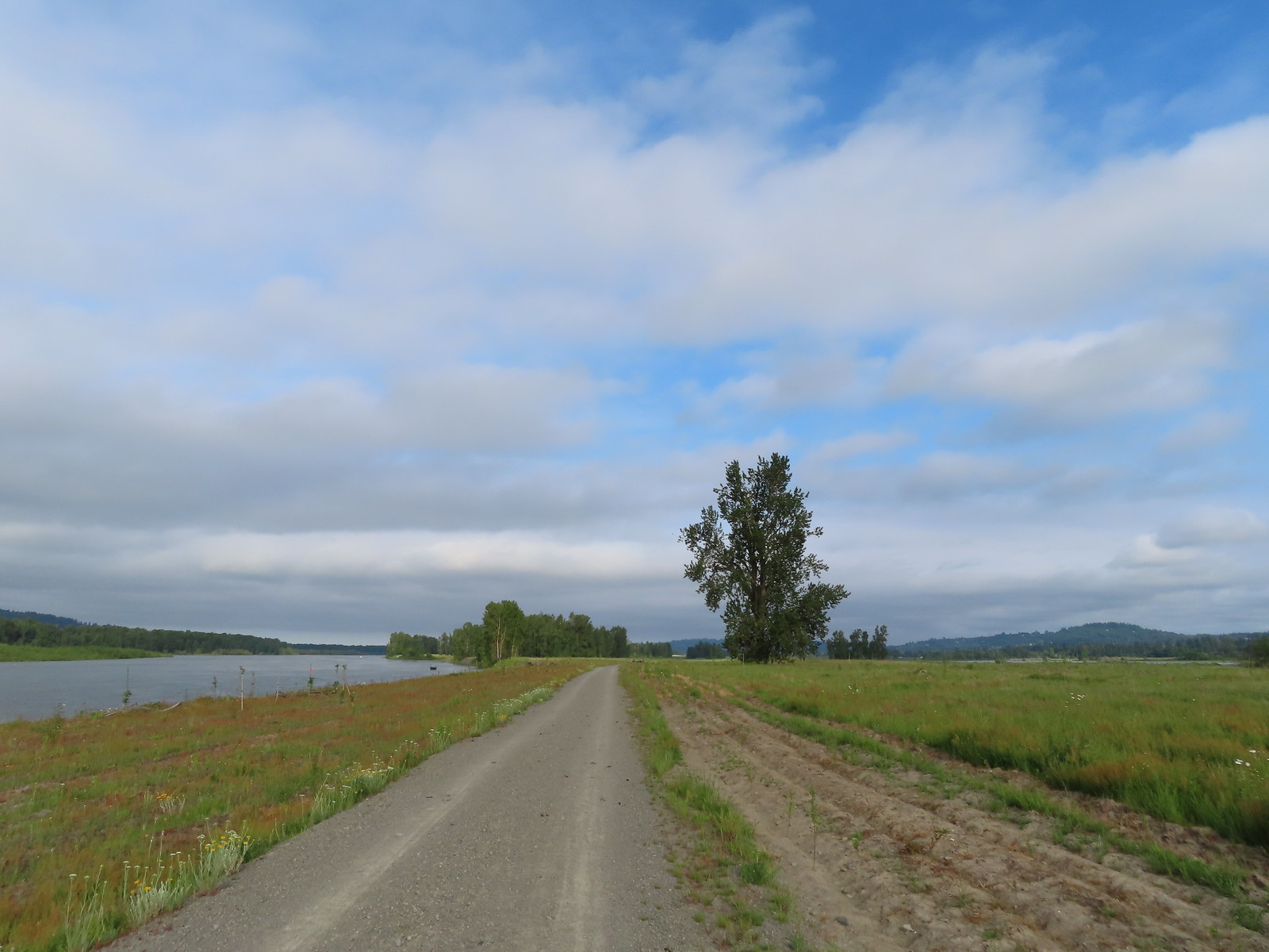 Here come the clouds.
 Double the eagles.
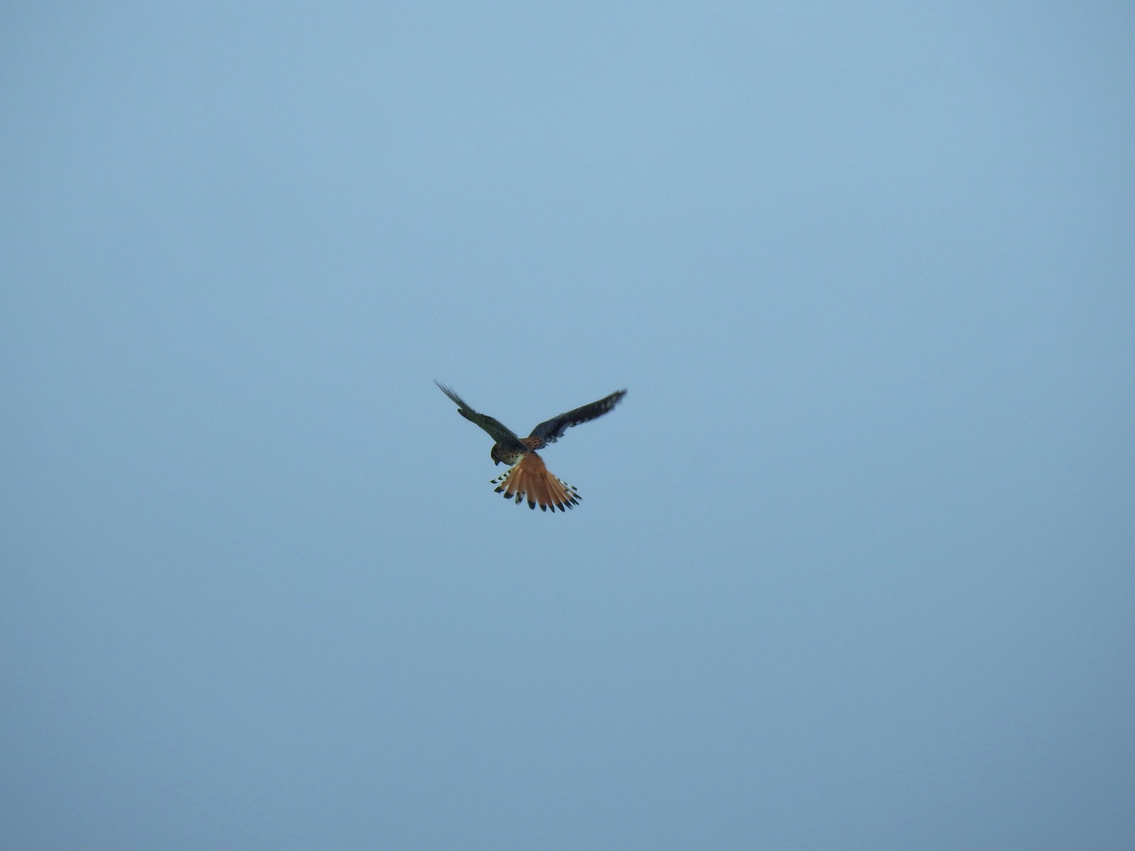 For the second week in a row we got to watch an American Kestral on the hunt.
 Arriving back at the Dragon Fly Bridge and the junction with the Wildlife Art Trail.
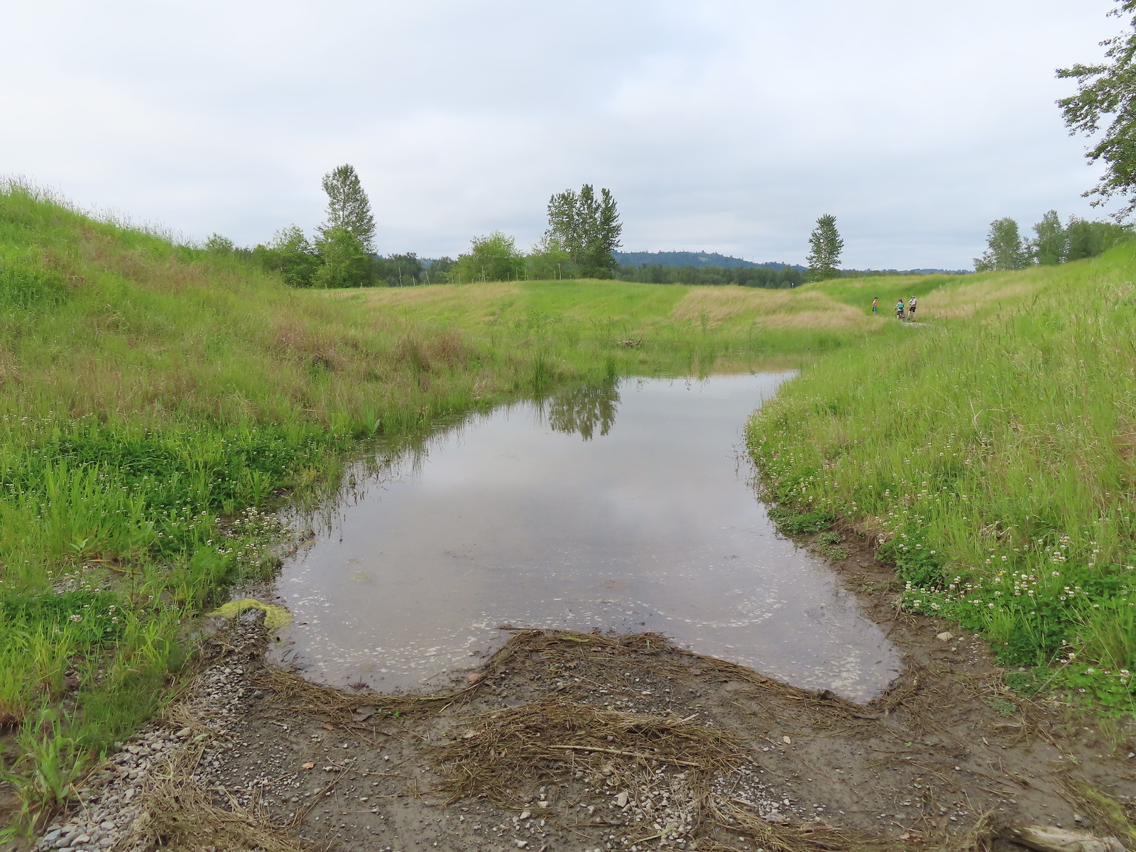

 Red tailed hawk
 Geese nesting atop a snag.
 More deer in the grass along Gibbons Creek.
 Egret at Redtail Lake.
 Great blue heron at Redtail Lake.
 Purple martins
 When the light catches the feathers right it’s obvious where the purple martin’s name comes from.
 Common yellowthroat
 House finch
 A mile from the Mountain View Trail we arrived at the refuge boundary with Captain William Clark Park.
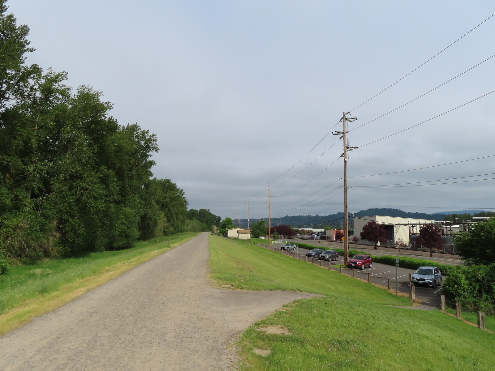 The trail follows a dike to Steamboat Landing.
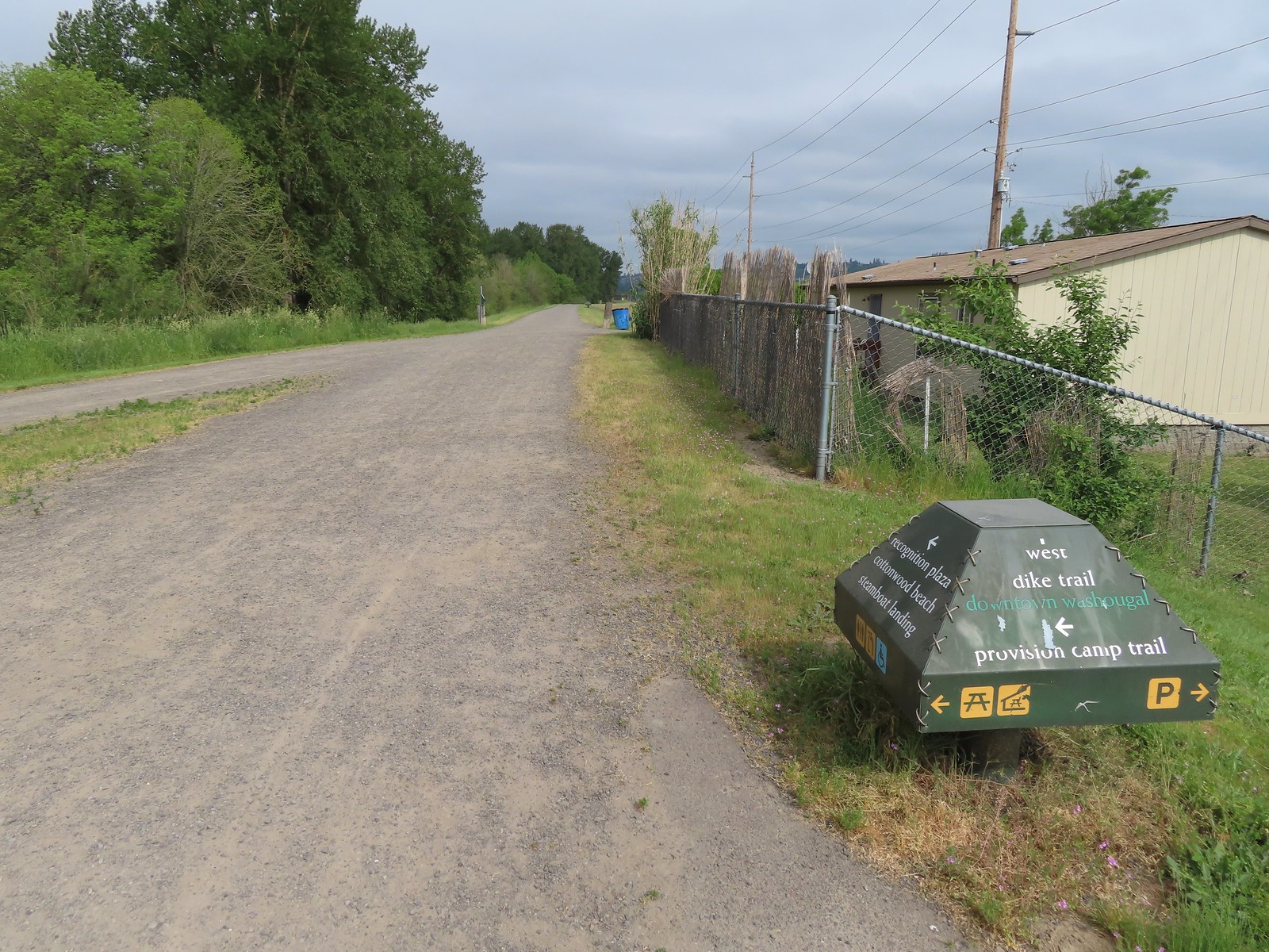
 The Provision Camp Trail


 Northern flicker
 Flooded trail ahead.
 Black headed grosbeak
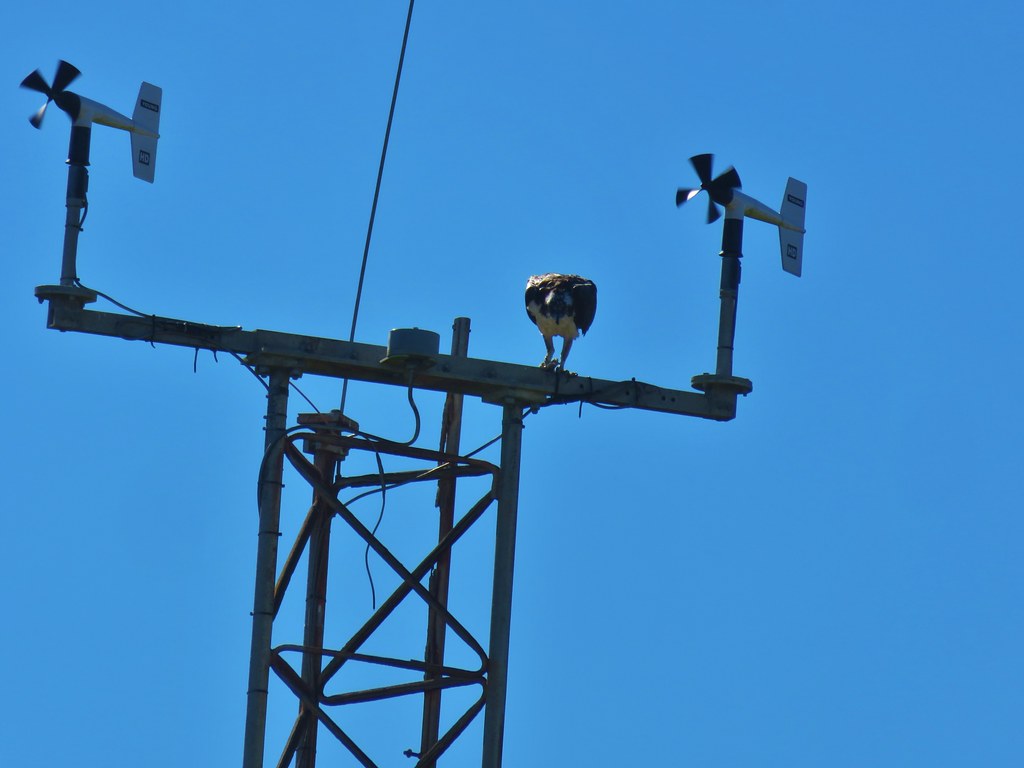
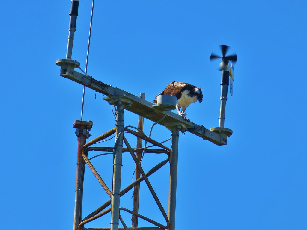
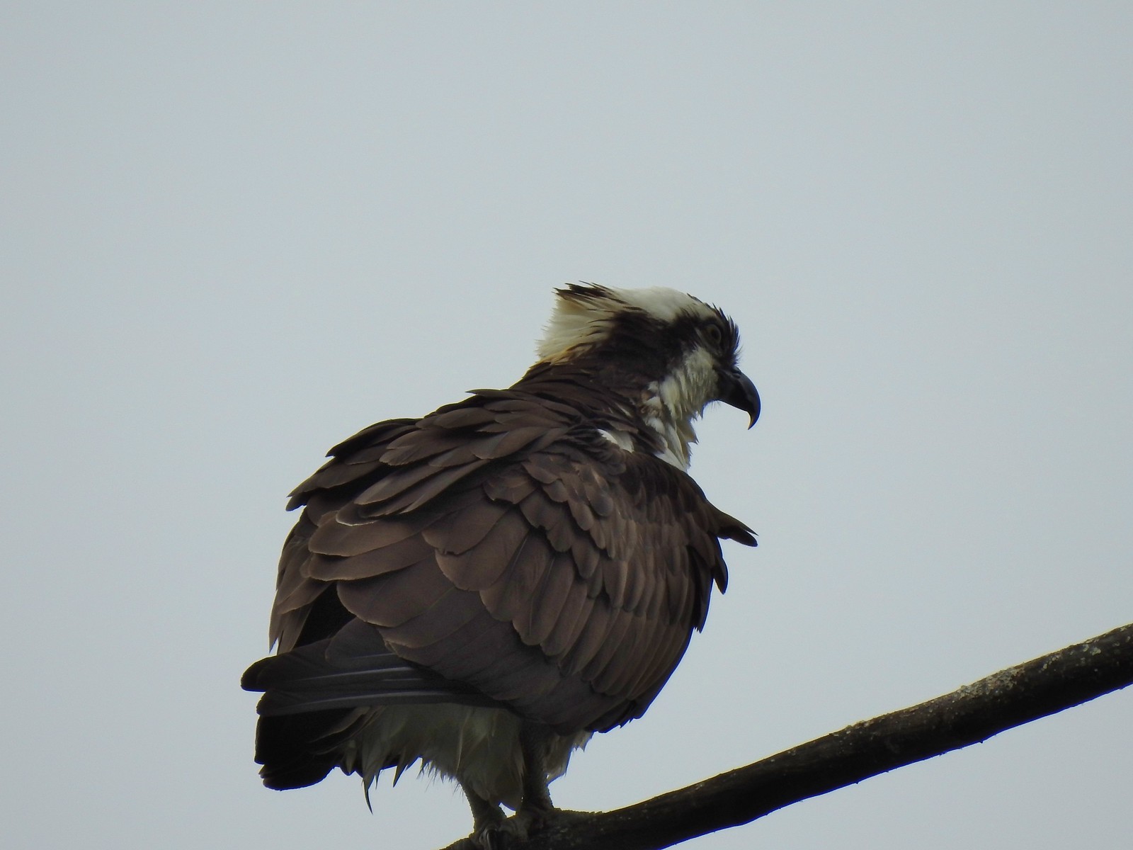 Osprey
 Back on the dike.
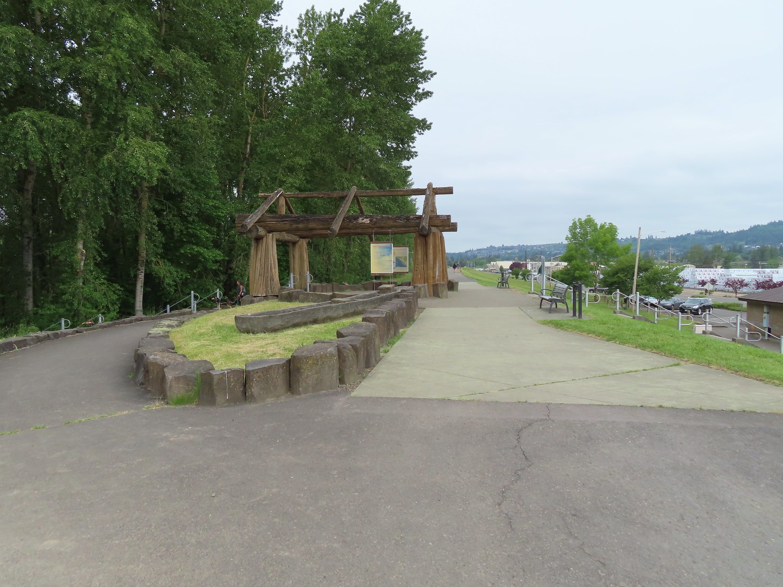

 The flooded section of trail from above.
 Turtles!
 Another turtle
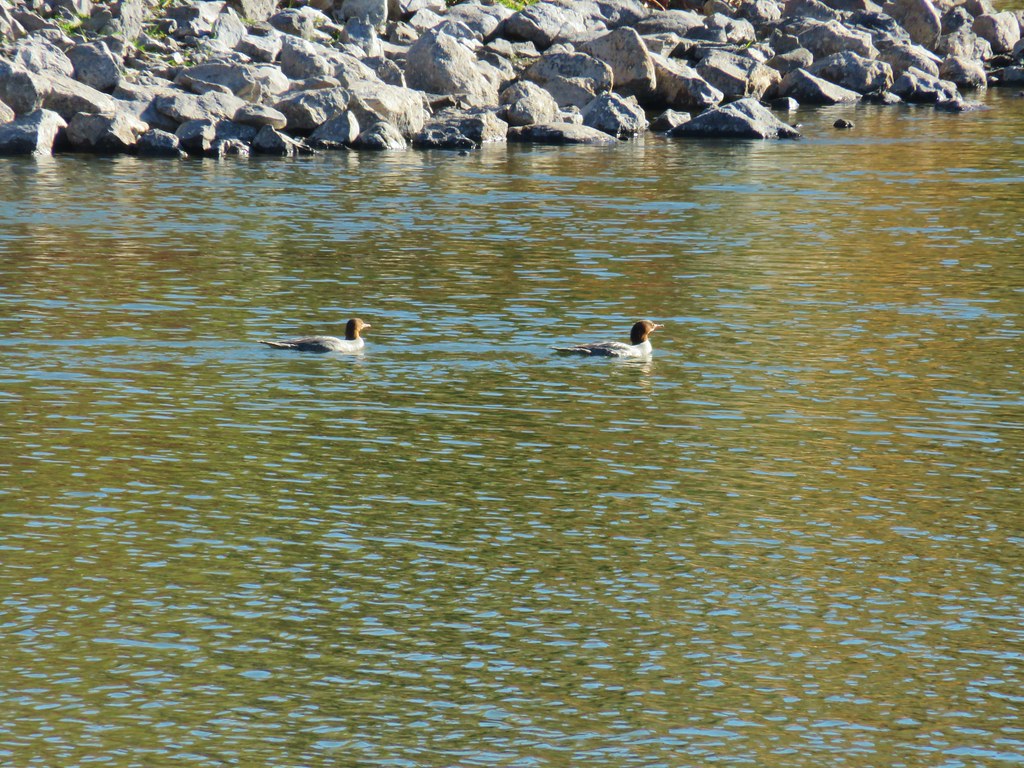
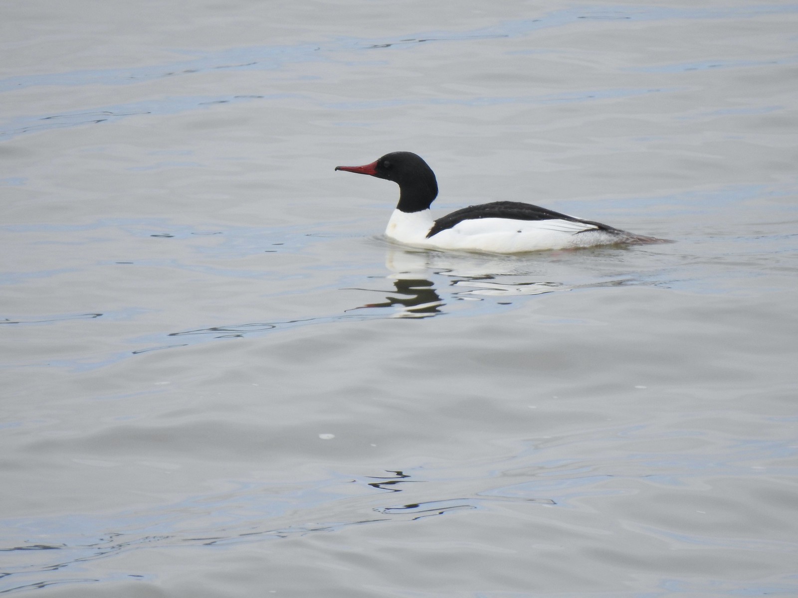 Common merganser
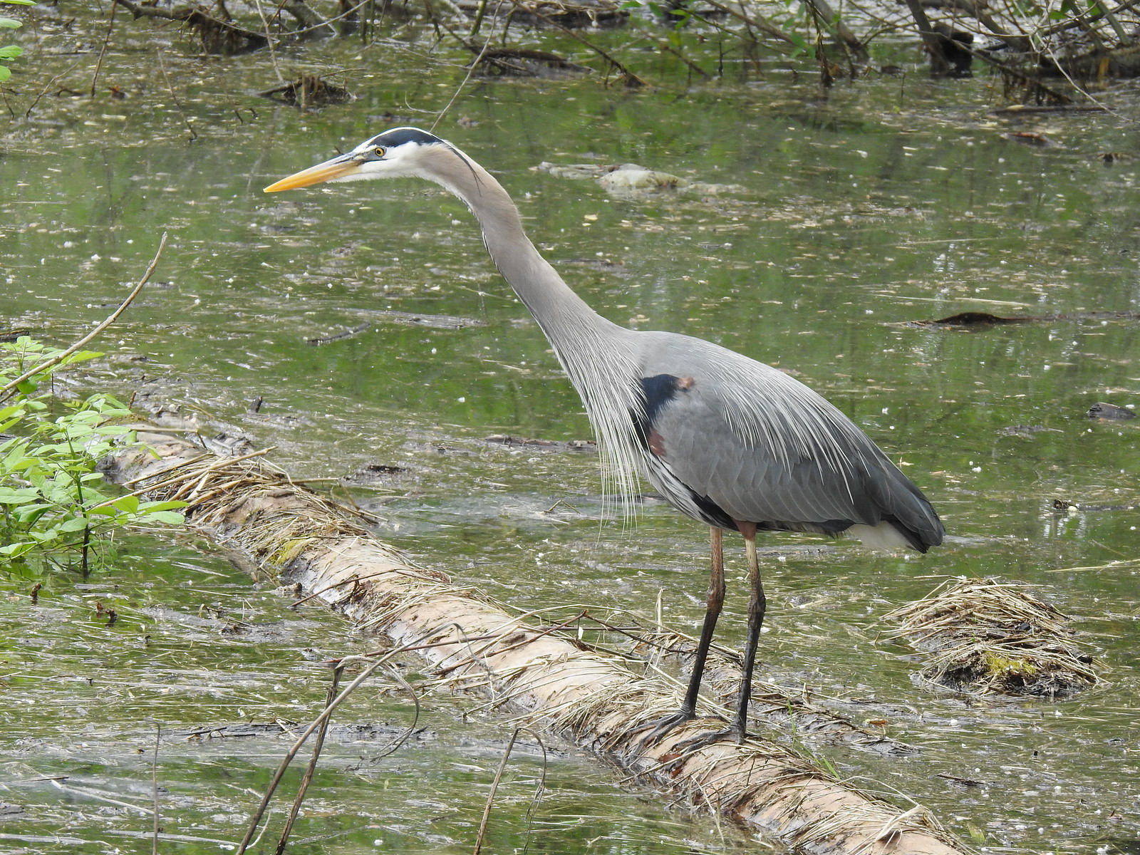 Great blue heron
 Steamboat Landing
 A family of geese out for a float.
 The large “hump” ahead is Larch Mountain (
 Grainy proof of Mt. Hood’s existence.
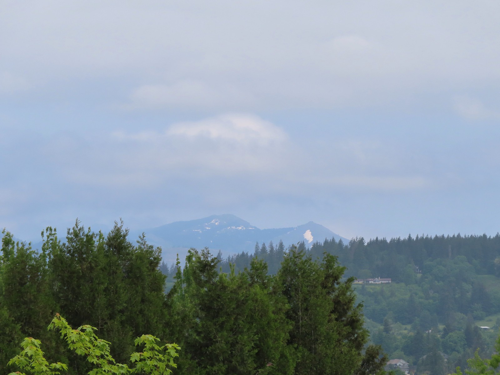 Silver Star Mountain (
 The American bittern in the grass.

 We’d been the first car in the lot that morning.

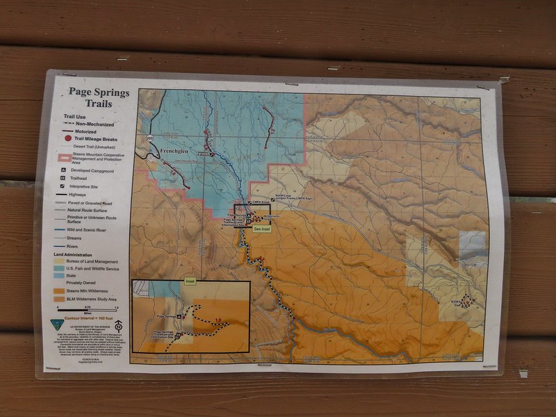
 Trailhead sign at the south end of the rest stop. Brochures were located in the small box under the sign.
 Map on the trailhead sign.
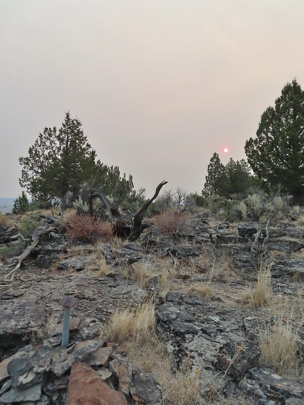
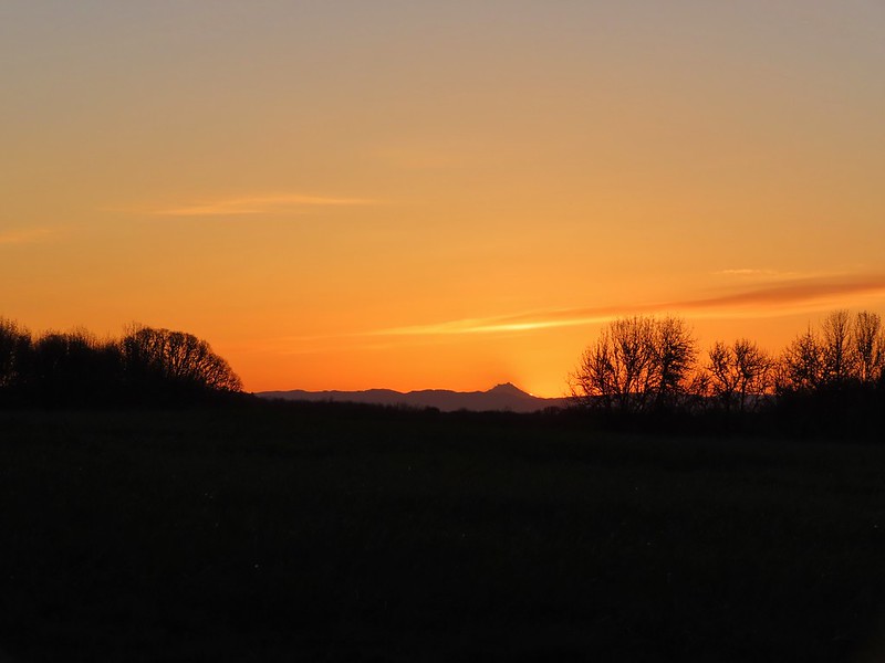
 Red Sun through the smoke.

 The Harney Valley to the east.
 This stop was for a juniper that was blown apart by a lightning strike.
 The rest area from the loop.
 The last stop was to discuss the relationship between the junipers and the Idaho fescue that grows underneath.
 Deer in the nearly dry Marshall Pond
 Yellow headed blackbird
 California quail
 Owl
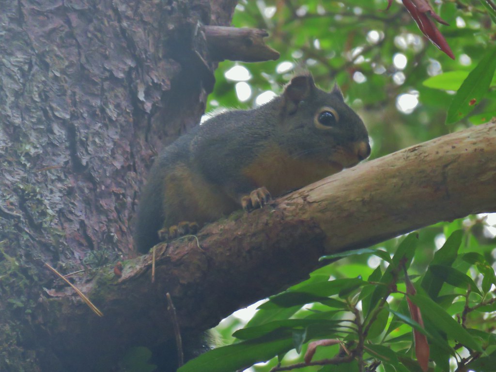
Owl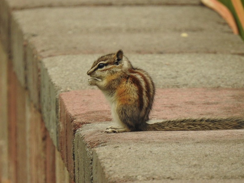 Chipmunk
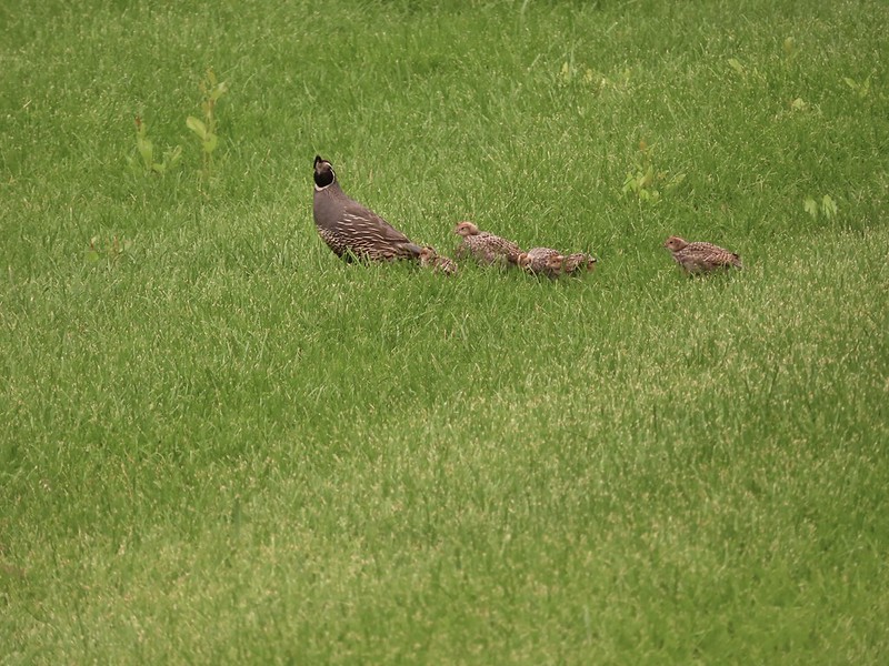 More quail
 The early bird
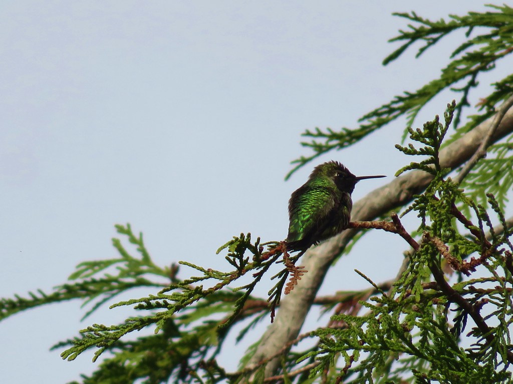
 Hummingbird
 Little bird on a feeder
 Shrike
 Hawk and a magpie
 Osprey
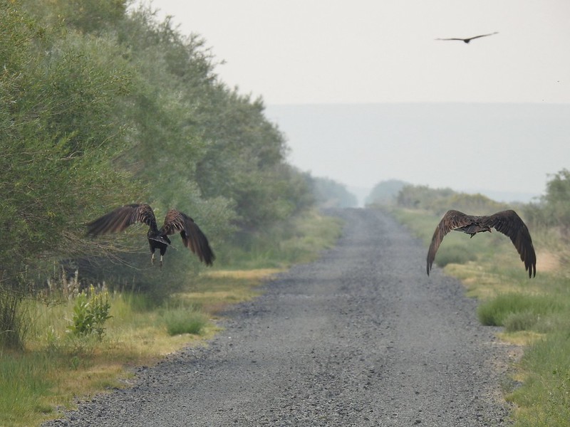 Turkey vultures
 Coyote
 Mourning doves
 Egrets and ducks at Benson Pond
 Old cabin at Benson Pond
 Another owl
 Another turkey vulture
 Grasshopper
 White faced ibis
 Great blue heron amid the ducks.
 A couple types of egrets it appears.
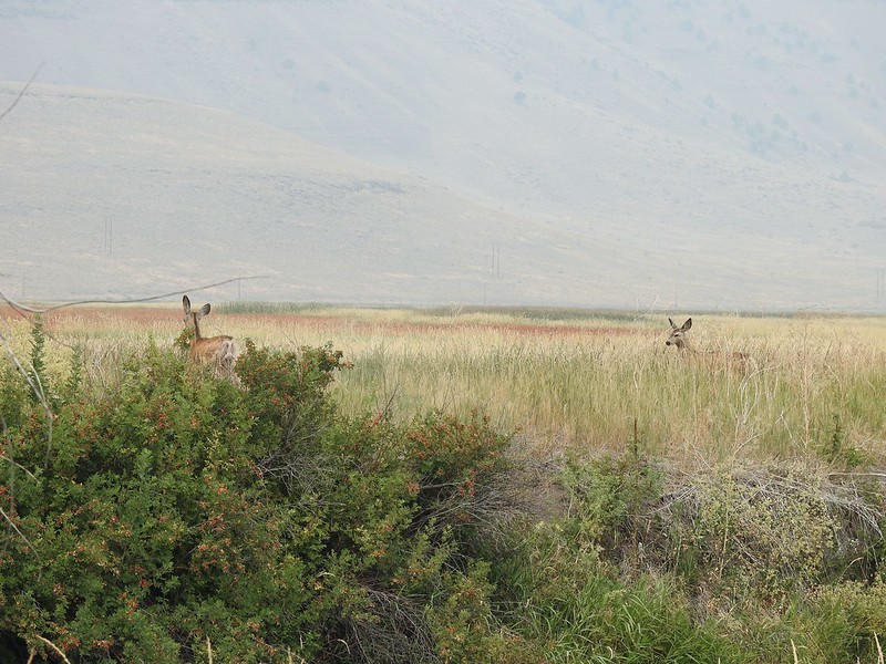 Deer that were in the Blitzen River
 Bounding fawn
 Ducks and coots at Knox Pond


 Bee and a butterfly
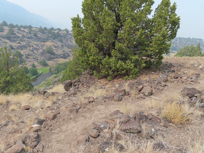
 A brushy section.
 A bee and a skipper
 Praying mantis
 The “other” trail on the hillside at the 0.7 mile mark.
 A wren?
 Fence crossing
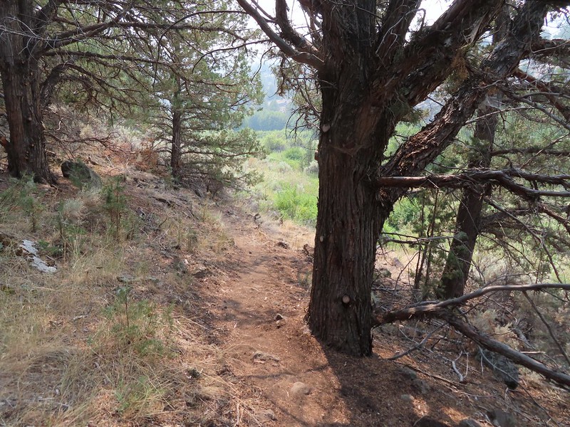 Rejoining the Donner und Blitzen Trail at the 0.4 mile mark.
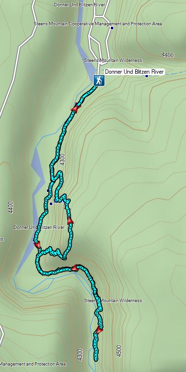


 Mt. Hood from the refuge road
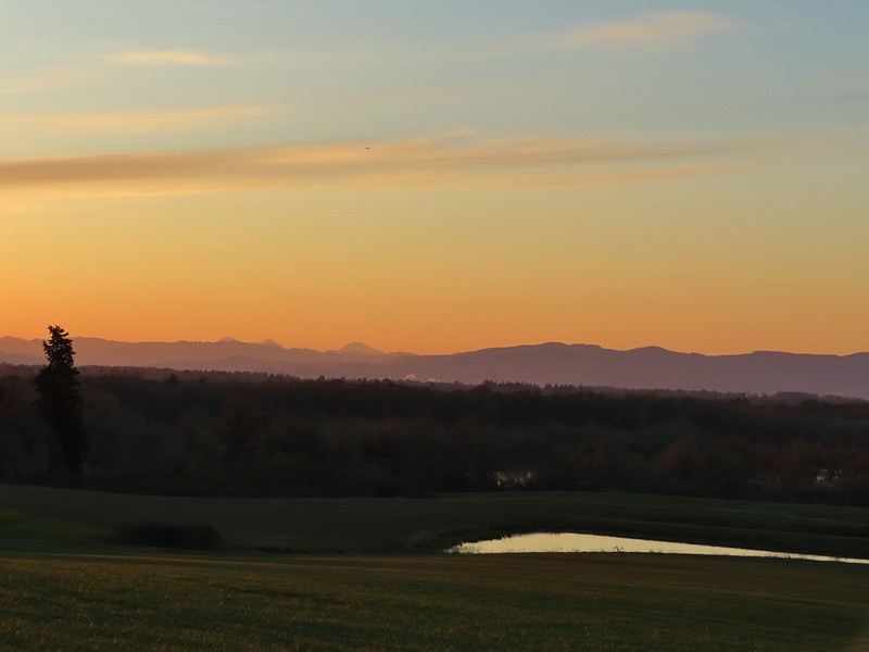 The Three Sisters from the road
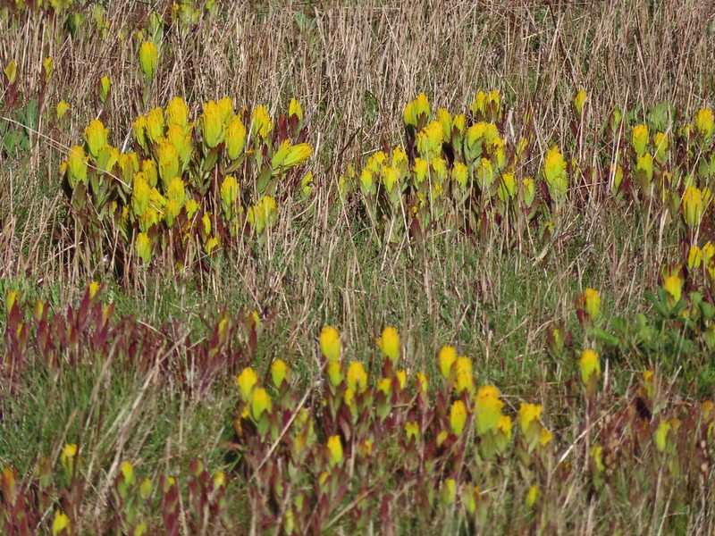
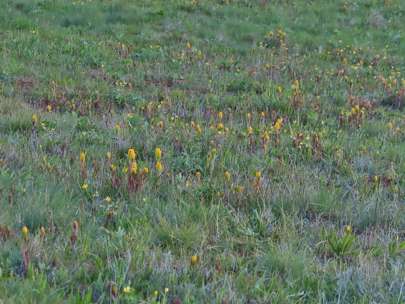 Yellow paintbrush
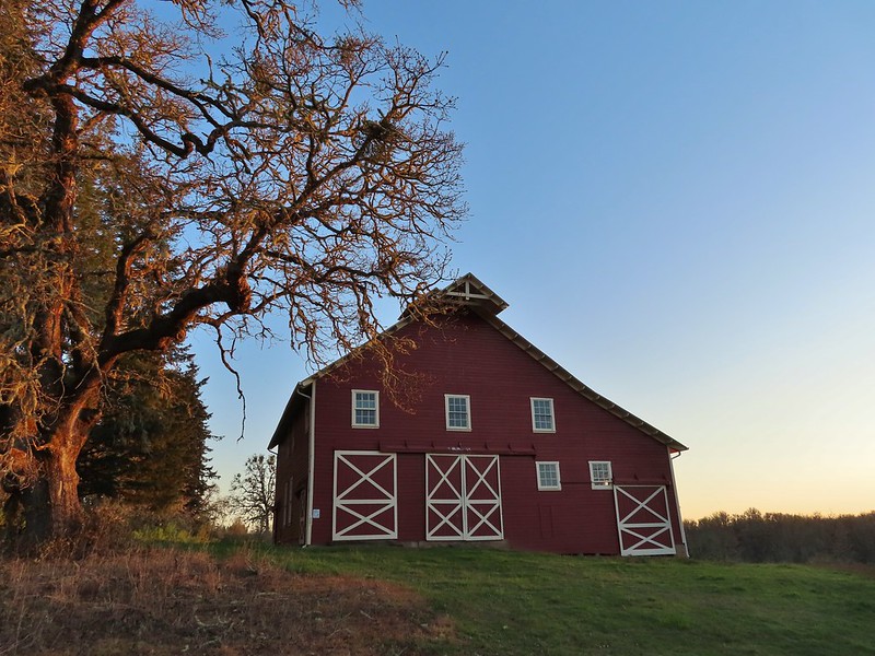 Cabell Barn
 Rabbit at the lodge
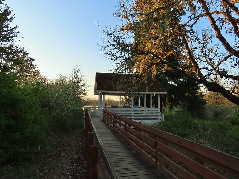 Cabell Marsh Overlook
 White crowned sparrows
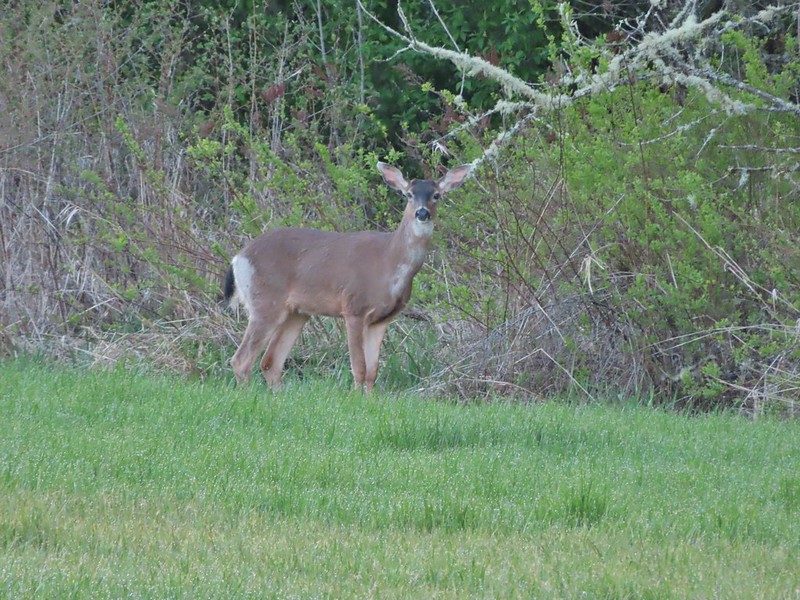 Deer in a field near Cabell Marsh
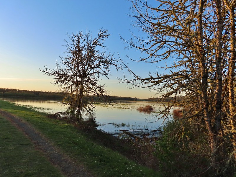 Cabell Marsh (the marsh had been drained when we visited in 2020)
 Norther shovelers
 American coots
 Ring-necked ducks
 Buffleheads
 Black pheobe
 American wigeons
 Cabell Marsh
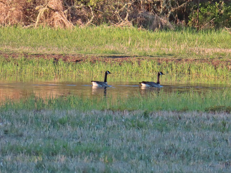 Canada geese
 Wood duck, ring-necked ducks and a pied billed grebe
 More northern shovelers
 Ring-necked ducks
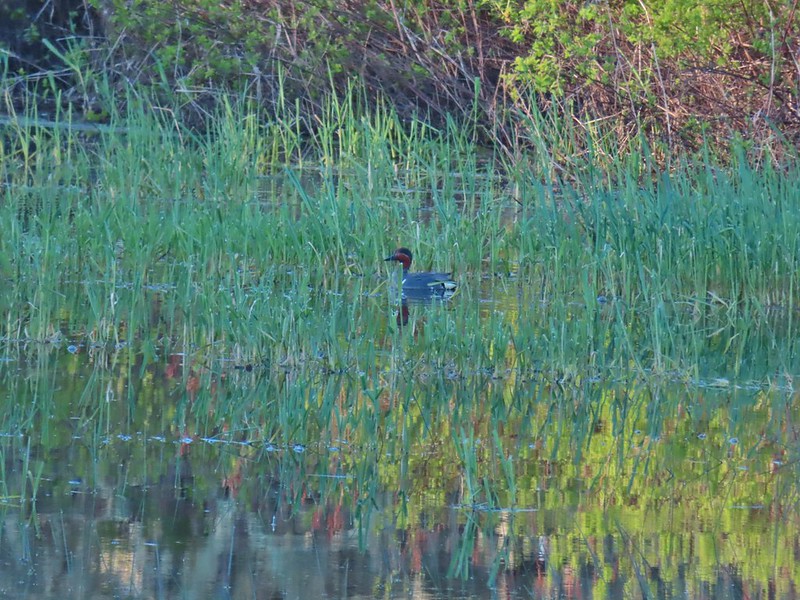 Green winged teal
 Robin
Robin

 Killdeer
 Red-winged blackbird
 Junction with the Pigeon Butte Trail (grassy track heading uphill)
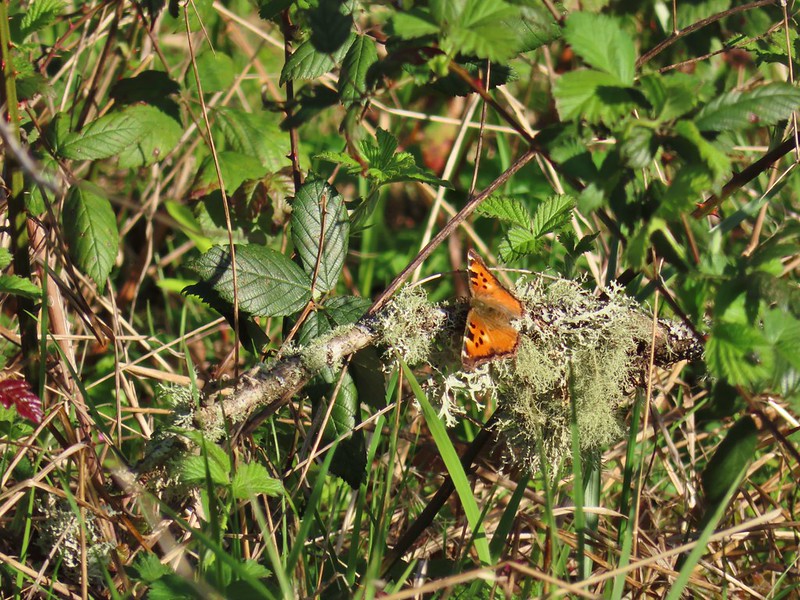 Tortoiseshell butterfly
 Spotted towhee serenade
 Bewick’s wren
 Madrone
 Mourning dove
 Camas blooming near the summit
 View from Pigeon Butte
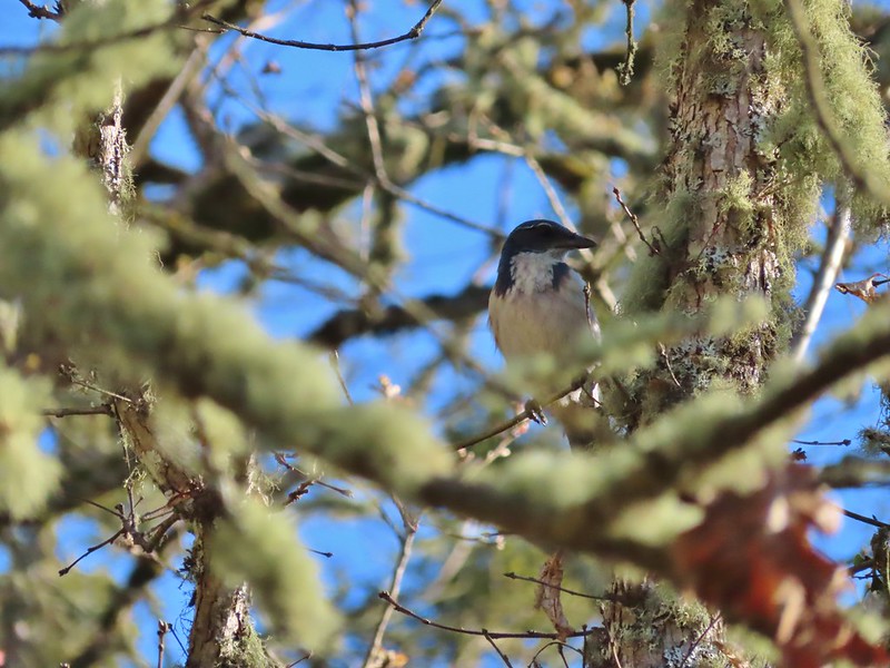 Scrub jay spotted on the way down.
 One of the “blue” butterflies, maybe a silvery blue
 Acorn woodpecker
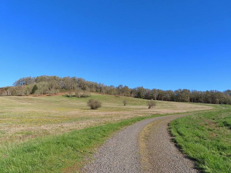 Looking back at Pigeon Butte, the yellow paintbrush was starting its bloom on the hillside.

 Looking back at Pigeon Butte and the Cheadle Barn
 Western bluebird
 Bruce Rd and a sign for the overlook.
 Swallows at the overlook
 Mary’s Peak and Pigeon Butte from the overlook.
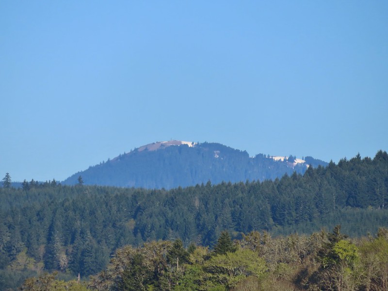 Mary’s Peak (
 Ground squirrel on Bruce Rd.
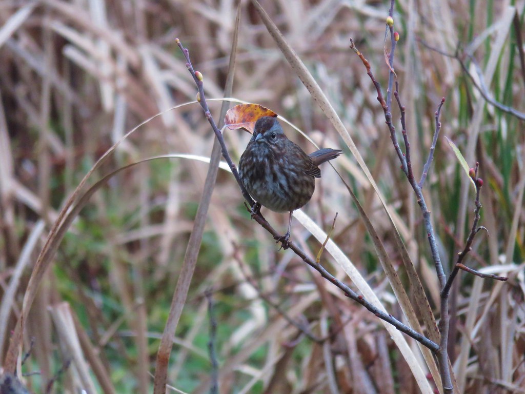
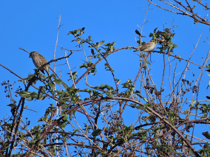 Sparrows
 Western bluebird
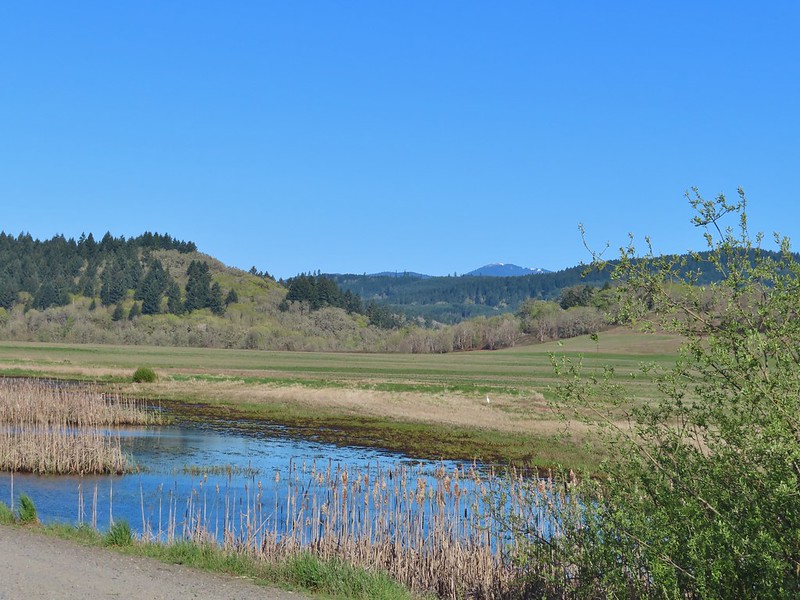 Mitigation Wetland
 Egret
Egret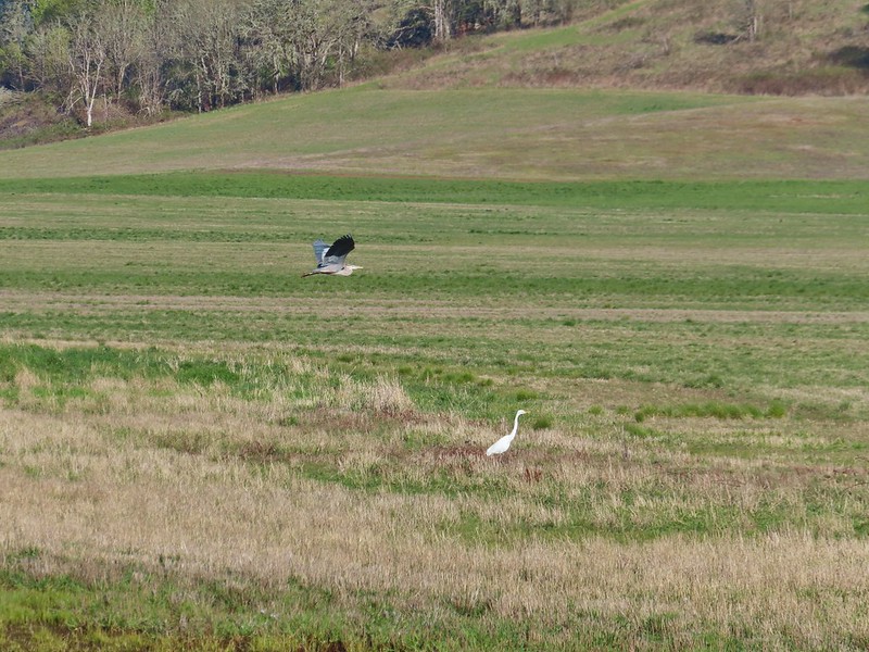 heron flying by the egret
 Northern shoveler
 Green winged teals
 Trailhead off of Bruce Road
 Ground squirrel
 Entering the woods
 Giant white wakerobin
 Fairybells
 Startled heron
 Egret and a cinnamon teal pair and maybe an American wigeon
 Candyflower
 The pink turned out to be shooting stars.
 Iris
Iris Bleeding heart
 One of many fairy slippers
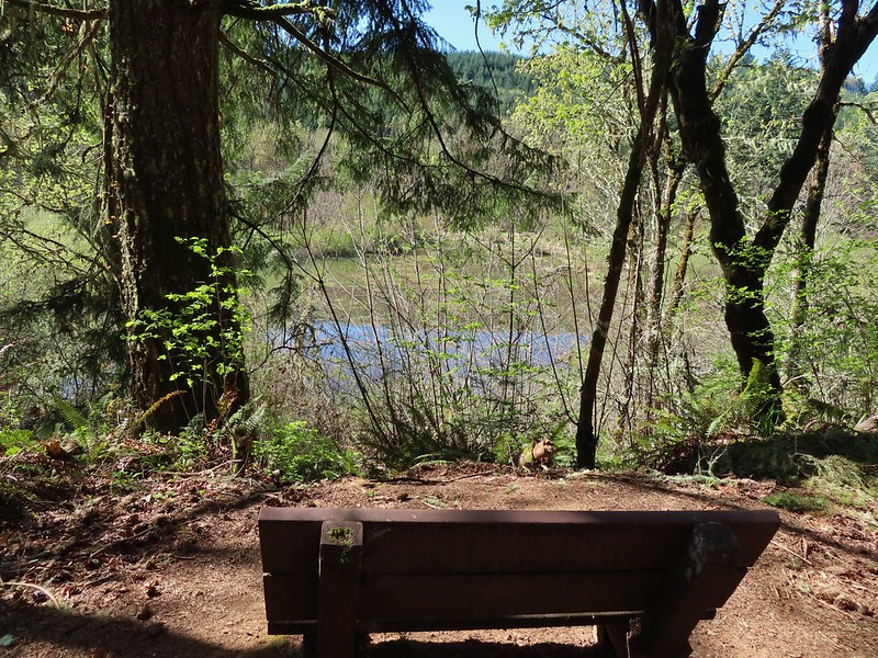
 It took some work to get the camera to stop focusing on the brush in the foreground.
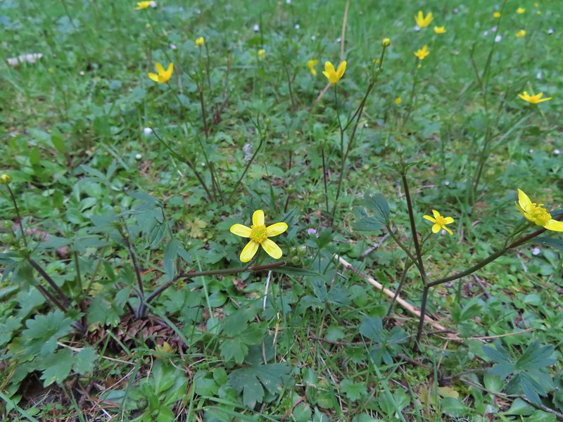 Buttercups
 Violets
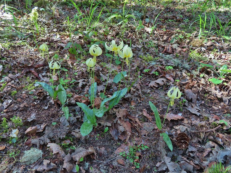 Fawn lilies
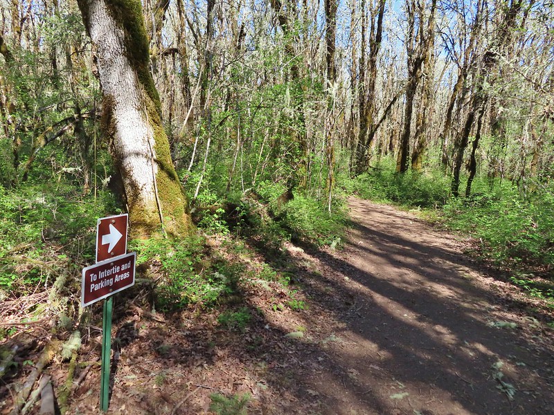 Back at the junction and onto the Intertie Trail

 Service berry
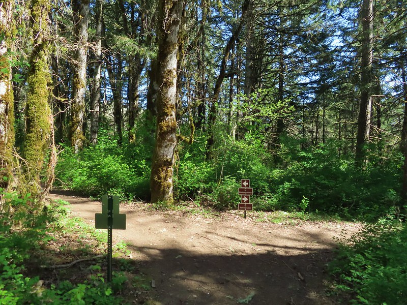 The Woodpecker Loop
 Norther flicker along the Woodpecker Loop
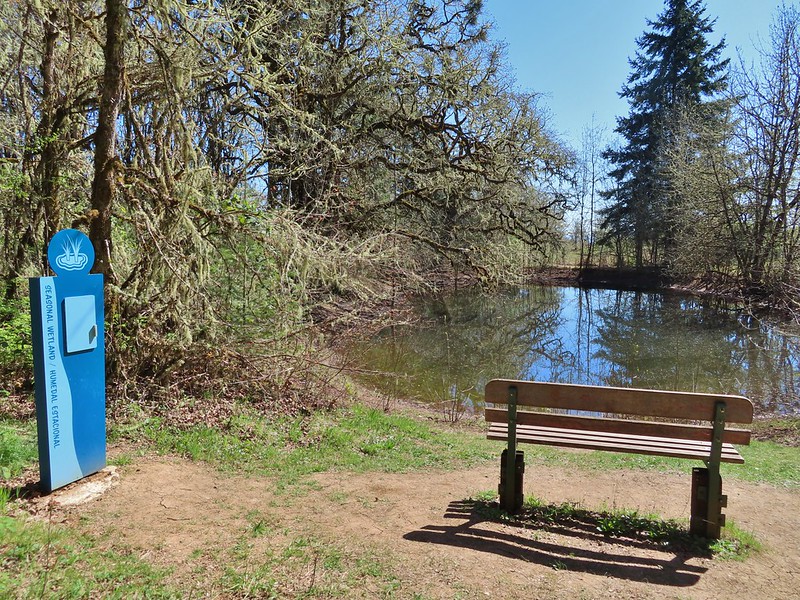 Amphibian pond and interpretive kiosk.
 Viewing structure
 Mt. Jefferson
 The Three Sisters
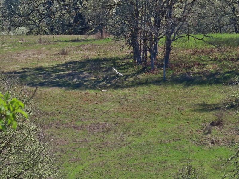
 This was the best shot I could get at 40x zoom with the sun in front of me.


 Egret
Egret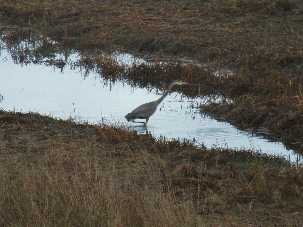 Great blue heron
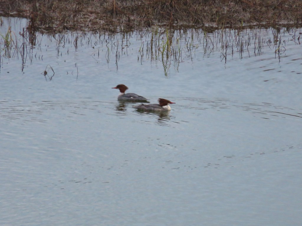 Common mergansers
 Bufflehead


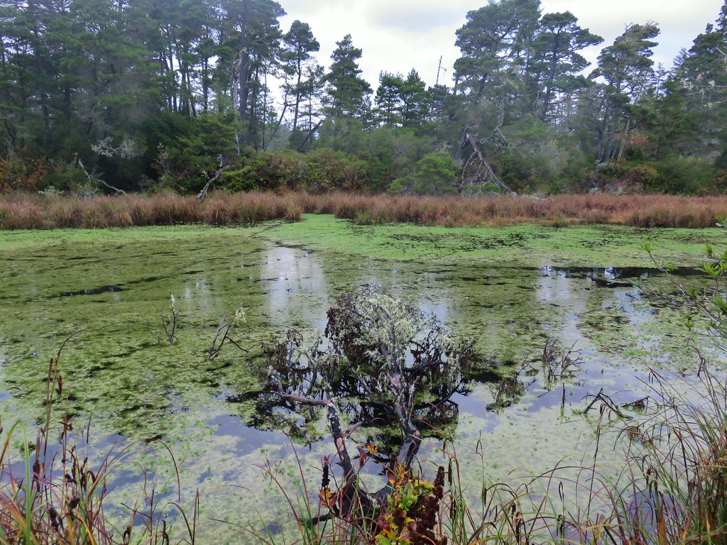


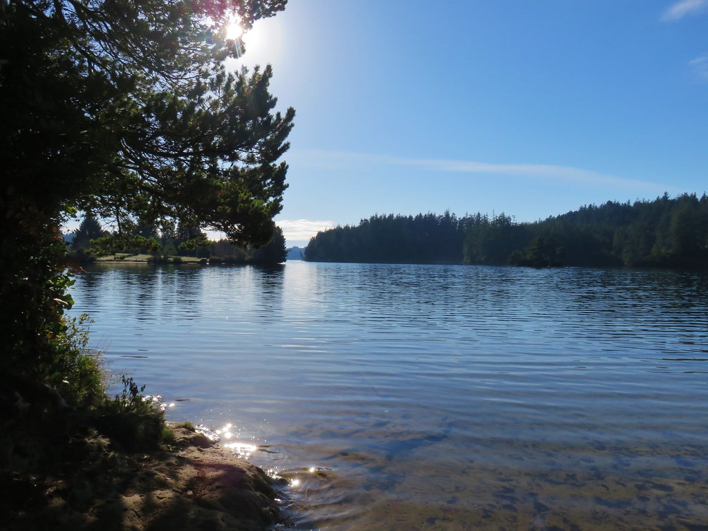


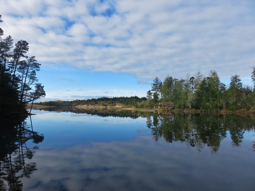
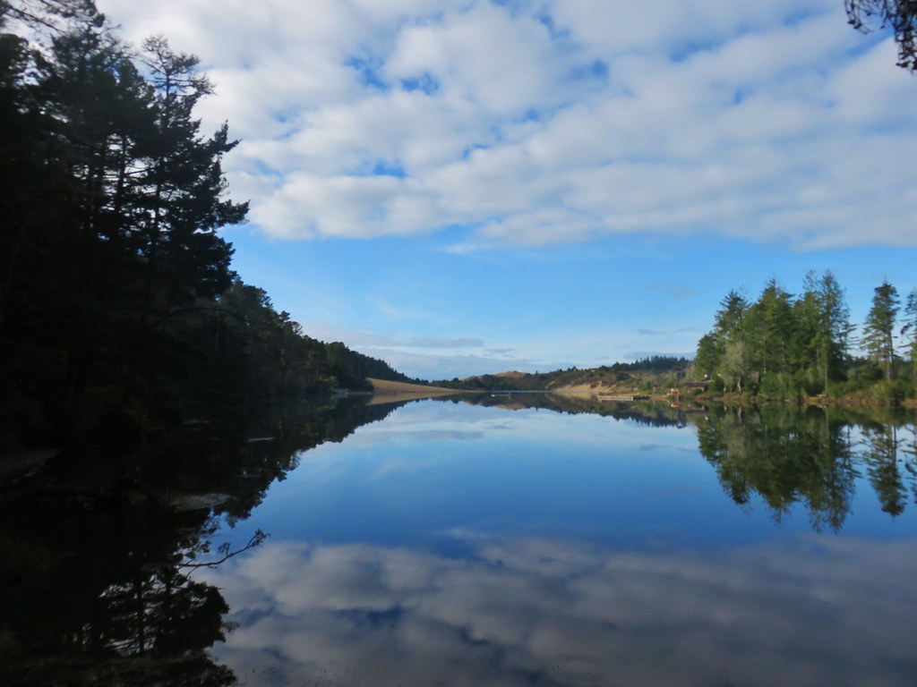


 Lily Lake
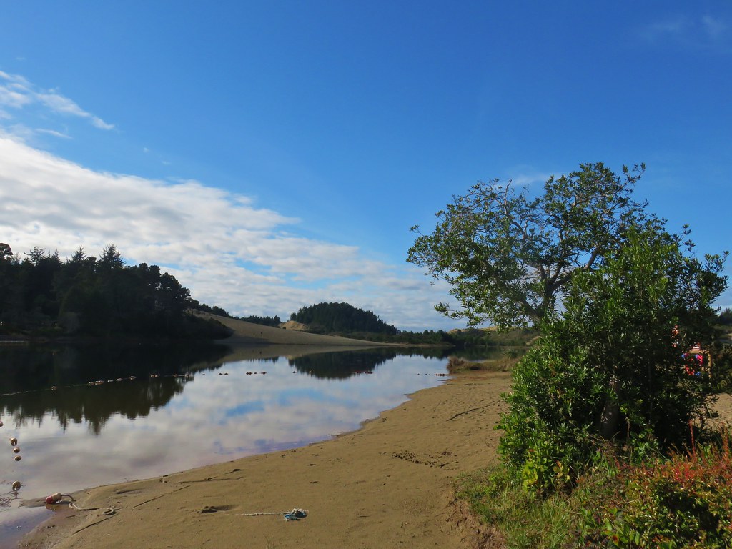
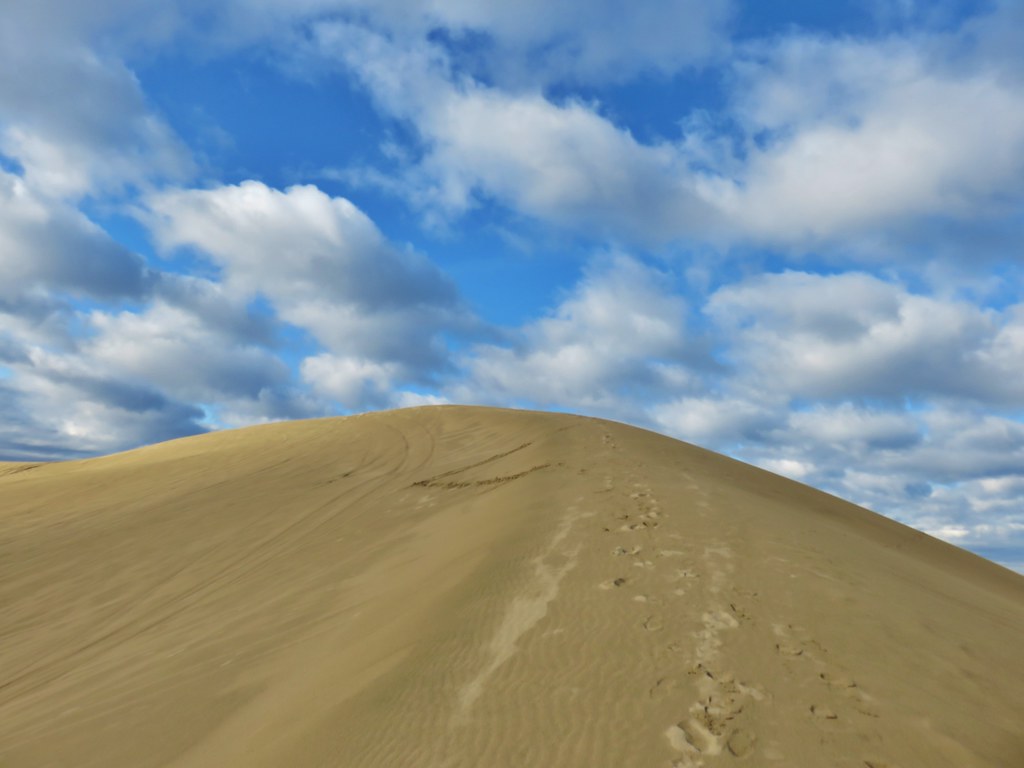
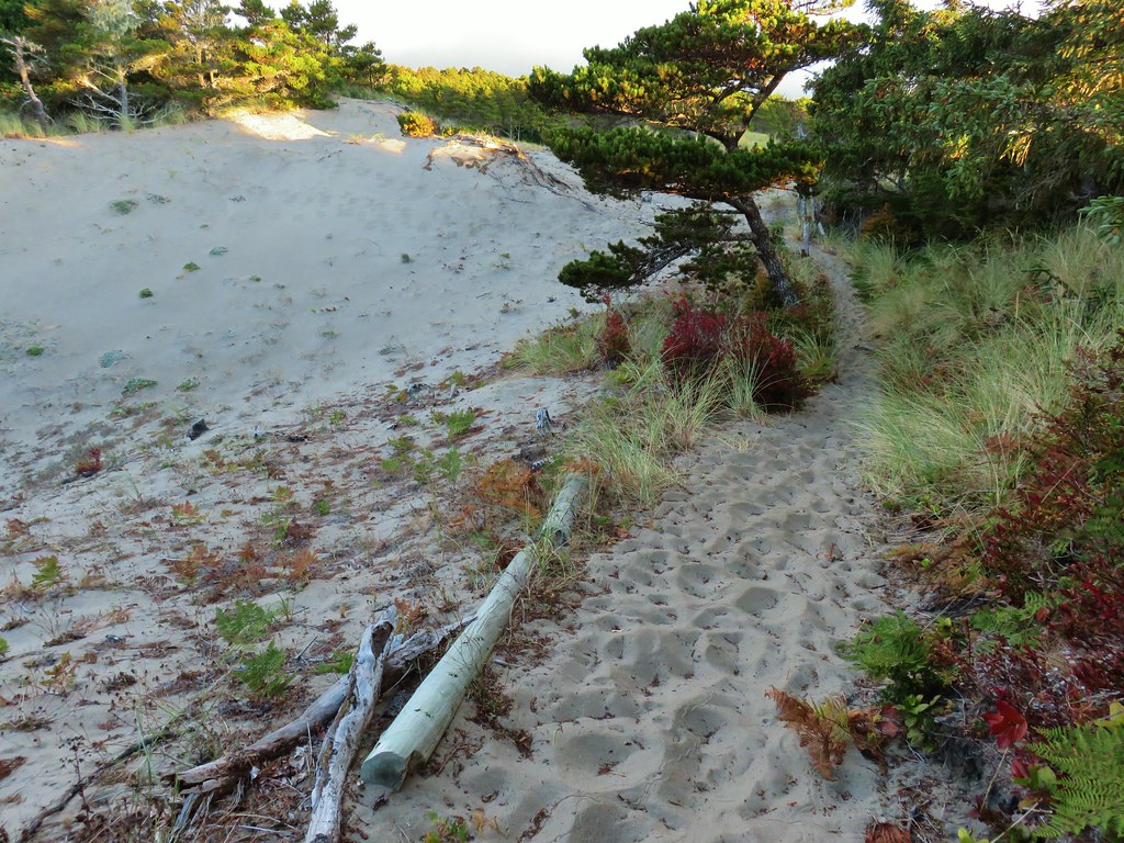
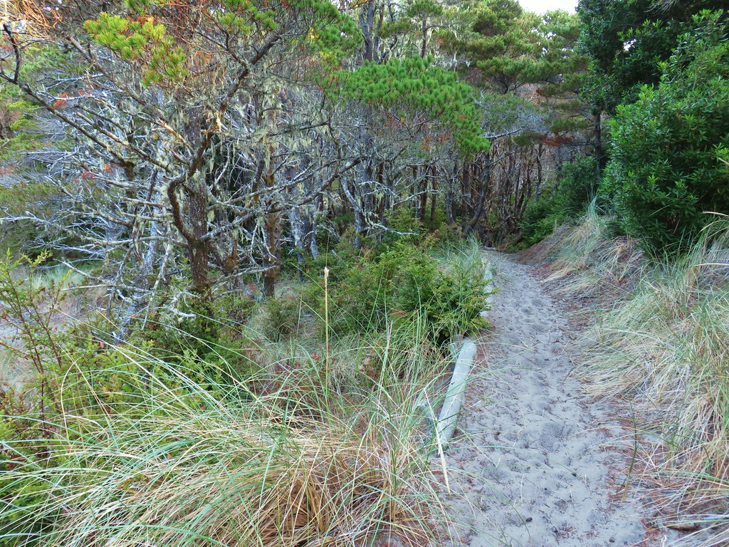
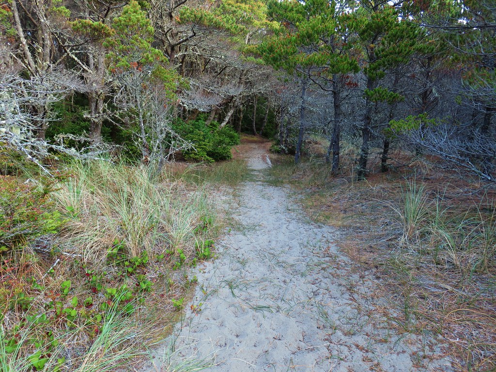
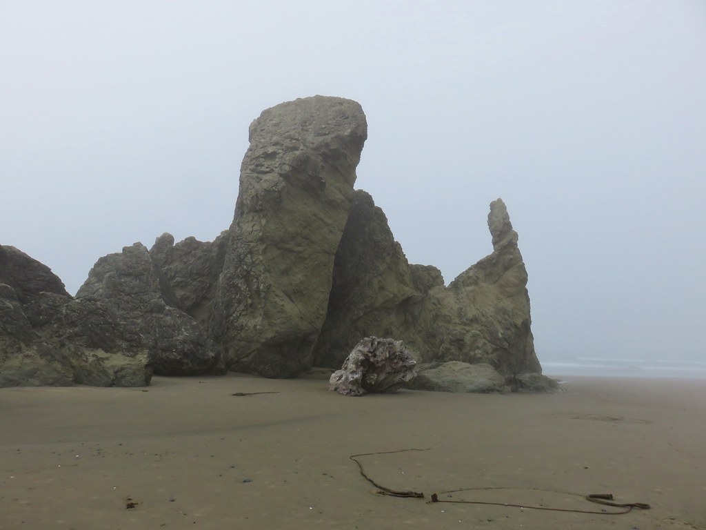
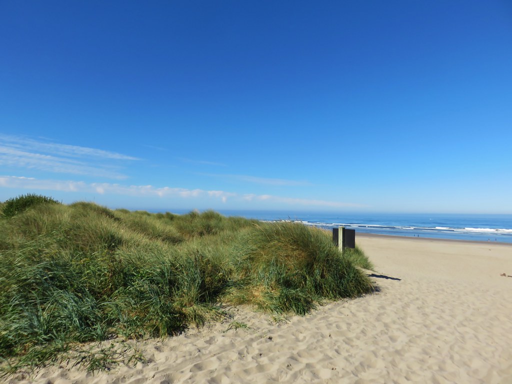
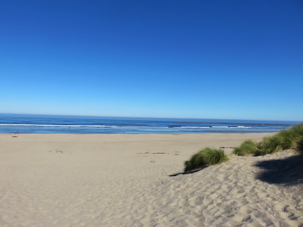
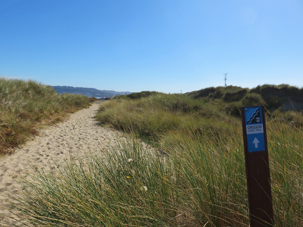
 The Pacific Ocean from the dune.


 Coots
Coots Scrub jay
 White pelican, coots, and a cormorant
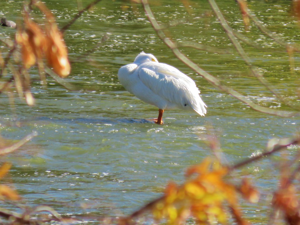 White pelican
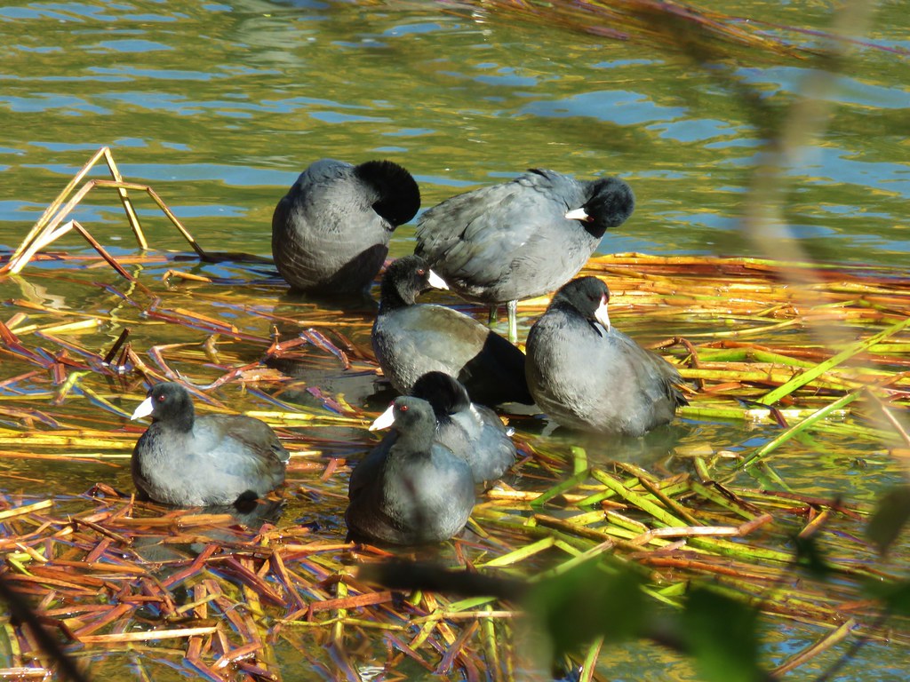 Coots
Coots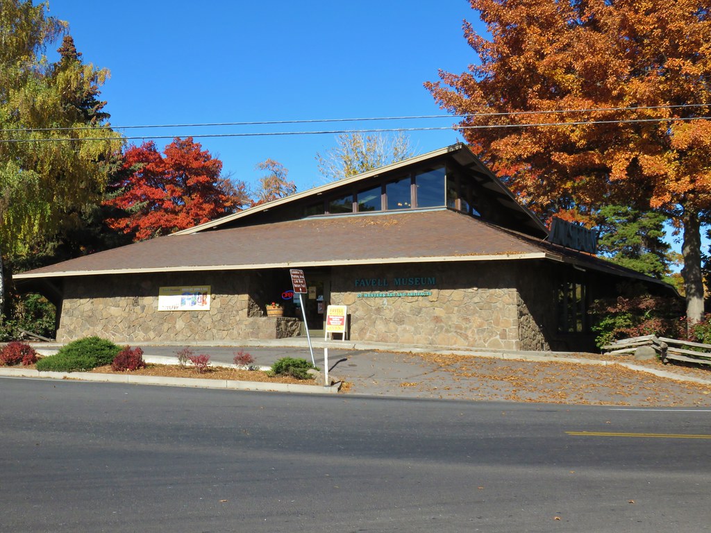


 Mallards and other birds
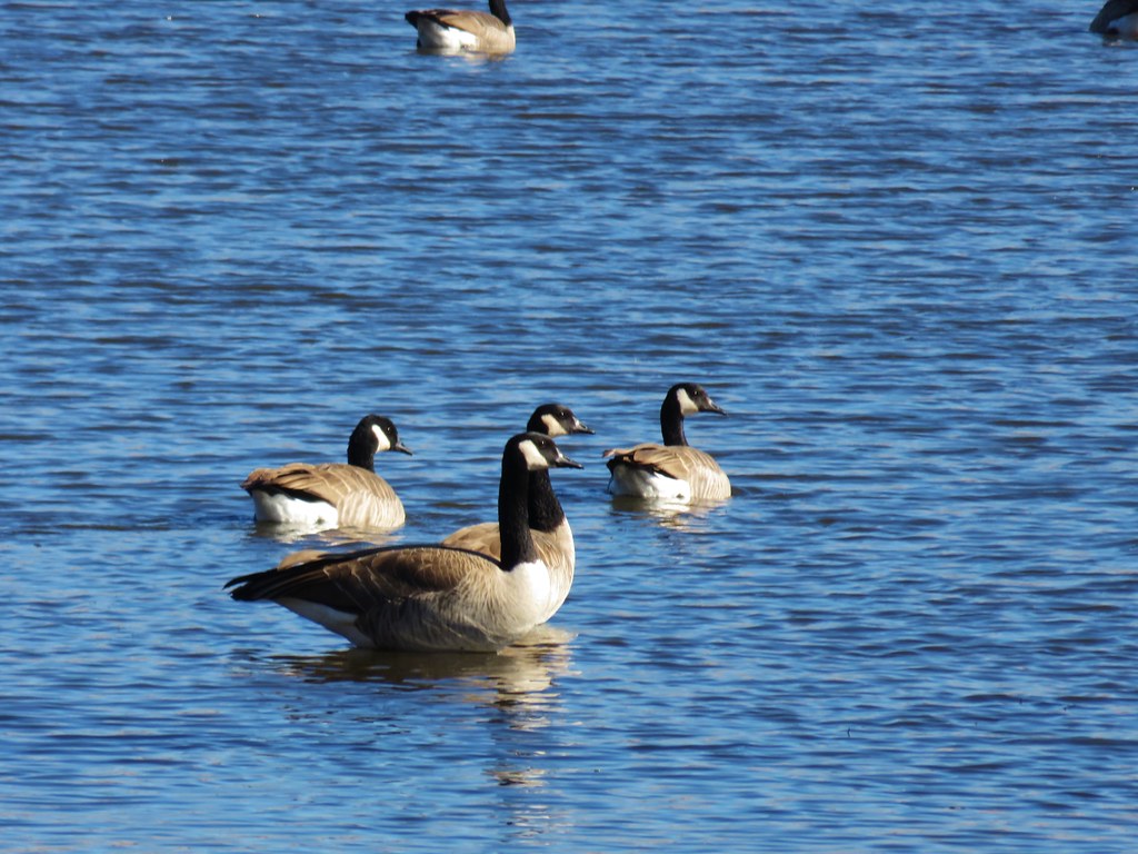 Canada geese
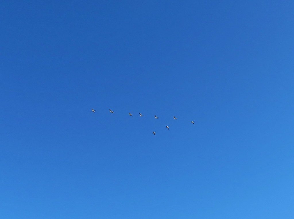 Pelicans in flight
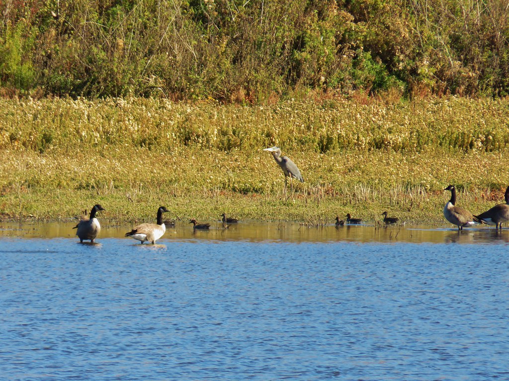 Great blue heron among others
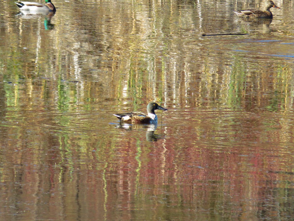 Northern shoveler
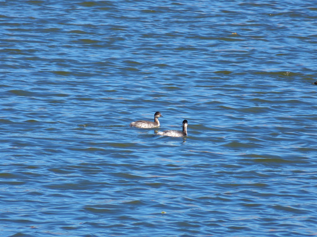 Horned grebes
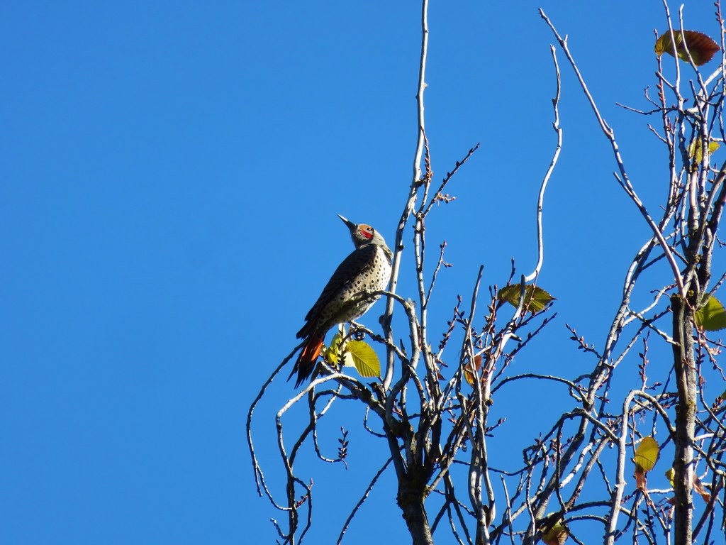 Northern flicker
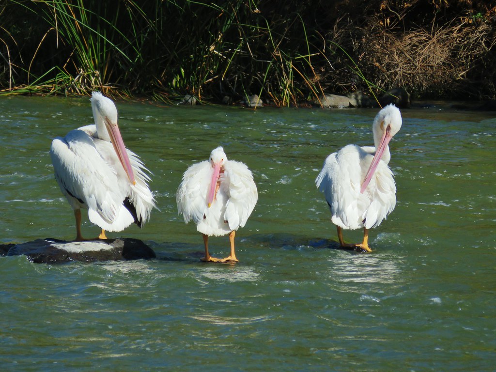 More pelicans
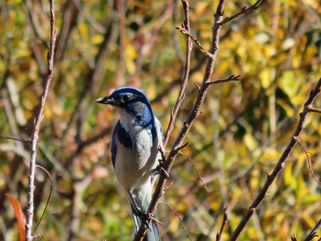 Another jay
 Great blue heron on the rocks
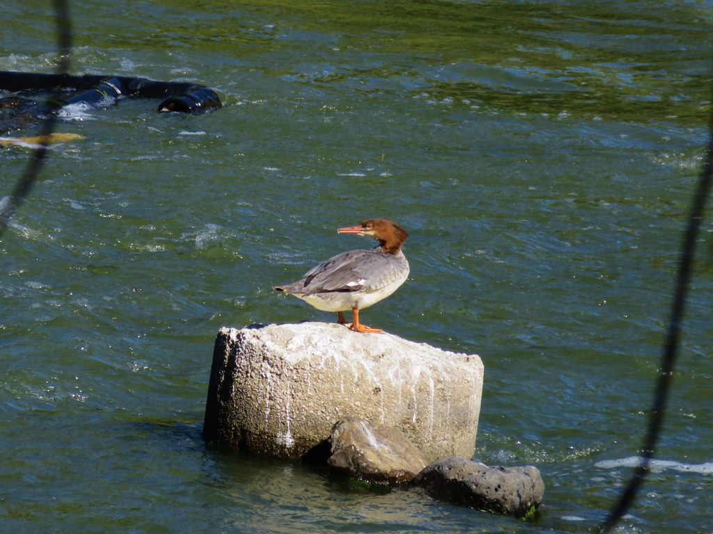 Common merganser
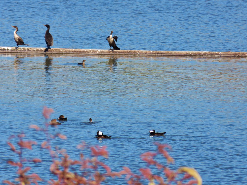 Hooded mergansers (in the foreground)
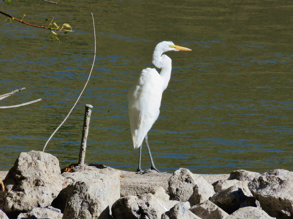 Egret
Egret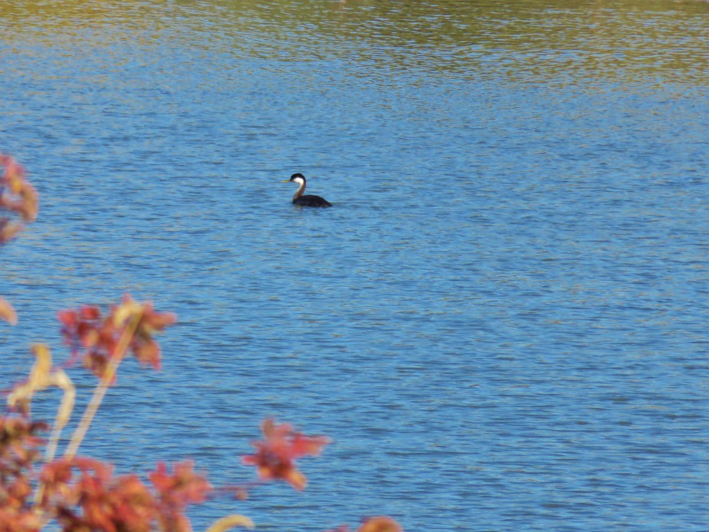 Western grebe


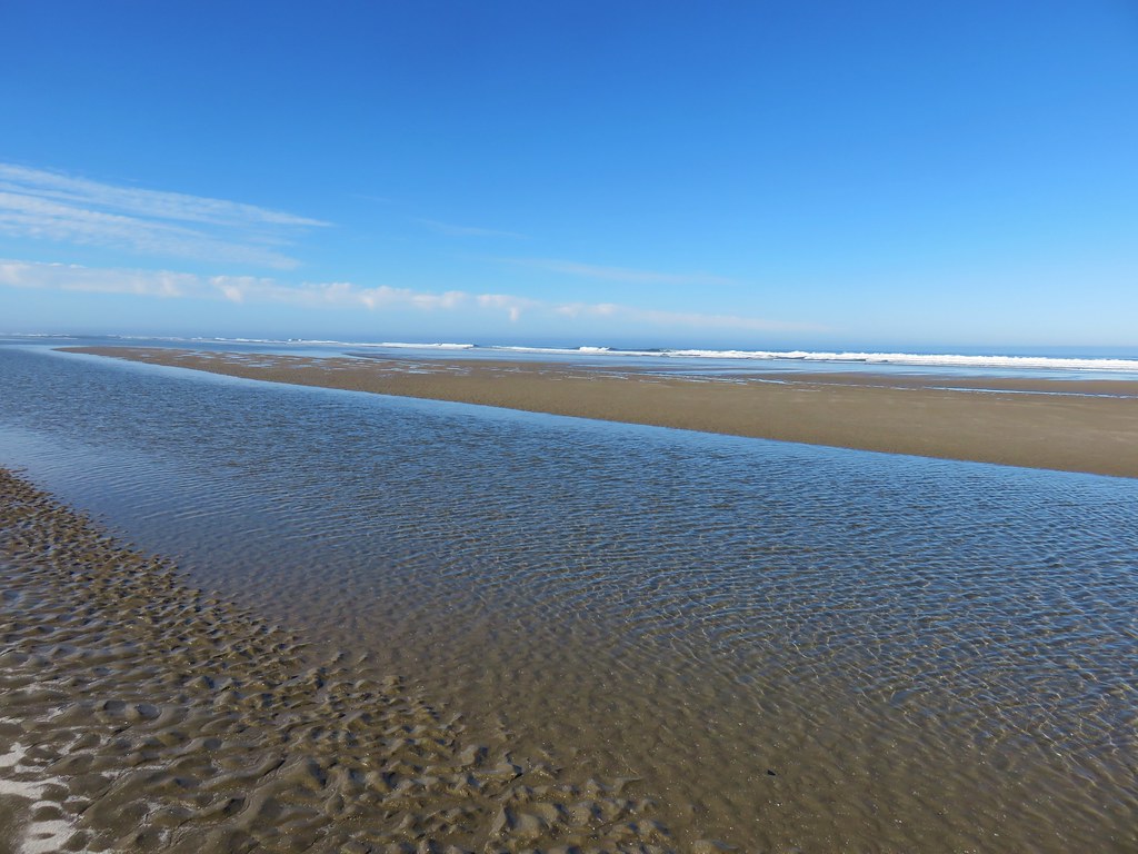
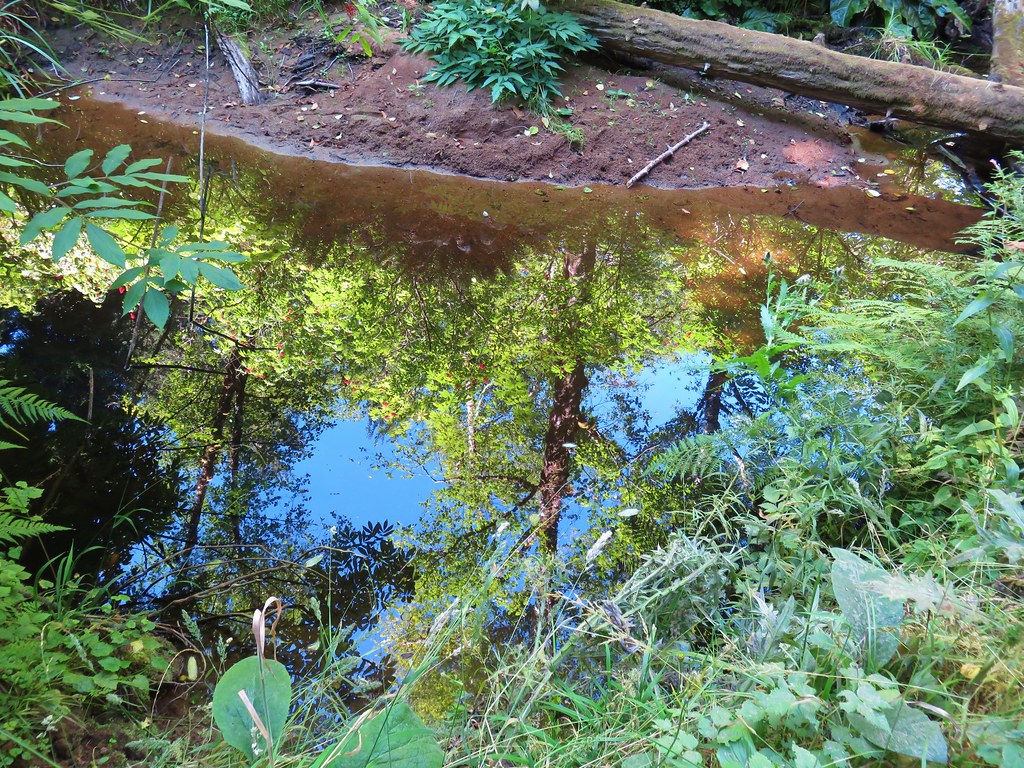
 View from the boardwalk

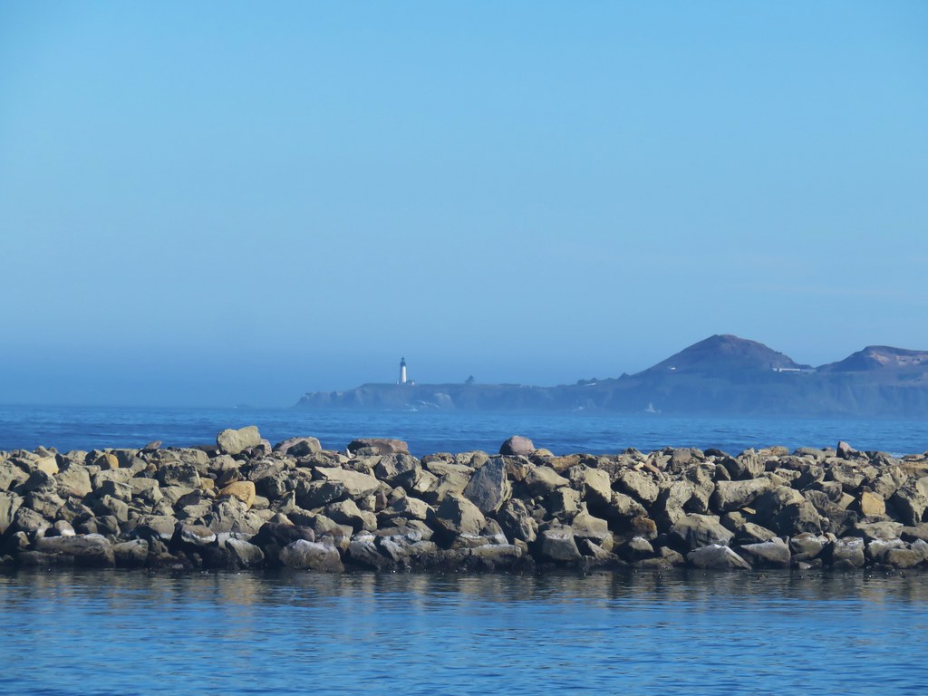

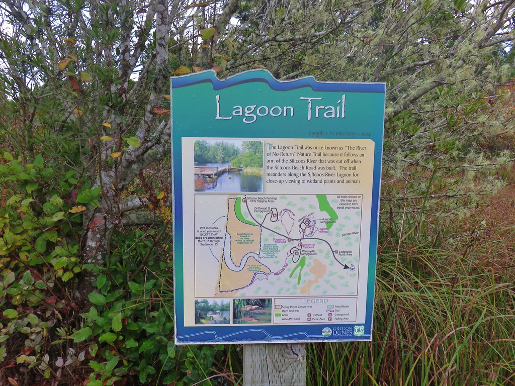
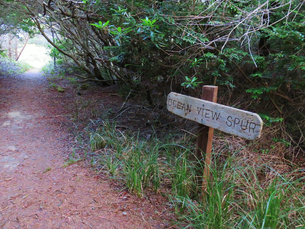
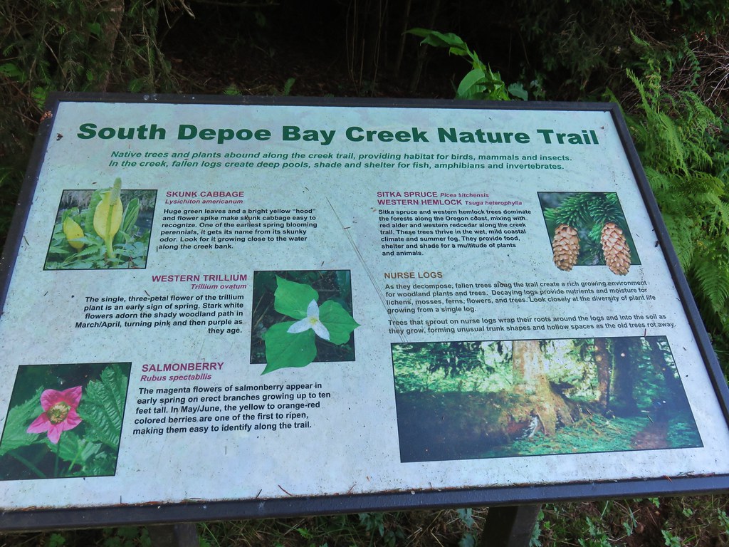
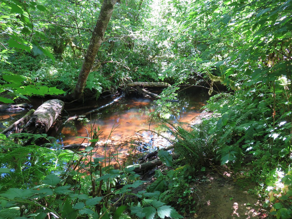
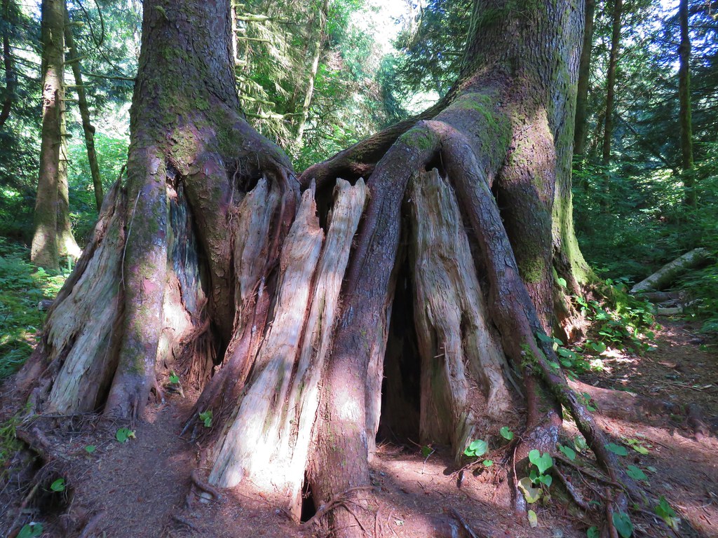
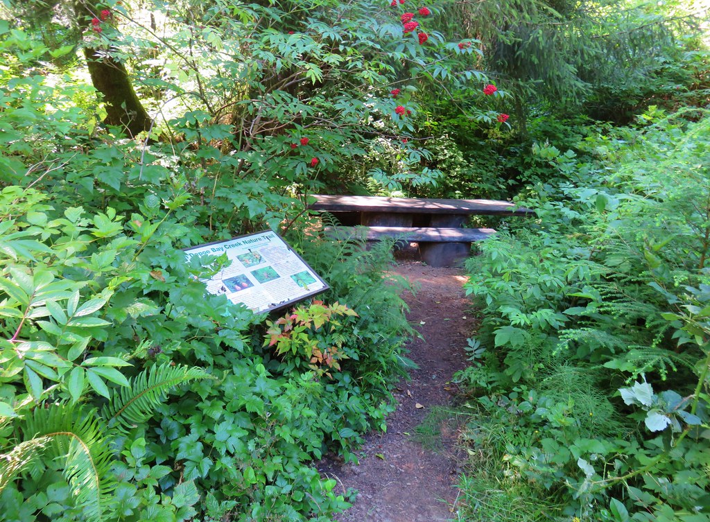
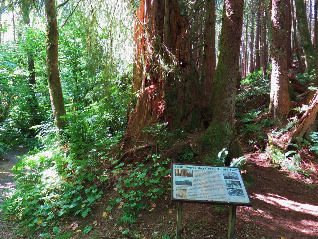
 Part of the
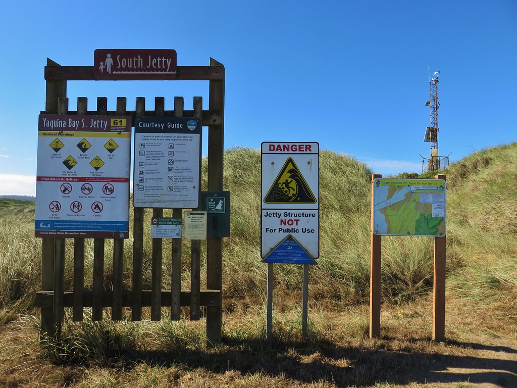
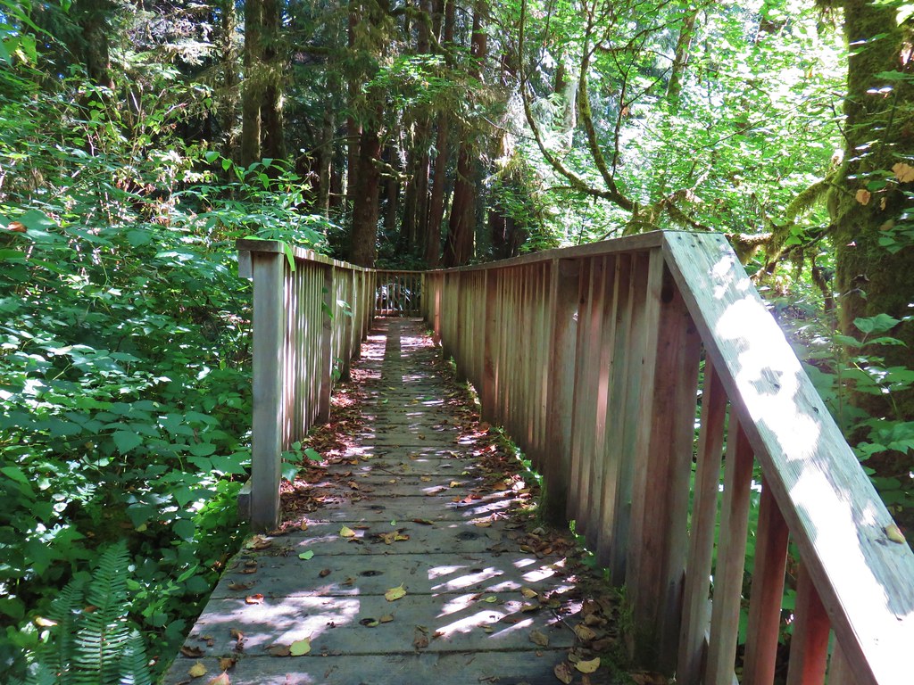
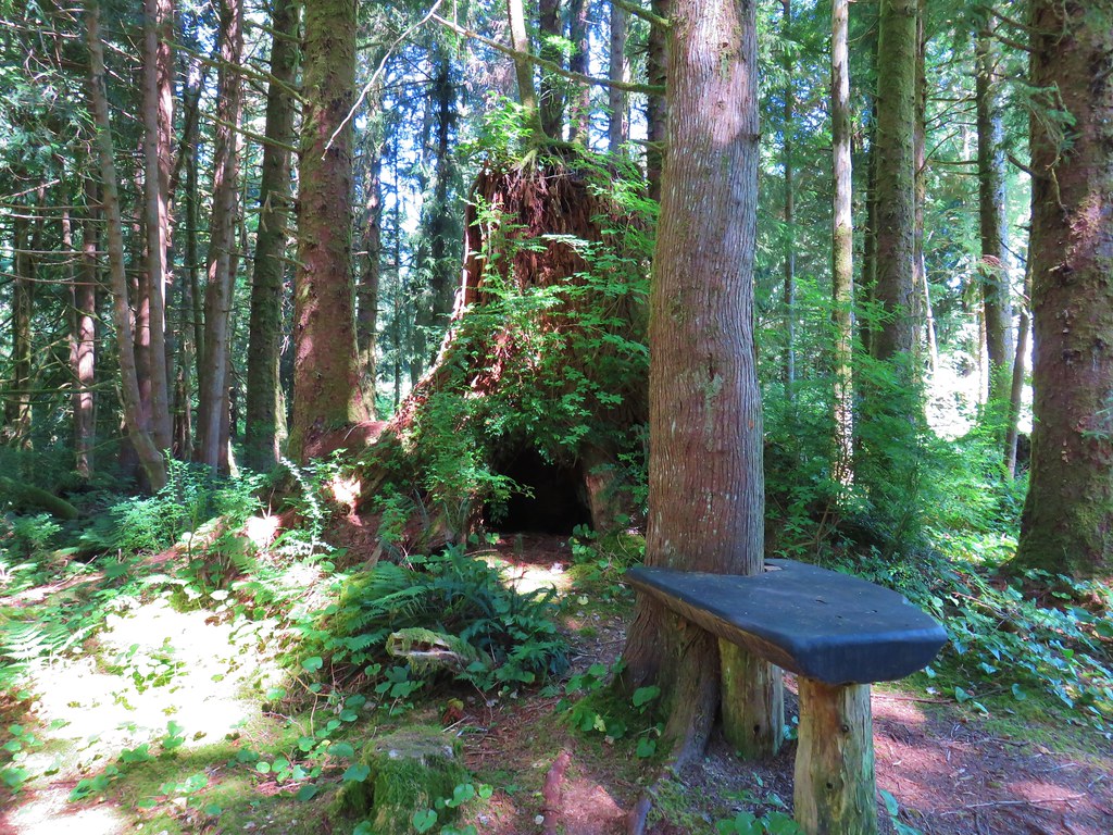
 One of several benches along the trail.


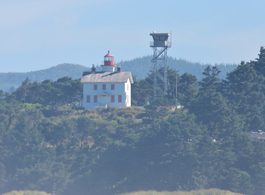
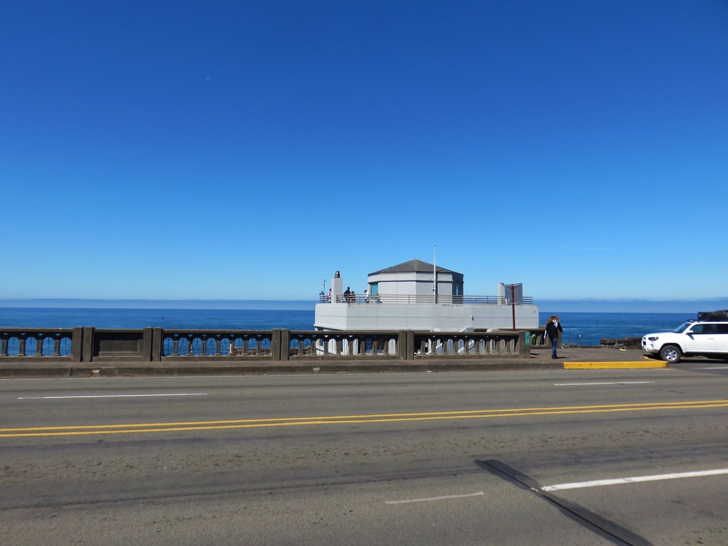 Whale Watching Center
