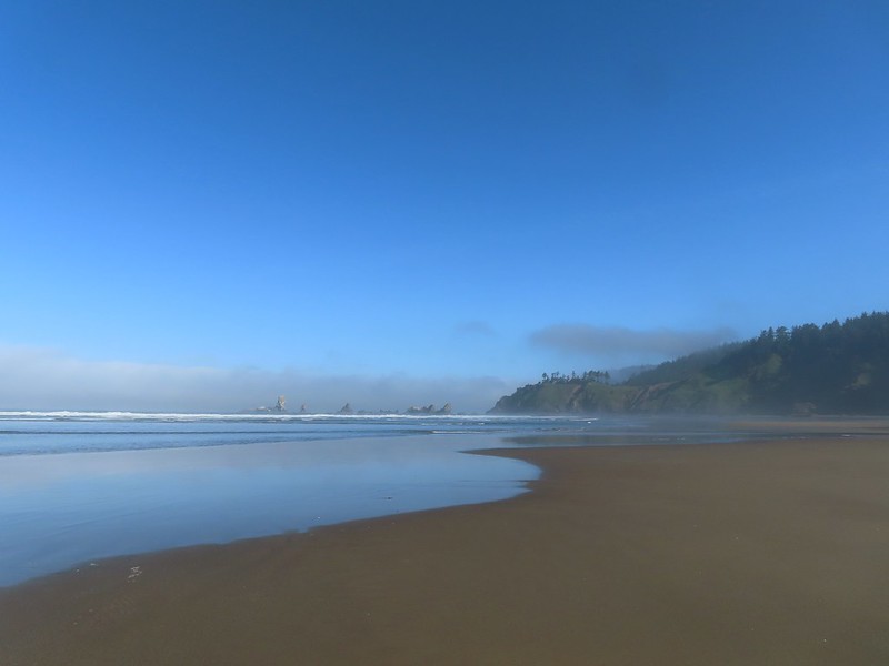
A wet system moved in toward the end of the week and prompted us to look for a good rainy-day hike. After coming up with a few possibilities along the Pacific coastline I checked several local forecasts and landed on Manhattan Beach. With that hike being roughly 7.5-miles, I looked for another nearby trail on the Oregon Hikers Field Guide which led me to the Elk Run Trail near Nehalem, OR.
We started the morning with the Elk Run hike since it was the shorter of the two at 3.6ish miles, and it was just a few miles further away than Manhattan Beach. We parked at the Alder Creek Trailhead per the entry in the Oregon Hikers Field Guide.

We parked along the shoulder across from the gate which is not to be blocked at any time.
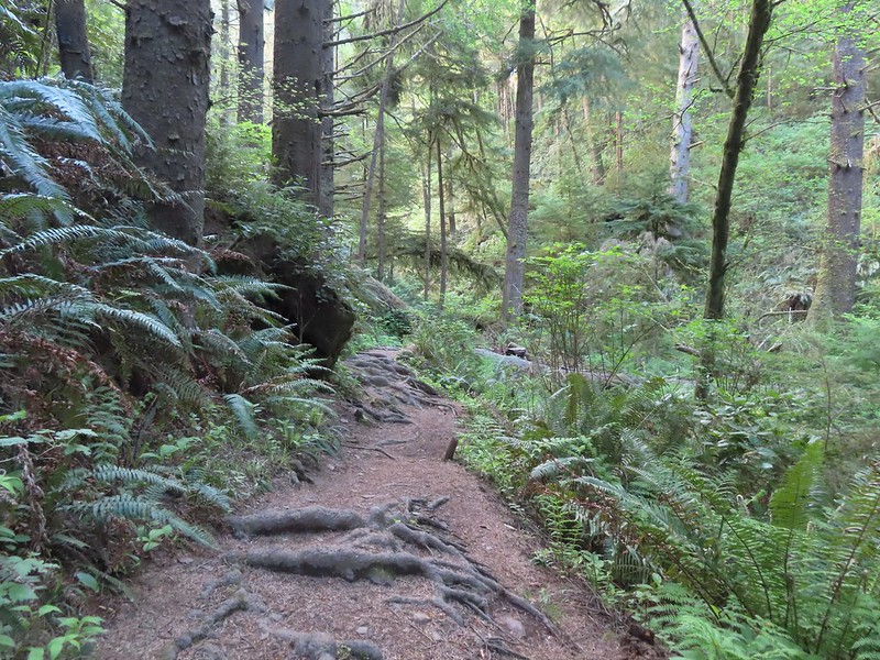
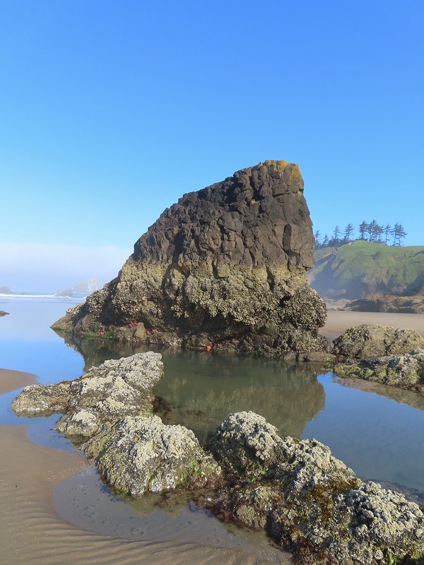
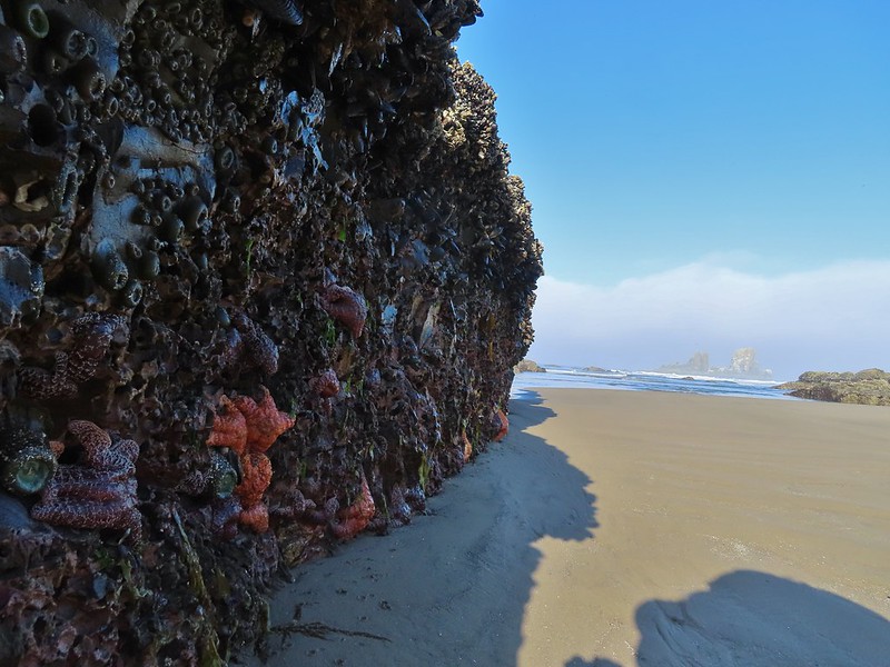
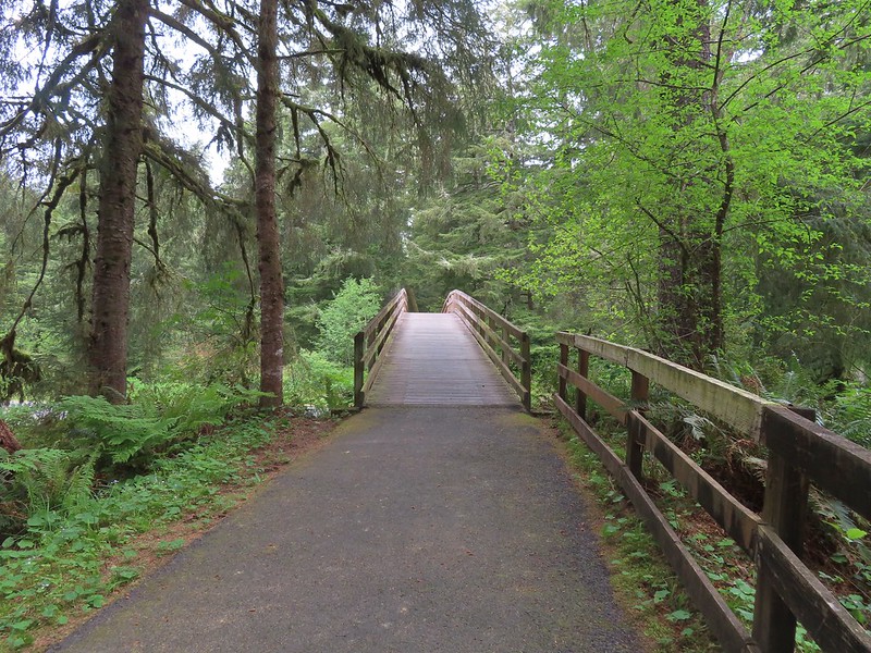
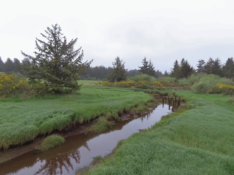
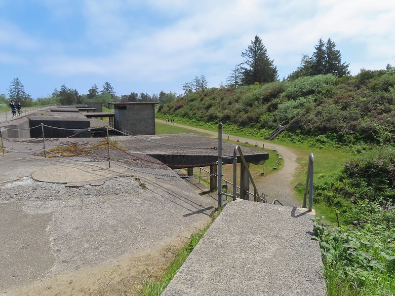
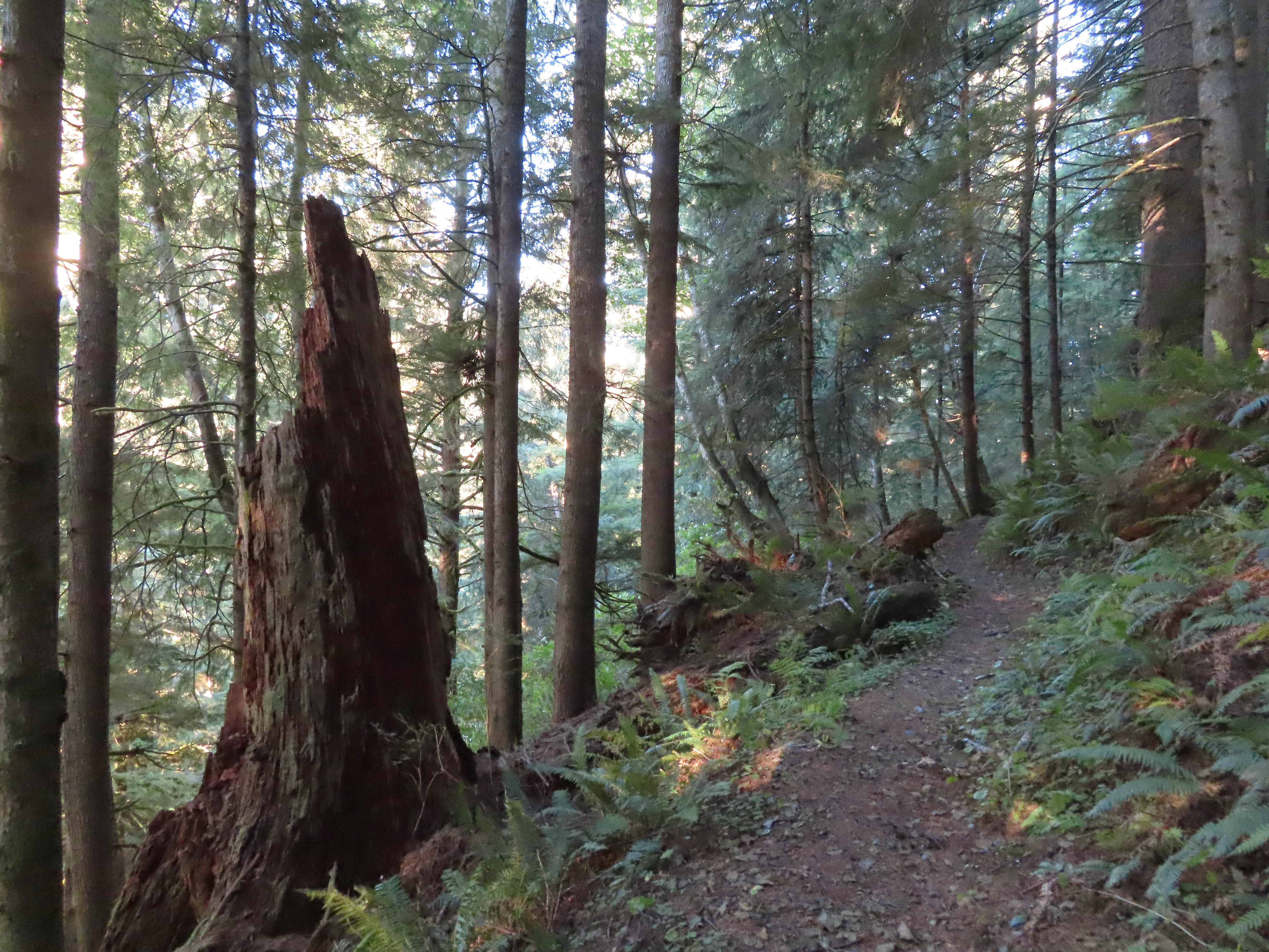
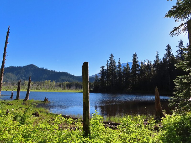
Beyond the gate the Alder Creek Trail follows an old roadbed on a levee 0.4-miles to a footbridge over Alder Creek.


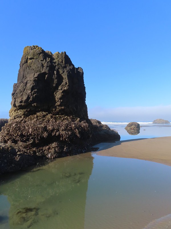
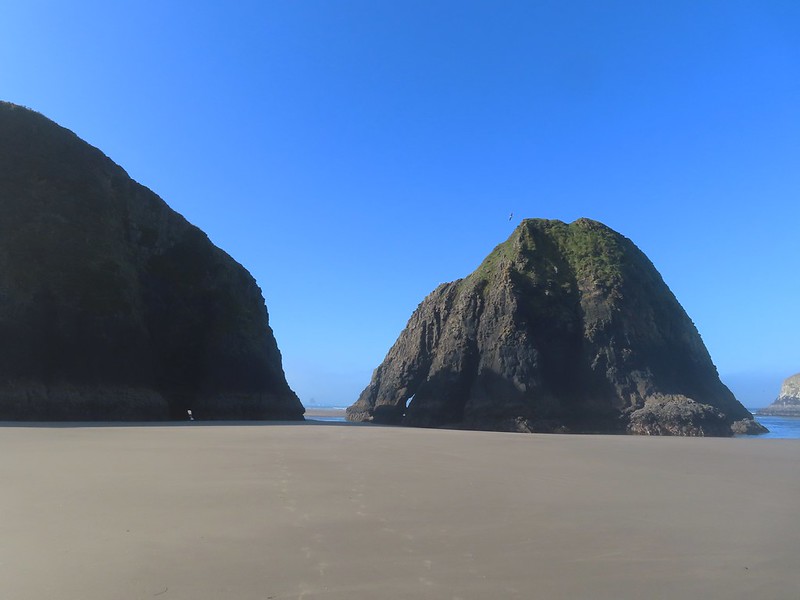
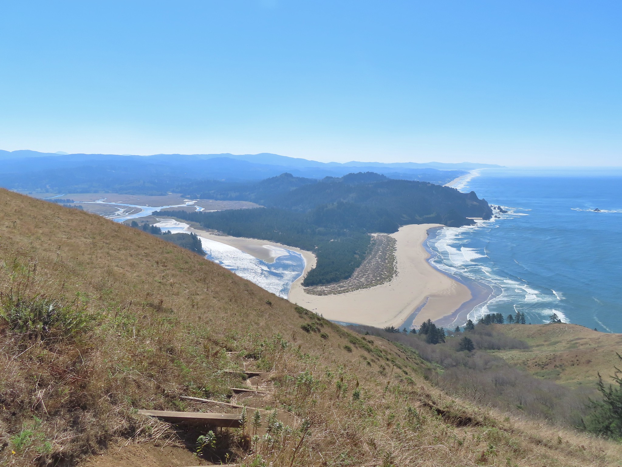
Neahkahnie Mountain (post) to the left and Rock Mountain to the right.

Looking back along the footbridge.
On the far side of the footbridge was a junction with the Elk Run Trail.

We stayed straight at the junction continuing along the old roadbed.

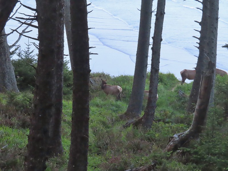
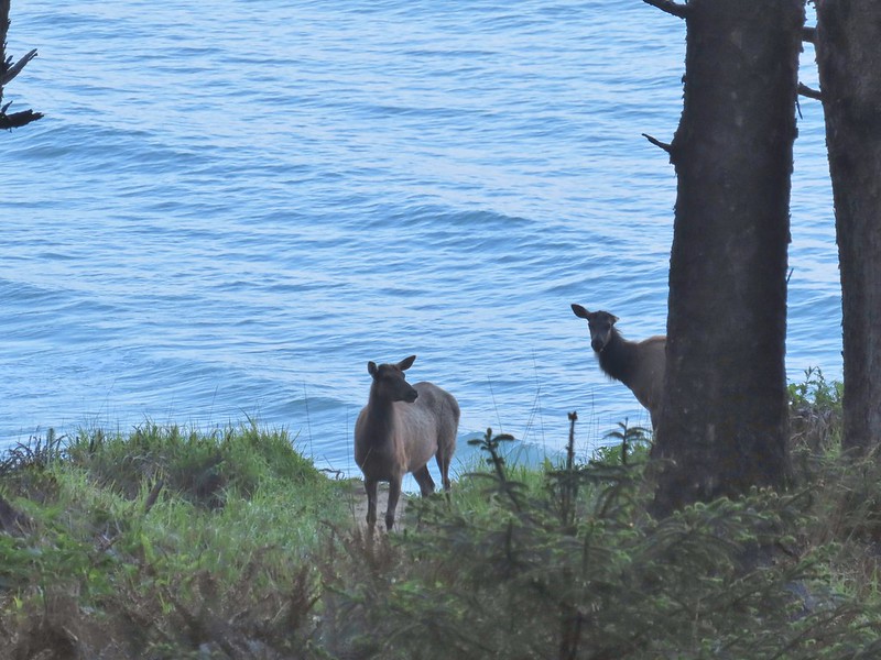
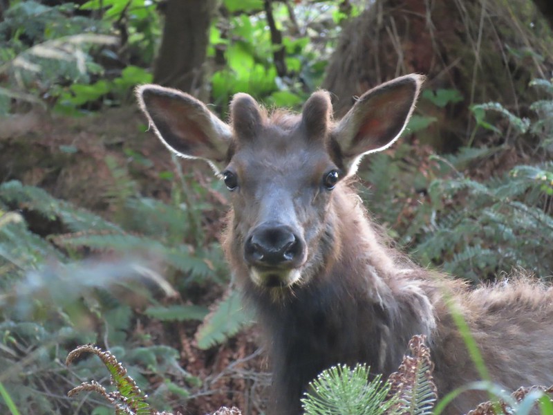
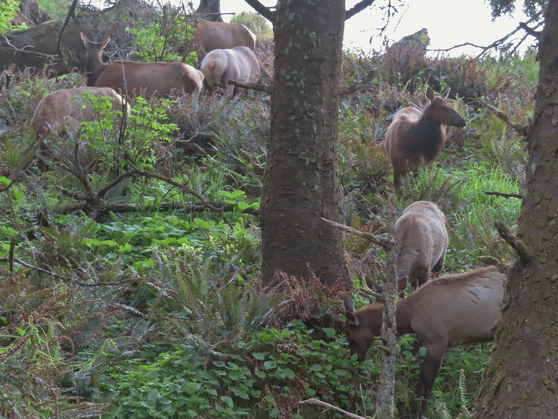
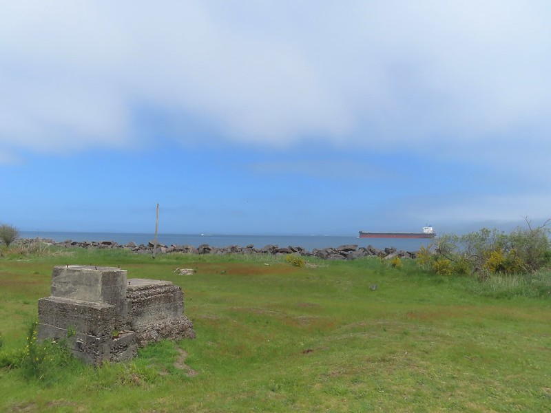
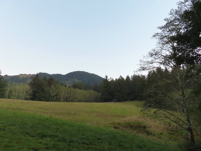
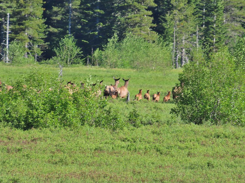
There was a meadow to the right of the trail where we spotted a small herd of elk.


A third of a mile from the footbridge the trail arrived at a gravel road which it followed for about 50 yards before continuing on a grassy track to the right.

The small building at the end of the gravel road was some sort of wastewater

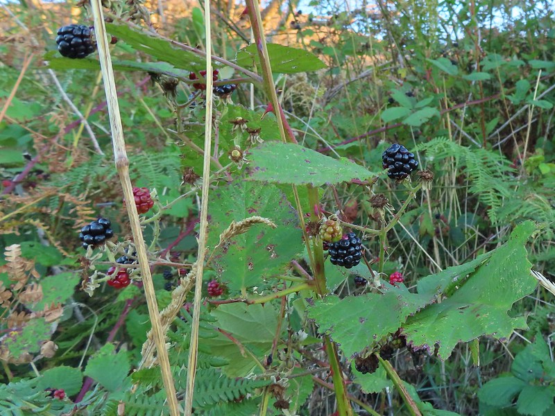
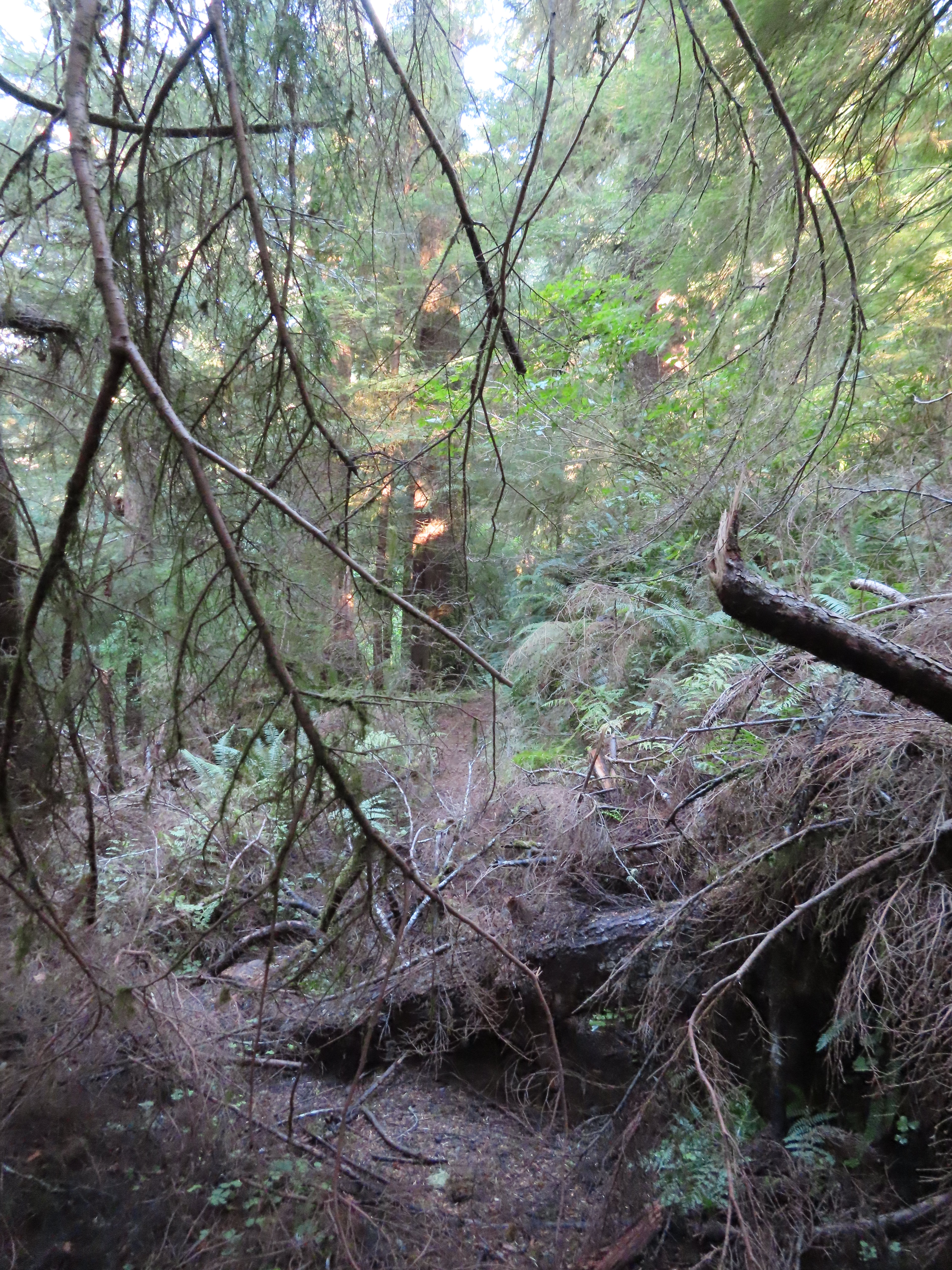
The continuation of the trail was unsigned but obvious as it cut through a wall of blackberry bushes.

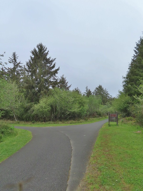
A tenth of a mile from the gravel road the trail split at another unsigned junction. This was the other end of the trail that had split off after crossing Alder Creek.

The tenth of a mile stretch passed behind some new construction.

We would be using that trail for our return but for now we stayed straight crossing the end of a paved road after another 0.3-miles and arriving at yet another junction a tenth of a mile later.


Looking up the paved road.

There was actually a pickup parked at this junction when we first passed, but it was gone by the time we came back by. The righthand fork makes a second loop possible, but this one can be submerged during higher tides.
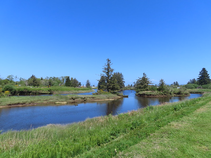
We again stayed straight and in another three tenths of a mile we came to the other end of the loop at a “T” junction near the bank of the Nehalem River.

The other end of the second loop.

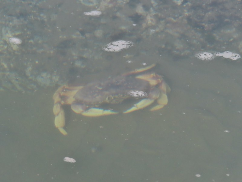
Nehalem River

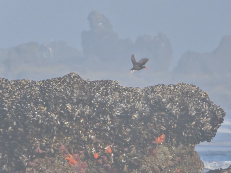
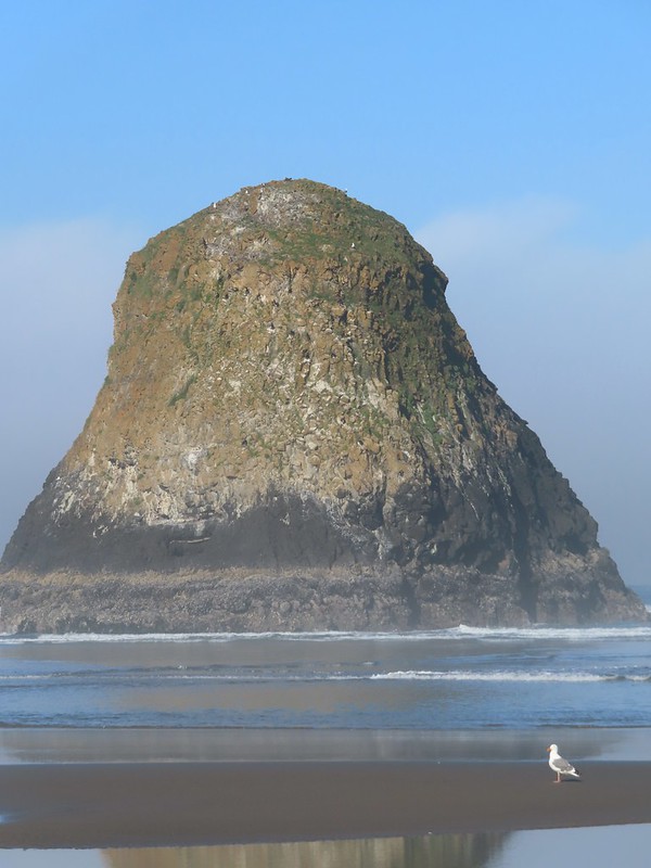
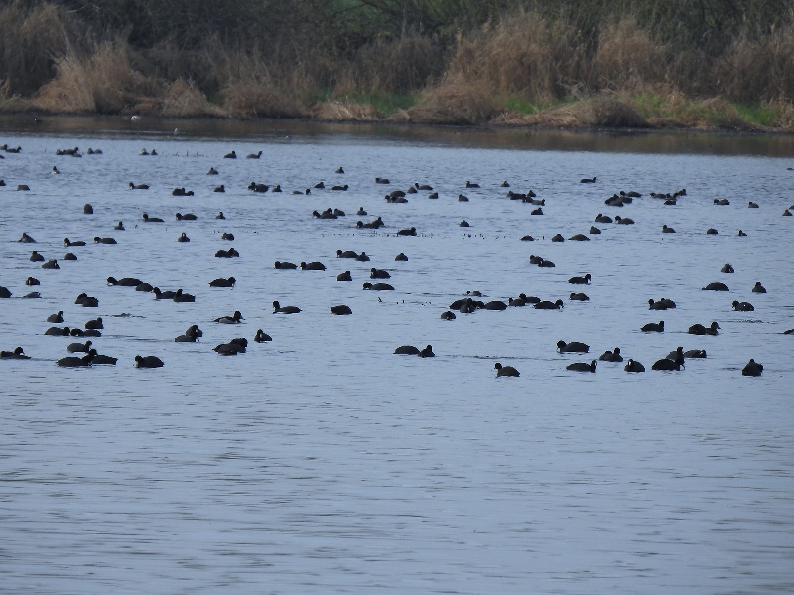
Hooded merganser
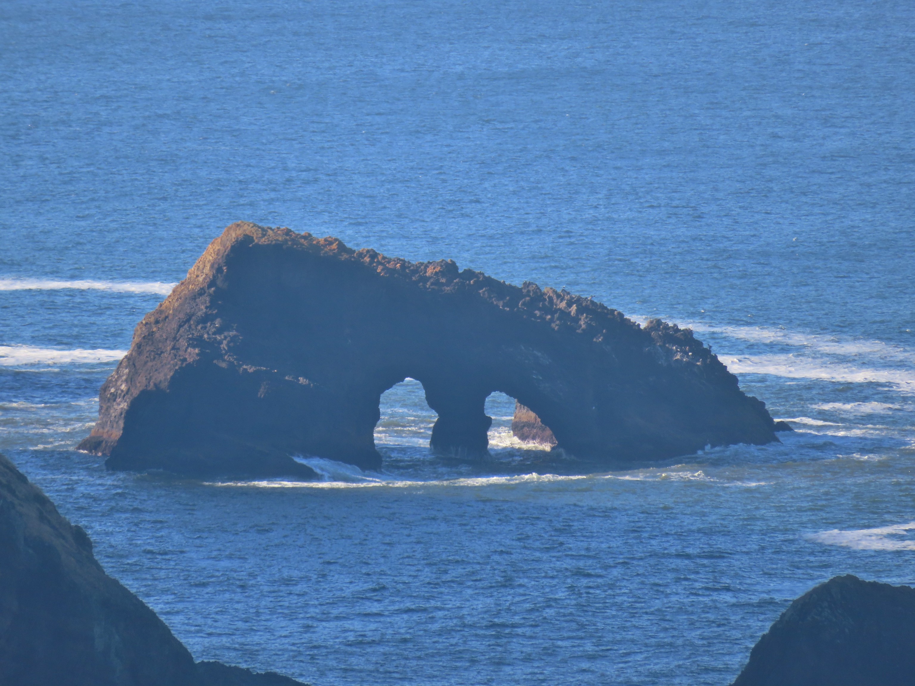
We turned left and continued another two tenths of a mile around Dean Point to the trails end at a rocky river beach.


Highway 101 across the Nehalem River.

Cormorant

Nehalem River
After taking in the view from the end of the trail we returned to the “T”-junction. We hadn’t originally planned on doing the second loop because we hadn’t checked the tide tables and with the recent rain we weren’t sure how muddy/wet it might be. After seeing that it clearly wasn’t high tide I decided to give it a try. Heather decided to take the conservative approach and return the way we’d come so we split up here and planned to meet back up at the other end of the little loop.
This section of the loop was 0.4-miles long and was quite a bit rougher than the main trail, but it wasn’t too wet and there were only a couple of small muddy sections where the trail briefly dropped off the narrow dike it was following.

The trail briefly followed the river before making a right turn away from it.

Rainbow to the north.

Planks were placed at various points along the trail. They helped avoid muddy spots, but I had to be careful because some of them were really slick.


Looking toward Nehalem Bay (post).

Heading north after turning away from the river.

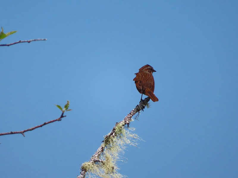
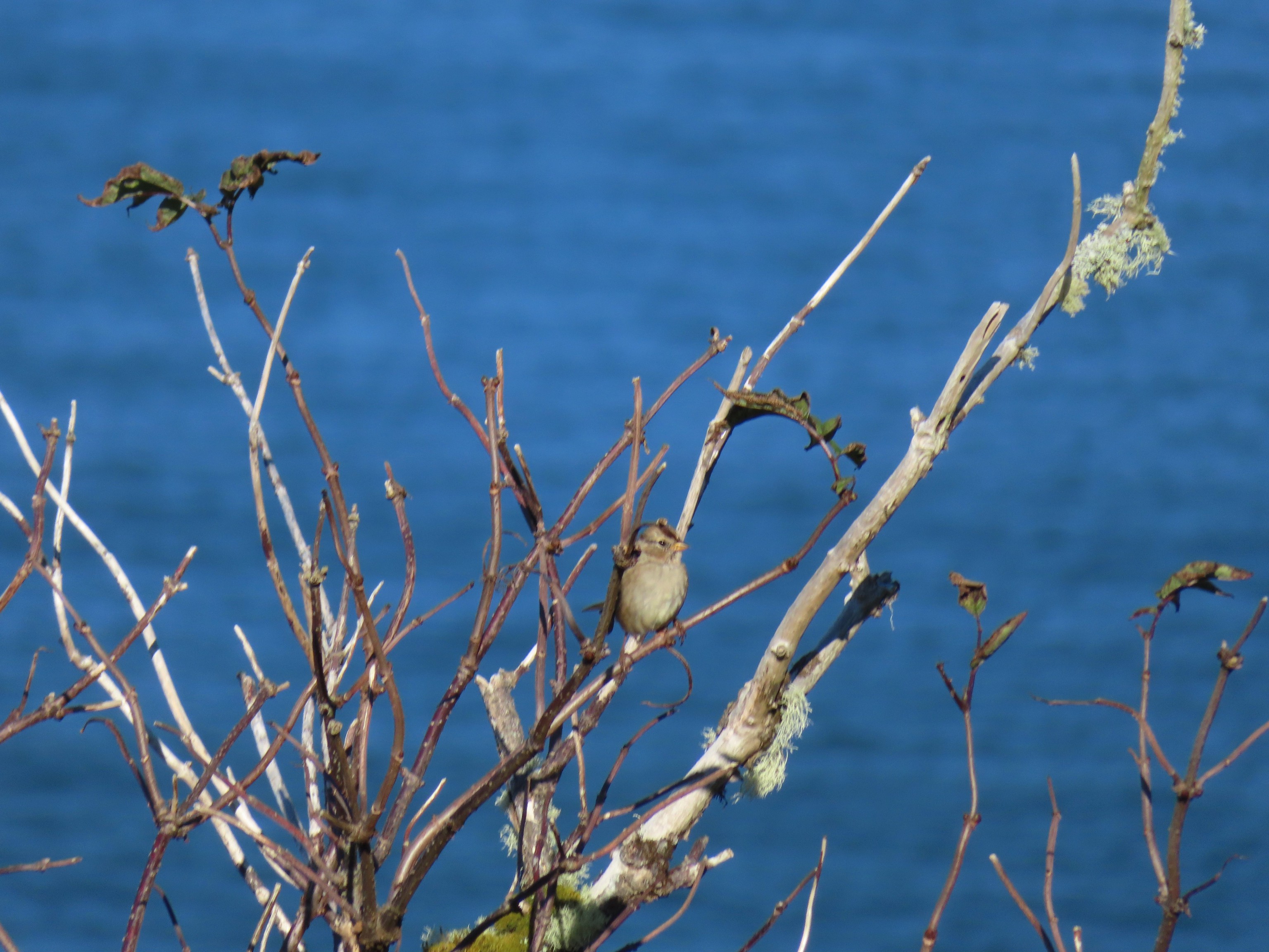
Sparrow

Yarrow

When the trail turned again to complete the loop it crossed a relatively deep (3-4 feet) channel on a narrow plank.

Not long after reentering the trees seen ahead I ran into Heather who had come down from the junction which was just a short distance away.
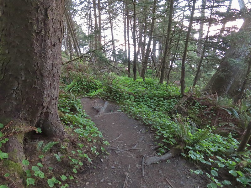
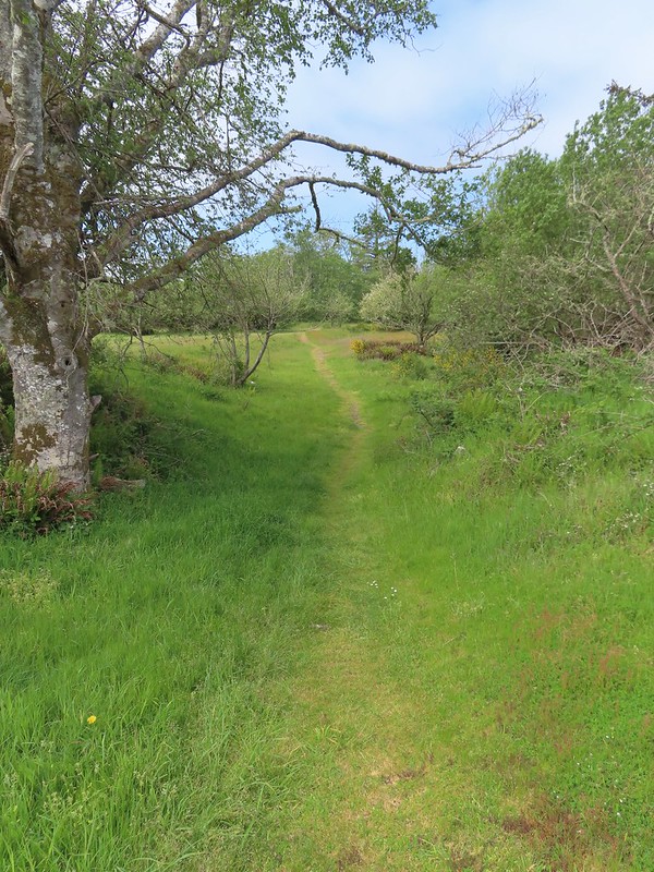
We continued on our way back and when we arrived at the unsigned junction for the first loop we turned left. This was another 0.4-mile section which passed the same meadow we’d seen the elk in earlier from the Alder Creek Trail. They hadn’t moved on so we got to see them for a second time.


On the first loop.

Salal lining the trail.


We snacked on a few evergreen huckleberries while we watched the elk.

Bench overlooking the meadow. There were two similar benches along the other loop.

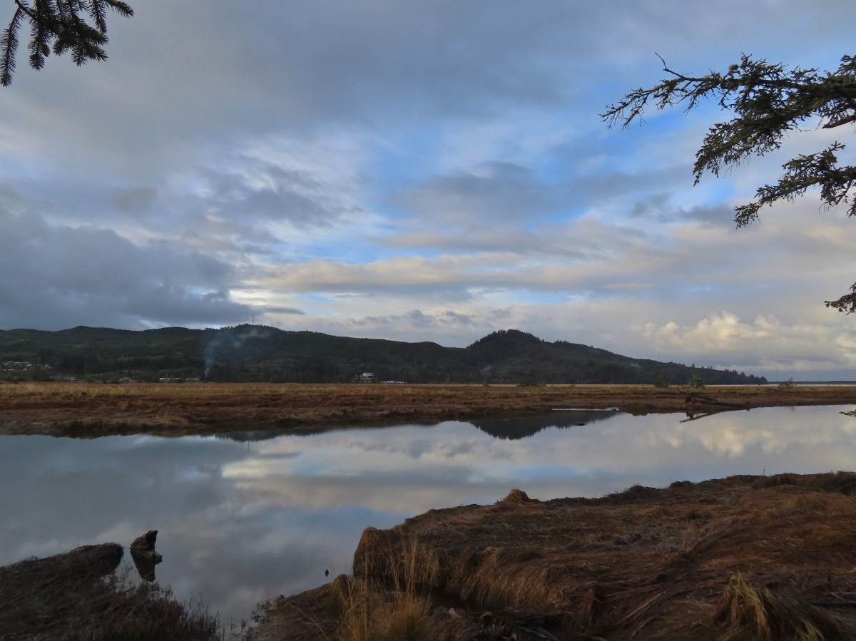
Alder Creek heading out to Nehalem Bay.

Arriving back at the footbridge.
We recrossed Alder Creek and returned to our car. Both our GPS Units showed 3.5-miles for our hikes so doing or not doing the loops didn’t make a difference distance wise. Elevation change was easily under 50′.

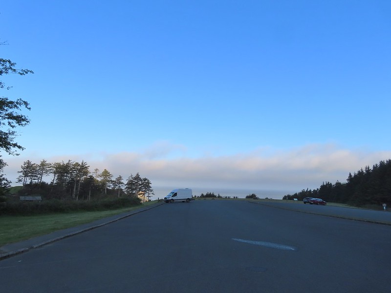
It was about a 15-minute drive to the Manhattan Beach Wayside where we parked near the restrooms which is also where an Oregon Coast Trail pointer was located.


Oregon Coast Trail pointer.
A short trail led through a strip of trees and over the foredune to Manhattan Beach.


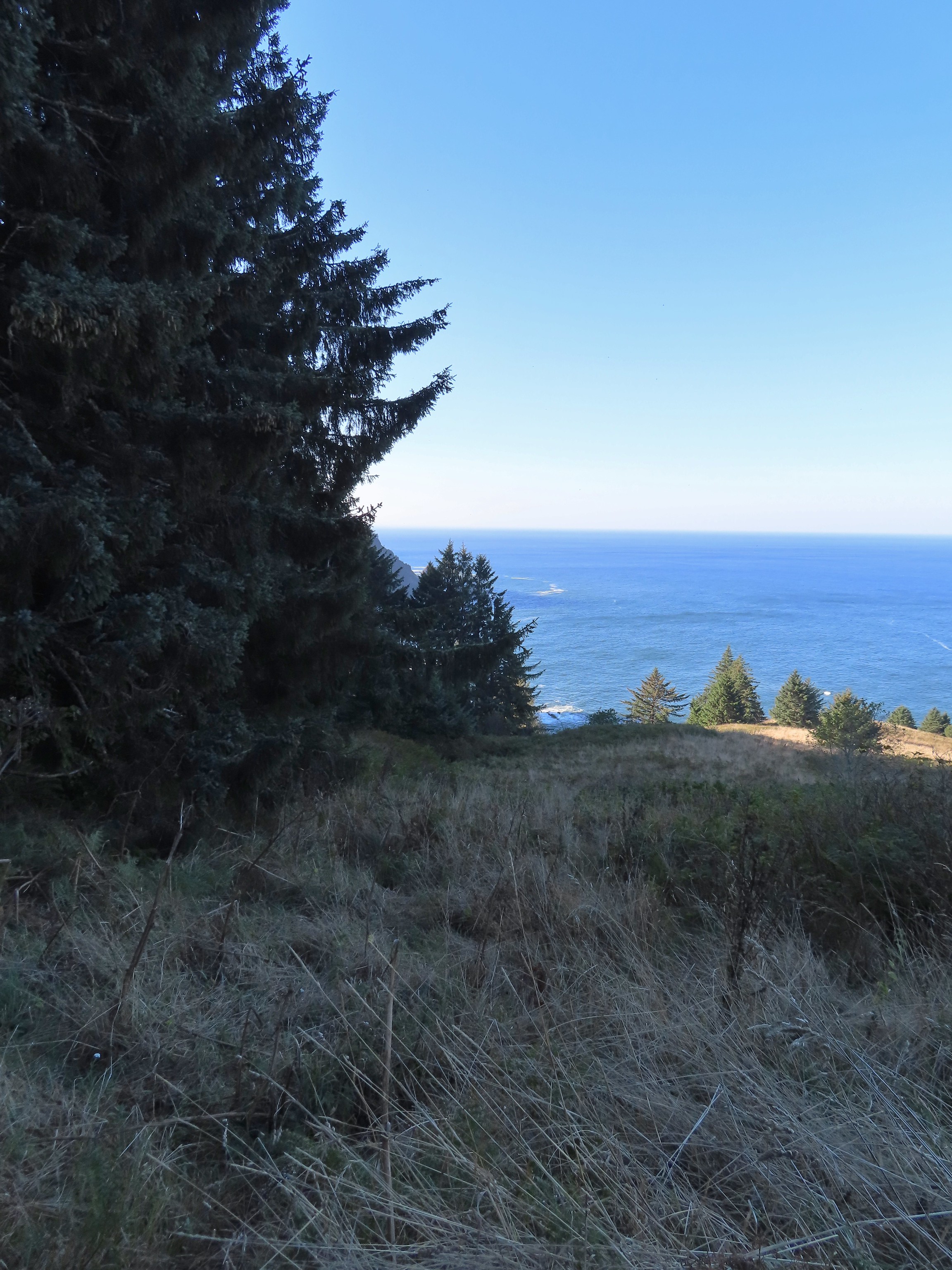
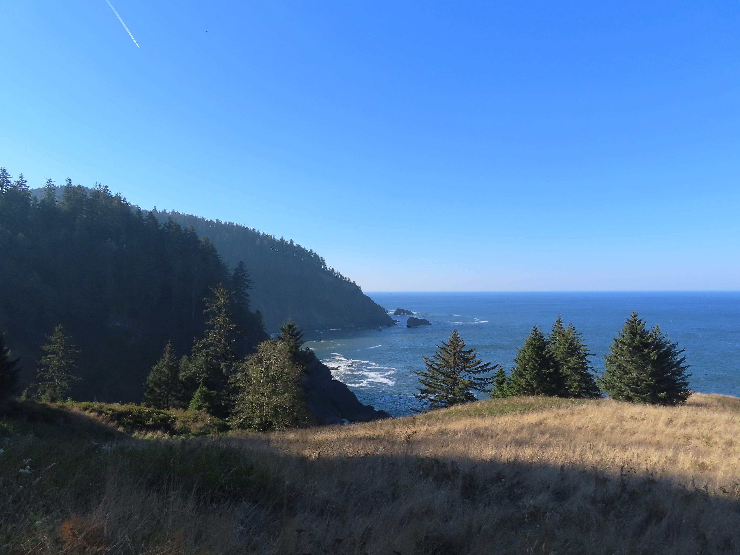
We had a choice of going north or south and planned on doing both before returning to the car. To the north was the mouth of the Nehalem River at Nehalem Bay and to the south was Rockaway Beach where we had started our Twin Rocks hike just five weeks before (post).

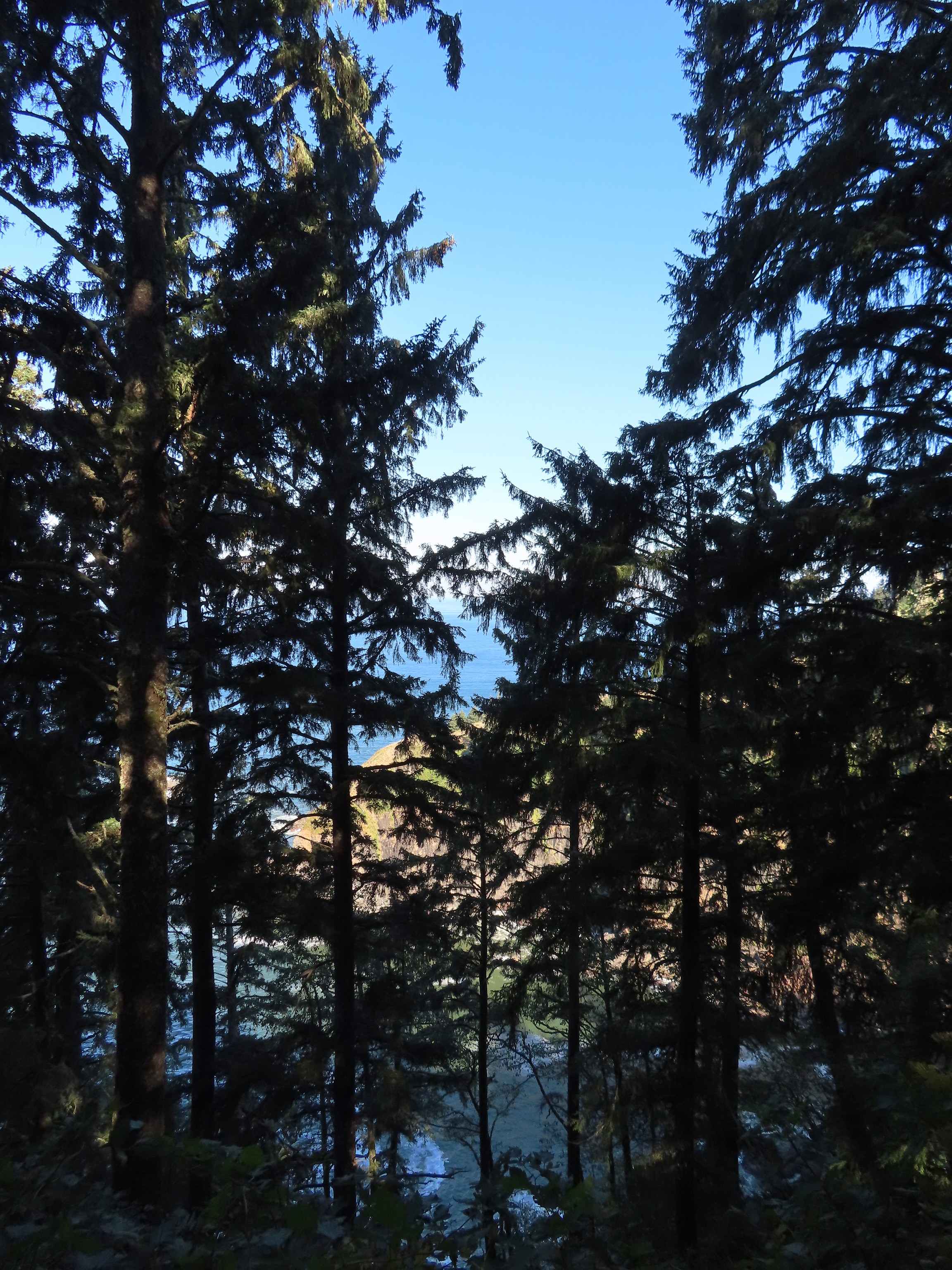
To the north we could see Cape Falcon (post) beyond the south river jetty.

To the south Twin Rocks was visible off the coastline.
We decided to head south first with our plan being to turn around at the creek just north of the Rockaway Beach Park where we had parked in September. While we had avoided rain during our first hike the rain arrived shortly after we set off along the beach. In typical fashion the wind was blowing south to north, so we were heading into it which prompted us to throw on our rain gear. It also kept me from trying to take too many photos during the nearly 2-mile hike to the creek.

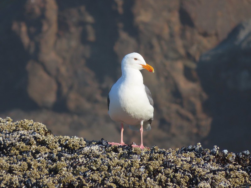
Gulls

Brown pelicans

Rockaway Beach


Rain incoming.

Twin Rocks

Our turnaround point through the water on the camera lens.
After turning around and putting the wind at our backs it didn’t feel like it was raining as hard and I tried a few more photos as we headed for the jetty which was just under 3-miles from the creek.


Mine! (If you know you know.)

Some heavy rain off the coast heading north.

Homes along Manhattan Beach.

The south jetty.
We climbed onto the jetty to get a look at the Nehalem River.


Looking toward Nehalem Bay.
The Oregon Hiker Field Guide entry for Manhattan Beach mentioned hiking inland along the jetty to McMillan Creek. Despite the rainy conditions I decided to go ahead and do that while Heather opted to skip this portion of the quest. Instead of trying to walk directly along the jetty I headed back north to a path near beach mile marker 24 and followed it inland.

The neon sign marking mile 24.
I then picked up one of a number of use paths leading through the grassy spit and veered back toward the jetty.

I was able to find one that led back up to the top of the jetty and then followed the jetty to McMillan Creek.


The jetty was rough with a few sinkholes.


My turn around point, where McMillan Creek passes under the remains of the jetty.

McMillan Creek from my turnaround point.
The rain had let up during my hike down the jetty to the creek, but as I started back the rain picked up noticeably. I cut back across the grassy spit area to mile marker 24 and then hopped back onto the beach. From there it was a mile back to the trail up to the Manhattan Beach Wayside.

I got another brief respite from the rain once I was back on the beach.

Those dark clouds were angry and wet.


Mile marker 25 is up on the foredune to the right which is also where the trail was back to the wayside.
Heather was sitting on a bench on the foredune when I got back and we finished the hike together.

Our car in the wayside parking lot from the trees.
The GPS put my hike at 7.5-miles with minimal elevation gain.

As we were trying to change out of our wet clothes the sky really opened up and it poured. These wound up being great choices for a rainy day. We were especially pleased with the Elk Run hike. It was a relatively quiet hike given how close we were to homes and the highway and it had some really nice views. Seeing the elk also gave it a boost. Happy Trails!

 The orange loop is the Mill Hill Loop.
 The orange section on the right is my detour with the solid cyan representing the 2024 route. (Other colored lines are from the other previous visits.)
 Rabbit
 Sunrise view
 Mt. Jefferson
 I hadn’t gotten very far before I spotted a couple of elk ahead.
 Coyote


 I stopped here not wanting to get any closer and waited to see what the elk would do.
 The lead bull here seemed to have a leadership role because once he emerged and headed across the field the herd followed and then circled up.


 On my 2024 hike I had turned left here on the track at the edge of the photo, but with the elk out there I stayed straight(ish) along the tree line. Apparently that is part of the Prairie Extension Trail, but it was a more obvious path and there was an equally obvious path that angled off the extension trail back to the main Prairie Trail.
 It was a wet muddy hike this time of year.
 Camas and buttercups
 McFadden Marsh sending up a light fog.
 Wood ducks
 Northern shoveler
 Mallards, a green winged teal, a cinnamon teal, and a wood duck.
 Ruddy duck
 I’m sure it’s a nutria, it’s almost always a nutria.
 Cinnamon teals
 Female wood duck
 Bald eagles on the far side of the marsh.
 Blackbird
 Buffleheads
 Great blue heron
 Green winged teals and American wigeons
 Dove
Dove Marsh wren
 Heron hanging out near the Mcfadden Marsh blind.
 Egrets and ducks
 Egrets
 Robin
Robin

 There were actually two bitterns.
 Their camo is so good.
 American coot
 Swallows
 Pied billed grebe
 Ring-necked duck
 Cinnamon teals
 Manroot and the Cheadle Barn
 California scrub jay
 Bittern flying over the Cheadle Barn Pond with Pigeon Butte in the background.
 Iris and golden paintbrush on the side of Pigeon Butte.
 Golden paintbrush and I guess the beetle counts as wildlife.
 Savanah sparrow near the Finger Ponds.
 Geese in a field near the Finger Ponds.
 Turkey vulture
 Goose and goslings in Cabell Marsh.
 Great blue heron at Cabell Marsh.
 American goldfinch near Cabell Marsh.
 California quail near Cattail Pond.
 Pied billed grebe at Cattail Pond.
 Camas along the Cattail Pond Trail.
 Pacific waterleaf along the Beaver Pond Trail.
 Checker lily along the Beaver Pond Trail.
 Fairy lanterns along the Beaver Pond Trail.
 Giant white wake-robin along the Beaver Pond Trail.
 Bullfrogs and blackbirds were all I saw at the Beaver Pond.
 Turkeys along the Beaver Pond Trail near Park Headquarters.
 The start and end of the Mill Hill Loop.
 Yellow violets in the midst of invasive herb robert.
 Bleeding heart
 Gray squirrel
 Star flower
 Spotted coralroot
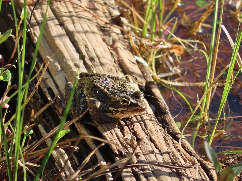
 I’d once spotted a turtle on this log in a pond below the Mill Hill Loop so I took a picture hoping for another one. Instead I got a bullfrog.
 Mallards in the same pond.
 Solomonseal
 Tolmie’s mariposa lily
 The forest is pretty along the Mill Hill Loop.
 Poet’s shooting star
 Small-flowered woodland-star
 The end and start of the Mill Hill Loop.
 Tough-leaved iris
 There were a bunch of bullfrogs sunning at the little pond along the Woodpecker Loop.
 Lomatium on the Woodpecker Loop.
 Woodpecker Loop Overlook. I took a break on the bench here and changed into dry socks after having a snack.
 This northern harrier was putting on an aerial display while I took my break.
 Wildflowers along Bald Hill.
 Wild rose
 Checkerbloom
 Tough-leaved iris and golden paintbrush
 More turkeys along Finley Refuge Road.

 Cabell Barn across from the entrance road to the Cabell Marsh Trail.
 Honeybee swarm along the road to the Cabell Marsh Trail. It looks a little like a heart.
 This end of Cabell Marsh was practically deserted. My guess was that there was plenty of water right now in less visited areas, so the birds were avoiding this area for now.
 You can almost always count on a coot though.
 Cormorants out on a log in the middle of the marsh.
 Homer Campbell Boardwalk
 Wood ducks. These might have been the first significant wildlife I’d seen from the boardwalk. It’s a really neat trail I just rarely see any wildlife from it (with the exception of the shelter).
 Turkey vulture flying over Turtle Flats.
 Turtles at Turtle Flats!
 I had arrived just after 6:30am so it was still a little dark as I set off.

 Please respect private landowners wishes when recreating to ensure that public access continues to be allowed.
 Looking back at the sunrise.

 Entering the clearcut.
 Bleeding heart
 The OCT is well marked.
 Woodpecker
 Back in the forest.
 Interpretive signs in the preserve.
 Bench at a viewpoint.
 Nehalem Bay (
 Salmonberry blossom
 Leaving the preserve.
 Violets and pink fawn lilies. These were the first pink fawn lilies I had seen, it seems that we hadn’t timed our coastal hikes right to catch their bloom in the past.


 Trillium
 Fringecup
 Toothwort


 I made use of this bench on the way back to take a break and do some stretching.
 View to the north.
 Tillamook Head (
 It was obvious that there had been some work done to try and shore up this section of trail.
 The view south from the viewpoint.
 Cape Meares (
 Cascade desert parsley near the summit.
 Looking up at the viewpoint from the OCT.
 Trillium
 This was the only obstacle that required any sort of maneuvering.
 There are some great trees along the upper section of the trail.
 Violets
 Recent trail work.
 Anemones and violets.
 Entering the storm damaged area.
 Angora Peak (
 Getting creative with the trail route.
 Out of the storm damage.
 Skunk cabbage
 Cape Falcon from the trail.
 Pink fawn lilies
 Arriving at Highway 101 near the North Neahkahnie Mountain Trailhead.


 Snow queen
 He may have been moving faster than I was.
 There is nothing better than hearing wrens sing in the forest.
 More creative trail in the storm damaged area.
 Wood sorrel
 The view if you don’t scramble up the spine.
 Trillium with a touch of pink.
 Arriving at the packed trailhead.
 Leaving the crowds behind.
 Big patch of pink fawn lilies.
 Highway 101 from the powerline corridor.
 Margined white
 One of the more impressive trees in the preserve.
 Nearing the Highway 101 crossing. I arrived just as a long line of traffic was passing by but was able to safely cross shortly afterward.


 This pointer refers to trail 1880 as “Pine Creek” but other signs and the Forest Service website refer to it as “Pine Lakes”.
 This one says Pine Lakes.
 Sign for the Packstation.
 Squirrel with breakfast at the packstation.
 Old footbridge over a dry creek bed. It didn’t look particularly safe so I stuck to the road.
 The dry creek bed crossing.
 Black cows on the trail ahead.
 Coneflower
 Snowberry
 West Fork Pine Creek
 Formation on the hillside.
 Western clematis
 Paintbrush
 Fireweed
 The bridge felt stable despite being slanted at a 45-degree angle.
 View from the trail.

 The second bridge.
 West Fork Pine Creek
 Heather caught this cool cloud from her currently cow free hike. (She would run into them later where they’d ducked off the trail in front of me.)
 Looking back down at the campsite.
 The use trail straight ahead at the switchback.

 The base of Chute Falls.


 Looking back down the valley.
 View up the valley.
 Wilderness sign on the tree marking the boundary.
 The Pine Lakes are back up there somewhere.
 Somewhere on the other side of the peaks on the left is the Schneider Cabin where we’d hiked the day before.
 Cliffs above the trail.
 I spy mountain goats!
 A zoomed in photo of the mountain goats.


 I believe that is Cornucopia Peak on the left.
 Going up.
 Fireweed above the trail.
 Paintbrush along the trail.
 The forest on the other side of the pass.
 West Fork Pine Creek
 There was a large waterfall flowing down from the outlet of the Pine Lakes. (Not West Fork Pine Creek whose headwaters were beyond the meadowed basin.
 West Fork Pine Creek begins somewhere above the basin at the far end.
 Rock formations along the cliffs.
 Arnica and pearly everlasting
 I tried to get a clearer look at the large waterfall but couldn’t find a clear line of sight.

 Gentians along the trail.
 Evidence of an avalanche at the far end of this meadow. It took a lot of trail maintenance to clear the snapped trees from the trail.
 Wildflowers lining the trail.
 A doe that turned out to be on the trail above me. There was a switchback just ahead of where I was.


 The forest in the basin.
 The Pine Lakes are in the basin ahead.
 Arnica and aster?
 Monkshood
 Seep along the trail.
 Grass of parnassus
 American sawort
 Something had been bedded down in this little bowl below the trail.
 Goldenrod
 The valley I’d come up to the right.
 Nearly 5-miles from Chute Falls I arrived at the dam at the outlet of Lower Pine Lake. A number of lakes in the Wallows were dammed to control water flow to the surrounding communities.
 Lower Pine Lake

 Lower Pine Lake
 Lower Pine Lake from between the two lakes.
 Upper Pine Lake from the same spot.
 Upper Pine Lake.


 The view from my break spot.
 Shrubby cinquefoil
 White mariposa lily, the only one I spotted, and I’d missed it on the way up.
 Yellow columbine, I also missed this on the first pass.
 Dusky flycacther
 A meadow and the forest in the lower basin.
 Fritillary on pearly everlasting
 Trail maintenance in the avalanche section.
 Loved the rock colors in the area.
 I’m guessing some sort of wren.
 Caterpillers
 Herding the cattle back past the damaged bridge.
 West Fork Pine Creek.
 The footbridge across the East Fork Pine Creek ahead. We’d left the cows behind here and made our way back to the trailhead.

 The trail begins near the restrooms.
 Ecola Park Road.
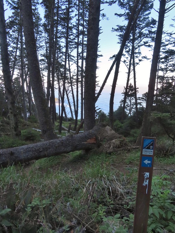
 Skunk cabbage
 Scouler’s corydalis
 Window to the Pacific.

 Ecola Point
 Chapman Point and Bird Rocks
 The upper falls.
 Waterfall Creek
 The lower falls.
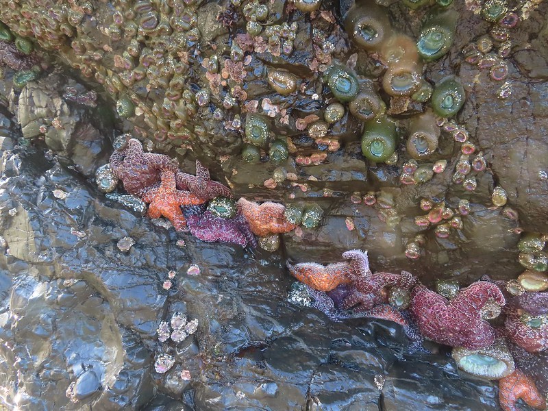
 The tide pools from Waterfall Creek.


 We found Patrick from Spongebob!
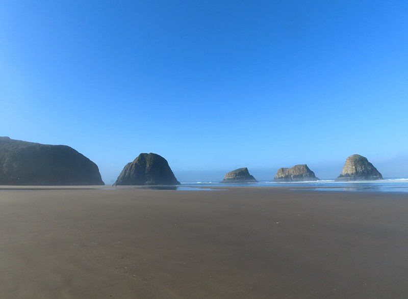
 We were curious as to what forces carved out the backside of this rock.
 Chapman Point is only passable at certain low tides. On the far side is Cannon Beach (
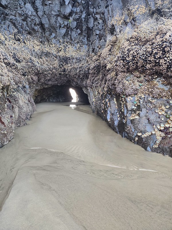 This cave through Chapman Point was flooded at the far end.
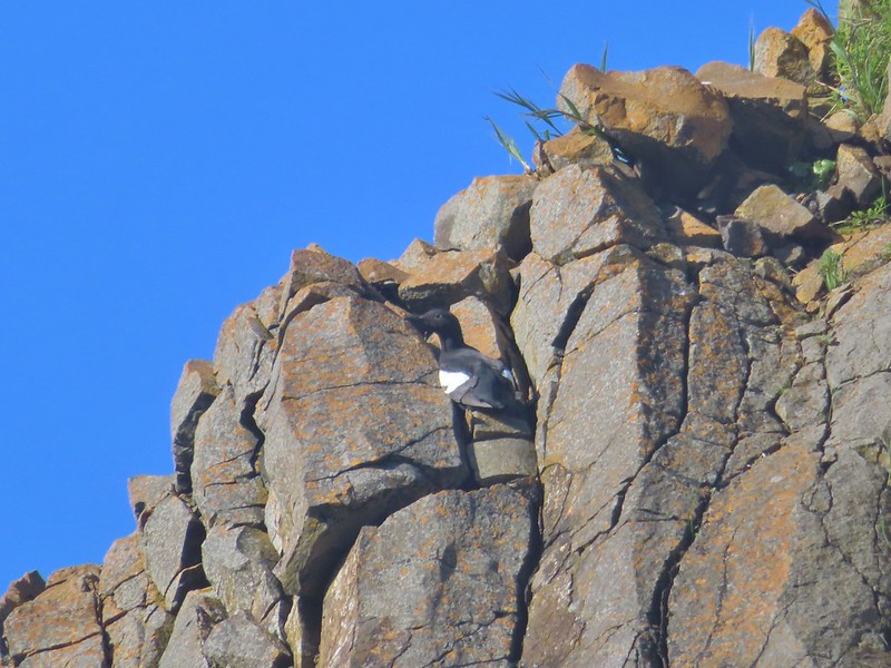 Pigeon guillemot
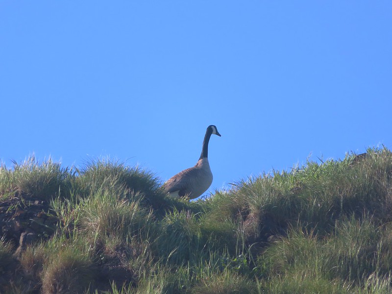 Goose
Goose

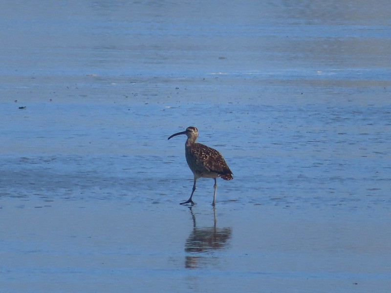 Whibrel
 Seaside bittercress
 Youth-on-age
 Battery Russell from the lot.
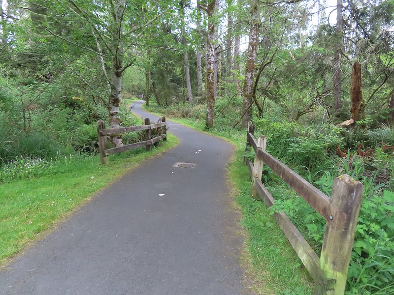

 The overpass
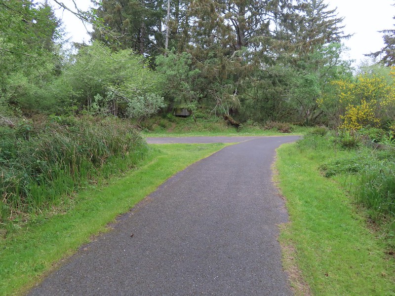


 Looking out toward Swash Lake from the bridge.
 The gate to the Historic Area is locked in the evening.
 Visitor’s center


 The guardhouse on the left.
 Battery Clark
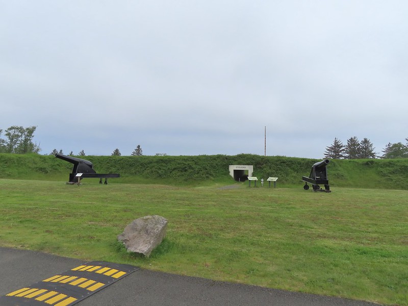
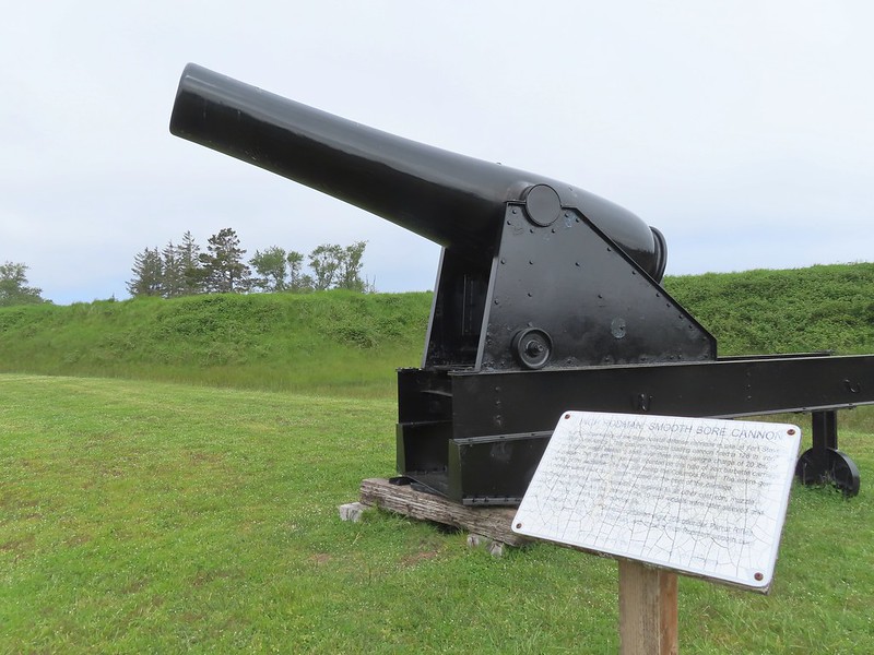


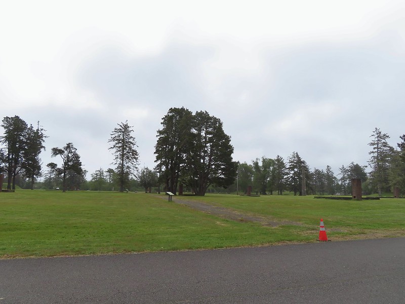
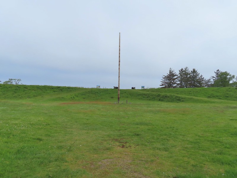 Fort Stevens Earth Works.
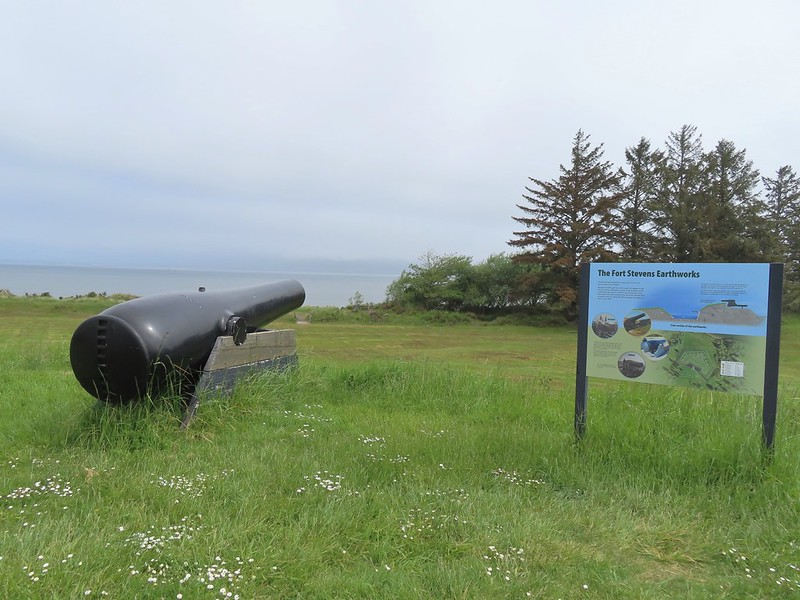
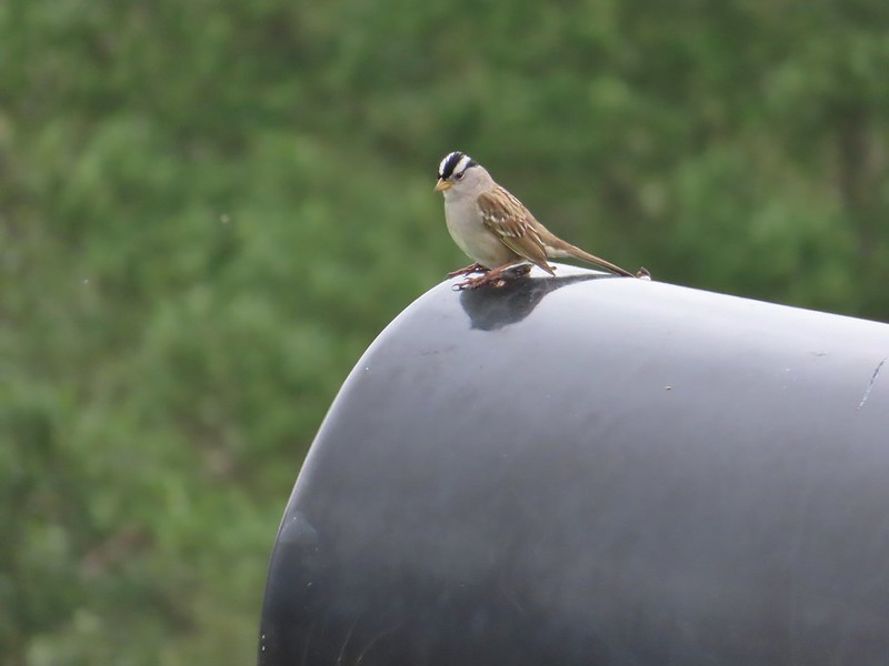 White-crowned sparrow
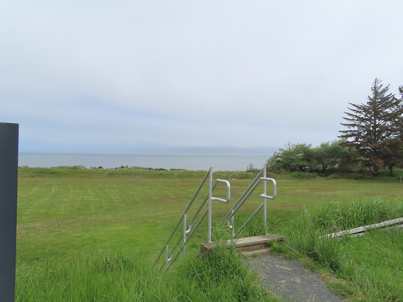 We cut across the grass below to the footbridge in the distance.
 Columbia River
 Looking west toward the Pacific.
 Battery Smur
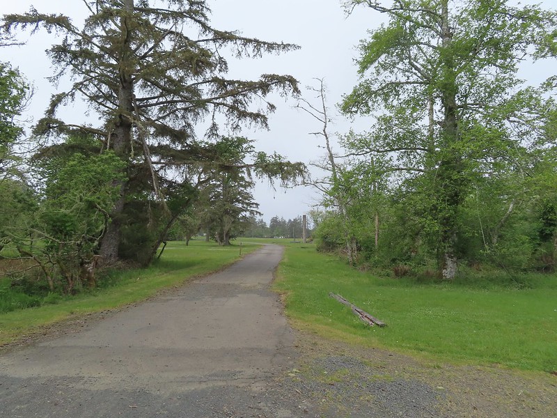 The roadbed coming in from the former barracks site.
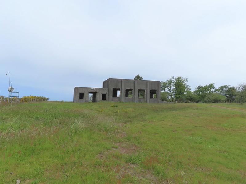 Mine Loading Building
 Searchlight Generator
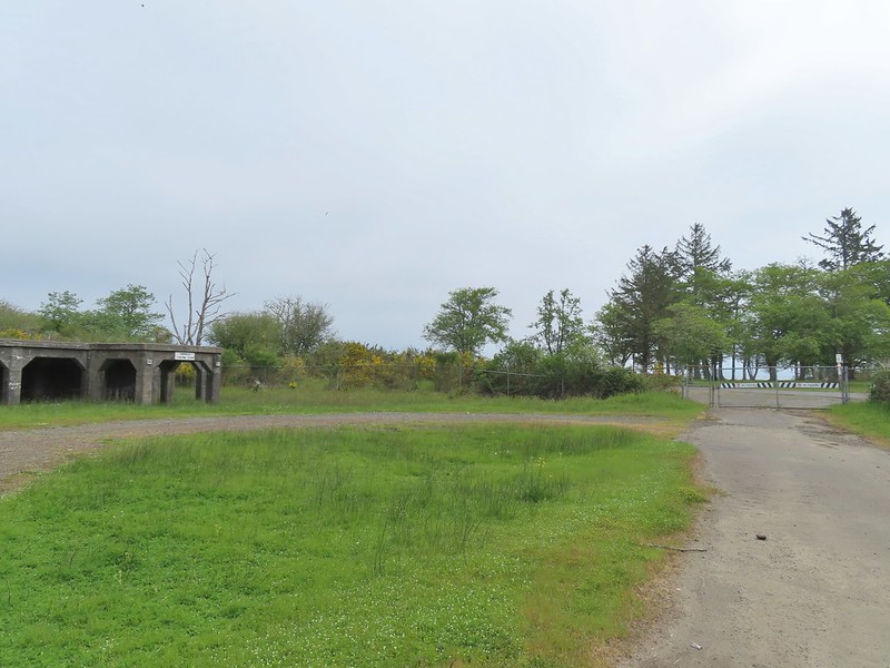
 Torpedo Loading Room


 Battery 245


 Sign for the Lil’ Oozlefinch Putting Course.
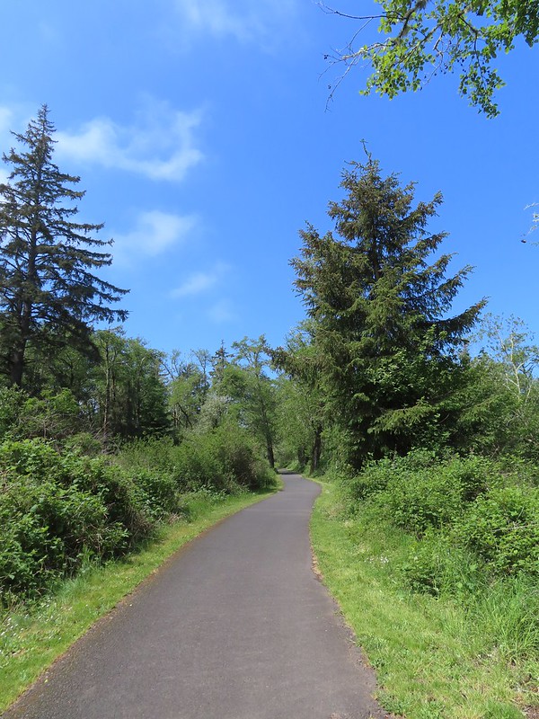
 Bald eagle
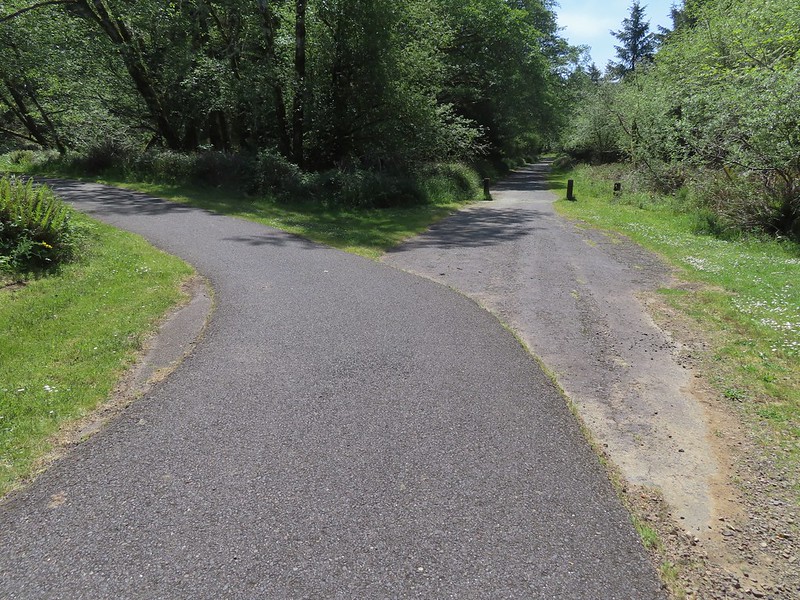
 Gate near Jetty Road.
 The parking lot at the park.
 Emerging from the underpass.
 Mallard family
 Sign at the park.
 Eighth Street Dam from the grassy track.
 Until we saw this sign we’d been thinking that maybe the trail didn’t exist any longer. We were also questioning how the loop was supposed to get back across the river at the other end since the only bridge across the river there was Harbor Drive. Until seeing this we were thinking of turning around at the dam, but instead we decided that we’d do the loop with Heather getting a table at Nisa’s while I recrossed the river to retrieve the car.

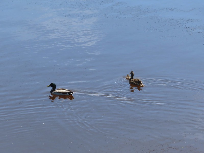
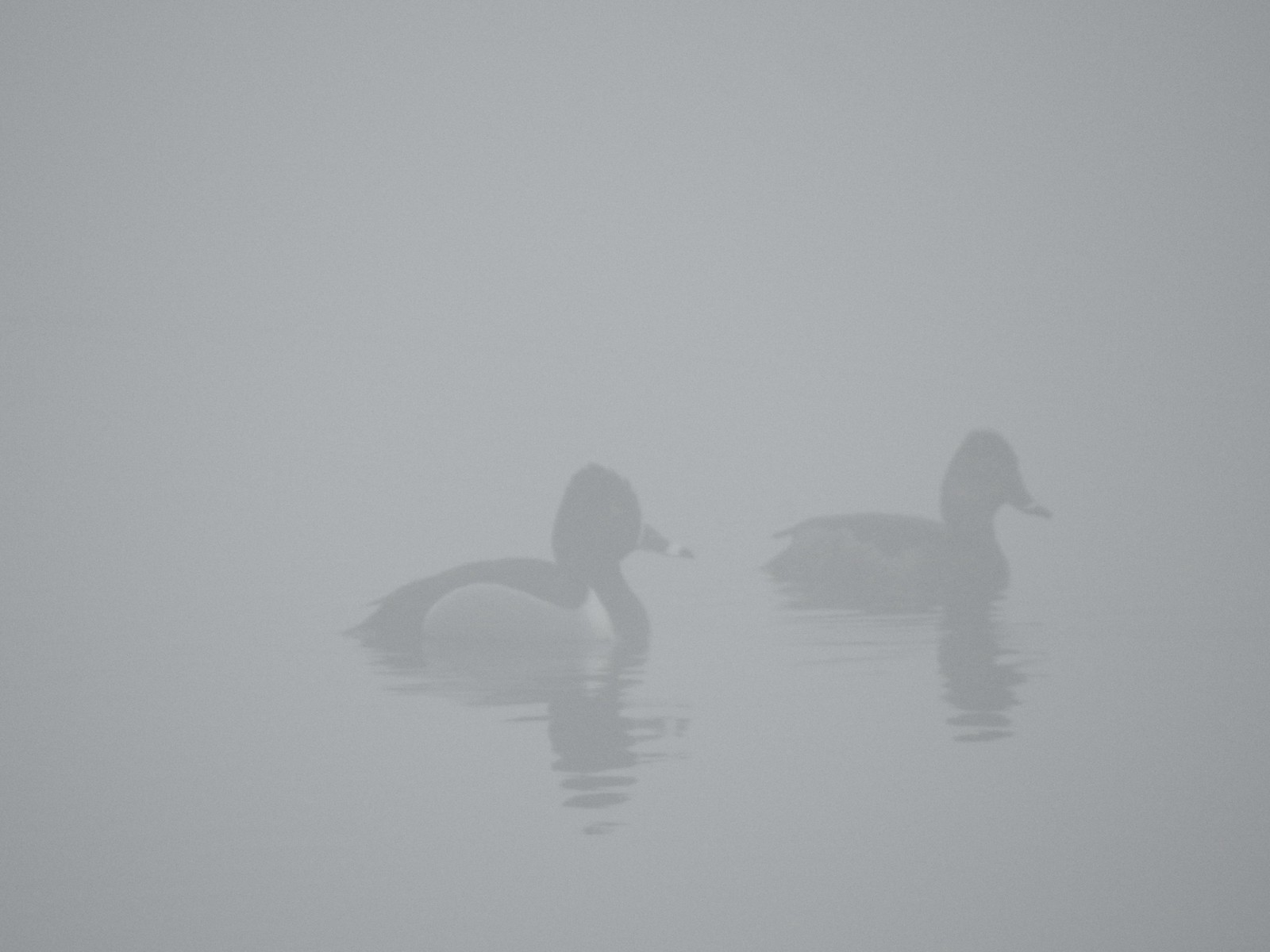
 Not the clearest picture but I think this is a greater scaup based on the head shape. We’ve seen a number of lesser scaups, but this would be our first greater.
 Great blue heron
 Cormorant
 A brief paved section.
 Nisa’s Thai Kitchen across Harbor Drive.
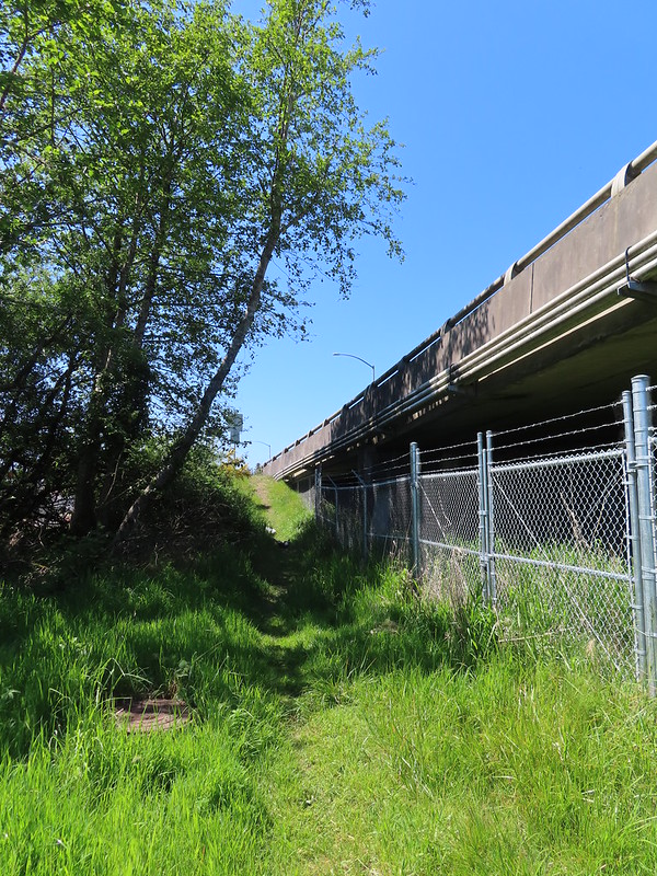 Looking back up the path from Harbor Drive.
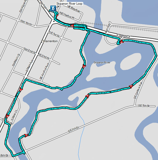

 Harvester ants – 5/29/23, Riley Ranch Preserve, Bend
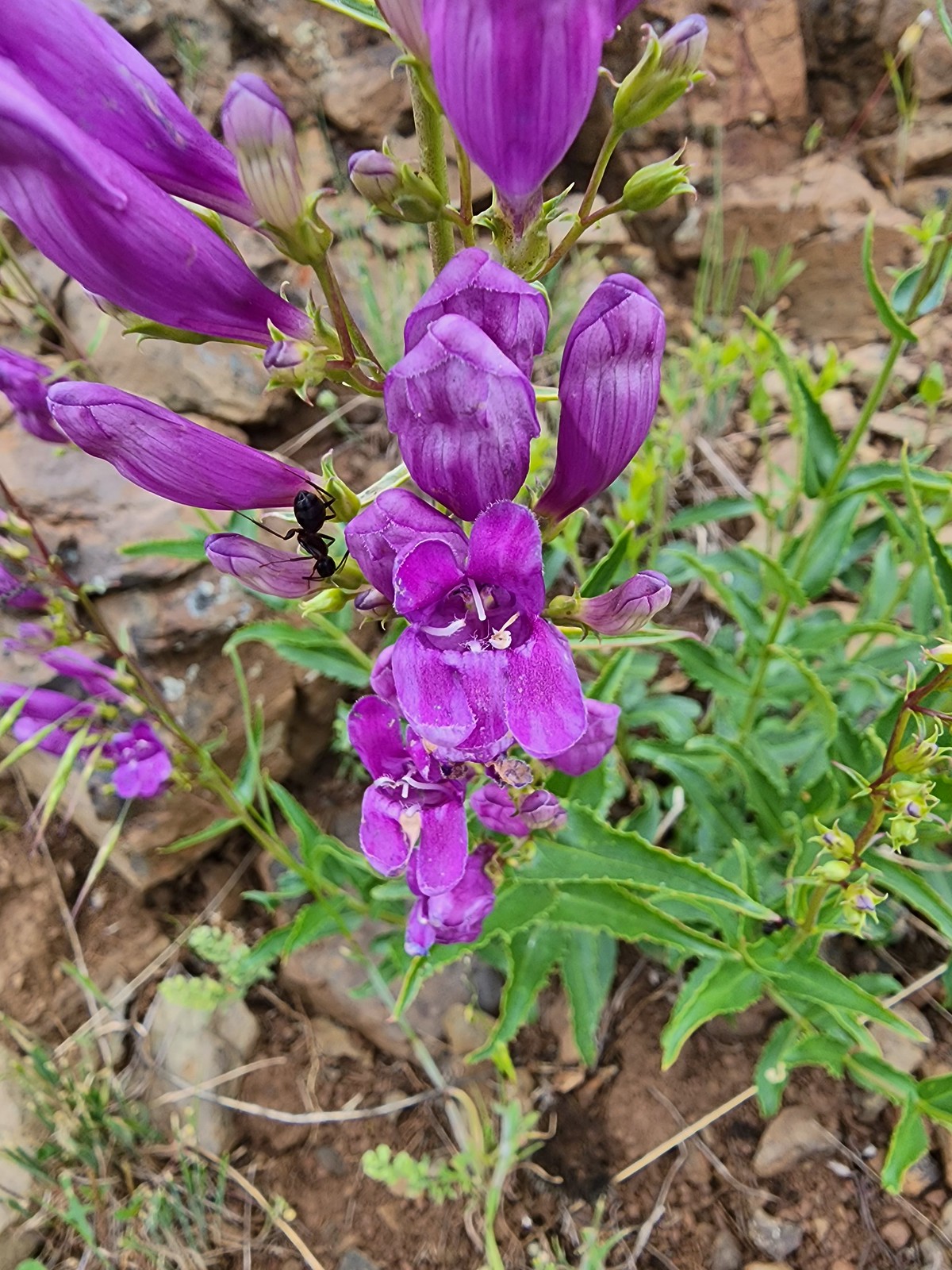 Ant on penstemon – 6/15/23, Hells Canyon National Recreation Area, Wallowa-Whitman National Forest
 Crab spider on a California harebell – 6/25/23, North Umpqua Trail, BLM Roseburg District
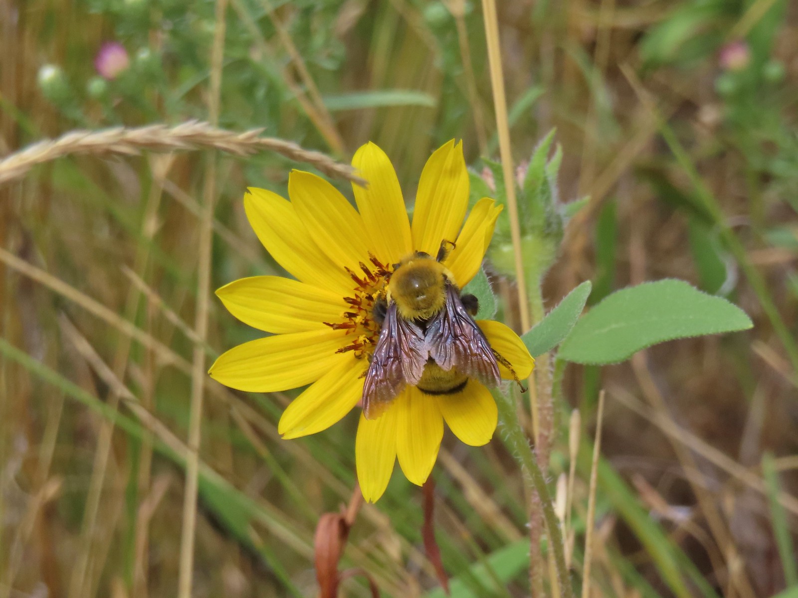 Bee – 9/3/23, Threemile Canyon, BLM Burns District
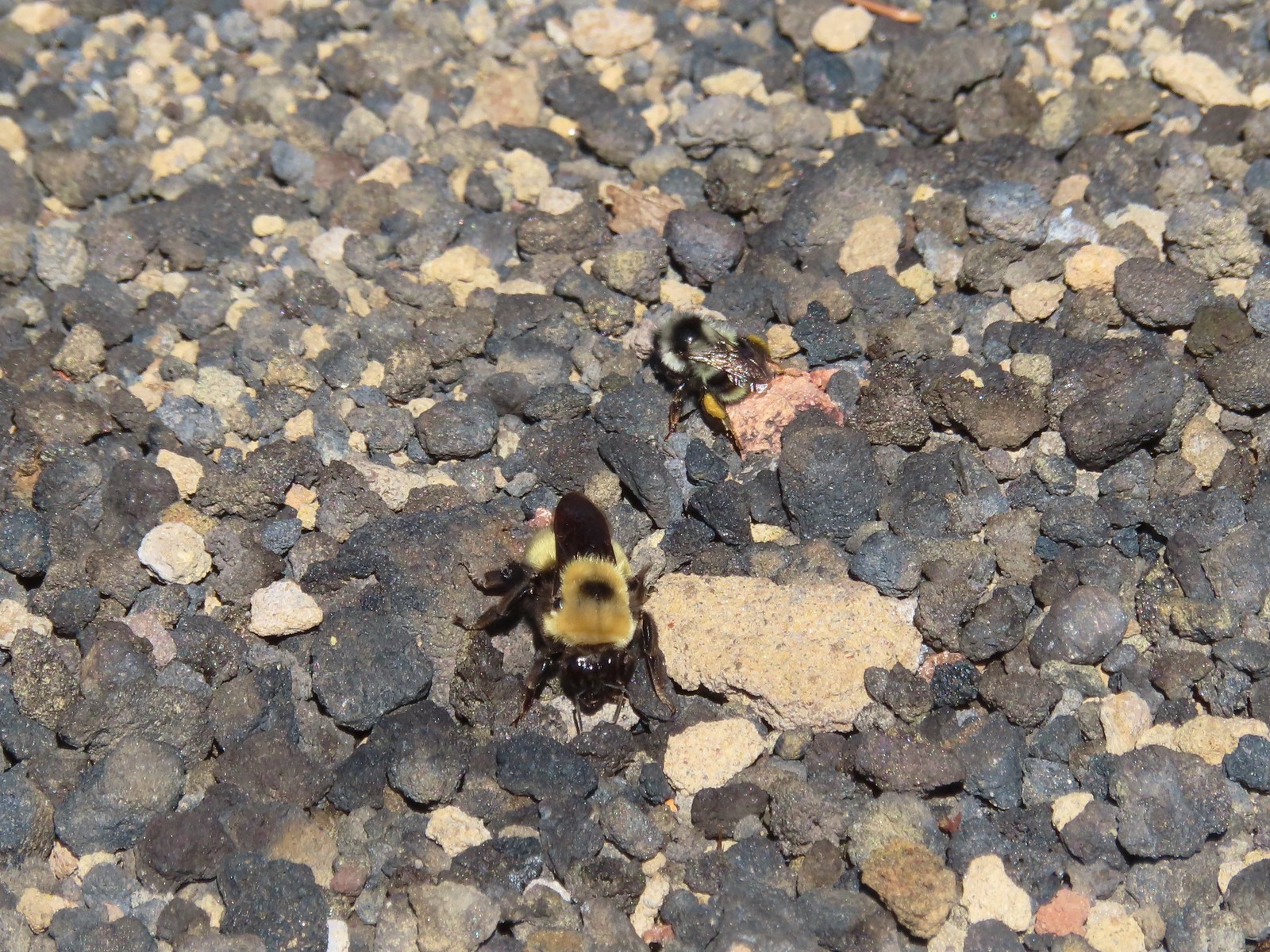 Bees – 7/8/23, Sand Mountain, Willamette National Forest
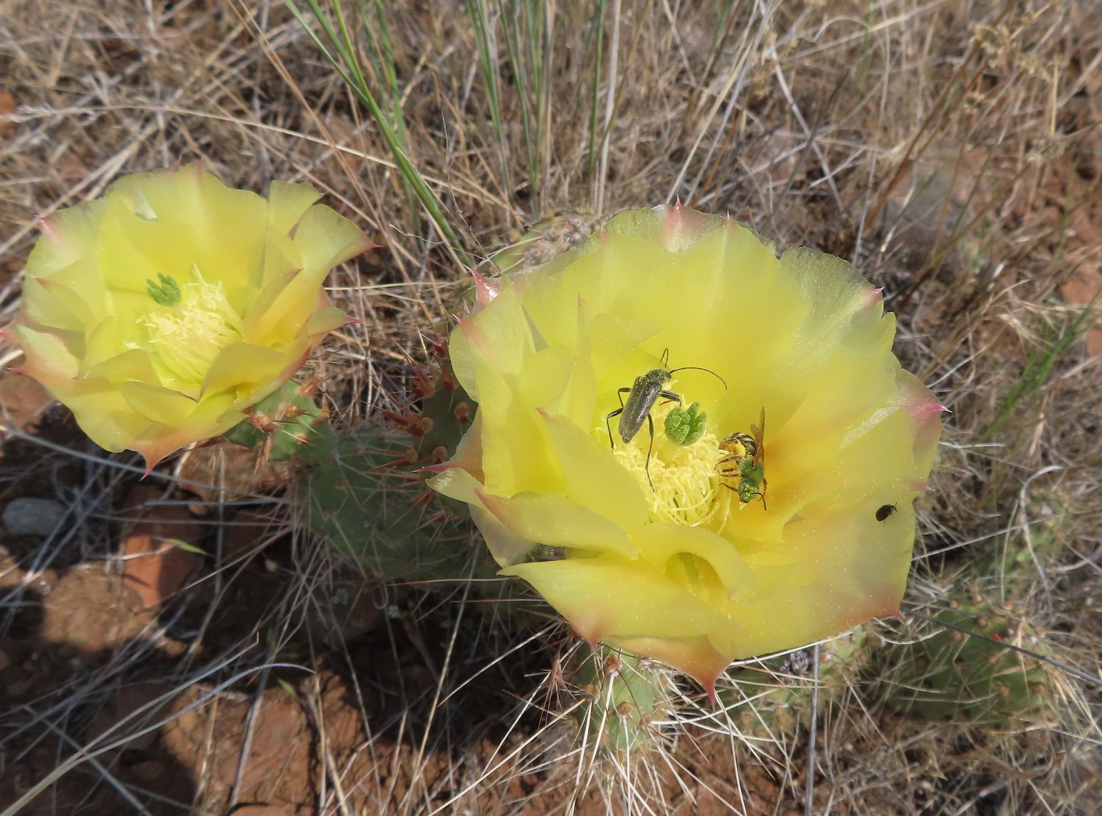 Sweat bee? and a beetle on a prickly pear cactus – 6/15/23, Hells Canyon National Recreation Area, Wallowa-Whitman National Forest
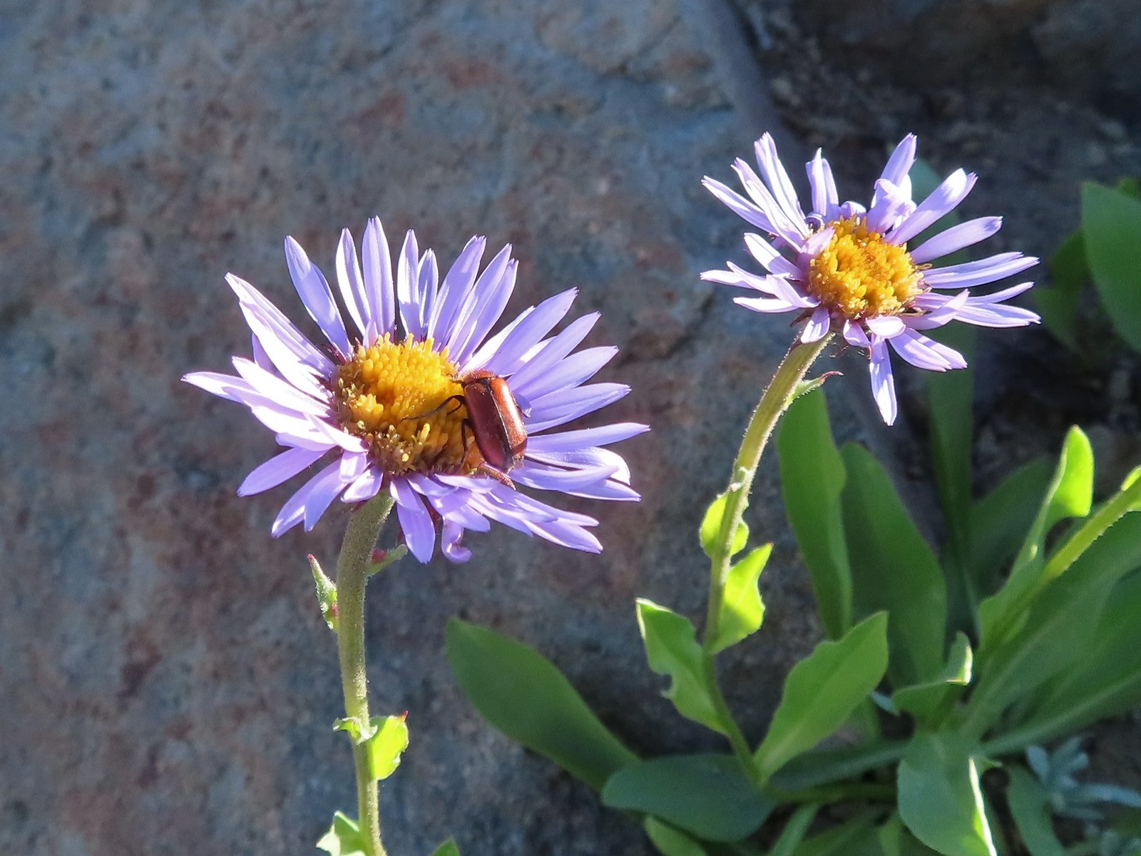 Beetle – 7/31/23, Garfield Peak Trail, Crater Lake National Park
 Beetle – 7/29/23, Stuart Falls Trail, Crater Lake National Park
 Beetle on a white mariposa lily – 8/14/23, Main Eagle Creek Trail, Eagle Cap Wilderness
 Beetle and another bug on spirea – 7/4/23, Rocky Top Trail, Santiam State Forest
 Beetles on thistle – 6/15/23, Hells Canyon National Recreation Area, Wallowa-Whitman National Forest
 Ladybug on a daisy – 7/4/23, Natural Arch Trail, Santiam State Forest
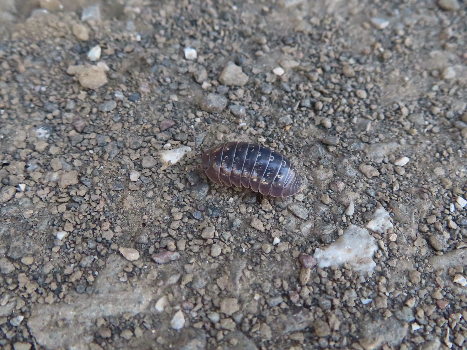 Common pill-bug – 6/25/23, North Bank Habitat, BLM Roseburg District
 Beetle – 5/28/23, Criterion Tract, BLM Prineville District
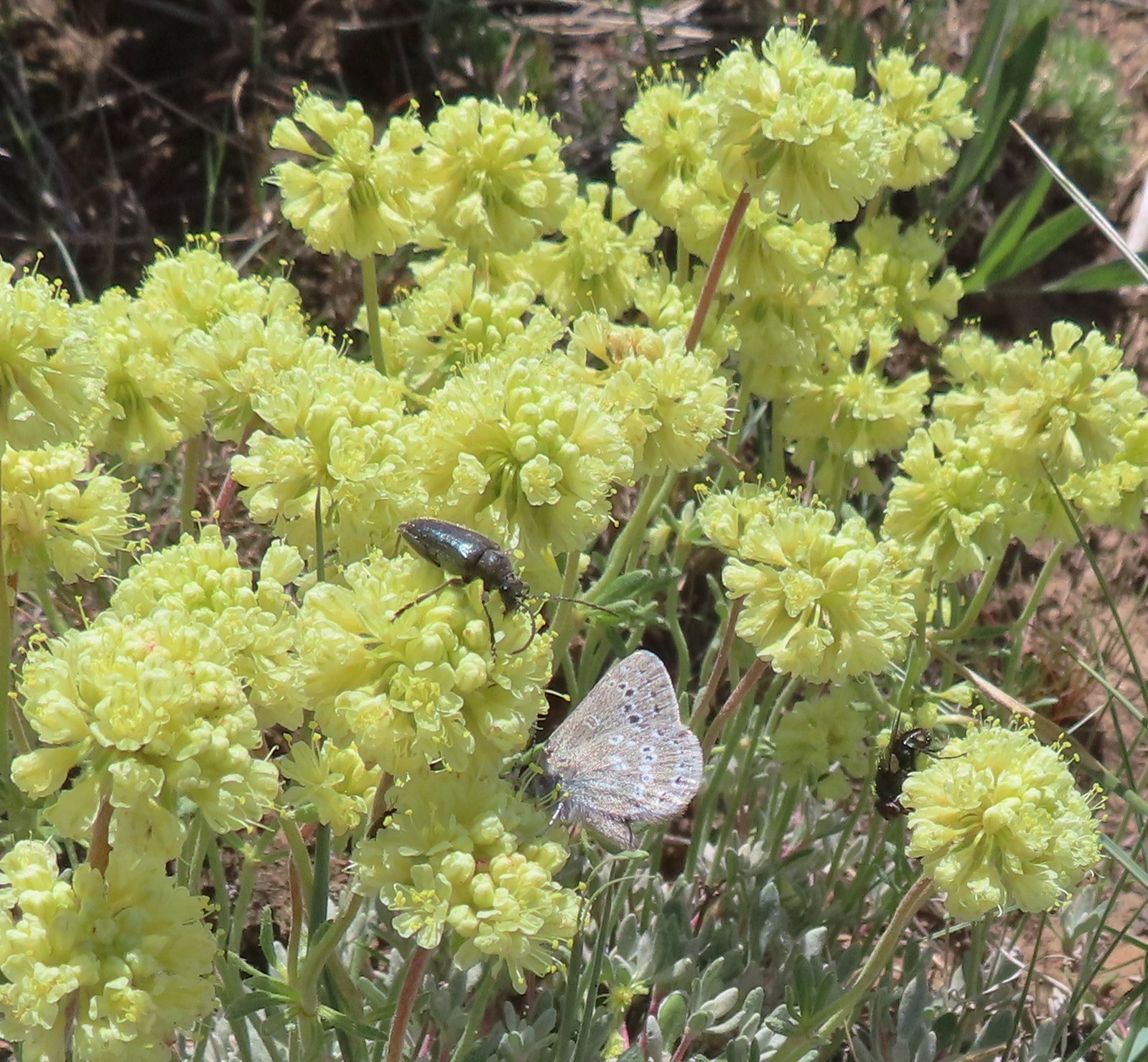 Beetle and a butterfly on buckwheat – 5/28/23, Criterion Tract, BLM Prineville District
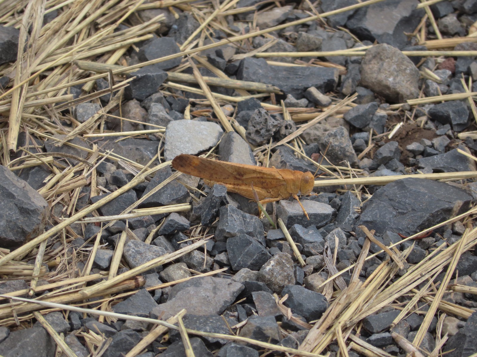 Grasshopper – 9/3/23, P Ranch, Malheur National Wildlife Refuge
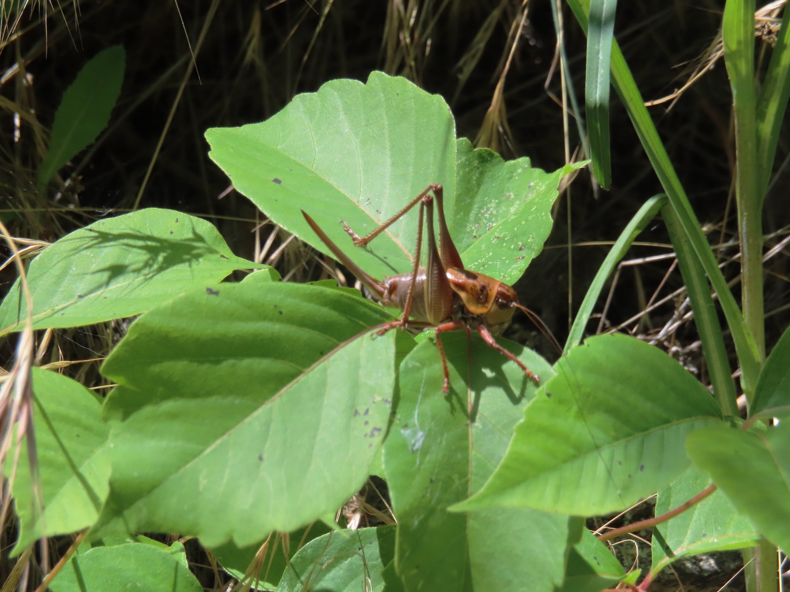 Cricket – 6/14/23, Imnaha Trail, Hells Canyon National Recreation Area
 Caterpillar – 5/28/23, Criterion Tract, BLM Prineville District
 Caterpillar – 7/1/23, Hummocks Trail, Mt. St. Helens National Volcanic Monument, WA
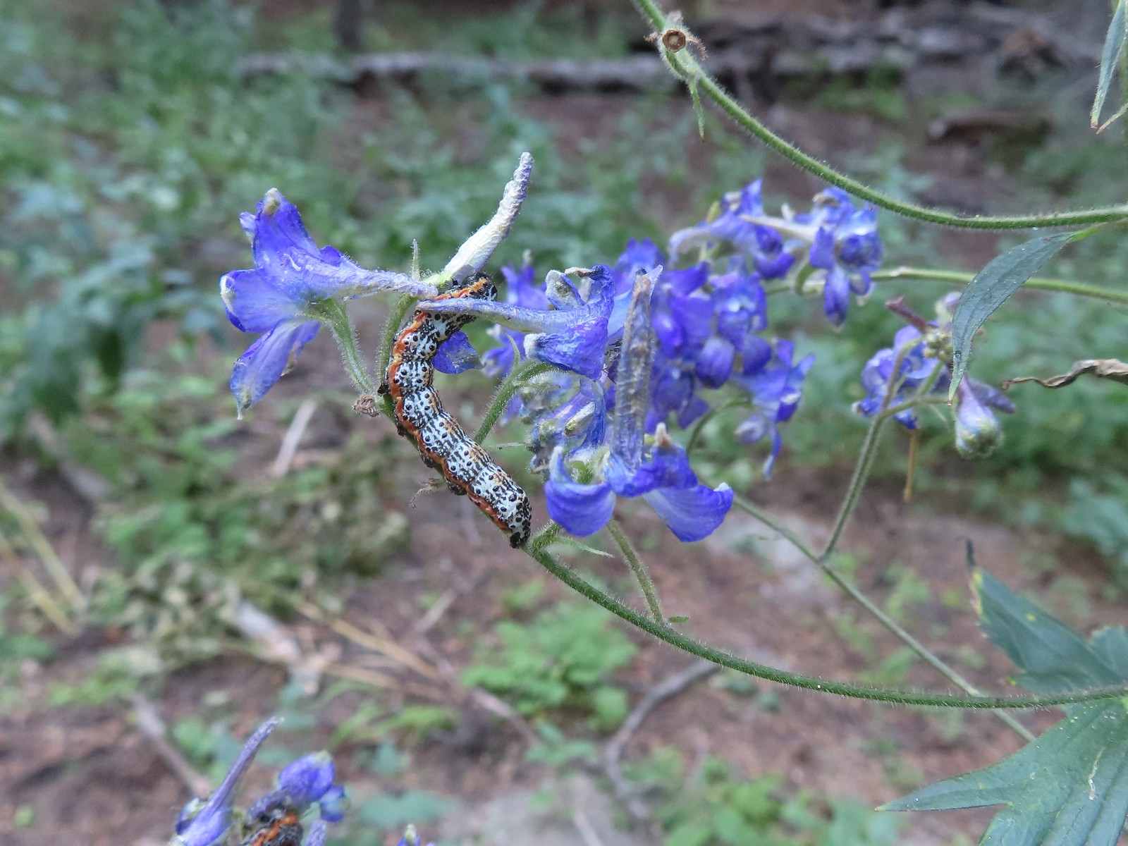 Caterpillar – 8/16/23, West Eagle Trail, Eagle Cap Wilderness
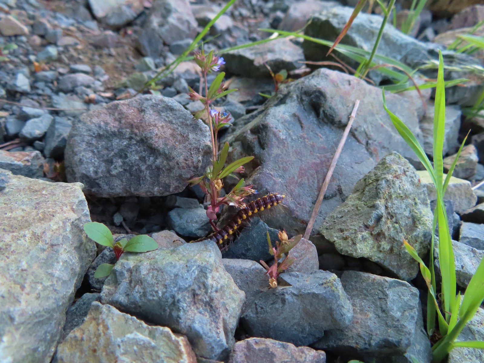 Millipede – 6/12/23, Imnaha River Trail, Eagle Cap Wilderness
 Millipedes – 6/12/23, Imnaha River Trail, Eagle Cap Wilderness
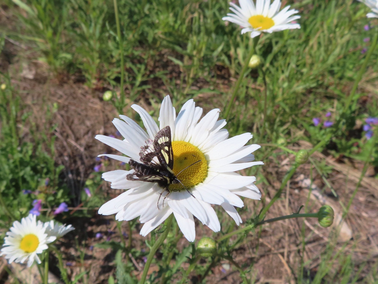 Eight-spotted Forester-Alypia octomaculata – 7/4/23, Niagra Heights Road, Santiam State Forest
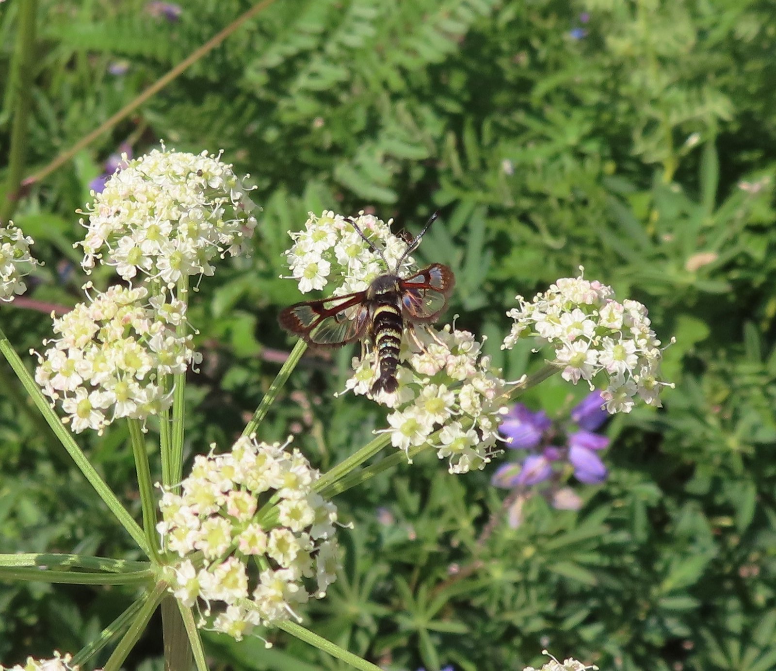 Fireweed Clearwing Moth (Albuna pyramidalis) – 7/4/23, Niagra Heights Road, Santiam State Forest
 Moth – 7/4/23, Niagra Heights Road, Santiam State Forest
 Moths – 6/3/23, Buck Creek Trail, Husum, WA
 Moth – 6/3/23, Buck Creek Trail, Husum, WA
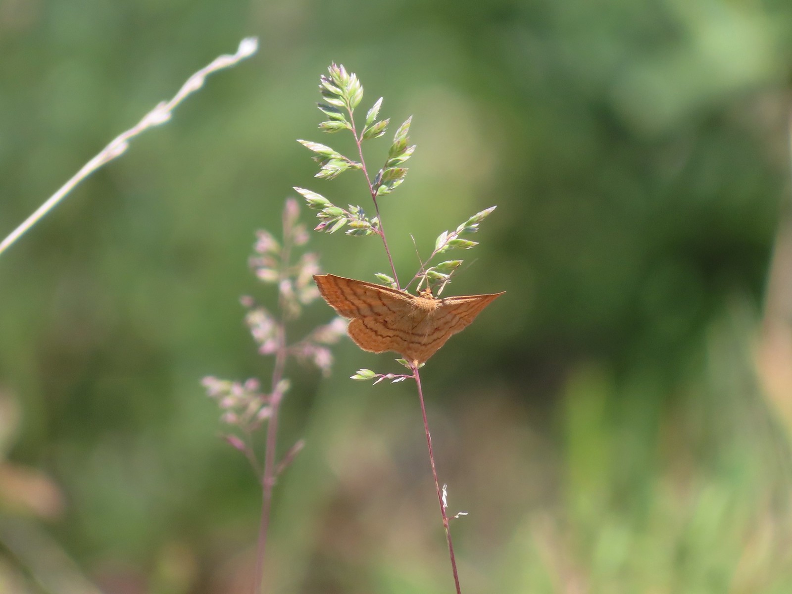 Moth – 6/3/23, Buck Creek Trail, Husum, WA
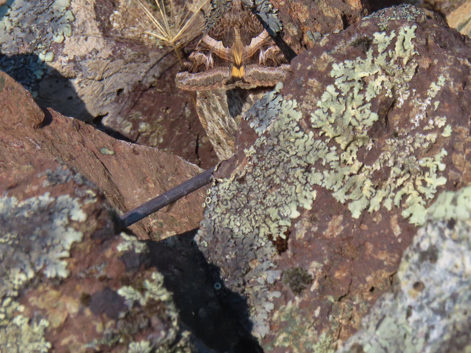 Moth – 6/16/23, Trail 1890, Hells Canyon National Recreation Area
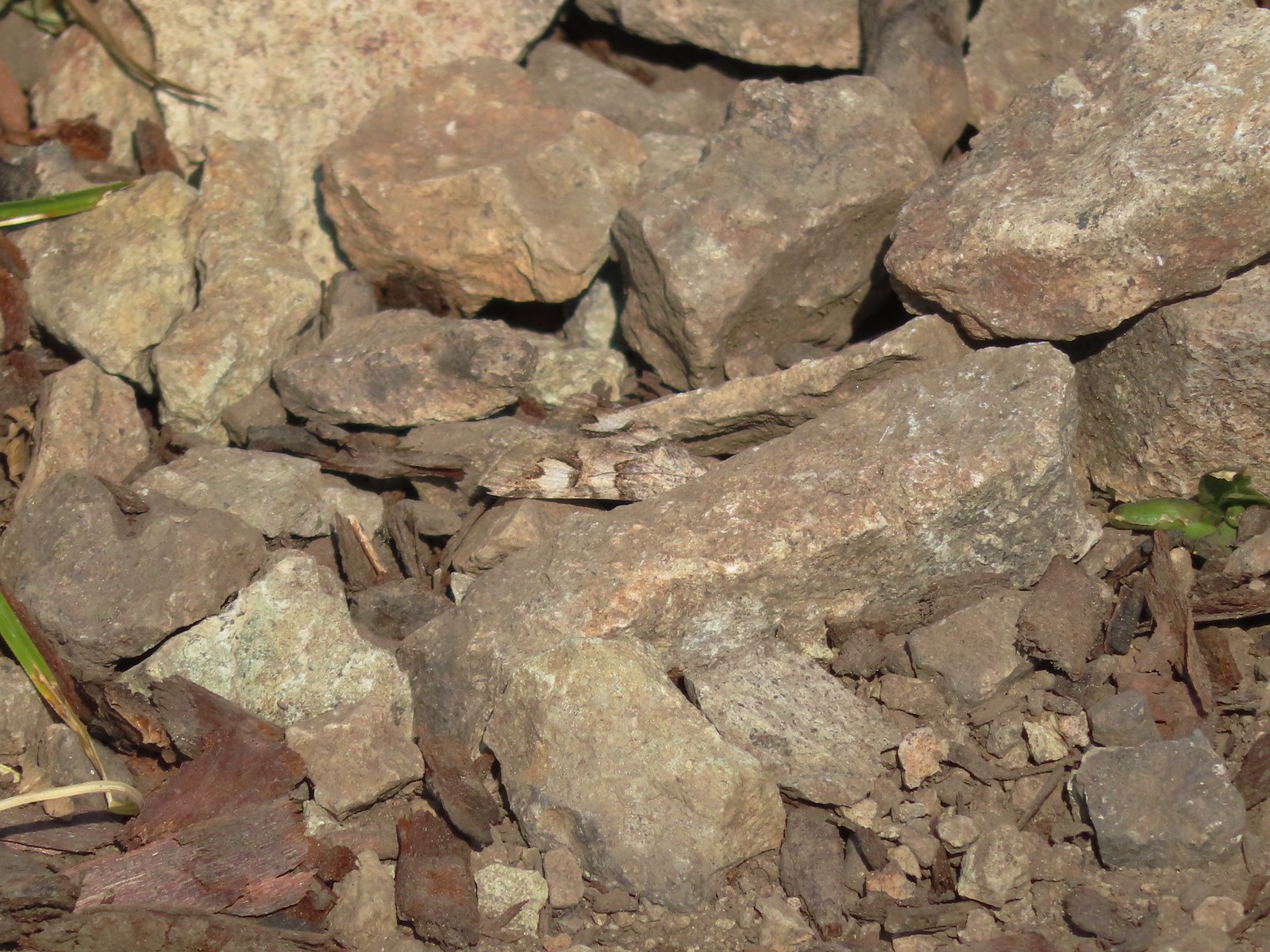 Moth – 7/4/23, Rocky Top Trail, North Santiam State Park
 Moth – 6/25/23, North Umpqua Trail, BLM Roseburg District
 Moth – 6/12/23, Imnaha River Trail, Eagle Cap Wilderness
 Moth – 6/24/23, Rogue River National Recreation Trail, Wild Rogue Wilderness
 Moth – 7/8/23, Santiam Wagon Road, Willamette National Forest
 Sphinx moth – 8/17/23, West Eagle Trail, Eagle Cap Wilderness
 Fly and butterfly – 5/28/23, Criterion Tract, BLM Prineville District
 Boisduval’s blues? – 6/3/23, Buck Creek Trail, Husum, WA
 Acmon blue? – 5/28/23, Criterion Tract, BLM Prineville District
 Eastern tailed blue? – 5/13/23, Graham Oaks Nature Park, Wilsonville
 Butterfly in the Lycaenidae family – 5/2/23, Sterling Mind Ditch Trail System, BLM Medford District
 Butterfly in the Lycaenidae family – 5/28/23, Criterion Tract, BLM Prineville District
 Butterfly in the Lycaenidae family – 6/15/23, Hells Canyon National Recreation Area, Wallowa-Whitman National Forest
 Butterfly in the Lycaenidae family – 6/13/23, Iwetemlaykin State Heritage Site, Joseph
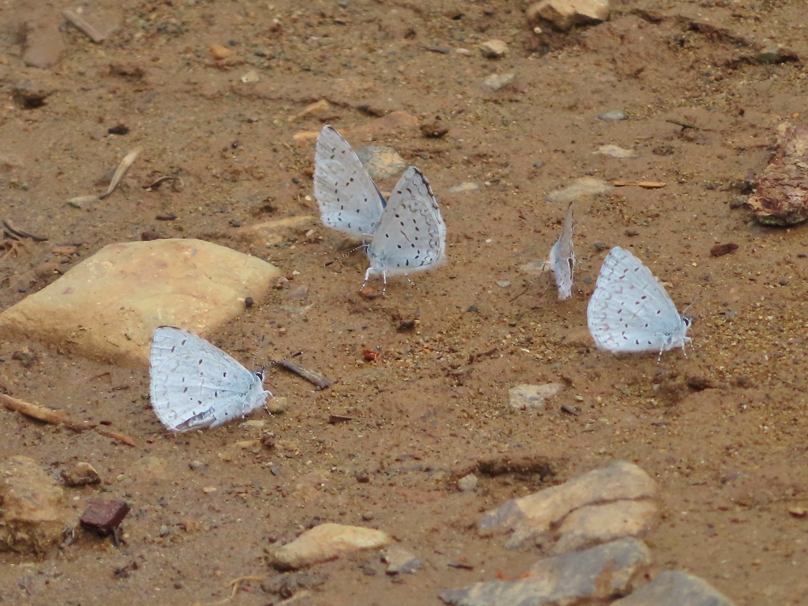 Echo azures? – 5/4/23, Forest Road 011, Rogue-River Siskiyou National Forest
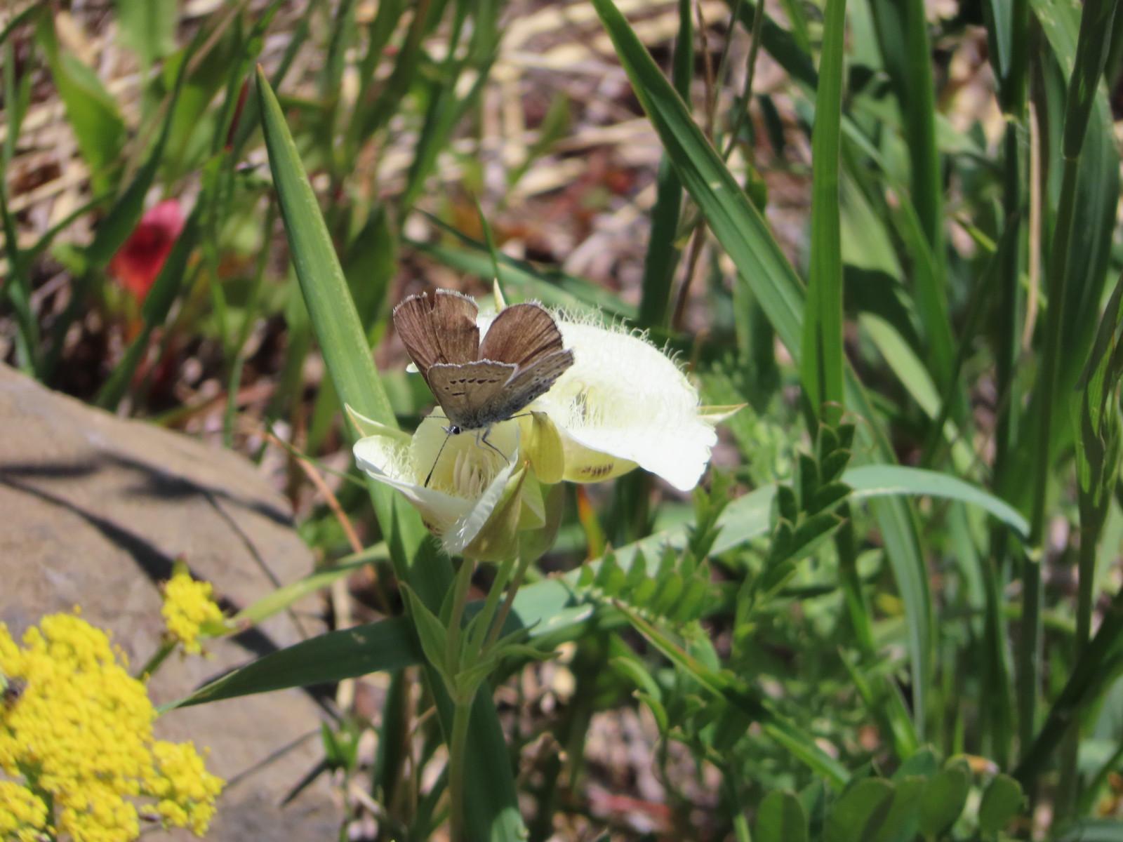 Butterfly in the Lycaenidae family – 6/3/23, Buck Creek Trail, Husum, WA
 Butterflies in the Lycaenidae family – 7/4/23, Niagra Heights Road, Santiam State Forest
 Gray hairstreak – 6/11/23, Lewis & Clark Trail, Hermiston
 Thicket hairstreak? – 7/8/23, Sand Mountain, Willamette National Forest
 A hairstreak – 6/3/23, Buck Creek Trail, Husum, WA
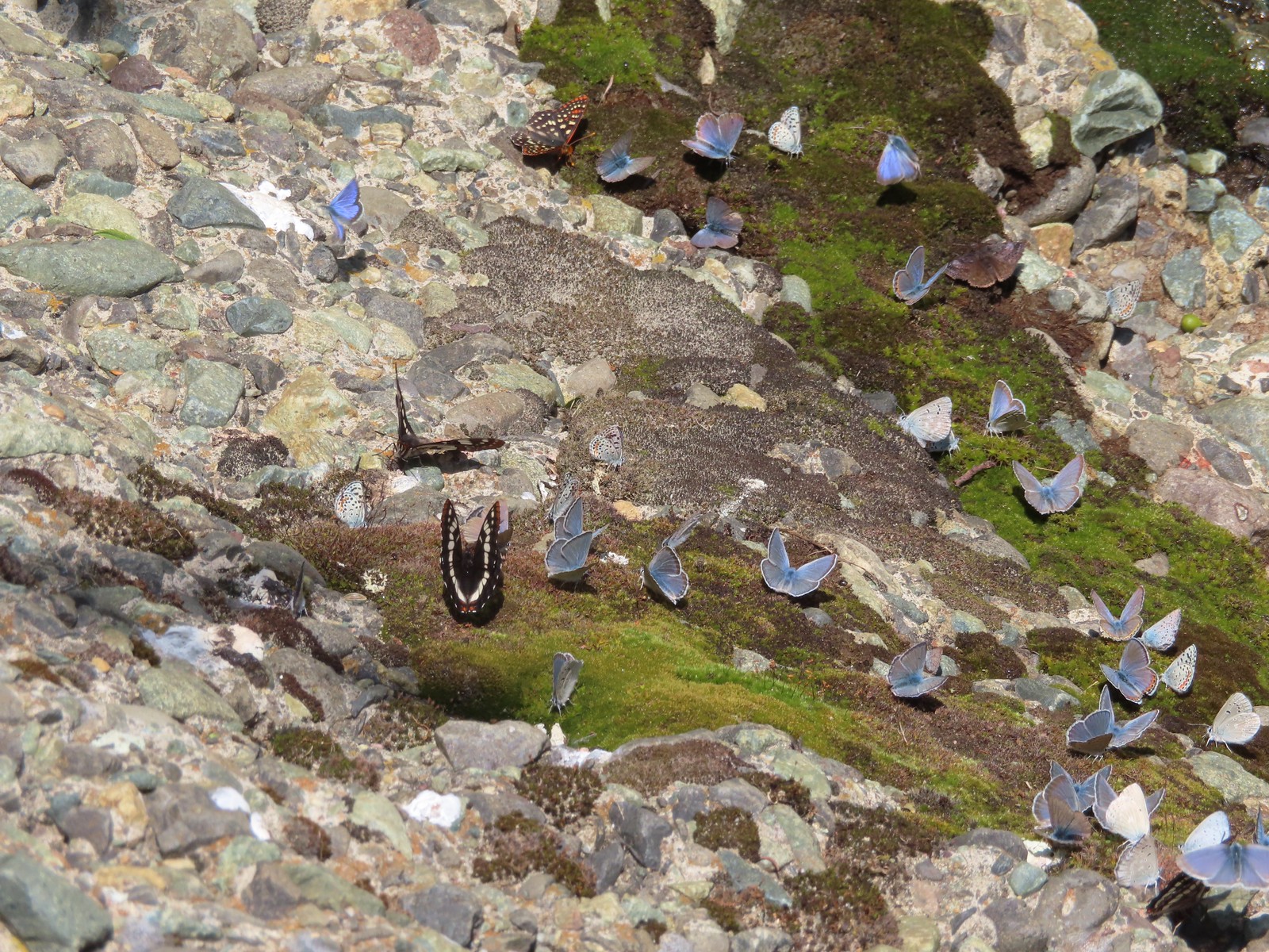 Various butterflies – 6/16/23, Deep Creek Stairway Trail, Payette National Forest, ID
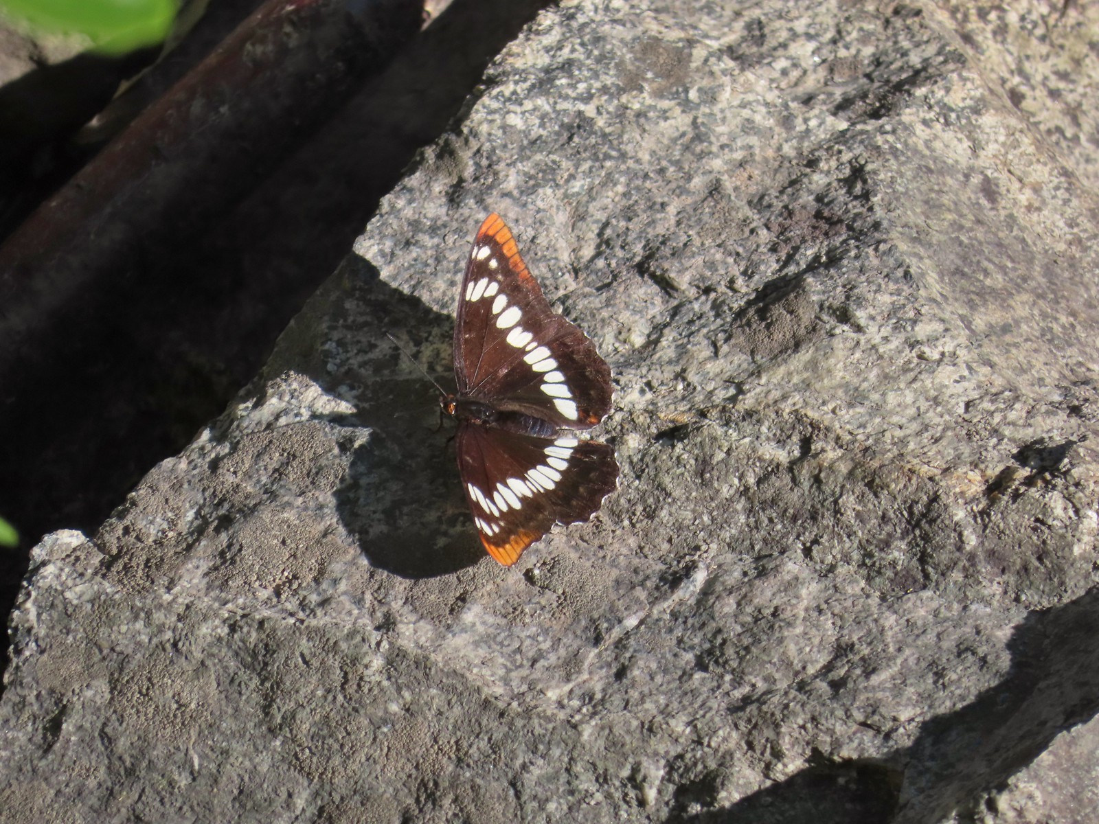 Lorquin’s admiral – 6/14/23, Imnaha Trail, Hells Canyon National Recreation Area
 Red admiral – 7/23/23, Metolius River Trail, Deschutes National Forest
 California sister – 10/8/23, Forest Road 041, Rogue River-Siskiyou National Forest
 Painted lady – 6/12/23, Imnaha River Trail, Eagle Cap Wilderness
 California tortoiseshell – 9/16/23, Fish Lake Trail, Mt. Hood National Forest
 Milbert’s tortoiseshell – 8/14/23, Main Eagle Creek Trail, Eagle Cap Wilderness
 Hoary comma – 7/8/23, Sand Mountain, Willamette National Forest
 Mourning cloak – 6/14/23, Imnaha Trail, Hells Canyon National Recreation Area
 Common wood nymph – 6/15/23, Hells Canyon National Recreation Area, Wallowa-Whitman National Forest
 Ochre ringlet – 5/28/23, Criterion Tract, BLM Prineville District
 Checkerspot – 7/29/23, Stuart Falls Trail, Crater Lake National Park
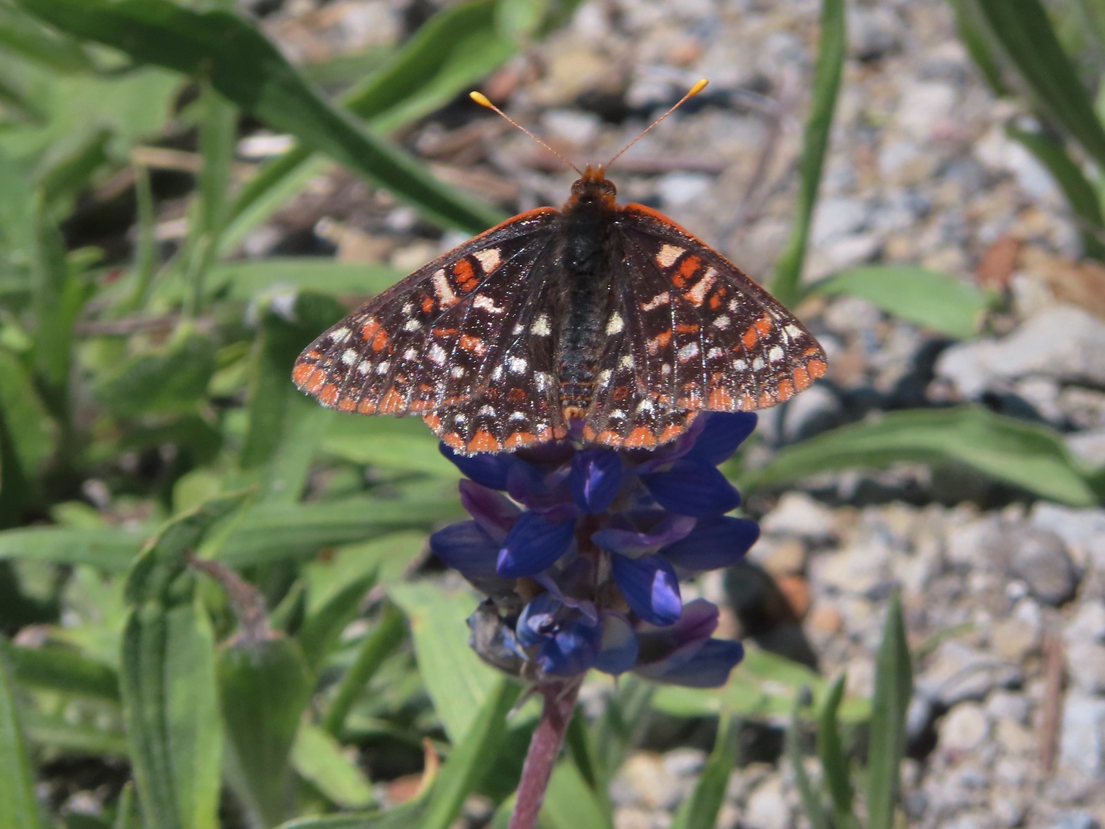 Checkerspot – 7/1/23, Boundary Trail, Mt. St. Helens National Volcanic Monument, WA
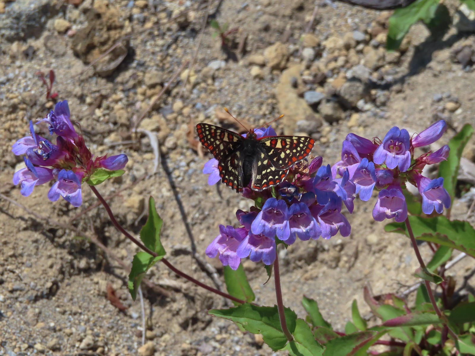 Snowberry checkerspot – 7/1/23, Boundary Trail, Mt. St. Helens National Volcanic Monument, WA
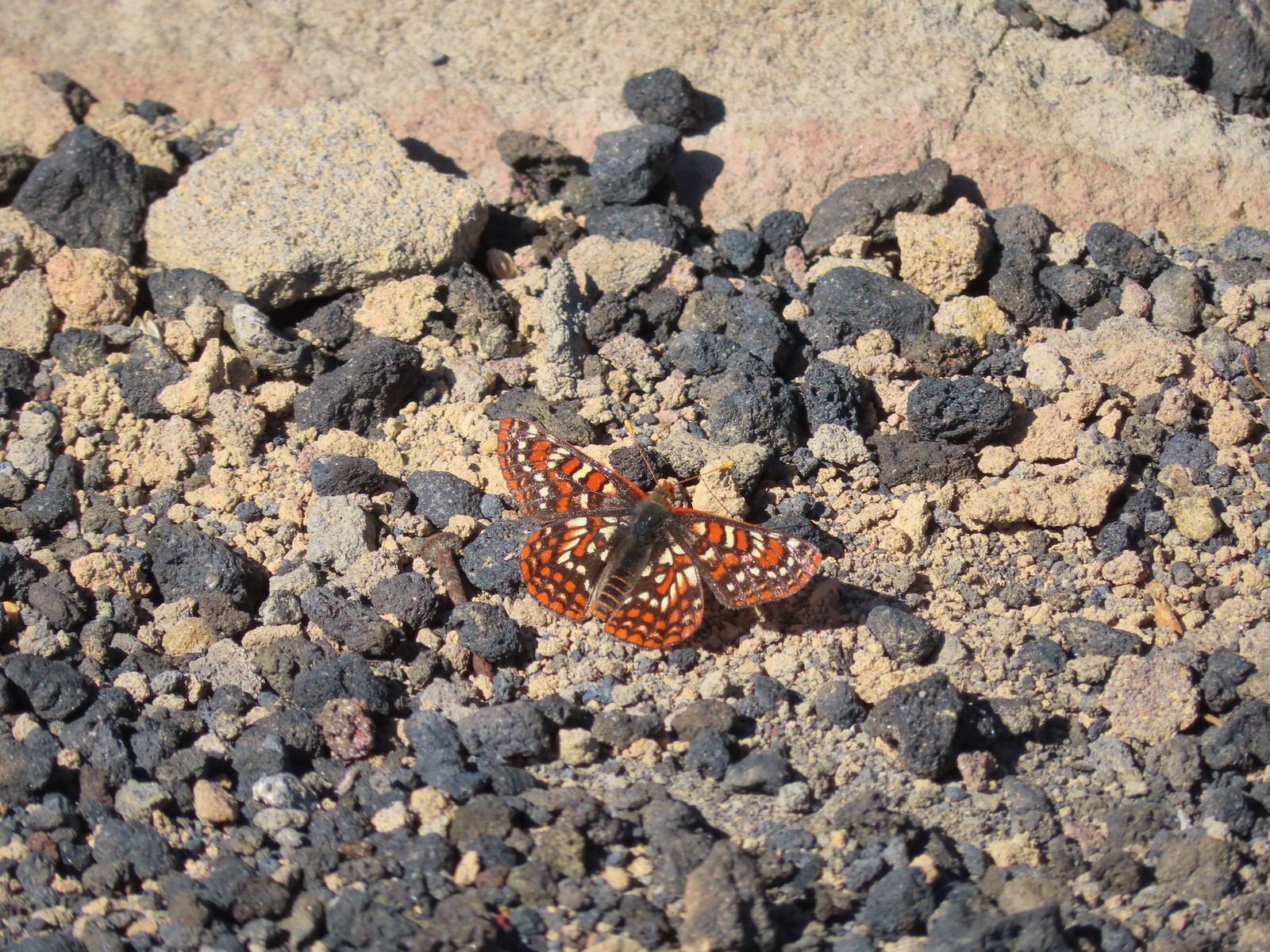 Edith’s checkerspot – 7/8/23, Sand Mountain, Willamette National Forest
 Mylitta crescent – 6/15/23, Hells Canyon National Recreation Area, Wallowa-Whitman National Forest
 A crescent? – 5/13/23, Graham Oaks Nature Park, Wilsonville
 Fritillary butterflies – 5/28/23, Criterion Tract, BLM Prineville District
 A fritillary – 7/4/23, Rocky Top Trail, Santiam State Forest
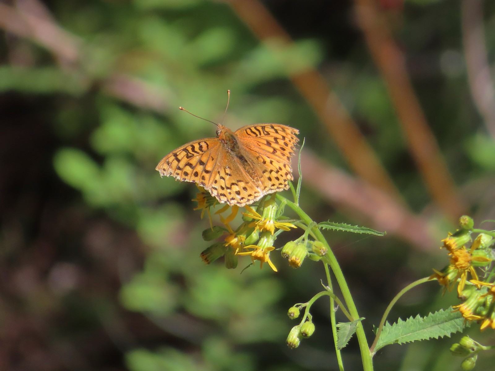 A fritillary – 7/15/23, Forest Road 4610, Mt. Hood National Forest
 Indra swallowtail – 5/4/23, Kerby Flat Trail, Rogue River-Siskiyou National Forest
 Oregon swallowtail? with ladybug – 5/28/23, Criterion Tract, BLM Prineville District
 Swallowtail – 6/3/23, Conboy Lake National Wildlife Refuge, Trout Lake, WA
 Western swallowtails – 6/12/23, Imnaha River Trail, Eagle Cap Wilderness
 Swallowtail – 6/12/23, Imnaha River Trail, Eagle Cap Wilderness
 A sulphur – 9/9/23, Alta Lake Trail, Sky Lakes Wilderness
 Large marble – 5/28/23, Criterion Tract, BLM Prineville District
 Becker’s white – 6/14/23, Imnaha Trail, Hells Canyon National Recreation Area
 Male margined white? – 8/29/23, Newell Creek Canyon Nature Park, Oregon City
 Mountain parnassian – 6/15/23, Hells Canyon National Recreation Area, Wallowa-Whitman National Forest
 Clodius parnassian – 7/29/23, Pumice Flat Trail, Crater Lake National Park
 Silver-spotted Skipper – 6/14/23, Eureka Bar, Hells Canyon National Recreation Area
 A skipper – 5/28/23, Criterion Tract, BLM Prineville District
 A skipper – 6/12/23, Imnaha River Trail, Eagle Cap Wilderness
 A skipper – 6/24/23, Rogue River National Recreation Trail, Wild Rogue Wilderness
 A skipper – 9/3/23, Threemile Canyon, BLM Burns District
 Skipper on a sagebrush mariposa lily – 7/23/23, Metolius River Trail, Deschutes National Forest
 A skipper – 9/3/23, P Ranch, Malheur National Wildlife Refuge
 Duskywing? – 6/24/23, Rogue River National Recreation Trail, Wild Rogue Wilderness
 Duskywing – 5/3/23, Waters Creek Interpretive Trail, Rogue River-Siskiyou National Forest
 Dreamy duskywing – 6/12/23, Imnaha River Trail, Eagle Cap Wilderness
 Dragonfly – 6/24/23, Rogue River National Recreation Trail, Wild Rogue Wilderness
 Dragonfly – 7/1/23, Hummocks Trail, Mt. St. Helens National Volcanic Monument, WA
 Dragonfly – 7/15/23, Plaza Lake, Salmon-Huckleberry Wilderness
 Dragonfly – 7/31/23, Godfrey Glen Trail, Crater Lake National Park
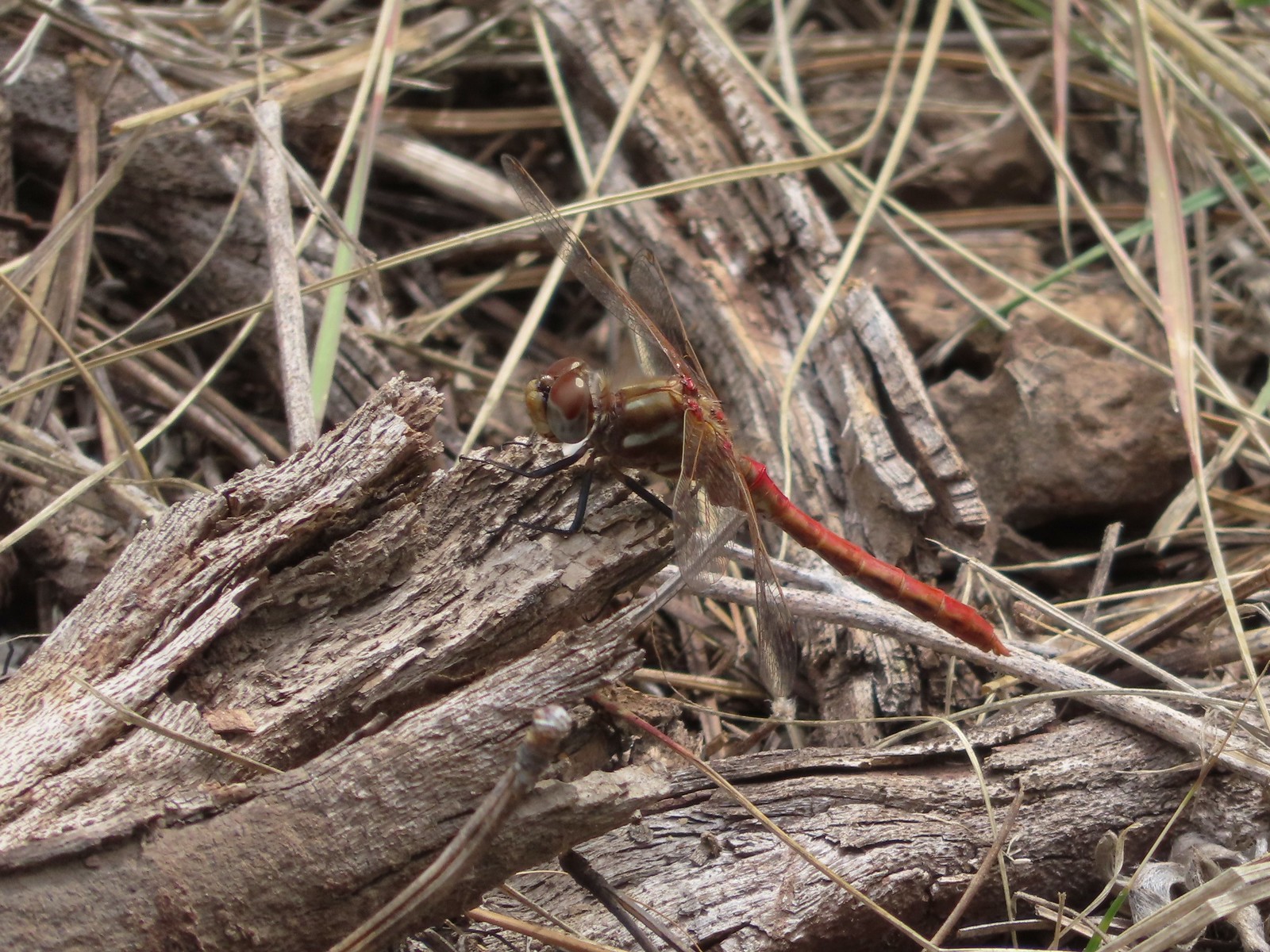 Dragonfly – 9/2/23, Idlewild Loop Trail, Malheur National Forest
 Slug – 4/29/23, Canemah Bluff Nature Park, Oregon City
 Snail – 4/15/23, Enchanted Valley Trail, Siuslaw National Forest
 Rough skinned newt – 4/15/23, Cape Mountain, Siuslaw National Forest
 Tadpoles – 9/9/23, Pacific Crest Trail, Sky Lakes Wilderness
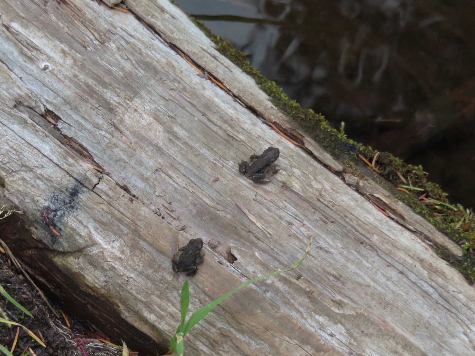 Western toads – 9/9/23, Pacific Crest Trail, Sky Lakes Wilderness
 Full grown western toad – 9/9/23, Pacific Crest Trail, Sky Lakes Wilderness
 Cascade frog – 9/9/23, Pacific Crest Trail, Sky Lakes Wilderness
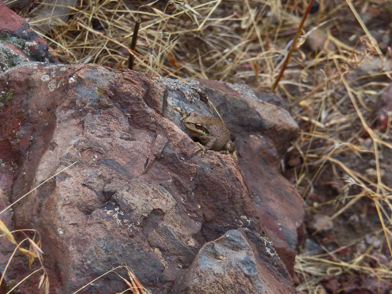 Pacific treefrog – 9/3/23, Threemile Canyon, BLM Burns District
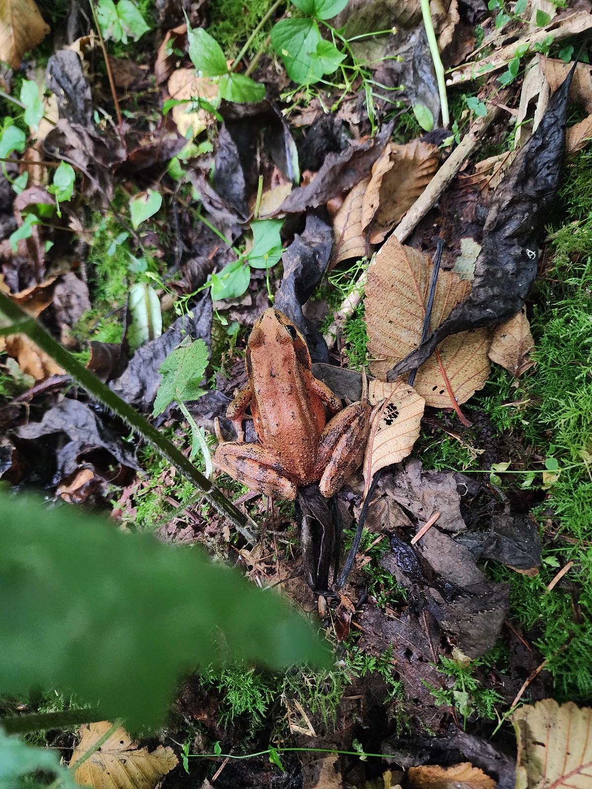 Northern red-legged frog – 8/26/23, Nestucca Bay National Wildlife Refuge, Cloverdale
 Bullfrog (invasive) – 4/22/23, Talking Water Gardens, Albany
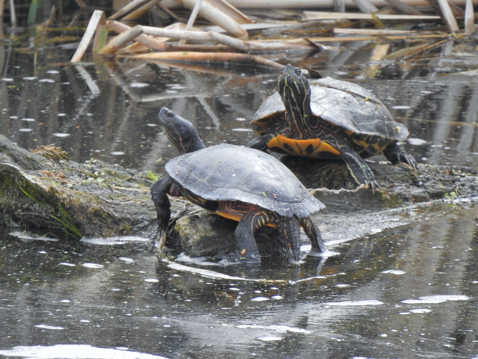 Western pond turtles – 4/22/23, Talking Water Gardens, Albany
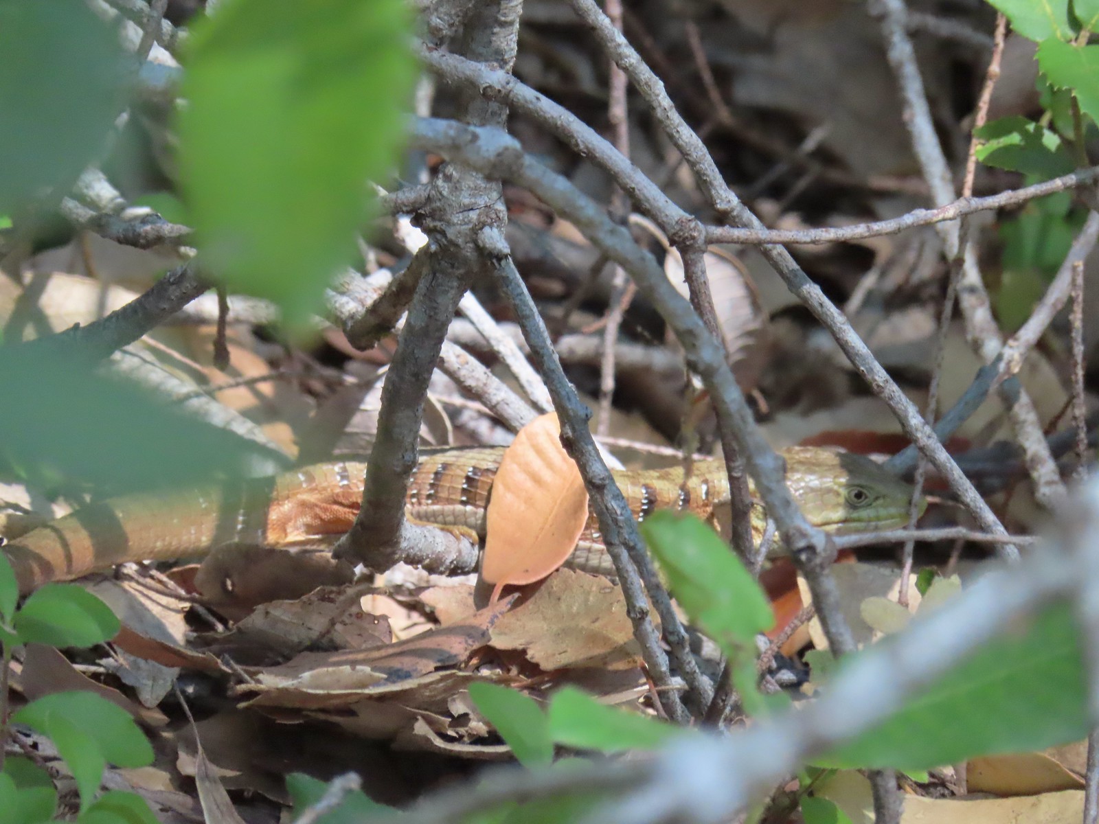 Southern alligator lizard – 6/24/23, Rogue River National Recreation Trail, Wild Rogue Wilderness
 Western fence lizard – 5/3/23, Waters Creek Interpretive Trail, Rogue River-Siskiyou National Forest
 Sagebrush lizard – 7/22/23, Shut-In Trail, Deschutes National Forest
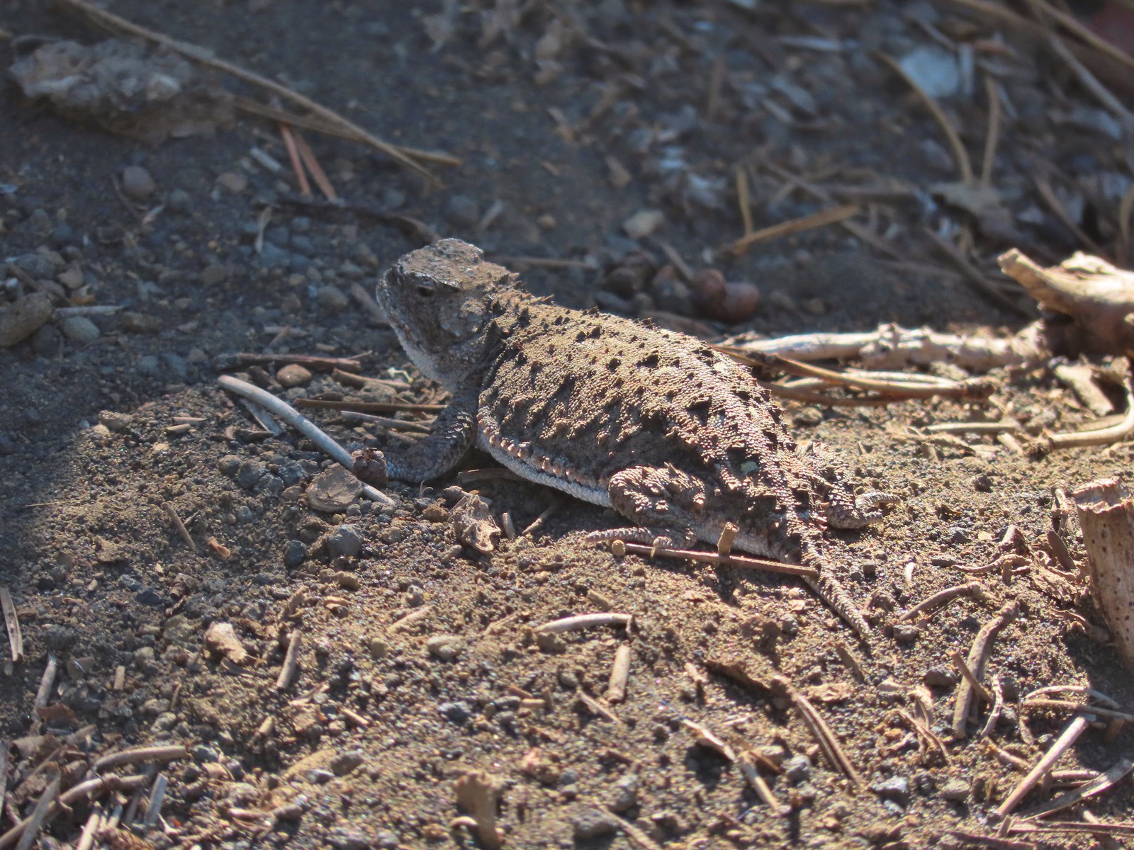 Pygmy short-horned lizard – 7/8/23, Santiam Wagon Road, Willamette National Forest
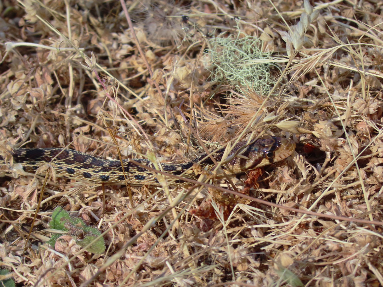 Gopher snake – 6/25/23, North Bank Habitat, BLM Roseburg District
 Garter snake – 4/22/23, Dave Clark Riverfront Path, Albany
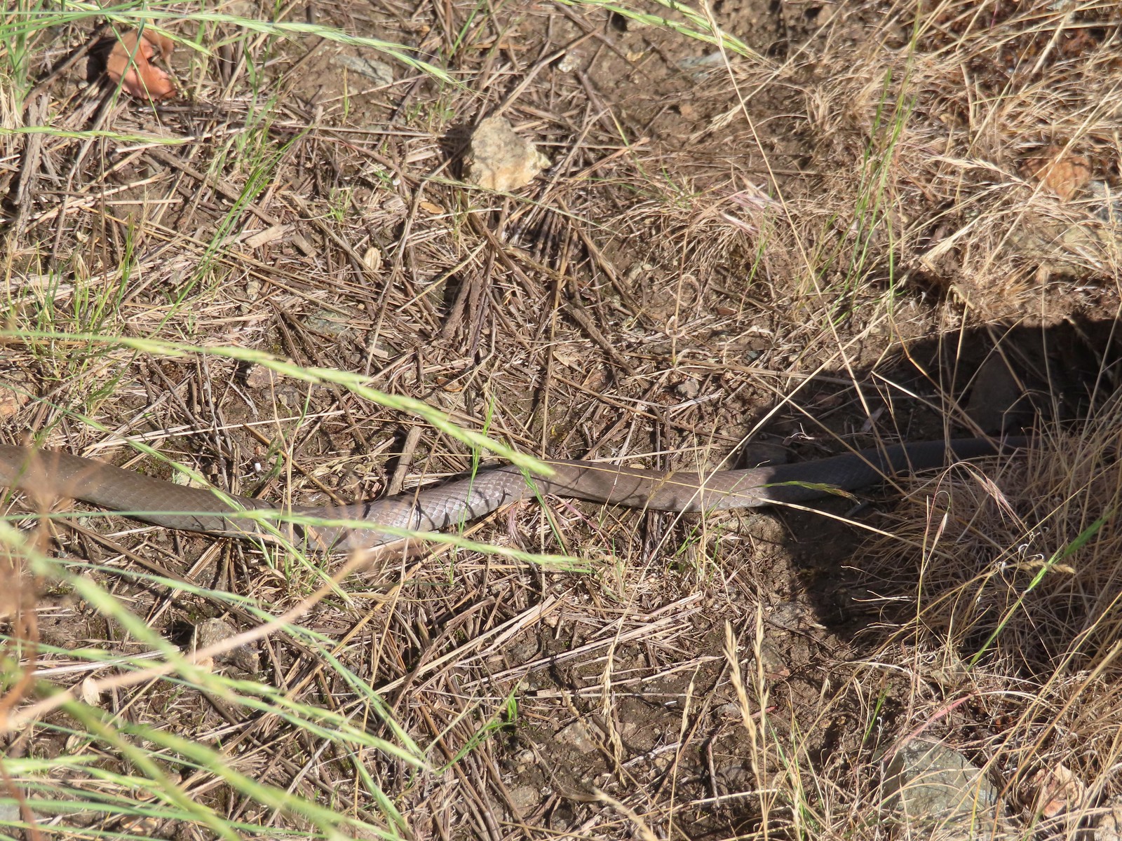 Rubber boa? – 6/14/23, Imnaha Trail, Hells Canyon National Recreation Area
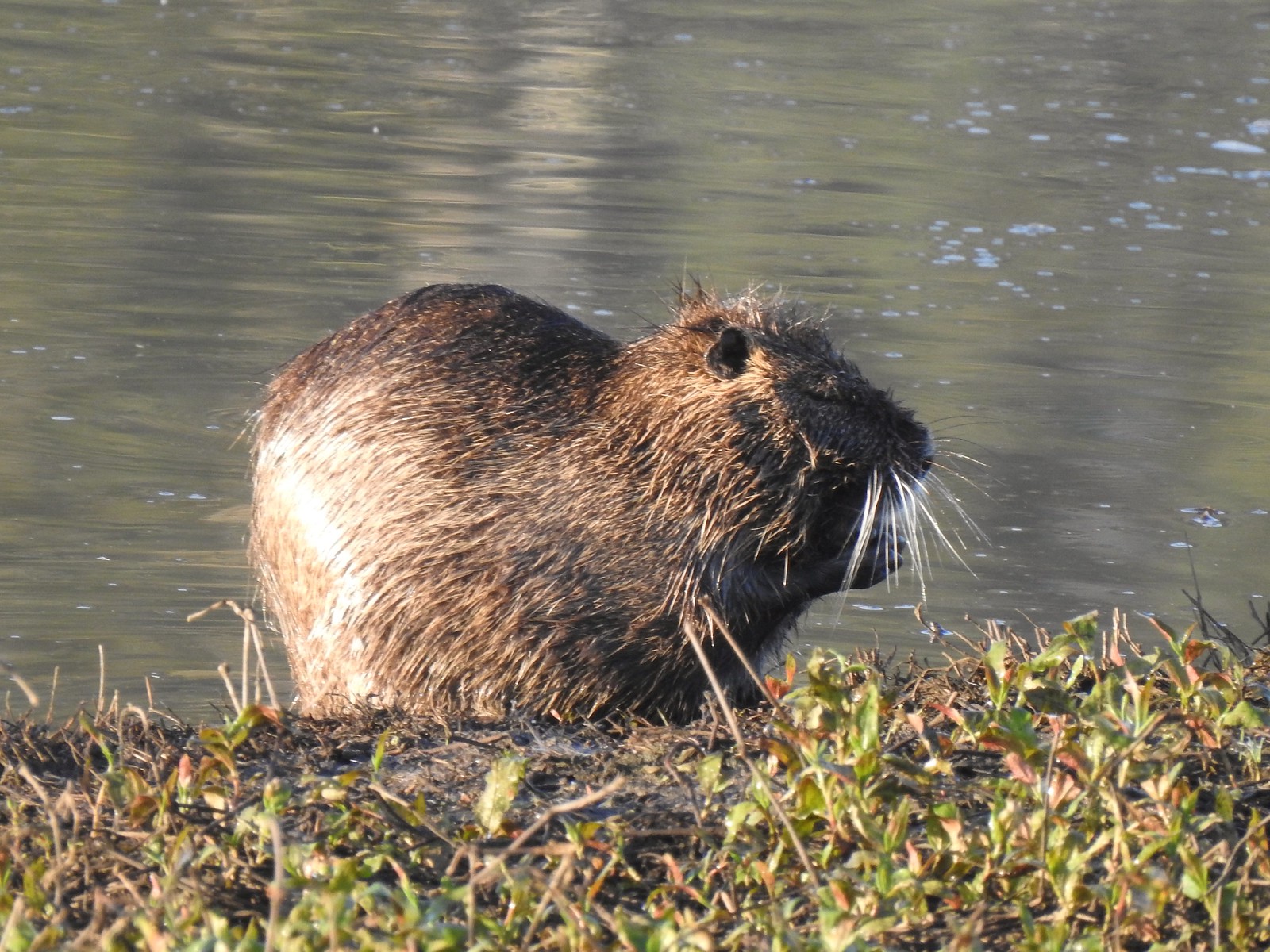 Nutria (invasive) – 5/13/23, Tualatin River National Wildlife Refuge, Sherwood
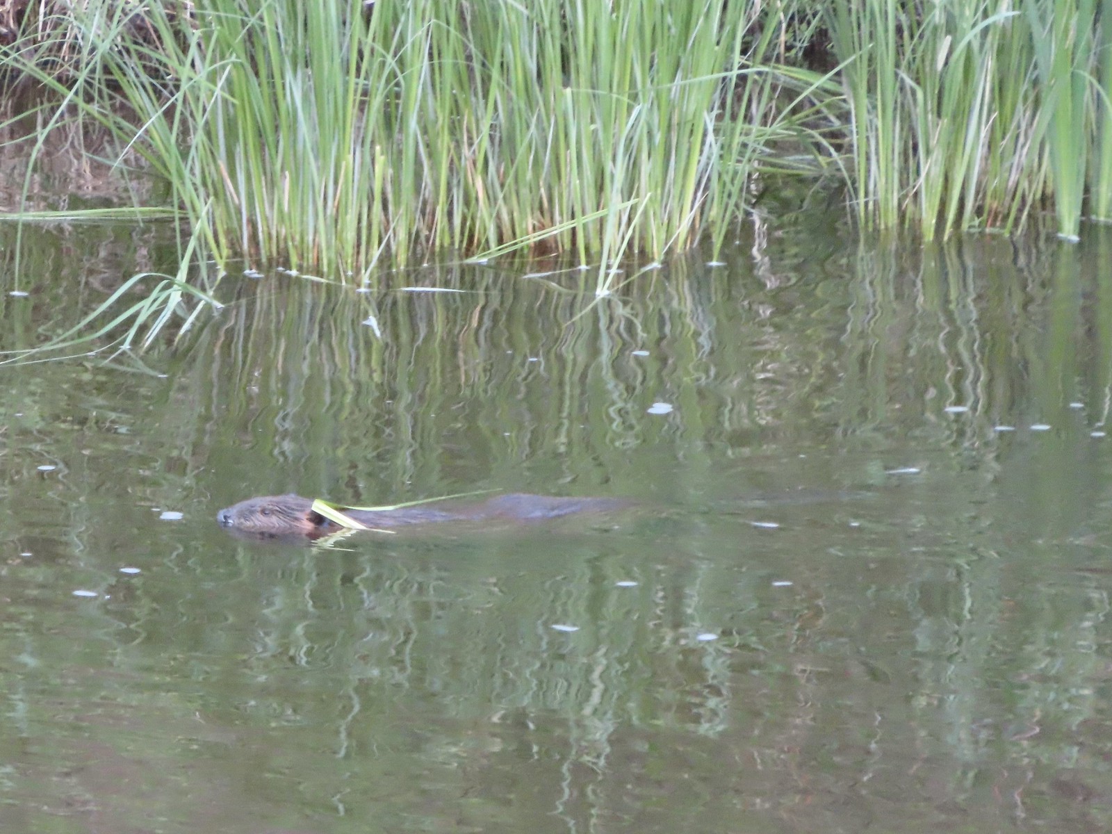 Beaver – 5/29/23, Riley Ranch Preserve, Bend
 Yellow-bellied marmot – 7/31/23, Garfield Peak Trail, Crater Lake National Park
 Gray squirrel – 4/22/23, Dave Clark Riverfront Path, Albany
 Douglas’ squirrel – 4/22/23, Dave Clark Riverfront Path, Albany
 Eastern fox squirrel? – 4/29/23, Newell Creek Canyon Nature Park, Oregon City
 Columbian ground squirrel – 8/16/23, Tombstone Lake Trail, Eagle Cap Wilderness
 Golden-mantled ground squirrel – 7/31/23, Garfield Peak Trail, Crater Lake National Park
 Chipmunk – 8/5/23, McNeil Point scramble trail, Mt. Hood Wilderness
 Pika – 8/5/23, McNeil Point Trail, Mt. Hood Wilderness
 Rabbit – 5/13/23, Tualatin River National Wildlife Refuge, Sherwood
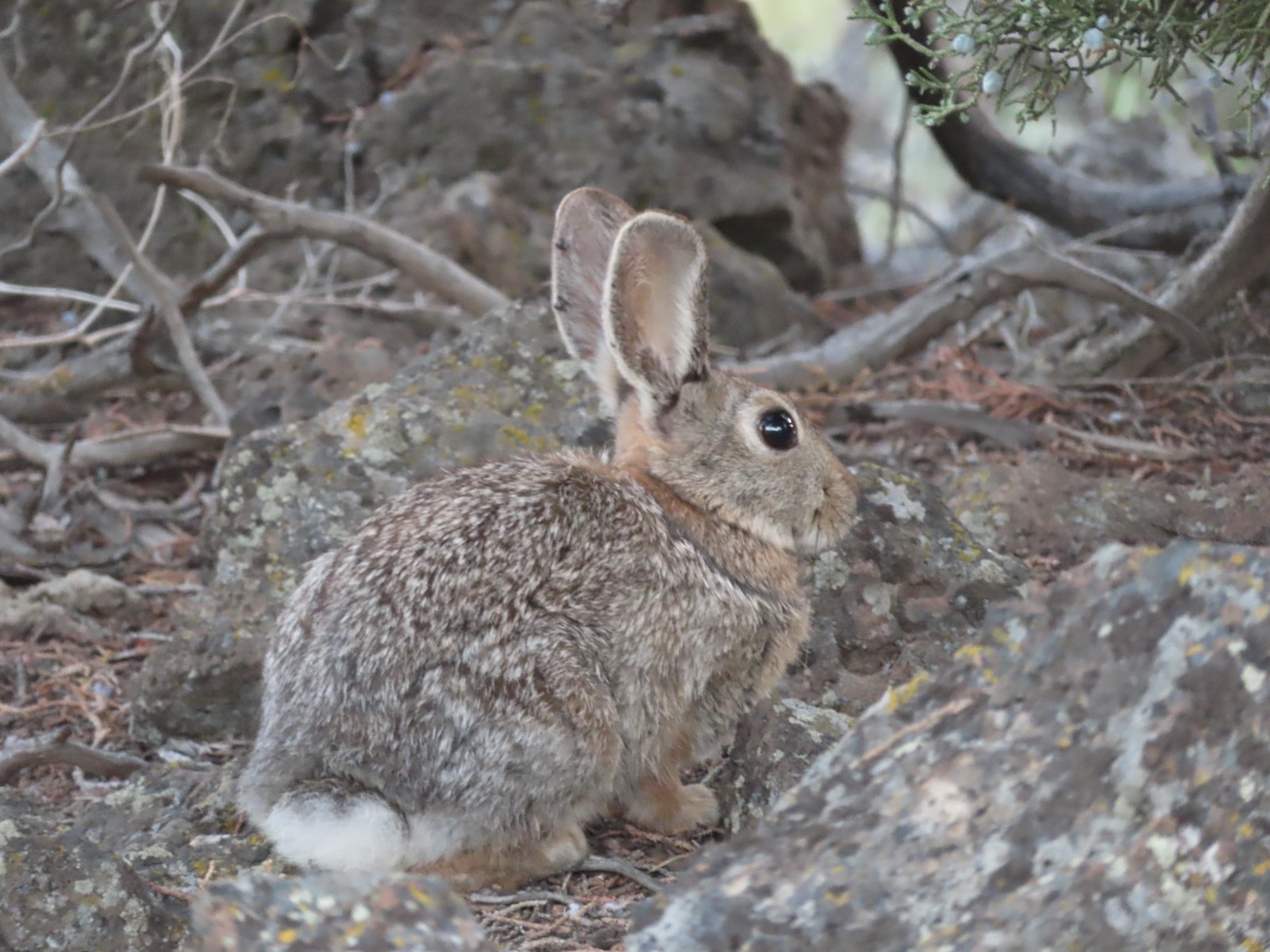 Mountain cottontail – 5/29/23, Riley Ranch Preserve, Bend
 Fawns – 7/31/23, Garfield Peak Trail, Crater Lake National Park
 Doe – 5/20/23, Steigerwald Lake National Wildlife Refuge, Washougal, WA
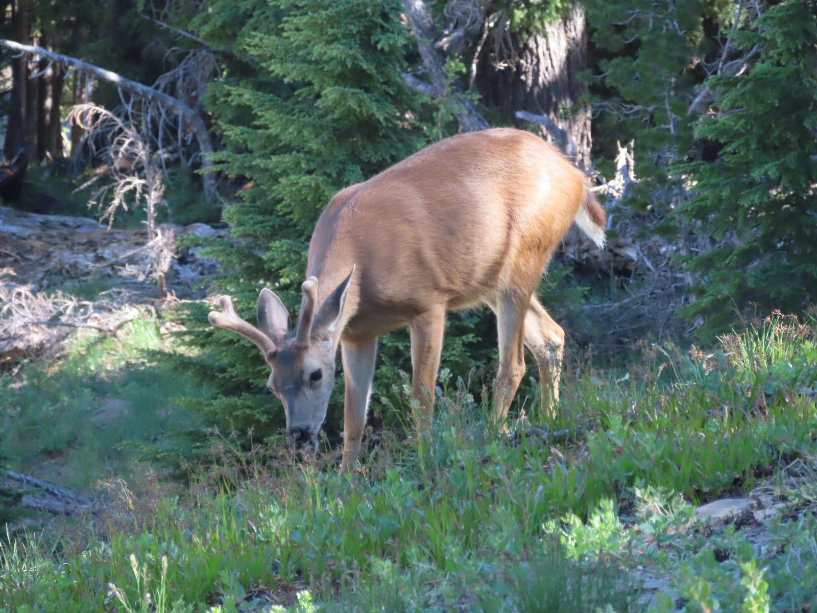 Buck – 7/31/23, Rim Trail, Crater Lake National Park
 Elk – 6/15/23, Buckhorn Road (FR 46), Wallowa-Whitman National Forest
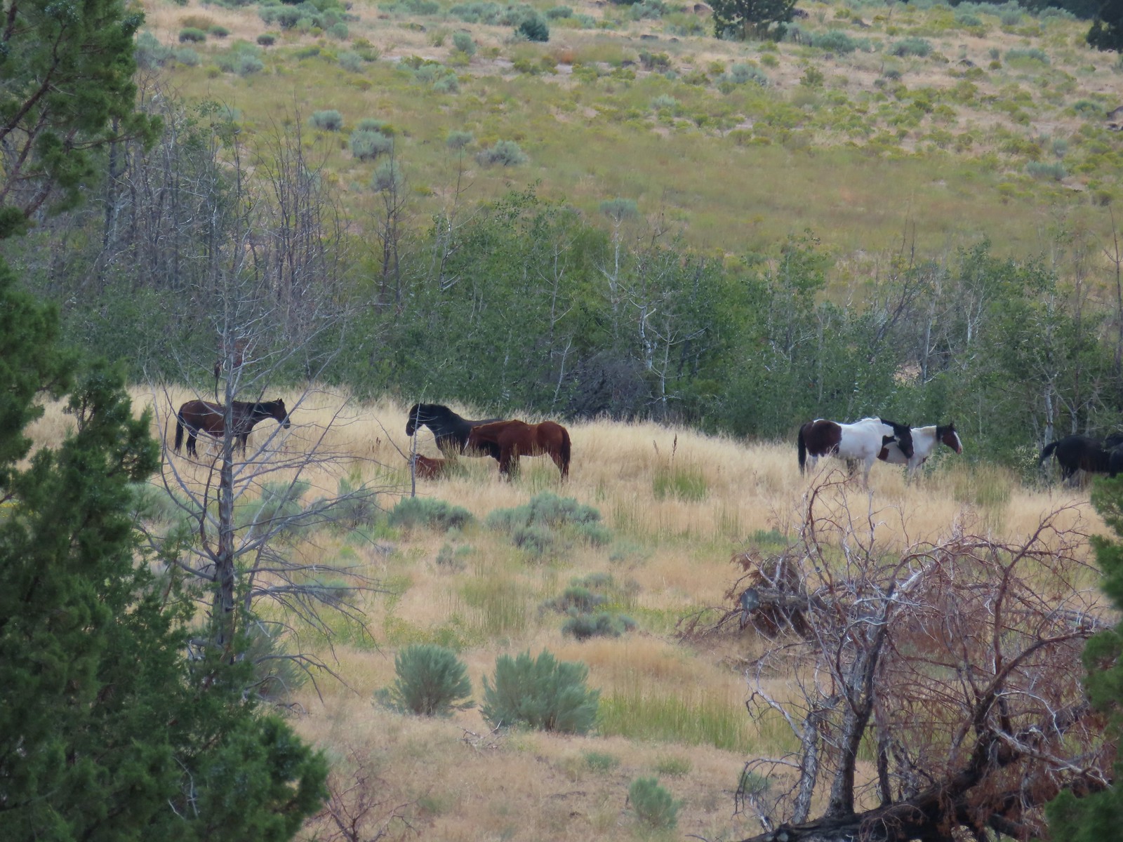 Horses – 9/3/23, Threemile Canyon, BLM Burns District
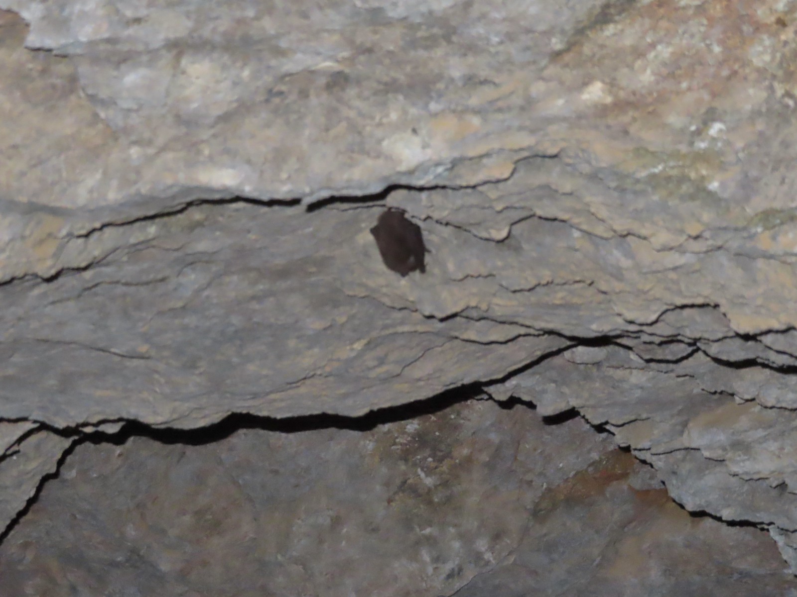 Bat -5/2/23, Sterling Mine Ditch Tunnel, BLM Medford District
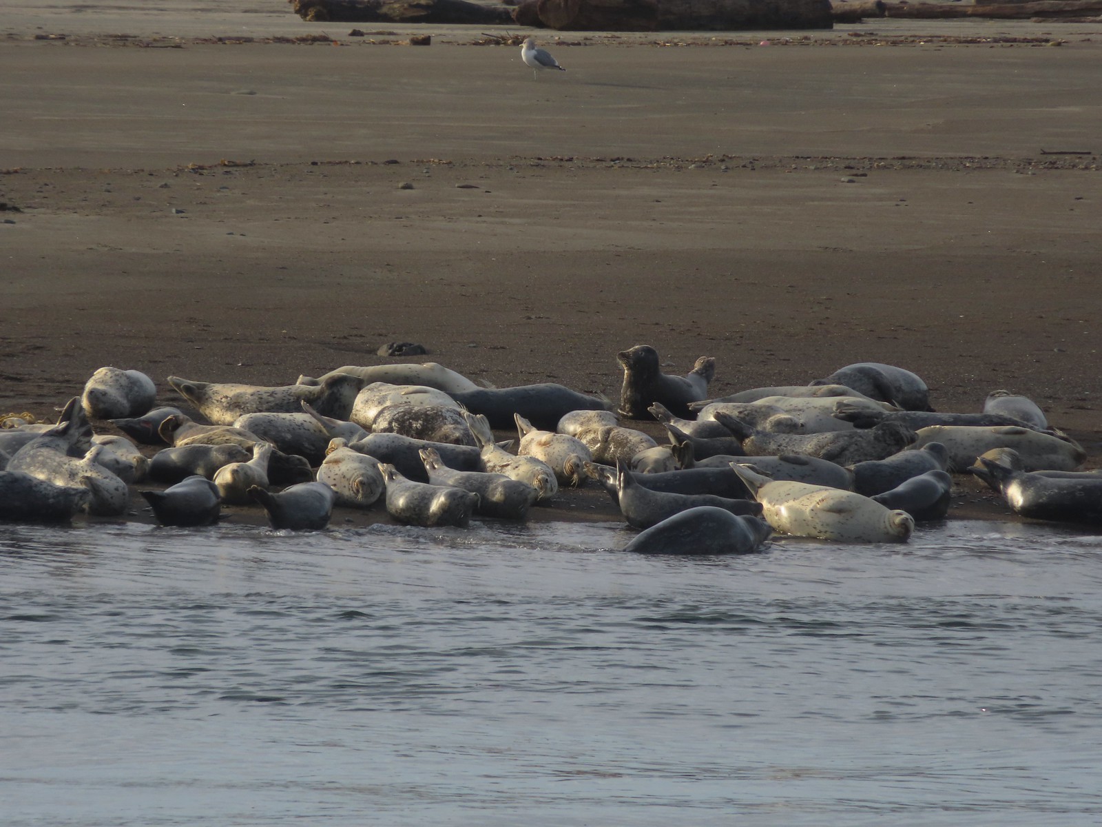 Seals – 11/18/23, Siletz Bay, Lincoln City
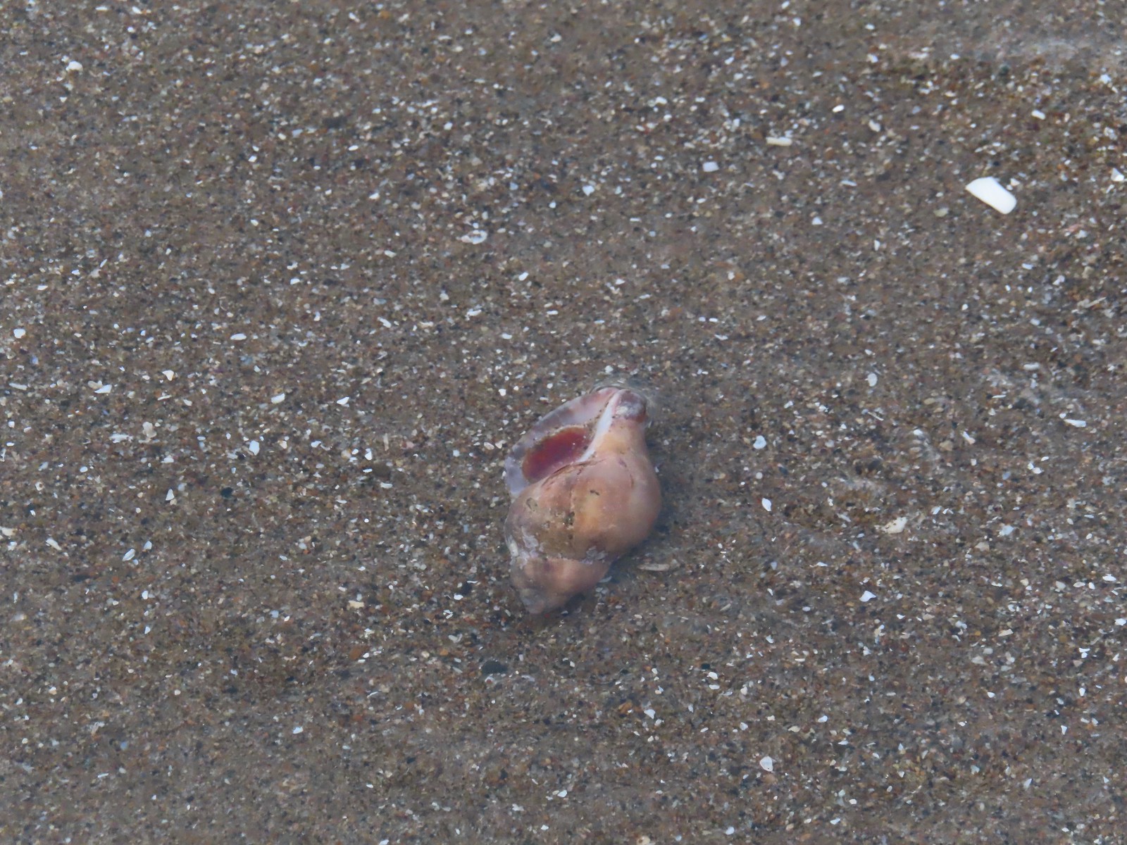 Shell with inhabitant – 11/18/23, Nelscott Beach, Lincoln City
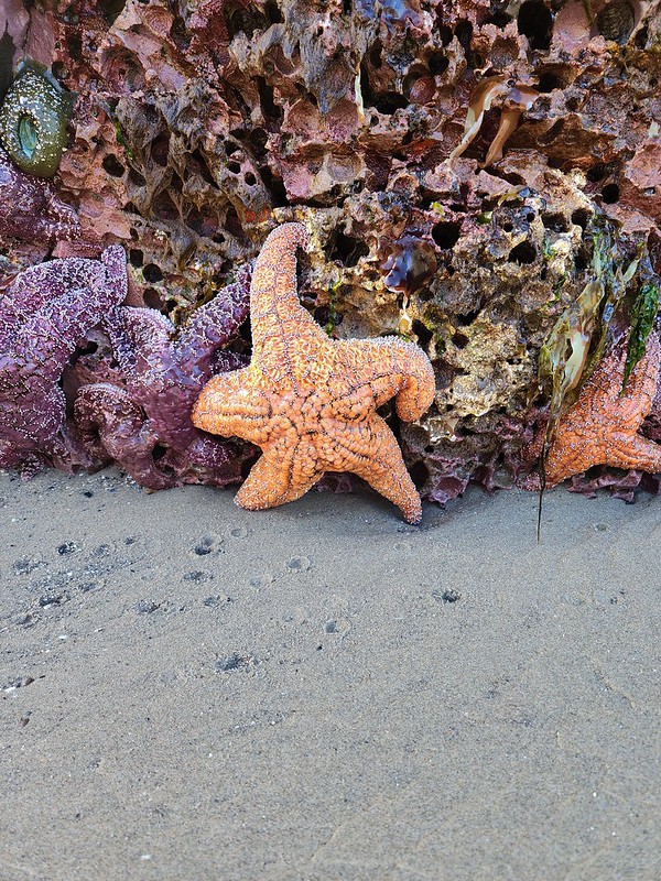
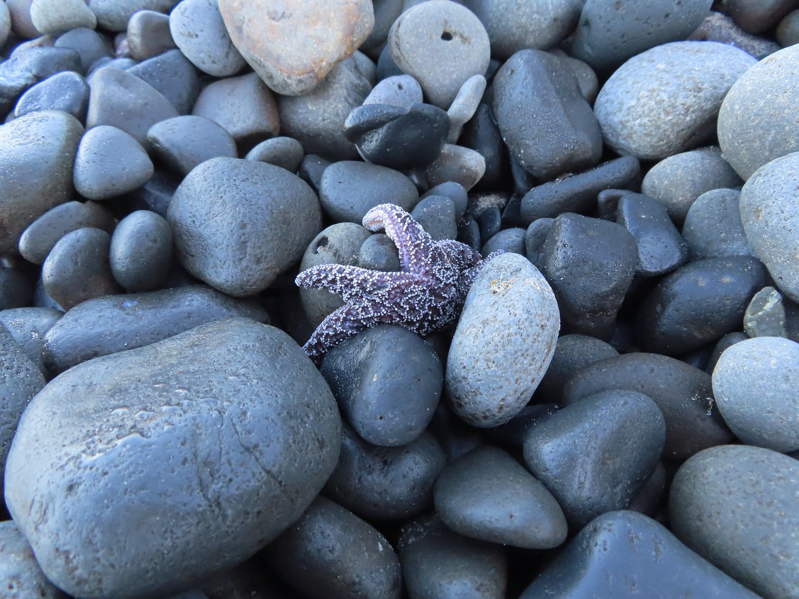 Starfish – 10/28/23, Short Beach, Oceanside
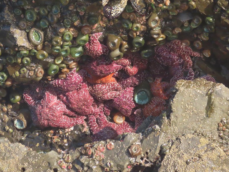
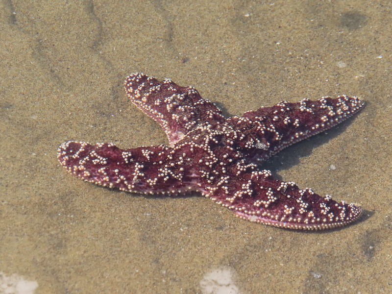
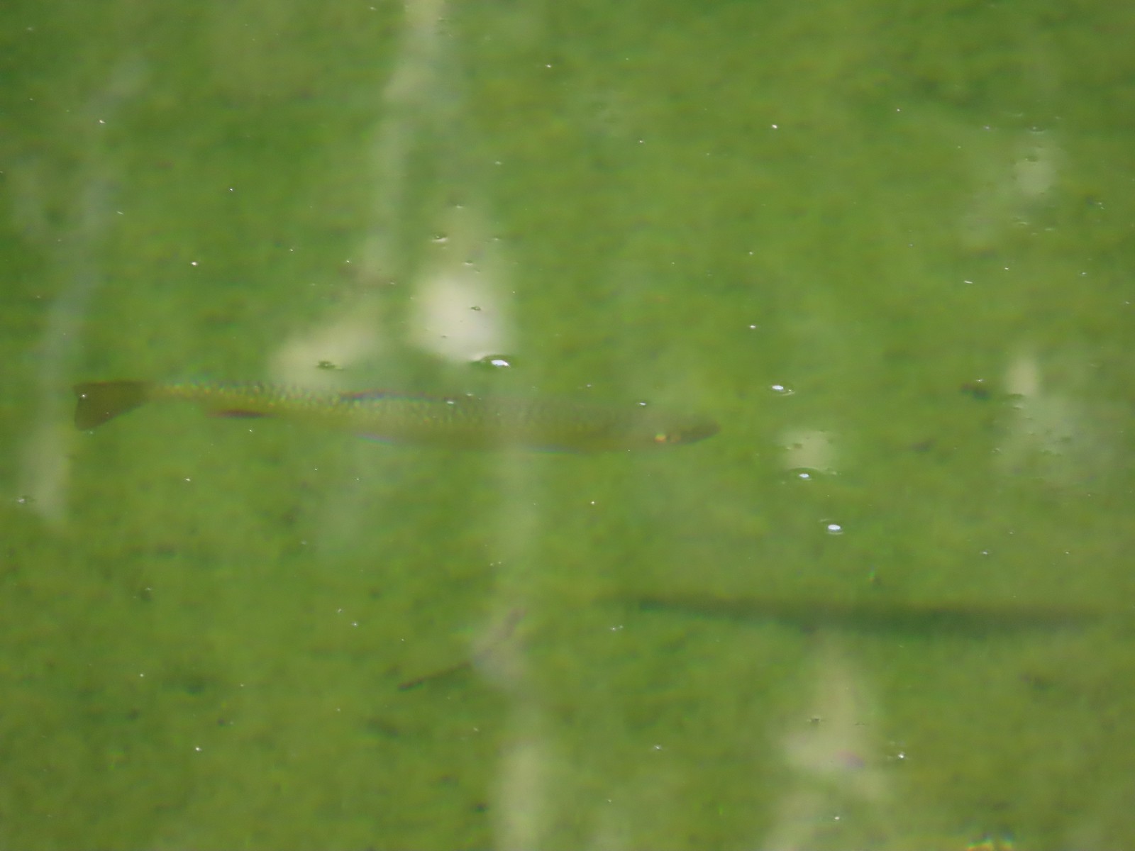 Trout – 8/16/23, Tombstone Lake, Eagle Cap Wilderness
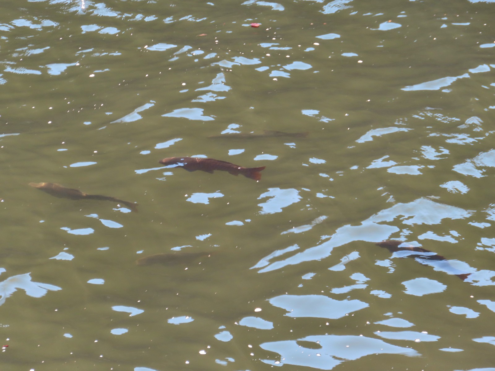 Fish – 6/16/23, Hells Canyon Reservoir, Hells Canyon National Recreation Area
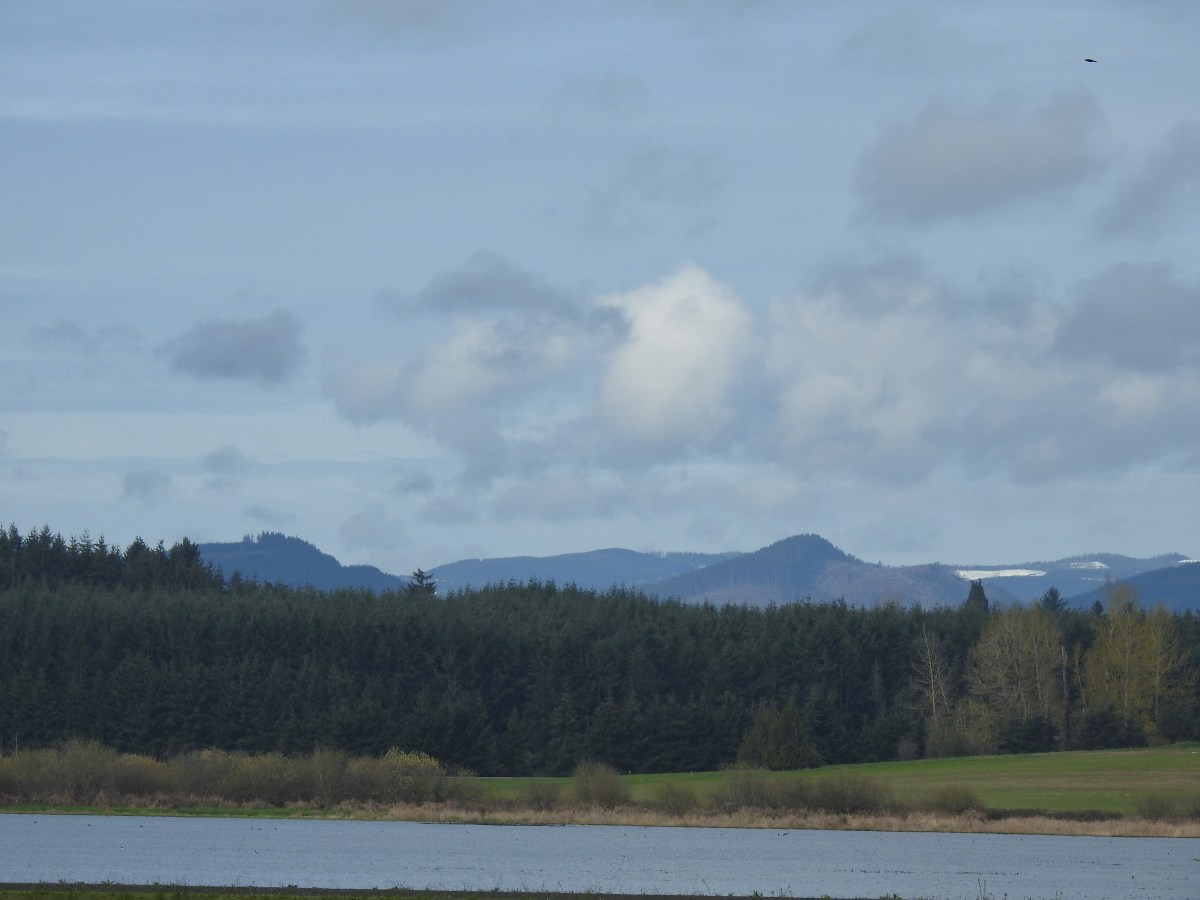

 There were a few buttercups blooming in the grass and not much else along this side of the Memorial Trail.
 A lone strawberry blossom.
 The Inter-Tie Trail was a wet and muddy affair. I could hear a lot of birds in the surrounding trees but couldn’t make any of them out unless they flew right in front of me.
 I went left here which got me out of the slick mud but onto even wetter grass.
 Coming up on the marsh which is just on the other side of the dip in the road.
 Two rabbits trying to decide if they were going to keep eating grass or race off into the blackberry bushes.

 Ring-necked ducks
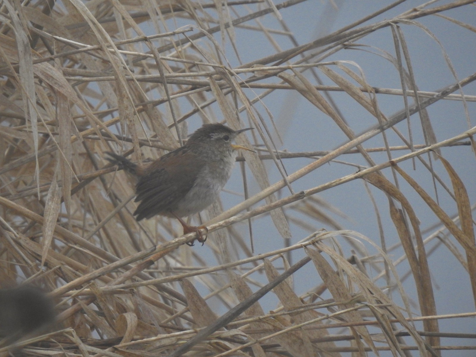 I think this is a marsh wren.

 I think the 2nd goose in from the right is a cackling goose while the others are Canada geese. It’s a bit smaller and the white patch is shaped differently.
 Swallows
 California quail
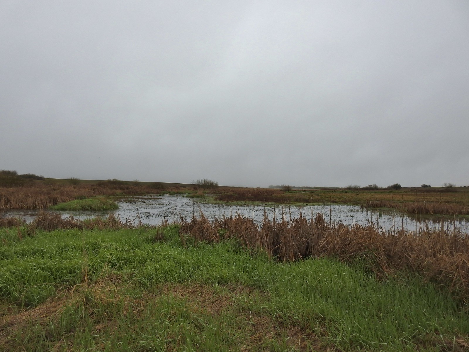
 Cinnamon teals
 Northern shoveler drake
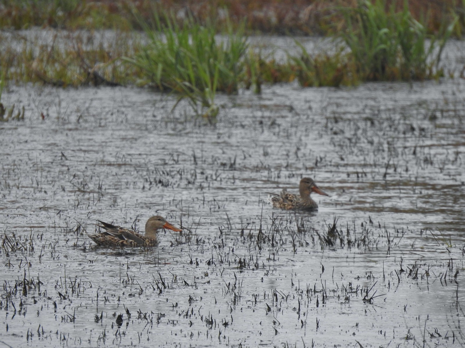 Northern shoveler females
 Signs at the Smithfield Road Trailhead.
 Buffleheads
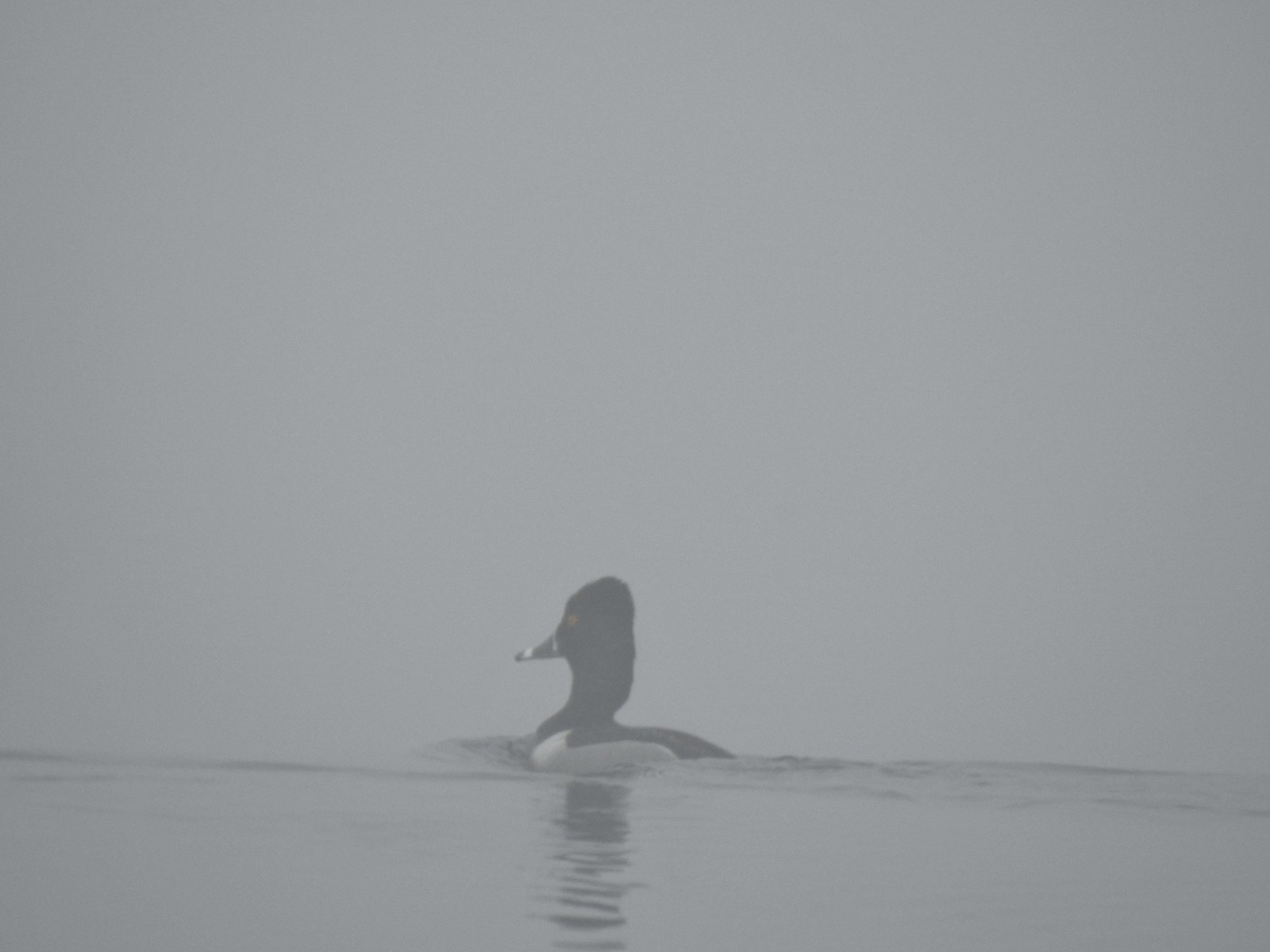 Ring-necked duck
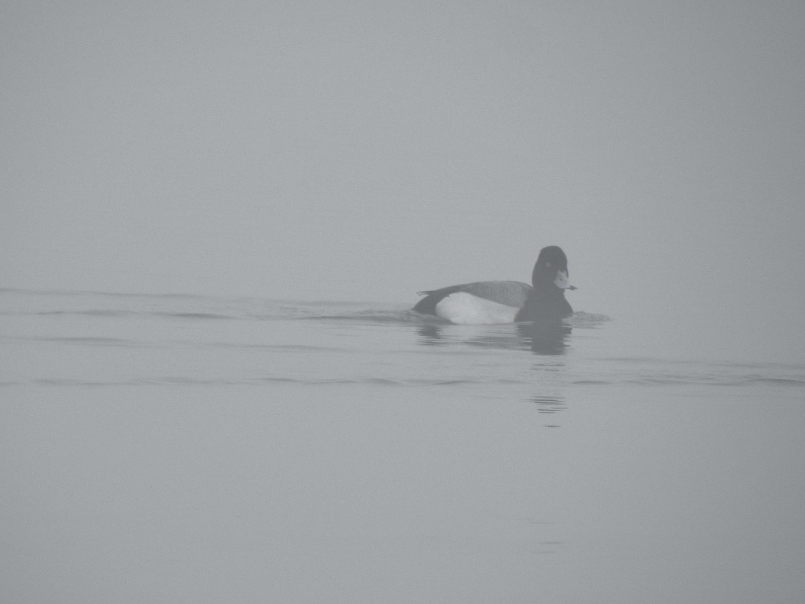 Possibly a lesser scaup.
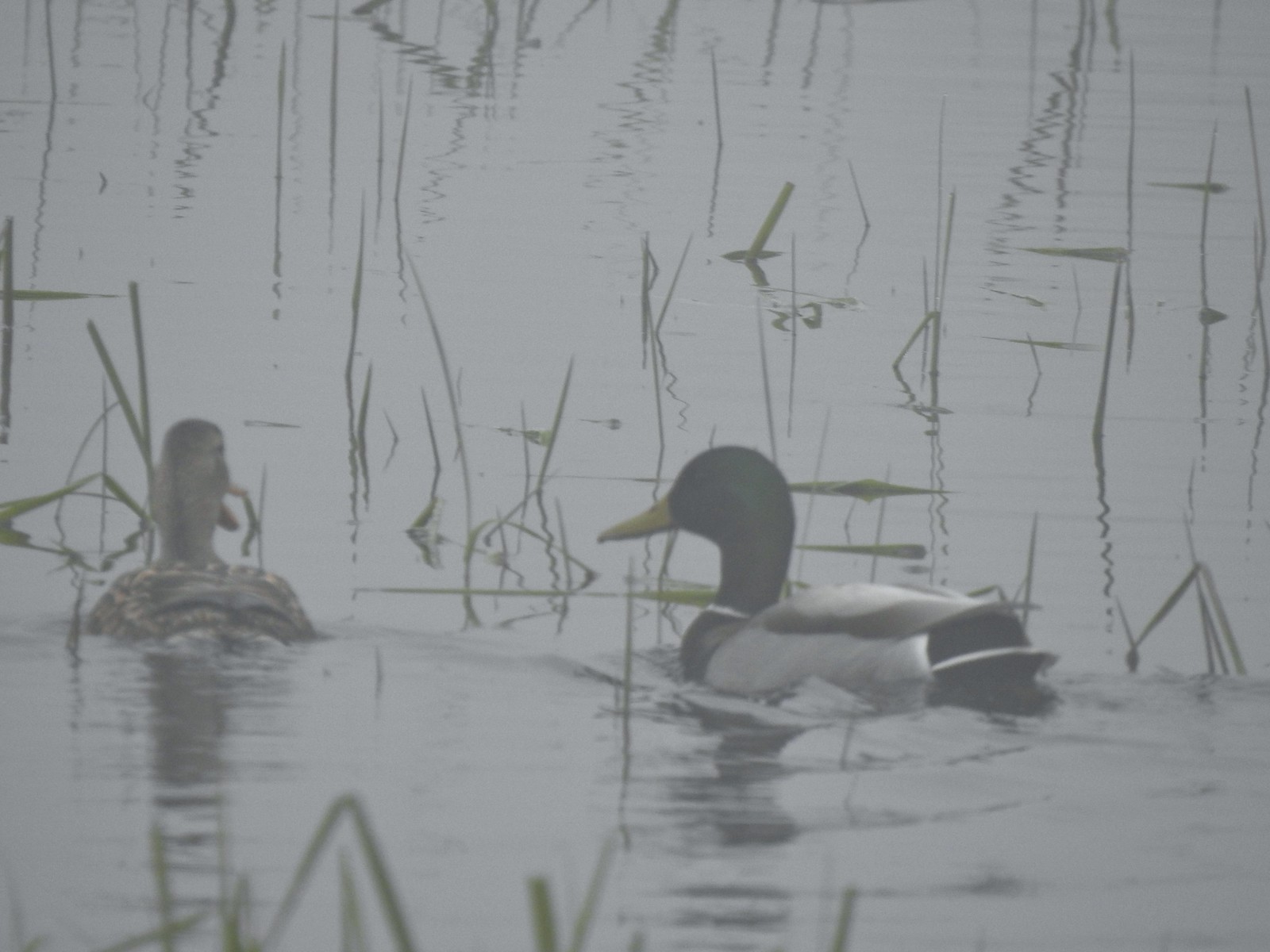 Mallards
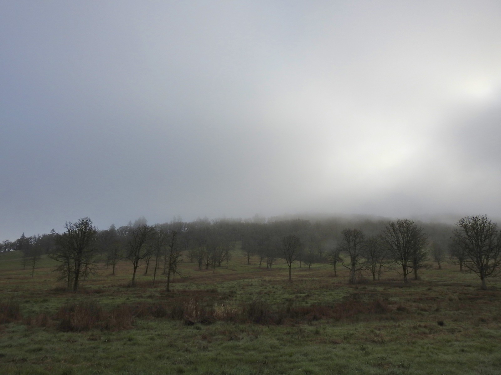


 The only bull I could pick out.

 Robin
Robin Bench overlooking Morgan Lake
 Morgan Lake from the bench.
 Spotted towhees
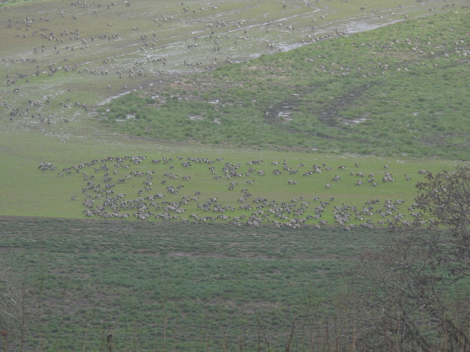 A lot of geese way below the trail.
 I started seeing a lot of toothwort on this side of the loop.
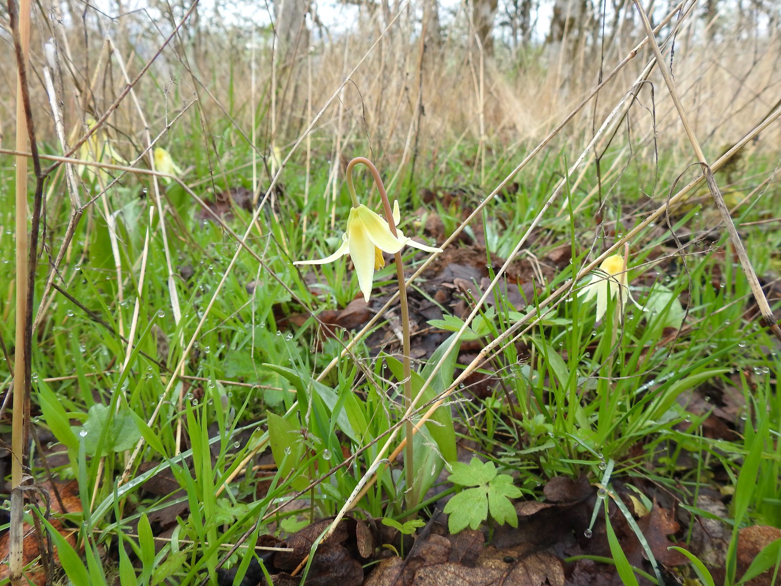 More fawn lilies too.
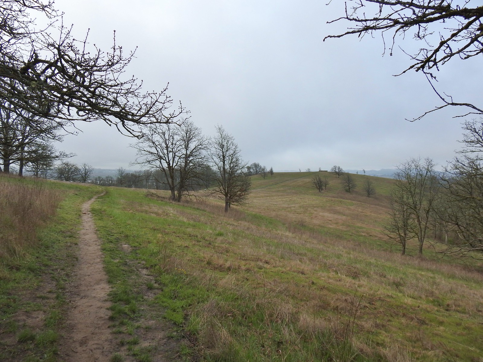 The viewing platform on Baskett Butte to the right.
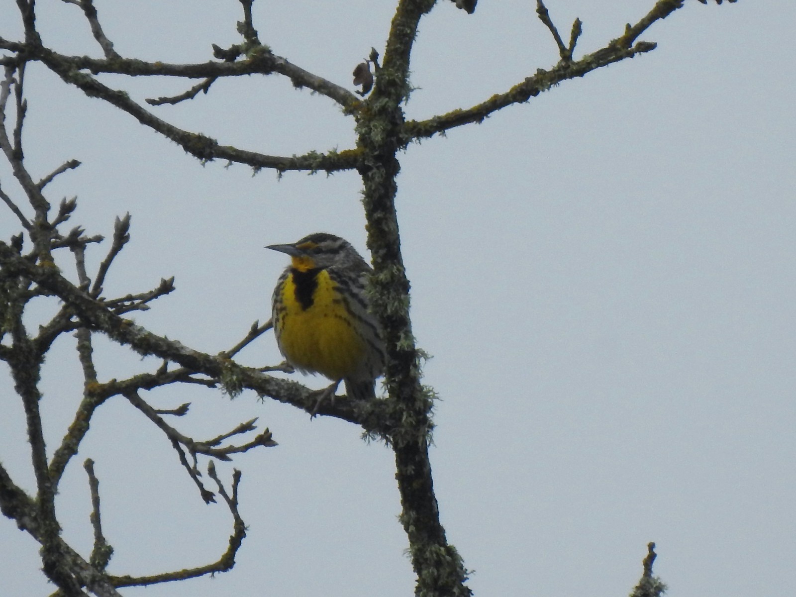 One of several western meadowlarks (Oregon’s state bird) on the butte.
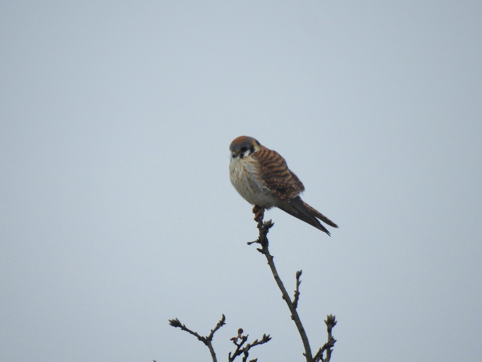 American kestral
 A better look at the yellow on the meadowlarks.
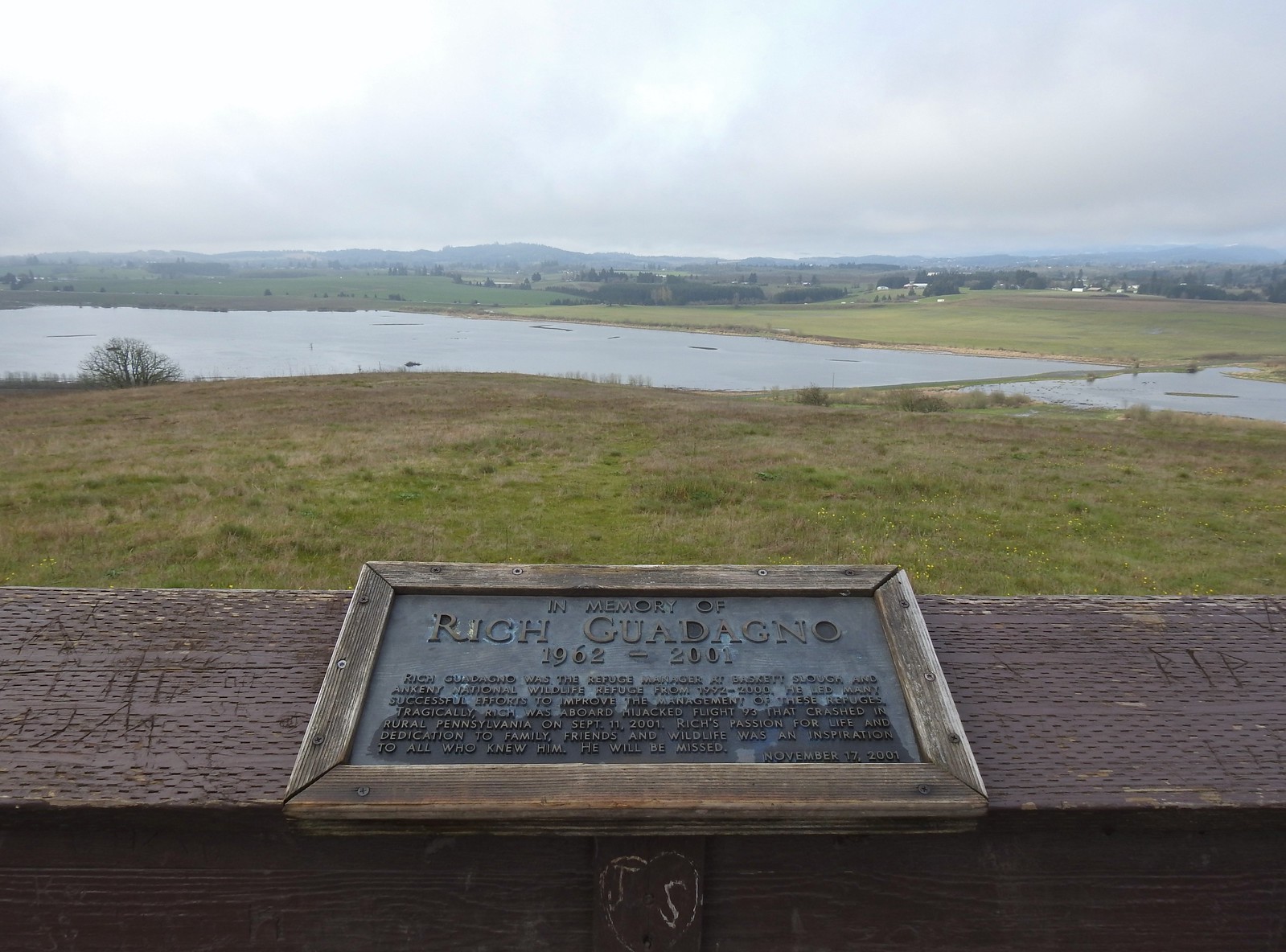 View from the platform.
 Sign along the path.
 More fawn lilies.
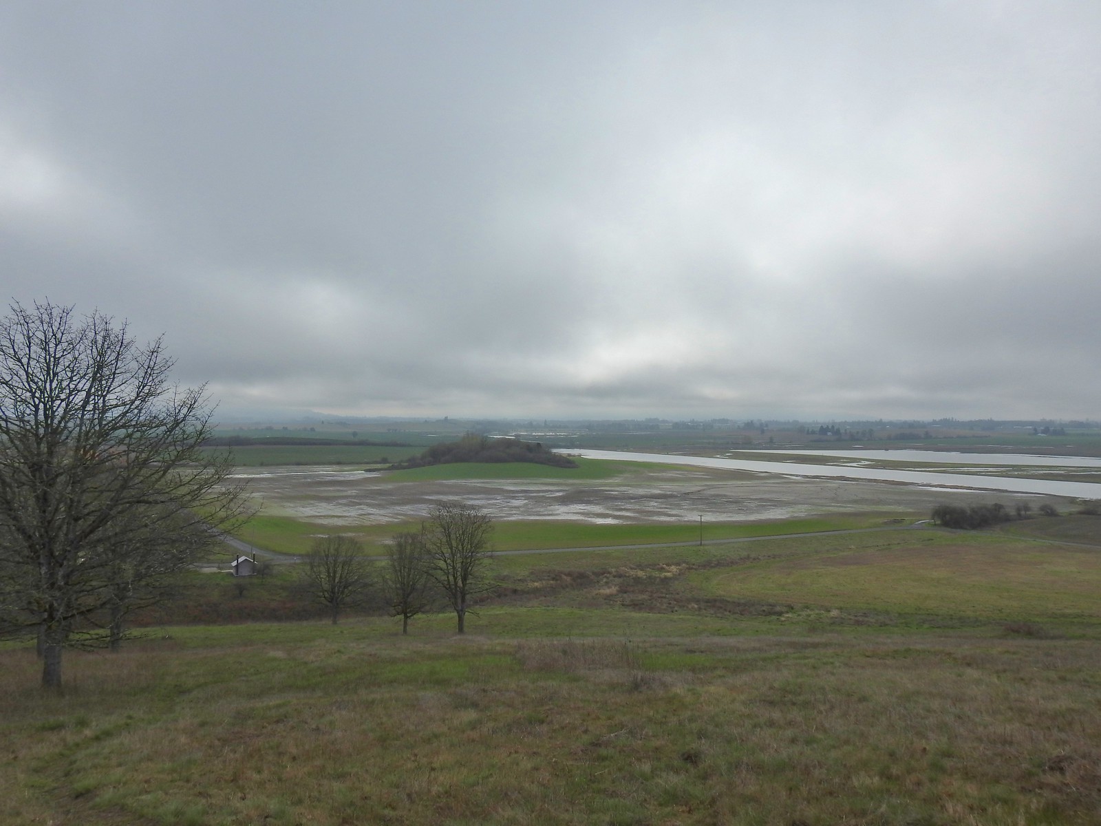 The path leading down toward Coville Road. The outhouse at the Baskett Butte Trailhead is on the left below.
 Baskett Butte from below.
 The trail is simply a dike road that leads to the refuge HQs.
 The headquarters is to the left of the road on the far side of South Slough.
 Also a bunch of American coots.
 Northern shovelers
 Buffleheads
 Red-winged blackbird
 Yellowlegs (probably lesser)
 Baskett Butte (left) from my turn around point.
 The ruddy duck woke up after all the American coots headed off.
 Savannah sparrow
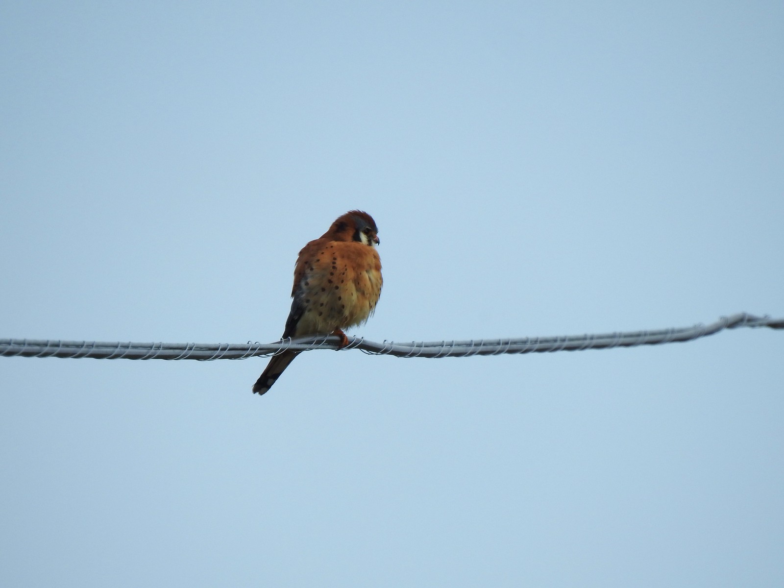 One more American kestral

 Ants dropping sawdust from a log along the Catherine Creek Trail. We sat and watched these busy ants for quite a while. They had created a good-sized pile on the ground below.
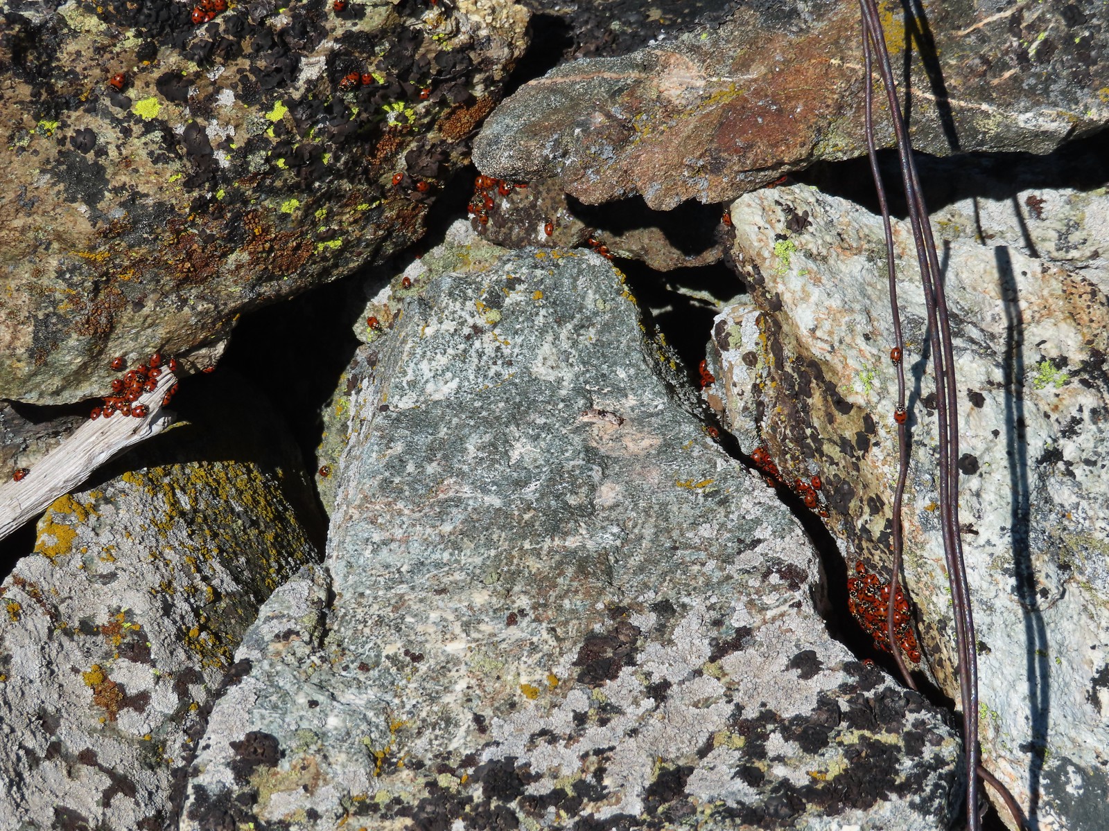 We see a lot of beetles but usually not all at once like these lady bugs on Observation Peak.
 Lady bug – Upper Table Rock
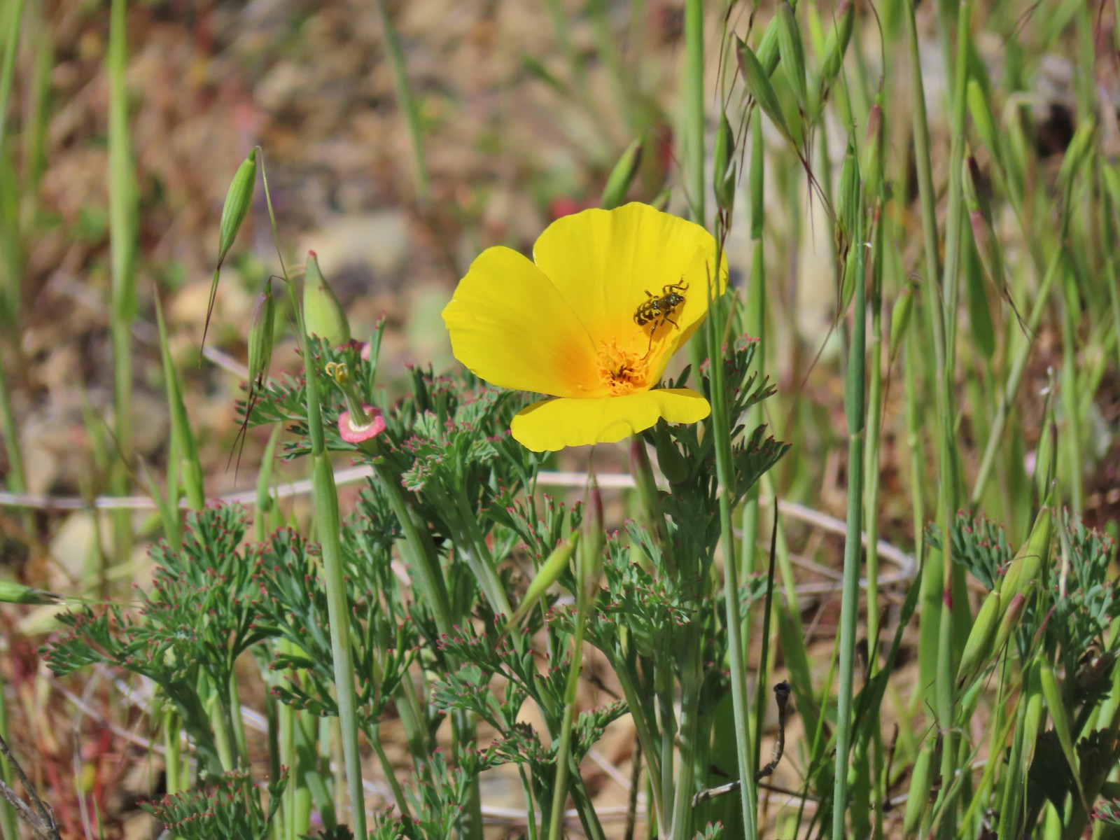 Yellow & black beetle – Mule Mountain
 Redish brown beetle – Siskiyou Wilderness
 Green beetle – Siskiyou Wilderness
 Hitchhiker – Mt. Ireland
 Blueish green beetle – Catherine Creek Meadows
 Small beetle – Catherine Creek Meadows
 Green beetle on a geranium – Eagle Cap Wilderness
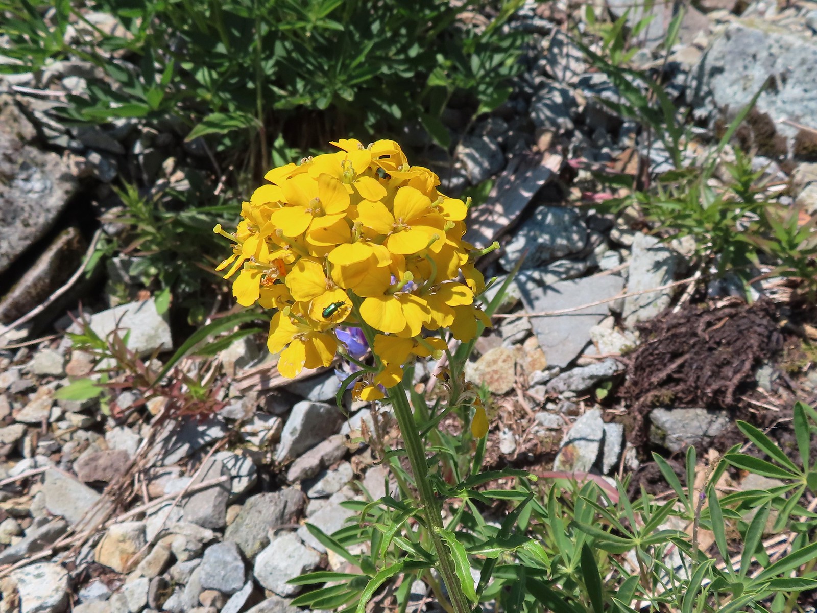 Green beetle on a wallflower – Silver Star Mountain
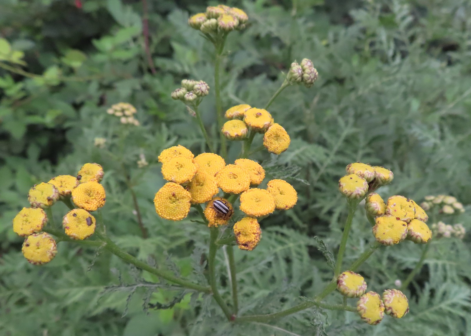 Stripped beetle – Spring Valley Greenway
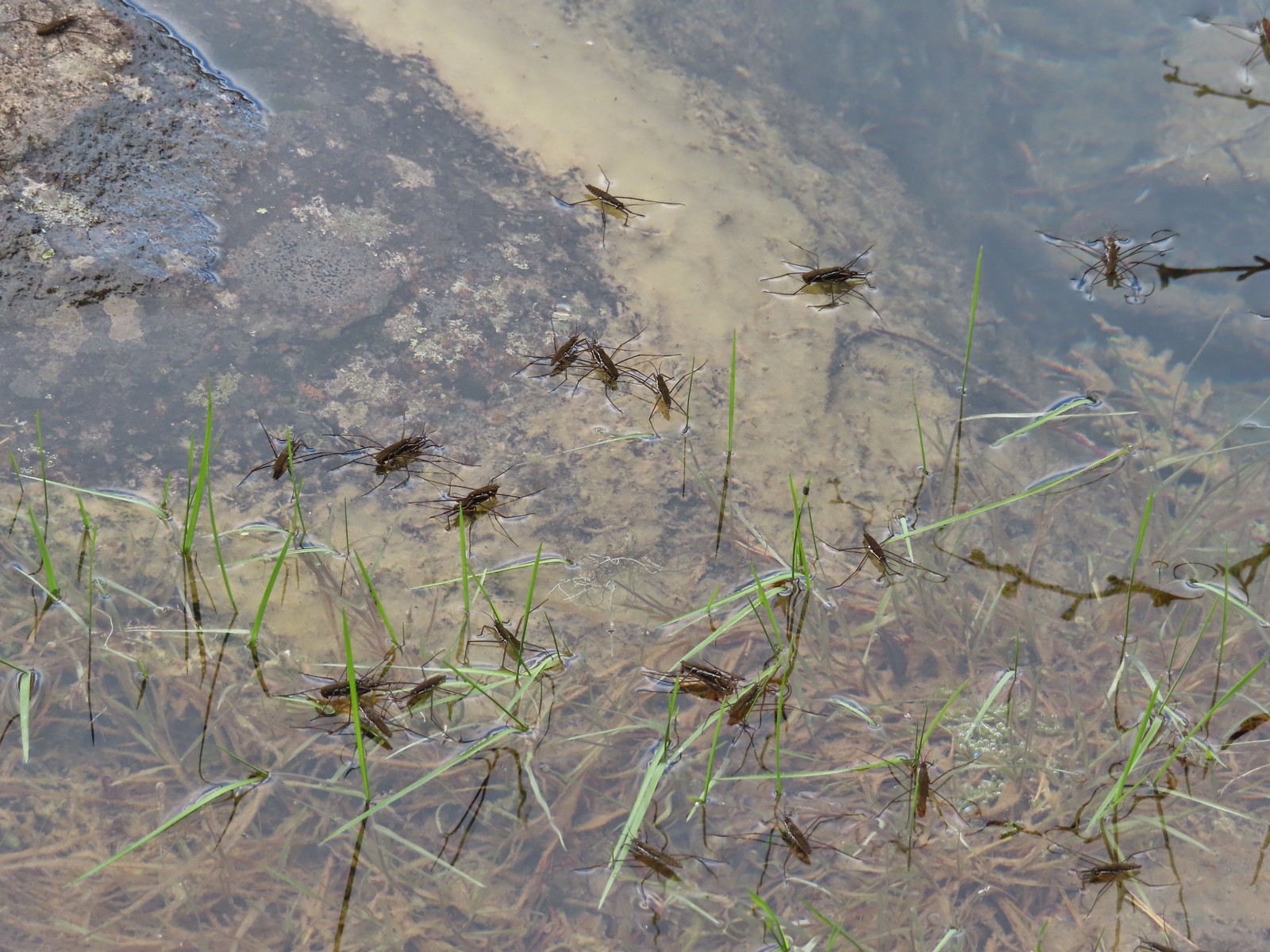 Water skippers – Big Twin Lake
 Spider on thimbleberry – Siskiyou Wilderness
 Crab spider – Eagle Cap Wilderness
 Another crab spider – Eagle Cap Wilderness
 Cricket – Pacific Crest Trail
 We are often literally struck by grasshoppers as we hike. Sometimes they stick when they hit us such as this one along the PCT.
 Bee on phacelia – Mule Mountain
 Wet bee on lupine – Julia Butler Hanson Wildlife Refuge
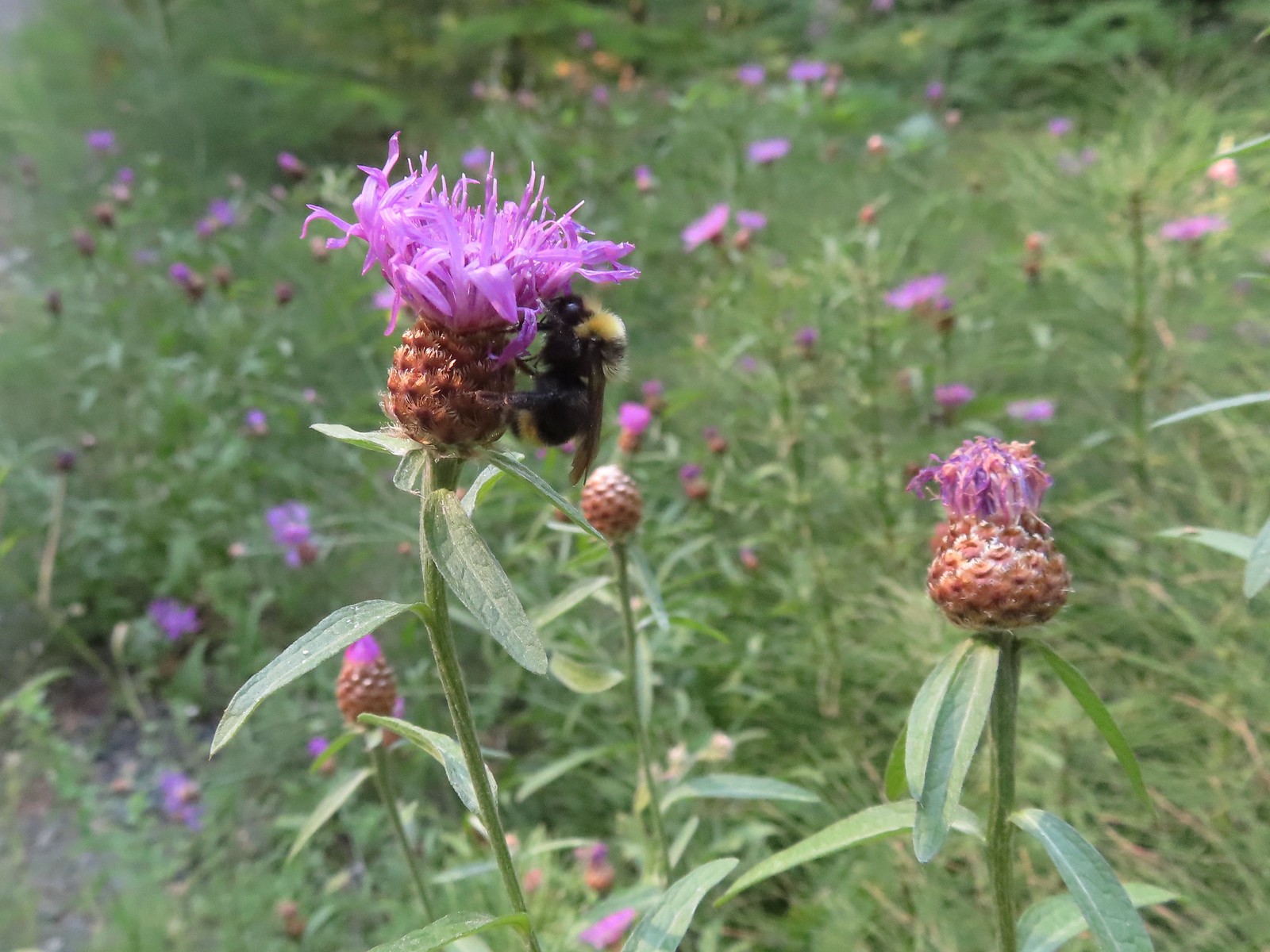 Bumble bee – Hemlock Creek Trail
 Lots of pollen – Mt. Adams Wilderness
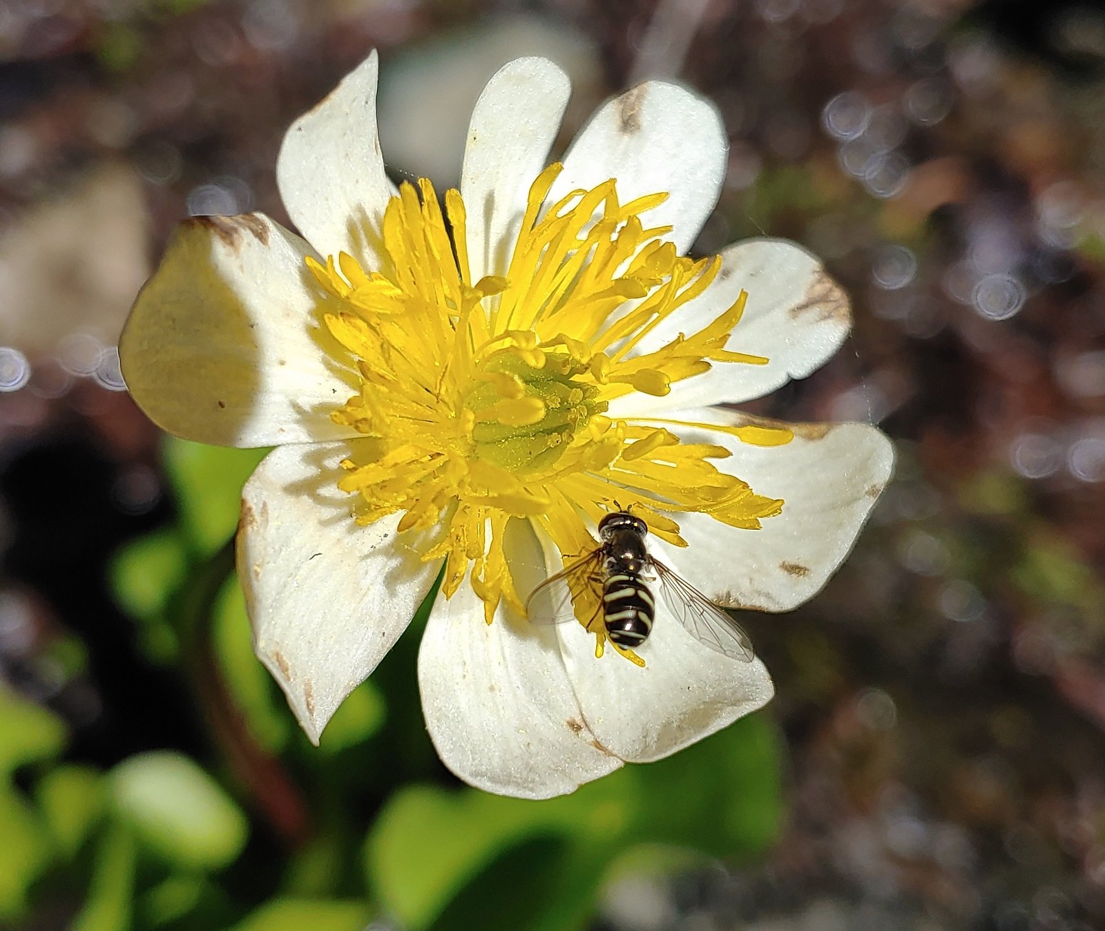 Bee landing on a marsh marigold along the PCT
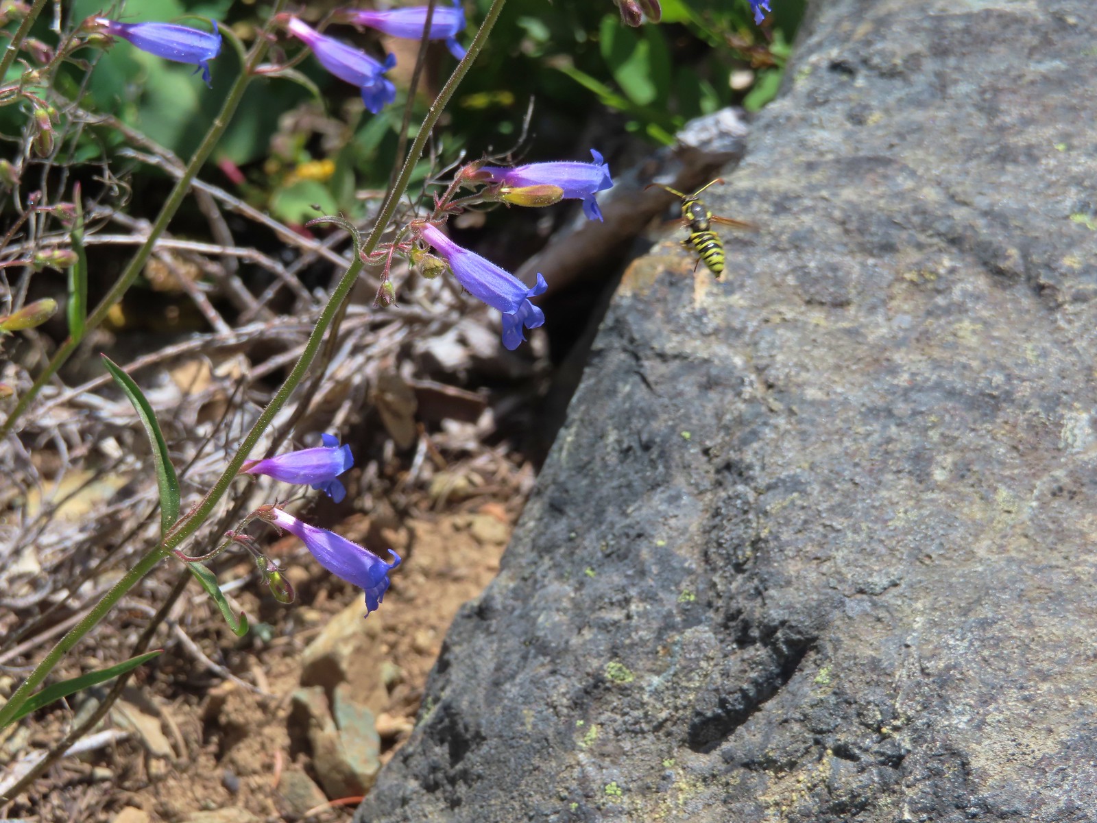 Bee approaching penstemon – Siskiyou Wilderness
 Bee and a tiny ant in a bindweed – Siskiyou Wilderness
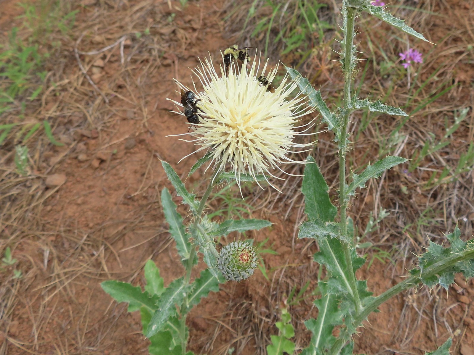 Insects on thistle – Eagle Cap Wilderness
 Wasp? – Eagle Cap Wilderness
 Some sort of wasp – Silver Star Mountain
 Insect along Bear Creek – Eagle Cap Wilderness
 My brother and I used to call these “weird things”; I have no idea what it actually is – Trinity Alps Wilderness
 Damsel fly – Denman Wildlife Area
 Damsel fly – Hemlock Lake
 Dragon fly – Goat Marsh Lake
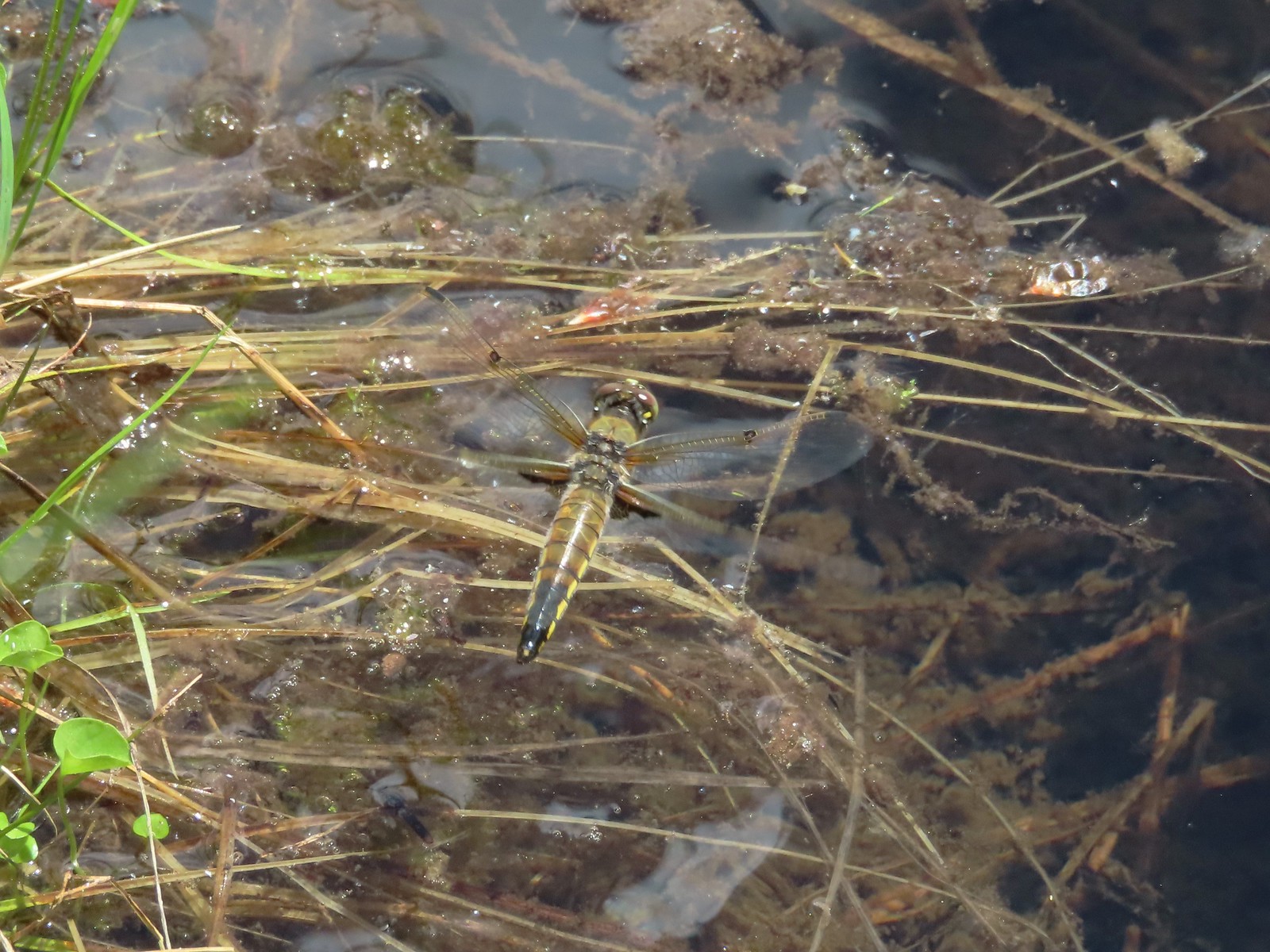 Dragon fly – Siskiyou Wilderness
 Dragon fly – Siskiyou Wilderness
 Dragon fly – Eagle Cap Wilderness
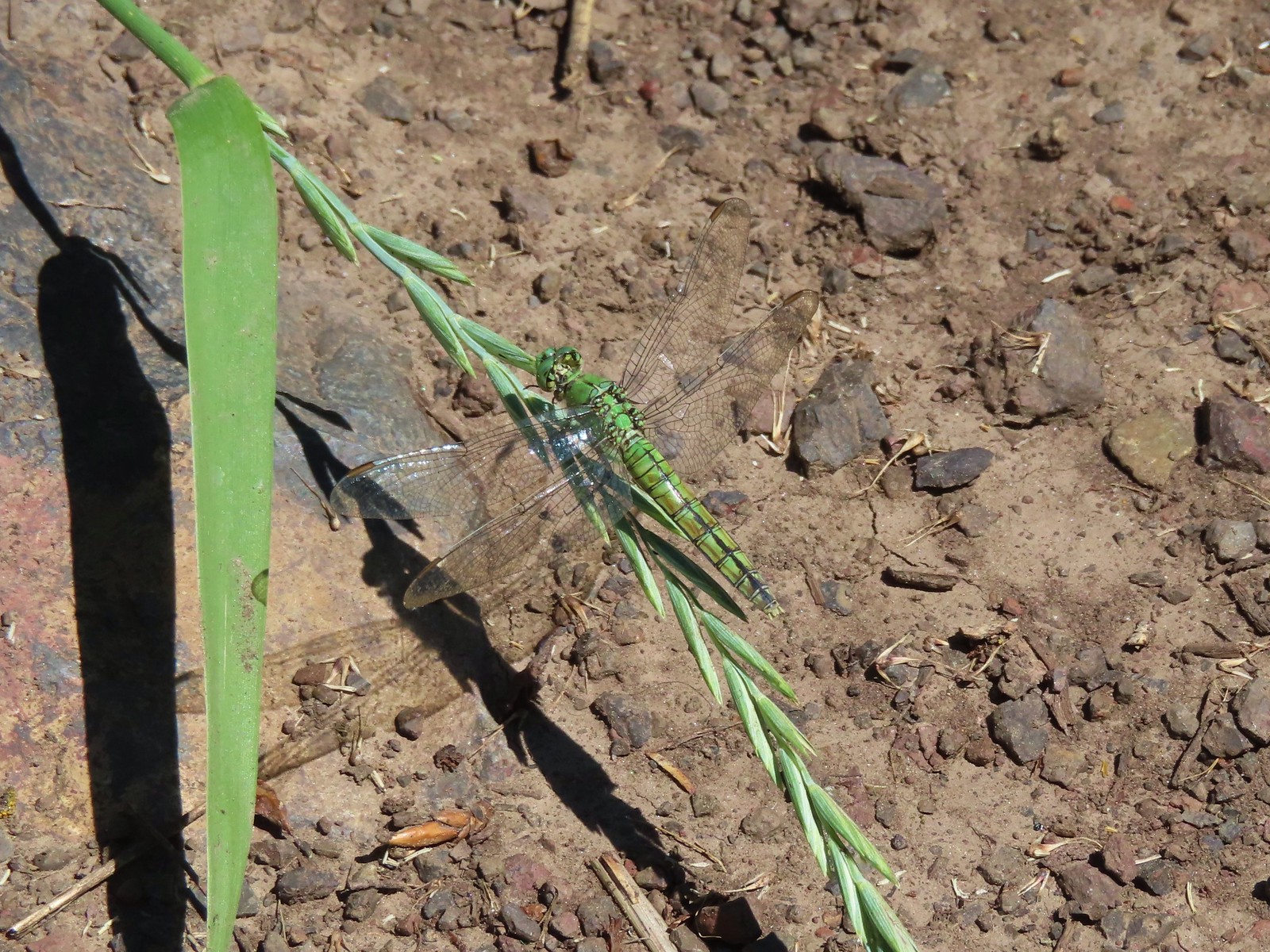 Dragon fly along the Wallowa River – Wallowa Homeland
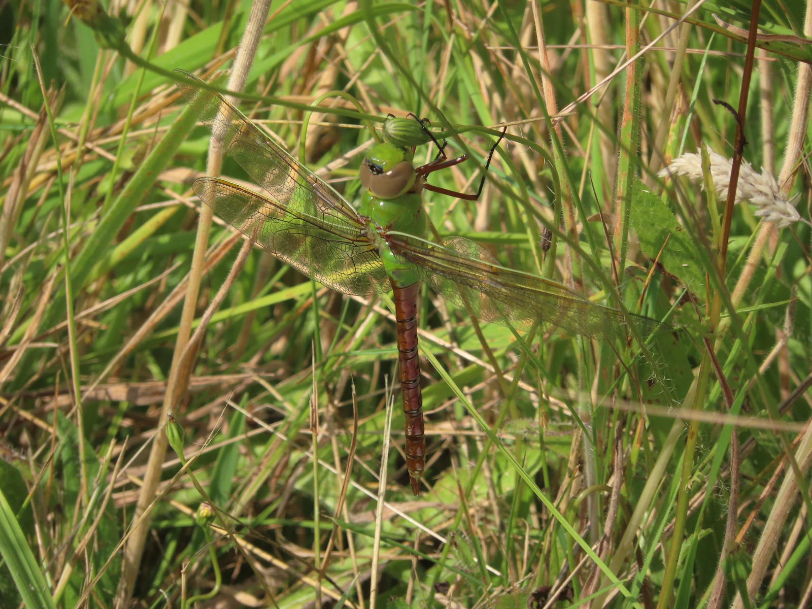 Dragon fly – E.E. Wilson Wildlife Area
 Dragon fly – Hemlock Lake
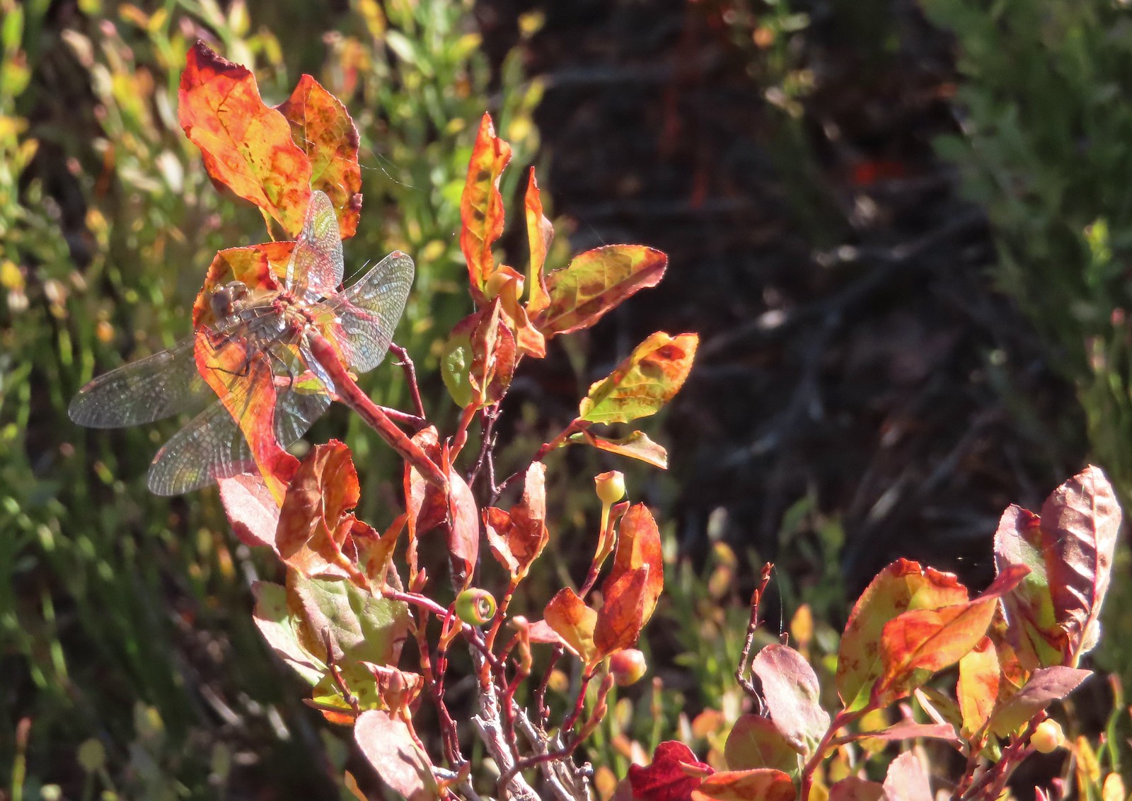 Dragon fly – Sky Lakes Wilderness
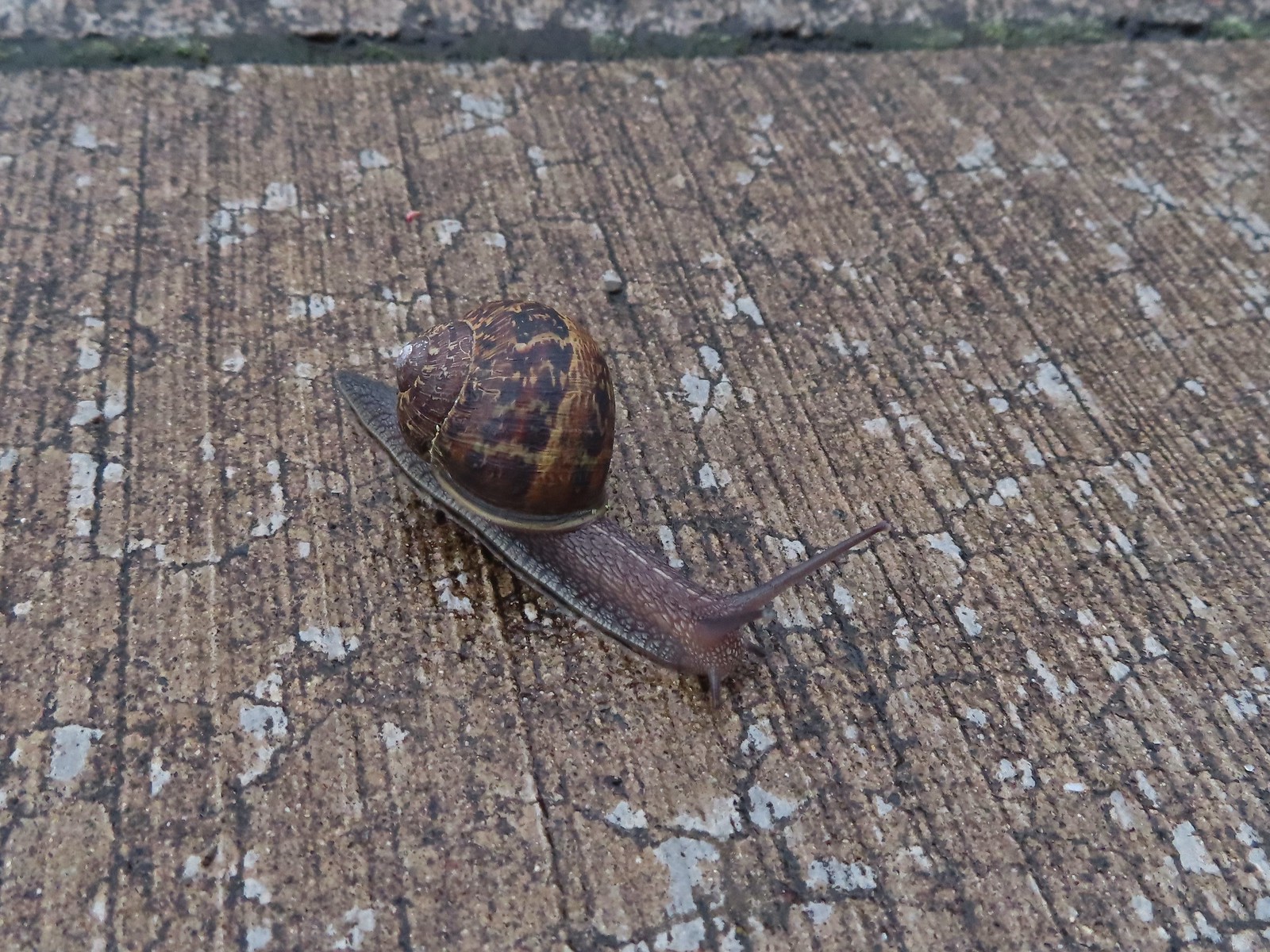 Snail – Rock Creek Trail
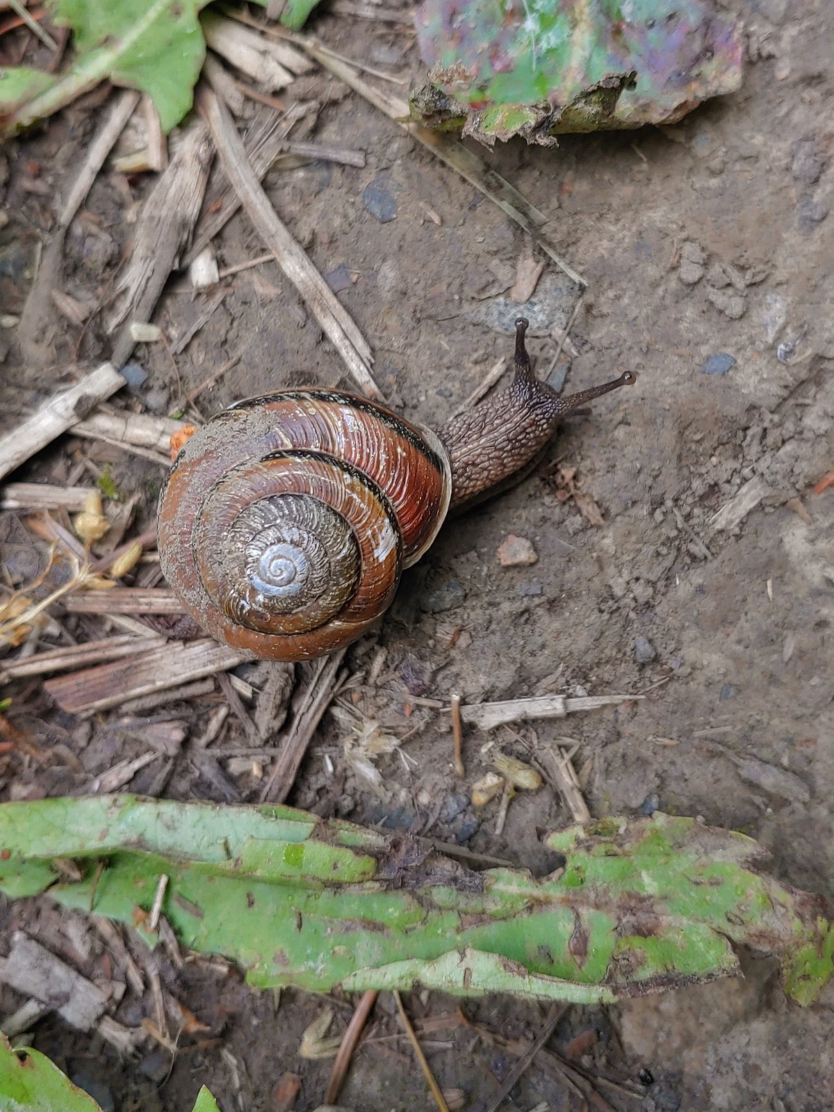 Snail – Applegate Lake
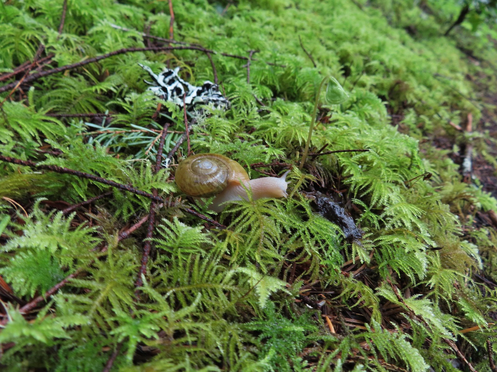 Snail – North Siouxon Trail
 Snail – Julia Hansen Butler Wildlife Refuge
 Snail – Siskiyou Wilderness
 Snail – Cascade Head
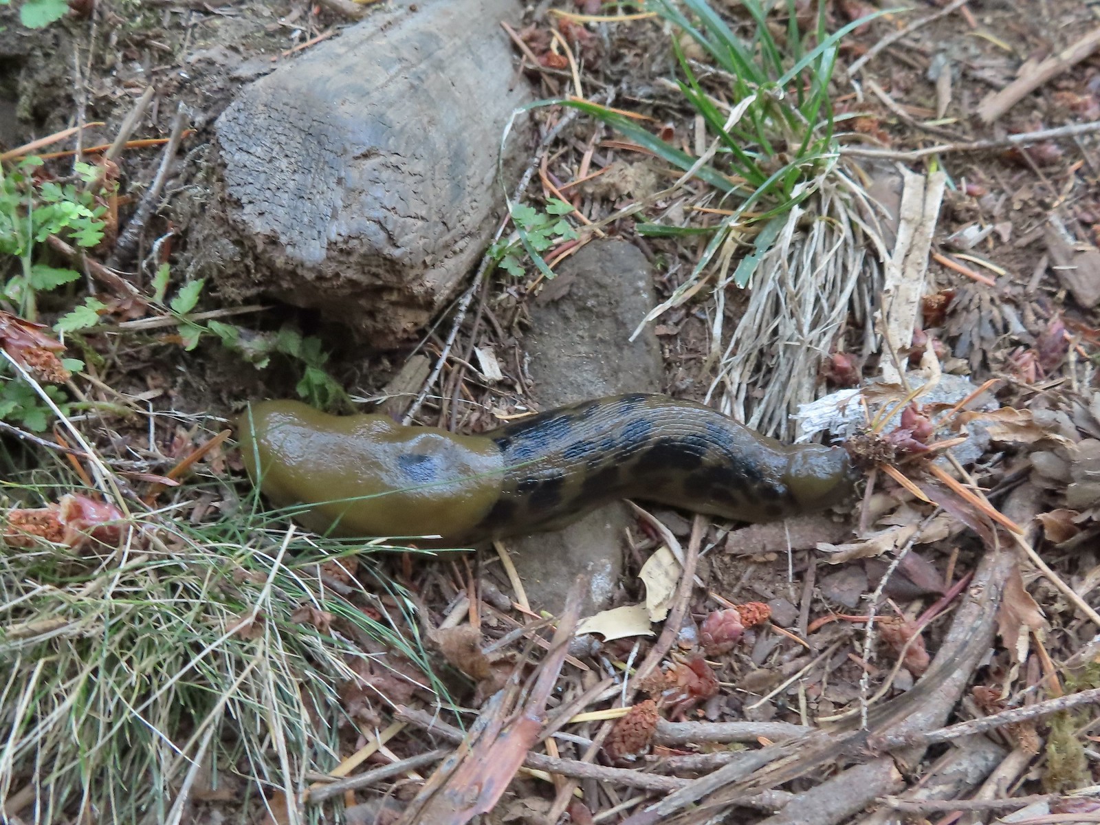 Slug – Larch Mountain Trail
 Slug (and a fly) – Susan Creek Trail
 Slug – Fish Lake
 Slug on lupine – Julia Butler Hansen Wildlife Refuge
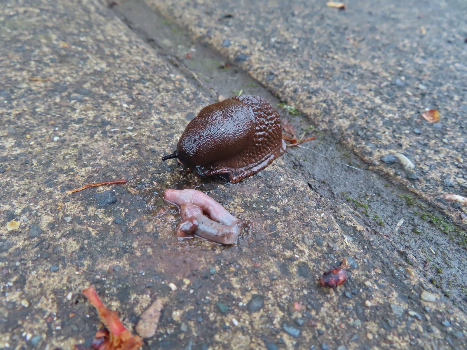 Slug and an unfortunate earth worm – Rock Creek Trail
 Worms – Chehalem Ridge Nature Park
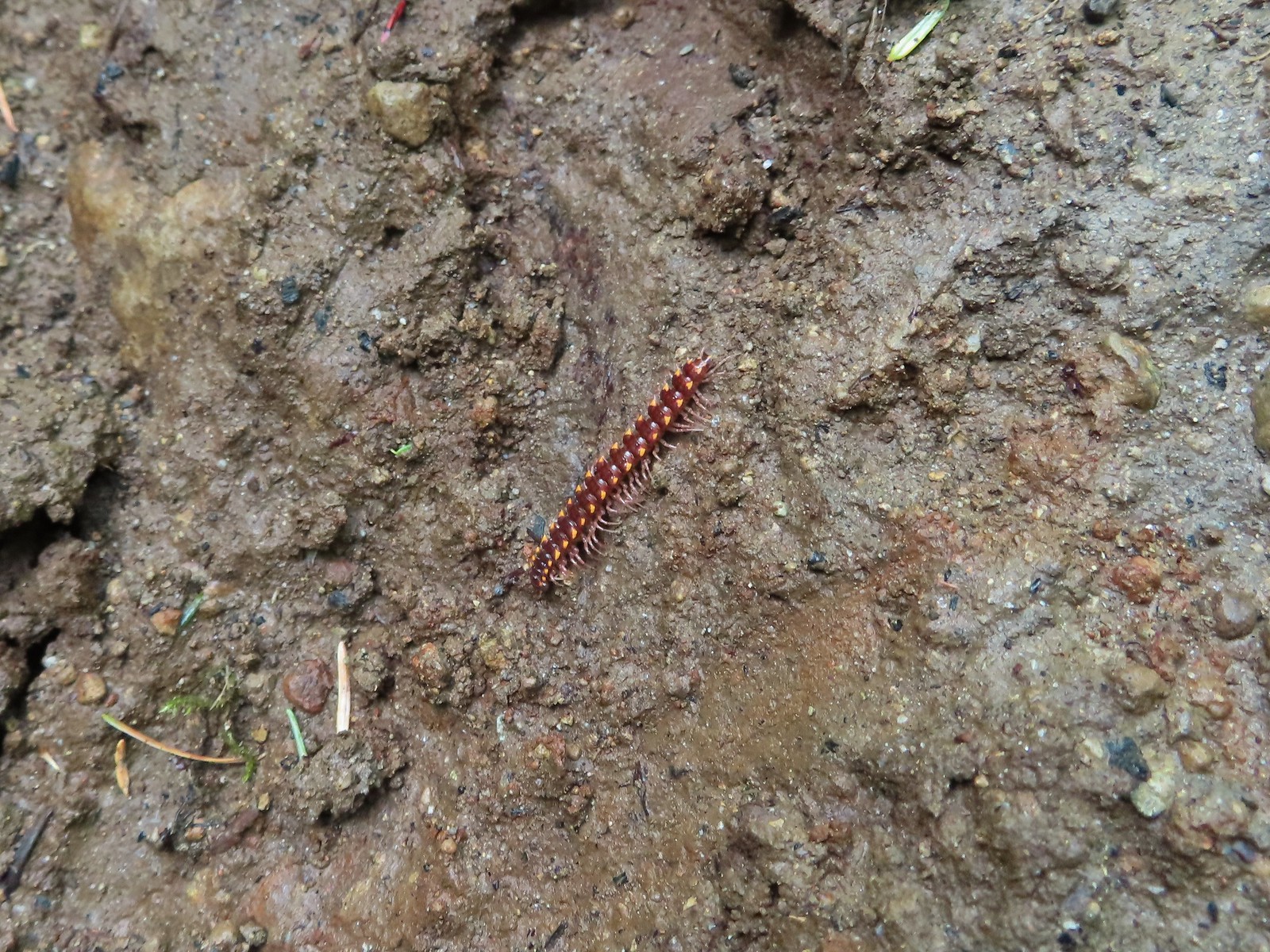 Millipede – North Siouxon Trail
 Millipede – Rock Creek Trail
 Millipede – Illahee Rock
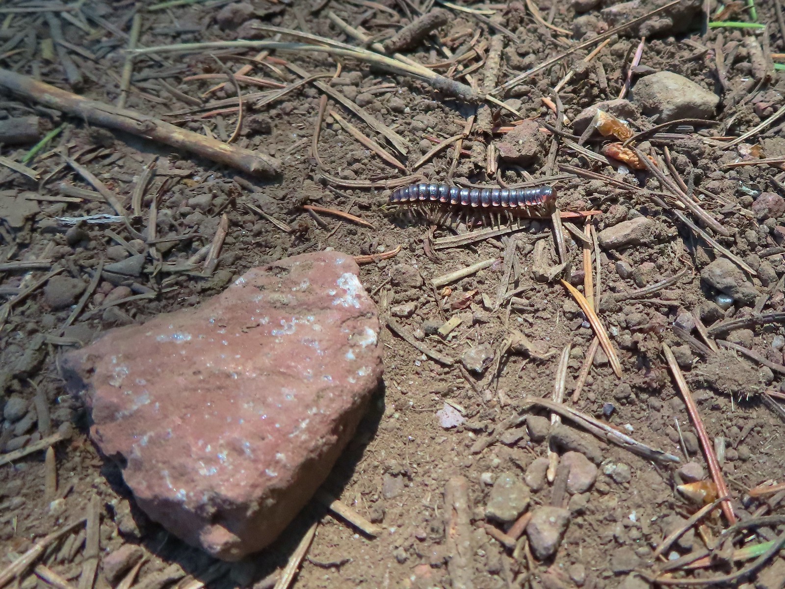 Millipede – Eagle Cap Wilderness
 Wet caterpillar – Yakona Nature Preserve
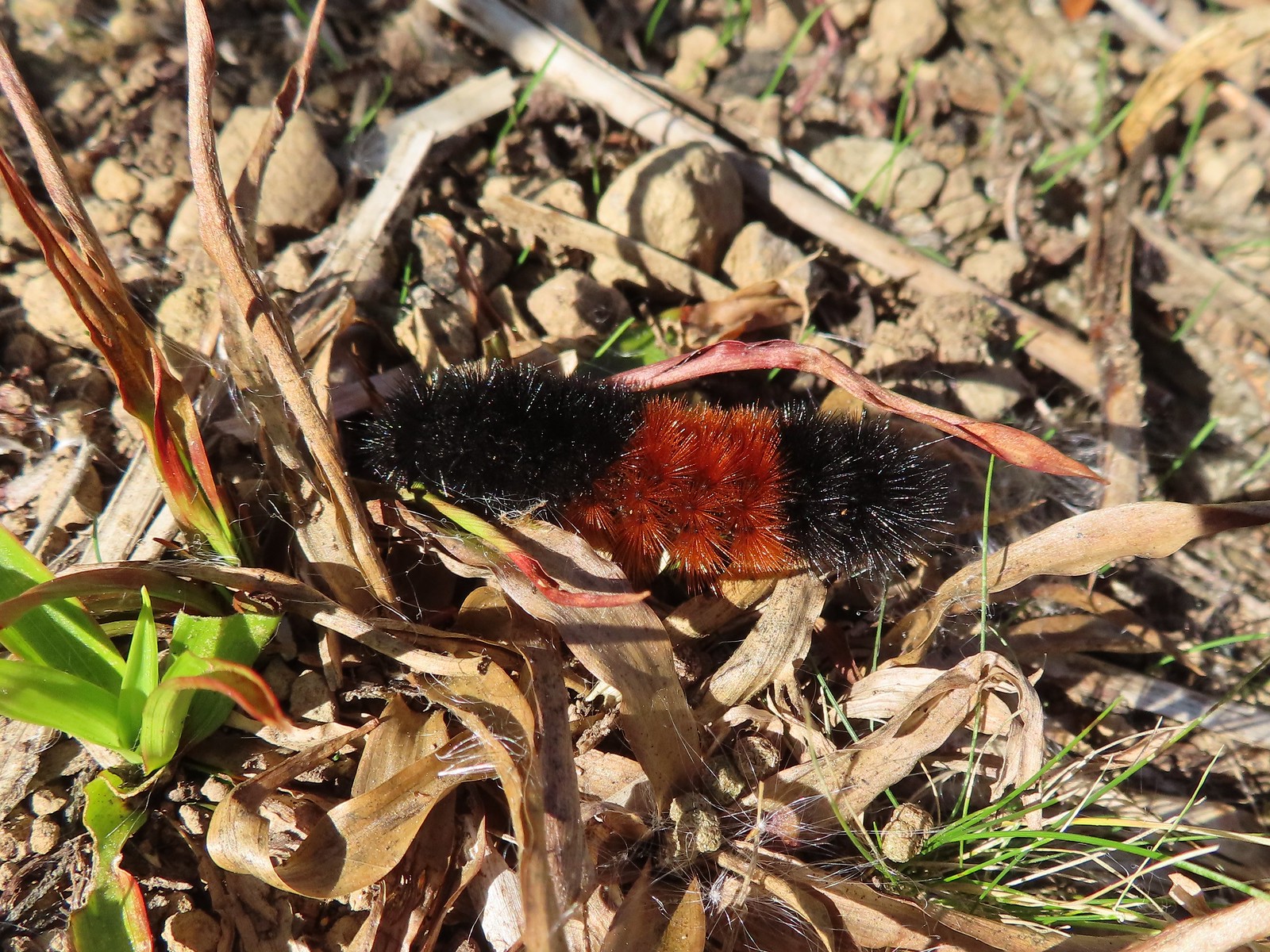 Dry version – Larch Mountain Trail
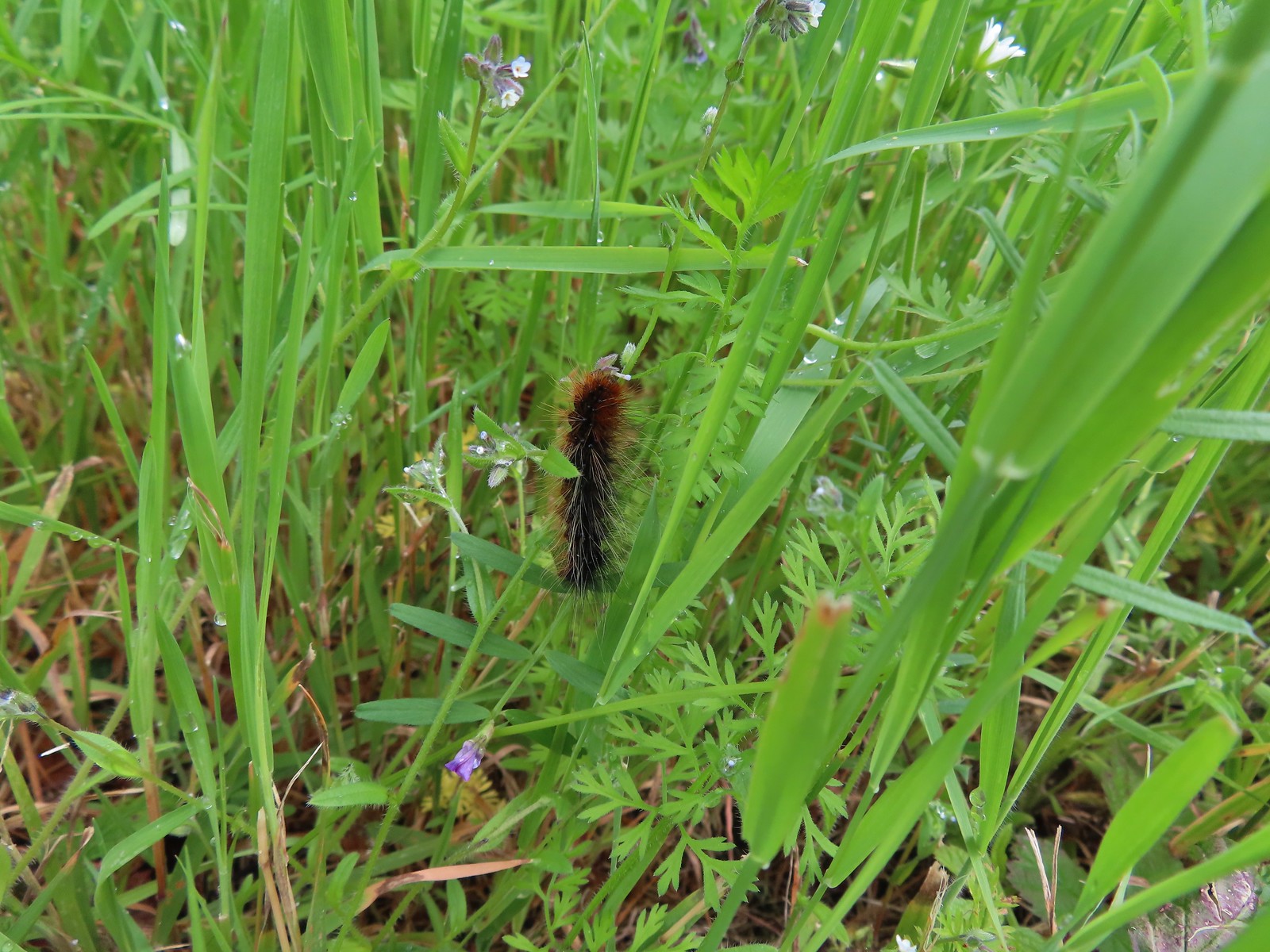 Caterpillar – Julia Butler Hansen Wildlife Refuge
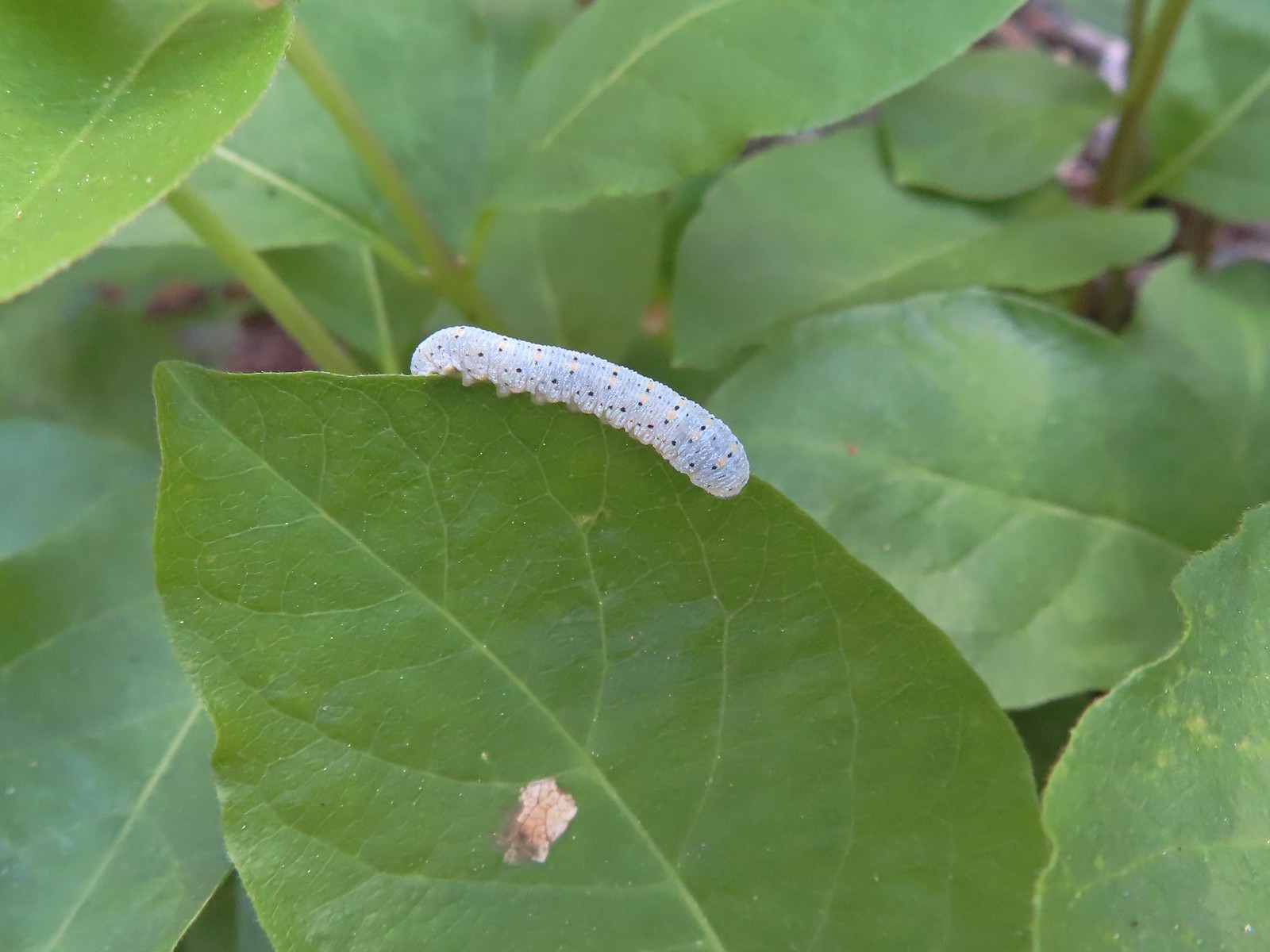 Caterpillar – Siskiyou Wilderness
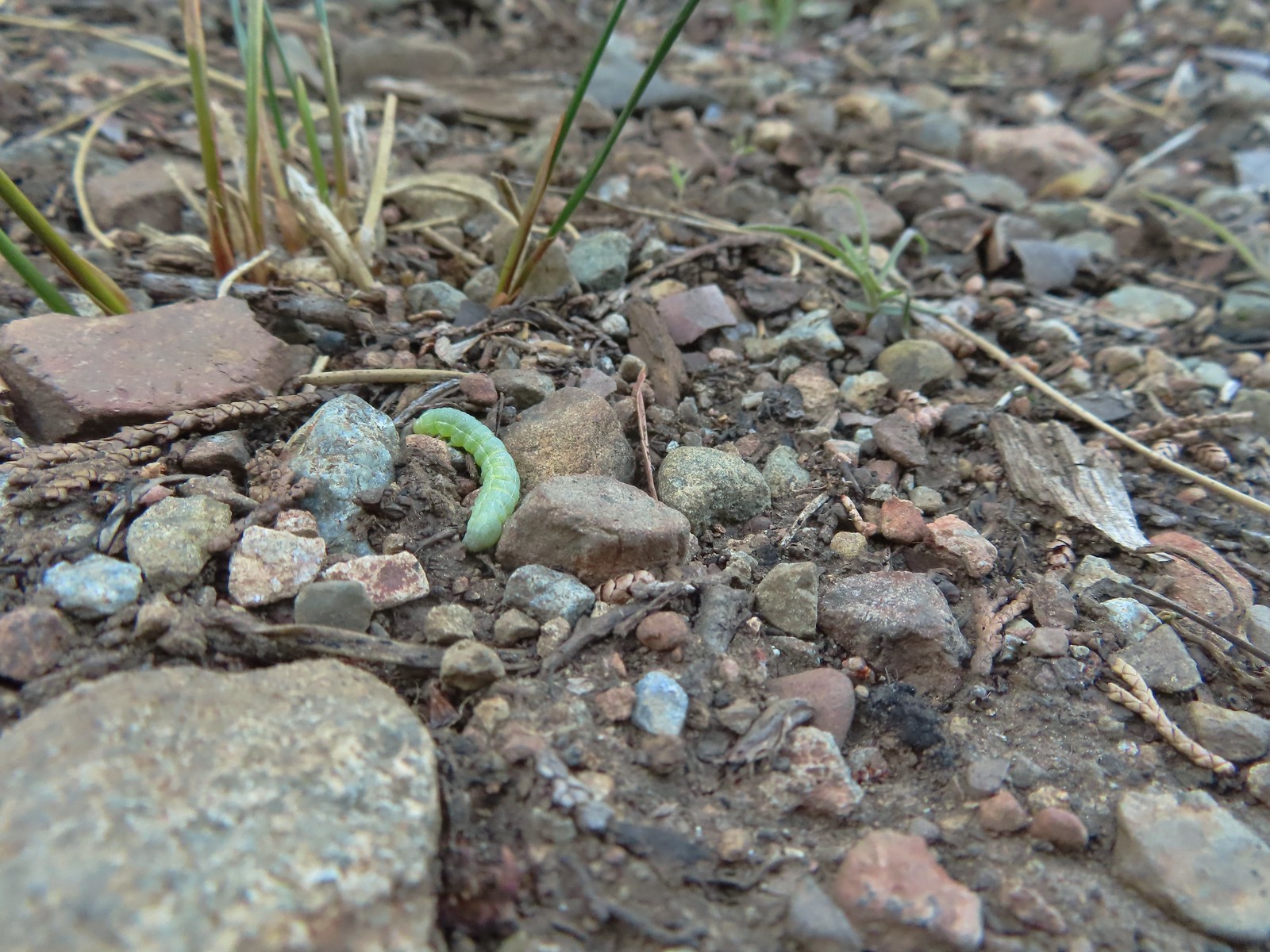 Caterpillar – Siskiyou Wilderness
 Caterpillar – Larch Mountain Trail
 Caterpillar – Larch Mountain Trail
 Caterpillar – Larch Mountain Trail
 Moth – Klickitat Trail
 Moth -Eagle Cap Wilderness
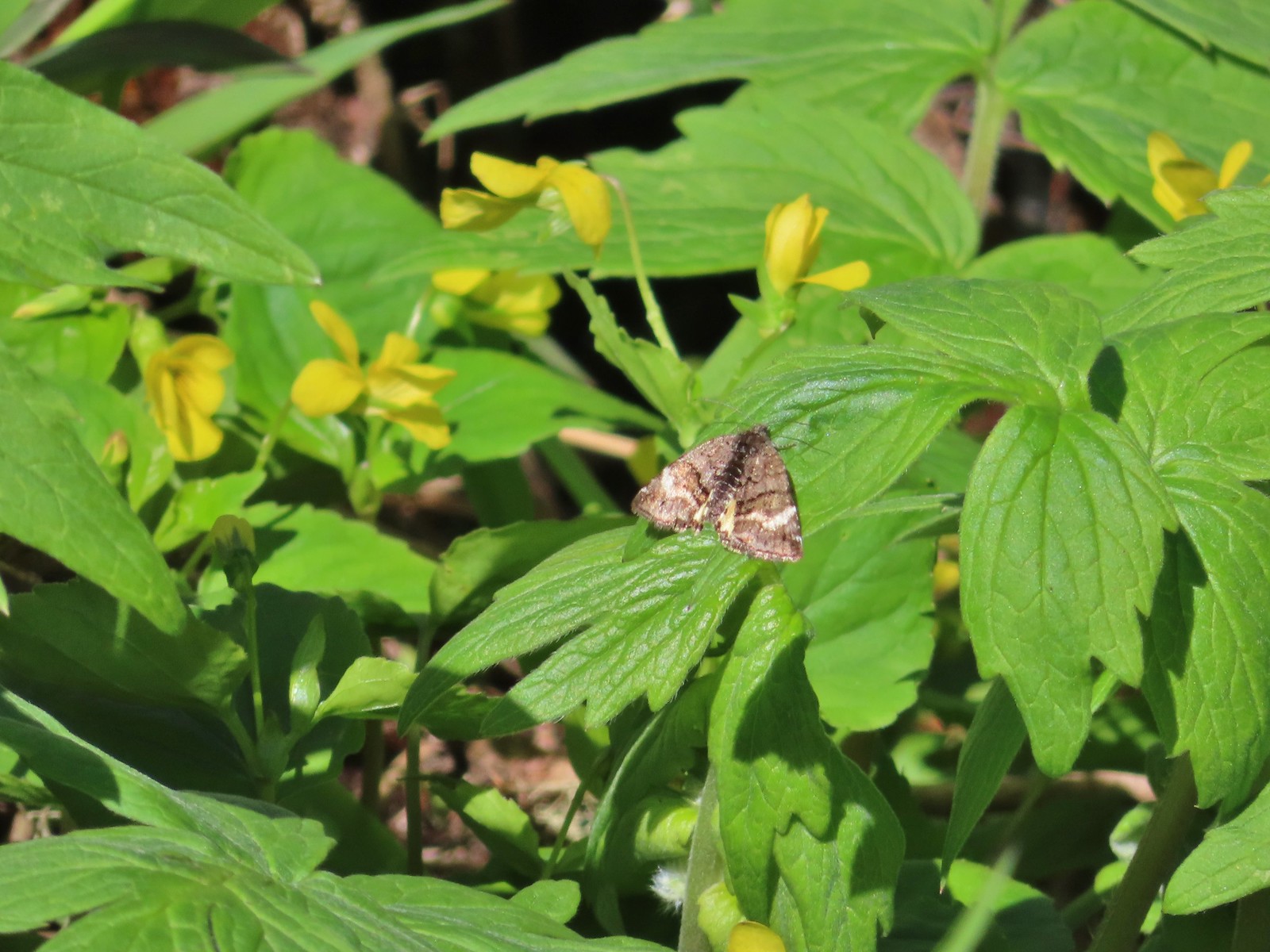 Moth – Twin Lakes
 Moth – Eagle Cap Wilderness
 Moth – Eagle Cap Wilderness
 Moth – Eagle Cap Wilderness
 Moth – Wolf Creek Falls Trail
 Moth – Cascade Head
 Propertius duskywing (Erynnis propertius) – Klickitat Trail
 Duskywing – Siskiyou Wilderness
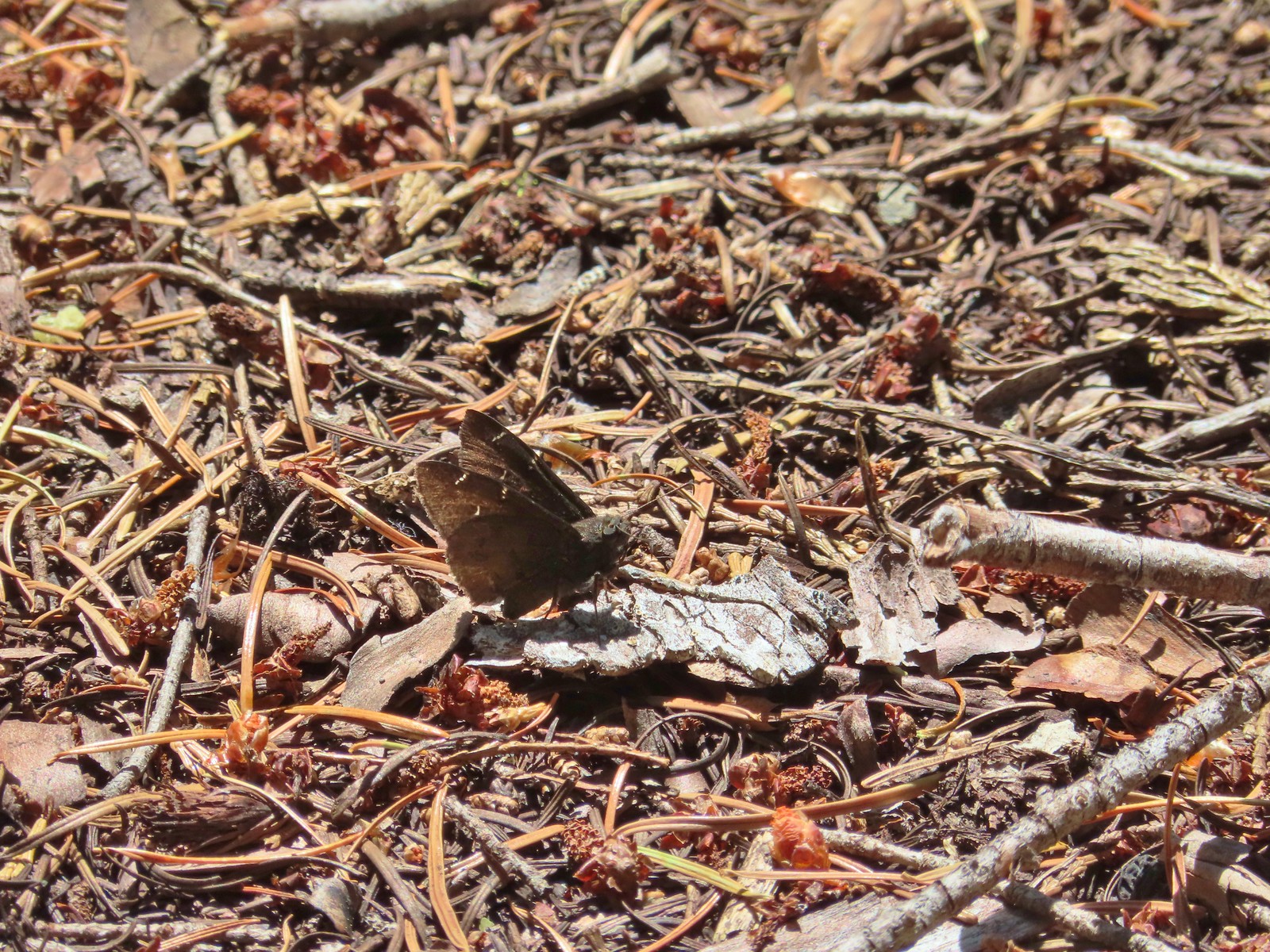 Northern Cloudywing? – Siskiyou Wilderness
 Silver-spotted skipper – Siskiyou Wilderness
 Skipper – Grizzly Peak
 Skipper – Rogue-Umpqua Divide Wilderness
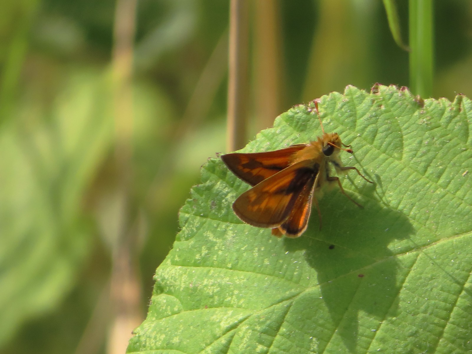 Skipper – E. E. Wilson Wildlife Area
 Hairstreak (bramble?) – Siskiyou Mountains
 Cedar hairstreak – Siskiyou Wilderness
 Hairstreak (possibly thicket) – Eagle Cap Wilderness
 Ochre ringlet – Jack Ash Trail
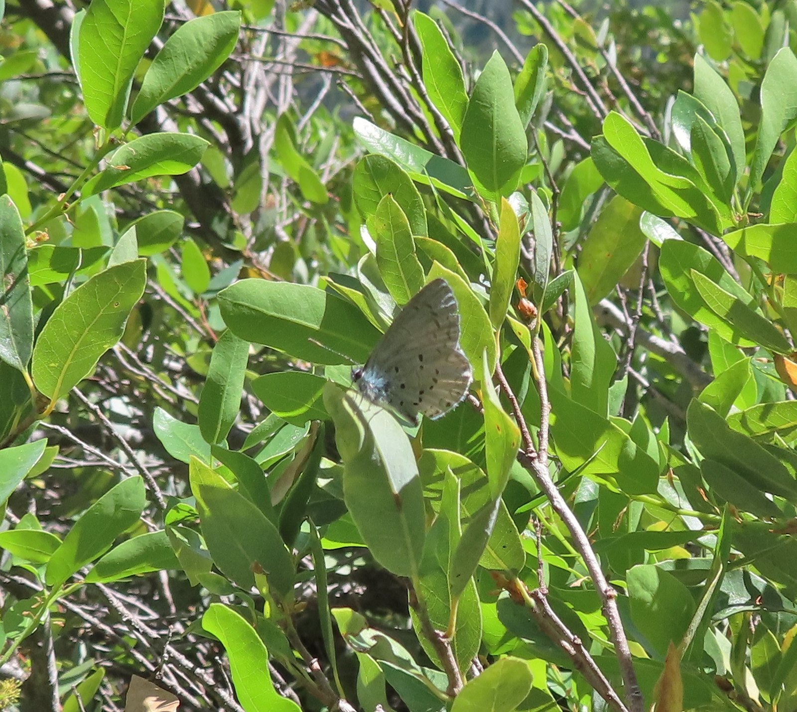 Butterfly – Siskiyou Wilderness
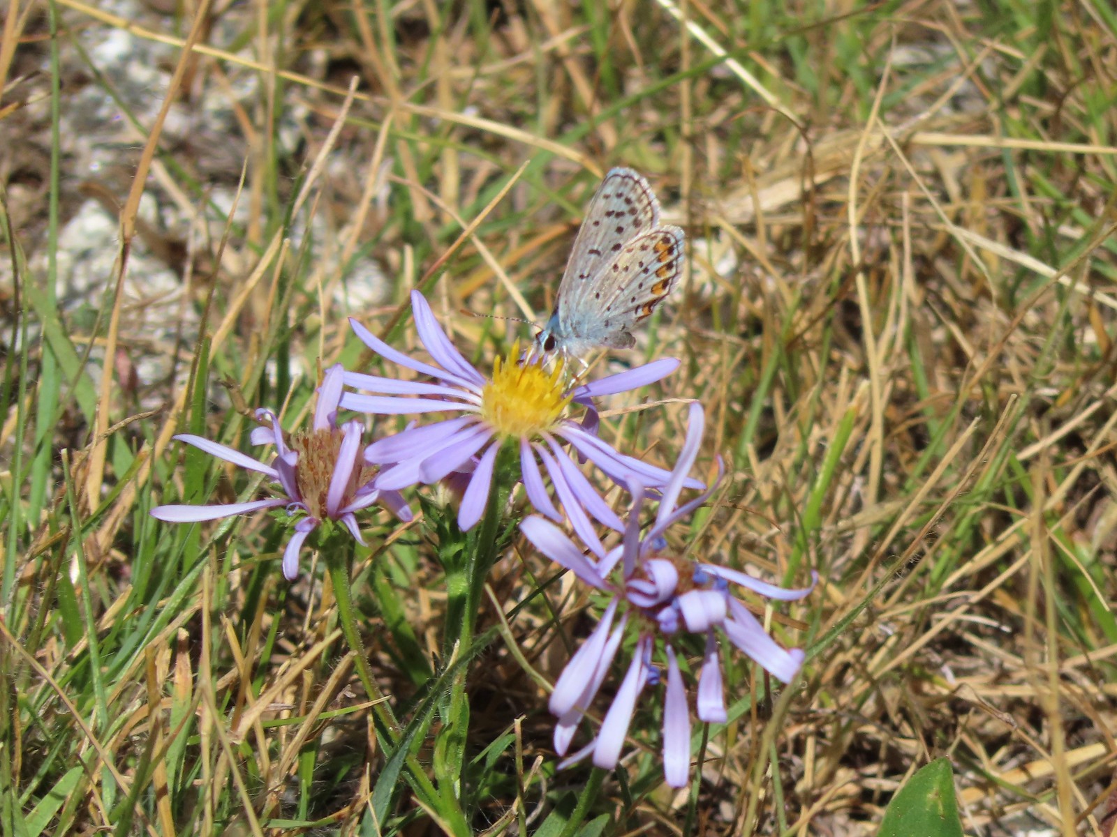 Butterfly – Trinity Alps Wilderness
 Butterfly – Trinity Alps Wilderness
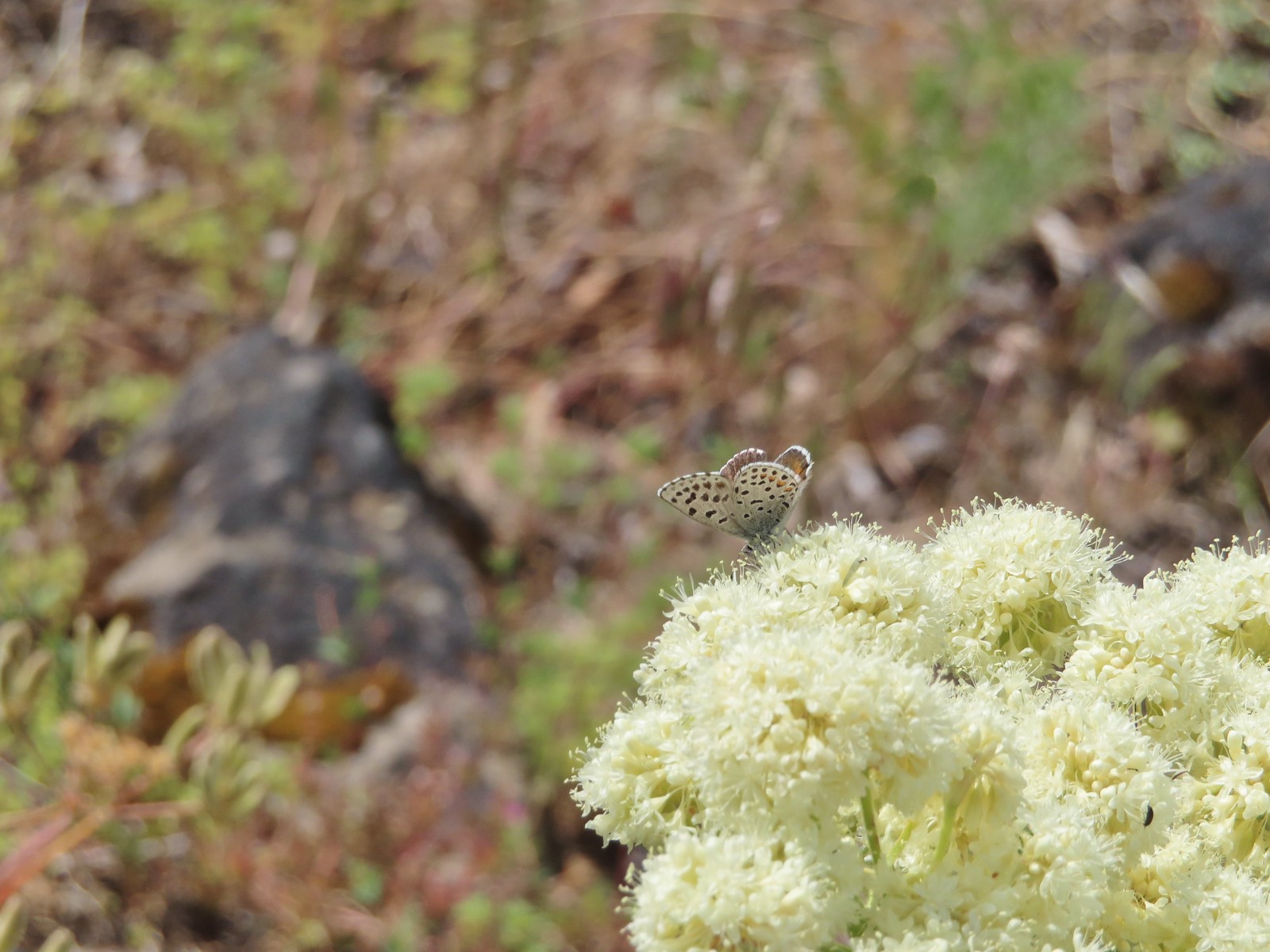 Butterfly – Upper Table Rock
 Butterfly – Mule Mountain
 Butterfly – Eagle Cap Wilderness
 Butterfly – Eagle Cap Wilderness
 Butterfly – Mt. Adams Wilderness
 Butterfly – Mt. Adams Wilderness
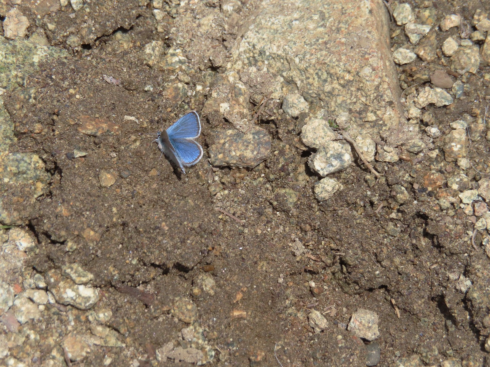 Butterfly – Mt. Ireland
 Butterfly – Trinity Alps Wilderness
 Butterfly – Silver Star Mountain
 Butterfly – Russian Wilderness
 Butterfly – Trinity Alps Wilderness
 Sara’s orangetip – Klickitat Trail
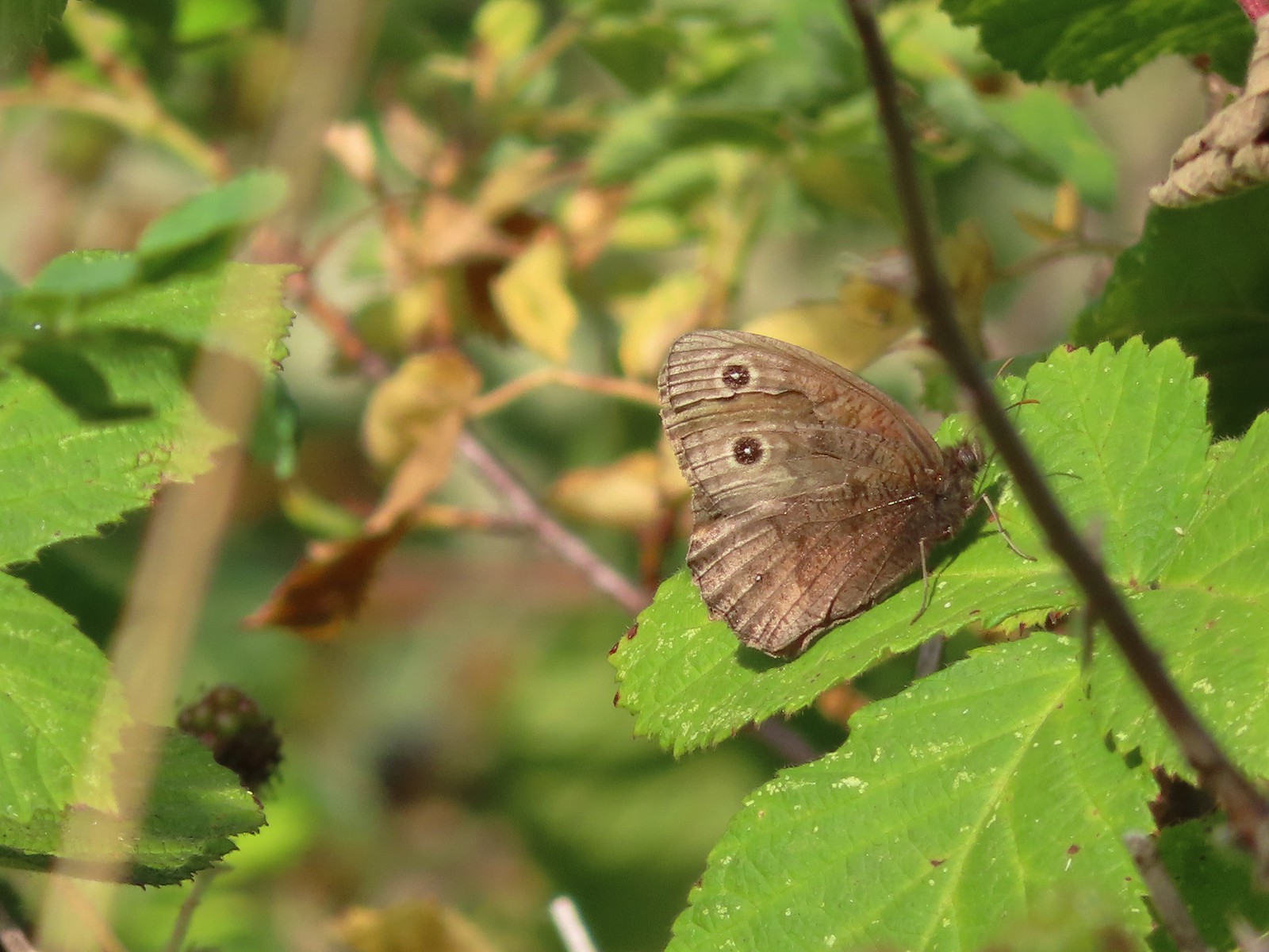 Common woodnymph – E. E. Wilson Wildlife Area
 Another woodnymph – Rogue-Umpqua Divide Wilderness
 Orange sulphur – Siskiyou Wilderness
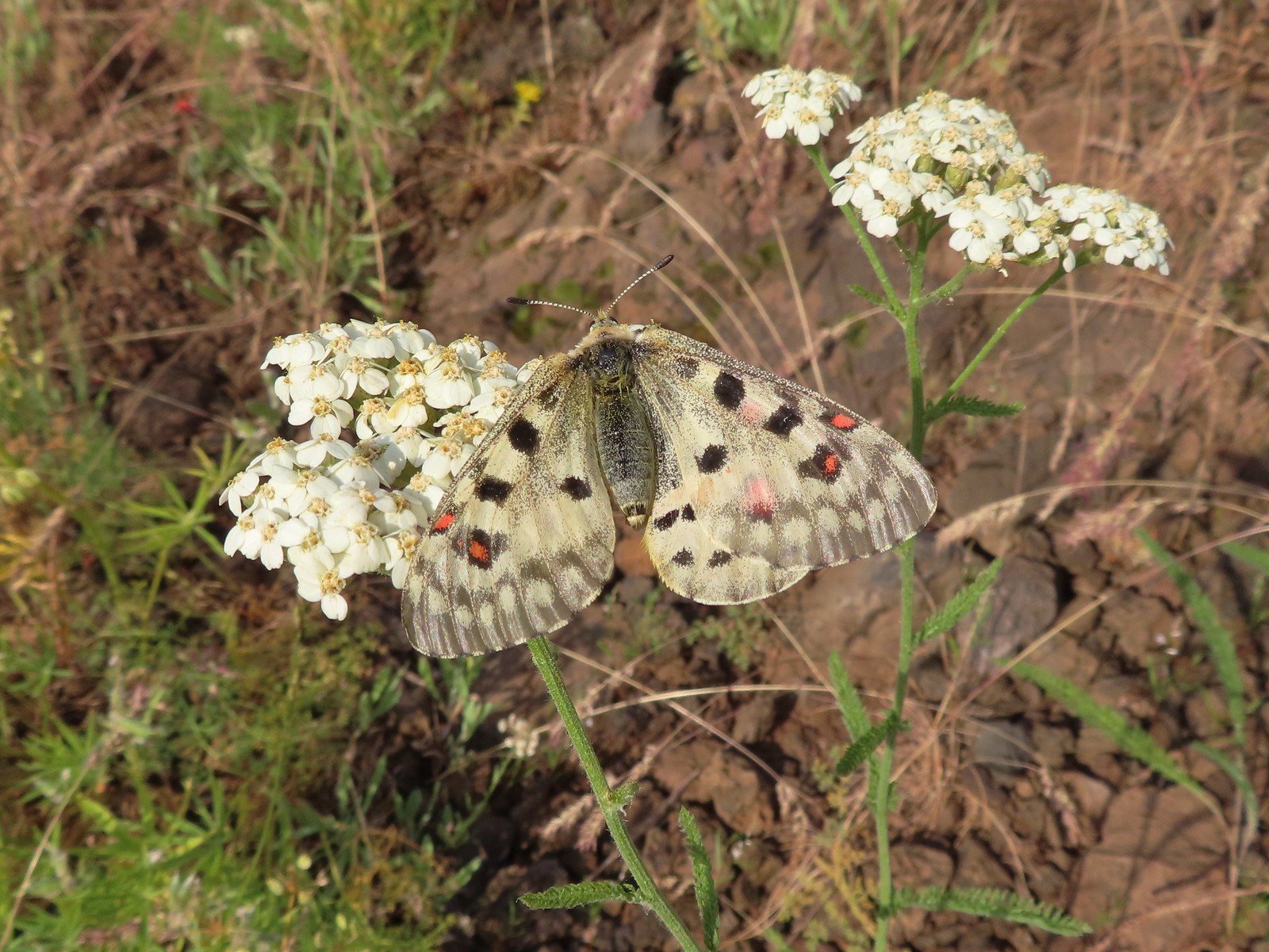 Mountain parnassian – Eagle Cap Wilderness
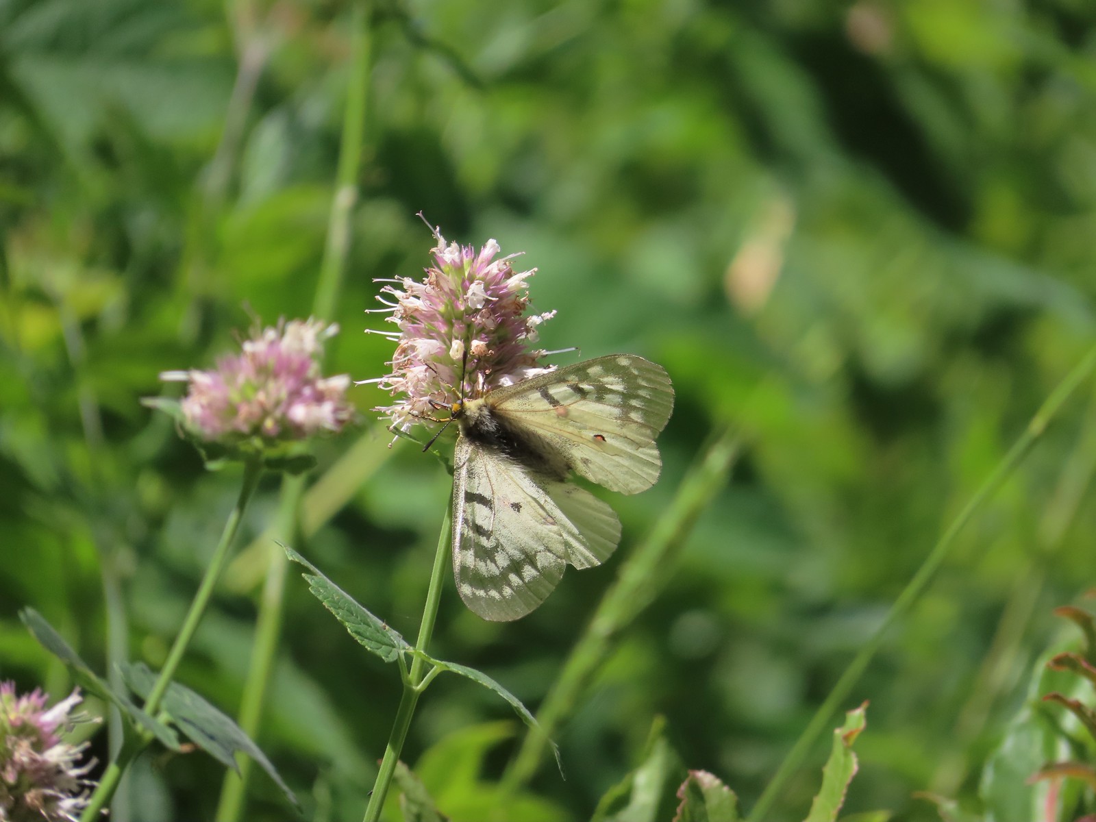 Clodius parnassian – Hemlock Lake
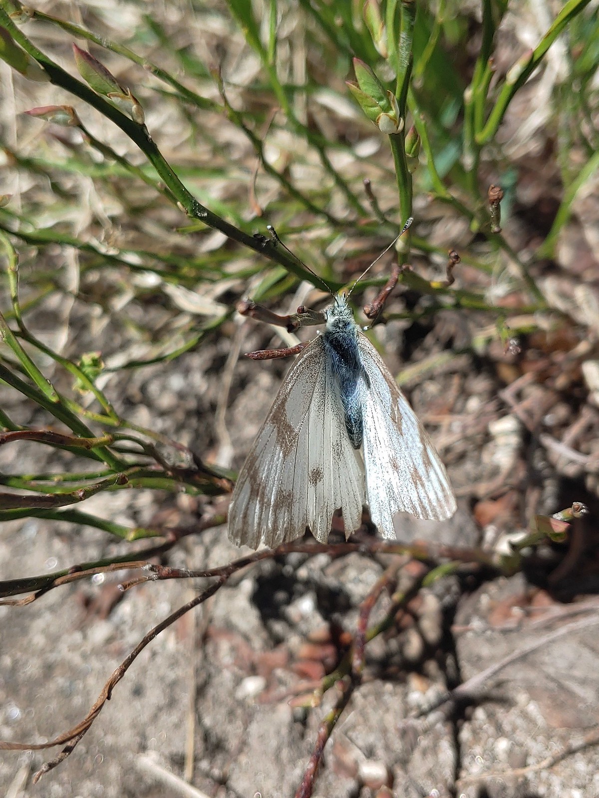 Western white? – Eagle Cap Wilderness
 Western white – Trinty Alps Wilderness
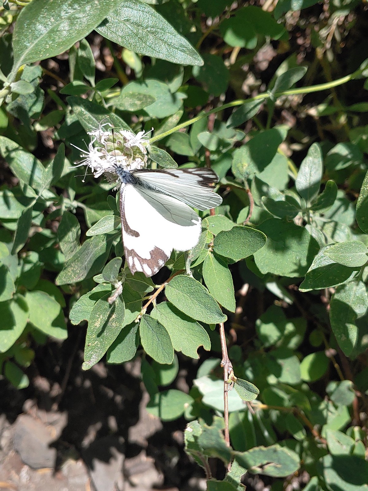 Pine white – Russian Wilderness
 Butterfly – Eagle Cap Wilderness
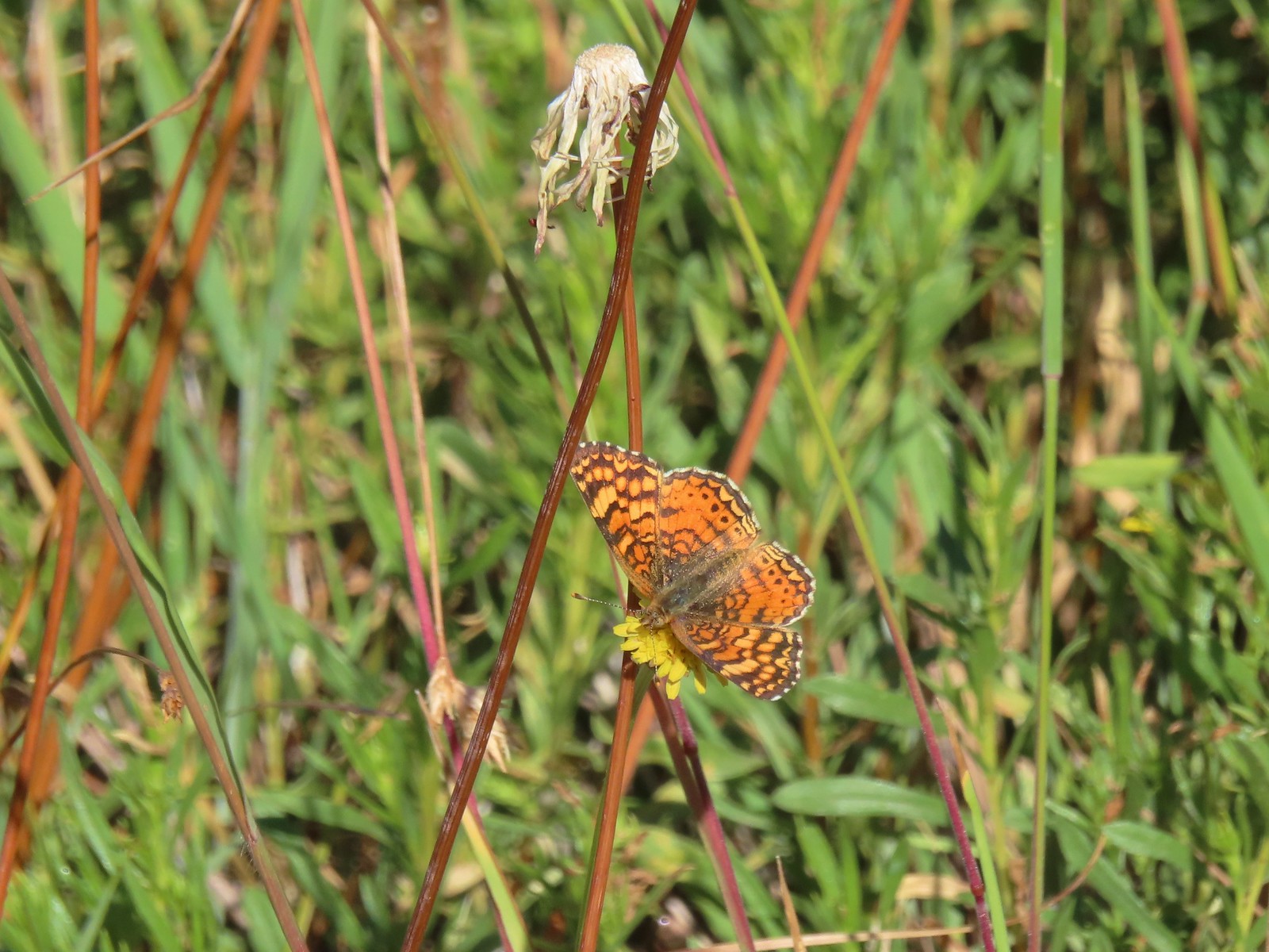 Butterfly – Russian Wilderness
 Butterfly – Mt. Adams Wilderness
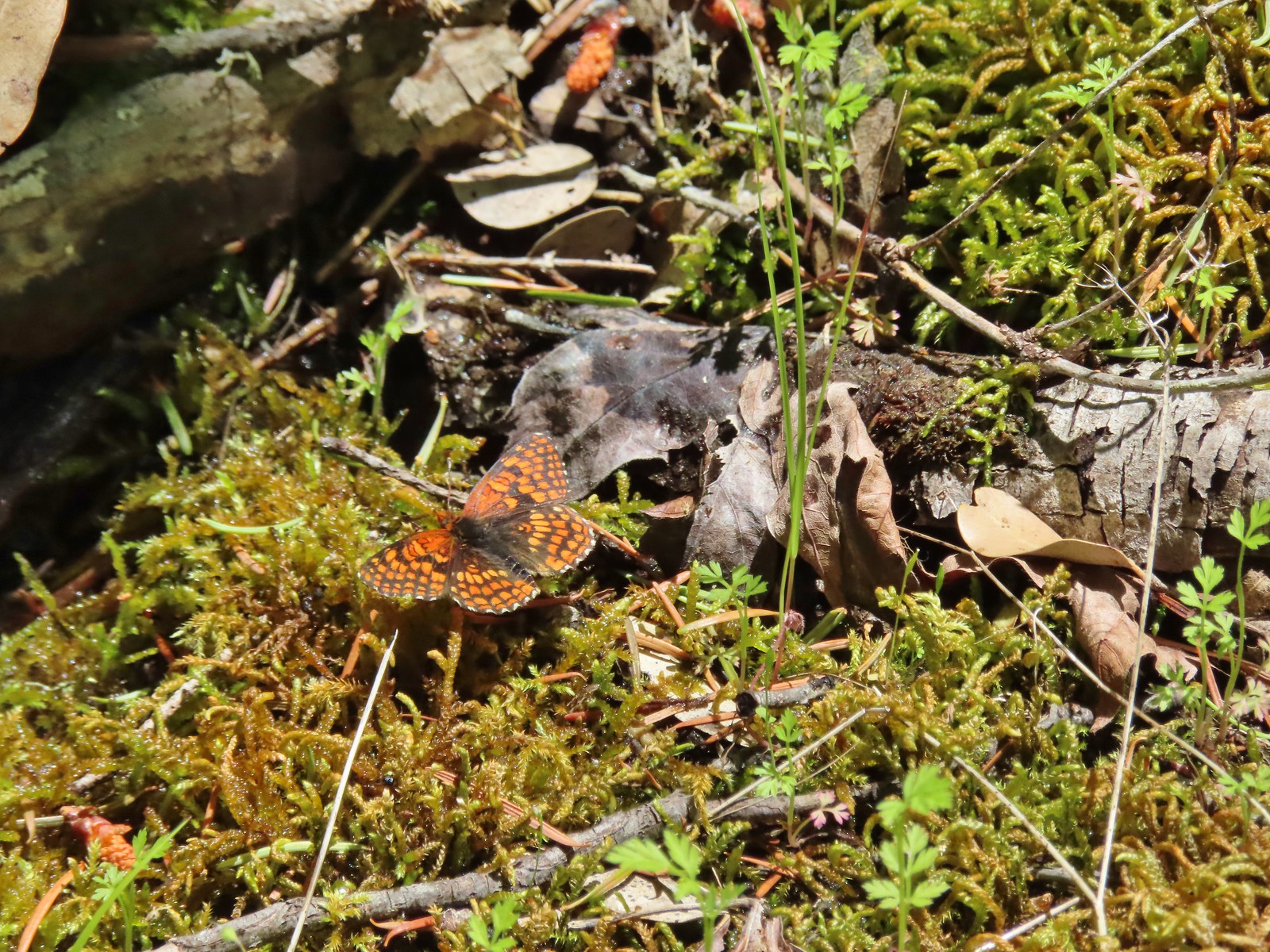 Butterfly – Mule Mountain
 Butterfly – Silver Star Mountain
 Butterfly – Silver Star Mountain
 Butterfly – Silver Star Mountain
 Western meadow fritillary? – Silver Star Mountain
 A fritillary – Silver Star Mountain
 A fritillary – Trinity Alps Wilderness
 A fritillary -Russian Wilderness
 A fritillary – Rogue-Umpqua Divide Wilderness
 Mourning cloak – Klickitat Trail
 California tortoiseshell – Siskiyou Wilderness
 Milbert’s tortoiseshell – Eagle Cap Wilderness
 Lorquin’s admiral – Eagle Cap Wilderness
 Common buckeye – Mt. Shasta Wilderness
 Hoary comma – Sky Lakes Wilderness
 Green comma? – Eagle Cap Wilderness
 Klickitat Trail
 Julia Butler Hanson Wildlife Refuge
 Eagle Cap Wilderness
 Tadpoles – Russian Wilderness
 Tadpole transforming – Mt. Adams Wilderness
 Frog – Russian Wilderness
 Frog – Goat Marsh Lake
 Tree frog – Siskiyou Wilderness
 Frog – Trinity Alps Wilderness
 Toad – Trinity Alps Wilderness
 Toad – Mt. Jefferson Wilderness
 Fish – Siphon Lake
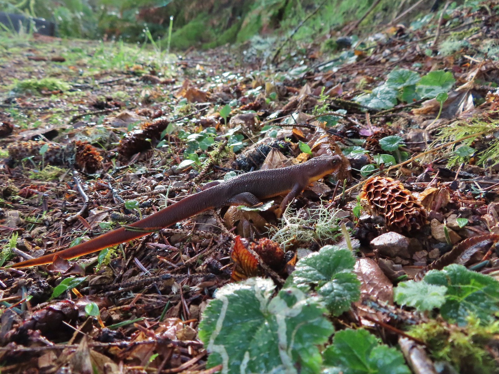 Rough skinned newt – Yakona Nature Preserve
 Western painted turtle – Julia Hansen Butler Wildlife Refuge
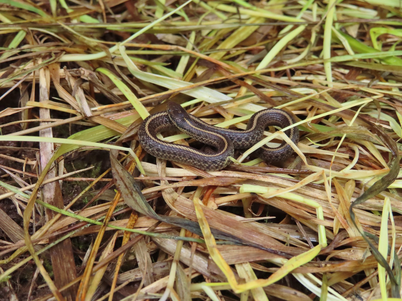 Baby snake – Miller Woods
 Garter snake – Julia Hansen Butler Wildlife Refuge
 Lizard – Mule Mountain
 Lizard – Upper Table Rock
 Lizard – Russian Wilderness
 Lizard – Siskiyou Wilderness
 Lizard – Klickitat Trail
 Lizard – Upper Table Rock
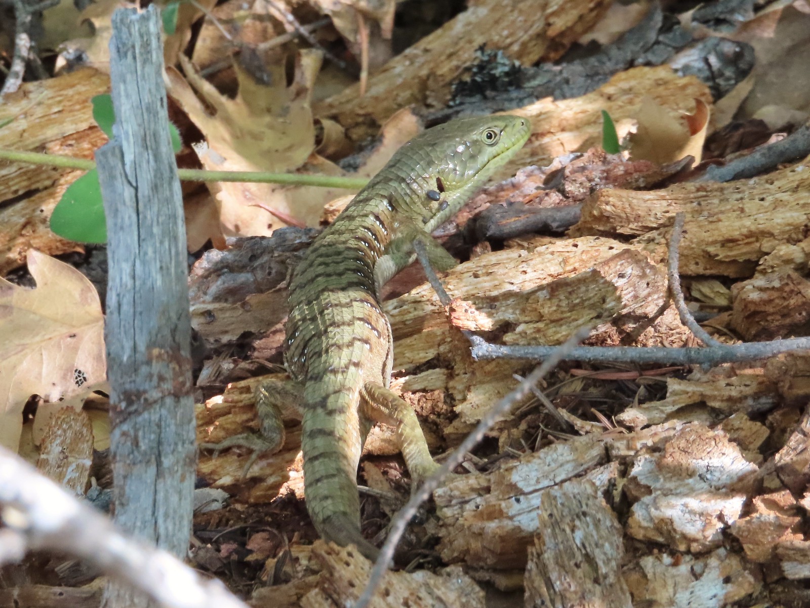 Alligator lizard – Mule Mountain
 Chipmunk – Observation Peak
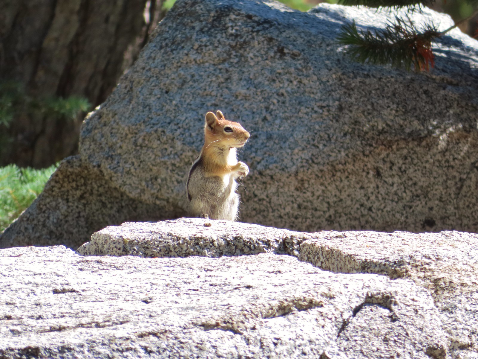 Ground squirrel – Russian Wilderness
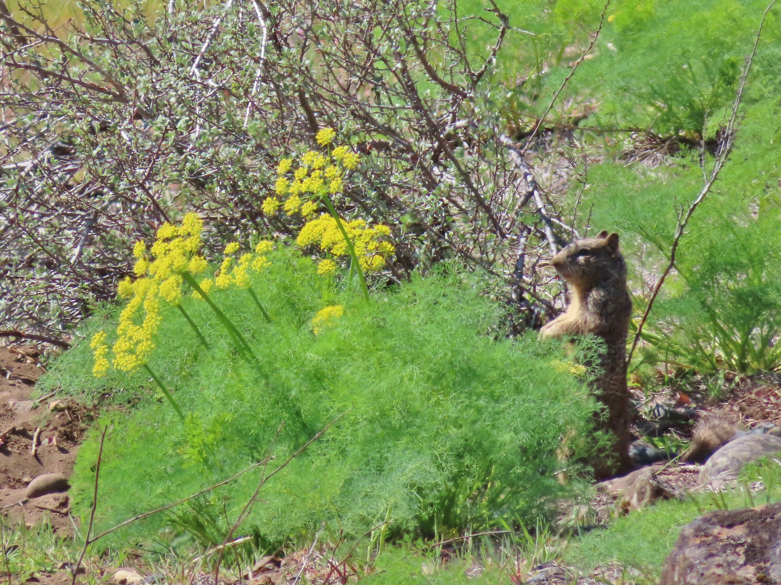 Ground squirrel – Klickitat Trail
 Ground squirrel – Eagle Cap Wilderness
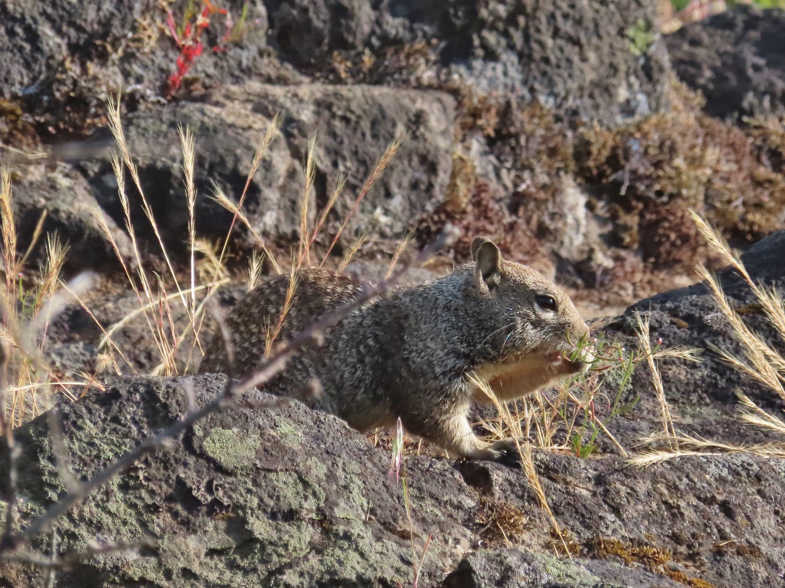 Ground squirrel – Upper Table Rock
 Squirrel – Rock Creek Trail
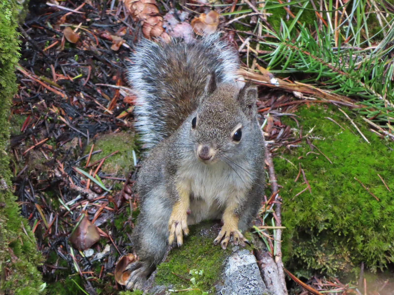 Squirrel – Twin Lakes
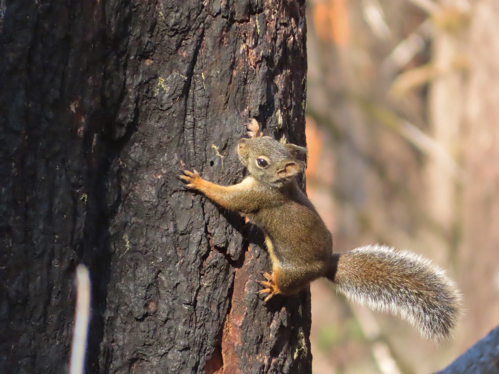 Squirrel – Larch Mountain Trail
 Marmot – Wallowa Homeland
 Jack rabbit – Denman Wildlife Area
 Rabbit – E. E. Wilson Wildlife Area
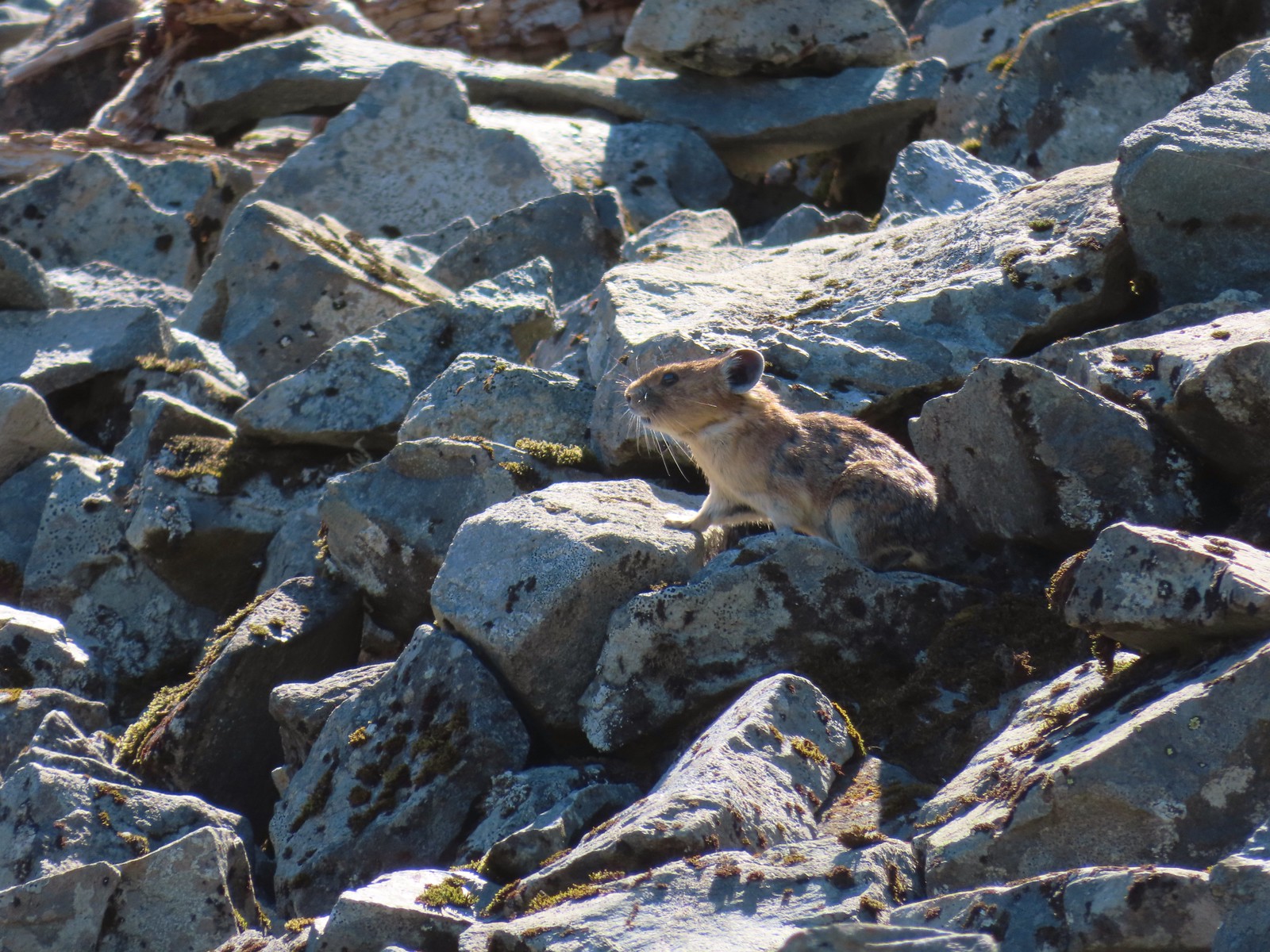 Pika – Silver Star Mountain
 Muskrat – Julia Butler Hansen – Wildlife Refuge
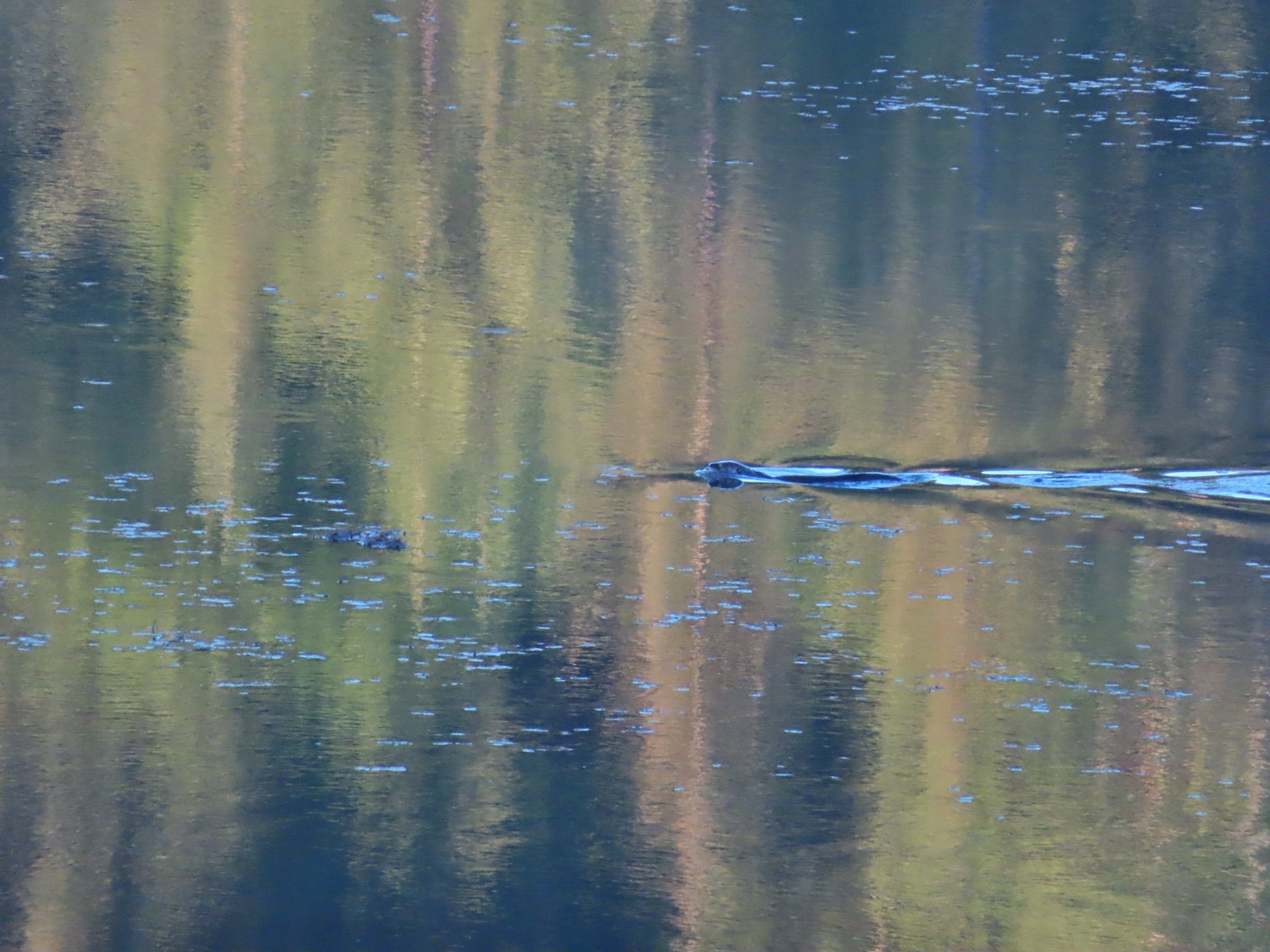 Otter – Killin Wetlands
 Sea lion – Hart’s Cove
 Deer – Memaloose Hills
 Doe – Miller Woods
 Mamma – Roxy Ann Peak
 Fawn – Roxy Ann Peak
 Columbian white-tailed buck – Julia Butler Hansen Wildlife Refuge
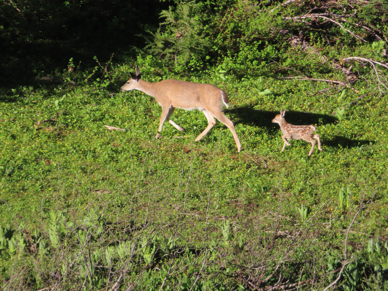 Doe & fawn – Donomore Meadows
 Three bucks – Siskiyou Wilderness
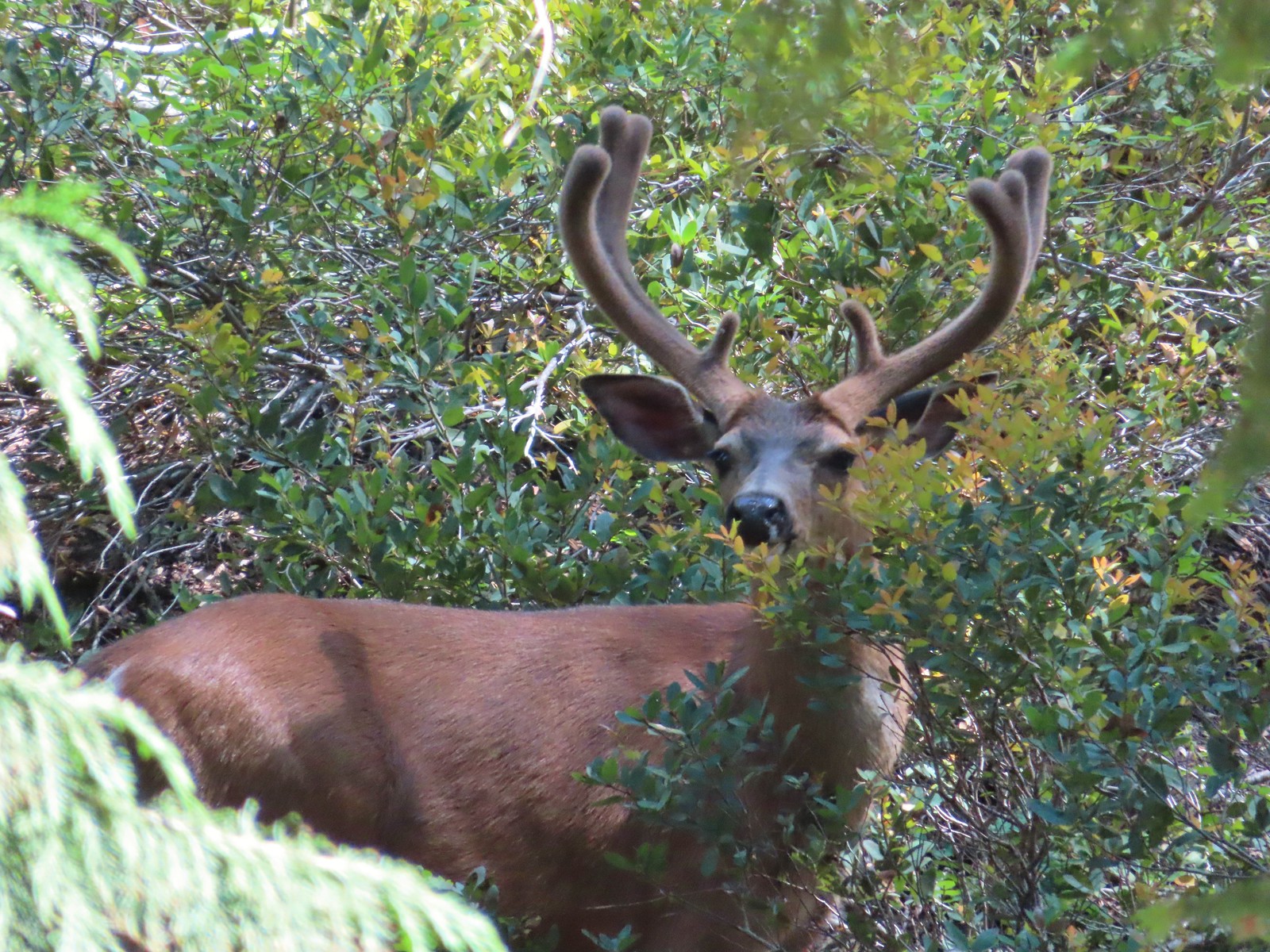 Buck – Siskiyou Wilderness
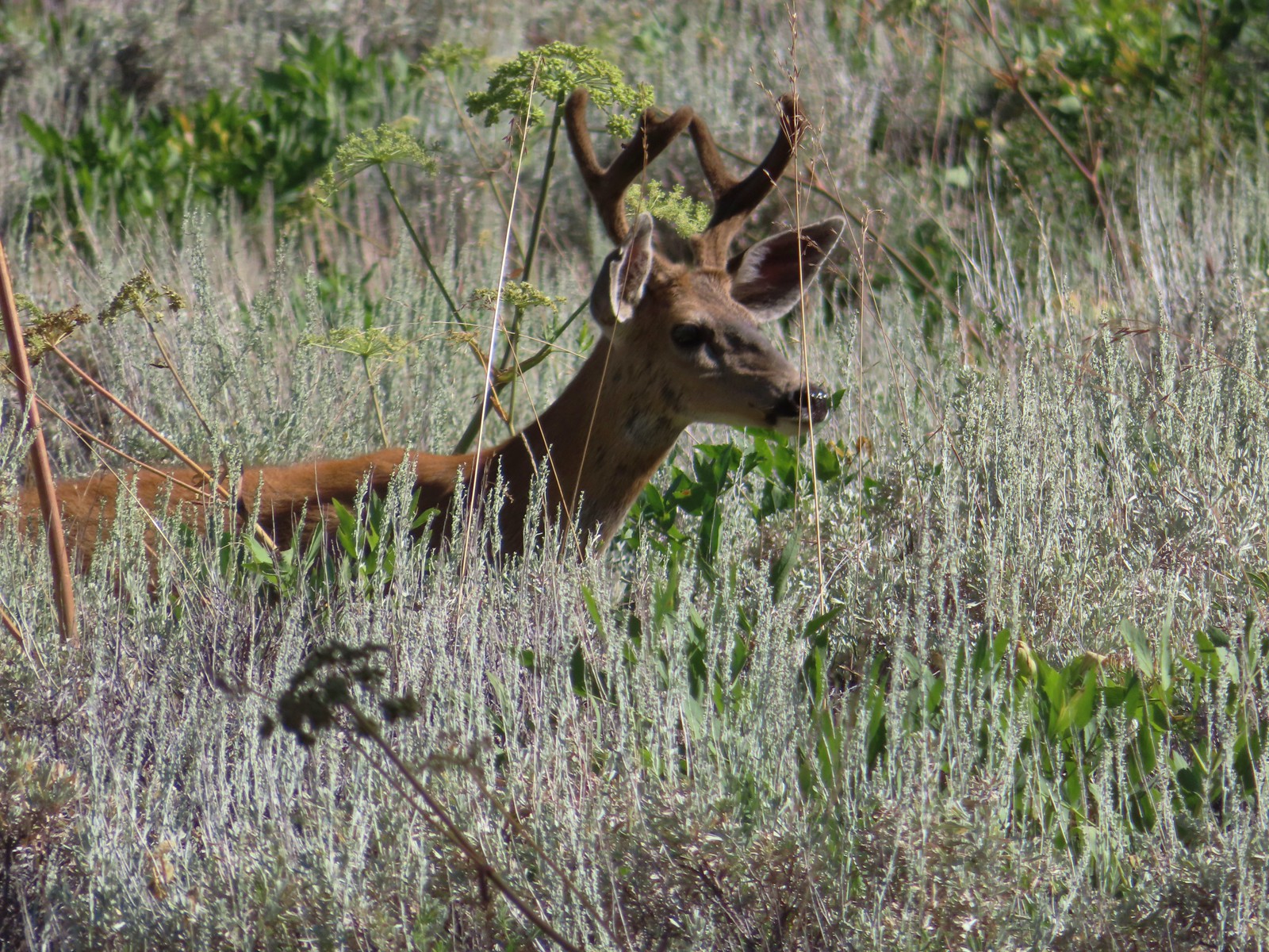 Buck – Trinity Alps Wilderness
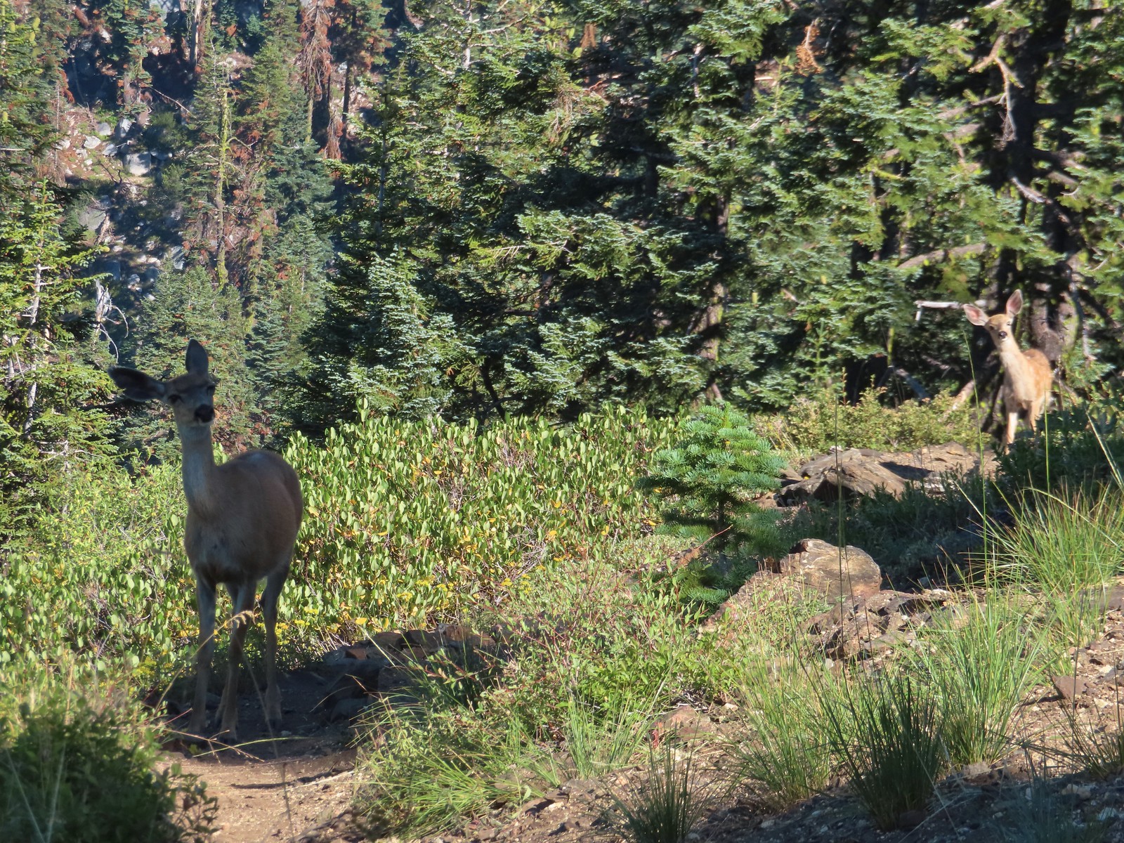 Doe & fawn – Russian Wilderness
 Buck and does – Russian Wilderness
 Two bucks – Crater Lake National Park
 Elk – Yakona Nature Preserve
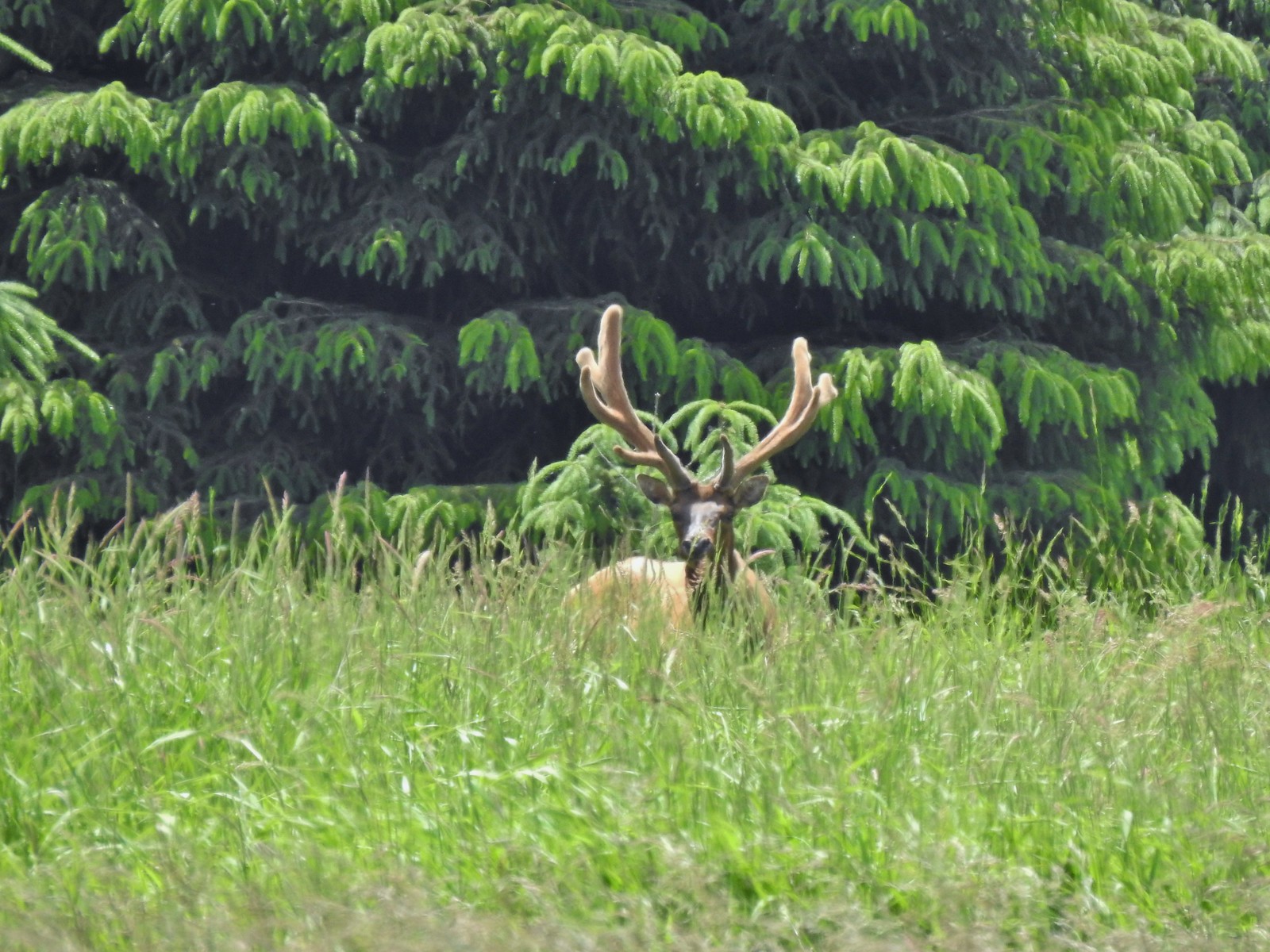 Bull elk – Julia Butler Hansen Wildlife Refuge
 Mountain goat below the Mt. Ireland Lookout – Mt. Ireland
 Domestic goat – Near the Julia Butler Hansen Wildlife Refuge
 Black bear – Siskiyou Wilderness
 The same black bear making eye contact the day before.
 It seems this time of year I (we) are always a little ahead of the sunlight which does nothing for photos.
 Coming up on the road crossing.
 Cascade Head from the trail with the elk at the end of the grass to the right.
 Fuzzy (low light) photo of the elk.
 Crossing Savage Road with the first view of the Pacific.


 View from one of five metal footbridges along this section.
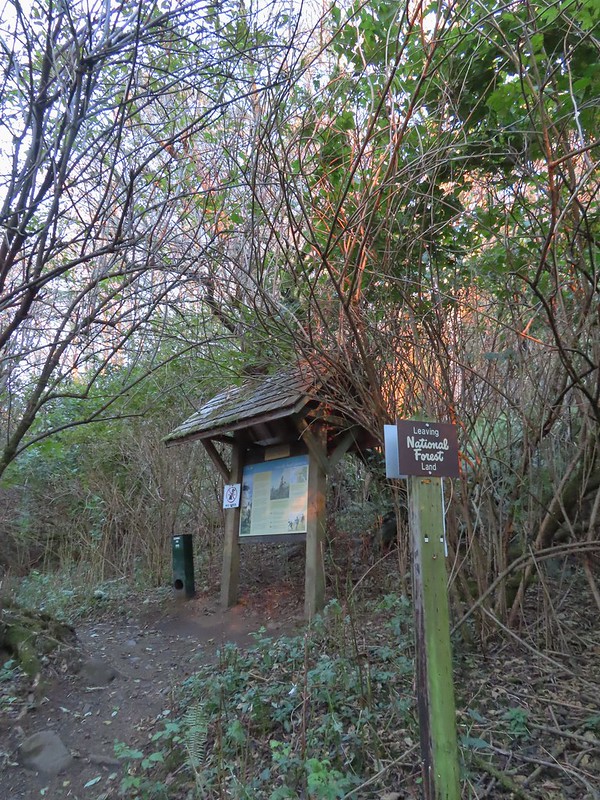 Signboard and donation box at the start of
  First direct sunlight of the morning.
 Out of the trees and into the meadows.
 Looking uphill
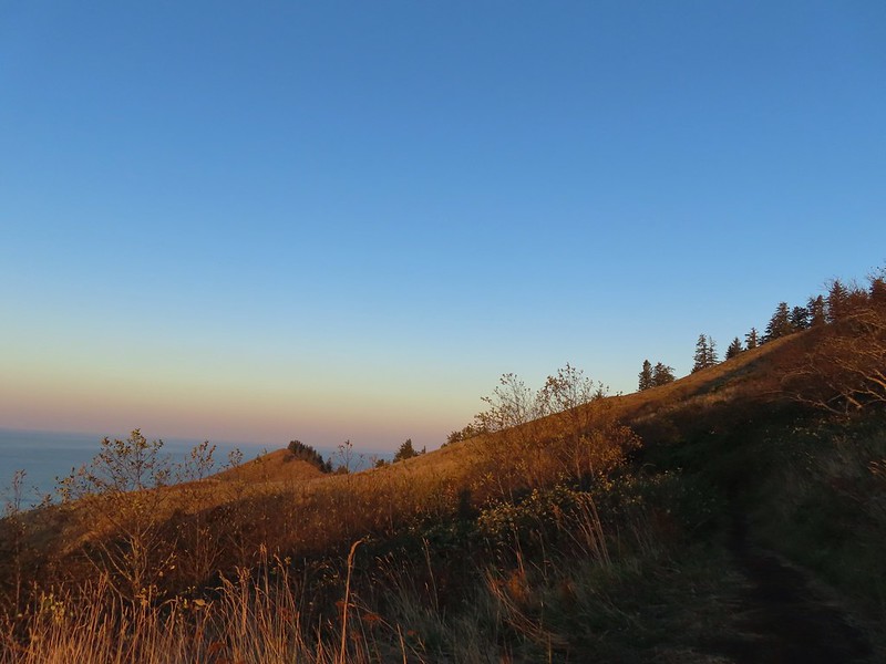
 Snacks
 Salmon River Estuary
 A snail and lupine leaves.
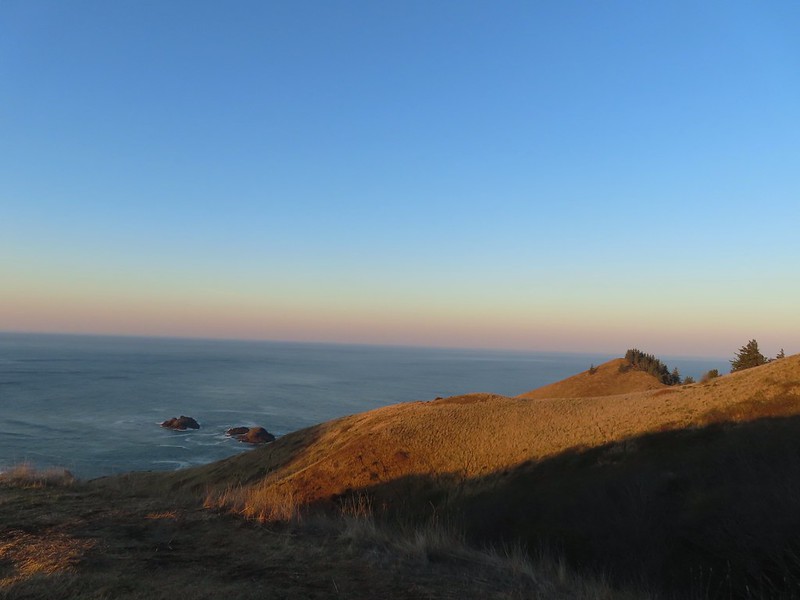
 A small viewpoint just before the trail turns uphill.
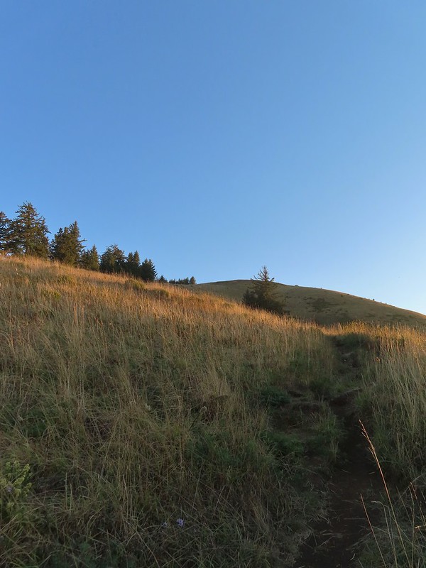 Going up
 The trail gains views as it gains elevation.
 The trail through the meadow below.
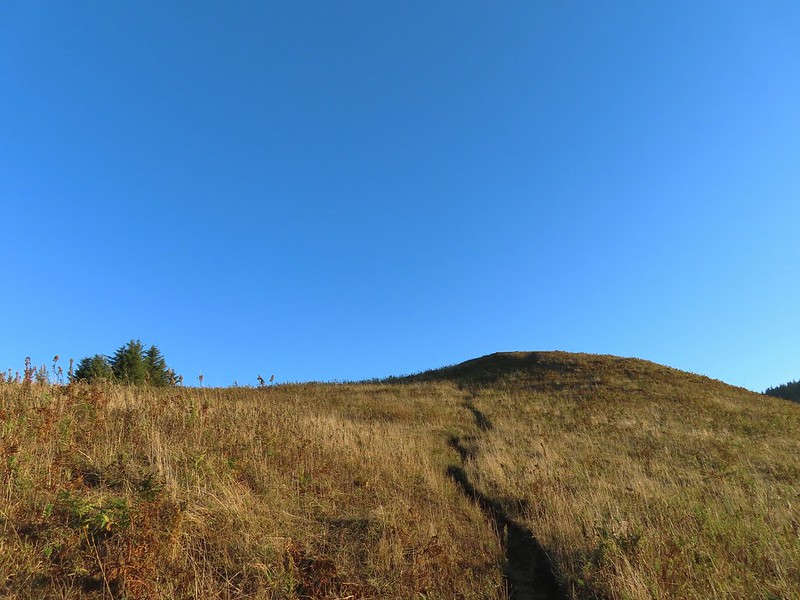 This knoll looks like the high point as you climb, but it’s a trick.
 The high point is actually marked by a post. (Near the right end of the photo).


 Wooden arch over the old roadbed.
 Nearing the upper trailhead.
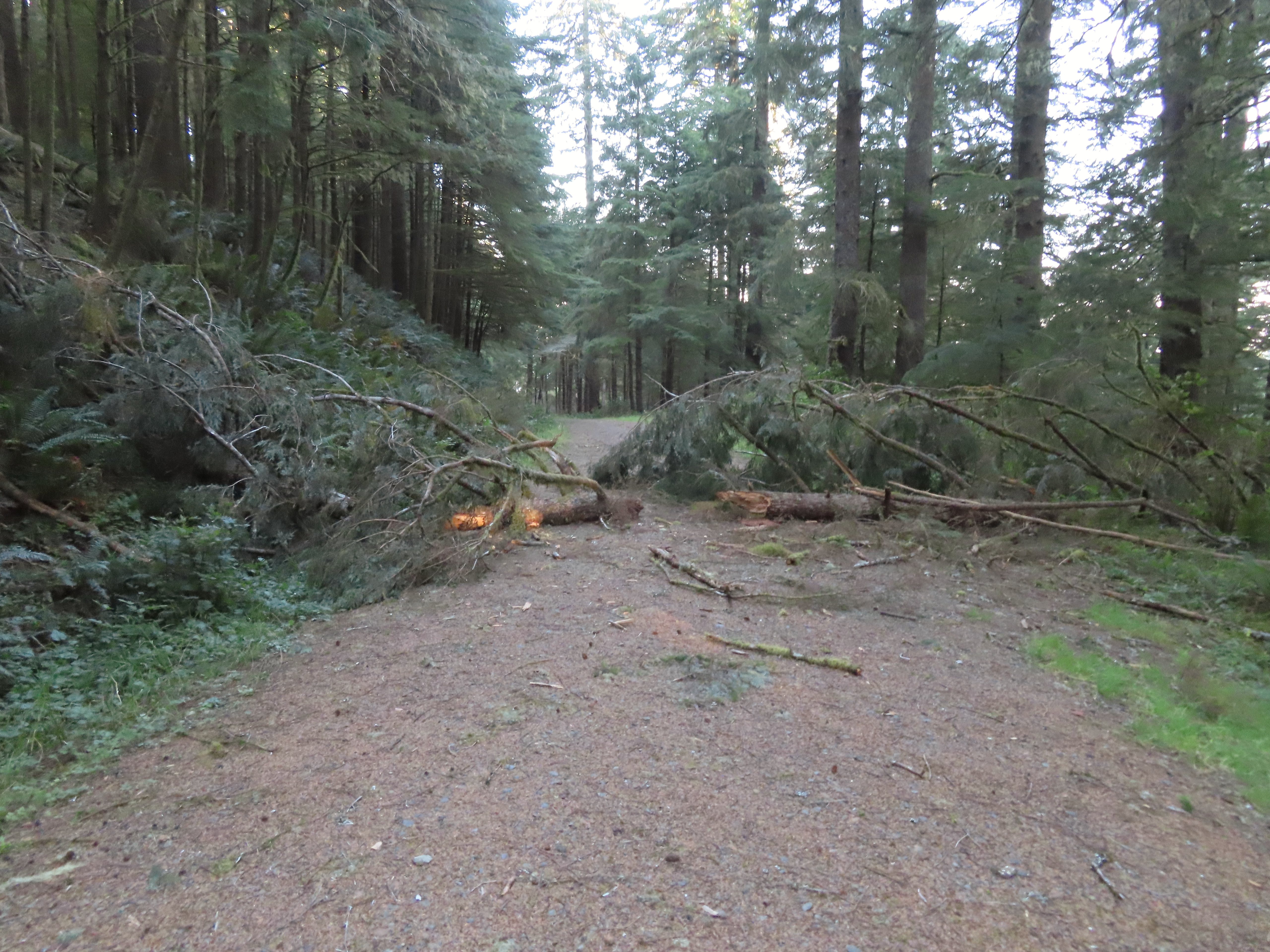 When they do reopen the road there will be a few trees to deal with.


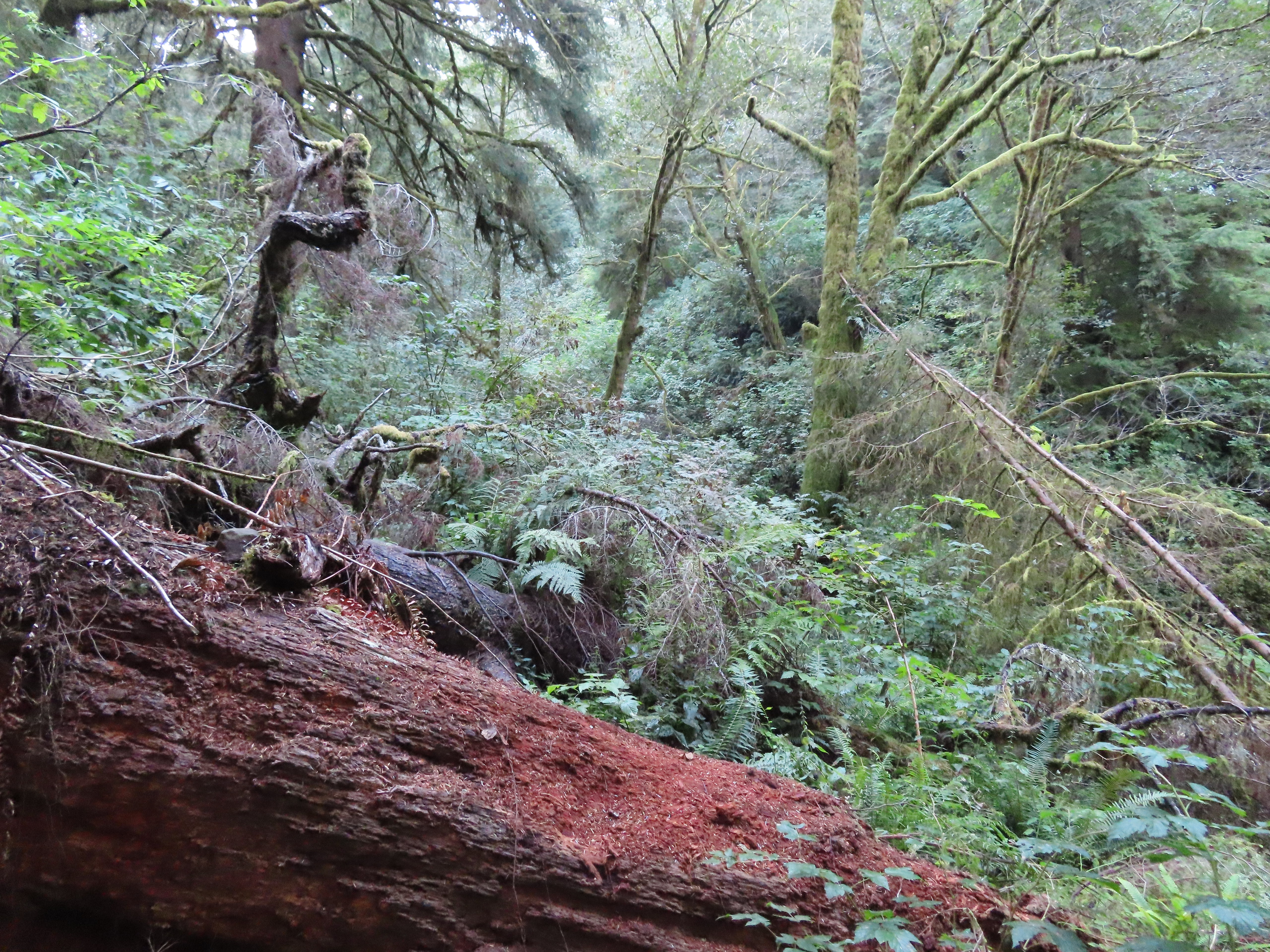
 There were around 18 trees such as this one across the trail from the trailhead to Cliff Creek.
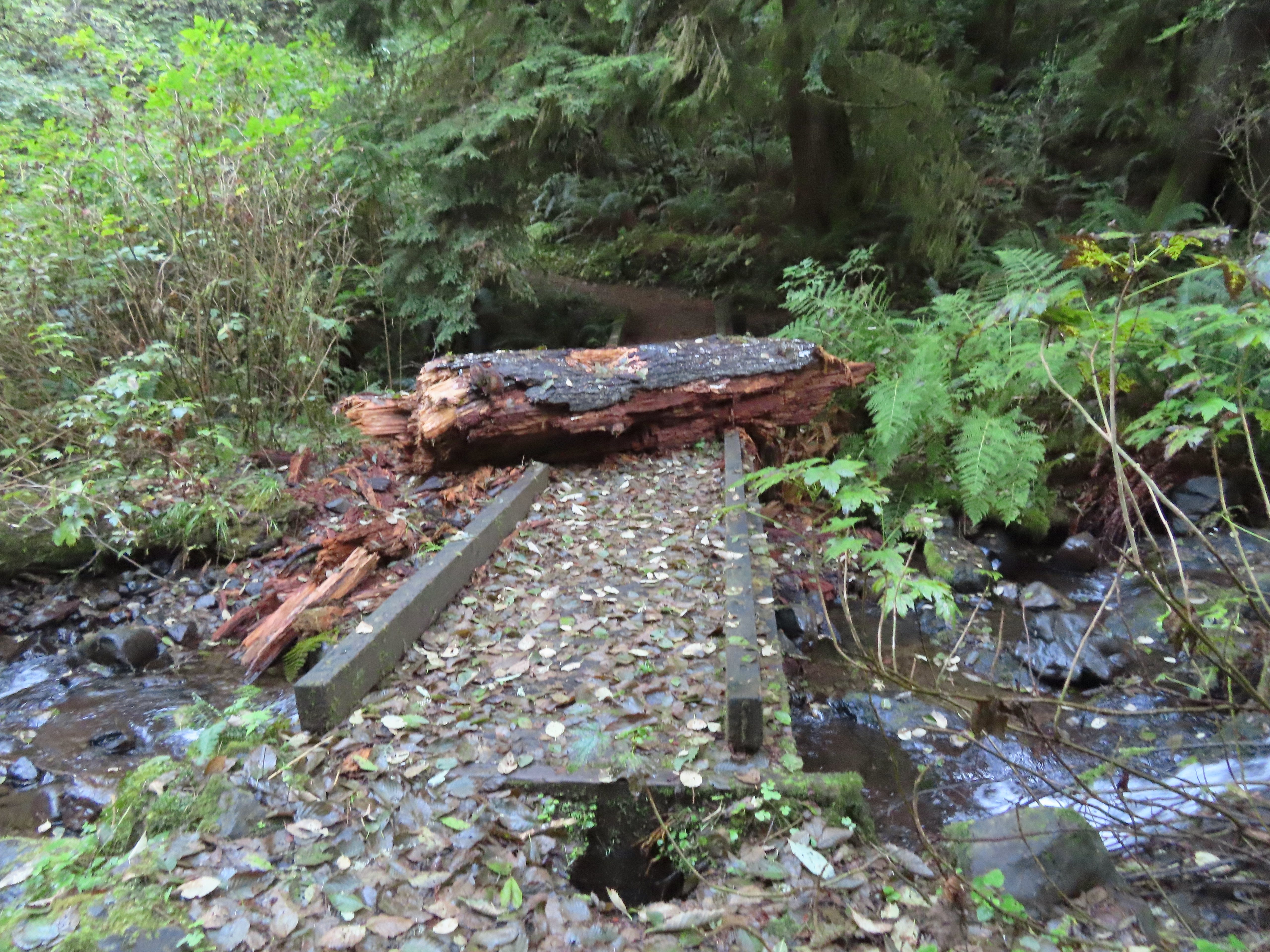 This large chunk of tree trunk has done some damage to the bridge, but it was still passable.
 Cliff Creek
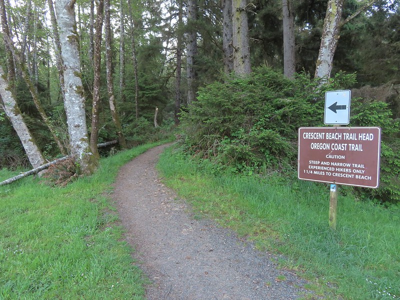
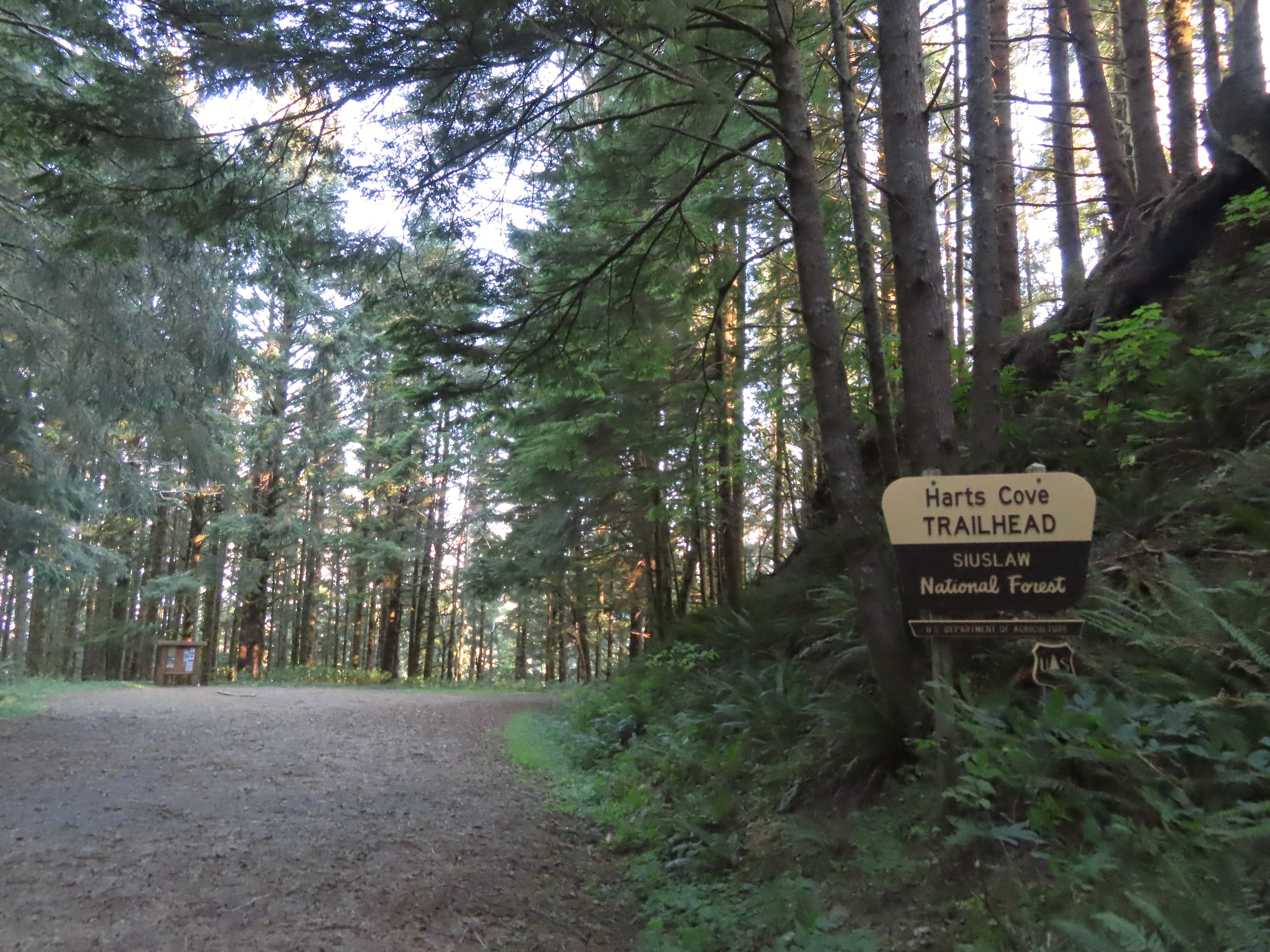
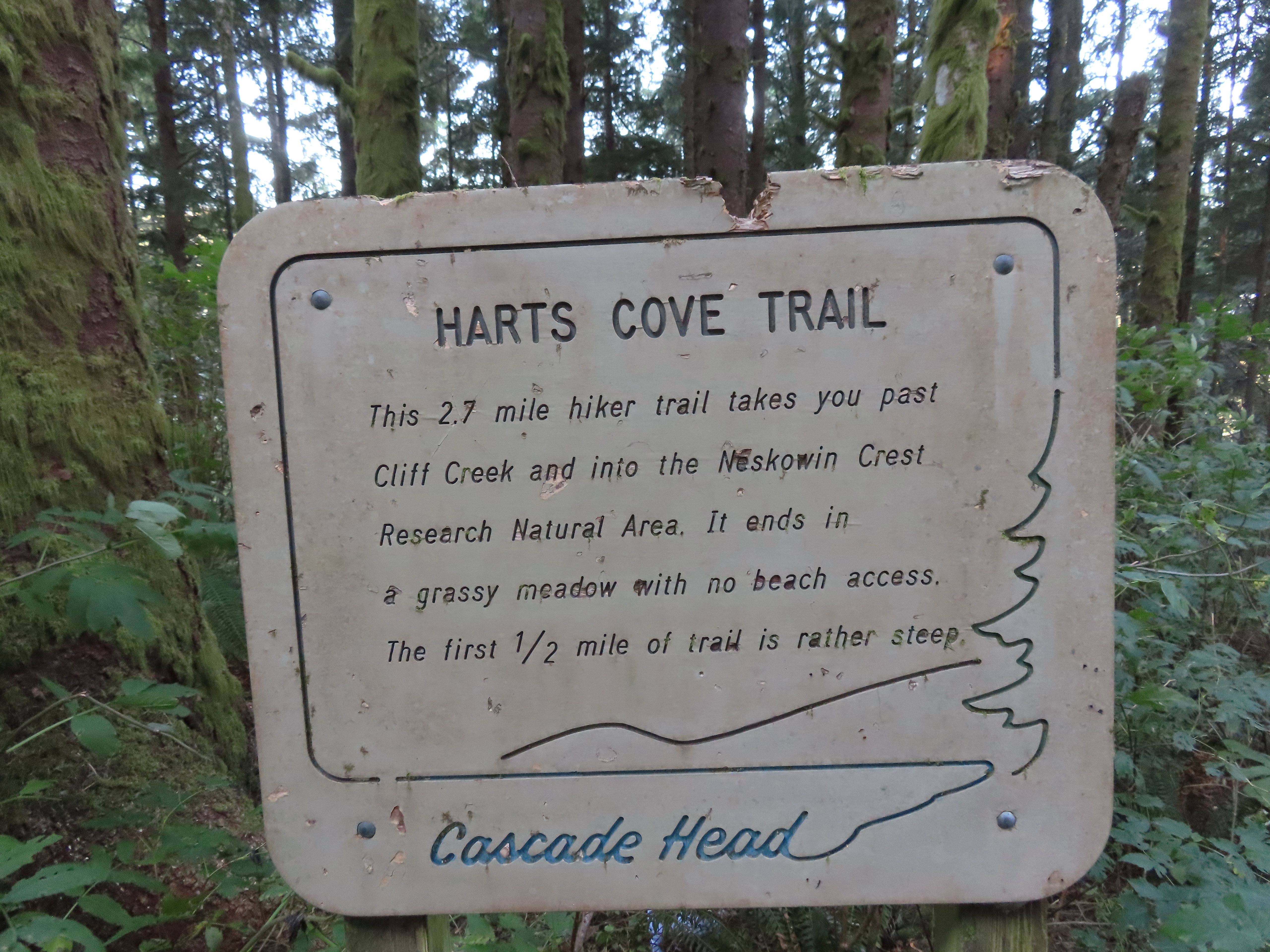
 At the 1.6-mile mark I entered the
 Sign near the bench.
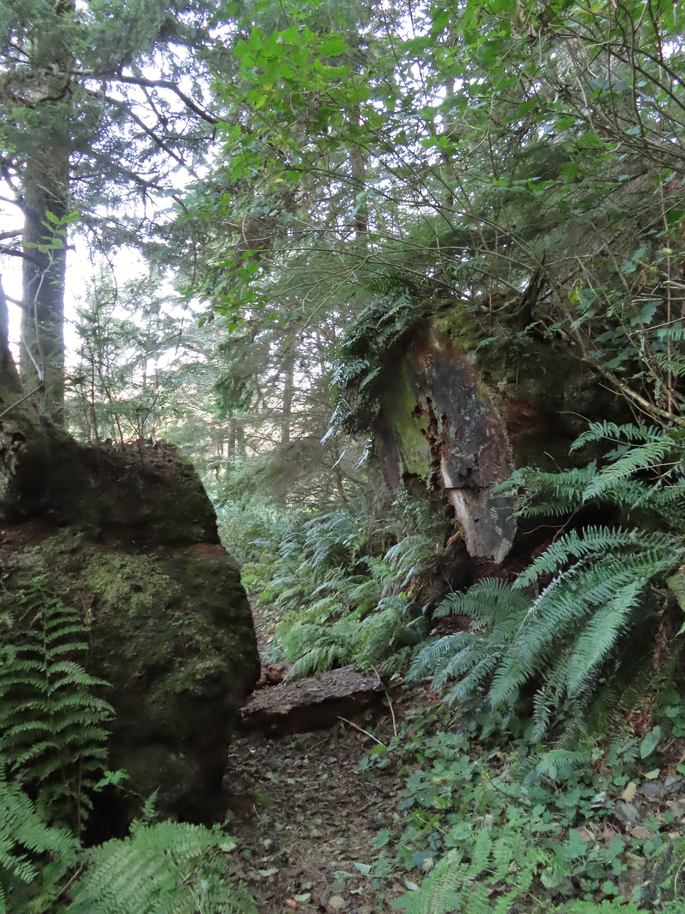 Big sitka spruce trunk.
 Approaching the Chitwood Creek crossing.
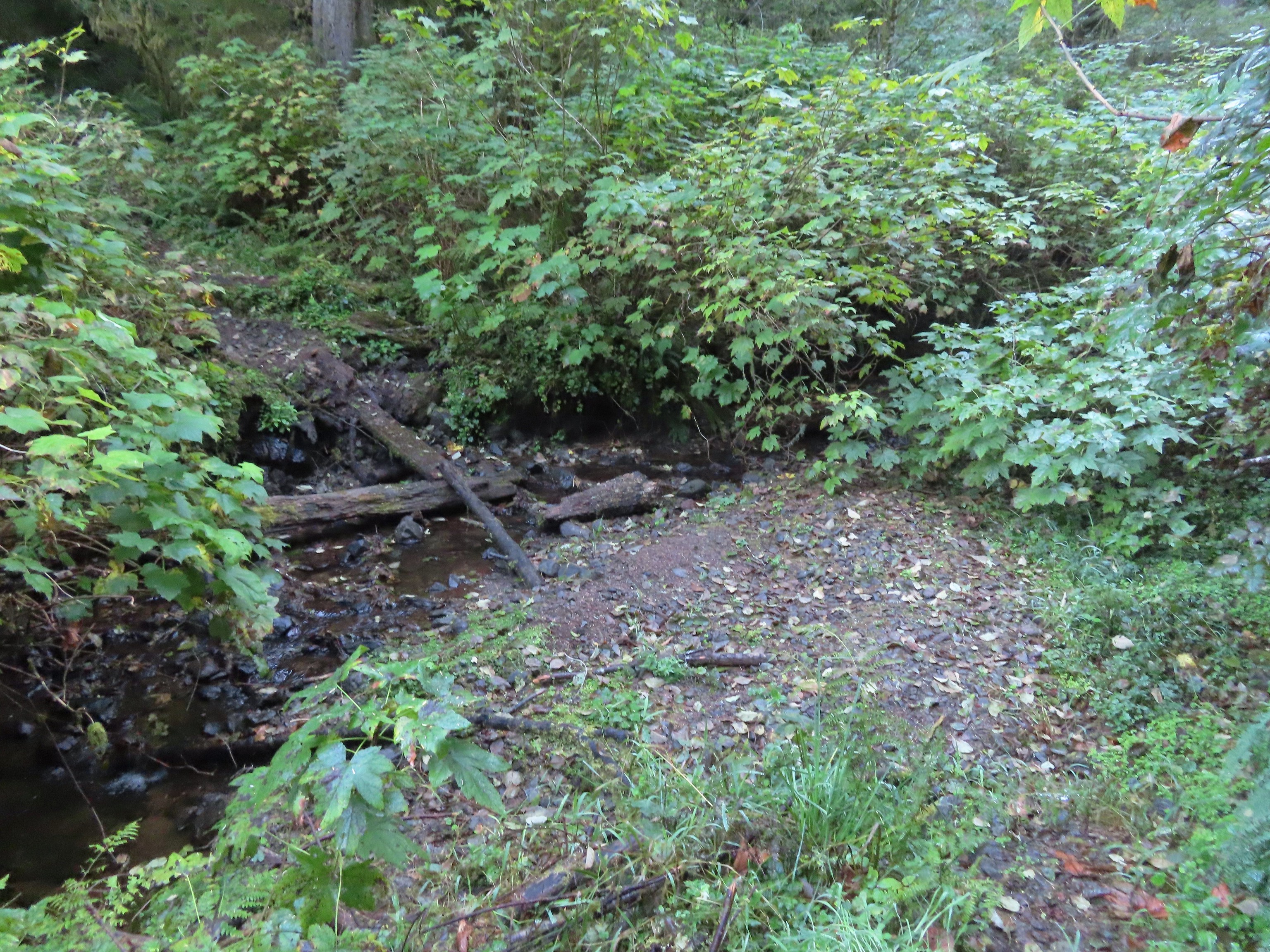 Chitwood Creek
 Heading back toward the ocean.
 Someone stuck some feathers in this mushroom.
 There was a large number of noisy sea lions on the shaded rocks below Cascade Head. Even though they were quite far away they were loud.
 Seagull hanging out on a sea rock.
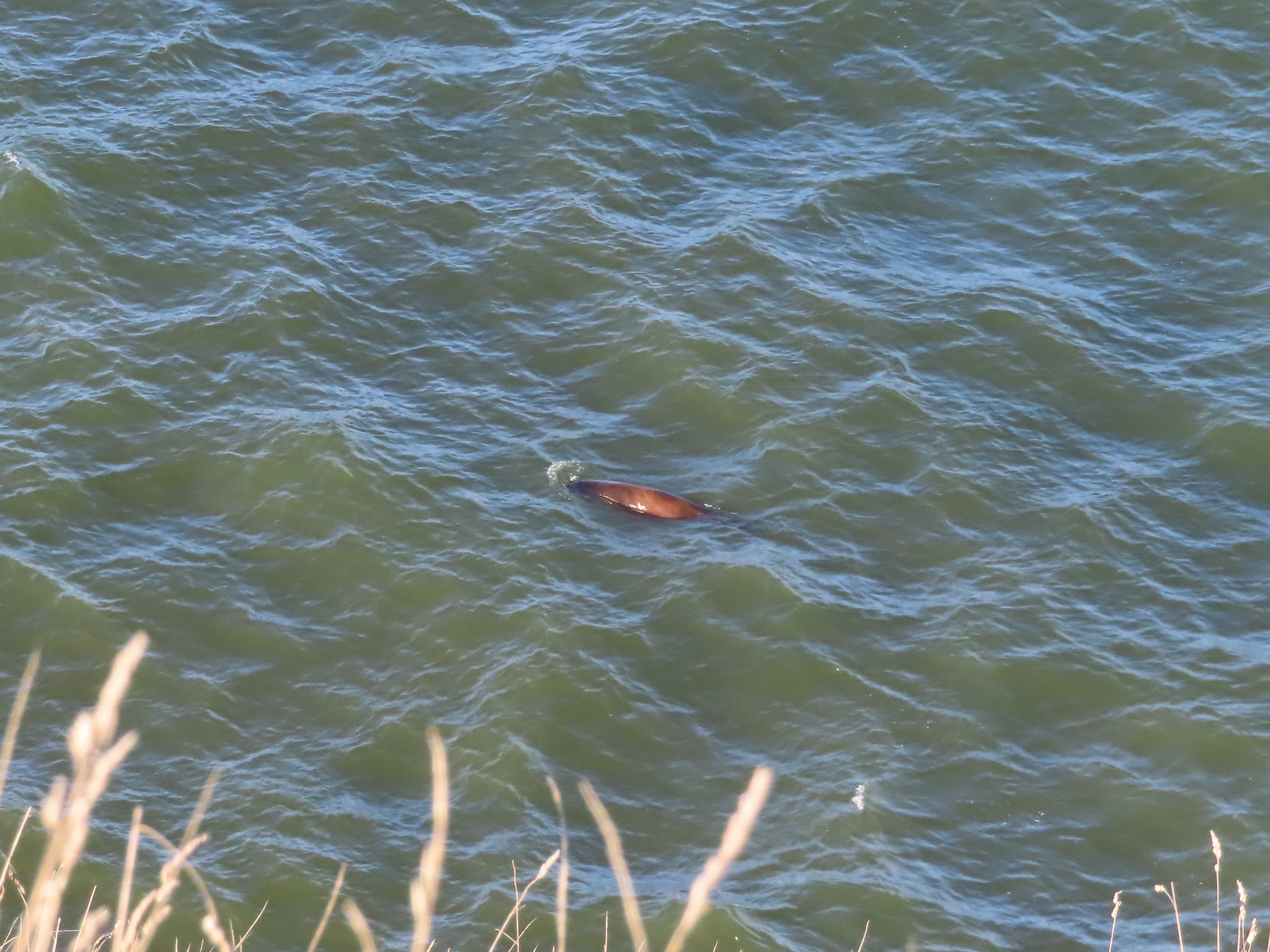 Sea lion heading for its buddies.
 A combination of the position of the Sun and the presence of haze made it very difficult to make out the waterfall on Chitwood Creek. I don’t know if the haze was smoke or just the usual coastal haze. (There was a fairly good east wind blowing steadily all morning.)


 Sparrow in the meadow at Hart’s Cove.
 Pearly everlasting
 Varied thrush
 A reminder of Spring, a trillium that bloomed months ago.
 A monkeyflower along FR 1861.
 Back at the upper trailhead.
 Candyflower
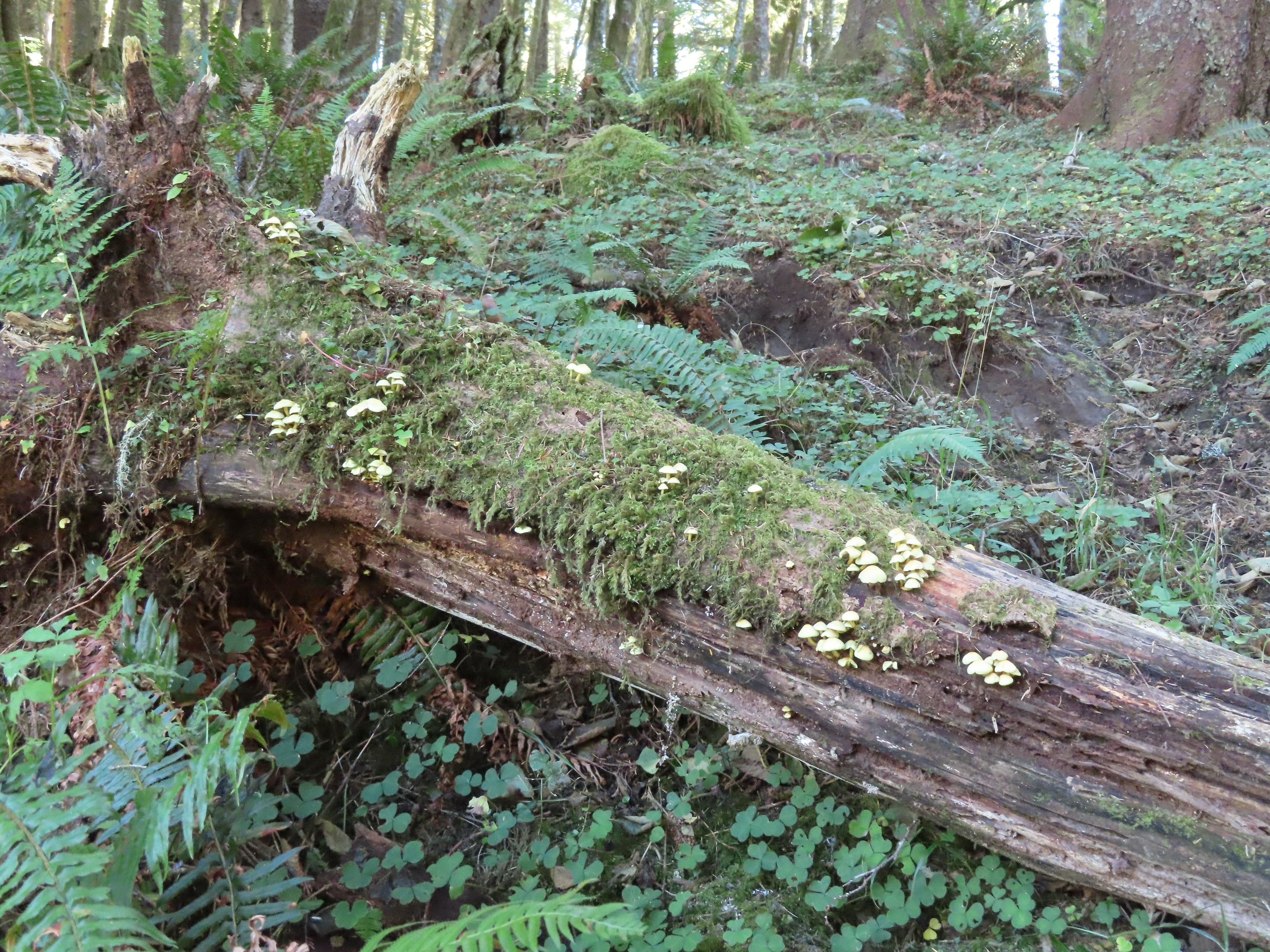 Mushrooms on a log.

 The Thumb, aka God’s Thumb (
 Heading for the high point.
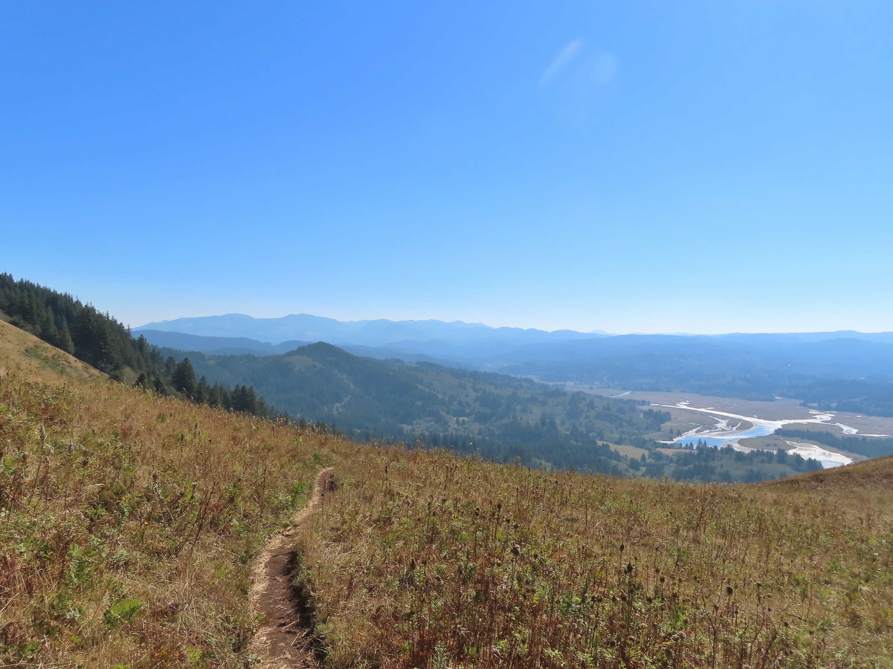 Descending Cascade Head
 There were quite a few of these (an aster?) blooming along the trail.
 Not sure what type of bird this is.
 Sulphur butterfly
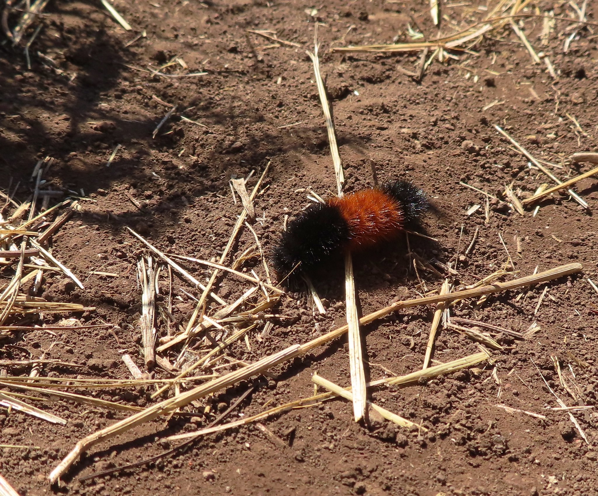 Wooly bear caterpillar, there were many of these on the trail.
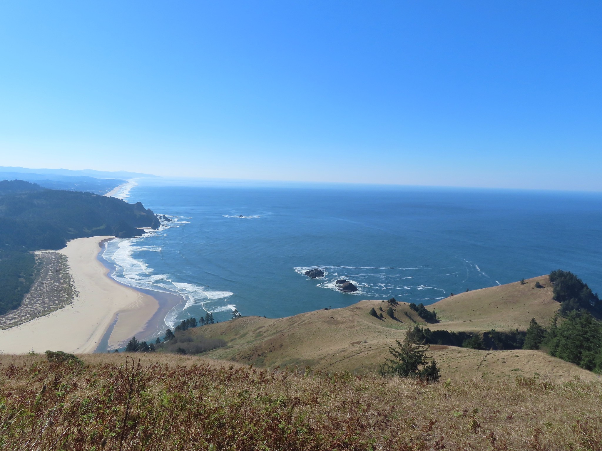
 Looking back up at one of the first hikers I’d passed.
 View to the east of the Coastal Range.
 Heading for the tree line.
 Back where I’d seen the bull elk in the morning.
 Cars parked along Three Rocks Road, the parking area at Knights County Park was full when I got back to the car a little before 1pm.

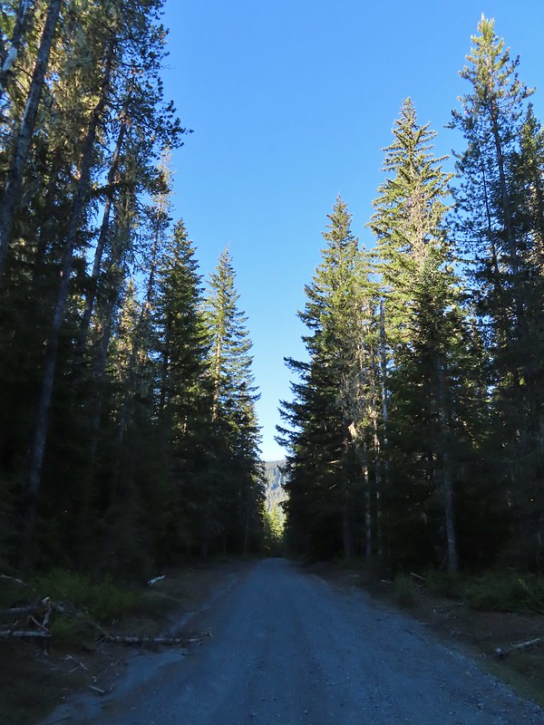 FR 8123

 It appeared the trail had been rerouted at least a couple of times to cross this dry creek bed.


 Fence at the boundary for the Research Area.
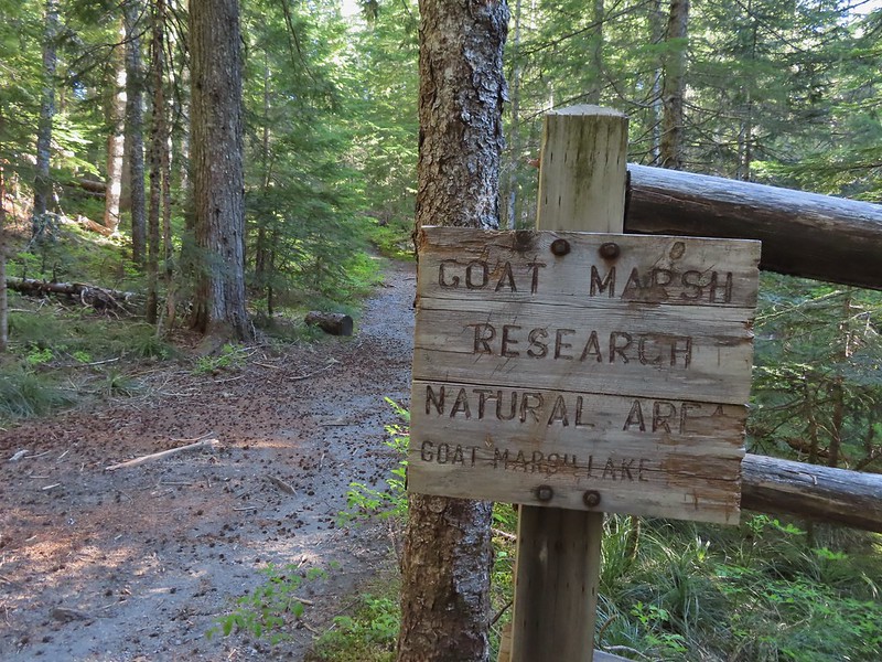
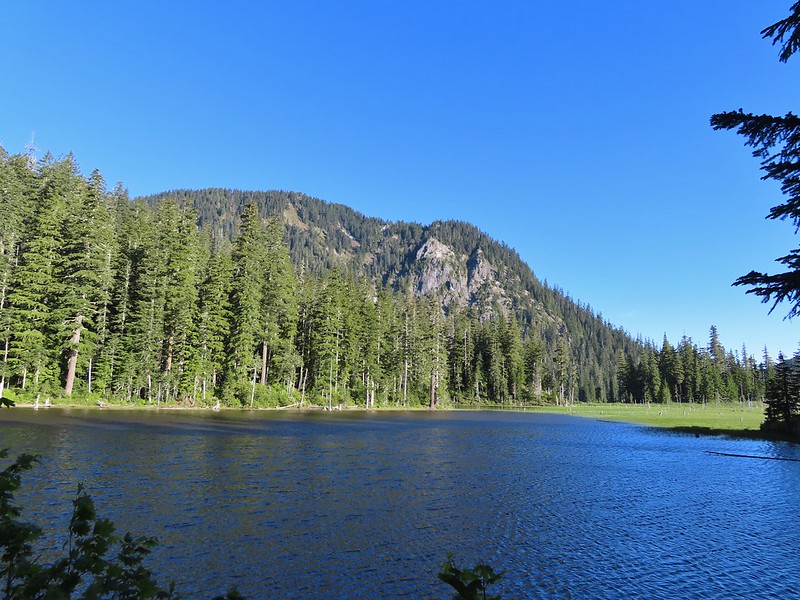 Goat Mountain and Goat Marsh Lake.
 Mt. St. Helens
 Trillium
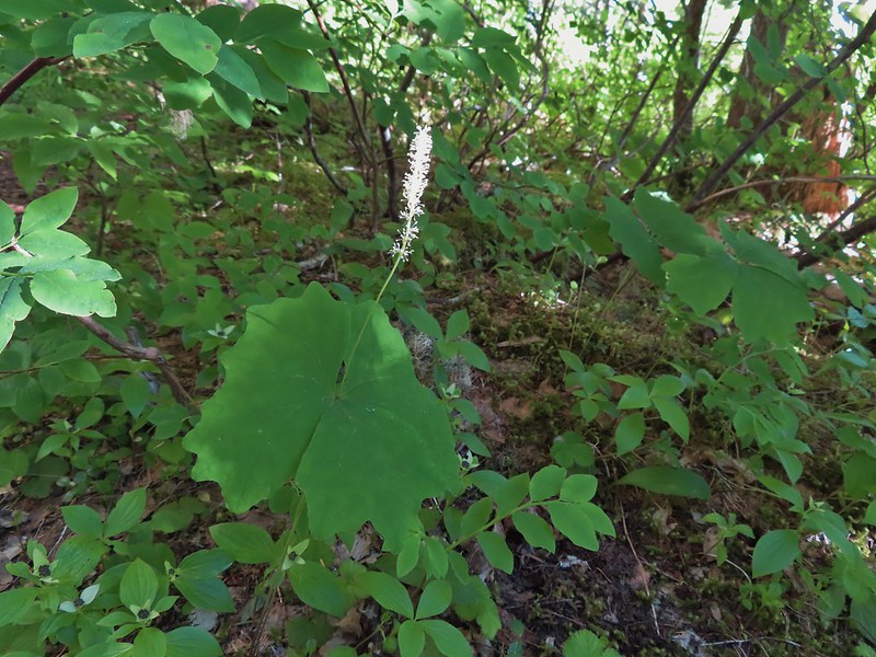 Vanilla leaf

 Frog on a log.
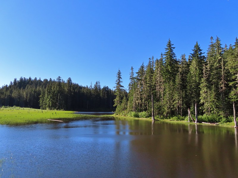
 The two cow elk in the middle of the grassy area.

 Calves lined up, this one is a bit blurry due to them moving and the amount of zoom used.
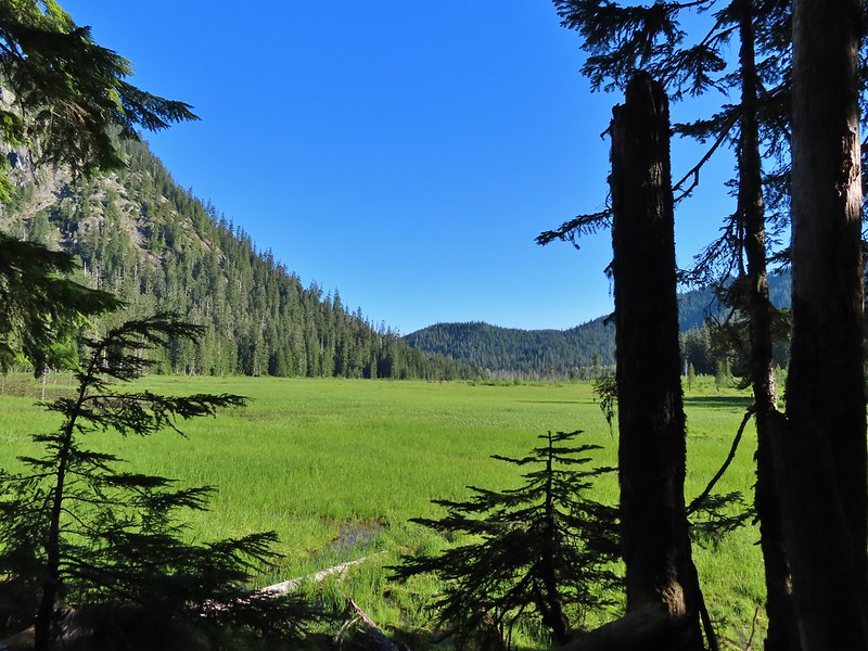 The elk herd not zoomed in.
 Zoomed
 Coralroot
 Goat Mountain
 Avalanche lilies
 Mt. St. Helens
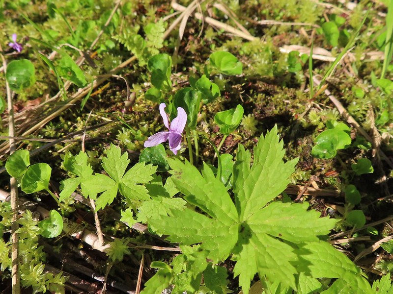 Marsh violet
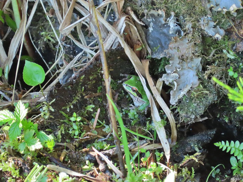 Frog under a log.
 Salmonberry
 Sign near the end of the trail.
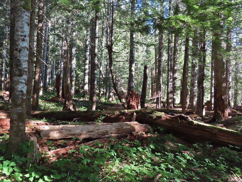 At the end of the trail.
 Beaver lodge
 Duck and ducklings
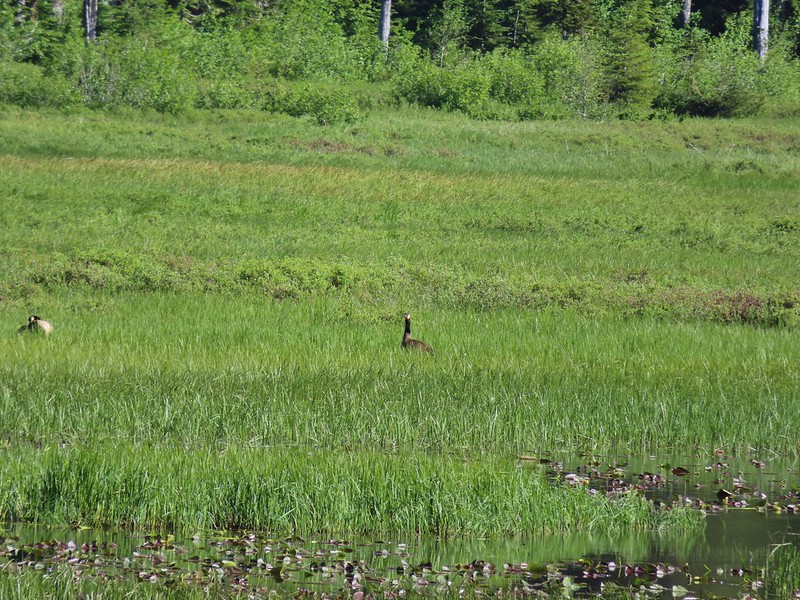 Geese out in the grass.

 The road crossing.
 In the campsite trying to decide which way to go.
 Once we found it the trail was pretty obvious, at least for a while.
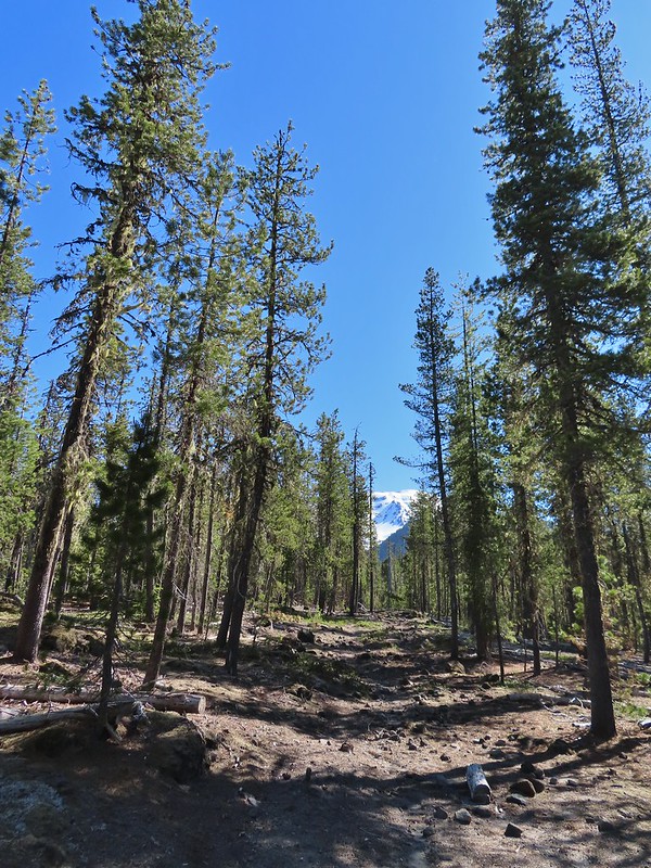


 Gray jay with a snack.
 Western tanager. Right after this photo he flew straight at us snatching an insect out of mid-air.
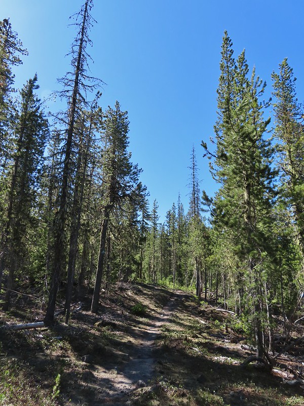

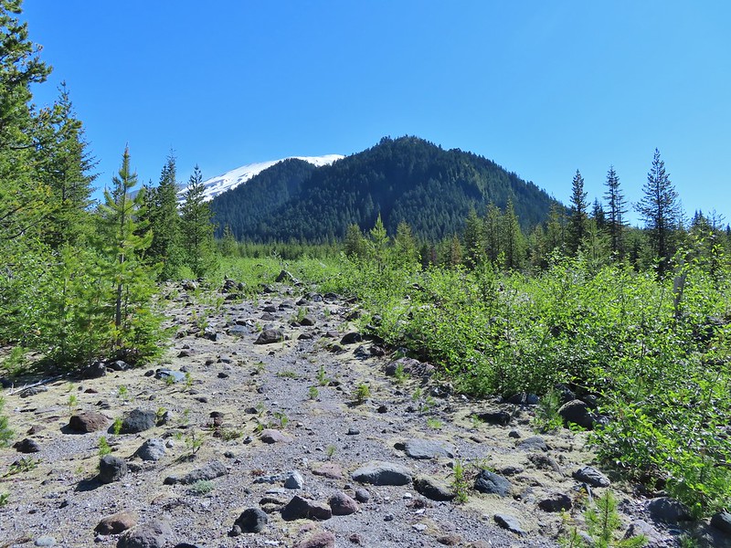 Butte Camp Dome in front of Mt. St. Helens.
 Crossing another dry bed.
 Where is the trail?
 In one of the creek beds. We were using the GPS along with looking for cairns and/or flagging.
 Goat Mountain
 You can’t really make them out in the photo but there is a pink flag and a blue diamond (on a downed tree) near the edge of the green trees.
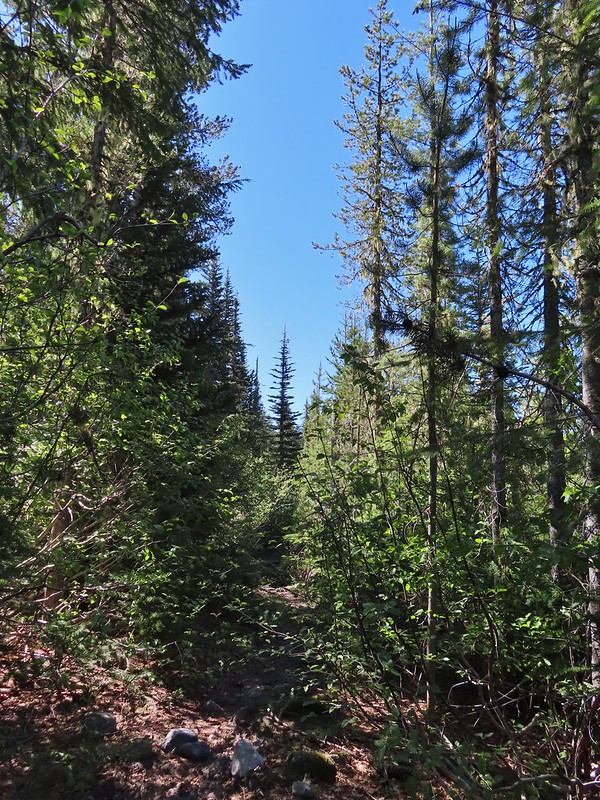 There was another short brushy section before the forest opened up.
 One of the strangest snow sightings we’ve come across.
 My theory was bigfoot hung this.

 The NOHRSC estimated 2″-3.9″ of snow and that seemed to be about right.
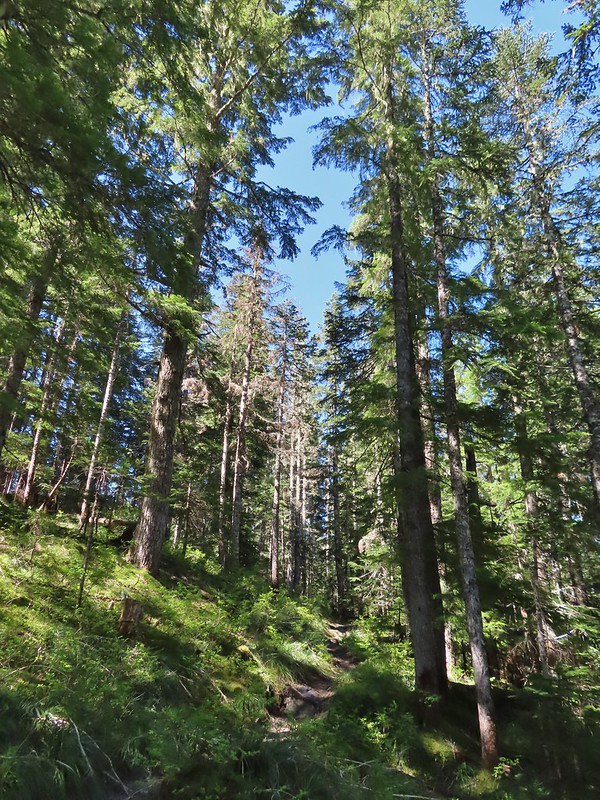
 Looking back at the junction from the Toutle Trail. The post with no sign is the continuation of the Toutle while the trail on the left is the ski trail.

 Last years beargrass.
 Strawberry
 Phlox
Phlox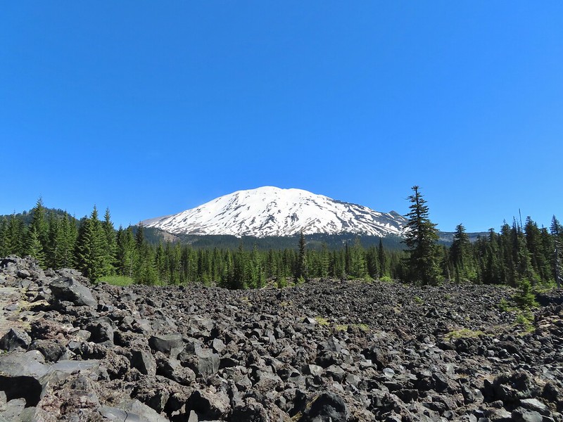
 FR 81 below the trail.
 Trail sign at the trailhead.
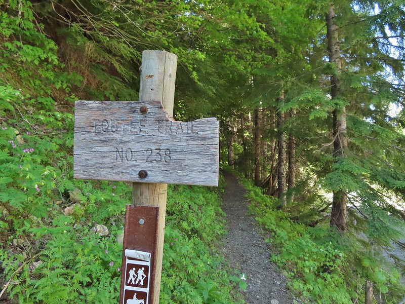
 Raven flyover
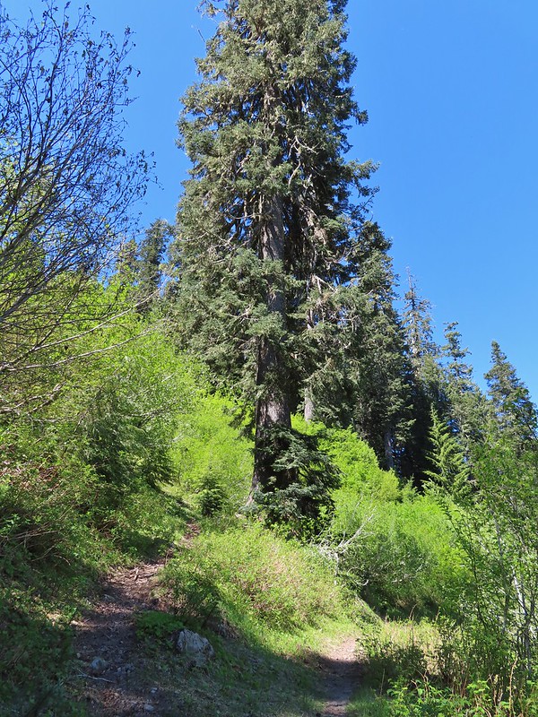 The fork.
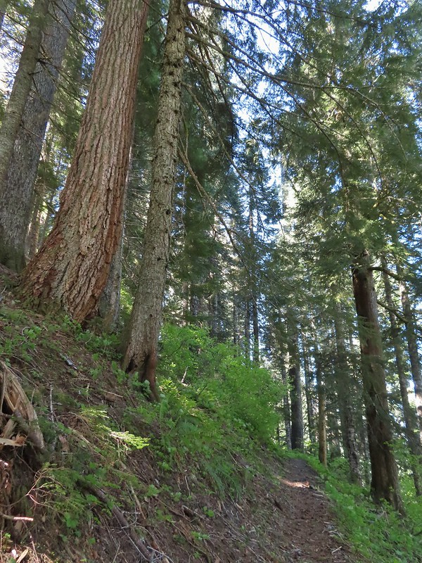
 One of several side creeks we crossed.
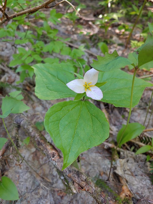 Trillium
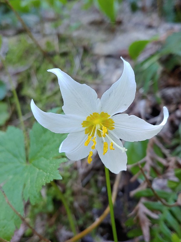 Avalanche lily
 Violet
 Goat Mountain beyond McBride Lake.
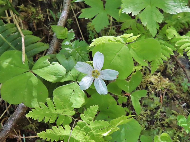 Sourgrass
 Valerian
 Solomonseal
 Saxifrage
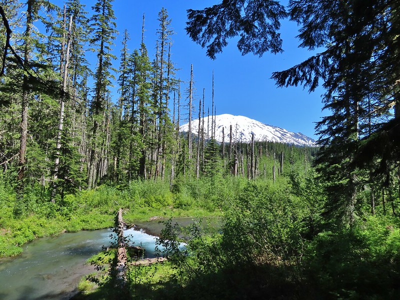


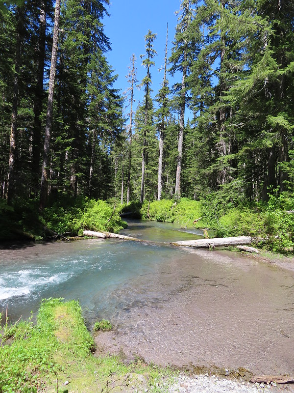 Kalama River from the road bed.
 The Blue Lake Horse Trail on the far side of FR 81.
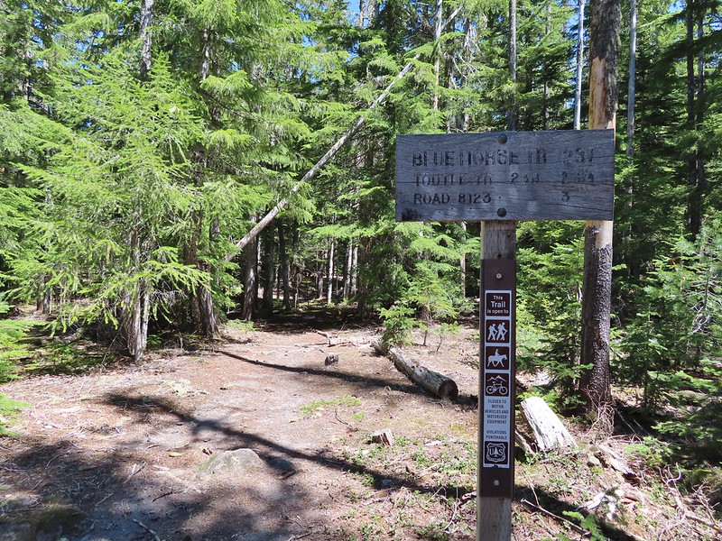 The sign did show FR 8123 which was the road the trailhead was on so that fed into us not realizing our mistake at first.
 An orange diamond on a tree ahead.
 Where we left the horse trail.
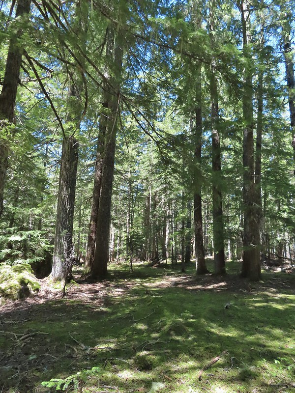 Typical terrain for the cross-country walk.
 It seems like every time we go off-trail we come across a mylar balloon. We’ve really come to despise those things. We packed it and the ribbon out.
 The trickiest part was crossing this dry stream bed but we fortunately came to it at a spot that was perfect for crossing.
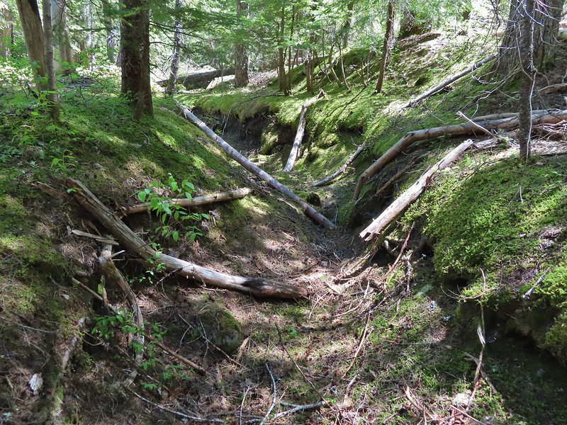
 FR 8123
 Coming up to the Goat Marsh Lake Trailhead (and our car) on FR 8123.

