Categories
Columbia Gorge North Hiking Trip report Washington

Lacamas Park

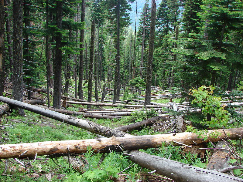
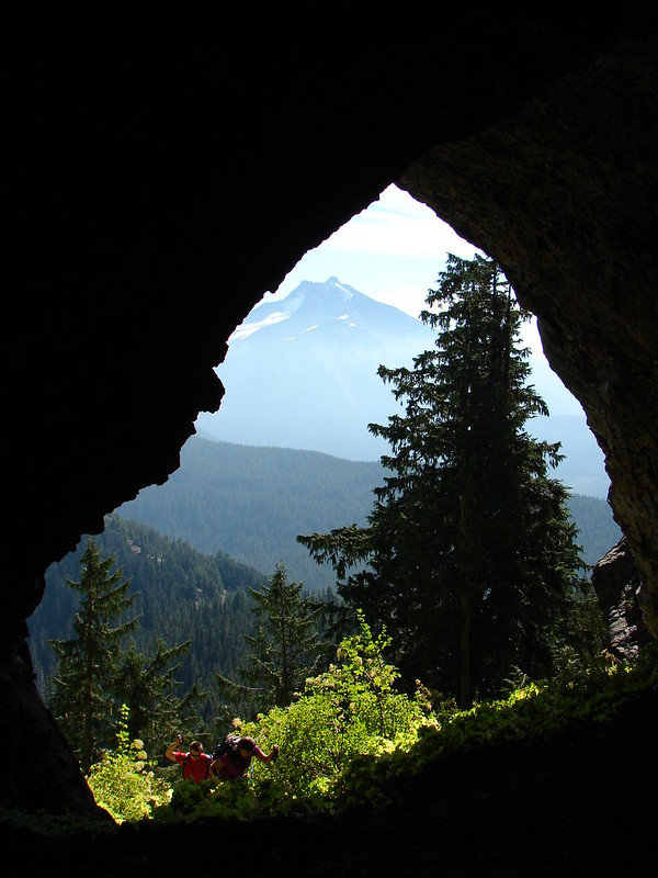
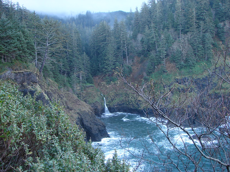
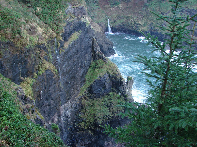
We officially kicked off our hiking season this past week, a week earlier than we had originally planned. We got things started by attending a slide presentation by Adam Sawyer author of “Hiking Waterfalls in Oregon”. He covered several waterfalls some we’d been to and others that we have yet to visit. We wound up adding one of the falls to this years schedule after realizing one of our planned hikes would have us driving right past the short path to Panther Creek Falls. The presentation got us excited about getting back out on the trails, and when we saw that the weekend forecast was for sunny skies and 70 degree temperatures coupled with reports of the camas blooms hitting their peak we decided to move our Lacamas Park hike up a week.

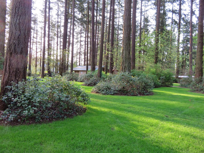
Lacamas Park is located in Camas, WA and is a much more urban setting than we are used to on our hikes, but it offers plenty of trails with very minimal elevation gain which we were looking for due to Heather having just run a half-marathon the previous week. In addition, a series of lily fields bloom in the park in April and early May (most years) and there are several visitable waterfalls. We began our hike at the Lacamas Heritage Trail located at the north end of Lacamas Lake.
IMG_0982

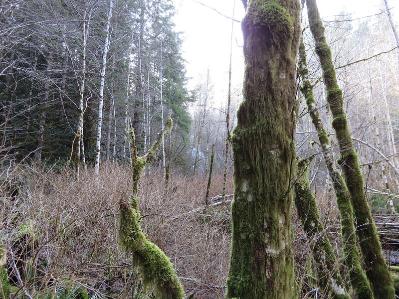
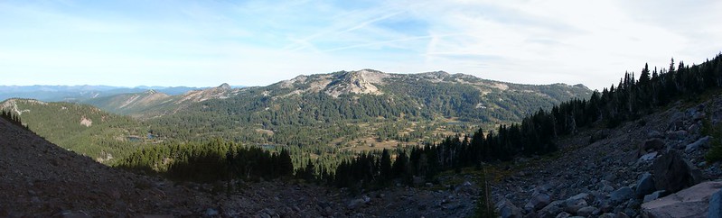
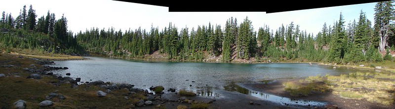
This 3.5 mile path squeezes between Lacamas Creek then Lake and a golf club and private homes. The gravel path also passed several benches and interpretive signs listing some of the plants and animals that might be spotted in the area.
IMG_1008

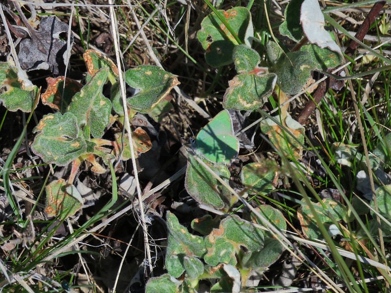
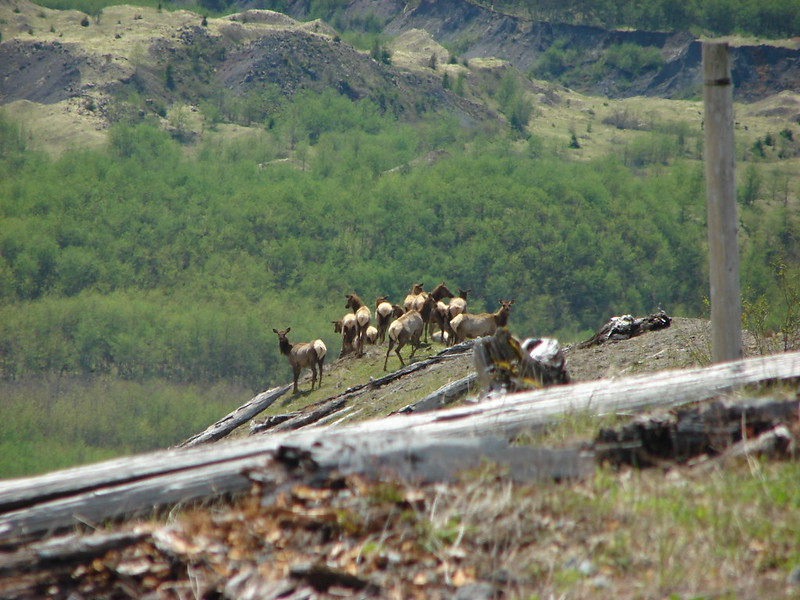
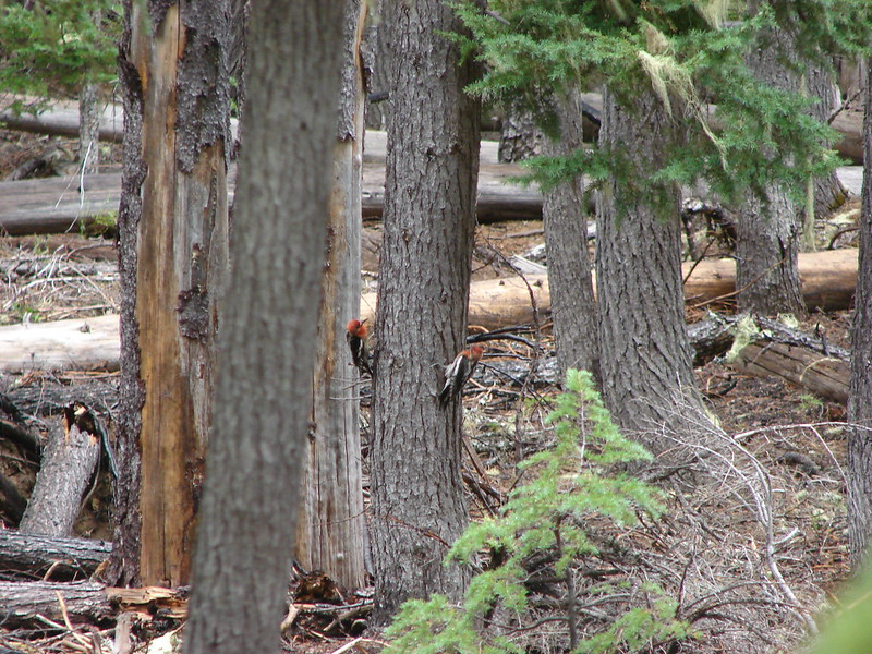
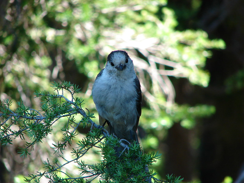
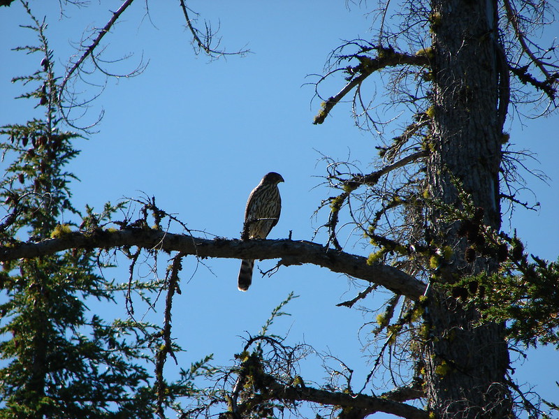
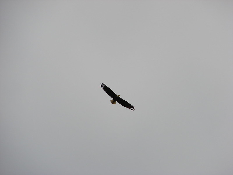
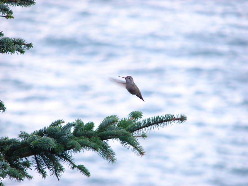
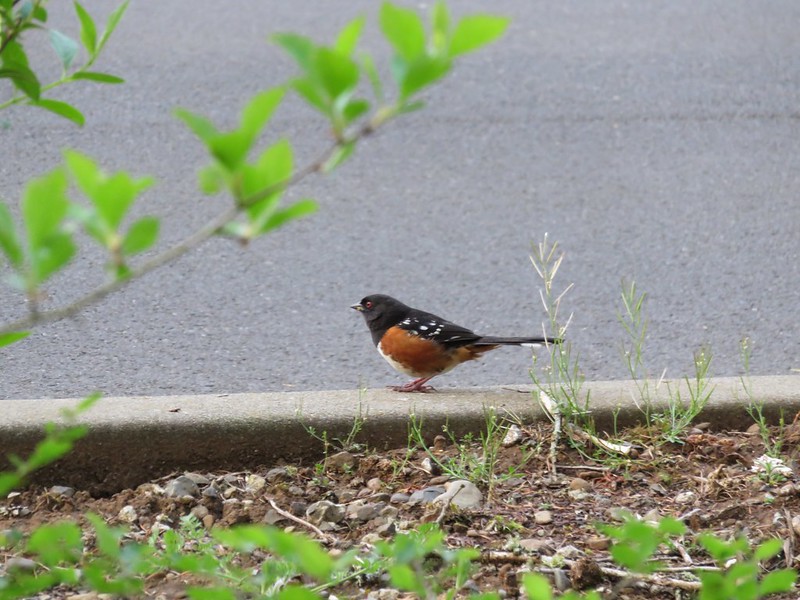
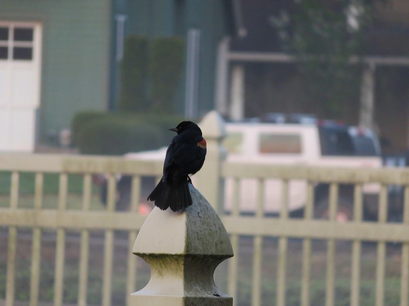
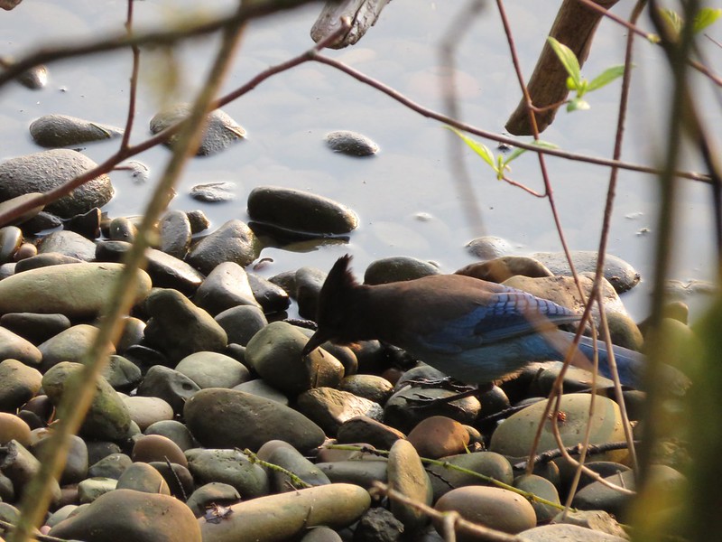
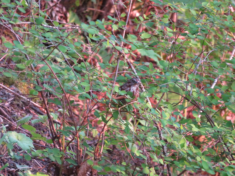
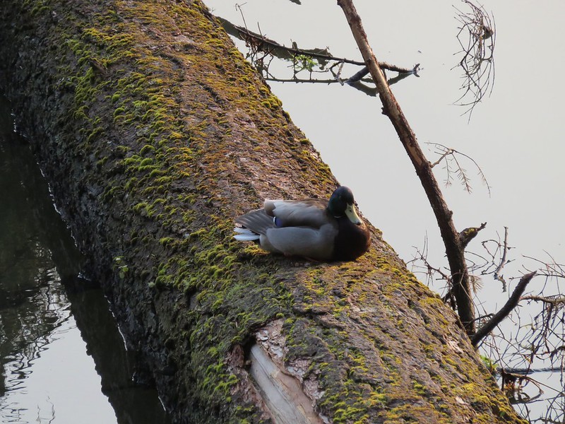
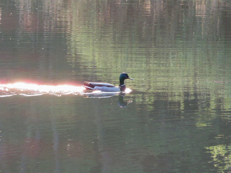
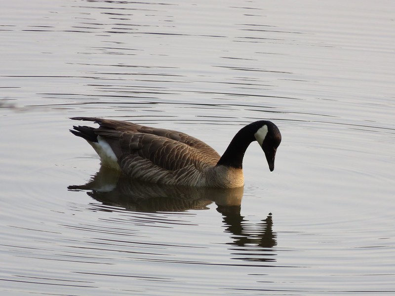
The area was full of birds, some we saw and others we just heard singing away in the crisp morning air.
IMG_0993

IMG_0999

IMG_1031

IMG_1035

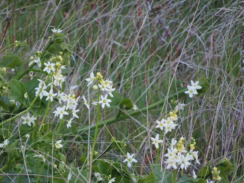
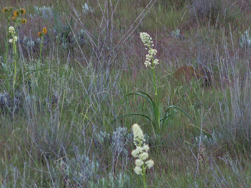
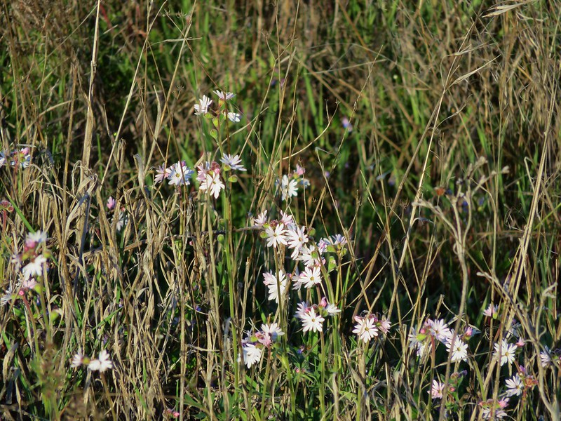
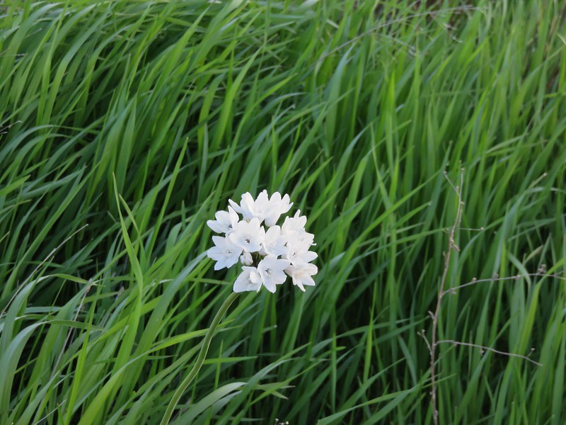
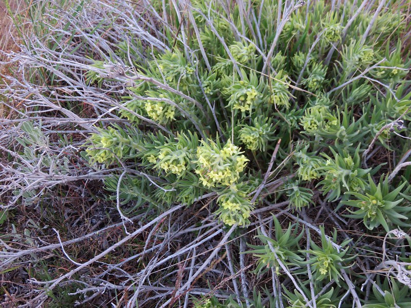
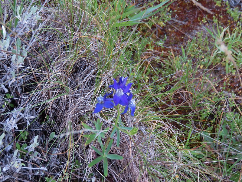
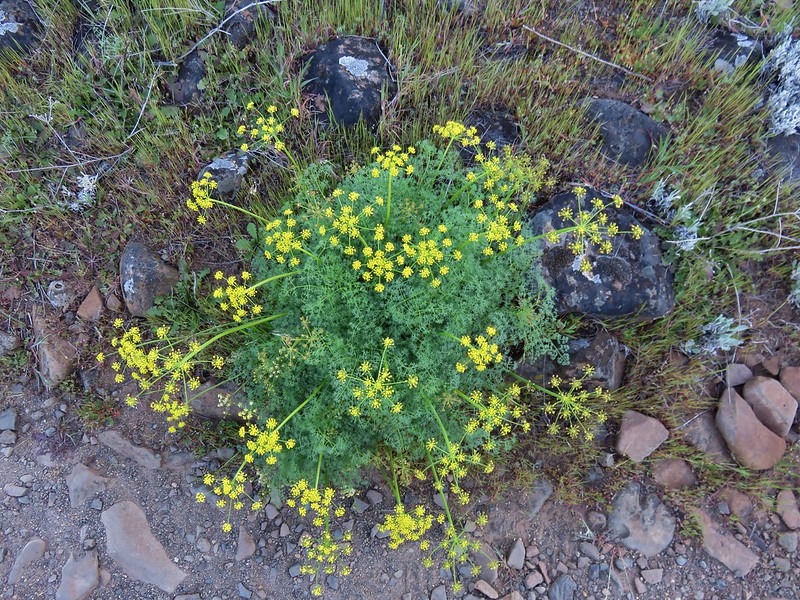
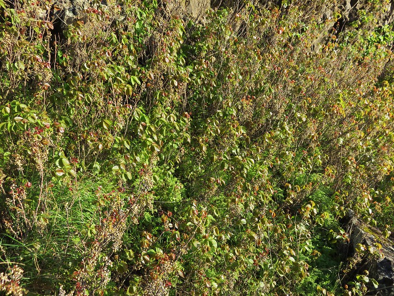
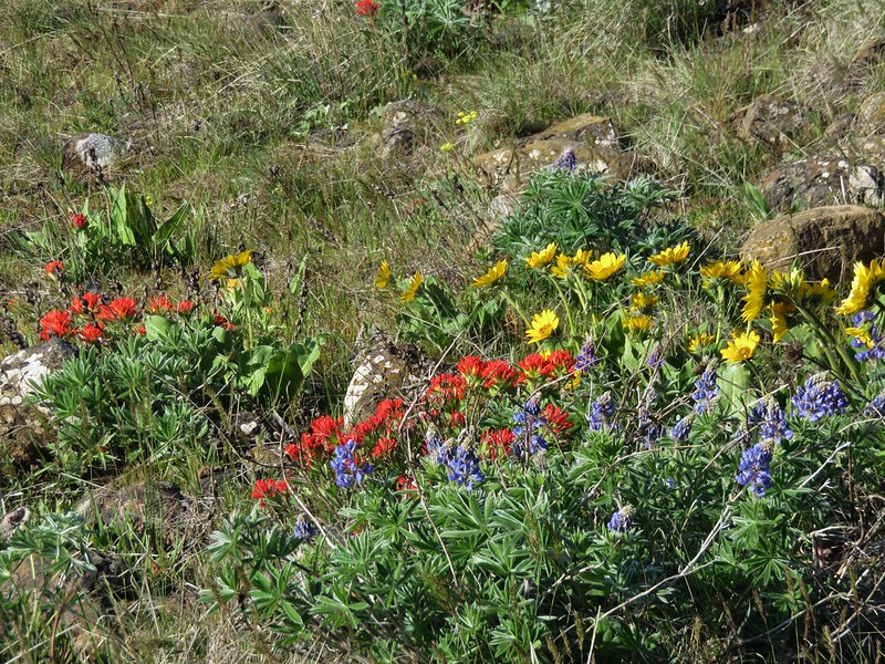
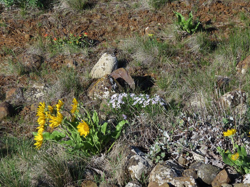
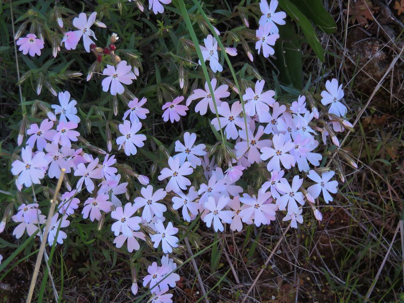
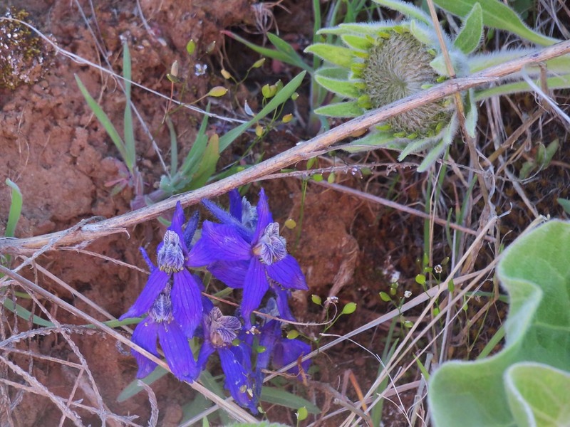
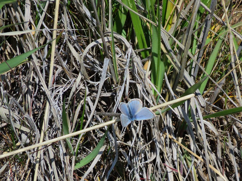
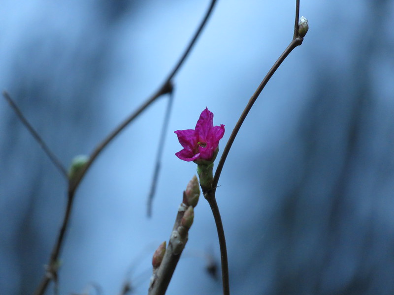
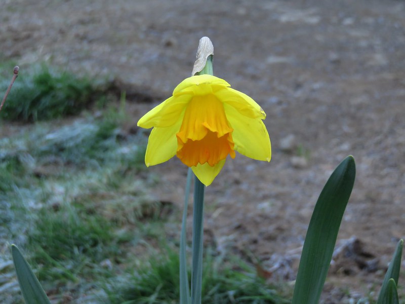
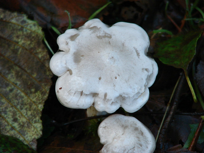
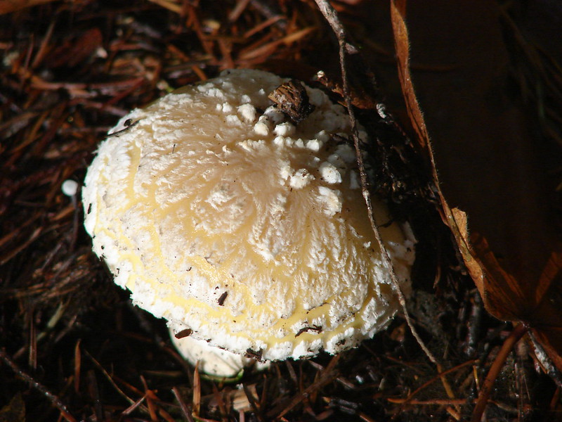
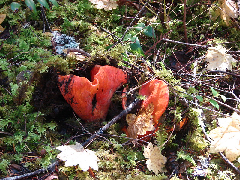
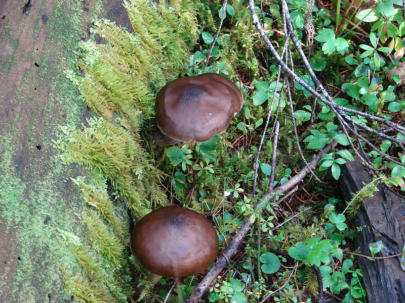
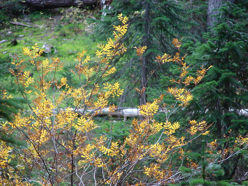
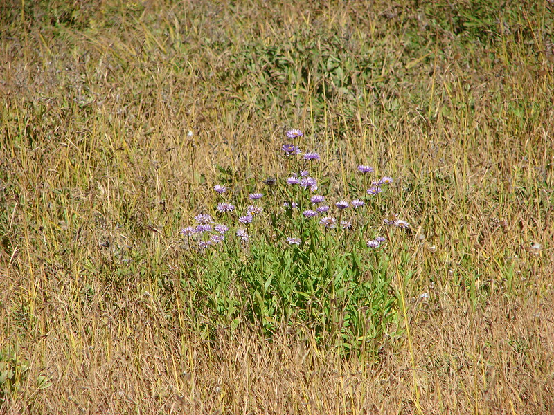
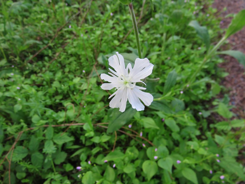
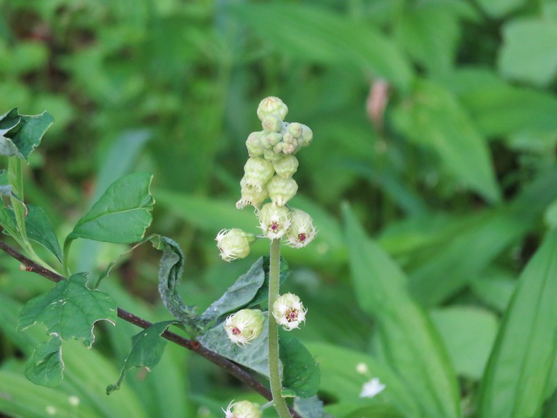
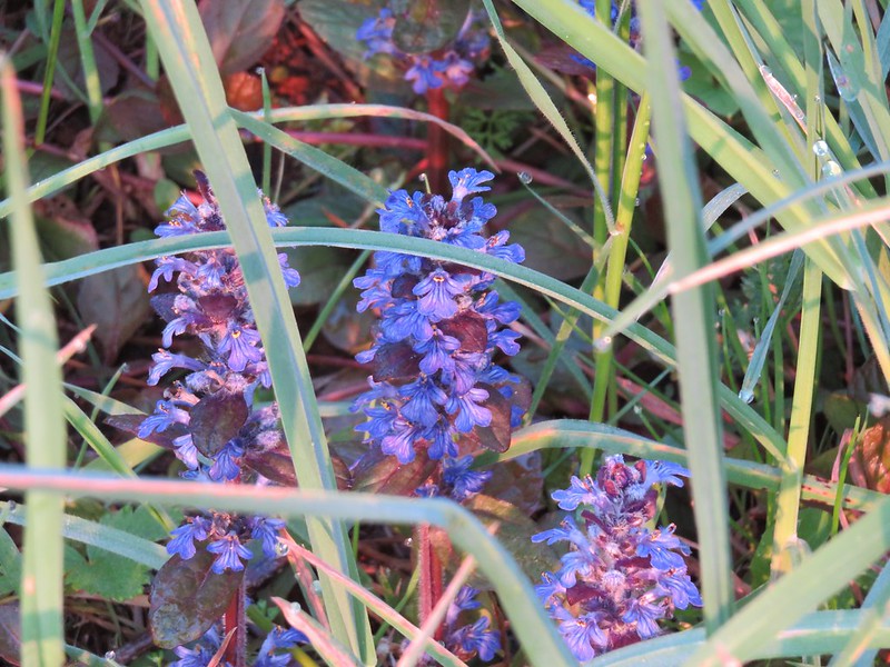
There were also plenty of flowers along the trail.
IMG_1012

IMG_1014

IMG_1019

IMG_1027

IMG_1029

IMG_1001

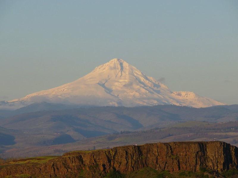
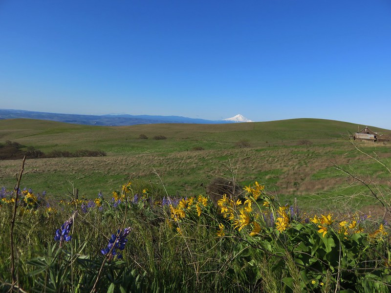
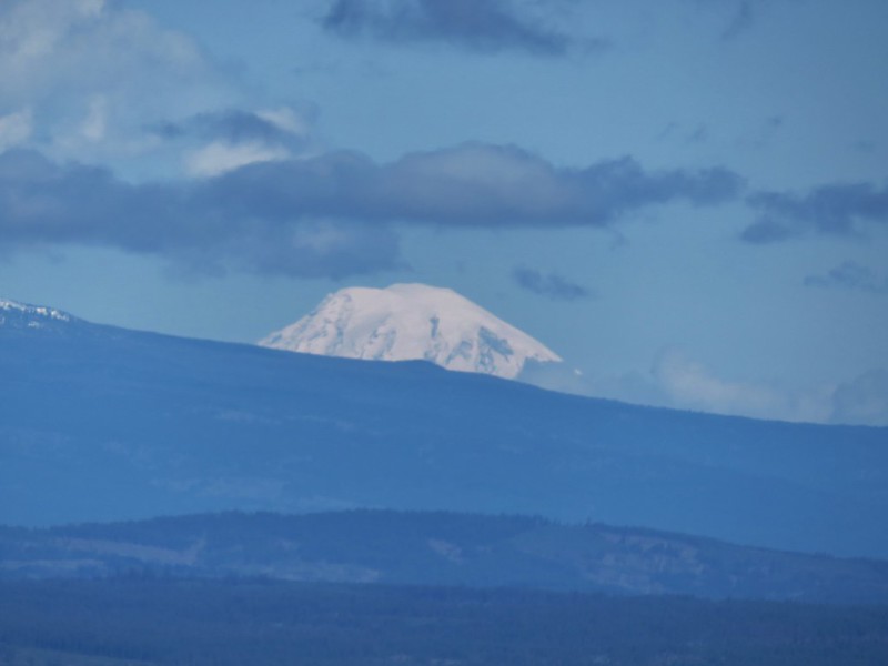
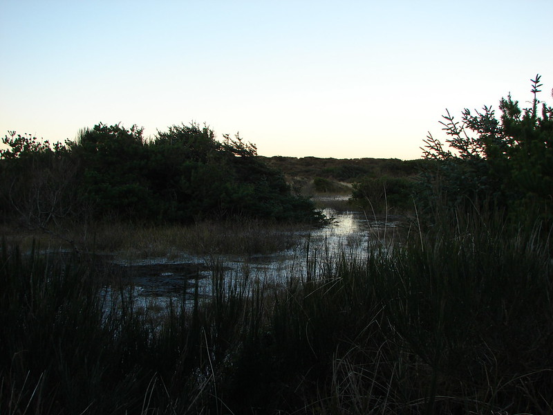
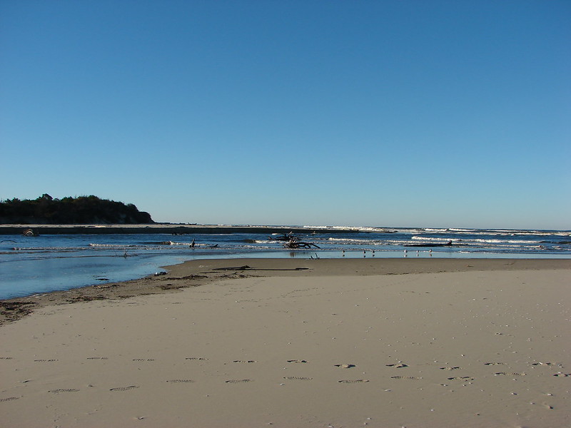
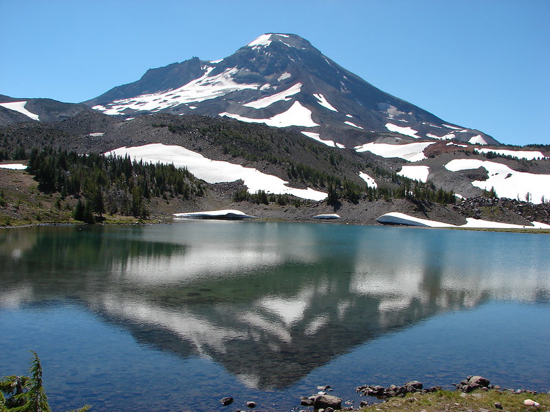
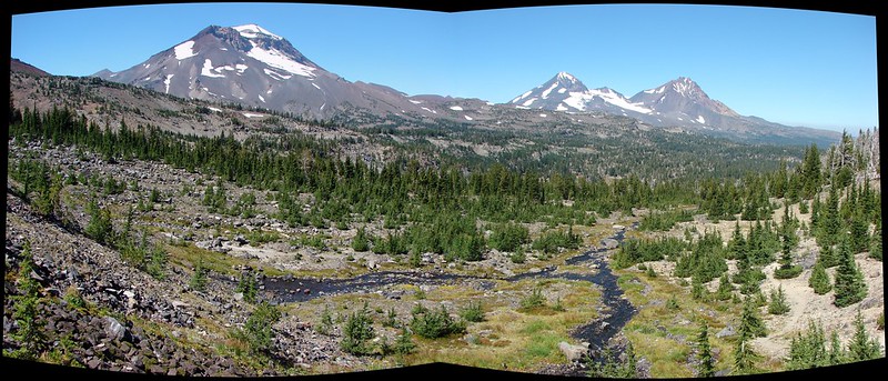
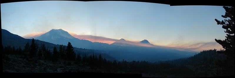
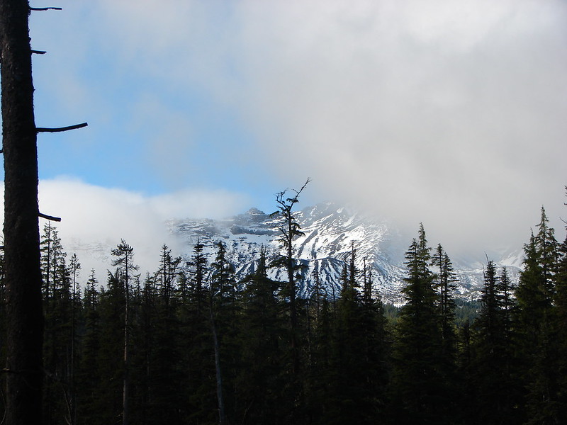
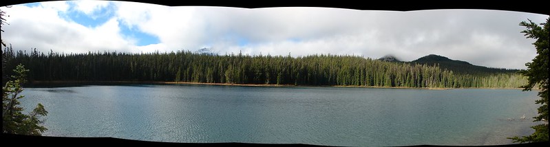
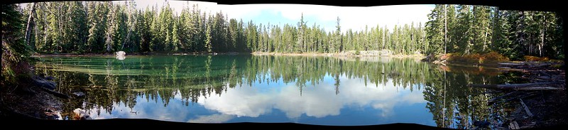
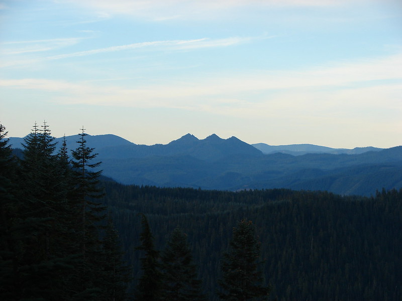
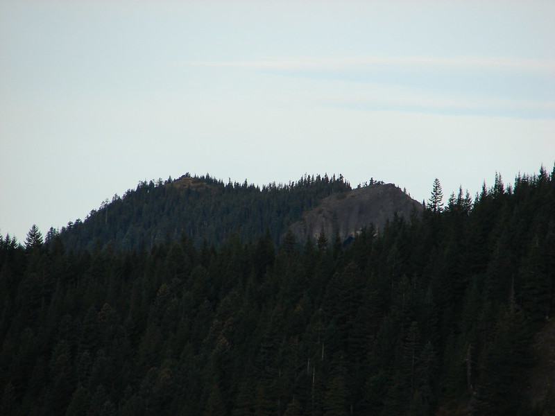
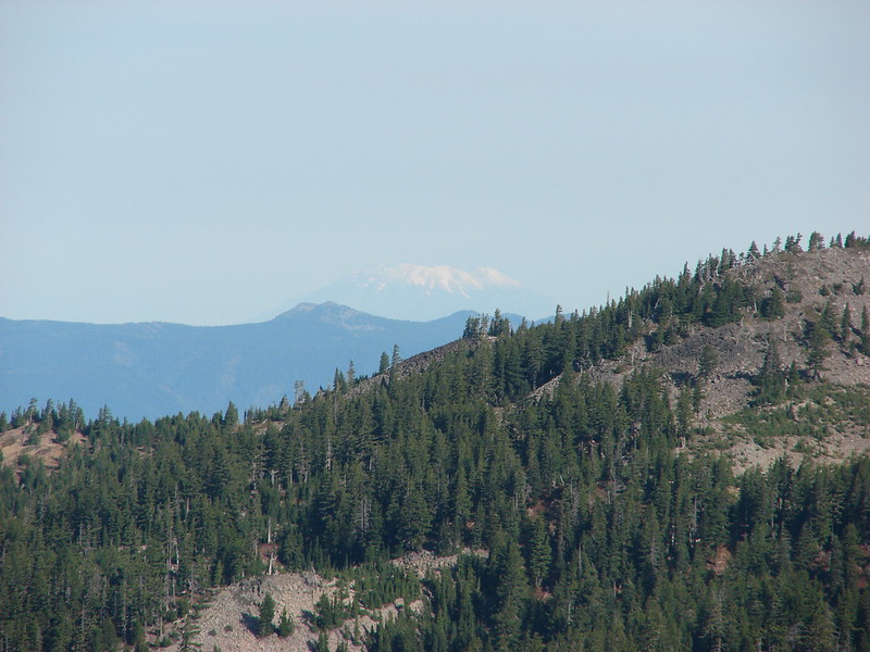
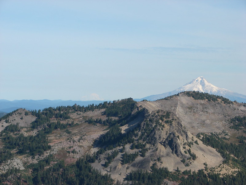
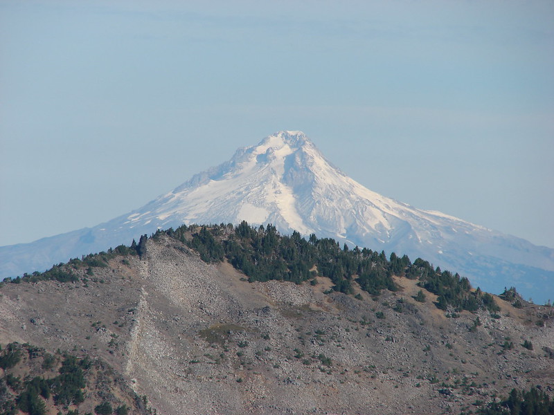
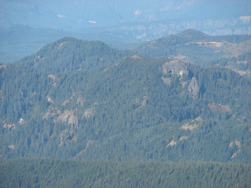
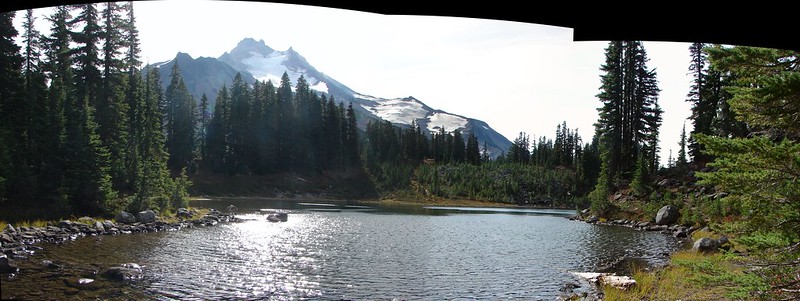
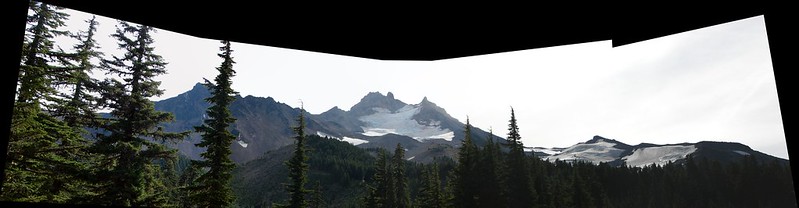
The lake began to widen as we traveled along and would have offered a pretty nice view of Mt. Hood but the sky was oddly hazy so we could only make out the mountains silhouette beyond the far end of the water.
IMG_1036

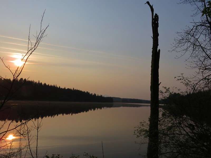
It turns out the haze was likely caused by massive fires in Siberia and possibly a dust storm in China when the jet stream picked up the smoke and dust particles and delivered them across the ocean to the Pacific North West.

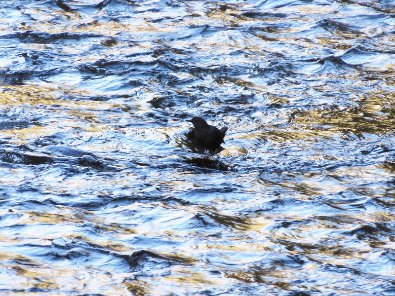
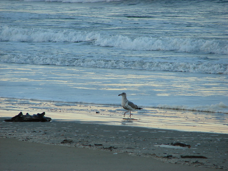
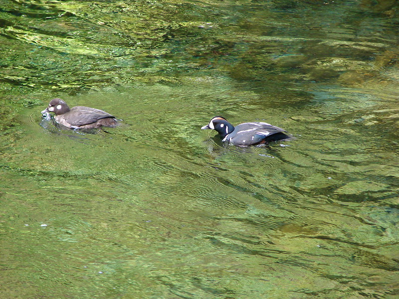
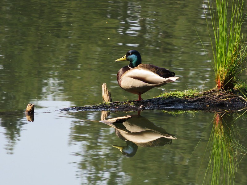
As the lake widened we spotted several ducks and geese.
IMG_1048

IMG_1055

IMG_1060

The Lacamas Heritage Trail ends at Camas Hertiage Park at the southern end of the lake but just across Highway 500 lay Round Lake and Lacamas Park. We crossed the road at a stoplight and entered the park.
IMG_1065

A series of signboards in the park gave all kinds of information on the area as well as a trail map of the park.
IMG_1072

IMG_1073

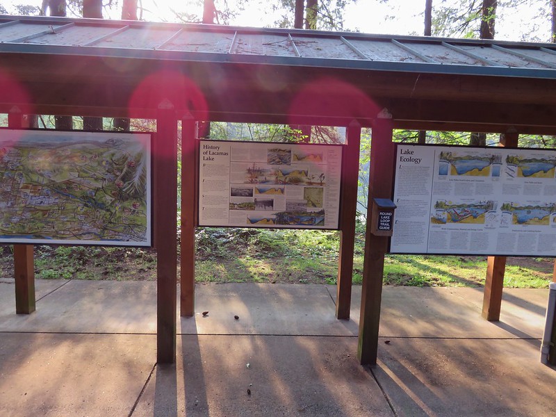
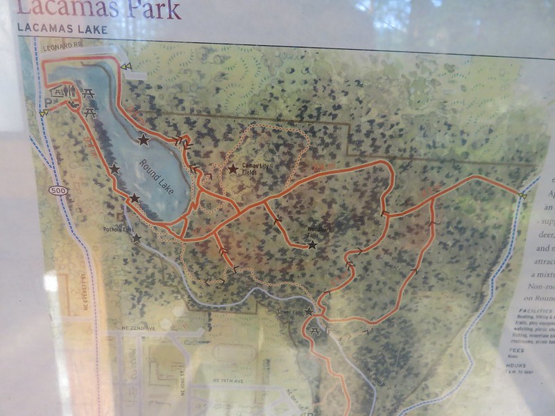
We looked over the map which agreed fairly well with the one in our guidebook and headed off on the Round Lake Loop
IMG_1076

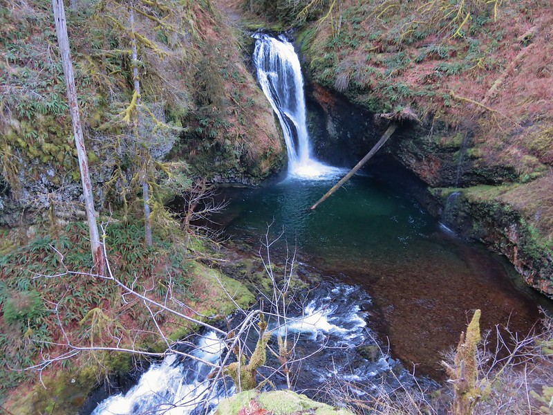
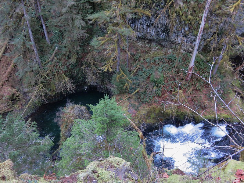
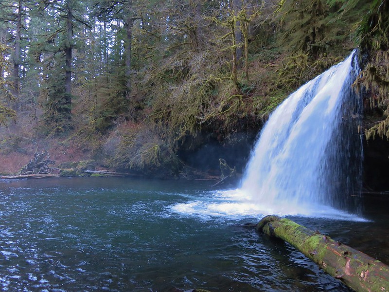
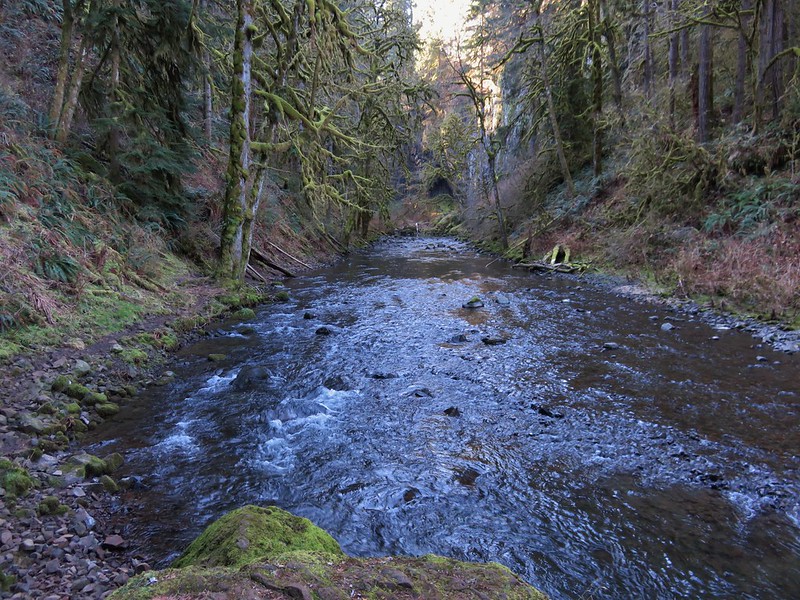
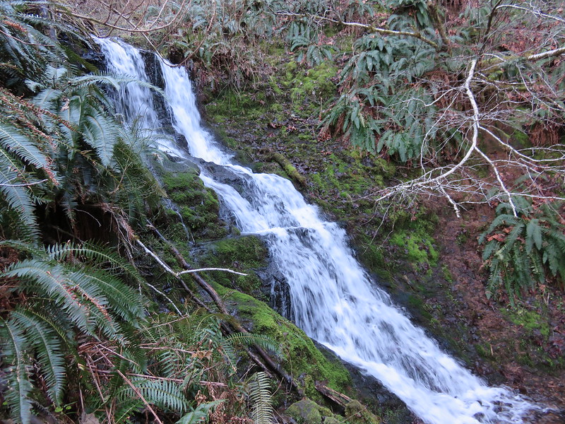
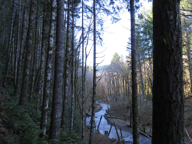
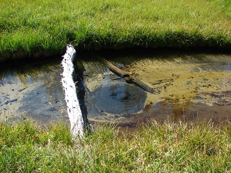
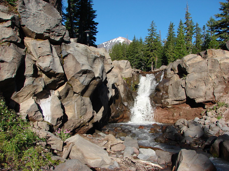
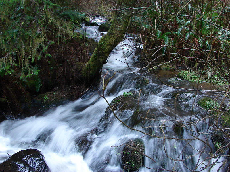
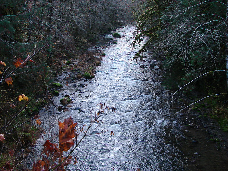
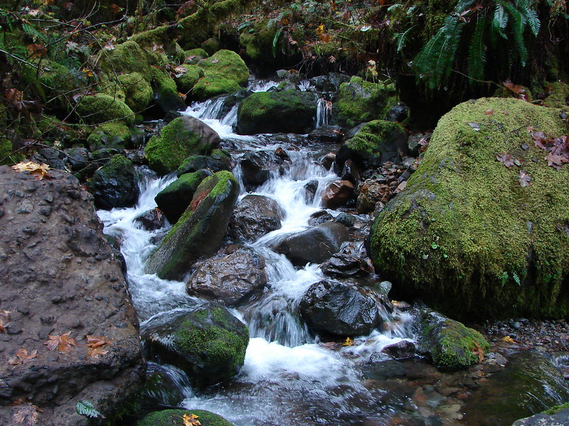
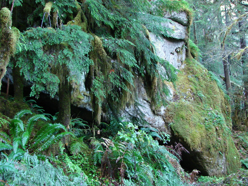
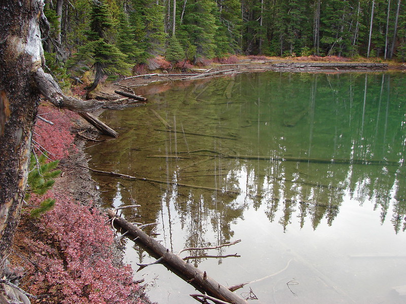
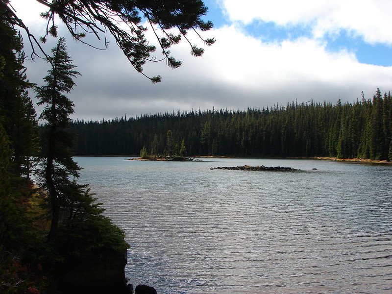
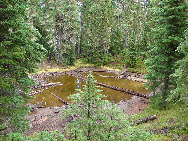
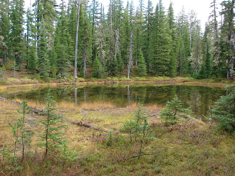
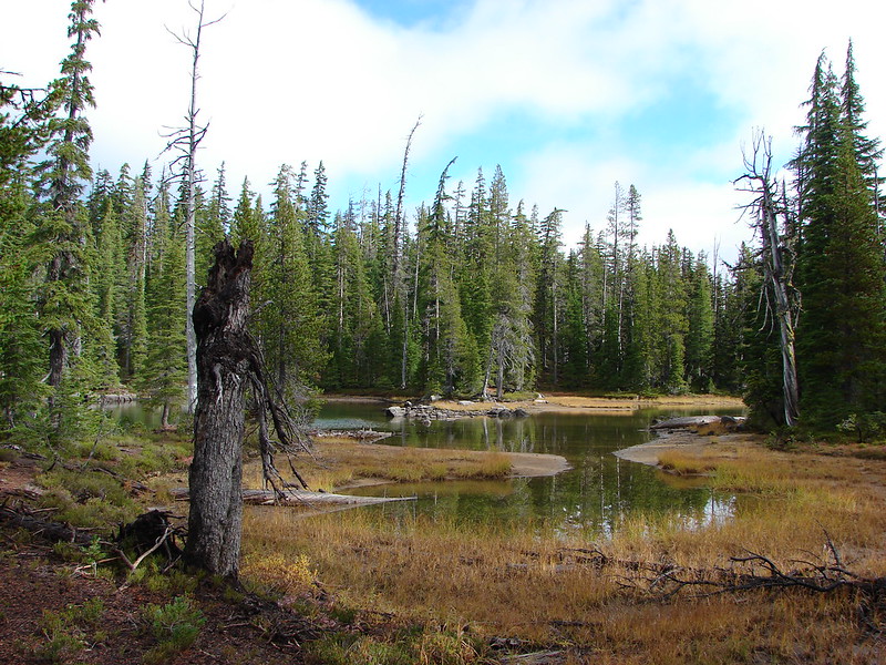
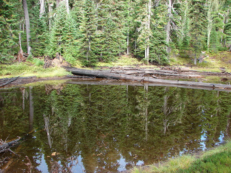
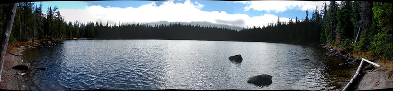
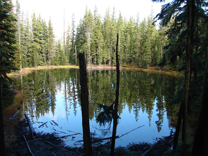
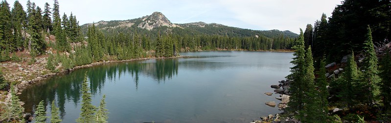
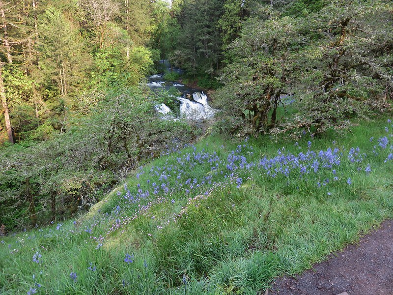
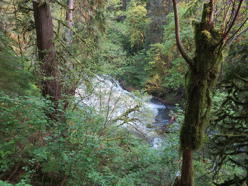
We crossed over the Round Lake dam and immediately realized that this was going to be a more confusing hike than what the maps had shown. There were several different trails heading off in various directions, all looking fairly well used. This wound up being the case throughout the park and even though there were a good number of signs the profusion of trails sometimes made it difficult to tell which trails the signs were referring to. We knew that we wanted to follow Lacamas Creek down to The Potholes so we picked the trail which seemed to be heading in the right direction and followed the creek. We found The Potholes easily enough and the water was really flowing.
IMG_1081

IMG_1088

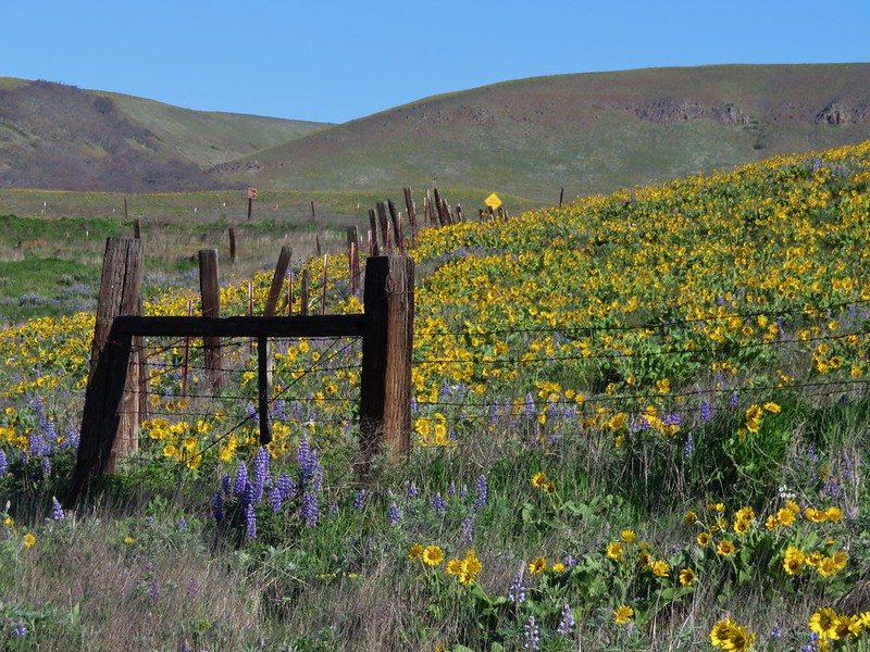
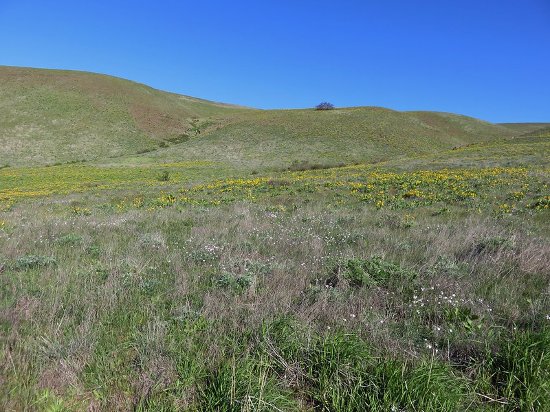
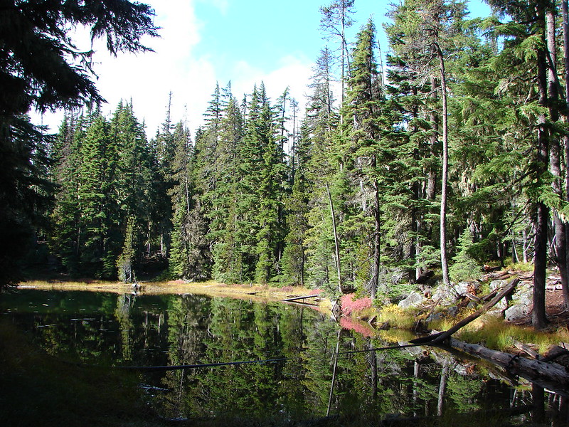
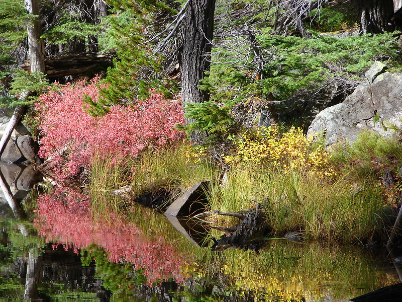
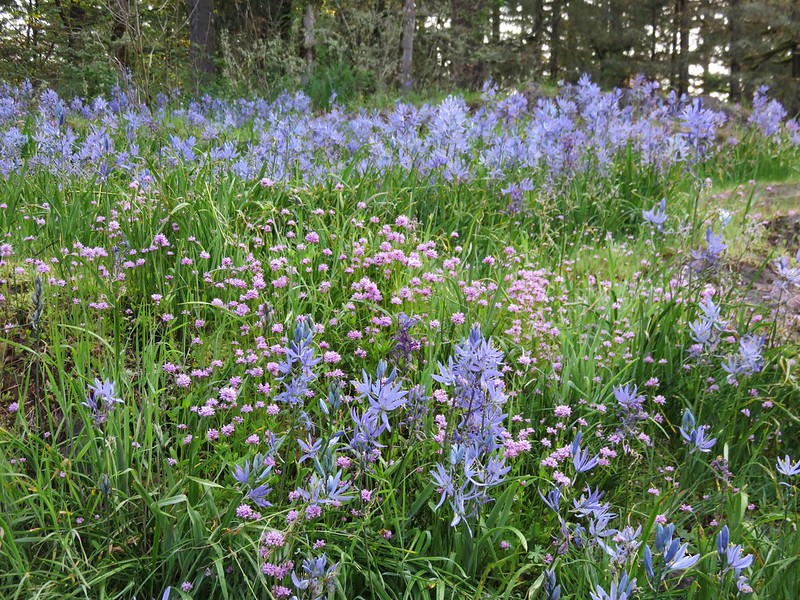
A short distance from The Potholes we entered a field of flowers.
IMG_1092

Mostly camas and plectritis, the meadow offered a nice view back to The Potholes.
IMG_1101

IMG_1110

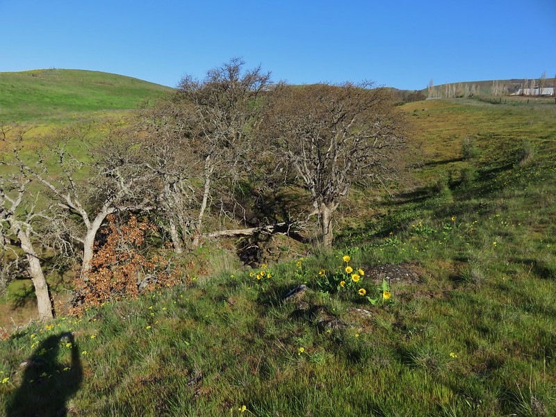
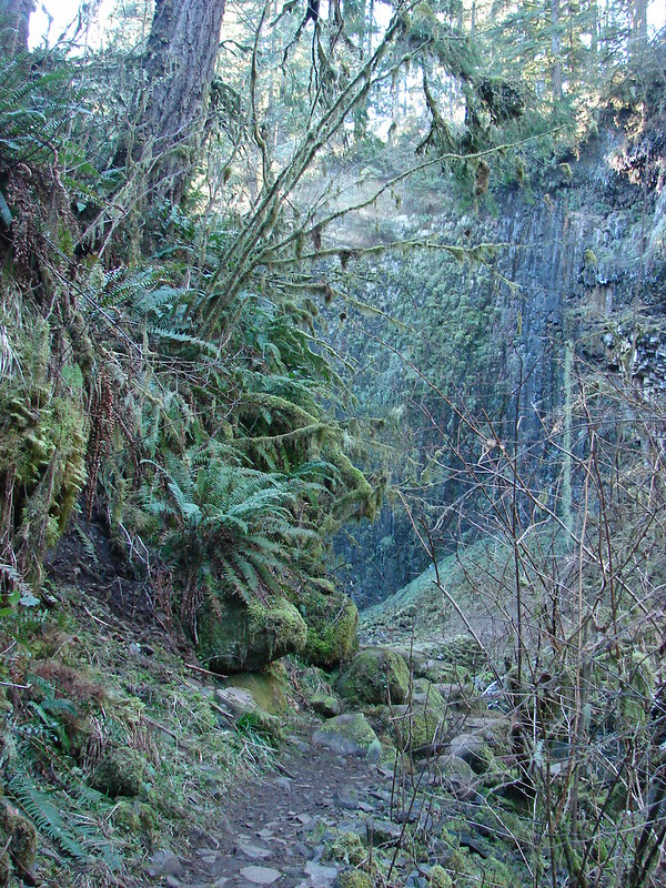
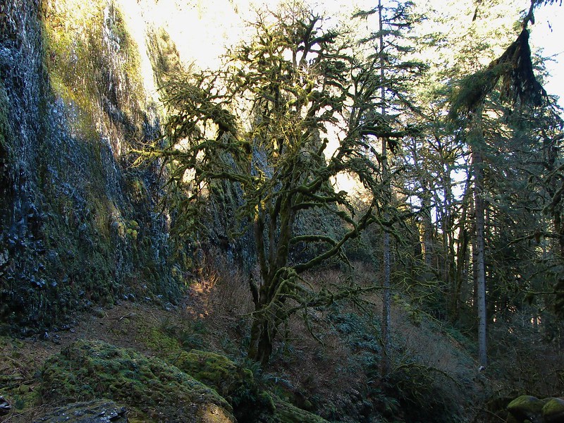
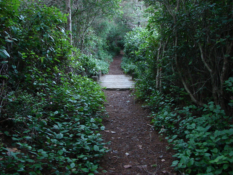
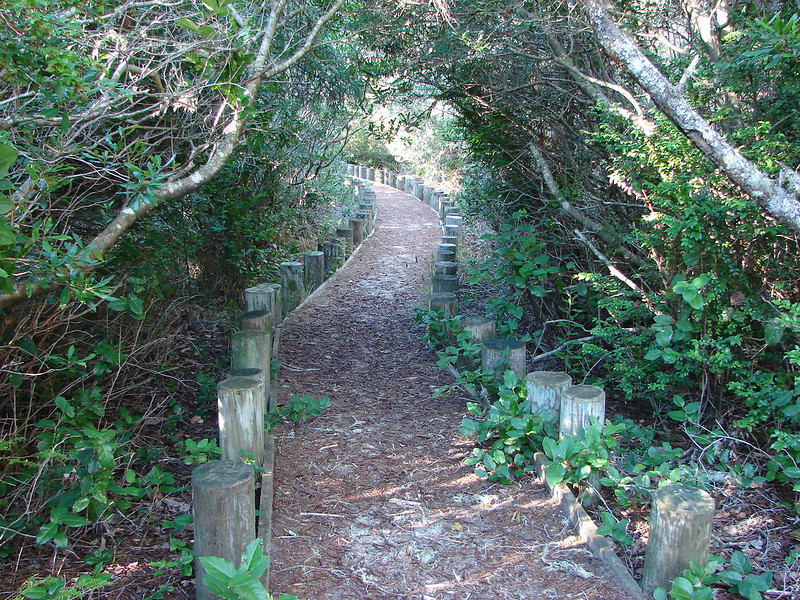
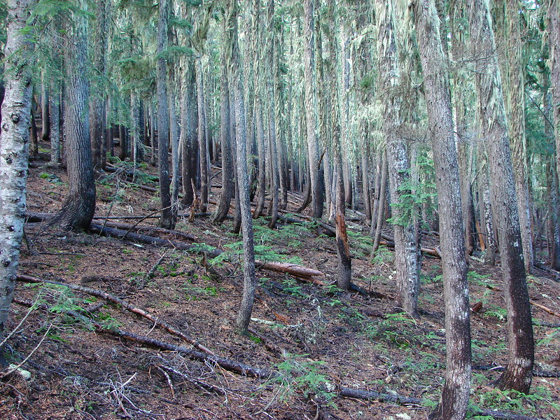
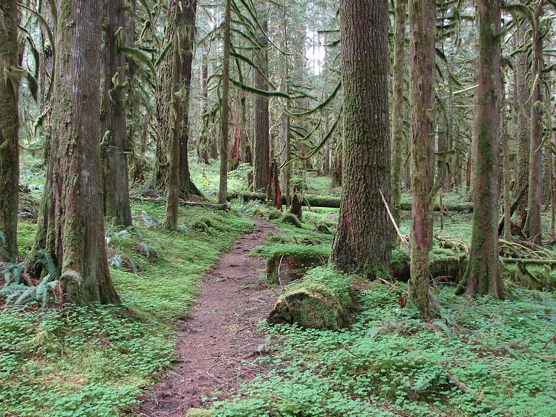
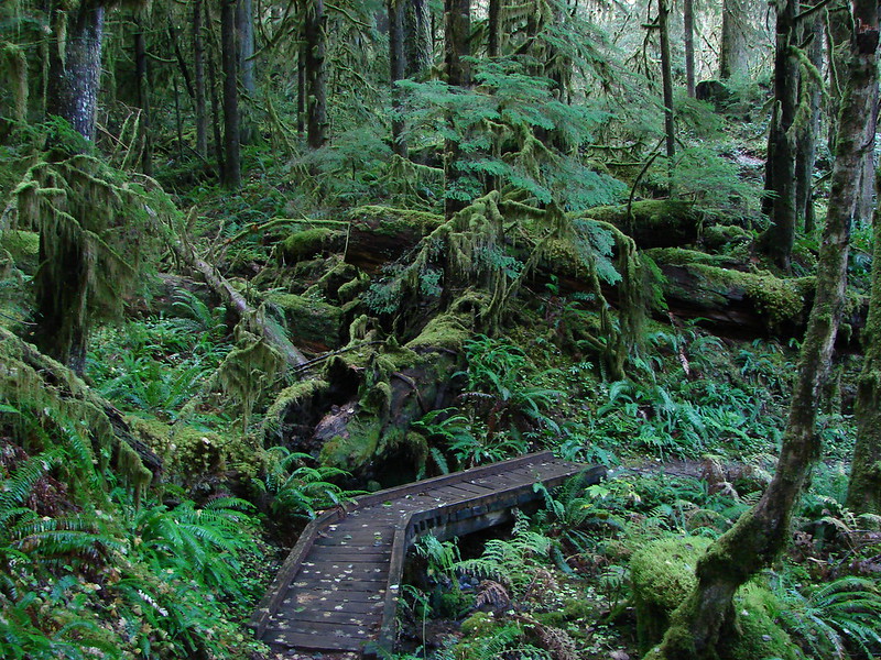
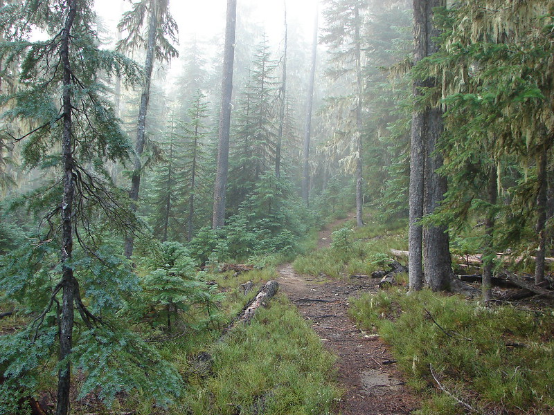
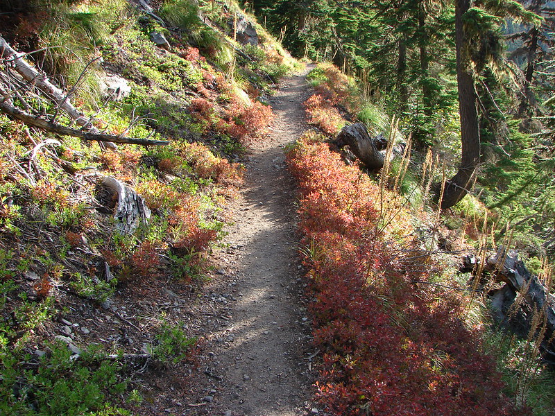
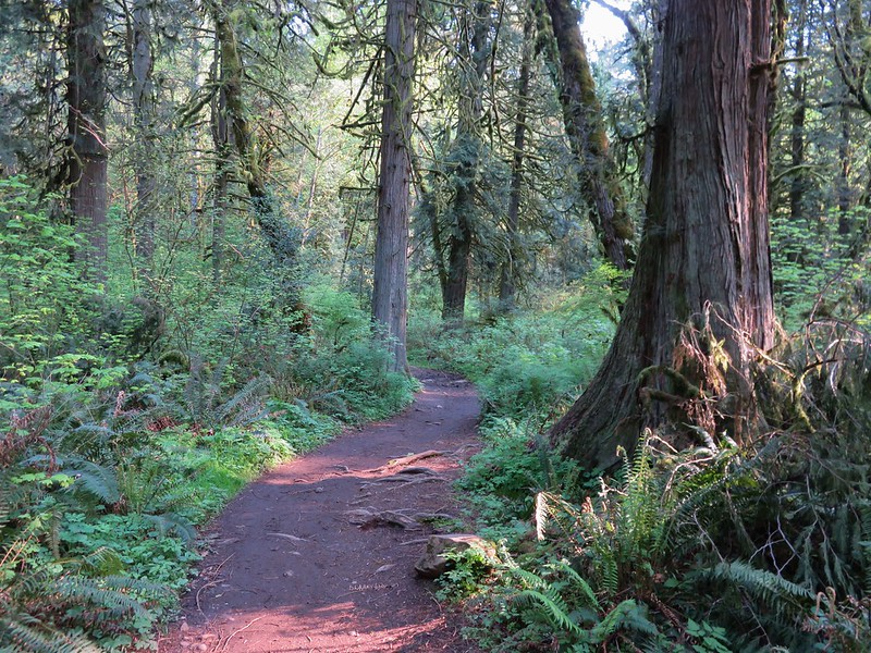
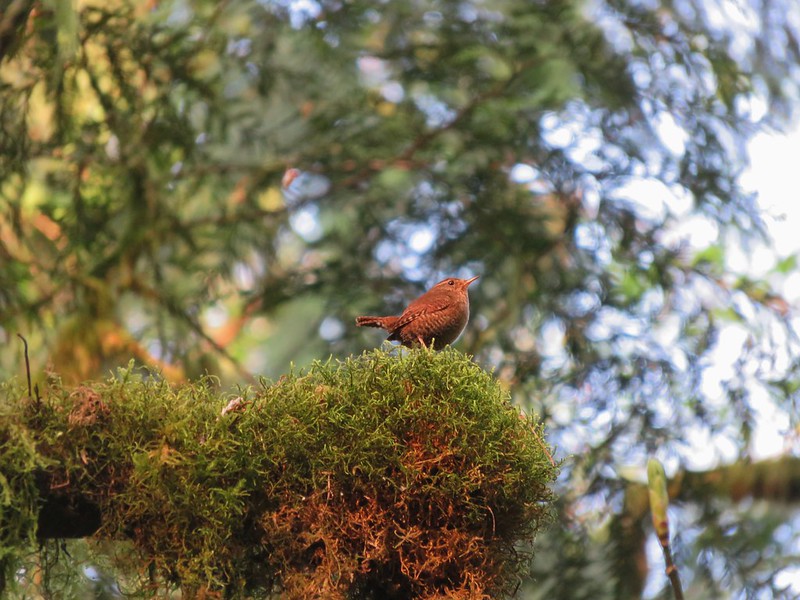
We continued on toward Lower Falls. The trail left the creek for a bit and passed through a forested section where we were serenaded by a little wren.
IMG_1125

IMG_1130

IMG_1134

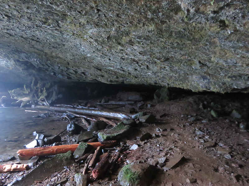
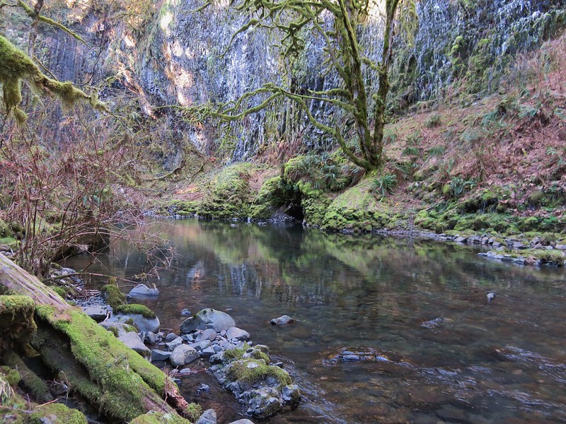
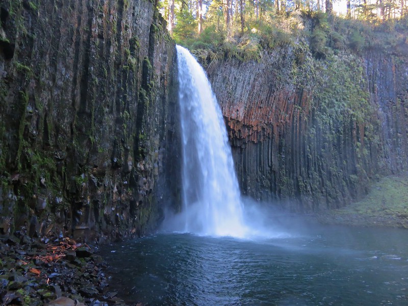
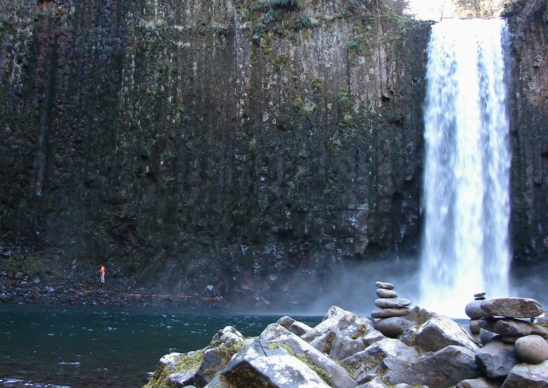
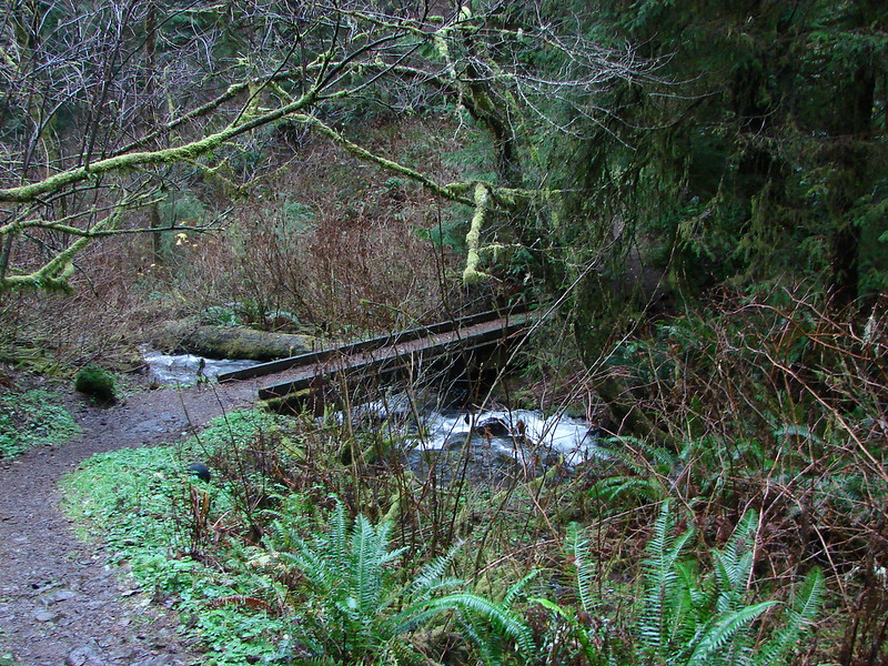
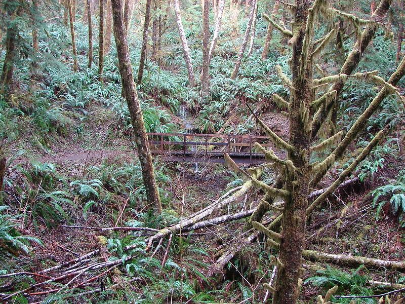
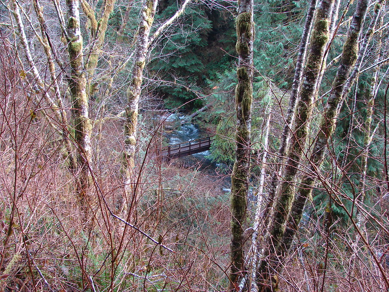
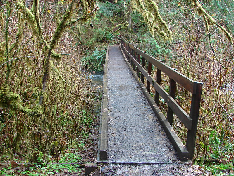
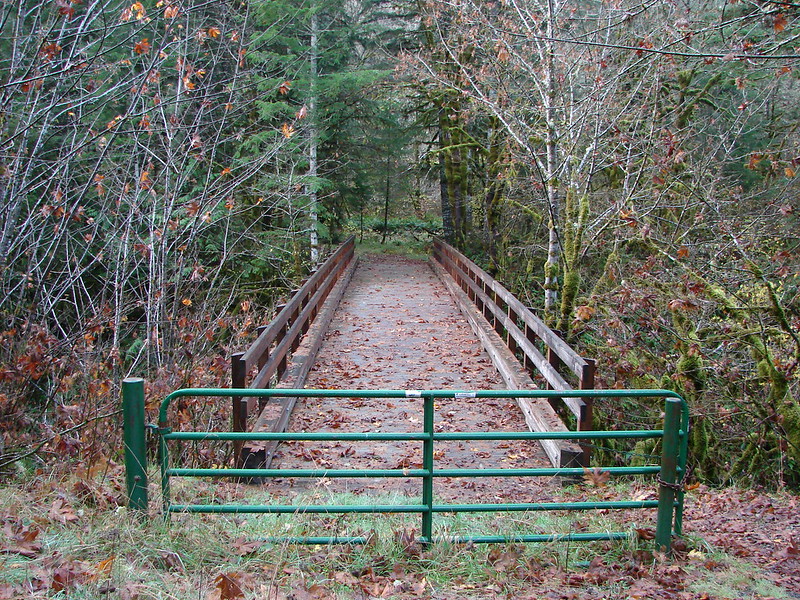
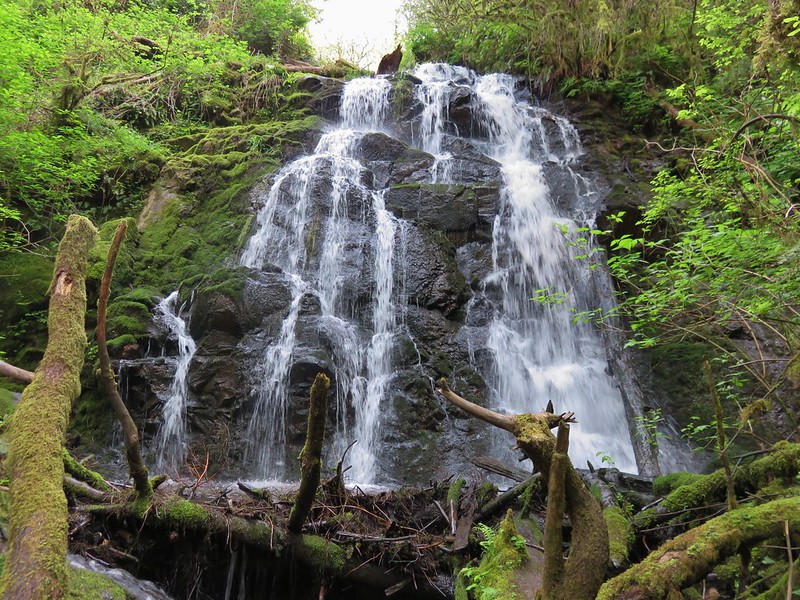
At Lower Falls a footbridge crosses the creek, another possible starting point lays beyond, but to complete the loop we needed to stay on the east side of the creek. We did cross the bridge hopping for a better view of the falls but couldn’t find one.
IMG_1153

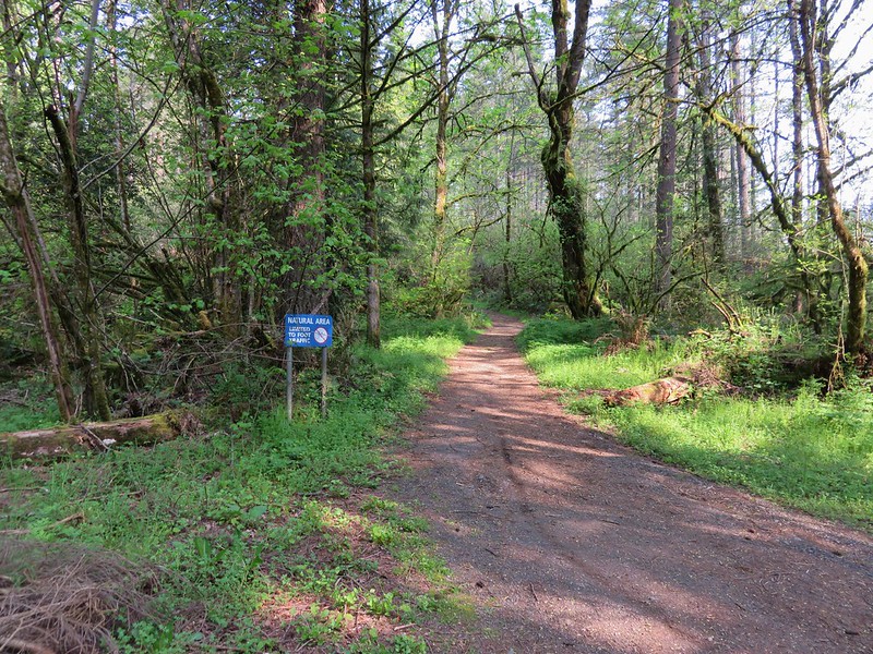
It appears we may have found one if we had stayed on the east side and explored further downstream, but when we returned to that side we just continued the loop which now lead away from the creek. We managed to find the correct trails and passed through a forested section of the park on a .4 mile path to an old gravel road. We turned left on the road and quickly spotted a sign announcing the lily field loop on the right.
IMG_1170

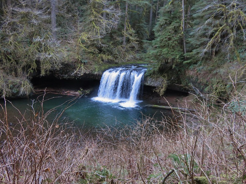
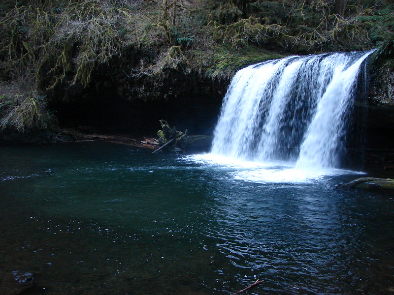
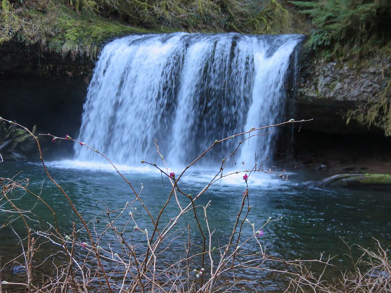
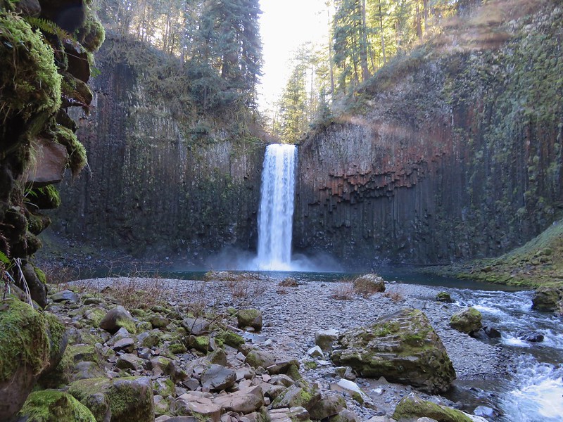
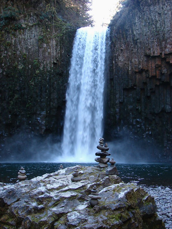
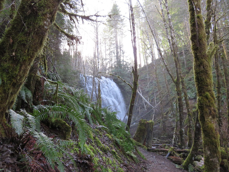
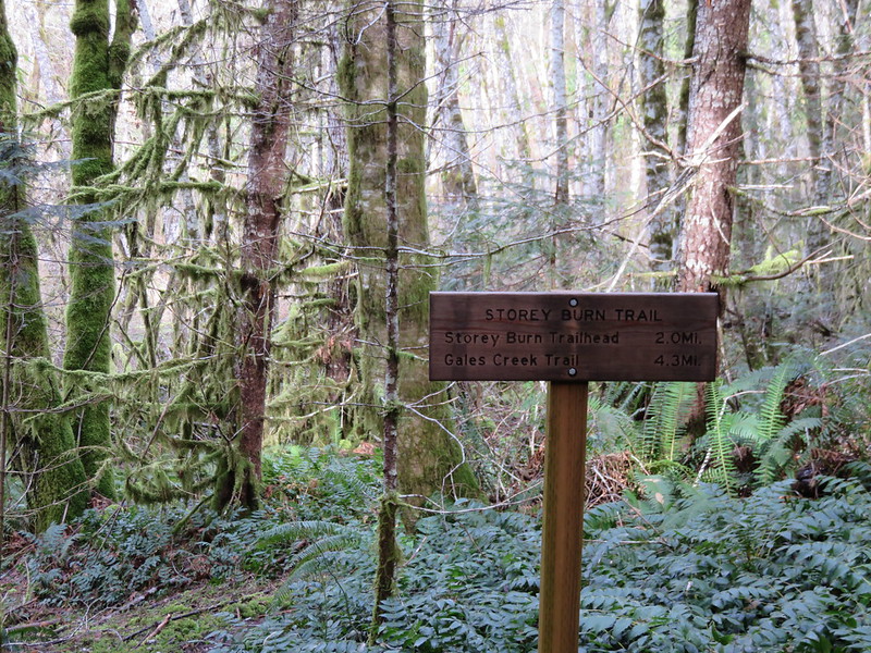
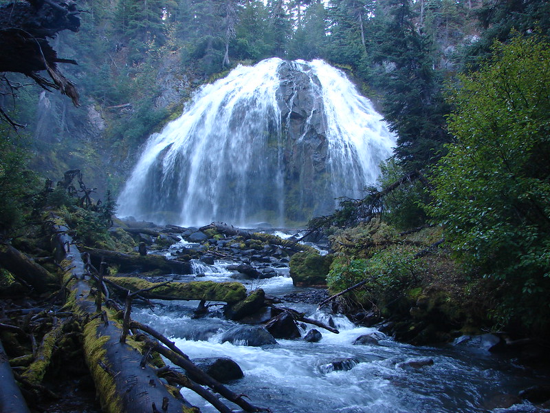
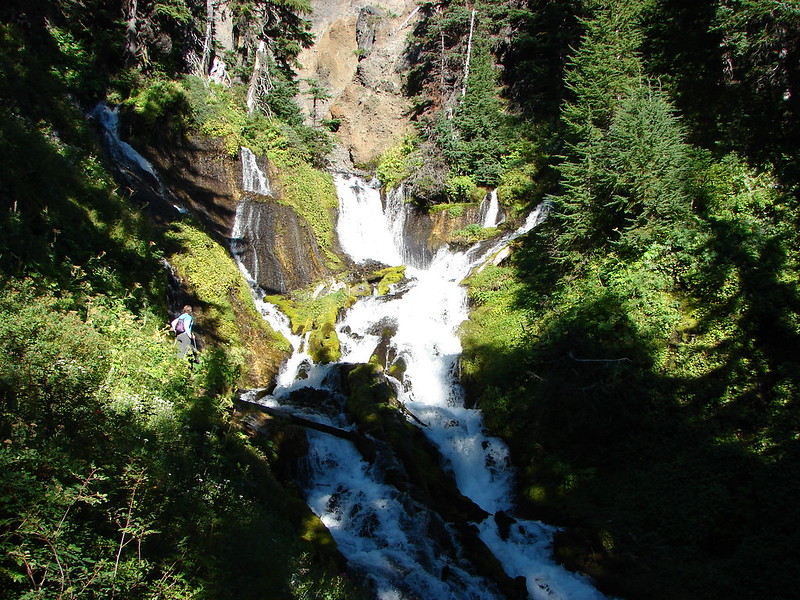
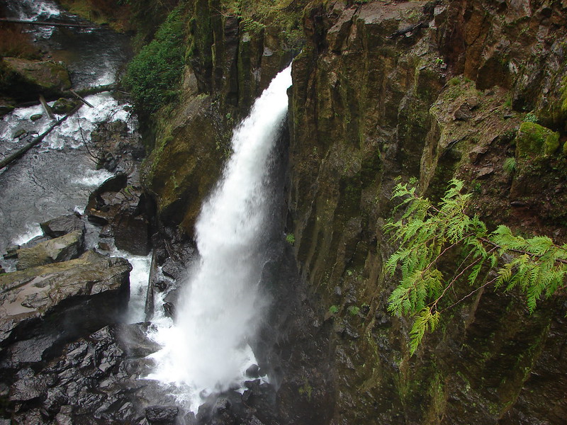
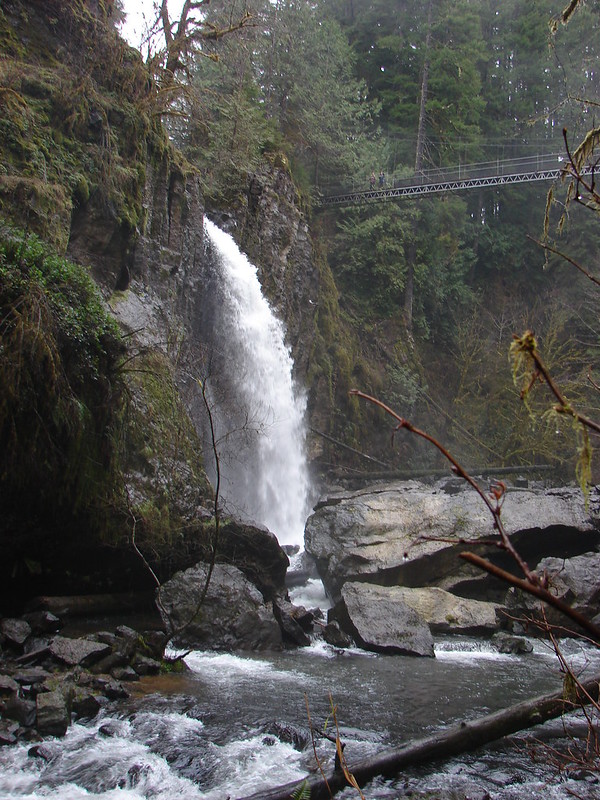
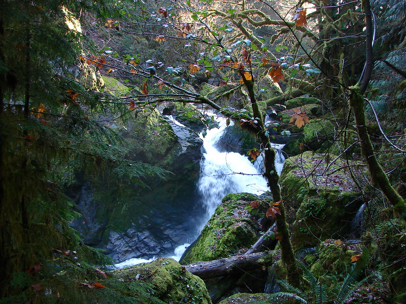
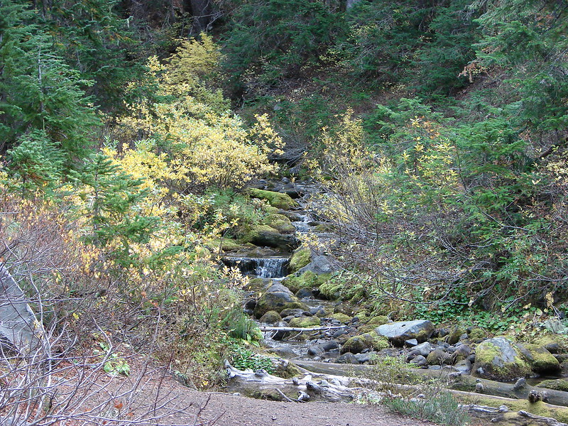
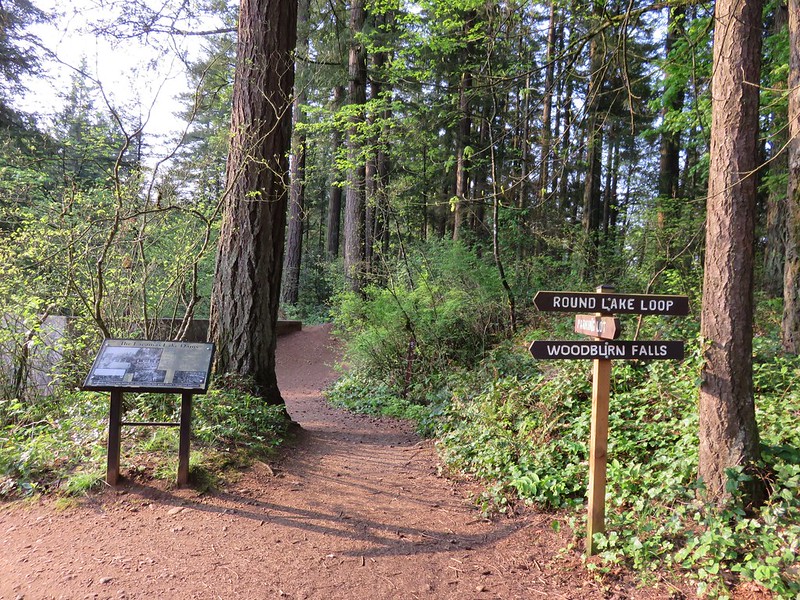
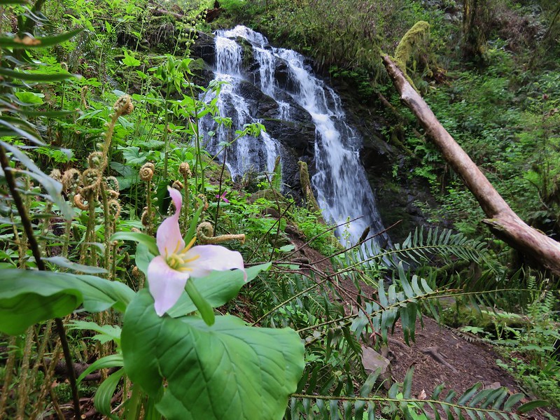
Before we took that loop we wanted to visit Woodburn Falls which was located off a left hand spur trial just a bit further up the road. This trail too was identified by a sign.
IMG_1154

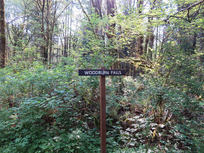
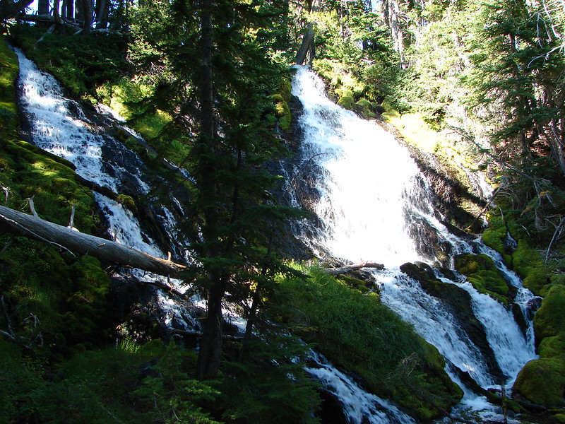
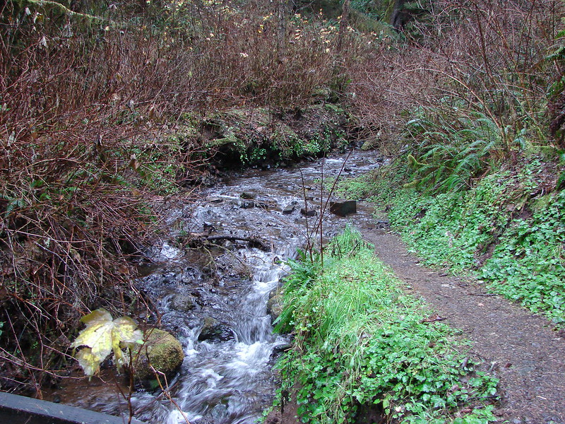
The short trail led down to a pretty 20 foot waterfall that usually dries up after June each year. For our visit the water was flowing nicely making it a scenic little spot.
IMG_1157

IMG_1165

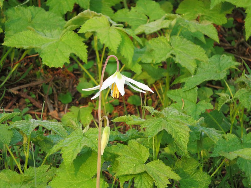
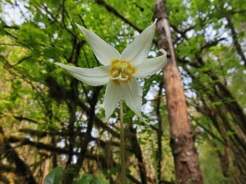
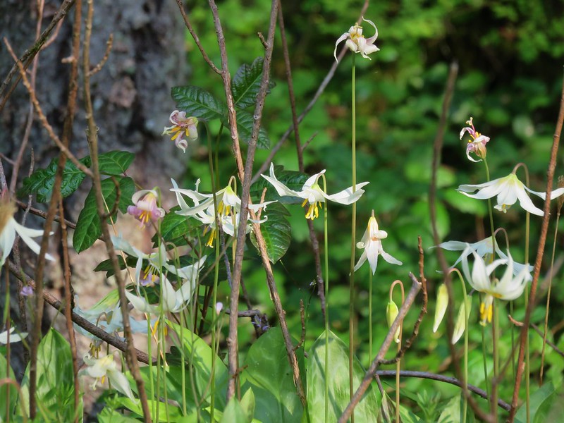
After visiting the falls we returned to the gravel road and backtracked to the start of the lily field loop. The first lilies we saw were white fawn lilies along the trail.
IMG_1172

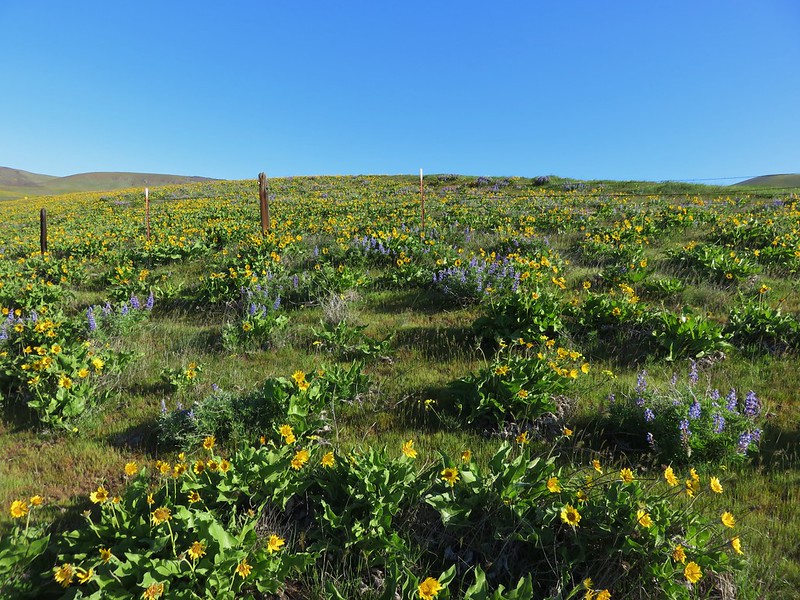
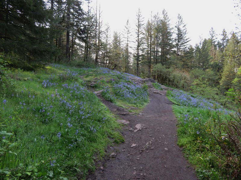
Then we came to the first lily field. It had both fawn and camas lilies but not in the numbers I had been expecting to see.
IMG_1183

IMG_1187

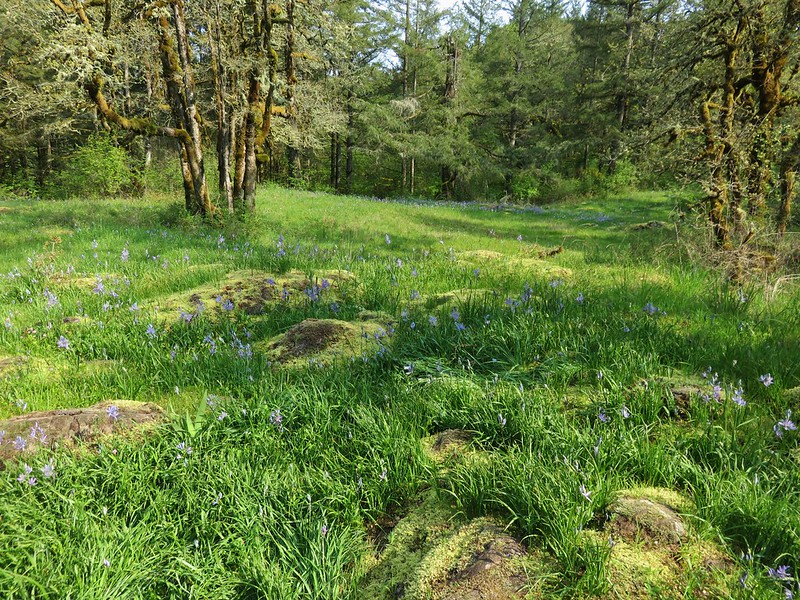
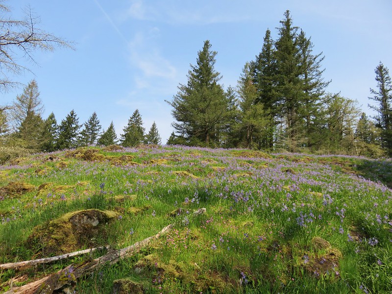
We passed through a couple of these small meadows and I was beginning to think I had been mislead about the flowers when the path entered a larger field. Camas lilies carpeted the hillsides on either side of the path.
IMG_1197

IMG_1200

IMG_1203

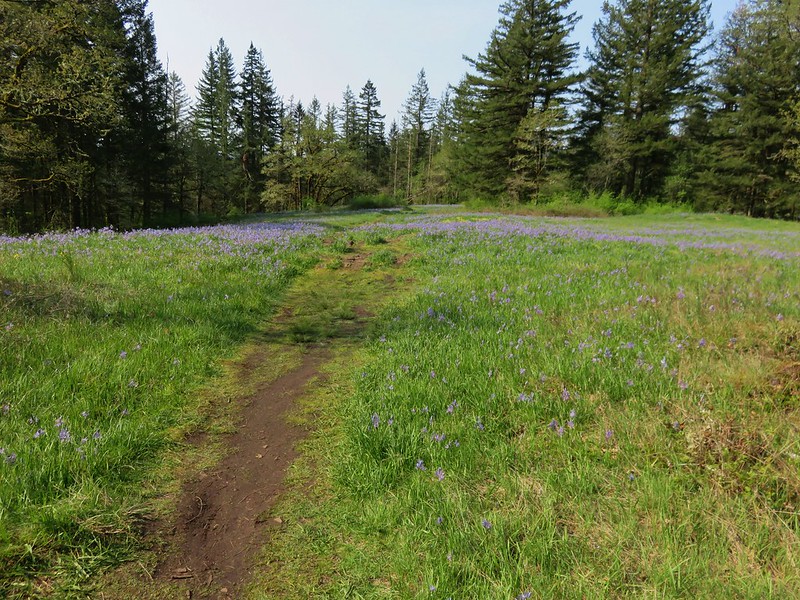
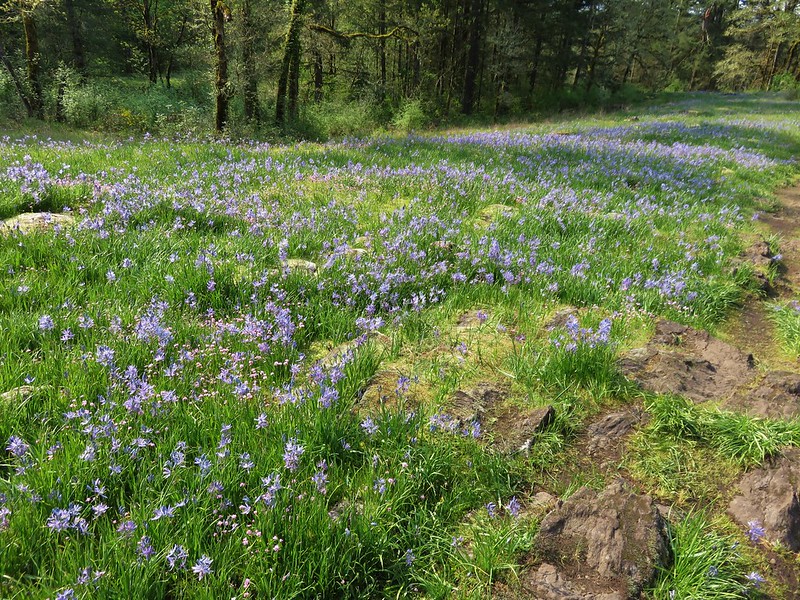
The trail passed through a number of these meadows each full of camas flowers.
IMG_1222

IMG_1228

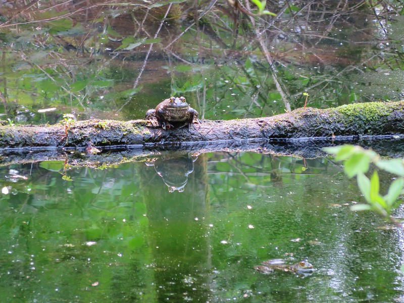
After the final field the trail dropped back down to the Round Lake Loop Trail just a short distance from Round Lake. We completed the loop and recrossed the highway to get back to the Lacamas Heritage Trail for the final 3.5 miles of our hike. It was a little before 11am when we started back on the Heritage Trail and the day had warmed up nicely. We had given ourselves a mission on the final leg – to keep a lookout for turtles. We had yet to see a turtle on any of our hikes, or at any point in the wild for that matter, and had just read an article about their presence in the park we often take our runs in. The interpretive signs along the lake mentioned turtles so we knew we had a chance of seeing one so we set off watching for anyplace that looked like a good spot for a turtle. We were keyed in on the logs in the water which were playing host to some animals at least.
IMG_1236

IMG_1246

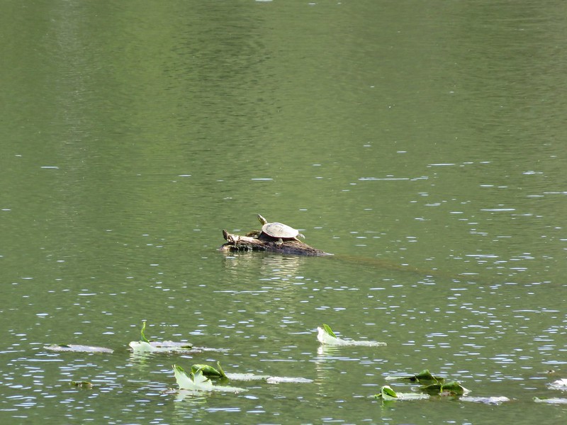
We’d gotten almost to the end of the lake where it looked more shallow and was full of lily pads when Heather spotted it – our first turtle.
IMG_1249

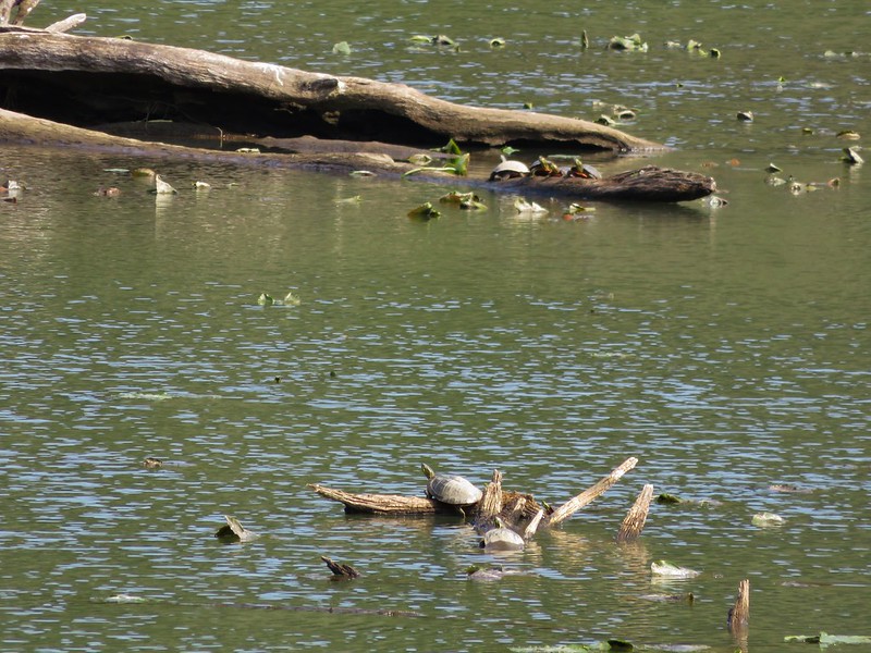
We were staring at it for awhile before we realized that not far away on another log were more turtles. In fact there were turtles on a bunch of logs.
IMG_1253

IMG_1267

IMG_1266

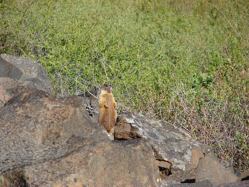
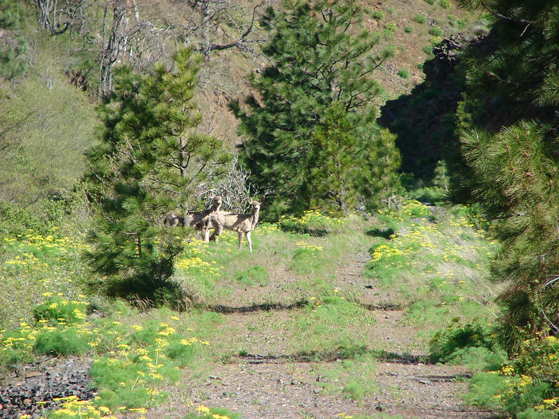
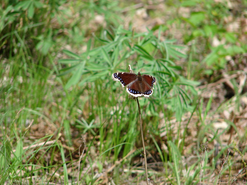
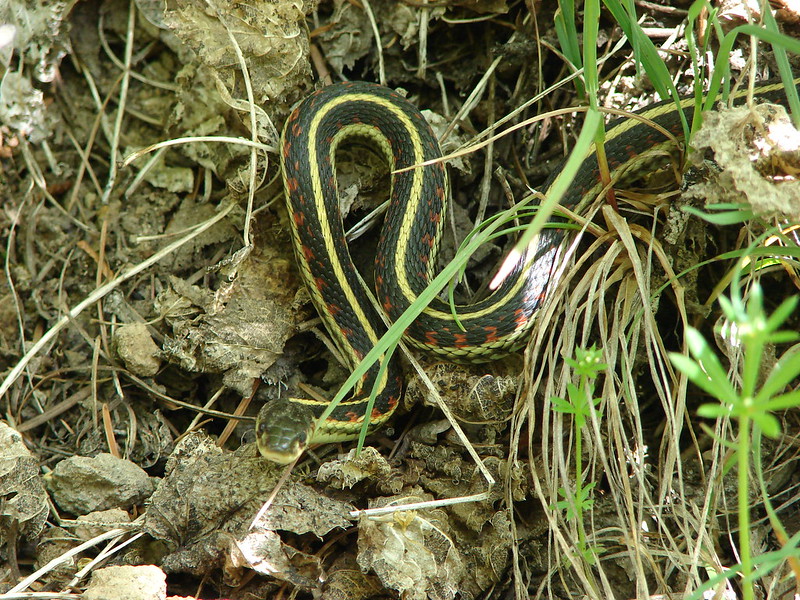
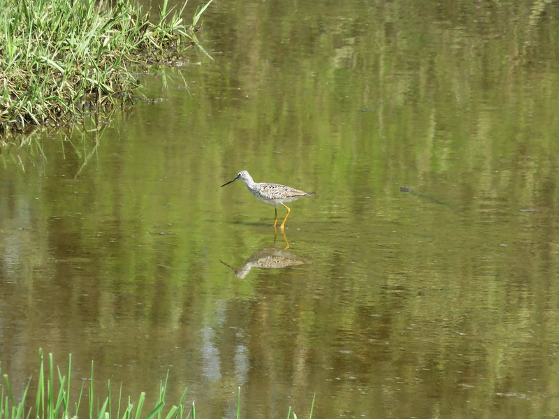
Seeing the animals is one of the things we like about hiking and the first time you see one is extra special, especially when it’s one you’ve been looking for for awhile. We pulled ourselves away from the turtle bonanza and continued on the trail. Before we were finished we saw one more animal for the first time. A greater yellowlegs searching for food in the water.
IMG_1276

We probably saw more people on this hike than any of the others we’ve done save maybe at Multnomah Falls but we didn’t mind as it had a lot to offer. We managed to get 12.4 miles of hiking in, saw 3 waterfalls, some great wildflowers, and lots of wildlife. With all the options and access points Lacamas Park is a handy place for anyone to get outside and enjoy some scenery. Happy Trails!

flickr: https://www.flickr.com/photos/9319235@N02/sets/72157651646192359/

Categories
Columbia Gorge North Hiking Trip report Washington

Columbia Hills State Park

Spring came early to the Pacific Northwest and many of the flowers are running a week or two ahead of schedule so I’d been keeping my eye on the wildflower situation in the Columbia Gorge. Recent trip reports from the east end of the gorge showing the flowers out in force, a promising forecast, and a free day at Washington State Parks made for a combination that I just couldn’t pass up. Due to Heather training for the upcoming Corvallis half-marathon she was unable to accompany me this time, but my parents were able to join me for three short hikes in Columbia Hills State Park.

The park is located in Washington just across the Columbia River from The Dalles, OR and encompasses 3,338 acres offering rock climbing, fishing, sailboarding, and many other activities in addition to the hiking trails. We started our day off at Horsethief Butte, a rocky outcrop left over from an ancient basalt flow popular with rock climbers.

Basalt cliffs on the opposite side of Highway 14 from the trailhead.
IMG_0561_stitch

The trail starts off with a nice view of Mt. Hood over The Dalles.
IMG_0554

IMG_0580

The trail crosses a short section of flat grassland before splitting with the left fork heading up into a canyon of Horsethief Butte and the right fork leading around the mesa to rejoin the left fork on the far end of the canyon. There were a variety of flowers to be seen along this portion of the trail.

Manroot
IMG_0616

Bugloss fiddleneck
IMG_0617

Death camas
IMG_0623

Prarie star
IMG_0631

Large-flower triteleia
IMG_0578

Western stoneseed
IMG_0581

Larkspur
IMG_0584

Desert parsley
IMG_0619

When the trail split we took the left hand fork and headed for the canyon. At Horsethief Butte the dirt trail gave way to a short rock scramble up to the canyon entrance. At the top of the scramble the canyon opened up to reveal a good sized slot dotted with yellow balsamroot flowers.
IMG_0586

IMG_0589

Members of the Mazamas, an outdoor group based out of Portland, were busy setting up and climbing among the rocks.
IMG_0597

At the far end of the canyon the view opened to the Columbia River and Mt. Hood.
IMG_0596

IMG_0598

Here the trail dropped out of the canyon (without a rock scramble) to rejoin the right-hand fork. Before heading back we turned left and continued another quarter mile behind the butte to a viewpoint where poison oak patches were growing.

Poison Oak
IMG_0615

We headed back and completed the loop with Mt. Hood looming to our left.
IMG_0626

Next we headed to the Dalles Mountain Ranch, a short 4.5 mile drive away. To get there we drove 1.8 miles west on Hwy 14 and turned right on Dalles Mountain Road for another 2.5 miles to a fork. The trailhead for the ranch was to the right about .2 miles. Here an abandoned farmhouse and other buildings sat amid fields of balsamroot and lupine.
IMG_0634

We explored the area around the farmhouse first where several pieces of old equipment were on display along with the flowers and views of Mt. Hood and distant Mt. Jefferson.
IMG_0635

IMG_0653

IMG_0665

IMG_0666

There were also a couple of trail options. I wandered down to Eight Mile Creek through a spectacular field of balsamroot and lupine.
IMG_0668

IMG_0684

IMG_0681

IMG_0688

Our final stop was another short 1.4 mile drive up Dalles Mountain Road where a gate marked the end of the drive and the start of the Columbia Natural Area Preserve.
IMG_0693

We set off on the 2.5 mile hike up the closed road that would led us to the summit of Stacker Butte. Entire hillsides were covered in yellow from the balsamroot with a smattering of other flowers thrown in.
IMG_0713

IMG_0704

IMG_0716

IMG_0718

The total climb was a little over 1100′ but it was never too steep and the sweeping views drew attention away from the climb.
IMG_0720

IMG_0719

It was interesting to note the change in the mix of flowers as we climbed. Along the lower portion balsamroot and lupine dominated with a few prairie stars mixed in. A little higher up we ran into paintbrush and phlox.
IMG_0751

IMG_0767

IMG_0776

Next came larkspur and big-head clover.
IMG_0778

IMG_0797

Flowers weren’t the only things we spotted. There were numerous birds and a few deer in the area.
IMG_0783

IMG_0855

IMG_0844

We had lost our views of Mt. Jefferson and Mt. Hood to the clouds, but when we reached the summit of Stacker Butte new views opened up. To the NW Mt. Adams was mostly obscured by a line of clouds, but Mt. Rainier and Goat Rocks were virtually cloud free.
IMG_0879

IMG_0885

IMG_0865

Almost directly below us lay Stacker Canyon where the Klickitat Rail Trail follows Swale Creek toward the Klickitat River, a hike we had done last April. https://wanderingyuncks.wordpress.com/2014/04/27/klickitat-rail-trail-swale-canyon-from-harms-rd/

IMG_0875

IMG_0876

It was a little too windy (and chilly) to spend much time at the summit so after a quick snack break near an air control wigwam we headed back down the road.
IMG_0860

On our way down I got my first butterfly pictures of the year.

Sheridan’s Hairstreak
IMG_0899

Blue Copper
IMG_0936

With all of the options Columbia Hills State Park has to offer it makes a great place to spend a day outdoors, especially during the spring flower bloom. There are ticks and rattlesnakes in the area in addition to the poison oak so you’ll want to pay attention if you visit, but don’t let that stop you from checking this park out. Happy Trails!

flickr: https://www.flickr.com/photos/9319235@N02/sets/72157649434751593/

Categories
Hiking Mollala Old Cascades Oregon Trip report

Butte Creek & Abiqua Falls

While much of the country is dealing with a winter that just doesn’t seem to want to end the Pacific Northwests never really started. Another beautiful weekend was being forecast and we decided we just couldn’t miss another one so we headed out to check out a couple of short waterfall hikes. The trailheads for Butte Creek Falls and Abiqua Falls are less than 5 miles apart a short distance outside of Scotts Mills, Oregon. Both trailheads are located on roads accessed by taking Crooked Finger Road from Scotts Mills.

We started at the Butte Creek Falls Trailhead in the Santiam State Forest.
1.2

The trail set off from a small parking area (with an outhouse) passing to the left of the trail sign and descending .2 miles to a signed junction.
5.1

The right hand fork would lead us past Upper Butte Creek Falls on a loop back up to the parking area so we turned left first and headed toward Lower Butte Creek Falls. In just another .2 miles we arrived at a rocky ridge and the end of the maintained trail.
15.1

A well worn trail led out onto the ridge which provided a front row view of the falls high above Butte Creek.
19.6
19.5

After enjoying the lower fall we headed back to the junction and started the return loop. Upper Butte Creek Falls had been visible through the trees from the junction and we were quickly on our way down to its base.
21.2
27
33.2

Shorter and wider than its counterpart Upper Butte Creek Falls offers close up views and a path behind the falls into a good sized cavern.
36.1
34.6

While we were exploring around the splash pool we noticed that the salmonberries were beginning to bloom.
36.6
41.1

From the upper falls it was a short .3 mile climb back up to the parking area. The hike to these two waterfalls had been less than 1.5 miles so why not visit another nearby waterfall – The .5mile trail to Abiqua Falls. To get to Butte Creek Falls we had traveled 11.4 miles on Crooked Finger Road to CF 400, took a left and followed signs to the trailhead. Now we returned to Crooked Finger Road and headed back toward Scotts Mills for .7 miles to CF 300 marked by signs for an ATV staging area on the left. Despite the trailheads only being about 5 miles apart the drive was not quick. The 2.5 miles on CF 300 were slow due to the presence of many good sized rocks and ruts. High clearance, good tires, and 4wd were all helpful.

The Abby Foundation of Oregon owns the land where the trailhead, trail and, Abiqua Falls are, but allow the public to use it. A yellow gate marked the end of the tedious drive and the start of the short trail where we were greeted by a lone daffodil.
42.6

To find the correct path down to the falls we needed to walk back up the road a short way passing a first clear path that leads to a grassy clearing to a second worn trail marked by a white sign.
43

The trail down to Abiqua Creek was fairly steep in places but there were several sections of rope secured along the trail to assist with the climb.
47.1
47.2

The trail then heads up the creek in a narrow canyon toward the unseen falls.
49.2
56.2

Just as the trail began to curve out and around a rocky outcrop we got our first views of Abiqua Falls.
61
65.1

The canyon walls opened up to reveal a large circular bowl lined with columnar basalt colored with mosses and lichens with the falls as its centerpiece.
65.5

We spent some time exploring the rocky beach looking at the various rock cairns stacked about.
76
80

There was also a path around to the left side of the falls which I followed to see how far I could go.
81.3
84

We could have stayed there for hours if it had been warmer but it wasn’t so we headed out just as sunlight began to arrive inside the canyon walls.
88
94

Other than the Ouzels and a few other birds we had had the area all to ourselves.
98
100

We made it back up to the car (with some assistance from the ropes) just as another group of hikers arrived having survived the drive down. It was their turn to visit this special place. Happy Trails!

flickr: https://www.flickr.com/photos/9319235@N02/sets/72157651119420415/

Categories
Coastal Range Hiking Oregon Trip report

Gales Creek and University Falls

We were back on the trails after a long break following our New Years Day outing. This month we were looking for a hike involving waterfalls to take advantage of the higher water flows of late winter. We wound up heading to the Tillamook State Forest to check out University Falls and the Gales Creek area. There were several options as far as trails went, a half-mile trail beginning above University Falls, a longer loop passing the falls starting at Rogers Camp on the south side of Highway 6, or starting at one of the trailheads along the Gales Creek Loop on the north side of the highway. We chose to start at a small trailhead just before reaching Gales Creek Campground. A small post and footbridge were the only markers for this starting point.
Gales Creek Trailhead

A short distance from this trailhead the path joined the main Gales Creek Loop at a well marked junction.
IMG_0073

Our plan was to take the trail to the highway and then walk up the road a few hundred feet and cross into Rogers Camp, another possible trailhead and staging area for Off-Highway Vehicles which are allowed on the south side of the highway. At the entrance to Rogers Camp we headed for a trail sign positioned between the entrance road and a highway equipment yard. Here the Gravelle Brothers Trail began.
IMG_0081

Following signs for University Falls we stuck to this non-motorized path reaching a footbridge and little bench at the Devils Fork Wilson River.
IMG_0083

After crossing the river the trail turned south and began to climb through the forest toward University Falls.
IMG_0091

A colorful sign greeted us near University Falls.
IMG_0095

A short trail from the sign to the right led down to Elliot Creek but the falls were almost entirely obscured.
IMG_0098

IMG_0099

To get to the falls we returned to the sign and took the trail directly behind it a short distance to the falls. The falls were going strong making for an impressive show.
IMG_0100

University Falls

After visiting the falls we returned down the trail and recrossed the river. Not too far from the crossing we arrived at a trail junction we had passed earlier. Here we turned left on the Storey Burn Trail.
IMG_0121

This trail lead us past a marshy area along the river where skunk cabbage was begging to bloom.
IMG_0122

We then climbed away from the river and passed beneath a highway bridge returning to the north side of Highway 6. The Storey Burn Trail climbed steadily along hillsides up to Storey Burn Road, another possible trailhead. We crossed the road and continued on toward Gales Creek Campground. We were mostly going downhill now in a much quieter forest. While on the south side of the highway the sounds of Off-Highway Vehicles and target shooters competed with the water and the birds. Even after returning to the north side of the highway where OHV are banned there was an almost constant barrage of gunfire. Here on the final stretch birdsong and running water became the only sounds making for a pleasant final stretch. The trail also passed by small but scenic Slide Falls.
IMG_0146

IMG_0149

A final trail junction awaited, just .8 miles from Gales Campground.
IMG_0155

The final portion of the trail paralleled Gales Creek before arriving at the trailhead.
Gales Creek

We could have walked 300 yards up the road to our car and the other smaller trailhead or take a connector trail through the forest. We chose the trail which wound around and gained some unnecessary elevation before dropping us back down to our car. We both agreed that we should have taken the road 🙂 Happy Trails!

flickr: https://www.flickr.com/photos/9319235@N02/sets/72157650431797248/

Categories
Hiking Oregon Oregon Coast Southern Coast Trip report

Oregon & Tahkenitch Dunes

Happy New Year. It didn’t take us long to get our first hike of 2015 in. We had planned on visiting the Oregon Dunes National Recreation Area later this month, but a day off from work and a forecast for clear skies on New Years Day was too tempting to pass up. The Oregon Dunes National Recreation Area is nearly 40 miles of dunes, creeks, lakes, and forest along the Oregon Coast between the cities of Florence and Coos Bay.

The area offers numerous hikes, most of which are fairly short. Our plan was to combine three of these shorter hikes into a longer trek. We started off from the Oregon Dunes Day Use Area 10 miles south of Florence.
DSC08330

The sun had just risen in the east as we set off creating a colorful scene from the dunes overlook.
DSC08333_stitch

A .3 mile descent brought us to the dunes where we followed footprints and posts toward the ocean.
DSC08336

Between the dunes and the ocean the trail passed through the deflation plain, an area created by a non-native beachgrass introduced in the early 1900s which has cut off the supply of sand to the dunes. In the deflation plain marshes and a forest have formed.
DSC08343
DSC08344

After crossing the plain we arrived at the foredune where the European beachgrass gives way to the beach.
DSC08348

We turned south and headed down the beach. The beach was quite except for the sound of the ocean waves. We were the only people on the beach as far as we could see. Snowy Plovers and gulls were the only company we had.
DSC08354
DSC08367
DSC08361

There was quite a bit of debris on this section of beach. There were plenty of the usual pieces of shell and sand dollars along with many items that may have been washed up from the 2011 tsunami that hit Japan.
DSC08357

Our original plan was to hike the beach to Tahkenitch Creek then cross the creek and pick up another network of trails on the other side. These other trails would take us on a loop past Threemile Lake, through the Tahkenitch Dunes and back across Tahkenitch Creek further inland where we would then finish the Oregon Dunes Loop. We abandoned that plan upon arriving at Tahkenitch Creek. It was wider and deeper than I had anticipated and neither of us were willing to wade across with the temperatures hovering around freezing.
DSC08369
DSC08370

We turned to Plan B which was to backtrack to the continuation of the Oregon Dunes Loop, return to the car and then drive to the Tahkenitch Dunes Trailhead. We turned around and made our way back up the beach to a hiker sign marking the loop.
DSC08375

This section of trail passed by a bend in Tahkenitch Creek before returning to the dunes and completing the loop.
DSC08379
DSC08381

We had wound up hiking a little over 8 miles by the time we reached our car (We didn’t realize we had gone that far until later when I reviewed the GPS information.) and were glad for a short rest while we drove the 3 miles to the next trailhead.
DSC08385

The trail here started in a nice forest leading .2 miles to the start of our next loop.
DSC08387
DSC08388

We went right at the junction and headed for the dunes.
DSC08390

The trail passed over the dunes and then through a more substantial forest before reaching Tahkenitch Creek near the ocean.
DSC08392
DSC08398

The trail led down to the beach where we again turned south for a mile (the final few tenths of beach are open to vehicles) to another sign marking the loop. The sign was a bit hard to spot as it was back away from the foredune a bit. The beach on this side of the creek was much less cluttered.
DSC08400

After heading inland for half a mile we arrived at an overlook of Threemile Lake. The lake was 200 feet below us and we decided not to head down the sandy hill to visit it because neither of us felt like climbing back up that much sand. We opted to take a short snack break above the lake before continuing on our loop.
DSC08402

The loop continued for 2.7 miles passing through an impressive forest before arriving back at the junction .2 miles from the car.
DSC08407
DSC08408

It had been a beautiful day on the beach despite the cold temperatures so we were surprised to have only seen a total of three other people during the day. Two were just heading down on the Oregon Dunes Trail as we finished that loop and the other had driven his pickup down onto the beach south of Tahkenitch Creek. We couldn’t have asked for a better way to start our 2015 hikes. Happy Trails!

flickr: https://www.flickr.com/photos/9319235@N02/sets/72157650068860795/

Categories
Year-end wrap up

The Hikes of 2014 – A Look Back

It’s hard to believe that it is time for our year end entry, but the calendar doesn’t lie. It was a busy year for us in which Dominique graduated from high school, we trained for and ran several races including the Vernonia Marathon, and of course we did some hiking.

We were able to get 52 days’ worth of hiking in this year. We stared off slow while we trained for the marathon having completed only 5 hikes before the end of April. We did however take a map reading and route finding class through the Chemeketans, a local hiking/climbing club which was extremely helpful and a lot of fun. We cranked up the hiking in May and only slowed down at the end of October when the weather began to turn ugly. We managed to expand the area we’ve hiked in by taking hikes further to the North (Goat Rocks Wilderness, WA), South (Mt. Scott), and East (Lookout Mountain in the Ochoco Mountains) than we had before. Below is a map showing all the locations for the trailheads we visited as well as a link to an interactive version.
2014 Trailheads

http://www.mapquest.com/embed?icid=mqdist_mb_tools&c=wfXA&maptype=hyb&zm=7&cr=44.53663017410884,-120.11096309346236&projection=sm&showScale=false

Here is a quick look at some of the statistics for the year:
Total Miles – 617.8
Shortest Hike – 2.2 miles (tie McDowell Creek Falls & Ankeny Wildlife Refuge)
Longest Hike – 21.4 miles (Fall Creek trailhead to Linton Meadows with a lot of extra exploring)
Average Moving Speed – 2.171 mph
Lowest Elevation – Sea level (Short Sand Beach, Neahkahnie Mt. Hike)
DSC02629
Highest Elevation – 8926′ (Mt. Scott summit)
DSC07291 Stitch

My favorite statistic though has to be that 65% of our hikes (15 out of 23) during summer involved us either walking on or next to snow. The rest of the year only 10% (3 out of 29) of our hikes involved a close encounter with snow.

As much as I am a numbers junkie they are just quantitative data without a story, and the story is the reason we head out. We tried really hard this year to time our hikes to maximize the sights each area had to offer. Having learned from our past experiences and keeping an eye on trip reports from other hikers (A big thank you to the folks at Portlandhikers.org) we were better able to plan when to go where. We visited a wildlife refuge, 2 county parks, 3 state parks, 1 memorial forest, 1 state forest, and 11 different national forests. In the national forests were 14 different designated wilderness areas, a national volcanic monument, a national scenic area, and a national park.

We started and ended our year at the Oregon Coast as has become our tradition. Rivers, creeks, and waterfalls dominated the early part of the year followed by wildflowers and mountains and finally lakes. The variety of vegetation, terrain and natural features we were lucky enough to visit was amazing.
We passed over rock fields
Bench Lake

pumice plains
DSC05189

lava flows
DSC01774

and snowfields
Pacific Crest Trail

We hiked through high desert sagebrush
DSC08996

alpine meadows filled with wildflowers
Goat Rocks Wilderness

and a variety of forest types

Whetstone Mountain Trail
DSC07851
Forest on Mary's Peak East Ridge Trail
DSC09951
DSC08171
Balsamroot in the Freemont National Forest
DSC07953
DSC04873

We visited waterfalls

Marion & Gatch Falls
Chush Falls
Phoenix Falls

caves
DSC06470
DSC06524

springs
Springs
Linton Springs

frozen lakes

Goat Lake
DSC04902 Stitch
DSC04527

and a steaming volcano
DSC06346

One of the new things we did this year was backpacking. We took five overnight trips. The first few were single night excursions to get used to our packs and equipment followed by two longer trips. The first of which was a 4 day/3 night stay in the Goat Rocks Wilderness. It quickly became the favorite place that we have visited.
DSC02575
Mt. Adams from the PCT
DSC02754
Camp site for the first night
Mt. Adams at sunrise
Wildflowers along the PCT
Old Snowy
DSC03829
DSC04021
DSC03671_stitch

The second extended trip was a 3 day/2 night loop around the South Sister. We had originally planned on an extra day/night but wound up cutting it short when smoke suddenly filled the area. It turned out to be from a fire over 40 miles away but not knowing that at the time we packed up camp and experienced our first night hike.
DSC05147
Eileen Lake
South Sister and the climbers trail
South Sister from Camp Lake
South Fork Wychus Creek
Central Oregon before sunrise
Small fall on the North Fork Wychus Creek
Golden Lake and the Three Sisters
DSC05926 Stitch
Broken Top and the tarn
Smoke

Hands down the most exciting thing that happened this year was our first bear encounter on our way down the Zig Zag Mountain trail. It sure got the adrenaline pumping even though it didn’t threaten us at all and in fact turned and ran as fast as it could in the other direction. I failed to get a picture of it but here are some of the other critters I did manage to get photos of.
Woolly Bear Caterpillar
DSC03153
Rabbit near Swale Creek
DSC03252
Deer coming up from Swale Creek
DSC03831
DSC05578
Harlequin Duck
DSC06371
DSC06302
Woodpeckers
Barrow's Goldeneye
Newt in Donaca Lake
DSC01683
Grouse
Sentinel standing guard
Grey Jay
DSC05270
Hawk
DSC06849
DSC01516
Hummingird in the meadow near Harts Cove
DSC02706
DSC06198
Sagebrush lizard

Looking ahead to next year we hope to continue to add to the areas we’ve visited. There are still a number of destinations we have yet to make it to including the Wallowas, Mt. Rainier, the Olympic Peninsula, Steens Mountain and the Indian Heaven Wilderness. Someday we’ll also get down to northern California. One thing is for sure, we won’t run out of new options any time soon. Happy Trails!

Categories
Central Coast Hiking Oregon Oregon Coast Trip report

Harts Cove & Drift Creek Falls

It has become a tradition to finish off our hiking year either on the Oregon Coast or in the coast range. This year we targeted a pair of shorter hikes to keep the tradition alive. For the first of these two hikes we traveled to Cascade Head just north of Lincoln City in order to visit Harts Cove where a waterfall spills into the Pacific Ocean. We parked at the Cascade Head Upper Trailhead along road 1861 at a sign post for the Nature Conservancy Trail. A trail here led off for a mile to Cascade Head’s upper viewpoint which we had visited before. In order to find the Harts Cove Trailhead we walked another .9miles down road 1861 where a large parking area with plenty of signs marked the start of the trail. We could have driven here but were contemplating hiking to the upper viewpoint later if the sky cleared so we decided to park at the upper trailhead.
DSC08186

One of the signs warned of difficult hiking conditions on the trail which piqued our interest.
DSC08187

The trail started out by diving fairly steeply downhill through the forest for the first half mile then descended more gradually to a bridge across Cliff Creek.
DSC08192

DSC08193

Cliff Creek

After crossing the creek the trail turned back toward the ocean along a ridge. We could hear a number of sea lions on the rocks below but could only get small glimpses of them across the water through the trees.
DSC08200

As the trail wound around the ridge end there was a bench that offered an obstructed view across Harts Cove to a meadow which was where the trail would end. The trail then bent back leading us around the cove. We crossed Chitwood Creek which appeared to have once had a bridge but it was now in pieces further down the creek.
DSC08207

We had been in clouds and fog for most of the hike but as we came out of the forest into the meadow we could see clearer skies out over the ocean. The trail was steep here also and muddy making it a bit slick.
Looking down the trail:
DSC08210

Looking up from below:
DSC08269

North toward Cape Lookout:
Cape Lookout from the meadow near Harts Cove

South toward Cascade Head:
Cascade Head

The sea lions could still be heard across the way below Cascade Head, and now we could see them better.
Sea Lions and Seagulls

We followed the trail down and around to the left toward Harts Cove so that we could get a view of Chitwood Creek’s waterfall. We were surprised to find a handful of flowers in bloom including a number of Salal bushes.
DSC08234

The waterfall turned out to be very picturesque as it fell down into the surging ocean.
Harts Cove and Chitwood Creeks waterfall

Chitwood Creek waterfall

DSC08268

There was a nice open spot below a tree where we stopped for a snack and to remove some of the unnecessary layers of clothes we had on. While we were resting there Heather spotted a hummingbird that was interested in my orange jacket. It was zipping about, landing occasionally and then darting back into the air. I was snapping pictures frantically trying to get some sort of picture before the hummingbird disappeared. I wasn’t sure if I’d managed to get anything until we got home, but I wound up getting lucky with a single shot.
Hummingird in the meadow near Harts Cove

As we headed back up the steep trail we noticed that Haystack Rock near Pacific City was shinning in full sunlight.
DSC08270

We returned the way we’d come and decided to skip the upper viewpoint because it still appeared to be enveloped in the clouds. This hike had been 7.6 miles which included the unnecessary 1.8 miles due to parking at the upper trailhead.

Our next stop was Drift Creek Falls which is located in the Siuslaw National Forest between Hwy 18 & Hwy 101 along Drift Creek Camp Road (Road 17). There was a good sized parking area and restrooms at the trailhead.
Drift Creek Falls Trailhead

The trail leads down through the forest crossing two creeks on footbridges.
DSC08289

DSC08292

DSC08295

DSC08296

At the .7 mile mark the trail forks at a sign for the North Loop, a longer loop option which we planned to take on the way back from the falls. A third of a mile later we came to the other end of the North Loop.
DSC08322

Just a short distance later we arrived at the suspension bridge over Drift Creek.
Suspension Bridge over Drift Creek

The bridge passes over the creek very close to the falls allowing for some nice views.
Drift Creek Falls

DSC08304

The trail continues on the far side of the bridge down to Drift Creek where we could get a different perspective.
Drift Creek Falls

After enjoying the falls for a bit we headed back, this time taking the North Loop which would add about .7 miles to the return trip. This 1 mile section of trail climbed up and wound back through the forest. Aside from the trees and a few mushrooms there wasn’t much to see, but the trail was nice and good for a little extra exercise if wanted.
North Loop - Drift Creek Falls Trail

DSC08327

By taking the North Loop back we wound up with a total of 3.9 miles showing on the Garmin. These two trails were close enough (30 minute drive) and short enough to do in a day but they were also nice enough to stand on their own. As far as the cautions at the Harts Cove Trail we didn’t experience anything that we found too hard or scary but some of that is subjective and the trial was steep in places and the wet conditions caused a lot of mud which was slick at times. We will most likely be back to the coast sometime next month to kick off our 2015 hikes, but until then Happy Trails!

flickr:https://www.flickr.com/photos/9319235@N02/sets/72157649223220159/
facebook:https://www.facebook.com/media/set/?set=a.10205640025507123.1073741919.1448521051&type=1

Categories
Hiking Middle Santiam Old Cascades Oregon Trip report

House Rock

We never know what kind of weather to expect in November when we are penciling out our hiking schedule so we typically play it fairly safe by picking a hike on the coast or along a lower elevation river or creek.   This year we selected House Rock along the Old Santiam Wagon Road which was established in 1865 as a main route from the Willamette Valley to Central and Eastern Oregon for many years.  As it turned out the weather was not a concern and it was a beautiful day for a hike.

The wagon road originally extended from Lebanon, OR all the way to Ontario, OR on the Oregon – Idaho border.  For our hike we started at a trailhead just east of the former Mountain House Restaurant (a long time rest stop along the route) on Highway 20 between milepost 52 & 53.  From the small parking area a footbridge led across the South Santiam River to former road.
DSC08008

DSC08009

After crossing the river we turned left onto the wide path covered in a carpet of leaves and made our way through the mossy woods toward House Rock.
Old Santiam Wagon Road

Recent rains had left the creeks and runoff streams flowing nicely which added to the scenic beauty.
DSC08019

DSC08020

At the two-mile mark we arrived at the start of the House Rock loop.
DSC08032

We turned toward the river where another footbridge joined from the House Rock Campground.
DSC08033

After checking out the bridge we made our way to House Rock.  There really wasn’t a good way to get a picture that adequately showed the size of House Rock and the opening beneath it.  A small stream flowed through the wide cavern where there was enough room for several people.
DSC08038

DSC08039

From beneath House Rock

House Rock

We left House Rock and continued on the loop heading toward House Rock Falls.  A tree had recently fallen creating a bit of an obstacle but we were able to make our way over it.

DSC08052

I emailed the Sweet Home Ranger District when we were home just in case they weren’t already aware of it.

A sign pointed the way to the falls along a .2 mile side trail.
DSC08054

DSC08055

House Rock Falls was just as difficult to get a good picture of.  Boulders and logs partly obscured the view from the trail and the wet rocks made scrambling down to the base an adventure.  Even then the curve of the river combined with the rocks made it impossible to get a clear view without wading out into the river.  It was just cold enough that I didn’t feel like trying that so I settled for the obstructed view and called it good.
House Rock Falls

We headed back to the loop and then continued up to the wagon road where we turned left once again.  Our goal was a viewpoint near the 5 mile marker. After another 1.1 miles we met FS Rd 2044 where we followed signs to the continuation of the wagon road.  In the next couple of miles the trail briefly left the old road and passed through an ever-changing forest where there was a seemingly endless variety of mushrooms on display.
DSC08082

DSC08098

DSC08101

DSC08104

DSC08105

DSC08119

DSC08121

Mushrooms along the Old Santiam Wagon Road

DSC08132

DSC08135

DSC08163

DSC08162

We arrived at the 5 mile marker and took a short trail on the right to  the viewpoint.

DSC08138

It was a nice place to take a short break and have a snack.  The view wasn’t anything spectacular but Jump Off Joe Mountain was across the a valley while Iron Mountain, which we had hiked on July 4th, rose up in the distance.

Jump Off Joe Mountain
DSC08144

Iron Mountain
Iron Mountain from the 5 mile viewpoint along the Old Santiam Wagon Road

DSC08148

We returned the way we had come following the wagon road back past the House Rock loop and ultimately to our waiting vehicle. It had been a wonderful November day for a hike.  Happy Trails!

Categories
Diamond Peak Area High Cascades Hiking Oregon Trip report

Midnight & Yoran Lakes – Diamond Peak Wilderness

Our final October hike brought us to the Diamond Peak Wilderness for our second ever visit. This 52,611 acre wilderness is home to numerous lakes and 8,744′ Diamond Peak. Our plan for this visit was to start at the Trapper Creek Trailhead and take the Yoran Lake Trail to Yoran Lake then head cross-country to the Pacific Crest Trail returning on a loop past Midnight Lake. It was a rainy drive for most of the morning but we arrived at the West Odell lake Access off Highway 58 under clouds that were beginning to break up. Parking for the trail is located across from the Shelter Cove Resort next to some railroad tracks.
DSC07839

DSC07841

DSC07842

The actual trail started on the far side of the tacks and quickly entered the wilderness.
DSC07845

DSC07846

Just a short while after entering the wilderness the trail split. The left fork led to Diamond View Lake and the right to the Yoran Lake Trail.
DSC07847

We took the right hand fork which briefly followed Trapper Creek passing a small waterfall just before crossing the creek on a footbridge.
Small waterfall on Trapper Creek

DSC07853

The trail split again at the Yoran Lake Trail which headed uphill to the left while the path on the right led to Pengra Pass and the PCT. We began the steady climb up to Yoran Lake as a little fog rolled through the forest.
DSC07854

DSC07859

Yoran and Midnight Lakes were only two of several lakes we were going to be visiting on the hike as well as a number of smaller ponds. We came to the first small lake after 3 miles on the Yoran Lake Trail.
Unnamed Lake along the Yoran Lake Trail

DSC07870

In another mile we arrived at Karen Lake.
Karen Lake

On a clearer day we would have had a great view of Diamond Peak but we had to settle for some briefs peeks of the peak.
DSC07887

Just to the NW of Karen Lake we found Yoran Lake at the end of the Yoran Lake Trail. Diamond Peak was again hidden by the clouds, but we had a little better view of Mt. Yoran.
Yoran Lake

DSC07898

Yoran Lake

We made our way around the lake to the northern end where there was a pair of small islands.
DSC07929

DSC07926

We left the lake shore when we passed the second island, crossing a pretty little inlet creek, and headed true north toward the PCT.
DSC07930

At first we were following a faint path but we lost the tread as we passed by a pair of small ponds.
DSC07931

DSC07932

A couple of quick checks of the GPS showed we were on course to arrive at Liles Lake which lies next to the PCT. Our guidebook said to go around the left side of the lake but we arrived closer to the right side. We picked up a trail going around the lake and decided to just follow it around that side.
Lils Lake

DSC07941

It looked like the right side might be difficult to go around earlier in the year when the water level would have been higher but we had no problem following the path and hooking up with the PCT on the north side of the lake. We turned right and started downhill passing some small ponds and passing through some interesting forest.
DSC07950

DSC07953

The next lake we came to was Hidden Lake.
Hidden Lake

We passed several more pretty little ponds between Hidden Lake and the next named lake which was Arrowhead Lake. It was pretty clear why this forest is full of mosquitoes most of July and August with ponds and lakes seemingly everywhere.
DSC07961

DSC07963

DSC07965

We almost passed by Arrowhead Lake waiting for a clear path to it, but when we didn’t find one we made our own. We were glad we did because this lake had some of the prettiest water we had seen that day.
Arrowhead Lake

Continuing down the PCT from Arrowhead Lake we passed a rock that Heather dubbed Gorilla Rock due to it’s interesting shape. She thought it looked like a gorillas head and arm.
Gorrilla Rock - named by Heather

Shortly after passing the rock we spotted movement through the trees further down the trail. I thought we’d seen another person or dog coming up the trail and then we saw a second flash of color which we could tell was an elk. A total of four elk cows had crossed the trail and passed in virtual silence through the forest and over a small ridge. I was snapping pictures every time one appeared through the trees but I never got more than the back half of one.
DSC07978

The final named lake we visited was Midnight Lake.
Midnight Lake

We stopped at one final unnamed lake/pond before arriving at Pengra Pass.
Small lake/pond along the PCT in the Diamond Peak Wilderness

We left the PCT at Pengra Pass and followed an old road right .4 miles where a trail split off from the right hand shoulder.
DSC07997

It was only another .6 miles back to the Yoran Lake Trail and .7 more back to our car. On our way home we made a pit stop at Salt Creek Falls, the previous hike we’d taken in the Diamond Peak Wilderness. https://wanderingyuncks.wordpress.com/2013/07/07/salt-creek-falls/
Salt Creek Falls

All the lakes were very nice and we are hoping to do some backpacking in the area sometime. Diamond Peak is a non-technical climb and there are trails all the way around the mountain making for numerous possible destinations. More ideas for future trips 🙂 Happy Trails!

flickr: https://www.flickr.com/photos/9319235@N02/sets/72157648430549439/
facebook: https://www.facebook.com/media/set/?set=a.10205280662043261.1073741917.1448521051&type=1

Categories
High Cascades Hiking Mt. Jefferson Area Oregon Trip report

Jefferson Park – 2014

**Note the 2017 Whitewater Fire burned a portion of this hike.**

The only location we have visited in each of the last three years is Jefferson Park in the Mt. Jefferson Wilderness. For awhile it looked like that streak might be broken this year, but then Heather accidentally signed up for a 5k race on what was to be our final weekend of hiking in October. We rescheduled our final October hike and I decided to take advantage of the Columbus Day holiday and head to Jefferson Park to keep my streak alive.

We had rotated the trails we used to reach Jefferson Park between the three most popular approaches – The Whitewater Creek Trail, the Pacific Crest Trail from the north, and the South Breitenbush Trail. Since the Whitewater Creek Trail offered the shortest drive and hike I decided to revisit that trail.
DSC07602
It is also the most popular approach but the parking area was nearly empty when I arrived. It was a surprisingly warm morning despite the forecast of snow for the very next day and I was able to leave my hat and gloves in my pack as I set off. I’d dressed for a typically chilly Fall morning and I wound up having to remove my two lower layers before I’d gone a quarter mile, but once I got my clothing situation corrected I was able to set a nice pace as I climbed along the Sentinel Hills.

The trail started off in the trees offering only brief glimpse of the top of Mt. Jefferson. One and a half miles in an unmarked trail joined from the left coming from Triangulation Peak. Another mile from the junction is where the views started unfolding as the trail wound up and around the Sentinel Hills.

The Three Pyramids
DSC07609

Triangulation Peak
DSC07612

Mt. Jefferson
DSC07622

Fall was on display in the wilderness and the forest was full of color.
DSC07624

DSC07630

DSC07637

DSC07641

The trail joined the Pacific Crest Trail at the 4.2 mile mark which I continued North on for another .9 miles to Jefferson Park.
DSC07655

The view of Mt. Jefferson from the park is the main attraction.
DSC07653_stitch

There are many other attractions in the park though including five named lakes, the South Fork Breitenbush River, and wildflower meadows (If you time it right). We had visited all the lakes and the river and seen some of the wildflowers, but we had never headed toward the mountain itself. I decided that was what I was going to do on this visit so I took the first well worn trail leading off to the right from the PCT and headed for Mt. Jefferson.
DSC07661

I wasn’t sure where this trail was going to lead as it climbed through a series of meadows.
DSC07662

Eventually I came to the tree line where a series of rock cairns appeared to lead up a ridge of loose rocks.
DSC07669

I kept going following the cairns as best as I could. As I was climbing I noticed a fellow hiker higher up along the ridge. The view behind was getting better by the minute as the elevation gain was allowing for a great look down at Jefferson Park.
DSC07671_stitch

Soon I could see Mt. St. Helens with a fresh ring of snow on its upper reaches.
DSC07675

The final push to the crest of the ridge was steep and full of loose footing and the wind was whipping up dust devils.
DSC07681

The wind had been fairly strong but it was nothing compared to the gusts that met me as when I finally gained the ridge crest. It nearly knocked me off balance so I got low and found a nice big rock to sit down on. The other hiker was about 30 yards up the ridge doing the same thing. We were at the foot of the Jefferson Park Glacier staring up at the summit of Mt. Jefferson.
DSC07694
DSC07695

Unfortunately the Sun was also almost directly in front of us making pictures difficult in that direction but the view back toward Jefferson Park did not have that same problem. Mt. Hood and Mt. Rainier had joined Mt. St. Helens on the horizon and the entirety of Jefferson Park was spread out below.
DSC07688_stitch

Mt. Rainier & Mt. Hood beyond Park Butte
DSC07685

DSC07684

To the northwest I could see Triangulation Peak and Bocca Cave where we had been about a month earlier. https://wanderingyuncks.wordpress.com/2014/09/14/triangulation-peak-boca-cave-via-cheat-creek/
DSC07713

It appeared that it would have been possible to continue east up the ridge along the glacier but the wind was blowing too hard to attempt going any further so I began my descent back down into the park. Once I had made it back down into the meadows I turned right on the first good trail I came to thinking I had hit the PCT already. It was still early enough I had decided to head across the park and visit Russell Lake and hoped to return past the other four named lakes. I quickly realized that I wasn’t on the PCT and I had taken one of the use trails that crisscross through the park. I decided to continue along it as it was leading me in the correct direction for the lake through a series of meadows. I even found some aster still in bloom along the way.
DSC07730

DSC07735

DSC07734

DSC07737

DSC07739

DSC07740

I ended up at the SE end of Russell Lake which was perfect since we had not been to this side of the lake on our previous trips.
DSC07744

Again the Sun was in a position to wash out some of the picture but the the view from the lake was as amazing as ever.
DSC07746_stitch

DSC07752

I walked around the north end of the lake and located the PCT which I turned left on and started to head back. Near the South Fork Breitenbush River I was surprised to see a single paintbrush still blooming in the middle of a meadow.
DSC07754

When I reached the South Breitenbush Trail I left the PCT and headed west. As the trail began descending a small hillside toward the river I turned left at a switchback marked with a rock cairn. This trail led to Park Lake.
DSC07759_stitch

Staying to the left of Park Lake I followed the path up to Rock Lake.
DSC07764_stitch

DSC07768_stitch

And then continued on to Bays Lake.
DSC07772_stitch

I took a break at Bays Lake and soaked my feet for a bit before heading to the East and Scout Lake.
DSC07786_stitch

DSC07793

DSC07799_stitch

Just a short distance to the East of Scout Lake I was back on the PCT right where I had left it that morning. It was time to say goodbye to Jefferson Park for another year.
DSC07808_stitch

On the way back down to the trailhead I was finally able to get a few pictures of the mountain without interference from the Sun.
DSC07823

The ridge that I had been on earlier.
DSC07825

The only real bummer of the day was not having Heather there to hike with. This was my first solo hike and I have to say I really missed sharing the experience with her. I found it hard to just stop and enjoy the surroundings as much as we normally would. It was an interesting experience but hopefully not one that happens often. Happy Trails!

flickr: https://www.flickr.com/photos/9319235@N02/sets/72157648750622555/
facebook: https://www.facebook.com/media/set/?set=a.10205245182556296.1073741916.1448521051&type=1