2025 was the first time in several years where we weren’t focused on achieving a specific hiking goal. It also marked the first year in which I had significantly more vacation time than Heather. We also adjusted our off-season modus operandi from “one hike a month” to “at least one hike a month and more if the weather cooperates”. These factors along with some medical restrictions resulted in a very different set of hikes in 2025 than previous years. For the first time since 2014 we didn’t spend any time backpacking, spent minimal time hiking in either Eastern or Southern Oregon, and for only the second time since 2012 failed to hike at an elevation above 8000′. In fact, it was the first year in which the average highest elevation of our outings came in under 3000′ at 2947′.
One thing that did not change was our focus on visiting new trails or, in the case of areas we’d visited before, new sections of trail. Together, Heather and I spent 46 days exploring trails, and I headed out on an additional 20 days. The 66 days for me marked the most days hiking in a calendar year topping the previous high of 64 in 2017. With multiple stops on several of the days the number of trailheads I started off from was 98 (75 for Heather). Fifty-eight of those ninety-eight stops, and twenty-eight of the days were entirely new. The only hike that was 100% on trails previously hiked was to celebrate our friend’s birthday with a hike to Dimple Hill in the McDonald-Dunn Forest. The hikes on our 46 days together came to 402.8 miles with another 245 miles on my 20 solo hikes resulting 647.8 miles for me in 2025. Of those miles 440.6 were new. Our shortest hike was just 0.9-miles when we stopped to check out McCredie Hot Springs on the way home from Bend in October, and my longest was the 17.8-mile Obsidian Loop in the Three Sisters Wilderness in July.
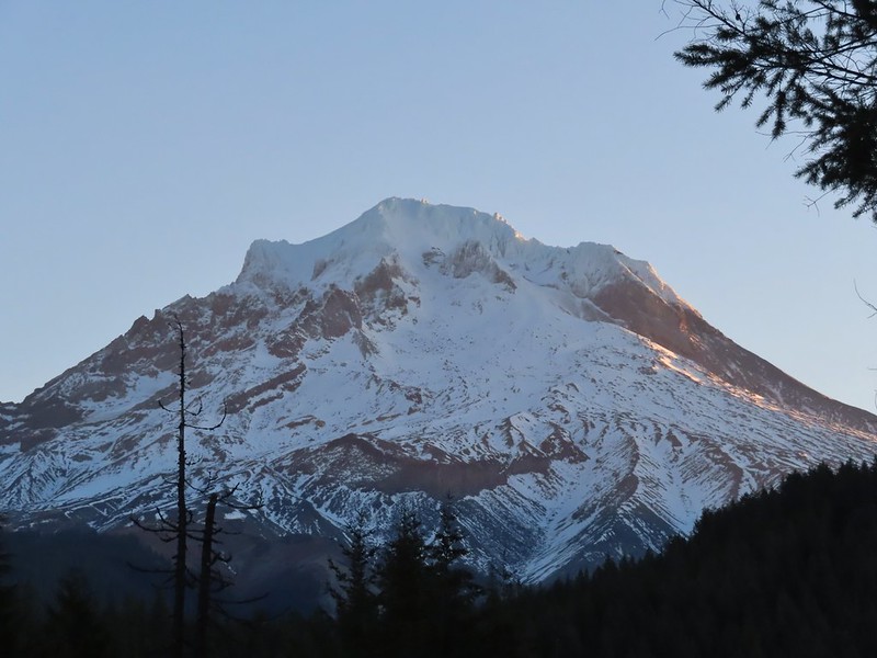
As far as where we spent our time the Central Cascades were at the top followed by the Oregon Coast & Coast Range, NW Oregon, and Washington. The hikes in Washington were one of the reasons for the low number of hikes in Eastern and Southern Oregon. Our two vacations were spent at National Parks in that state, Olympic and Mt. Rainier. Locations of the trailheads we started from in 2025. (There are 96 THs since we hiked multiple trails on a number of days.)
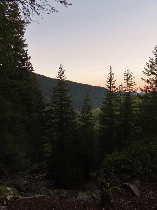
Our northernmost hike this year, Ozette Triangle in Olympic National Park, was also the furthest north we’d ever hiked. This was also the furthest west we would be all year. Looking north from the most northerly location we’ve been.
Our southernmost hike was on the Cow Creek Trail SE of Roseburg, OR in the Umpqua National Forest. Downed trees that marked my turn around point, and southernmost point, on the Cow Creek Trail.
Not surprisingly our easternmost hike was our sole hike in Eastern Oregon in the BLM’s Criterion Tract. Roughly the furthest point east we reached this year.
The 2025 wildfire season was comparatively tame to the last few years however there were still more than 1,100 fires from early June to mid-October. According to the Office of the State Fire Marshal over 700 of those fires were human caused which is disappointing as these are by and large avoidable. While none of the fires directly impacted our plans this year, sadly 200 homes and structures were lost this past year and several trails we’d previously hiked were burned.
On a more positive note, we once again were blessed to be able to see and experience so many beautiful places. So many in fact that in addition to our usual wildlife and wildflower galleries we’re adding one for the waterfalls we saw in 2025.
January – Driftwood Beach, OR
February – Clackamas River from Milo McIver State Park, OR
March – Catherine Creek/Coyote Wall, WA (This area burned in July 2025 in the Burdoin Fire.)
April – Devil’s Lake Fork, Tillamook State Forest, OR
April – Basket Slough Wildlife Refuge, OR
May – Tualatin River National Wildlife Refuge, OR
May – Hoh Rainforest, Olympic National Park, WA
May – Devil’s Punchbowl, Olympic National Park, WA
May – Rialto Beach, Olympic National Park, WA
May – Little Badger Trail, Mt. Hood National Forest, OR
May – Deschutes River, BLM Criterion Tract, OR
June – Blue Lake, Hampton Family Forests (Private Timberland), OR
June – Fivemile Butte Lookout, Mt. Hood National Forest, OR
June – Champoeg State Park, OR
June – Clearwater River, Umpqua National Forest, OR
Elk Camp Shelter, Willamette National Forest, OR
July – Mt. Hood, OR
July – Bays Lake, Mt. Jefferson Wilderness, OR
July – Three Sisters Wilderness, OR
July – Craig Lake, Mt. Jefferson Wilderness, OR
July – Big Lake, Willamette National Forest, OR
August – Walupt Lake, Goat Rocks Wilderness, OR
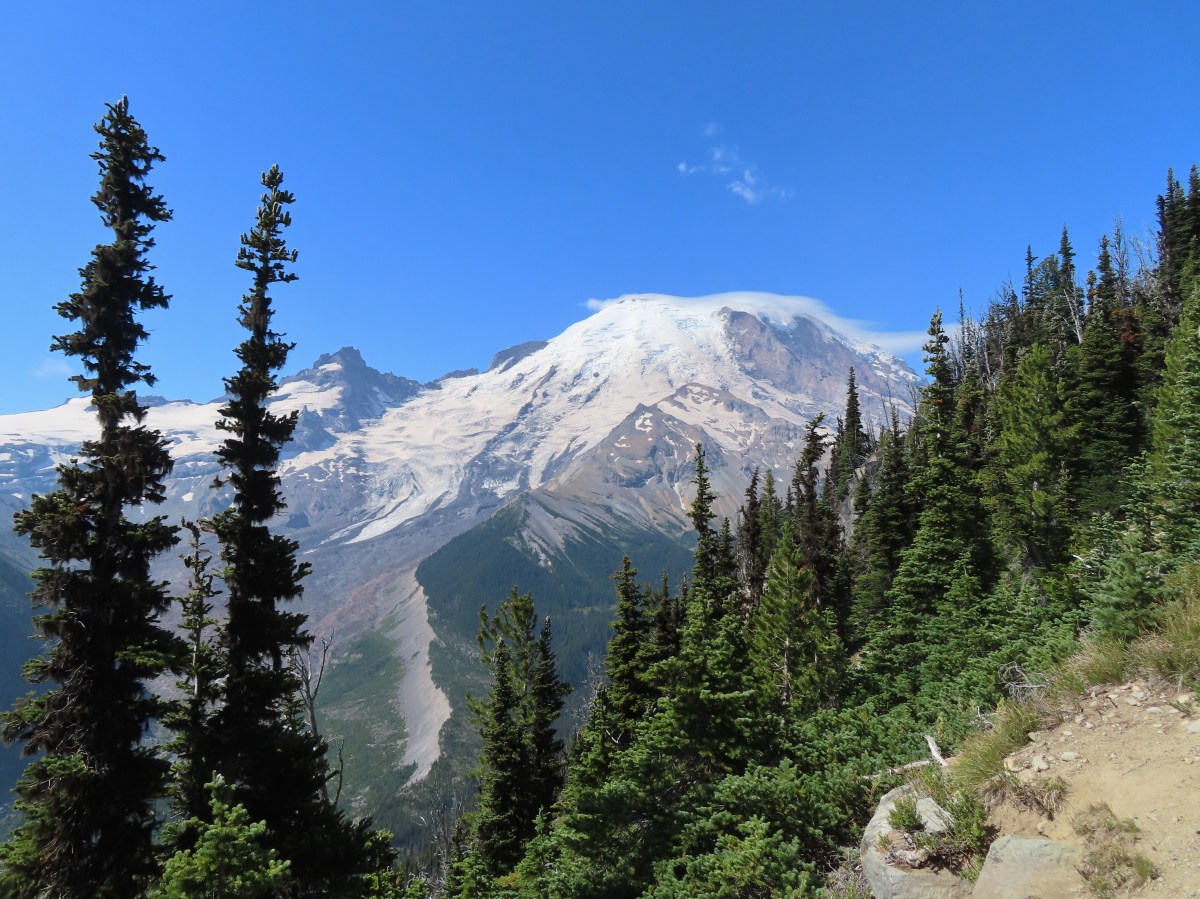
August – Mt. Rainier National Park, WA
August – Mt. Freemont Trail, Mt. Rainier National Park, WA
August – Snow Lake, Mt. Rainier National Park, WA
August – Naches Peak Loop, Mt. Rainier National Park, WA
August – Lava Canyon Trail, Mt. St. Helens National Volcanic Monument, WA
September – Zigzag Canyon, Mt. Hood Wilderness, OR
September – Twin Rocks, Rockaway Beach, OR
September – Three Sisters Wilderness, OR
September – Duffy Lake, Mt. Jefferson Wilderness, OR
September – Fuji Mountain, Willamette National Forest, OR
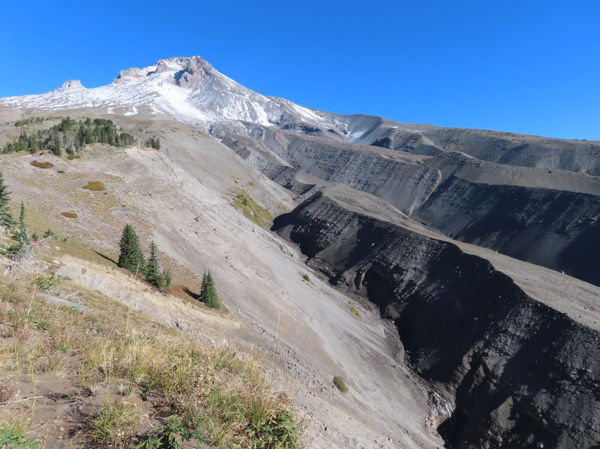
September – Mt. St. Helens National Volcanic Monument, WA
September – Charlton Lake, Deschutes National Forest, OR
October – Head of Jack Creek, Deschutes National Forest, OR
October – Nehalem River, Nehalem, OR
October – Silver Falls State Park, OR
October – Maxwell Butte, Mt. Jefferson Wilderness, OR
October – Willamette Mission State Park, OR
November – Silver Falls State Park, OR
November – Clear Lake, Willamette National Forest, OR
December – Little Rock Creek, Santiam State Forest, OR
Looking ahead to 2026 there are still trails we’ve yet to explore and many that we’d be more than happy to revisit. We’re looking forward to continuing the journey for as long as we are able. Happy Trails and have a wonderful New Year!
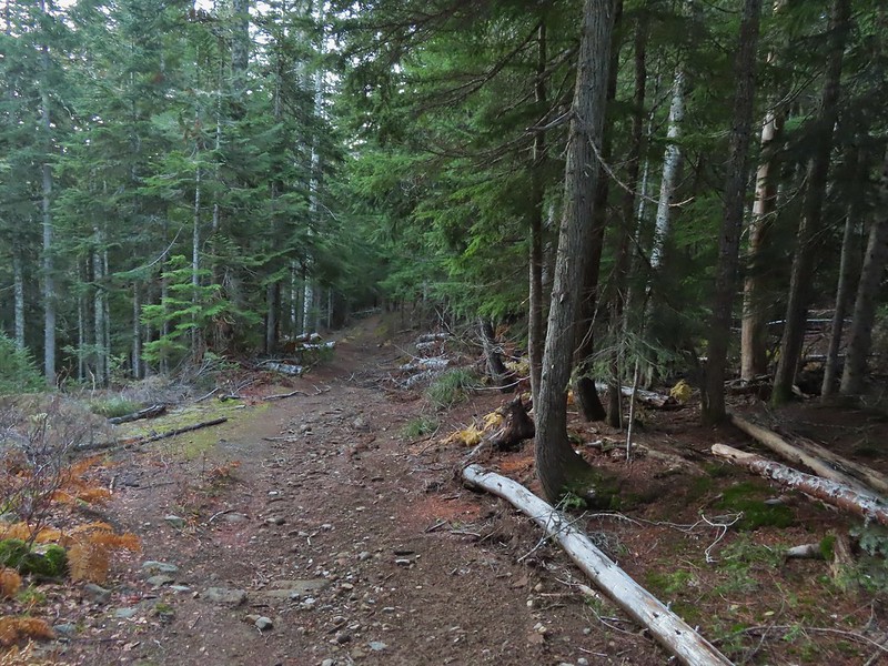
We try and get to the Mt. Hood Wilderness at least once a year and this year’s visit kicked off our October hikes. The one area where we hadn’t really been on the mountain was the SE side along the White River. The Pacific Crest Trail climbs on the mountain on that side crossing Highway 35 near Barlow Pass and following Boy Scout Ridge joining the Timberline Trail in approximately 3.75 miles and continuing on to Timberline Lodge. We weren’t planning on going quite as far as Timberline Lodge this time, but we were planning on a loop in the middle of the hike utilizing the Yellowjacket Ski Trail and Upper White River Trail.
It was a little wet, and 35 degrees Fahrenheit (2 Celsius) when arrived at the nearly empty Barlow Pass Trailhead. We had also parked here in 2021 for our Barlow Butte hike (post).
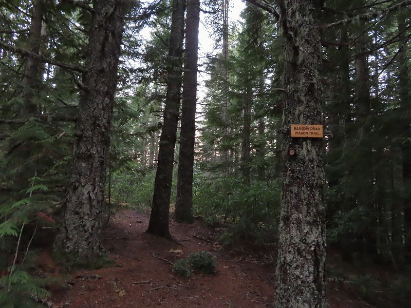
The PCT passes just east of the parking area and can be accessed behind the signboard near a picnic table or as it crosses the Barlow Wagon Road which is where we hopped on this time.
We followed the trail for a quarter mile through forest before joining an old roadbed where we turned right to reach the Highway 35 crossing.
On the far side of the highway the trail climbed gradually through a nice forest arriving at the Yellowjacket Trail junction in just under 2-miles. The colors of Fall.
Tom, Dick, and Harry Mountain (post) catching the morning Sun.
Mt. Hood teased an appearance a couple of times along the lower portion of the PCT. It was enough to see that there was a dusting of fresh snow on the mountain.
The signed junction with the Yellowjacket Trail.
We turned right onto the Yellowjacket Trail and followed the faint tread nearly a mile down to the White River.
The wet brush had me whishing I’d worn boots.
The Yellowjacket Trail passing a small meadow.
Makeshift footbridge along the trail.
The trail came to a muddy track used to access a set of powerlines where we turned right. We followed the muddy track downhill and crossed the South Fork Mineral Creek on a metal bridge.
We stayed on this roadbed until we reached a road junction at the river where we turned left. Here we had a pretty good view of the mountain.
New snow on Mt. Hood.
The roadbed followed a levee along the river’s debris plain providing spectacular views.
The valley is the result of an eruption around 250 years ago.
Pacific lupine
At the end of the levee the route climbed a moraine then continued its gradual ascent to the Timberline Trail.
Dark-eyed junco. There was a good variety of birds along the moraine, but this was the only one that sat still long enough to have its picture taken.
Frost on a log. It was really nice to be hiking in the crisp cool air.
Boy Scout Ridge from the moraine.
The unsigned junction with the Timberline Trail.
We turned left on the Timberline Trail and made a fairly steep 0.4-mile climb to Pacific Crest Trail at a junction in a meadow. Mt. Hood from the junction.
Sign for the PCT nearly absorbed by the tree.
Lupine (broadleaf?)
A few remaining blooms on the goldenrod.
Signpost at the PCT junction ahead.
We turned right on the PCT heading for a viewpoint described on Oregonhikers.org. It was a scenic three quarters of a mile to the viewpoint. Along the way we spotted a coyote hunting in the meadows below the trail.
The coyote with Mt. Hood looming behind.
Mt. Jefferson to the south with the Three Sisters behind to the left.
The Three Sisters and Mt. Jefferson
The round peak along the far ridge is Gunsight Butte (post) and Bonney Butte (post) is along the broad rise to its right.
We’d lost sight of the coyote until it ran across the trail not too far in front of us.
More lupine
A few remaining aster blossoms in the foreground.
Timberline Lodge across the Salmon River Canyon.
Looking back down the White River Valley. Barlow Ridge is the near hump on the right.
Another look at Timberline Lodge.
Despite all the cars at the lodge we would only encounter a half dozen other trail users until we were back at the Barlow Pass Trailhead.
Small waterfall below the ridge.
Heather stopped at the viewpoint, which was at a high point above the waterfall. I continued on a short distance just to make sure that was indeed the viewpoint described in the Oregonhikers Field Guide. I turned around here where the Timberline Trail headed across the Salmon River drainage. The Silcox Hut is straight ahead on the side of the mountain.
Looking back at the high point where Heather had stopped.
I headed back to Heather and after a short break we started back down the PCT. Mt. Hood’s summit.
The waterfall looking pretty small far below the mountain.
It took us a moment to decide what the dark rounded peak straight ahead in the distance was. We eventually correctly identified it as Black Butte (post).
We stayed straight on the PCT leaving the Timberline Trail and descending through the mountain forest past the Yellowjacket Ski Trail and back to Highway 35. Beargrass meadow, there hadn’t been any blooms this year.
Lousewort
It was nearly 2-miles between the Timberline and Yellowjacket trail junctions.
We were shocked to see a bunchberry that still had some petals, even if they were in sad shape.
Mushrooms and fungi are not surprising this time of year.
Highway 35
We had no problem dashing across the highway and then made our way back to the now nearly full Barlow Pass Trailhead. Arriving at the Barlow Road.
The hike came in just over 11-miles for me with close to 2000′ of elevation gain. Stopping at the viewpoint would have put the hike around 10.7-miles.
This was a great Fall hike. The views were amazing, and the cool temperatures helped it from getting too hot during the exposed climb. It was also really nice to get a track on the map to fill in the blank area around Mt. Hood. Our various hikes around the mountain. There are still a few areas where we could add a track or two. Happy Trails!
It had been a couple of years since we’d hiked in the Mt. Hood Wilderness so we were due for another visit. There were a few trails that lead to the Timber Line Trail that we hadn’t checked out yet so we chose the McGee Creek Trail and planned on visiting McNeil Point for the third time. The first two visits had been via the Top Spur Trailhead (Post.
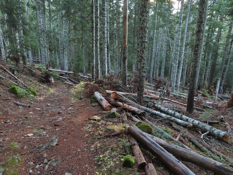
The McGee Creek Trail is a fairly straight trail that climbs gradually a little more than a mile and a half to the Timberline Trail. The trail is completely forested and a bit brushy in places, but it was quiet, we only saw two other hikers on the trail and that was when we were on our way back down.
Registration box and signboard at the Mt. Hood Wilderness boundary.
There were a few downed trees but nothing too difficult to navigate.
The brush was mostly huckleberry bushes.
Trail side snacks.
McGee Creek Trail junction with the Timberline Trail.
We turned left onto the Timberline Trail and followed it for approximately 2.5-miles to the McNeil Point Trail. While the McGee Creek Trail had been quiet the Timberline Trail was an expressway, even early in the morning. There were a lot of wildflowers blooming but the number of people was honestly a bit of a distraction. Add in a lot of garbage (mostly unburied TP) and at least one pair of backpackers camped on a meadow that was clearly marked no camping and it wasn’t the best experience we’ve had on a trail.
Blowdown from the September 2020 storms that also flamed the destructive wildfires across the state. For more information on the storms impact on Mt. Hood check out this Wy’East Blog post.
Looking through the trees at one of the areas that suffered severe blowdown.
It was a cloudy day. We got sprinkled on briefly a couple of times.
Fireweed
Pinedrop
Avalanche lilies
Paintbrush
Valerian, spirea, and paintbrush
Gentians
Yellow monkeyflower
A tributary of McGee Creek.
Spirea along the Timberline Trail.
Shooting star
Pink monkeyflower
Fleabane
Beargrass
False hellebore
Partridge foot
Lupine
Lewis monkeyflower along a tributary of McGee Creek.
Beardstongue
Lousewort
Dry pond surrounded by beargrass.
The idiots camped in the meadow. There is even an arrow on the “Do not camp in meadow” sign pointing at the meadow. Please DON’T be these people.
The butterflies weren’t out today but the bees were.
The clouds just wouldn’t quite raise enough.
Mountain heather
Lupine and paintbrush
Beargrass along the Timberline Trail.
Paintbrush, partridge foot and lupine
Signpost for the McNeil Point Trail.
We followed the McNeil Point Trail uphill gaining a ridge above a branch of Ladd Creek.
We’d never seen a paint colored like this before.
Western pasque flower
Lupine and two types of monkeyflower
The trail eventually curved away from the ridge traversing a hillside above the headwaters of McGee Creek.
As the trail passed through a talus slope we heard several pikas and it didn’t take long to spot one dashing across the rocks with some greens in its mouth.
Pikas spend the Summer gathering greens for the rest of the year when they remain in their homes under the snows.
We wound up seeing at least three, one of which emerged to say “hi” to Heather.
Mountain heather and paintbrush.
Saxifrage
A variety of flowers.
Avalanche lilies
Sub-alpine fleabane
Western pasque flowers
Doe that was as surprised as we were when we spotted each other.
Lewis monkeyflower
The trail forks at a small plateau out of sight of the McNeil Point Shelter. The right fork is the most direct route to the shelter but we forked left thinking we might head further up the ridge toward the Glisan Glacier like we had done in 2015. The righthand fork.
View from the plateau.
Some low clouds to the East.
Dwarf lupine
A hiker on the righthand fork headed for the McNeil Point Shelter.
As we approached the ridge a large group of hikers headed up the ridge from the shelter. When we reached the ridge we decided not to follow them up and instead turned downhill to the shelter.
Caves below the Sandy Glacier.
Bluebells of Scotland
The shelter below to the right.
Muddy Fork
Goldenrod
With the clouds the view wouldn’t have been great from the ridge on this day.
It had been approximately 1.5 miles from the Timberline Trail to the shelter. After taking a short break at the shelter we had a choice to make. Retrace our steps or take a steep scramble trail directly below the shelter. On our previous visits we had returned the way we’d come but today we decided to try the scramble route.
It was less than half a mile and approximately 700′ down to the Timberline Trail. The views were good and despite the steepness and a couple of long step downs it wasn’t as bad as we’d pictured.
Patches of blowdown along Bald Mountain Ridge.
Columbine
Valerian
Paintbrush and bistort
Aster
Chipmunk snacking on huckleberries.
Meadow near the Timberline Trail.
Arriving back at the Timberline Trail.
By descending via the scramble route we cut approximately 1.7-miles from the hike and got to see some new scenery. We were a bit surprised by the number of hikers climbing up this way but it probably shouldn’t have been surprising given how busy the mountain was. We turned left on the Timberline Trail and followed it downhill 1.8 busy miles to the McGee Creek. Every once in awhile the trail was clear of other users.
We’re always drawn to this rock fin above the Muddy Fork.
Canada jay
McGee Creek Trail junction.
We turned right onto the McGee Creek Trail leaving the crowds behind and descended the 1.7-miles to our car.
Bunchberry
Is that sunlight?
While the clouds never lifted from Mt. Hood we did experience a window of blue sky near the end of our hike.
Our hike came in at 9.7 miles with approximately 2700′ feet of elevation gain.
It was a bit of a mixed hike for us. The wildflowers and wildlife were great but the number of other trail users, and some of the resulting trash and lack of etiquette prevented us from fully enjoying the experience. It has been quite a while since we’d been on such a consistently busy hike. That being said the McGee Creek Trail was a nice break from the crowds providing the type of solitude (and lots of berries) that we really enjoy. Happy Trails!
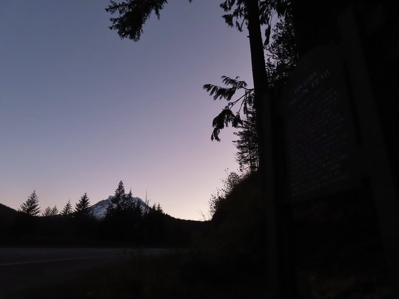
We ended our hiking season with a bang, a pair of stops along the Barlow Wagon Road with an off-trail adventure, great views and beautiful weather. Created in 1846 the “Barlow Road” provided an alternate route along the Oregon Trail which previously ended at The Dalles where emigrates were forced to find passage down the Columbia River. The 80 mile road led from The Dalles to Oregon City crossing several rivers and the Cascade crest along the way. The wagons also had to navigate Laurel Hill’s steep descent and our first stop of the day was to visit the Laurel Hill Wagon Chute, the steepest drop along the road.
We parked at the small pullout along Highway 26 that serves as the Laurel Hill Trailhead. Mt. Hood from the trailhead.
We followed the trail uphill on stairs to an abandoned section of the Mt. Hood Highway then turned right to find the bottom of the rocky chute.
The wagon chute.
A trail to the right of the chute led uphill to a 4-way junction where we turned left and followed this path a short distance to the top of the chute.
The left at the 4-way junction.
Looking down the chute.
After reading the sign near the chute and trying to picture actually lowering a wagon down the chute we returned to the old highway walking a short distance past the chute to a viewpoint above Highway 26.
Sunlight starting to hit the SE side of Mt. Hood.
Ravens photo bombing a close up of the mountain.
We backtracked from the viewpoint and descended down the stairs to our car.
We then drove east through Government Camp to Highway 35 before turning right onto FR 3531 at a pointer for Barlow Road and the Pacific Crest Trail. After 0.2 miles we parked at the Barlow Pass Trailhead/Sno-Park. Both the Barlow Wagon Road and the Pacific Crest Trail pass through the trailhead. After parking we headed to a picnic table and sign boards on the south side of the parking area.
The PCT was on our right heading south toward Twin Lakes (post) while the Barlow Wagon Road lay straight ahead.
We followed the wagon road for approximately a tenth of a mile before it joined FR 3530 (Barlow Road). A portion of the original Barlow Wagon Road.
Barlow Road (FR 3530)
Just 40 yards after joining FR 3530 the Barlow Butte Trail veered downhill at a signpost.
The trail was still following the route of the wagon road as it passed through a forest that was hit hard by last Winter’s storms.
At the half mile mark we came to a junction with the Barlow Creek/Devil’s Half Acre Trail in a small meadow.
Following pointers for the Barlow Butte Trail and Mineral Springs Ski Trail we turned left here.
The trail began a gradual 0.4 mile climb to another junction where the Barlow Butte and Mineral Springs Ski Trail parted ways.
We made a hard right here sticking to the Barlow Butte Trail which quickly entered the Mt. Hood Wilderness. Wilderness sign along the Barlow Butte Trail.
It was a mile from the junction where the Mineral Springs Ski Trail parted ways to the next junction. The trail climbed gradually at first but soon steepened as it began a series of switchbacks.
Getting steeper.
This was the worst of the blow down we had to navigate on this section.
Nearing the junction.
A small rock cairn marked the junction where a spur trail led left up to the old lookout site on Barlow Butte.
We turned left on the spur trail which began with a great view to the NE of the Badger Creek Wilderness including Lookout Mountain and Gunsight Butte (post)
It was a little chilly with temps in the mid 30’s combined with a stiff breeze adding to the wind chill.
On the right of the far ridge is Bonney Butte (post).
The summit of Barlow Butte is overgrown now with trees but just downhill from the former lookout site was a small rock outcrop with a view of Mt. Hood.
Remains from the lookout.
The Oregon Hikers Field Guide mentions a better viewpoint on yet another rock outcrop below this one but we didn’t scramble down to it. Instead we planned on visiting a couple of other viewpoints on the Barlow Butte Trail further along Barlow Ridge. So after a short break trying to use the trees to block the wind we headed back down to the Barlow Butte Trail and turned left (downhill) at the small rock cairn. The trail passed through a stand of trees before popping out on a rocky spine. Barlow Butte and the top of Mt. Hood.
Frog Lake Buttes (post) is the hump in the center.
Western larches
Mt. Jefferson behind some clouds.
Sisi Butte (double humps) and Bachelor Mountain (post).
The rocks were a little frosty in spots so we had to watch our footing, especially dropping off the rocks back into the forest.
This is a good point to mention that the Oregon Hikers Field Guide has you turn back here for their Barlow Butte Hike but there is a second hike in the guide, the Barlow Ridge Loop which describes a possible 10.5 mile loop. This hike is listed as a “lost” hike due to the Forest Service having abandoned the trail along the remainder of Barlow Ridge. The Barlow Butte Trail at one time followed the ridge to its end and descended to Klingers Camp. We were keeping the loop option open but were planning on turning back possibly at the high point of the trail.
The next marker along Barlow Ridge was Lambert Rock which we reached a half mile from the small rock cairn on Barlow Butte.
It’s possible to carefully scramble up this rock past a memorial plaque for Dr. Richard Carlyle Lambert who perished while hiking in Utah.
The view of Mt. Hood was spectacular from the rock but the stiff breeze and cold air made for a short stay. Barlow Butte to the left of Mt. Hood.
If not for the clouds to the south the Three Sisters and Mt. Jefferson would have also been visible from the rock. Mt. Jefferson still behind some clouds.
Beyond Lambert Rock the trail dropped a bit into a saddle where another small rock cairn marked an unofficial cutoff trail to the left that leads downhill to FR 3560.
We continued to the right on the Barlow Butte Trail and 0.4 miles from Lambert Rock detoured to the right to what we hoped might be another viewpoint. Trees blocked the view north to Mt. Hood and east to Lookout Mountain. Again there would have been a decent view of Mt. Jefferson from this spot but we did have a good view west to Tom Dick and Harry Mountain above Mirror Lake (post)
Parts of Mt. Jefferson peaking through the clouds.
Tom Dick and Harry Mountain (with the rock fields near the top).
We continued on following the increasingly faint trail another third of a mile to it’s high point and another great view of Mt. Hood. While the trail was faint there were often cairns, blazes or diamonds marking the correct path. Small cairns in a meadow.
One of the aforementioned diamonds.
Approaching the high point.
Clouds were starting to pass over Lookout Mountain at this point.
Mt. Hood from the high point of Barlow Ridge.
Up to this point the trail had been fairly easy to follow and there hadn’t been much blow down over it so we decided to continue along the ridge at least to the point where it started to steepen on it’s way down to Klingers Camp. For the next three quarters of a mile the trail was still visible at times and the occasional marker let us know we were still on the right course. Carin in the trees ahead.
Elk or deer tracks leading the way.
Another section of frost.
We took this as a blaze.
That blaze led to this large cairn.
Things were starting to get interesting here.
Stopped here to listen for pikas, no luck though.
This could be trail.
Still on the right track, note the folded trail sign on the tree at center.
We lost the trail for good in a small beargrass meadow which was my fault. While I had brought a topographic map that showed where the trail was supposed to be I was navigating primarily based off of what I remembered reading from the Oregon Hikers field guide. I had remembered most of it well but had forgotten the part where “the trail swings off the ridge to the right….”. All I remembered was that the route eventually dropped steeply down the nose of a ridge. Not realizing it was the nose of a different ridge I kept us following Barlow Ridge for another 0.2 miles. The small meadow.
Officially off-trail now.
This looked like a place the trail would go.
A final look at Mt. Hood from Barlow Ridge.
Not realizing that we were off the trail alignment we decided that the hiking had been easy enough up until now that we would go ahead and try for the loop. Down we headed looking in vain for any sign of trail. Several times we convinced ourselves that we’d found it, but it turns out if it was anything it was game trails. This doesn’t look so bad.
One of several big trees we encountered.
Little orange mushrooms, how appropriate for Halloween.
Starting to encounter more debris.
If there had been a trail good luck finding it.
Heather coming down behind me.
We lost over 600′ of elevation in three quarters of a mile and things were only getting steeper. It was at this point that I turned my brain on and pulled the map out of Heather’s pack. I quickly saw what I’d done wrong, we were following the wrong ridge line down and should have been one ridge to the SW. The problem now was there was a stream bed between us. We backtracked up hill a bit and followed a game trail across the trickling stream and attempted to traverse over to the correct ridge. Pretty decent game trail here.
This section was fun.
A bigger orange mushroom.
We struggled down and across, occasionally having to backtrack or veer uphill to find safer passage. Uphill on this game trail.
Thickets of brush kept us from getting all the way over to the ridge we needed so we just kept going downhill knowing that we would eventually run into one of the forest roads at the bottom.
More steep fun.
We eventually made it to flat ground in a forest of young trees and ferns.
We could tell using our GPS that despite all of that we were only about two tenths of a mile from Klingers Camp. We were even closer to FR 240 and being tired of off-trail travel we headed straight for the road. Look Ma a road!
We turned right on this road and followed it to a junction with Barlow Road. It doesn’t look that steep from down here.
Barlow Road.
We turned right onto Barlow Road and followed it 150 yards to Klingers Camp.
After visiting the camp we continued on Barlow Road for five miles back to the Barlow Pass Trailhead. Along the way two pickups drove past us in the other direction. At the 1.6 mile mark we passed the Grindstone Campground and near the 4 mile mark the entrance to the Devil’s Half Acre Campground.
Western larches above Barlow Road.
Grindstone Campground
Barlow Creek
Crossing Barlow Creek near Devil’s Half Acre Meadow.
Clouds on top of Mt. Hood towering over the trees.
Barlow Road at the campground.
Devil’s Half Acre Meadow.
We could have taken the Devil’s Half Acre Trail from the campground to the Barlow Butte Trail but we weren’t sure what the condition was and the Field Guide didn’t mention taking it so we played it safe and trudged up the road. Finally back to where we’d left the road in the morning.
Arriving back at the Barlow Pass Trailhead
Before we attempted the crazy loop we had planned on also making the 2.2 mile round trip hike to the Pioneer Woman’s Grave on the other side of Barlow Pass and then stopping at the Castle Canyon Trail for a final short hike. Neither of us had any interest in making another stop at this point but we were interested in the grave site. Unfortunately Heather’s plantar was acting up. Surprisingly, given the lack of good ideas we’d displayed so far, we came up with a alternate plan. Heather would drive to the Pioneer Woman’s Grave Trailhead while I hiked the Barlow Wagon Road to it. The trailhead is located right next to the grave site so Heather didn’t have to worry about her plantar and now I only needed to hike a little over a mile downhill. The first other people (not counting the two drivers in the pickups) that we’d seen all day.
I hustled down the wagon road stopping along the way at another nice Mt. Hood viewpoint.
I did take the time to walk down the road 60 yards to the East Fork Salmon River to check out some stonework and wagon ruts left by the emigrants. East Fork Salmon River
The 10.5 mile loop hike turned into 12 miles due to our being off course and wandering around trying to figure out where we were going so my day wound up being just under 14 miles total with approximately 3100′ of elevation gain. Heather got all the elevation gain with 1.2 miles less traveled. I probably wouldn’t try that loop again but I’d be lying if I said I wasn’t kind of curious what it would be like to actually follow the field guide correctly. Happy Trails!
Loop is in blue with the Pioneer Woman’s Grave in orange.
For the second weekend in a row we abandoned plans for a night in the tent in favor of day hike. Similar to the weekend before the forecast for was for a mostly sunny and warm Saturday followed by rain and/or snow moving in Saturday night through the end of the weekend. We decided on the Fret Creek Trail in the Badger Creek Wilderness. Our plan was to take that trail to the Divide Trail and visit the Flag Point Lookout to the east followed by Lookout Mountain to the west. While we had been to Lookout Mountain twice before (2014, 2019) we had not visited the Flag Point Lookout nor had we hiked the lower portion of the Fret Creek Trail. We were hoping to get some good views and see some of the areas Western Larch trees as they began to turn color.
The Fret Creek Trail starts between Fifteen Mile Campground (post) and Fret Creek along Forest Road 2730 across from a trailhead sign at a pullout on the left.
A few larches along Road 2730
Fret Creek Trail across from the pullout.
For the first third of a mile the trail climbed fairly steeply above Fret Creek. Entering the Badger Creek Wilderness.
The trail eventually leveled off crossing Fret Creek several times before once again launching steeply uphill before arriving at Oval Lake just under 2 miles from the trailhead.
Starting to climb again.
Sign for Oval Lake.
The small lake is just off the trail but has several campsites in the surrounding forest.
We’d visited the lake briefly in 2014 during our first ever backpacking trip and it looked quite a bit like we’d remember but with less water given the time of year. June 28, 2014
After checking out the lake we continued climbing on the Fret Creek Trail for 0.2 more miles to its end at the Divide Trail. A bit of snow left from the recent snowfall.
The Divide Trail.
We turned left on the Divide Trail and climbed for 0.3 miles to a ridge crest where we took a side trail out to Palisade Point. This rock outcrop has a nice view south across the Badger Creek Wilderness to Mt. Jefferson and the Three Sisters.
Some snow near a switchback along the trail.
Mt. Adams starting to peak over a ridge to the north.
Mt. Adams with some larch trees in the foreground.
Lookout Mountain from the Divide Trail (The bare peak in between the two bare snags. Just to the right of the left snag.)
Side trail to Palisade Point.
Broken Top, The Three Sisters, Mt. Washington, Three Fingered Jack (just the very top), Mt. Jefferson, and Olallie Butte (post) were visible in the distance.
Mt. Jefferson with the tip of Three Fingered Jack to the left and Olallie Butte to the right.
Mt. Hood peaking up over the rocks.
Panoramic view with Badger Creeks valley below.
Rocks below Palisade Point.
After the stop at Palisade Point we continued east along the ridge for 1.2 miles losing a little over 300′ to Flag Point Lookout Road (NF 200). Occasional views opened up along the way. We ran into this jumble of downed trees shortly after leaving Palisade Point but fortunately it was the worst of the obstacles.
Flag Point Lookout from the trail.
A small meadow that was full of flowers a couple of months ago.
A stand of larches.
A better view of Mt. Hood.
Zoomed in.
Looking back through larches at a Badger Creek Wilderness sign near Road 200.
Looking back at the Divide Trail.
We had been to this junction on our 2014 backpacking trip where we turned off the Divide Trail here onto the Badger Creek Cutoff Trail to hike down to Badger Creek. This time we took Road 200 which led to the Flag Point Lookout in 0.8 miles. Road 200
Chipmunk
Nearing the lookout.
The lookout is staffed in the Summer and used to be available as a rental during the Winter but the Forest Service discontinued that a few years ago.
A gate blocks access to the platform and tower but climbing the stairs below the gate provided for some more excellent views. Mt. Rainier and Mt. Adams to the north.
Mt. Rainier and Mt. Adams
Three Fingered Jack, Mt. Jefferson, and Olallie Butte
View east to the hills above the Columbia River.
We spent quite a while admiring the views and then more time attempting to spot one of the pikas that we could hear in the rock field below the lookout. Alas none of the little rock rabbits wanted to make an appearance but several robins did.
We headed back to the Divide Trail and stayed straight at the junction with the Fret Creek Trail. It was just 1.6 miles to Lookout Mountain and on such a beautiful day we couldn’t pass up the chance of another spectacular view. Passing the Fret Creek Trail.
We did need to gain almost 800′ of elevation to reach Lookout Mountain which at times was a fairly steep climb.
Another viewpoint along the way where Badger Lake was visible.
Badger Lake
We had seen our first fellow hikers on our return from Flag Point and now we were seeing more of them as well as a little more snow.
The final pitch to the summit, there is at least one hiker visible up top.
Looking back to Flag Point.
Looking NE toward The Dalles and the Columbia River.
Mt. St. Helens, Mt. Rainier, and Mt. Adams
View south past Badger Lake to Mt. Jefferson.
After another nice break we headed back, but just under half a mile from the summit we turned right on a side path to what Sullivan labels the Helispot. Several campsites were located here and yet another amazing view. Flag Point from the Helispot.
And of course Mt. Hood again.
After exploring the Helispot area we hopped back onto the Divide Trail and returned to the Fret Creek Trail. We made a final quick stop at Oval Lake before returning to our car and heading home.
Fret Creek from the road near the trailhead.
The hike was just over 13 miles with approximately 2800′ of elevation gain. A number of shorter options could be done and longer trips are also possible with the numerous trails in the Badger Creek Wilderness.
It was great to see the mountains with fresh snow and nice to have some snow on the ground after the dry Spring and Summer. They are calling for a La Nina Winter which could mean plenty of precipitation. After this year we would welcome it. Hopefully it will be in the form of snow for the mountains and not rain though. Happy Trails!
We continued our 4th of July tradition of hiking by checking off another of William L. Sullivan’s featured hikes, West Zigzag Mountain (Hike #68 “100 Hikes/Travel Guide Northwest Oregon & Southwest Washington” 4th edition). He actually describes two hikes, a 1.8 mile round trip to Castle Canyon and an 11+ mile round trip to the former West Zigzag lookout site. We chose the longer hike for this visit which starts from Zigzag Mountain Trailhead. Parking area is just a wide spot in the road.
Two trails start at the trailhead, the Zigzag Mountain Trail heads uphill to the left while the Road 19 Trail follows the closed road to the right. The Road 19 trail connects with the Castle Canyon Trail in 1.1 miles.
After a short steep climb the Zigzag Mountain Trail arrived at a wilderness permit box and Mt. Hood Wilderness map.
After filling out one of the self-issue permits we began to climb. Our last two hikes had cumulative elevation gains right around 4000′ so today’s 3100′ was a little better. It also helped that unlike the trails on our previous two climbs the Zigzag Mountain trail utilized a number of switchbacks to keep the grade much more manageable. Zigzag Mountain Trail entering the Mt. Hood Wilderness.
The climb was forested with a few flowers present at the lower elevations. Washington lilies
Tiger lilies
Self-heal
Salal
Candy sticks
Queen’s cup and bunchberry
Anemone
As we climbed we began to see a fair amount of rhododendron in bloom.
The trail made 15 switchbacks over the first two miles before straightening out for a bit along a ridge.
We passed a small rock garden with some penstemon along the ridge.
The ridge was a bit more open and here we found some beargrass and lupine blooming. There were also opportunities for views but it had clouded up overnight and those clouds weren’t burning off very quickly. Beargrass
Lupine
The trail spent little time on the ridge top and instead rose up and down switching sides of the ridge as it passed under rock outcrops. Trillium along the north facing side of the ridge.
Mushroom
Pinesap
Passing a rock outcrop.
West Zigzag Mountain from the trail.
Back to the north facing side.
Now on the south facing side.
Near the 2.5 mile mark we came to a rocky viewpoint where we had a nice view of West Zigzag Mountain ahead but not of much else due to the clouds.
Sub-alpine mariposa lily at the viewpoint.
Another series of switchbacks followed before the trail straightened out following the ridge of Zigzag Mountain near the 3 mile mark. After another three quarters of a mile of climbing the trail began a series of ups and downs along the ridge. This lasted for the final 2.5 miles to the former lookout site although none of them were very long or too steep. While there weren’t any wildflowers meadows on this hike there were quite a few flowers to be seen along the way. Lupine and paintbrush
Beargrass and rhododendron
Huckleberry
Cliff beardtongue
Larkspur
Phlox
More cliff beardtongue
Penstemon
Larkspur
On the ridge just before reaching the lookout site.
Around the 5.25 mile mark we came to what would have been a great view of Mt. Hood if not for the clouds.
After crossing the ridge the trail emerged from the forest near some rock outcrops that framed the forest below.
We followed a short path led to the top of the southern outcrop where we had a view over to the former lookout site.
Former lookout site in the tress to the left.
We sat on the outcrop and watched the clouds pass by.
With the limited views outward we focused our attention down picking out a few flowers that we hadn’t seen on other parts of the hike.
Tufted saxifrage
Arnica
Lousewort
Some of the rocks in Castle Canyon
When we started to get a little chilly we decided to head back, but first we had to visit the former lookout site to ensure that we connected this hike with our 2012 hike.
View of the outcrop from the lookout site.
Raceme pussytoes
We returned the way we’d come spotting a few flowers that we’d missed going the other direction. Valerian
Salmonberry
Bleeding heart
Violet
Monotropa uniflora aka ghost plant
Despite the clouds never burning off (we did eventually see a couple of slivers of blue sky) it was a good day for the hike. The flowers were good and the clouds kept the temperature down and the gradual grade of the trail kept the 11.4 miles from feeling difficult. We wound up passing 8 other hikers on our return trip which is a pretty low number for a Saturday hike on a trail as close to Portland as this one is so that was also a plus as we are still doing our best to practice proper social distancing. We capped off our 4th by watching the fireworks in our neighborhood with our son and my parents. Happy Trails!
2019 turned out very differently than we’d originally planned. Not long after our first planned long trip to Joseph, OR one our cats, Buddy, had some health issues. After some time at the veterinarians he was doing better but he needed to be prescribed 3 daily medications (two twice a day). We decided that being there for our friend of 17 years was more important than our remaining plans so we cancelled nearly all of our overnight trips and spent the rest of the year doing day hikes from Salem. Buddy is still with us and seems to be doing well although he sleeps more than ever and has taken to wearing sweaters for warmth.
With us only doing the one long distance trip we didn’t make it to as many new areas as we have been in recent years. On that trip we stopped at the Umatilla Wildlife Refuge near Hermiston (post), OR and hiked in the Hells Canyon (post) and Wenaha-Tucannon Wilderness areas (post). MCormack Slough in the Umatilla Wildlife Refuge.
Looking towards Hells Canyon from Freezout Saddle.
Wenaha River Canyon
Thanks to my parents willingness to take care of the cats we also managed to take an overnight trip up to Seattle in September to watch a Seattle Seahawks game stopping on the way up at Mt. Rainier National Park (post).
Cancelling the majority of our overnight trips had a couple of effects. First it reduced the number of days of hiking from an original 60 to 54. These would have been shorter hikes back to the car after backpacking or on the drive home from wherever we’d been. It also compressed the area in which we were able to hike keeping it under a 3 hour drive from Salem.
One thing that wasn’t affected was our tendency not to repeat hikes. Of our 54 days hiking only two days were repeats. For the first time we were able to hike with my brother and his family from Missouri taking them to Jawbone Flats and the Little North Fork Santiam River (post).
The second repeat was to the old lookout site atop Maxwell Butte (post) to get the view that eluded us on our first hike there (post).
A visit to Four-In-One Cone, also to get a view that had previously eluded us, (post) was nearly a repeat but we started from a different trailhead making the first (and final) .4 miles new to us.
Thirteen other days did include some trail that we’d previously hiked and three more outings had turn around points that we’d previously been to but from an entirely different route. That left 35 days with entirely new trails to us. To put those figures in miles we hiked a total of 627.7 miles (according to my GPS). Only 70.6 of those miles, or just over 11%, were on portions of trails that we had hiked on in previous years.
I say “trails” but in reality not all the miles we hiked were on actual trails. Some of it was spent on paved roads, decommissioned roads, and some was entirely off trail/road. Road walk at Henry Haag Lake
Decommissioned road to Baty Butte.
Cross country to Thayer Glacial Lake.
2019 was a really good year weather wise. Aside from some rain/snow showers on our Freezout Saddle hike in June and a brief stint of rain at Cascade Head and in the Mollala River Recreation Area precipitation was almost non-existent during our outings. Snow falling on our Freezout Saddle hike.
Rain shower approaching at Cascade Head.
Taking cover under a tree in the Mollala River Recreation Area as a rain shower passes overhead.
Even on those three hikes with measurable precipitation there were breaks allowing for some sort of views. Rainbow framing the Wallowa Mountains from the Feezout Saddle Trail.
View from Cascade Head after the shower.
View from the morning across the Mollala River Canyon.
Between the cooperative weather and a lack of significant wildfires in the area made 2019 a great year for viewpoints. In fact there was only one hike, our second to the summit of Huckleberry Mountain (post) where we felt skunked on views. That hike began in the Wildwood Recreation area and the interpretive trails along the Salmon River made up for the lack of views up top. Neat 3D display at Wildwood Recreation Area.
View atop Huckleberry Mountain.
Even on that day blue sky made an appearance before the end of our hike.
We also never got much of a view (but we did see blue sky) on our visit to Silver Star Mountain (post) but the point of that hike was to see the flower display.
As always our hikes included a variety of landscapes, natural features, and some man-made ones. A sample of which follows. (We will cover wildflowers and wildlife in separate posts later.) Gales Creek – Coast Range
Dry Creek Falls – Columbia River Gorge, OR
Camassia Natural Area – West Linn
Two Chiefs and Table Mountain – Columbia River Gorge, WA
Oak Island – Columbia River
B.C. Creek Falls – Wallowa Mountains
Wallowa Mountains
Harsin Butte – Zumwalt Prairie
Sardine Mountain – Willamette National Forest
Gorton Creek Falls – Columbia River Gorge, OR
Mt. Hood from Lost Lake
Mt. Hood from Vista Ridge
Sand Mountain Lookout – Willamette National Forest
Cape Kiwanda and Haystack Rock from Sitka Sedge Beach
High Lake – Mt. Hood National Forest
Tidbits Mountain – Willamette National Forest
Bunchgrass Meadow – Willamette National Forest
Breitenbush Cascades – Willamette National Forest
Mt. St. Helens from Cinnamon Ridge – Mt. St. Helens National Volcanic Monument
Mt. Jefferson from Bear Point – Mt. Jefferson Wilderness
Sawmill Falls – Little North Fork Santiam River
Three Fingered Jack, The Three Sisters, and Mt. Washington
Scramble route to Baty Butte – Mt. Hood National Forest
Boulder Lake – Mt. Hood National Forest
Drift Creek – Drift Creek Wilderness
North Sister and Thayer Glacial Lake – Three Sisters Wilderness
North Sister, Middle Sister, and The Husband from Four-In-One Cone – Three Sisters Wilderness
Mt. Hood from Tumala Mountain – Mt. Hood National Forest
Bull of the Woods Lookout – Bull of the Woods Wilderness
Mt. Hood from Elk Cove – Mt. Hood Wilderness
Mt. Jefferson and Hunts Cove – Mt. Jefferson Wilderness
View from Olallie Butte – Warm Springs Indian Reservation
Lillian Falls – Waldo Lake Wilderness
Olallie Mountain Lookout – Three Sisters Wilderness
King Tut – Crabtree Valley
Mt. Jefferson from Ruddy Hill – Mt. Hood National Forest
Henry Haag Lake – Scoggins Valley
Waldo Lake and the Cascade Mountains from The Twins – Deschutes National Forest
Bobby Lake – Deschutes National Forest
Indian Henry’s Hunting Ground – Mt. Rainier National Park
Fog over the valley from Mt. Pisgah – Eugene, OR
Twin Peaks and Gifford Lake – Olallie Lake Scenic Area
Mt. Adams from Lookout Mountain – Badger Creek Wilderness Area
Mollala River Recreation Area
View toward Washington from the Pacific Crest Trail near Indian Mountain – Mt. Hood National Forest
Clackamas River – Mt. Hood National Forest
Forest Park – Portland, OR
Tilikum Crossing – Portland, OR
There were many more great places and sights that we visited but they can’t all be included here. It was another amazing year of discovering God’s creation and we are looking forward to seeing what next year brings. For the first time I have two sets of planned hikes going into next year, one is in the hopes that Buddy continues to do well on his medications leading us to stick to day hikes through the year and the other includes long distance trips in the unfortunate event that we have to say goodbye to our furry friend.
Either way we know that we will be blown away yet again by whatever we see on those hikes. Happy Trails and Happy New Year to all!
For the grand finale hike of our August vacation we headed for Mt. Hood to do the section of the Timberline Trail from Cloud Cap to Elk Cove. We had been to Cloud Cap in 2016 during our hike up Cooper Spur (post) and we’ve visited Elk Cove a couple of times (most recently in 2017 post) via a western approach on the Timberline Trail. We had not however been on the 5 mile section of the Timberline Trail between the Coe Branch (we turned back at the crossing in 2014 post) and the Cloud Cap Saddle Campground.
We had a bit of a scare on the way to the trailhead as most of the drive was spent in a light drizzle which became heavier at Government Camp. At the White River sno-park Mt. Hood was hidden behind a layer of gray clouds but as we continued north on Highway 35 we emerged from the grey. By the time we were winding our way up Cloud Cap Road the sky was blue and there were no signs of the clouds hiding on the other side of the mountain. We parked at the Cloud Cap Trailhead and hiked through the campground to a pair of signboards marking the Timberline Trail.
We turned right onto that trail and followed it through a short stretch of green trees before emerging into a recovering fire scar.
The trail turns north toward Mt. Adams and away from Mt. Hood as it prepares to drop steeply into the gorge carved by the glacial Eliot Branch which could be heard roaring in the chasm below. Mt. Adams ahead above the clouds.
We descended a series of switchbacks which provided ample views of Mt. Hood without having to strain our necks looking behind us. Mt. Hood
The Eliot Branch has a reputation as being one of the trickier crossing on the mountain ever since a bridge was swept away over a decade ago. In fact the Timberline Trail had “officially” been closed for years (there were still unofficial crossings) until the Forest Service completed a reroute of the trail in 2016. As we neared the stream the first looks were impressive.
The combination of the cloudy water, thundering noise, and swift current make glacial streams seem particularly daunting. Crossing earlier in the day minimizes the amount flow making morning crossings easier than those later in the afternoon or evening. We arrived at the crossing shortly before 8am so that was in our favor. There was also a promising looking log a bit downstream but it looked like it might be a tricky descent to reach it from this direction and we were (or at least I was) hoping to get a little fording practice in so we picked a reasonable looking spot and made our way through the water which was only just reaching our calves at its deepest.
It was a fairly uneventful crossing except for having forgotten just how cold a glacial stream is. Brrrr!!
We had lost over 350′ of elevation getting down to the Eliot that needed to be made up now that we were across. The Timberline Trail gained over 500′ in the next three quarters of a mile as it climbed out of the canyon.
We entered the Mt. Hood Wilderness on the way up.
The burned trees allowed for fairly consistent views of both Mt. Hood and Mt. Adams. Mt. Adams
Mt. Rainier peaking over the clouds to the left of Mt. Adams.
Mt. Hood
The trail leveled out near the 6000′ elevation and passed through a stand of green trees before arriving at a small wildflower lined stream. A pair of marmots ran into the rocks as we approached.
Penstemon
Monkeyflower
Jacob’s ladder
Western Pasque flower
A second stream followed shortly after.
Paintbrush
Lupine with a beetle.
Continuing on we passed a hillside covered with western pasque flower seed heads, often referred to as hippies on a stick.
As we rounded a ridge end we stopped to talk to a backpacker going in the other direction. He asked if we were from the area and wanted to know which mountains he had been seeing to the north. In addition to Adams and Rainier, Mt. St. Helens was just barely visible from that spot which we were able to point out to him.
We rounded the forested ridge and came to a large rock field below the Langille Crags.
Just over a mile from the Eliot crossing we arrived at the first of Compass Creeks three branches.
Compass Creek is fed by the Langille Glacier and each branch sports a waterfall above the Timberline Trail.
A short scramble up the rocks along the creek brought us to the base of the falls.
Mt. Adams from Compass Creek.
Wildflowers along Compass Creek.
Monkeyflower and paintbrush
Hummingbird near Compass Creek.
After admiring the falls we continued on rounding two small ridges before arriving at the middle branch of Compass Creek .3 miles from the first.
This branch didn’t have nearly the amount of water as the first leaving the waterfall a little wispy.
There was yet another stream a short distance away which was putting on a wonderful wildflower display including a nice combination of pink and yellow monkeyflowers.
Lupine, paintbrush and monkeyflower.
This alpine stream was sublime and a reminder of why Mt. Hood is such a wonderful place. We kept going passing an aster covered hillside and then another meadow full of other types of flowers.
It was another .3 miles between the middle and final branches of Compass Creek where another waterfall crashed down behind a snow bridge.
After crossing the final branch of Compass Creek the trail headed down a ridge along the creek passing views of a lower waterfall. Mt. Adams (again) from Compass Creek.
Waterfall on Compass Creek below the Timberline Trail.
In the next mile we passed through a wildflower meadow, green trees, a fire scar, and lost 350′ of elevation before arriving at yet another little stream.
The trail then headed downhill more quickly as we approached the Coe Branch.
A little over a mile and a half from Compass Creek we arrived at the Coe Branch and were pleased to find a pair of nice makeshift log bridges spanning the stream.
The crossing was no issue at all and we soon found ourselves climbing away from the Coe.
The climb away from the Coe Branch wasn’t nearly as steep as the descent had been and after three quarters of a mile we arrived at a sign for Elk Cove.
We followed the trail into the meadow where the view of Mt. Hood and Barrett Spur (post) was as impressive as always.
We explored a bit and then rested at a familiar spot along the stream that flows through Elk Cove.
Coe Glacier
After resting and soaking in the scenery we headed back. We stopped again below Compass Creek Falls where we watched a hummingbird moth visiting the monkeyflowers.
When we had finally made it back to the Eliot crossing we used the log we’d seen that morning as suggested by some hikers who we passed shortly before reaching the stream.
We actually wouldn’t have minded the ice cold water at that point, but the flow had increased now that it was after 1pm so the log was the safest option. We made the final climb back up to Cloud Cap taking our final look at Mt. Hood and the Eliot Glacier.
The hike was 12.3 miles round trip with approximately 2700′ of cumulative elevation gain, most of which came from dropping down to and climbing up from the Eliot and Coe Branches. It was a perfect day, blue skies and cool temperatures, and there couldn’t have been a better way to end our 6 days of hiking. Happy Trails!
In 2017 we hiked the Vista Ridge Trail to Eden Park, Cairn Basin, and Elk Cove in the Mt. Hood Wilderness (post). It had been a cloudy August day which deprived us of any views of the mountain save for a brief glimpse from Elk Cove. The lack of views was enough to put the trail back on our to do list, but there were a couple of other reasons we had wanted to get back to this trail. First was the side trip to Owl Point along a segment of the Old Vista Ridge Trail which was reclaimed by volunteers in 2007. The second was a desire to see the avalanche lilies that bloom profusely on Vista Ridge in the fire scar left by the 2011 Dollar Fire.
We had been following reports on the avalanche lilies from fellow hikers and after seeing that they were blooming we checked the weather forecast for a clear day and headed up to the Vista Ridge Trailhead.
The view of Mt. Hood had been clear on our drive so we decided to head out to Owl Point first and then up Vista Ridge for the lilies. We followed the Vista Ridge Trail for .4 miles to a junction with the Old Vista Ridge Trail at the edge of the 2011 fire scar.
We turned left onto the Old Vista Ridge Trail and headed toward Owl Point. The trail, which relies on volunteers to keep it maintained, was in good shape.
As we made our way north along though we began to run into some fog.
We had gone a little over half a mile from the junction and decided to turn back and save the viewpoint for later not wanting to risk missing out on a view. We backtracked to the junction, filled out a wilderness entry permit and headed up a fog free Vista Ridge.
Unlike our last visit this time we could see Mt. Hood through the snags as we climbed.
Looking back over our shoulders we could see the cloud that had caused us to turn back was not actually over Owl Point.
Mt. Adams beyond Owl Point
Most of the avalanche lilies were already past until shortly after entering the Mt. Hood Wilderness a mile up the Vista Ridge Trail.
At first the lilies were sparse but then small patches appeared followed by increasingly large fields of white.
As we gained elevation we left the heavy bloom behind and began seeing flowers that had yet to open.
We hit snow about two and a quarter miles from the trailhead.
It was patchy and navigable without needing our microspikes and we continued uphill for another quarter mile passing a nice view of Mt. Adams and the Eden Park Trail along the way.
Eden Park Trail
We ended our climb at a snowfield where the Vista Ridge Trail headed left of the ridge toward its junction with the Timberline Trail.
The trail looked passable with the microspikes but we had a nice view from where we were and didn’t see a point in continuing on given we still wanted to get out to Owl Point and we were planning on hiking for the next three days straight.
Near our turn around we spotted some other early bloomers – western pasque flowers aka hippies on a stick.
western pasque flowers already going to seed
Paintbrush and cinquefoil was also present.
After an extended break enjoying the view of Mt. Hood we headed back down to the Old Vista Ridge Trail junction stopping along the way to once again admire the avalanche lilies and also to share a moment with a friendly yellow-rumped warbler.
We turned back onto the Old Vista Ridge Trail and repeated the first section which seemed to climb more this second time. (At least our legs felt like it did.) This time there was no fog though and we soon found ourselves at a viewpoint looking at Owl Point.
There was also a decent view of Mt. Hood.
After the initial climb the trail leveled out some along the ridge top where a few patches of snow remained.
That meant more avalanche lilies, although nowhere near the numbers that Vista Ridge was home to.
After climbing to a saddle we came to a sign for The Rockpile viewpoint.
The short spur trail led out to a nice view of Mt. Hood but we had startled a dog that was with some backpackers and it wouldn’t stop barking so we quickly took our leave heading for quieter surroundings.
The spur trail to Owl Point was just a tenth of a mile from the trail to the Rockpile.
We followed this spur to it’s end at a register at Owl Point.
Laurance Lake lay below to the east with Surveryors Ridge beyond.
Mt. Hood was the main attraction though.
We sat for awhile admiring the mountain and studying Vista Ridge where we could see the trail cutting across the snow beyond where we had turned around.
We also spent some time looking for pikas but never saw (or heard) any. We did however have a butterfly join us briefly.
When we had returned to the Old Vista Ridge Trail we continued north for another tenth of a mile to visit Alki Point.
This viewpoint looked north and on a cleared day would have offered views of Mt. St. Helens, Mt. Rainier, and Mt. Adams. We settled for a glimpse of Rainier’s summit above some clouds (that’s Mt. Defiance in the foreground) and a semi-obstructed view of Mt. Adams.
Mt. Rainier (sort of)
Mt. Adams
We headed back to the trailhead completing a 10.8 mile hike that would have been under 10 had we not had the false start on the Old Vista Ridge Trail in the morning. The avalanche lilies had not disappointed, it was a great way to start a four day stretch of hiking. Happy Trails!
In our last post we wrote about our ambitious (possibly overly so) goal of completing 500 “featured” hikes in William L. Sullivan’s guidebooks. The topic of this post is another one of our goals, visiting all 45 of Oregon’s accessible designated wilderness areas (Three Arch Rocks and Oregon Islands are off limits to all visitors). This goal should be quite a bit easier to accomplish given the much smaller number of needed hikes and the fact that the wilderness areas aren’t changing every few years. (There is legislation pending that would create the Devil’s Staircase Wilderness in the coast range between Reedsport and Eugene.)
The inspiration for this goal came from a fellow hiker and blogger over at Boots on the Trail. This smaller goal fit well into our 500 featured hikes goal too as thirty nine of the wilderness areas are destinations of at least one of the featured hikes. The remaining six: Copper-Salmon, Lower White River, Rock Creek, Cummins Creek, Bridge Creek, and Grassy Knob were still included in the books but as additional hikes in the back. Between the hike descriptions in the guidebooks and Boots on the Trail’s trip reports we’ve had plenty of information to work with.
This was an appealing goal too. Wilderness areas are dear to our hearts and home to many of our favorite places. These areas are the least affected by humans and we feel best reflect God’s work as Creator. To me they are akin to a museum showcasing His finest artistry. Just as we would in a museum we admire and enjoy the wilderness but we do our best not to affect it meaning adhering whenever possible to Leave No Trace principles.
We have made pretty good progress on this goal so far and as of 12/31/18 we had visited 38 of the 45 accessible areas (and seen the other two from the beach). We’re currently on track to have visited them all by the end of 2020.
Below is a chronological list of the wilderness areas we’ve been to (or seen) as well as any subsequent year(s) we’ve visited with some links to selected trip reports.
The remaining areas and year of our planned visit looks like this:
2019 – Hells Canyon, North Fork Umatilla, Wenaha-Tucannon
2020 – Boulder Creek, Black Canyon, Monument Rock, Gearhart Mountain
If the Devil’s Staircase is added in the meantime we will do our best to work that in (it is currently on our list of hikes but not until 2023. For more information on Oregon’s wilderness areas visit Wilderness.net here.


 We had also parked here in 2021 for our Barlow Butte hike (


 The colors of Fall.
 Tom, Dick, and Harry Mountain (
 Mt. Hood teased an appearance a couple of times along the lower portion of the PCT. It was enough to see that there was a dusting of fresh snow on the mountain.
 The signed junction with the Yellowjacket Trail.
 The wet brush had me whishing I’d worn boots.
 The Yellowjacket Trail passing a small meadow.
 Makeshift footbridge along the trail.


 New snow on Mt. Hood.
 The valley is the result of an eruption around 250 years ago.
 Pacific lupine
 At the end of the levee the route climbed a moraine then continued its gradual ascent to the Timberline Trail.
 Dark-eyed junco. There was a good variety of birds along the moraine, but this was the only one that sat still long enough to have its picture taken.
 Frost on a log. It was really nice to be hiking in the crisp cool air.
 Boy Scout Ridge from the moraine.
 The unsigned junction with the Timberline Trail.
 Mt. Hood from the junction.
 Sign for the PCT nearly absorbed by the tree.
 Lupine (broadleaf?)
 A few remaining blooms on the goldenrod.
 Signpost at the PCT junction ahead.


 The coyote with Mt. Hood looming behind.
 Mt. Jefferson to the south with the Three Sisters behind to the left.
 The Three Sisters and Mt. Jefferson
 The round peak along the far ridge is Gunsight Butte (
 We’d lost sight of the coyote until it ran across the trail not too far in front of us.
 More lupine
 A few remaining aster blossoms in the foreground.
 Timberline Lodge across the Salmon River Canyon.
 Looking back down the White River Valley. Barlow Ridge is the near hump on the right.
 Another look at Timberline Lodge.
 Despite all the cars at the lodge we would only encounter a half dozen other trail users until we were back at the Barlow Pass Trailhead.
 Small waterfall below the ridge.
 I turned around here where the Timberline Trail headed across the Salmon River drainage. The Silcox Hut is straight ahead on the side of the mountain.
 Looking back at the high point where Heather had stopped.
 Mt. Hood’s summit.
 The waterfall looking pretty small far below the mountain.
 It took us a moment to decide what the dark rounded peak straight ahead in the distance was. We eventually correctly identified it as Black Butte (
 Olallie Butte (
 Birds on mountain ash.
 The Timberline Trail junction.
 Beargrass meadow, there hadn’t been any blooms this year.
 Lousewort
 It was nearly 2-miles between the Timberline and Yellowjacket trail junctions.
 We were shocked to see a bunchberry that still had some petals, even if they were in sad shape.
 Mushrooms and fungi are not surprising this time of year.
 Highway 35
 Arriving at the Barlow Road.
 Our various hikes around the mountain. There are still a few areas where we could add a track or two. Happy Trails!


 Registration box and signboard at the Mt. Hood Wilderness boundary.
 There were a few downed trees but nothing too difficult to navigate.
 The brush was mostly huckleberry bushes.
 Trail side snacks.
 McGee Creek Trail junction with the Timberline Trail.
 Blowdown from the September 2020 storms that also flamed the destructive wildfires across the state. For more information on the storms impact on Mt. Hood check out this Wy’East Blog
  Looking through the trees at one of the areas that suffered severe blowdown.
 It was a cloudy day. We got sprinkled on briefly a couple of times.
 Fireweed
 Pinedrop
 Avalanche lilies
 Paintbrush
 Valerian, spirea, and paintbrush
 Gentians
 Yellow monkeyflower
 A tributary of McGee Creek.
 Spirea along the Timberline Trail.
 Shooting star
 Pink monkeyflower
 Fleabane
 Beargrass
 False hellebore
 Partridge foot
 Lupine
 Lewis monkeyflower along a tributary of McGee Creek.
 Beardstongue
 Lousewort
 Dry pond surrounded by beargrass.
 The idiots camped in the meadow. There is even an arrow on the “Do not camp in meadow” sign pointing at the meadow. Please DON’T be these people.
 The second pond still had some water in it.
 Junction with the Mazama Trail (
 The butterflies weren’t out today but the bees were.
 The clouds just wouldn’t quite raise enough.
 Mountain heather
 Lupine and paintbrush
 Beargrass along the Timberline Trail.
 Paintbrush, partridge foot and lupine
 Signpost for the McNeil Point Trail.

 We’d never seen a paint colored like this before.


 Western pasque flower
 Lupine and two types of monkeyflower


 Pikas spend the Summer gathering greens for the rest of the year when they remain in their homes under the snows.

 Mountain heather and paintbrush.
 Saxifrage
 A variety of flowers.
 Avalanche lilies
 Sub-alpine fleabane
 Western pasque flowers
 Doe that was as surprised as we were when we spotted each other.

 Lewis monkeyflower
 The righthand fork.
 View from the plateau.
 Some low clouds to the East.
 Dwarf lupine
 A hiker on the righthand fork headed for the McNeil Point Shelter.

 Caves below the Sandy Glacier.
 Bluebells of Scotland
 The shelter below to the right.
 Muddy Fork
 Goldenrod
 With the clouds the view wouldn’t have been great from the ridge on this day.


 Patches of blowdown along Bald Mountain Ridge.

 Columbine
 Valerian
 Paintbrush and bistort
 Aster
Aster Chipmunk snacking on huckleberries.
 Meadow near the Timberline Trail.
 Arriving back at the Timberline Trail.
 Every once in awhile the trail was clear of other users.
 We’re always drawn to this rock fin above the Muddy Fork.
 Canada jay
 McGee Creek Trail junction.
 Bunchberry
 Is that sunlight?
 While the clouds never lifted from Mt. Hood we did experience a window of blue sky near the end of our hike.
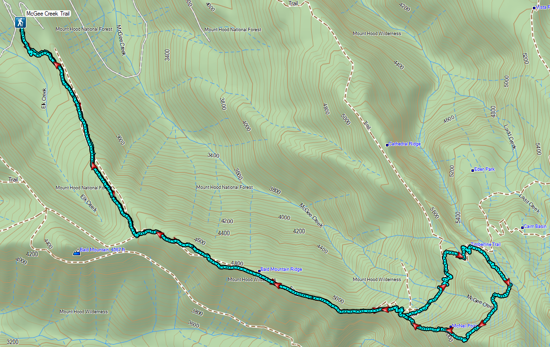

 Mt. Hood from the trailhead.


 The wagon chute.

 The left at the 4-way junction.
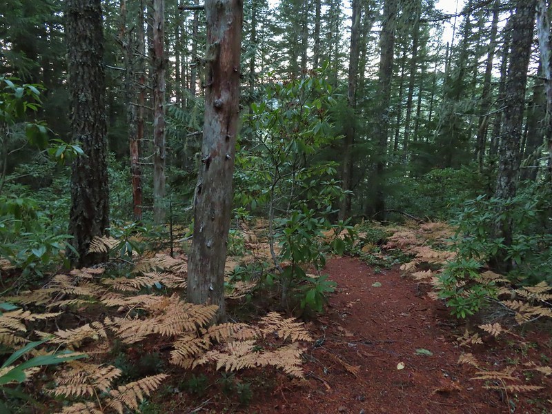
 Looking down the chute.
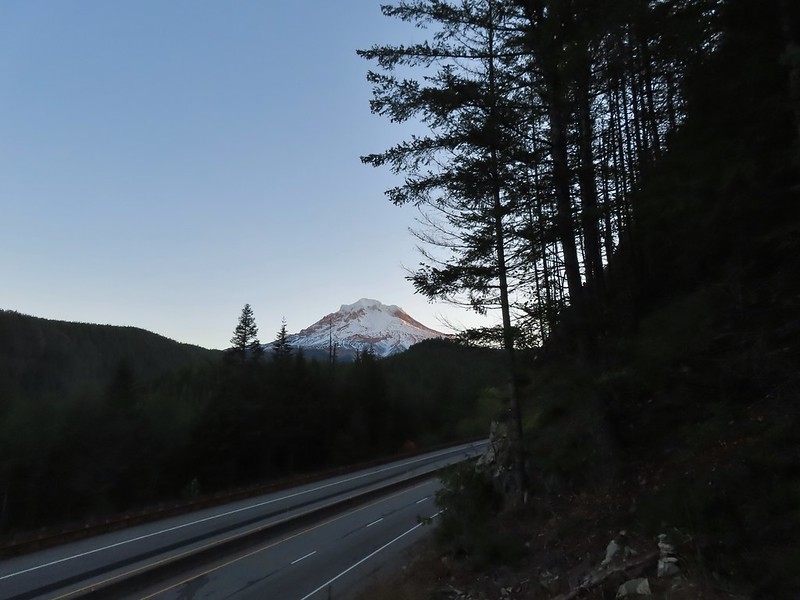
 Sunlight starting to hit the SE side of Mt. Hood.
 Ravens photo bombing a close up of the mountain.


 A portion of the original Barlow Wagon Road.
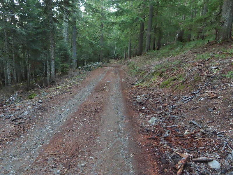 Barlow Road (FR 3530)
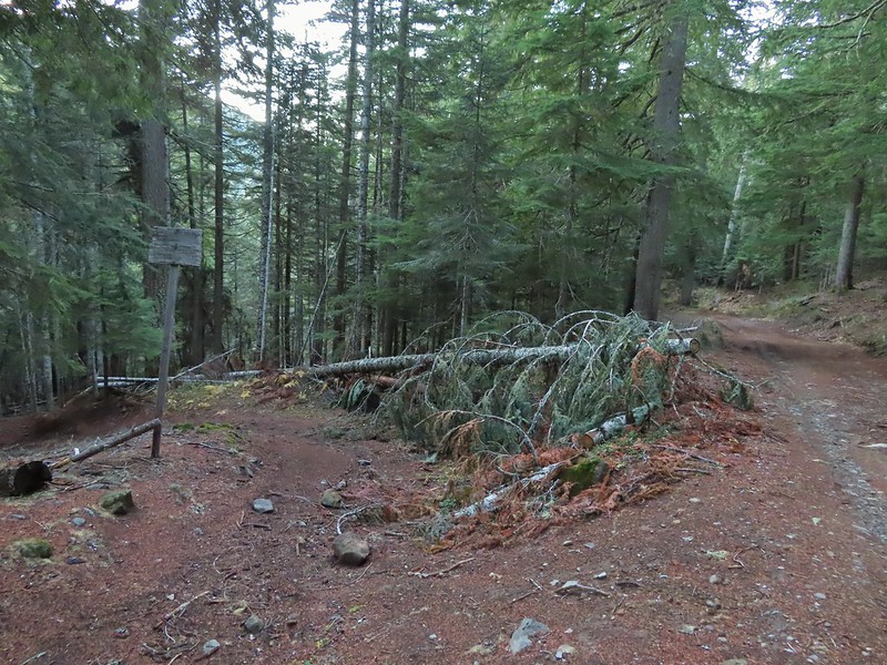


 Wilderness sign along the Barlow Butte Trail.
 Getting steeper.
 This was the worst of the blow down we had to navigate on this section.
 Nearing the junction.
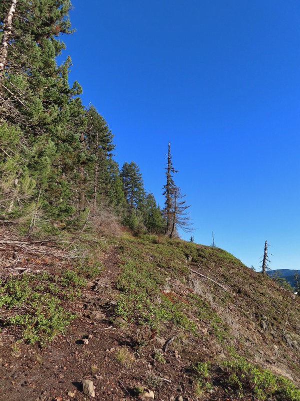
 It was a little chilly with temps in the mid 30’s combined with a stiff breeze adding to the wind chill.
 On the right of the far ridge is Bonney Butte (
 Remains from the lookout.
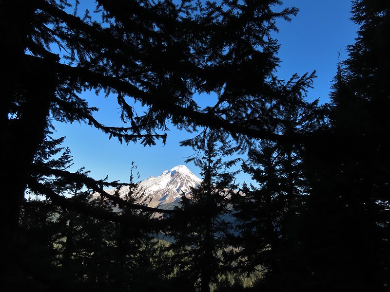
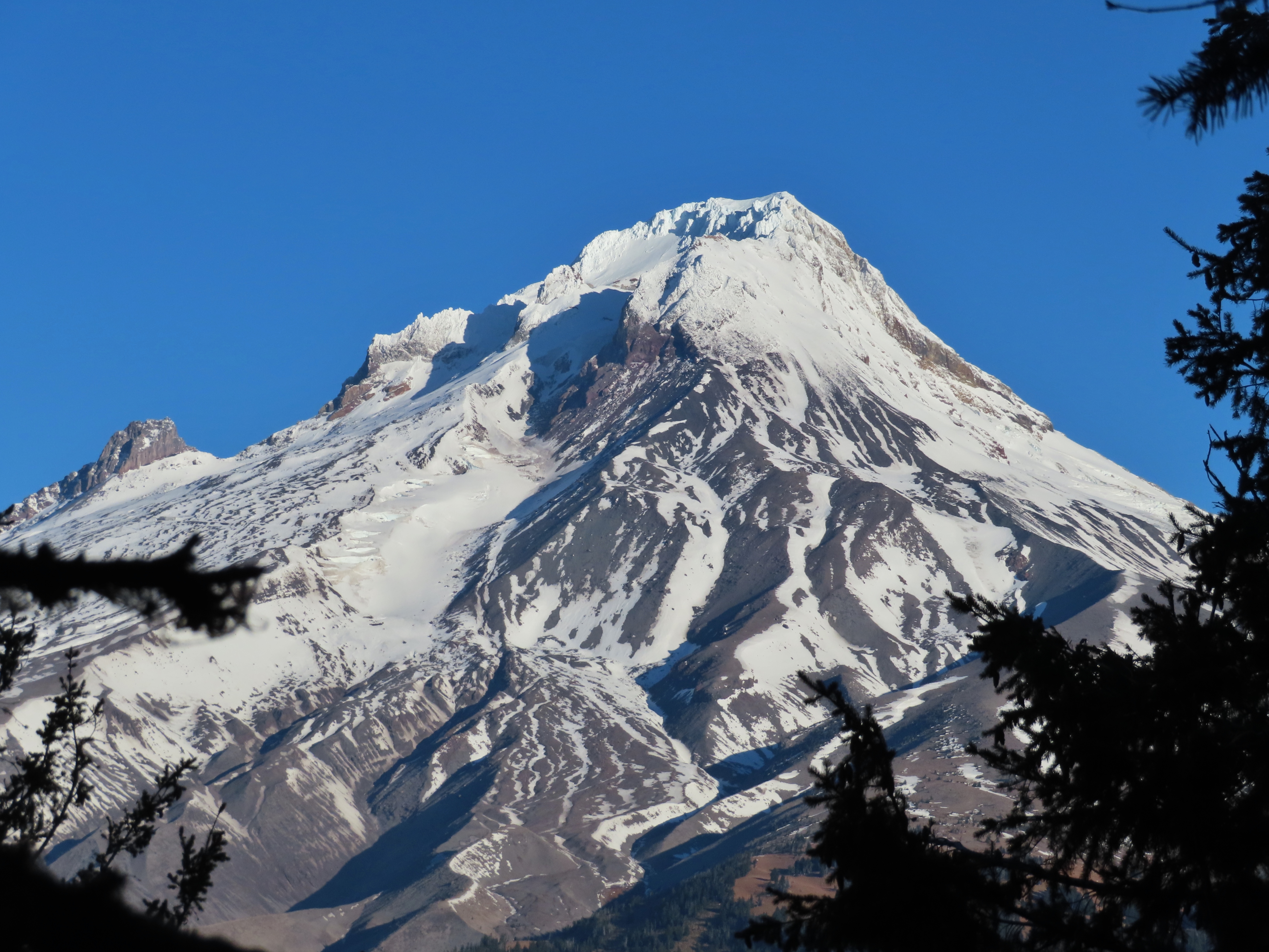
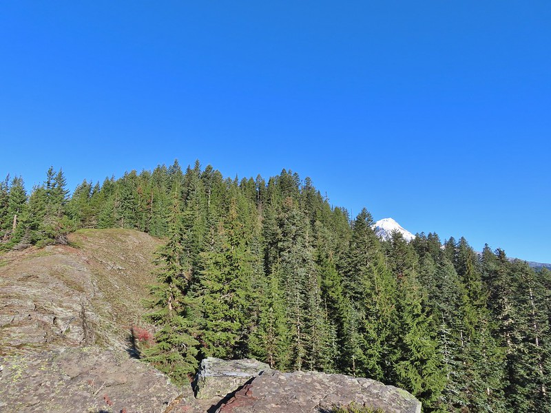 Barlow Butte and the top of Mt. Hood.
 Frog Lake Buttes (
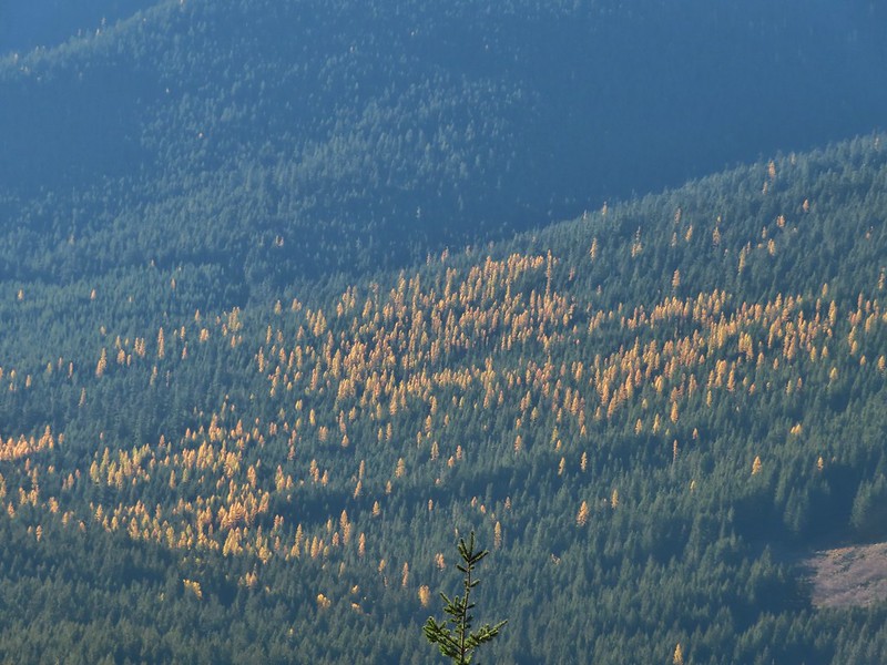 Western larches
 Mt. Jefferson behind some clouds.
 Sisi Butte (double humps) and Bachelor Mountain (
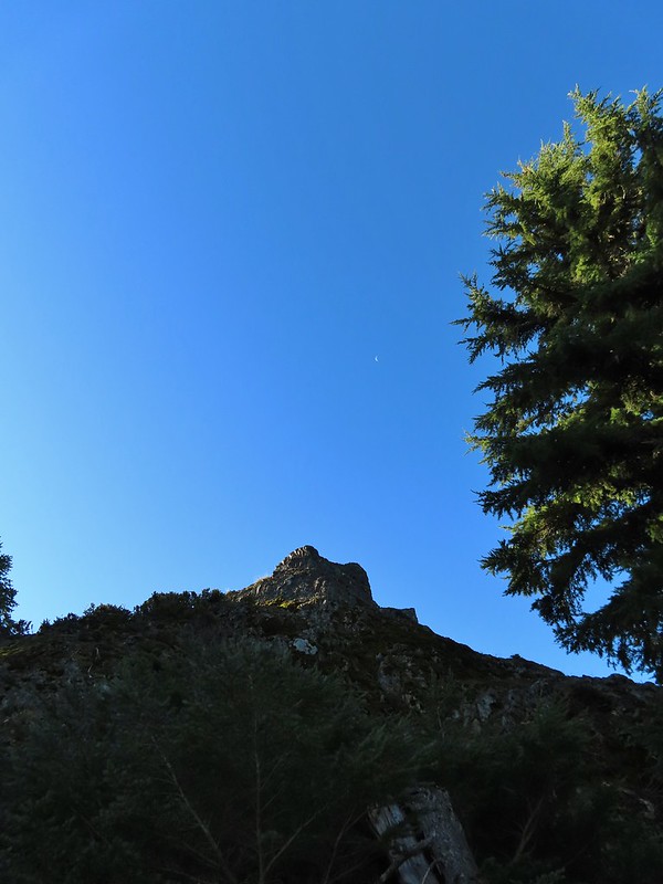


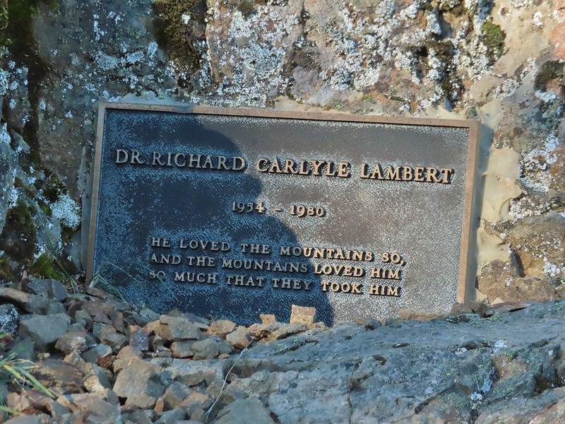
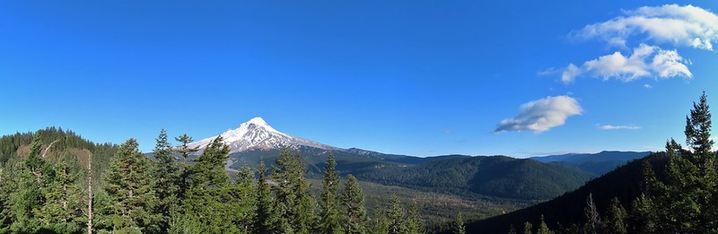 Barlow Butte to the left of Mt. Hood.
 Mt. Jefferson still behind some clouds.
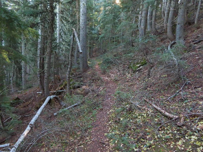
 Parts of Mt. Jefferson peaking through the clouds.
 Tom Dick and Harry Mountain (with the rock fields near the top).
 Small cairns in a meadow.
 One of the aforementioned diamonds.
 Approaching the high point.
 Clouds were starting to pass over Lookout Mountain at this point.
 Mt. Hood from the high point of Barlow Ridge.
 Carin in the trees ahead.
 Elk or deer tracks leading the way.
 Another section of frost.
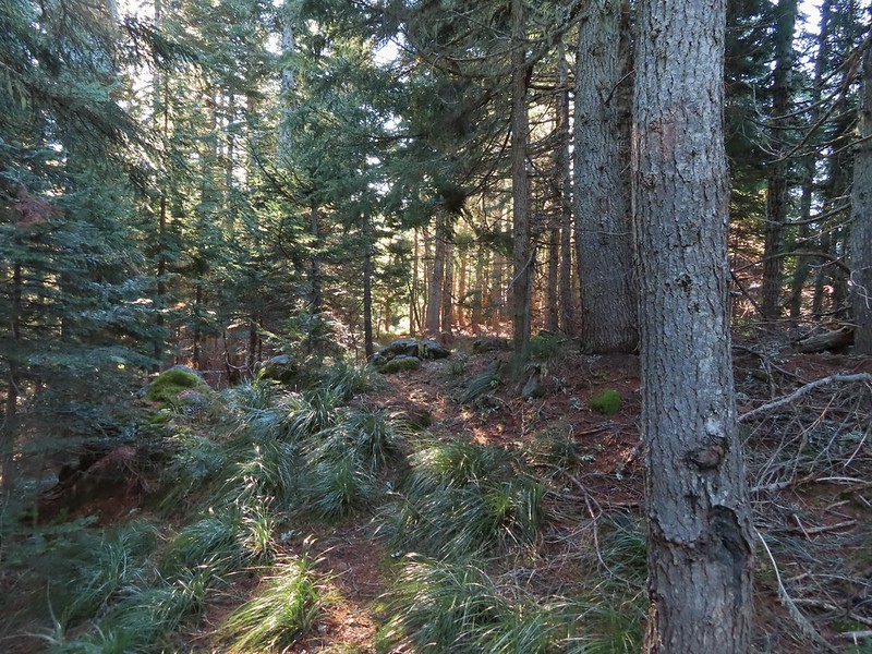 We took this as a blaze.
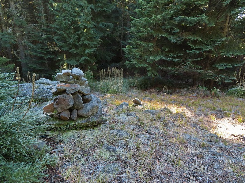 That blaze led to this large cairn.
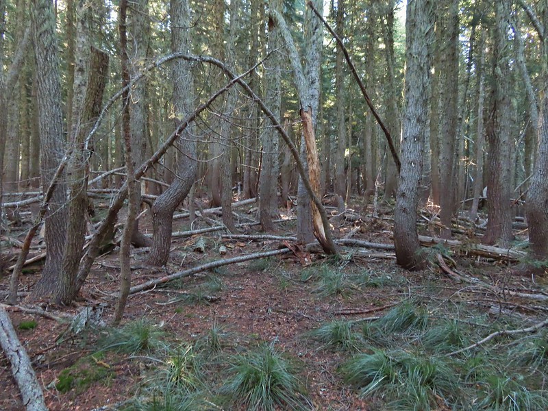 Things were starting to get interesting here.
 Stopped here to listen for pikas, no luck though.
 This could be trail.
 Still on the right track, note the folded trail sign on the tree at center.
 The small meadow.
 Officially off-trail now.
 This looked like a place the trail would go.
 A final look at Mt. Hood from Barlow Ridge.
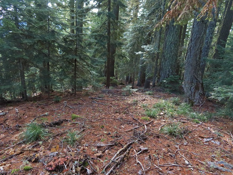 This doesn’t look so bad.
 One of several big trees we encountered.
 Little orange mushrooms, how appropriate for Halloween.
 Starting to encounter more debris.
 If there had been a trail good luck finding it.
 Heather coming down behind me.
 Pretty decent game trail here.
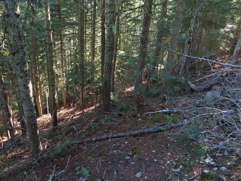 This section was fun.
 A bigger orange mushroom.
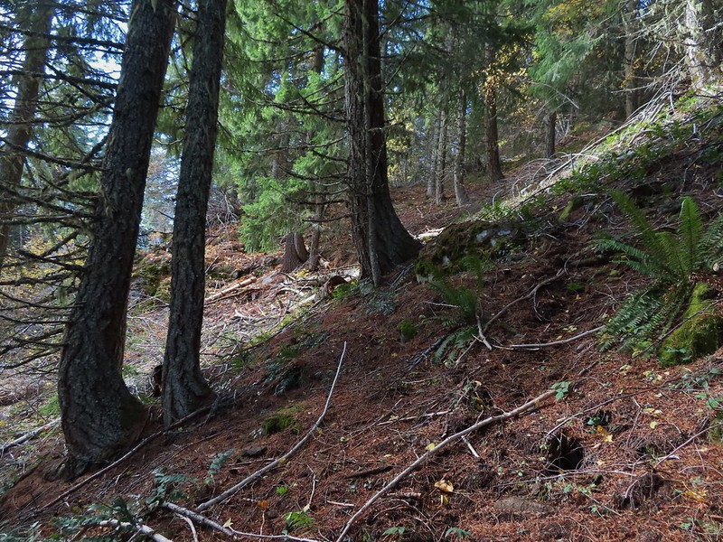 Uphill on this game trail.
 Thickets of brush kept us from getting all the way over to the ridge we needed so we just kept going downhill knowing that we would eventually run into one of the forest roads at the bottom.
 More steep fun.
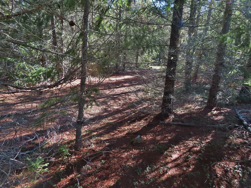 Look Ma a road!
 It doesn’t look that steep from down here.
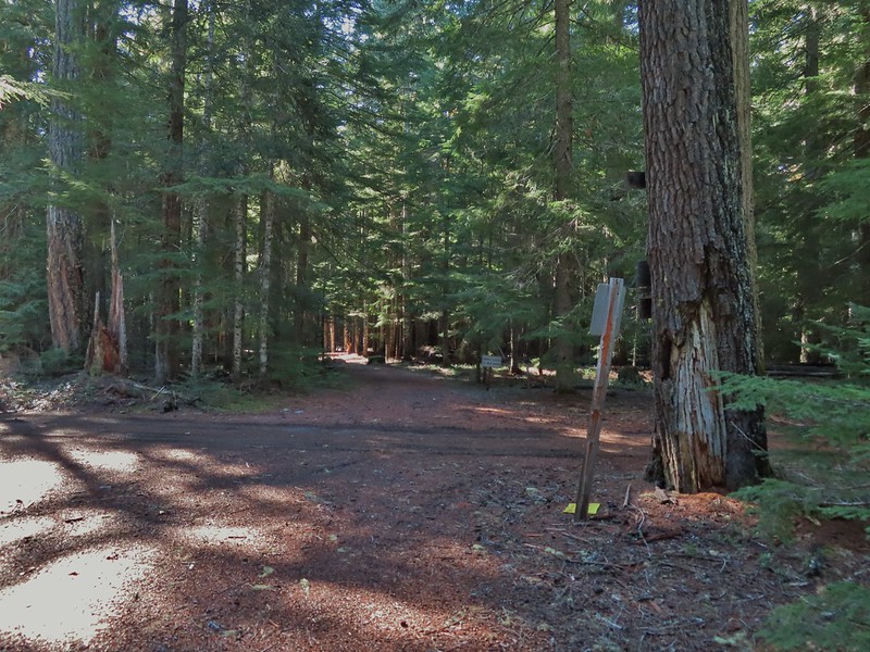 Barlow Road.
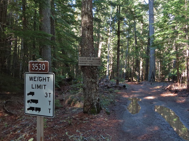


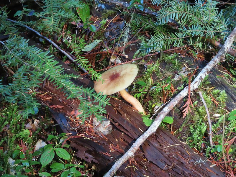

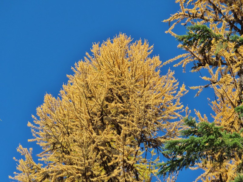 Western larches above Barlow Road.
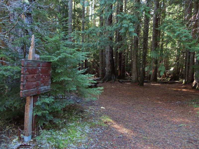 Grindstone Campground
 Barlow Creek
 Crossing Barlow Creek near Devil’s Half Acre Meadow.
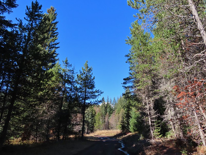 Clouds on top of Mt. Hood towering over the trees.
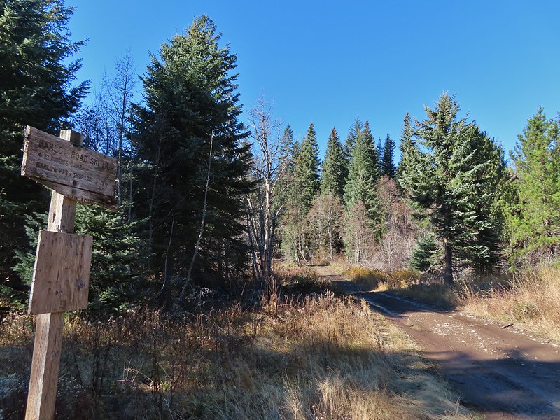 Barlow Road at the campground.
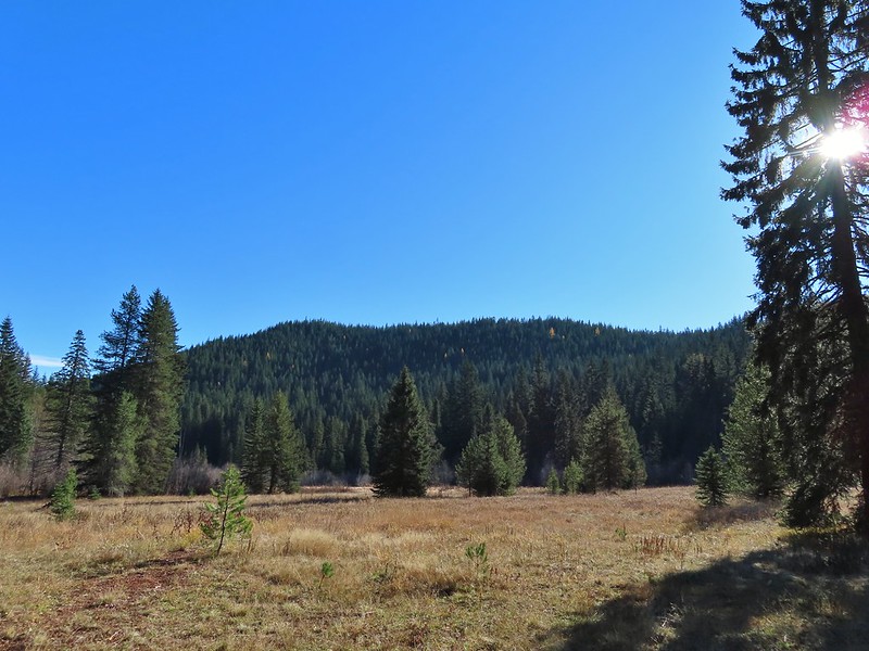 Devil’s Half Acre Meadow.
 Finally back to where we’d left the road in the morning.
 Arriving back at the Barlow Pass Trailhead
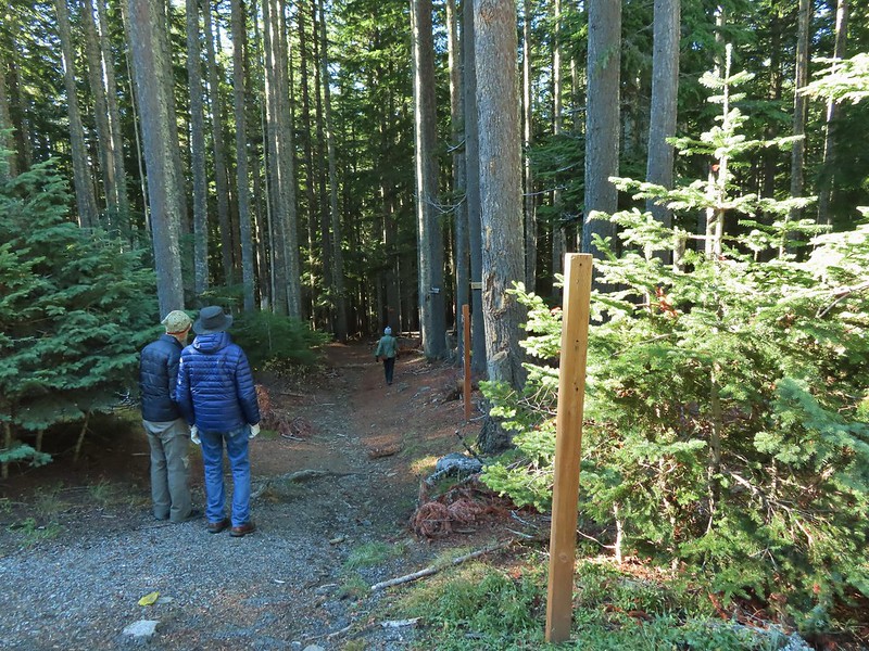 The first other people (not counting the two drivers in the pickups) that we’d seen all day.
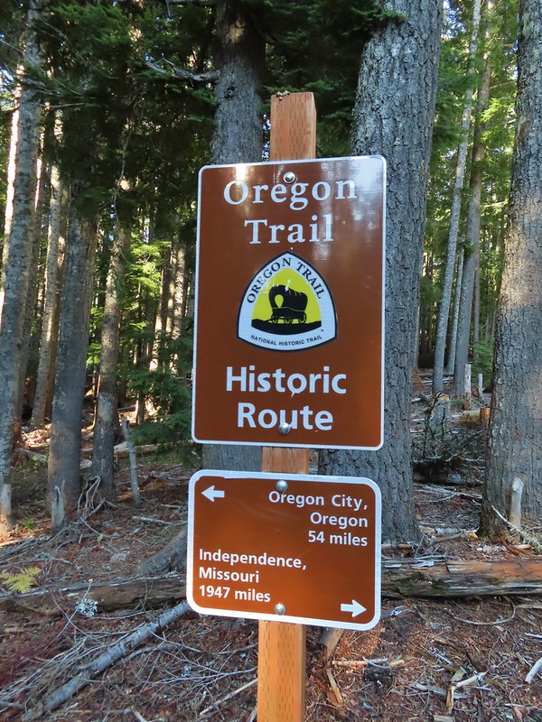
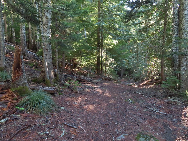


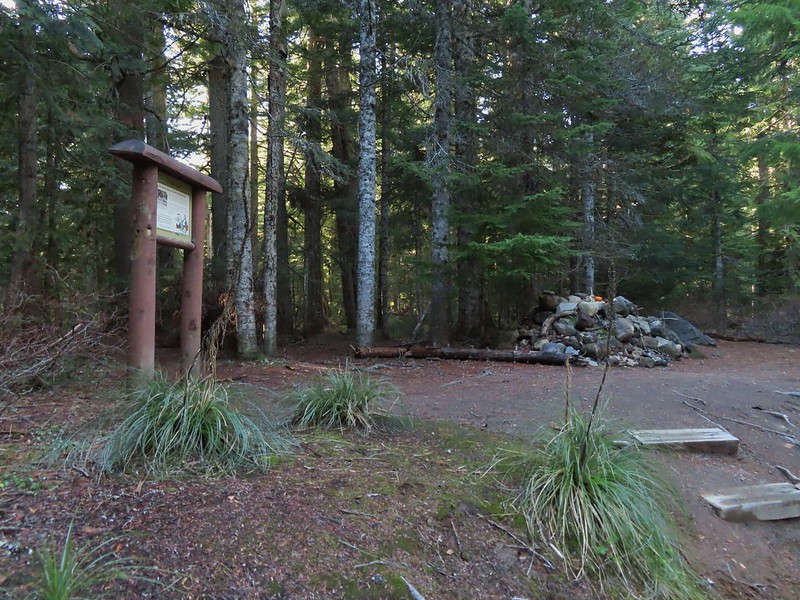

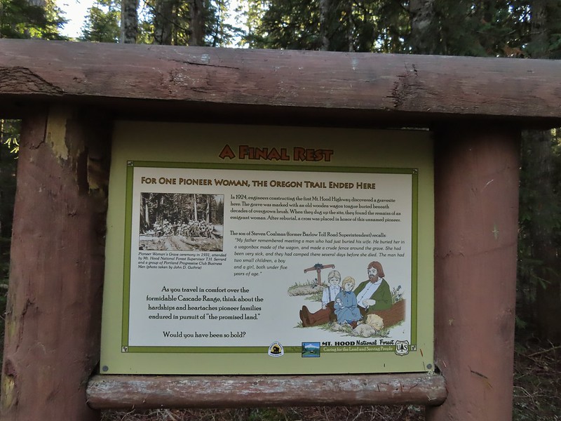
 East Fork Salmon River
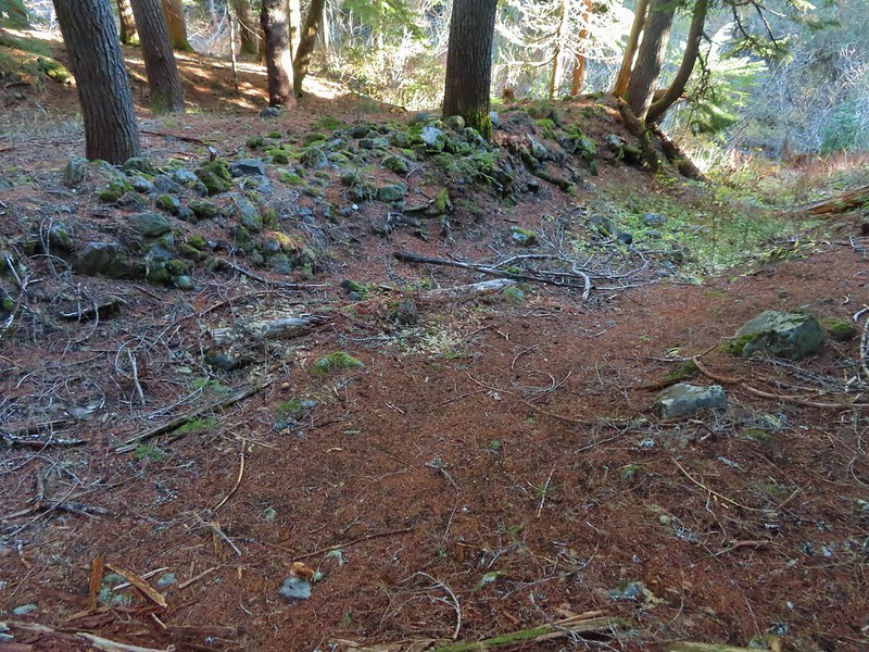

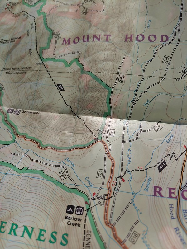
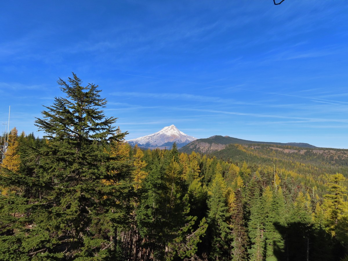

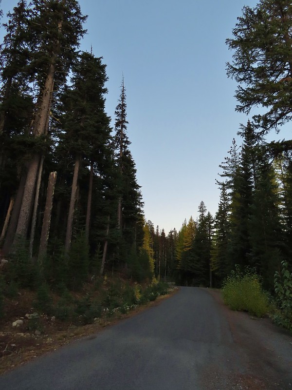 A few larches along Road 2730
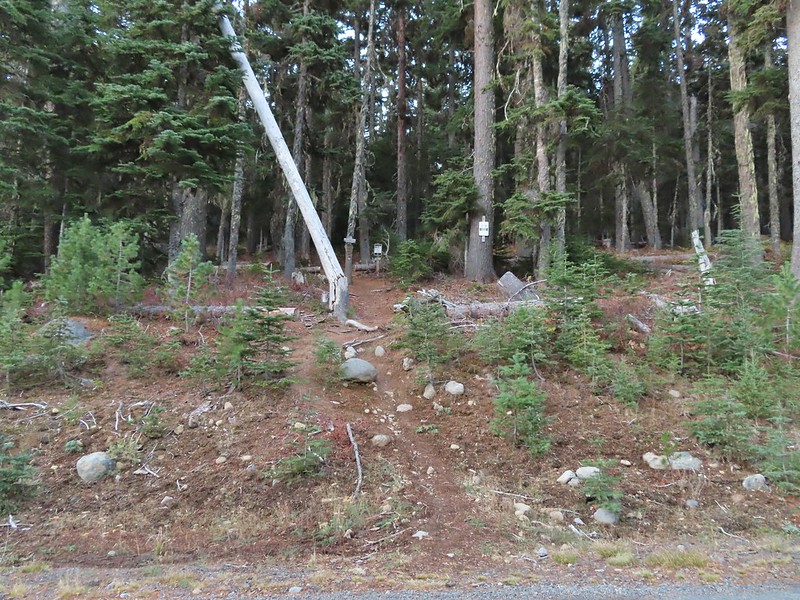 Fret Creek Trail across from the pullout.
 Entering the Badger Creek Wilderness.


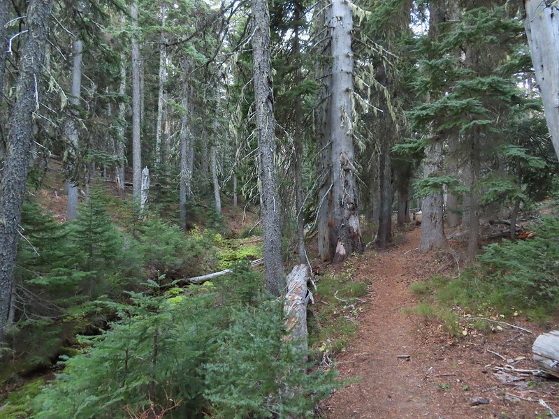
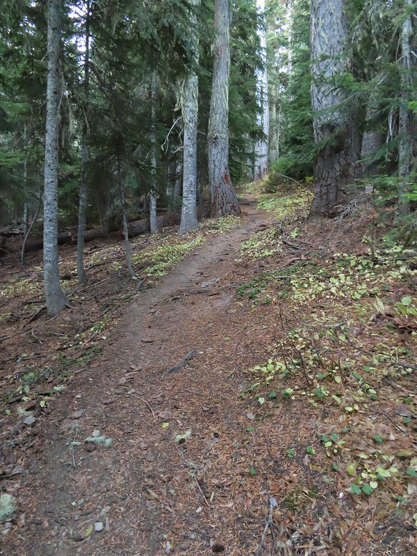 Starting to climb again.
 Sign for Oval Lake.
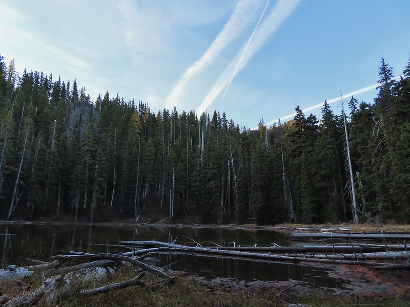
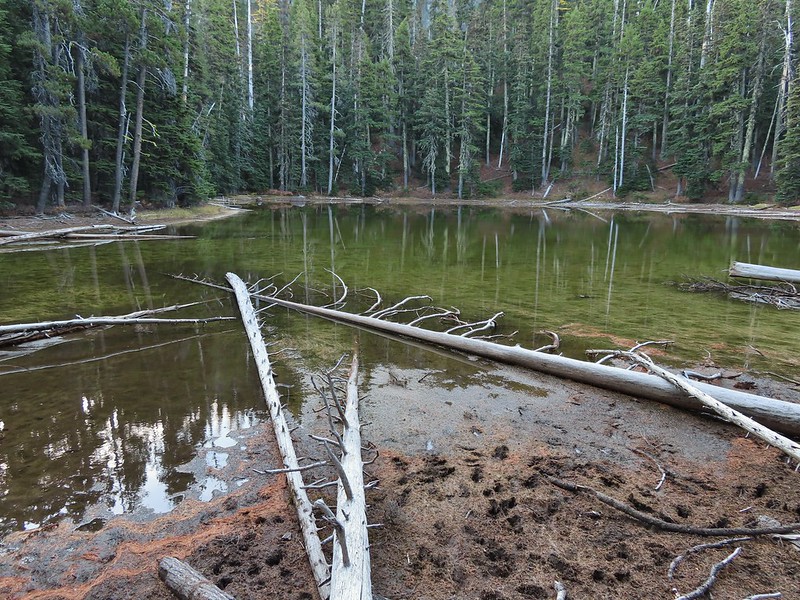
 June 28, 2014
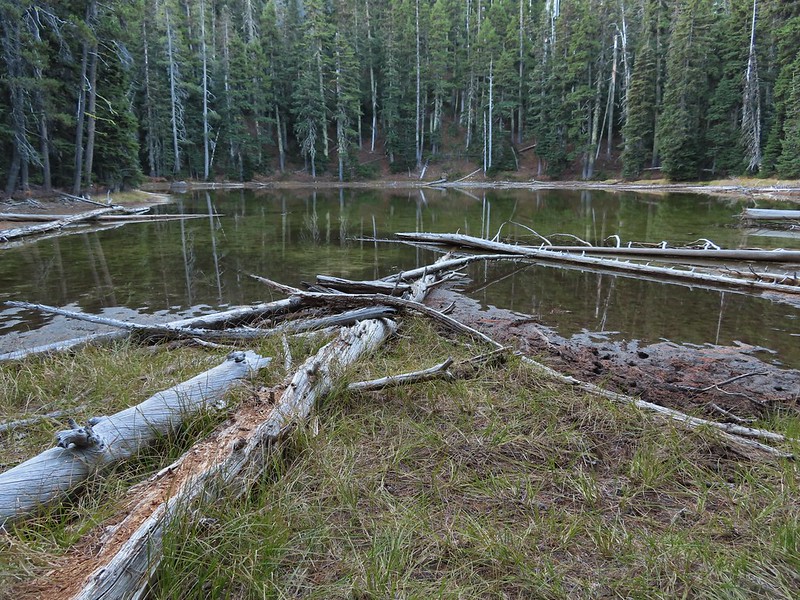
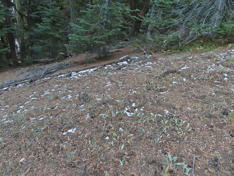 A bit of snow left from the recent snowfall.
 The Divide Trail.
 Some snow near a switchback along the trail.
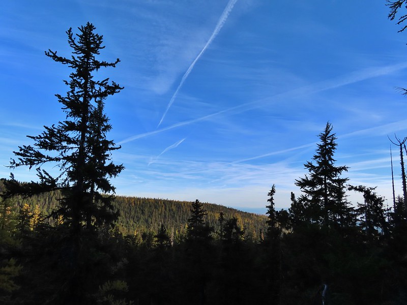 Mt. Adams starting to peak over a ridge to the north.
 Mt. Adams with some larch trees in the foreground.
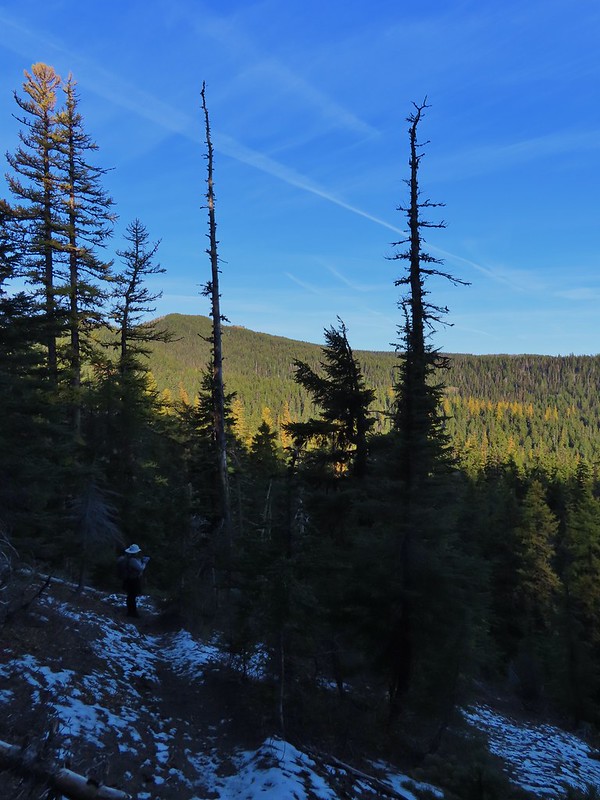 Lookout Mountain from the Divide Trail (The bare peak in between the two bare snags. Just to the right of the left snag.)
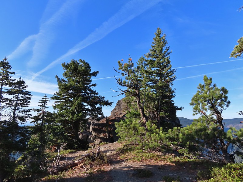 Side trail to Palisade Point.
 Broken Top, The Three Sisters, Mt. Washington, Three Fingered Jack (just the very top), Mt. Jefferson, and Olallie Butte (
 Mt. Jefferson with the tip of Three Fingered Jack to the left and Olallie Butte to the right.
 Mt. Hood peaking up over the rocks.
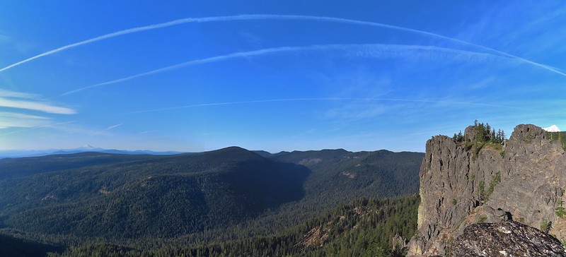 Panoramic view with Badger Creeks valley below.
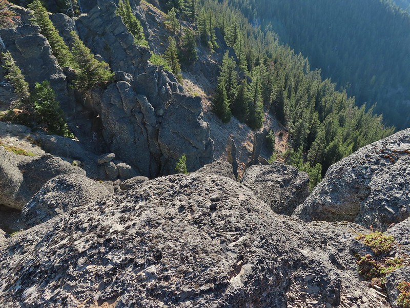 Rocks below Palisade Point.
 We ran into this jumble of downed trees shortly after leaving Palisade Point but fortunately it was the worst of the obstacles.
 Flag Point Lookout from the trail.
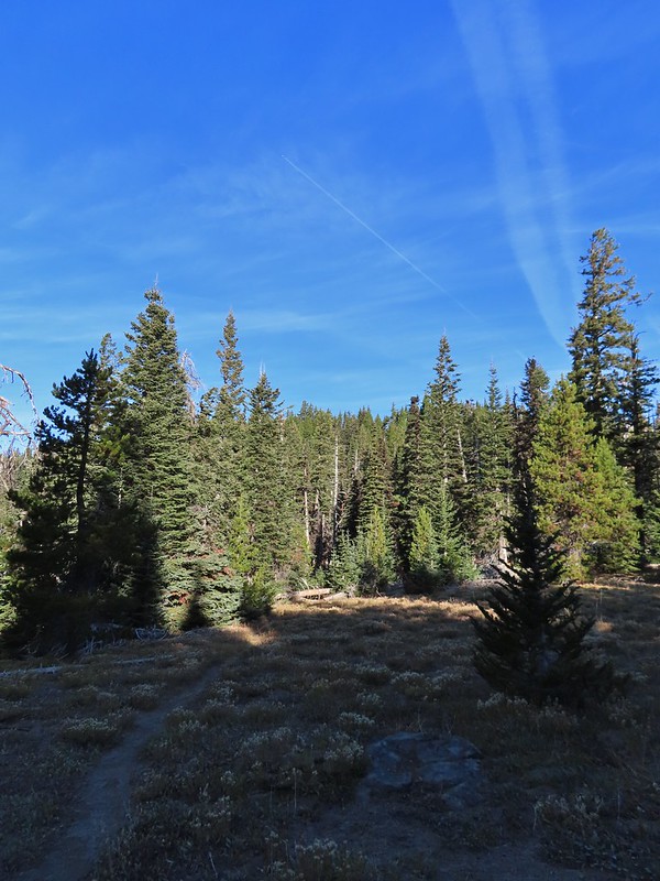 A small meadow that was full of flowers a couple of months ago.
 A stand of larches.
 A better view of Mt. Hood.
 Zoomed in.
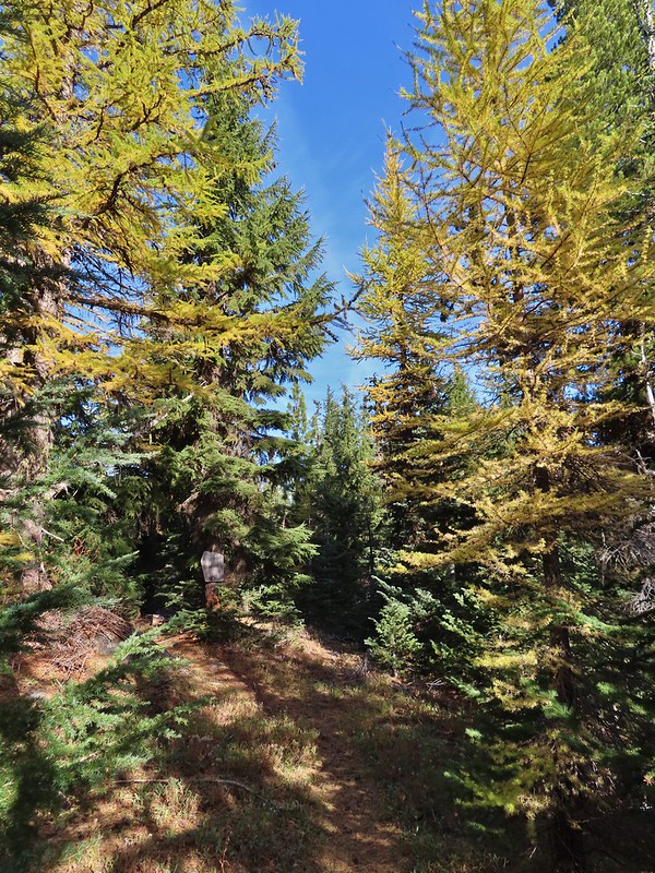 Looking back through larches at a Badger Creek Wilderness sign near Road 200.
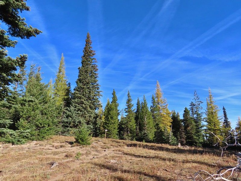 Looking back at the Divide Trail.
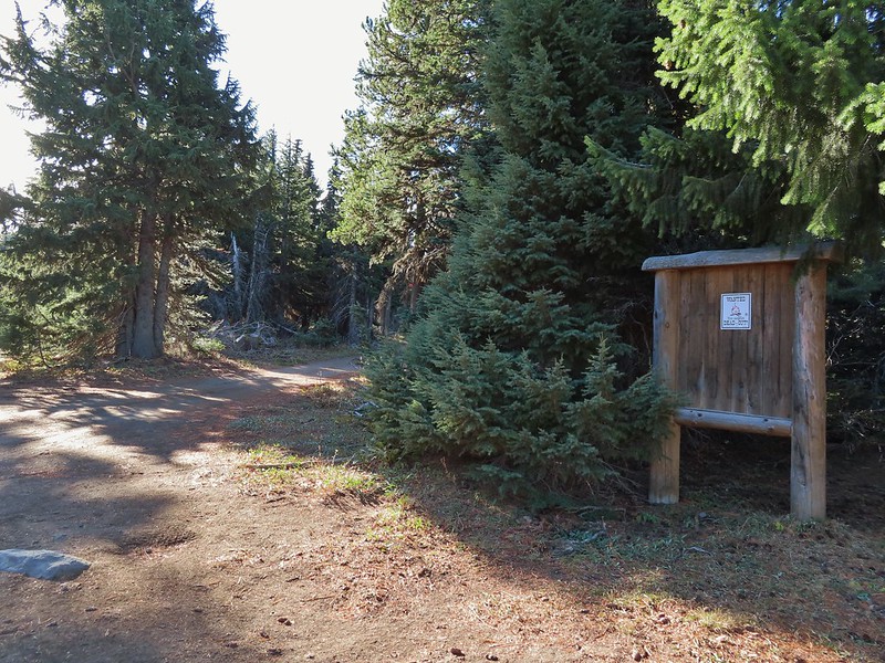 Road 200
 Chipmunk
 Nearing the lookout.
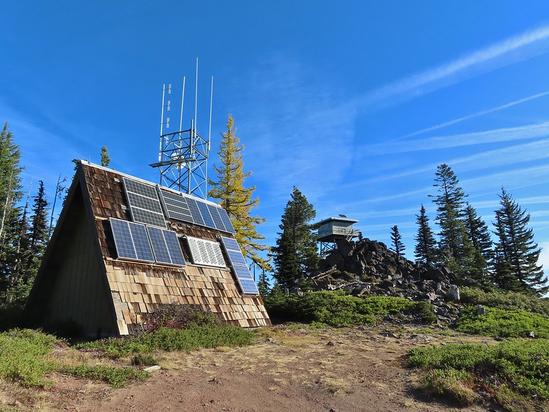

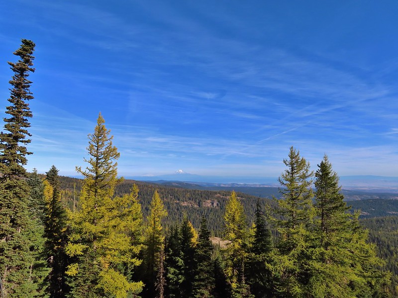 Mt. Rainier and Mt. Adams to the north.
 Mt. Rainier and Mt. Adams
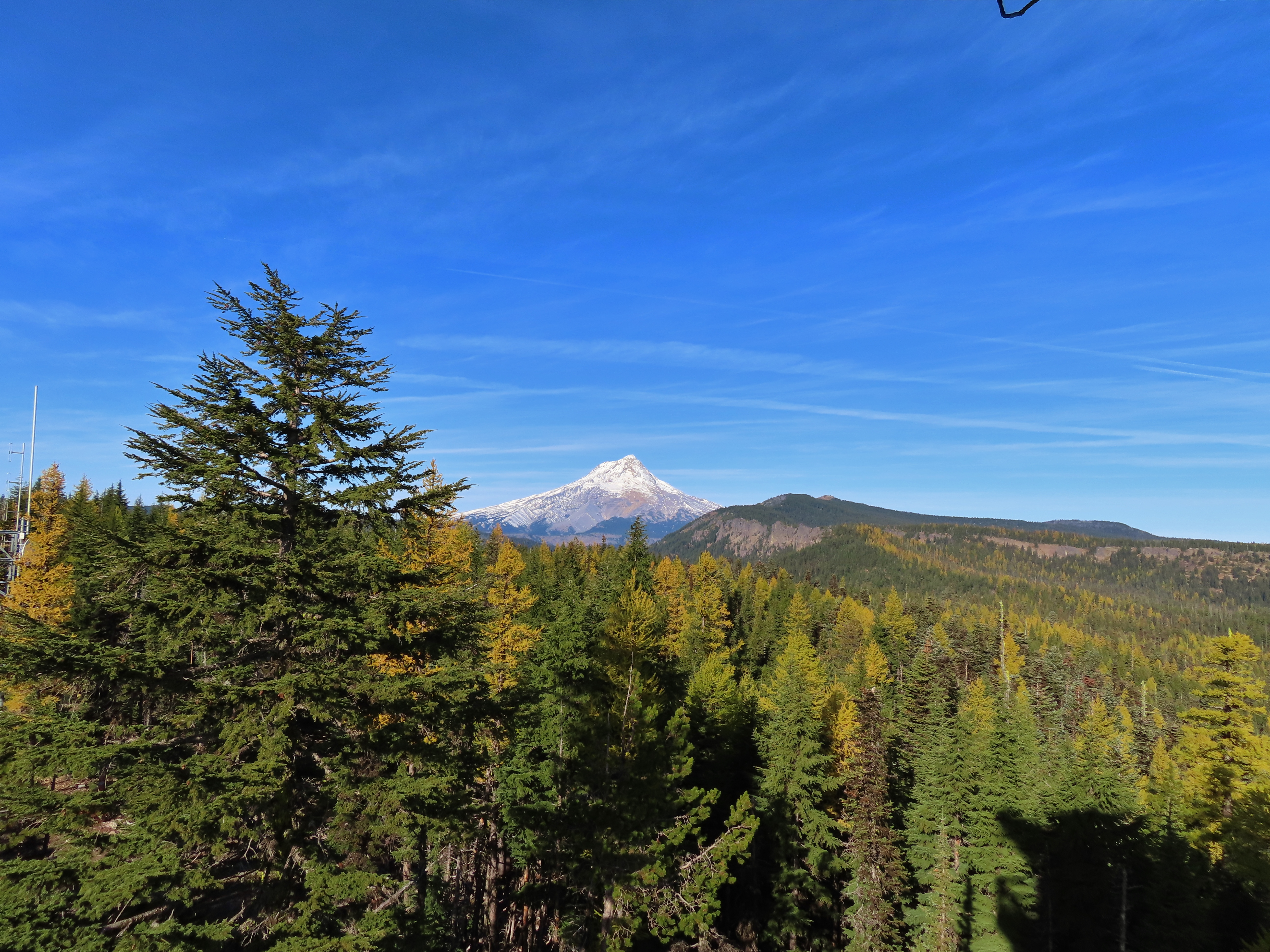

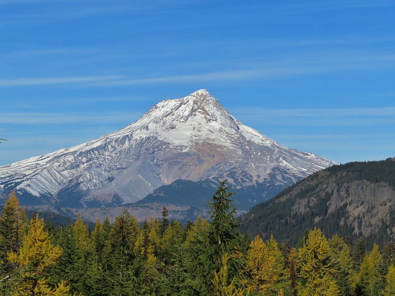
 Three Fingered Jack, Mt. Jefferson, and Olallie Butte
 View east to the hills above the Columbia River.
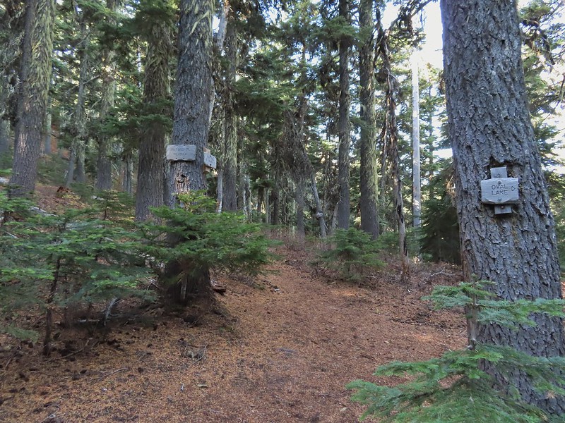 Passing the Fret Creek Trail.
 We did need to gain almost 800′ of elevation to reach Lookout Mountain which at times was a fairly steep climb.
 Another viewpoint along the way where Badger Lake was visible.
 Badger Lake

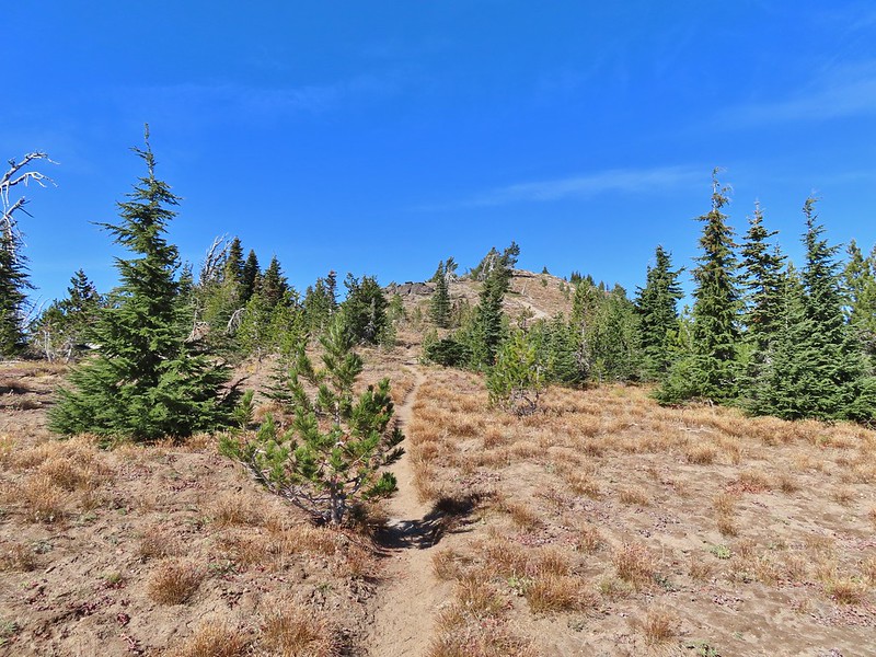 The final pitch to the summit, there is at least one hiker visible up top.
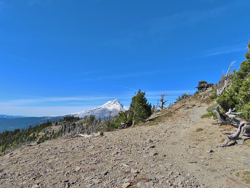
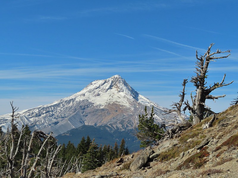
 Looking back to Flag Point.
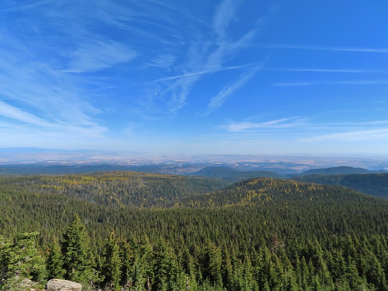 Looking NE toward The Dalles and the Columbia River.
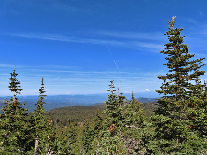 Mt. St. Helens, Mt. Rainier, and Mt. Adams
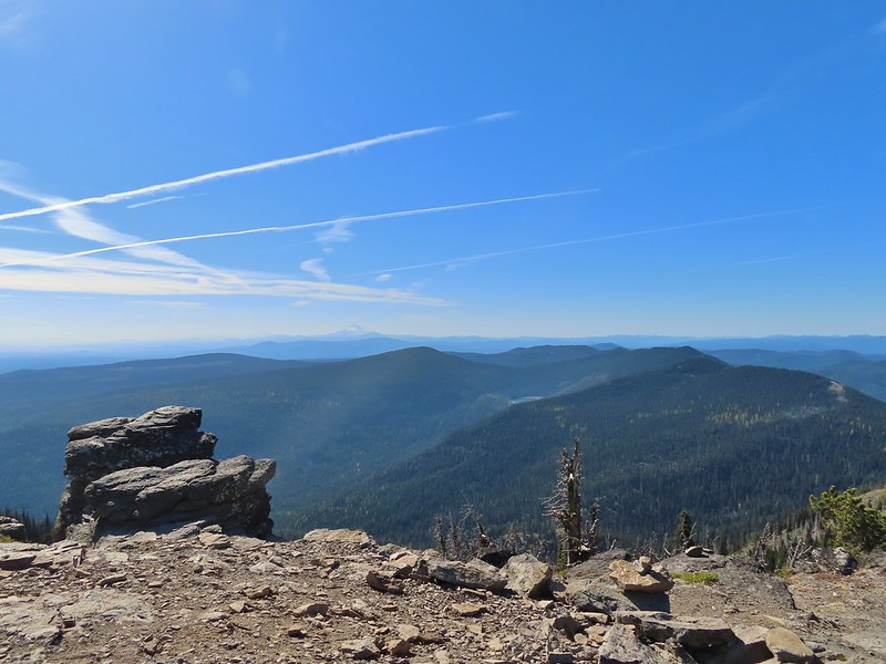 View south past Badger Lake to Mt. Jefferson.
 Flag Point from the Helispot.
 And of course Mt. Hood again.

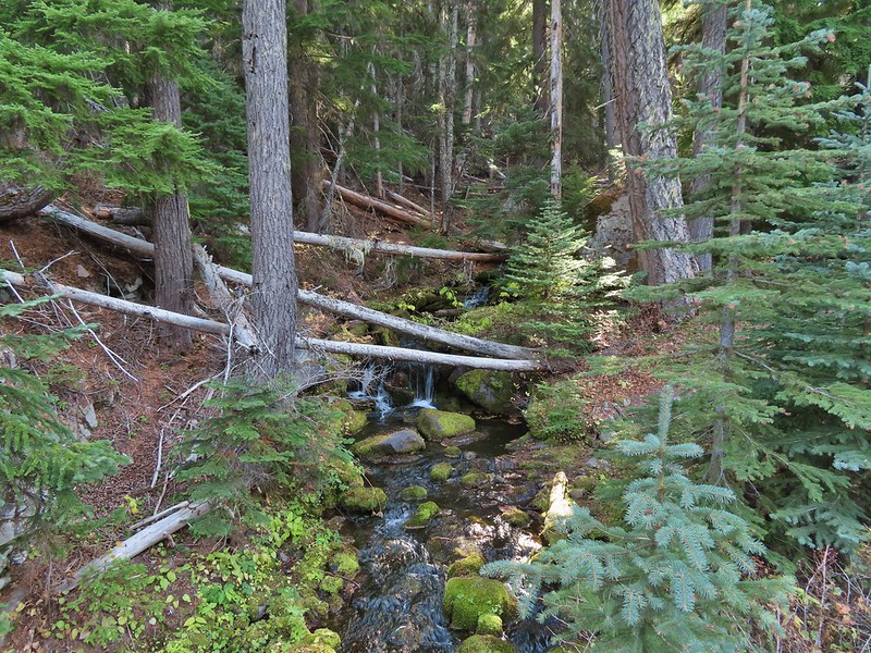 Fret Creek from the road near the trailhead.
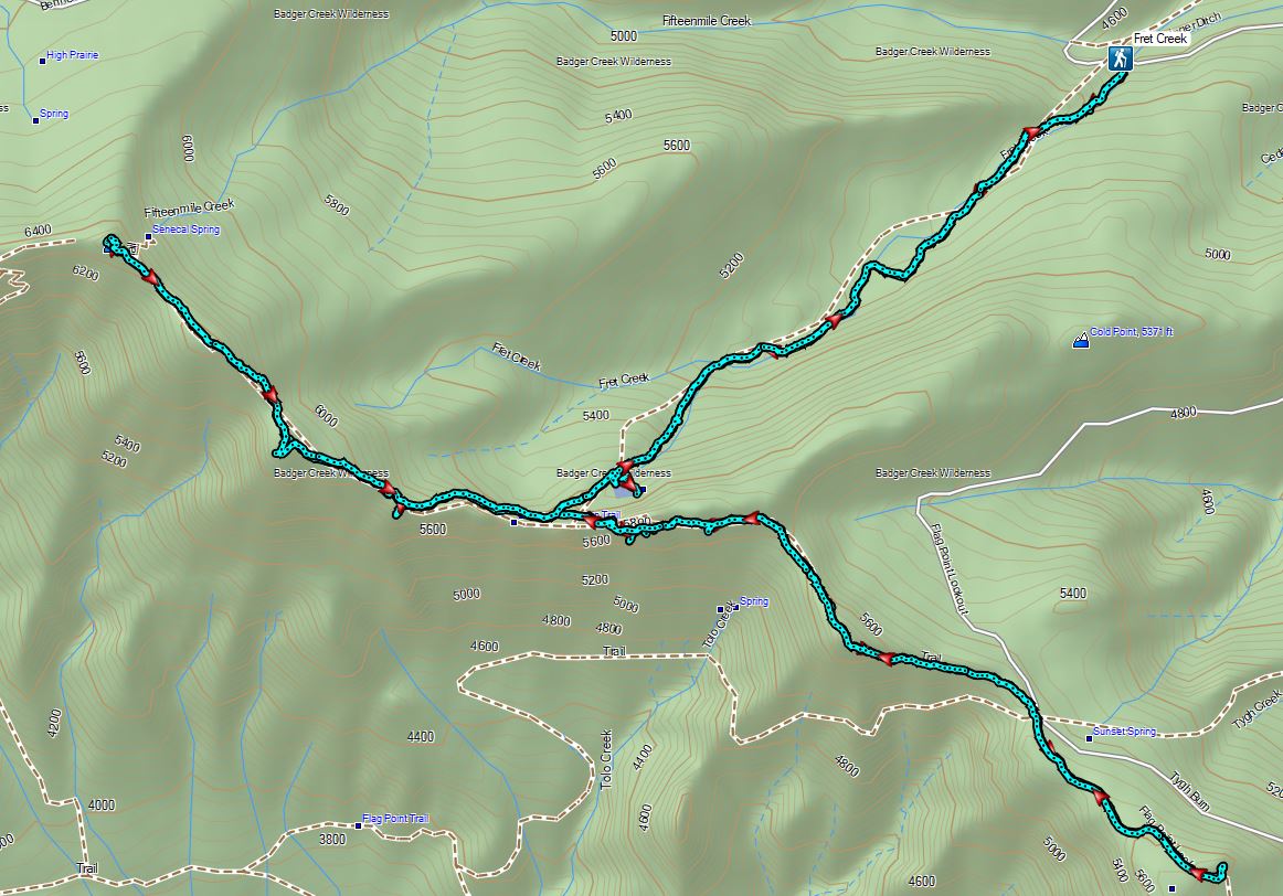
 Parking area is just a wide spot in the road.
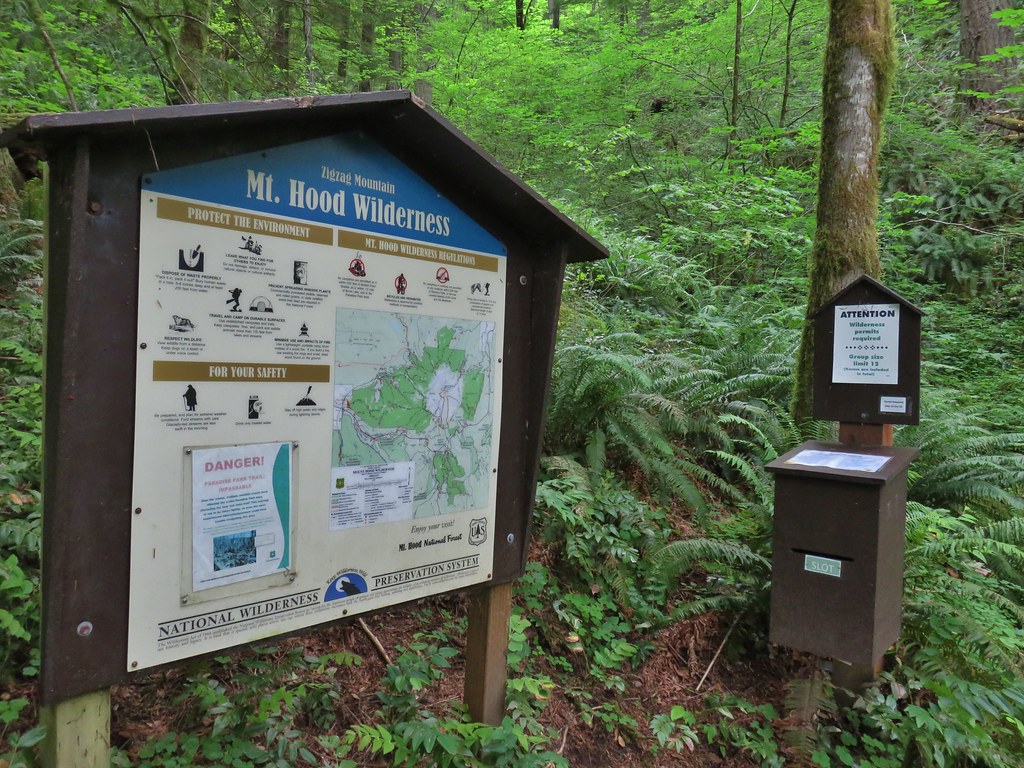
 Zigzag Mountain Trail entering the Mt. Hood Wilderness.
 Washington lilies
 Tiger lilies
 Self-heal
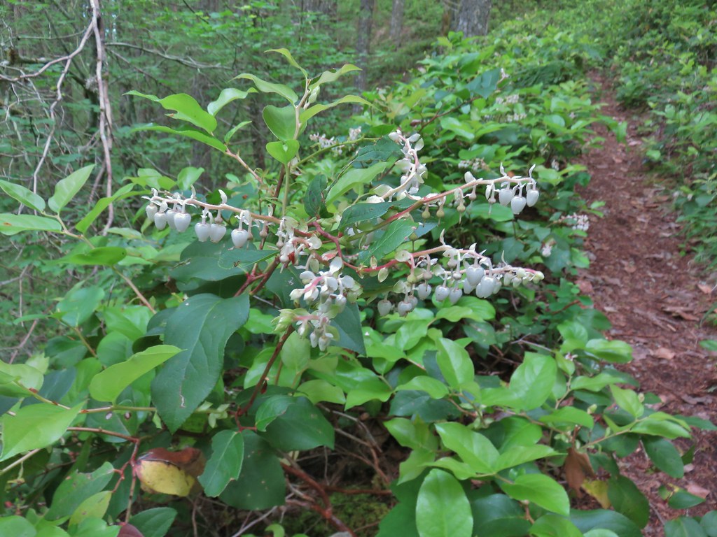 Salal
Salal Candy sticks
 Queen’s cup and bunchberry
 Anemone
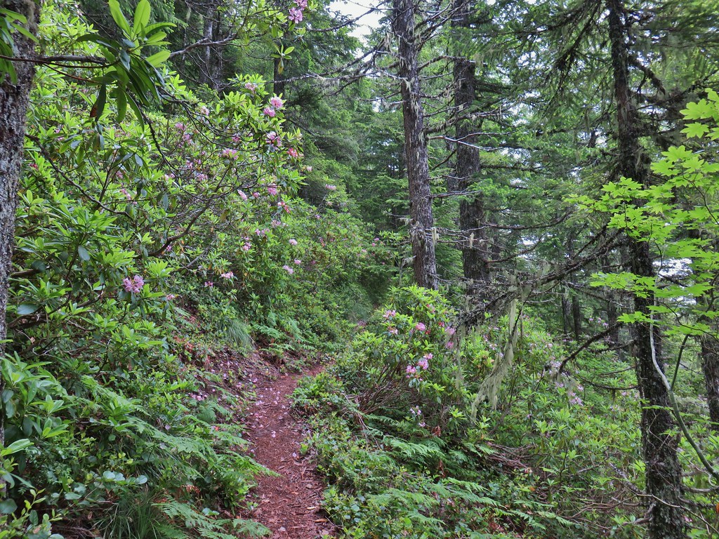
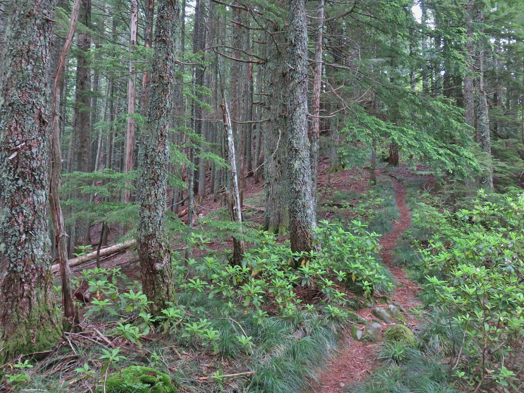

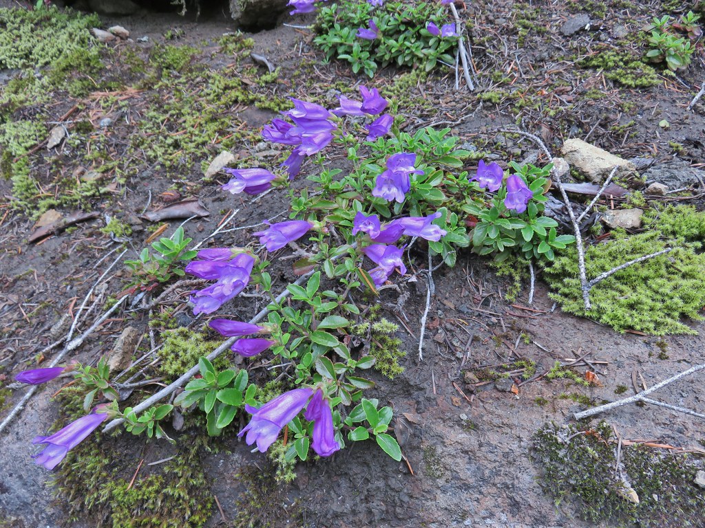

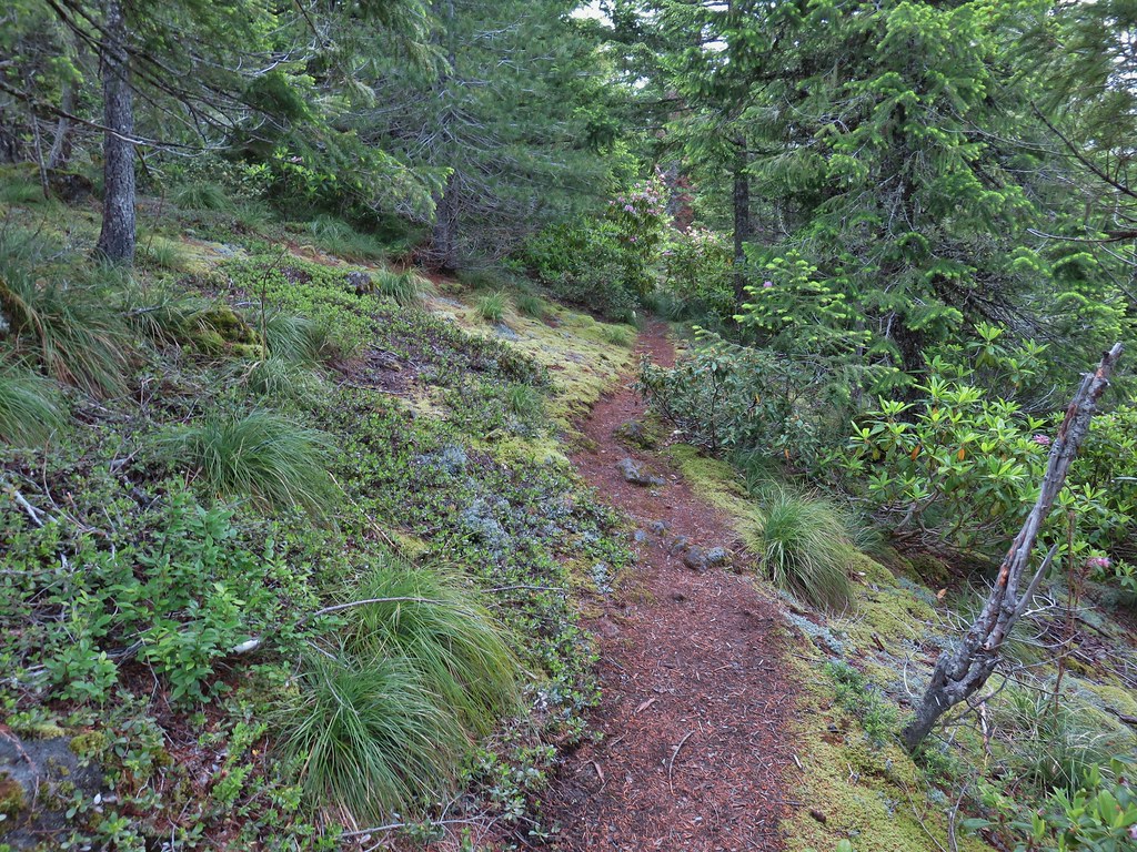
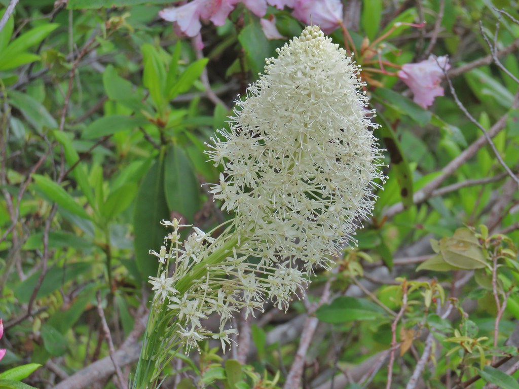 Beargrass
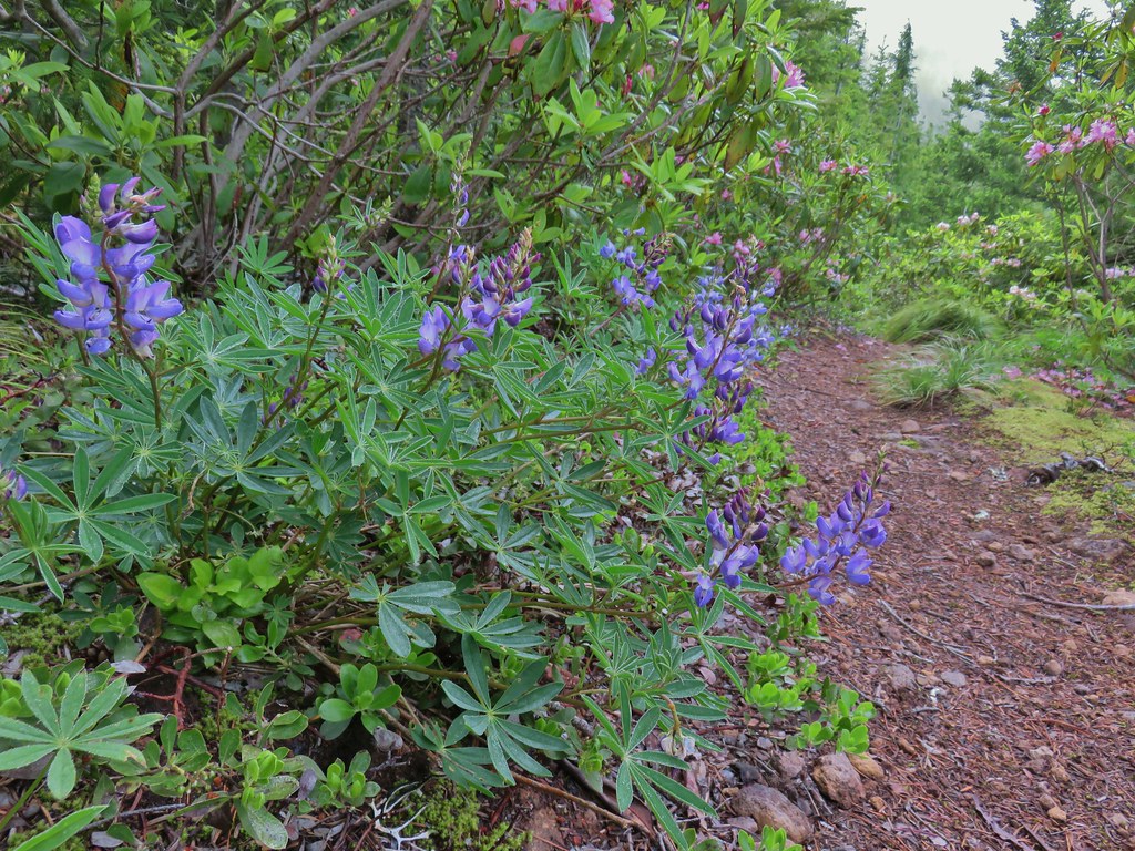 Lupine
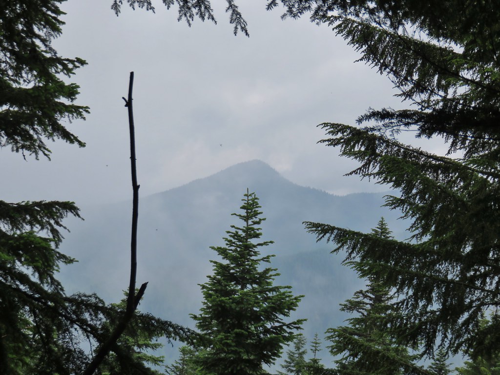
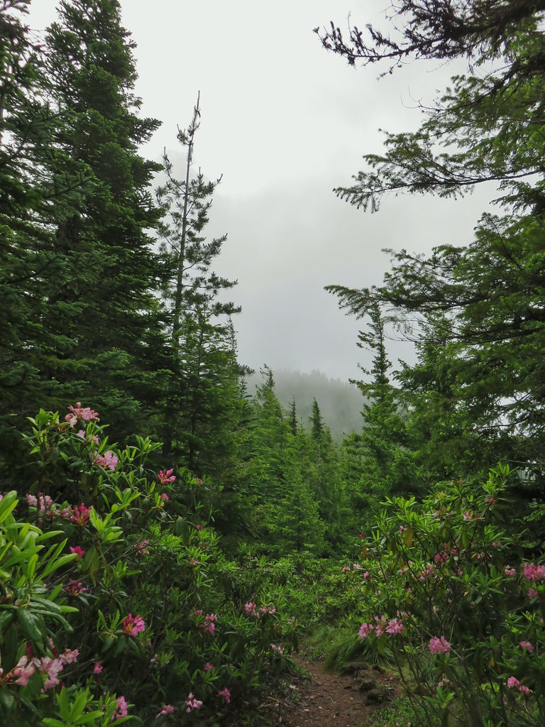
 Trillium along the north facing side of the ridge.
 Mushroom
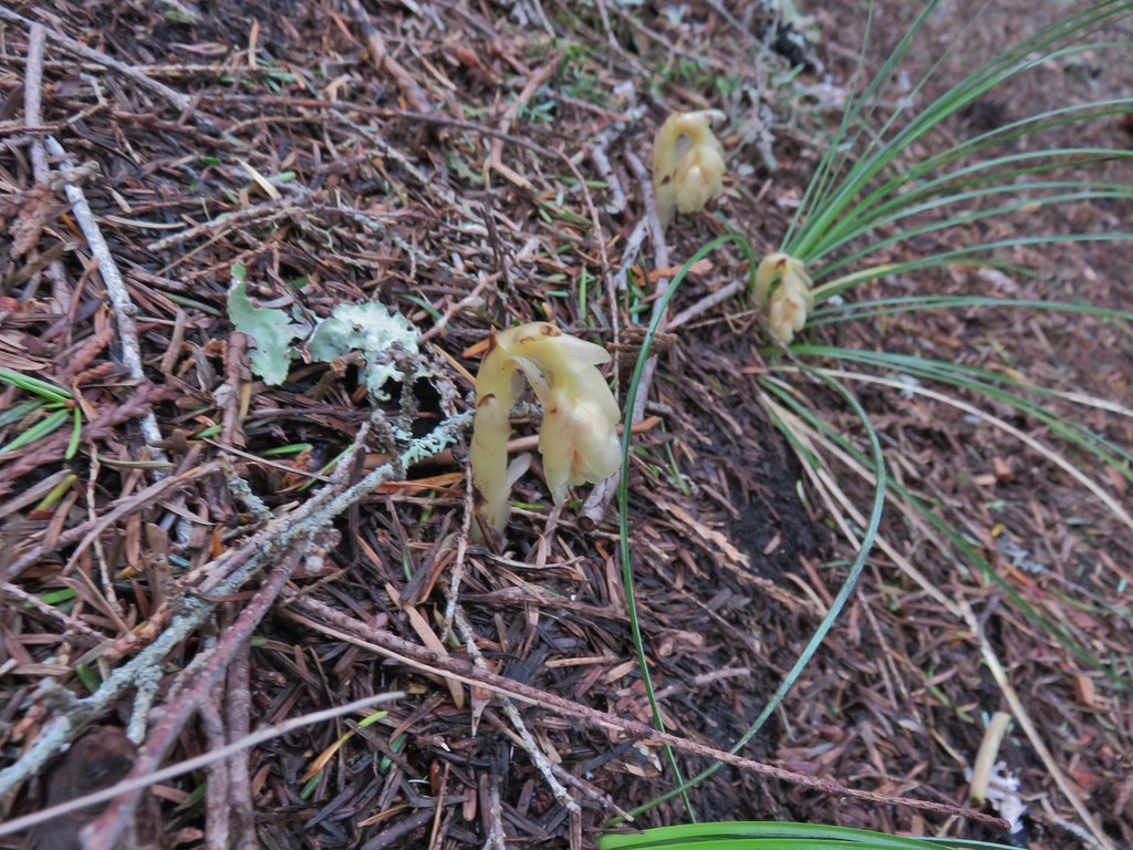 Pinesap
 Passing a rock outcrop.
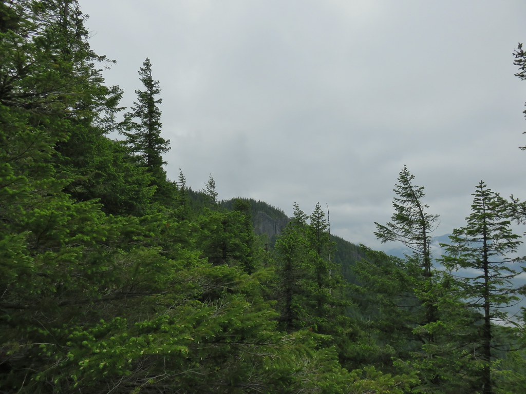 West Zigzag Mountain from the trail.
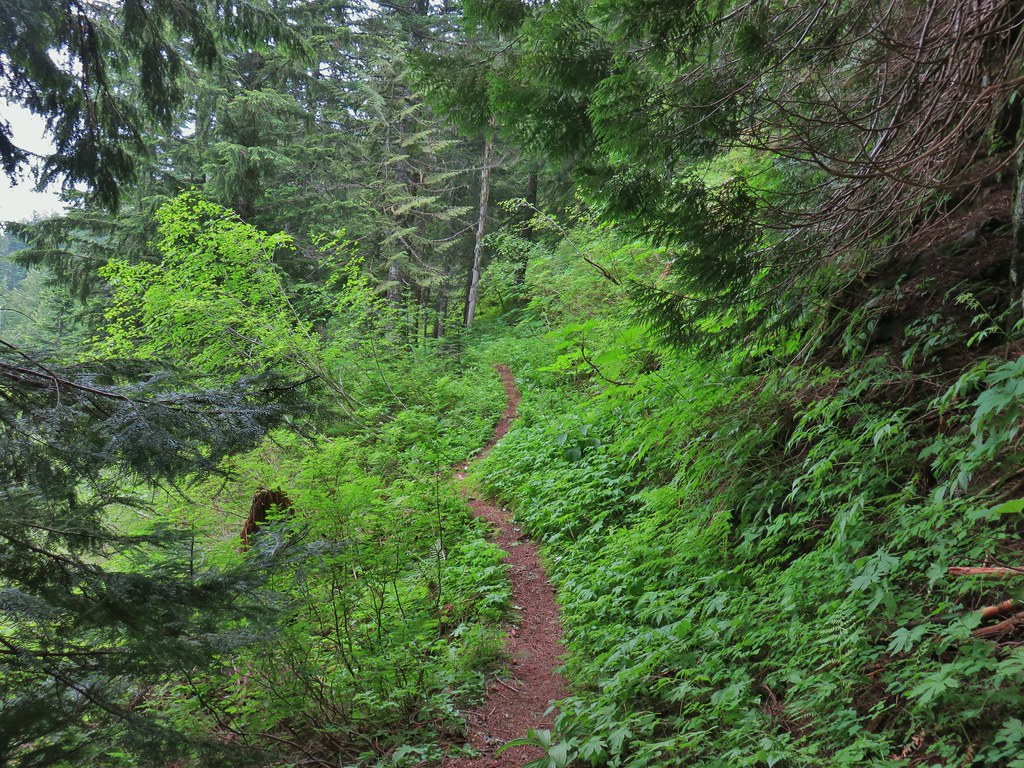 Back to the north facing side.
 Now on the south facing side.
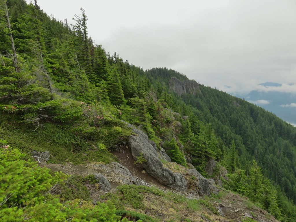

 Sub-alpine mariposa lily at the viewpoint.
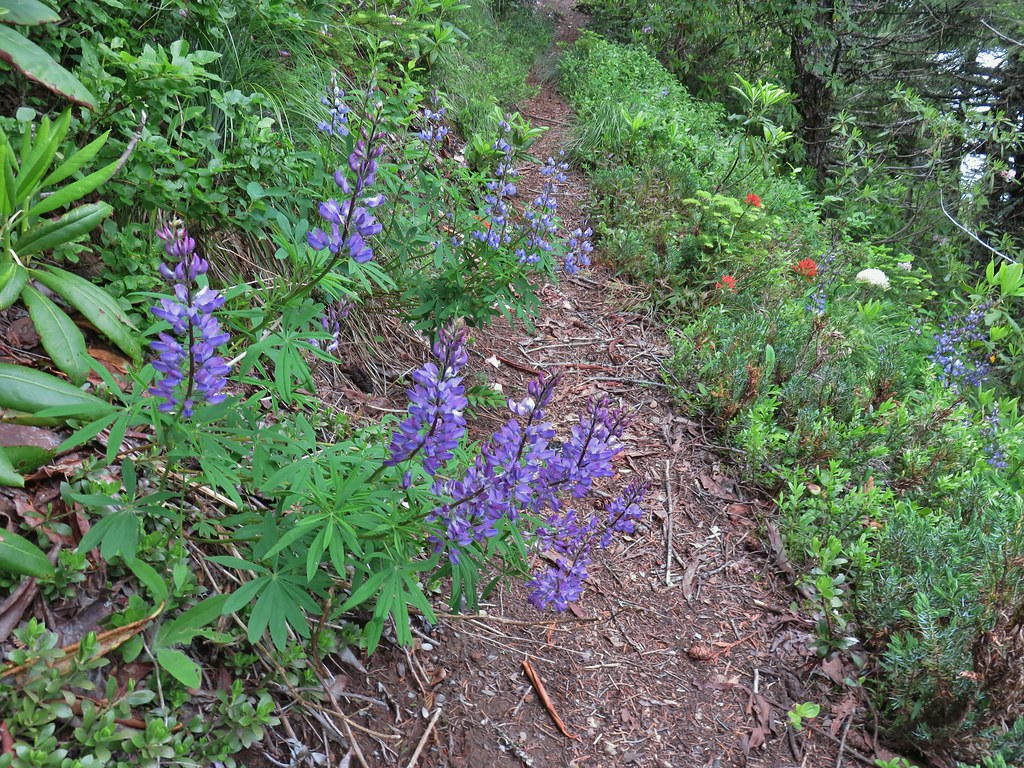 Lupine and paintbrush
 Beargrass and rhododendron
 Huckleberry
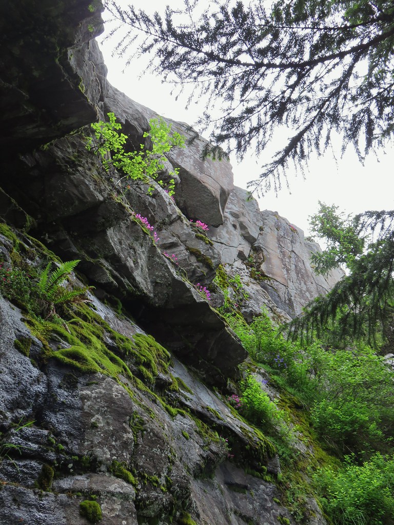 Cliff beardtongue
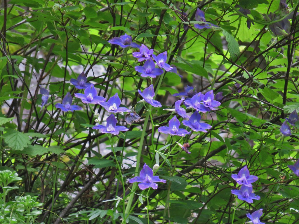 Larkspur
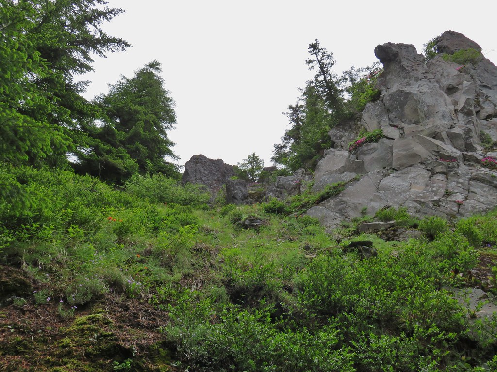
 Phlox
Phlox More cliff beardtongue
 Penstemon
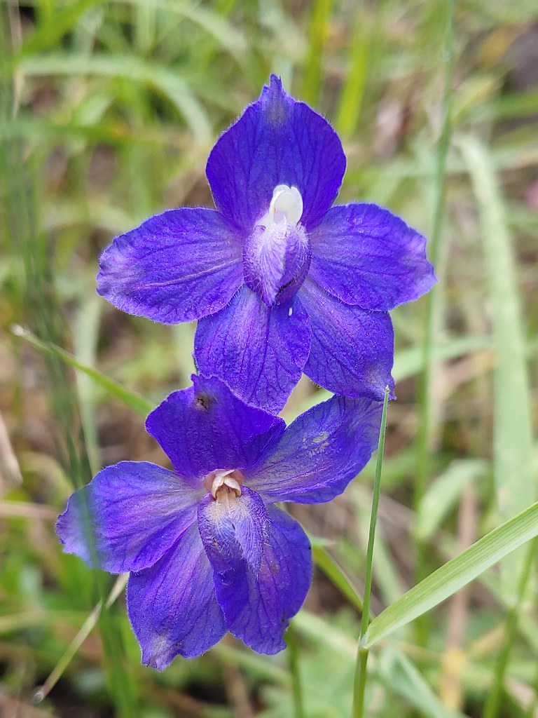 Larkspur
 On the ridge just before reaching the lookout site.


 Former lookout site in the tress to the left.

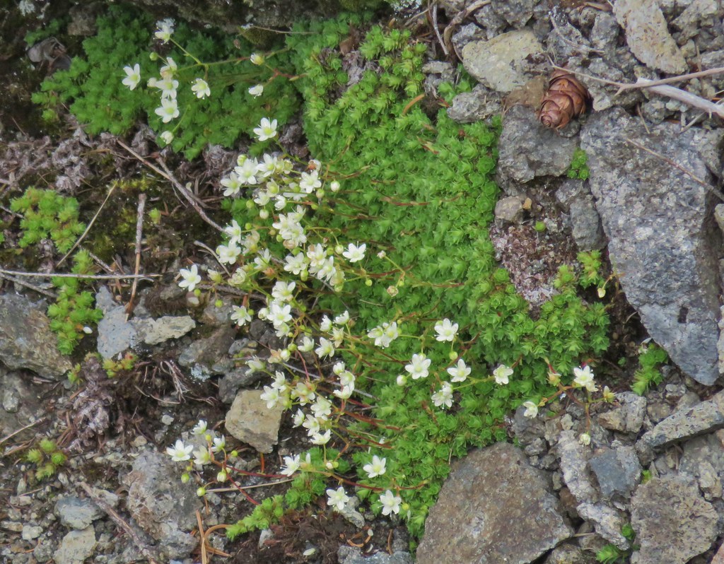 Tufted saxifrage
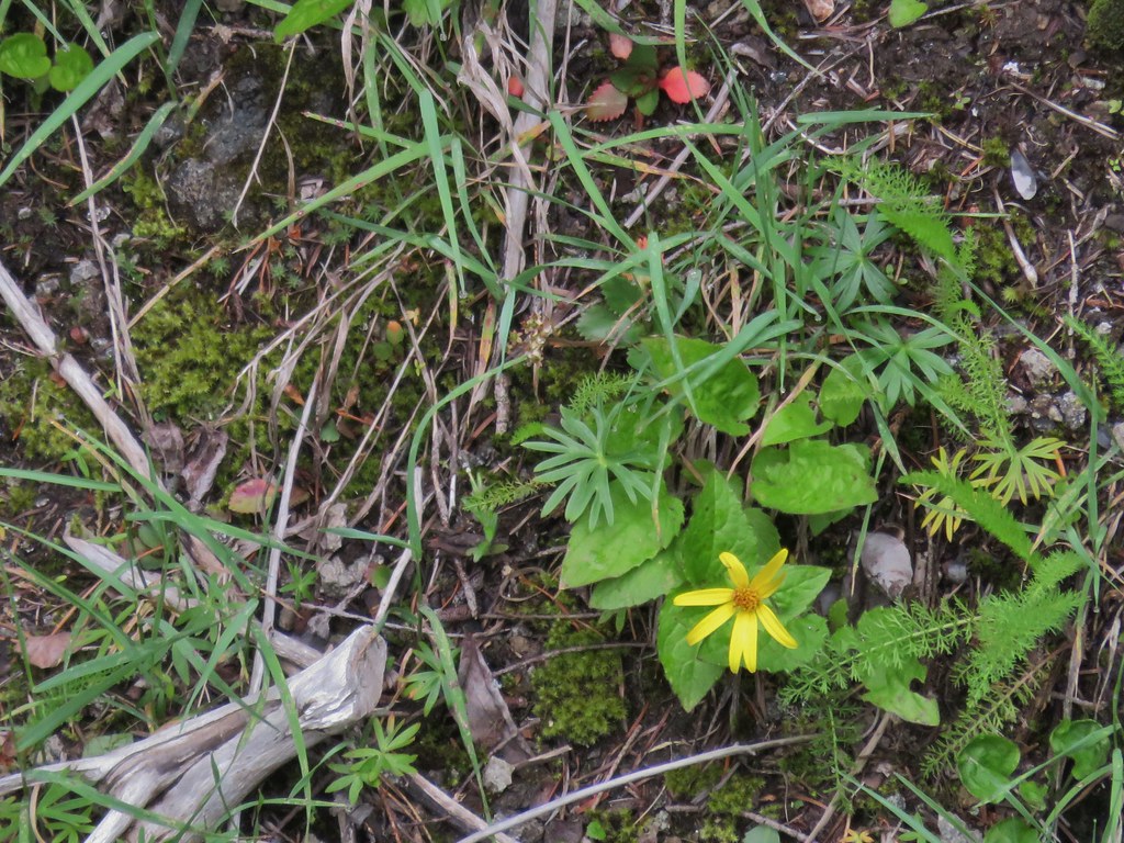 Arnica
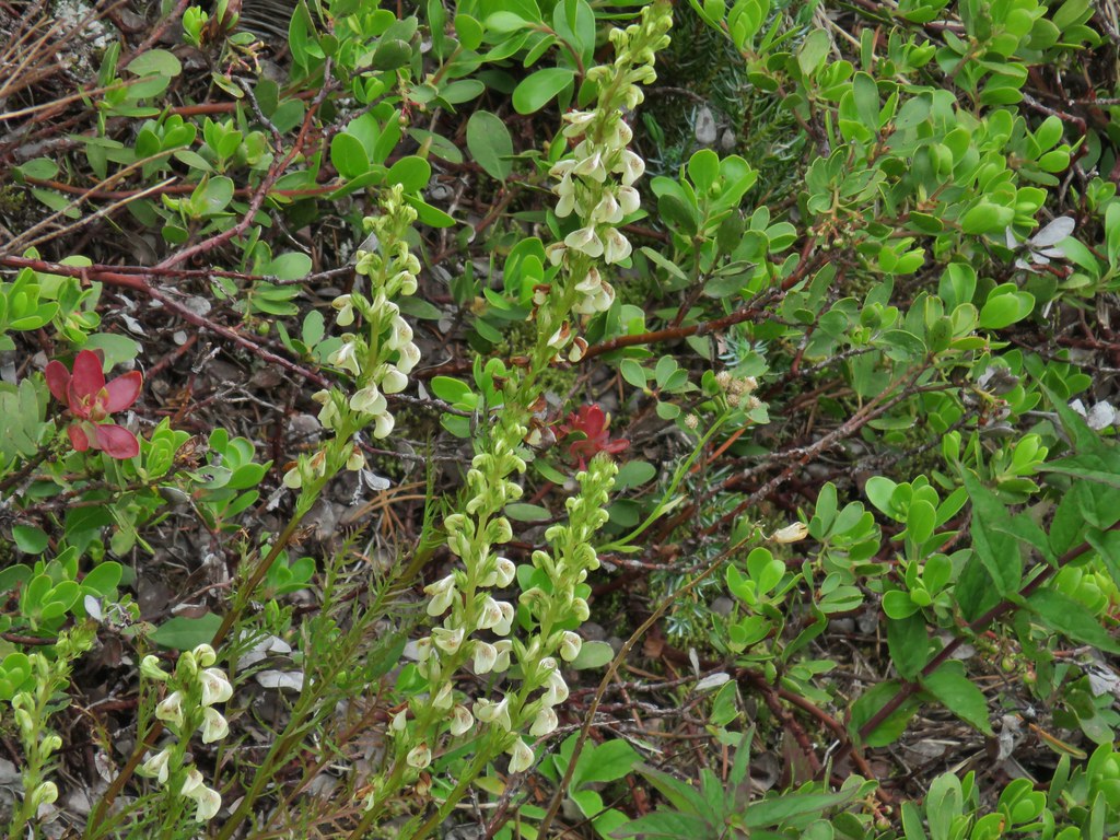 Lousewort
 Some of the rocks in Castle Canyon
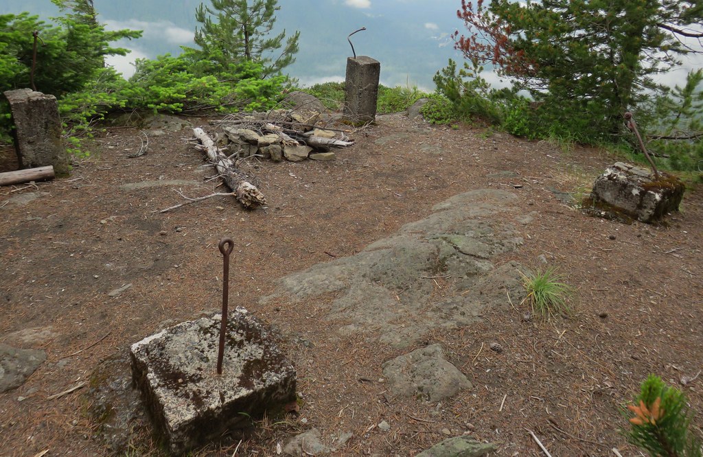
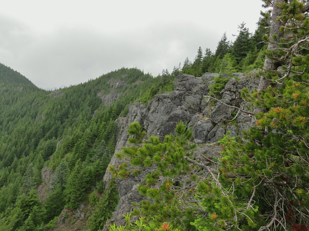 View of the outcrop from the lookout site.
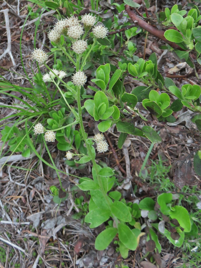 Raceme pussytoes
 Valerian
 Salmonberry
 Bleeding heart
 Violet
 Monotropa uniflora aka ghost plant
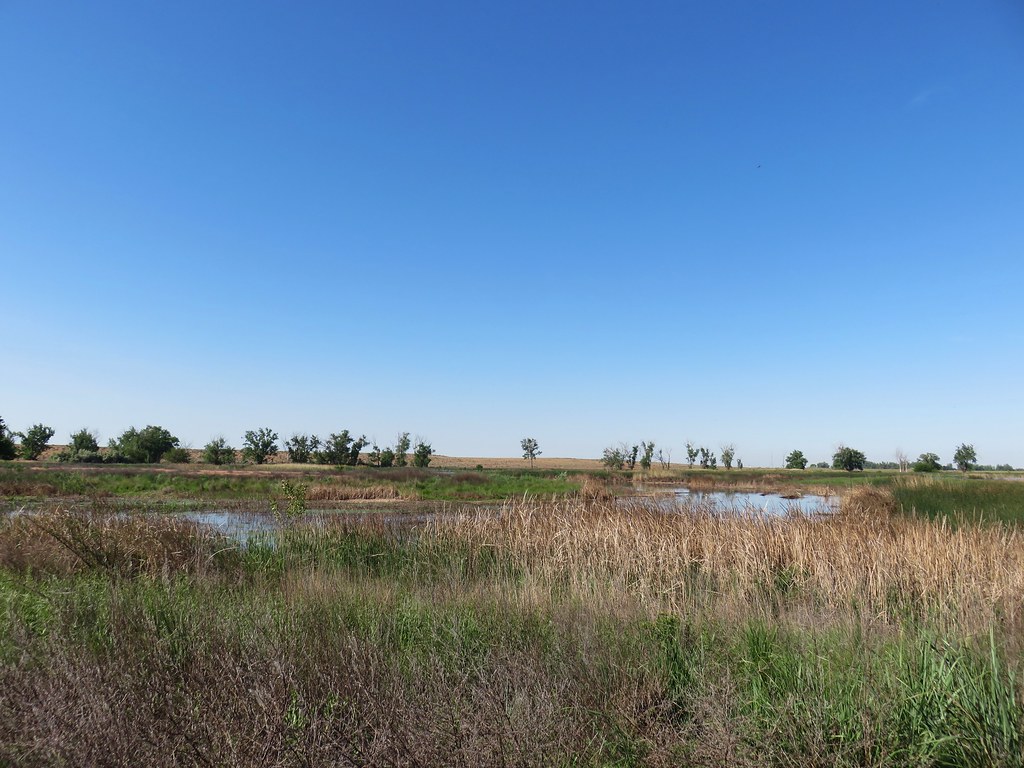 MCormack Slough in the Umatilla Wildlife Refuge.
 Looking towards Hells Canyon from Freezout Saddle.
 Wenaha River Canyon
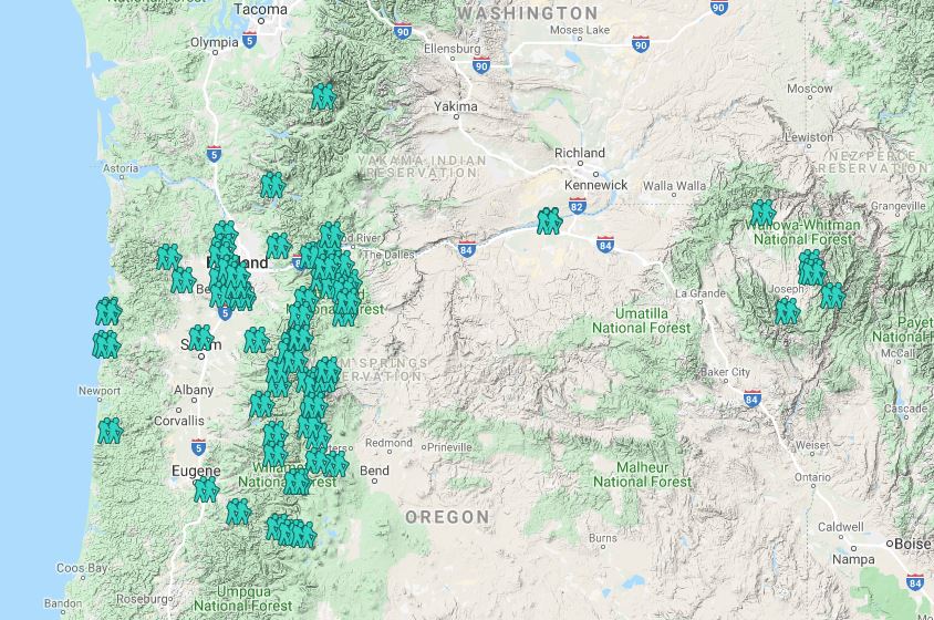


 Road walk at Henry Haag Lake
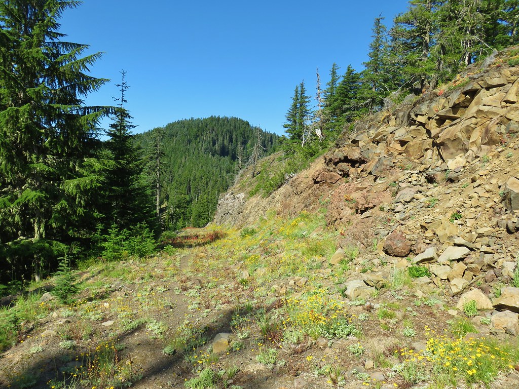 Decommissioned road to Baty Butte.
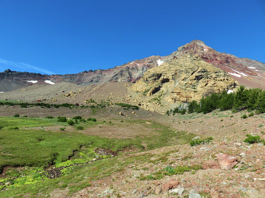 Cross country to Thayer Glacial Lake.
 Snow falling on our Freezout Saddle hike.
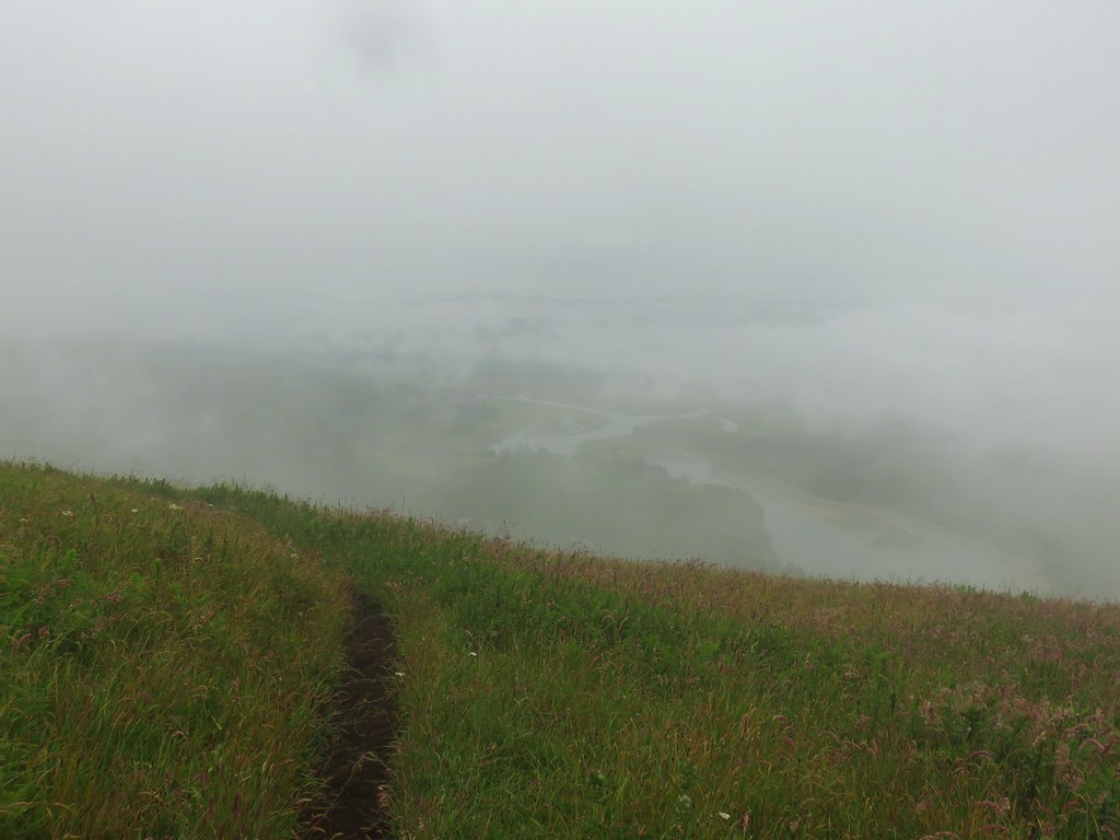 Rain shower approaching at Cascade Head.
 Taking cover under a tree in the Mollala River Recreation Area as a rain shower passes overhead.
 Rainbow framing the Wallowa Mountains from the Feezout Saddle Trail.
 View from Cascade Head after the shower.
 View from the morning across the Mollala River Canyon.
 Neat 3D display at Wildwood Recreation Area.
 View atop Huckleberry Mountain.

 Gales Creek – Coast Range
 Dry Creek Falls – Columbia River Gorge, OR
 Camassia Natural Area – West Linn
 Two Chiefs and Table Mountain – Columbia River Gorge, WA
 Oak Island – Columbia River
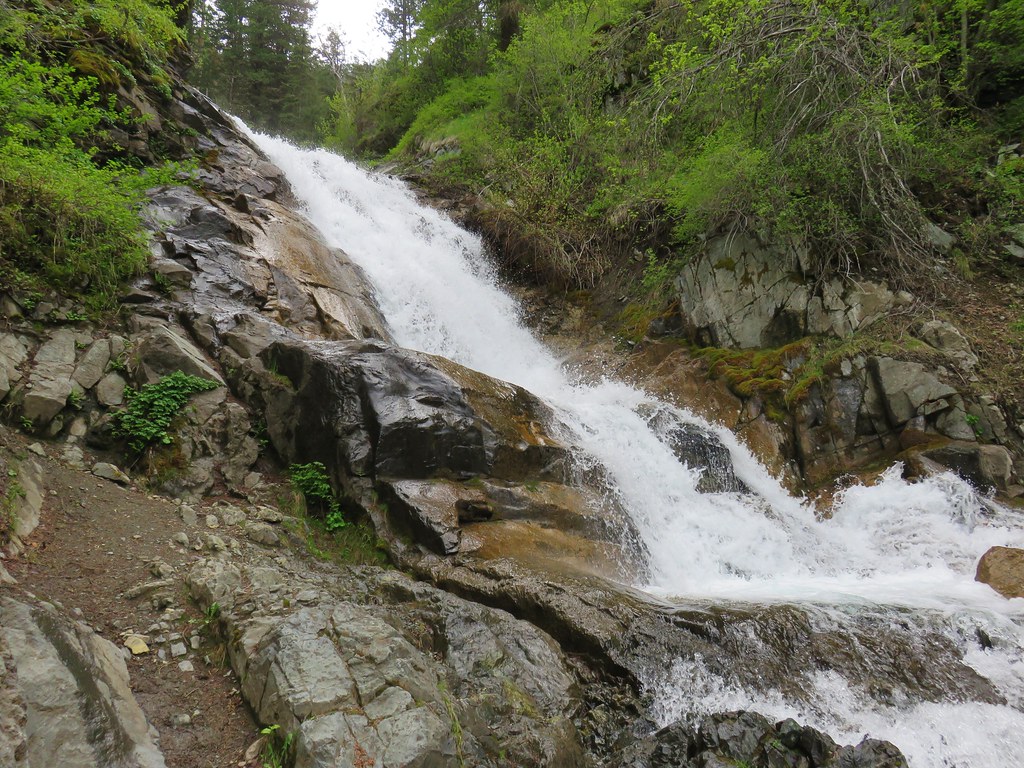 B.C. Creek Falls – Wallowa Mountains
 Wallowa Mountains
 Harsin Butte – Zumwalt Prairie
 Sardine Mountain – Willamette National Forest
 Gorton Creek Falls – Columbia River Gorge, OR
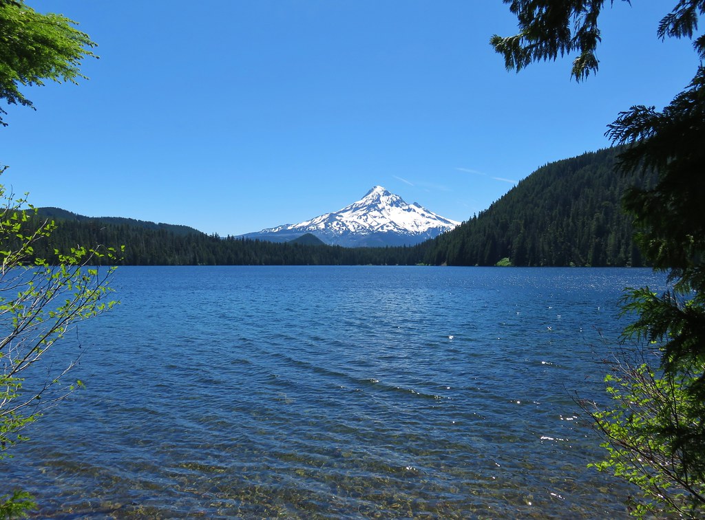 Mt. Hood from Lost Lake
 Mt. Hood from Vista Ridge
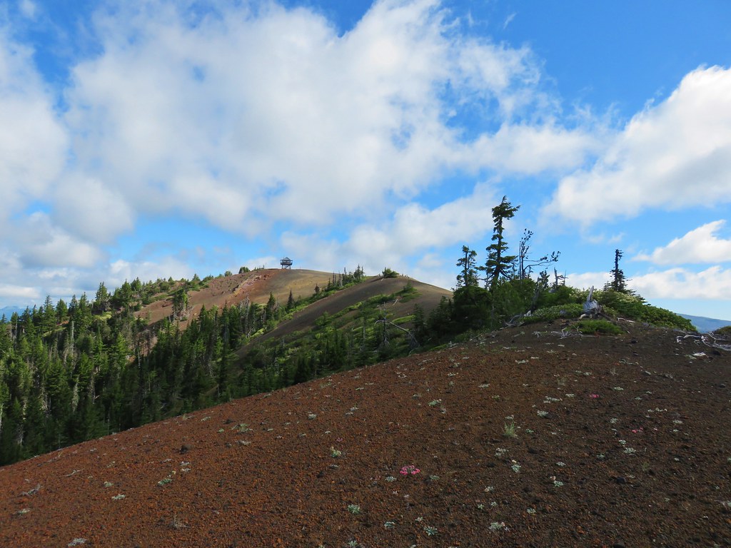 Sand Mountain Lookout – Willamette National Forest
 Cape Kiwanda and Haystack Rock from Sitka Sedge Beach
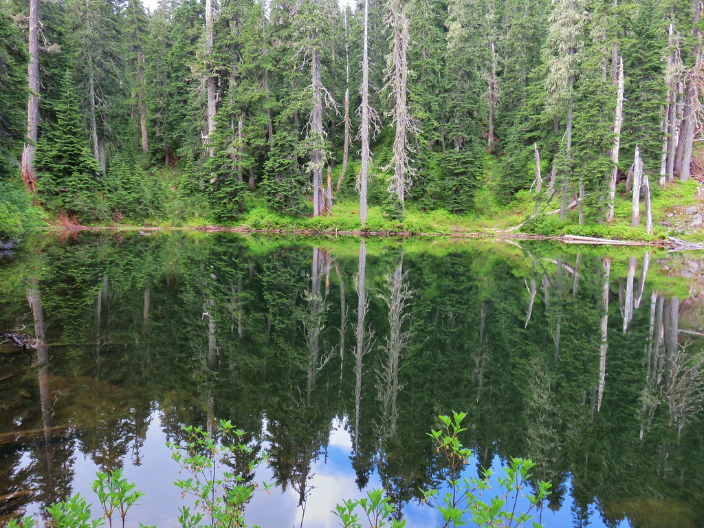 High Lake – Mt. Hood National Forest
 Tidbits Mountain – Willamette National Forest
 Bunchgrass Meadow – Willamette National Forest
 Breitenbush Cascades – Willamette National Forest
 Mt. St. Helens from Cinnamon Ridge – Mt. St. Helens National Volcanic Monument
 Mt. Jefferson from Bear Point – Mt. Jefferson Wilderness
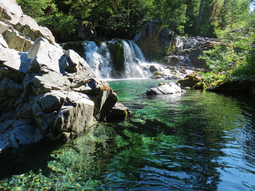 Sawmill Falls – Little North Fork Santiam River
 Three Fingered Jack, The Three Sisters, and Mt. Washington
 Scramble route to Baty Butte – Mt. Hood National Forest
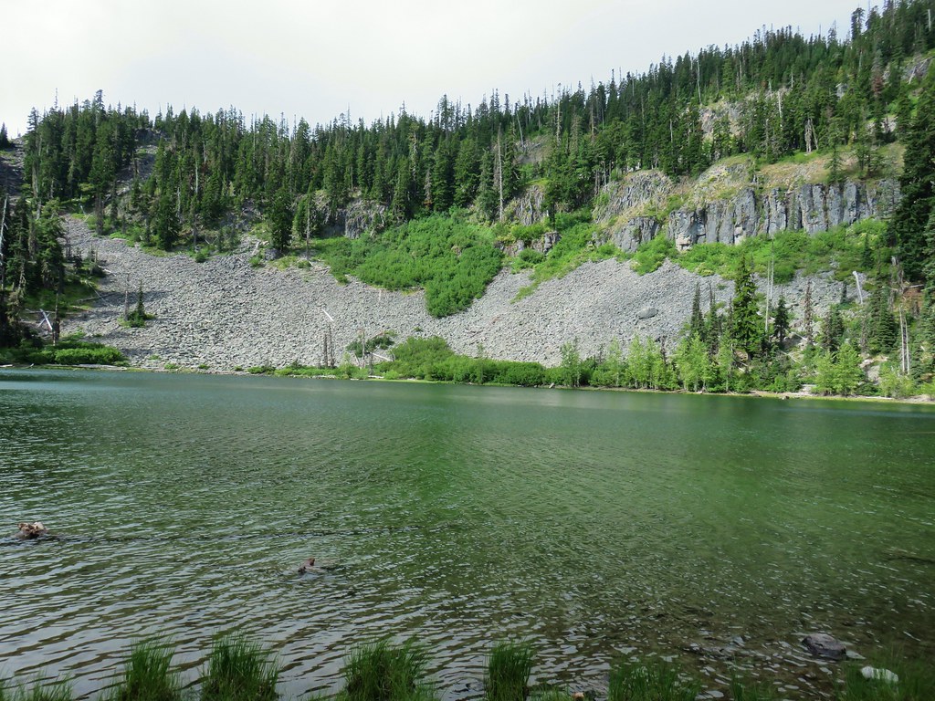 Boulder Lake – Mt. Hood National Forest
 Drift Creek – Drift Creek Wilderness
 North Sister and Thayer Glacial Lake – Three Sisters Wilderness
 North Sister, Middle Sister, and The Husband from Four-In-One Cone – Three Sisters Wilderness
 Mt. Hood from Tumala Mountain – Mt. Hood National Forest
 Bull of the Woods Lookout – Bull of the Woods Wilderness
 Mt. Hood from Elk Cove – Mt. Hood Wilderness
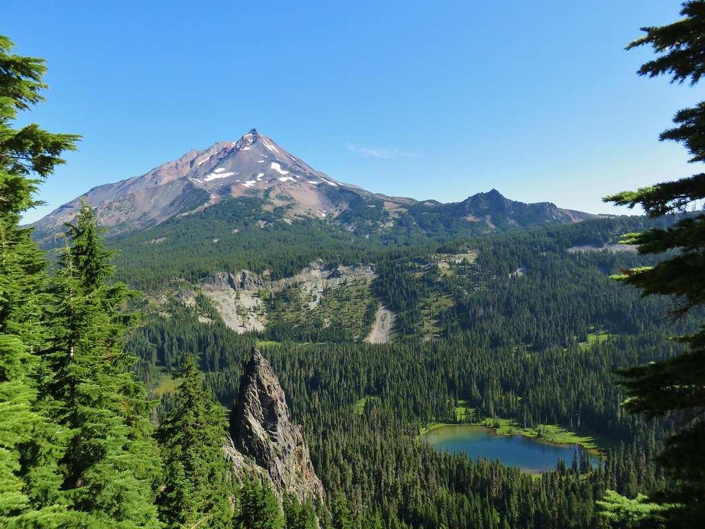 Mt. Jefferson and Hunts Cove – Mt. Jefferson Wilderness
 View from Olallie Butte – Warm Springs Indian Reservation
 Lillian Falls – Waldo Lake Wilderness
 Olallie Mountain Lookout – Three Sisters Wilderness
 King Tut – Crabtree Valley
 Mt. Jefferson from Ruddy Hill – Mt. Hood National Forest
 Henry Haag Lake – Scoggins Valley
 Waldo Lake and the Cascade Mountains from The Twins – Deschutes National Forest
 Bobby Lake – Deschutes National Forest
 Indian Henry’s Hunting Ground – Mt. Rainier National Park
 Fog over the valley from Mt. Pisgah – Eugene, OR
 Twin Peaks and Gifford Lake – Olallie Lake Scenic Area
 Mt. Adams from Lookout Mountain – Badger Creek Wilderness Area
 Mollala River Recreation Area
 View toward Washington from the Pacific Crest Trail near Indian Mountain – Mt. Hood National Forest
 Clackamas River – Mt. Hood National Forest
 Forest Park – Portland, OR
 Tilikum Crossing – Portland, OR
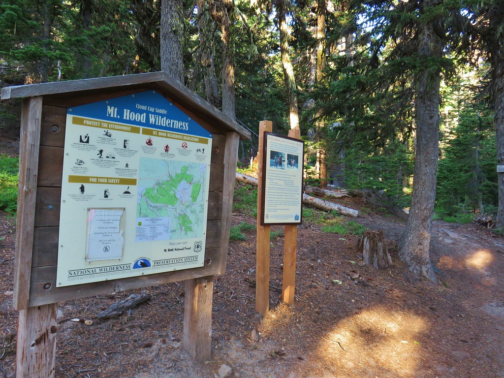


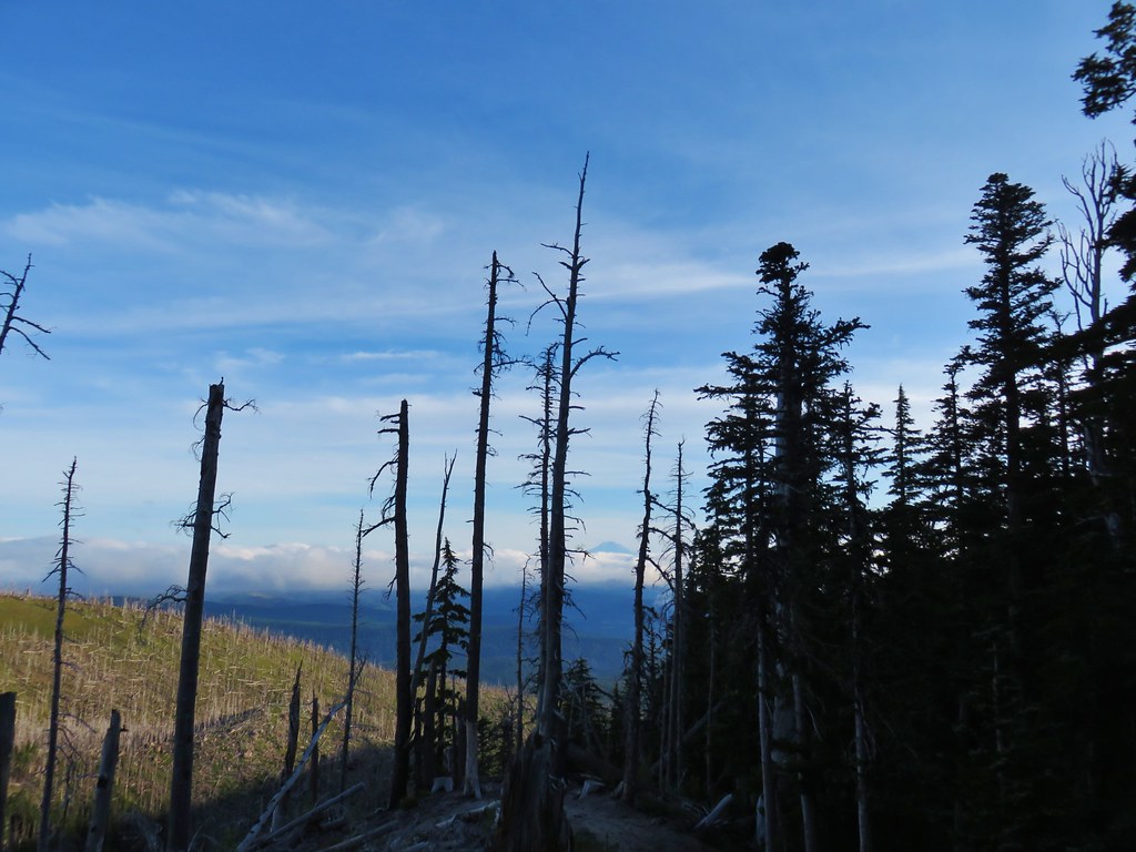 Mt. Adams ahead above the clouds.
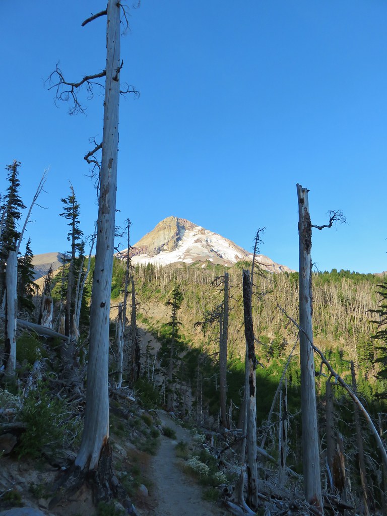 Mt. Hood
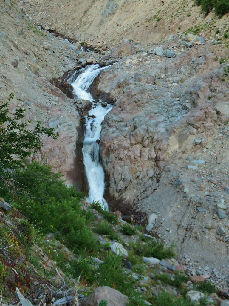


 We entered the Mt. Hood Wilderness on the way up.

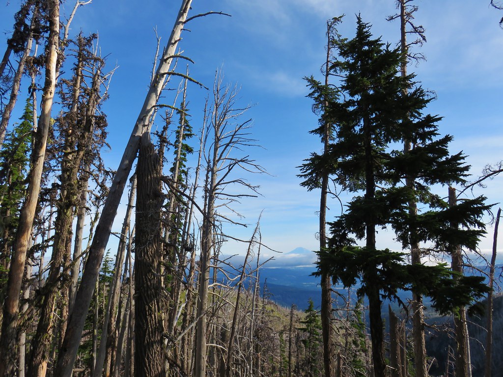 Mt. Adams
 Mt. Rainier peaking over the clouds to the left of Mt. Adams.
 Mt. Hood
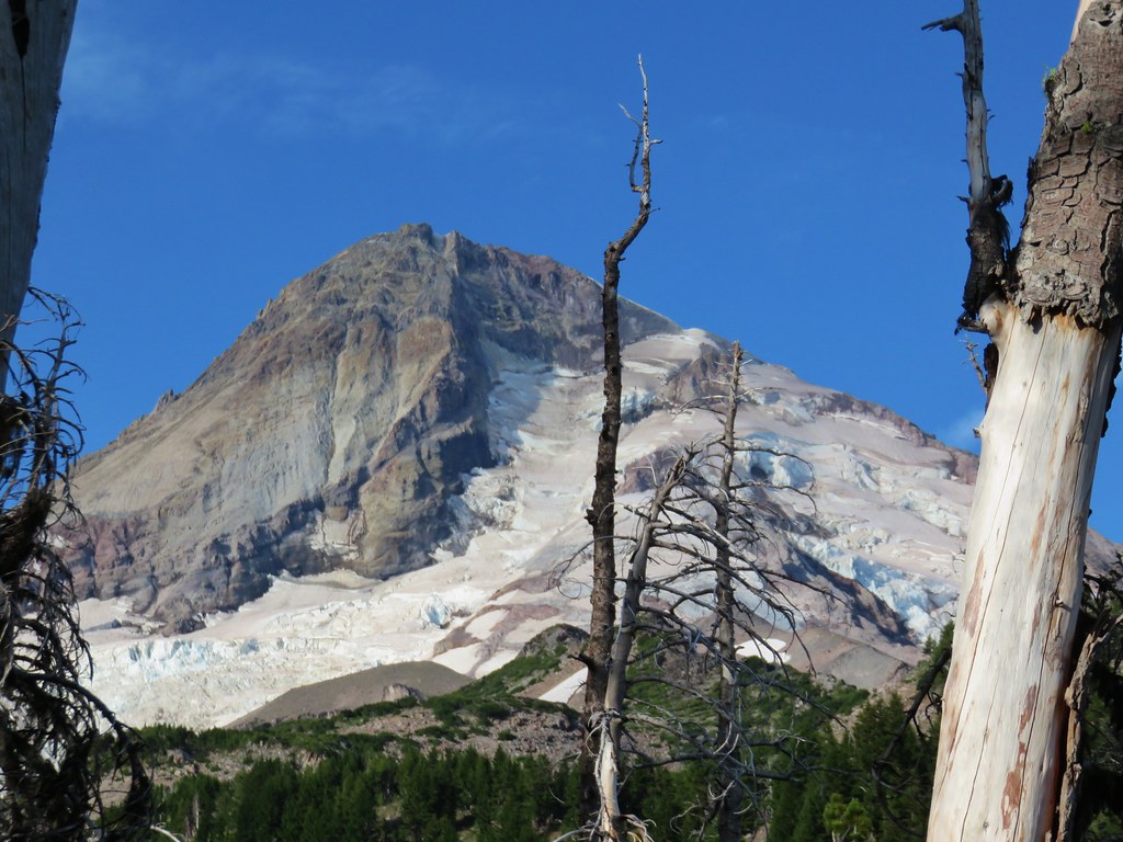
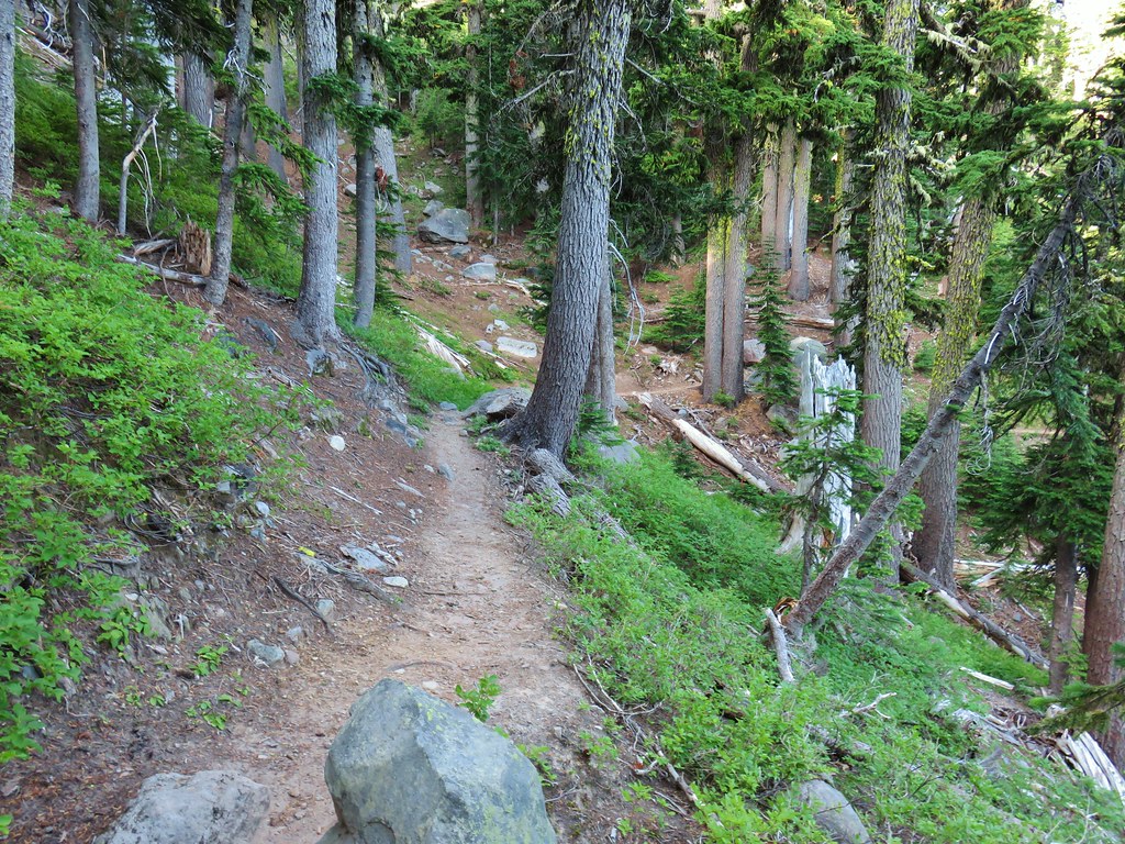
 Penstemon
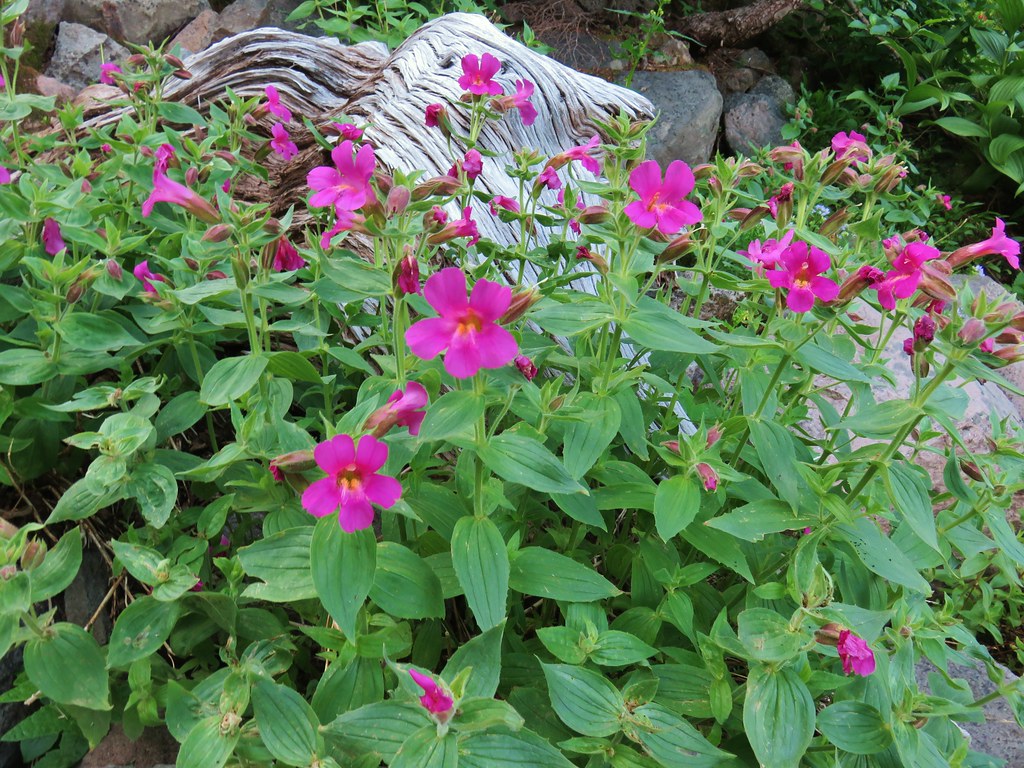 Monkeyflower
 Jacob’s ladder
 Western Pasque flower
 Paintbrush
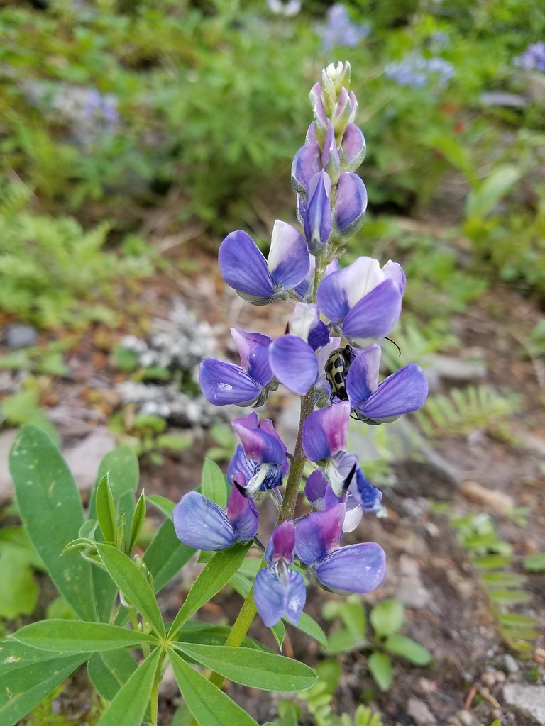 Lupine with a beetle.
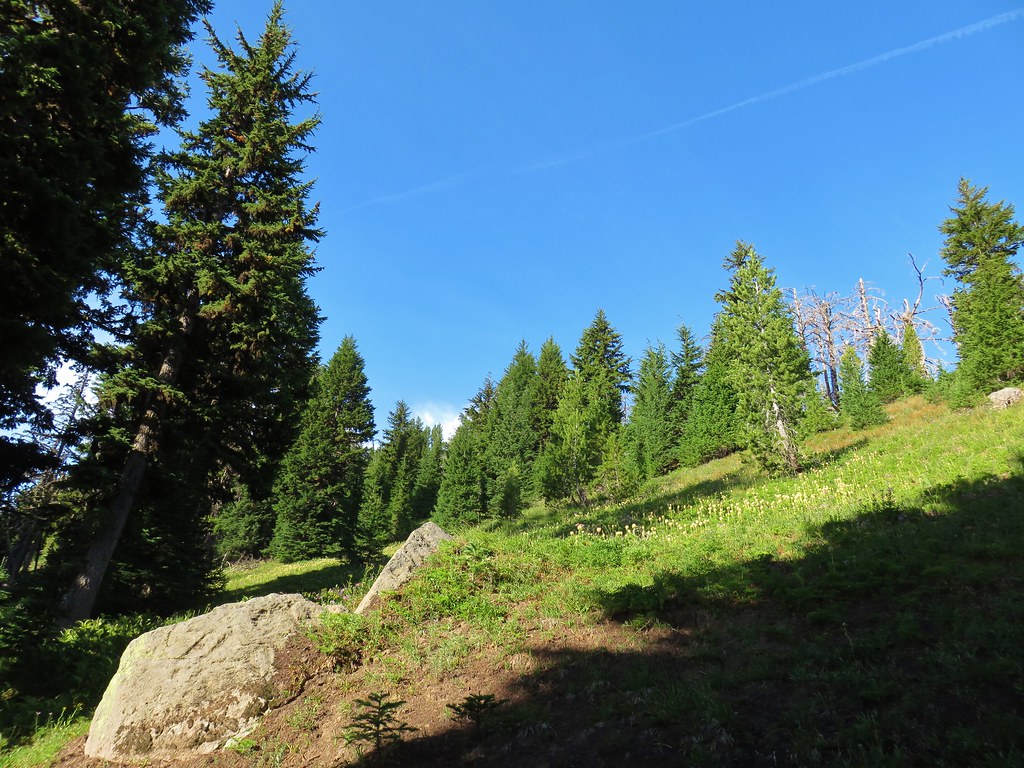

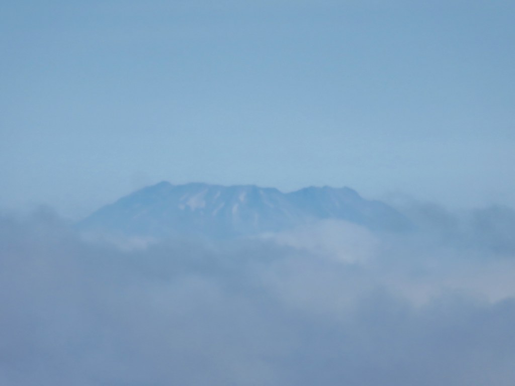
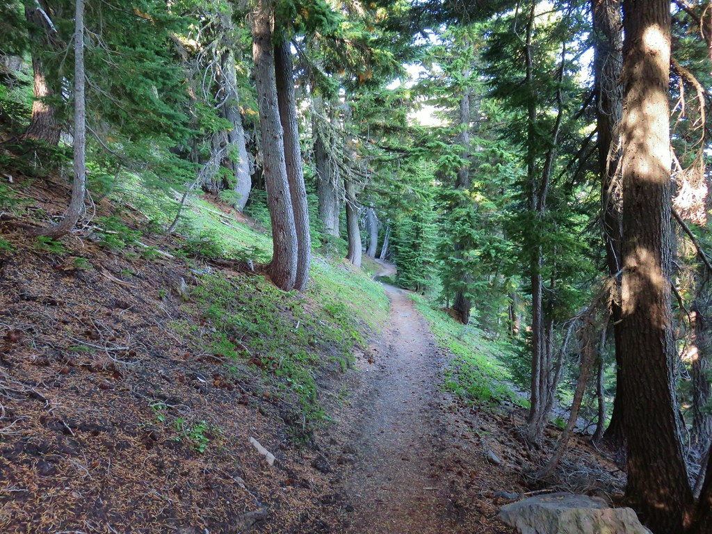


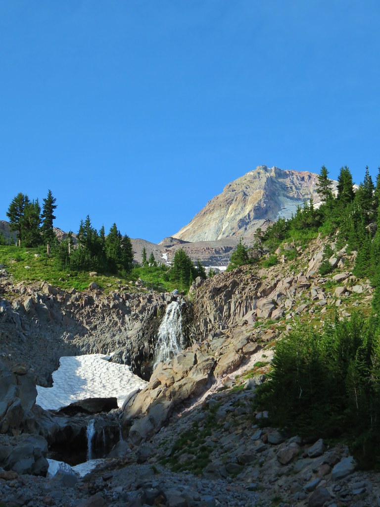

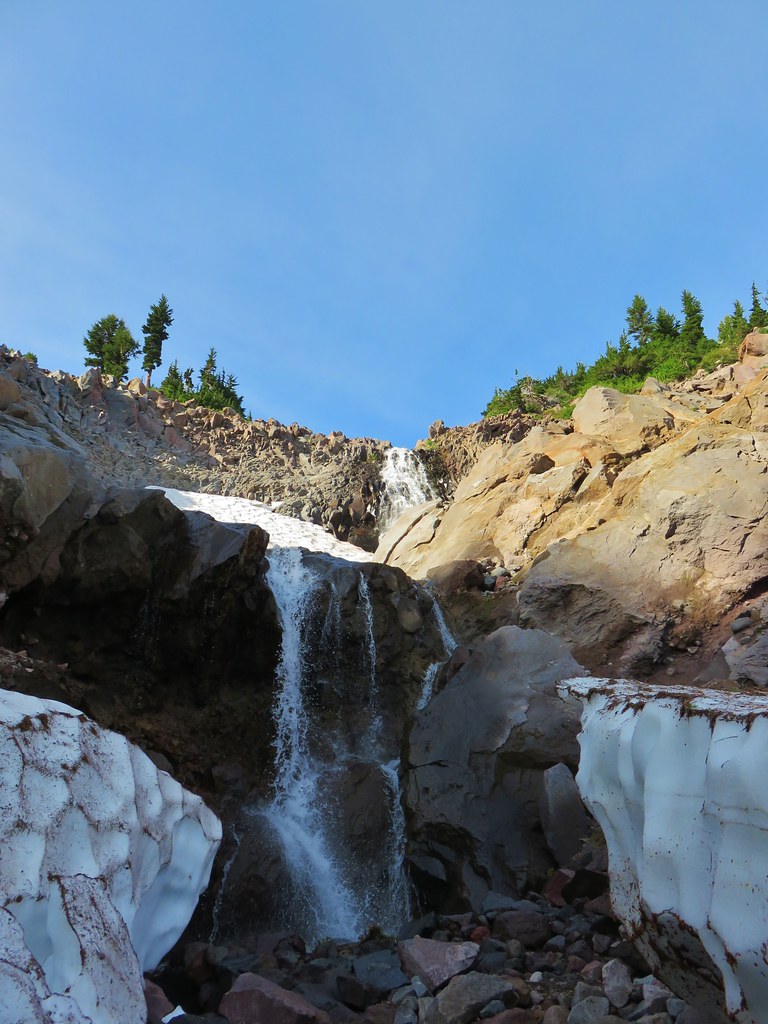
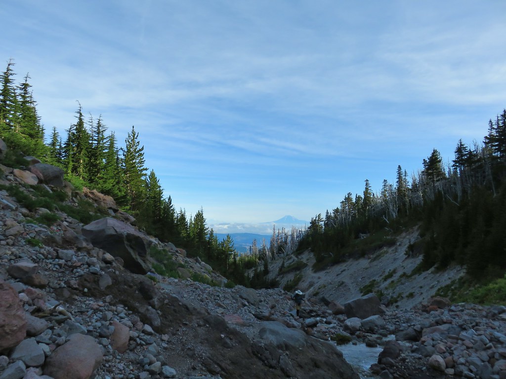 Mt. Adams from Compass Creek.
 Wildflowers along Compass Creek.
 Monkeyflower and paintbrush
 Hummingbird near Compass Creek.


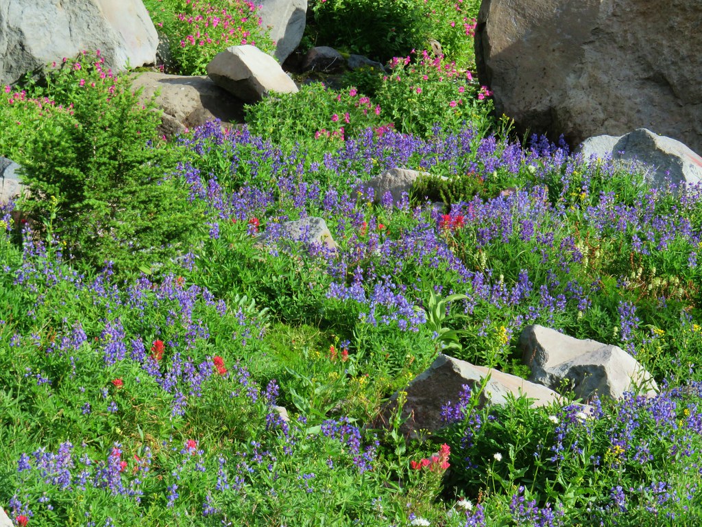 Lupine, paintbrush and monkeyflower.
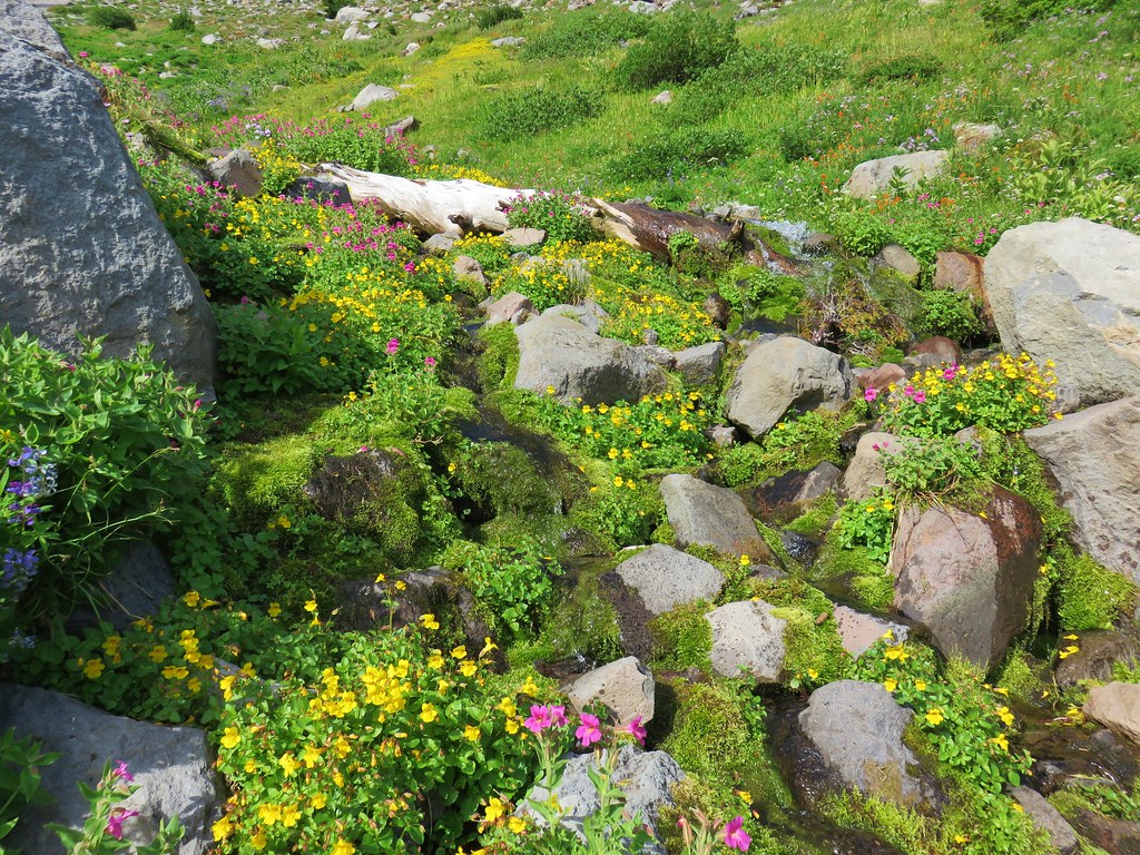

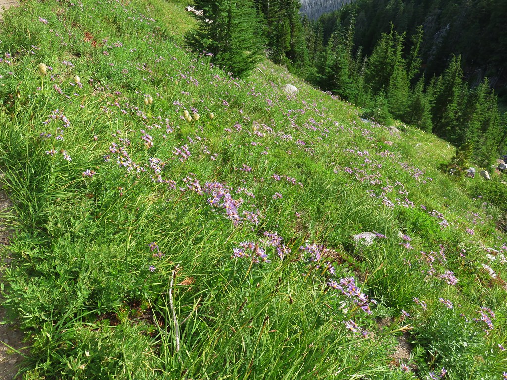
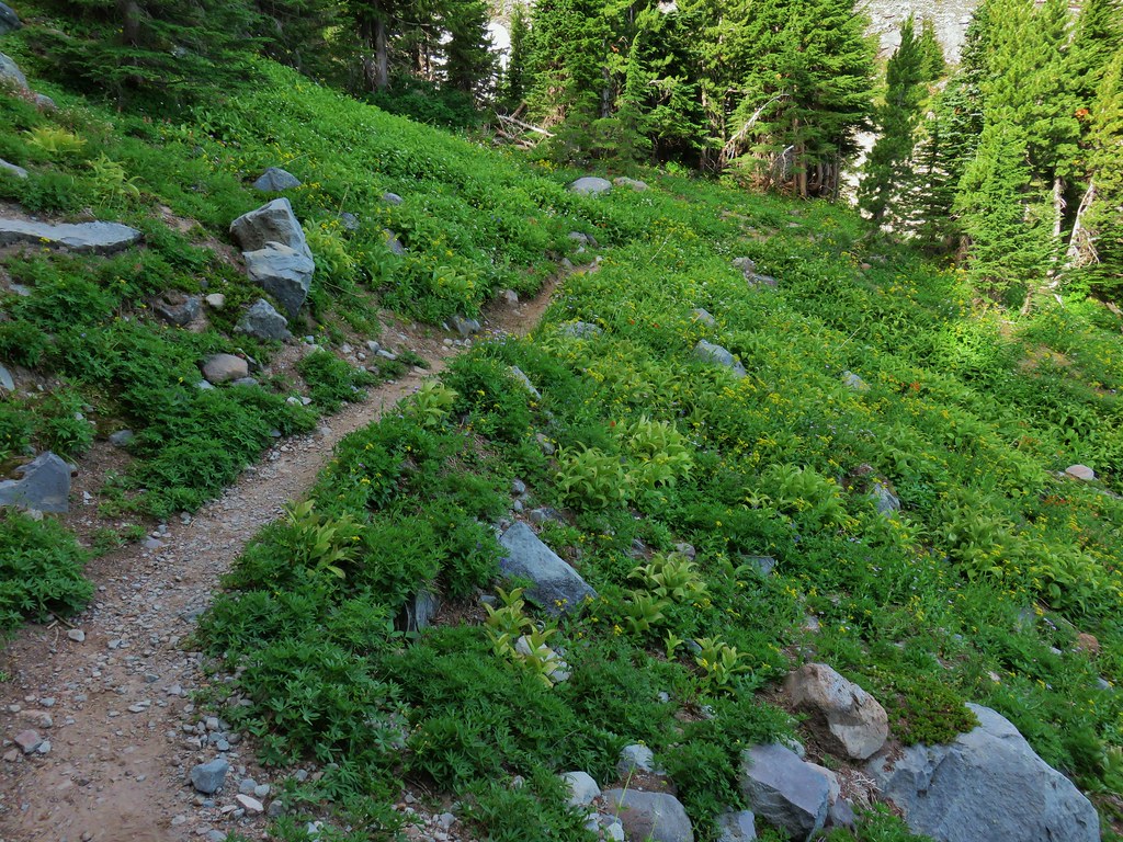

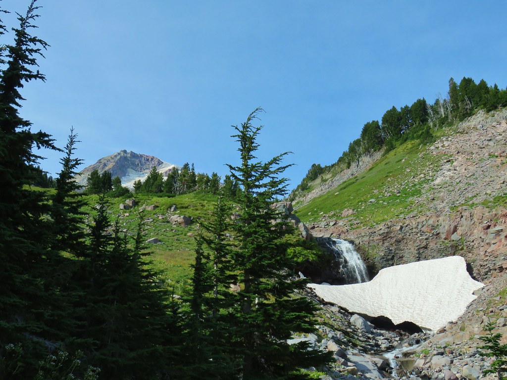
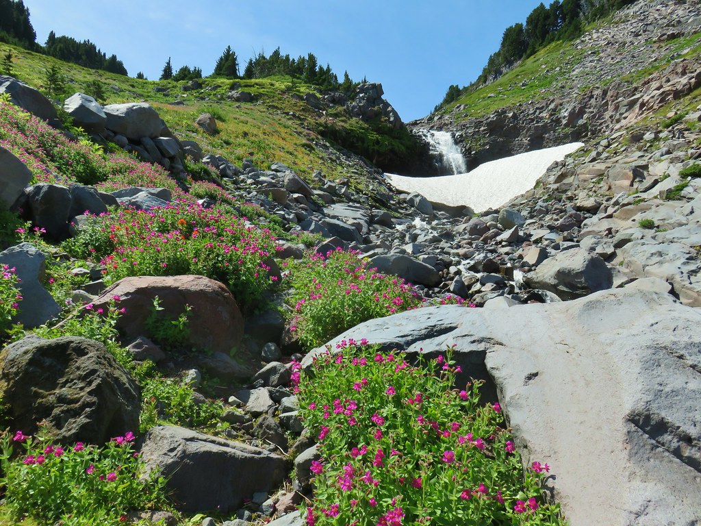


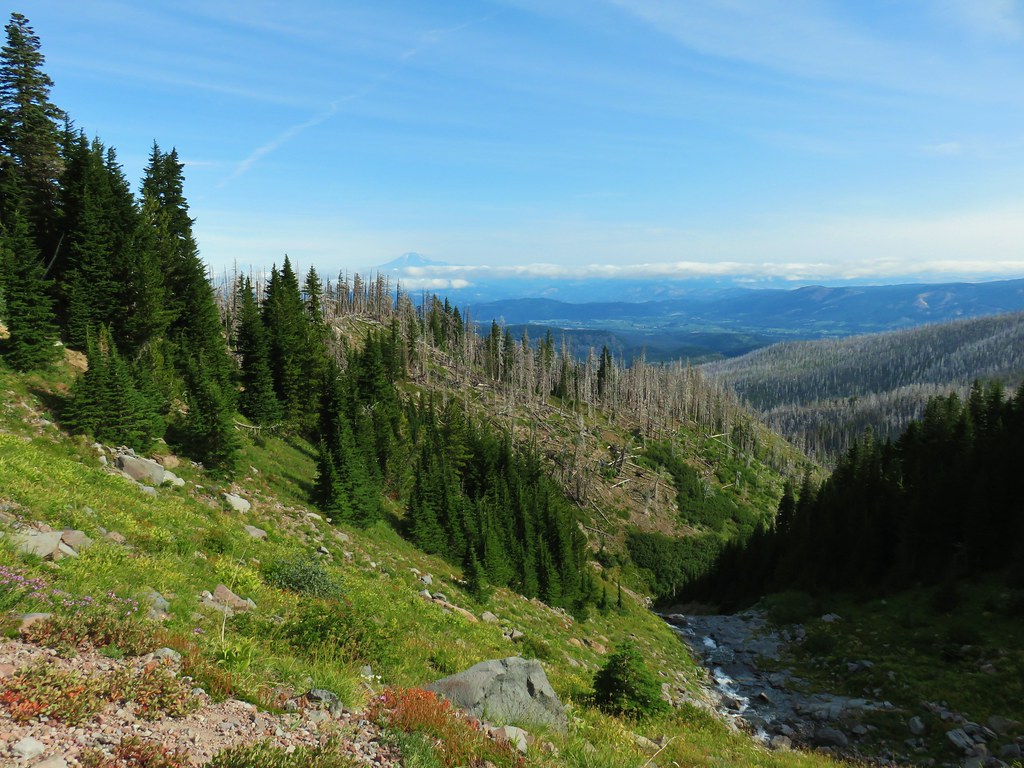 Mt. Adams (again) from Compass Creek.
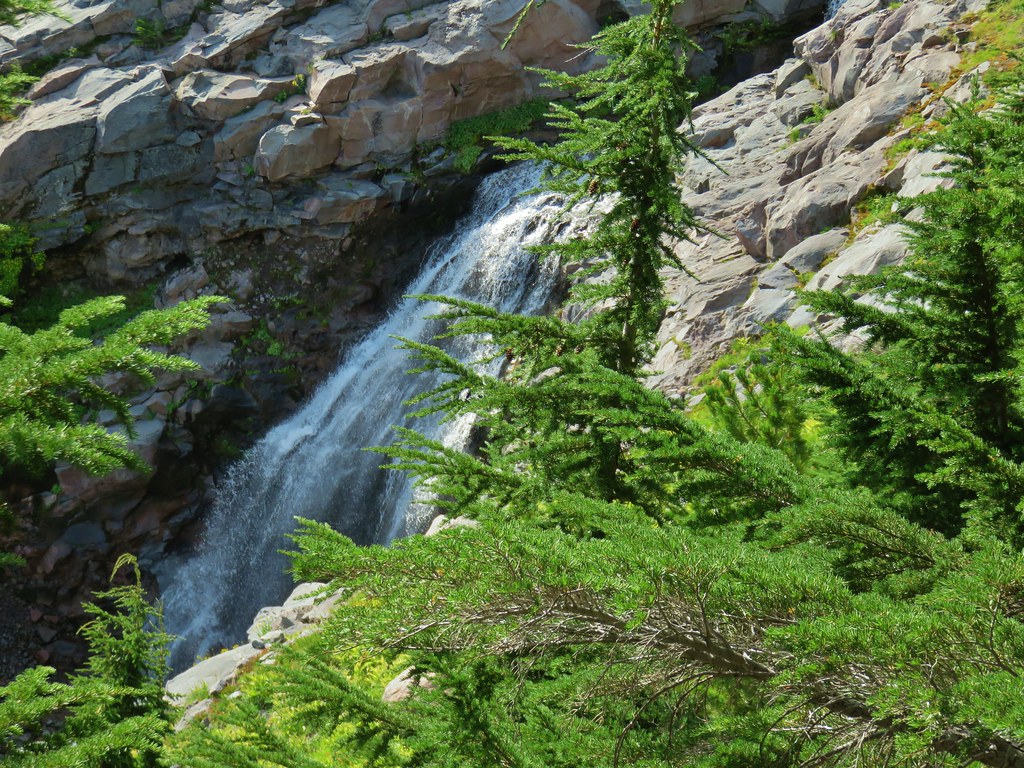 Waterfall on Compass Creek below the Timberline Trail.
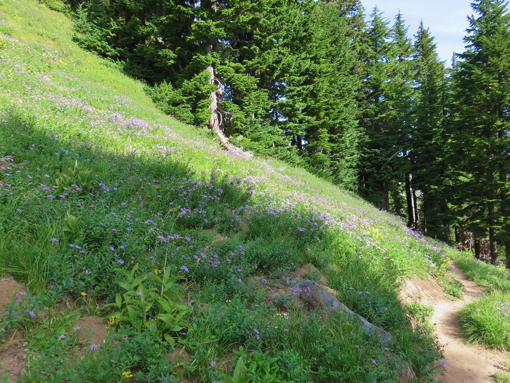


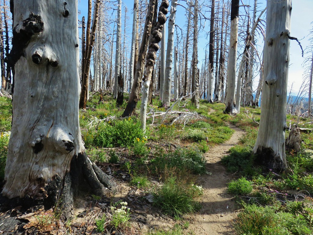


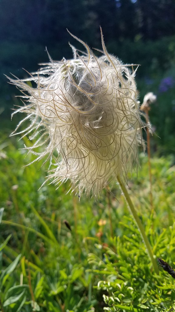
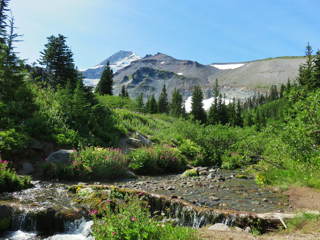

 Coe Glacier
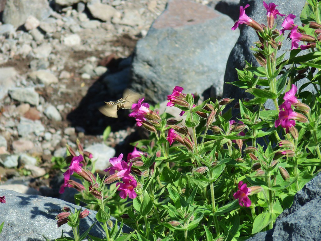

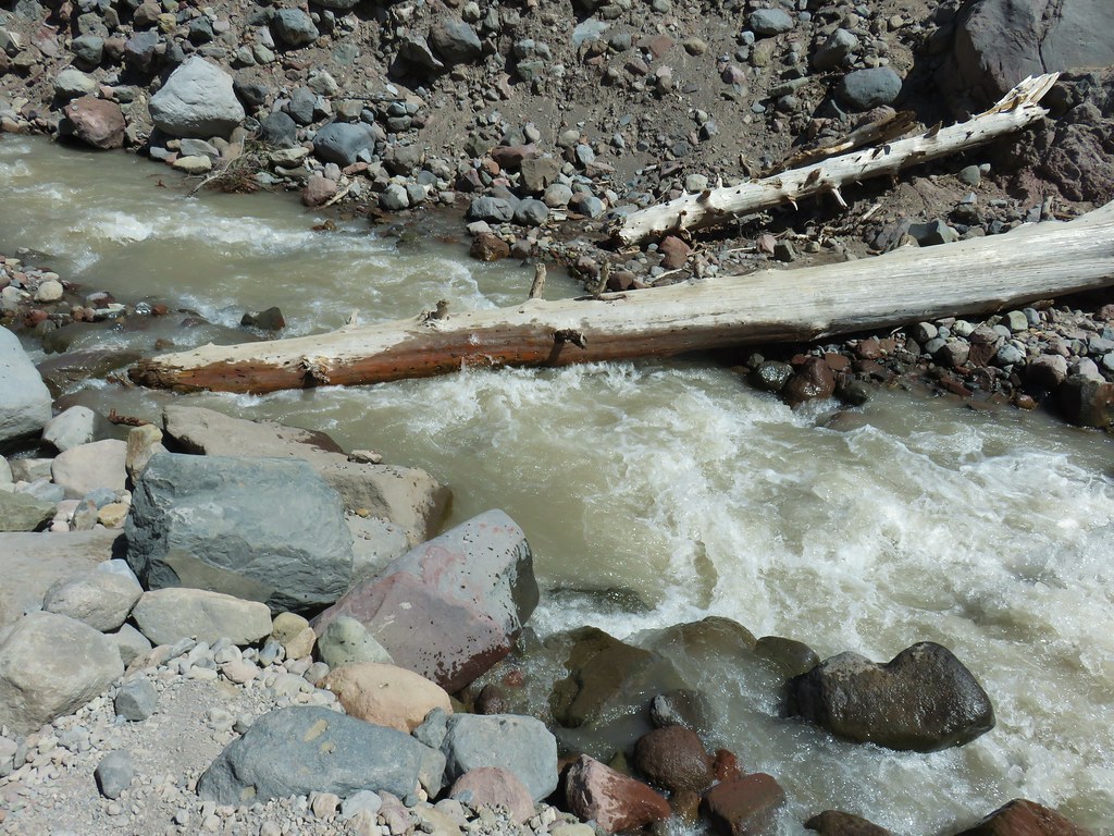

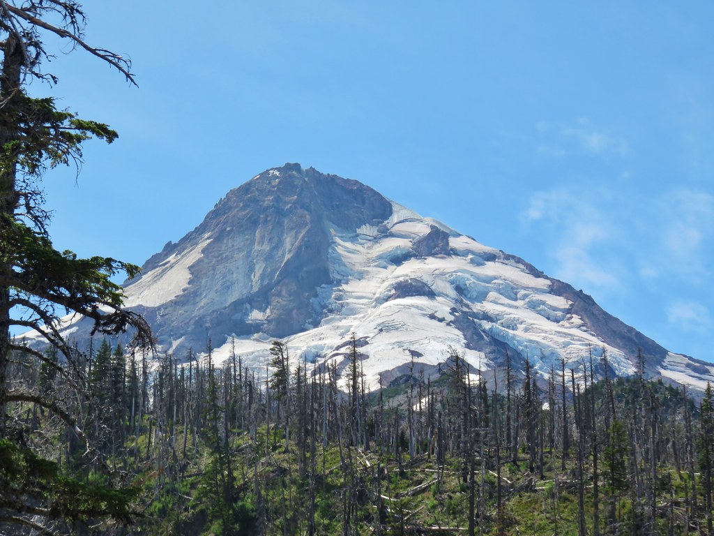
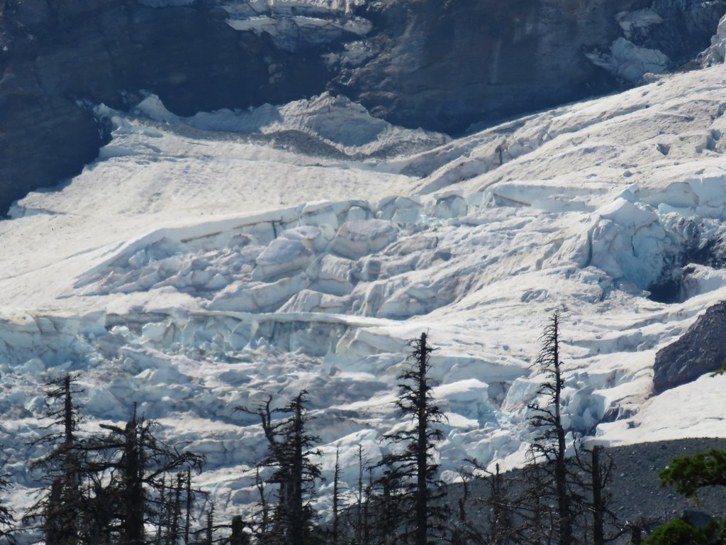
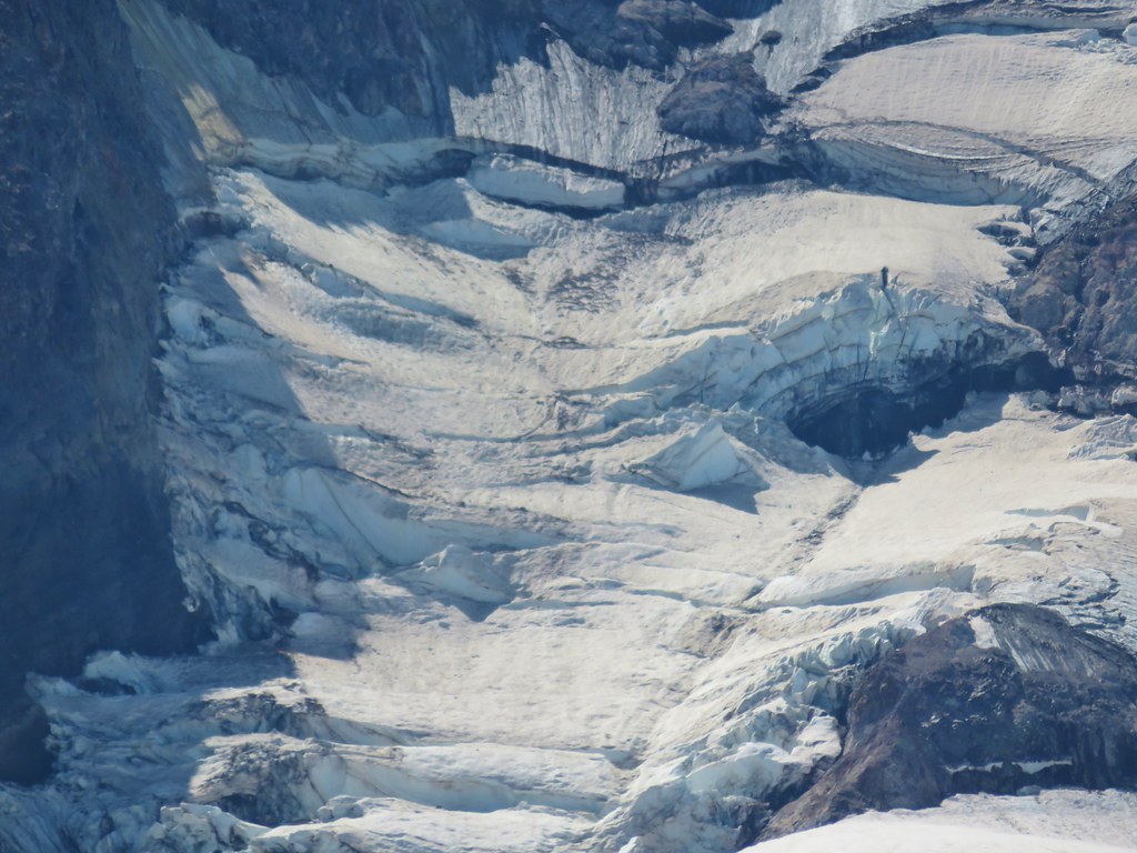

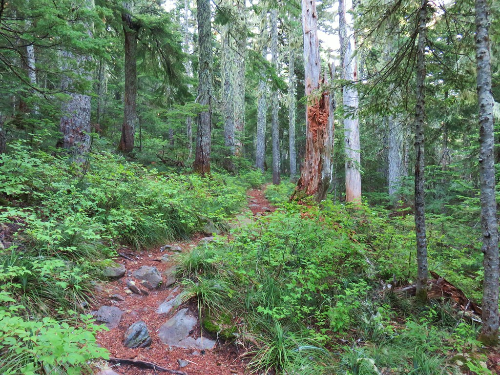


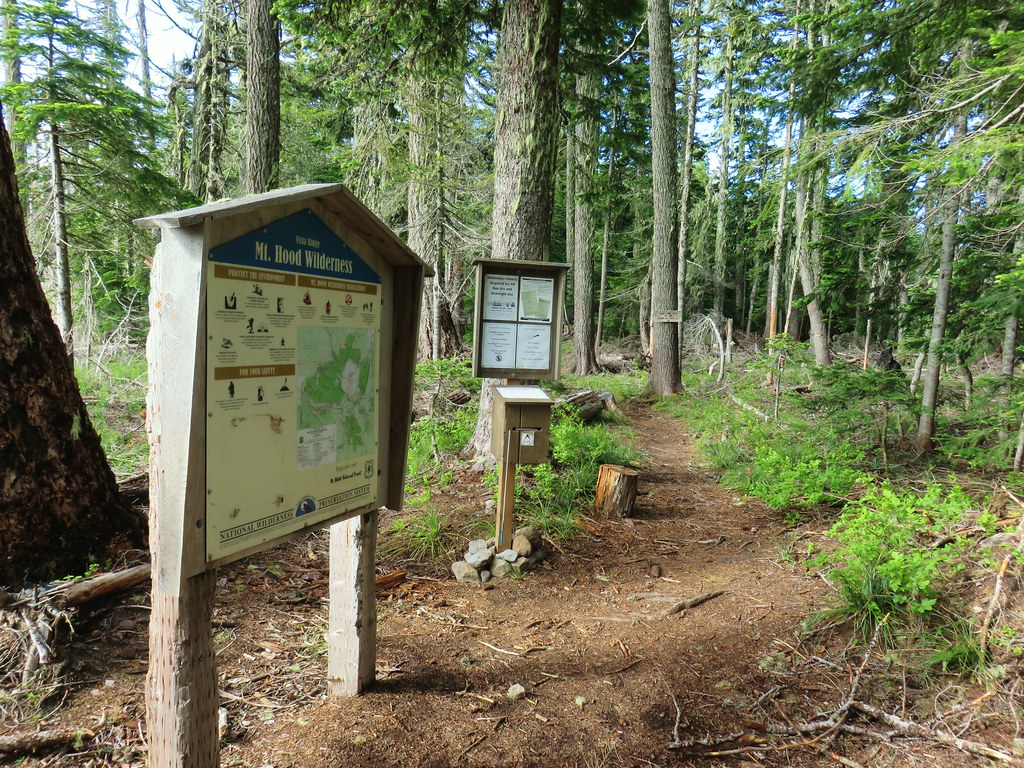
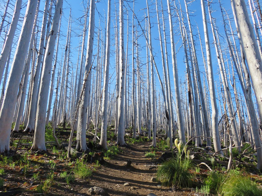
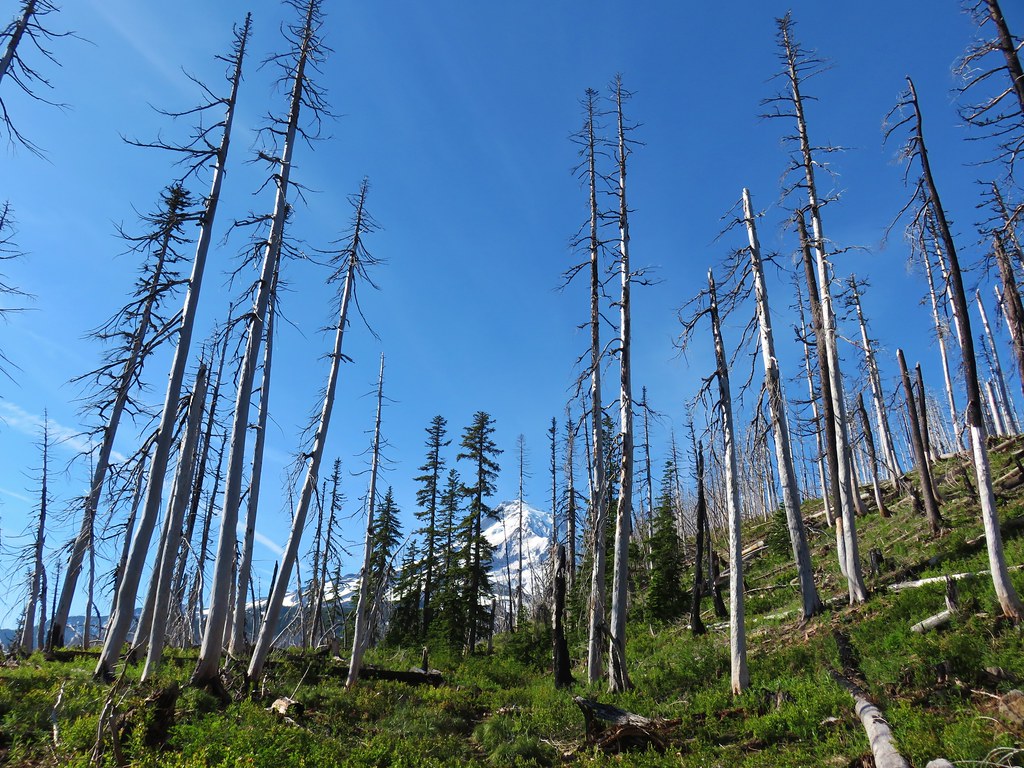
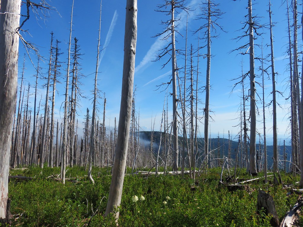
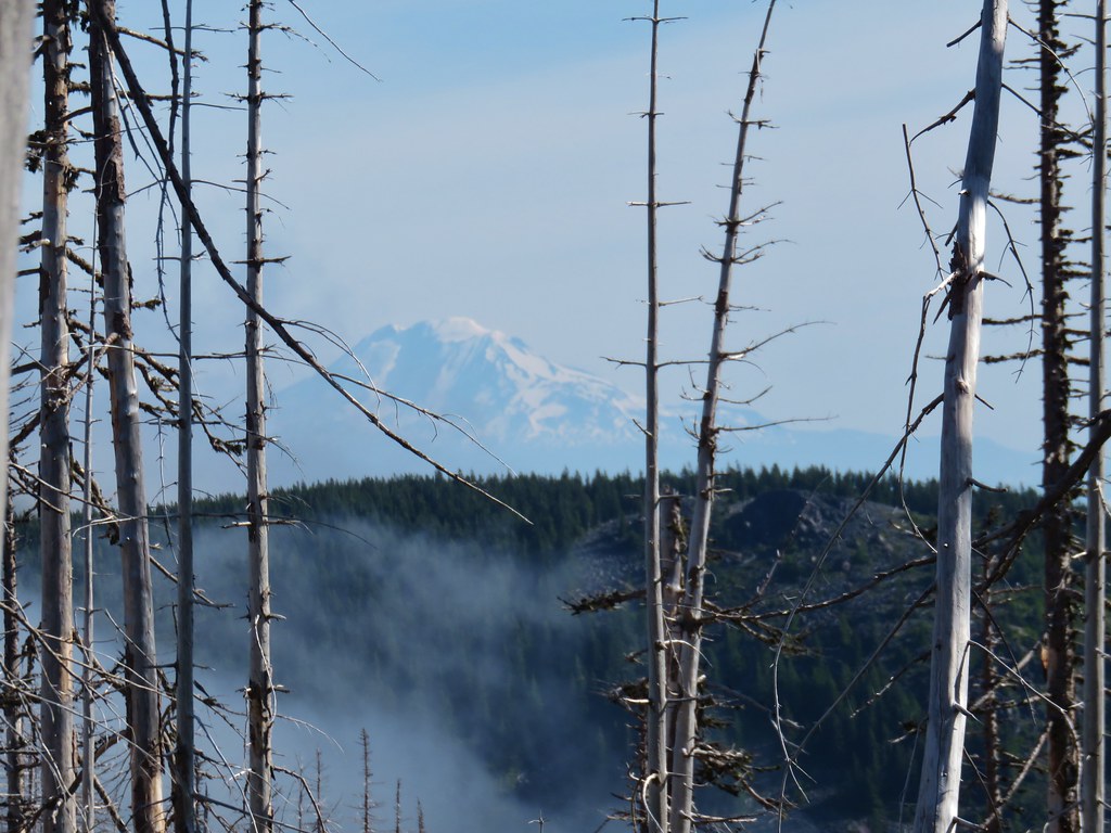 Mt. Adams beyond Owl Point

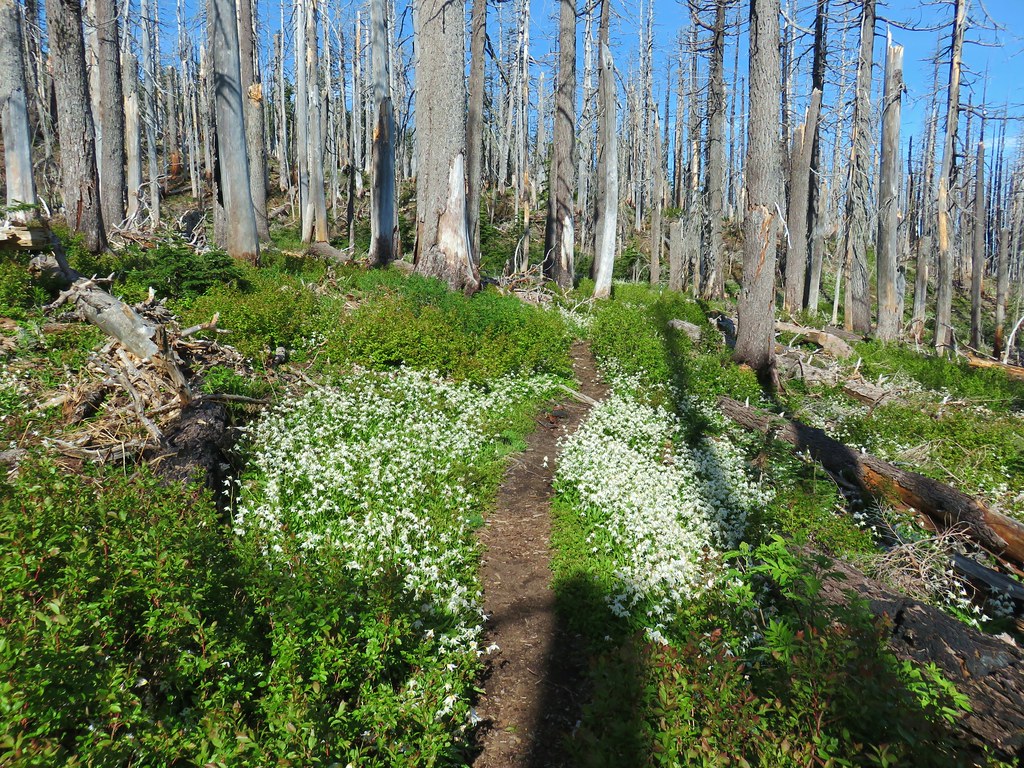

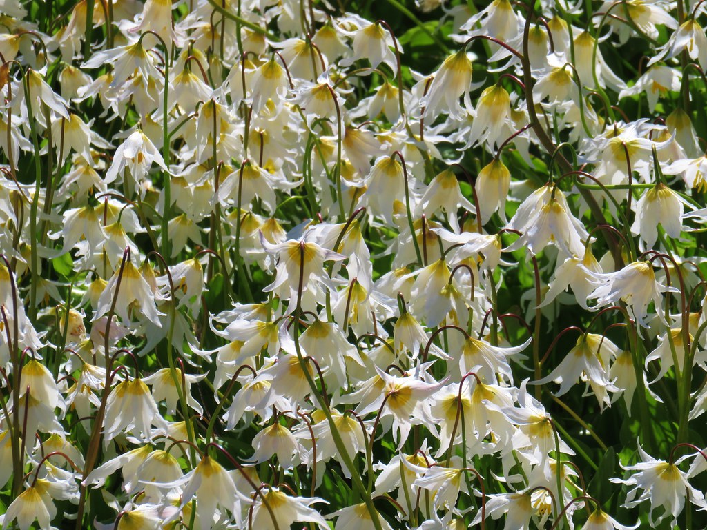
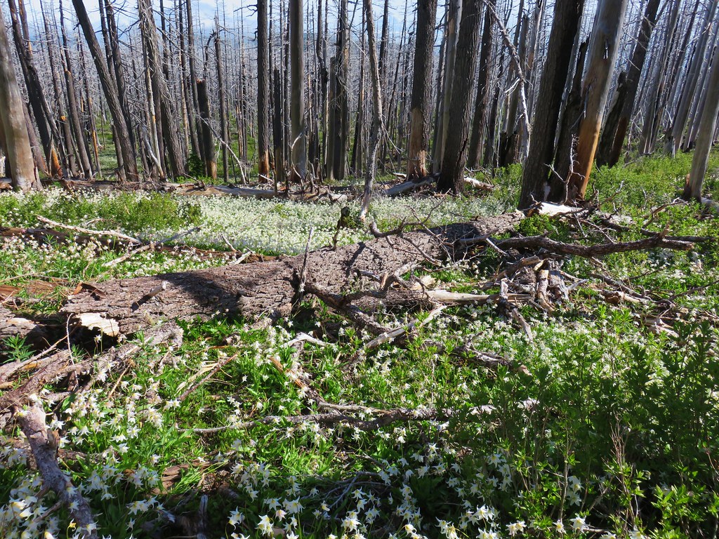

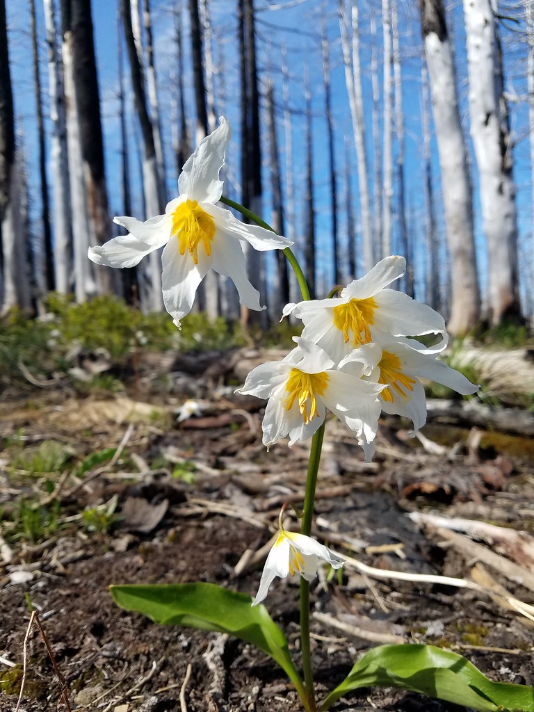


 Eden Park Trail


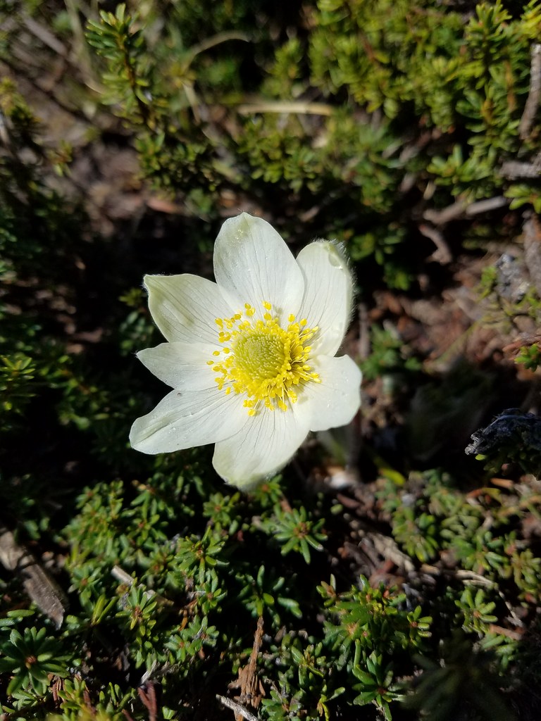
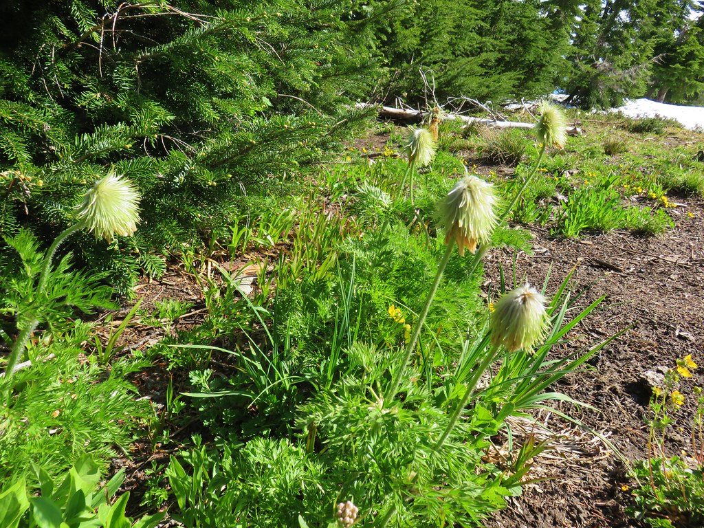 western pasque flowers already going to seed
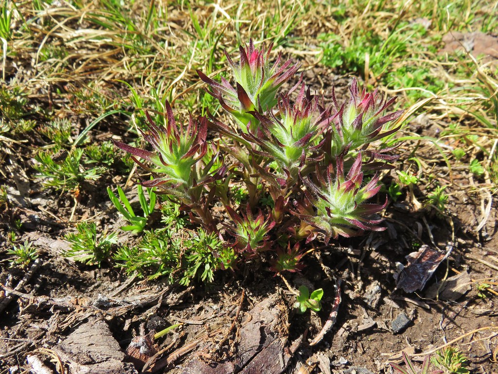


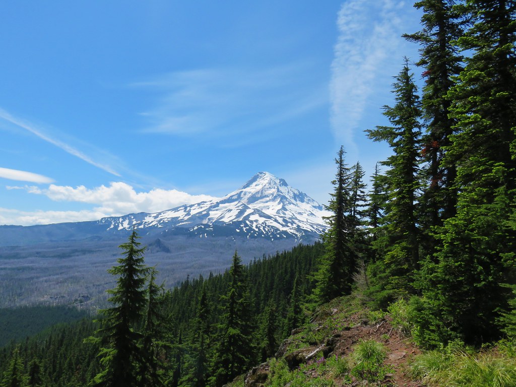

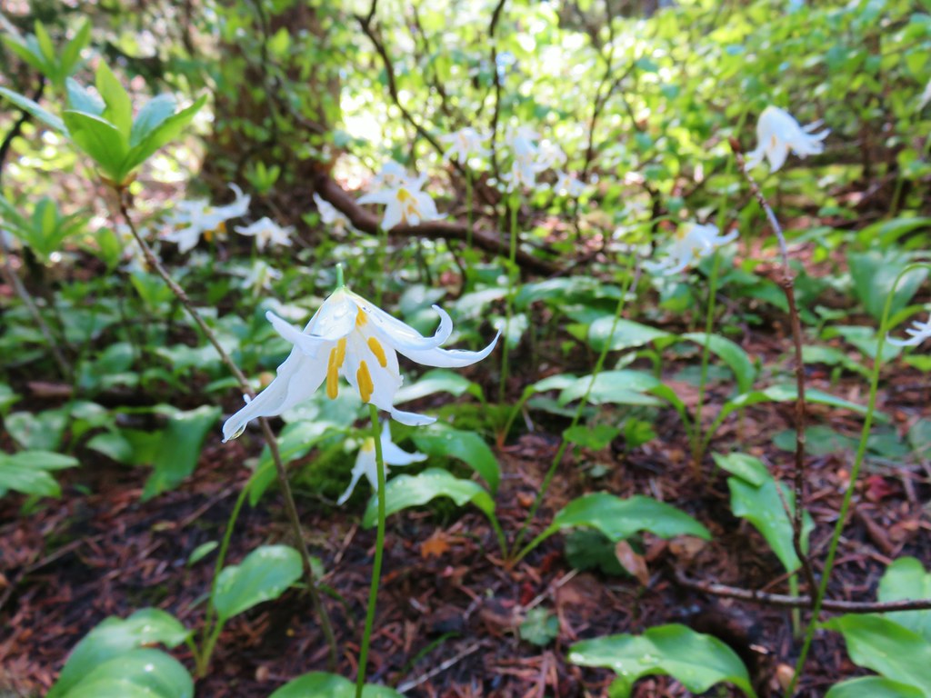
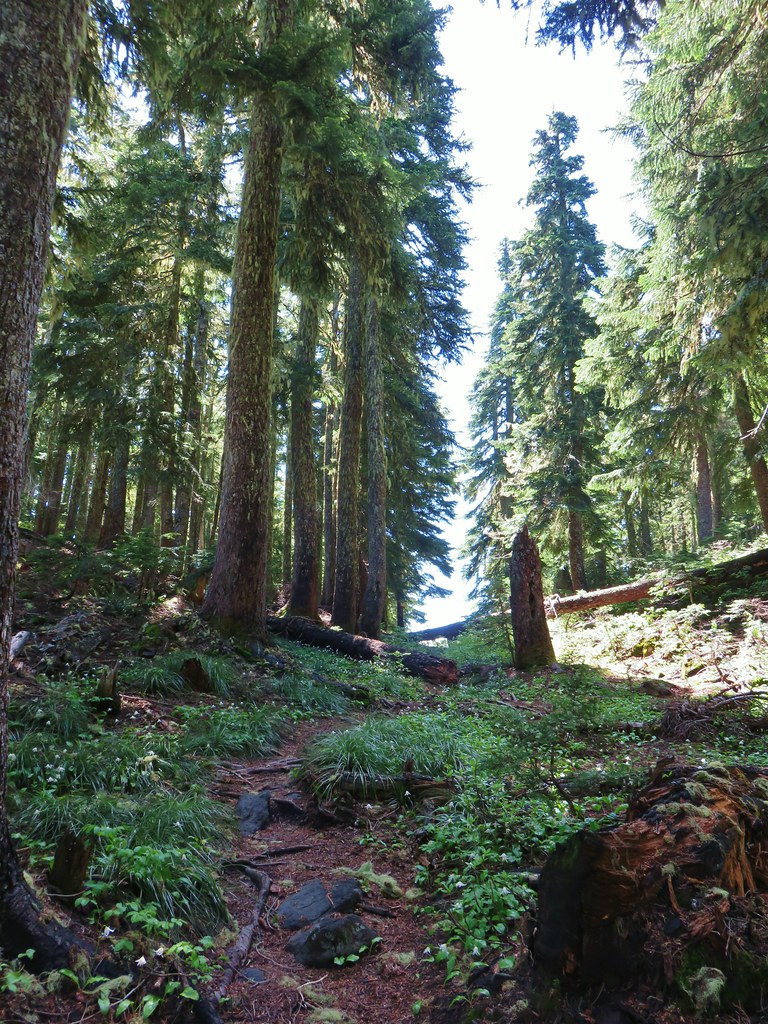
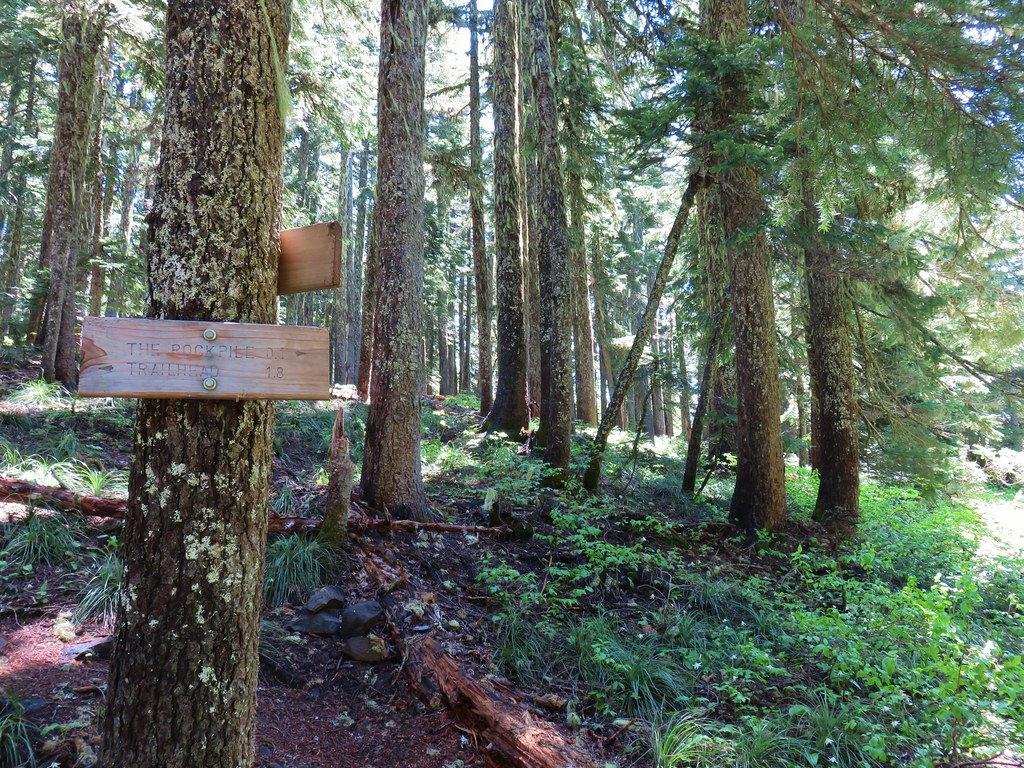

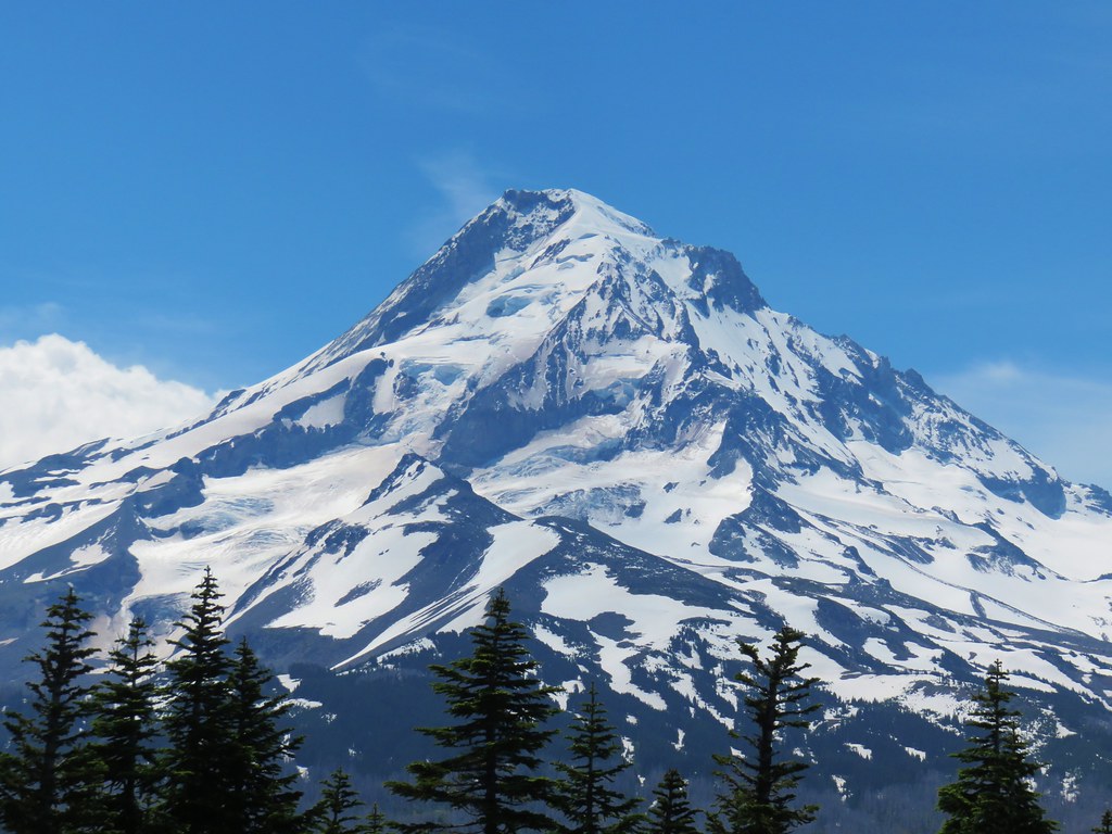


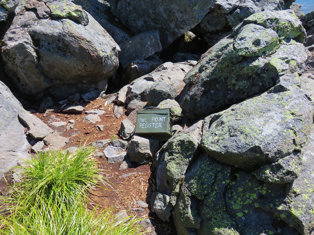

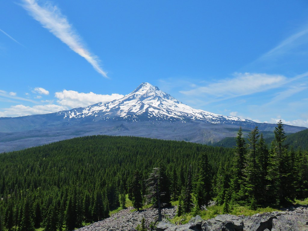
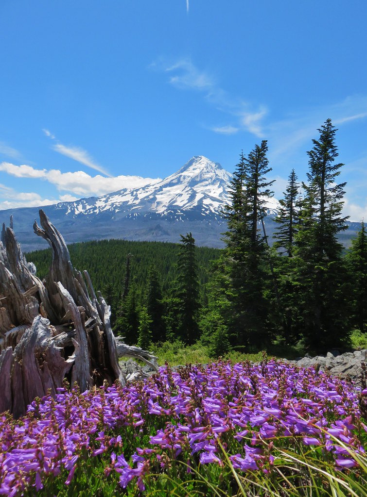


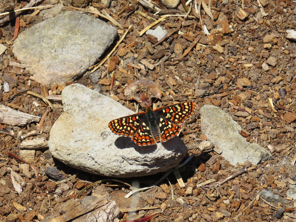


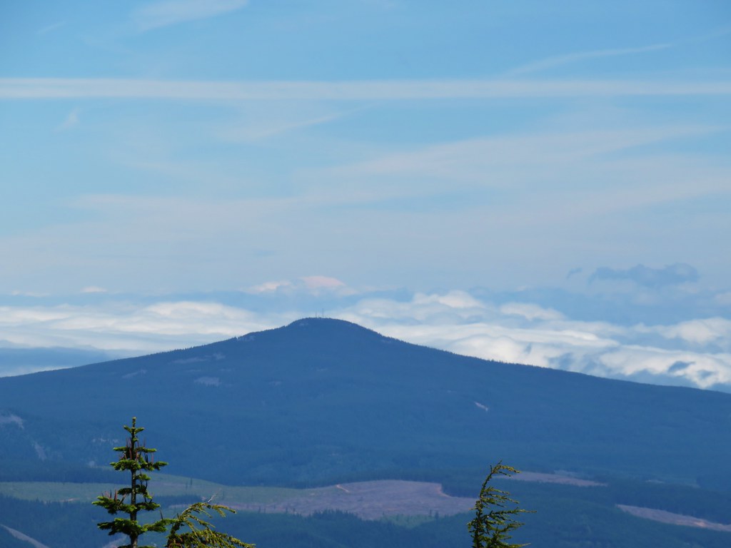 Mt. Rainier (sort of)
 Mt. Adams
 Battle Ax Creek – 2014
 Mt. Jefferson from Russell Lake – 2016
 Drift Creek – 2010
 Mt. Washington from the Pacific Crest Trail – 2015
 The Three Sisters – 2014
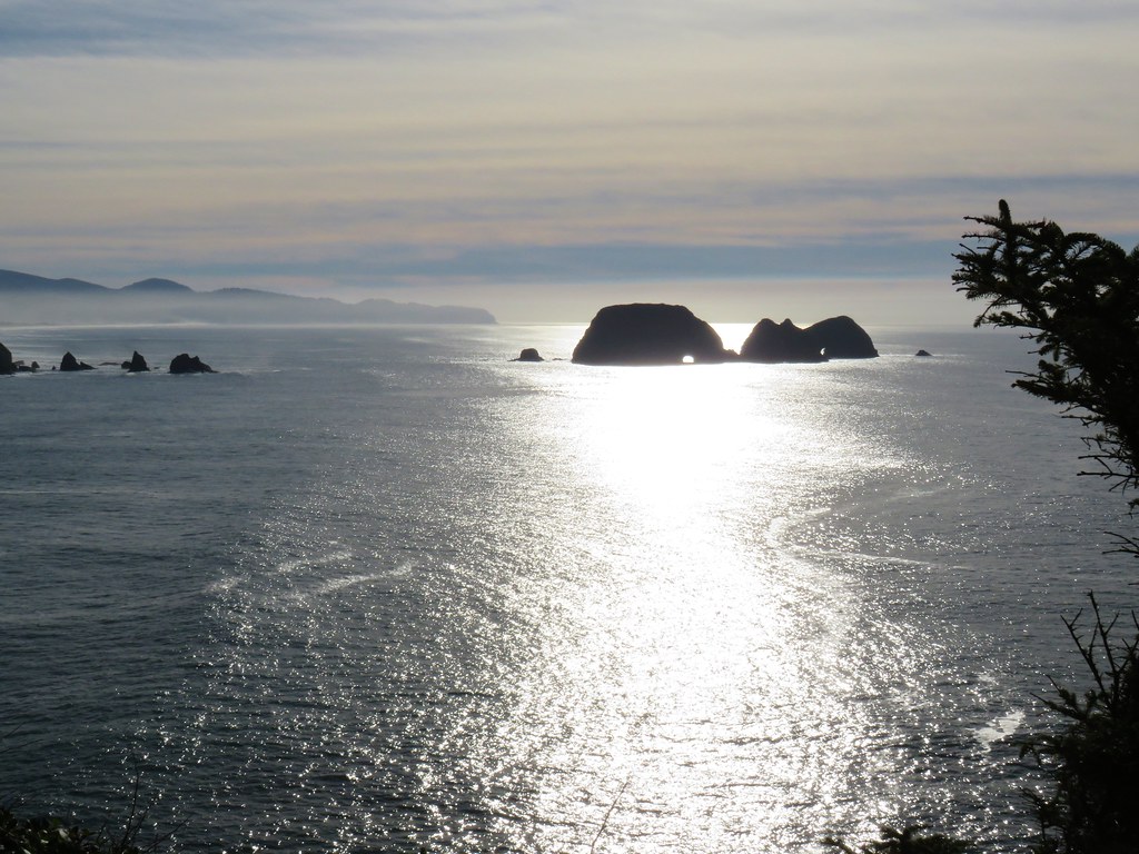 Three Arch Rocks from Cape Meares – 2018
 Triple Falls – 2012
 Mt. Hood – 2015
 Bandon Islands – 2018
 Twin Pillars – 2011
 Howlock Mountain and Mt. Thielsen – 2014
 Table Rock – 2015
 Frustration Falls – 2018
 Trapper Creek – 2014
 View from Fuji Mountain – 2013
 Serene Lake – 2013
 Badger Creek Wilderness – 2014
 Donaca Lake – 2014
 Emerald Pool – 2018
 View from Boccard Point – 2015
 Red Buttes – 2015
 Oregon Badlands Wilderness – 2016
 Vulcan Lake – 2016
 Rooster Rock – 2016
 Glacier Lake – 2016
 View from Aspen Butte – 2016
 Mt. McLoughlin from Freye Lake – 2016
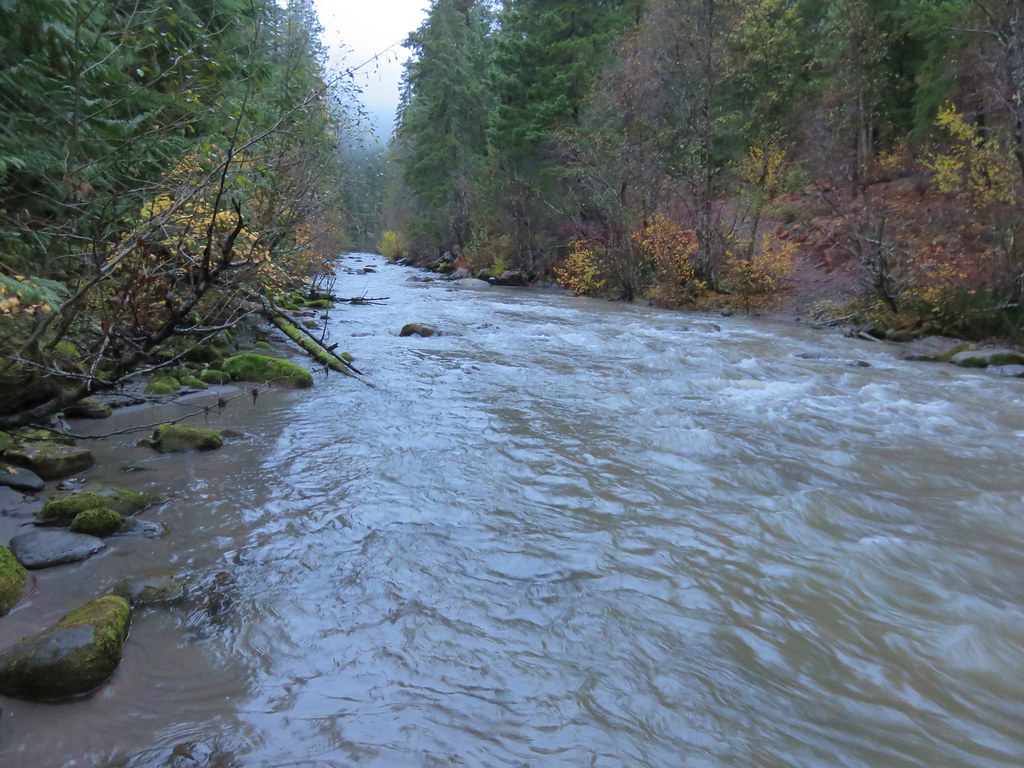 White River – 2016
 Rock Creek – 2017
 Hedgehog Cactus – 2017
 Bridge Creek Wilderness – 2017
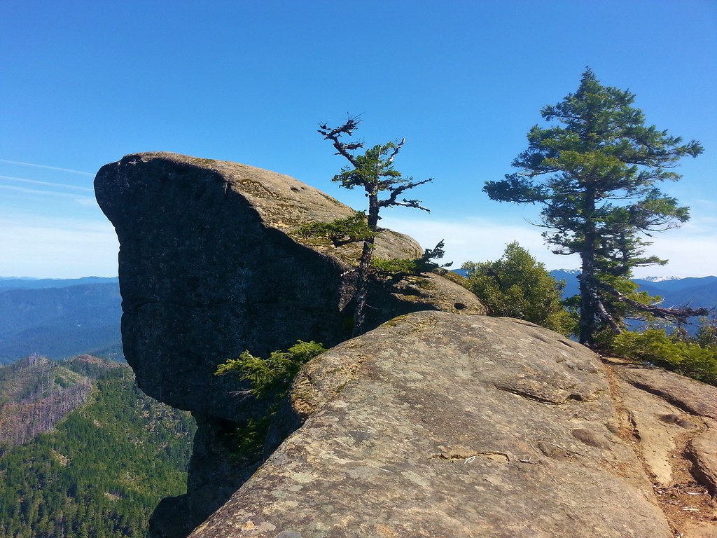 Hanging Rock – 2017
 View from Grassy Knob – 2017
 Big Bottom – 2017
 Baldy Lake – 2017
 Cummins Ridge Trail – 2017
 Hummingbird Meadows – 2018
 View along the Pine Creek Trail – 2018
 Slide Lake – 2018
 Barklow Mountain Trail – 2018