There haven’t been many times in our 10 years of hiking that we haven’t been able to do the hike (or at least the vast majority of it) that we set out to do that day. Many of the failed attempts came early in our hiking years when we didn’t do as much research on current conditions as we do now, but even with the extra research sometimes things just don’t work out. Our attempt to hike the nearly 6 mile long East Fork Trail in the Willamette National Forest happened to be one of these times.
We had switched to this hike earlier in the week due to a rainy weekend forecast. Our plan was for an out-and-back hike starting at the East Fork Lower Trailhead and turning around at the East Fork Upper Trailhead.

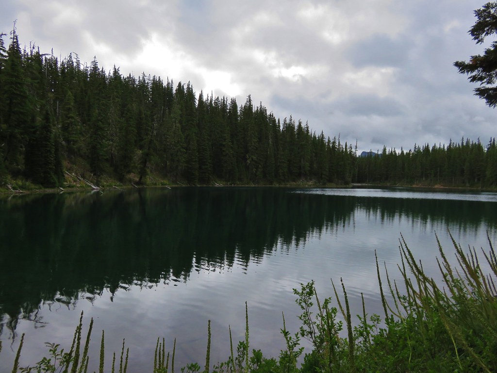
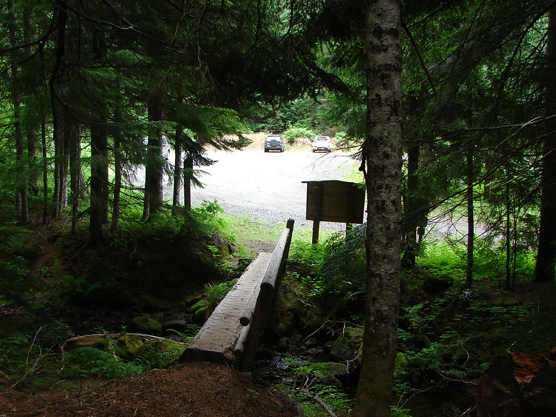
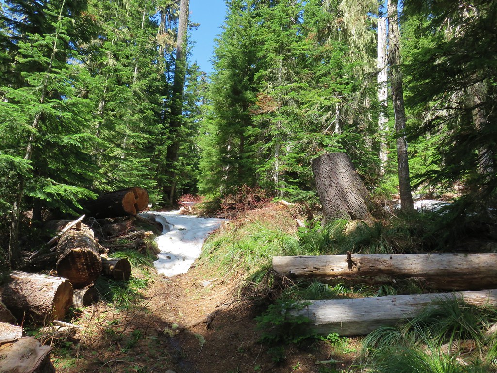
The large parking area (with restrooms) for the lower trailhead is located at the NE end of Cougar Reservoir where the East Fork South Fork McKenzie River flows into it.


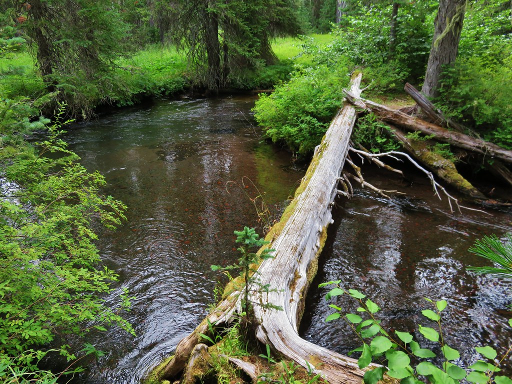
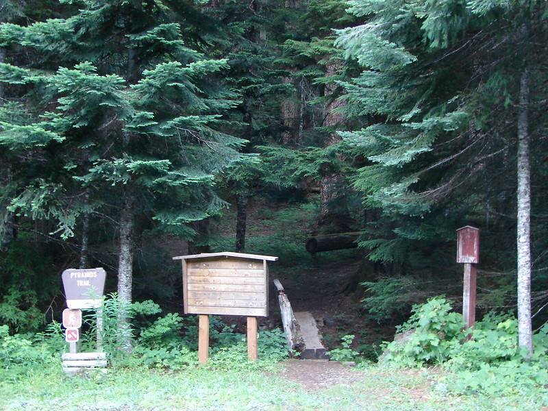
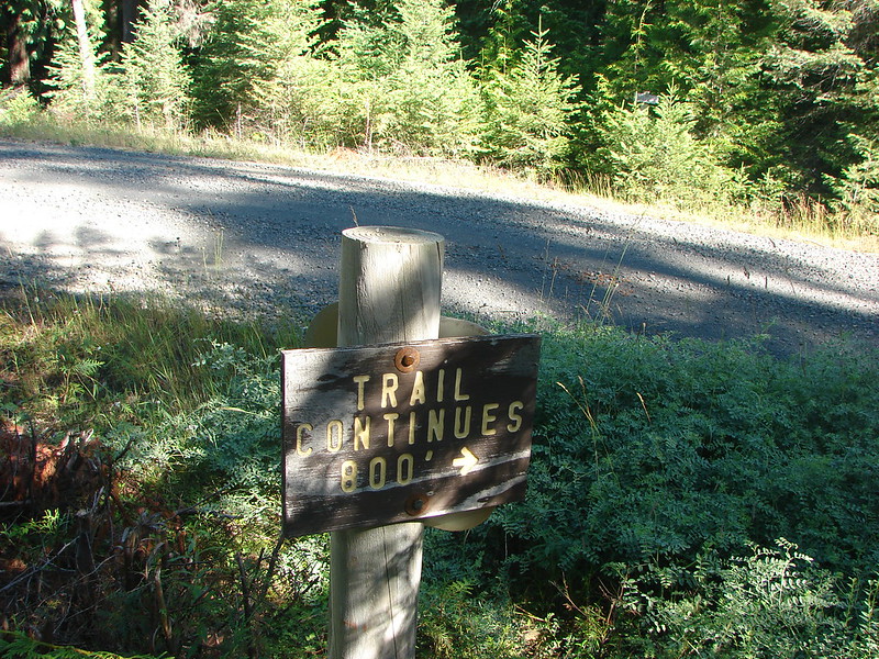
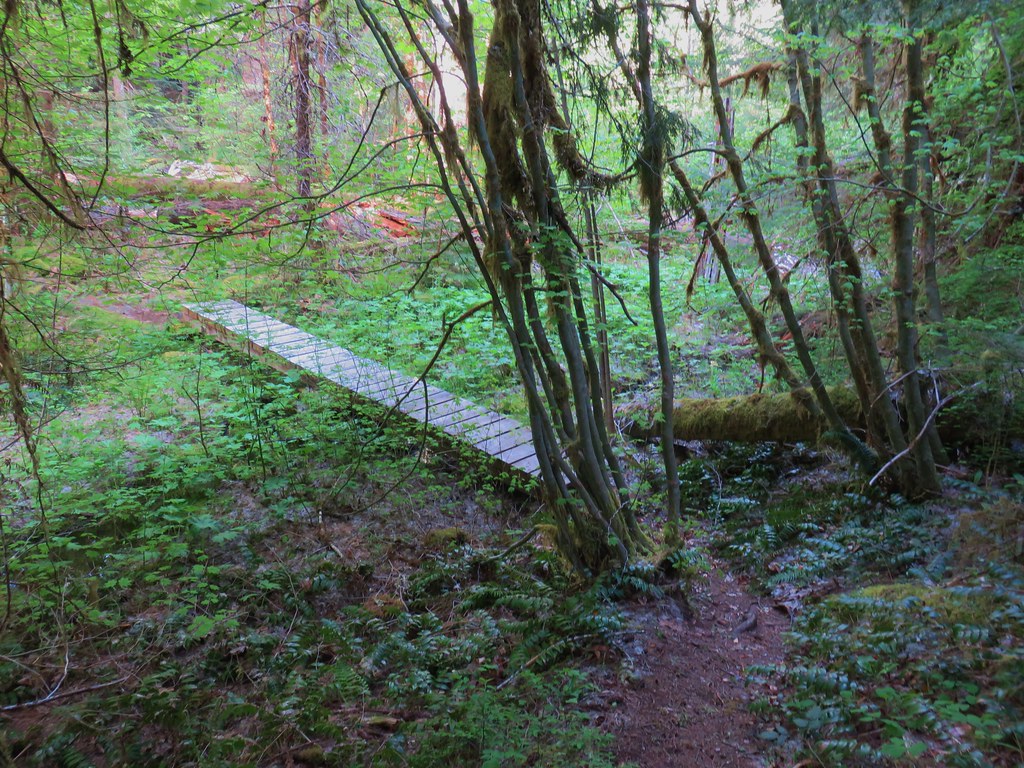
We set off on the East Fork Trail without looking closely at the signboard where it was clearly posted that the first of two footbridge leading across the river was out.
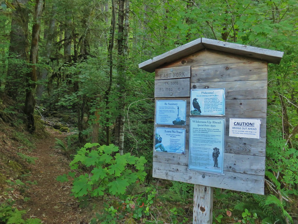
This bridge was only three tenths of a mile from the trailhead so it didn’t take long for us to discover it missing.

Fording the river was an option, it looked like it would have been an easier ford than the Indian Creek ford we had done on our first day backpacking the Middle Fork Willamette River (post). With that being said neither of us were keen on soaking our feet this early in the hike and knowing that the plan had been to go to the upper trailhead and back we simply decided to go back to the car, drive up to the upper trailhead, and hike down from there to the other side of the river and back which would allow us to cover the whole trail sans the missing bridge.
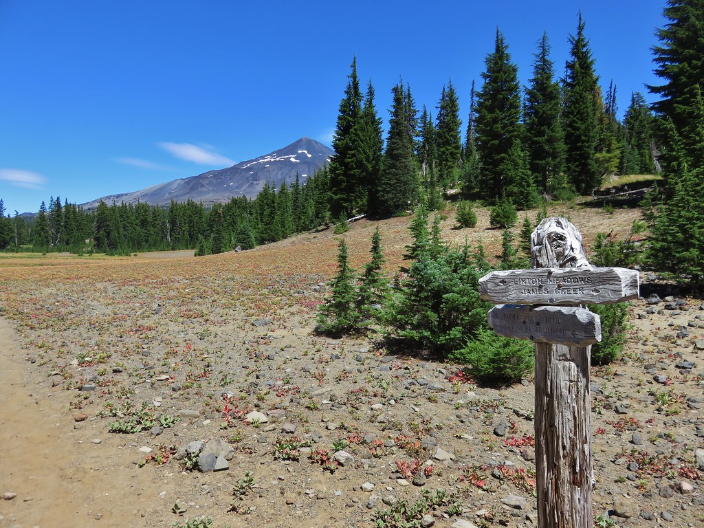
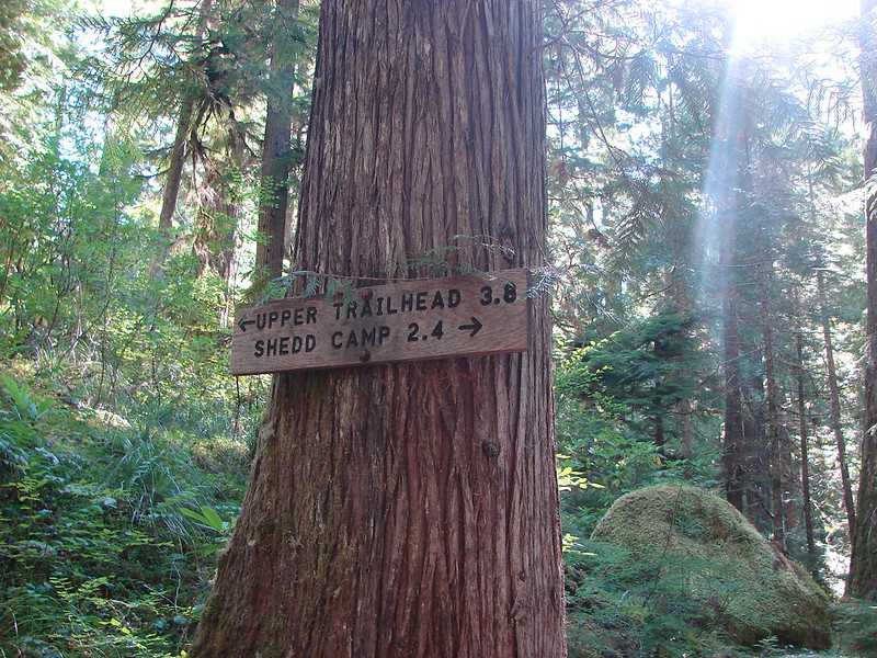
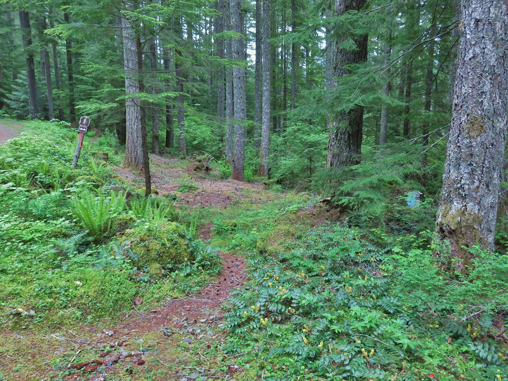
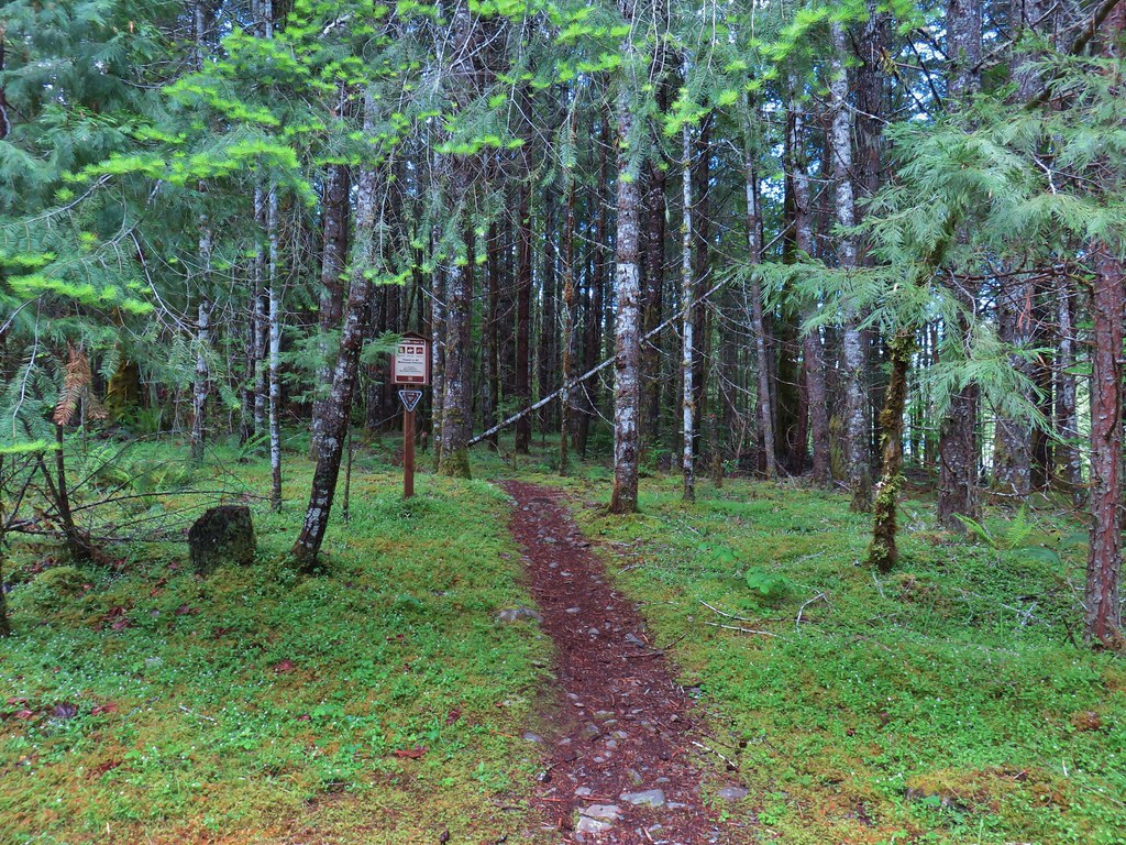
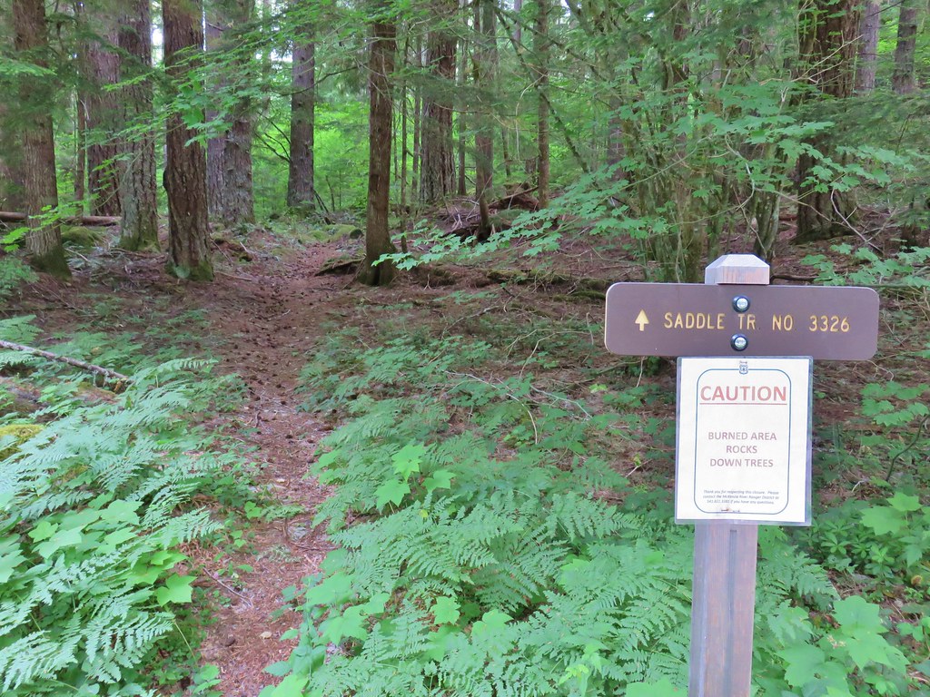
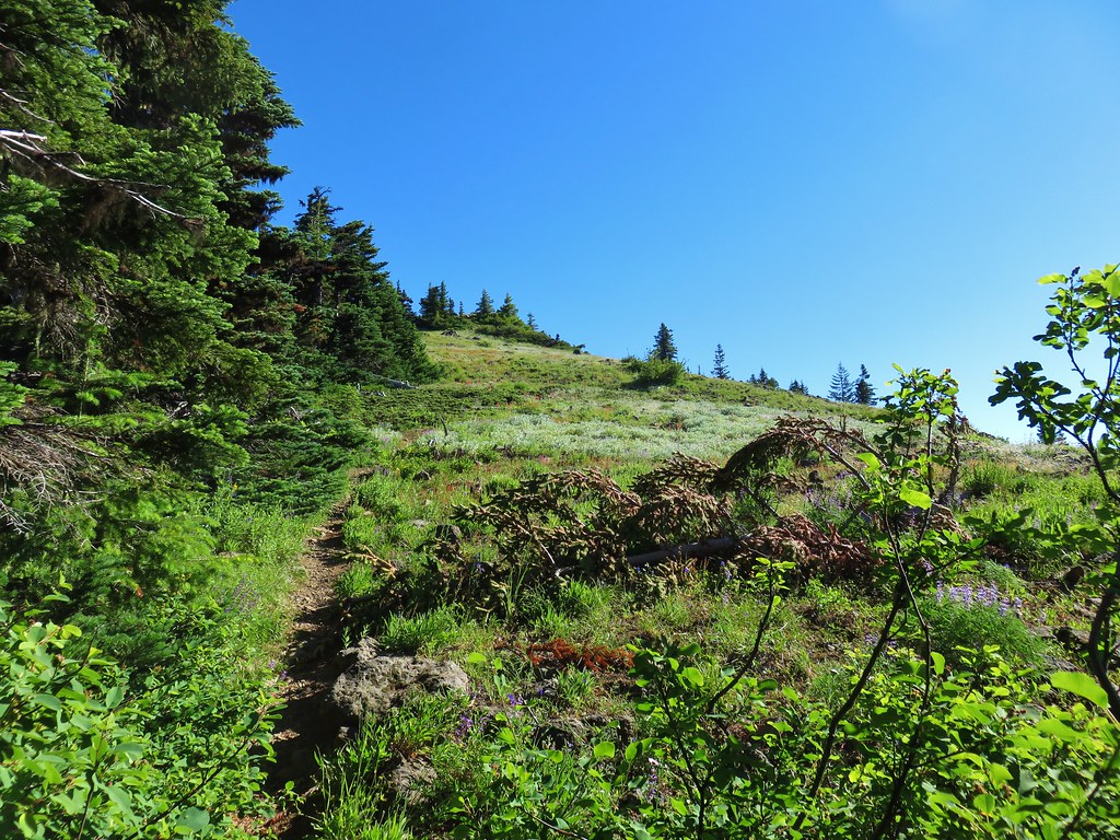
We were familiar with the upper trailhead having parked there in 2018 when we hiked to Horsepasture Mountain using the Saddle Trail (post). While the Saddle Trail headed uphill on the north side of FR 1993 near a small pullout, the East Fork Trail headed downhill on the south side.
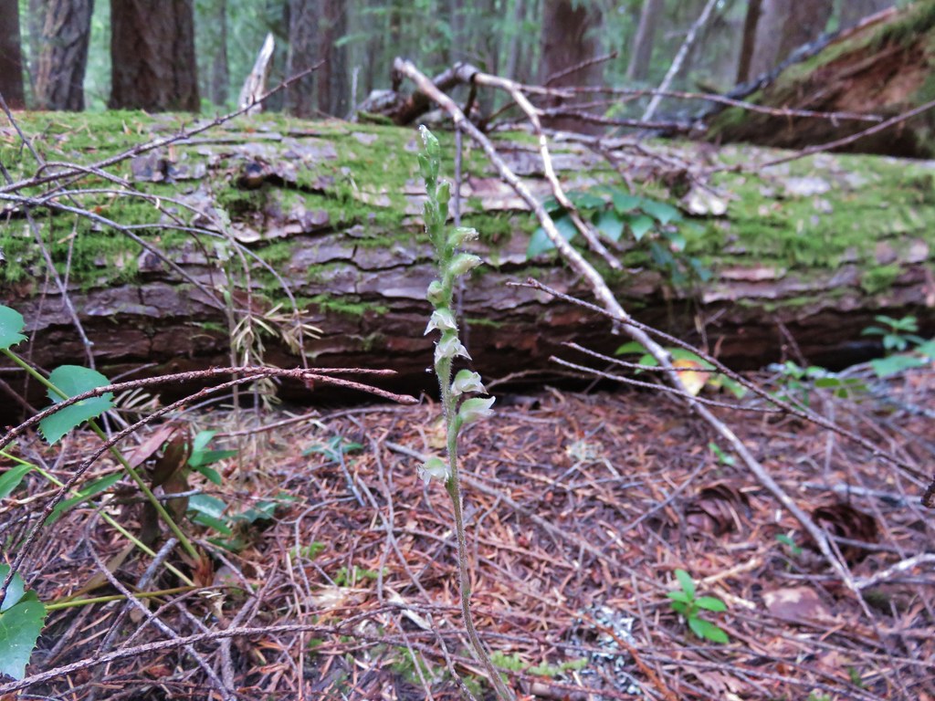
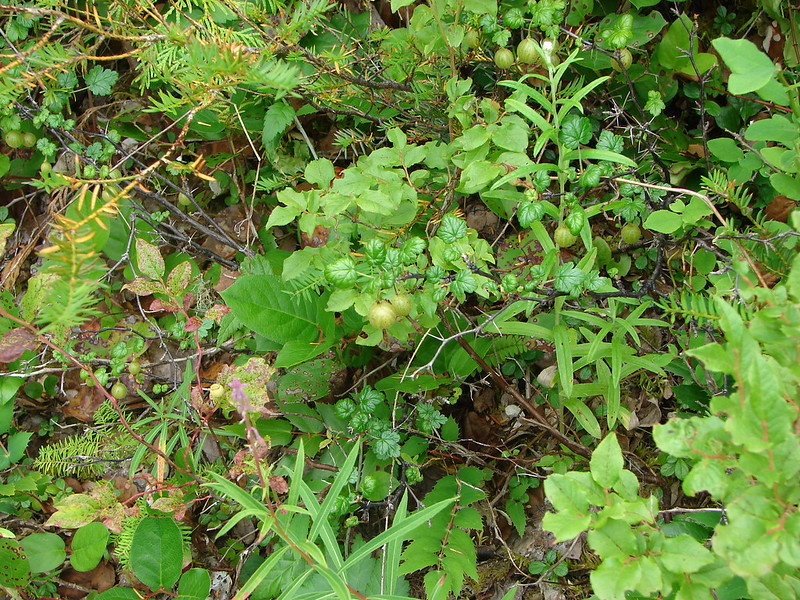
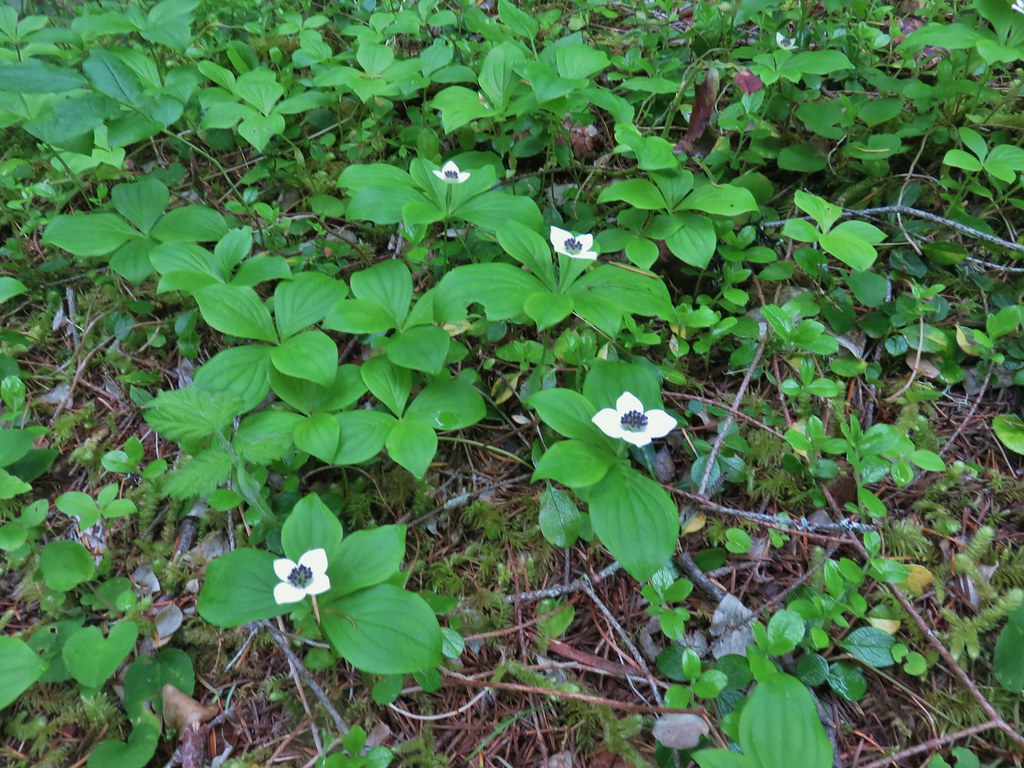
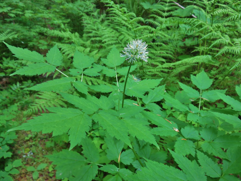
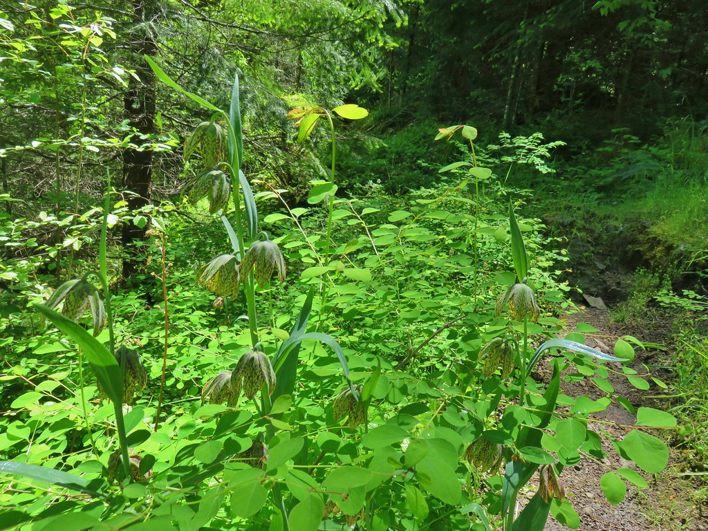
Anemones and bunch berries were blooming near the trailhead.

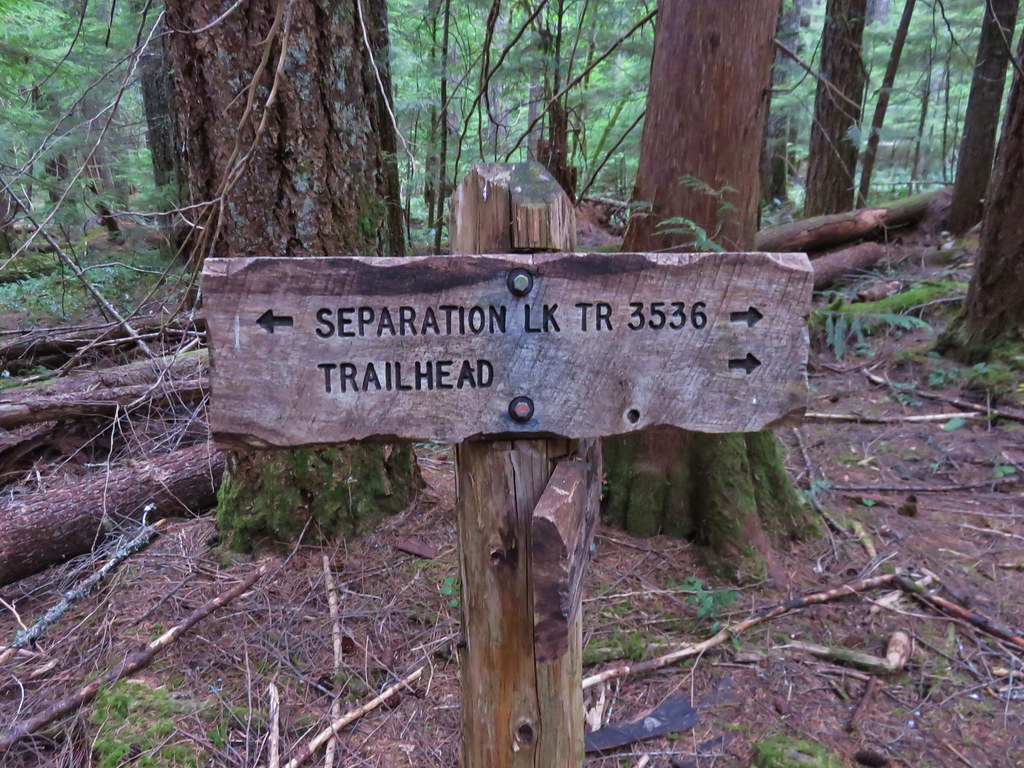
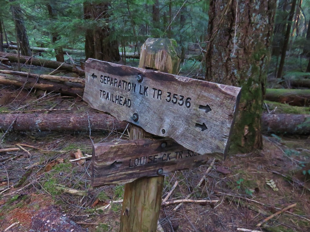
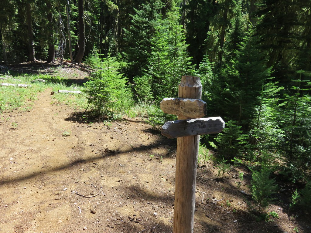
This time we noticed the caution posted on the trailhead signpost.
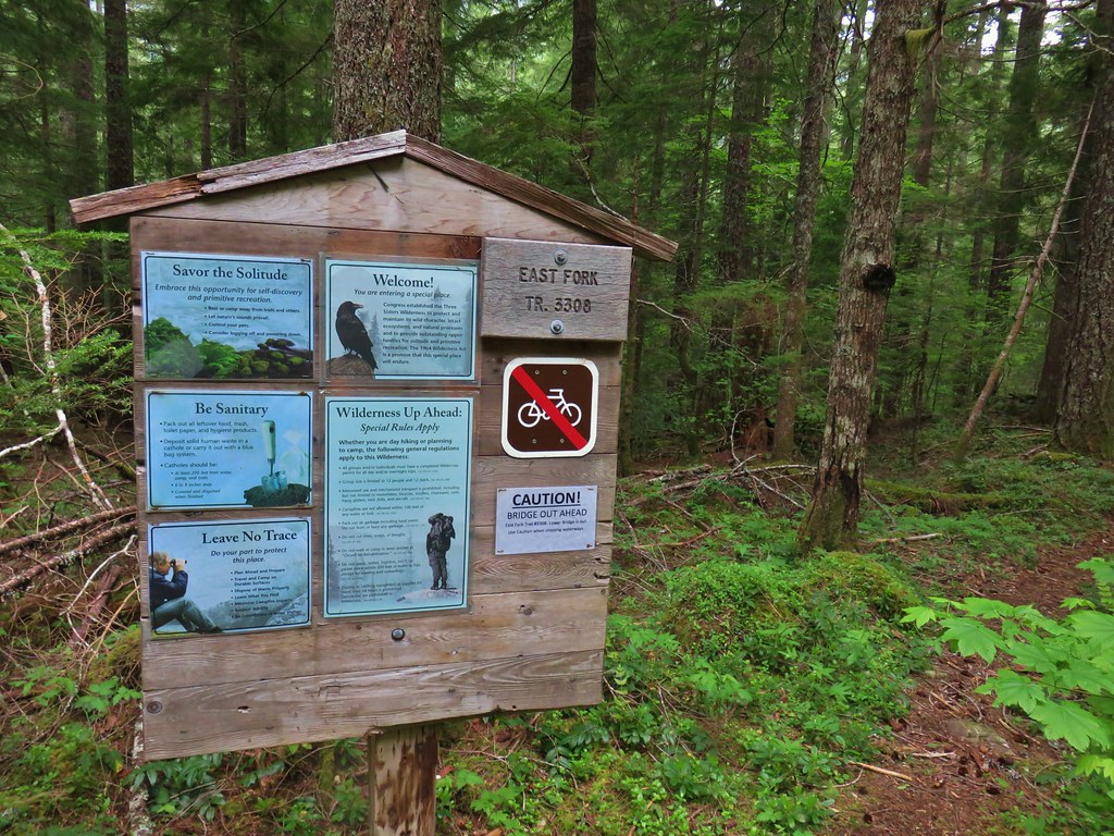
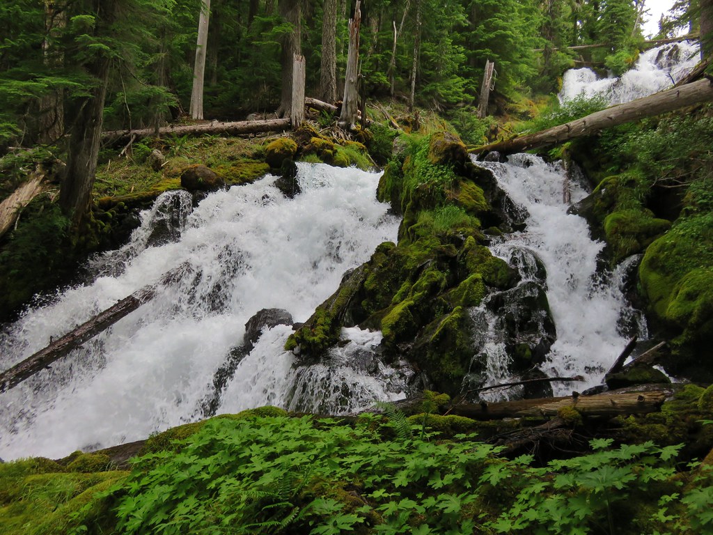
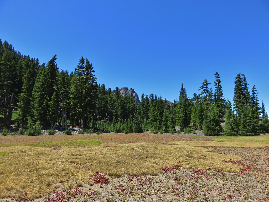
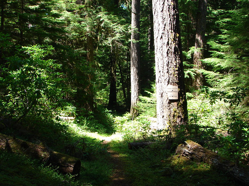
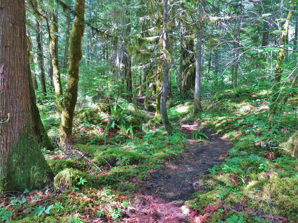
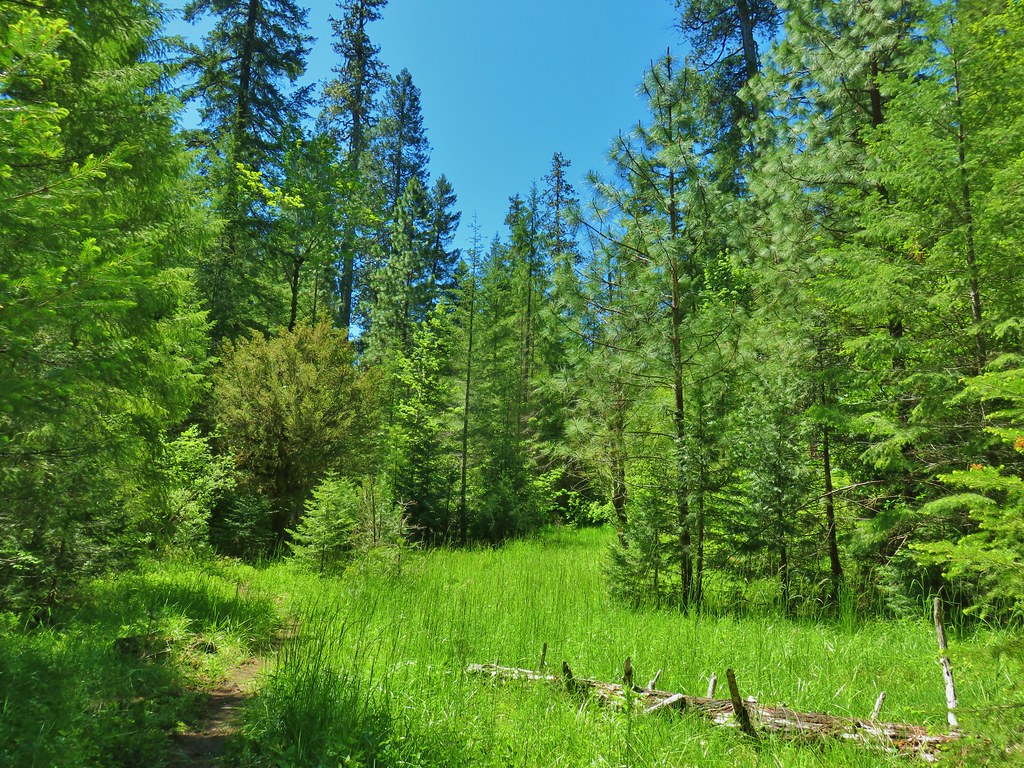
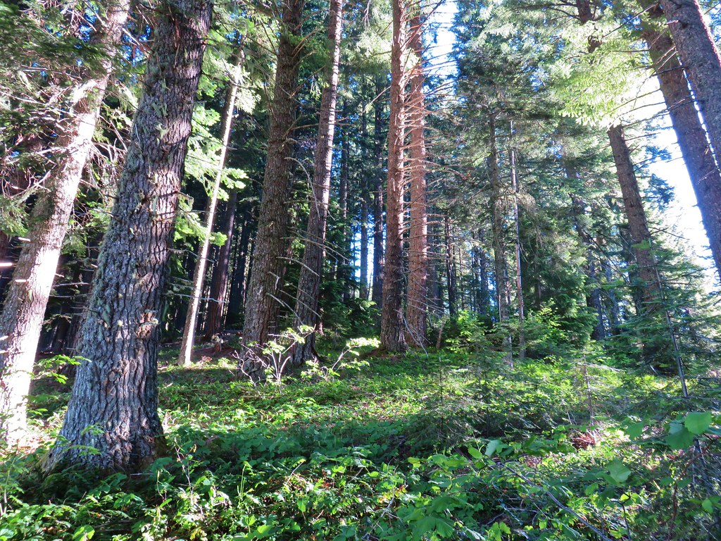
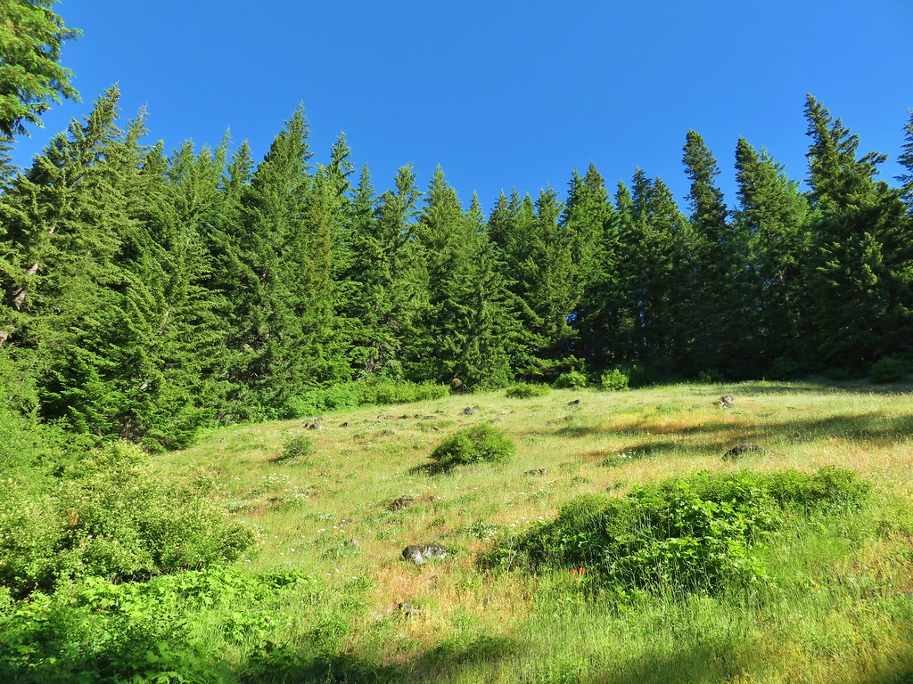
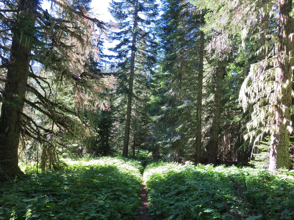
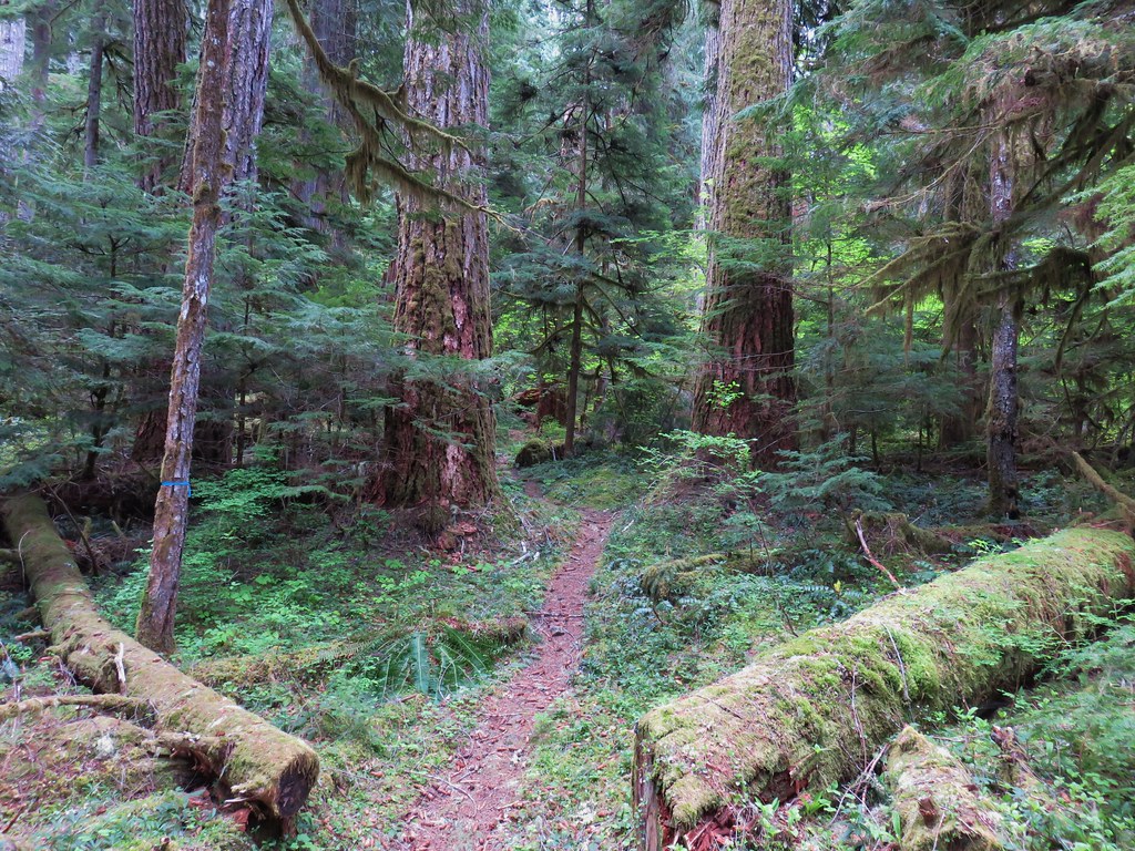
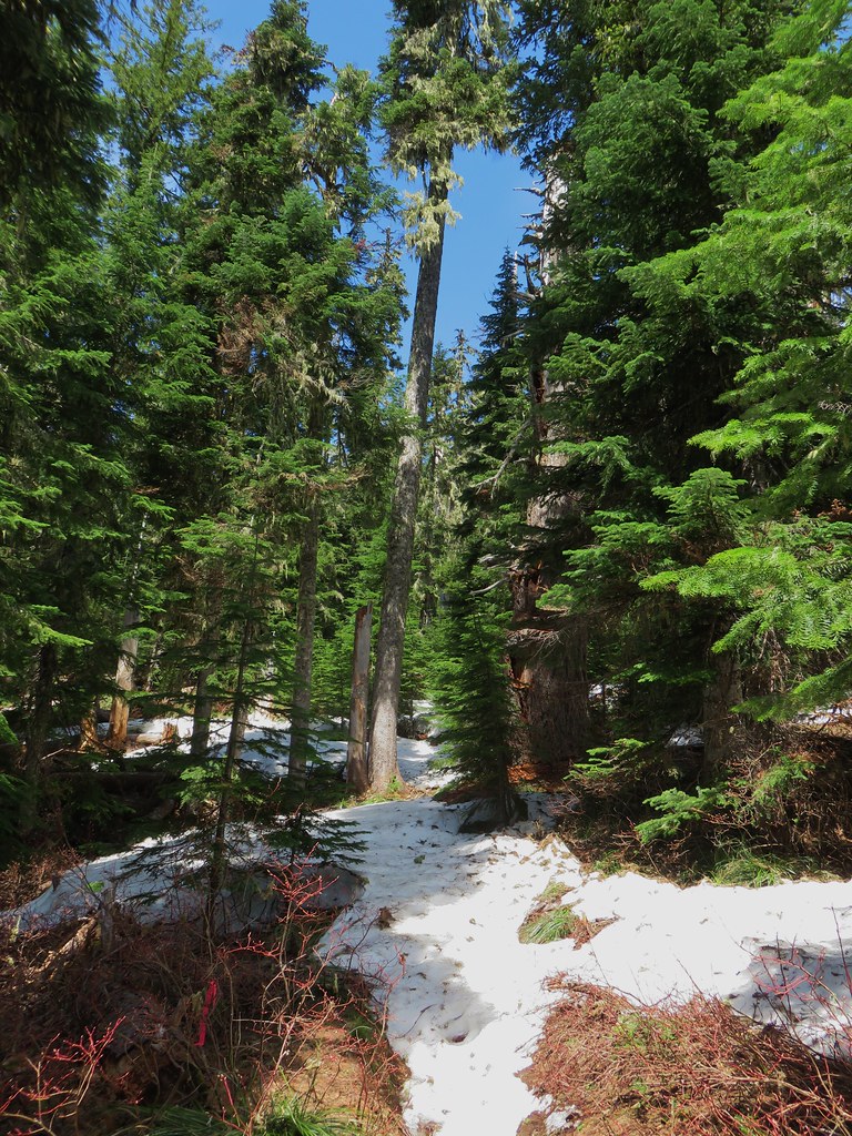
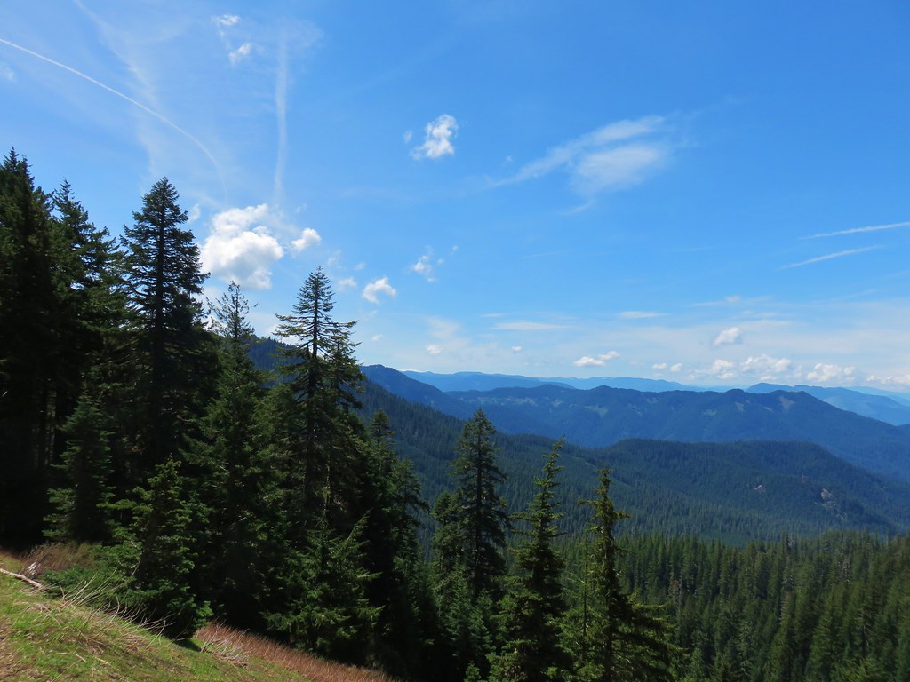
The trail quickly entered the Three Sisters Wilderness.

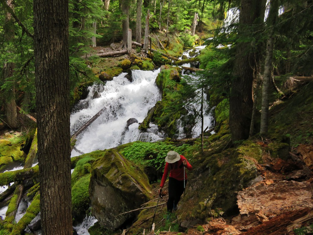
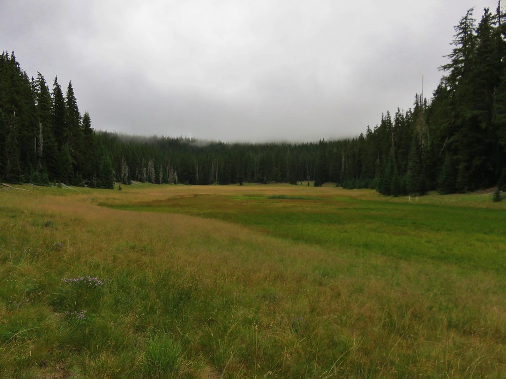
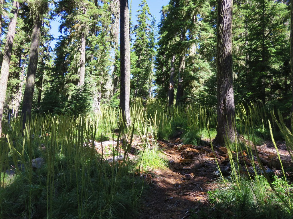
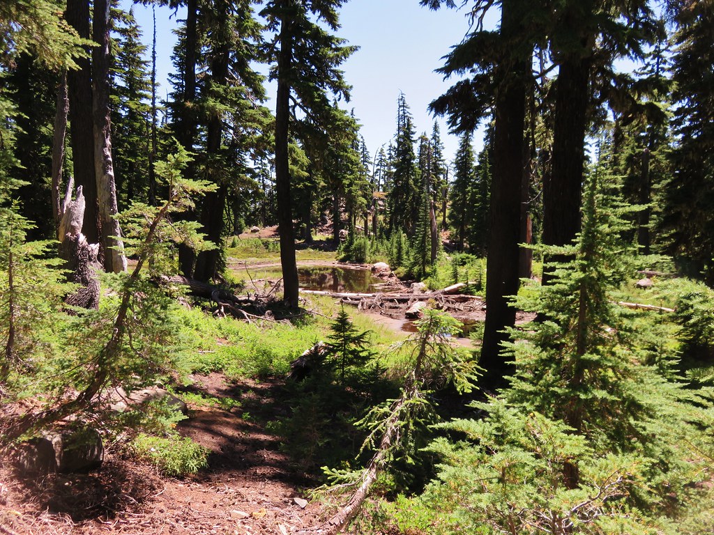
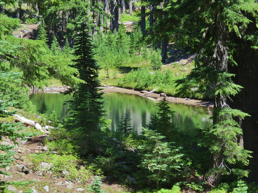
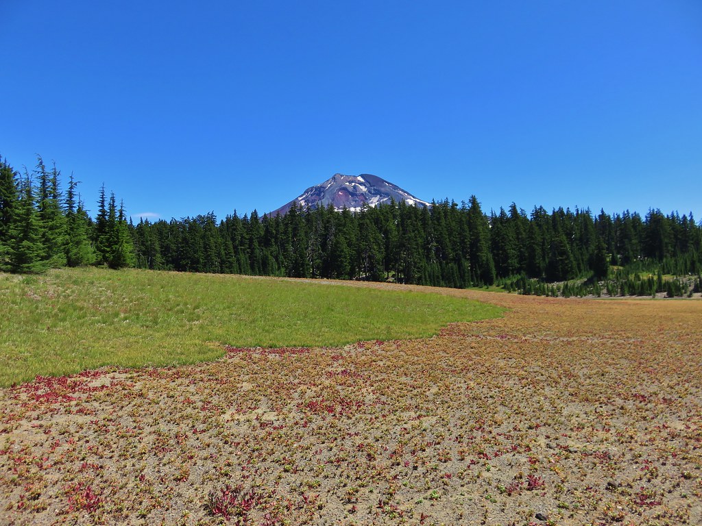
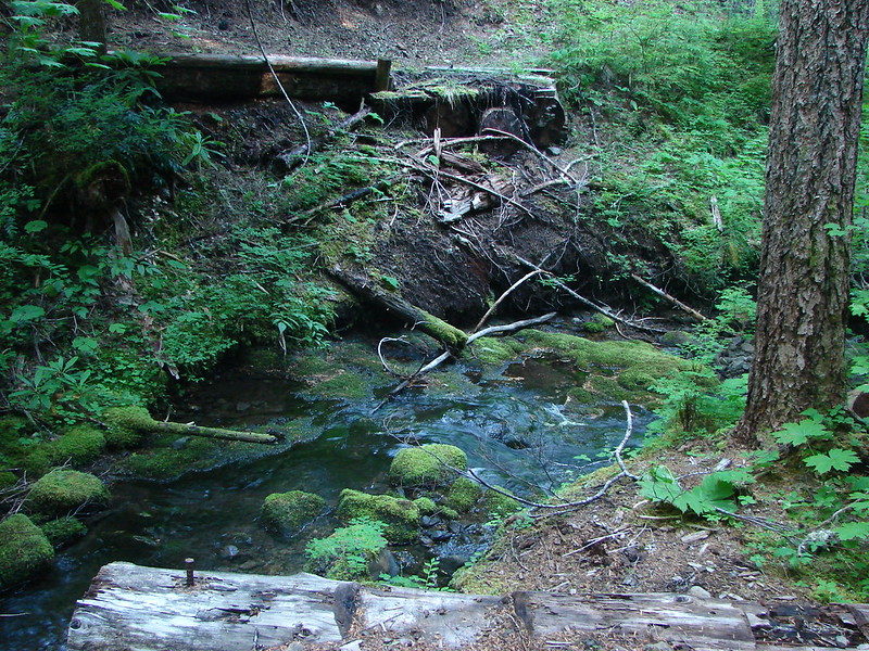
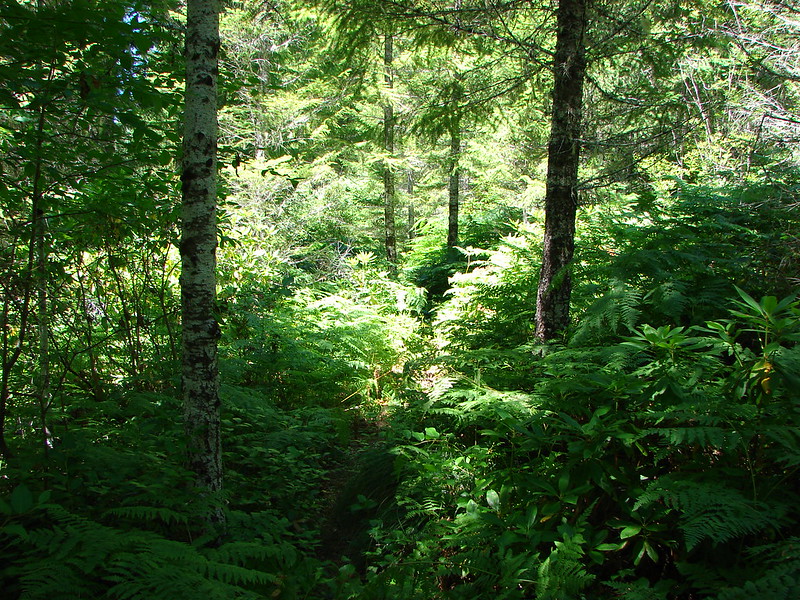
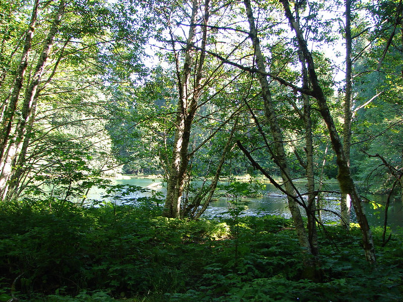
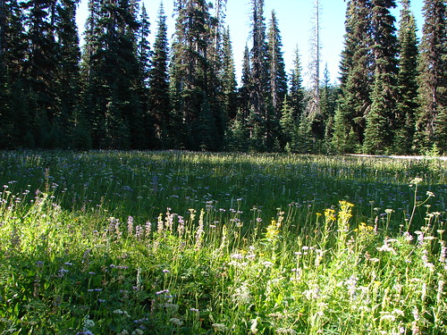
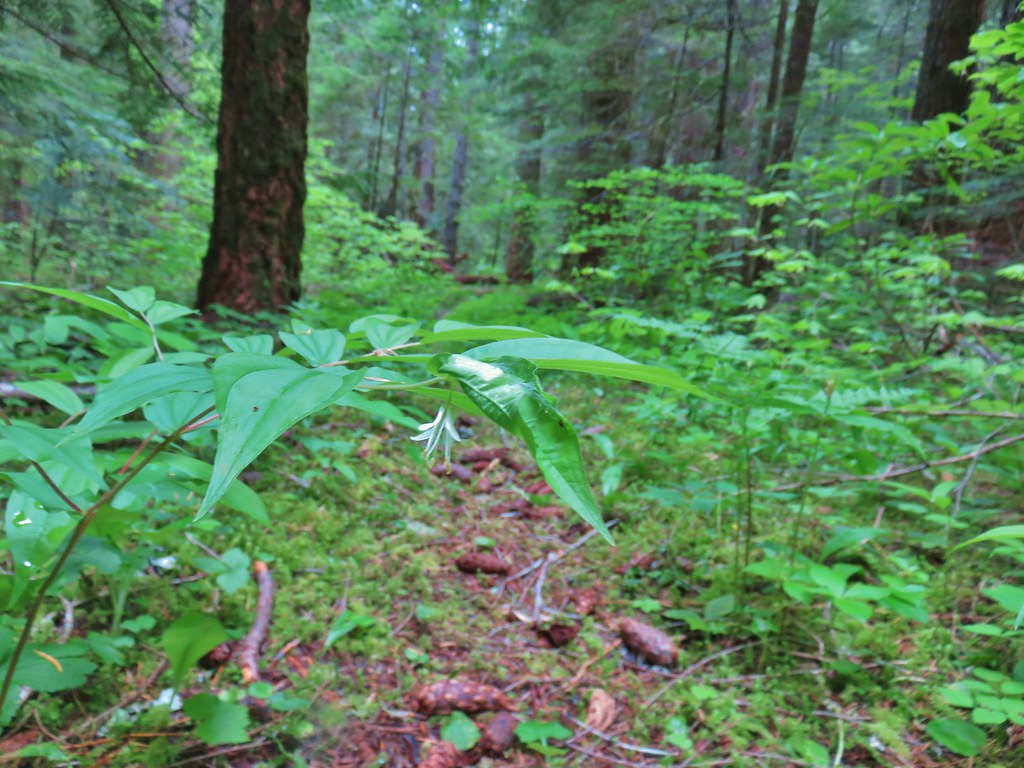
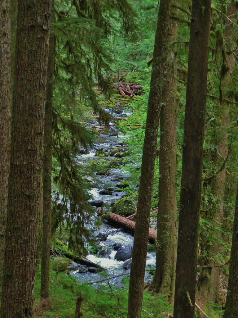
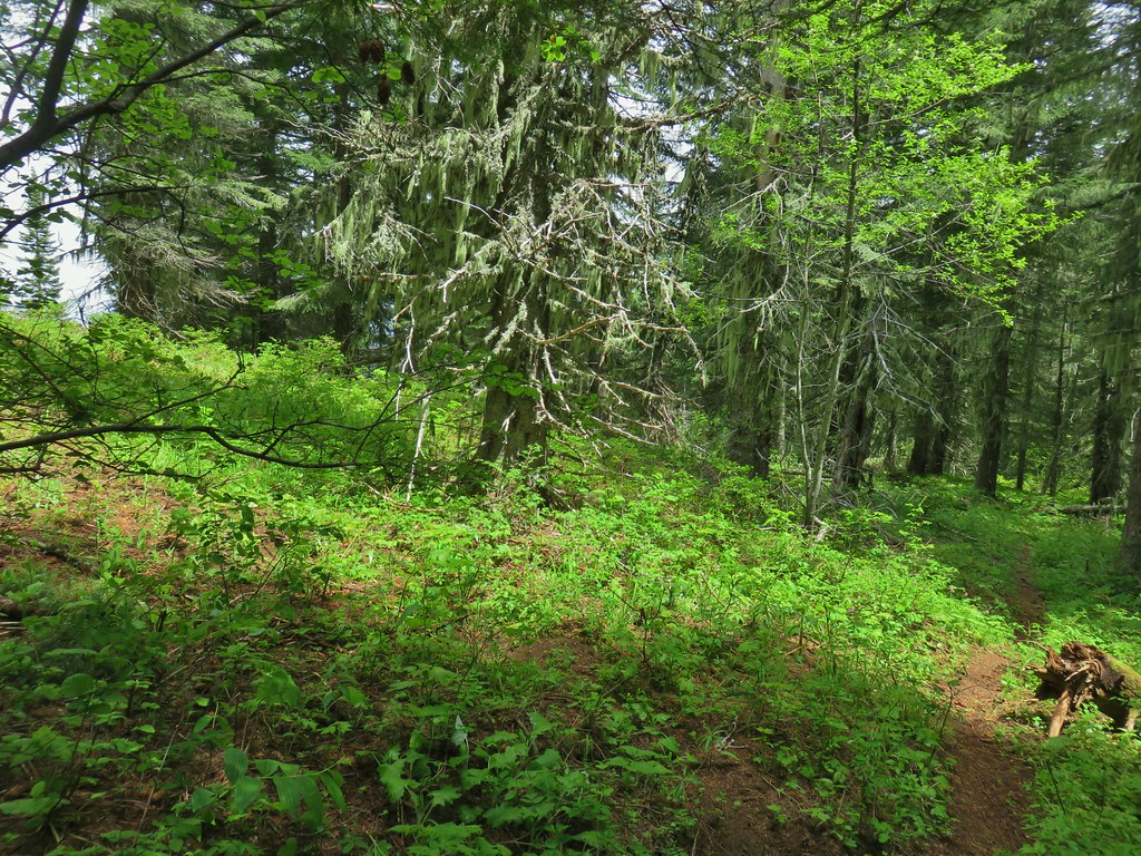
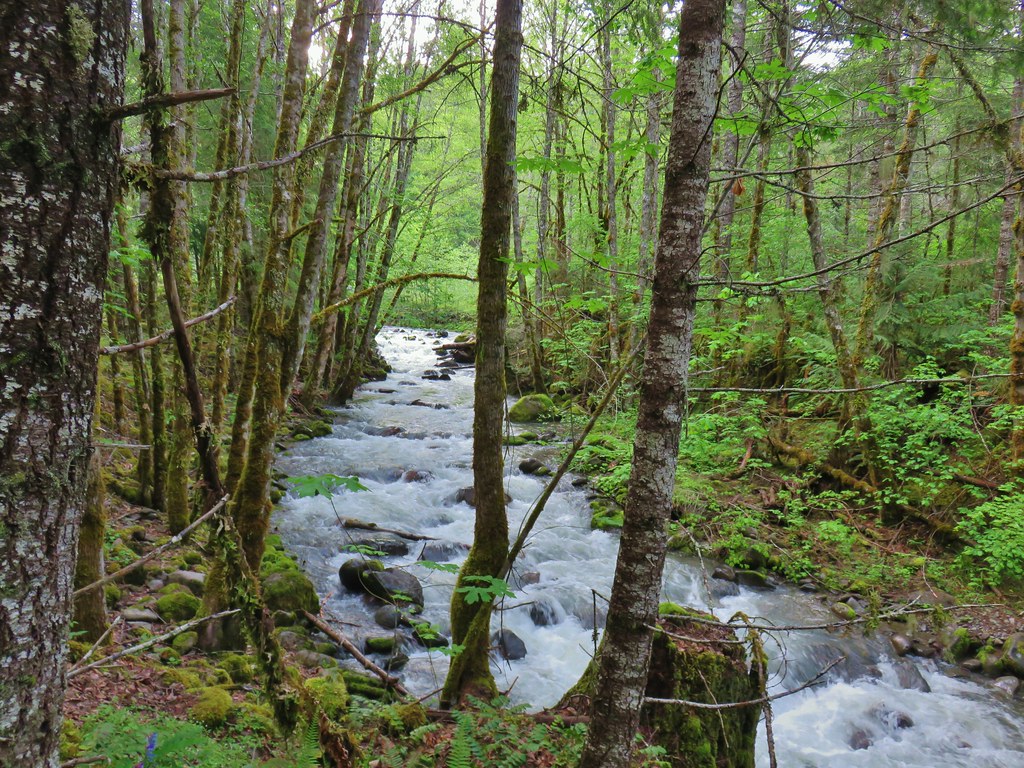
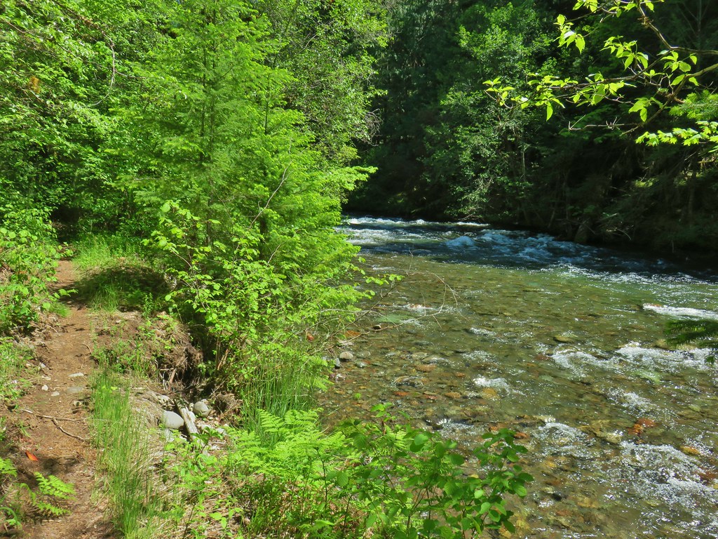
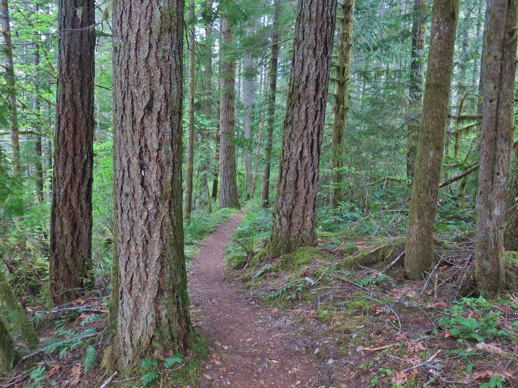
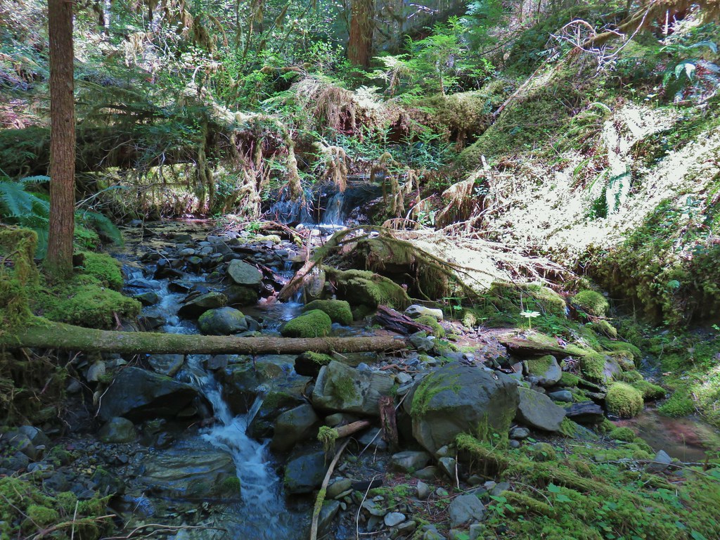
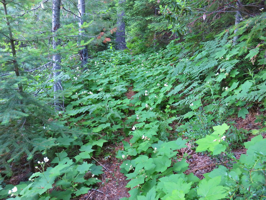
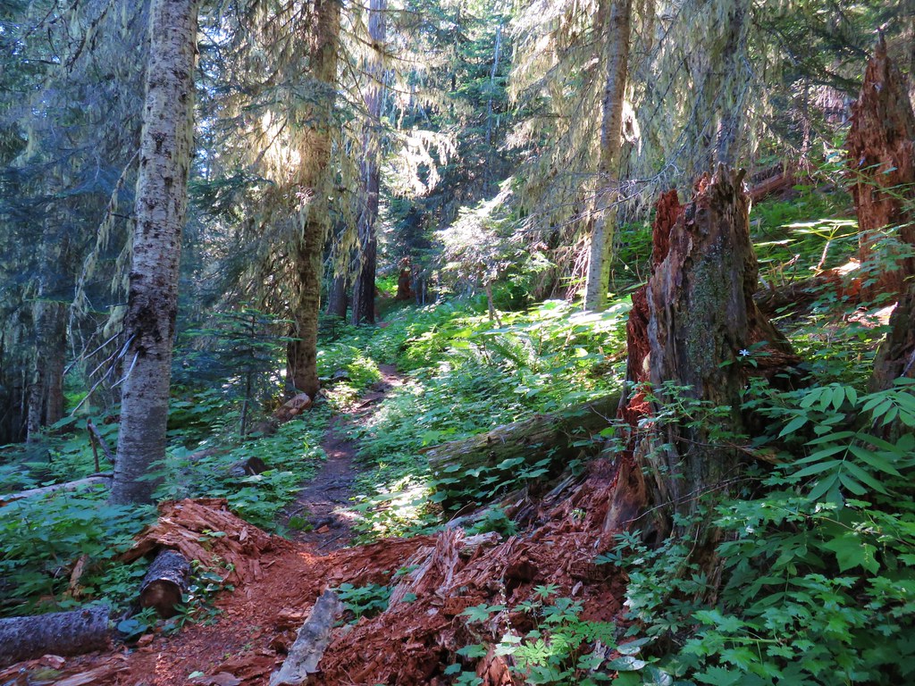
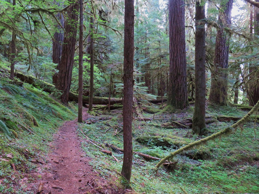
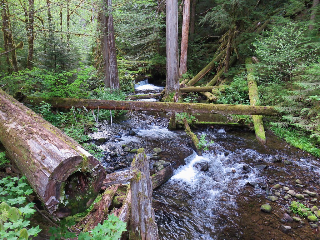
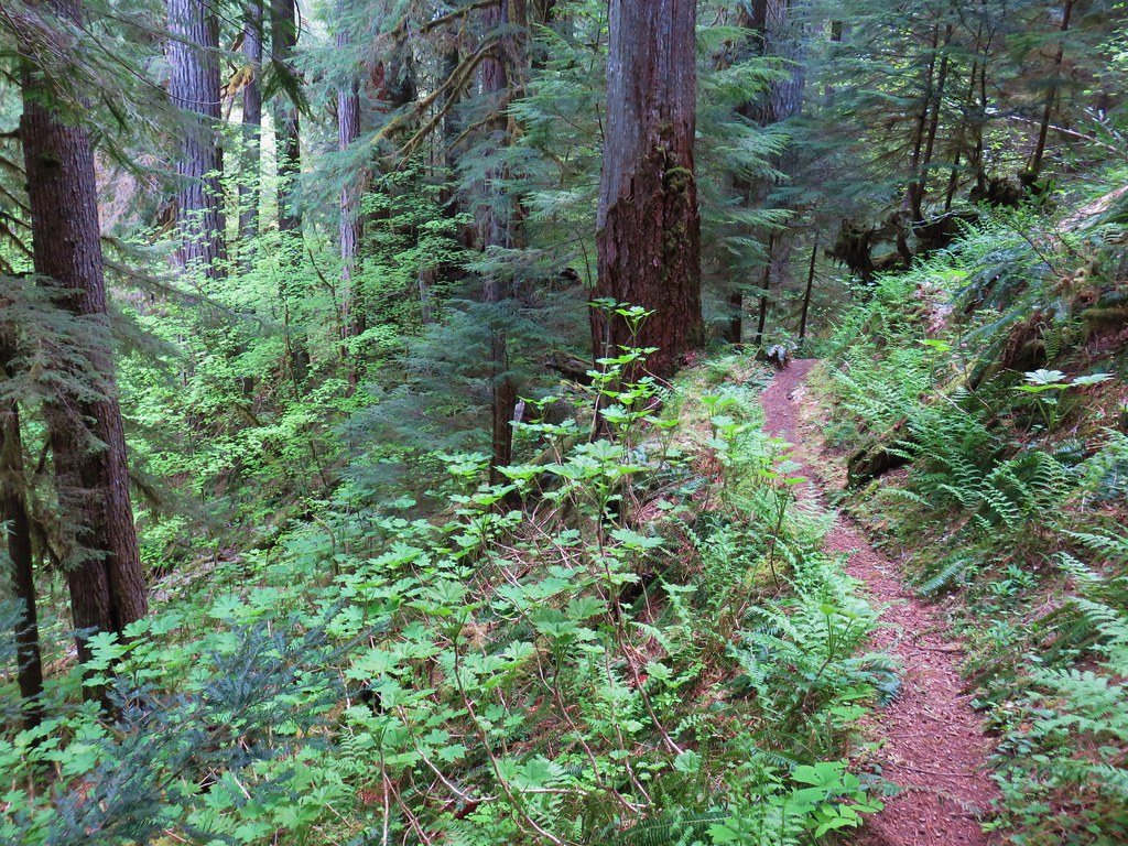
For first .6 miles from the trailhead the East Fork Trail made its way downhill through a green forest before reaching the East Fork South Fork McKenzie River.

 Vanilla leaf
 False solomonseal
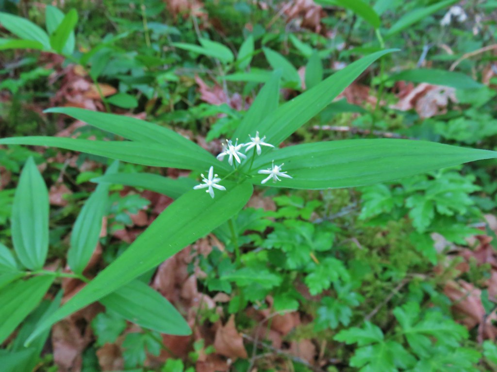
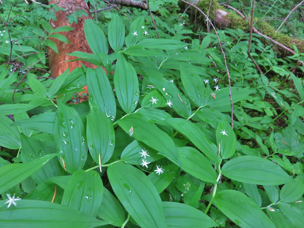 Star-flowered solomonseal
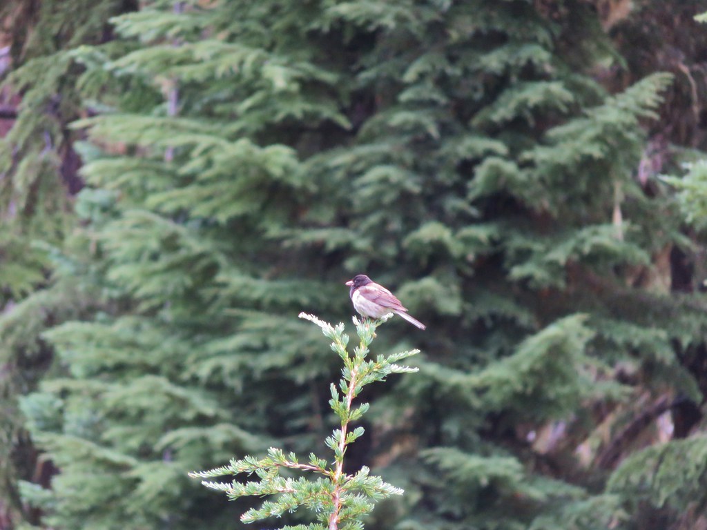
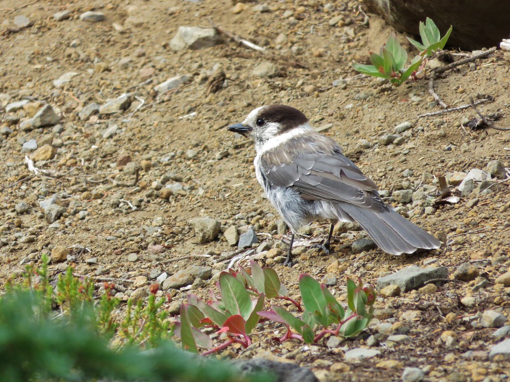
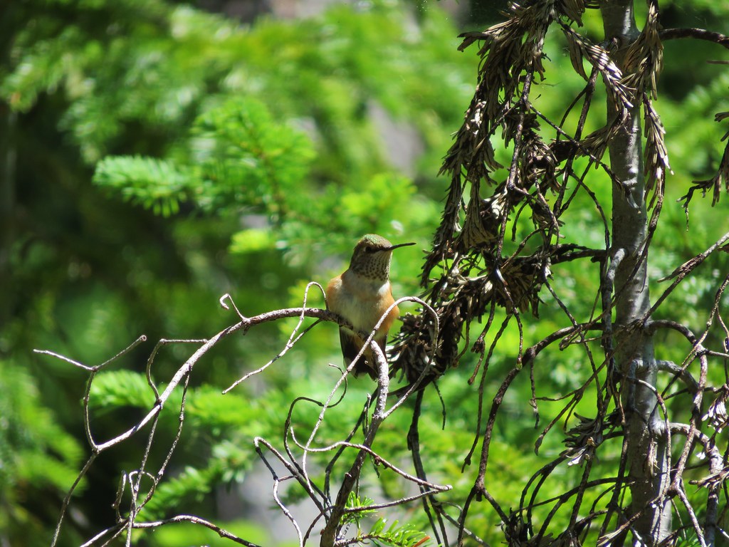
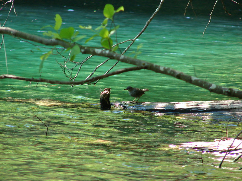
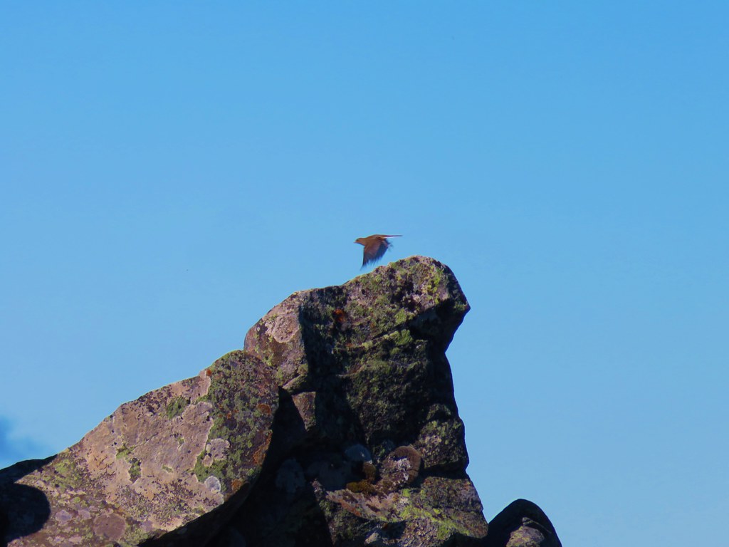
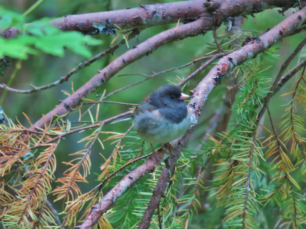 Junco
Junco
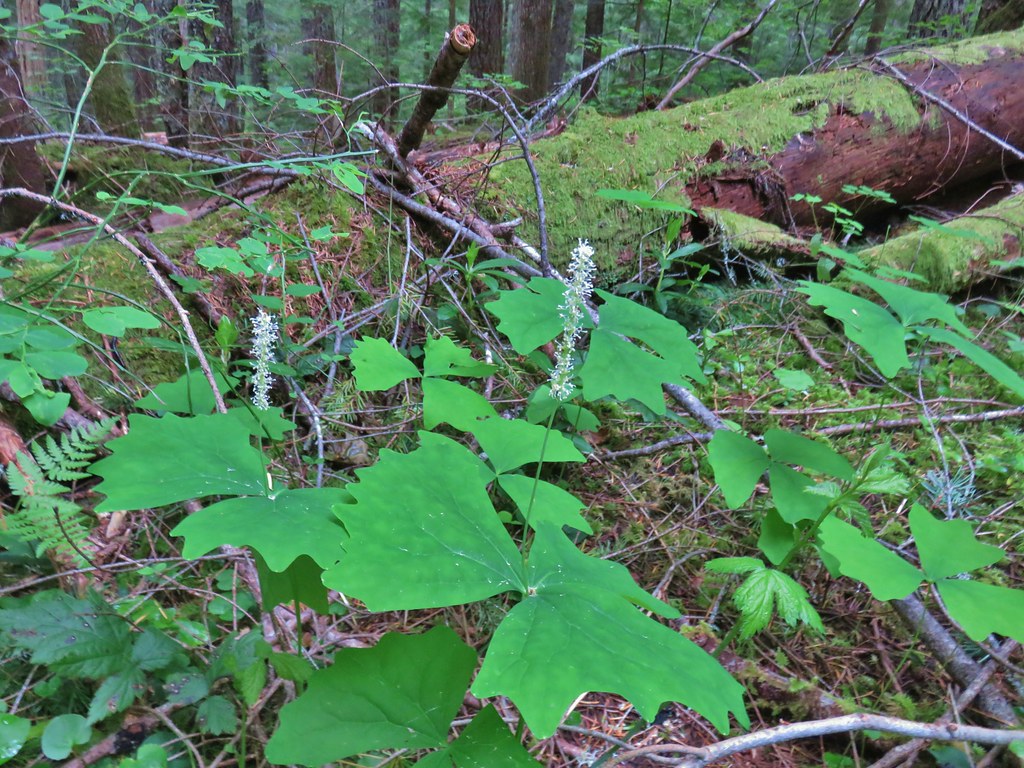
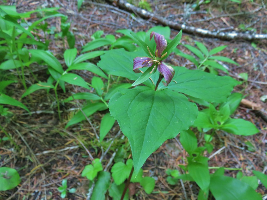 Trillium
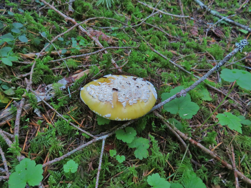 We saw a lot of this type of mushroom.
 Fairybells
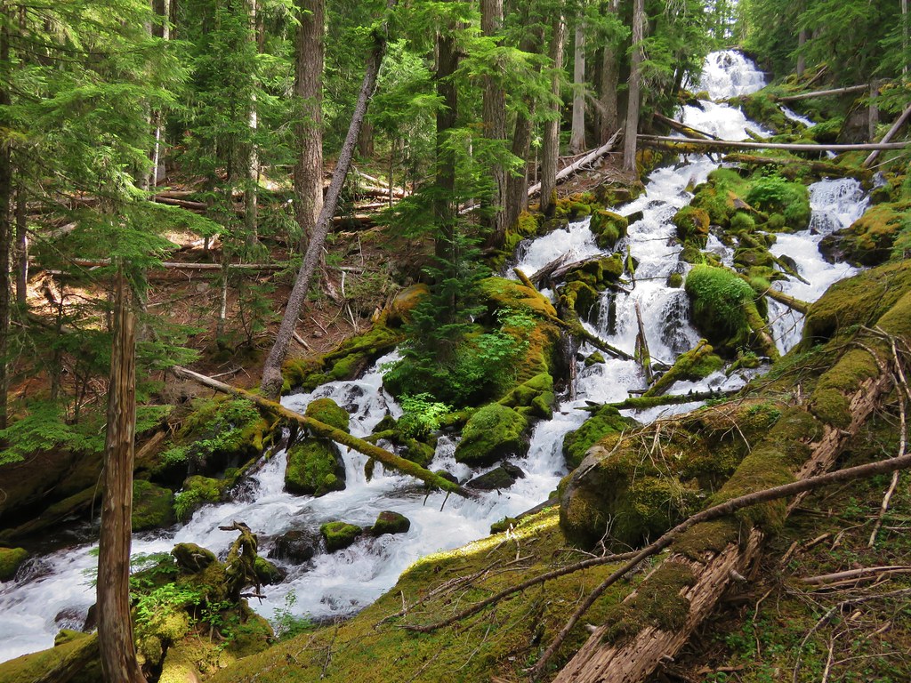
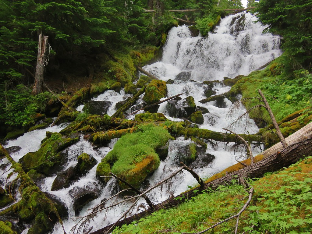
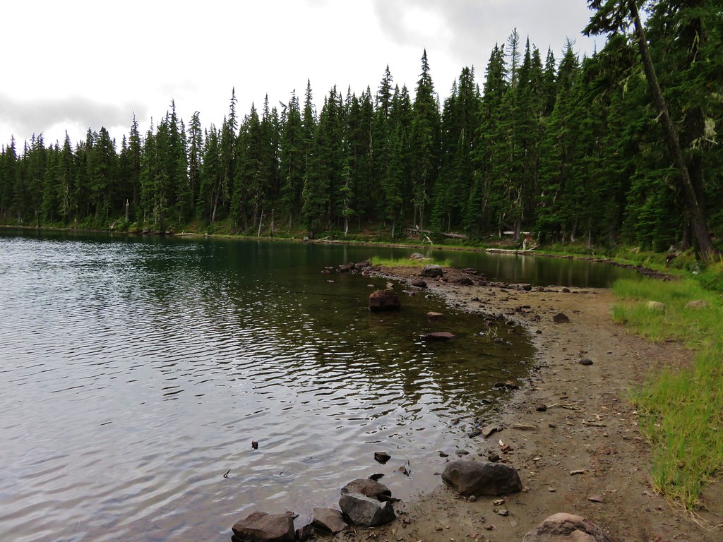
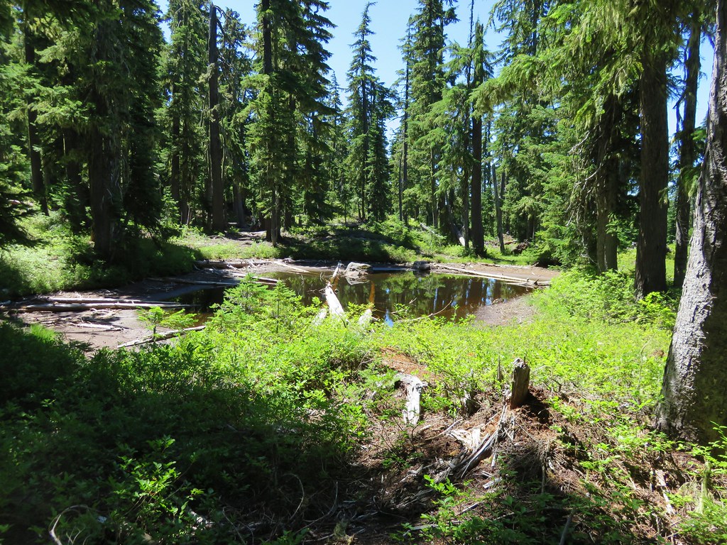
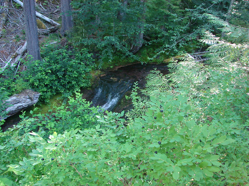
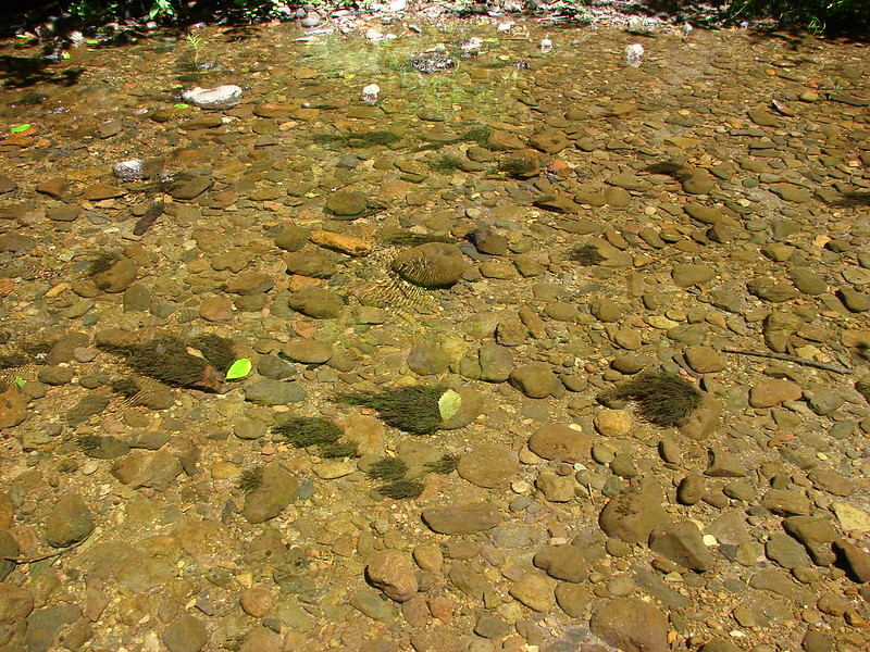
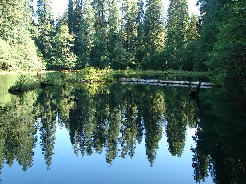
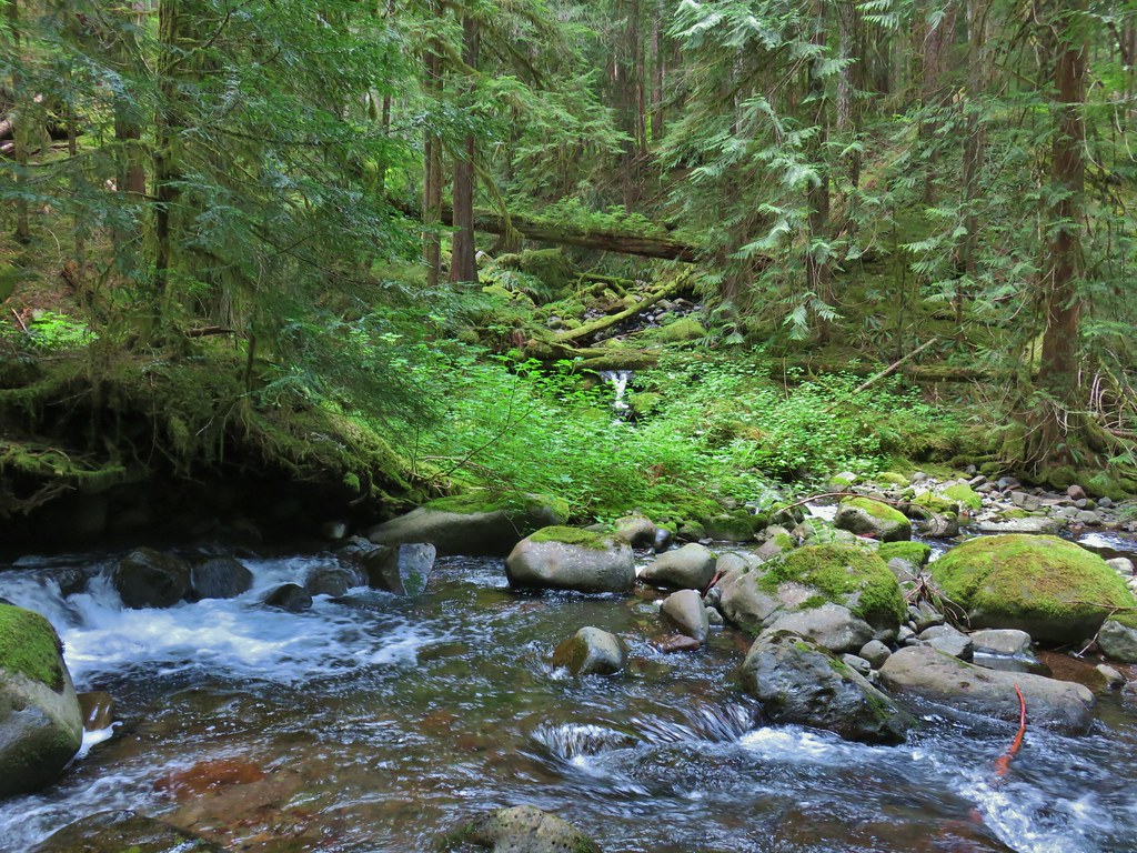
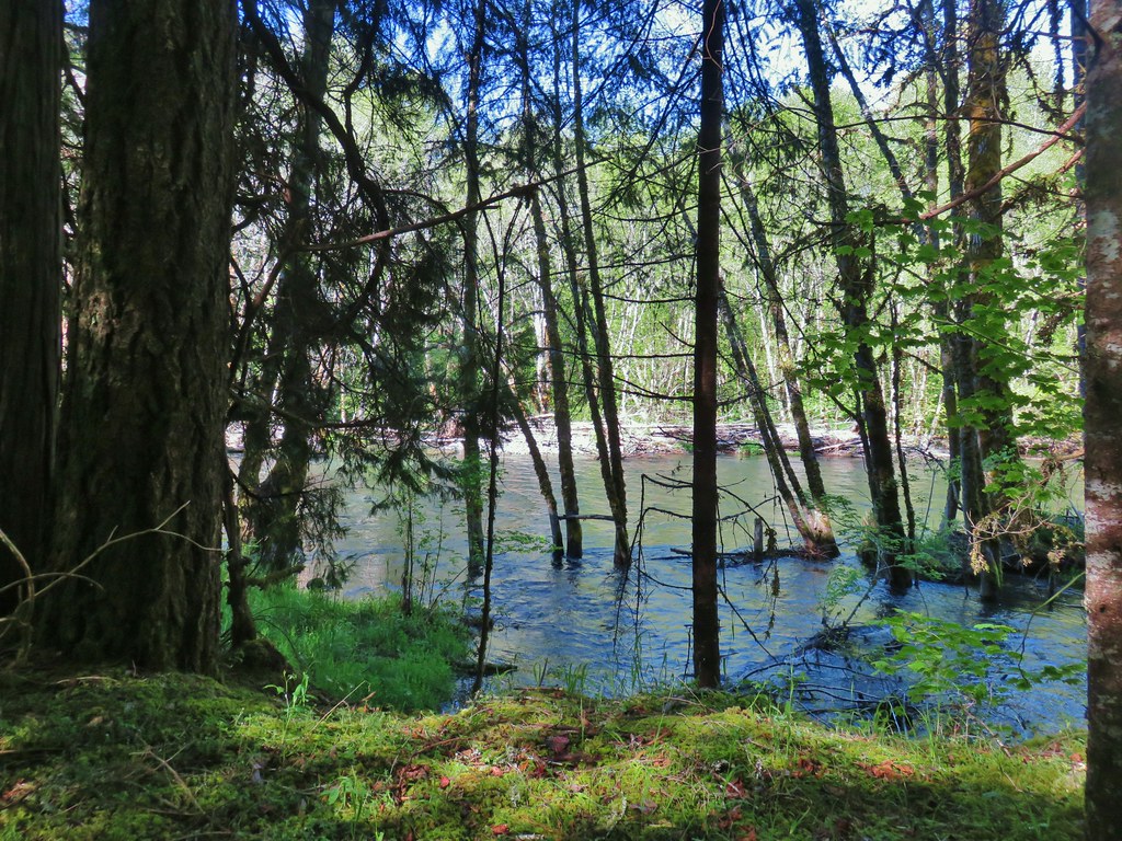
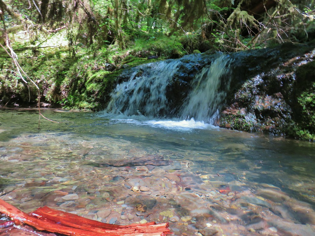
 East Fork South Fork McKenzie River
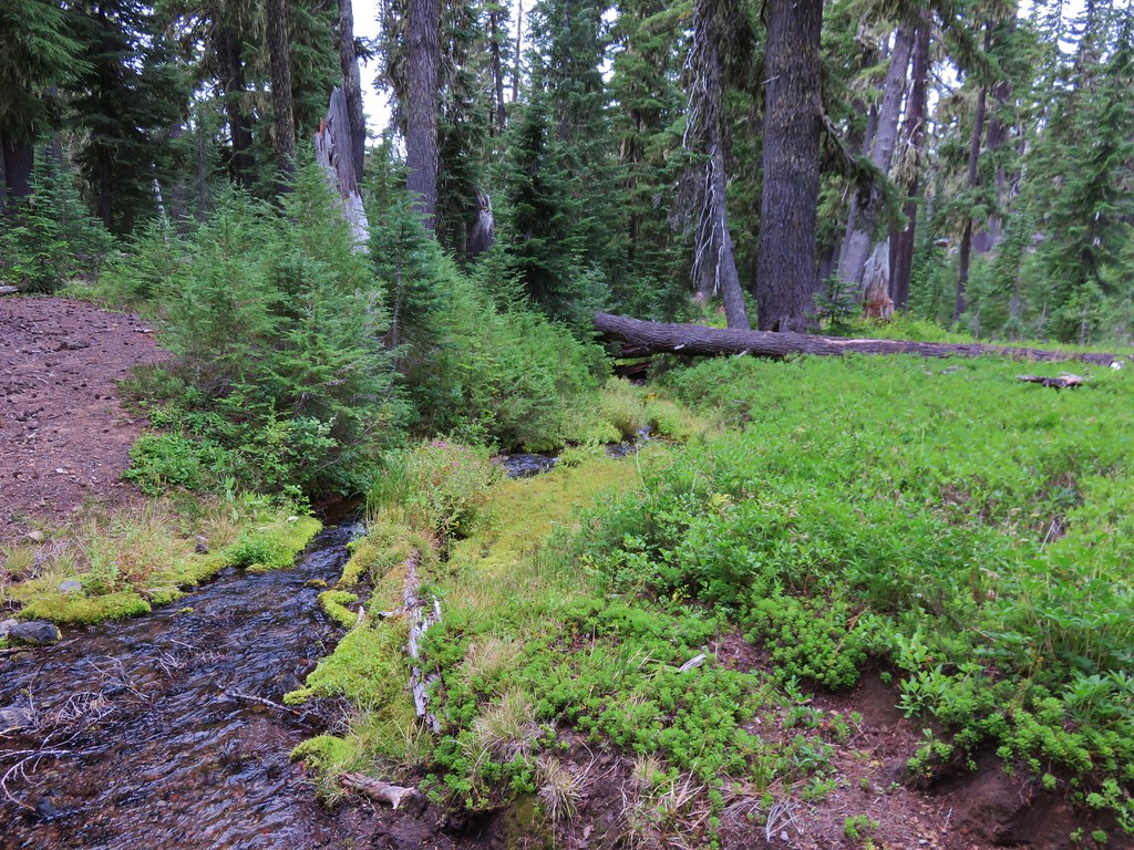
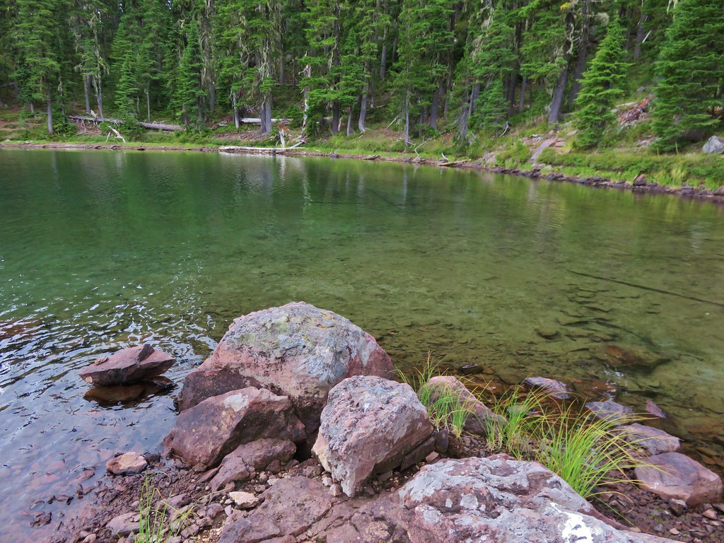
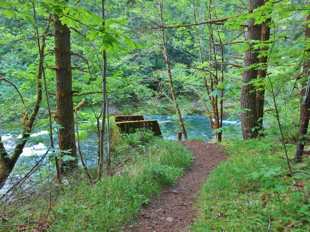
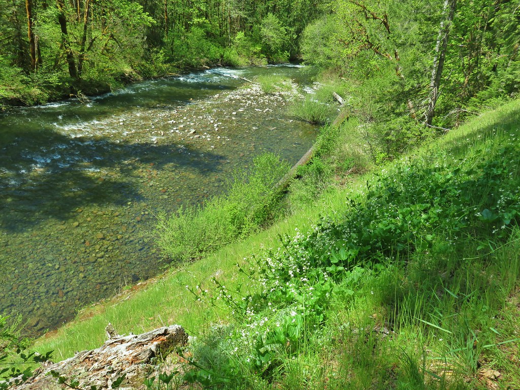
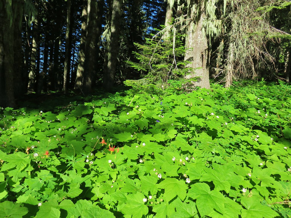
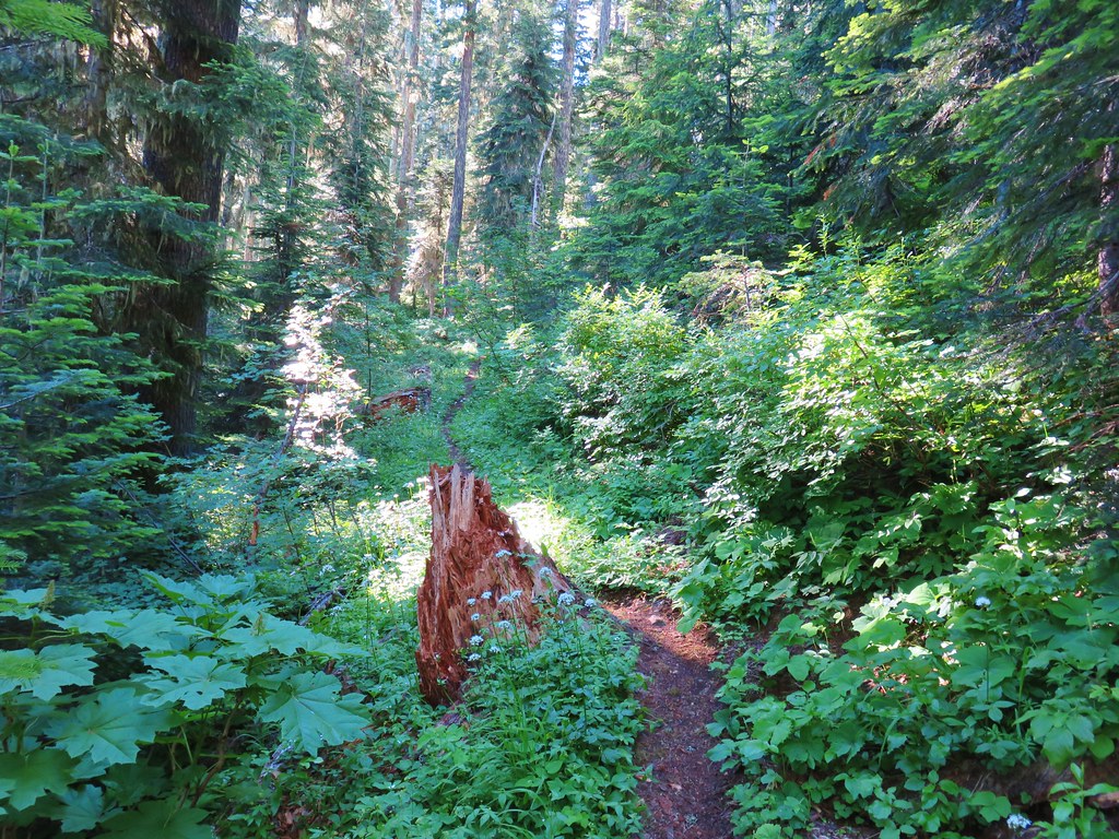
Once we arrived at the river the trail turned west following it downhill toward the reservoir. As is the case for most river trails we were sometimes a ways above it and at other times right along it.


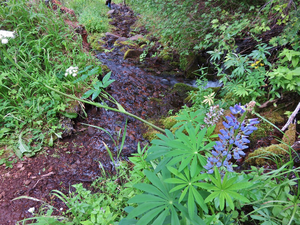
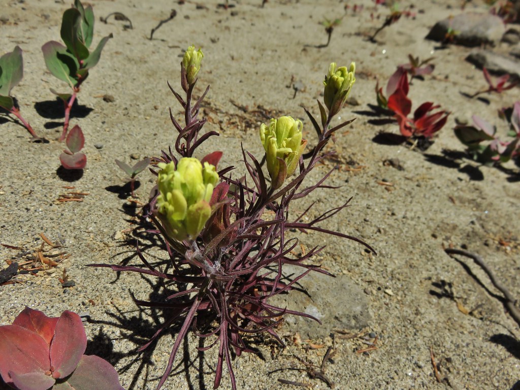
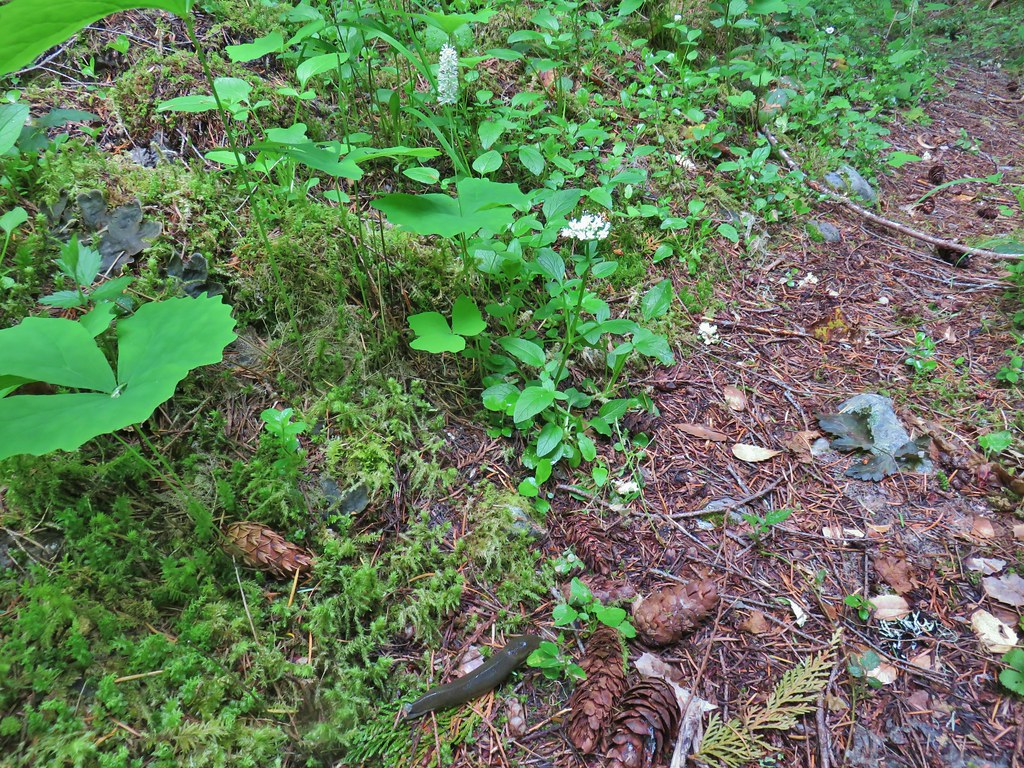
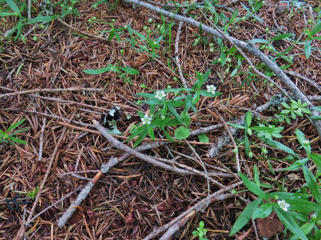
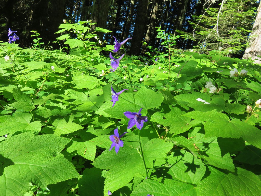
There were a number of woodland flowers in bloom and lots of slugs to watch out for.
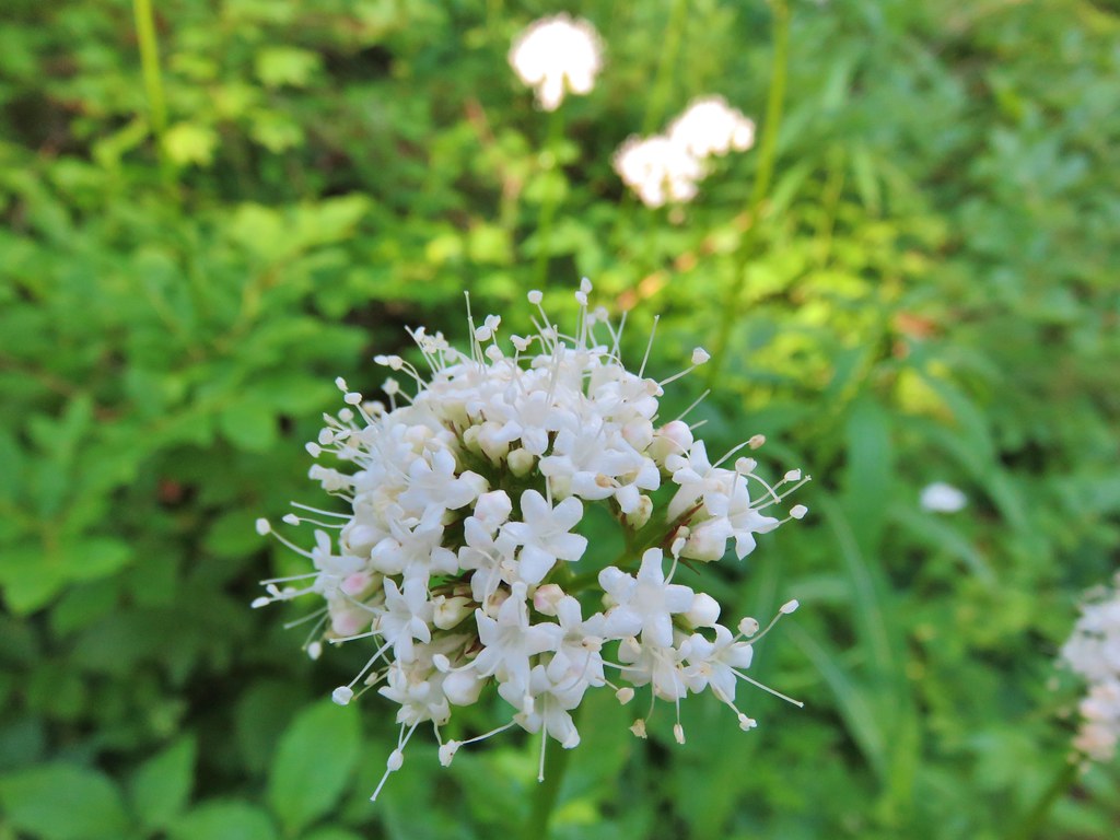
 Vanilla leaf, valerian, and a slug.
 Oregon grape
 Salmonberry
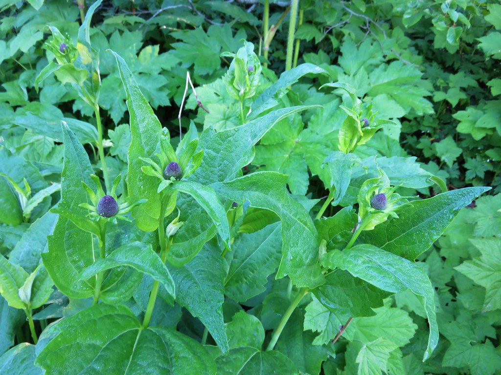
 Baneberry
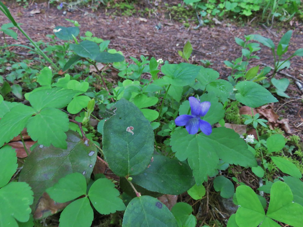
 Violets
 Sour grass
 Queen’s cup
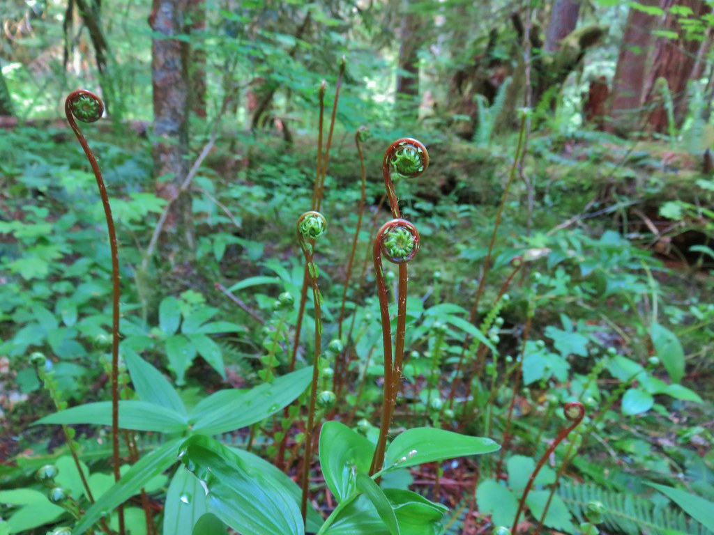 Fern unfolding
 Mushrooms

 Maidenhair ferns
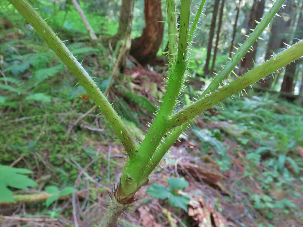 We also watched out for the nasty Devil’s Club and its thorns.
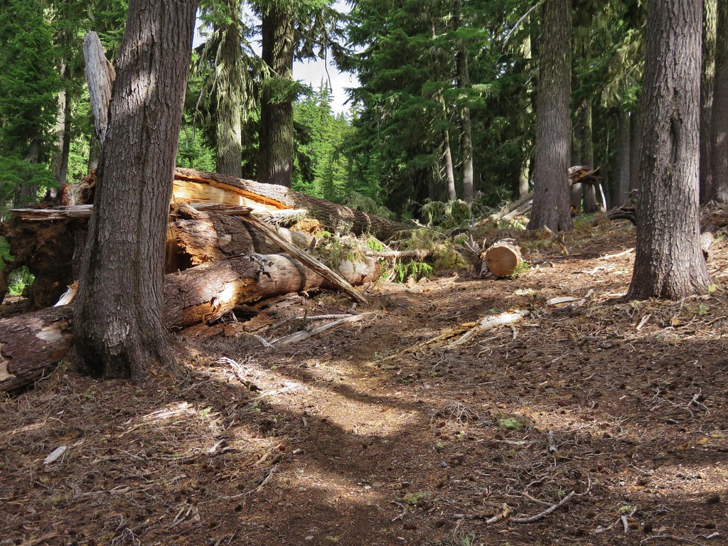
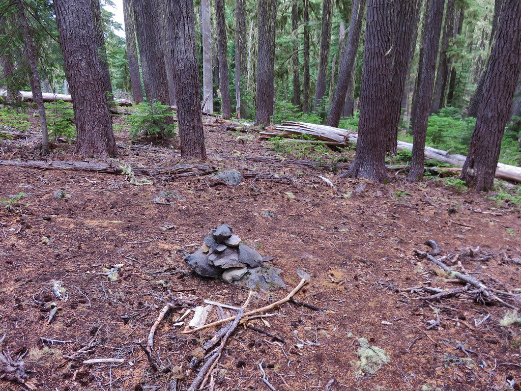
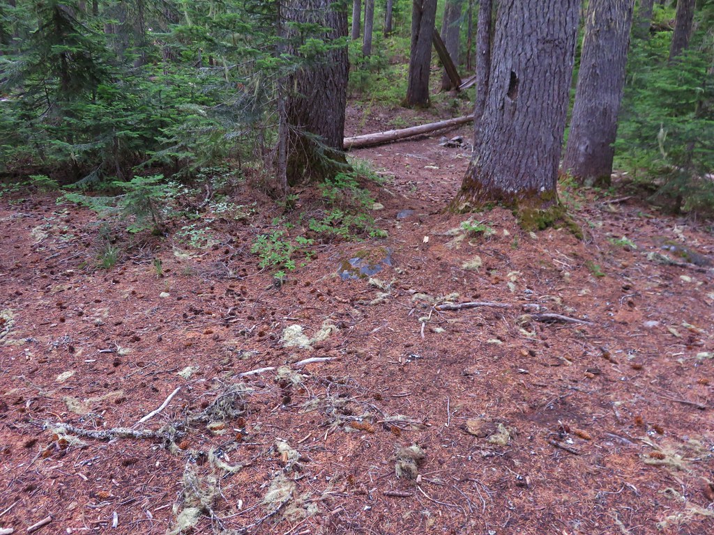
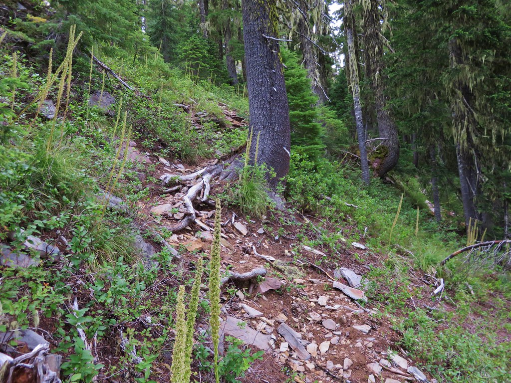
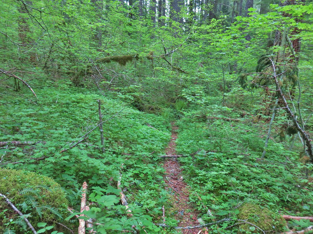
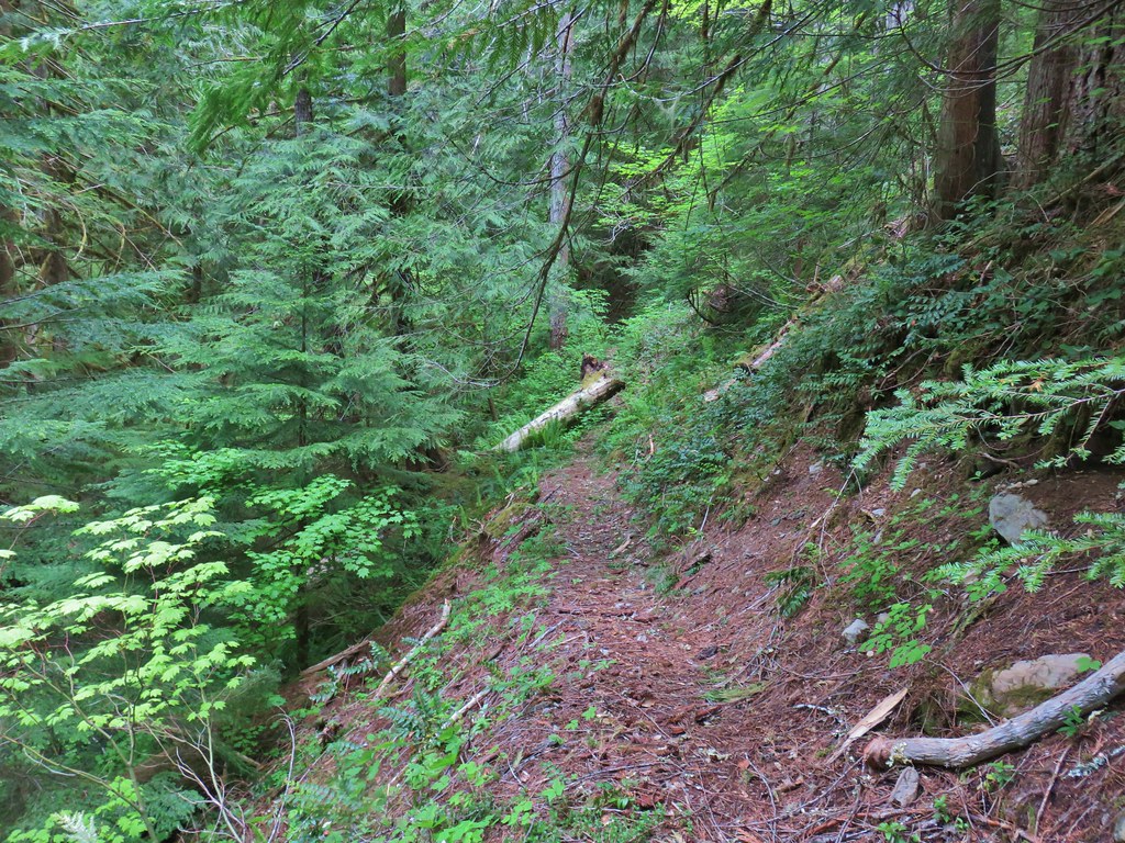
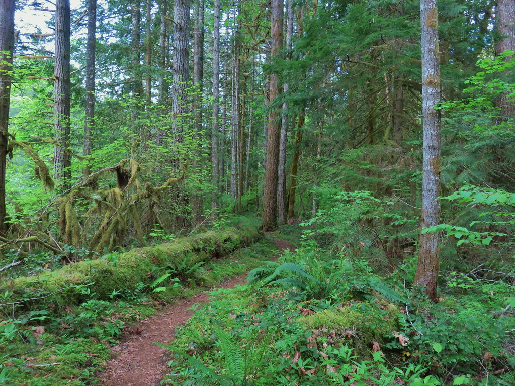
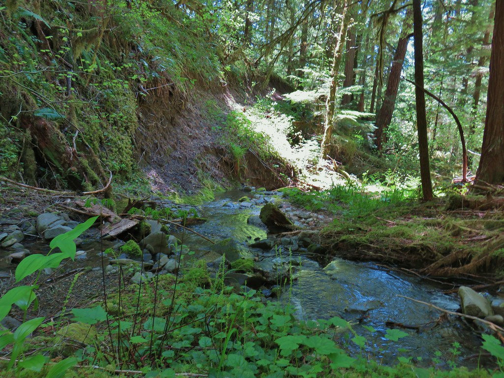
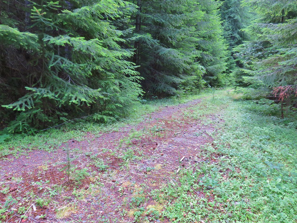
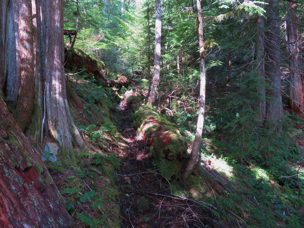
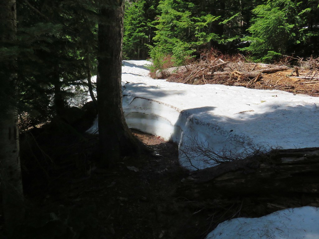
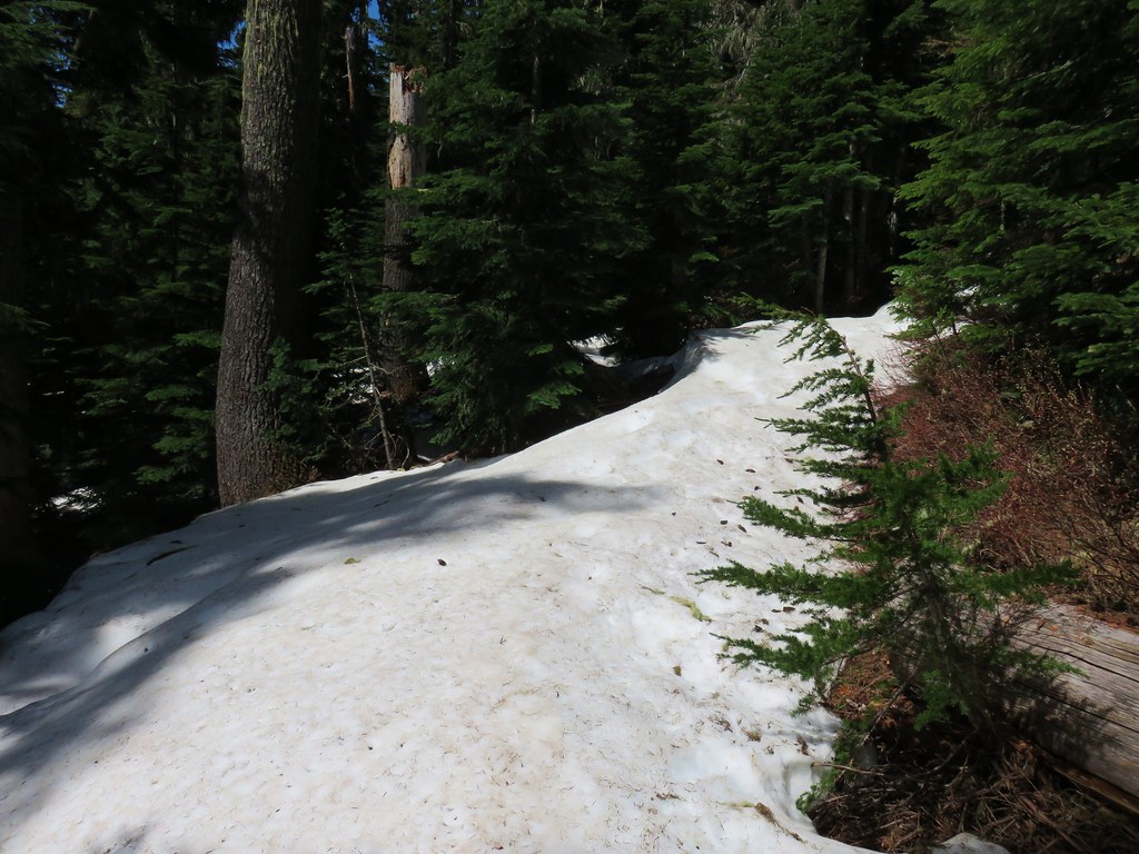
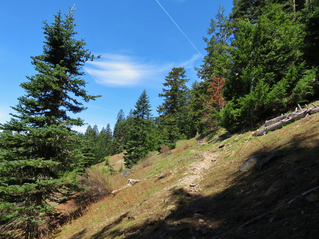
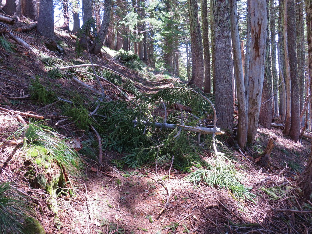
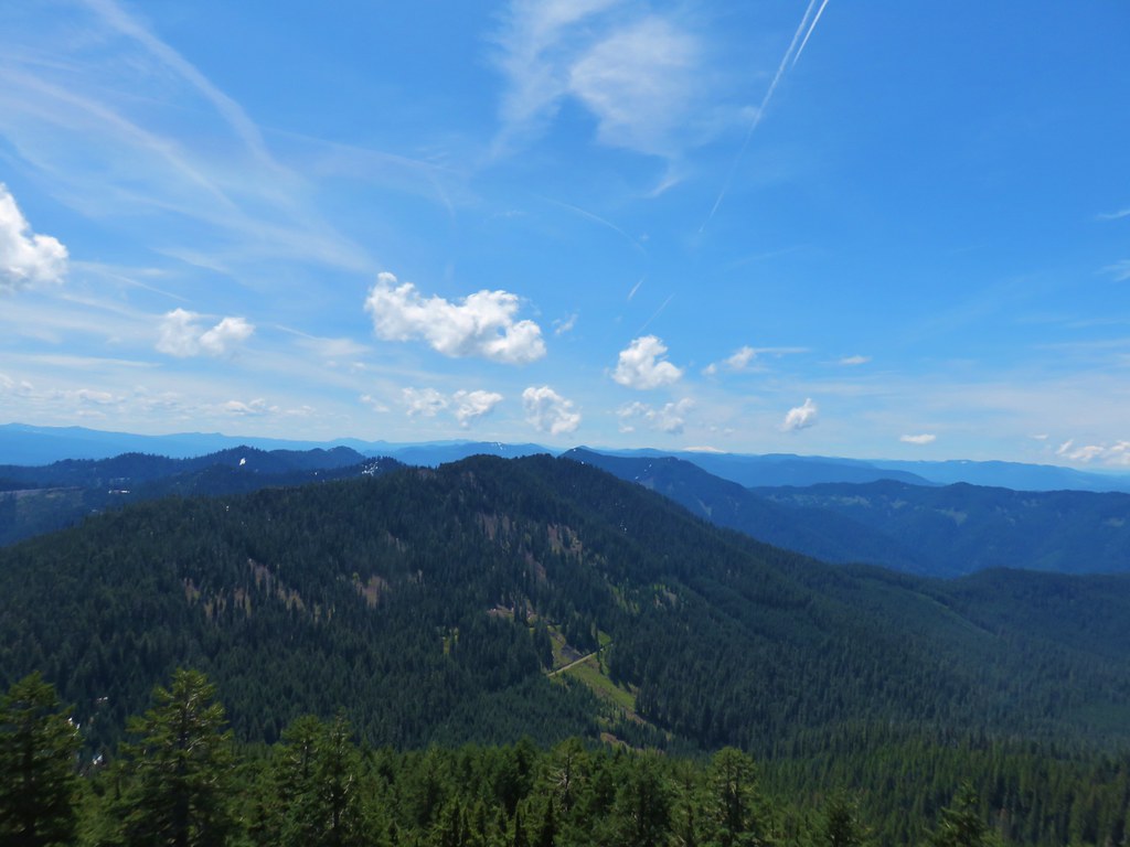
The trail didn’t appear to see much use and was increasingly overgrown and also suffered from a fair amount of blowdown.


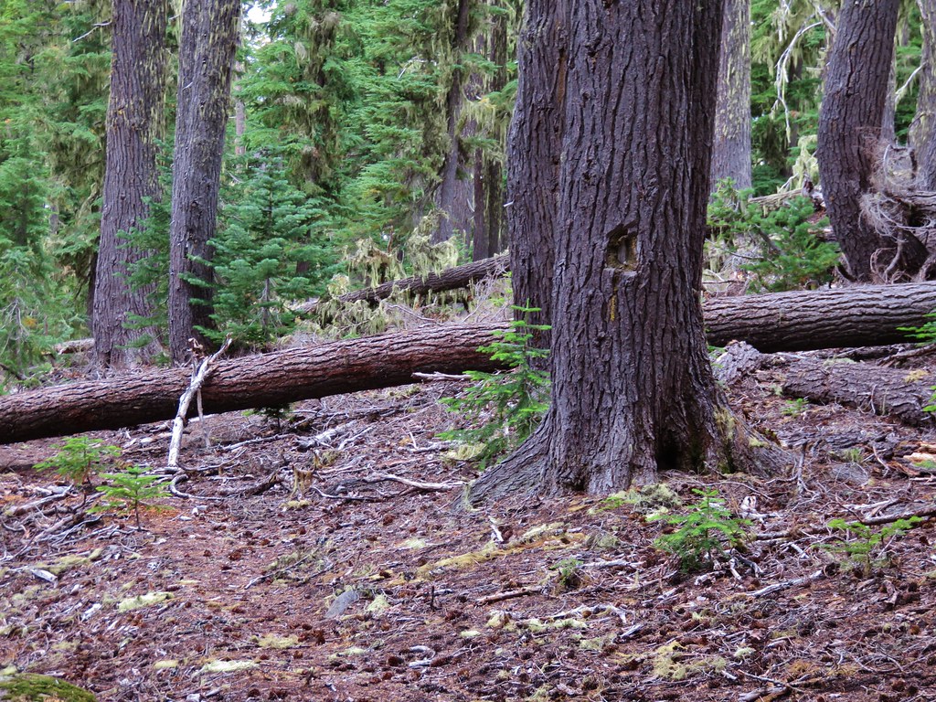
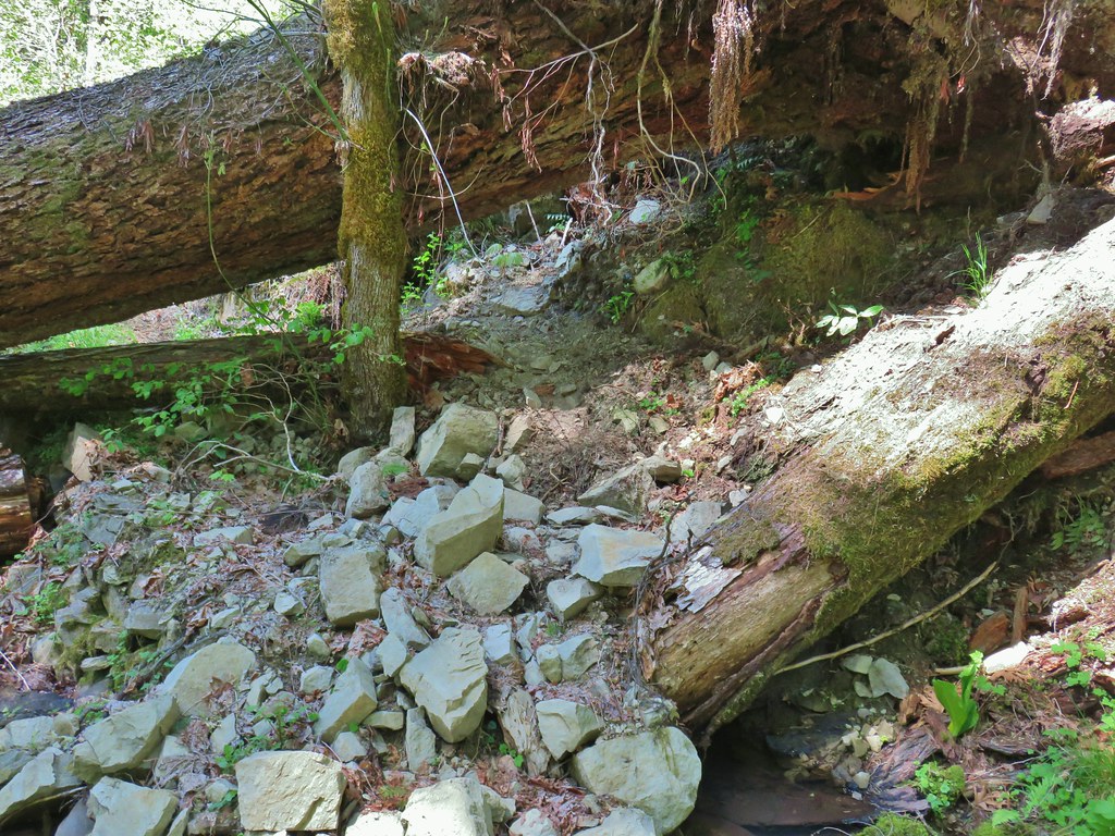
We made it approximately 3 miles before the blowdown got us. A large tree was down across the trail as it traversed along a hillside above the river. The tree was far to big to simply step over and there were no limbs or other footholds to assist in getting over. To make matters worse the trail on the opposite side of the tree was washing out a bit. That made it look like it might be difficult to get safely off of the tree if we were able to get over it without sliding down the trunk (they can be surprisingly slippery). We could also see other trees down just a little further up the trail.

Our options were to scramble up and around the root ball that was a good 30 to 40 yards uphill or turn back. The fact that the trail had been getting more and more “wild” didn’t give us any confidence that the going would get any easier, especially considering that if we made it to the upper footbridge the forest on the south side of the river burned in a low intensity fire in 2018. We decided that the smart thing to do was to turn back here so we did.
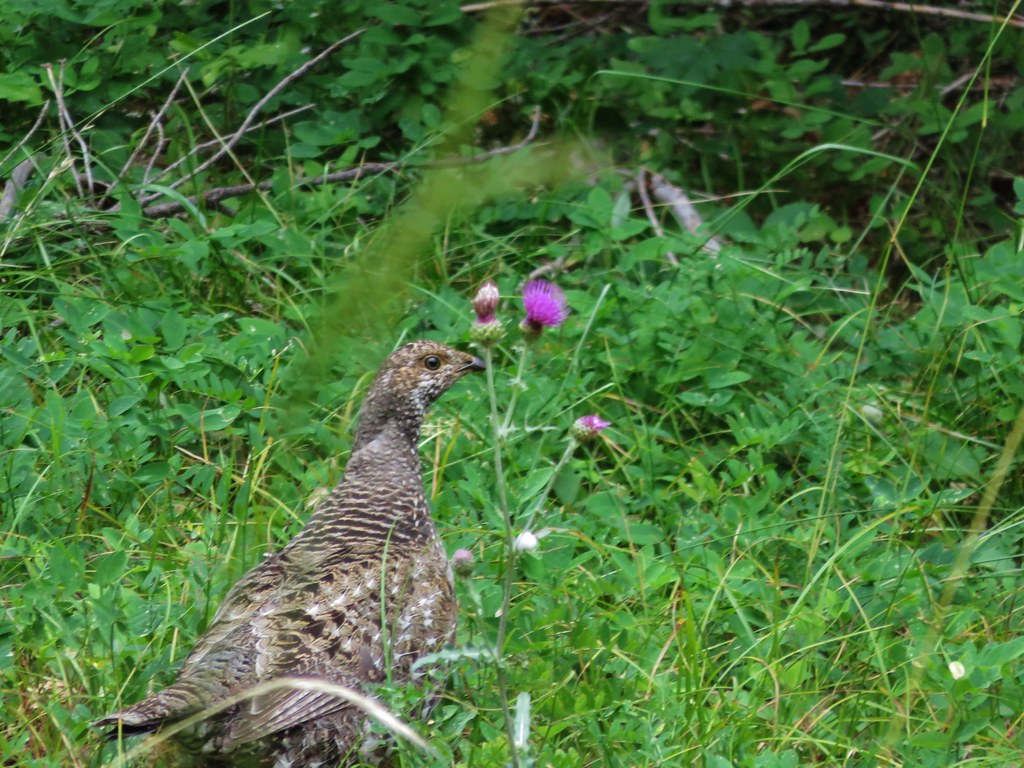
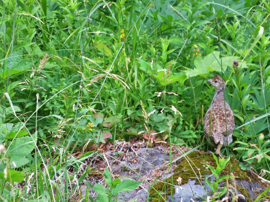
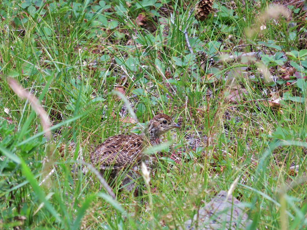
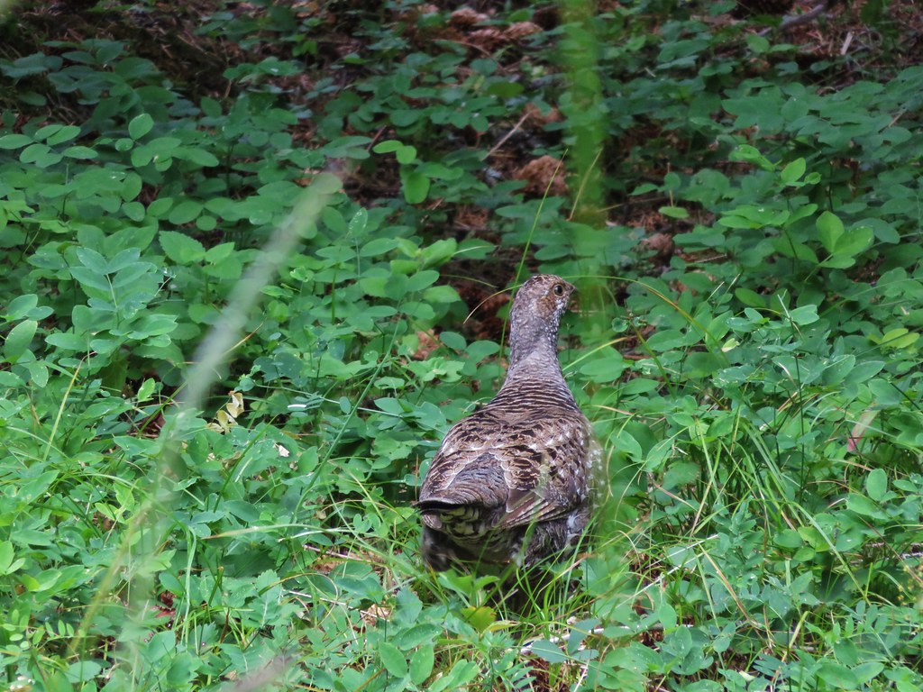
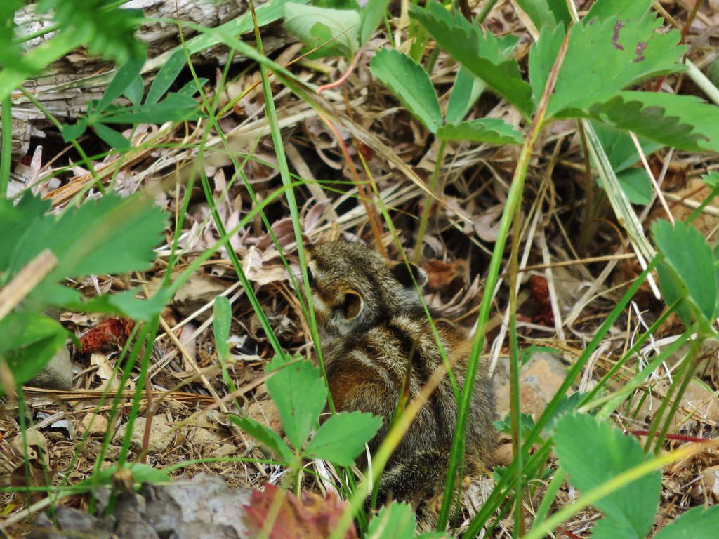
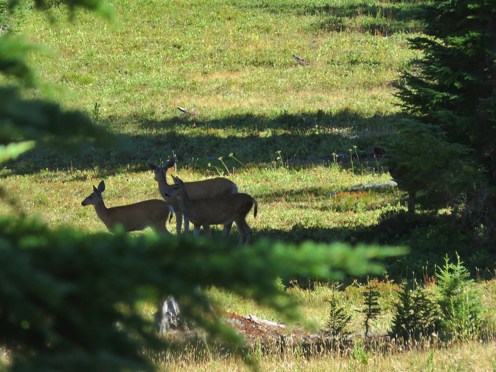
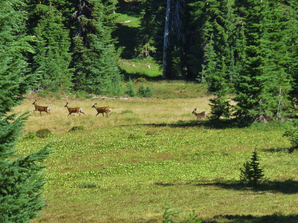
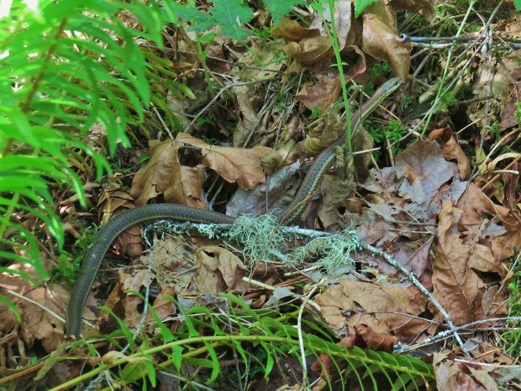
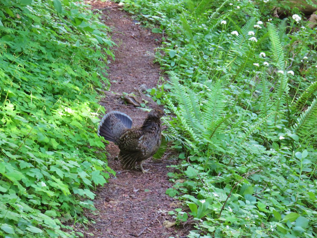
On the way back we had a bit of excitement when we heard a ruckus off to our left. When we looked over we saw something brown charging down at us through the brush. It stopped several feet away for us which allowed us to identify it as a grouse. She was all ruffled up and yelling at us. We could hear other grouse still uphill so we guessed this was a mother protecting her young. After getting our attention she flew onto the trail then ran ahead in an attempt to lead us away from what we assumed were her young.
 The grouse is the blurry brown thing ahead and to the left of the trail.
She led us for a quite a bit before she was apparently comfortable with the distance and she disappeared into the forest. As we continued we discussed our options for the rest of the day. We decided that as long as the weather held out that we would set a turnaround time and hike up the Saddle Trail a bit since it was right there where we’d parked.
 Start of the Saddle Trail at FR 1993
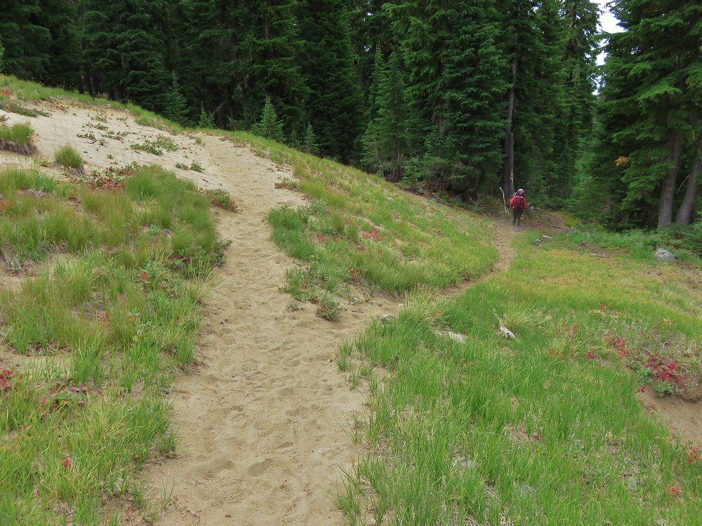
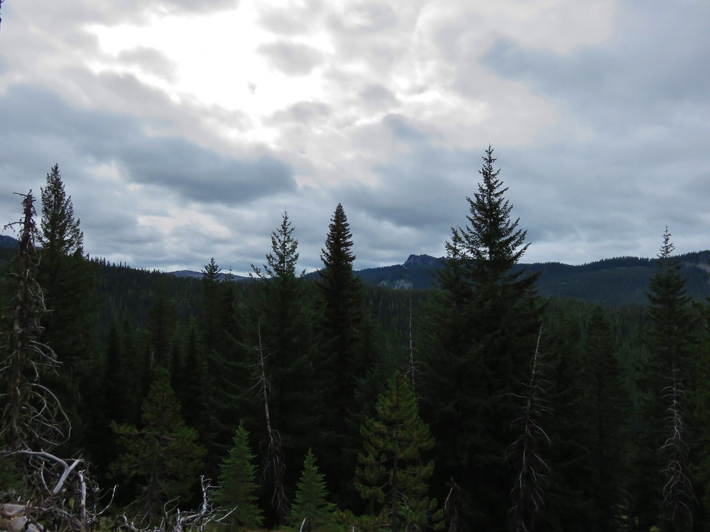
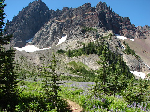
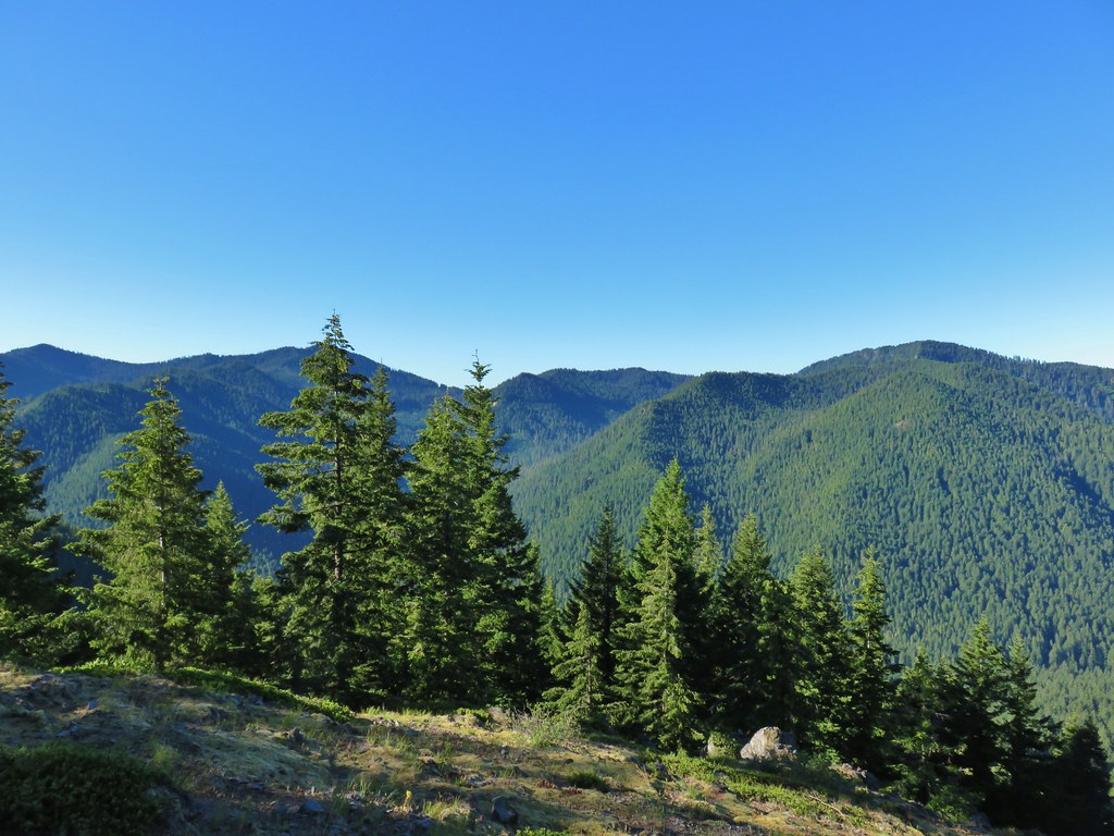
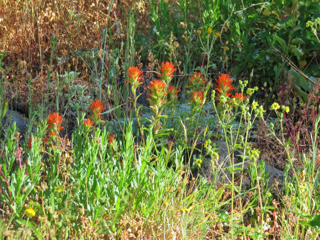
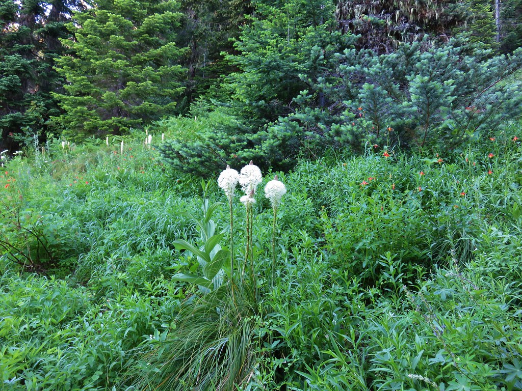
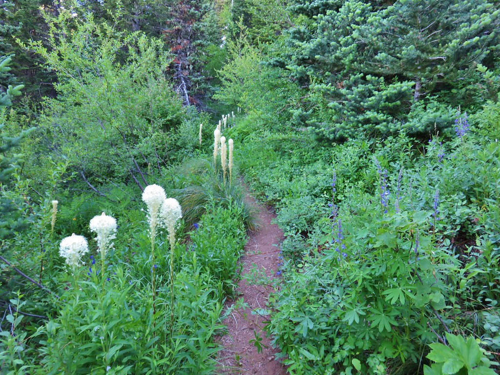
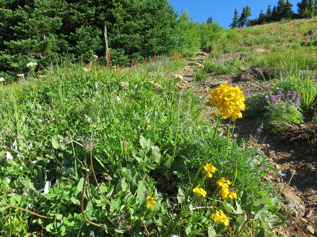
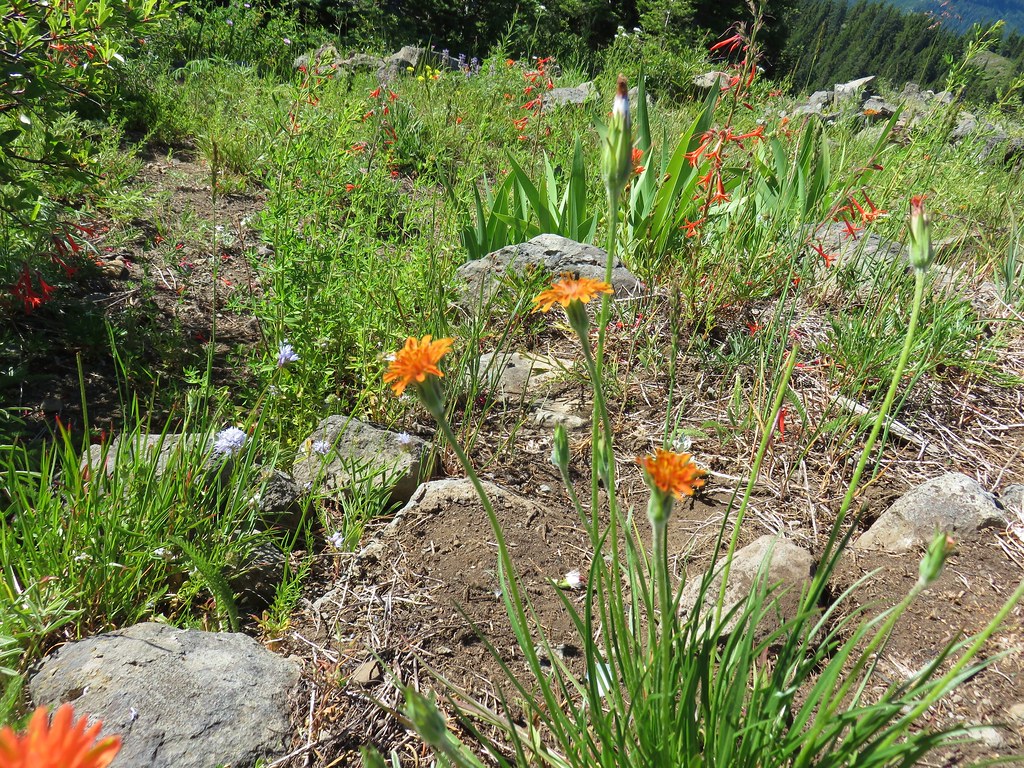
We gave ourselves an hour as we began climbing this steep trail (1400′ elevatin gain over 2 miles). We were excited when we spotted some blooming beargrass and paintbrush.


 A penstemon starting to bloom
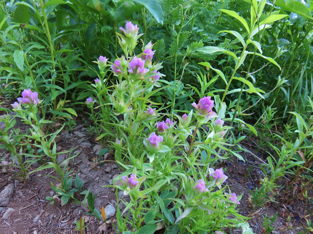
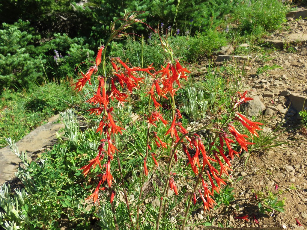
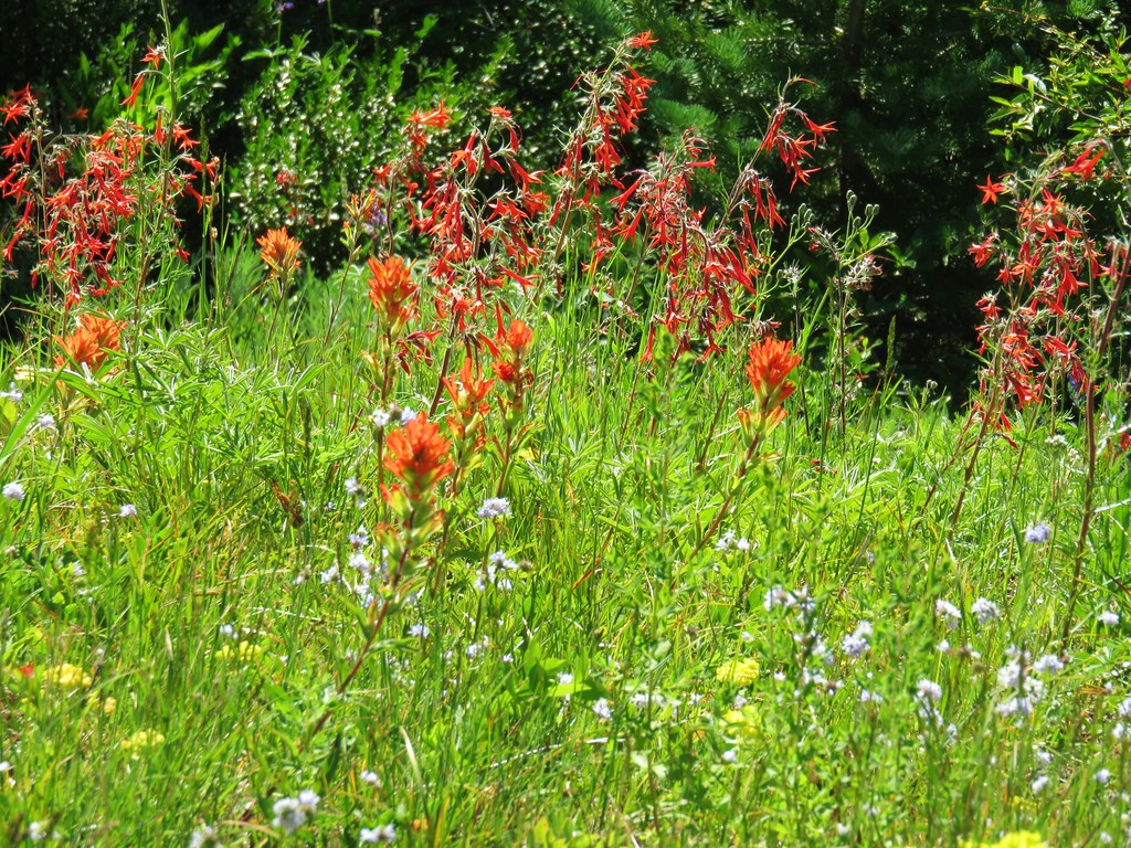
 A line of paintbrush

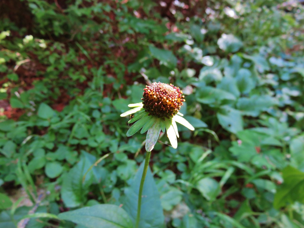
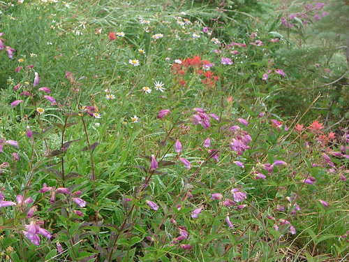
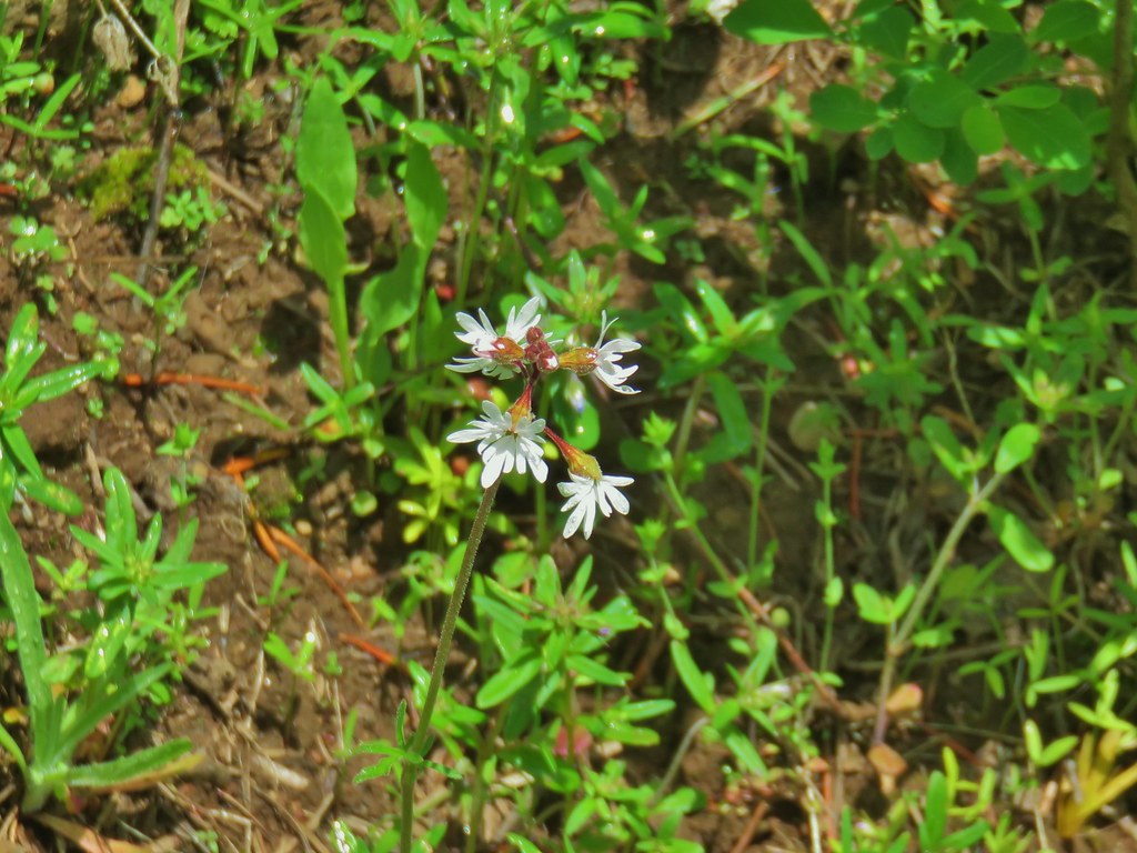
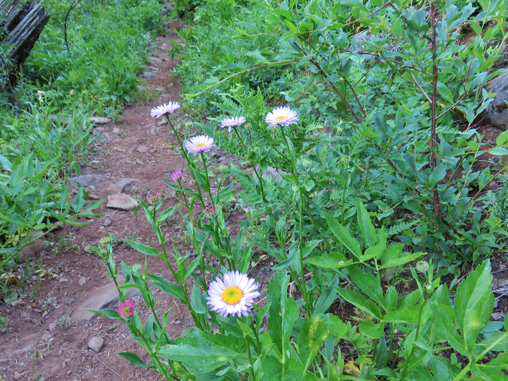
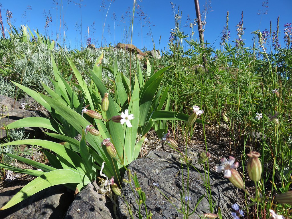
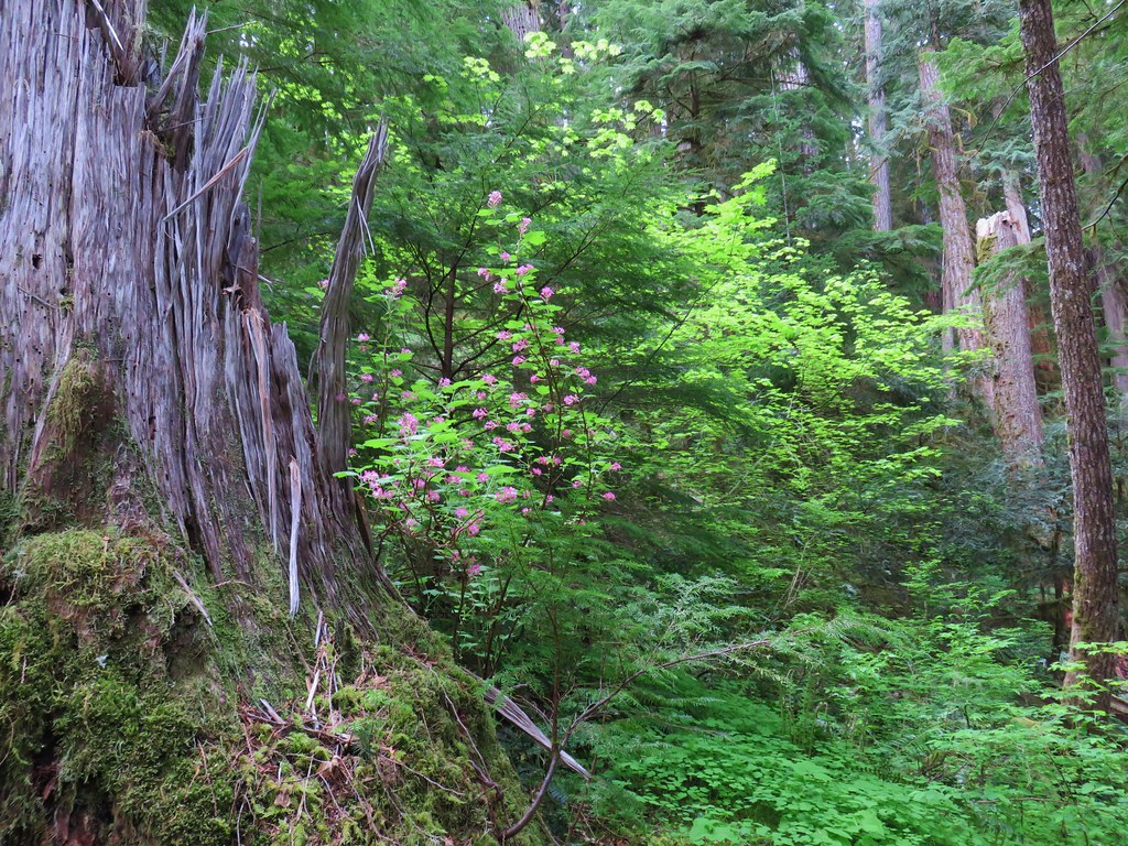
There were a number of other flowers blooming along the trail.
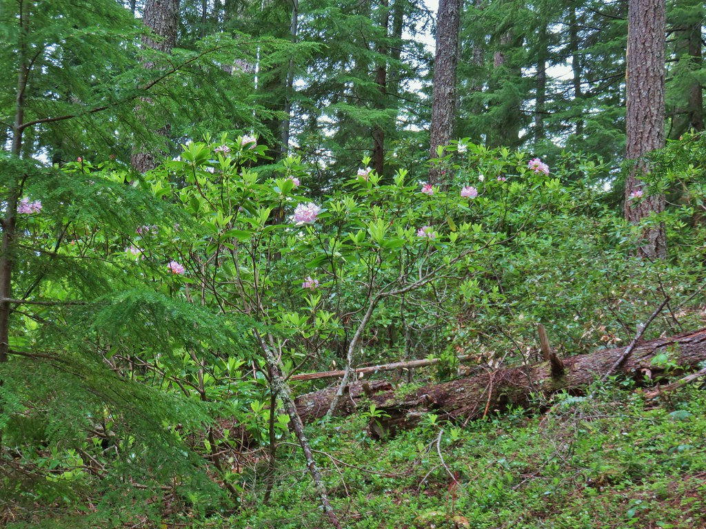 Rhododendron
 Rhododendron
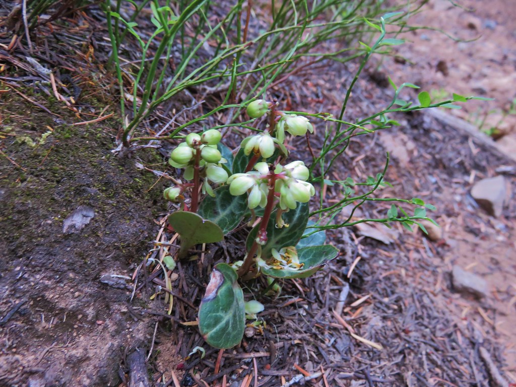
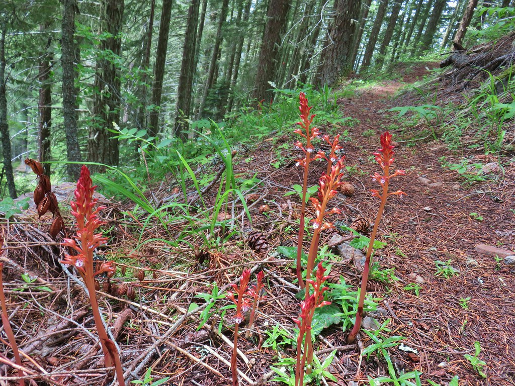
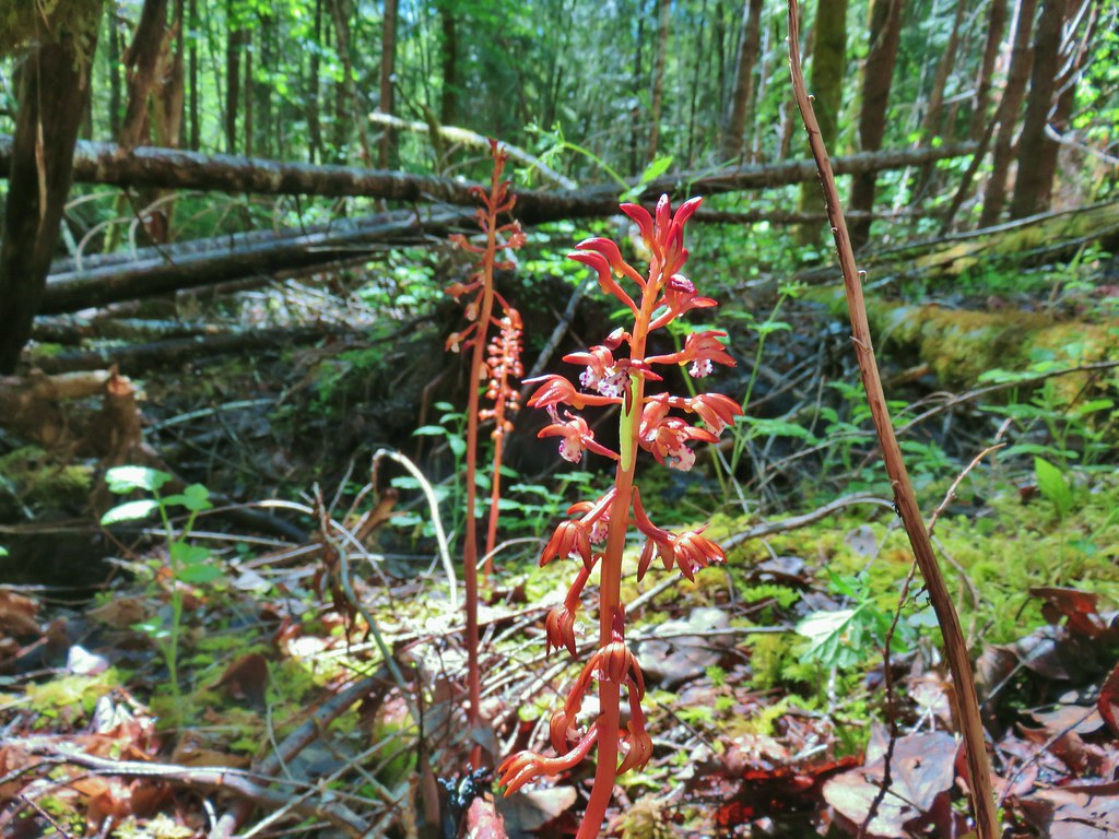
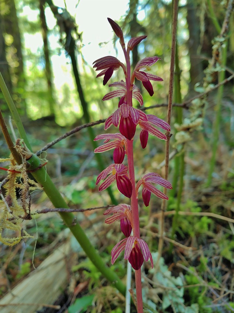
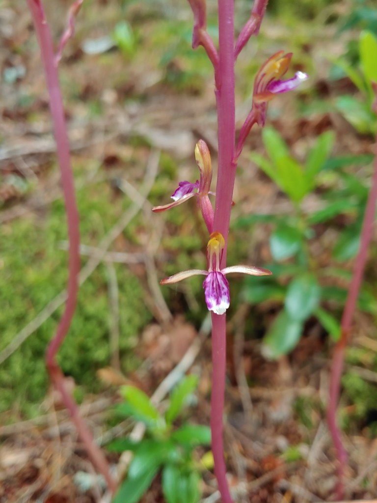 Pacific coralroot
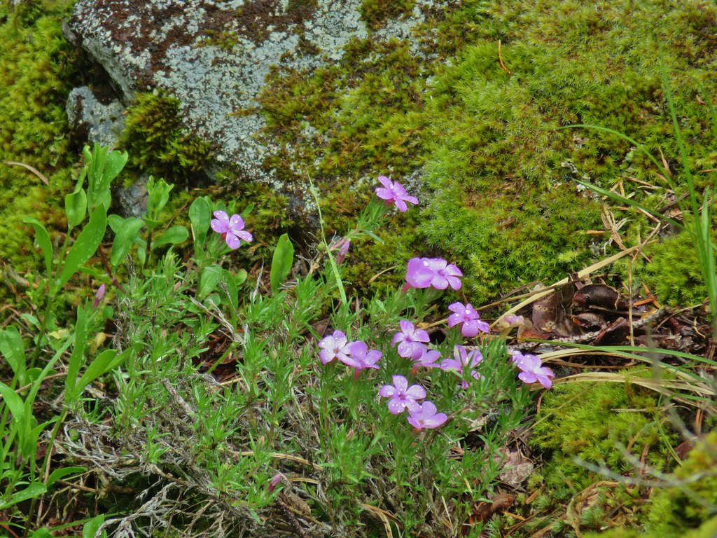
 Northern phlox
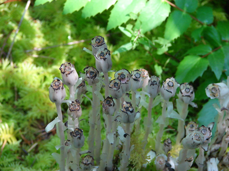
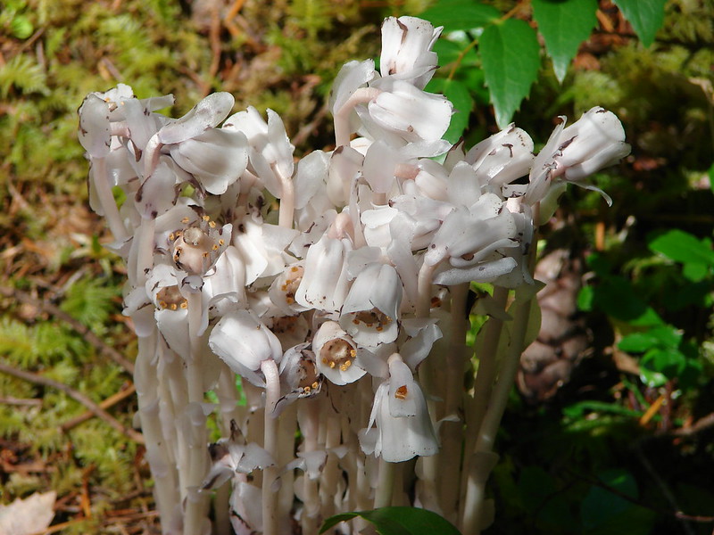
 Pinesap (I think)
 Oregon grape
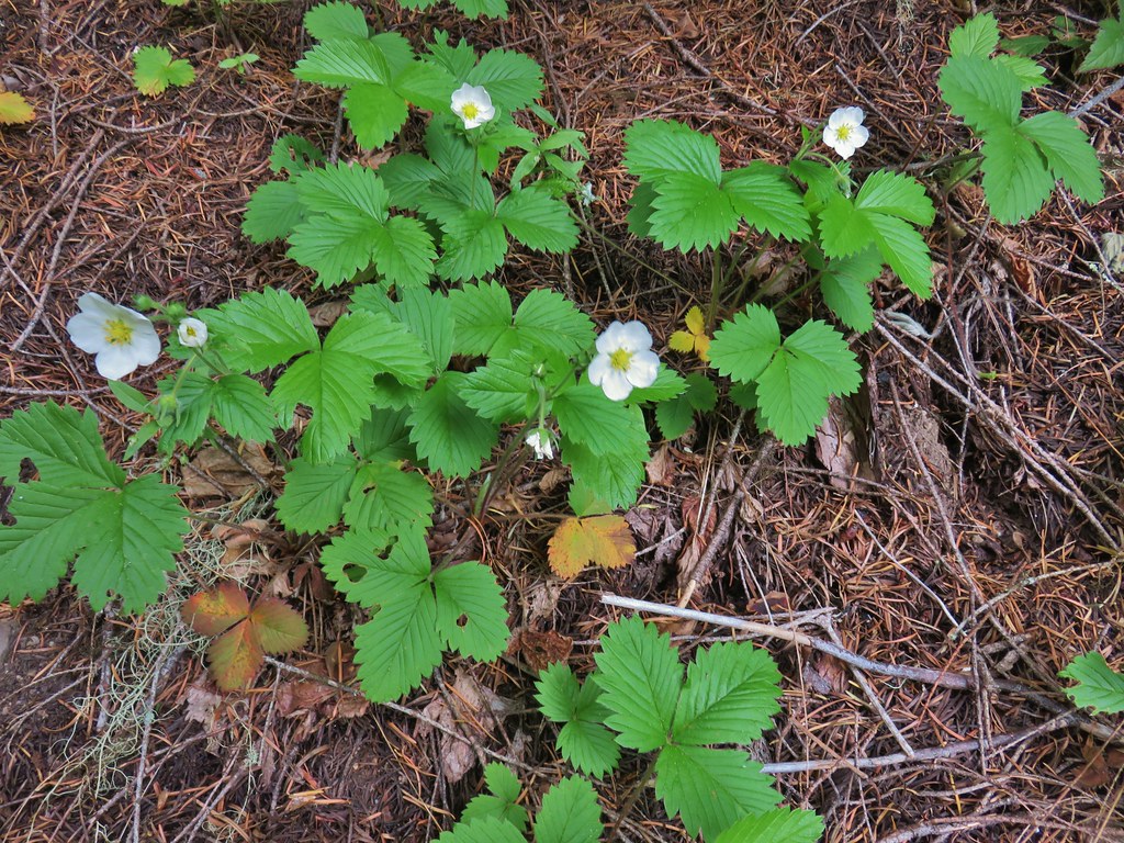 Strawberry
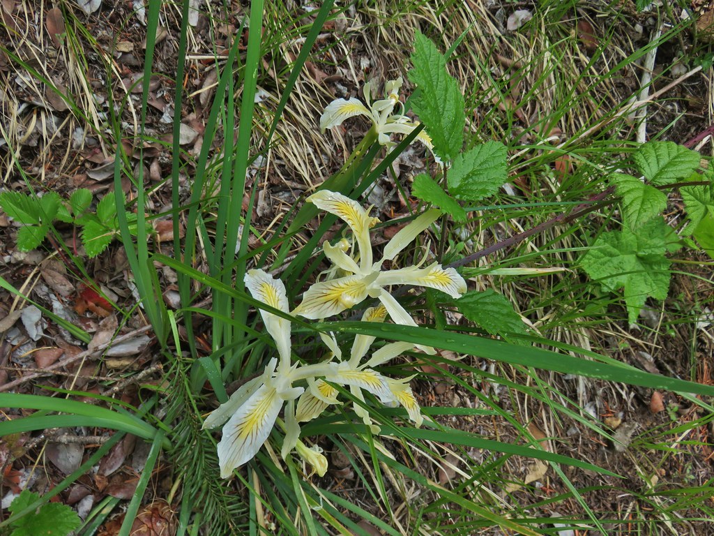 Yellowleaf iris
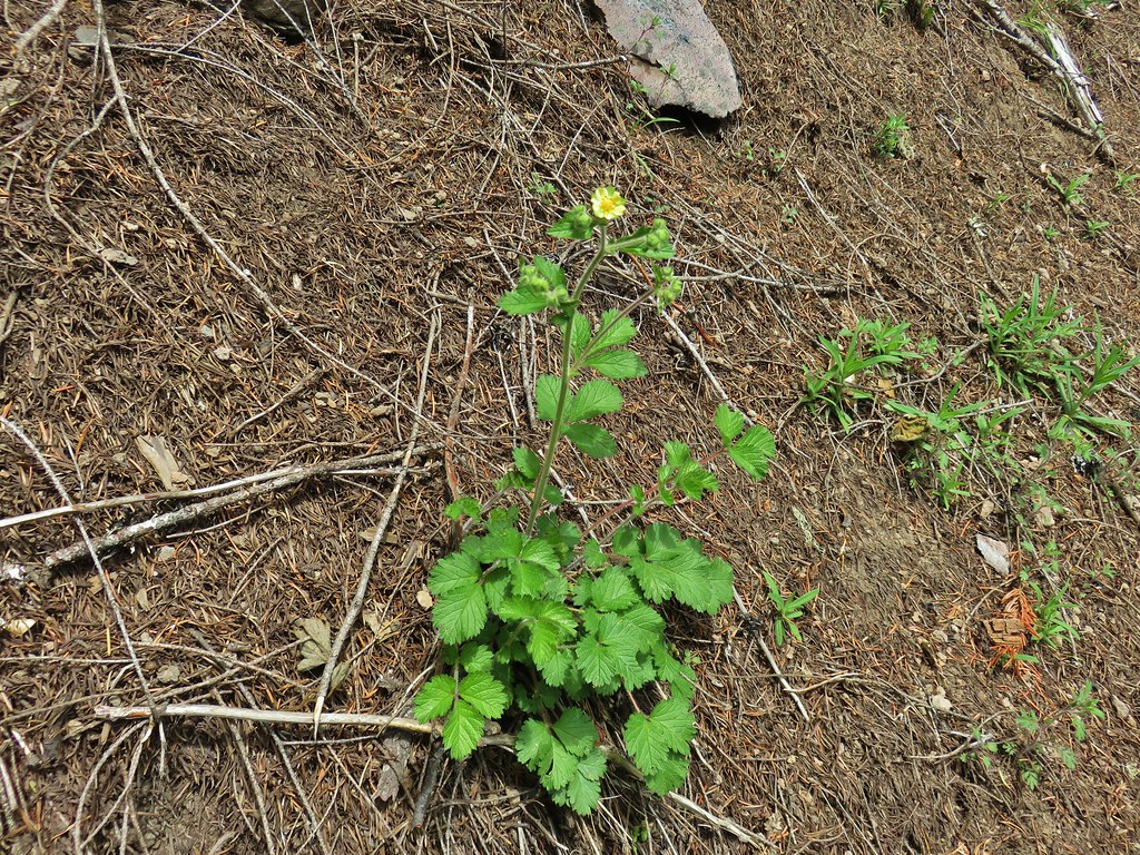 Sticky cinquefoil
 Spotted coralroot
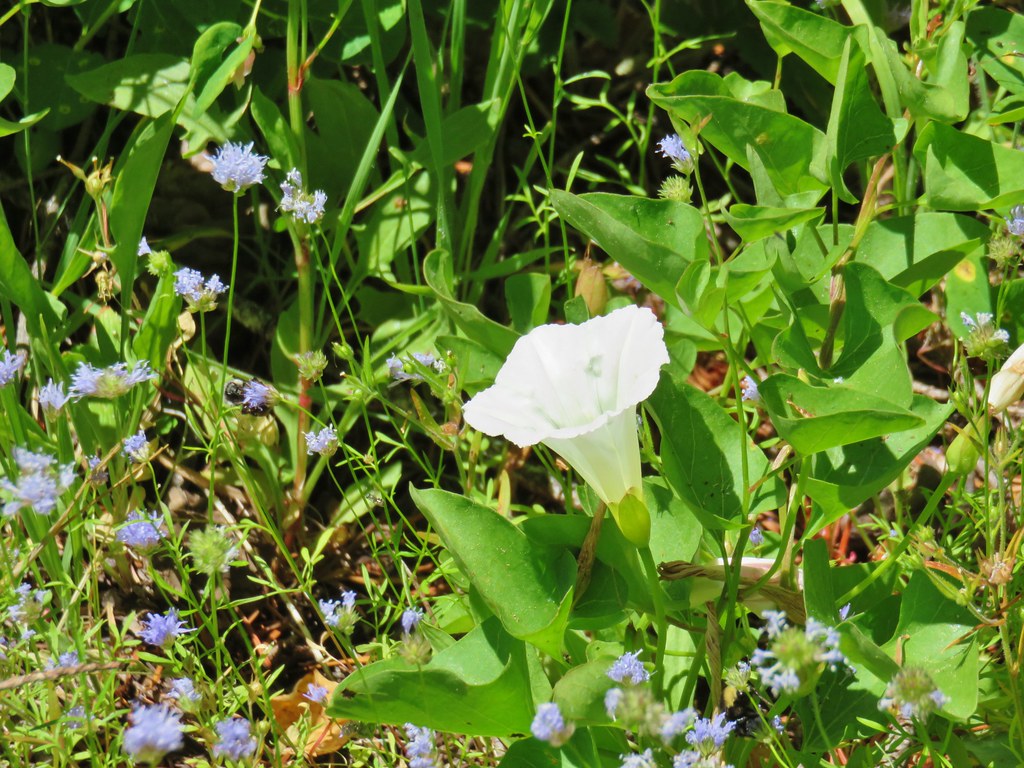
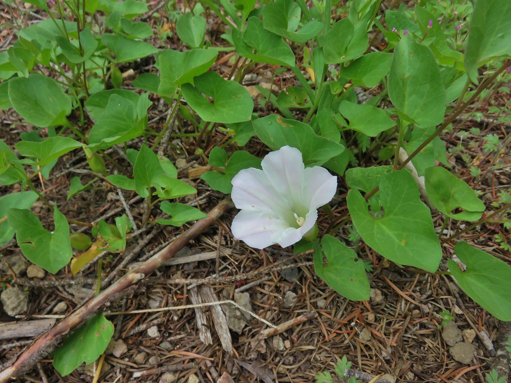 Nightblooming false bindweed
 Largeleaf sandwort
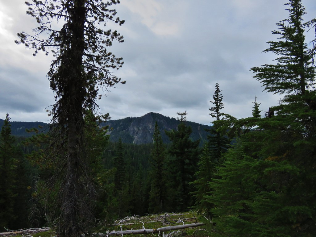
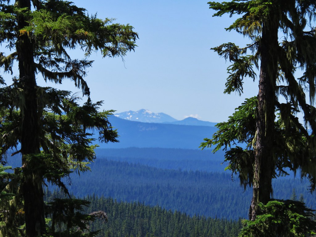
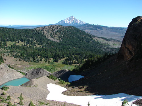
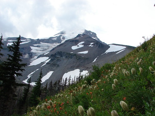
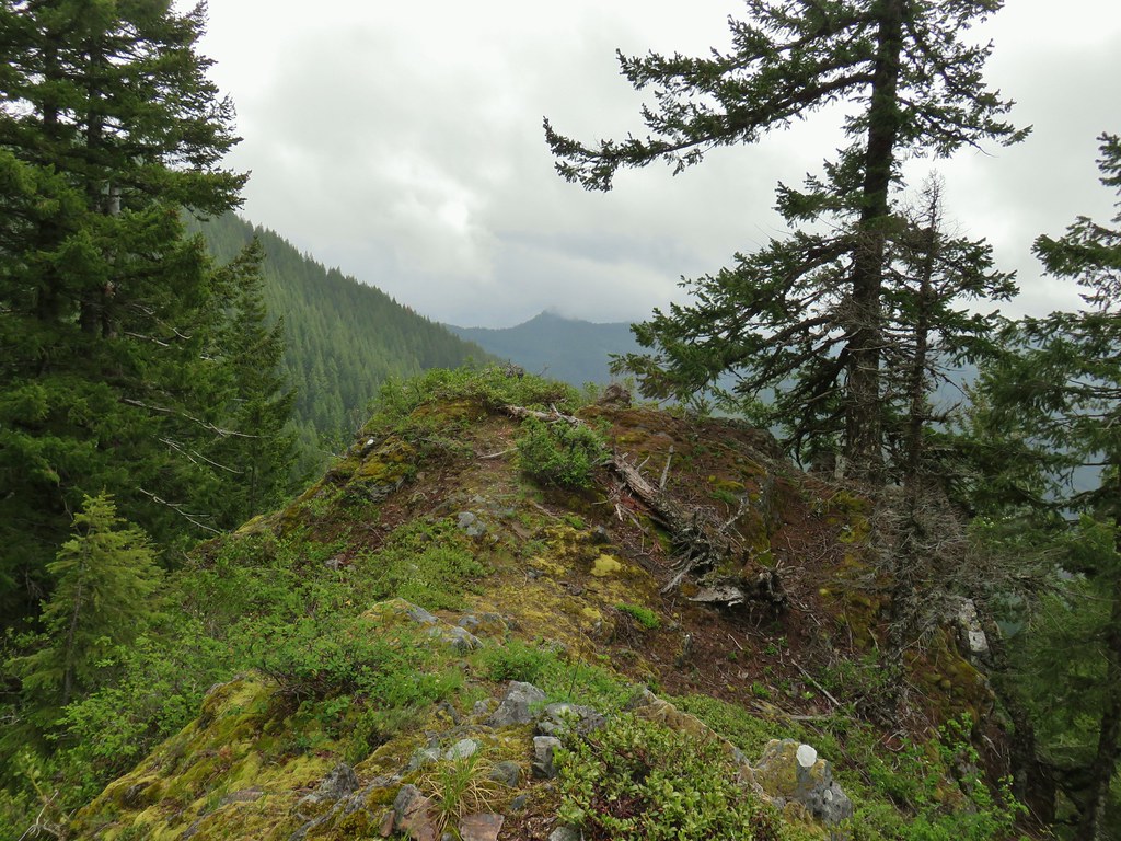
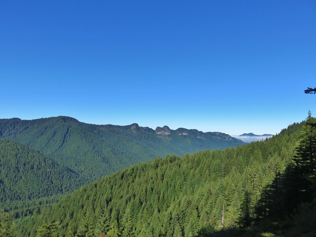
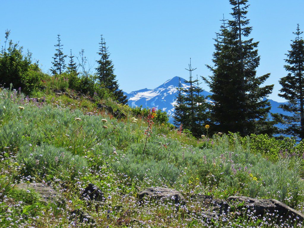
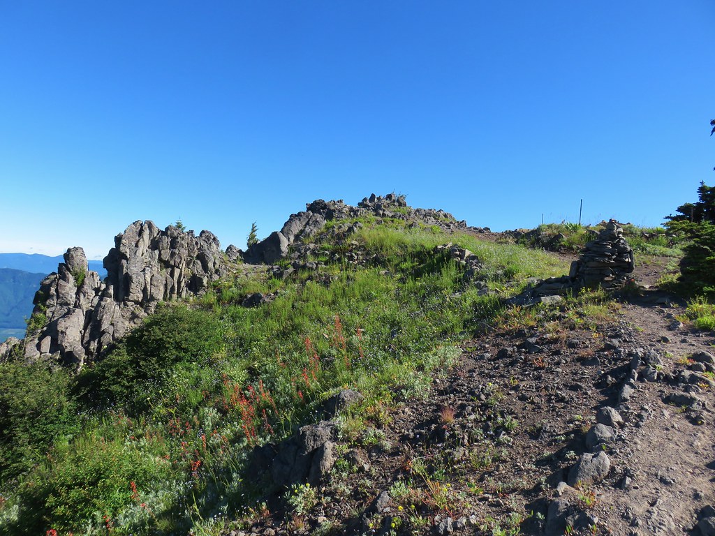
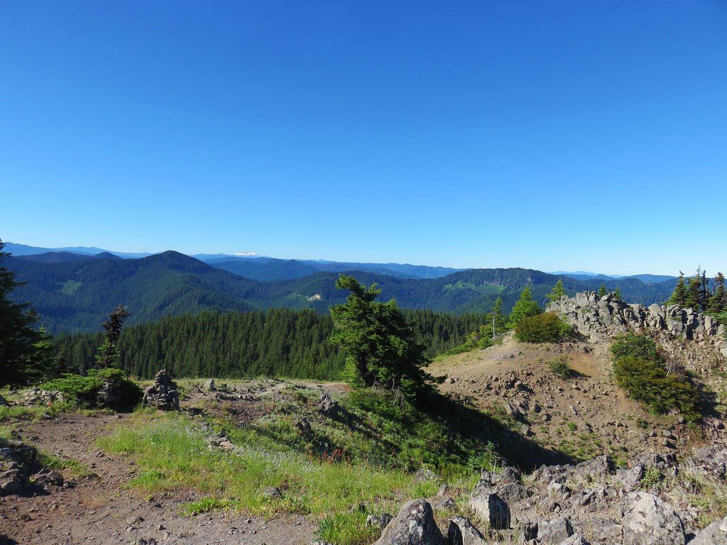
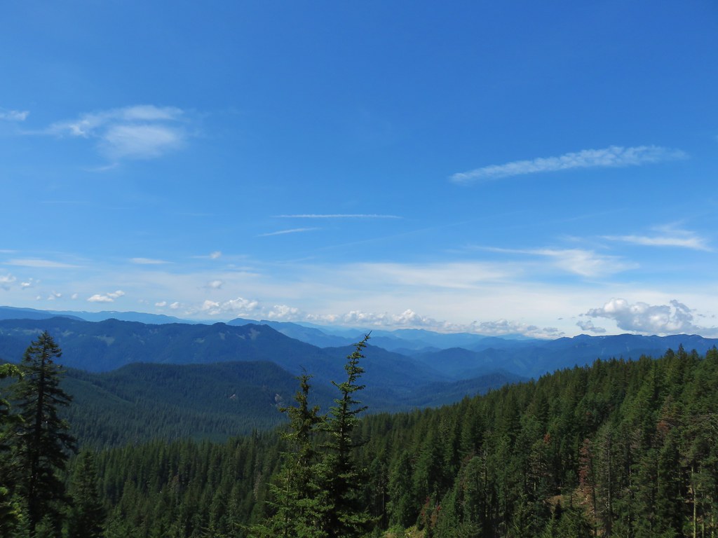
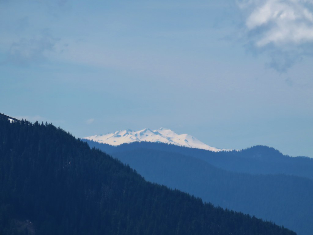
We had made it about 1.5 miles up the trail when our hour was almost up. We were at a switchback which the trail launched steeply up from and Heather decided she was going to call it there. I decided that we were close enough to the end of the trail that I wanted to continue up to the junction with the Olallie Trail so Heather started back down while I continued uphill. Two tenths of a mile where we parted ways I came to a rocky viewpoint off a switchback. The view was not nearly as clear as it had been on our July 2018 visit, but there were flowers present this time that had not been then.

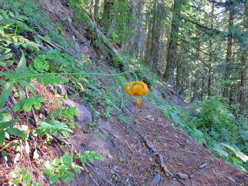
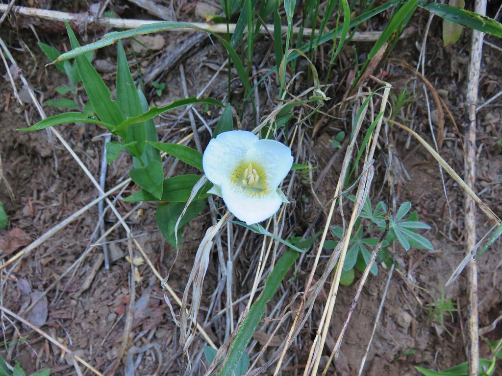
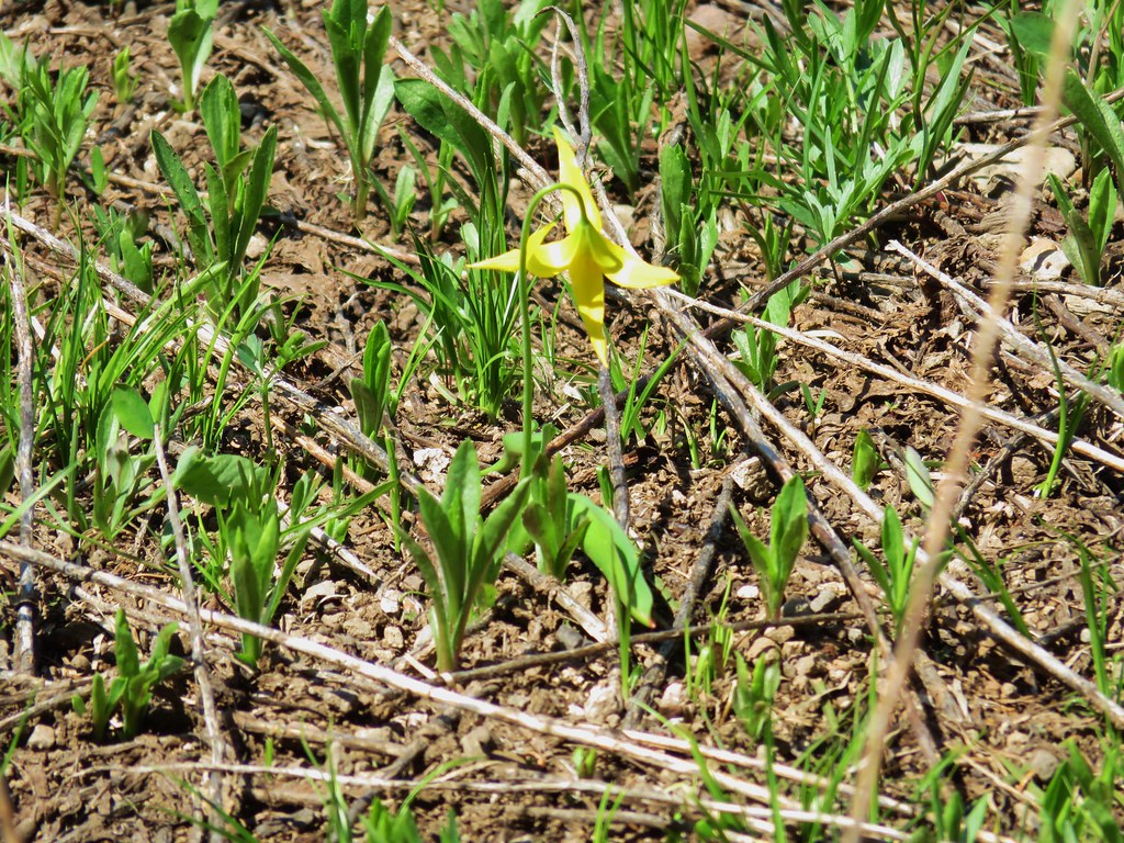
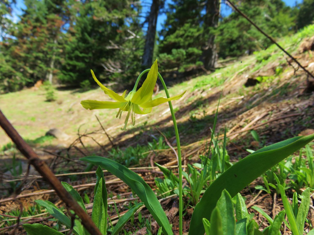
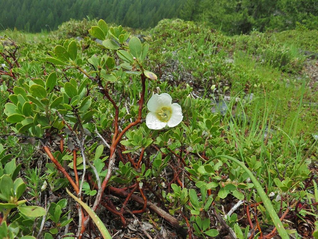 Subalpine mariposa lily
 Phlox
Phlox
 Rosy pussytoes
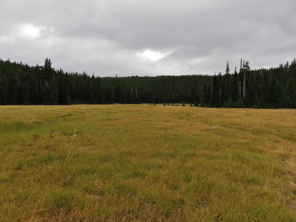
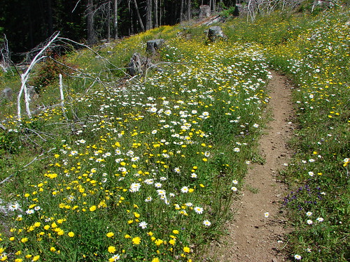
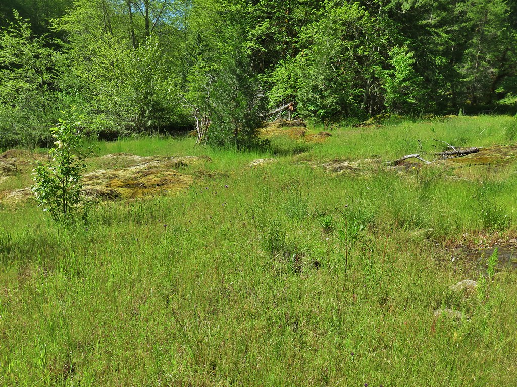
I almost called it at the viewpoint but then remembered that there was a meadow just before the end of the Saddle Trail so I continued uphill hoping that there would be a decent wildflower display. I was not disappointed as there were quite a few flowers in bloom including large swaths of blue-eyed mary.


 Larkspur

 Biscuitroot
 Blue-eyed Mary
 Woodland star
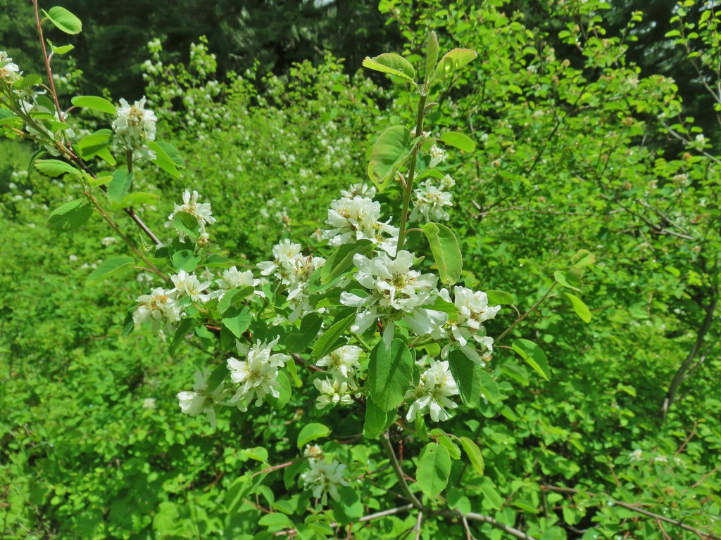 Serviceberry
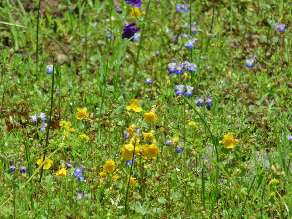 Monkeyflower
 Royal Jacob’s ladder
 Something in the pea family.
 Alpine pennycress
 Junco amid the flowers.
 Bear scat in the meadow.
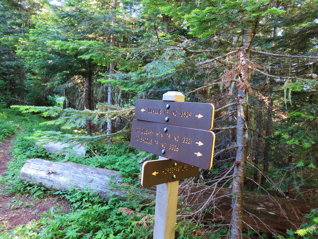
The trail left the meadow then quickly arrived at a saddle and the Olallie Trail.
Other flowers bloomed near the junction.
 Tall bluebells
 Trillium
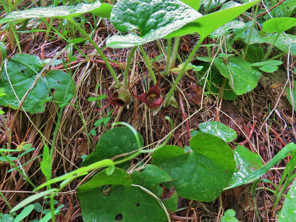 Wild ginger
 Bleeding heart and tall bluebells.
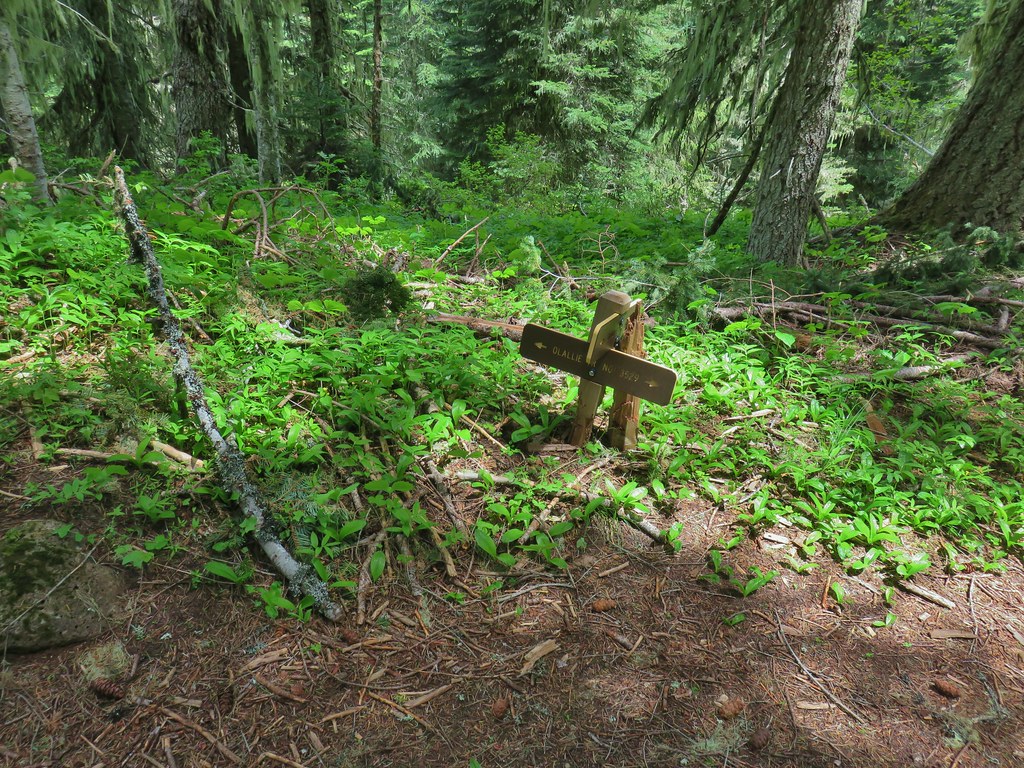 The Olallie Trail
After tagging the junction I headed back down. About halfway down I ran into Heather heading back up, she had been going up and down between switchbacks in an attempt to stay warm as the rainy weather that had been forecast had finally arrived along with a chilling breeze. Even though the day hadn’t gone a planned we managed to get in a little over 11 miles of hiking and enjoyed some nice sights and surprisingly pleasant weather (for the most part). As an added bonus we saw exactly zero other people on the trails which has become a rare occurrence. Happy Trails!
Flickr: East Fork and Saddle Trails
 Middle Fork Trail along FR 21.
 One of only a couple of spots where we were able to get to the river.
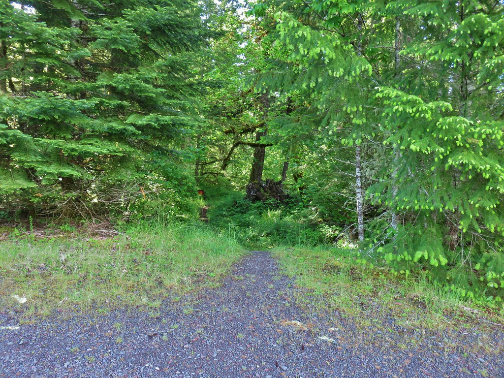 Orange flagging on the left after crossing a gravel road.
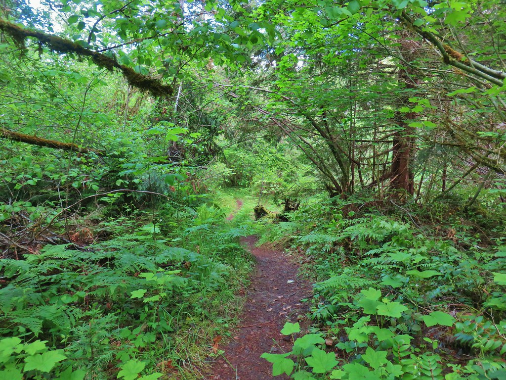
 Thimbleberry
 Cone Creek
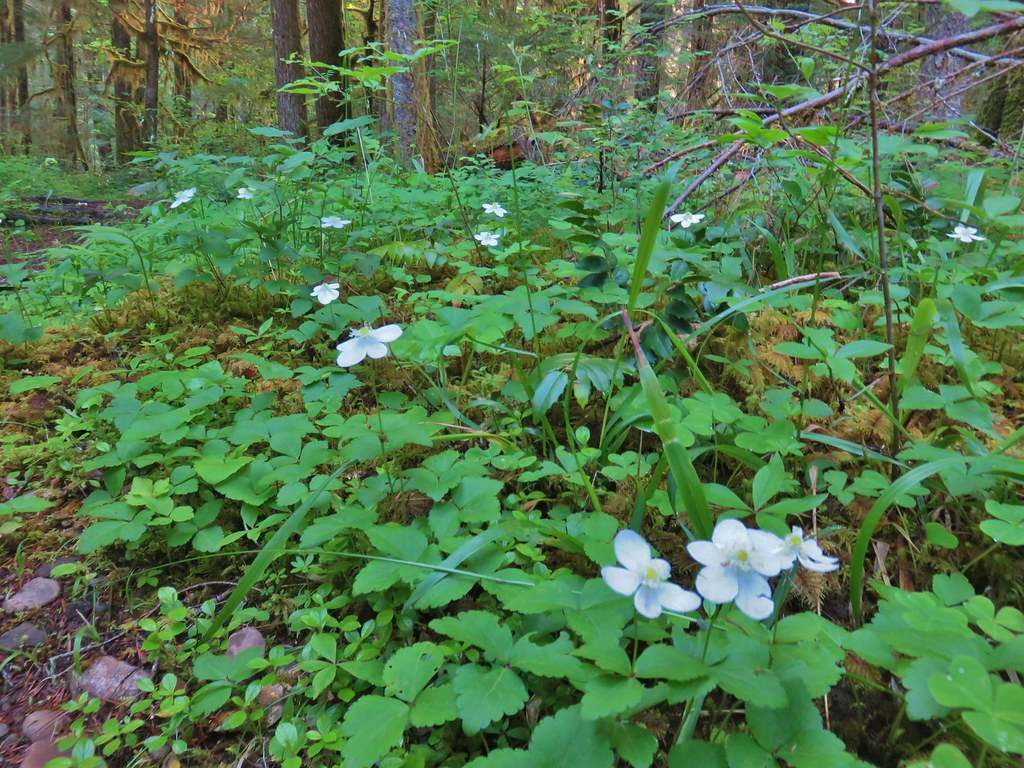 Anemones
 Footbridge over Bills Creek
 Queen’s cup

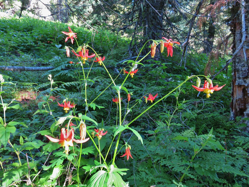
 Columbine
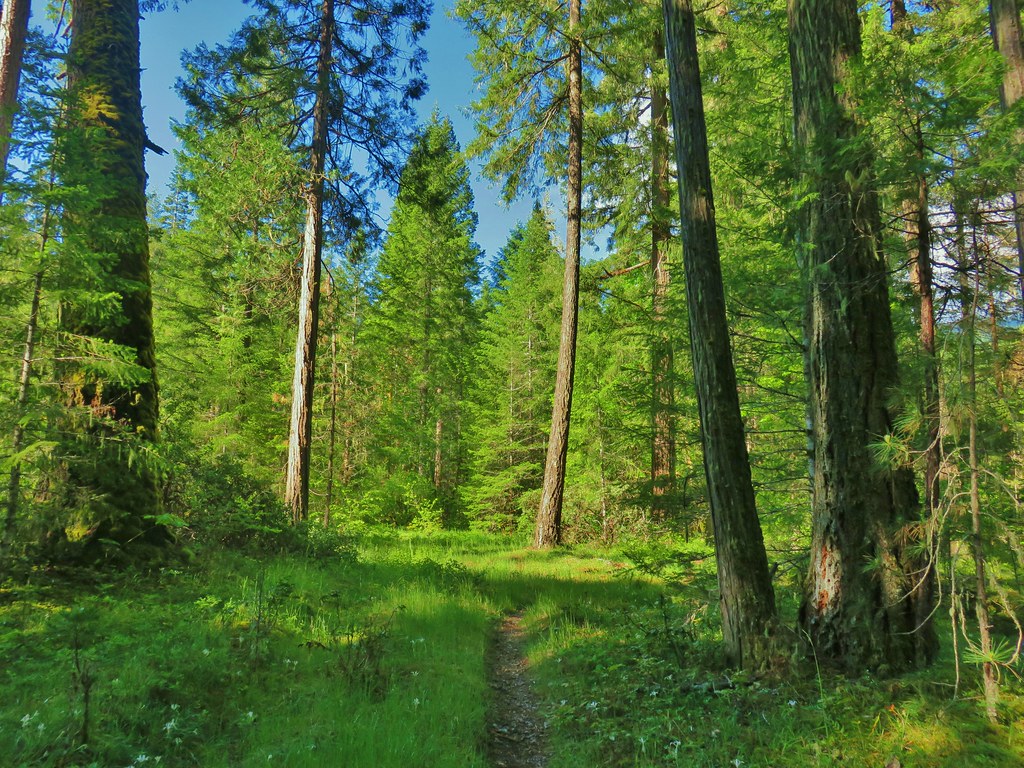 Yellowleaf iris along the Middle Fork Trail.
 Pine Creek – At first it looked like they put the bridge in the wrong spot, but there was another branch to the creek.
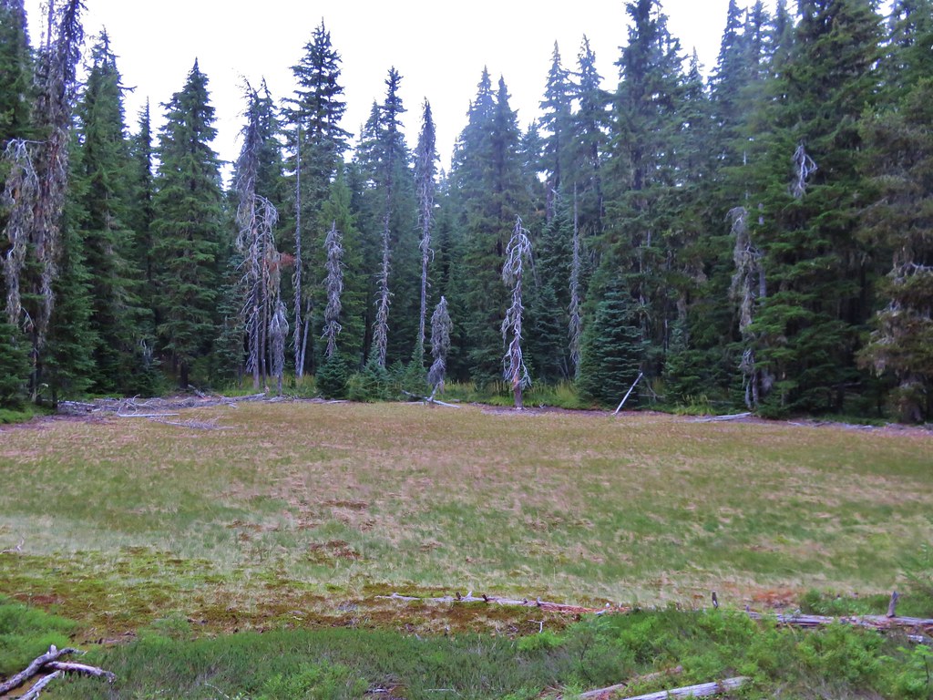
 Small meadow along the trail.


 Common merganser on the river below the bridge.
 Sign at the
 Mossy stump along the trail.
 Lots of grass along portions of the trail, one of these areas was probably where the tick hopped on.

 The ookow wasn’t quite blooming yet.
 Tolmie’s mariposa lily
 Monkeyflower and tomcat clover
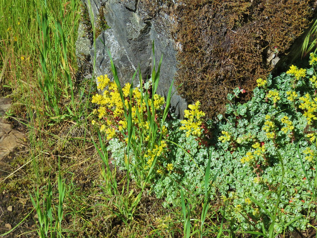 Stonecrop
 Plectritis and giant blue-eyed Mary
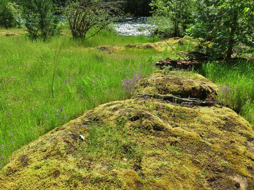
 Giant blue-eyed Mary
 Buttercups
 Spotted coralroot (with a caterpillar)
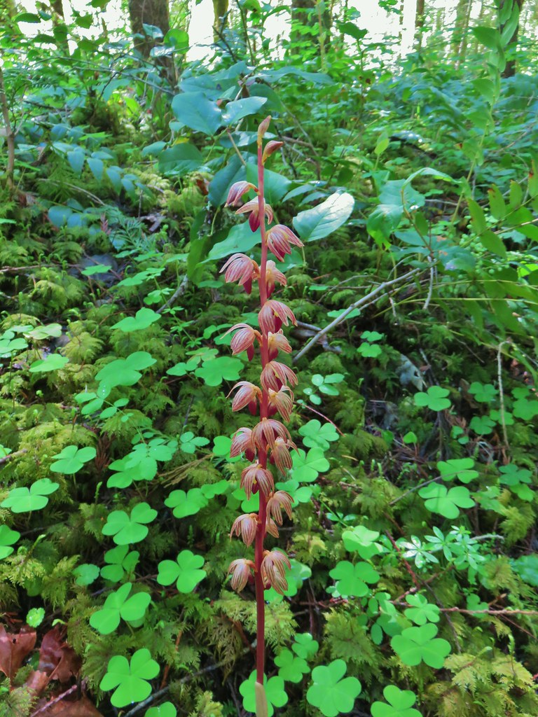 Striped coralroot


 Chocolate lilies
 Completed section of the reroute.
 More signs at FR 201
 FR 201 crossing Coal Creek.
 Coal Creek
 Road walking on FR 2133


 Simpson Creek
 Northern phlox
 Don’t know what type of fungus this is but it looked neat.
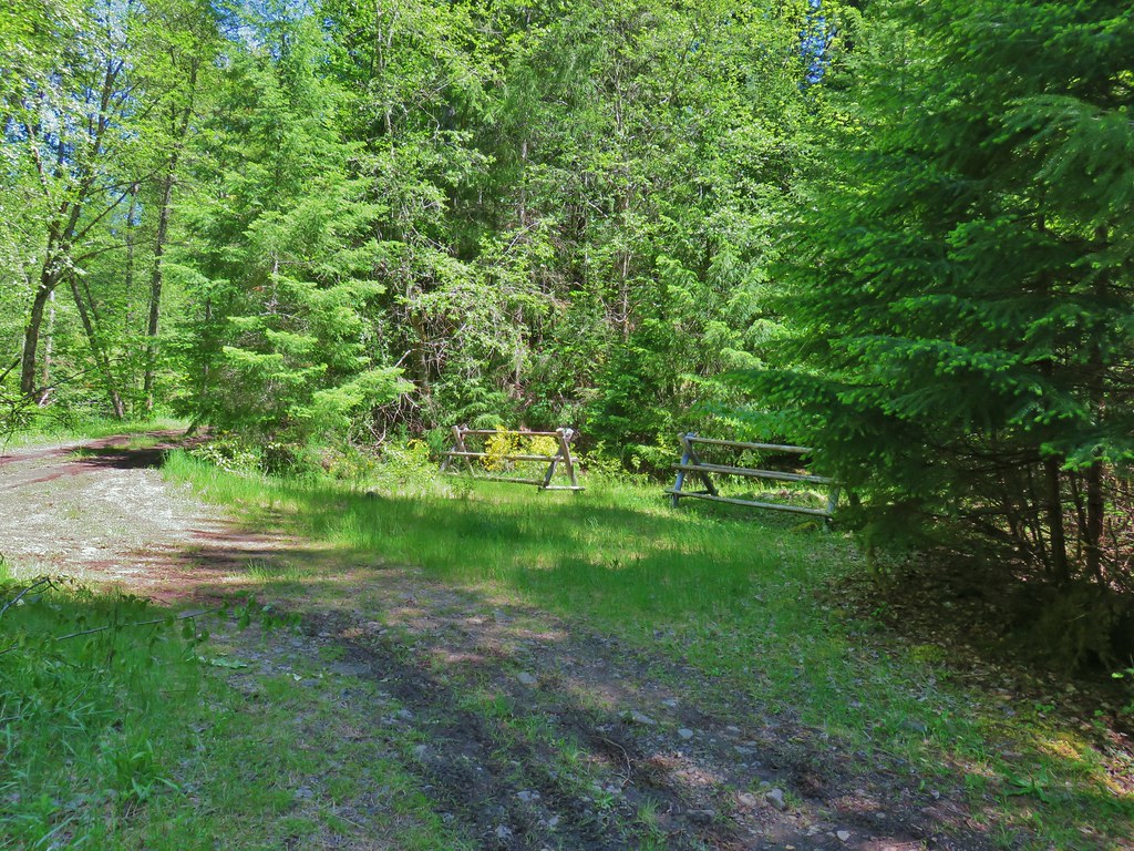


 Star-flowered solomonseal
 Anemone
 Trillium
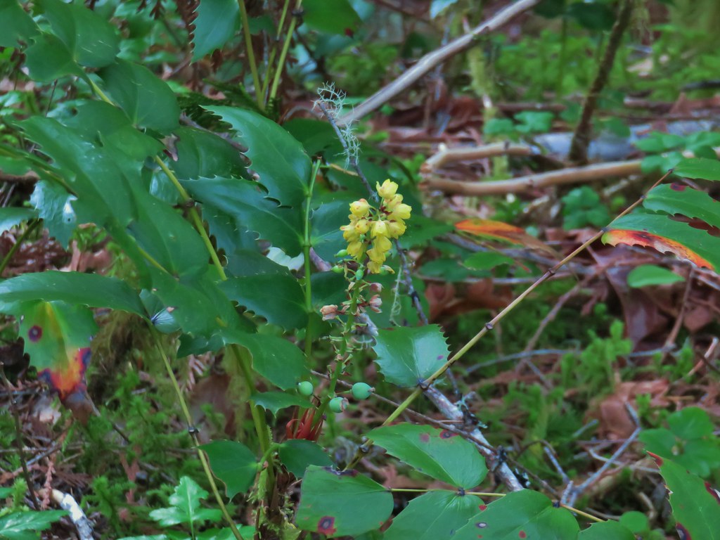 Oregon grape
 Starflower
 Yellowleaf iris
 Looking back at FR 1910’s bridge over the River.

 Valerian
 Spotted coralroot
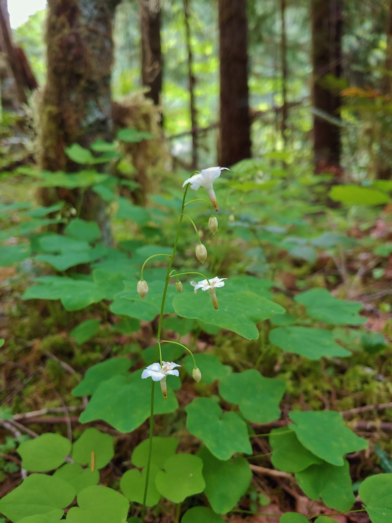 Inside-out flower
 Hookedspur violet
 Fairy slipper
 Dogwood blossom
 Buck brush
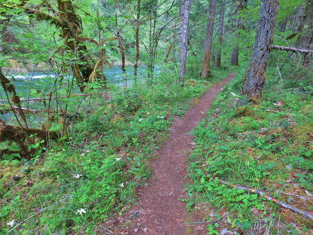

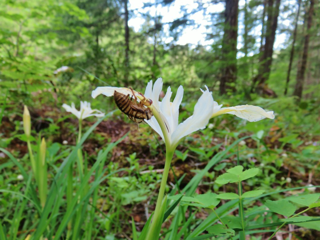 Shed cicada skin
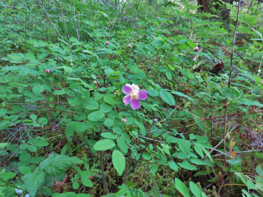 Wood rose
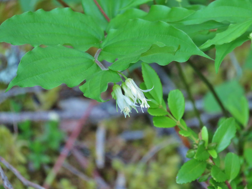 Fairy bells
 Northern phlox
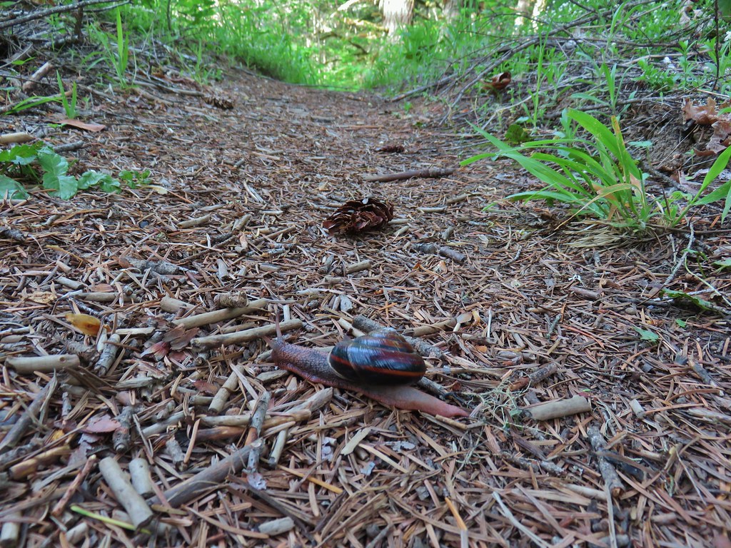 Trail snail
 Honeysuckle
 Columbine
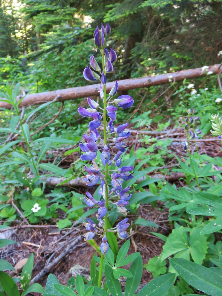
 Lupine
 Youth-on-age
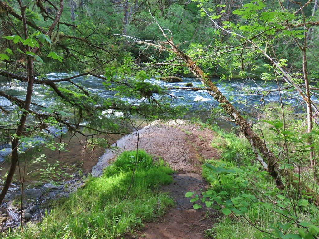 Rock ledge along the river.
 View from the rock ledge.
 Monkey flower
 Camas
Camas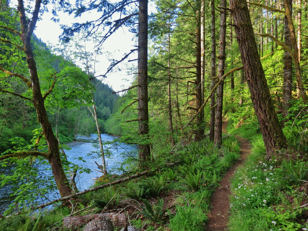
 Concrete tower
 Pale flax
 Roadbed near the trailhead.
 Vanilla leaf
 Wild ginger
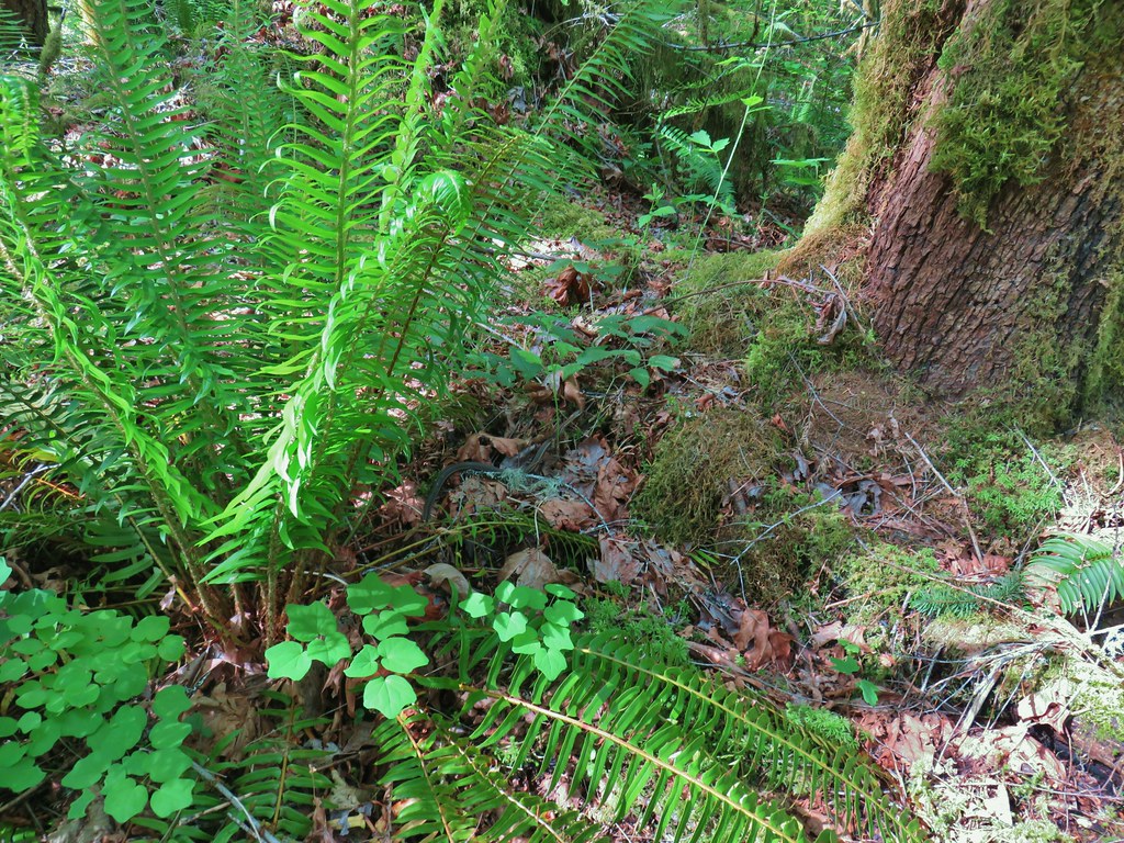


 Candy flower growing out of a mossy tree trunk.
 Western meadowrue
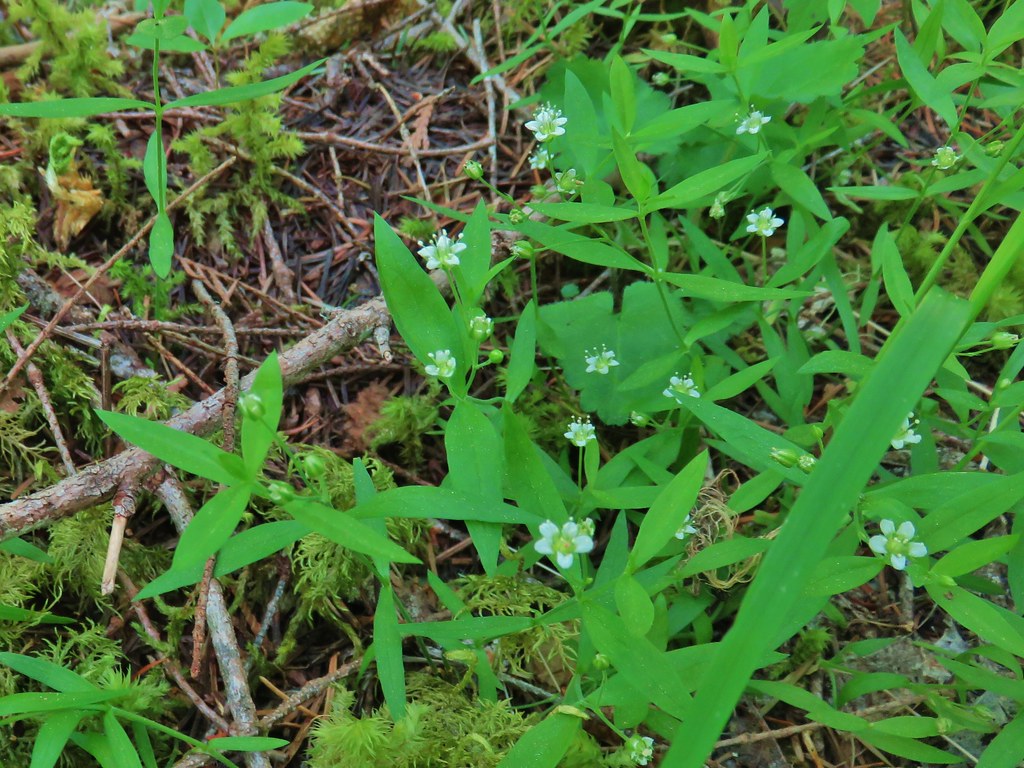 Largeleaf sandwort
 Striped coralroot
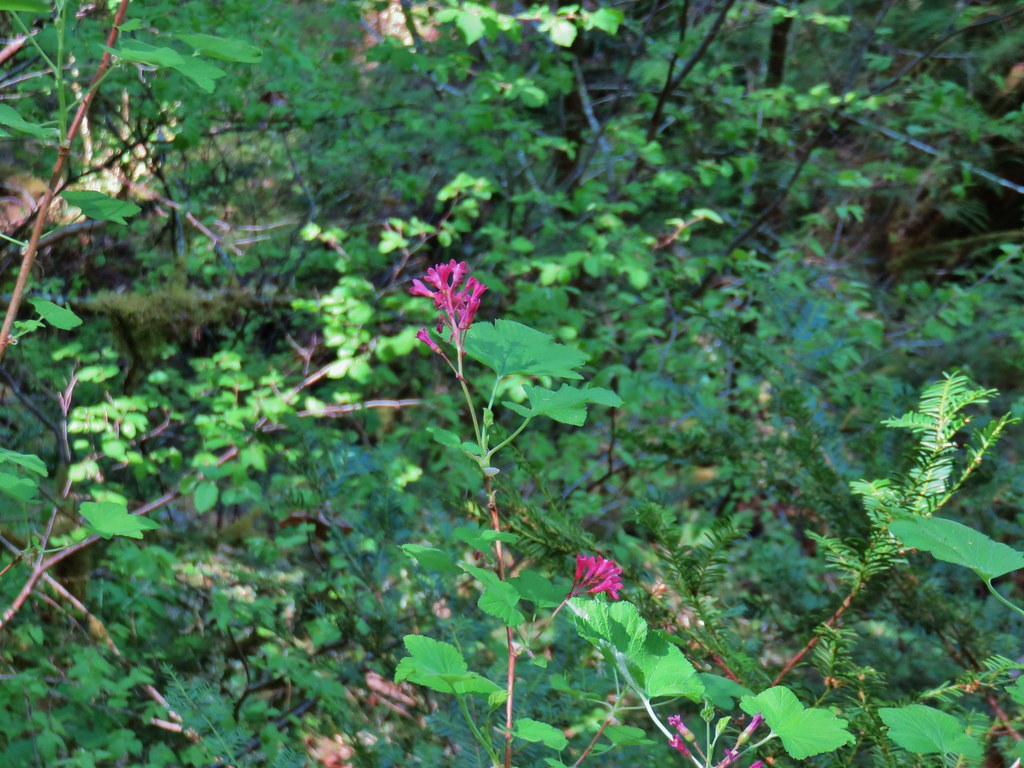 Red flowering currant
 The second creek crossing.
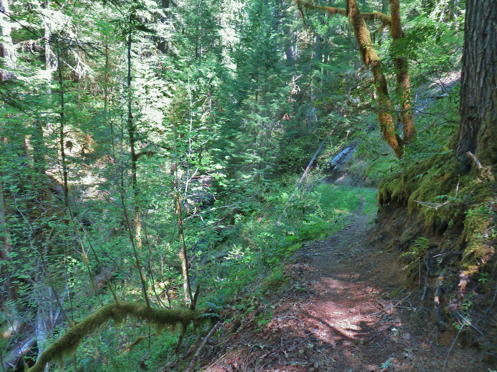


 Coastal manroot
 Sticky cinquefoil
 Popcorn
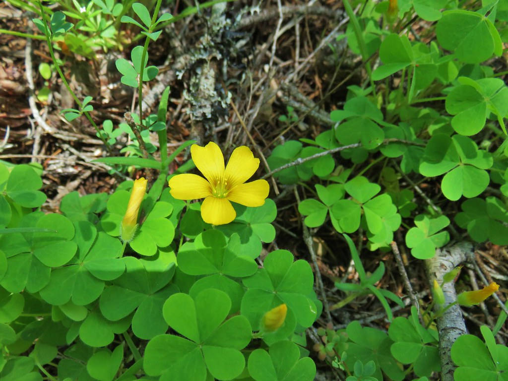 Western yellow oxalis
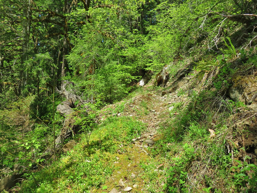

 Variable collomia
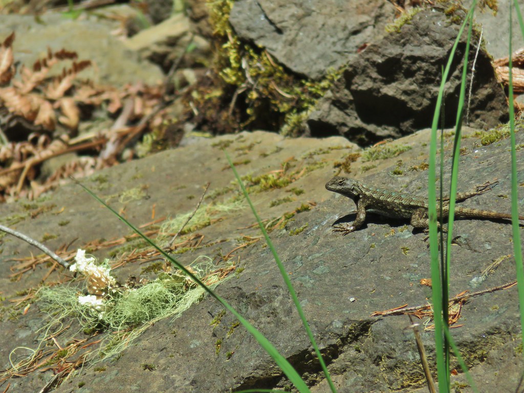 Western fence lizard
 Giant blue-eyed Mary
 Larkspur
 Had to climb over this on the left side by the standing tree.
 The only choice here was to use this tree as the trail.
 Minor debris on the trail.
 Cuts most likely from the original establishment of the trail.
 This one required a detour to the right around the end of the tree.
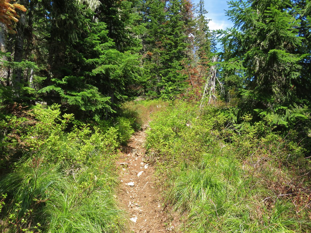
 Forest reclaiming the trail tread.
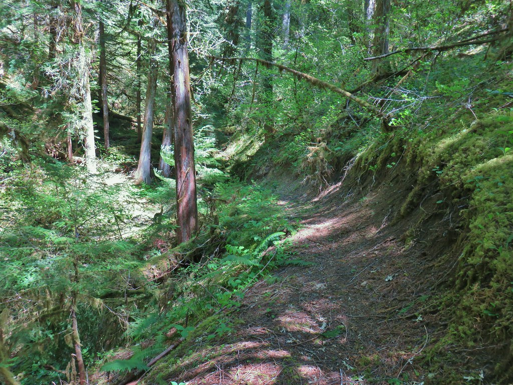


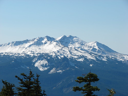
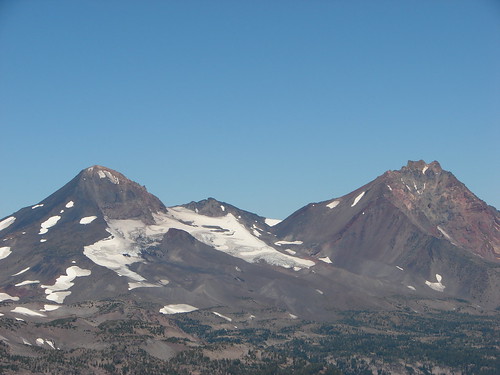
 Middle Sister
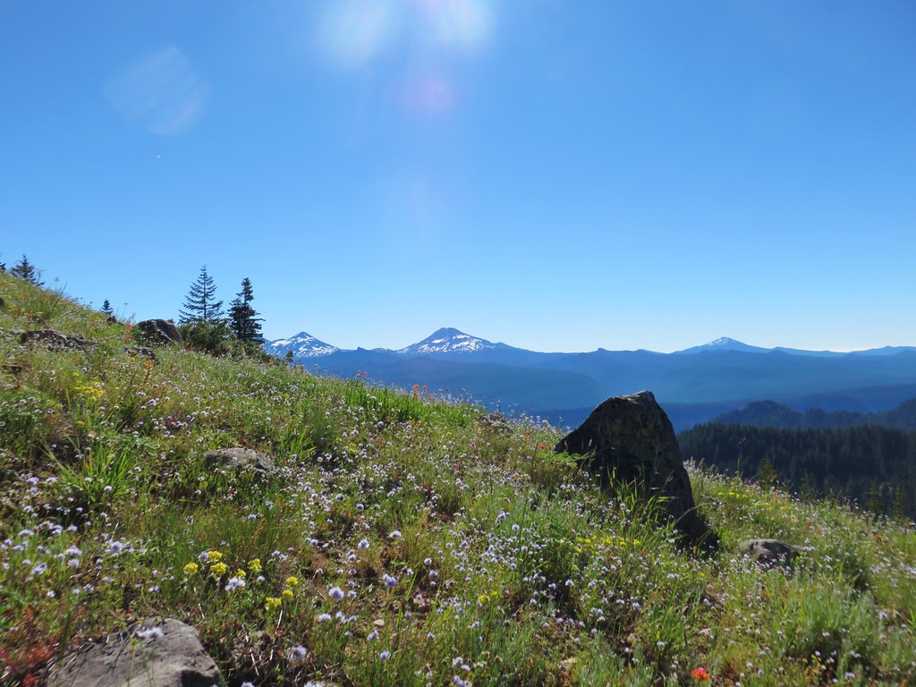 Three Sisters and Mt. Bachelor
 Diamond Peak
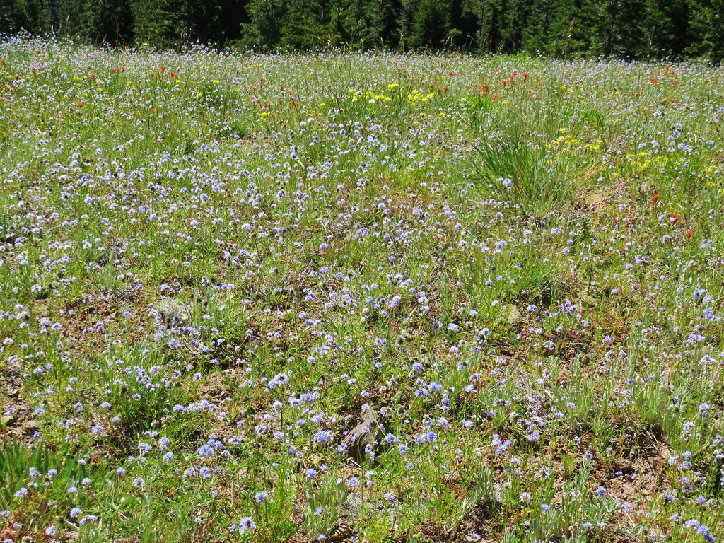
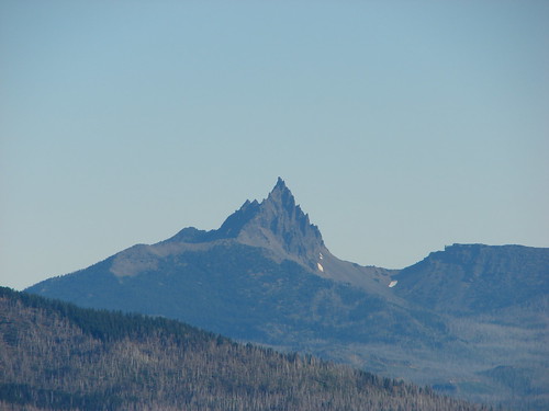
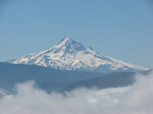
 Mt. Hood, Mt. Jefferson, Three Fingered Jack, and Mt. Washington.
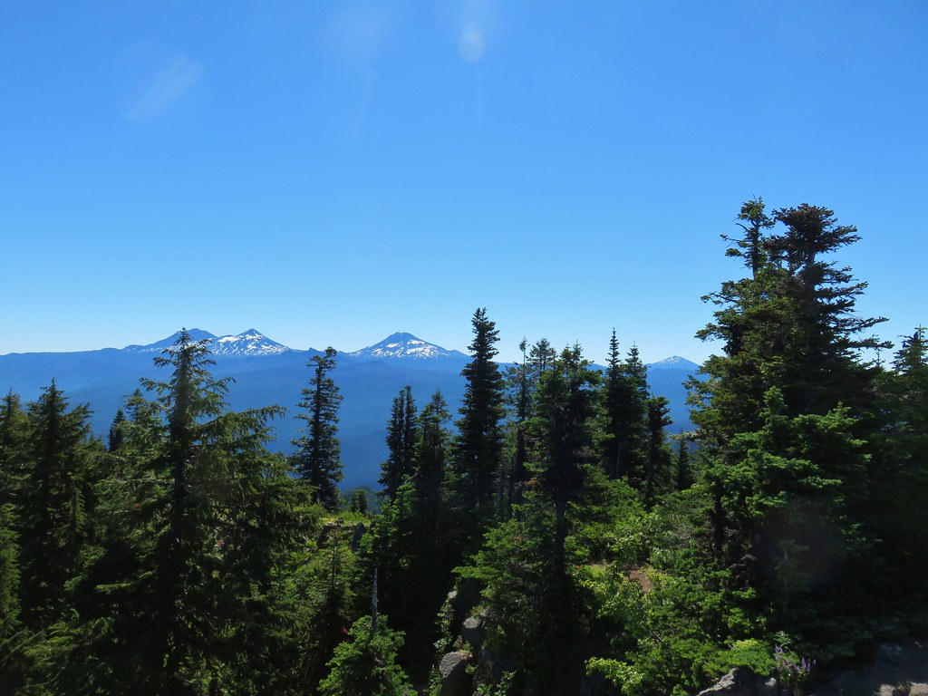
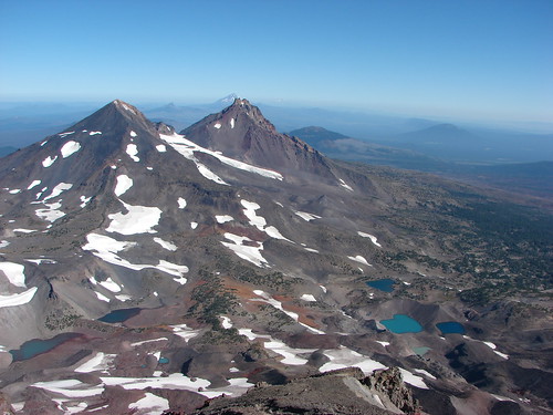
 Diamond Peak(Mt. Thielsen is out there too)
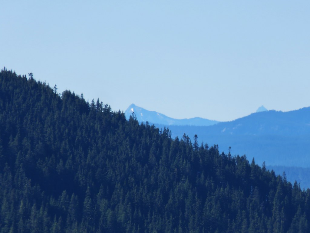 Cowhorn Mountain on the left and the tip of Mt. Thielsen to the right.
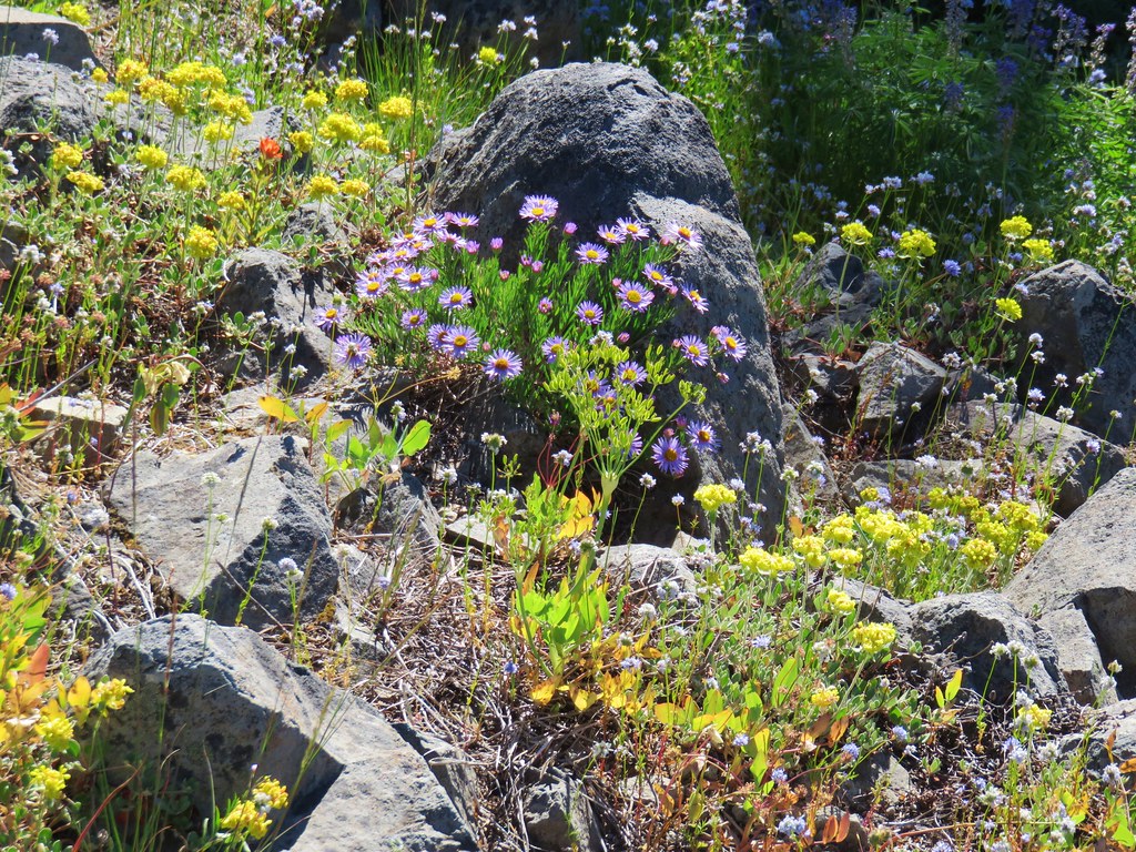


 Red flowering currant
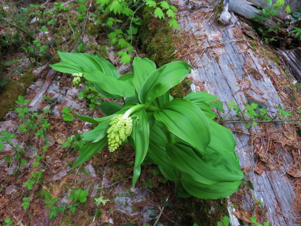 Large solomonseal
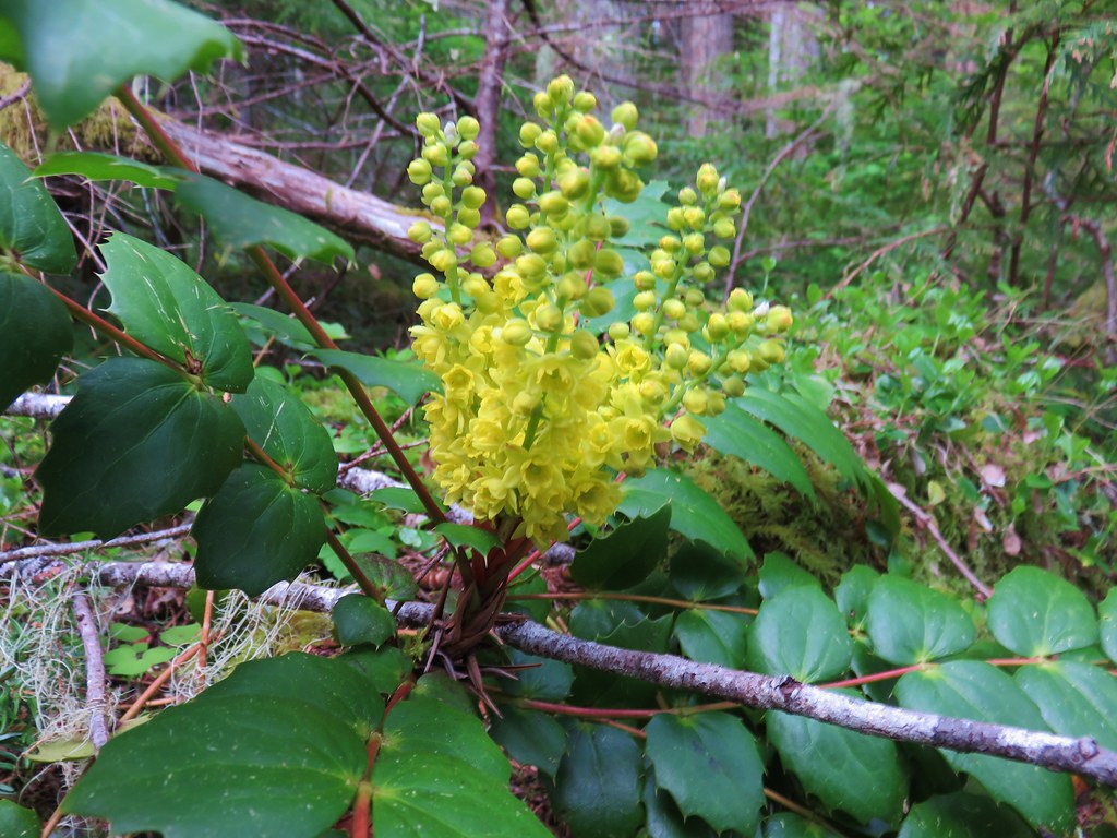 Oregon grape
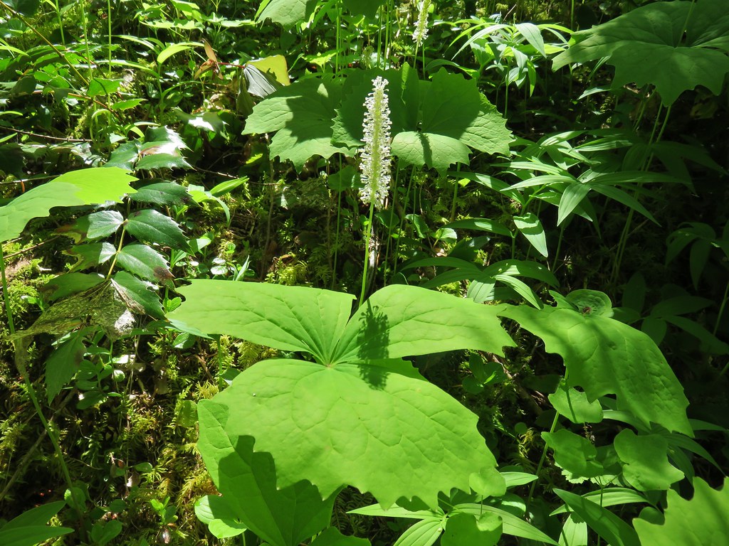 Vanilla leaf
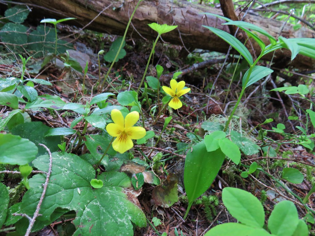 Violets
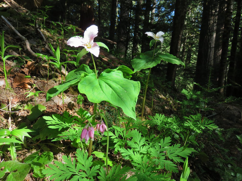 Trillium and bleeding heart
 Bunchberry
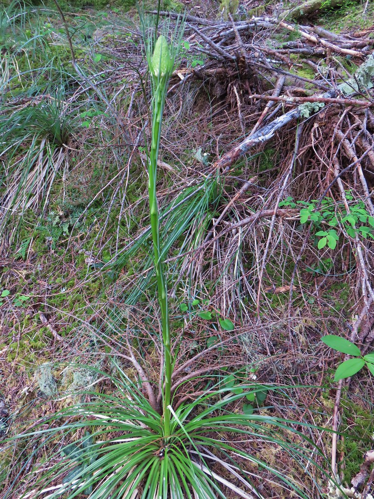
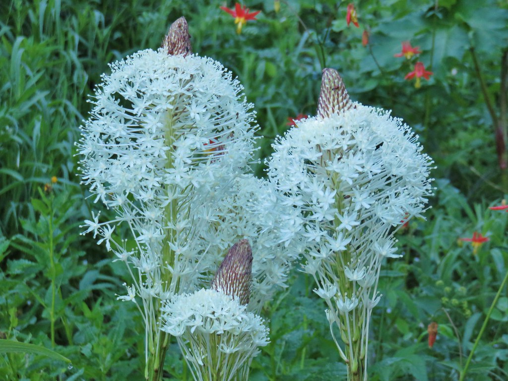
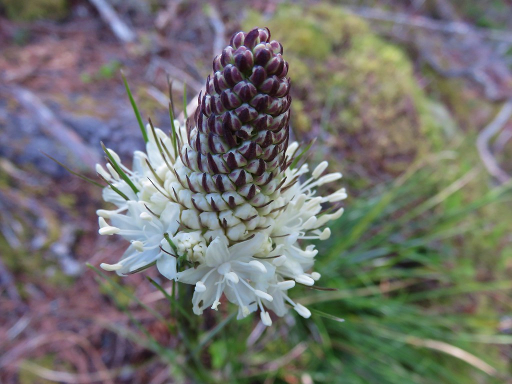 Beargrass
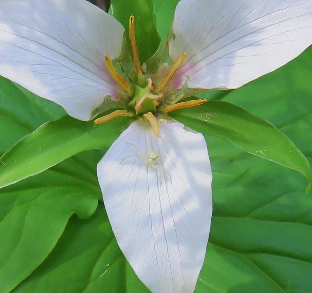 Crab spider on trillium
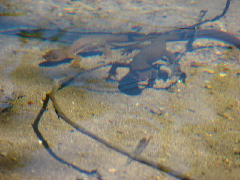
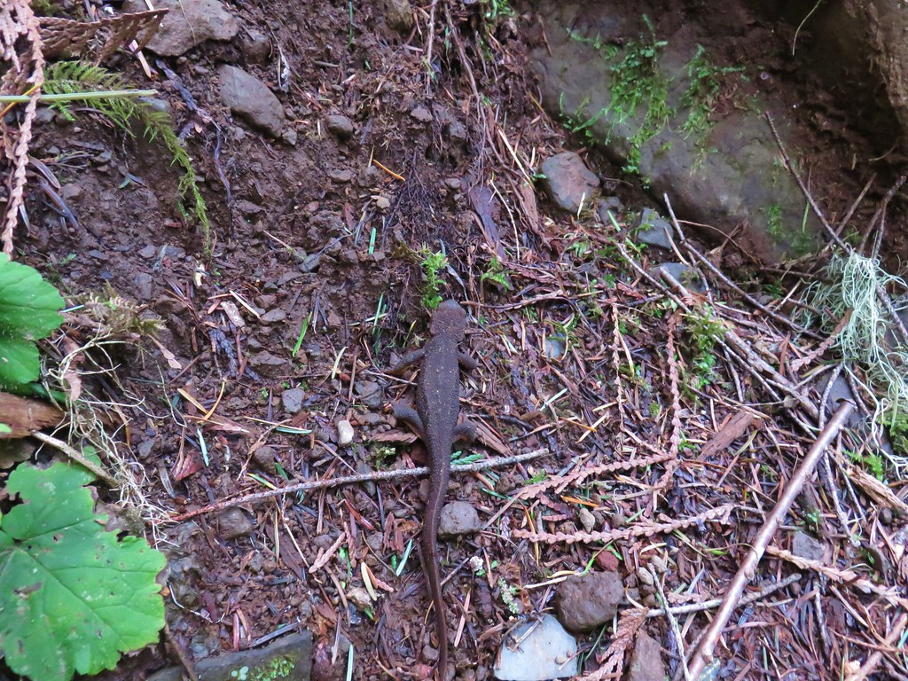 Rough-skinned newt
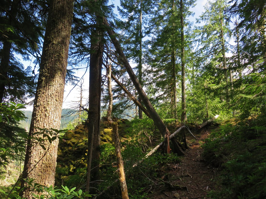


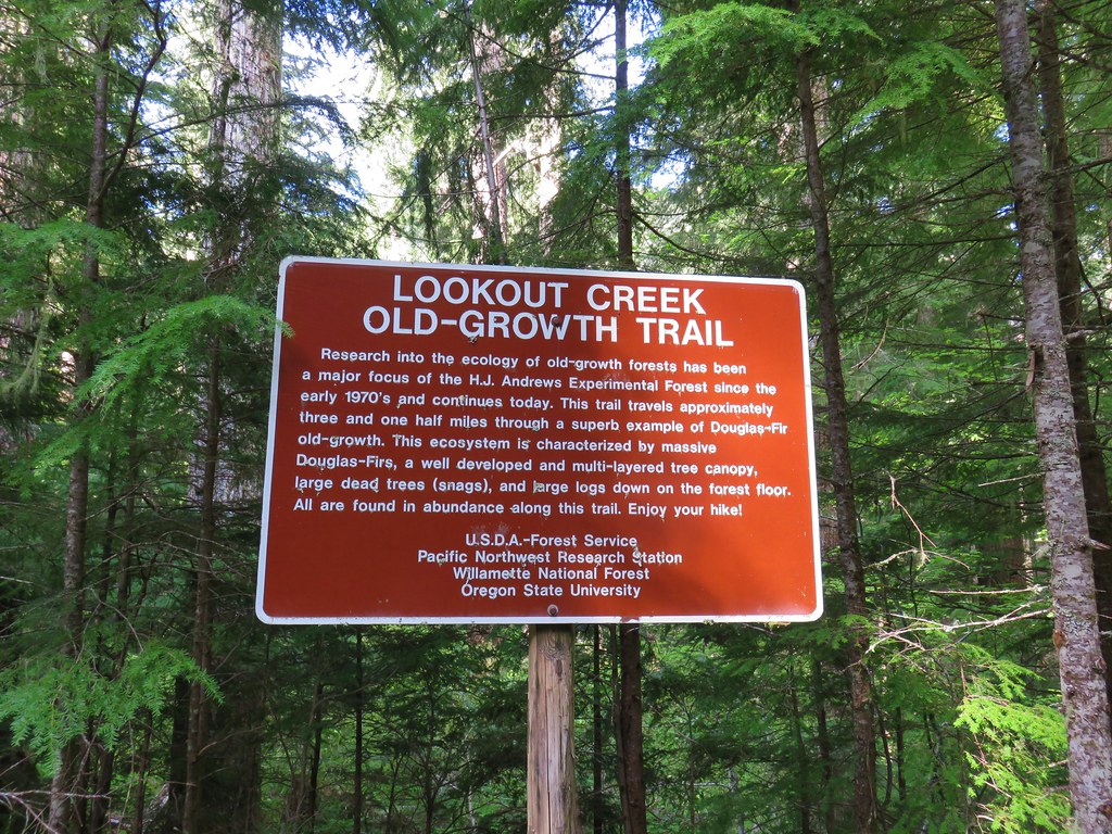
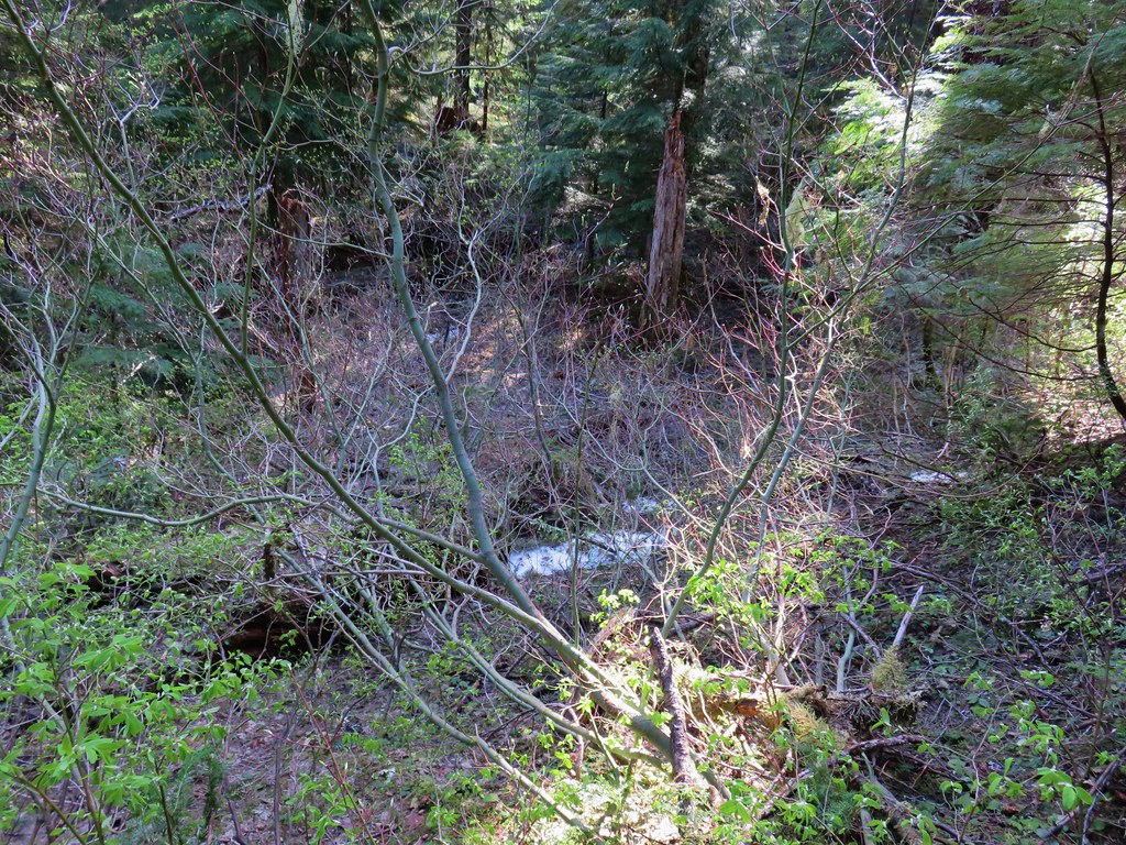 Snow in the bushes along the Lookout Creek Trail
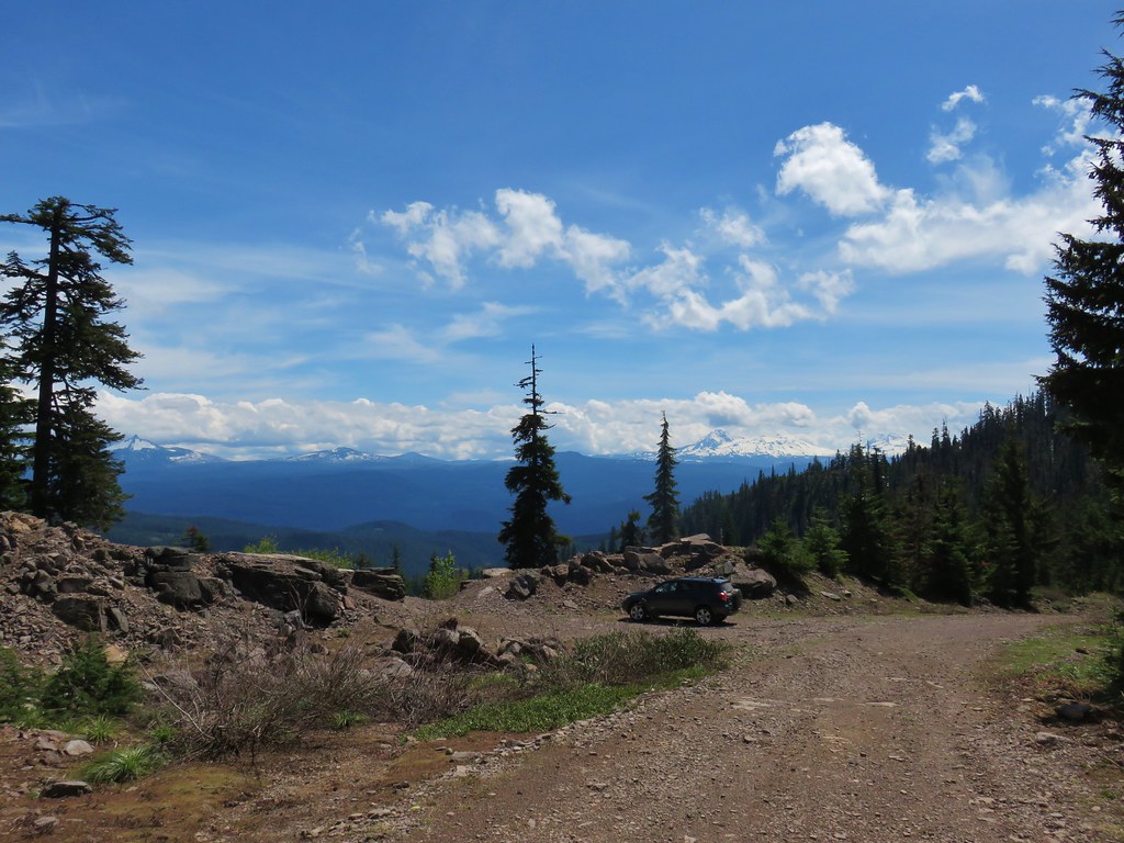


 Looking back down at the route up
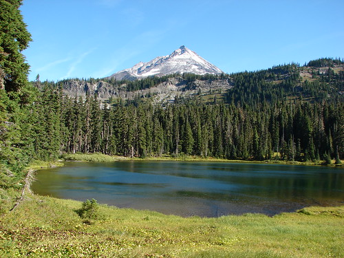
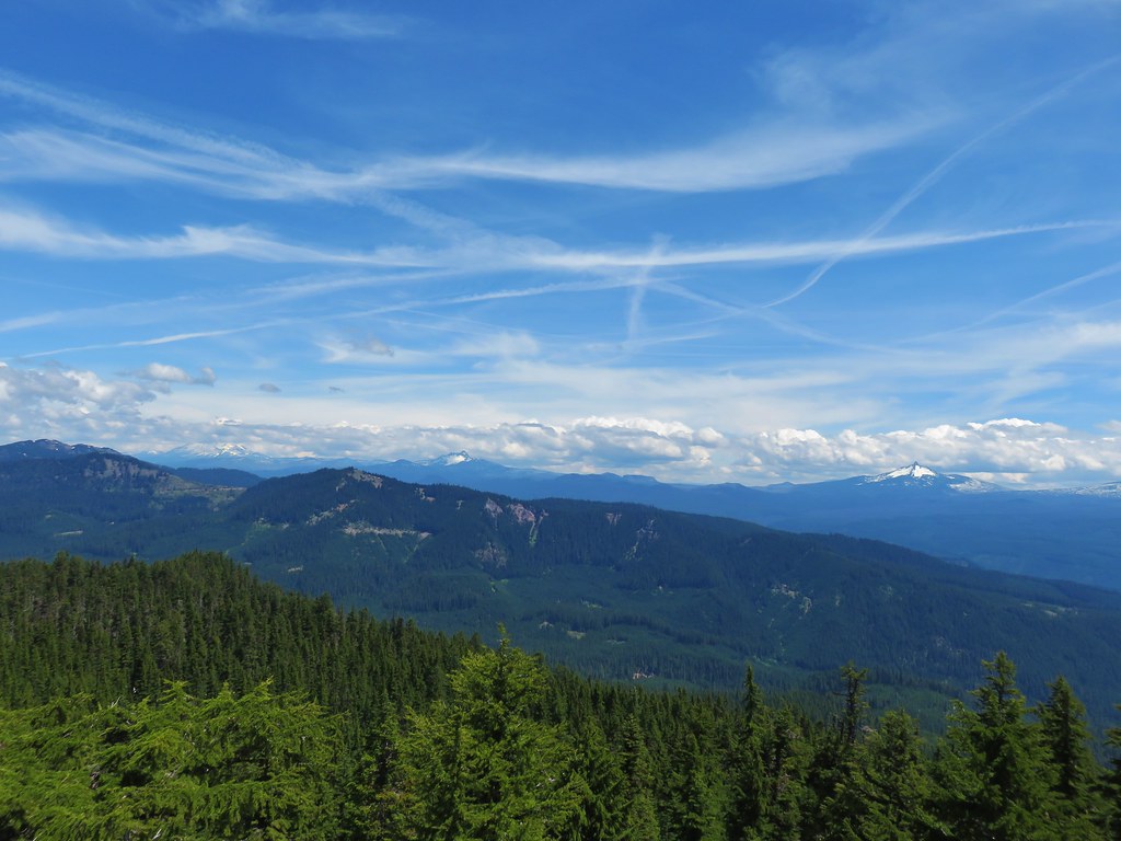 Mt. Jefferson, Three Fingered Jack and Mt. Washington
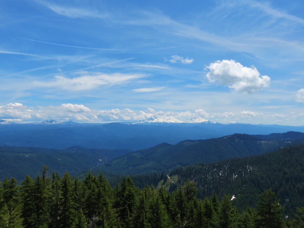
 Diamond Peak
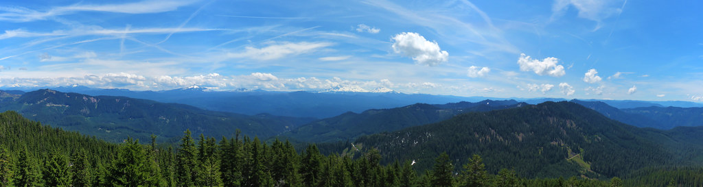 Panorama
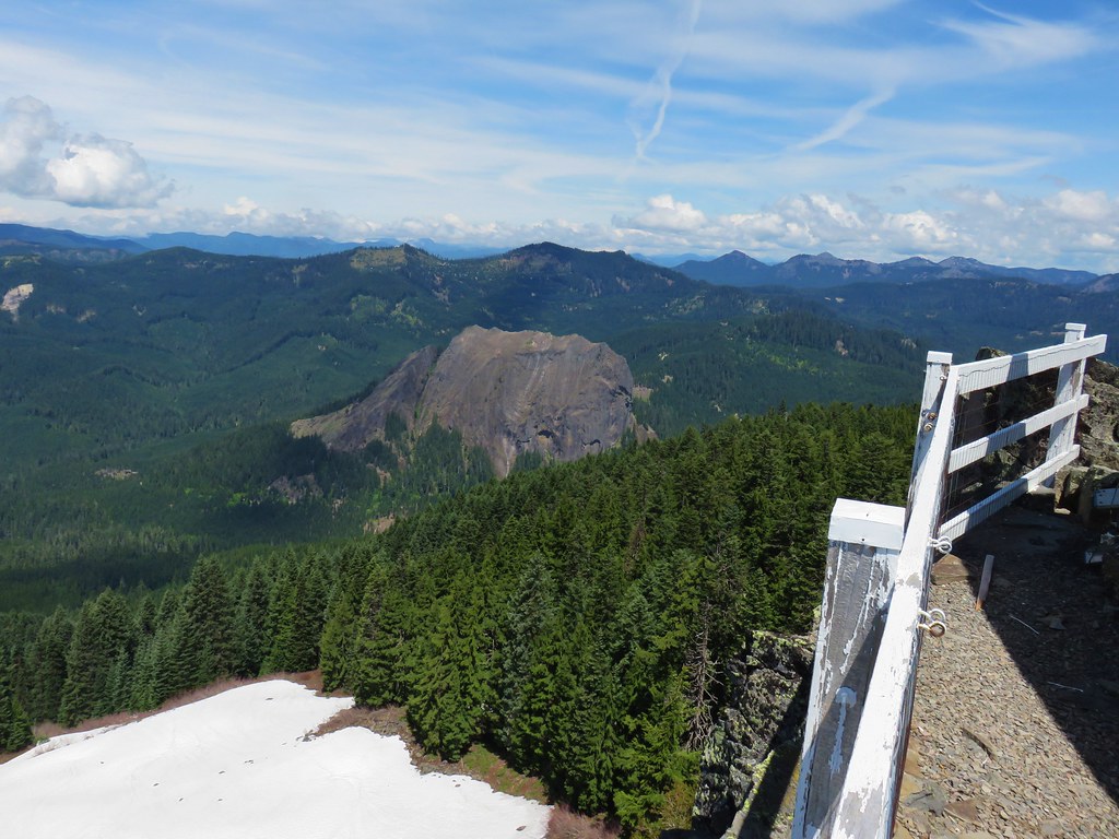
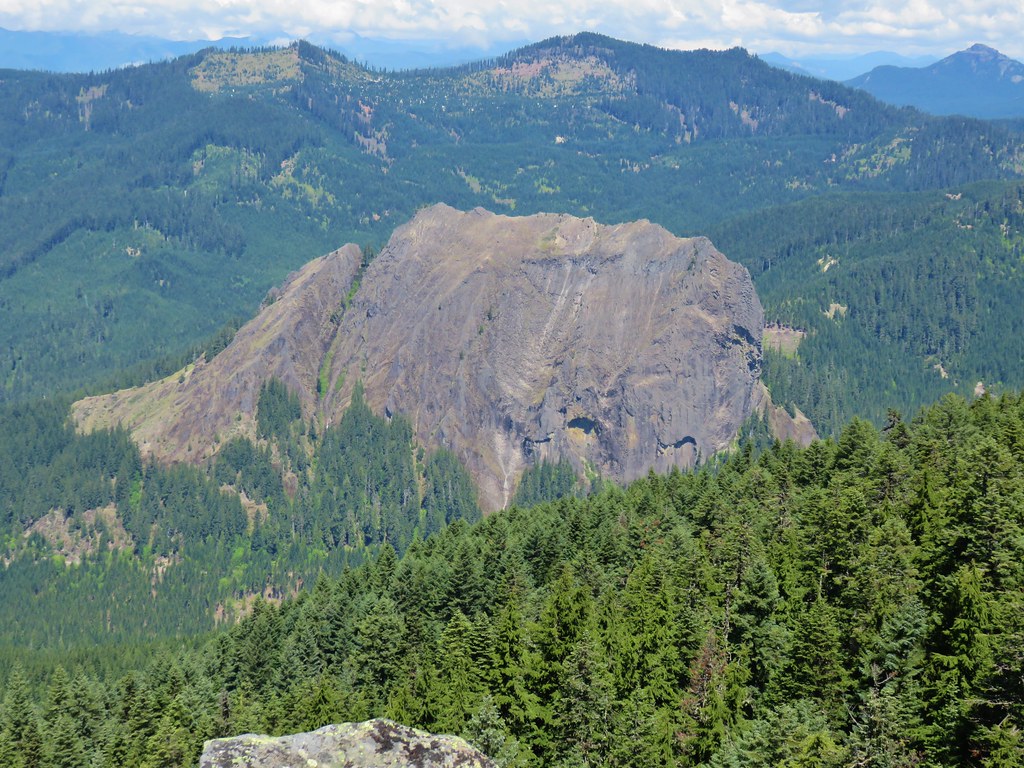

 Browder Ridge (
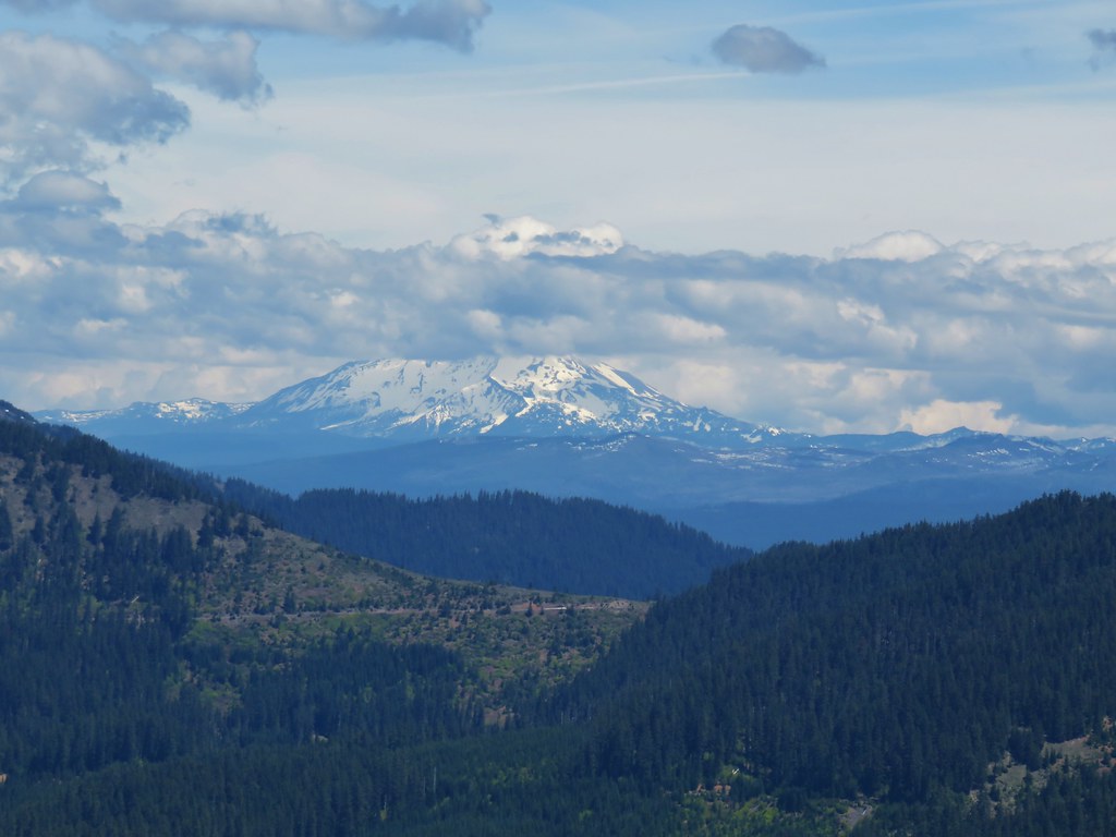 Mt. Jefferson
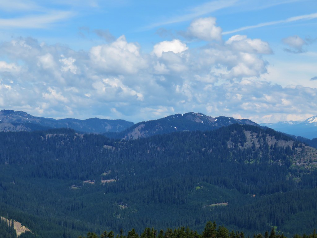
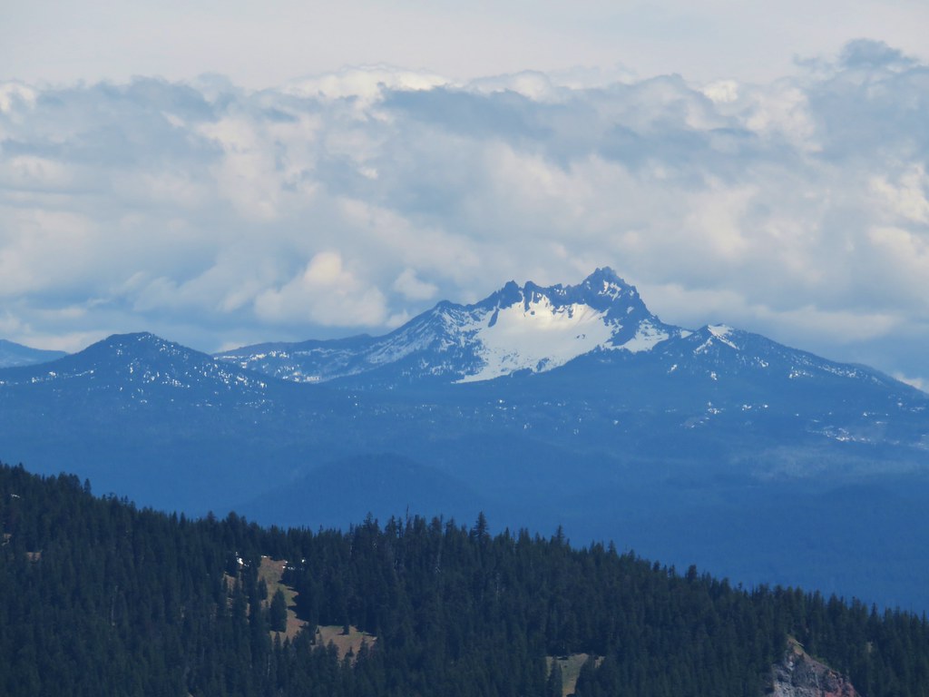 Maxwell Butte (
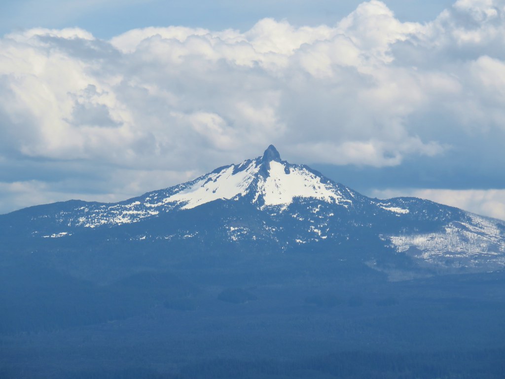 Mt. Washington
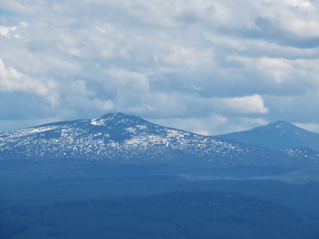 Belknap Crater (
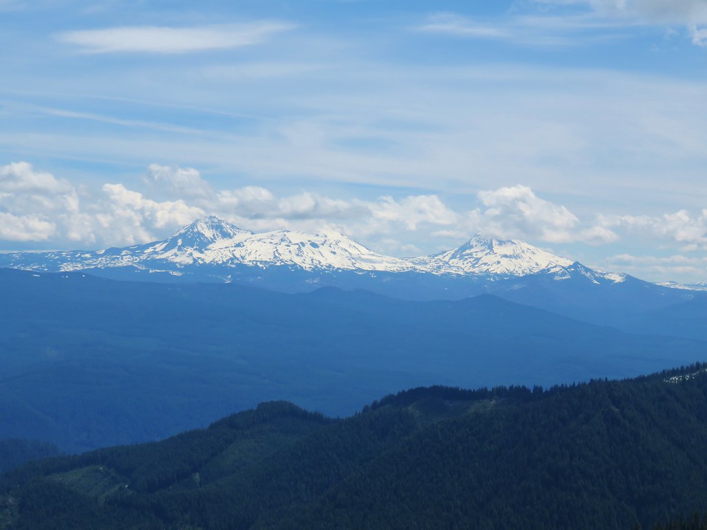 The Three Sisters and The Husband
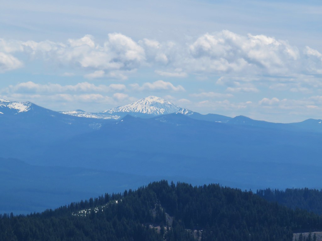 Mt. Bachelor
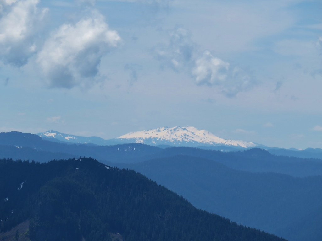 Fuji Mountain (
 Tidbits Mountain