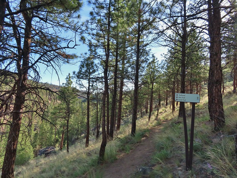
After back to back 14 mile days we had something more reasonable planned for our drive home on Memorial Day. We had started the weekend with two hikes along Whychus Creek east of Sisters (post). On Monday we stopped at the Whychus Creek Trailhead 4.2 miles west on Elm Street (Forest Road 16) of Highway 20 in Sisters. The trailhead doesn’t seem to be listed on the Deschutes National Forest webpage (They do show the Whychus Creek Overlook Trailhead which is an alternate starting point.)
We actually wound up having to park at a temporary trailhead 1000′ past the official trailhead which was closed for construction (not sure what was being constructed).
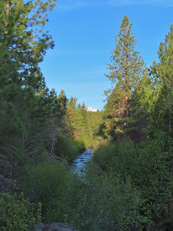
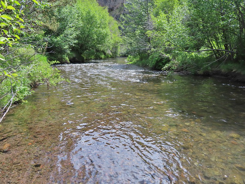
The Whychus Creek Trail followed Whychus Creek through a mixed forest with juniper and sagebrush from the high desert, ponderosa pine, and mixed conifers from the Cascades.
We really noticed how much more water there was in the creek here, before reaching the diversion ditches closer to Sisters.
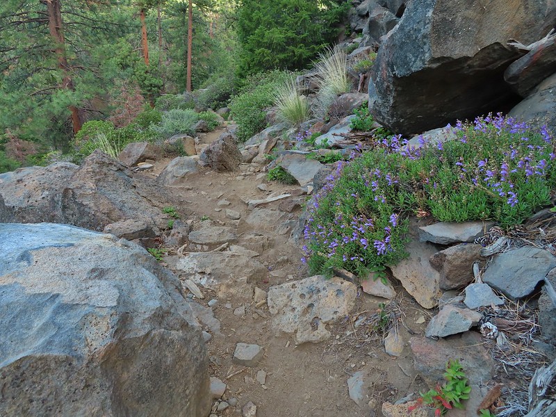
Less than a half mile into the hike we passed a series of rock ledges where native tribes appear to have once camped.
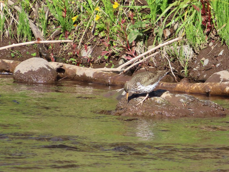
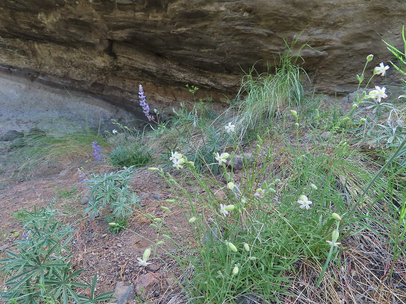
The trail reached the bank of Whychus Creek at the overhang then climbed back above the creek gaining a view of the top of the North Sister. A few wildflowers added color to the landscape and birds added their song to the sound of the creek.
North Sister in the distance.
Penstemon
Chocolate lily
Sand lily
Paintbrush
Balsamroot
A Penstemon
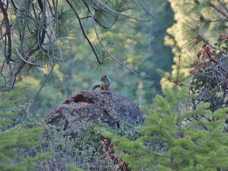
Squirrel!
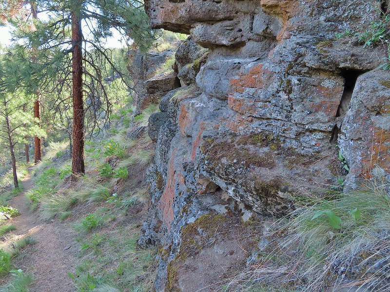
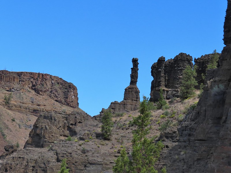
Just over a mile and a half from the trailhead the Whychus Creek Trail descended back down to the creek passing under some cliffs.
The penstemon really liked the cliff area.
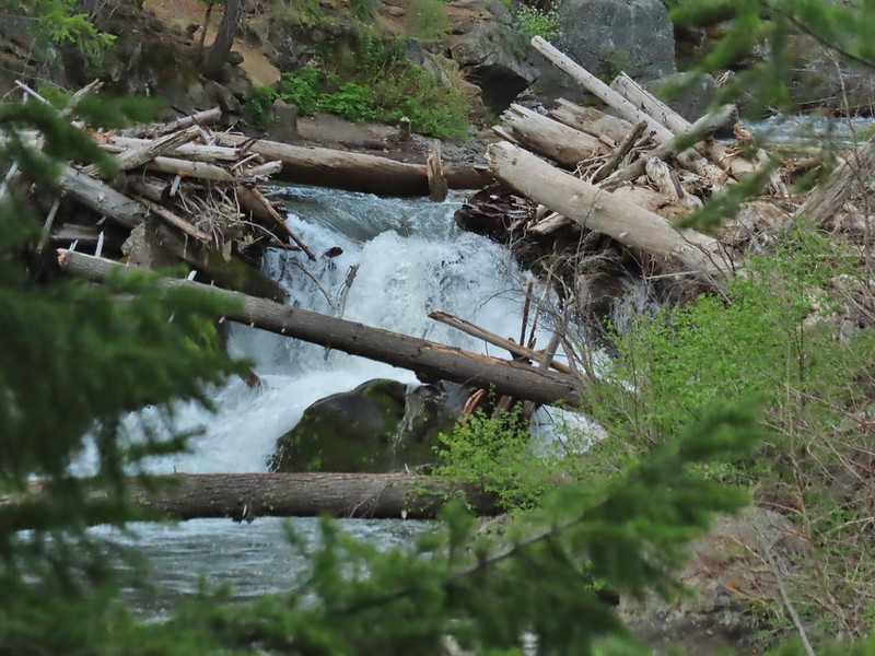
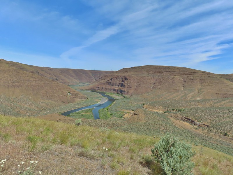
Looking up stream we could see the logjam waterfall which is the goal of Sullivan’s described hike in his 5th edition Central Oregon Cascades guidebook (hike #31).
Near the two mile mark we arrived at a series of viewpoints of the falls atop rocks.
There was a second smaller cascade a little further upstream.
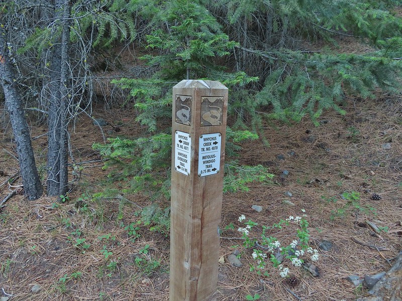
Sullivan suggests turning back here but just over a half mile away was the Whychus Creek Overlook. A 0.9 mile barrier free loop visits the overlook from the Whychus Creek Overlook Trailhead (see link above). We continued past the falls for approximately 0.2 miles to a signed trail junction.
We turned left onto the Whychus Draw Trail which led briefly up a draw before turning more steeply uphill traversing an open hillside to the overlook.
Mt. Hood sighting.
Mt. Jefferson and Black Butte
Chipmunk
White breasted nuthatch
Golden mantled ground squirrel
The Whychus Draw Trail connected to the south side of the Whychus Overlook Trail about a hundred feet from the actual overlook.
Broken Top and the Three Sisters (bonus points for spotting the golden mantled ground squirrel)
Lewis flax at the overlook.
Buckwheat and penstemon
Whychus Creek below with the Three Sisters on the horizon.
After admiring the view from the overlook we hiked the loop. One side (north) is one-way traffic coming from the trailhead to the overlook so we followed the south half of the loop 0.4 to the trailhead then followed the north side 0.5 miles back to the overlook. Two benches along the north side offered additional views to the NNW.
Interpretive sign along the trail.
Mt. Washington, Three Fingered Jack, Mt. Jefferson, and Black Butte
From the overlook we returned to the car the way we’d come. It was a pleasant 5.9 mile hike with some great views and scenery, a perfect way to end the holiday weekend. Happy Trails!
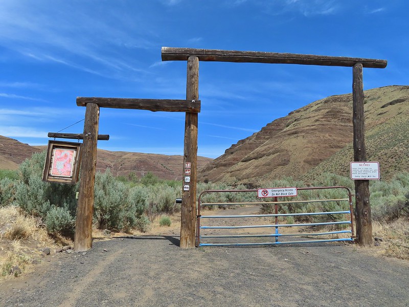
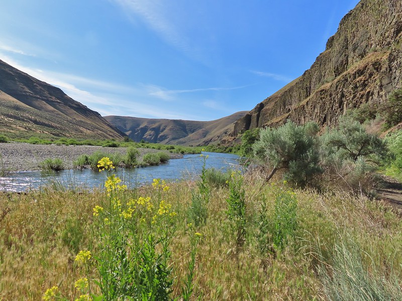
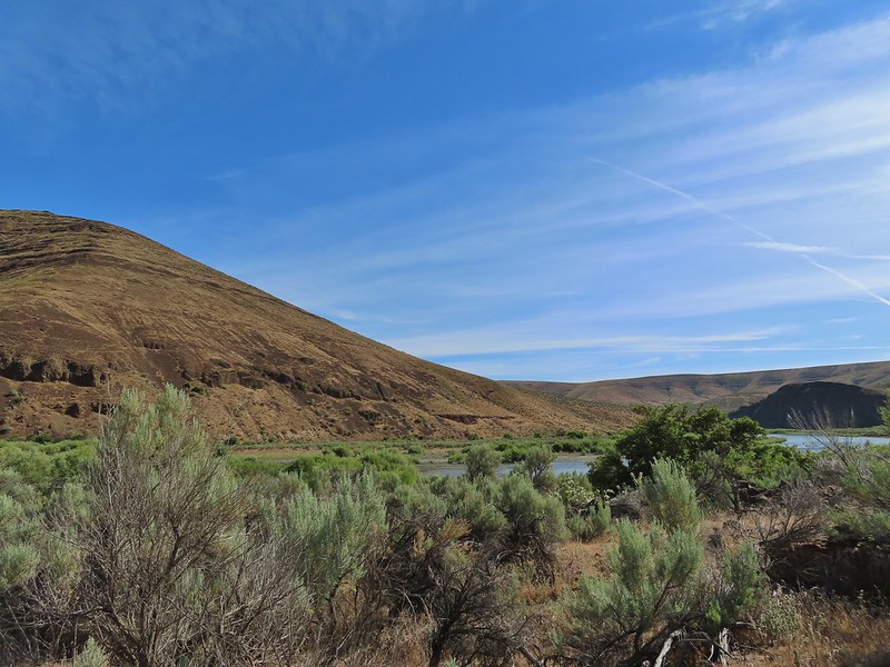
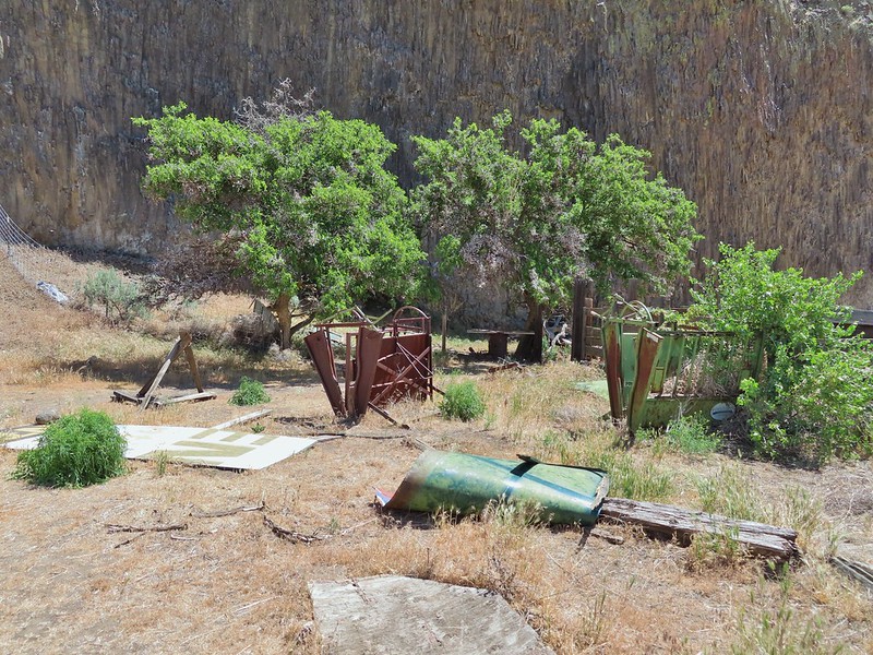
After a 14 mile three stop day on Saturday of Memorial Day weekend we had another 14ish mile day planned for Sunday but this time just a single stop at the J.S. Burres Trailhead at Cottonwood Canyon State Park.
This was our second visit to the park having previously hiked the Hard Stone and Pinnacles Trails in 2017. The John Day River acts as the boundary between Sherman and Gilliam Counties and those trails are located on the north (Sherman Co.) side of the river. The J.S. Burris State Wayside is on the south side of the river which puts it in Gilliam County. This makes it one of the only hikes that I could find in Gilliam County and Gilliam County was one of the two remaining counties in Oregon in which we had yet to hike. (The other is Umatilla which has plenty of trails, we just haven’t gotten around to them yet.)
The main attraction at the wayside is the boat ramp but it also serves as the trailhead for the Lost Corral Trail. Afternoon photo of the start of the trail.
It was already 68 degrees, according to the car anyway, when we arrived shortly before 7:30am which meant it was going to be a hot hike. We had planned for high temperatures and were each carrying extra water. The Lost Corral Trail follows an old roadbed for 4.3 miles to the start of the 0.9 mile Esau Loop Trail. There is also an option to tack on a 4.3 mile off trail loop that would take us up into the hills above the river. It was an ambitious plan given the expected temperatures but we set off determined to give it a go. Shortly after setting out, and stopping to watch a couple of rabbits, I asked Heather if she remembered if I locked the car. She didn’t and neither did I so I double timed it a quarter mile back to the trailhead to make sure it was locked then rejoined Heather up the trail.
This section was so nice I did it twice.
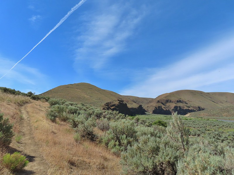
We both felt the Lost Corral Trail had better views of the John Day than the other trails had offered. Cottonwood Canyon State Park main area across the river.
There were less wildflowers despite being the same time of year but that was likely due to the drought conditions that are plaguing the West this year. One of the exceptions was mock orange which was blooming profusely along the trail.
Dalmation toadflax and yarrow.
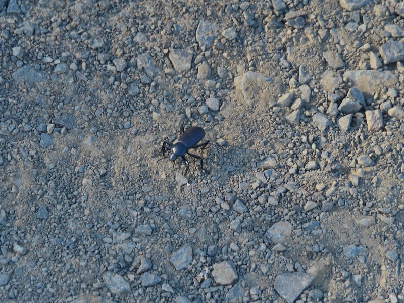
Beetle on what might be hairy golden aster
A lupine
This would be a day of missed opportunities where the wildlife was concerned and it started about a mile into the hike when a pheasant waited until we had unknowingly passed him before he flew off never to be seen again. Later as we approached the second bench along the trail (near the 3 mile mark) I spotted the brown back side and tail, of what I believe was an otter, dive into the water and disappear. On our way back a family of Chukars startled us and scattered before I could turn on the camera and finally a snake (not a rattler, possibly a yellow bellied racer) slithered through the vegetation not quite allowing for a clear picture, but I digress.
Back to the hike, just after the pheasant encounter, the trail crossed a wide sandy flat where tracks revealed the presence of a number of critters.
More mock orange along the trail.
Close up of the mock orange.
Butterfly on western clematis
This red winged blackbird cooperated for a photo op.
Salsify
Wild roses
There had been a large number of cliff swallow nests along the Pinnacles Trail but we only saw a few on this side of the river.
There might not have been a lot of swallows but there were plenty of butterflies.
We saw this viceroy on the way back to the car.
There were also a large number of birds but most could only be heard and not seen as they stuck to the thick vegetation along the river. Magpie dive bombing a hawk.
Coming up on the second bench.
The otter or whatever it was was right in this area.
We sat at the bench and rested hoping to get another glimpse of the animal but it never rematerialized. We did however spot some big fish in the water below.
After resigning ourselves to the fact that the otter was not going to make another appearance we continued on.
Cedar waxwings
The Pinnacles
Ducks
We turned left when we reached a sign for the Esau Loop Trail. Esau Loop Trail sign.
Looking back at The Pinnacles from the Esau Loop Trail.
This was a much rougher trail that passed through the sagebrush along the river before looping back over a low rise.
Unknown flower
Sagebrush mariposa lilies
Before completing the this loop we came to a signboard at a roadbed.
Our planned off trail loop began here. The roadbed that the Lost Corral Trail followed turned up Esau Canyon after passing a rocky ridge end. The Oregon Hikers Field Guide entry described “rounding the corner of the low cliff” then scrambling up to the ridge top to a fence line and following that up the ridge crest. Having turned left on the Esau Loop Trail we were approaching from the opposite direction but it gave us a clear view of the cliffs that we needed to get around in order to scramble up the ridge. The more open looking hillside to the right of the cliffs was deceptively steep so we followed the road to the left until the the terrain appeared more hospitable.
We set off from the roadbed here.
The hillside was steep so there was a lot of switch backing and pausing along the way. Have these gone to seed or blossoms?
Possibly a hawksbeard
Sagebrush mariposa lily
Found the fence line.
Cattle trails followed the fence line uphill which gave us something to follow although they tended to just go straight uphill. I took this photo at 10:35, it looks like I’m close to the top.
This one was taken ten minutes later.
Twenty more minutes later and the high point was in sight.
These two lizards beat us to the top.
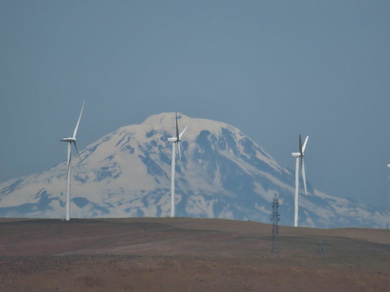
The climb gained approximately 900′ in a little over 3/4 of a mile. From the high point we could see the top of Mt. Adams beyond the John Day River Canyon.
The very top of Mt. Rainier was also visible (barely)
We followed the ridge south picking up a faint jeep track and gaining better views of Mt. Adams.
View SE
The jeep track dropped to the left of the crest and after a little over a half mile it turned sharply downhill into Esau Canyon. Descending into Esau Canyon on the jeep track.
Lower on the hillside the track began to switchback passing through a fence(we had to crawl under) before arriving at a creek bed with a little running water.
After using the steps to get over the fence we followed the road back down Esau Canyon to the Lost Corral Trail.
Second climb over the fence.
Beetles on thistle.
Yarrow and lupine
Western meadowlark
The Lost Corral Trail where it passes the cliff at the ridge end.
From there we followed the Lost Corral Trail through the Lost Corral (which we had missed earlier due to turning onto the Esau Loop Trail) and returned to the trailhead.
Cottonwood Canyon State Park in the afternoon.
My GPS read 14.3 miles but factoring my trip back to lock our car it was probably closer to 13.8 miles. On a cooler day that wouldn’t be so bad, even with the steep scramble up the ridge, but it was over 90 degrees by the time our hike was over and the heat had made it a tough hike. Carrying the extra water had been a good call as we were down to our hydro flasks by the end. Despite the challenge of the heat it had been an enjoyable hike with a good amount of wildlife sightings and no ticks or rattlesnakes were seen. Happy Trails!
Our route with the “highlighted” section showing the off-trail loop.
**In 2025 the Alder Springs Fire burned over the Alder Springs Trail and the Flat Fire burned over the Whychus Canyon Preserve.**
For Memorial Day weekend this year we headed to Bend to visit Heather’s family and of course do some hiking. Having finally reached our goal of completing all 100 featured hikes in William L. Sullivan’s “100 Hikes/Travel Guide Central Oregon Cascades” 4th edition last year (post) we kicked off this trip with a stop at a the Whychus Canyon Preserve, which was a new featured hike in his 5th edition.
The 930 acre preserve is owned and managed by the Deschutes Land Trust who have established over 7 miles of hiker only (dogs on leash) trails open to the public. The focus here is conservation so respecting the rules and Leaving No Trace is imperative (as it always should be) in order to keep the access open. We arrived at the trailhead a little after 7am on Saturday morning to find the parking area empty. Kiosk and bench at the trailhead.
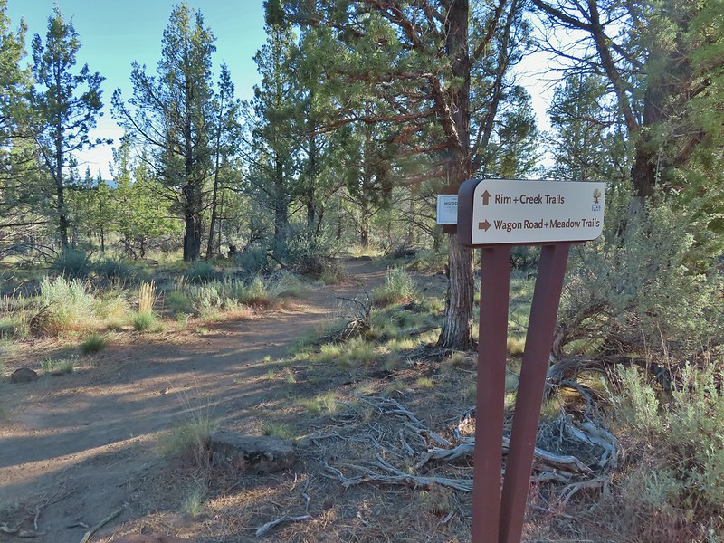
A map at the kiosk shows that there are a number of loops possible here and we decided to deviate slightly from the route described by Sullivan.
From the kiosk we followed a pointer for the Rim & Creek Trails onto a dirt path.
The trail led slightly downhill, through a red gate and after just 0.2 miles arrived a “T” shaped junction with the Rim Trail where Sullivan has you turn right. We opted for a slightly longer loop and turned left instead. Tent caterpillars (and the red gate)
As we followed the Rim Trail west along the canyon we began to get some good mountain views. Mt. Washington and Black Butte (post)
Broken Top, The Three Sisters, Black Crater (post), Little Belknap & Belknap Crater (post), and Mt. Washington.
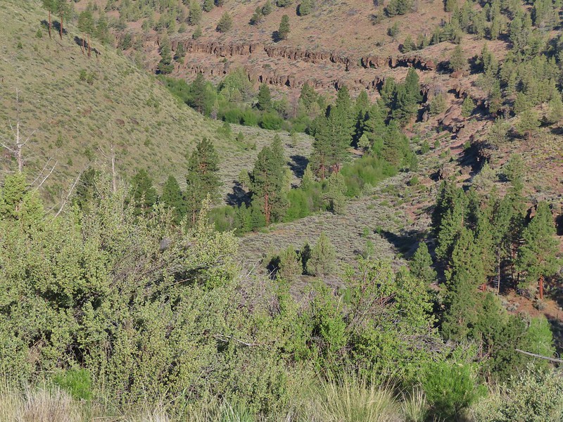
After 0.4 miles the trail made a 180 degree turn dropping further into the canyon.
Whychus Creek was hidden by trees for the most part.
While there weren’t a lot of wildflowers a number of different types were present. Balsamroot
Lupine
Paintbrush
A Penstemon
Western stoneseed
Sedum leibergii -Leiberg’s Stonecrop
Spreading stickseed
Western wallflower
In addition to the various flowers we spotted some varied wildlife as well. Magpie playing hard to get.
Spotted towhee
Black-headed grossbeak
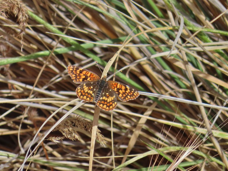
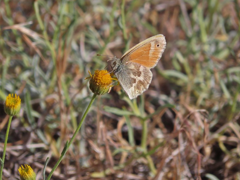
Ochre ringlet
Pair of bucks in Whychus Creek
This is a good time to mention how much I appreciate the zoom on my Canon XS740HS. While I often look at other peoples photos and wish mine were as crisp/clear the compact size and low price (compared to even low end DSLR cameras) of the little point and shoot has worked well enough. Those two bucks are a good example as we spotted them from here.
Approximately 0.6 miles from the big turn we arrived at a signed junction. Uphill led back to the trailhead (where we would have come down following Sullivan’s directions) while the Creek Trail headed downhill to the left.
We turned downhill and switchbacked downhill for 0.2 miles to Whychus Creek.
We followed along the creek on this trail for 1.5 miles, ignoring a steep trail to the right at the 0.8 mile mark. The sounds of the creek combined with the songs of birds made for a relaxing stroll through the canyon.
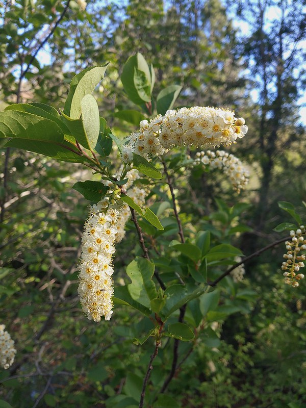
Chokecherry
Star-flower false solomonseal
Trail junction at the 0.8 mile mark.
Spider on a wallflower.
Lewis flax
Heuchera cylindrica -roundleaf allumroot
At the 1.5 mile mark the trail turned uphill away from the creek and made a turn back toward the trailhead.
The trail climbed for 0.4 miles before leveling out near a rock outcrop where a side trail to the right led to a viewpoint.
Oregon sunshine
Buckwheat and penstemon
Sign post for the viewpoint.
Heading for the rock outcrop/viewpoint.
Middle and North Sister with Whychus Creek below.
Two tenths of a mile beyond the viewpoint we passed the upper end of the cutoff trail coming up from the Creek Trail.
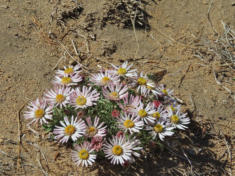
We were now on the Meadow Trail which we followed for 1.5 miles (ignoring a signed trail to the left at the 0.5 mile mark). We were still spotting different flowers and wildlife on this stretch. A monkeyflower
Sand lilies
Trail sign in the distance for spur trail to the Santiam Wagon Road.
Death camas
Sagebrush false dandelions
Pinion jay
Mountain bluebird pair
Mourning dove
unidentified little songbird.
Lizard
Second type of lizard
Showy townsendia
Just before reaching the trailhead the trail joined the Santiam Wagon Road at an interpretive sign.
This wasn’t the first time we’d been on this historic 400 mile route between the Willamette Valley and Eastern Oregon (House Rock, Iron Mountain, Fish Lake, Sand Mountain , ) but it did mark the eastern most portion we’d been on.
We turned right on the Wagon Road for a few steps and were back at the trailhead where there was now a second car. We were surprised there weren’t more considering how nice a hike it had been. We logged just a little over 5 miles on our GPS and were now ready to head to our second stop of the day at the Alder Springs Trailhead.
Whychus Canyon Track
This was another chance to visit Whychus Creek but unlike Whychus Canyon we had done the hike at Alder Springs before (post). That hike had been almost 10 years prior having taken place on 8/3/2011. Two things stand out about that first visit. Most notably we only did the Alder Springs hike because our Plan A, Benson Lake/Scott Mountain Loop, was still under too much snow (also the mosquitos were horrendous). It has been quite some time since there has been that much snow that late in the year, yes climate change is real. Secondly it was a really nice hike but August probably wasn’t the best month for it. It’s been on my list of hikes to revisit at a different (better) time of the year. The road to the trailhead is seasonally closed (typically 12/1-3/31) so April or May seemed the best time to catch wildflowers and cooler temperatures.
Another difference between Whychus Canyon and Alder Springs is the access road. While the former is almost entirely paved with a short stretch of good gravel the latter is not far removed from a 4×4 jeep track. Rocks, washouts, and dried mud holes await for most of the final 4.7 miles to the rather larger parking area which we were surprised to find nearly full at 10:15am. At first we couldn’t figure out why there were so many cars SUVs and trucks here while it was just us and one other car at the preserve then it hit us, you can camp here. That realization came from overhearing a large group saying something about having to make two trips down and “the beer”. Looking back up the dirt access road to the North Sister, Mt. Washington and Black Butte The trailhead signboard.
This time we didn’t take the side trip down the 0.4 mile Old Bridge Trail but otherwise it was the same route as we had taken nearly 10 years before. The big difference was the number of wildflowers in bloom and the number of people we encountered, mostly on the way back to the car. The scenery was stunning and the ford at the 1.5 mile mark refreshing. Buckwheat
Rough eyelashweed
Yarrow
Fiddleneck
Largeflower hawksbeard
Purple cushion fleabane
Oregon sunshine
Blue mountain prairie clover
Lewis flax
Lupine
Bearded hawksbeard
Haven’t id this one yet.
The Three Sisters, Belknap Crater and Mt. Washington with some dancing clouds.
Whychus Creek Canyon
Love the different rock formations in the canyon.
Catchfly
Balsamroot
Paintbrush
Pretty sure this side creek was dry on our previous visit.
Whychus Creek at the ford.
We’ll get into a little more of the history of Whychus Creek when we cover our Memorial Day hike but we noted that the water level seemed about the same as it had on our previous crossing and that the water was surprisingly warm given the source of the creek is the glaciers and snowfields of Broken Top and the Three Sisters. After a bit of thinking it dawned on us that higher up near Sisters water is diverted to irrigation ditches and other uses.
Alder Springs
Columbine
A clarkia, possibly Lassen
Threadleaf phacelia
Unknown
Creek dogwood and a beetle covered in pollen
Grand Colloma
Deadly nightshade
Rose with crab spider
Veatch’s blazingstar
Dragon fly
We took a break at the end of the trail along the Deschutes River before hiking back just as we had done on the previous visit.
Confluence of the Deschutes (left) and Whychus Creek (right).
Butterflies and birds were out in force on the hike back. Bald eagle
Cedar hairstreak
Turkey vulture
Mountain chickadee
The hike here came in at 6.4 miles and 650′ of elevation gain giving us a little over 11.5 miles and 1120′ of climbing so far on the day.
Track for Alder Springs
We had one more quick stop planned for the day. Our first hike had been on Deschutes Land Trust land and the second in the Crooked River National Grassland managed by the Ochoco National Forest and our final stop at the Huntington Wagon Road was on BLM land. The hike here was of particular interest to me as the trailhead is only 2 miles from where I lived from 2nd grade until leaving home for college and yet I had no idea it was there. The BLM has created a 1.2 mile long interpretive trail along a section of a route that was built to haul supplies from The Dalles to build Fort Klamath. Trailhead on McGrath Road.
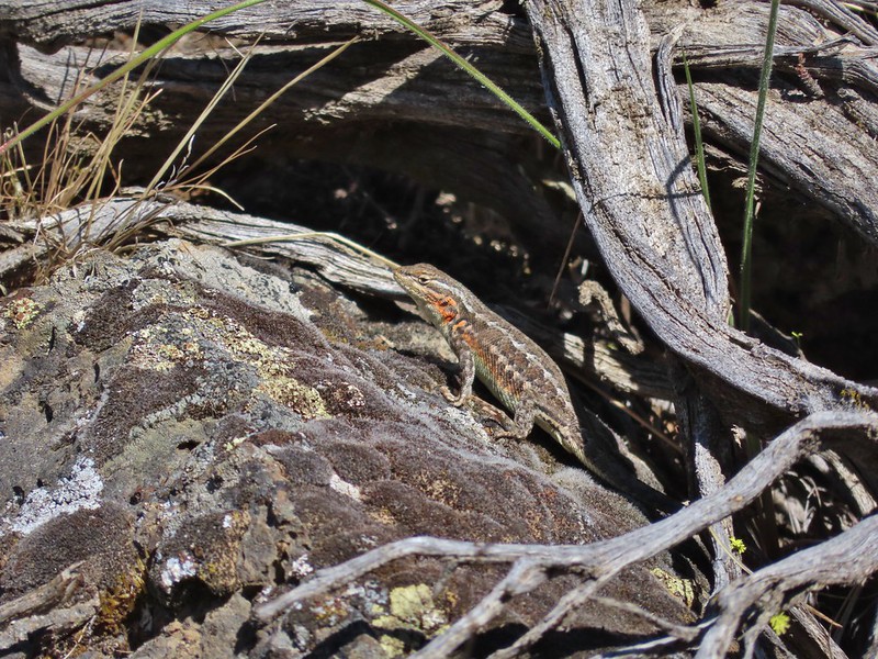
There is a lot to see along the trail as far as scenery goes. It’s mostly sagebrush and juniper with some lava formations mixed in. The history is what makes this hike interesting, and the dozens of lizards scurrying about. A 300+ year old juniper named an Oregon Heritage Tree
Sagebrush, juniper and lava – my childhood 🙂
Tree blaze
Buckwheat
Ruts along the wagon road.
Skipper on Showy townsendia.
Post marking the relic fence line and turnaround point.
An old fence post and barbed wire.
Junipers are some interesting trees, they come in all shapes and sizes.
Track for the Huntington Wagon Road
In total we hiked 14 miles with 1150′ of elevation gain. We got to see two sections of Whychus Creek and Canyon as well as parts of two historic Wagon Roads. We ended the day by enjoying some homemade lasagna at Heather’s parents place. Not a bad way to start a holiday weekend. Happy Trails!
For the first time in 2021 we were forced to change plans having to delay our hike at the Ridgefiled Wildlife Refuge until the Kiwa trail reopens. (Nesting sandhill cranes have temporarily closed access as of this writing.) Since Ridgefield was out we looked at our schedule late May 2022 and decided to move up a hike on the Surveryor’s Ridge Trail. We had previously hiked portions of the 16.4 mile long trail as part of our Bald Butte (post) and Dog River Trail (post) hikes. For this visit we planned on hiking the center section of trail to visit Shellrock Mountain and Yellowjacket Point.
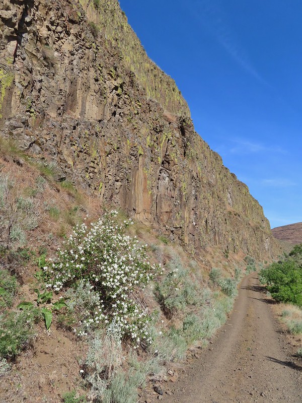
There are several possible trailheads for the Surveyor’s Ridge Trail and the Oregon Hikers Field Guide suggests starting at the Shellrock Mountain Trailhead for a 7.9 mile hike. We decided to be a bit different though and chose to park further south along the Forest Road 17 in a large gravel pullout at a spur road on the left. (Coming from FR 44/Dufur Road it is 1.4 miles after turning off of Brooks Meadow Road.) Mt. Hood partly obscured by clouds from the parking area.
There were three reasons we chose this starting point. First it meant 2.5 miles less driving on gravel roads. Second if you’re visiting both Shellrock Mountain and Yellowjacket Point from the Shellrock Mountain Trailhead you wind up going to one then back past the trailhead to the other because the trailhead is in between the two. The final reason was this way we would get to experience more of the trail (although the tradeoff is an extra 5 miles of hiking round trip).
We followed the spur road downhill just over a hundred yards to the Surveyor’s Ridge Trail crossing. The signpost is laying on the ground.
We weren’t really sure what to expect out of the trail. It is popular with mountain bikers (we saw maybe a dozen or so on the day) so it is well maintained but we weren’t sure what kind of views it might offer except for at Shellrock Mountain and Yellowjacket Point.
We were pleasantly surprised when just a third of a mile in we came to an opening with a view of Mt. Hood to the west.
The forecast for the day was mostly sunny skies in the morning with a 20% chance of showers developing after Noon. Our drive to the trailhead had been through low clouds/fog with no view of Mt. Hood to speak of so even seeing this much of the mountain was exciting plus a nice lenticular cloud was developing up top.
Over the next two and a quarter miles the trail passed through alternating forest types and several more views of Mt. Hood (and one of Mt. St. Helens). While no snow remained, much of the vegetation was in its early stages although a variety wildflowers were blooming. Manzanita
Lupine
Mt. Hood again.
Jacob’s ladder
Red-flowering currant
Trillium (can you spot the crab spider?)
Sticky currant
Western larch tree and red-flowering currant on the left.
Larks spur and blue-eyed Mary
Columbine well before blooming.
Anemone
Largeleaf sandwort
Vanilla leaf getting ready to bloom.
Arnica
False solomons seal starting to bloom.
Star-flower false solomons seal prior to blooming.
Just to the south of Shellrock Mountain there is a signed spur to the left for “Shellrock Mountain” which does not go to Shellrock Mountain but rather ends after few hundred feet in a small meadow below the mountain. Despite knowing this we ventured out to the meadow just to check it out.
First paintbrush of the day spotted in the little meadow.
The route to the 4449’summit lays .2 miles further north at the crest of the trail where a rough unsigned user trail veers uphill. User trail to the left.
The faint trail was fairly well flagged and easy enough to follow through the vegetation to the open rocky slope of Shellrock Mountain.
Once we were out in the open we simply headed uphill to the summit where a lookout once sat. The three-hundred and sixty degree view includes Mt. Adams and Mt. Rainier in addition to Mt. Hood and Mt. St. Helens.
Shellrock Badlands Basin, an eroded volcanic formation.
View east into Central Oregon.
Mt. Hood
Mill Creek Buttes with Lookout Mountain and Gunsight Butte (post) behind to the right.
Buckwheat
Bird below Shellrock Mountain.
We took a nice long break at the summit before descending back to the Surveyor’s Ridge Trail where we continued north.
A whole lot of trillium.
Fairy slippers
Approximately .4 miles from the user trail we arrived at the Shellrock Mountain Trailhead.
Sign at the trailhead.
Continuing beyond the trailhead the Surveyor’s Ridge Trail passed above the Shellrock Badlands Basin with views back to Shellrock Mountain and eventually Mt. Hood again.
parsley and popcorn flower.
Lupine
Over the course of the morning the cloud situation improved substantially, enough that when we arrived at a viewpoint 3/4 of a mile from the Shellrock Mountain Trailhead most of the sky around Mt. Hood was blue.
While Mt. Hood wore a lenticular cloud for a hat, my hat wore an inch worm.
I frequently have insects hitching rides, so often that we joke about me being an Uber for bugs.
Beyond this latest viewpoint the trail began a gradual climb to the former site of the Rim Rock Fire Lookout (approx 1.75 miles from the Shellrock Mountain Trailhead). Rock out cropping in the Rim Rock section of trail.
Tailed kittentails
Western tanager female
Western tanager male
View from a rocky viewpoint just before crossing from the east side of the ridge back to the top.
Phlox
When the trail regained the ridge crest we took a user trail to a viewpoint where Mt. Hood once again dominated the view.
Hood River Valley
Interestingly the improved visibility of Mt. Hood had been countered by a loss of visibility of the Washington Cascades. Clouds encroaching on Mt. Adams.
Mt. St. Helens
Another unmarked side trail led to the former lookout site.
The other viewpoint had a better view.
Three tenths of a mile from the lookout site we crossed an old roadbed then crossed a second in another .3 miles. The first roadbed crossing.
Violets
There was a profusion of Red-flowering currant in between the road crossings.
Trail signs at the second road crossing.
Coralroot sprouting
Four tenths of a mile beyond the second road crossing we thought we had reached Yellowjacket Point when we arrived at an open hillside where we followed a faint path out to some rocks.
Balsamroot and paintbrush
Desert parsley
Western stoneseed
Wildflowers on the hillside.
After another long break (and removing two ticks from my pant legs) we started to head back. Something just didn’t seem right though so we checked our location on the GPS and discovered that we hadn’t quite gotten to Yellowjacket Point yet. We turned around and hiked an additional 0.1 miles to a junction where we turned left. Sign at the junction.
Spur trail to Yellowjacket Point.
We arrived at Yellowjacket Point a tenth of a mile later.
No yellowjackets, just a robin.
Having finally reached Yellowjacket point we could head back. As usual we kept our eyes open for anything we missed on our first pass. Things like this gooseberry shrub.
Chipmunk
Townsend’s solitare?
The biggest story on our hike back was the deterioration of the view of Mt. Hood. NOAA had not been wrong about the chance of showers in the afternoon and we watched as the clouds moved in. By the time we had arrived back at the car it had indeed started to sprinkle ever so lightly. 12:40pm
12:50pm
1:00pm
1:30pm
2:04pm
Returning to the parking area at 2:11pm
The 12.9 mile hike came with approximately 1800′ of elevation gain. We were really impressed with the variety of scenery and the views on this hike. Despite being a multi-use trail we didn’t see that many other users; a few trail runners, a couple of hikers, and a dozen or so mountain bikers. All in all a great day in the forest. Happy Trails!
Our trip home from the southern Oregon coast was very different than our six stop drive that started our long weekend (post). We had only one stop planned at Golden and Silver Falls State Natural Area. Only 24 miles from Highway 101 in Coos Bay the park felt further removed due to the winding back country roads to the trailhead.
We started our morning off by heading for Golden Falls first. The trail led to a footbridge across Silver Creek and then forked.
We took the right hand Lower Trail first which followed Glenn Creek to the base of 254′ Golden Falls.
Rough skinned newt
Monkeyflower
Thimbleberry
Wren below Golden Falls
After exploring the area below Golden Falls we returned to the fork and turned onto the Upper Trail. This trail climbed for .4 miles to a switchback below 259′ Silver Falls.
Columbine
Ginger
Inside out flower
Iris
Anemone
Ouzel
Marshall’s saxifrage
Beyond the switchback the trail continued to climb along an long abandoned road over half a mile to cliffs at the top of Golden Falls.
Plectritis
Manroot
Stonecrop
Upper portion of Golden Falls.
Glenn Creek above Golden Falls.
The trail petered out after a short distance so we turned back. As we began our hike back down blue skies emerged overhead. Despite a cloudy morning they stayed high enough to not obstruct the view of the falls.
We returned to the trailhead where another car had joined ours and walked to the west end of the parking area to the Silver Falls Viewpoint Trail.
This .3 mile trail led to the base of Silver Falls across from the switchback. Epic battle between a rock and a tree.
Pacific waterleaf
I was treated to a single ripe salmonberry along this stretch of trail. It didn’t survive long enough for a photo but I found another that was almost ripe.
Larkspur
Ouzel (might be the same one as earlier)
We did some more exploring around the base of the falls before saying goodbye and heading back to our car.
At 4 miles this was a perfect hike to end our trip on, even with 4 more hours of driving we made it home around 1:30pm giving us plenty of time to unpack and get ready for the work week ahead. Happy Trails!
We started our day parking at the closed (stupid COVID) interpretative center at South Slough Reserve.
It looked like it would be full of good info and we’ll have to come back someday post pandemic when we can experience it. For now we settled for the trails walking behind the center and picking up the Ten Minute Loop Trail where we turned right.
After just a tenth of a mile we came to a junction with the Middle Creek Trail where we turned right detouring briefly to check out an opening where in better times talks are given by staff members.
We followed the Middle Creek Trail downhill through a coastal forest to a road crossing where the Hidden Creek Trail continued on the far side.
All the bridges had labels consisting of the first initial of the trail and then the bridge number making this the 4th bridge along the Middle Creek Trail.
Interesting seat.
That’s a fancy hat for a stump.
The Hidden Creek Trail continued downhill following the creek to Hidden Creek Marsh where a series of boardwalks passed through giant skunk cabbage patches. We stayed to the right each time the boardwalks split (they eventually rejoined along the way).
>
>
We saw a lot of rough skinned newts on the trails, but what we were really hopping for was a Pacific Giant Salamander. No luck there this time.
A few trillium still had petals.
Woodpecker
We heard a few frogs and we were looking in the skunk cabbage to see if we could spot any. We didn’t see any of the frogs but we did spot several others on the plants.
A hedgenettle
At the end of Boardwalk 2 the trail became the Tunnel Trail and headed back into the forest.
After a short climb we came to a nice big observation deck. The view was good but there wasn’t much to observe on this morning.
We ignored the Big Cedar Trail to the left when we passed it and continued on the Tunnel Trail passing a couple of more viewpoints out to the South Slough. While we had struck out at the observation deck we now could see movement which turned out to be over a half dozen raccoons crossing the mud flats in search of breakfast.
Tunnel Trail indeed.
This marked the first time we’d seen raccoons on a hike and we had a lot of fun watching them search for snacks. Shortly after passing some restrooms the trail came to a junction where we headed downhill to a shed and another junction.
We turned right by the shed passing under an awning to the Sloughside Trail
We turned right first passing several wooden decks before the trail ended along the slough.
Castilleja ambigua – Estuarine Paintbrush
After watching more raccoons from the end of this spur we returned to the shed and took the left hand fork. This spur was a bit longer (still only .1 miles) and passed along a narrow strip between flats.
>End of the line.
South Slough
It was interesting to see how this uprooted tree peeled back a layer of the ground.
We again returned to the shed staying to the right and crossing a nice bridge on the North Creek Trail.
Rhoades Marsh
Sloughside Marsh
Rhododendron
A third of a mile along the North Creek Trail we came to the signed .15 mile North Creek Spur.
We decided to check it out and followed the short trail downhill to a different view of the Sloughside Marsh.
We returned to the North Creek Trail and followed it uphill back to the Ten Minute Loop Trail where we turned right for a tenth of a mile to the Interpretive Center. Bleeding heart, fairy bells, and youth-on-age.
This was an excellent 4 mile hike with 300′ of elevation gain.
South Slough Track
From the Interpretive Center we returned to Seven Devils Road and followed it north to Charleston were we turned left onto the Cape Arago Highway to Sunset Bay State Park, a total of 6.7 miles from the center. We parked at Sunset Bay Middle (there is a North, Middle, and South but we didn’t realize that before we parked) which added a tenth of a mile each way to our hike but we had a nice view of Sunset Beach and Bay.
We walked over to Sunset Bay South and picked up the Oregon Coast Trail at a bridge over Big Creek.
The trail climbed to the top of the cliffs overlooking the Pacific as it looped around a large grass clearing that in non-pandemic times acts as a group camp.
>
Cape Arago Lighthouse (not on Cape Arago) on Chiefs Island.
Salal
The group campsite.
We followed pointers for the Oregon Coast Trail which briefly followed the shoulder of Cape Arago Highway as it passed Norton Gulch.
On the far side of the gulch the trail veered away from the highway and by staying right at junctions soon got back to the cliffs above the ocean providing some excellent views.
A long pause in our hike came when we stopped to watch some harbor seals on the rocks below us. Harbor seals in the lower right hand corner on the rocks.
Drama was unfolding in front of us as one pup repeatedly attempted to follow its mother up onto the rocks only to slide back into the water. It finally found success and then back into the water they went. Apparently it was just a practice run.
Success!
After tearing ourselves away from the seal show we continued south along the cliffs. Paintbrush
Sea thrift
Mariposa lilies
Iris
Just over two miles into the hike we came to the first noticeable remnants of the 1906 estate of timber baron Louis Simpson. Former tennis courts.
It was windy on the plateau and I couldn’t help but wonder how anyone could play tennis in the windy conditions that are often present on the coast.
View near the tennis courts.
These roots explain how some of the trees that look like they should be plunging into the ocean don’t.
Observation Building ahead on the cliff.
The rocks along the coastline here had been pounded and carved by the ocean into some interesting shapes and designs.
We walked past the Observation Building (closed due to COVID) to a viewpoint overlooking Simpson Cove.
The Oregon Coast Trail dropped down to the cove before climbing again and continuing onto Cape Arago State Park but before we headed down we wanted to check out the Shore Acres Gardens which were open (limit of 75 persons at a time).
It was a little early yet for many of the flowers, especially the rose garden, but there was still a lot to see. The most impressive specimens to us were a plant and tree from South America.
>
Prickly Rhubarb from Chile
Monkey Puzzle Tree from South America
The yet to bloom rose garden.
After winding our way through the gardens we returned to the Oregon Coast Trail and followed it down to Simpson Beach.
After climbing up from the beach we came to an unsigned junction where we turned right continuing to follow the cliff south for .9 miles to an overlook along the Cape Arago Highway of Simpson Reef.
Looking back across Simpson Cove to the Observation Building.
Simpson Reef extending into the Pacific.
There was a lot of action going on out on the reef, in particular on Shell Island where sea lions barked and eagles engaged in aerial combat. Shell Island in the middle of Simpson Reef.
Sea lions and juvenile bald eagles on Shell Island.
Harbor seals on the reef.
After watching the action for awhile we continued on our trek by crossing the Highway onto a hiking trail marked by a post.
Coltsfoot
After a half mile on this trail we arrived at the Cape Arago Pack Trail.
Left would loop us back to Shore Acres State Park while heading right would drop us into the main part of Cape Arago State Park. We turned right to check out more of the park and popped out near the South Cove of Cape Arago. Woolly bear caterpillar
Looking back up the Pack Trail.
A short trail led down to the beach in the South Cove (and possible tidepools) but we were starting to feel the effects of 3 straight days of hiking and having to climb back up from the cove just didn’t sound appealing so we opted to take a break at bench overlooking the cove in a picnic area.
Plaque near the bench commermorating Sir Frances Drake’s visit to the area in 1579.
Our stalker while we sat at the bench hoping we would leave some food behind (we didn’t).
After the break we continued to follow the parking area around Cape Arago passing Middle Cove and then arriving at the North Cove Trail.
We thought we might be hearing things, but no it was a rooster crowing.
Stellar’s jay
We decided to take this trail as it only lost a little elevation on its way to a ridgeend viewpoint with a view of a different side of Shell Island. North Cove (A trail down to that beach was closed for the season.)
From the North Cove Trail it was shorter to continue around the parking loop to reach the Pack Trail instead of backtracking so that’s what we did. The Cape Arago Pack Trail gained approximately 300′ in just under a mile to reach its high point at 530′. There had been caution signs regarding storm damage which we found near the high point where a clearcut had left trees overly exposed to winds causing several large ones to be uprooted. Luckily crews had cleared the trail beacuse the size and amount of trees down here would have been very problematic to get past.
The trail then descended to a small stream crossing before climbing again to a ridgetop. Heading down.
Going up.
On the ridge we turned left at a junction on an old roadbed which followed the ridge down to the highway passing an old WWII radar installation bunker near the highway.
The Cape Arago Pack Trail at the highway.
We recrossed the highway here into Shore Acres State Park.
Just five hundred feet after crossing the road we came to the unsigned junction where we had turned right earlier after climbing up from Simpson Beach only we both missed it. Luckily we realized our mistake less than fifty yards later and got onto the right path. At this point we had hiked 12.5 miles on the day and it was closing in on 3pm due to all our extended breaks and we were getting tired. We decided to take the straightest path back to our car instead of following the Oregon Coast Trail as we had done earlier. We followed the entrance road in Shore Acres to the fee booth where we turned left on an old roadbed that now acts as a trail.
Going this way shortened our return trip by nearly 3/4 of a mile but it meant missing the views along the cliffs where we had watched the seals earlier. When we reached the Oregon Coast Trail we turned right and followed it back to the group camp at Sunset Bay State Park. We shortened our hike even further here by cutting through the empty camp, a move that shaved another 1/2 mile off the hike. It was a good thing too because our feet were not happy with us when we finally made it back to our car.
Our route through the parks
It had been a great day though with the two hikes combining for a 14.3 mile day. Happy Trails!
Day two of our Southern Oregon Coast extended weekend had us visiting the Rogue River Trail for the first time. We were admittedly a bit apprehensive about this hike as we had hiked another river trail (the Illinois) in the area around the same time of year in 2016 and had been overrun with ticks on that outing. This turned out to be a much more pleasant outing with just a single tick needing to be flicked off Heather which she promptly flicked straight at me.
It was a beautiful morning as we set off on the trail in the forest skirting a pasture.
Madia
Blue dicks
Near the half mile mark the trail passed below the Illahe Lodge where a couple of deer had their eyes on us.
The trail passed through a fence that was booby trapped with poison oak. The poison oak trap in the afternoon.
While the relative absence of ticks was great we still aren’t accustomed to hiking with the amount of poison oak that tends to be present in the southern part of the State but we’re working on that. This hike was a good test as the majority of the first 4.5 miles of the trail passed through quite a bit of vegetation that more often than not included poison oak. We weren’t entirely sure what to make of the hikers we saw in shorts or pants that left open skin near the calves and ankles, were we being too paranoid or are they crazy? The first four miles also included a couple of climbs to bypass private land which limited the views of the river quite a bit. Bridge over Billings Creek.
Del Norte iris
Tolmie’s mariposa lily
Douglas iris with insect.
More mariposa lilies (with a poison oak background)
Thimbleberry
The Rogue River from the trail during one of the climbs.
Henderson’s stars
One of dozens of lizards we saw (or heard).
Camas
We watched a number of rafts float by and later learned that it was the last weekend to float the river without needing a permit so it was an extra busy weekend.
We had honestly been a little underwhelmed with the trail as we reached the bridge over Flea Creek at the 4.5 mile mark. We had equated the Rogue River Trail with the dramatic views we’d seen in others photos but the section of trail up to now was short on those. Footbridge over Flea Creek
Things changed in a hurry beyond Flea Creek though as the views opened up a bit before the trail arrived at Flora Del Falls less than a quarter mile later.
We took an extended break at the falls before continuing on another 1.75 miles to the Clay Hill Lodge where we decided to turn around. The scenery was now excellent, exactly what we had been hoping for but it was warmer than we were used to and we had more hiking to do over the next couple of days so as tempting as continuing on was, the lodge made for a good turnaround point.
Oregon sunshine
Elegant brodiaea
Yarrow
Bindweed
Poppies
Clay Hill Lodge
Rafts in Clay Hill Rapids
Winecup clarkia
We saw our only snake of the day on our return trip when we spotted our first ring-necked snake in the trail.
The rafts seemed to have given way to Jet Boats which we could hear coming well before we saw them.
We stopped again at Flora Del Falls where I was tormented by a swallow tail that just wouldn’t land.
One of the dozens of photos I took trying to get the swallow tail in flight.
After the break we headed back to the trailhead. We were trying to come up with markers to break up the 4.5 mile section and Heather remembered that Sullivan had said that there were 5 bridge crossings over named creeks. We ignored the “named creeks” detail and began counting bridges down from 5. There were well more than 5 bridge, closer to a dozen but only 5 crossed “named creeks”. Either way we made it back to the car (and past a few cows) finishing a very nice 12.9 mile hike just after 2:15pm.
After staying in Gold Beach the night before we were now headed north to Bandon for a couple of nights. We stopped for dinner in Port Orford at the Crazy Norwegian on a recommendation from Heather’s Dad. We shared a clam chowder and split the fish and chips. They were wonderful, a perfect ending to our day.
We found out a couple of days later that we had missed running into the folks from Boots on the Trail, one of our favorite hiking blogs. They had been hiking the entire trail one way and would be doing this section on Saturday the 15th, one day after our hike. We have wondered if that might happen sometime when we are down in that area and it almost did. Maybe next trip. Happy Trails!
Our first big trip of the year was an extended weekend visit to the southern Oregon coast area to finish the remaining featured hikes from Sullivan’s “100 Hikes Oregon Coast & Coast Range” (3rd ed.) as well as a couple from his additional hikes section. For the first day of the trip we had set an ambitious goal of stopping at five different trailheads on the way to our motel in Gold Beach and after checking in continuing almost to the California border for a sixth hike on the Oregon Redwoods Trail. We got our typical early start driving from Salem to Eugene to take Highway 126 toward the coast and our first stop at the Mapleton Hill Pioneer Trailhead .
The short loop (0.6 miles) on the Pioneer Trail here follows portions of the historic North Fork Trail and Mapleton Hill Road which were early routes connecting Florence and Eugene.
The trail was in good shape and there were a some wildflowers in bloom to go along with the numerous interpretive signs along the loop.
Thimbleberry
Salmonberry
McLeod Creek
One of the sharp turns.
Fairy bells
Columbine
Bleeding heart
Monkeyflower
Sourgrass
Star flower
Trillium
Star flower solomonseal
Twisted stalk
Wren – We heard lots of birds but didn’t see many of them.
Waterleaf
After completing the loop we drove west from the trailhead on Road 5070/North Fork Siuslaw Road to Road 5084 which we followed 5 miles to the Pawn Trailhead.
This was another short loop hike (0.8 miles) which combined with the Pioneer Trail make up featured hike #57 in the 3rd edition (they were moved to the additional hikes section in the 4th edition). This trail suffered some storm damage over the Winter and as of our hike had only been 80% cleared. It is also an interpretive trail but instead of signs there are markers which correspond to information on a brochure that can be downloaded from the Forest Service here. The name “Pawn” was derived from the last names of four families that settled in the area in the early 1900’s – the Pooles, Akerleys, Worthingtons, and Nolans.
While this trail was relatively close to the Pioneer Trail the presence of the old growth trees gave the hike a different feel.
Marker for a fire scarred Douglas fir. According to the brochure the last major fire in the area was in the 1860s.
The storm damage proved to be a bit tricky but it appeared the Forest Service had started a reroute of the trail which we were able to follow.
We had to climb over this big tree.
We lost the reroute after climbing over the big trunk and had to bushwack our way through some debris before climbing up on a second downed trunk and walking along it to the resumption of the trail. At one point Heather bumped a limb and pine needles exploded over her head like confetti giving us both a good laugh.
The loop ended shortly beyond the damage and we were soon back at the trailhead. From there we drove west on North Fork Siuslaw Road into Florence. From Florence we took Highway 101 south toward Coos Bay. We turned off a little north of North Bend at a sign for Horsefall Dune and Beach. Our next stop was yet another short loop trail, this time at Bluebill Lake. We parked at the Bluebill Trailhead and set off on the wide trail.
We went clockwise around the loop. The water level of the lake varies throughout the year but there was a good amount of water now but no flooding which can be an issue in late Winter/early Spring. Looking at the bridge at the north end of the lake.
Canada geese
Cormorants flying above the lake.
Cormorant
Ring necked ducks
Rhododendron
Boardwalk at the south end of the lake.
Sparrow
Coming up on the bridge at the north end.
Yellow rumped warbler
Finch
After completing the 1.5 mile hike here we returned to Highway 101 and continued south into Coos Bay where we detoured to our fourth stop of the day at Millicoma Marsh. This was an interesting trailhead given that it was right next to a middle school track and field. The trail on the far side of the track.
We followed the posted directions and kept to the outside of the grass as we walked around the track to the trail.
One of three panels on a signboard at the start of the trails.
Two tenths of a mile from the signboard the grassy track came to a junction. The loop continued to the left but a quarter mile spur trail to the right led to an observation bench. We hiked out to the end of the spur trail before continuing on the loop. This bench is at the junction.
Sparrow near the junction.
Heading to the observation structure.
Looking toward Coos Bay along the Coos River.
McCullough Memorial Bridge spanning Coos Bay.
Wetlands from the end of the spur.
We returned to the loop and continued counterclockwise around. There wasn’t much wildlife activity which was probably a matter of timing as it looked like an area where we might see quite a bit. In any case the hike was pleasant with nice scenery. Bitter cherry
Crow
Turkey vulture
Cormorants overhead
Canada goose with goslings
Buttercups
Pale flax
Arriving back at the field.
Up to this point we had only passed one other hiker all day (at Bluebill Lake) but this area was popular and we ran into over a half dozen other users on this 1.8 mile jaunt.
From Coos Bay we continued south on Hwy 101 for 14.6 miles before turning right onto West Beaver Hill Road at a sign for the Seven Devils Wayside, our next stop. We parked in the large lot where only one other vehicle sat and promptly headed down to the beach.
Ground squirrel enjoying the view.
Twomile Creek
Our plan here was to hike south along the beach at least as far as Fivemile Point to complete another of Sullivan’s featured hikes. We hopped across the creek using rocks and logs and set off on what is considered possibly the windiest beach along the Oregon coast (it was windy). Shore bird in the creek.
The occupant of the other vehicle had headed north so we had this stretch of beach to ourselves, and a few feathered friends.
The hillside was covered with yellow gorse, an invasive but colorful shrub.
The gorse wasn’t the only yellow flowers present though. Brass buttons (another non-native)
We were looking for a side trail up to a viewpoint bench that Sullivan showed as .7 miles from the trailhead just beyond a brown outcrop. The brown outcrop a little way ahead with Fivemile Point further on.
We couldn’t pick out any trail just several stream beds and seeps so we kept going coming next to a rock spire a short distance from Fivemile Point.
We passed the spire and continued to Fivemile Point where the ocean was coming up to the rocks effectively creating our turn around point. Whiskey Run Beach lay on the other side of the rocks with another parking area 0.8 further south.
A cormorant off Fivemile Point
We turned back and headed north past the spire.
We were now walking into the stiff wind but from this direction Heather was able to spot some stairs in the vegetation marking the side trail to the bench.
We followed a good trail .2 miles to said bench.
View from the bench.
After a short break at the viewpoint we descended to the beach and returned to our car.
We returned to Highway 101 and drove south into Gold Beach where we checked into our motel and dropped our stuff off before hitting the road again. Our final stop of the day had us driving south of Brookings to the Oregon Redwoods Trailhead.
A 1.2 mile barrier free lollipop loop trail starts at the trailhead.
We were once again the only people on this trail which was especially nice given the setting amid the giant trees. Although the trees here aren’t as big as those found in California we were once again awestruck by them. We stayed right where the barrier free loop started which brought us to a hollowed out trunk with room for several people.
Coming up on the hollow trunk straight ahead.
Approximately a half mile into the loop portion of the trail the Oregon Redwoods Trail split off allowing for a longer (2.5 miles total) hike.
We set off on the Pioneer Trail at 7:19am and stepped off the Oregon Redwood Trail at 5:51pm. We logged 9.8 miles of hiking but nearly 147 miles (as the crow flies) separated the Oregon Redwoods Trailhead from the Pawn Trailhead (and another 70 miles home) making for a long but great day. We had gotten to see a great variety of scenery all in one day. To top it off we could now check three more featured hikes off our yet-to-do list. The only thing that could have made the day better would have been an actual knob on the cold water handle in the motel shower. Happy Trails!
For the third hike in a row we found ourselves headed to Washington. Our destination this time was Beacon Rock State Park for a hike to Hardy Ridge. We’d been to the park twice before with Hamilton Mountain being our goal each time (on our second visit we also hiked up Beacon Rock (post)). For each of our hikes to Hamilton Mountain we had started at the Hamilton Mountain Trailhead but for today’s hike we parked at the Equestrian Trailhead.
There is a gated road and a trail that begin at the far end of the parking area which meet after a few hundred feet. Equestrian Trail at the trailhead.
On the old roadbed/Equestrian Trail.
We followed the Equestrian Trail uphill through the forest and past a number of wildflowers for 1.2 miles to a 4-way junction. Vanilla leaf
Fairy bells
Violets
Star-flowered false solomon seal
Youth-on-age
Possibly a cinquefoil
Thimbleberry
Fringecup
At the 4-way jct the Equestrian Trial continued straight with the West Hardy Trail to the left and Lower Loop Trail to the right.
We turned left on the West Hardy Trail which followed an overgrown road bed along the west flank of Hardy Ridge. A brief appearance of blue sky gave us a moment of hope that the mostly cloudy forecast might have been wrong but the blue was quickly replaced with gray clouds.
Salmonberry
False solomon seal
Bleeding heart
Here come the clouds.
After 1.3 miles on the West Hardy Trail we turned right onto the Hardy Ridge Trail.
This hiker only trail climbed approximately 800′ in 0.8 miles to a junction at a saddle on Hardy Ridge.
At the junction we turned left onto a well worn trail (not shown on maps) that led north along Hardy Ridge. This trail followed the spine of the ridge 0.8 miles to the ridge’s highest point at an elevation a little under 3000′. On a clear day Mt. Hood and the tops of Mt. Adams and Mt. Rainier would have been visible from the high point, but on this day the sights were limited to the various flowers blooming along the ridge. As we approached the high point we were greeted with a few snowflakes.
Glacier lily
Trilliums
Glacier lilies along the trail.
Another hiker caught up to us at this rock field not far from the high point. It looked like the trail was going across the rocks for a bit and she decided to turn around but after just a few feet the trail resumed behind a bush.
Phlox
Paintbrush and glacier lilies.
The high point.
Glacier lilies at the high point.
We didn’t stay long at the top, while we were fortunate to not be dealing with any of the winds the Columbia Gorge is known for it was chilly (as evidenced by the snowflakes) so we headed back down. Along the way we met a spotted towhee that wasn’t the least bit bothered by the weather.
As we made our way down the clouds began to lift a bit and by the time we were approaching the junction we were under them which gave us a nice view of Hamilton Mountain.
Hamilton Mountain (high point to the right) and the Columbia River.
Bonneville Dam and the Hamilton Mountain Trail crossing The Saddle.
Upper McCord Creek Falls (post-partially closed due to fire damage as of writing)
The only snowy peak we could see though was Larch Mountain (post) to the SW.
When we reached the junction we turned left onto the East Hardy Trail and began a mile long descent to another junction.
Squirrel
Snail
At this 3-way junction we faced a choice. Most descriptions of the Hardy Ridge Loop (including Sullivan’s) would have sent us straight on the East Hardy Trail for 0.8 miles to the Equestrian Trail then right on that trail 1.7 miles back to the trailhead for an 8.5 mile hike. We opted to extend our hike by turning left instead on the Bridge Trail.
Bleeding heart along a little stream.
False lily-of-the-valley getting ready to bloom.
Possibly a Dictyoptera aurora (Golden net-winged beetle)
A little over three quarters of a mile we arrived at the trail’s namesake bridge over Hardy Creek.
After crossing the creek the trail climbed for a tenth of a mile to the Upper Hardy Trail (another old roadbed).
Here again we could have shortened our hike by turning right following a pointer for the Equestrian Trail but we wanted to revisit The Saddle north of Hamilton Mountain. We turned left on the Upper Hardy Trail climbing approximately 300′ in 0.6 miles to yet another junction.
Hardy Ridge from the Upper Hardy Trail.
We once again faced a choice at this junction. The left fork would have been slightly longer by leading us around the back side of a knoll and making a 180 degree turn following the east side of the ridge toward The Saddle.
We turned right opting for the slightly shorter route to The Saddle.
Coltsfoot
Just under three quarters of a mile after turning right we were rejoined by the the left hand fork of the Upper Hardy Trail. Southern junction of the two forks of the Upper Hardy Trail.
The Upper Hardy Trail then descended for .2 miles to The Saddle and a junction with the Hamilton Mountain Trail.
Hikers coming down from Hamilton Mountain.
For the first time on this hike were at a familiar spot. We turned right onto the Equestrian Trail following it for 150 yards to a sign for Dons Cutoff Trail.
On both of our previous visits we had stayed on the Equestrian Trail following it downhill for a mile to a 3-way junction at Hardy Creek. This time we took Dons Cutoff which would bring us to the same junction in just a tenth of a mile more. Dons Cutoff headed steeply downhill arriving at the Upper Hardy Trail after half a mile.
Dons Cutoff Trail nearing the Upper Hardy Trail.
We turned left on the old roadbed following the Upper Hardy Trail for .4 miles to a junction with the Equestrian Trail and then arrived at Hardy Creek after another tenth of a mile. Upper Hardy Trail
Equestrian Trail
Hardy Creek
We crossed Hardy Creek on the Equestrian Trail following it for a half mile to the 4-way junction.
Had we opted for the described hike we would have arrived at this junction on the East Hardy Trail. We faced another choice here, keep on the Equestrian Trail for 1.7 miles or turn left onto the Lower Loop Trail and add approximately 0.4 miles to the hike. You guessed it we turned left and took the Lower Loop Trail which popped us out onto the Equestrian Trail at the 4-way junction where we had turned up the West Hardy Trail that morning.
We turned left and followed the Equestrian Trail downhill for the final 1.2 miles of what turned out to be 13 mile hike that gained approximately 2700′ of elevation. Slugs were out in force along the final stretch including a number of small black specimens.
Spotted this guy while I was photographing the slug above. Not sure if it’s a crane fly or ?
There are some hikes where missing out on the mountain views is a real bummer but this wasn’t one of those for us. It was just a great day in the forest with flowers, creeks, critters, and a good deal of solitude despite the park being popular. The number of trails and options provided in the park allow for people to spread out a bit with Hamilton Mountain being the busiest area which we pretty much avoided (other than The Saddle) on this day. Happy Trails!
UPDATE: AS OF MARCH 2022 ACCESS TO GRAYBACK MOUNTAIN HAS BEEN CLOSED BY THE PRIVATE LANDOWNERS. PLEASE RESPECT THEIR DESCION.
We kicked off our official 2021 hiking season with a bit of an obscure hike from Matt Reeder’s “Off the Beaten Trail” (2nd edition) guidebook. The hike to the summit of Grayback Mountain is a gated dirt road walk through mostly private lands to a view of Mt. Adams, Mt. Rainier and Goat Rocks. Because the road to the summit passes through private land it is important to respect the landowners rights, Leave No Trace and be aware that access could be closed at anytime. The hike starts on Washington Department of Natural Resources Land (A Discover Pass is required to park) at a parking area at a gate.
To reach the trailhead we took Washington Highway 142 north from Lyle, WA 23.3 miles to a junction with the Glenwood-Goldendale Road where we turned left for an additional 5.6 miles to an unmarked junction with Grayback Road on the right. (The road crests just beyond this junction and begins to descend into the Klickitat River Canyon.) We followed Grayback Road for 0.6 miles to the parking area at the end of a meadow. Looking back toward the meadow.
After checking out the various wildflowers around the trailhead we set off past the gate on Grayback Road. Western white groundsel
Showy phlox
Larkspur
Mahala Mat (Prostrate ceanothus)
We then just followed this road for 5.6 miles to a radio tower atop Grayback Mountain. There were several junctions with other roads along the way but by keeping more or less straight and uphill it was easy enough to follow the correct road.
Ranging in elevation from just over 2000′ to approximately 3700′ the scenery varied from oak and ponderosa pines interspersed with meadows to mixed conifers and then to open hillsides filled with wildflowers (mostly parsleys). The views were spectacular and we were fortunate to not only have relatively clear skies but little wind making our time at the summit quite pleasant. We saw no other people during the hike and I don’t think a minute went by that we didn’t hear at least one bird signing. Butterflies came out later in the morning and I spent much of the return hike trying to catch them at rest for pictures. Showy phlox among the oaks.
Serviceberry
Sparrow
Oregon grape
Strawberry
Arnica
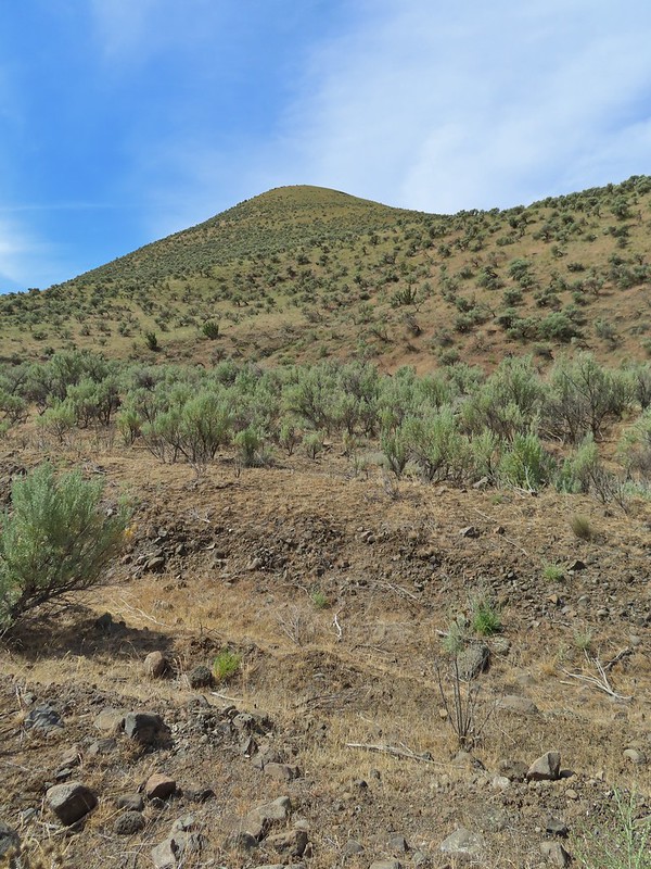
Grayback Mountain from Grayback Road. The first 2.5 miles of the hike only gained 400′ while the next 3.1 gained 1400′.
The real climb started at about the 4 mile mark at a junction below Grayback Mountain.
Sagebrush false dandelion
Climbing up Grayback Mountain
Red breasted nuthatch
First view of Mt. Hood since the trailhead.
Mt. Hood
Buckwheat
Mt. Hood beyond the Klickitat River Canyon
Turkey vulture
Entering the meadows on Grayback Mountain.
Approaching the first view of Mt. Adams.
Mt. Adams
Mt. Adams, Mt. Rainier and Goat Rocks
Mt. Rainier and Goat Rocks
In the meadows.
A balsamroot surrounded by parsley.
Indra swallowtail
Western meadowlark in a patch of Columbia desert parsley.
Radio equipment atop Grayback Mountain with Mt. Adams beyond.
Mt. Hood (we could just barely make out the top of Mt. Jefferson too.) from the summit.
The Klickitat River
Mt. Adams, Mt. Rainier and Goat Rocks
Mt. Adams
Mt. Rainier and Goat Rocks (the Klickitat River originates from Goat Rocks.)
Daggerpod
Obligatory survey marker photo.
Looking east across the summit to the long ridge of Indian Rock. The boundary of the Yakima Indian Reservation is just on the north side of the summit.
A few gold stars still had petals.
A hairstreak but I’m not sure which type.
At least 4 ants on a large head clover.
Looking back south down Grayback Mountain.
There was a lot of white-stemmed frasera in the area but this was the closest one to blooming (and it’s a ways off).
Maybe a brown elfin. I couldn’t get a clear picture of this one.
Erynnis propertius – Propertius Duskywing (aka Western Oak Dustywing). There were lots of these duskywings flying about, it turns out that oaks are their host plants.
Another Erynnis propertius
Juba skippers caught in the act.
Anise swallowtail coming in for a landing on showy phlox.
Alligator lizard on a log.
Western fence lizard
I believe these to be Mylitta crescents.
After our relatively crowded previous outing at Columbia Hills State Park (post) the hike to Grayback Mountain was a welcome dose of solitude. While the flower display wasn’t as plentiful here it was still nice and there appeared to be plenty more to come. The view from the summit was worth the visit on its own and the near constant bird song made for a perfect soundtrack for the day. Happy Trails!


 North Sister in the distance.
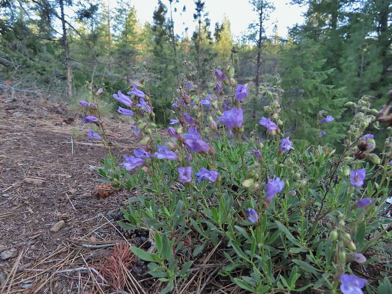 Penstemon
 Chocolate lily
 Sand lily
 Paintbrush
 Balsamroot
 A Penstemon
 Squirrel!
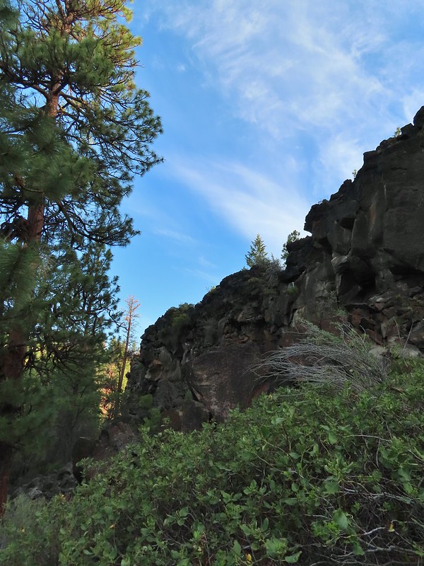

 The penstemon really liked the cliff area.


 Mt. Hood sighting.
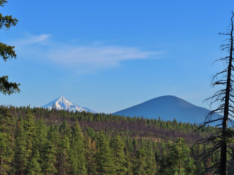 Mt. Jefferson and Black Butte
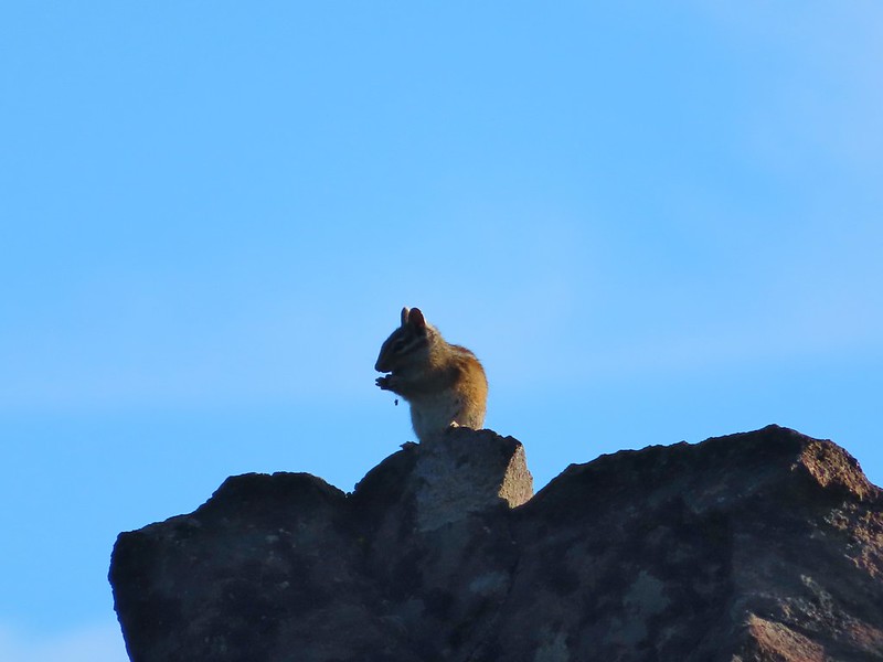 Chipmunk
 White breasted nuthatch
 Golden mantled ground squirrel
 Broken Top and the Three Sisters (bonus points for spotting the golden mantled ground squirrel)
 Lewis flax at the overlook.
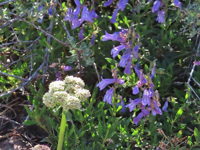 Buckwheat and penstemon
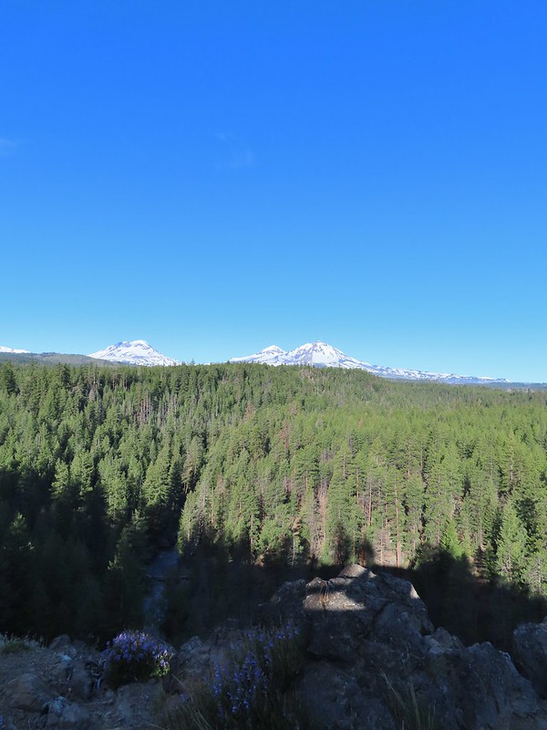 Whychus Creek below with the Three Sisters on the horizon.
 Tam McArthur Rim (post) and Broken Top
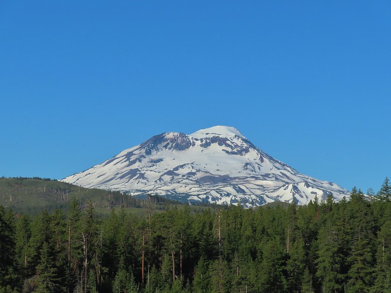 South Sister
 Middle and North Sister
 Mt. Washington
 Three Fingered Jack
 Mt. Jefferson
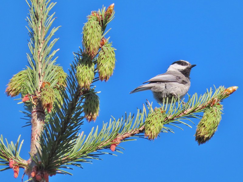 Chickadee

 Interpretive sign along the trail.
 Mt. Washington, Three Fingered Jack, Mt. Jefferson, and Black Butte

 Afternoon photo of the start of the trail.
 This section was so nice I did it twice.
 Cottonwood Canyon State Park main area across the river.
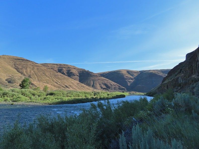
 One of the exceptions was mock orange which was blooming profusely along the trail.
 Dalmation toadflax and yarrow.
 Beetle on what might be hairy golden aster
 A lupine


 More mock orange along the trail.
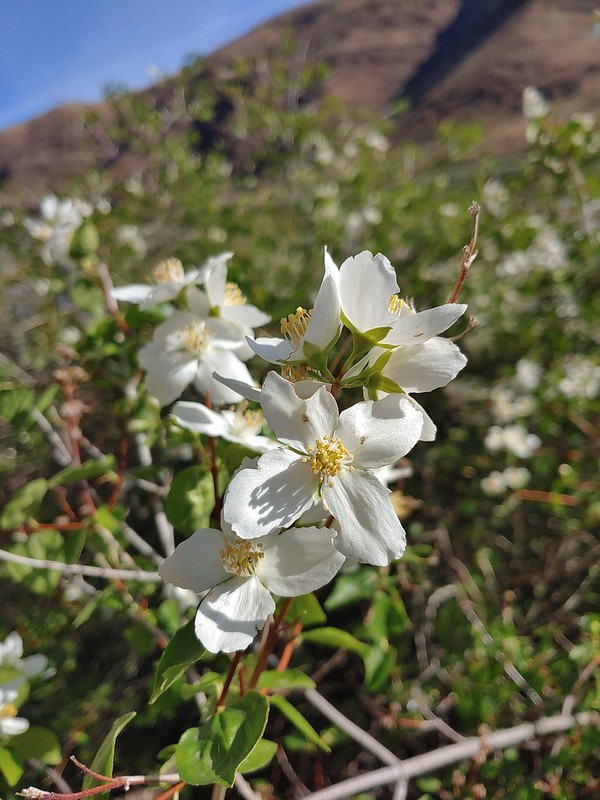 Close up of the mock orange.
 Butterfly on western clematis
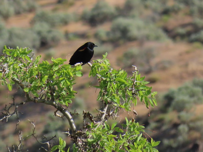 This red winged blackbird cooperated for a photo op.
 Salsify
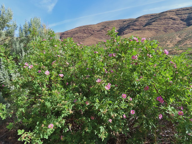 Wild roses


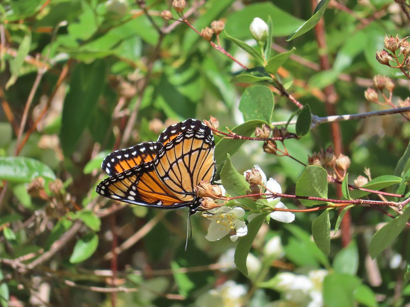 We saw this viceroy on the way back to the car.
 Magpie dive bombing a hawk.
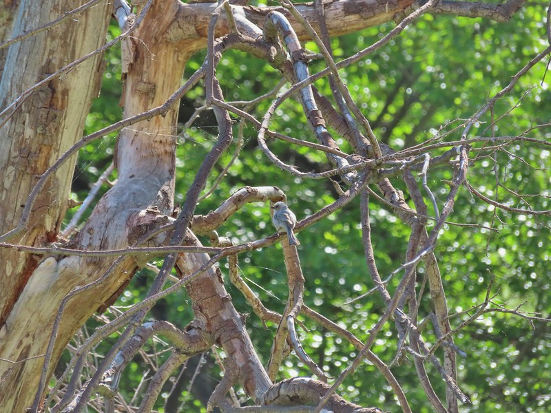
 Coming up on the second bench.
 The otter or whatever it was was right in this area.
 Cedar waxwings
 The Pinnacles
 Ducks
Ducks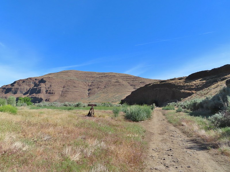 Esau Loop Trail sign.
 Looking back at The Pinnacles from the Esau Loop Trail.
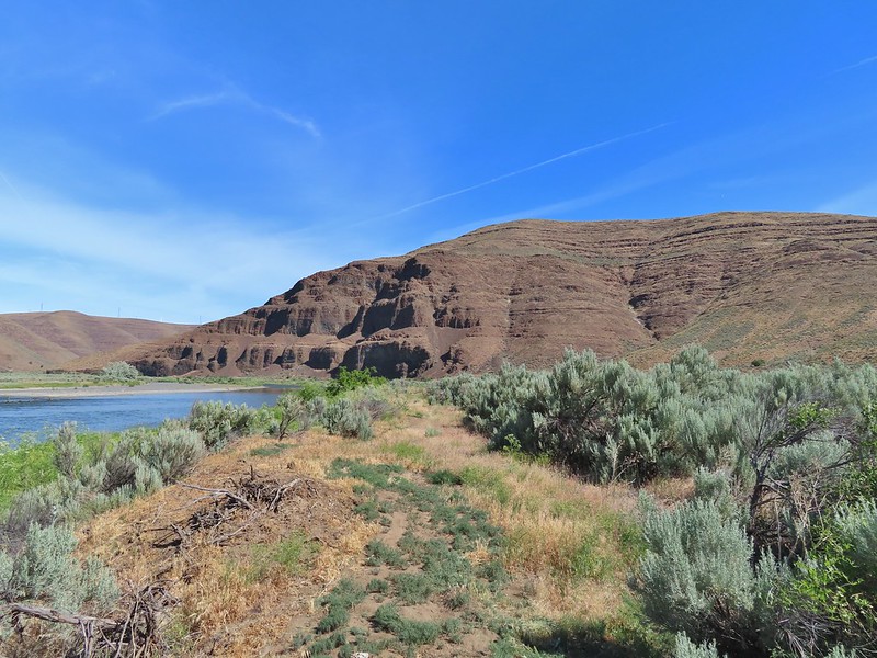
 Unknown flower
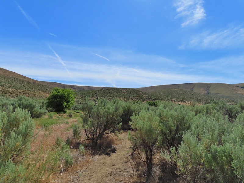
 Sagebrush mariposa lilies
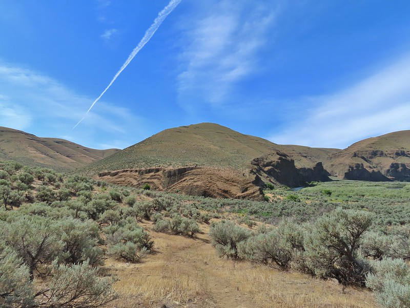

 The more open looking hillside to the right of the cliffs was deceptively steep so we followed the road to the left until the the terrain appeared more hospitable.
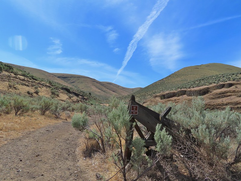
 We set off from the roadbed here.
 Have these gone to seed or blossoms?
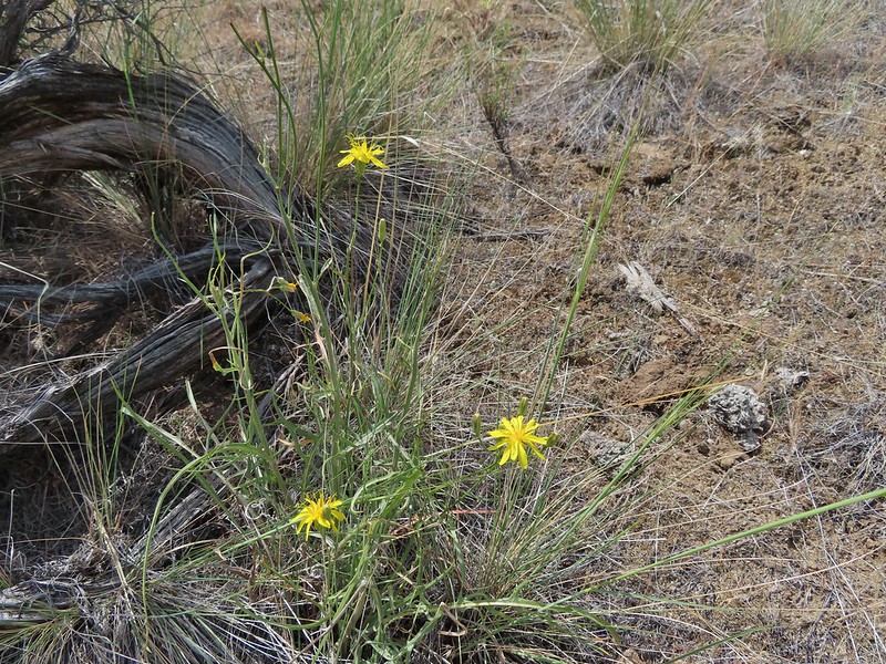 Possibly a hawksbeard
 Sagebrush mariposa lily

 Found the fence line.
 I took this photo at 10:35, it looks like I’m close to the top.
 These two lizards beat us to the top.

 The very top of Mt. Rainier was also visible (barely)
 View SE
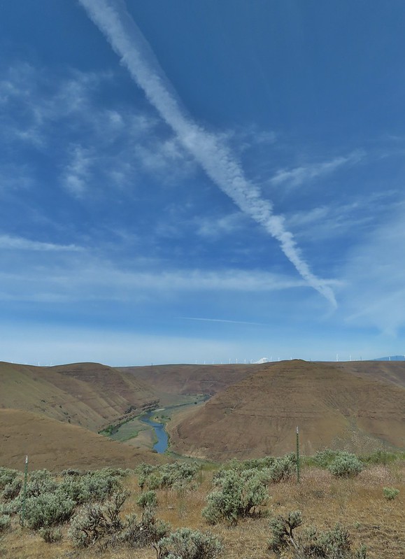
 Descending into Esau Canyon on the jeep track.


 Second climb over the fence.
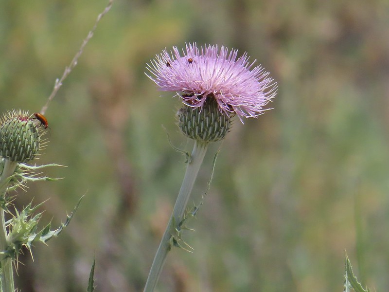 Beetles on thistle.
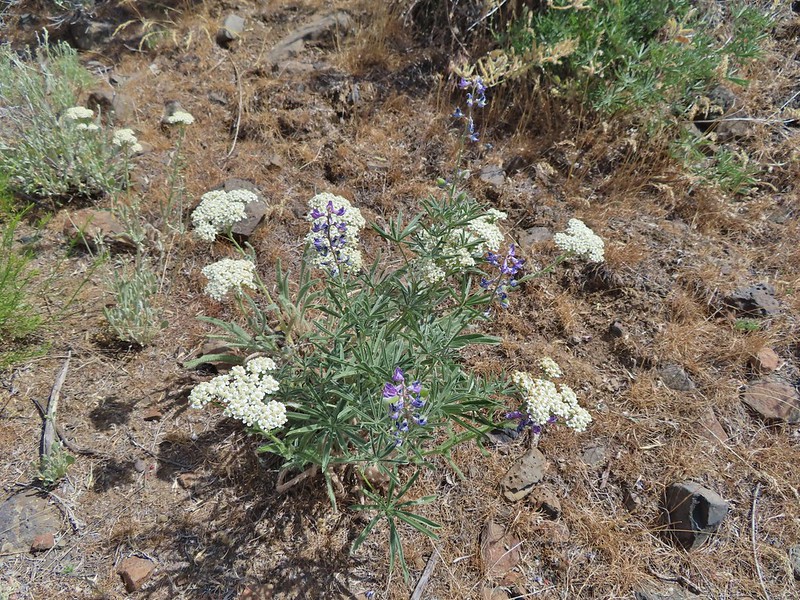 Yarrow and lupine
 Western meadowlark
 The Lost Corral Trail where it passes the cliff at the ridge end.
 Cottonwood Canyon State Park in the afternoon.
 Kiosk and bench at the trailhead.
 Tent caterpillars (and the red gate)
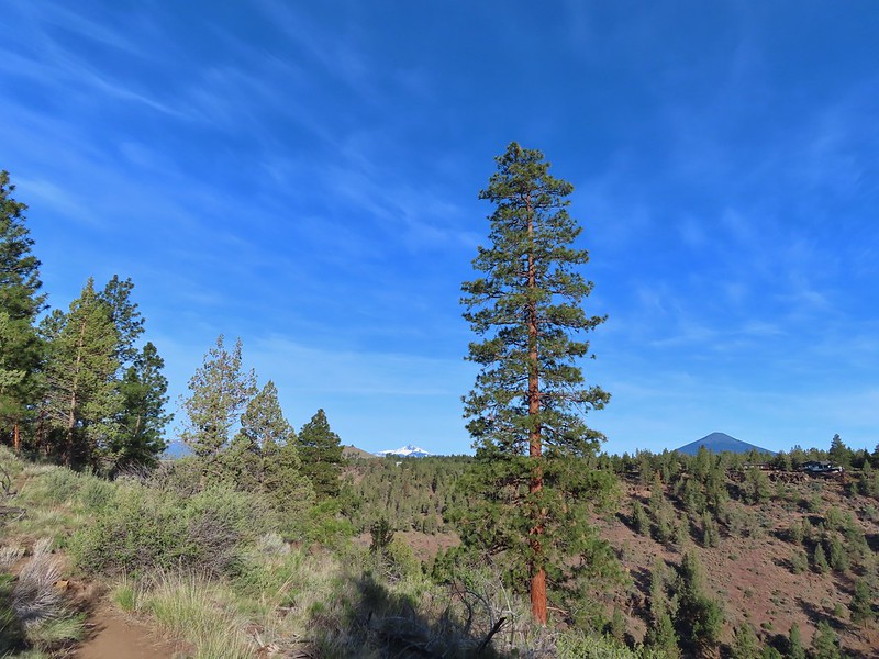 Mt. Washington and Black Butte (
 Broken Top, The Three Sisters, Black Crater (
 Whychus Creek was hidden by trees for the most part.
 Balsamroot
 Lupine
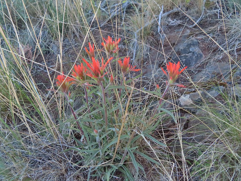 Paintbrush
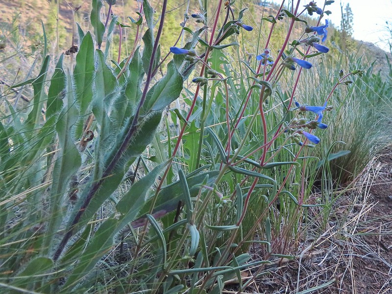 A Penstemon
 Western stoneseed
 Sedum leibergii -Leiberg’s Stonecrop
 Spreading stickseed
 Western wallflower
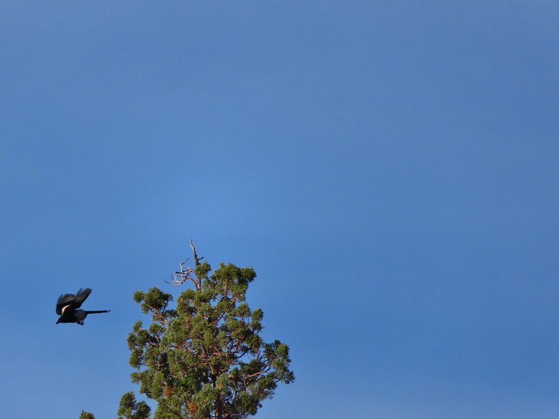 Magpie playing hard to get.
 Spotted towhee
 Black-headed grossbeak
 Ochre ringlet
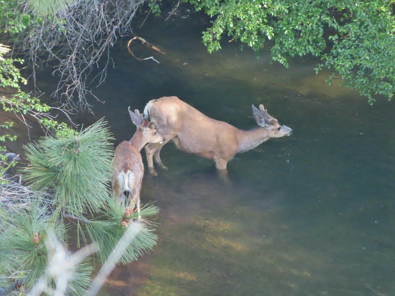 Pair of bucks in Whychus Creek
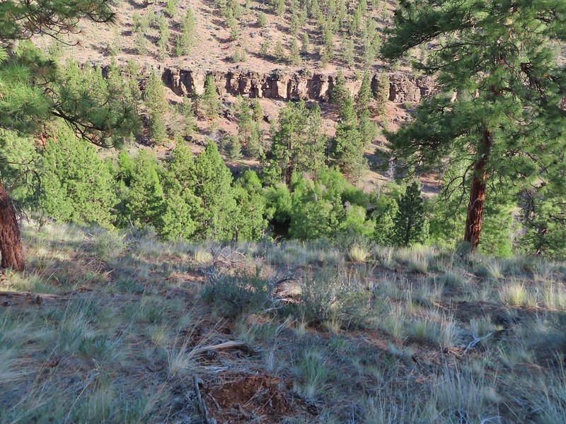


 Chokecherry
 Star-flower false solomonseal
 Trail junction at the 0.8 mile mark.
 Spider on a wallflower.
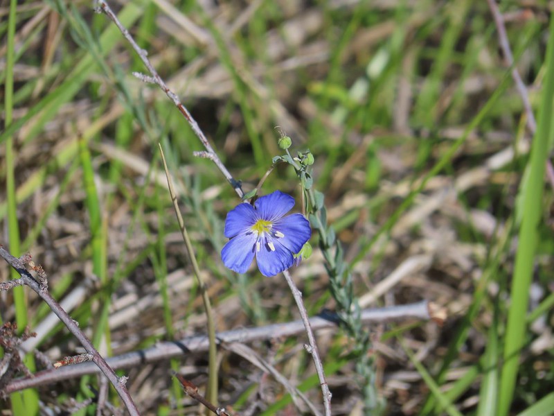 Lewis flax
 Heuchera cylindrica -roundleaf allumroot

 Oregon sunshine
 Buckwheat and penstemon
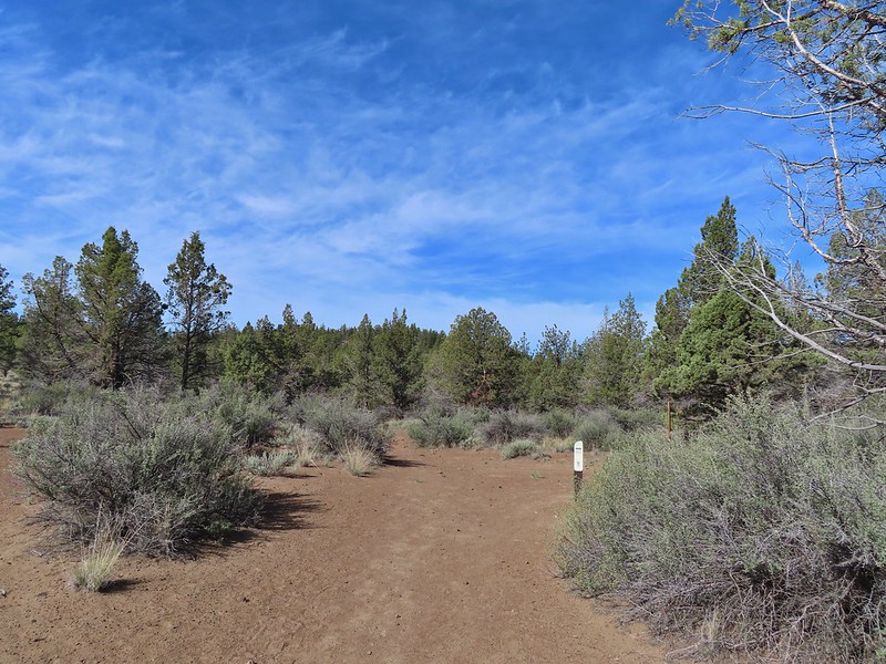 Sign post for the viewpoint.
 Heading for the rock outcrop/viewpoint.
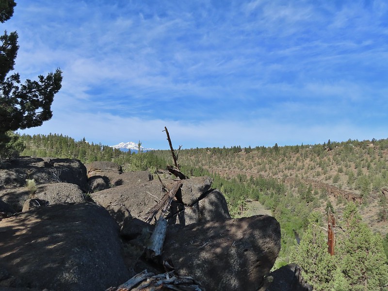 Middle and North Sister with Whychus Creek below.
 A monkeyflower
 Sand lilies
 Trail sign in the distance for spur trail to the Santiam Wagon Road.
 Death camas
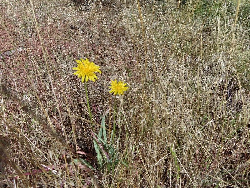 Sagebrush false dandelions
 Pinion jay
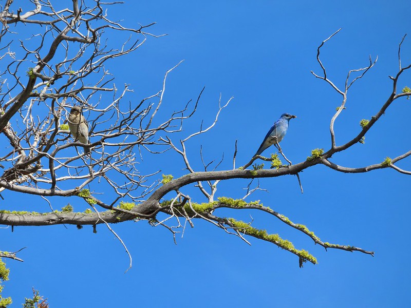 Mountain bluebird pair
 Mourning dove
 unidentified little songbird.
 Lizard
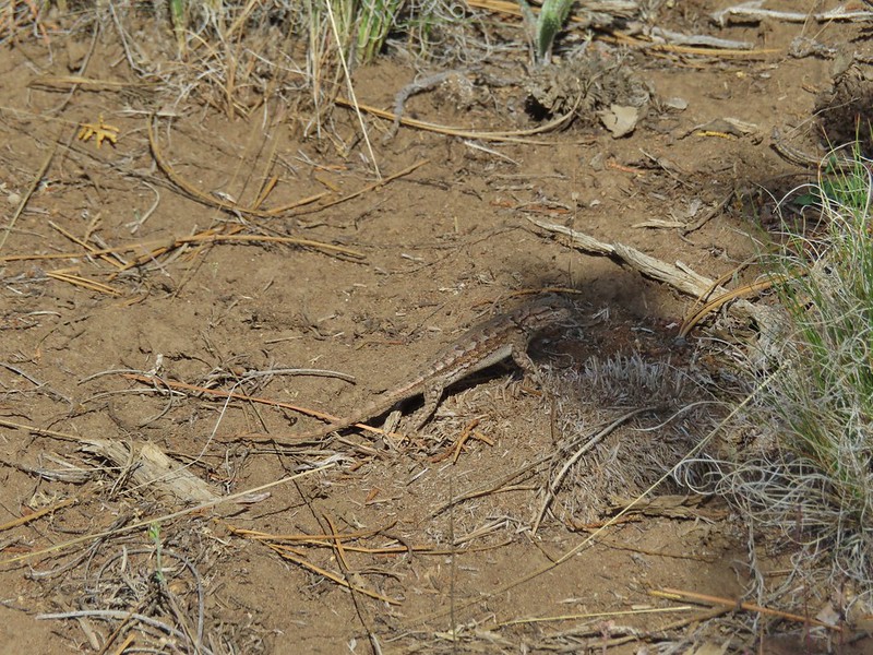 Second type of lizard
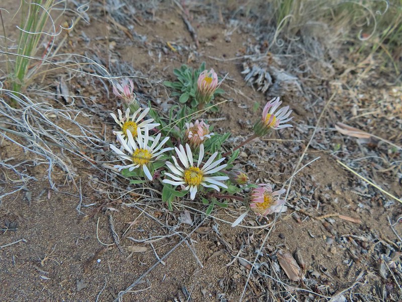 Showy townsendia

 Looking back up the dirt access road to the North Sister, Mt. Washington and Black Butte
 The trailhead signboard.
 Buckwheat
 Rough eyelashweed
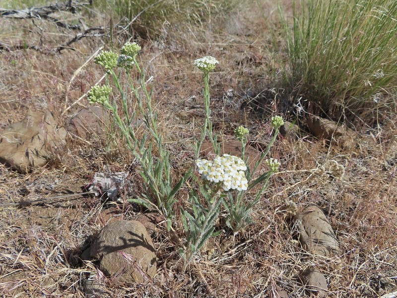 Yarrow
 Fiddleneck
 Largeflower hawksbeard
 Purple cushion fleabane
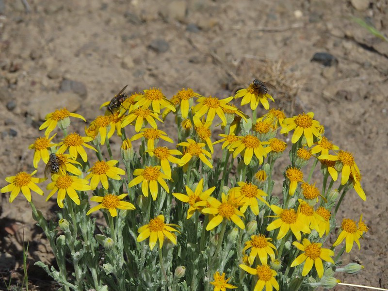 Oregon sunshine
 Blue mountain prairie clover
 Lewis flax
 Lupine
 Bearded hawksbeard
 Haven’t id this one yet.
 The Three Sisters, Belknap Crater and Mt. Washington with some dancing clouds.
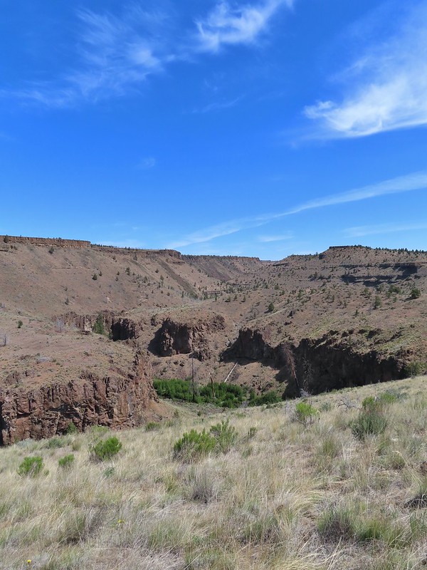 Whychus Creek Canyon
 Love the different rock formations in the canyon.
 Catchfly
 Balsamroot
 Paintbrush
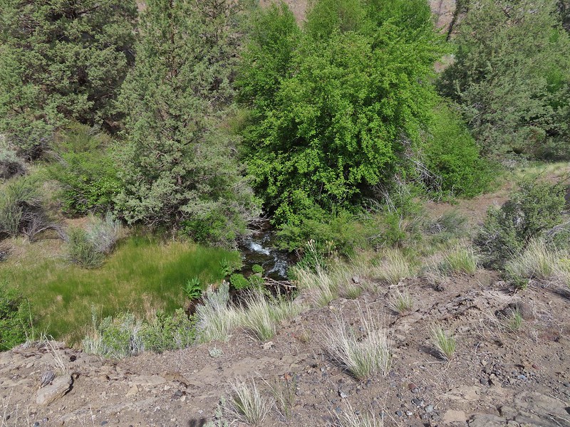 Pretty sure this side creek was dry on our previous visit.
 Whychus Creek at the ford.
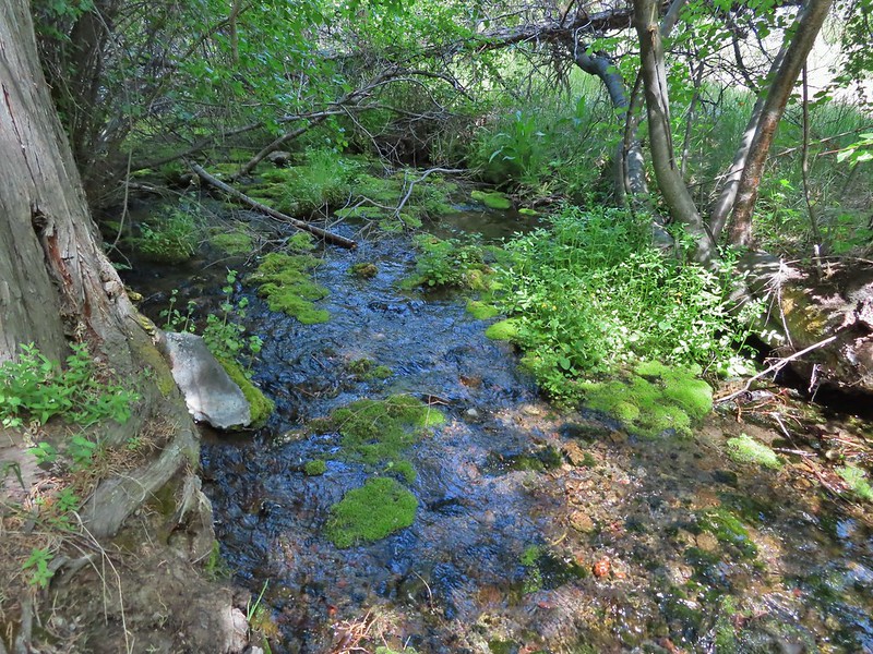 Alder Springs
 Columbine
 A clarkia, possibly Lassen
 Threadleaf phacelia
 Unknown

 Creek dogwood and a beetle covered in pollen
 Grand Colloma
 Deadly nightshade
 Rose with crab spider


 Dragon fly
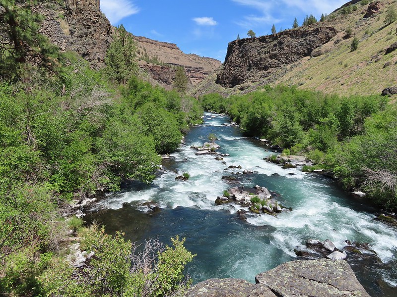
 Confluence of the Deschutes (left) and Whychus Creek (right).
 Bald eagle

 Cedar hairstreak
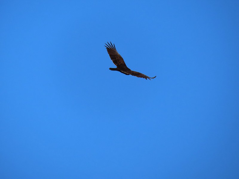 Turkey vulture
 Mountain chickadee
 Trailhead on McGrath Road.
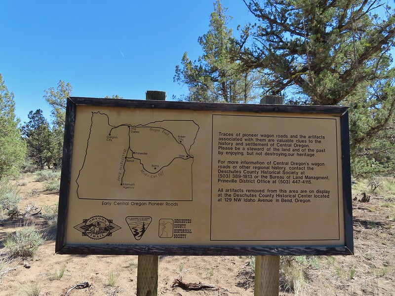
 A 300+ year old juniper named an Oregon Heritage Tree
 Sagebrush, juniper and lava – my childhood 🙂
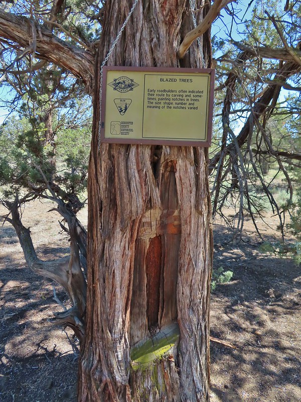 Tree blaze
 Buckwheat
 Ruts along the wagon road.
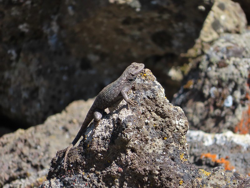
 Skipper on Showy townsendia.
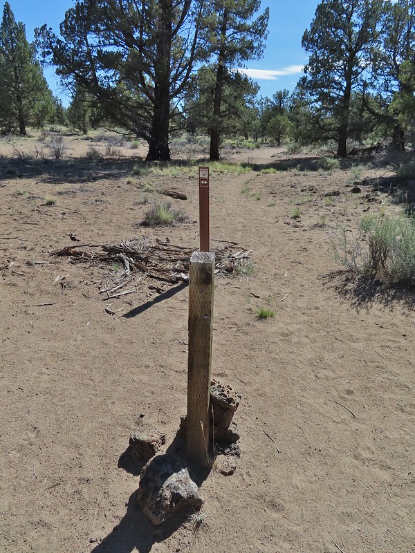 Post marking the relic fence line and turnaround point.
 An old fence post and barbed wire.
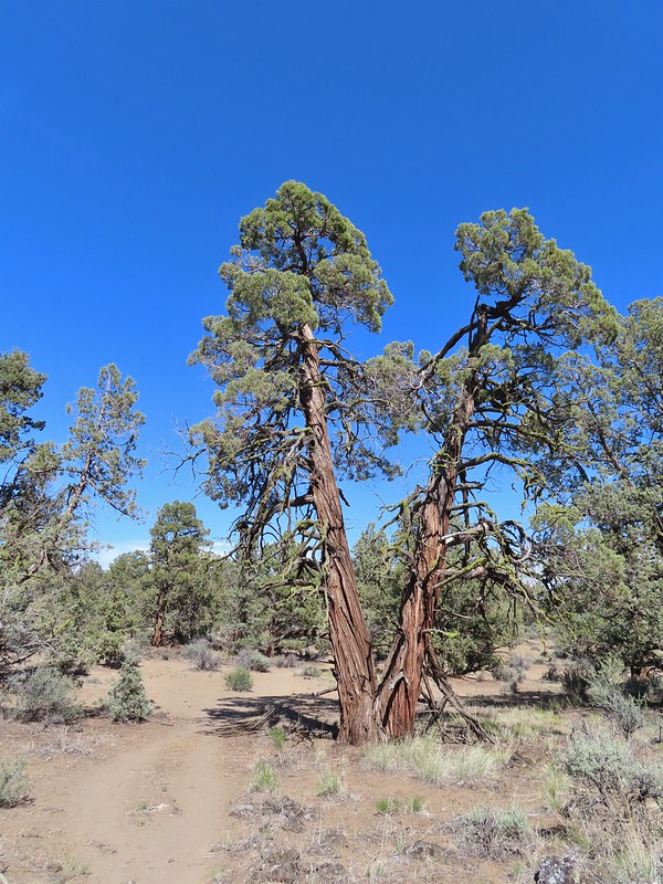 Junipers are some interesting trees, they come in all shapes and sizes.

 Mt. Hood partly obscured by clouds from the parking area.

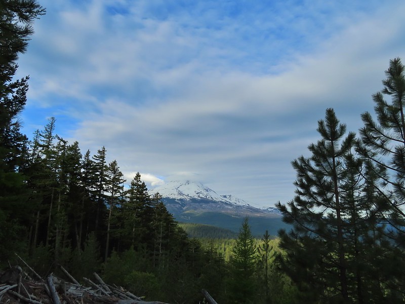
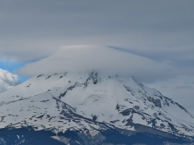
 Manzanita
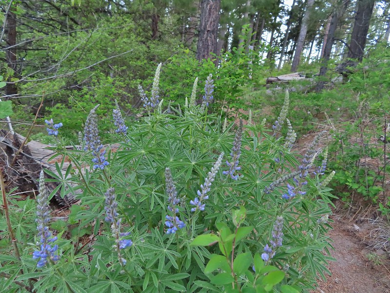 Lupine
 Mt. Hood again.
 Jacob’s ladder
 Red-flowering currant
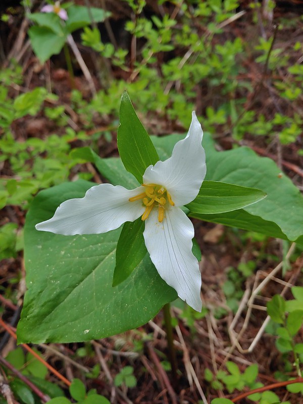 Trillium (can you spot the crab spider?)
 Sticky currant
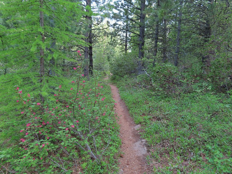 Western larch tree and red-flowering currant on the left.
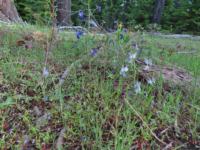 Larks spur and blue-eyed Mary
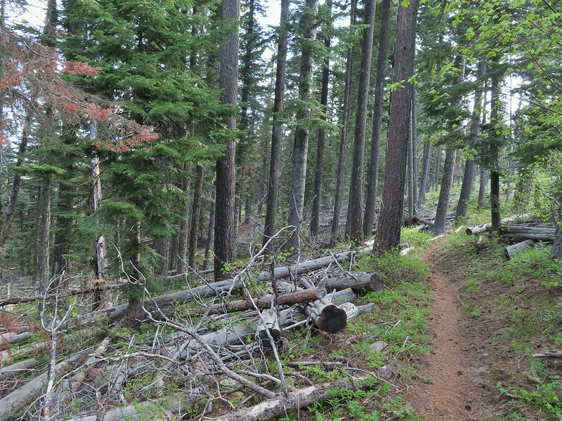
 Columbine well before blooming.
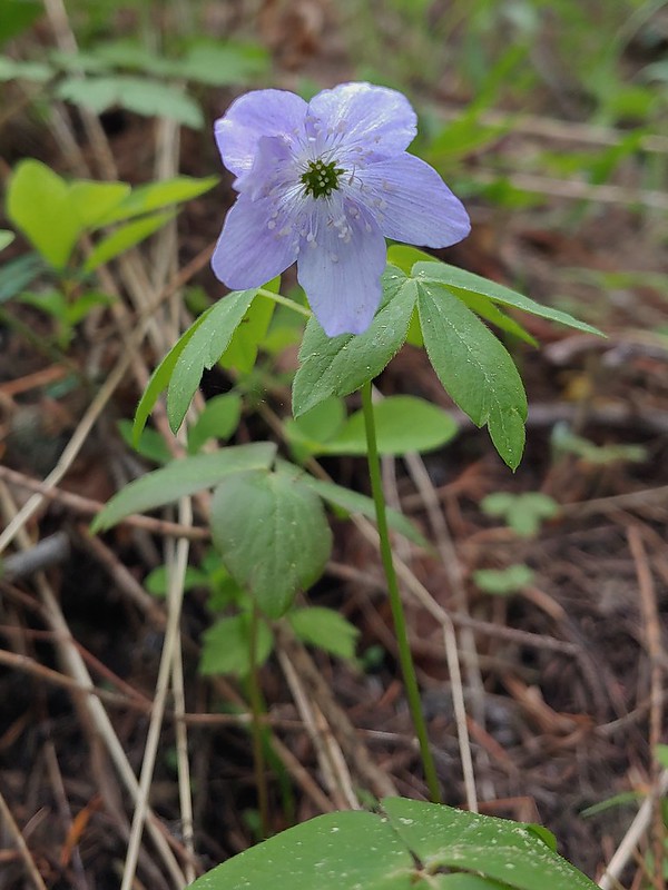 Anemone
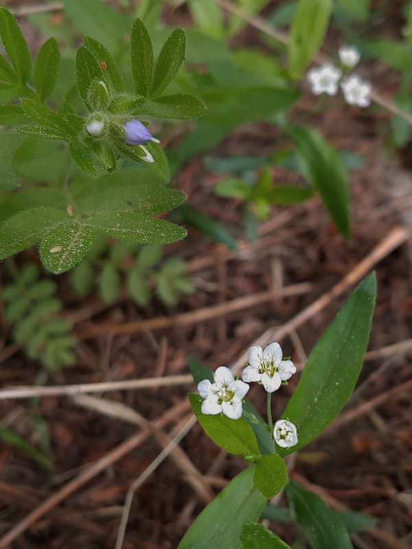 Largeleaf sandwort
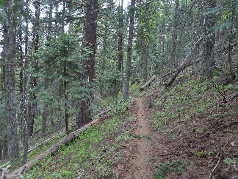
 Vanilla leaf getting ready to bloom.
 Arnica
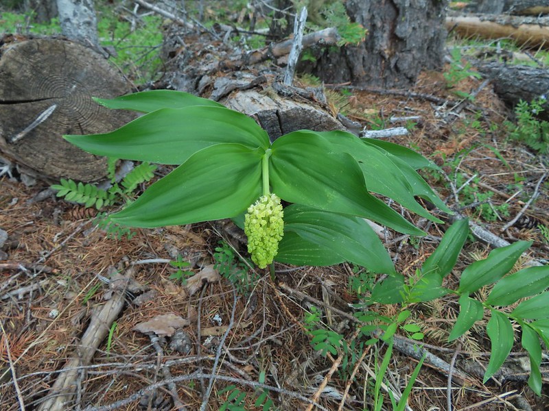 False solomons seal starting to bloom.
 Star-flower false solomons seal prior to blooming.
 Ballhead waterleaf
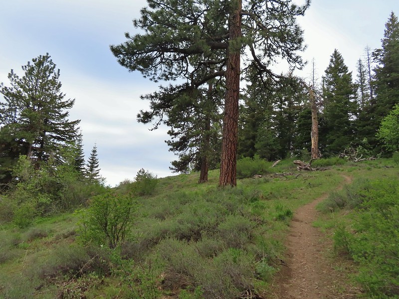 Ponderosa
 Scarlet gilia not yet in bloom.
 Balsamroot
 Hood River Valley and Mt. St. Helens
 Mt. St. Helens
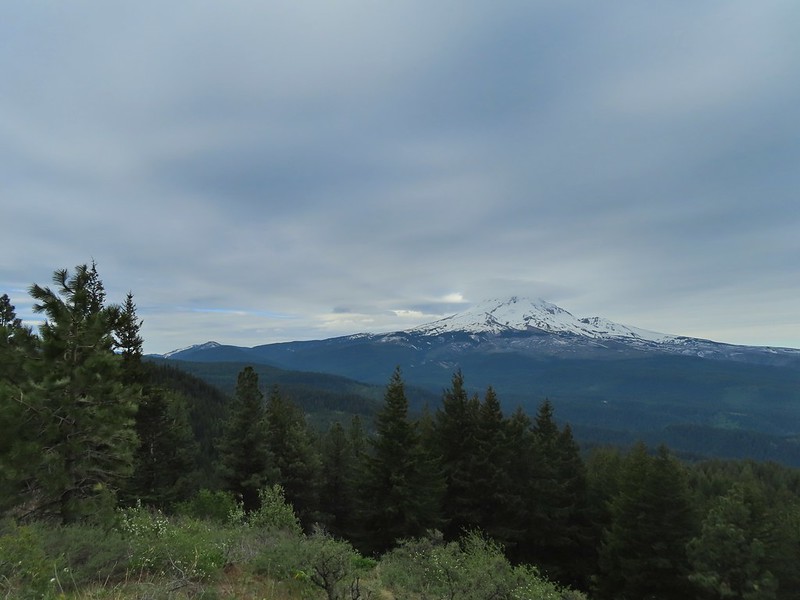 Mt. Hood
 Indian Mountain (
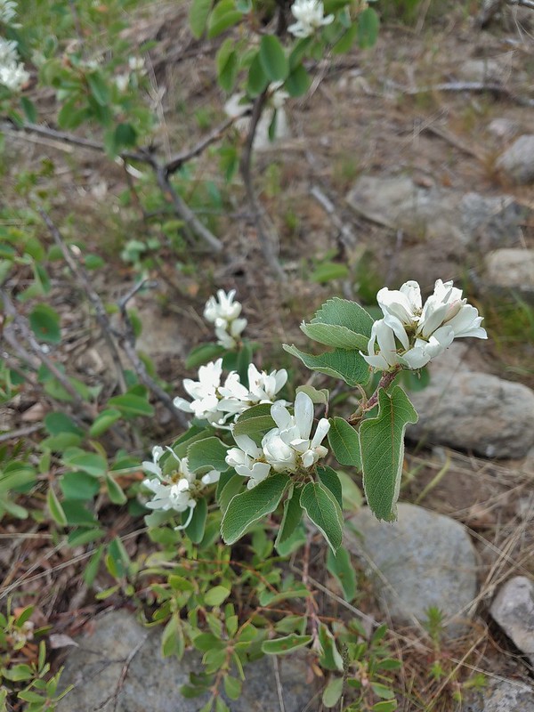 Western serviceberry
 Fairy bells
 Glacier lily
 Shellrock Mountain from the trail.

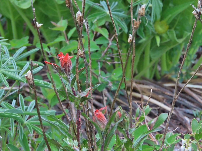 First paintbrush of the day spotted in the little meadow.
 User trail to the left.


 Shellrock Badlands Basin, an eroded volcanic formation.
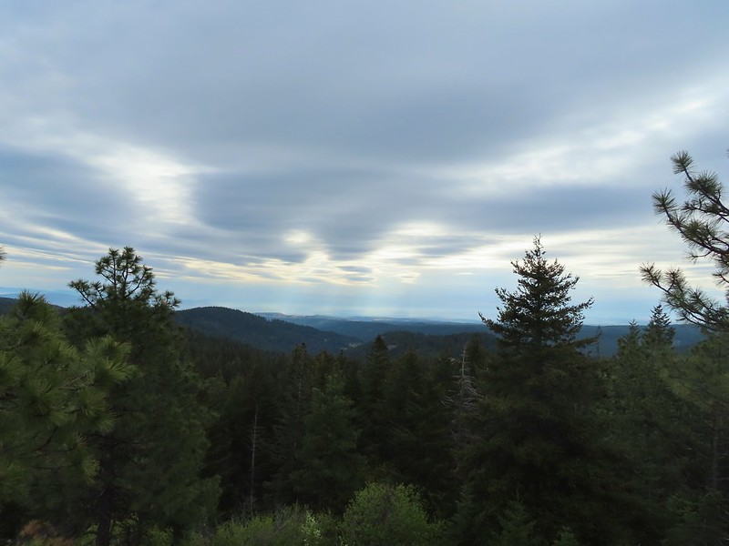 View east into Central Oregon.
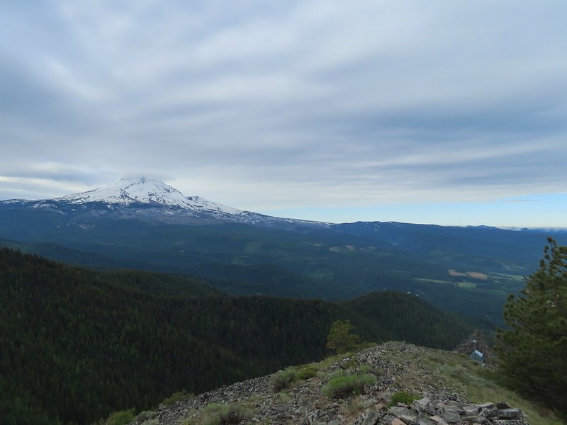 Mt. Hood
 Mill Creek Buttes with Lookout Mountain and Gunsight Butte (
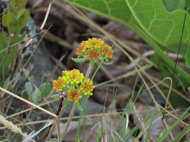 Buckwheat
 Bird below Shellrock Mountain.
 A whole lot of trillium.
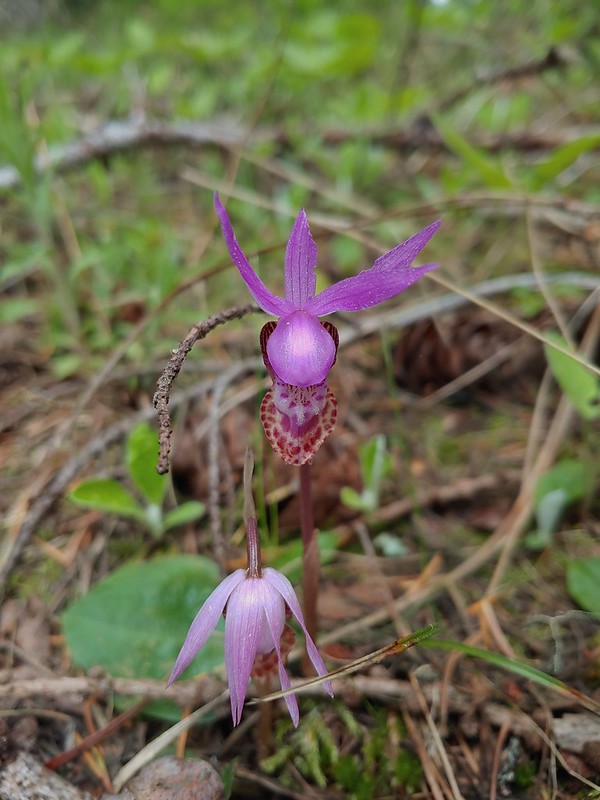 Fairy slippers
 Sign at the trailhead.


 parsley and popcorn flower.
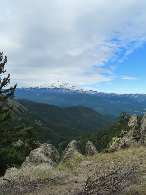

 Lupine
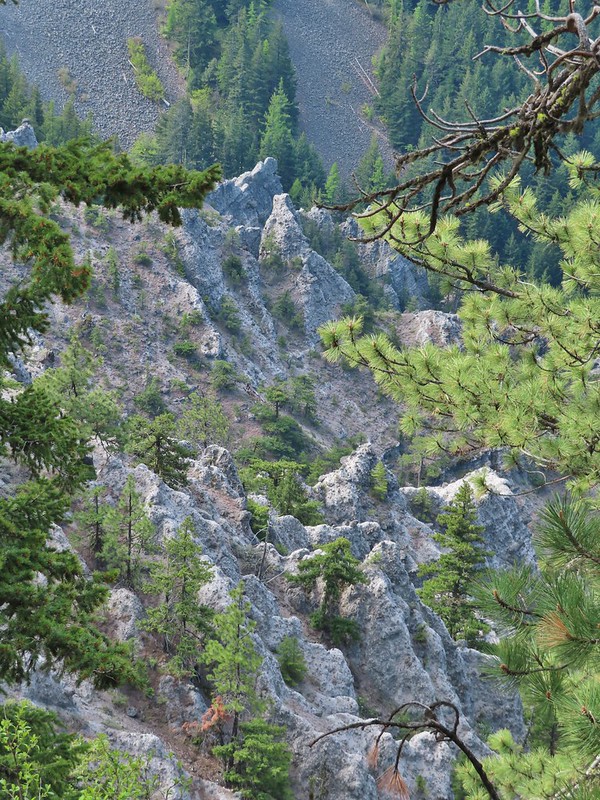


 I frequently have insects hitching rides, so often that we joke about me being an Uber for bugs.
 Rock out cropping in the Rim Rock section of trail.
 Tailed kittentails
 Western tanager female
 Western tanager male
 View from a rocky viewpoint just before crossing from the east side of the ridge back to the top.
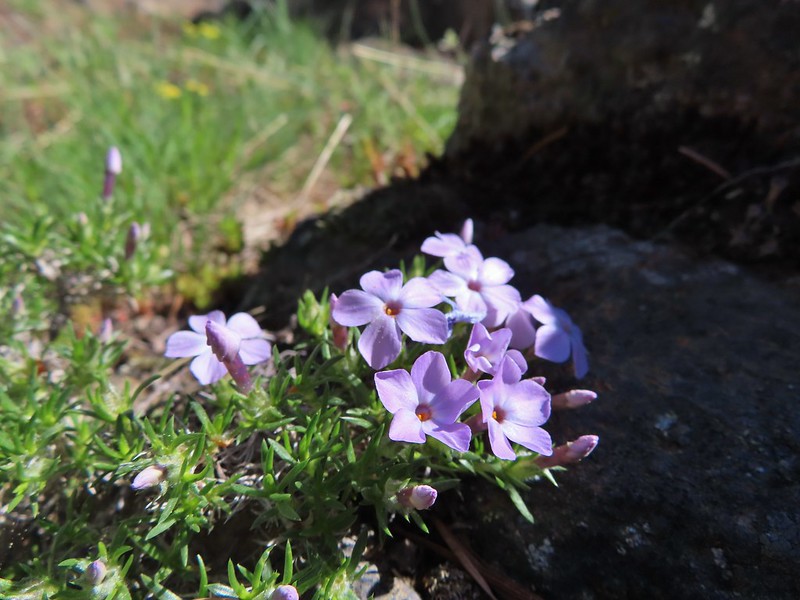 Phlox
Phlox


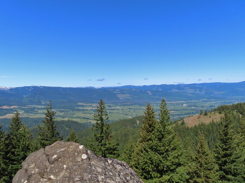 Hood River Valley
 Clouds encroaching on Mt. Adams.
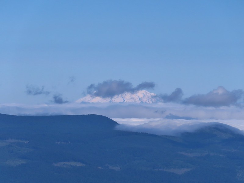 Mt. St. Helens
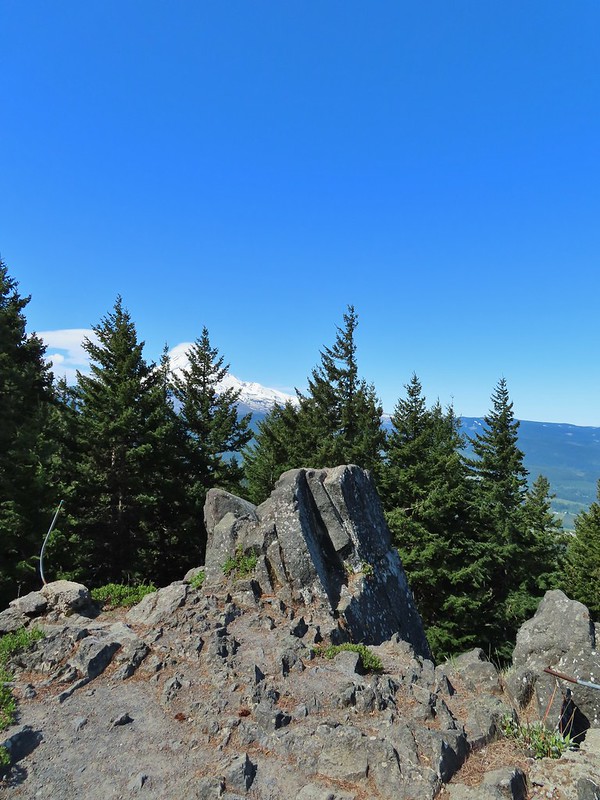 The other viewpoint had a better view.
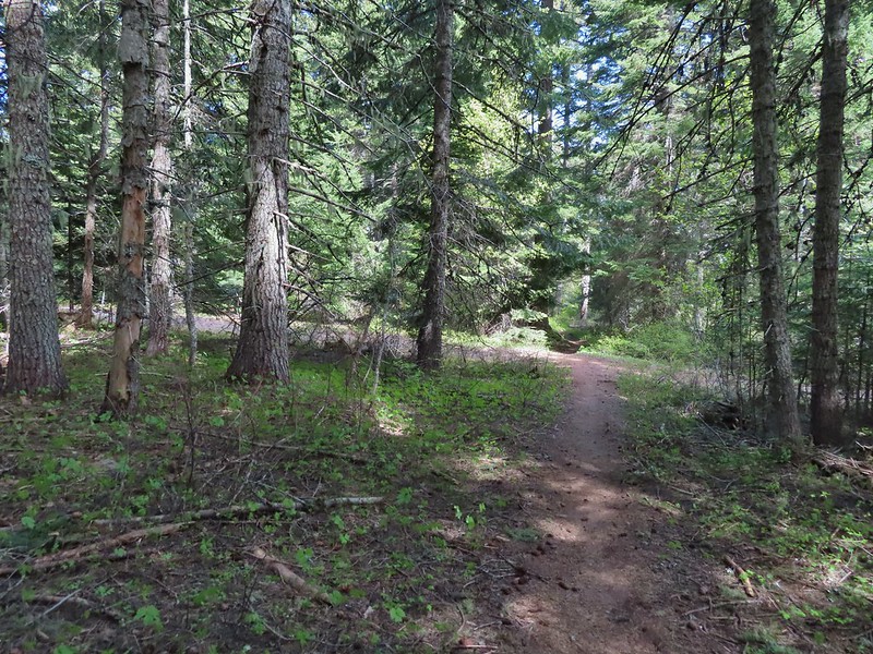 The first roadbed crossing.
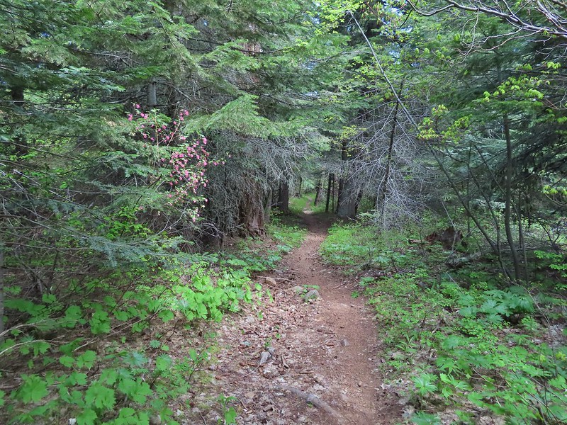
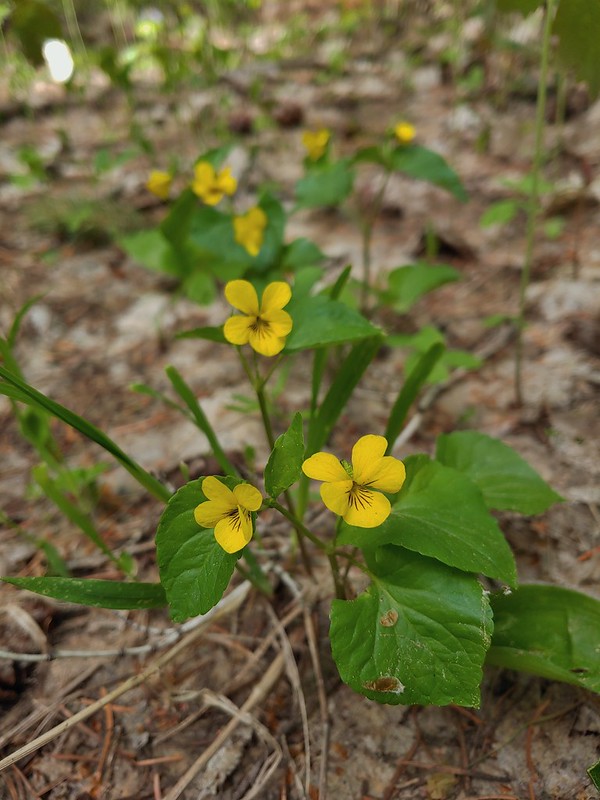 Violets
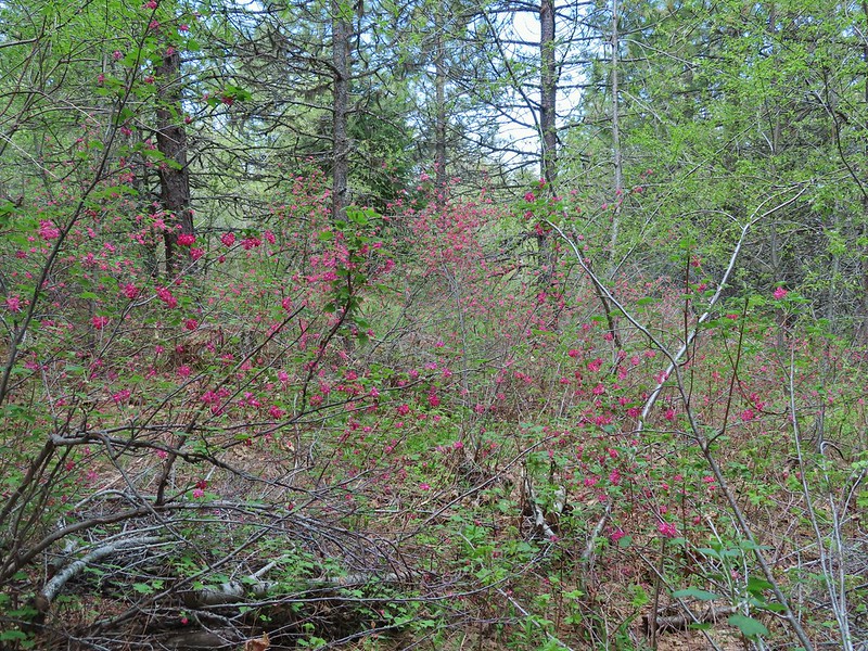
 Trail signs at the second road crossing.
 Coralroot sprouting
 Balsamroot and paintbrush
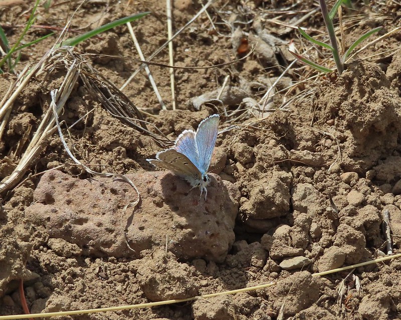

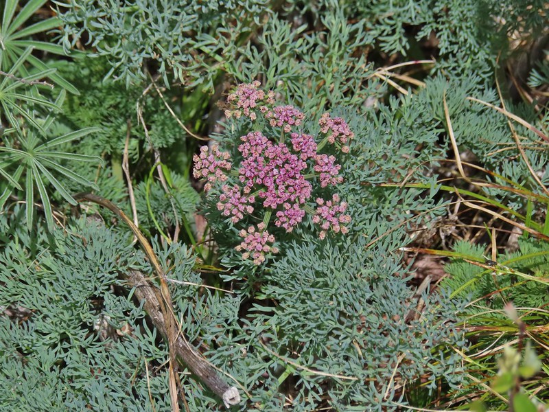 Desert parsley
 Western stoneseed
 Wildflowers on the hillside.
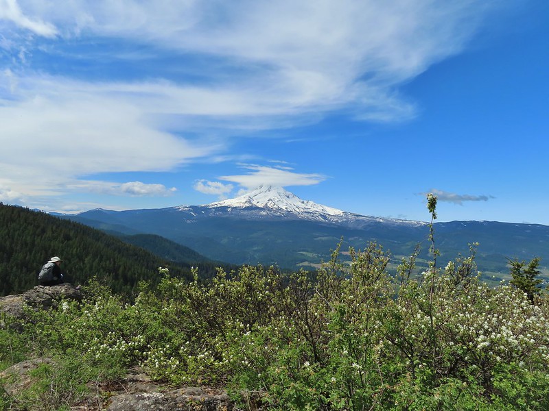
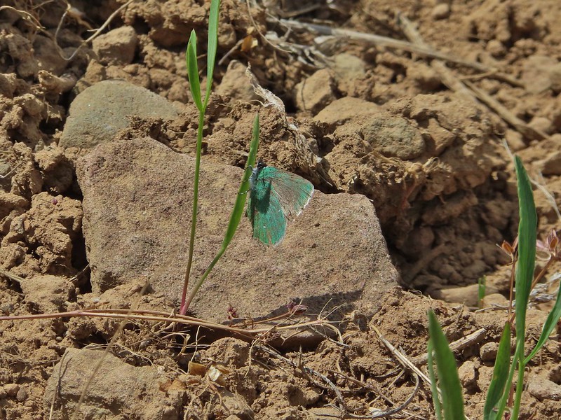
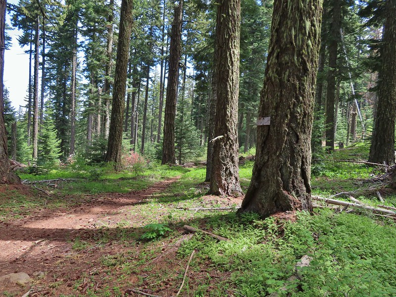 Sign at the junction.
 Spur trail to Yellowjacket Point.
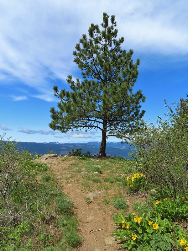
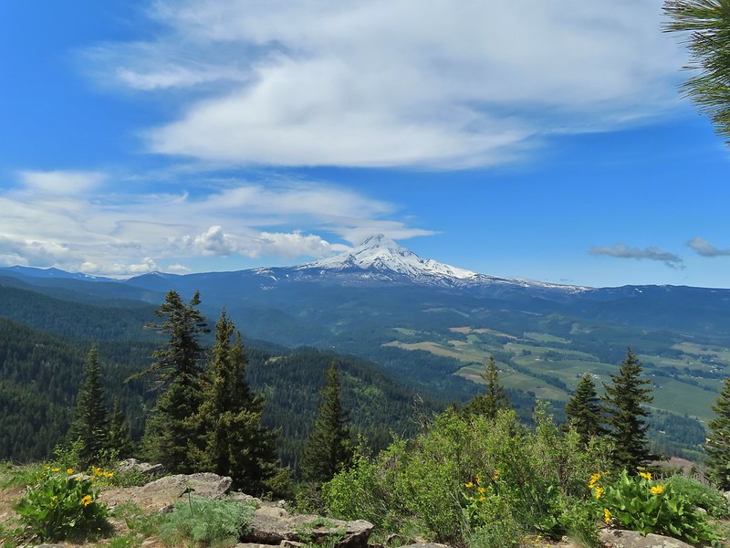
 No yellowjackets, just a robin.
 Things like this gooseberry shrub.
 Chipmunk
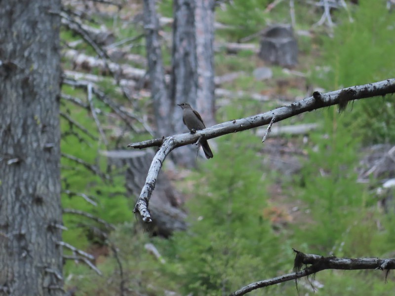 Townsend’s solitare?
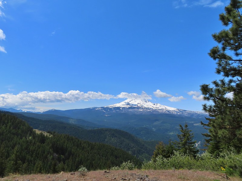 12:40pm
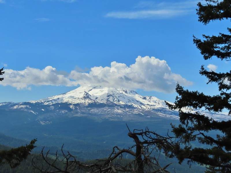 12:50pm
 1:00pm
 1:30pm
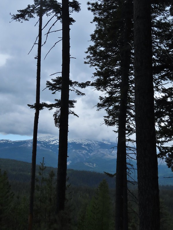 2:04pm
 Returning to the parking area at 2:11pm
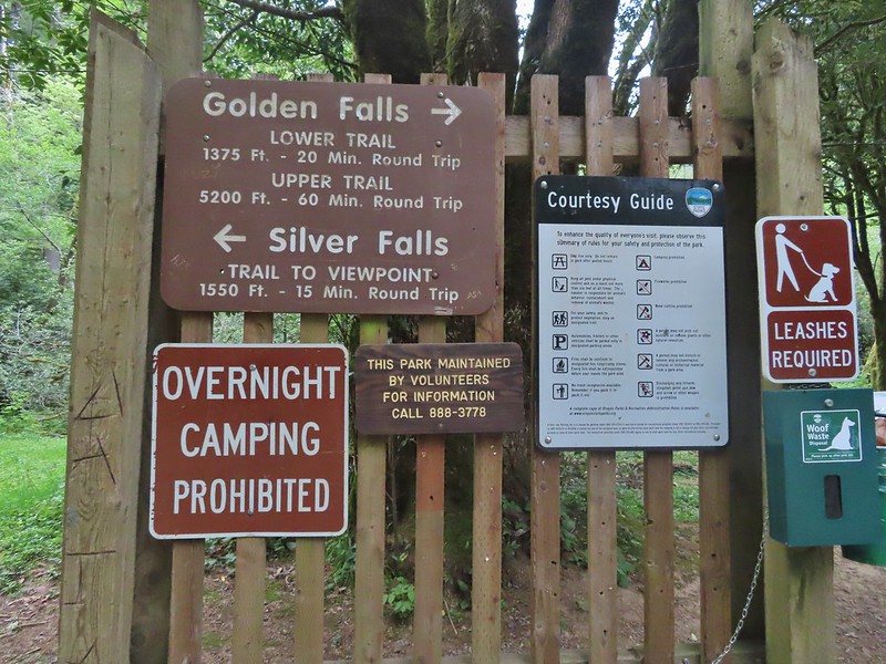
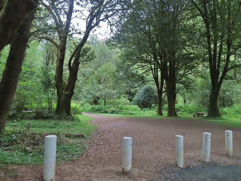
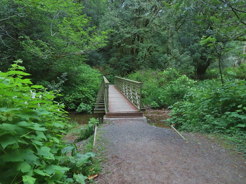


 Rough skinned newt
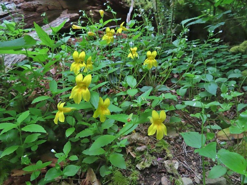 Monkeyflower
 Thimbleberry
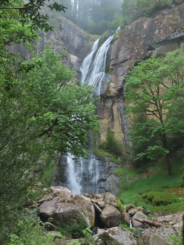

 Wren below Golden Falls
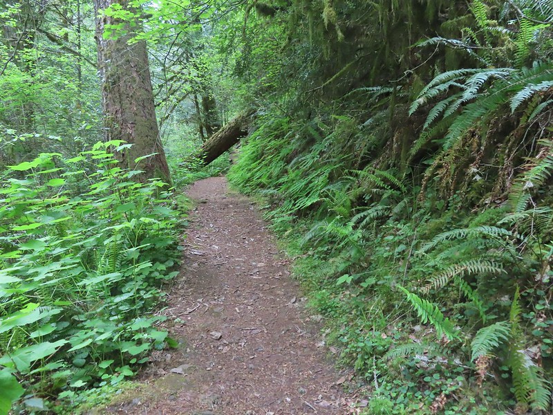
 Columbine
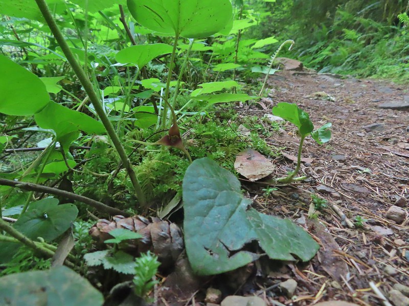 Ginger
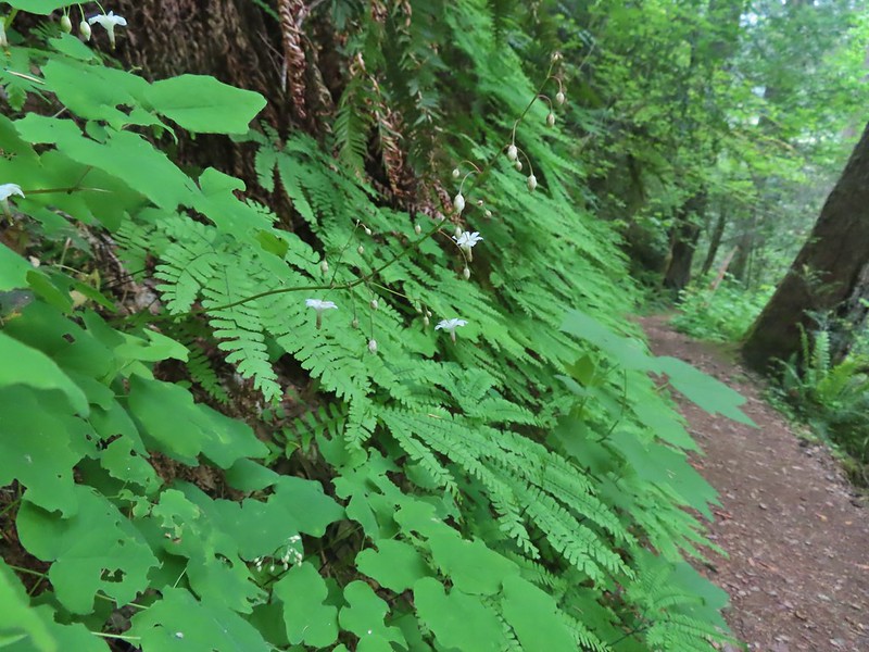 Inside out flower
 Iris
Iris Anemone

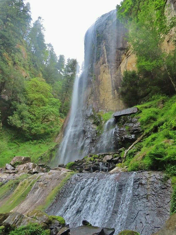
 Ouzel
Ouzel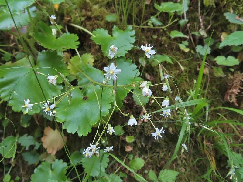 Marshall’s saxifrage

 Plectritis
 Manroot

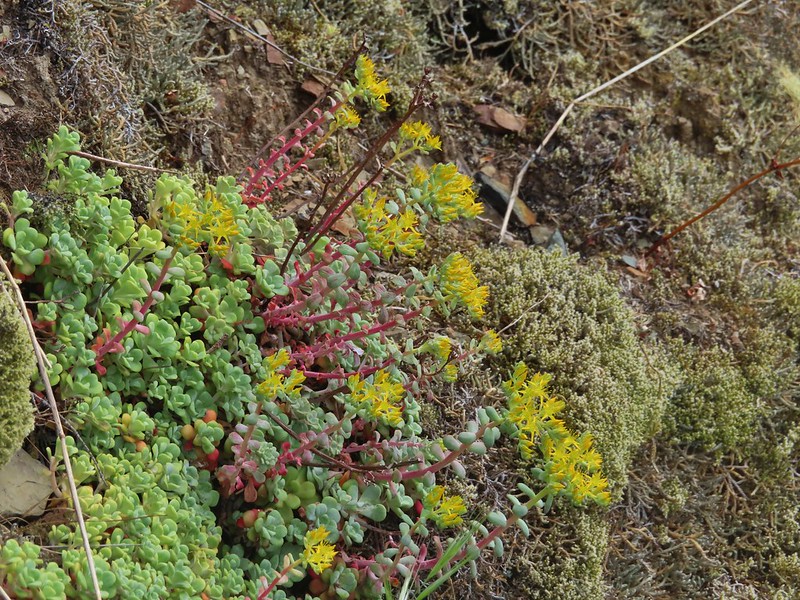 Stonecrop
 Upper portion of Golden Falls.
 Glenn Creek above Golden Falls.
 Despite a cloudy morning they stayed high enough to not obstruct the view of the falls.
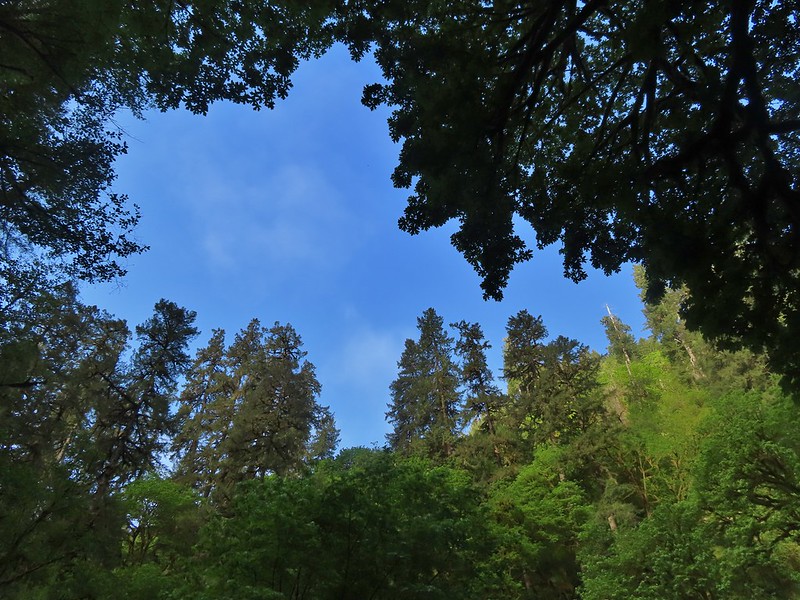

 Epic battle between a rock and a tree.
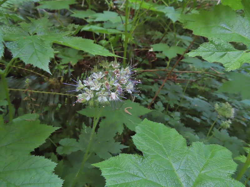 Pacific waterleaf
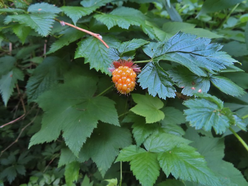

 Larkspur
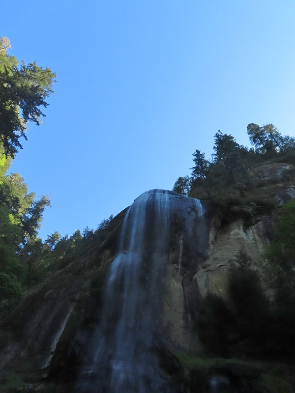
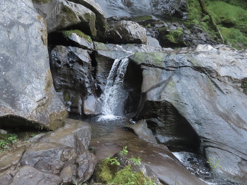
 Ouzel (might be the same one as earlier)


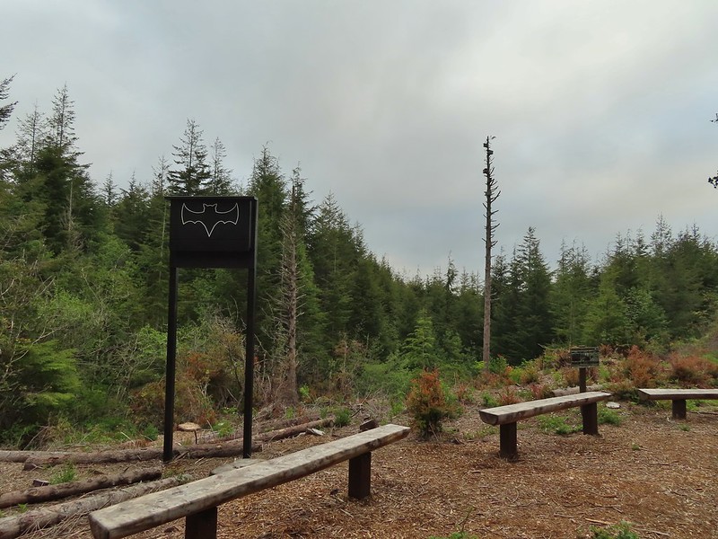

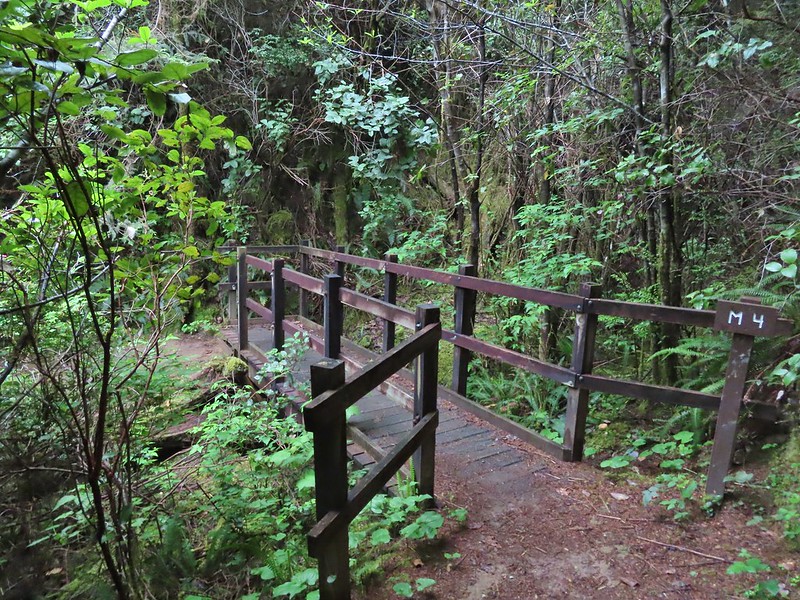 All the bridges had labels consisting of the first initial of the trail and then the bridge number making this the 4th bridge along the Middle Creek Trail.
 Interesting seat.
 That’s a fancy hat for a stump.


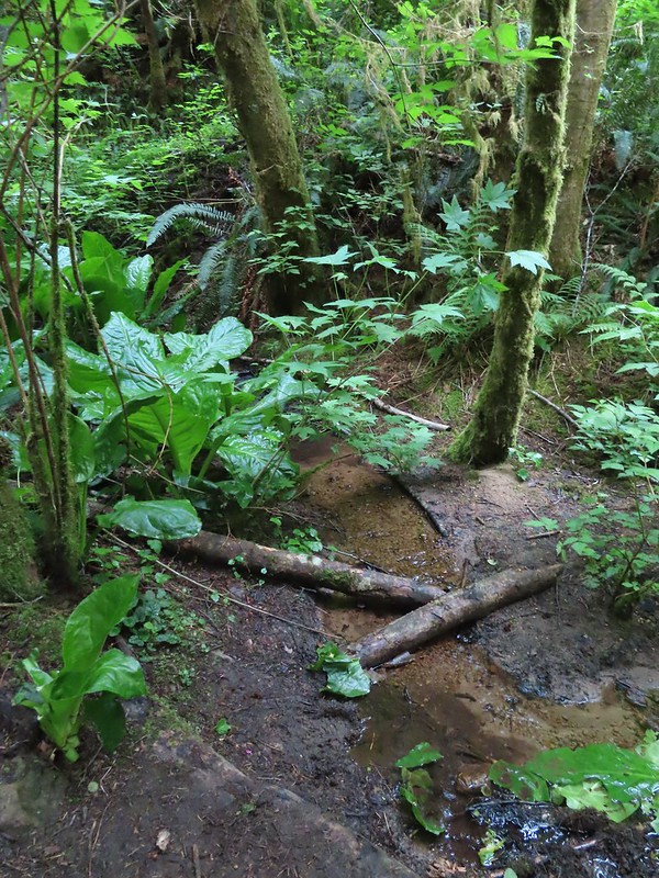


 We saw a lot of rough skinned newts on the trails, but what we were really hopping for was a Pacific Giant Salamander. No luck there this time.
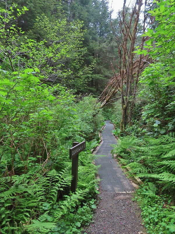
 A few trillium still had petals.
 Woodpecker
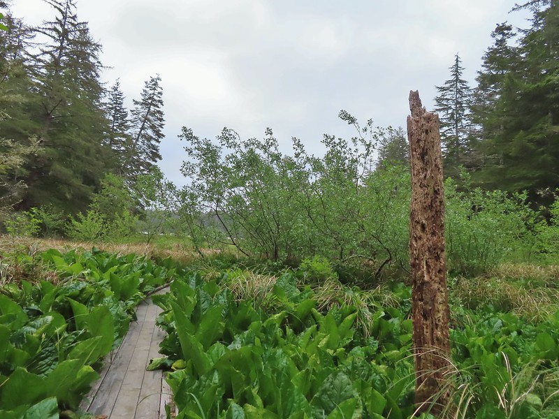
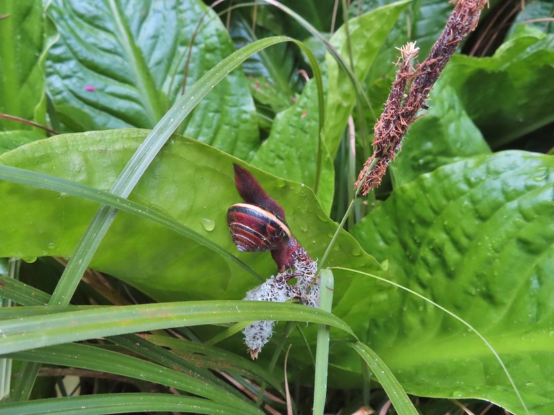

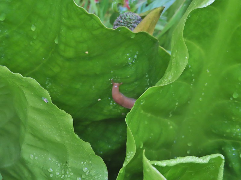

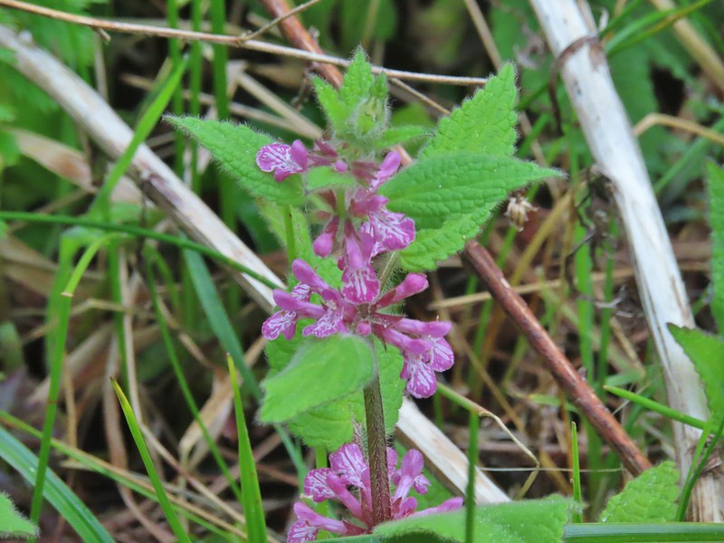 A hedgenettle
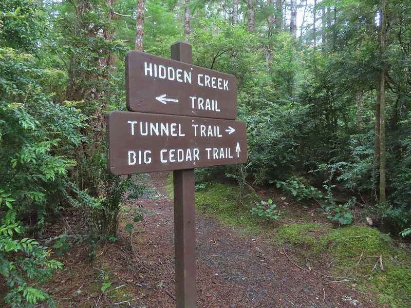

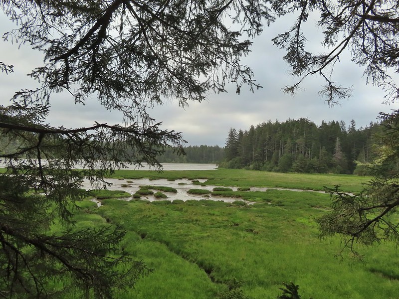

 Tunnel Trail indeed.

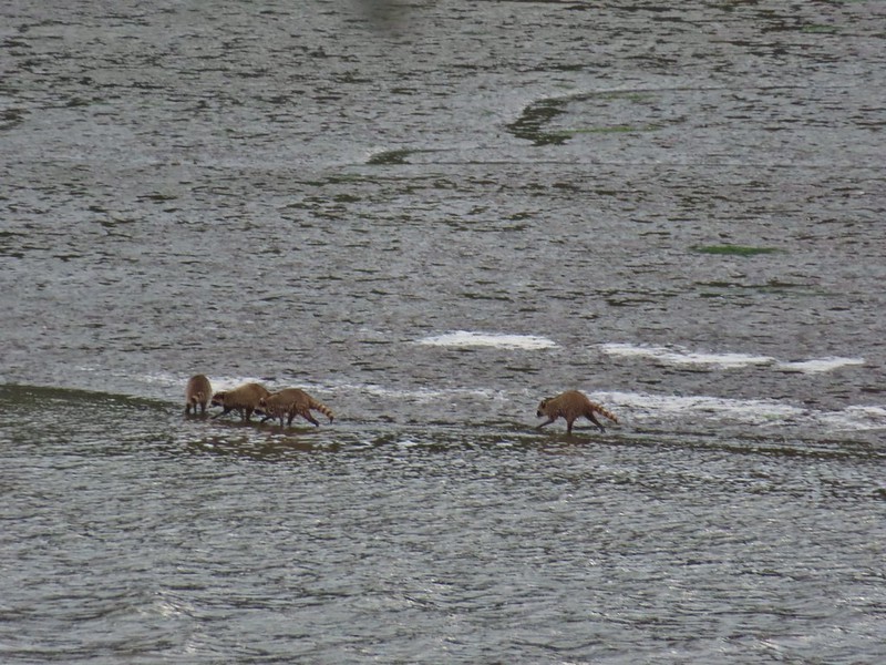

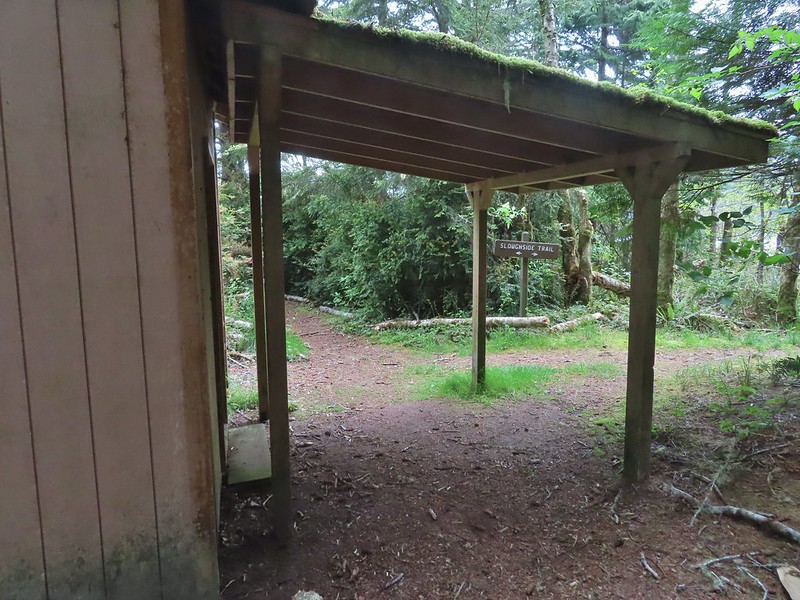


 Castilleja ambigua – Estuarine Paintbrush
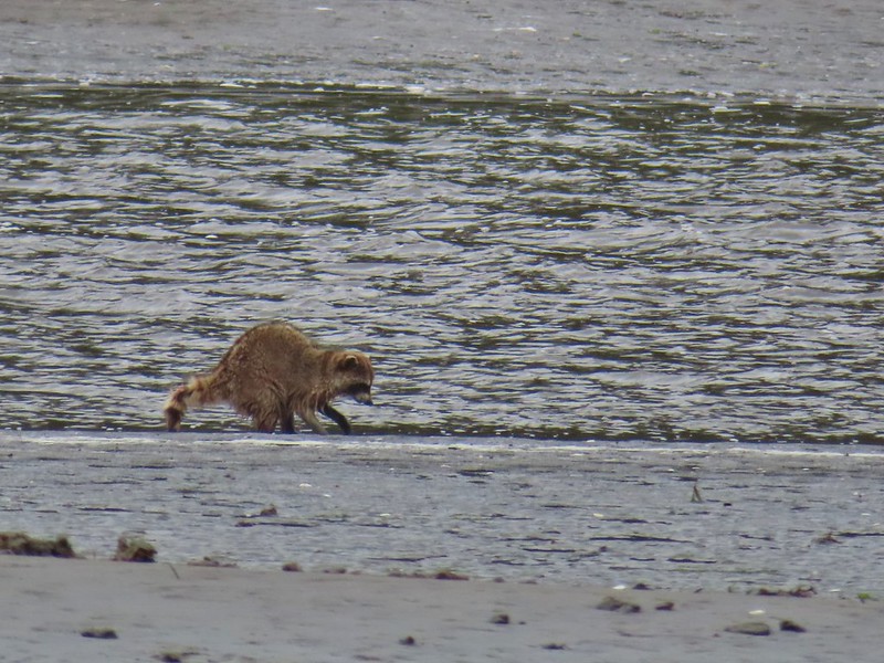


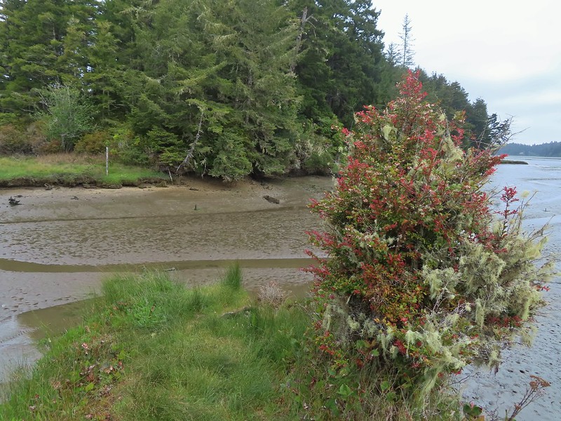 End of the line.
 South Slough
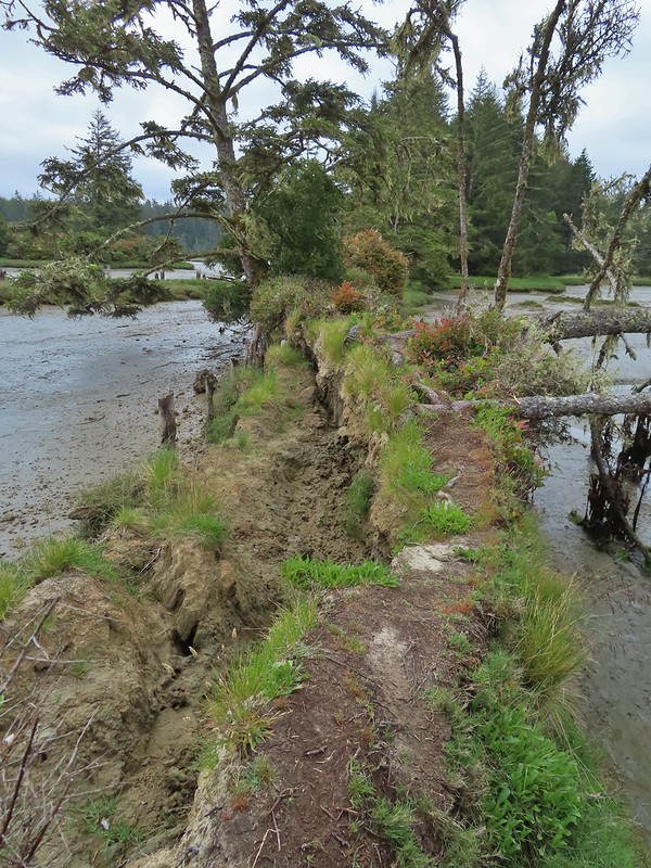 It was interesting to see how this uprooted tree peeled back a layer of the ground.
 Rhoades Marsh
 Sloughside Marsh
 Rhododendron


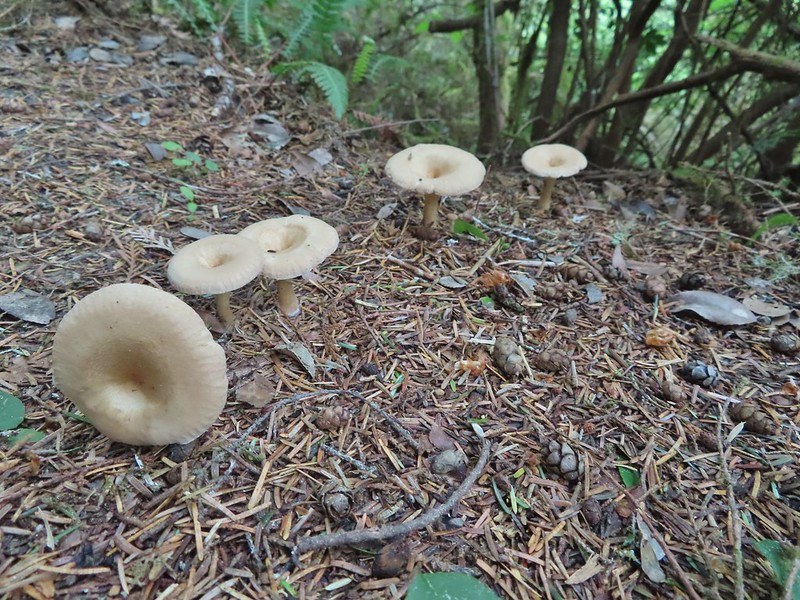
 Bleeding heart, fairy bells, and youth-on-age.
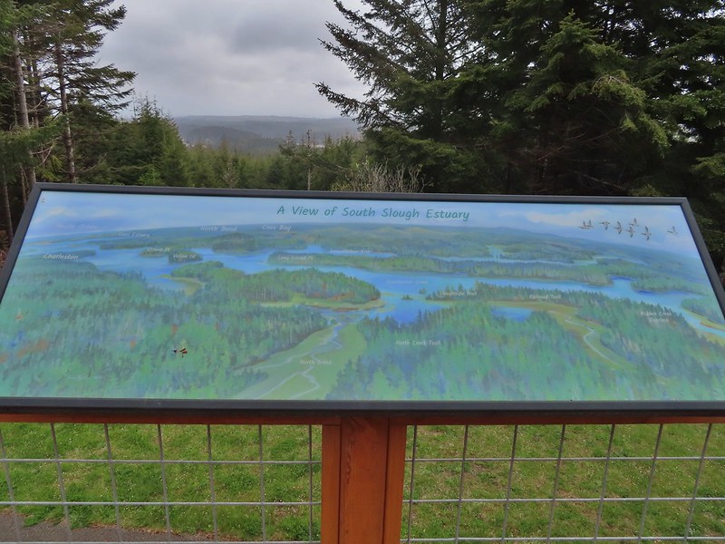
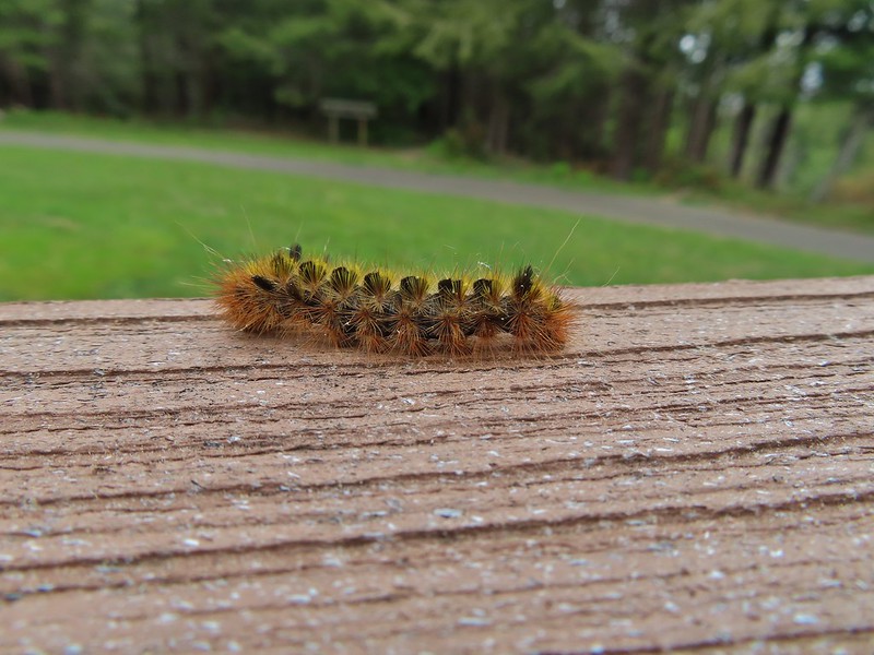


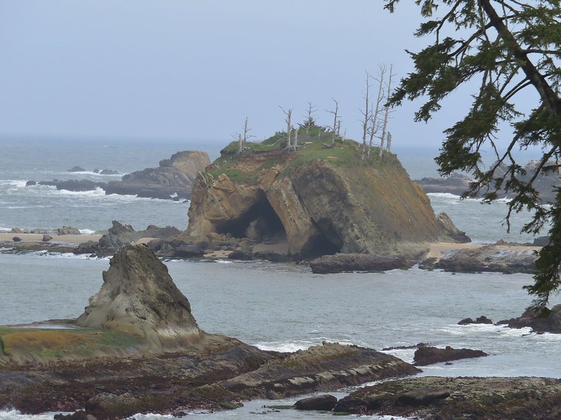
 Cape Arago Lighthouse (not on Cape Arago) on Chiefs Island.
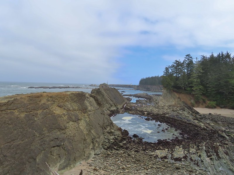
 Salal
Salal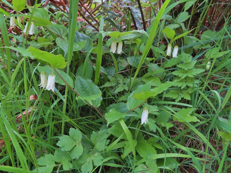
 The group campsite.
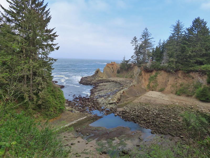

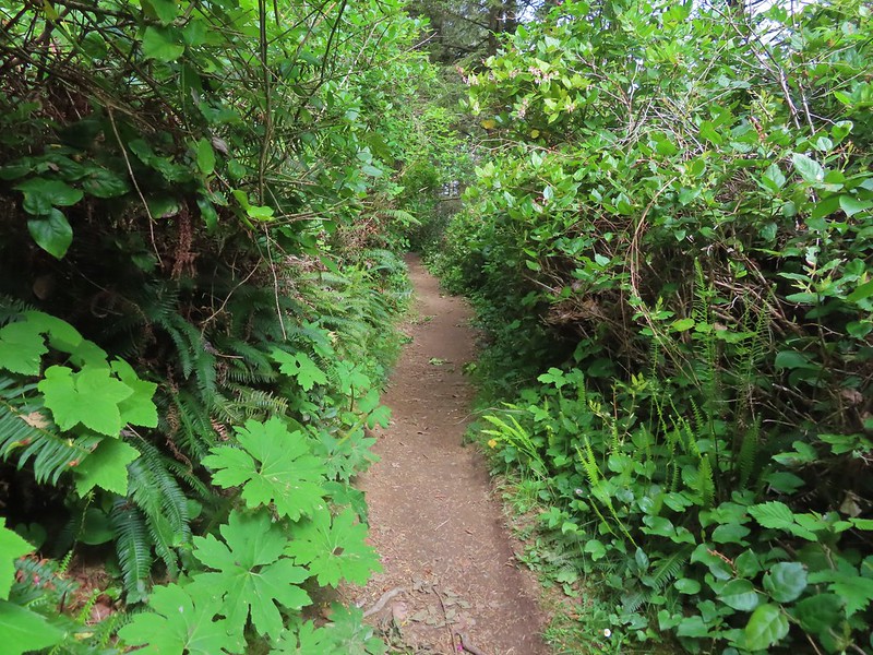


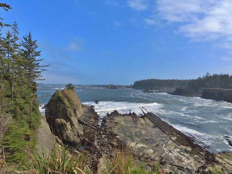


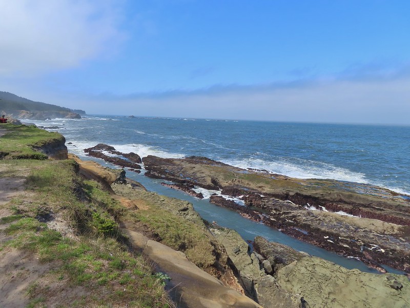 Harbor seals in the lower right hand corner on the rocks.
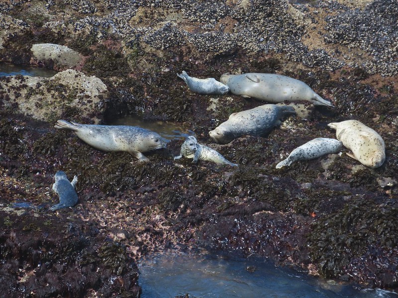

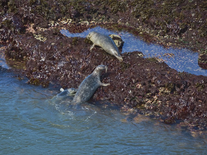
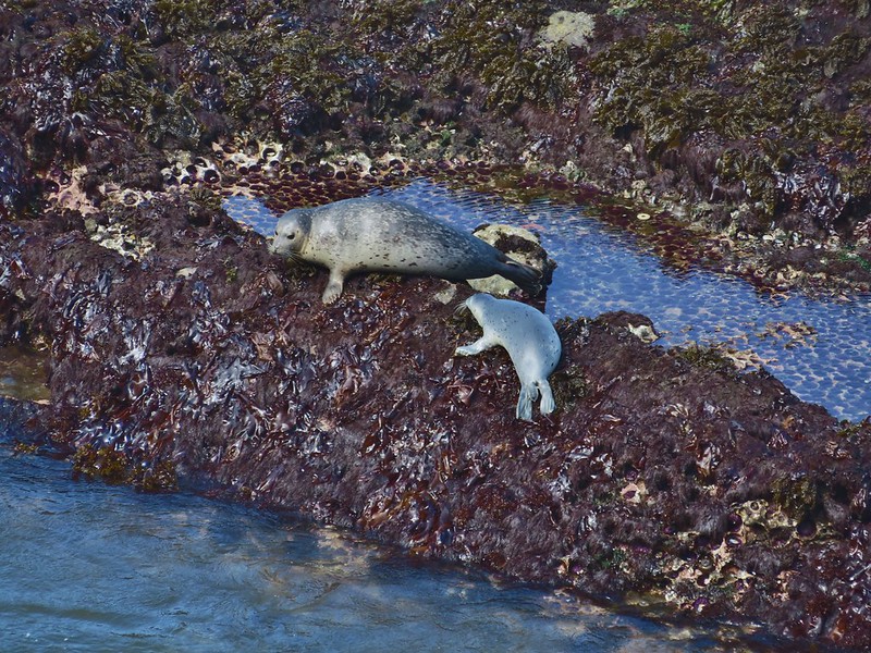 Success!
 Paintbrush
 Sea thrift
 Mariposa lilies
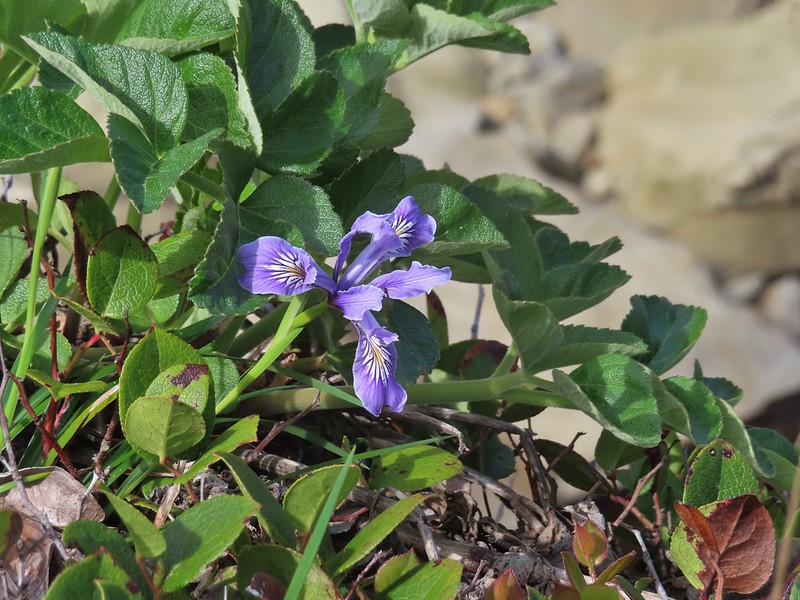 Iris
Iris Former tennis courts.
 View near the tennis courts.
 These roots explain how some of the trees that look like they should be plunging into the ocean don’t.
 Observation Building ahead on the cliff.


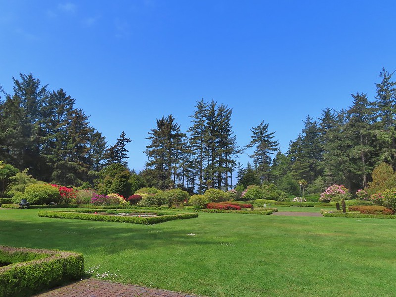

 Prickly Rhubarb from Chile

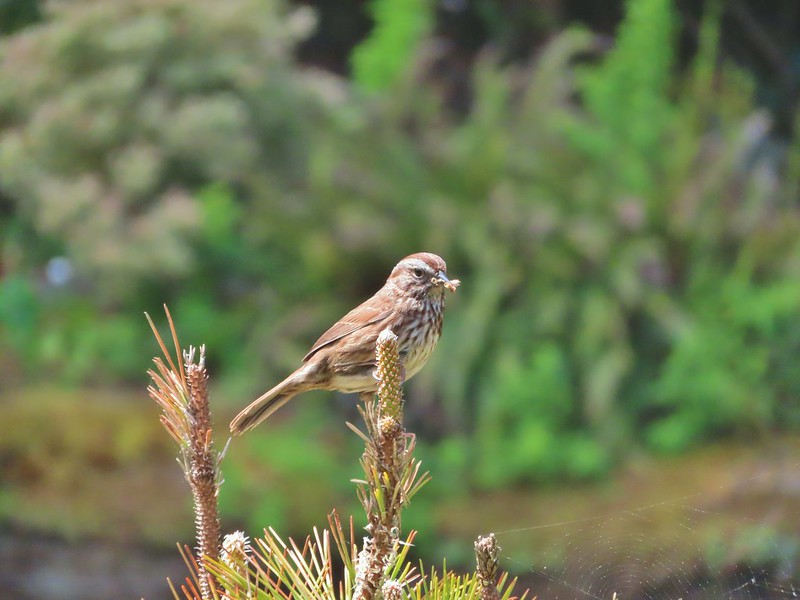
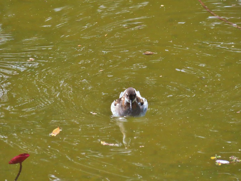
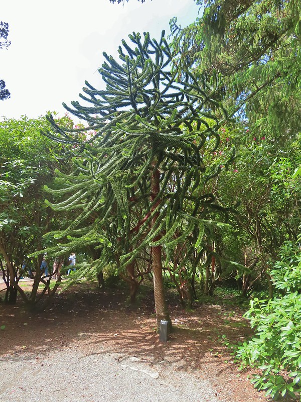 Monkey Puzzle Tree from South America
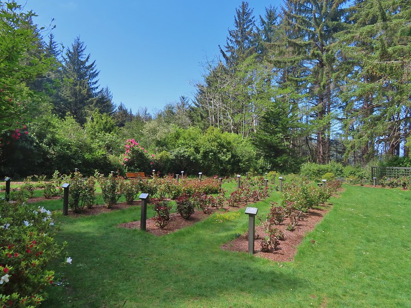 The yet to bloom rose garden.
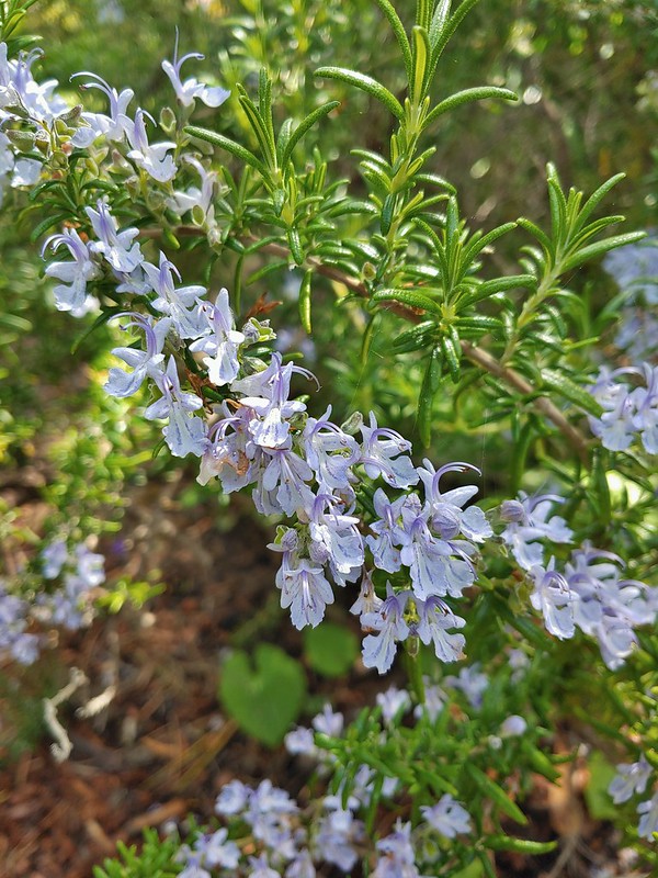
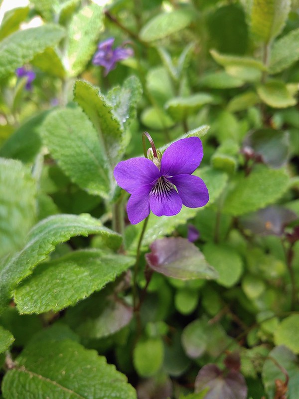

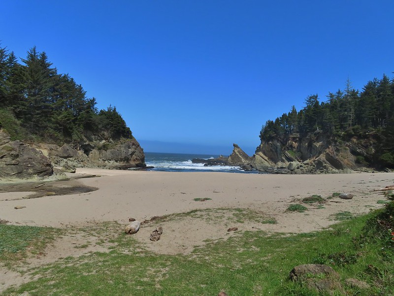

 Looking back across Simpson Cove to the Observation Building.
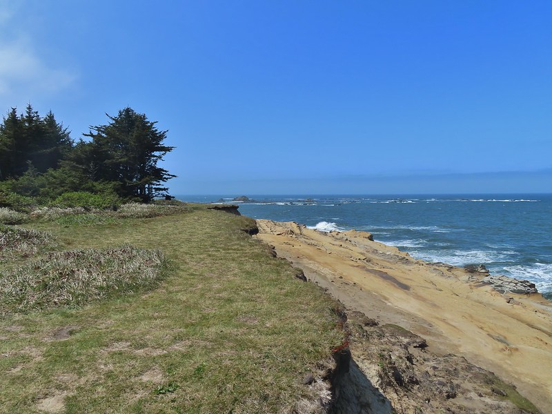 Simpson Reef extending into the Pacific.
 Shell Island in the middle of Simpson Reef.
 Sea lions and juvenile bald eagles on Shell Island.
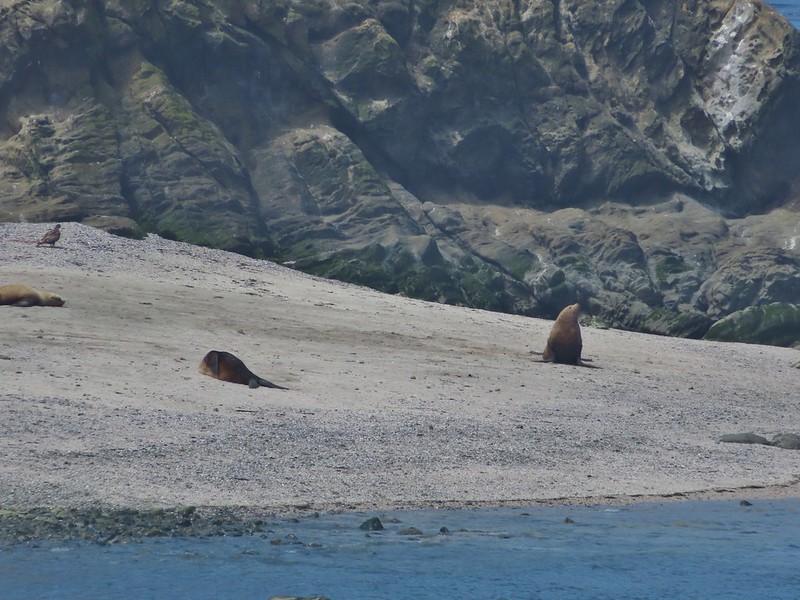


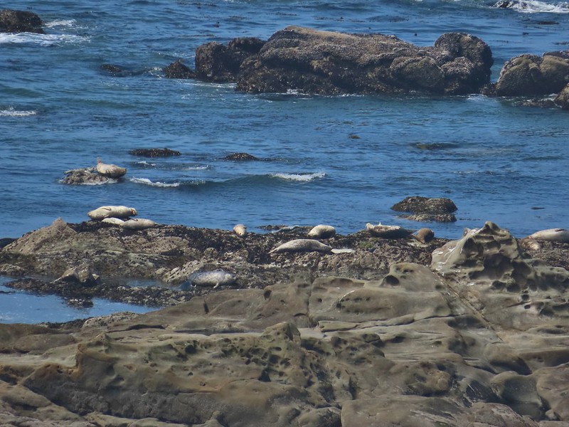 Harbor seals on the reef.

 Coltsfoot
 Woolly bear caterpillar
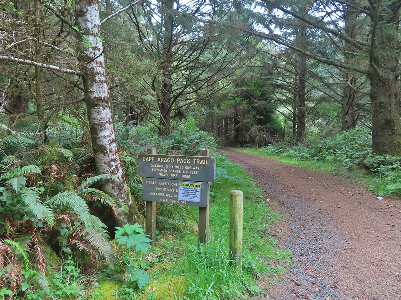 Looking back up the Pack Trail.
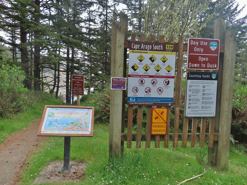

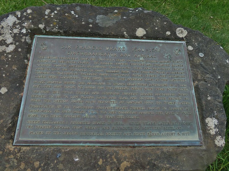 Plaque near the bench commermorating Sir Frances Drake’s visit to the area in 1579.
 Our stalker while we sat at the bench hoping we would leave some food behind (we didn’t).
 We thought we might be hearing things, but no it was a rooster crowing.
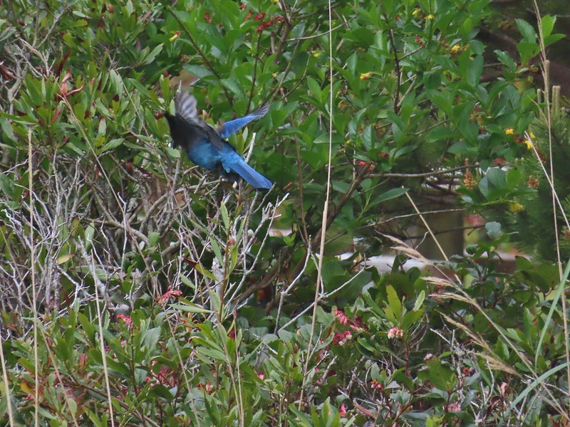 Stellar’s jay
 North Cove (A trail down to that beach was closed for the season.)


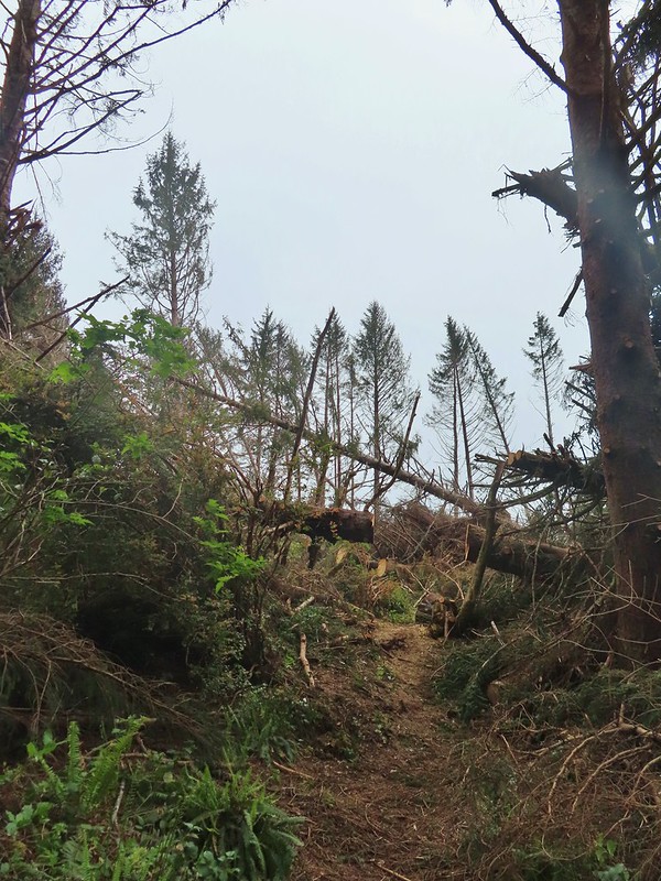

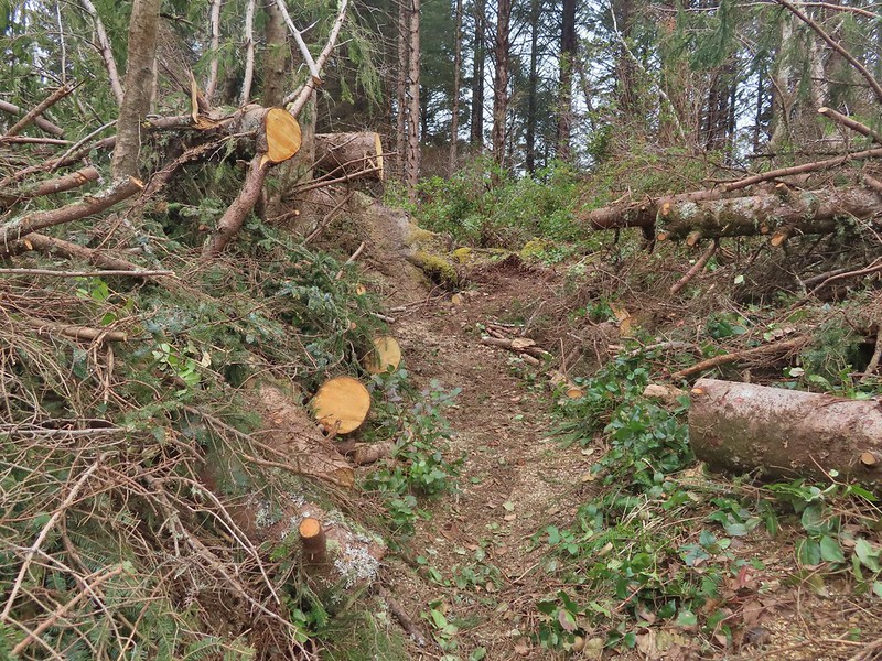
 Heading down.
 Going up.

 The Cape Arago Pack Trail at the highway.
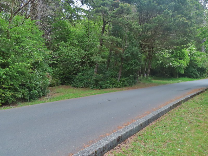


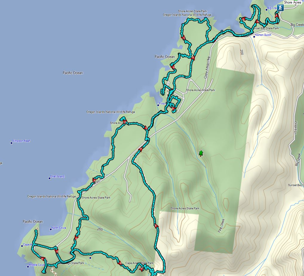
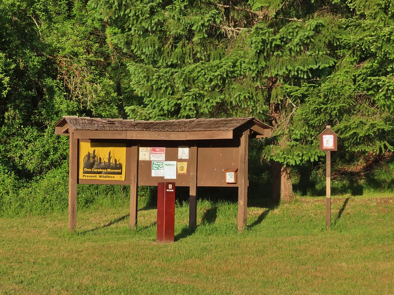


 Madia
Madia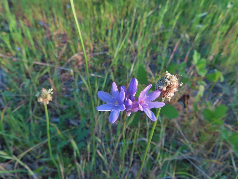 Blue dicks
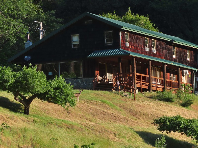
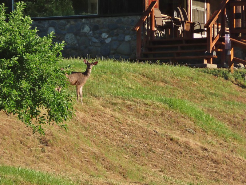
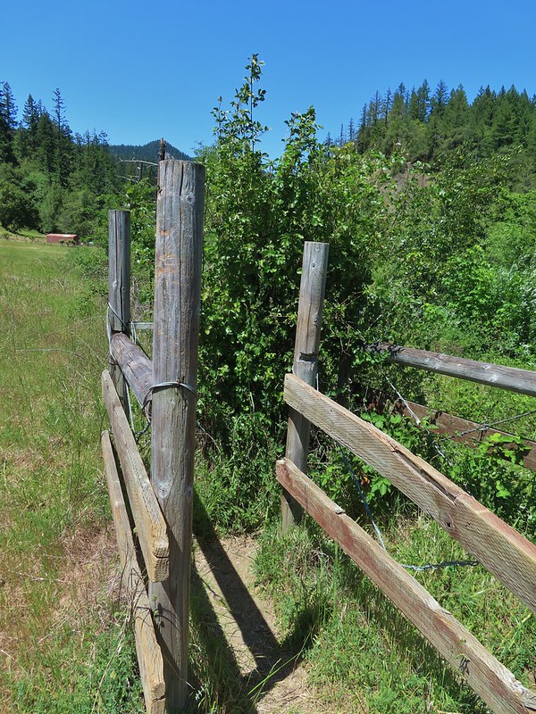 The poison oak trap in the afternoon.
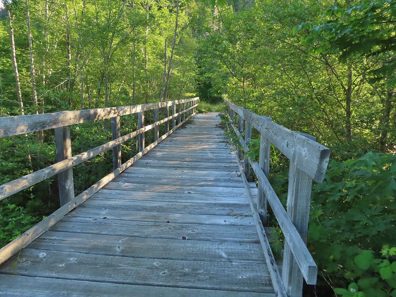 Bridge over Billings Creek.
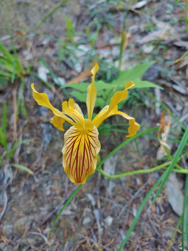 Del Norte iris

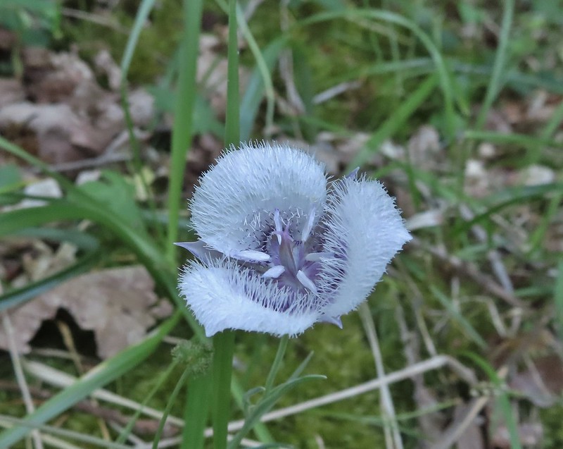 Tolmie’s mariposa lily
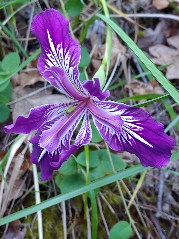 Douglas iris with insect.
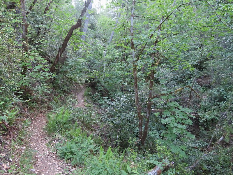
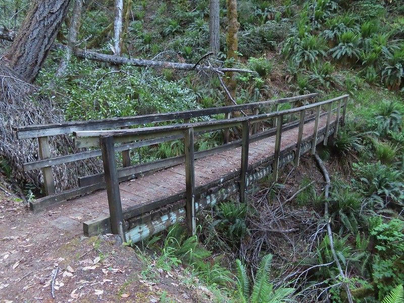
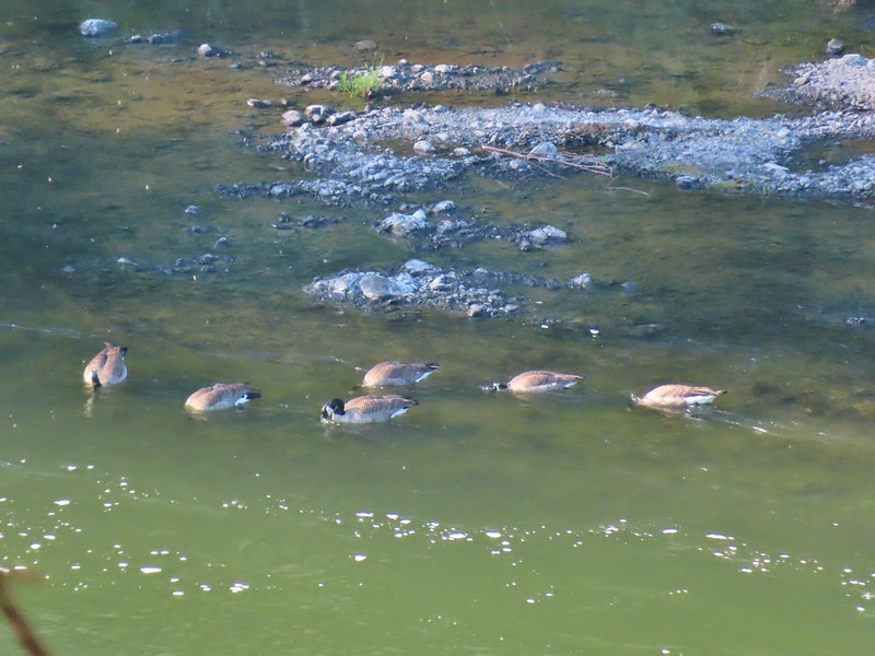
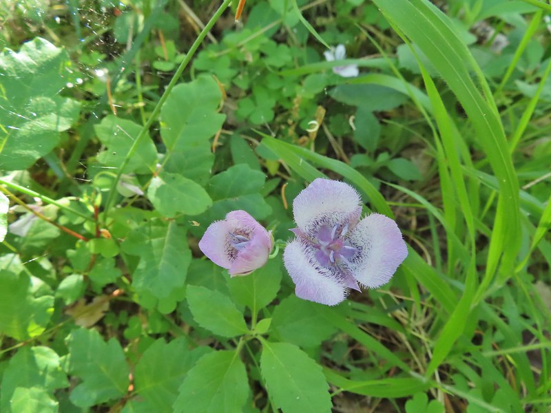 More mariposa lilies (with a poison oak background)
 Thimbleberry

 The Rogue River from the trail during one of the climbs.
 Henderson’s stars
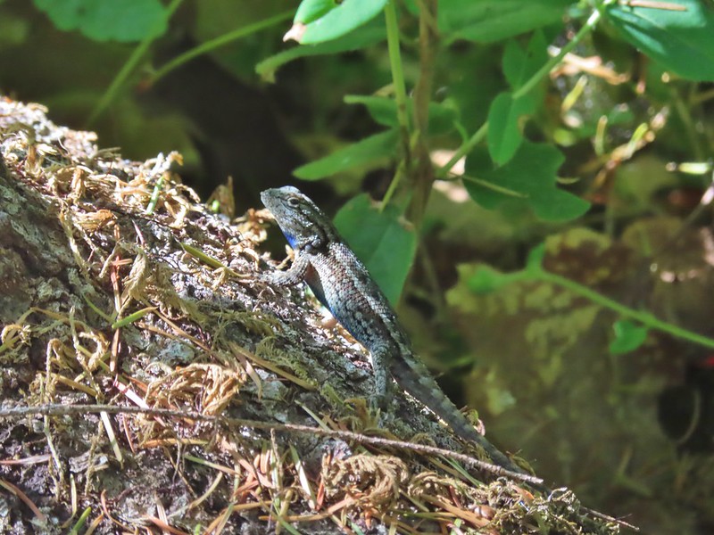 One of dozens of lizards we saw (or heard).
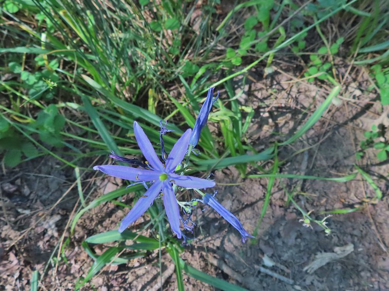 Camas
Camas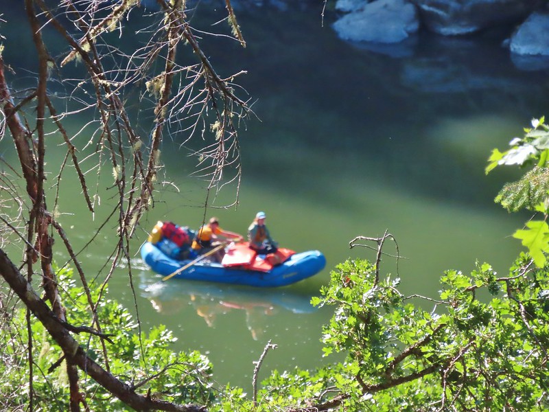
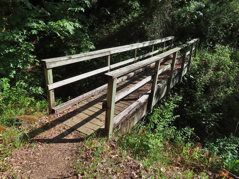 Footbridge over Flea Creek
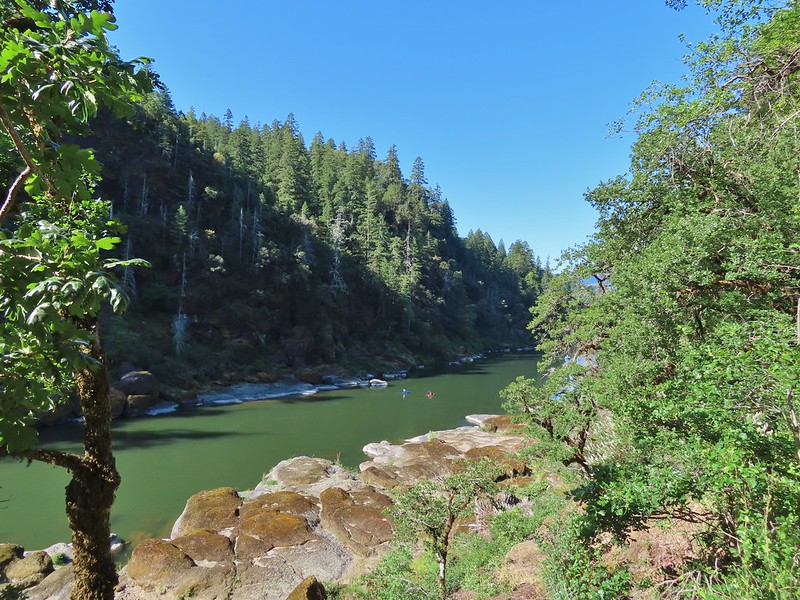
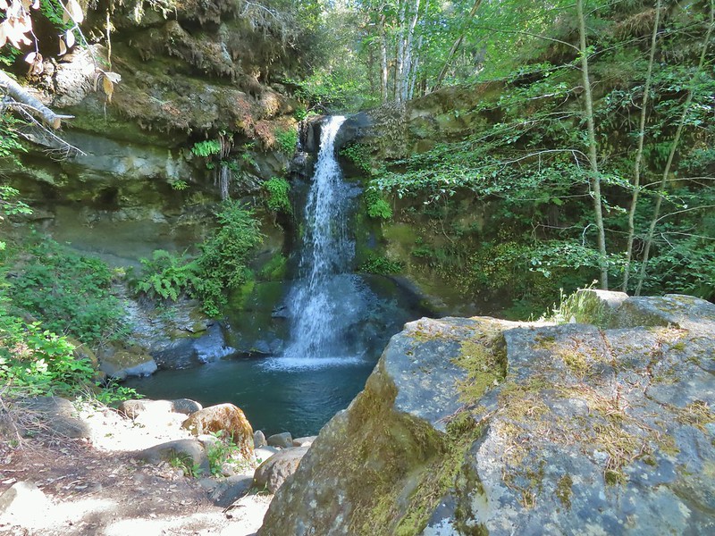
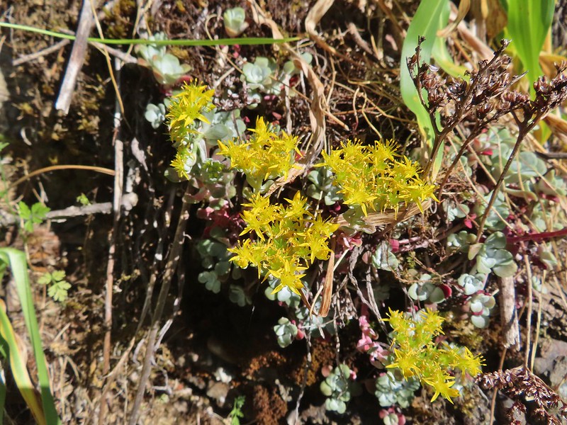

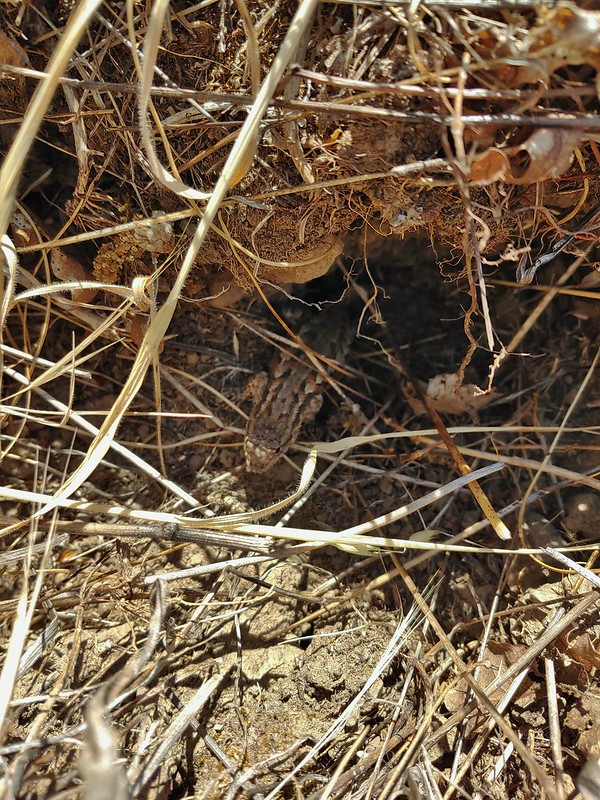
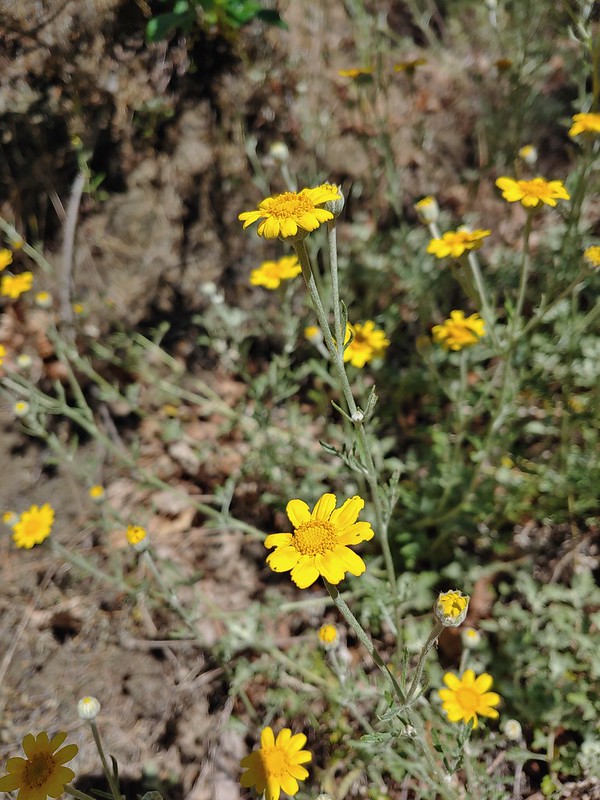 Oregon sunshine
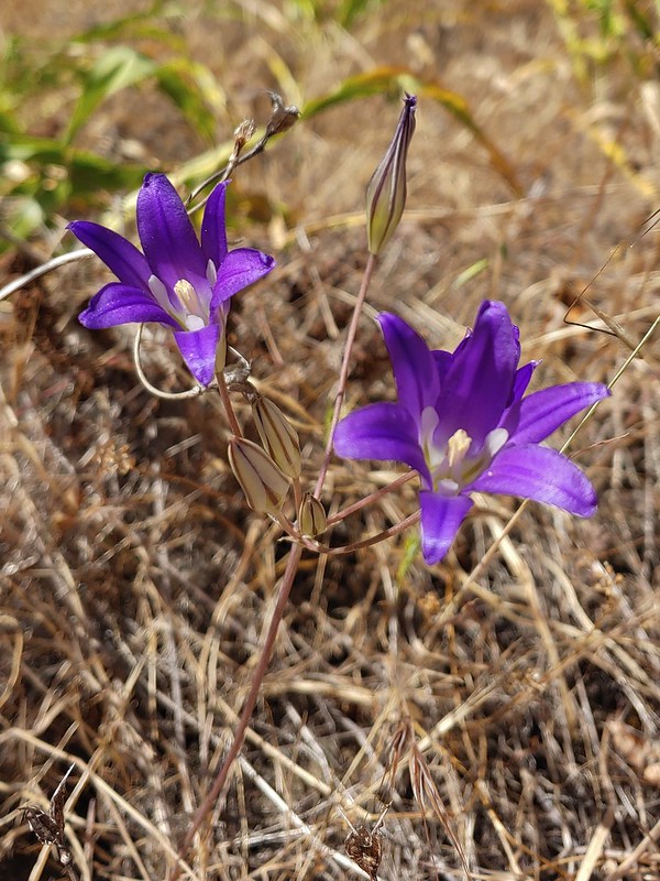 Elegant brodiaea
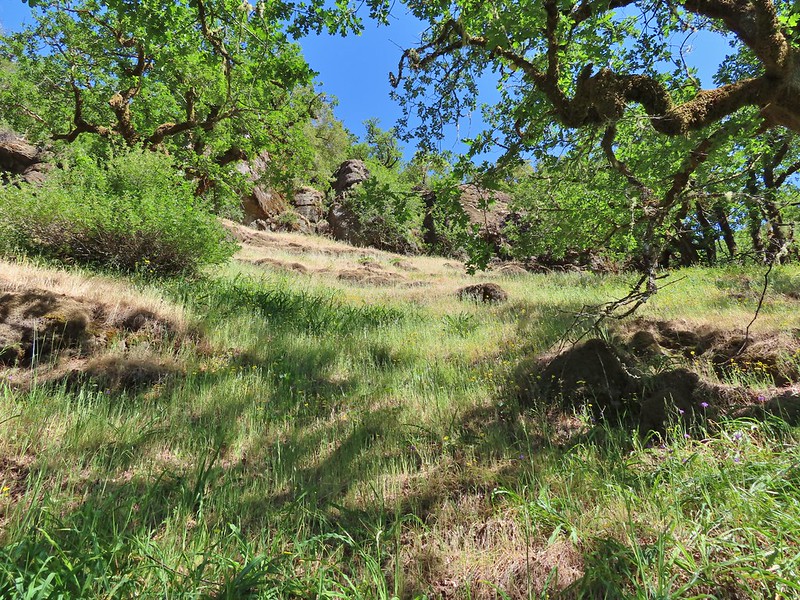
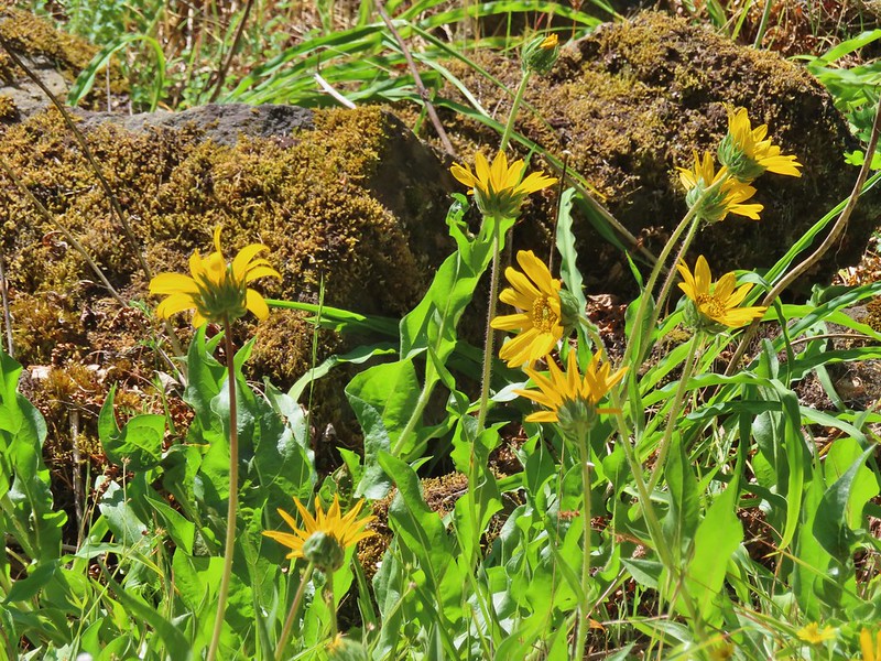
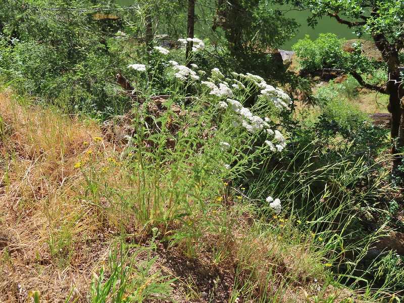 Yarrow
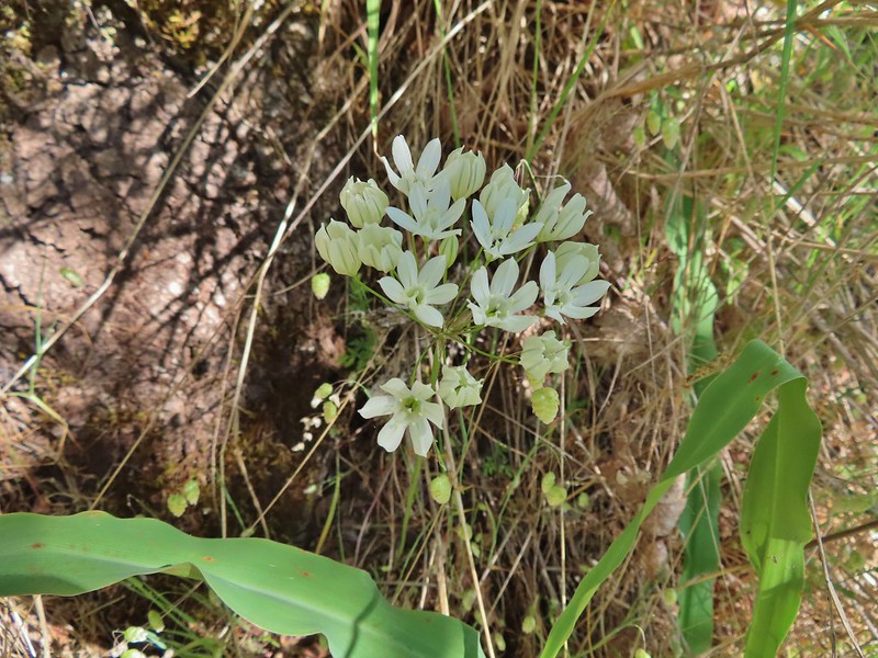
 Bindweed
 Poppies
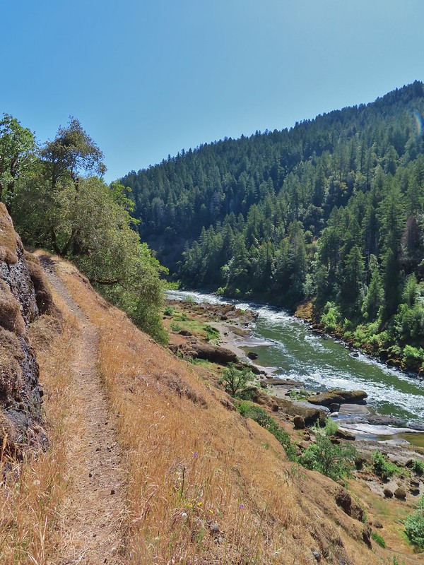

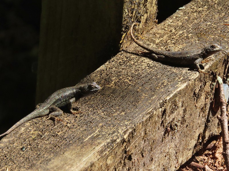


 Clay Hill Lodge
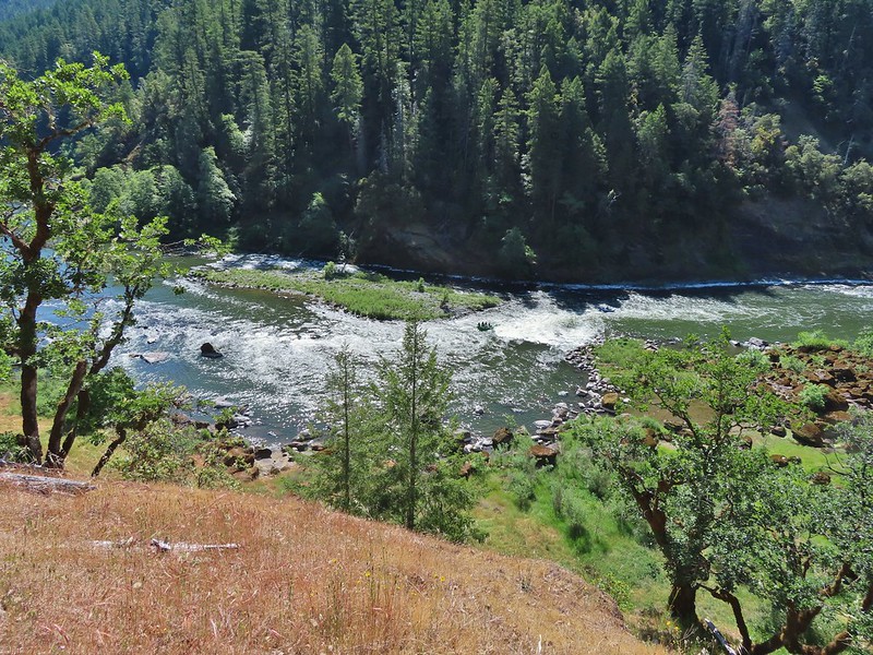 Rafts in Clay Hill Rapids
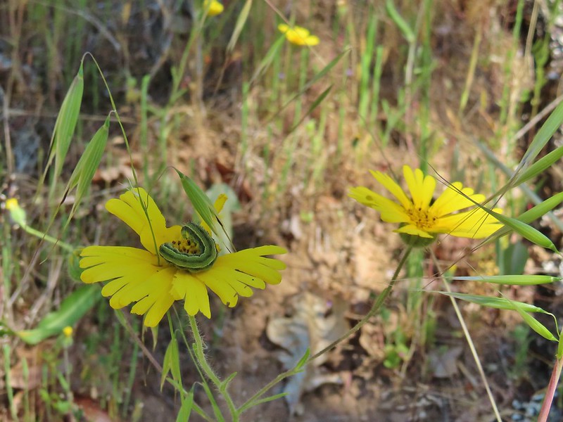
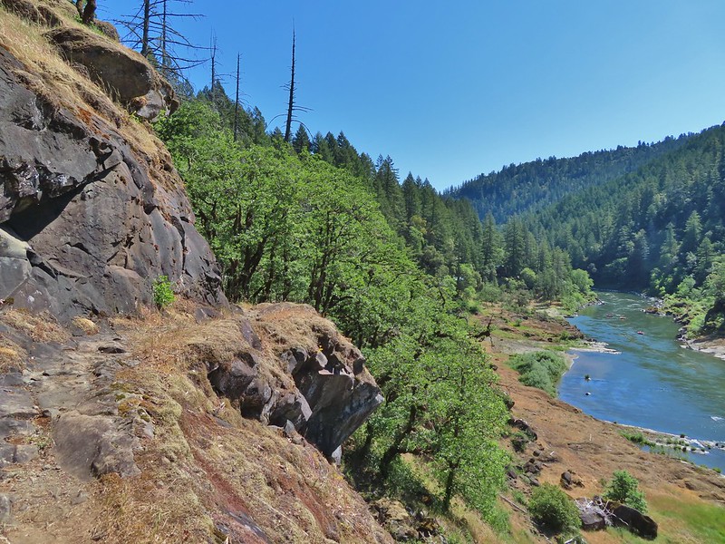

 Winecup clarkia
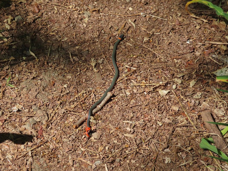

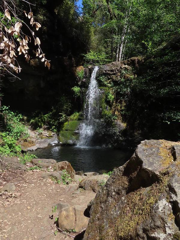
 One of the dozens of photos I took trying to get the swallow tail in flight.


 Thimbleberry
 Salmonberry
 McLeod Creek
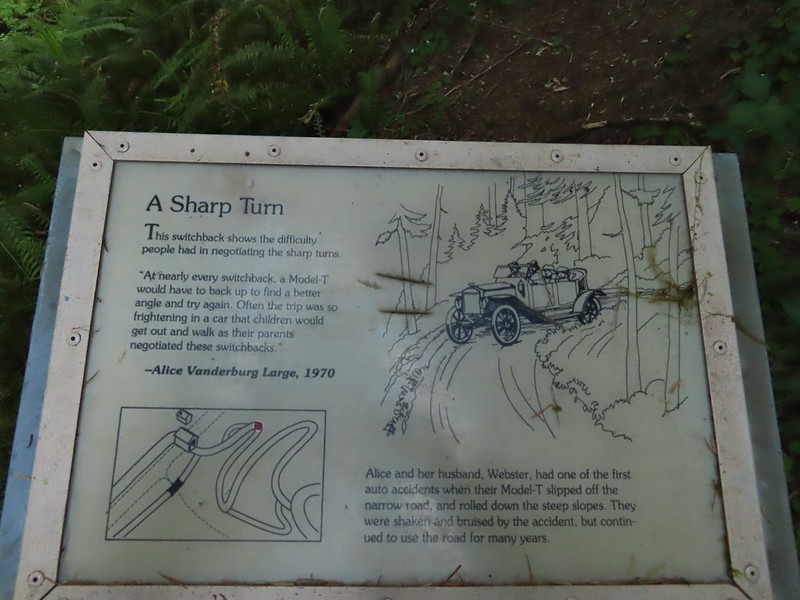
 One of the sharp turns.
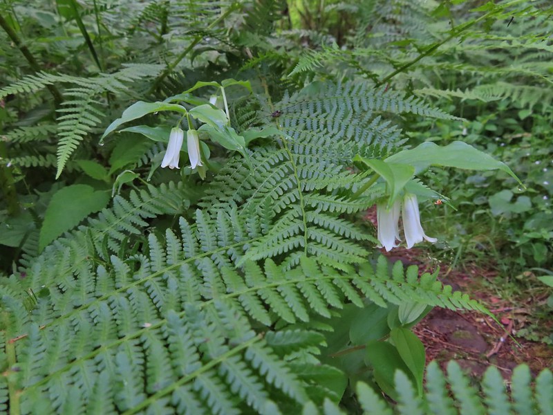 Fairy bells
 Columbine
 Bleeding heart
 Monkeyflower
 Sourgrass
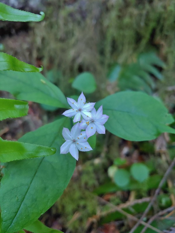 Star flower
 Trillium
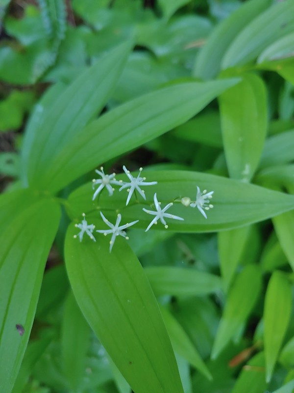 Star flower solomonseal
 Twisted stalk
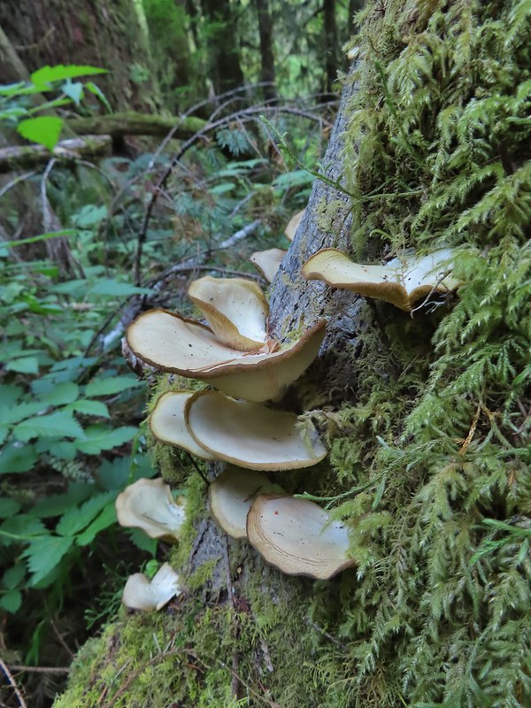
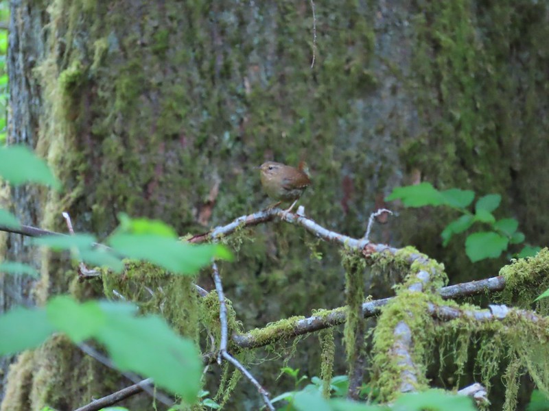 Wren – We heard lots of birds but didn’t see many of them.

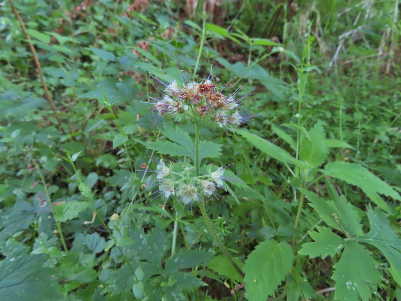 Waterleaf

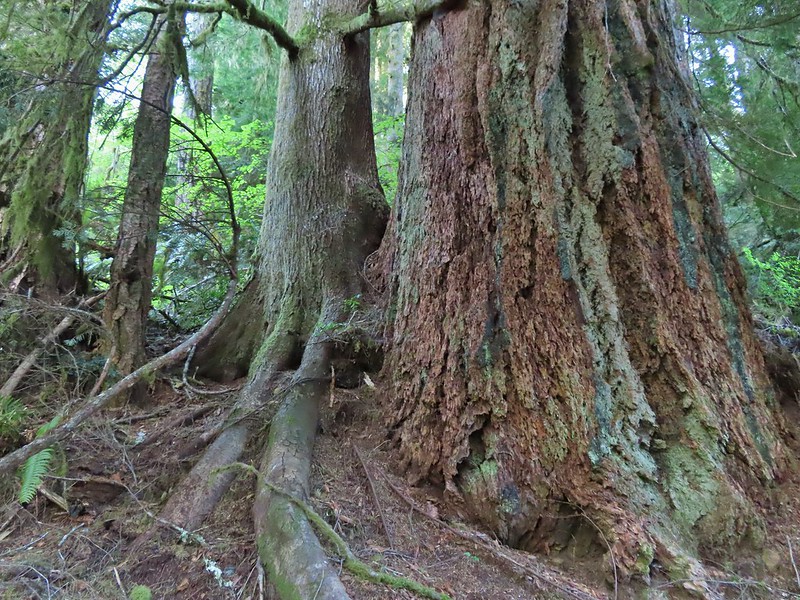
 Marker for a fire scarred Douglas fir. According to the brochure the last major fire in the area was in the 1860s.


 We had to climb over this big tree.


 Looking at the bridge at the north end of the lake.
 Canada geese
 Cormorants flying above the lake.
 Cormorant
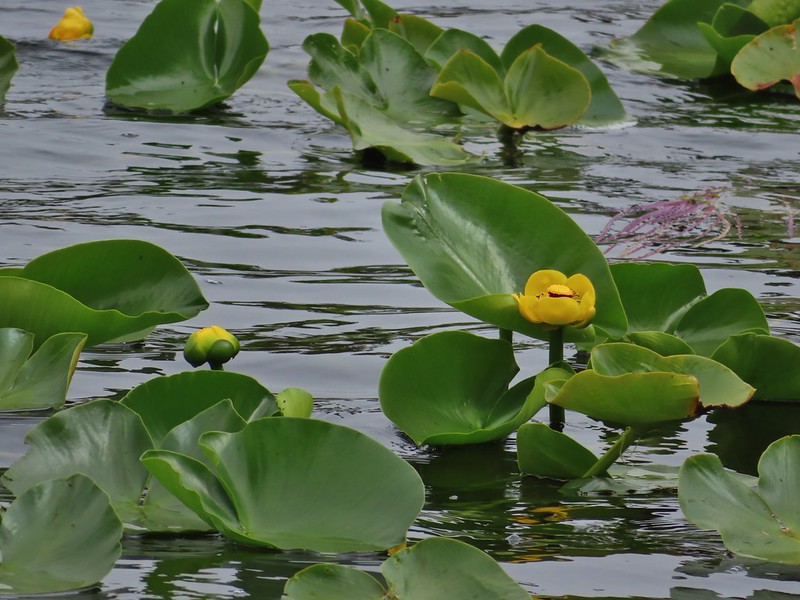
 Ring necked ducks
 Rhododendron
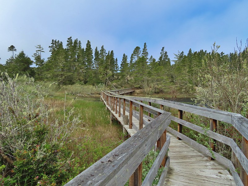 Boardwalk at the south end of the lake.
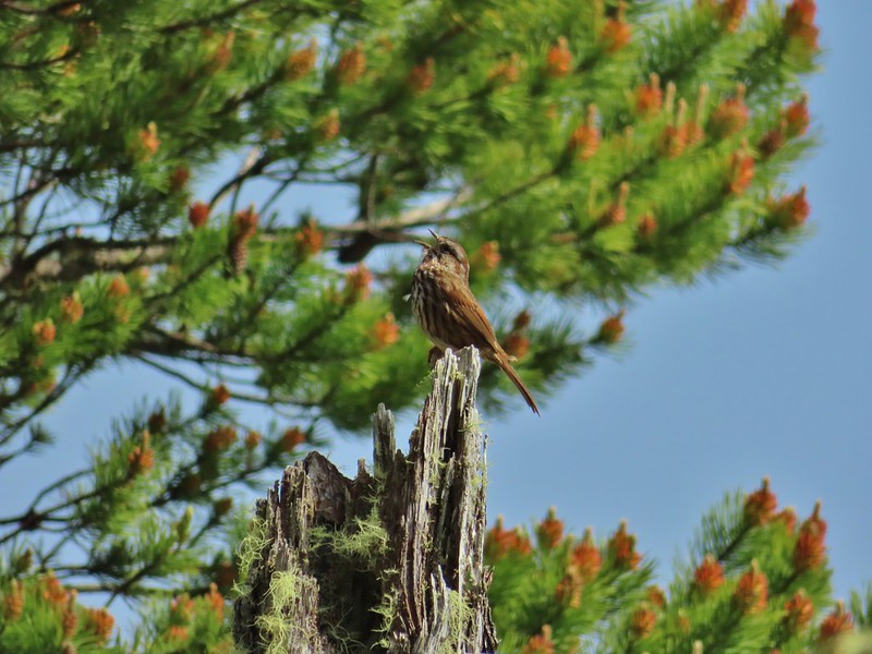 Sparrow
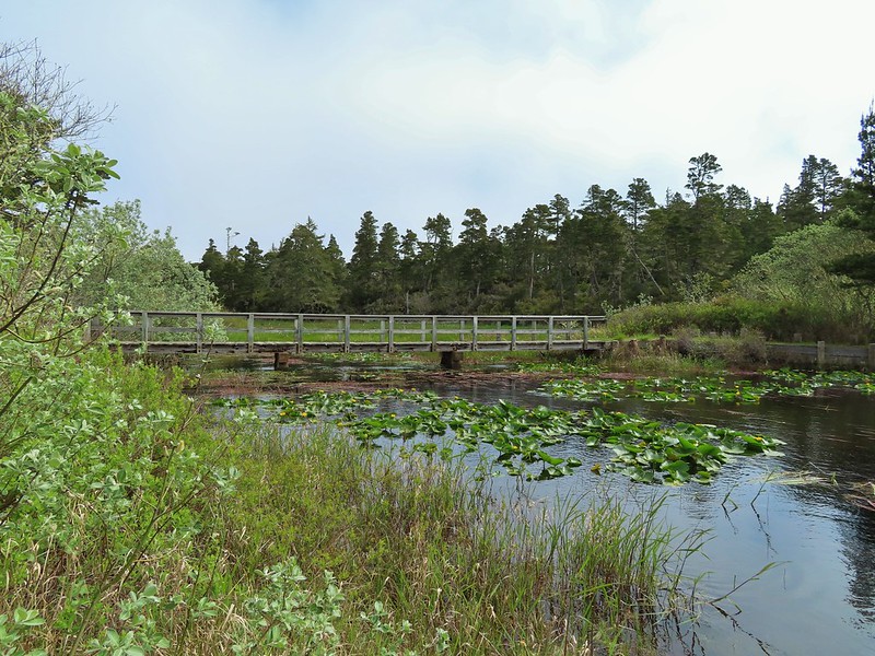 Coming up on the bridge at the north end.
 Yellow rumped warbler
 Finch
Finch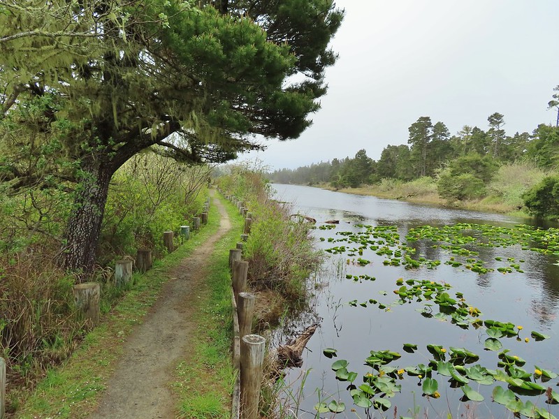
 The trail on the far side of the track.

 One of three panels on a signboard at the start of the trails.
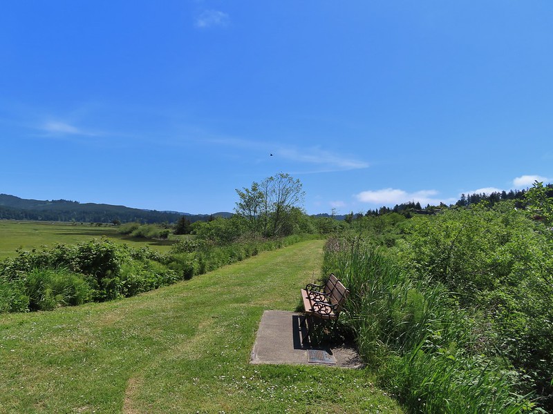 This bench is at the junction.
 Sparrow near the junction.
 Heading to the observation structure.
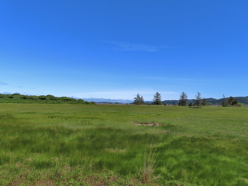 Looking toward Coos Bay along the Coos River.
 McCullough Memorial Bridge spanning Coos Bay.
 Wetlands from the end of the spur.
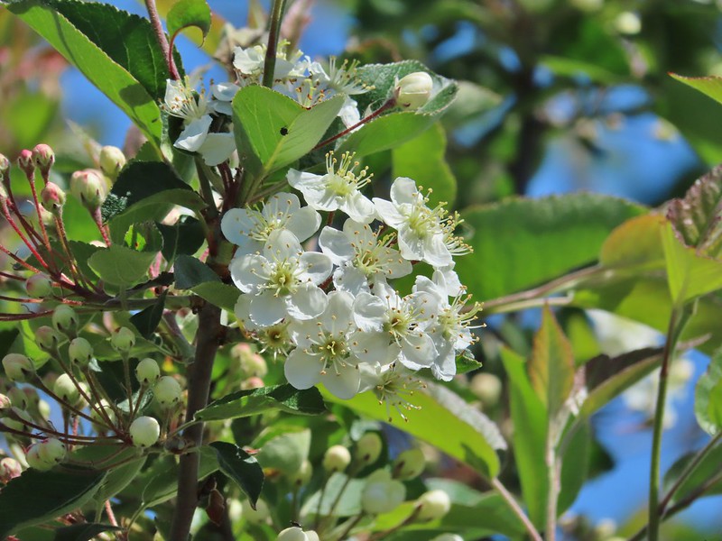 Bitter cherry
 Crow
Crow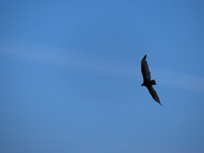 Turkey vulture
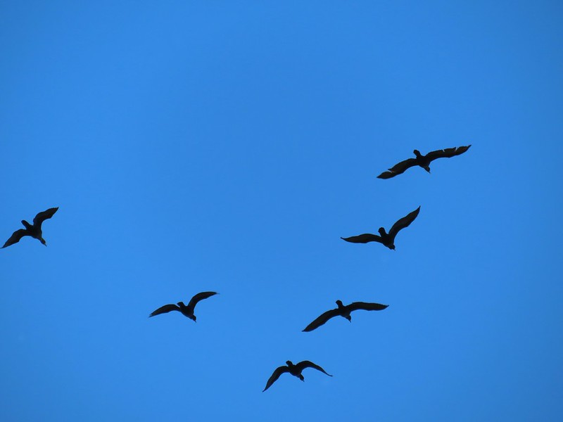 Cormorants overhead
 Canada goose with goslings
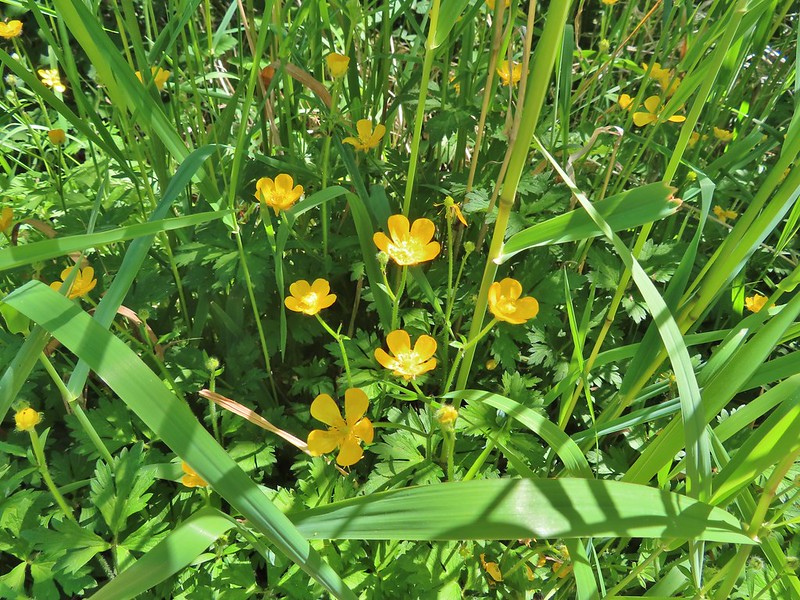 Buttercups
 Pale flax
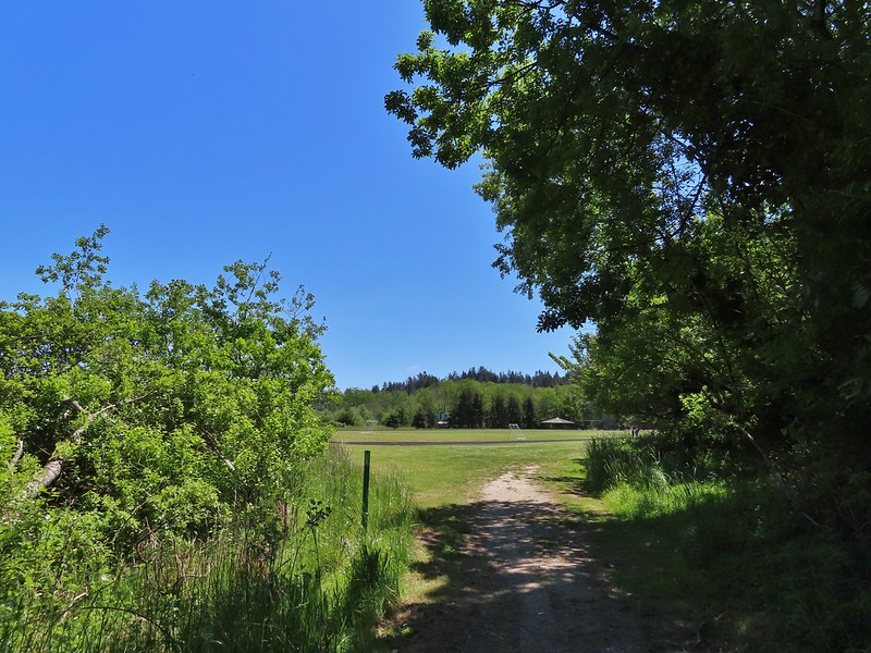 Arriving back at the field.
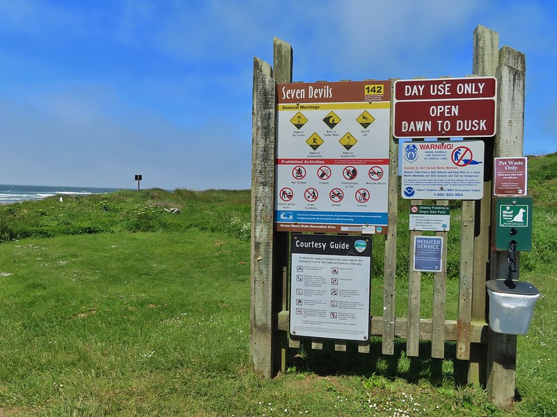
 Ground squirrel enjoying the view.
 Twomile Creek
 Shore bird in the creek.

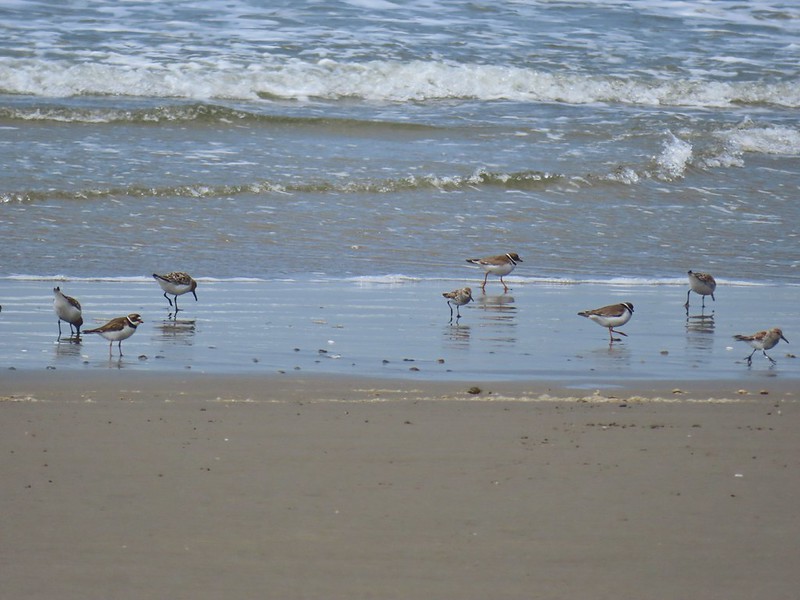

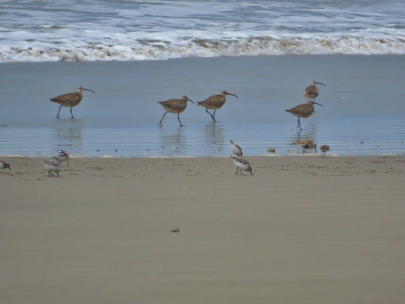
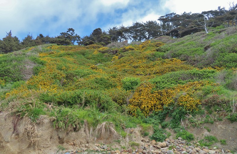
 Brass buttons (another non-native)


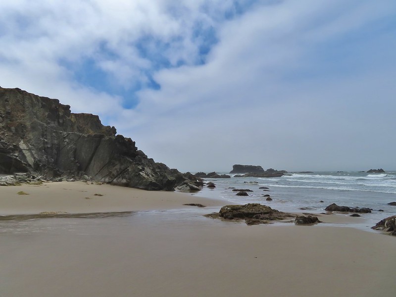 Whiskey Run Beach lay on the other side of the rocks with another parking area 0.8 further south.
 A cormorant off Fivemile Point

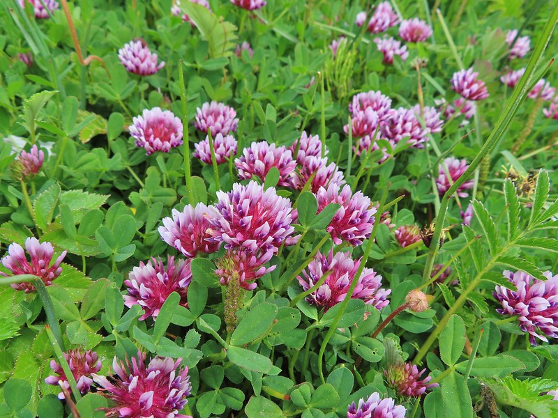


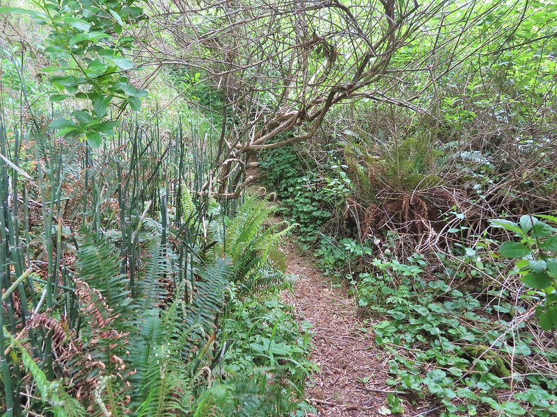
 View from the bench.


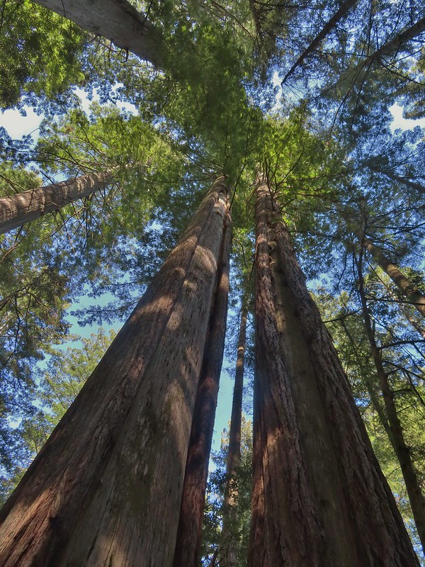
 Coming up on the hollow trunk straight ahead.
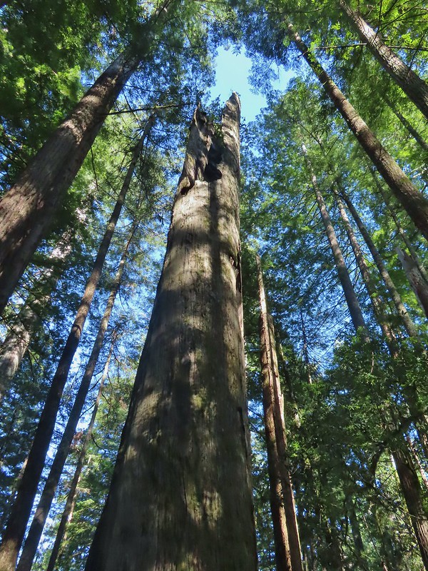


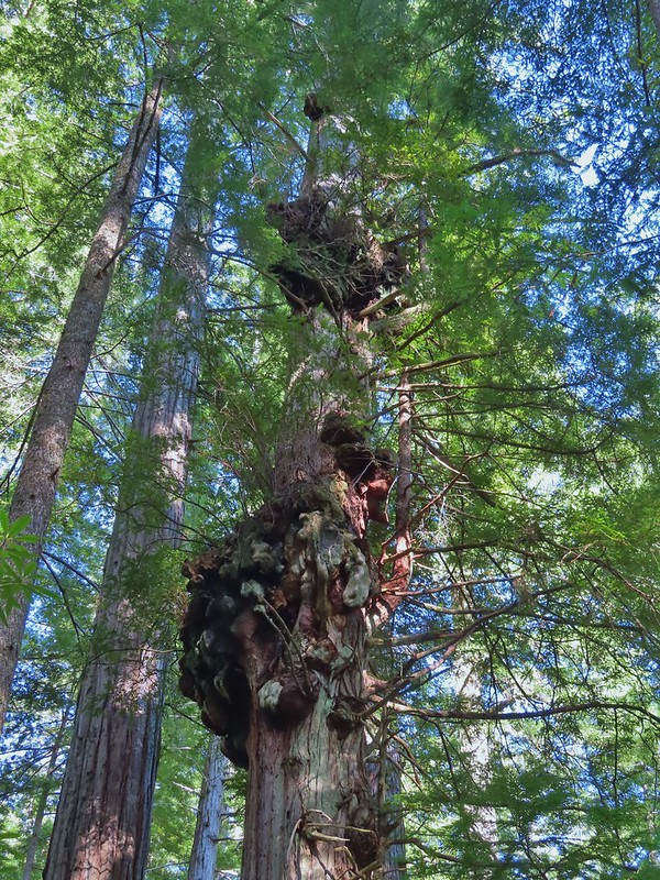
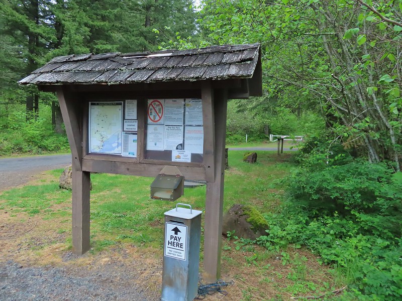
 Equestrian Trail at the trailhead.
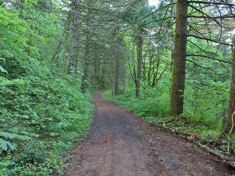 On the old roadbed/Equestrian Trail.
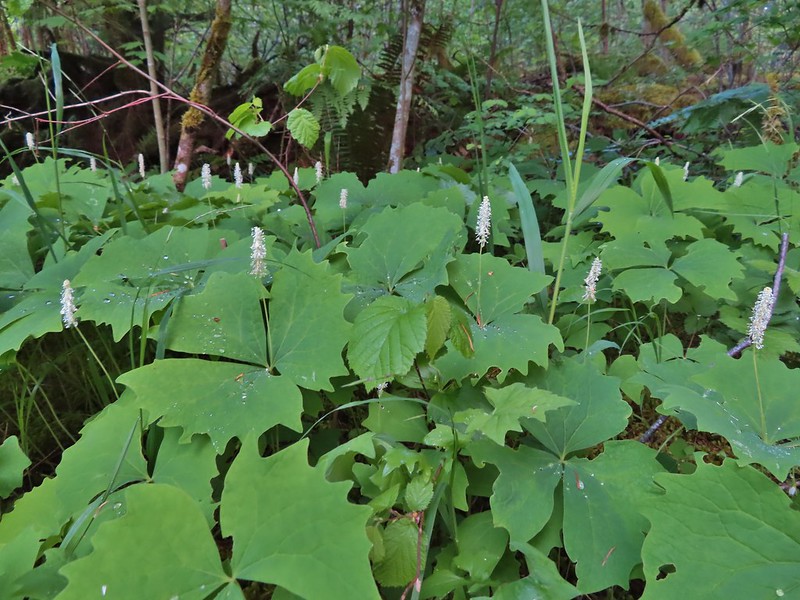 Vanilla leaf
 Fairy bells
 Violets
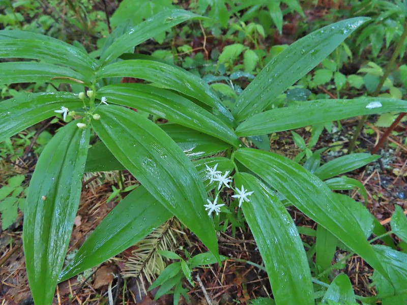 Star-flowered false solomon seal
 Youth-on-age
 Possibly a cinquefoil
 Thimbleberry
 Fringecup
 At the 4-way jct the Equestrian Trial continued straight with the West Hardy Trail to the left and Lower Loop Trail to the right.
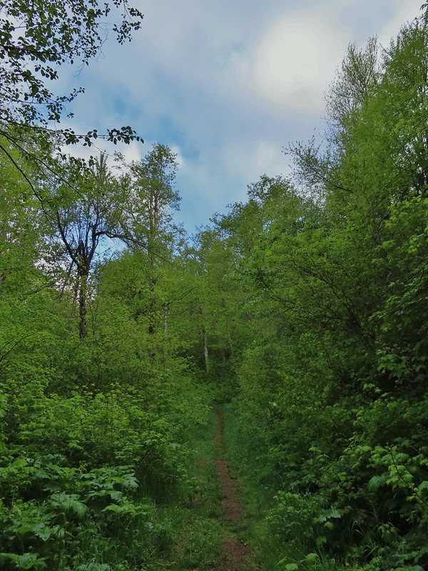

 Salmonberry
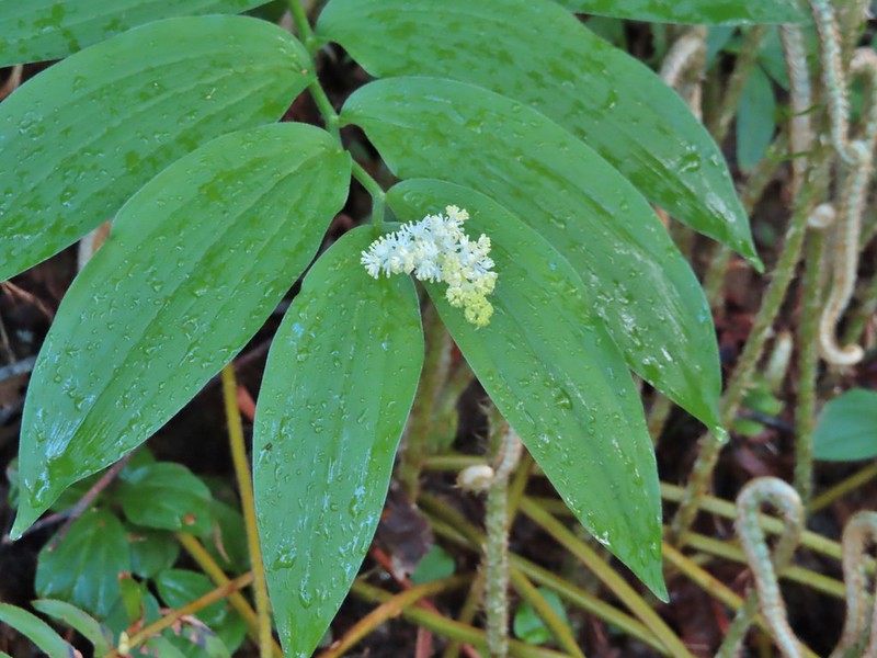 False solomon seal
 Bleeding heart
 Here come the clouds.
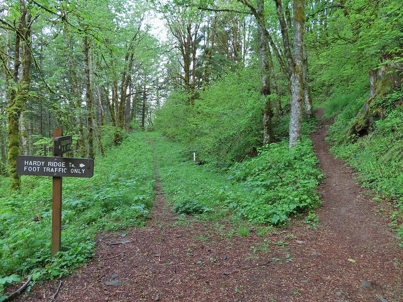

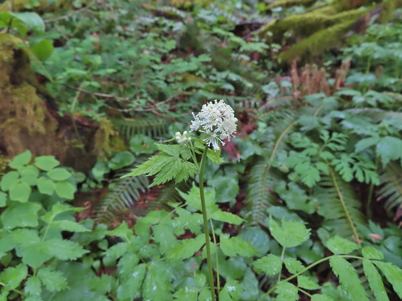 Baneberry
 Trillium
 Paintbrush
 Red flowering currant
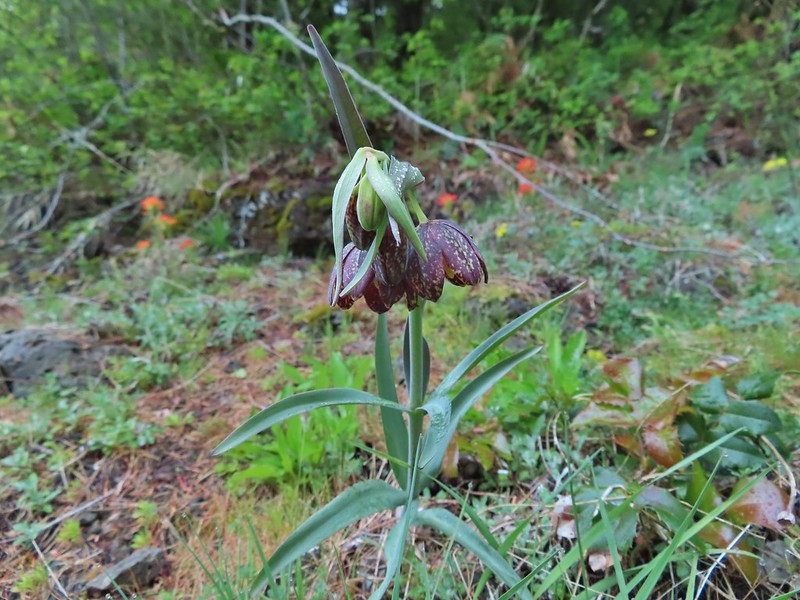 Chocolate lily
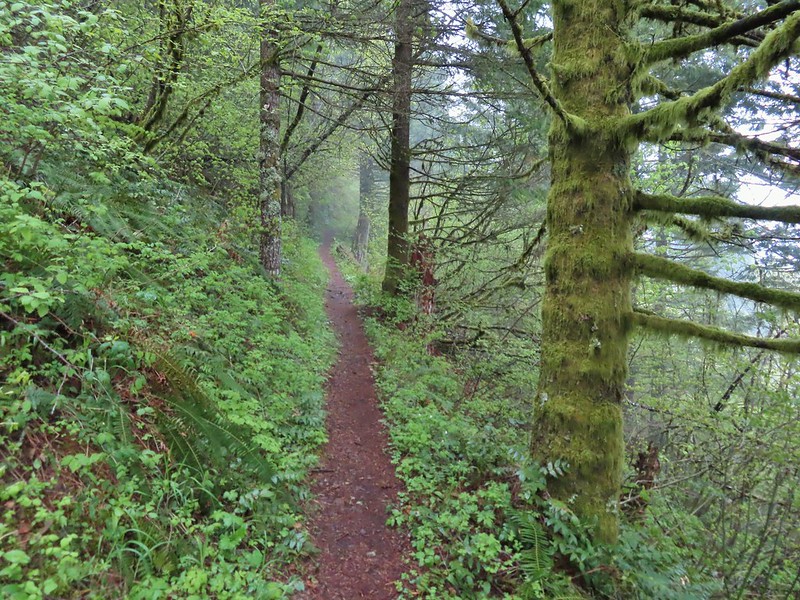
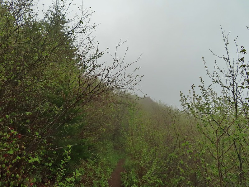
 Anemones
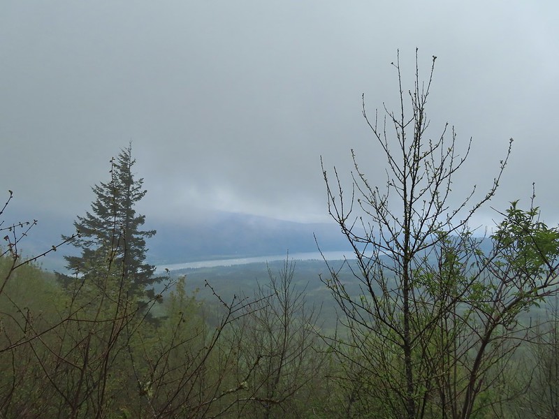 Looking across the Columbia River into Oregon.
 Horsetail Falls (
 Field chickweed and Oregon grape
 Junction at the saddle.
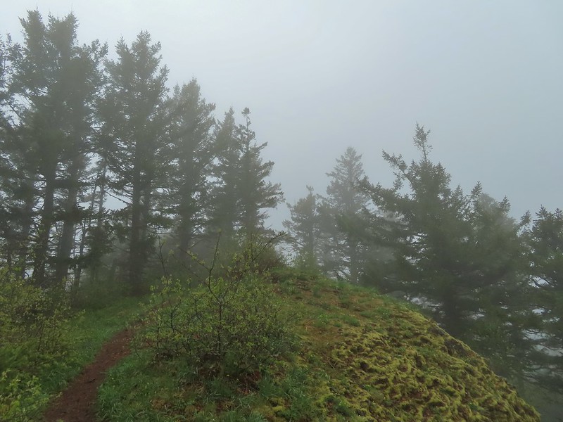
 Glacier lily
 Trilliums
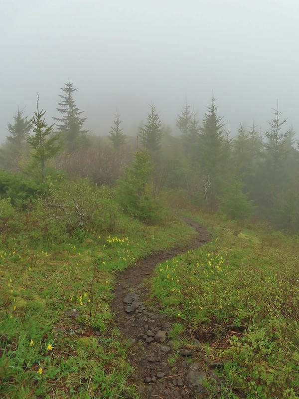 Glacier lilies along the trail.
 Another hiker caught up to us at this rock field not far from the high point. It looked like the trail was going across the rocks for a bit and she decided to turn around but after just a few feet the trail resumed behind a bush.
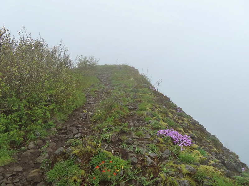
 Phlox
Phlox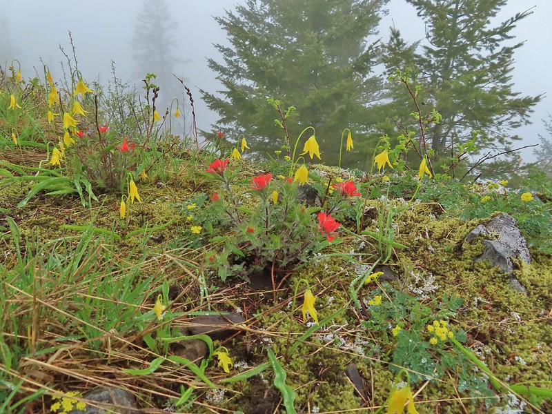 Paintbrush and glacier lilies.
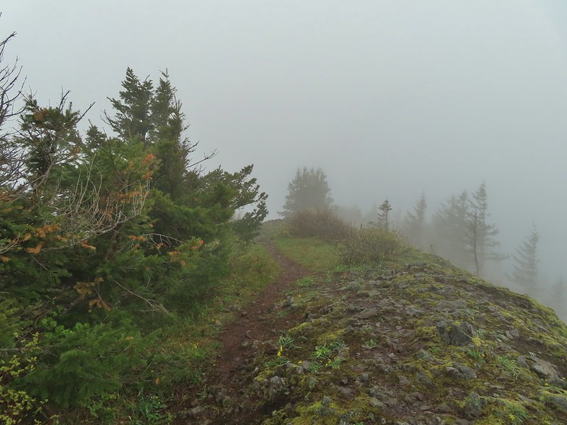 The high point.
 Glacier lilies at the high point.

 Hamilton Mountain (high point to the right) and the Columbia River.
 Bonneville Dam and the Hamilton Mountain Trail crossing The Saddle.
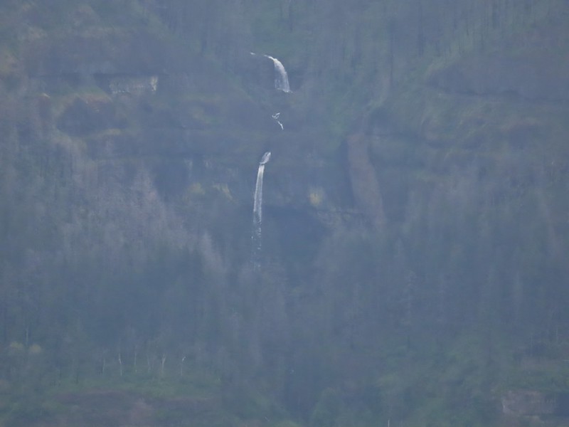 Upper McCord Creek Falls (
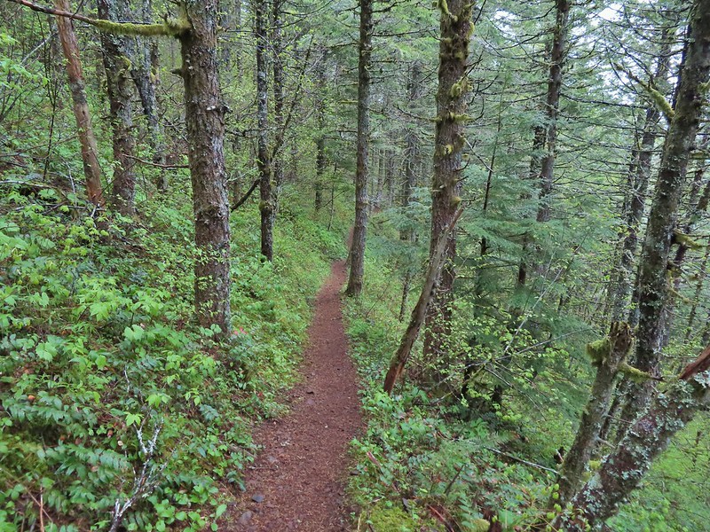
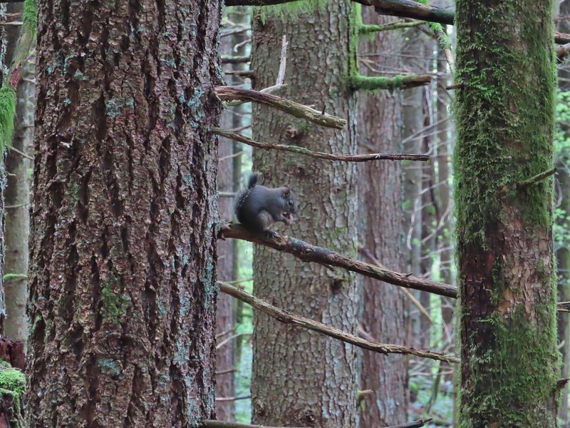 Squirrel
 Snail
Snail

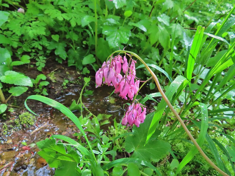 Bleeding heart along a little stream.
 False lily-of-the-valley getting ready to bloom.
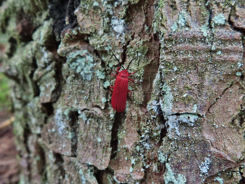 Possibly a Dictyoptera aurora (Golden net-winged beetle)
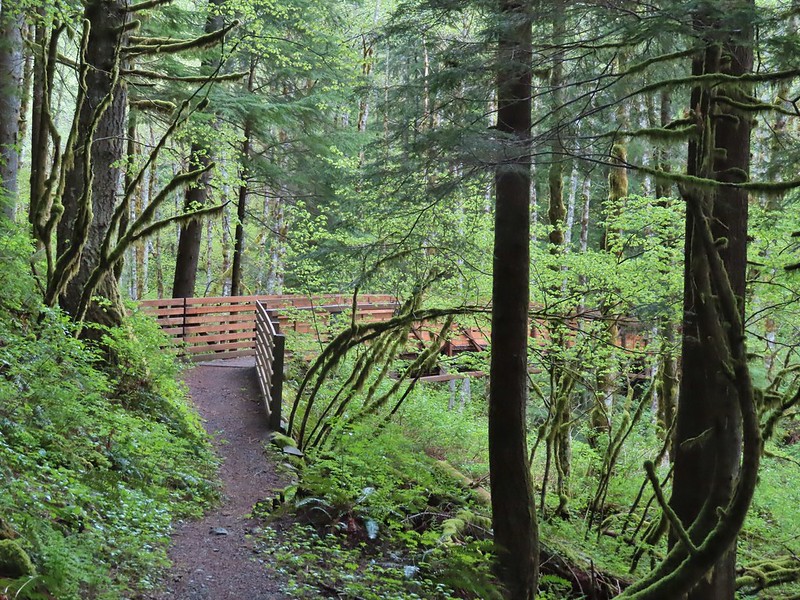
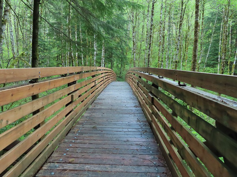

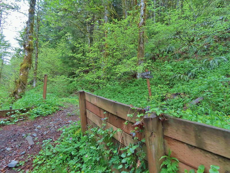

 Hardy Ridge from the Upper Hardy Trail.
 The left fork would have been slightly longer by leading us around the back side of a knoll and making a 180 degree turn following the east side of the ridge toward The Saddle.
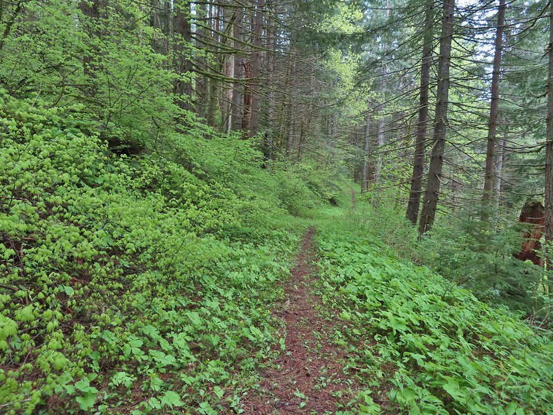 We turned right opting for the slightly shorter route to The Saddle.
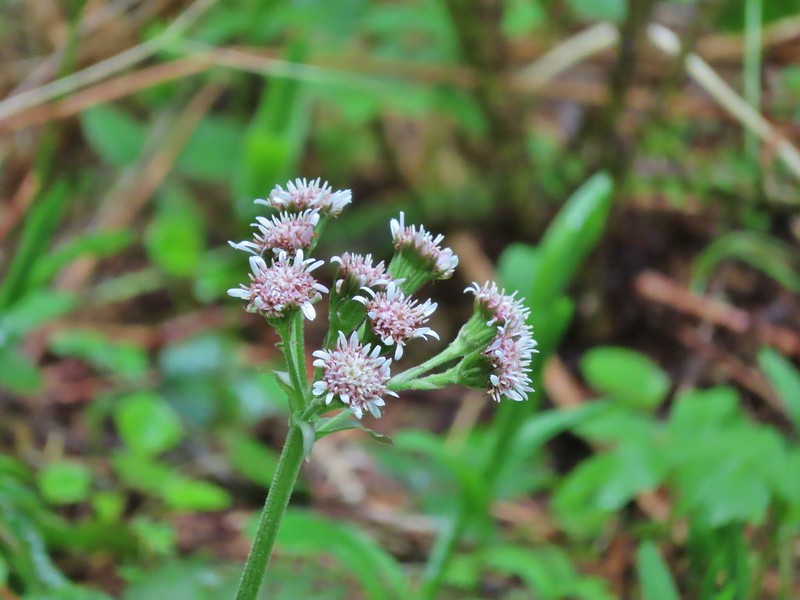 Coltsfoot
 Southern junction of the two forks of the Upper Hardy Trail.
 Hikers coming down from Hamilton Mountain.
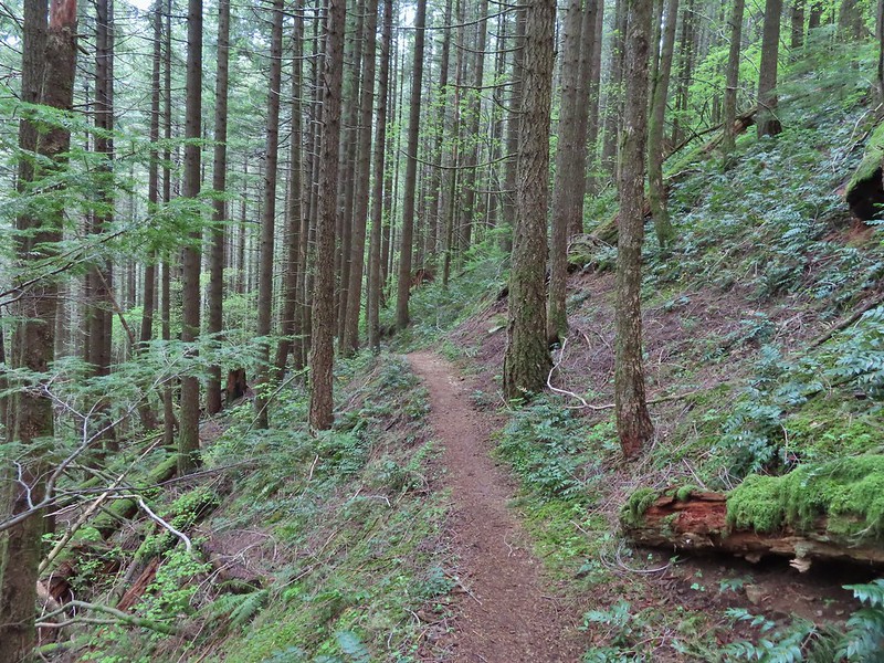
 Dons Cutoff Trail nearing the Upper Hardy Trail.
 Upper Hardy Trail
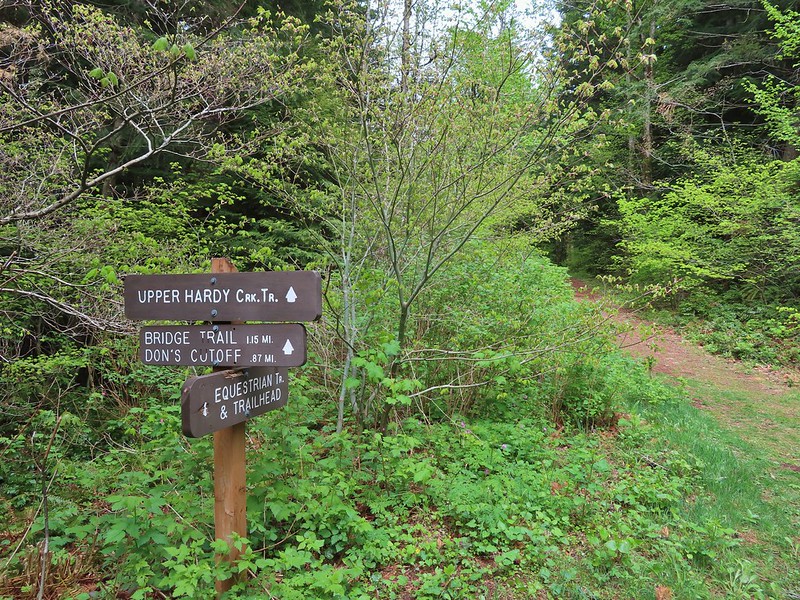
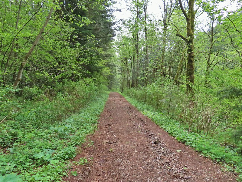 Equestrian Trail
 Hardy Creek
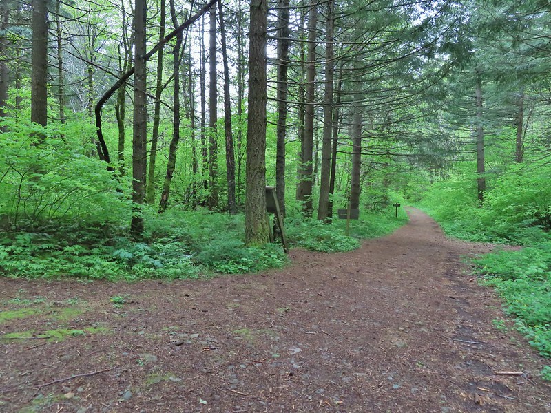

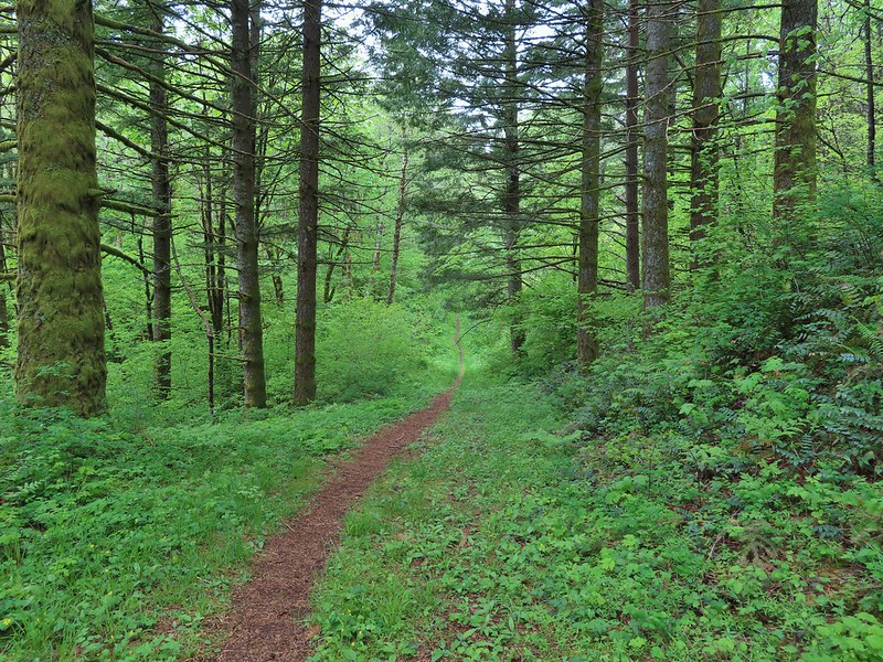


 Spotted this guy while I was photographing the slug above. Not sure if it’s a crane fly or ?
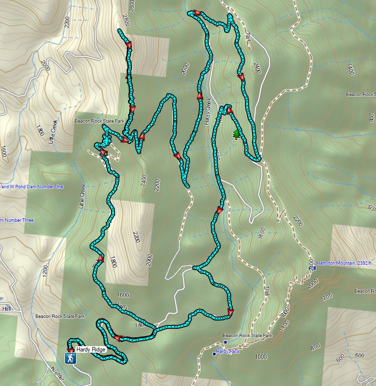
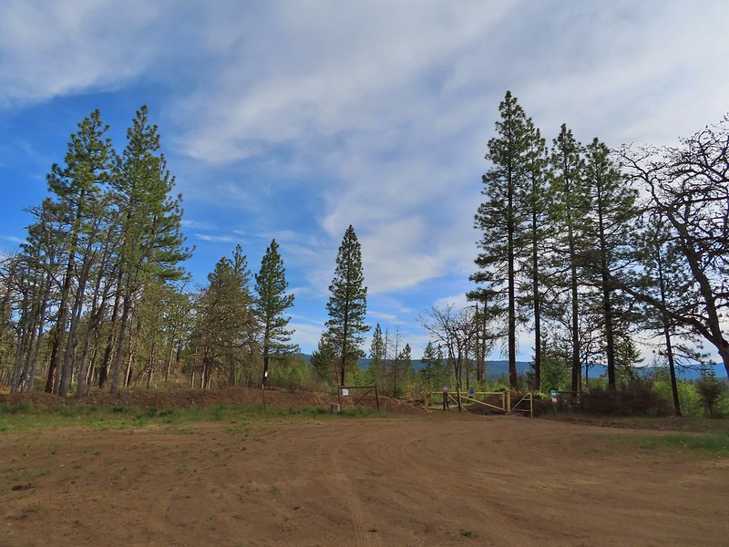
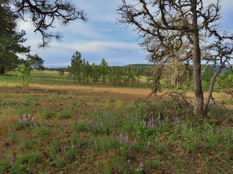 Looking back toward the meadow.
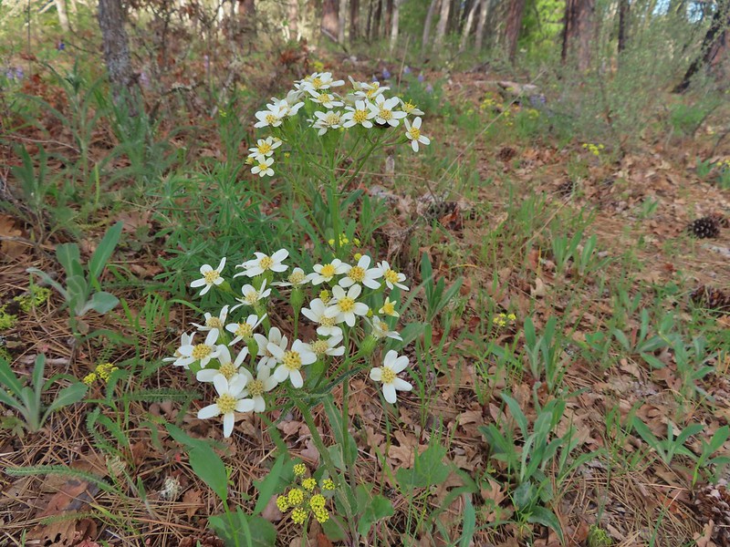 Western white groundsel
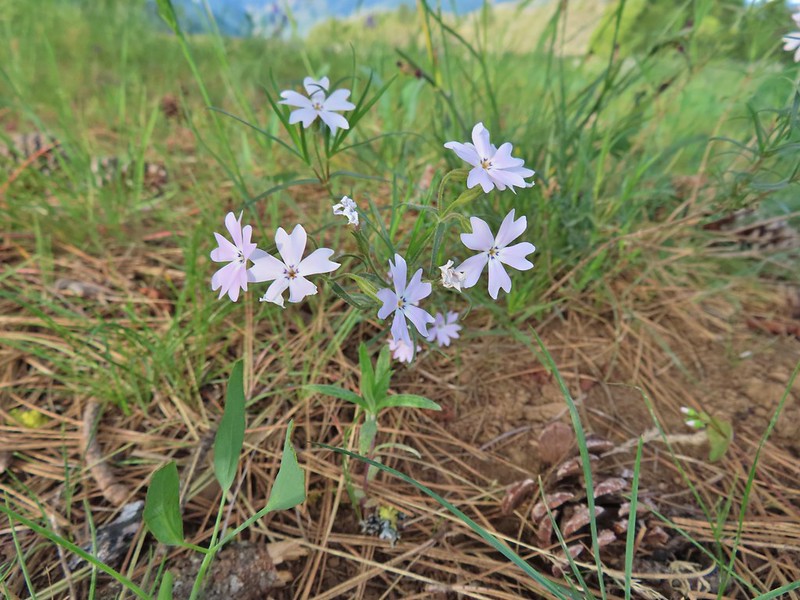 Showy phlox
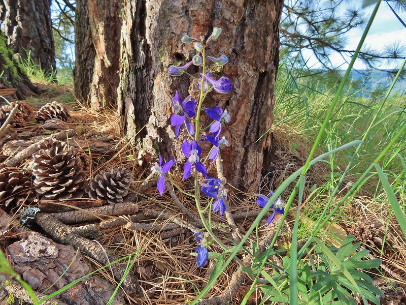 Larkspur
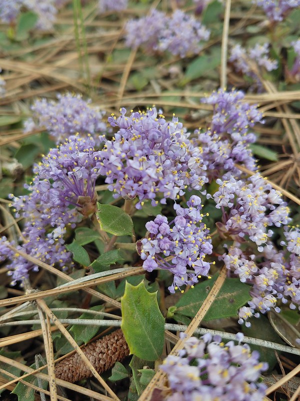 Mahala Mat (Prostrate ceanothus)

 Showy phlox among the oaks.
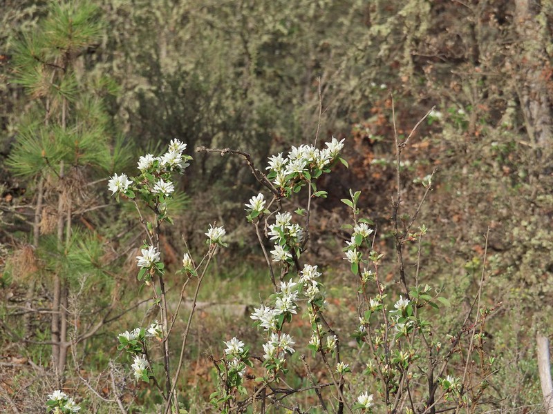 Serviceberry
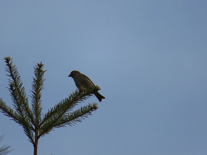 Sparrow
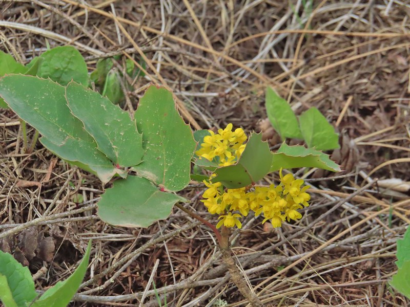 Oregon grape
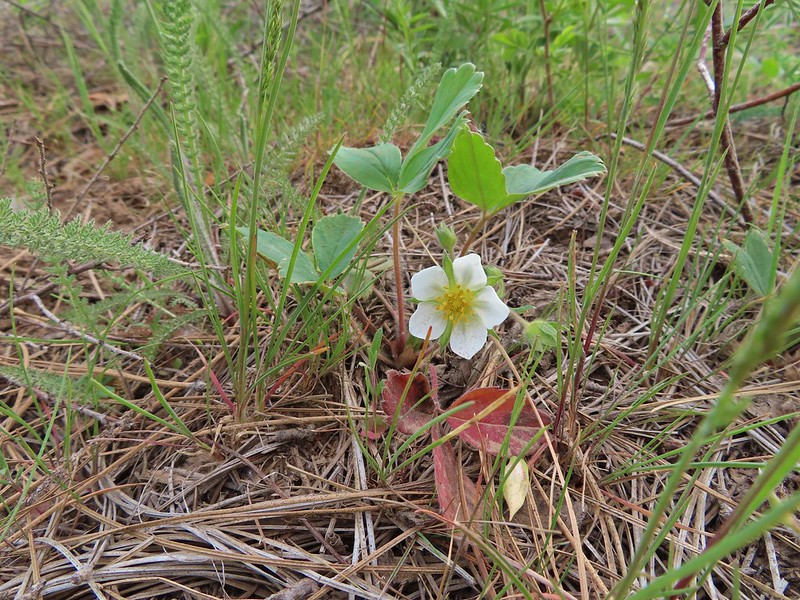 Strawberry
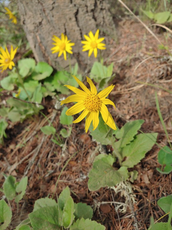 Arnica
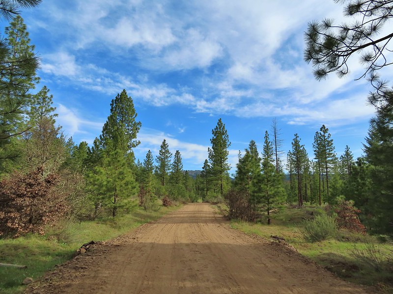 Grayback Mountain from Grayback Road. The first 2.5 miles of the hike only gained 400′ while the next 3.1 gained 1400′.
 Large head clover
 Camas, much of which had yet to bloom.
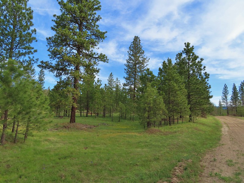 Ponderosa pines along the road.
 Western buttercups
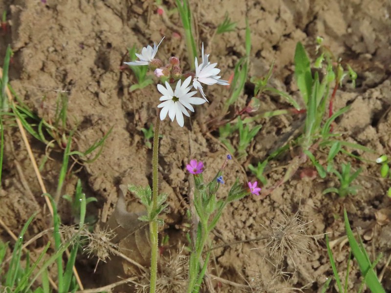 Woodland star and slender phlox
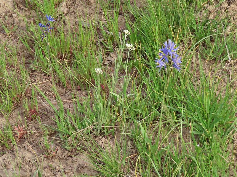 Pussytoes and camas
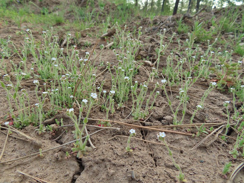 A cryptantha
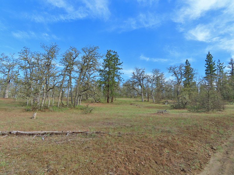 Oaks and ponderosas
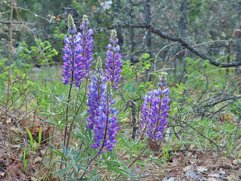 Lupine
 Robin
Robin Dark eyed junco
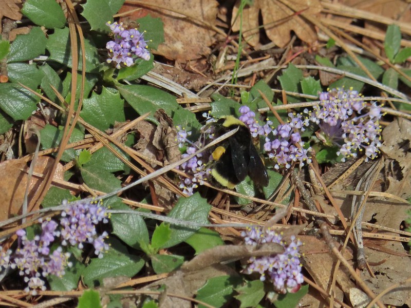 Bumble bee
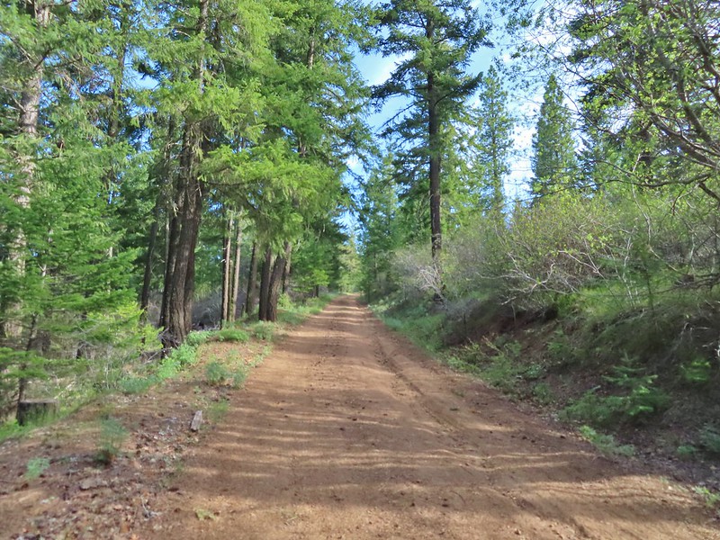 A more forested section of the road.
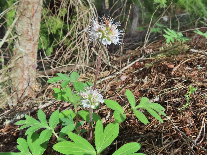 Ball-head waterleaf
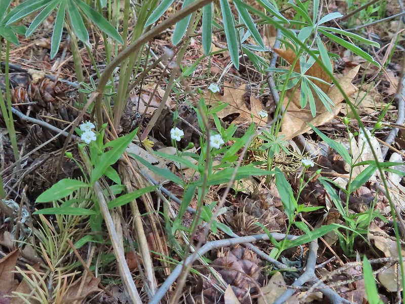 Largeleaf sandwort
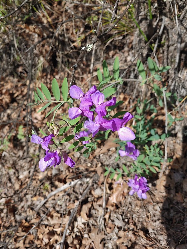 American vetch
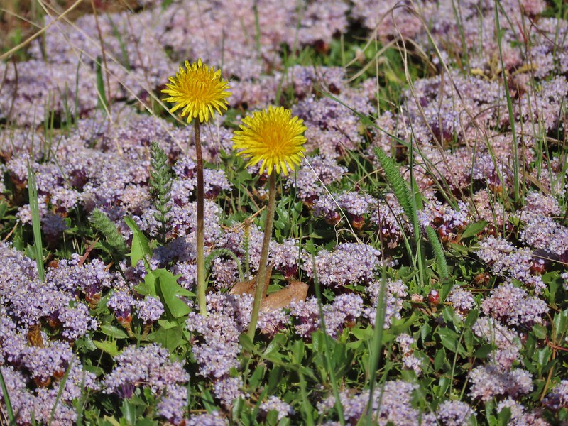 Dandelions in Mahala Mat
 Bitter cherry
 The real climb started at about the 4 mile mark at a junction below Grayback Mountain.
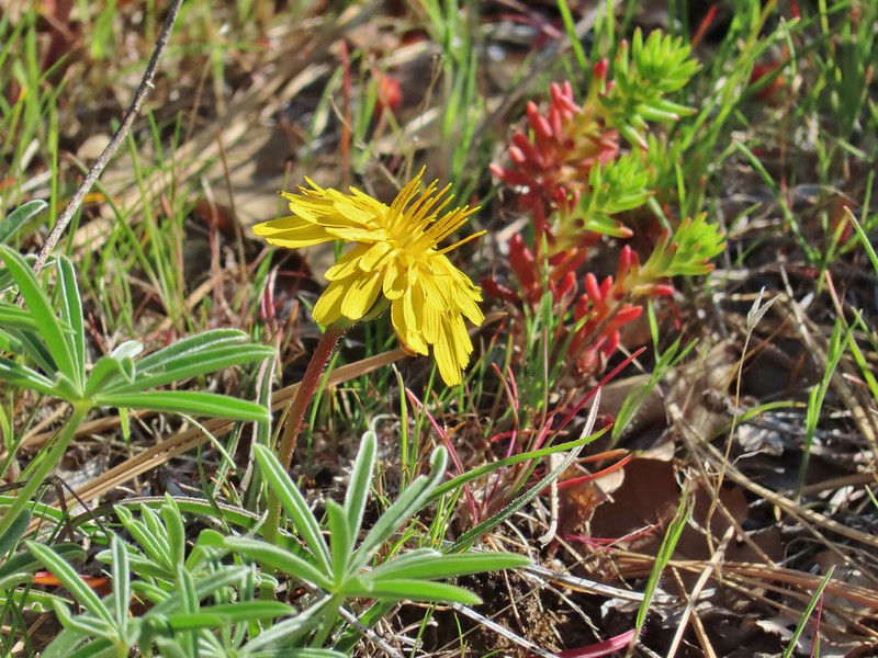 Sagebrush false dandelion
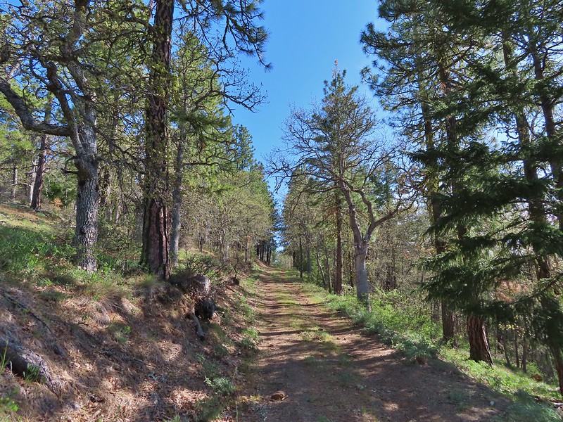 Climbing up Grayback Mountain
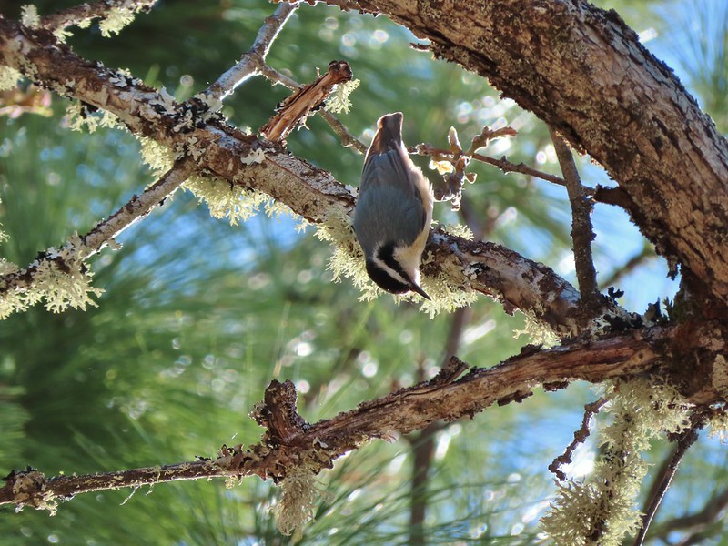 Red breasted nuthatch
 First view of Mt. Hood since the trailhead.
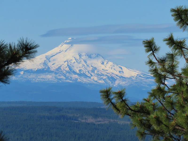 Mt. Hood
 Buckwheat
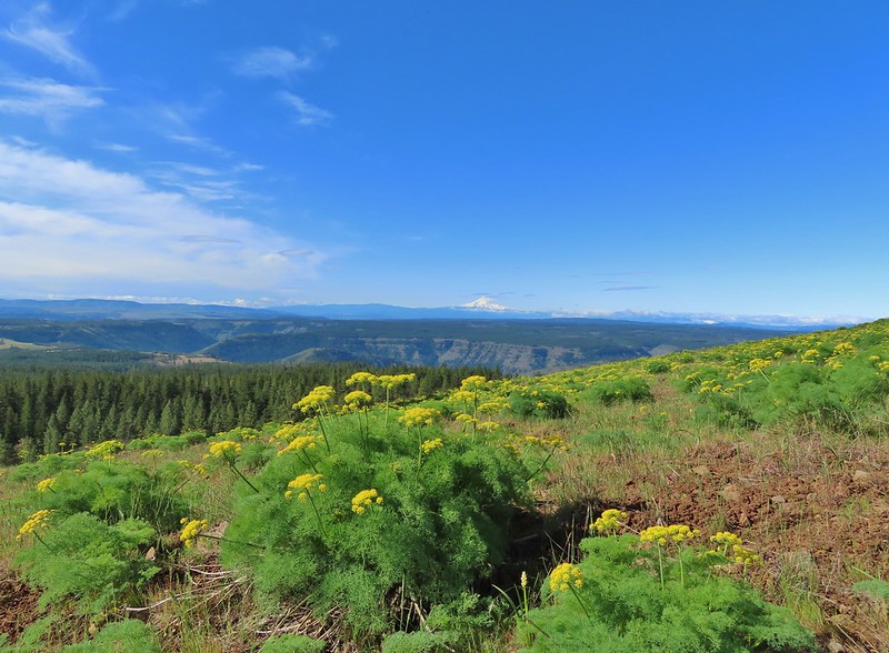 Mt. Hood beyond the Klickitat River Canyon
 Turkey vulture
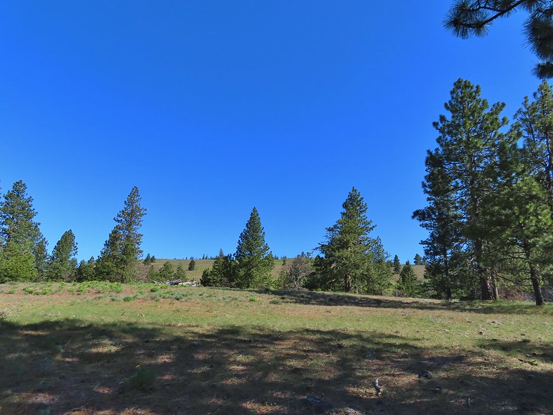 Entering the meadows on Grayback Mountain.
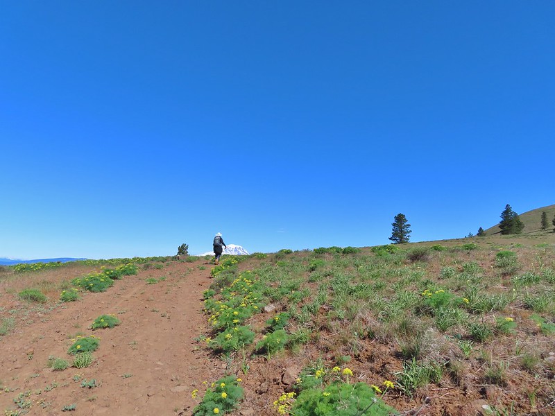 Approaching the first view of Mt. Adams.
 Mt. Adams
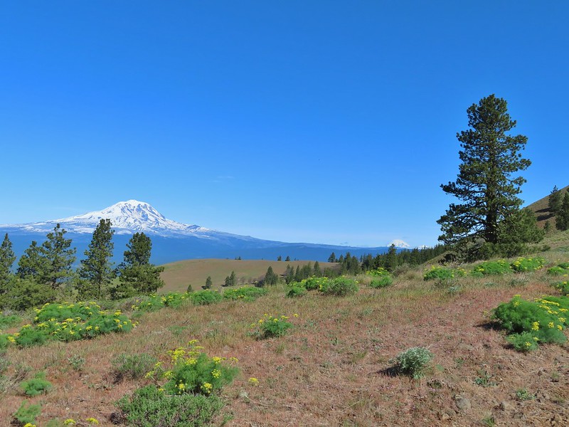 Mt. Adams, Mt. Rainier and Goat Rocks
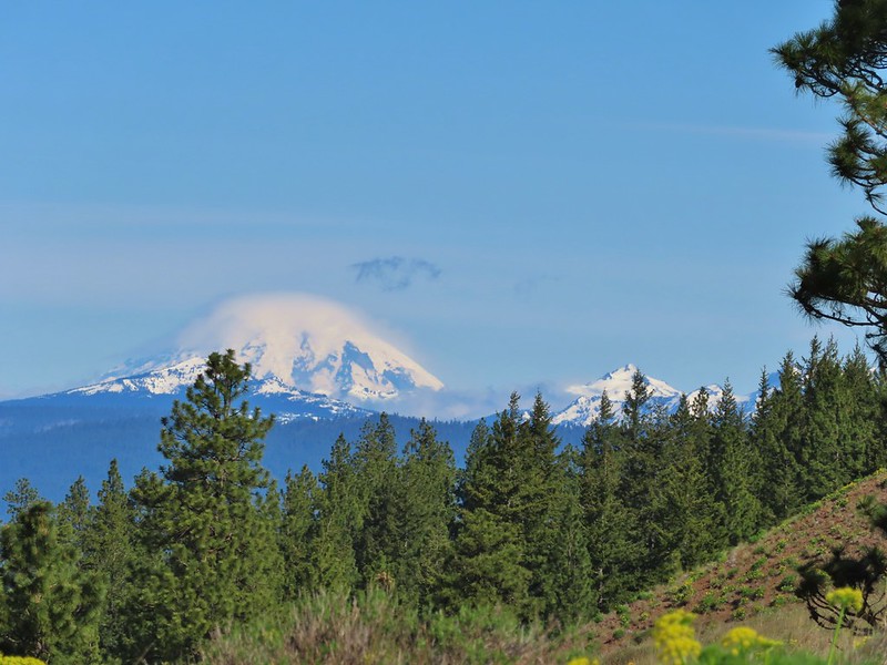 Mt. Rainier and Goat Rocks
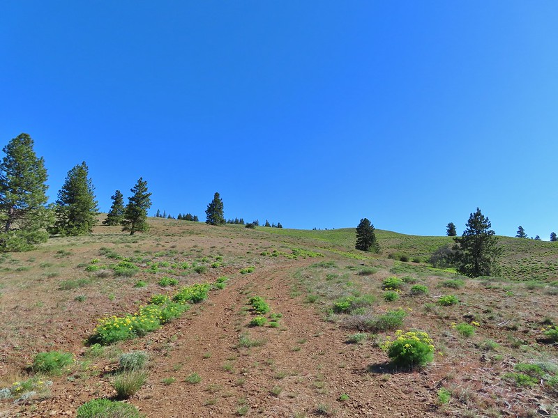 In the meadows.
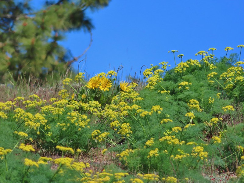 A balsamroot surrounded by parsley.
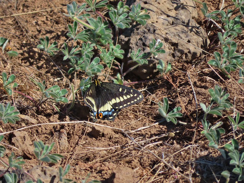 Indra swallowtail
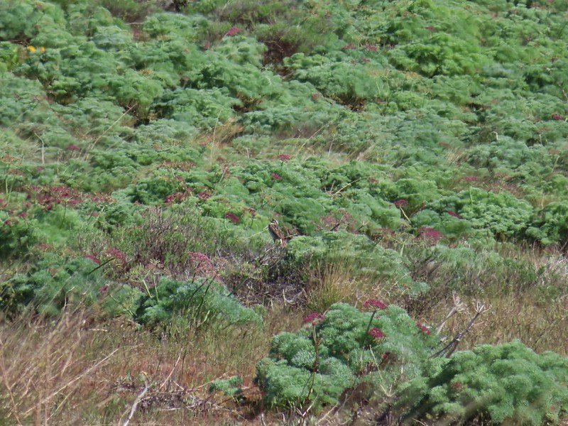 Western meadowlark in a patch of Columbia desert parsley.
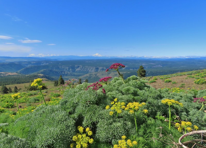
 Radio equipment atop Grayback Mountain with Mt. Adams beyond.
 Mt. Hood (we could just barely make out the top of Mt. Jefferson too.) from the summit.
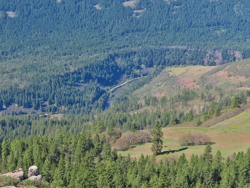 The Klickitat River
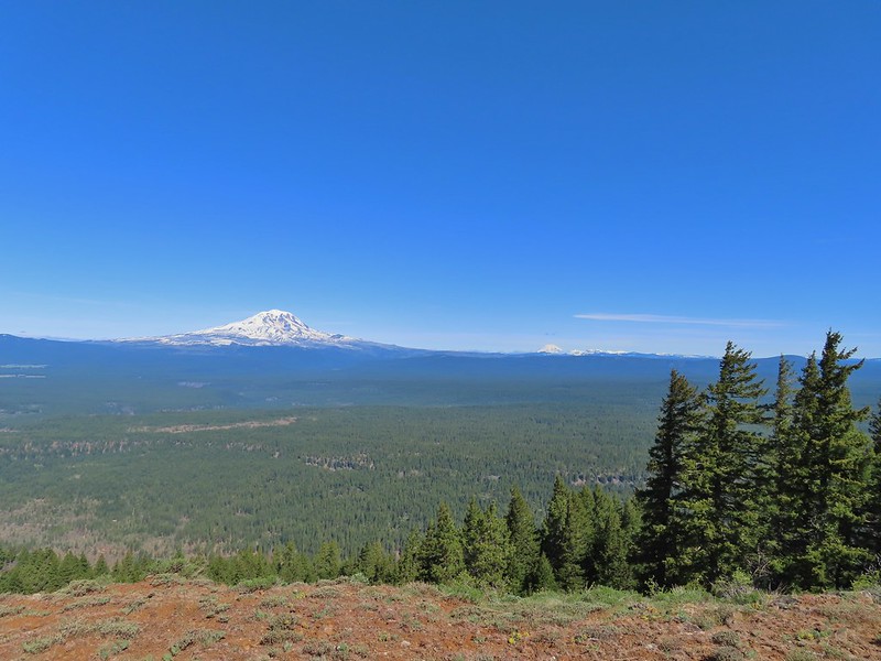 Mt. Adams, Mt. Rainier and Goat Rocks
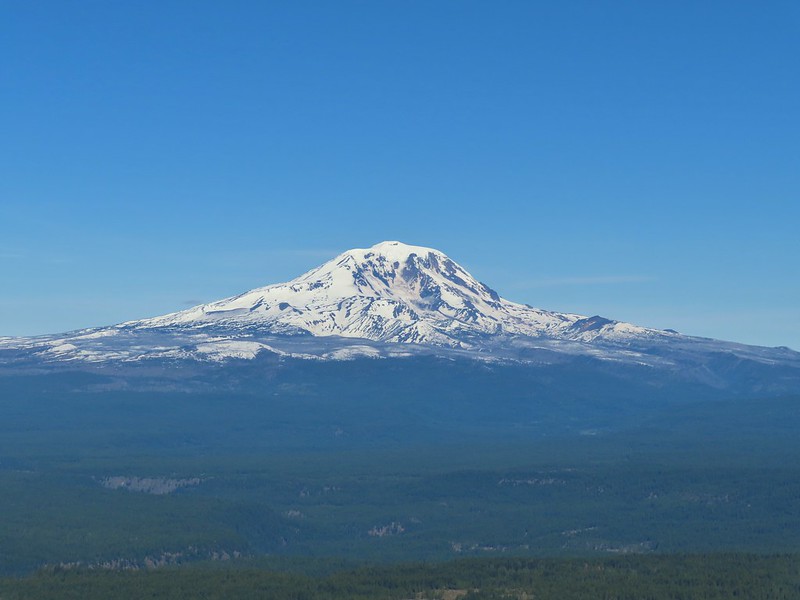 Mt. Adams
 Mt. Rainier and Goat Rocks (the Klickitat River originates from Goat Rocks.)
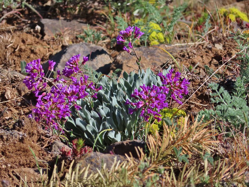 Daggerpod
 Obligatory survey marker photo.
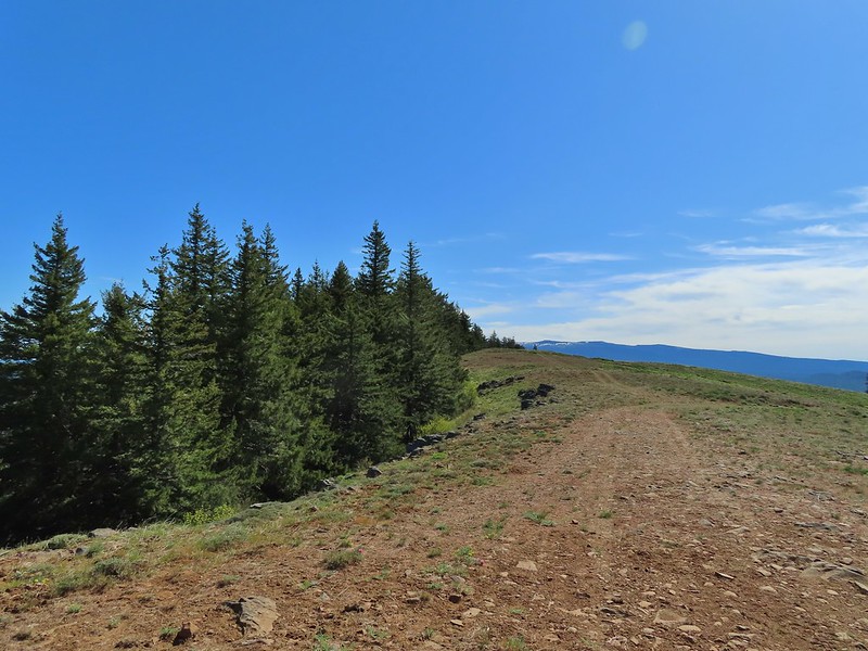 Looking east across the summit to the long ridge of Indian Rock. The boundary of the Yakima Indian Reservation is just on the north side of the summit.
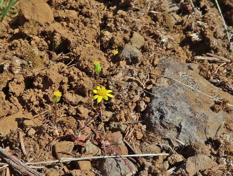 A few gold stars still had petals.
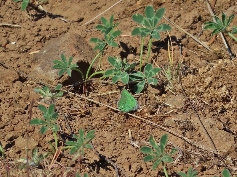 A hairstreak but I’m not sure which type.
 At least 4 ants on a large head clover.
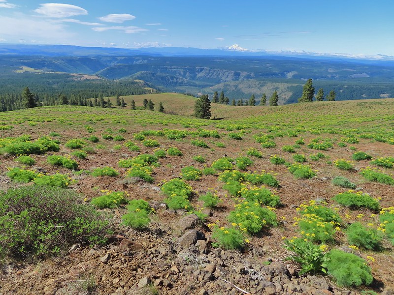 Looking back south down Grayback Mountain.
 There was a lot of white-stemmed frasera in the area but this was the closest one to blooming (and it’s a ways off).
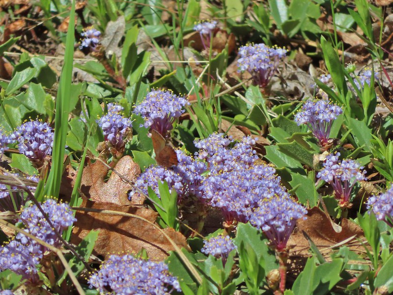 Maybe a brown elfin. I couldn’t get a clear picture of this one.
 Erynnis propertius – Propertius Duskywing (aka Western Oak Dustywing). There were lots of these duskywings flying about, it turns out that oaks are their host plants.
 Another Erynnis propertius
 Juba skippers caught in the act.
 Anise swallowtail coming in for a landing on showy phlox.
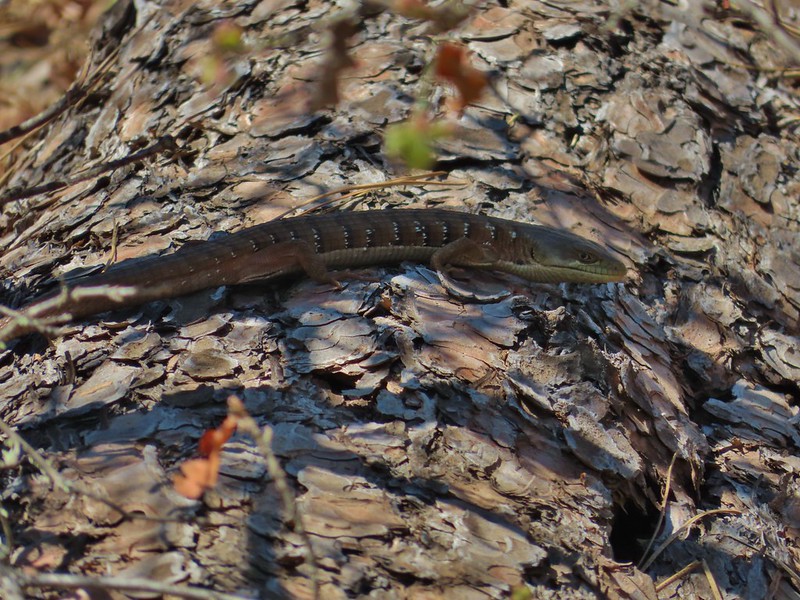 Alligator lizard on a log.
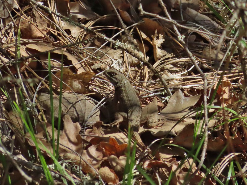 Western fence lizard
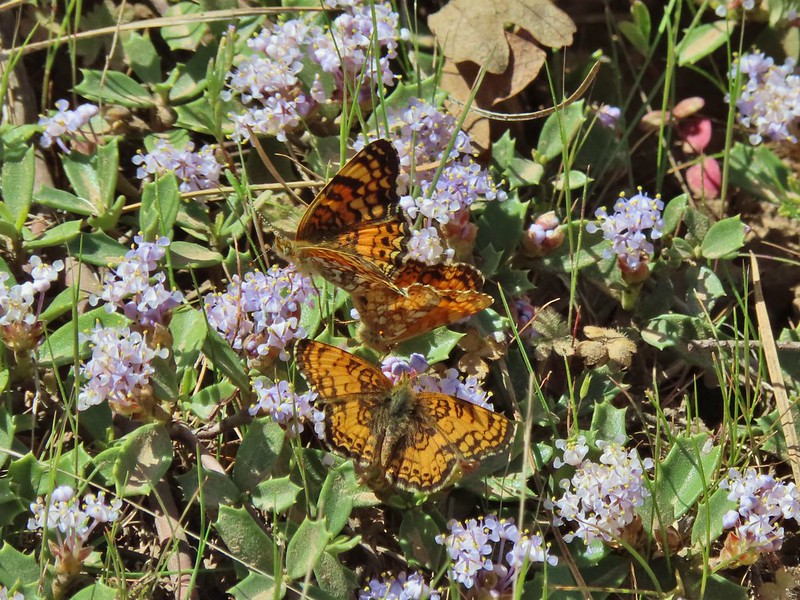 I believe these to be Mylitta crescents.