
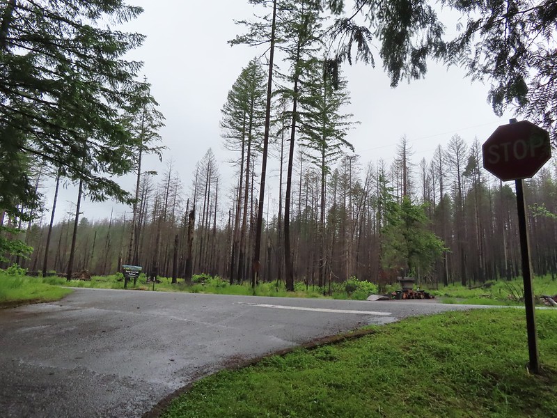
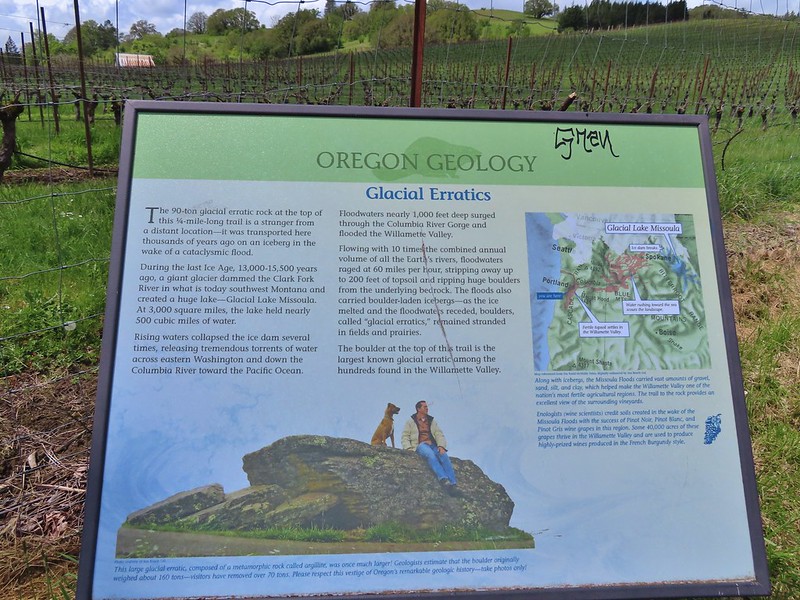
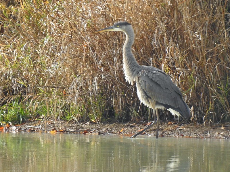
Our original plan for this vacation was to do a pair of hikes on the way down to Roseburg on Monday, Illahee Rock and Twin Lakes but the weather hadn’t cooperated with that plan. Monday was cloudy so doing two viewpoint hikes didn’t make sense. Instead, we had spent Monday visiting various waterfalls along Highway 138 (post). The plan for Tuesday had been a hike along Cow Creek on the way south to Ashland but during one of the many drives between trailheads on Monday we had decided instead to do the Illahee Rock and Twin Lakes hikes on Tuesday, weather permitting, and to save Cow Creek for another year. There were two reasons for this change. First Twin Lakes is one of Sullivan’s featured hikes while Cow Creek is not. The second reason was that we were both still dealing with blisters from our 17.5-mile outing at the Columbian White-Tailed Deer Refuge three days earlier (post) and with at least four creek crossings on the Cow Creek Trail the probability of us having to ford the creek and soaking our feet didn’t sound like the best idea. Before going to sleep Monday, we checked the forecast which was “Becoming Sunny”. I don’t think we’d ever come across that particular forecast, but it sounded hopeful so Tuesday morning we packed up the car and headed east once again on Highway 138.
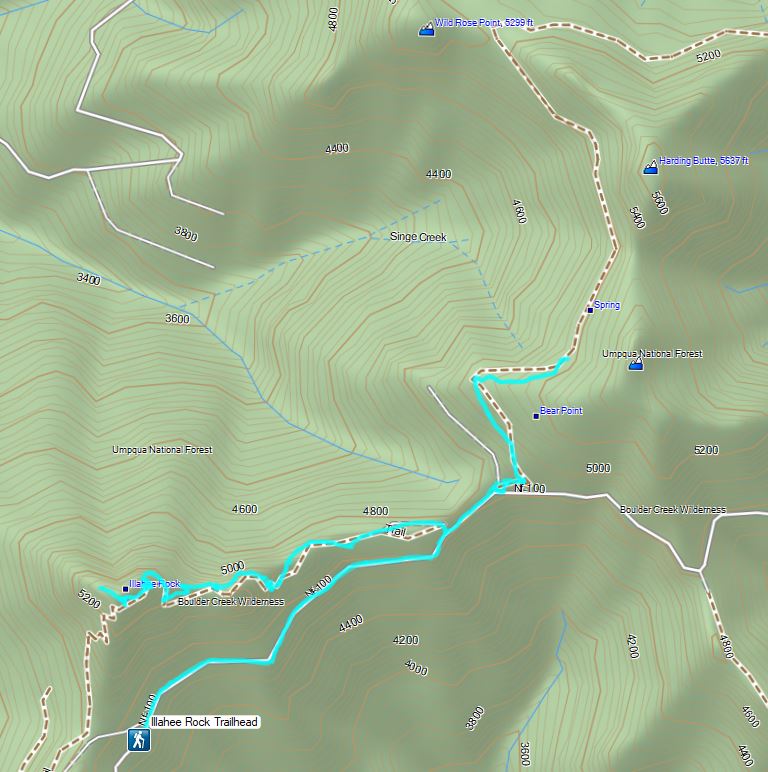
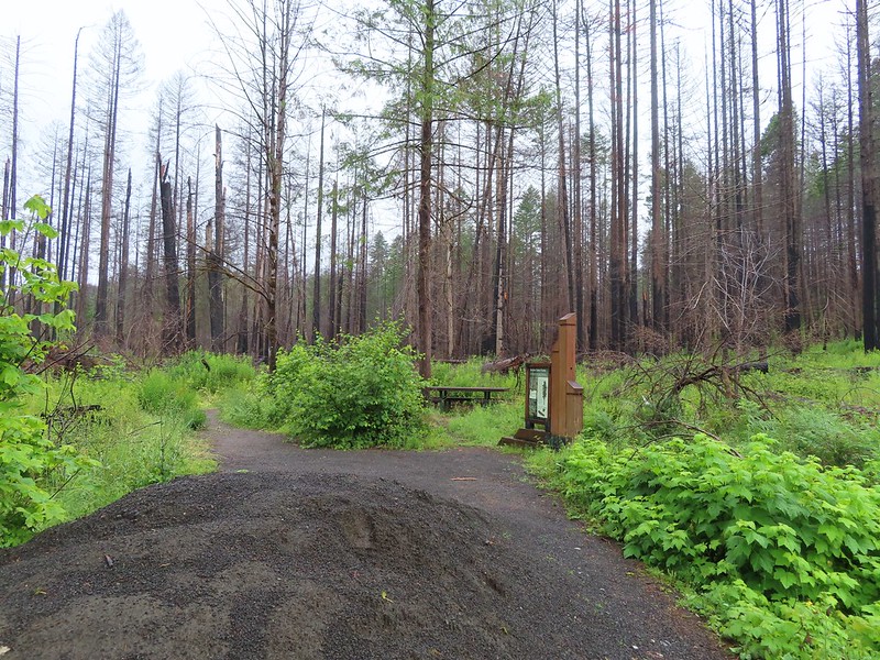
Our first stop was at Illahee Rock, a former featured hike that was hit with fires in both 2017 and 2021. Two lookout towers sit atop Illahee Rock and the Umpqua National Forest website listed the Illahee Lookout Trail as open but gave no update on conditions. We wound up cutting the drive short by three quarters of a mile due to a decent amount of debris in the road due to damage caused by the fires.
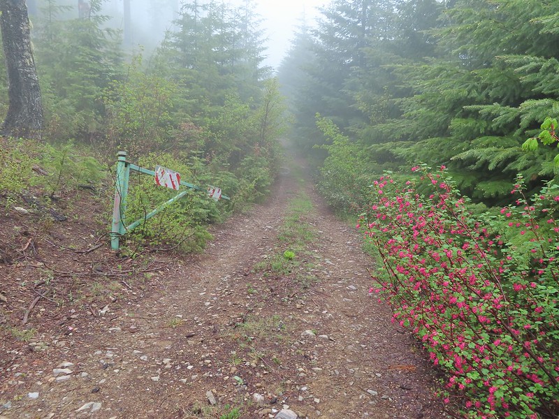
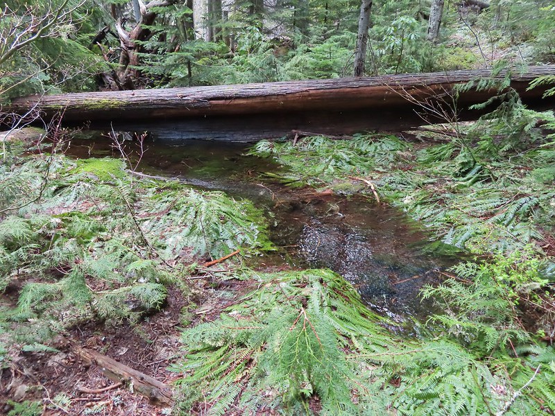
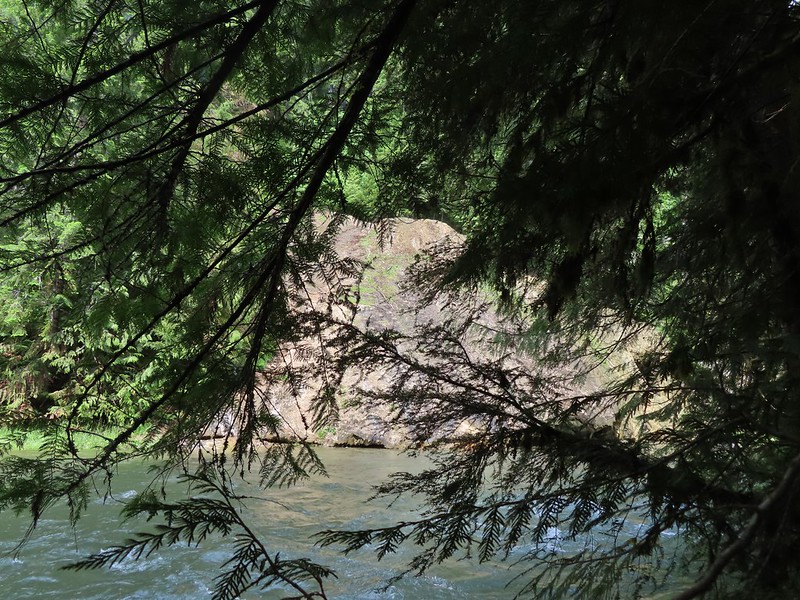
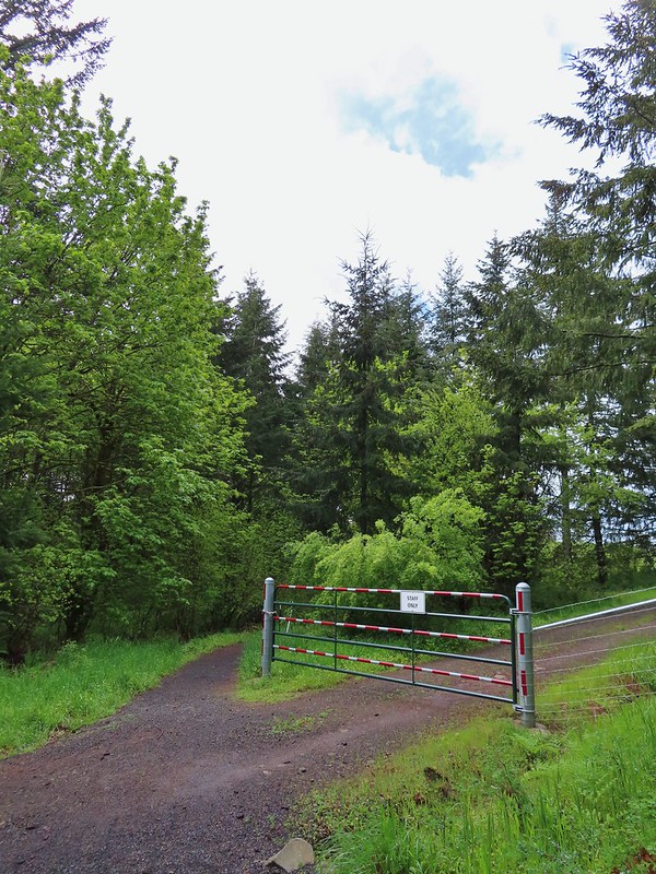
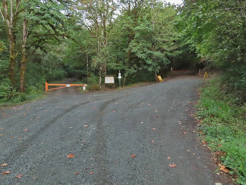
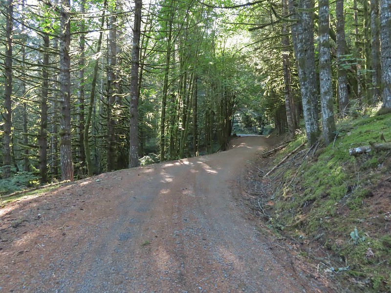
 We parked in a pullout just before this section.
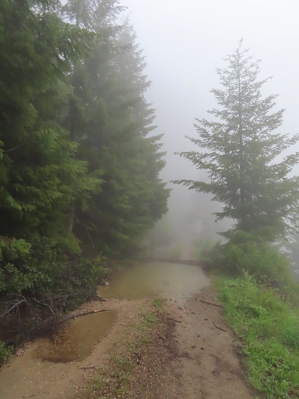
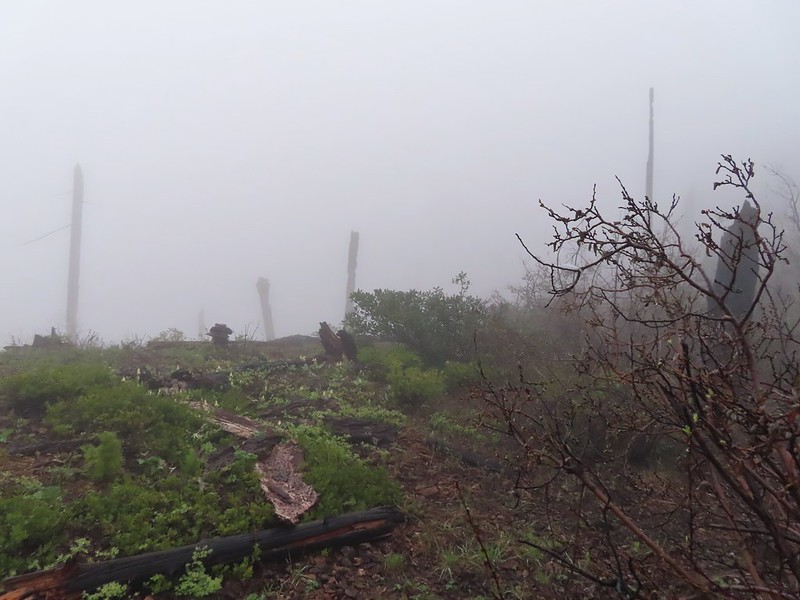
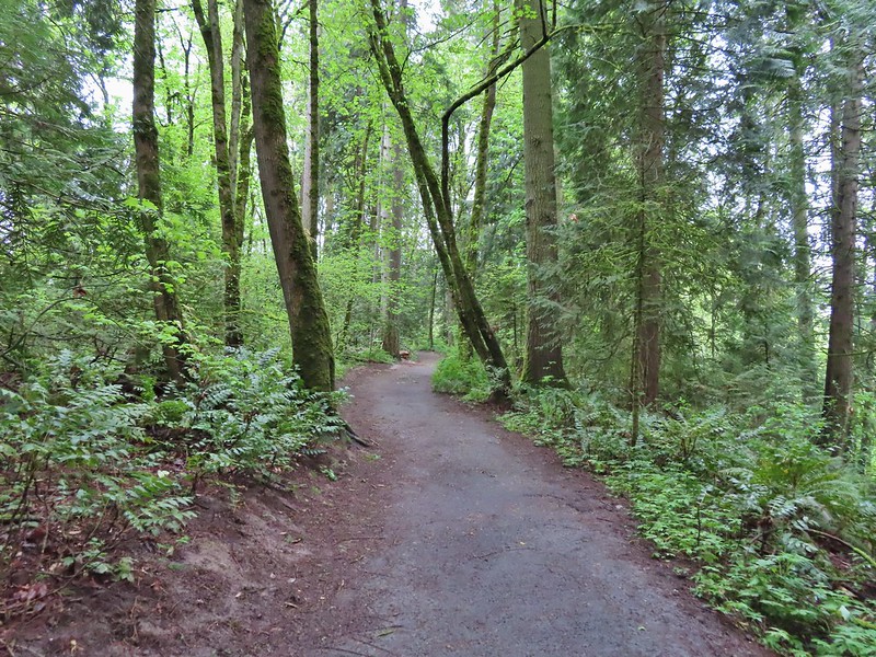
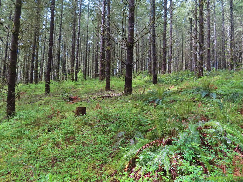
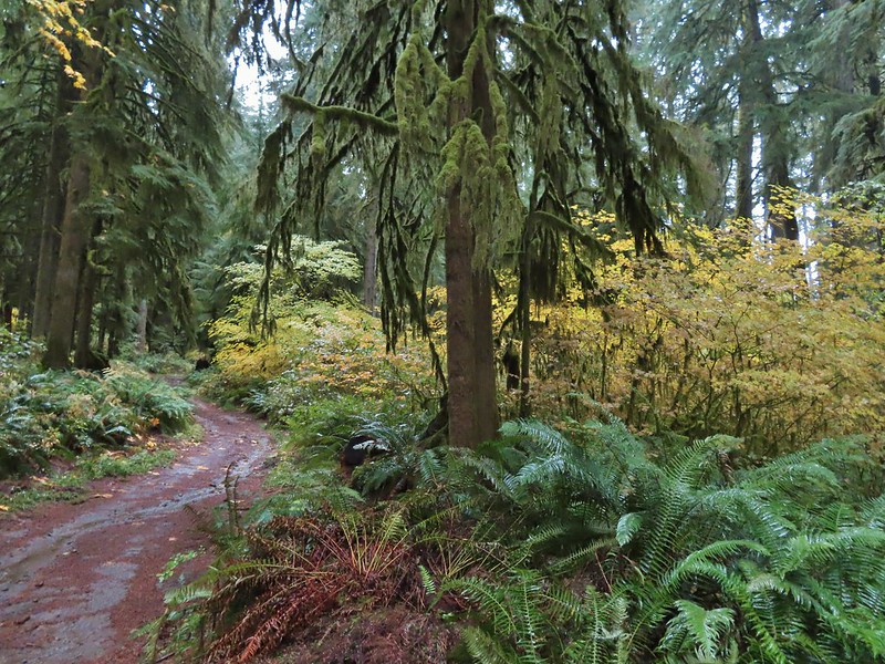
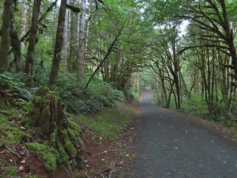
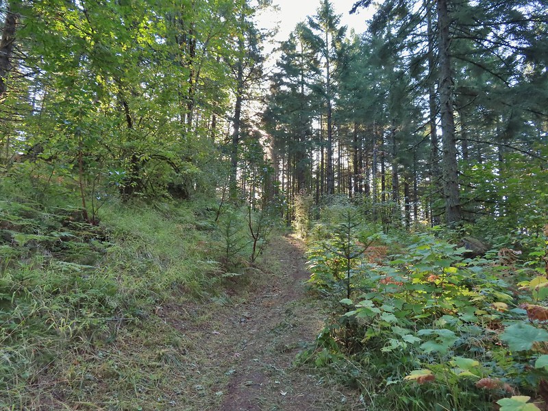
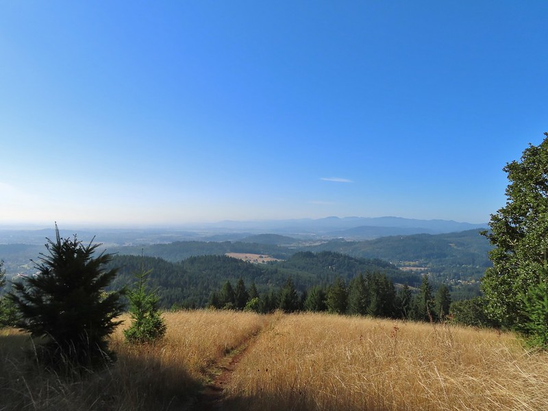
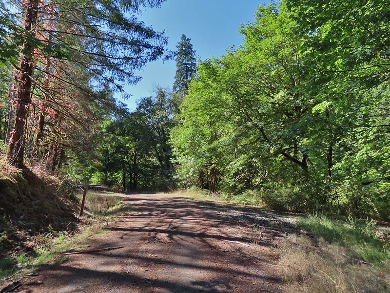
The “becoming sunny” forecast was obviously not for the morning as we found ourselves in heavy fog as we hiked along FR 100.
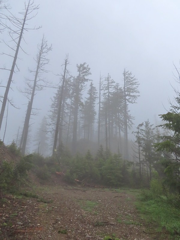
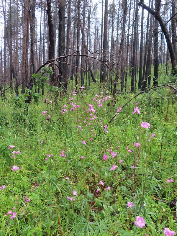
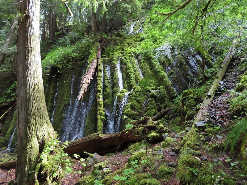
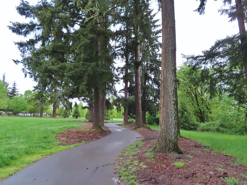
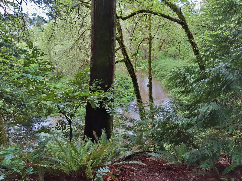
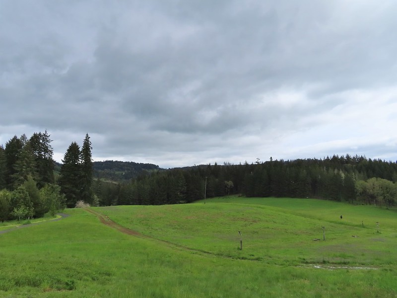
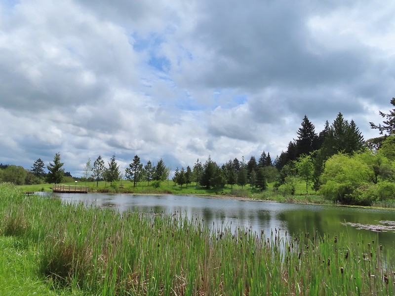
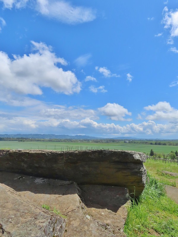
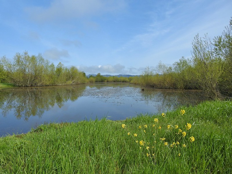
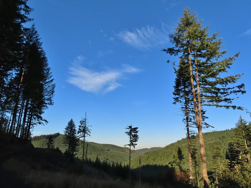
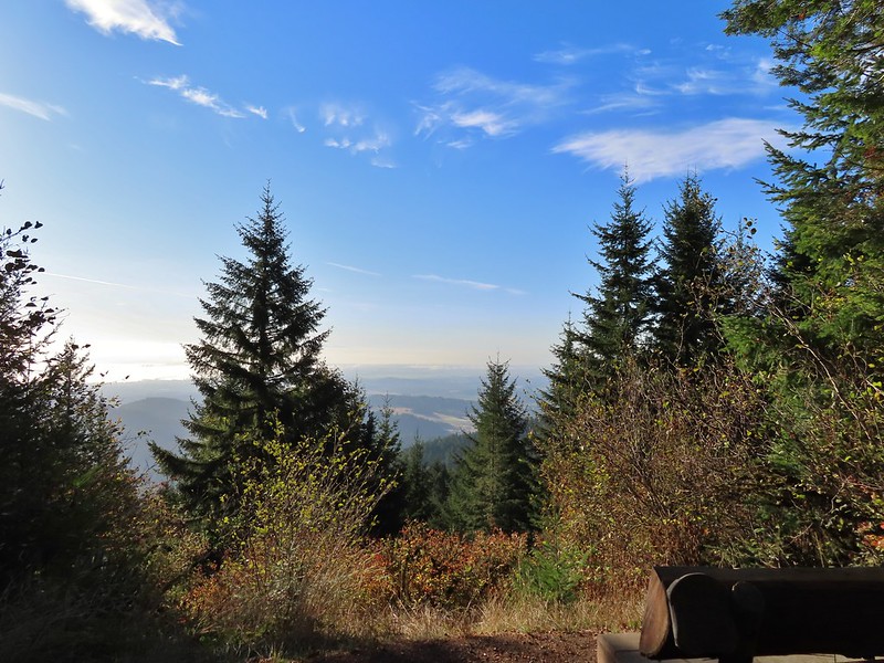
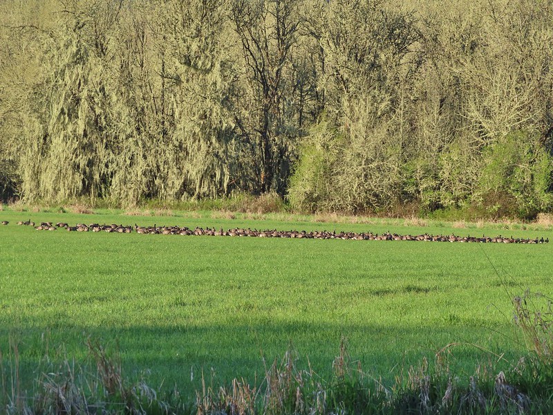
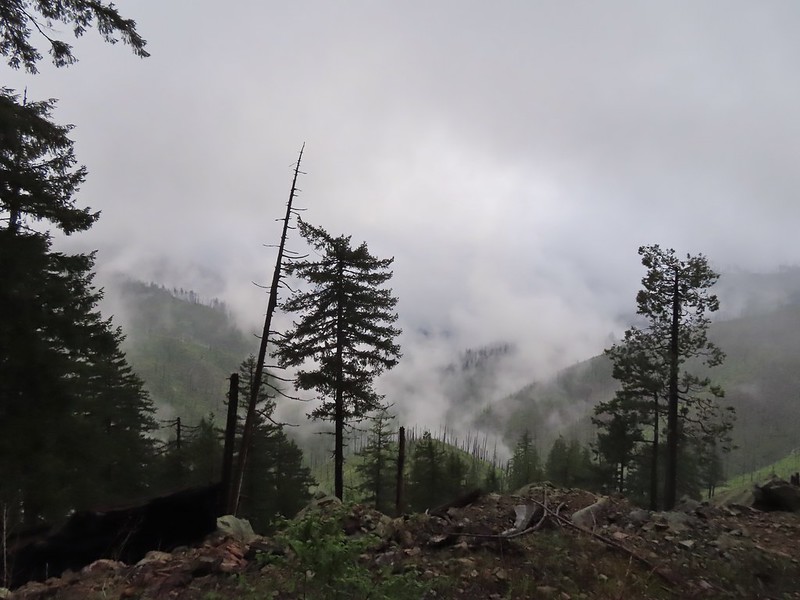 The Boulder Creek Wilderness (post) under the slowly rising clouds.
After 0.75 miles on FR 100 we came to FR 104 on the left which led to the Illahee Rock Trailhead. Before heading up to the lookouts though we wanted to make an attempt to reach nearby Wild Rose Point which Sullivan described in his book.
 FR 104
We passed FR 104 and continued on FR 100 for another 0.2 miles to a fork.
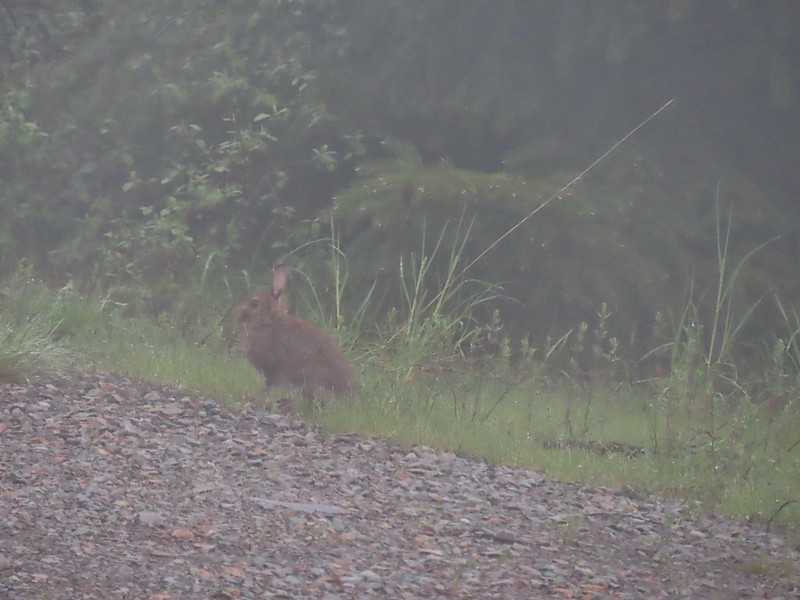 Rabbit on FR 100
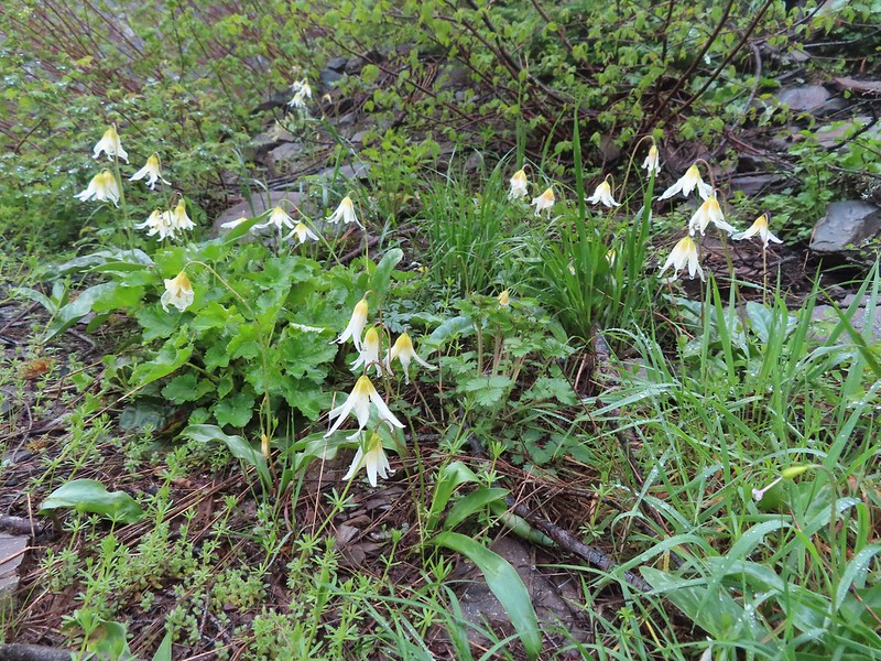
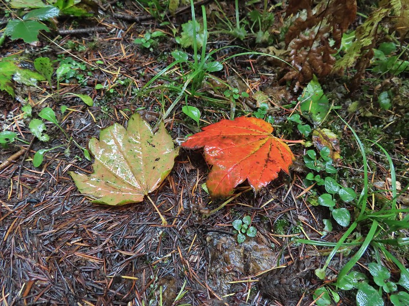
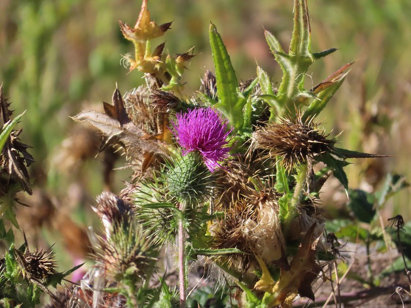
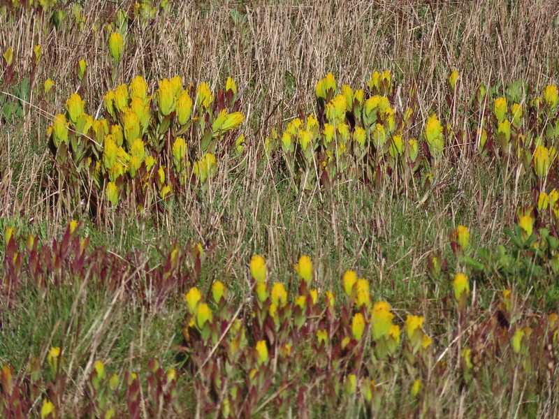
 Lots of fawn lilies along the road and trails.
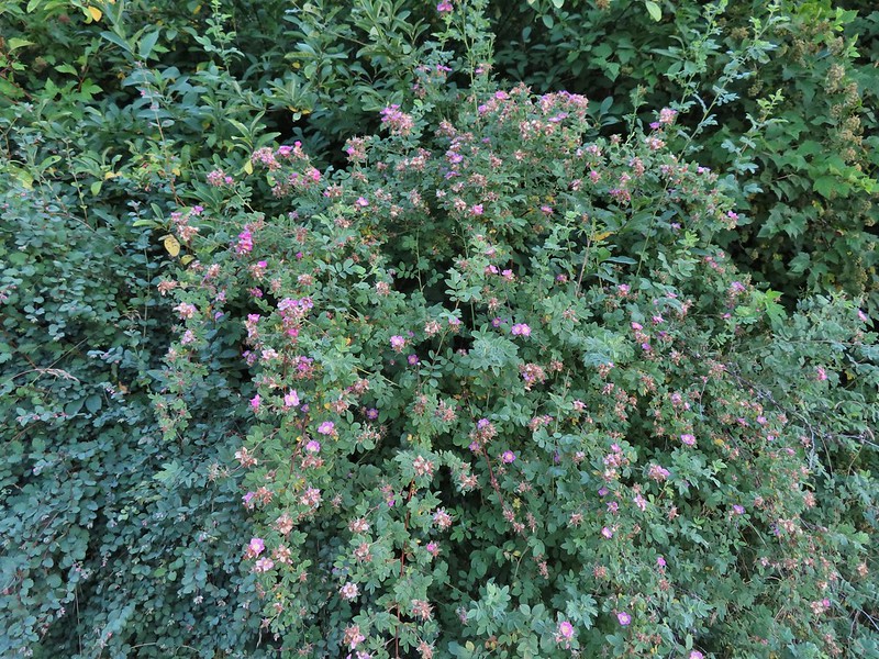
 Red flowering currant
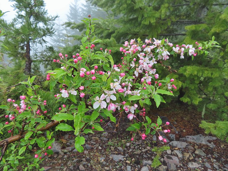 Is this an apple tree? Whatever it is it seemed very out of place.
 FR 105 on the left and FR 100 on the right.
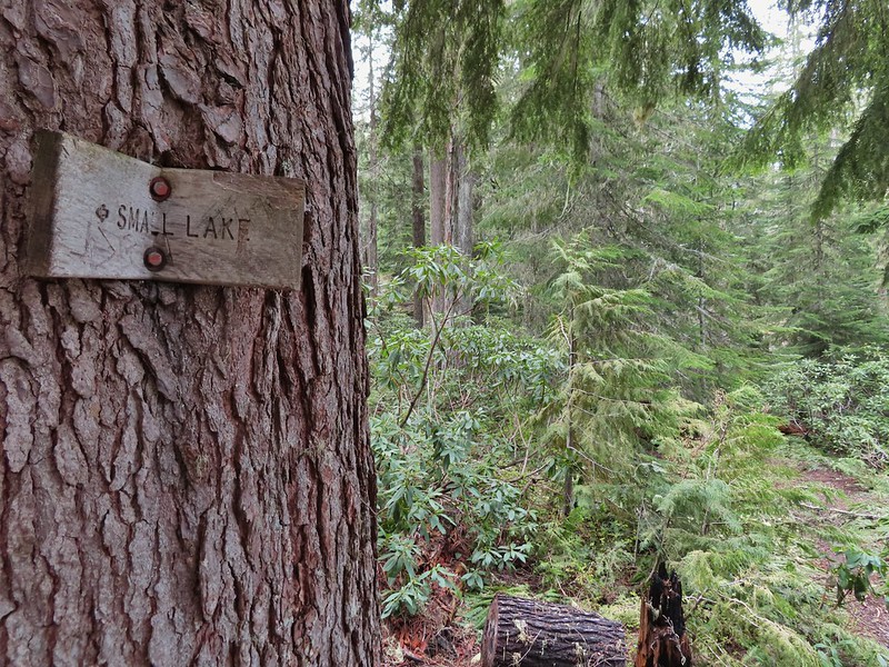
We could see a post for the trail on the hillside in brush but had a bit of trouble figuring out where the trail began at the fork. We first looked for it right at the fork then a bit down FR 100 but it was actually just up FR 105 next to the post for the road.

This little path brought us to the post in the brush where it was already obvious this was going to be an adventure.

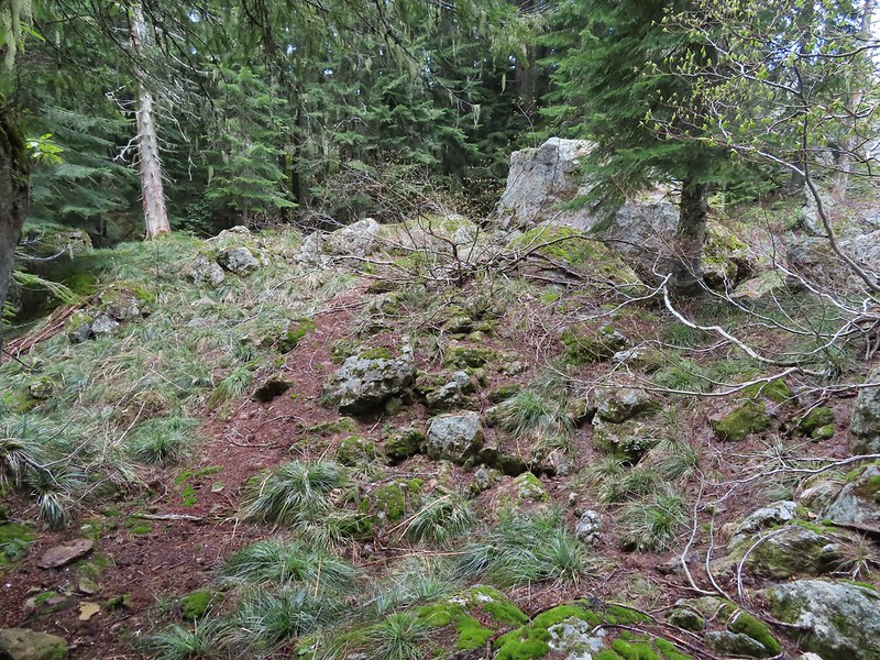
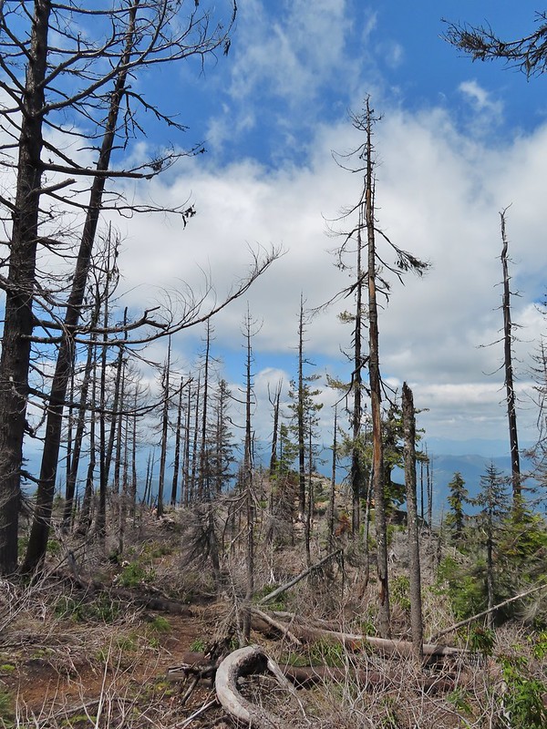
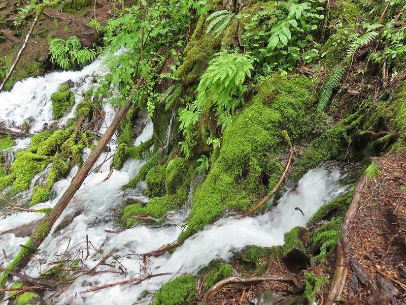
The 2021 fire had burned over this area as well and it didn’t appear that any maintenance had been done aside from some occasional flagging and cairns. We decided to give it a go though since it was under 1.5 miles to Wild Rose Point. We picked our way uphill and found some decent tread in some trees that had been spared by the fire.
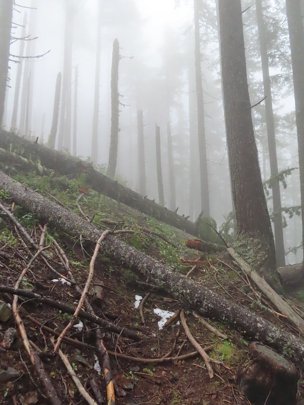

Another uphill through a burned area brought us to another short section of better trail before fallen trees began to be a problem. A little over half a mile in near Illahee Spring we decided to turn back. Several larger trees blocked the trail head and looked like more trouble than it was worth to try and navigate around and even if we did manage there wasn’t going to be a view due to the fog.
 A cairn on the left.
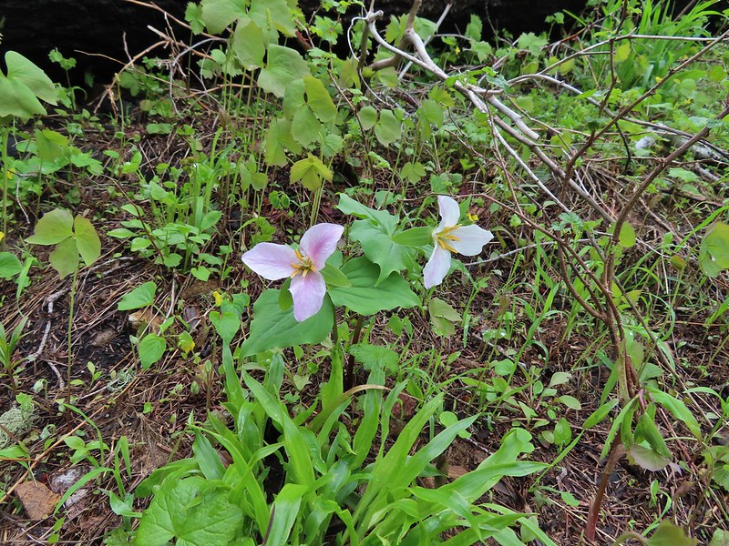
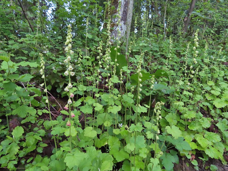
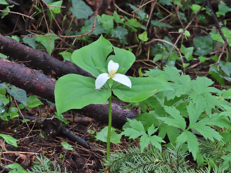
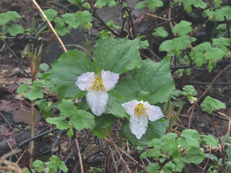 Damp trillium
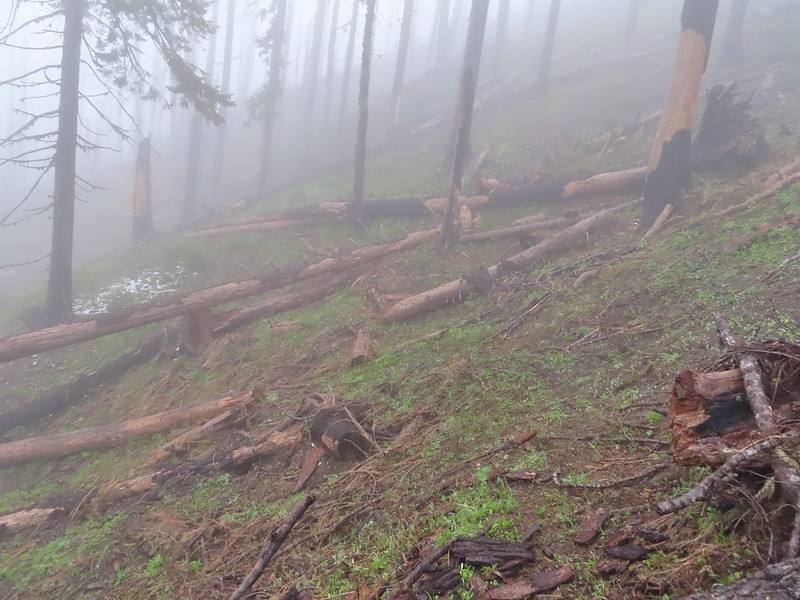 Downed trees across the trail near Illahee Spring.
We returned to FR 100 and walked back to FR 104 which we now turned up.
 Gooseberry
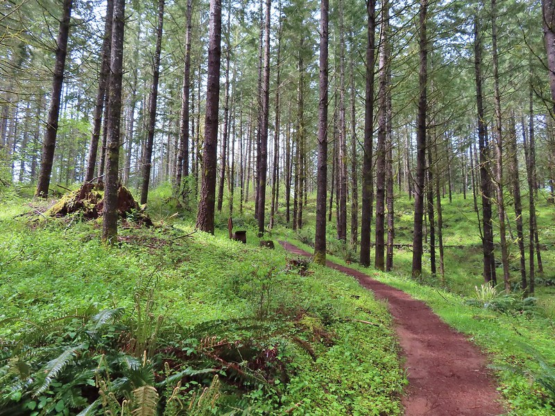
Two tenths of a mile up FR 104 we came to the Illahee Rock Trailhead.
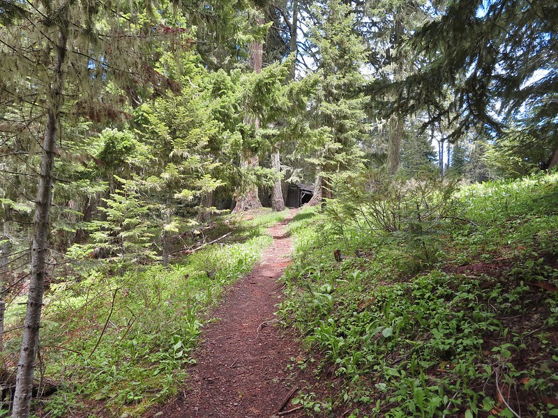
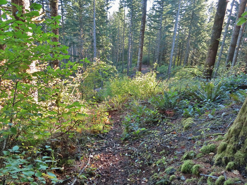
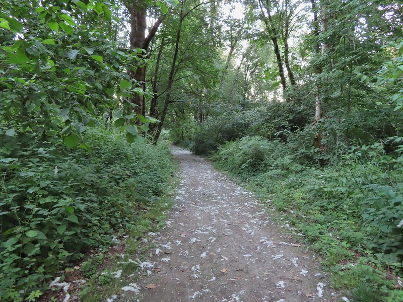
This trail was in much better shape and we had no problem following it the three quarters of a mile up to the lookouts.

 The tread was a little faint but otherwise in good shape.
 Lots of cool rock outcrops along the trail.
 Fawn lilies
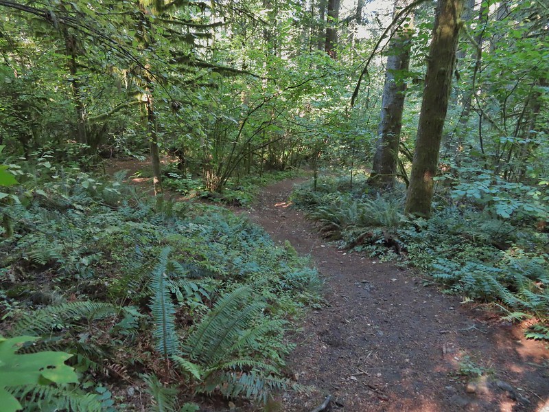
 Typical trail condition.
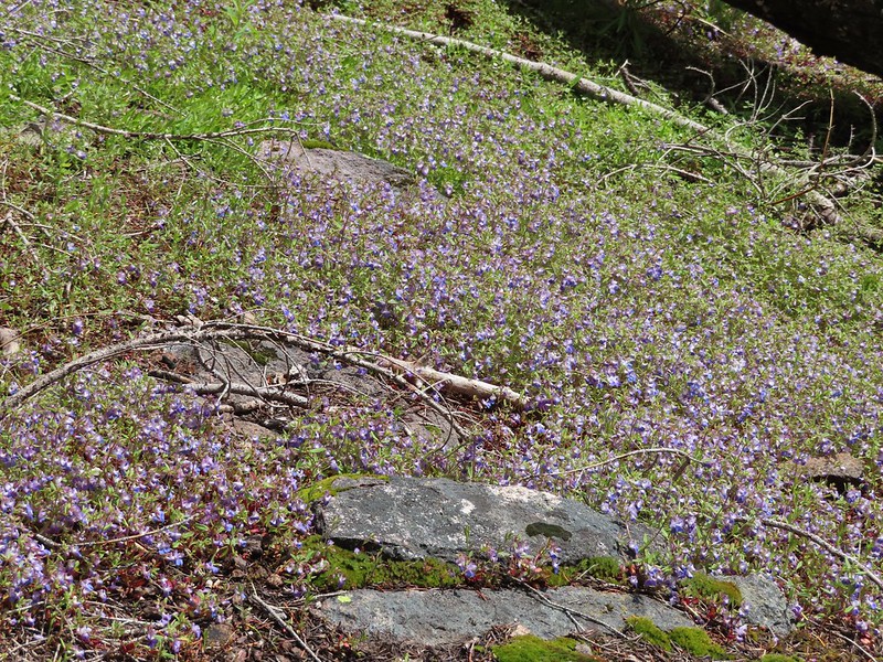
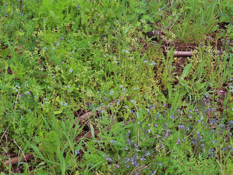
 Ragwort and blue-eyed Mary covered hillside.
 Blue-eyed Mary
 Ragwort
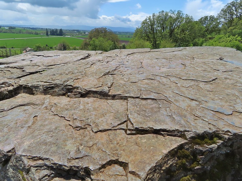
 Rocky hillside below the lookouts.
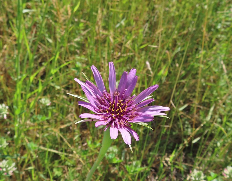
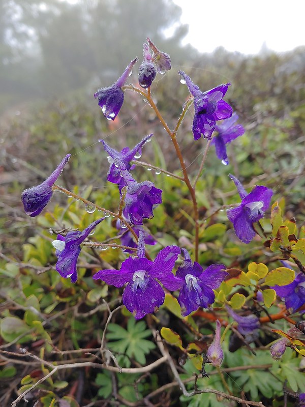 Larkspur
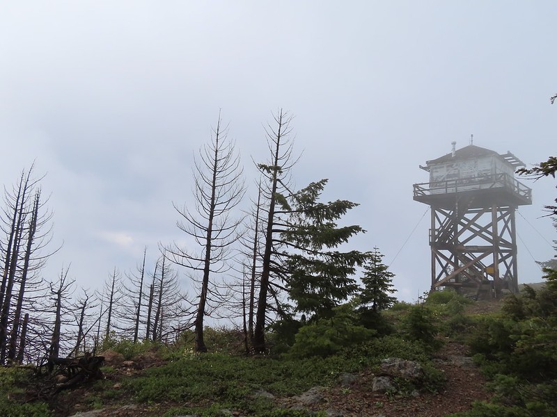
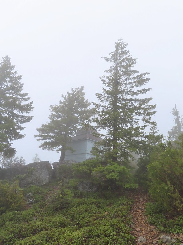 1925 Cupola style lookout.
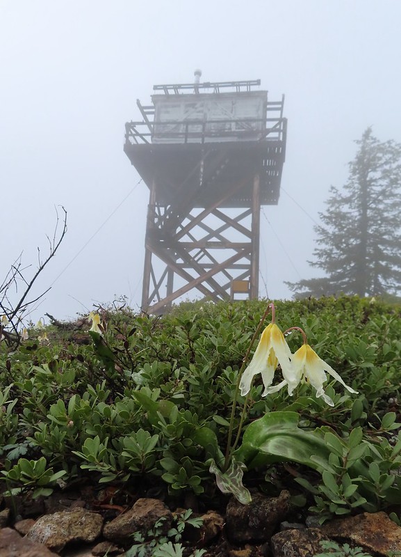
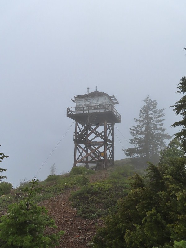 1956 L-4 tower lookout

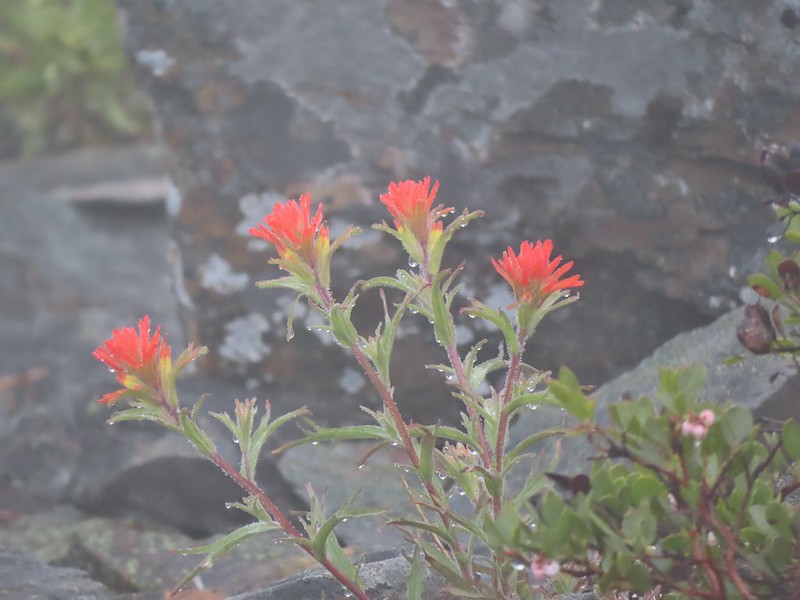 Paintbrush
We spent some time exploring the summit and checking out the lookouts while we waited for it to become sunny. We eventually gave up on that and headed back down.

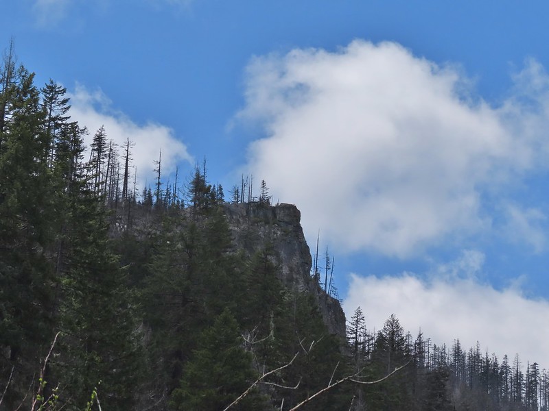
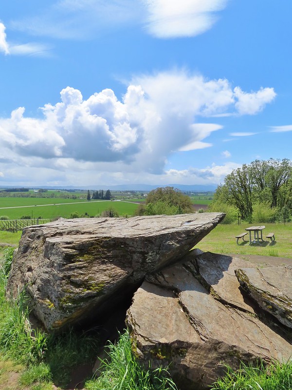
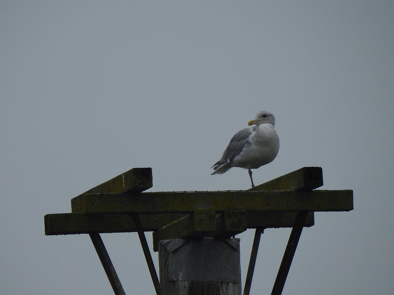
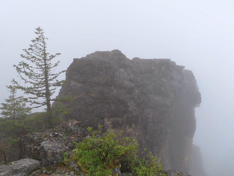 Illahee Rock
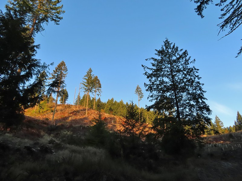
 A sliver of hope for blue sky at some point.
It wasn’t more than 10 minutes after we started down before the blue sky started appearing.


 Back at the trailhead.
 On FR 100
 Wallflower
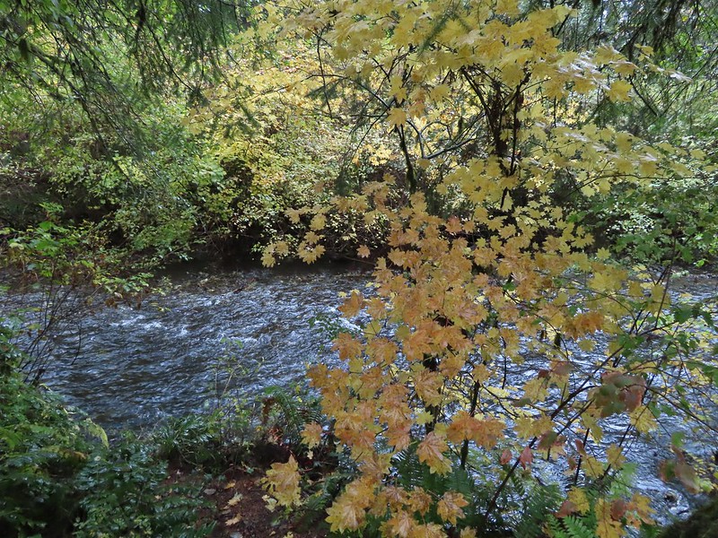
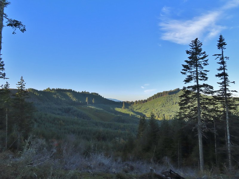
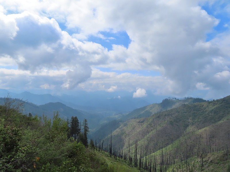 The Boulder Creek Wilderness
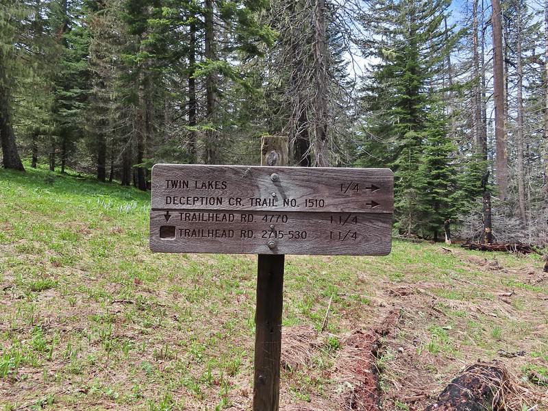
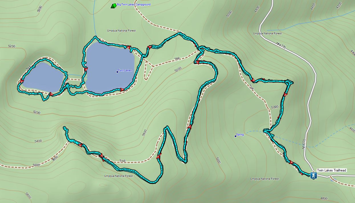
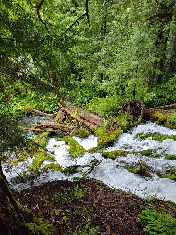
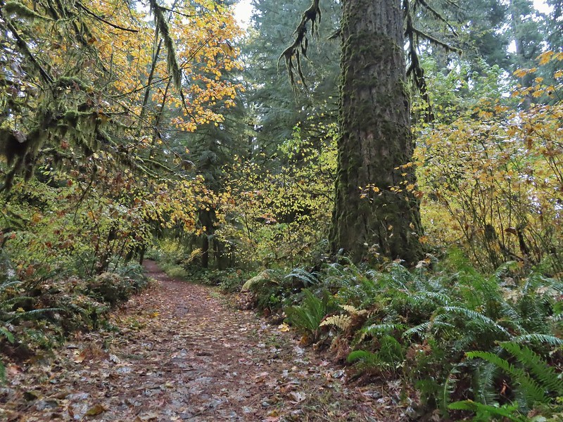
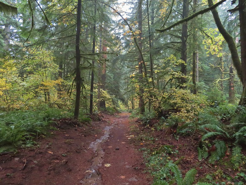
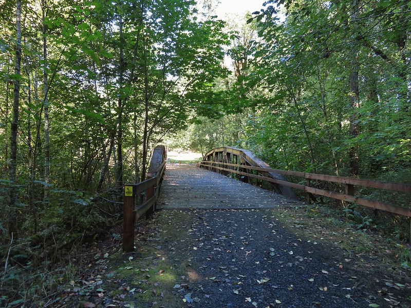
We’d missed out on a view from Illahee Rock but we had another opportunity coming up on our hike to Twin Lakes. We drove back down FR 100 to Highway 138 and turned left (east) for 2.25 miles to FR 4770 where we turned right at a sign for the Twin Lakes and North Umpqua Trail. We followed FR 4770 to the Twin Lakes Trailhead . (The east trailhead not the west.)

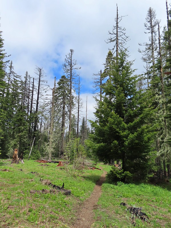
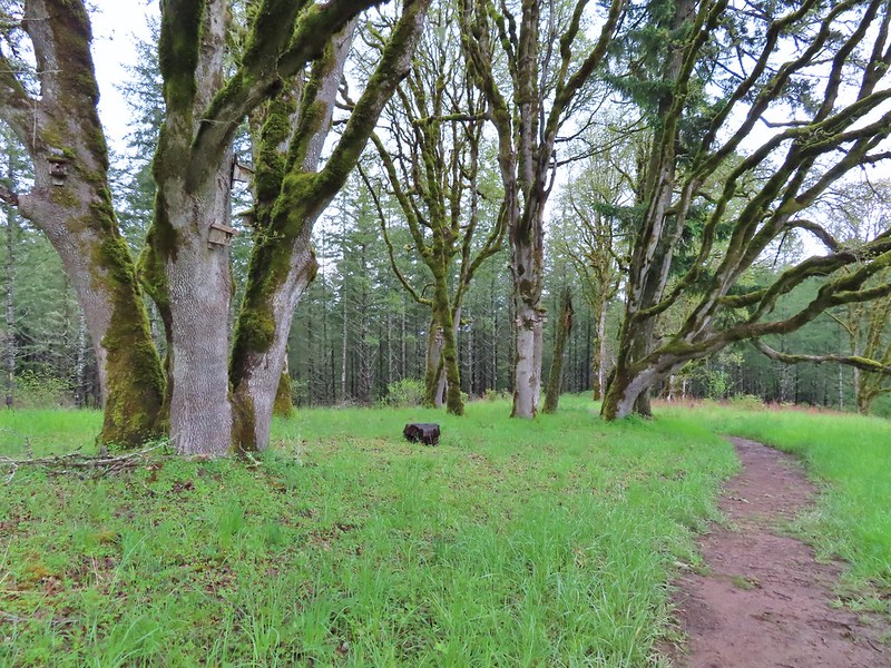
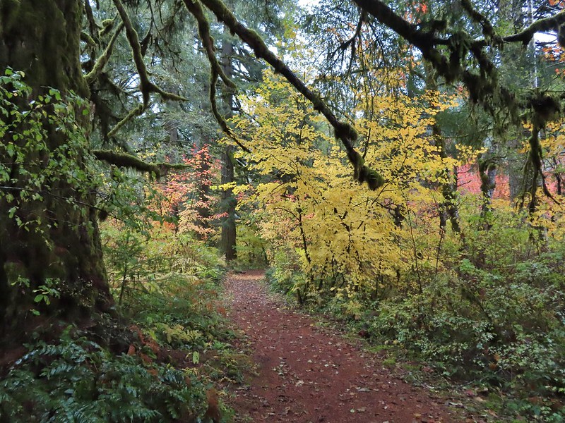
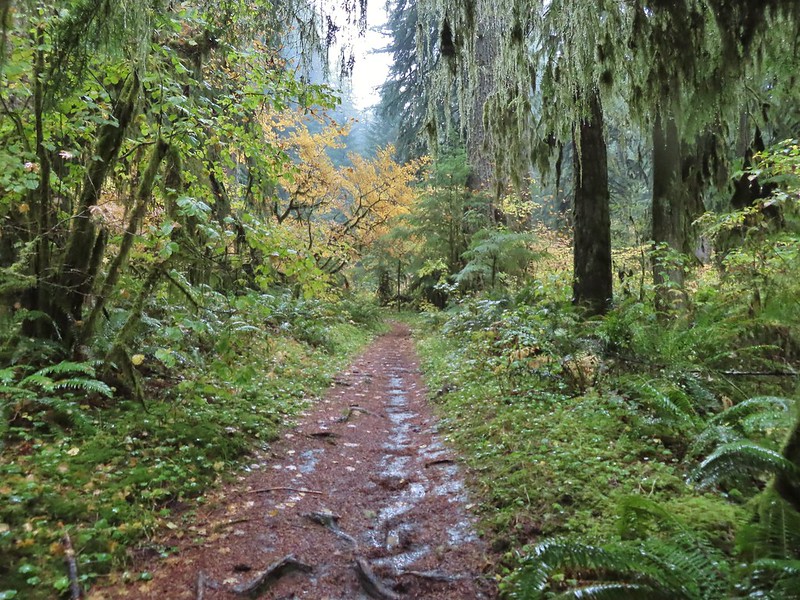
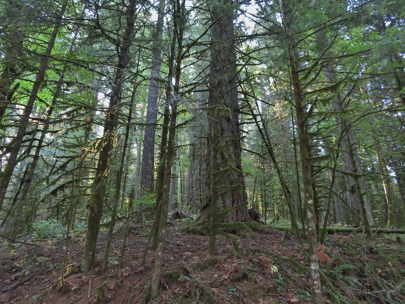
The same 2017 fire that burned Illahee Rock affected the Forest here as well although many large trees did survive. We followed the Twin Lakes Trail for 0.6 miles to a junction.

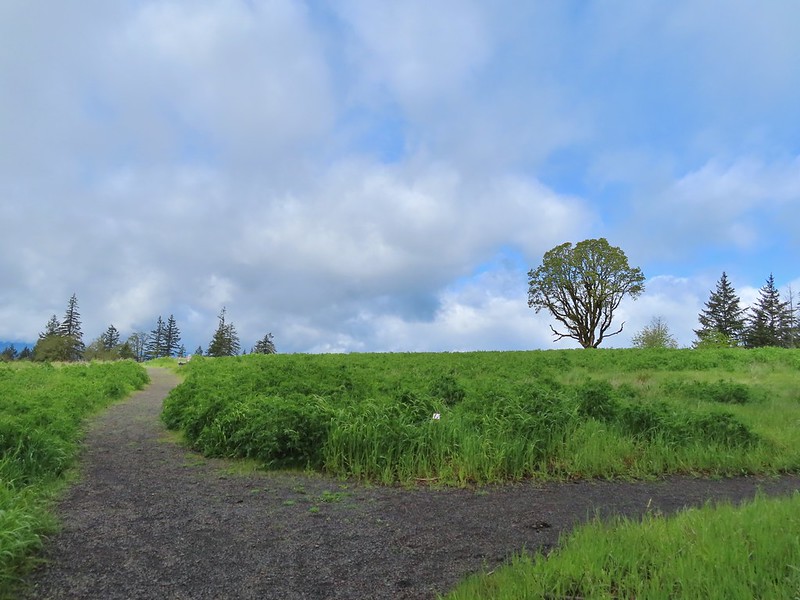
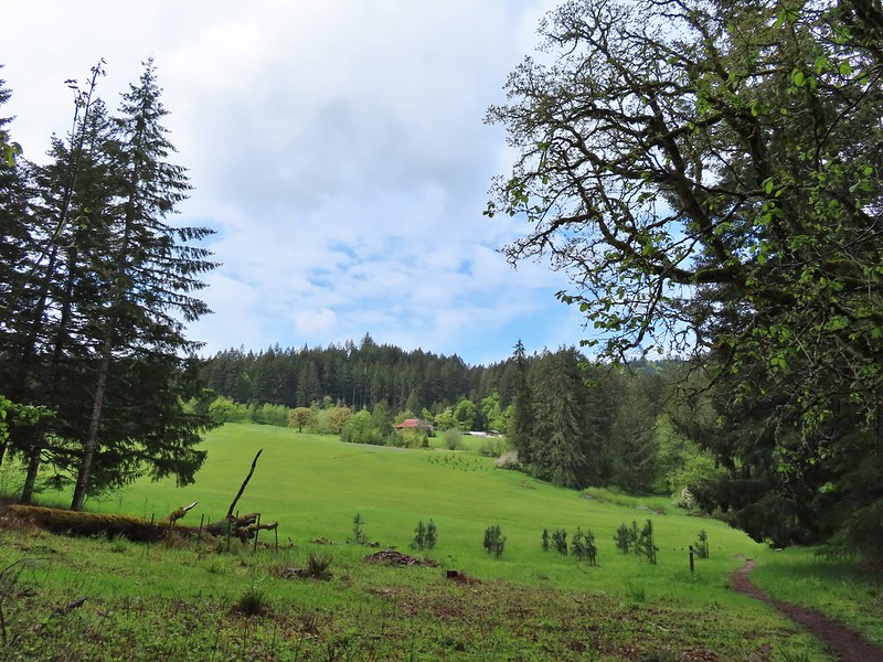
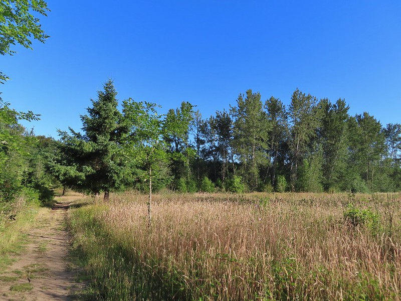
 Meadow along the trail.
 Trillum

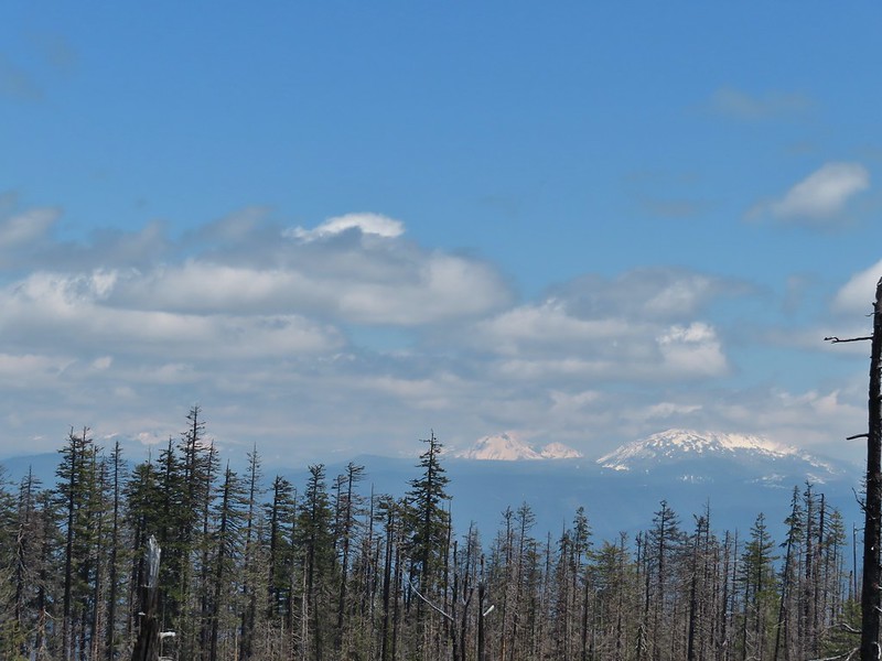
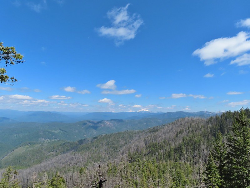
 Becoming sunny in action. From this viewpoint Diamond Peak, Mt. Thielsen, and Mt. Bailey are visible sans clouds.
 A carpet of blue-eyed Mary at the viewpoint.
 Illahee Rock was visible from the viewpoint despite the clouds.
 The lookout tower on Illahee Rock.

 Indian plum
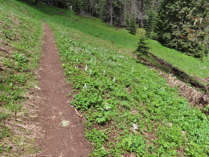 Hellbore starting to sprout in a meadow.
 Waterleaf
 Nearing the junction.
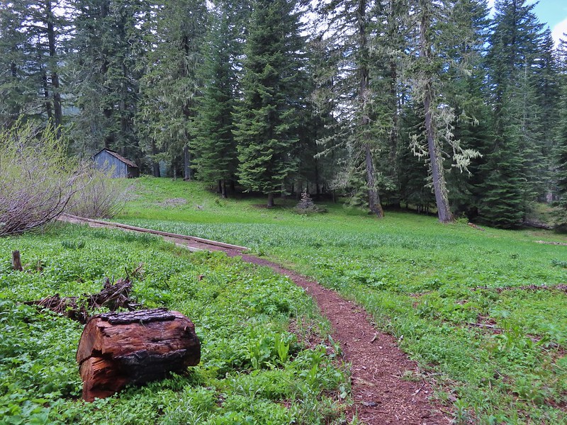
At the first junction we stayed right then veered left at the next, avoiding the Deception Creek Trail, and descended through a meadow to the Twin Lakes Shelter.
 Woodpecker
 Gray jay
 The second junction where we turned left.


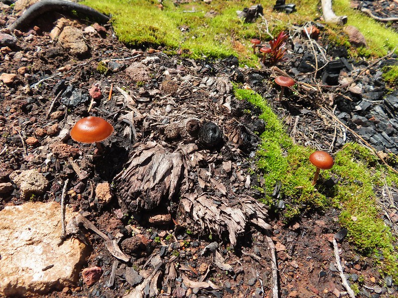
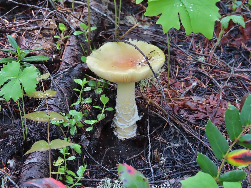
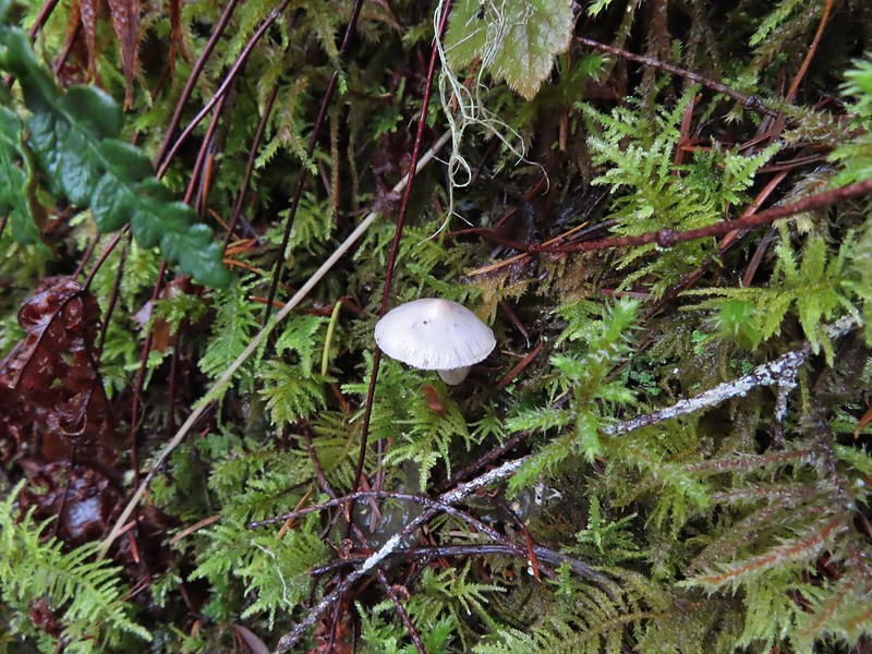
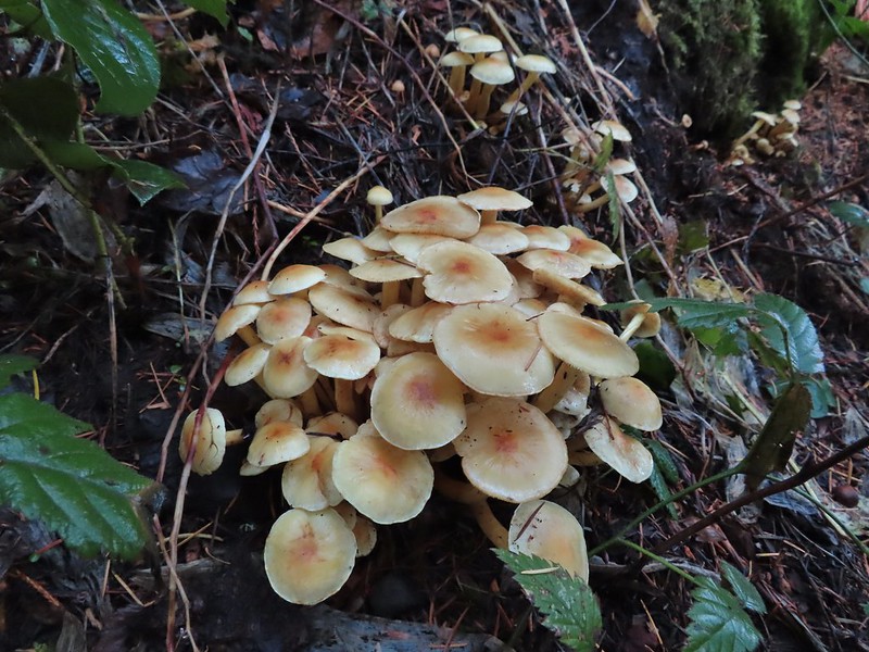
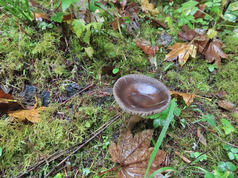
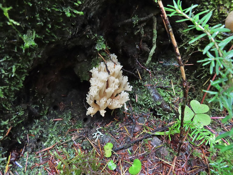
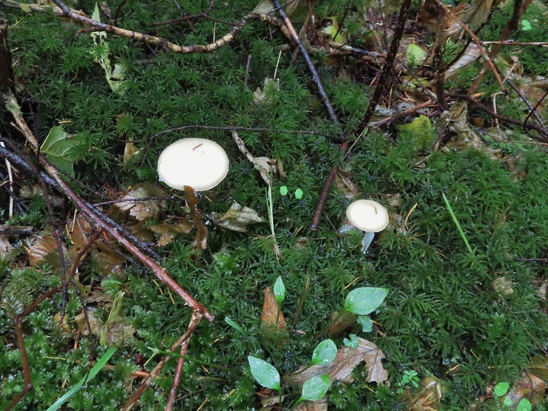
 Mushroom near the shelter.
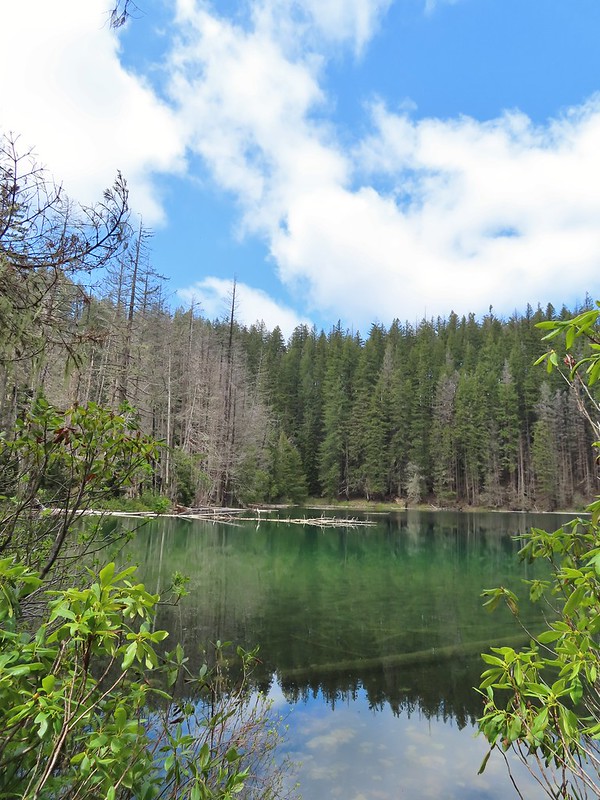
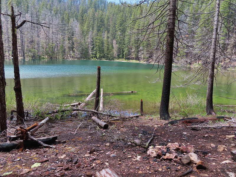
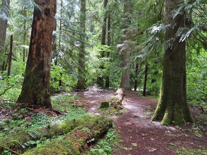
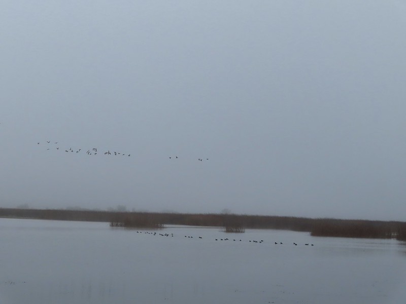
After a short break at the shelter we started around the bigger of the two lakes going counter-clockwise. We passed a walk in campground and continued along the lake shore.


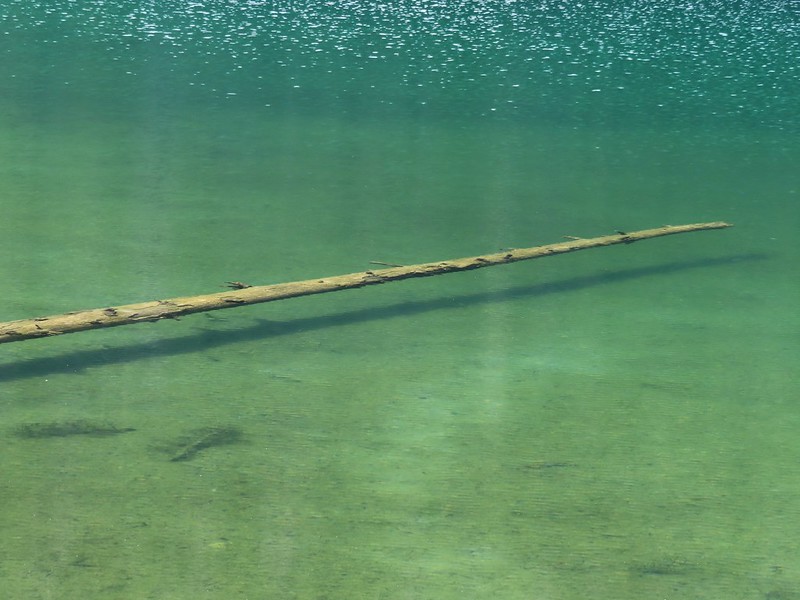
The lake was very colorful and it was easy to see into the water which allowed us to watch fish as they swam around.

 No fish but it was easy to see them when they were present.
 This big rock added to the scenery.
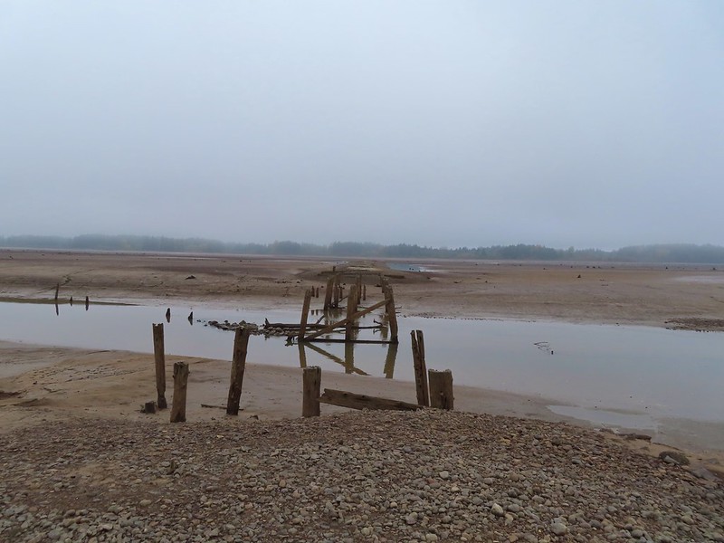
 We couldn’t decide if that was an old bridge or dock in the water.
 Passing behind the big rock.

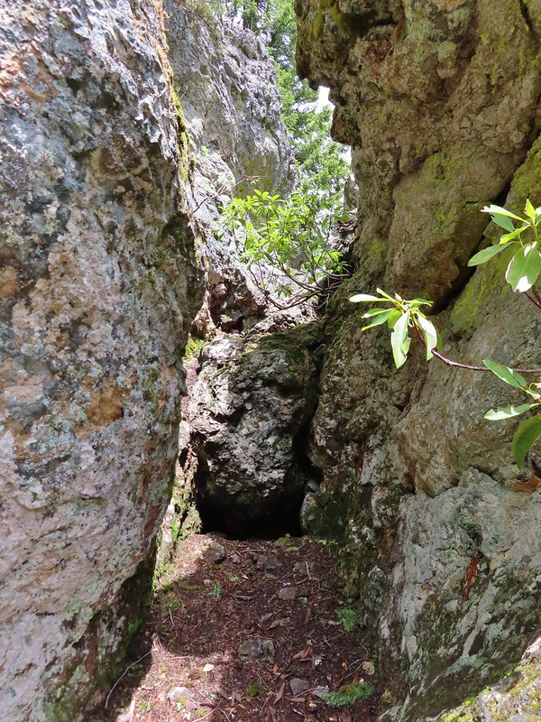 The rock turned out to be split.
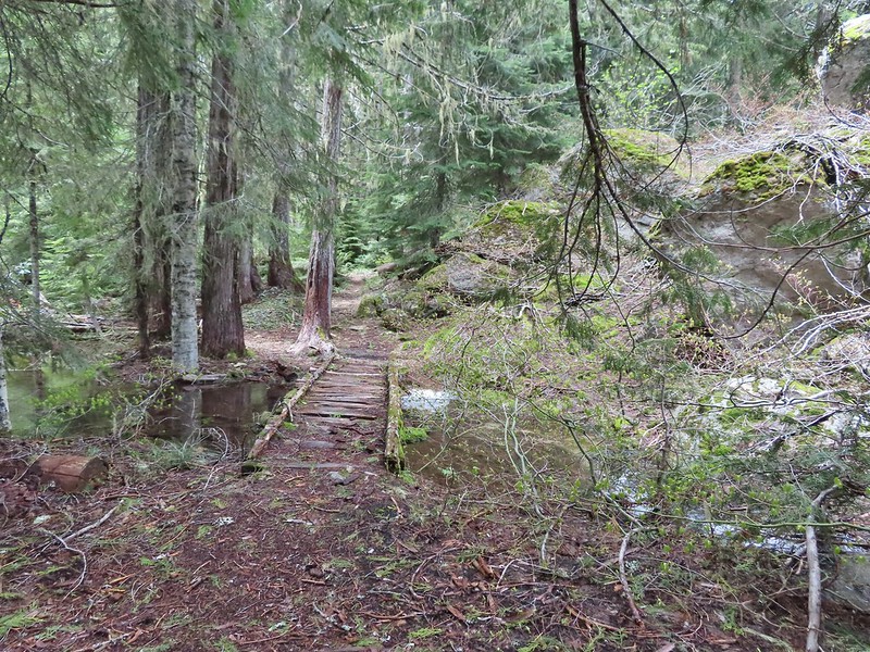
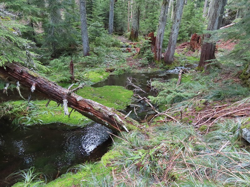
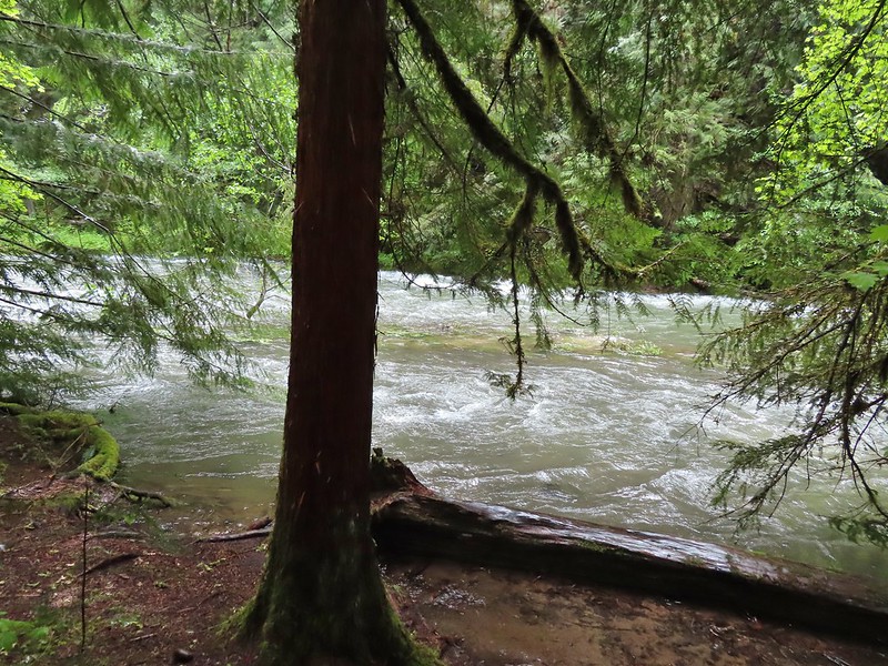
 There was a lot of water in the section between the two lakes. Fortunately there didn’t seem to be any mosquitos which was really surprising but in a good way.

We weren’t entirely sure where the trail between the two lakes was and we started thinking that we’d missed it so when we saw an opportunity we headed cross country toward the smaller lake.
 This looked like it could be a trail.
 How were there not any mosquitos in here.
 A local wondering what we were up to.
We spotted more large rocks with a bit of a shelter underneath and were headed for it when we spotted an actual trail running by the rocks.

We followed this trail to the second lake and made our way around it counter-clockwise as well.
 The outlet creek.
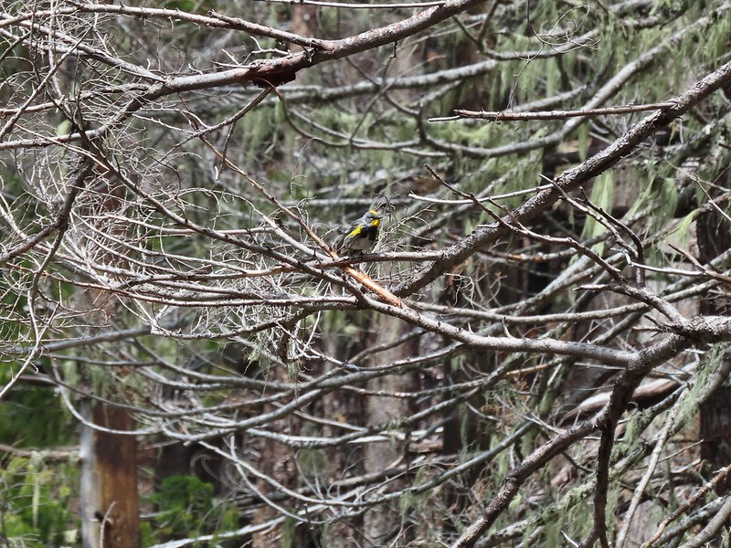 Yellow-rumped warbler

 Red-breasted sapsucker
 Stellar’s jay
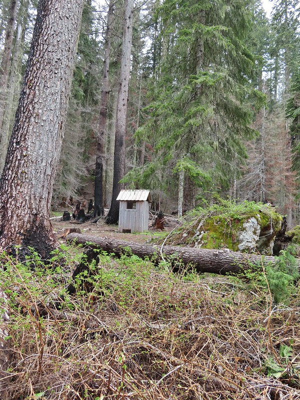
There was still snow in the basin on the south side of the lake making this side very wet.


A 1995 log shelter used to be located on this side of the lake but was lost to the 2017 fire. A small outhouse and a whole lot of garbage (people are awful sometimes) is all that was left.
After completing the loop we followed the trail back toward the larger lake passing the boulder shelter and a balancing rock.

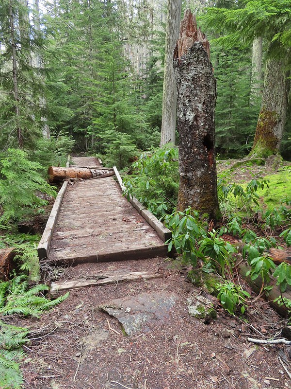
 This cracked us up, someone just nailed the planks into the tree that broke the bridge.
This trail led back to the trail around the larger lake.
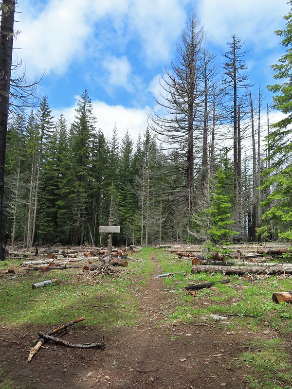
 A small sign at the junction.
We finished the loop around the larger lake and stopped again at the shelter.


A 1.1 mile climb from the first junction that we’d come to earlier would take us to a viewpoint above the lakes.
We had been waiting to see if it really did become sunny before deciding on this optional side trip but now that there was quite a bit of blue sky overhead we decided to head up.
 Another meadow along the 1.1 mile section.
 The 2017 fire hit this section pretty hard.
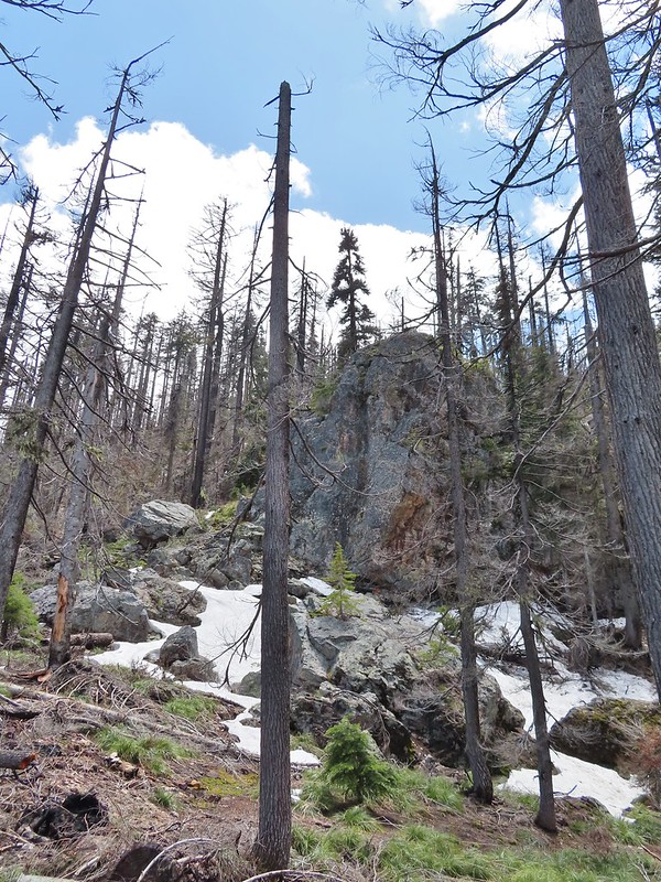
There was a bit more snow over 5400′ but not enough to cause any problems.

A well established use trail led out to the viewpoint where we met another pair of hikers enjoying the view.
 The larger lake.
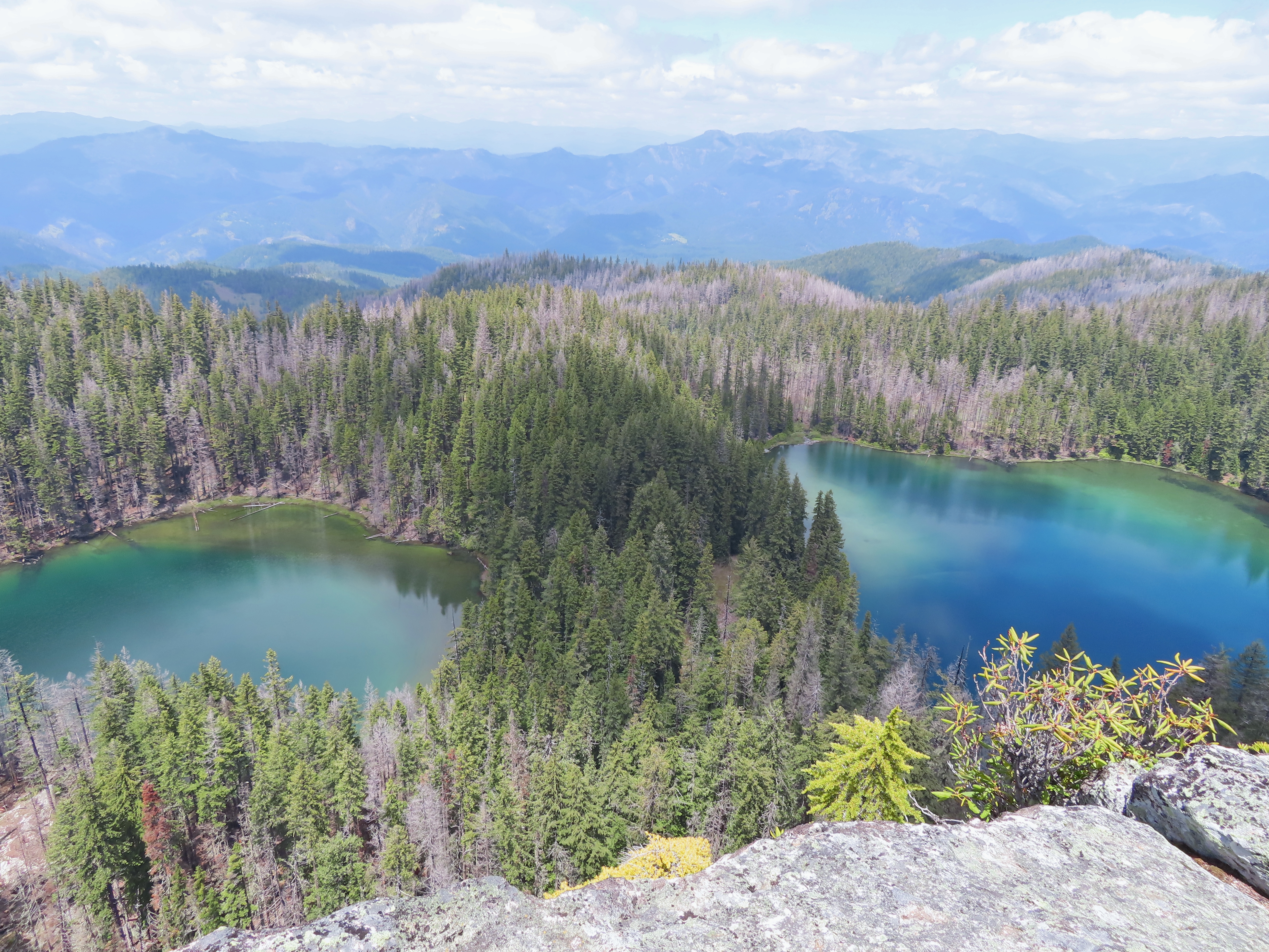
 The smaller lake.
 Illahee Rock from the viewpoint.
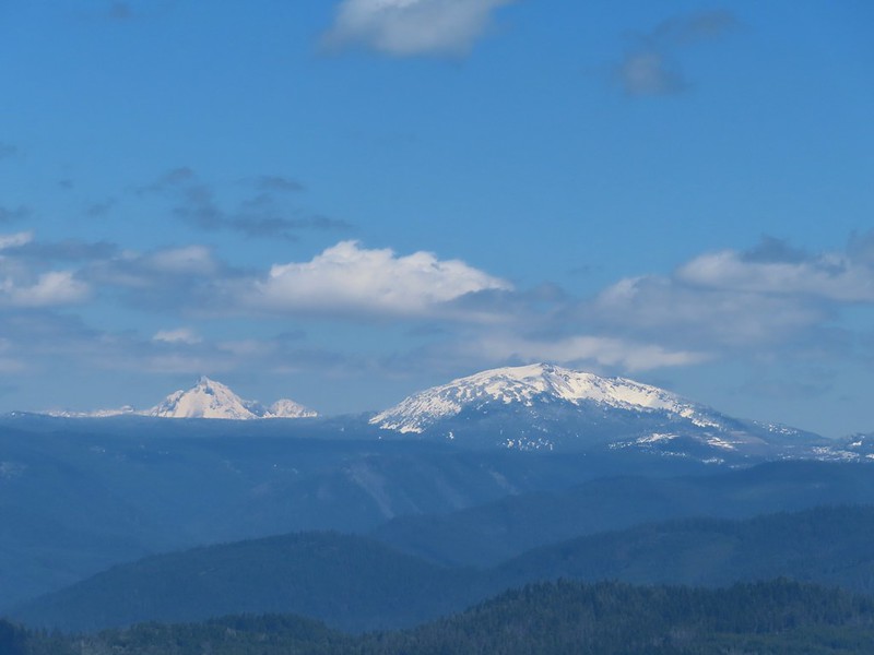
 The lower flanks of Howlock Mountain, Mt. Thielsen (post), and Mt. Bailey (post).
We chatted with the other hikers long enough that we could almost see all of Mt. Thielsen and Mt. Bailey by the time we were headed back.

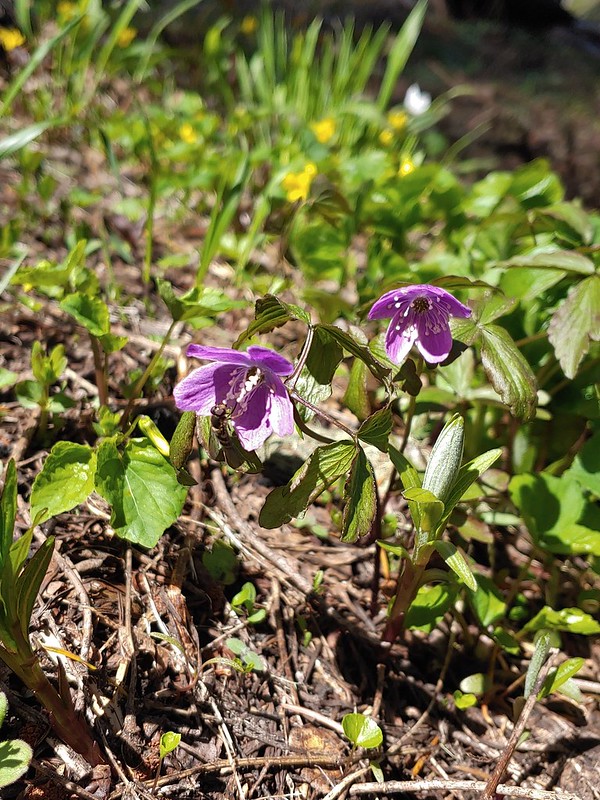 Bee on an anemone.
 Glacier lily
 Moth and a violet.
When we passed by the lower viewpoint the views had improved even more.
 Mt. Thielsen and Mt. Bailey
 Black Rock on the right.
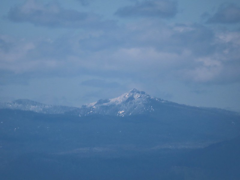
 Highrock Mountain
 Howlock Mountain
 Cowhorn Mountain (post)
It truly had become sunny and was supposed to stay that way at least for the next couple of days. After driving back to Highway 138 we followed it east to Diamond Lake then took Highway 230 south to Highway 62 and followed it into Medford to I-5 and took the freeway south to Ashland where we would be staying for the next four nights. We’d hoped to stop by Becky’s Cafe in Union Creek but when we drove by it was closed so instead we wound up with Wendy’s after another long day (sigh) of driving.
The hikes were 5.2 miles and 6.2 miles with 650′ and 850′ of elevation gain respectively giving us an 11.4 mile 1500′ day.

 Checkermallow
 A slug and a bug on a flower.
 Pea
Pea
 Approaching the falls.
 Columbine
 Susan Creek Falls
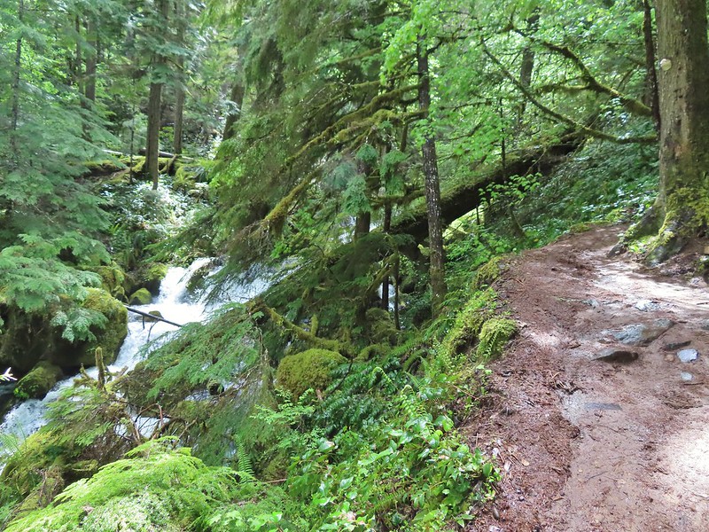
 Evidence of overnight rains on the trail.
 A very faint rainbow over the North Umpqua River.
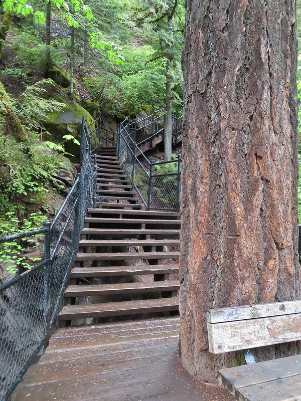 Stairs down to the viewpoint platform.
 Toketee Falls


 Candy sticks along the trail.
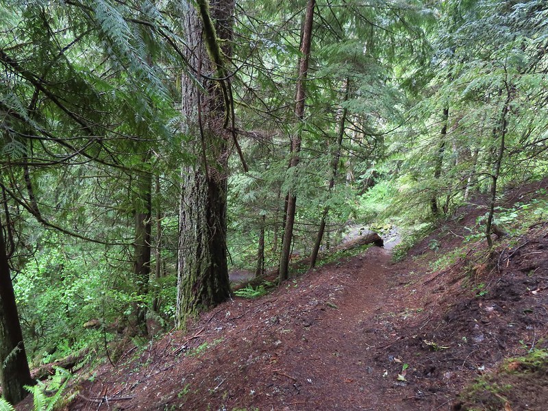
 During lower flow there is another hot spring along the river bank in the area.

 Heading up to the road.
 The North Umpqua Trail on the left leaving the FR 3401.


 The hot springs across the river from Columnar Falls.
 The top of Watson Falls from the trailhead signboard.
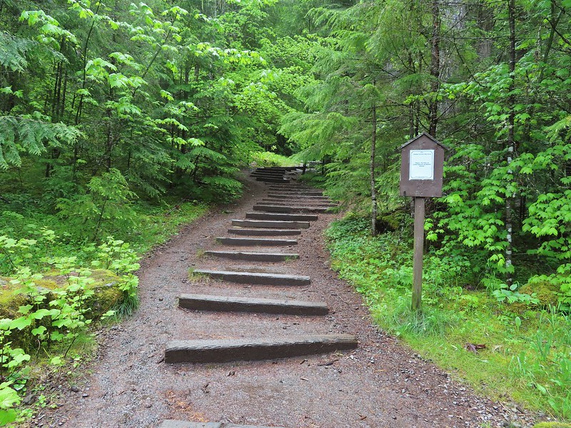
 Watson Falls from below.
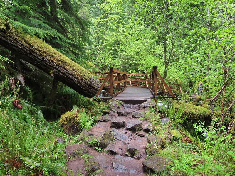 Footbridge over Watson Creek.
 Heather at the viewpoint.
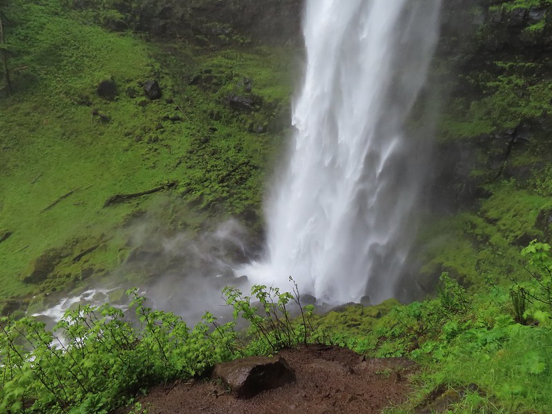 The splash pool.
 Watson Creek at FR 37.
 A little bit of blue sky and sunlight along FR 37.

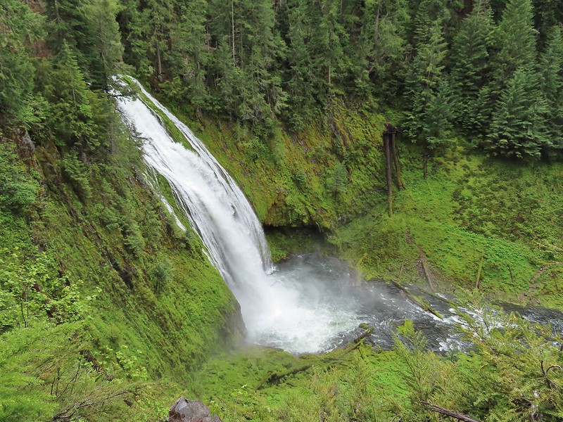
 Viewing platform above the falls.
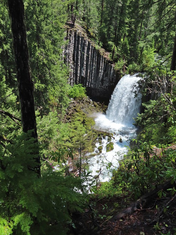 We both really liked the angled basalt cliff on the far side of these falls.
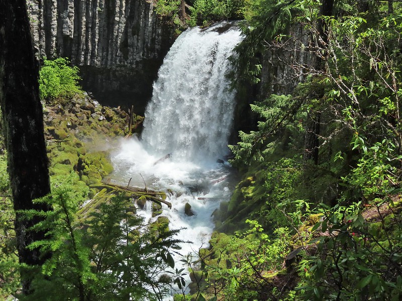
 The canal bridge is 5.6 miles from Highway 138 on FR 2610.
 Sign near the canal bridge.
 The North Umpqua Trail.
 The section between Lemolo Lake and the Umpqua Hot Springs Trailhead is called the “Dread and Terror Segment” but both sections we hiked were beautiful.
 Numerous seasonal streams and seeps flowed across the trail.
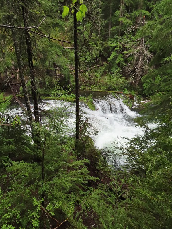
 Unnamed fall along the river.
 Trillium
 Ouzel
Ouzel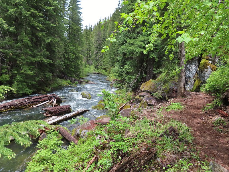
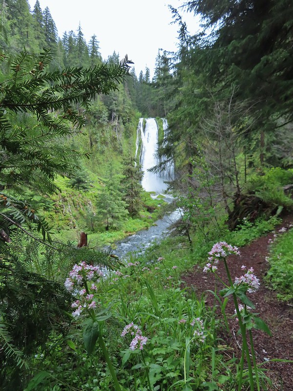
 Lemolo Falls
 Red flowering currant along the trail.
 Bleeding heart.
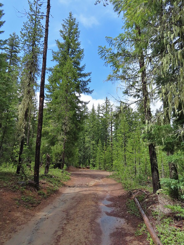 Approaching the trailhead.
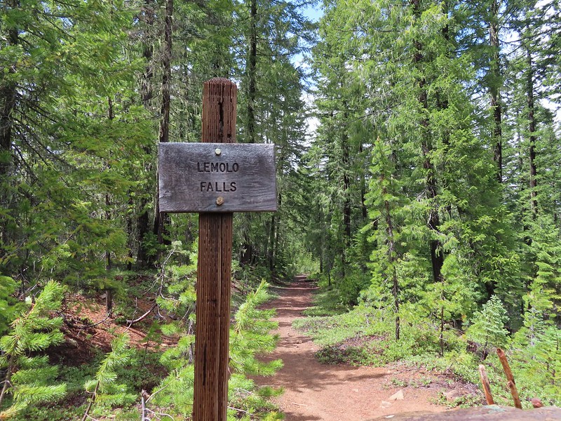

 The former picnic area (Note the picnic table in the trees to the right.)
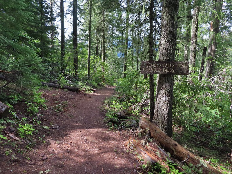
 Valerian along the trail.

 One of many brief appearances of blue sky during the day.


 The Castor (Spanish for beaver) Trail on the left, this was the only trail in the park that we didn’t hike on during our visit. It was always a left turn.
 Fawn lilies
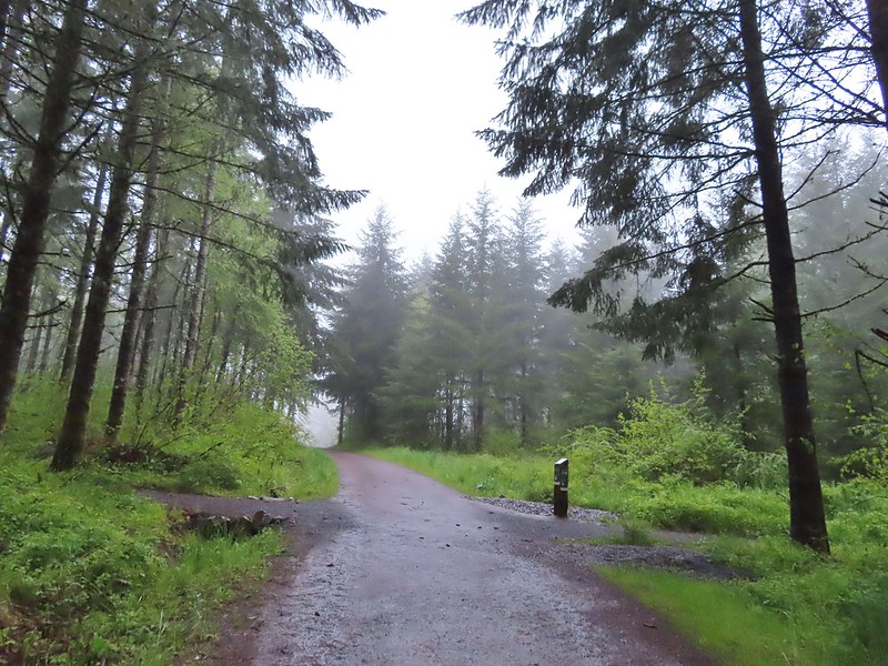 Our first right turn (left was a short connector to the Woodland Trail).
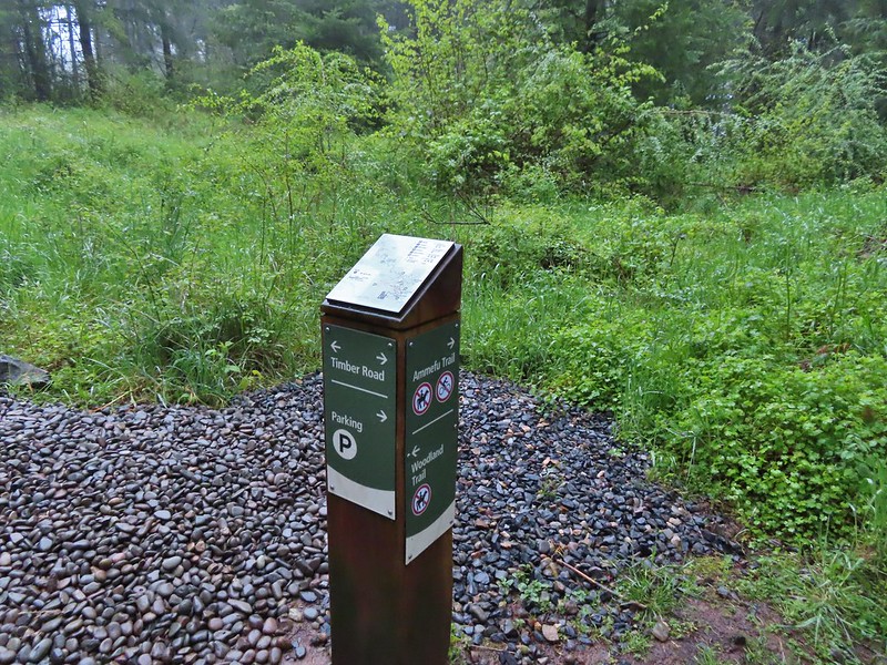 Again the posts and accompanying maps were some of the best trail identifiers we’ve run across.
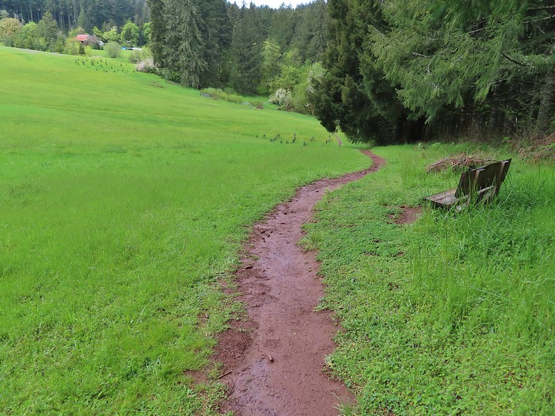
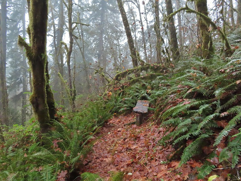
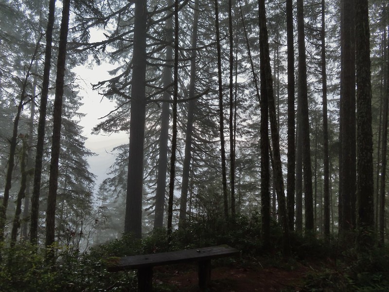
 Bench at the viewpoint along the Ammefu Trail.
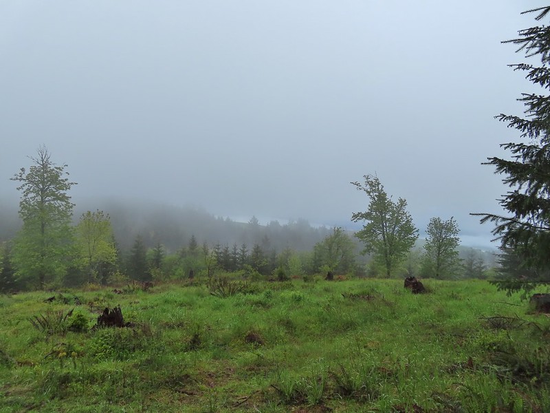 We had to imagine the view today.
 The second figure.
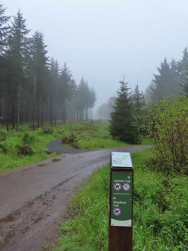 Back at the Timber Road and another short connector to the Woodland Trail.
 Fog on Timber Road
 Passing the Woodland Trail on the left which would be our right turn on the way back.
 Christensen Creek
 Right turn for the Ayeekwa and Witches Butter Trails.
 Witchs Butter on the left and Ayeekwa on the right.
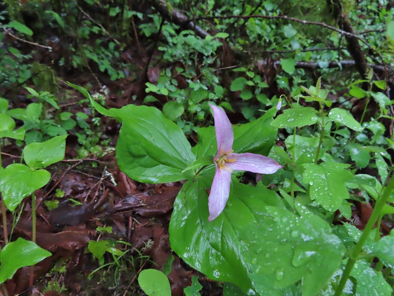 Trillium
 Another bench, this one overlooked Christensen Creek.
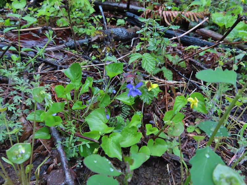 Common blue violet
 Pioneer violets and a strawberry blossom.
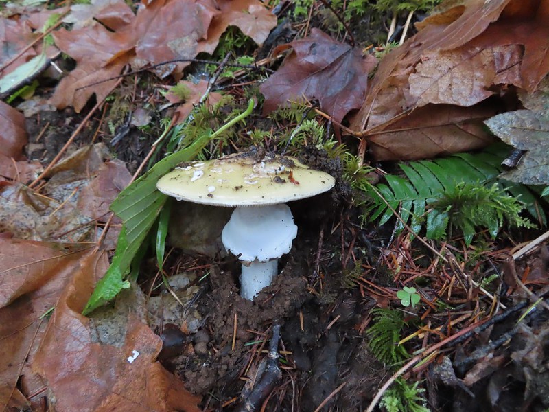
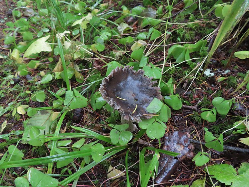
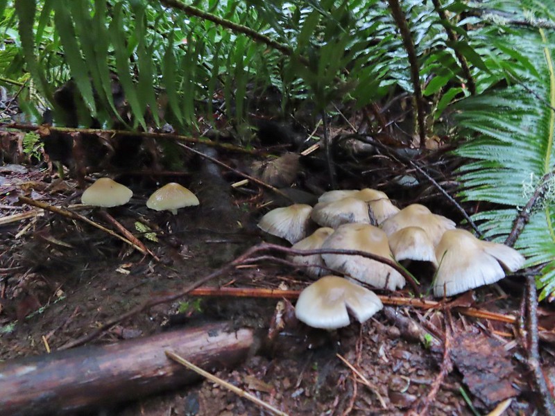 Mushrooms under a fern.
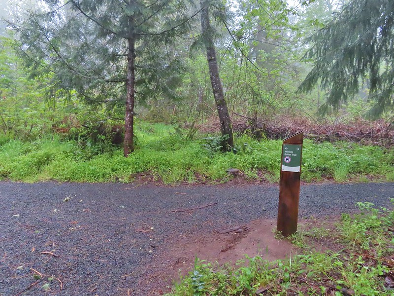 Popping out on the Witches Butter Trail.
 Witches Butter Trail
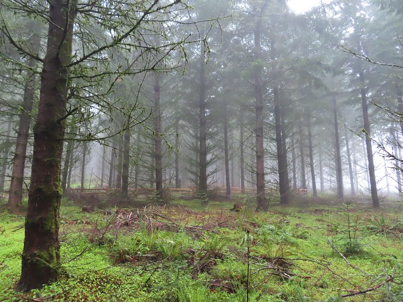 Witches Butter Trail winding through Douglas firs.
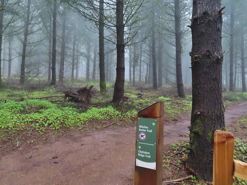 Turning right onto the Chehalem Ridge Trail.
 There was a little more mud on the Chehalem Ridge Trail.
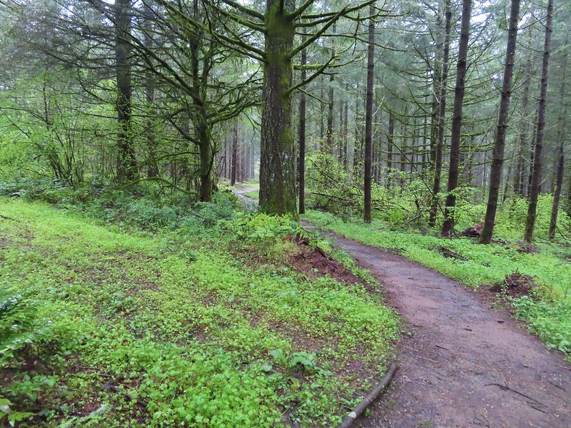 Spring green carpet.
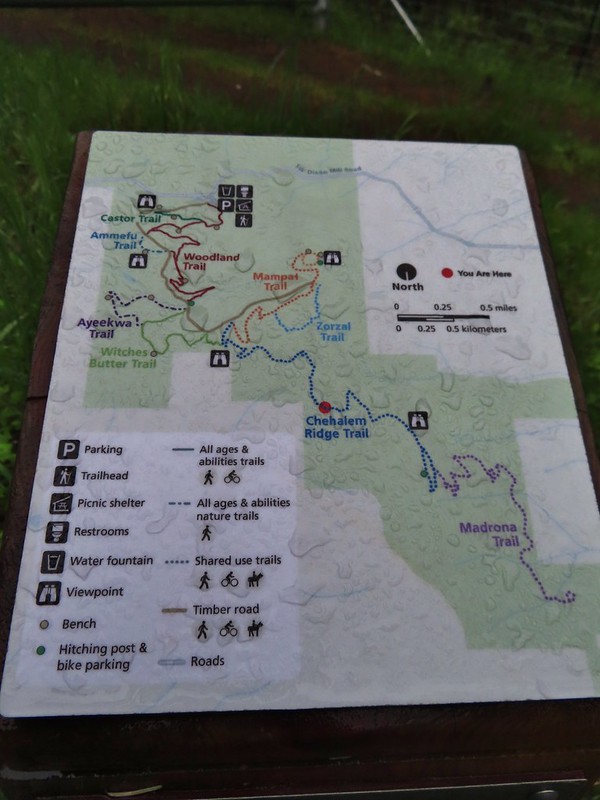 A good example of the differently oriented maps, on this one north is down.
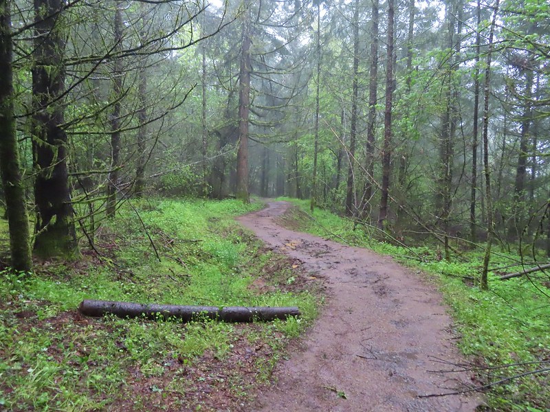
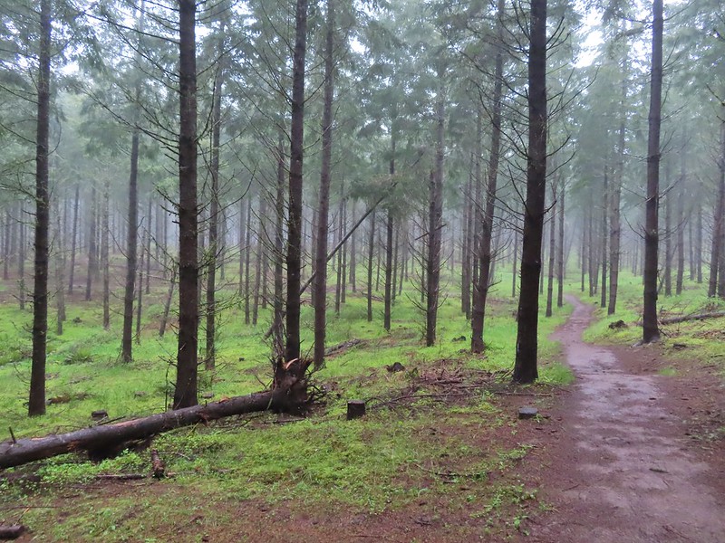 Another fir plantation. The land had been owned by a timber company prior to being purchased by Metro in 2010.
 Start of the Chehalem Ridge Loop. We went right which simply swung out along the hillside before dropping down to the Madrona Trail in 0.4 miles.

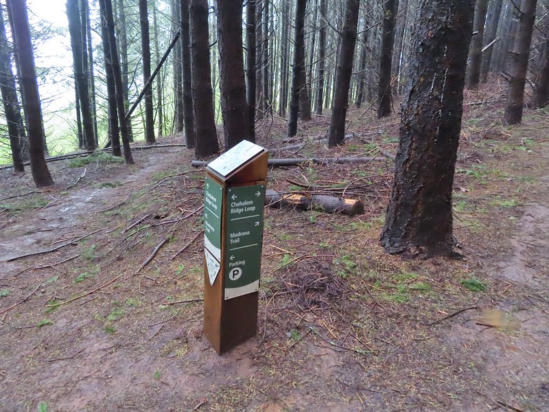 The loop continued to the left but we turned right onto the Madrona Trail.
 Still cloudy and gray but we’d experience very little if any precipitation yet.
 Lots of tough-leaved iris along this trail.
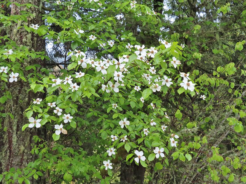 One of several blooming dogwood trees.
 View on the way down.
 Madrone trees began to be a common sight as we descended.
 One of the 11 switchbacks.
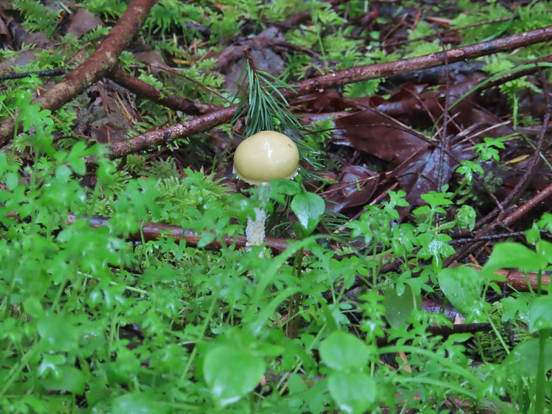 We hadn’t seen a lot of mushrooms recently but this hike had plenty.
 Following the roadbed.
 Aside from one other very small (3 in diameter) tree this was the only obstacle we encountered all day.
 The start of the loop along with several madrones.
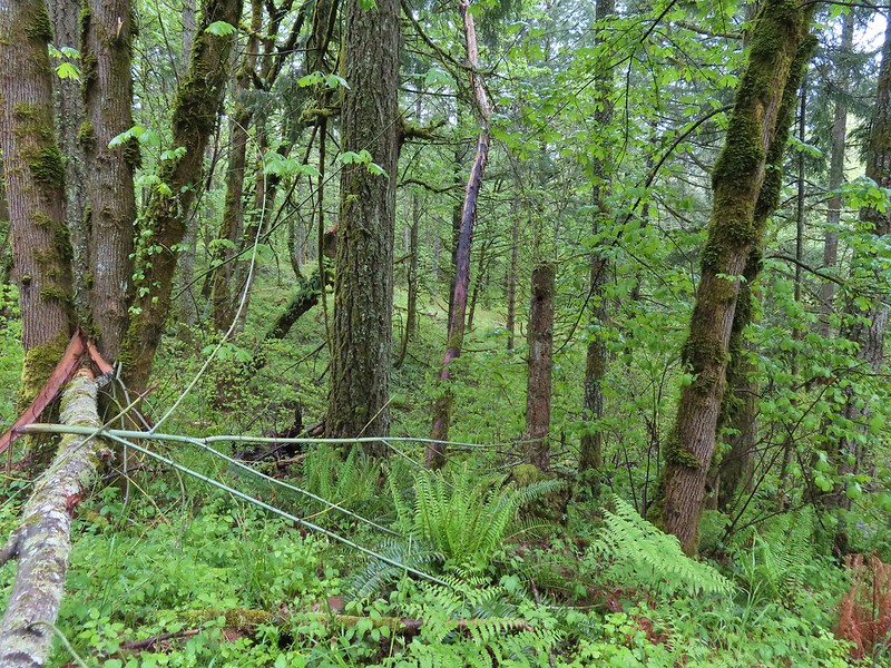


 The Tualatin Valley and Coast Range.
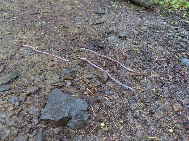 Either these worms were racing or it was a bird buffet. The rain had brought a lot of earthworms onto the trails.
 Another trail user a rough skinned newt.
 A closer look at the rough skinned newt.
 It had been so foggy when we had come up the Witches Butter Trail that we hadn’t realized that there was a giant green field nearby.
 The end of the Chehalem Ridge Trail with the Mampaꞎ Trail to the right and a very short connector to the Timber Road to the left.
 Sunlight hitting the Mampaꞎ Trail.
 Fairy slippers
 Squirrel
 The Zorzal Trail to the right.
 Toothwort along the Zorzal Trail.
 Stripped coralroot
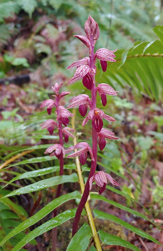


 An assortment of smaller flowers.
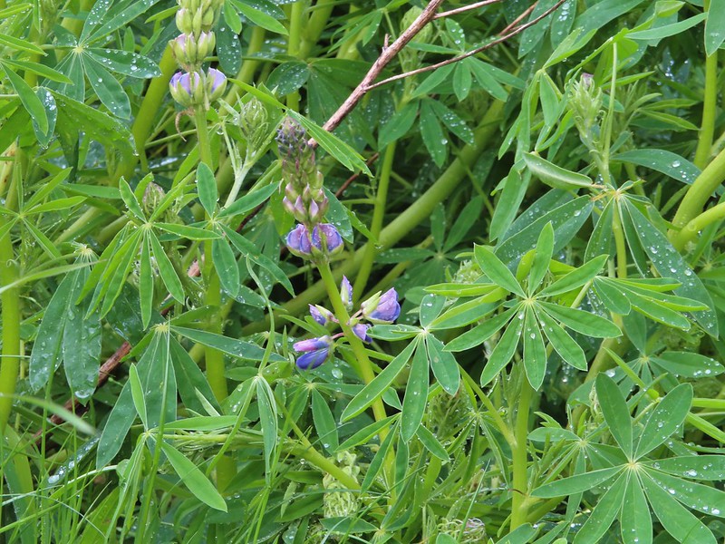 One of the few lupines with blossoms.
 Camas buds
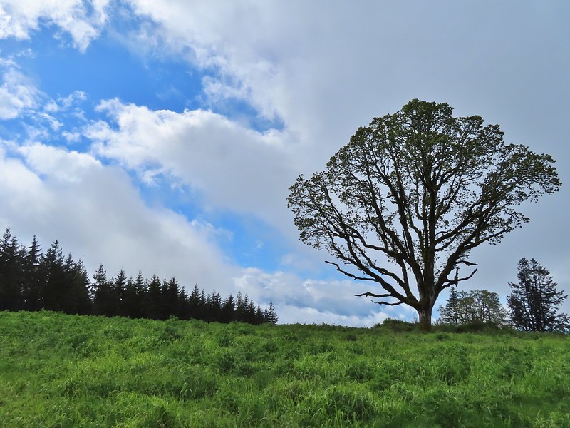 Oak tree on Iowa Hill. Most of the larger green clumps are lupine.
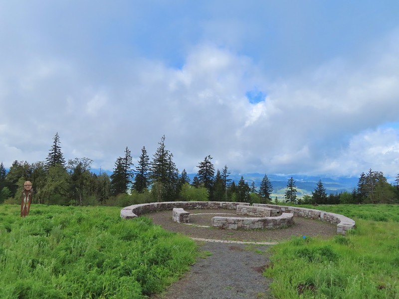 The third and final figure was also located near the stone circle.
 Yarrow
 More lupine starting to blossom.
 Tualatin Valley
 Plectritis
 Believe this is a checker mallow.
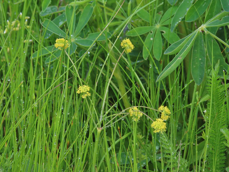 Parsley
 Camas
Camas Iris
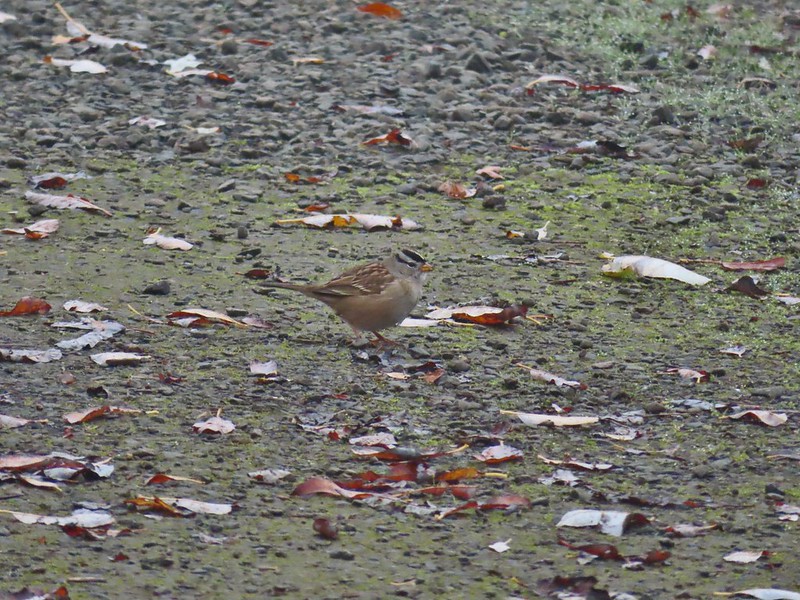
Iris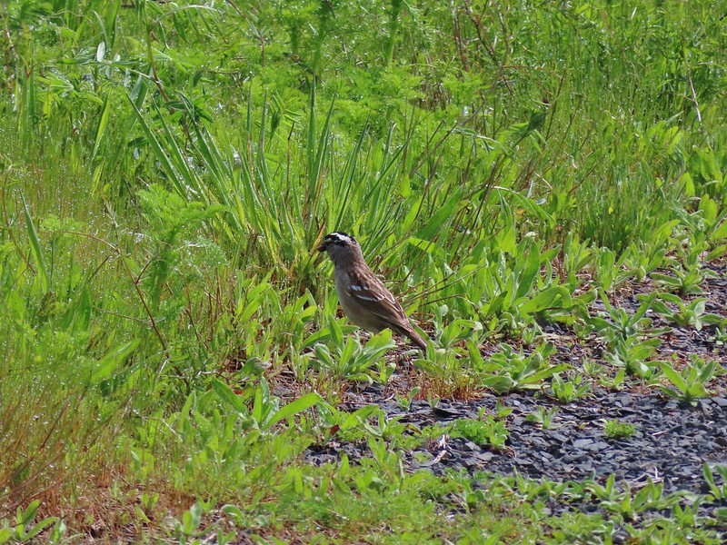 White crowned sparrow
 Turning down the Timber Road.
 I’m not good with these little yellowish birds. It could be an orange-crowned warbler.
 Black capped chickadee
 Approaching the Woodland Trail on the right.
 Woodland Trail
 Candyflower
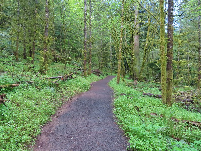 Coming to a switchback.
 We ignored a couple of shortcuts that would have led back to the Timber Road.
 We also skipped the Castor Trail which would have slightly lengthened the hike.
 Lupine along the Woodland Trail as we neared the trailhead.
 Much nicer conditions than we’d had that morning and way nicer than anything we had expected.


 Camas
Camas Lupine
 Habitat Trail
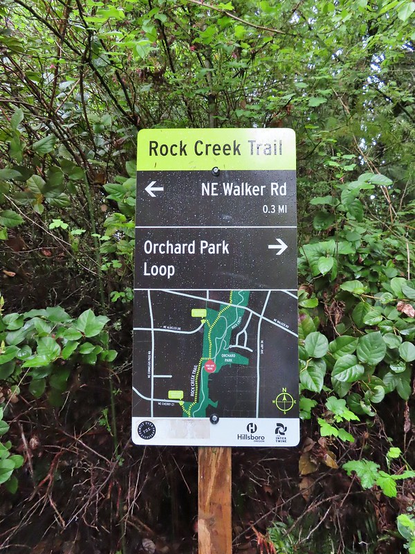
 We’ll blame our inability to read this sign on it still being early in the morning. We started down the path ahead before quickly questioning the direction and correcting course.
 He probably knew which way he was going.
 Heading the right way now.
 NW Wilkins


 Another trail user


 Fringecup

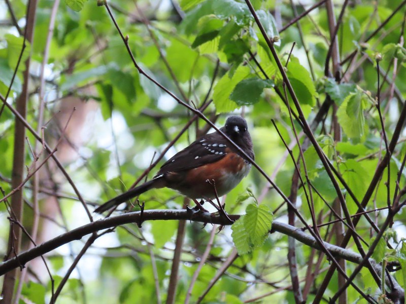 Spotted towhee
 Stellar’s Jay
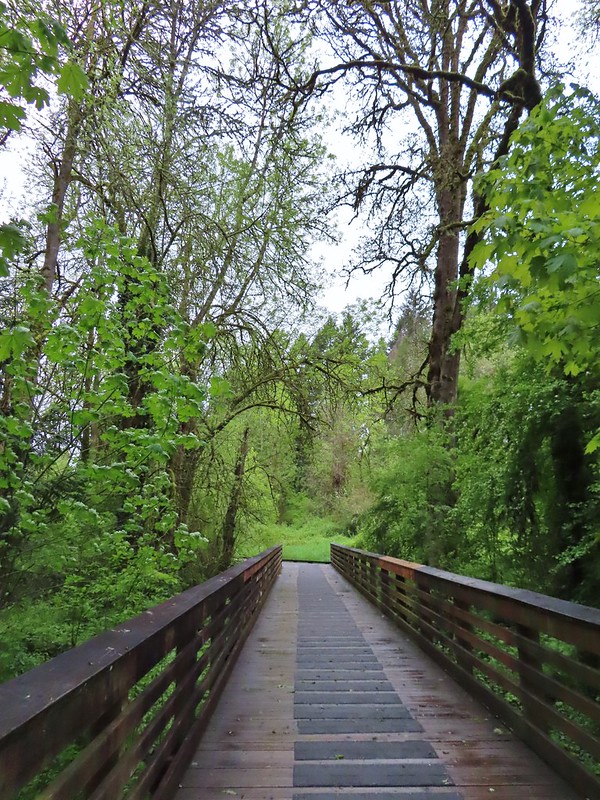
 Second time staring at this sign.

 Not sure exactly how to interpret this scene – mourning, a murder, or breakfast?
 The slight jog right along NE Walker.


 Bridge of Rock Creek
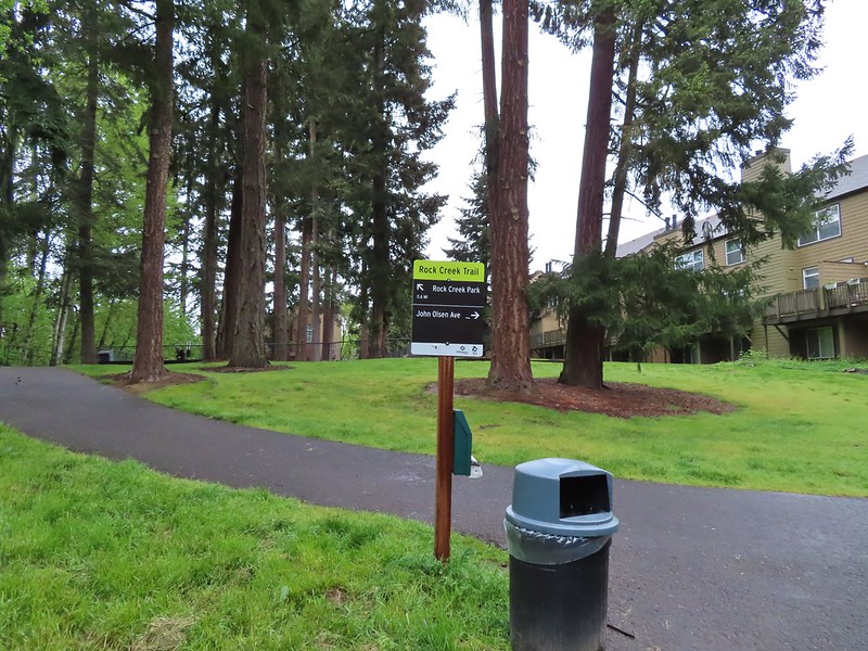 Look a pointer for John Olsen Avenue (just a lot further north).
 Mallards (A pair of wood ducks flew off at the same time the mallards headed downstream.)
 Here is the only photo that I could even get with the little yellow bird visible at all.
 NE Evergreen Parkway

 Checkermallow


 Trillium
 Solmonseal
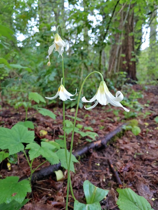 Fawnlilies
 Aven
Aven


 Rock Creek from the viewpoint.
 The back of the owl (middle tree 2/3 of the way up)

 Violets
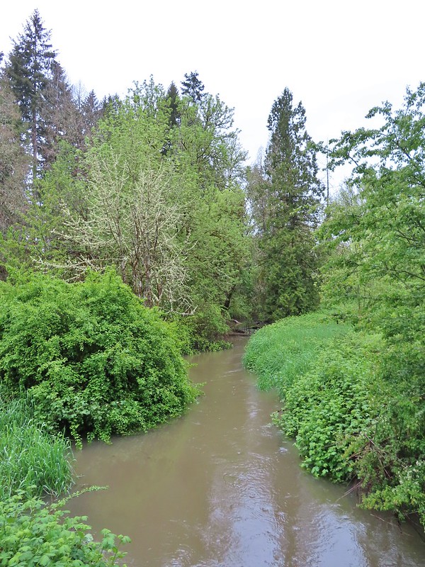
 Swollen creek
 Fairy bells
 Cinquefoil
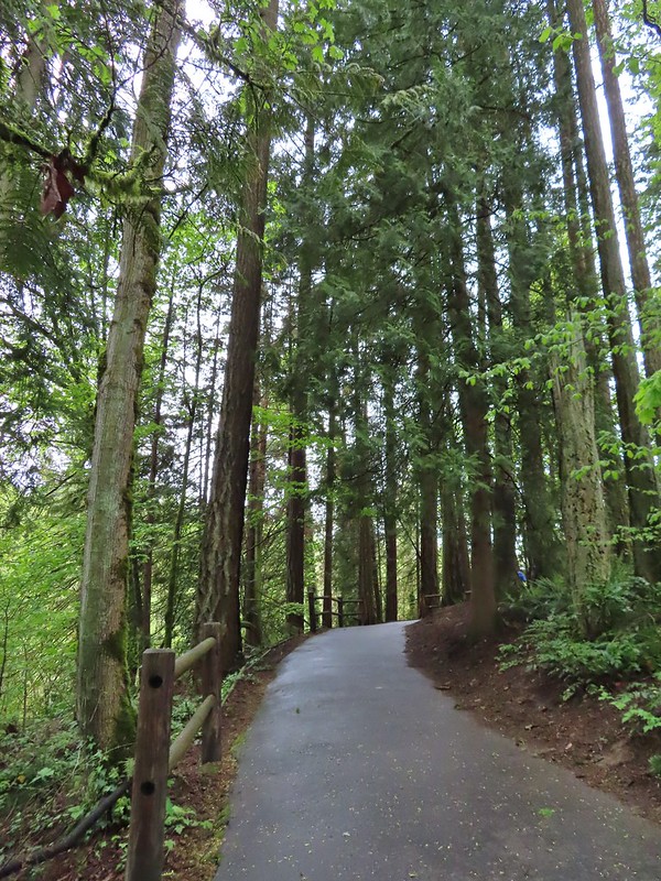 Nearing the trailhead.


 A wren and a white-crowned sparrow
 American goldfinches
 Tree swallows

 Bleeding heart near the stream.
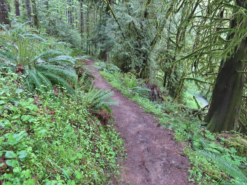 Berry Creek down to the right.
 There was a lot of wild ginger on the hillside.
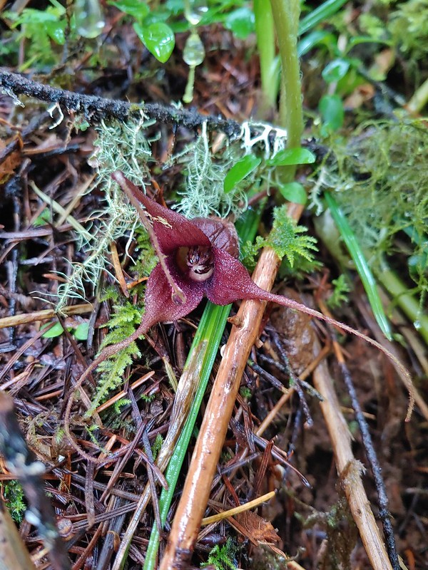


 Iris
Iris Buttercups
 Small garter snake
 Approaching the bridge and creek.
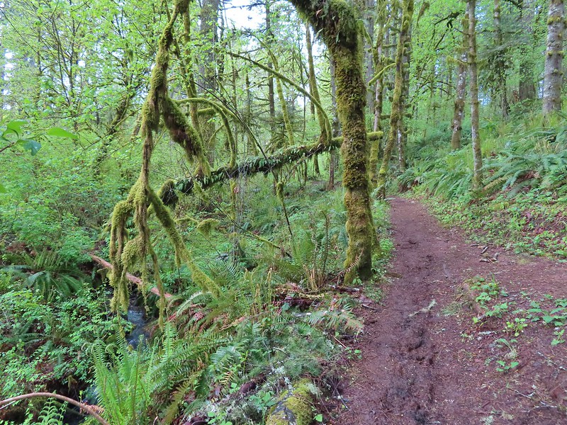

 Sparrow
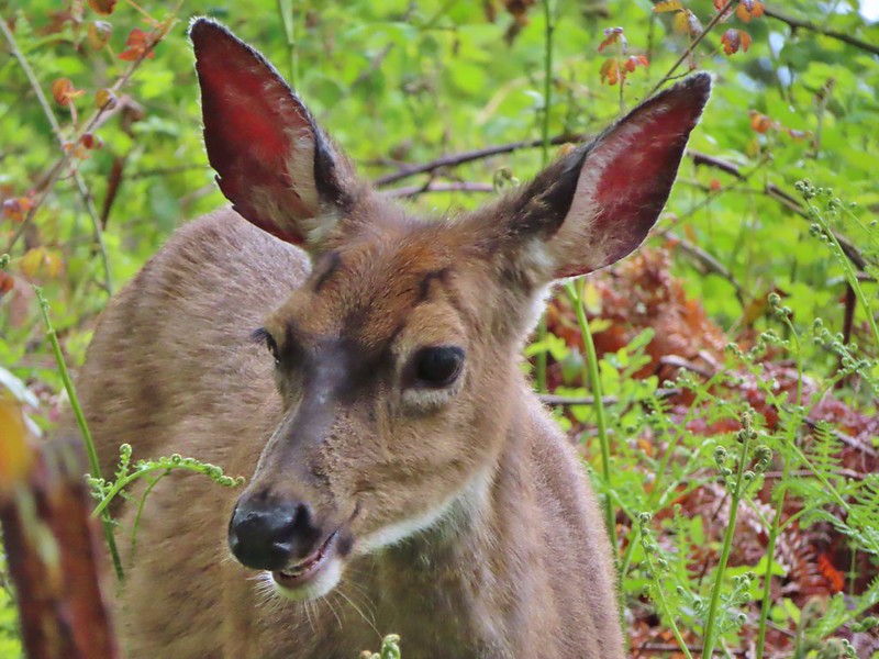 Doe just hanging out in a patch of poison oak. (It doesn’t bother deer.)
 Nearing the high point of the trail at K.T. Summit
 Spotted coralroot
 K.T. Summit
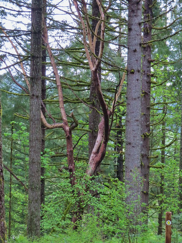 A very cool madrone tree.
 Two more deer with a third off camera.
 There was at least one identifier for each tree listed on this sign. The signs were particularly nice because many were next to younger trees which made it easier to see the needles and bark instead of just look at a trunk and having to look up to try and see other details of the trees.
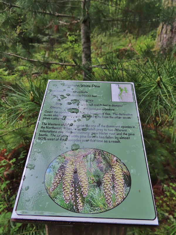 Western white pine
 Western larch
 Vanilla leaf
 Fairy slippers
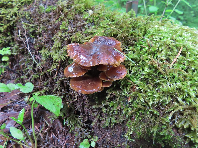


 Frog near the pond.
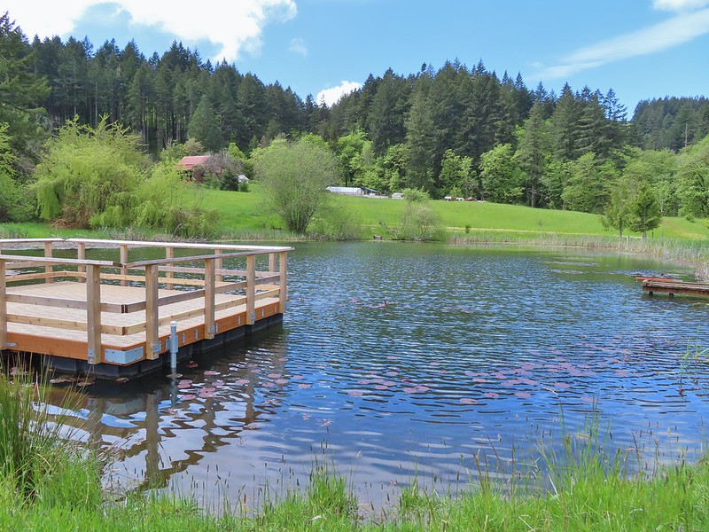
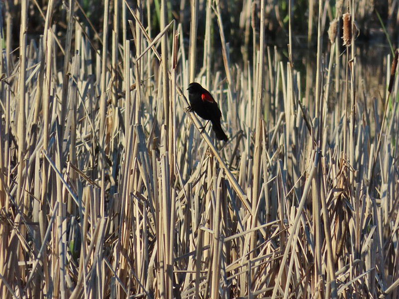
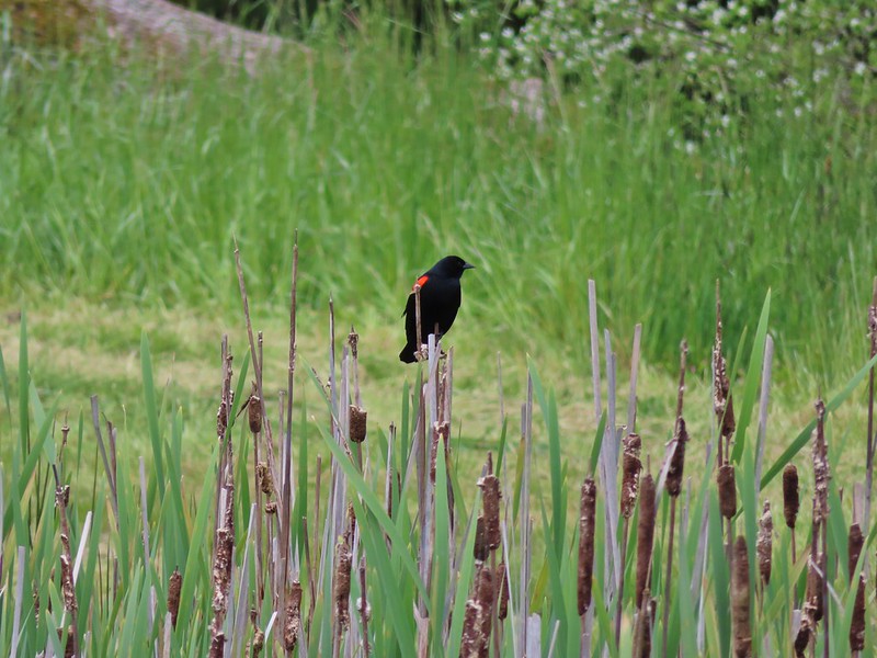 Red-winged blackbird

 Interpretive sign at the start of the trail.
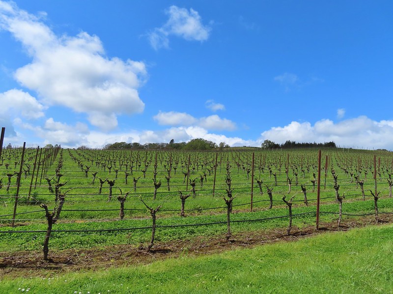 Vineyard along the trail.


 Camas
Camas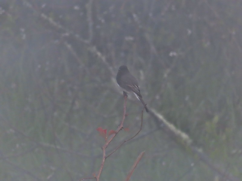 Black phoebe in the fog. It’s the only one seen all day so despite the poor quality I kept the photo.
 Wet spider webs are the best.
 There was a brief respite in the fog before it rolled in again.
 The fog bank waiting to move back in.
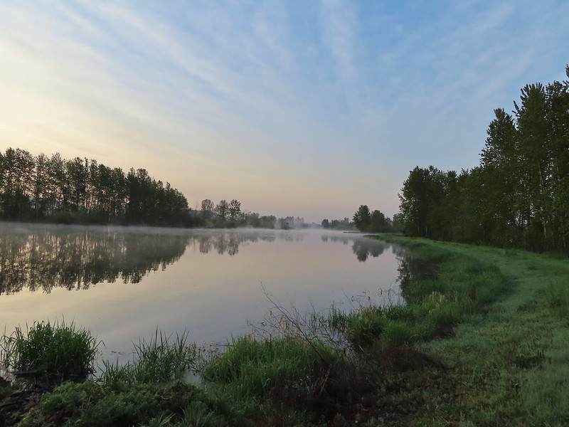 Teal Marsh
 Northern flicker
 A very grumpy looking spotted towhee
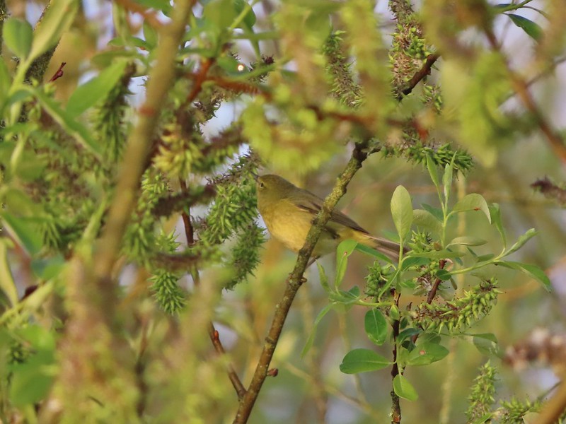 I have a hard time identifying some of these little birds. This one may be an orange-crowned warbler.
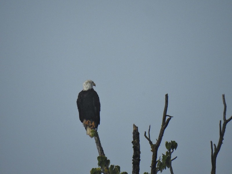 A bald eagle that was across Willow Marsh.
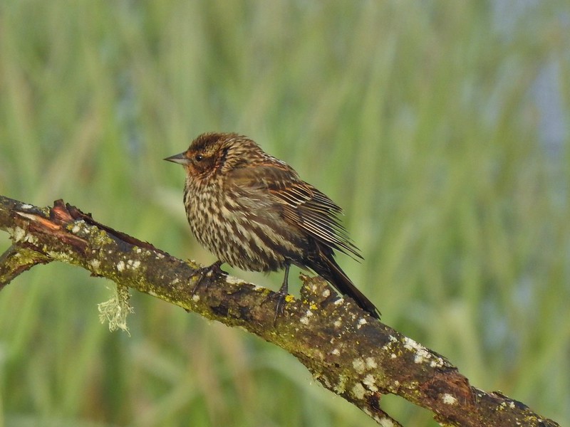 Female red-winged blackbird
 Buffleheads
 A less grumpy looking spotted towhee
 Here comes the fog again.
 Black capped chickadee
 Yellow-rumped warbler (Audubon’s)
 Red-winged blackbird
 Wrens can be tricky too, I think this is a marsh wren.
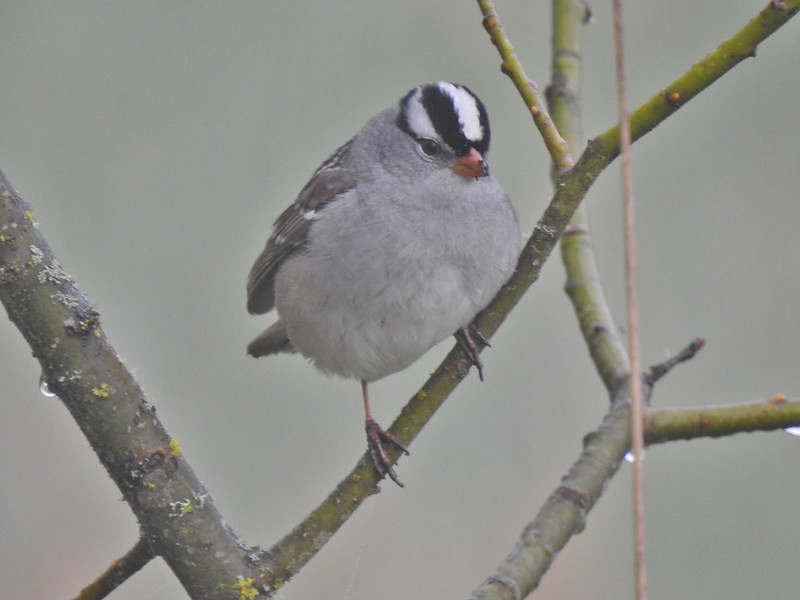 White-crowned sparrow
 Song sparrow
 Eagle Marsh, still can’t see much.
 Bashaw Creek
 Egret Marsh from the blind.


 Lots of fringecup along the trail.
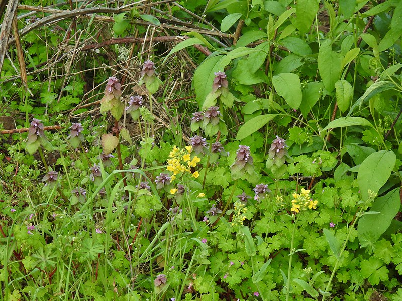 Purple deadnettle and field mustard
 Common yellow-throat
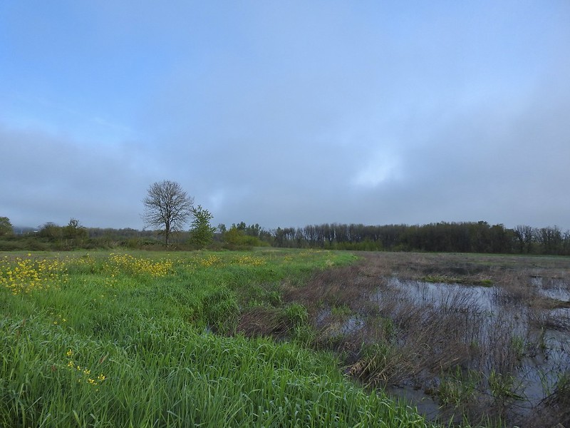 Looking back along the eastern side of the marsh. There was a lot less water this year.
 Water level on 4/13/21.
 Seeing them was a lot easier than getting photos.
 Canada flamingo?
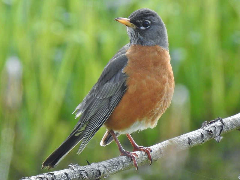 American robin
 Dunlin Pond from the boardwalk.

 Egret Marsh
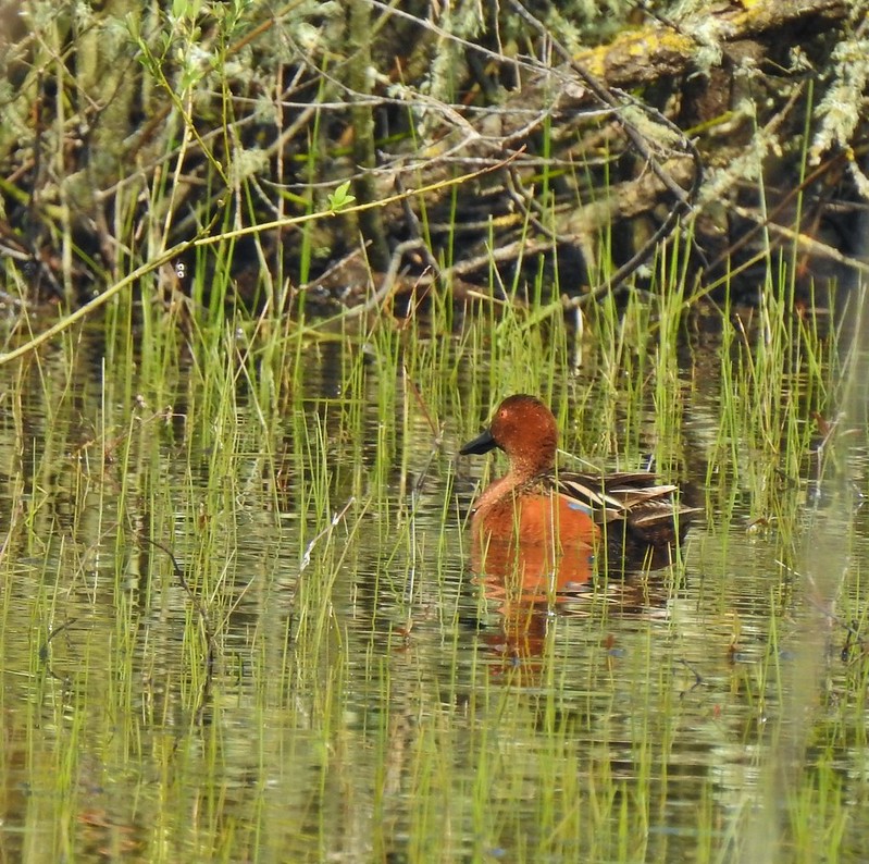
 Ring-necked ducks.
 Anyone know if this is a female cinnamon or blue-winged teal?
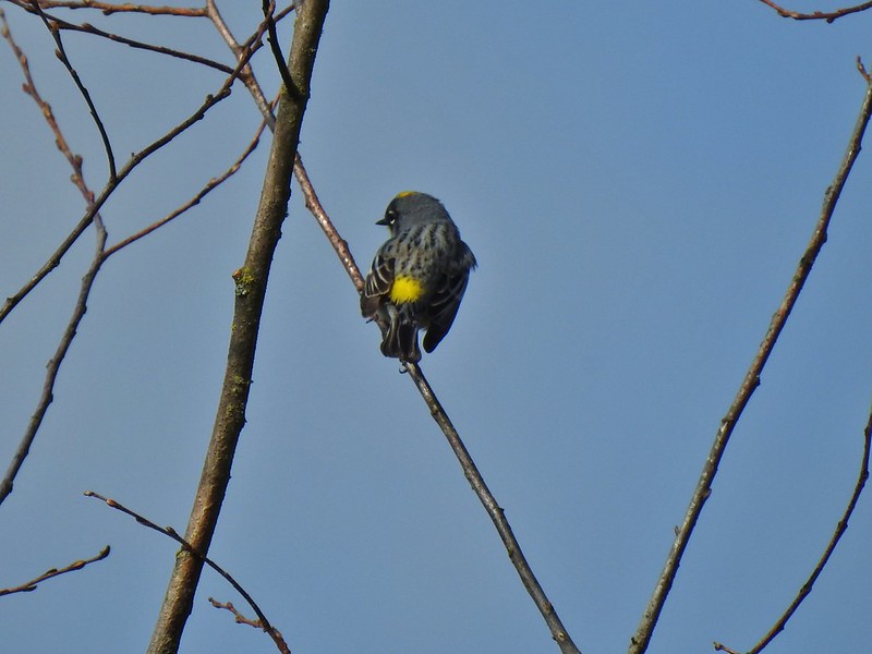 Another yellow-rumped warbler (Audubon’s) showing off its yellow rump.
 Egret Marsh
 The trail around Egret Marsh.
 I think these might be long-billed dowichters. Please correct me if I’m wrong.
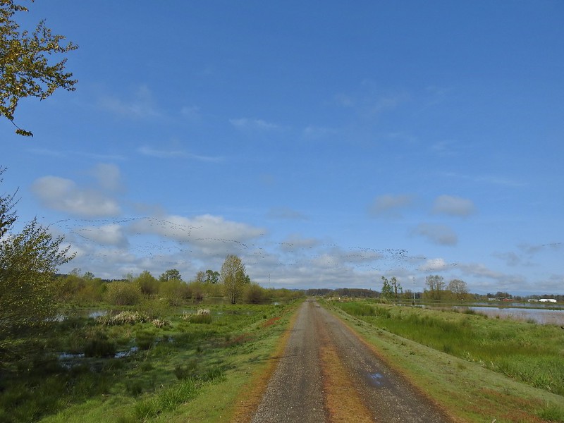 Heading to the right turn. Egret Marsh is on the left and Mallard Marsh on the right. A huge flock of geese had just taken to the sky.
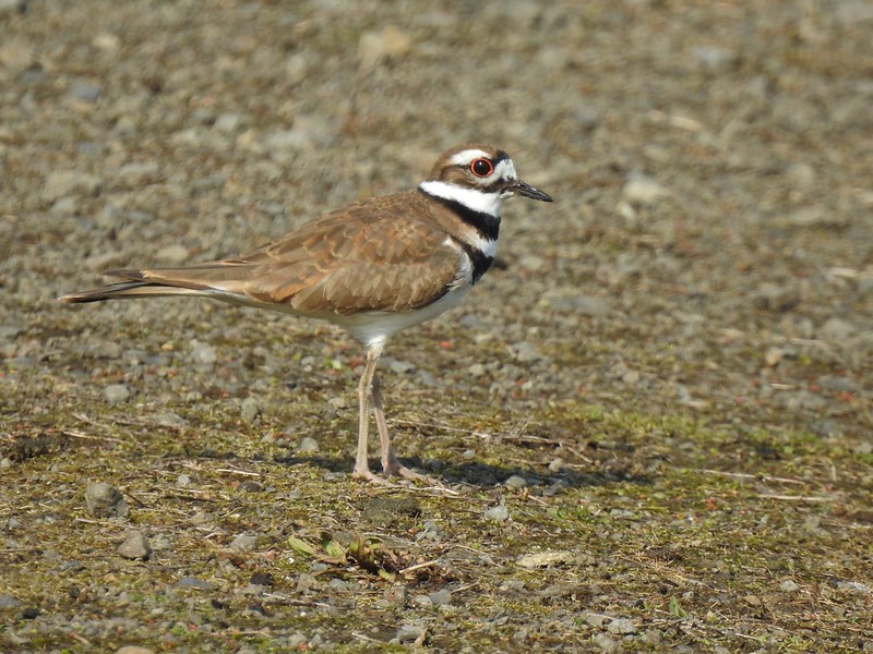 Killdeer
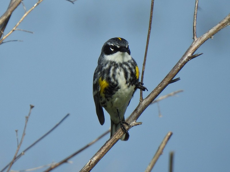 Today I realized that there are two yellow-rumped warblers, this one is a Myrtle, note the white throat compared to the yellow throat of the Audubon’s above.
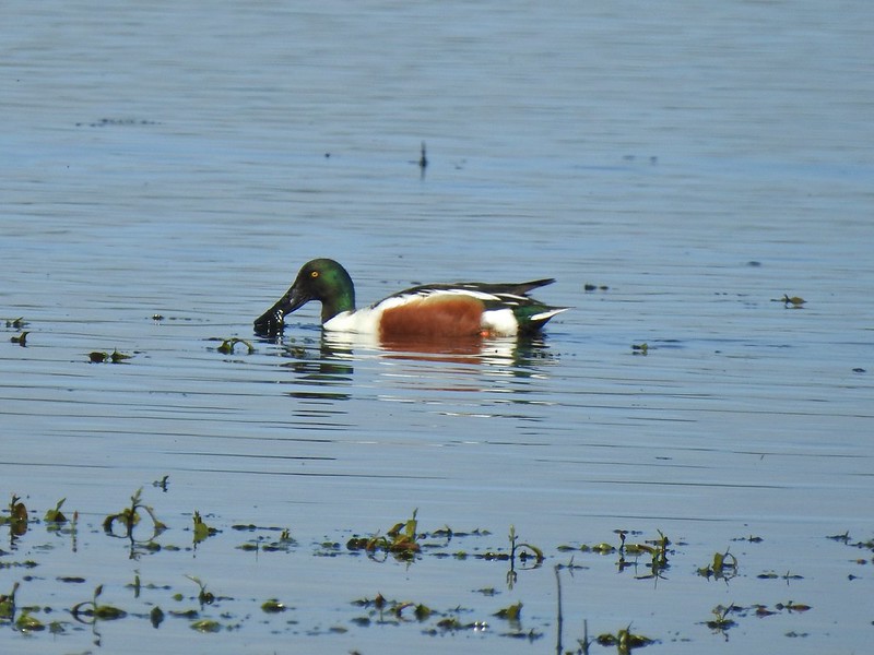 Northern shoveler
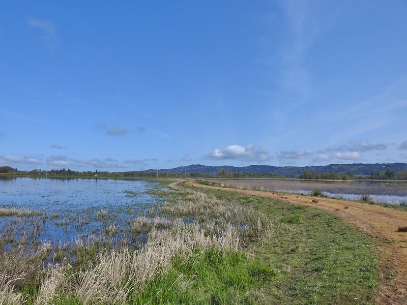 Mohoff Pond and Mallard Marsh
 Canada goose with various ducks in the background. At least one of the ducks is a ruddy duck which is one I hadn’t seen yet (that I know of). They were too far to get clear photos of though.
 Canada geese and northern shovelers giving a good size comparison.
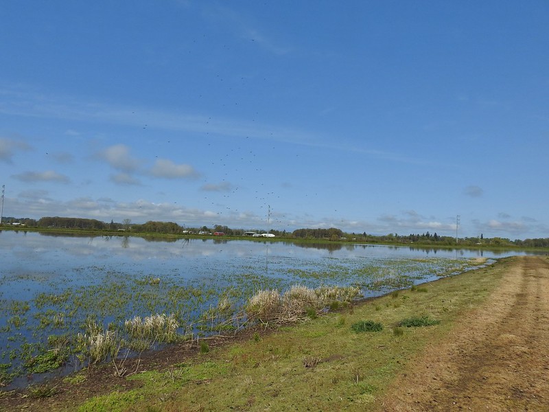 The black dots in the sky here aren’t geese, they are little insects that followed me along the dike.
 Not Canada geese flying over.
 Immature bald eagle.
 Sandpiper
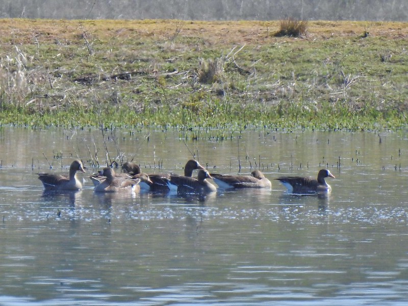 Greater white-fronted geese, another first.
 Bushtit. Several flew in here but I couldn’t make them out once inside so I took a few pictures hoping to get lucky.
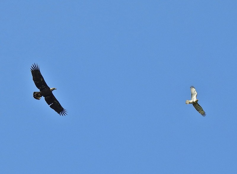 Can anyone ID the hawk? Another thing that I find difficult.
 Swimming lessons, Canada goose style.


 Buttercups
 Meadow checker-mallow
 Columbine
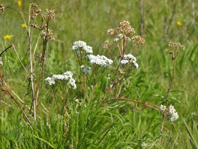 Yarrow
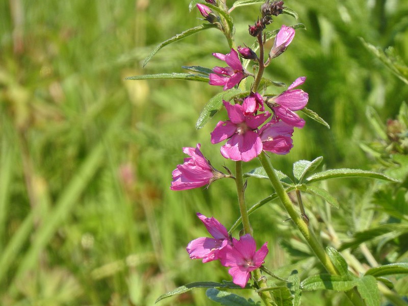 Possibly Nelson’s checker-mallow
 Lupine that will be blooming soon.

 Iris
Iris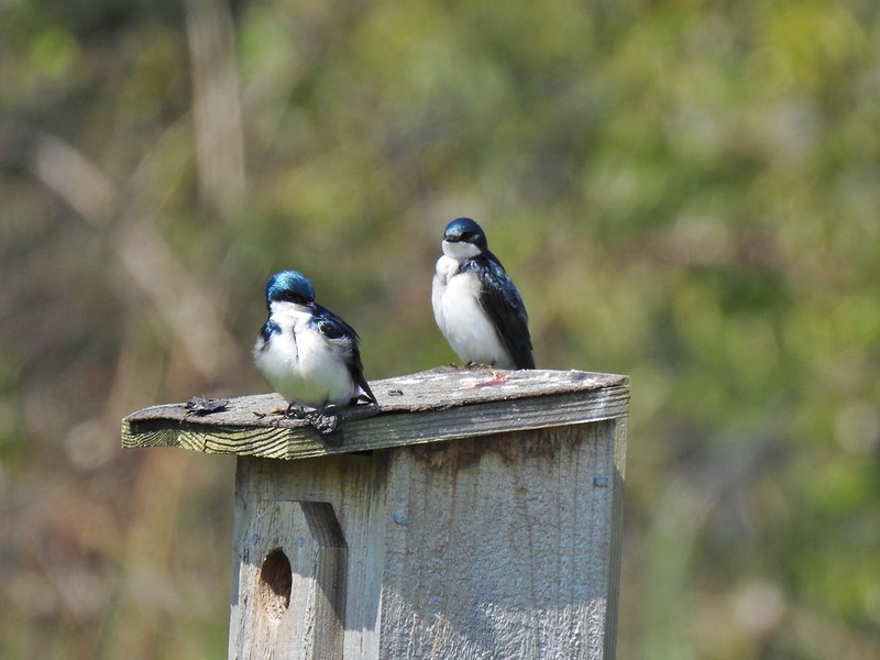 Swallows
 Mary’s Peak (
 The trailhead sign for the Clay Creek Trail is ahead on the opposite side of the road.
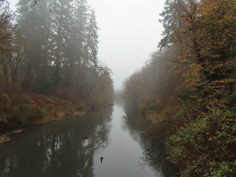 Siuslaw River
 Clay Creek on the left emptying into the Siuslaw.
 Stairs at the Clay Creek Recreation Area across the river.

 The Clay Creek Trail climbing above Clay Creek.
 It’s hard to tell size here but the diameter of this tree was well over 5′.
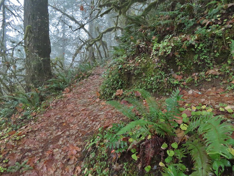 The junction for the loop.
 One of several reroutes we encountered.
 On the ridge top.
 Madrone trunk and bark, always fascinating.
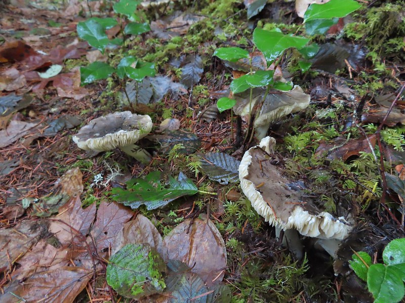 Lots of mushrooms pushing up through the forest floor.
 Good sized trees near the high point.
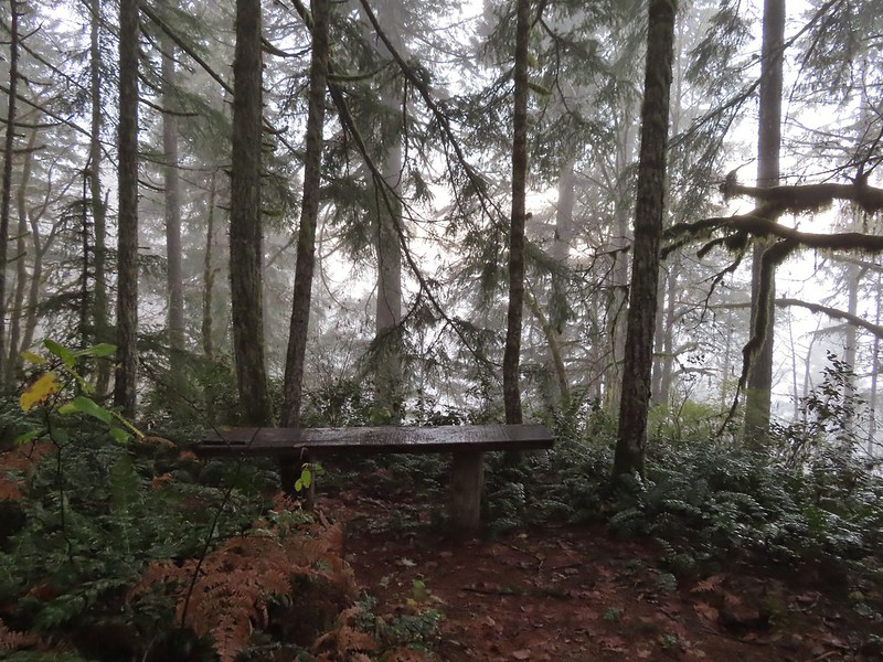 No idea what you might see on a clear day.

 The viewpoint.
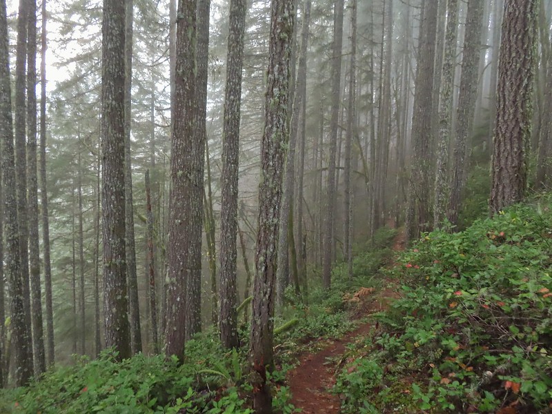

 Nearing the footbridge.
 The fog had lifted off the river at least.
 Note that Royal Ave and the trail to the viewing platform are open year around with the other restrictions listed below.
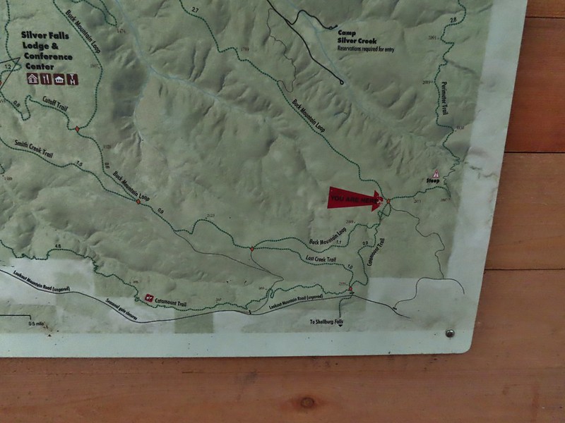
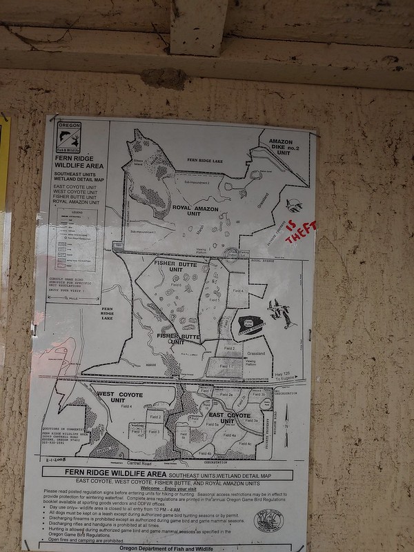 We took a picture of this map to assist us with our route.

 White crowned sparrow
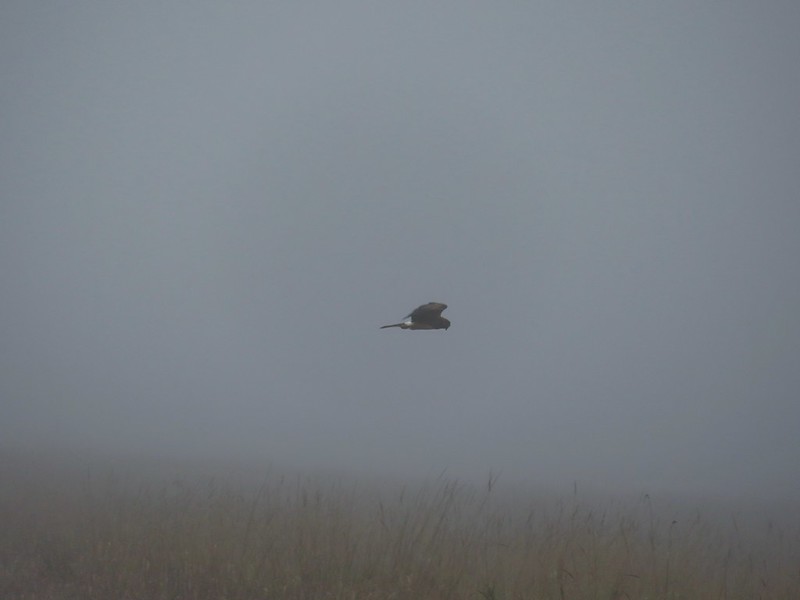 Northern harrier on the hunt.
 Wetlands in the Royal Amazon unit.
 The bittern taking off.
 Not the greatest photo but enough to identify it.
 A hawk on a stump.
 American coots
 Gibson Island (with the eagles in the snag to the far left)
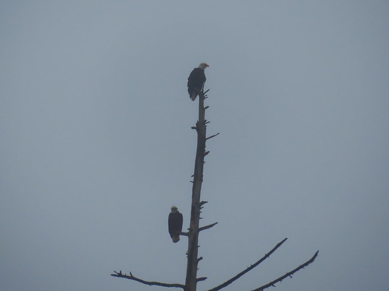


 A flock of geese above the coots.
 There were a number of these small birds pecking around in the mud which, with some help from Molly in the comments, are American pipits.
 Continuing west.
 We used the stones to the right to cross the water here.
 Great blue heron (with Highway 126 in the background).
 Sandpiper in the roadway.
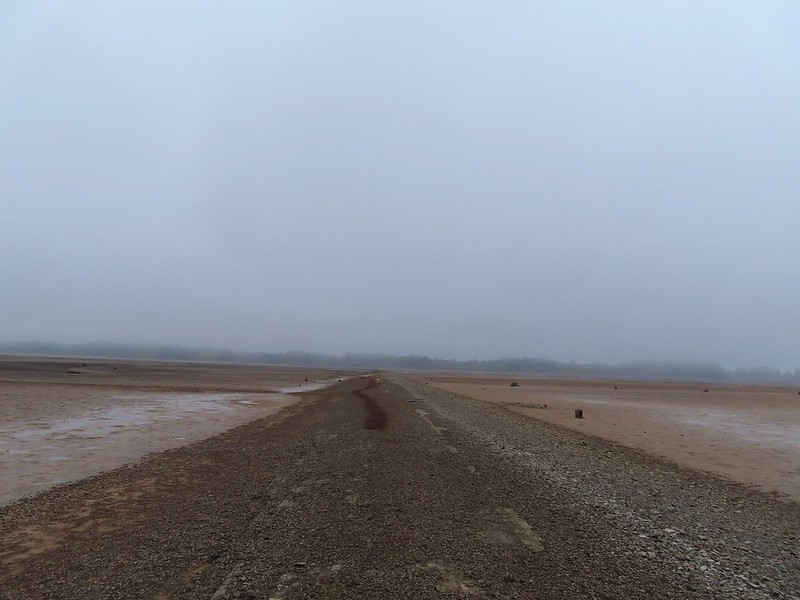
 End of the line.

 Seagull
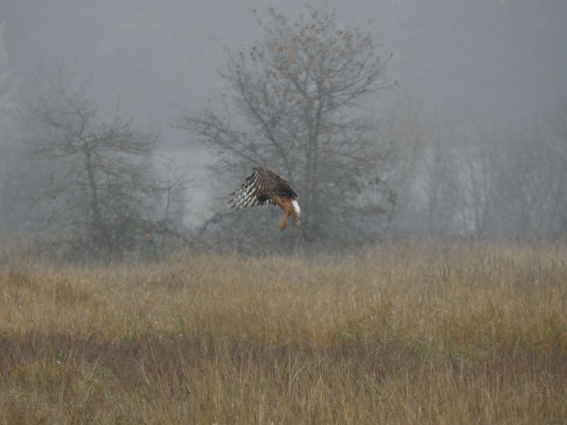 Perhaps the same northern harrier.
 The harrier taking a break.
 The path to the platform.
 Dunlins (thanks again to Molly)
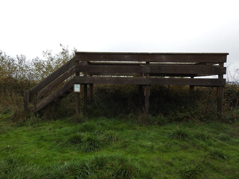 The platform.
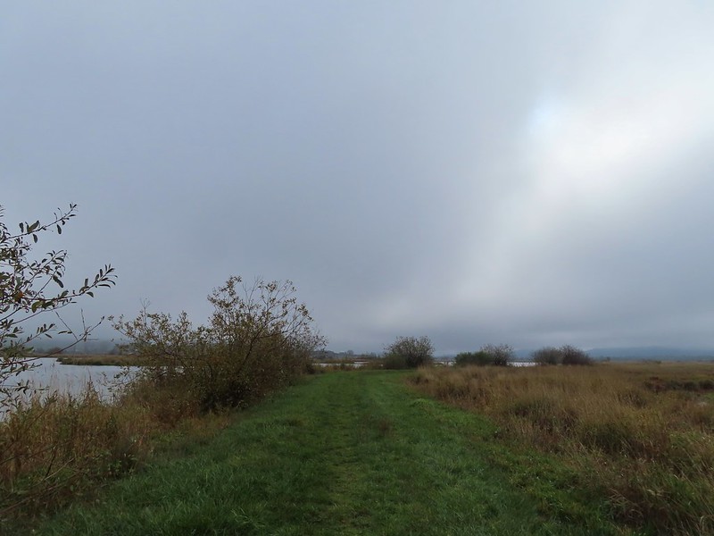
 The first signs that the fog/clouds might be breaking up.
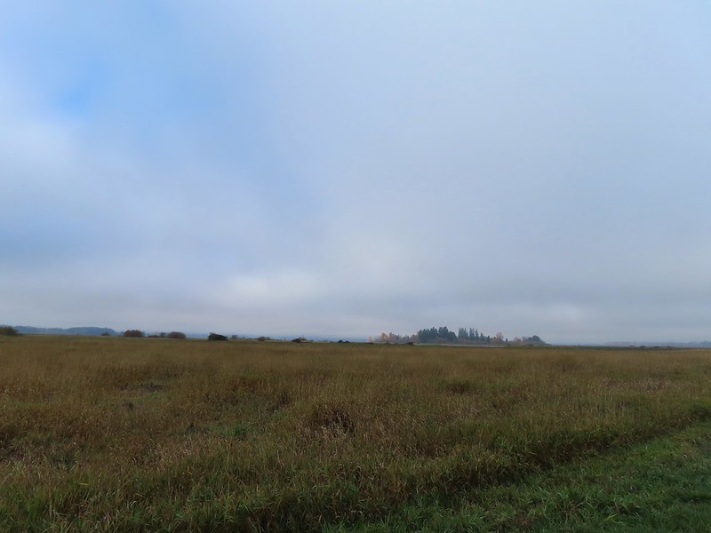 Looking back at a little blue sky and a visible Gibson Island


 Fisher Butte is the low hill ahead to the right.
 Gibson Island was now lit by direct sunlight.
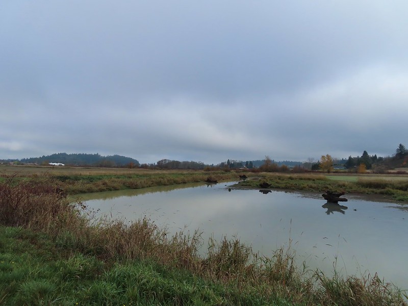 The dike running between Fields 3 & 4.
 Looking back over the ditch.
 California scrub jay
 Northern shovelers and a bufflehead.
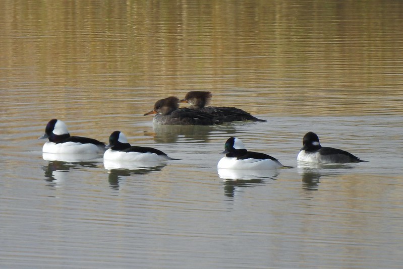 Buffleheads and two hooded merganser females.
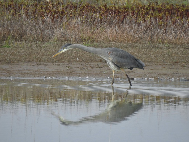
 Kingfisher
 American robin
 The gravel road and another small portion of the wildlife area on the other side.
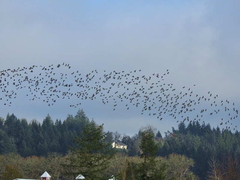 Noisy geese.
 Back on the mowed track.
 A sparrow
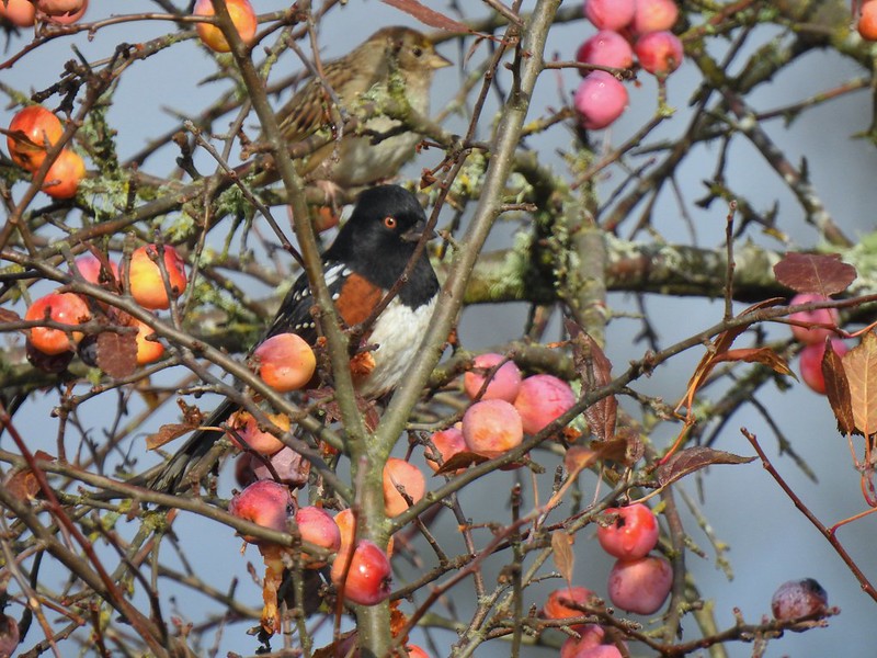 Spotted towhee and friend.
 Finch
Finch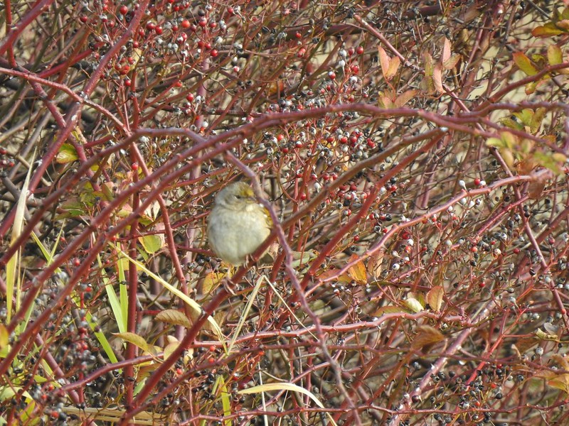 As of yet unidentified little bird.
 This path headed north from the trailhead, something to explore on our next visit.


 Park map at the viewpoint.
 Willamette Valley

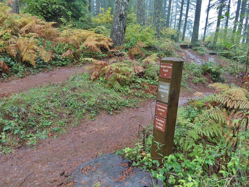
 Sign post for the Newt Loop and mountain biking skills station.
 As much blue sky as we were going to get on this day.
 A massive old growth nursery log. The tree stood for hundreds of years and will spend hundreds more slowly decaying and providing nutrients for younger trees.
 Nursery stump. While some old growth exists in the park it was also logged heavily which was the primary reason it was passed over for National Park status.
 The Smith Creek Trail junction.
 Does anyone know their salamanders? Not sure what type this one was.
 The Nature Trail junction.


 From the spot that we entered the campground you could just see a hiker sign at the far end of the paved campground road.


 No wildlife to view today.

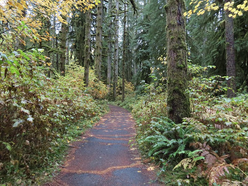
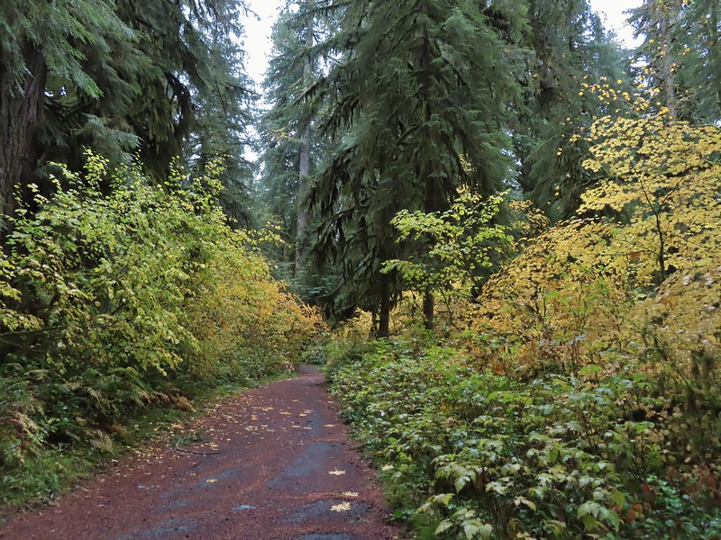
 The Howard Creek Loop Trail.
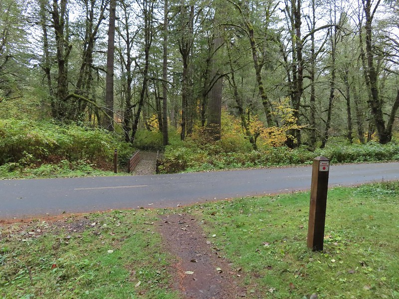
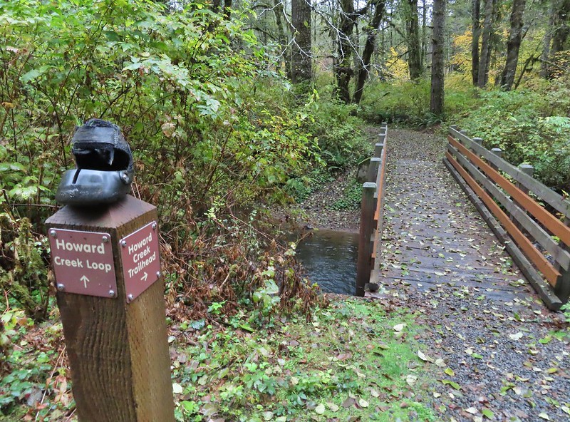
 Howard Creek
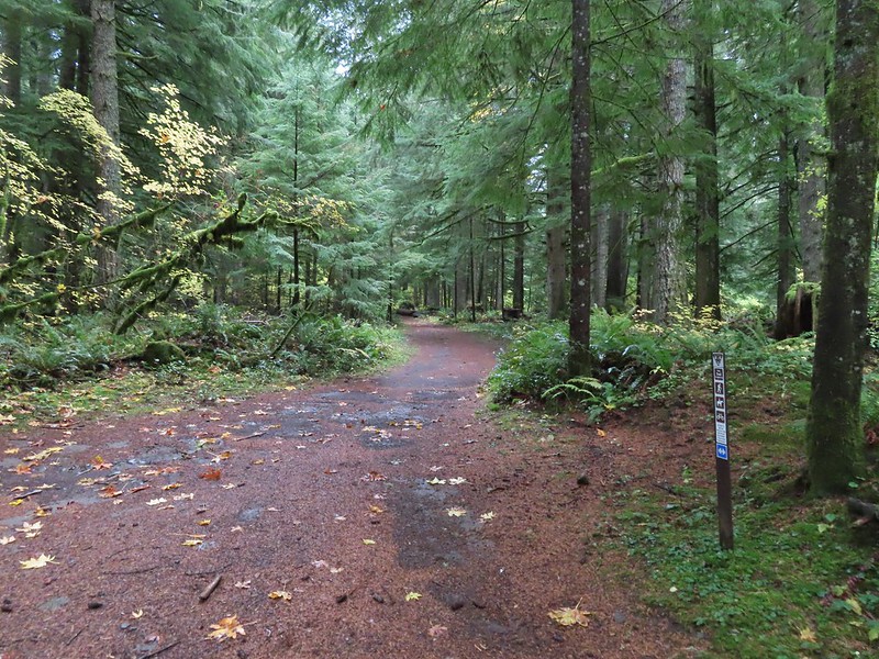
 Sign for the trailhead.


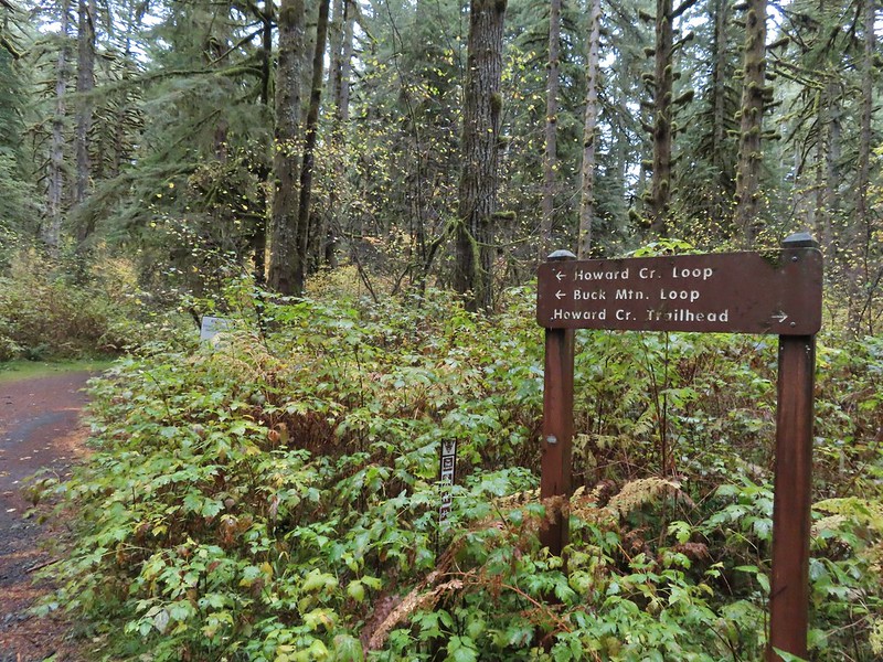


 Blue appeared to mean Buck Mountain Loop (the posts along the Howard Creek Loop had been red and later the Smith Creek Trail posts were yellow.)
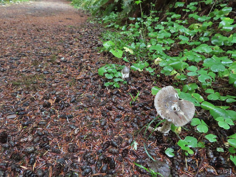

 The mix of tree trunks here caught our eye.
 Approaching the trail junction.

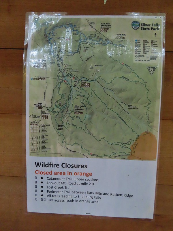 The 2020 Beachie Creek Fire threatened the Park and did in fact burn over nearby Shellburg Falls (
 Orange fence marking the closure of the Catamount Trail.
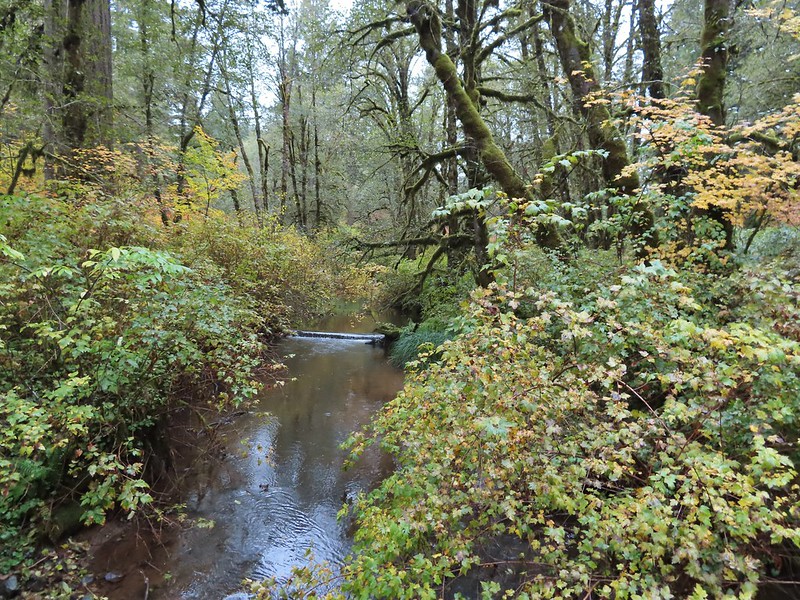
 The first footbridge which spans Howard Creek. The creek was obscured by brush.
 The second footbridge over a tributary not shown on the topo map.
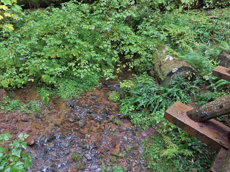 This stream was a little easier to see.
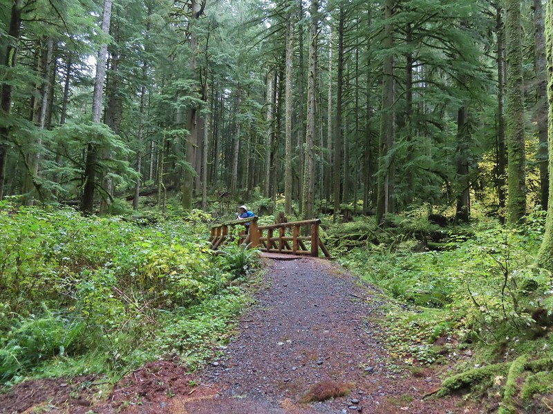
 A reminder of how close the Beachie Creek Fire was.
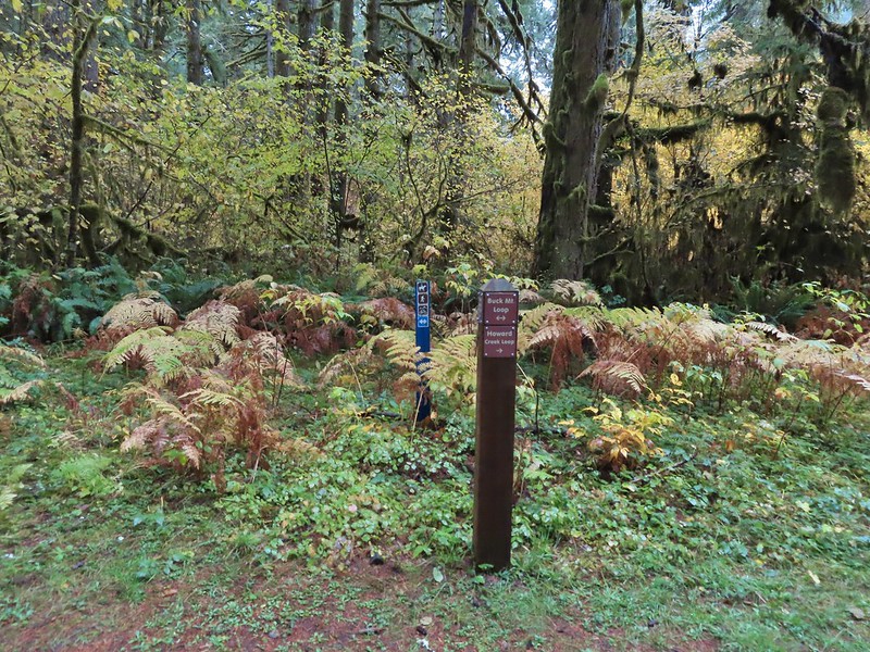
 The 4-way junction.

 Approaching the Smith Creek Trail junction.


 Ramps in the background at the skills station.
 The Catamount Trail arriving on the left.
 The 214 Trail from the Newt Loop.


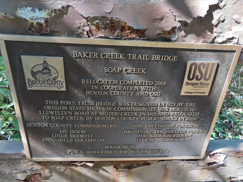
 Sulphur Springs
 Soap Creek near Sulphur Springs.
 Sulphur Springs Road from the pullout.
 Sulphur Springs Road Trailhead.

 We stayed right at this junction with Road 761.
 The Rocky Road Trail.
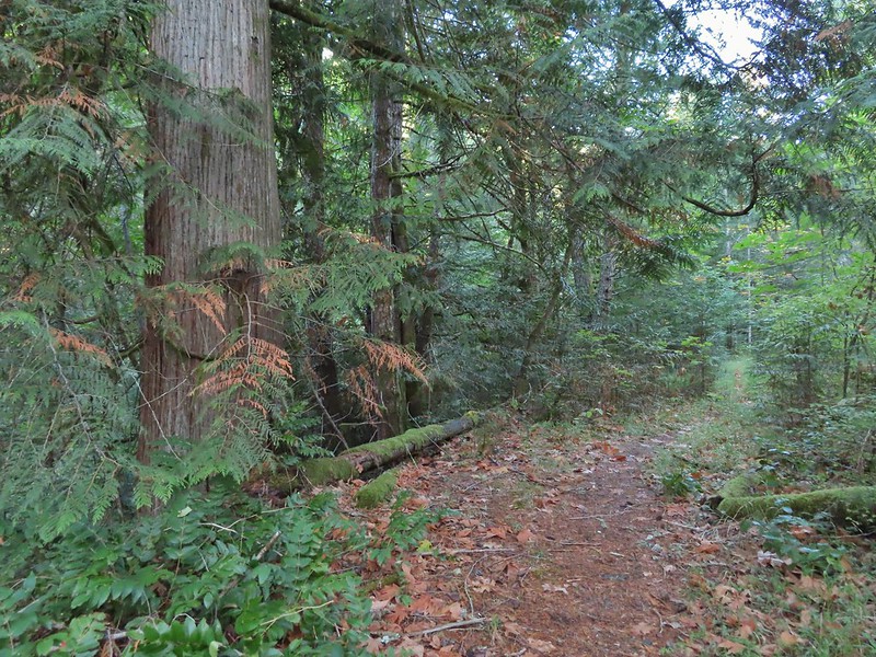 A good sized cedar along the trail.
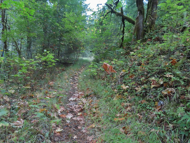
 Road 760 ahead.
 Interesting patchwork of trees. We would have liked to have been able to see when each section had been harvested and replanted.
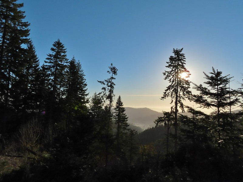 We couldn’t see much to the east due to the Sun’s position.
 Mary’s Peak (
 Road 7040 on the left.
 Pointer for McCulloch Peak at the junction. We had come up from Road 700 on the right.
 The rest of the 4-way junction. After visiting the peak we would head downhill following the pointer for Oak Creek.
 Trail to the spur road.

 Fading pearly everlasting.
 We stayed left here which was the shorter route.
 Madrone
 Tree island at the junction with Road 680.
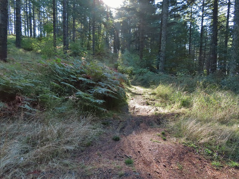


 Nearing the trail junction.
 Poison oak climbing trees.
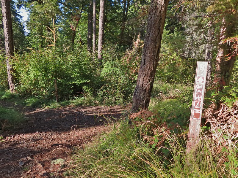 Signs for the Uproute and Extendo Trails.
 Road 680


 A few larger trees in the forest.
 A sea of green grass.
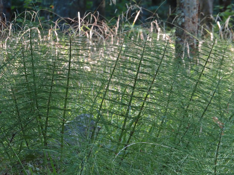 Horsetails
 The 4-way junction.


 Summit of Dimple Hill.
 Mary’s Peak
 Approaching the junction on Road 650.
 Junco
Junco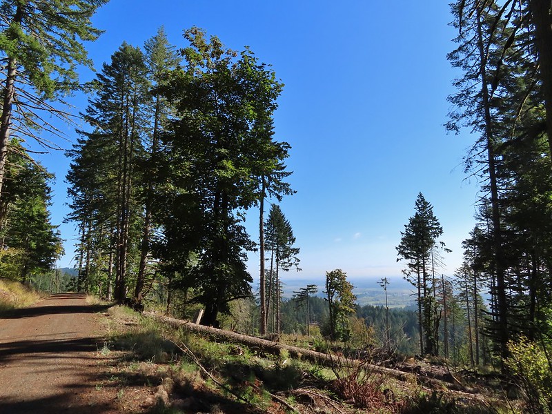
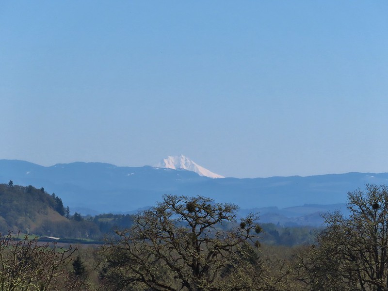
 Mt. Hood
 Mt. Jefferson
 The Three Sisters


 The High Horse Trail and another trail heading uphill at the 4-way junction.
 What we assume is the Bombs Away Trail on the left and the High Horse Trail on the right at the 4-way junction.
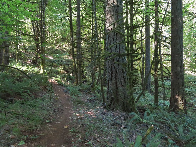

 Left or right? More often than not both ended up in the same spot.
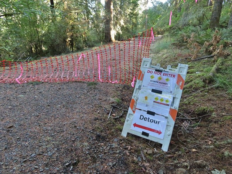 Road 640
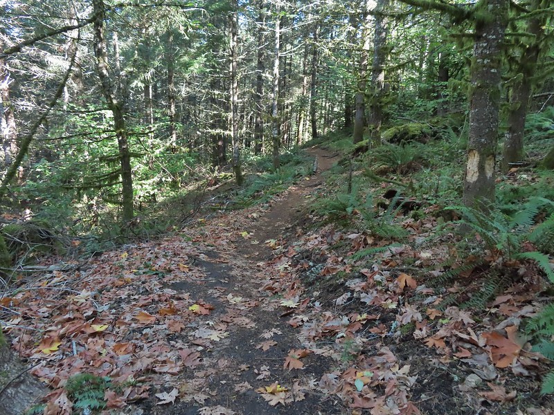


 Junction with the Alpha Trail.


 Looking back at the Alpha Trail from Road 810.

 Road 800 below Road 810.
 Baker Creek Trail ahead on the right.

 Private farm along the entrance road from the pullout we parked at.
 Osprey nest above the corn field.
 Gated road at the trailhead. There was a second gravel road to the right that was blocked with a log. The gravel road appeared to be fairly new and possibly a reroute of the gated road.

 Old trailhead?
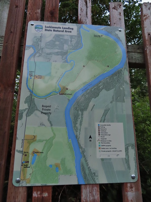

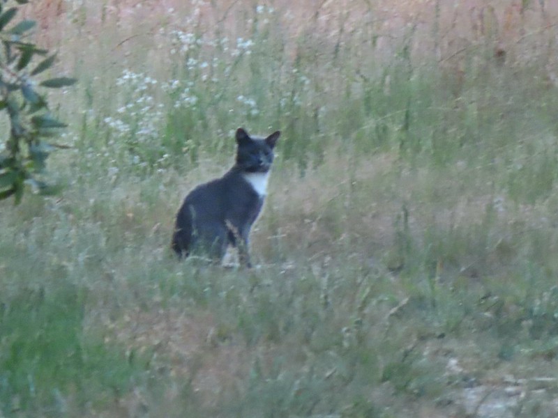 Extreme zoom on the kitty.


 Wild rose
 Vetch
Vetch Oregon grape
 Thimbleberry
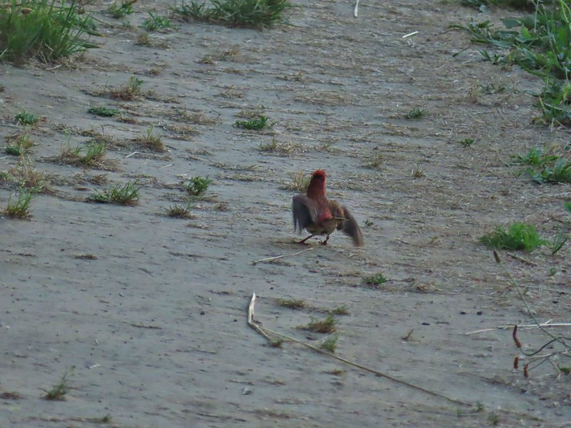


 We both initially thought that this was the start of an out and back to campsites along the Willamette River and that the loop continued around the field to the right. In fact there was a blue awning set up at the edge of the field in that direction and at least 3 vehicles (not sure why they were there or how they got through the gate). This was not the case and fortunately for us we were planning on doing the out and back which meant we didn’t make the mistake of turning here. The continuation of the loop was actually 0.2 miles further along the road in the forest.
 The correct right turn for the loop.
 Cottonwood on the road.
 Red elderberry, a favorite of the birds.
 This wren was taking a dirt bath, perhaps an attempt to stay cool?
 A lot of invasive daisies in an opening.
 Native elegant brodiaea
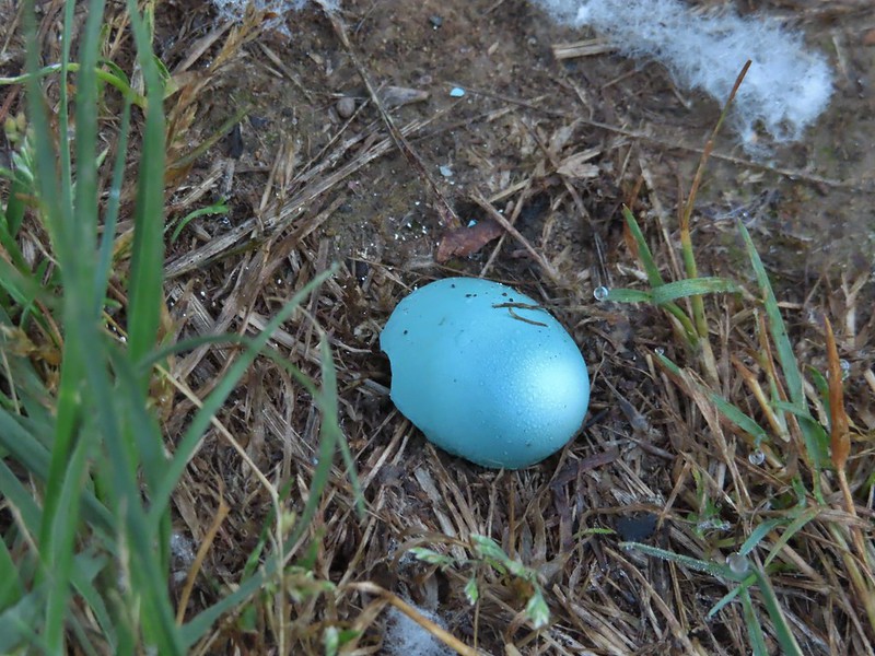 Egg shell
 More ripe berries.
 Poppies
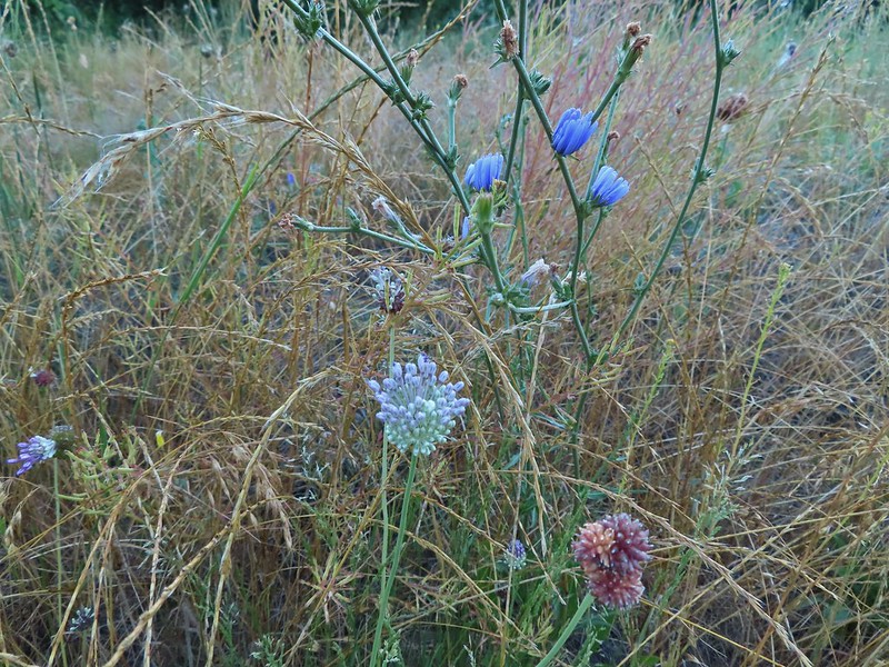 Mostly non-natives – chicory and clovers.
 More non-natives – Moth mullein and cultivated radish
 Slug
Slug Douglas spirea (native)
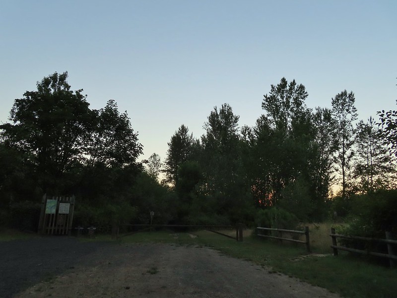
 The mouth of the Luckiamute on the left was hidden by trees.


 Willamette River at the landing.
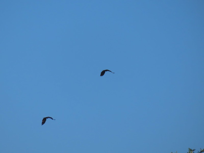 Not sure what type of birds these were.
 Bindweed at the landing.
 Bunny and a bird (not pictured is the chipmunk that raced across the road here).
 Slug also “racing” across the road. Speed is relative.
 Back on the loop.


 Near the end of the loop the trail passed back along the field.
 White crowned sparrow
 Possibly nelson’s checkermallow.
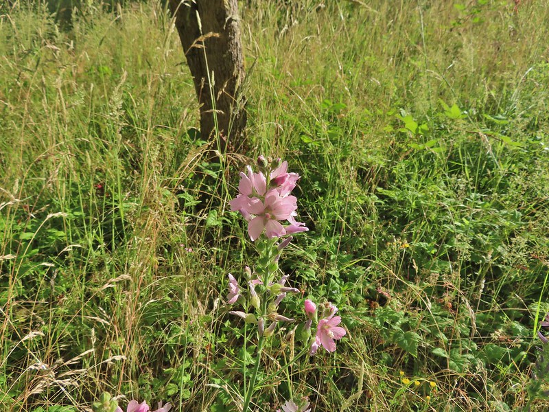 Meadow checkermallow
 Completing the loop.
 Lupine that is just about finished.
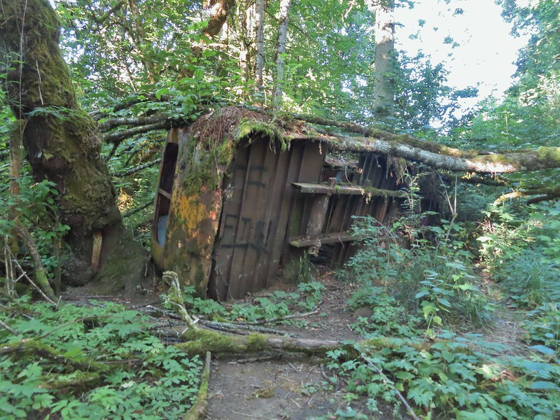 Old bus
 Tree frog
 Luckiamute River
 Waiting for food.

 Old farm equipment with poison oak in the background.
 One of several birdhouses along the road.
 North end of the pond.

 We are both pretty sure a turtle swam off from this area when we came into view.
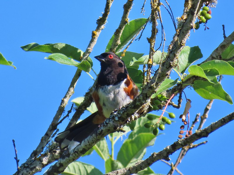 Spotted towhee
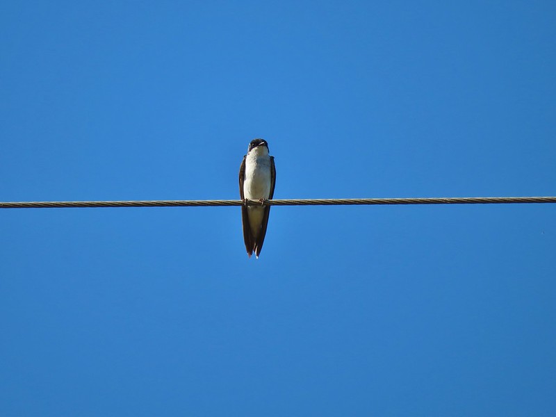 Swallow
 European centaury

 Oyster plant
 Creeping jenny
 Arrowleaf clover
 Scrub jay
 Corn Chamomile
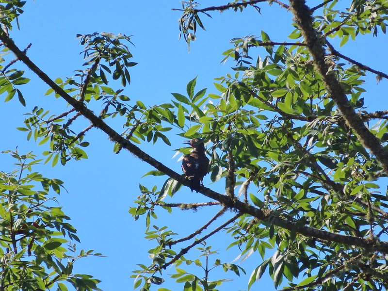 Northern flicker
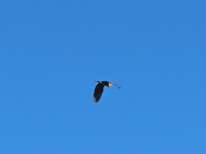 Great blue heron
 American kestral
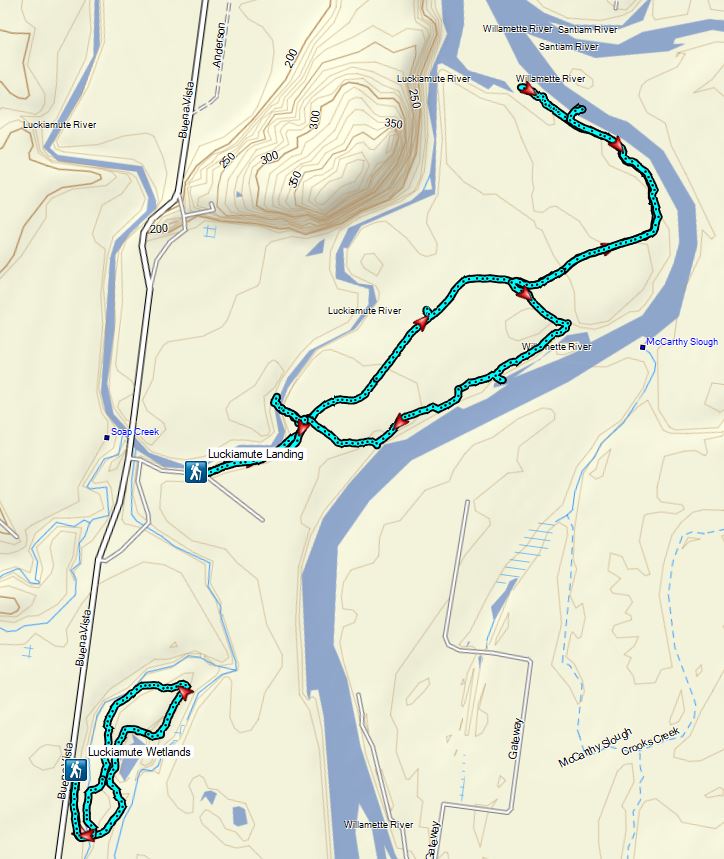


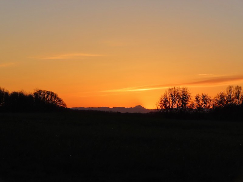
 Mt. Hood from the refuge road
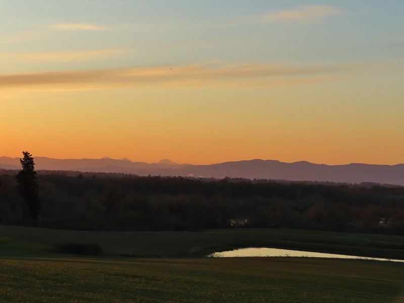 The Three Sisters from the road
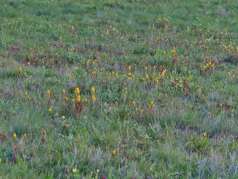 Yellow paintbrush
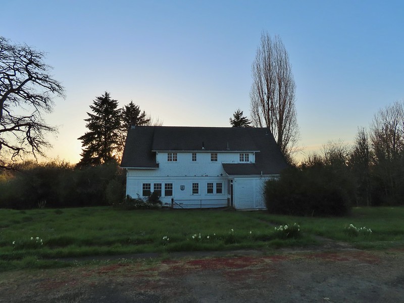
 Cabell Barn
 Rabbit at the lodge
 Cabell Marsh Overlook
 White crowned sparrows
 Deer in a field near Cabell Marsh
 Cabell Marsh (the marsh had been drained when we visited in 2020)
 Norther shovelers
 American coots
 Ring-necked ducks
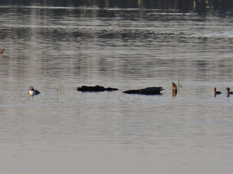 Buffleheads
 Black pheobe
 American wigeons
 Cabell Marsh
 Canada geese
 Wood duck, ring-necked ducks and a pied billed grebe
 More northern shovelers
 Ring-necked ducks
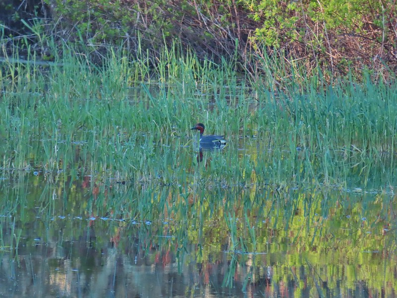 Green winged teal
 Robin
Robin

 Killdeer
 Red-winged blackbird
 Junction with the Pigeon Butte Trail (grassy track heading uphill)
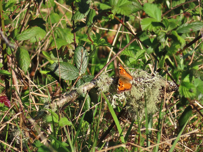 Tortoiseshell butterfly
 Spotted towhee serenade
 Bewick’s wren
 Madrone
 Mourning dove
 Camas blooming near the summit
 View from Pigeon Butte
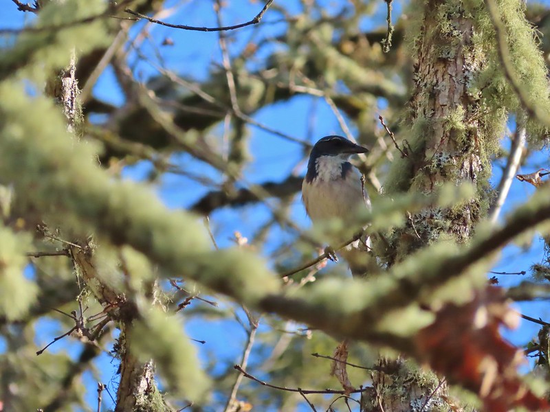 Scrub jay spotted on the way down.
 One of the “blue” butterflies, maybe a silvery blue
 Acorn woodpecker
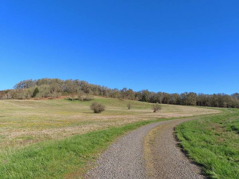 Looking back at Pigeon Butte, the yellow paintbrush was starting its bloom on the hillside.

 Looking back at Pigeon Butte and the Cheadle Barn
 Western bluebird
 Bruce Rd and a sign for the overlook.
 Swallows at the overlook
 Mary’s Peak and Pigeon Butte from the overlook.
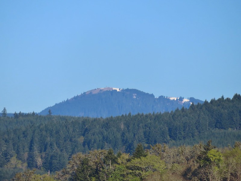 Mary’s Peak (
 Ground squirrel on Bruce Rd.
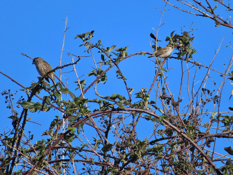 Sparrows
 Western bluebird
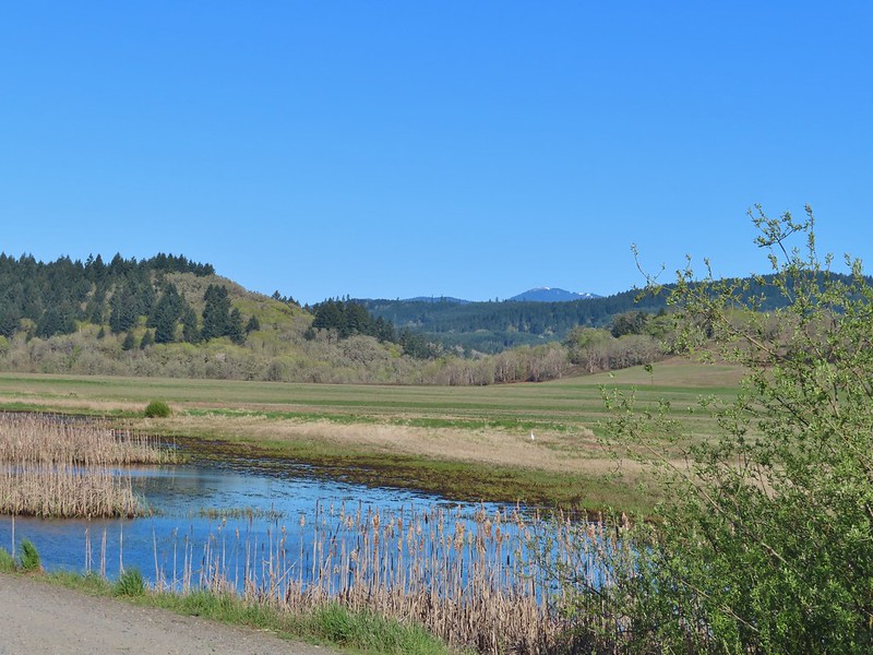 Mitigation Wetland
 Egret
Egret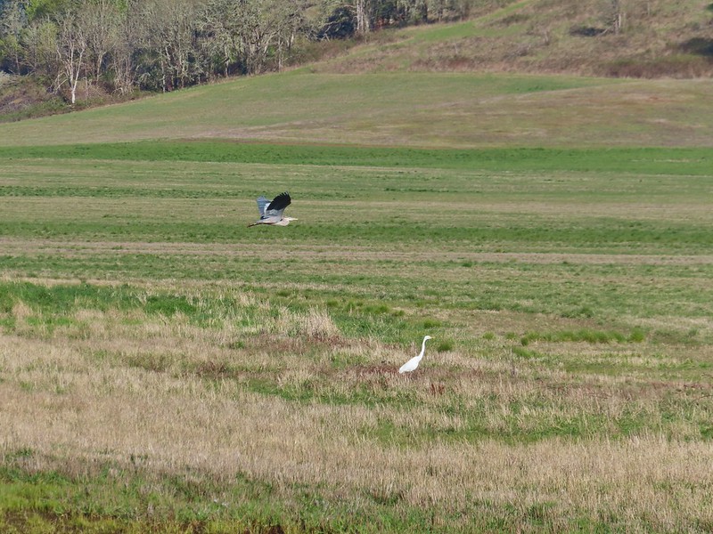 heron flying by the egret
 Northern shoveler
 Green winged teals
 Trailhead off of Bruce Road
 Ground squirrel
 Entering the woods
 Giant white wakerobin
 Fairybells
 Startled heron
 Egret and a cinnamon teal pair and maybe an American wigeon
 Candyflower
 The pink turned out to be shooting stars.
 Iris
Iris Bleeding heart
 One of many fairy slippers
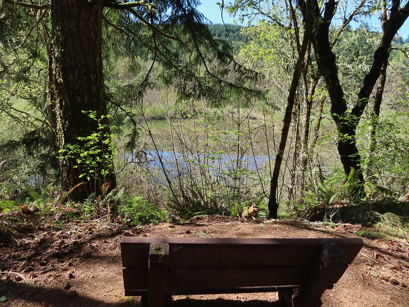
 It took some work to get the camera to stop focusing on the brush in the foreground.
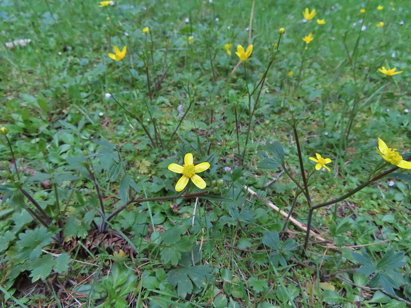 Buttercups
 Violets
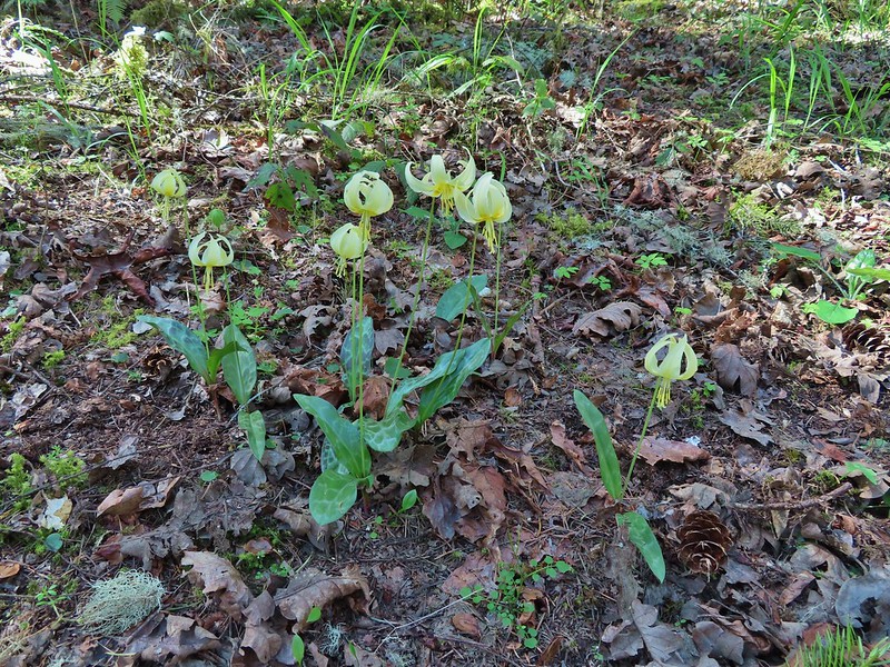 Fawn lilies
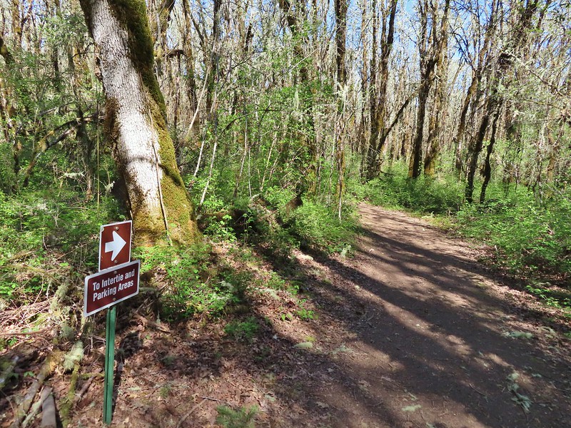 Back at the junction and onto the Intertie Trail

 Service berry
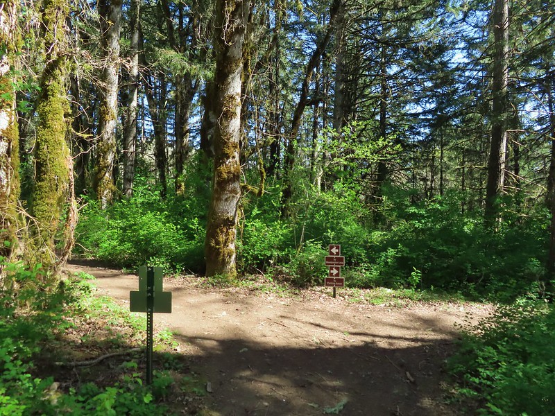 The Woodpecker Loop
 Norther flicker along the Woodpecker Loop
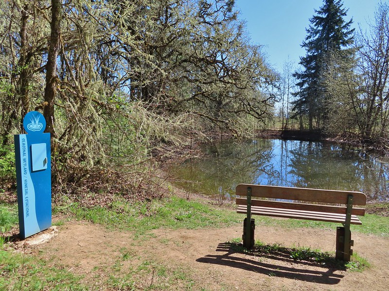 Amphibian pond and interpretive kiosk.
 Viewing structure
 Mt. Jefferson
 The Three Sisters
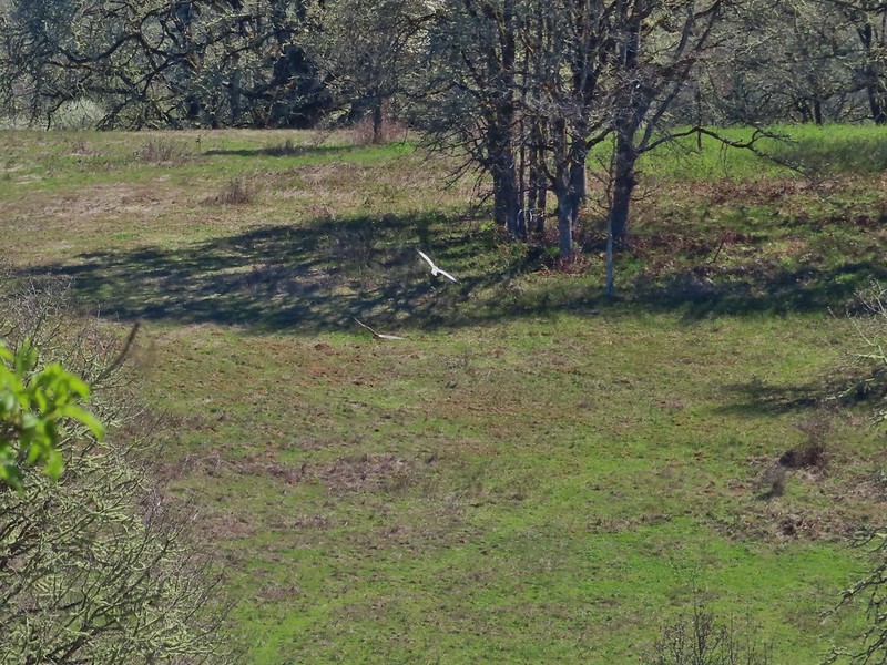
 This was the best shot I could get at 40x zoom with the sun in front of me.
