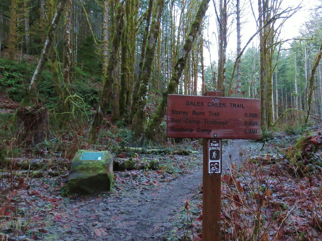
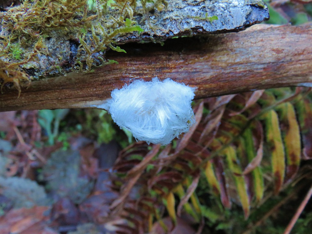
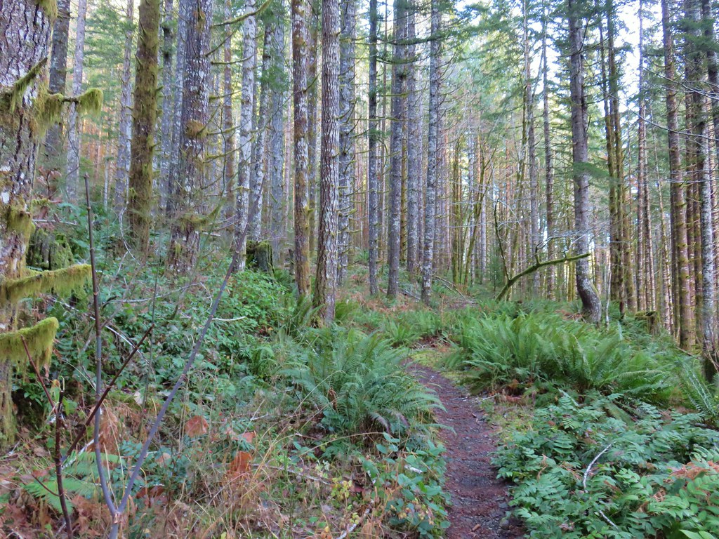
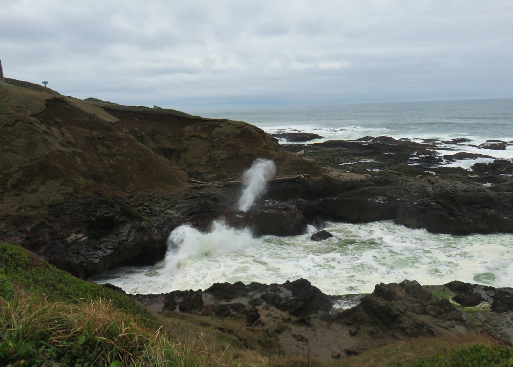
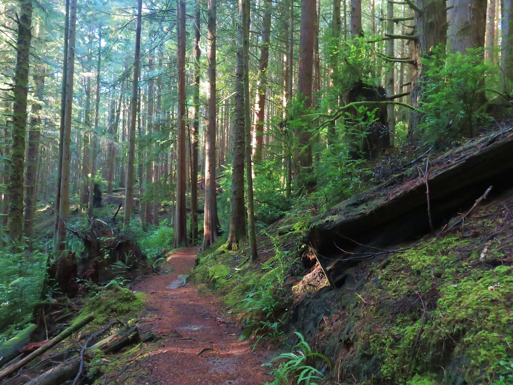
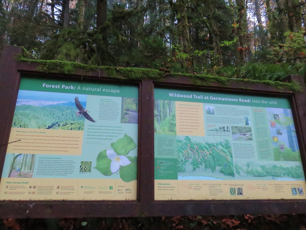
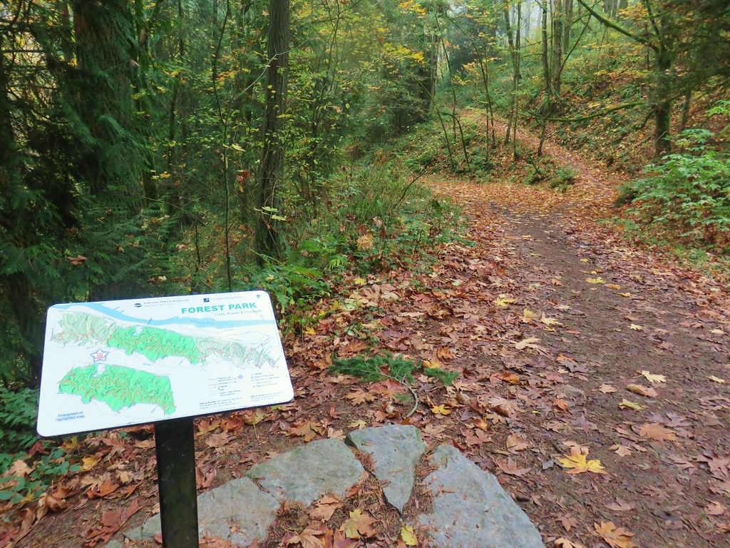
For our March outing we decided to stick relatively close to home and visit three nearby hikeable areas. Our first stop, and furthest from Salem at just under an hour away, was at the Tualatin Hills Nature Park in Beaverton.
We started from the large parking lot at the Tualatin Hills Nature Center on SW Millikan Way.

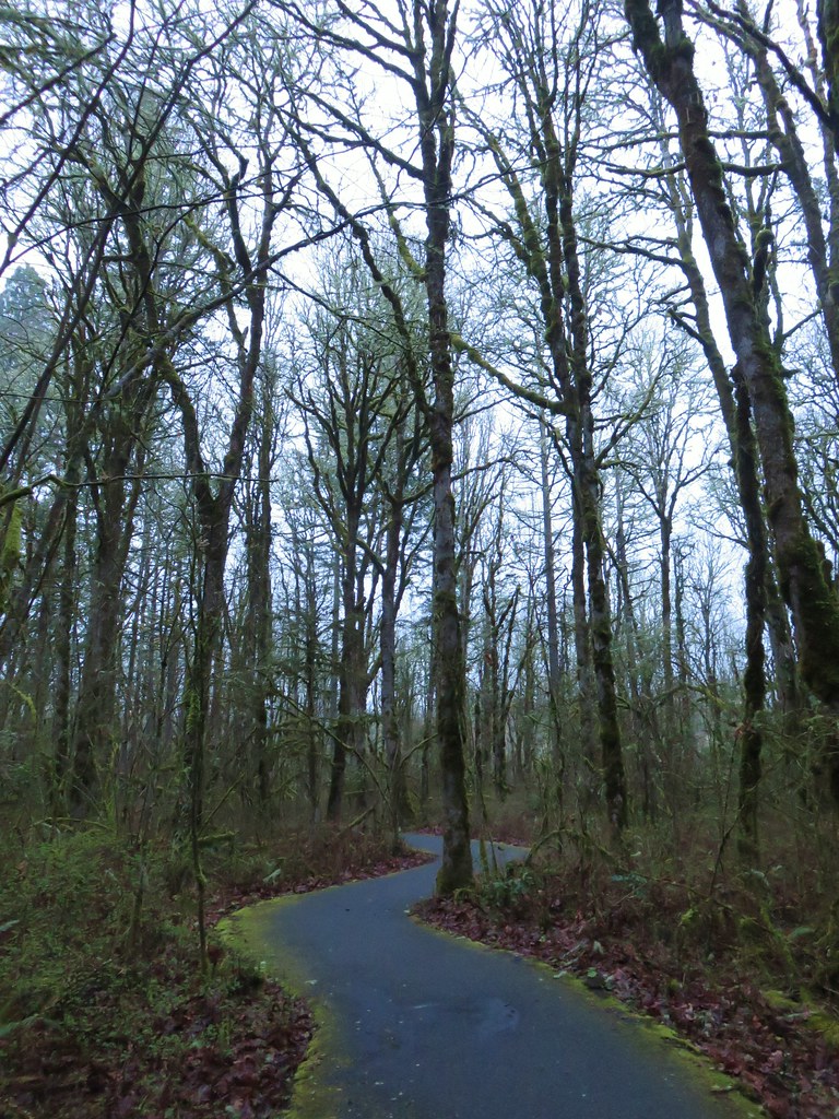
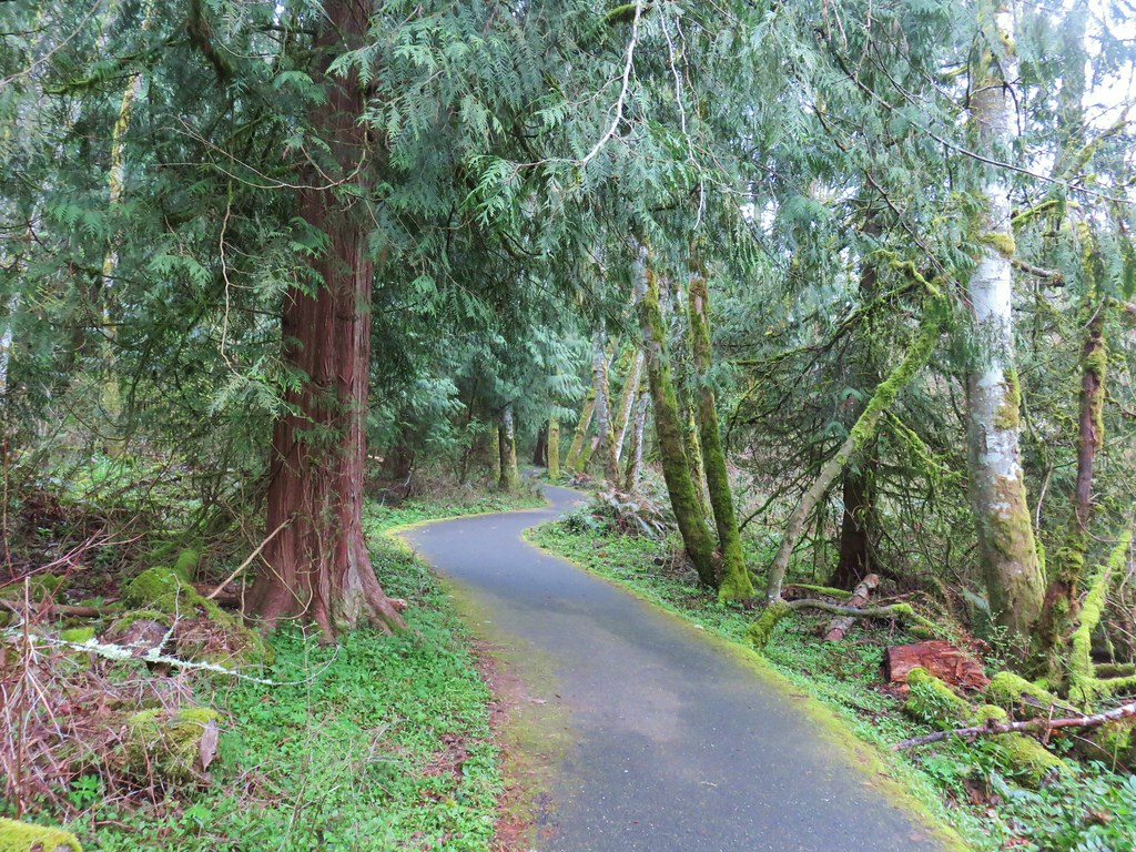
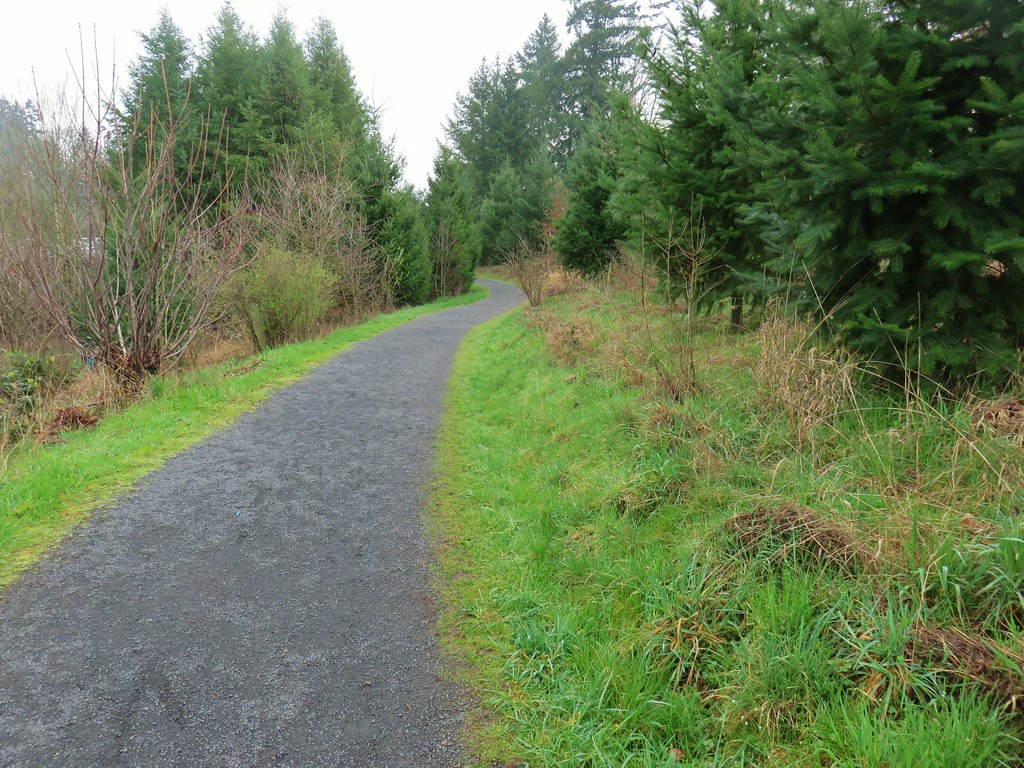
The Nature Center is currently open from 8:30am-5pm M-F and 9am-5pm Sat. & Sun. while the park itself is open everyday from dawn to dusk. We arrived at dawn and set off on the paved Vine Maple Trail between the Nature Center and restrooms.
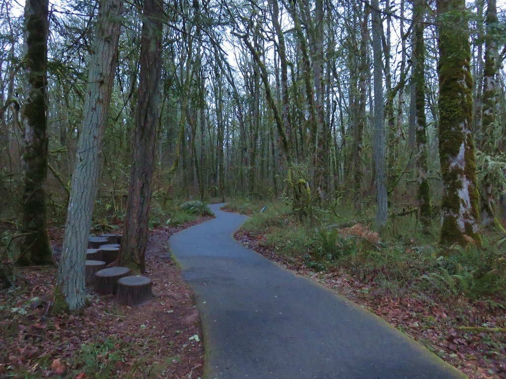
We quickly turned right onto the signed Oak Trail which was also paved.
In a third of a mile we detoured briefly at a sign for the Tadpole Ponds.

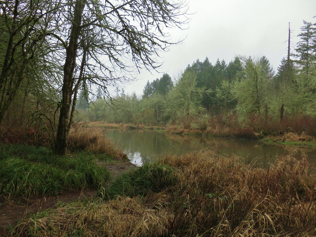
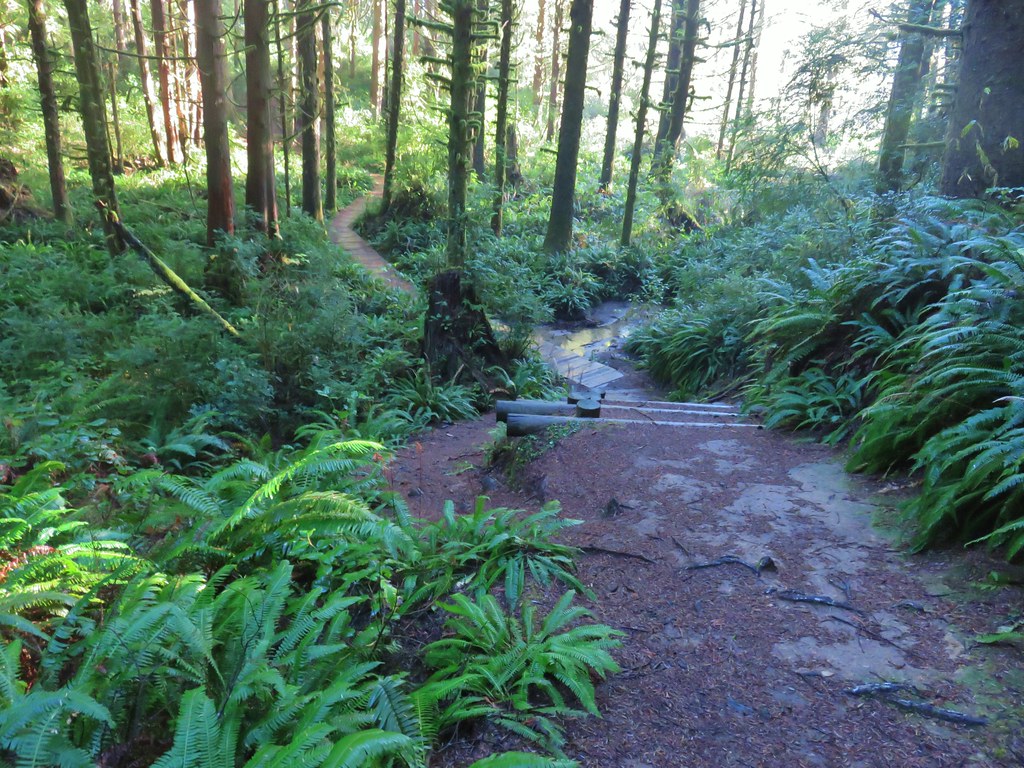
Although we didn’t see any tadpoles, or other wildlife here, the sounds of birds had not stopped all morning so we knew there were plenty of animals around. We returned to the Oak Trail which passed by Cattail Marsh on the second of three boardwalks.
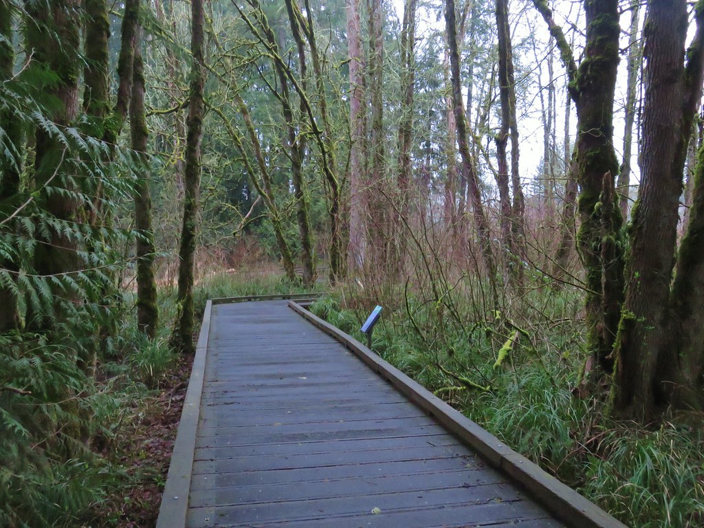

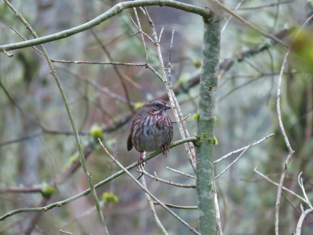
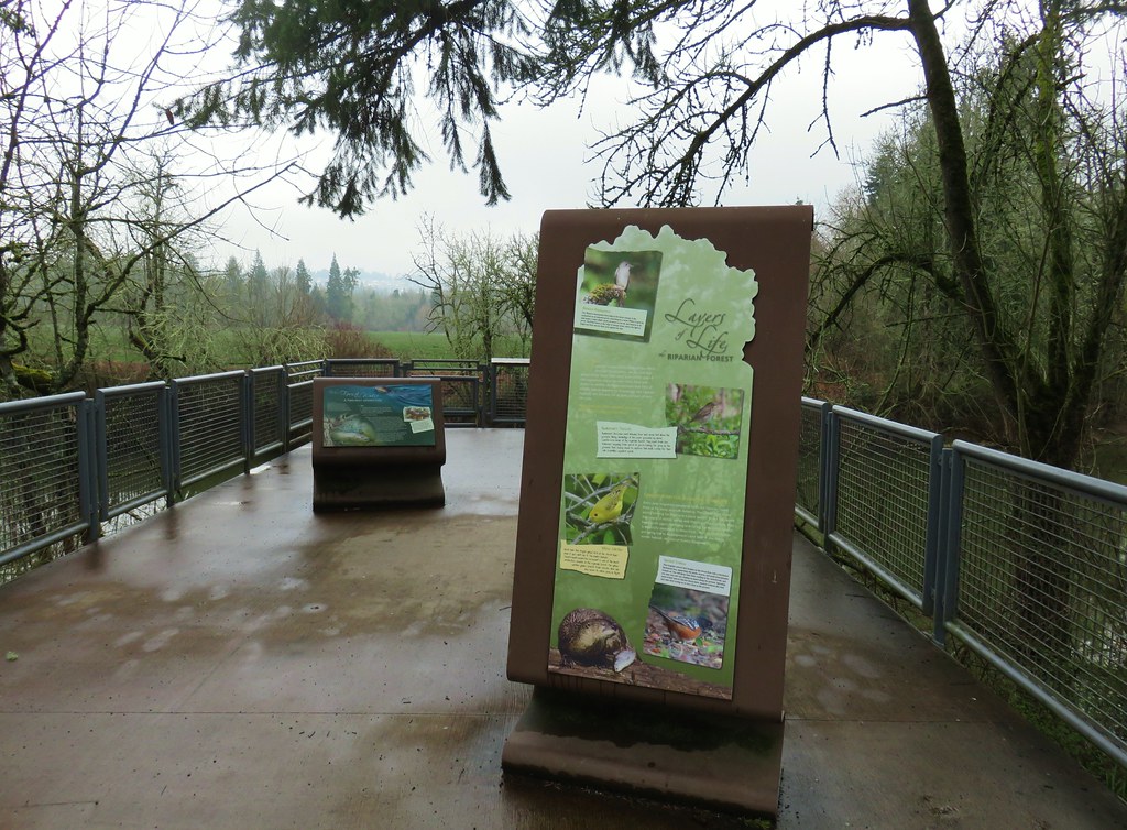
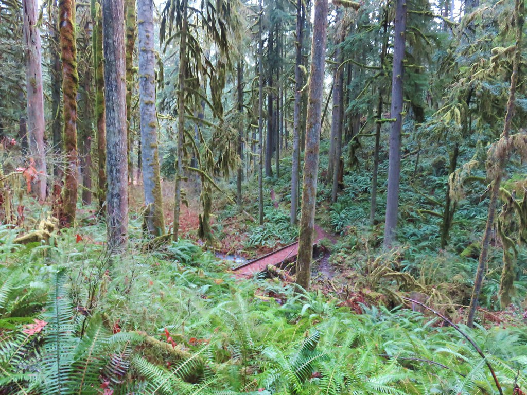
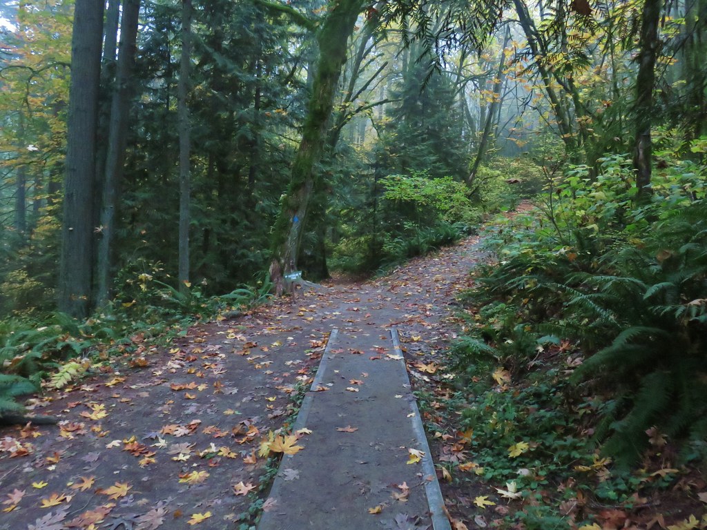
Beyond the marsh we soon came to the third boardwalk which crossed over Cedar Mill Creek.

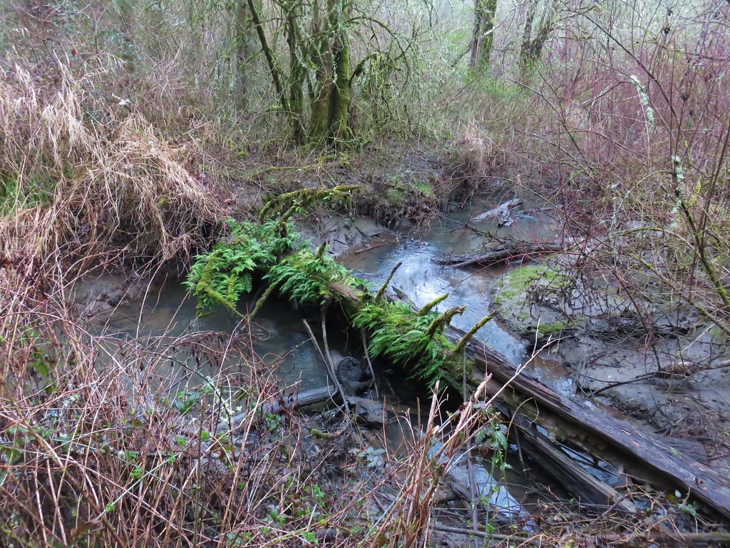
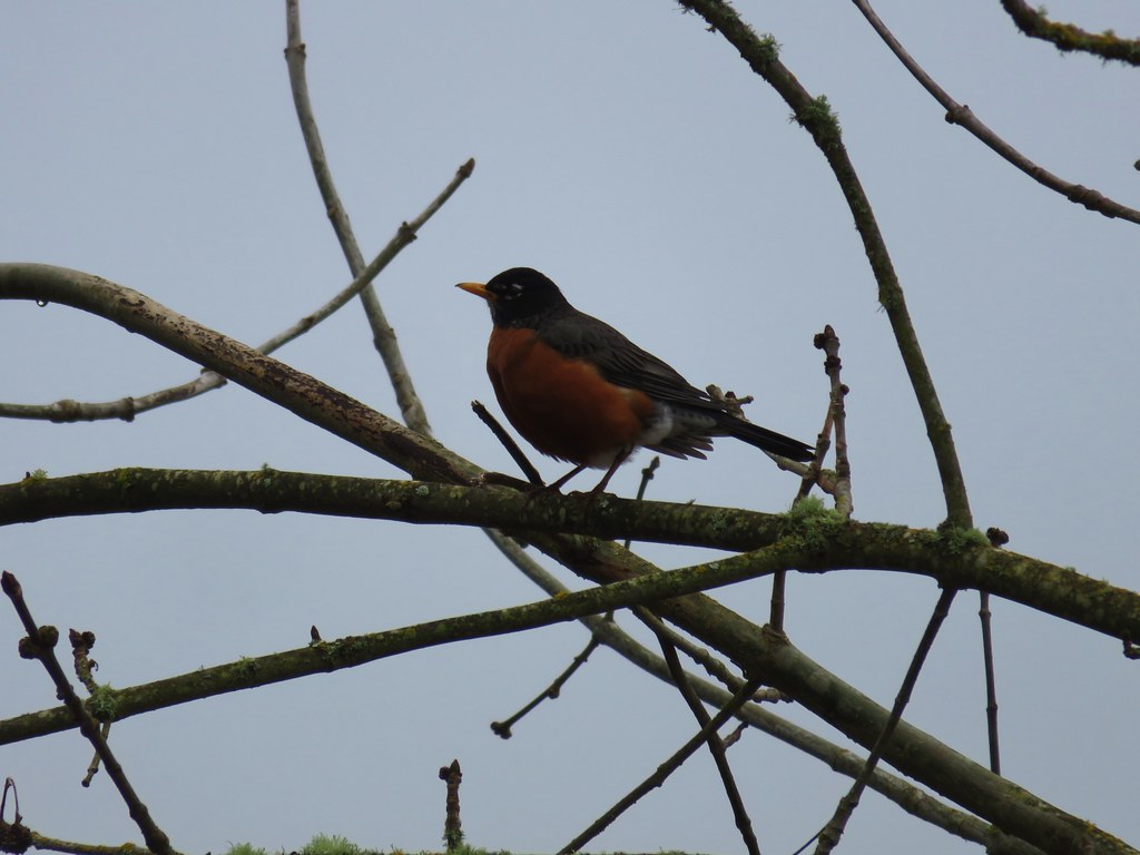
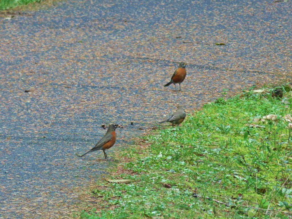
One of the many birds that we’d been listening to was kind enough to pose for a moment as we stood on the boardwalk.
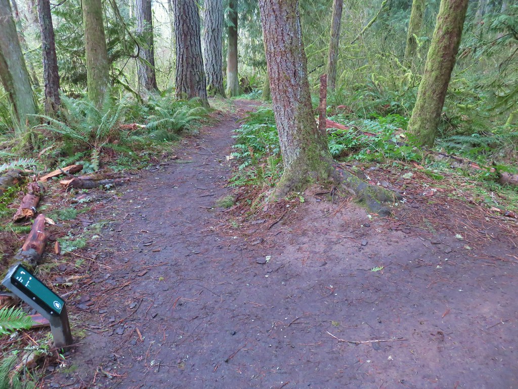
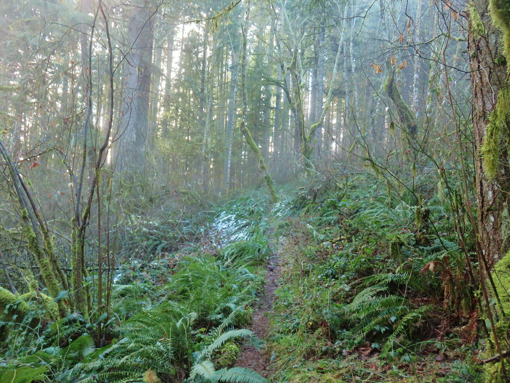
On the far side of the boardwalk was a trail junction where the Oak Trail veered right to the Merlo Rd/158th Ave Max light rail station. To the left was the Old Wagon Trail, a dirt path closed to bikes.

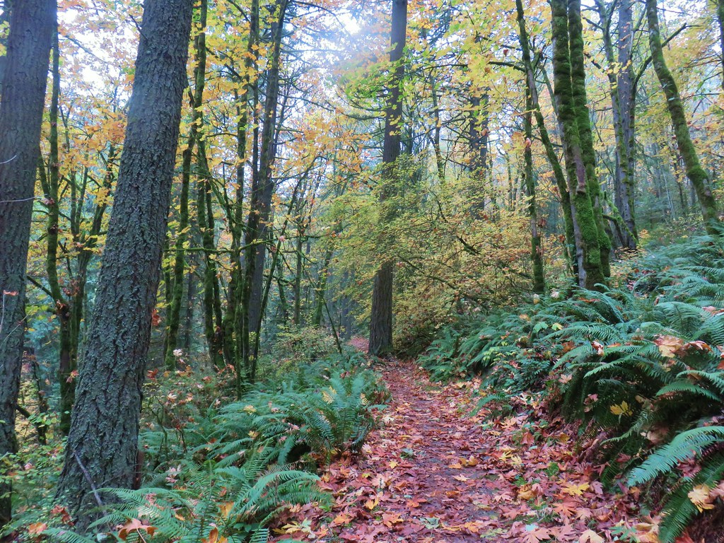
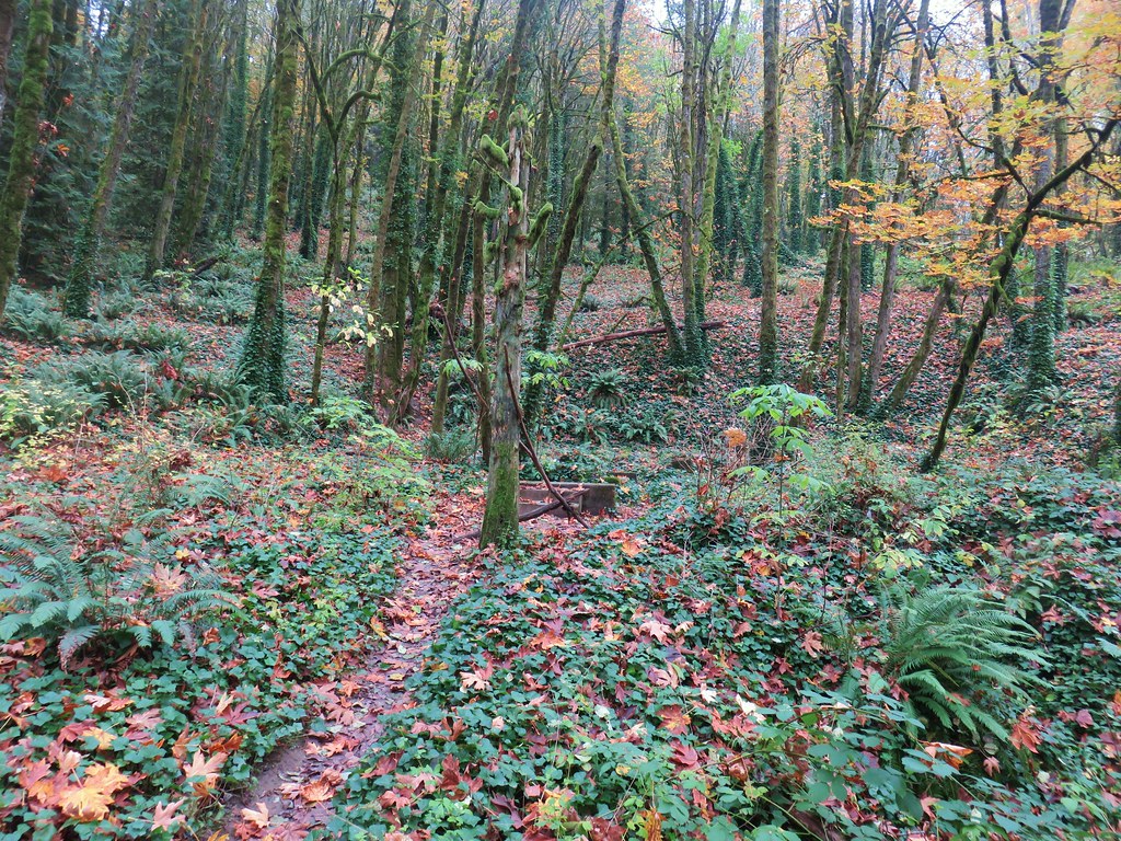
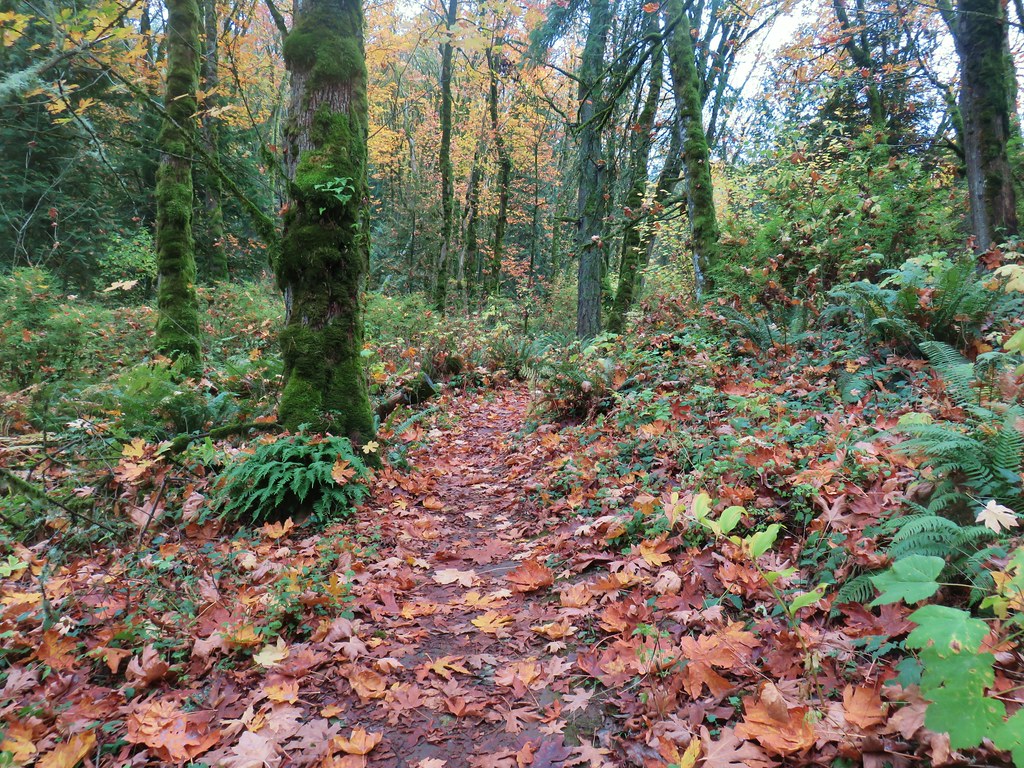
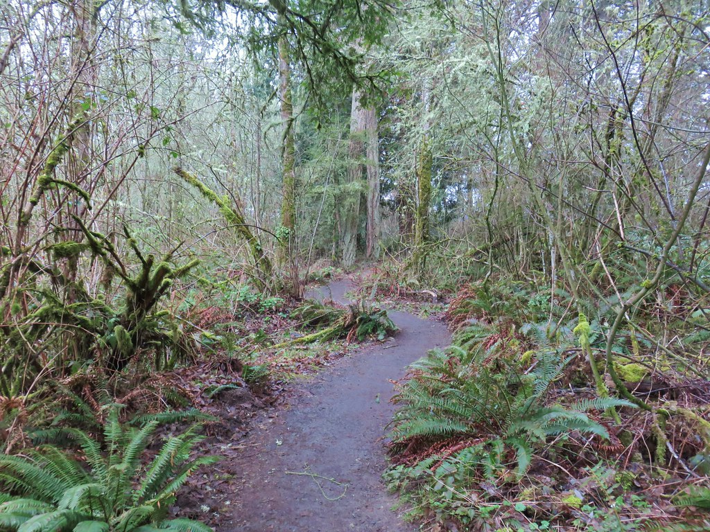
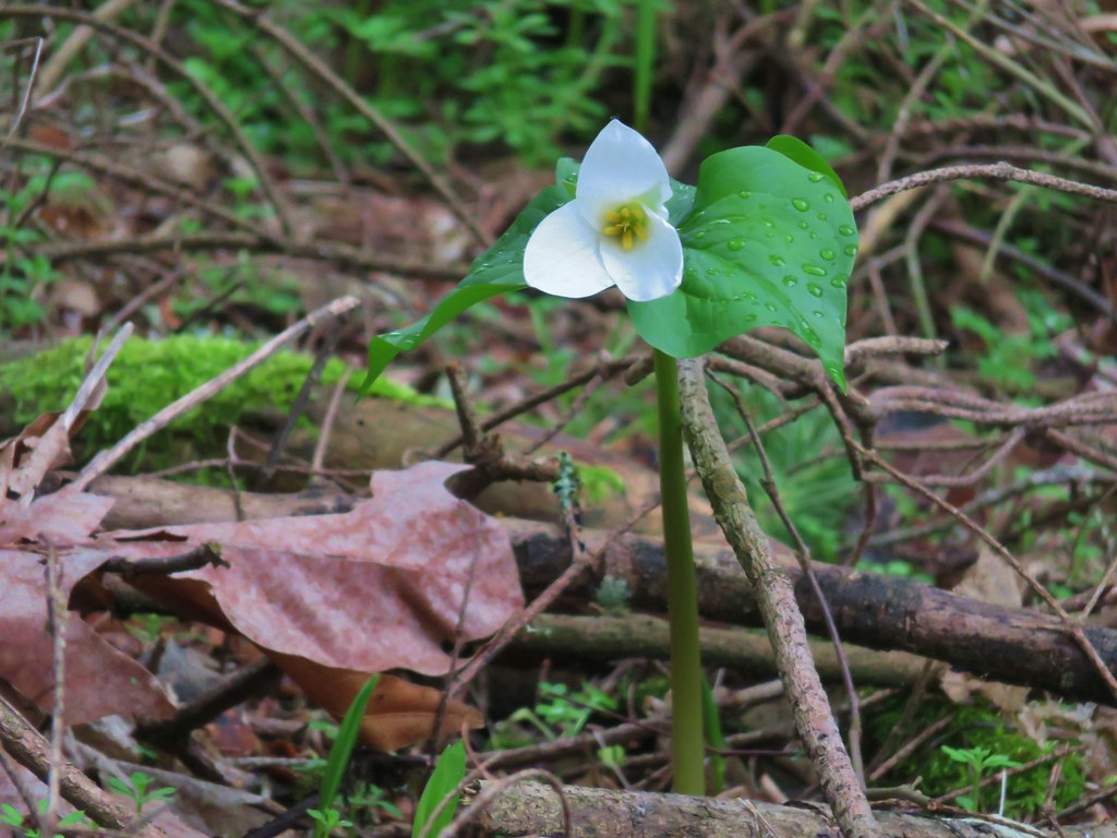
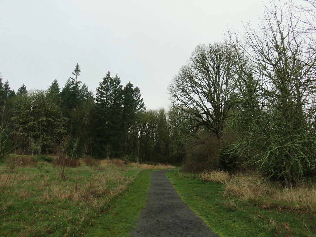
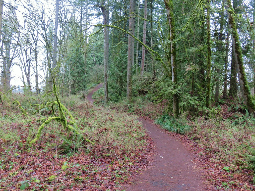
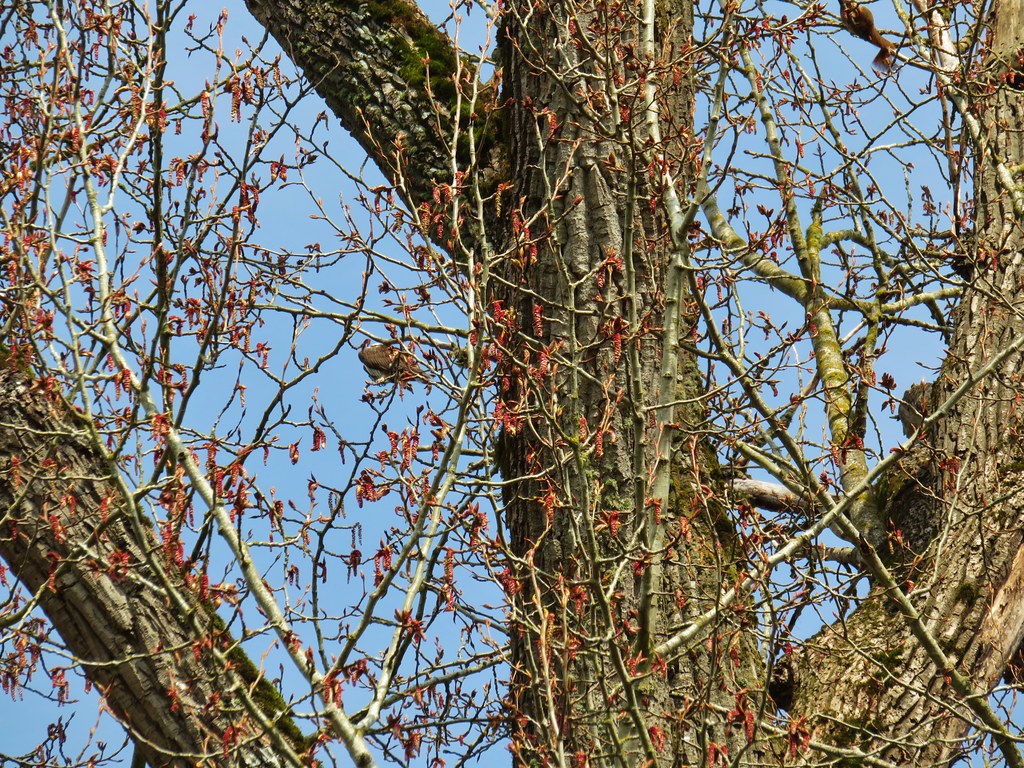
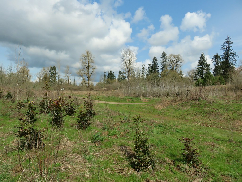
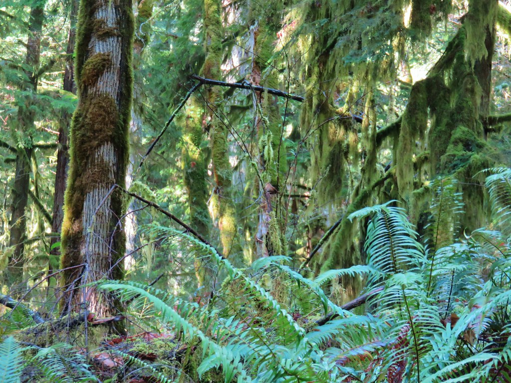
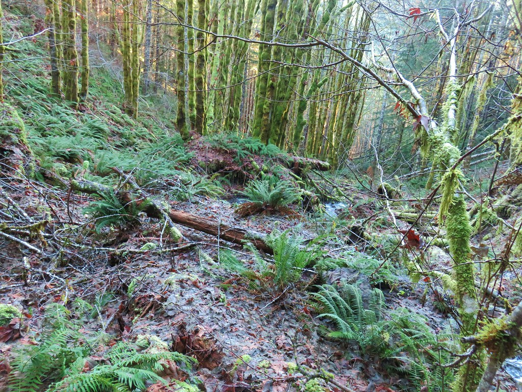
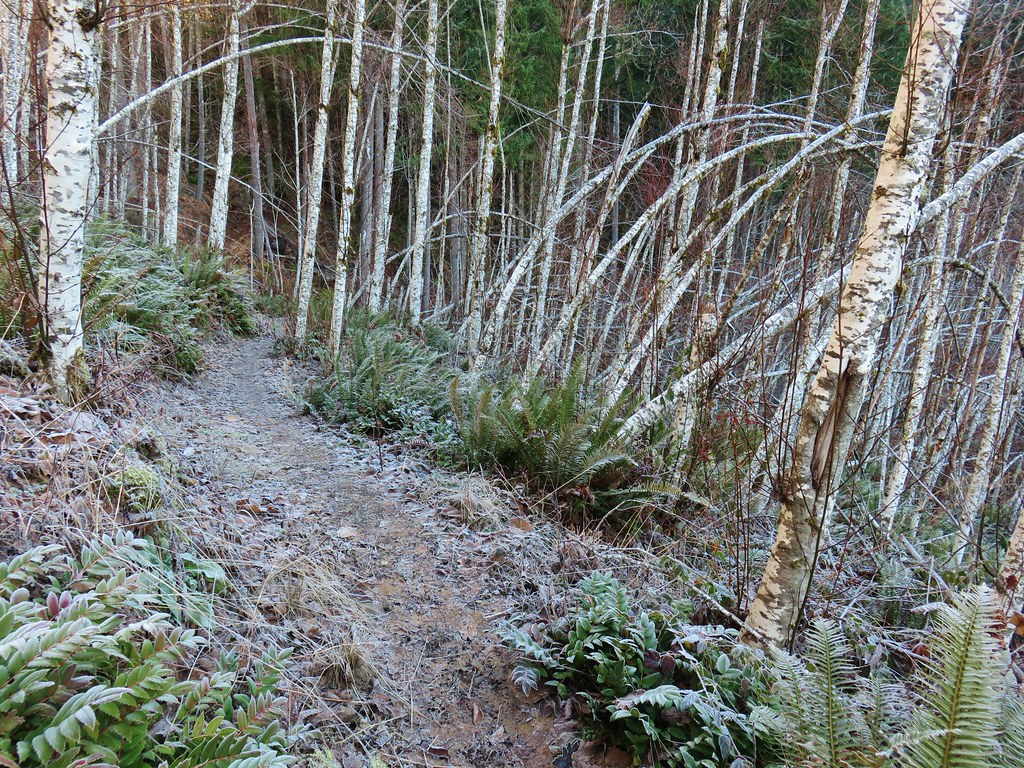
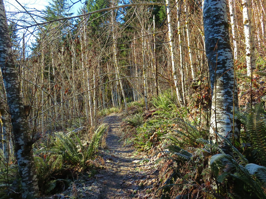
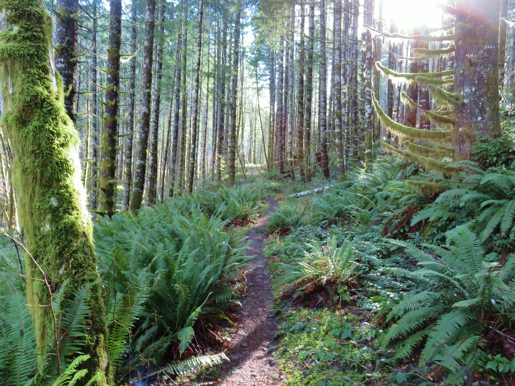
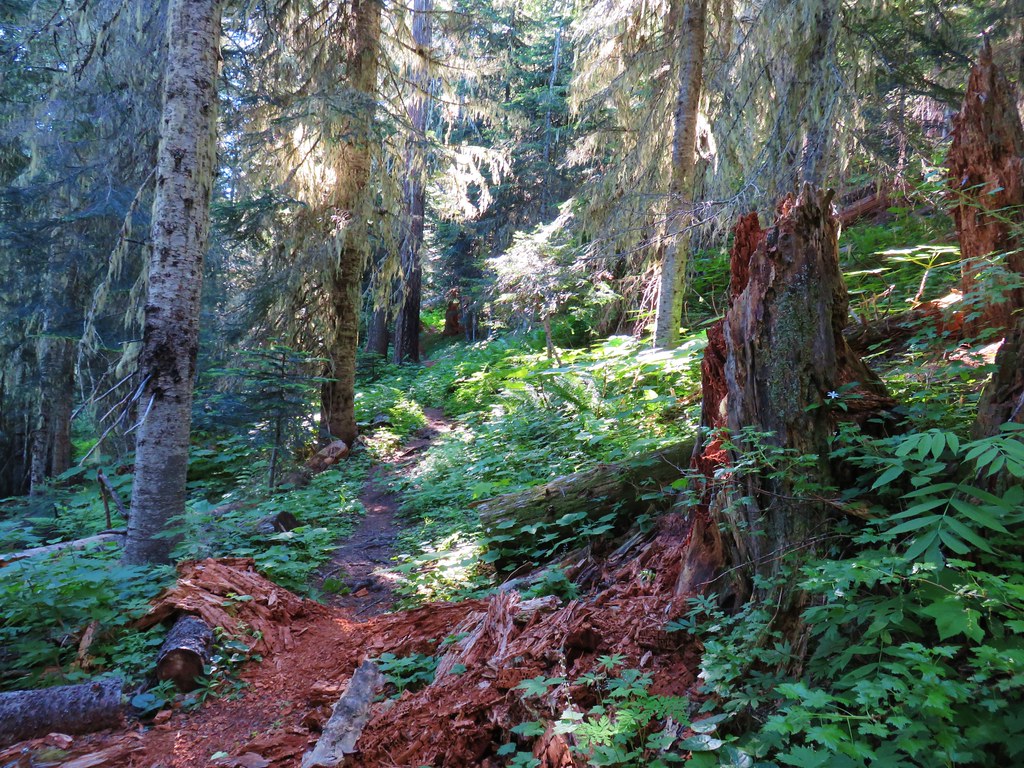
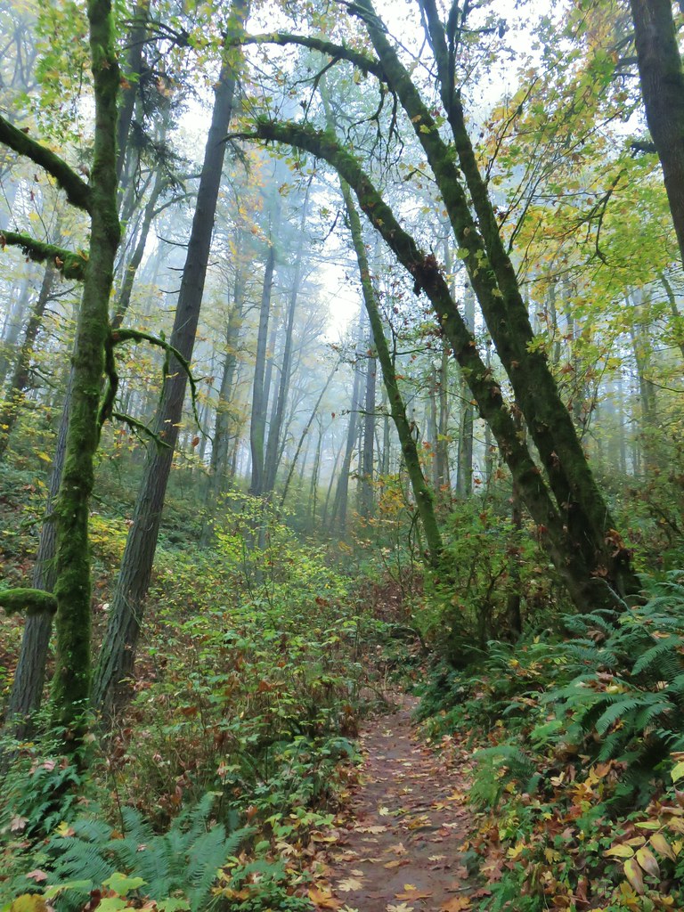
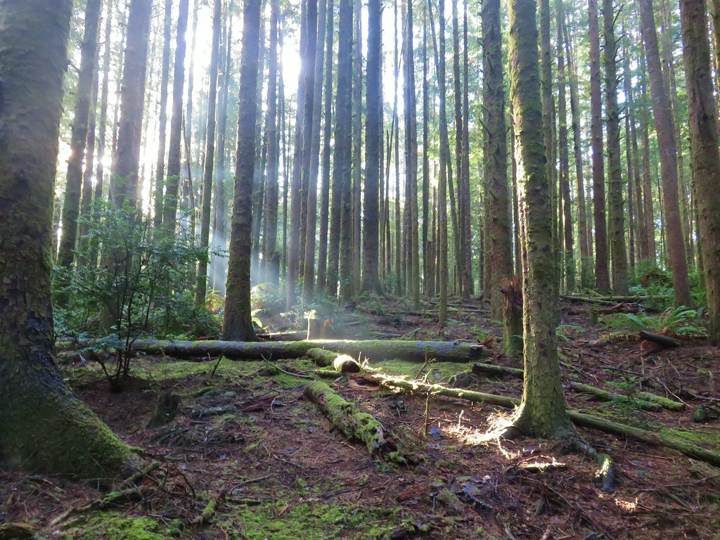
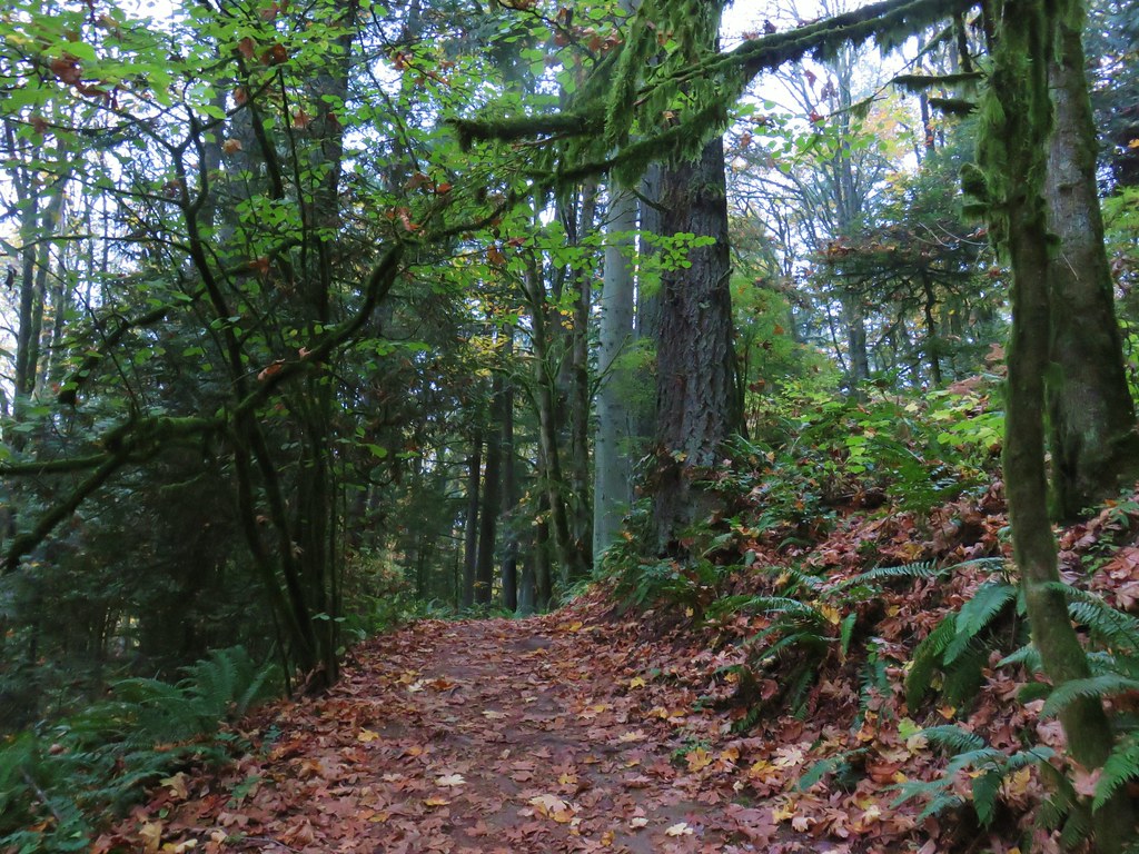
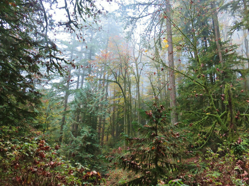
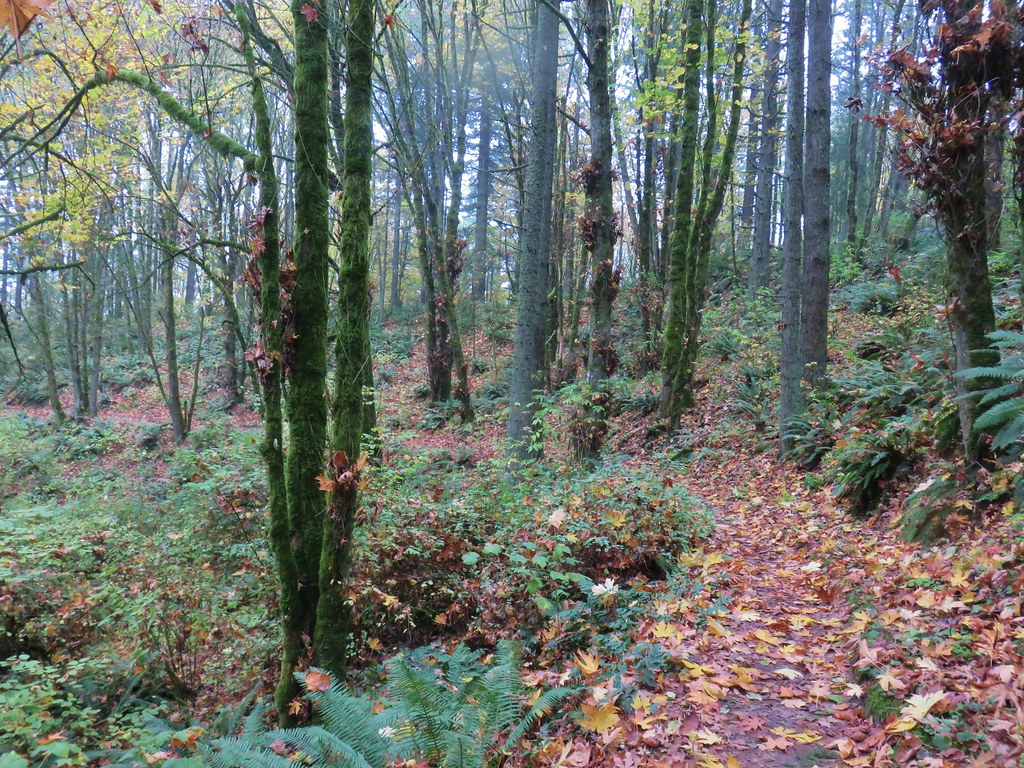
We followed this trail through a forest that was starting to show signs of Spring for a third of a mile to a junction with the Mink Path.

 Trail pointer at the Mink Path junction. We appreciated the fact that all of the junctions were signed and those signs were easy to read but placed in such a way that they were unobtrusive.
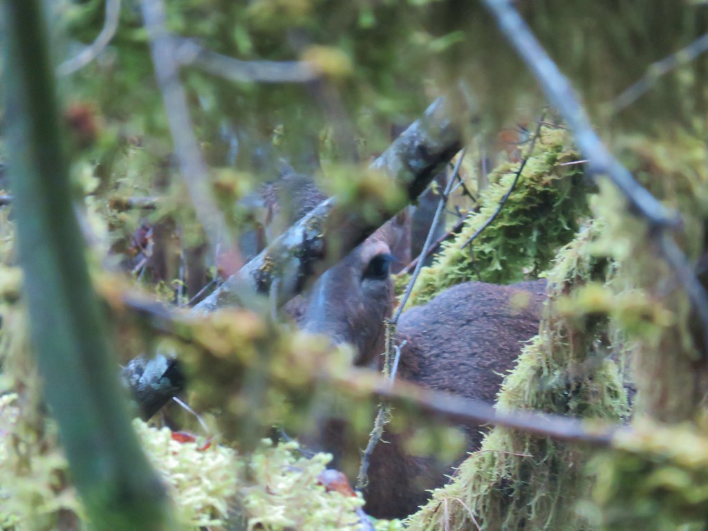
The Mink Path is a .1 mile connector between the Old Wagon Trail and Vine Maple Trail allowing for a shorter loop back to the Nature Center. We opted to stay on the Old Wagon Trail though and continued to the start of another boardwalk where we stopped so I could try and take a photo of a robin that was hopping around on the trail. As I was working on getting a picture Heather spotted a deer just a bit off the trail.
 Can you see the deer?
I thought she was seeing things but then I noticed it move.
 How about now?
She turned and watched us as I attempted to get the camera to focus on her and not the branches in the foreground.
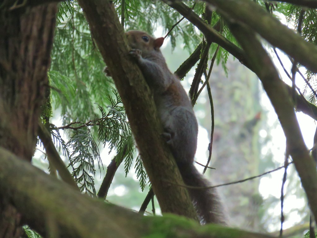
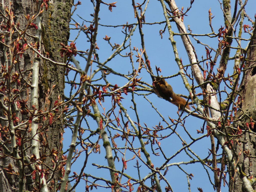
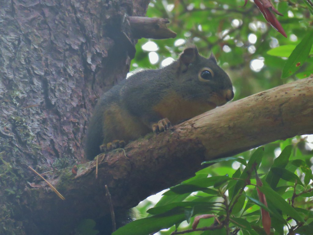
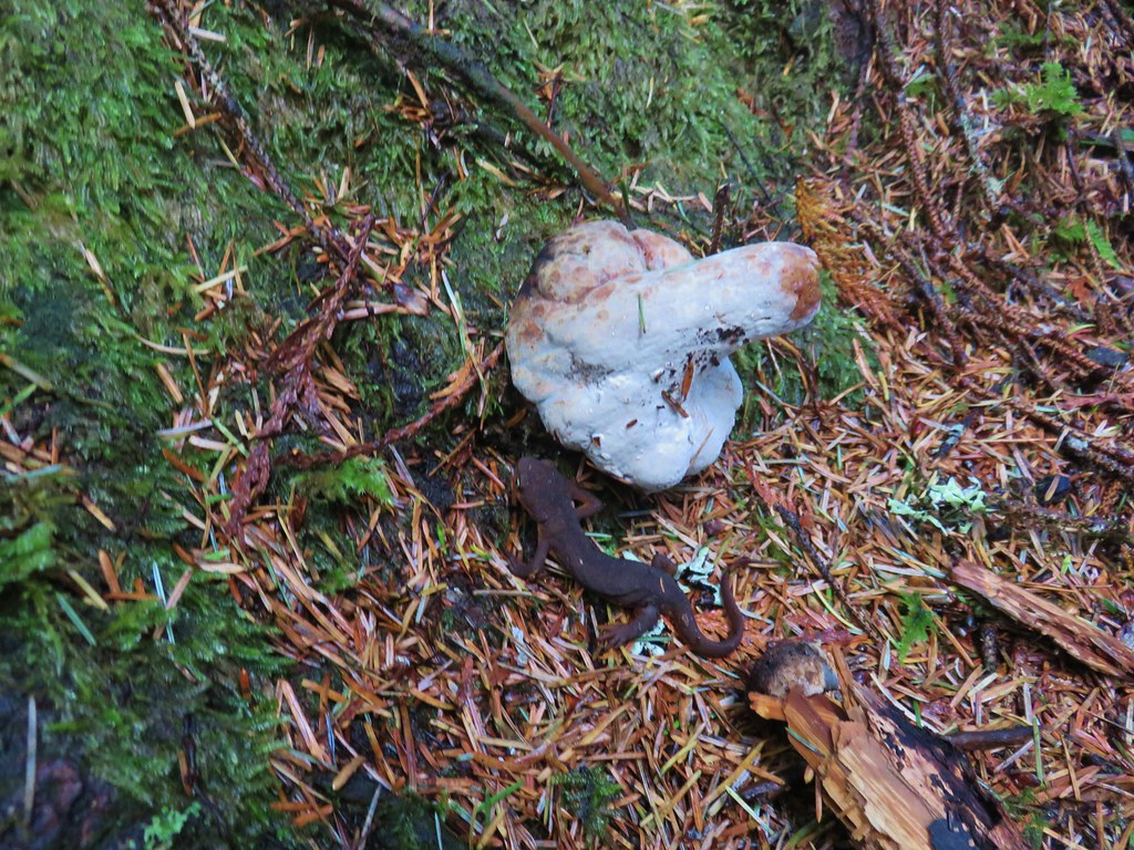
Not far from the deer we spotted a squirrel trying to become one with a limb.
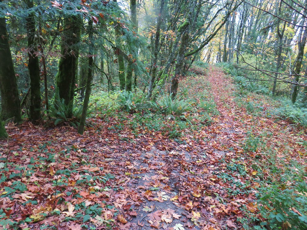
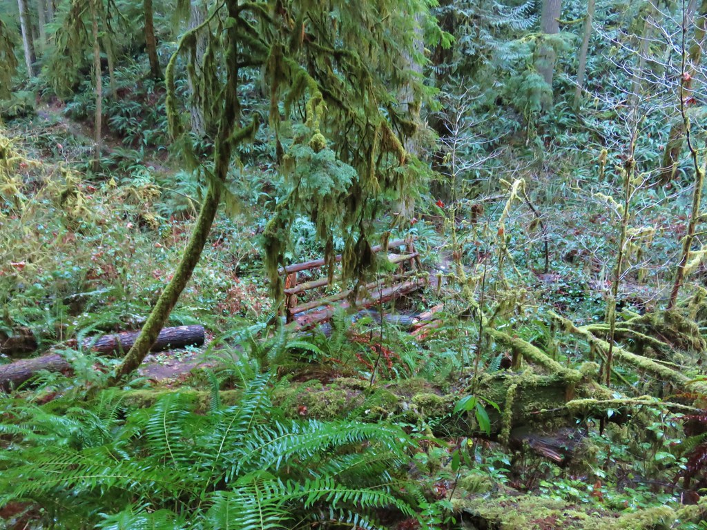
At a “Y” in the boardwalk we veered left keeping on the Old Wagon Trail until we reached a junction with the Vine Maple Trail a total of .4 miles beyond the Mink Path junction. We turned left onto the Vine Maple Trail and then took a right at a pointer for the Lily Pond.
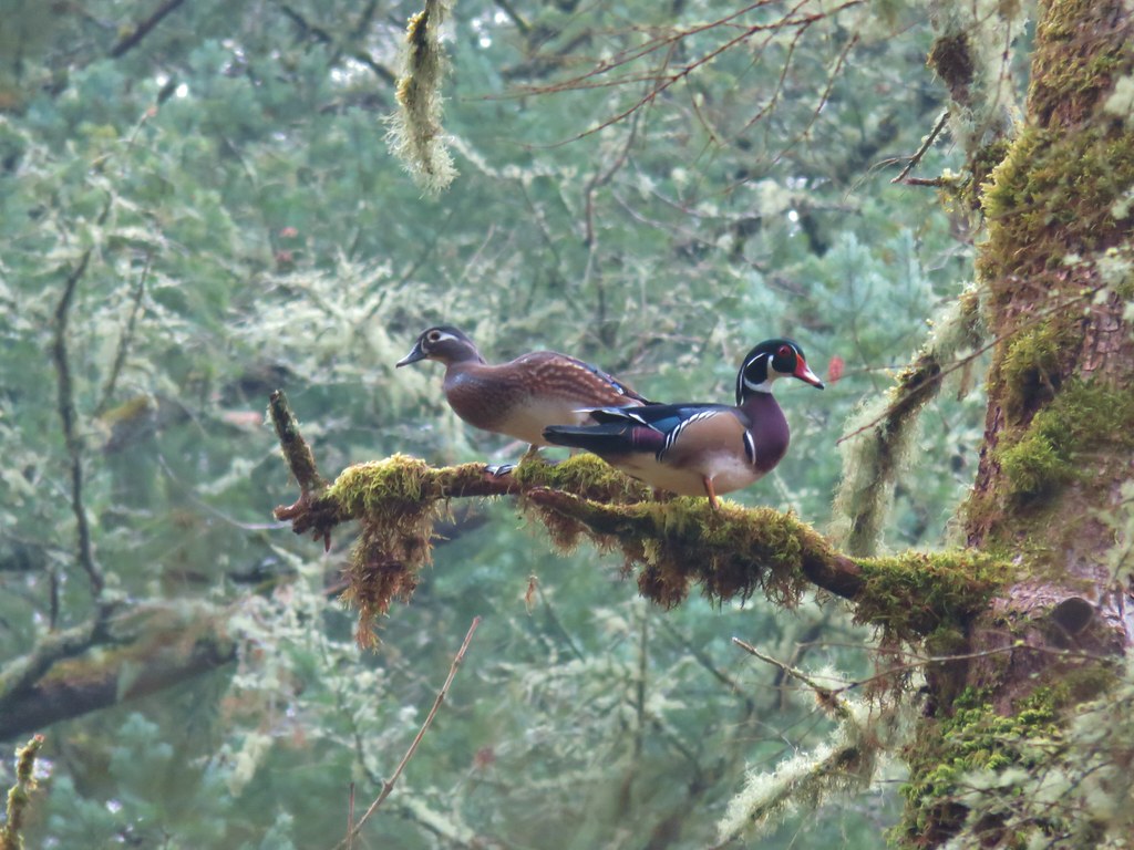
A short path led down to the pond but before we had reached it a pair of wood ducks took flight and landed in a nearby tree.
As we were admiring the wood ducks a pileated woodpecker was busy with its breakfast.

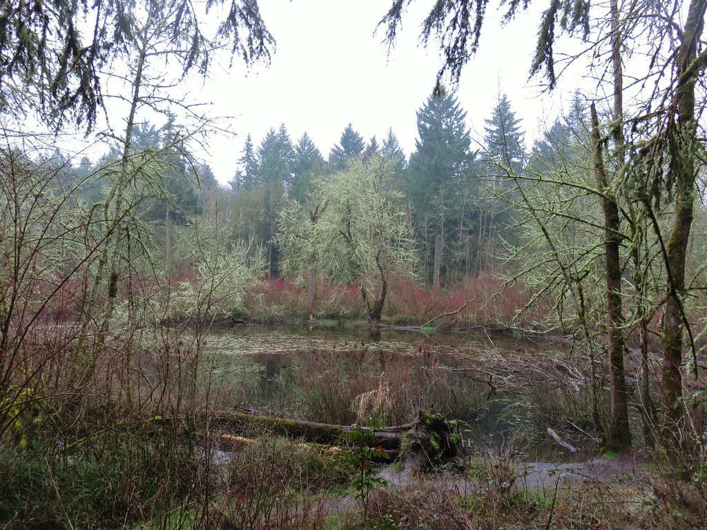
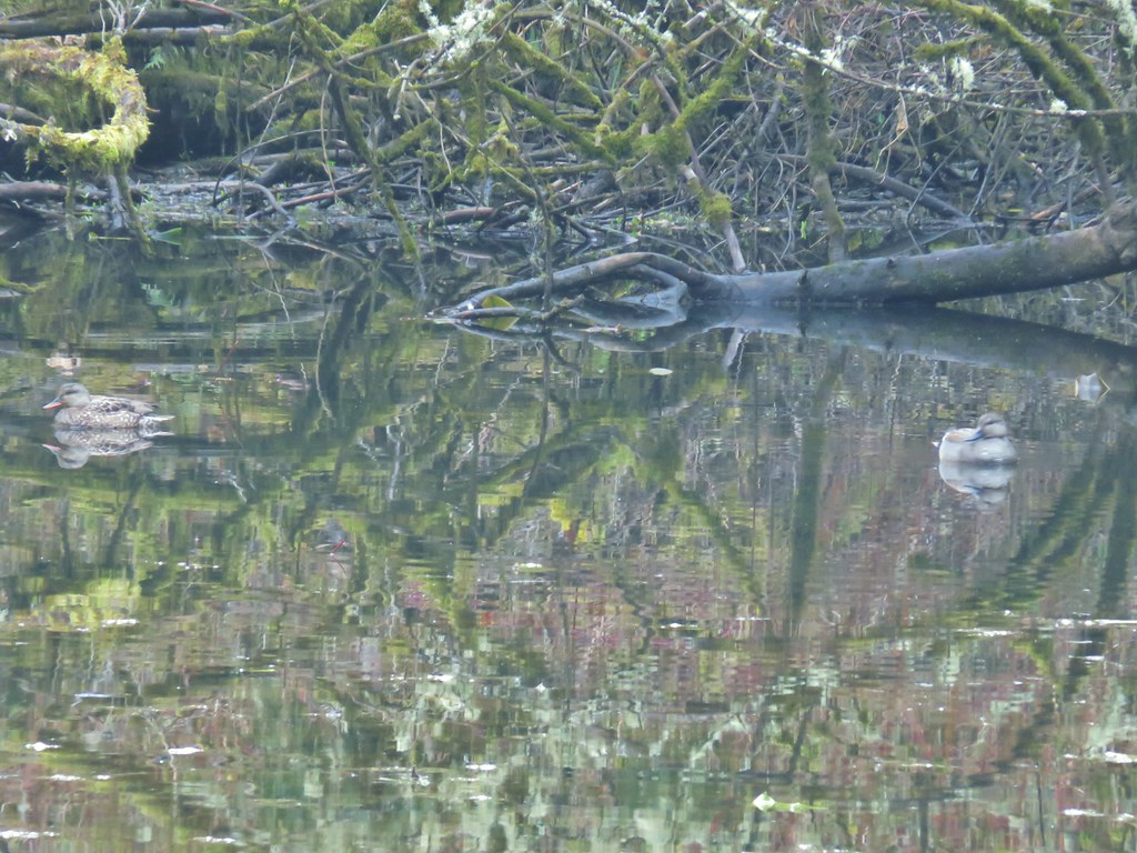
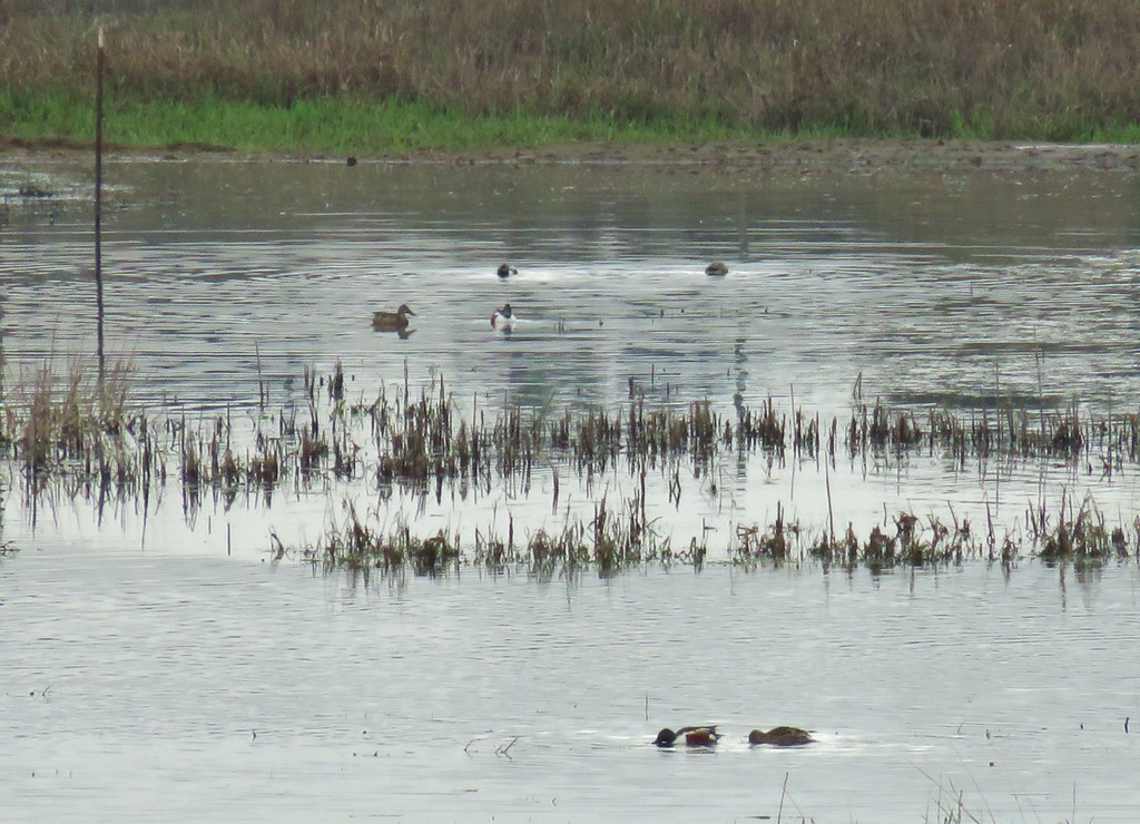
We eventually made it down to the pond where a few ducks remained in the water including what appeared to be a pair of gadwalls.

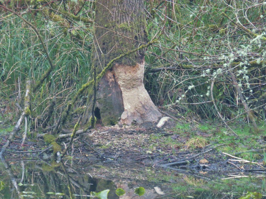
There were also signs of beaver activity but we’ve yet to actually see one in the wild.
After visiting the pond we returned to the Vine Maple Trail which was now paved and followed it past its junction with the Mink Path and across Cedar Mill Creek.

Shortly after crossing the creek we faced another choice. The Nature Center lay a third of a mile away via the Vine Maple Trail but more loop options were available by taking the Elliot Path.
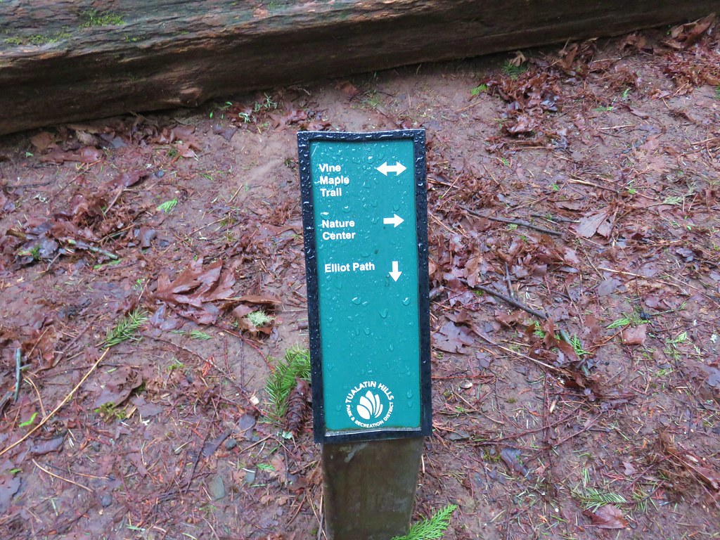
We took the .1 mile Elliot Path to a “T” shaped junction with the Big Fir Trail. Here again was a choice. Left headed back toward the Nature Center while right would take us to the Chickadee and Ash Loops and a short spur to Big Pond. We headed right and then turned left onto the spur to Big Pond.
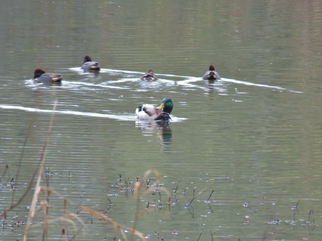
There were plenty of ducks here as well. It appeared that most were mallards and green-winged teals.
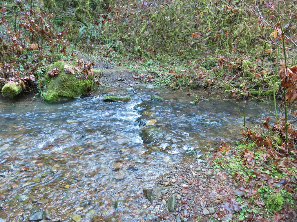
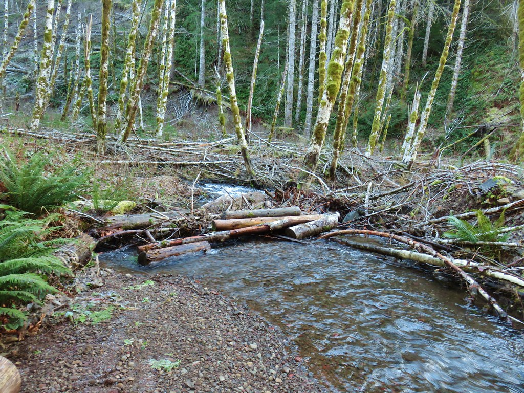
We returned to the Big Fir Trail and continued on crossing Beaverton Creek before arriving at a four way junction.
 Beaverton Creek
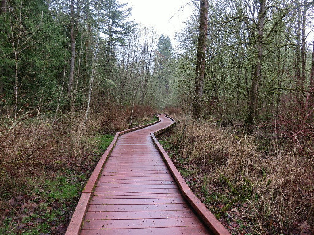
More choices! The Big Fir Trail kept straight while the Chickadee Loop was to the right and the Ash Loop to the left. We began by heading right on the quarter mile Chickadee Loop which had a nice long section of boardwalk.
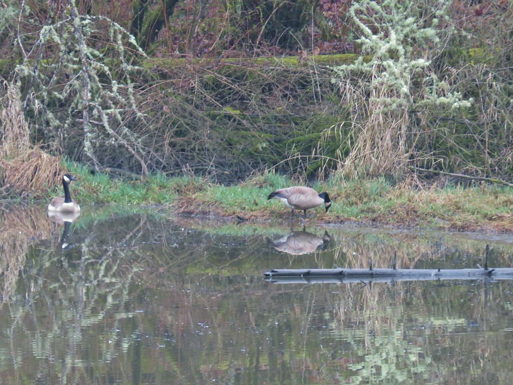
After the quarter mile we were back at the Big Fir Trail where we turned right briefly before making a left onto the Ash Loop. The Ash Loop passed some wetlands where a pair of Canada Geese were enjoying the morning.

After .3 miles on the Ash Loop we found ourselves back at the four way junction where we turned right and recrossed Beaverton Creek and returned to the junction with the Elliot Path. Staying straight on the Big Fir Trail for just .05 miles we then turned right onto the .2 mile Trillium Loop. Oddly we didn’t see many of signs of trilliums along this short loop but we had seen several beginning to bloom along other trails. After completing the Trillium Loop we turned right again onto the Big Fir Trail for another .1 miles to the start of the half mile Ponderosa Loop.
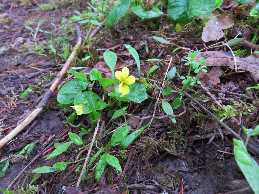
We took the Ponderosa Loop where we spotted more trillium and our first wood violets of the year.
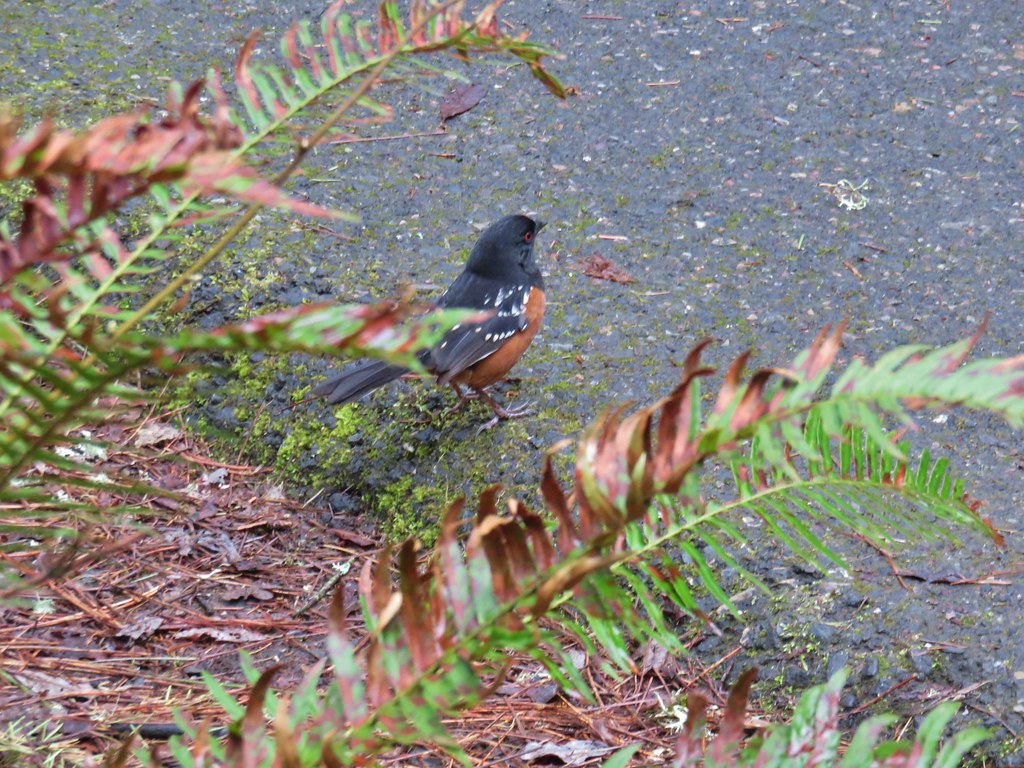
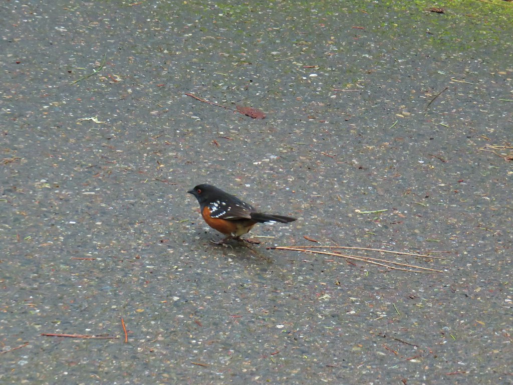
At the end of the Ponderosa Loop we were once again turning right onto the Big Fir Trail. This time it was for less than a tenth of mile and then we were back at the Vine Maple Trail. Several spotted towhees and a couple of chickadees were foraging near this junction. The chickadees wouldn’t sit still but the towhees were a little more cooperative.
A right turn onto the Vine Maple Trail followed by another .2 miles of hiking brought us back to the parking lot at the Nature Center. The total distance for our hike with all the extra loops was still just 4.2 miles. When we had arrived we were only the second car but the lot was now full as it was just a bit after 9am. We had passed the first volunteer led tour as we were finishing up the along the Ponderosa Trail and another group was preparing to set off shortly.
One of the reasons we had chosen to start our day with this hike was that we knew the park would get busy as the morning progressed which isn’t a bad thing but we always prefer to avoid the crowds when possible. It really was a first rate park though so the popularity is warranted.
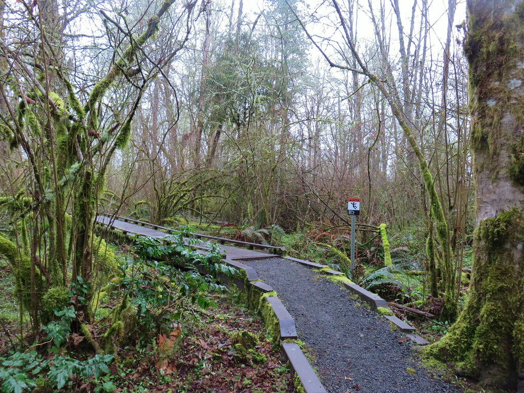
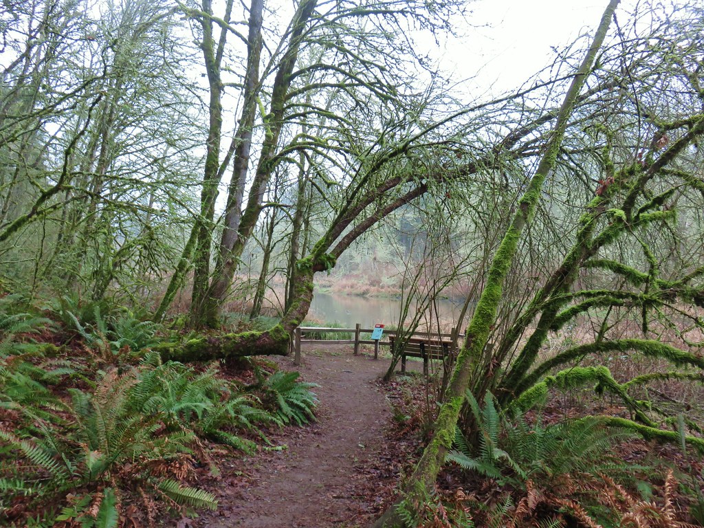
We left the nature park and headed for our next stop, the Tualatin River National Wildlife Refuge. I’d found this hike in the Oregon Hikers Field Guide and decided to give it a try.
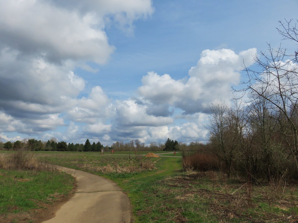
We parked at the Visitor Center along Highway 99W. The majority of hikeable paths in the refuge are closed from October 1st trough April 30th but the one mile River Trail and the very short Ridge Trail are open year round so we made those the target of this visit.

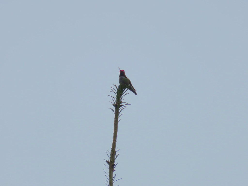
We set off on the River Trail and immediately spotted a hummingbird perched atop a tree.
The trail led downhill between a pair of small ponds.
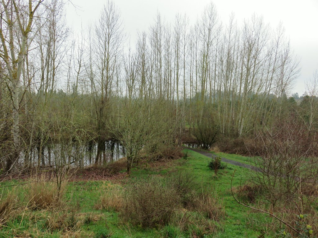
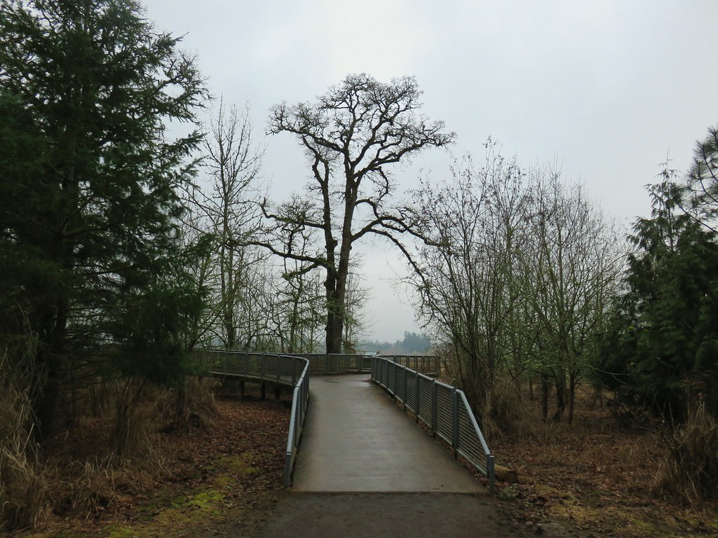
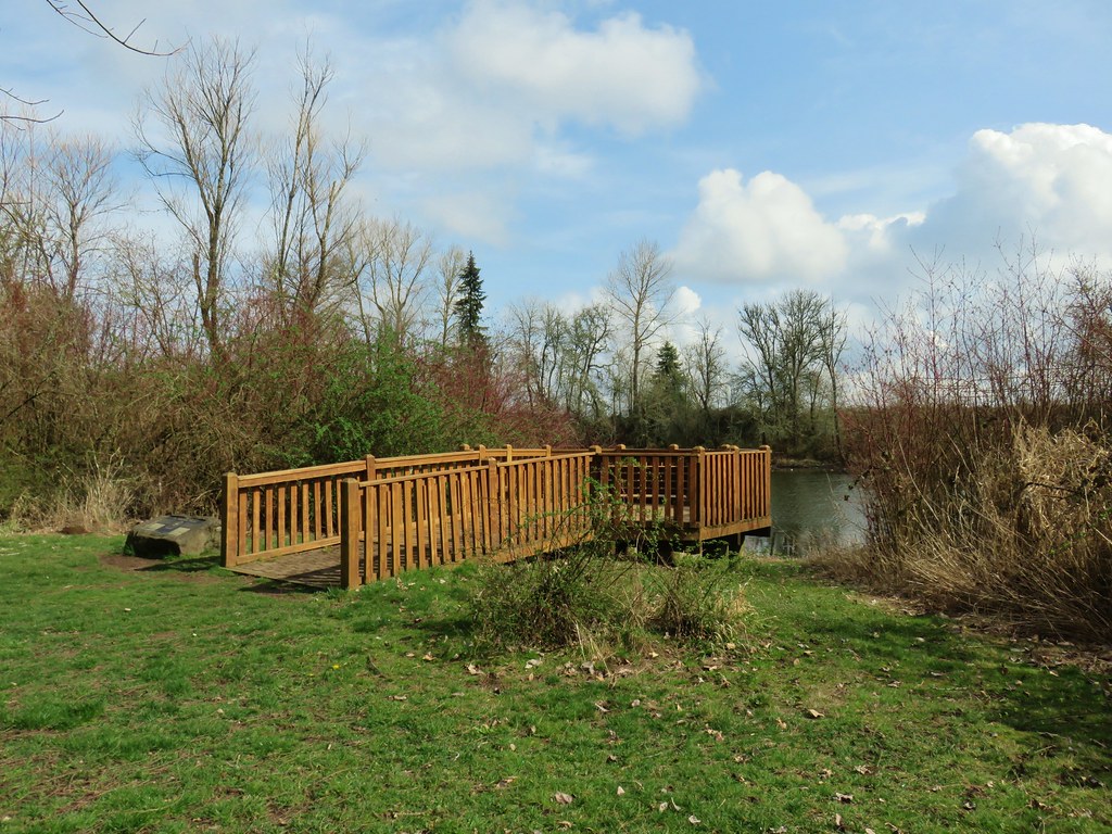
The trail passes through a restored oak savannah before arriving at an observation deck above the Tualatin River a half mile from the parking lot.

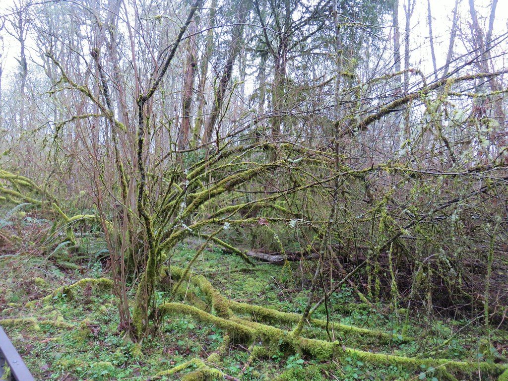
Beyond the deck the trail continues briefly though the restored savannah before entering a forest.
The trail splits in the trees with the Ridge Trail leading left to a viewpoint and the River Trail continuing right to the Wetlands Observation Deck.
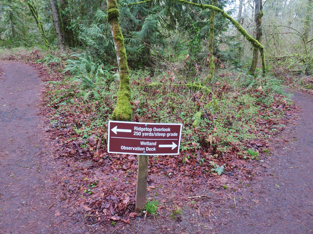
We stayed right visiting the observation deck first.

There were a few geese and ducks visible in the distance and a few robins closer by.

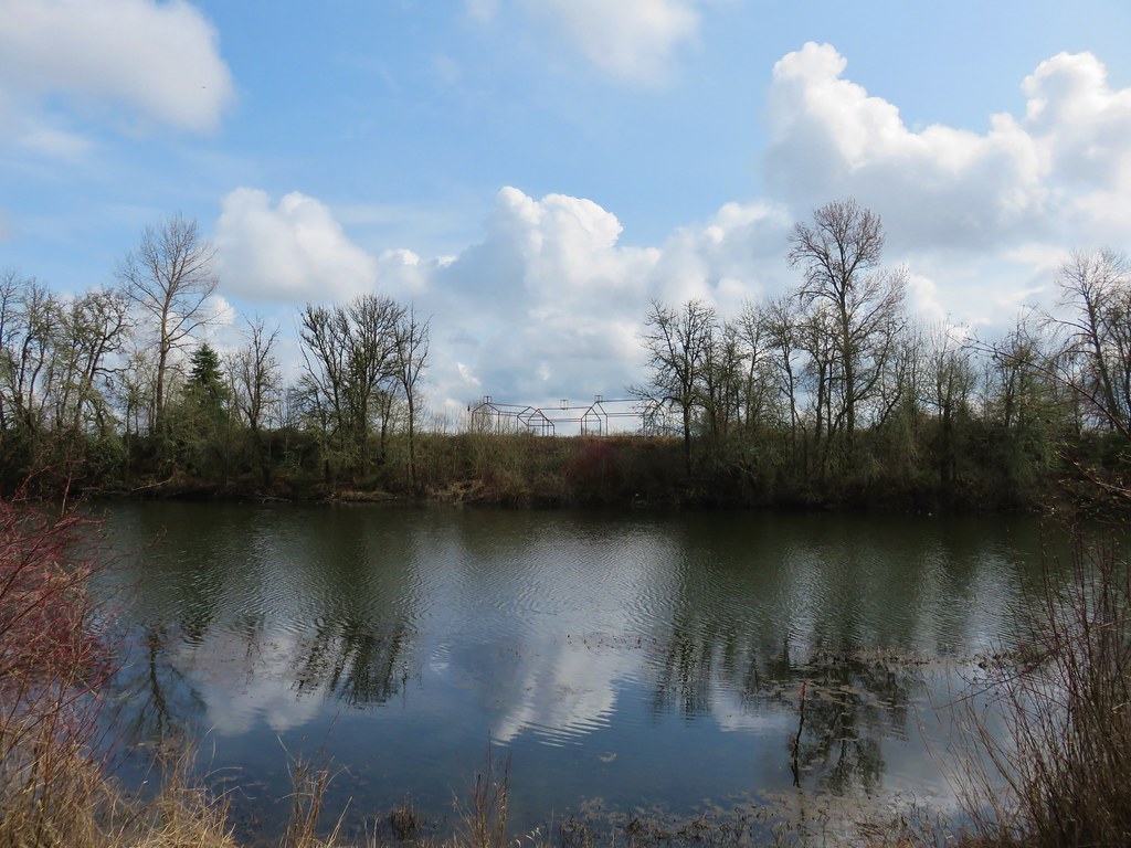
We returned to the junction with the Ridge Trail and turned right onto it to climb to the viewpoint. The Visitor Center was visible across the refuge and a number of ducks and other birds could be seen in the water below. At least some of the ducks looked to be northern shovelers.

We returned to the parking lot after an easy 2.1 mile hike. We plan on returning in the future when the other trails are open to explore more of the refuge and check out the Visitor Center.
We left the refuge and headed south toward our last stop of the day at Willamette Mission State Park.
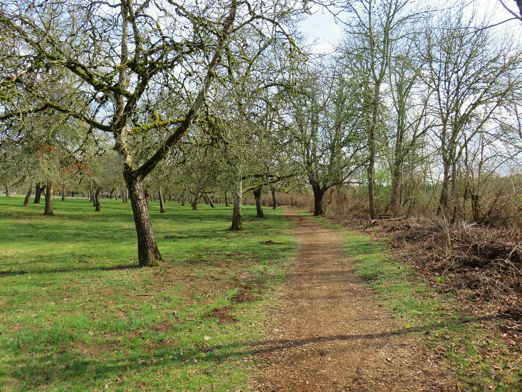
The site of the former Willamette Mission the 1600 acre park offers a number of activities besides hiking. The mission was established in 1834 by Rev. Jason Lee and marked the first organized religious enterprise in Oregon.
We had originally intended on a 2.7 mile hike here as described by William L. Sullivan in his “100 Hikes in Northwest Oregon & Southwest Washington” 3rd edition guidebook. Heather had put the book in her pack for the Tualatin Hills Nature Park hike as it was also featured in the guidebook. We hadn’t taken it back out of her pack so we weren’t exactly sure where we were supposed to park for the described hike so after paying the $5 day use fee at the entrance booth we immediately turned right into a parking area with a hiker symbol.
The lot serves as a trailhead for the Willamette Vision Education Trail, which was not where our book called for us to start but we were already parked so we decided to improvise.

We followed a bark path .1 miles to the start of a loop where we turned right.


The trail followed a road bed for half a mile around a field before arriving at Mission Lake. Along the way we spotted a coyote that quickly disappeared back into the vegetation.
A little over a mile from the trailhead we arrived at the nations largest black cottonwood.


While we were admiring the tree an osprey landed in it and while we were watching the osprey we noticed a squirrel in the upper branches as well.

 The osprey and the squirrel (upper right hand corner).
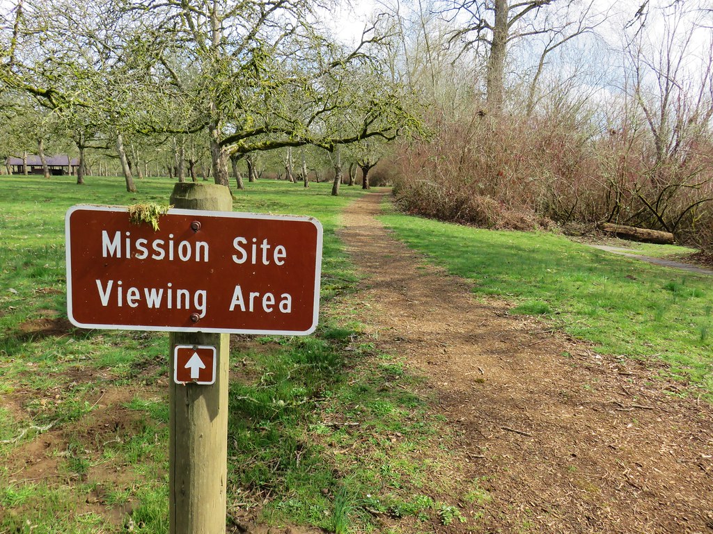
A short distance from the cottonwood the loop crossed the park entrance road. In order to do the hike that we had originally intended to do we turned right and walked along the shoulder of the road for a quarter of a mile to a boat launch and pet exercise area where we picked up the Mission Trail.
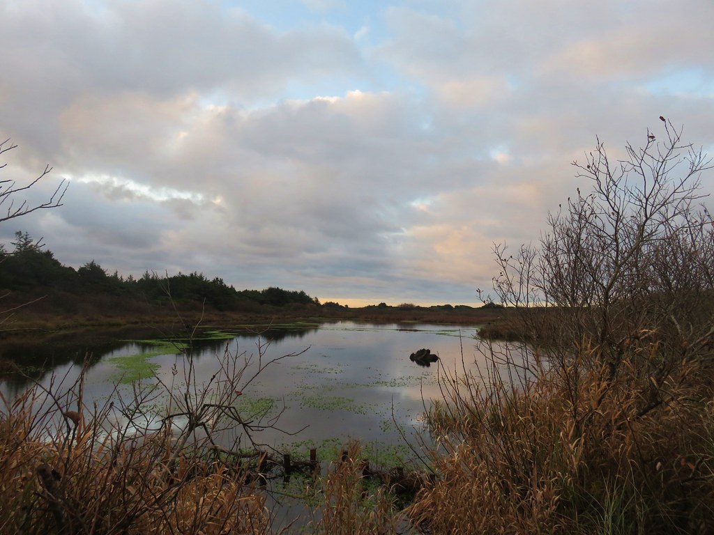
The Mission Trail followed the bank of Mission Lake for .6 miles to the Mission View Site, an observation deck looking across the lake to the site of the former mission.

We continued on past the Mission Site for another quarter mile before arriving at a the end of the Mission Trail at a paved bike path. We turned right detouring a quarter mile off the loop to visit the Wheatland Ferry crossing on the Willamette River.
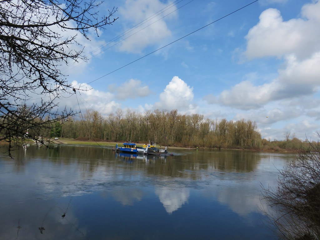
After watching the ferry cross once we headed back along the bike path and followed it along the Willamette River for almost a mile and a half before veering right onto an equestrian trail. Although the bike path paralleled the river there were no real views to speak of due to a strip of trees and vegetation between the path and the water.

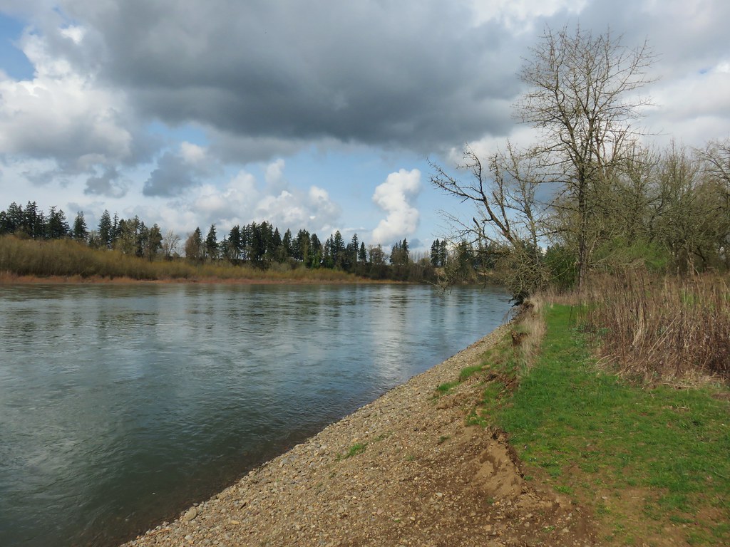
We opted to follow the multi-use dirt path instead of the paved bike path since pavement seems to be a lot harder on the feet. Despite being a bit muddy in spots the equestrian trail did finally provide a nice view up and down the Willamette.


Just prior to reaching the high water channel the equestrian trail came near to the bike path. Staying on the equestrian trail would have taken us to the start of a three mile loop with no opportunity to get back to our car so we hopped back onto the bike path here.
We then followed the bike path back to the park entrance road.
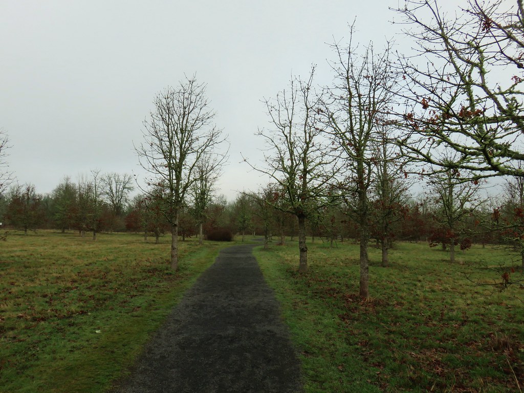
On our way back to the car we did complete the Willamette Vision Education Trail loop but that final 1.4 mile segment was fairly uneventful. The trail loops around a field with views back toward the center of the park. By that time we were passing the 13 mile mark for the day (we had planned on doing 9.2) and I was more focused on my feet than taking pictures. Not only had we started at the wrong spot but the guidebook would have had us cut out some of the bike path and all of the equestrian trail. Instead of 2.7 miles for this stop we had flipped the numbers and done 7.2.
We enjoyed all three stops but the Tualatin Hills Nature Park was definitely our favorite. With that being said they all would be suitable for hikers of all ages and abilities and each offers something unique. We’re lucky to have so many options within an hour of Salem and there are many more that we have yet to visit. Happy Trails!
Flickr: Tualatin Hills NP, Tualatin River NWR, Willamette Mission SP


 Wren signing along the trail
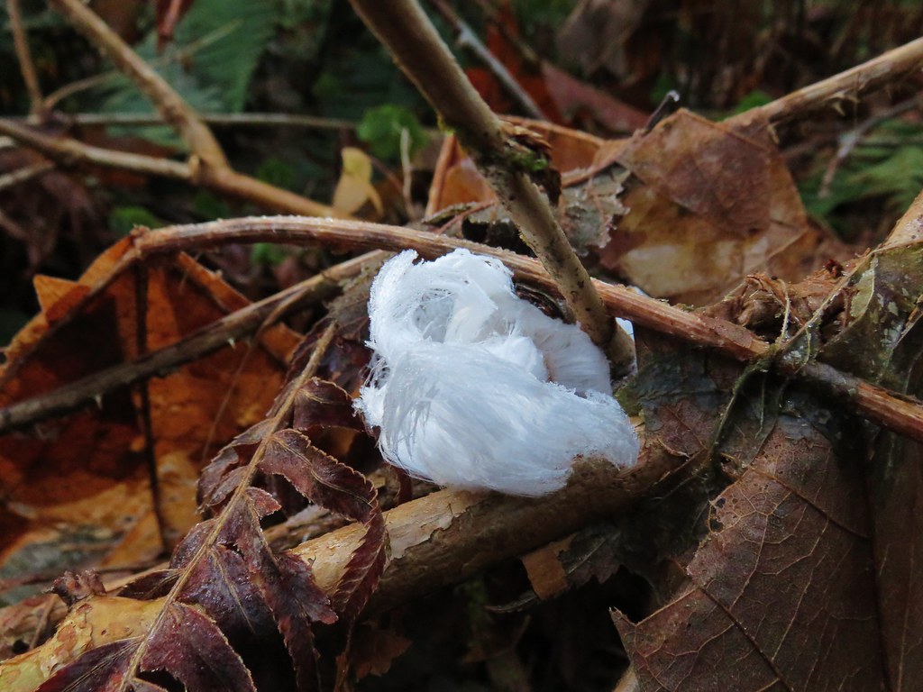
 Battle Ax Creek – 2014
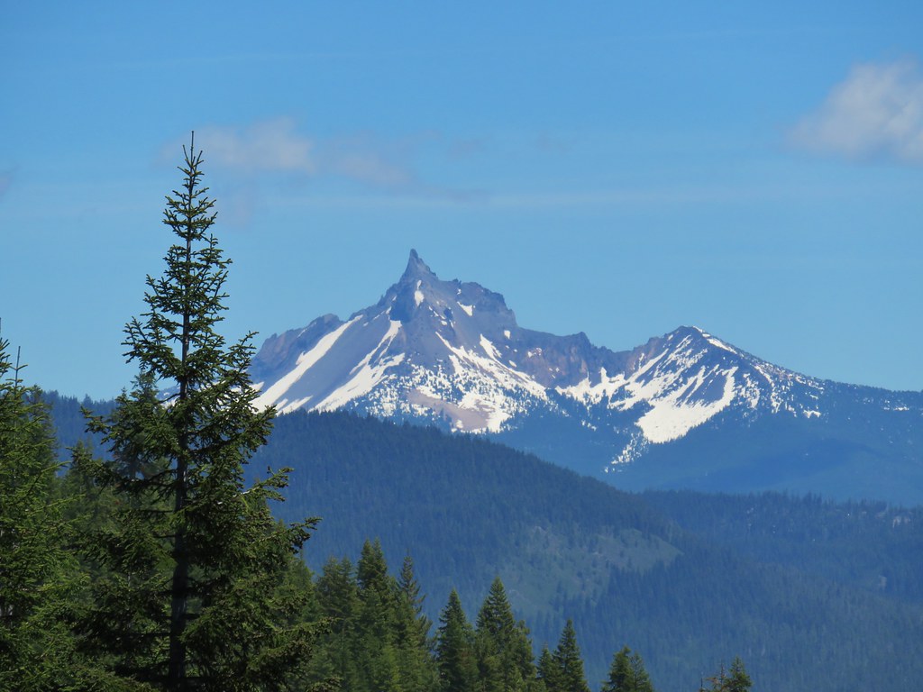
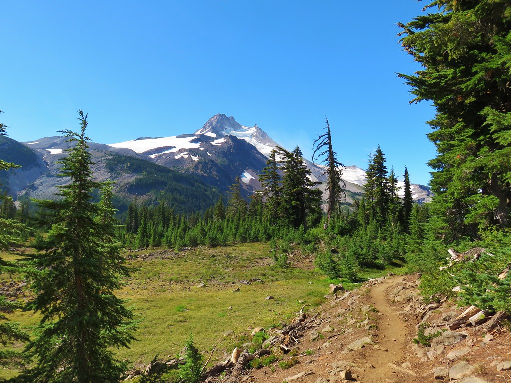
 Mt. Jefferson from Russell Lake – 2016
 Drift Creek – 2010
 Mt. Washington from the Pacific Crest Trail – 2015
 The Three Sisters – 2014
 Three Arch Rocks from Cape Meares – 2018
 Triple Falls – 2012
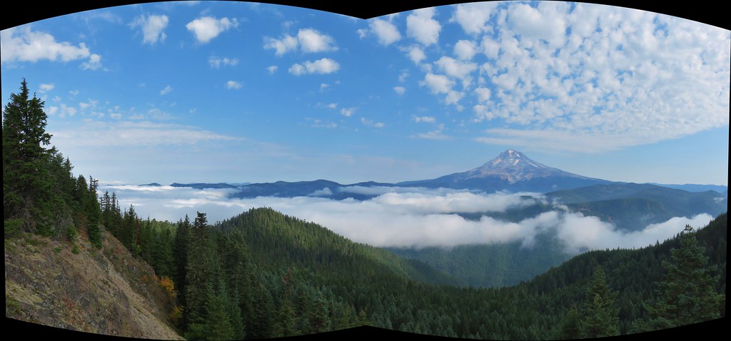
 Mt. Hood – 2015
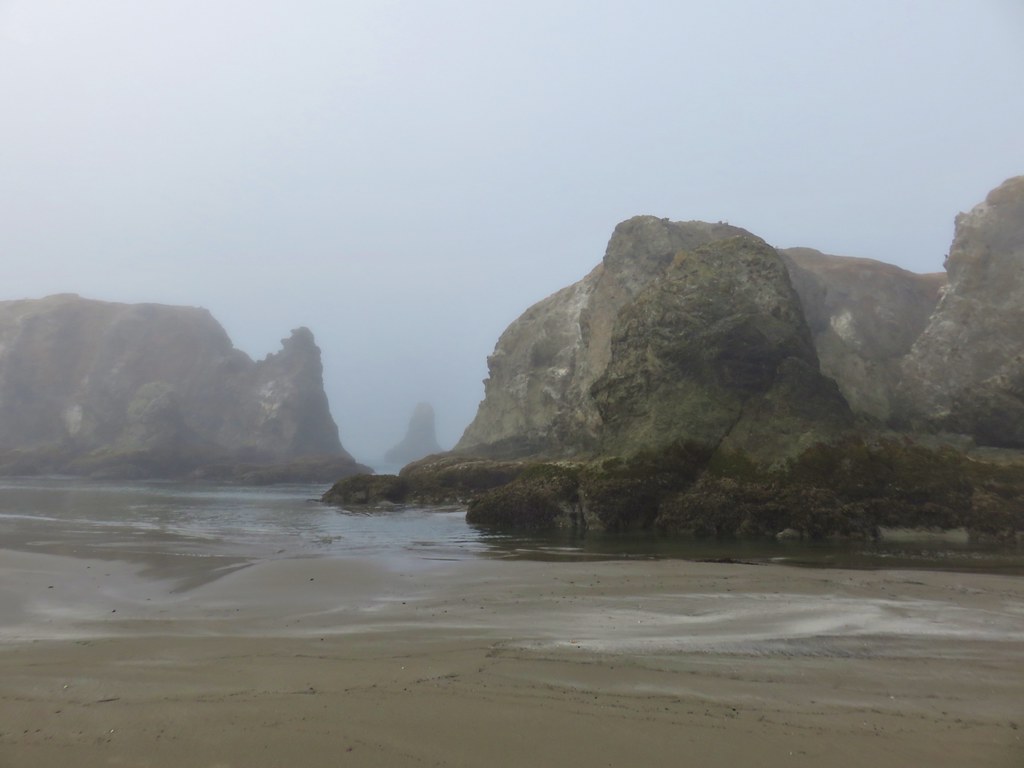
 Bandon Islands – 2018
 Twin Pillars – 2011
 Howlock Mountain and Mt. Thielsen – 2014
 Table Rock – 2015
 Frustration Falls – 2018
 Trapper Creek – 2014
 View from Fuji Mountain – 2013
 Serene Lake – 2013
 Badger Creek Wilderness – 2014
 Donaca Lake – 2014
 Emerald Pool – 2018
 View from Boccard Point – 2015
 Red Buttes – 2015
 Oregon Badlands Wilderness – 2016
 Vulcan Lake – 2016
 Rooster Rock – 2016
 Glacier Lake – 2016
 View from Aspen Butte – 2016
 Mt. McLoughlin from Freye Lake – 2016
 White River – 2016
 Rock Creek – 2017
 Hedgehog Cactus – 2017
 Bridge Creek Wilderness – 2017
 Hanging Rock – 2017
 View from Grassy Knob – 2017
 Big Bottom – 2017
 Baldy Lake – 2017
 Cummins Ridge Trail – 2017
 Hummingbird Meadows – 2018
 View along the Pine Creek Trail – 2018
 Slide Lake – 2018
 Barklow Mountain Trail – 2018
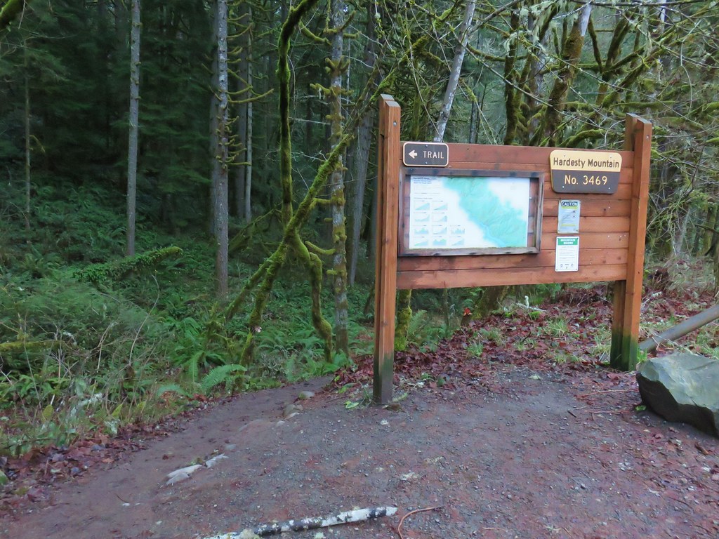
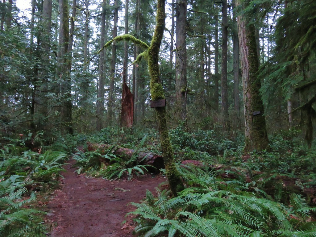
 The route we came up.
 A short section of railroad grade.
 The logs we came across.
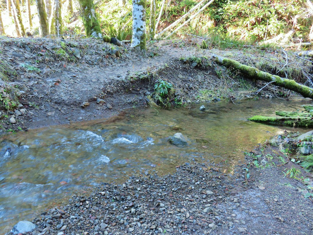 The rock after having crossed.
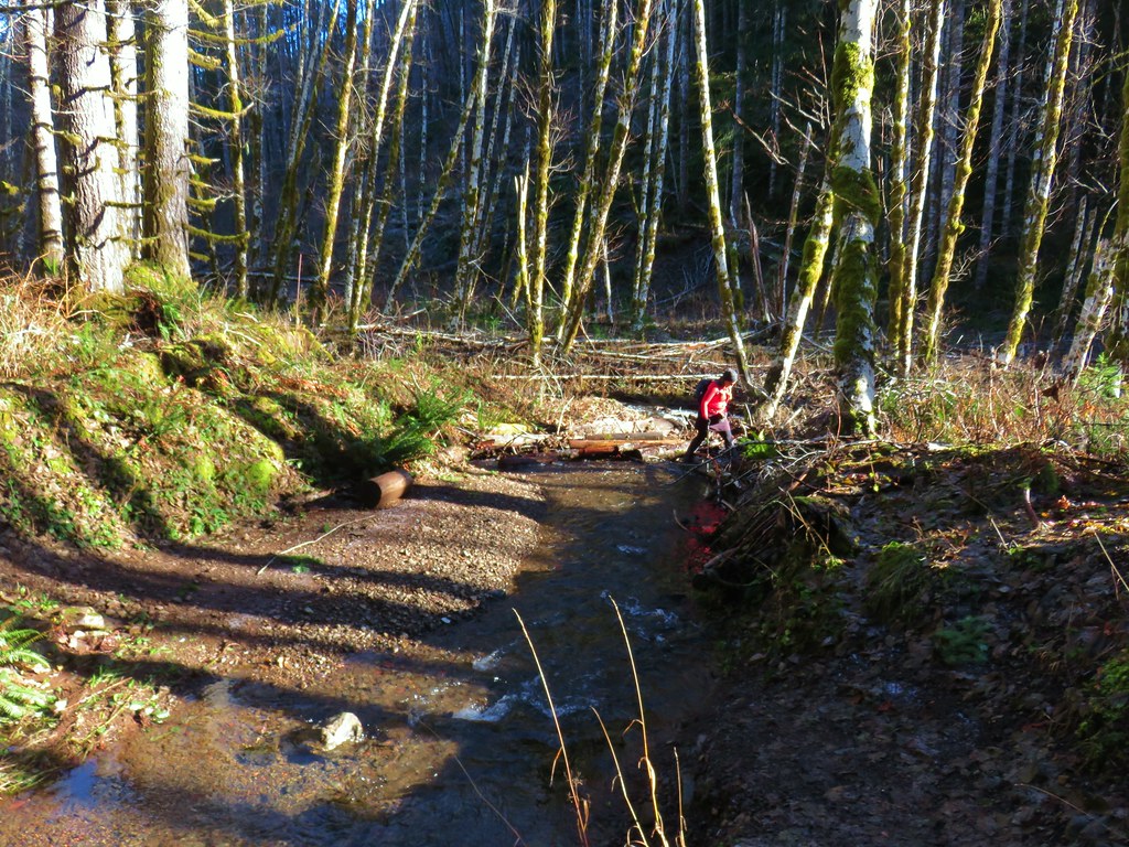 Heather finishing her crossing on the way back.
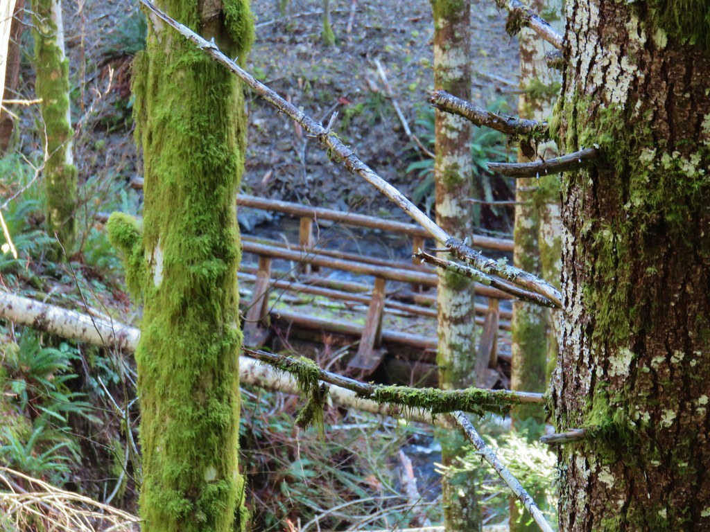
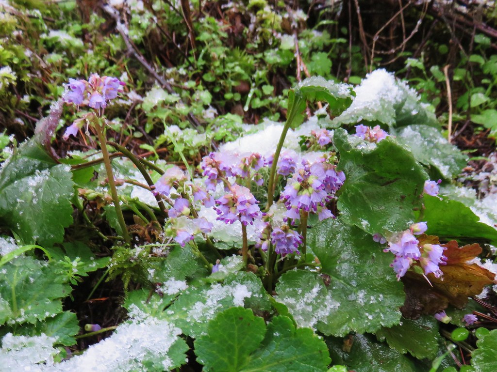 Snow queen – McDonald Forest, February
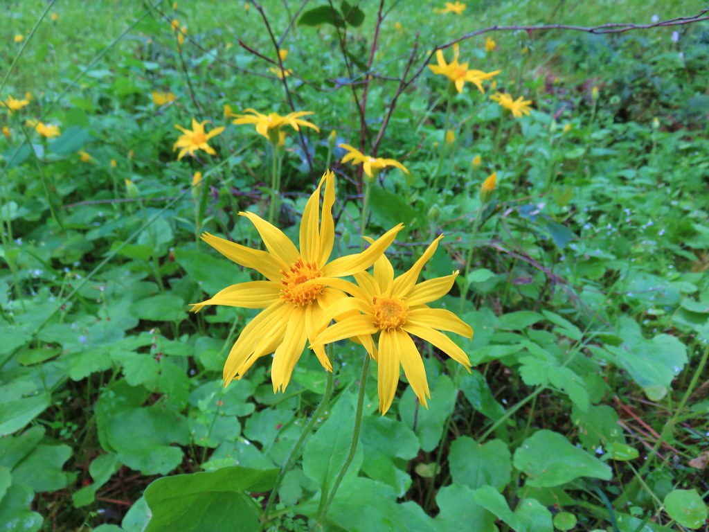 Arnica
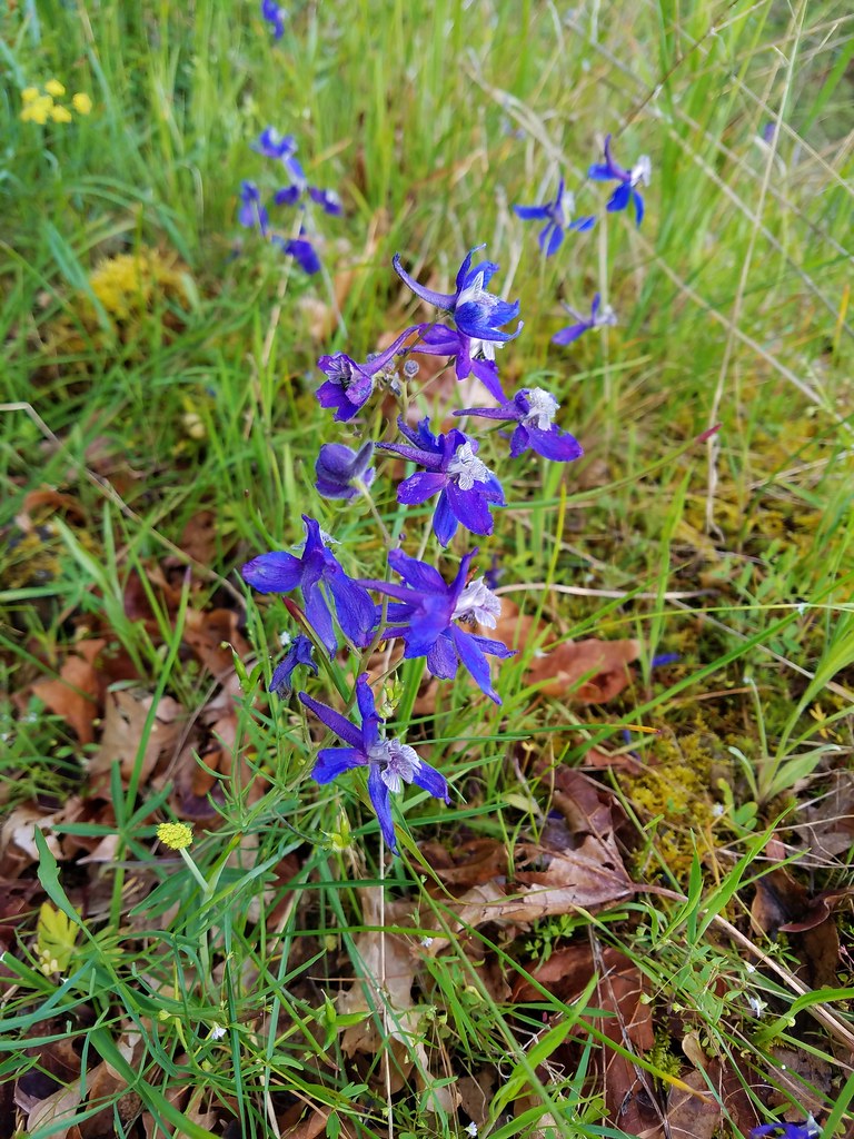 Larkspur
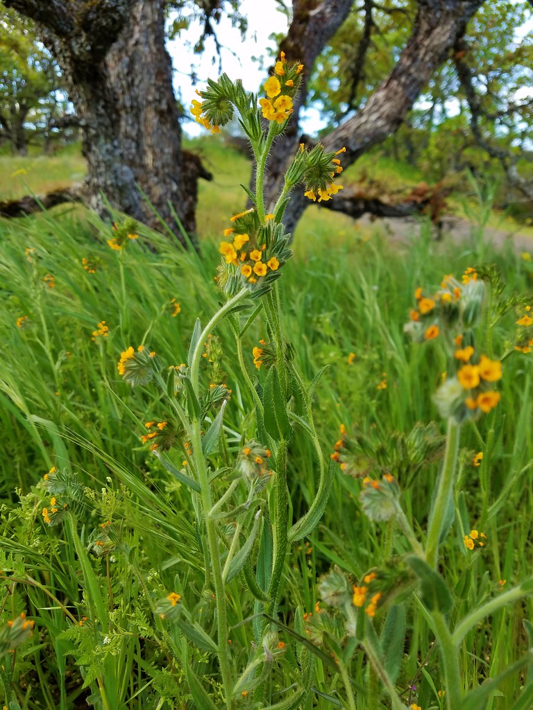 Fiddleneck
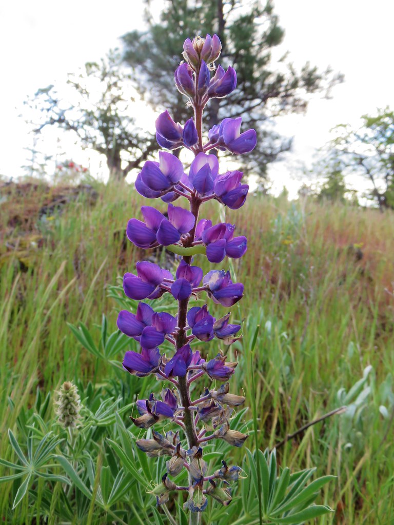 Lupine
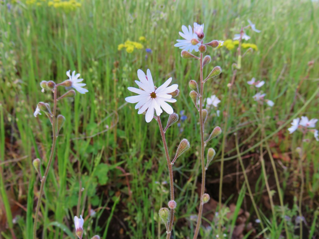 Prairie star
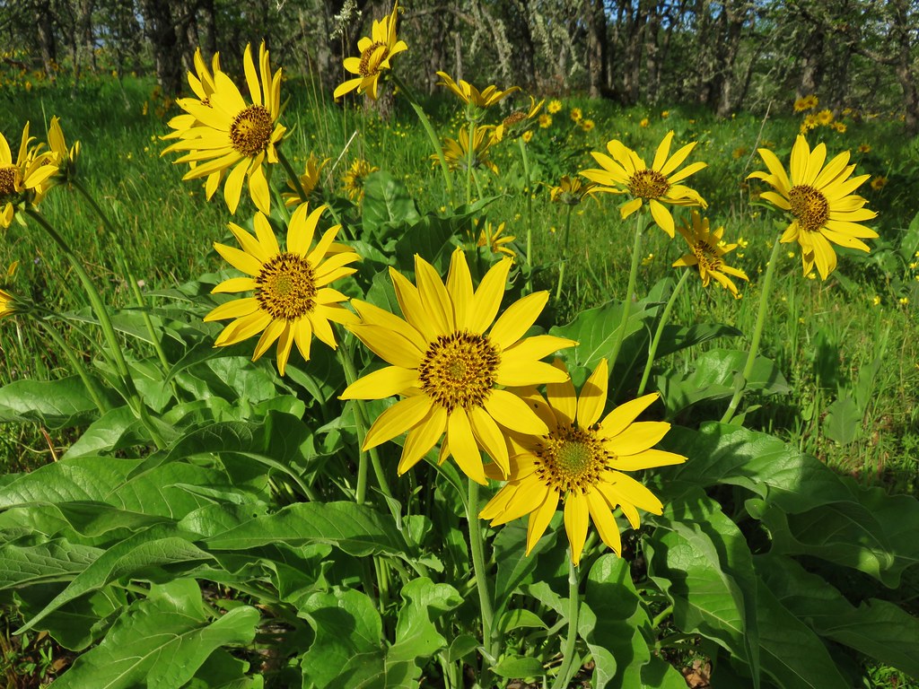 Balsamroot
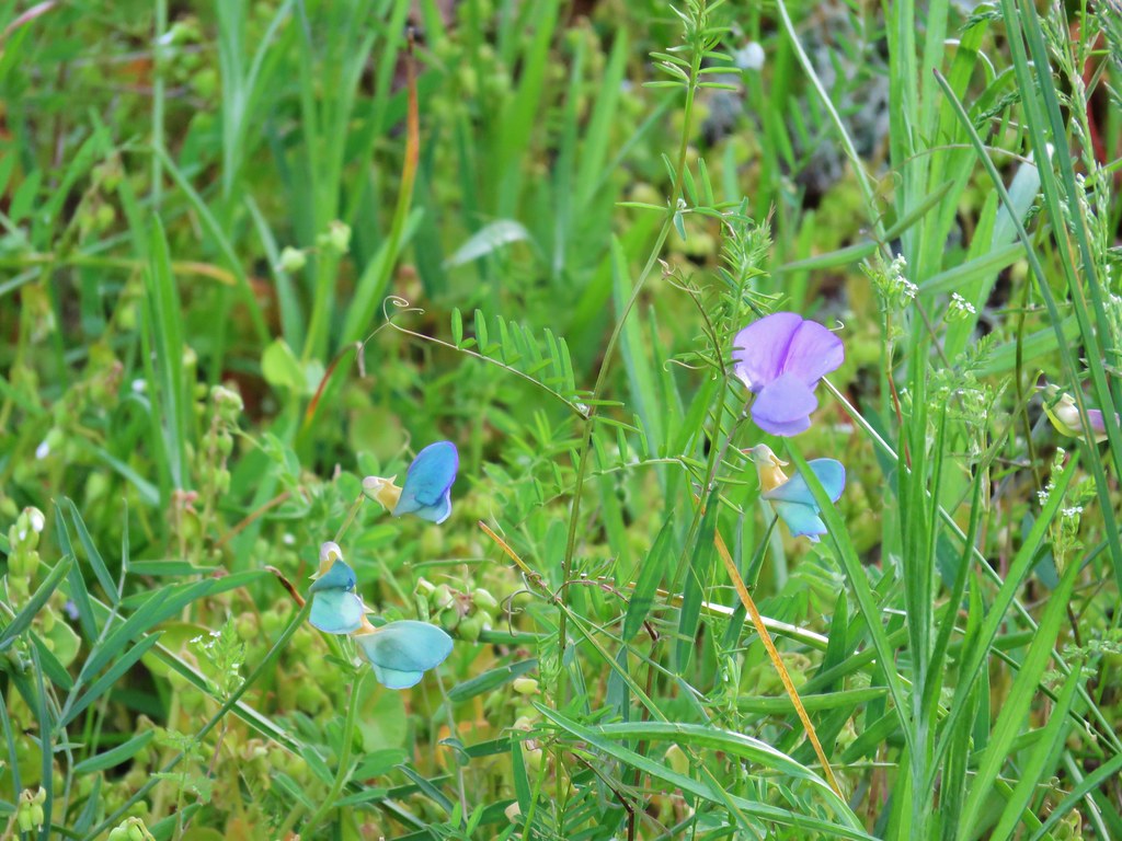 Unknown
 Large-flower triteleia
 Giant head clover
 Broomrape
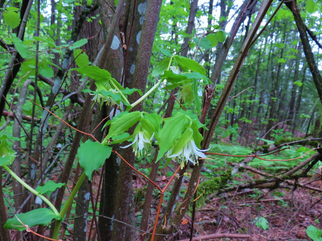 Fairybells
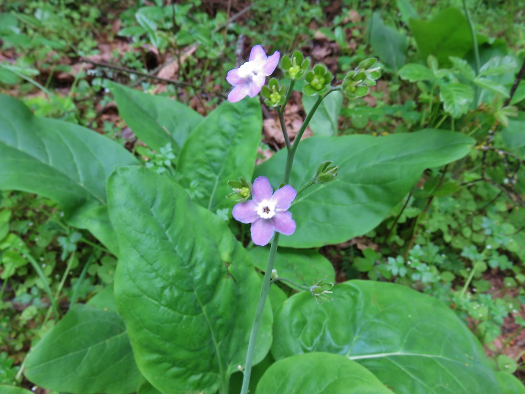 Hound’s tongue
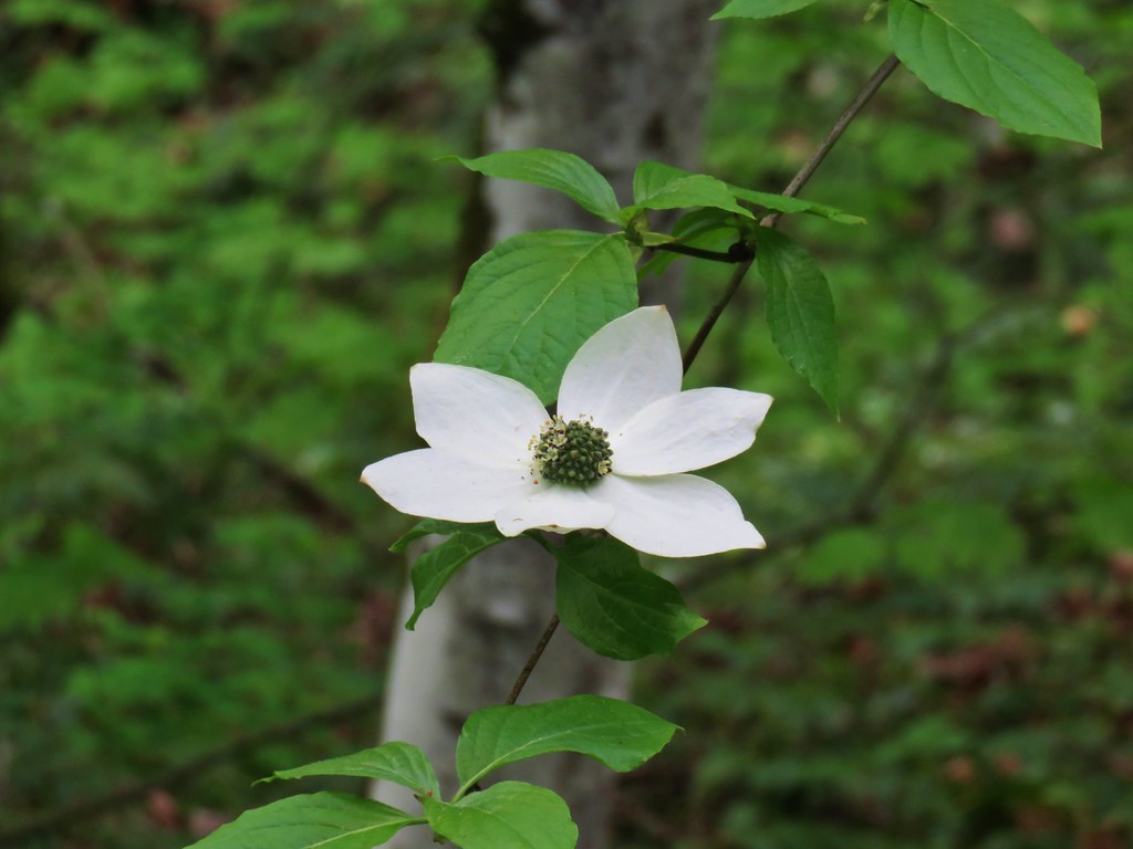 Dogwood
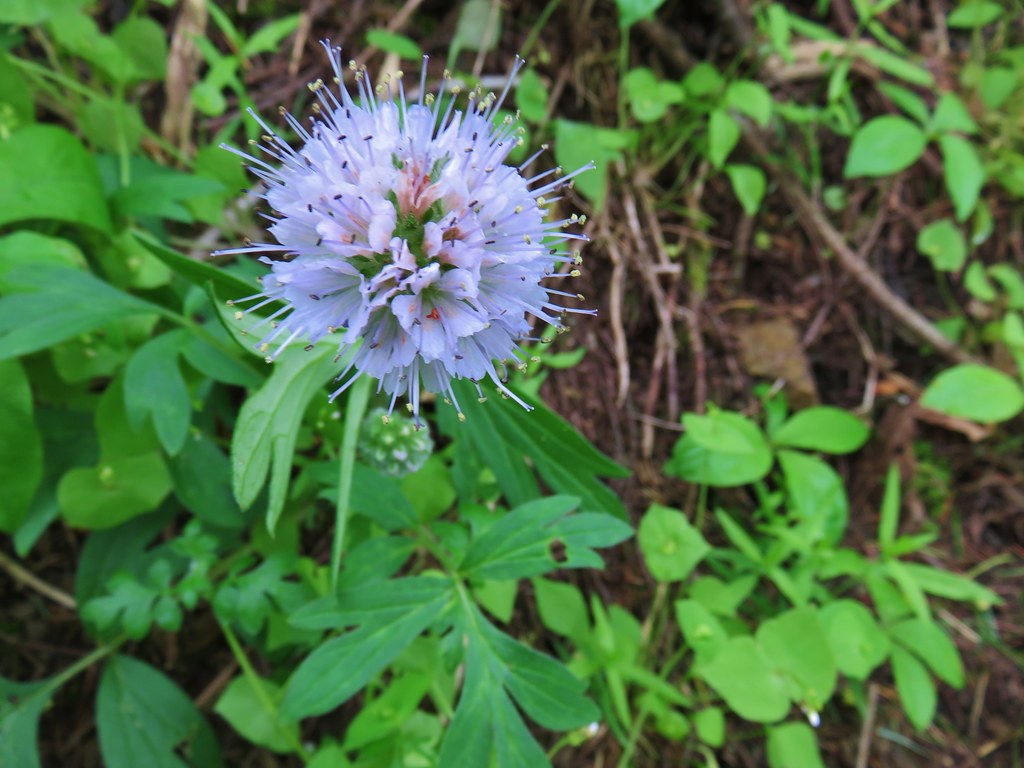 Ballhead waterleaf
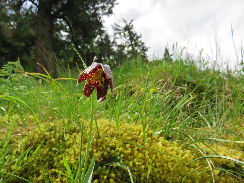 Chocolate lily
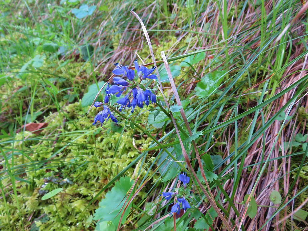 Kittentails
 Grass widow
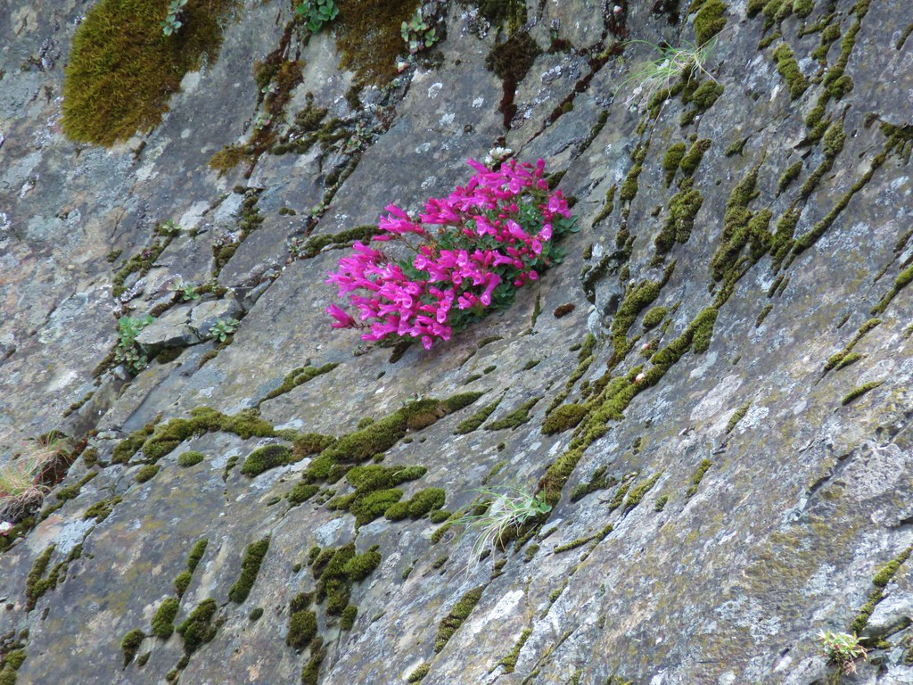 Penstemon
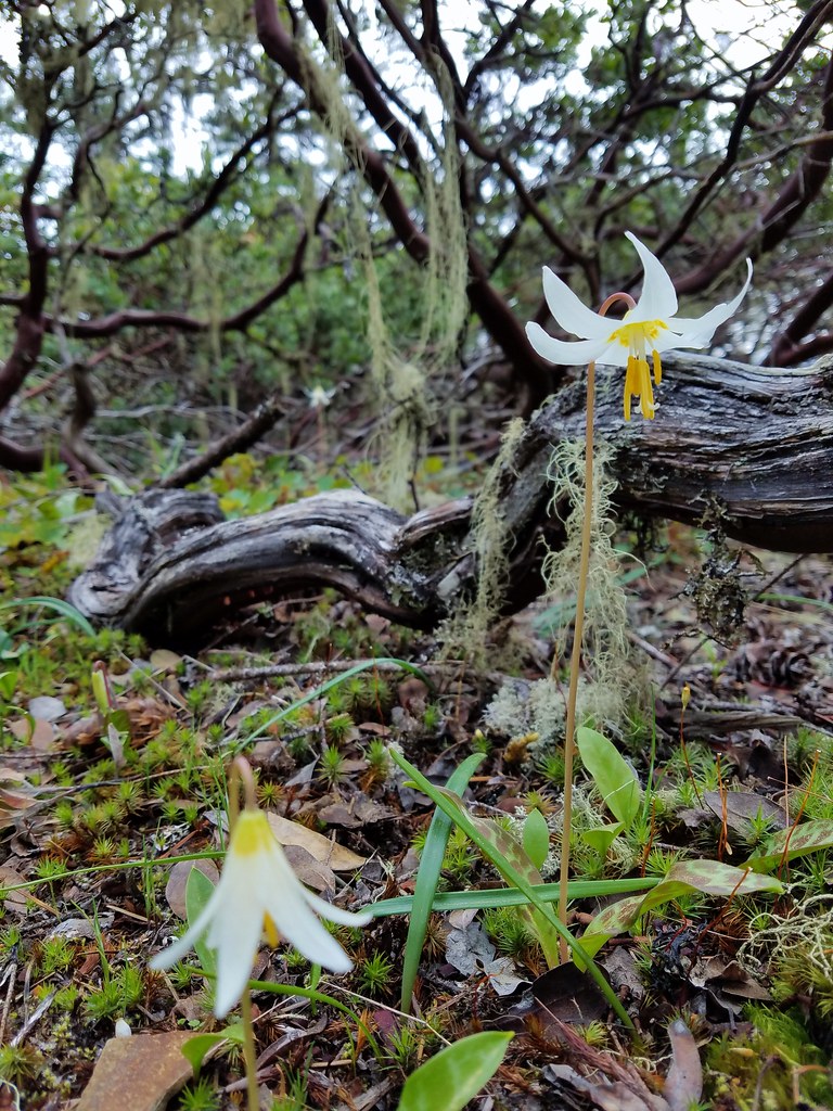 Fawn lily
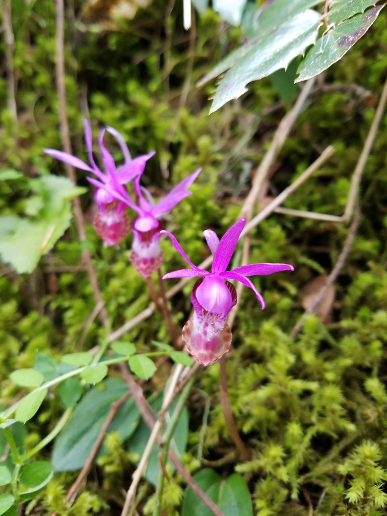 Fairy slippers
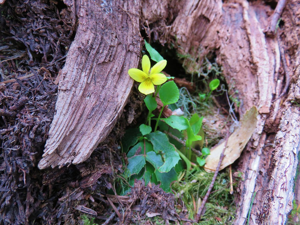 Wood violet
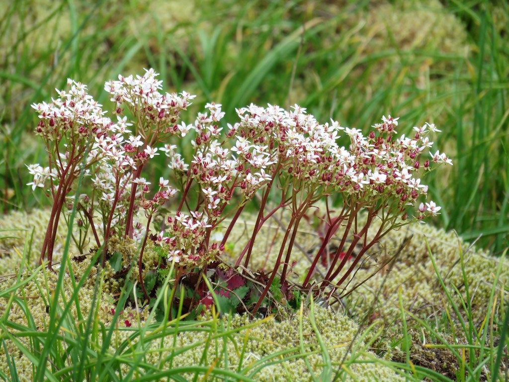 A saxifrage
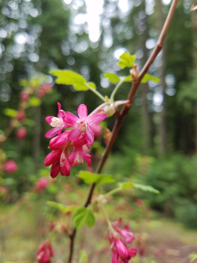 Red-flowering currant
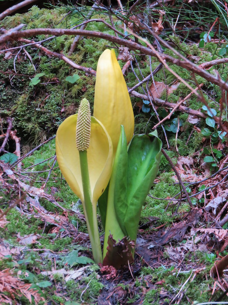 Skunk cabbage
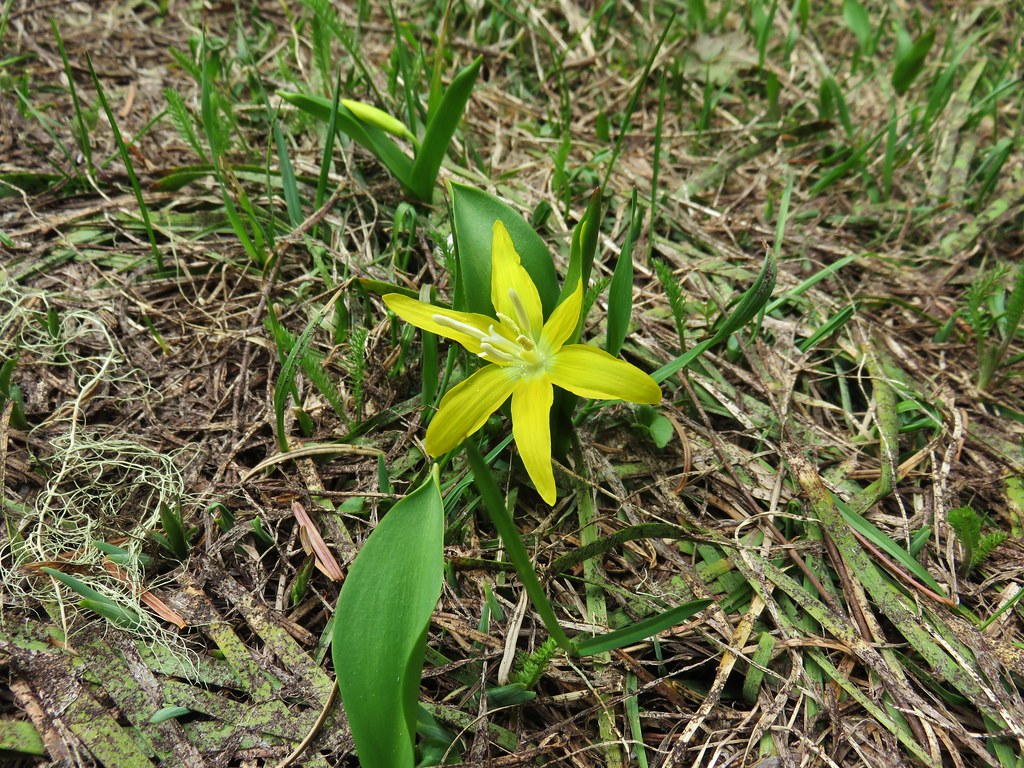 Glacier lily
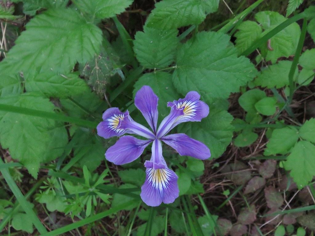 Iris – Washington Park
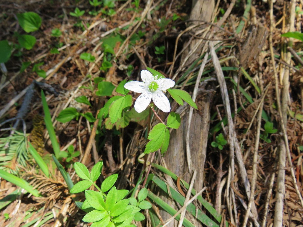 Anemone – Lookout Creek Trail
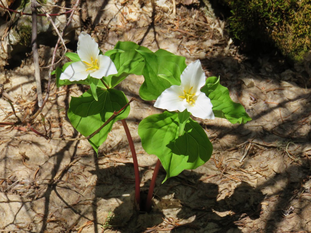 Trillium – Carpenter Mountain
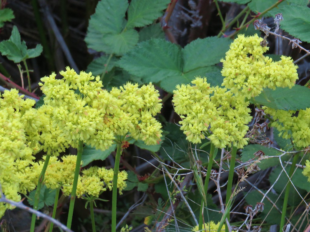 Buckwheat – White River Falls State Park
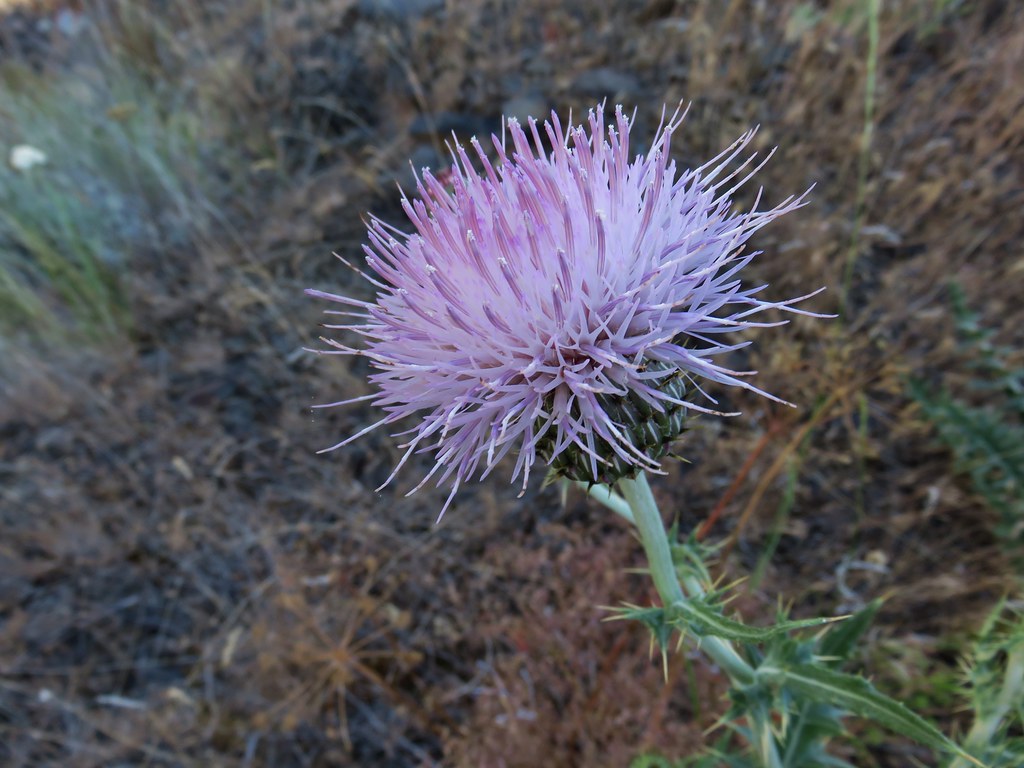 Thistle along the Deschutes River
 Western prairie-clover along the Deschutes River
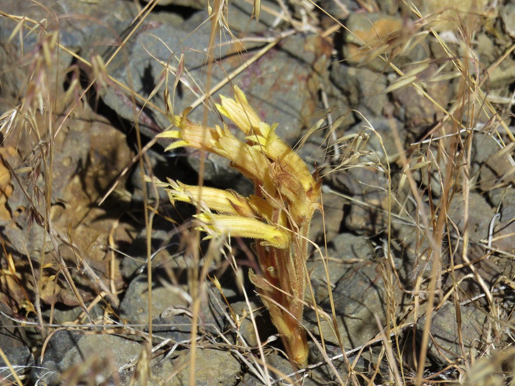 Clustered broomrape along the Deschutes River
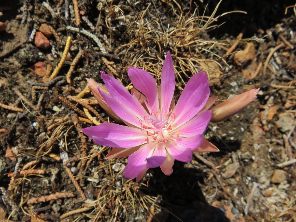 Bitterroot – Rimrock Springs
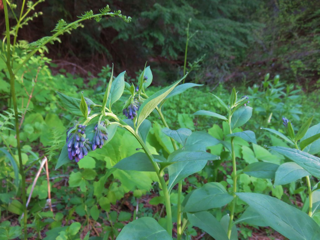 Bluebells along Muir Creek
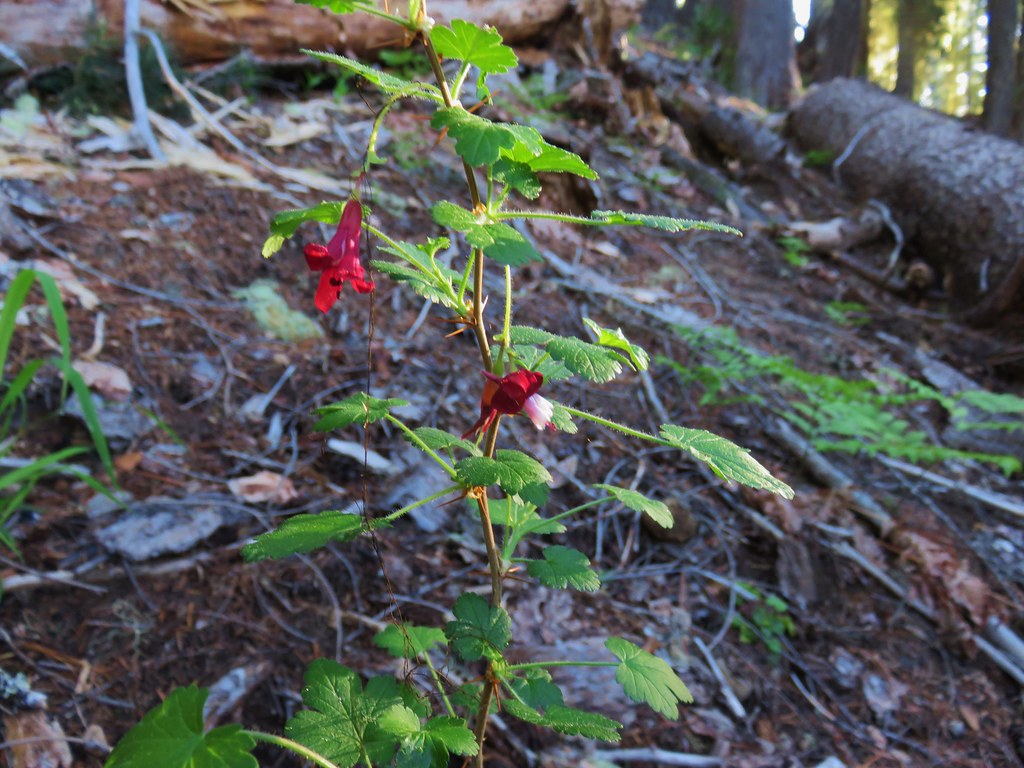 Gooseberry along Muir Creek
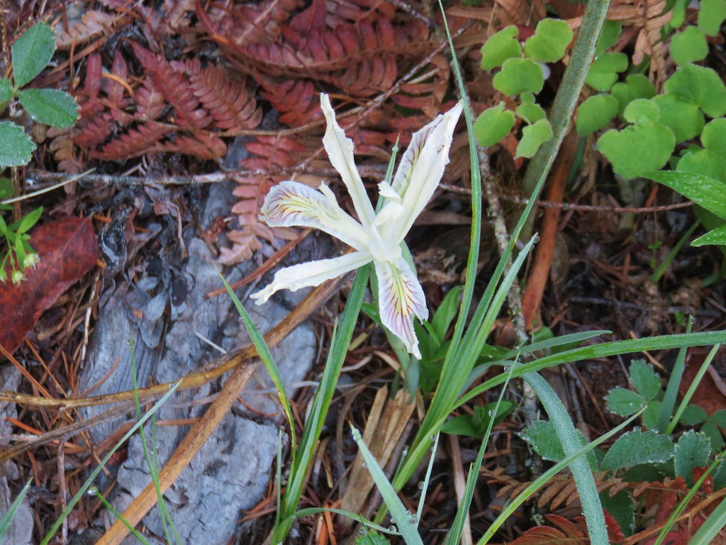 Iris along Muir Creek
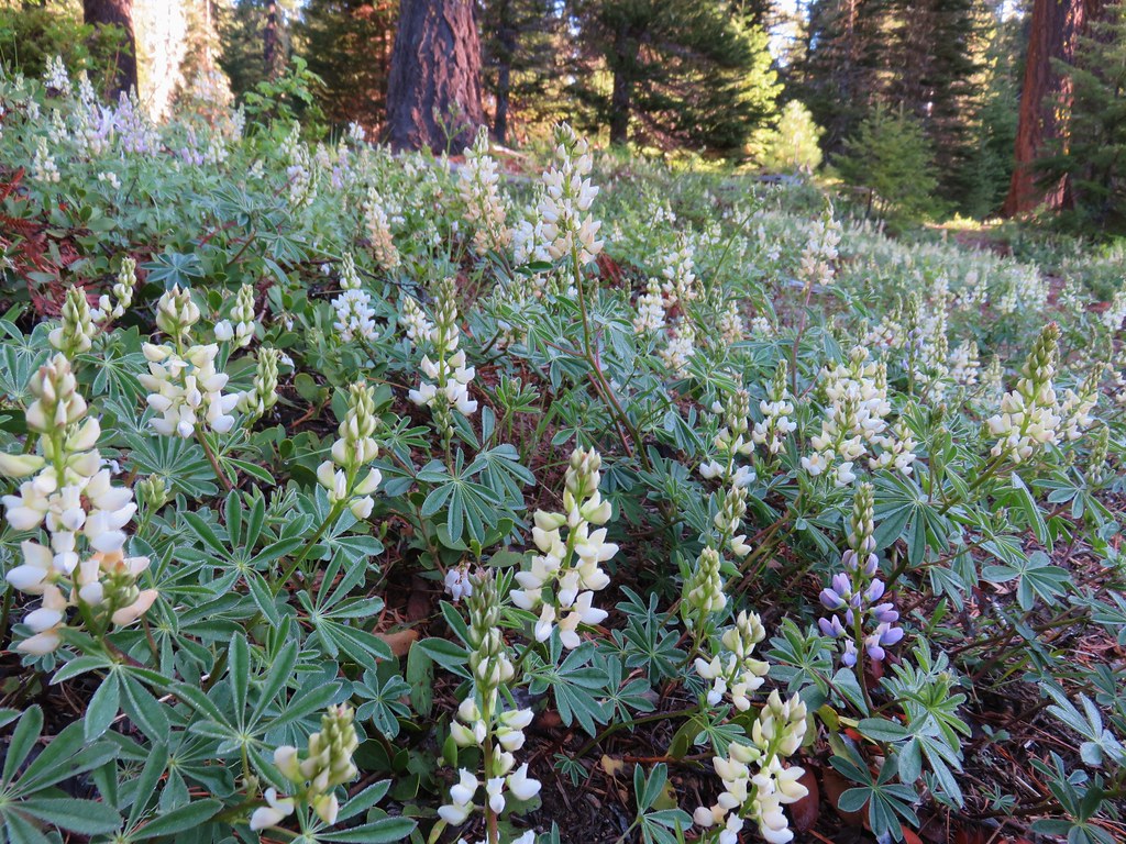 White lupine along Muir Creek
 Pea? along Muir Creek
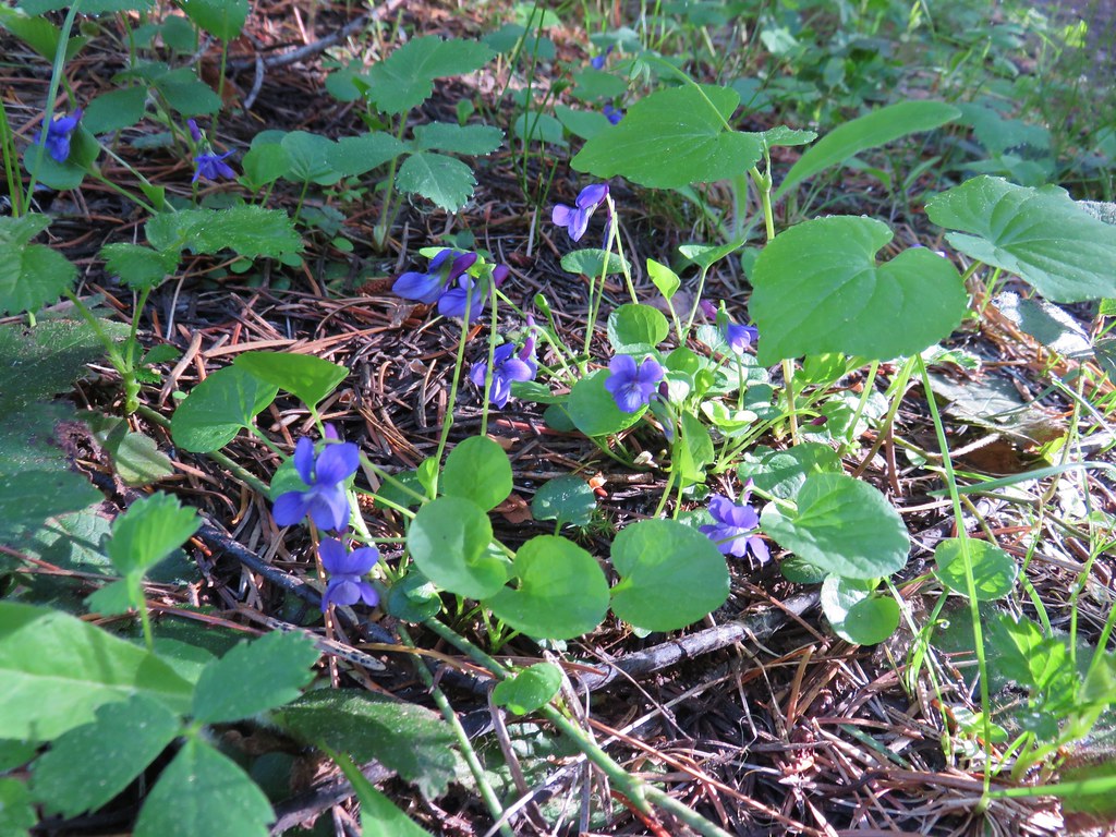 Violets along Muir Creek
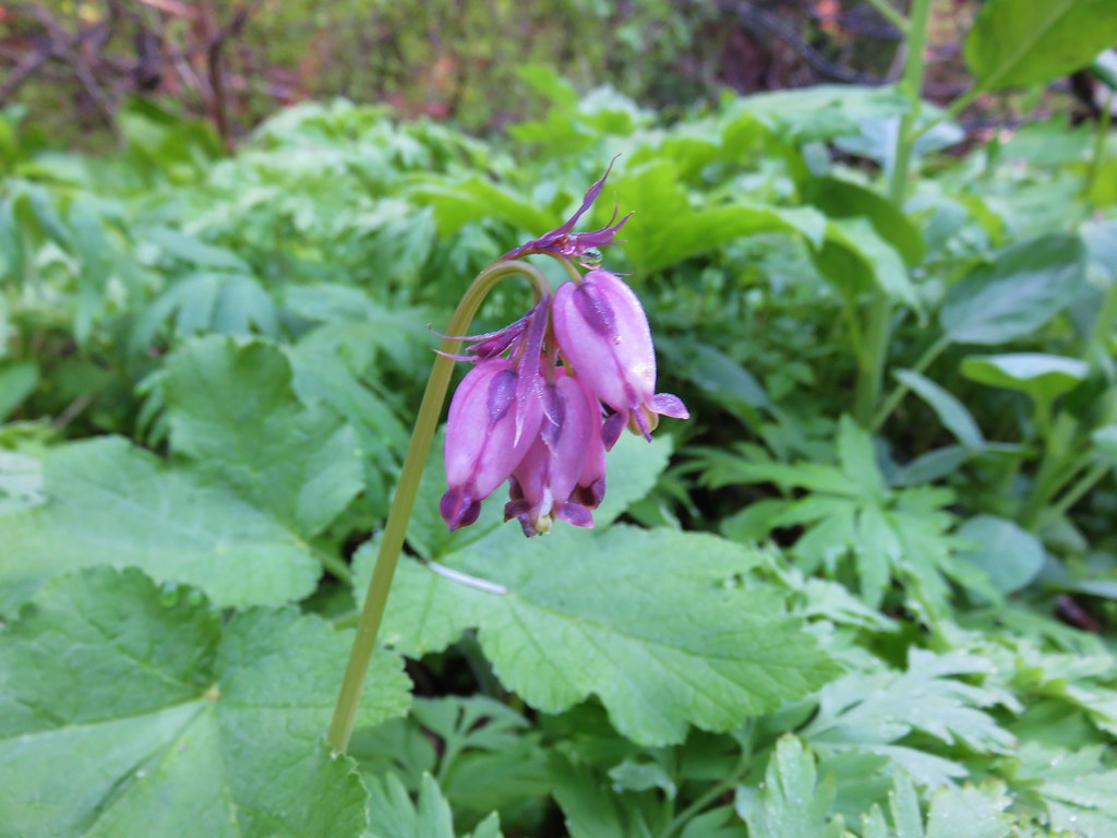 Bleeding heart along the Muir Creek Trail
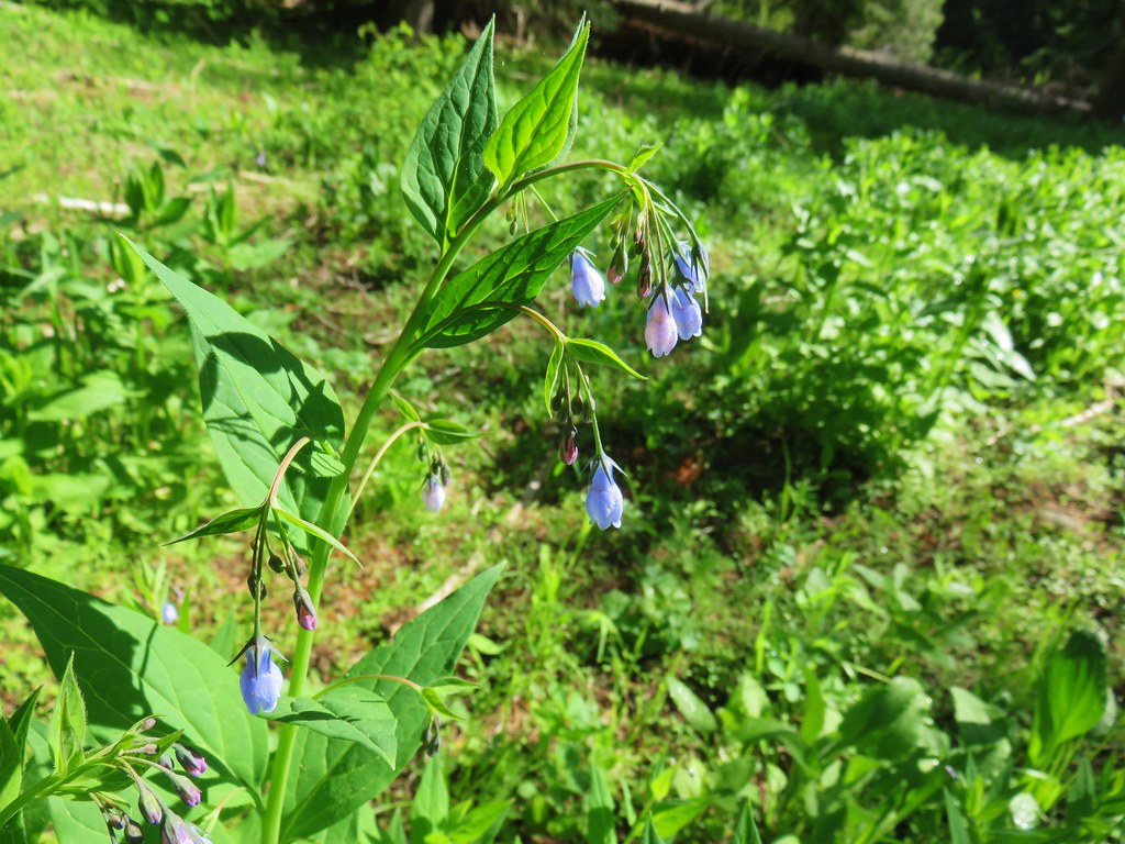 Tall mountain bluebells – Rogue-Umpqua Divide Wilderness
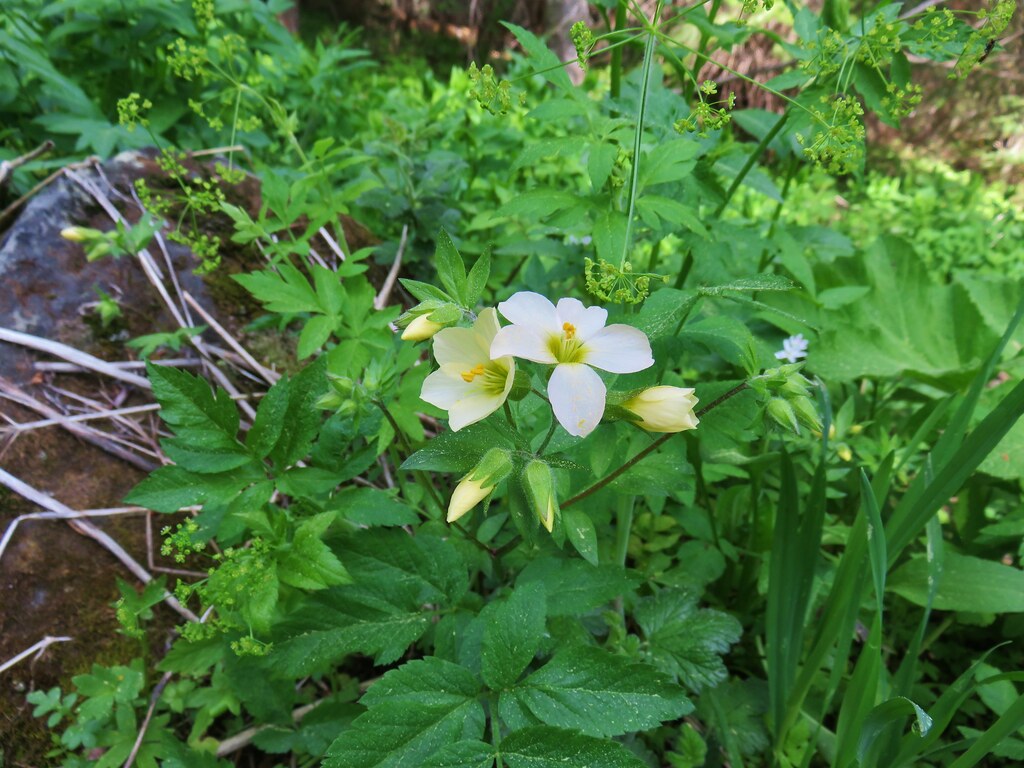 Jacob’s ladder – Rogue-Umpqua Divide Wilderness
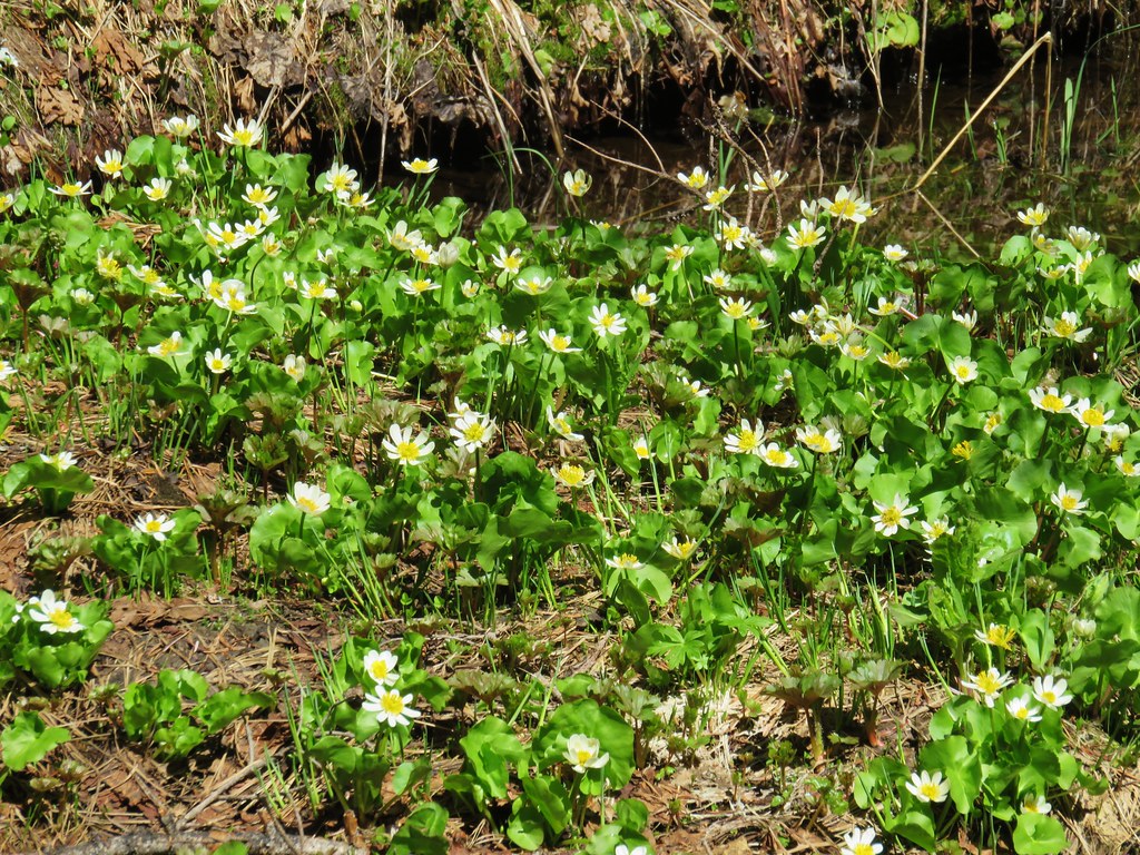 Marsh marigolds – Rogue-Umpqua Divide Wilderness
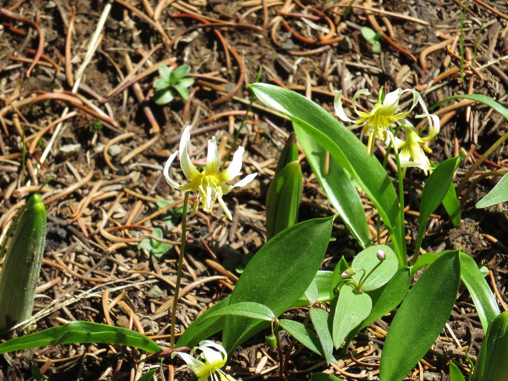 Avalanche lilies – Rogue-Umpqua Divide Wilderness
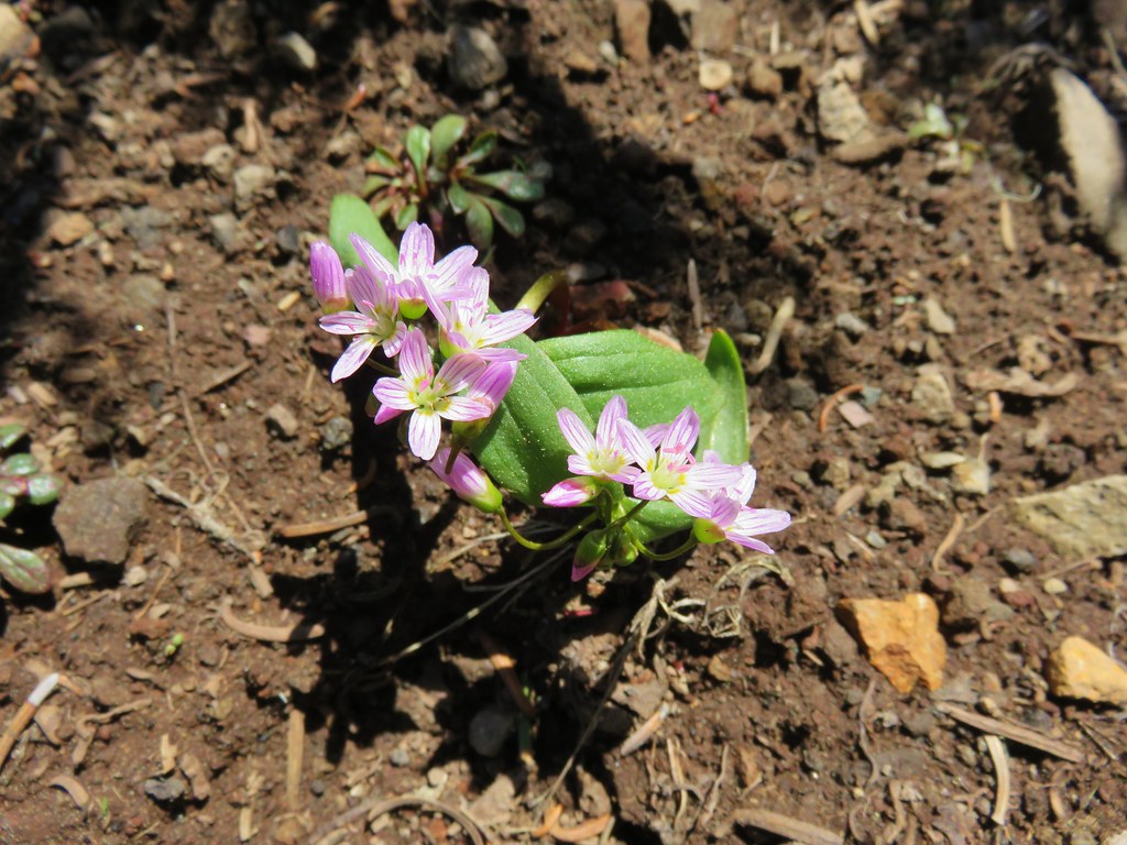 Spring Beauty – Rogue-Umpqua Divide Wilderness
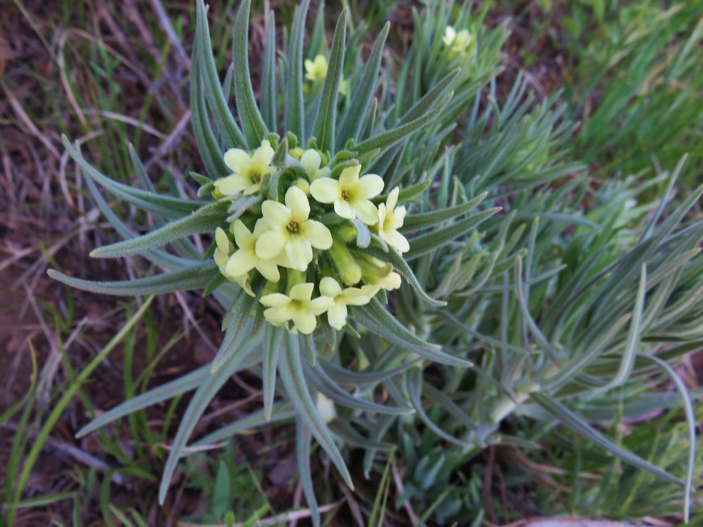 Western stoneseed – Black Butte
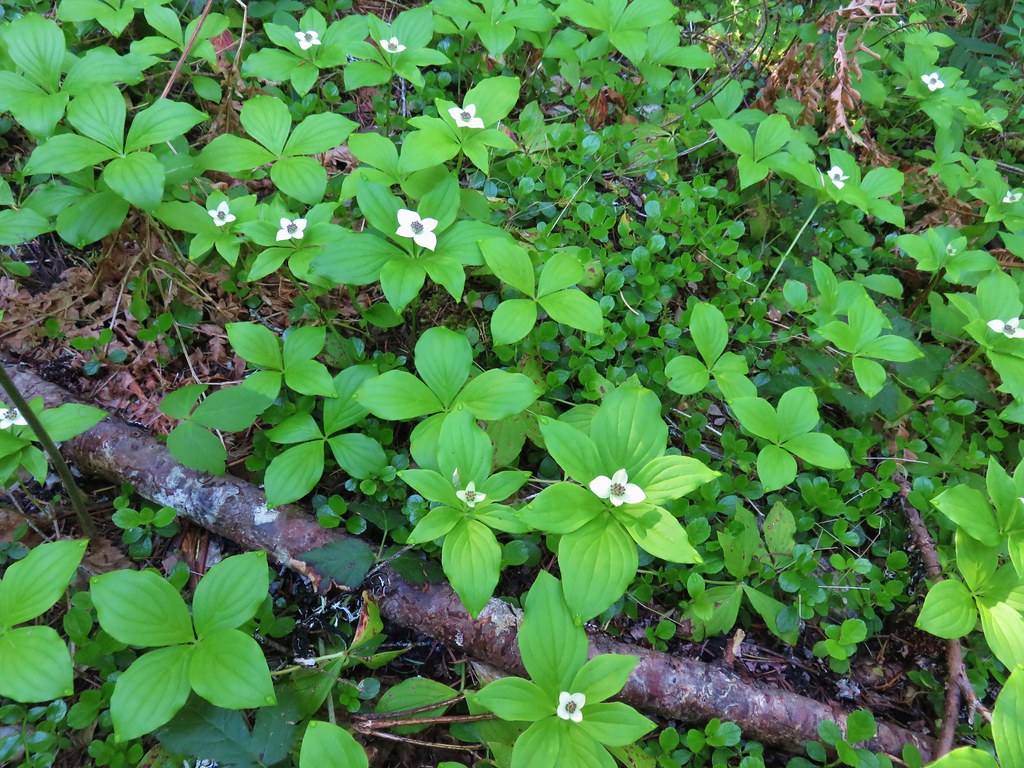 Bunchberry – Salmon River Trail
 Anemone – Salmon River Trail
 Star flowers – Salmon River Trail
 Valerian – Salmon River Trail
 Rhododendron – Salmon River Trail
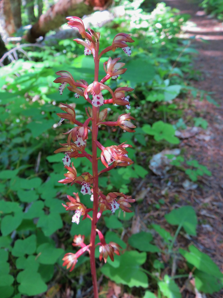 Spotted coralroot – Salmon River Trail
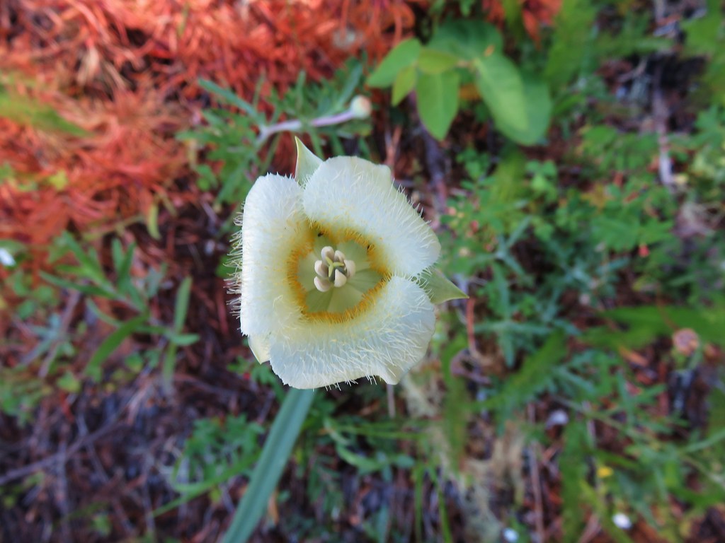 Cats ear lily – Salmon River Trail
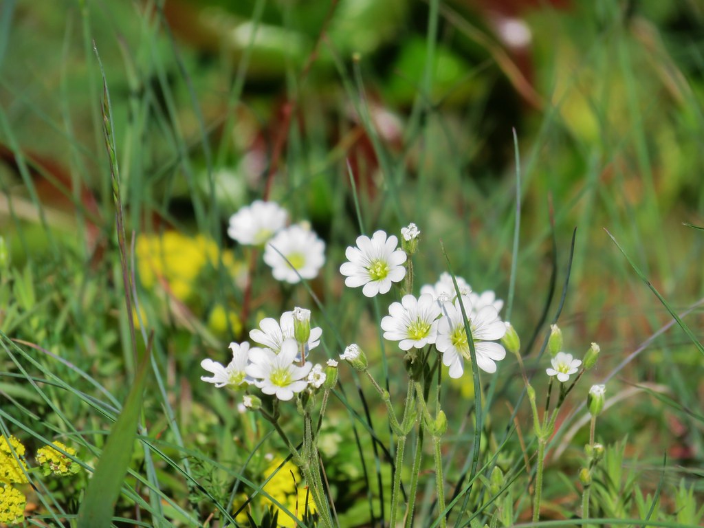 Filed chickweed – Salmon River Trail
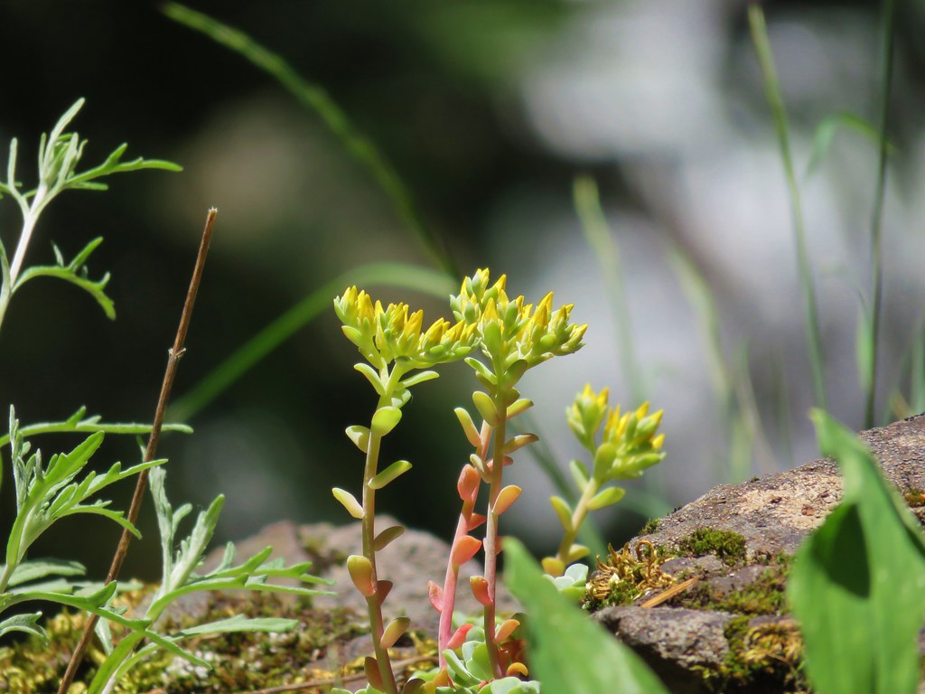 Stonecrop – Salmon River Trail
 unknown – Salmon River Trail
 Paintbrush and plectritis – Salmon River Trail
 Blue head gilia – Salmon River Trail
 Candy sticks – Salmon River Trail
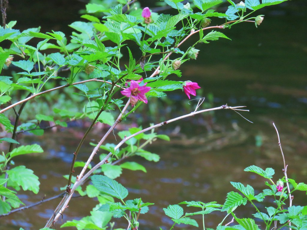 Salmonberry – Salmon River Trail
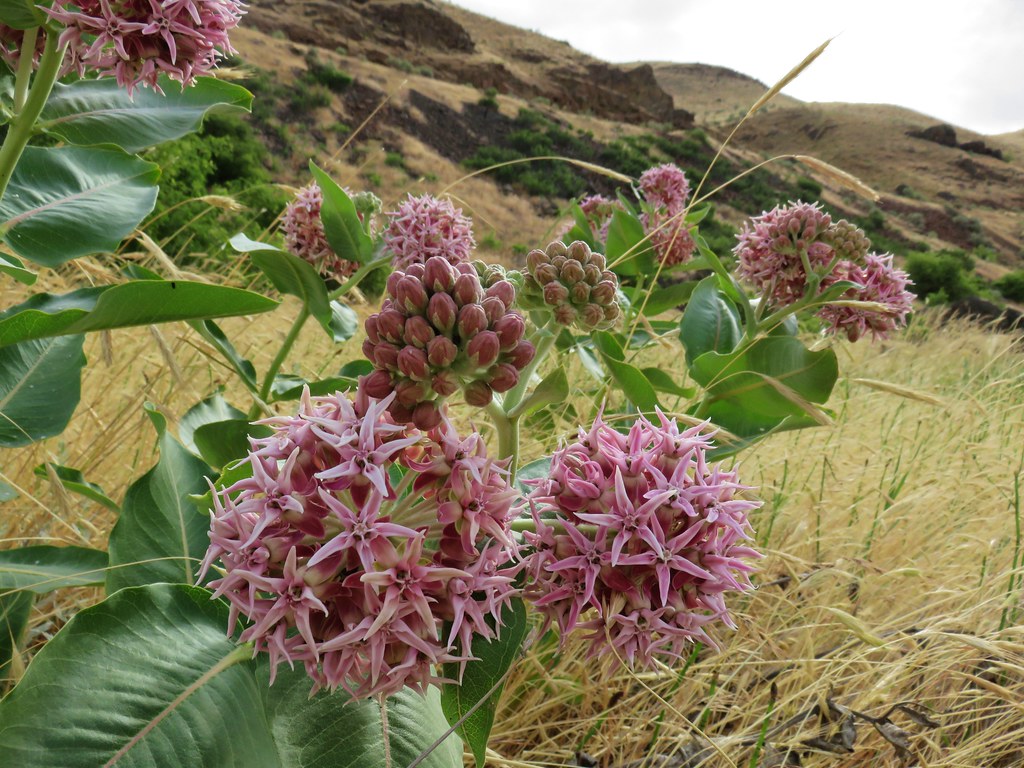 Showy milkweed along the Deschutes River
 Chicory (non-native) along the Deschutes River
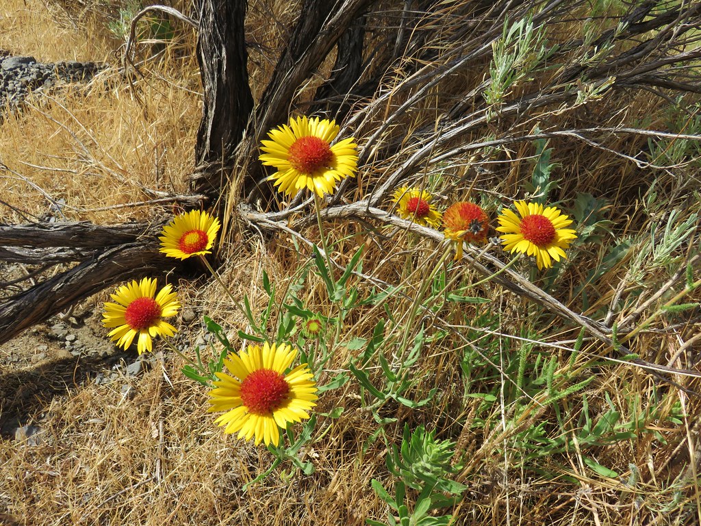 Blanket flower along the Deschutes River
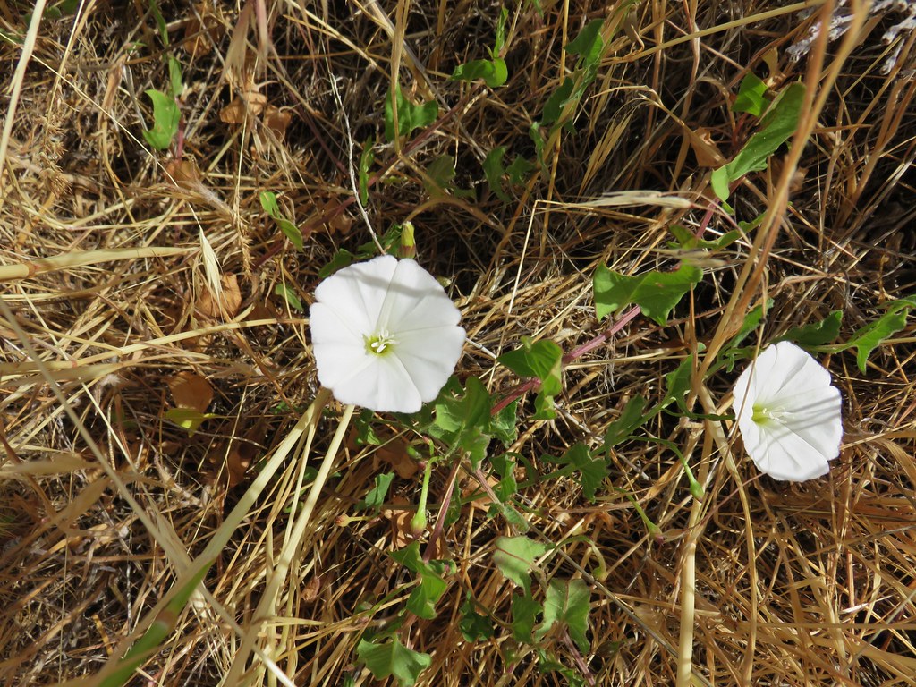 Bindweed along the Deschutes River
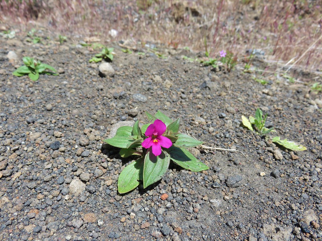 Dwarf monkeyflower – Diamond Craters
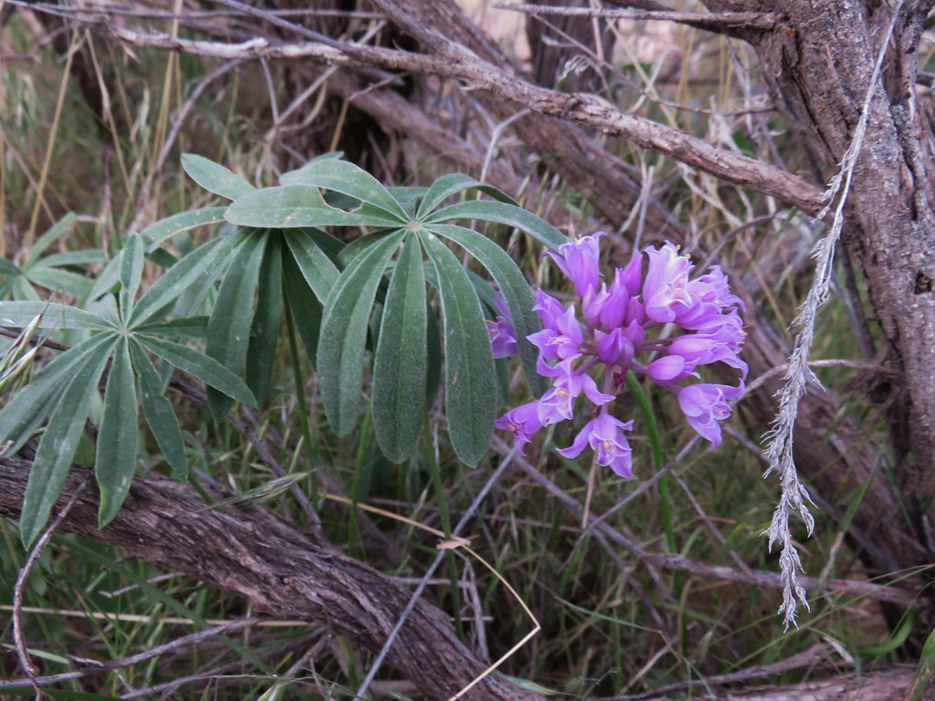 Wild onion – Jordan Craters
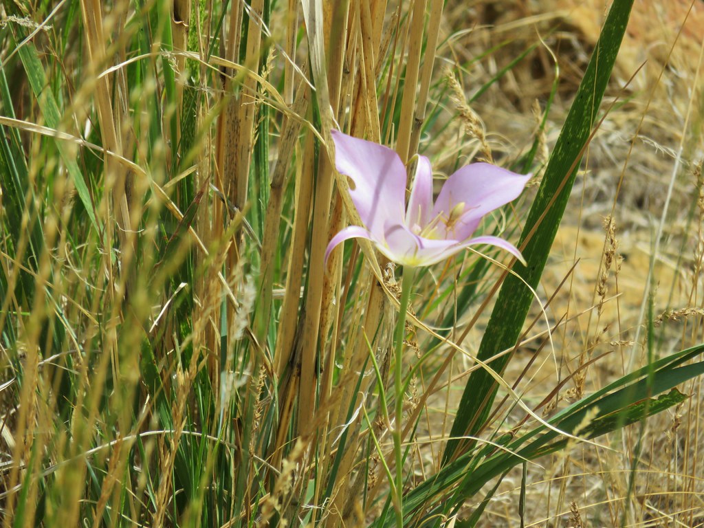 Sagebrush mariposa lily – Leslie Gulch
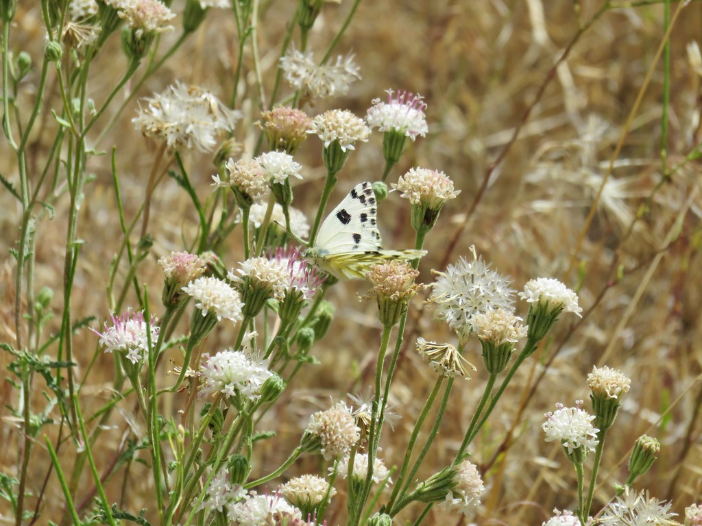 Dusty maiden – Leslie Gulch
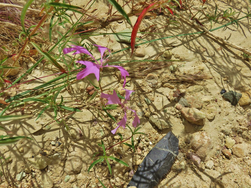 Clarkia – Leslie Gulch
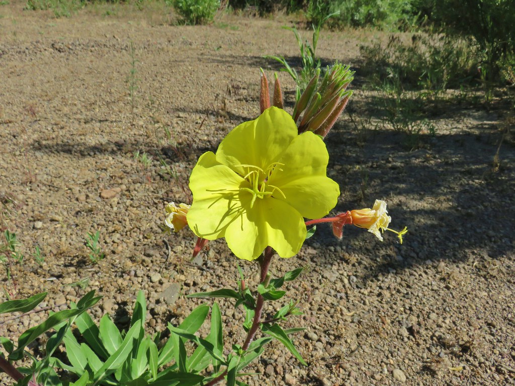 Evening Primerose – Three Forks
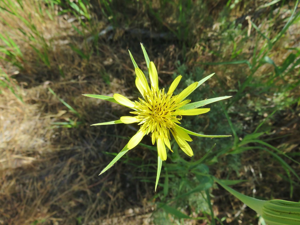 Salsify – Three Forks
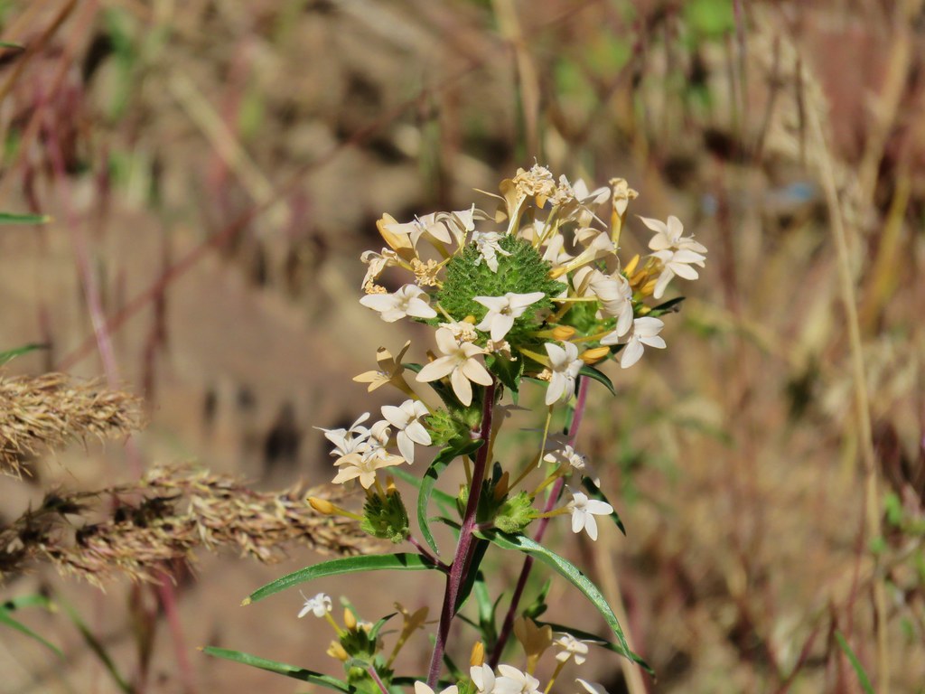 Grand collomia – Three Forks
 Stream orchid – Three Forks
 Mariposa lily – Three Forks
 unknown – Three Forks
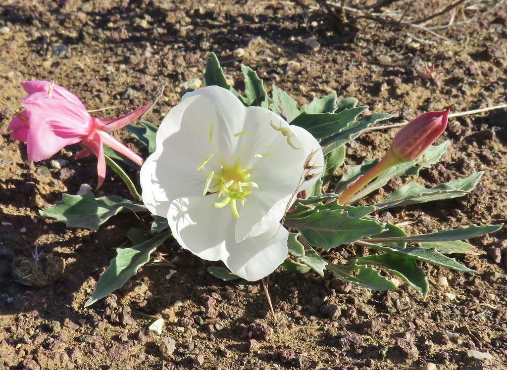 Tufted primrose – Chalk Basin
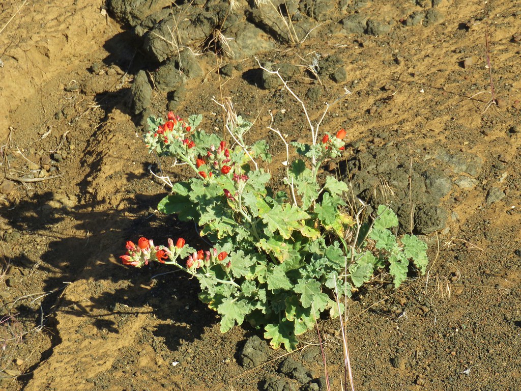 Orange globe mallow – Chalk Basin
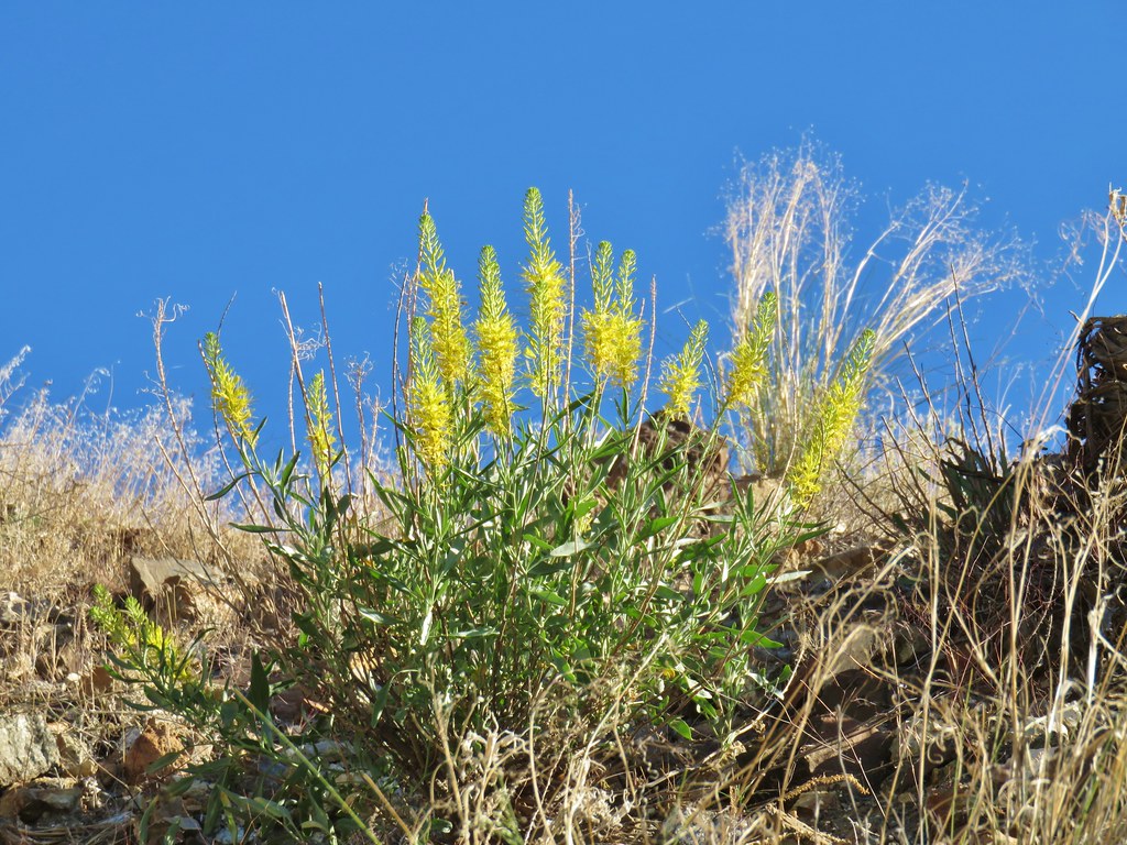 unknown – Chalk Basin
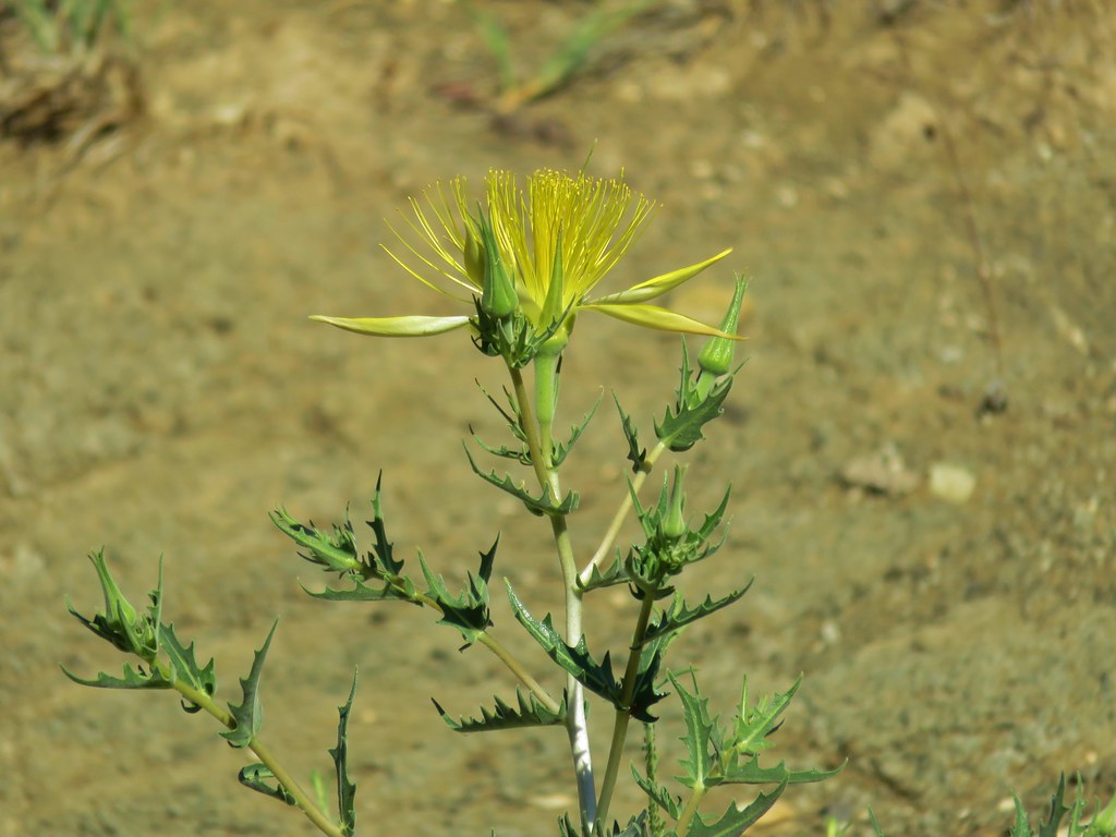 Smooth stemmed blazing star – Chalk Basin
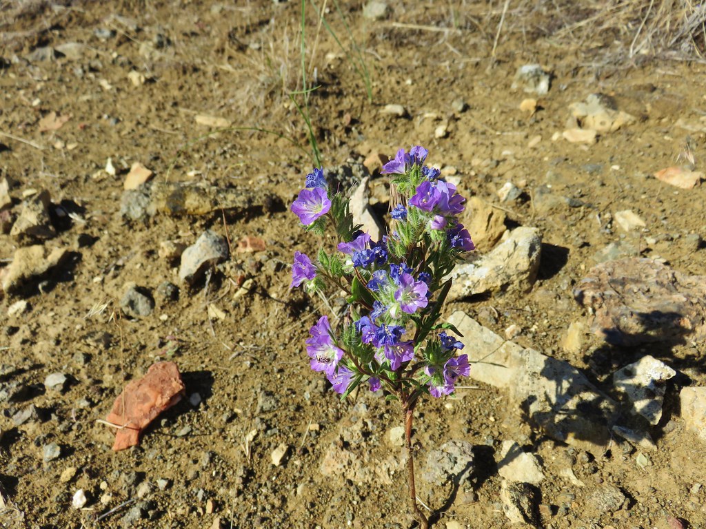 Threadleaf phacelia – Chalk Basin
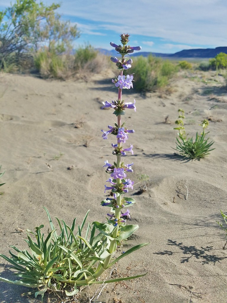 Penstemon – Alvord Desert
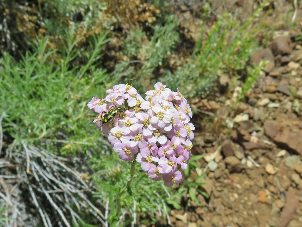 Yarrow – Pike Creek
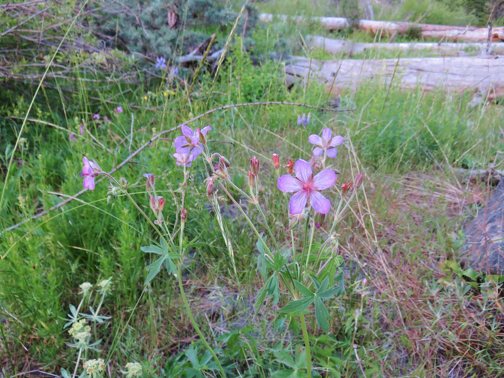 Geranium – Myrtle Creek
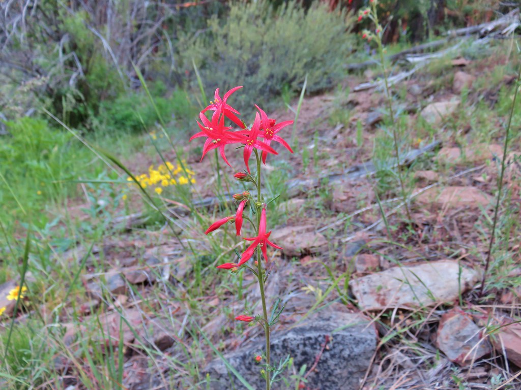 Scarlet gilia – Myrtle Creek
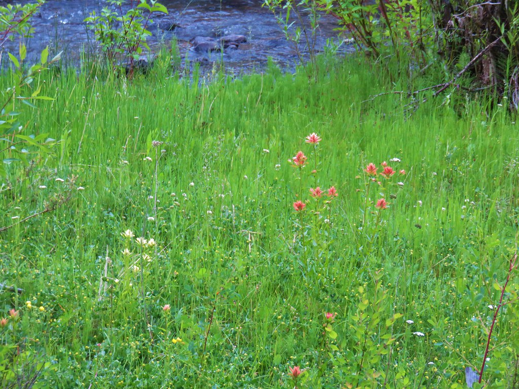 Yelow and red paintbrush – Myrtle Creek
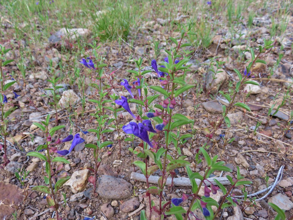 Skull cap – Myrtle Creek
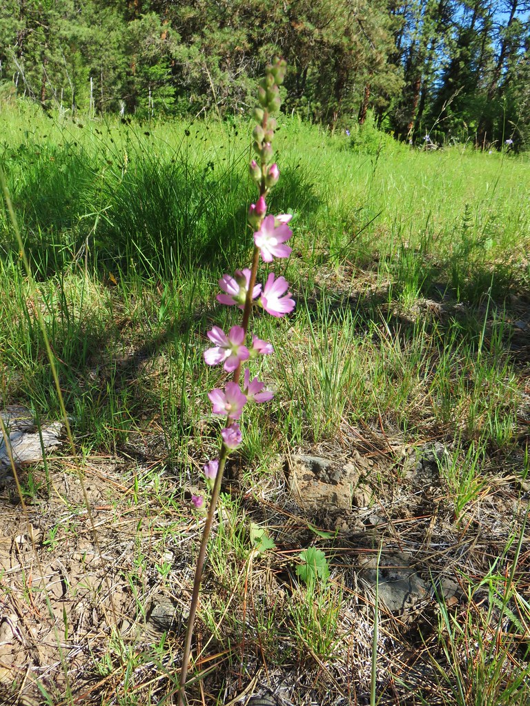 Checkermallow – Myrtle Creek
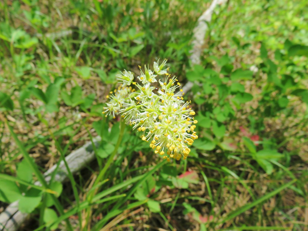 Death camas – Myrtle Creek
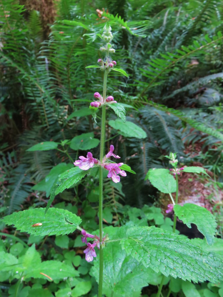 Hedgenettle – Saddle Mountain
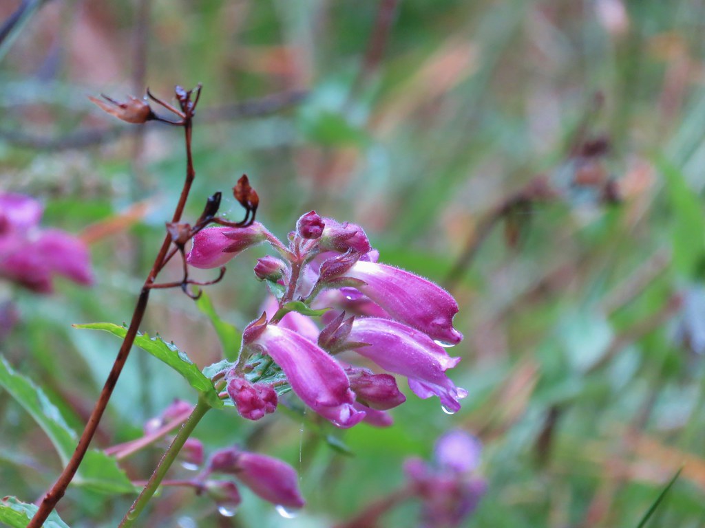 Beardstongue – Saddle Mountain
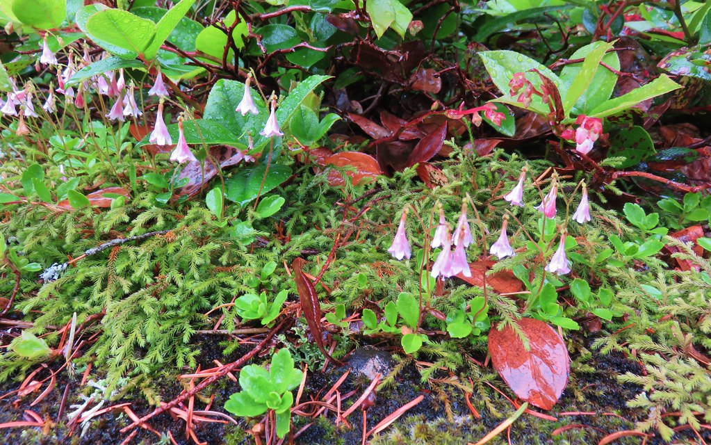 Twin flower – Saddle Mountain
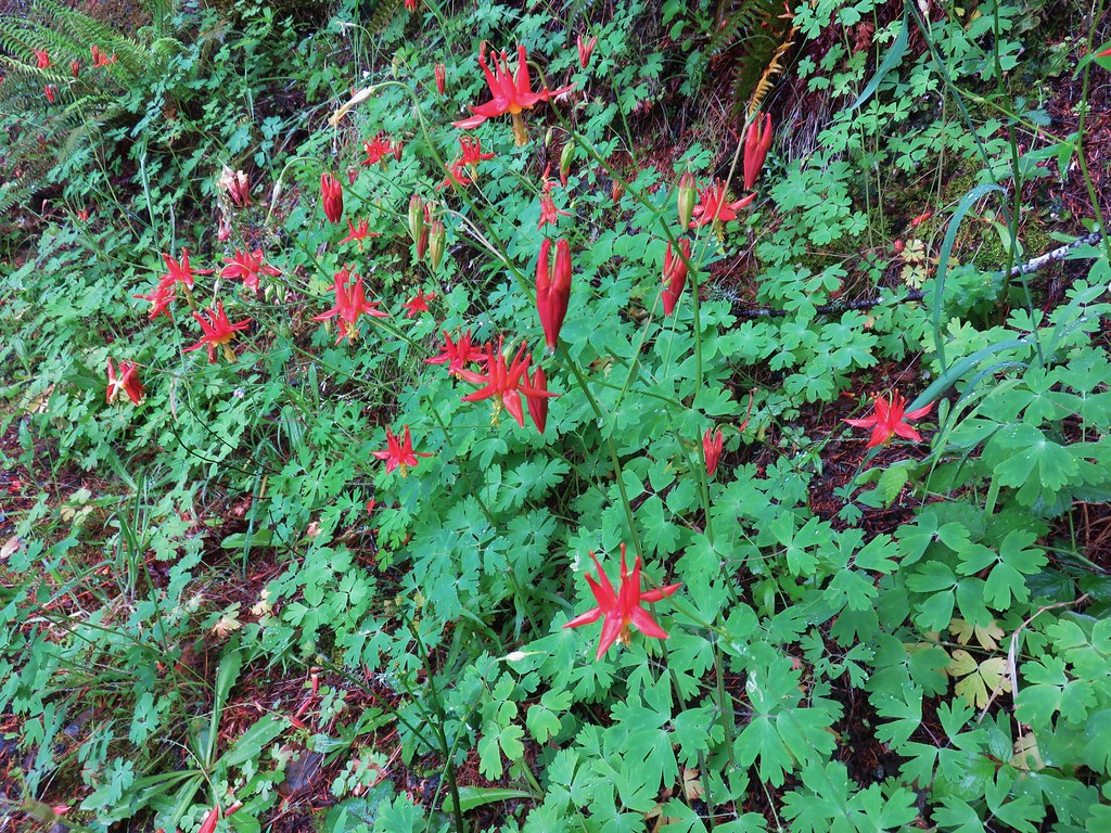 Columbine – Saddle Mountain
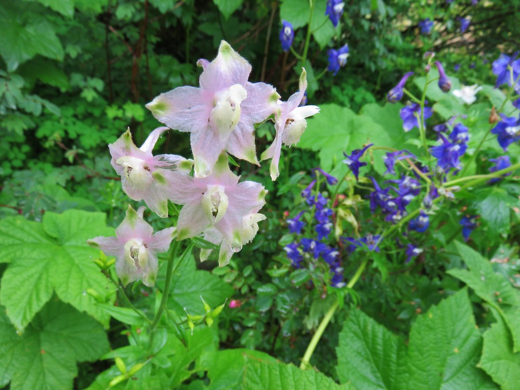 Larkspur – Saddle Mountain
 Wildflowers on Saddle Mountain
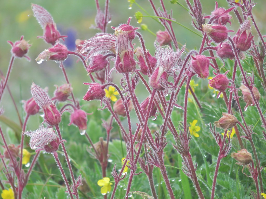 Old man’s whiskers – Saddle Mountain
 Wallflower – Saddle Mountain
 Featherbells – Saddle Mountain
 Inside out flower – Saddle Mountain
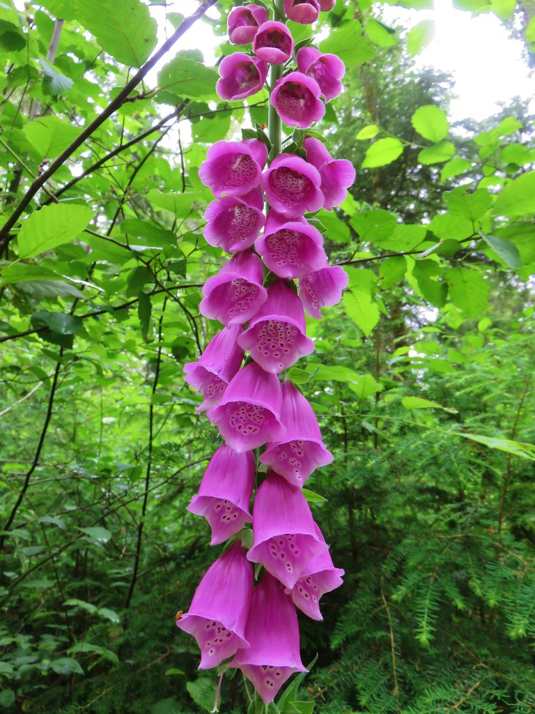 Foxglove (non-native) – Soapstone Lake
 Fireweed – Elk Lake Creek
 Spreading dogbane – Elk Lake Creek
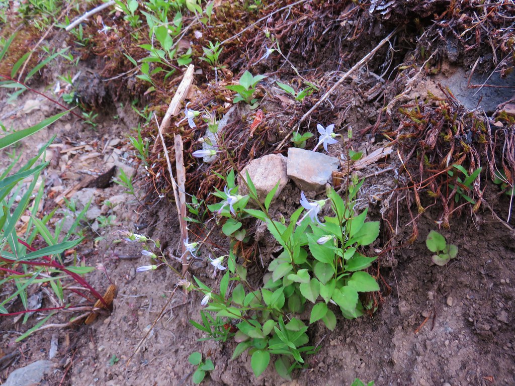 Scouler’s bluebells – Elk Lake Creek
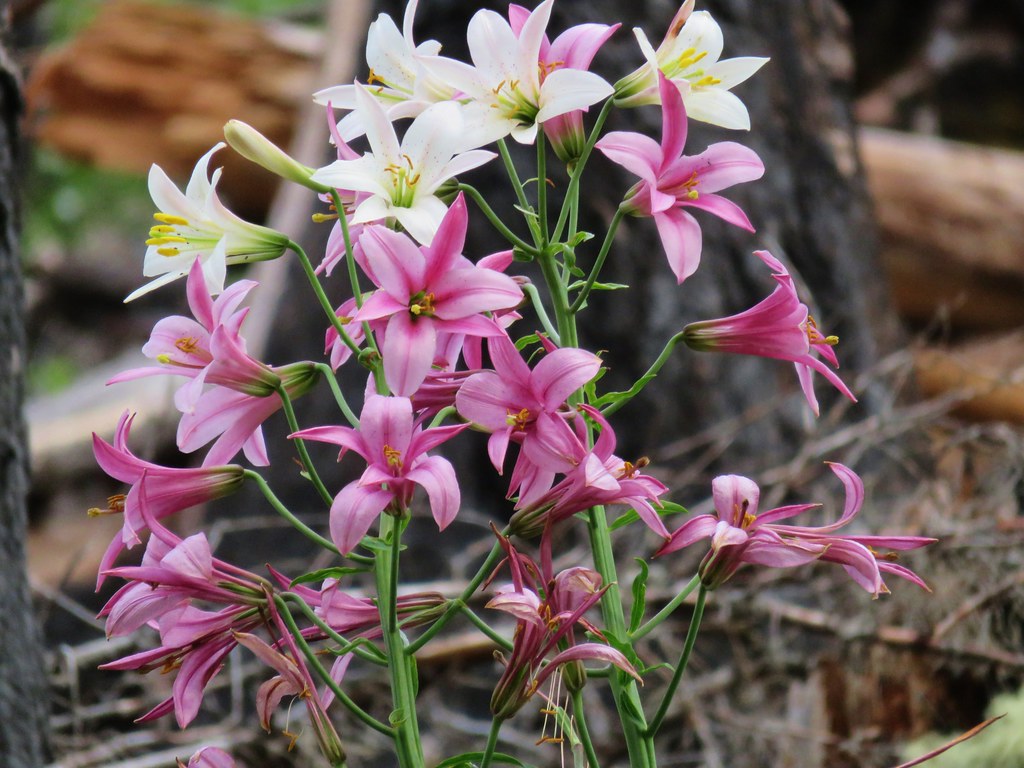 Washington lilies – Elk Lake Creek
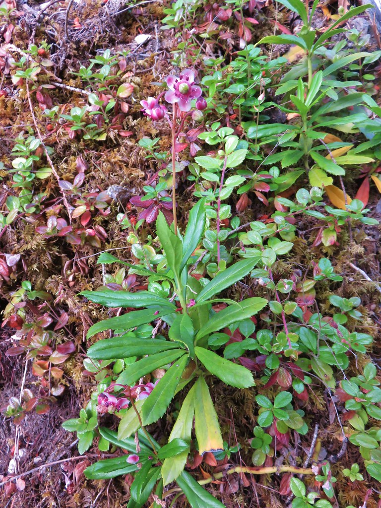 Prince’s pine – Elk Lake Creek
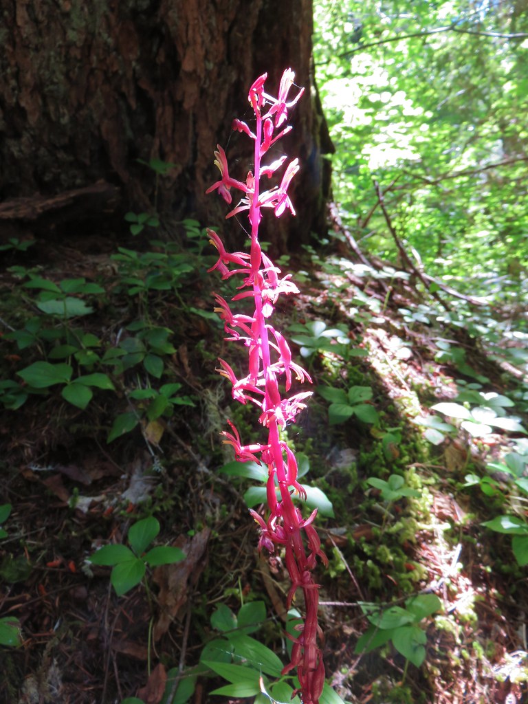 Coralroot – Elk Lake Creek
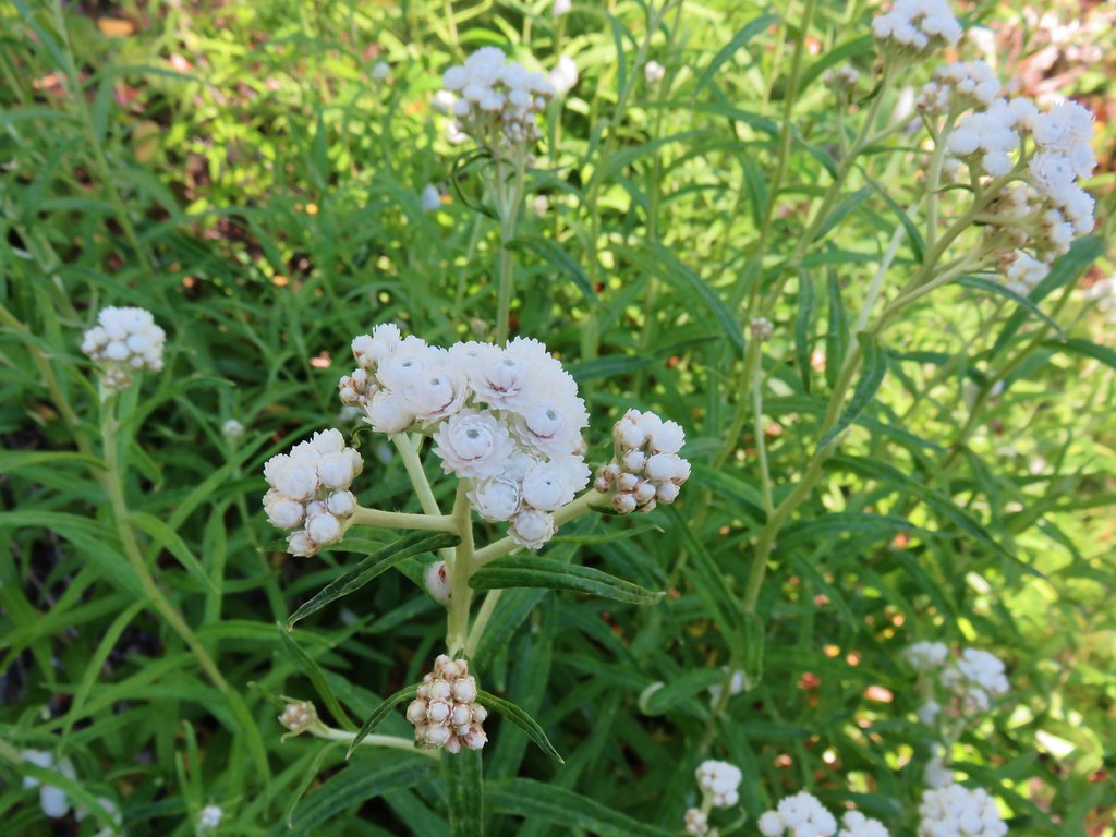 Pearly everlasting – Elk Lake Creek
 Wild ginger – Browder Ridge
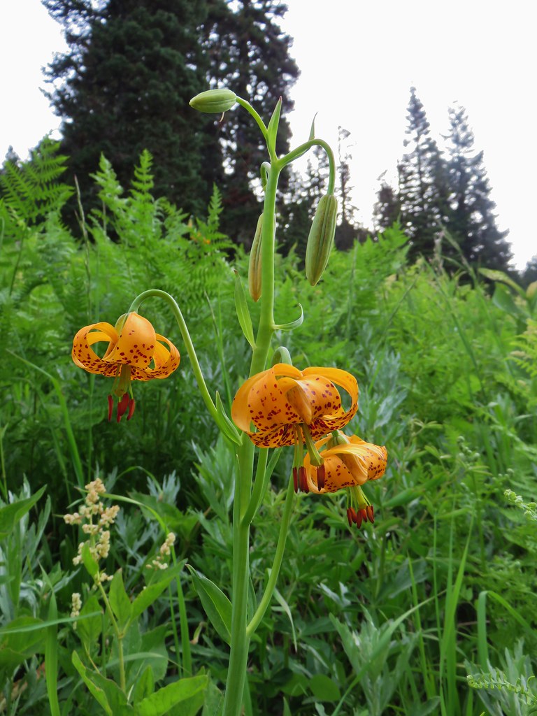 Tiger lily – Browder Ridge
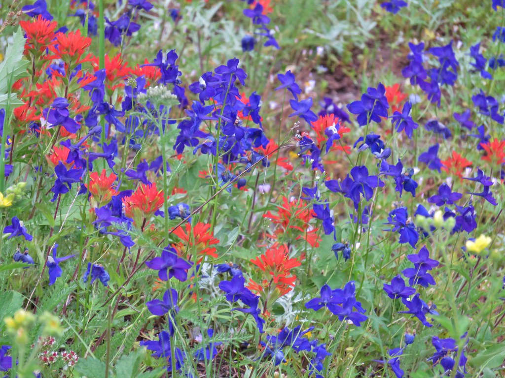 Larkspur and paintbrush – Browder Ridge
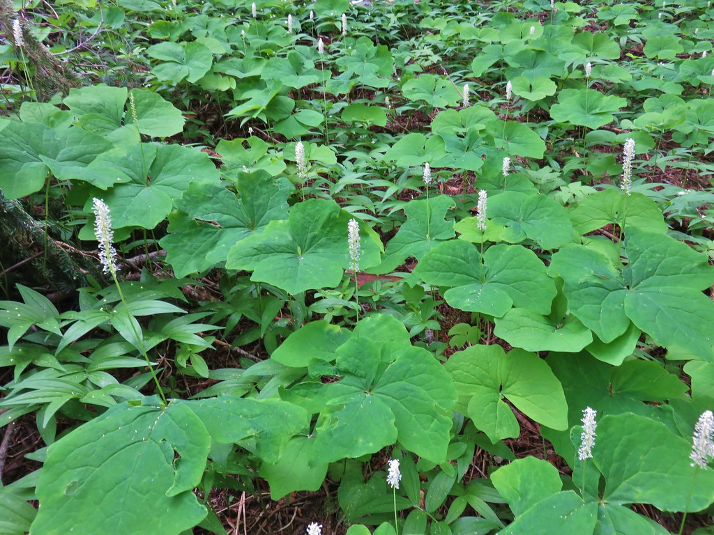 Vanilla leaf – Browder Ridge
 Sagebrush false dandelions and cat’s ear lilies – Browder Ridge
 Oregon sunshine? – Browder Ridge
 Spirea – Browder Ridge
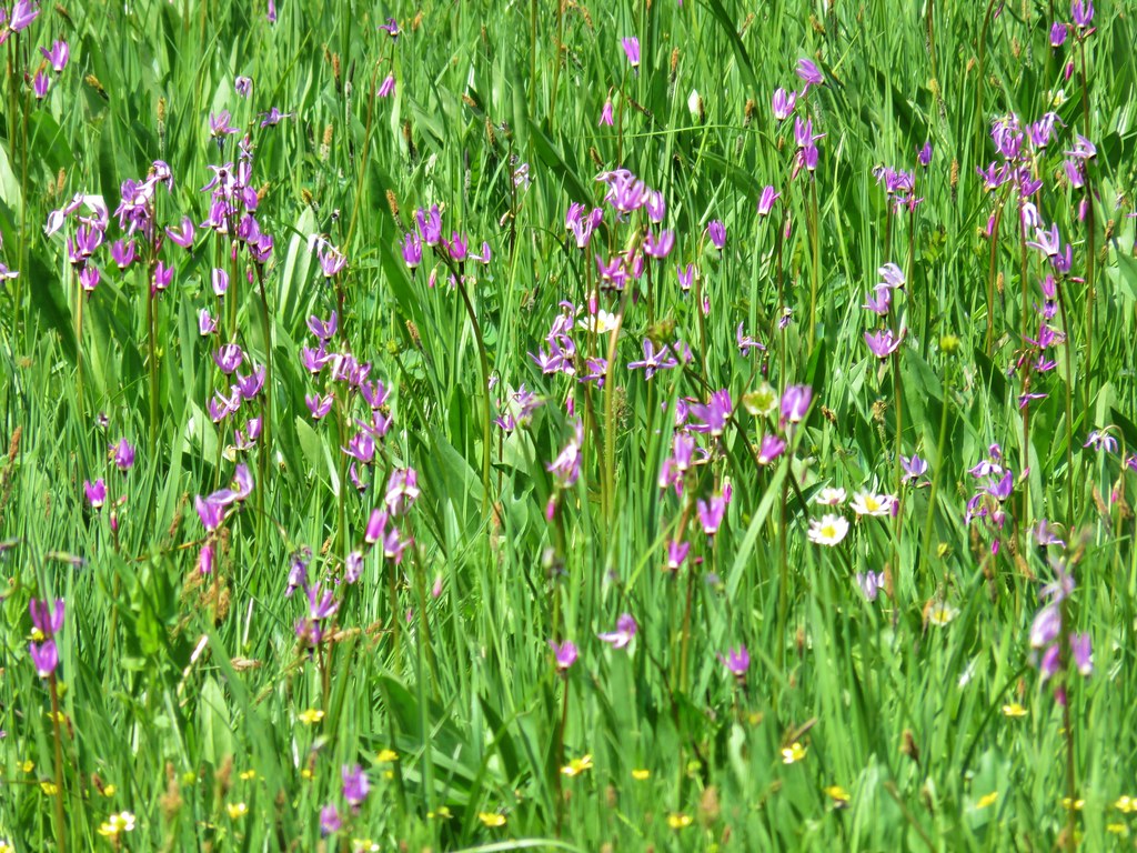 Shooting stars – Heart Lake
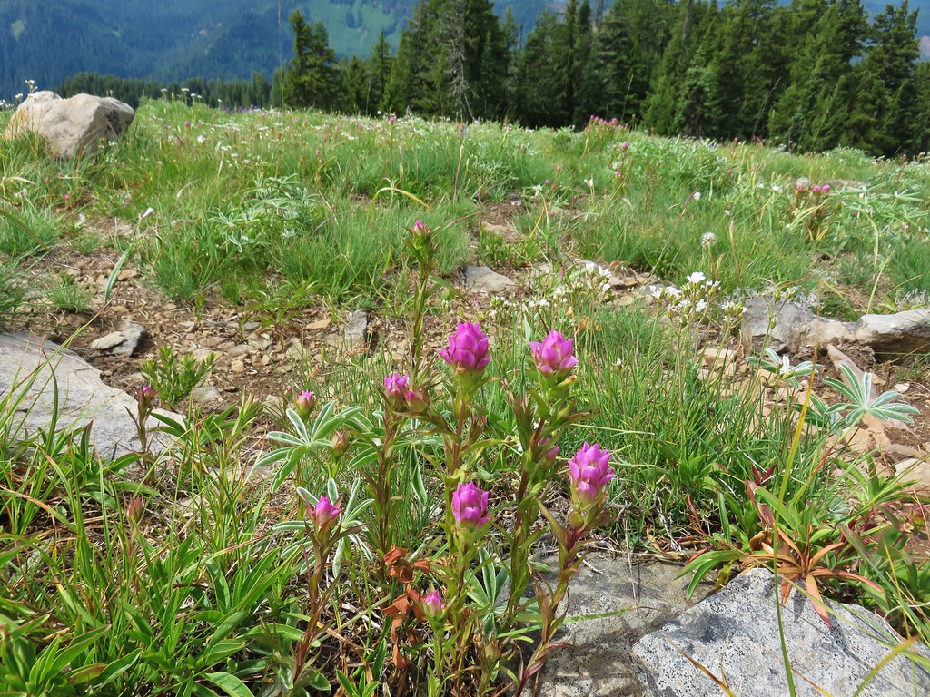 Owls clover – Browder Ridge
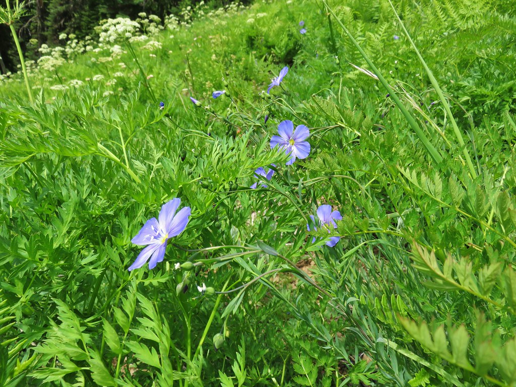 Lewis Flax – Browder Ridge
 Northern phlox – Horsepasture Mountain
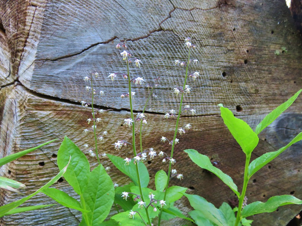 Foam flower – Horsepasture Mountain
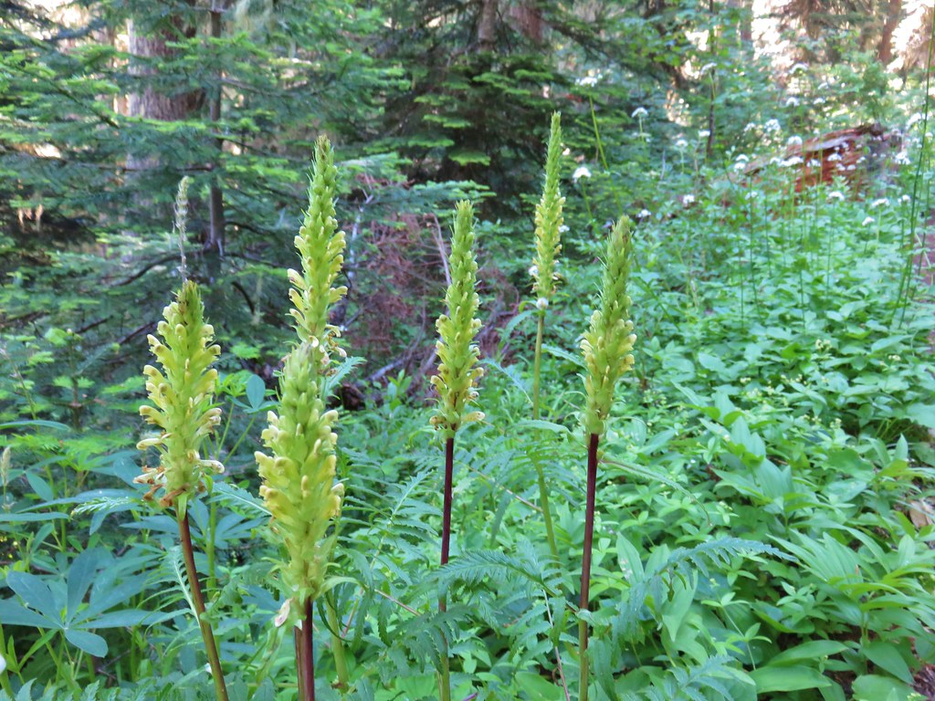 Lousewort – Horsepasture Mountain
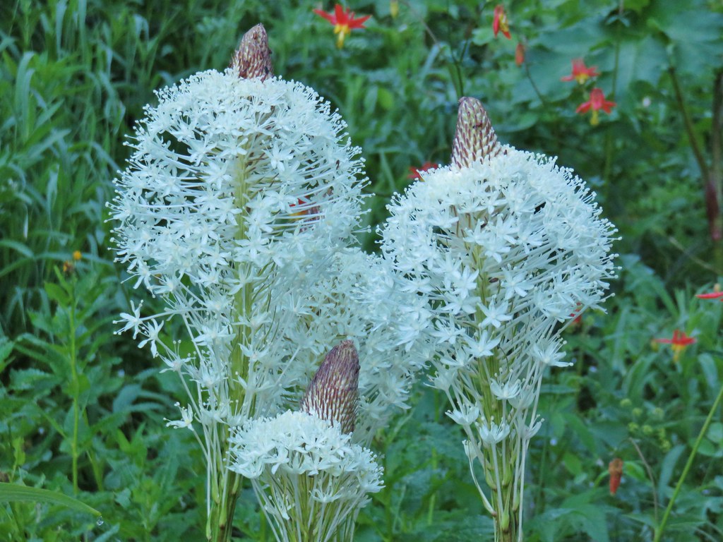 Beargrass – Horsepasture Mountain
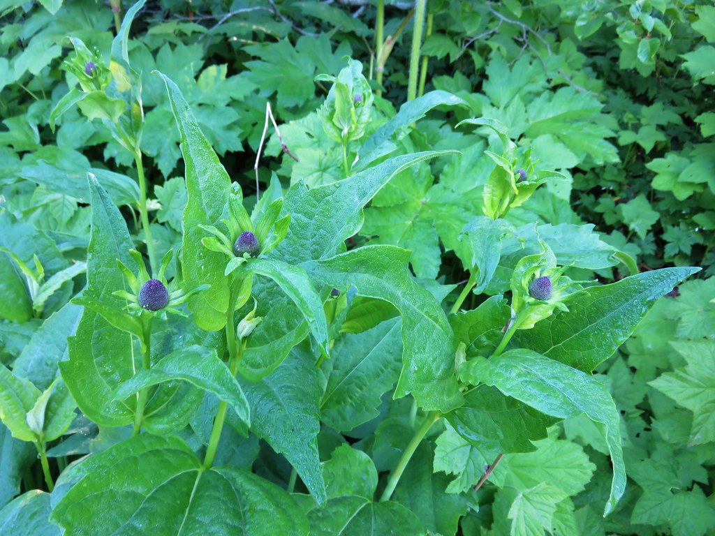 Coneflower – Horsepasture Mountain
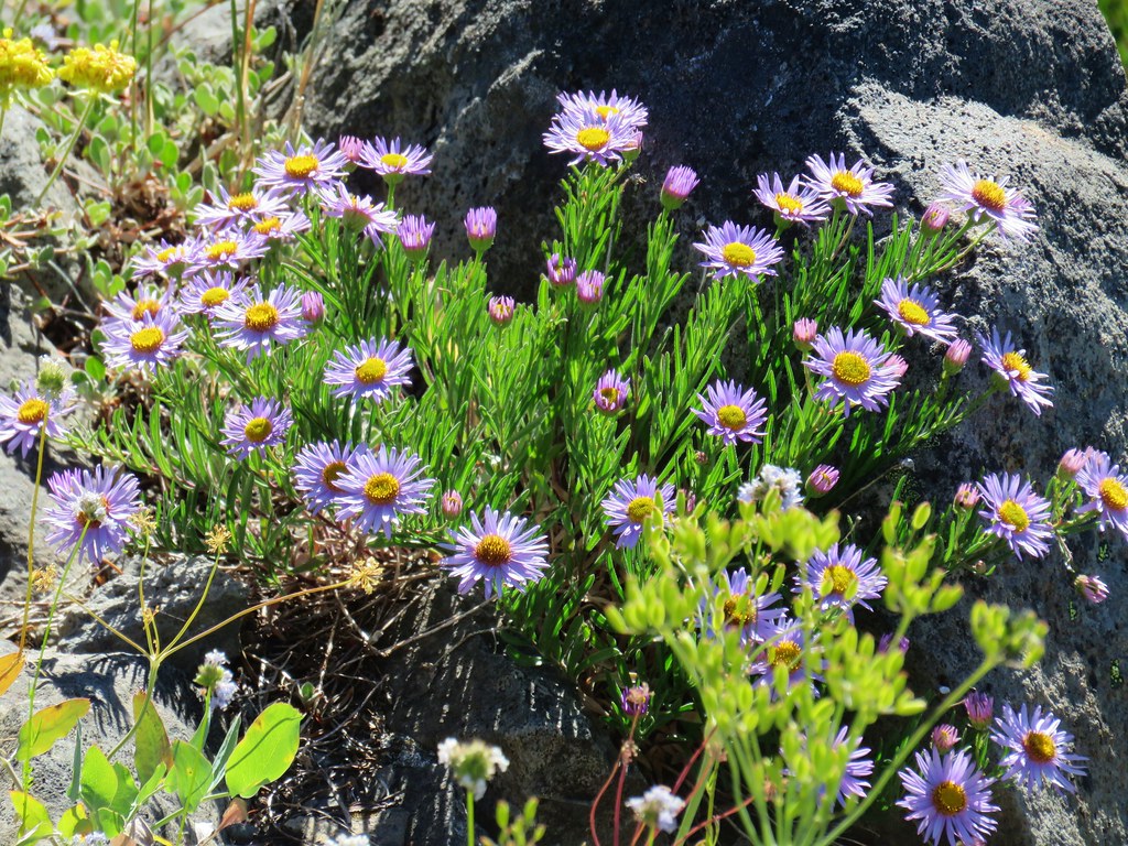 A fleabane – Horsepasture Mountain
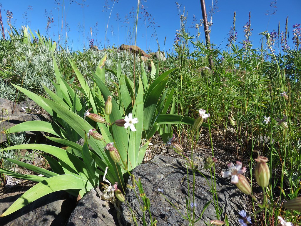 Catchfly – Horsepasture Mountain
 False hellebore – Opal Creek Wilderness
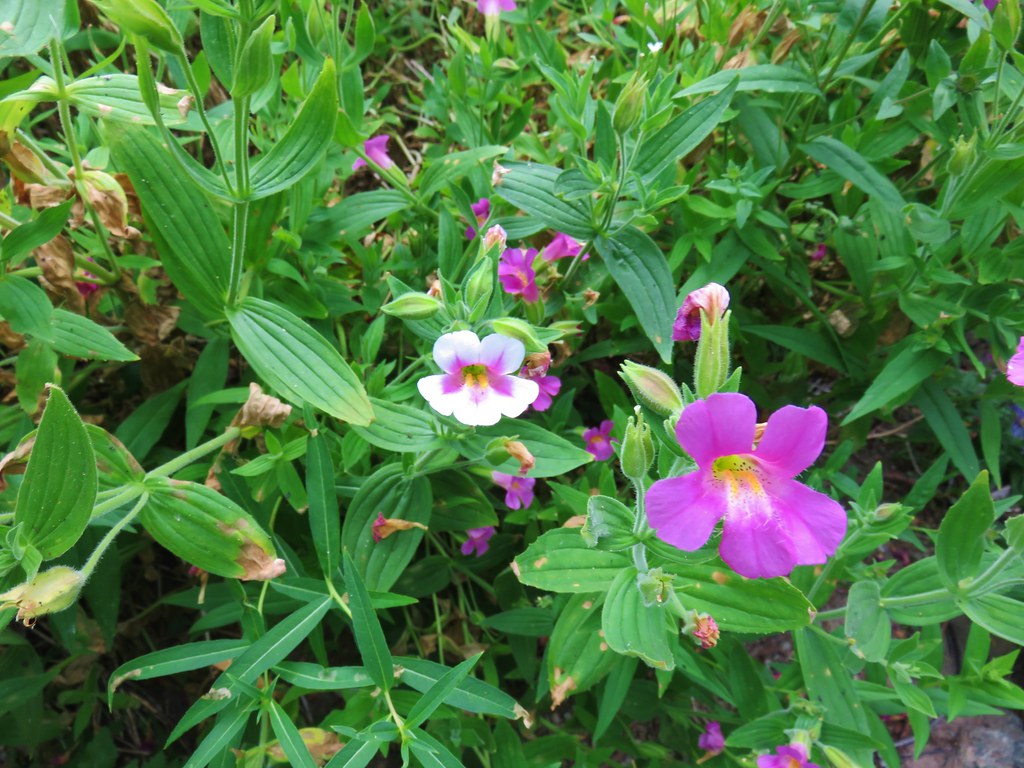 Monkeyflower – Strawberry Mountain Wilderness
 Streambed globe mallow – Strawberry Mountain Wilderness
 Mountain coyote mint – Strawberry Mountain Wilderness
 Low Jacob’s ladder – Strawberry Mountain Wilderness
 Nuttall’s linanthus – Strawberry Mountain Wilderness
 Bog orchids – Wildcat Spring
 Elephants head – Strawberry Mountain Wilderness
 Louewort – Strawberry Mountain Wilderness
 Yellow paintbrush – Strawberry Mountain Wilderness
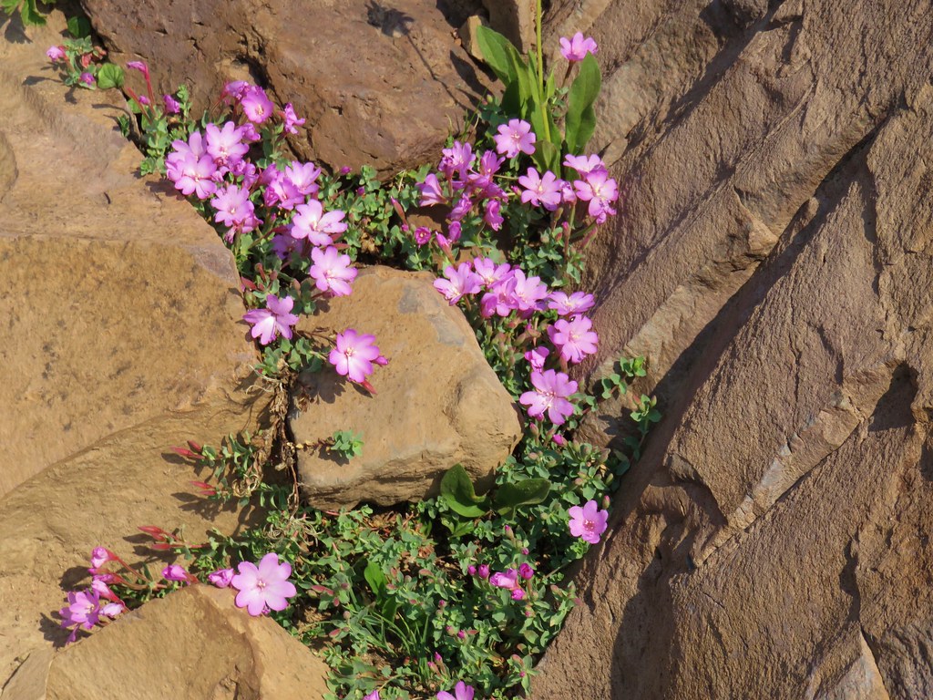 Rockfringe willowherb – Strawberry Mountain Wilderness
 Small wildflower meadow in the Strawberry Mountain Wilderness
 Wild rose – Strawberry Mountain Wilderness
 Penstemon – Strawberry Mountain Wilderness
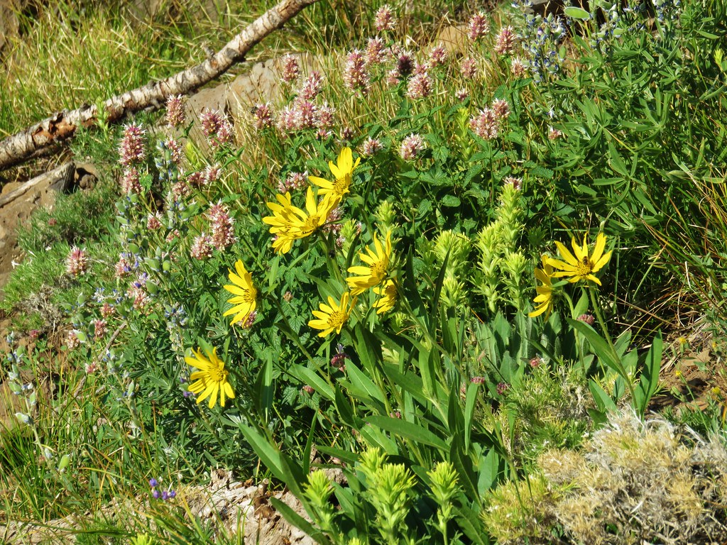 Hyssop, yellow paintbrush and unknown yellow flowers in the Strawberry Mountain Wilderness
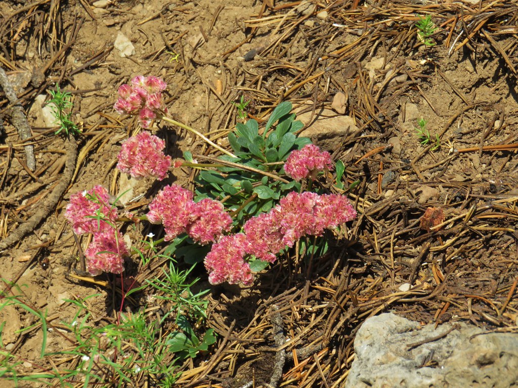 Pussypaws – Strawberry Mountain Wilderness
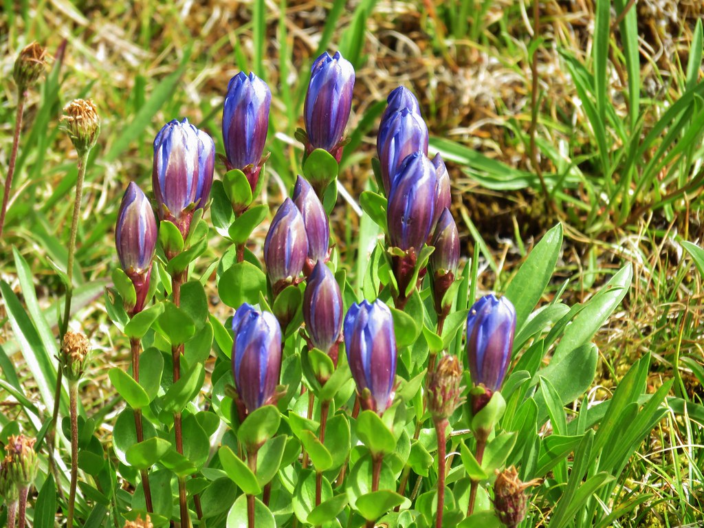 Gentians – Mt. Jefferson Wilderness
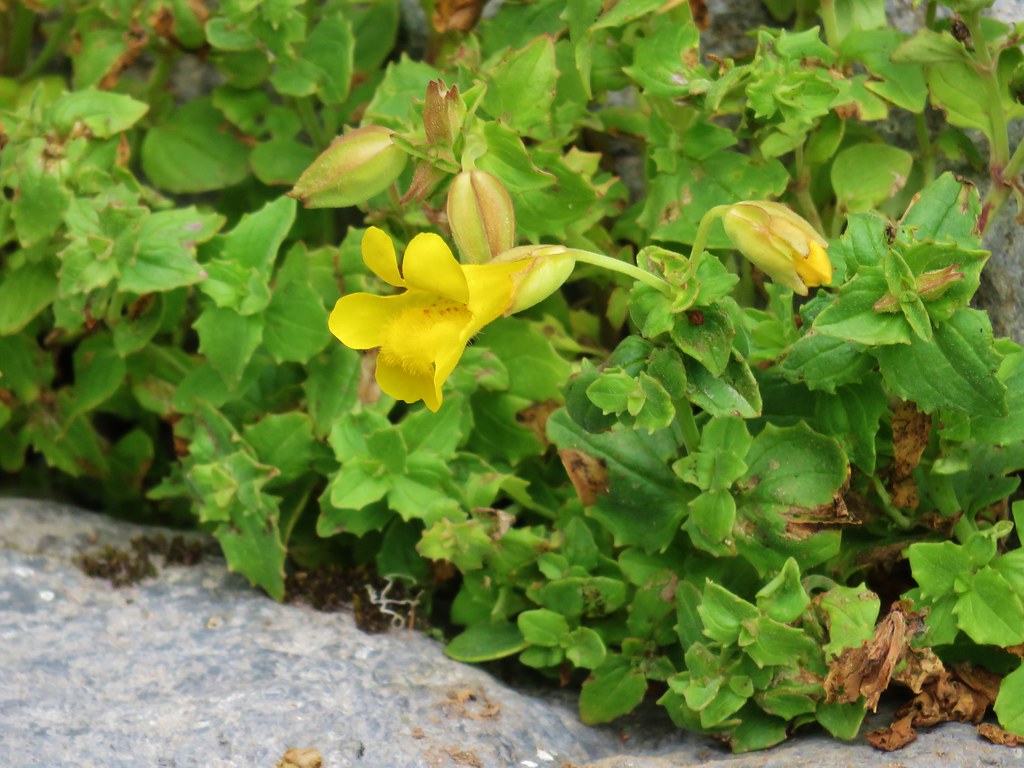 Yellow monkeyflower – Mt. Jefferson Wilderness
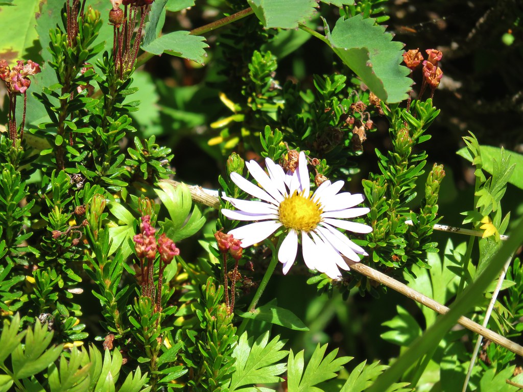 Aster – Elkhorns
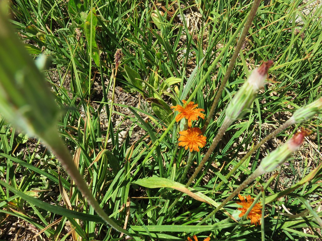 Orange agoseris – Elkhorns
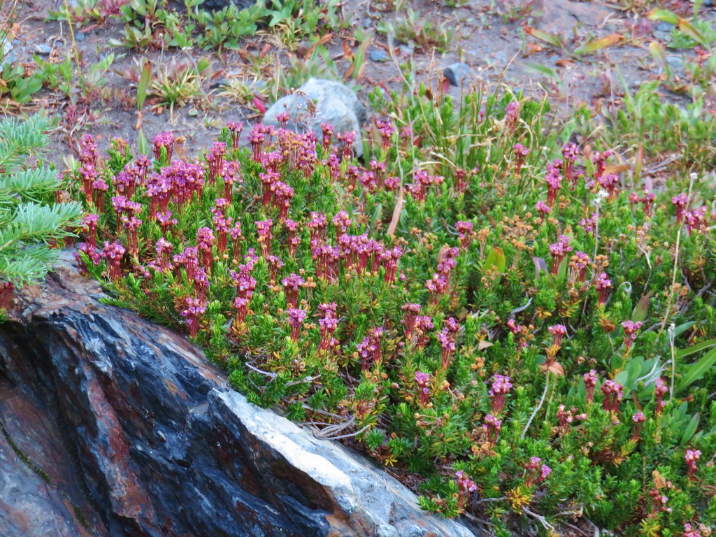 Mountain heather – Twin Lakes
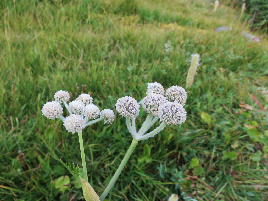 unknown – Twin Lakes
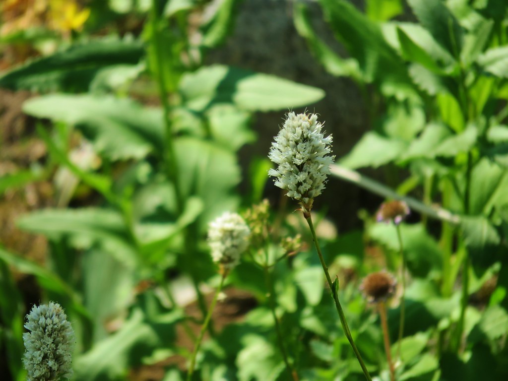 Bistort – Elkhorns
 Groundsel? – Waldo Lake
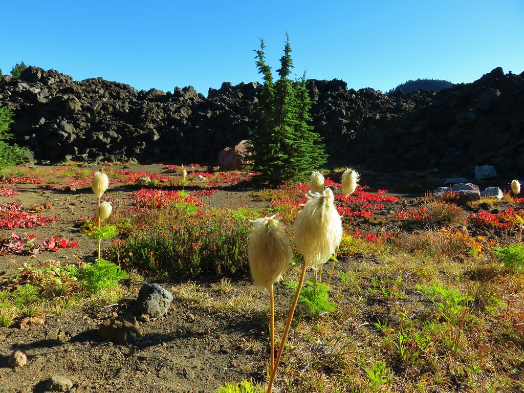 Western pasque flower – Mt. Jefferson Wilderness
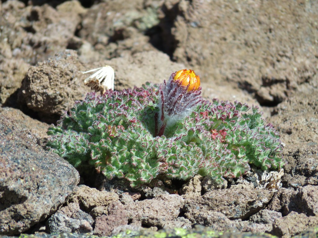 unknown – South Climb Route, Mt. Jefferson
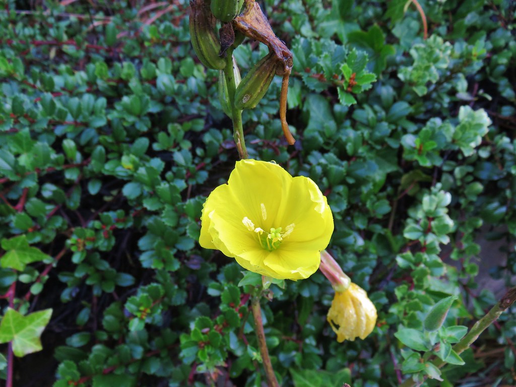 Moth mullen – Cape Perpetua
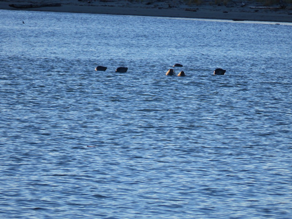 Seals in Nehalem Bay
 Tree frog – Patterson Mountain
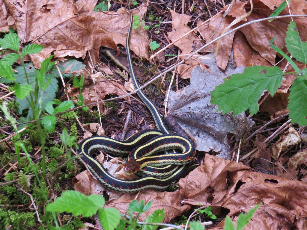 Garter snake on Patterson Mountain
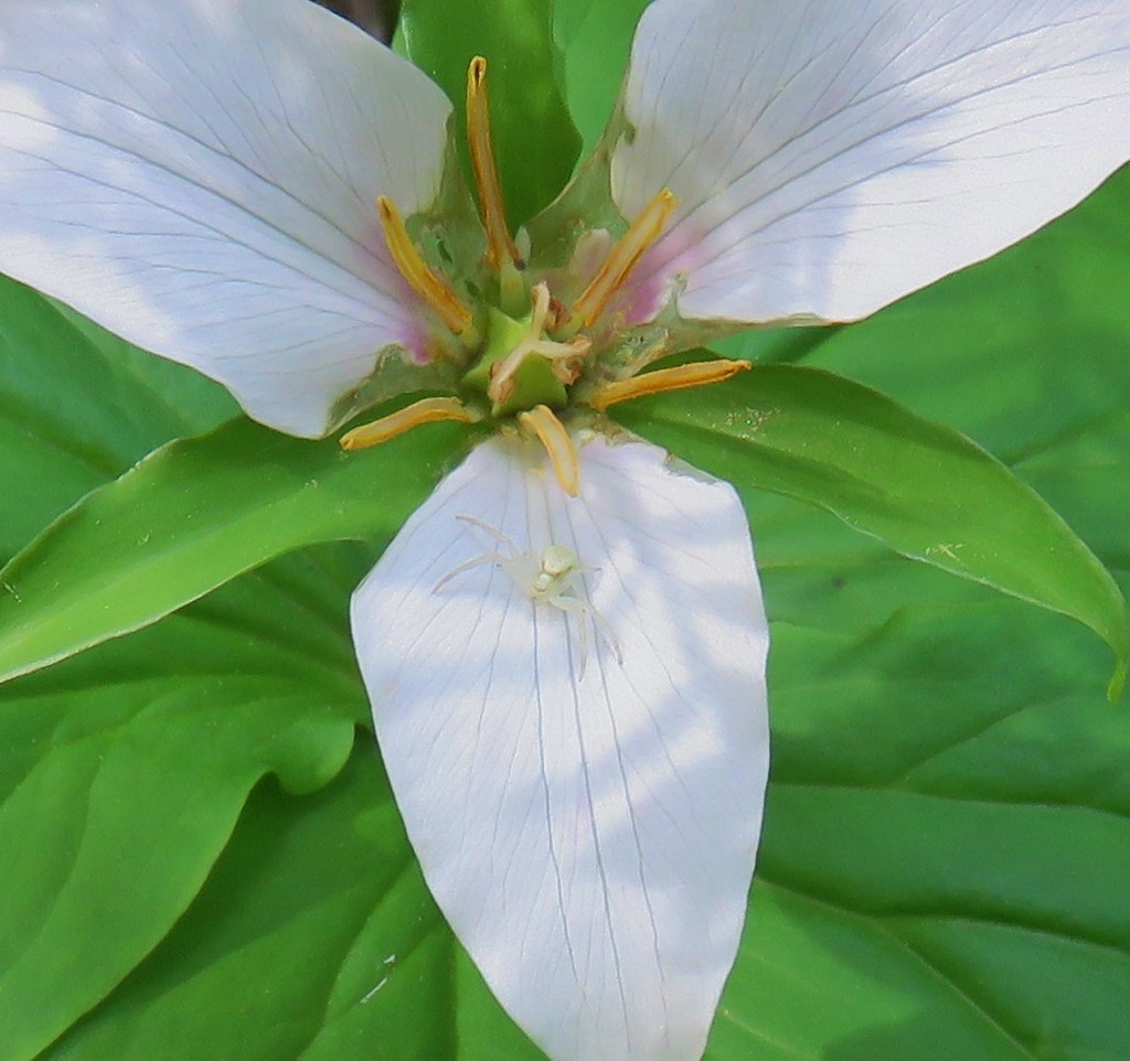 Crab spider – Lookout Creek Trail
 Beetle – Carpenter Mountain
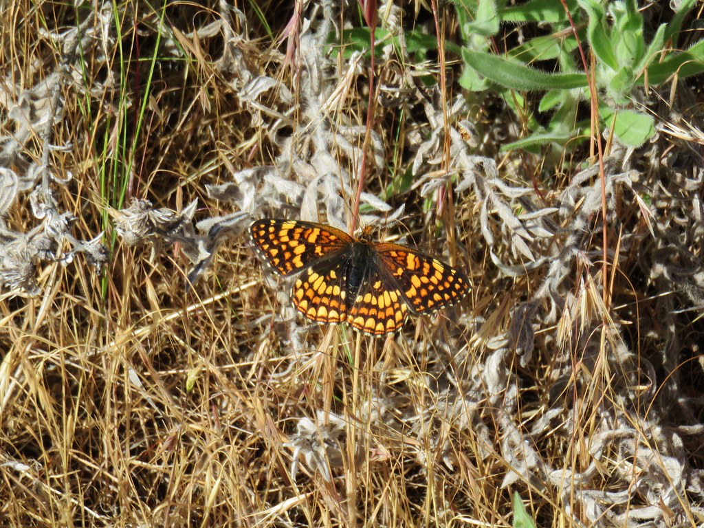 Pale crescent near Macks Canyon
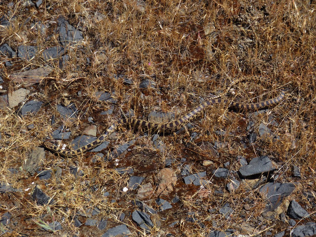 Gopher snake near Macks Canyon
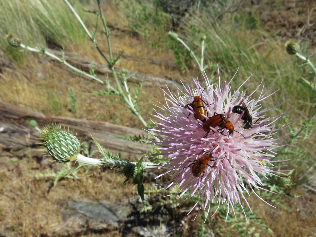 Beetles on thistle near Mack’s Canyon
 Caterpillar along the Black Butte Trail
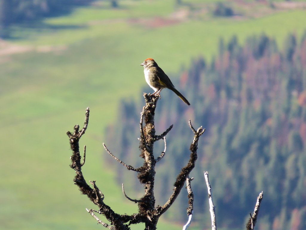 Green tailed towhee on Black Butte
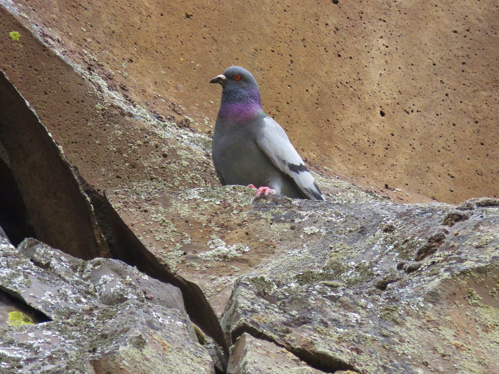 Rock pigeon – Deschutes River
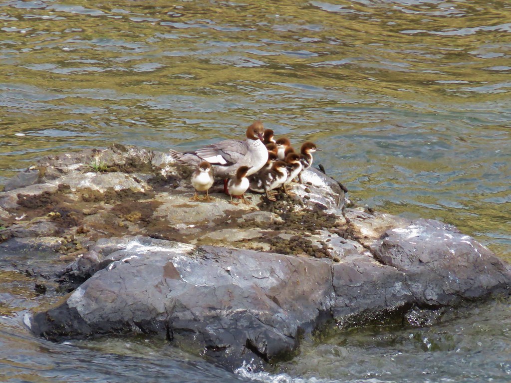 Merganser family – Deschutes River
 Dragon Fly – Deschutes River
 Sagebrush Lizard – Deschutes River
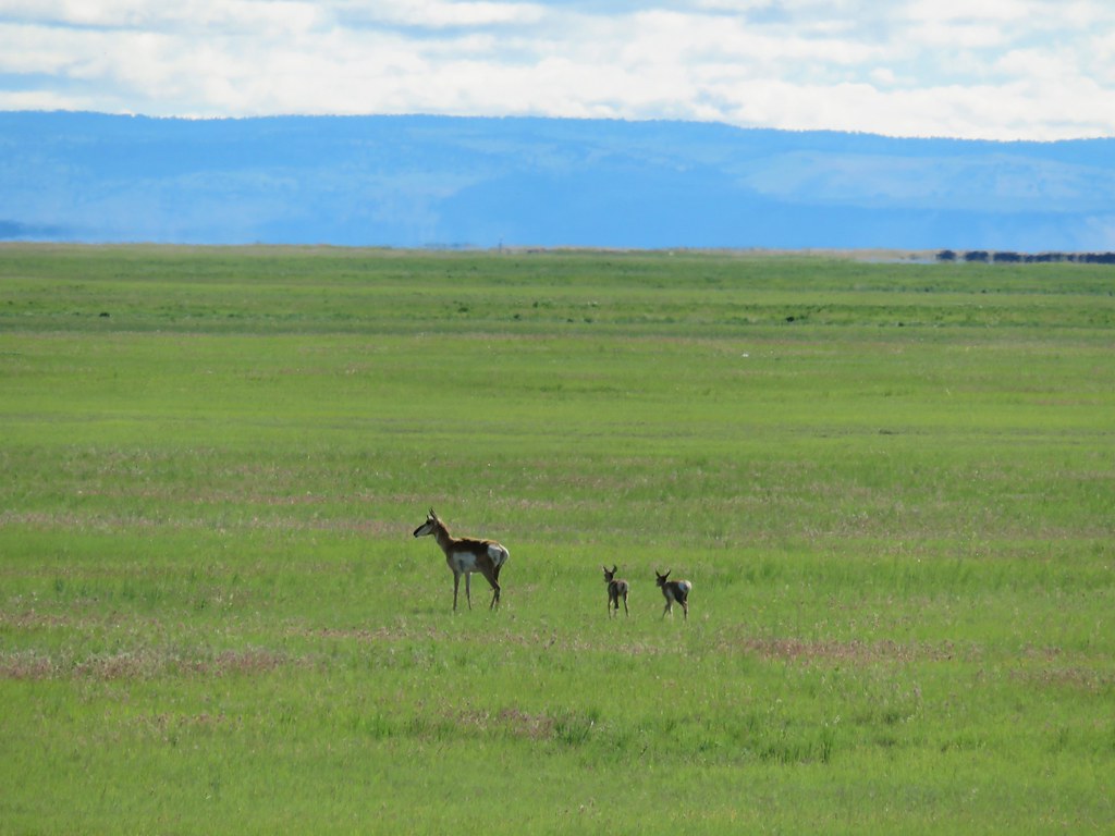 Pronghorn – Malheur Wildlife Refuge
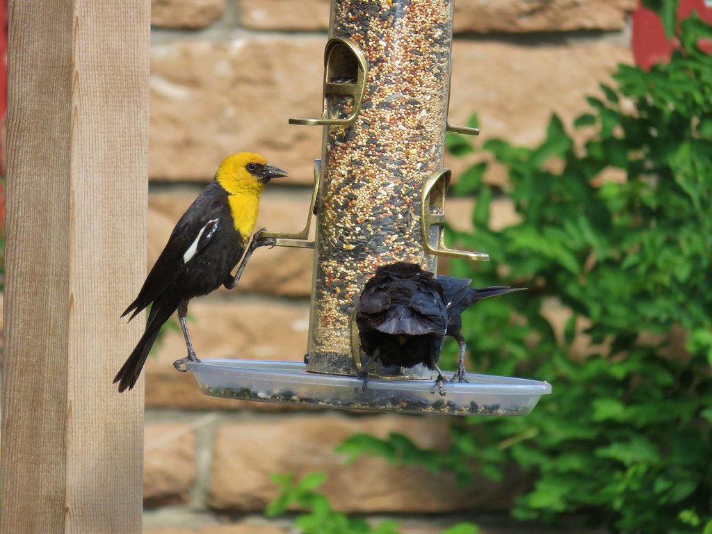 Yellow headed blackbird – Malheur Wildlife Refuge
 Horned grebes – Malheur Wildlife Refuge
 Great horned owl – Malheur Wildlife Refuge
 Lewis’s woodpecker – Malheur Wildlife Refuge
 White faced ibis – Malheur Wildlife Refuge
 Yellow warbler – Malheur Wildlife Refuge
 Western meadowlark – Malheur Wildlife Refuge
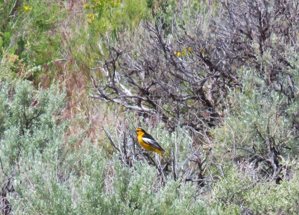 Bullock’s oriole – Malheur Wildlife Refuge
 Rabbit – Jordan Craters
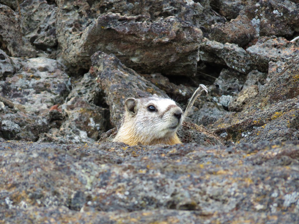 Marmot – Jordan Craters
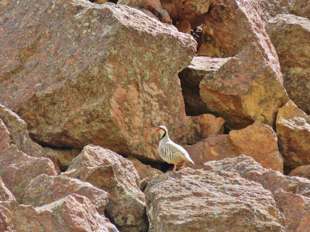 Chukar – Leslie Gulch
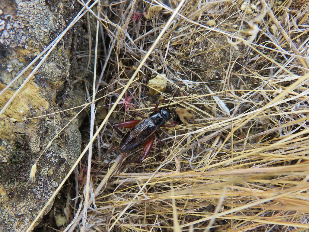 Cricket – Leslie Gulch
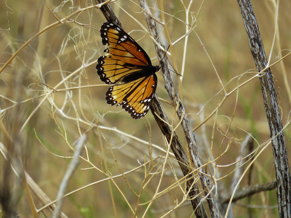 Viceroy- Leslie Gulch
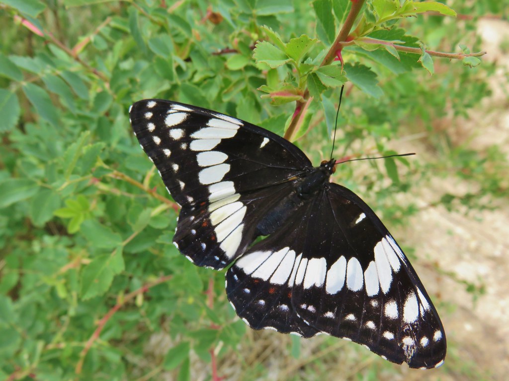 Swallow tail – Leslie Gulch
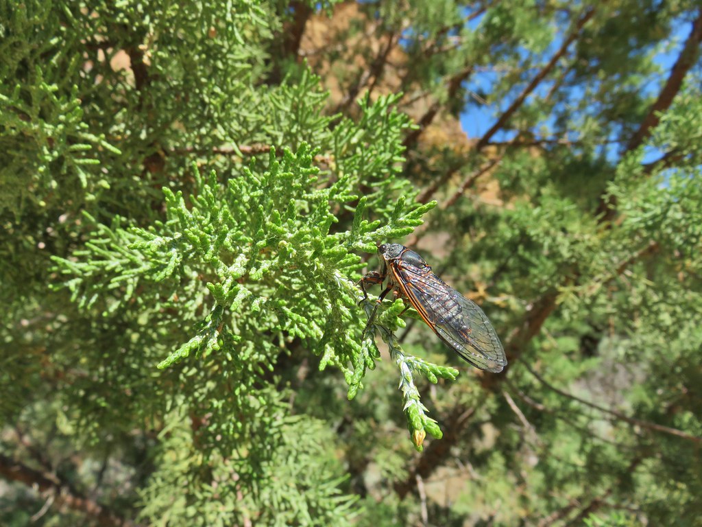 Cicada – Leslie Gulch
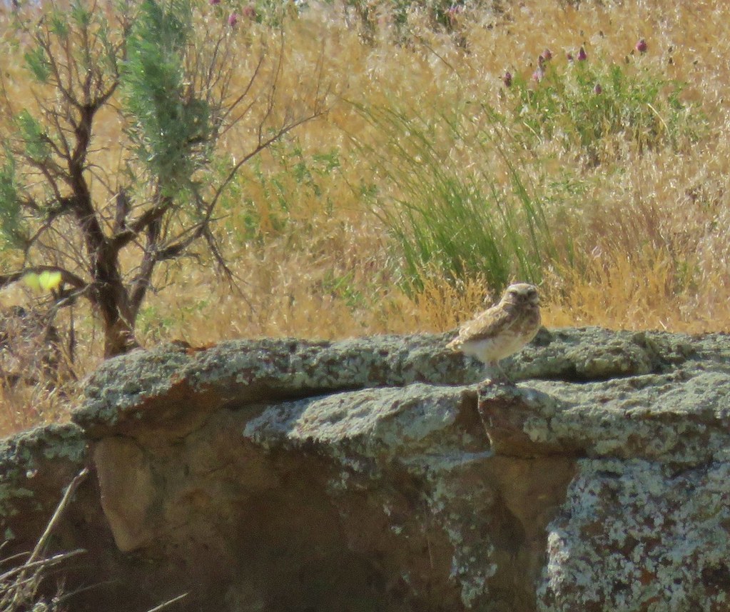 Burrowing owl near Leslie Gulch
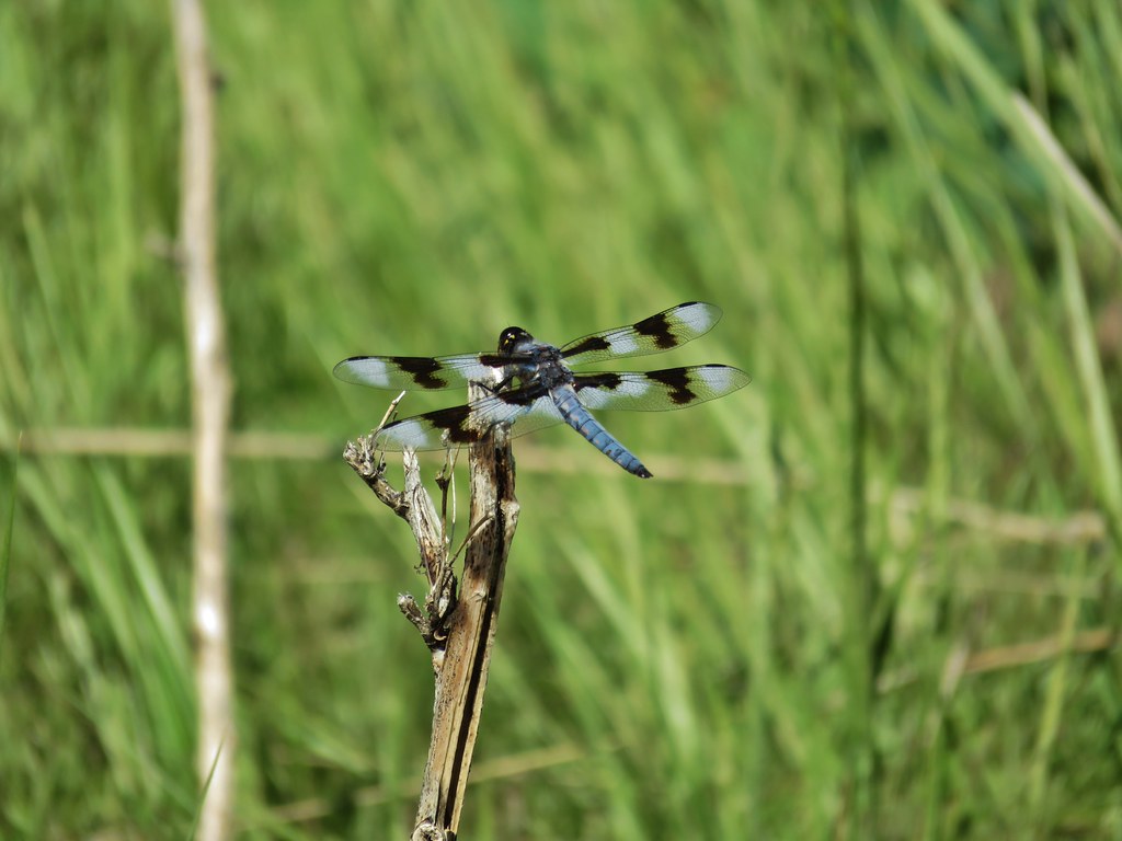 Dragon fly – Three Forks
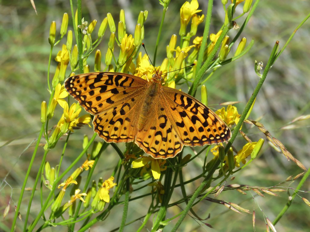 Fritillary butterfly – Three Forks
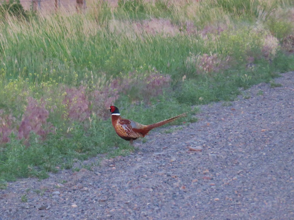 Pheasant – Pillars of Rome
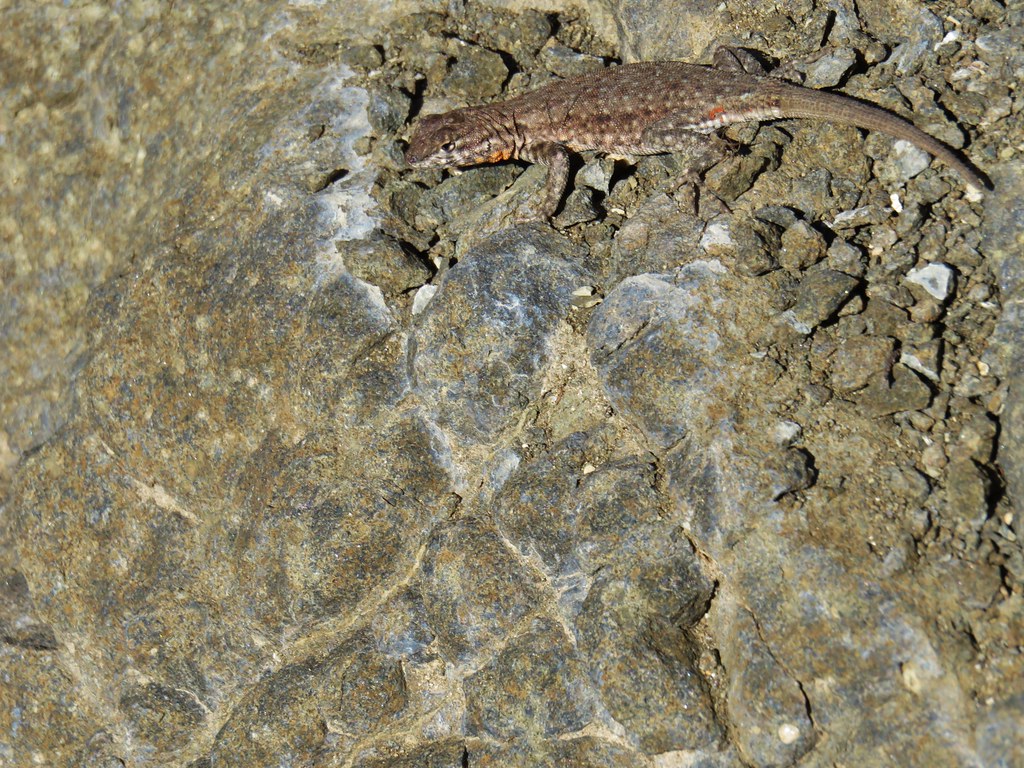 Side blotched lizard – Chalk Basin
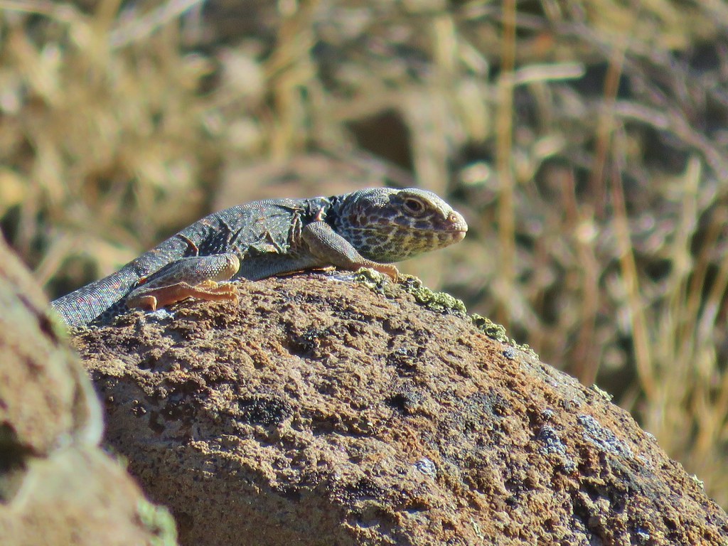 Collard lizard – Chalk Basin
 Sandhill Cranes near Steens Mountain
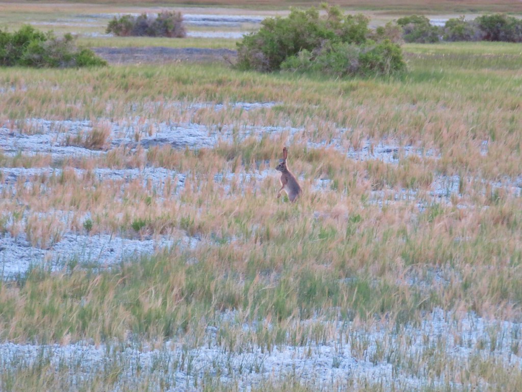 jack rabbit – Borax Hot Springs
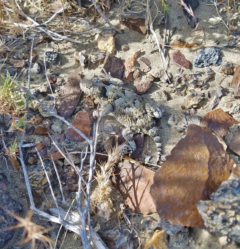 Desert horned lizard – Alvord Desert
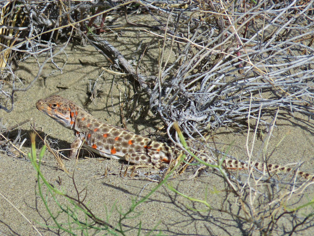 Long nosed leopard lizard – Alvord Desert
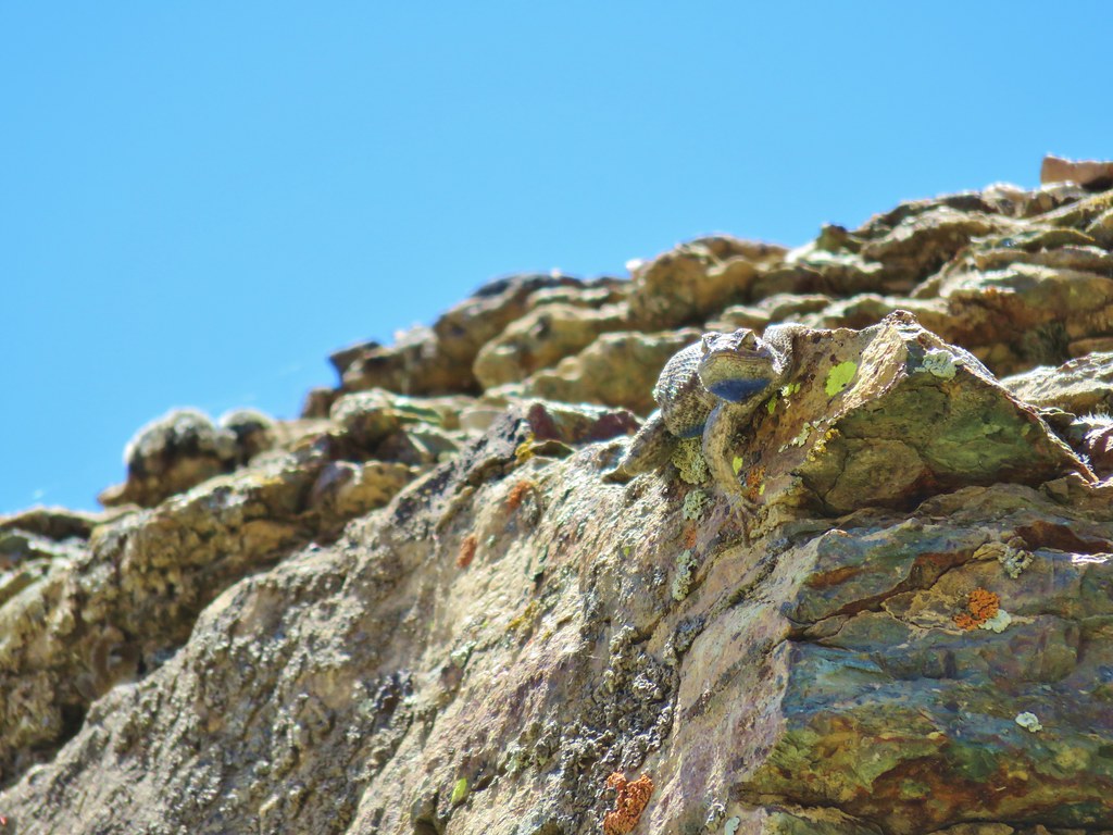 Western Fence Lizard – Pike Creek
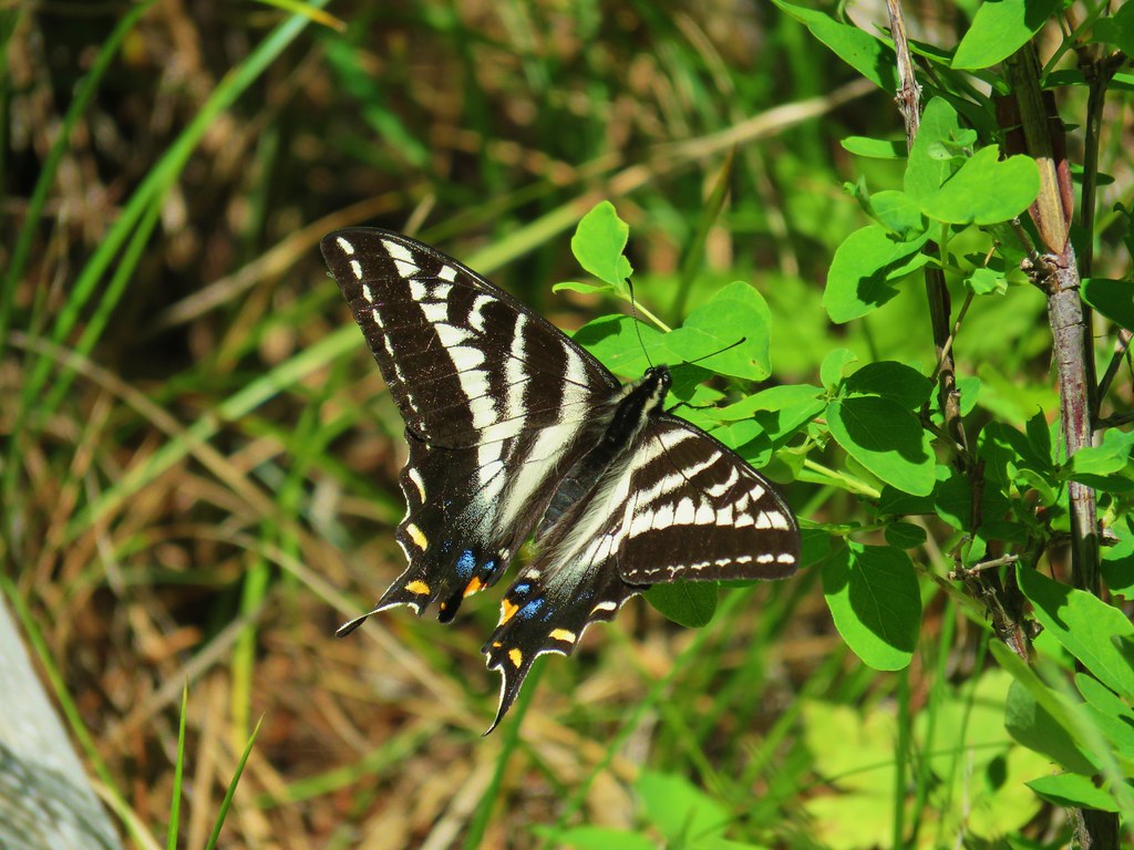 Swallow tail – Myrtle Creek
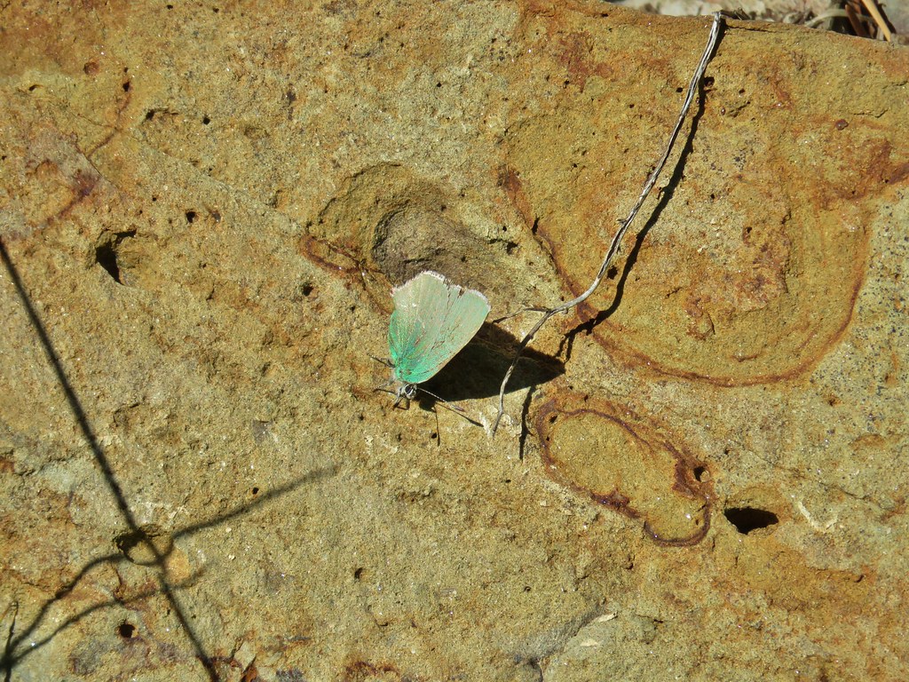 Sheridan’s hairstreak – Myrtle Creek
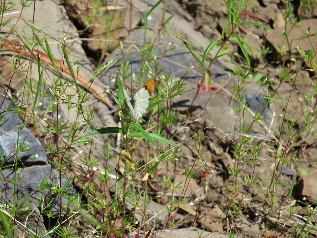 Orange-tip butterfly – Myrtle Creek
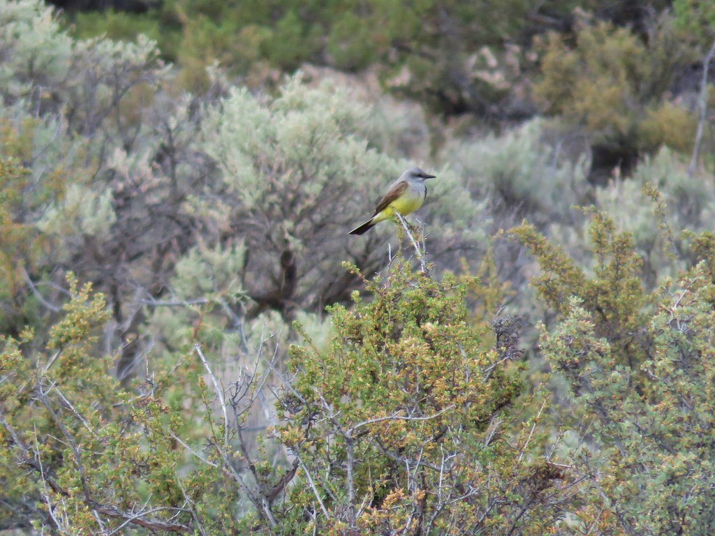 Western kingbird – Cove Palisades State Park
 Cascade toad – Browder Ridge
 Gray jay – Browder Ridge
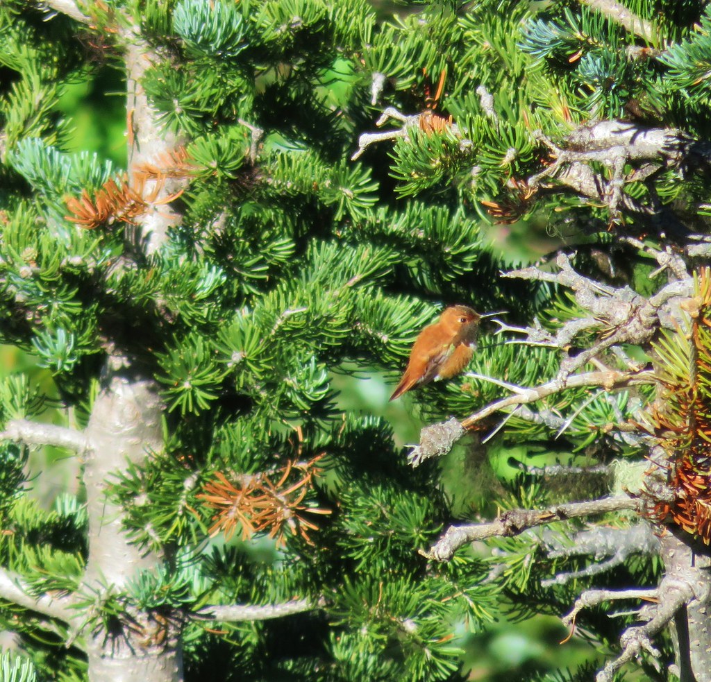 Rufous hummingbird – Horsepasture Mountain
 Grouse – Horsepasture Mountain
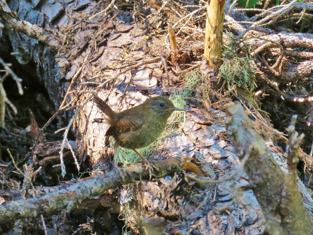 Wren – French Creek Ridge
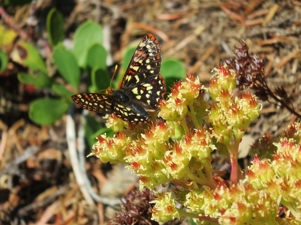 Checkerspot butterfly – French Creek Ridge
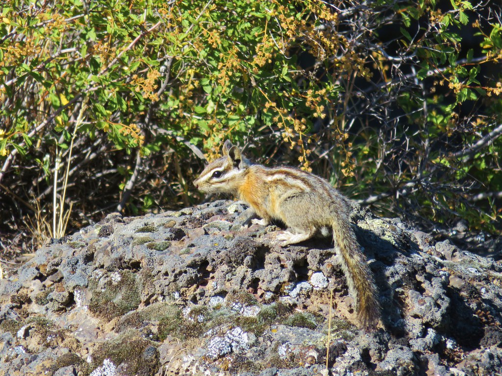 Chipmunk near Hidden Forest Cave
 Pygmy short horned lizard near Pictograph Cave
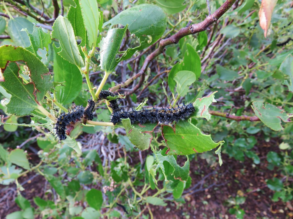 Caterpillars – Strawberry Mountain Wilderness
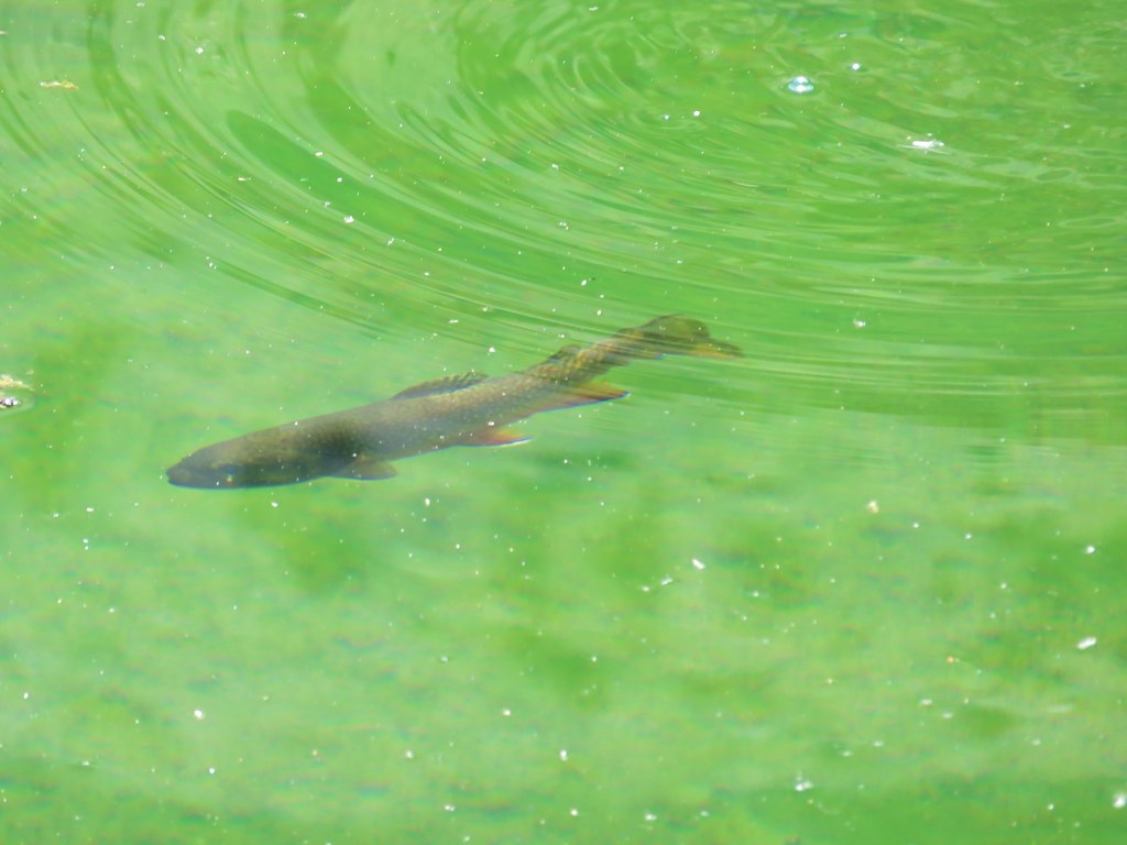 Trout – Little Strawberry Lake
 Doe – Slide Lake
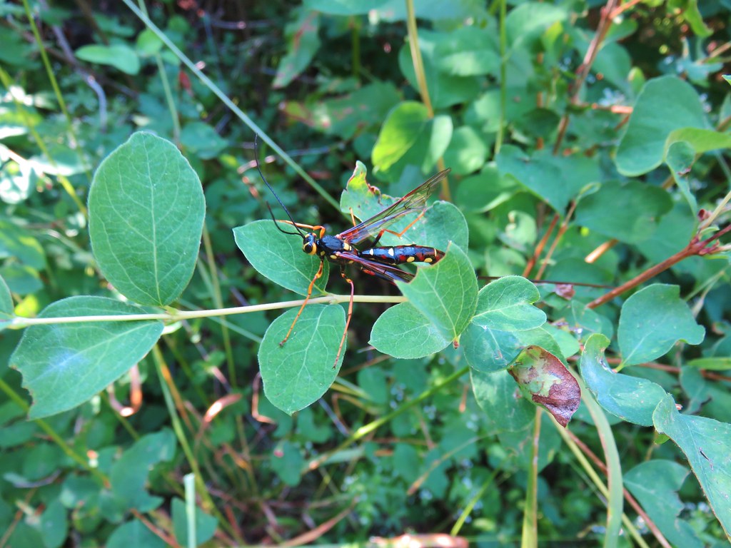 Megarhyssa nortoni
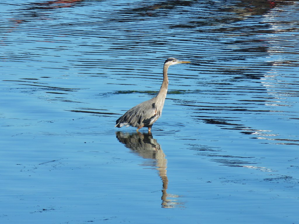 Great blue heron – Newport Bay
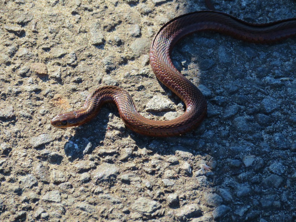 Sharp-tailed snake – Newport Bay
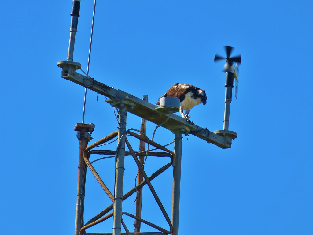 Osprey – South Beach
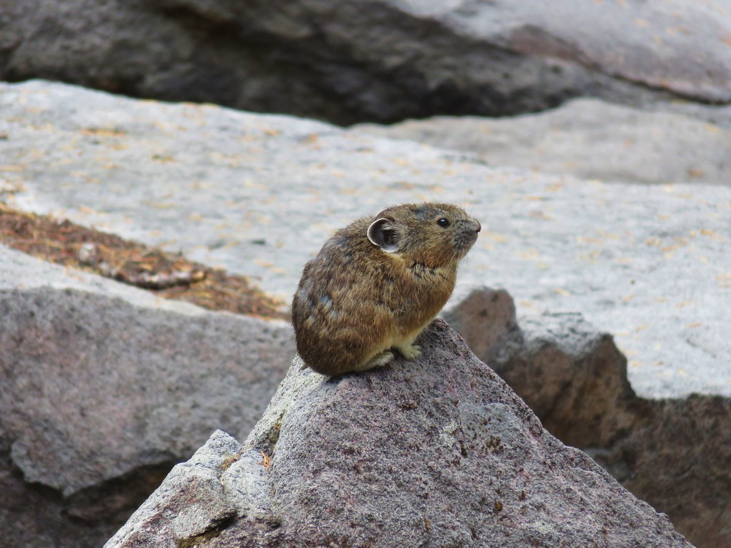 Pika – Mt. Jefferson Wilderness
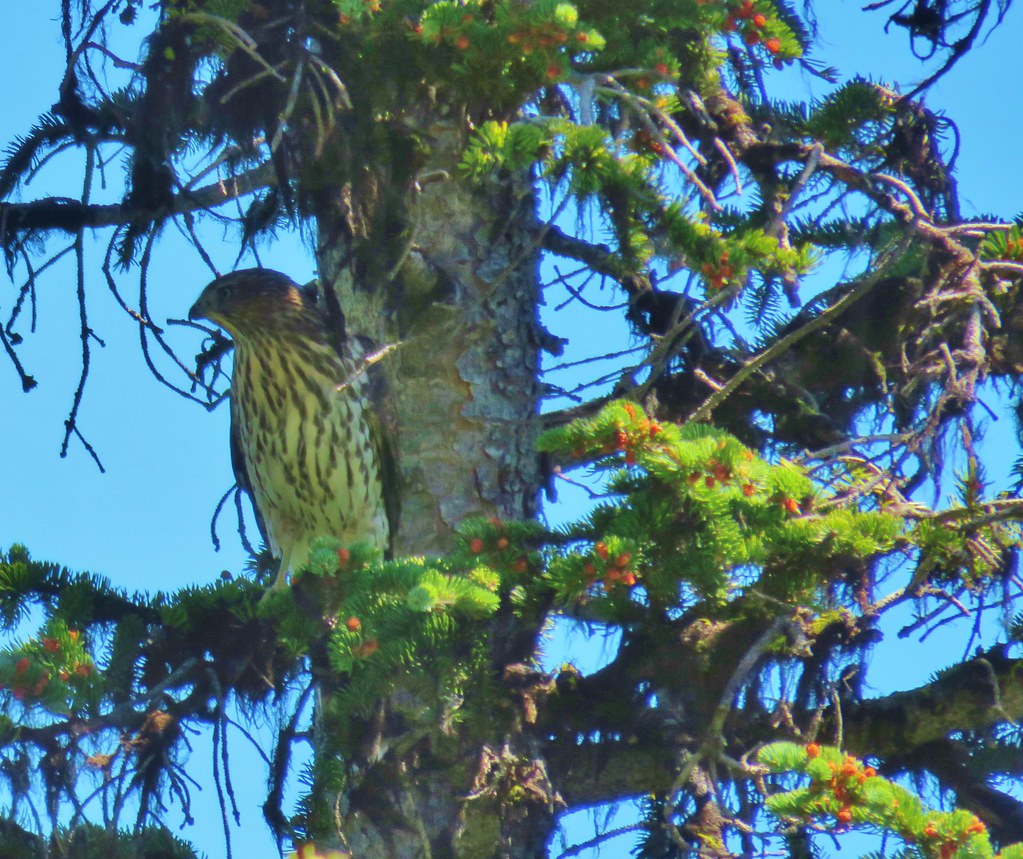 Northern goshawk – Elkhorns
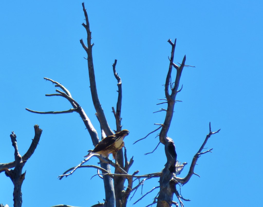 Red tailed hawk – Elkhorns
 Mountain goats – Elkhorns
 Mountain Goat – Elkhorns
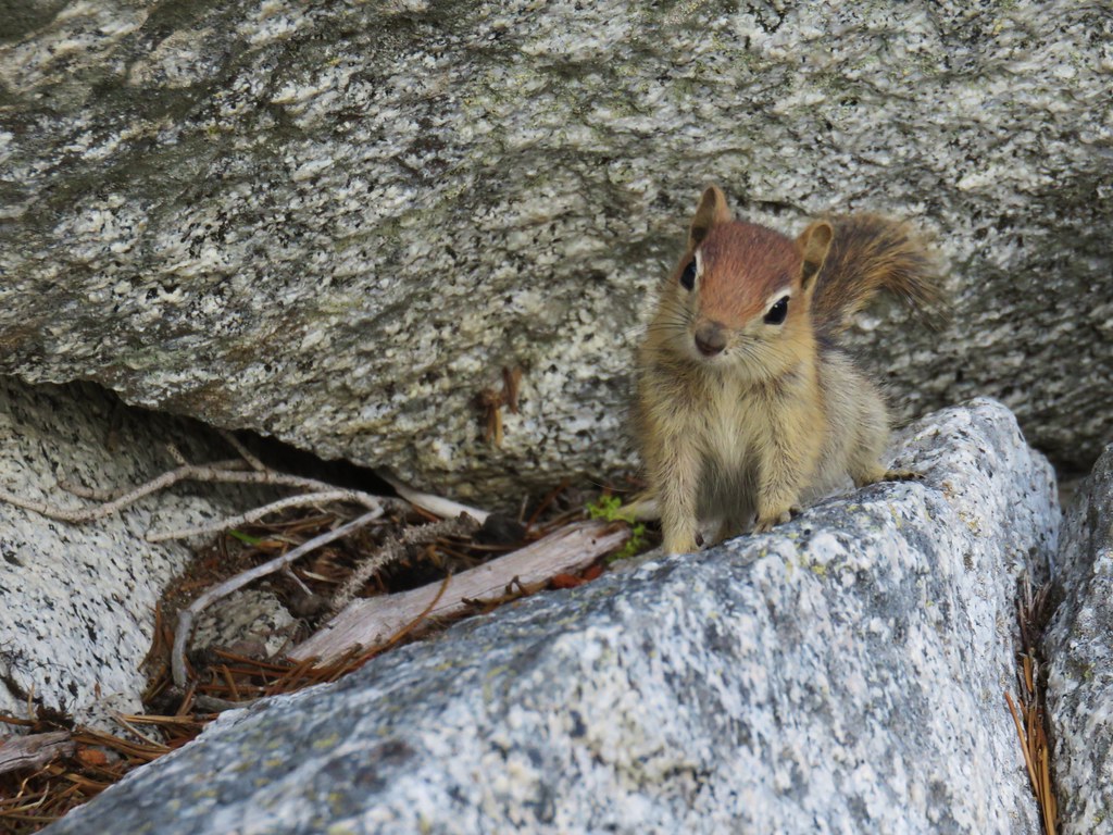 Golden mantled ground squirrel – Elkhorns
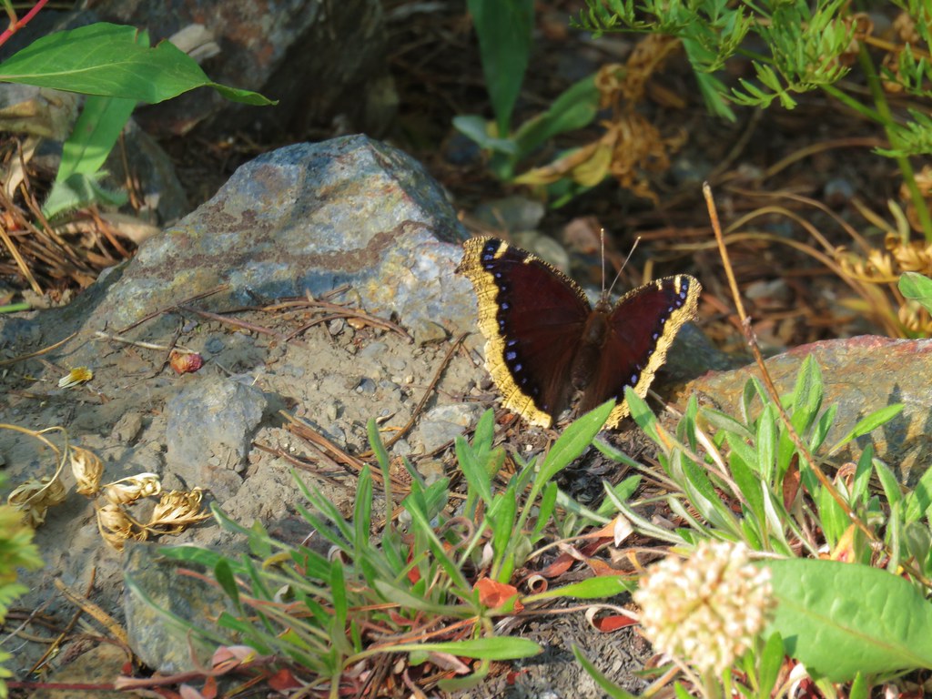 Mourning cloak – Elkhorns
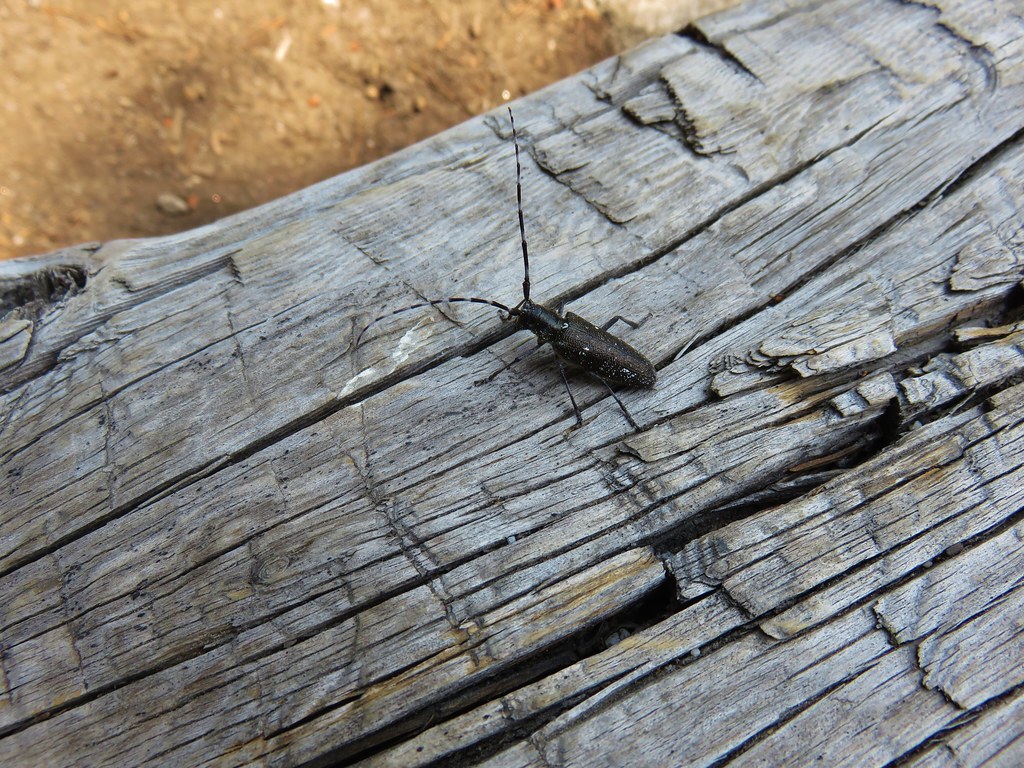 Beetle – Summit Lake
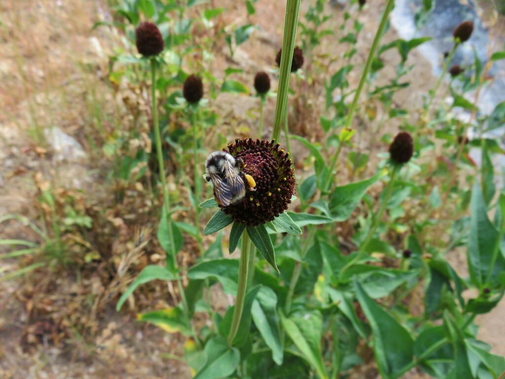 Bumble bee – Crawfish Lake
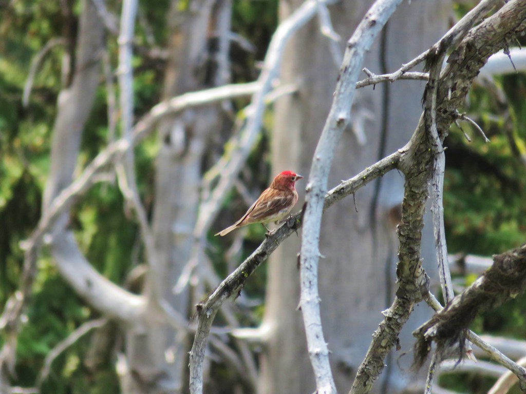 Finch – Crawfish Lake
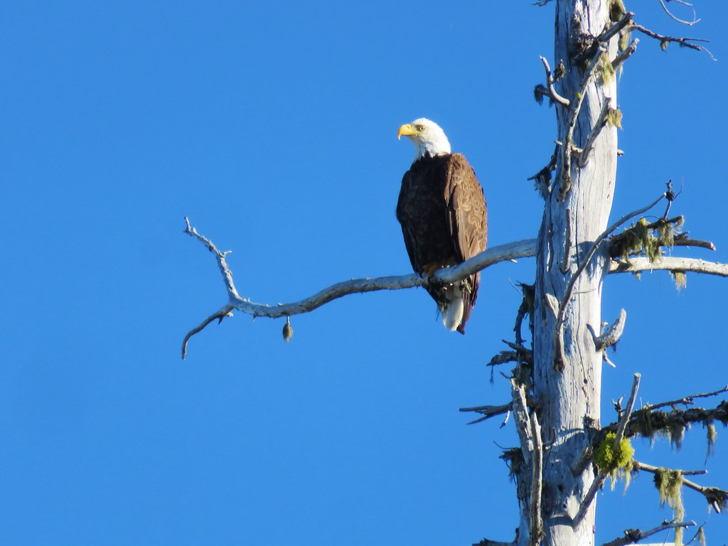 Bald Eagle – Waldo Lake
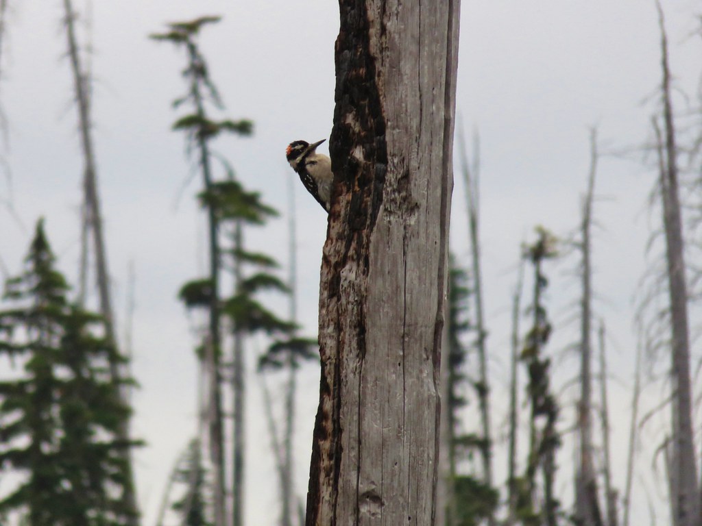 Hairy woodpecker – Rigdon Lakes
 Blue copper – Rockpile Lake
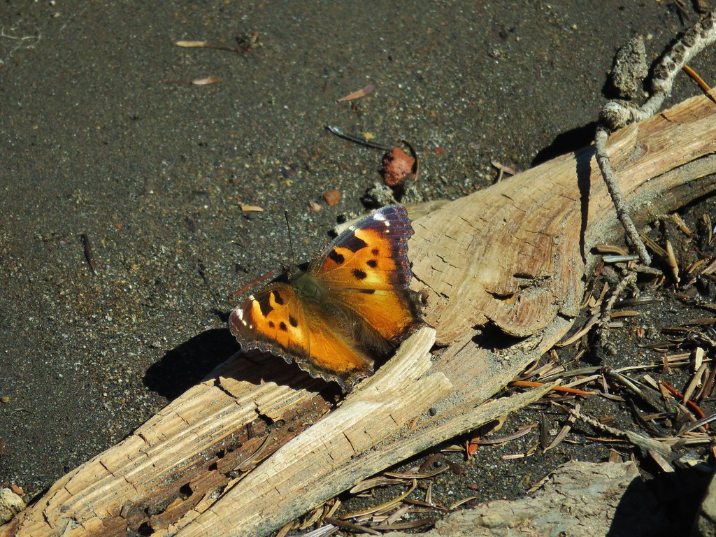 Tortoiseshell butterfly – Carl Lake
 Varied thrush – Carl Lake
 Frogs – Table Lake
 Clarks nutcracker – Mt. Jefferson Wilderness
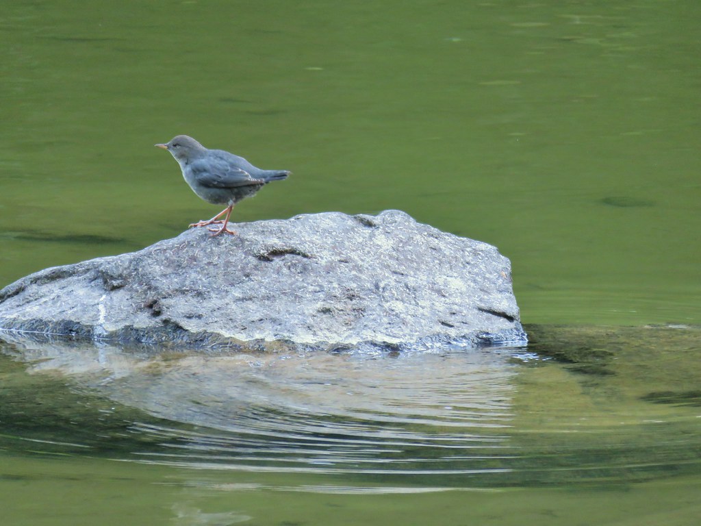 Ouzel – Pamelia Lake
 Junco – Pamelia Lake
 Frog – Taylor Lake
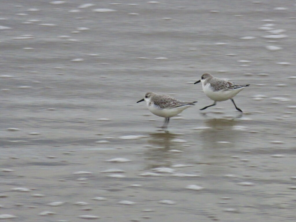
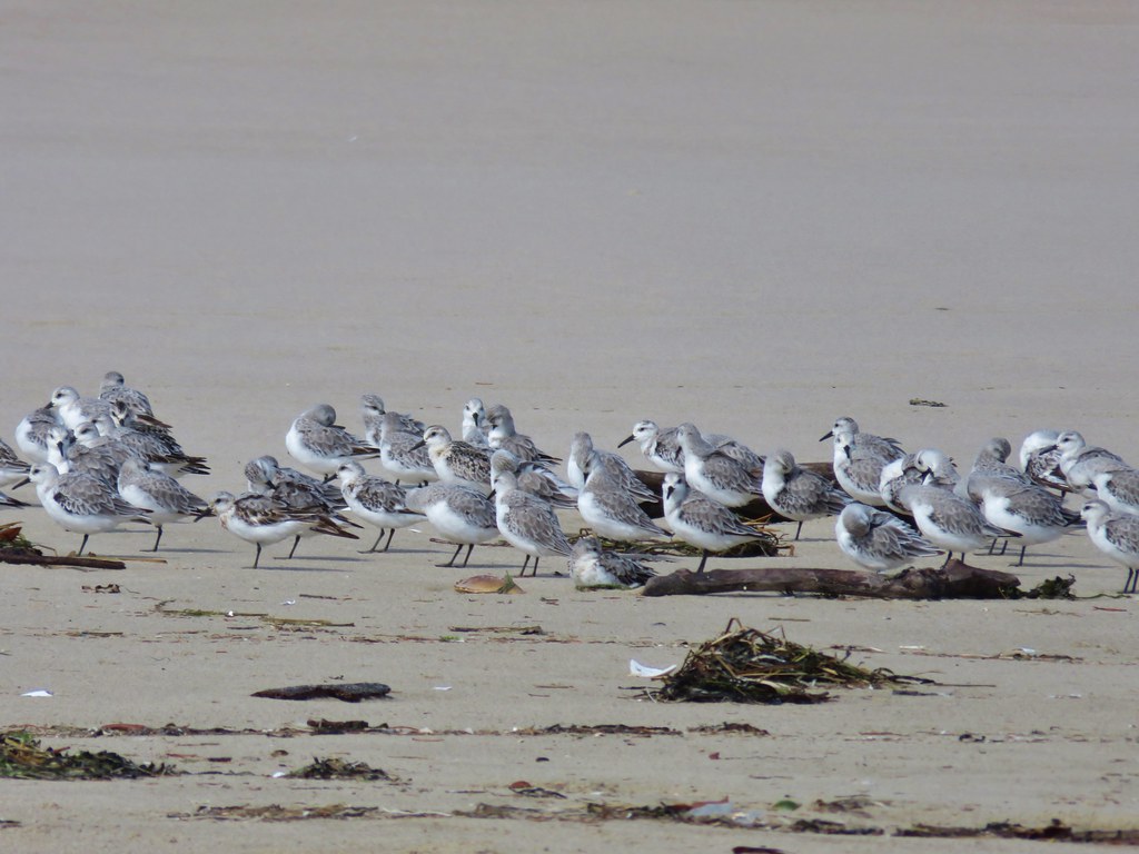 Sanderlings – John Dellenback Beach
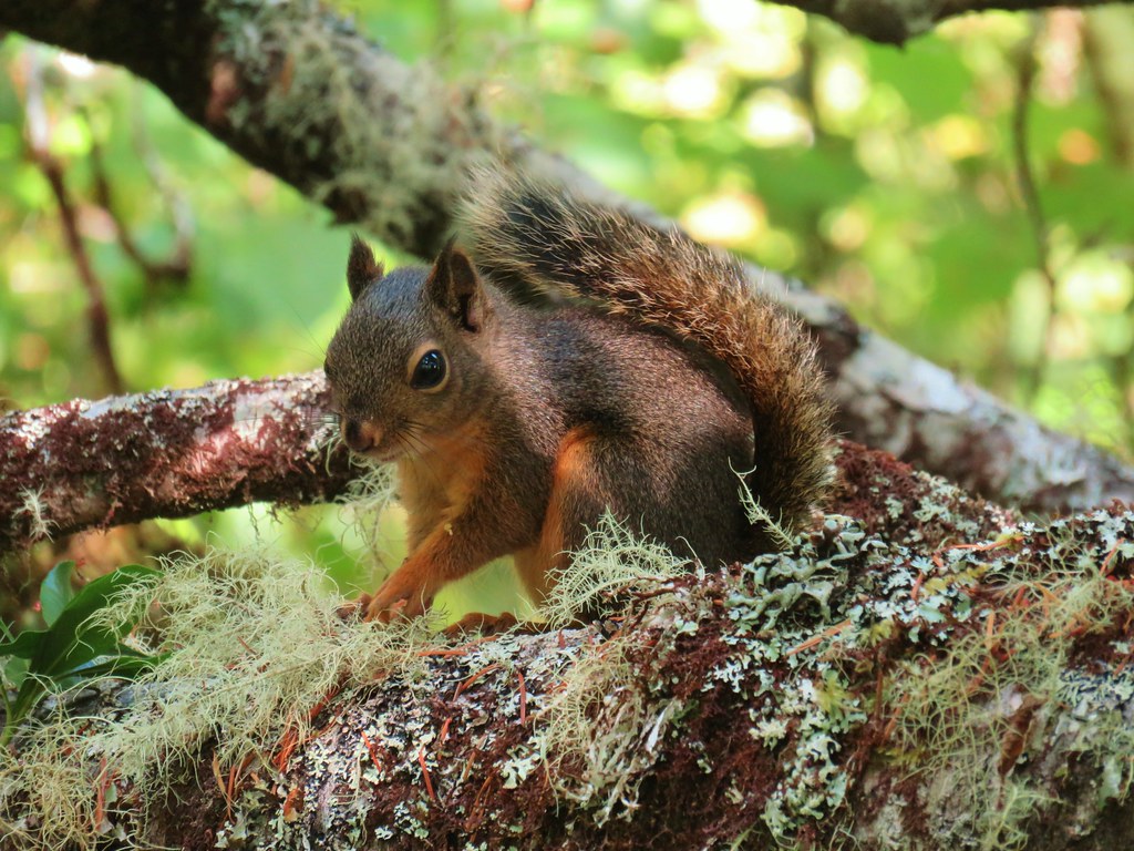 Douglas squirrel – John Dellenback Dunes Trail
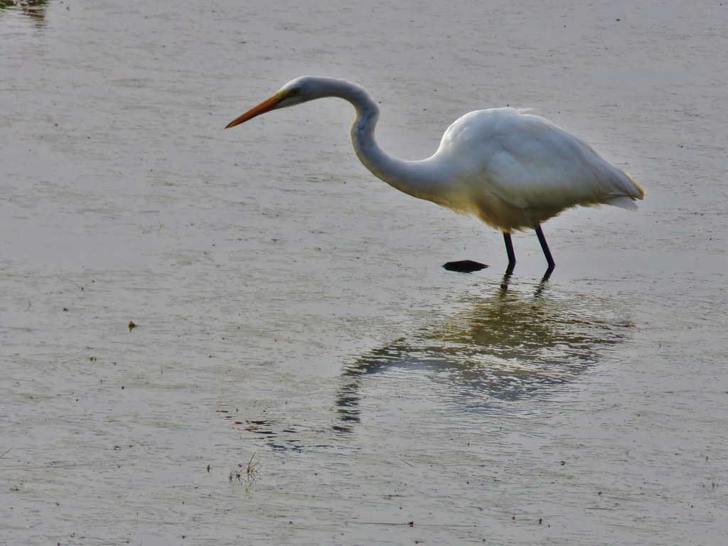 Great egret – Mud Lake
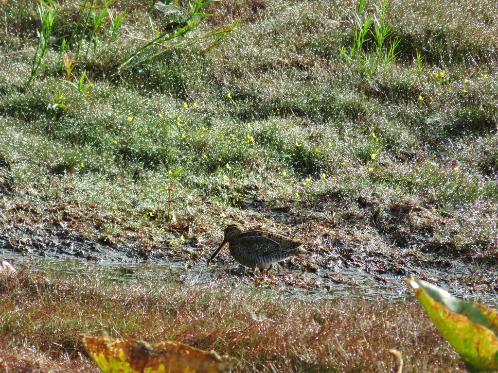 Wilson’s snipe – Mud Lake
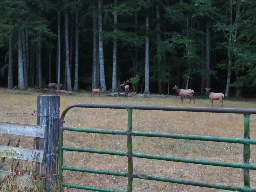 Elk on the way to Barklow Mt.
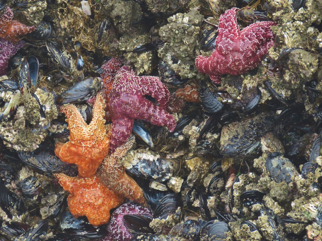 Starfish – Bandon, Oregon
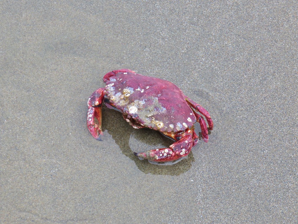 Crab – Bandon, Oregon
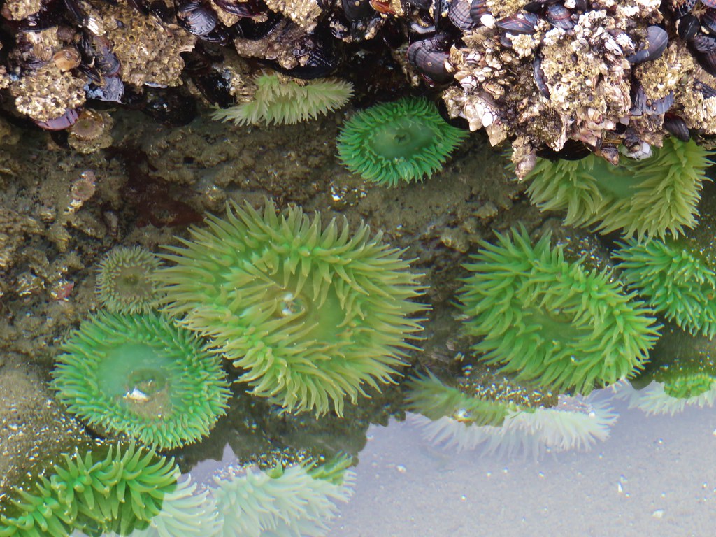 Anemones – Bandon, Oregon
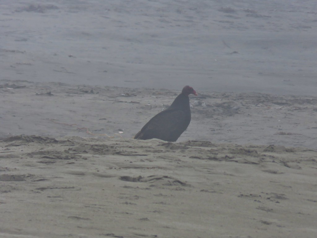 Turkey Vulture – Bandon, Oregon
 Seagull and a marbled godwit in the Coquile River
 Black turnstones – North Jetty, Bandon, Oregon
 Brown pelicans – Bullards Beach State Park
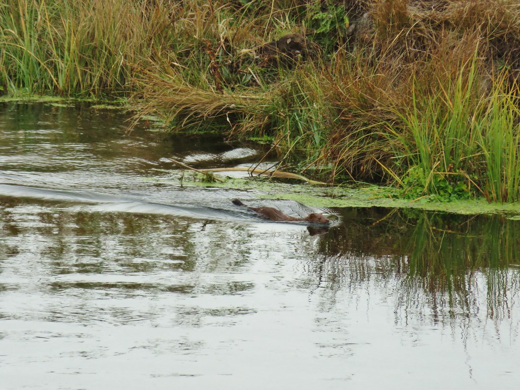 Mink – Sprague River
 White pelicans – Tule Lake National Wildlife Refuge
 Snowy egret – Tule Lake National Wildlife Refuge
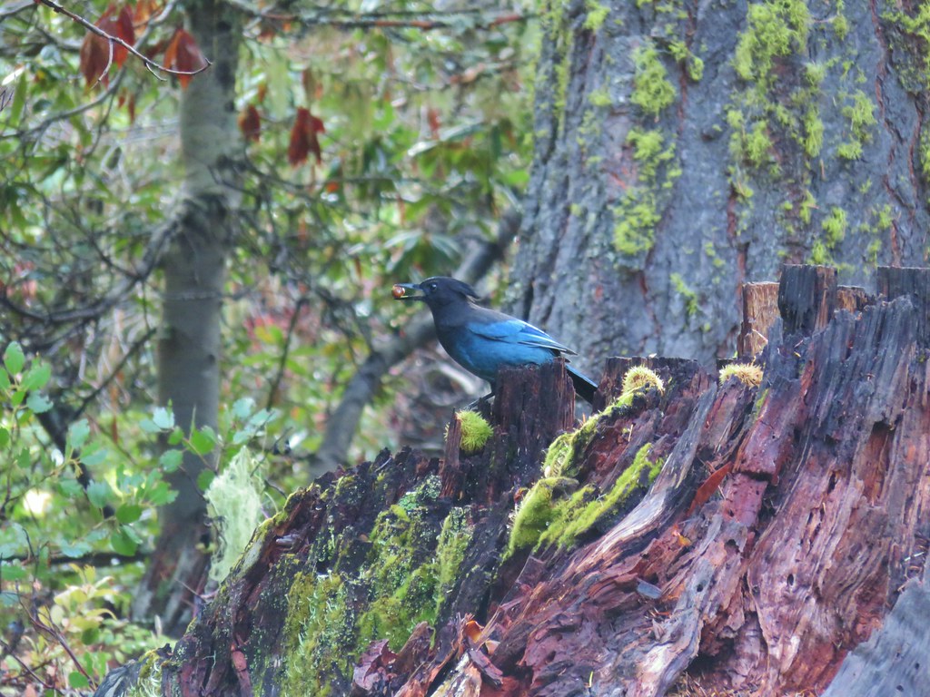 Stellar’s jay – Fish Lake
 Muskrat – Lake of the Woods
 Dragon fly – Lake of the Woods
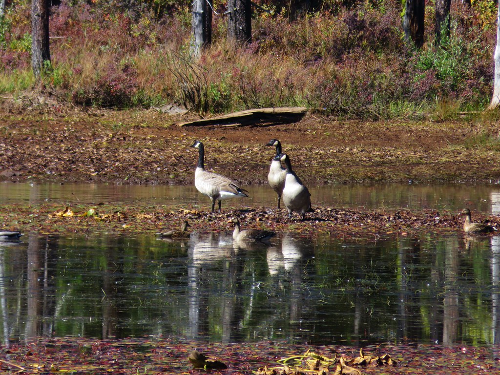 Canada geese – Lake of the Woods
 Caterpillar – Lake of the Woods
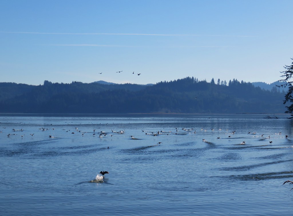
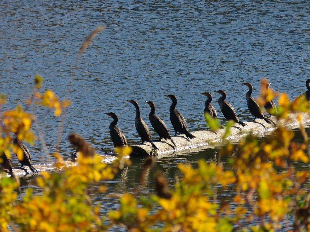 Cormorants – Link River
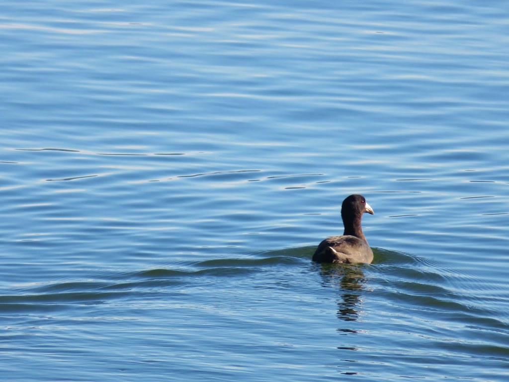
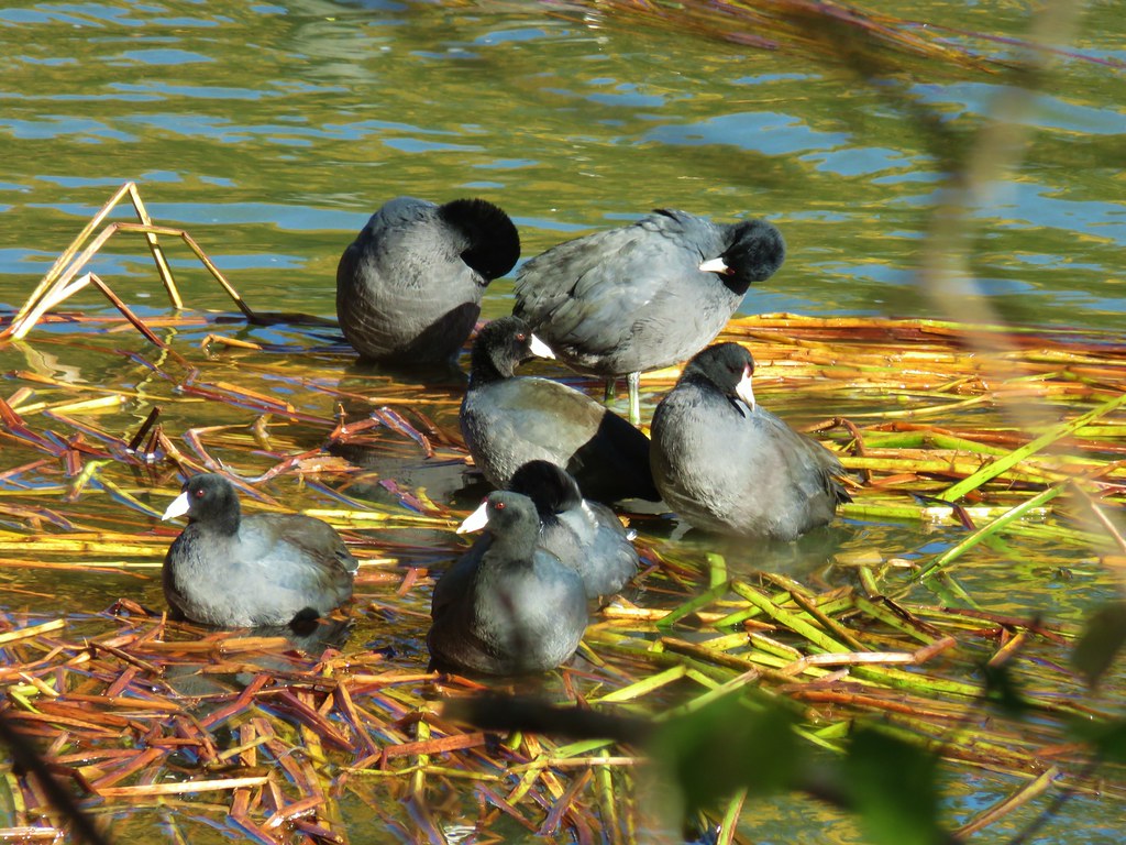 American coots – Link River
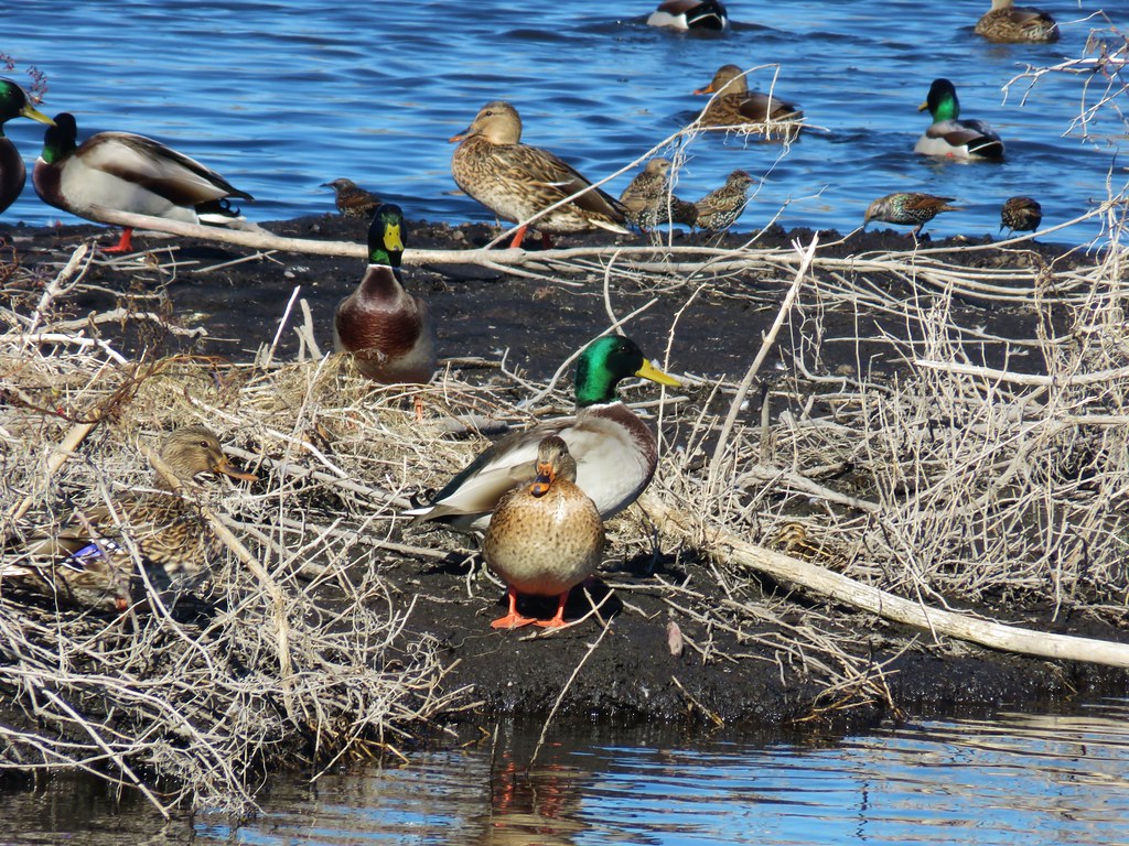 Mallards – Pond near Lake Ewauna
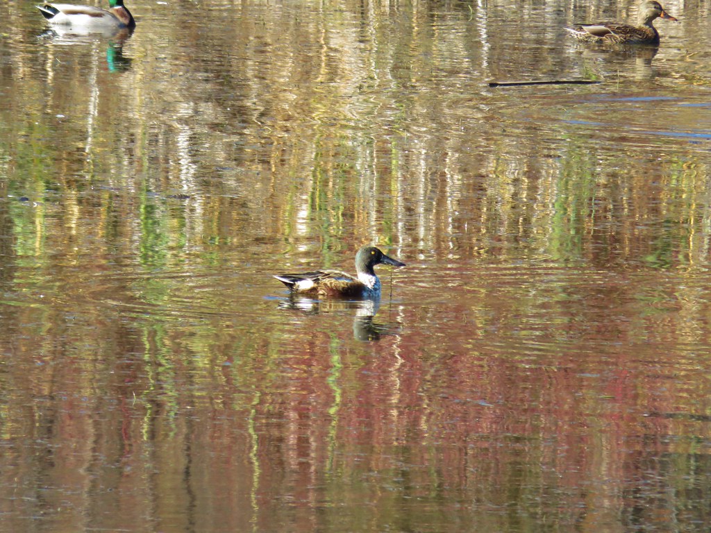 Northern shoveler – Pond near Lake Ewauna
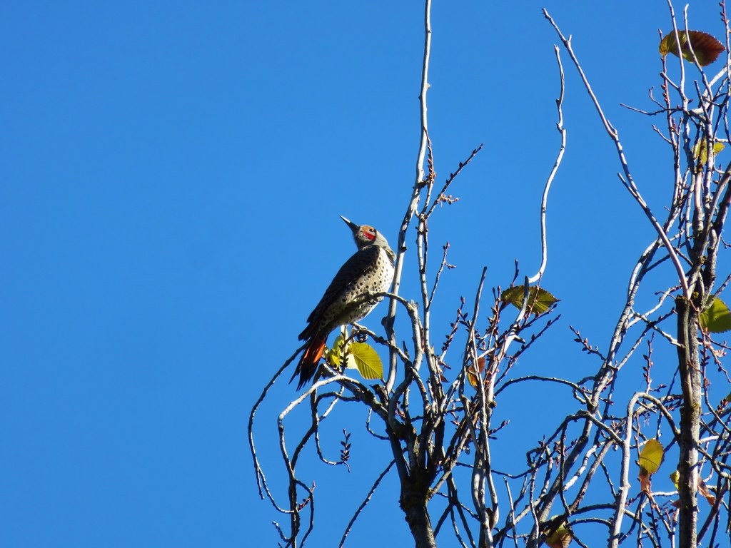 Northern flicker – Link River Trail
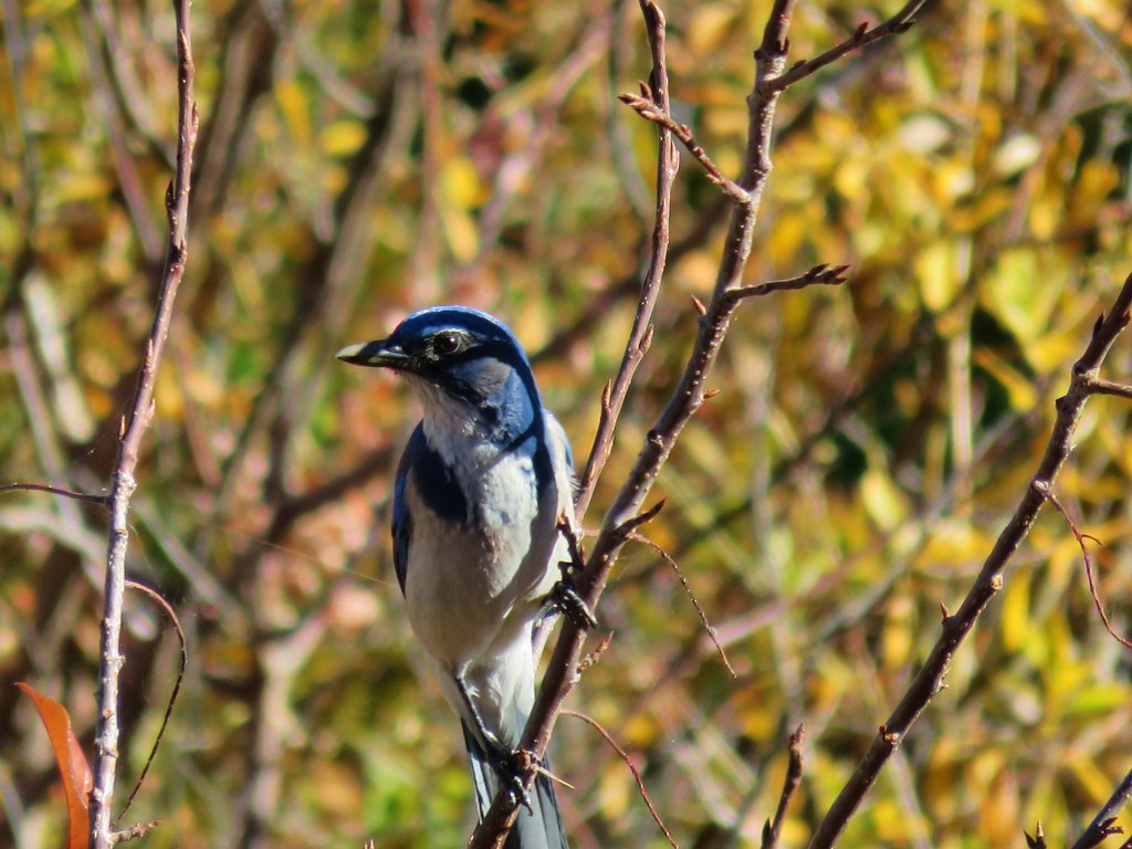 Scrub jay – Link River Trail
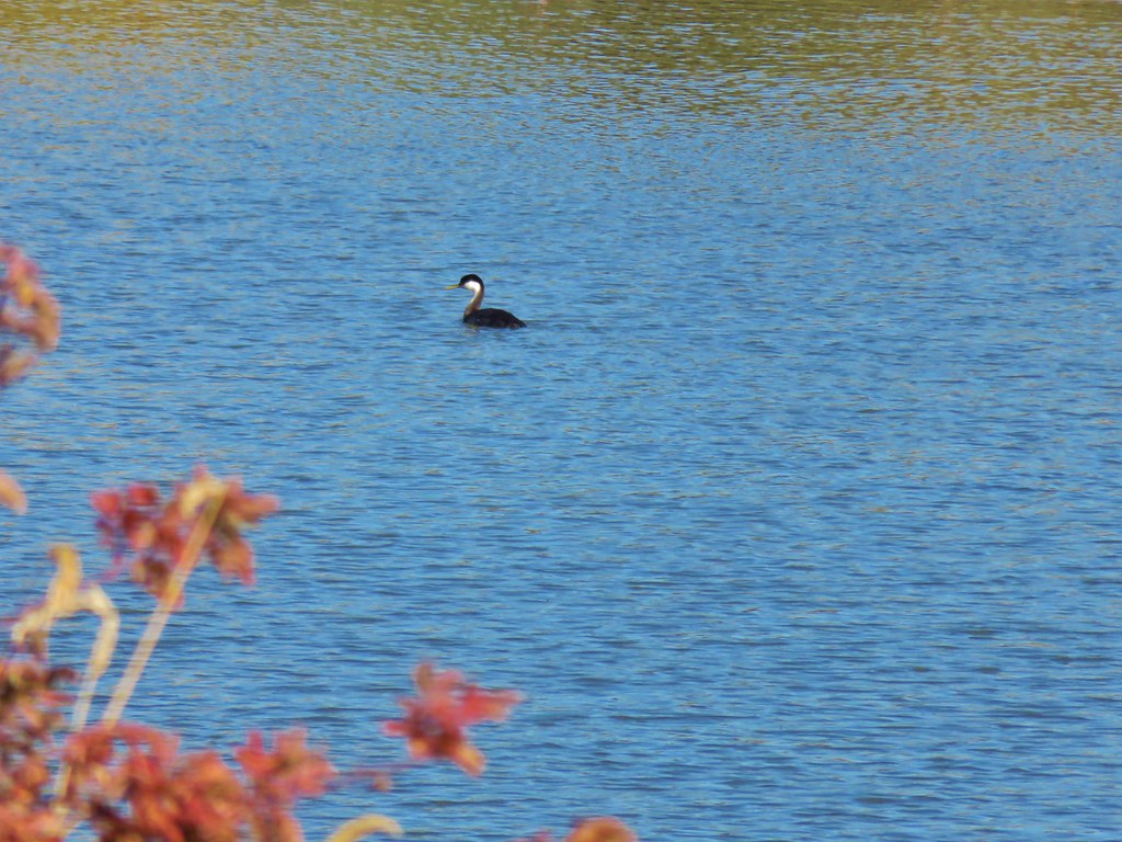 Western grebe – Link River
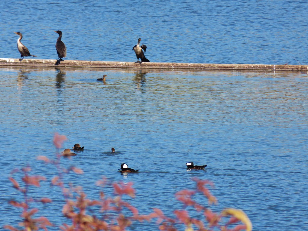 Hooded mergansers – Link River
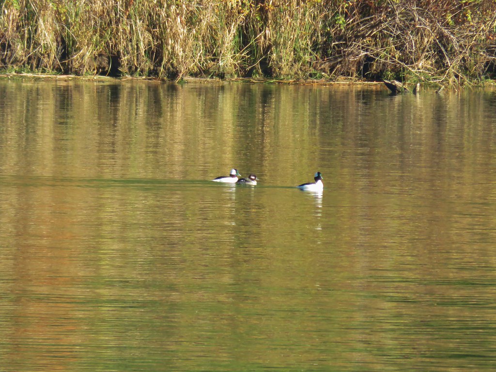 Buffleheads – Siltcoos Lake
 Rough skinned newt – Jessie M. Honeyman State Park
 Sparrow – Jessie M. Honeyman State Park
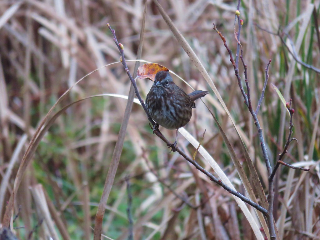
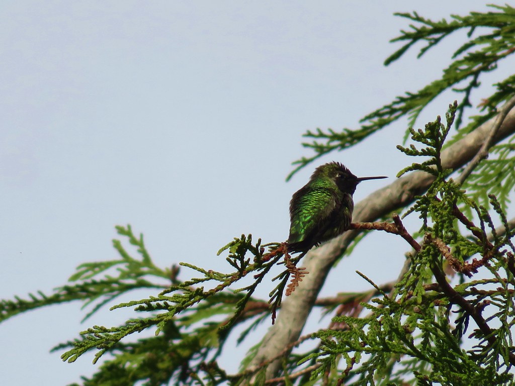 Anna’s hummingbird – Jessie M. Honeyman State Park
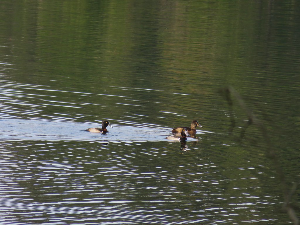 Ring-necked ducks – Jessie M. Honeyman State Park
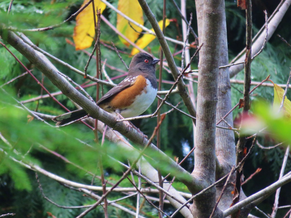 Spotted towhee – Jessie M. Honeyman State Park


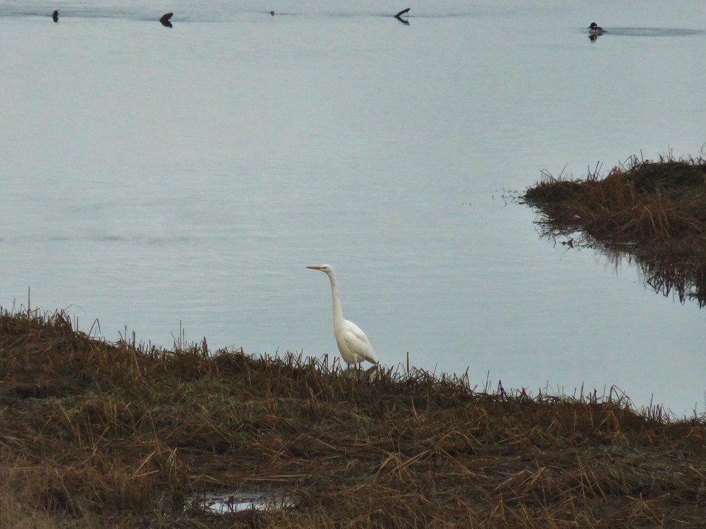 Egret
Egret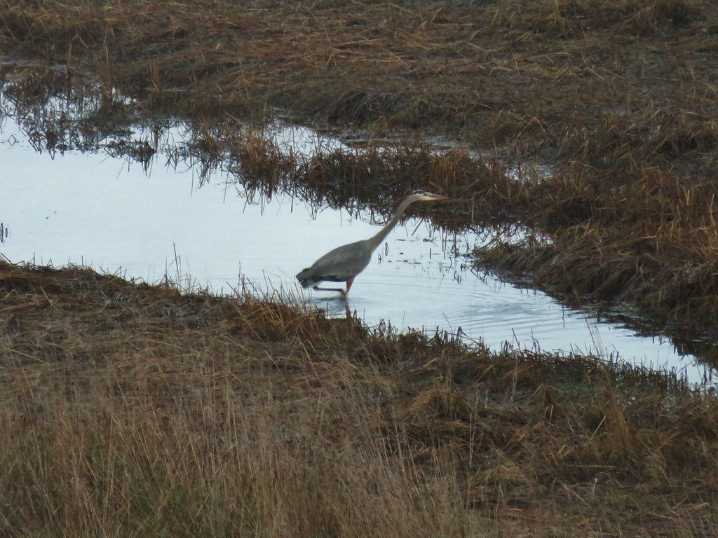 Great blue heron
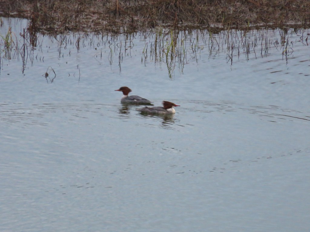 Common mergansers
 Bufflehead


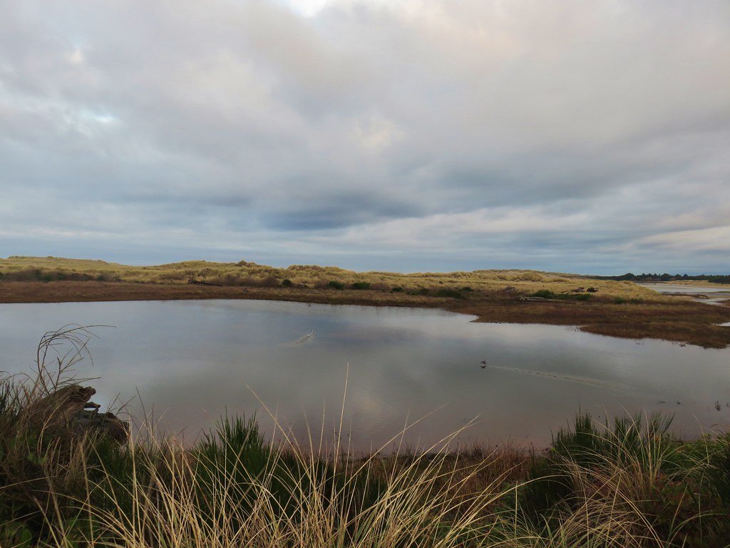


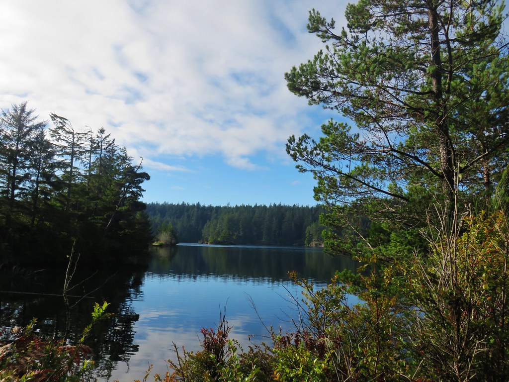
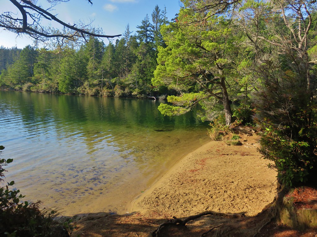
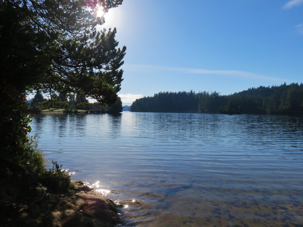

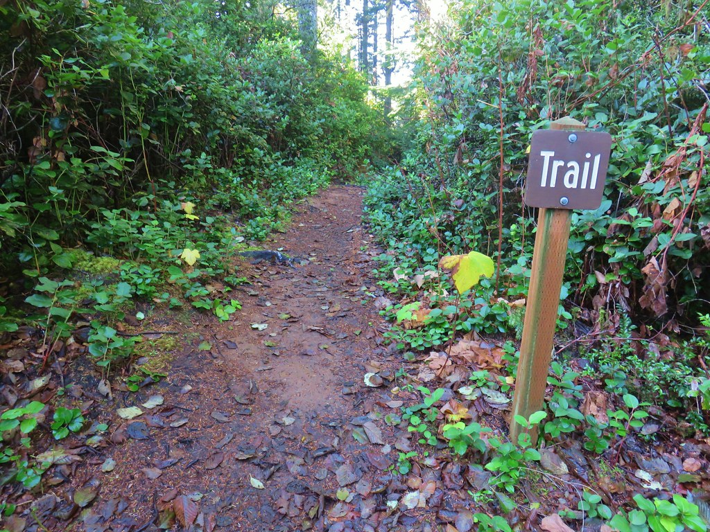

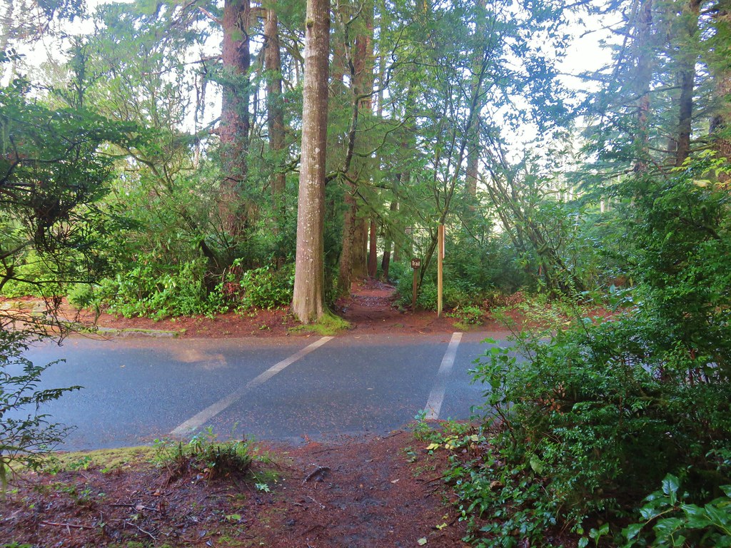
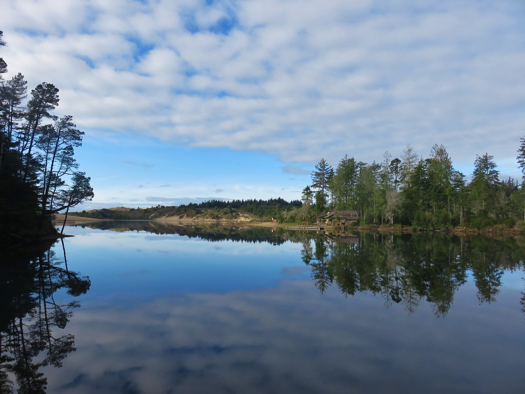
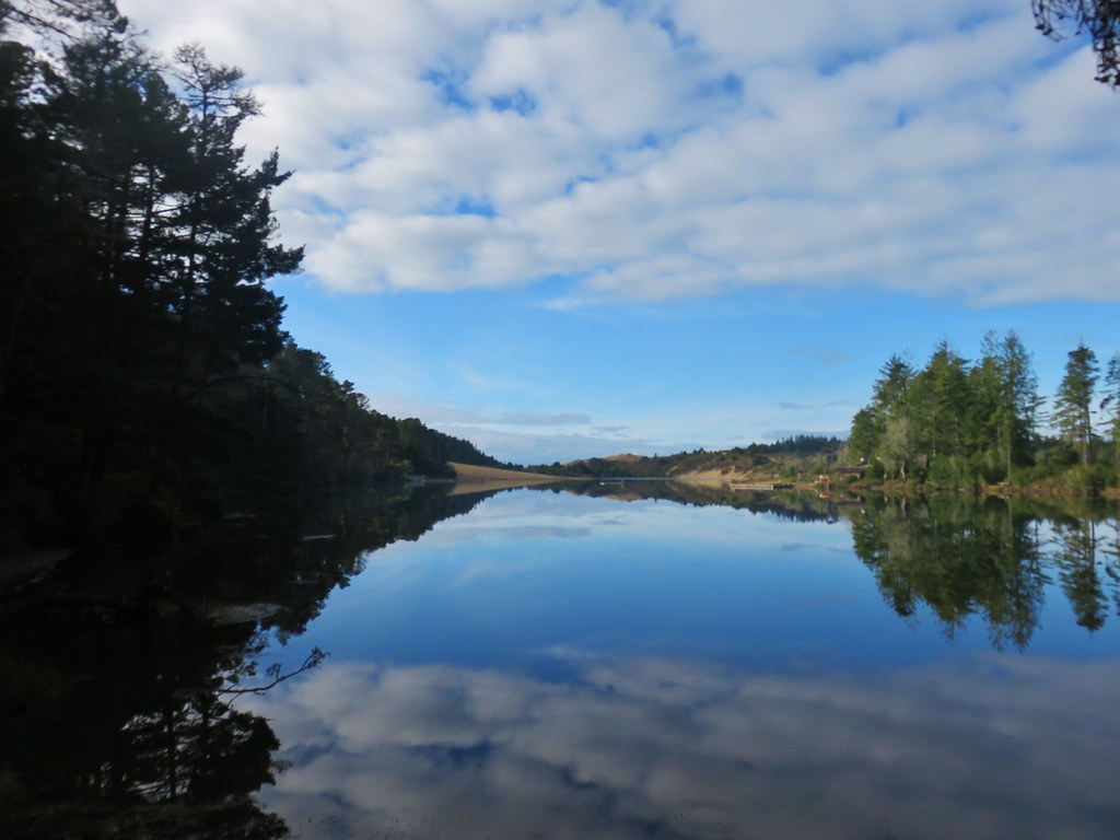

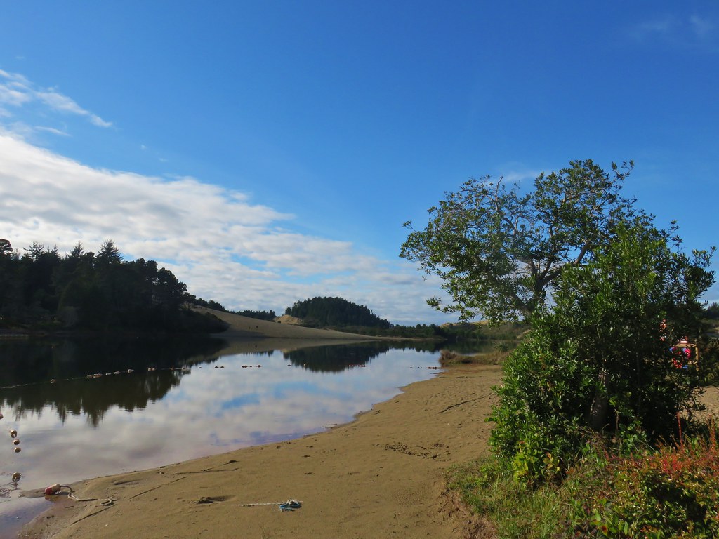

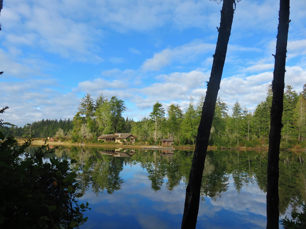
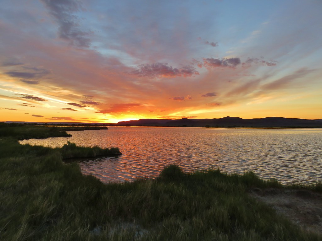
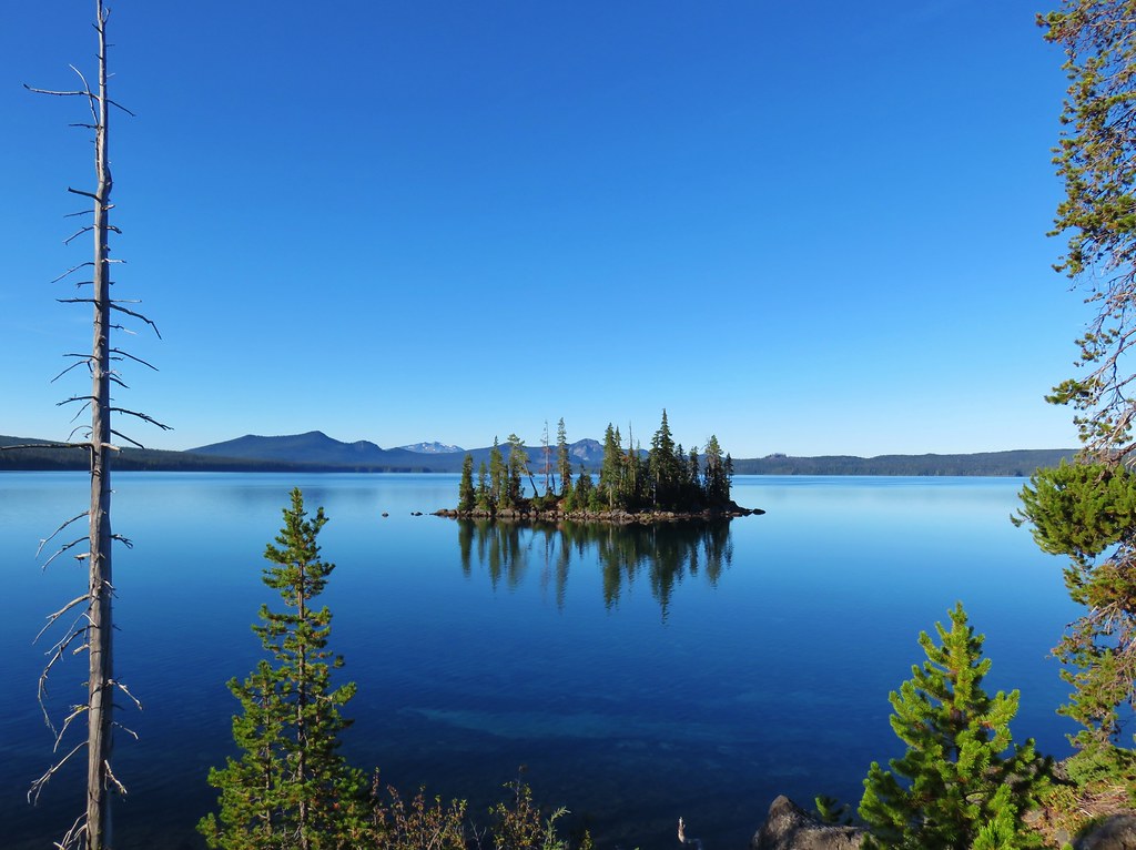
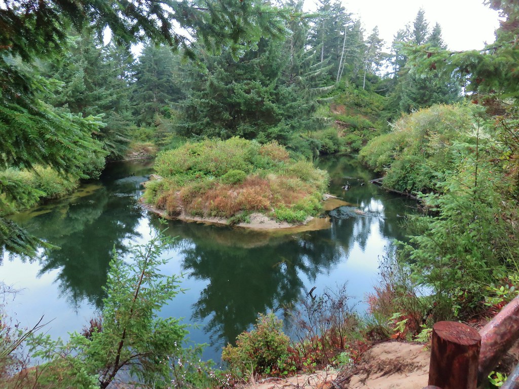
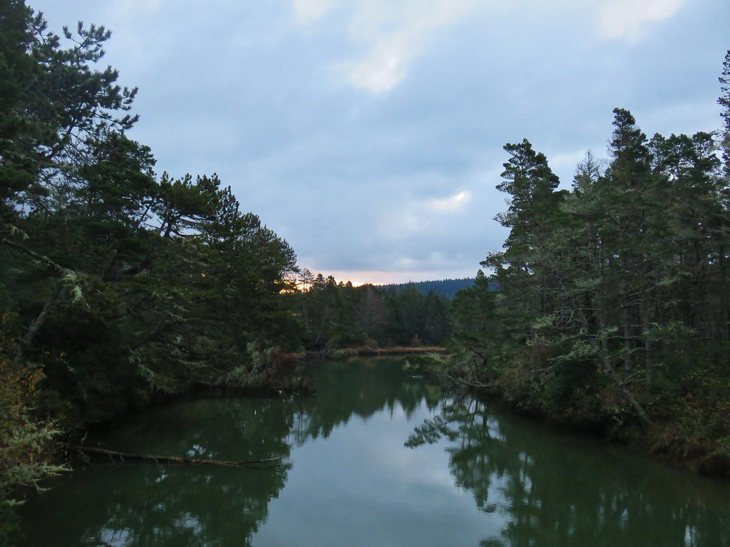
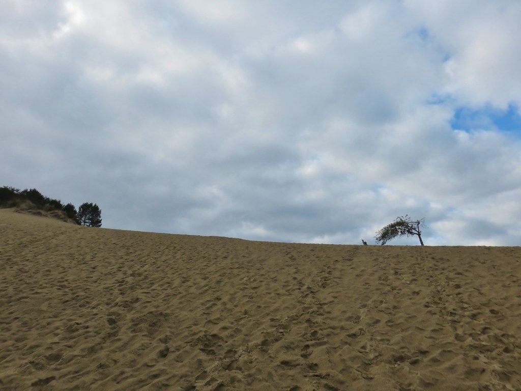
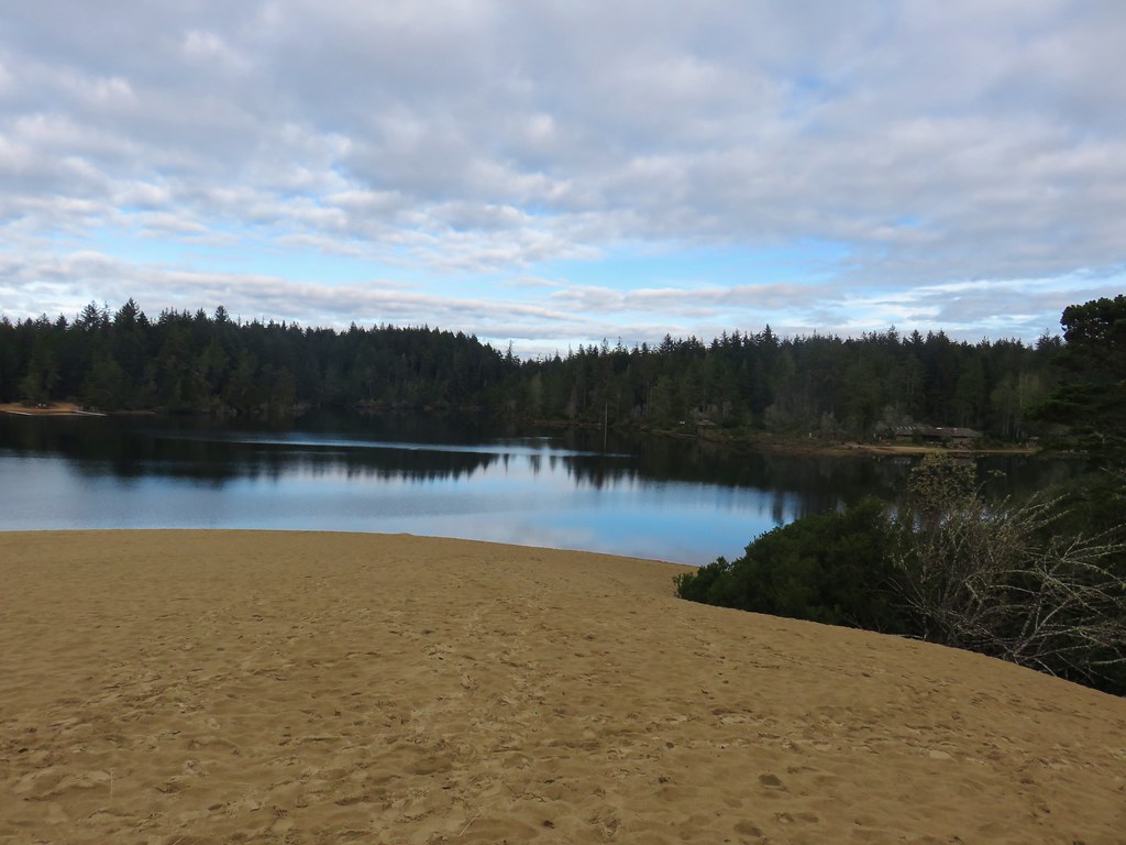
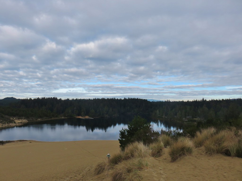
 Lily Lake
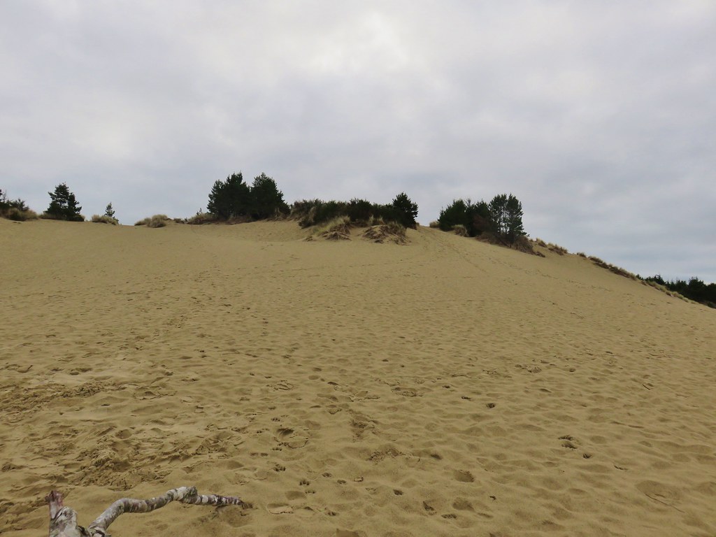
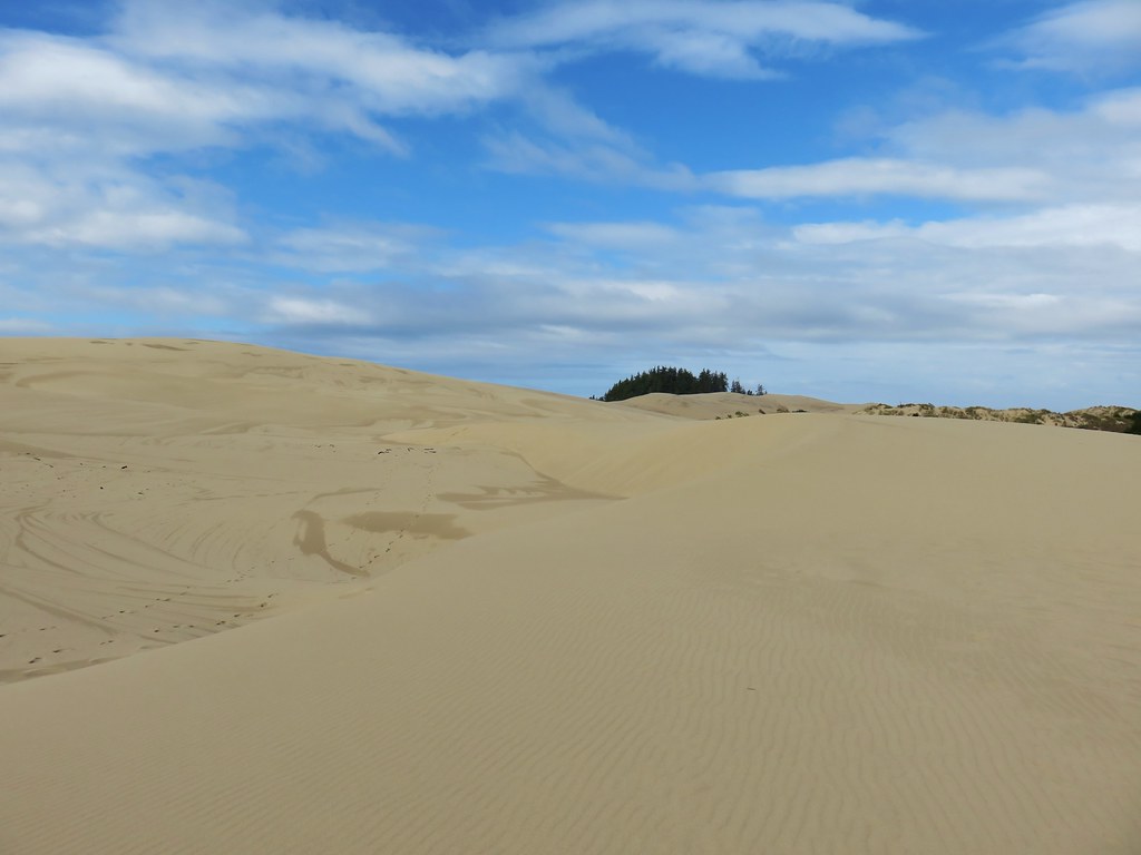
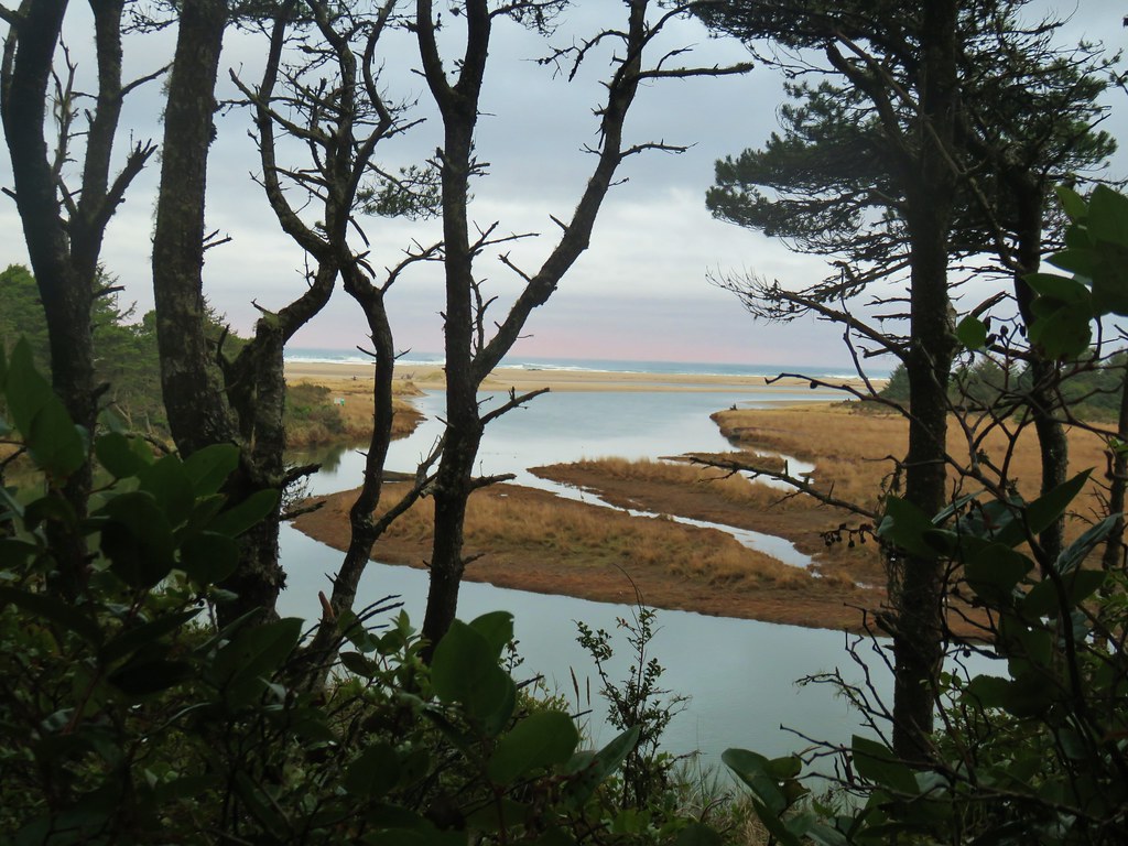
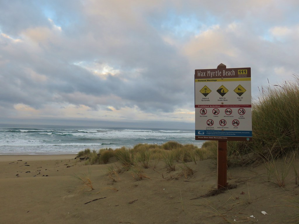
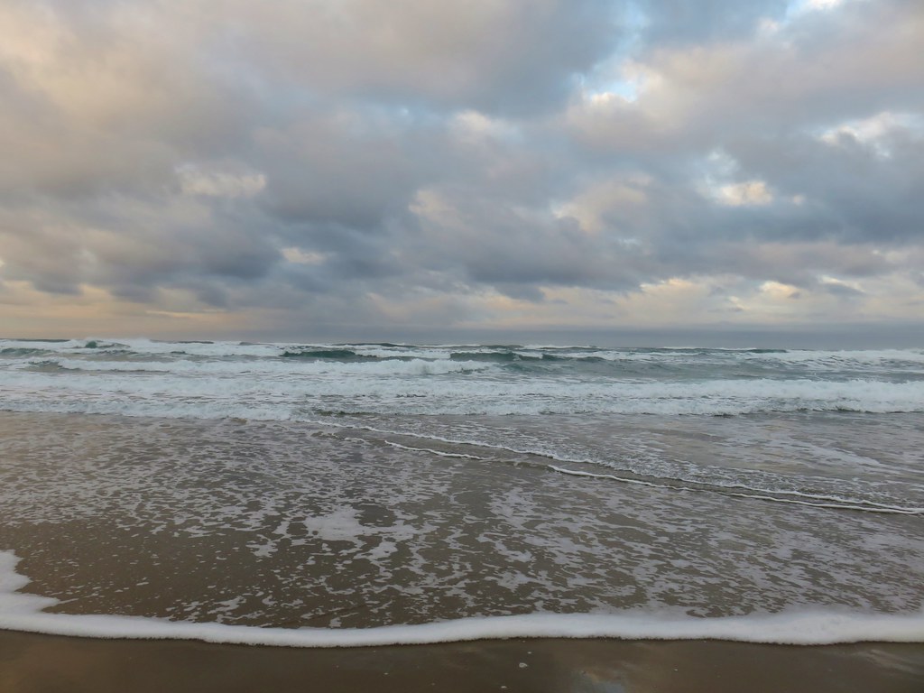
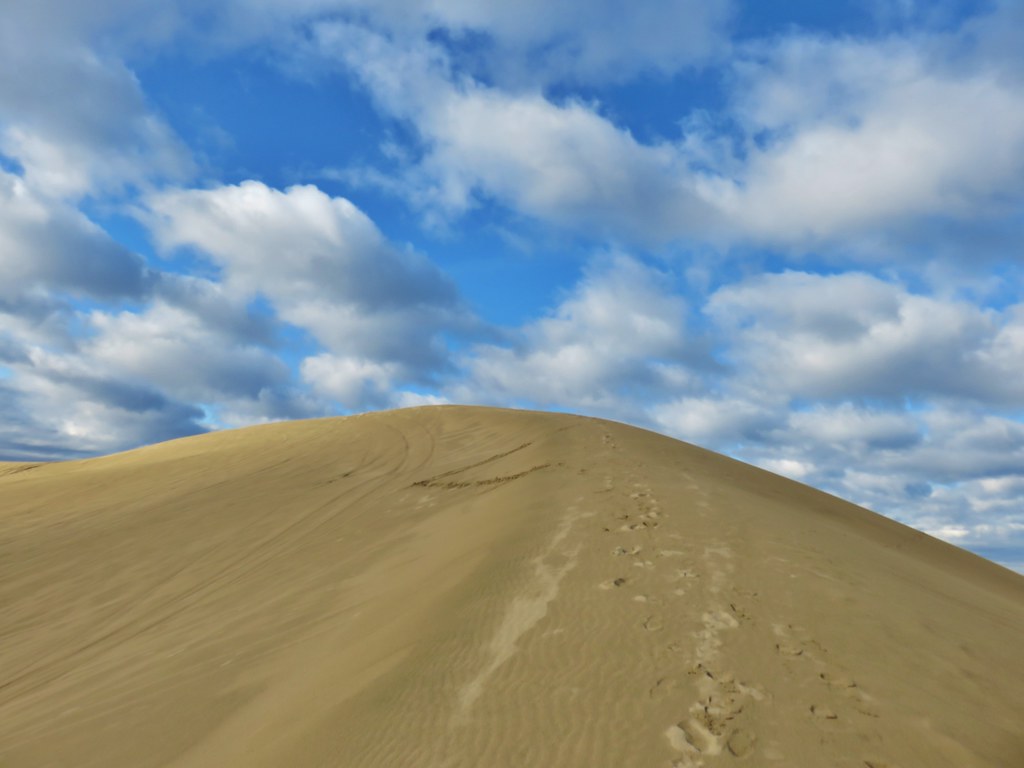
 The Pacific Ocean from the dune.


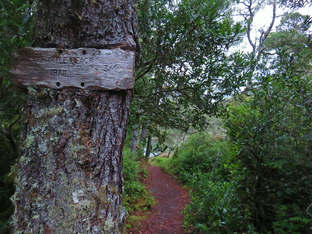
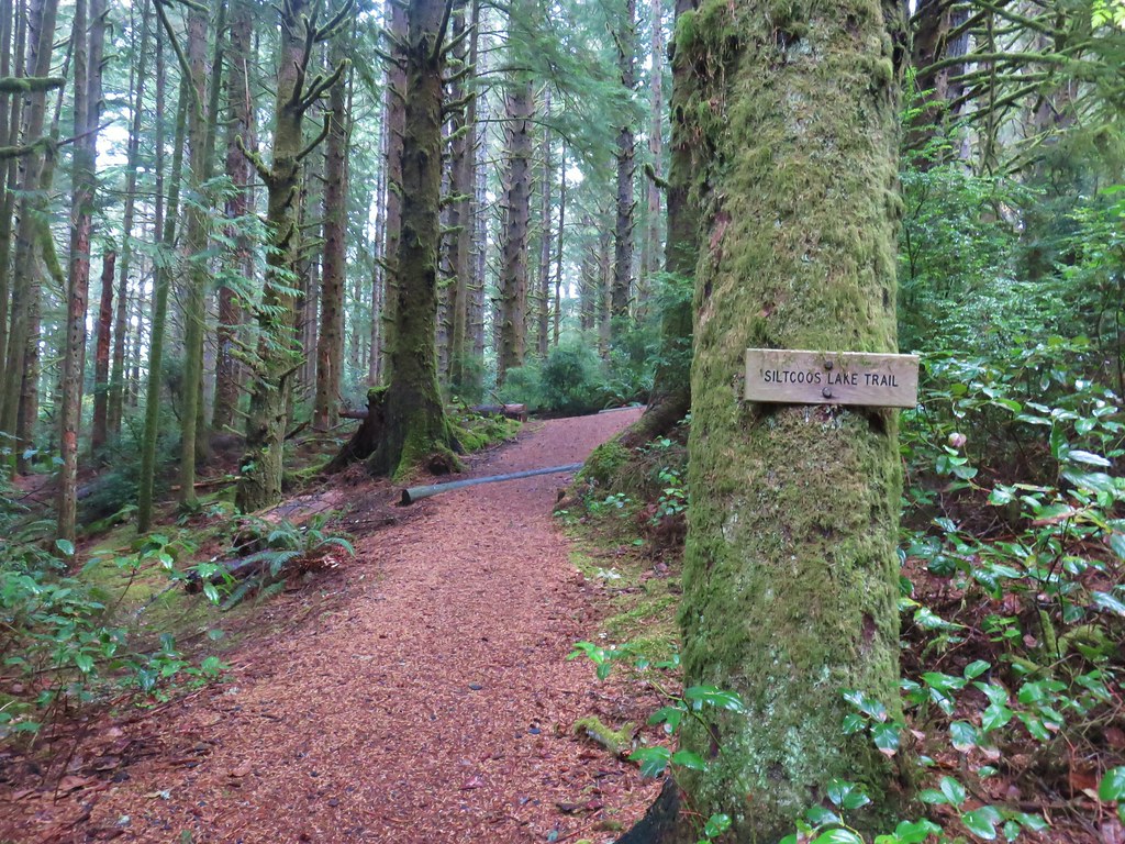
 Waterline Trail junction
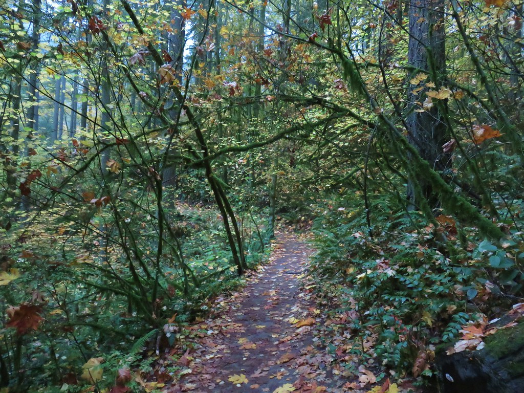
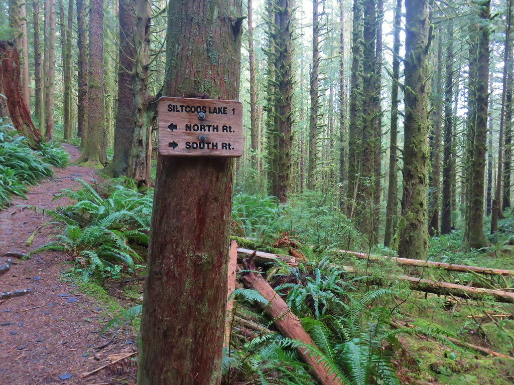
 Ridge Trail junction