
After spending the night in Baker City (post) we set off early for the Main Eagle Trailhead. Our goal for this trip was to check off three more of Sullivan’s featured hikes (post) Tombstone Lake, Eagle Lake, and Bear Lake.
When I was originally planning this backpacking route I had envisioned a grand loop with detours to several of the lakes. The loop option went out the window after reviewing the USFS interactive map. The Fake Creek Trail which we would have used to go between the West Eagle and Main Eagle Trails had been decommissioned and was no longer being maintained which was not something we wanted to attempt on a 5-day backpacking trip. There were also several other sections of the would be loop that hadn’t been maintained for a number of years. After considering a few different options we had settled on spending two night at Eagle Creek Meadows then hiking out and driving to the West Eagle Meadows Trailhead and spending two nights along the West Eagle Trail.
We arrived at the trailhead a little before 6:30am.

It was already over 50-degrees as we set off on the trail which quickly crossed Boulder Creek.
 The trail briefly followed an old roadbed.
 Log bridge over Boulder Creek.
The trail climbed gradually crossing Eagle Creek on a larger bridge near the three-quarter mile mark.


The trail continued its gradual climb through the forest entering the Eagle Cap Wilderness at the 1.75-mile mark.

 Sierra larkspur
 Paintbrush lined trail
 We were in the shade for most of the morning.
 Entering the Eagle Cap Wilderness.
At the 2.2-mile mark the trail passed a small unnamed waterfall on Eagle Creek.
 We had to leave the trail to get a view of the falls which we could hear from the trail.

As we continued on the trail passed through increasingly large meadows full of views and wildflowers.

 Buckwheat and nettle-leaf giant hyssop
 At the 2.7-mile mark the trail again crossed Eagle Creek, this time on a damaged footbridge.
Three miles in we crossed Copper Creek. We could hear the roar of Copper Creek Falls further up the creek.

 Part of the falls were visible from the trail.
A tenth of a mile beyond the crossing of Copper Creek we detoured uphill to visit the falls.
 Copper Creek Falls
We took a break at the falls amid a number of wildflowers.
 Penstemon
 Fringed grass of parnassus and some fading arnica.
 Flowers below the falls.
After our break we returned to the trail and continued on. A quarter mile later we arrived at a junction with the Bench Trail. The current version of our plan included hiking up the Bench Trail to Arrow Lake the next day but as we passed the junction and saw the condition of the lowest portion and “Trail Not Maintained” sign we began to question that plan.
 The Bench Trail is ahead on the left of the Main Eagle Trail.

We continued another 1.4-miles to another trail junction above Eagle Creek Meadow.
 View up the valley.
 Looking back at the hillside the Bench Trail climbs to Heart and Arrow Lakes.
 Looking across the valley.
 There was quite a bit of western snakeroot along the trail.
 Scarlet gilia
 Hummingbird Mountain

 Granite hillside and peaks above the trail.
 Trail signs at the Lookingglass Lake/Main Eagle Trail junction.
At the junction we forked right onto the Lookingglass Lake Trail and followed it downhill into Eagle Creek Meadow. At the far side of the meadow we located an established campsite not far from Eagle Creek.

 Needle Point on the left from Eagle Creek Meadow.
 Hummingbird Mountain from the campsite.
 Eagle Creek near camp.
 Lewis monkeyflower
After setting up camp and another short break we set off for Eagle Lake by returning to the Main Eagle Trail and continuing uphill.


 Columbian ground squirrel
 Pearly everlasting and Scouler’s St. John’s wort.
 White mariposa lilies
 White mariposa lilies
 Orange agoseris
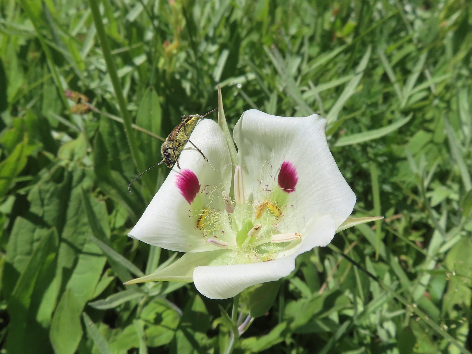 Beetle on a white mariposa lily
 Hillside along the trail.

 Butterfly (Boisduval’s blue?) on pearly everlasting.
 Monkshood
 Heading toward Needle Point.
As the trail neared Needle Point it made a series of switchbacks to a junction with the Eagle Lake Trail.
 One of the switchbacks.
 This junction was just under 2-miles from the Lookingglass Lake Trail junction.
The Main Eagle Trail forked left toward Cache Lake. We went right on the Eagle Lake Trail following it another mile uphill to Eagle Lake.

 Wildflowers along the trail.
 Looking back down the valley.
 Hawk
Hawk
 Fireweed along the trail.
 Shrubby cinquefoil and paintbrush
 Wildfire smoke creating a slight haze of the valley.
 Granite near Eagle Lake.
 Eagle Lake
 Eagle Creek flowing below the dam at Eagle Lake.
We were hoping to find a nice shaded spot at the lake to take an extended break but trees were scarce and so was the shade. The lake however was beautiful.


 Paintbrush
We did manage to find a couple of trees that cast enough shadow to provide a little relief from the heat as long as we occasionally moved our seats to follow the shade. Another pair of hikers arrived while we were resting. They were hoping to bushwack to the far end of the lake and catch the Perseid meteor shower that night.
We wound up staying at the lake for roughly three and a half hours. During that time Heather decided that she would not be attempting the hike to Arrow Lake the next day and would only be going up to Bear Lake with me in the morning. Bear Lake was just 1.5 miles from (and 1000′ above) our campsite. I was still planning to attempt the hike to Arrow Lake after visiting Bear Lake, but I was starting to seriously doubt that I’d actually make it up to that lake.
 While sitting in the shade we spotted a herd of elk on the hillside across the valley.
 Blurry photos due to the distance but it was fun to watch them.

We had brought our dinner with us and after eating that and replenishing our water supply we headed back down to camp. It was a little after 5pm when we started back and it was still uncomfortably warm. Fortunately the Sun was low enough that part of the return was in shadows which provided some relief.

 Golden-mantled ground squirrel
 Shade!
 American saw-wort
 Fawns
Fawns
 Our campsite in the trees from the Main Eagle Trail.
As we neared the junction with the Lookingglass Lake Trail we spotted a few tents around a rather large campfire at the south end of the meadow. While technically not banned at that moment in the Wallowa-Whitman National Forest it seemed a completely unnecessary risk to have a campfire given the high fire danger combined with the unusually warm temperatures.
We turned in for night having hiked a total of 11.4 miles an gaining a total of 2700′ of elevation. It had been a challenging but beautiful start to our trip. Happy Trails!

Flickr: Eagle Lake


 Hoary aster
 The interpretive center on Flagstaff Hill.


 Map near the wagon.


 Registration box and signboard at the Mt. Hood Wilderness boundary.
 There were a few downed trees but nothing too difficult to navigate.
 The brush was mostly huckleberry bushes.
 Trail side snacks.
 McGee Creek Trail junction with the Timberline Trail.
 Blowdown from the September 2020 storms that also flamed the destructive wildfires across the state. For more information on the storms impact on Mt. Hood check out this Wy’East Blog
  Looking through the trees at one of the areas that suffered severe blowdown.
 It was a cloudy day. We got sprinkled on briefly a couple of times.
 Fireweed
 Pinedrop
 Avalanche lilies
 Paintbrush
 Valerian, spirea, and paintbrush
 Gentians
 Yellow monkeyflower
 A tributary of McGee Creek.
 Spirea along the Timberline Trail.
 Shooting star
 Pink monkeyflower
 Fleabane
 Beargrass
 False hellebore
 Partridge foot
 Lupine
 Lewis monkeyflower along a tributary of McGee Creek.
 Beardstongue
 Lousewort
 Dry pond surrounded by beargrass.
 The idiots camped in the meadow. There is even an arrow on the “Do not camp in meadow” sign pointing at the meadow. Please DON’T be these people.
 The second pond still had some water in it.
 Junction with the Mazama Trail (
 The butterflies weren’t out today but the bees were.
 The clouds just wouldn’t quite raise enough.
 Mountain heather
 Lupine and paintbrush
 Beargrass along the Timberline Trail.
 Paintbrush, partridge foot and lupine
 Signpost for the McNeil Point Trail.

 We’d never seen a paint colored like this before.


 Western pasque flower
 Lupine and two types of monkeyflower


 Pikas spend the Summer gathering greens for the rest of the year when they remain in their homes under the snows.

 Mountain heather and paintbrush.
 Saxifrage
 A variety of flowers.
 Avalanche lilies
 Sub-alpine fleabane
 Western pasque flowers
 Doe that was as surprised as we were when we spotted each other.

 Lewis monkeyflower
 The righthand fork.
 View from the plateau.
 Some low clouds to the East.
 Dwarf lupine
 A hiker on the righthand fork headed for the McNeil Point Shelter.

 Caves below the Sandy Glacier.
 Bluebells of Scotland
 The shelter below to the right.
 Muddy Fork
 Goldenrod
 With the clouds the view wouldn’t have been great from the ridge on this day.


 Patches of blowdown along Bald Mountain Ridge.

 Columbine
 Valerian
 Paintbrush and bistort
 Aster
Aster Chipmunk snacking on huckleberries.
 Meadow near the Timberline Trail.
 Arriving back at the Timberline Trail.
 Every once in awhile the trail was clear of other users.
 We’re always drawn to this rock fin above the Muddy Fork.
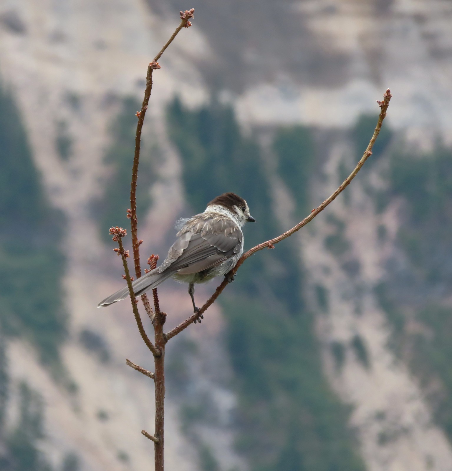 Canada jay
 McGee Creek Trail junction.
 Bunchberry
 Is that sunlight?
 While the clouds never lifted from Mt. Hood we did experience a window of blue sky near the end of our hike.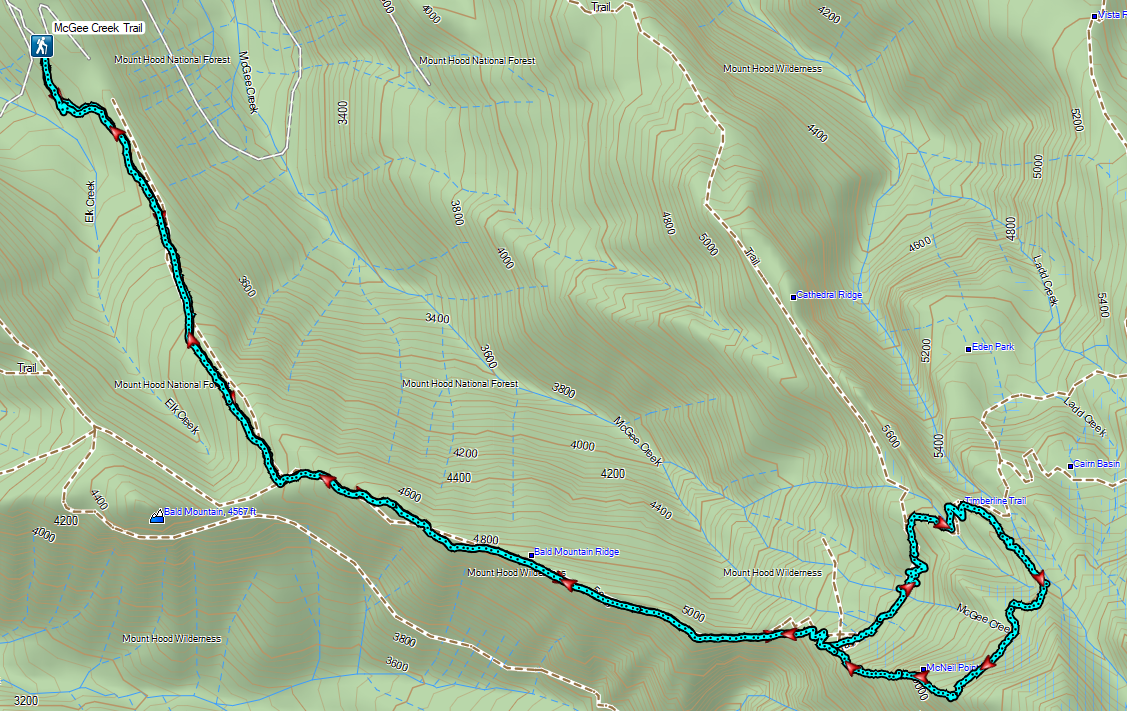
 Sunrise behind Llao Rock on the way to the trailhead.
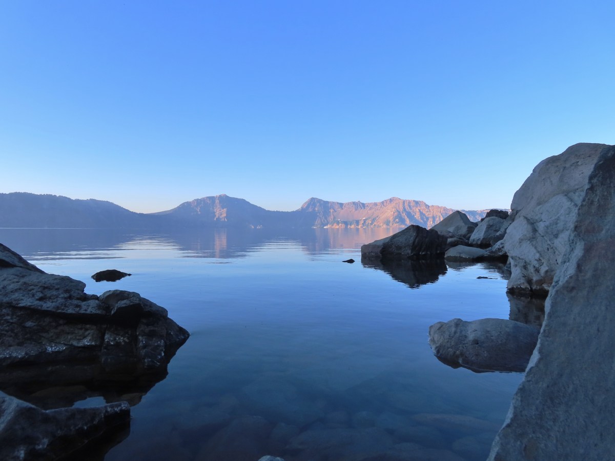
 Crater Lake at sunrise.
 Mt. Bailey, Diamond Peak, and Mt. Thielsen behind Red Cone.
 Cowhorn Mountain (

 Mt. Scott (

 Dutton Cliffs, Sun Notch (
 Looking down at the turnaround point.
 Wouldn’t want a rock like this to come down on you.
 Breakfast time.
 There were “no stopping” signs at areas where the danger of rock fall was the greatest.
 One of the tour boats.

 Looking back at the dock area.
 Couldn’t get an actual fish in a photo but I barely missed this one.
 The dock at Cleetwood Cove.
 Not a hiker or fisherman.
 Llao Rock from East Rim Drive.


 Bog Orchid
 Bistort and monkeyflower

 Some sort of orchid?
 Yellow monkeyflower
 Monkshood


 Bistort
 Not sure if this is a robin or ?
 Crater Lake Lodge

 Garfield Peak from behind the lodge.
 The Watchman and Hillman Peak
 Golden-mantled ground squirrel with a mouth full.


 Mt. McLoughlin (
 Mt. McLoughlin
 Union Peak
 Paintbrush
 Reservoir structure (built 1931).
 Mt. Bailey (
 Mt. Bailey
 Deer below the trail.
 Western pasque flowers
 Arnica
 One of several patches of snow at the higher elevations.
 Crater Lake Lodge below to the left.
 Mt. Scott (
 Clark’s nutcracker
 Buckwheat
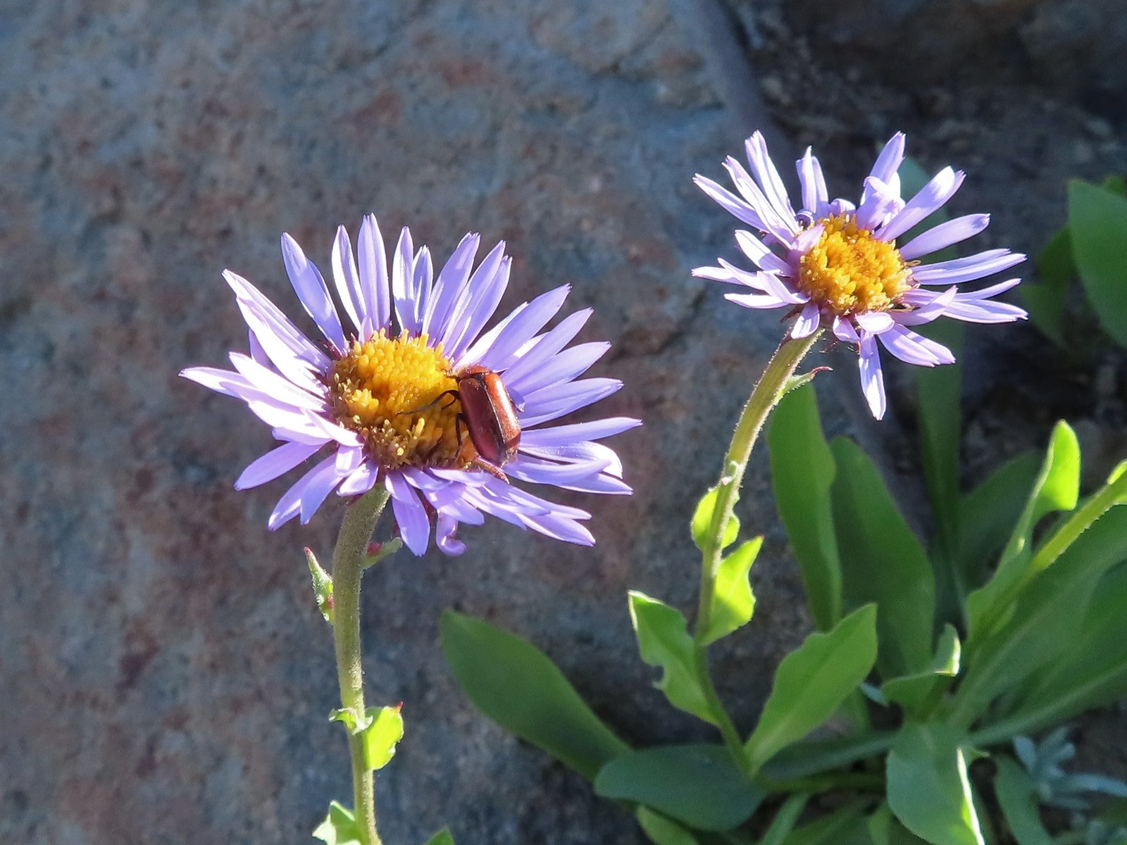 Beetle on sub-alpine fleabane.
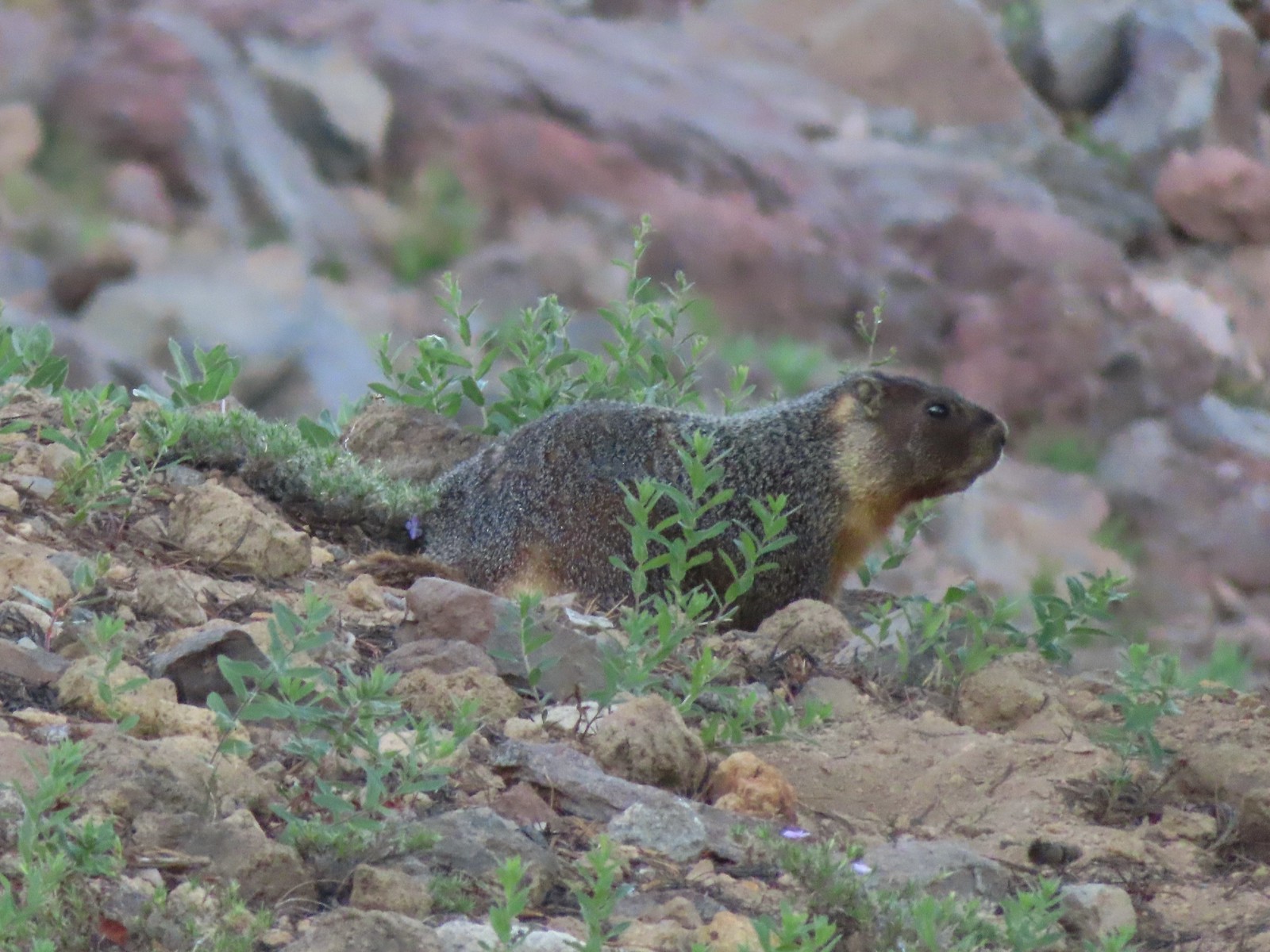 Yellow-bellied marmot
 Bench below the summit of Garfield Peak.
 Partridge foot
 Applegate Peak to the left and Crater Peak (
 Arriving at the summit.
 Mt. Scott above the Phantom Ship.

 It was a bit hard to make out but Mt. Shasta was visible to the south.
 Cowhorn Mountain (
 Crater Lake from the summit of Garfield Peak.
 Blurry photo due to the sheer distance away it was but it looked big.
 Union Peak behind a marmot.
 Penstemon
 Painted lady
 There were a lot of marmots out.
 Paintbrush, phlox and buckwheat.
 Stonecrop, paintbrush and pearly everlasting.
 The clear blue water of the deepest lake in the United States.
 Yellow-rumped warbler

 False hellebore
 Viewpoint and The Watchman from the trailhead.
 Western pasque flowers above Crater Lake.
 Hillman Peak ahead.


 Lounging on a rock.
 Shasta knotweed
 Rim Drive below the Rim Trail.
 Mt. Bailey and Diamond Peak with Diamond Lake (
 Red Cone with Sawtooth Mountain (
 Silvery Raillardella
 Snow patch on Hillman Peak.
 Penstemon
 Llao Rock
 It took us a moment to notice the two deer ahead along the tree line.
 We spotted the doe but she also had a pair of fawns nearby that bounded off.
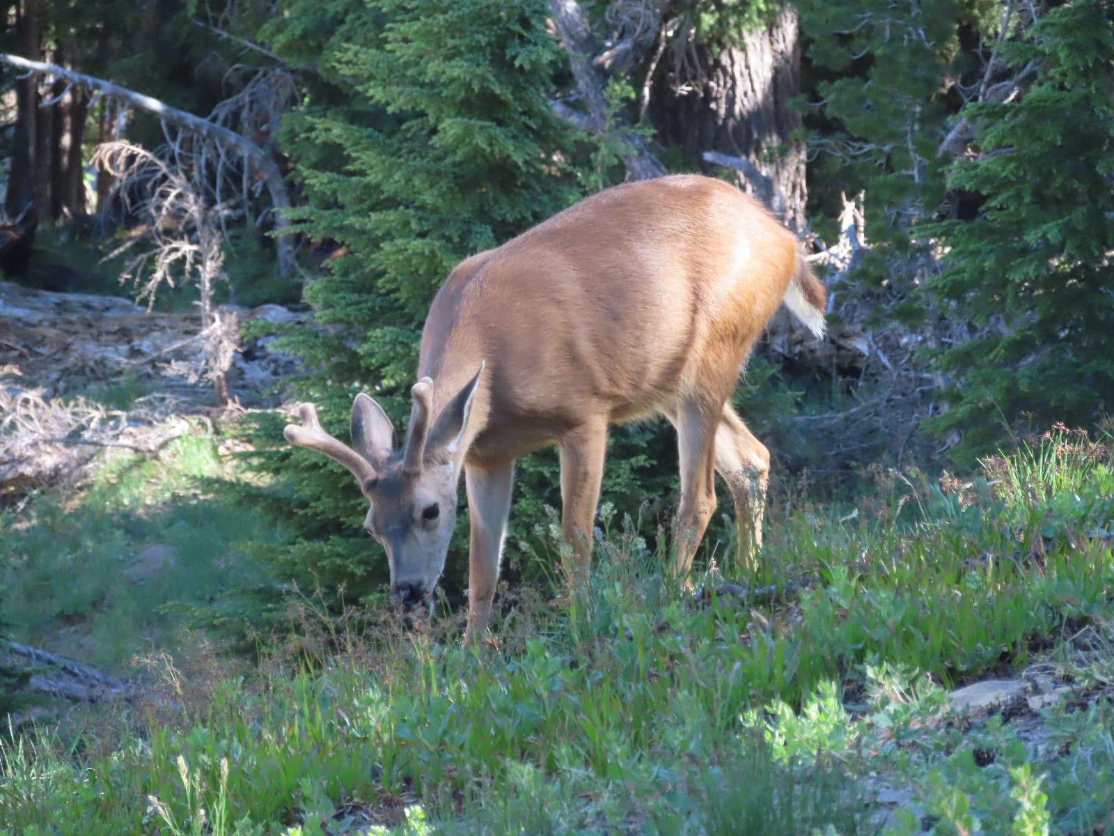 This buck had zero concern with us as we passed by.
 Phlox
Phlox Dwarf lupine
 Devil’s Backbone with Mt. Scott behind.
 Wizard Island
 Devil’s Backbone
 Hillman Peak from Devil’s Backbone.
 Garfield Peak across Crater Lake.

 Saxifrage
 The Watchman
 If I stand perfectly still, they won’t see me.
 Hillman Peak and Llao Rock from the viewpoint at The Watchman Trailhead.
 Rock formations below Hillman Peak.
 Godfrey Glen Trailhead
 The ADA accessible trail made for a nice easy walk.
 Super-heated volcanic gas fused ash creating these pinnacles.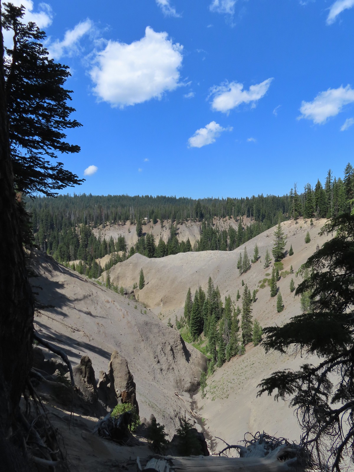

 First viewpoint of Godfrey Glen above Munson Creek.
 Godfrey Glen
 Another viewpoint.
 We could hear Munson Creek but it wasn’t visible in the canyon below.
 One waterfall.
 Another waterfall in the canyon.
 The end of the loop.
 Sinnott Memorial Overlook on the rim to the left.
 View from the overlook.
 Mt. Scott and Garfield Peak from the overlook.
 These numbers blew our minds.

 Swallowtail and a painted lady on penstemon.


 There were pikas out there in the rocks but we only heard them this time.
 We did spot this western tanager though.
 Pink monkeyflowers. One of our favorite wildflowers.
 The trail climbed gradually along Sand Creek before rounding a corner to a view of Plaikni Falls.
 Paintbrush and columbine along with lupine and groundsel.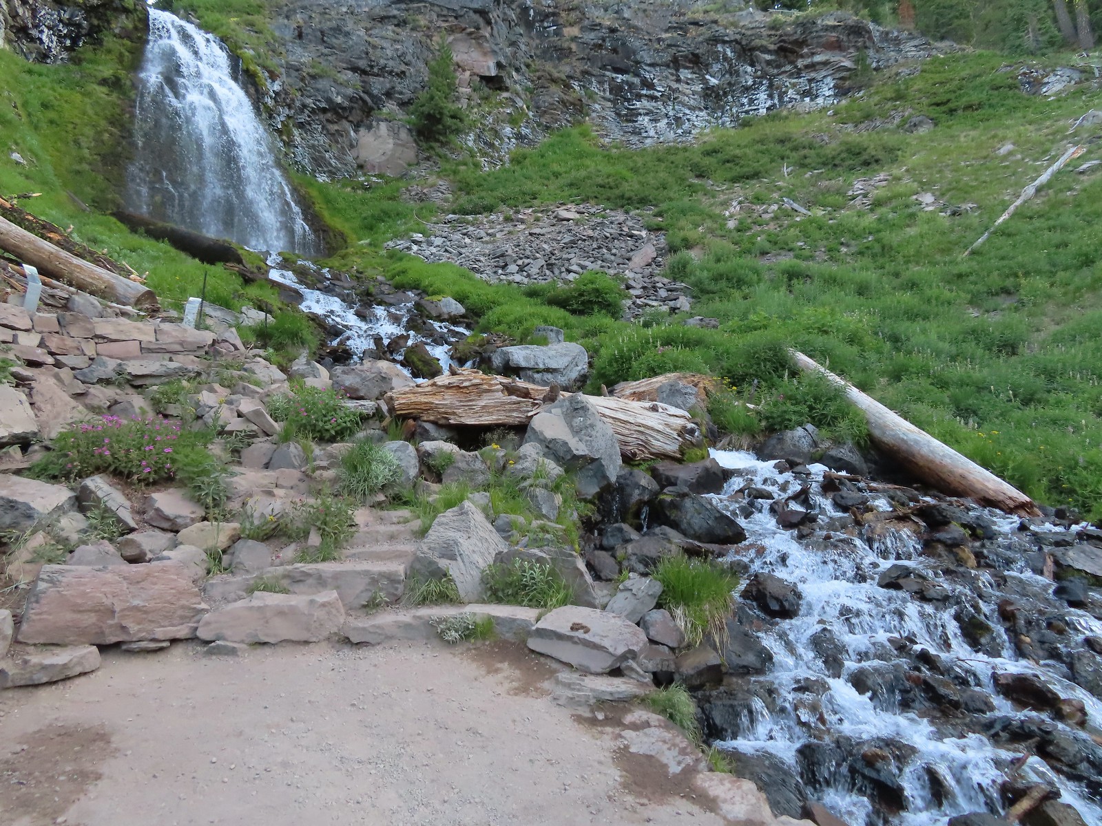

 Hummingbird visiting a paintbrush.
 Monkshood
 Yellow monkeyflower
 Applegate Peak from the Sun Notch Trailhead.

 There is a nice green meadow in the center of the loop.

 The Phantom Ship.
 Diamond Peak (
 The Watchman (

 Garfield Peak, The Watchman, and Hillman Peak.
 Heading back down to the start of the loop.
 Marmot

 Vidae Creek
 East Rim Drive was up above the trail.
 Crater Peak through the trees on the left.
 Paintbrush
 Stonecrop
 Setting off on the broad ridge.

 There was a very short steep climb to reach this small meadow with a view ahead to Crater Peak.
 Female western tanager
 Looking up Crater Peak.
 Little prince’s pine
 Union Peak (
 Mt. McLoughlin (
 Mt. McLoughlin behind Lee & Devil’s Peaks.
 Mt. Shasta was visible, barely, through wildfire smoke.
 Arriving at the crater.
 Scarlet gilia lining the trail around the crater.
 The Watchman to the left and Garfield Peak.
 Applegate Peak and Mt. Thielsen
 View south to Mt. McLoughlin with the Goose Nest to the closer to the right.
 Dutton Cliffs and Mt. Scott (
 Pussytoes
 The peaks around Crater Lake.
 Paintbrush
 Western pasque flowers
 Klamath Basin with haze from (most likely) the Golden Fire near Bonanza.
 The Rabbitt Ears and Hershberger Mountain (


 Signboard at the loop.
 Crater Peak from the trail.
 Ash pinnacles
 Getting ready to drop into the canyon.
 The trail had been closed for hazard tree removal and we could see that there had been some big trees that had to be cleared.
 Wildflowers in the meadows below.
 Annie Creek


 Monkeyflower and lupine
 Final pitch to end the loop.
 The Annie Creek Restaurant.


 Arriving at the highway.
 Trail on the far side of Hwy 62.

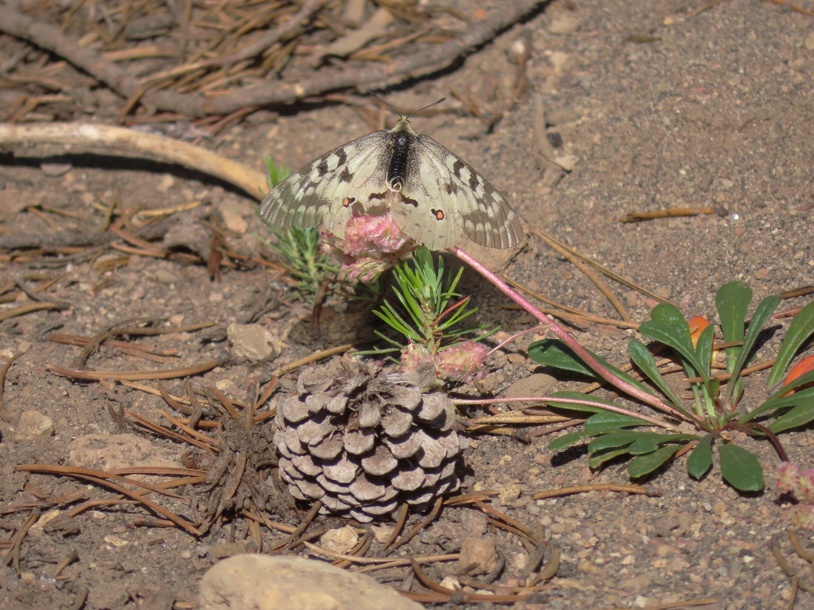 Clodius parnassian on a pussy paw.
 Much of the trail followed an old roadbed.
 PCT junction.
 Butterfly on the Crater Lake PCT register. While I was working on getting the butterfly photo a northbound thru hiker arrived. He mentioned not having had a shower in 10 days and being really excited to reach

 Older cut logs helped us locate the trail at times.
 Union Peak from the trail (
 It took a second to find the tread in this meadow.
 Once we found it though it was easy to follow.
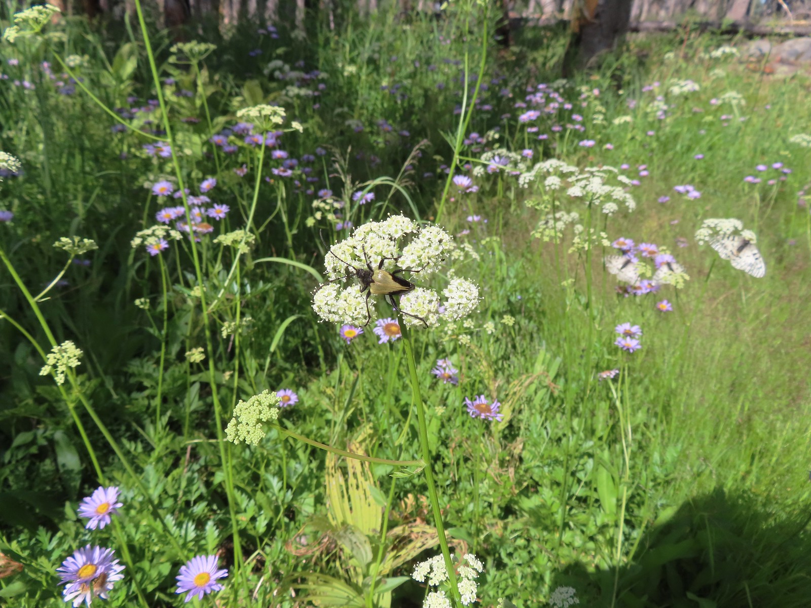 Big beetle. There are also three clodius parnassian butterflies behind to the right.
 Typical trail conditions. I spent a good deal of time removing limbs from the larger trees and pulled some of the smaller ones off the trail.
 Doe below the trail.
 More messy trail.
 There was one small stand of unburned forest which provided a brief break from the blowdown.
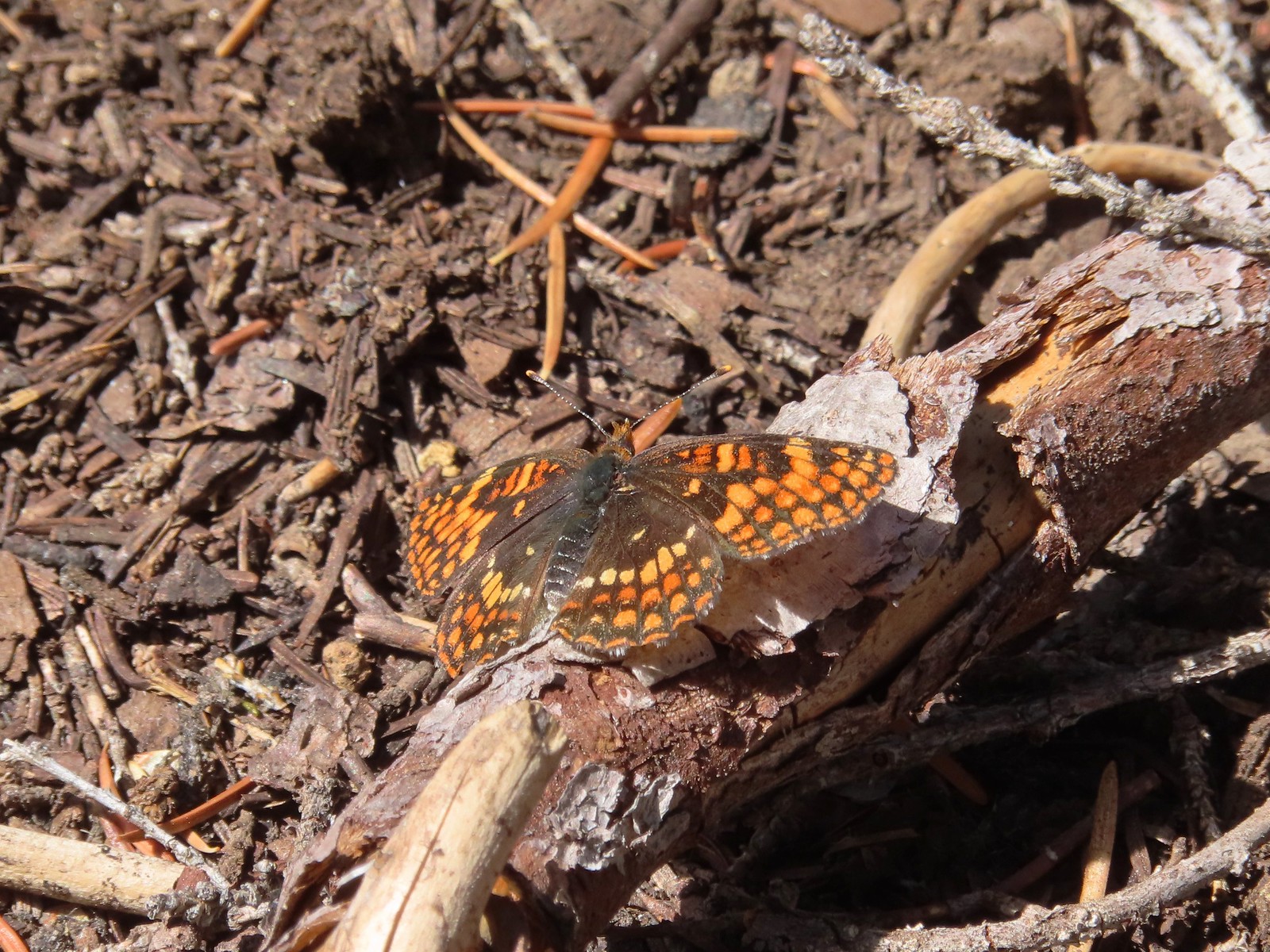 Checkerspot butterfly
 Mylitta crescent and a hoary comma on spreading dogbane.
 Paintbrush
 I believe that is Tom Mountain and Jerry Mountain.
 Bald Top to the right.
 Skipper
 Mt. McLoughlin
 Lorquin’s admiral
 This was the worst of the obstacles.
 We hadn’t seen a blue diamond since before the PCT but near the SW corner of the Park boundary we spotted a couple.
 Post ahead marking the boundary. The trail passed through a narrow gap here where the blowdown was heavy.


 Arnica below the falls and fireweed above the falls added some nice color to the scene.
 One-sided wintergreen


 Small falls on Red Blanket Creek.
 Pink monkeyflower
 I’d lost the trail here but headed for the patch of bright orange wildflowers to see what they were.


 Red Blanket Falls
 View down Red Blanket Creek
 A spring fed waterfall along Red Blanket Creek below the falls.
 A second and third tier of Red Blanket Falls just below the upper fall. I wasn’t able to get a clearer view of these two drops. I hiked a short distance down the creek but decided the poor trail conditions and loss of elevation weren’t worth going further down the trail with no guarantee of a better view.
 The three drops of Red Blanket Falls
 One more of Red Blanket Falls.
 Another little cascade.

 Along this rock outcrop I found switchbacks that I’d missed on the way to the falls.
 This might be a black backed woodpecker.
 This cairn was new to me as well. At this point I was quite a bit below our track from the morning and I was afraid that I might pass Heather without knowing it if she was sticking to the earlier route.
 Hummingbird
 Goose egg on the left.
 Painted lady
 A checkerspot and a copper on sub-alpine fleabane.
 Arriving back at the PCT. We again crossed paths with a thru hiker on the way to Mazama Village.
 Pussypaws
 Dwarf lupine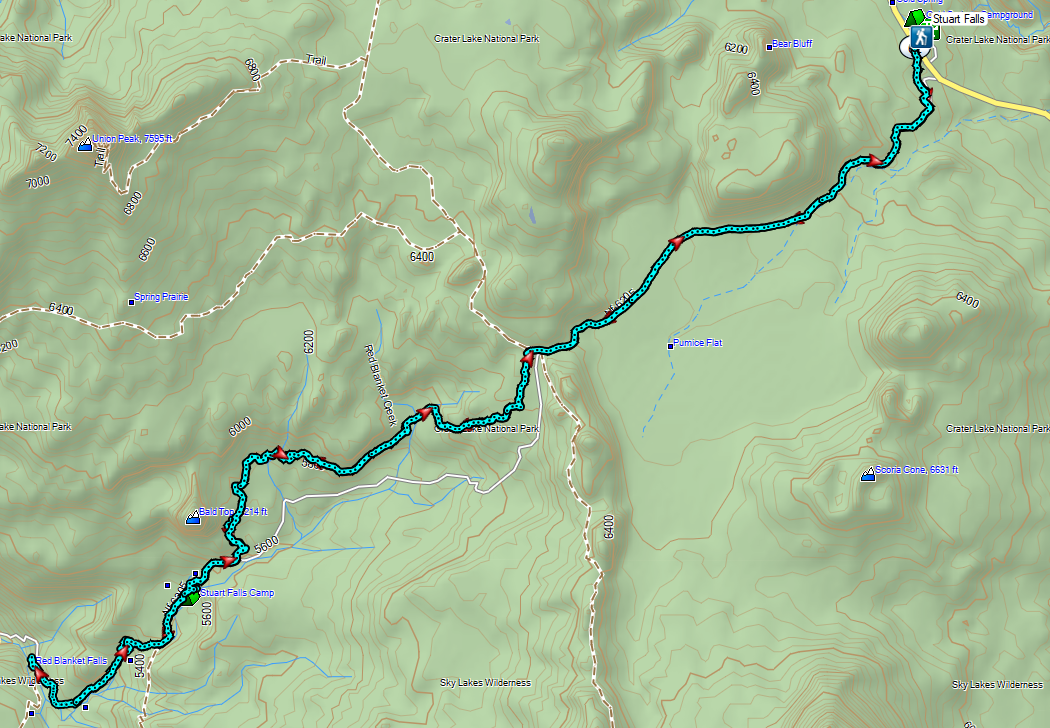
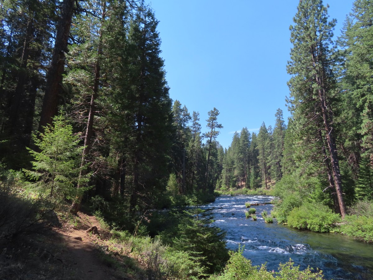


 The sign is visible from the campground road.


 Common mergansers
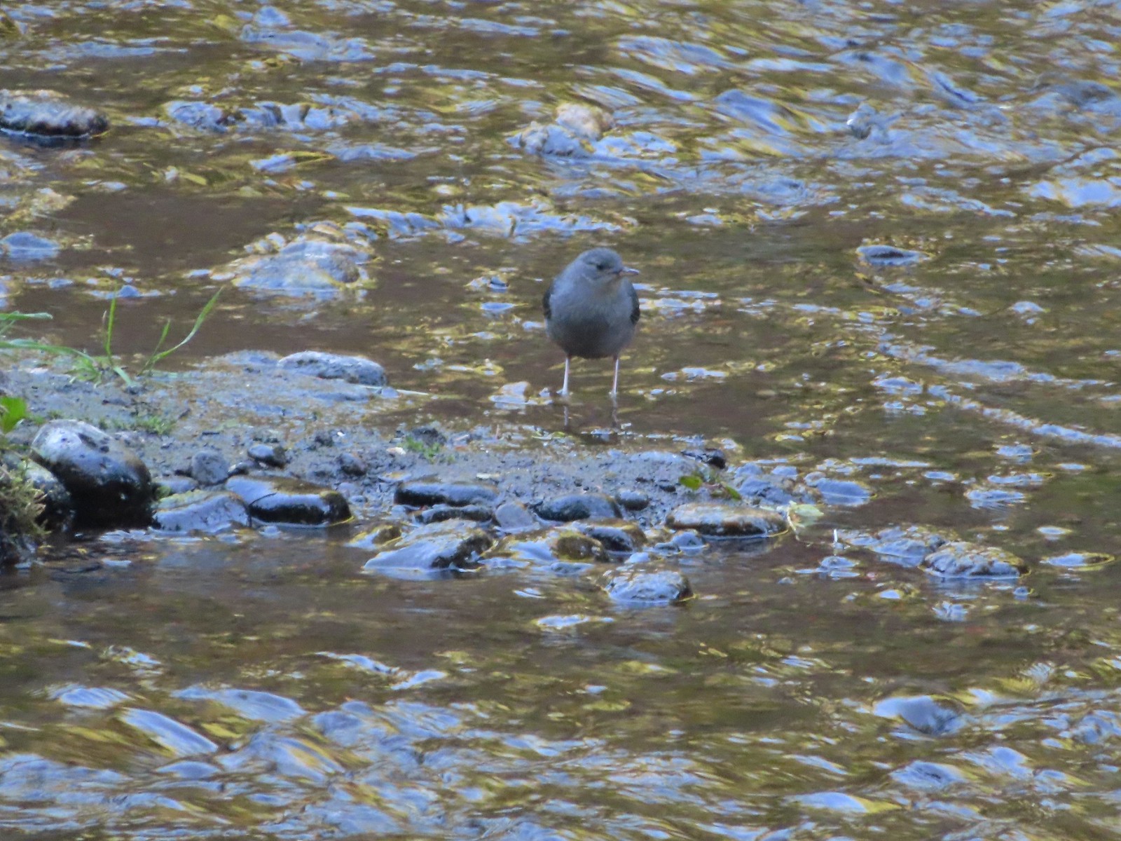 Ouzel
Ouzel Goldenrod
 Passing some of the campsites.
 The Candle Creek Campground across the Metolius.
 We actually went left below the stump here but, on the way back wound up coming downhill by the stump.
 More campsites.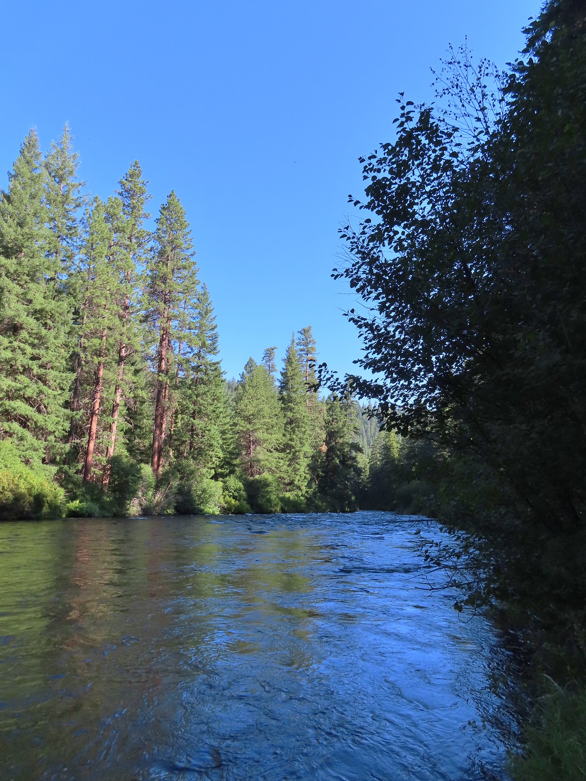
 As we got further from the campground we encountered more and more brushy sections.
 Another section with an increased number of obstacles.
 Getting a bit brushier.
 We left the river for the road at this bend.
 Heading up to the road.
 The use trail from the road.
 We wondered what this post signified.
 They were way past blooming but there were several mountain lady slippers along the road.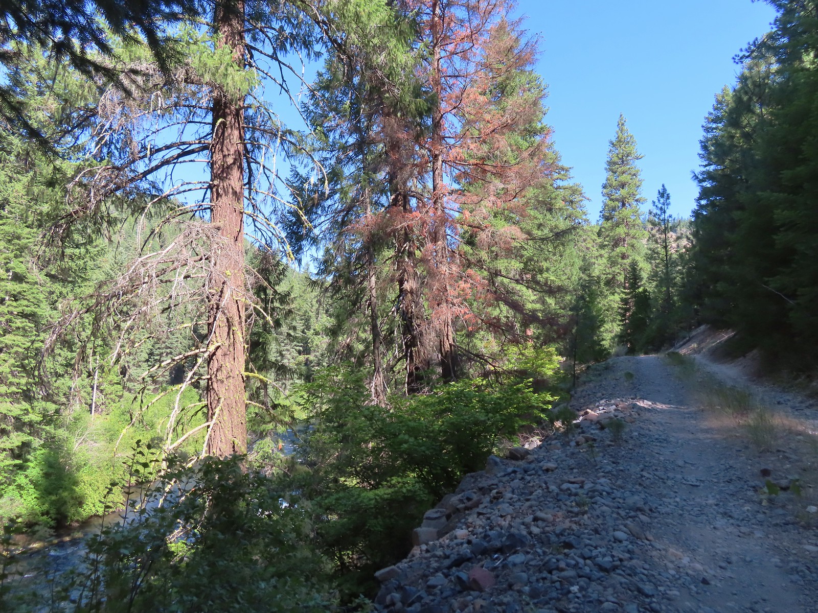
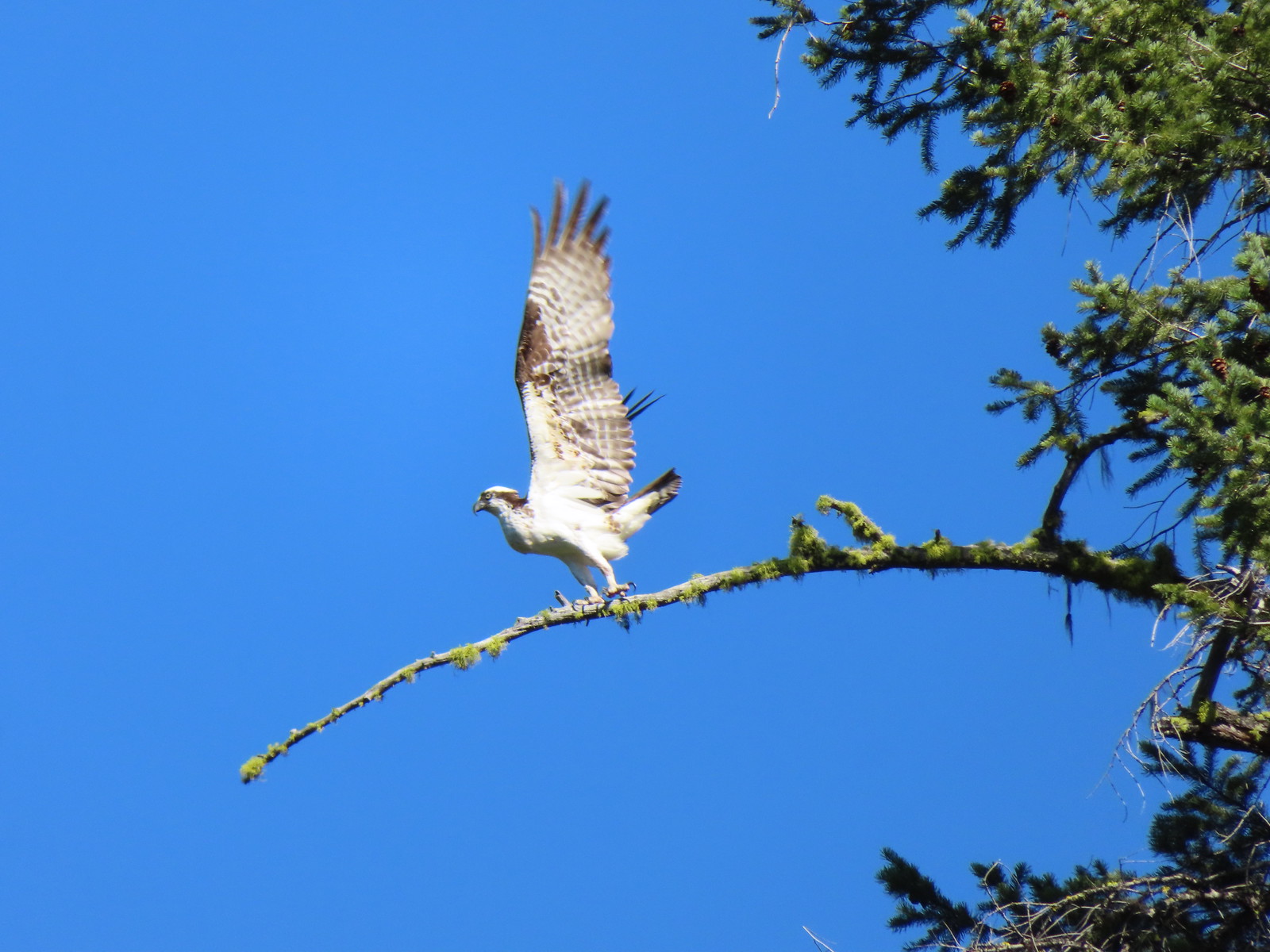
 Osprey nest
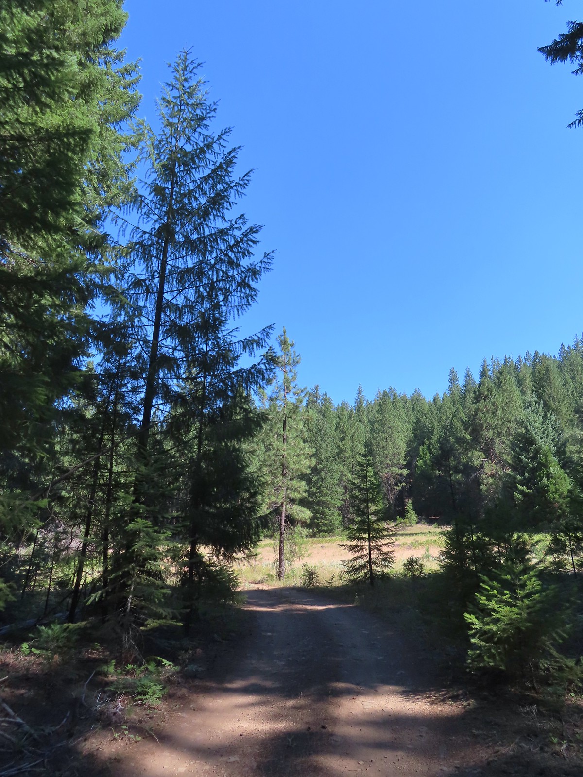
 Rock spire on lower section of Green Ridge. There are several interesting rock features higher up on the northern end of Green Ridge that were not visible from the road.
 Orchid
 Scarlet gilia
 Some of the private cabins from the road.


 A couple more cabins.
 The end of the private land.
 The clear water allows for nice views of the rocks making up the riverbed.
 Even though it had received maintenance the road was not in good enough condition for larger vehicles.

 Pink monkeyflower

 Lorquin’s admiral
 The forest opened up near the end of the road where we set up camp.
 Campsite
 Yellow monkeyflower
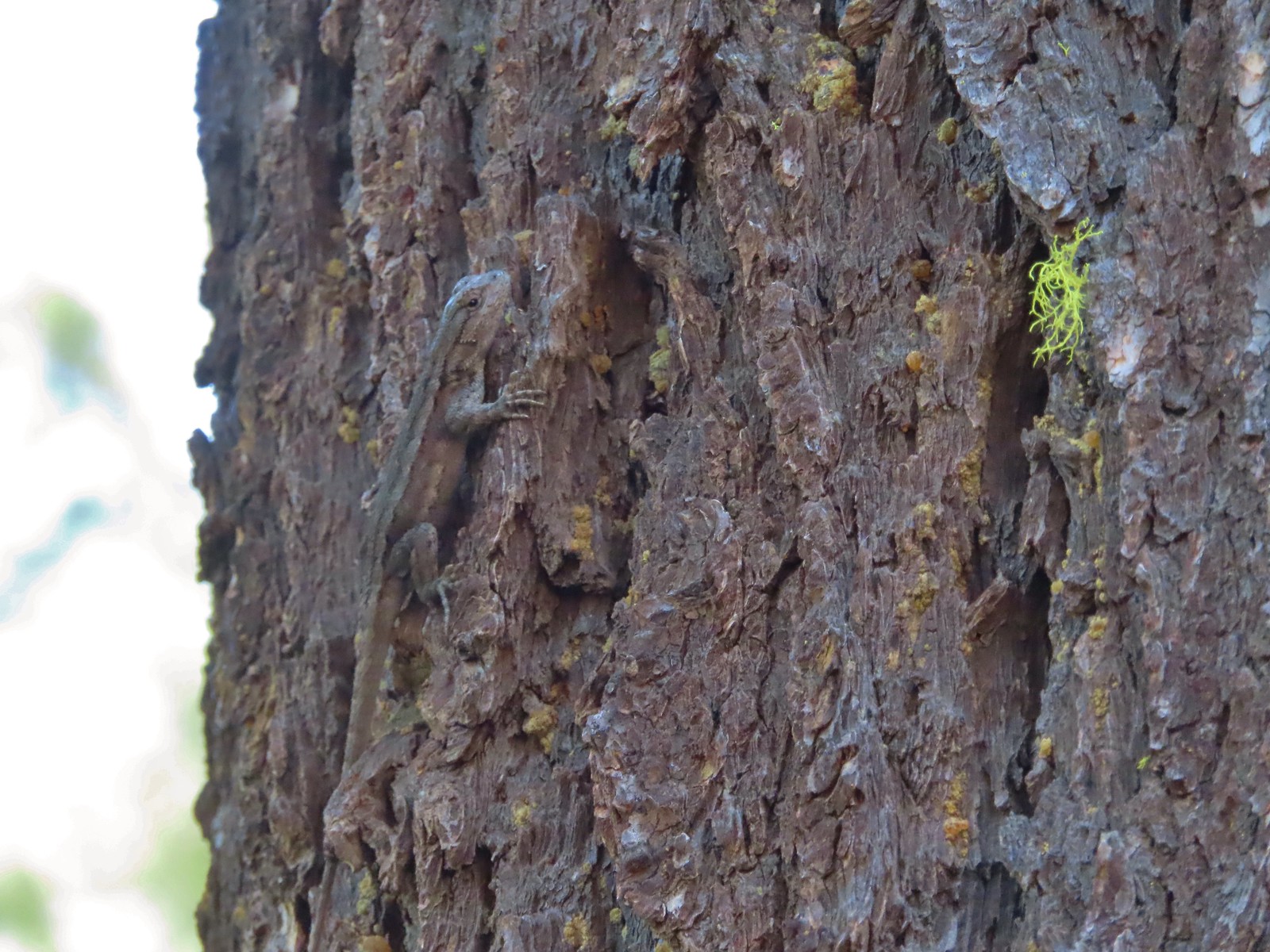 Lizard hanging out near the campsite.

 Grouse
 The answer to the questions is yes bears do.
 The Metolius through the trees.
 Sagebrush mariposa lily. There also tire tracks in the trail behind.
 Recent brushing had been performed through this area.
 Looking up the end of Green Ridge.
 This large tree had been cut fairly recently.
 Flagging marking a reroute around a downed tree.
 Starting to get brushy.
 View across the river to the Warm Springs Indian Reservation.
 Flowers along the Metolius.
 The Whitewater River was behind the rock formation on the far side. The Whitewater River begins at the Whitewater Glacier on Mt. Jefferson and flows roughly 7.5 miles through the Warm Springs Reservation to the Metolius.
 More clear water.
 Fireweed
 Thimbleberries provided us with a few after dinner snacks.
 Hedgenettle
 The Shut-In Trail traveled right along the riverbank at times.
 There was a small set of boards nailed together to assist with crossing the sketchiest part, but they were just lying on the hillside and not anchored in any way.
 The Shut-In Trail from CR-64.
 CR-64
CR-64
 Frog on a skunk cabbage leaf. There were a few wet areas along the Shut-In Trail which meant a few mosquitos were present.
 The Sun going down as we approached camp.
 Pinedrops
 Squirrel
 Bee sleeping on thistle.
 Large boykinia
 We t
We t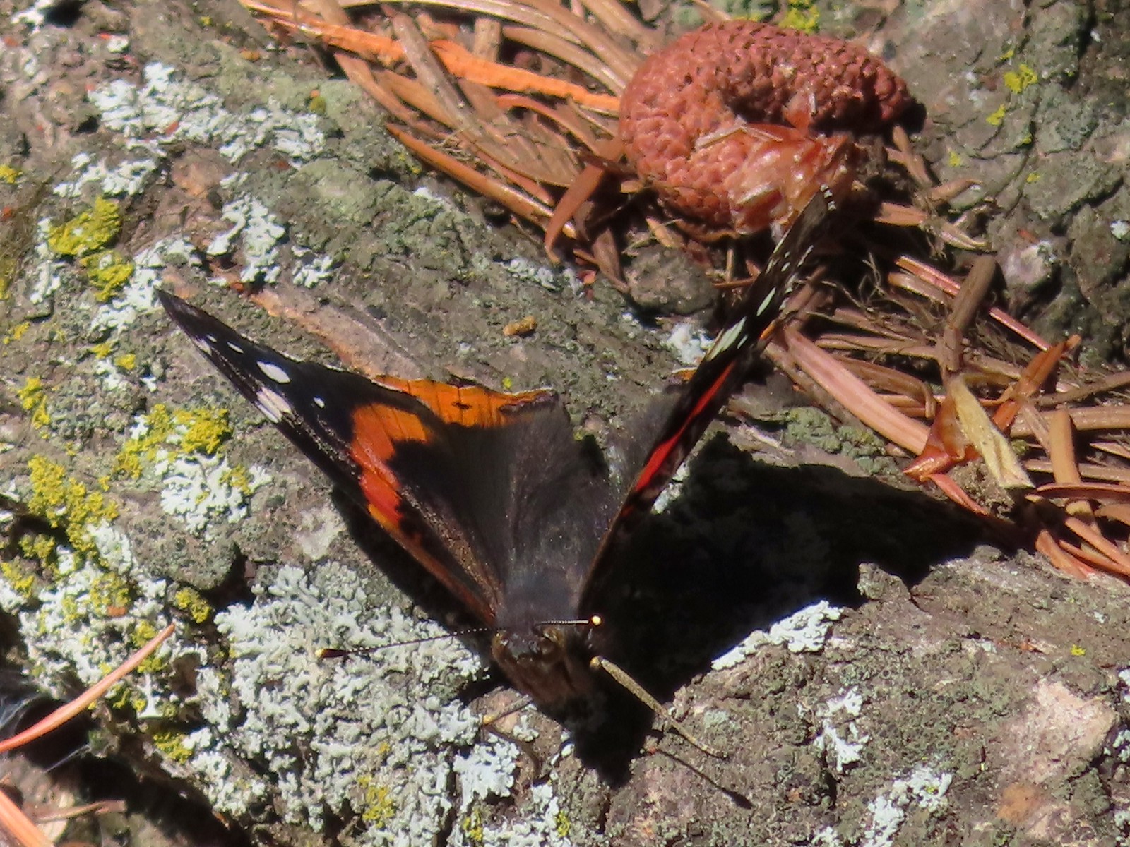 Red admiral. As far as I know this is the first one of this species of butterfly that we’d seen.
 Common wood nymph
 Across from the Candle Creek Campground.
 Green Ridge through some smoke. A couple of new fires, one on the Warm Springs Reservation and one East of Eugene had started over the weekend.
 Love the colors of the Metolius.
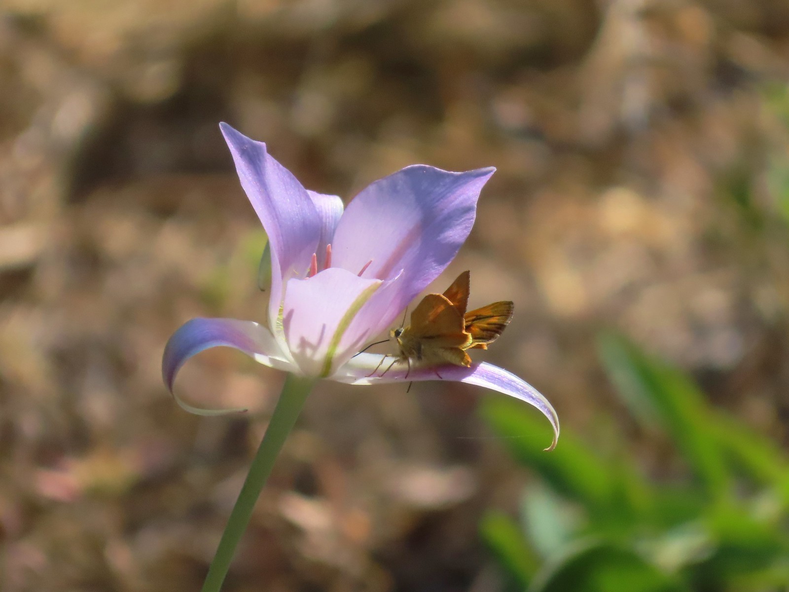 Skipper on a mariposa lily.
 Lower Bridge Campground is ahead to the left in the trees.

 Rhododendron at the trailhead.
 Eagle Creek Cutoff Trail on the left just before the first steep climb.
 Salmon-Huckleberry Wilderness sign. I would be in and out of the wilderness several times on my route.
 Pictures rarely capture the actual steepness of the trails but the third of a mile past this trail sign had me wondering if I was going to be able to complete my planned hike.
 Starting the descent to the saddle.
 The
The  Coral fungus
 The Old Baldy Trail turns left here while the Tumala Mountain Trail continues straight.
 A small unreadable sign was the only identifier for the continuation of the Old Baldy Trail. I was a little concerned seeing blowdown on this trail from the junction but as it turned out the trail was in good shape and the trees that were down were easily stepped over.
 One of four switchbacks in the first 0.3-miles.
 Cat’s ear lily
 Cascade lily
 Oregon sunshine
 Larkspur & ?
 Paintbrush
 Bunchberry, not sure what is causing the white at the end of the leaves. I’d never noticed that before.
 Lupine
 View at the scree slope
 I’m pretty sure there were at least three pikas down there somewhere.
 Tumala Mountain in the center.
 From left to right is East Mountain, Thunder Mountain (
 Little prince’s pine
 Cascade lilies, a few lupine and a paintbrush.
 Carolina bugbane and foam flower.
 Spur trail from the Twin Springs Trailhead (Old Baldy East) on the right.

 Part of the foundation at the former guard station site.
 The old road.


 Not a big beargrass year but there was a few blooming along the trail.
 I went up this trail to find it just immediately dropped back down to the Plaza Trail.
 The correct spur to Sheepshead Rock.
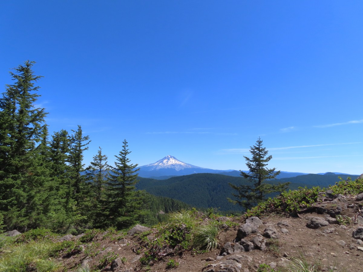
 Mt. Hood
 Mt. Adams and Mt. Hood
 Some light scrambling brought me to the top of the rock.
 Mt. St. Helens, Goat Rocks, and Mt. Adams in the distance. The high point to the left along the forested ridge is Wildcat Mountain (
 Mt. St. Helens
 Goat Rocks and Mt. Adams
 Mt. Hood with the South Fork Salmon River valley below.
 Orange agoseris
 Oregon sunshine and yarrow
 Saxifrage
 Penstemon
 Bluebells of Scotland

 Valerian
 Moth on an arnica.
 The Plaza Lake Trail sign on the left.
 View from one of the switchbacks.
 Pacific coralroot
 Bunchberry with the more familiar all green leaves.
 Plaza Lake below from the trail.
 Twin flower
 There were some nice big trees along the trail.

 Looking up from the lakeshore.


 I’d missed Mt. Hood on the way down.
 Mt. Hood
 Anemones
 Spirea and lupine
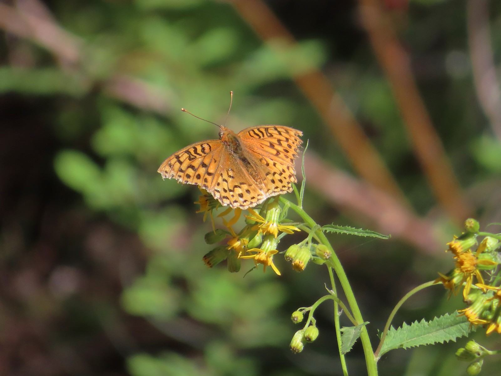 A fritillary butterfly.
 The former Twin Springs Campground was near the trailhead on the opposite side of FR 4610.
 The Twin Springs Trailhead.
 Old Baldy Trailhead sign at the Twin Springs Trailhead.
 Salmon-Huckleberry Wilderness sign (straight ahead) at the Old Bald/Plaza Trail junction.
 I stopped again at the scree slope to look for pikas. All was quiet as they apparently had retreated underground to avoid the heat, but with more light in the valley below I could make out a green meadow in the trees.
 Columbine along the trail.
 Grey jay
 Back at the Tumala Mountain Trail junction.
 My first view of Mt. Jefferson on the day.
 Mt. Jefferson
 A yet to blossom rhododendron.
 Fading lousewort and valerian.
 A blooming rohdodendron.
 Mt. Hood. The scree slope is also visible through the trees on the hillside to the lower right.
 Mt. Jefferson in the distance.
 Mt. Jefferson
 Three Fingered Jack and the Three Sisters
 More Cascade lilies.
 Mt. St. Helens in the distance.
 Mt. St. Helens
 A better view of the scree field and the meadows below Tumala Mountain.
 Penstemon and lupine.
 Passing the Fanton Trail junction on the way back.
 Looking at the final climb of the day from the saddle.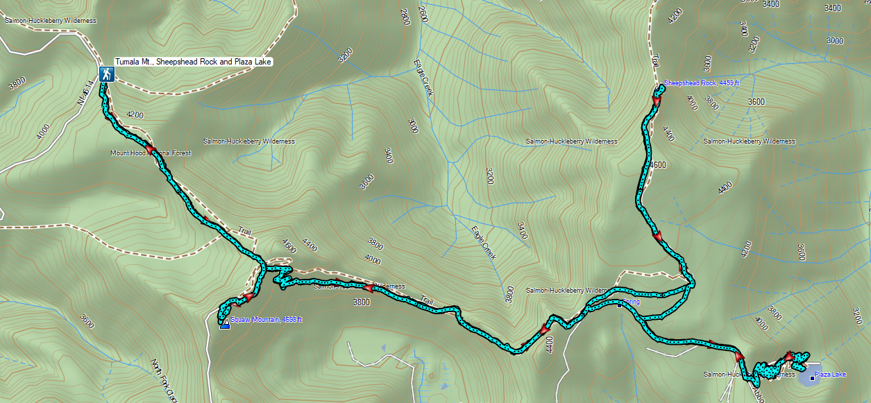


 Prince’s pine
 Candystick
 Twinflower
 Big uprooted tree.
 A carpet of vanilla leaf leaves.
 FR 2676
 Despite the “Closed to all Motor Vehicles” sign it was obvious, and unfortunately not surprising, that some people feel they have a right to ignore anything they disagree with.
 More candysticks
 The few sections that weren’t sandy consisted of lava rock.
 Dwarf lupine
 Pussy paws
 Pygmy short-horned lizard next to a deer print.
 Sand Mountain on the right.
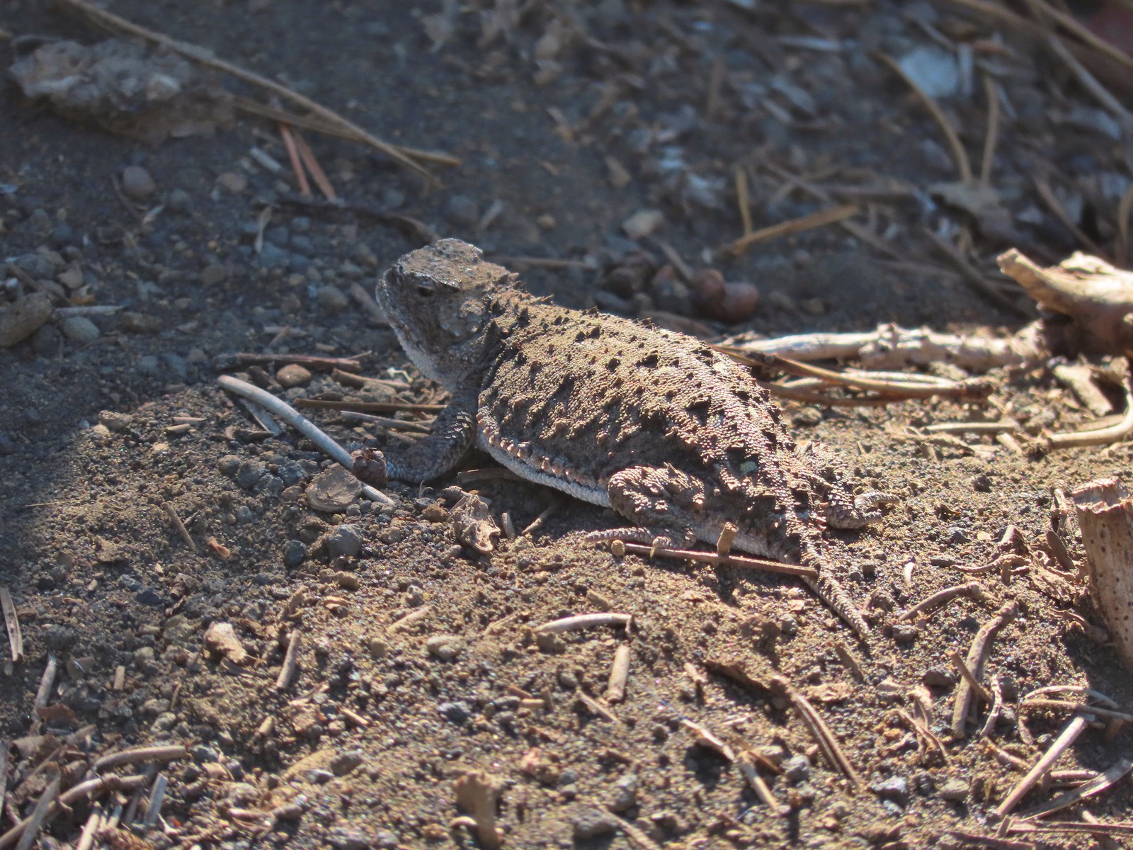 Another pygmy short-horned lizard
 Snowbrush lining the road with the northern end of Sand Mountain ahead.
 Butterflies, including this hoary comma, and other pollinators love the snowbrush.
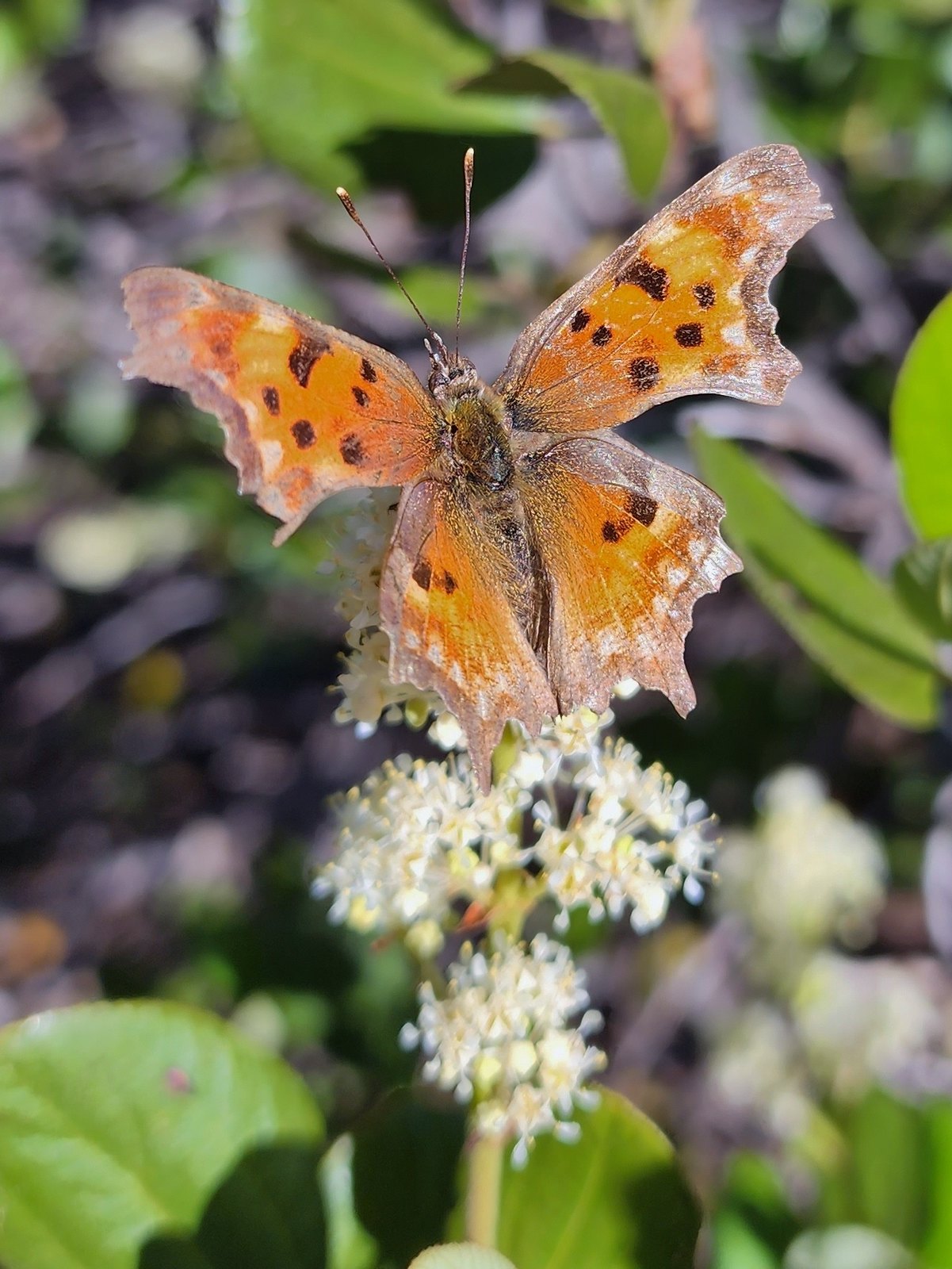 Hoary comma

 Penstemon
 The Moon over Sand Mountain.
 Mt. Washington
 Sign and gate at the road to Sand Mountain.
 Buckwheat
 More snowbrush
 California tortoiseshell
 The Sand Mountain Lookout from below.
 Mt. Jefferson and Three Fingered Jack
 Mt. Washington and the Three Sister
 Western swallowtail
 The Three Pyramids(
 Echo Mountain & North Peak to the left and Crescent Mountain(
 Browder Ridge (
 Lorquin’s admiral

 Mt. Washington (
 Maxwell Butte (
 Just a bit of snow left on the North facing slope.
 Western pasque flower
 It’s very faint but the top of Mt. Hood was visible over the lower left shoulder of Maxwell butte.
 Penstemon
 Belknap Crater, the Three Sisters, The Husband, Scott Mountain (
 Zoom of Diamond Peak. The round looking hump in front is Fuji Moutain (
 Hoodoo and Hayrick Buttes, Black Butte (
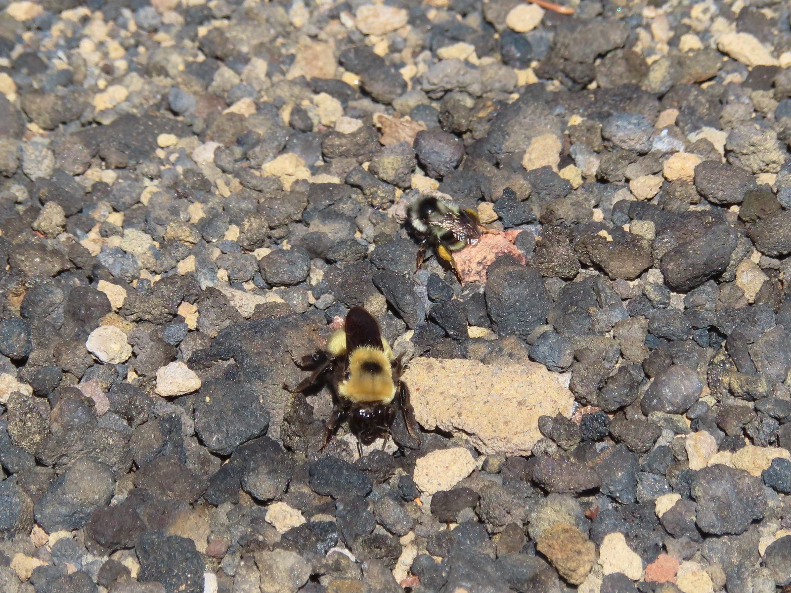 There were quite a few bumblebees at the summit interested in the rocks in this area.
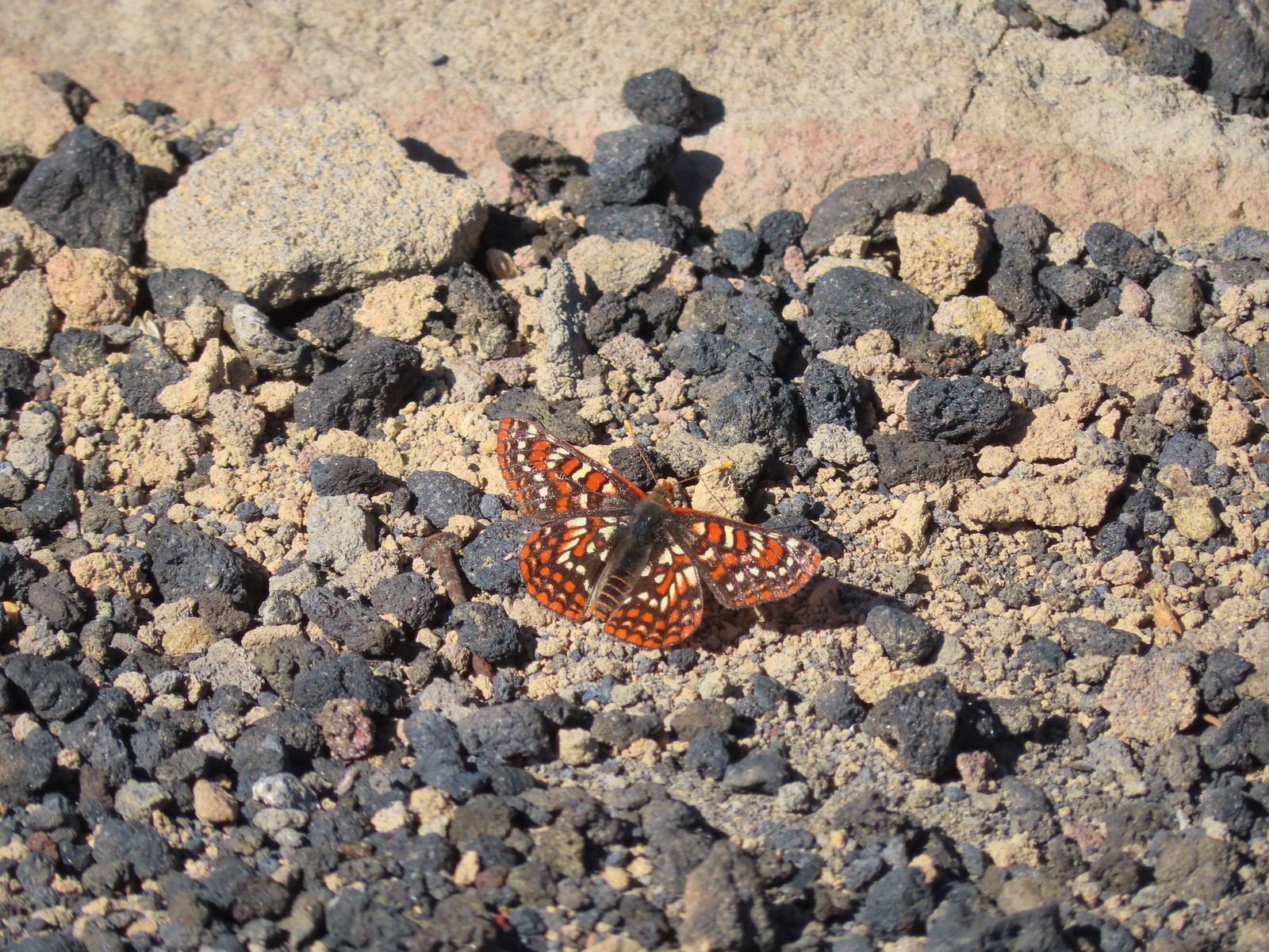 This Edith’s checkerspot joined the bees for a moment.
 Viewpoint below the lookout.
 The lookout from the viewpoint.
 Not sure if this is an aster or a fleabane.
 The trail getting ready to drop down to a saddle. The peaks from right to left are: Browder Ridge, Twin Buttes, Latiwi Mountain, Wildcat Moutain, Tidbits Mountain (
 We were a little surprised to find these broomrape hiding in this silverleaf phacelia.
 Drummond’s anemone
 Look into the crater.
 A couple of penstemon blossoms with the Three Sisters in the background.
 The colors around the crater add to the scenery.
 Pyrola of some sort.
 Starting the steep climb back toward the lookout.
 View from the roadbed. We opted to do as the lookout staffer suggested and follow the road back down toward the parking area instead of back up to the lookout.
 There was one good sized snow drift left encroaching on the road.
 This little cloud wasn’t much of a threat.
 If anything the views had improved now that Sun was more directly overhead.
 A checkerspot
 A hairstreak
 Three Fingered Jack and Hoodoo Butte
 Three Fingered Jack. Note the climbers trail on the slope to the right.
 Ash in the basin below Sand Mountain.
 Pussy paws
 Female western tanager
 Moth
Moth Snake in the trail.
 The snake retreated to a nearby log when we approached.
 Back in the forest.
 This moth blended with the nearby fungus.

