**Note the 2020 Beachie Creek Fire burned a portion of this hike.**
We have two lists of “To Do” day hikes within a reasonable driving distance. One list is the hikes we have yet to do, and the second list is hikes we want to try again for one reason or another. Table Rock was one of the hikes on the later list having first visited in October of 2012. During that hike smoke from the Pole Creek fire in the Three Sisters Wilderness had limited the views and being fall it was too late for many flowers. We had seen enough on that visit to think it would be worth a second visit in early summer to see if we could catch the views and see what flowers there might be. I put it down on our schedule as our annual 4th of July hike thinking the timing might be good for wildflowers plus the drive avoided much time on freeways or busy highways.
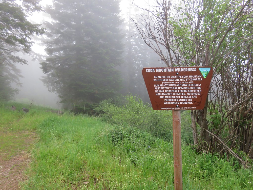
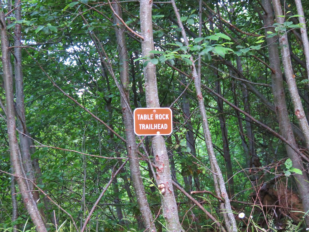
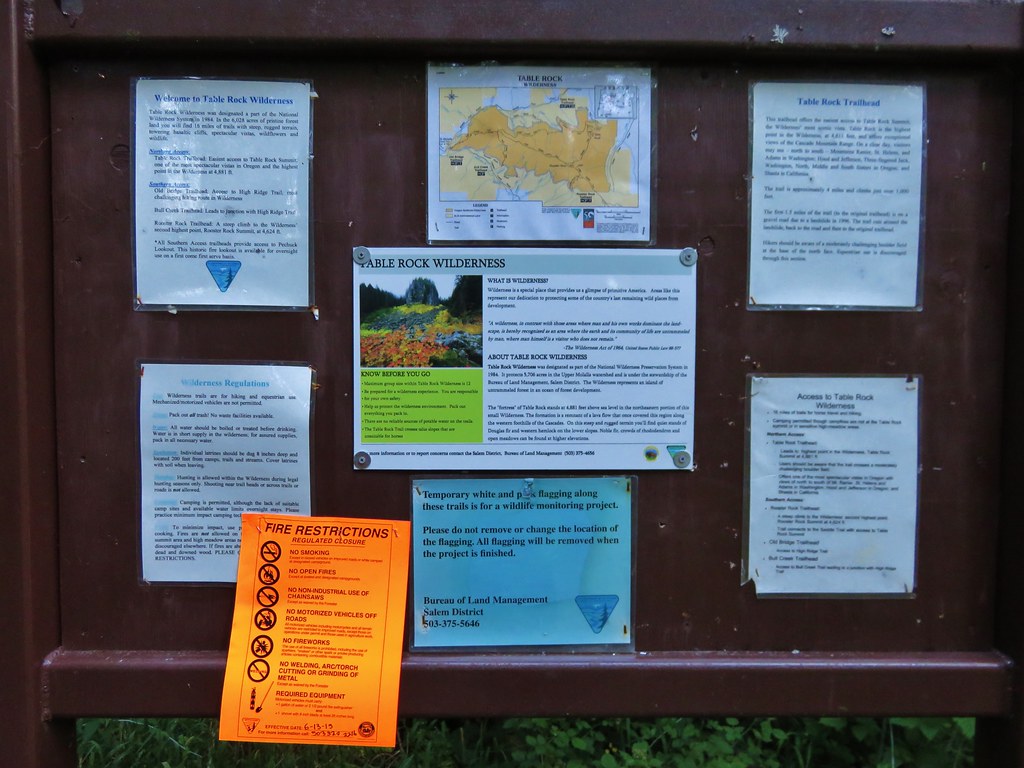
The Table Rock Wilderness consists of 6028 acres designated in 1984 as wilderness and is managed by the Bureau of Land Management. Several trailheads access the 16 miles of trails in the area. For our hike we started at the Table Rock Trailhead which happens to be the shortest route to the summit of Table Rock, the highest point in the wilderness.
When we redo a trail I try to find some way to differentiate the hike from the earlier visit. Only 13 of our 172 hikes so far had been “re-hikes” and only 3 of those had we done the same exact trails. Three other times we added other short hikes on different trails, and on the remaining 7 we extended the hike visiting new places further along the trail. The plan to make this visit unique was to continue on past Rooster Rock, where we had turned around on our first visit, and continue on to Pechuck Lookout.
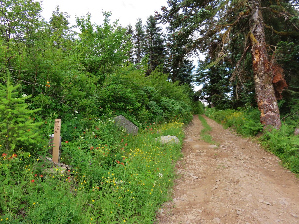
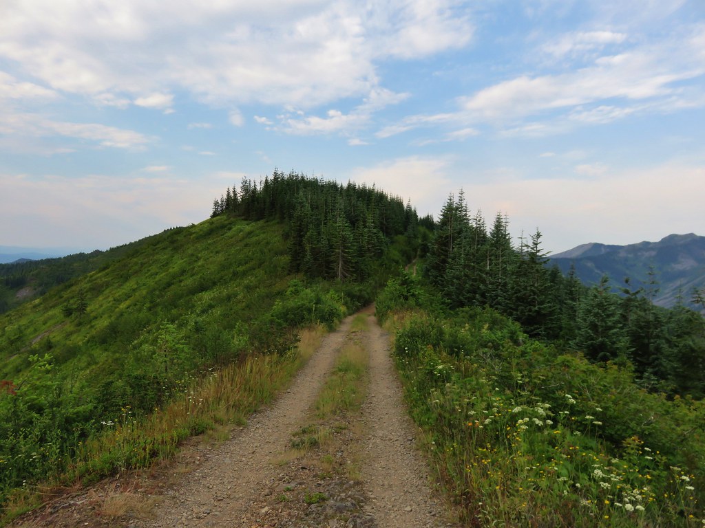
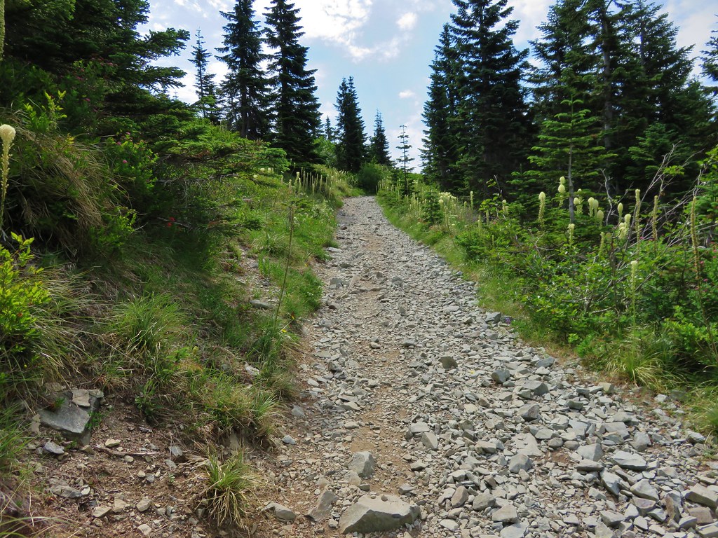
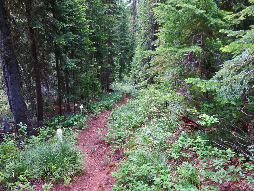
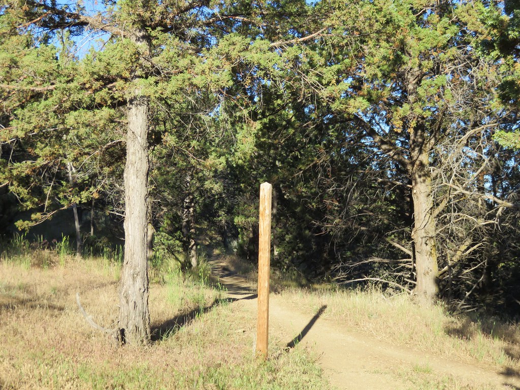
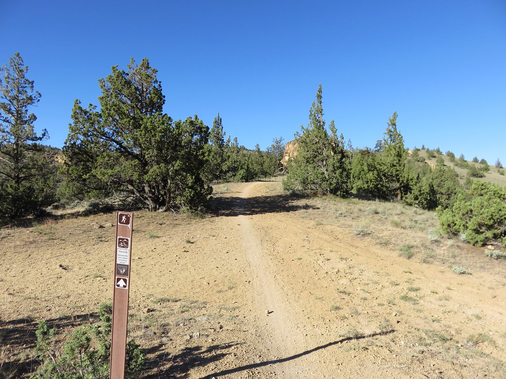
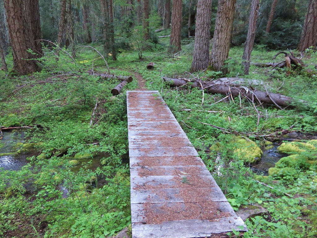
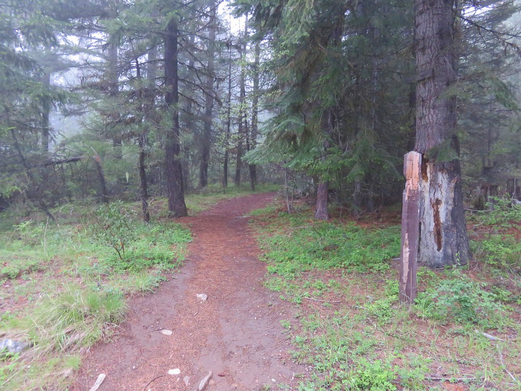
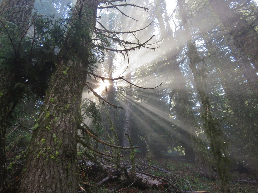
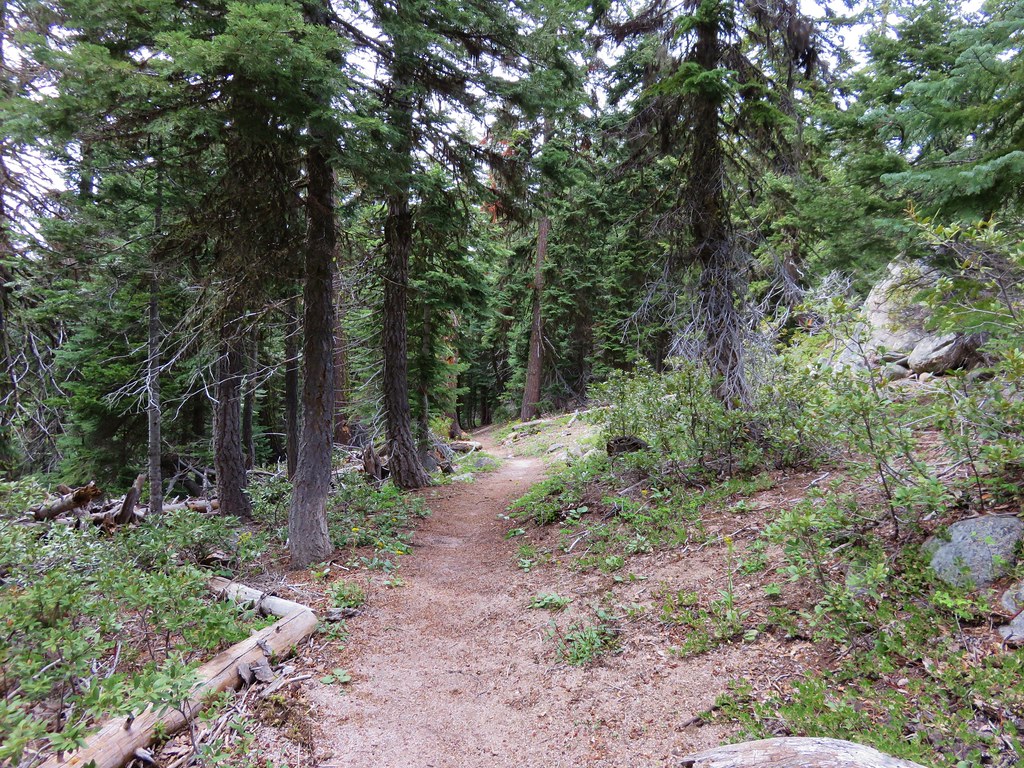
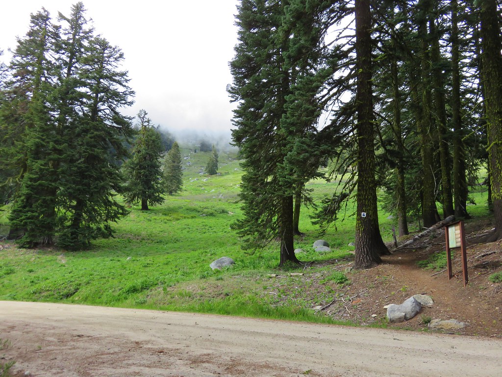
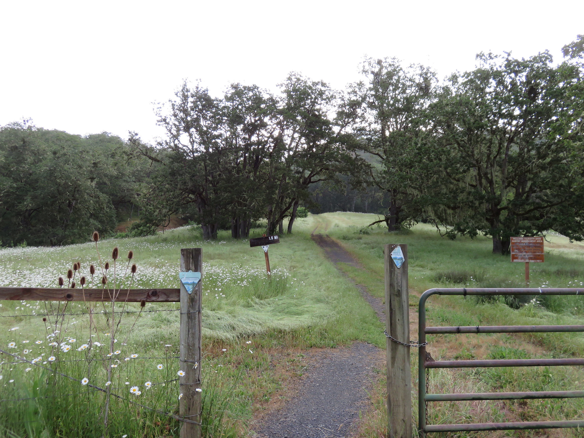
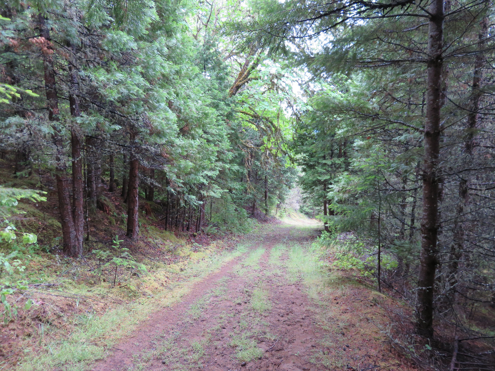
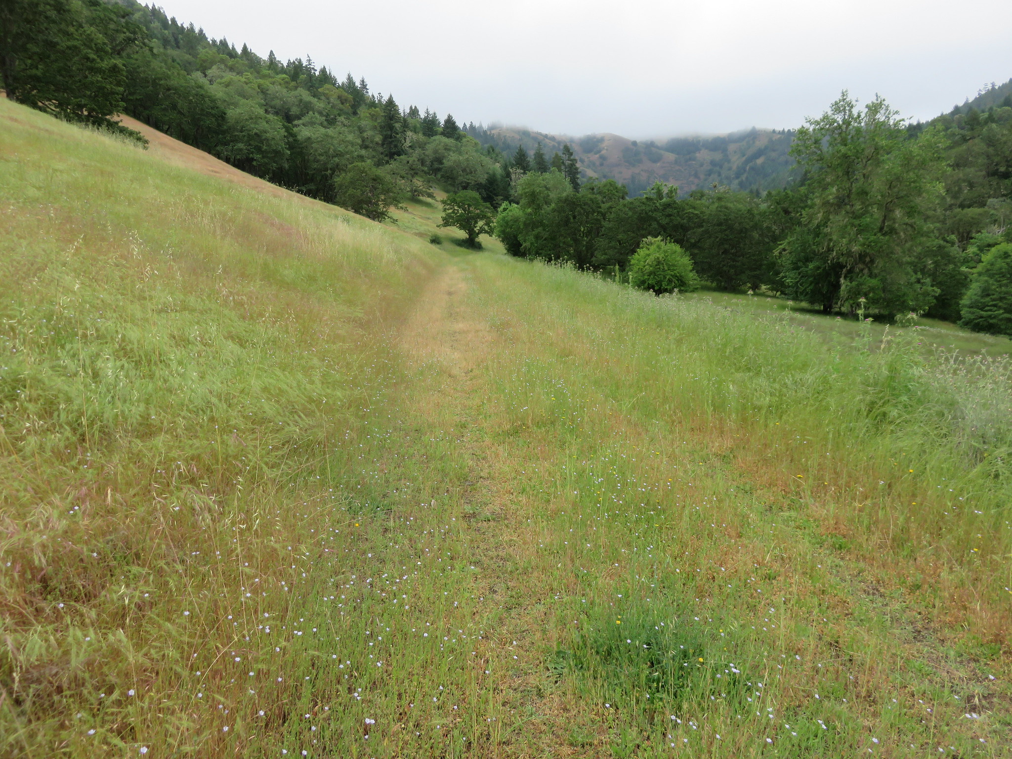
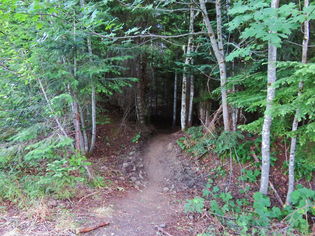
We set off on an old roadbed that is now the Table Rock Trail after rocks slides closed the road, the first at the current trailhead. We reached the second slide after .3 miles where the trail briefly entered the forest to bypass the slide.
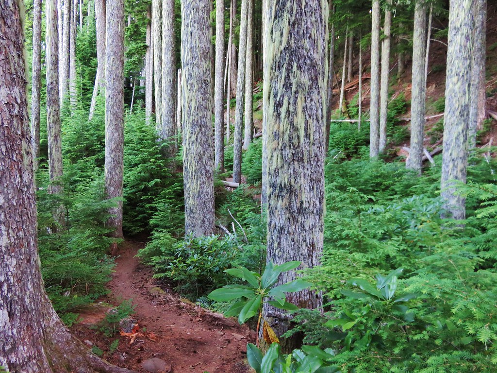
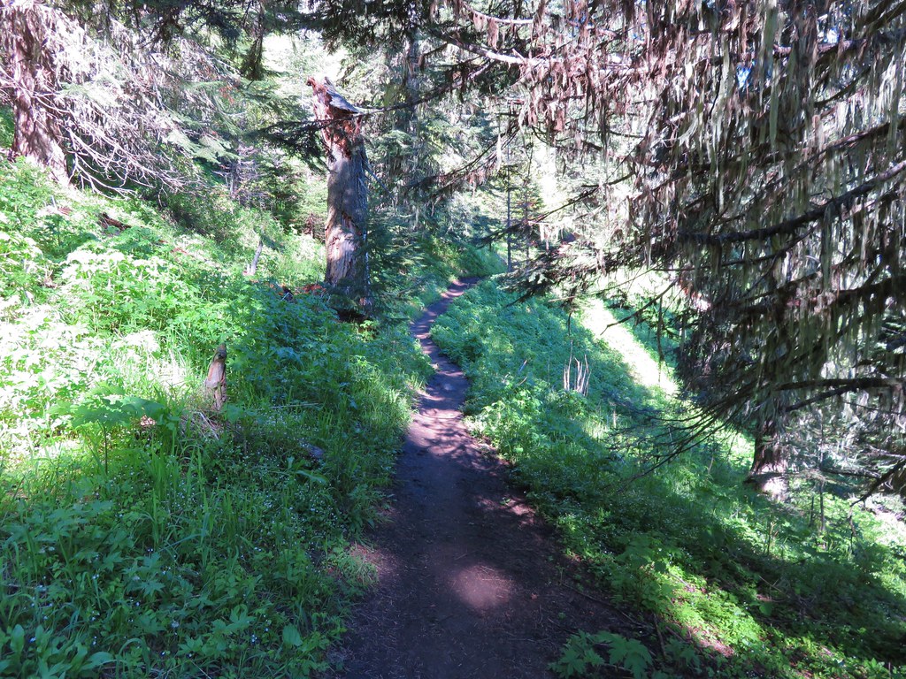
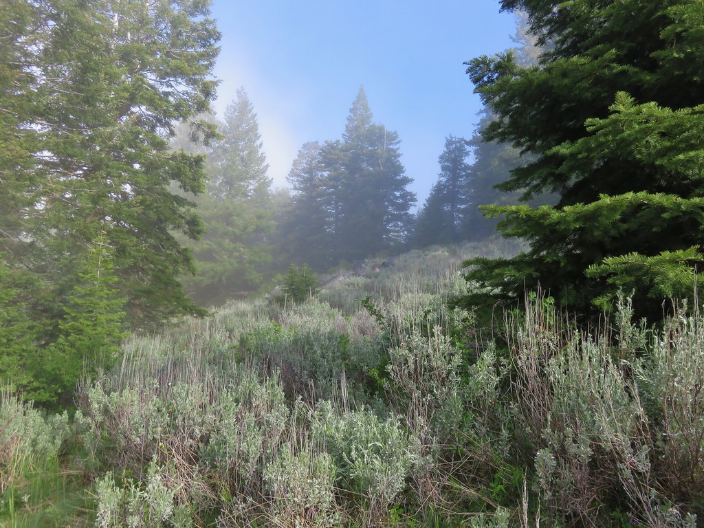
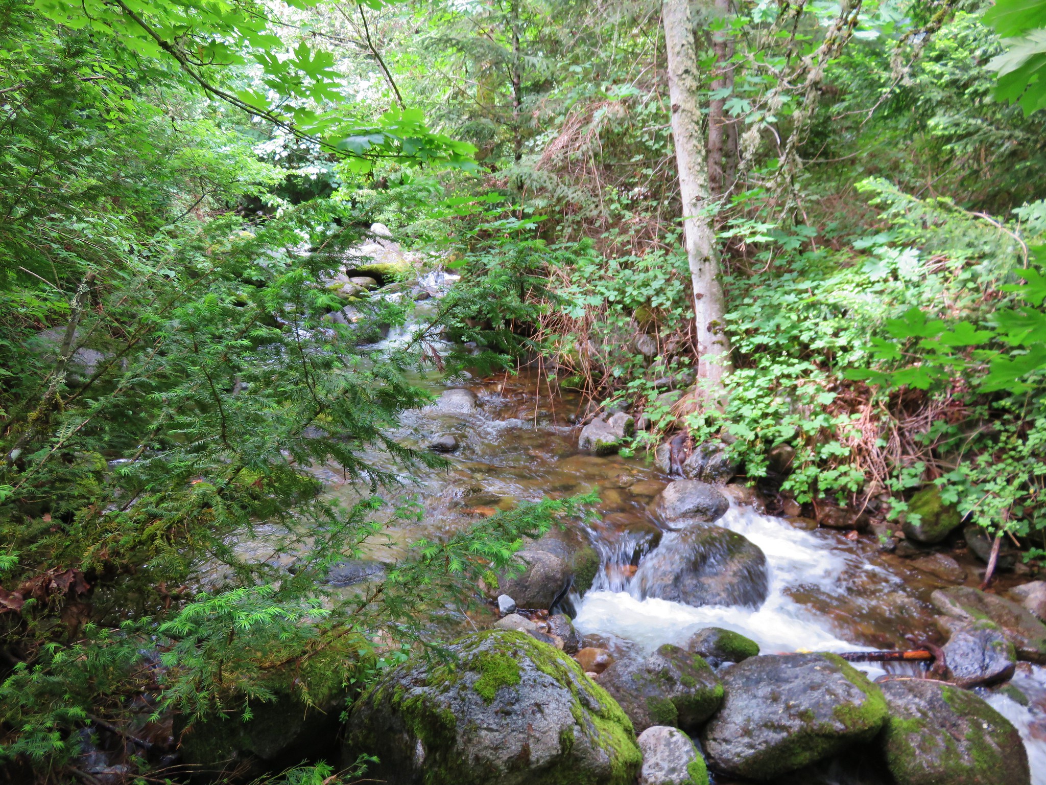
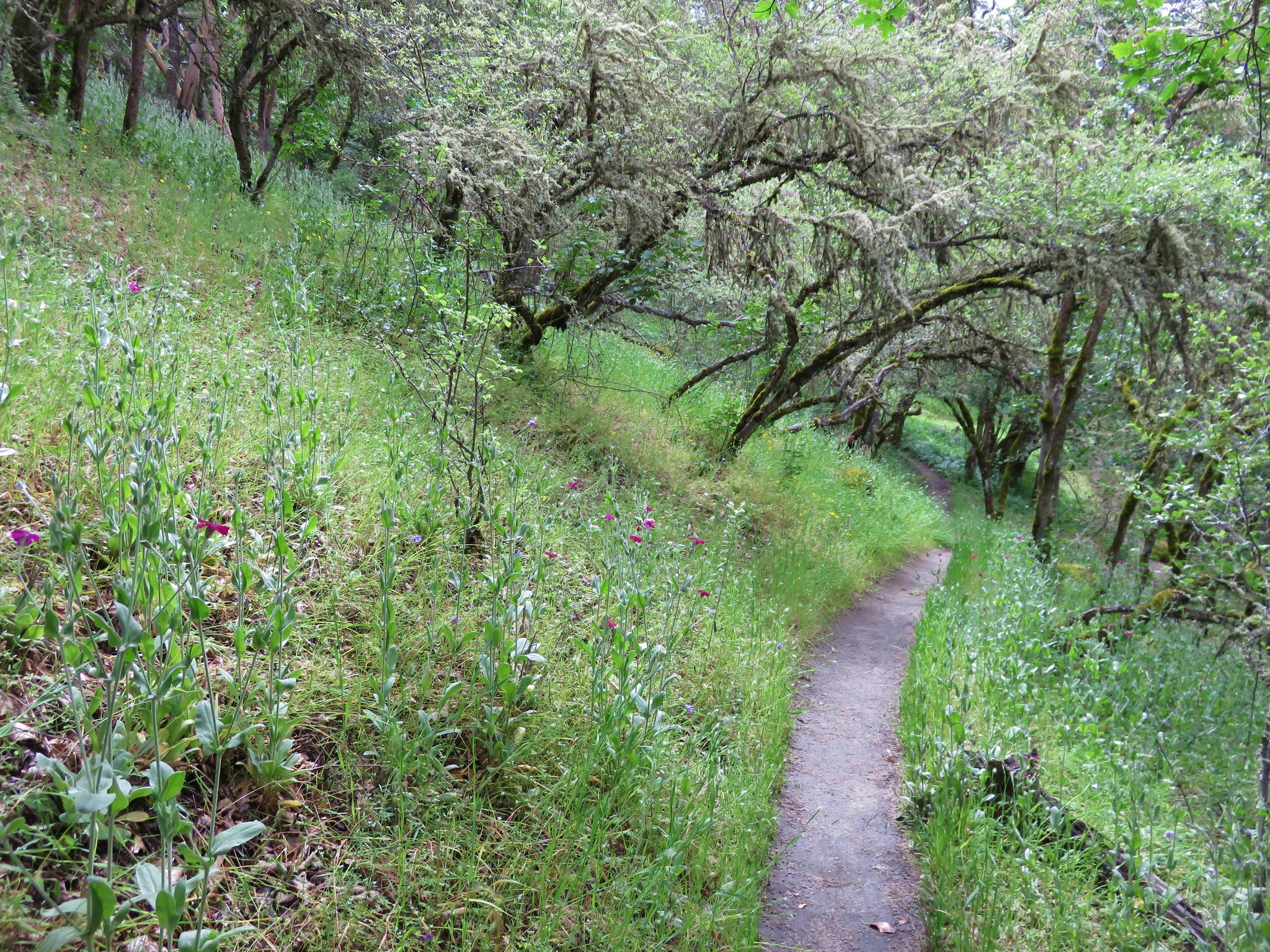
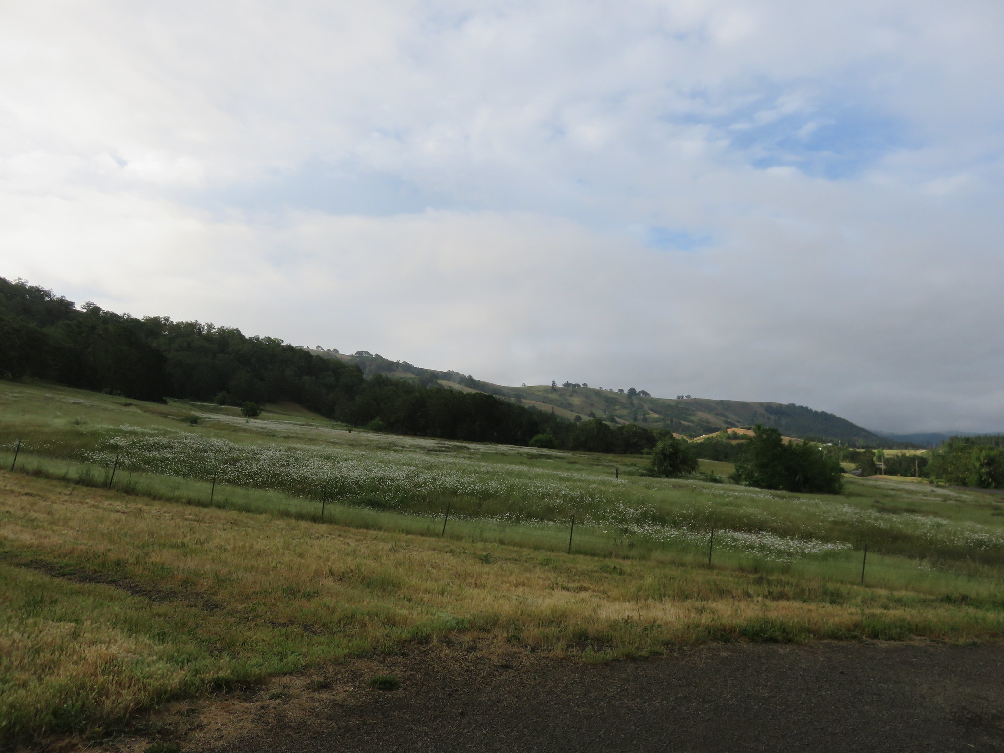
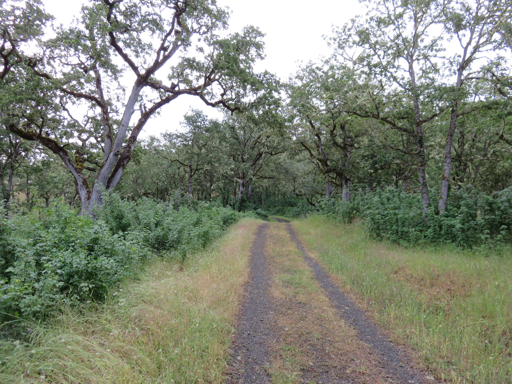
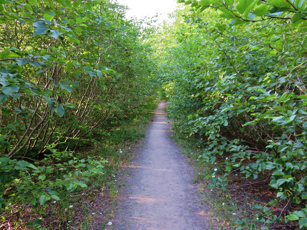
Beyond the second slide the old road again becomes the trail for nearly another mile. Small trees and flowers now line the gravel road making it a pleasant walk.
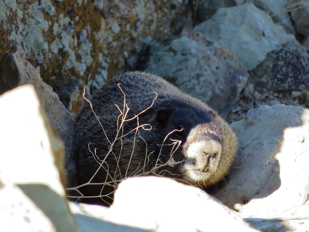
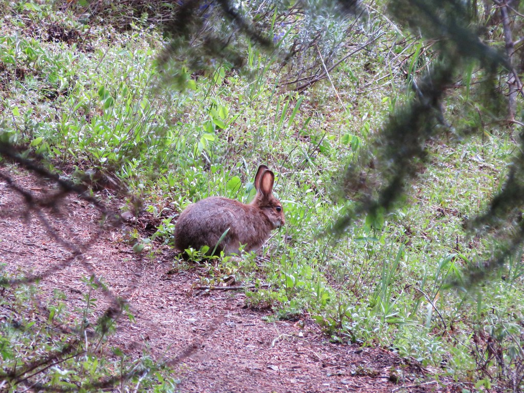
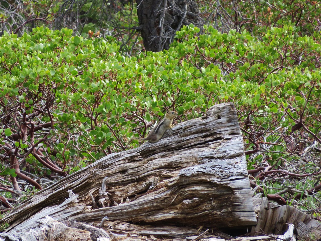
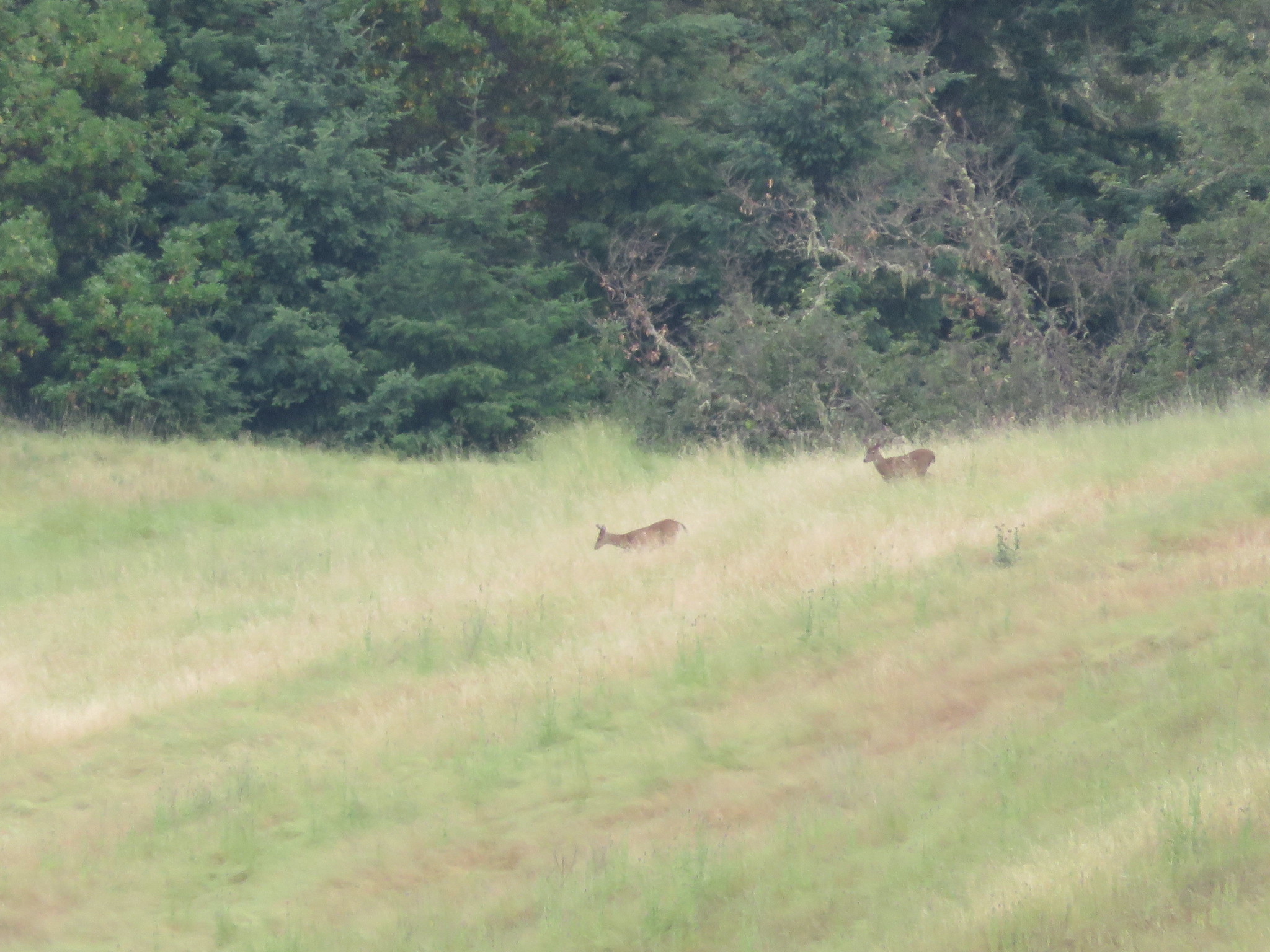
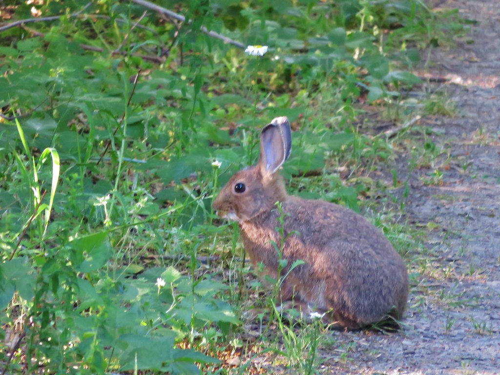
Rabbit along the road.
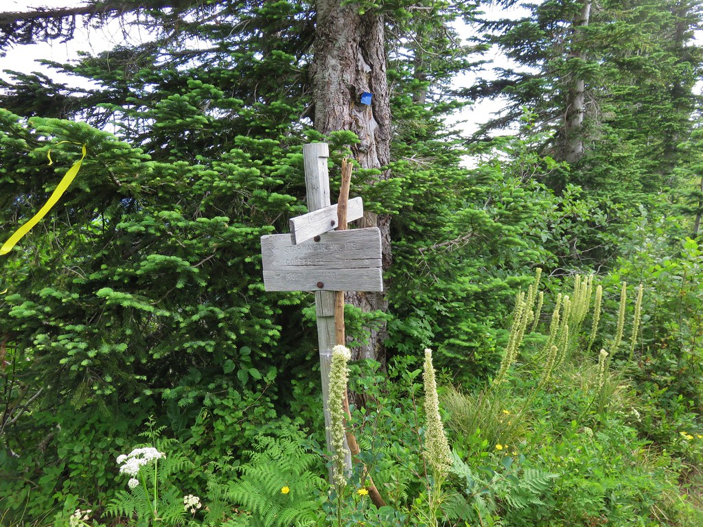
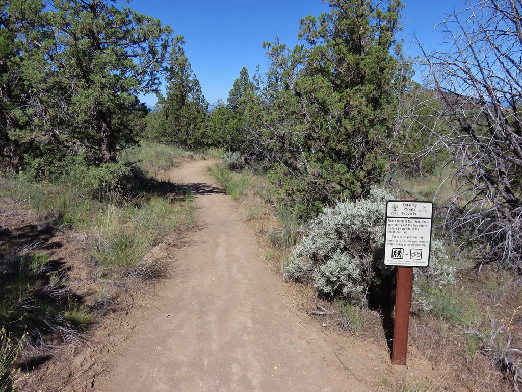
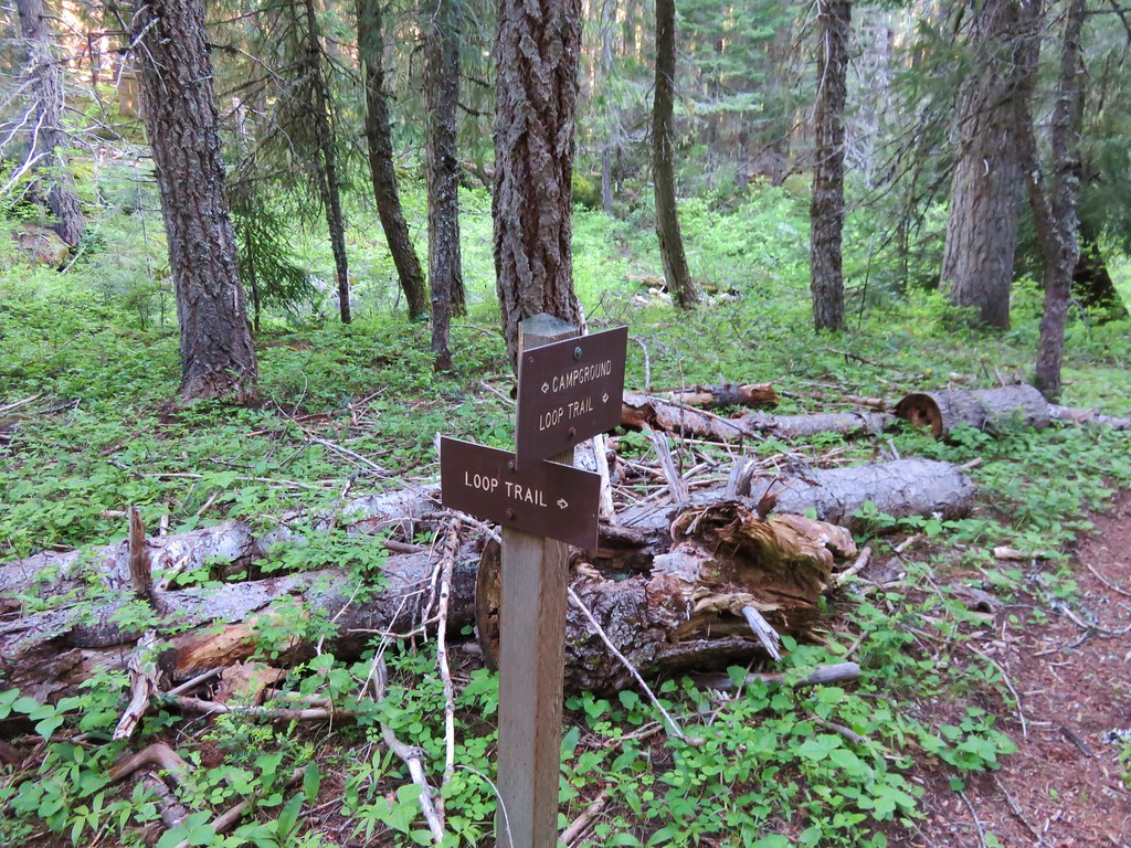
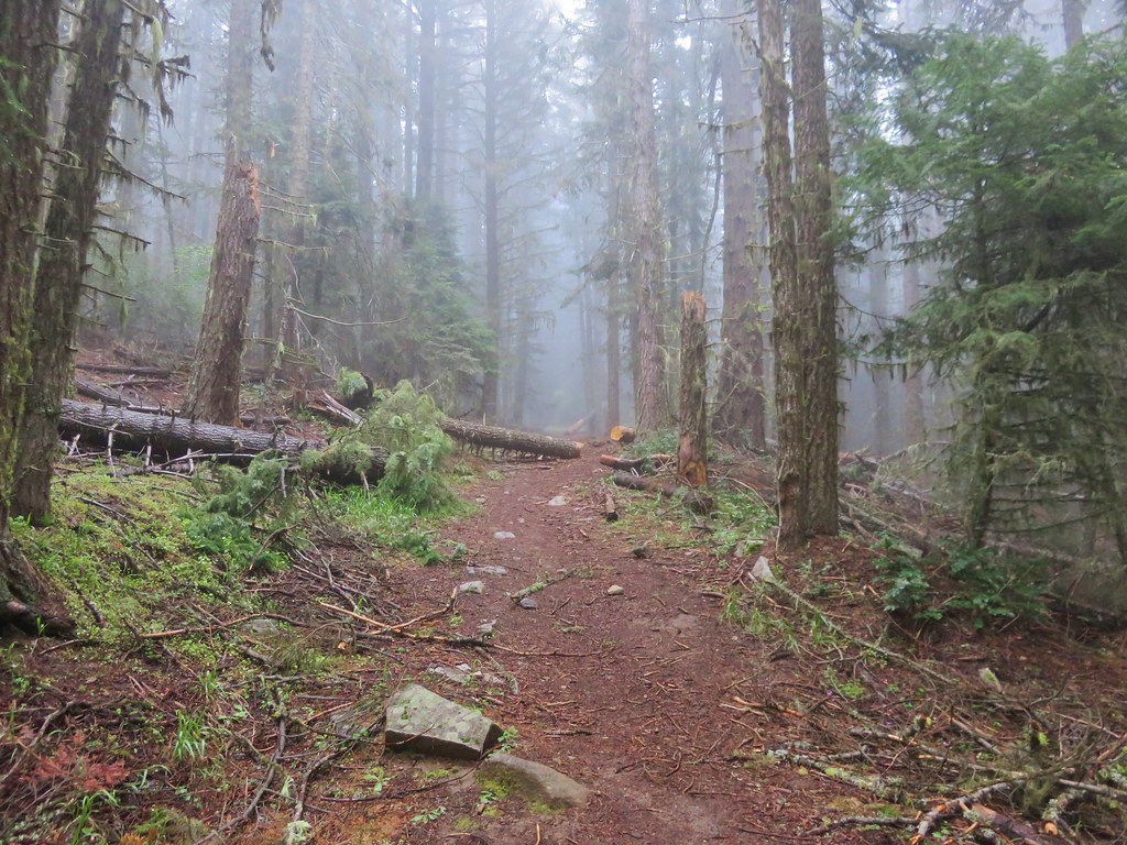
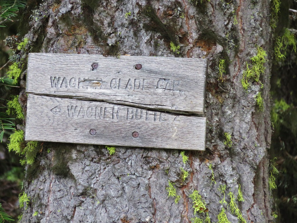
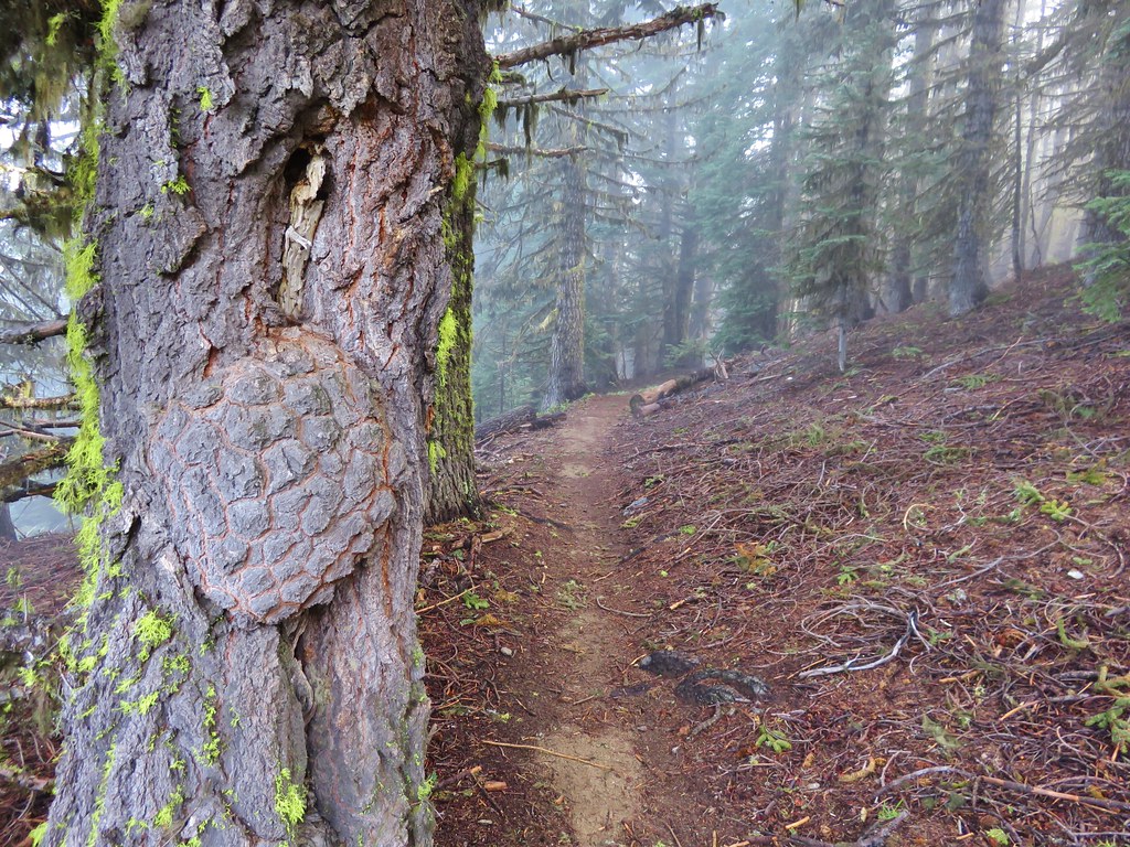
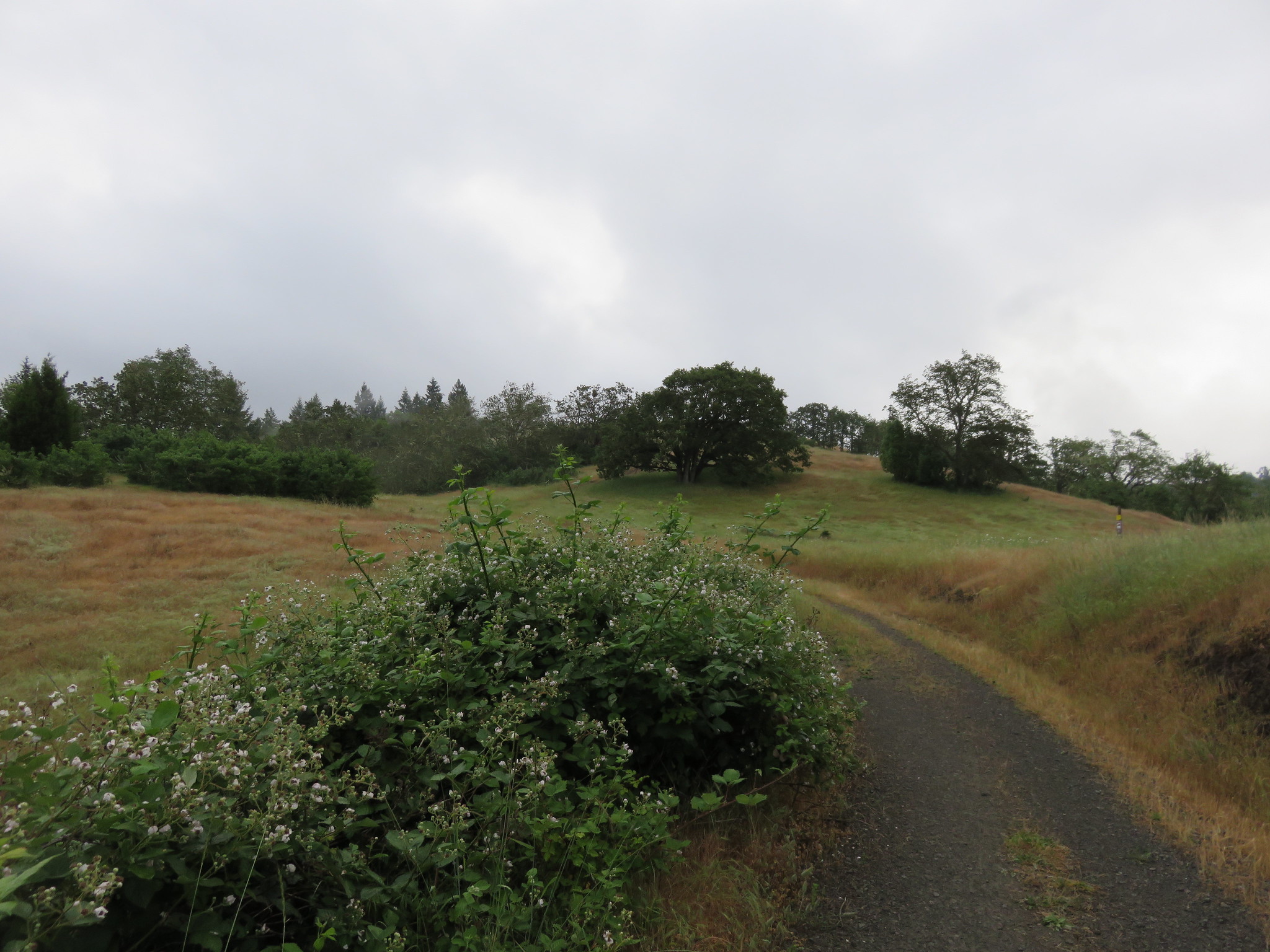
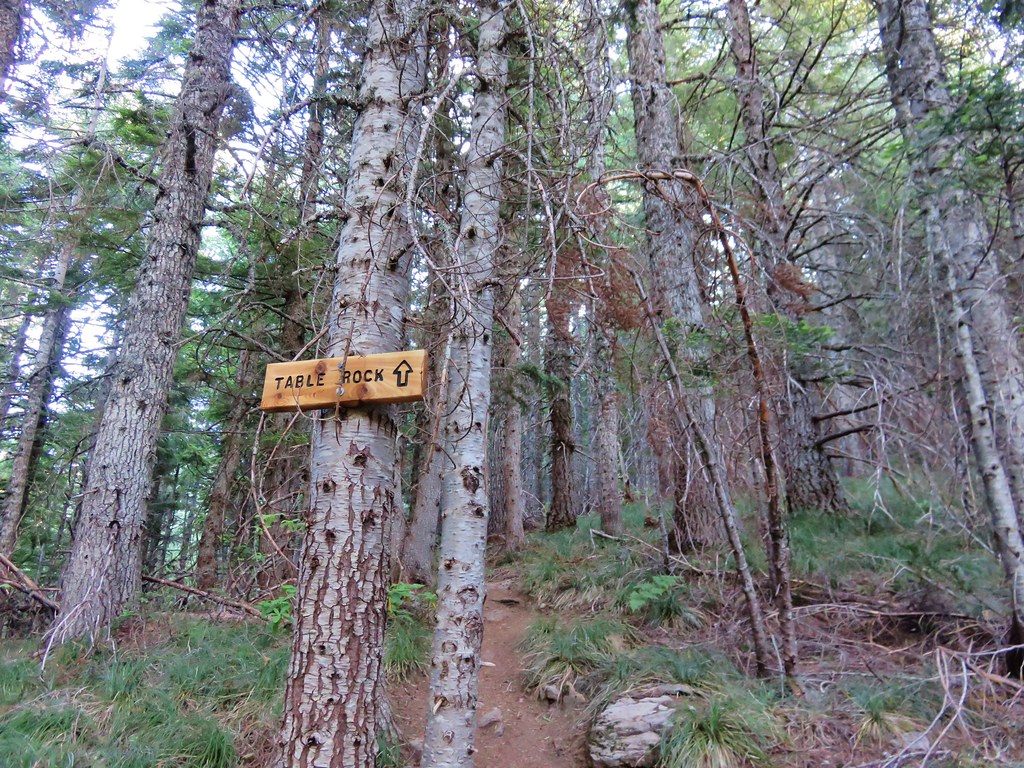
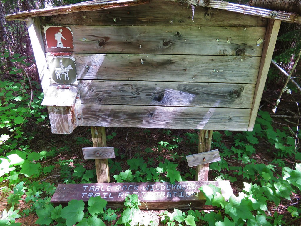
At the 1.3 mile mark the trail leaves the road for good at the site of the former trailhead. Shortly after reentering the forest the Image Creek Trail joins from the right. A nice sign that had not been there in 2012 pointed to the Table Rock Trail.

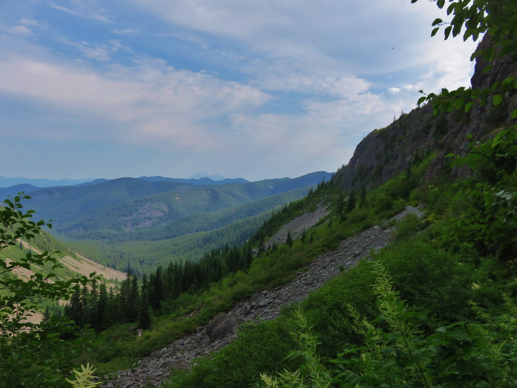
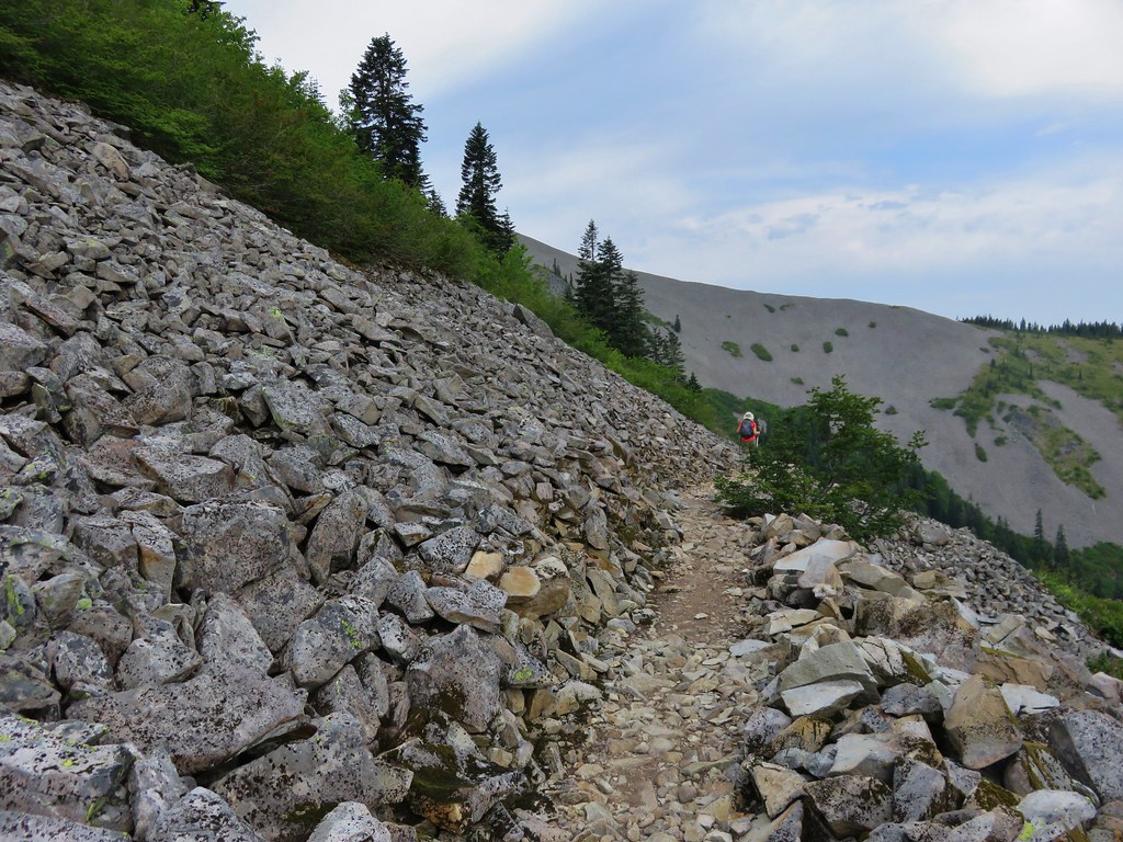
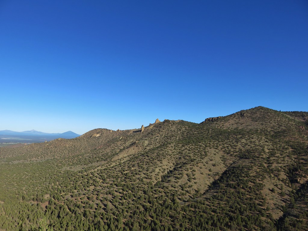
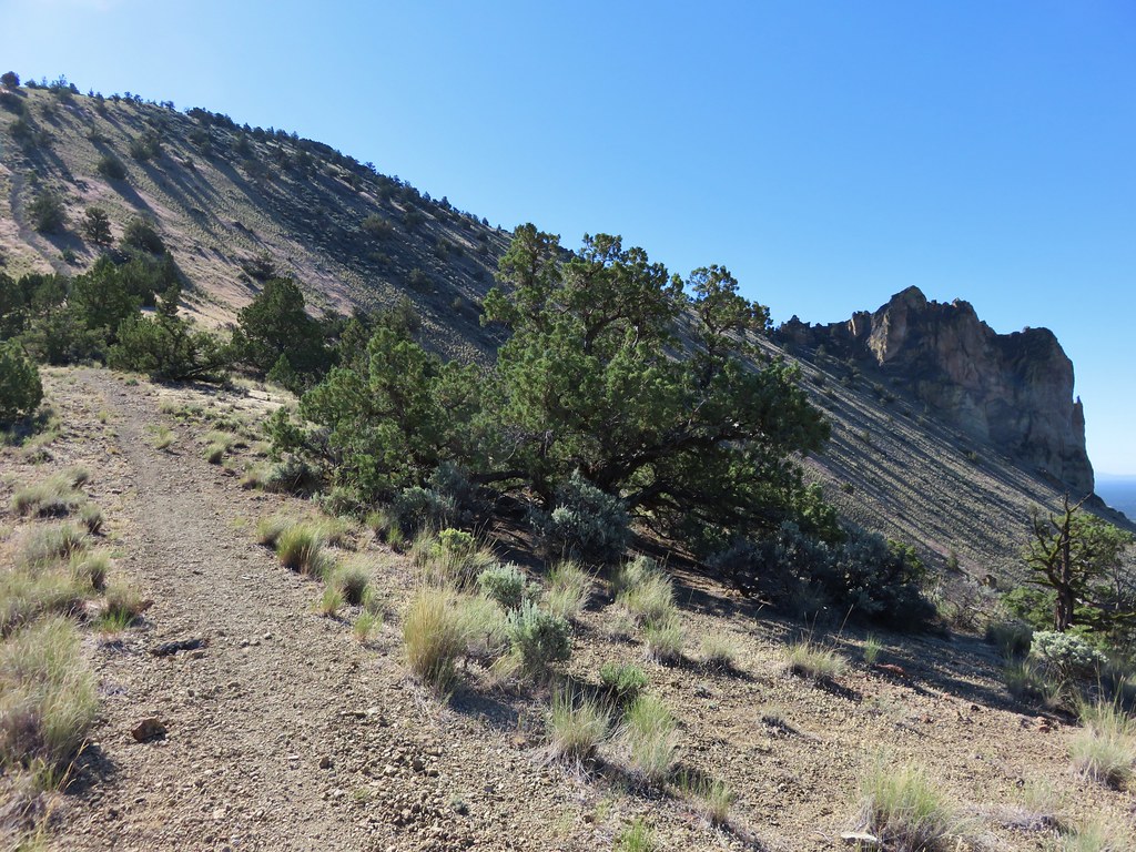
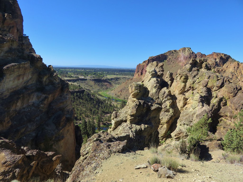
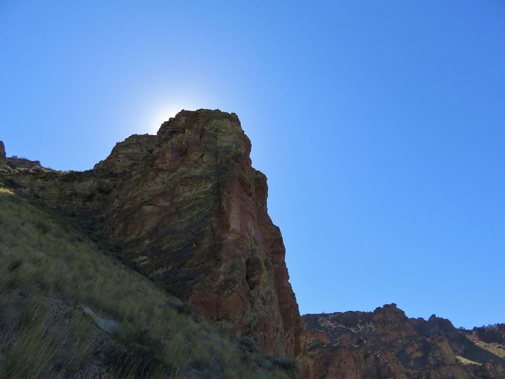
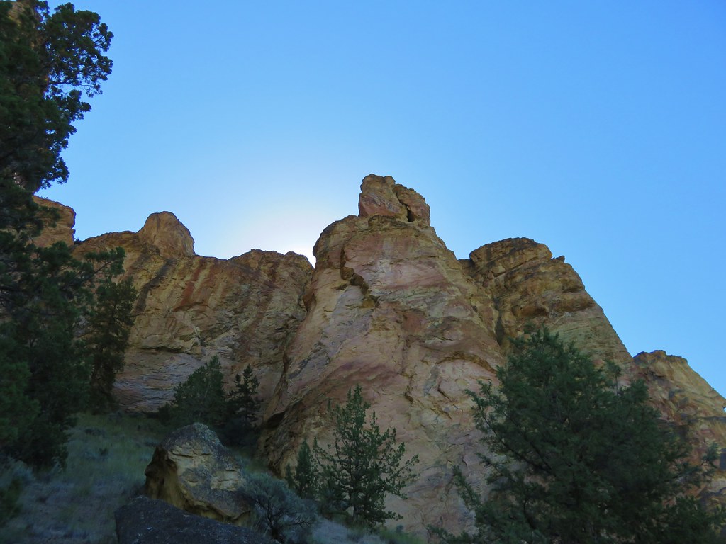
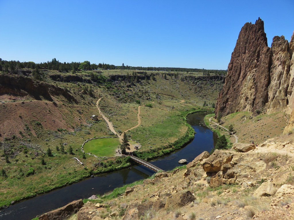
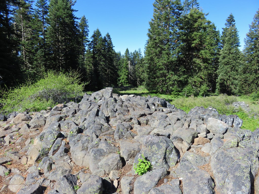
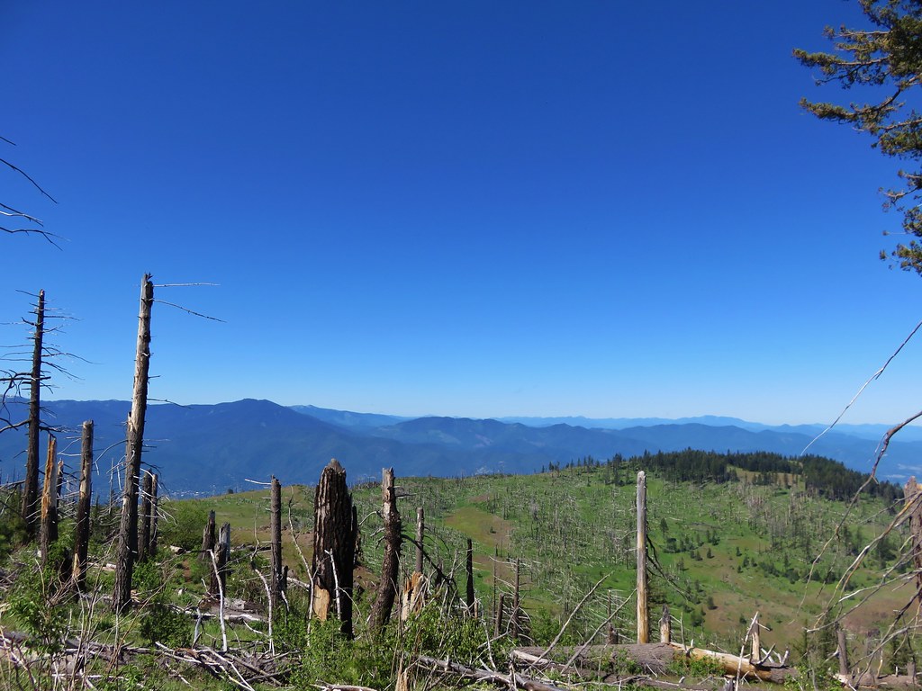
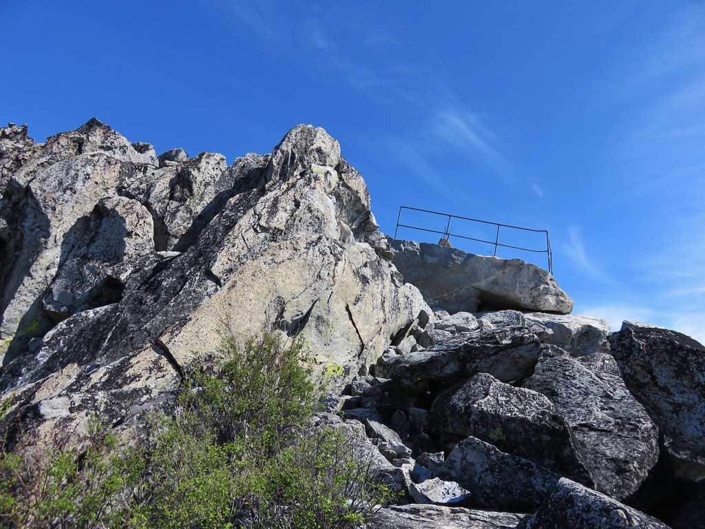
From this junction the trail passes below a large rock field that extends from the base of Table Rock then swings out and around a rocky ridge before turning back toward Table Rock and entering the rock field going the opposite direction of the earlier pass below.
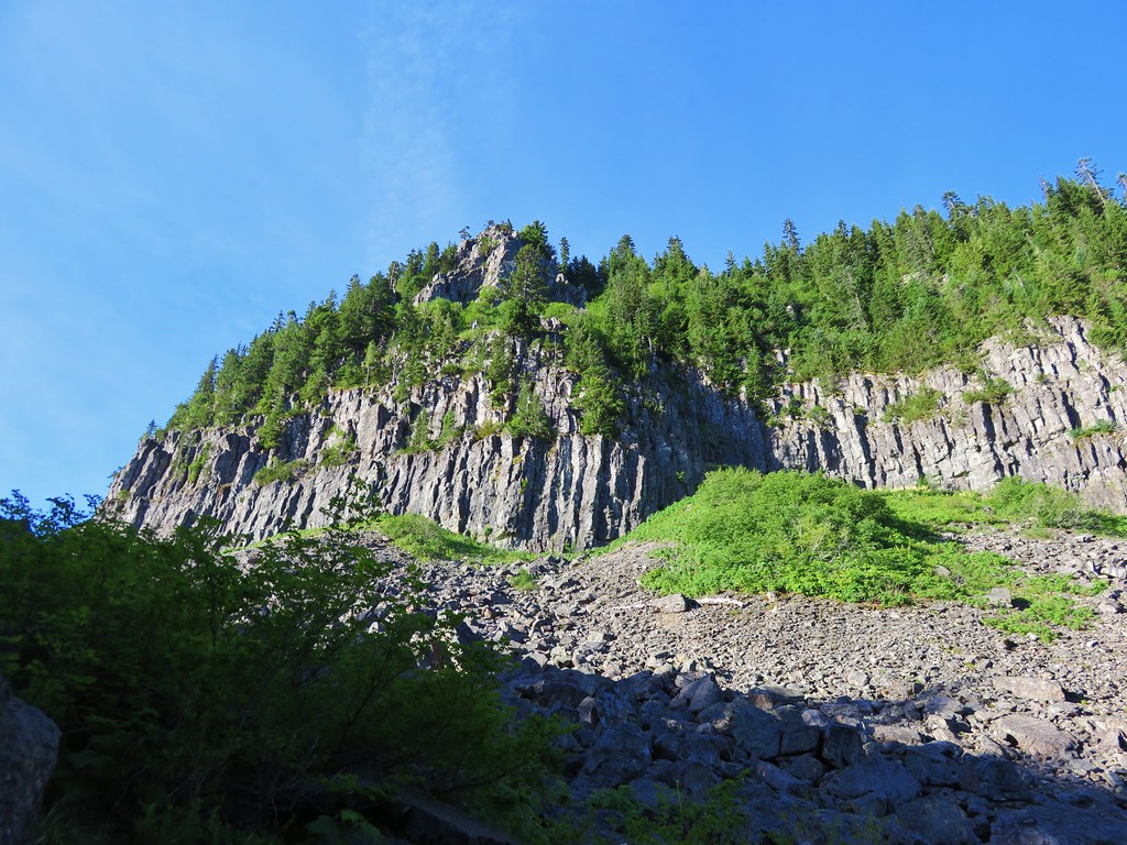
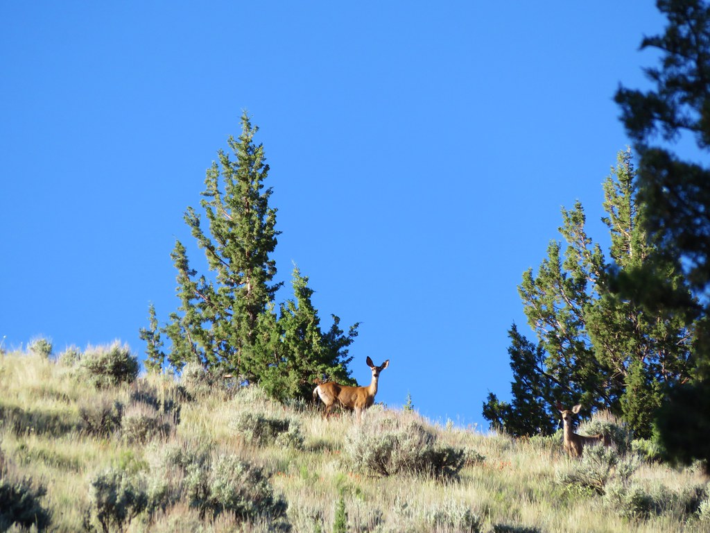
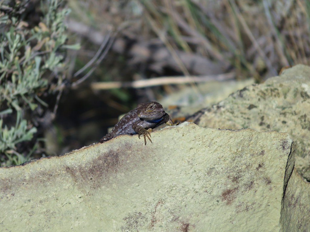
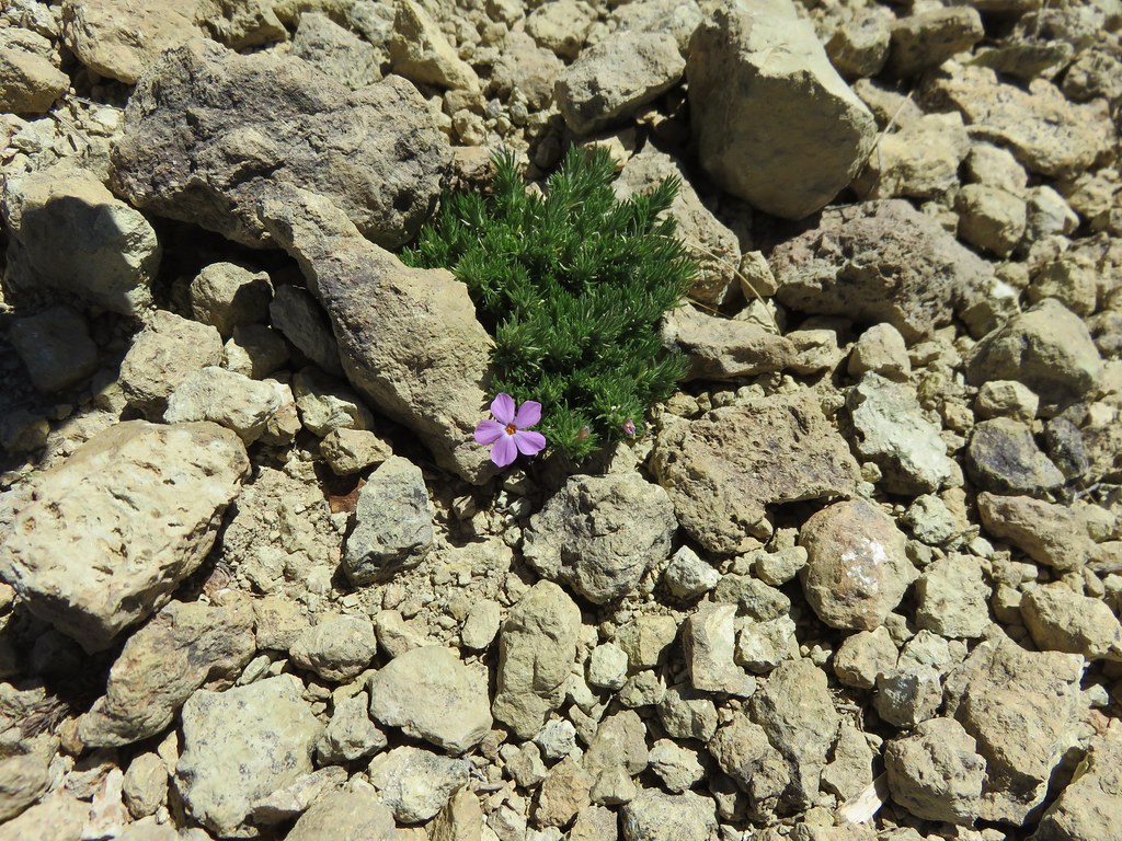
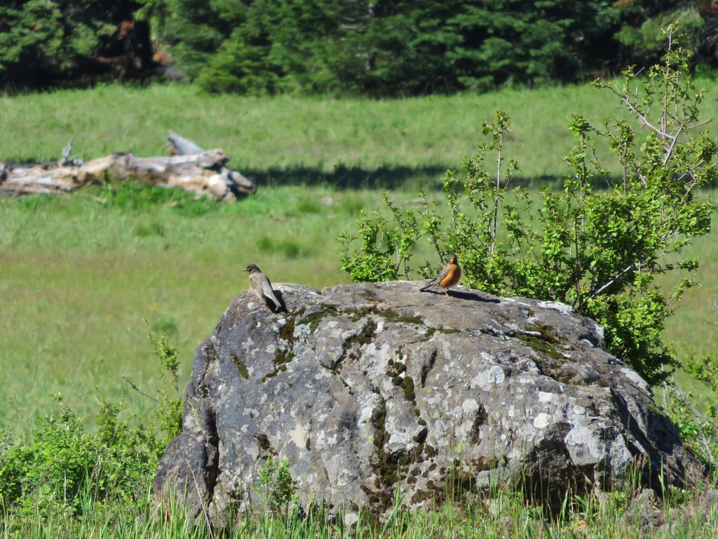
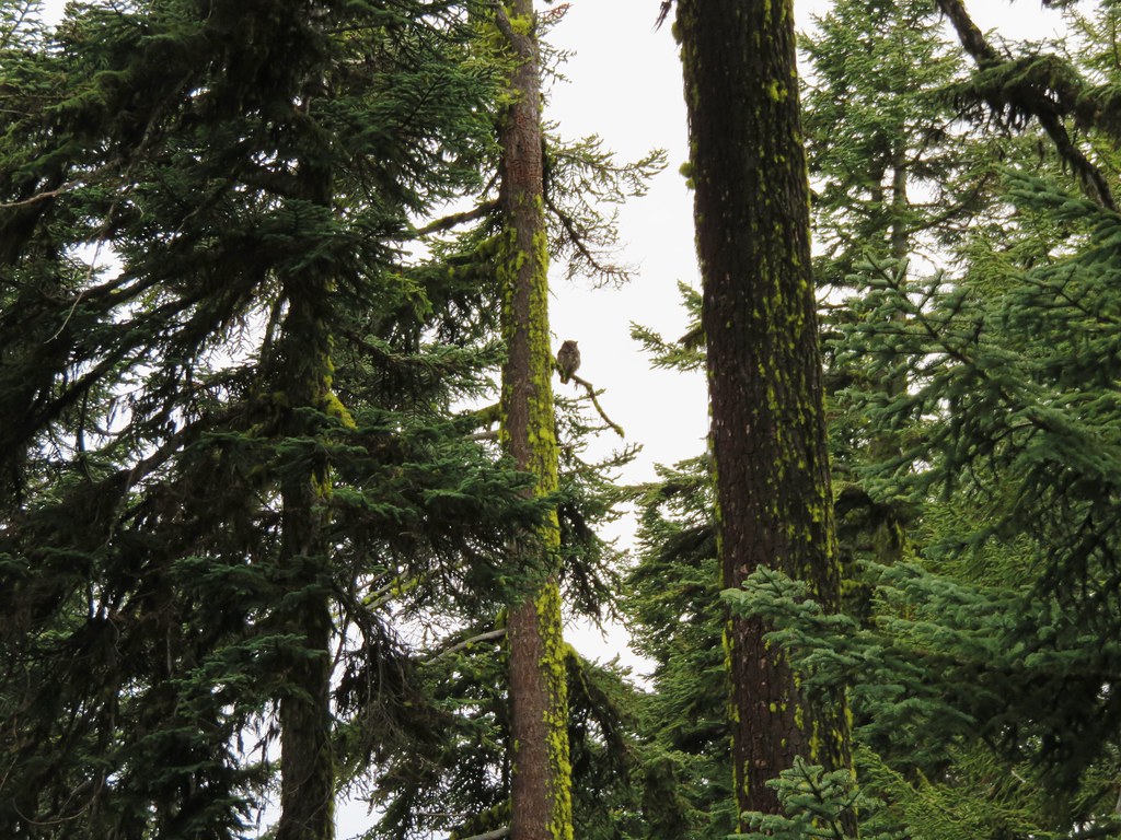
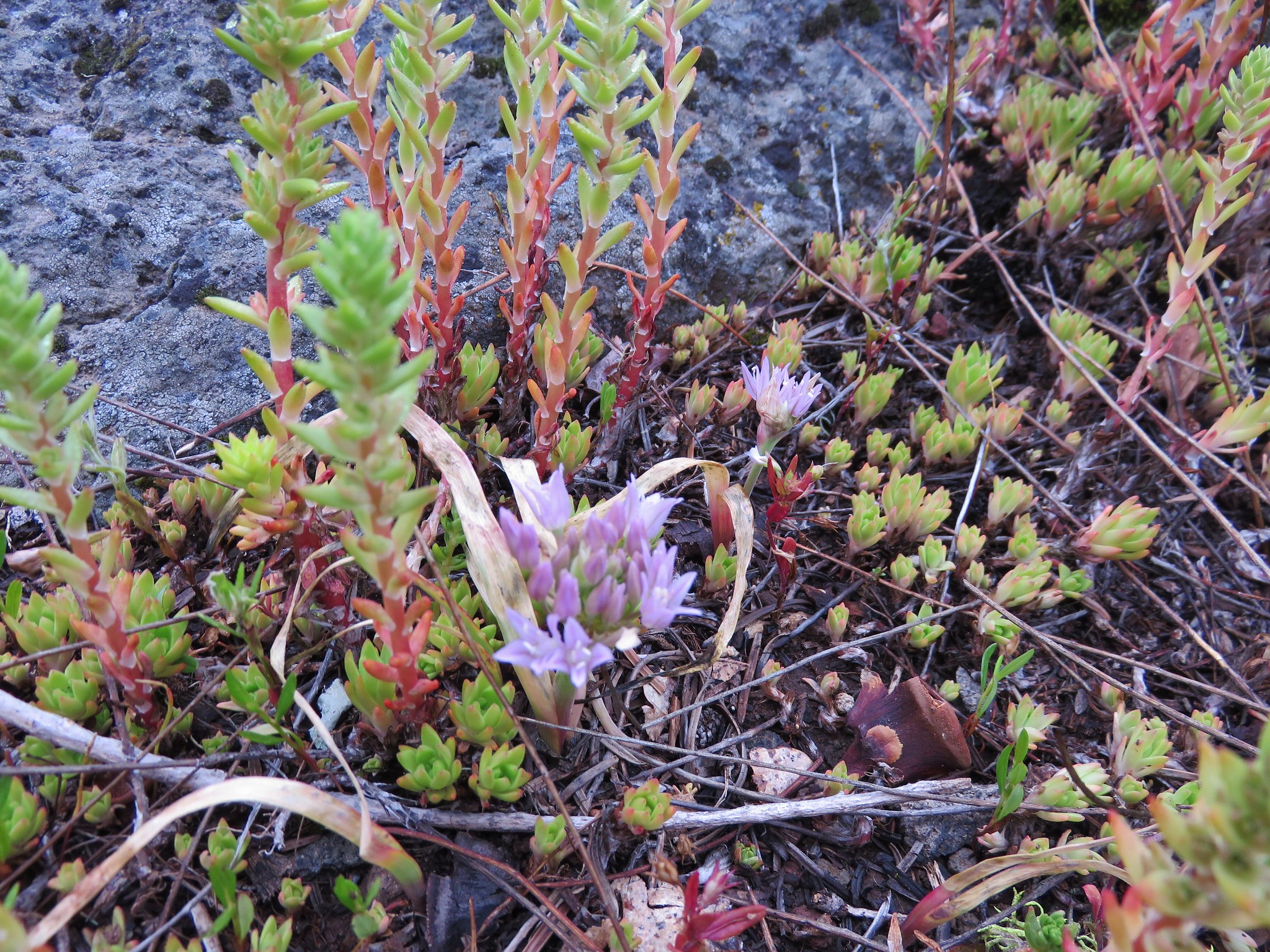
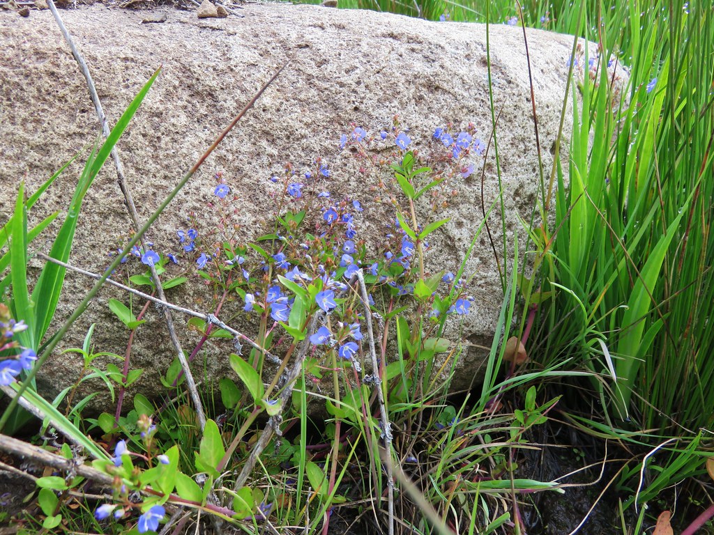
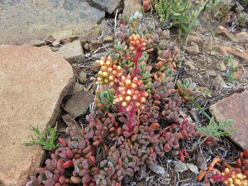
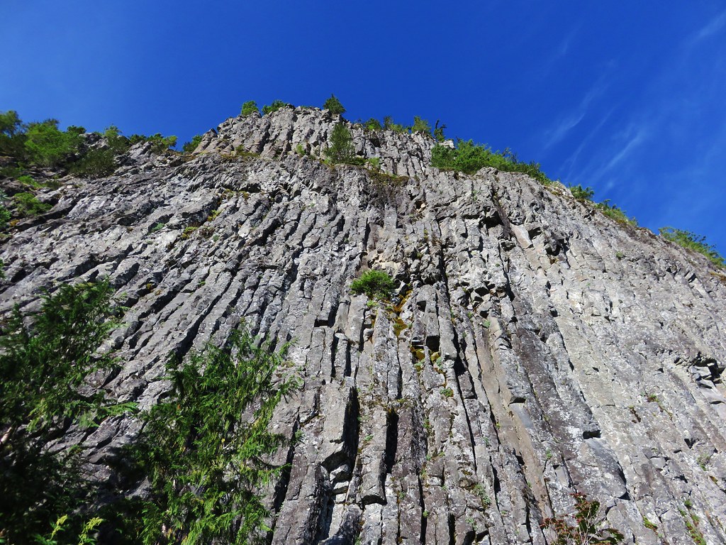
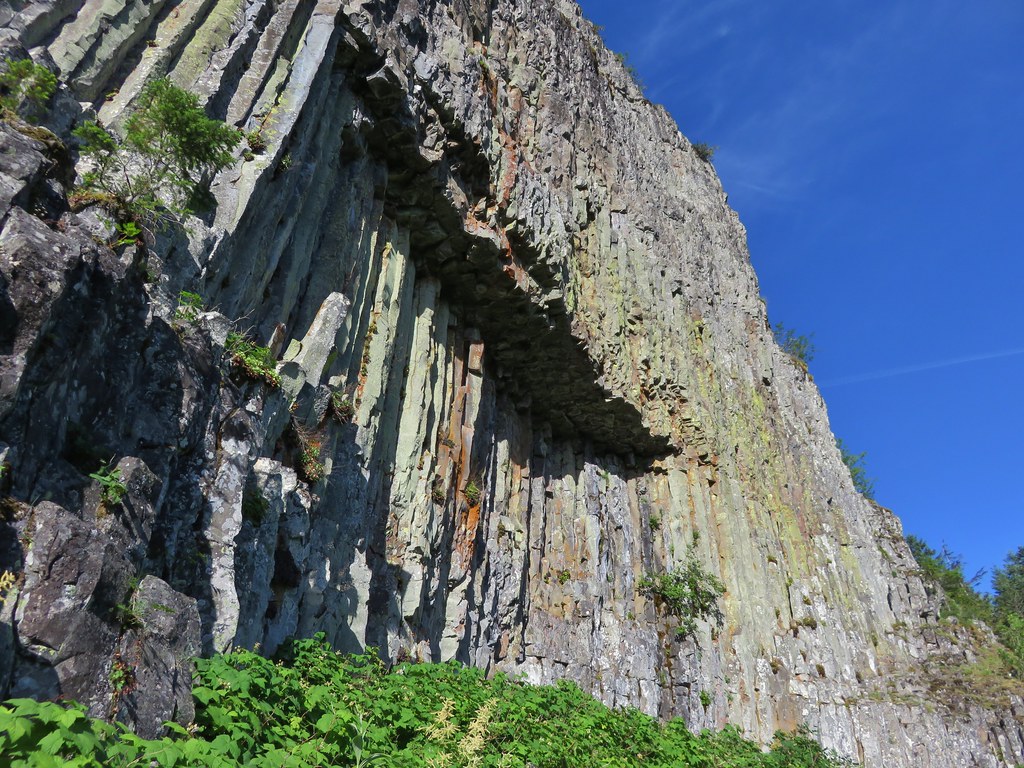
The rock field offers a close up look at Table Rocks columnar basalt cliffs. Numerous pikas were calling out from the rocks all around us but we weren’t able to spot any.
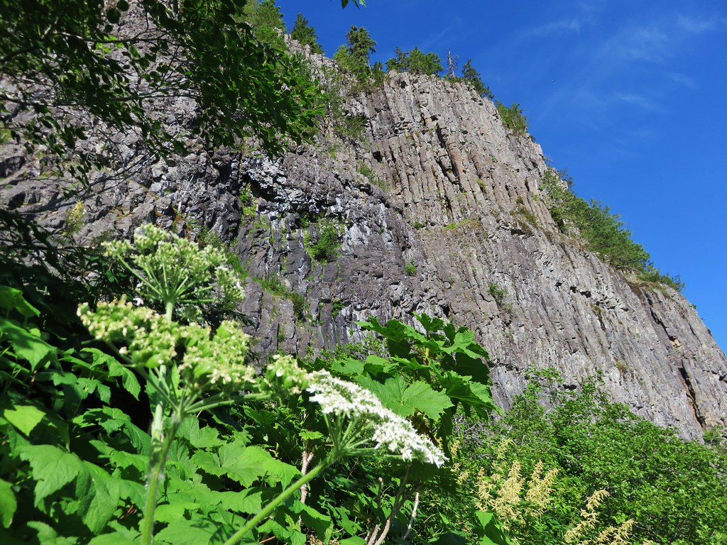
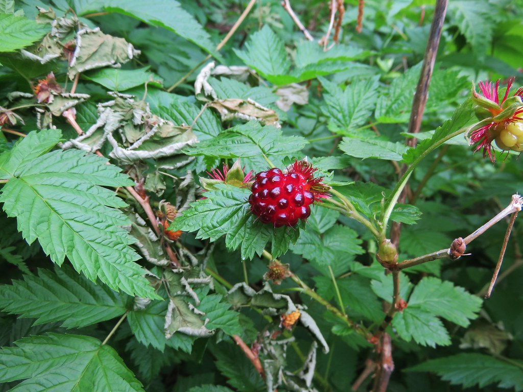
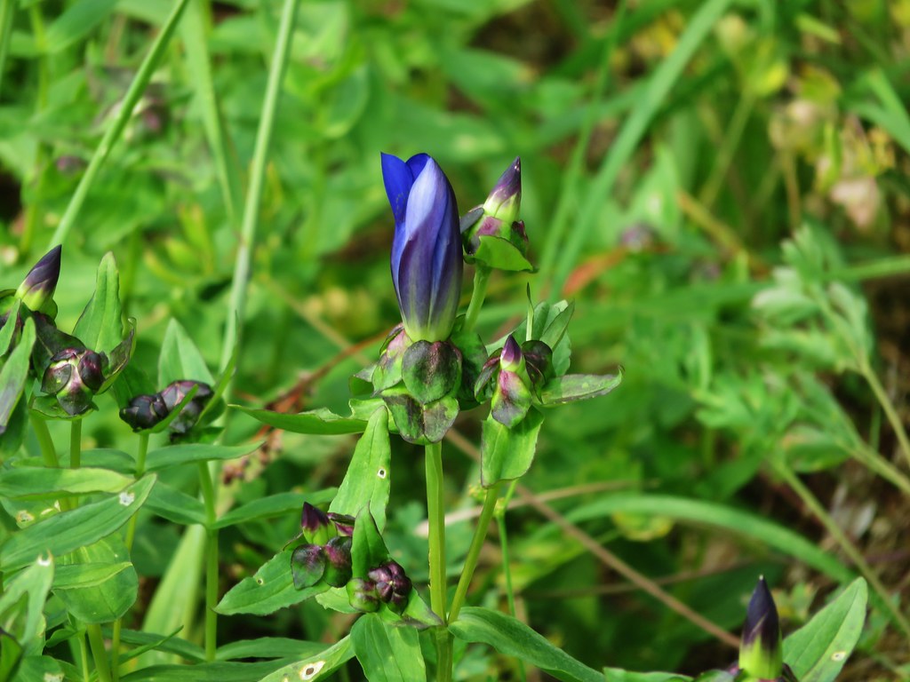
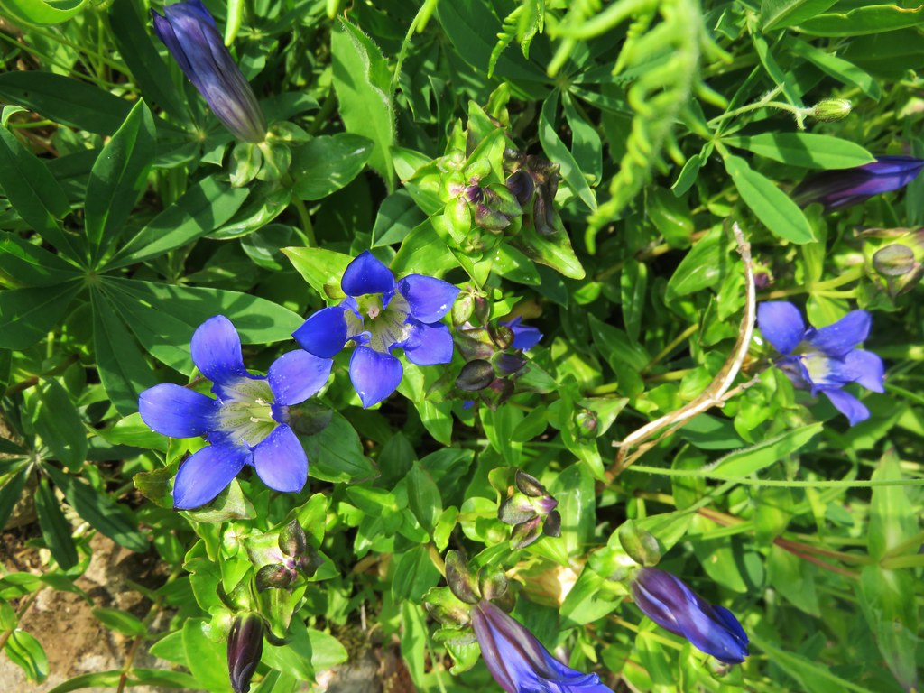
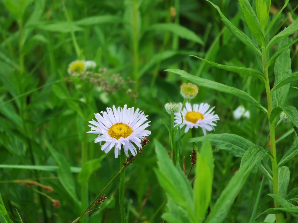
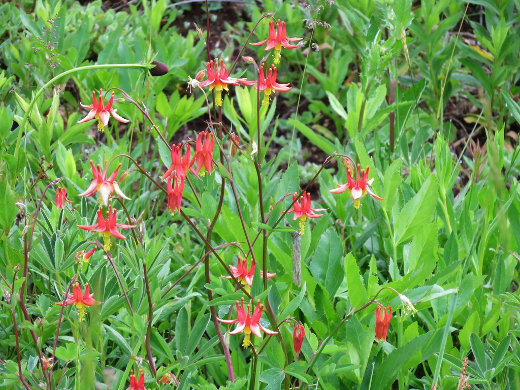
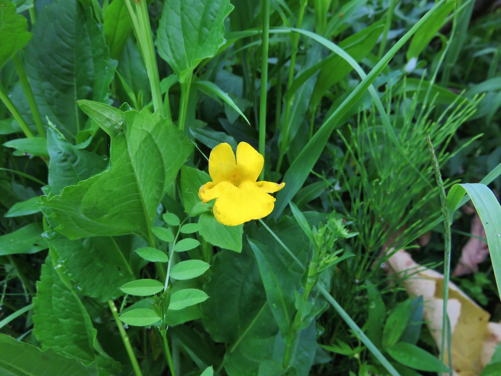
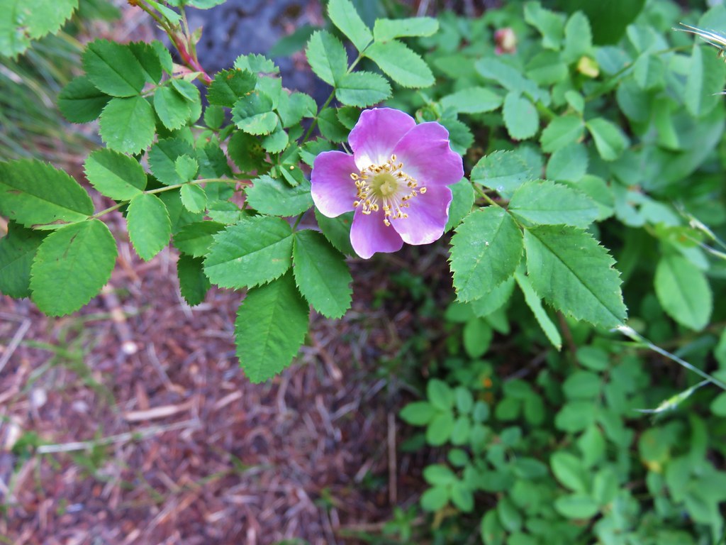
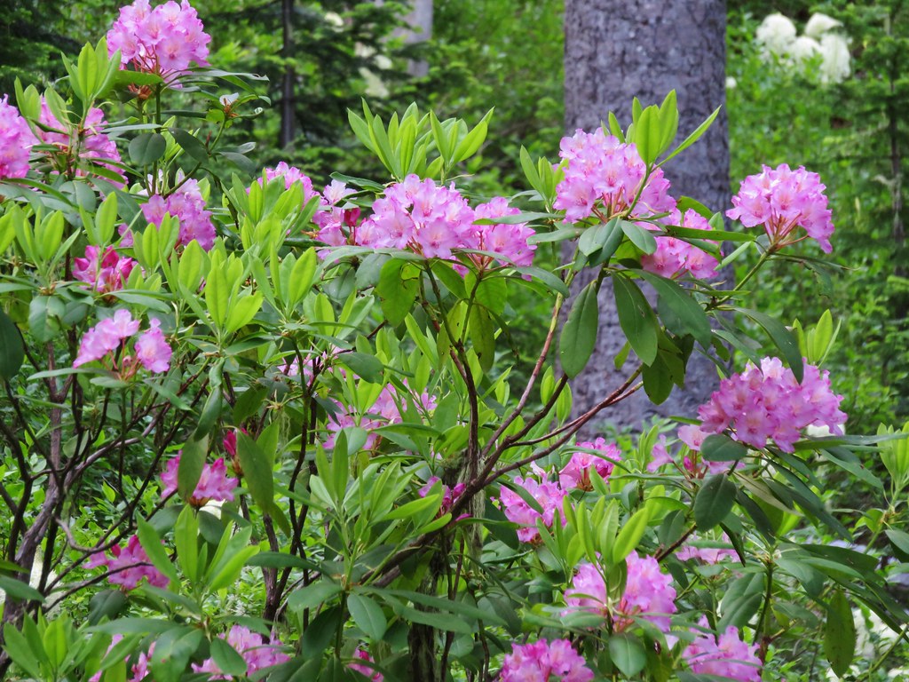
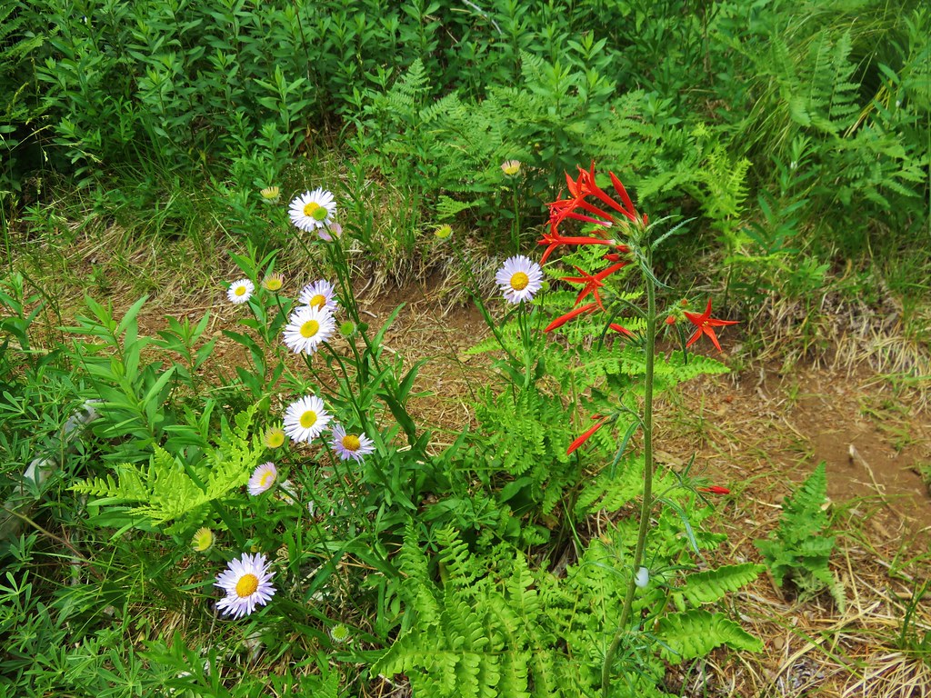
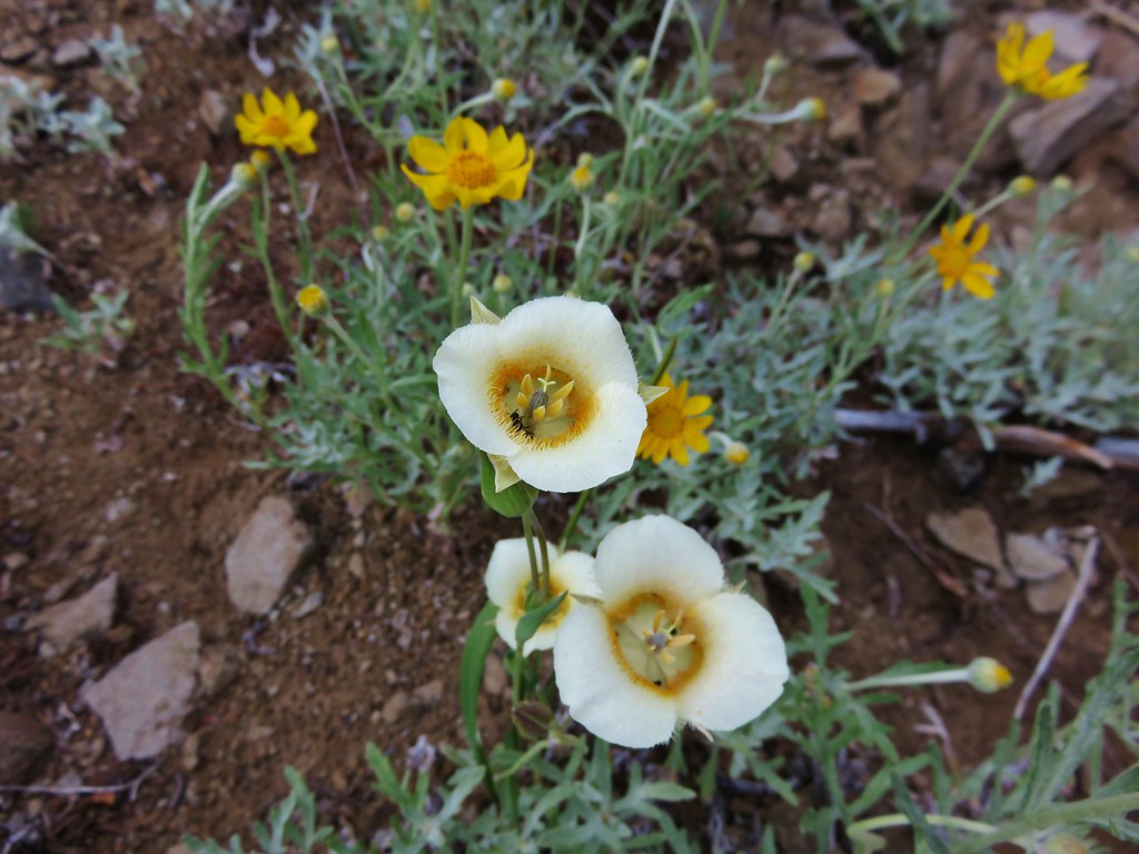
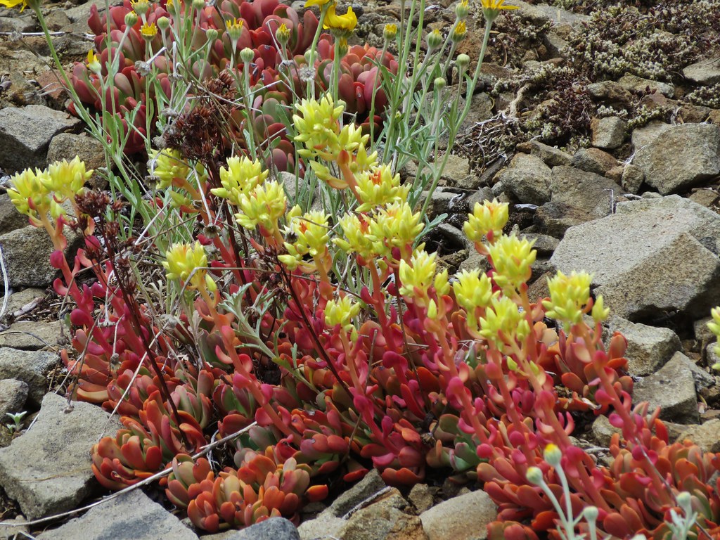
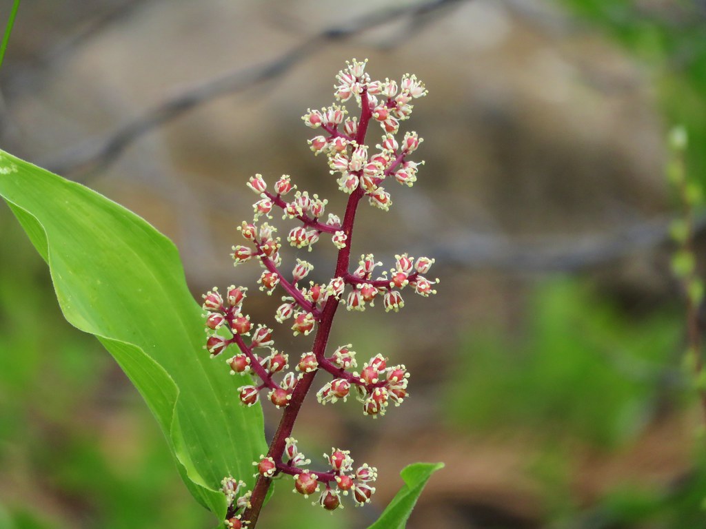
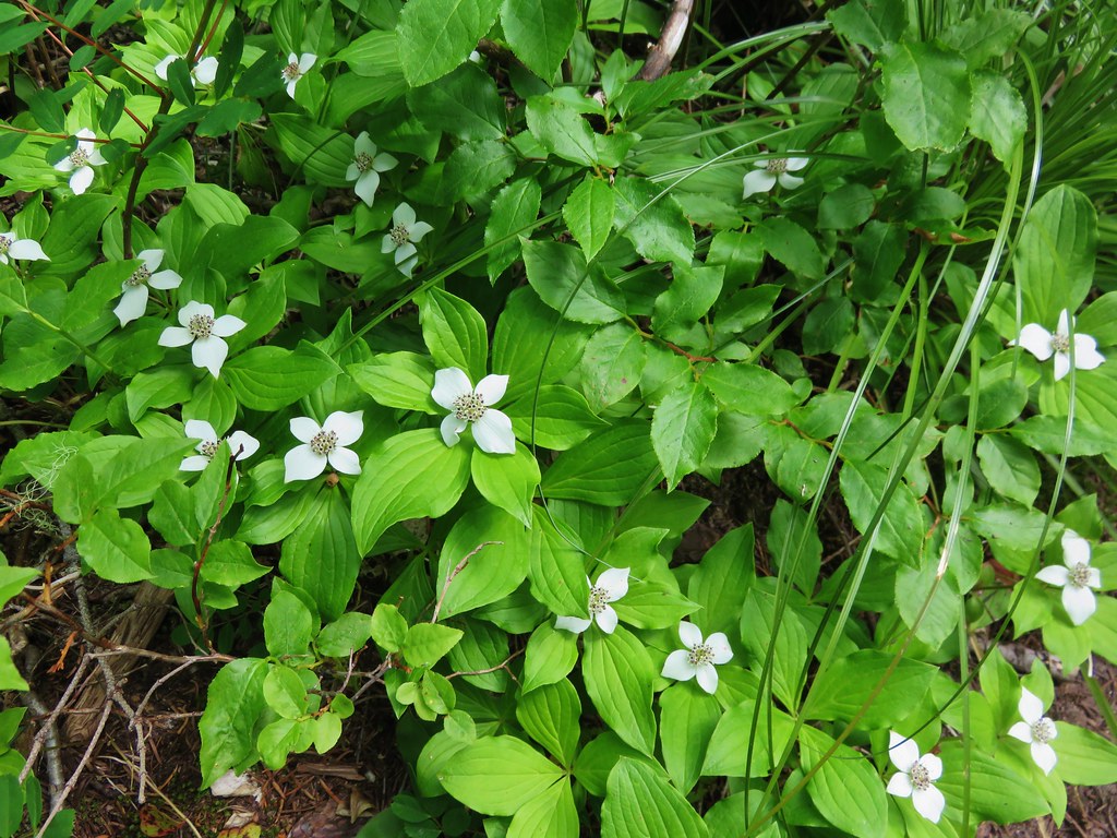
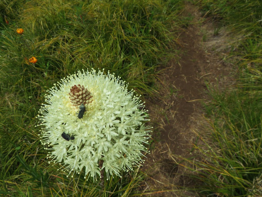
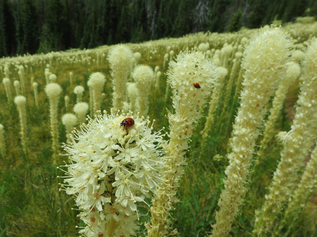
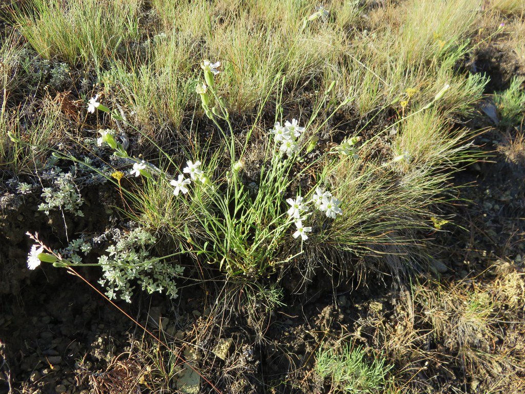
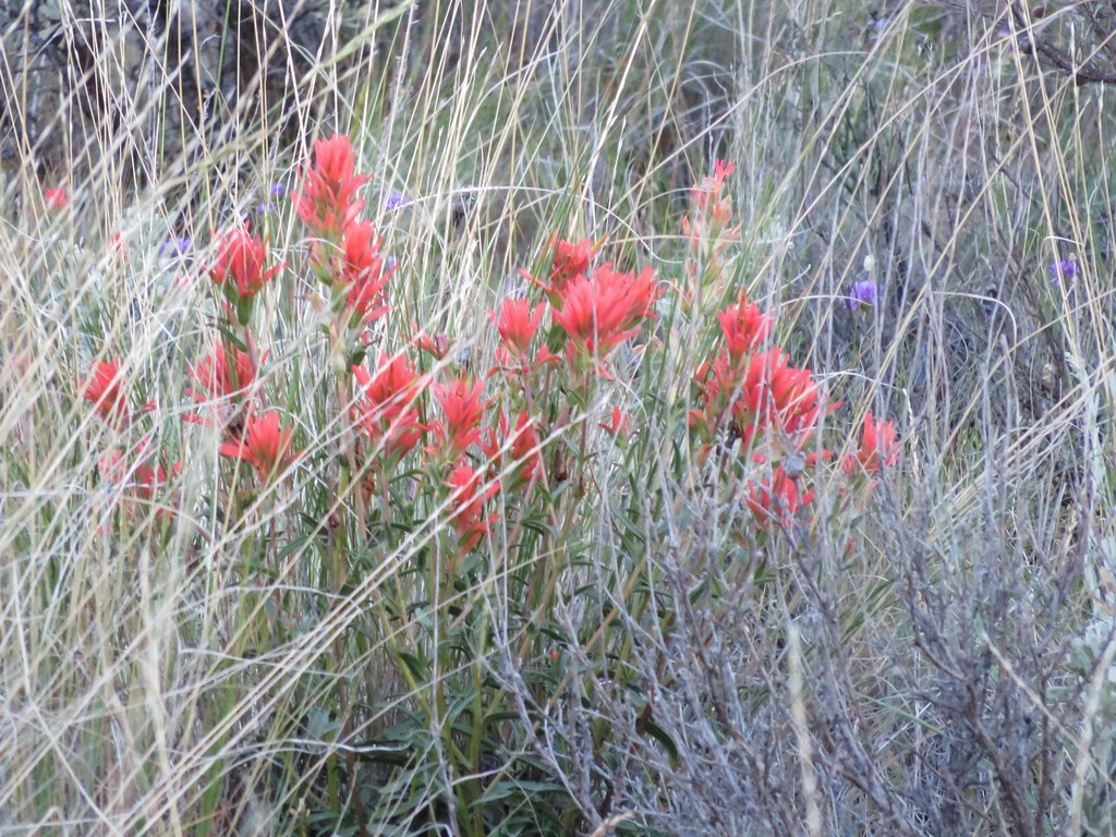
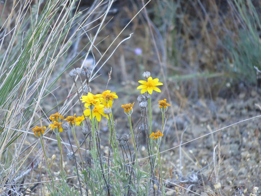
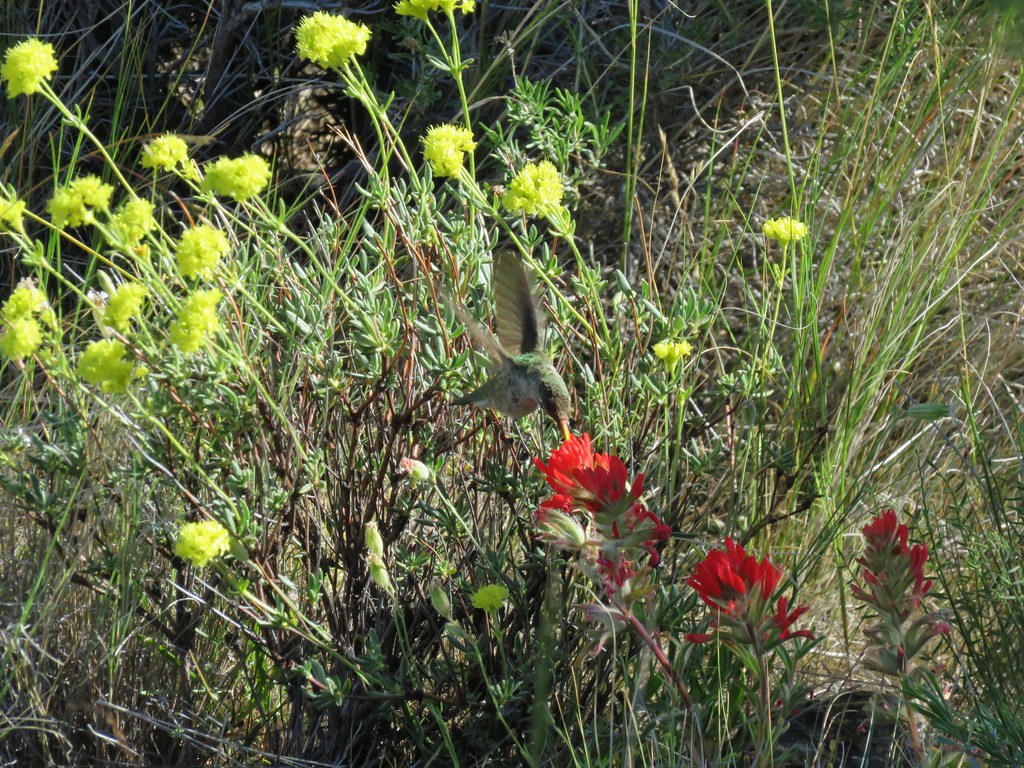
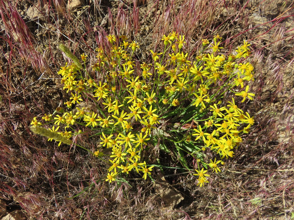
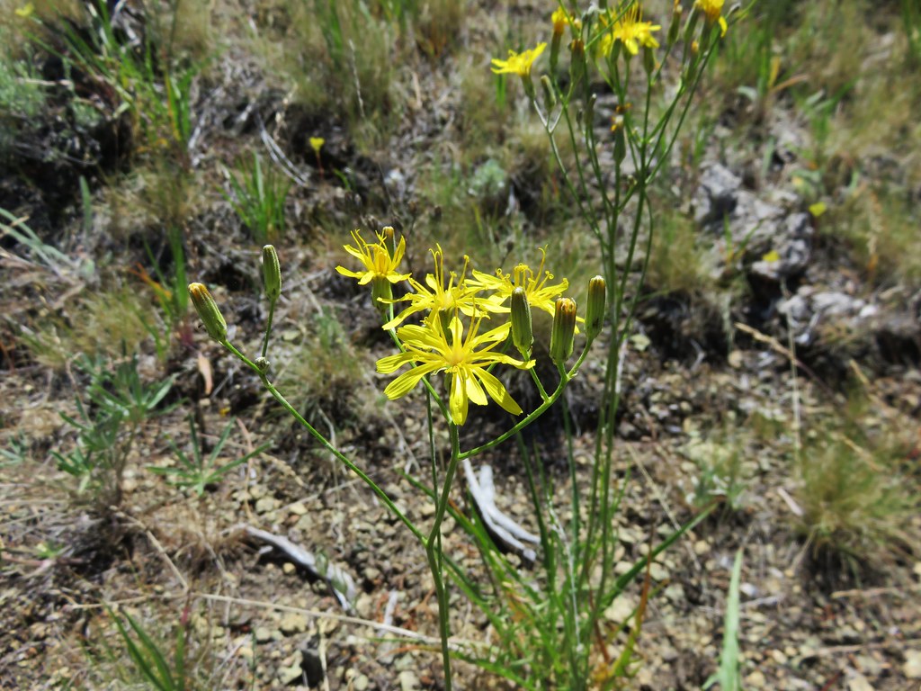
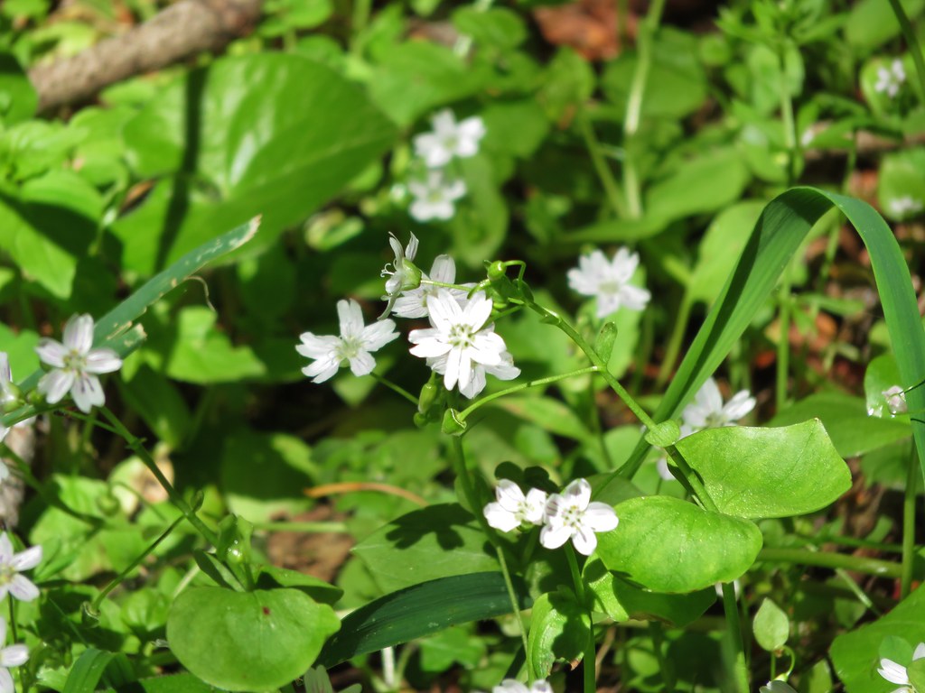
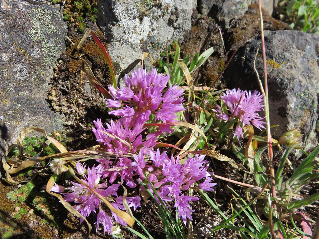
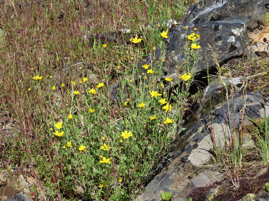
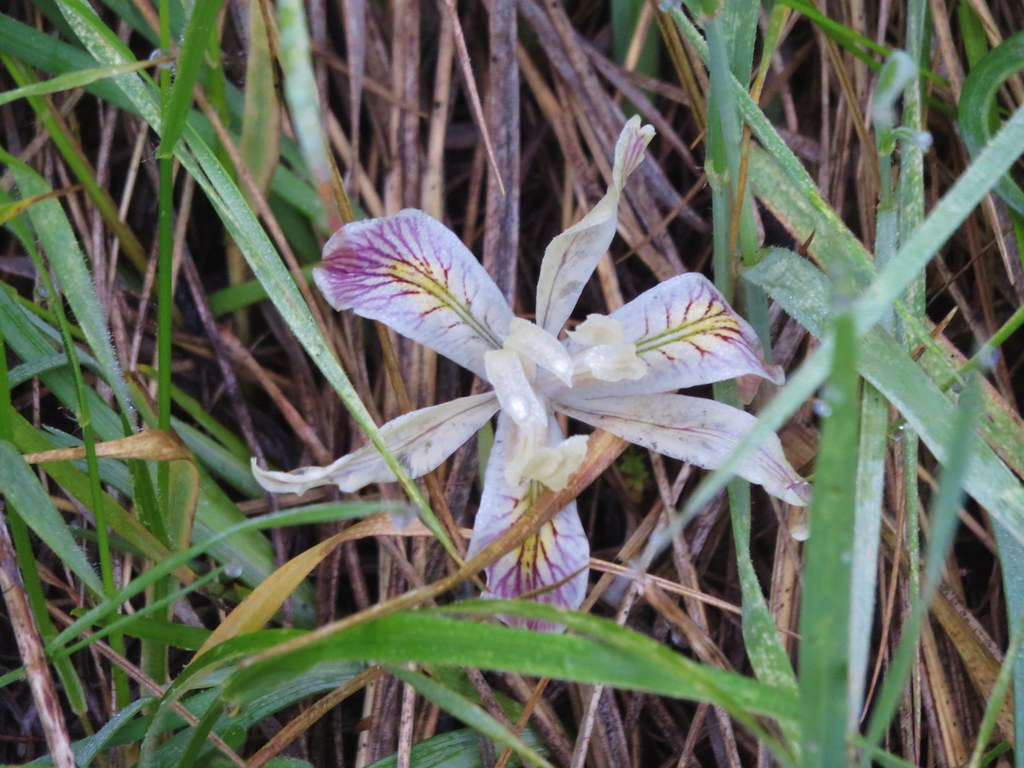
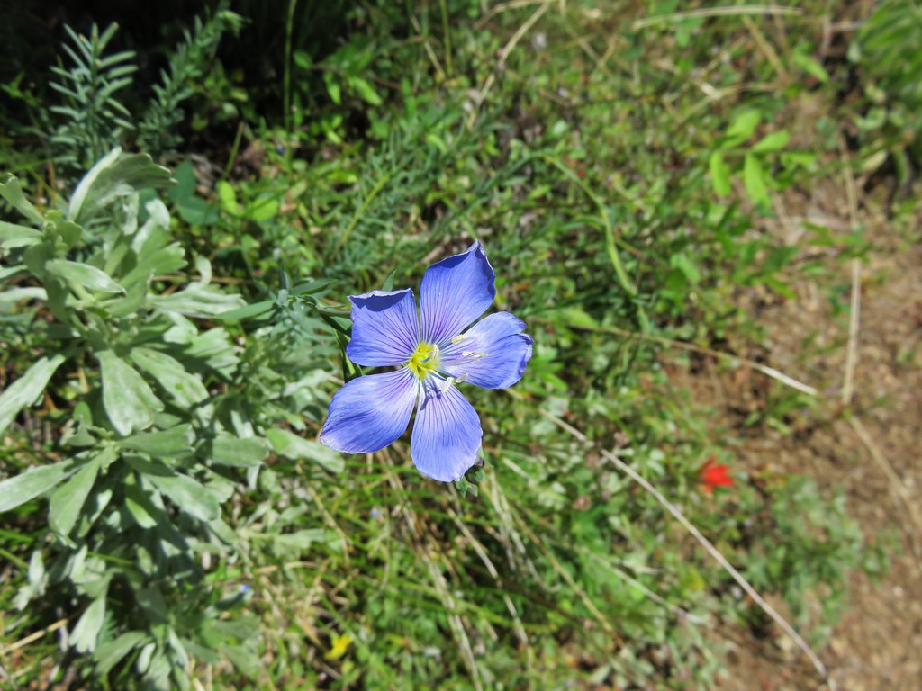
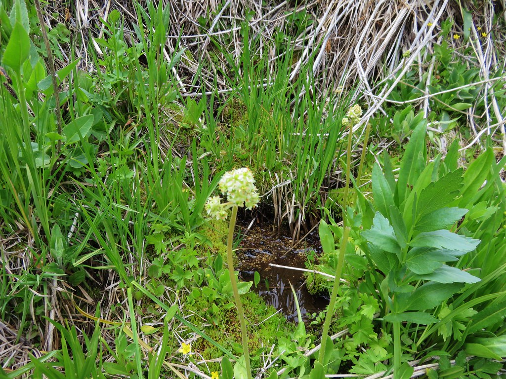
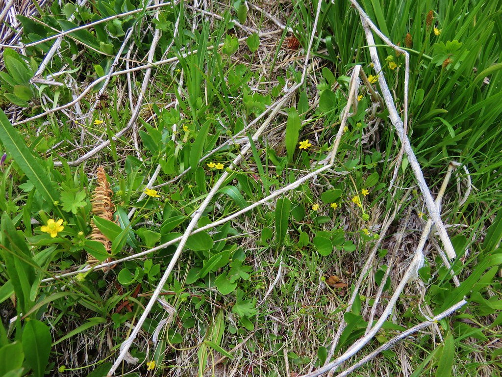
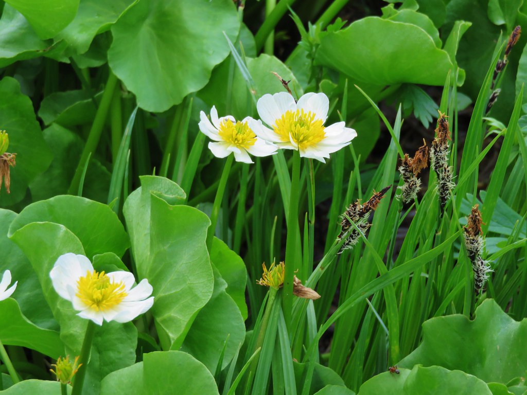
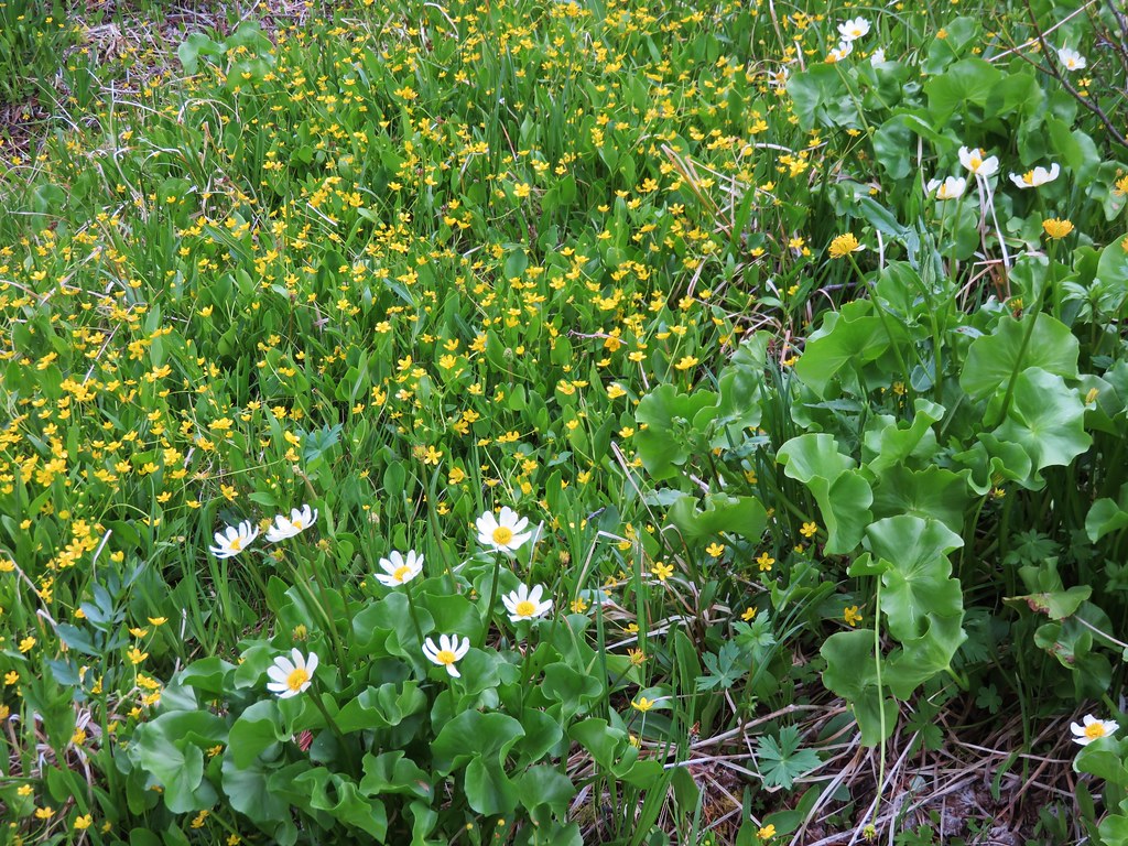
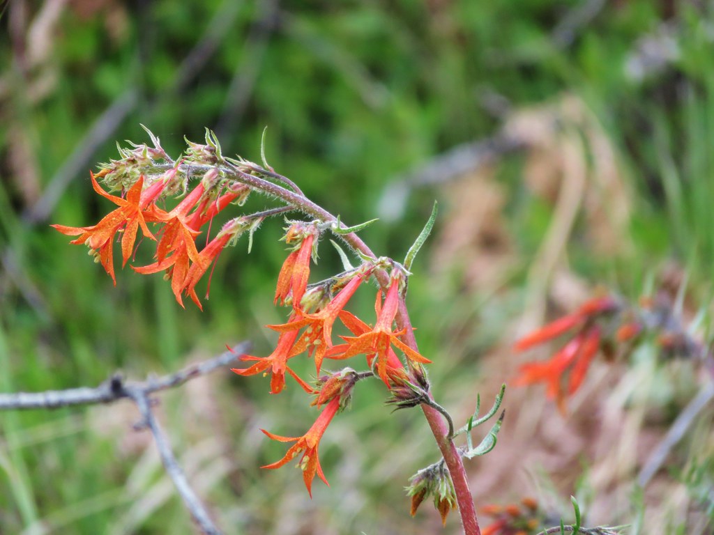
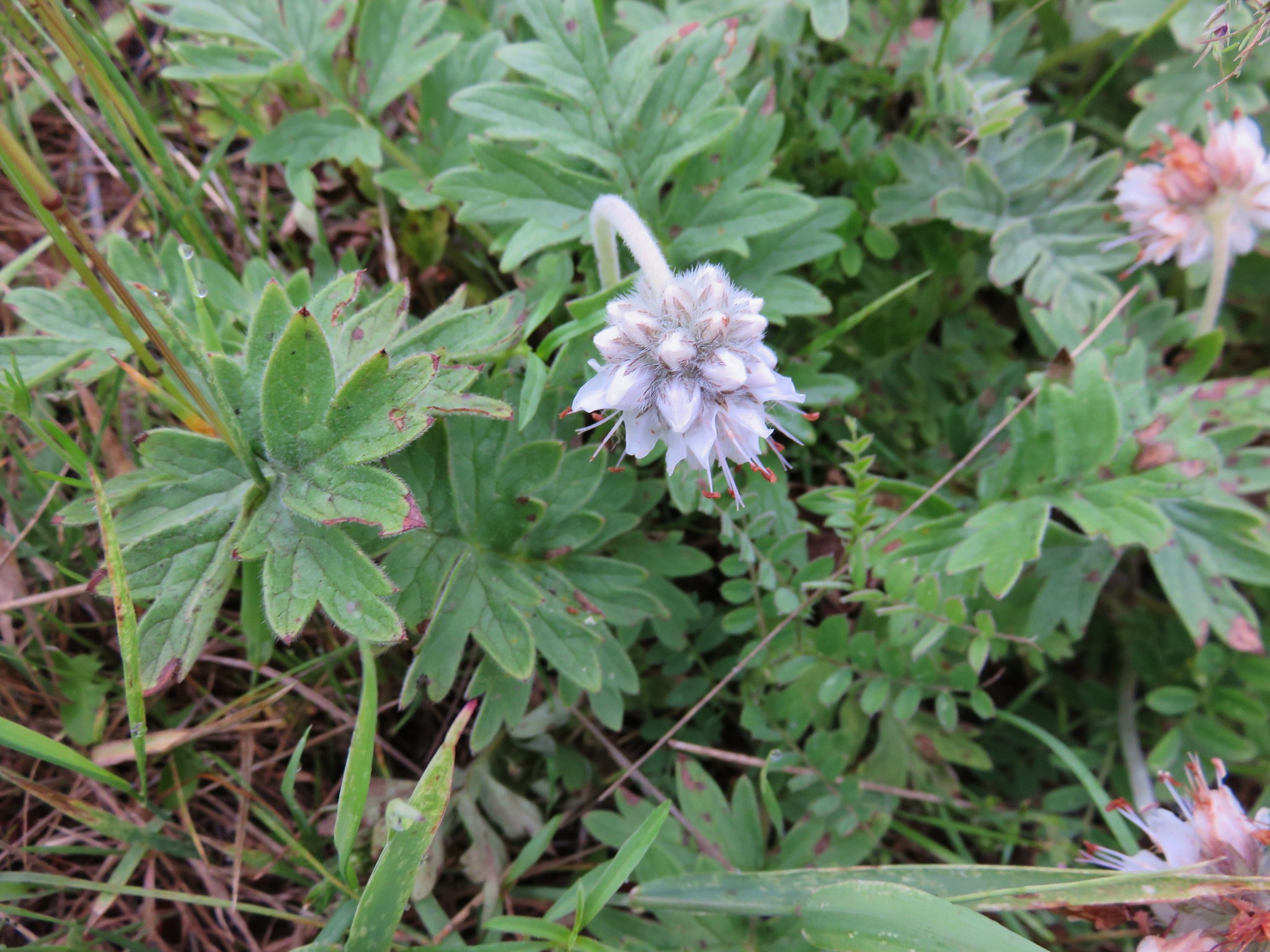
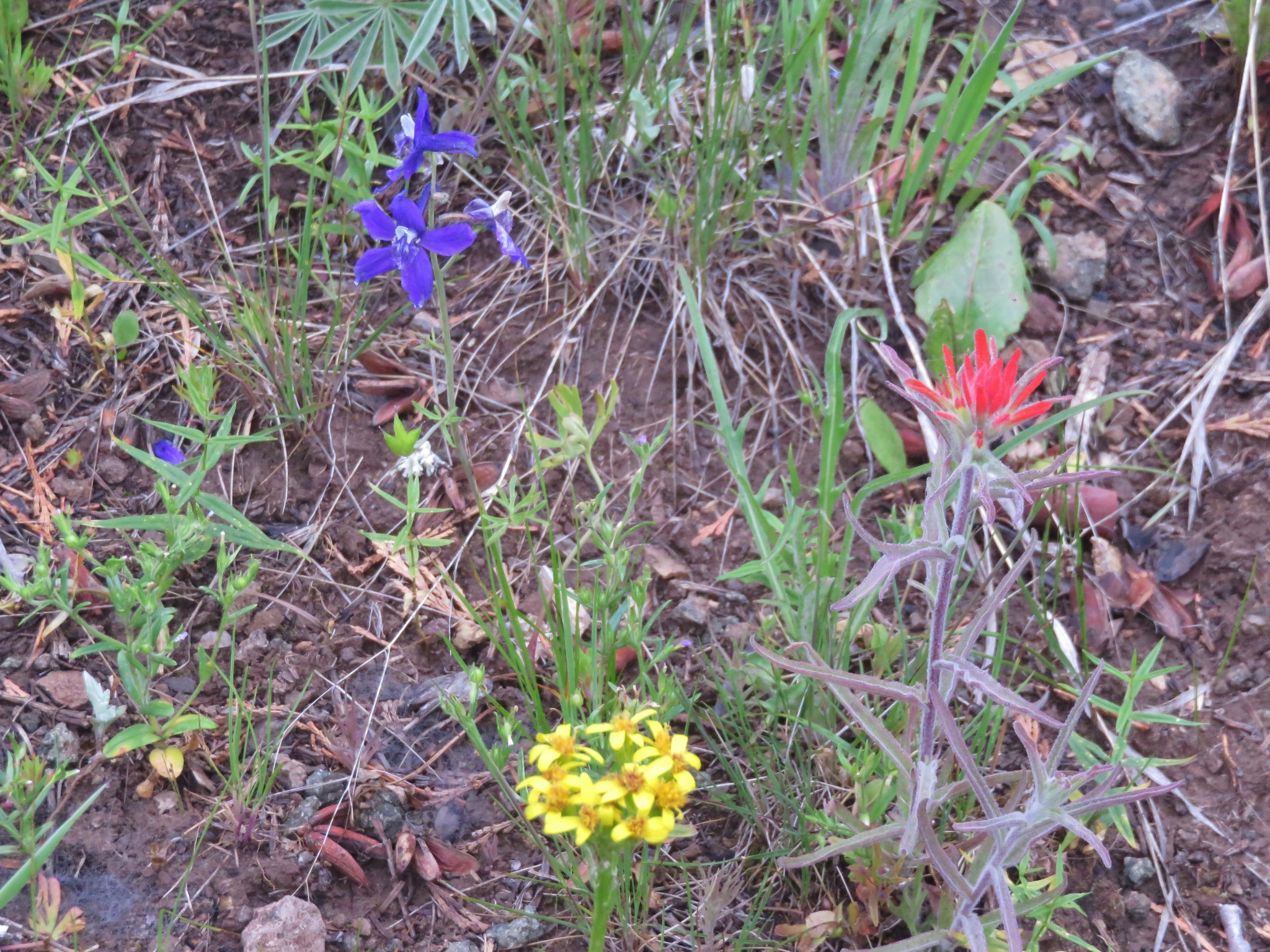
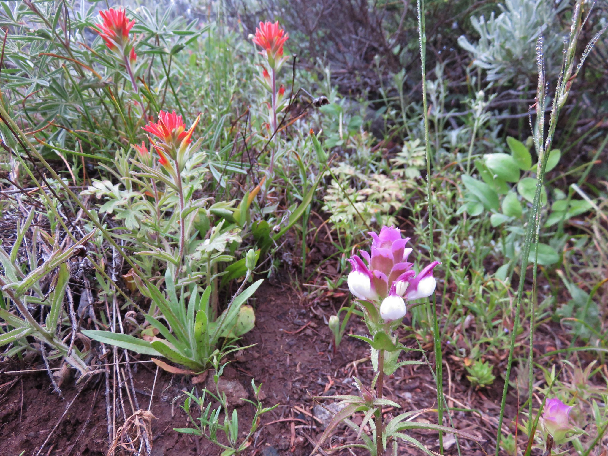
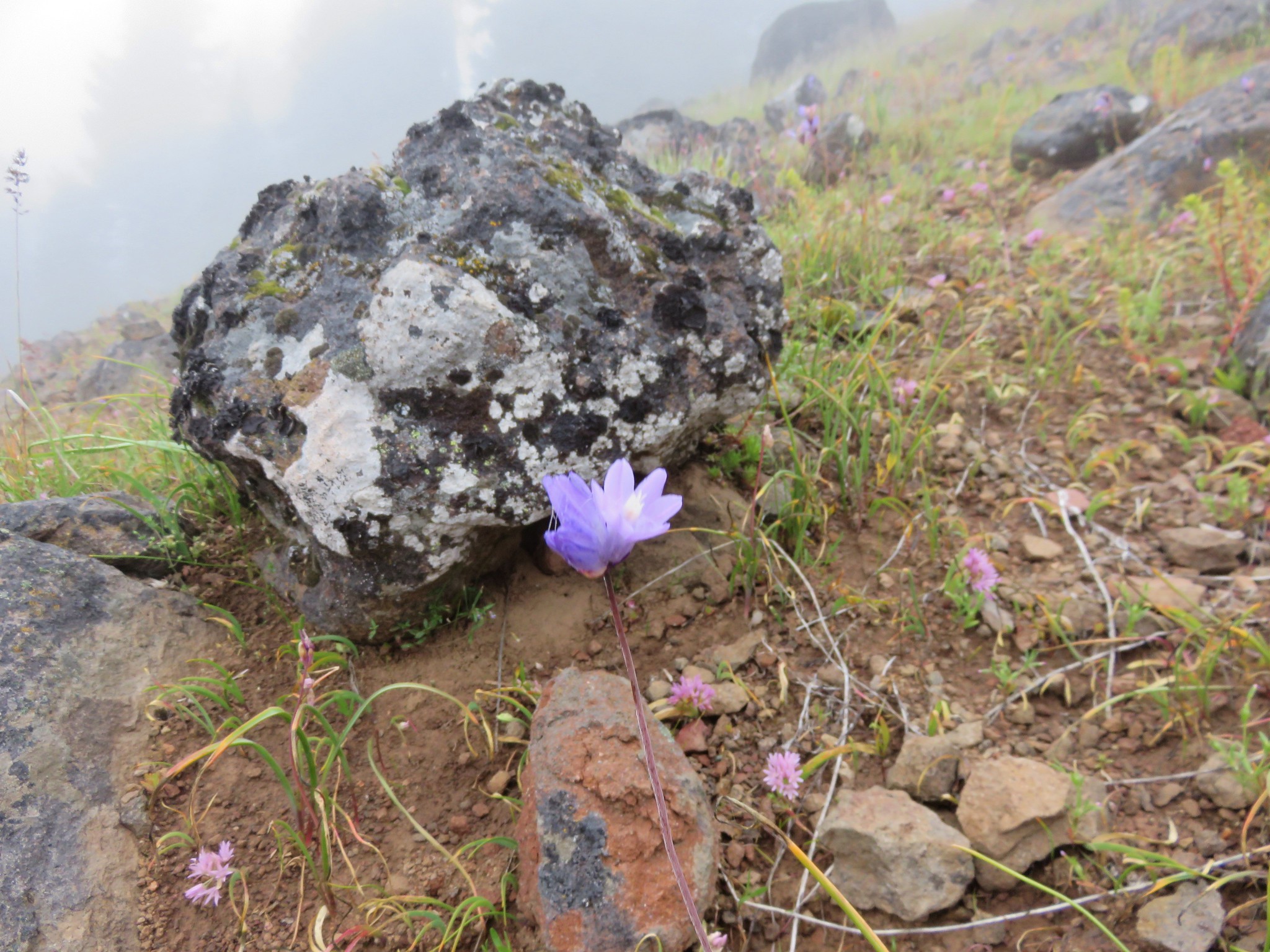
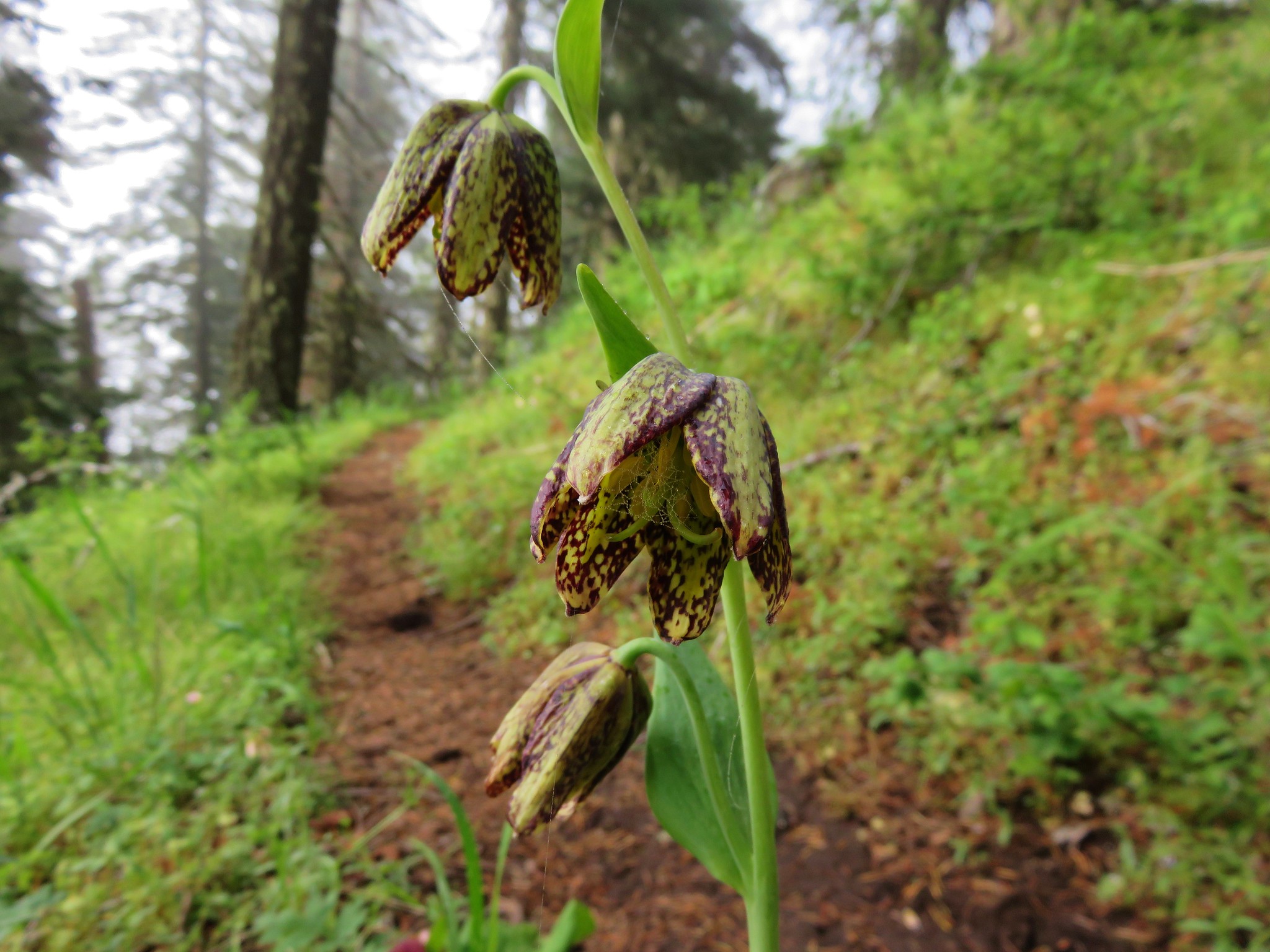
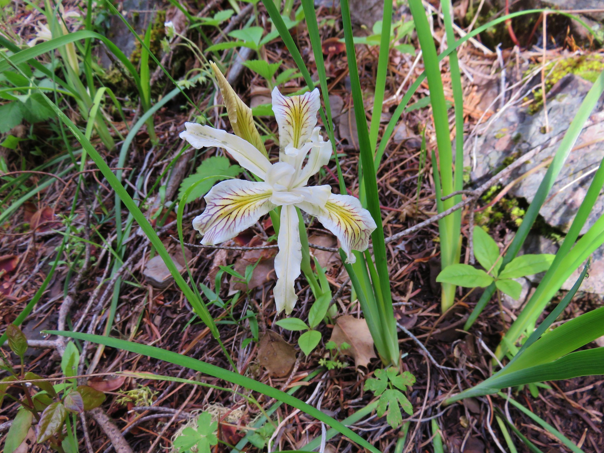
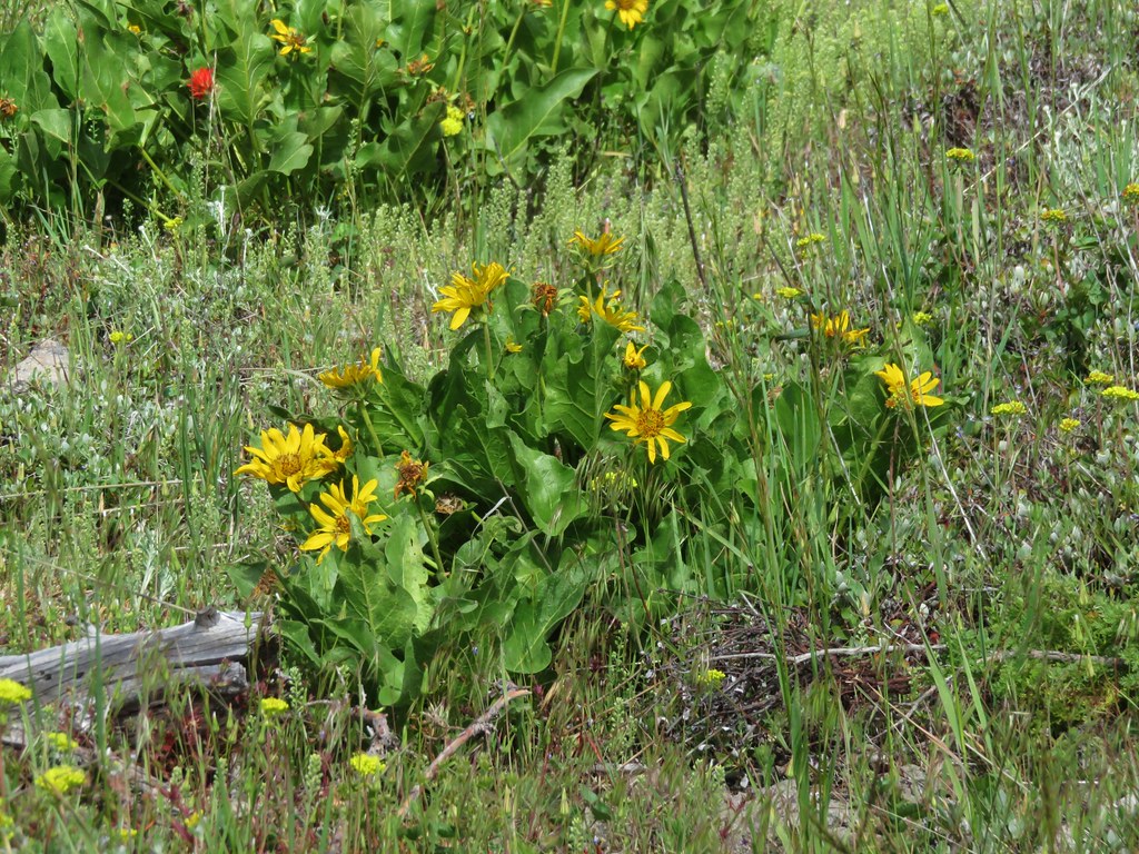
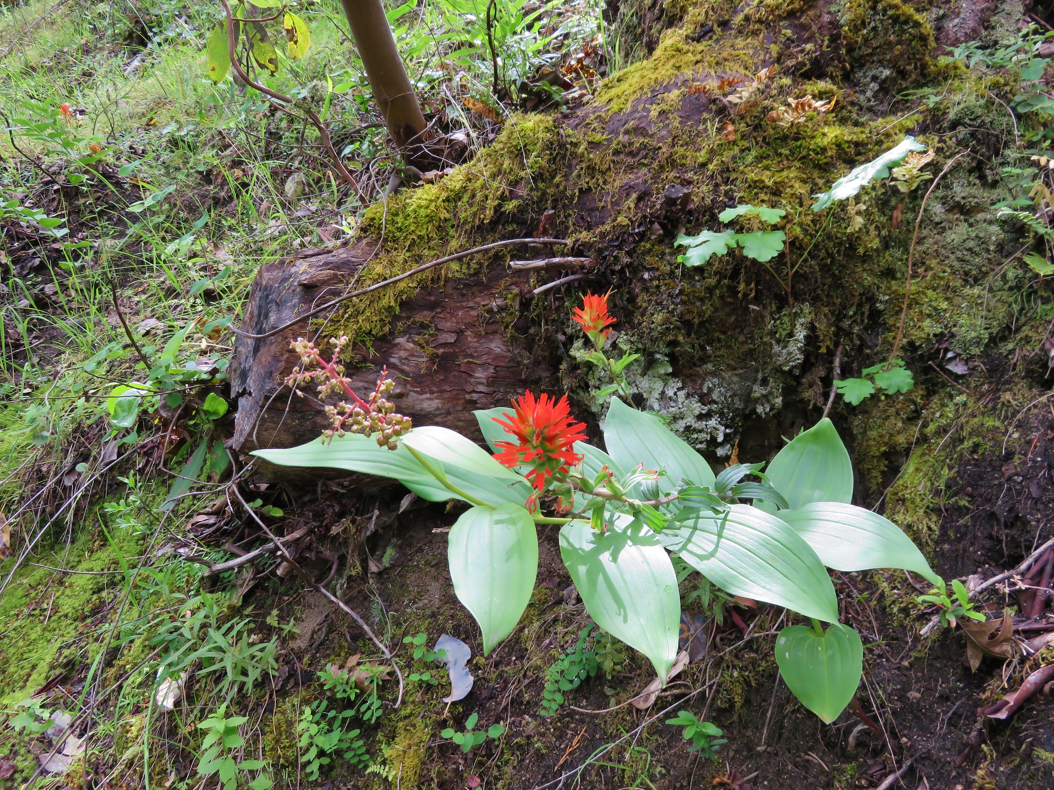
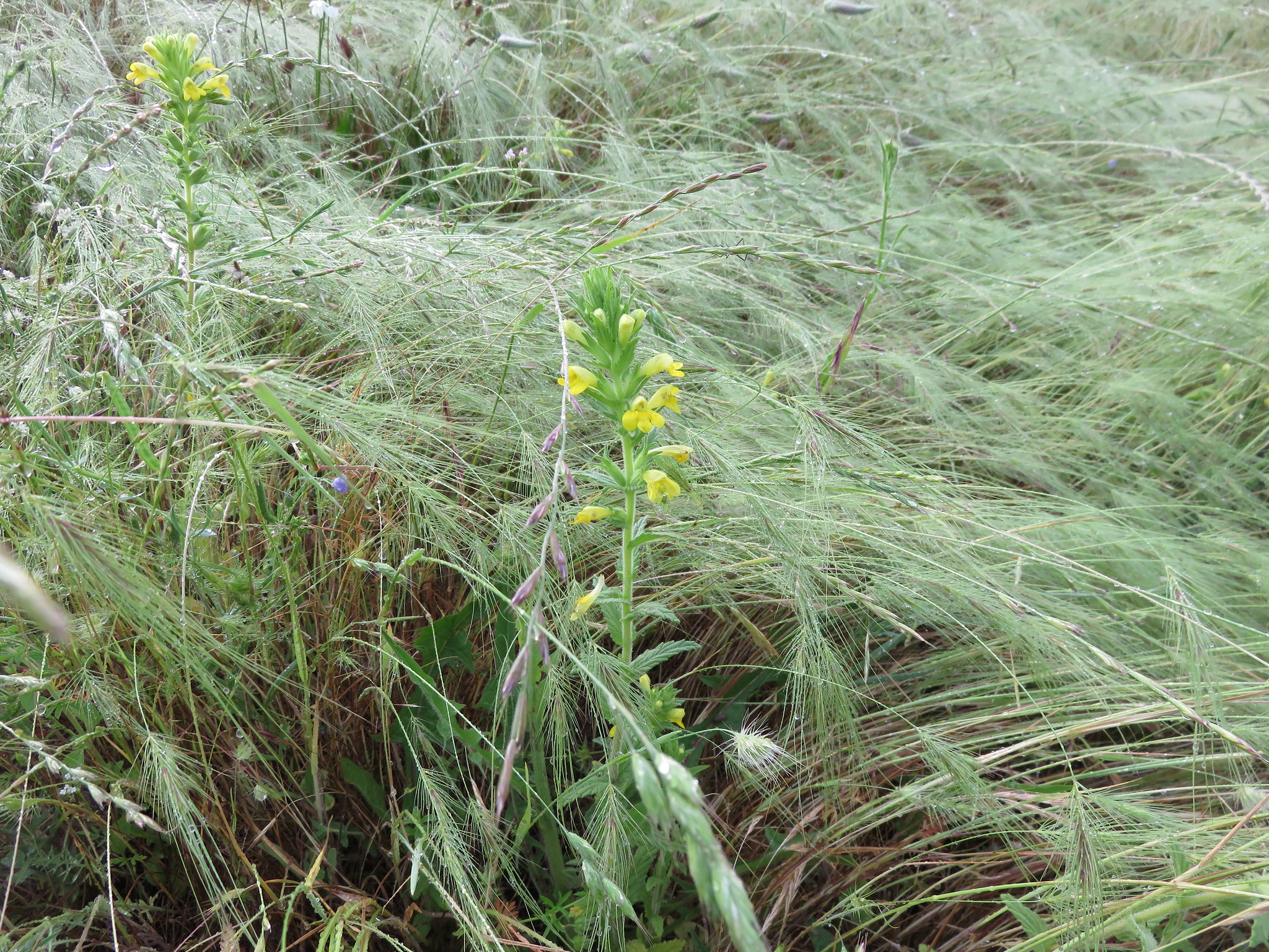
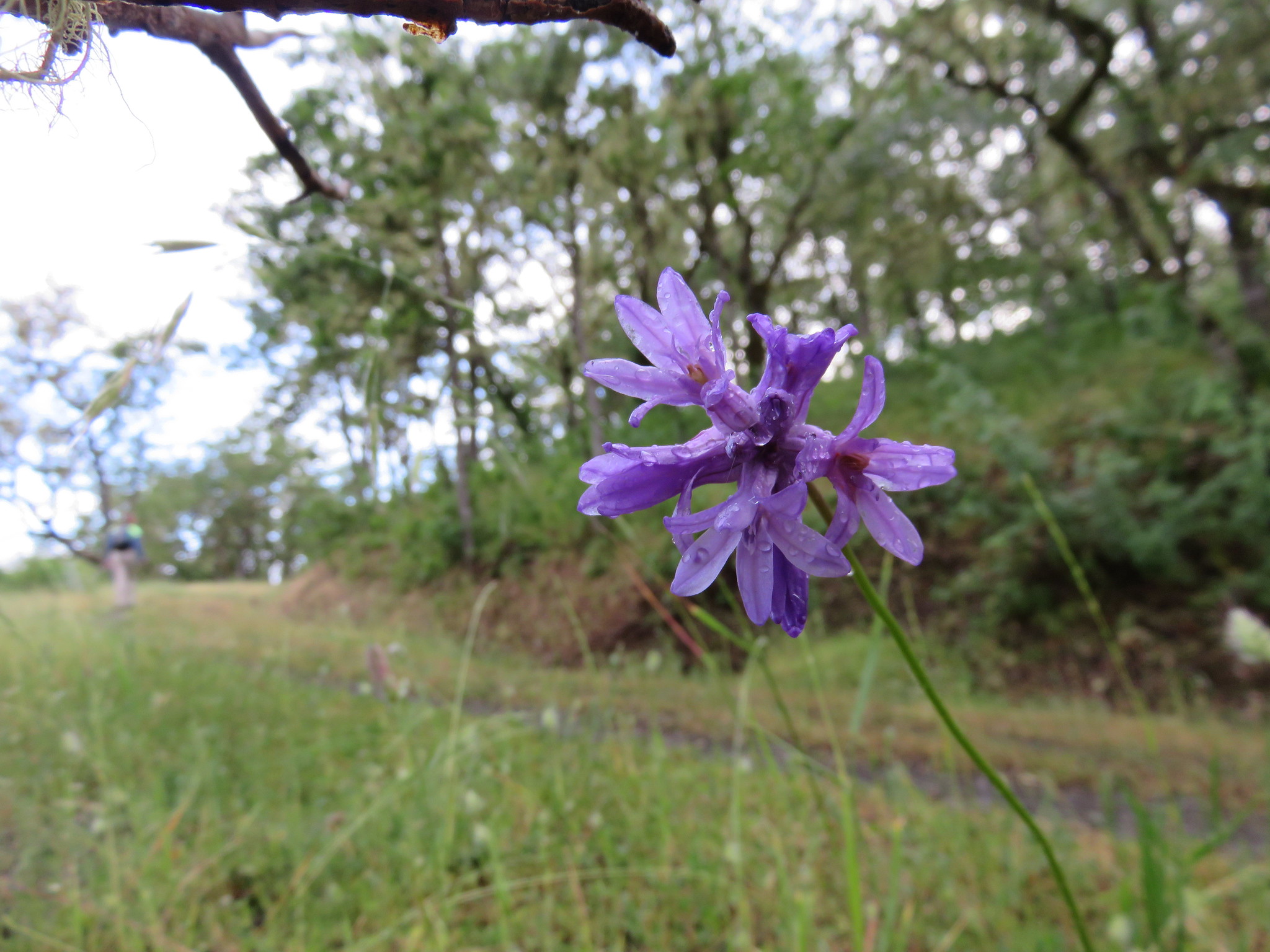
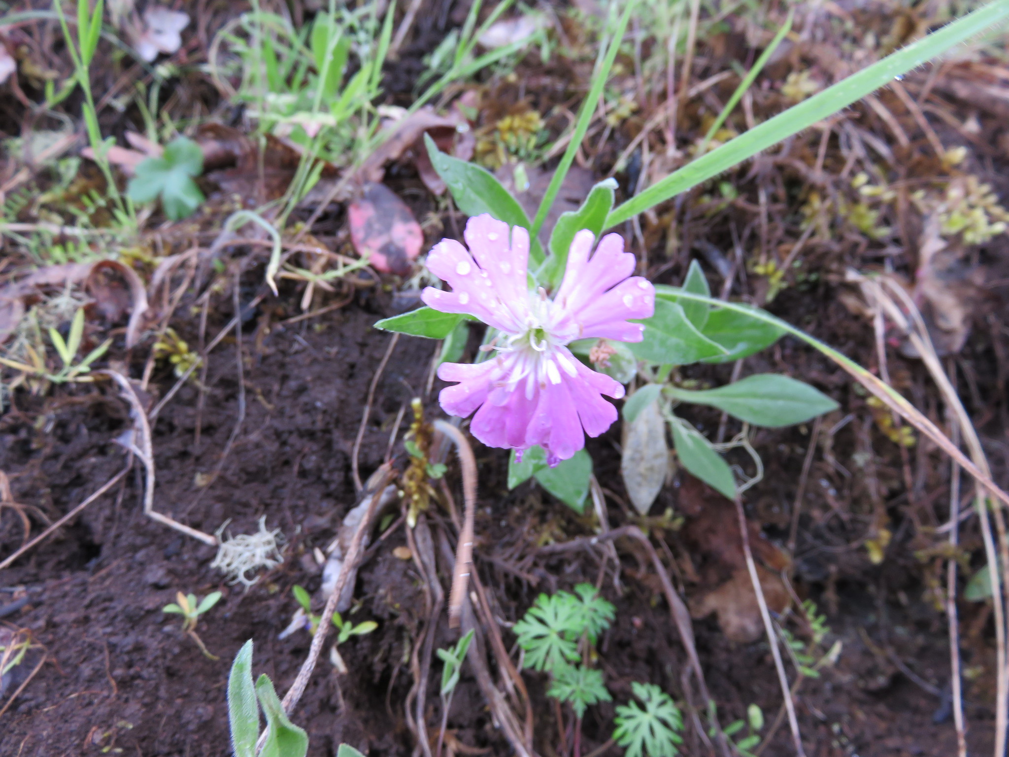
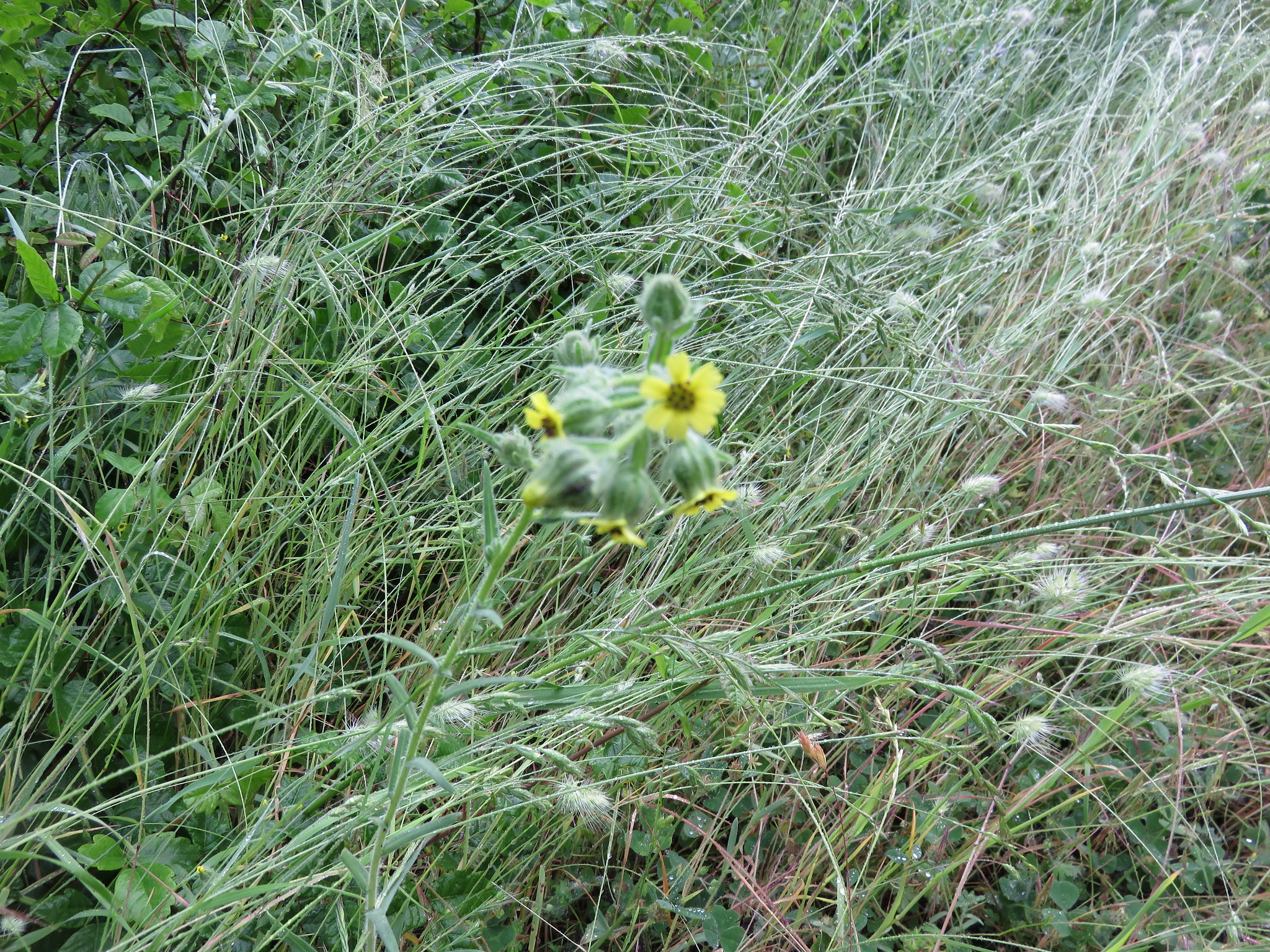
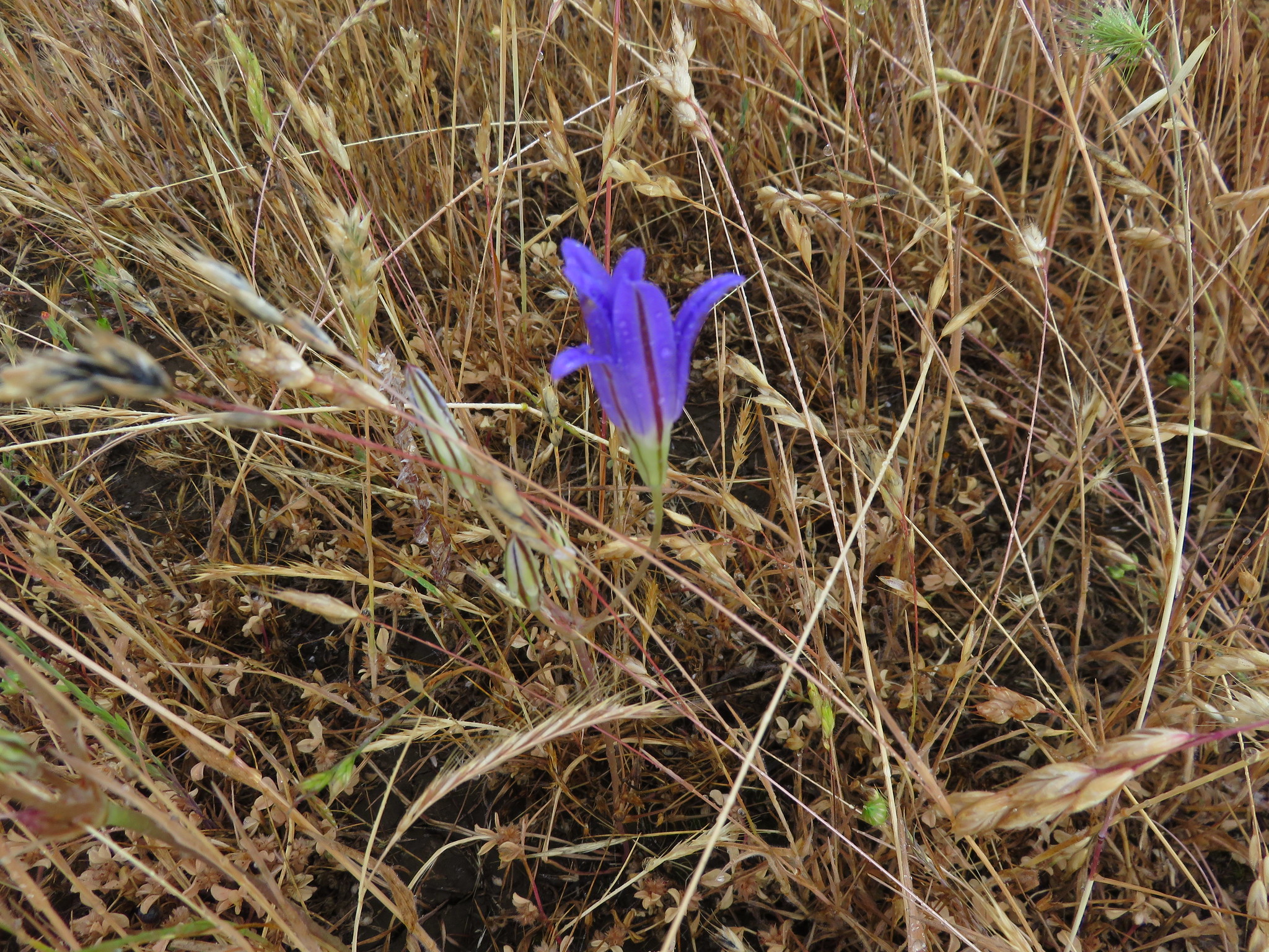
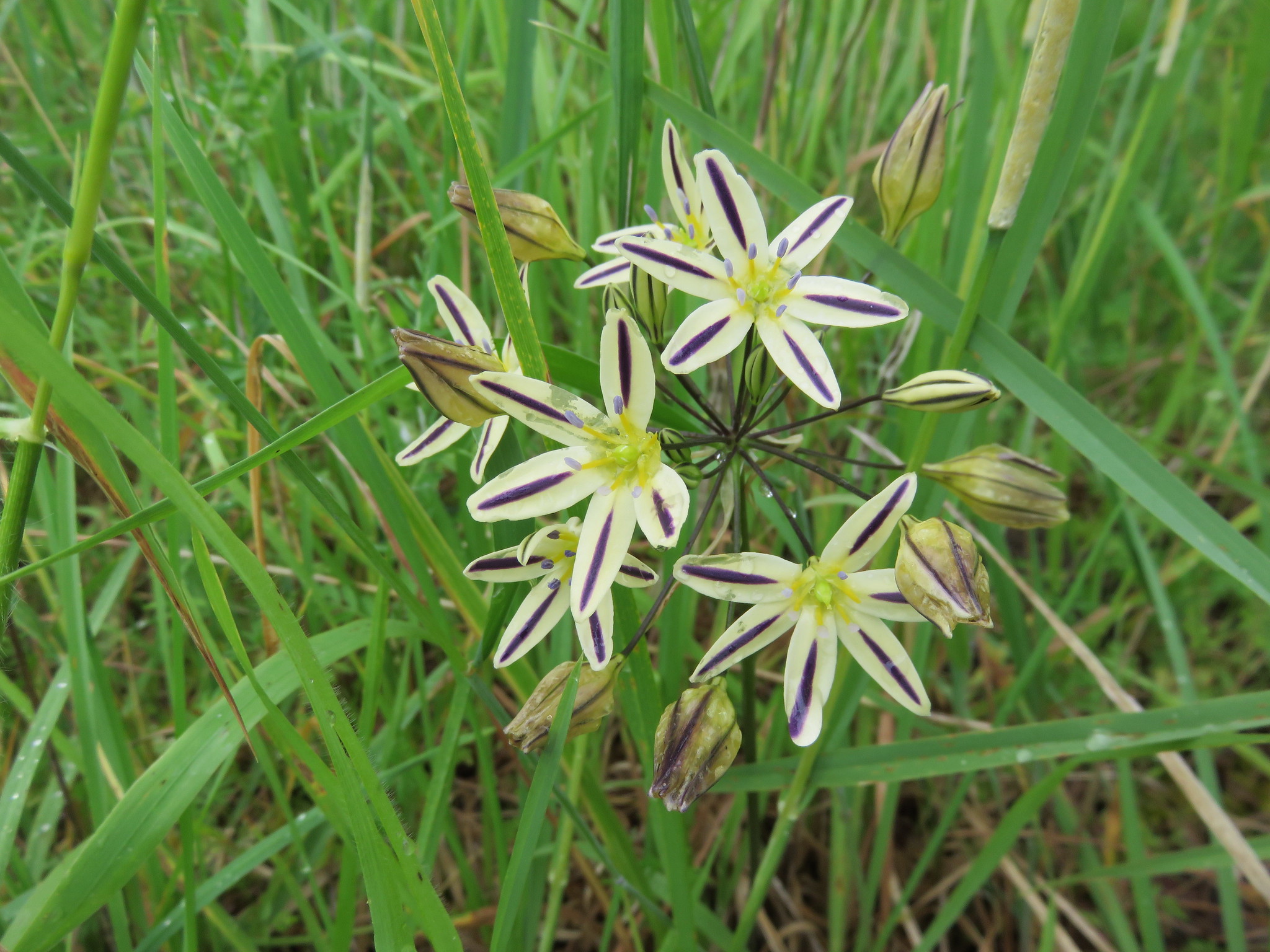
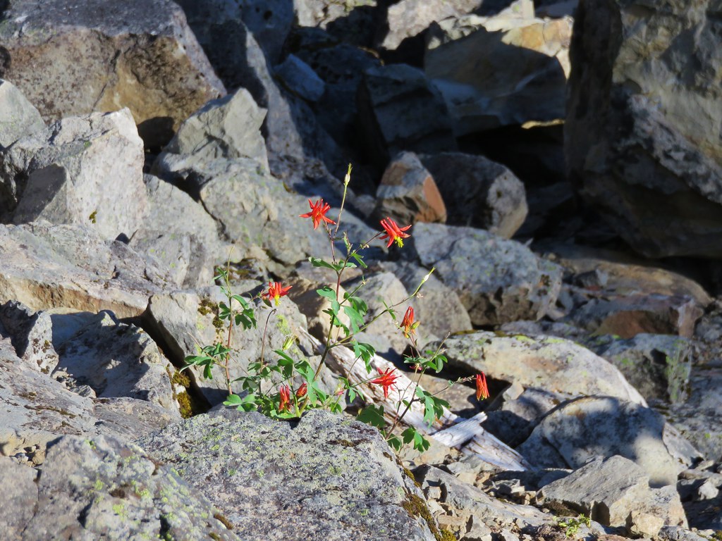
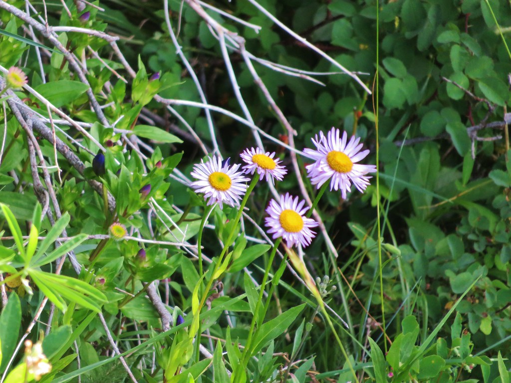
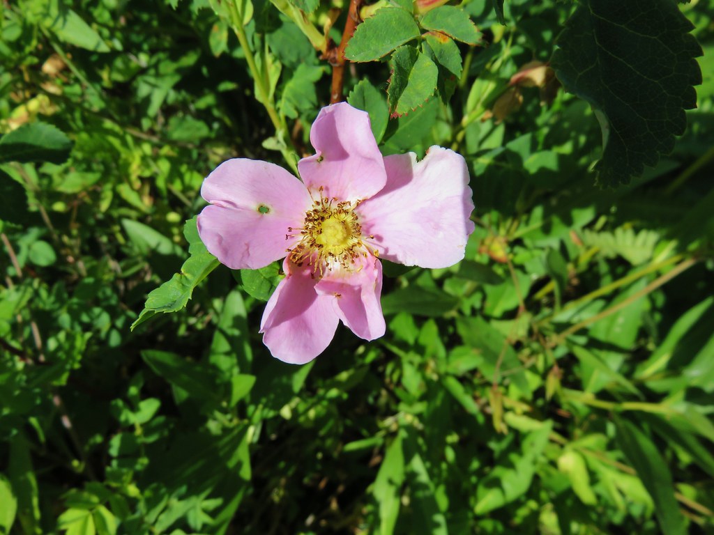
There were also a few flowers managing to bloom in the rocks.
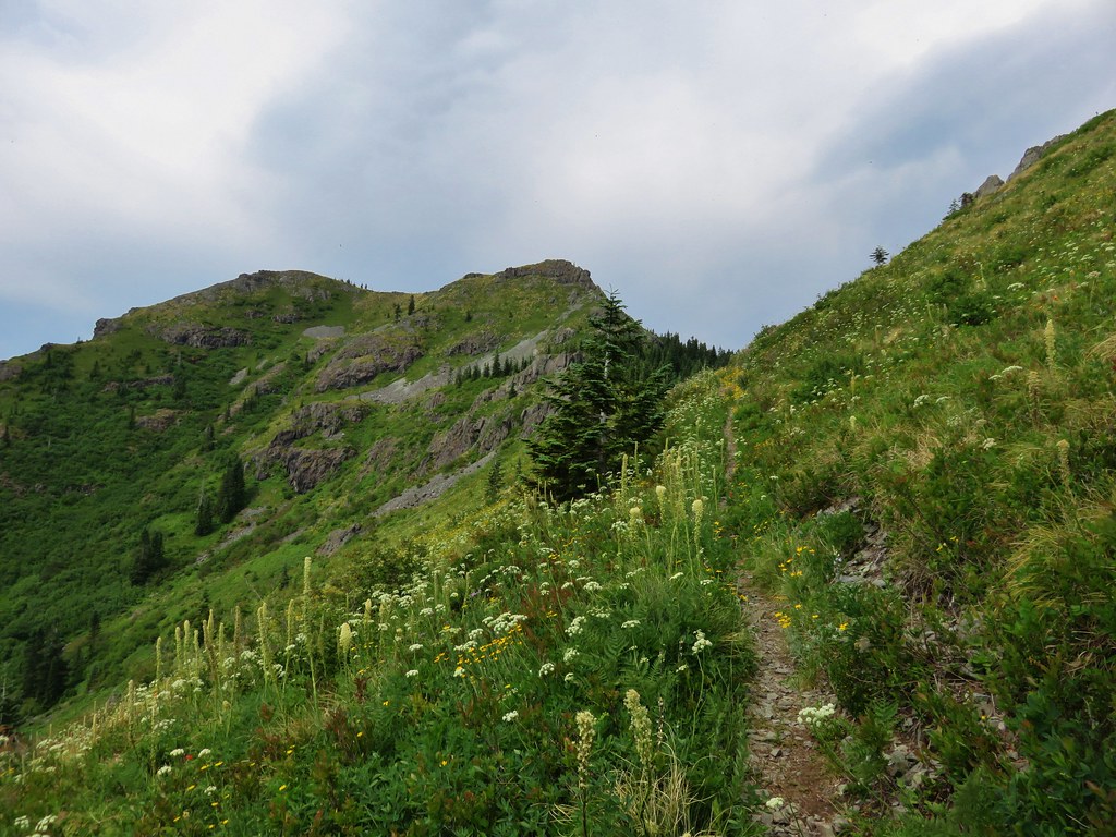
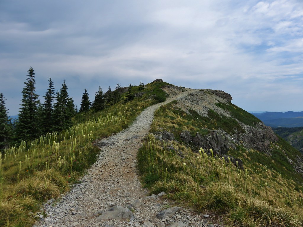
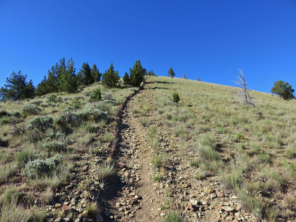
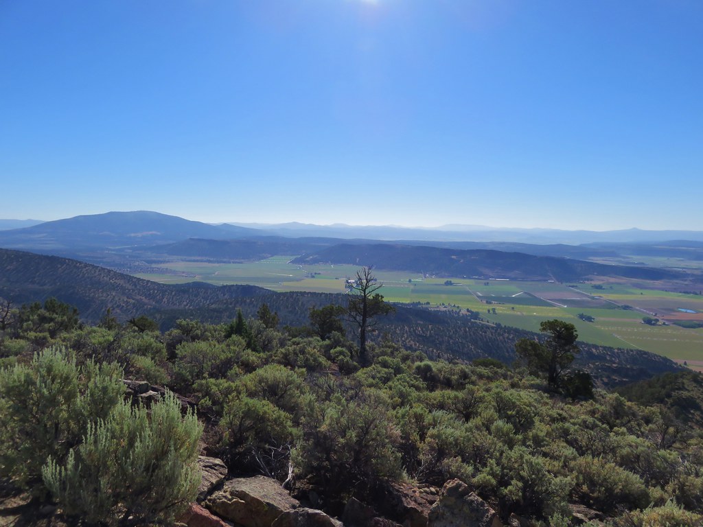
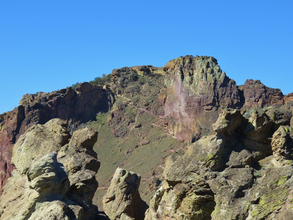
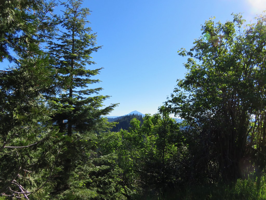
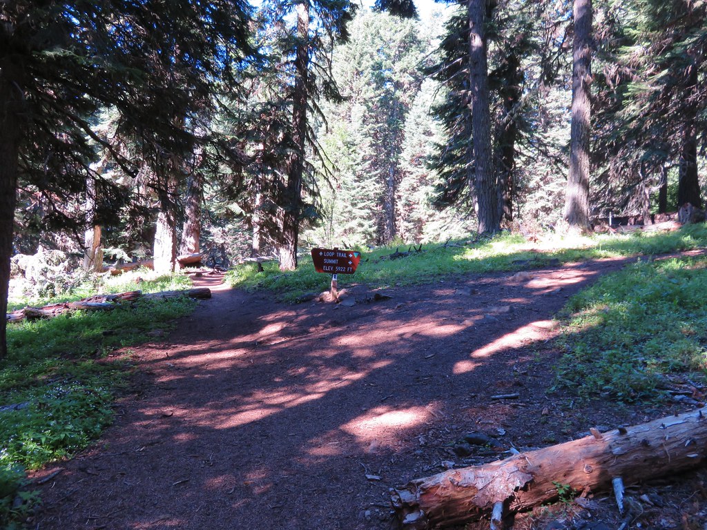
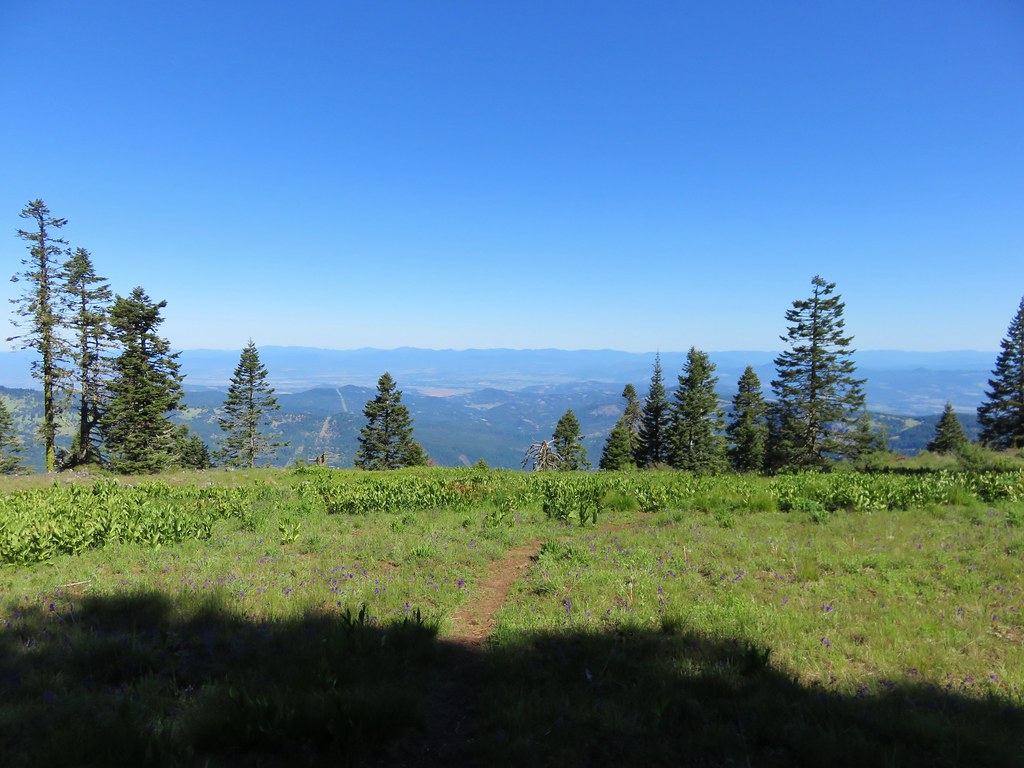
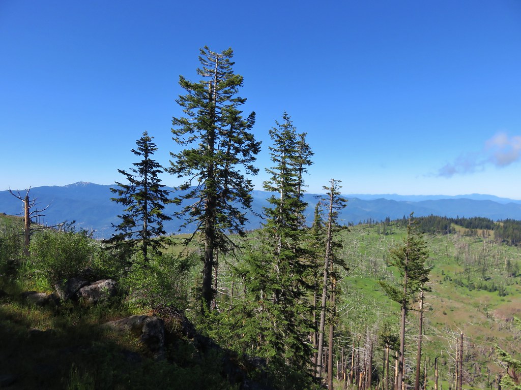
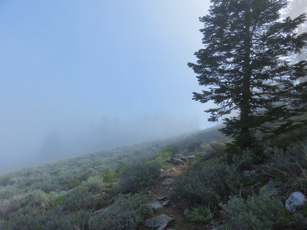
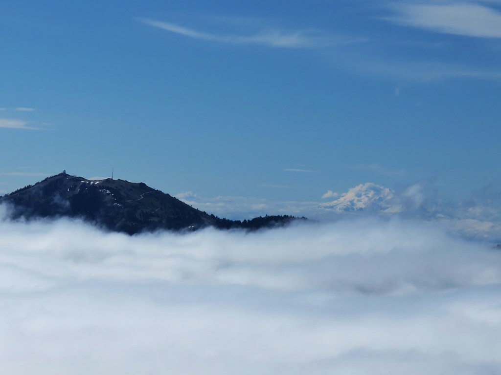
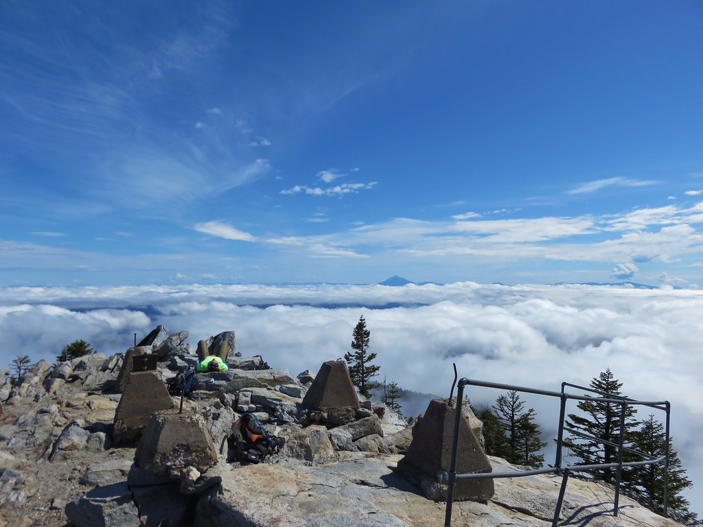
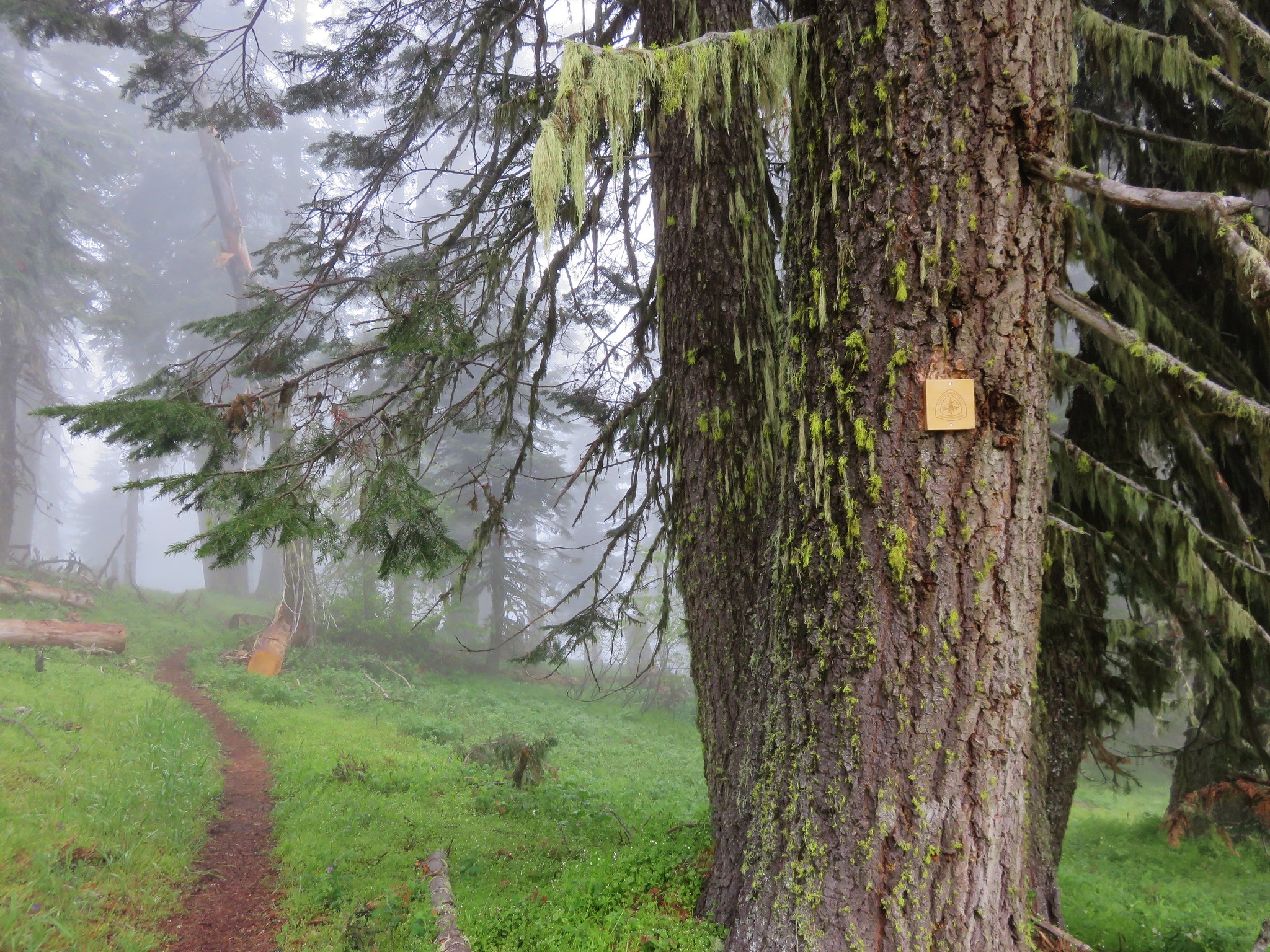
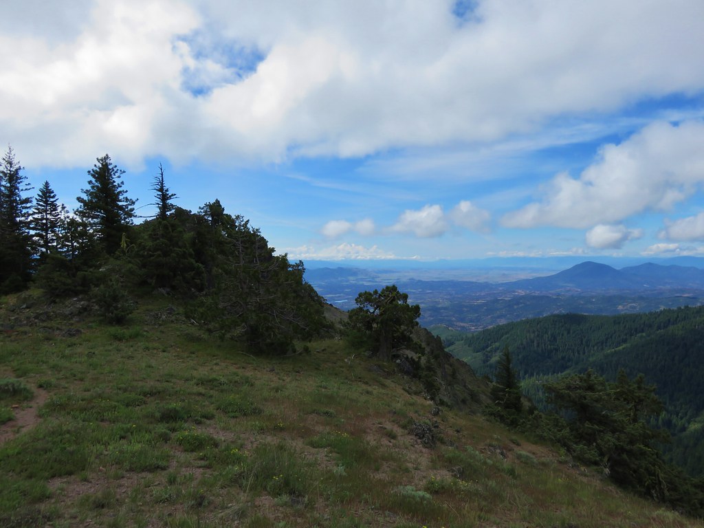
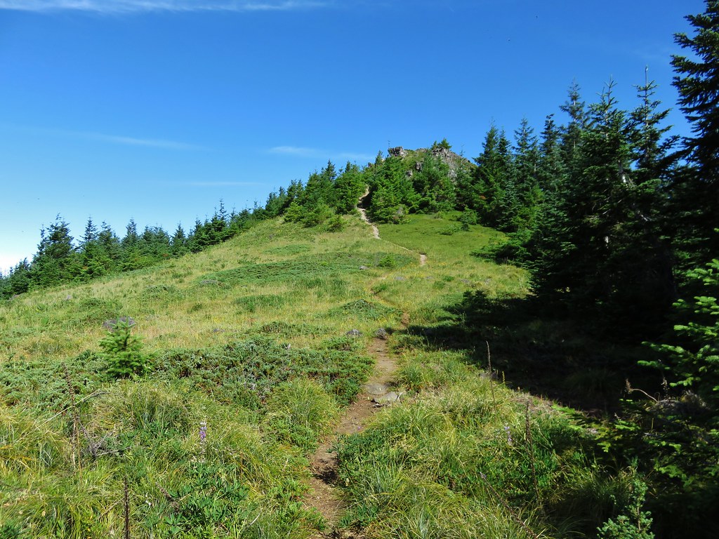
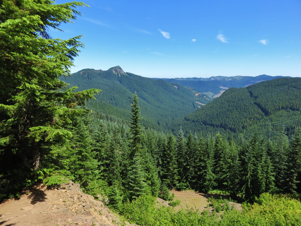
The trail then reenters the forest and climbs to a trail junction in a saddle. We turned left and followed the Table Rock Summit trail .4 miles to the tilted plateau of Table Rock.
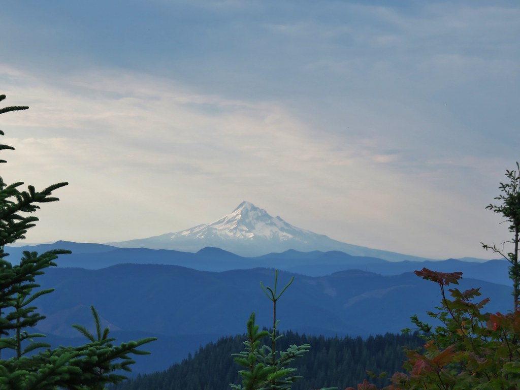
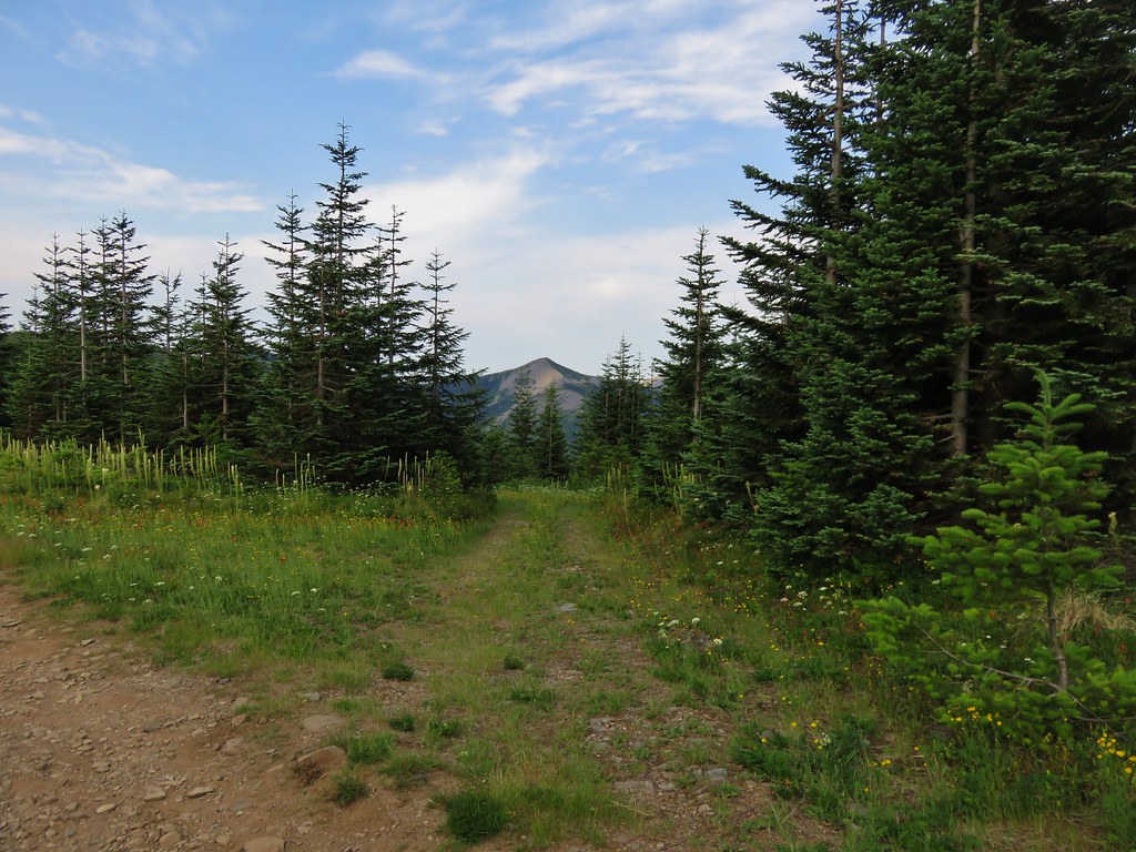
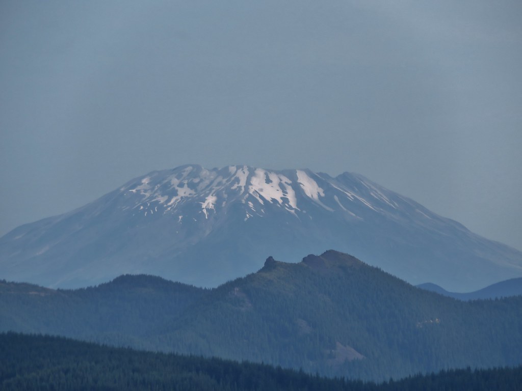
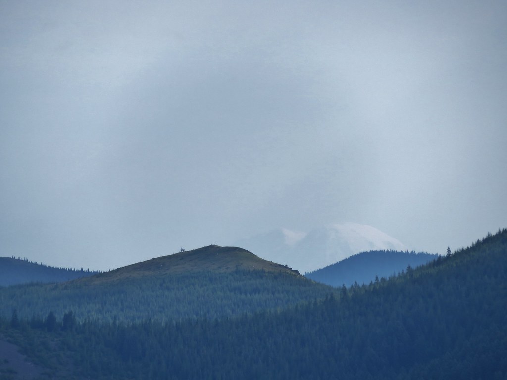
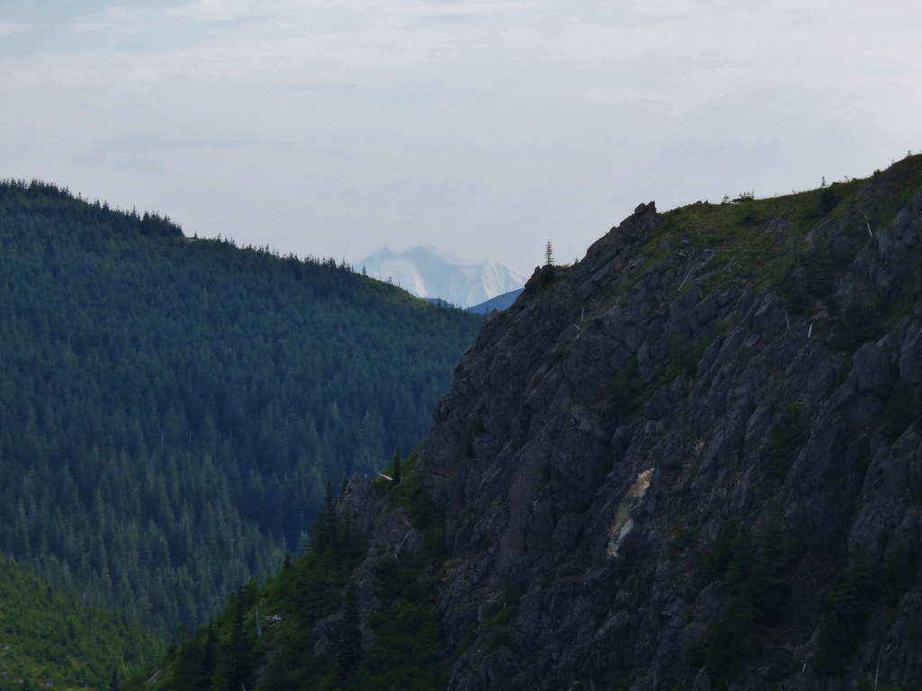
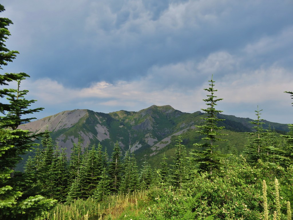
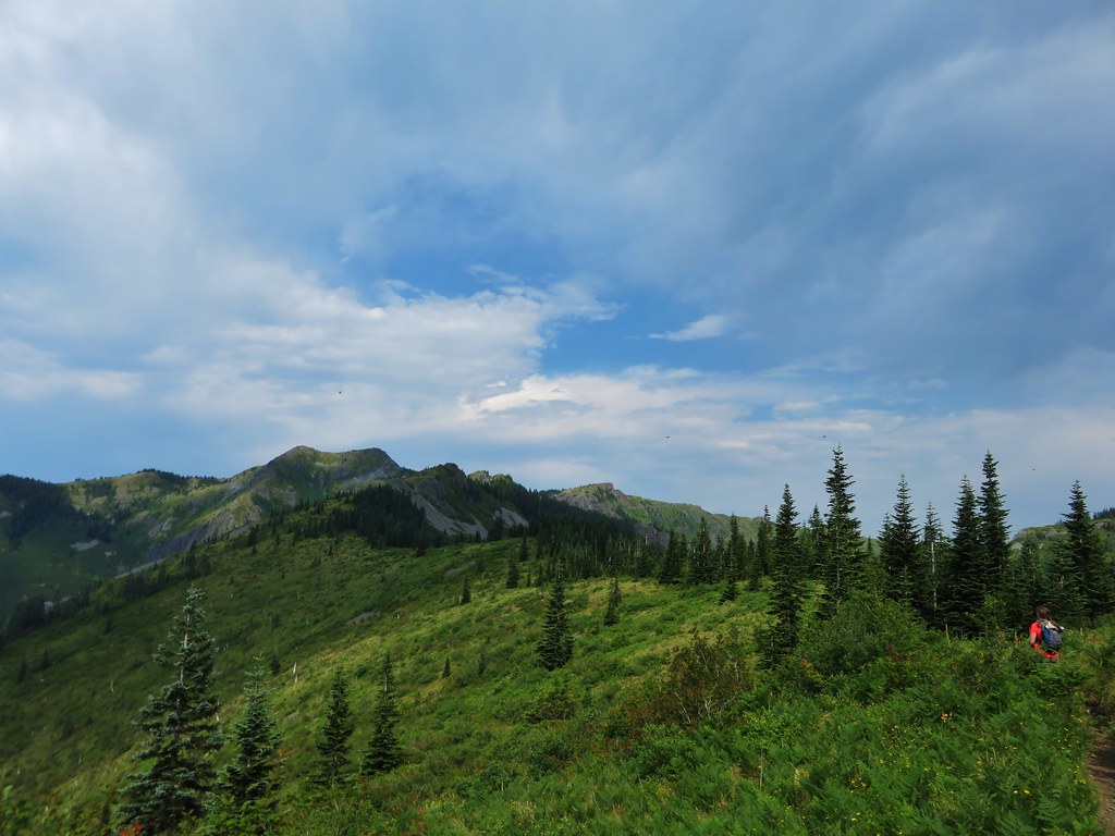
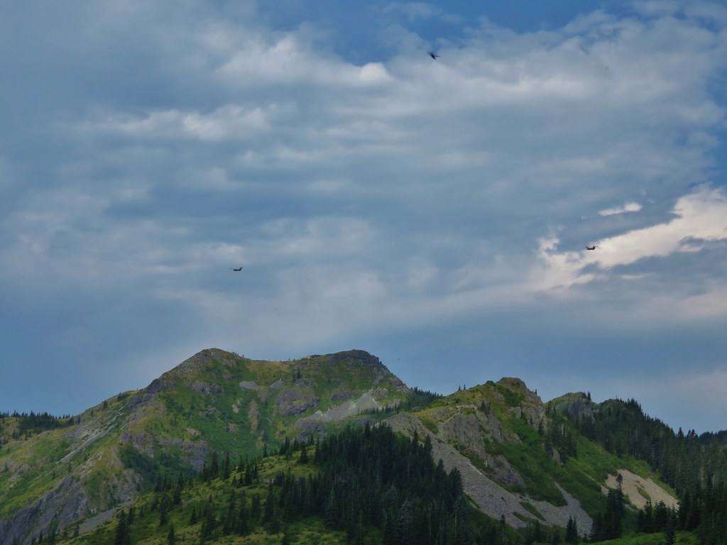
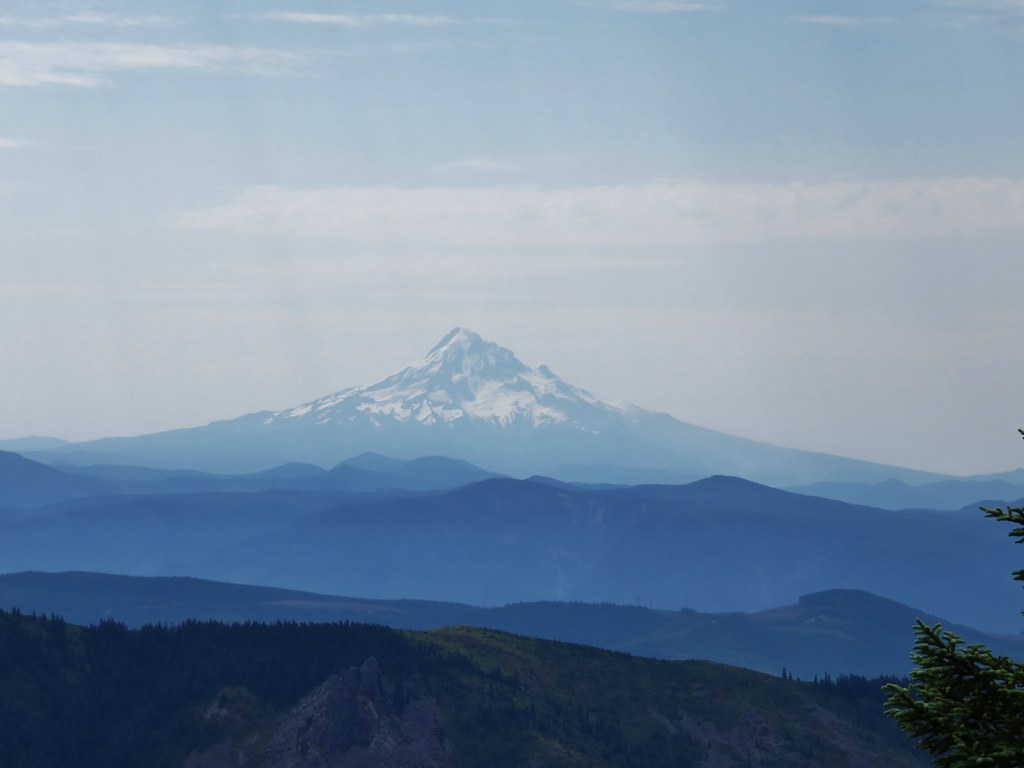
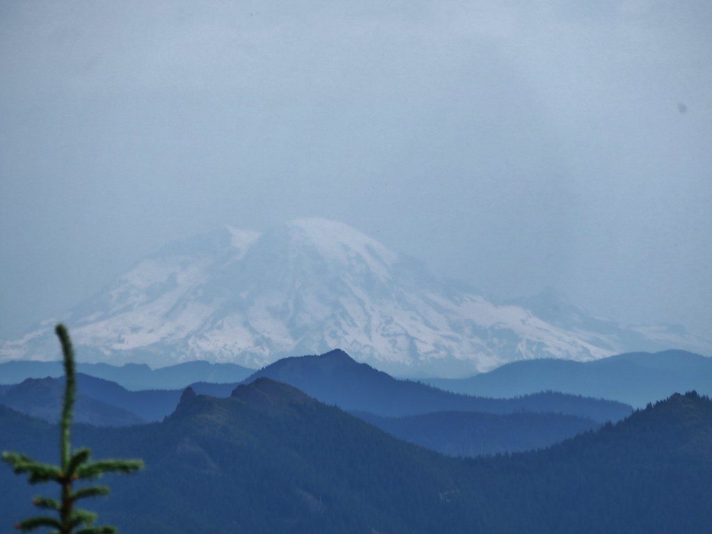
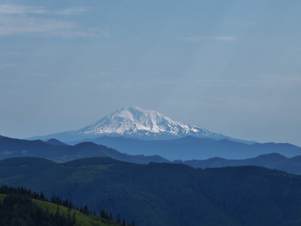
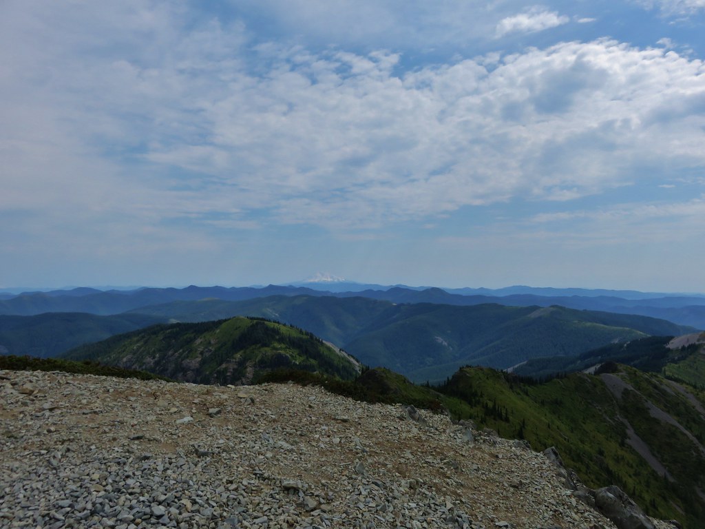
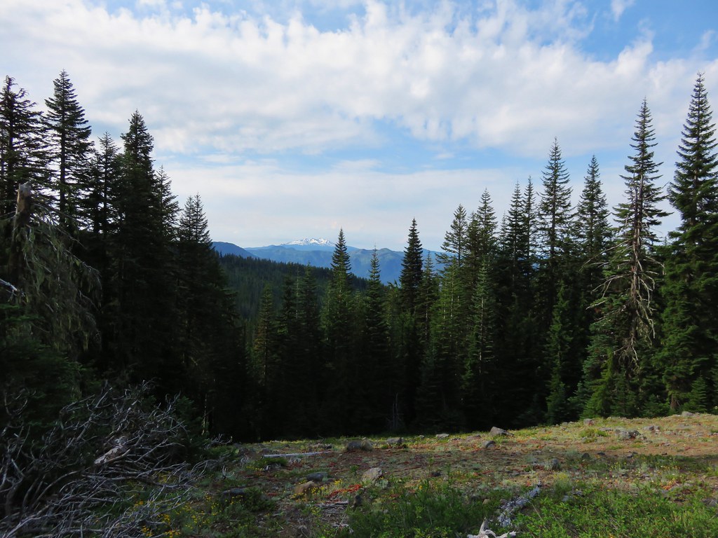
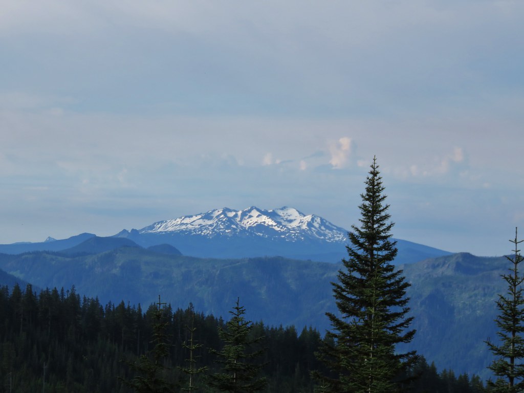
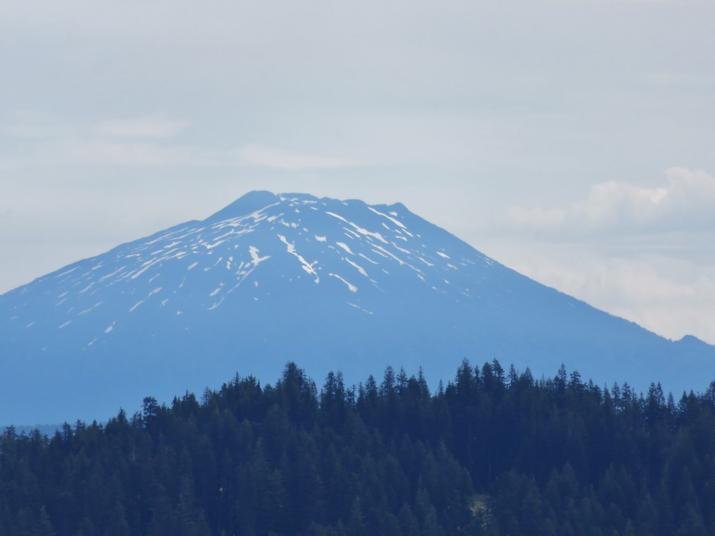
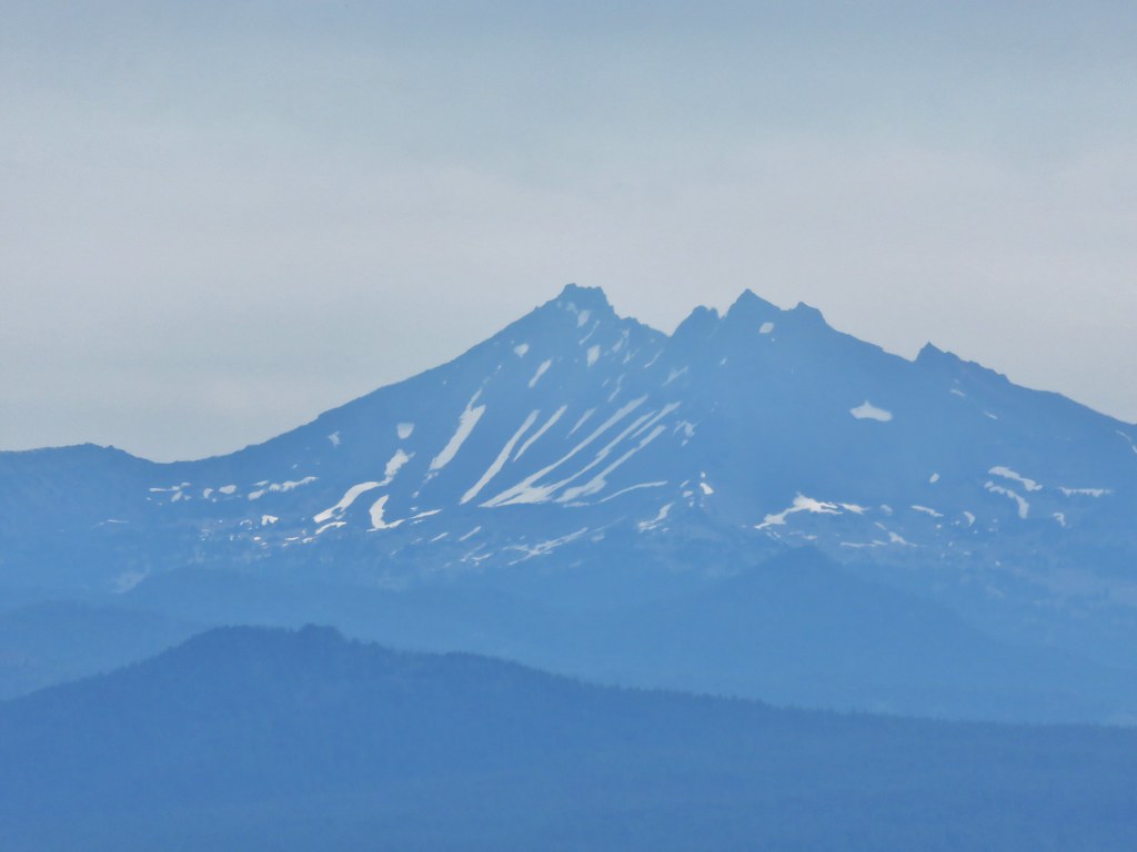
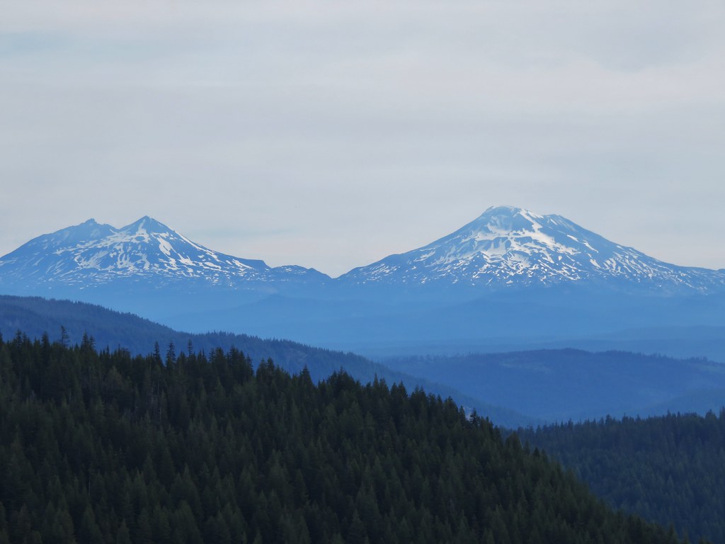
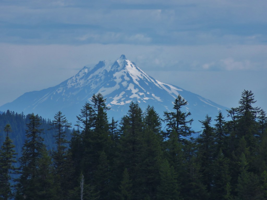
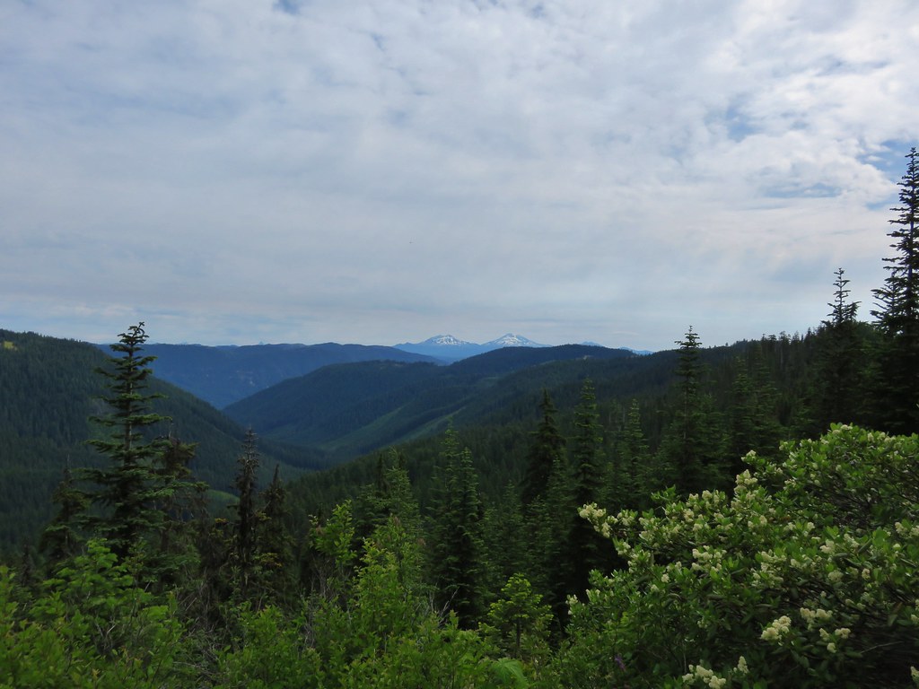
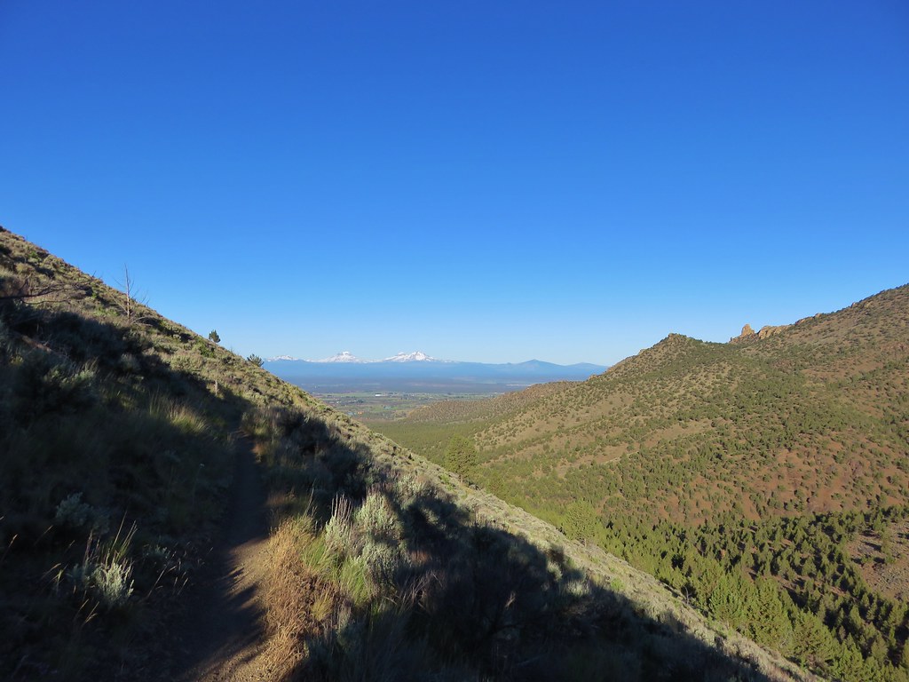
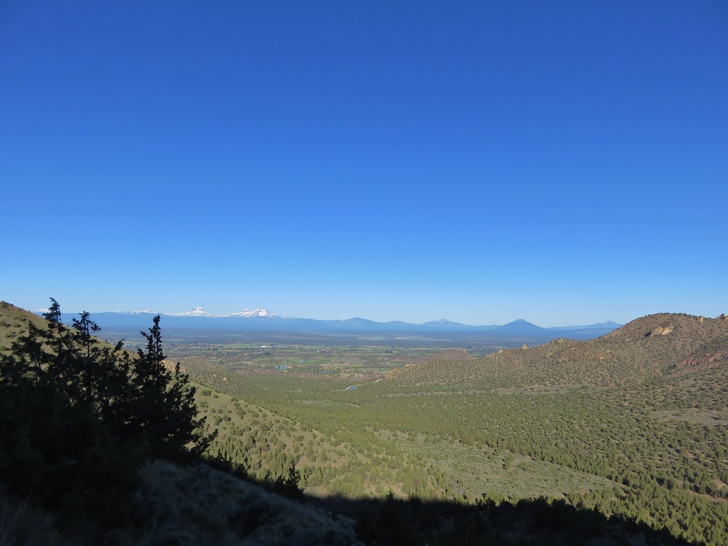
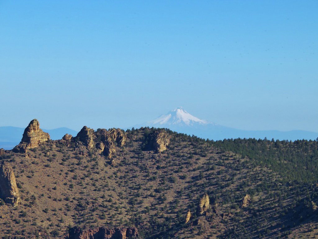
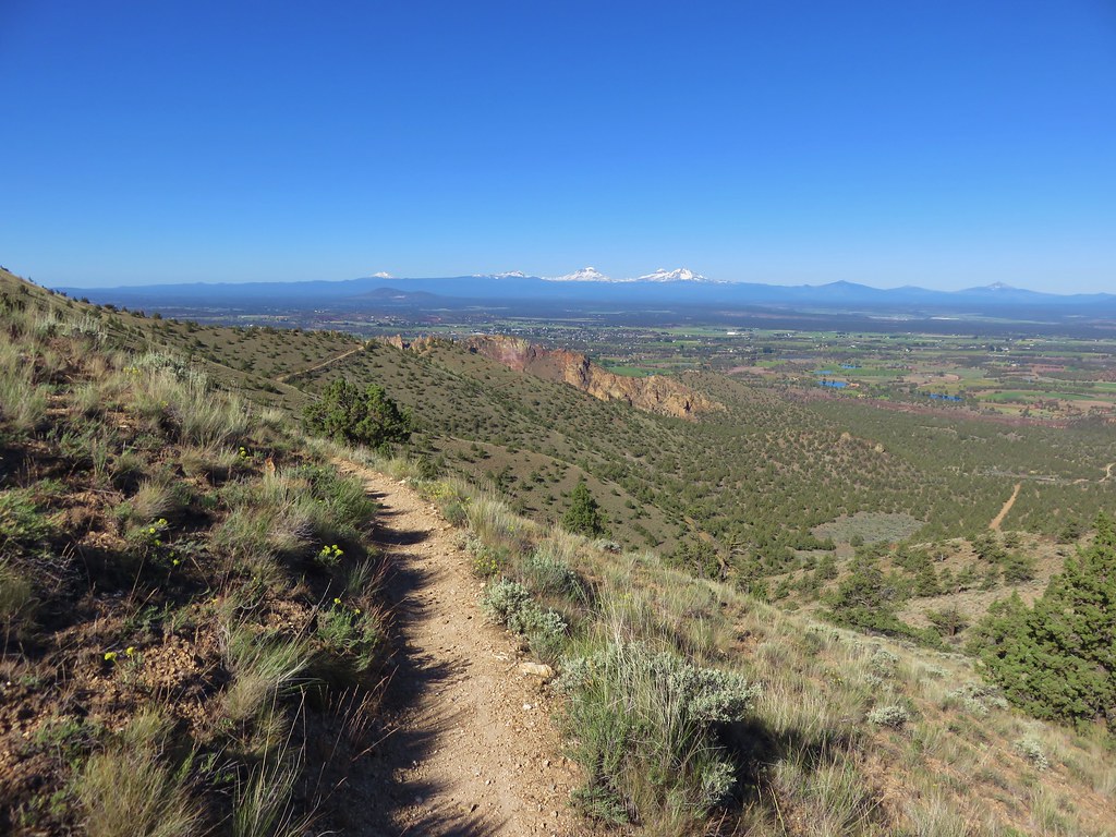
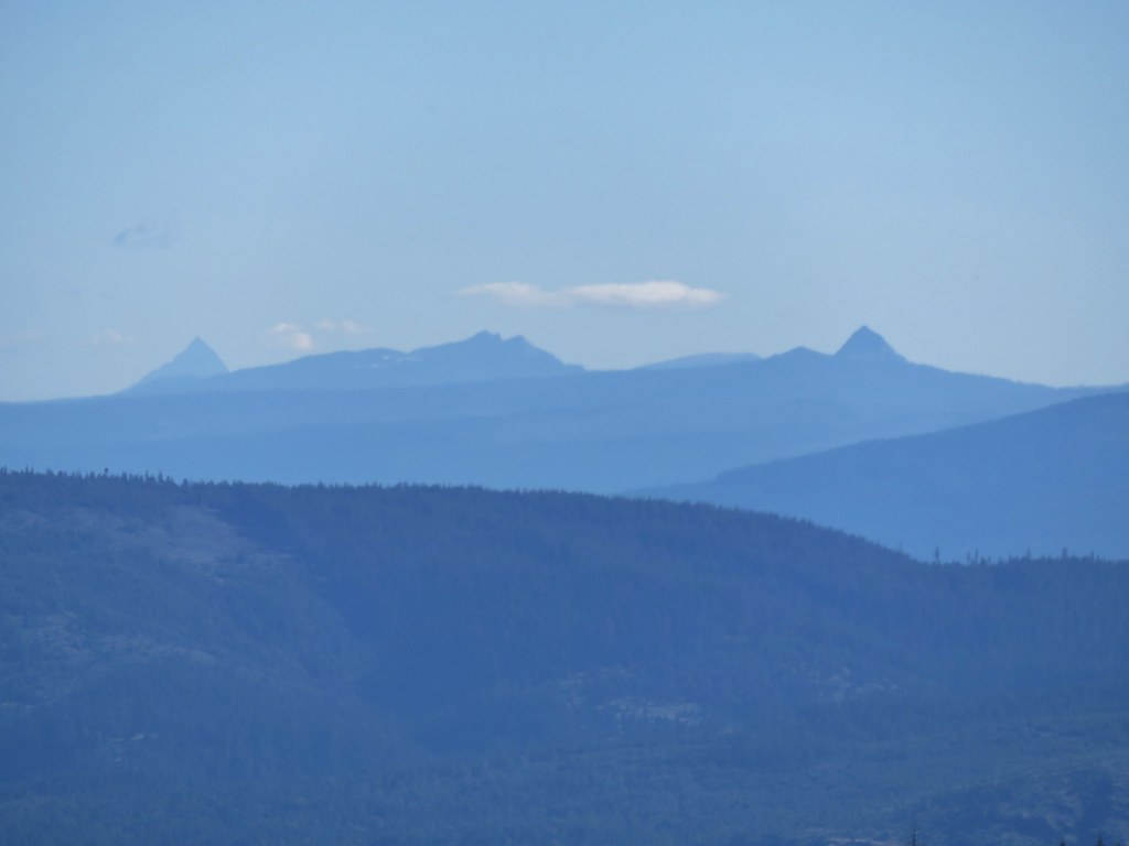
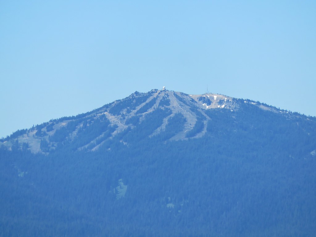
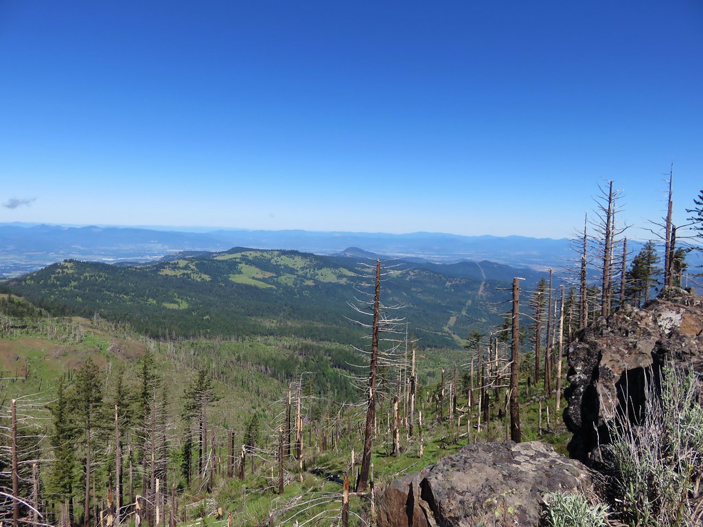
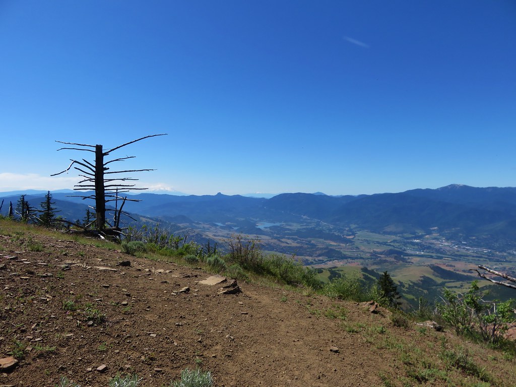
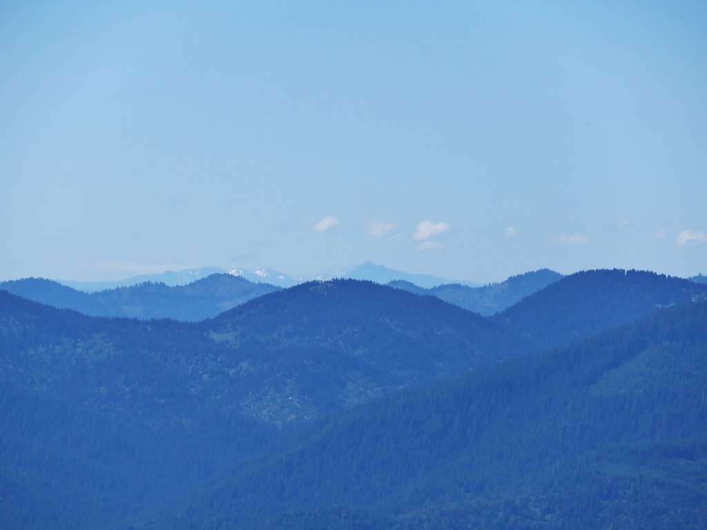
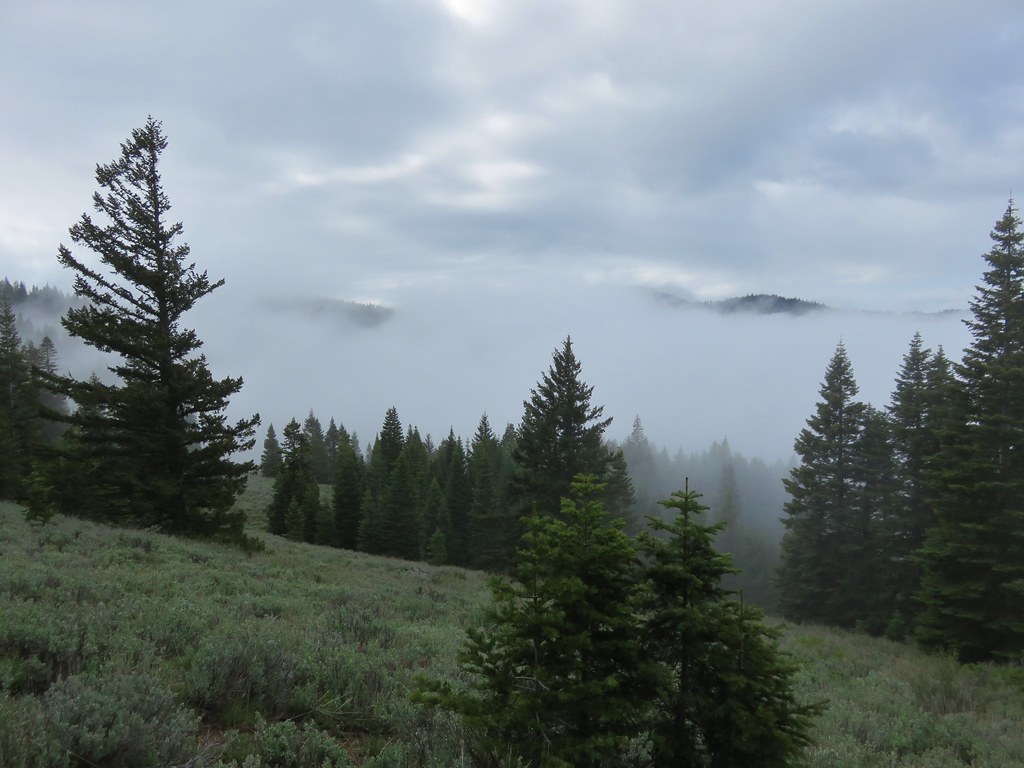
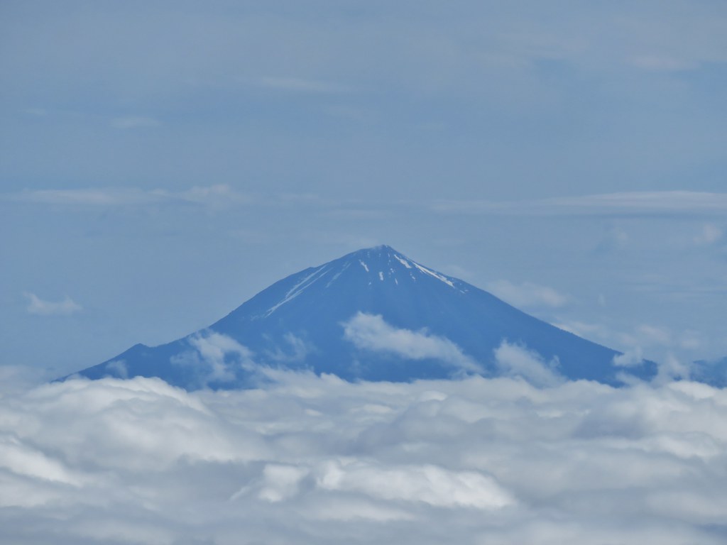
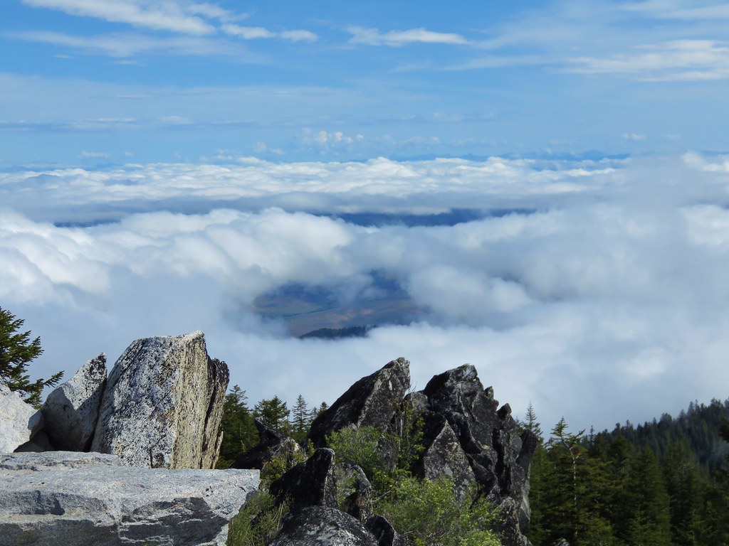
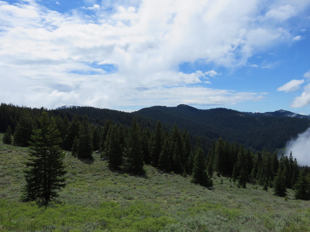
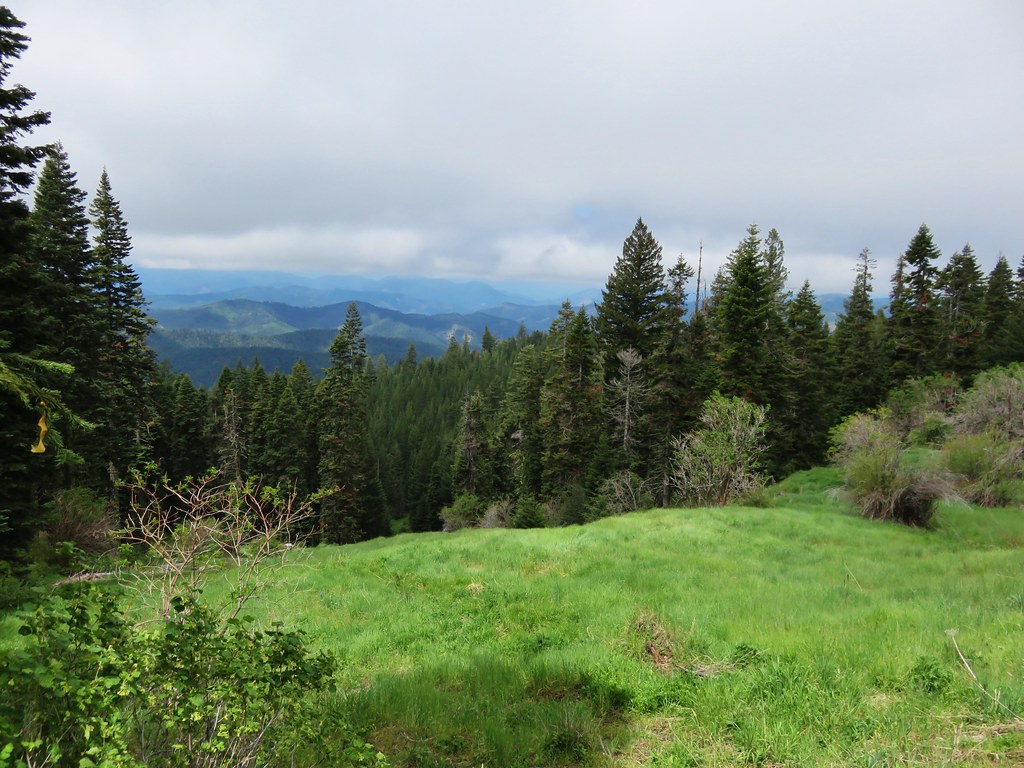
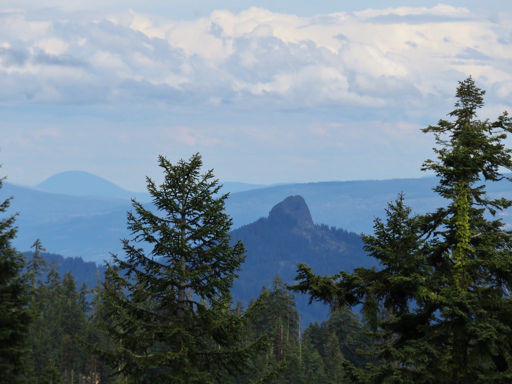
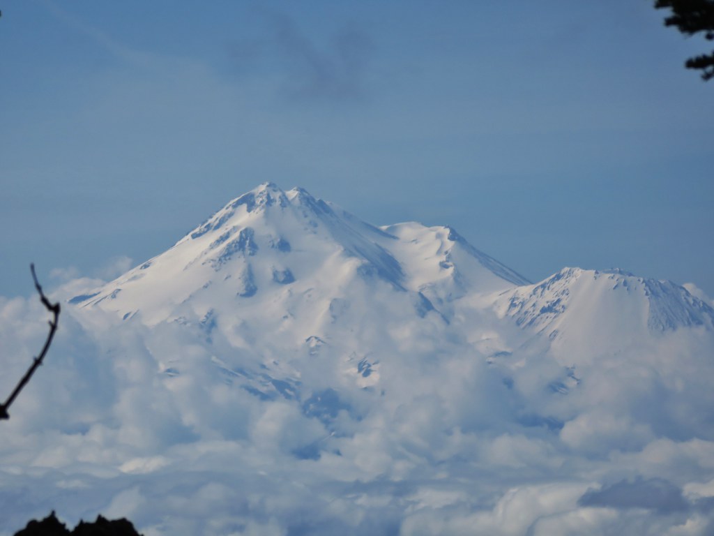
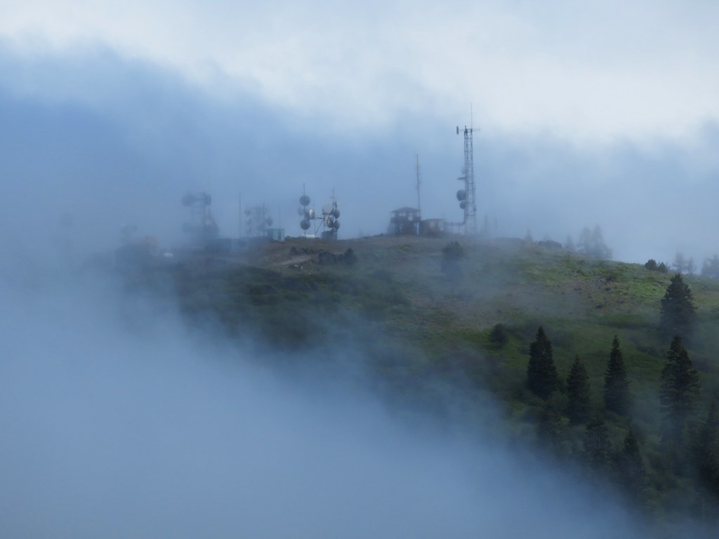
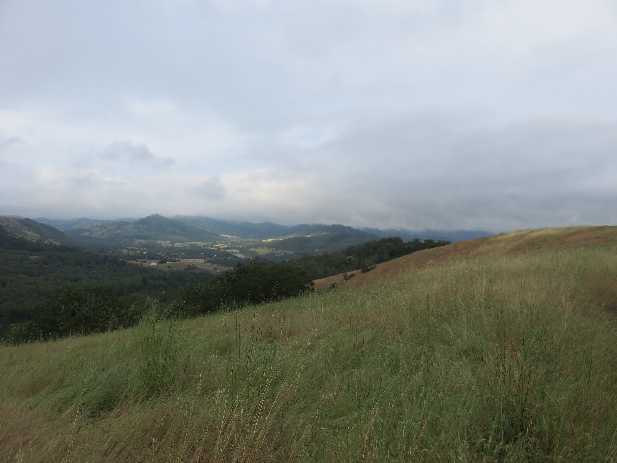
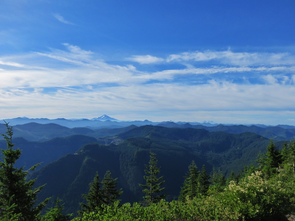
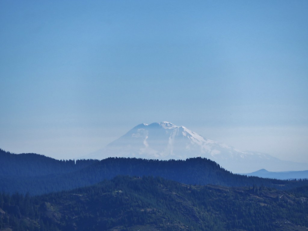
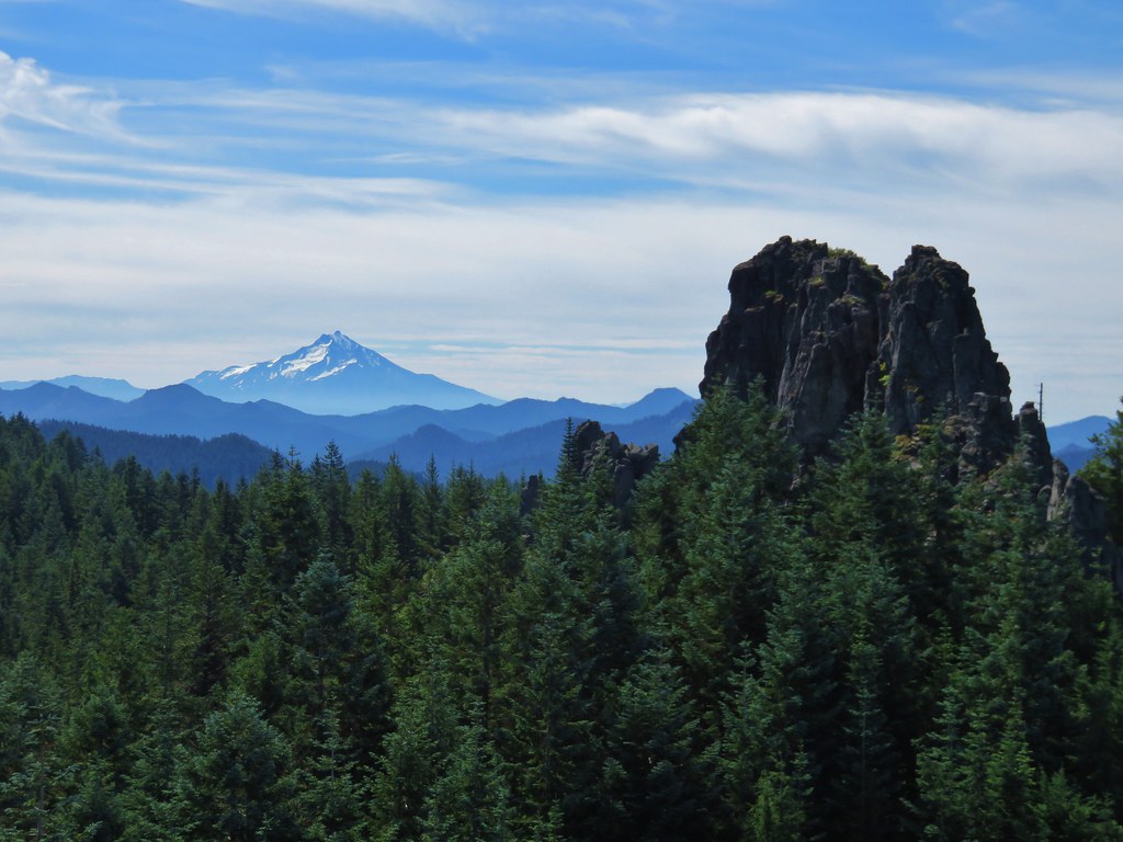
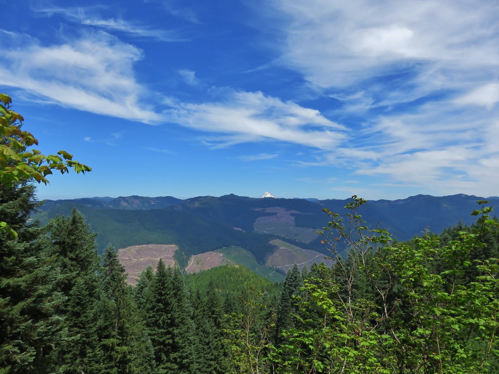
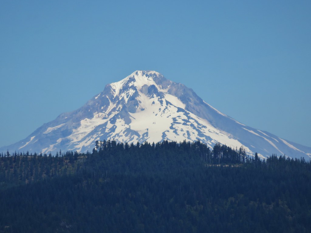
The view was indeed better than it had been on our previous visit despite a fire that had broken out on Mt. Adams the day before. We could just make out Mt. St. Helens and Mt. Rainier along with Mt. Adams in Washington and had good views of Mt. Hood, Mt. Jefferson, Three Fingered Jack, Mt. Washington, and the Three Sisters in Oregon.
Mt. Jefferson to the Three Sisters
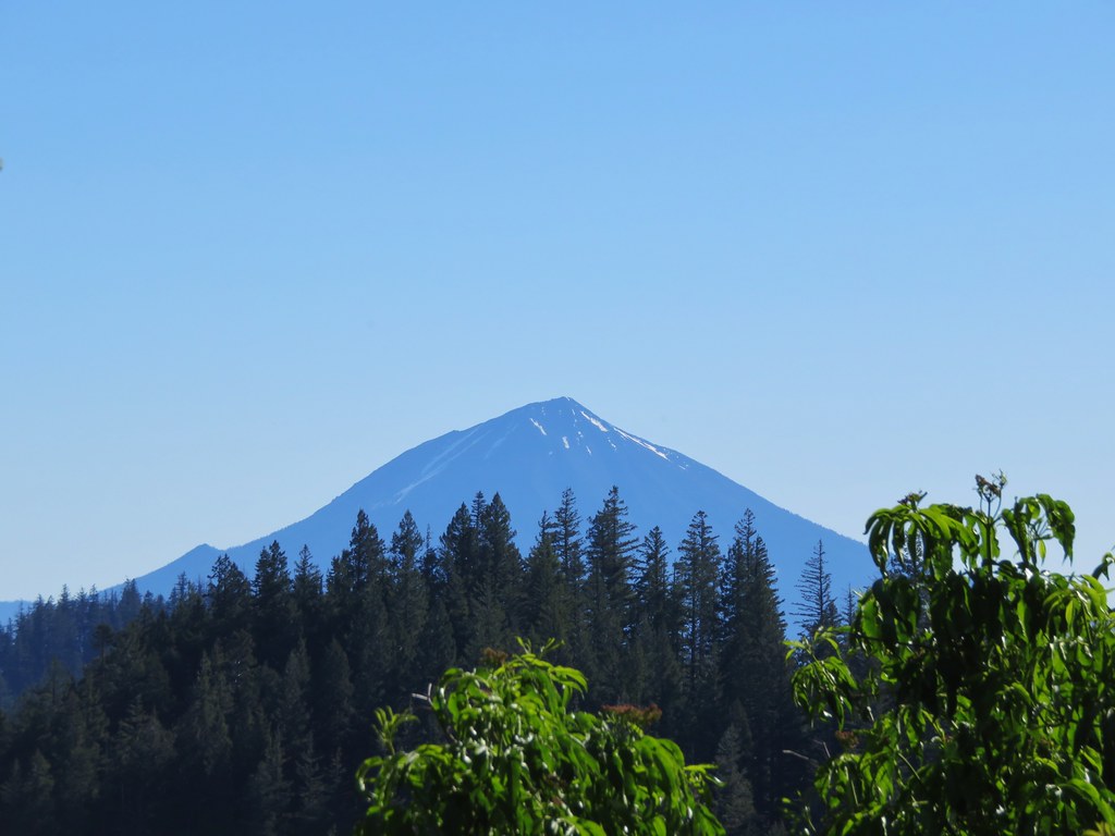
Mt. Hood

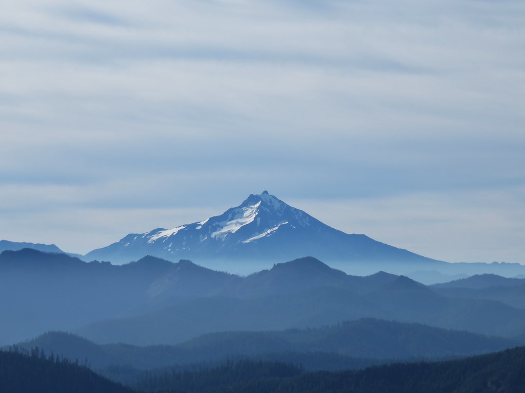
Mt. Jefferson
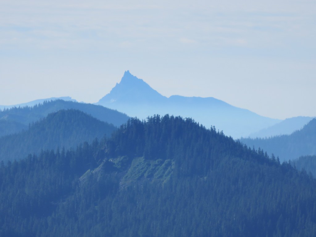
Three Fingered Jack
Three Sisters

Mt. Adams
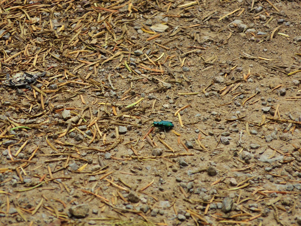
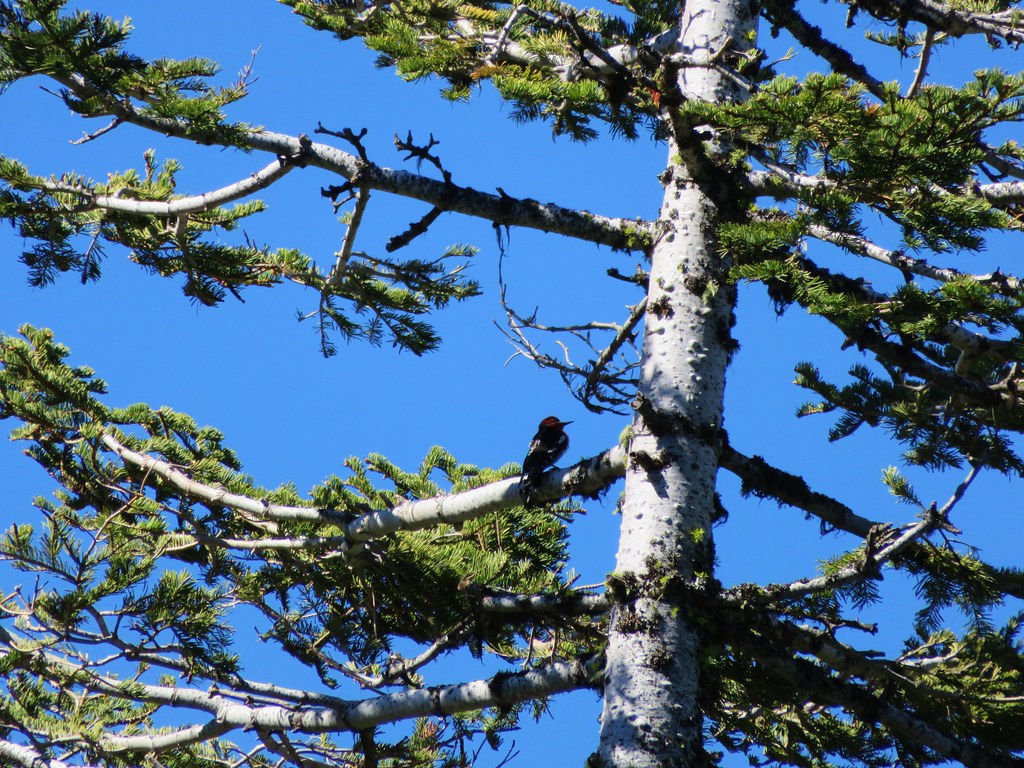
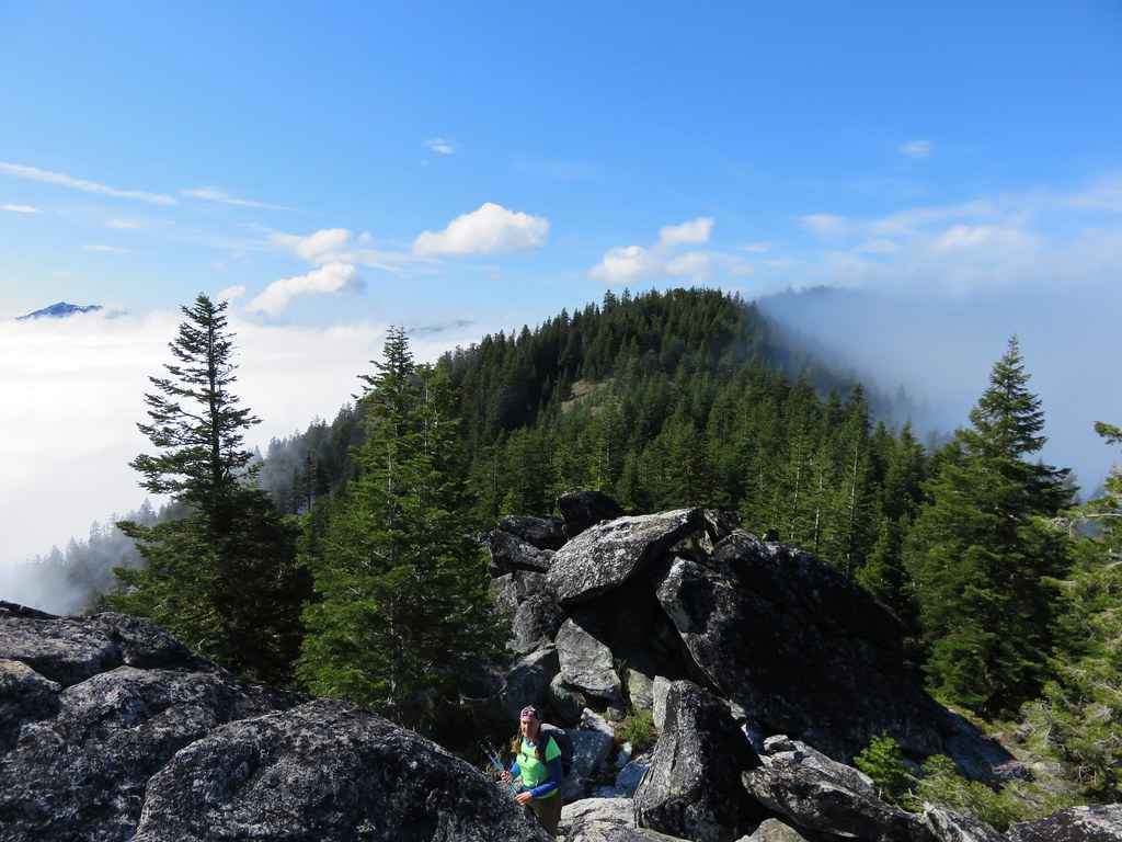
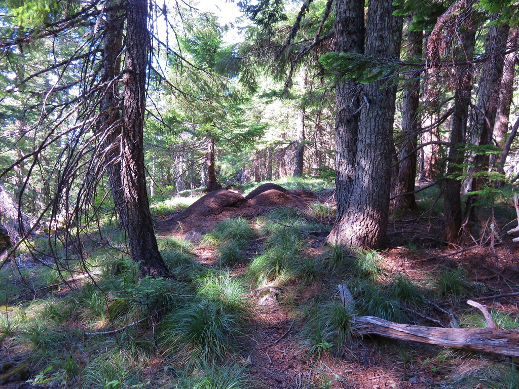
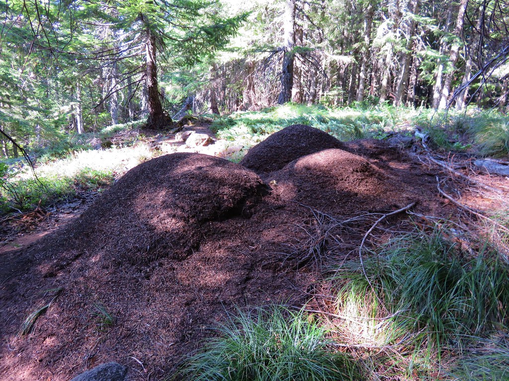
After exploring the plateau we returned to the junction and took the unsigned Saddle Trail toward Rooster Rock. Two things stand out about this trail. First is the ants which were everywhere. They were all over the trail and there were several large anthills right next to it.
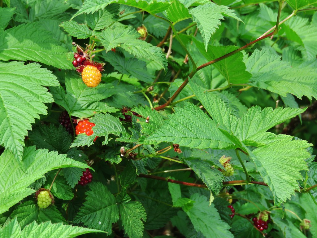
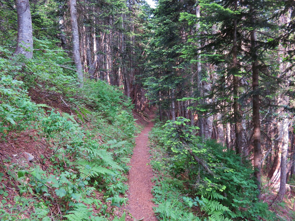
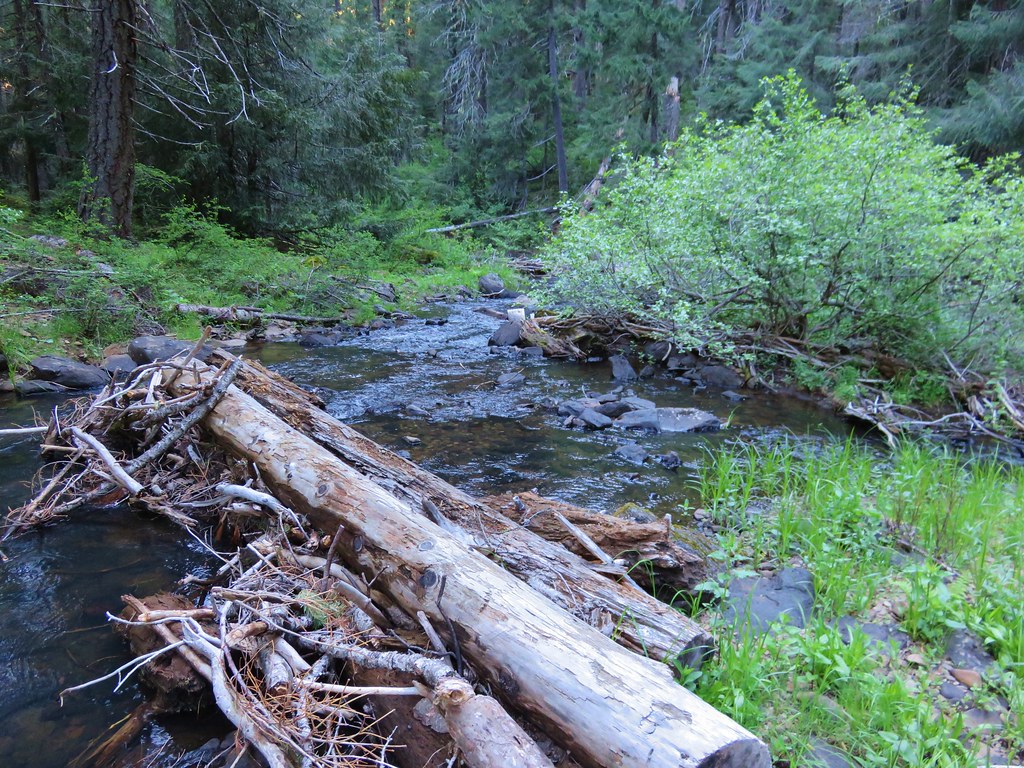
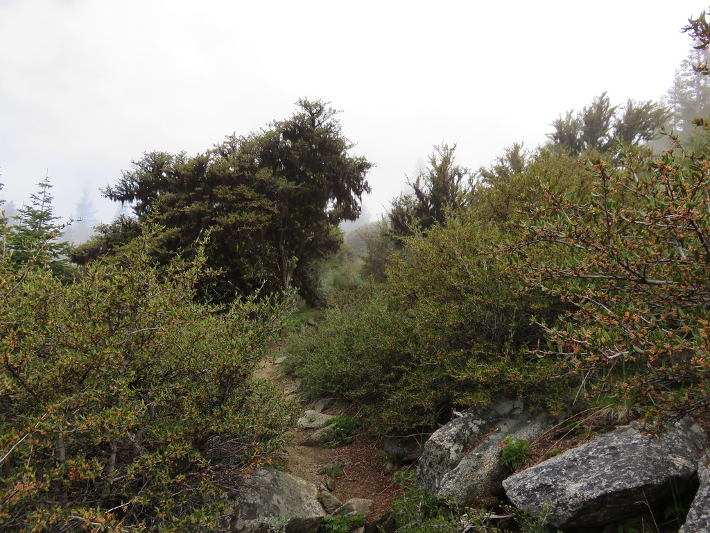
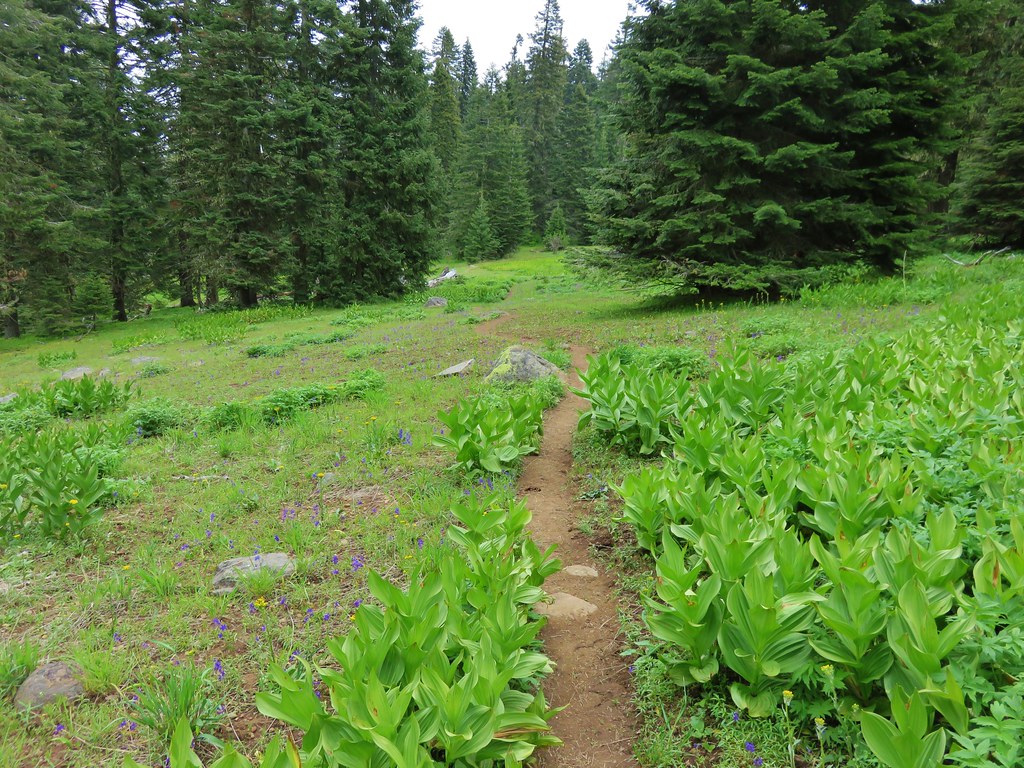
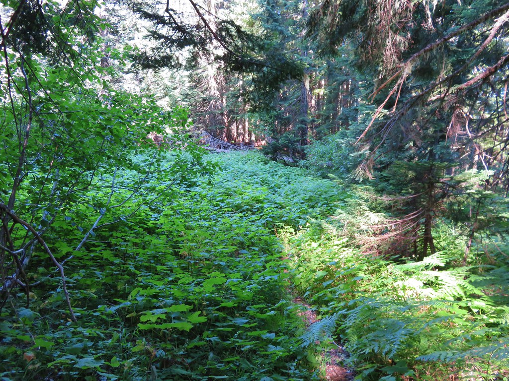
The second thing that made an impression is the steepness of this trail as it dips down and then back out of a thimbleberry meadow at the head of Image Creek. The trail all but disappeared in the thimbleberry bushes but it wasn’t too hard to follow. The nice thing about thimbleberry is that the plants do not have thorns so they are not bad to walk through. We did have to maneuver around a couple of devil’s club plants though.

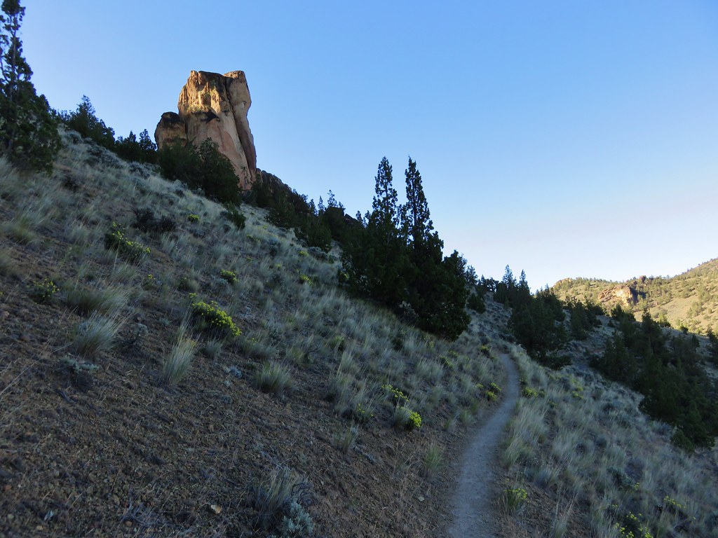
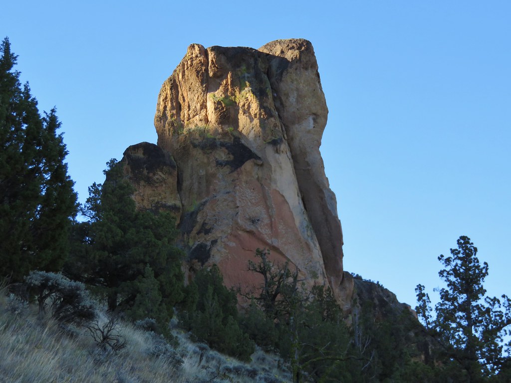
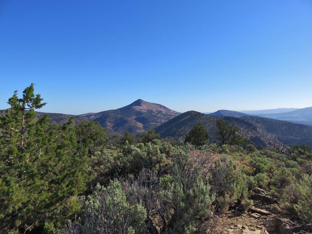
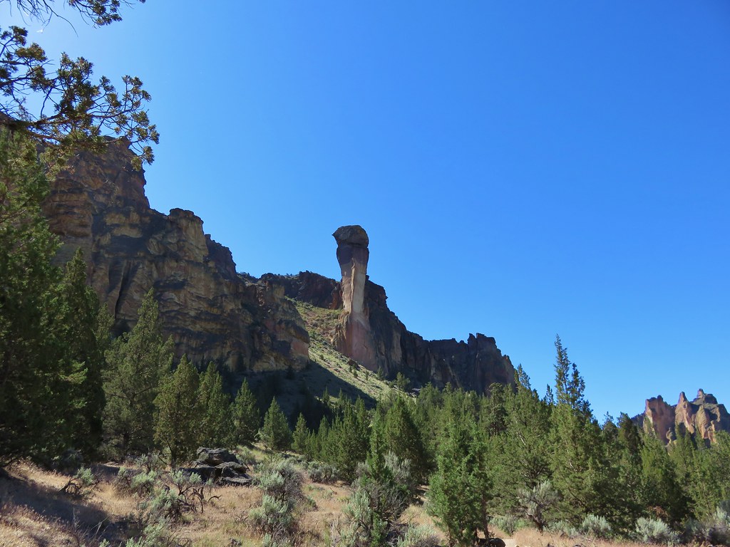
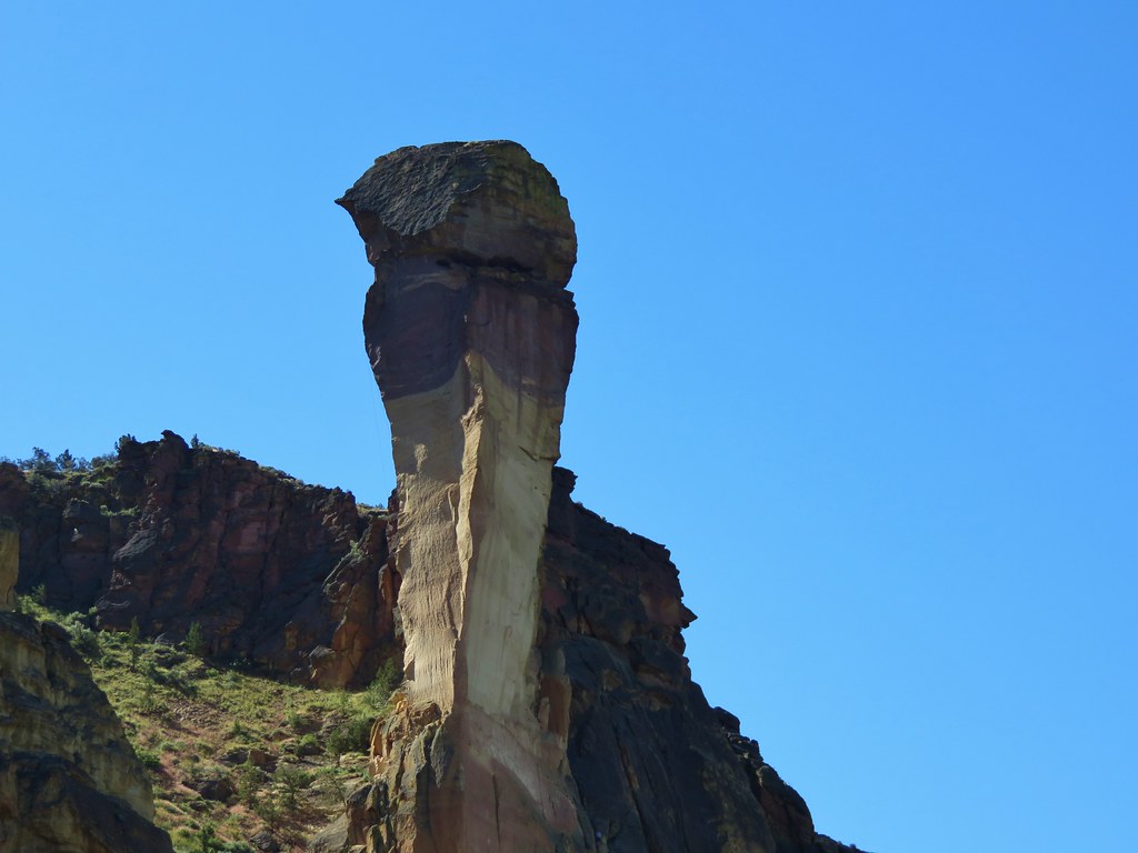
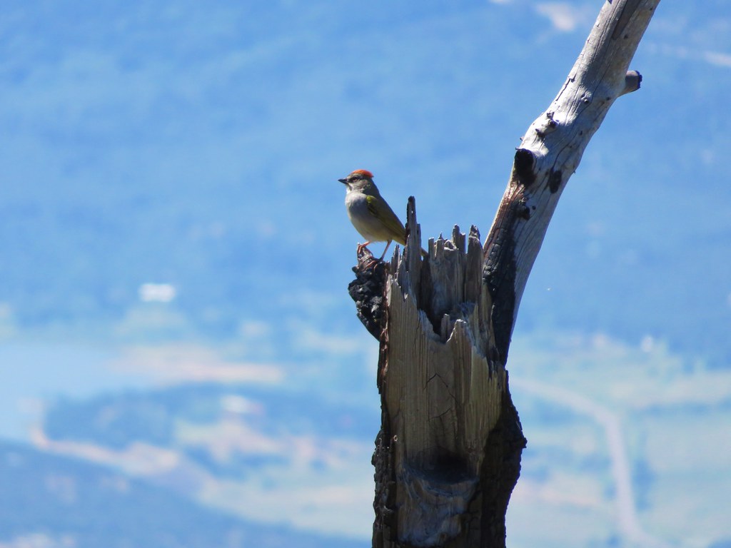
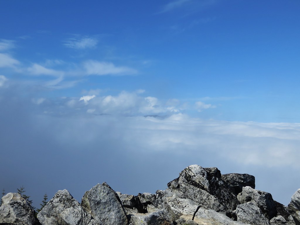
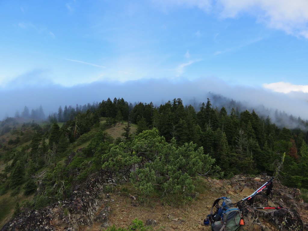
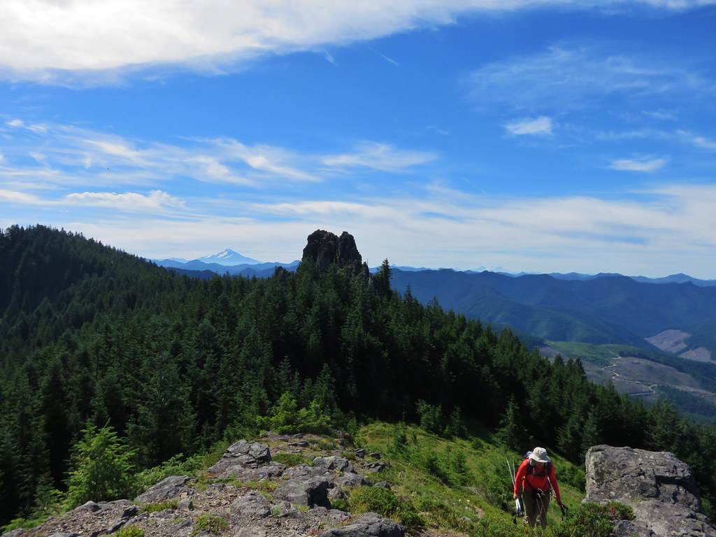
The steep climb up from Image Creek ends at a saddle below Rooster Rock. Trees here block the view of Rooster Rock but a short path to the right goes up through a small meadow to a rocky viewpoint.
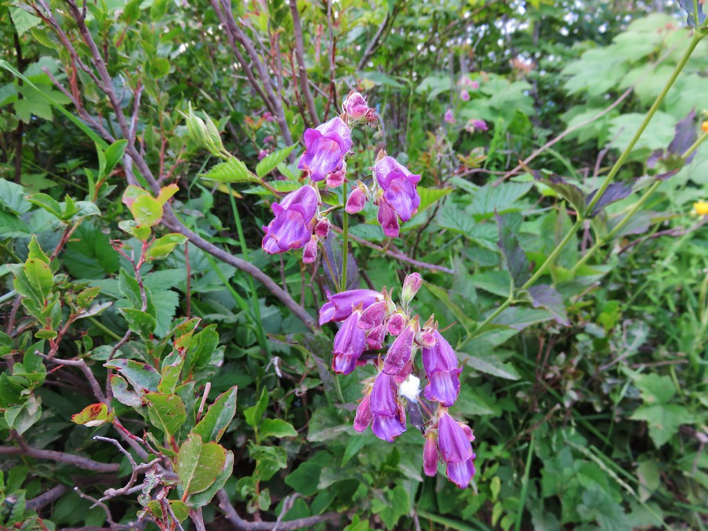
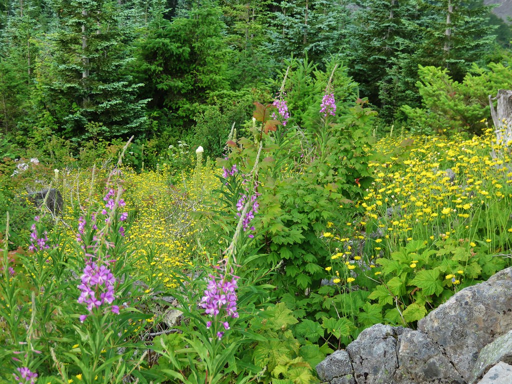
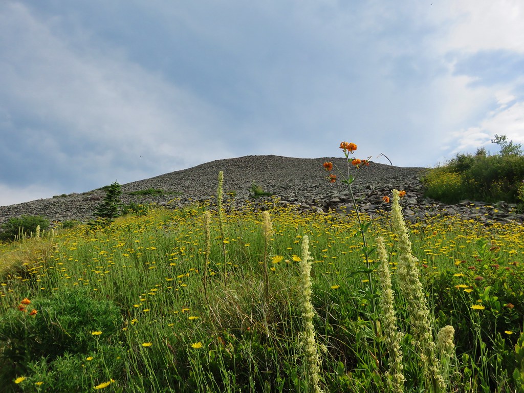
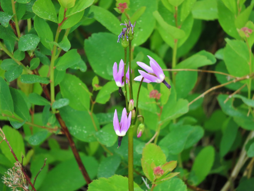
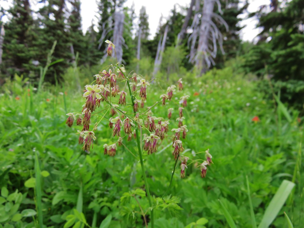
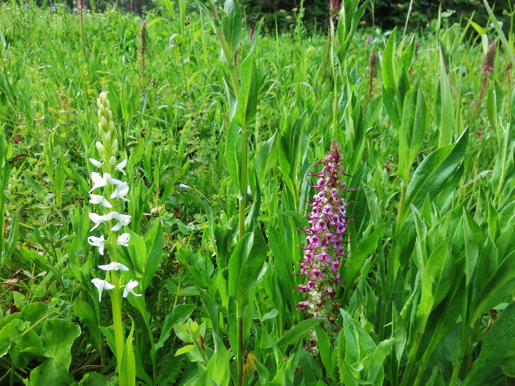
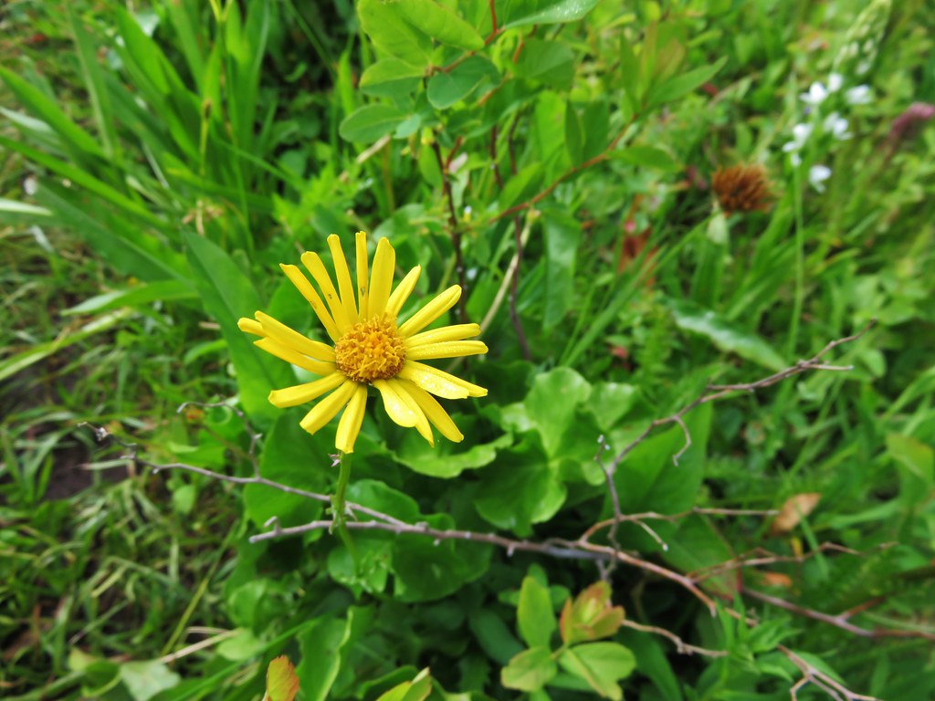
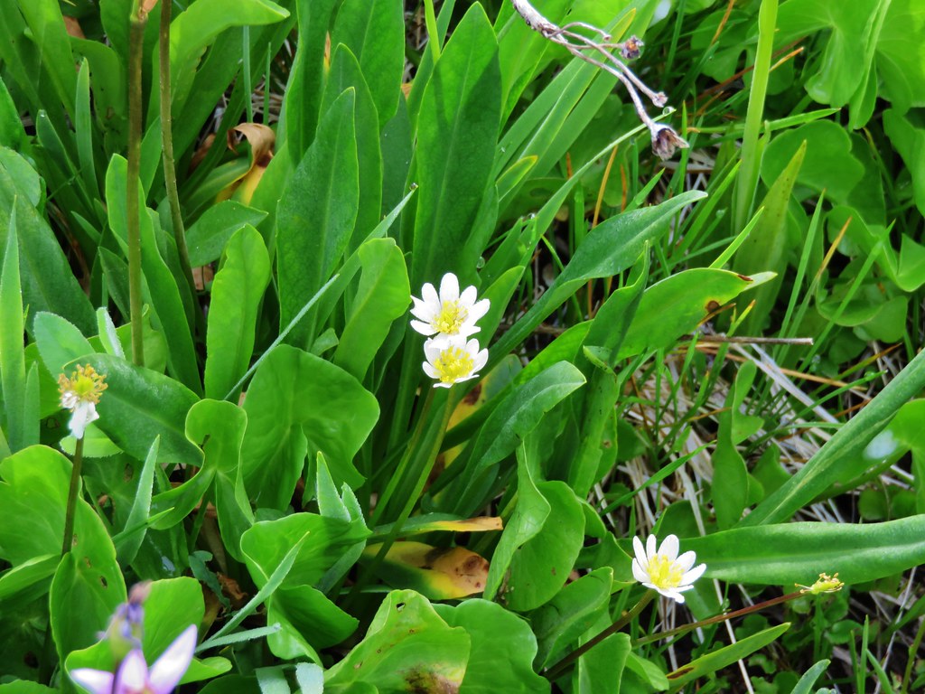
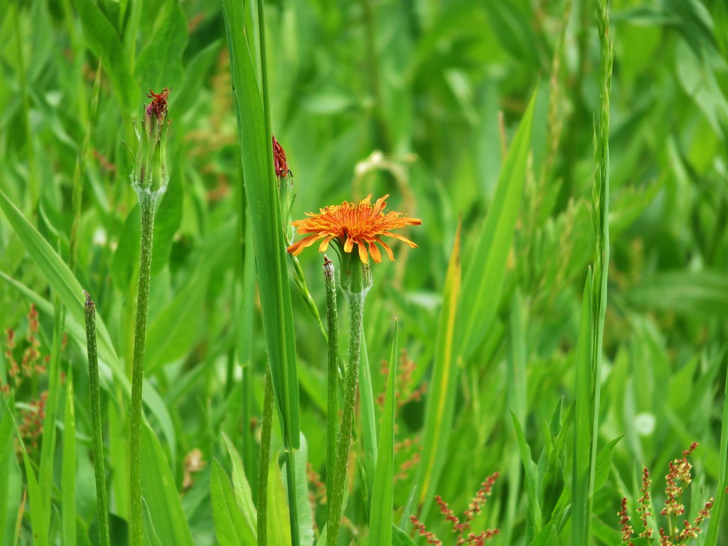
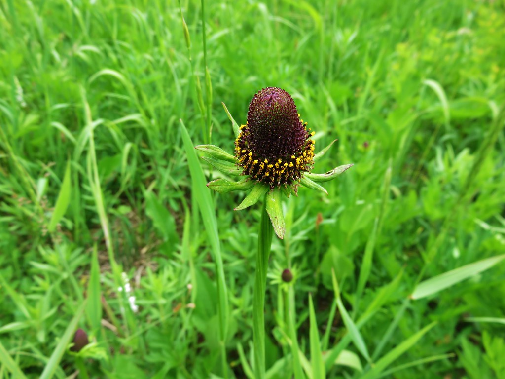
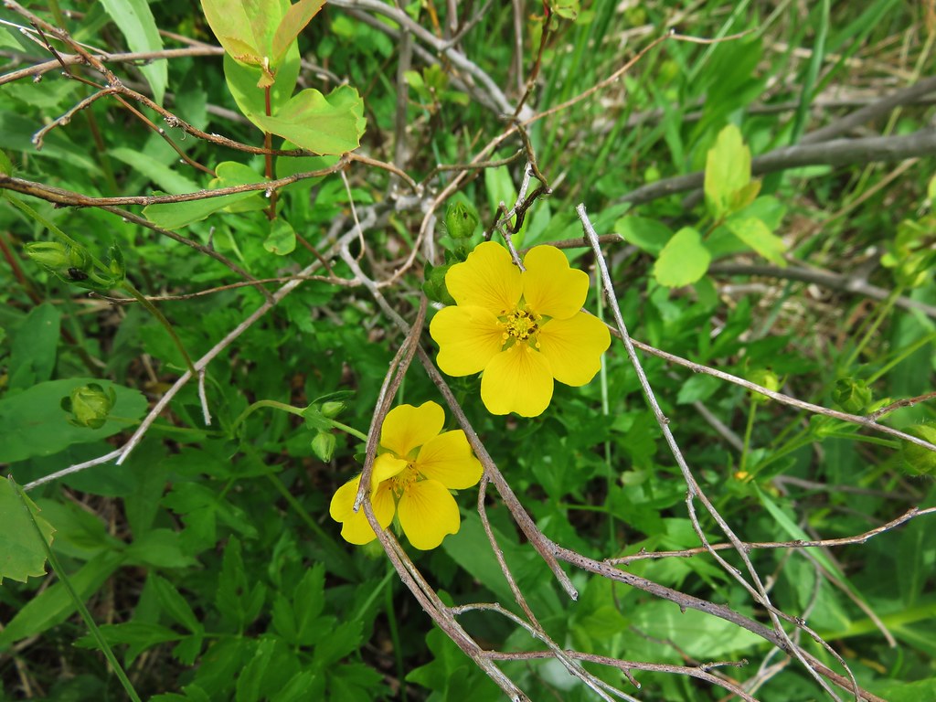
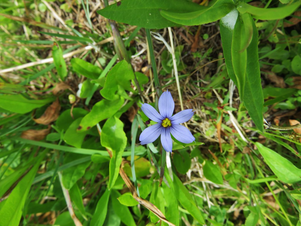
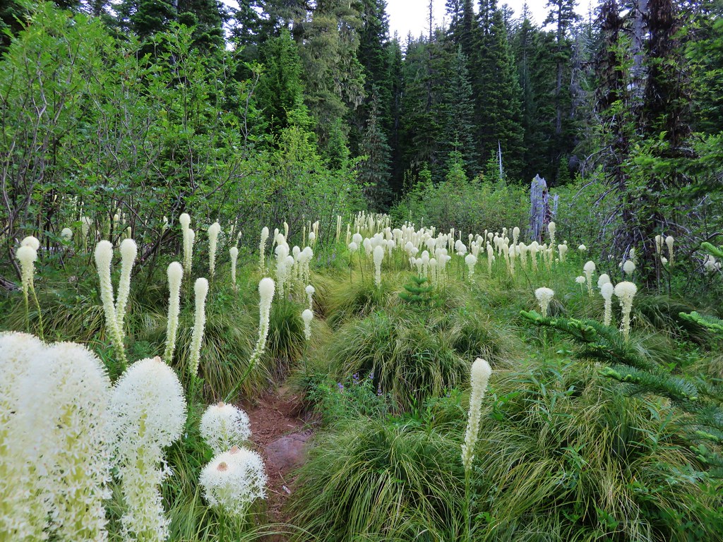
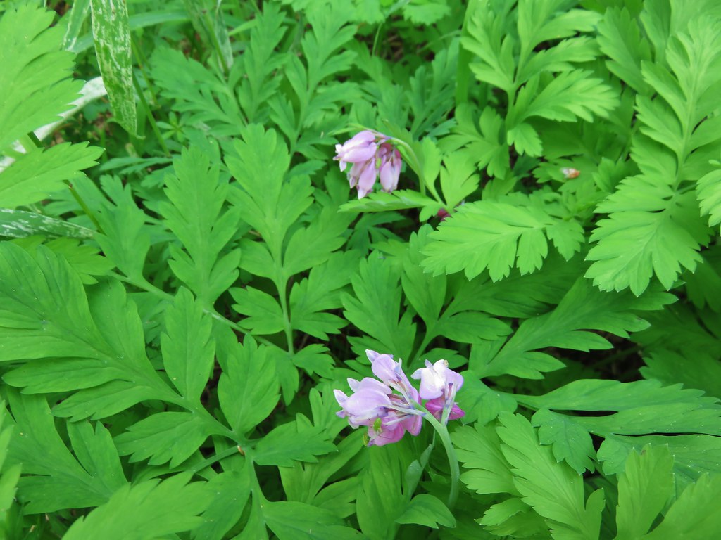
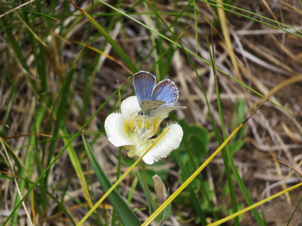
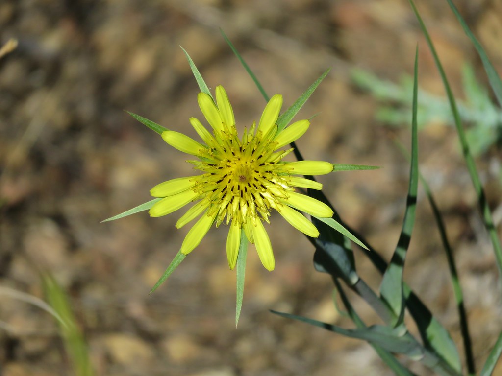
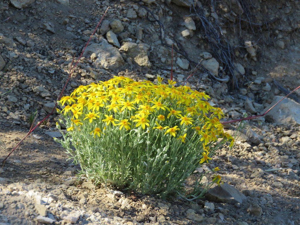
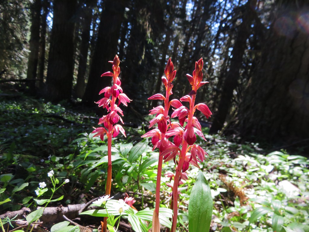
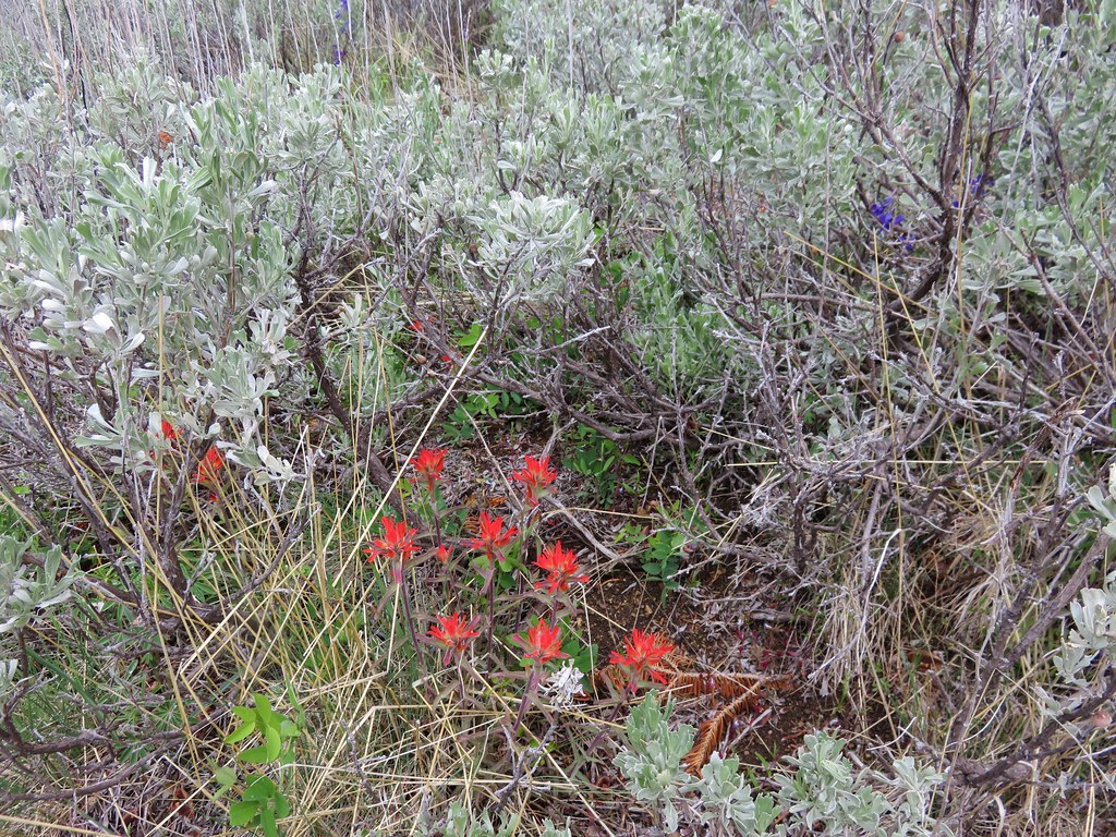
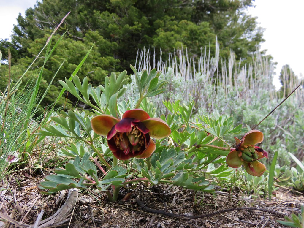
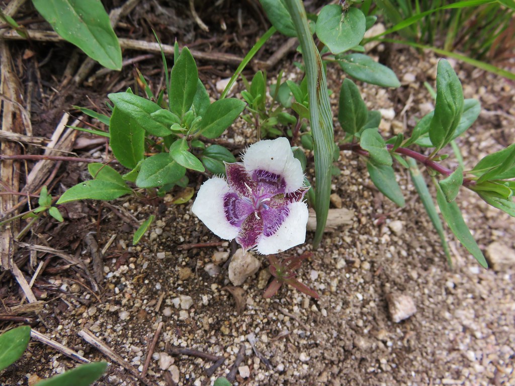
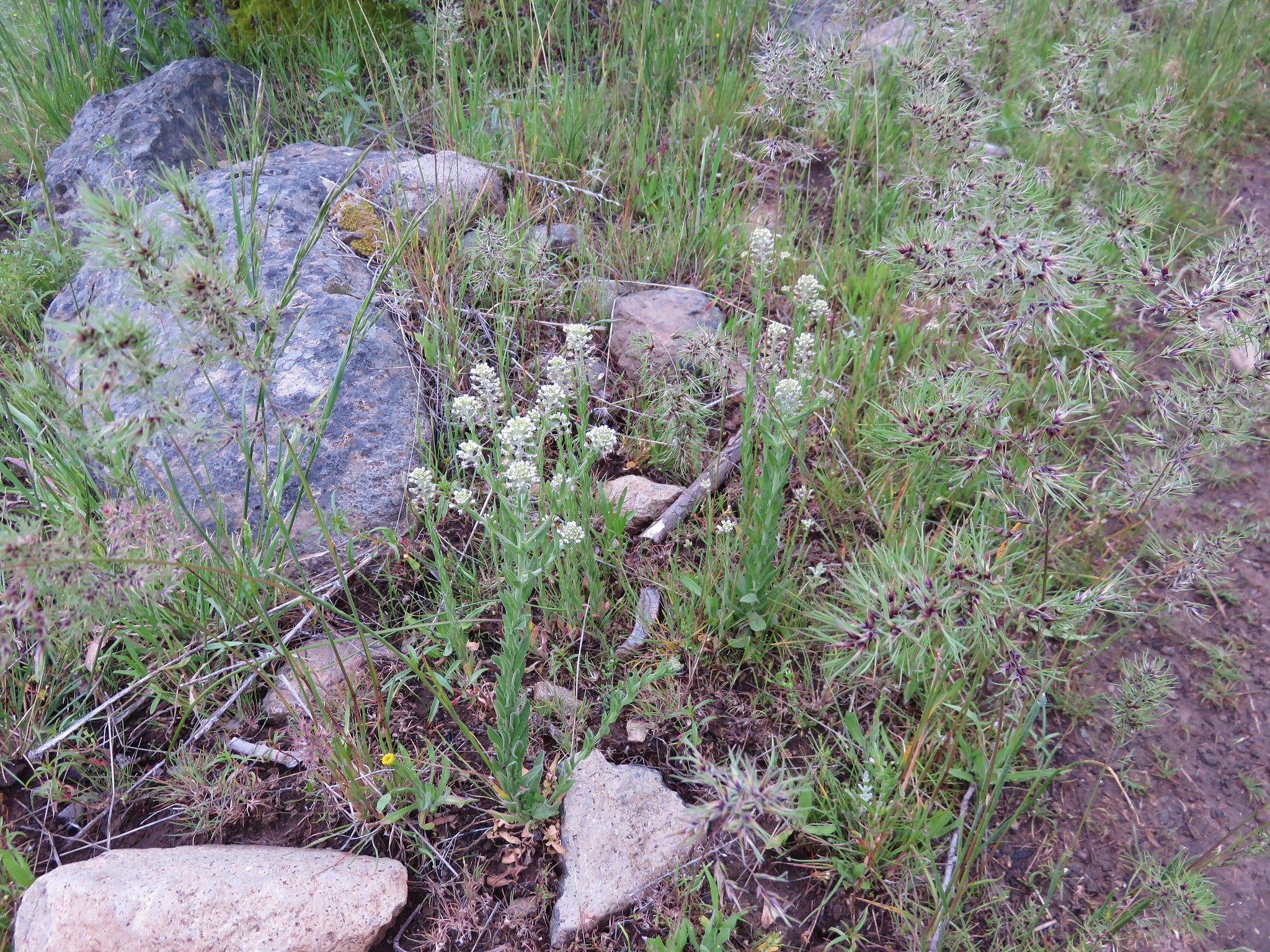
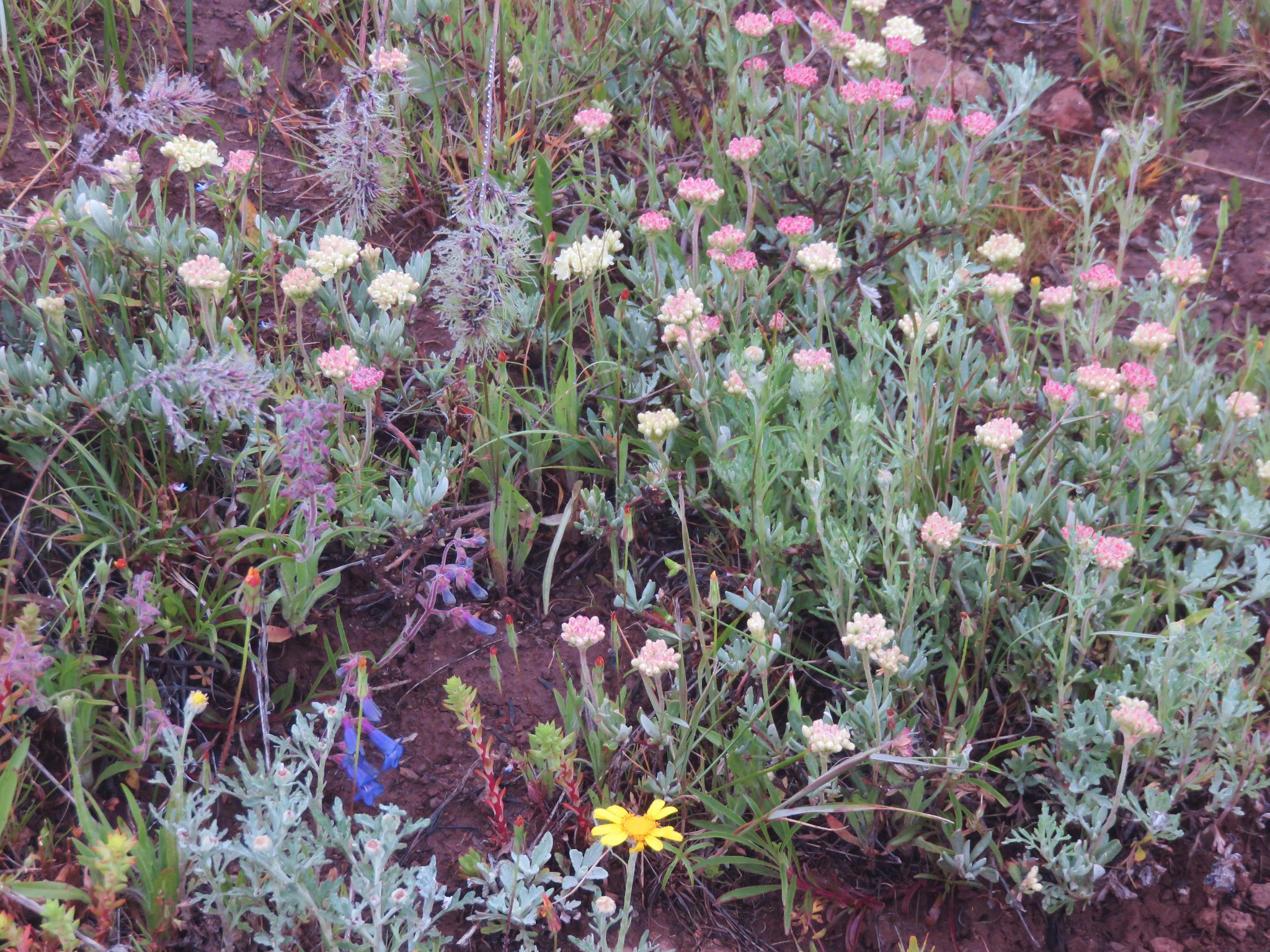
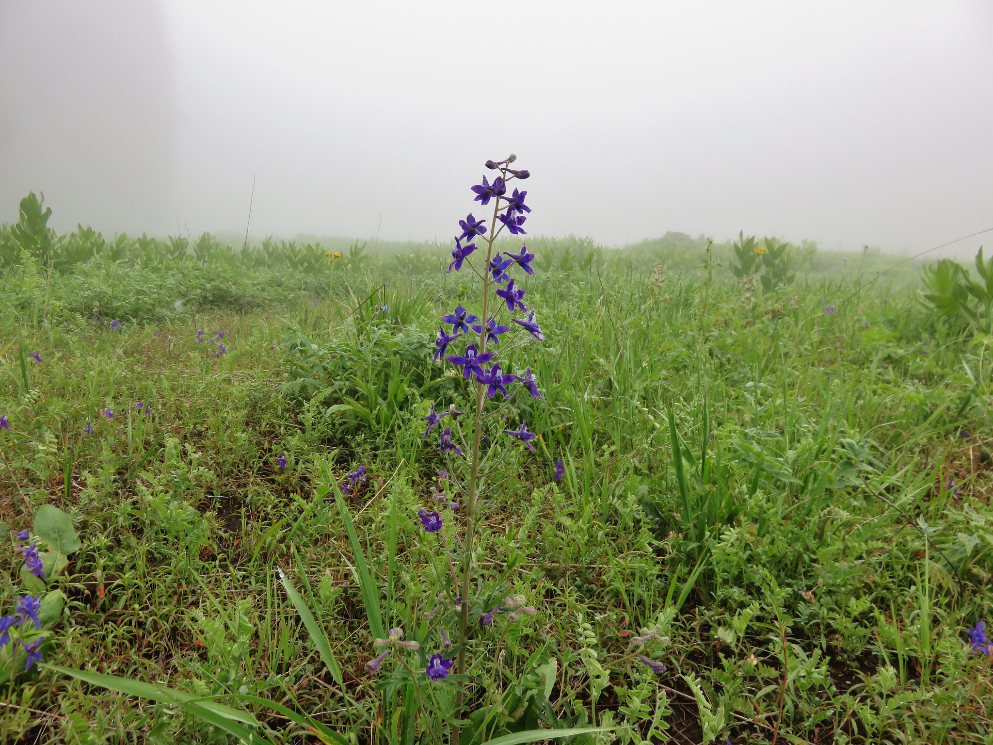
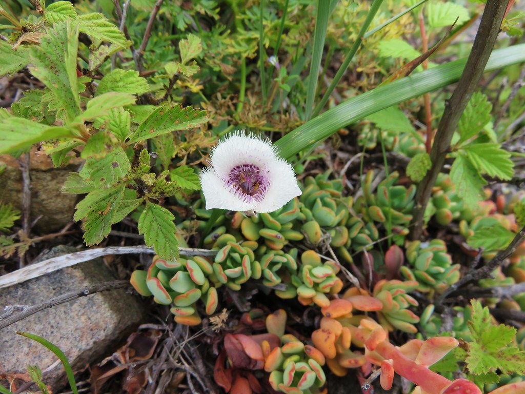
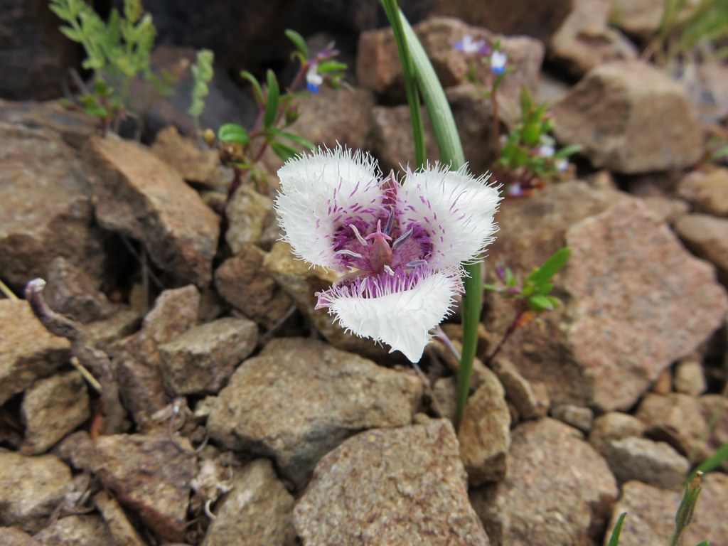
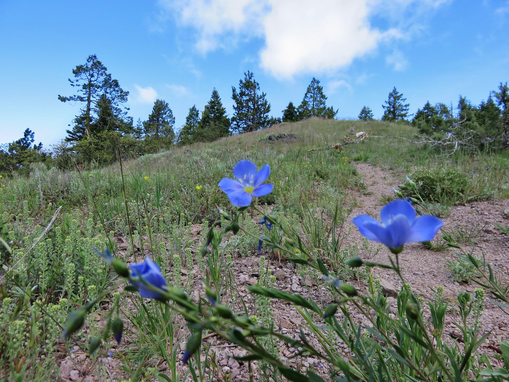
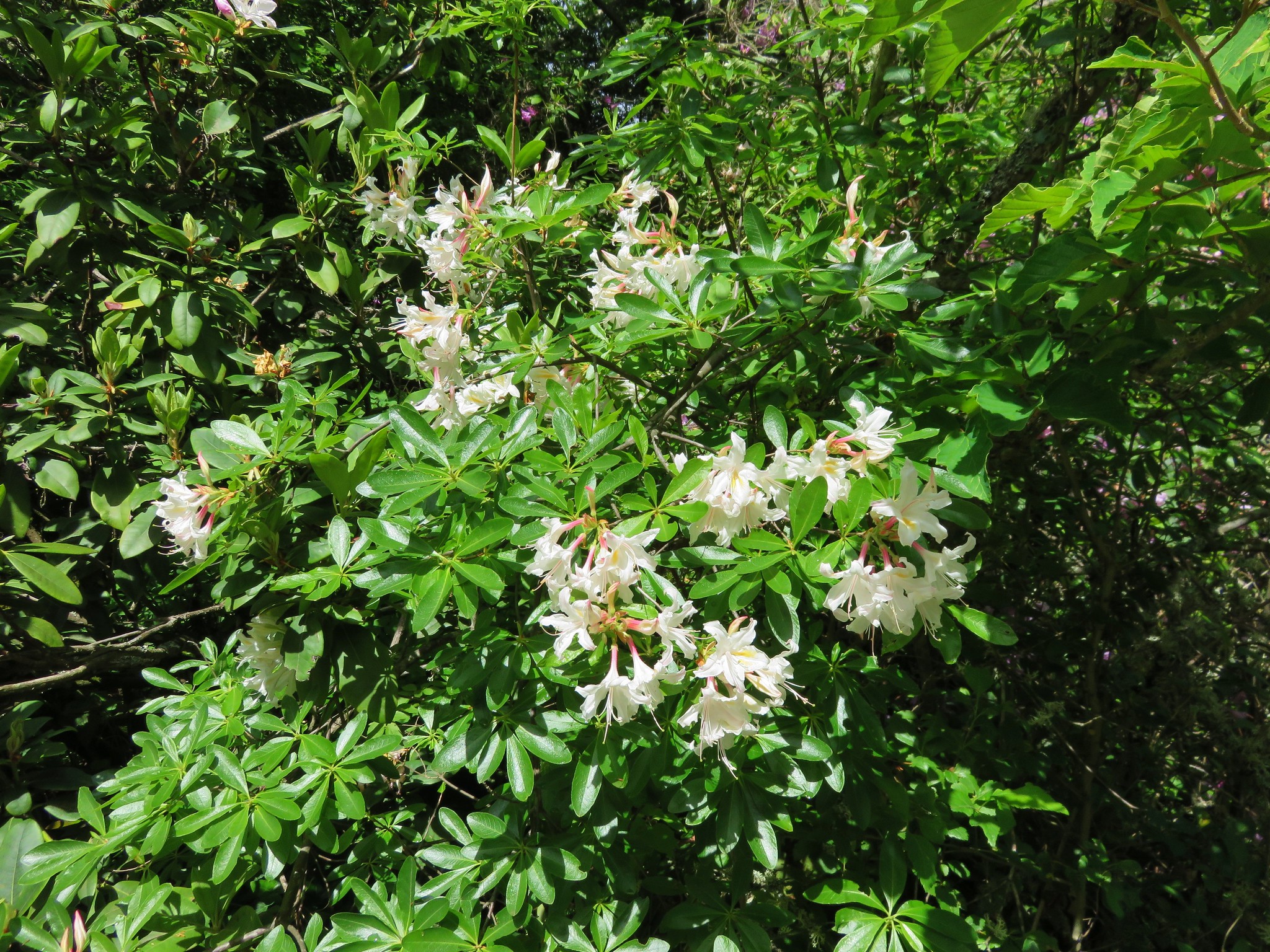
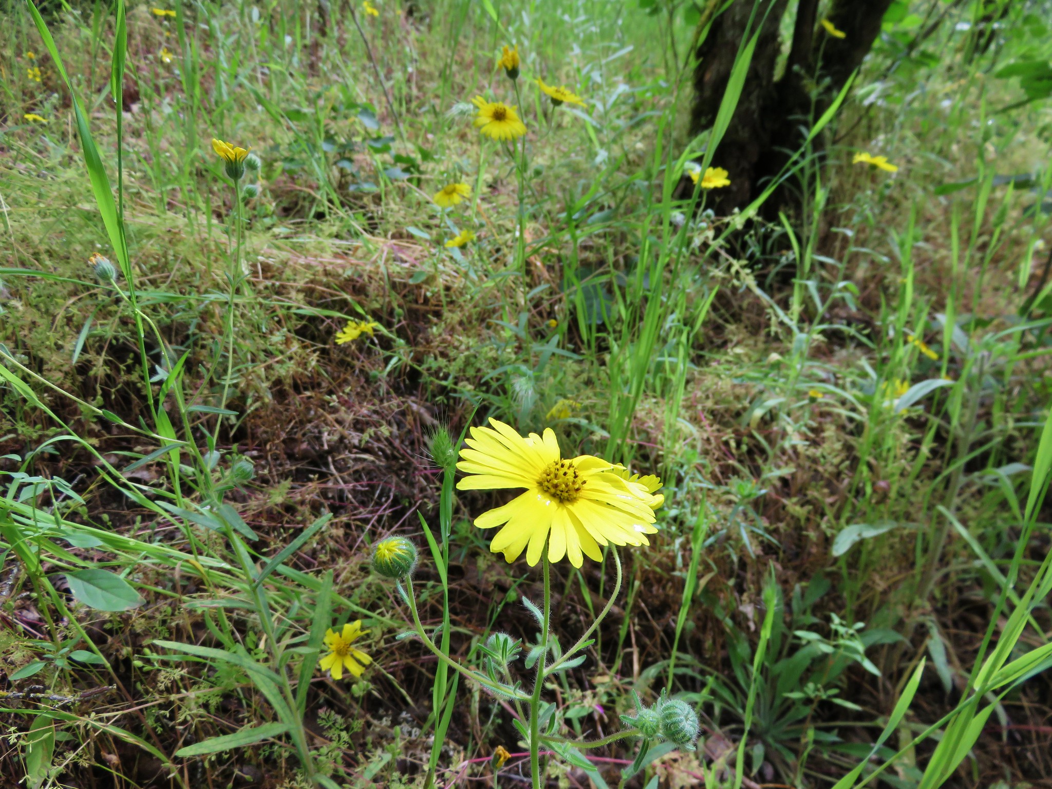
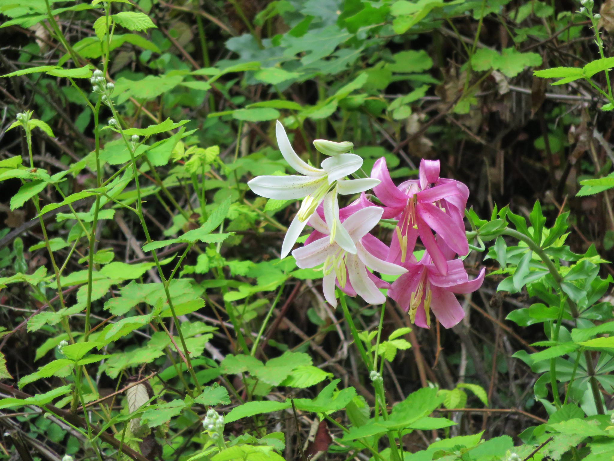
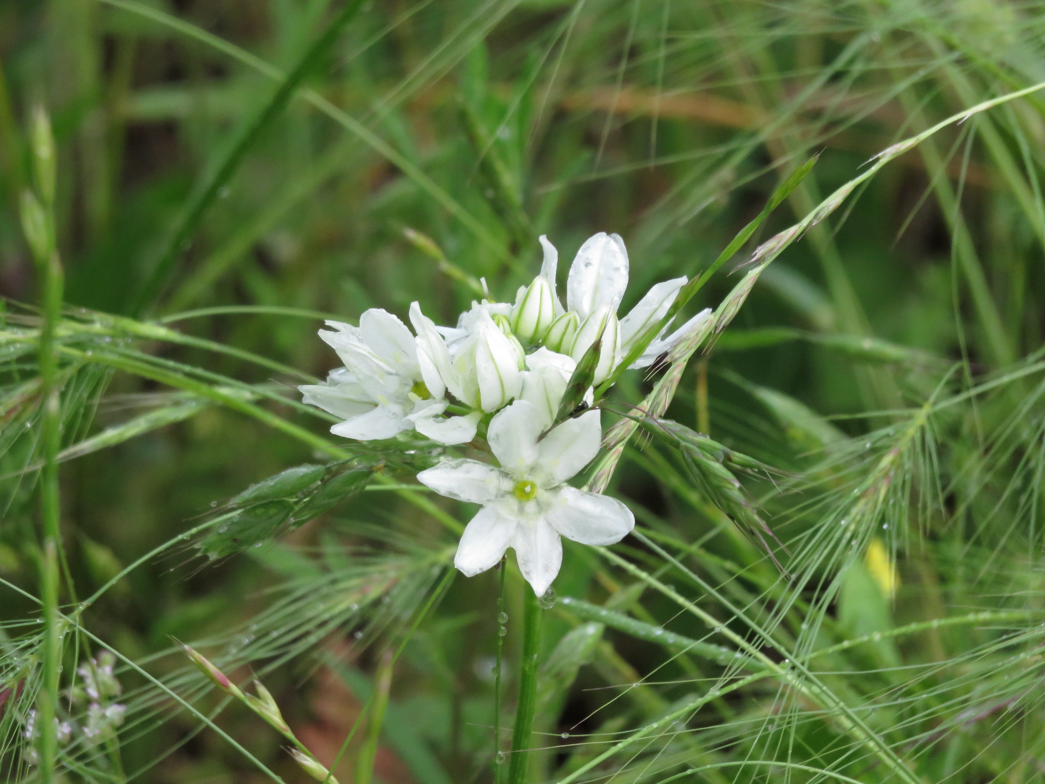
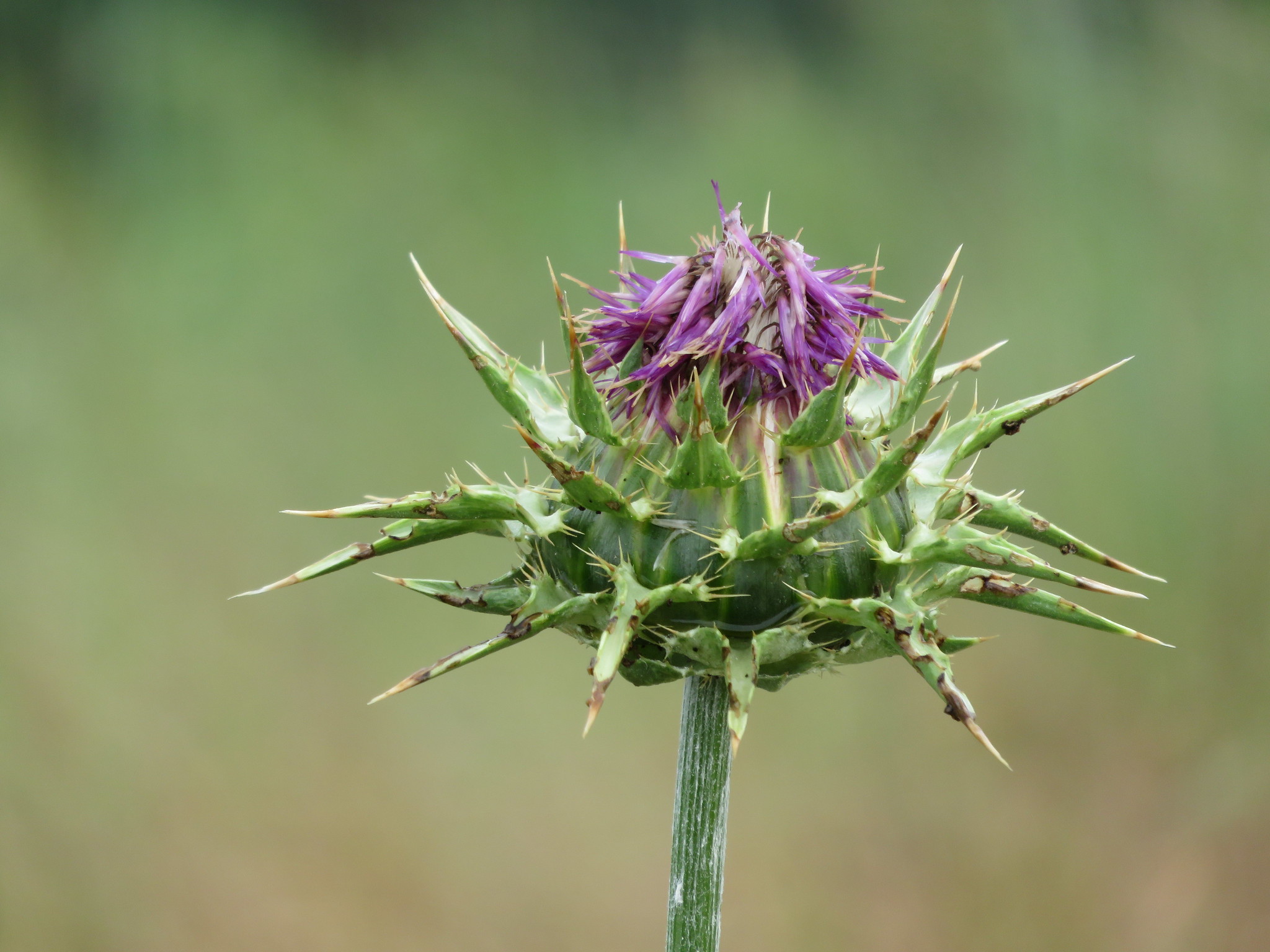
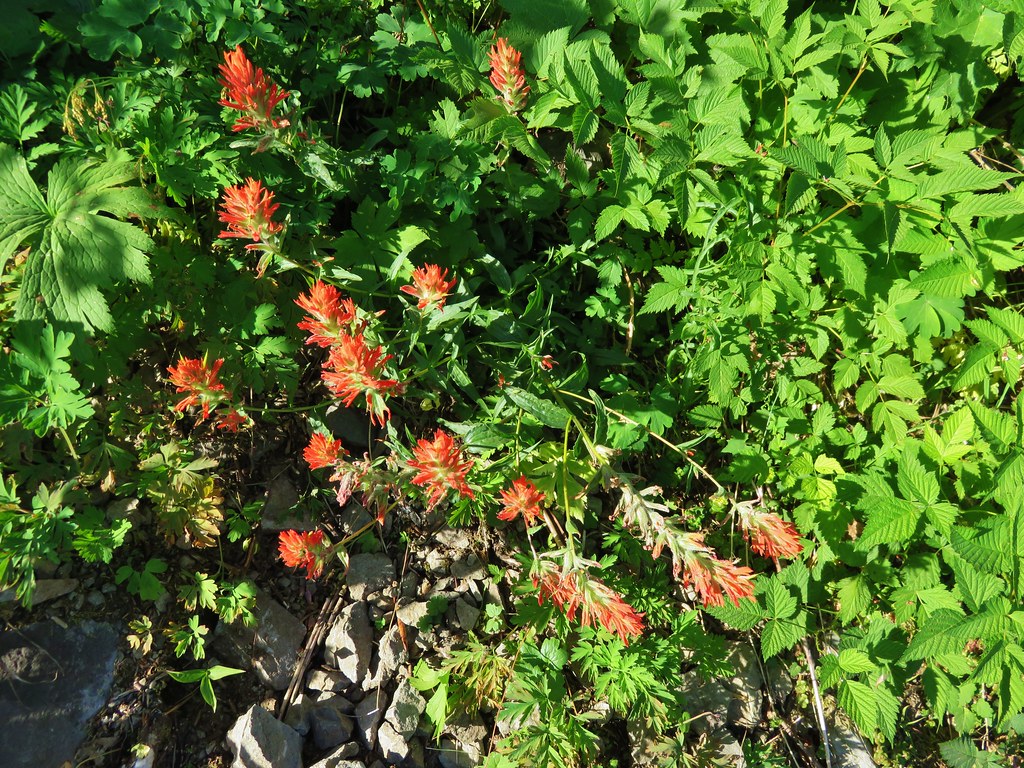
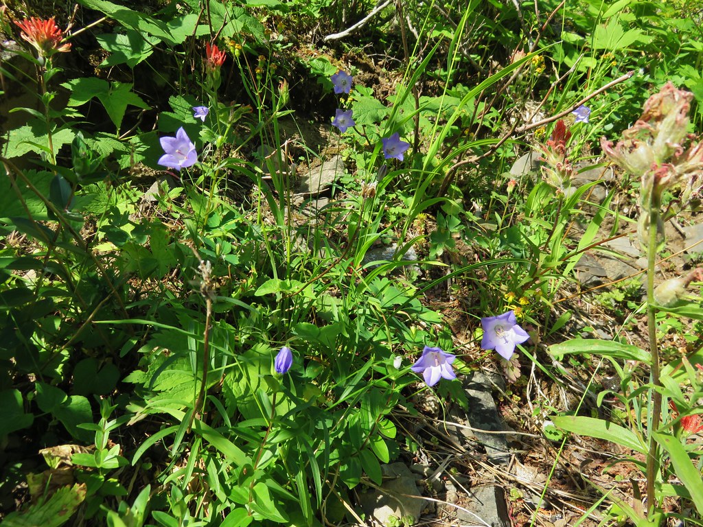
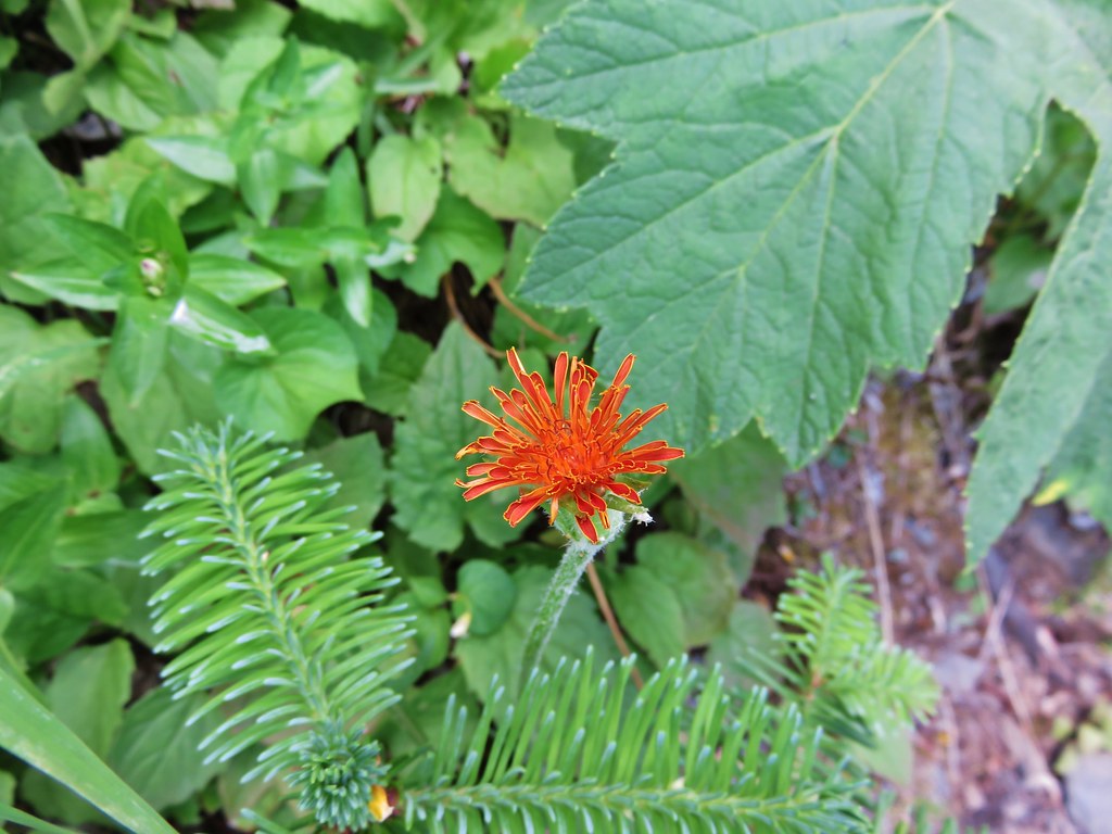
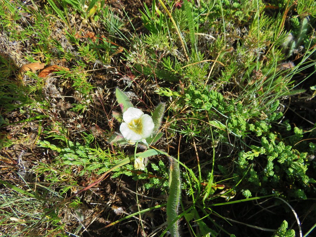
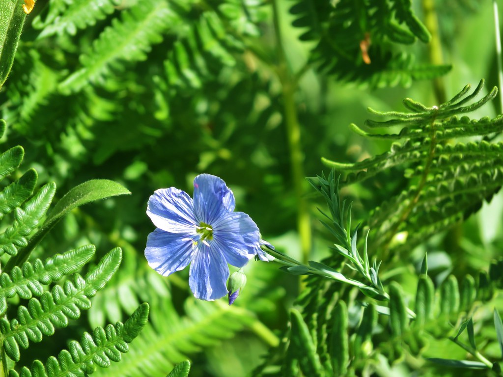
I had thought this small meadow might be a good wildflower spot, and there were some but not in any large amounts.

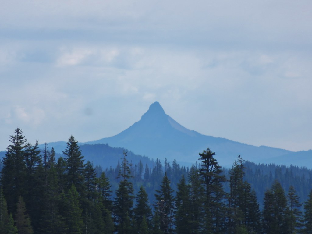
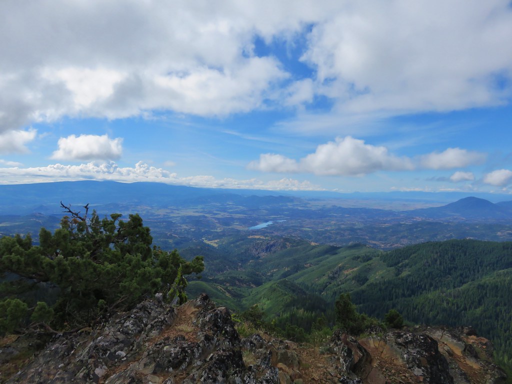
The view toward Rooster Rock was better this time too.
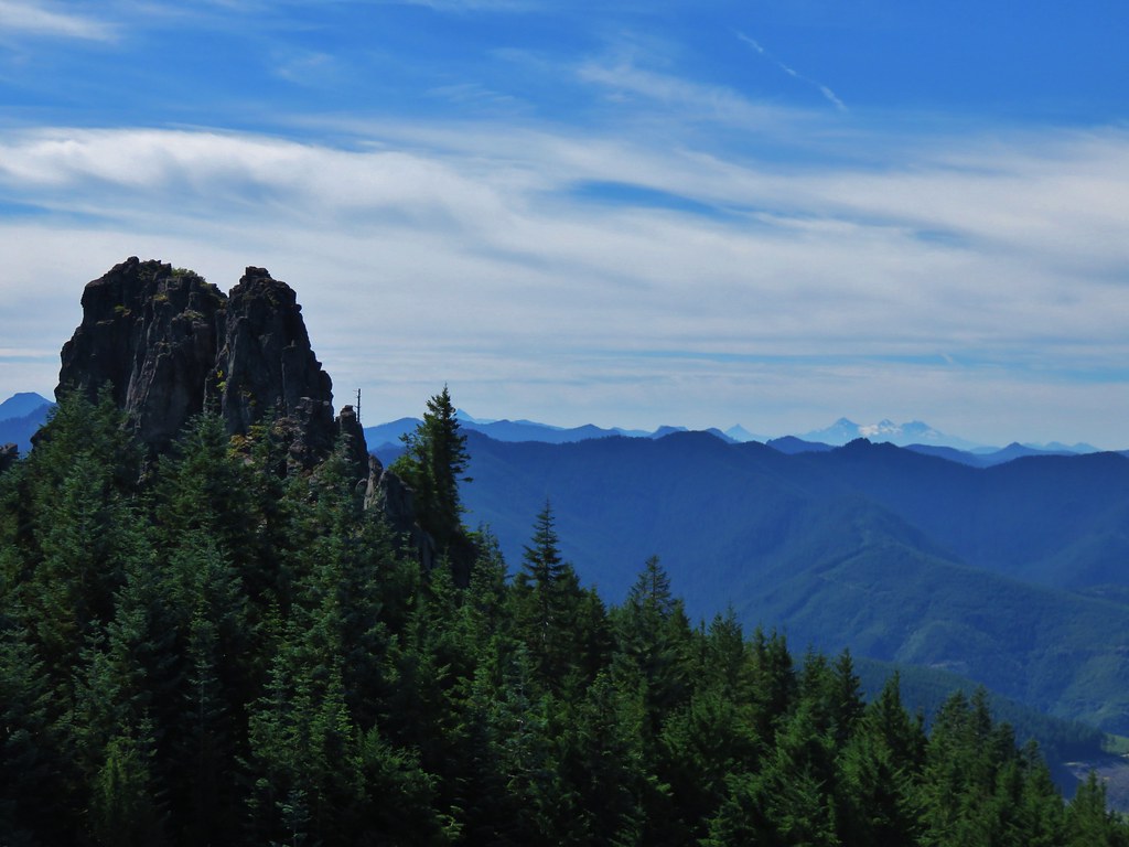
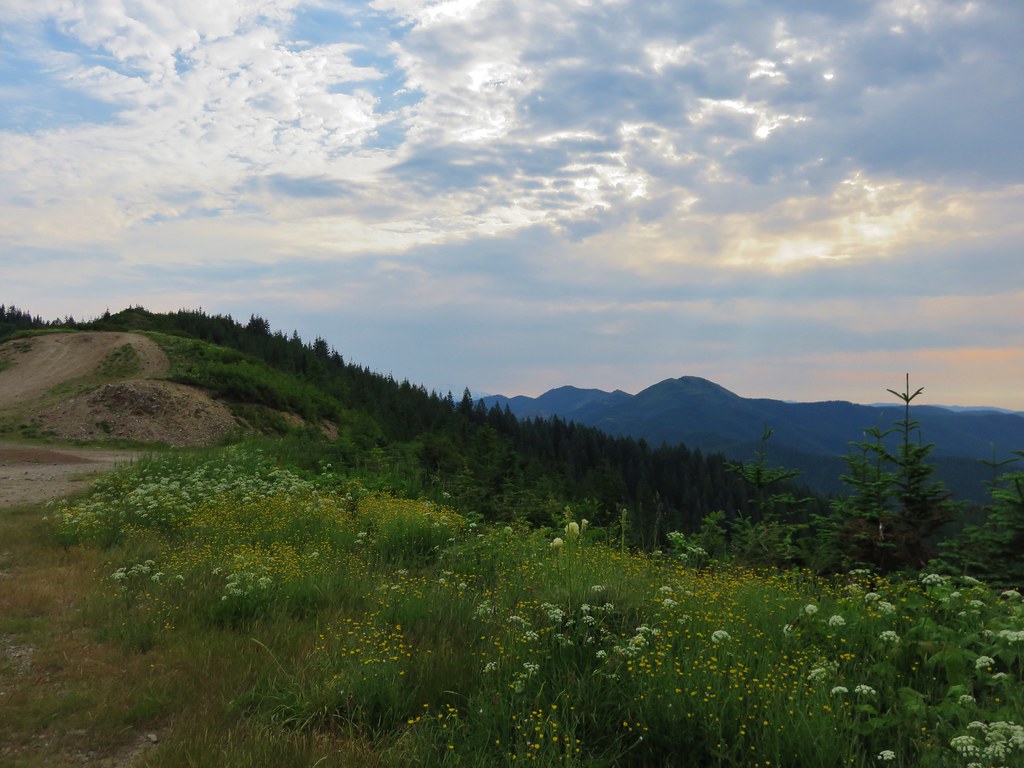
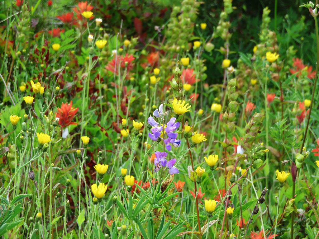
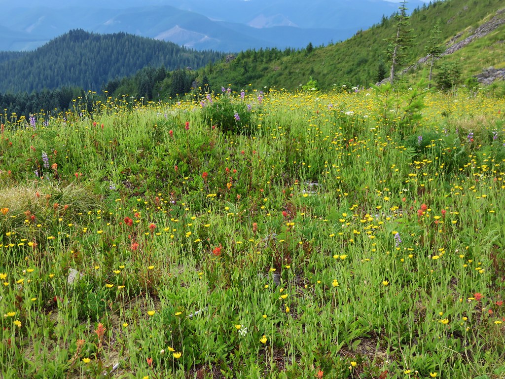
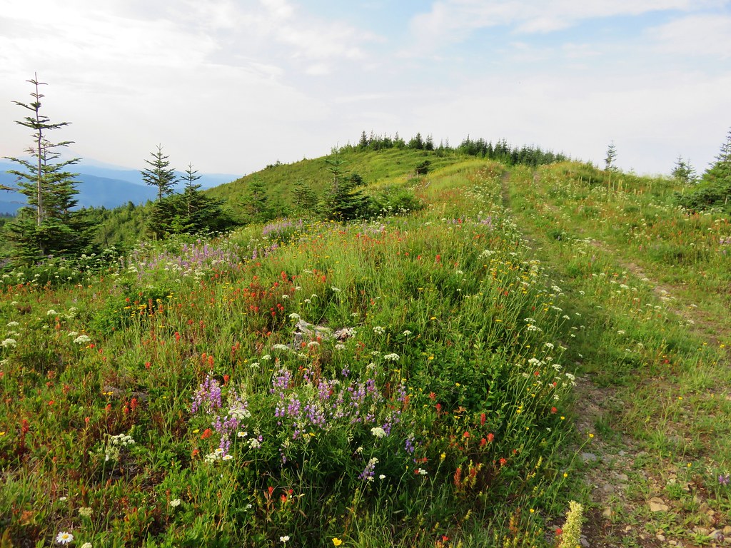
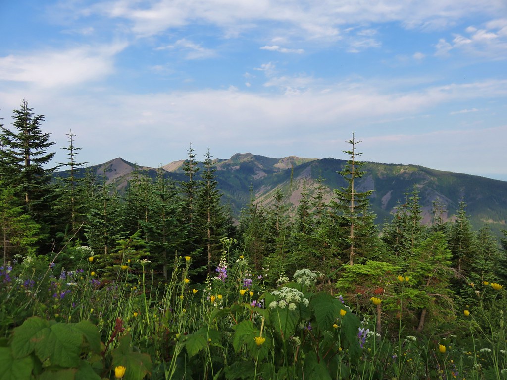
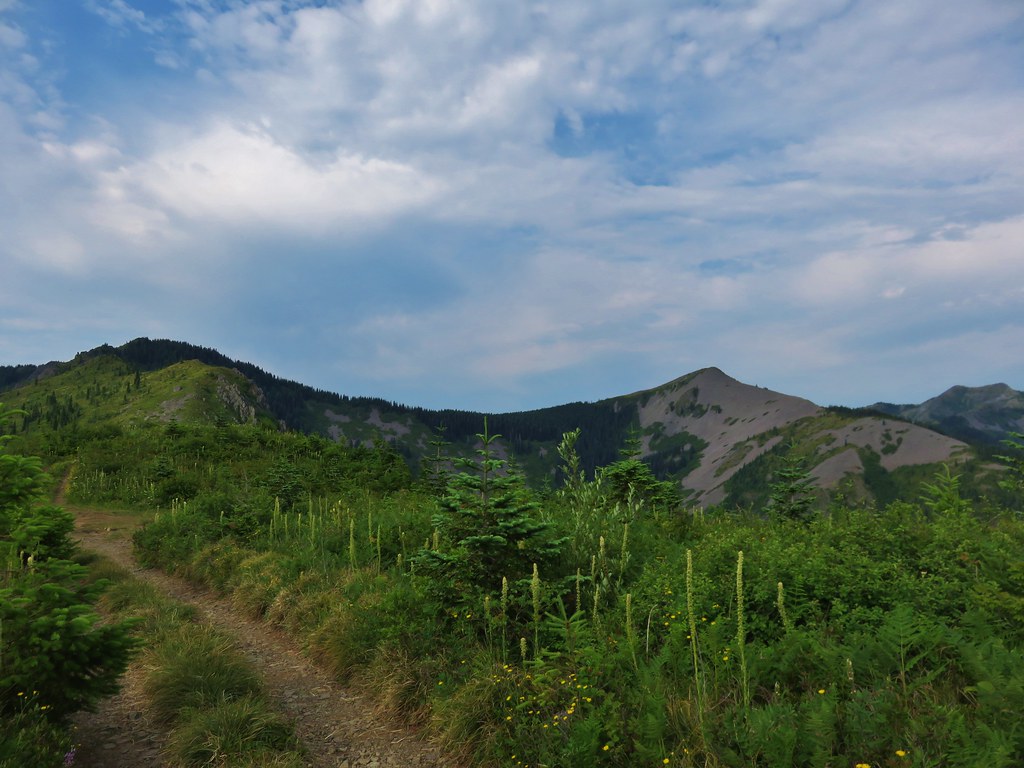
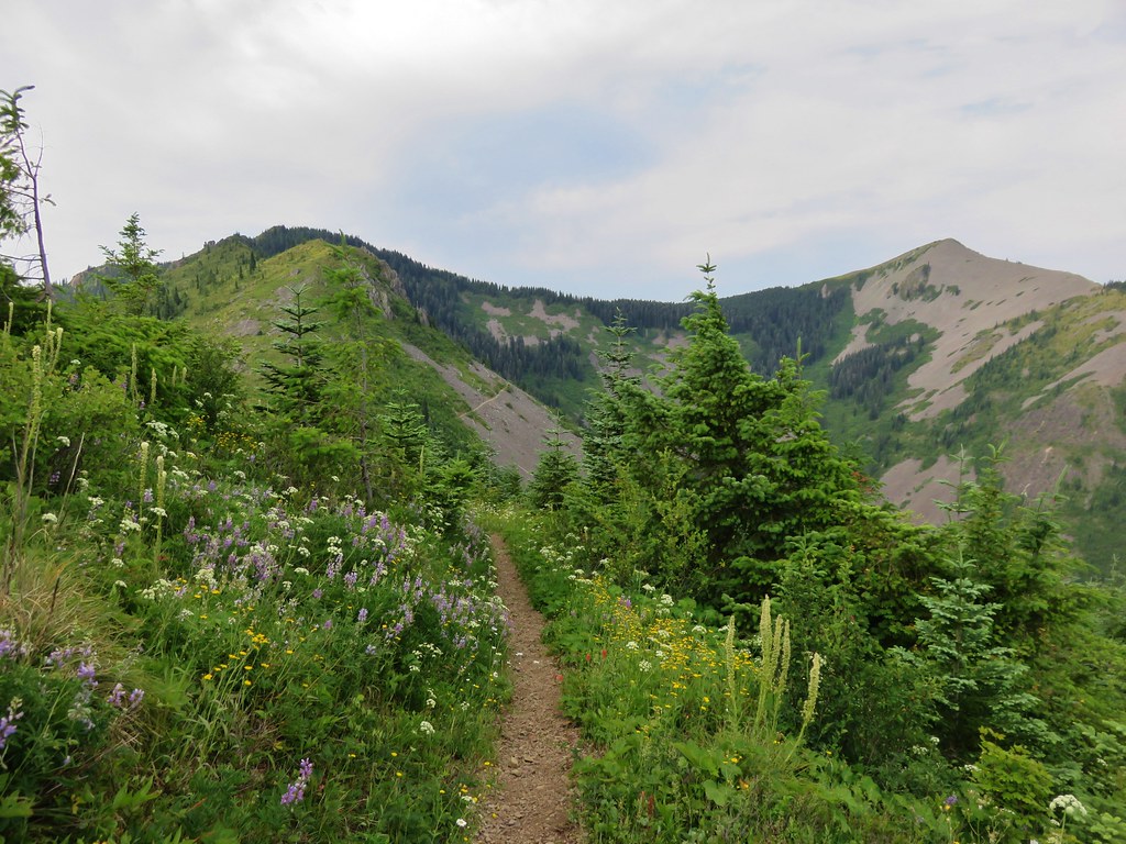
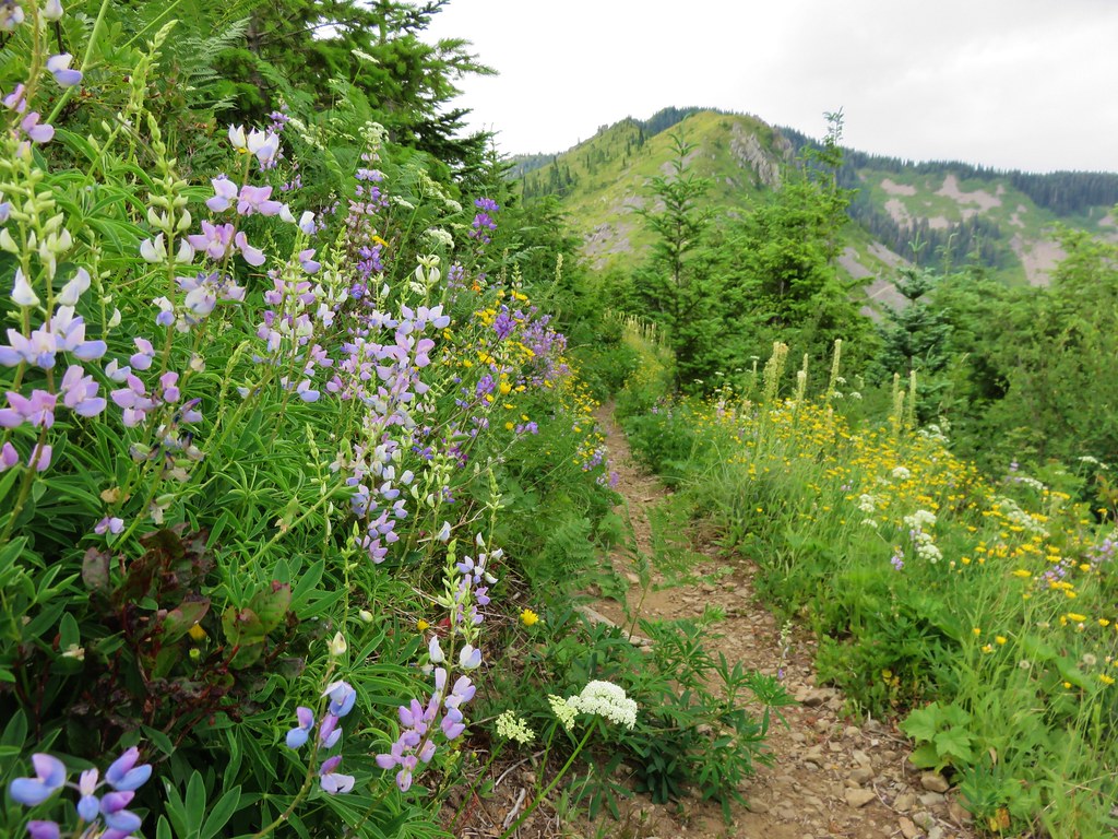
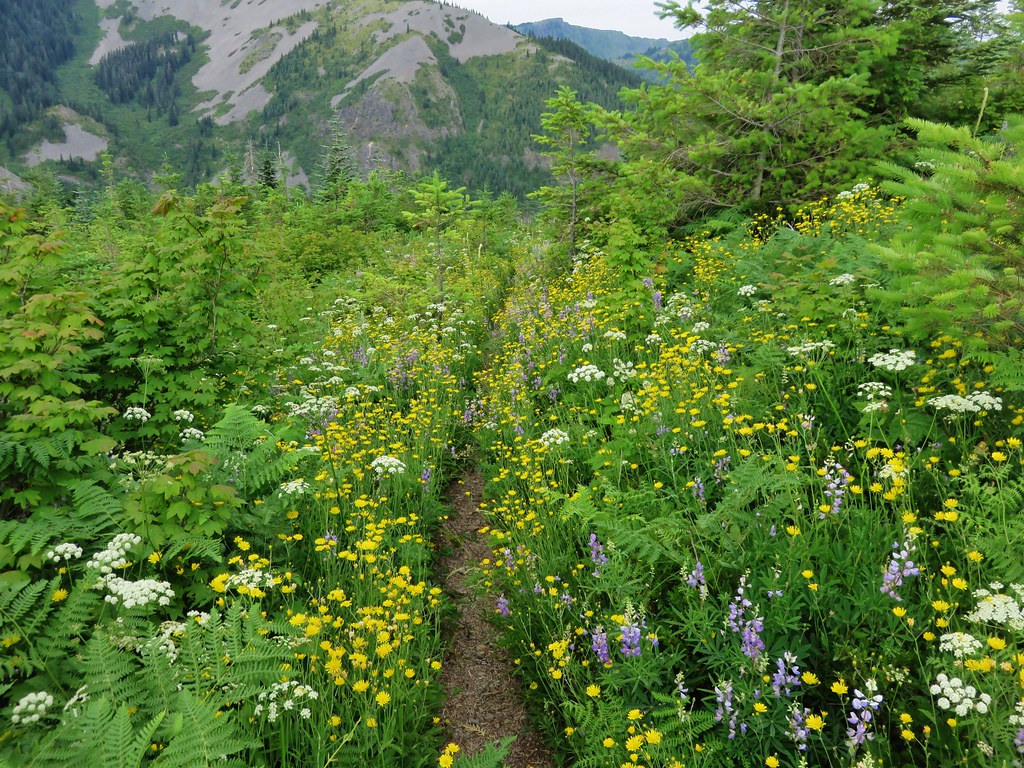
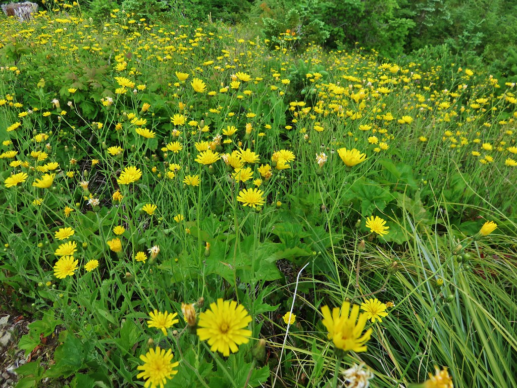
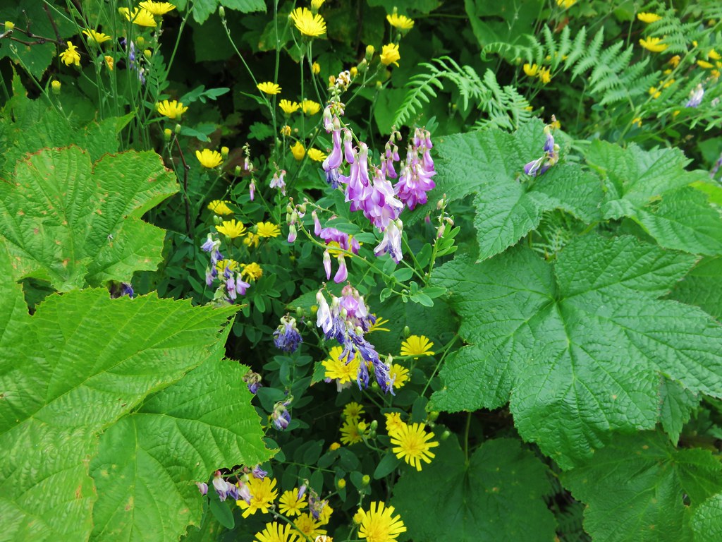
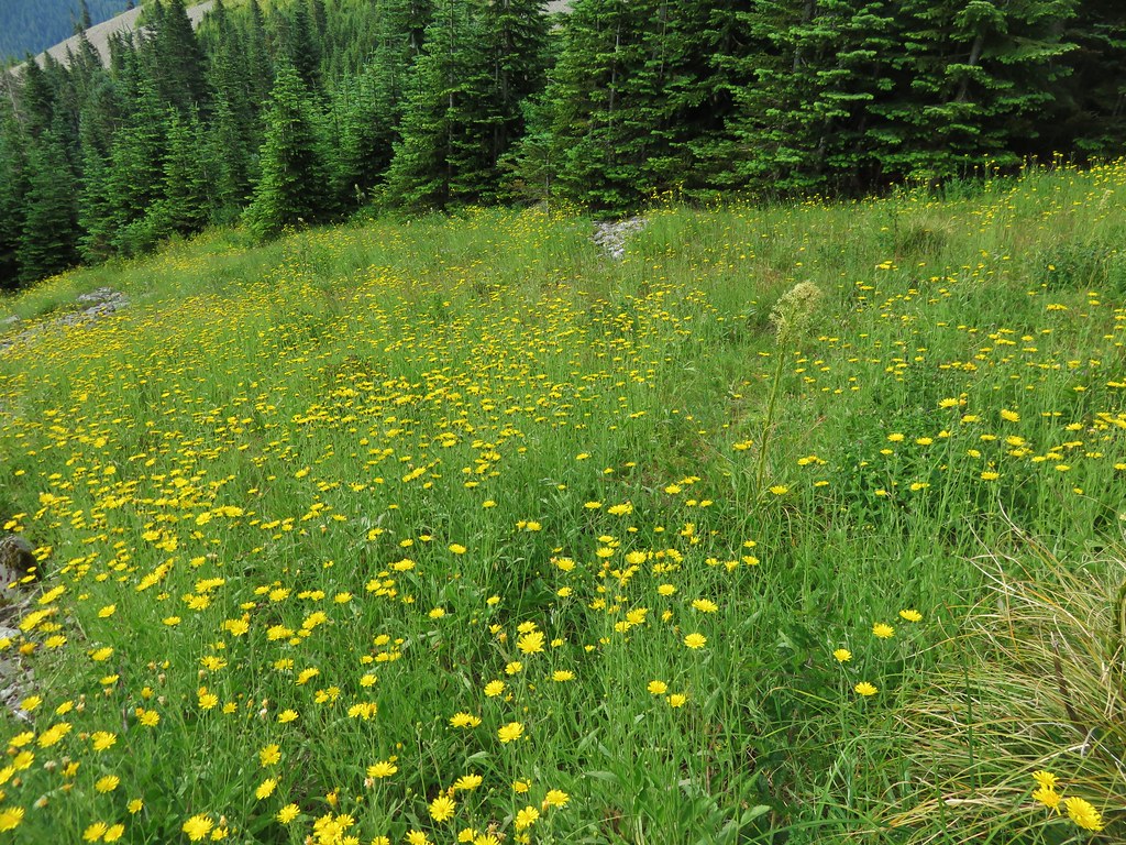
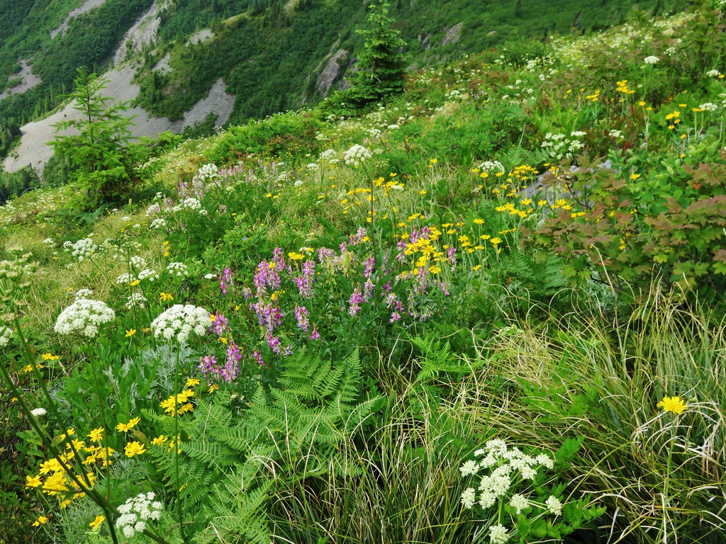
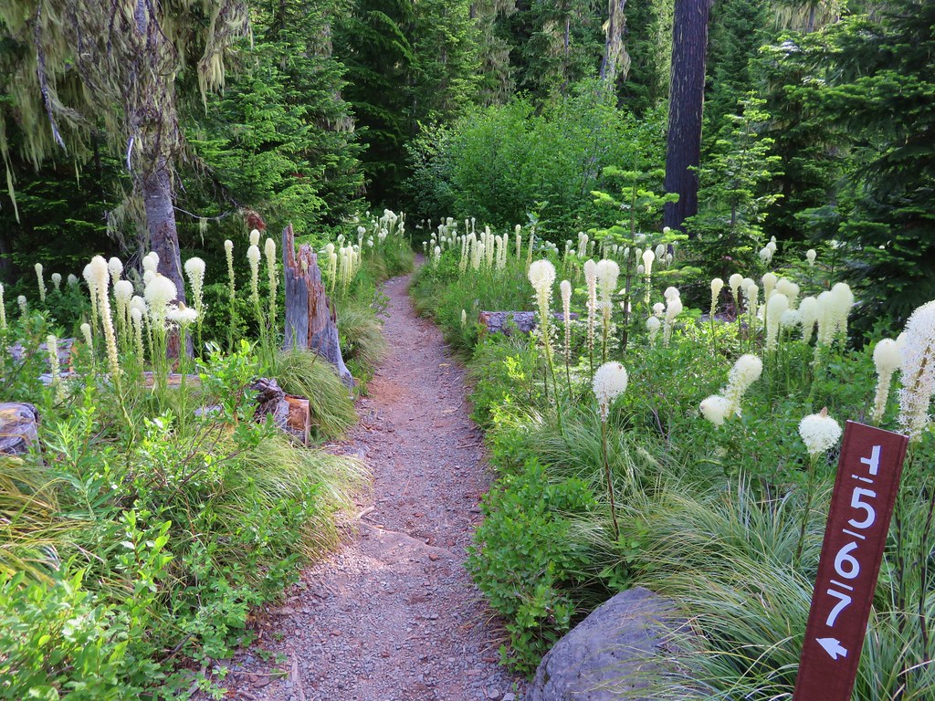
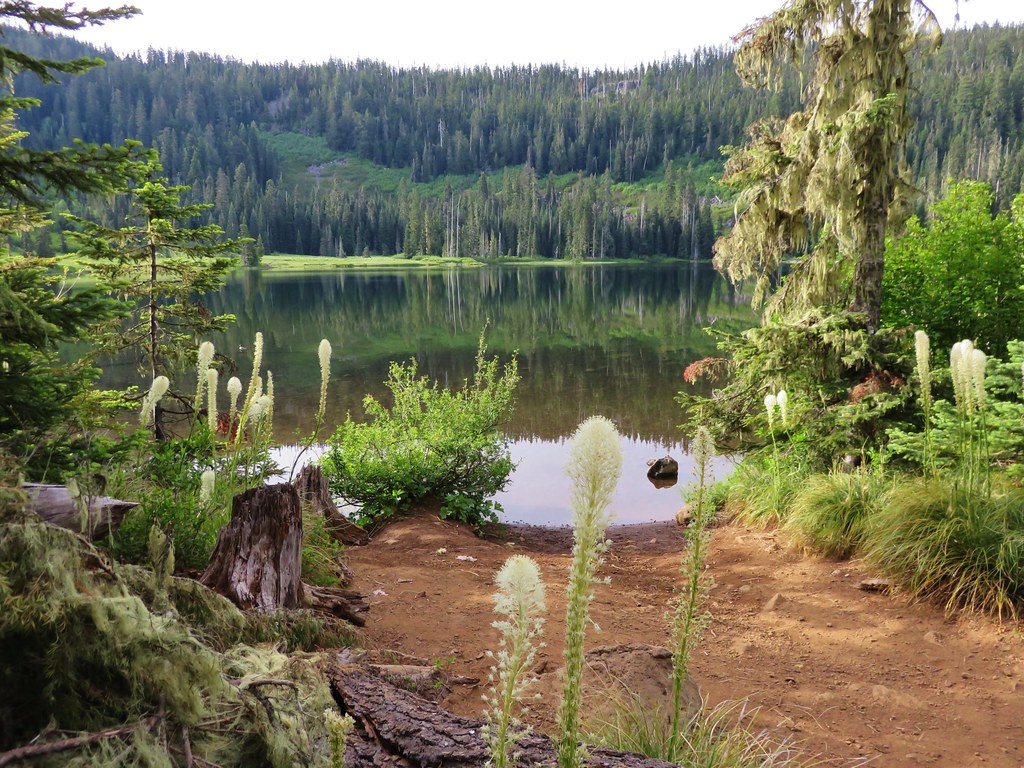
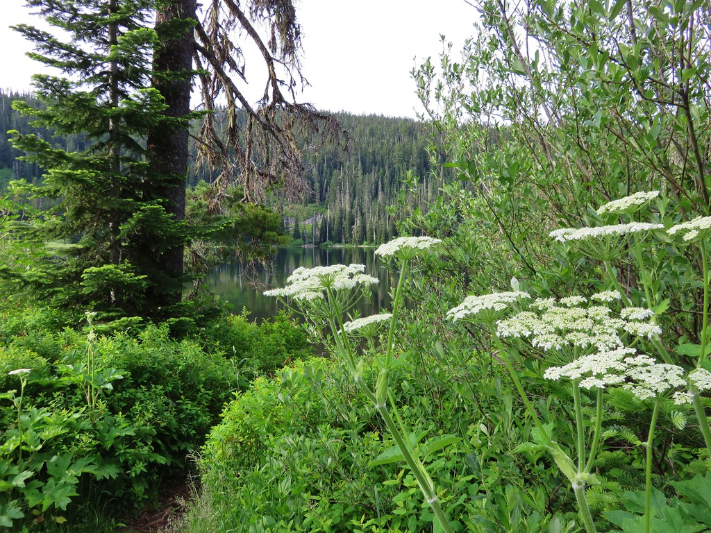
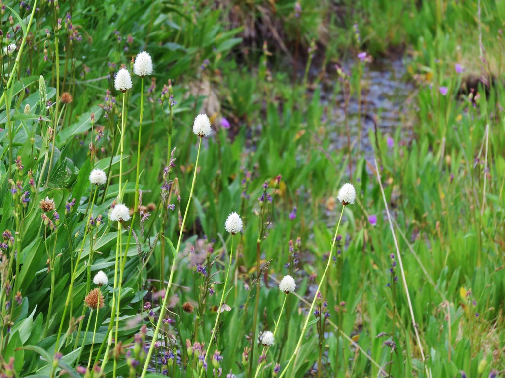
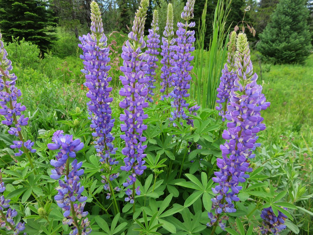
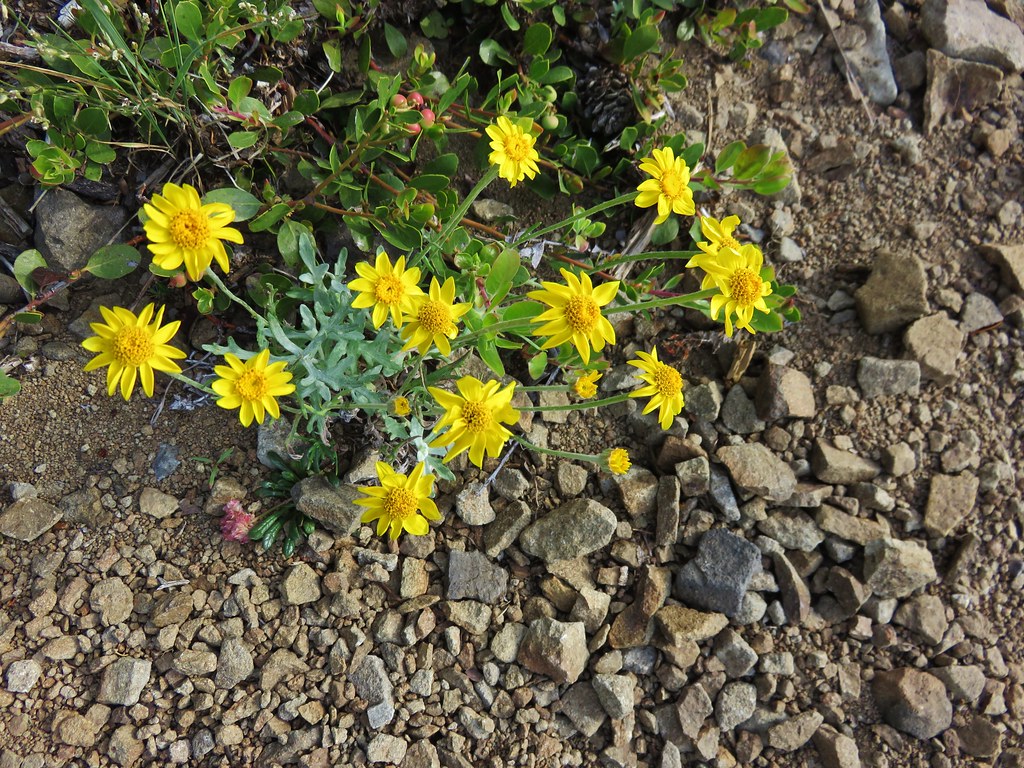
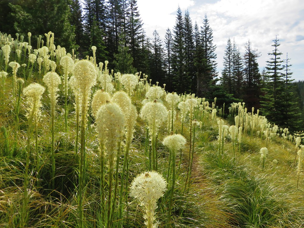
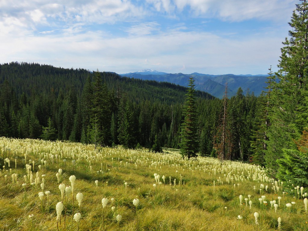
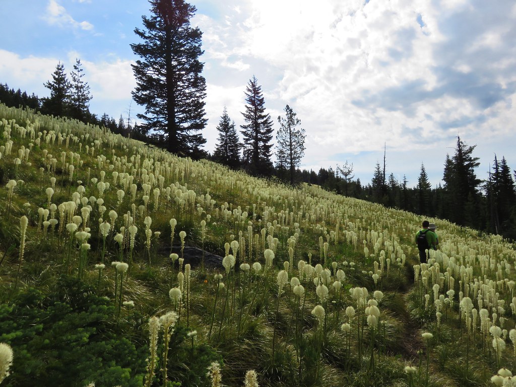
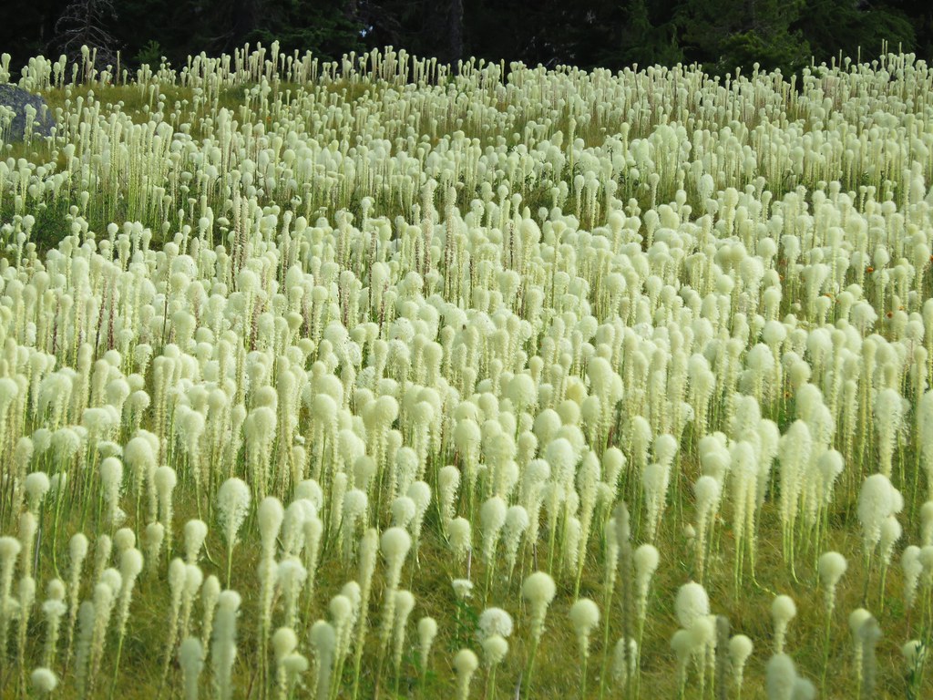
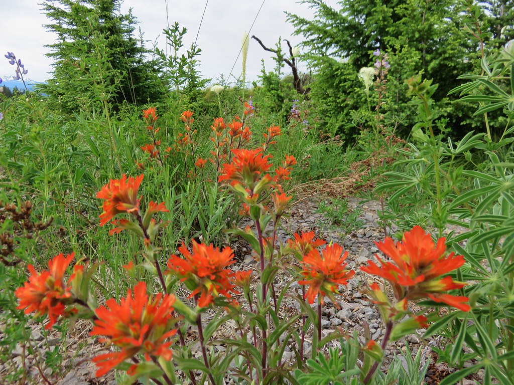
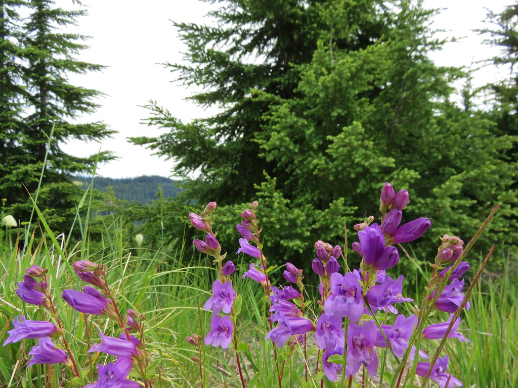
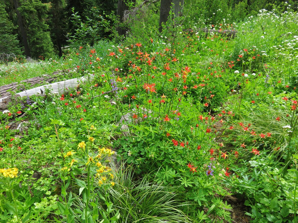
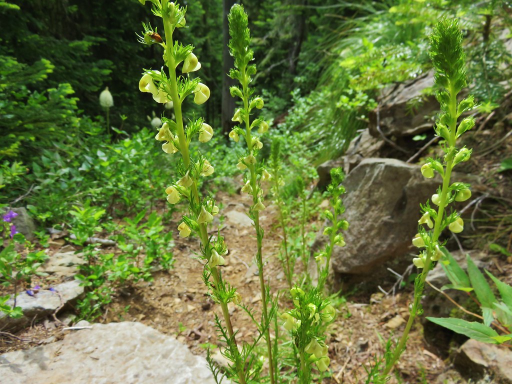
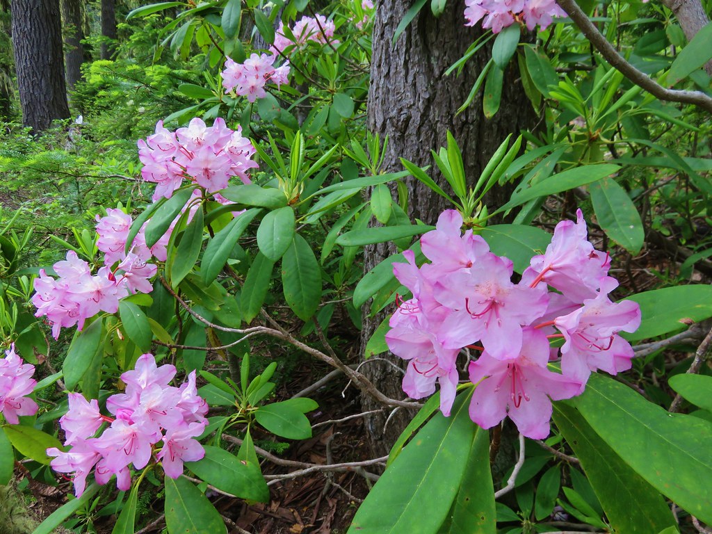
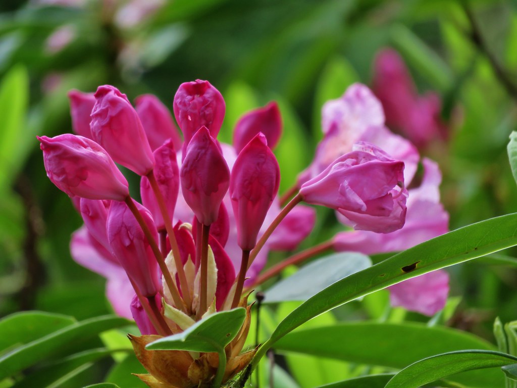
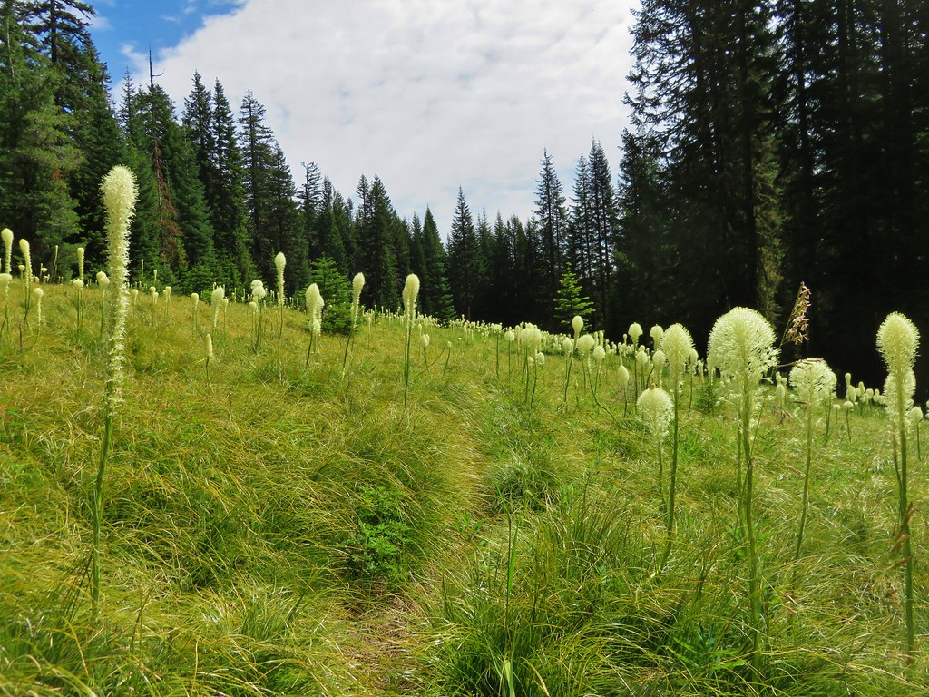
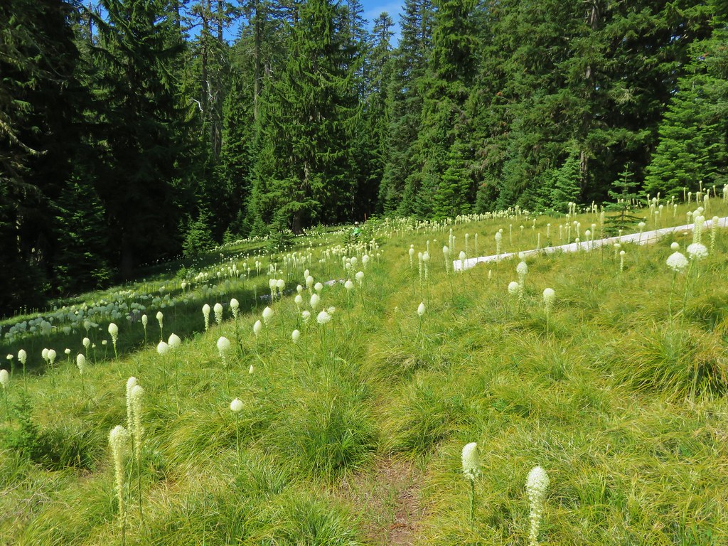
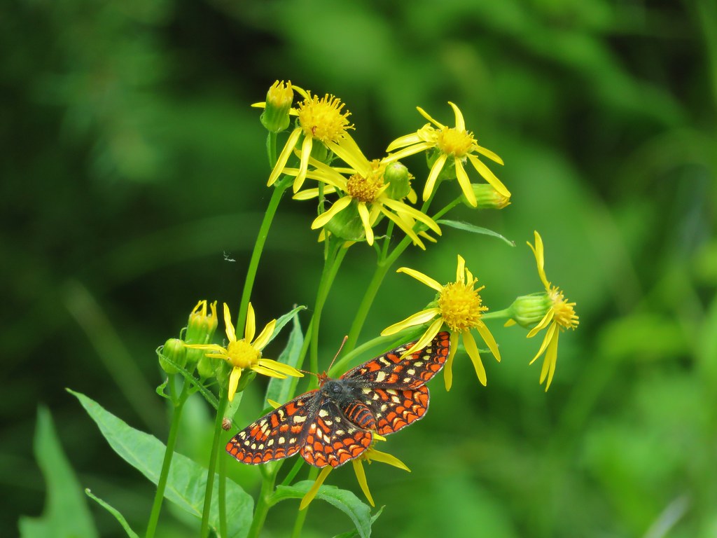
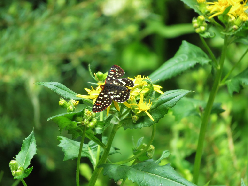
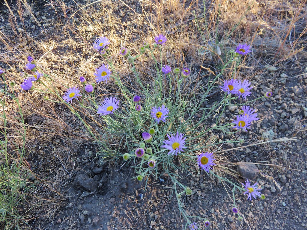
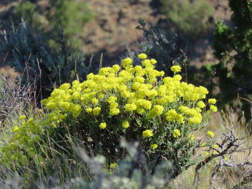
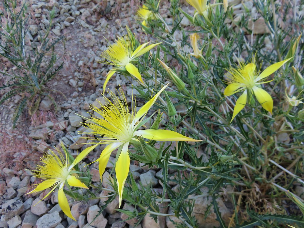
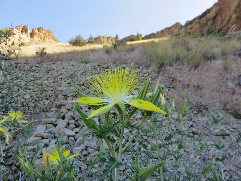
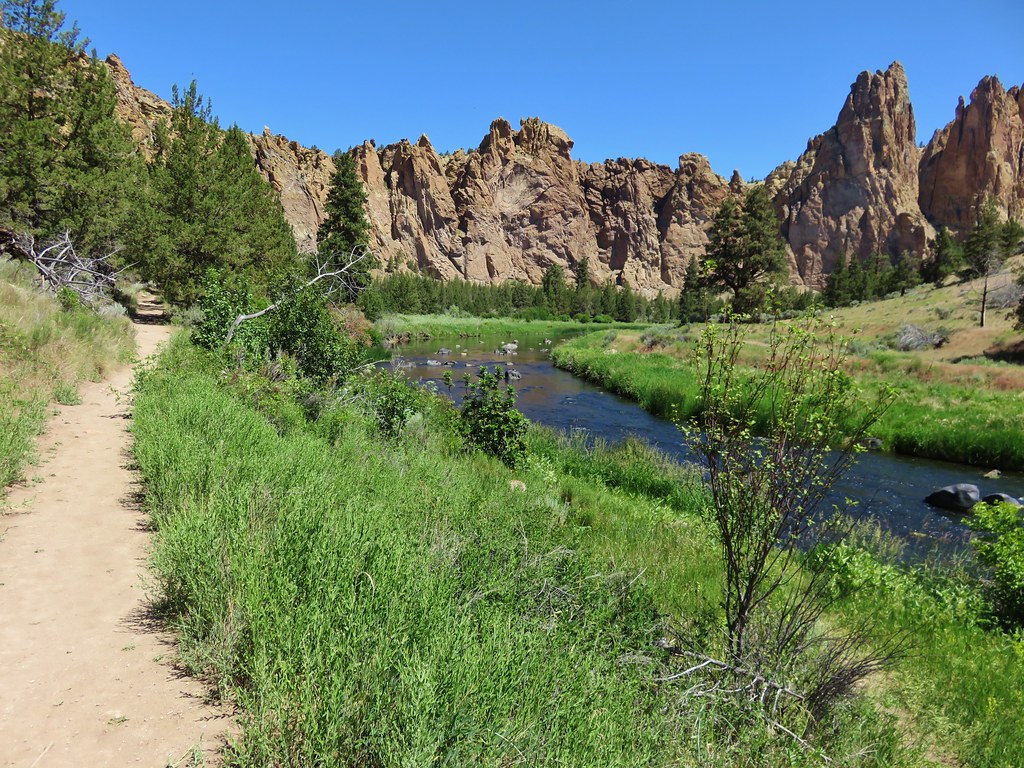
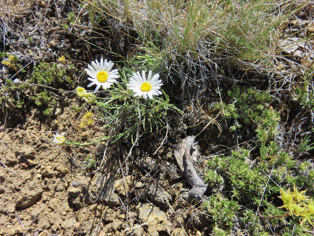
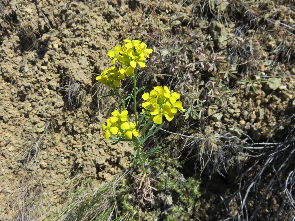
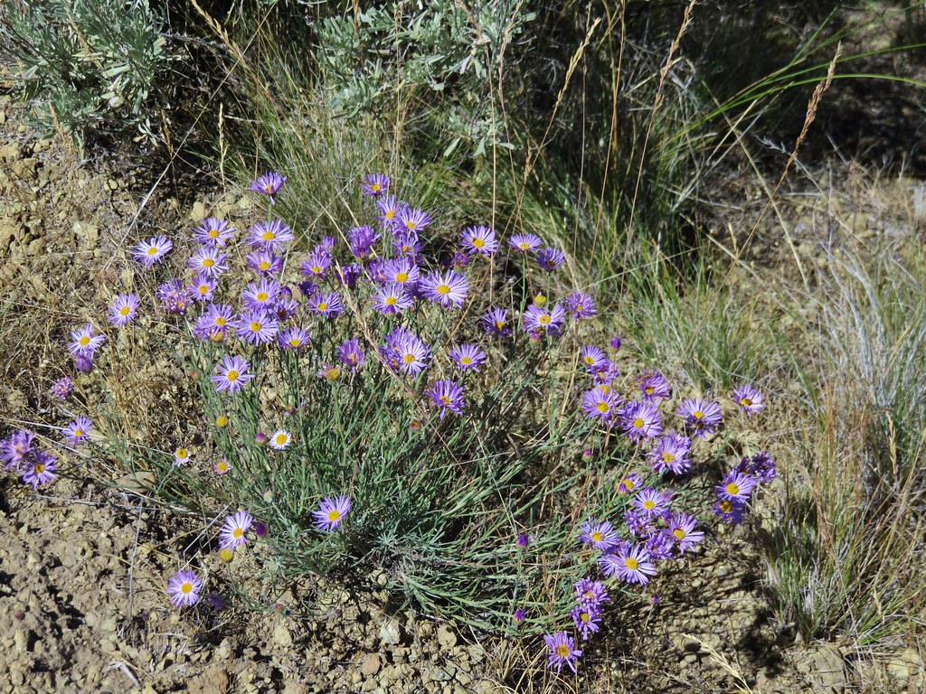
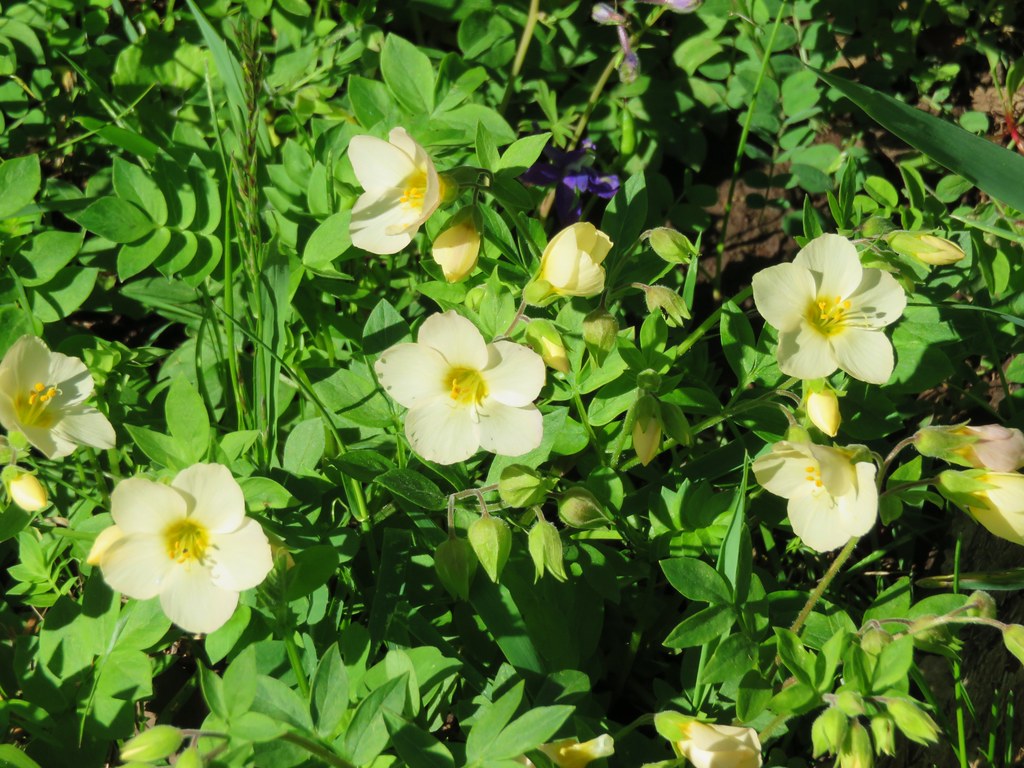
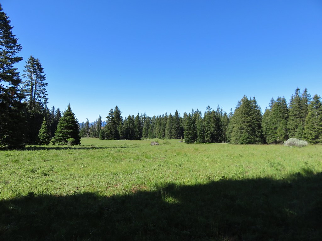
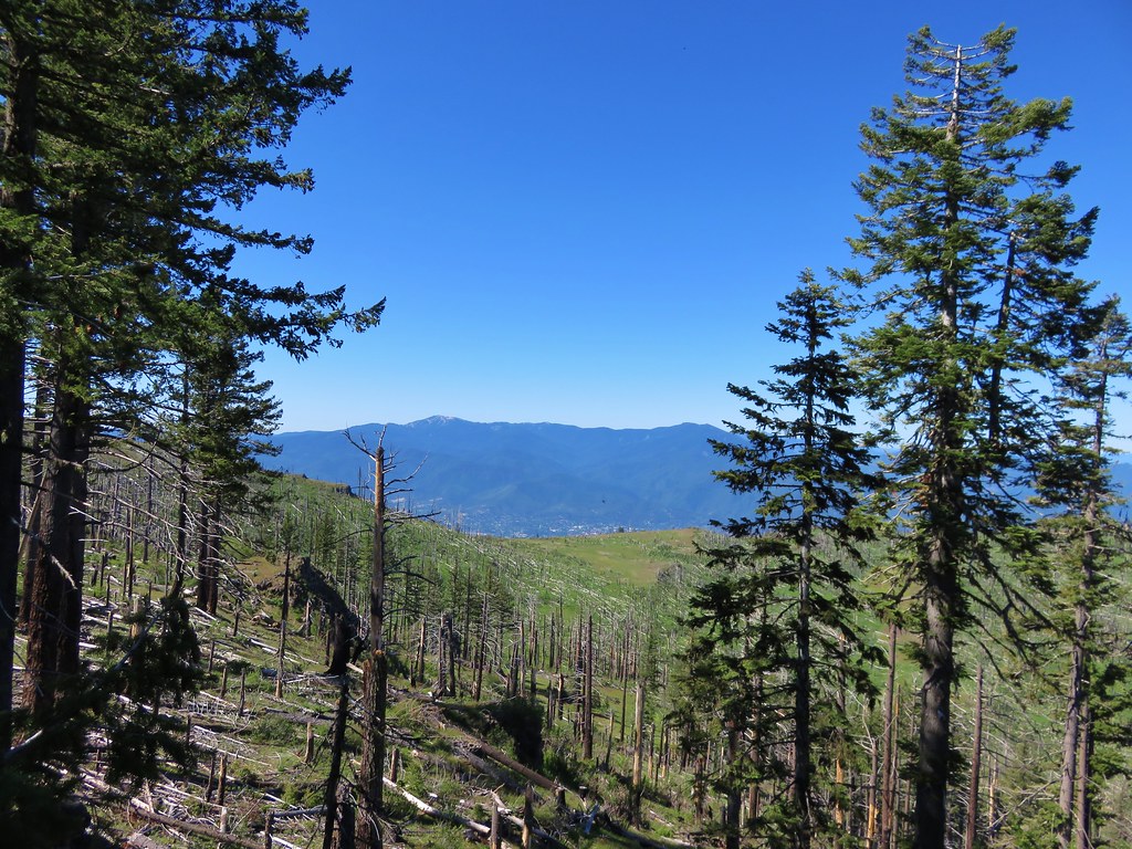
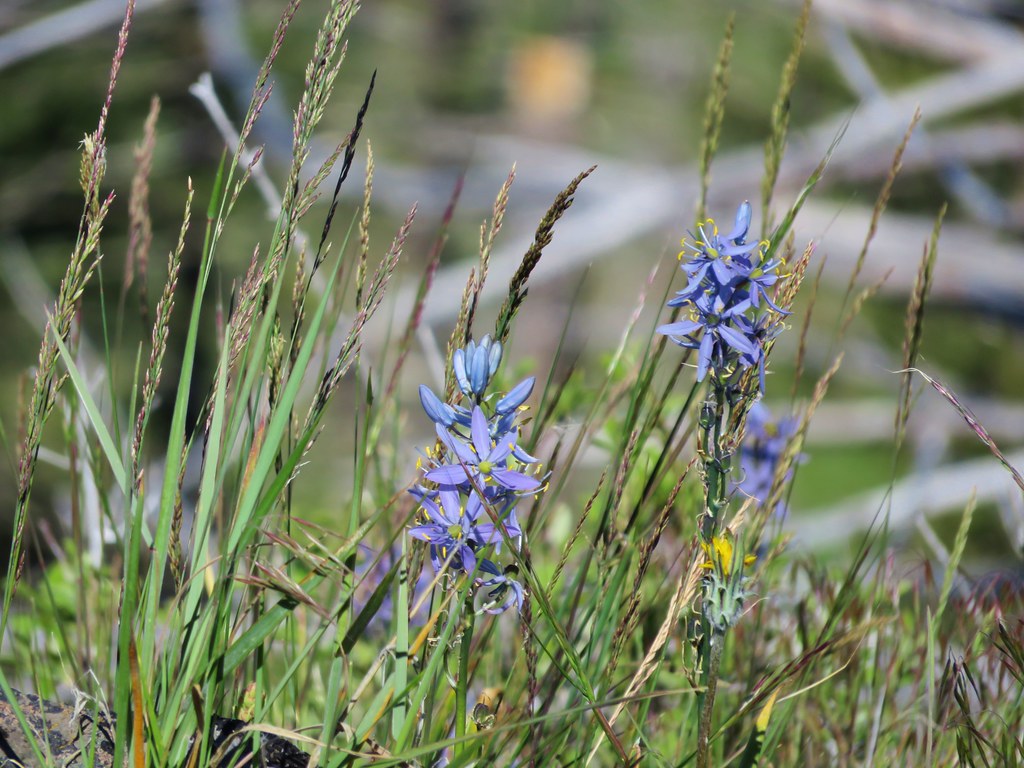
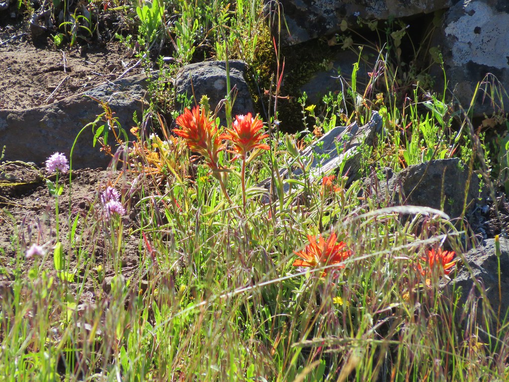
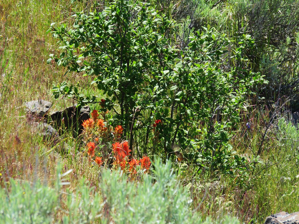
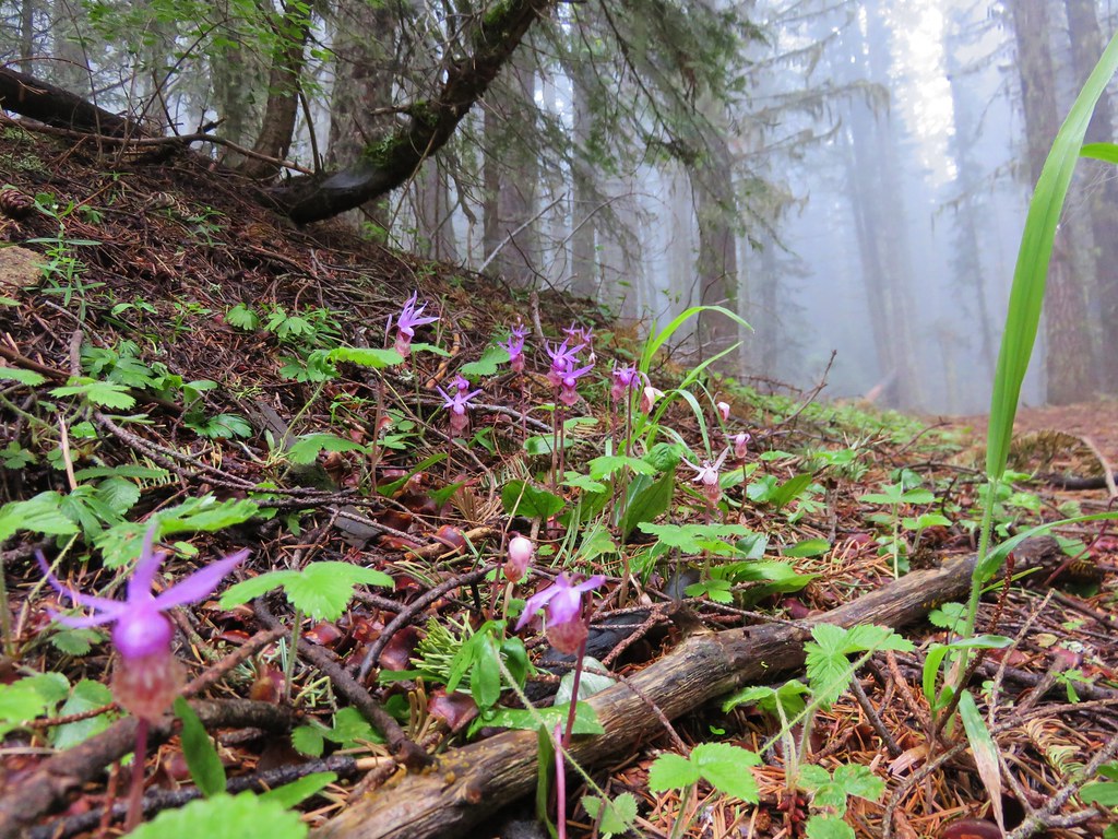
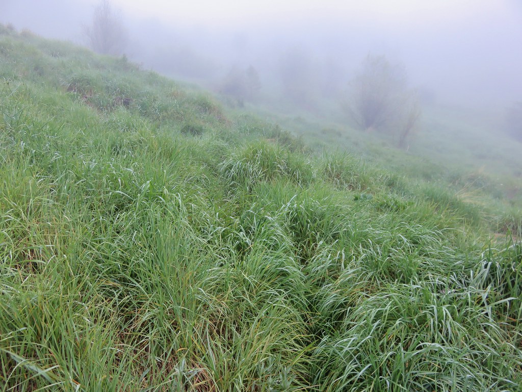
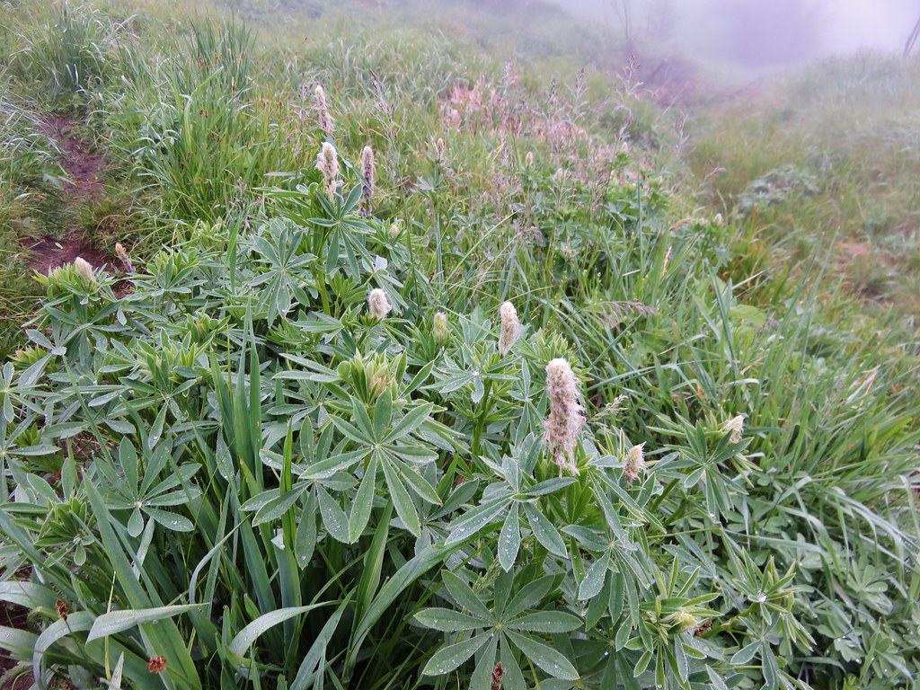
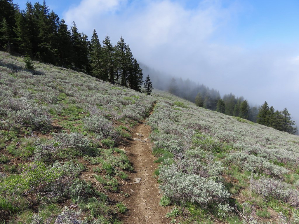
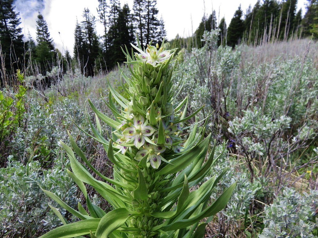
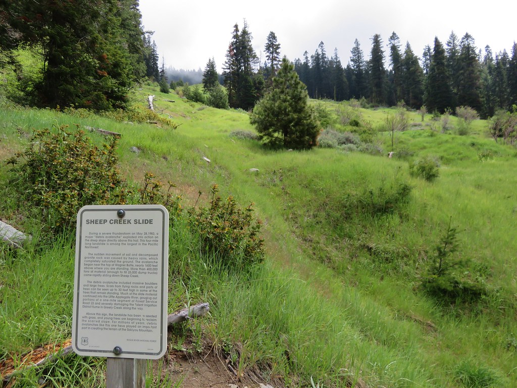
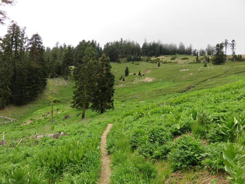
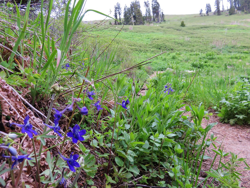
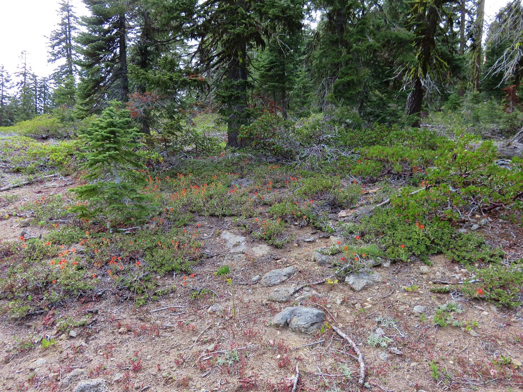
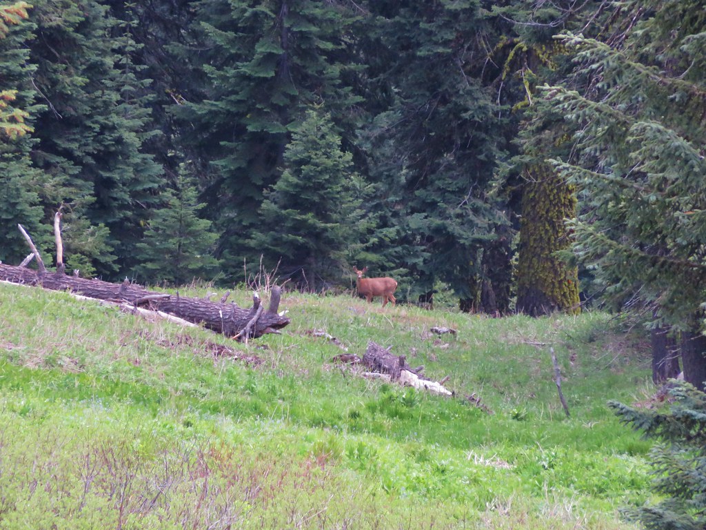
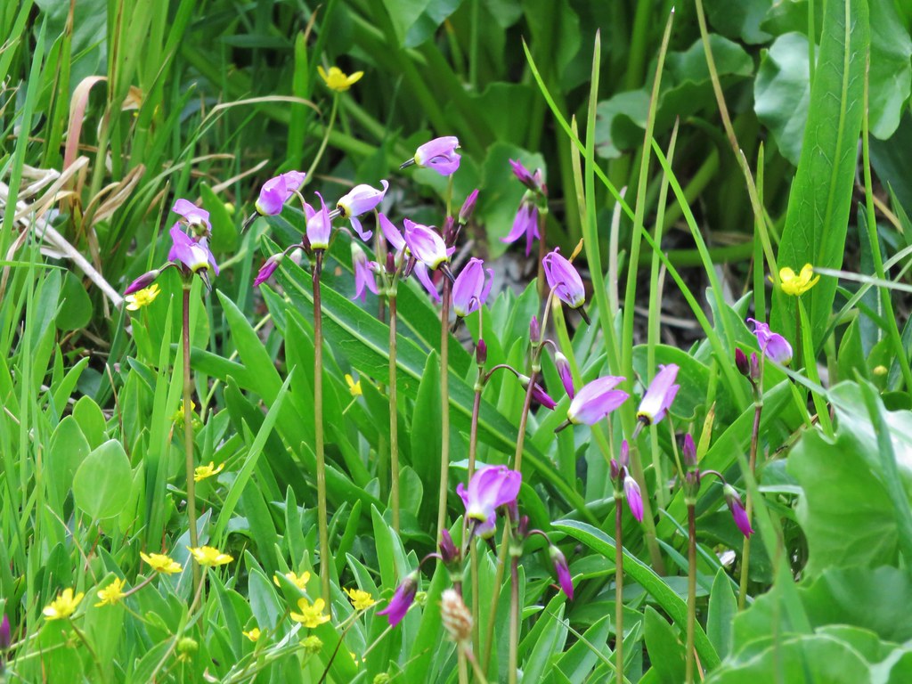
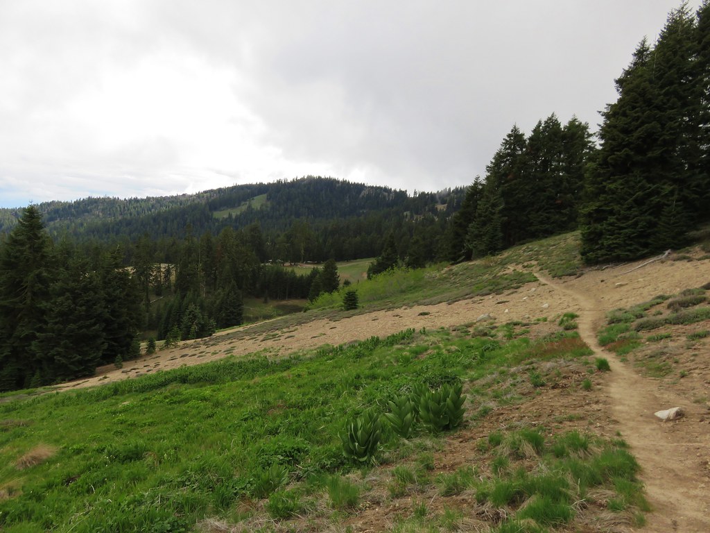
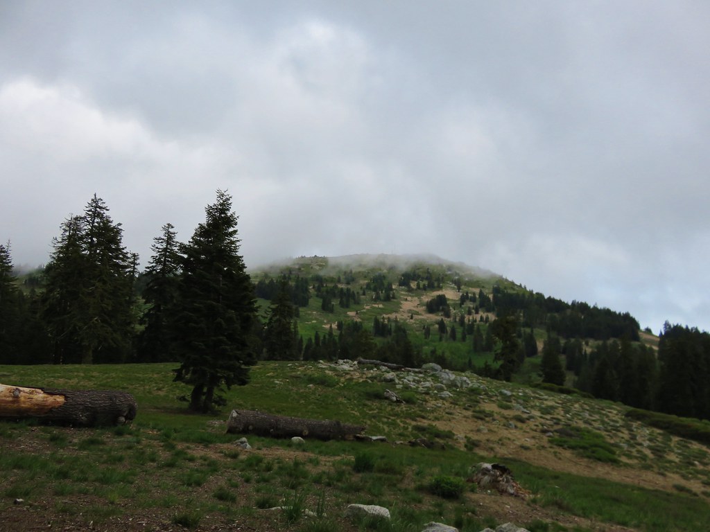
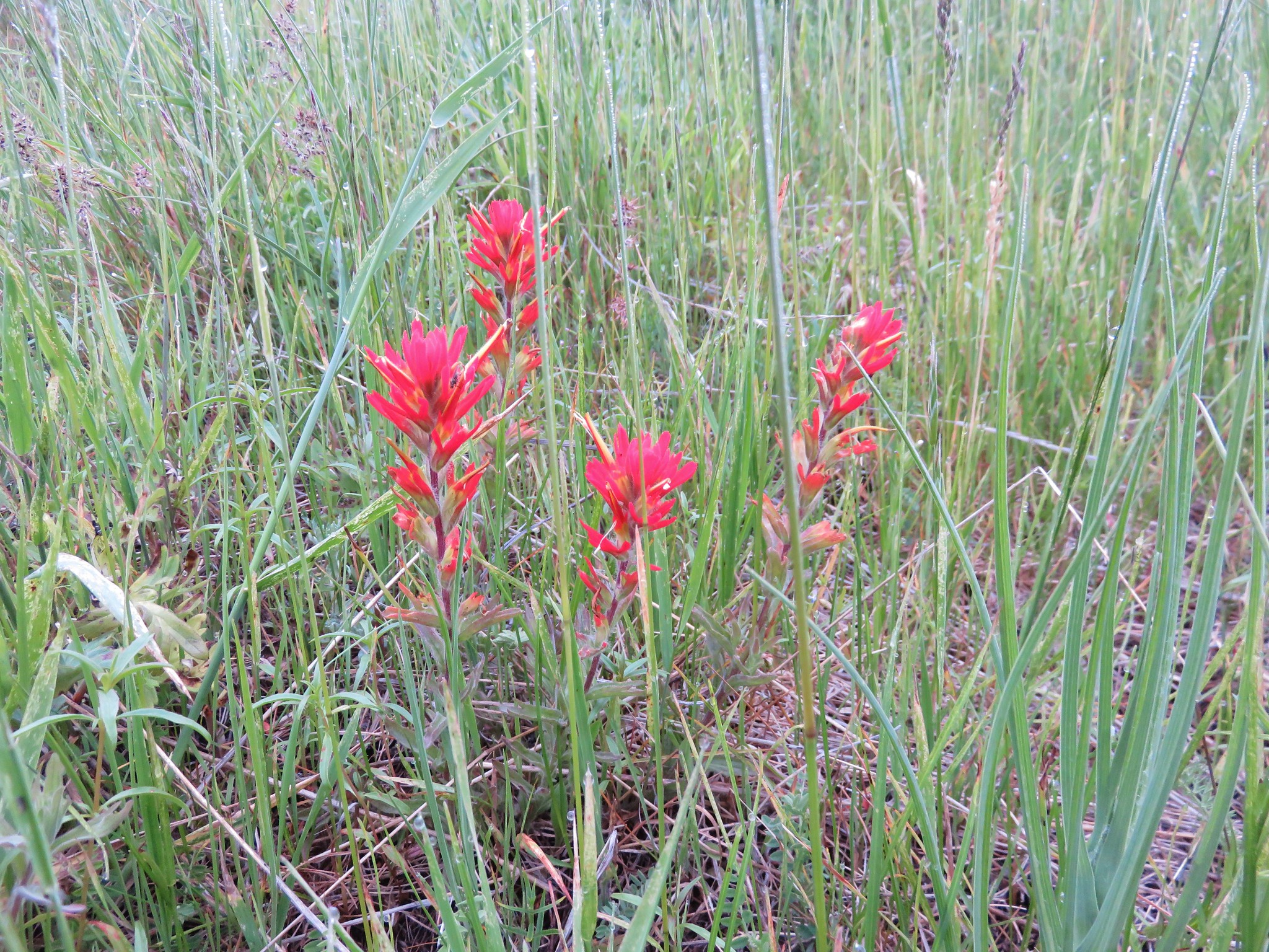
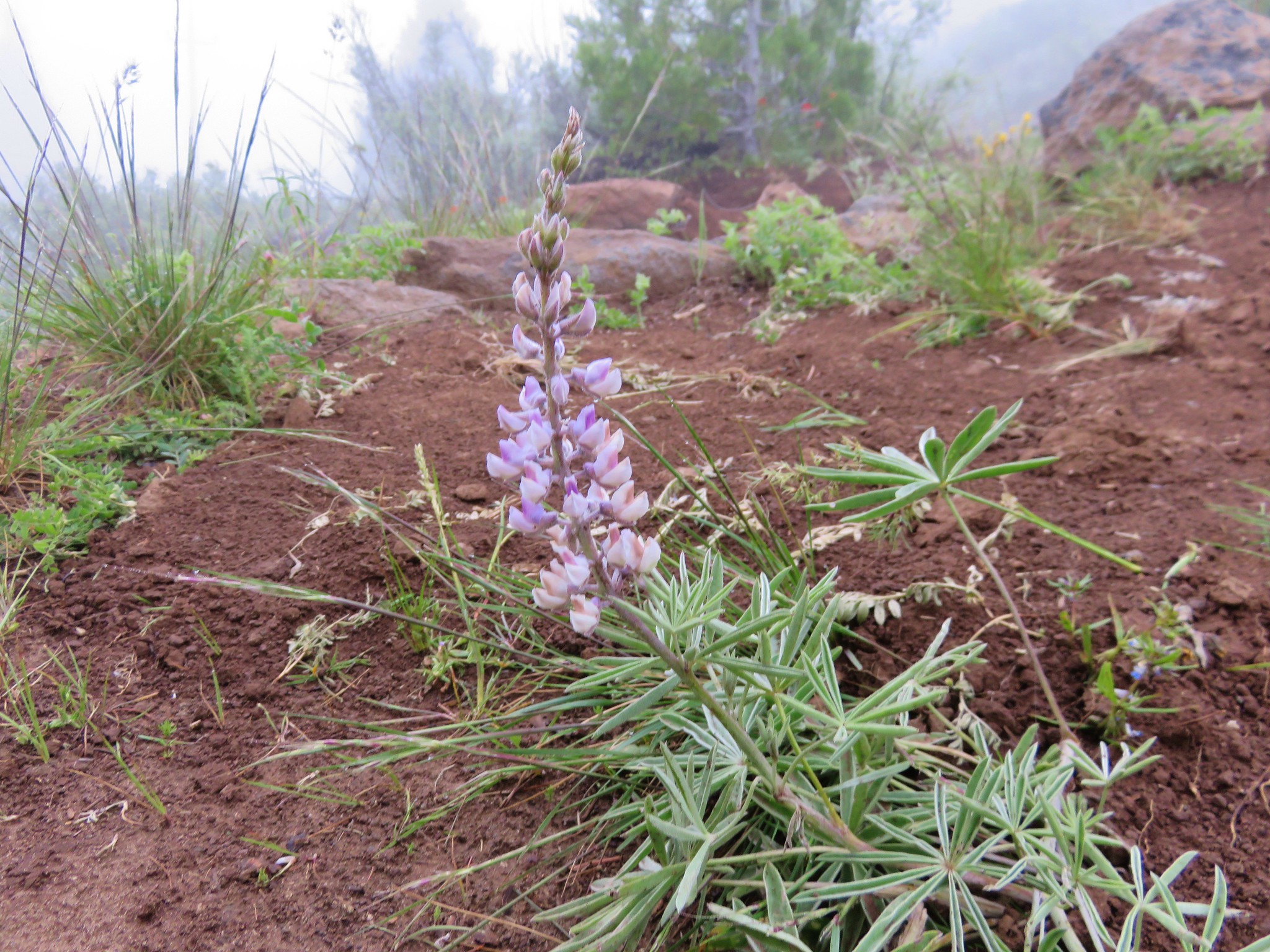
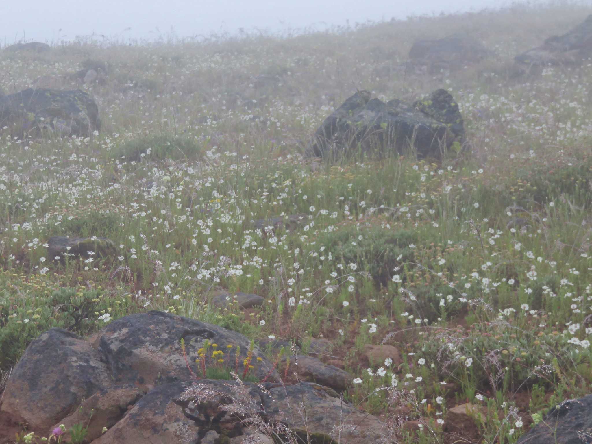
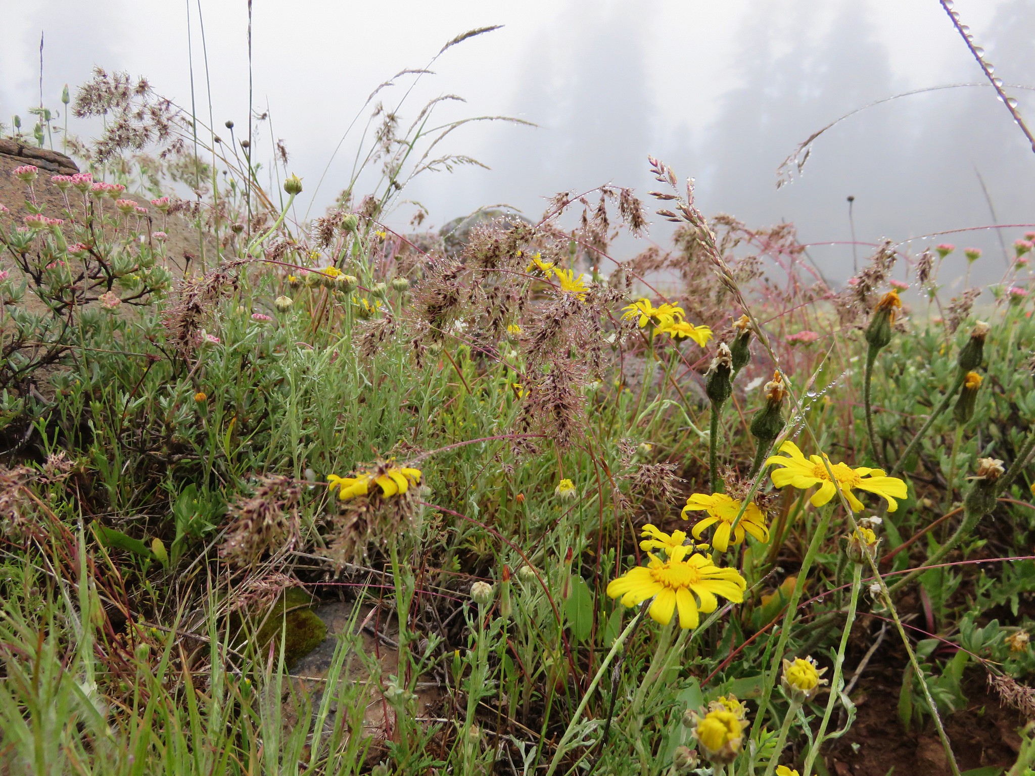
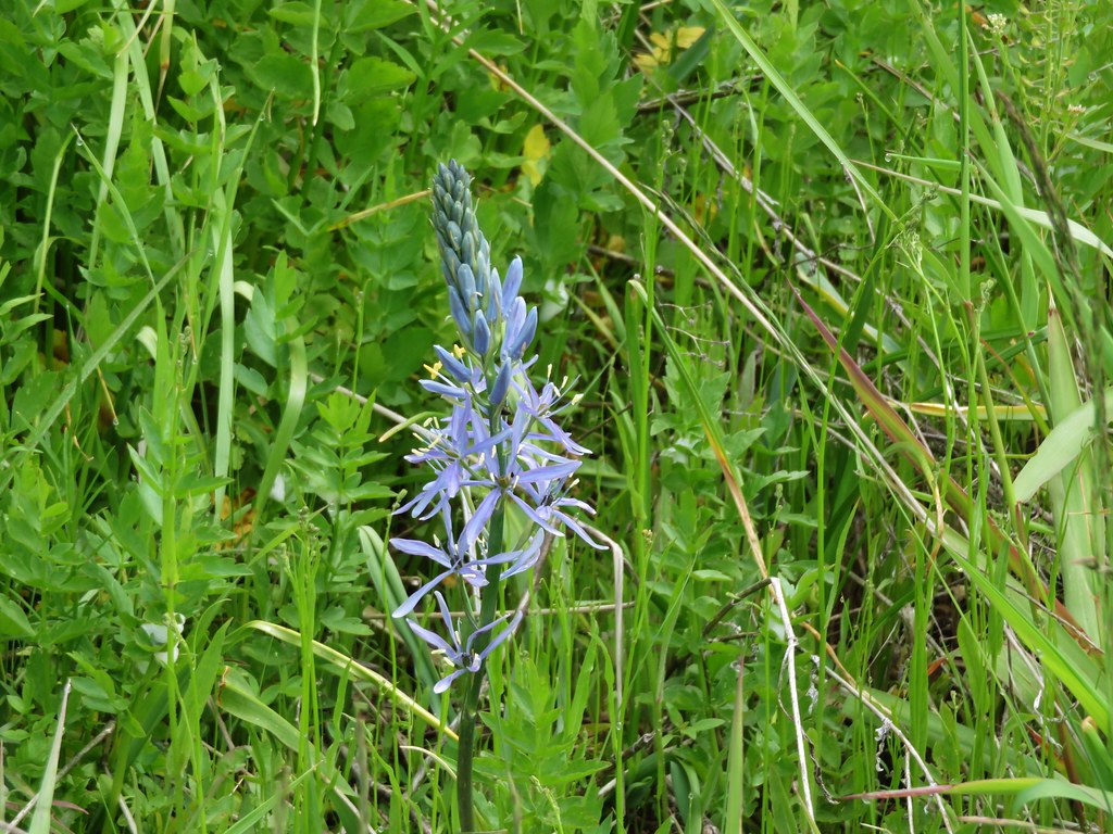
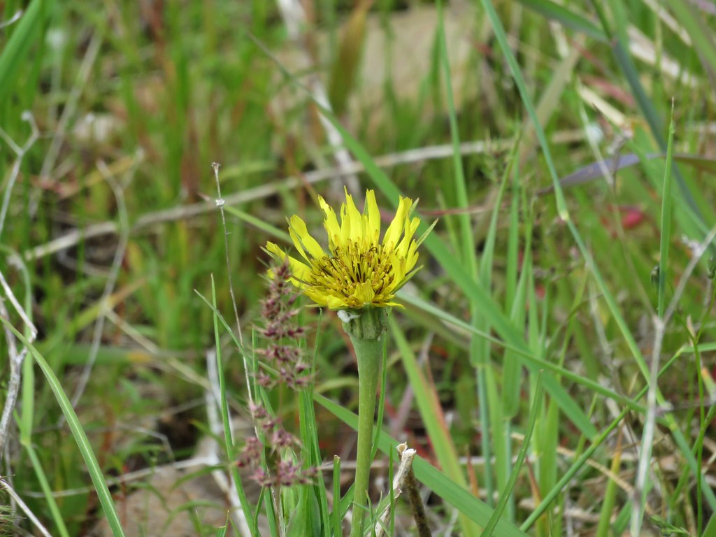
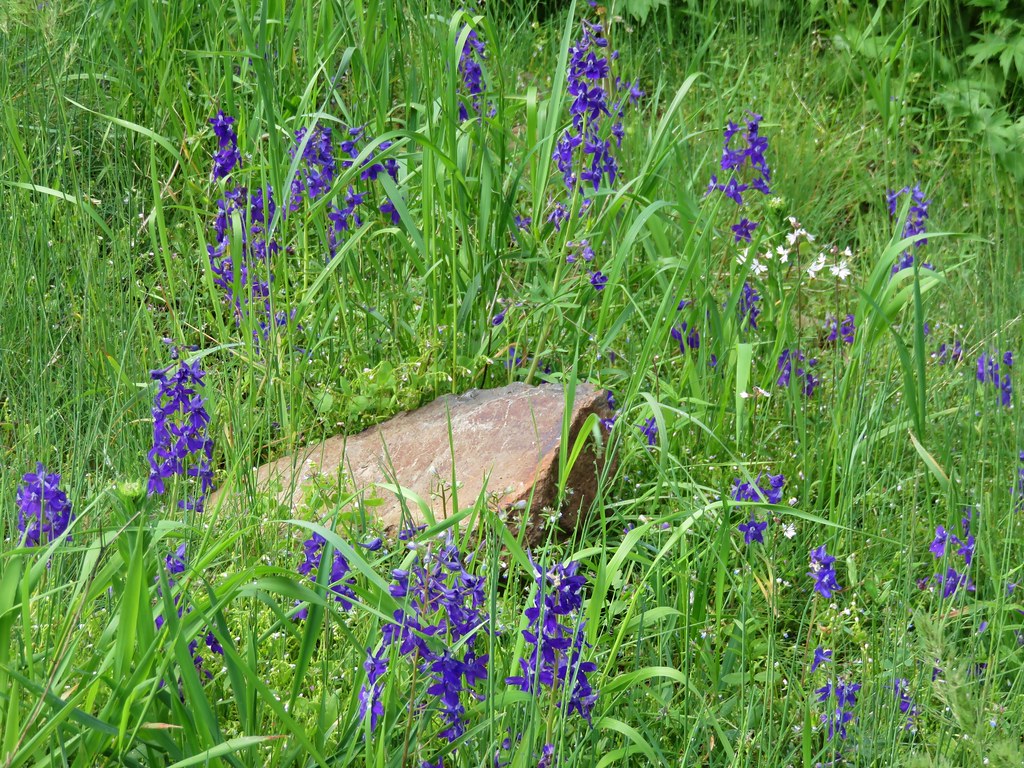
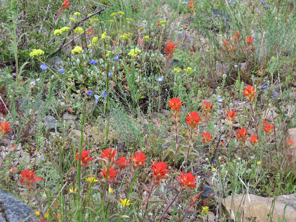
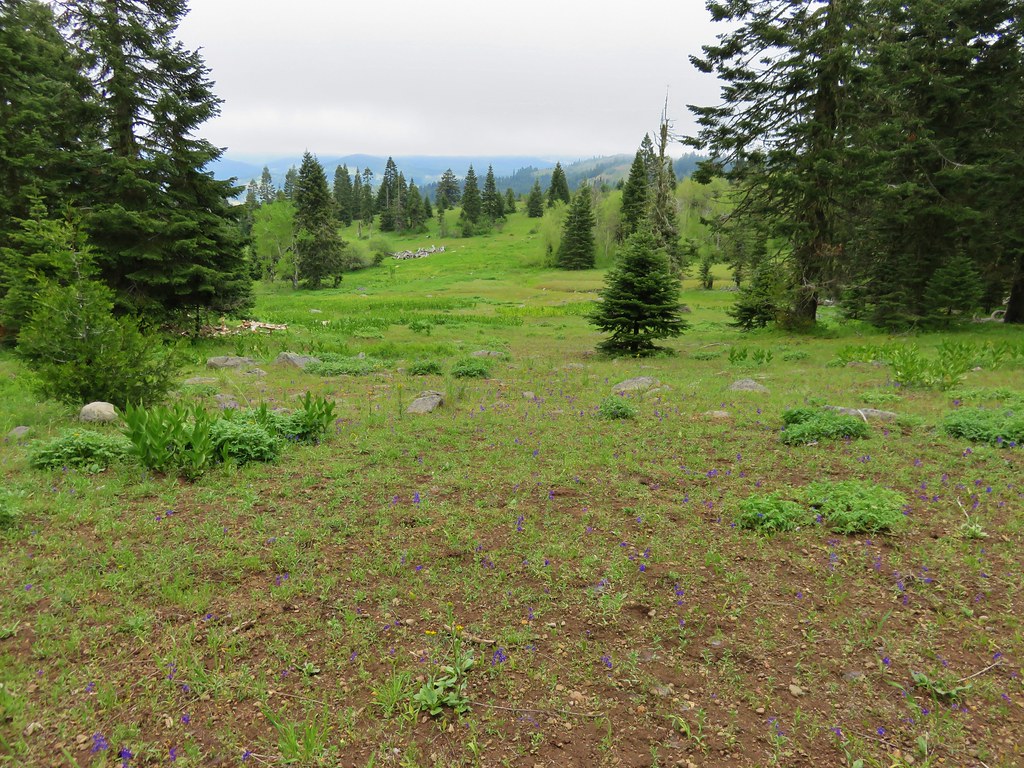
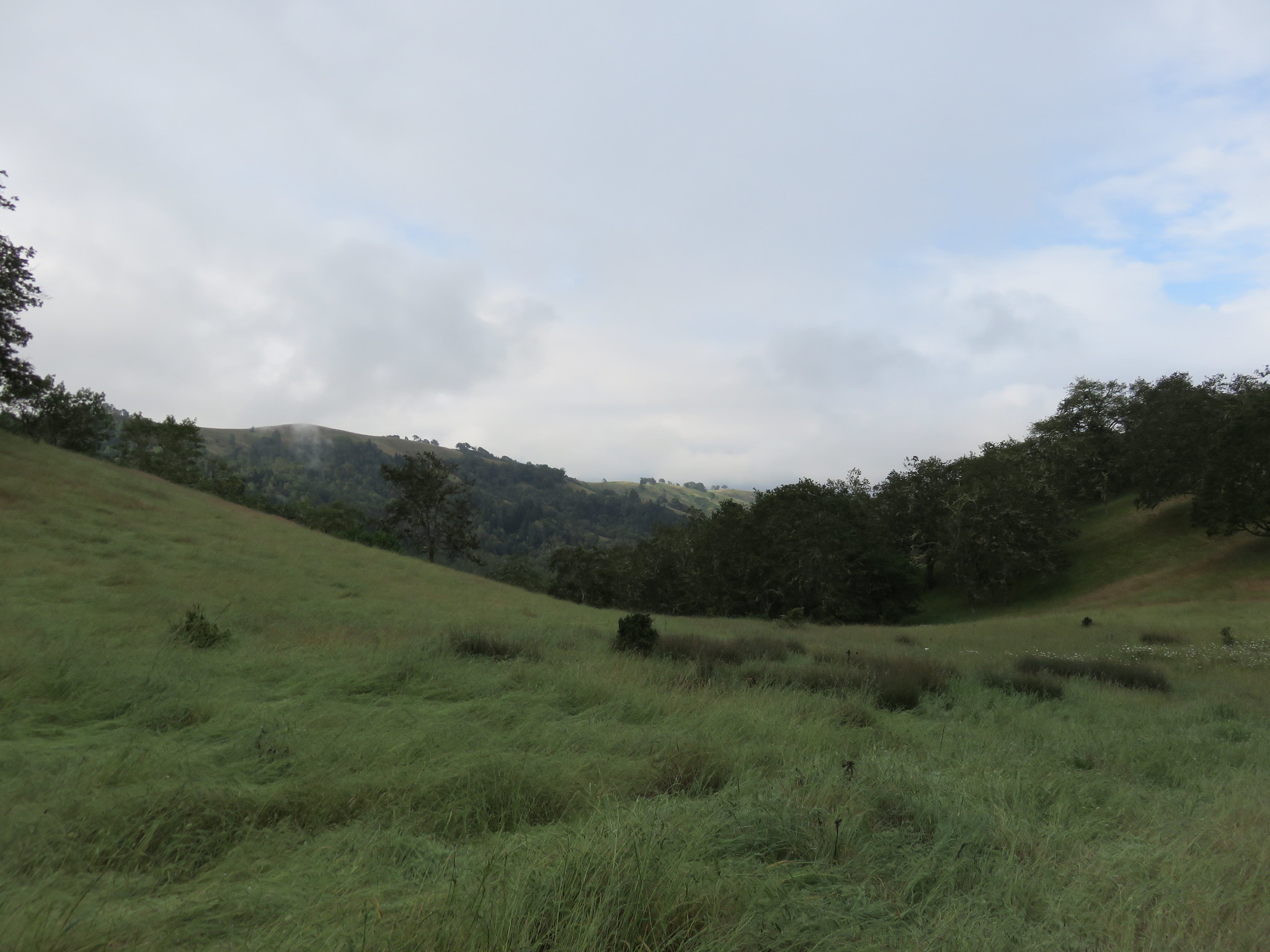
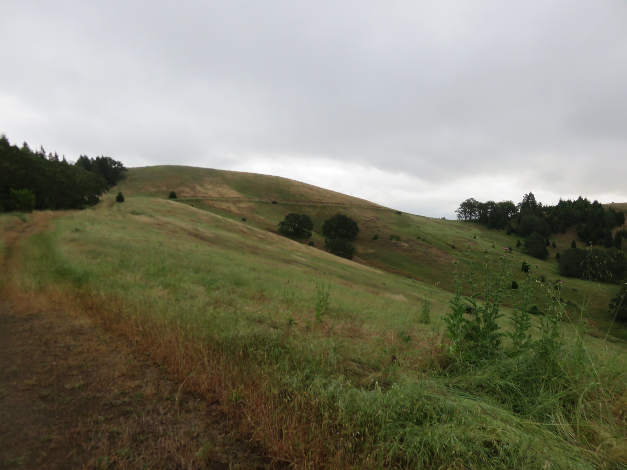
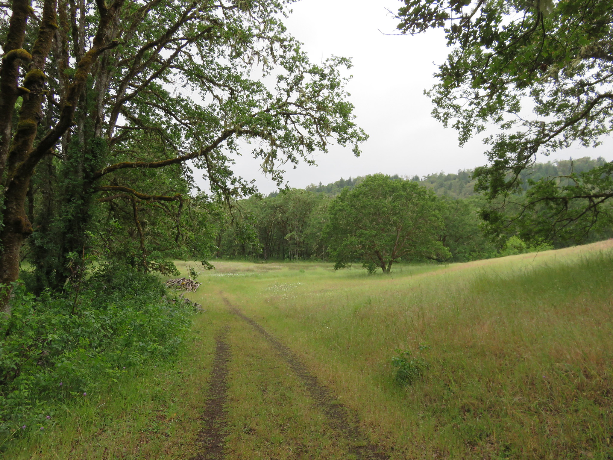
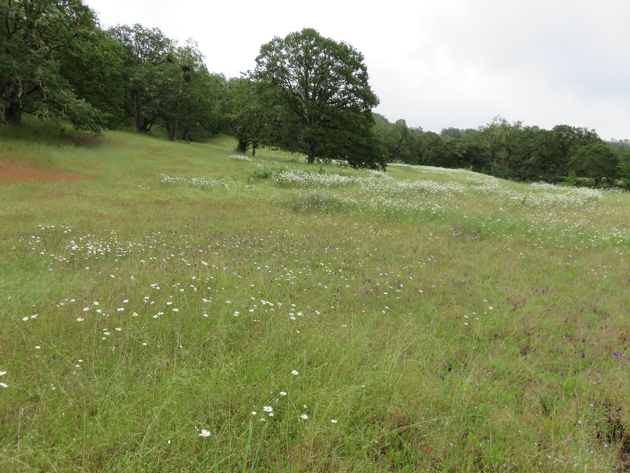
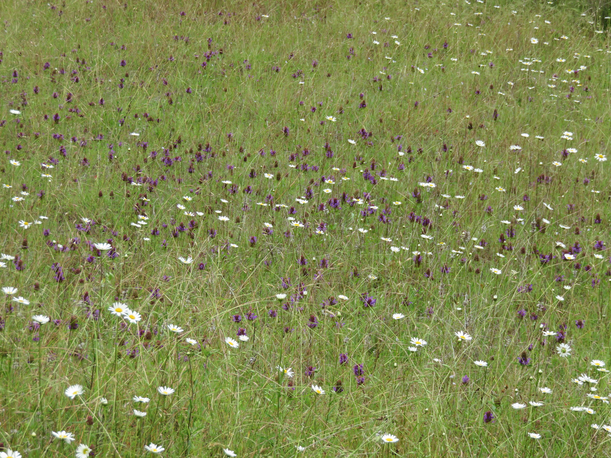
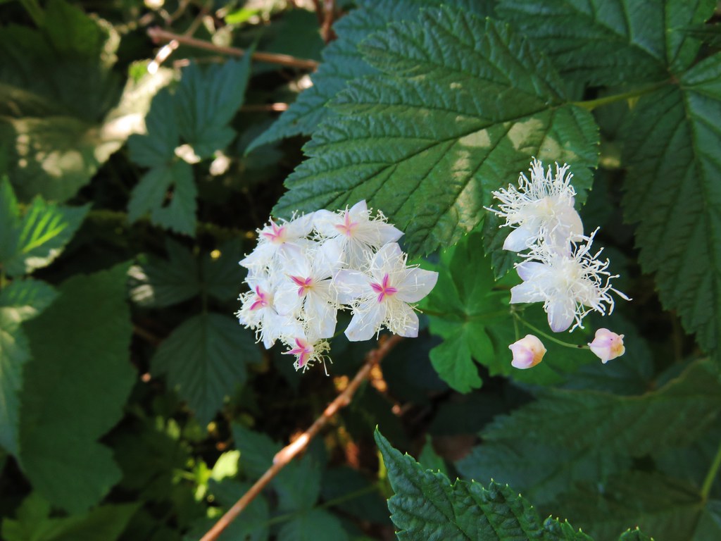
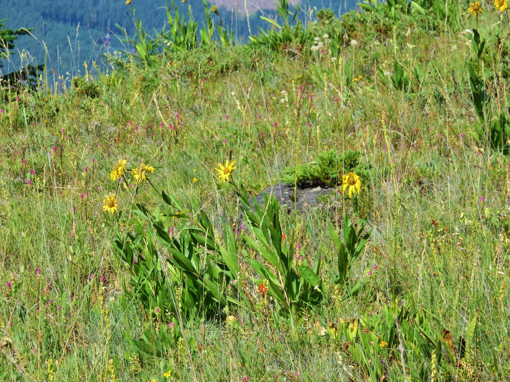
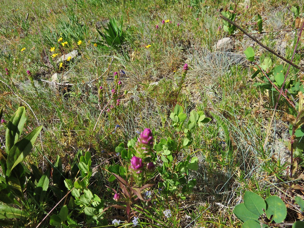
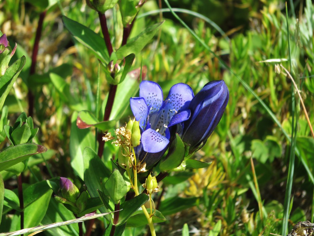
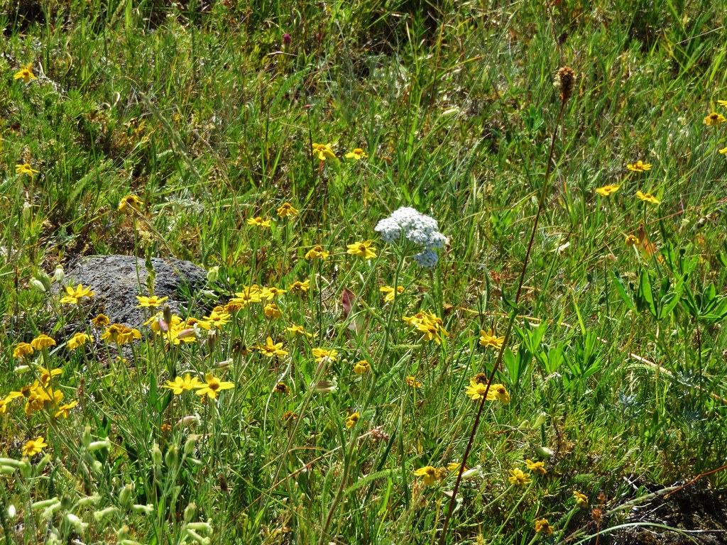
After a short rest we were ready to head for Pechuck Lookout. From the saddle we needed to drop down on the other side of the ridge to the High Ridge Trail. We were now starting the portion of the hike that we had not done before and we were in for a surprise. Just on the other side of the saddle was a meadow full of wildflowers.
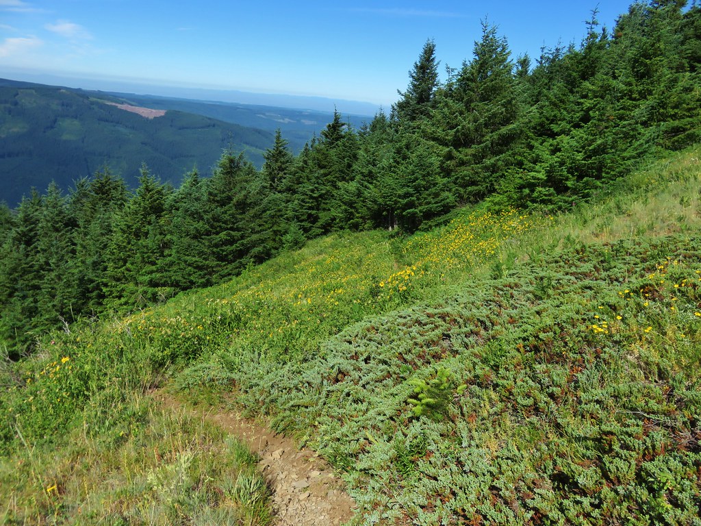
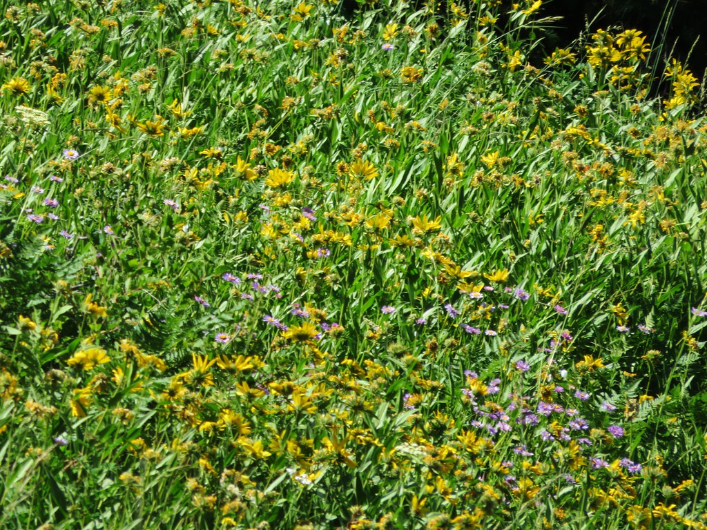

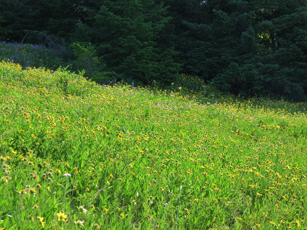
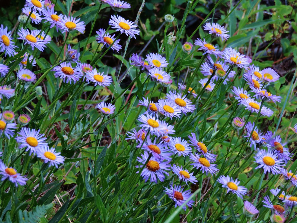
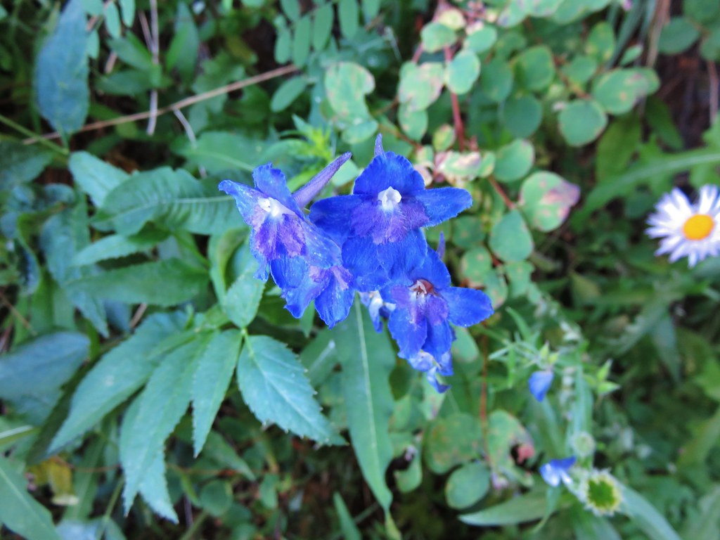
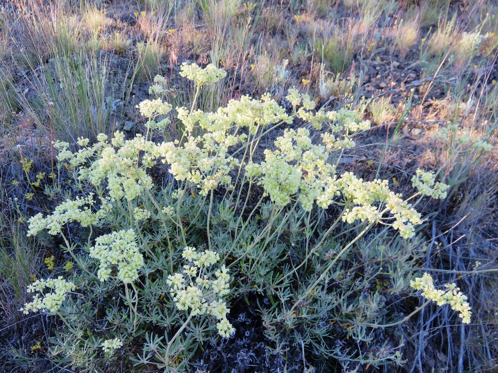
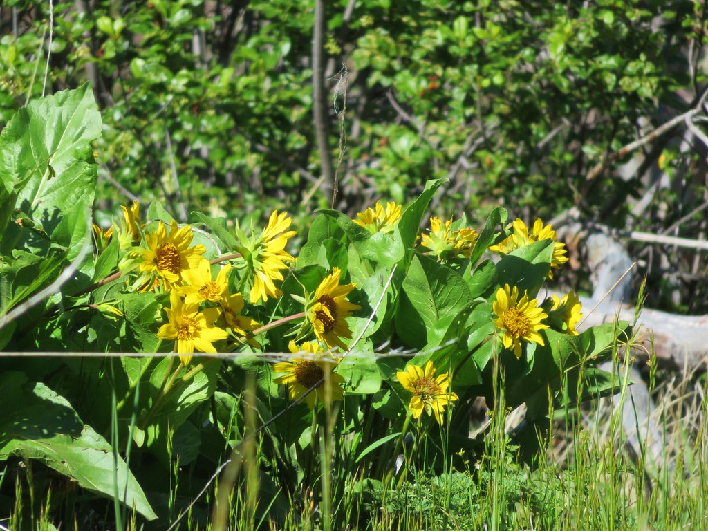
Many of the flowers were past their prime succumbing to the heat, but there were still enough to make it an impressive sight. In most years our timing would likely have been spot on but the hot dry weather we’d been having has all the flowers at least two weeks ahead of schedule. On the far side of the meadow the trail again entered the trees.
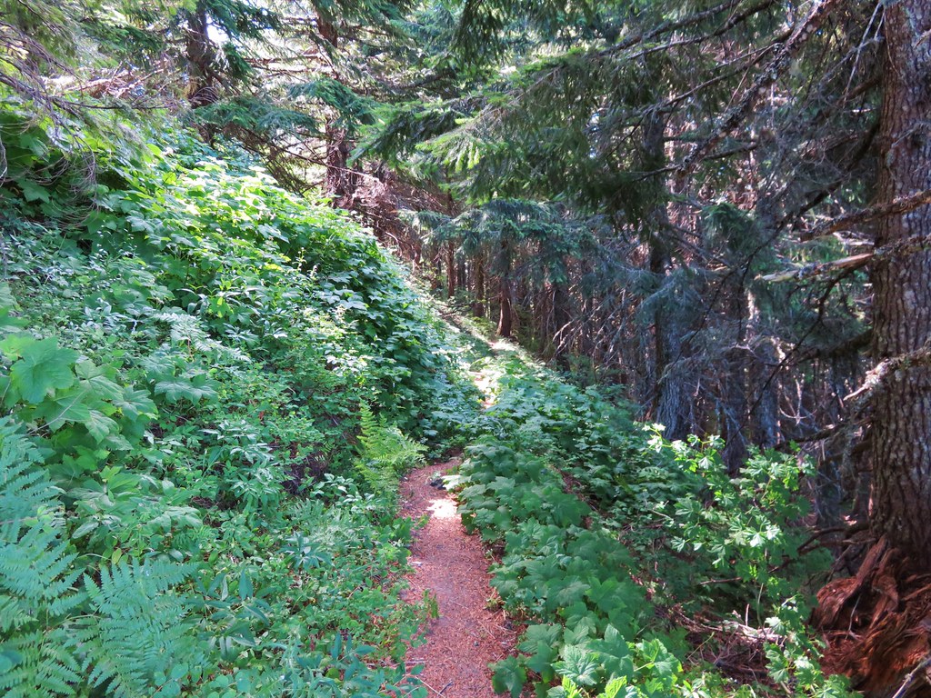
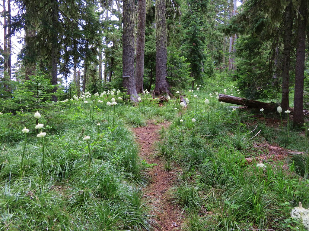
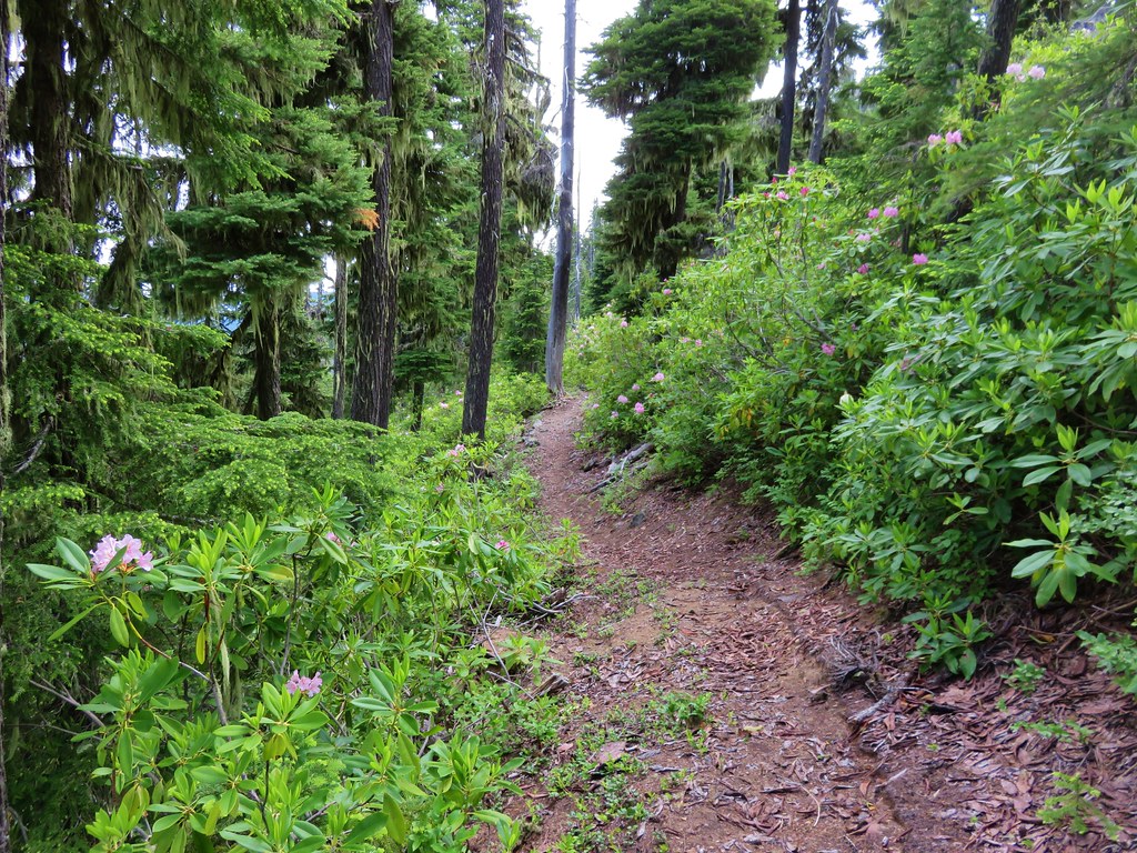
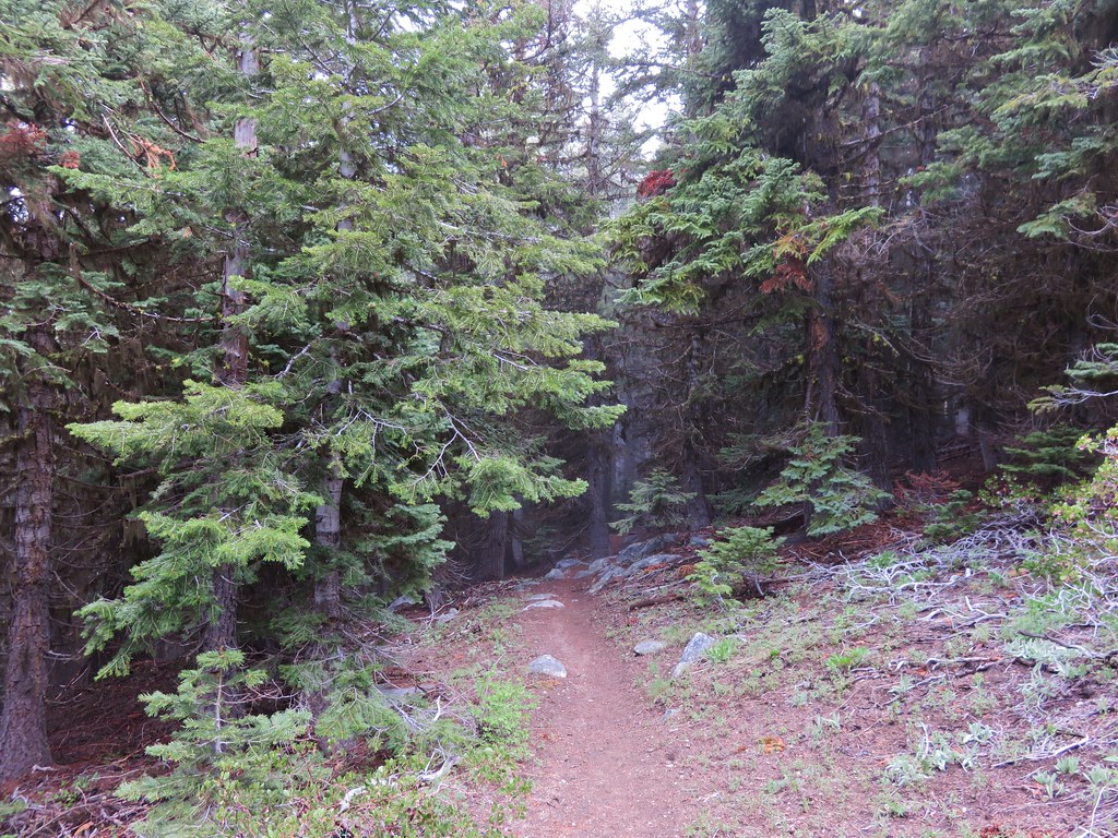
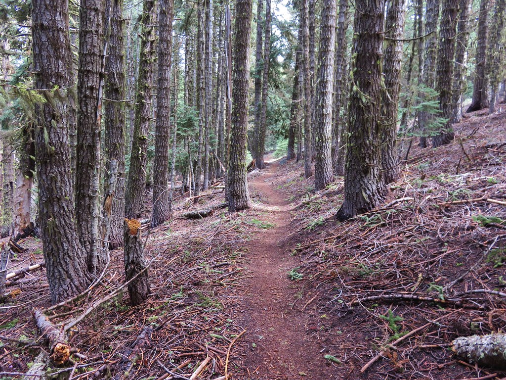
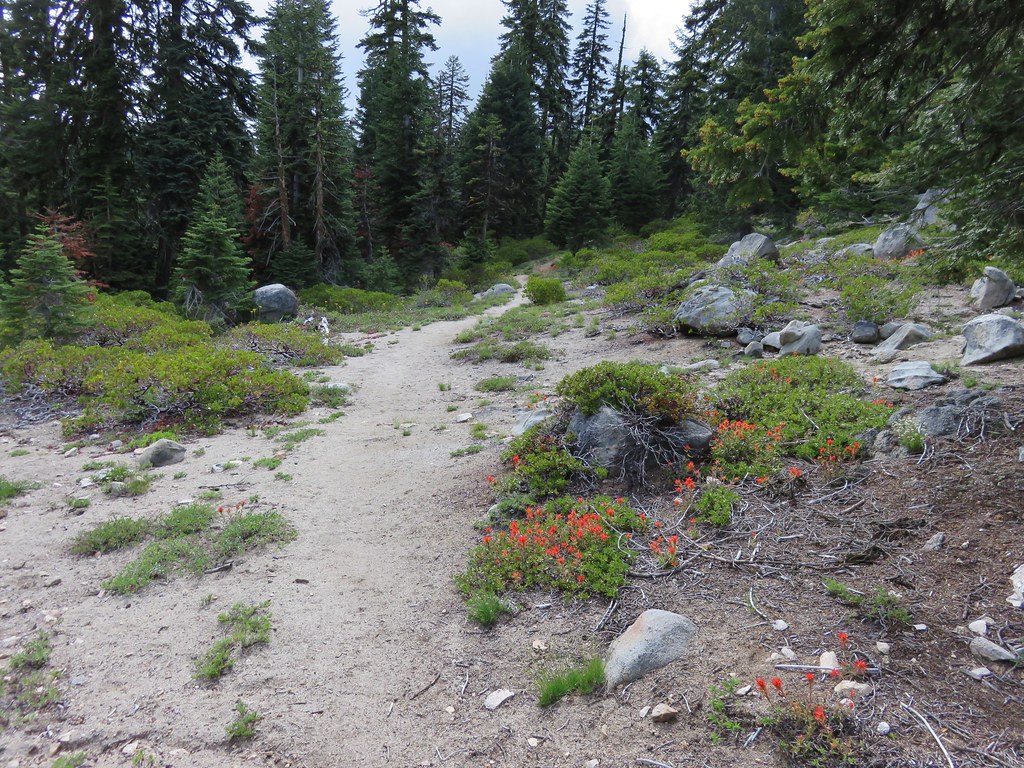
The High Ridge Trail was far more gentle with its ups and downs than the Saddle Trail had been. After .7 miles the Rooster Rock Trail joined from the right coming up from the trailhead on Rooster Rock Rd.

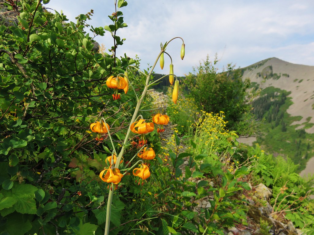
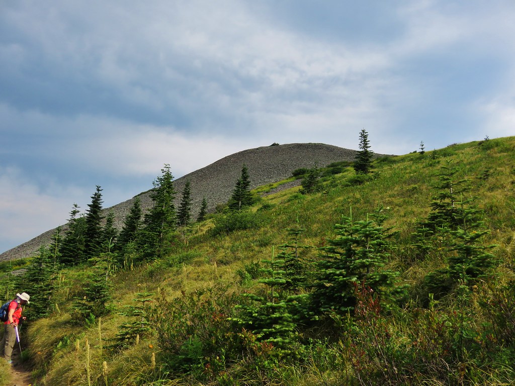
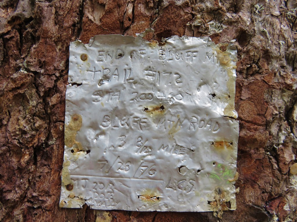
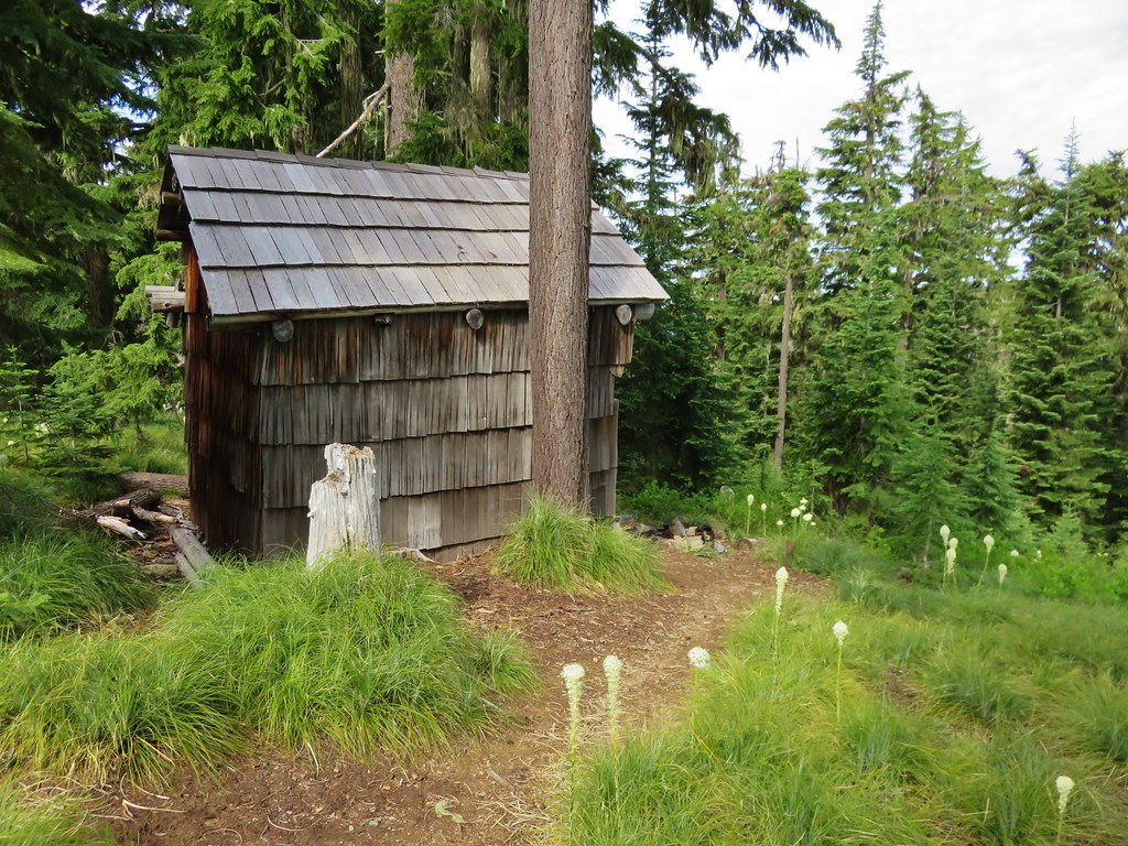
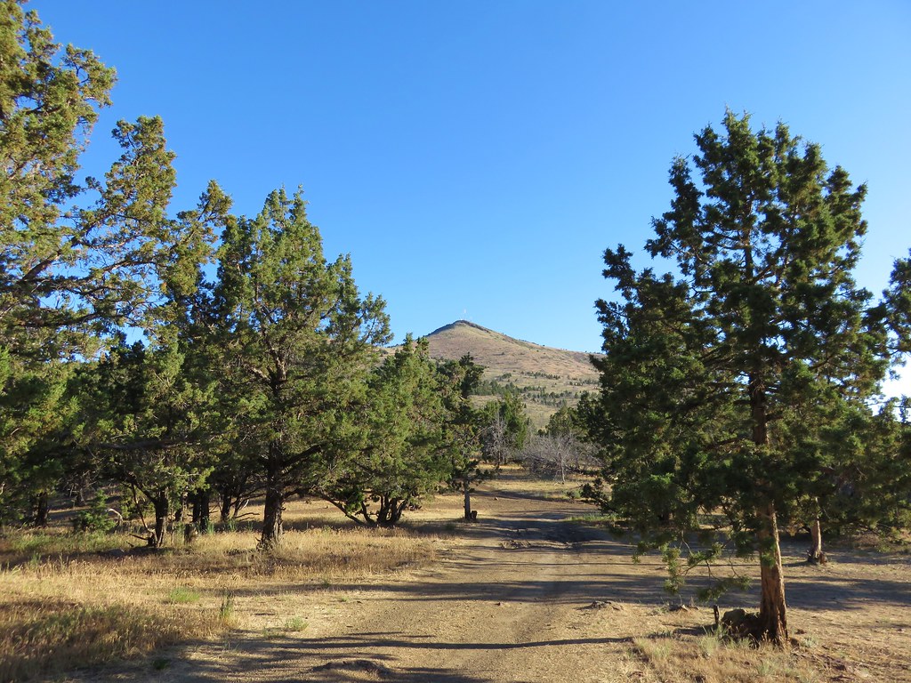
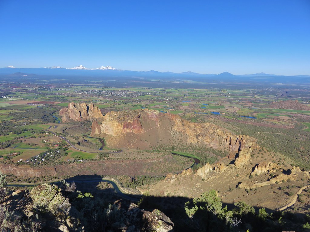
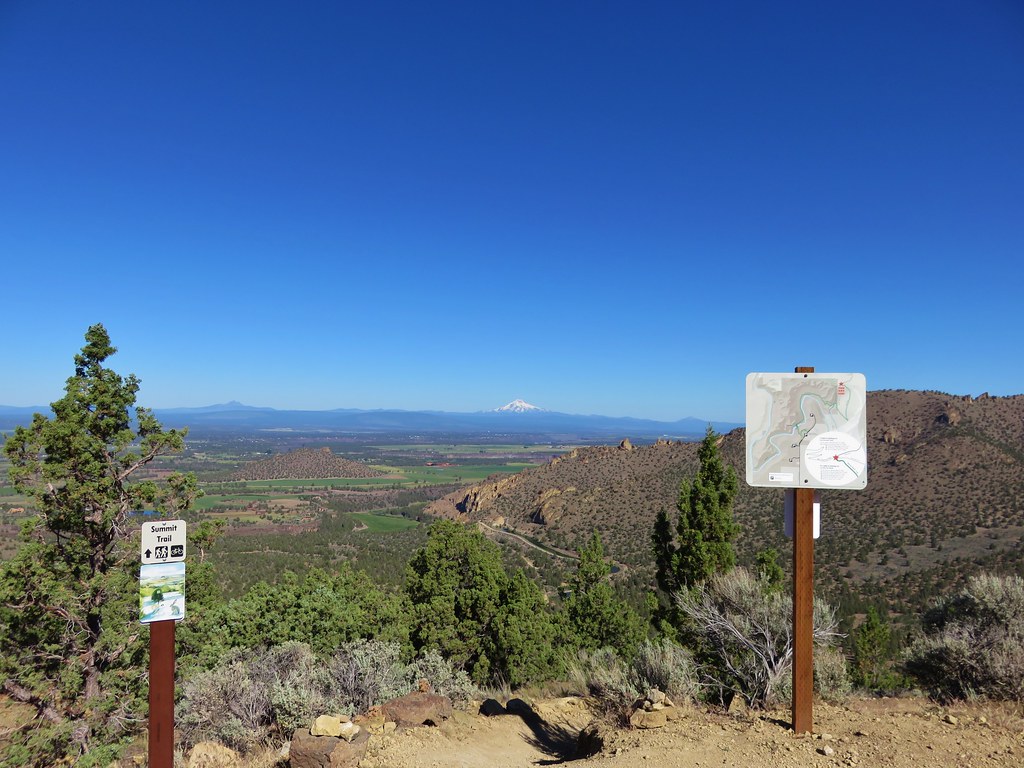
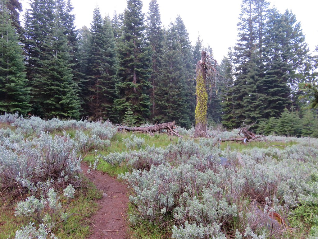
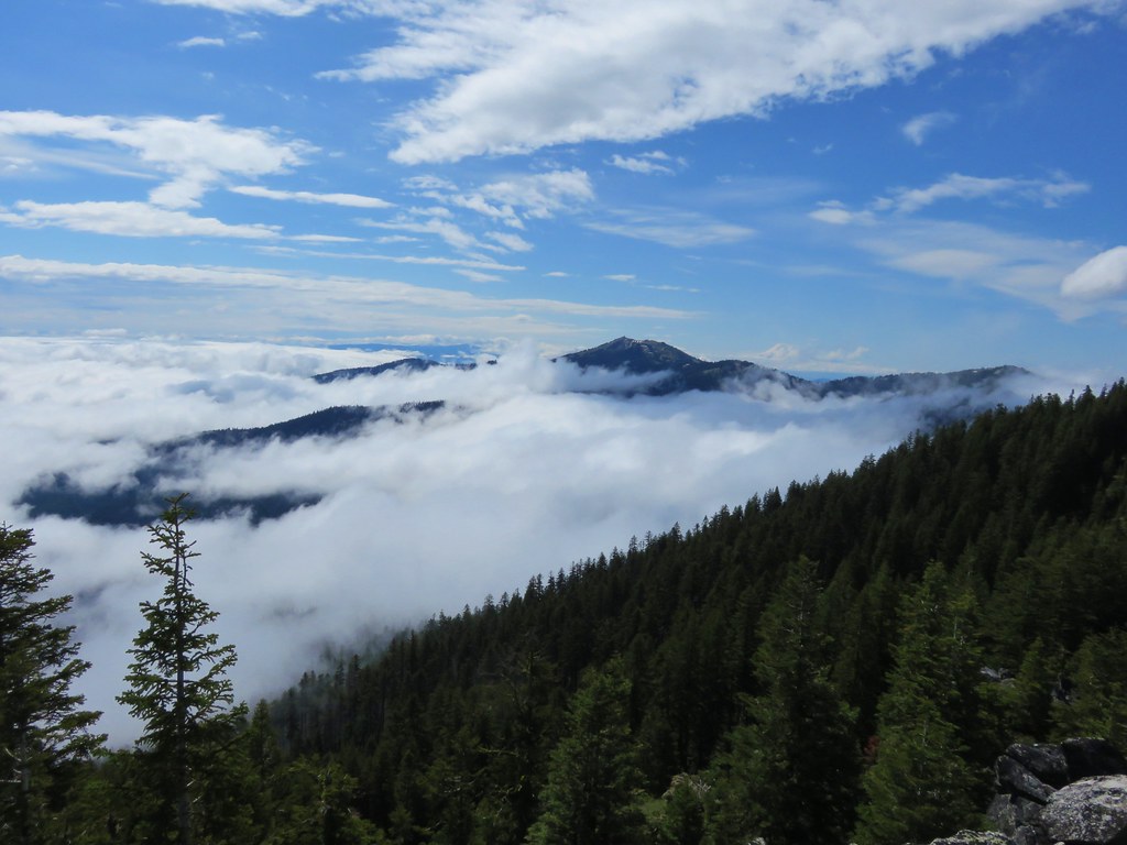
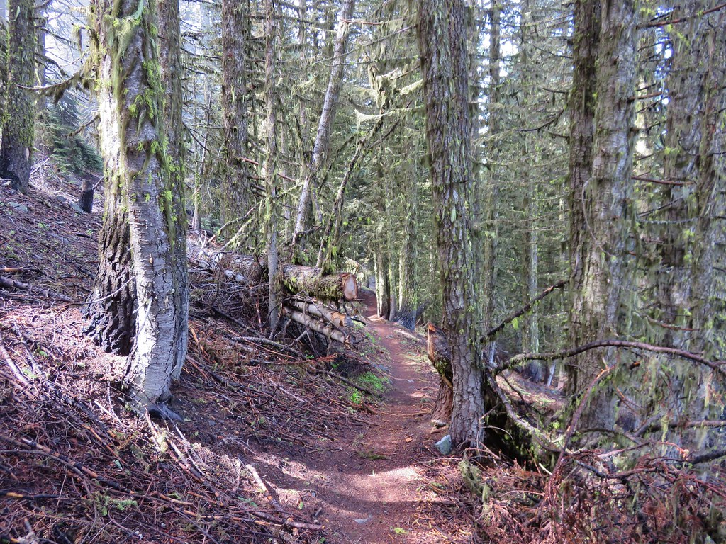
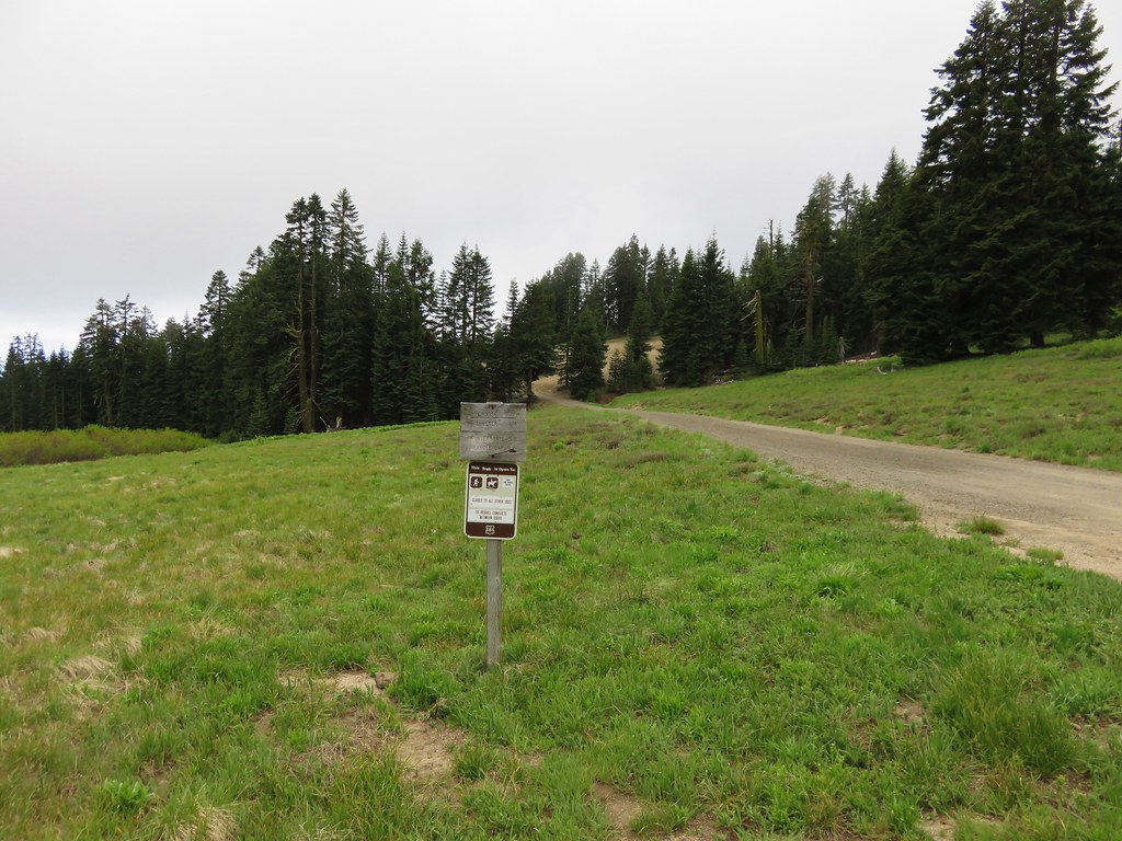
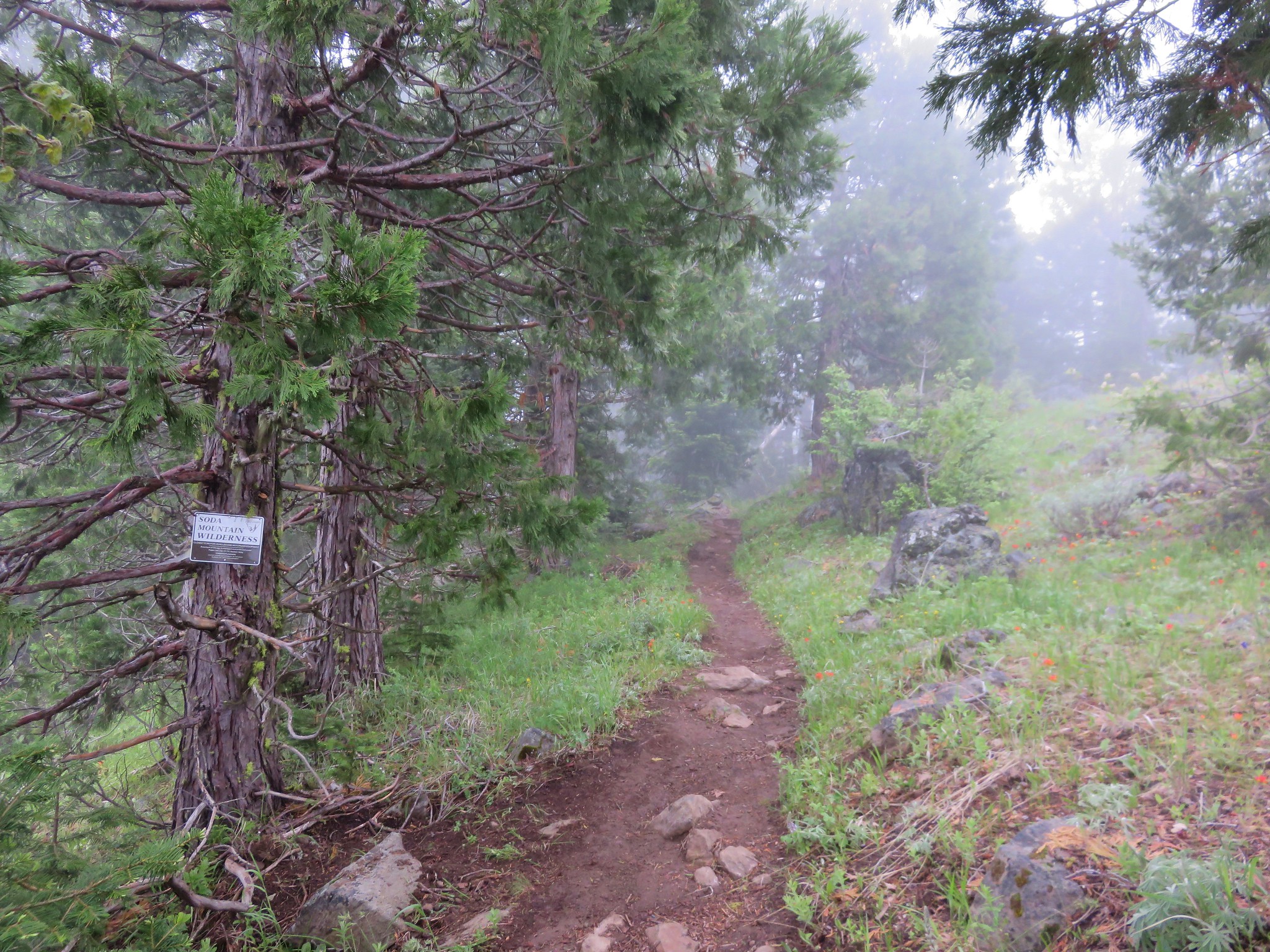
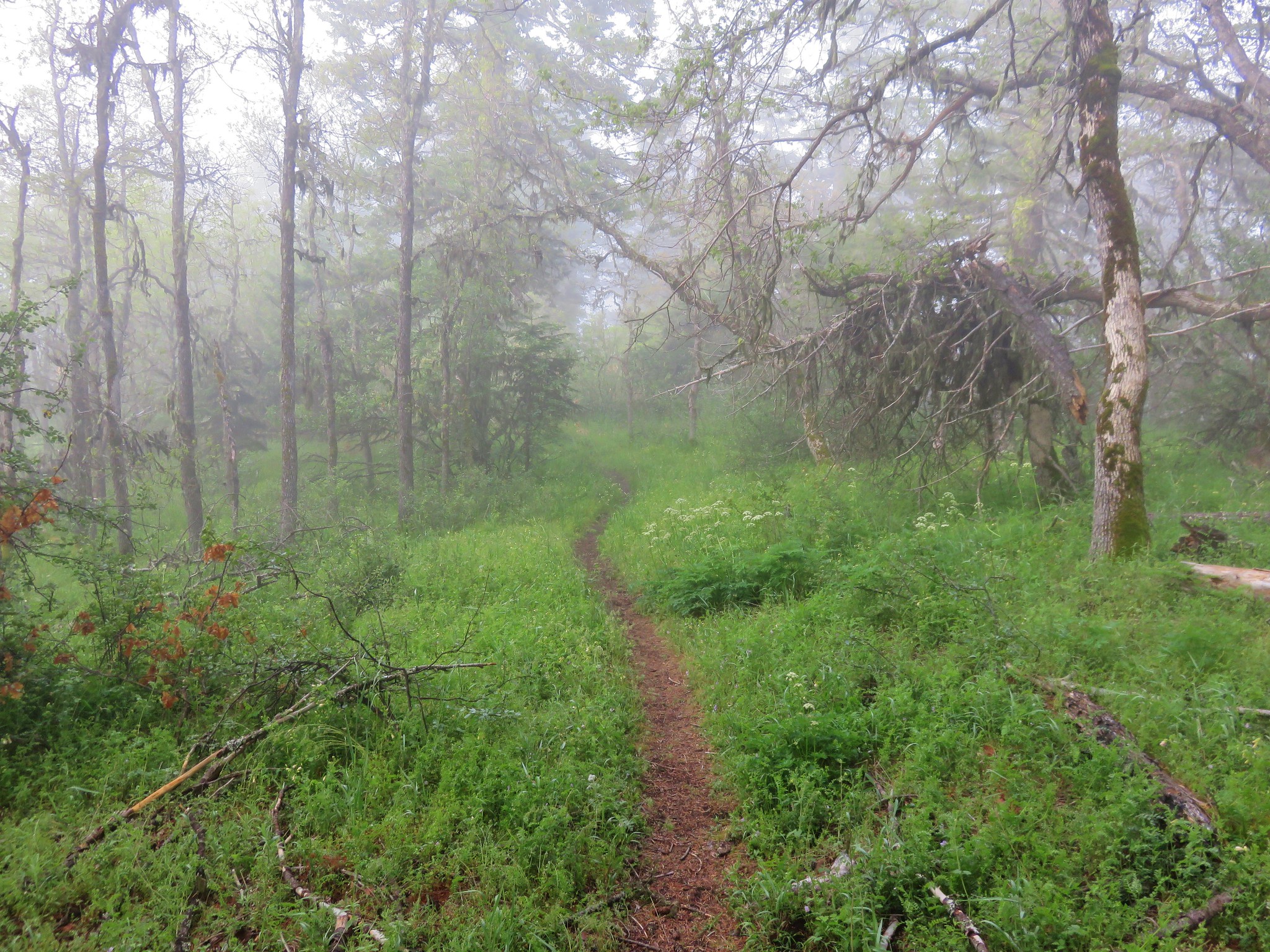
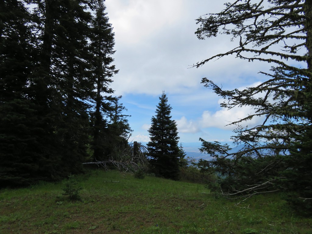
We continued going up and down along the ridge leaving the wilderness and arriving at another former trailhead along the gated road near Pechuck Lookout.
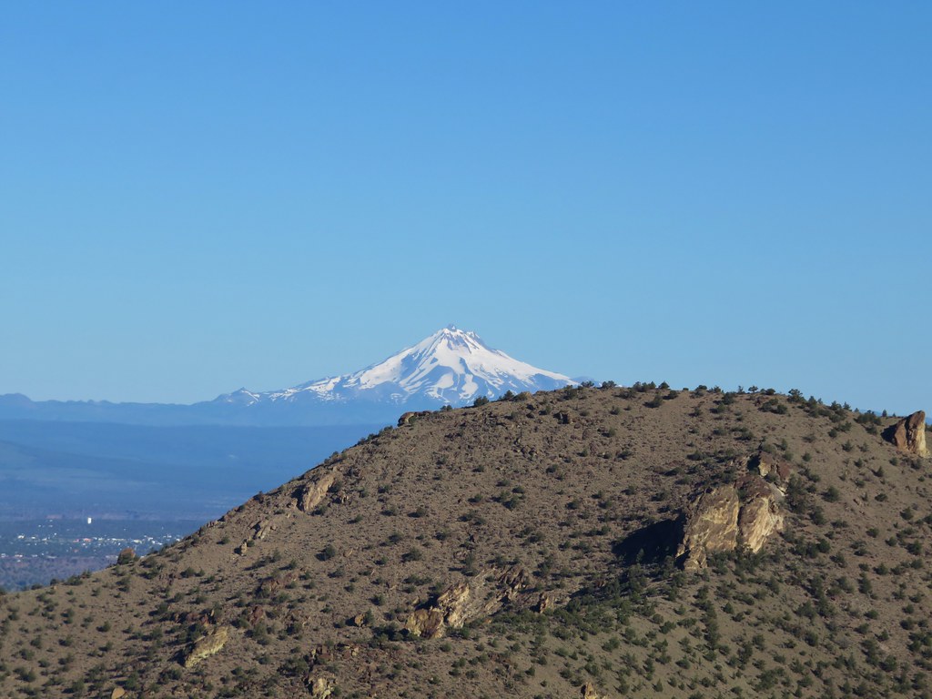
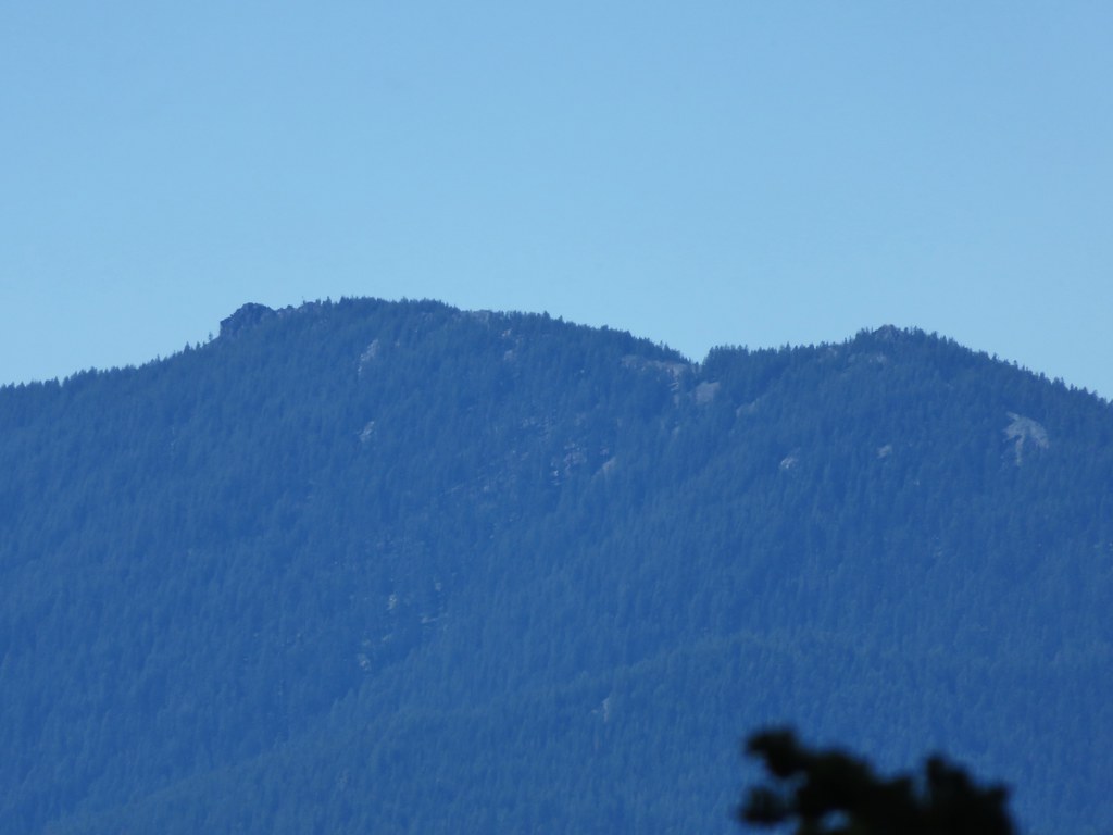
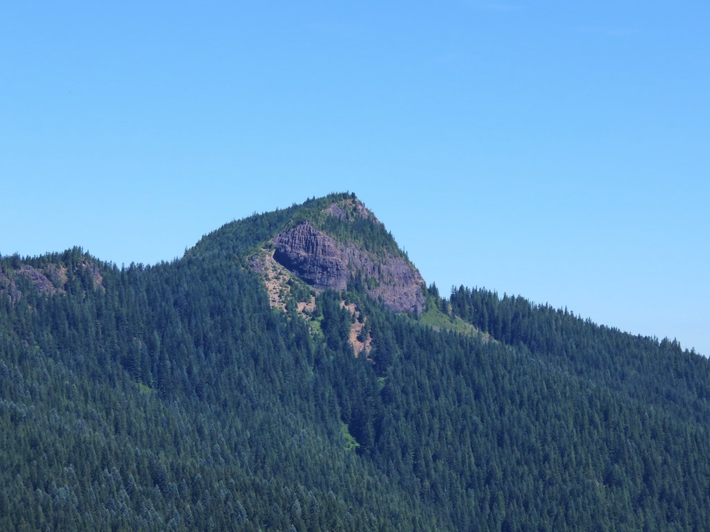
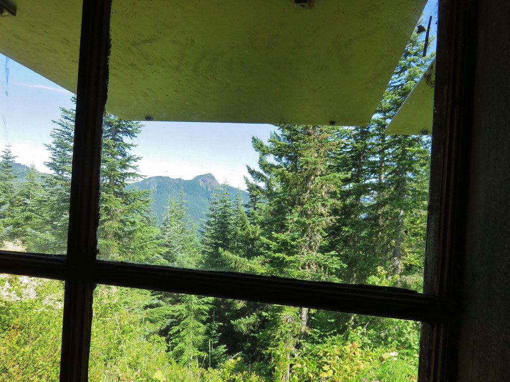
The trail continued on the far side of the road passing a nice view of Table Rock along the way.
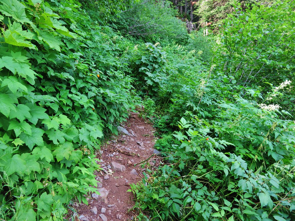
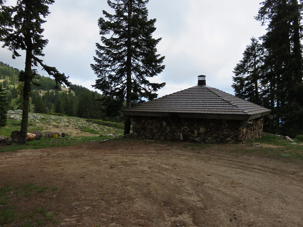
This short section of trail was another steep one before ending at the lookout.
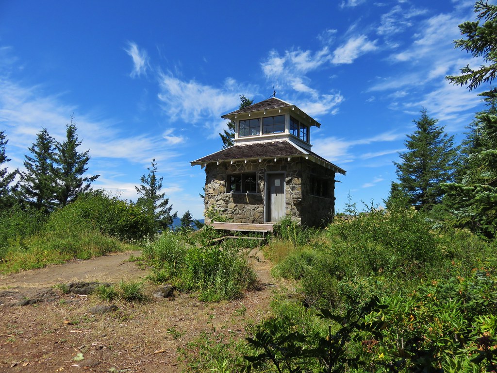
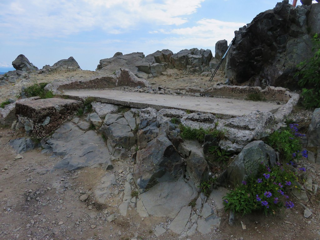
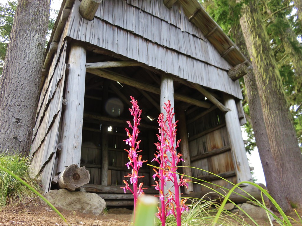
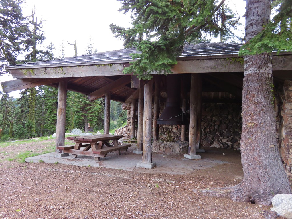
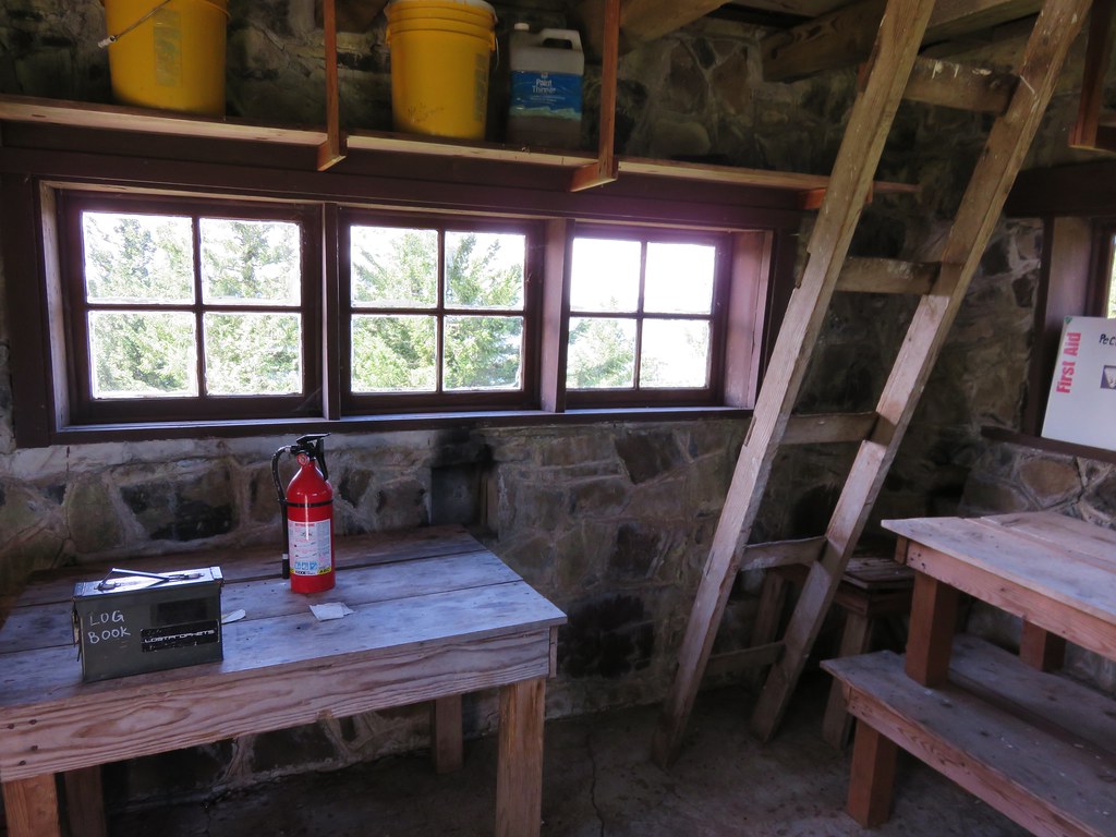
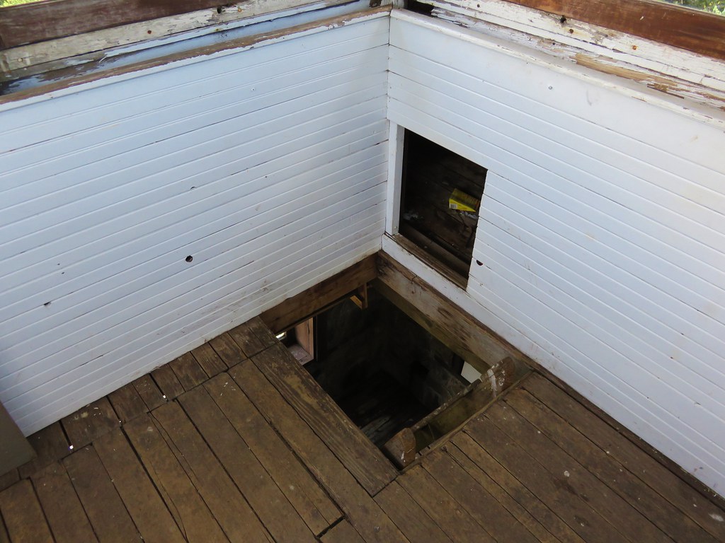
Pechuck Lookout was staffed from 1918/19 until 1964 with the current structure having been built in 1932. It is now available for overnight stays on a first come first serve basis. There was no one staying there so we went inside to take a look around and sign the log book.
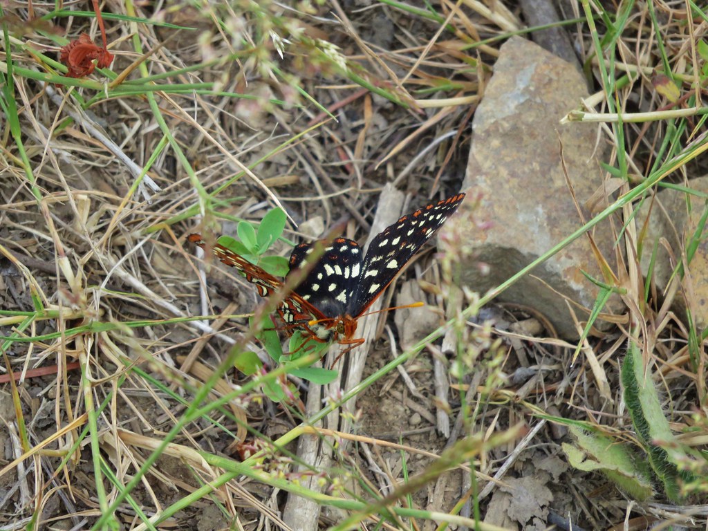
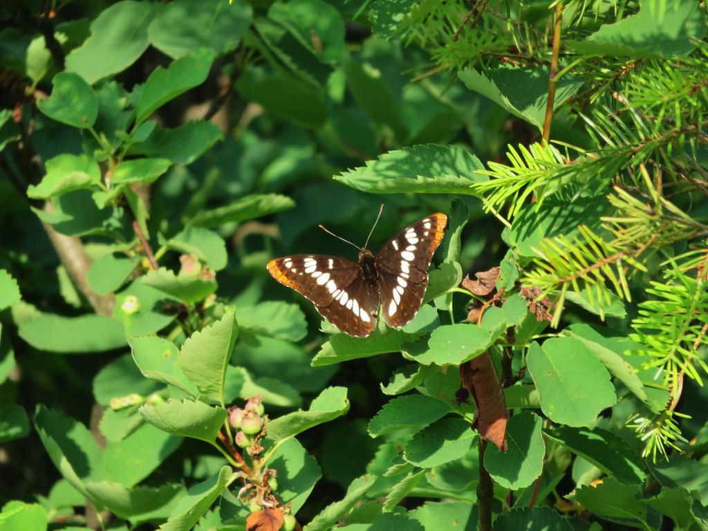
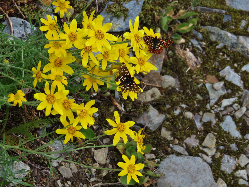
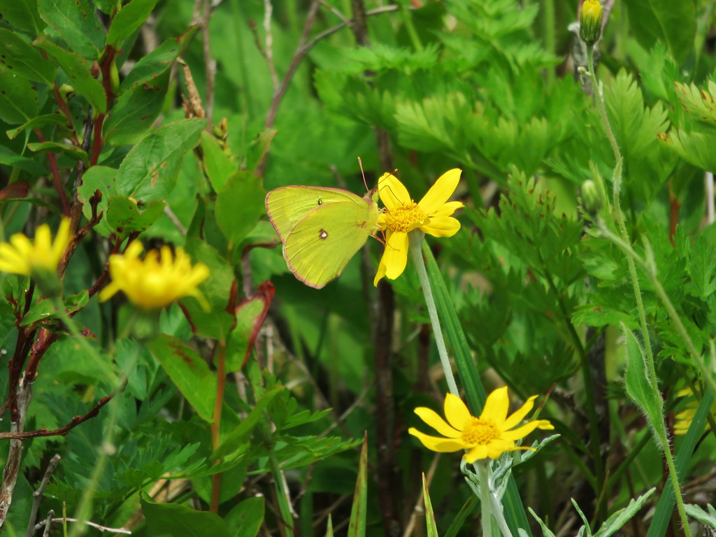
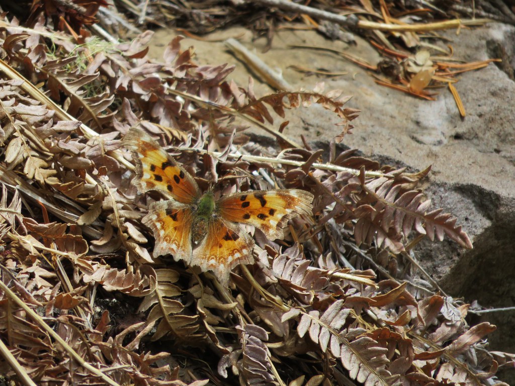
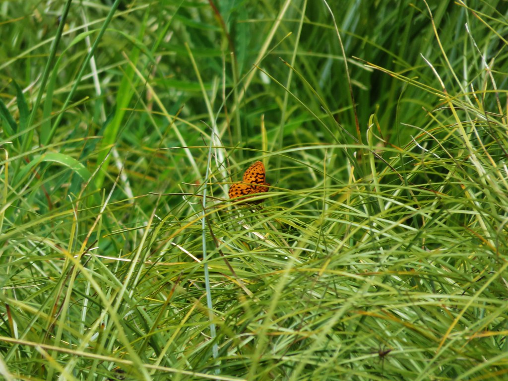
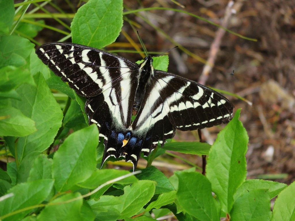
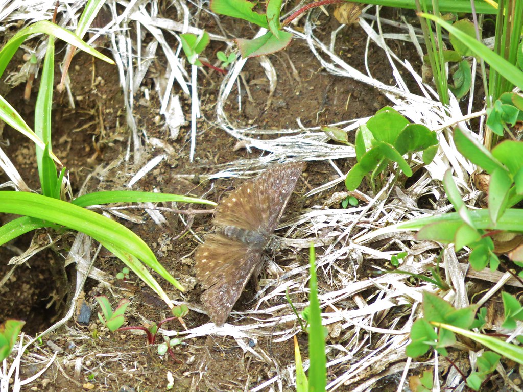
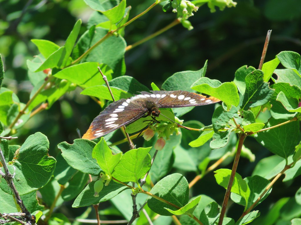
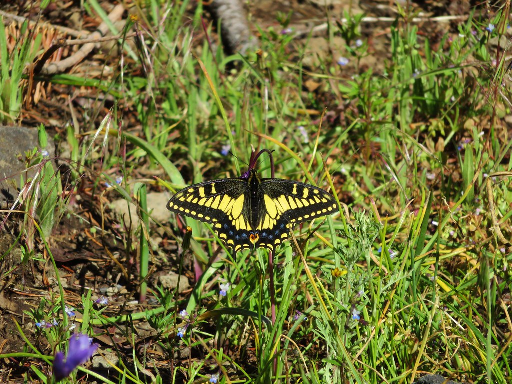
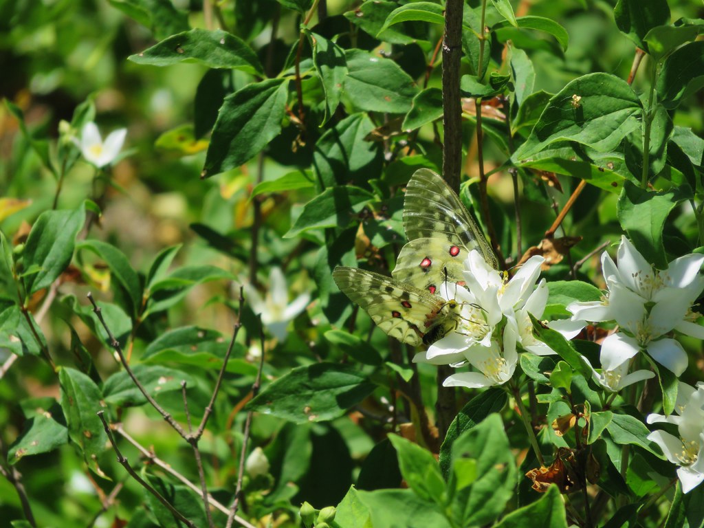
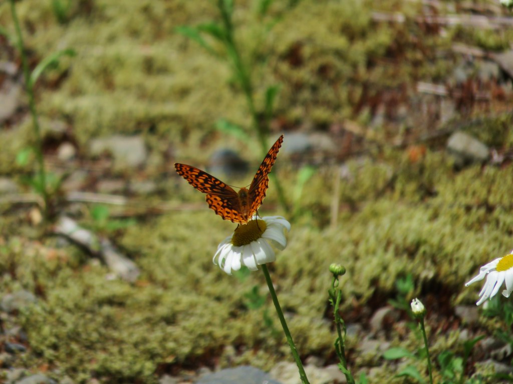
It was too warm to stay inside for long so we headed back out into the shade and had anther bite to eat while watching the many butterflies flitting about.

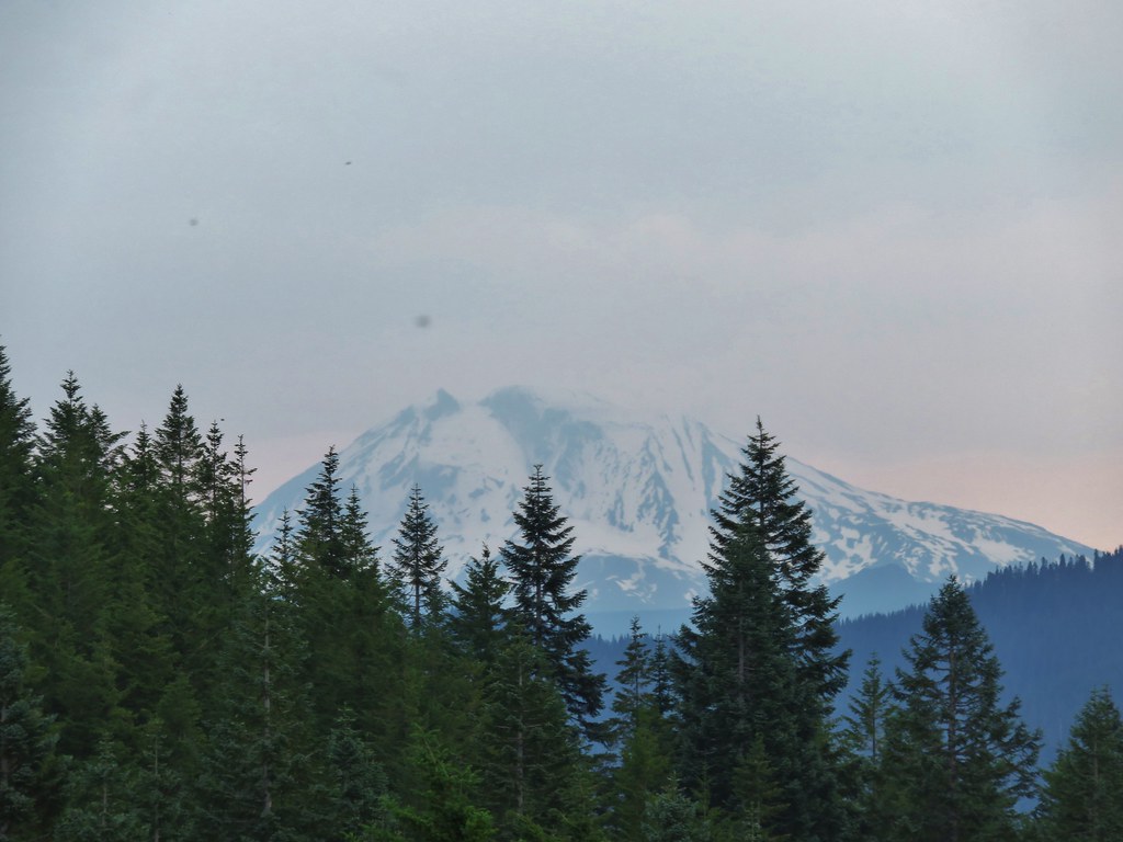
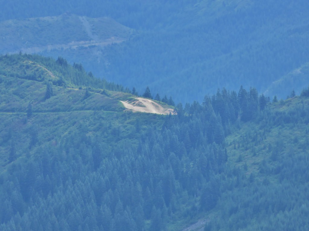
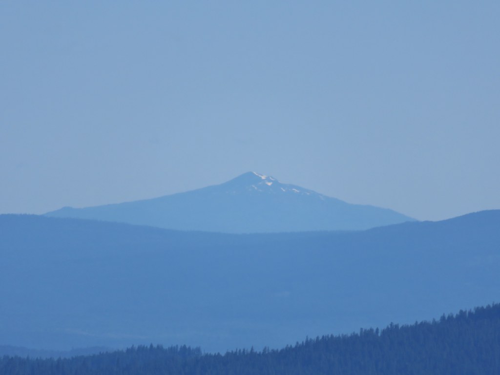
Aside from the view of Table Rock only Mt. Jefferson was visible and that mountain could only be seen in a couple of spots between some trees so it wouldn’t be a good place to stay if you’re hoping for mountain views.
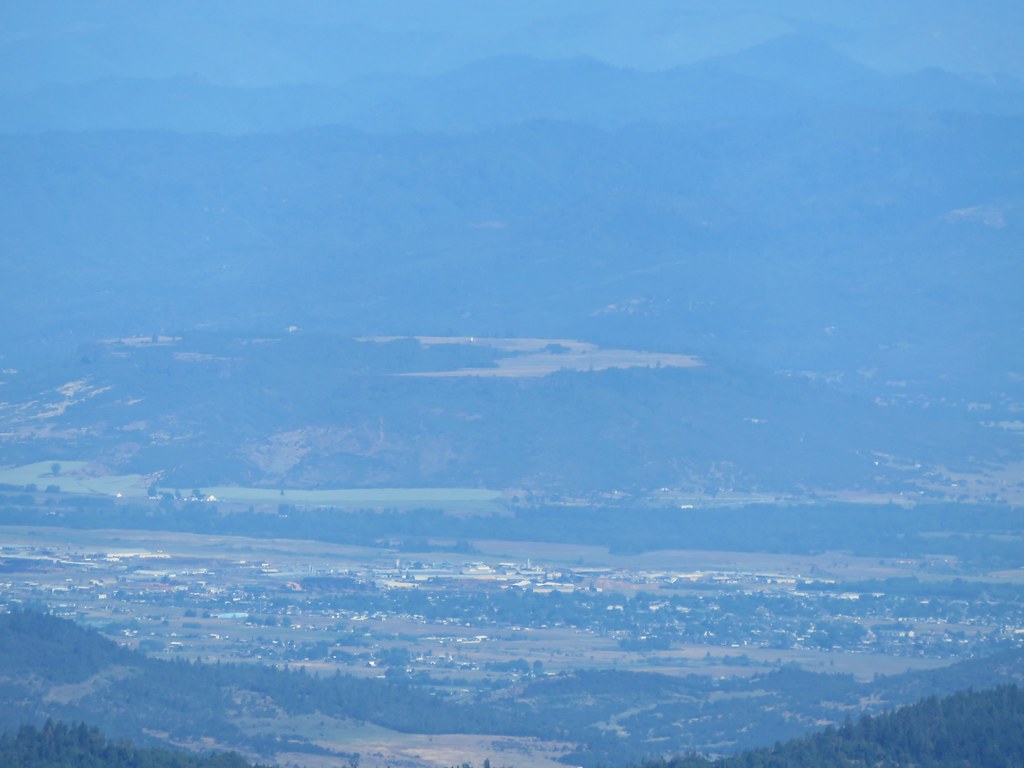
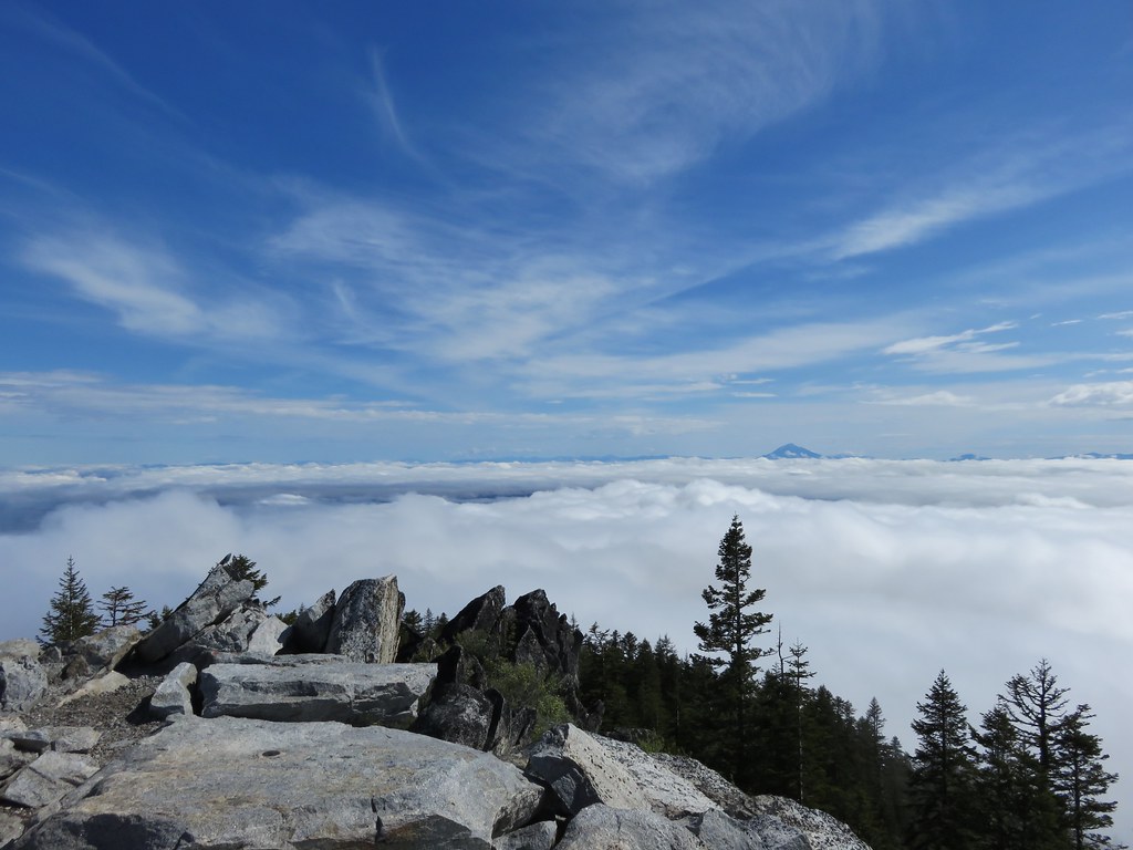
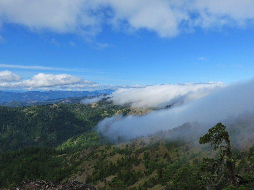
We returned the way we’d come, skipping the side trips to the rocky viewpoint and the summit of Table Rock. The views to the south had become increasingly hazy, but Mt. Hood looked much clearer now that the sun had passed over.
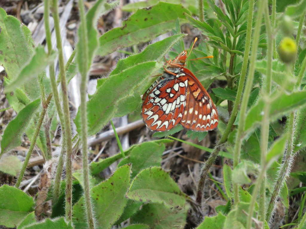
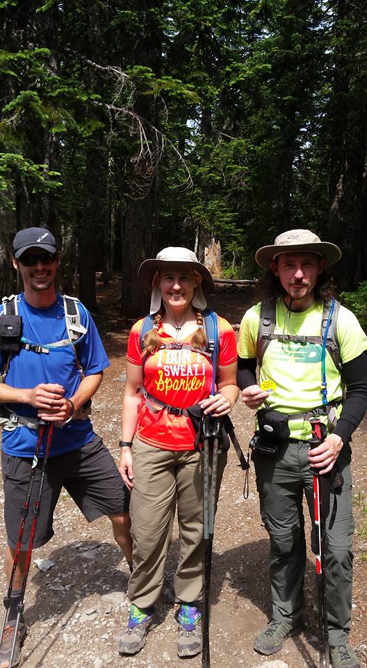
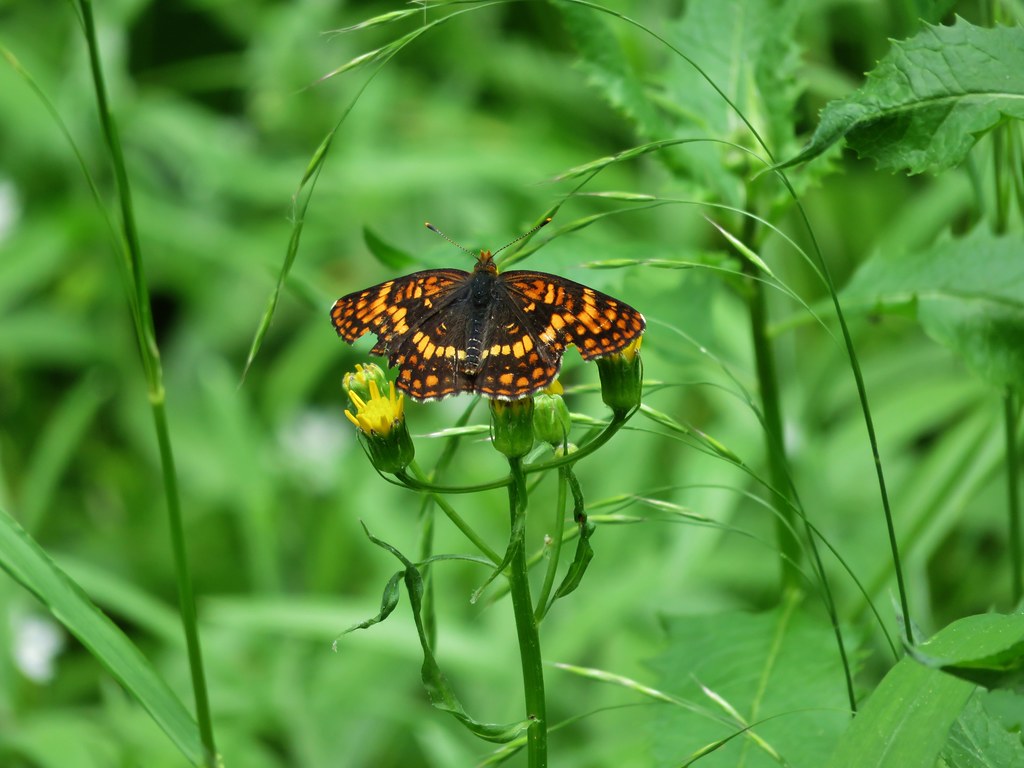
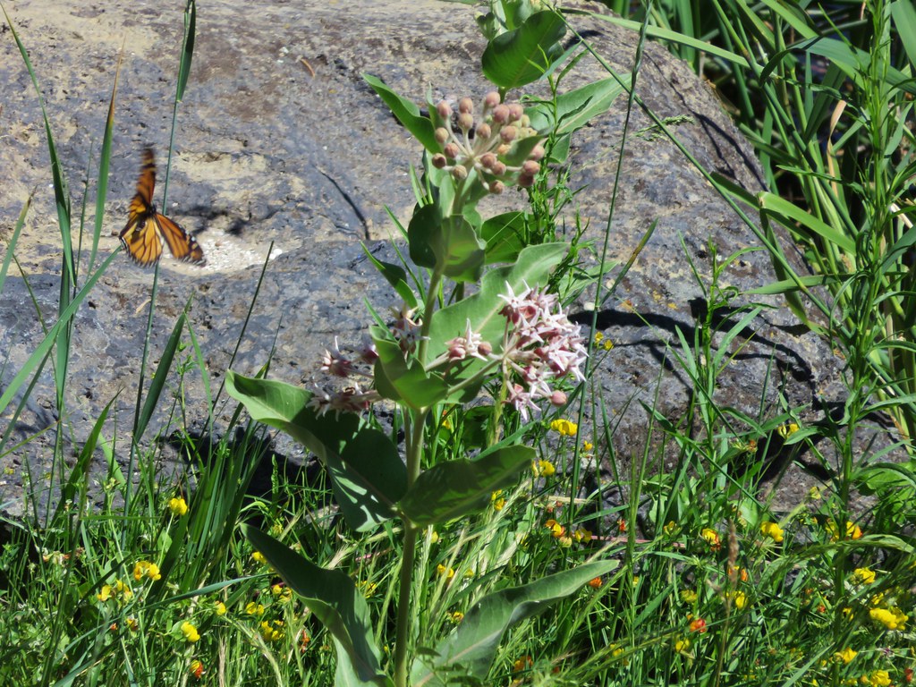
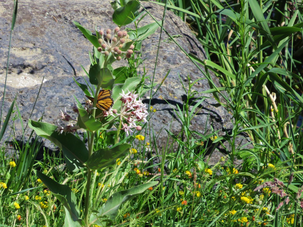
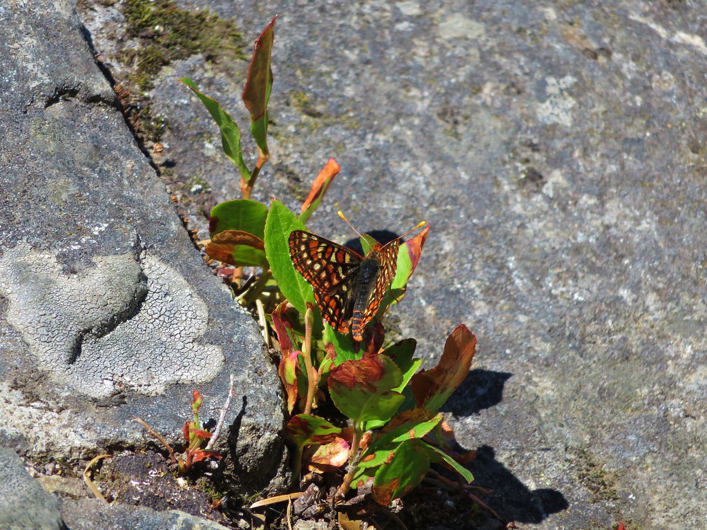
The only other hikers we saw all day were between the summit trail junction and the old road on the way back to our car and that was only two other couples. The final stretch along the old road felt really long after all the climbing we’d done. I spent part of the final 1.3 miles chasing an orange butterfly that wouldn’t sit still long enough for me to get a picture. It took awhile but Warren (as I named him) finally gave me some shots.

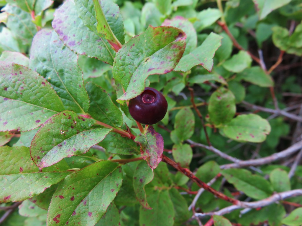
It wound up being a longer hike than we expected. Everything we looked at indicated we’d be doing 14.8 miles but the final GPS reading was 15.7. With the various trailheads available this could have easily been split up into several shorter hikes for more sensible hikers. The Table Rock Wilderness is certainly a place worth visiting, and there should be plenty of ripe thimbleberries come August. Happy Trails!
flickr: https://www.flickr.com/photos/9319235@N02/sets/72157655417439836