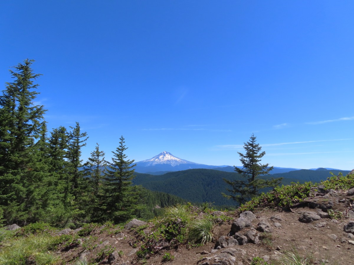
A heat wave arrived for the weekend which had me looking for a hike that might not be too warm. After checking the forecast for a few areas on NOAA the lowest high (78 degrees Fahrenheit) for hikes on our to-do list was in the Salmon-Huckleberry Wilderness near Sheepshead Rock and Plaza Lake.
My original plan for this hike was to start at the Twin Springs Trailhead aka Old Baldy East Trailhead and take the Plaza Trail past Sheepshead Rock to Salmon Mountain then drive (or road walk) on to the Plaza Lake Trailhead to visit the lake. As I was doing more research to prepare for the hike, I read a couple of different reports mentioning a rough 10.5-mile final stretch of road to that trailhead. An alternative was to drive to the Old Baldy West Trailhead, an entirely paved route which according to Google Maps was also an hour shorter drive from Salem. Starting here would put Salmon Mountain out of reach distance wise, but the route would pass the cutoff to Tumala Mountain which we had visited in 2019 (post).
The plan was now set but the day before the hike Heather started feeling a bit under the weather. With her not feeling 100% we decided she would skip this outing. I set off extra early hoping to keep things as cool as possible arriving at the trailhead a little after 6am.

 Rhododendron at the trailhead.
I turned right on the Old Baldy Trail and after passing the Eagle Creek Cutoff Trail on my left I quickly remembered how steep some of the climbs were on this trail.
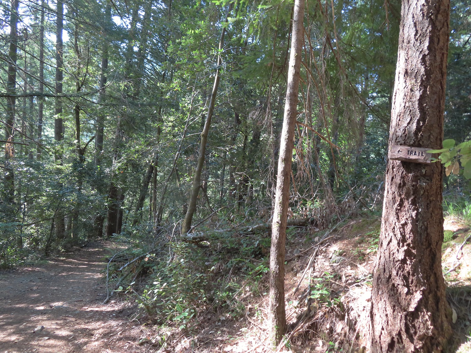
 Eagle Creek Cutoff Trail on the left just before the first steep climb.
 Salmon-Huckleberry Wilderness sign. I would be in and out of the wilderness several times on my route.
 Pictures rarely capture the actual steepness of the trails but the third of a mile past this trail sign had me wondering if I was going to be able to complete my planned hike.
The trail leveled out for a short distance allowing me to catch my breath and then dropped to a saddle before climbing again, but at a more reasonable grade.

 Starting the descent to the saddle.
 The Fanton Trail joins on the right from below around three-quarters of a mile from the Old Badly West Trailhead.
 Coral fungus
Approximately 1.25-miles from the trailhead I arrived at a junction with the Tumala Mountain Trail.
 The Old Baldy Trail turns left here while the Tumala Mountain Trail continues straight.
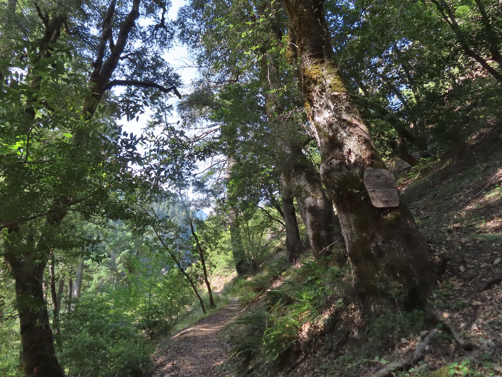
 A small unreadable sign was the only identifier for the continuation of the Old Baldy Trail. I was a little concerned seeing blowdown on this trail from the junction but as it turned out the trail was in good shape and the trees that were down were easily stepped over.
I had decided to save Tumala Mountain for later since I had already been up to the summit. While it was only a third of a mile, I wasn’t sure about adding the extra distance and elevation on what promised to be a warm day. The other reason for waiting was that the Sun wouldn’t be between myself and Mt. Hood later in the day, and it surely would have been this early.
The Old Baldy Trail descended for a mile losing roughly 500′, most of it in the first third of a mile.

 One of four switchbacks in the first 0.3-miles.
 Cat’s ear lily

 Cascade lily
The trail leveled out as it passed under some rock outcroppings and crossed a scree slope where I heard the distinctive “meeps” of several pikas but was unable to spot any.

 Oregon sunshine
 Larkspur & ?
 Paintbrush
 Bunchberry, not sure what is causing the white at the end of the leaves. I’d never noticed that before.
 Lupine

 View at the scree slope
 I’m pretty sure there were at least three pikas down there somewhere.
 Tumala Mountain in the center.
 From left to right is East Mountain, Thunder Mountain (post), Fish Creek Mountain (post), and Whaleshead. Sadly, all but Thunder Mountain were burned in the 2020 Riverside Fire.
Beyond the scree slope the trail began a gradual half mile climb to a ridge end where it then descended for a quarter mile to the Twin Springs Trailhead.
 Little prince’s pine
 Cascade lilies, a few lupine and a paintbrush.
 Carolina bugbane and foam flower.
 Spur trail from the Twin Springs Trailhead (Old Baldy East) on the right.
To reach the Plaza Lake Trail I would need to hike Forest Road 4610 just under a mile from the Twin Springs Trailhead while Sheepshead Rock was another 1.5-miles along what was now the Plaza Trail.
I had been wrestling with whether to visit Sheepshead Rock or Plaza Lake first. It was still early enough that the Sun would likely be influencing the quality of view from Sheepshead Rock and the trail to Plaza Lake would require a 500′ climb back up the half mile Plaza Lake Trail. Visiting the lake first would give the Sun time to travel further West and mean I would be making that climb a little earlier in the day. The argument for Sheepshead Rock first was that the lake was the only source of water along my route and doing the 3.2-mile out-and-back to the viewpoint before the lake would give me a better idea of whether or not I would need to replenish any water for my return hike. (I had brought an extra Hydro Flask full of water along with my usual 3-liters.) In the end visiting Sheepshead Rock first won out due to the water so I stayed straight on the Plaza Trail.

The Plaza Trail climbed very gently through the forest, at first running somewhat parallel to FR 4610 before turning left (North) at an old roadbed. This was the sight of the former Plaza Guard Station. Supposedly there was an old stone fireplace here but I wasn’t able to spot it at all.

 Part of the foundation at the former guard station site.
 The old road.
The trail continued its gradual climb crossing the “Plaza”, a wide area along the ridge where avalanche lilies were blooming in large numbers.


Mosquitos had been a bit of a nuisance all morning and here every time I stopped for pictures a high-pitched whine reminded me of their presence, so I kept my stops to a minimum.
 Not a big beargrass year but there was a few blooming along the trail.
Beyond the Plaza the ridge narrowed and the trail dopped a little to traverse along its side.

I was watching for a small spur trail to the right for Sheepshead Rock and was fooled once.
 I went up this trail to find it just immediately dropped back down to the Plaza Trail.
 The correct spur to Sheepshead Rock.
I turned up the spur trail and made my up Sheepshead Rock.

 Mt. Hood

 Mt. Adams and Mt. Hood
 Some light scrambling brought me to the top of the rock.
 Mt. St. Helens, Goat Rocks, and Mt. Adams in the distance. The high point to the left along the forested ridge is Wildcat Mountain (post).
 Mt. St. Helens
 Goat Rocks and Mt. Adams
 Mt. Hood with the South Fork Salmon River valley below.
 Orange agoseris
 Oregon sunshine and yarrow
 Saxifrage
 Penstemon
 Bluebells of Scotland
After a nice, albeit warm, break at the viewpoint I headed back toward the Twin Springs Trailhead. When I arrived back at the old roadbed I got a wild hair and decided to turn onto it. A quick check of the map showed that it was a more direct line to FR 4610 allowing me to cut some distance off total mileage for the day. There were a few downed trees along the way but for the most part it was easy walking and I arrived at FR 4610 in 0.3 miles.


I turned left on FR 4610 and followed it for 0.6 miles to a sign on the left for the Plaza Lake Trail Trail.
 Valerian
 Moth on an arnica.
 The Plaza Lake Trail sign on the left.
A very short, rough spur road led to a couple of parking spaces and the start of the Plaza Lake Trail.

The trail made seventeen switchbacks on the way down to the lake. I was thankful for these on the way back up as they kept the trail from ever being too steep.
 View from one of the switchbacks.
 Pacific coralroot
 Bunchberry with the more familiar all green leaves.
 Plaza Lake below from the trail.
 Twin flower
 There were some nice big trees along the trail.
At one time the Plaza Trail continued beyond the lake all the way to the Salmon River but now it effectively ends at the lake. (Note that there didn’t seem to be any viable campsites at the lake which might be one reason there were signs of people having camped at the trailhead.)

I took another break at the lake to watch the dragonflies, change into dry socks, and check my water supply.

 Looking up from the lakeshore.


After determining that I had sufficient water for the reminder of my hike I made the climb back up to FR 4610 and followed it back to the Twin Springs Trailhead. During the road walk I was passed by two OHVs, the first other people I had seen all morning.

 I’d missed Mt. Hood on the way down.
 Mt. Hood

 Anemones
 Spirea and lupine
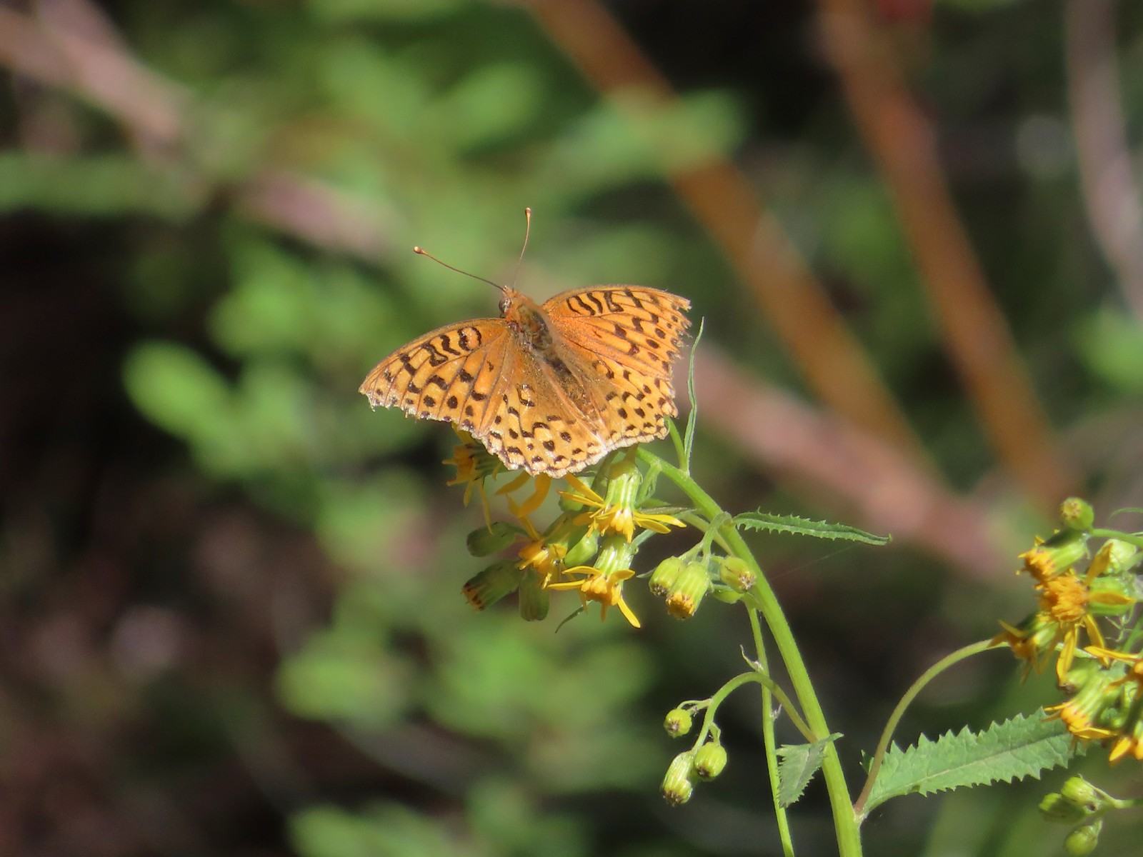 A fritillary butterfly.
 The former Twin Springs Campground was near the trailhead on the opposite side of FR 4610.
 The Twin Springs Trailhead.
 Old Baldy Trailhead sign at the Twin Springs Trailhead.
 Salmon-Huckleberry Wilderness sign (straight ahead) at the Old Bald/Plaza Trail junction.
I turned left onto the Old Baldy Trail and followed it approximately 1.8 miles back up to the junction with Tumala Mountain Trail.
 I stopped again at the scree slope to look for pikas. All was quiet as they apparently had retreated underground to avoid the heat, but with more light in the valley below I could make out a green meadow in the trees.
 Columbine along the trail.
 Grey jay
 Back at the Tumala Mountain Trail junction.
Having seen Mt. Hood from the Plaza Lake Trail and seeing that the view was indeed better than it had been earlier I turned left up the Tumala Mountain Trail and made the 0.3-mile climb to its summit.

 My first view of Mt. Jefferson on the day.
 Mt. Jefferson
 A yet to blossom rhododendron.
 Fading lousewort and valerian.
 A blooming rohdodendron.
I ran into the first other hiker of the day at the former lookout site. She mentioned that she had planned on hiking from the Old Baldy East Trailhead but wound up at the Old Baldy West Trailhead instead. She had put Old Baldy Trailhead as her destination in her driving directions instead of Twin Springs so it took her to the same trailhead I’d started at. The view from the summit was clearer than it had been on my previous visit.
 Mt. Hood. The scree slope is also visible through the trees on the hillside to the lower right.

I wandered along the rocky summit a bit to get different views. Along with the hiker at the former lookout site there was a radio operator and another pair of hikers in the area.
 Mt. Jefferson in the distance.
 Mt. Jefferson
 Three Fingered Jack and the Three Sisters
 More Cascade lilies.
 Mt. St. Helens in the distance.
 Mt. St. Helens
 A better view of the scree field and the meadows below Tumala Mountain.
Parts of Mt. Adams were also visible, but I wasn’t able to find a spot without trees in the way to get a clear view. Satisfied with the views I headed back down to the Old Baldy Trail and then continued on returning to the trailhead.
 Penstemon and lupine.
 Passing the Fanton Trail junction on the way back.
 Looking at the final climb of the day from the saddle.
With most of the trails passing through forest there was a lot of shade so despite it reaching the 70s by the time I was finishing at Noon it never felt uncomfortably hot. I hadn’t needed all of my 3-liters of water, but I was close to needing to break into the Hydro Flask. The hike itself came in at 12.9 miles with 3240′ of elevation gain. {My shortcut on the closed road from the guard station site to FR 4610 cut 0.6-miles off.)
While I missed having Heather with me the combination of warm weather and mosquitos made this a good one for her to miss. She seemed to be feeling quite a bit better when I got home so hopefully I won’t be heading out solo again in the foreseeable future. Happy Trails!


 Prince’s pine
 Candystick
 Twinflower
 Big uprooted tree.
 A carpet of vanilla leaf leaves.
 FR 2676
 Despite the “Closed to all Motor Vehicles” sign it was obvious, and unfortunately not surprising, that some people feel they have a right to ignore anything they disagree with.
 More candysticks
 The few sections that weren’t sandy consisted of lava rock.
 Dwarf lupine
 Pussy paws
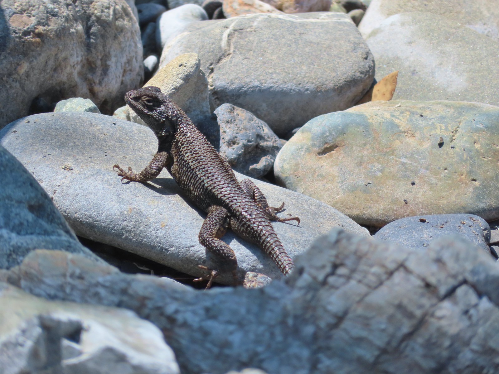
 Pygmy short-horned lizard next to a deer print.
 Sand Mountain on the right.
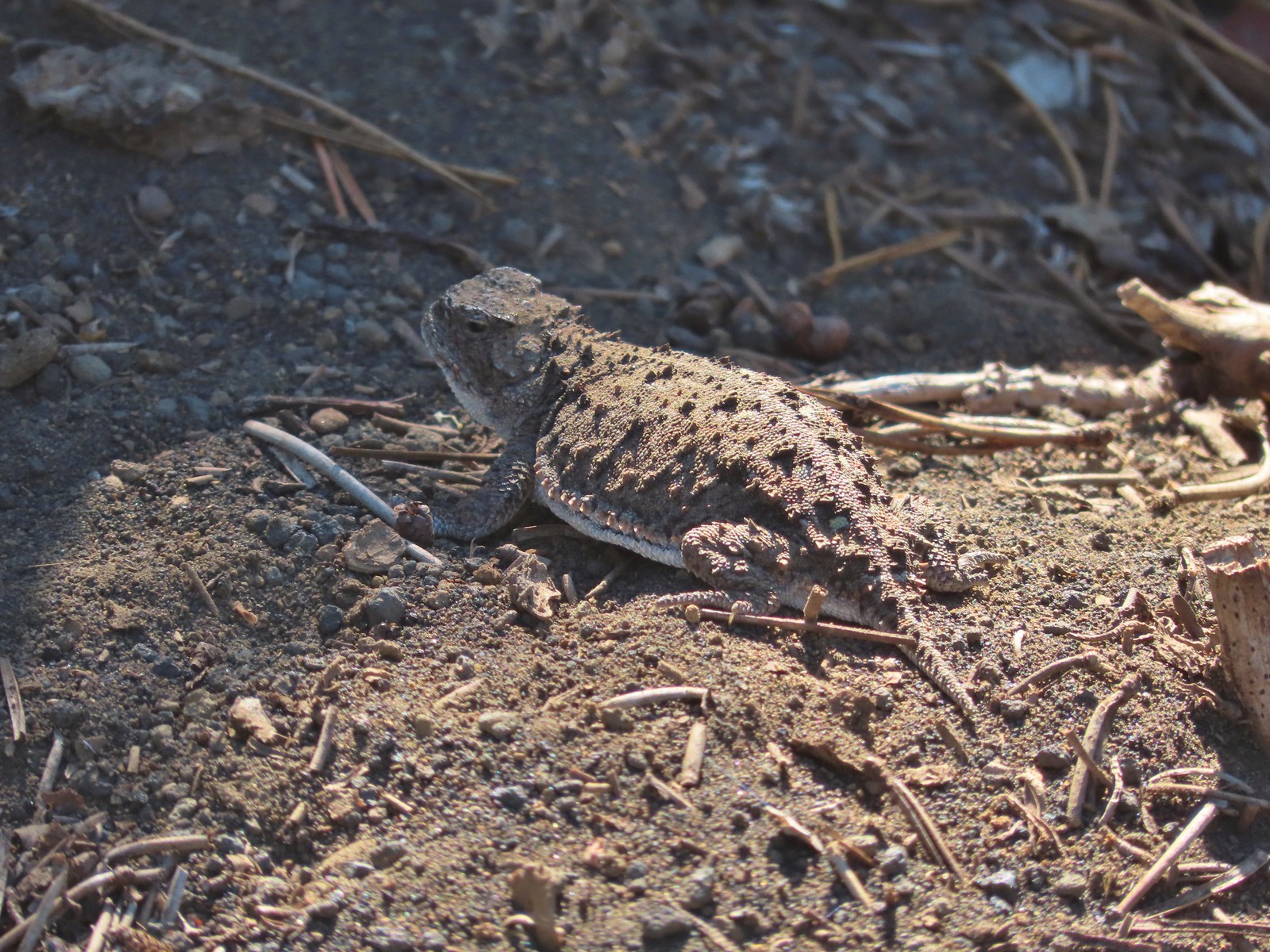 Another pygmy short-horned lizard
 Snowbrush lining the road with the northern end of Sand Mountain ahead.
 Butterflies, including this hoary comma, and other pollinators love the snowbrush.
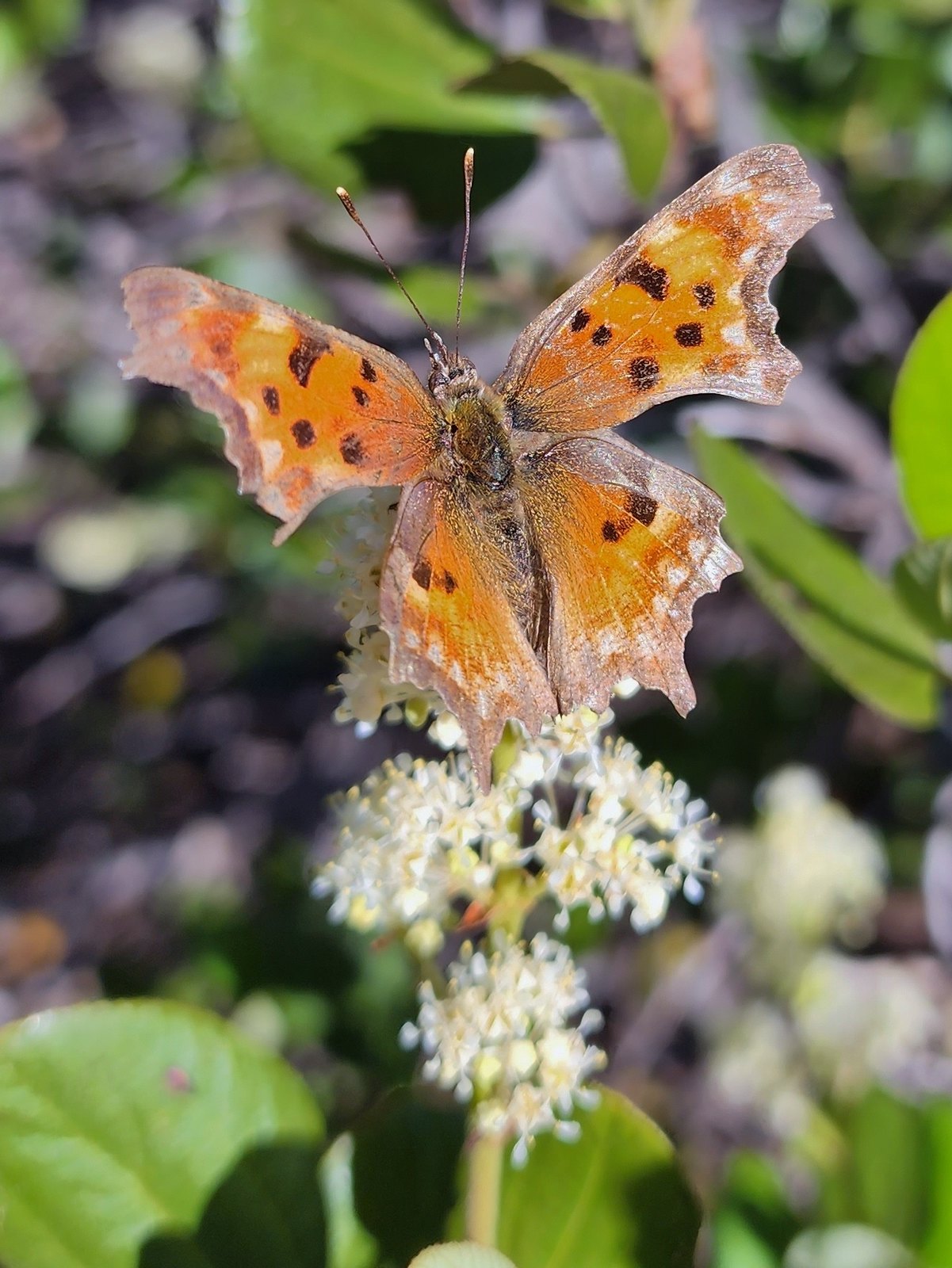 Hoary comma

 Penstemon
 The Moon over Sand Mountain.
 Mt. Washington
 Sign and gate at the road to Sand Mountain.
 Buckwheat
 More snowbrush
 California tortoiseshell
 The Sand Mountain Lookout from below.
 Mt. Jefferson and Three Fingered Jack
 Mt. Washington and the Three Sister
 Western swallowtail
 The Three Pyramids(
 Echo Mountain & North Peak to the left and Crescent Mountain(
 Browder Ridge (
 Lorquin’s admiral

 Mt. Washington (
 Maxwell Butte (
 Just a bit of snow left on the North facing slope.
 Western pasque flower
 It’s very faint but the top of Mt. Hood was visible over the lower left shoulder of Maxwell butte.
 Penstemon
 Belknap Crater, the Three Sisters, The Husband, Scott Mountain (
 Zoom of Diamond Peak. The round looking hump in front is Fuji Moutain (
 Hoodoo and Hayrick Buttes, Black Butte (
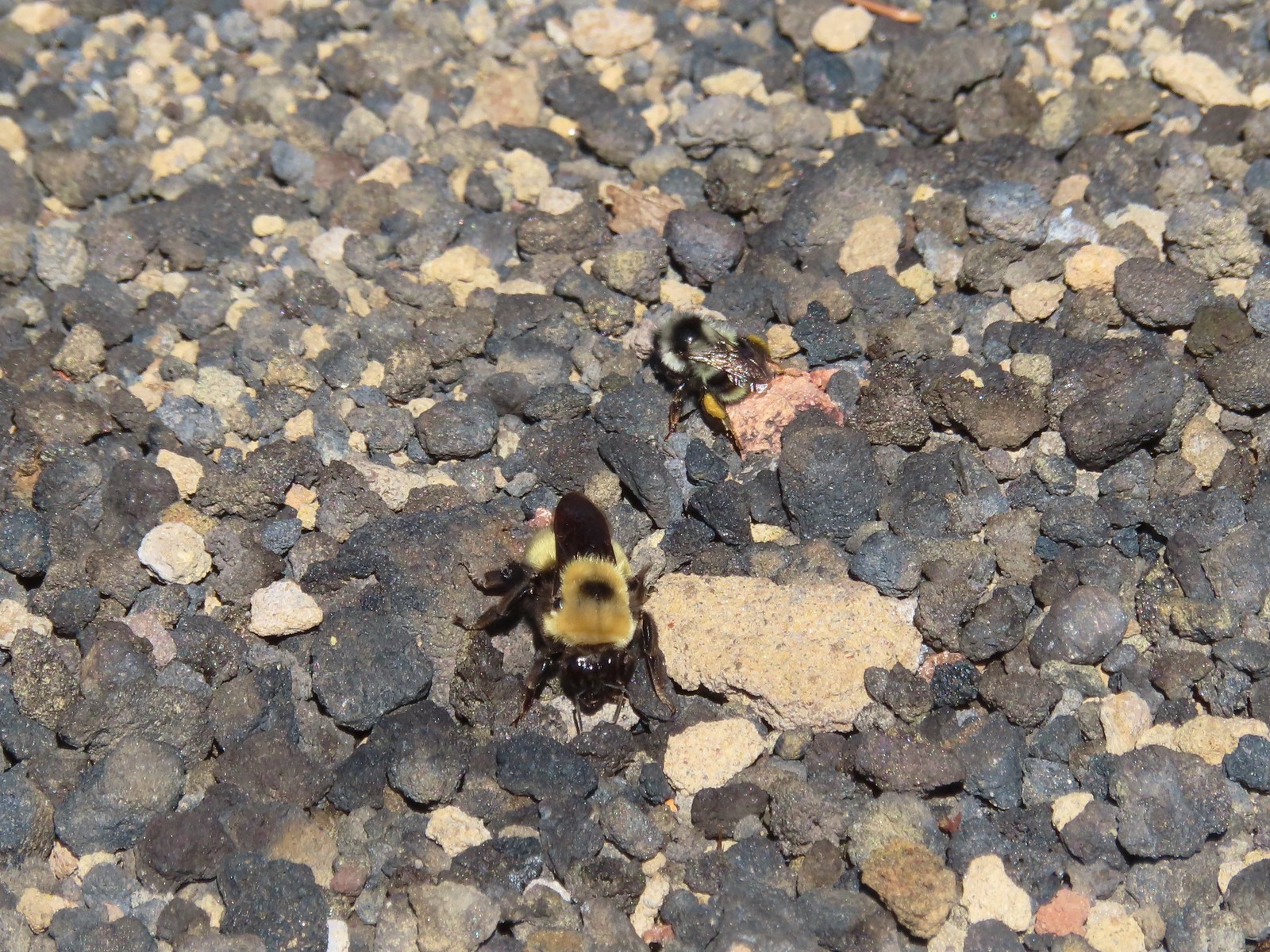 There were quite a few bumblebees at the summit interested in the rocks in this area.
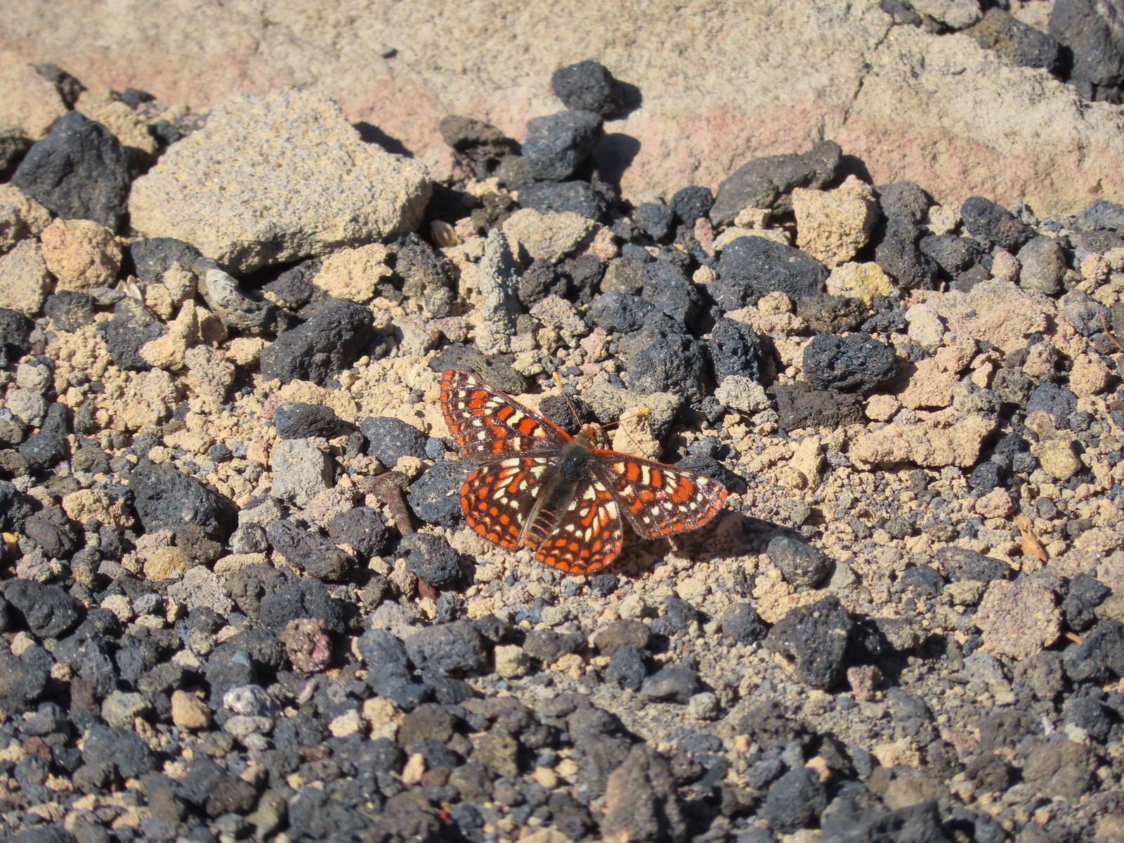 This Edith’s checkerspot joined the bees for a moment.
 Viewpoint below the lookout.
 The lookout from the viewpoint.
 Not sure if this is an aster or a fleabane.
 The trail getting ready to drop down to a saddle. The peaks from right to left are: Browder Ridge, Twin Buttes, Latiwi Mountain, Wildcat Moutain, Tidbits Mountain (
 We were a little surprised to find these broomrape hiding in this silverleaf phacelia.
 Drummond’s anemone
 Look into the crater.
 A couple of penstemon blossoms with the Three Sisters in the background.
 The colors around the crater add to the scenery.
 Pyrola of some sort.
 Starting the steep climb back toward the lookout.
 View from the roadbed. We opted to do as the lookout staffer suggested and follow the road back down toward the parking area instead of back up to the lookout.
 There was one good sized snow drift left encroaching on the road.
 This little cloud wasn’t much of a threat.
 If anything the views had improved now that Sun was more directly overhead.
 A checkerspot
 A hairstreak
 Three Fingered Jack and Hoodoo Butte
 Three Fingered Jack. Note the climbers trail on the slope to the right.
 Ash in the basin below Sand Mountain.
 Pussy paws
 Female western tanager
 Moth
Moth Snake in the trail.
 The snake retreated to a nearby log when we approached.
 Back in the forest.
 This moth blended with the nearby fungus.


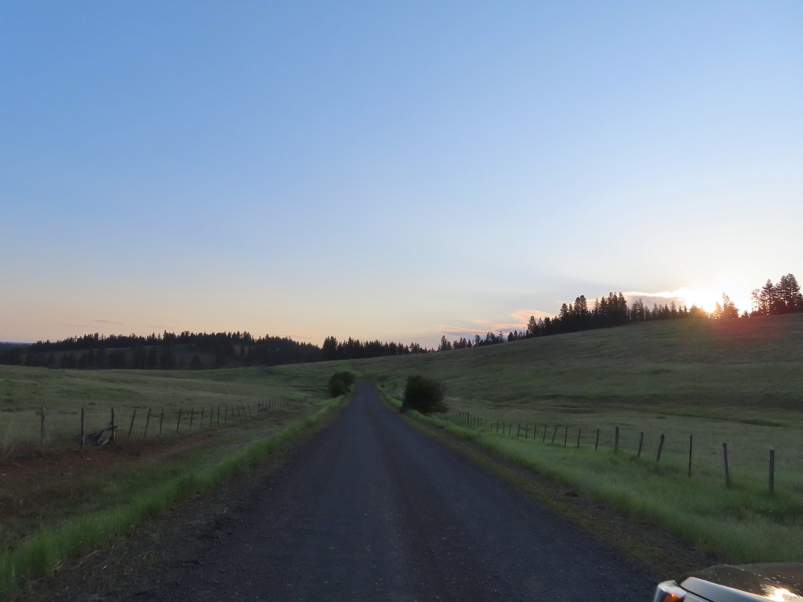
 The forecast for Salem was for temps in the mid-90s so we got an early start.
 Bleeding heart and penstemon
 Iris
Iris Cascade lily
 Scouler’s bluebell
 Inside-out flower
 A few green trees remain.
 Another Cascade lily
 The trail was in pretty good shape overall and we could tell there was ongoing trail work. It looked like there were some rock steps that were going be placed in this section.
 Penstemon
 Oregon sunshine
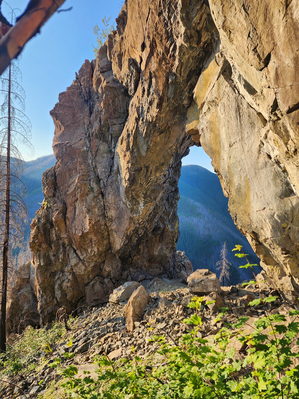
 View from the arch.
 Fin below the arch.


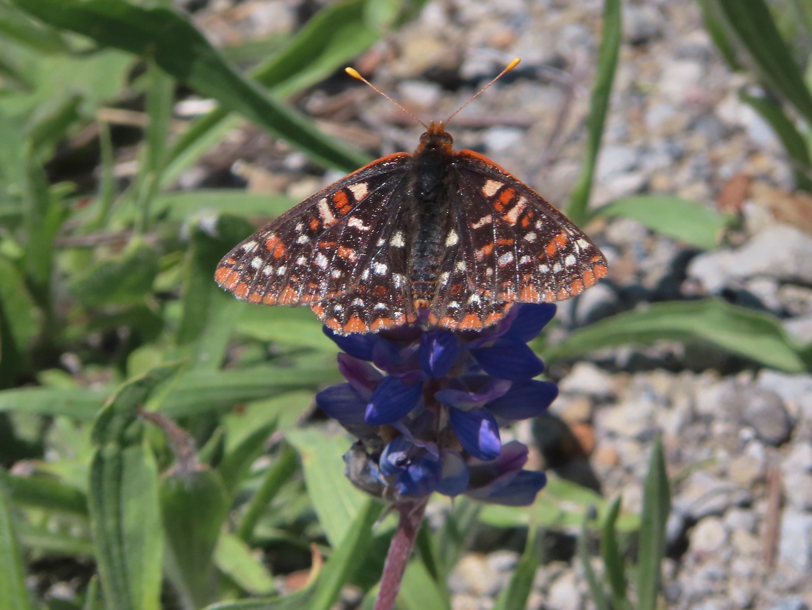
 Snowberry checkerspot
 Rocky Top straight ahead.
 Penstemon and big deer vetch
 Cascade lily
 Oregon sunshine, penstemon, Oregon bedstraw, and a daisy or two.
 Oregon sunshine and paintbrush
 There was a fair amount of shade while the Sun was still low.
 Paintbrush and penstemon
 Thimbleberry
 Bleeding heart. There was more bleeding heart on this hillside than we’d ever seen in one spot.
 Pika below the road.
 Pika
Pika Rhododendron
 The Three Sisters on a hazy morning.
 Anemone
 Paintbrush and lupine
 Beargrass
 A few patches of green below Rocky Top.
 This was probably the worst spot in the road in between the two trailheads.
 Bunchberry
 Trillium with a few petals yet to fall off.
 Violets
 Spirea and valerian

 Large boykinia
 Lots of lupine.
 Larkspur and phacelia
 Arriving at the Rocky Top Trailhead.

 Clodius paranssian
 Columbine
 Beardstongue
 Lupine
 The road from the trail. The taller, rounded, peak in the center is Sardine Mountain (
 Mt. Washington and the Three Sisters.

 Mt. Jefferson, Three Fingered Jack, Mt. Washington and the Three Sisters.
 Mt. Jefferson through the haze.
 Elkhorn Ridge (
 Mt. Hood above ridges of burned forest.
 The loss of the trees did result in better views of the various rock formations in the area.
 We’d never seen so many of these eight-spotted forester moths.
 Hummingbird taking a rest from visiting the penstemon and paintbrush.
 Another moth that had some excellent camo.
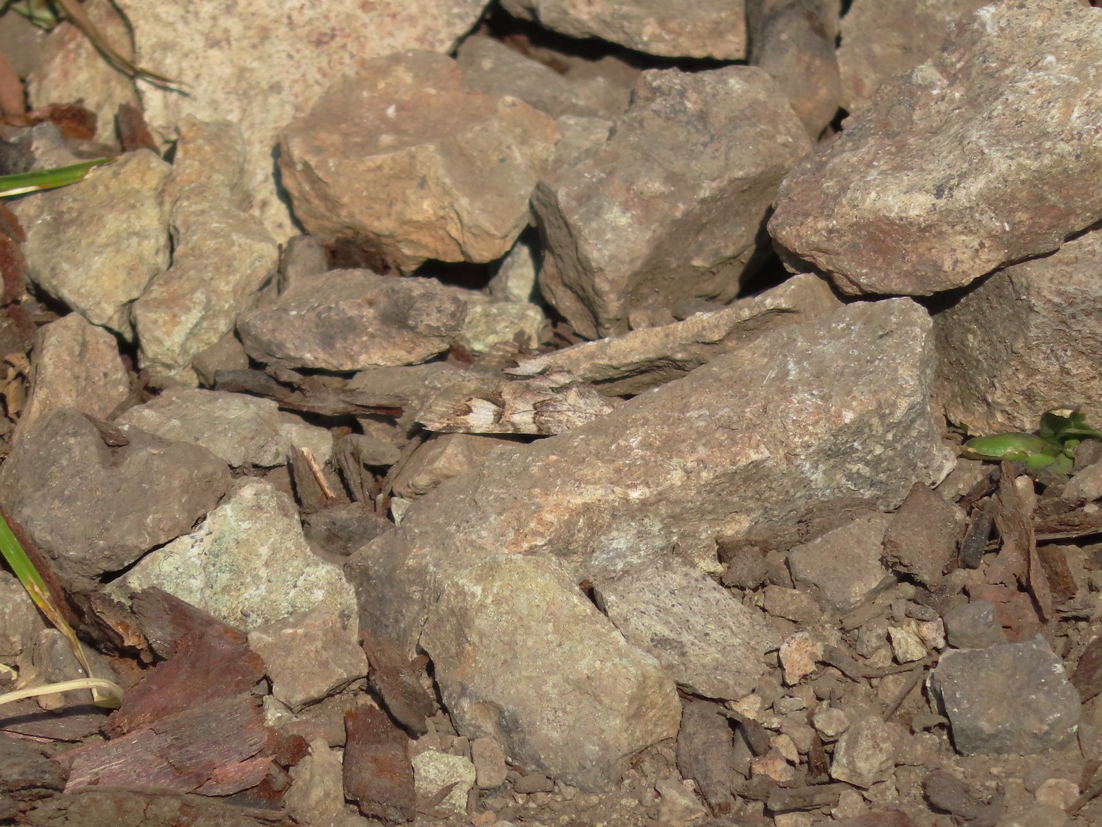 The moth putting its camouflage to use.
 Penstemon
 Rose
Rose
 Rocky Top from the trail.
 This was the only pink colored penstemon we spotted.
 Lupine and beargrass
 Not sure which of the Lycaenidae this is but it was pretty.
 The spirea was popular.
 Bumble bee
 At one point it looked like Three Fingered Jack was sitting on top of Coffin Mountain (
 Nice blue sky overhead.
 Looking North. Henline Mountain (
 Bistort and penstemon
 Haven’t been able to identify this one yet.
 Beargrass
 A snowberry checkerspot and some fried avalanche lilies.
 The trail wound behind Rocky Top to come up the West ridge to the summit.
 Arnica
 Sub-alpine mariposa lily
 Tiger lily and beardstongue
 Catchfly
 Not sure what the story is behind this chair, but we weren’t about to test its stability.
 Detroit Lake
 Mary’s Peak (
 Looking North we could see Table Rock (
 Closer look at Table Rock.
 Henline Mountain, Table Rock, Mt. Hood, in front and just to the right of Mt. Hood is Whetstone Mountain (
 Mountain bluebird checking us out.
 Mt. Jefferson
 Three Fingered Jack behind Coffin Mountain, Maxwell Butte (
 Zerene fritillary
 Beargrass
 Moth and a checkerspot
 A bee, a moth, and a butterfly land on some flowers…
 Painted lady
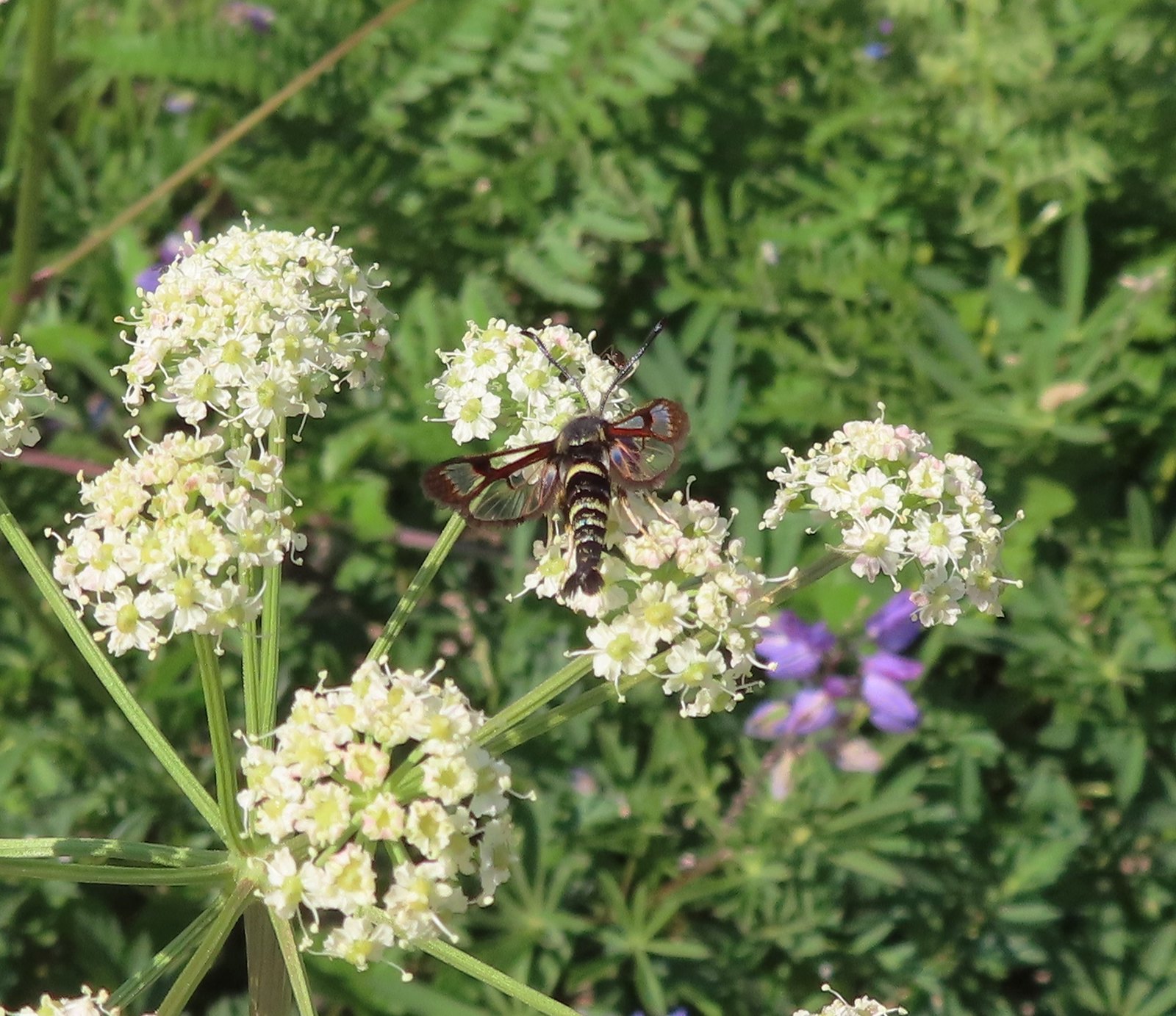 Fireweed Clearwing Moth (Albuna pyramidalis).
 A fritillary and a copper.
 Two coppers and a bee.
 Checkerspots, a bee, a copper and part of an eight-spotted forester moth.
 Eight-spotted forester moth.
 The previous four photos were all from this group of Oregon sunshine.
 Bleeding heart, no butterfly but a nice group of blossoms.
 More moths and butterflies.
 Swallowtail on penstemon
 One of the blues I think, but not sure which.
 Lorquin’s admiral


 Sparrow
 Stellar’s jay
 The spur trail is to the right just ahead.
 We watched a norther flicker fly into the snag ahead and it took a minute to figure out where he was.
 The flicker
 Trailing blackberries. We might have found a few ripe ones.
 Arriving at the camping area.
 North Santaim River
 Oregon grape
 Mock orange
 The boat launch.
 North Santiam River
 The park host on the left and the parking lot on the right.
 Crosswalk for the pre-fire loop.
 Looking North from the crosswalk there was zero sign of the former trail.
 They had at least restored this short section of the loop so we were able to return to the spur trail and turn right then right again to complete the inner loop.
 The “To River” sign at the spur trail junction.
 Possibly a western wood pee-wee
 Spotted towhee
 Osprey
 The park host from the trail.


 While the loop did come in at 2.5-miles it was a little over 3/4 of a mile to the Boundary Trail.
 Lupine
 One of several ponds along the trail.
 A “Student Stop” marker surrounded by dwarf lupine. We aren’t sure what the these meant or what program they are related to.
 An interpretive sign along the trail facing some of the hummocks.
 Penstemon
 Mt. St. Helens as we neared the Boundary Trail junction.
 Trail guide marker #3 and an interpretive sign at the junction.
 The lower left map shows the current closure area and open trails. In a nutshell, all the trails are open but everything off-trail to the side facing SR504 is currently closed.
 The views of Mt. St. Helens were great.
 The trail began to climb as it squeezed between a gap in the hillsides ahead.
 View back to the hummocks from the gap.
 Trees in the gap.
 After exiting the gap we got another good view of the mountain before the trail veered left turning away from the mountain.
 Heading away from Mt. St. Helens to start the climb.
 Dwarf lupine was profuse below the ridge.
 Scouler’s bluebell
 Thimbleberry blossoms
 Castle Peak above Castle Lake with Spud Mountain to the right and the North Fork Toutle River below.
 Horned lark
 Tiger lily
 Savannah sparrow
 Heading back toward Mt. St. Helens.
 The North Fork Toutle River flowing between Spud Mountain (left) and Elk Rock (right).
 Castle Peak and Castle Lake
 Elk Rock on the left and Coldwater Lake on the right.
 Coldwater Lake
 Mountain bluebird.
 At one point quite a bit of dust? kicked up from the South Fork Toutle River canyon.
 Cardwell’s penstemon

 Coldwater Peak with Mt. Adams to the far right of the photo. The hiker ahead to the left of Coldwater Peak was from Belgium. He was here on work but using the weekends to explore the area. We would see him two more times, once from the observatory as he continued on the Boundary Trail and then as we were exiting the trailhead. He had done a loop using the Coldwater Trail (
 Mt. Adams from the viewpoint on our way back. The angle of the Sun earlier caused the mountain to look pretty washed out.
 Mt. St. Helens from the viewpoint.
 Variable-leaf collomia
 The Loowit Viewpoint on the ridge ahead.
 Paintbrush covered hillside.
 Mt. St. Helens from the Loowit Viewpoint.
 Mt. St. Helens crater.
 Golden mantled-ground squirrel. These brazen con-artists often convince visitors they would starve without humans help. While this is definitely not the case and
  A single plant.
 A lot of paintbrush.

 Daisies and paintbrush
 Penstemon, yarrow, and Scouler’s woolyweed along with the paintbrush.
 Paintbrush and penstemon along the trail.

 Passing by the Johnston Ridge Observatory.
 Before and after photos of the 1980 eruption.
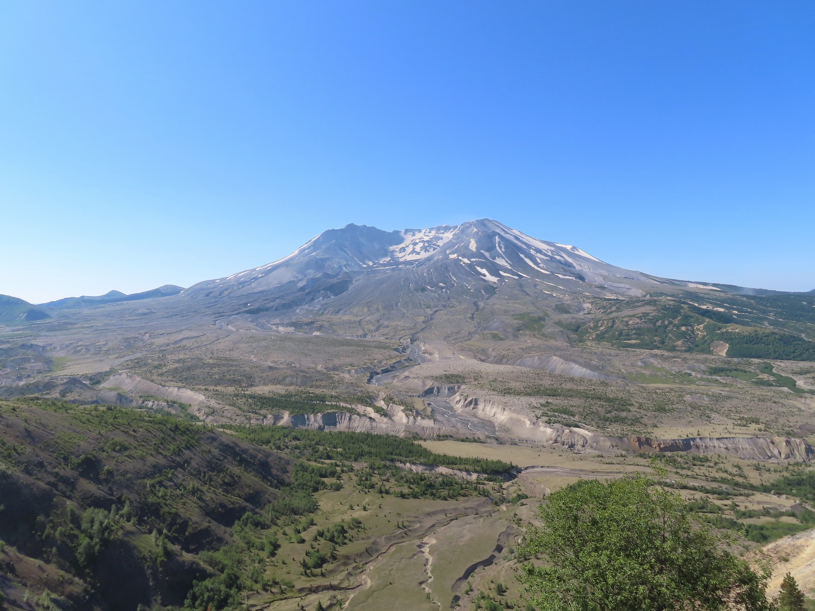

 Mt. Adams peaking over the ridges with Spirit Lake also visible (center).
 Spirit Lake
 The mountain identifier ahead on the left.
 We could see where the repair work was happening on SR504 from this trail.
 The rounded peak to the right is Goat Mountain (
 Goat Mountain with a few patches of snow still showing up.
 Rock Arch near Coldwater Peak.
 Memorial for the lives lost in the 1980 eruption.
 Junction with the Boundary Trail.
 Pussypaws


 Another view of the washout.

 Our turn around spot. You can see the trail on far side of the saddle veering left behind the ridge.
 Coldwater Peak from our turnaround spot.
 The Johnston Ridge Observatory from the trail. We hadn’t realized how much elevation we’d lost until we turned around.
 Castle Peak and Spud Mountain on the left and the observatory above some colorful cliffs.
 Penstemon
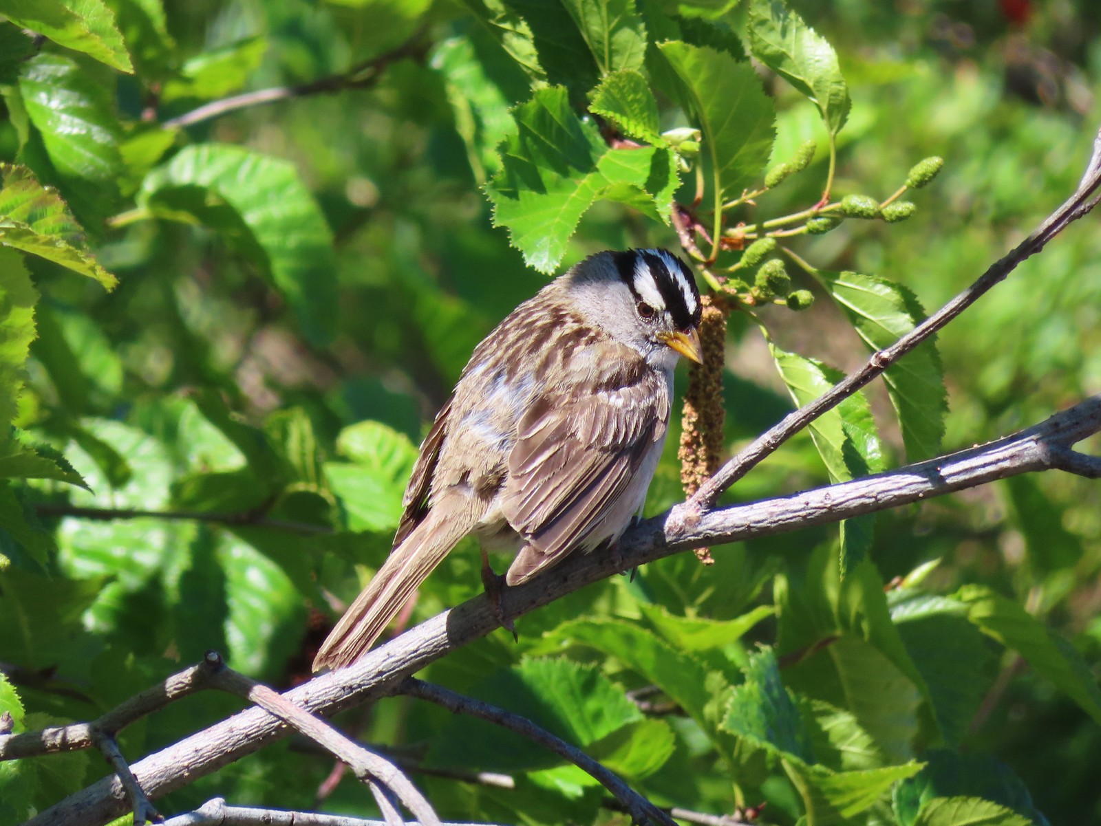 White crowned sparrow
 Boundary Trail leaving the Loowit Viewpoint.
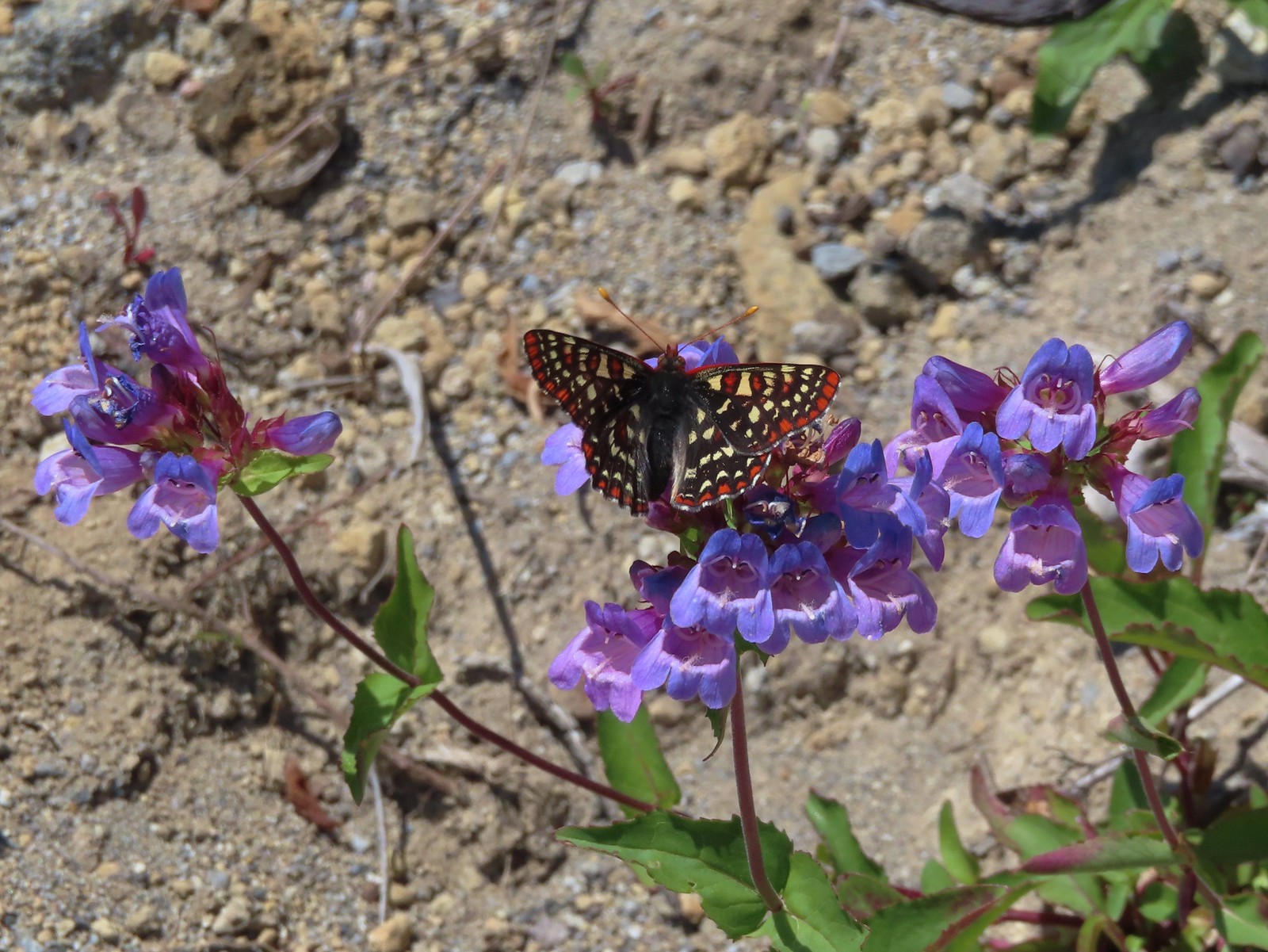 Snowberry checkerspot on penstemon.
 Another checkerspot, this time on lupine.
 Cedar waxwings


 Mt. St. Helens and the North Fork Toutle River.
 The same view in May 2014.
 Same spot, different angle 2014.
 Monkeyflower
 Maybe a yellow-rumped warbler.
 Caterpillar
 Dragonfly
 Pearly everlasting
 Arriving back at the Hummocks Trailhead.


 Fireweed


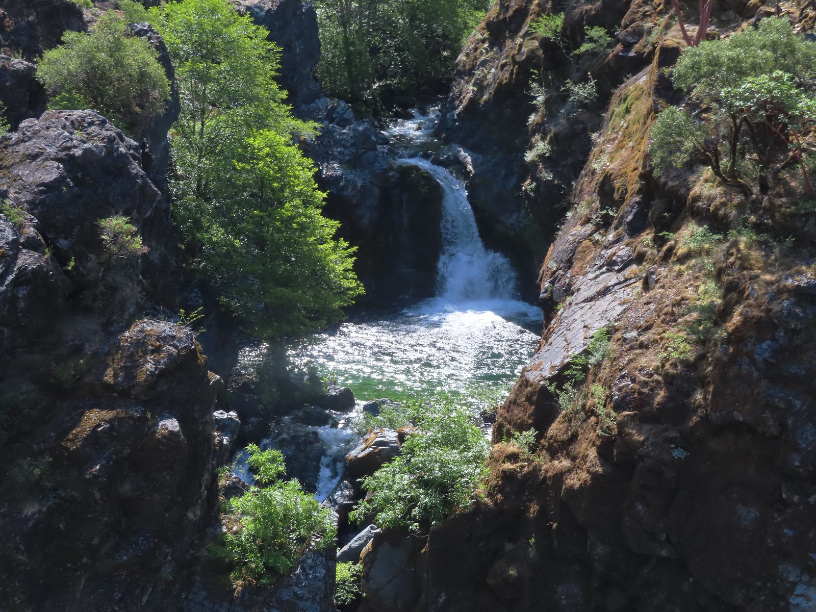
 Deadline Falls
 Signs of ongoing trail work.
 Northern phlox
 Remains of a footbridge lost to the Archie Creek Fire.
 The current creek crossing. We joked that this was a prime difference between the BLM and Forest Service. It feels like the Forest Service waits until everything has been repaired (plus a year or two) before reopening trails after a fire while the BLM reopens them once they are passable.
 Self-heal
 The trailing blackberries were ripening along the trail providing us with a nice second breakfast.
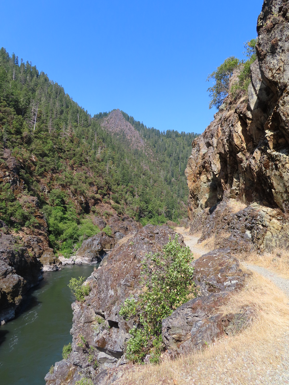
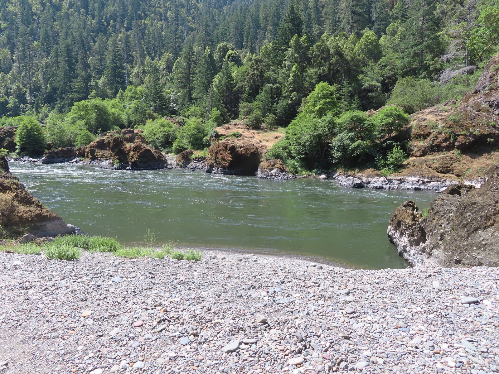
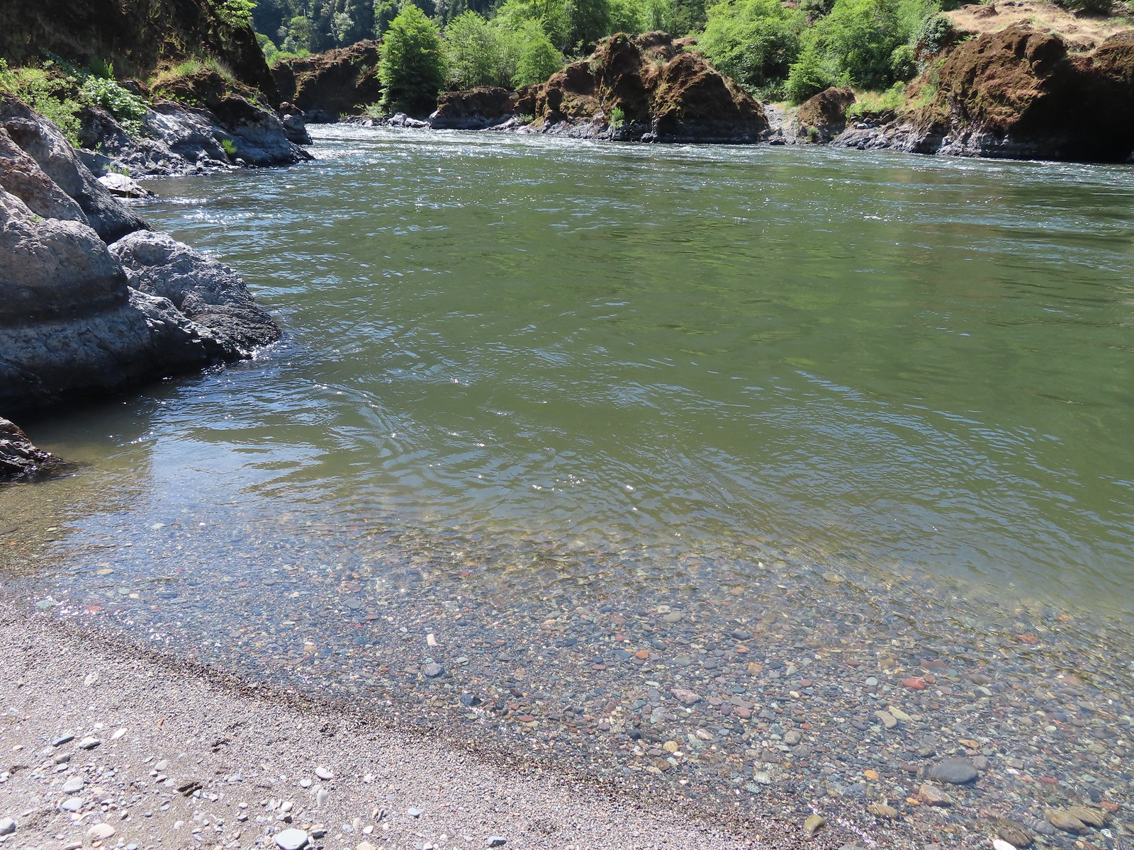
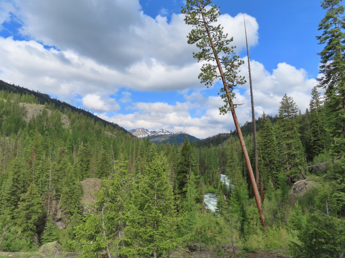
 North Umpqua River from the trail.
 We also spotted a few ripe blackcap raspberries.
 Bleeding heart
 Crab spider on a California harebell.
 Heather was really excited to find ripe thimbleberries too.
 Highway 138 on the far side of the river.

 Musk monkeyflower
 I managed to pull a ripe salmonberry out of this bush below Fern Falls.
 Moth
Moth Lazuli bunting
 Black-headed grosbeak
 Unidentified small bird.
 Wren, possibly a house wren.
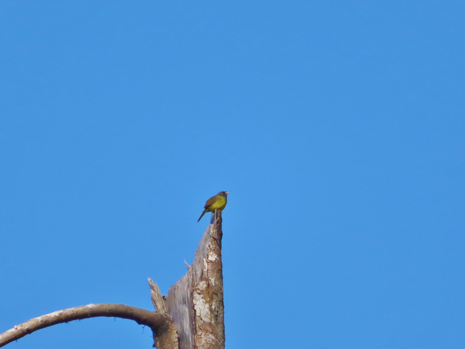 This little one was way up atop a snag. Merlin suggests it’s a Macgillivray’s warbler.
 Woodpecker
 Backside of a Stellar’s jay.
 Raven
Raven


 Checker-mallow
 Turkey vulture
 We spotted a deer way up on the hillside in the distance.
 Heading down to Soggy Bottom.
 Middle Barn
 Soggy Bottom
 Bindweed
 The North Gate Trail ahead on the left.
 North Gate Trail
 Elegant brodiaea
 Common wood nymph

 The cedar grove.
 A little past the cedar grove we passed an old structure on the opposite side of a barbed wire fence.
 On the far side of the structure was a sign for the Wrong Way Trail which looked as though it saw little to no use. The map at the trailhead showed this trail dead-ending in the forest which might explain why.
 View from the North Gate Trail.
 Steepest section of the trail but at least there was some shade here.
 Gopher snake
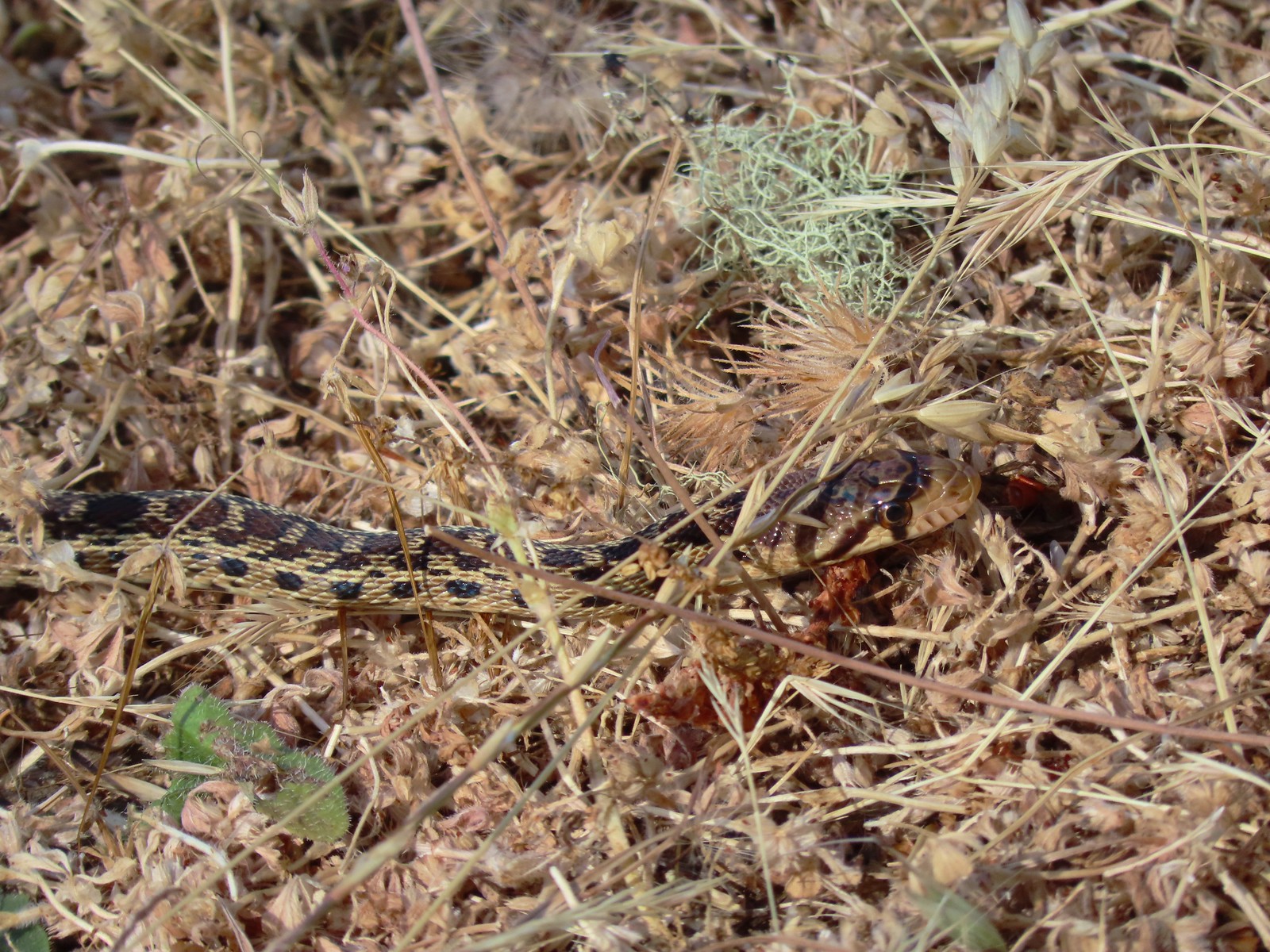
 Trail sign at the saddle.
 The Middle Ridge Trail.
 View from the Middle Ridge Trail.
 View from the saddle.
 A dip along the ridge.
 First view of the North Umpqua River.
 Hawk on a tree.
 A different hawk in flight.
 Elegant brodiaea
 Looking back along the Middle Ridge Trail.
 We remembered this structure in the ground.

 Approaching the junction.
 View back up along the trail.
 Whistlers Bend Reservoir and the North Umpqua River. Despite a bit of haze the view was far better than it had been in 2015.
 The 2015 view on a cloudy June 5th.

 Ookow
Ookow View from the Thistle Ridge Trail. Below is the lower portion of the trail which seemed to be quite a way down.
 When you can’t see the bottom of the hill you know it’s steep.
 The trail finally leveled out a bit through a stand of oak trees.
 The junction below from the Thistle Ridge Trail.
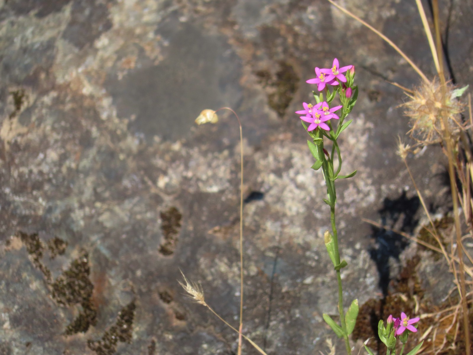
 European centaury (invasive but pretty)
 West Barn
 The West Barn Road was a little muddy in spots.
 Daisies were profuse in some areas.
 We ignored the Deer Hollow Tie Trail that joined on the right.
 The Comstock Day Use Area from the West Barn Road.
 There were trail pointers at spur roads to ensure we stayed on the right one.
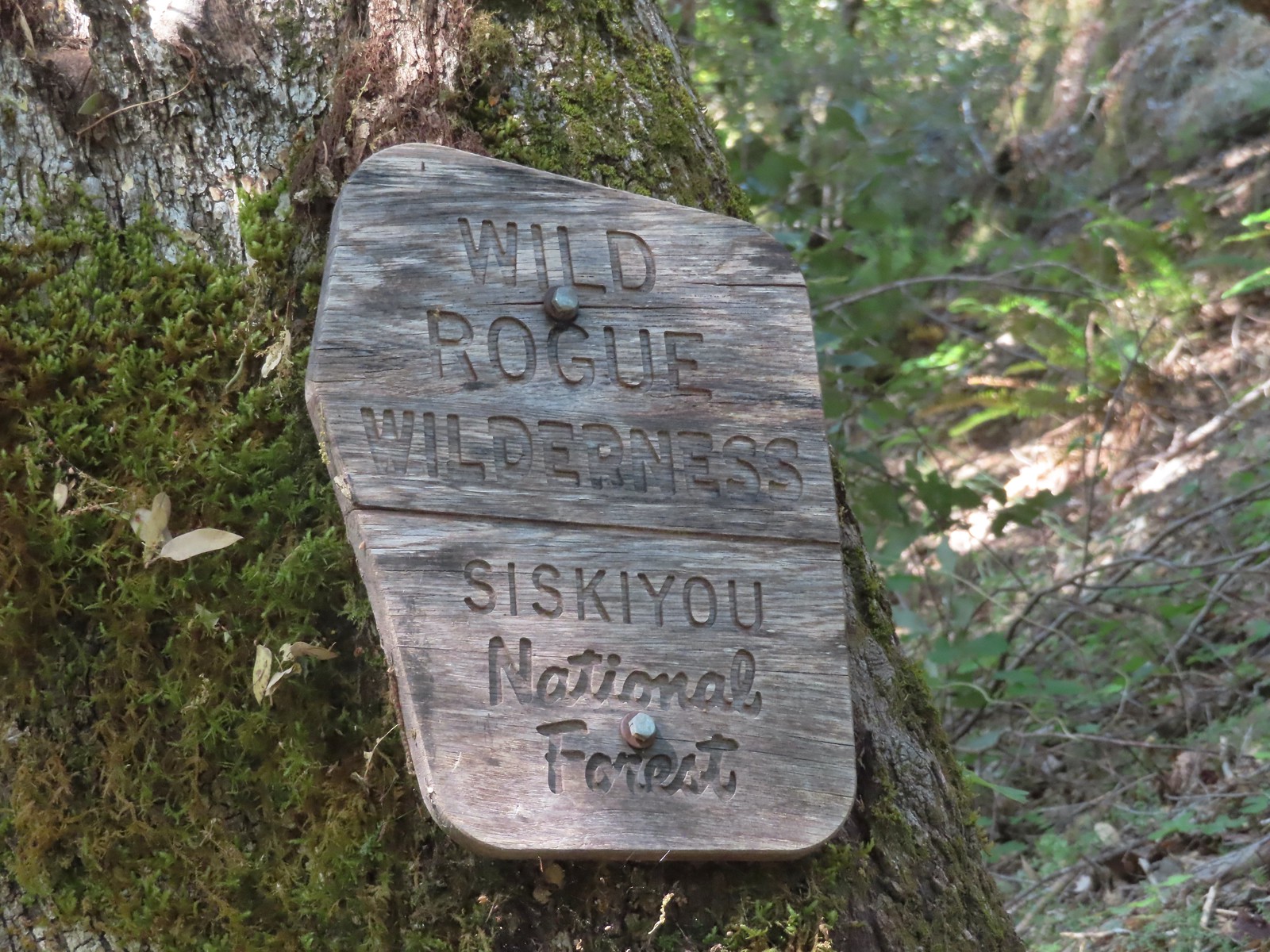
 The trailhead near Marial. I couldn’t find any directions online for this trailhead which is why we used a combination of the BLM’s directions to the ranch and Sullivan’s to the trailhead.

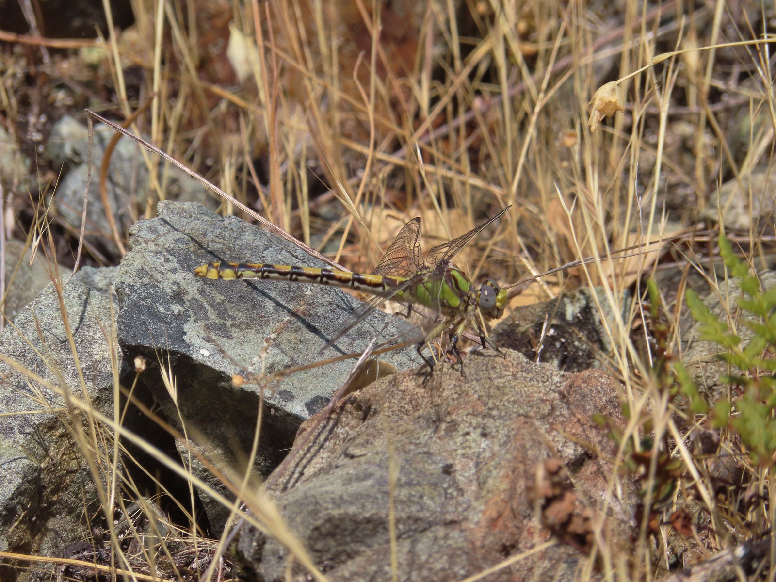 Dragonfly
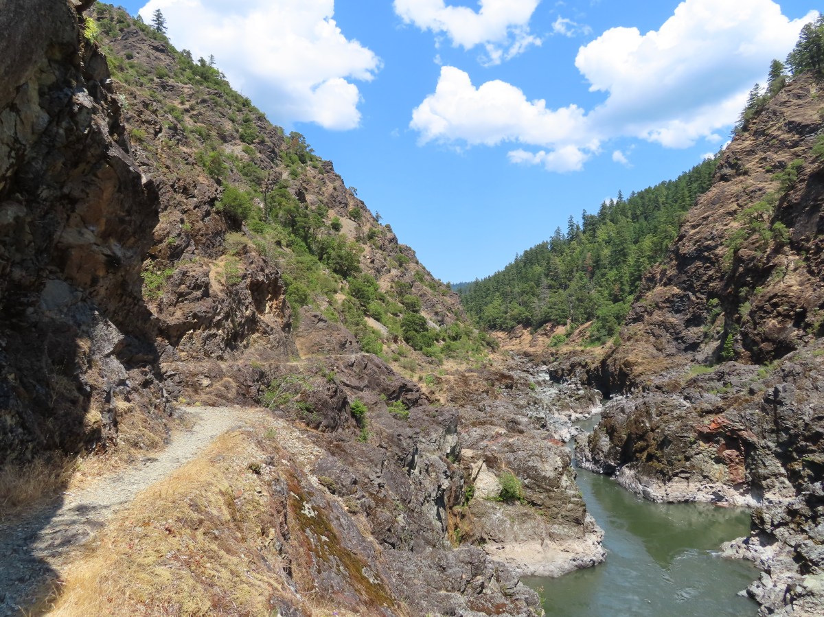
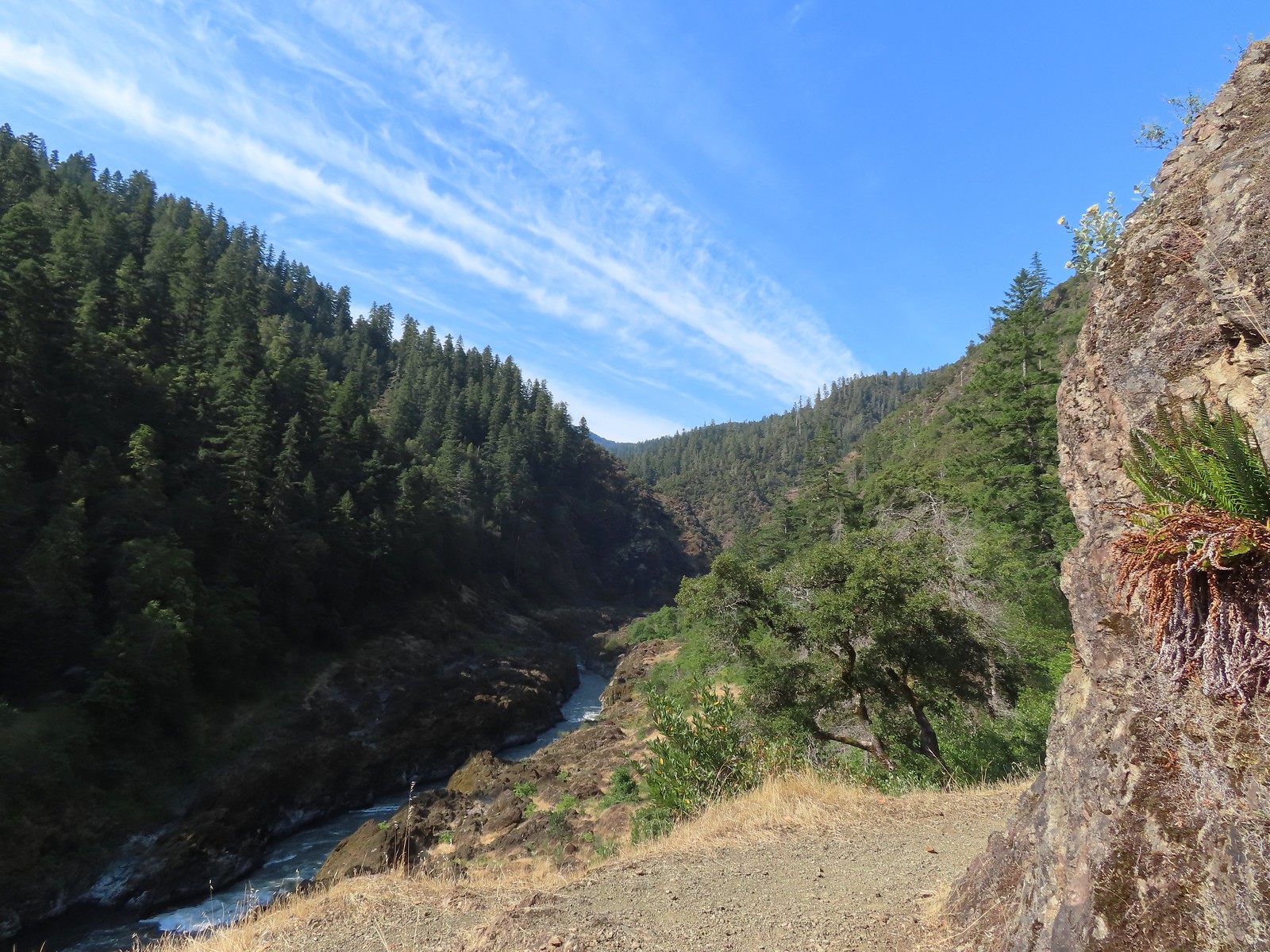
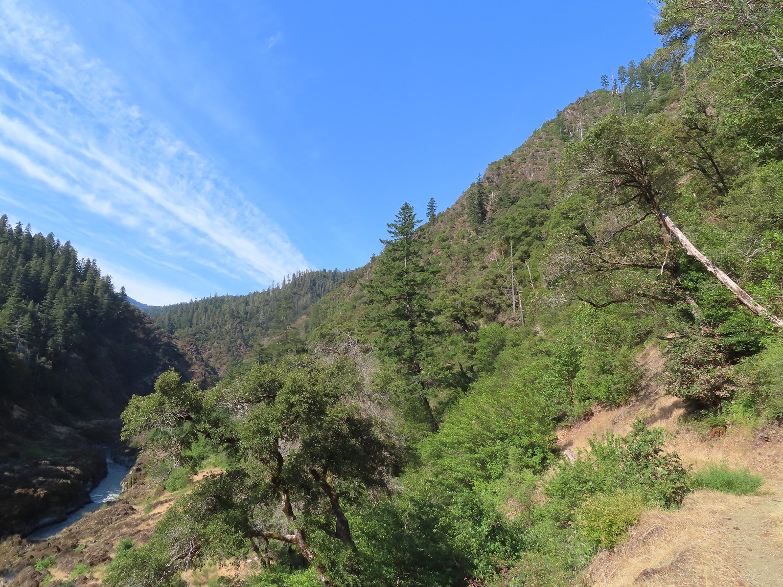
 A peak into Mule Creek Canyon.
 There weren’t many flowers left blooming but we did see a lot of elegant brodiaea.
 Elegant brodiaea
 Mule Creek Canyon from Inspiration Point.
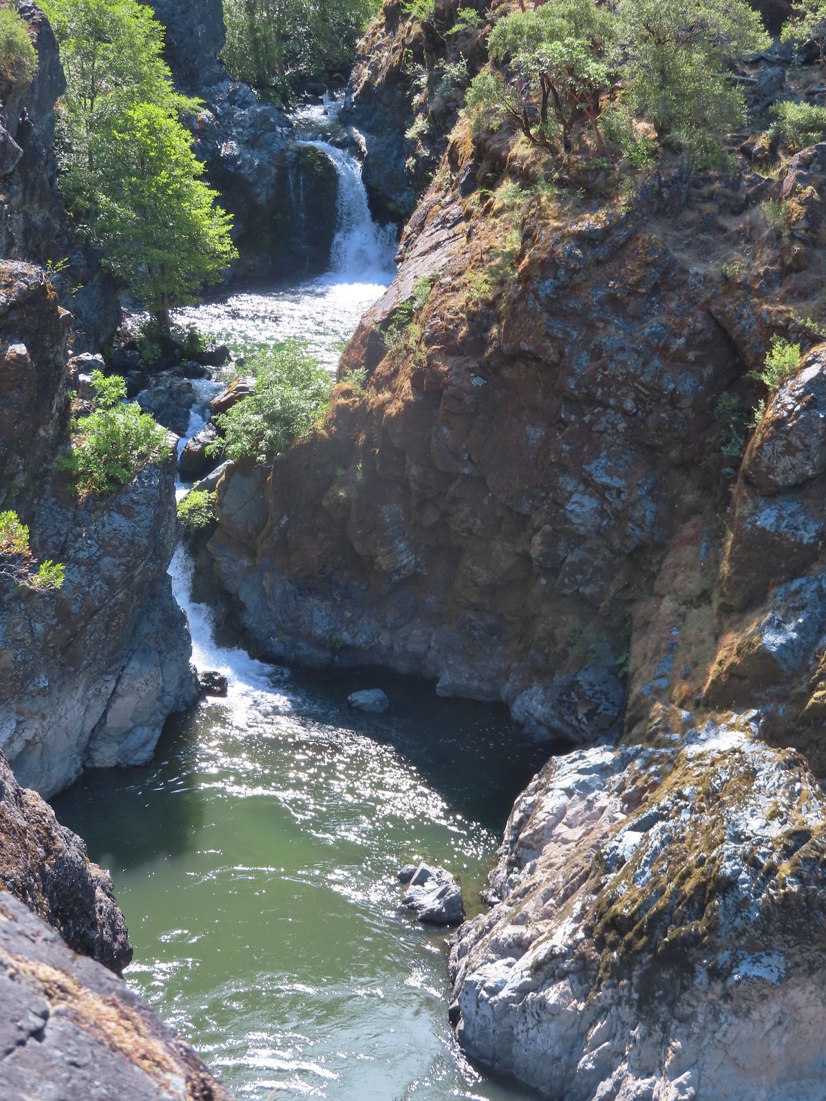
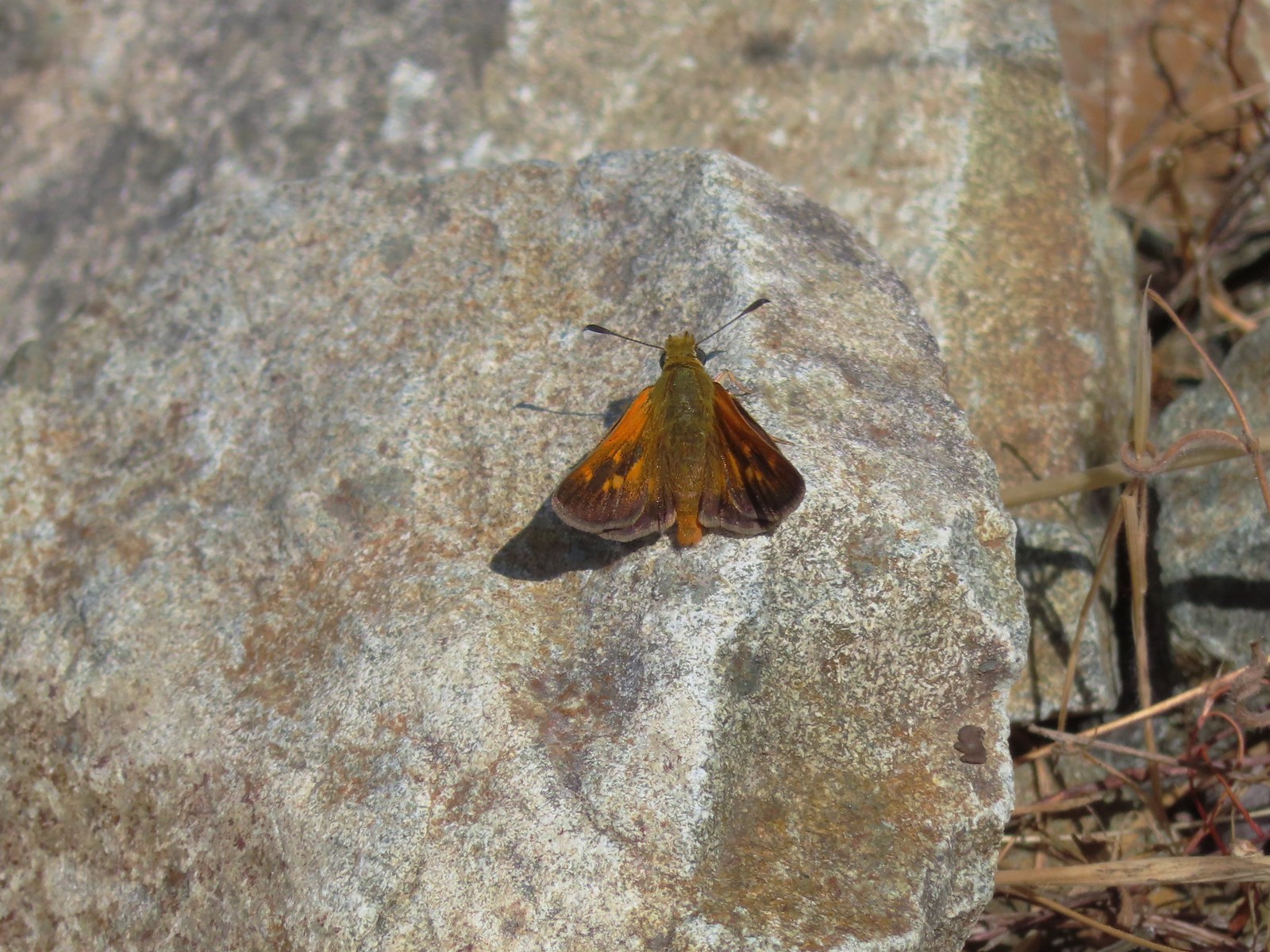 Skipper
 Common wood-nymph
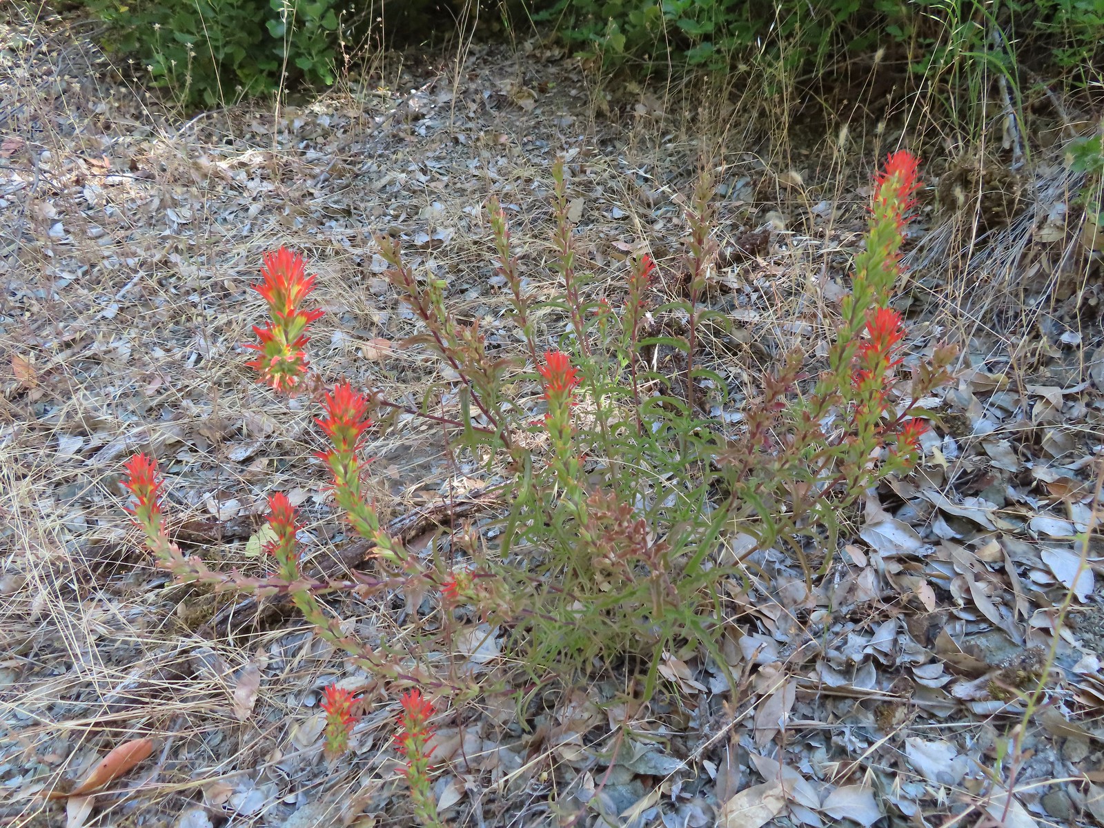 Paintbrush
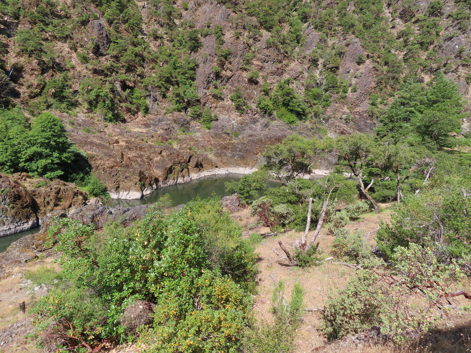 Calmer waters.
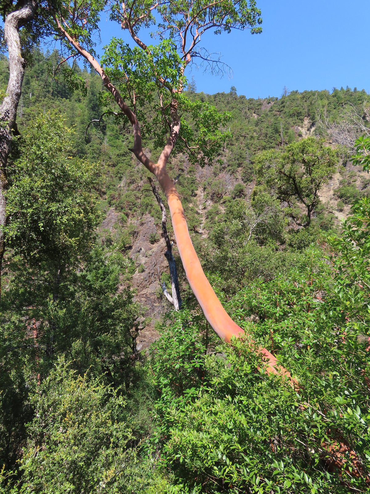 Madrone
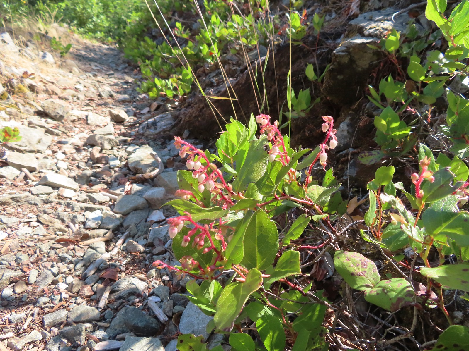 Salal
Salal Some poison oak on the right.
 Another madrone at the start of more brush. This area was full of small birds that turned out to be bushtits.
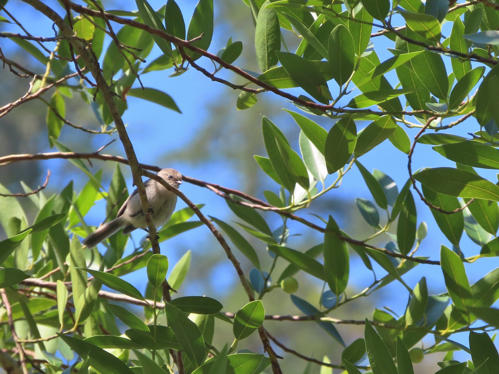 It took a bit to get one of the bushtits out in the open and in the camera frame.
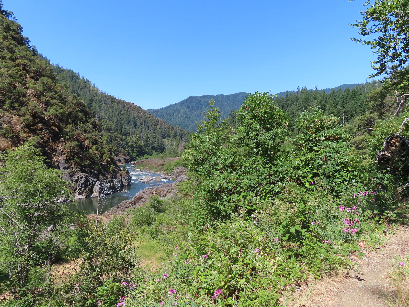
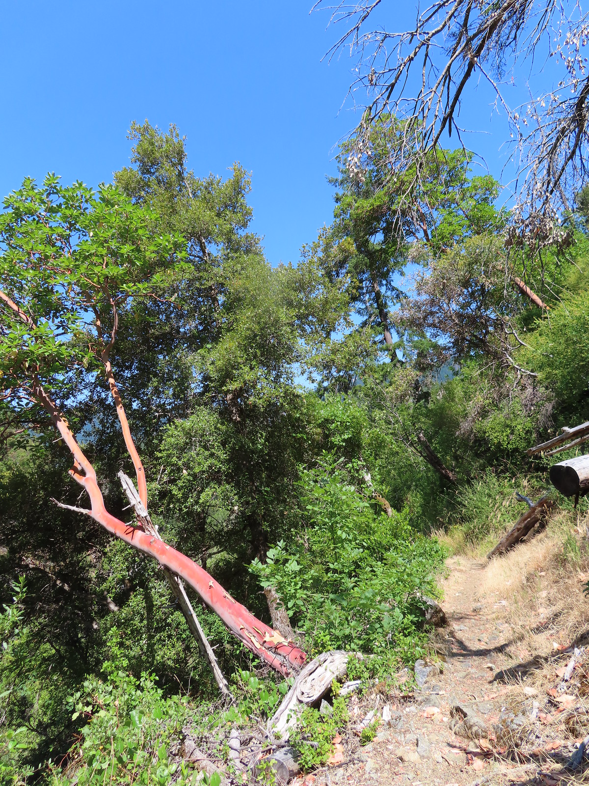
 Blossom Bar Rapid
 Footbridge over Burns Creek.
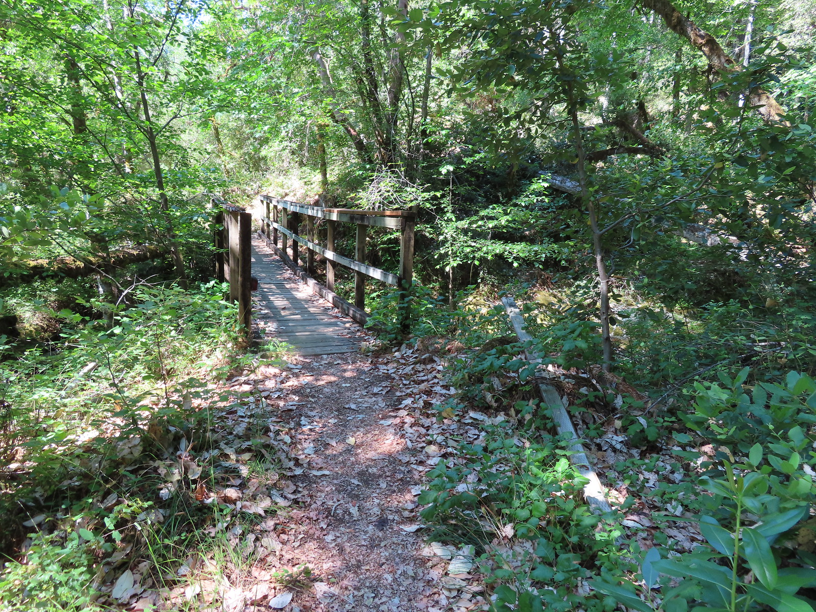 Footbridge over Blossom Creek.
 Blossom Creek
 Trail crossing Blossom Bar.
 Rogue River leaving Blossom Bar.
 Trail to Gleason Bar on the left.
 Variable-leaf collomia
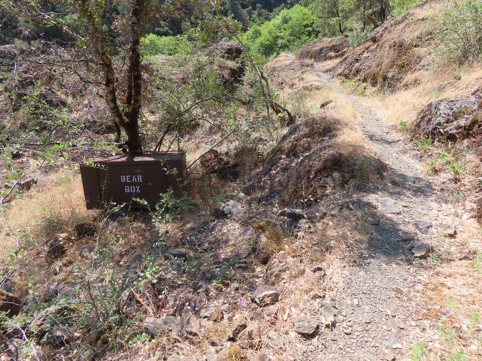 Bear box near Gleason Bar. We didn’t see any bears on our hike but we did have a bear cub run in front of our car on the drive to the trailhead.
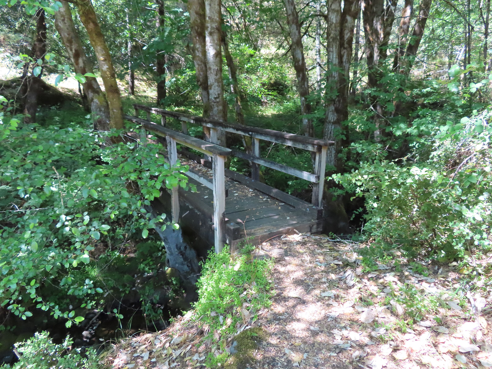
 Paradise Bar
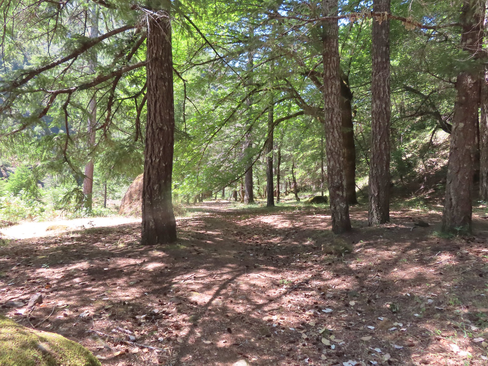
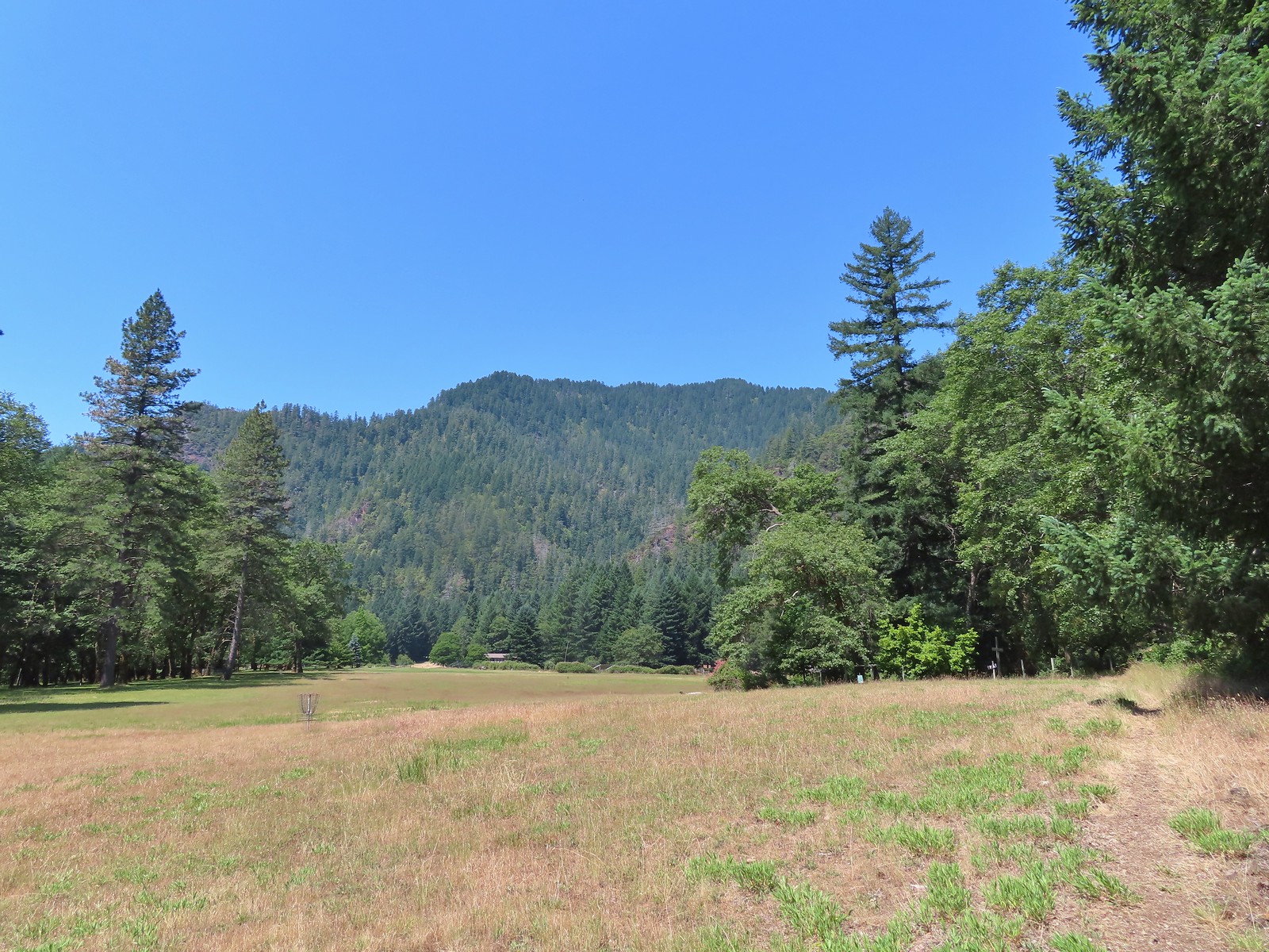 The trail skirted the grassy airstrip before entering the forest.
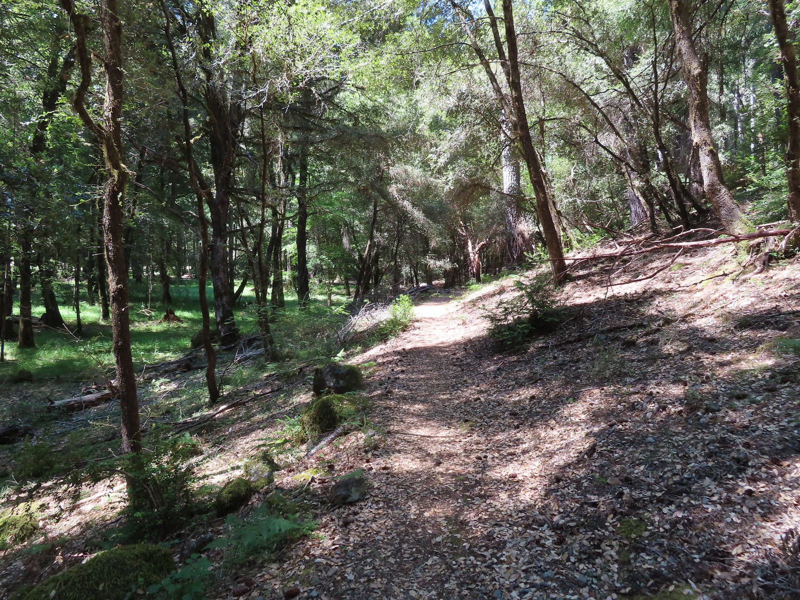
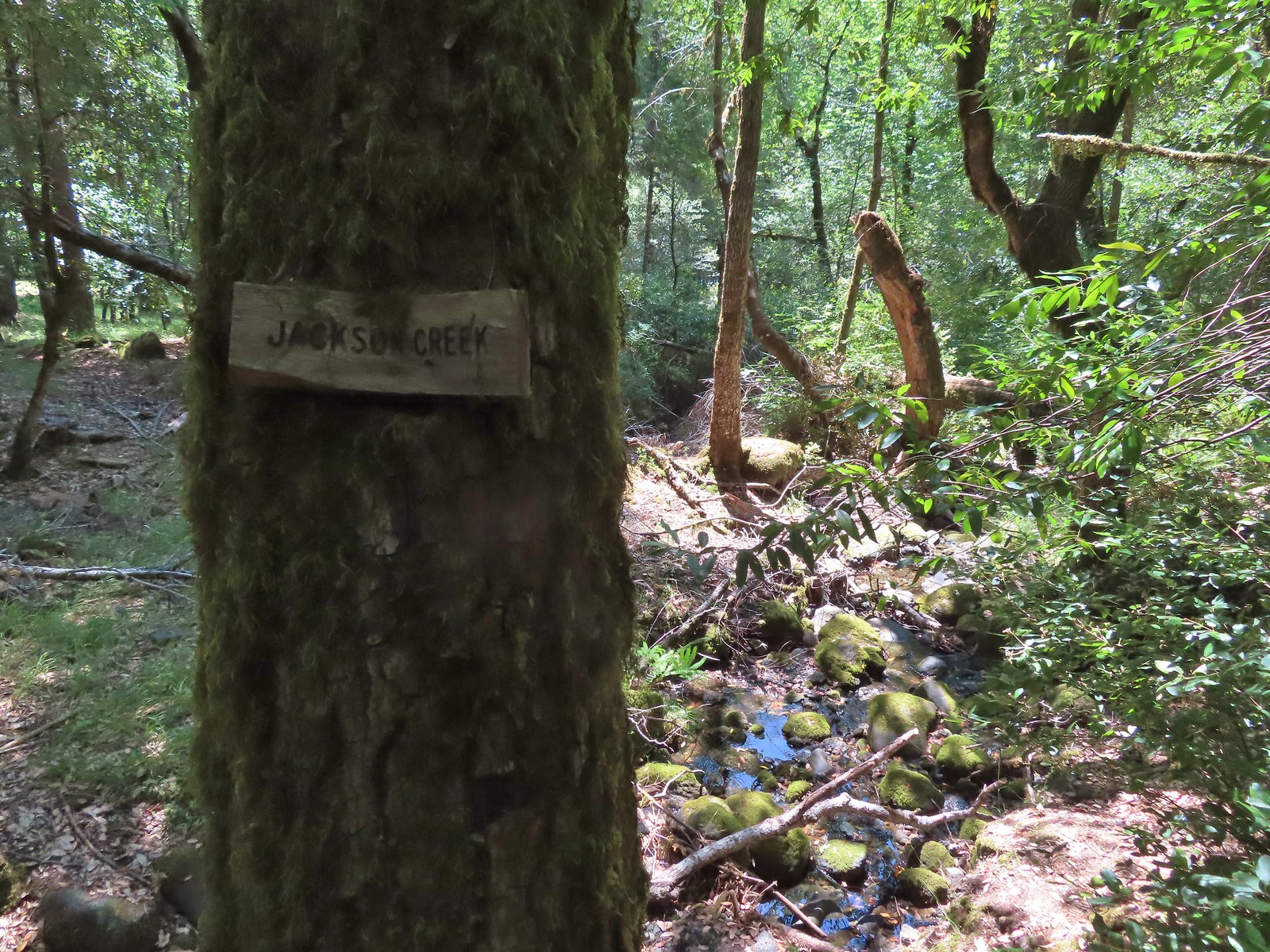 Jackson Creek. Most if not all of the creeks had signs letting us know their names.
 Some of the buildings related to Paradise Lodge.
 Rafters and kayakers passing through Half Moon Riffle.
 One of
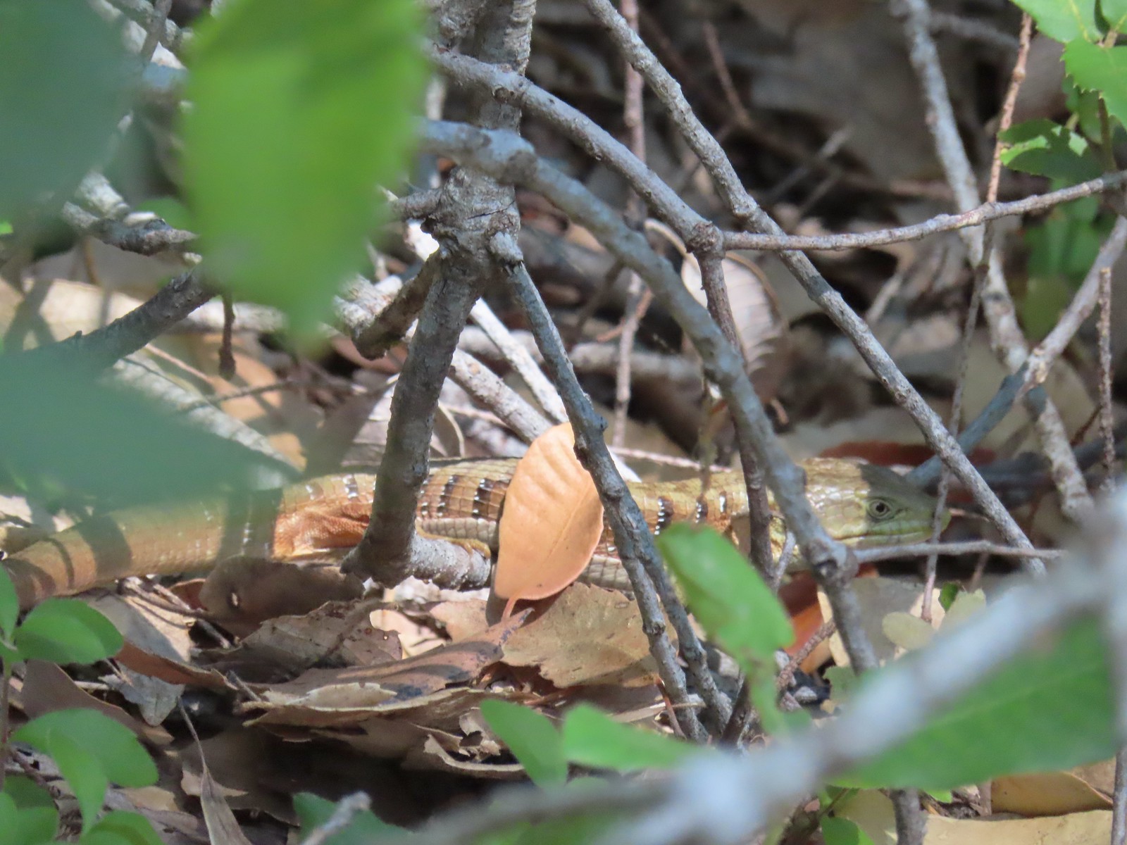 Alligator lizard
 Wine-cup clarkia
 A few fluffy clouds moving in.
 Stair Creek Falls on the way back.
 Mule Creek Canyon
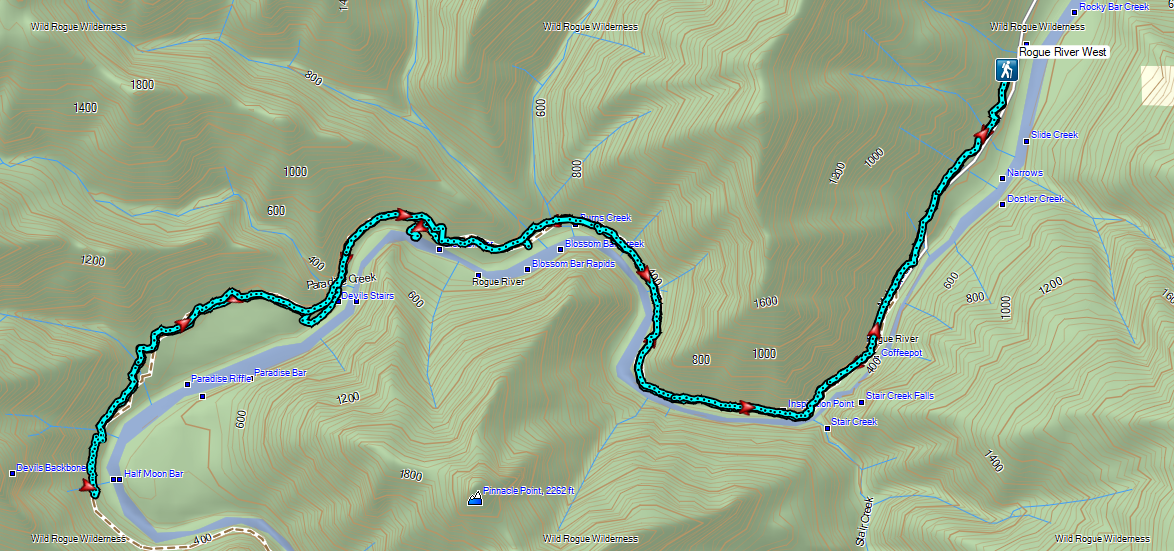


 At least one bull in the herd.
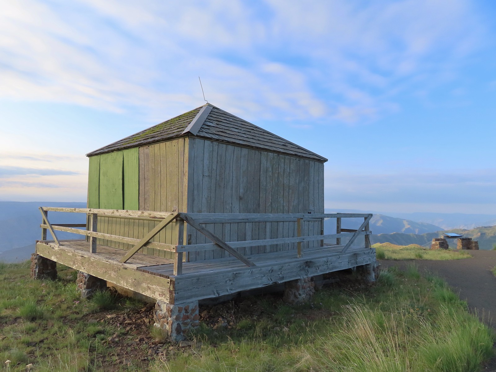
 Buckhorn Lookout

 Hells Canyon
 Tolmie’s onion
 Pale paintbrush
 Larkspur, lupine, and northern mules ears.
 Prairie smoke a.k.a. old man’s whiskers
 Purple sticky geranium
 Paintbrush
 Parsley, larkspur, large flower triteleia, and Tolmie’s onion
 Phlox
Phlox We could have driven the 1.2-miles on FR 780 to the gate but the road was not in good shape and after driving to Eureka Bar the day before we weren’t interested in another rough road.
 Mallow ninebark
 Arnica
 Large flower triteleia

 Gate at the end of the road.
 Marker for the Nez Perce – Nee-Mee-Poo National Historic Trail.

 Columbian lewisia
 Seven Devils in Idaho
 Lupine, yarrow, buckwheat, and scarlet gilia
 Scarlet gilia

 Elkhorn clarkia a.k.a. ragged robin
 Another impressive scarlet gilia.
 Paintbrush, lupine, phacelia, thistle, and scarlet gilia
 Penstemon
 A phlox
 Scabland penstemon
 Threadleaf phacelia
 Penstemon
 Paintbrush
 Lark sparrow
 Cedar waxwing
 Elkhorn clarkia
 Wallflower
 Skullcap
 Nettle-leaf giant hyssop
 Monkeyflower and some tiny white flowers near a seep.
 Buckwheat

 Mylitta crescent
 Rough eyelashweed
 Looking back up the trail.
 At Spain Saddle the road switched to the opposite side of the ridge.
 Bush penstemon
 Another type of penstemon
 White spiraea
 Manyflower tonella
 Owl’s clover
 The viewpoint on the far side of the fence.
 Boat on the Snake River.
 Salsify
 Bindweed
 Thistle with bugs.
 Clouds moving in behind us.
 Prickly pear cactus
 The only poison ivy we saw all hike.
 Eureka Viewpoint ahead to the left.
 Hairy goldenaster
 Fleabane
 Eureka Viewpoint
 Looking back
 Looking down
 Clustered broomrape


 A very small part of the river is visible to the left and more to right.


 Here come the clouds.
 We spotted a rock arch on the way up that we’d missed earlier.
 A closer look at the arch.
 Common wood nymph
 Spotted towhee
 Northern flicker
 The only time we noticed the Imnaha River from the trail.
 Butterfly near the seep.
 Mountain parnassian on yarrow.
 A painted lady butterfly.
 Chipping sparrow
 We could actually smell a little smoke at times on the way back.
 Tiny trumpet
 Hound’s tongue and roses
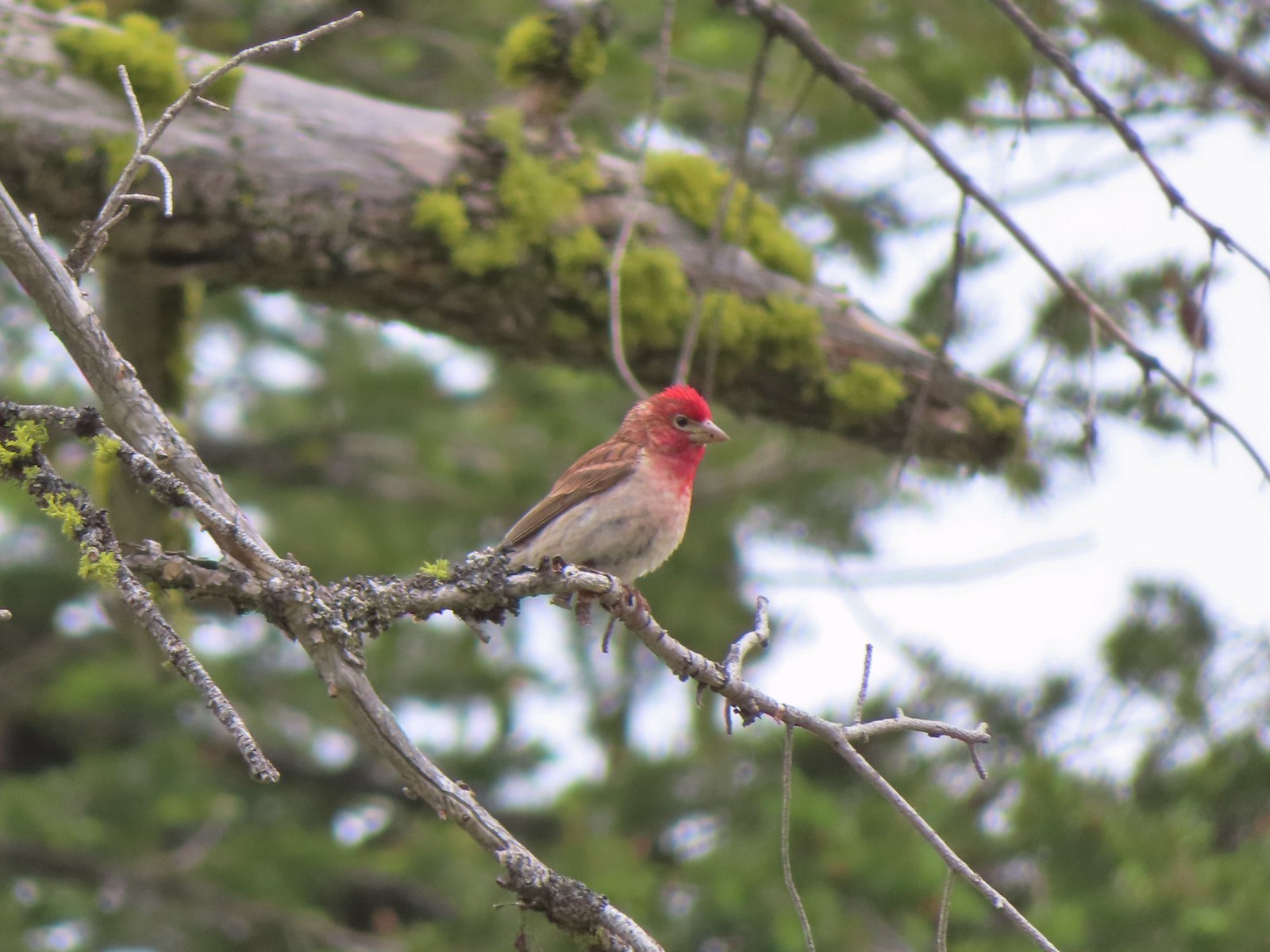 Cassin’s finch
 Western bluebird
 Western tanager
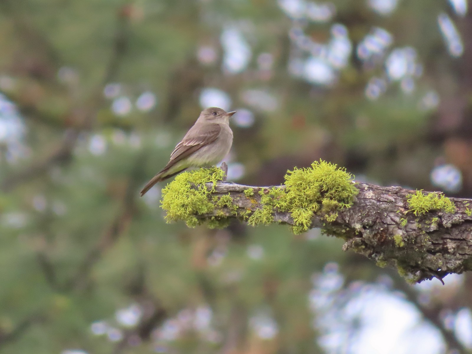 Western wood peewee
 Hairy Indian paintbrush
 Hoary balsamroot
 Mountain bluebird
 The view in the afternoon from the lookout.

 Cow Creek Bridge at the Cow Creek Trailhead.
 Garbage can at the trailhead.

 Penstemon along the trail.
 Geese on the river.
 Cliff swallows
 Moth mullein
 Hawk
Hawk Showy milkweed
 Prickly pear cactus
 Heading into a brushy area.
 Rose
Rose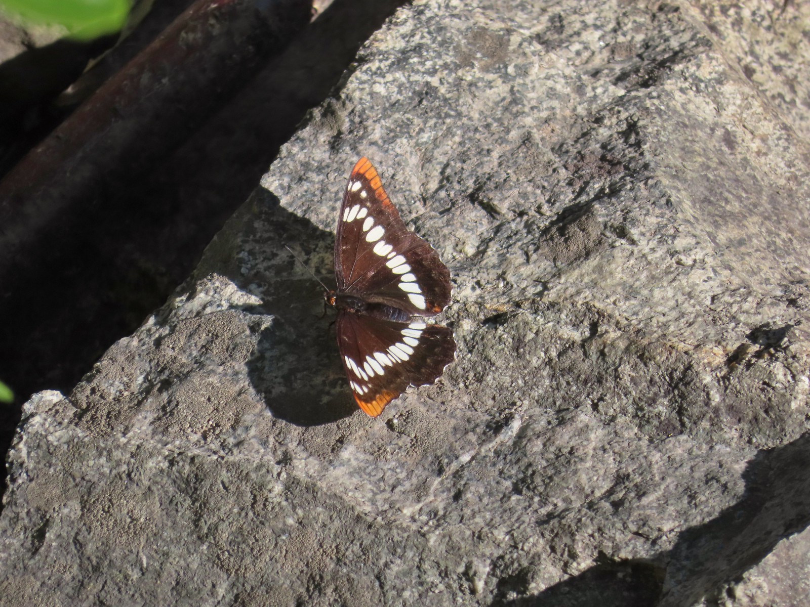 Lorquin’s admiral
 Can you spot the snake?
 The snake heading off the rocks into the brush.
 I cleared this section of trail.
 Sumac along the trail.
 The only marker that Sullivan mentioned along the trail was this pillar on the right at the 2.8-mile mark.
 Painted lady
 St. John’s wort and poison ivy.
 Skullcap
 Becker’s white
 Our first view of the Snake River.
 One of several reminders of the mining town at Eureka Bar in the early 1900’s.
 The Mountain Chief Mine across the Imnaha River.
 The Snake River
 Chuckar in the brush across the Imnaha River.
 Eureka Bar
 Skipper on common bugloss.
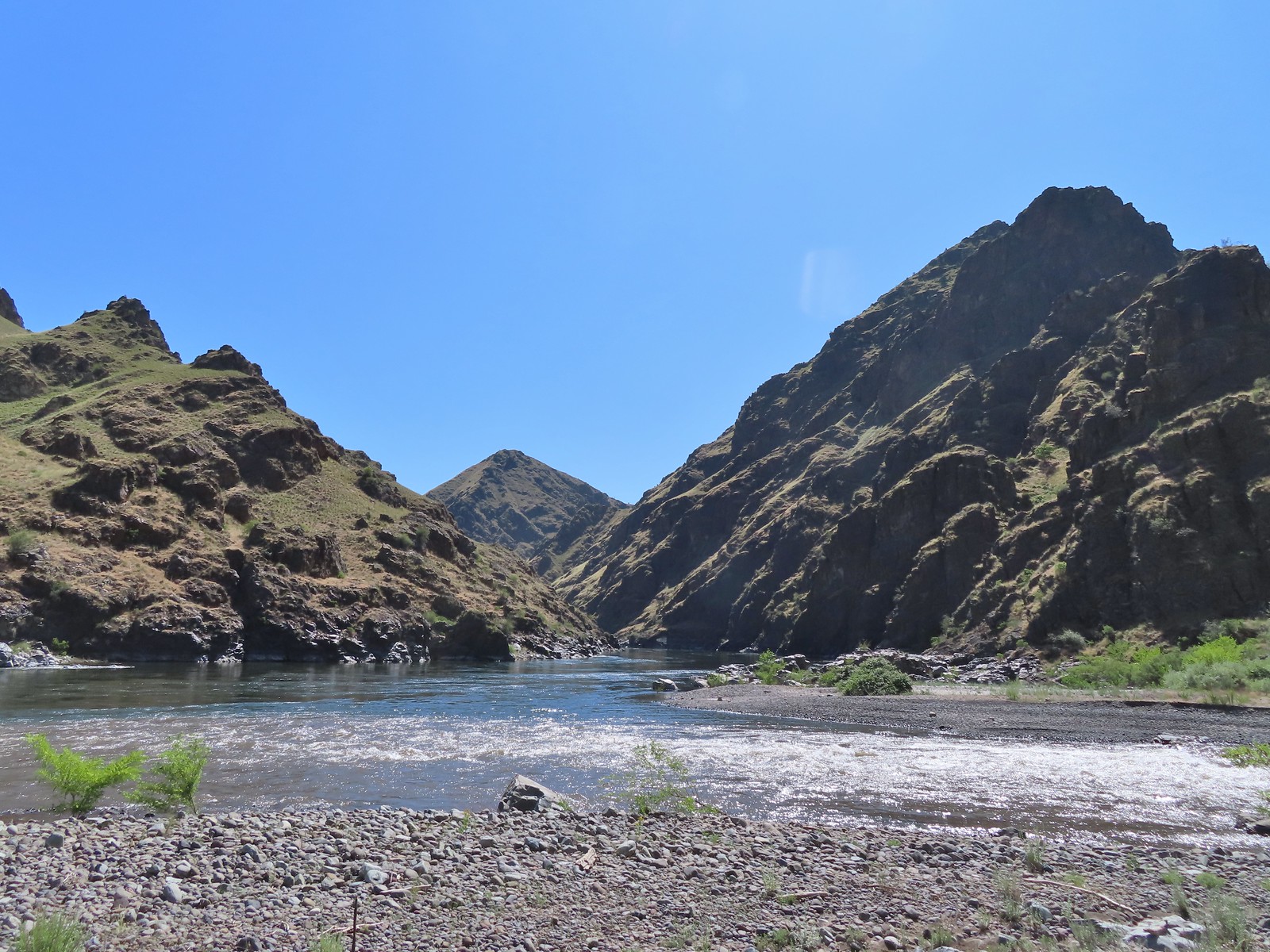 Imnaha River emptying into the Snake.
 Blanketflower
 Bindweed
 Sagebrush mariposa lily
 Another sagebrush mariposa lily
 Fleabane
 Stones where the gold processing mill was going to be.
 Long-leaved ground-cherry (Physalis longifolia)
 Orange globe-mallow
 Orange globe-mallow
 Our turnaround point.
 Another mariposa lily
 Ruins at Eureka Bar.
 Common merganser
 A prickly pear cactus near Eureka Bar.
 Green cricket on poison ivy.
 Lazuli bunting
 Mourning cloak

 We missed all of these prickly pear cacti on the first pass.
 Arriving back at Dug Bar Road.


 Lupine along the trail.

 Interpretive sign along the trail.
 Second from the left is Dug Peak, the pointy peak is Sawtooth Peak, and the round peak to the right is Hurricane Point.
 The trail descended from the hill and leveled out along some trees.
 Yellow warbler
 Brown-headed cowbirds


 Hounds tongue
 Death camas
 Oregon sunshine
 Bench with a view of Point Joseph behind.
 Sunflowers yet to bloom.
 Fiddleneck
 Descending to the highway.

 Old Chief Joseph’s gravesite. His original grave near Wallowa, OR had been looted twice before he was moved here in 1926.
 Wallowa Lake beyond the gravesite of Martha and Frank David McCully.
 A sightseeing robin.
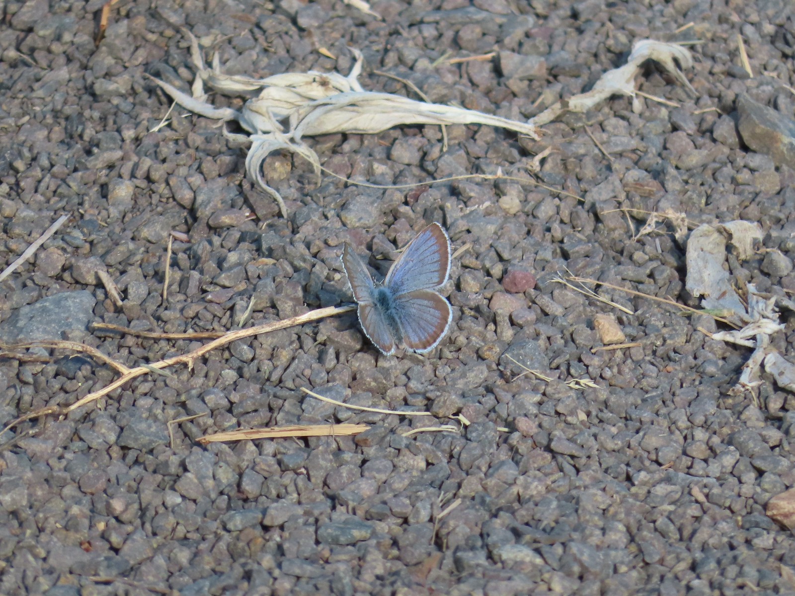 Butterfly on the trail.
 Western stoneseed

 Farmer’s Ditch
 View from the South Main Street Entrance.
 Passing back by Knight’s Pond.
 Some uplift action on the clouds from the trailhead.
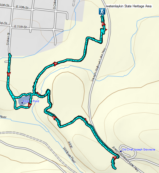
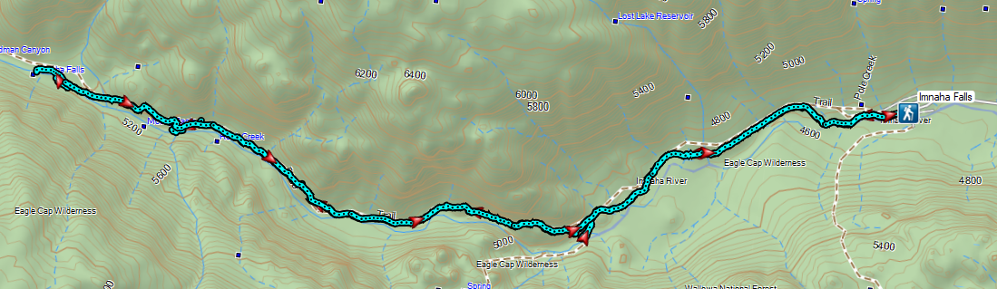
 Indian Crossing Trailhead
 Imnaha River at the trailhead.
 Jessica’s stickseed
 Hooked spur violet
 Woodland star
 Valerian
 Arnica

 Violets
 We passed a pack station in the forest on our right.
 Ballhead waterleaf
 Lupine along the trail
 Anemone
 Western meadowrue
 Paintbrush along the trail.
 Larkspur, lupine, and Jessica’s stickseed
 Chipmunk
 A nice patch of lupine.
 Snow patches high up on the ridge.
 The Imnaha River below the trail.
 One of many small unnamed stream crossings.
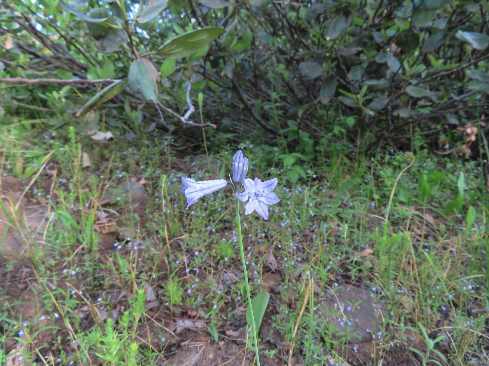 Large-flower triteleia
 A ponderosa pine that survived the fire.
 Robin
Robin One of several types of penstemon along the trail.
 We were just sure that there should be elk, deer, or a bear down along the river here.
 There were quite a few of these millipedes in the trail.
 In some cases the creeks had taken over the trail.
 Cinquefoil
 A brushy section of the trail.
 Tall bluebells
 Two-tailed tiger swallowtail


 Blue Hole, not exactly blue this time of year due to the amount of silty snowmelt water swelling the river.
 Wildflowers above the gorge.
 The Imnaha emerging from the gorge into Blue Hole.
 Arnica along the trail.
 Coming up on a small stand of aspen.
 A rockcress
 Juba skipper
 Roundleaf alumroot
 Painted lady on Oregon sunshine.
 Glacier carved rock outcrops provided some excellent views and good habitat for wildflowers.


 Scabland penstemon
 Paintbrush
 Not a flower but very colorful.
 Bush penstemon
 Western tanager
 Western blue clematis
 Brown creeper on a tree trunk.
 Left is Marble Mountain and to the right further back is Honeymoon Summit.
 Larkspur along the trail.
 Heartleaf springbeauty
 Another flooded section of a the trail.
 Western tiger swallowtails on chokecherry.
 Dreamy duskywing
 Threeleaf lewisia
 We were too late for the Brown’s peony blooms.
 Balsamroot and paintbrush
 On the opposite side, with a series of drops, is Rock Creek flowing into the Imnaha.
 The Imnaha River leaving the gorge.
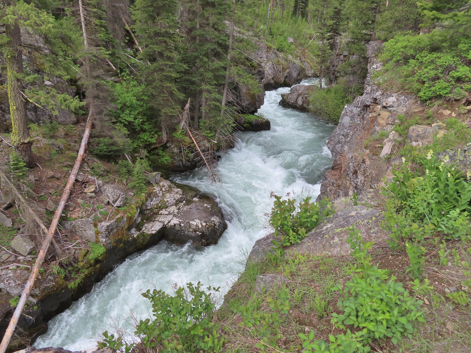
 Rock Creek cascading down through the forest.
 Another creek cascading down.
 Marble Mountain
 Twinberry honeysuckle
 Marsh violet
 Rock outcrop above Imnaha Falls
 I tried going down river first to see if I could get a view back up to the falls, but the water level was into the brush along the riverbank.
 The falls were just upriver from this bench with a couple of campsites.
 The gap in the outcrop.
 Imnaha Falls.
 Utah honeysuckle
 Bee on a dandelion
 Nettle-leaf giant hyssop
 Slender phlox
 Silverleaf phacelia
 Vetch
Vetch
 Osprey, the fishing here must have been good because we’d seen a bald eagle in this area in the morning.
 Fairy slipper
 Arriving back at the trailhead.