After checking off two of Sullivan’s featured hikes on Saturday (post) we had another pair lined up for Sunday. Another day of clear skies and low 60-degree temperatures lay ahead as we drove from Grants Pass to our first stop at the Tanner Lakes Trailhead (note the Forest Service refers to this and the lakes as “Tannen” but Tanner is the official name used by the U.S. Board on Geographic Names (the Board corrected the error in 2002 which had erroneously changed the names from Tanner to Tannen). The area here burned, like so many others in Oregon, in September 2020. For a look at the area before the Slater Fire here is a report by Just Peachy from July 2020.
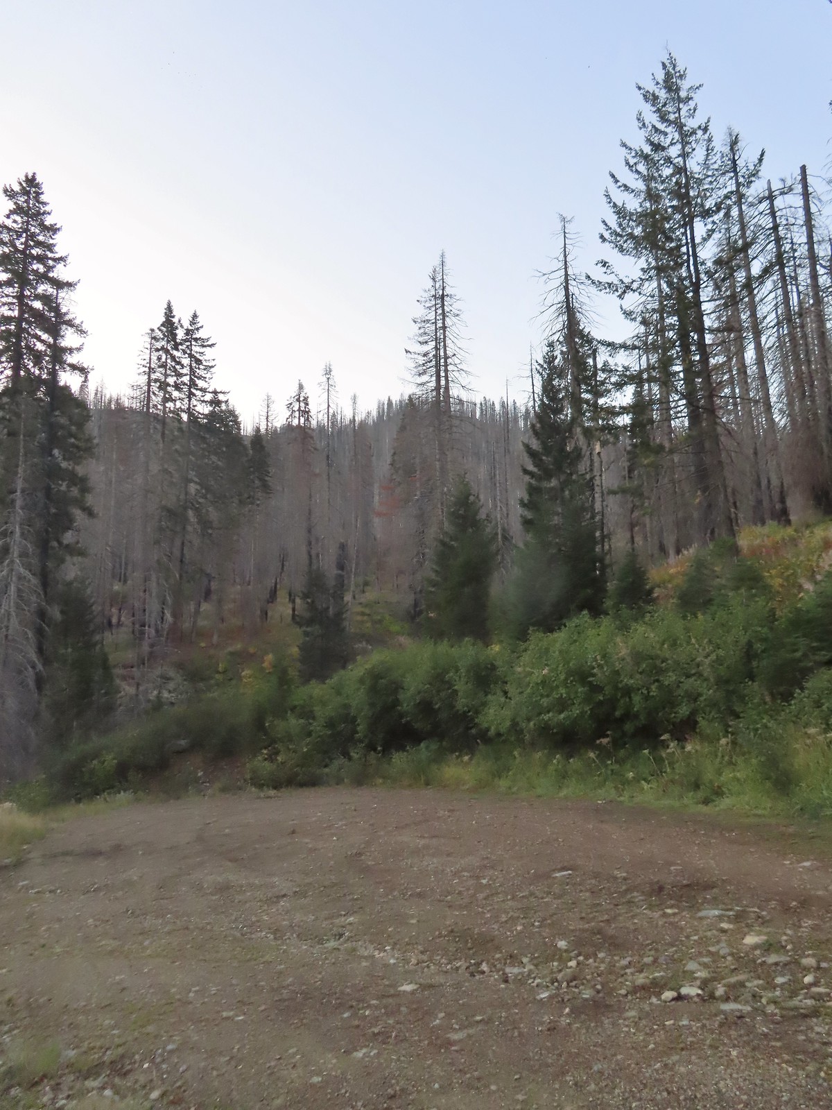 There is a large turnaround/parking area at the end of Forest Road 041 which serves as the trailhead. The final 500 meters of the road are rough so high clearance vehicles are recommended.
 A pink flag marked the start of the trail just up the road from the turnaround.
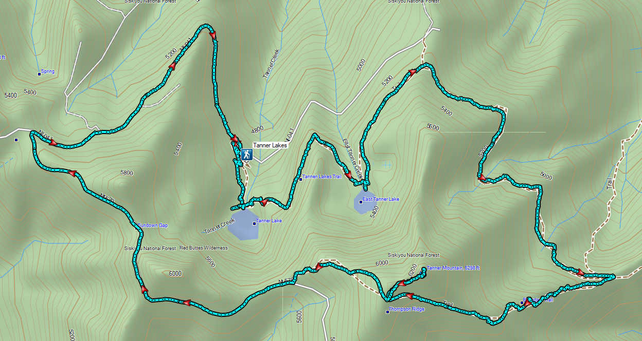
Heather still wasn’t feeling well so she decided that she would just do the 2.6-mile out-and-back to the Tanner Lakes which was the shorter of two options Sullivan listed for this featured hike. The longer option was either a 9.2-mile out-and-back to the summit of Tanner Mountain, or a slightly shorter loop ending with a 2.8-mile road walk. I was going to give the loop a go, but I was unsure of the trail conditions beyond the lake, so I was prepared to turn back at any point. It was just 0.4-miles from the trailhead to Tanner Lake where the Fall colors were reflecting nicely in the water.
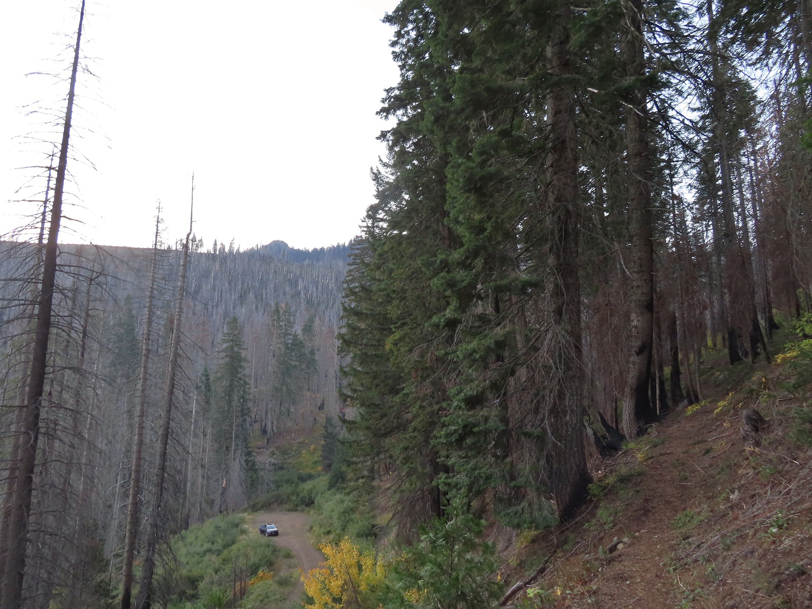 The trailhead from the Tanner Lakes Trail.
 A few trees survived the fire around the lakes.
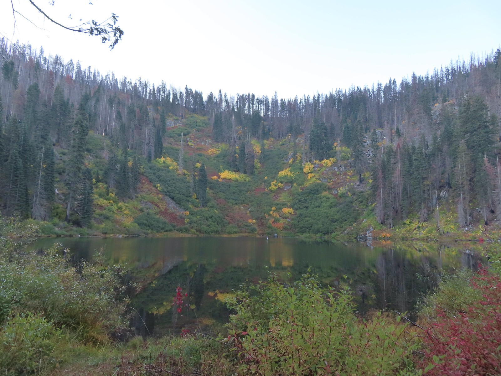 Tanner Lake in the morning.

The trail crossed Tanner Creek and climbed gradually over a ridge to East Tanner Lake just under a mile from the larger lake.

 Penstemon
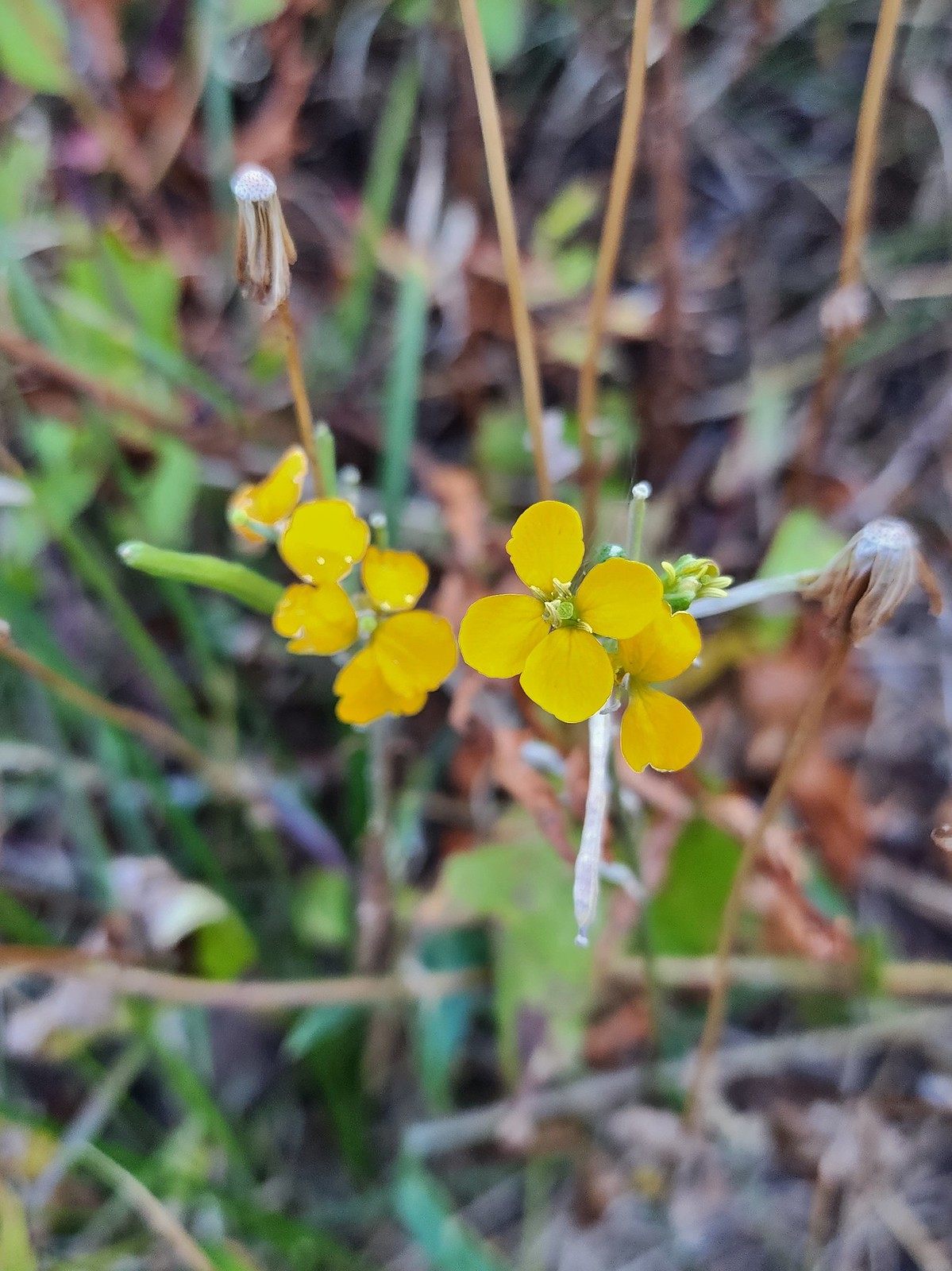 Wallflower

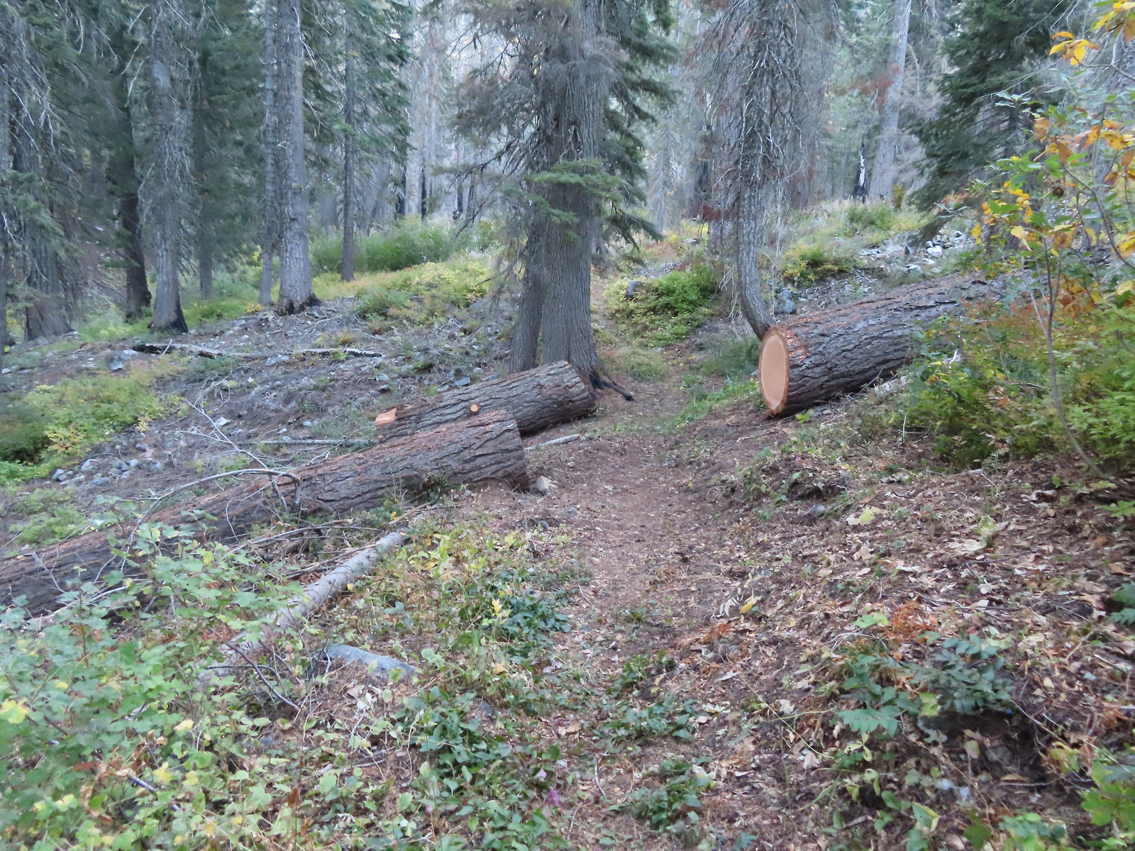 Recent trail maintenance.
 East Tanner Lake
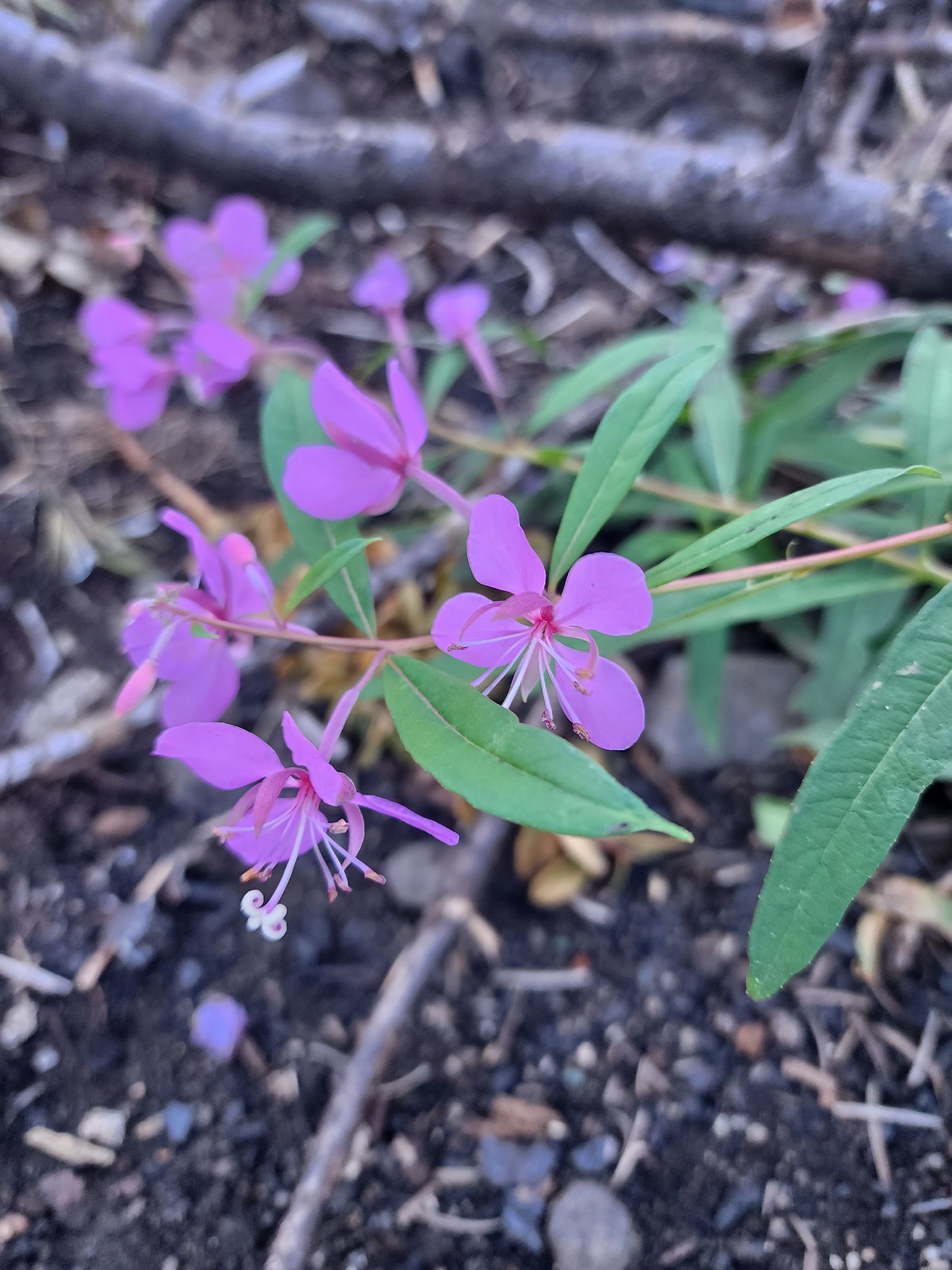 Fireweed
One of the world’s largest incense cedars, Titan, is located to the West of East Tanner Lake but I failed to look for it to see if it survived the fire. Instead I continued on the Tanner Lake Trail climbing gradually for 0.6-miles to a former junction with a tie trail that has not been maintained since the fire.

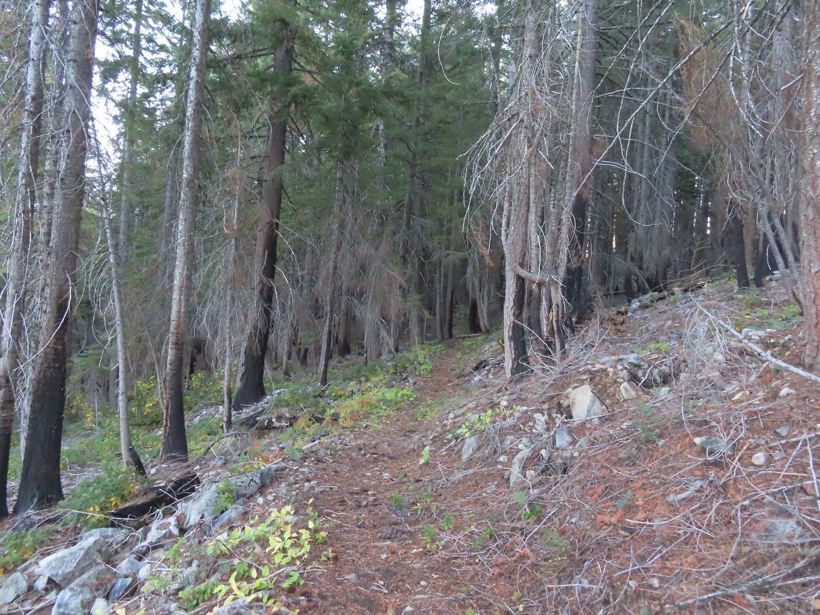 The eastern side of the ridge fared better in the fire than the forest closer to the lakes.
 Signs at the junction with the tie trail.
 The tie trail used to be here.
I continued on the Tanner Lake Trail which gently contoured around the hillside for 1.5-miles to a junction with the Fehley Gulch Trail.


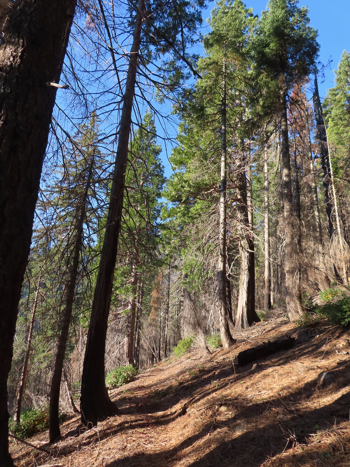
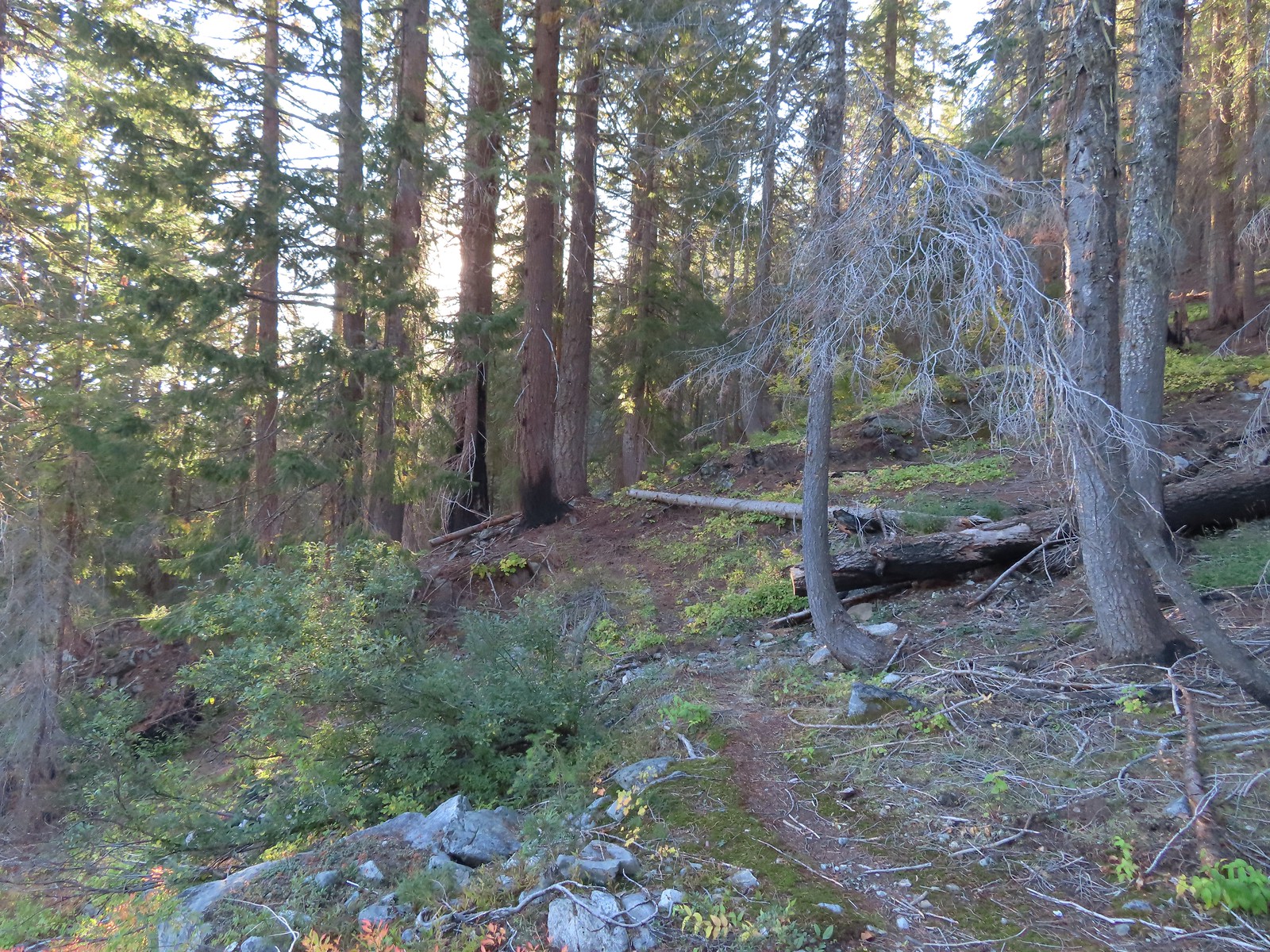
 Second breakfast
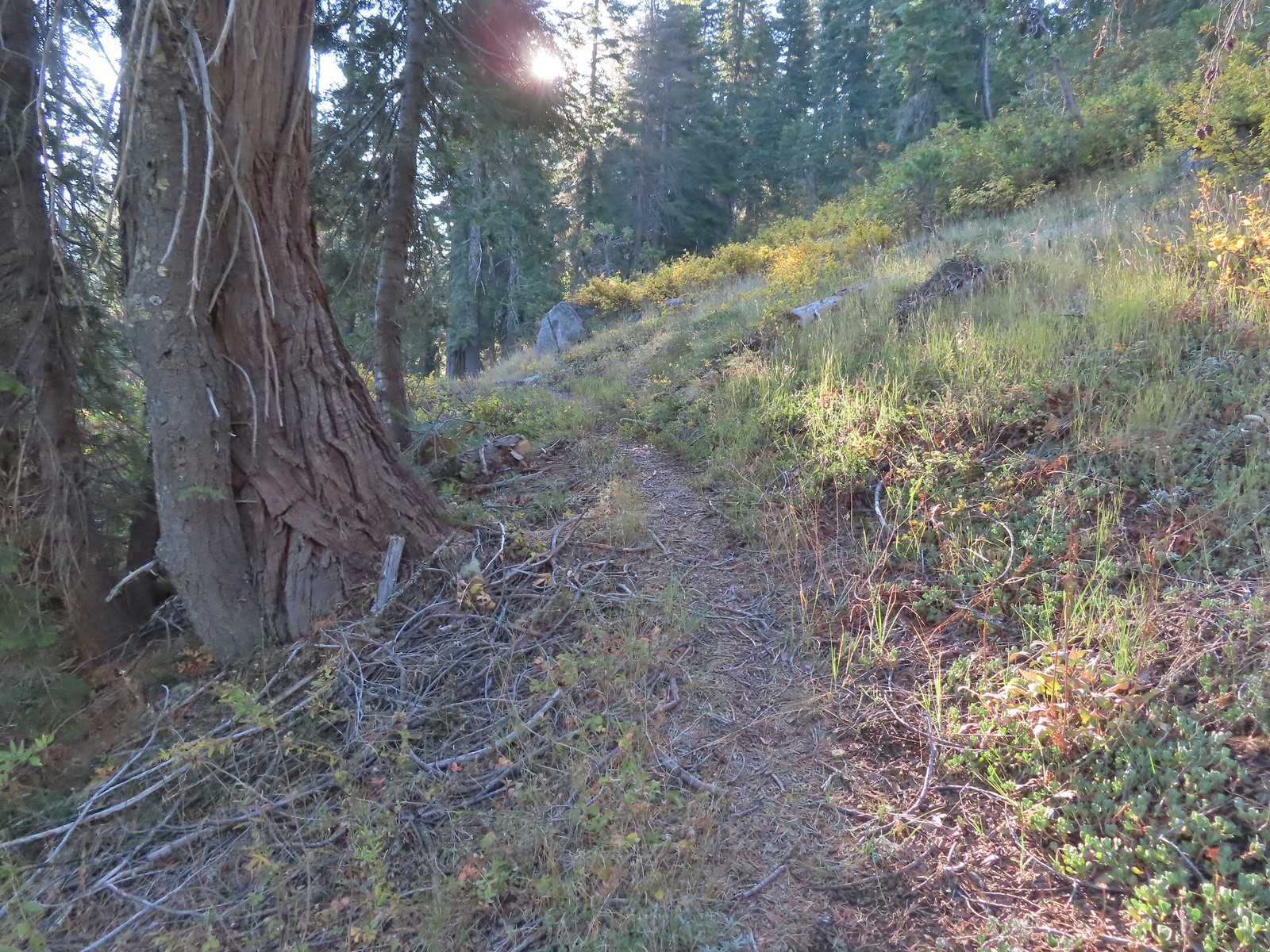 The trail briefly left the fire scar altogether near the Fehley Gulch junction.
 Looking back down at the Fehley Gulch Trail as it joins the Tanner Lake Trail.
 Tanner Mountain from the trail near the junction.
A very short distance later I arrived at the Boundary Trail where I turned right.
 Sign at the Boundary Trail junction.
I was now back in the fire scar and about to begin a steep 1100′ climb over the next mile to a ridge below Tanner Mountain.

 Dark-eyed junco

 Tanner Mountain again.
 Scarlet gilia

 One of two checker-mallow blossoms I spotted. The other was much nicer looking but it was downhill and I was too lazy to go down to get a good photo.
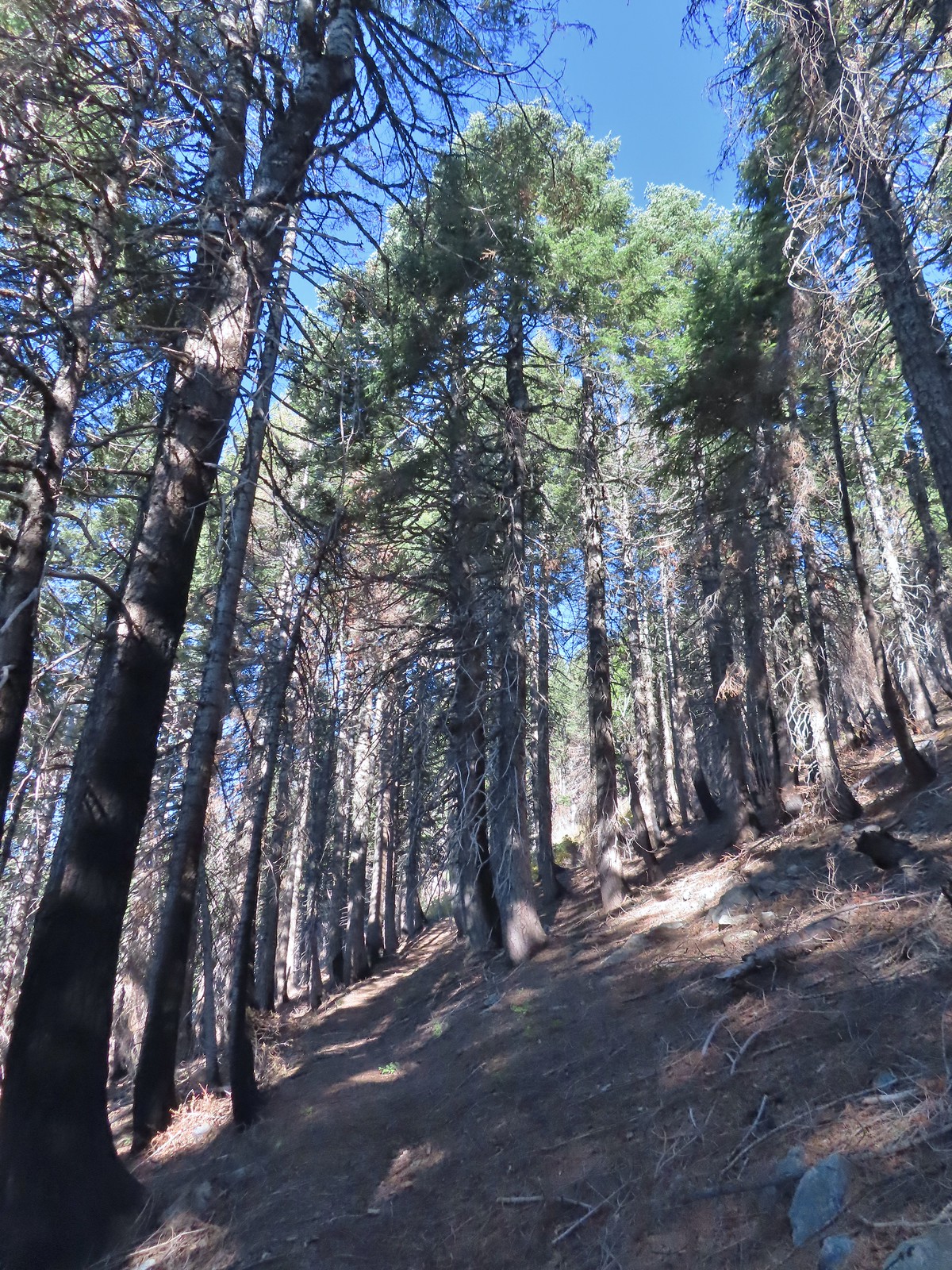 This trail was really steep at times.
 Almost to the ridge.
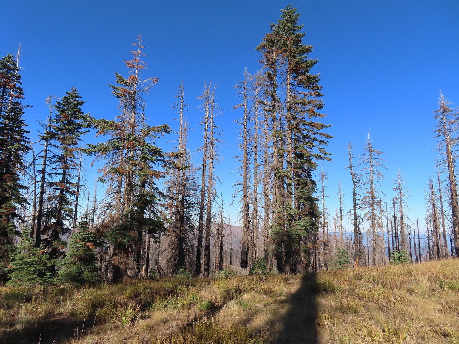 The trail became pretty faint on the ridge.
Once I’d gained the ridge I set off cross-country toward Tanner Mountain eventually picking up a use trail which led to the 6305′ summit.
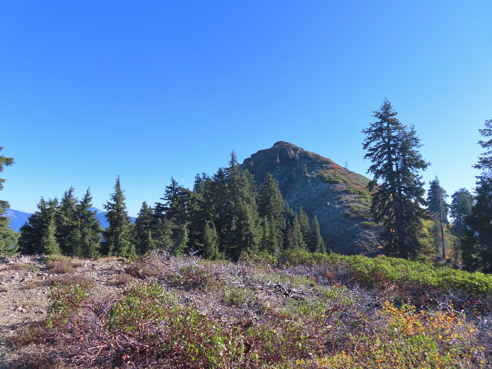
 More steep climbing.
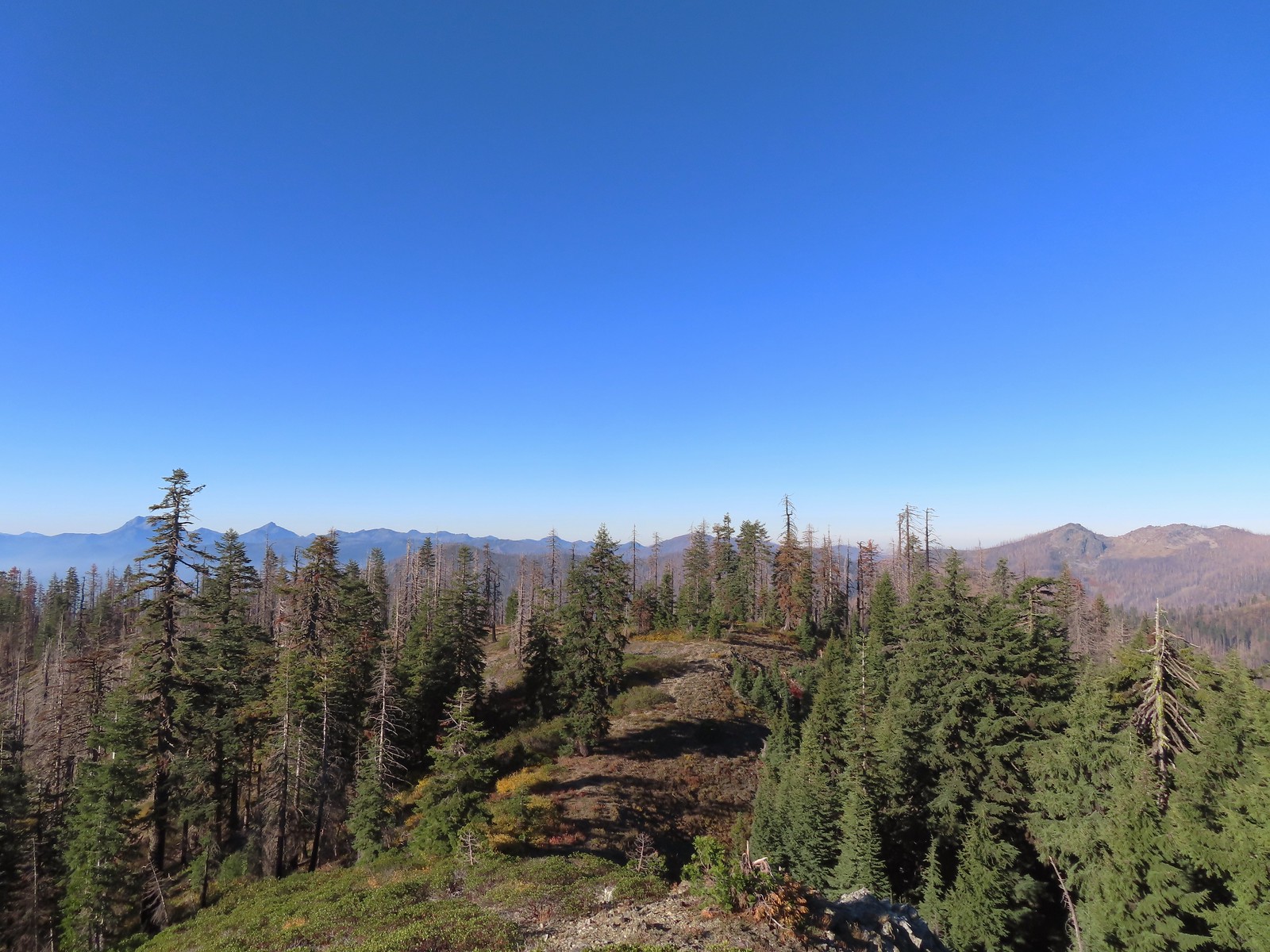 Looking back down over the use trail.
 From right to left – Grayback Mountain, Lake Mountain, and Mount Elijah (with lots of other peaks).
 The double humps of Red Buttes behind and left of Pyramid Peak with the outline of Mt. Shasta to the right of Pyramid Peak.

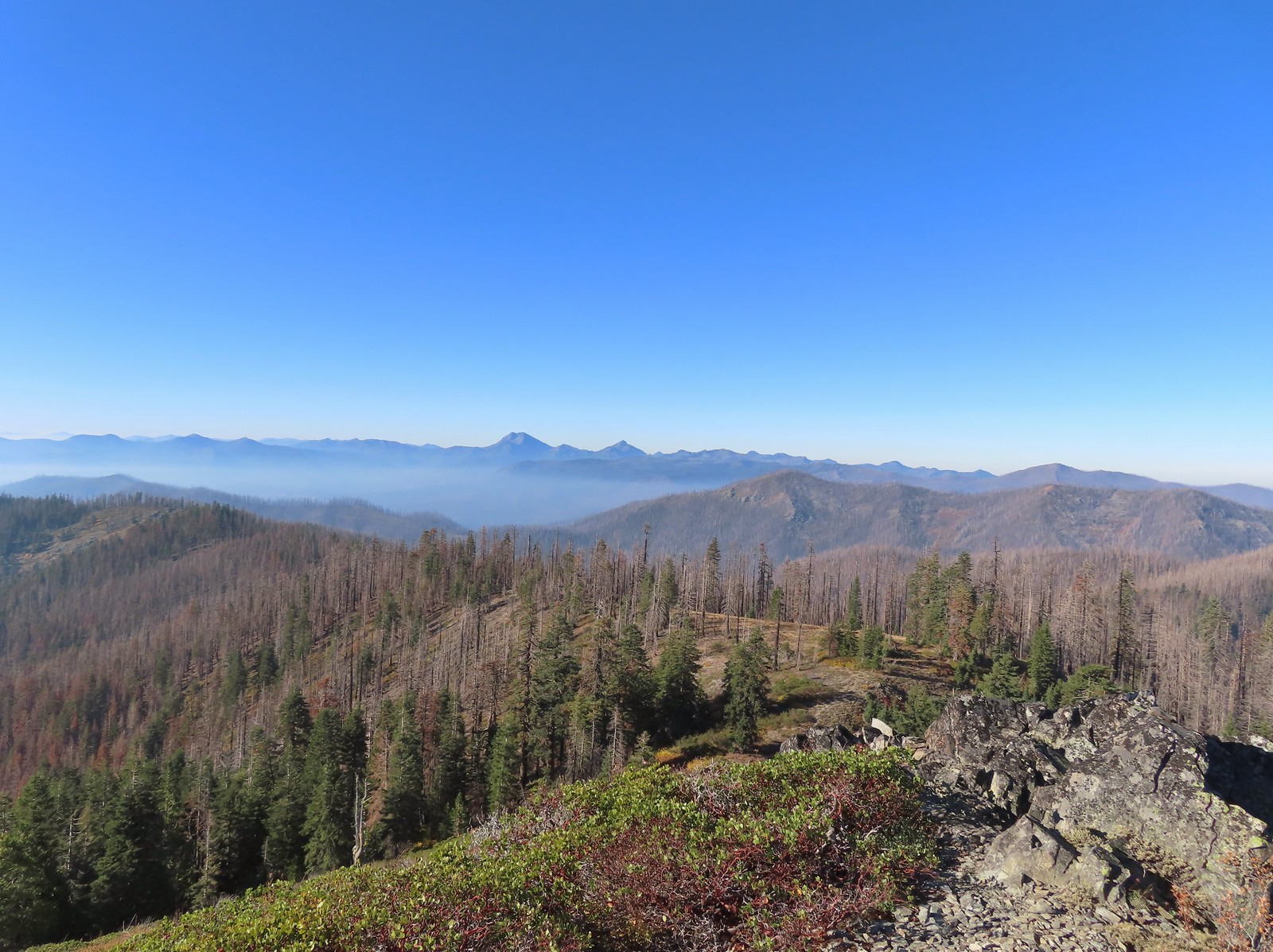 Preston Peak and El Capitan in the Siskiyou Wilderness (post).
 Preston Peak and El Capitan
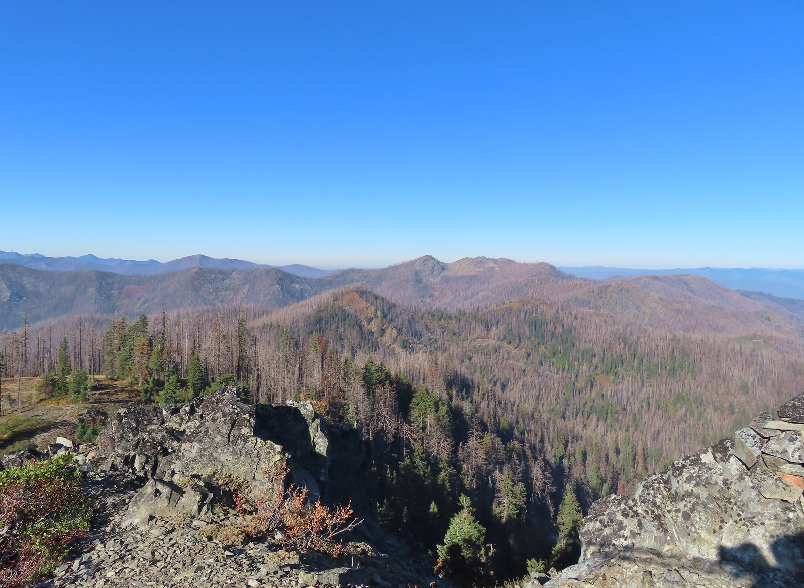 Bolan Mountain, our other stop for the day.
 Bolan Mountain
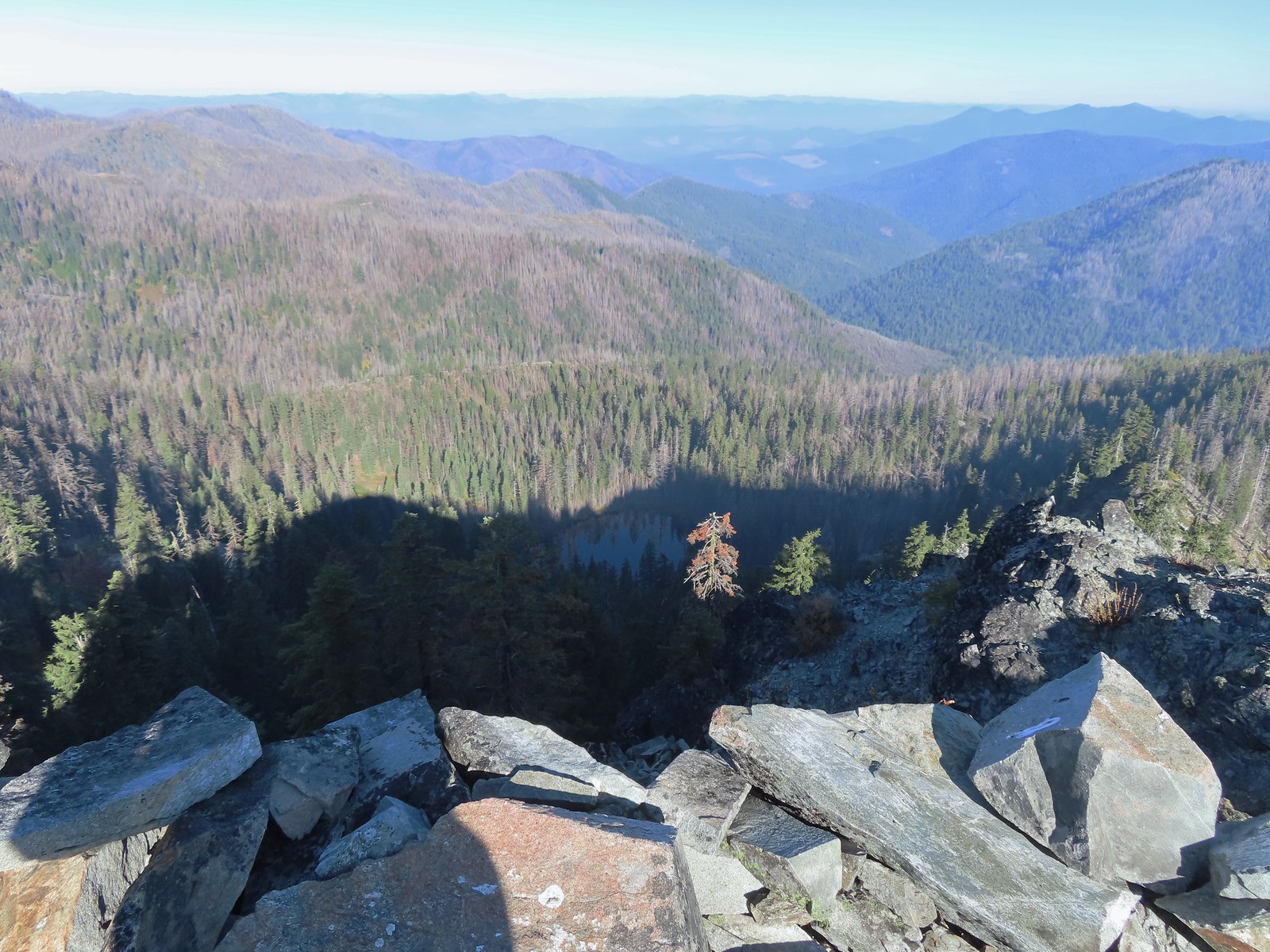 East Tanner Lake in the shadow of Tanner Mountain.
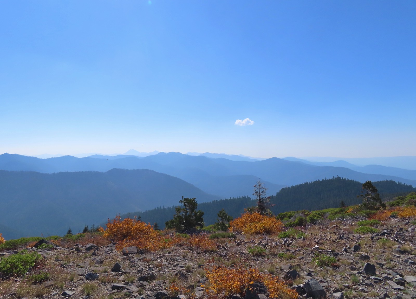
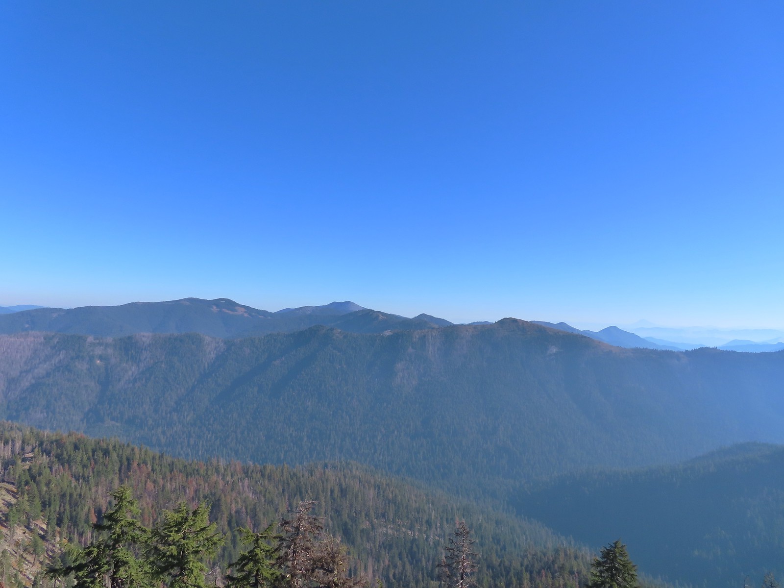 A faint Mt. McLoughlin (post) in the distance on the right.
After a brief rest to enjoy the view I headed down to Thompson Ridge and located the Boundary Trail in the vegetation, after initially crossing right over it without noticing, and followed it downhill a half mile to Road 570.
 The Boundary Trail dropping off Thompson Ridge.
 Ferns along the Boundary Trail.
 More signs of recent maintenance.
 Old campsite near Road 570 and the boundary of the Red Buttes Wilderness.
 This is/was the Boundary Trailhead but there isn’t much left post fire.
I turned right onto Road 570 and followed it 1.4-miles to Kings Saddle where I took another right onto Road 041. I spent a fair amount of time tossing rocks off of this road for the next 1.4-miles before arriving at the car.

 Bolan Mountain from Road 570.
 Pussy paws
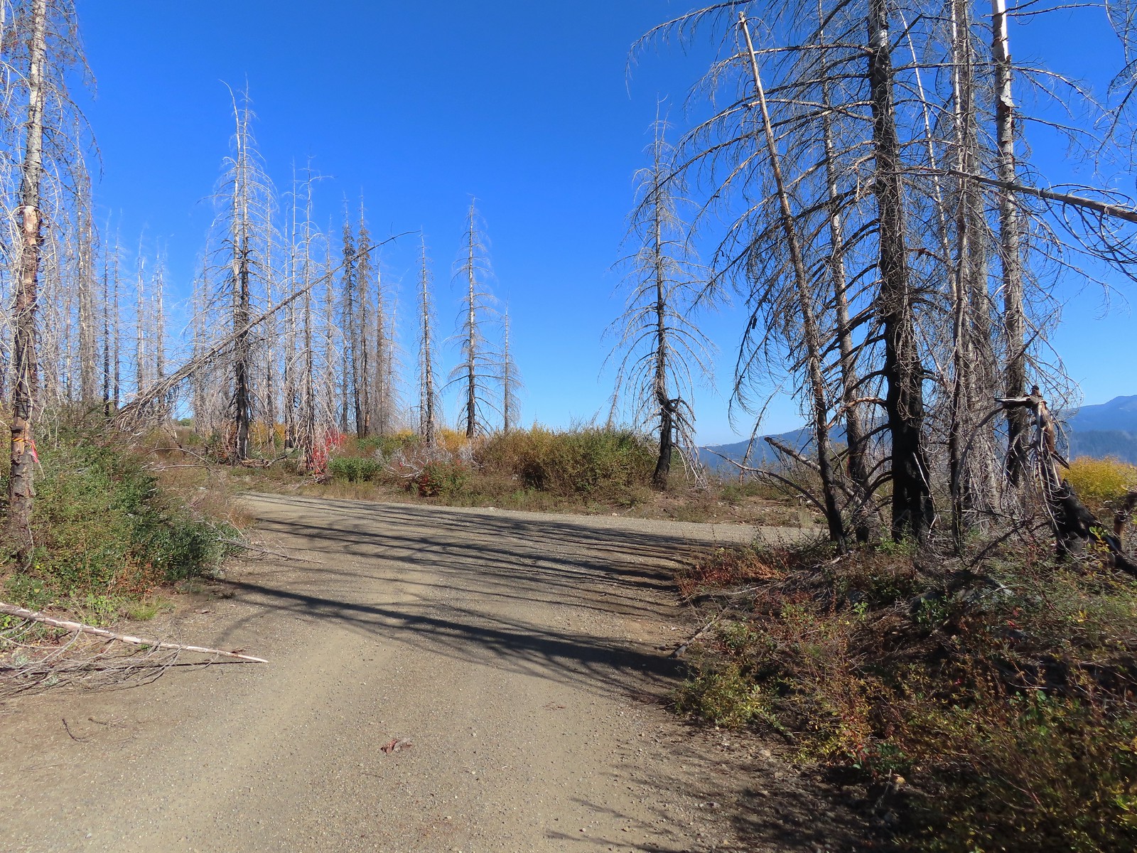 Road 041 at Kings Saddle.

 Pearly everlasting along Road 041.
 Where things started getting ugly on Road 041.
 It’s in the shadow but the runoff channel cut across the road here creating a decent sized divot.
 Another rocky section of the road.
 California sister at the trailhead.
My loop here came to 8.6-miles with 1700′ of elevation gain but the vast majority of it was all in the 1.3-miles from the Boundary Trail junction to the summit of Tanner Mountain.
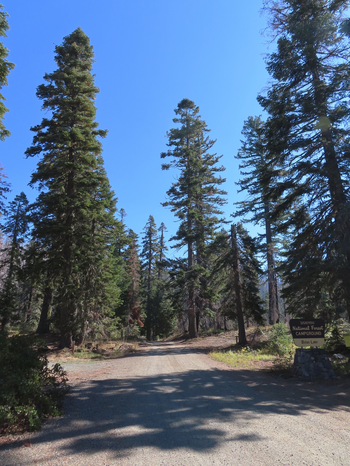
It was a good thing Heather hadn’t tried to tough it out as she had gotten a bit worse while I was gone, and this was a tough one. We carefully drove back up to Kings Saddle then continued another 3.2-miles to Road 40 where we turned sharply downhill continuing 1.8-miles to the Bolan Lake Campground. This area was also part of the 2020 Slater Fire but unlike the Tanner Lake Trail I quickly discovered that the Bolan Lake Trail had not received any recent maintenance.
Heather again decided (smartly) to play it safe and stick to Sullivan’s shorter option here and do the 0.7-mile loop around Bolan Lake. I was going to attempt the 3.6-mile out-and-back to the former lookout site atop Bolan Mountain. The lookout was lost in the fire and “might” be rebuilt in the future. Our adventure began before we even got out of the car here though as the “trailhead” that was supposedly located near the end of the second campground loop was nowhere to be seen. The second loop was an eroded mess and we weren’t sure we were going to make it around. Fortunately we did and decided to drive back to the entrance of the campground and park along the shoulder.
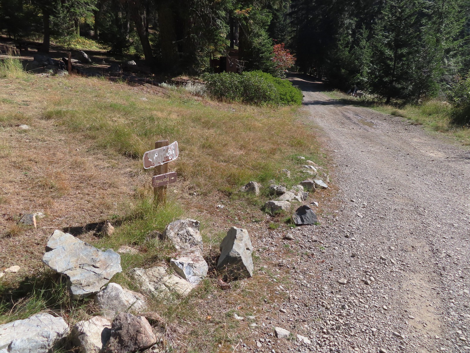 The pointer is a trap!
We walked down the road to the second loop and I began looking for the Bolan Lake Trail which Sullivan said began on the North (uphill) side at the highest point of the loop. I walked up and down the road a couple of times looking for anything that looked like a trail but only saw a single rock atop a large downed tree that might have been intended to be a cairn. The map on the GPS unit showed the trail starting near the start of the loop by an outhouse but there was also no sign of a trail there. I finally decided to set off uphill cross-country hoping to pick up the tread along the hillside.
 This looked like as clear a spot as any.
After only 100′ or so I came to trail tread.
 Looking up the Bolan Lake Trail.
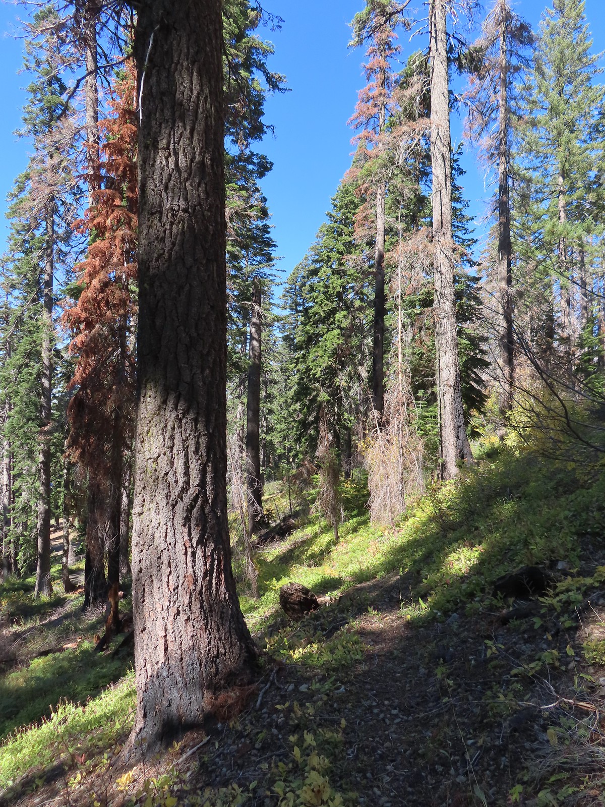 My guess is the rock on the log was where the trail used to begin but the log had been a bit too large to climb over.
It was just over a mile to a junction on a ridge crest where the trail turned right for half a mile to the service road up Bolan Mountain. This trail was everything I feared the loop around Tanner Mountain might be. The tread was faint, blowdown covered the trail, and at one point the tread was eroded to the point that side hilling for several feet above the former tread was necessary.
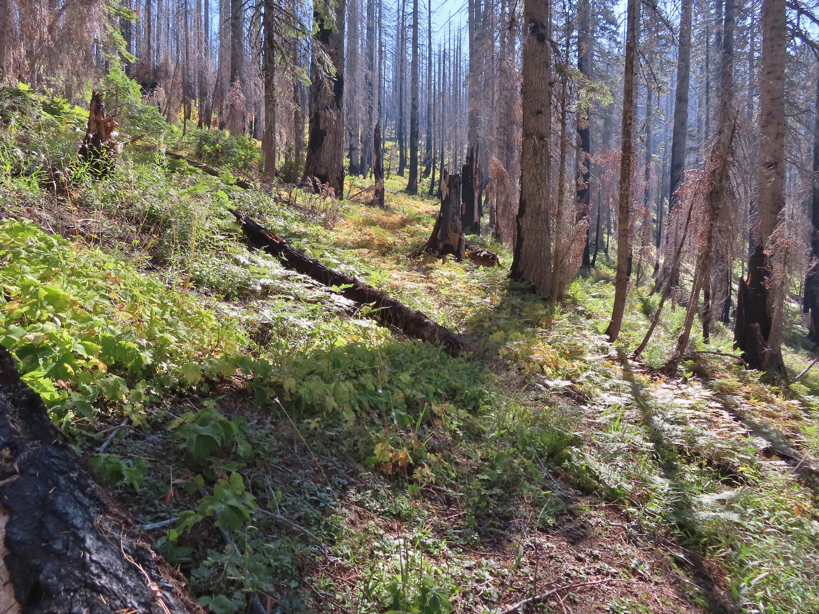 Faint tread was all that was left in most places.
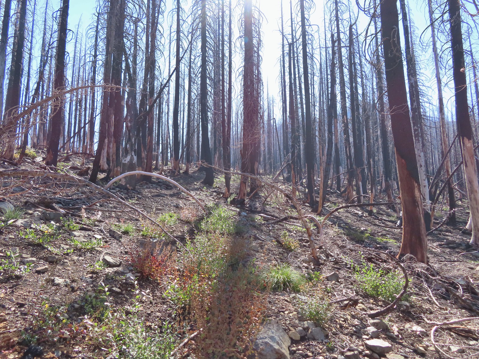 The Bolan Lake Trail to the left.
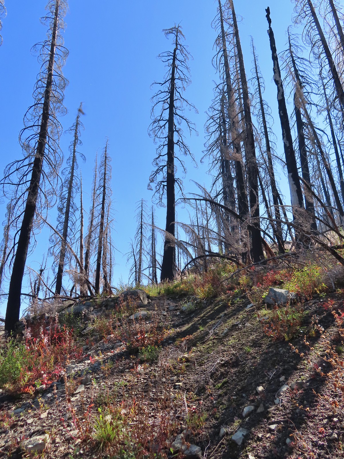
 Sometimes the tread just disappeared.
 Lake Mountain, Grayback Mountain, Craggy Mountain, and Swan Mountain.
 Momentary tread.
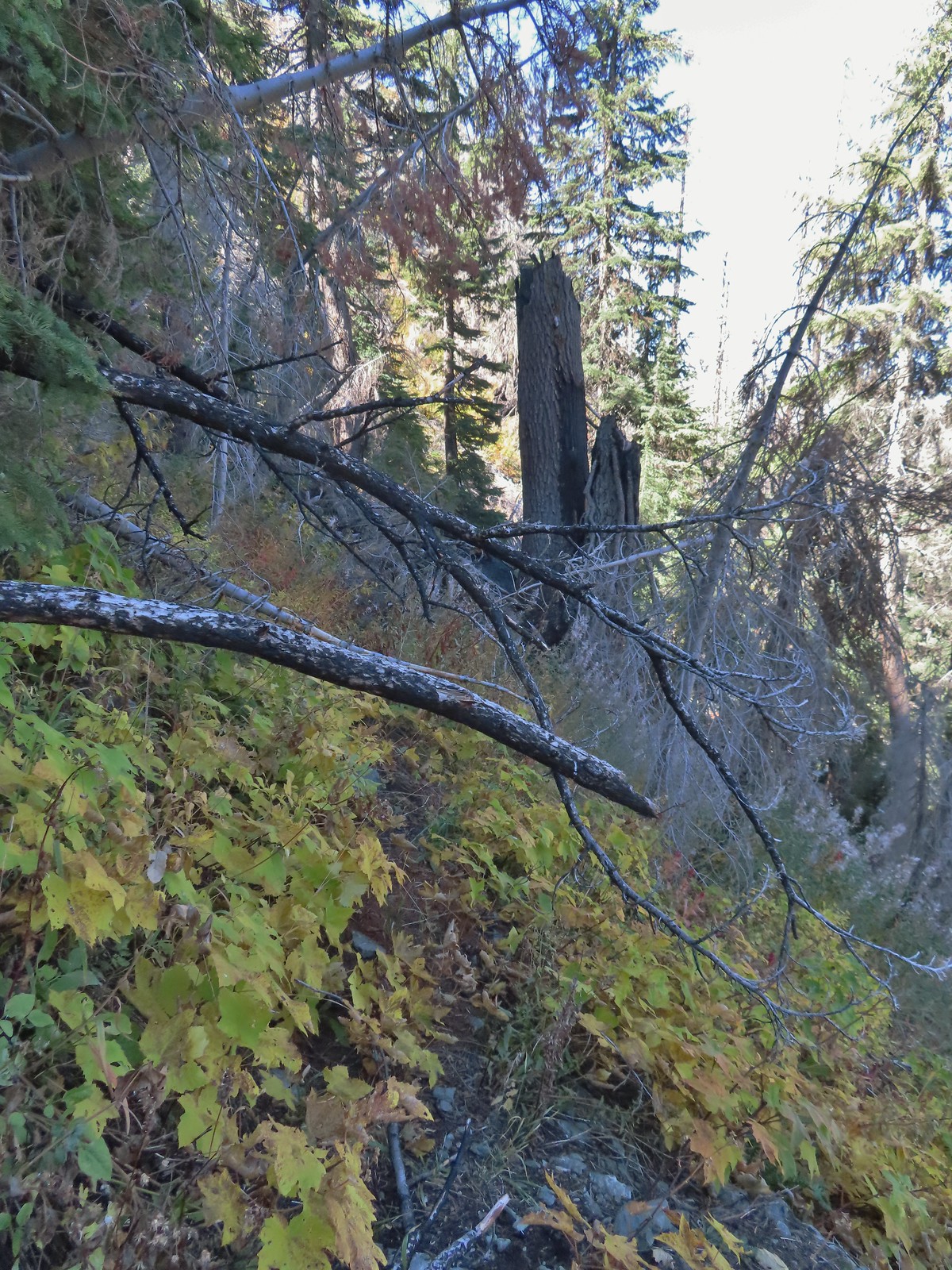 Just about 500′ below the ridge there was a large downed tree which required some side-hilling to drop below and then climb steeply back up to the trail.
 I got back to the trail to find more debris covering it.
 Final pitch to the ridge.
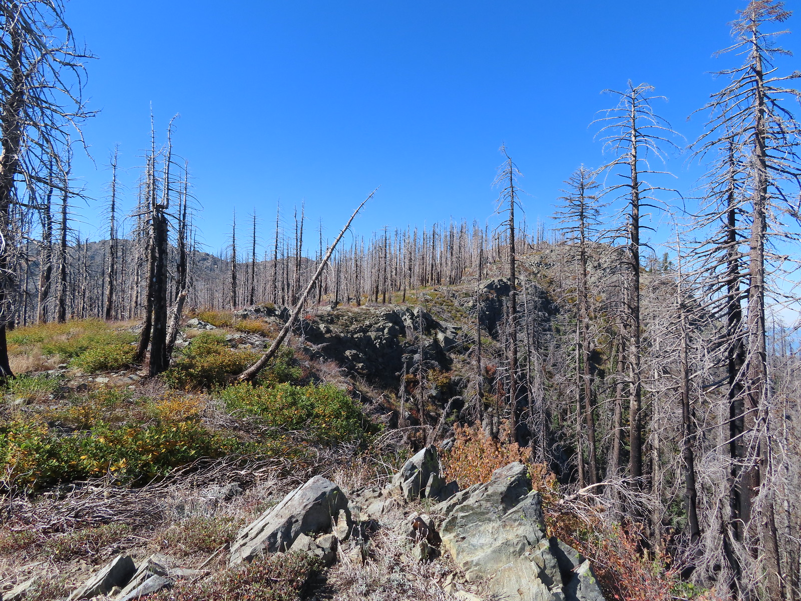 Bolan Mountain from the ridge.
 The trail descended slightly on the far side of the ridge to the junction.
 I assume the downed post and small pile of rocks marked the junction with the mile long Kings Saddle Trail.
 The Bolan Lake Trail (I think) at the junction.
For the next half mile the tread would come and go so I relied on the GPS to stick as close to the trail as I could. The only issue was that the GPS labeled a rocky high point as Bolan Mountain so I briefly, and needlessly turned even more steeply uphill toward it before realizing there was no road here so it couldn’t be right.
 I might be on trail.
 I was sure I was on the trail here.
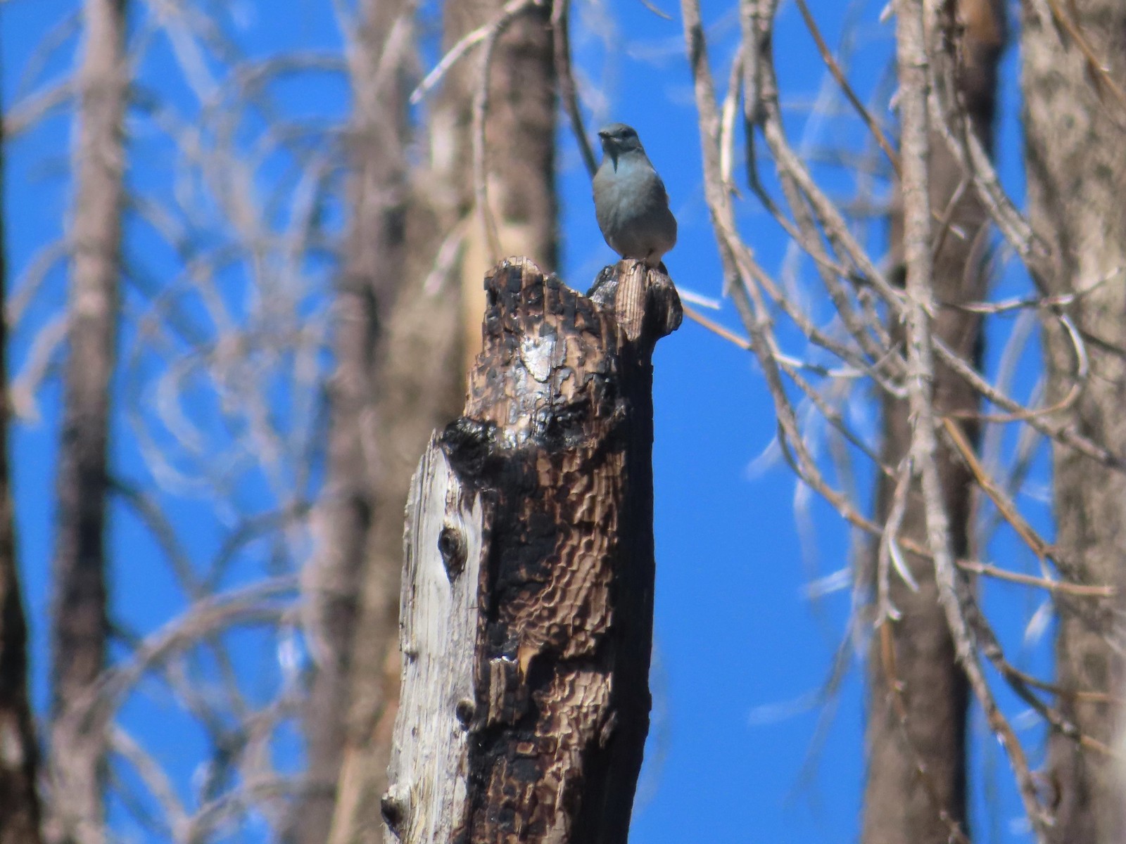 Mountain bluebird wondering what I was thinking.
 Now I was just going uphill.
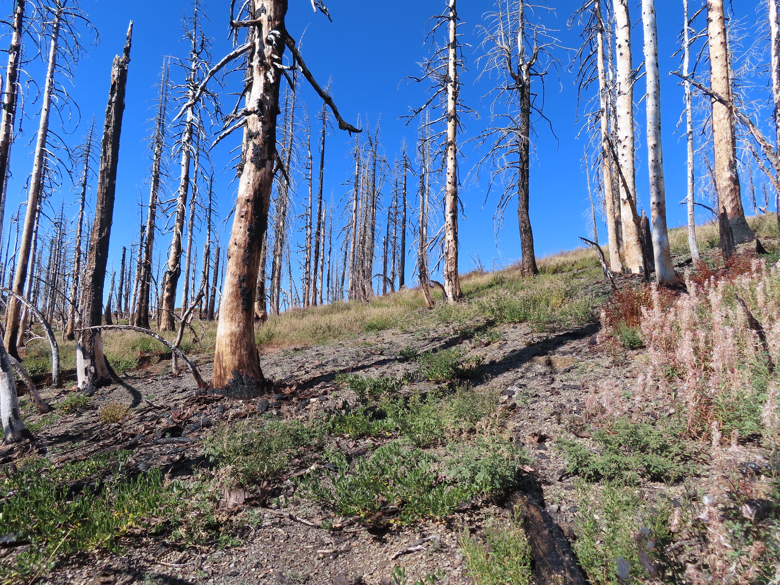 No idea where I was supposed to be at this point.
 The rocky point that the GPS labeled as Bolan Mountain.
 I got this far before realizing I was heading to the wrong spot.
 At least from here I could see the road heading up to the former lookout site through the burned trees.
I headed cross-country to the road and followed it 0.2-miles to the foundation of the former lookout.
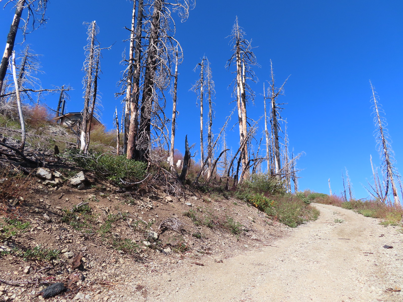 Not sure if the outhouse (above to the left) survived the fire or is new.
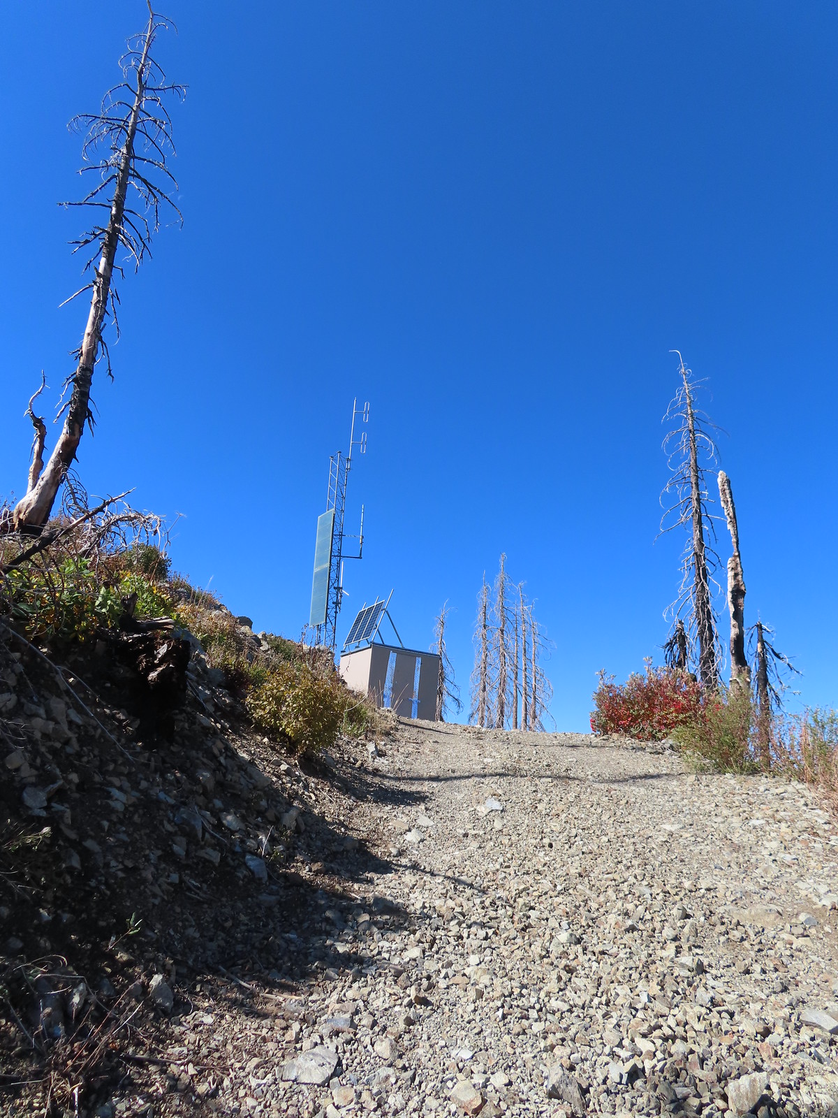
 Stone steps to the former lookout site.
 Preston Peak and El Capitan from the lookout site.
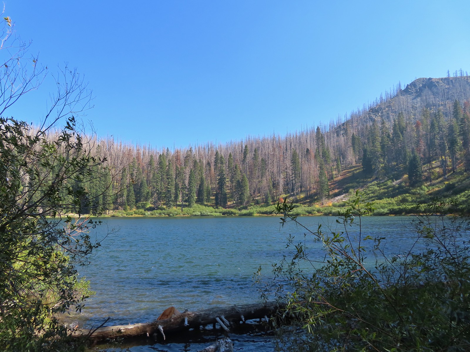
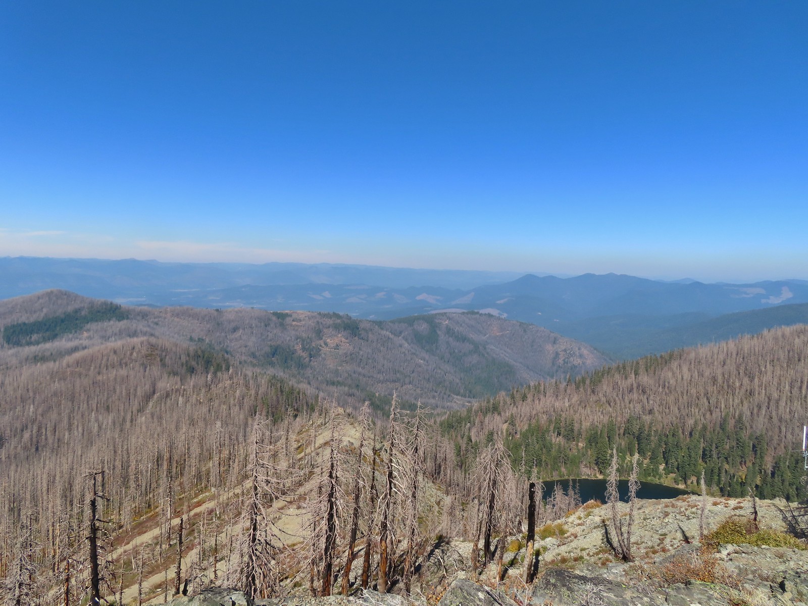 Bolan Lake from Bolan Mountain.
 Tanner Mountain in the foreground.
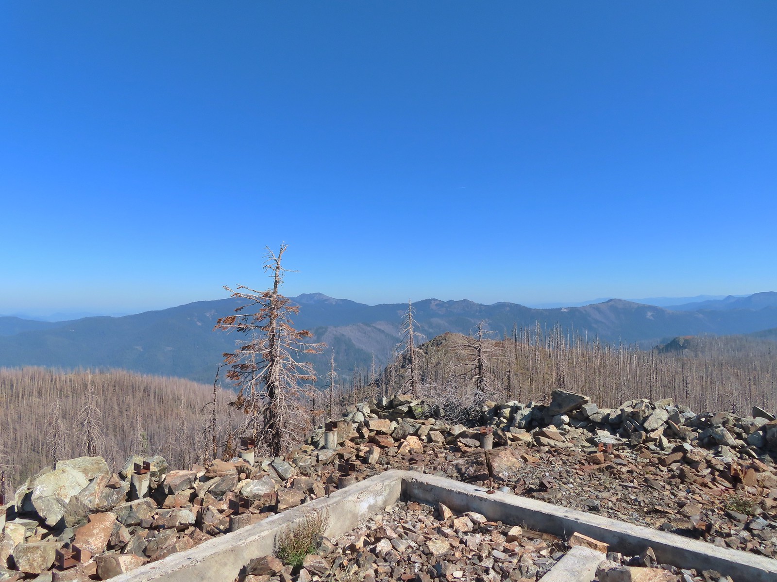 Grayback Mountain from Bolan Mountain.
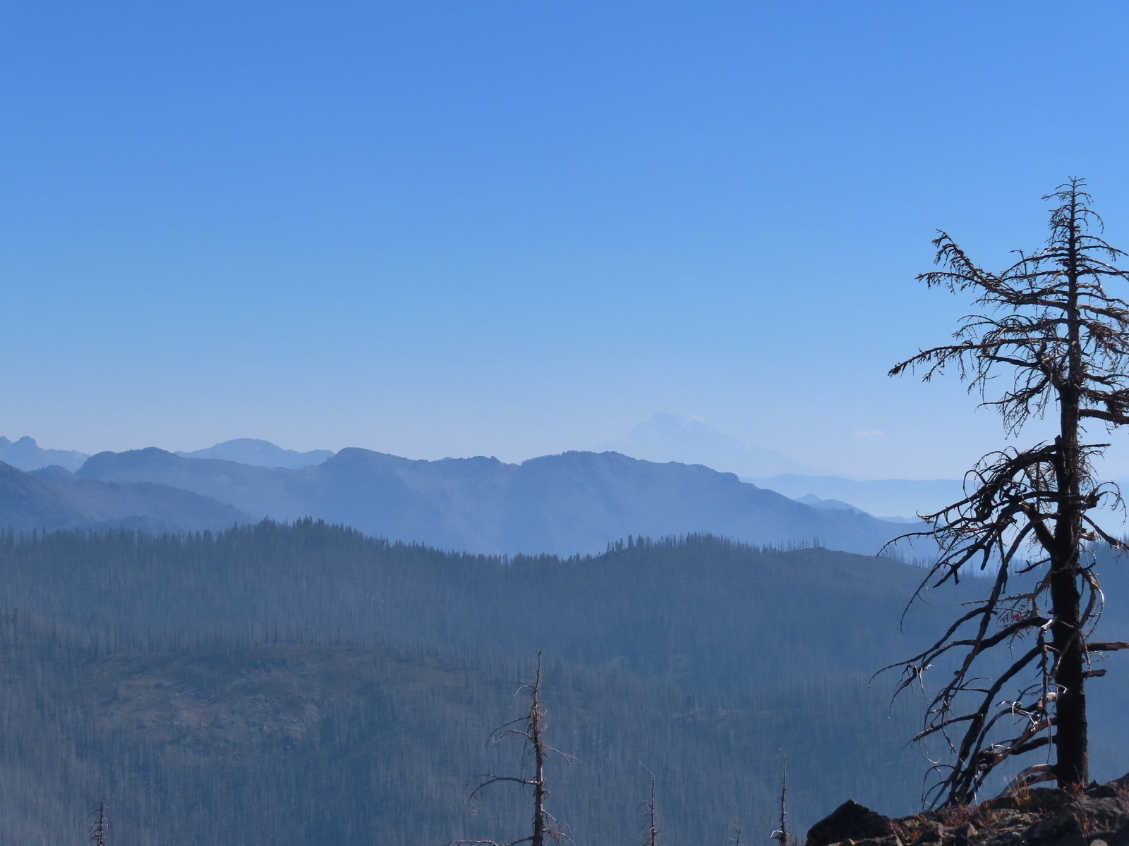 Red Buttes to the far left and Mt. Shasta through the haze.
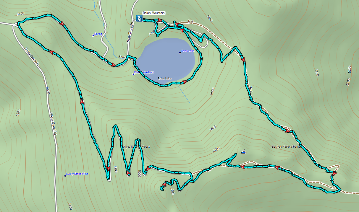
As I was resting at the lookout site I considered my next course of action. I wasn’t overly excited about returning on the Bolan Lake Trail so I checked Sullivan’s map to see what other options I might have. He showed the access road traveling 1.3-miles down to Road 040 and from there it was 0.6-miles to Bolan Creek where he showed a short connector trail to the loop around Bolan Lake. That was only a tenth of a mile longer than returning the way I’d come so I decided on another road walk.

 Bolan Lake from the service road.
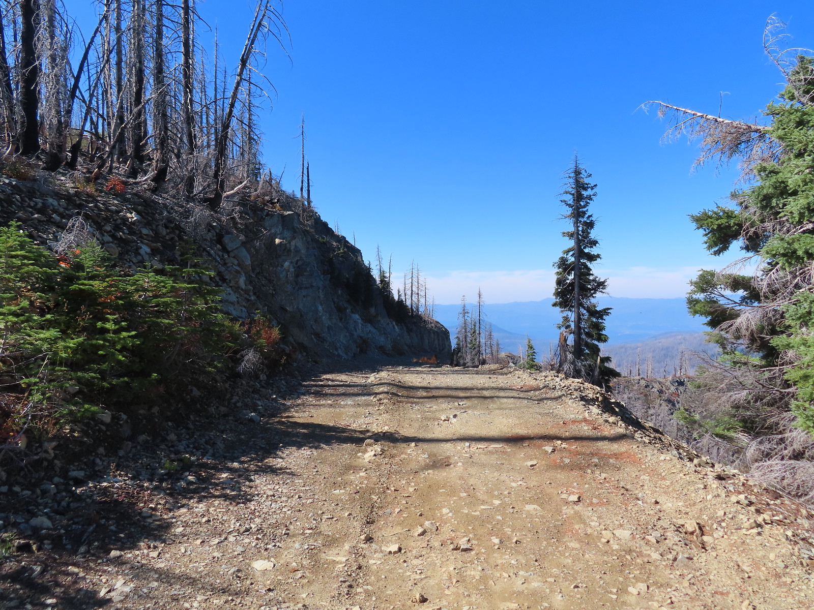
 Looking back toward Bolan Mountain.
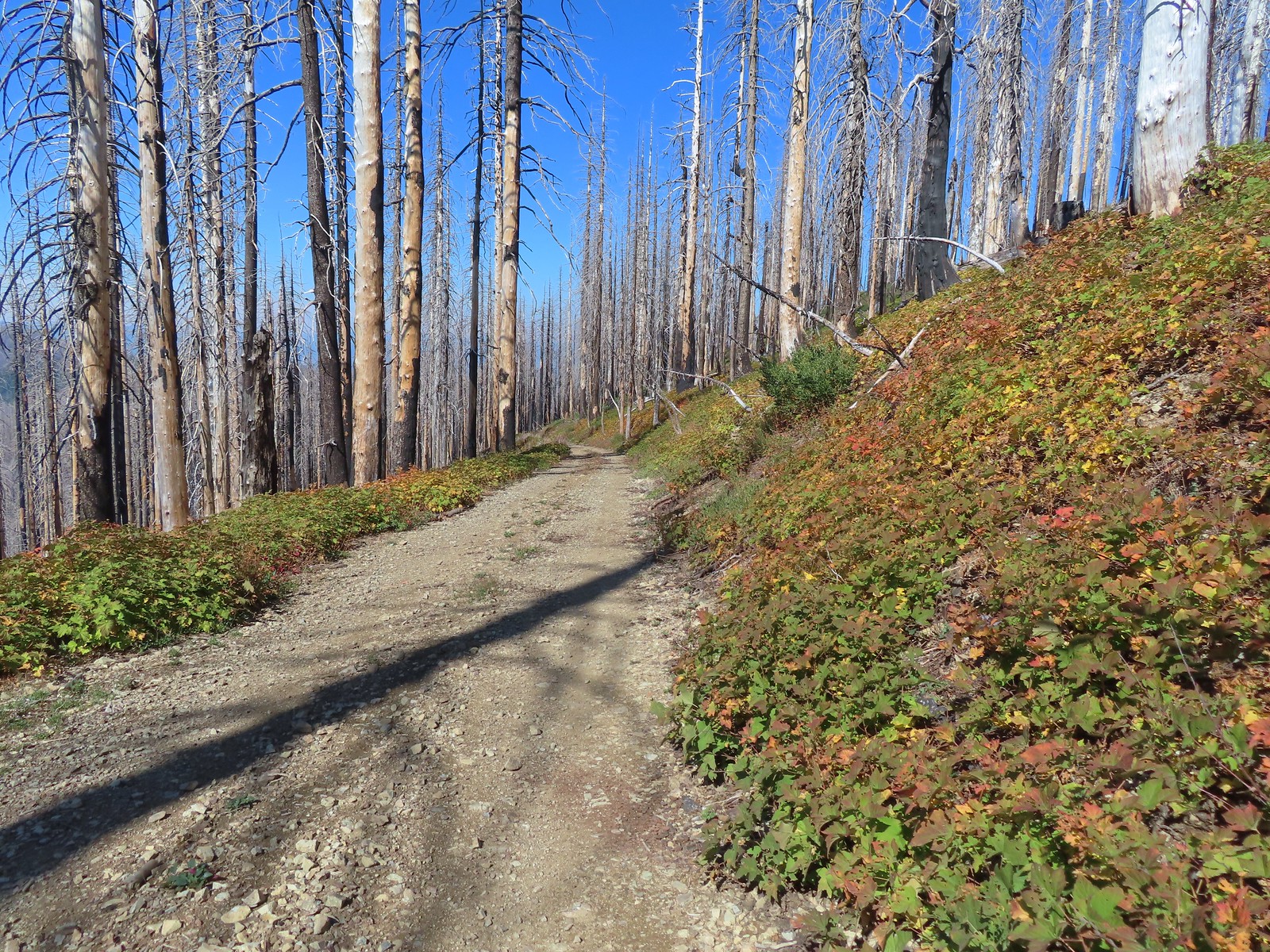
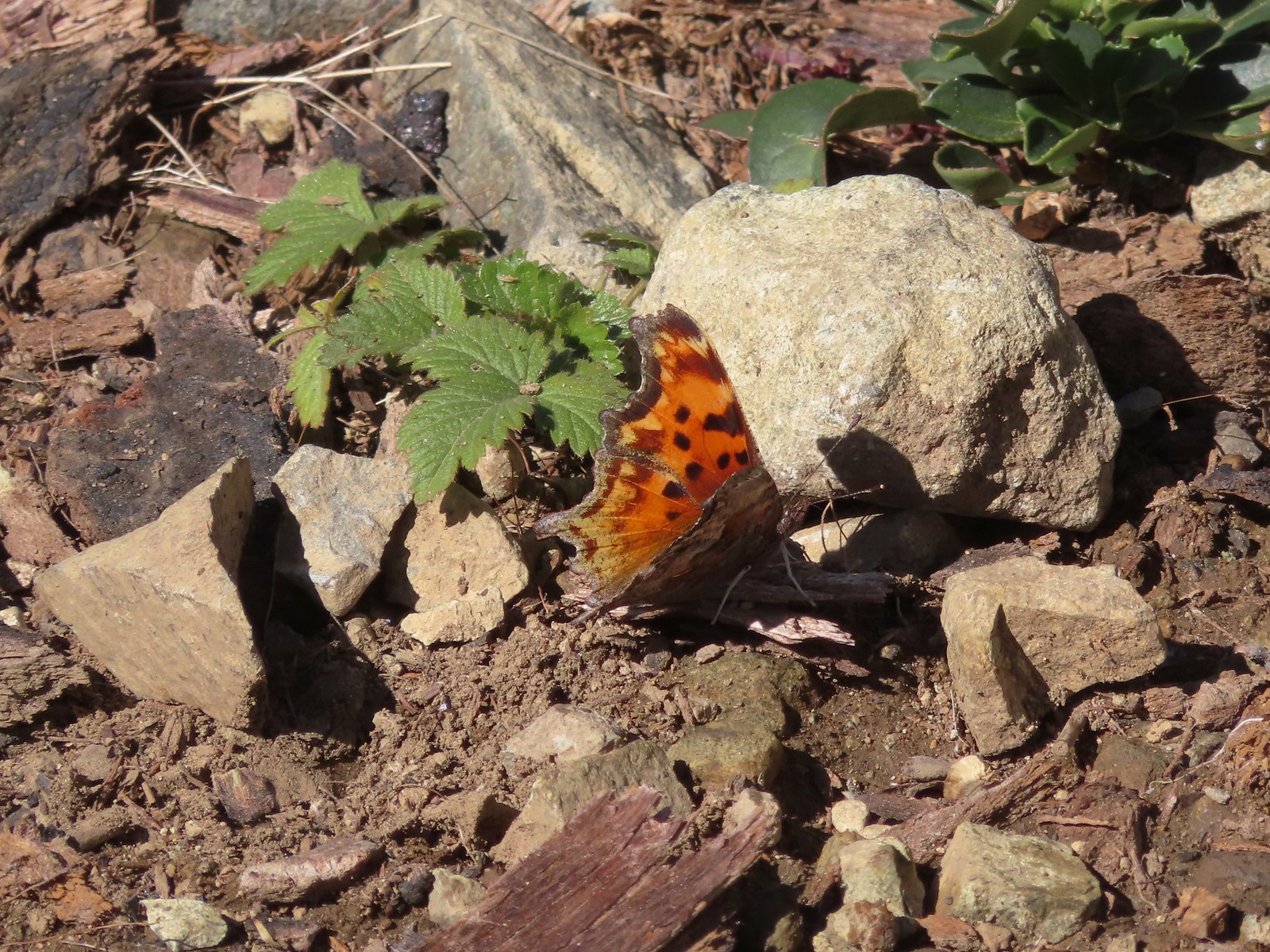 Hoary comma
 Gate along the service road.
 Road 40 from the service road.
 Road 40.
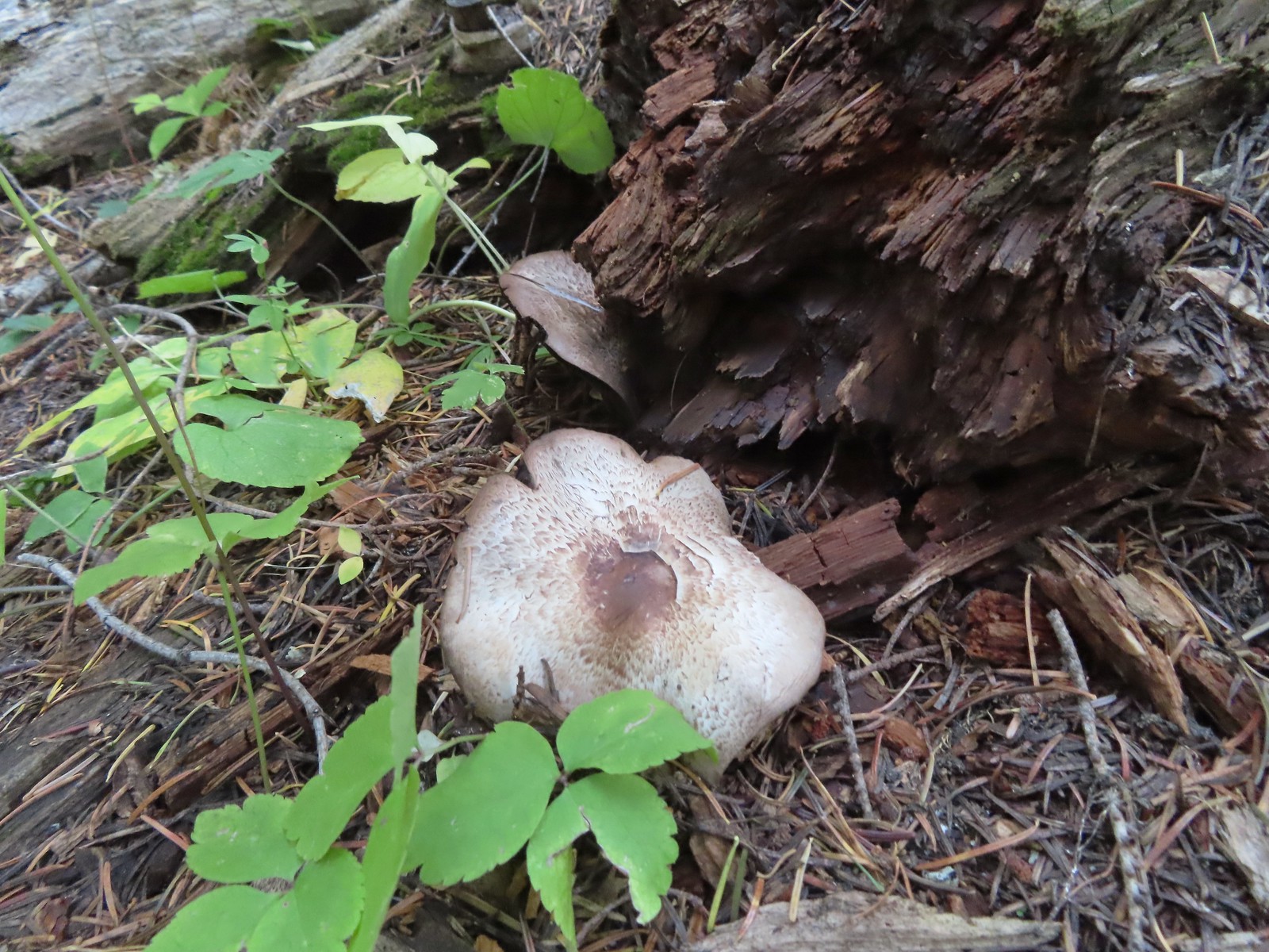
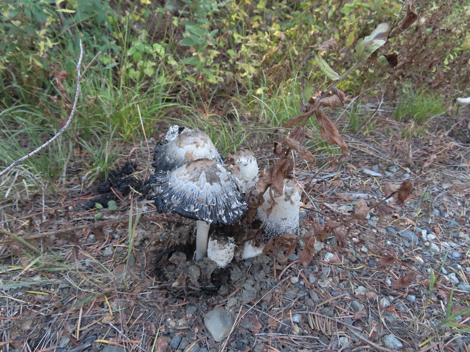 Mushrooms along Road 40.
 The connector trail along Bolan Creek.
 The trail around Bolan Lake.
The connector joined the trail at a footbridge over Bolan Creek which I crossed and continued around the lake counterclockwise.


> Thick vegetation along the lake shore.

 Trail sign at the end of the second campground loop for the trail around the lake.
 Pretty deep channel at the end of the loop.

I followed the road back to the first campground loop where I spotted Heather’s backpack and poles on a picnic table.


 Bolan Mountain from Bolan Lake
My hike here came to 4.8 miles with a little over 850′ of elevation gain.
We returned to Grants Pass where we had a nice dinner at the Taprock Northwest Grill. Later, after checking in on the weather forecast for the next two days we decided to try doing both of our remaining featured hikes on Monday. With clouds and rain being called for it didn’t seem like a good time to summit Grayback Mountain so we would be doing Sullivan’s shorter option to the O’Brien Creek Shelter and that should give us plenty of time to make the drive to Babyfoot Lake and do the 2.4-mile option to the lake and back. If that didn’t work out we still had Tuesday morning to fit Babyfoot Lake in and finish our 100 featured hike goal (post). Happy Trails!
Flickr: Tanner and Bolan Lakes

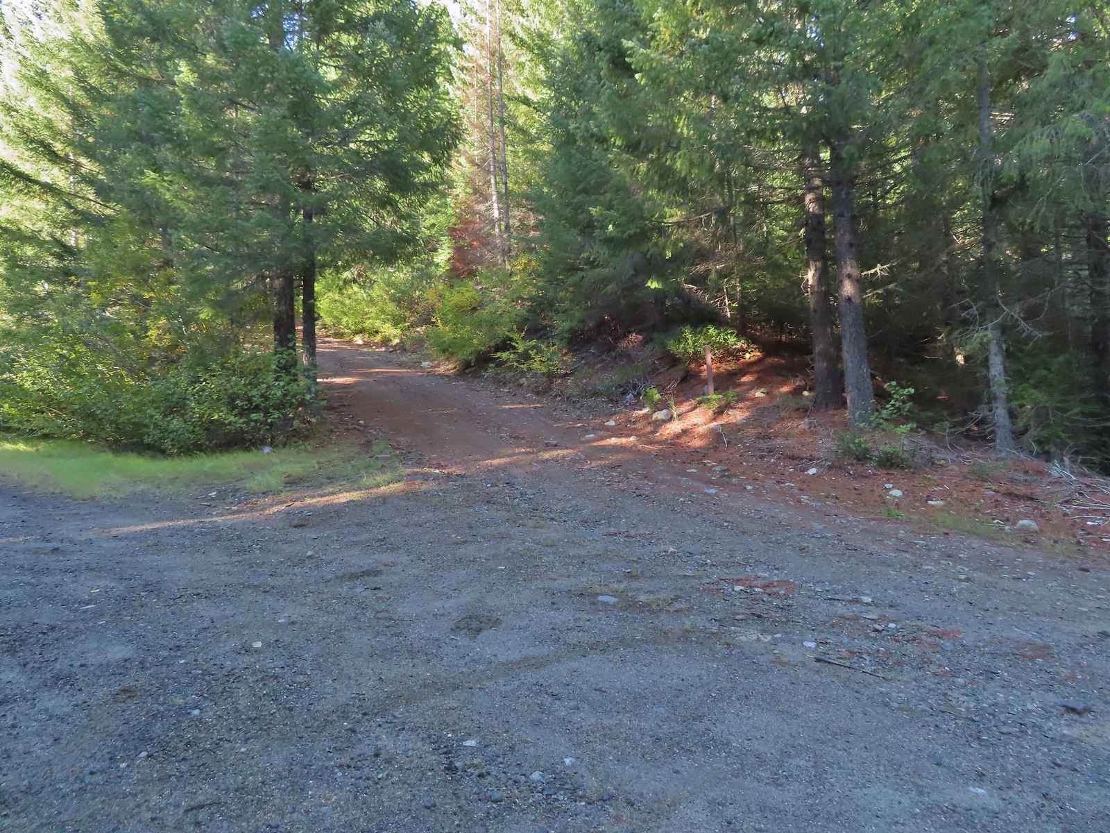 Road 600 heading uphill.
 Crab spider on a fleabane.
 The Sturgis Trailhead on the left.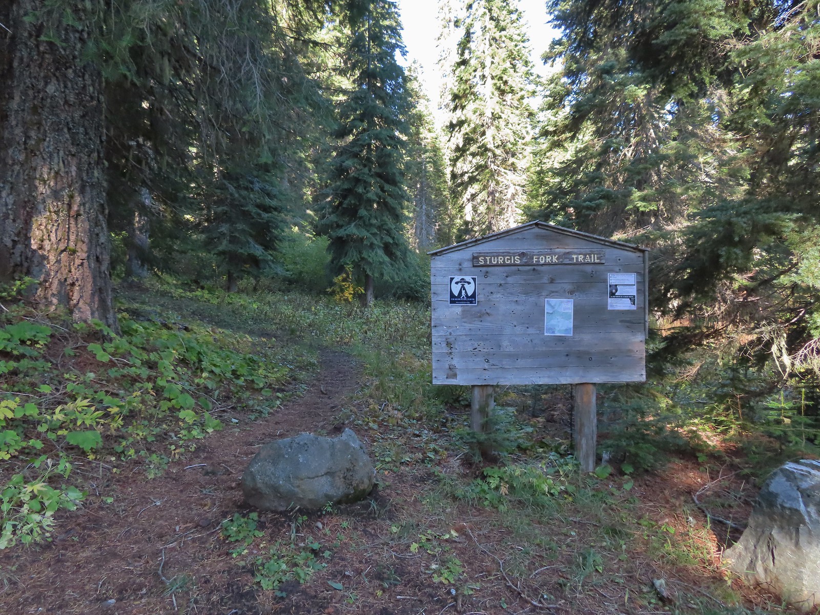
 Trail map of the area.
 Nettle-leaf giant hyssop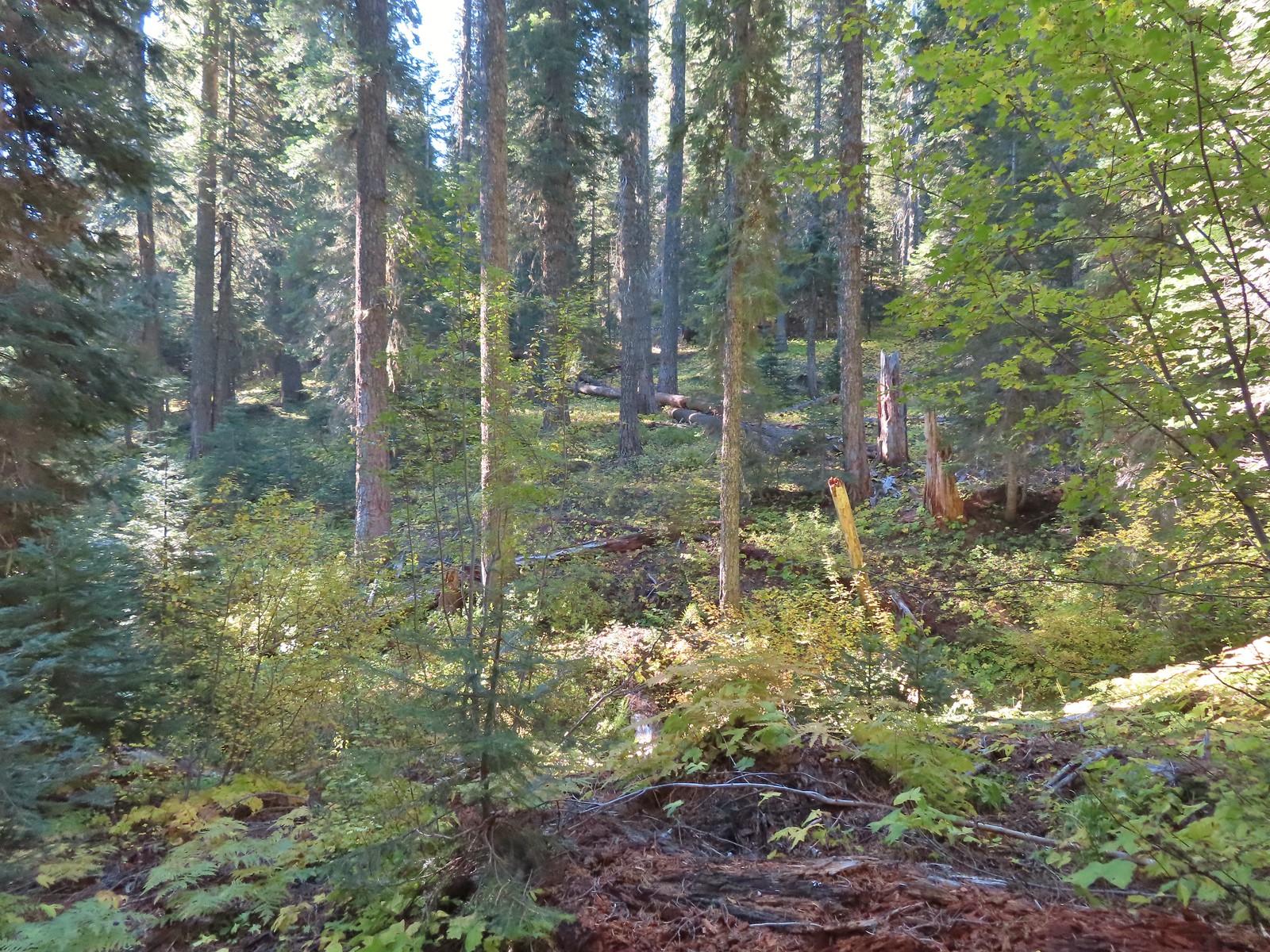
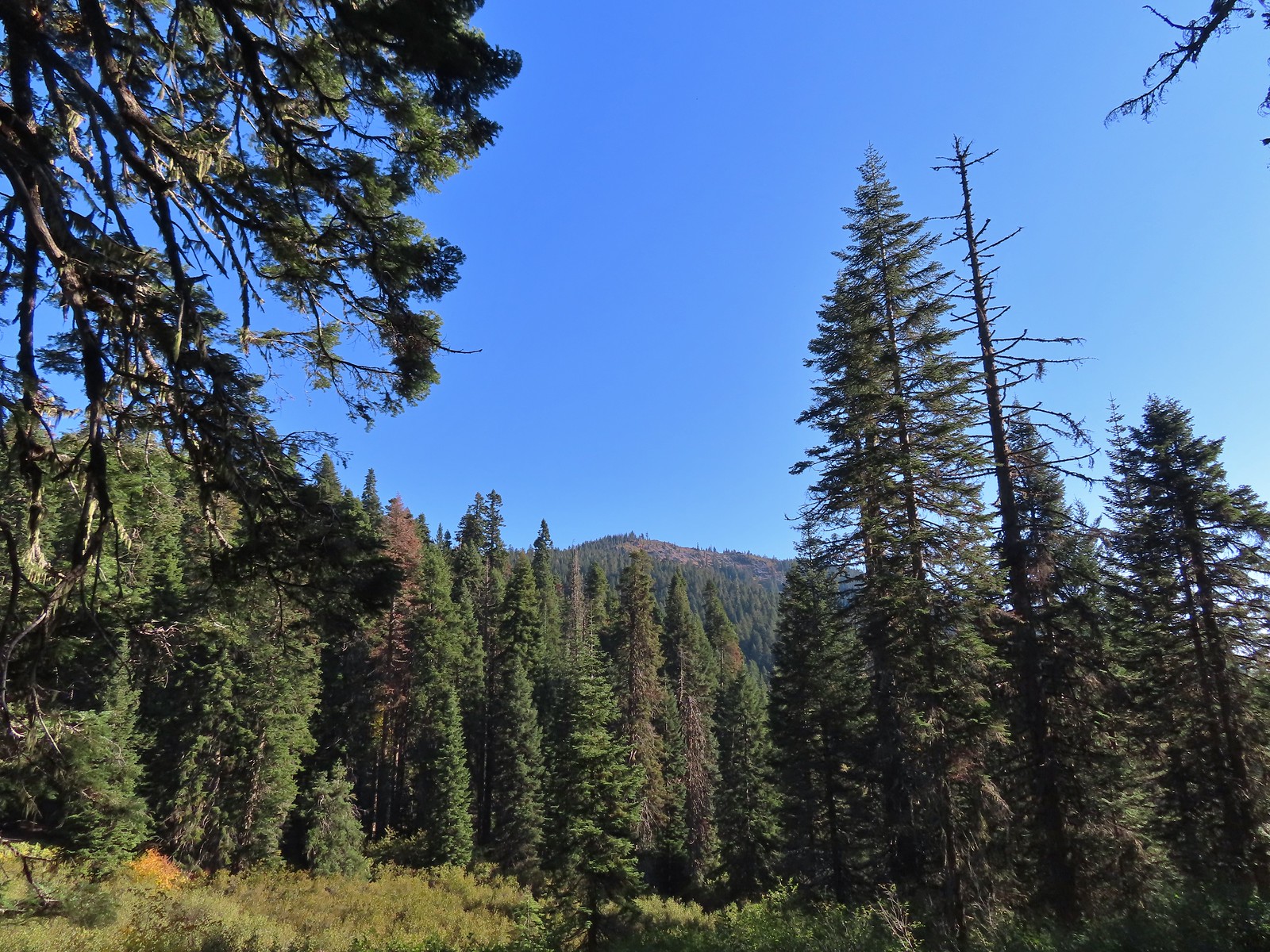 The viewpoint we were headed to.
 All that was left for signage at the Boundary Trail junction.
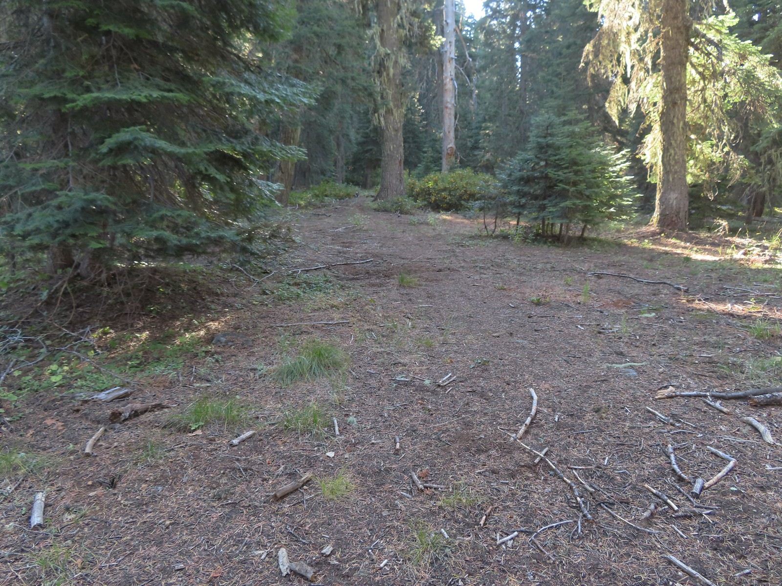 The Boundary Trail to the South toward Sucker Creek Gap (
 Coming from this direction all we noticed were a couple of signs on a tree and some pink flagging.
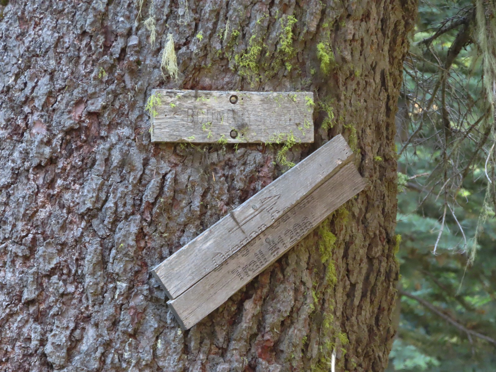 Trail signs for the Boundary Trail and Lake Mountain Trail #1206 to the Oregon Caves (
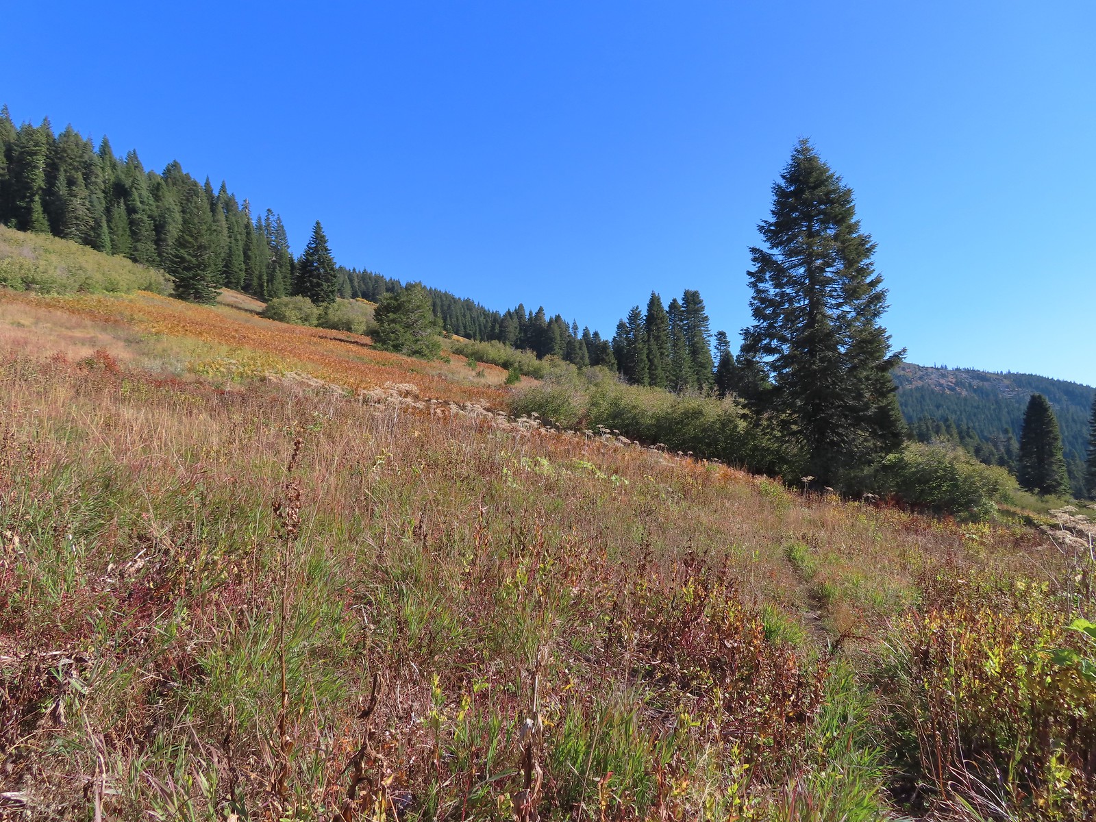
 The trail can be seen in the lower right-hand corner.
 Again the trail is in the lower right corner.
 There was still a small amount of paintbrush in the meadow.
 A clump of fireweed ahead that had gone to seed.
 A small section of trees was located along this gully.
 A little brushy here.
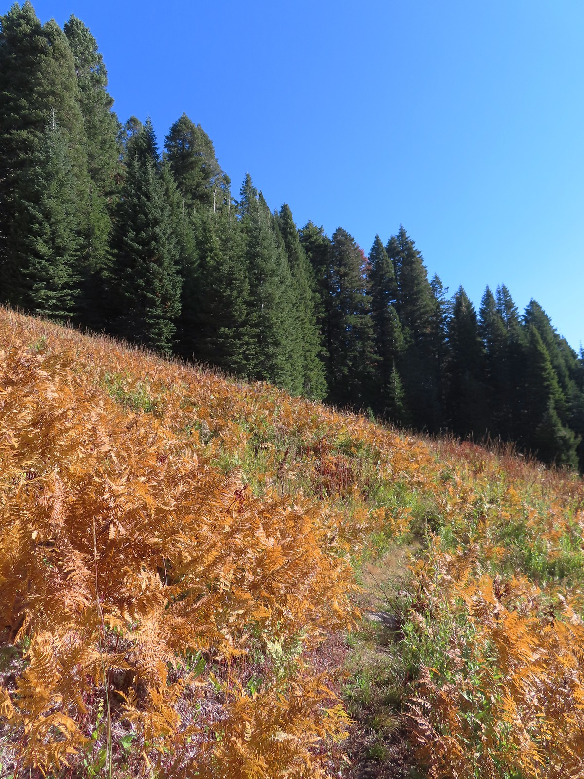 Ferns at the northern end of the meadows.
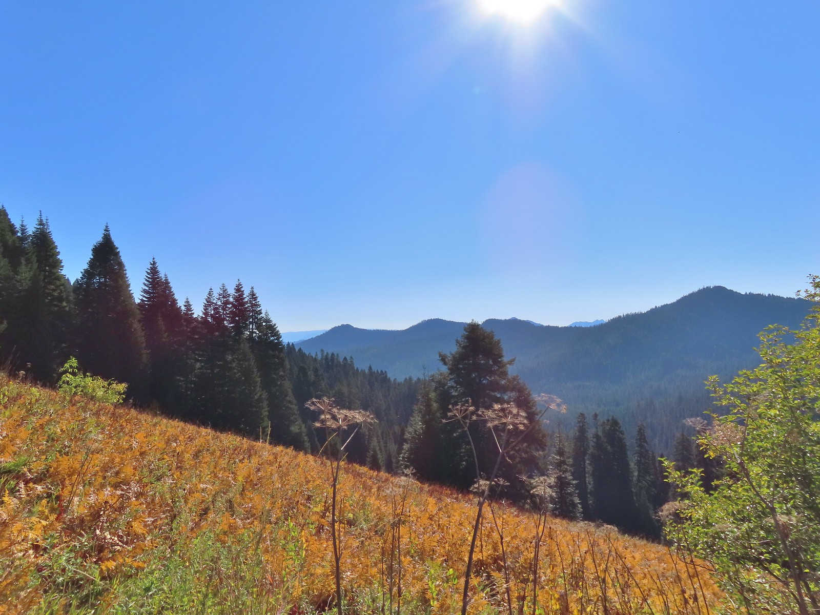 The double humps of the Red Buttes in the distance to the SE.
 Preston Peak in the Siskiyou Wilderness (
 Arriving at the pass.
 This was the only signage that was visible at the junction.
 We could see tread heading East into the trees which was the Sparlin Tie Trail. The Elk Creek Trail wasn’t as obvious, but it dropped down to the right just a little way up the tread seen here.
 Lake Mountain from the Boundary Trail.

 There was a small geocache located at the viewpoint. Smoke from the still smoldering wildfires impacted the views a bit, Mt. Shasta is out there toward the right-hand side.
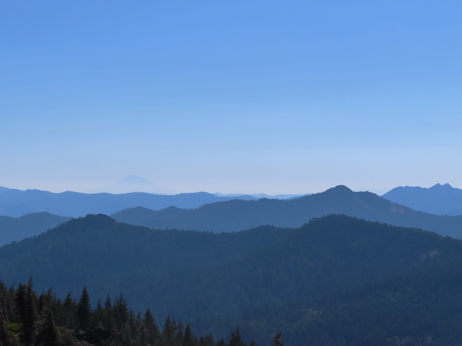 The outline of Mt. Shasta to the left of Red Buttes.
 Preston Peak and other peaks in the
  Closer look at the Siskiyou Wilderness peaks.
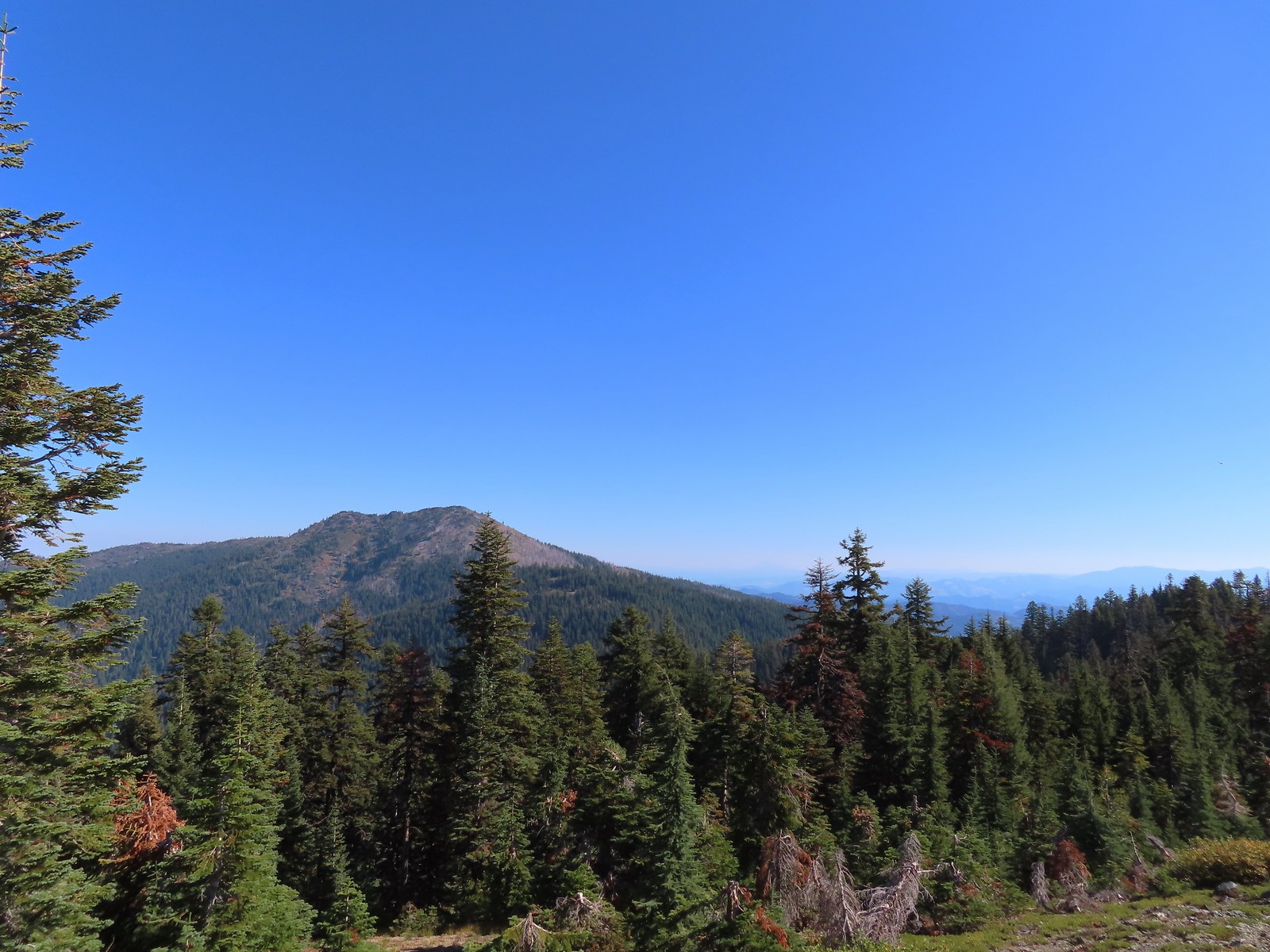 Grayback Mountain to the North. Mt. McLoughlin (
 Mt. McLoughlin
 The remains of a trail sign near the saddle.
 The Sparlin Tie Trail straight ahead and the Elk Creek Trail heading off to the right.
 Homemade? trail sign a short distance up the tie trail. (note Bigelow Lakes is spelled “Biglow”)

 The tread was faint through the meadows but not any more difficult to follow than the Boundary Trail had been.
 Cinquefoil
 Coneflower and fireweed
 Random sign along the trail.
 Crossing through the final meadow.
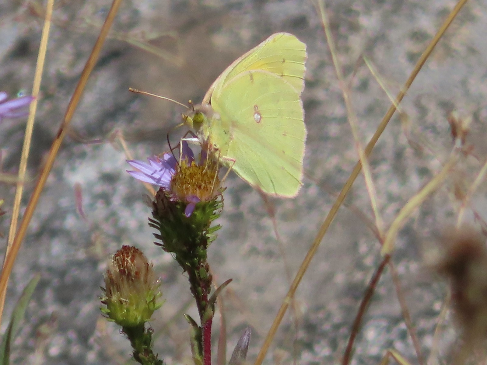 Orange Sulphur butterfly
 Arriving at the 1214 Trail.
 There was actually more blowdown along this trail than there had been along the tie trail, but it was easily navigated.

 Bigelow Lakes from the trail.

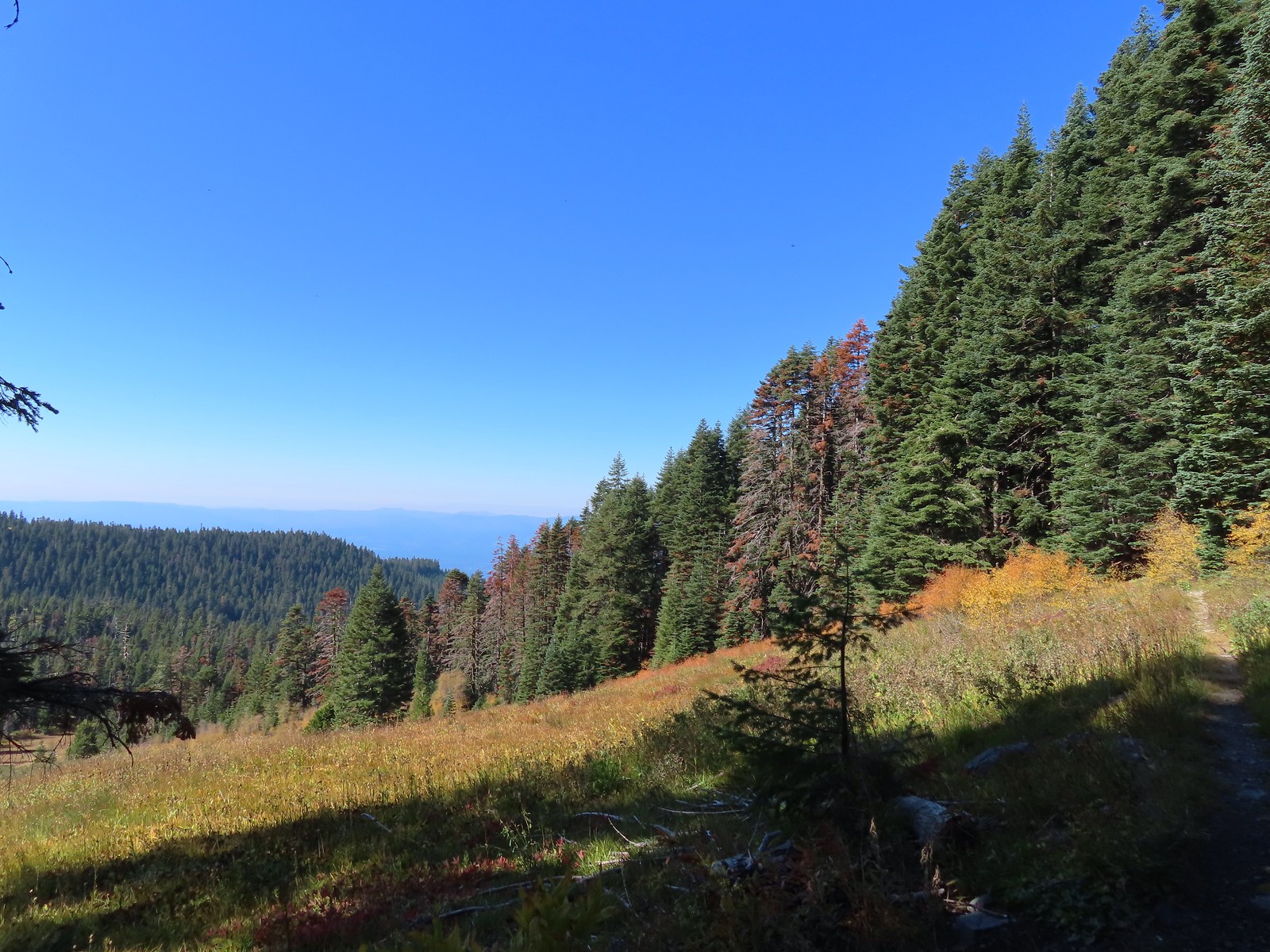
 The use trail to the lake.

 While I was at the lake Heather was making friends with this tree frog.
 The old roadbed.
 Trail sign at the roadbed.

 This bunch of blowdown was just before the junction.
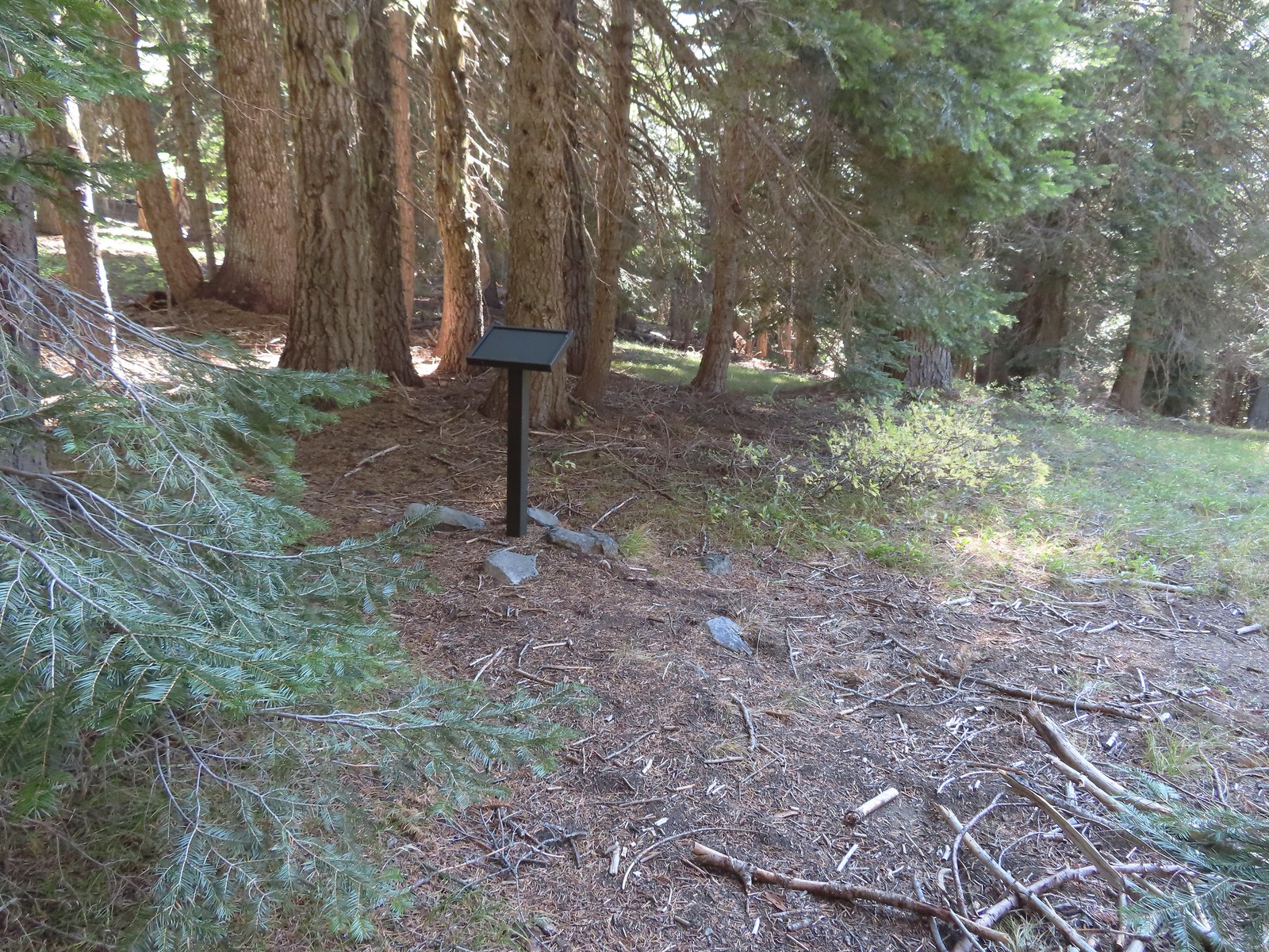 There were several of these stands along the Lake Mountain Trail, all of which were blank.
 The lower portion of the trail passed through a nice forest.
 The trail passed below the 6294′ Mount Elijah (for some reason both peaks along the ridge are named Mount Elijah on some maps) before gaining the ridge crest and climbing to the higher Mount Elijah summit at 6381′.
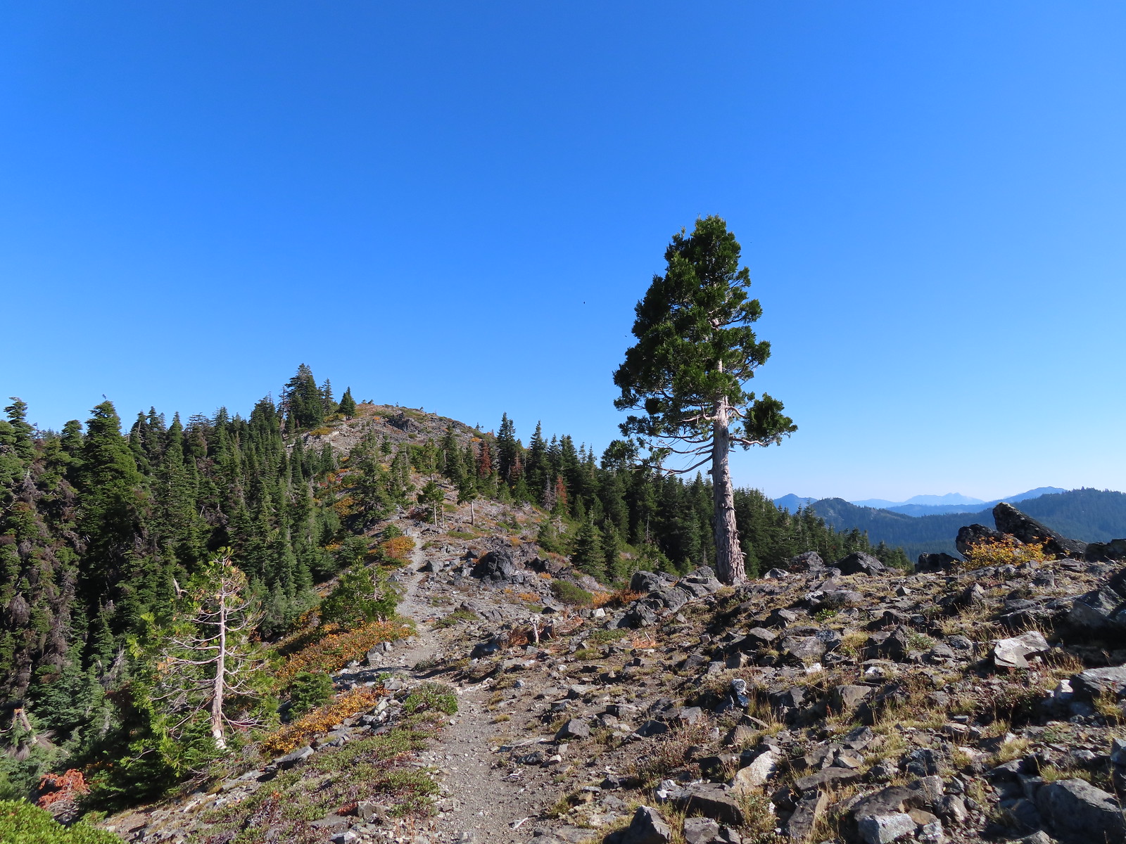
 The taller Mount Elijah.
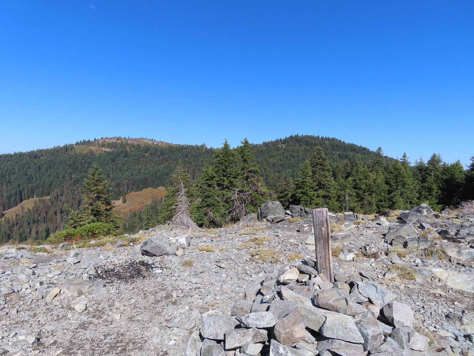 Lake Mountain from Mount Elijah.
 Preston Peak and a cloud from Mount Elijah. Wildfire smoke was a little more of an issue now.
 Red Buttes in the distance.
 The other Mount Elijah from Mount Elijah.
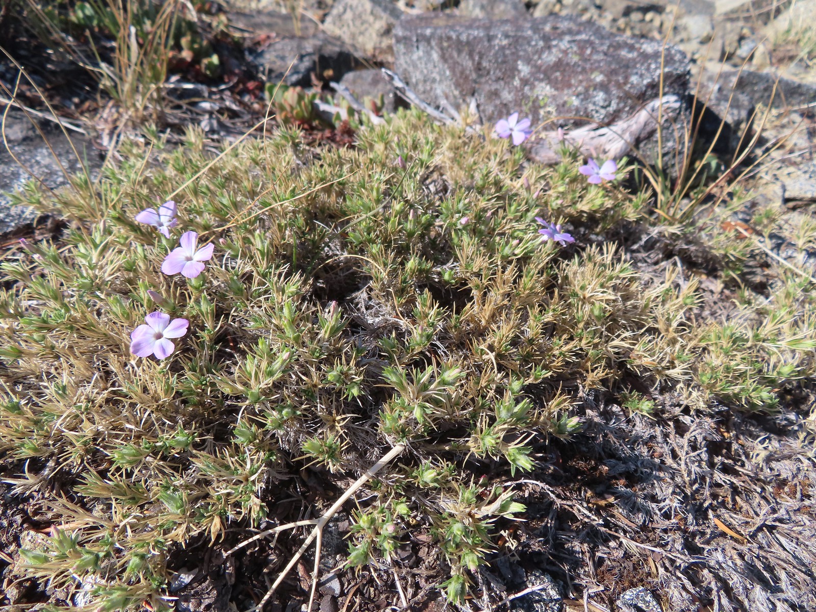 Phlox
Phlox We shared the summit with this little frog.
 The junction with the 1214 Trail. Another with missing signage.
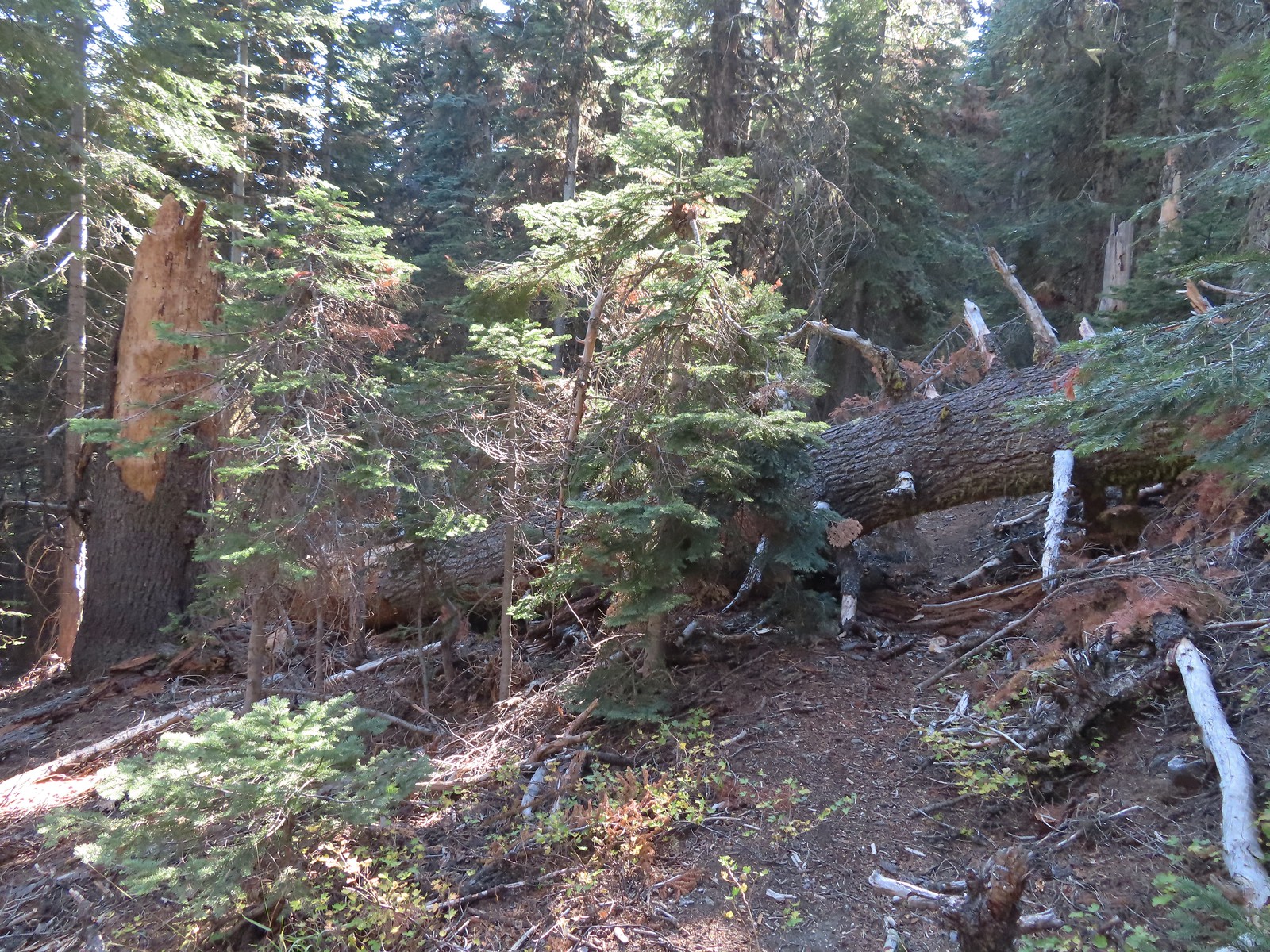 This tree required a detour downhill to get around.
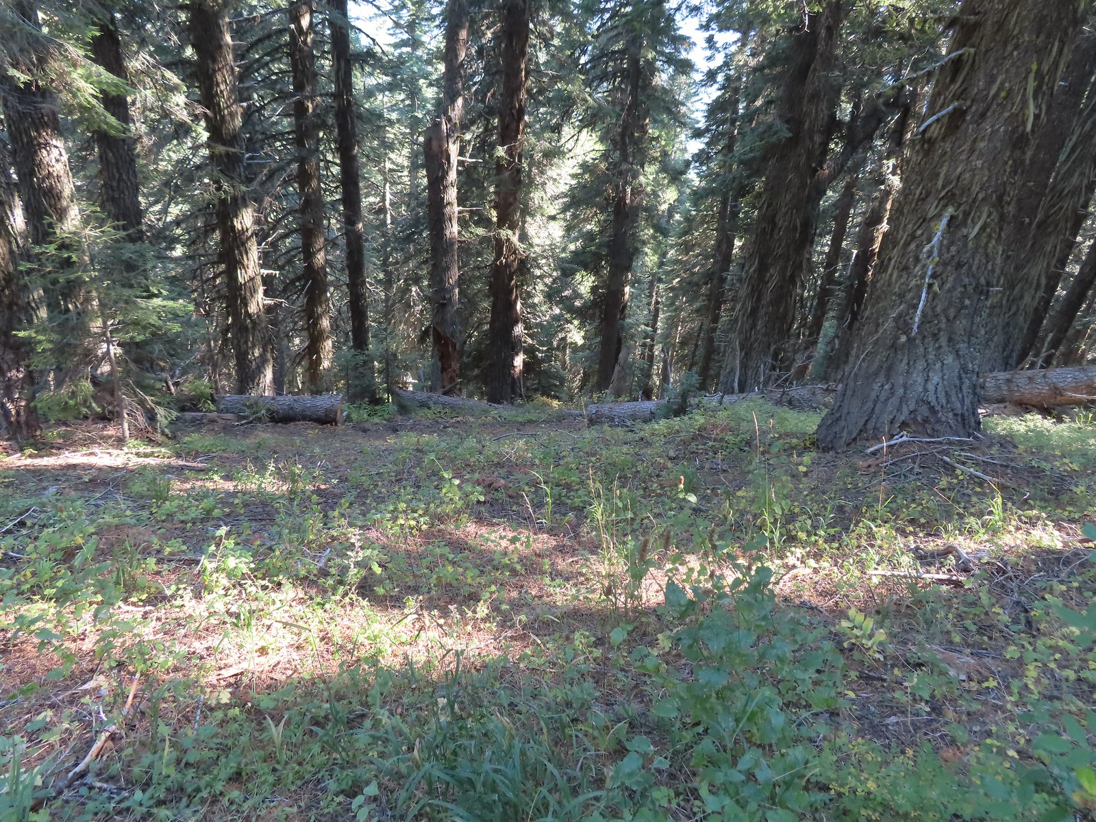 Looking down at the Lake Mountain Trail as it switchbacked downhill.
 The trail was a bit brushy in spots.
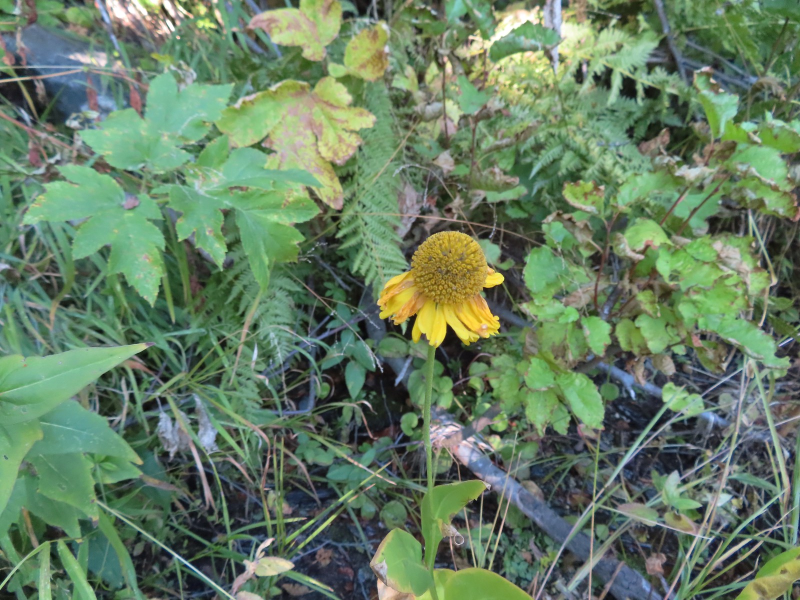 Bigelow’s sneezeweed
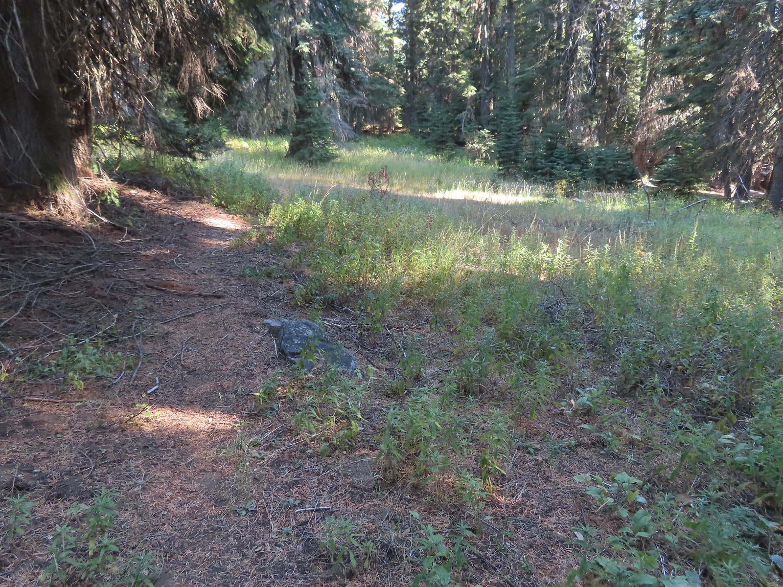 Pink flagging in the little meadow where the trail met the Boundary Trail.
 The Lake Mountain Trail junction with the Boundary Trail.
 We packed out yet another mylar balloon (GRRRR).
 Junction with the Sturgis Fork Trail on the left.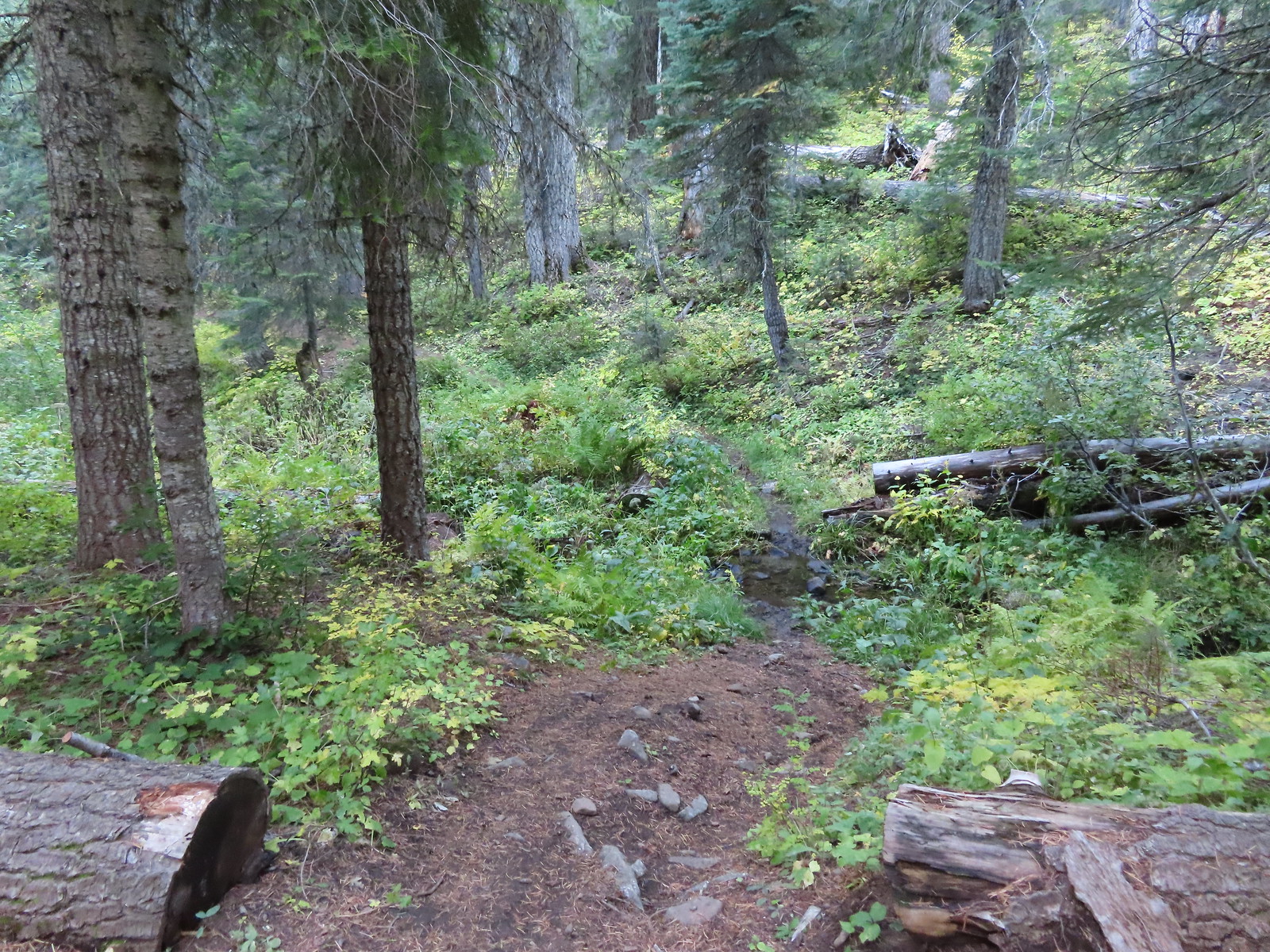

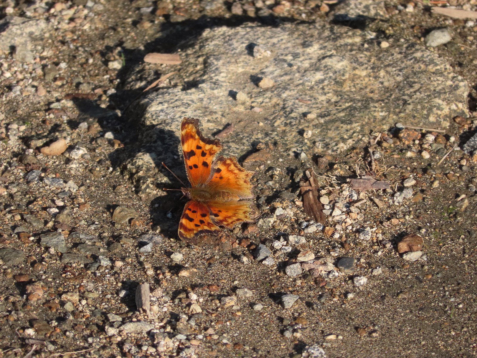 Hoary comma
 We were parked just to the right along the road below the hill.


 Big Creek in the morning.
 A short section of the trail was paved.
 At the eastern end of the parking area we came to this new kiosk that is being installed marking the start of the Agate Beach TRACK Trail. There was also a path directly to the parking lot from the kiosk which we used upon our return.
 The tunnel under Highway 101. The stairs at the far end lead up to a city street while the trail makes a hard right to briefly follow the highway back across Big Creek.
 A series of boardwalks crosses the marshy bottomlands of Big Creek.
 While the kiosk was a new work in process there were a number of older looking interpretive signposts. This was one of only a handful that still contained an interpretive sign.
 The bottomlands.

 There were no signs at junctions but for the TRACK Trail stick to the level fork and ignore anything going uphill.
 Further along the trail Big Creek could actually be seen flowing.
 A non-boardwalk section along Big Creek.
 Approximately three quarters of a mile from the kiosk the trail arrived at Big Creek Road at another new signboard.
 The signboard at Big Creek Road didn’t have any information on it yet.
 Stellar’s Jay
 Northern flickers on the picnic shelter.
 Map on the signboard.
 Anderson Creek, the footbridge, and signboard from the roadbed.
 The Forest Park Trail
 A nice sitka spruce forest lined the old roadbed.
 Mushrooms
 Sunlight hitting the trees.
 The Pacific Ocean through the trees near the water towers.
 Passing the water towers.
 The drop to Jeffries Creek.
 Jeffries Creek
 Wood ducks in the wetlands.
 The gate near Fogarty Street.
 The Forest Park Trail from the other side of the gate.

 Morning fog was still burning off at 9:30am.
 A car by the gravel pile to the left with the road coming down the hillside to the right. Interestingly Google Maps labels this as “Burnt Woods Ridge Road” which both Alltrails & Garmin showed as the left-hand fork where our loop would begin. (Google doesn’t show a road there at all but you can see the road in the trees by looking at the aerial view.) Numerous times throughout the hike we relied on comparing the Alltrails Track to the GPS map and our track to that point to determine where we were and which road(s) to take.
 There was some room to park here at the start of the loop (this is not where Google marks the TH) as well as many pullouts along the loop where one could choose to start.

 Heading down into the fog.
 One positive to the fog is that it can create some dramatic Sun rays.
 Vine maple
 Blue sky in the upper left hand corner.
 The road to the right is an example of a road that wasn’t labeled on any map we had.
 Emerging from the fog.
 Looking back through the fog to blue sky and the Sun.
 The only other “hiker” we saw on the loop.
 We couldn’t see it but just over three miles from the start of the loop the road crossed Cline Creek which was the first time we heard what sounded like a decent amount of flowing water.
 A little over a tenth of a mile beyond Cline Creek we left Burnt Woods Forest Road and forked uphill to the left onto Cline Creek Road.
 Arriving at a clearcut. Much of Cline Creek Road was along different clearcuts.
 Mylitta crescent
 Red-tailed hawk soaring over the clearcut.
 Trying to get the red-tailed hawk in flight.
 Lots of Fall colors starting to pop.
 The first signs we’d seen (noticed anyway) were at the Cline Creek/Burnt Woods Ridge Road junction.

 Arriving at the high point which was actually the first good viewpoint being above one of the clearcuts.
 Looking North at more of the Coast Range.
 Theoretically we should have been able to see both Mt. Hood and Mt. Jefferson from here but between haze from the fog and clouds we couldn’t make either out.
 Mt. Jefferson is out there somewhere. The fact that the Cascades have some snow again doesn’t help them stand out in the haze and clouds.
 Yet another unsigned road junction. Sticking to the ridge is the key.
 After crossing a saddle we gained views SE to Mary’s Peak (
 The tower and summit meadow of Mary’s Peak.
 The hard left prior to the steep descent. The road on the far hillside in the clearcut is part of the road Google Maps has labeled as Burnt Ridge Road but doesn’t show on Alltrails or the Garmin maps.
 The end of the loop at the bottom of the hill.


 The barricade ahead.
 The trail before the barricade.
 This trail had seen maintenance at some point.
 Trail sign along the road.


 Toward the end of the trail, we began to pass a series of volcanic rock formations.


 The western fin.
 Use trail along the western fin.
 View up Castle Canyon.
 Rock pillar across Castle Canyon.
 Devil’s Peak (
 Looking down from the end of the rock fin.
 Just after taking this picture on my way back I received my first sting.
 I actually followed a use trail several yards above the end of the trail just to make sure I wasn’t being followed.
 The trail on the other fin.
 The Castle Canyon Trail below the rock fin.
 <
< One of two red-breasted sapsuckers on the tree.
 The Castle Canyon Trail was approximately 0.2-miles East of the barricade that we’d seen from the use trail we turned up.
 We liked the colors of this plant carpeting the ground along the road.
 Back at the West Zigzag Trailhead.
 The upper junction with the loop trail was just 0.2-miles from the trailhead.
 We stuck to the Sandy River Trail on the way down.
 The Sandy River Midway Trail on the left was about 0.4 of a mile from the upper junction making a shorter loop (or figure 8) possible.
 The lower junction with the Jim Slagle Trail was 0.6-miles from the upper junction.
 The river is behind the trees at the top while the Sandy River Trail is clearly visible below.



 Hebo Lake

 Despite it being the end of Summer the forest was a lush green.
 So much green.
 Trail sign at the equestrian junction.
 The equestrian trail. In 2015 we made the mistake of turning onto it briefly.
 Love the mossy trees.
 One of the numerous trail signs.
 This more recently thinned section was full of ripe red huckleberries.
 Trail snacks.
 Chestnut-backed chickadee
 Crossing Road 14 near the 3-mile mark.
 There was a small section where there had been a lot of blowdown that had been removed.
 Arriving at the meadows.
 Looking NW toward the Pacific Ocean.
 Mt. Hebo summit from the meadows.
 Bayocean Spit (
 Cape Lookout (
 Looking back across one of the meadows.
 This late in the Summer there was no water.
 Dry marsh at the tributaries.
 Bunchberry
 Another dry crossing.


 This was the only official junction that was not signed.

 Road 14 – again.
 South Lake through the trees.


 Vine maple changing colors.
 The trail around South Lake.
 I really appreciated being reminded that it was eight miles back to Hebo Lake.
 I couldn’t really get a good view but there was a nice meadow along the trail between the two lakes.
 Oregon grape
 Bridge over Three Rivers near North Lake, I almost thought I heard a slight trickle of water here.
 Good sized garter snake in the trail ahead.
 Normally these snakes slither off into the brush as you approach but this one coiled up in the trail, so I took a long step over it and continued on.
 This was the steepest section of the climb up from North Lake.
 One of the flagged routes.
 Looking up the flagged route.
 Remains of some sort of old structure were present. The summit of Mt. Hebo could also be seen.
 Turkey vulture
 A lone lupine.

 Mountain ash and maple.
 A small bird watching me from behind some sticks.
 Going the left would have also been the way to North Lake. The road apparently gets narrow and a bit rough beyond this point.

 I turned right at the trail marker here. As it turned out it wasn’t any shorter at all and I wouldn’t recommend this route due to a lack of tread between the flagged trail and old roadbed and then having to follow Road 14 for so long.


 A hedgenettle
 I took this left to cut over to Road 14.


 Lots of yarrow still blooming at the summit.
 White-crowned sparrow
 Heading toward the viewpoint.
 Three Arch Rocks
 Haystack Rock near Pacific City.
 Closer look at Haystack Rock.
 Penstemon
 Meadows along the plateau of Mt. Hebo from the summit.
 Bead lily (Queen’s cup).
 Meadow along the trail.
 So many ferns.
 Mushrooms
 This was a good-sized mushroom.
 Back at Hebo Lake.


 Dust from ultra runner’s cars hanging over the closed roadbed.
 Mt. Jefferson in the monring.
 The Summer haze we’ve grown to expect was back after having improved following a brief period of rain.
 The smoke does make for some colorful sunrises though.
 Scouler’s bluebells
 There was a nice forest along the road. Much of the butte is within one of the five tracts making up the
  Mt. Hood to the North.
 Mt. Hood
 Despite the surrounding haze the sky above the road was bright blue.
 There were numerous good views of Mt. Jefferson from the road.
 Olallie Butte (
 About 0.4 miles from the lookout an abandoned spur road splits off to the right toward the eastern summit which is just a couple of feet higher than the western.
 The tower is still staffed at times, but it was empty today.
 Penstemon
 Olallie Butte, Mt. Jefferson and Three Fingered Jack from the lookout.
 Mt. Jefferson and Three Fingered Jack
 Mt. Hood, West Pinhead Butte, and the eastern summit.
 A hazy Mt. Hood.
 Flat topped Battle Ax Mountain (
 Bachelor and Coffin Mountains (
 Grouse along the road.
 Despite high temperatures around 80 the leaves reminded us that Fall would be arriving soon.
 Canada jay checking us out.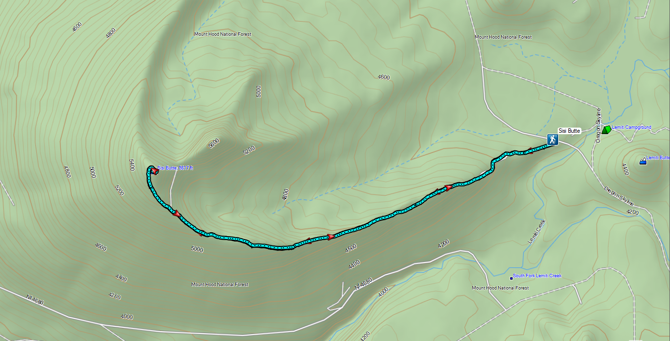

 Lower Lake Campground, a work in progress.
 While the campground was closed, the trail was open despite the fire damage.
 The Fish Lake Trail at Lower Lake Campground.
 Ferns creating a green hillside in the burn scar.
 Lower Lake
 The water in Lower Lake was quite colorful.
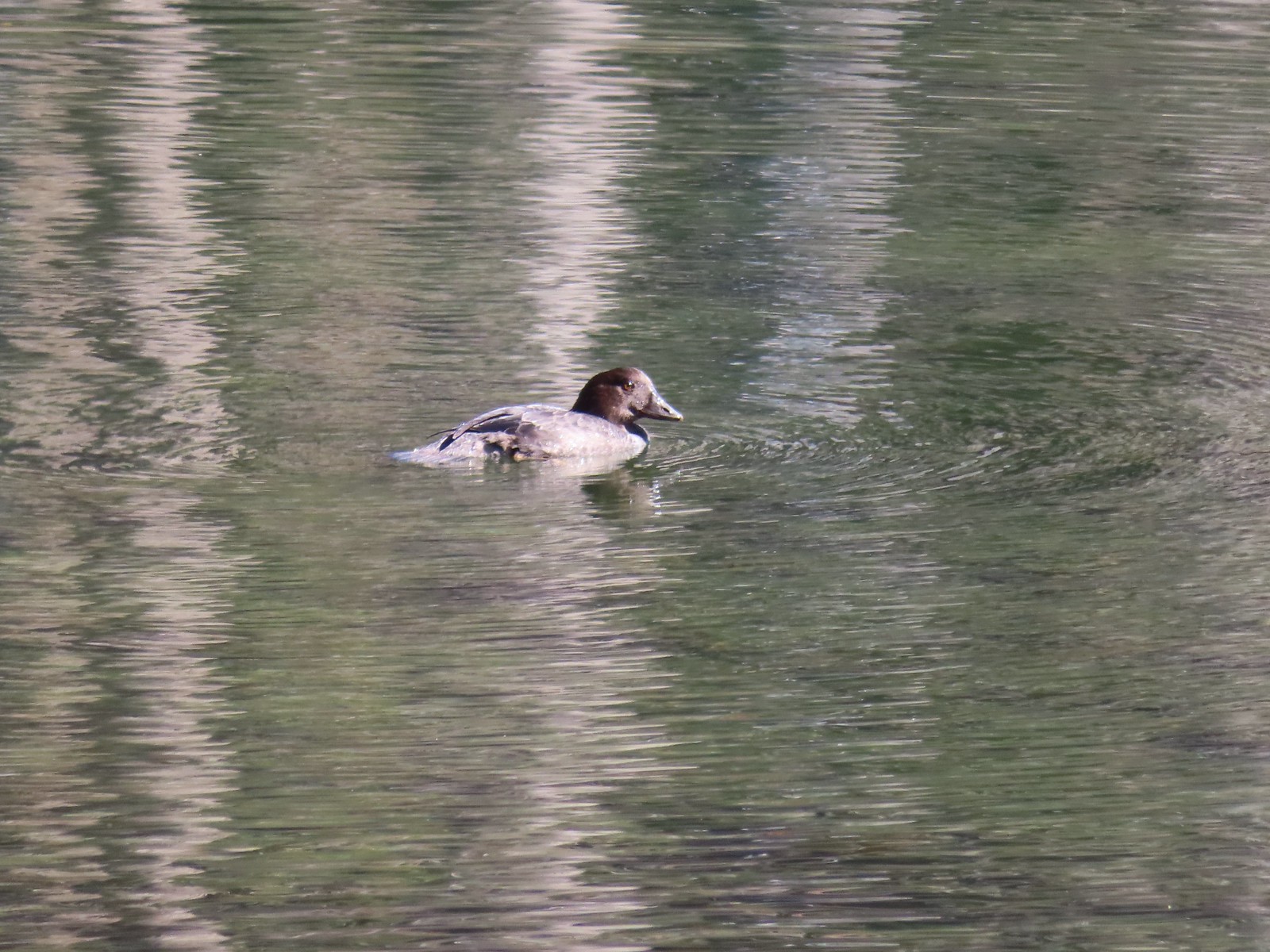
 Duck
Duck
 Most of the lakes in the
  Potato Butte (
 Olallie Butte
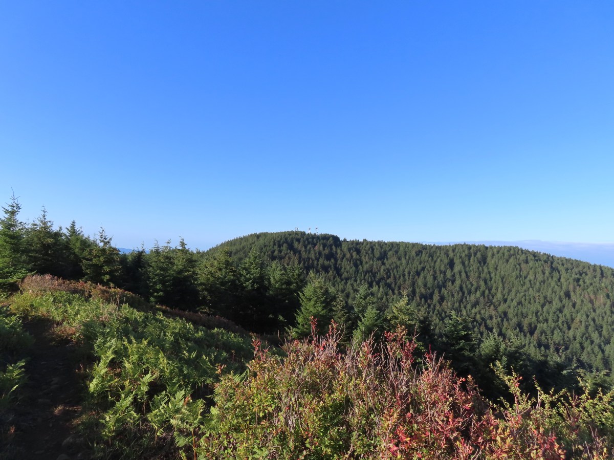
 Sisi Butte off to the right.
 Fireweed going to seed.
 Buckwheat
 The burn was intense along the trail, but it was in pretty good shape all things considered.
 Sisi Butte and Fish Lake from the cliff.
 Mt. Hood peeking out from behind West Pinhead Butte.
 Mt. Hood
 The Fish Lake Trail switchbacked a few times before giving up on that and dropping steeply for the final 0.2 miles.
 A beat up Lorquin’s admiral.
 There were signs of somewhat recent trail maintenance, but given the severity of the burn and the steepness of the hillside the trail is going to need a lot of ongoing attention to keep it passable.
 The trail disappeared a couple of times in brush and blowdown near the lake, but it was never hard to pick back up.


 Nap time.
 Olallie Butte from Fish Lake.
 The trail followed along Squirrel Creek (currently dry) for 0.4-miles.

 We passed a few of these “Spot Fire” flags, presumably left over from 2020.
 The signed junction.

 I had to walk out on a log and fight through some thick brush to reach a decent view of the water.
 Surprise Lake
 The trail between the junction and Si Lake got a little brushy.
 Huckleberry leaves in their Fall colors.
 Si Lake from the trail.
 Si Lake.
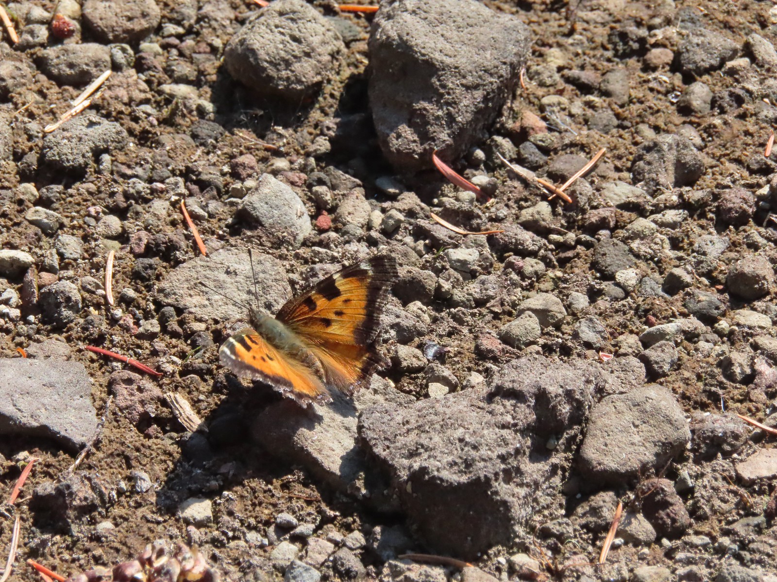 Tortoiseshell butterfly
 Olallie Butte from Fish Lake.
 Black bear print along the shore of Fish Lake.
 White breasted nuthatch
 Lower Lake from the Fish Lake Trail.
 Olallie Butte from Lower Lake.
 While parts of Lower Lake are shallow it actually reaches a depth of 73′ which is the reason it is so colorful.
 Arriving back at Lower Lake Campground.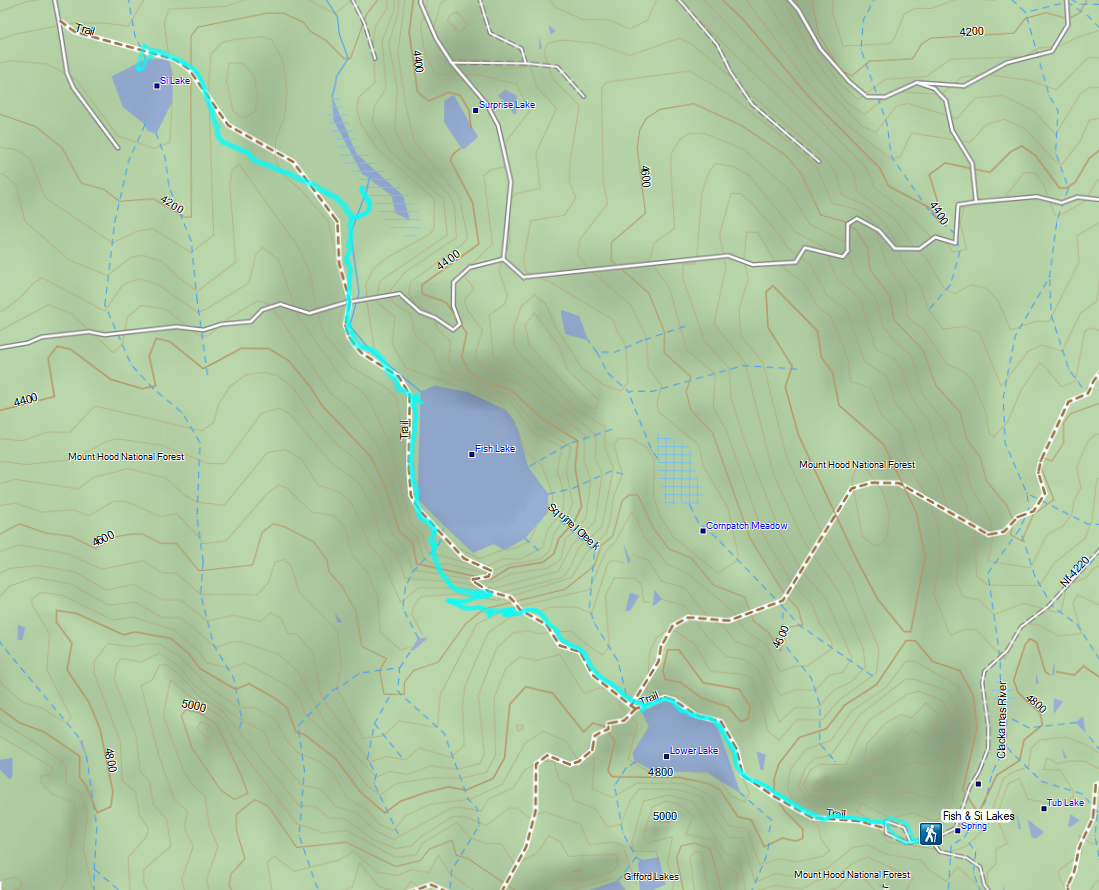
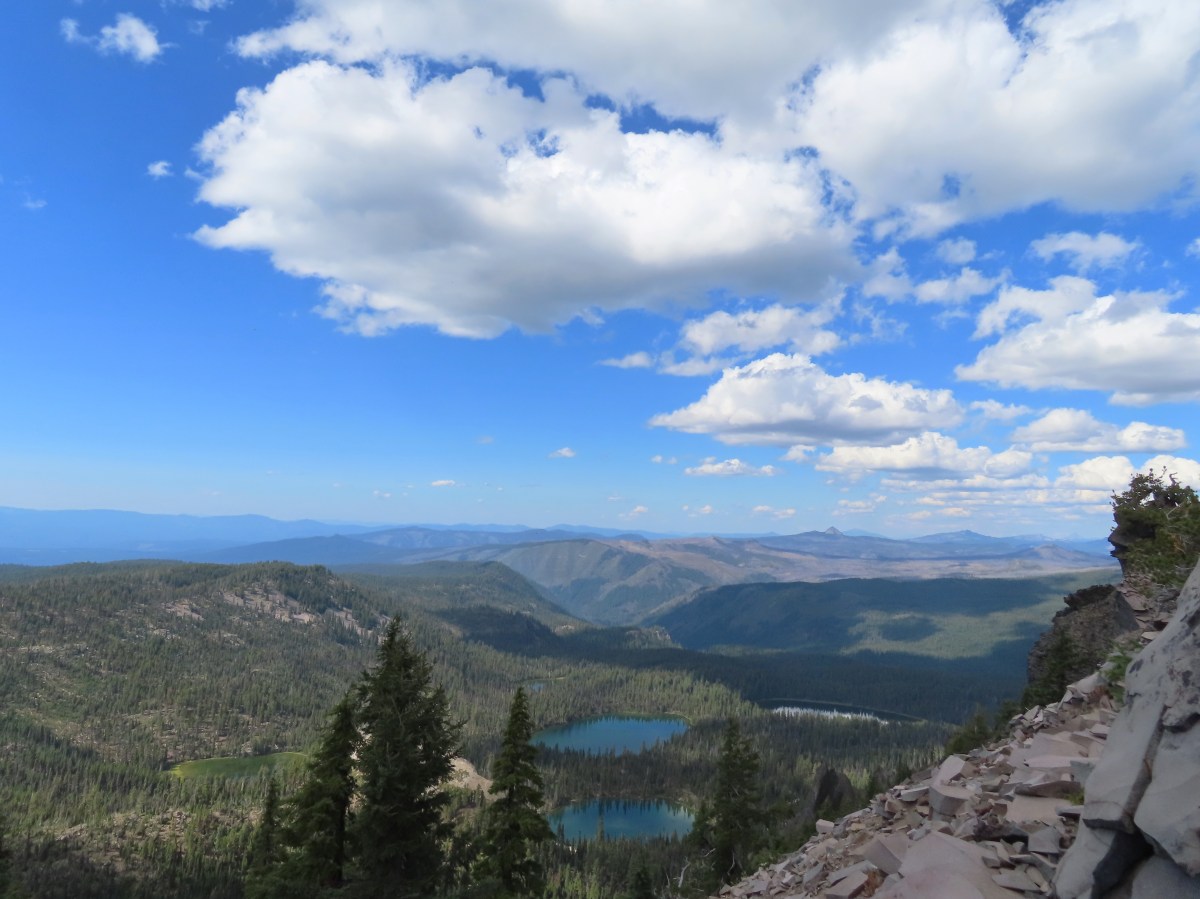
 Sevenmile Marsh Trailhead
 Sevenmile Creek
 Entering the wilderness
 Sevenmile Marsh
 Lodgepole pines were the dominate trees along the first part of the trail.
 Mountain hemlock took over as the trail gained elevation.
 Junction with the PCT.
 There were a few downed trees along this section but nothing difficult to get around.
 This twisted tree caught our attention.
 Nice blue sky.
 Lewis’s woodpecker way up in a snag.
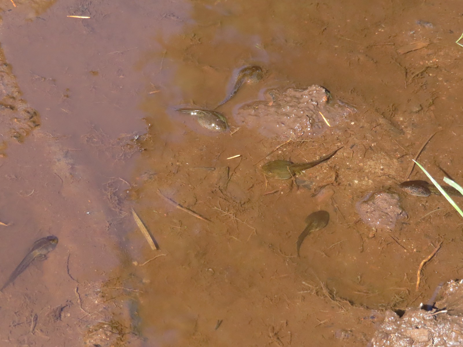 Tadpoles
 Frog in the water.
 Trail sign ahead on the right.
 Unnamed creek along the PCT. We were surprised at how many of the seasonal creeks still had flowing water.
 Grass-of-parnassus
 Huckleberries, there were a lot of these around the basin which we happily sampled.
 Devil’s Peak poking up above the trees.
 The Cliff Lake Trail.
 Prince’s pine
 Another flowing seasonal creek.
 Crater Lake collomia (Collomia mazama)
 The Seven Lakes Trail arriving on the right.
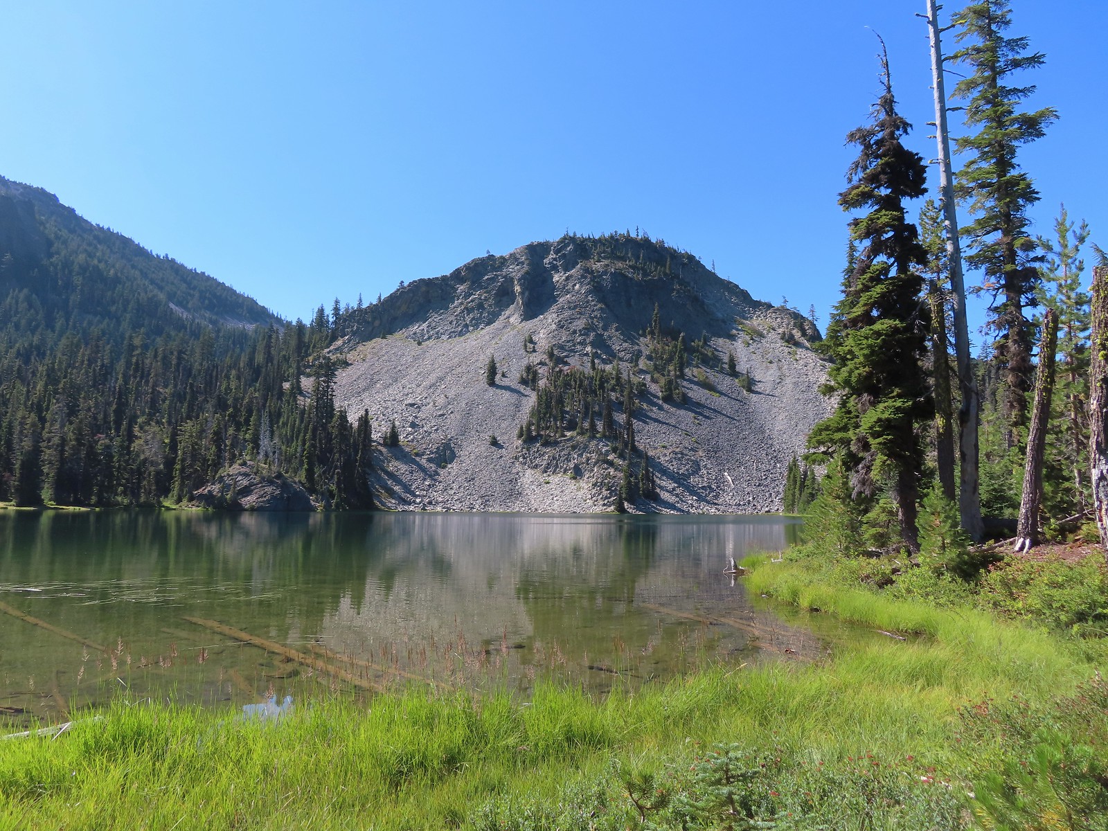 Cliff Lake
 Arnica
 Aster
Aster
 Splash in Cliff Lake from one of many fish that were feeding on insects.
 Camp
Camp Huckleberry bushes along the Cliff Lake Trail.
 Anywhere there was water nearby there were lots of tiny Cascade toads to watch out for.
 Back at the PCT.
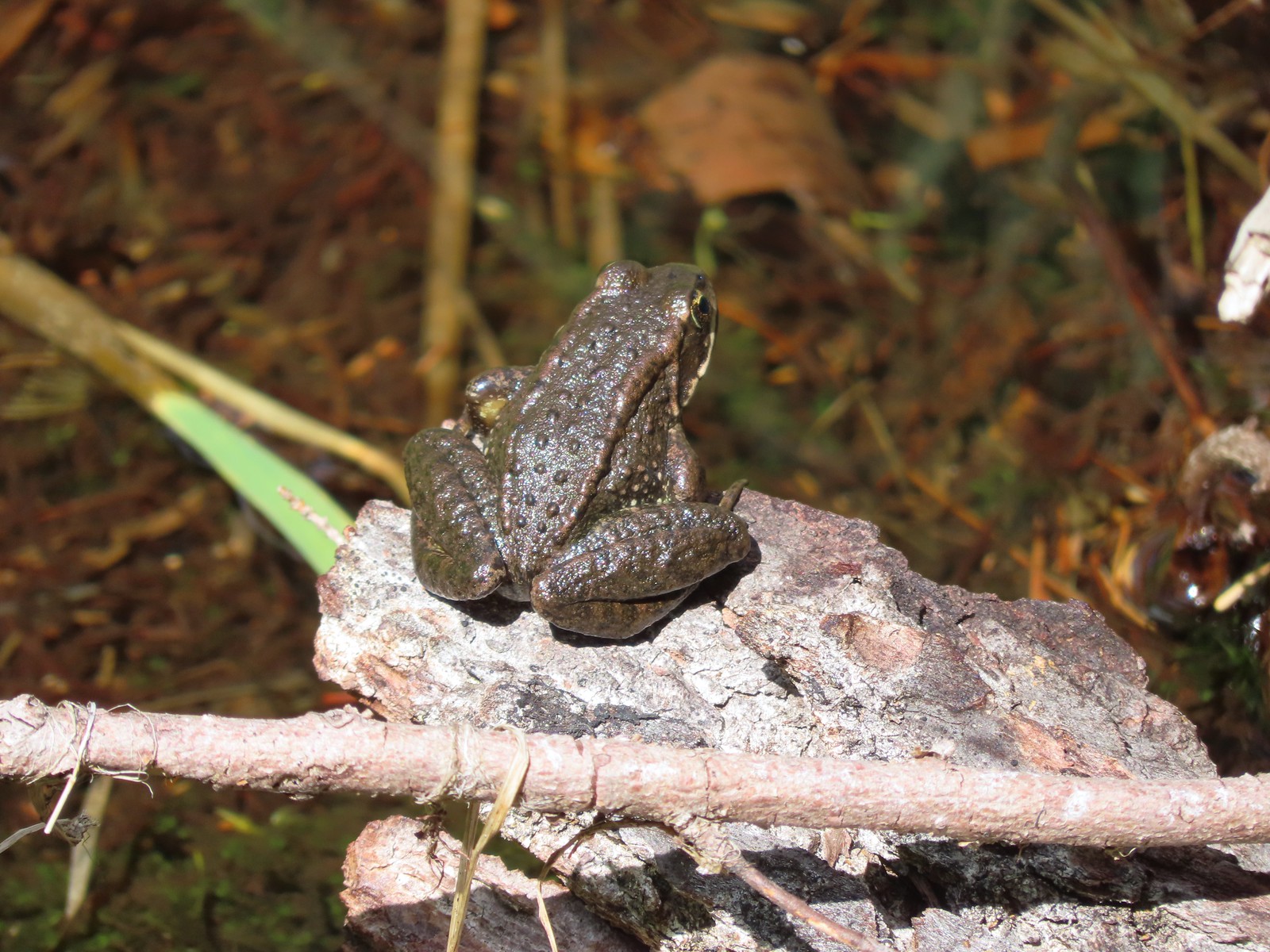 Larger frog
 Monkshood
 More grass-of-parnassus
 Not only were the toads tiny, they also were well camouflaged.
 Mount Scott (
 Mount Scott
 The Watchman (
 The Watchman and Hillman Peak
 Devil’s Peak
 Union Peak (
 Cliff Lake with Violet Hill beyond.
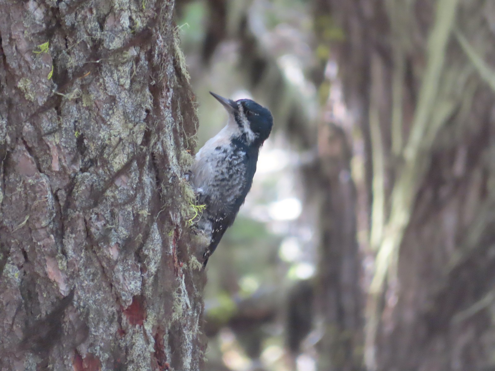 Black backed woodpecker
 Getting closer to Devil’s Peak.
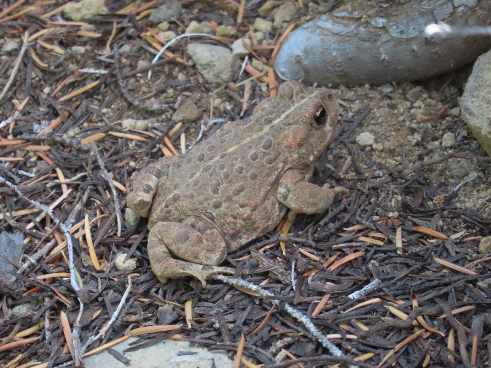 A much bigger Cascade toad.


 Mt. Thielsen (
 Union Peak with Mt. Bailey (
 Lots of neat rock formation on Devil’s Peak.
 Western pasque flower seed heads.
 Buckwheat
 Views to the South opened up at the pass including Klamath Lake and Pelican Butte.
 Klamath Lake
 Devil’s Peak and the PCT coming up to the pass from the North.
 Klamath Lake, Pelican Butte, Aspen Butte (
 Mt. McLoughlin
 A faint Mt. Shasta which, given the wildfires burning in NW California was a bit of a surprise to be able to see.
 The view North.
 Goose Egg and Ethel Mountain in the forefront with Llao Rock, Mt. Thielsen, and Garfield Peak (
 Devil’s Peak
 We were a little concerned at first that it might be picking up water for a new fire but there wasn’t anything hanging from the helicopter so we have no idea what it was actually doing.
 The use path to Devil’s Peak on the right and the PCT on the left.
 The rather ominously named Lucifer from the use trail.
 A second use trail coming up from the opposite side.
 Western pasque flowers on the hillside above the use trails.
 The summit of Devil’s Peak ahead.
 Looking North toward Crater Lake and Mt. Thielsen
 Lucifer, Jupiter, and Venus
 Lee Peak above the pass.
 Luther Mountain (
 Remains of a former lookout.
 The PCT below Devil’s and Lee Peaks.
 Goose Egg, Llao Rock, and Mt. Thielsen
 Mt. Scott
 Mt. Shasta to South through a little smoke but again we felt fortunate to be able to see the mountain at all.
 Colorful grasshopper at the summit.
 American pipit
 The Seven Lakes Basin from the use trail down.
 South, Middle, North, and Grass Lakes
 Heading down the use trail.
 Looking back up the use trail.
 Western snakeroot along the PCT.
 A comma butterfly on western snakeroot.
 Painted lady
 Venus from the Devil’s Peak Trail.
 Looking back at Devil’s Peak.
 Looking North across the Seven Lakes Basin.
 Lake Alta in a bowl below Violet Hill.
 Pond along the Devil’s Peak Trail.
 Coming up to the Seven Lakes Trail junction. A rock cairn was the only marker.


 I was still only about halfway along the lake after the quarter mile. There used to be a campground at the North end.
 Common merganser
 The southern end of Lake Alta.
 Cliff Lake below Devil’s Peak and Middle Lake.
 Middle and Grass Lakes
 I could hear several pikas in the rocks below the cliffs but the only thing I spotted was a chipmunk.
 Chipmunk
 Sulphur butterfly on aster.
 Gentian
 Fireweed
 South Lake
 Devil’s Peak from the trail. There were more pikas “meeping” from the rocks here but again we failed to spot any of them.

 Devil’s Peak in the evening.
 So many fish in the evening.
 Devil’s Peak in the morning.
 Seven Lakes and Cliff Lake Trail junction.

 We detoured left at the northern end of the lake following a pointer for Lake Ivern to find a view back across Middle Lake.
 Devil’s Peak from Middle Lake.
 Stream crossing.
 Monkshood and grass-of-parnassus
 Grass Lake
 Arriving at the PCT.

 Golden-mantled ground squirrel
 Sevenmile Trail at the PCT to return to the Sevenmile Marsh Trailhead.
 Exiting the Sky Lakes Wilderness.

 The trailhead has numerous parking spots for cars as well as a large horse trailhead, outhouse, and picnic tables.
 The big signboards unfortunately did not have a map or other information about the trail system though.

 The North Sister behind us.

 Signpost for the canyon ahead.
 This sign was just like the ones we’d seen Saturday at the Dry River Canyon (post).


 The canyon is home to some impressive ponderosa pines.
 Another ponderosa
 Looking up from below the ponderosa.
 Lichens


 Townsend’s solitaire
 Owl
Owl
 West wall
 East wall
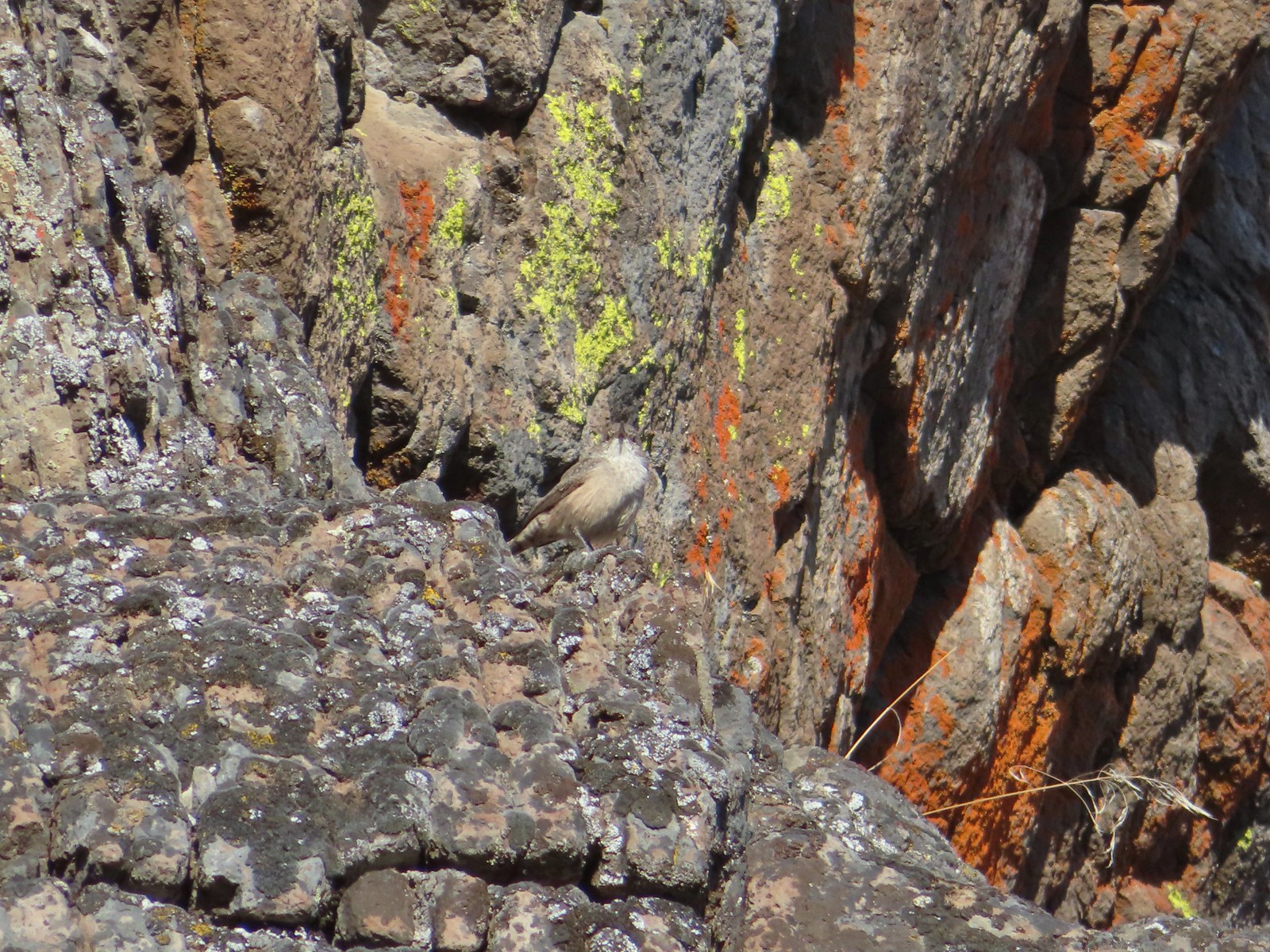 Wren
Wren Neat rock formation.
 Exiting Fryrear Canyon.
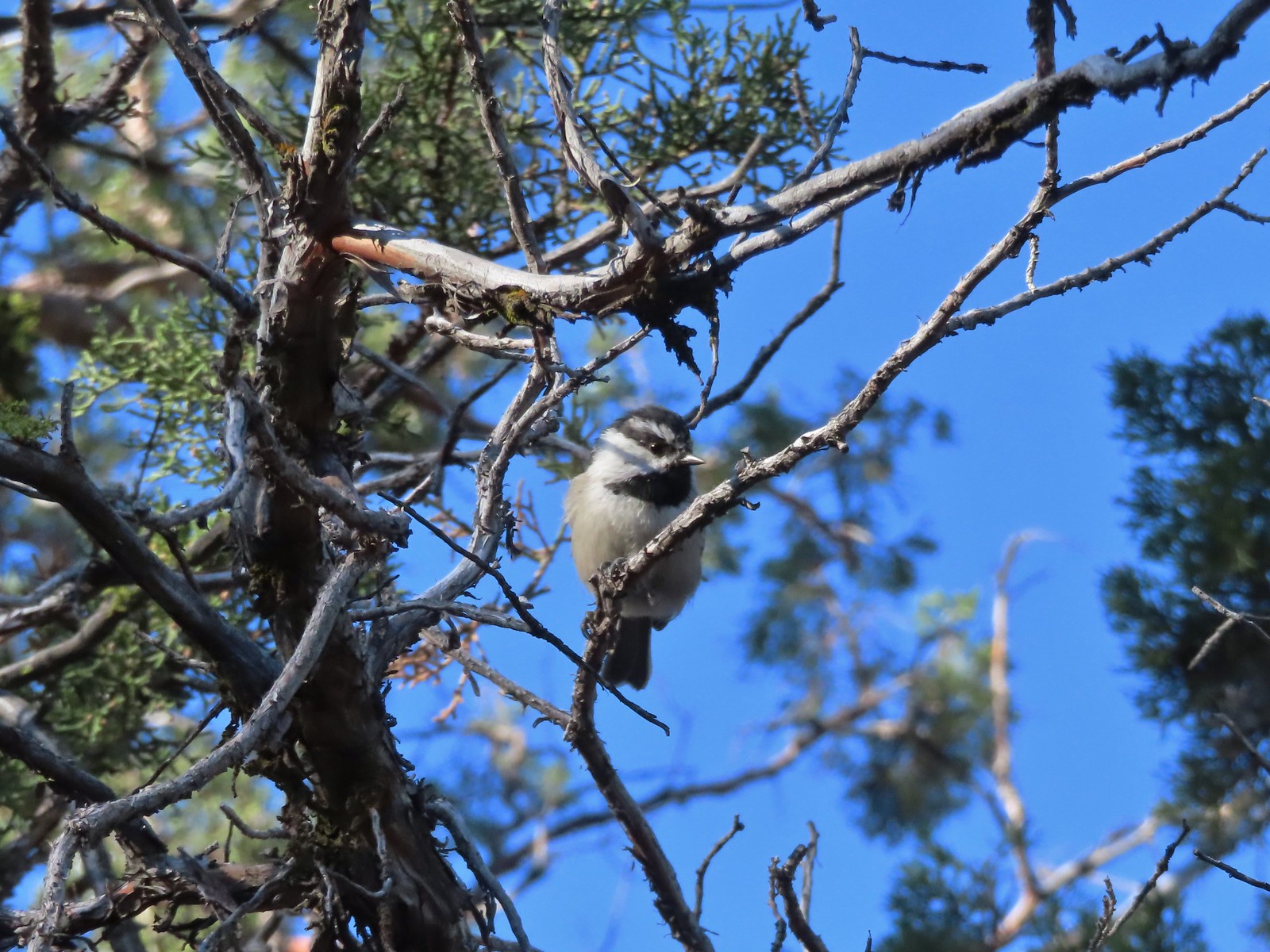 Several mountain chickadees came to investigate as we passed through the gate.

 Middle and North Sister
 Mountain bluebird
 South Sister
 Mt. Jefferson
 Broken Top and South Sister
 Broken Top behind some clouds.
 We turned right back onto the spur trail to the Fryrear Trailhead at the end of our loop.
 Stellars jay
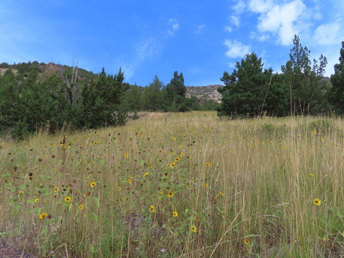


 Beatys Butte to the SW.
 Rain to the SW as well.


 Threemile Creek could be heard but not seen through the thick brush.
 Lupine
 There was a post but no sign at the junction.
 Wickerstem buckwheat
 The Pueblo Mountains (
 Clouds and rain showers to the SW.
 Threemile Canyon
 The faint Huffman Trail.
 Alvord Peak in the center distance with Pueblo Mountain to the far right.
 Closer look at Alvord Peak in the center.
 Still a little blue sky to the NW.
 Not sure where the fog below came from but it was on a mission to beat us up to the plateau.
 Here comes the fog and some rain.
 Just moments later.
 And here is the fog.

 The final pitch to the plateau.
 Cairn at the end of the trail.
 Exploring is possible as long as you remember where you came up.
 Looking West.
 Looking toward Threemile Canyon.
 Beatys Butte at center with the long fault block of Hart Mountain (

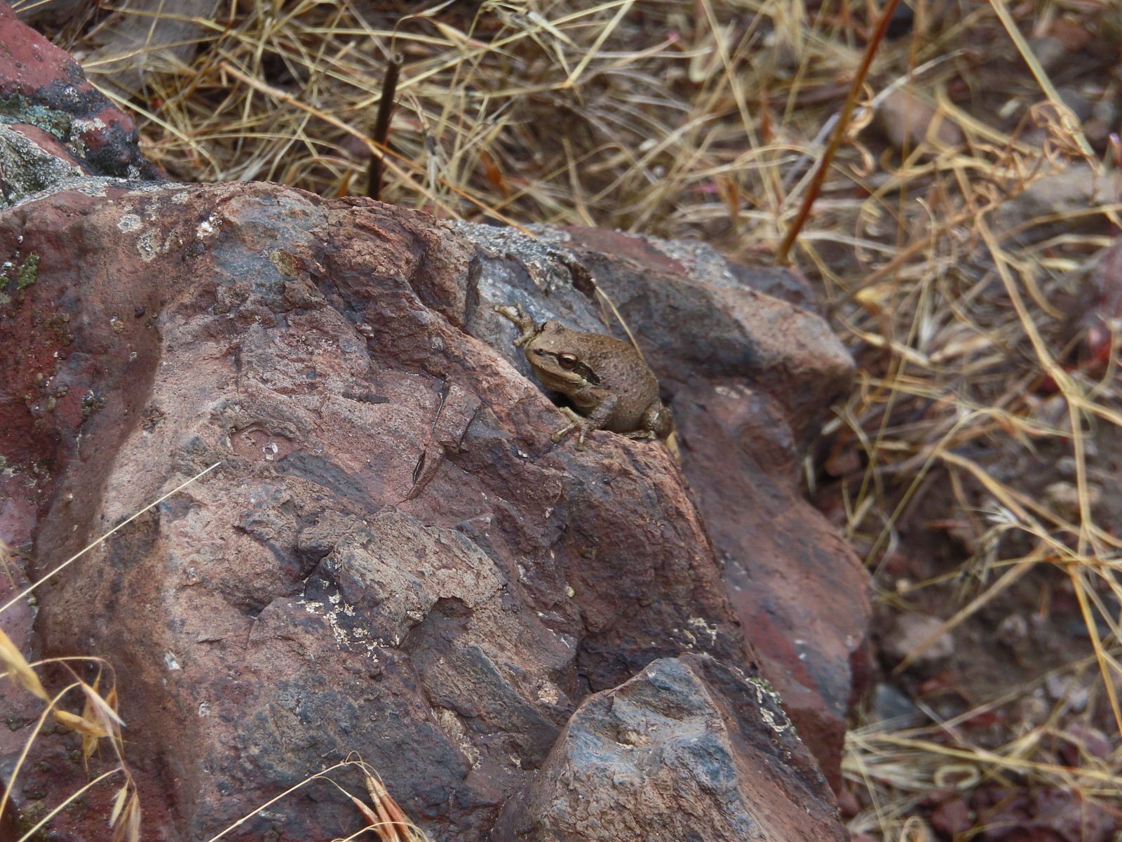 This frog seemed to enjoy the damp weather.
 Cliffs across Threemile Canyon
 Arriving back at the junction with the Threemile Creek Trail.

 Curlycup gumweed
 The trail crossed and at times used dry creek beds and also crossed Threemile Creek several times.
 The easiest crossing of Threemile Creek. Several of the others were not obvious until I pushed through the brush and then the footing was often tricky due to large, slick rocks needing to be navigated (at least in order to stay out of the creek).
 On the trail, I think.
 Elderberry
 Hard to tell by the photo but this puffball was a little bigger than a softball.
 I wouldn’t really describe the area as a meadow but I was 0.9 miles from the junction.
 Looking down at the meadow and post/snag (lower right) from the rocks.
 Sometimes the trail was really only identifiable by which junipers had had limbs cut.
 The drop to the creek here was approximately 2′ and the pool in Threemile Creek was fairly deep making this crossing a bit of a challenge not to slip and fall in.
 Aster
Aster

 Sullivan’s map showed a “Bart Simpson Rock” which we believe was this one.
 Nearing the sunflower hillside and trail junction.
 Dragonfly
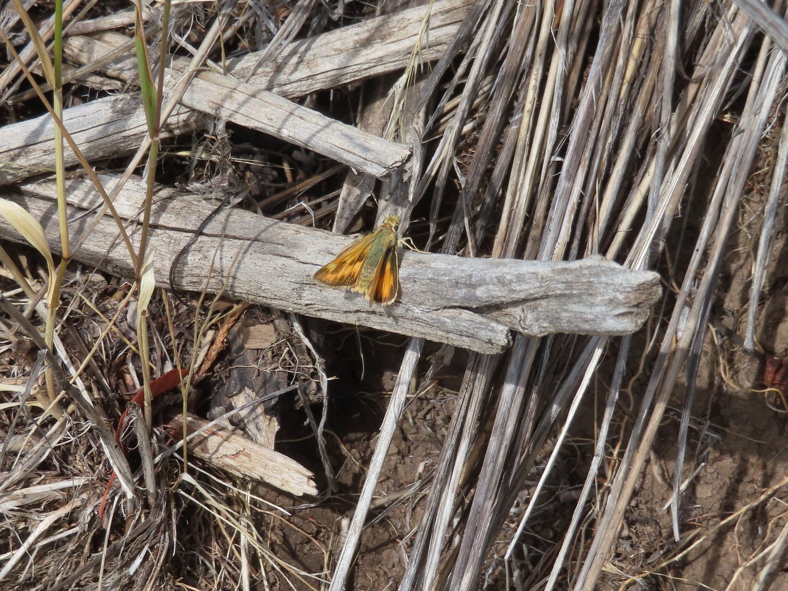 Skipper
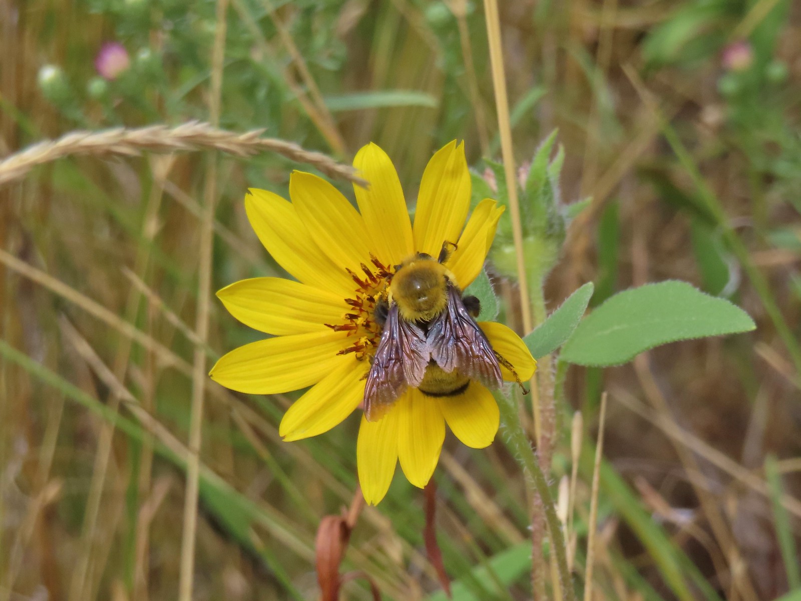 Big bumblebee



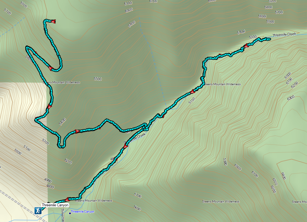

 Sign for the River Trail.
 The long barn where we’d be heading next.
 We turned around here where the tread became rougher.
 Interpretive signs were scattered along the trails at the P Ranch.
 Lorquin’s admiral and a grasshopper.
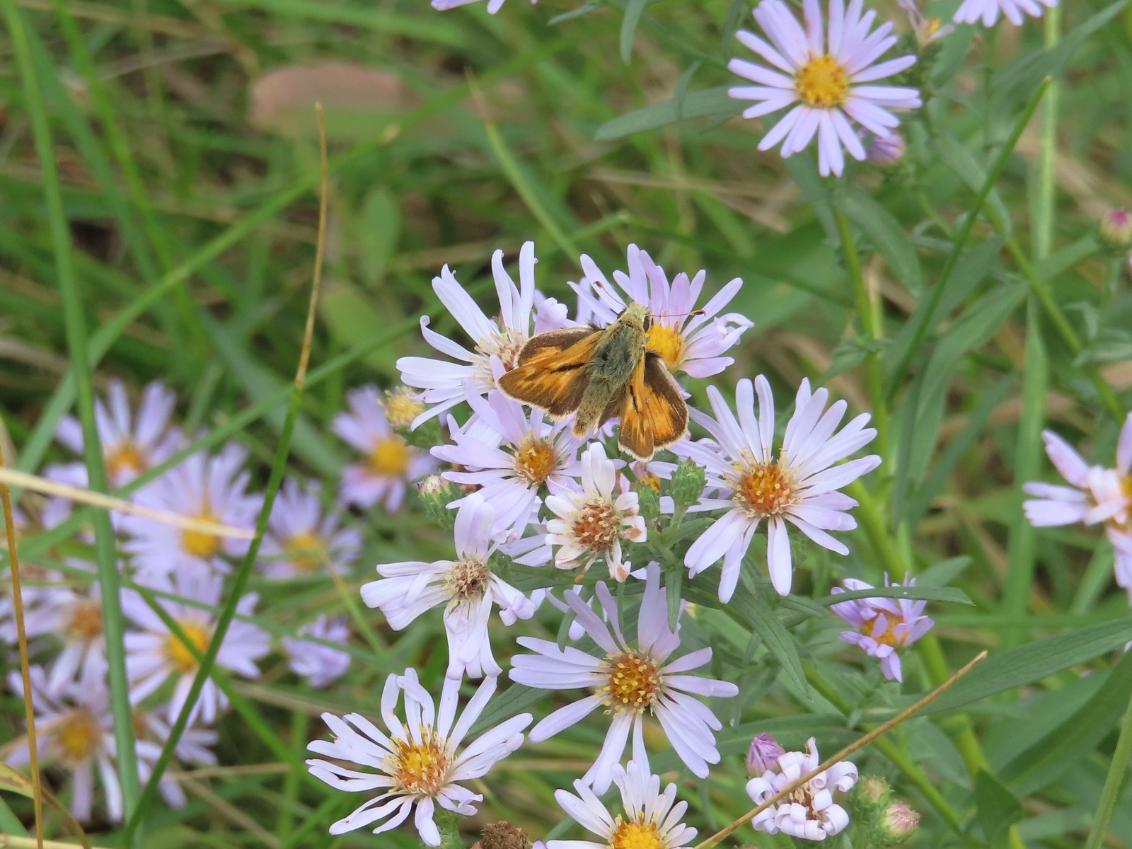 Skipper on aster.

 History of the P Ranch which at one time covered 140,000 acres.
 The owl inside the barn.
 Other structures from the ranch.
 The gravel road is in good shape but you don’t want to drive any faster than about 10mph so you don’t miss any wildlife.
 Fawns
Fawns Common nighthawk
 So many red-winged blackbirds.
 Hawk (northern harrier?) in a field.
 More fawns and birds.
 Finch?

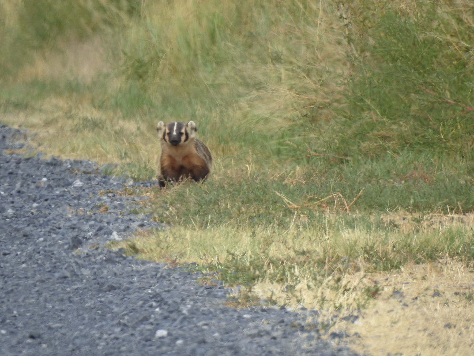
 It disappeared in the grass moments later.
 Another hawk
 Sandhill cranes in the field.
 Sandhill cranes


 Crossing the dam.
 Kiger Gorge (
 Kiger Gorge
 Blurry due to distance but there were several deer at the far end of the reservoir.
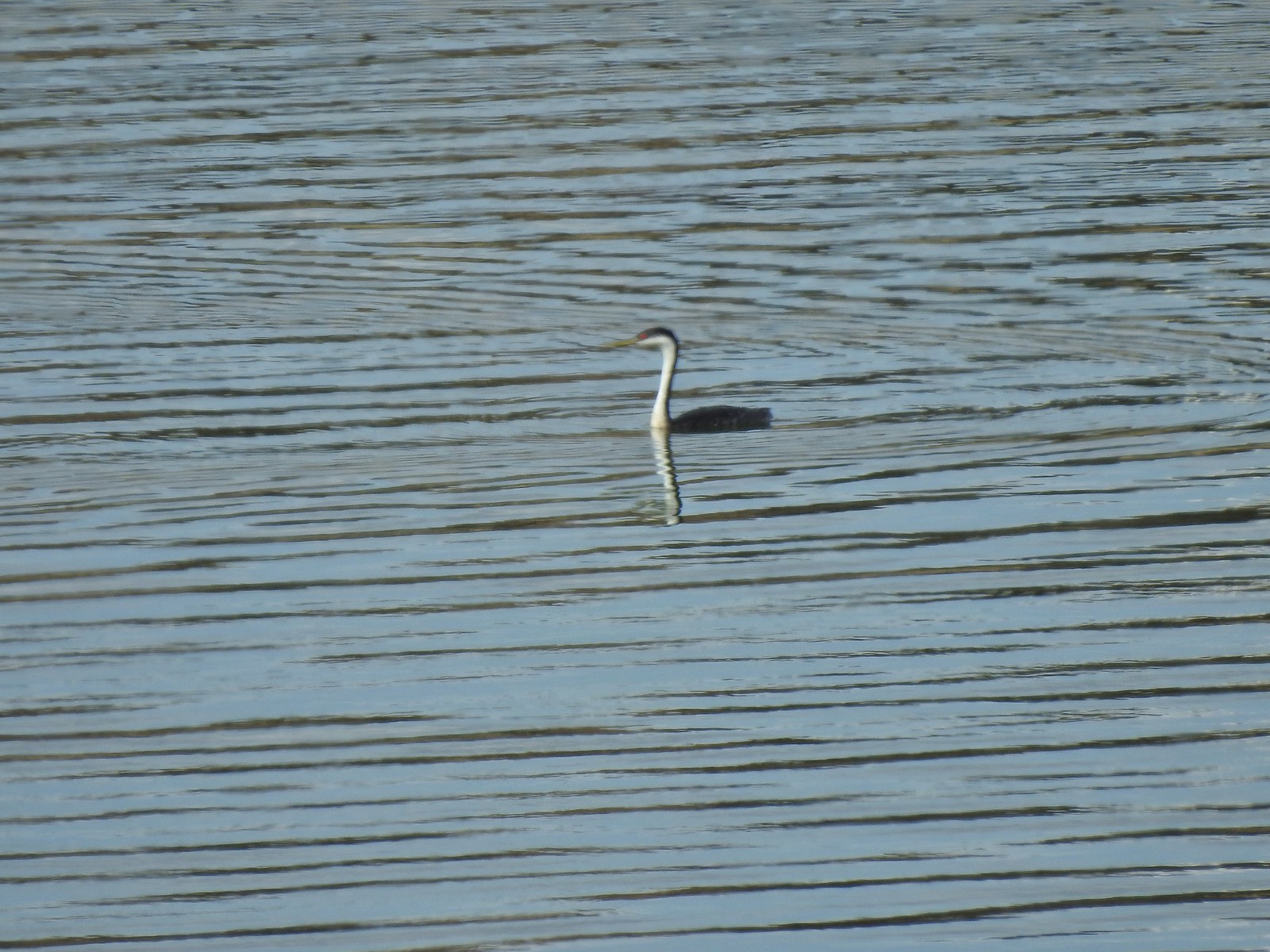 Another long shot, a western grebe.
 Not certain what this bird was but it dove into the water a couple of times.
 The deer, some ducks, the western grebe and a cormorant were all that direction.
 It also appeared that some rain was on the way.
 Recrossing the dam.
 Pheasant family
 There were at least 5 deer out there.
 Two
Two Three more
 White faced ibis
 California quail
 Pheasant
 A few of at least 10 turkey vultures in the trees above the Refuge Headquarters.
 Malheur Lake from the end of the auto tour.


 Open sign at the trailhead.
 Rabbit in the sagebrush.
 Some of the exposed rocks showed the work of the ancient river.
 Shaped by water.
 Colorful rock bands along the canyon wall.


 There is a huge nest up on the cliffs.
 The nest
 Wren
Wren American kestral
 Tall sagebrush in the canyon.
 The canyon reaches a depth of approximately 300′.


 Skipper
 I believe this is a ringlet of some sort.

 Heading toward the Evens Well Trailhead.
 Looking toward the Dry River Canyon from the plateau. It was impossible to tell that there was such a deep canyon out there.
 Pine Mountain (
 The rock steps were more obvious on the way down them.
 A sparrow behind the sticks the camera was intent on focusing on.
 Bee on buckwheat
 Arriving back at the official trailhead. Several SUVs were now parked here.
 They’re hard to make out but the Middle and North Sisters were visible from the road walk back to the gravel area.
 The trailhead at the campground.
 Neat map at the trailhead.
 Gold flagging on the sagebrush ahead marked the junction.
 The trail followed a fence line before turning right along Highway 395.
 Tiny frog
 The trail crossed this gated road near the highway. A blue diamond marked the trails continuation.
 One of several interpretive signs along the loop.
 Squirrel
 The highway was just out of sight to the left.
 Big ponderosa
 We crossed the campground road and quickly realized our mistake and backtracked.
 This time we spotted the correct trail and forked right here.
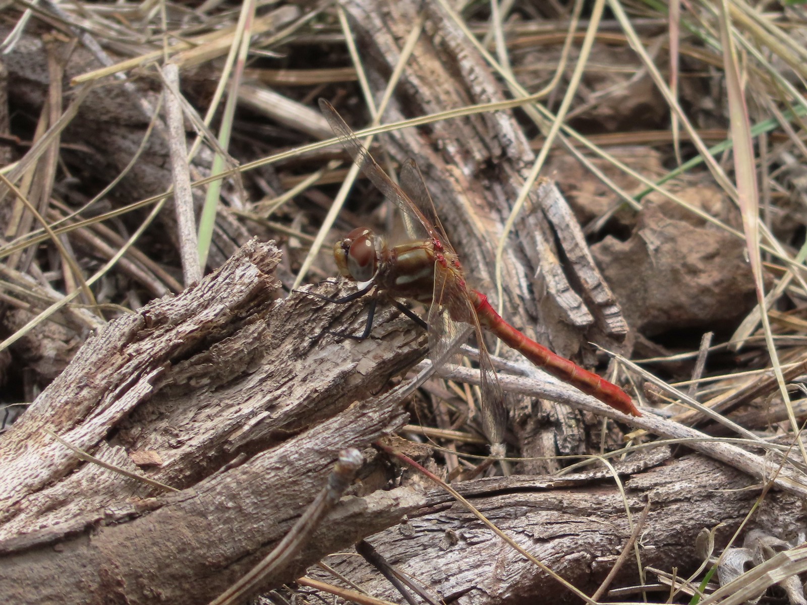 There were lots of dragonflies in the area.


 Golden-mantled ground squirrel already sporting some of its winter weight.
 We turned right here onto the Devine Summit Trail.
 Deer in the forest.
 There was a bit of blowdown to navigate along the trail.
 Some maintenance had been done in the past. There were also a good number of benches along the trail, all of which were accompanied by a post with a number.
 Another bench near this fence.
 Ponderosa forest
 White breasted nuthatch
 Another post and bench.
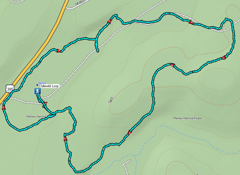
 Arriving at the Idlewild Loop on the far side of the fence.