After a 14 mile three stop day on Saturday of Memorial Day weekend we had another 14ish mile day planned for Sunday but this time just a single stop at the J.S. Burres Trailhead at Cottonwood Canyon State Park.

This was our second visit to the park having previously hiked the Hard Stone and Pinnacles Trails in 2017. The John Day River acts as the boundary between Sherman and Gilliam Counties and those trails are located on the north (Sherman Co.) side of the river. The J.S. Burris State Wayside is on the south side of the river which puts it in Gilliam County. This makes it one of the only hikes that I could find in Gilliam County and Gilliam County was one of the two remaining counties in Oregon in which we had yet to hike. (The other is Umatilla which has plenty of trails, we just haven’t gotten around to them yet.)
The main attraction at the wayside is the boat ramp but it also serves as the trailhead for the Lost Corral Trail.
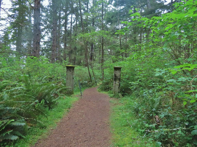
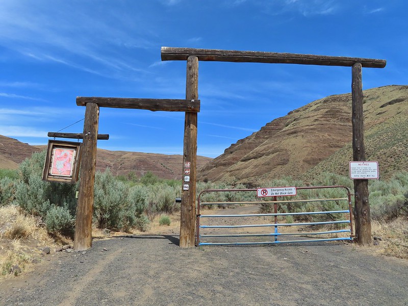 Afternoon photo of the start of the trail.
It was already 68 degrees, according to the car anyway, when we arrived shortly before 7:30am which meant it was going to be a hot hike. We had planned for high temperatures and were each carrying extra water. The Lost Corral Trail follows an old roadbed for 4.3 miles to the start of the 0.9 mile Esau Loop Trail. There is also an option to tack on a 4.3 mile off trail loop that would take us up into the hills above the river. It was an ambitious plan given the expected temperatures but we set off determined to give it a go. Shortly after setting out, and stopping to watch a couple of rabbits, I asked Heather if she remembered if I locked the car. She didn’t and neither did I so I double timed it a quarter mile back to the trailhead to make sure it was locked then rejoined Heather up the trail.

 This section was so nice I did it twice.
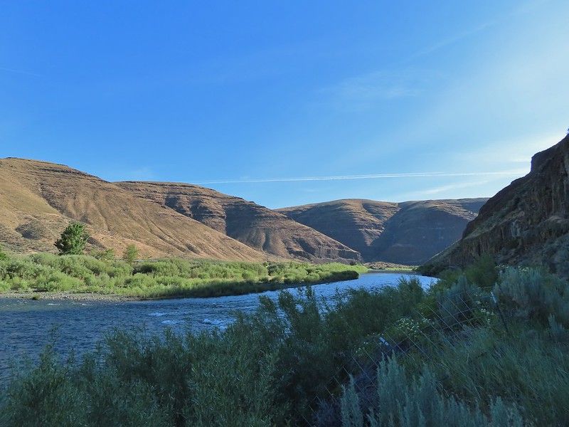
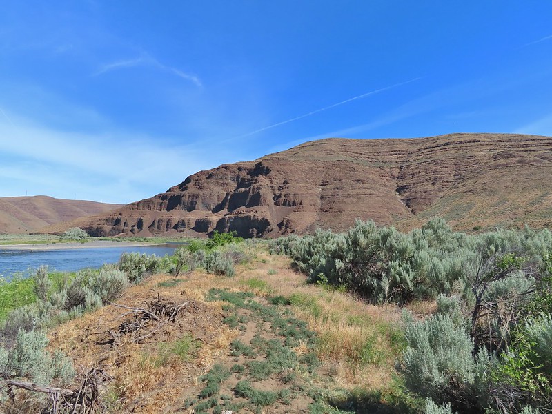
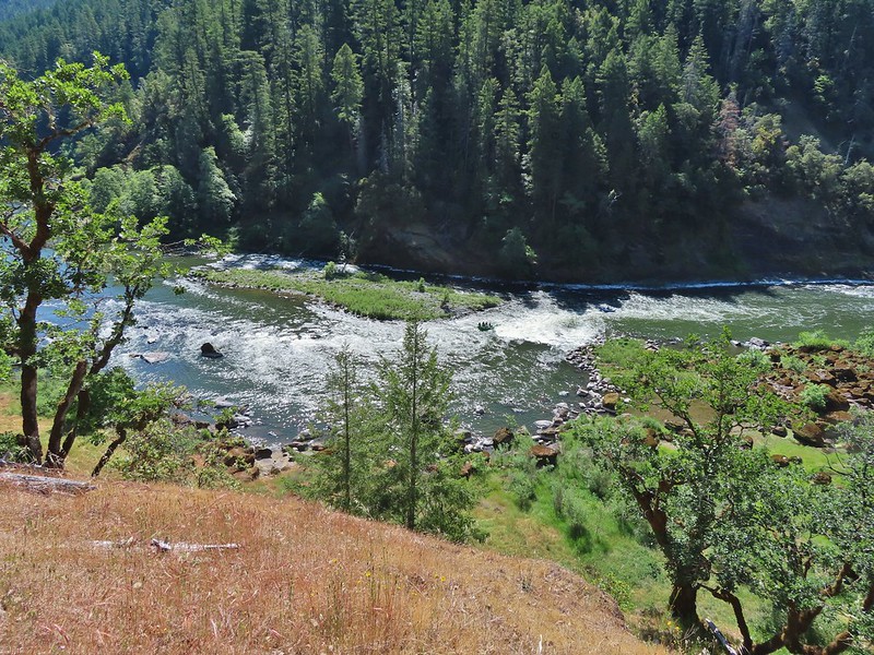
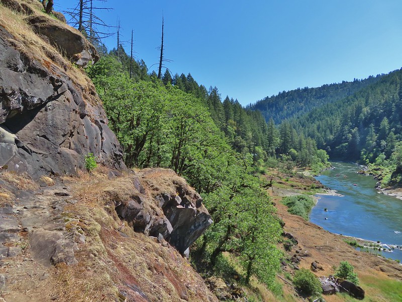
We both felt the Lost Corral Trail had better views of the John Day than the other trails had offered.
 Cottonwood Canyon State Park main area across the river.
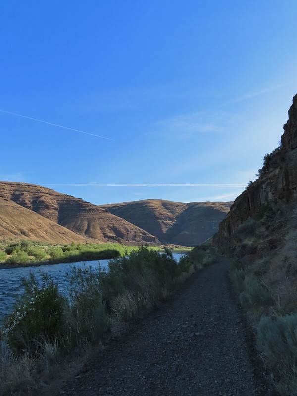
There were less wildflowers despite being the same time of year but that was likely due to the drought conditions that are plaguing the West this year.
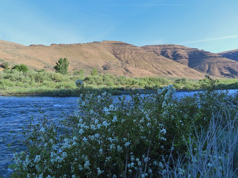 One of the exceptions was mock orange which was blooming profusely along the trail.

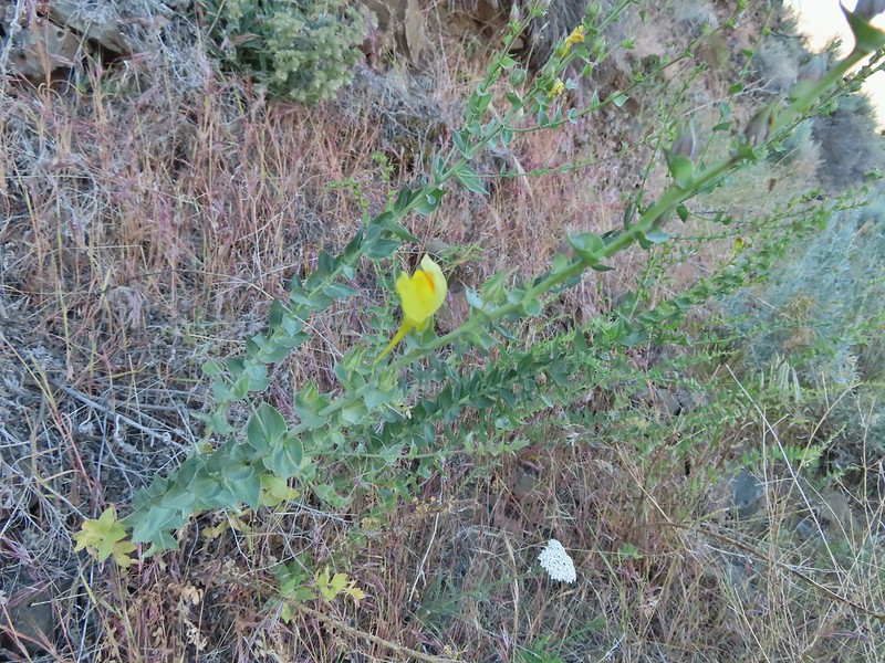 Dalmation toadflax and yarrow.
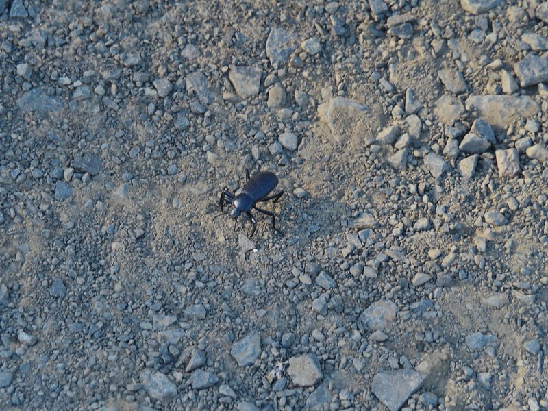
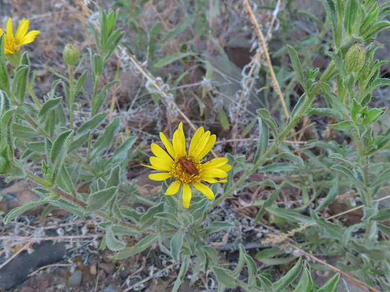 Beetle on what might be hairy golden aster

 A lupine
This would be a day of missed opportunities where the wildlife was concerned and it started about a mile into the hike when a pheasant waited until we had unknowingly passed him before he flew off never to be seen again. Later as we approached the second bench along the trail (near the 3 mile mark) I spotted the brown back side and tail, of what I believe was an otter, dive into the water and disappear. On our way back a family of Chukars startled us and scattered before I could turn on the camera and finally a snake (not a rattler, possibly a yellow bellied racer) slithered through the vegetation not quite allowing for a clear picture, but I digress.
Back to the hike, just after the pheasant encounter, the trail crossed a wide sandy flat where tracks revealed the presence of a number of critters.


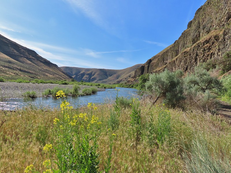
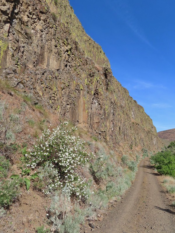 More mock orange along the trail.
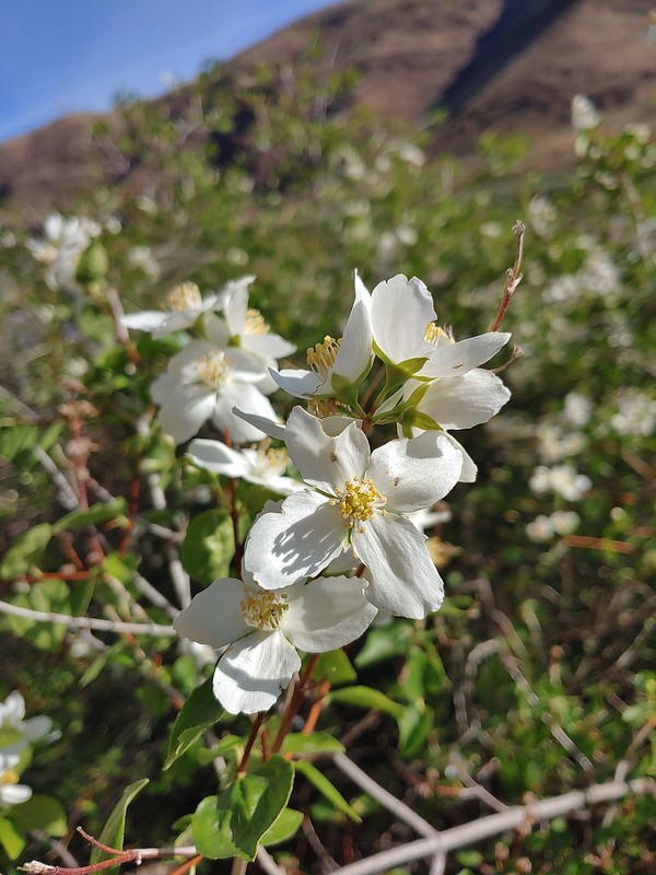 Close up of the mock orange.
 Butterfly on western clematis
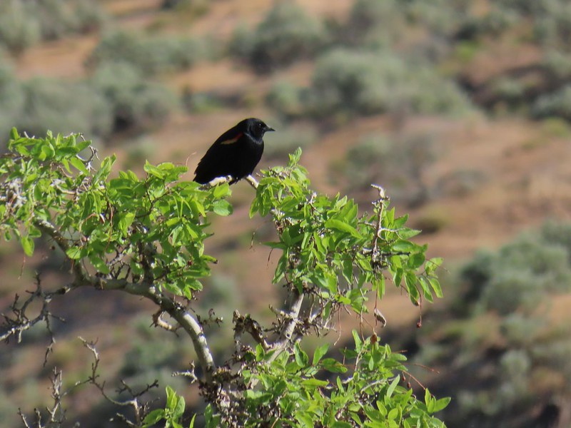 This red winged blackbird cooperated for a photo op.
 Salsify
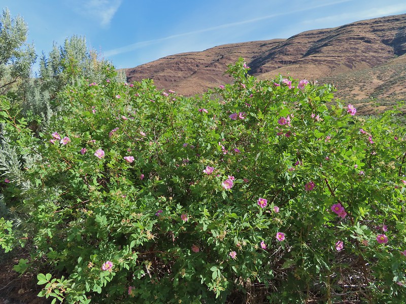 Wild roses
There had been a large number of cliff swallow nests along the Pinnacles Trail but we only saw a few on this side of the river.
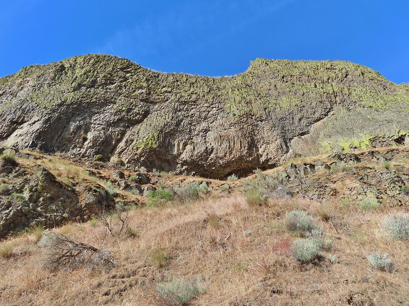

There might not have been a lot of swallows but there were plenty of butterflies.
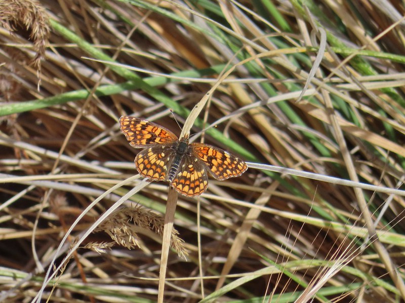

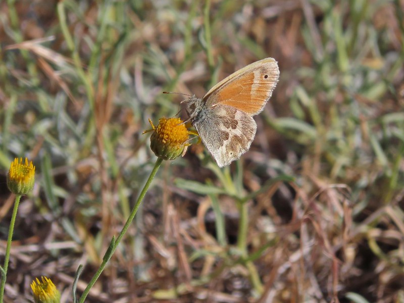

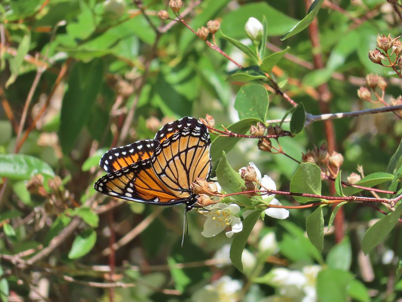 We saw this viceroy on the way back to the car.
There were also a large number of birds but most could only be heard and not seen as they stuck to the thick vegetation along the river.
 Magpie dive bombing a hawk.
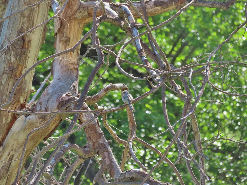
 Coming up on the second bench.
 The otter or whatever it was was right in this area.
We sat at the bench and rested hoping to get another glimpse of the animal but it never rematerialized. We did however spot some big fish in the water below.

After resigning ourselves to the fact that the otter was not going to make another appearance we continued on.
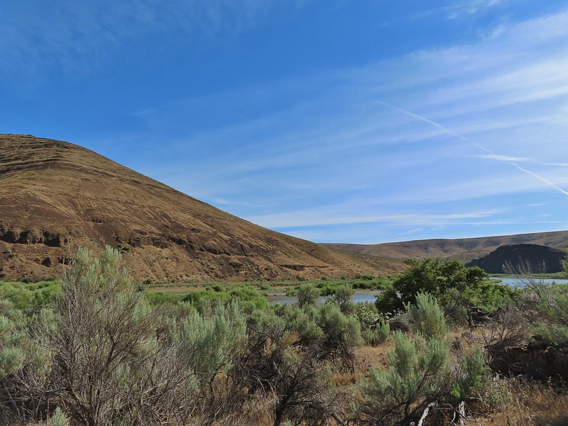
 Cedar waxwings
 The Pinnacles

 Ducks
Ducks
We turned left when we reached a sign for the Esau Loop Trail.
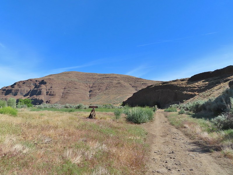 Esau Loop Trail sign.
 Looking back at The Pinnacles from the Esau Loop Trail.
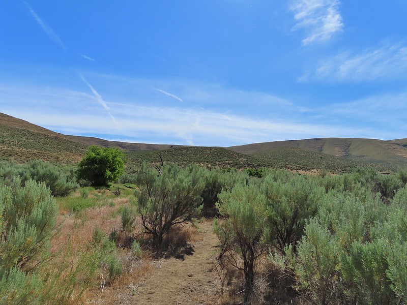
This was a much rougher trail that passed through the sagebrush along the river before looping back over a low rise.
 Unknown flower
 Sagebrush mariposa lilies
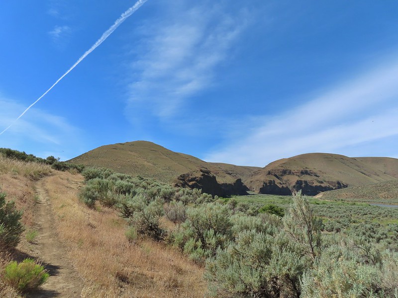
Before completing the this loop we came to a signboard at a roadbed.

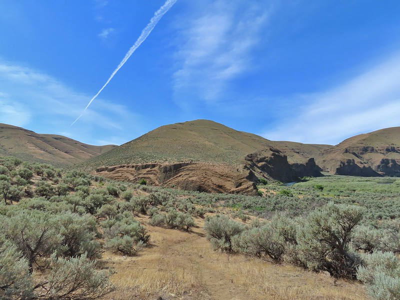
Our planned off trail loop began here. The roadbed that the Lost Corral Trail followed turned up Esau Canyon after passing a rocky ridge end. The Oregon Hikers Field Guide entry described “rounding the corner of the low cliff” then scrambling up to the ridge top to a fence line and following that up the ridge crest. Having turned left on the Esau Loop Trail we were approaching from the opposite direction but it gave us a clear view of the cliffs that we needed to get around in order to scramble up the ridge.
 The more open looking hillside to the right of the cliffs was deceptively steep so we followed the road to the left until the the terrain appeared more hospitable.
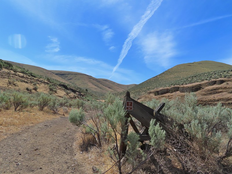
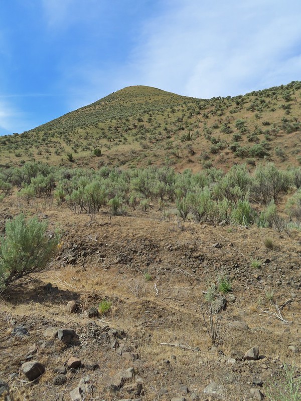 We set off from the roadbed here.
The hillside was steep so there was a lot of switch backing and pausing along the way.
 Have these gone to seed or blossoms?
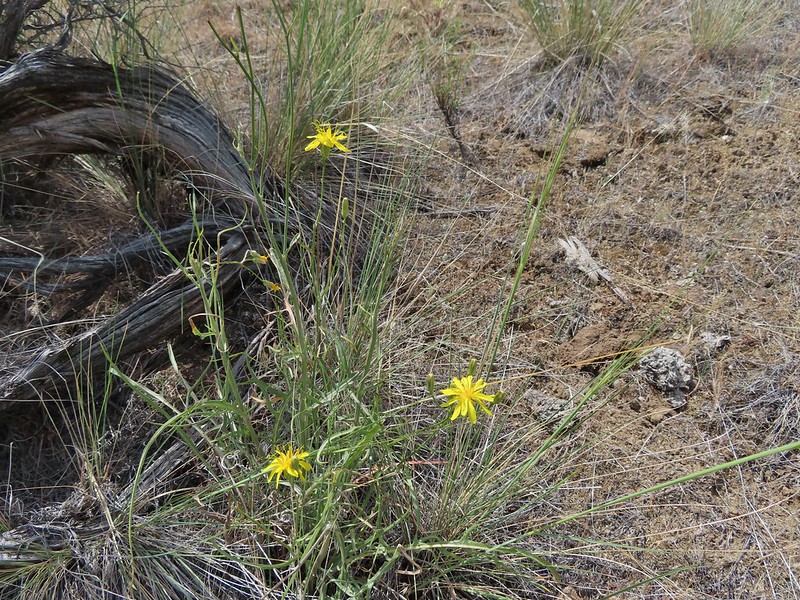 Possibly a hawksbeard
 Sagebrush mariposa lily


 Found the fence line.
Cattle trails followed the fence line uphill which gave us something to follow although they tended to just go straight uphill.
 I took this photo at 10:35, it looks like I’m close to the top.
This one was taken ten minutes later.

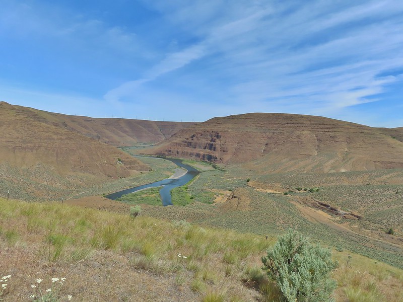
Twenty more minutes later and the high point was in sight.
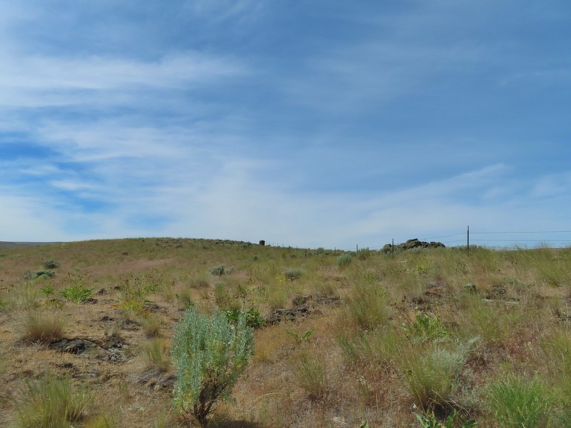
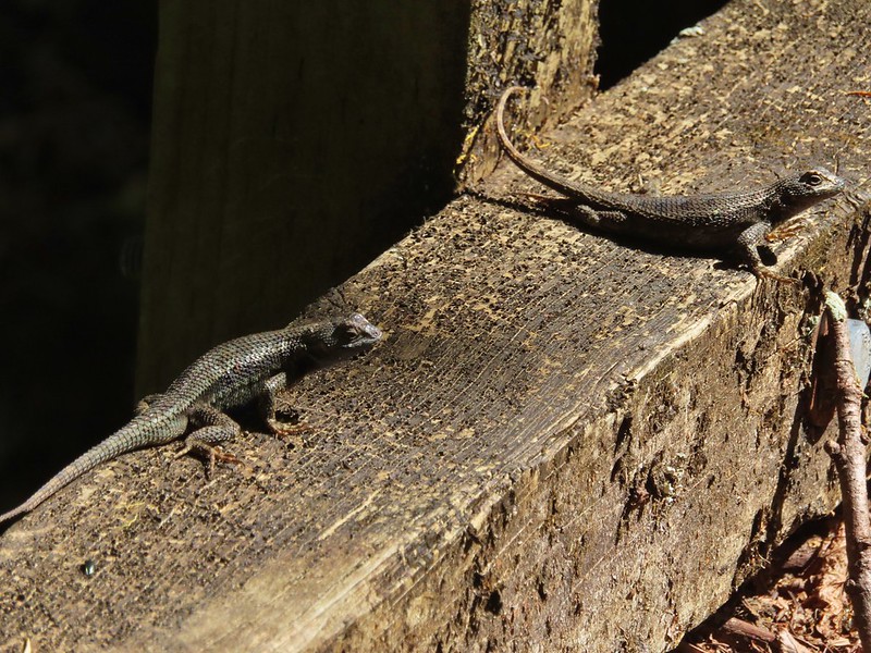
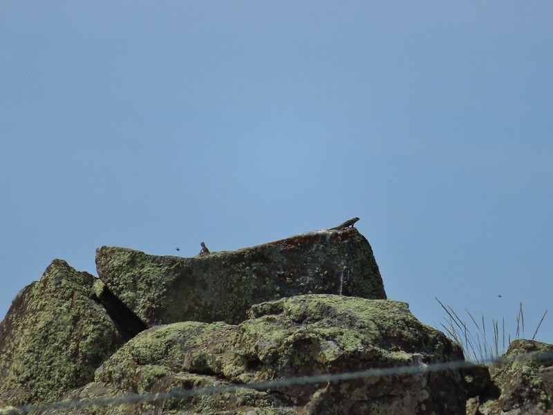 These two lizards beat us to the top.
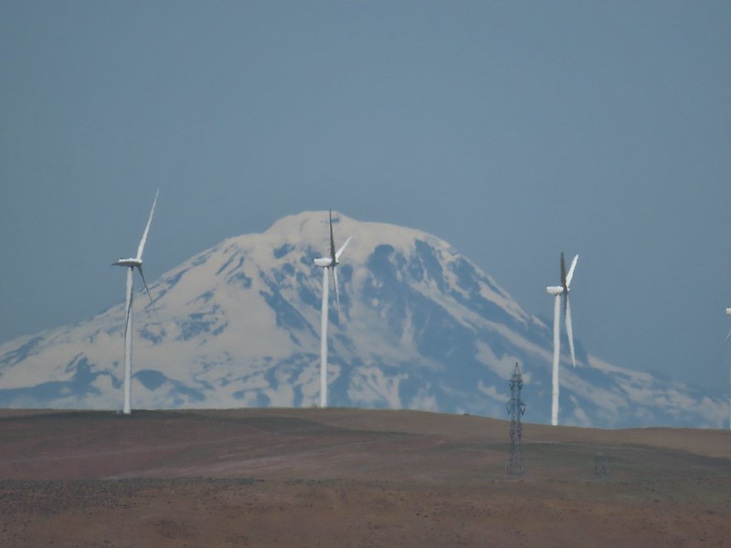
The climb gained approximately 900′ in a little over 3/4 of a mile. From the high point we could see the top of Mt. Adams beyond the John Day River Canyon.
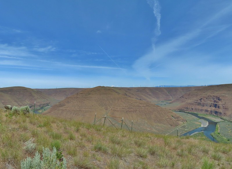

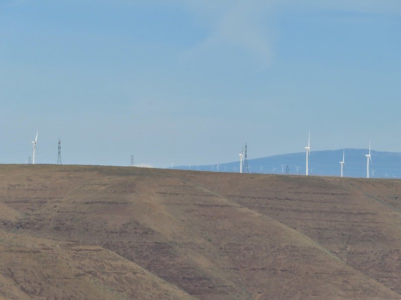 The very top of Mt. Rainier was also visible (barely)
We followed the ridge south picking up a faint jeep track and gaining better views of Mt. Adams.

 View SE
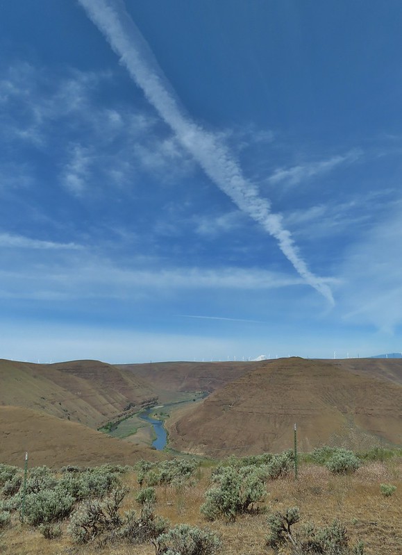
The jeep track dropped to the left of the crest and after a little over a half mile it turned sharply downhill into Esau Canyon.
 Descending into Esau Canyon on the jeep track.

Lower on the hillside the track began to switchback passing through a fence(we had to crawl under) before arriving at a creek bed with a little running water.

After using the steps to get over the fence we followed the road back down Esau Canyon to the Lost Corral Trail.

 Second climb over the fence.
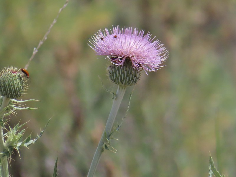 Beetles on thistle.
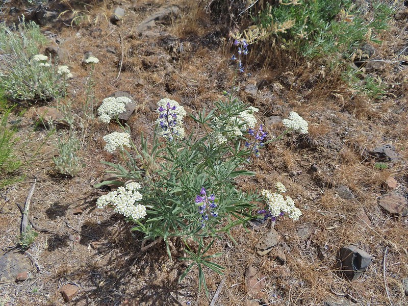 Yarrow and lupine
 Western meadowlark
 The Lost Corral Trail where it passes the cliff at the ridge end.
From there we followed the Lost Corral Trail through the Lost Corral (which we had missed earlier due to turning onto the Esau Loop Trail) and returned to the trailhead.

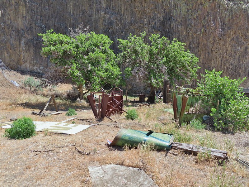
 Cottonwood Canyon State Park in the afternoon.
My GPS read 14.3 miles but factoring my trip back to lock our car it was probably closer to 13.8 miles. On a cooler day that wouldn’t be so bad, even with the steep scramble up the ridge, but it was over 90 degrees by the time our hike was over and the heat had made it a tough hike. Carrying the extra water had been a good call as we were down to our hydro flasks by the end. Despite the challenge of the heat it had been an enjoyable hike with a good amount of wildlife sightings and no ticks or rattlesnakes were seen. Happy Trails!

Flickr: Lost Corral Trail
 Kiosk and bench at the trailhead.
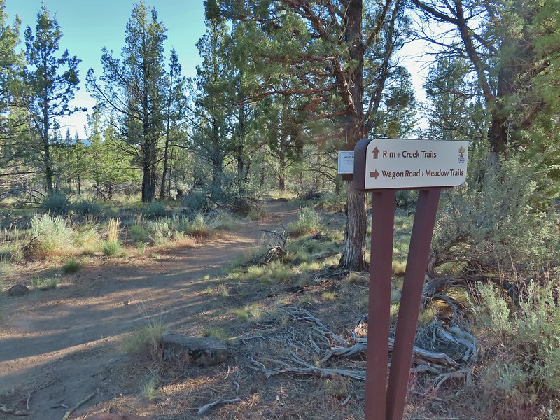
 Tent caterpillars (and the red gate)
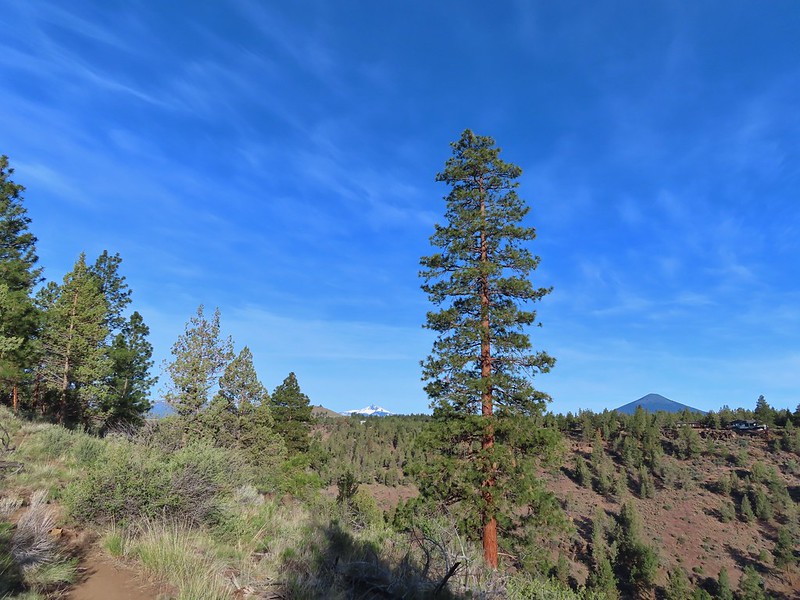 Mt. Washington and Black Butte (
 Broken Top, The Three Sisters, Black Crater (
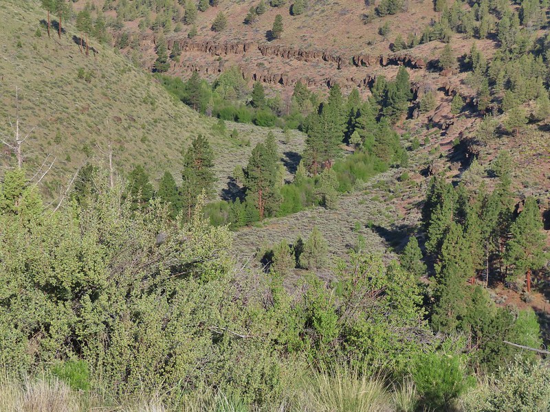 Whychus Creek was hidden by trees for the most part.
 Balsamroot
 Lupine
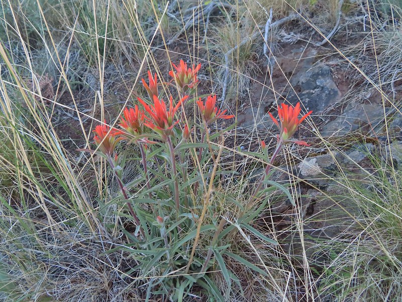 Paintbrush
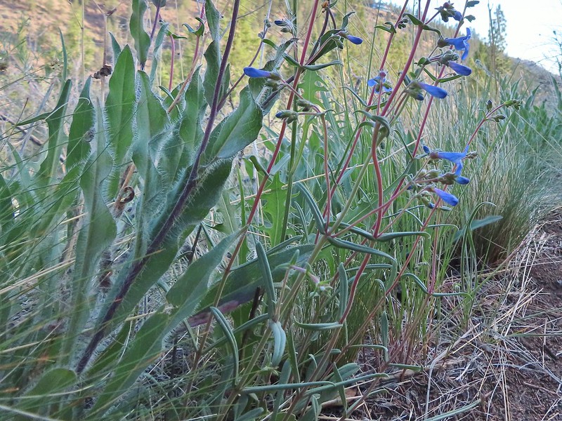 A Penstemon
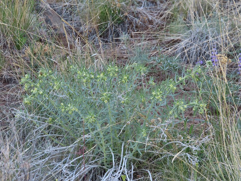 Western stoneseed
 Sedum leibergii -Leiberg’s Stonecrop
 Spreading stickseed
 Western wallflower
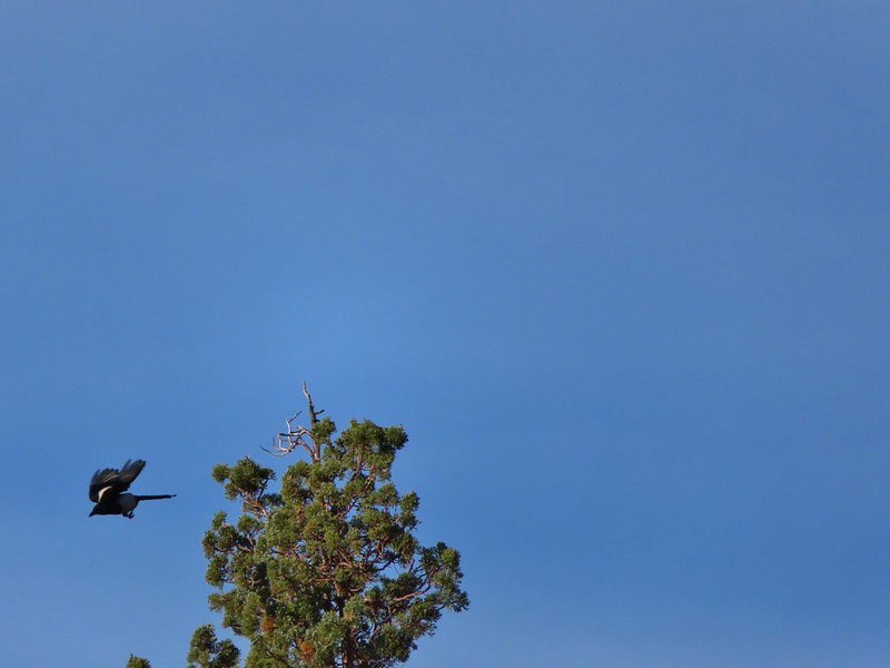 Magpie playing hard to get.
 Spotted towhee
 Black-headed grossbeak
 Ochre ringlet
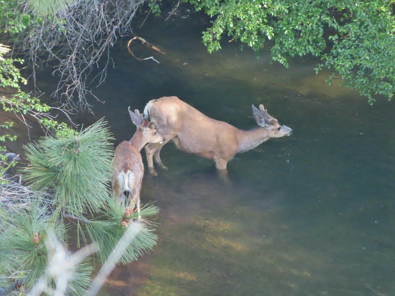 Pair of bucks in Whychus Creek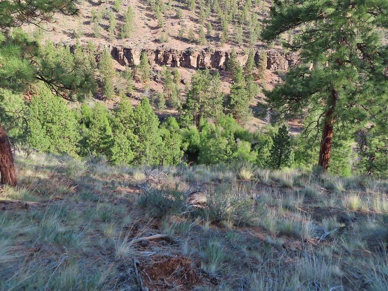


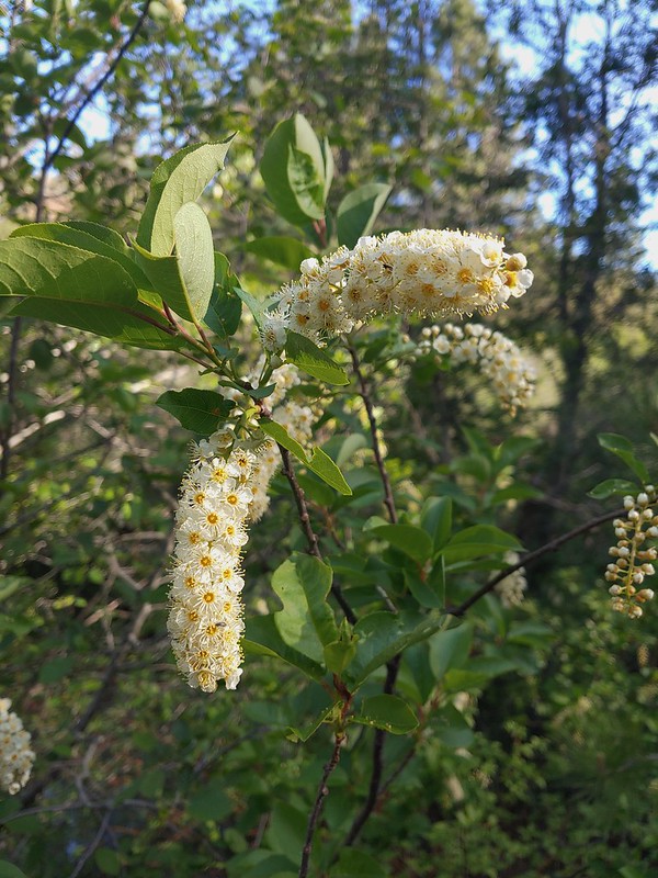 Chokecherry
 Star-flower false solomonseal
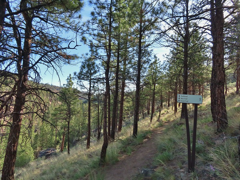
 Trail junction at the 0.8 mile mark.
 Spider on a wallflower.
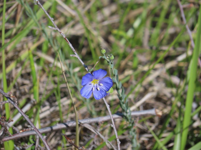 Lewis flax
 Heuchera cylindrica -roundleaf allumroot

 Oregon sunshine
 Buckwheat and penstemon
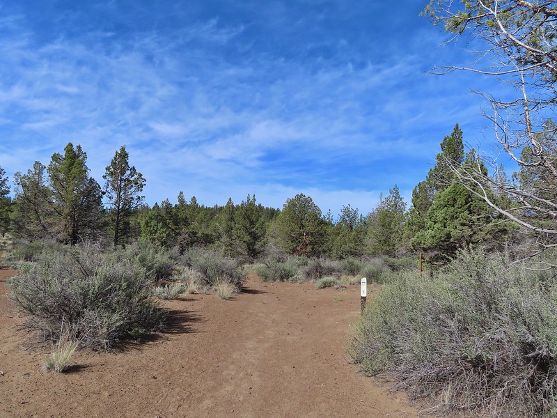 Sign post for the viewpoint.
 Heading for the rock outcrop/viewpoint.
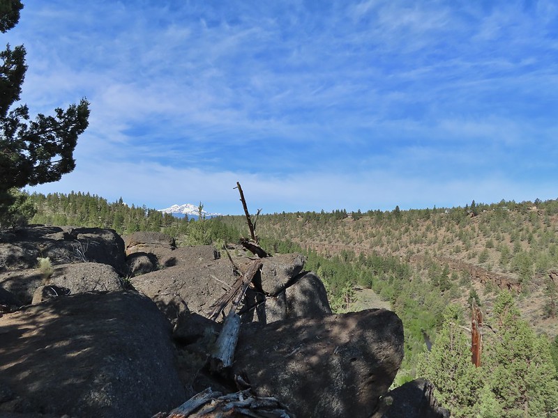 Middle and North Sister with Whychus Creek below.
 A monkeyflower
 Sand lilies
 Trail sign in the distance for spur trail to the Santiam Wagon Road.
 Death camas
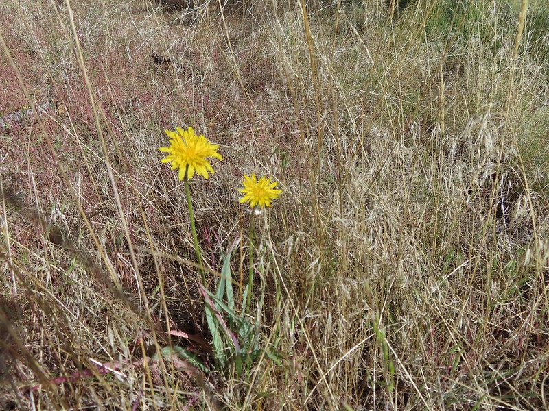 Sagebrush false dandelions
 Pinion jay
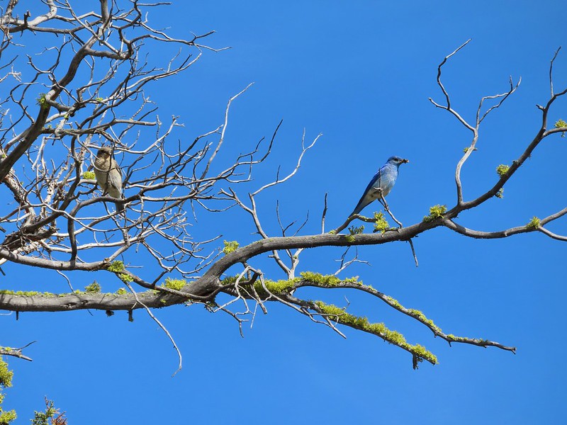 Mountain bluebird pair
 Mourning dove
 unidentified little songbird.
 Lizard
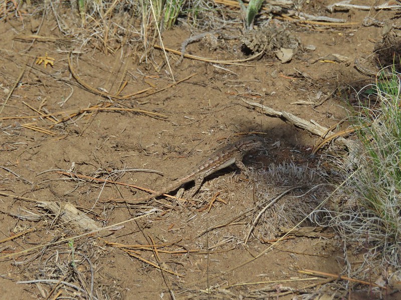 Second type of lizard
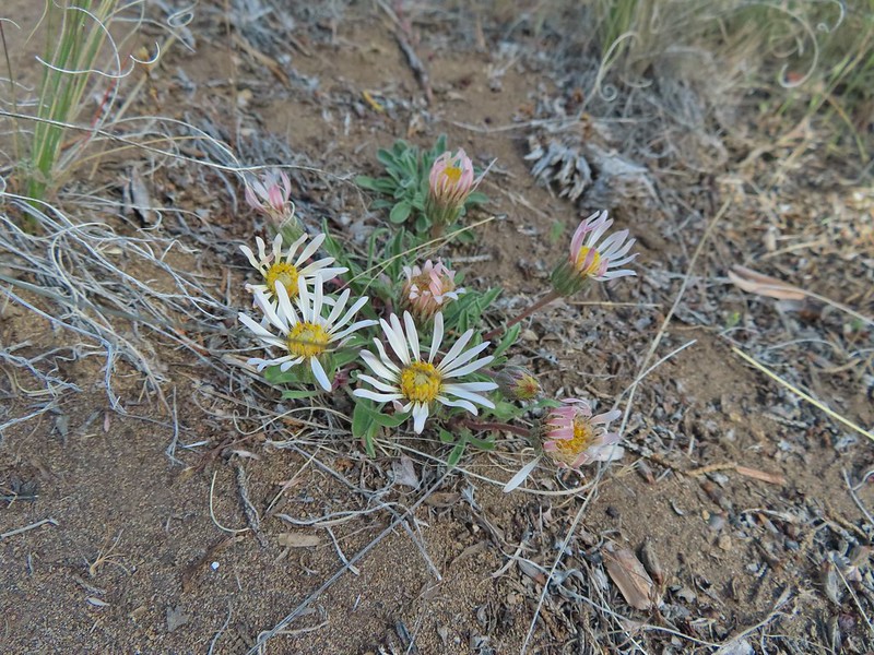 Showy townsendia

 Looking back up the dirt access road to the North Sister, Mt. Washington and Black Butte
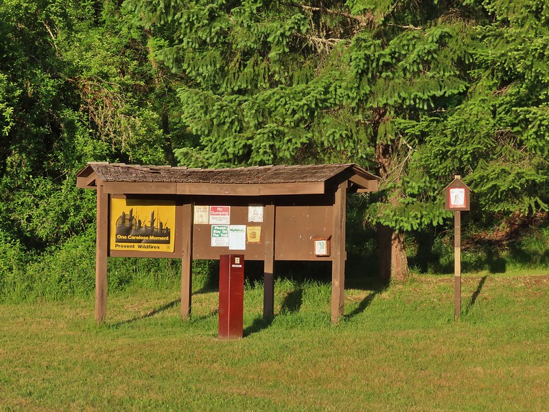
 The trailhead signboard.
 Buckwheat
 Rough eyelashweed
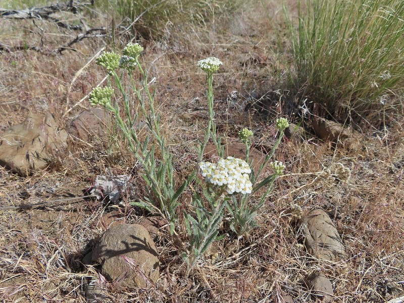 Yarrow
 Fiddleneck
 Largeflower hawksbeard
 Purple cushion fleabane
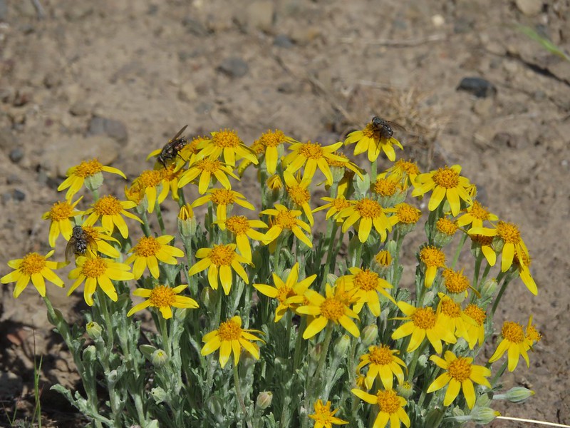 Oregon sunshine
 Blue mountain prairie clover
 Lewis flax
 Lupine
 Bearded hawksbeard
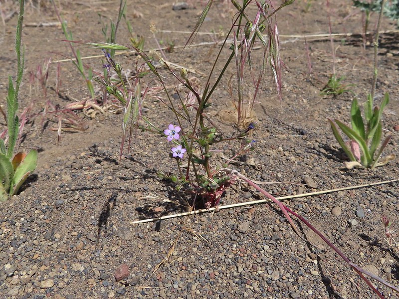 Haven’t id this one yet.
 The Three Sisters, Belknap Crater and Mt. Washington with some dancing clouds.
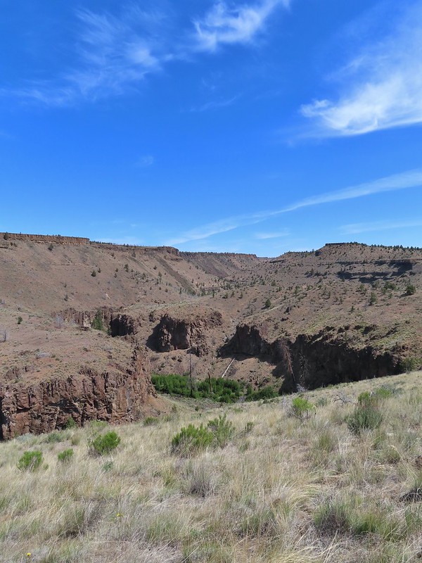 Whychus Creek Canyon
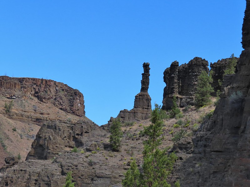
 Love the different rock formations in the canyon.
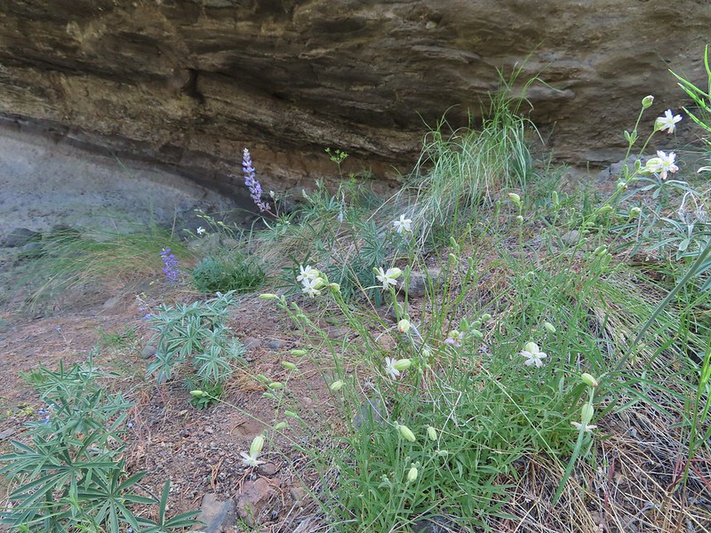 Catchfly
 Balsamroot
 Paintbrush
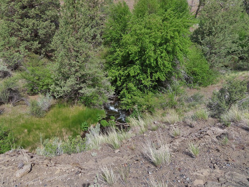 Pretty sure this side creek was dry on our previous visit.
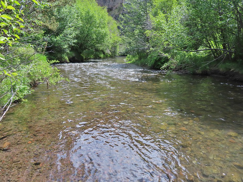 Whychus Creek at the ford.
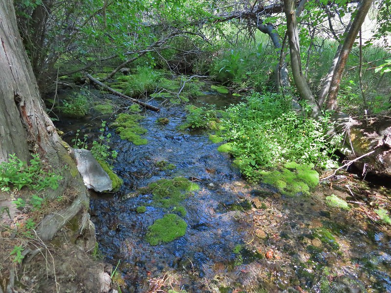 Alder Springs
 Columbine
 A clarkia, possibly Lassen
 Threadleaf phacelia
 Unknown

 Creek dogwood and a beetle covered in pollen
 Grand Colloma
 Deadly nightshade
 Rose with crab spider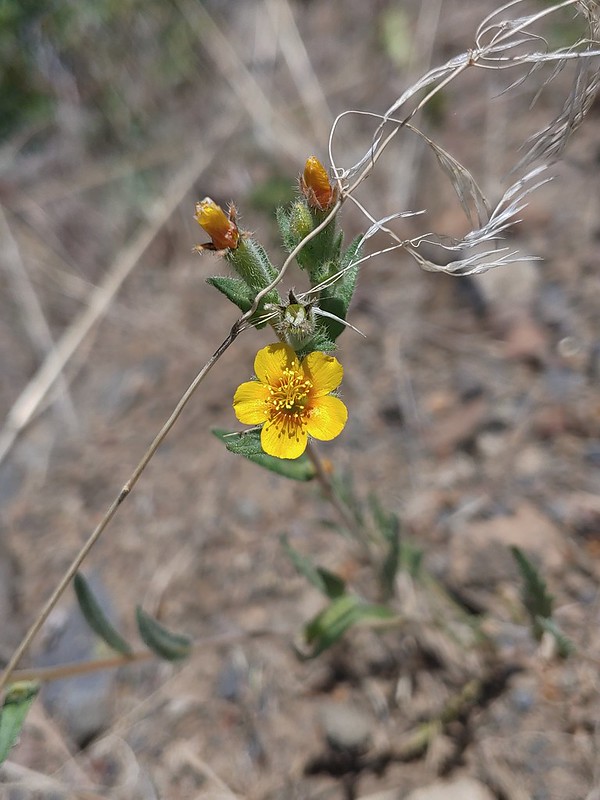


 Dragon fly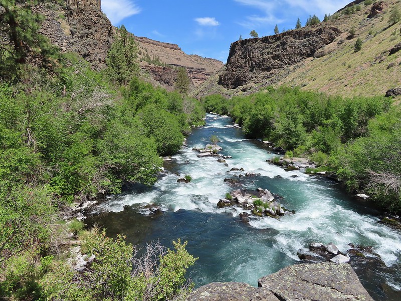
 Confluence of the Deschutes (left) and Whychus Creek (right).
 Bald eagle

 Cedar hairstreak
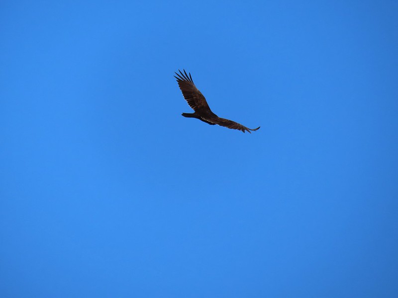 Turkey vulture
 Mountain chickadee
 Trailhead on McGrath Road.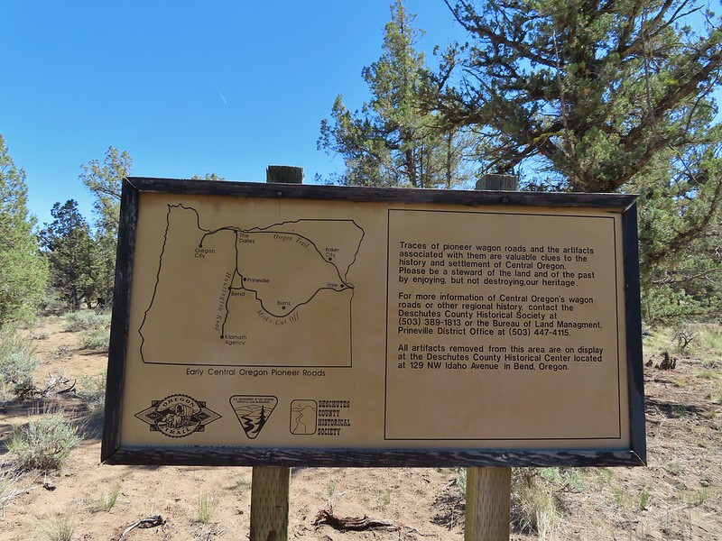
 A 300+ year old juniper named an Oregon Heritage Tree
 Sagebrush, juniper and lava – my childhood 🙂
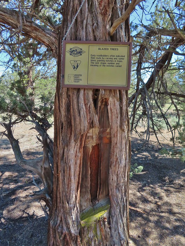 Tree blaze
 Buckwheat
 Ruts along the wagon road.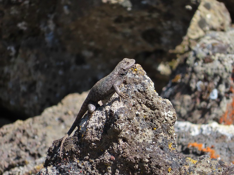
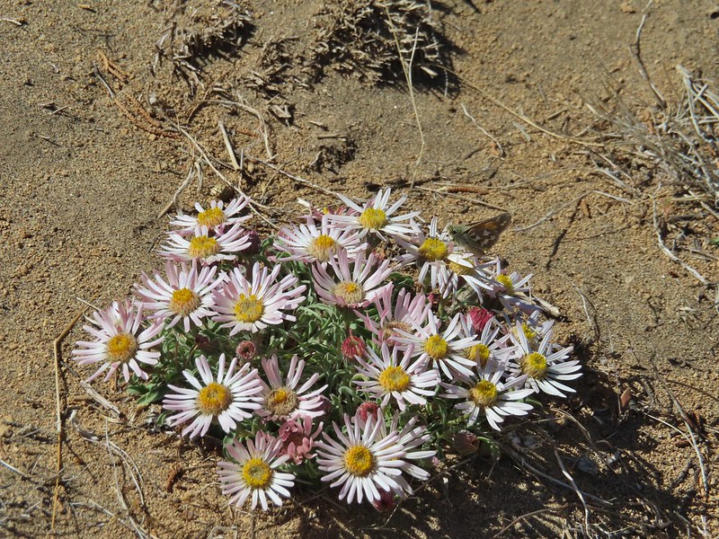 Skipper on Showy townsendia.
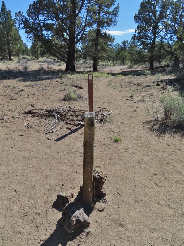 Post marking the relic fence line and turnaround point.
 An old fence post and barbed wire.
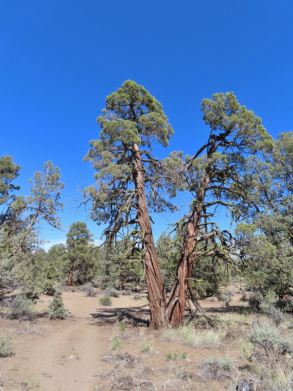 Junipers are some interesting trees, they come in all shapes and sizes.

 Mt. Hood partly obscured by clouds from the parking area.

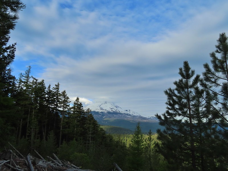
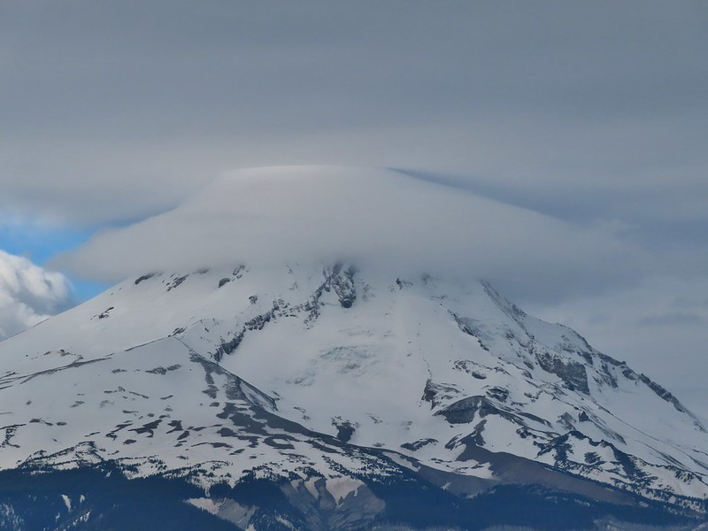
 Manzanita
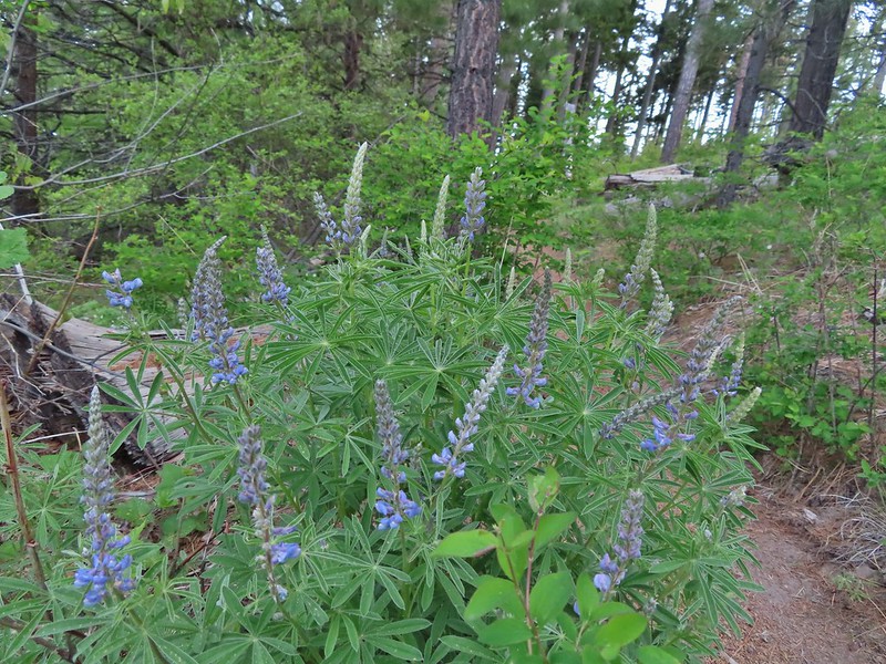 Lupine
 Mt. Hood again.
 Jacob’s ladder
 Red-flowering currant
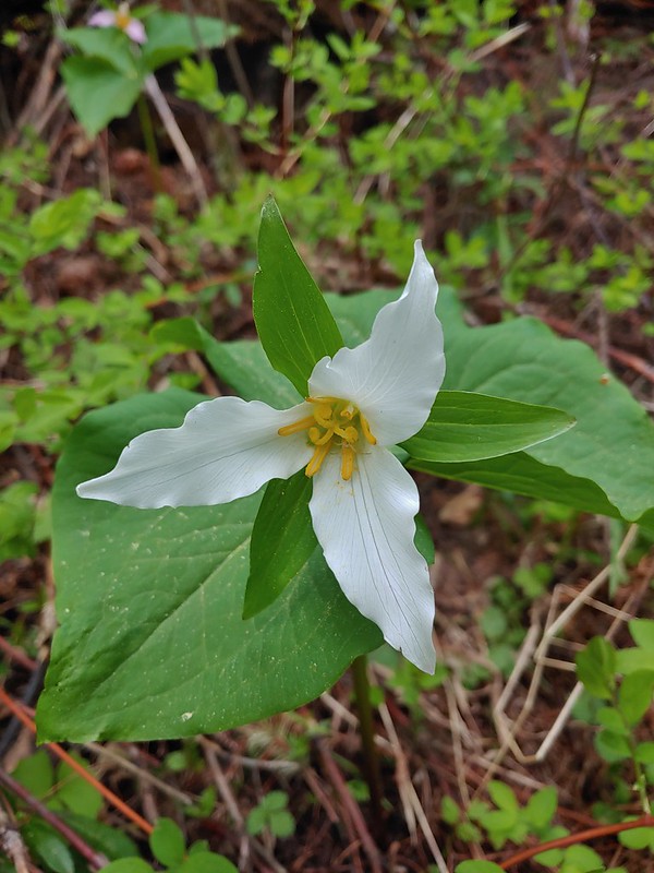 Trillium (can you spot the crab spider?)
 Sticky currant
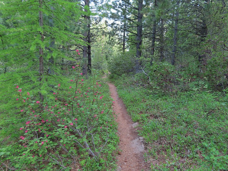 Western larch tree and red-flowering currant on the left.
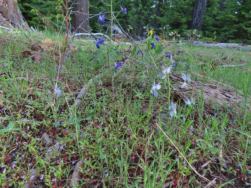 Larks spur and blue-eyed Mary
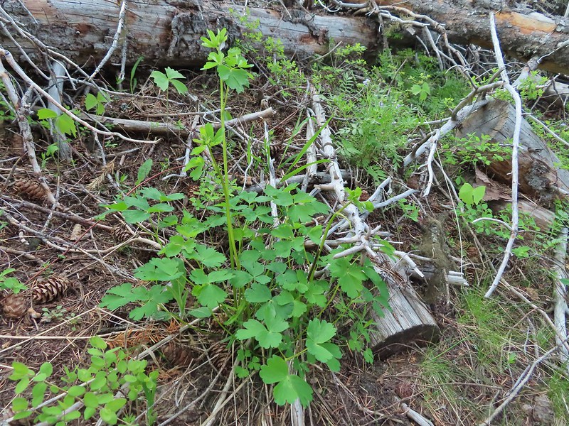 Columbine well before blooming.
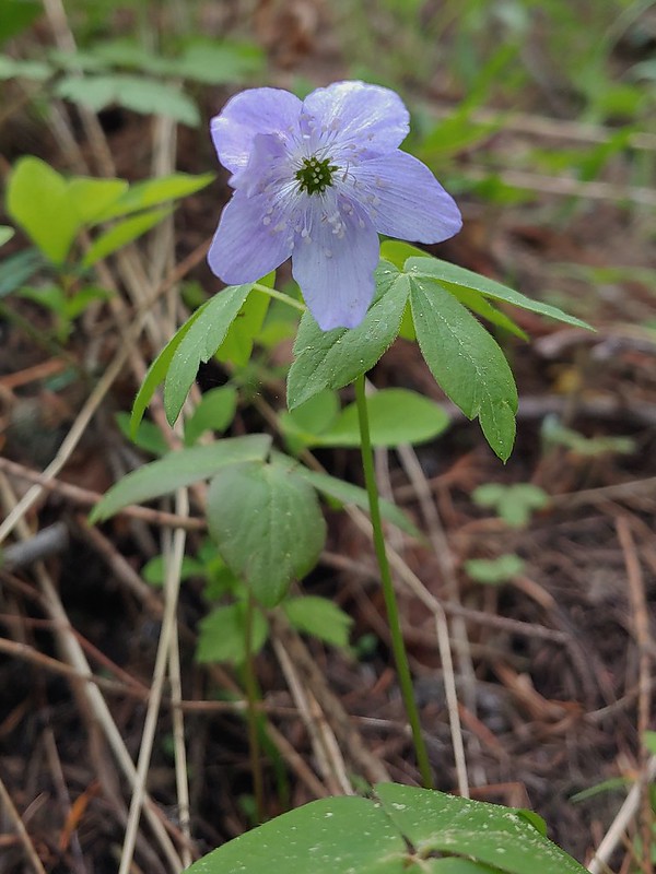 Anemone
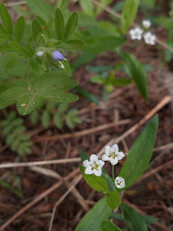 Largeleaf sandwort
 Vanilla leaf getting ready to bloom.
 Arnica
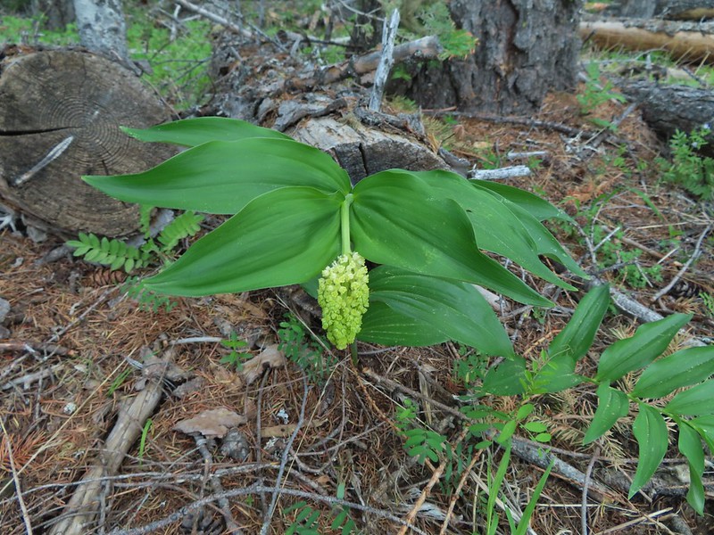 False solomons seal starting to bloom.
 Star-flower false solomons seal prior to blooming.
 Ballhead waterleaf
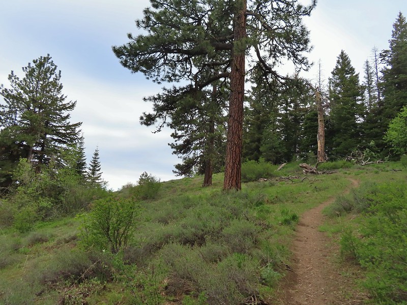 Ponderosa
 Scarlet gilia not yet in bloom.
 Balsamroot
 Hood River Valley and Mt. St. Helens
 Mt. St. Helens
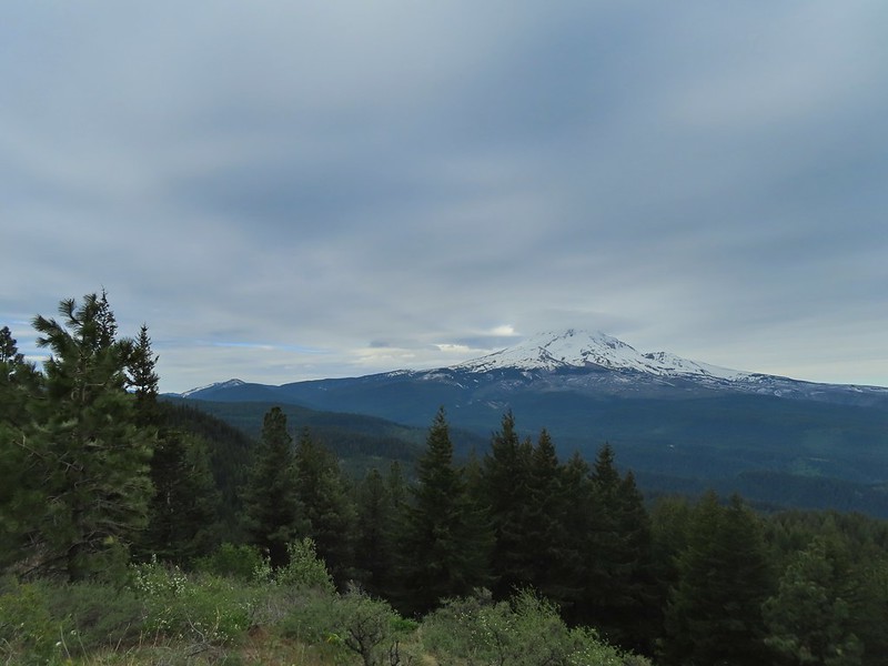 Mt. Hood
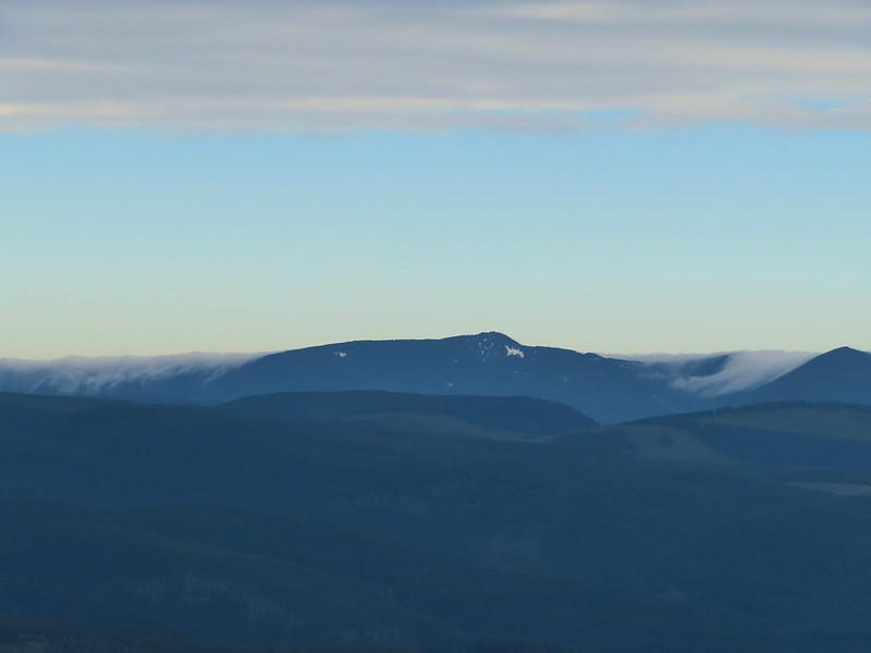 Indian Mountain (
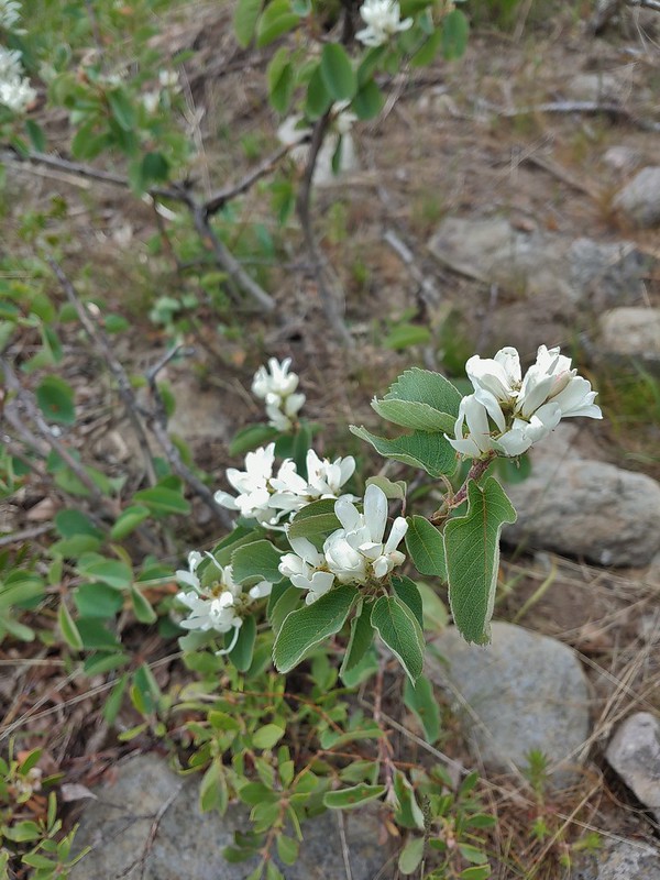 Western serviceberry
 Fairy bells
 Glacier lily
 Shellrock Mountain from the trail.

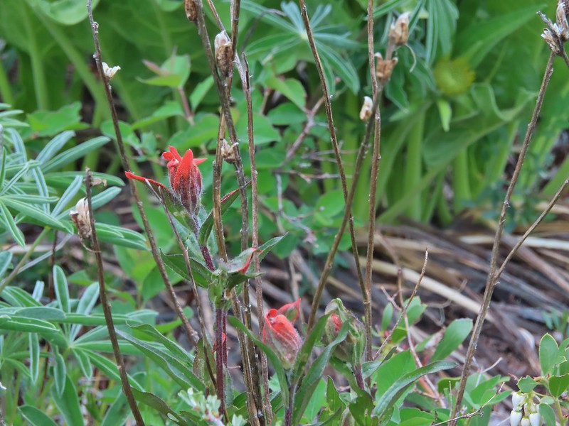 First paintbrush of the day spotted in the little meadow.
 User trail to the left.


 Shellrock Badlands Basin, an eroded volcanic formation.
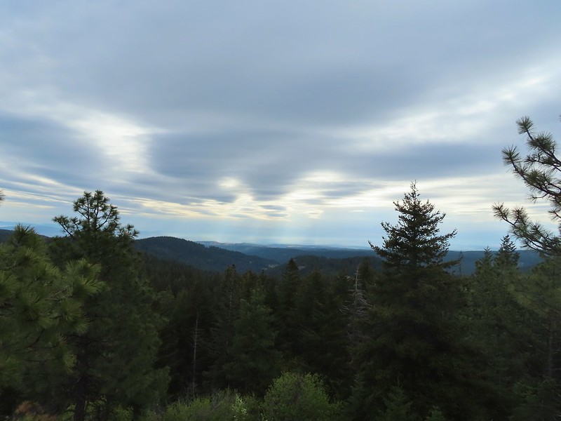 View east into Central Oregon.
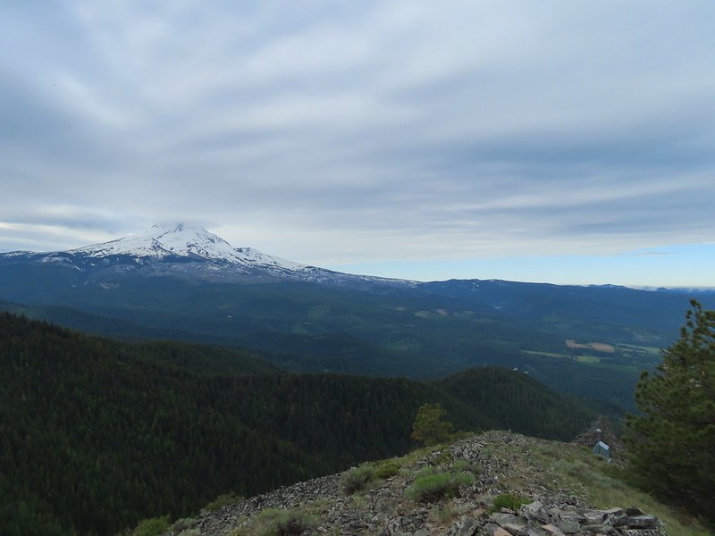 Mt. Hood
 Mill Creek Buttes with Lookout Mountain and Gunsight Butte (
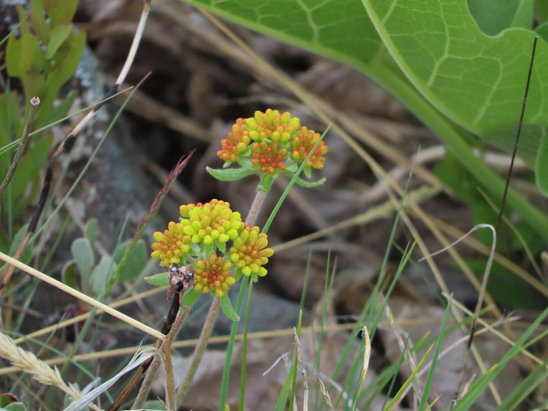 Buckwheat
 Bird below Shellrock Mountain.
 A whole lot of trillium.
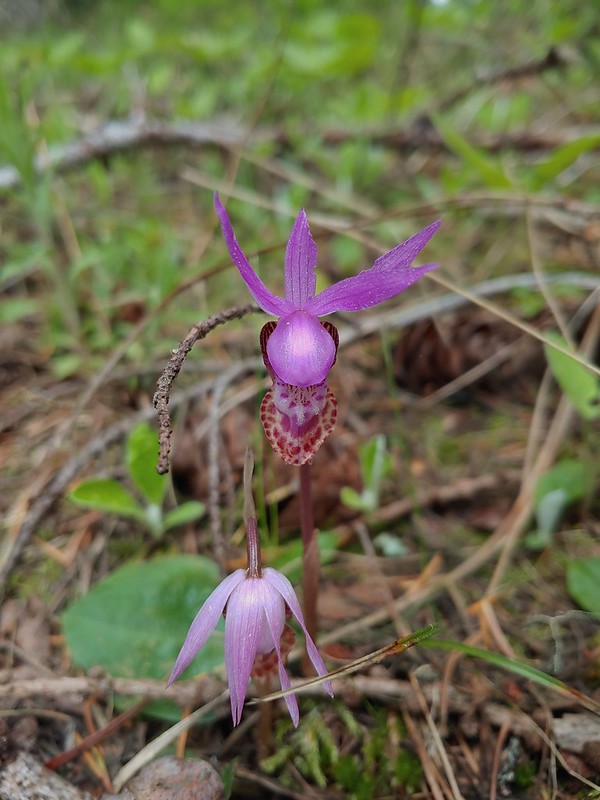 Fairy slippers
 Sign at the trailhead.


 parsley and popcorn flower.
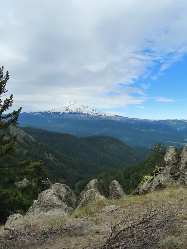

 Lupine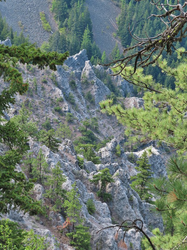


 I frequently have insects hitching rides, so often that we joke about me being an Uber for bugs.
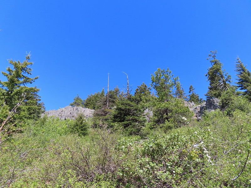 Rock out cropping in the Rim Rock section of trail.
 Tailed kittentails
 Western tanager female
 Western tanager male
 View from a rocky viewpoint just before crossing from the east side of the ridge back to the top.
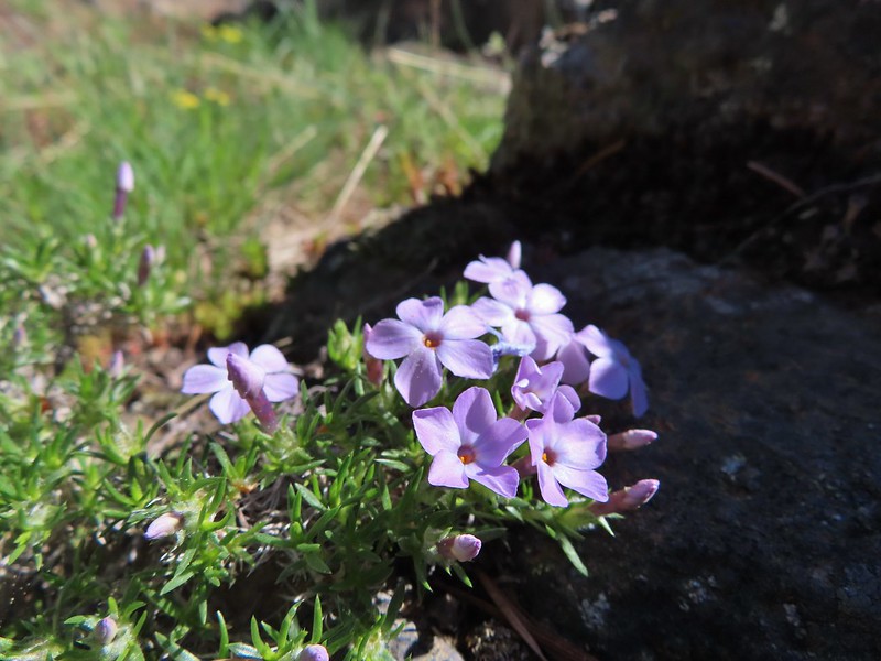 Phlox
Phlox


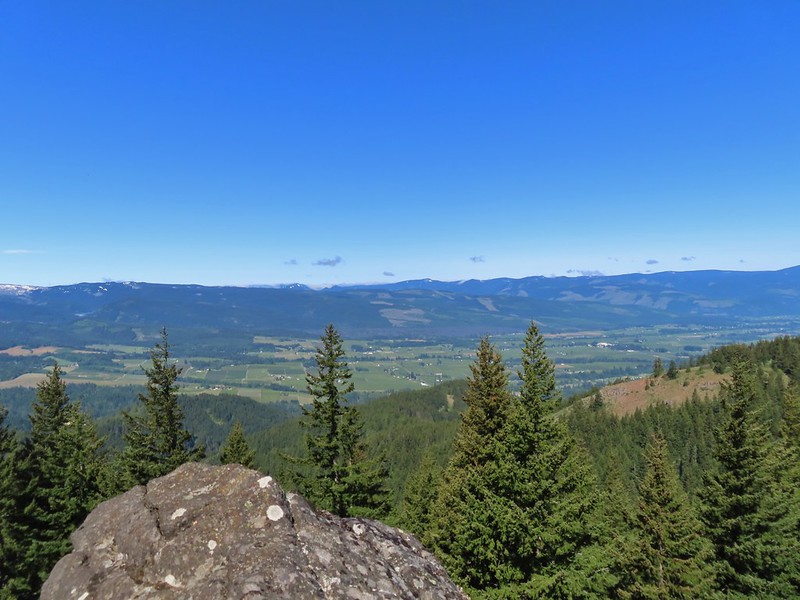 Hood River Valley
 Clouds encroaching on Mt. Adams.
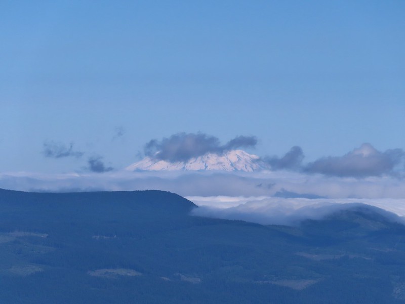 Mt. St. Helens
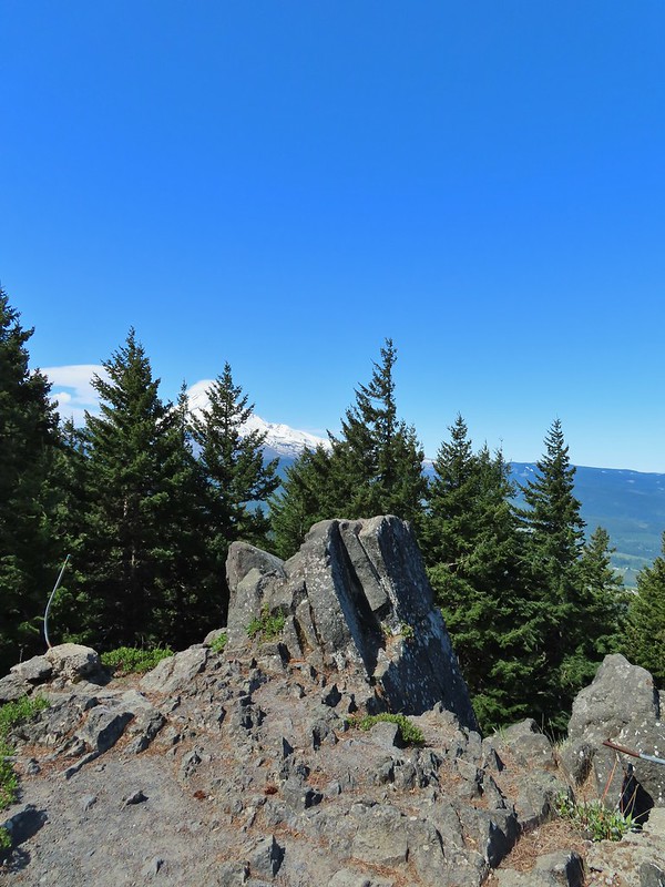 The other viewpoint had a better view.
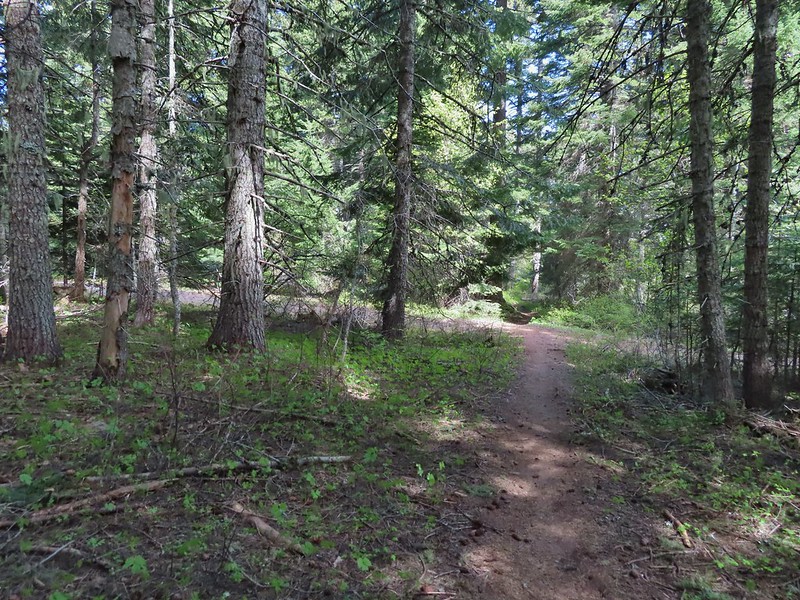 The first roadbed crossing.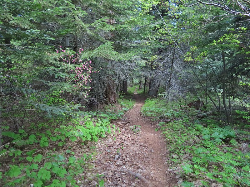
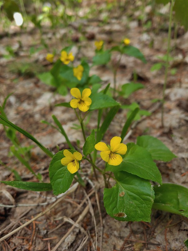 Violets
 Trail signs at the second road crossing.
 Coralroot sprouting
 Balsamroot and paintbrush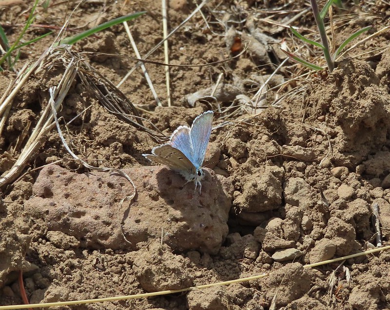

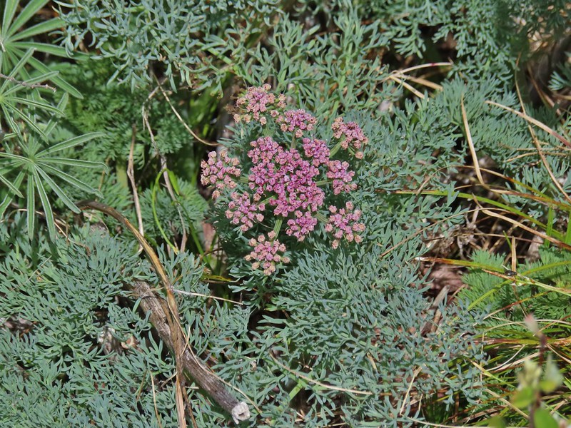 Desert parsley
 Western stoneseed
 Wildflowers on the hillside.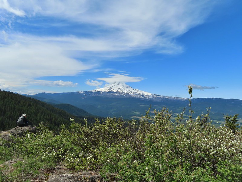
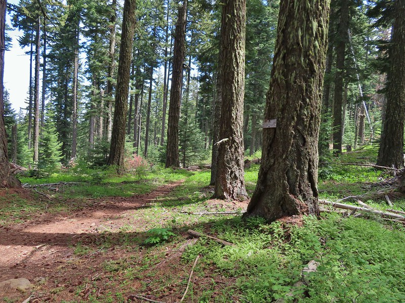 Sign at the junction.
 Spur trail to Yellowjacket Point.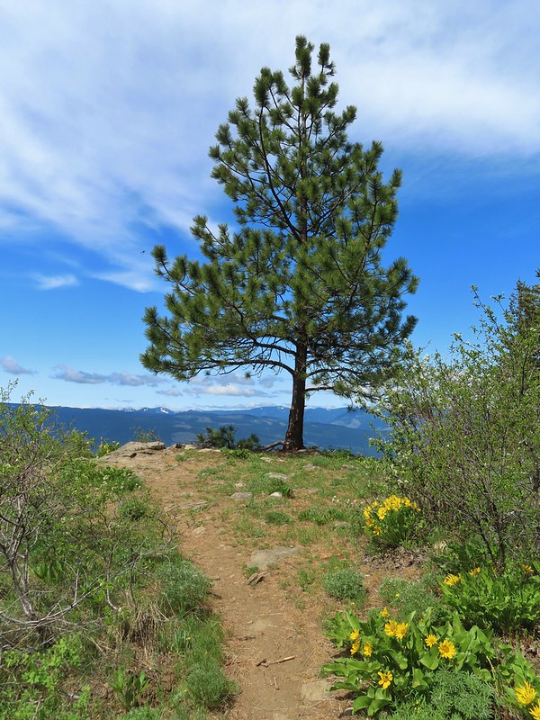
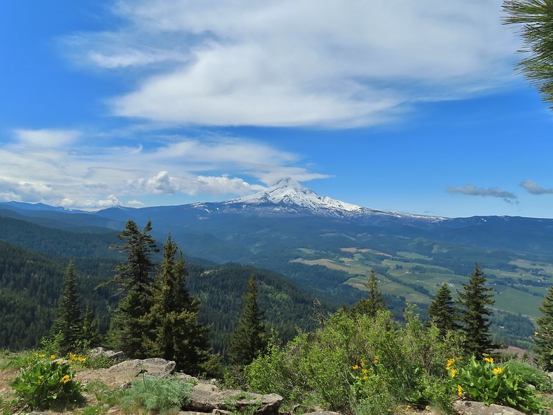
 No yellowjackets, just a robin.
 Things like this gooseberry shrub.
 Chipmunk
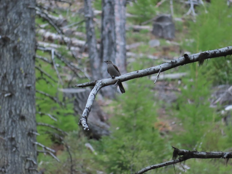 Townsend’s solitare?
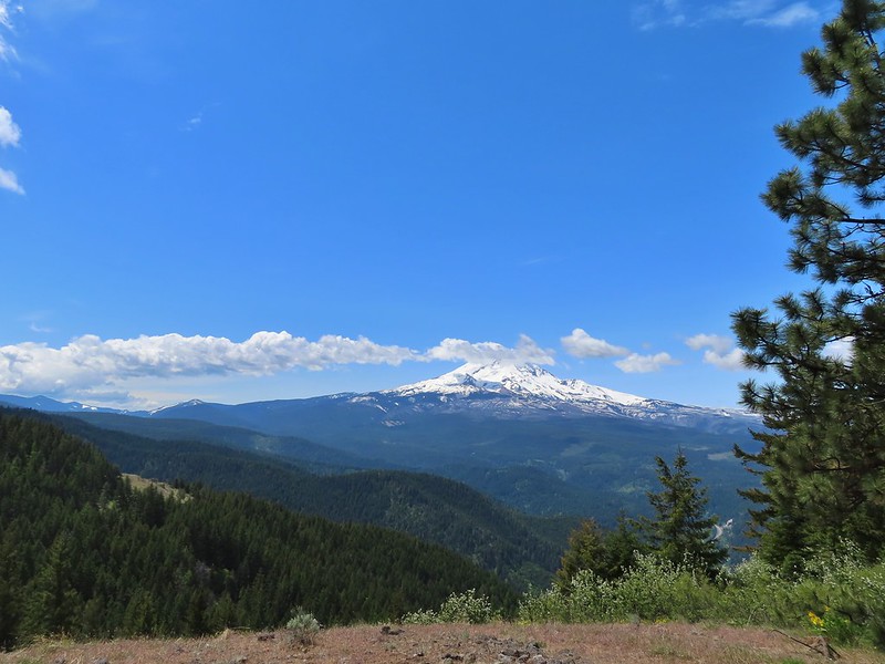 12:40pm
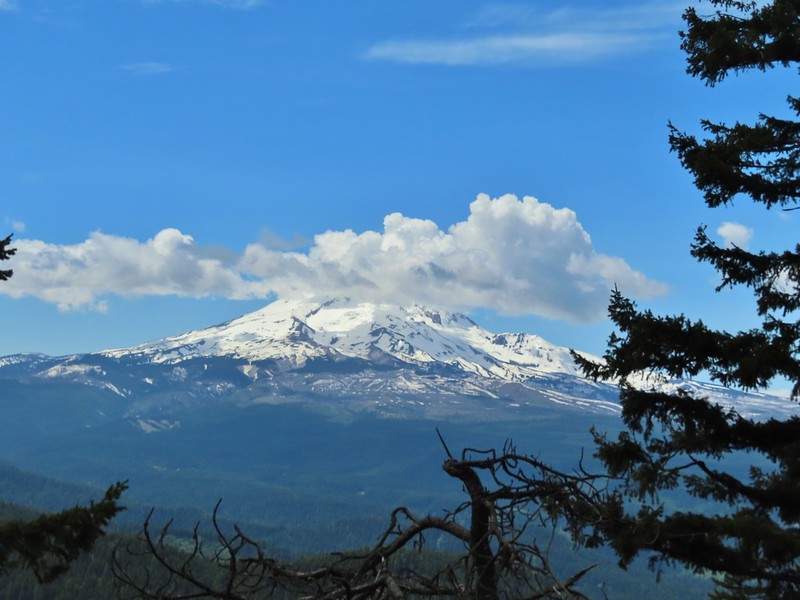 12:50pm
 1:00pm
 1:30pm
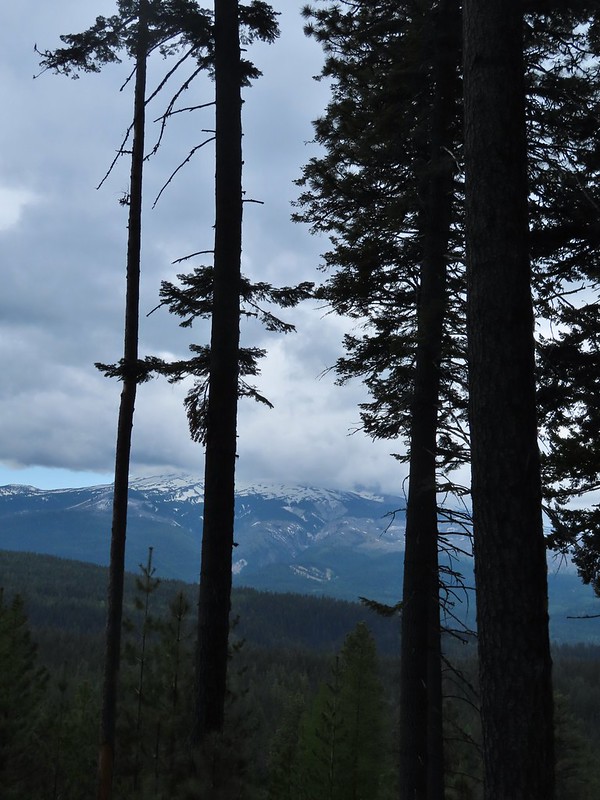 2:04pm
 Returning to the parking area at 2:11pm


 Rough skinned newt
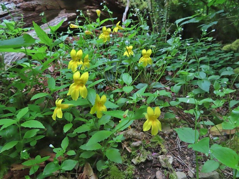 Monkeyflower
 Thimbleberry

 Wren below Golden Falls
 Columbine
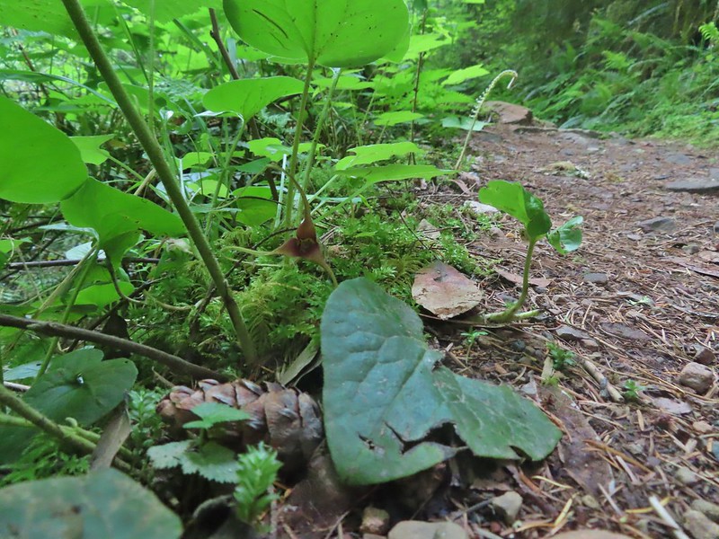 Ginger
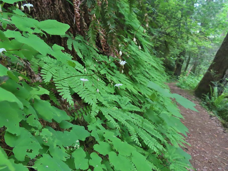 Inside out flower
 Iris
Iris Anemone

 Ouzel
Ouzel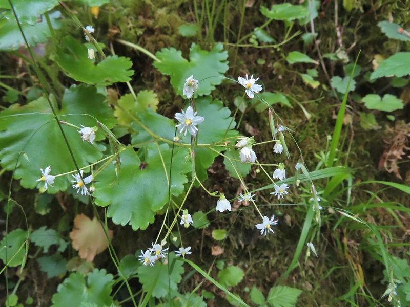 Marshall’s saxifrage

 Plectritis
 Manroot

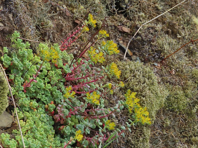 Stonecrop
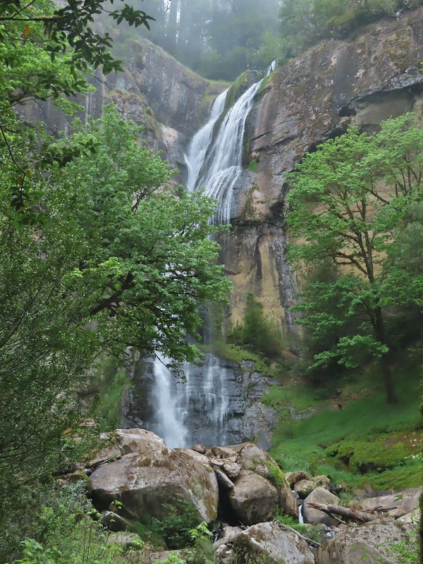
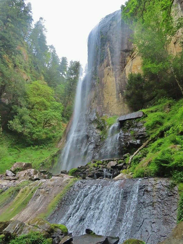
 Upper portion of Golden Falls.
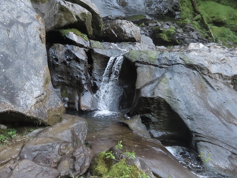
 Glenn Creek above Golden Falls.
 Despite a cloudy morning they stayed high enough to not obstruct the view of the falls.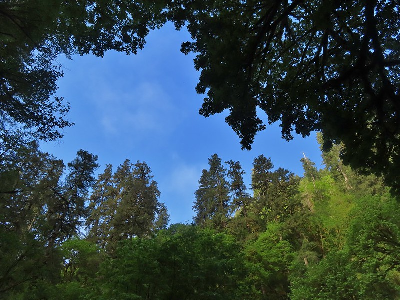

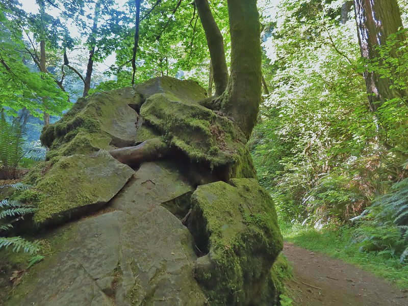 Epic battle between a rock and a tree.
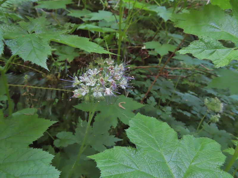 Pacific waterleaf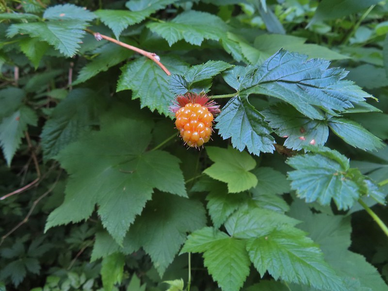

 Larkspur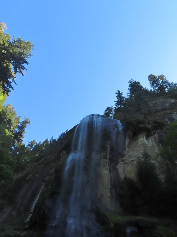
 Ouzel (might be the same one as earlier)



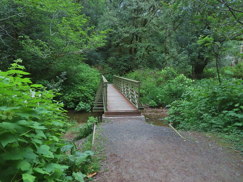
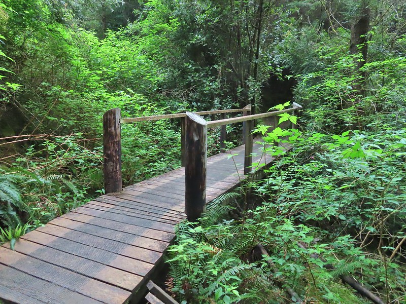
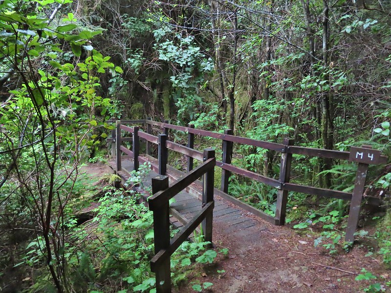 All the bridges had labels consisting of the first initial of the trail and then the bridge number making this the 4th bridge along the Middle Creek Trail.
 Interesting seat.
 That’s a fancy hat for a stump.


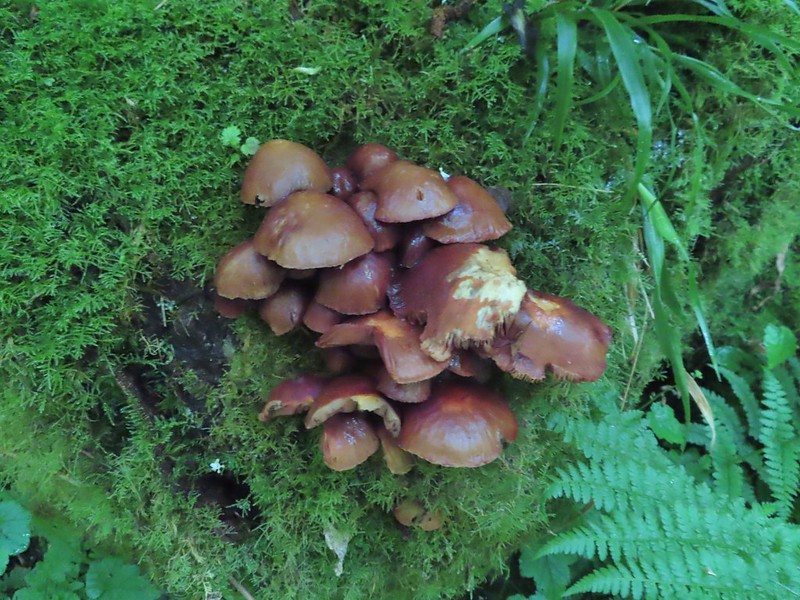
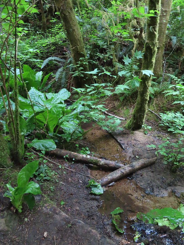


 We saw a lot of rough skinned newts on the trails, but what we were really hopping for was a Pacific Giant Salamander. No luck there this time.
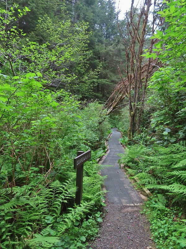
 A few trillium still had petals.
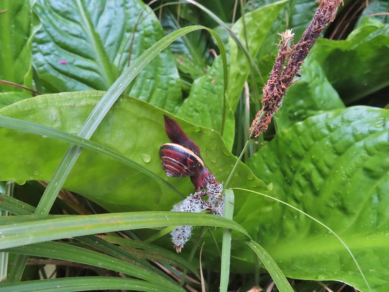
 Woodpecker

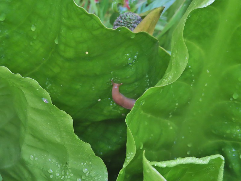

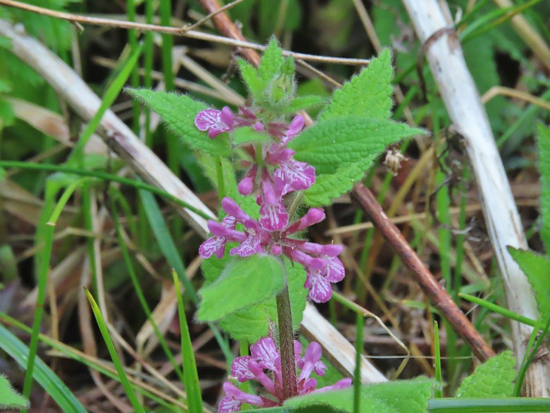 A hedgenettle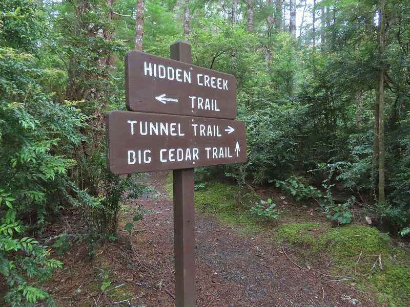


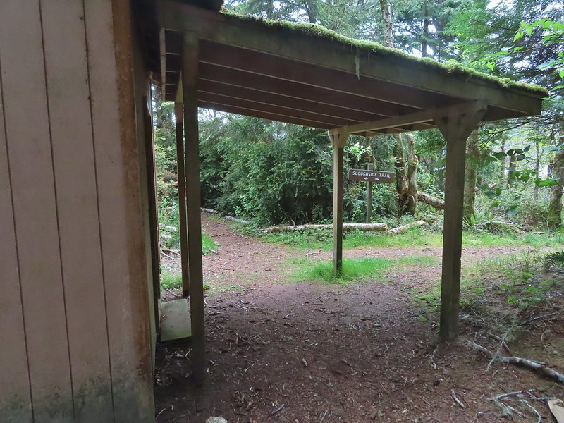
 Tunnel Trail indeed.




 Castilleja ambigua – Estuarine Paintbrush
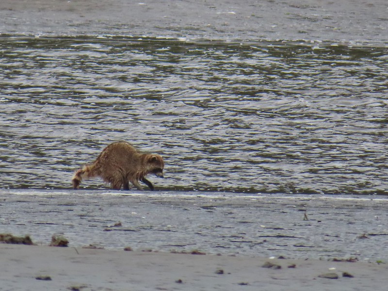


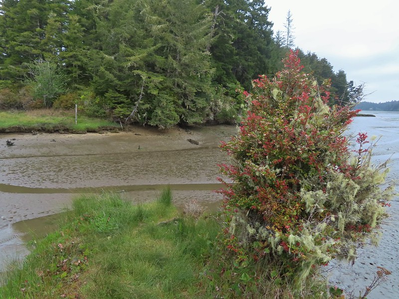 End of the line.
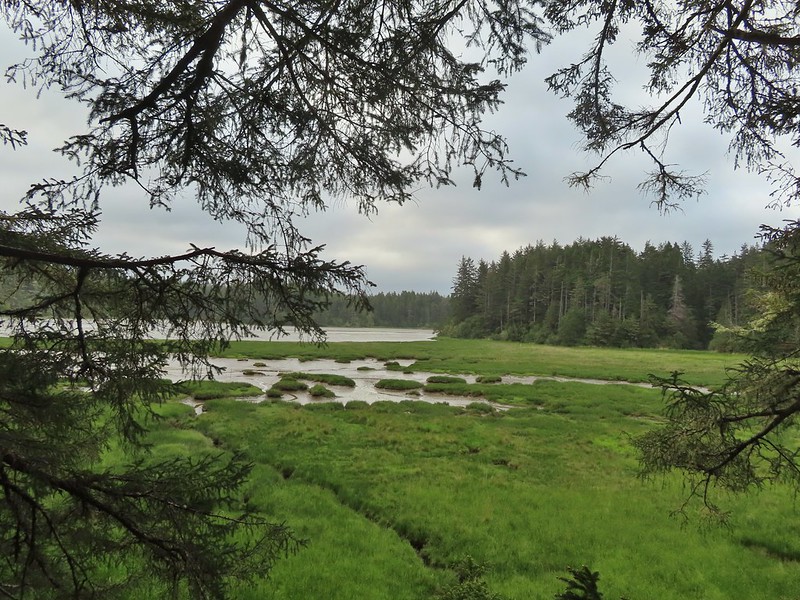
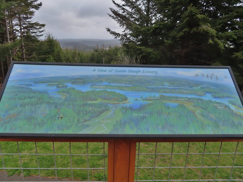
 South Slough
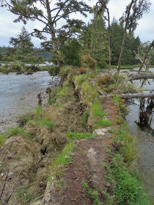 It was interesting to see how this uprooted tree peeled back a layer of the ground.
 Rhoades Marsh
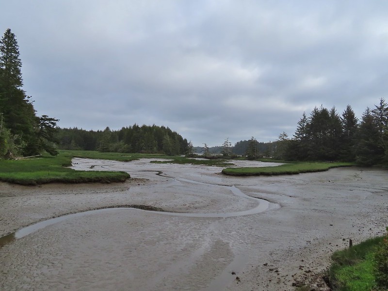 Sloughside Marsh
 Rhododendron


 Bleeding heart, fairy bells, and youth-on-age.


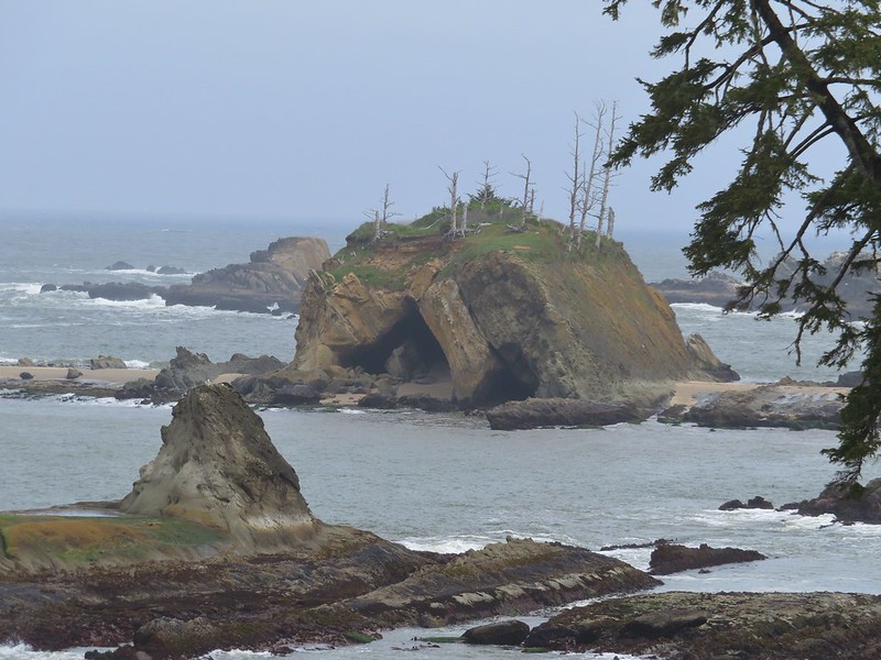
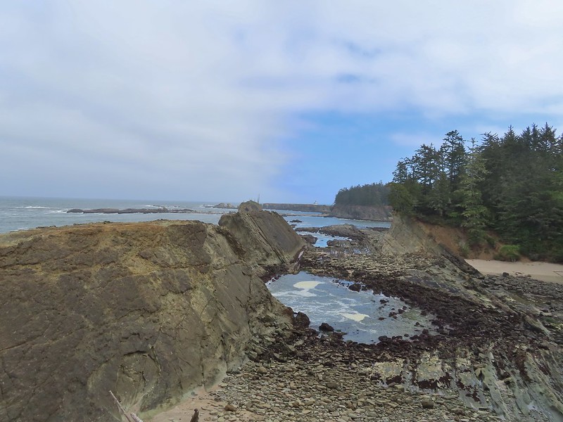
 Cape Arago Lighthouse (not on Cape Arago) on Chiefs Island.
 Salal
Salal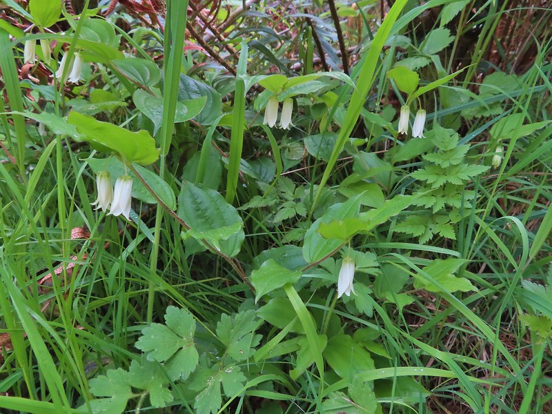
 The group campsite.
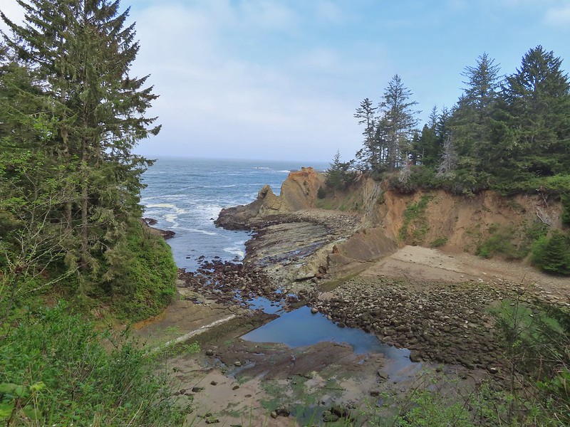

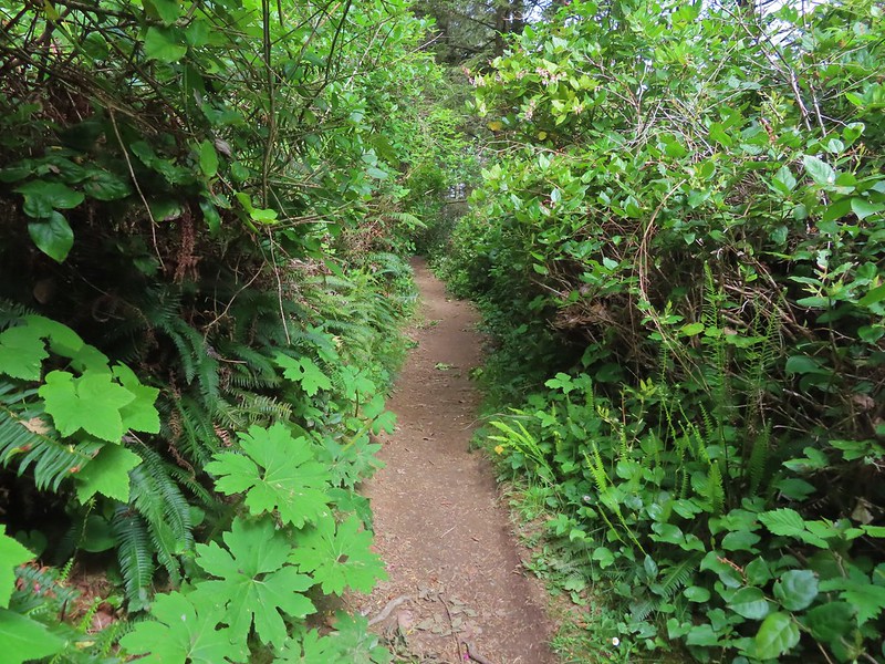


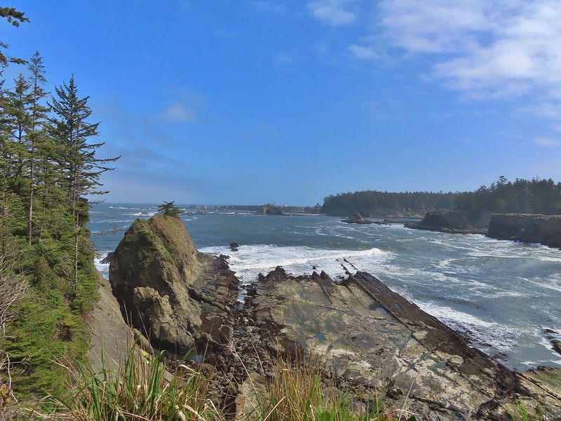


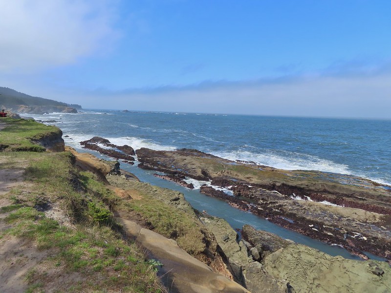 Harbor seals in the lower right hand corner on the rocks.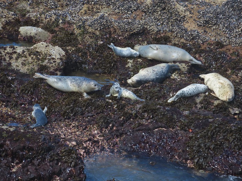

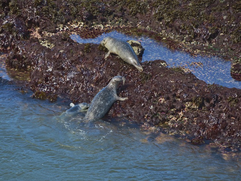
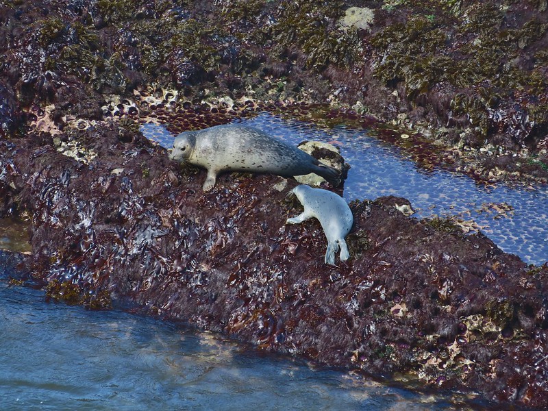 Success!
 Paintbrush
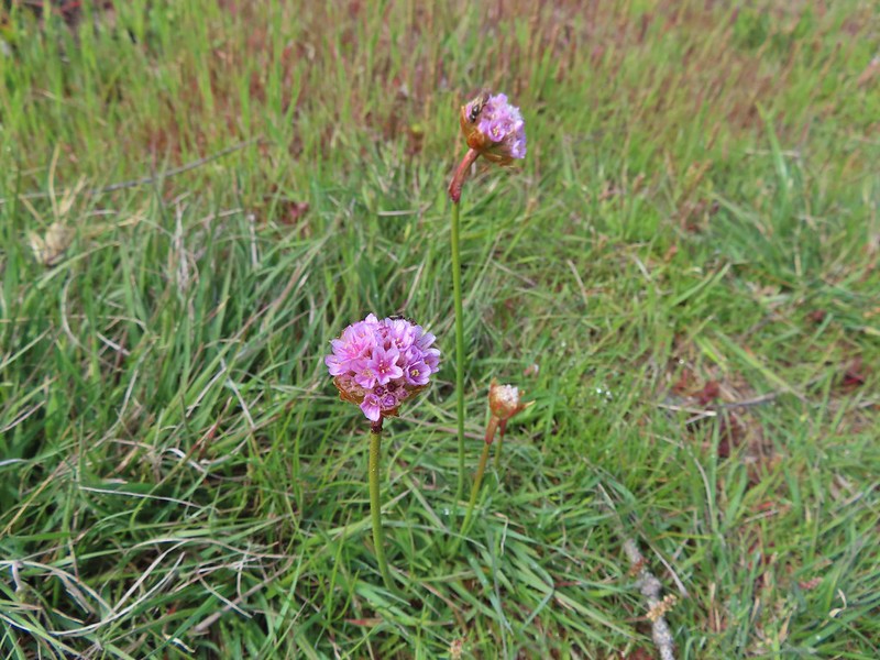 Sea thrift
 Mariposa lilies
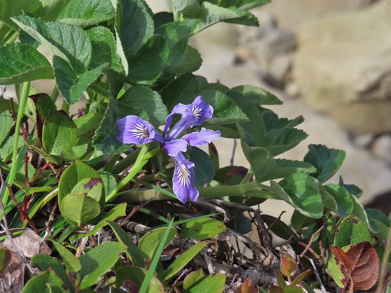 Iris
Iris Former tennis courts.
 View near the tennis courts.
 These roots explain how some of the trees that look like they should be plunging into the ocean don’t.
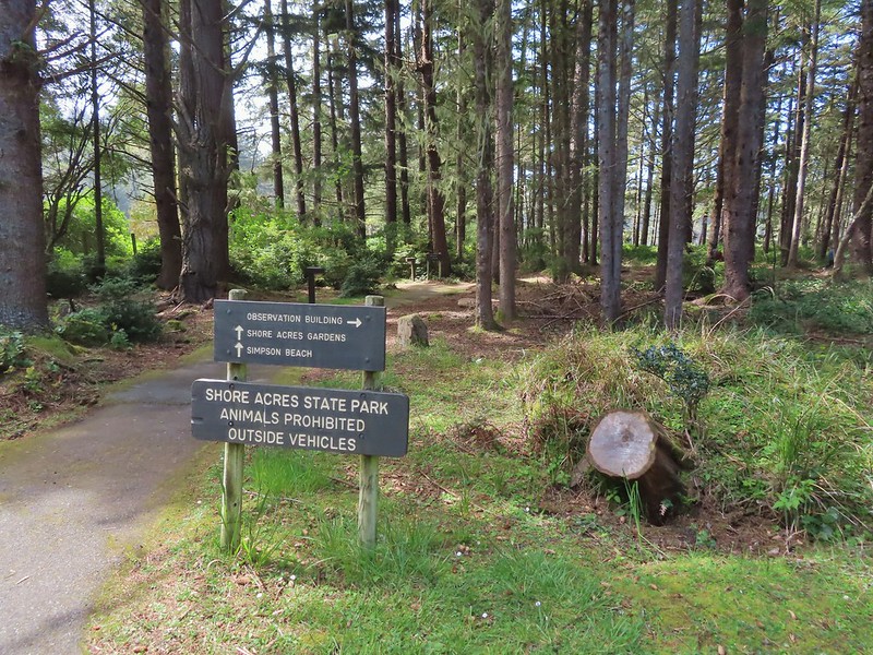
 Observation Building ahead on the cliff.

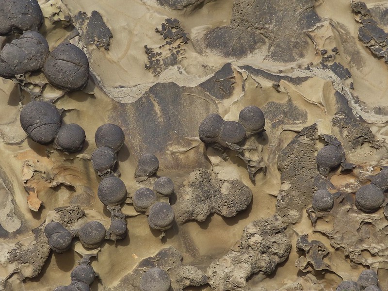




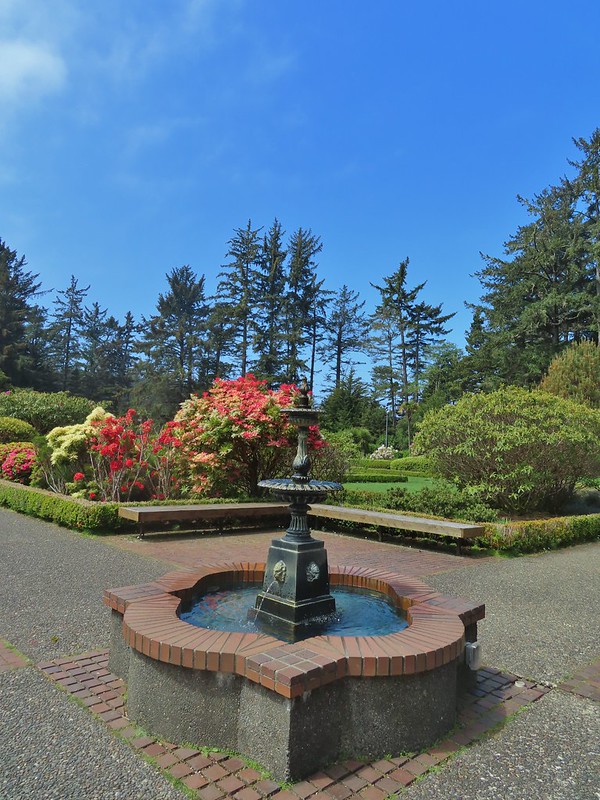


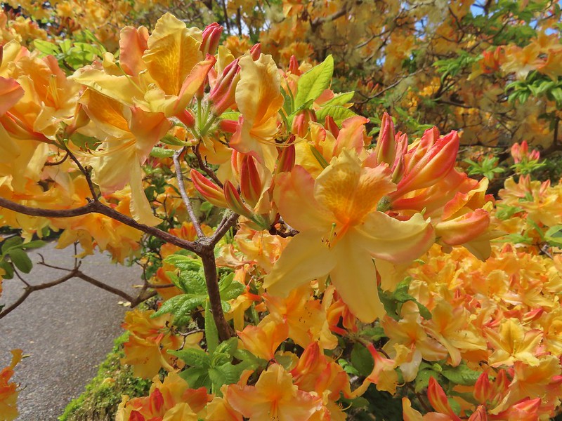

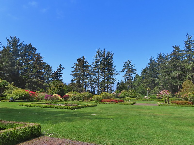

 Prickly Rhubarb from Chile

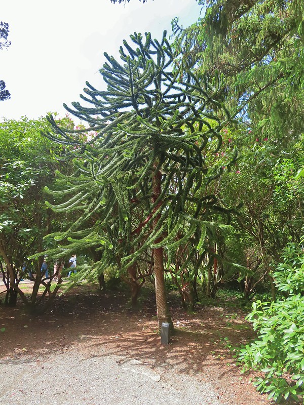 Monkey Puzzle Tree from South America
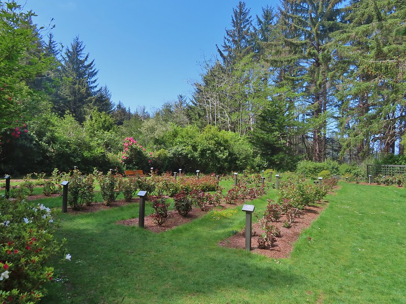 The yet to bloom rose garden.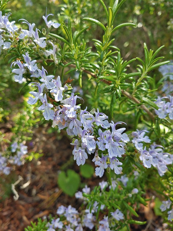
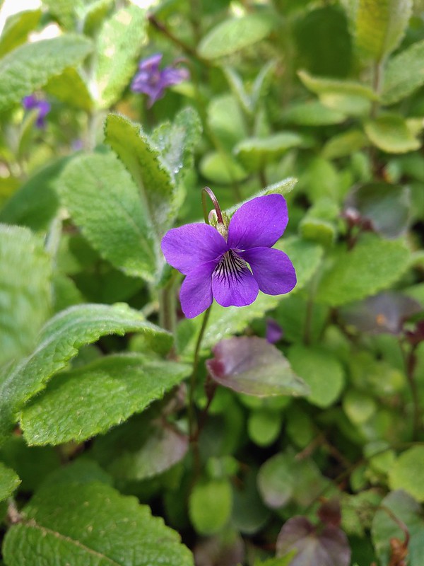

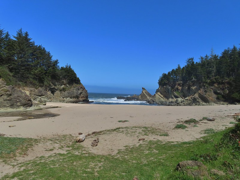

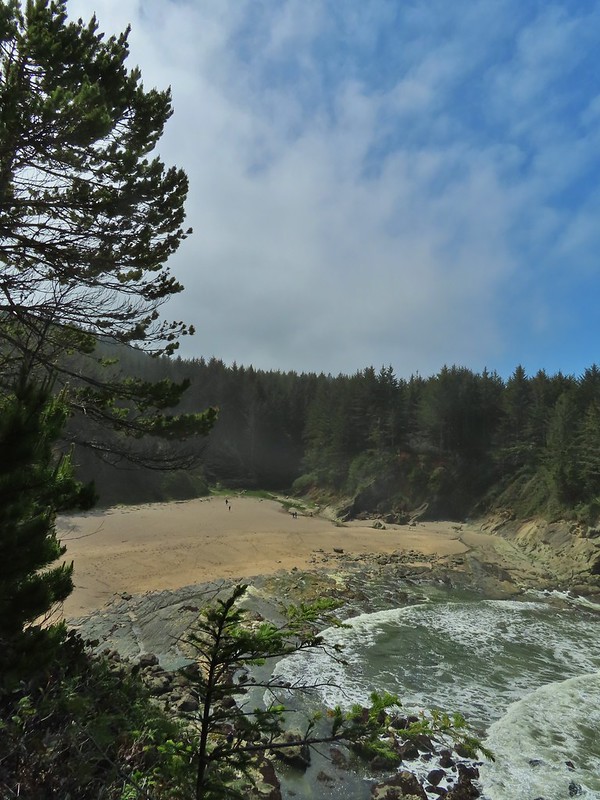
 Looking back across Simpson Cove to the Observation Building.
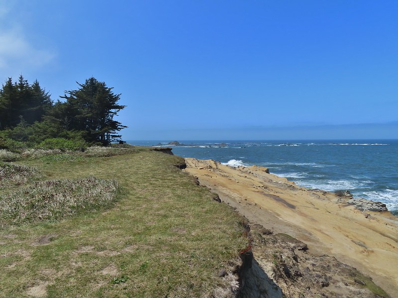 Simpson Reef extending into the Pacific.
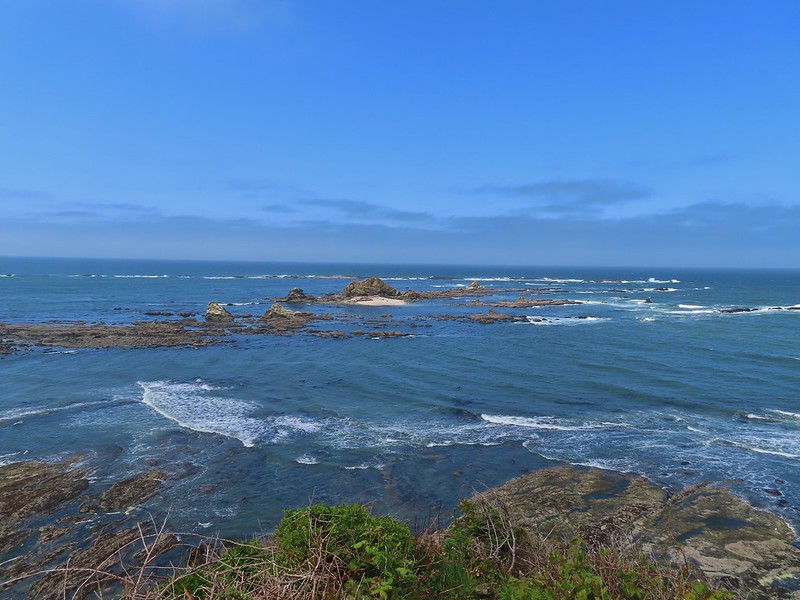 Shell Island in the middle of Simpson Reef.
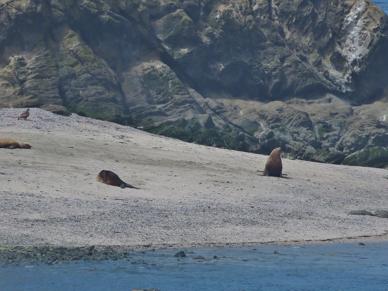
 Sea lions and juvenile bald eagles on Shell Island.


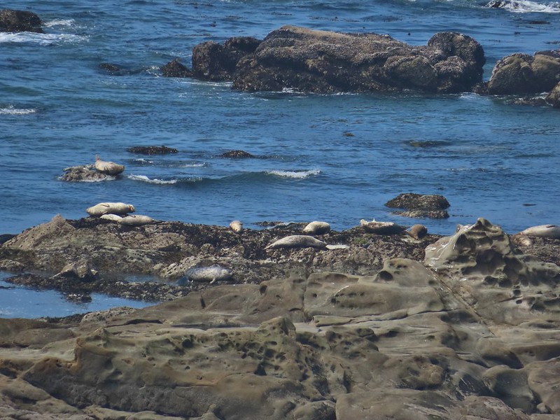 Harbor seals on the reef.

 Coltsfoot
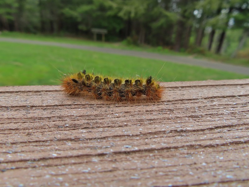
 Woolly bear caterpillar
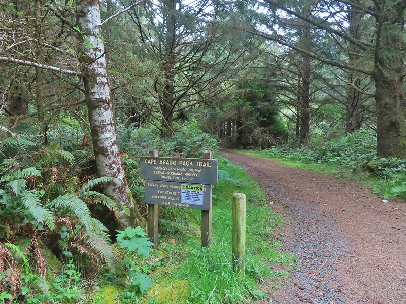 Looking back up the Pack Trail.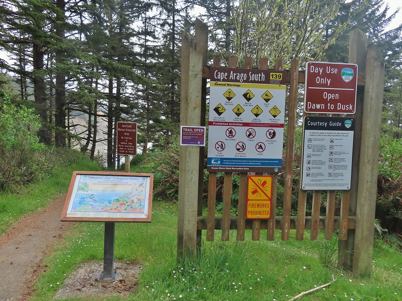

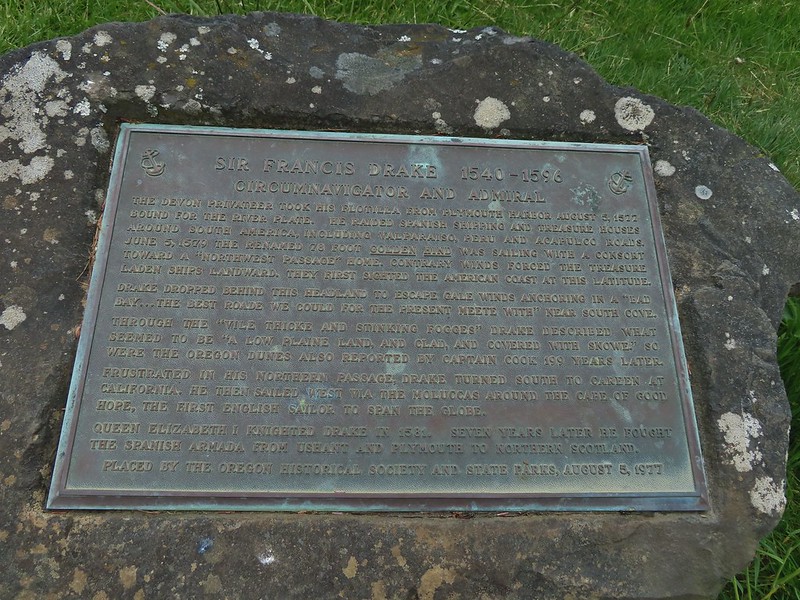 Plaque near the bench commermorating Sir Frances Drake’s visit to the area in 1579.
 Our stalker while we sat at the bench hoping we would leave some food behind (we didn’t).
 We thought we might be hearing things, but no it was a rooster crowing.
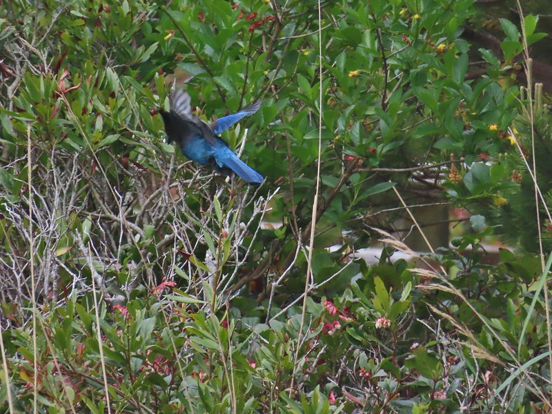 Stellar’s jay
 North Cove (A trail down to that beach was closed for the season.)


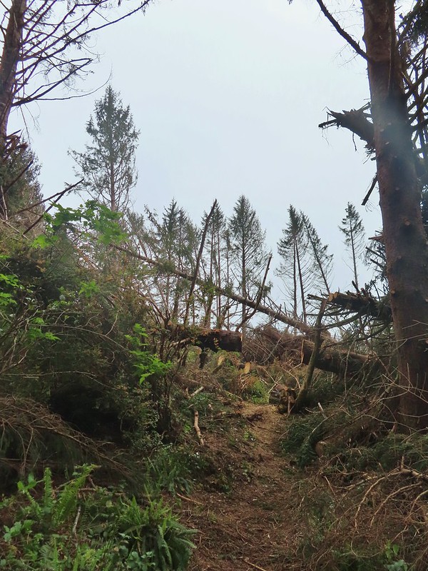

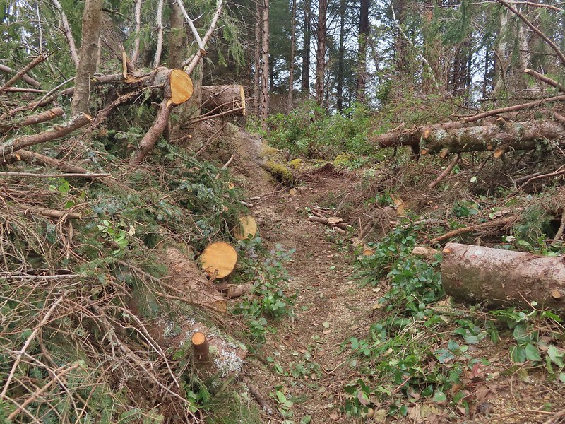
 Heading down.
 Going up.

 The Cape Arago Pack Trail at the highway.



 Madia
Madia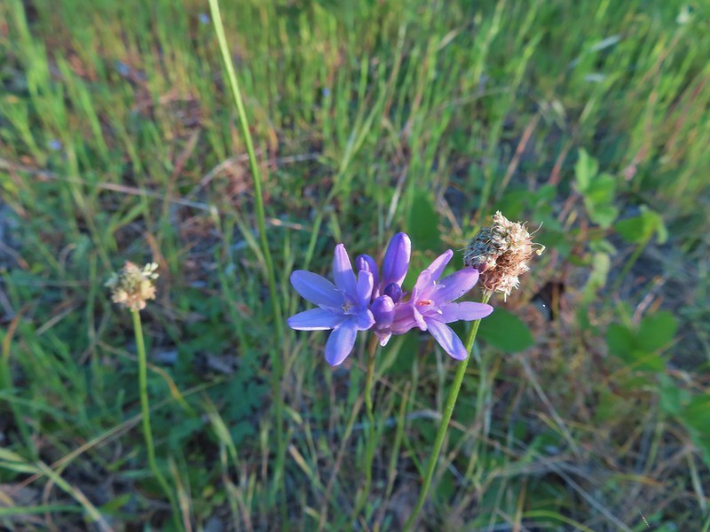 Blue dicks
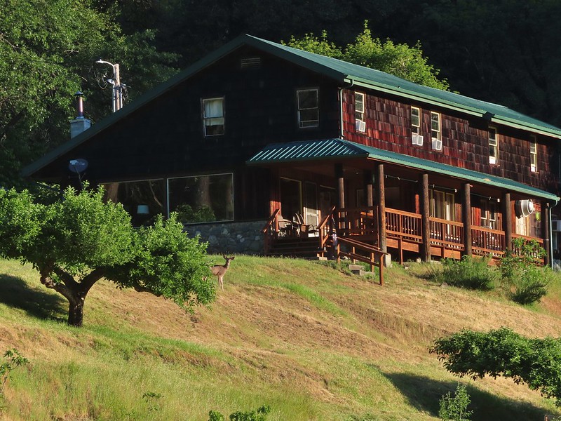
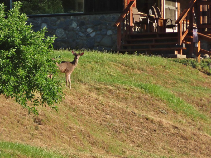
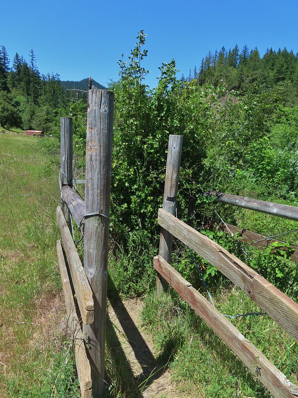 The poison oak trap in the afternoon.
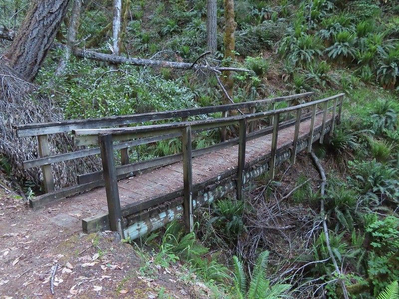
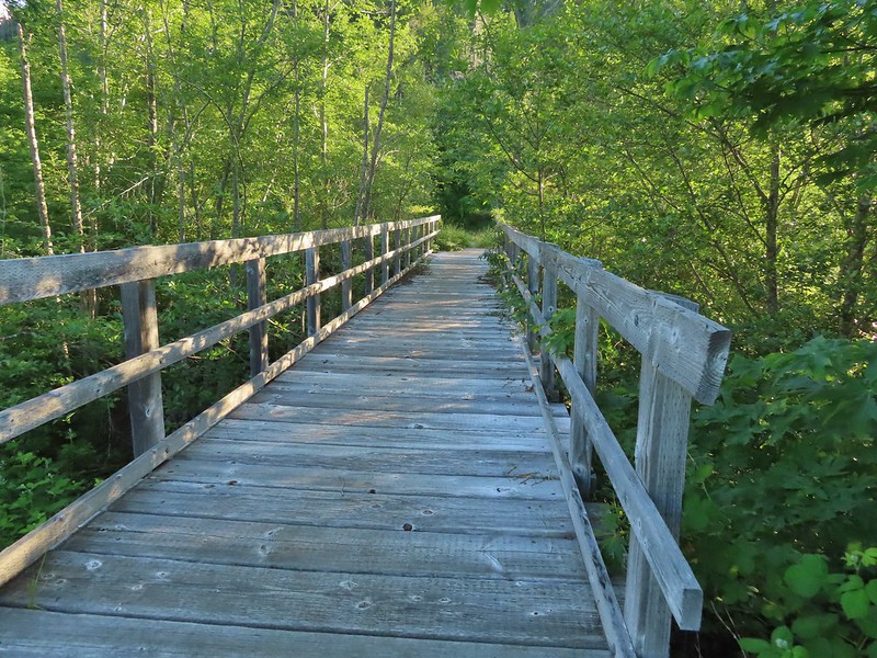 Bridge over Billings Creek.
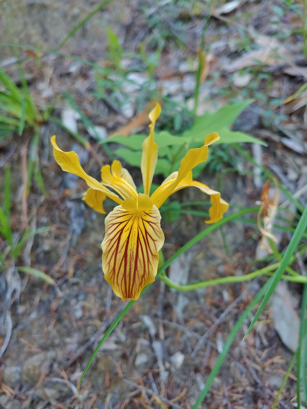 Del Norte iris

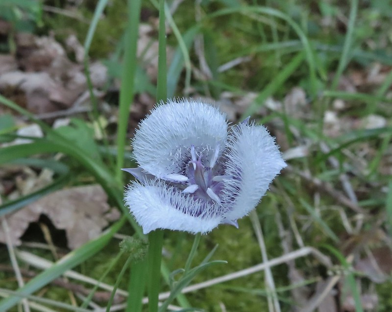 Tolmie’s mariposa lily
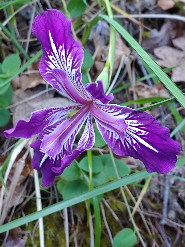 Douglas iris with insect.
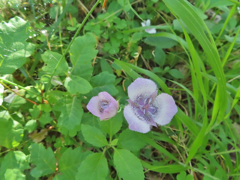 More mariposa lilies (with a poison oak background)
 Thimbleberry

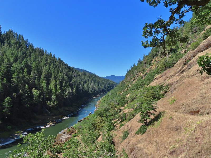
 The Rogue River from the trail during one of the climbs.
 Henderson’s stars
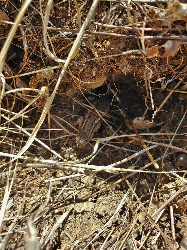
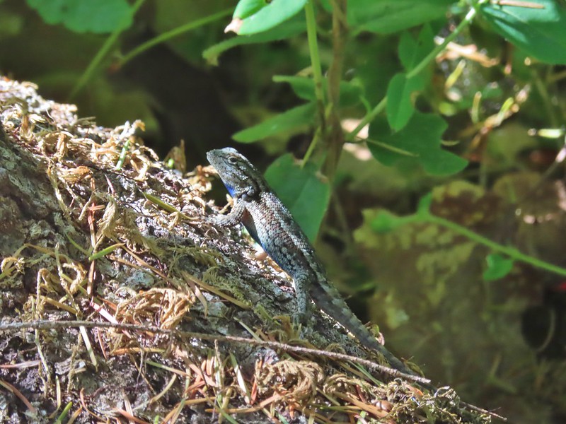 One of dozens of lizards we saw (or heard).
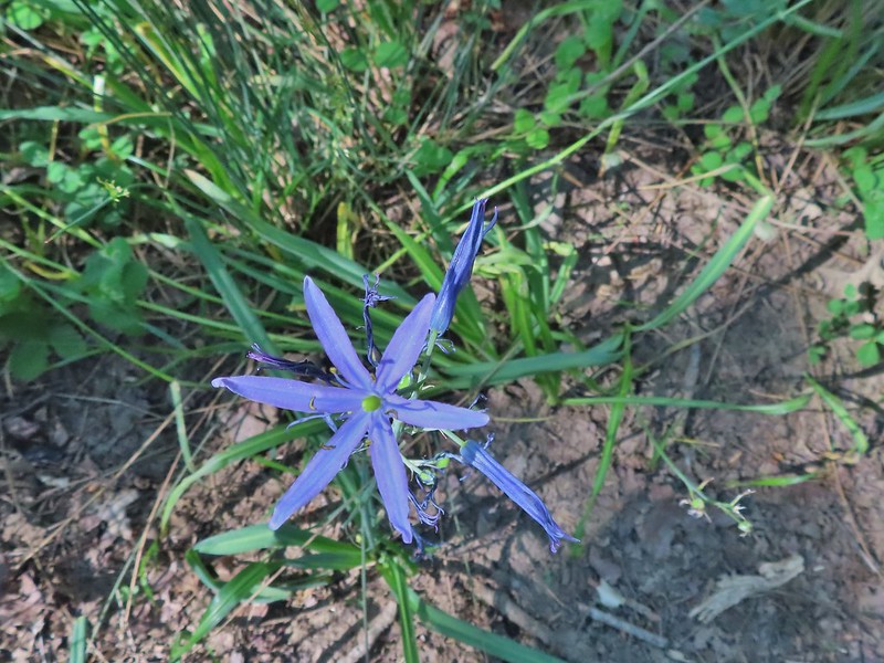 Camas
Camas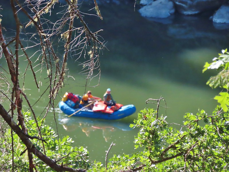
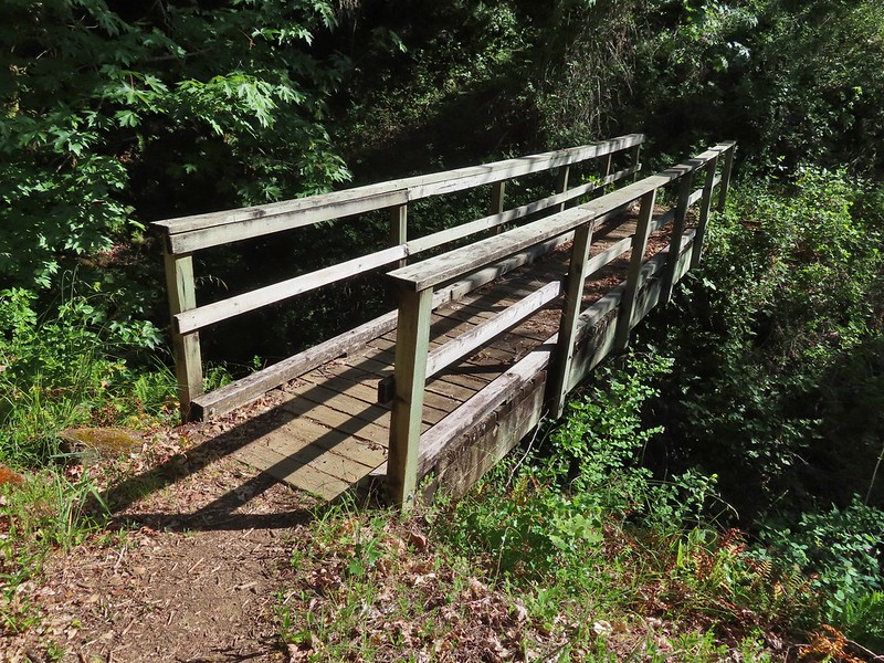 Footbridge over Flea Creek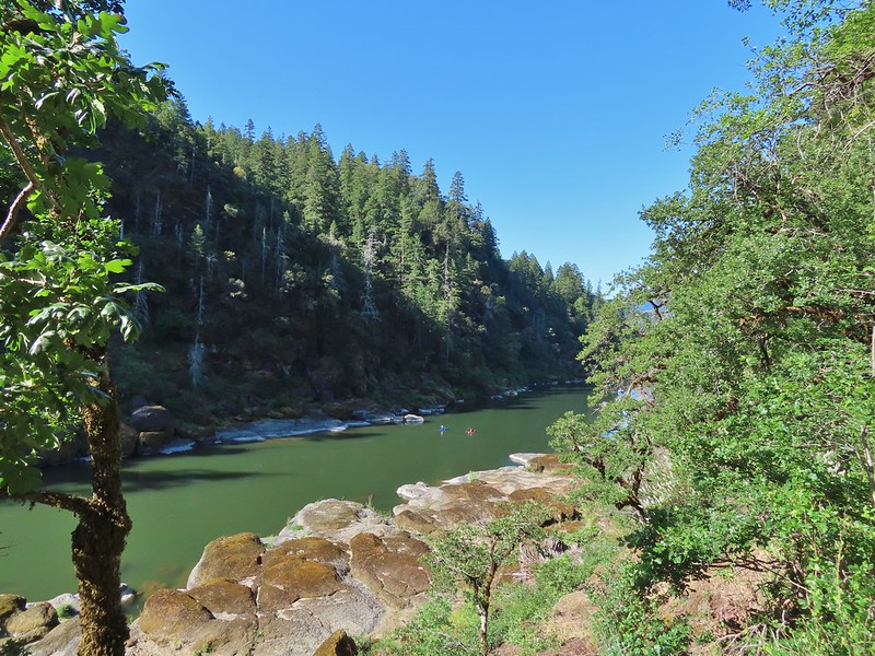
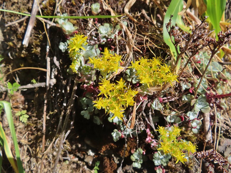

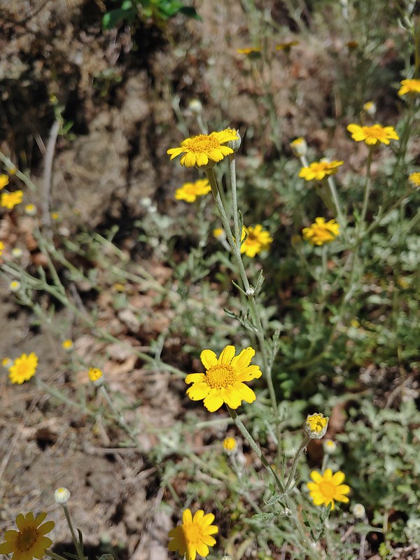 Oregon sunshine
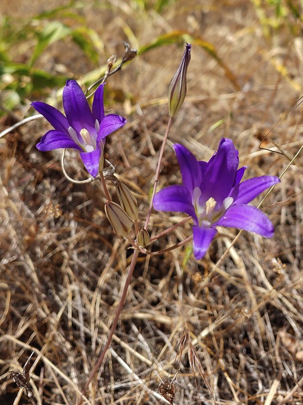 Elegant brodiaea
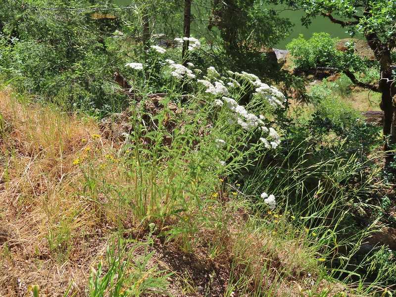 Yarrow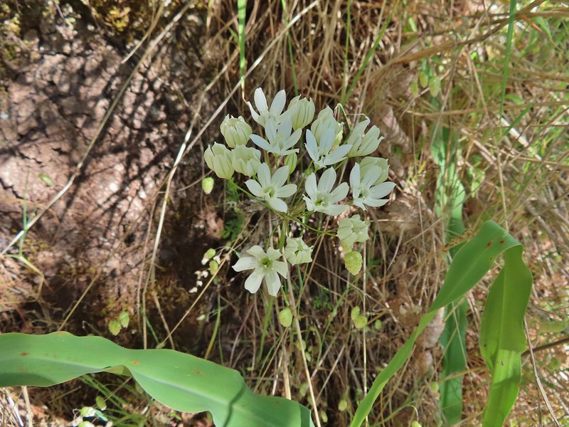
 Bindweed
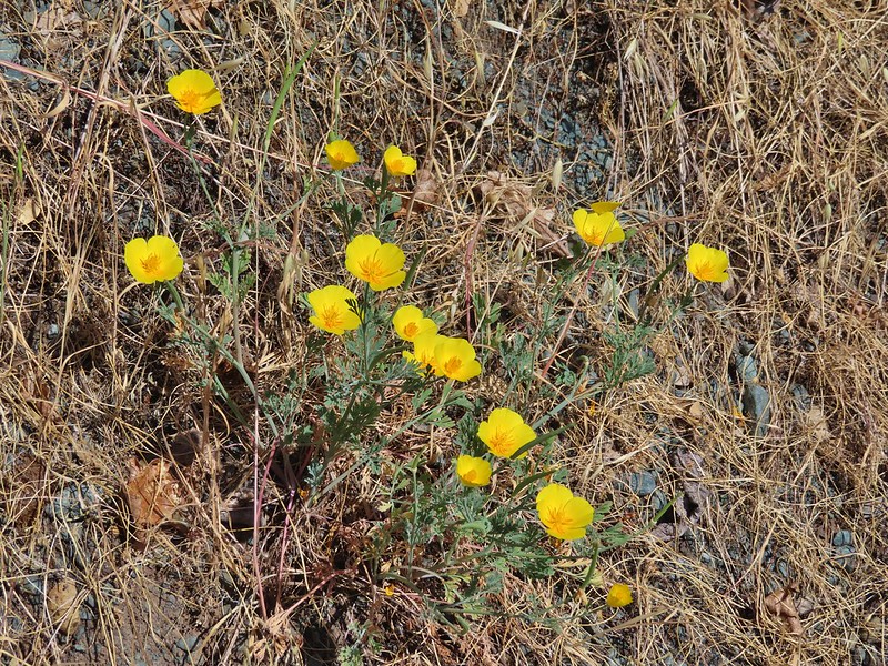 Poppies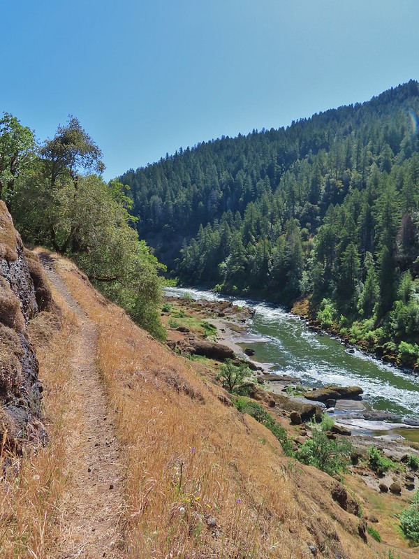


 Clay Hill Lodge
 Rafts in Clay Hill Rapids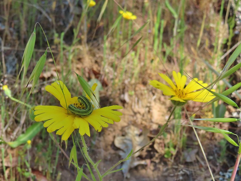

 Winecup clarkia

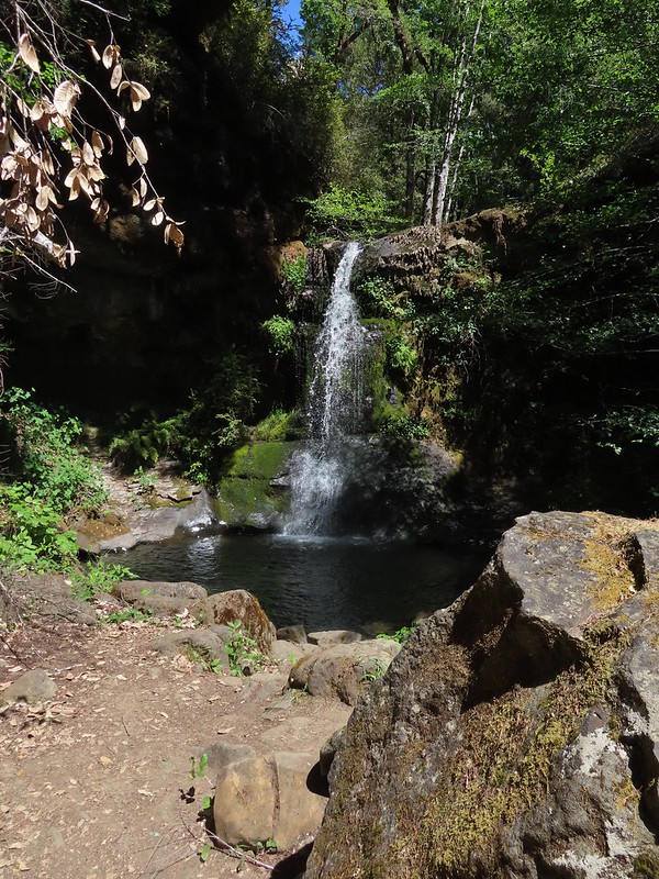
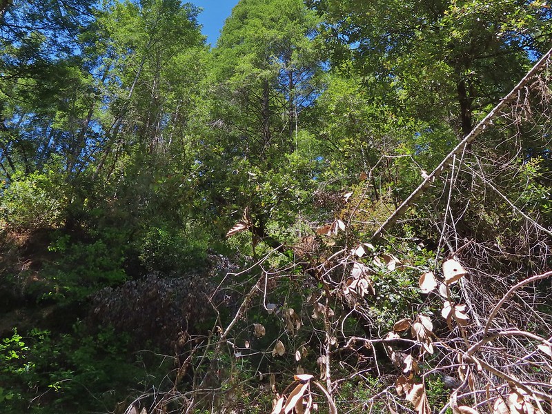 One of the dozens of photos I took trying to get the swallow tail in flight.


 Thimbleberry
 Salmonberry
 McLeod Creek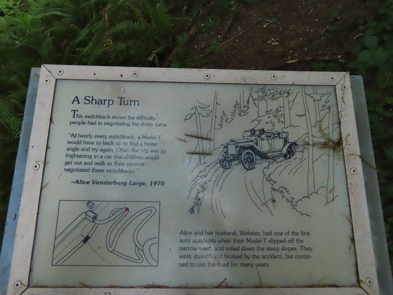
 One of the sharp turns.
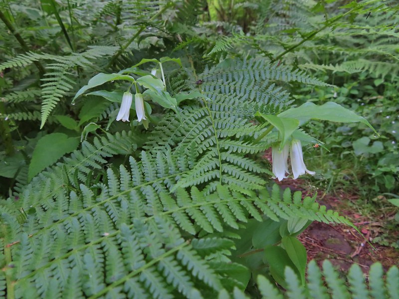 Fairy bells
 Columbine
 Bleeding heart
 Monkeyflower
 Sourgrass
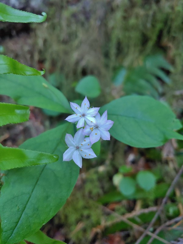 Star flower
 Trillium
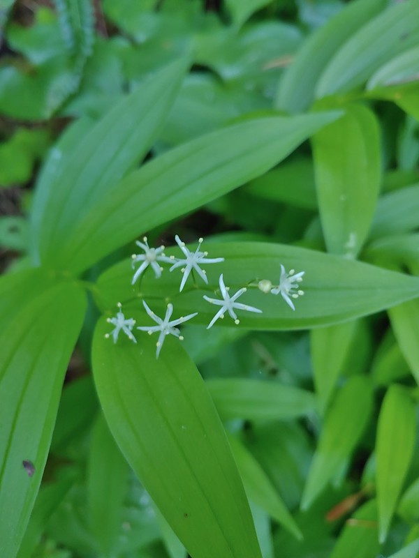 Star flower solomonseal
 Twisted stalk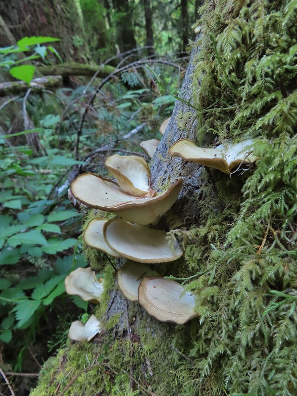
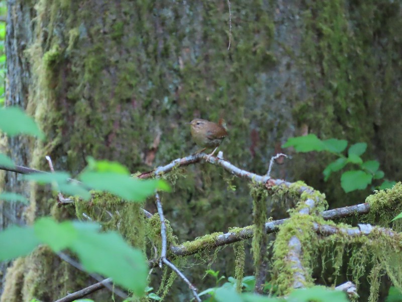 Wren – We heard lots of birds but didn’t see many of them.

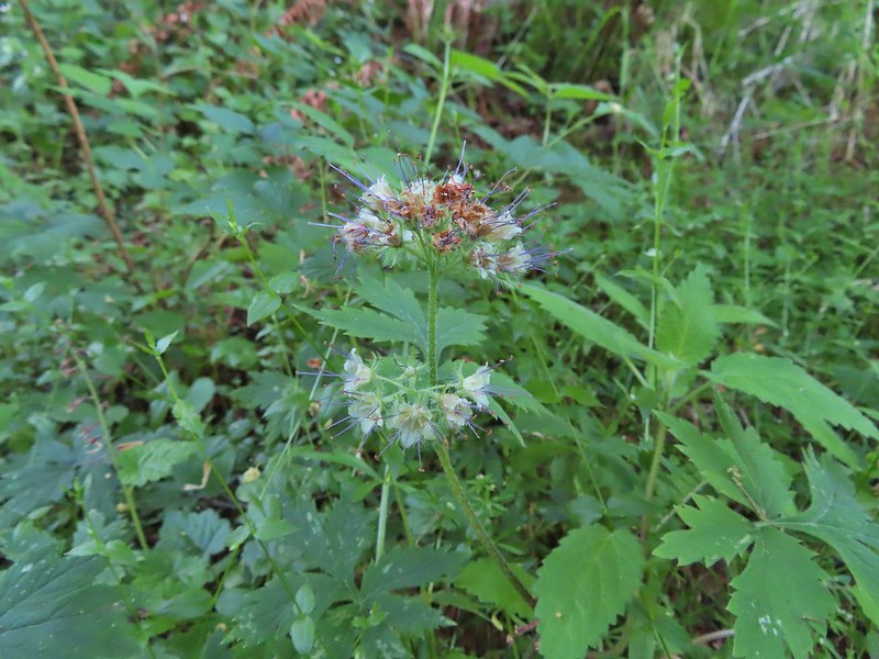 Waterleaf

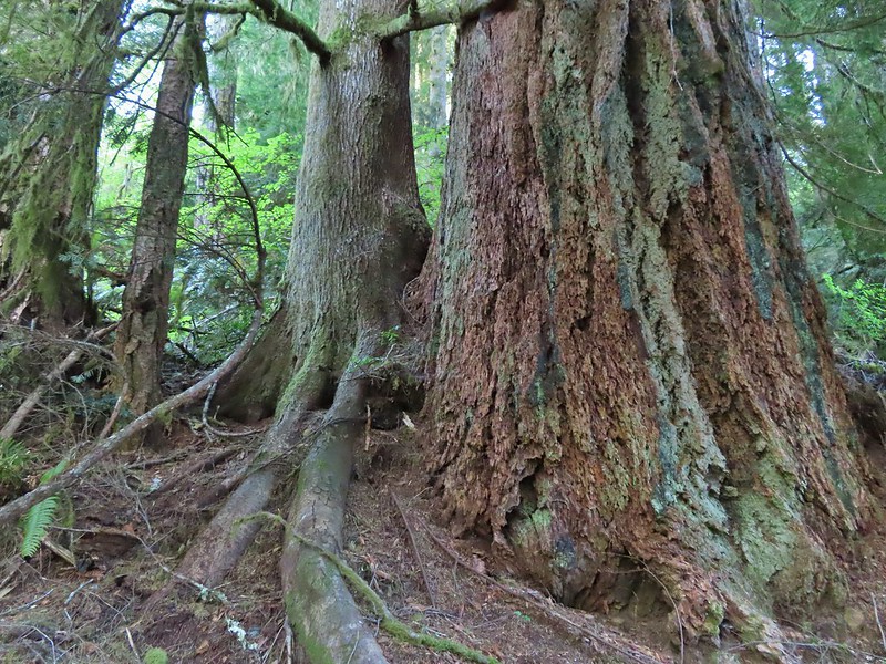
 Marker for a fire scarred Douglas fir. According to the brochure the last major fire in the area was in the 1860s.
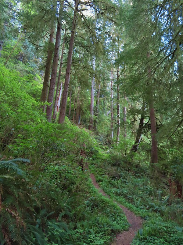

 We had to climb over this big tree.

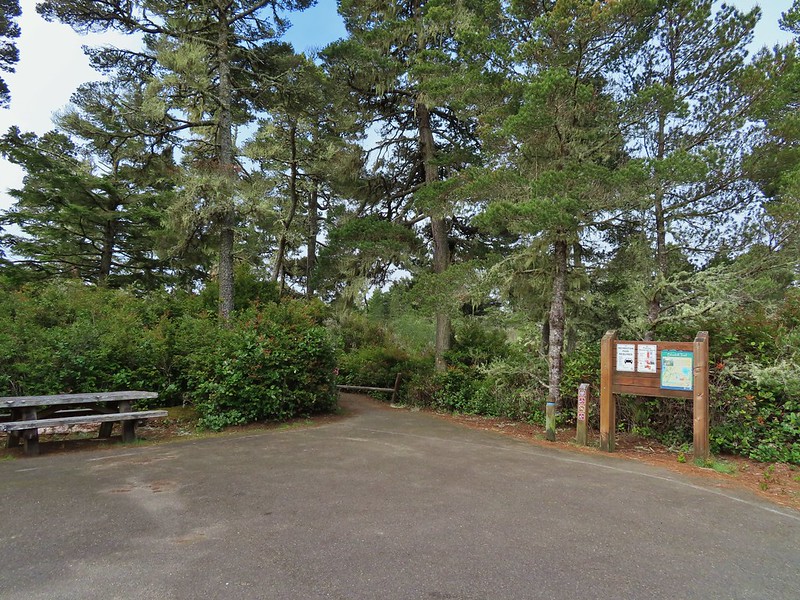

 Looking at the bridge at the north end of the lake.
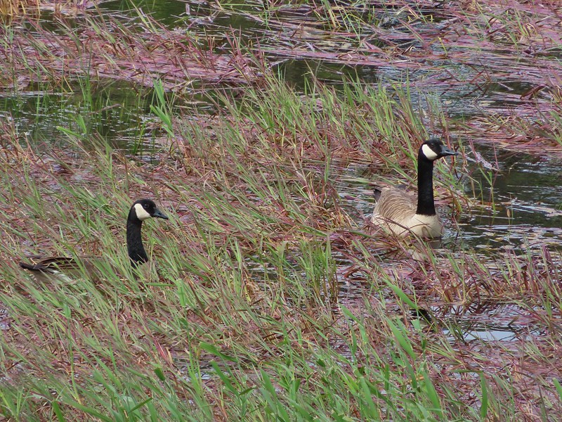 Canada geese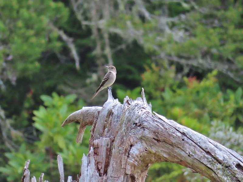
 Cormorants flying above the lake.
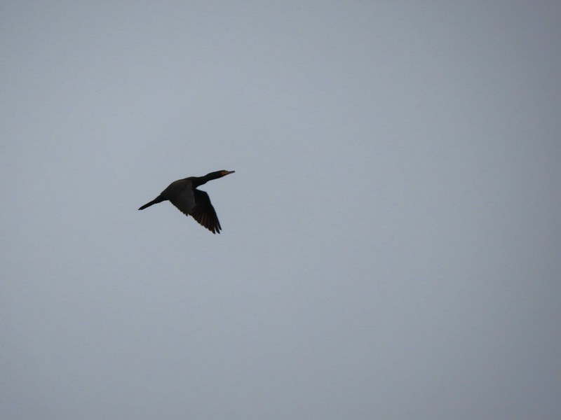 Cormorant
 Ring necked ducks
 Rhododendron
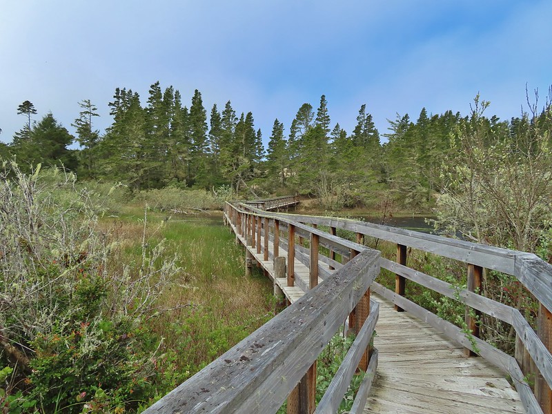 Boardwalk at the south end of the lake.
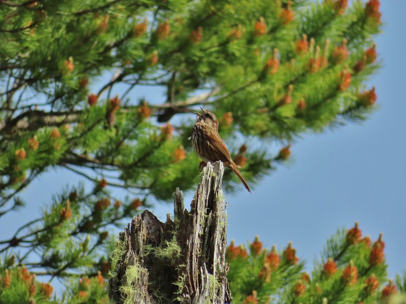 Sparrow
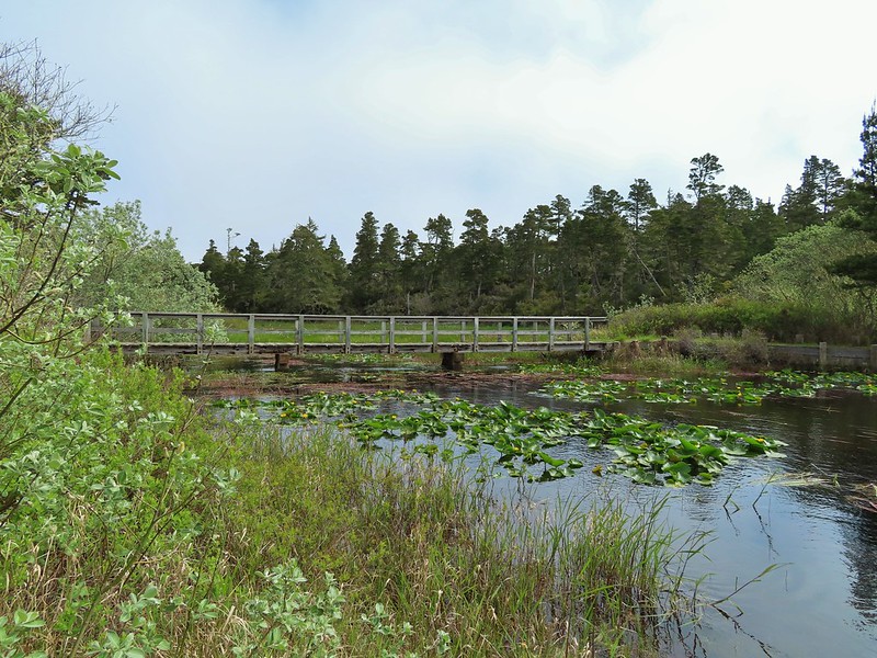 Coming up on the bridge at the north end.
 Yellow rumped warbler
 Finch
Finch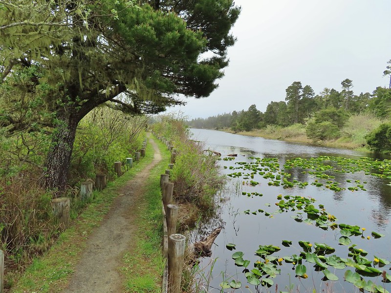
 The trail on the far side of the track.

 One of three panels on a signboard at the start of the trails.
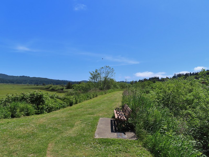 This bench is at the junction.
 Sparrow near the junction.
 Heading to the observation structure.
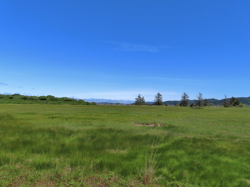 Looking toward Coos Bay along the Coos River.
 McCullough Memorial Bridge spanning Coos Bay.
 Wetlands from the end of the spur.
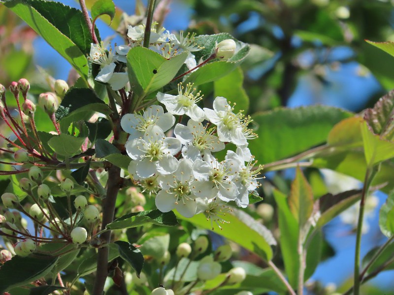 Bitter cherry
 Crow
Crow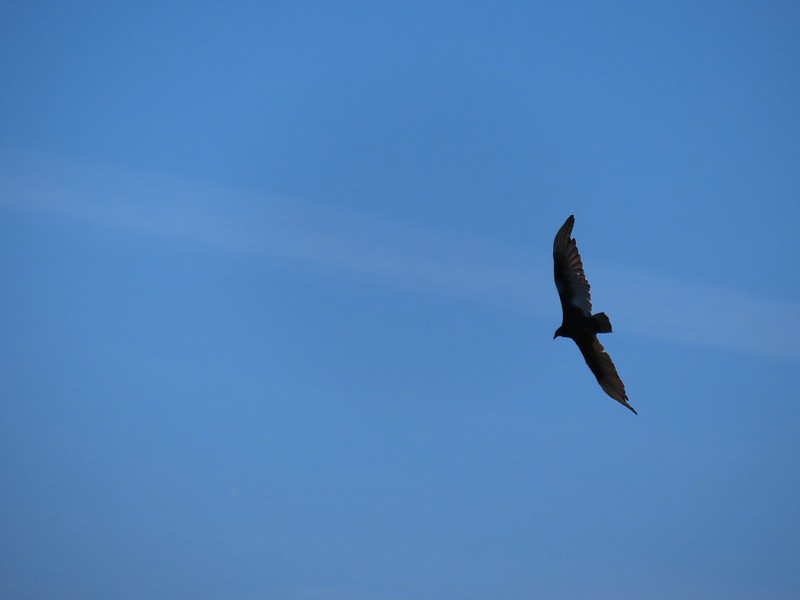 Turkey vulture
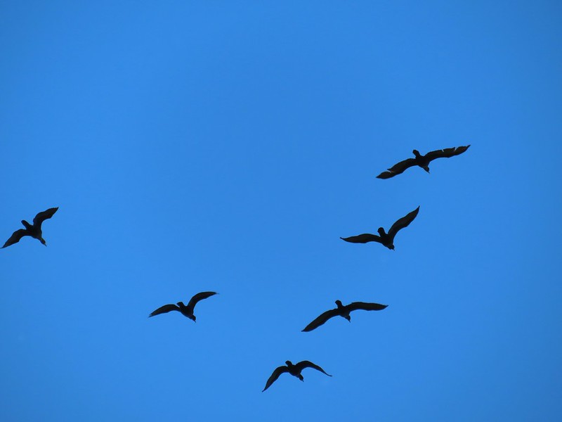 Cormorants overhead
 Canada goose with goslings
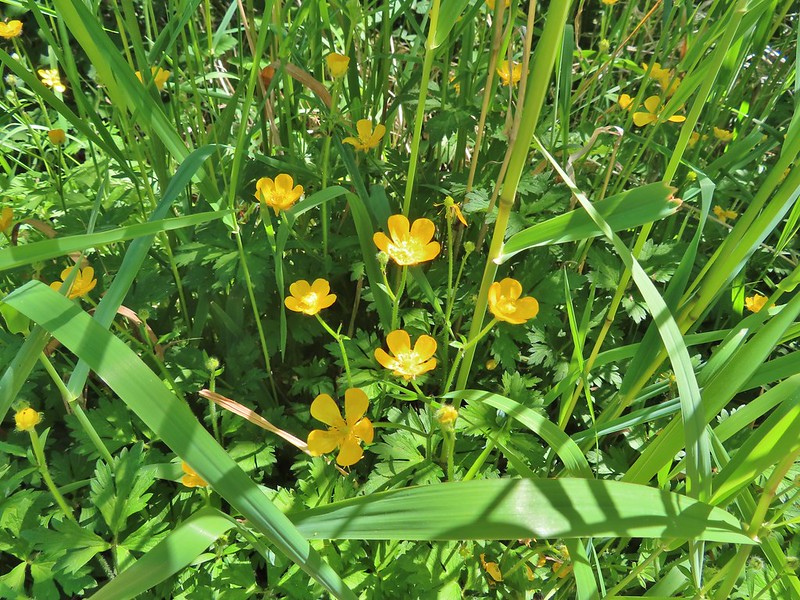 Buttercups
 Pale flax
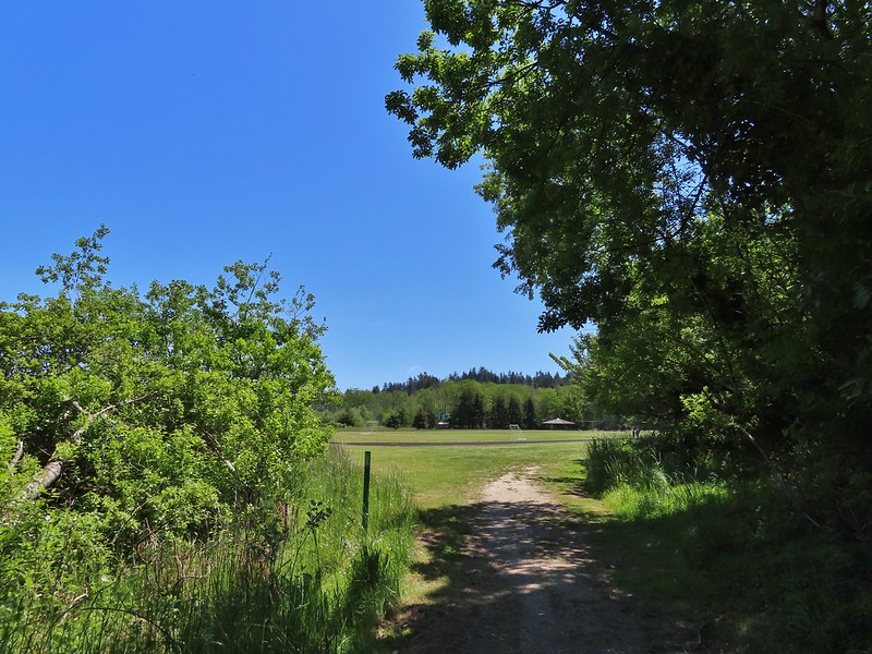 Arriving back at the field.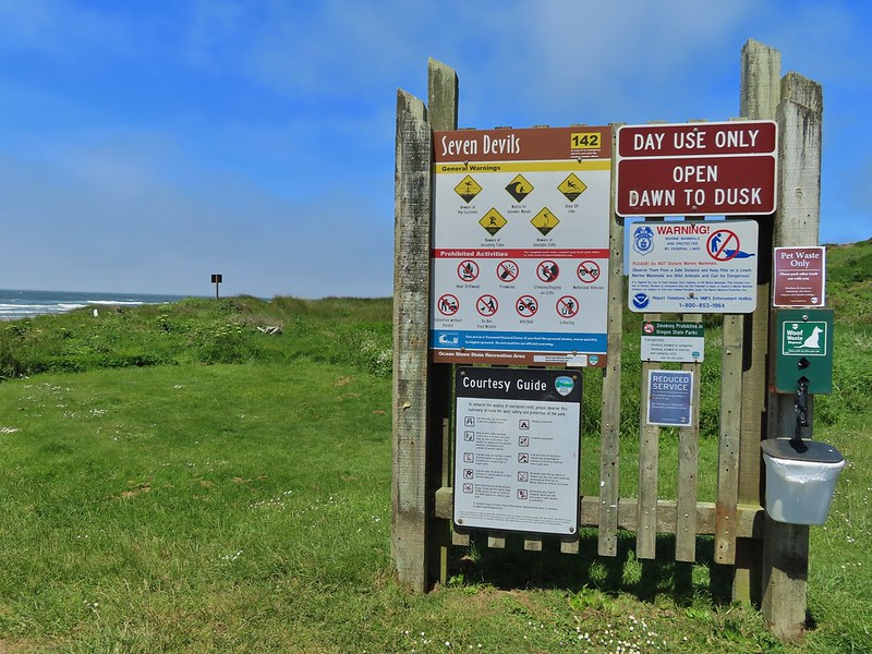
 Ground squirrel enjoying the view.
 Twomile Creek
 Shore bird in the creek.

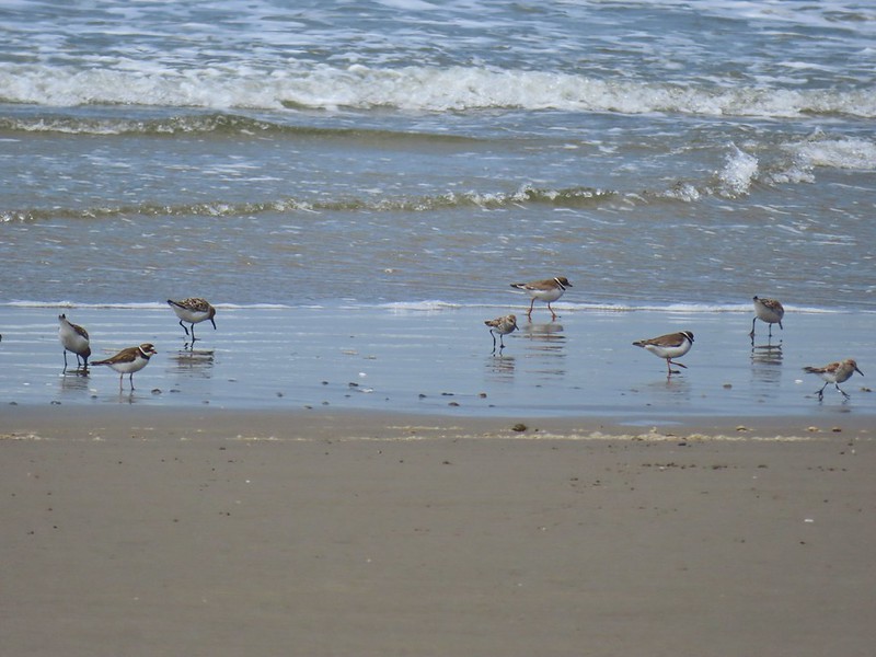

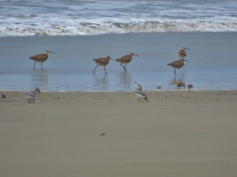
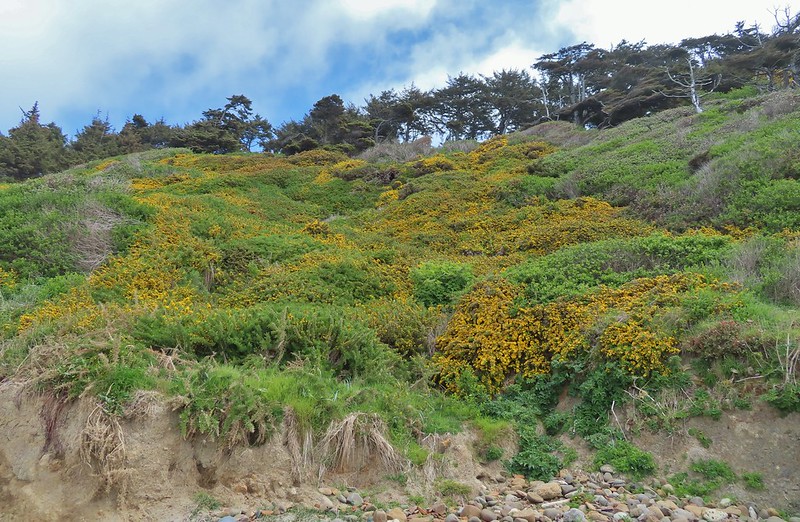
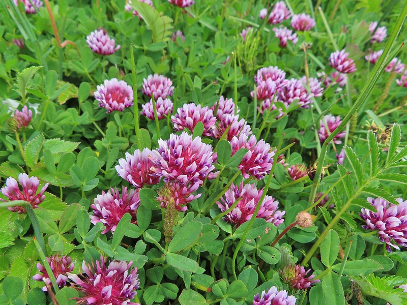
 Brass buttons (another non-native)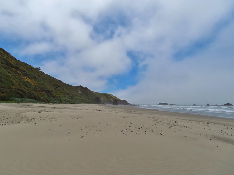


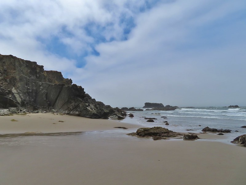 Whiskey Run Beach lay on the other side of the rocks with another parking area 0.8 further south.
 A cormorant off Fivemile Point



 View from the bench.


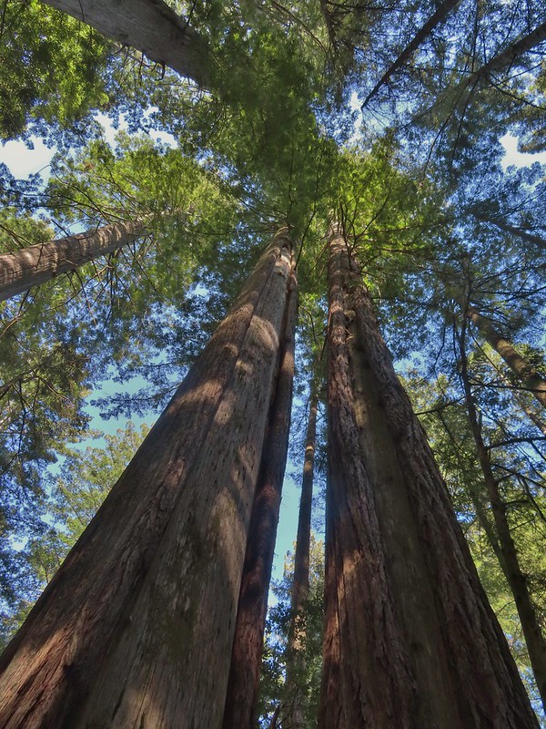
 Coming up on the hollow trunk straight ahead.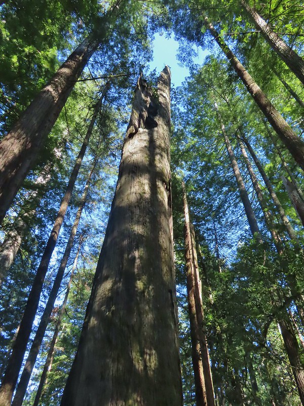


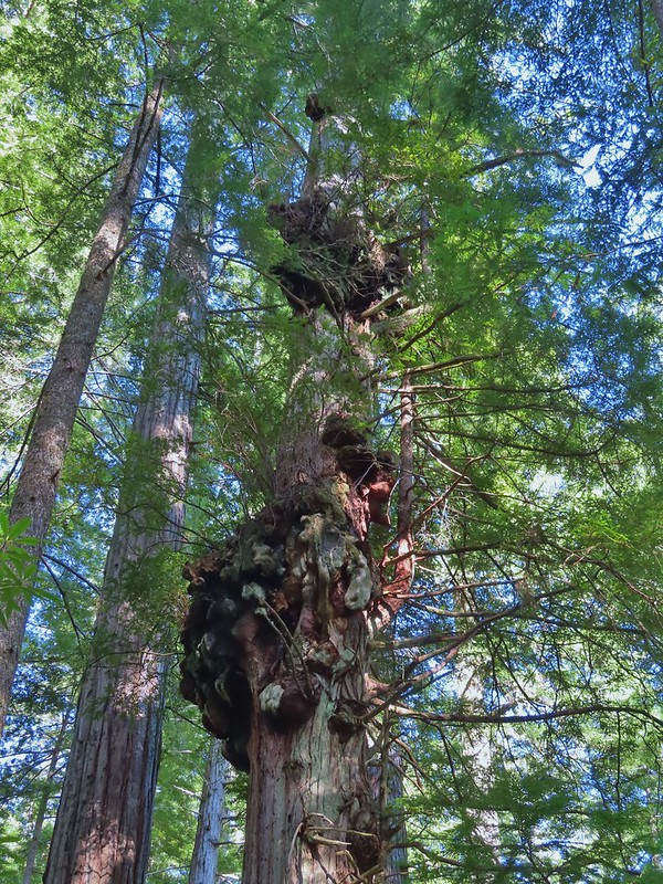
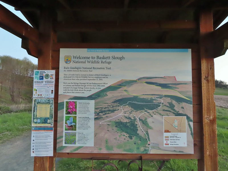
 Mt. Jefferson from the trailhead.
 A few lupine and buttercups
 Camas
Camas Castilleja levisecta – Golden Paintbrush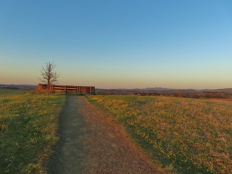
 A few little flowers starting to open up.
 View from the deck.
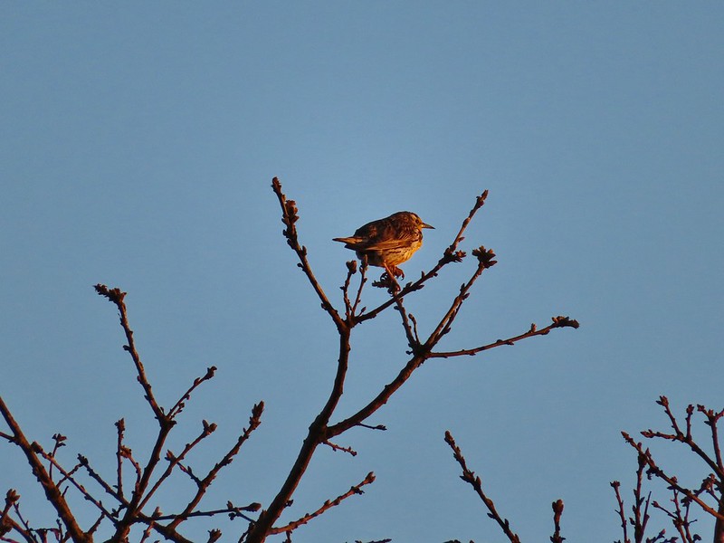 Western meadowlark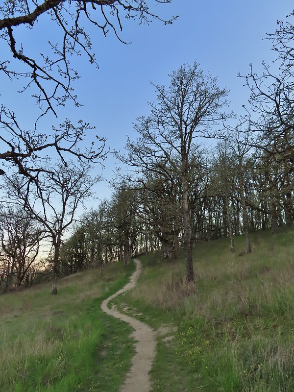
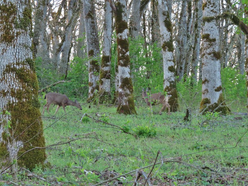


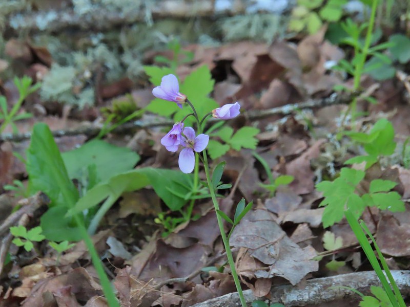


 Camas pretending to be part of a lupine plant.
 White crowned sparrow
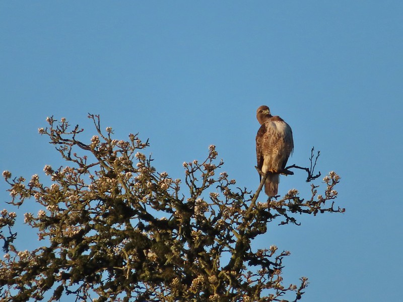 Hawk
Hawk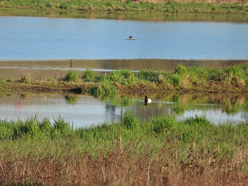 Lesser scaup
 American wigeons
 Pied billed grebe
 Yellowlegs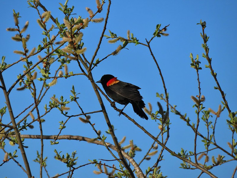

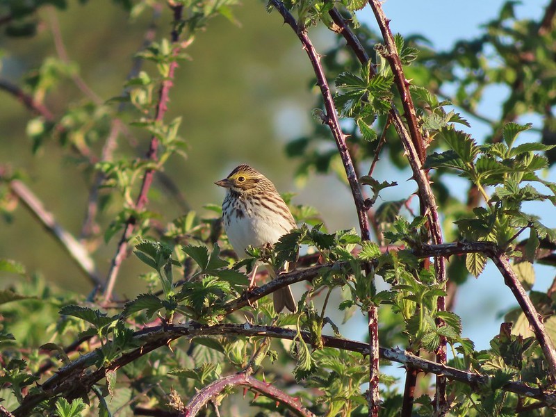 Savannah sparrow
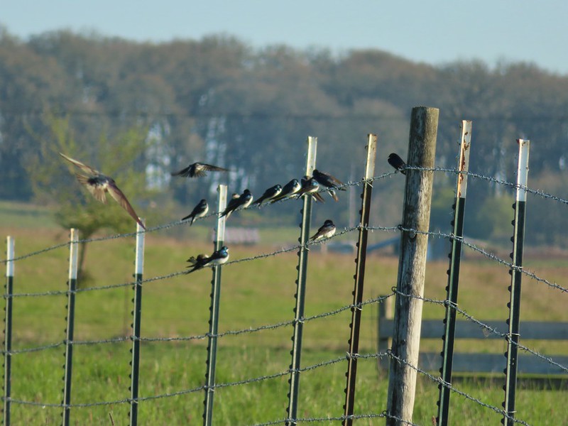 Swallows
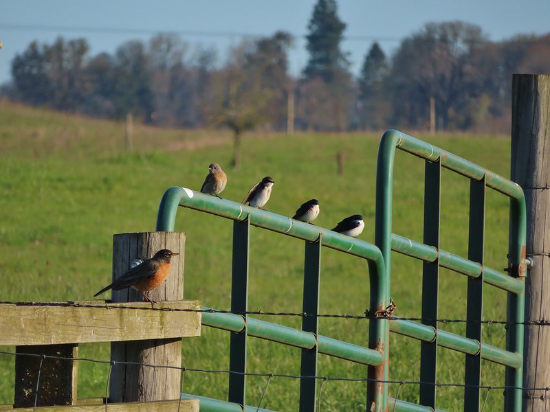 A robin, a western bluebird and swallows
 A green winged teal and a cinnamon teal in a small marsh.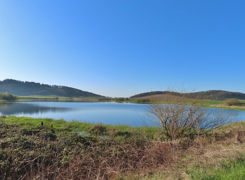
 This scrub jay wasn’t shy.
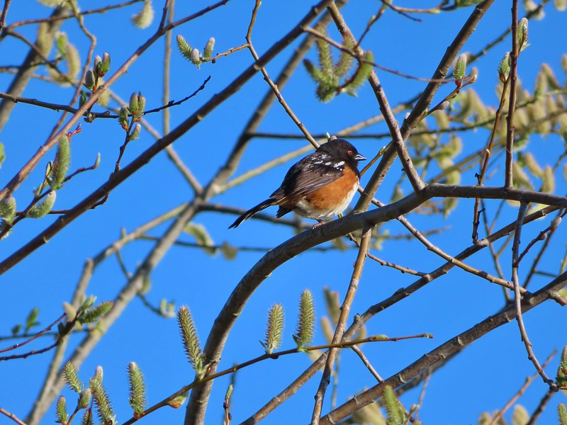 Neither was this serious looking spotted towhee
 Norther shovelers heading to the opposite side of the lake.
 A bufflehead and some lesser scaups
 Canada goose flyover
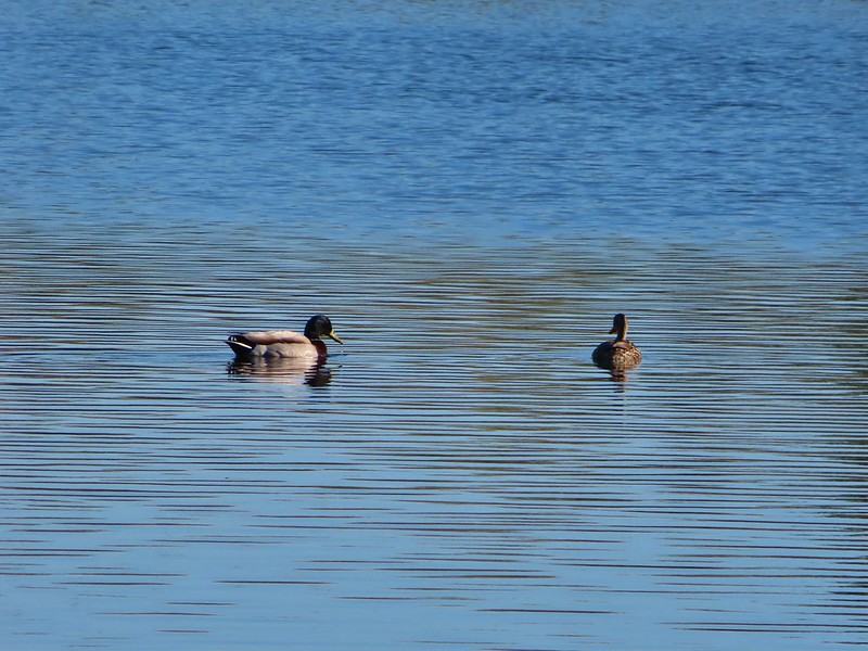 Mallard pair
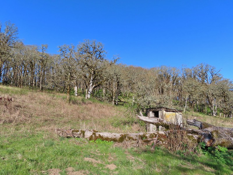 Old out building below Baskett Butte.
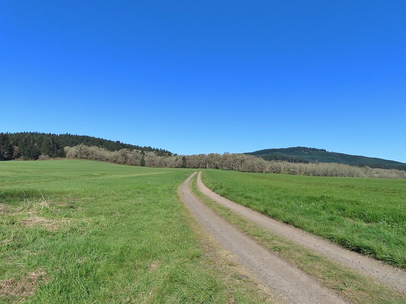
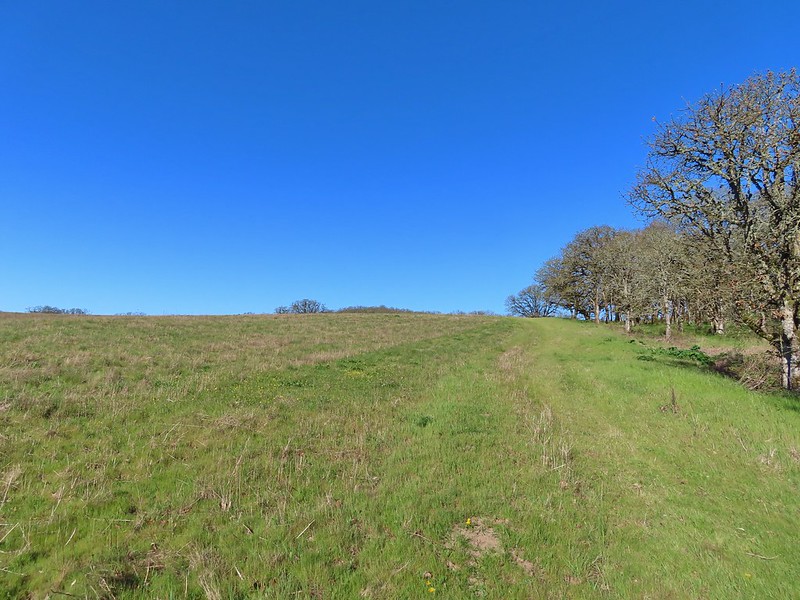 Not only was this uphill but we didn’t know for sure where it might lead.
 Along the field we went.

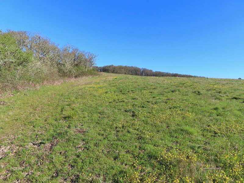 Looking uphill along the row of brush.
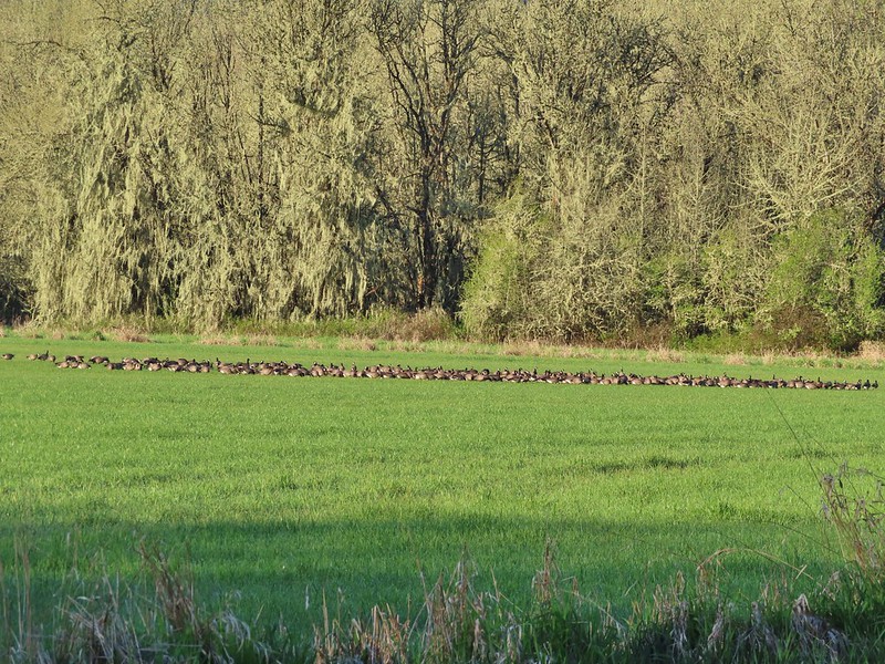
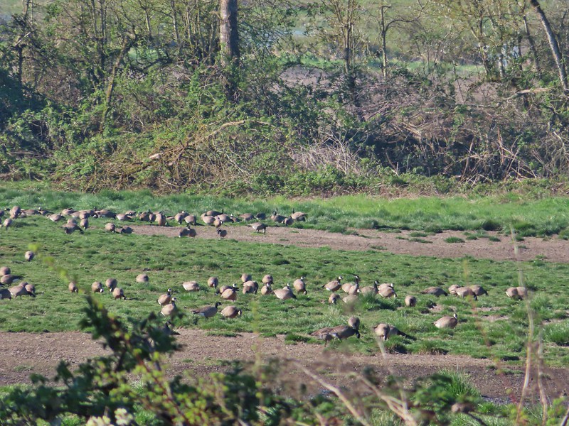 An extremely small portion of the geese.
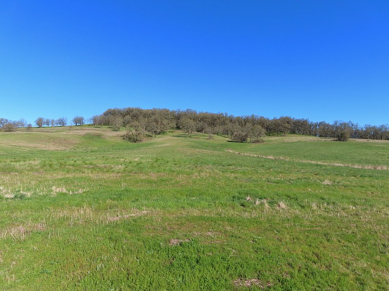 Baskett Butte from the field.


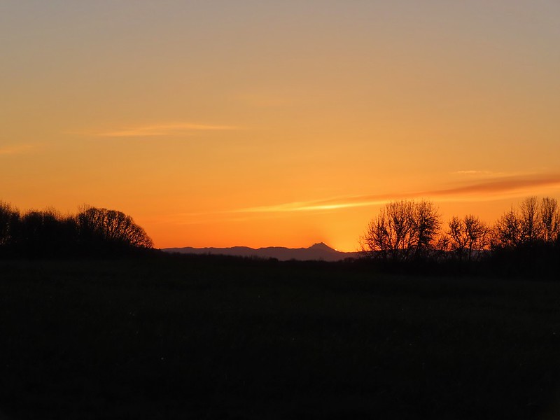
 Mt. Hood from the refuge road
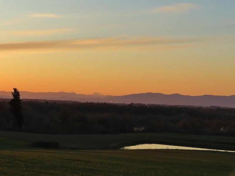 The Three Sisters from the road
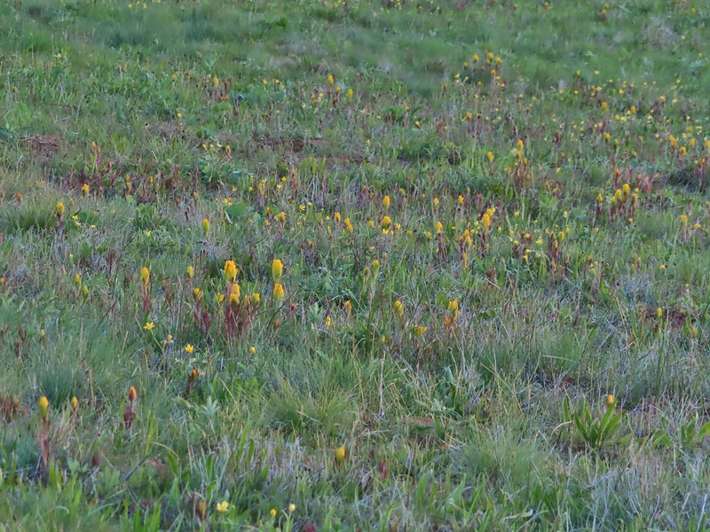 Yellow paintbrush
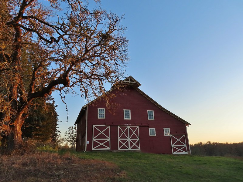 Cabell Barn
 Rabbit at the lodge
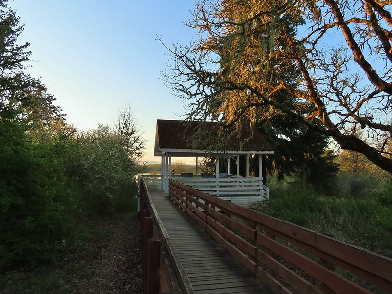 Cabell Marsh Overlook
 White crowned sparrows
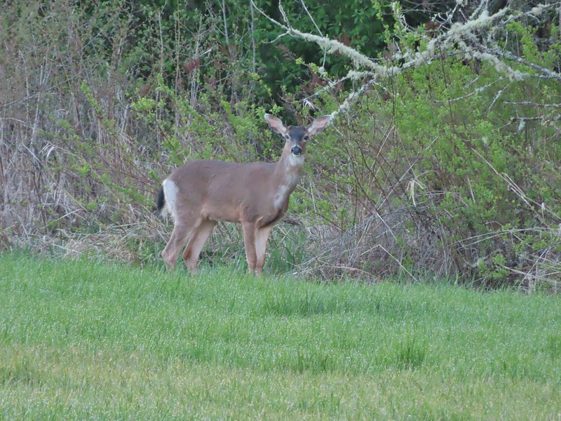 Deer in a field near Cabell Marsh
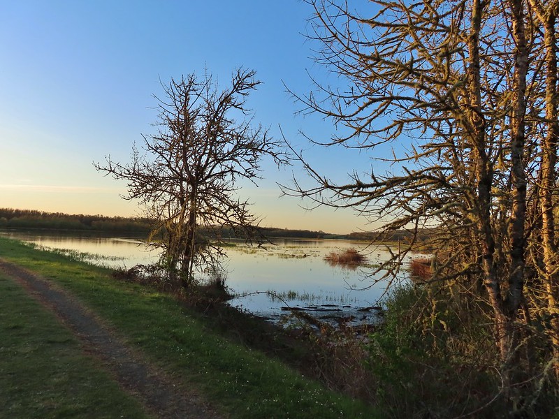 Cabell Marsh (the marsh had been drained when we visited in 2020)
 Norther shovelers
 American coots
 Ring-necked ducks
 Buffleheads
 Black pheobe
 American wigeons
 Cabell Marsh
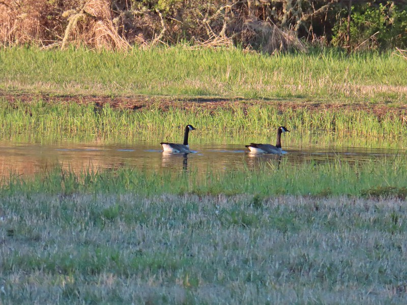 Canada geese
 Wood duck, ring-necked ducks and a pied billed grebe
 More northern shovelers
 Ring-necked ducks
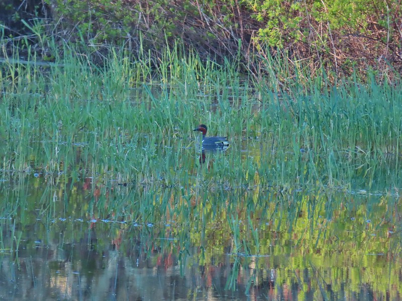 Green winged teal
 Robin
Robin

 Killdeer
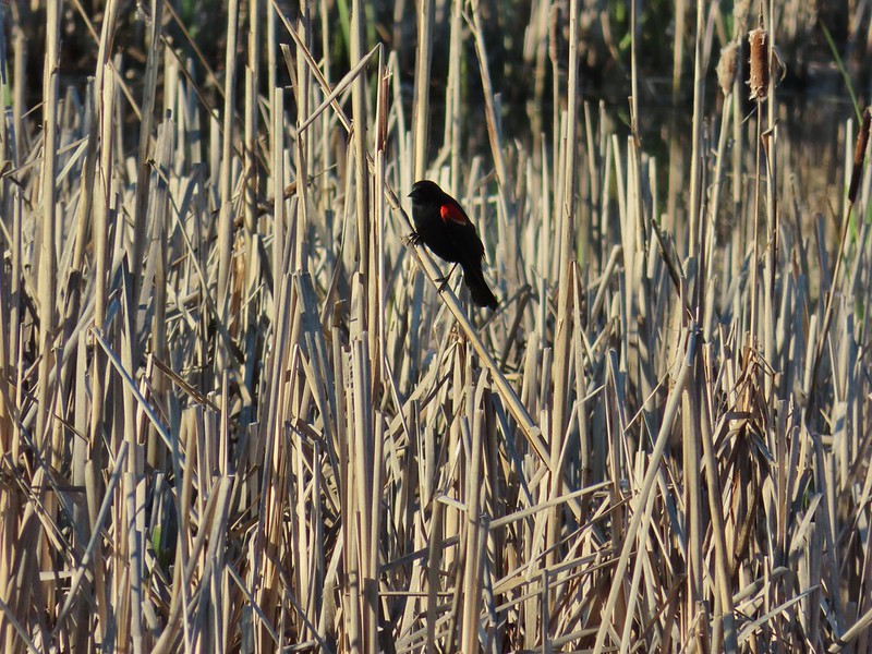 Red-winged blackbird
 Junction with the Pigeon Butte Trail (grassy track heading uphill)
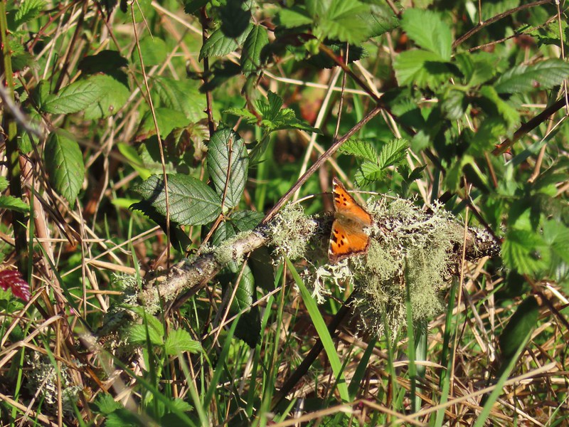 Tortoiseshell butterfly
 Spotted towhee serenade
 Bewick’s wren
 Madrone
 Mourning dove
 Camas blooming near the summit
 View from Pigeon Butte
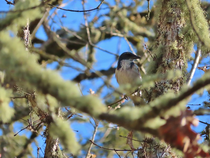 Scrub jay spotted on the way down.
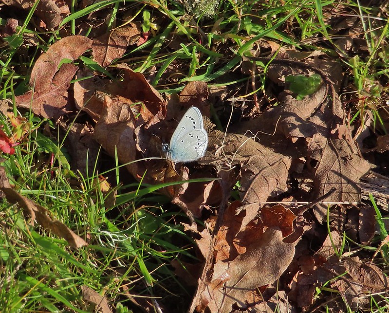 One of the “blue” butterflies, maybe a silvery blue
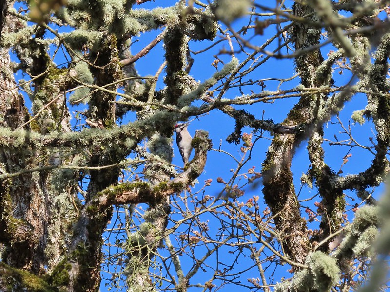 Acorn woodpecker
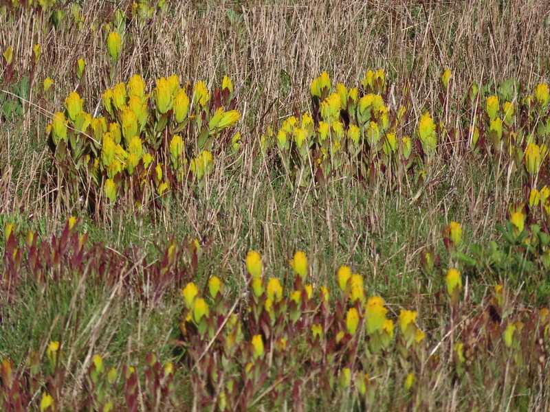
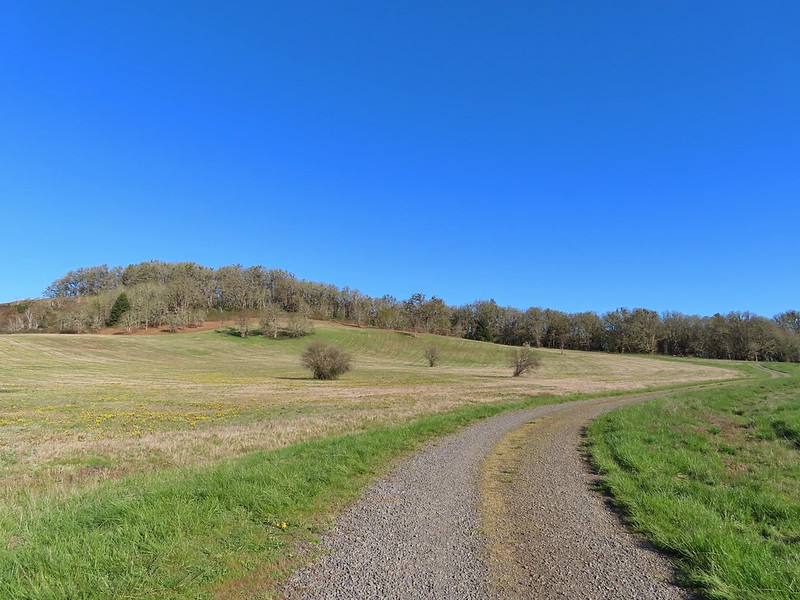 Looking back at Pigeon Butte, the yellow paintbrush was starting its bloom on the hillside.

 Looking back at Pigeon Butte and the Cheadle Barn
 Western bluebird
 Bruce Rd and a sign for the overlook.
 Swallows at the overlook
 Mary’s Peak and Pigeon Butte from the overlook.
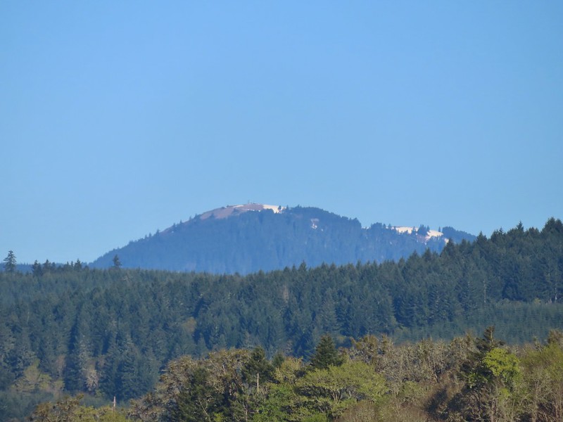 Mary’s Peak (
 Ground squirrel on Bruce Rd.
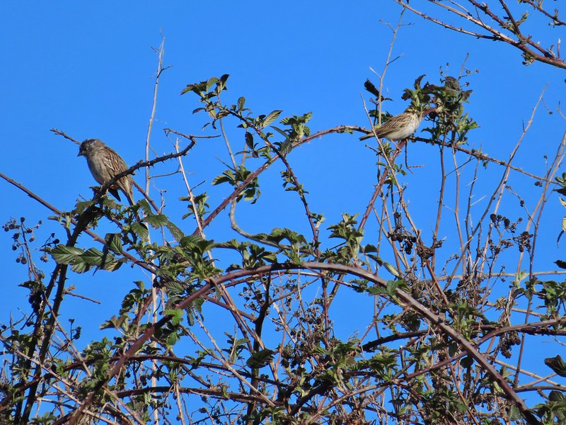 Sparrows
 Western bluebird
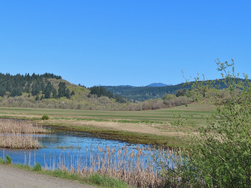 Mitigation Wetland
 Egret
Egret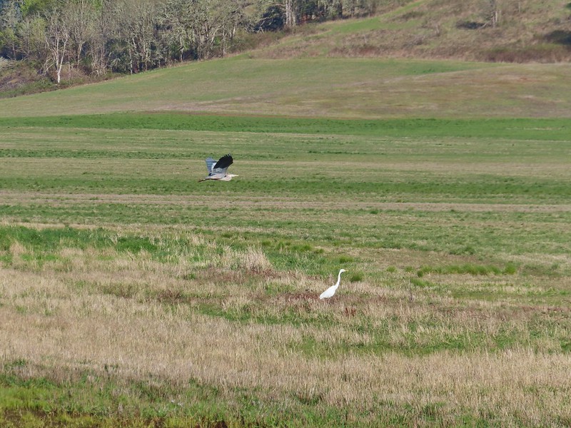 heron flying by the egret
 Northern shoveler
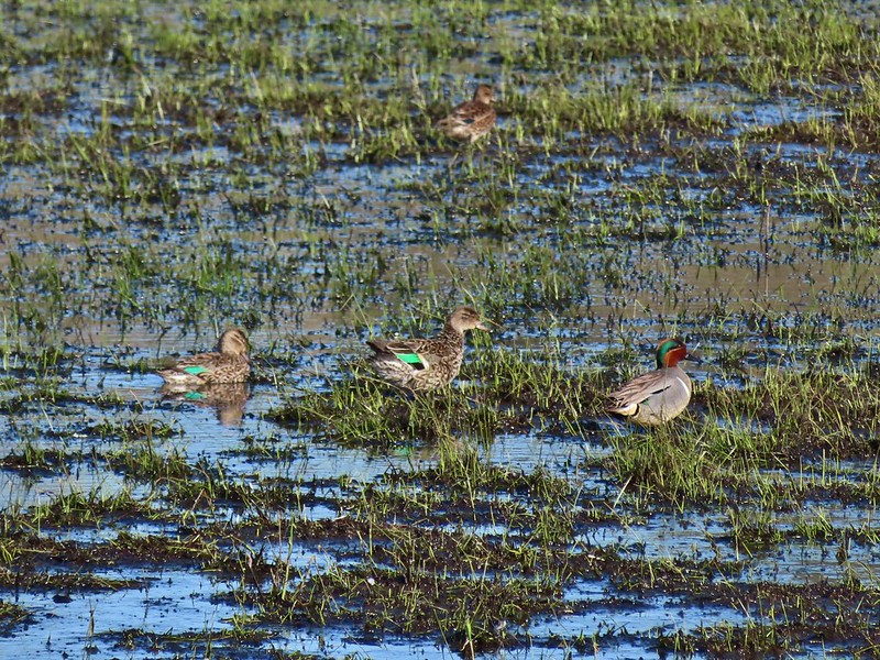 Green winged teals
 Trailhead off of Bruce Road
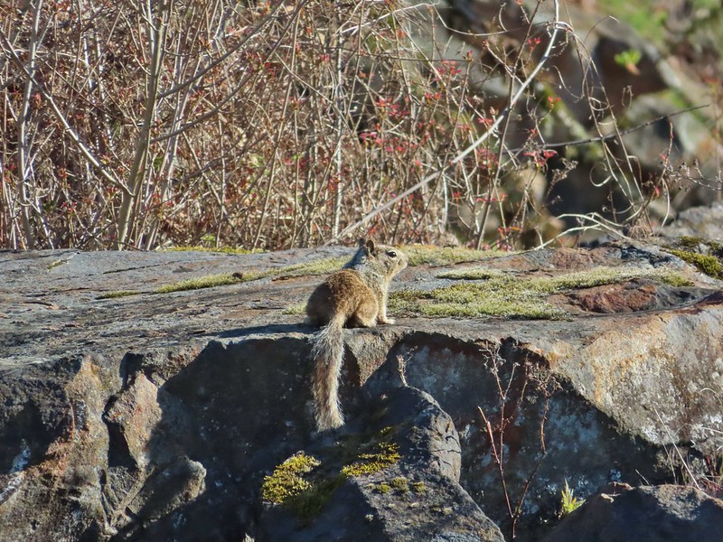 Ground squirrel
 Entering the woods
 Giant white wakerobin
 Fairybells
 Startled heron
 Egret and a cinnamon teal pair and maybe an American wigeon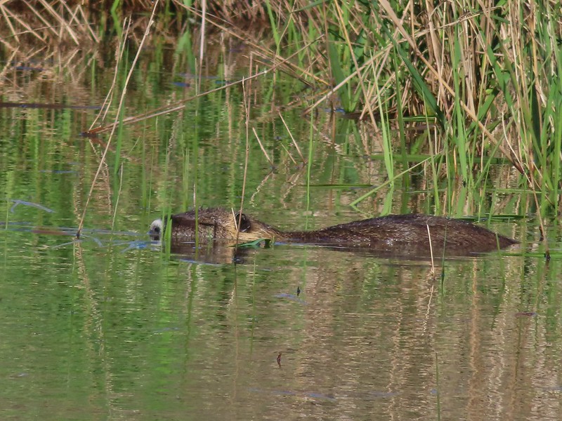
 Candyflower
 The pink turned out to be shooting stars.
 Iris
Iris Bleeding heart
 One of many fairy slippers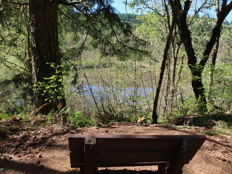
 It took some work to get the camera to stop focusing on the brush in the foreground.
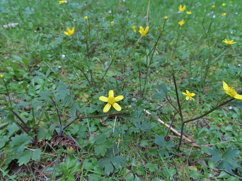 Buttercups
 Violets
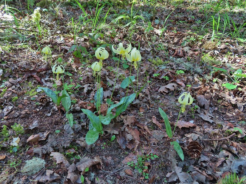 Fawn lilies
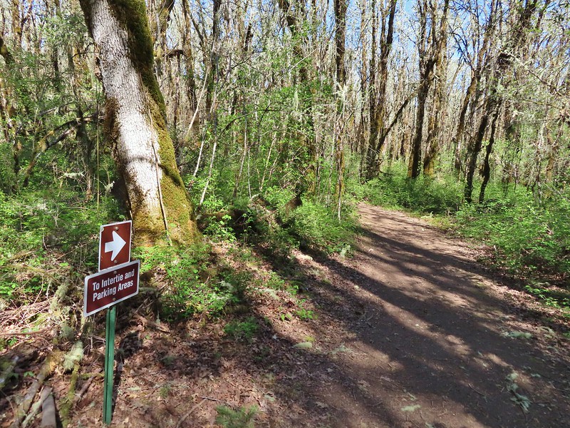 Back at the junction and onto the Intertie Trail

 Service berry
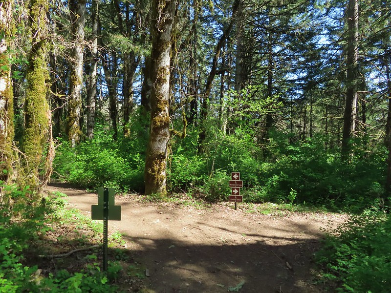 The Woodpecker Loop
 Norther flicker along the Woodpecker Loop
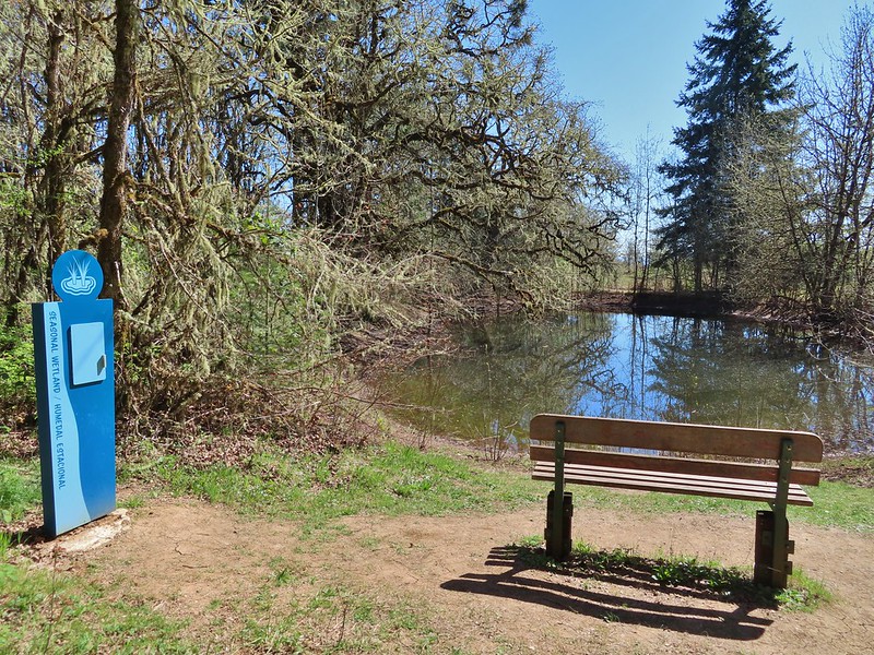 Amphibian pond and interpretive kiosk.
 Viewing structure
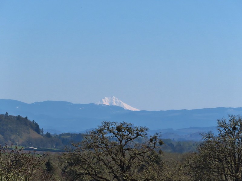 Mt. Jefferson
 The Three Sisters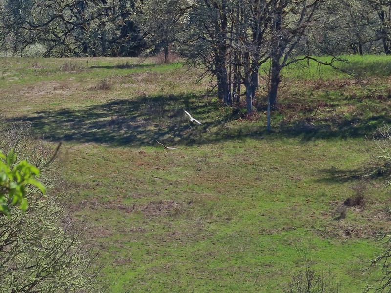
 This was the best shot I could get at 40x zoom with the sun in front of me.


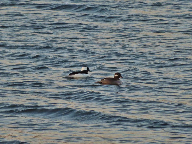 Buffleheads
 Canada goose and mallards
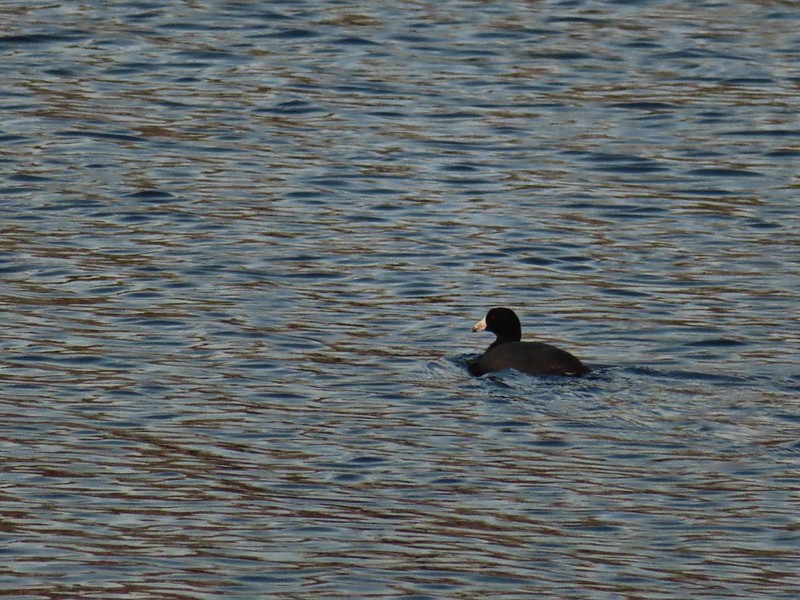 American coot
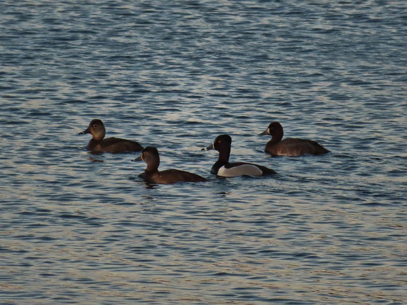 Ring-necked ducks (I’m not sure all the females are the same.)
 Geese flying over Eagle Marsh as the Sun rises.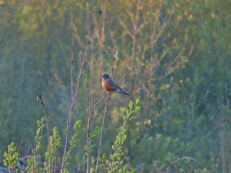

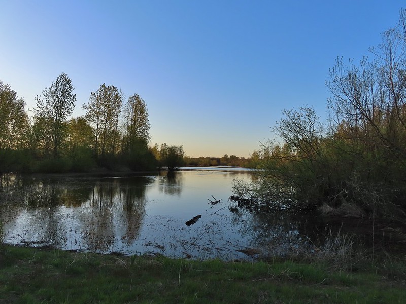 Willow Marsh
 A bufflehead and mallards
 Mallards and ring-necked ducks
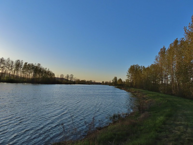 Teal Marsh to the left of the dike.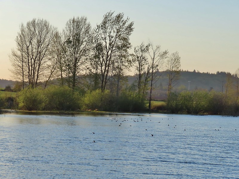
 Mallards an northern shovelers
 Buffleheads
 Spotted towhee
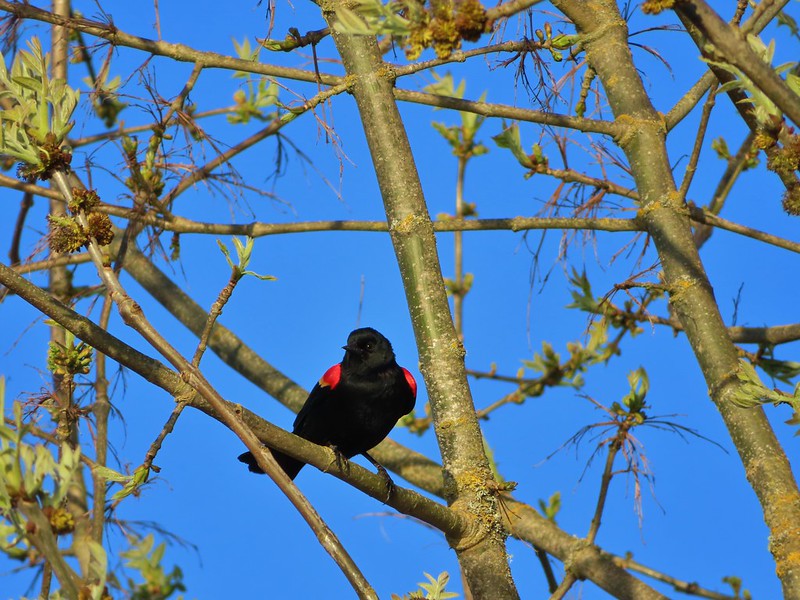 Red-winged blackbird
 Female red-winged blackbird
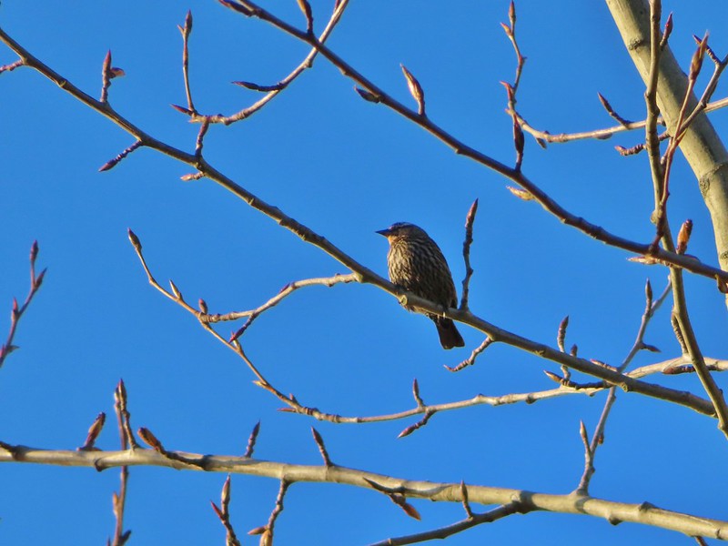 Sparrow
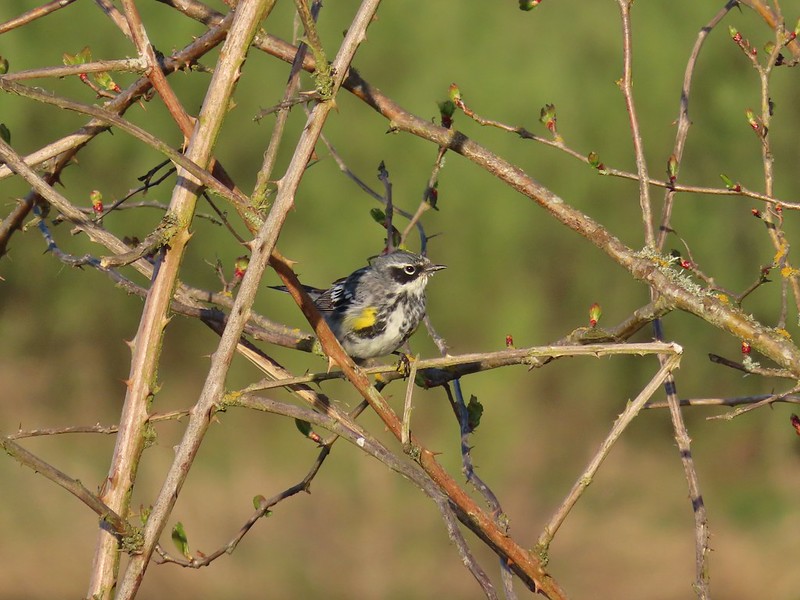 Yellow-rumped warbler
 Geese coming in for a landing on Teal Marsh
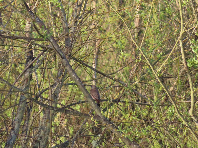 Northern flicker
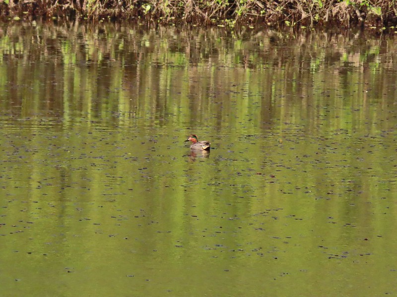 Green-winged teal
 Ring-necked ducks and a bufflehead pair
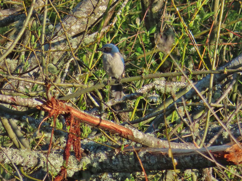 Scrub jay
 Pie billed grebe at Eagle Marsh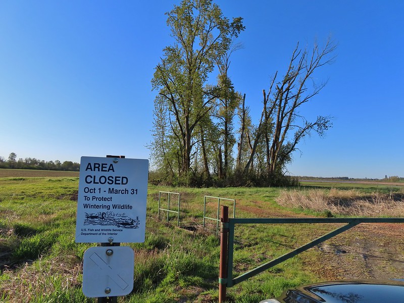
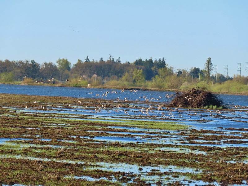


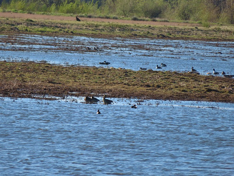 I didn’t see it when I took the picture but it appears there is an eagle on the ground in the distance here.
 One of the egrets taking off.
 Brewer’s blackbird on a tree along the railroad tracks.
 Pintail Marsh ahead on the left.
 The dike between Mohoff Pond and Pintail Marsh.
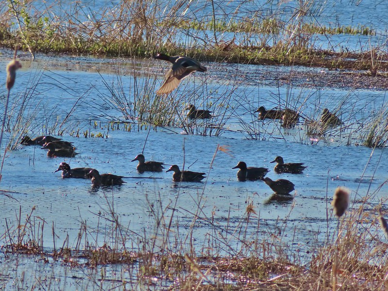 Ducks at Pintail Marsh
 Pintail Marsh
 Looking back at the gate and Wintel Road
 Yellow legs
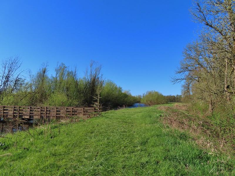
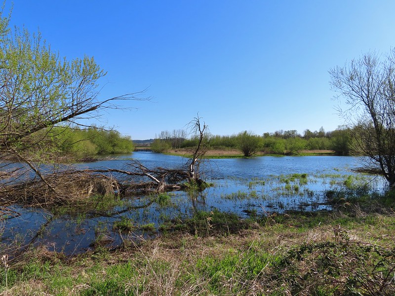 The boardwalk across Dunlin Pond from the dike.
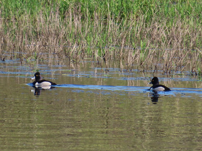 Ring-necked ducks
 Ring-necked ducks taking off.
 Sparrow
 Common yellowthroat
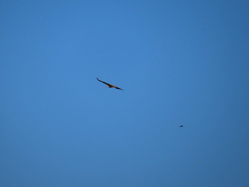 Hawk and a sparrow
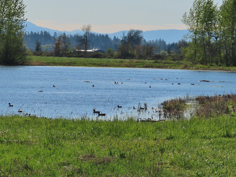 Killdeer Marsh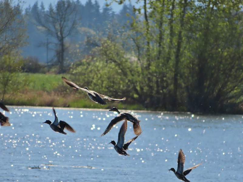
 Another yellow legs?
 Mustard along Killdeer Marsh
 A killdeer amid ducks at Killdeer Marsh
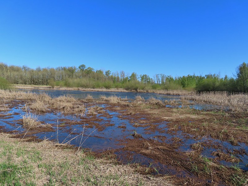 South Pond
 Cinnamon Teal in South Pond
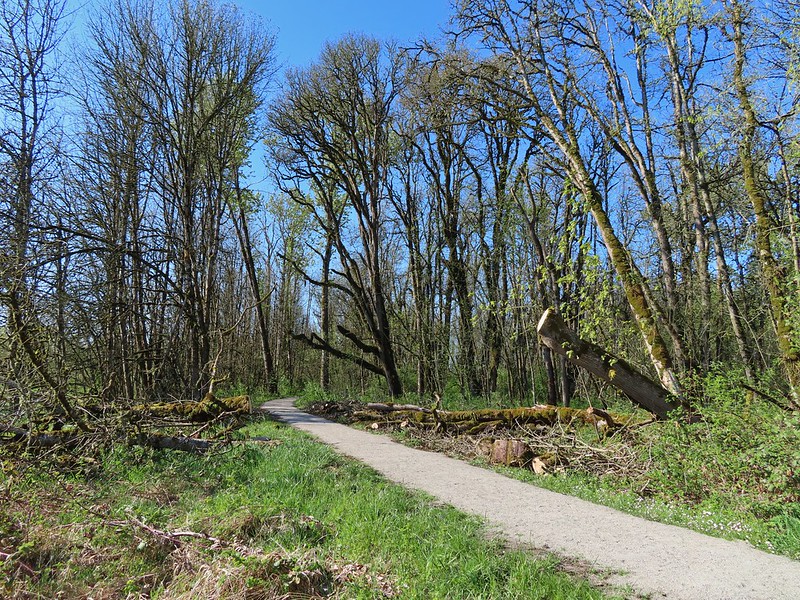 Damaged trees from the ice storm earlier this year.
 Turkey vulture
 Candyflower
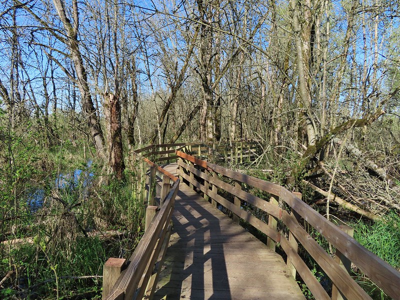

 American coots
 I think this is a ring-necked duck and a lesser scaup.
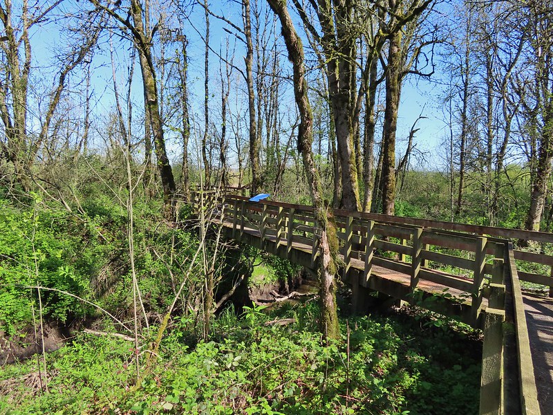
 The dike from the blind.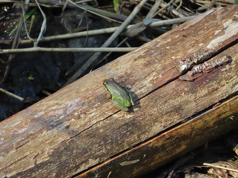


 Killdeer on the dike.
 A whole lot of geese in the air ahead.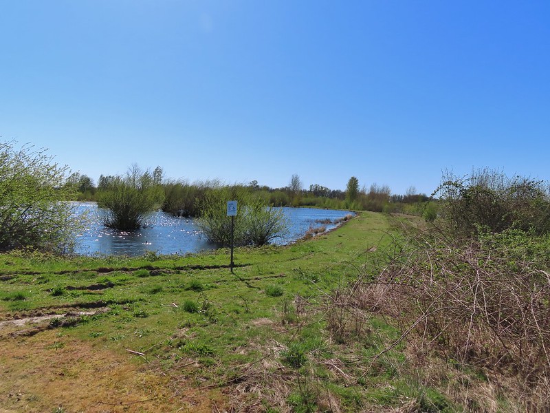

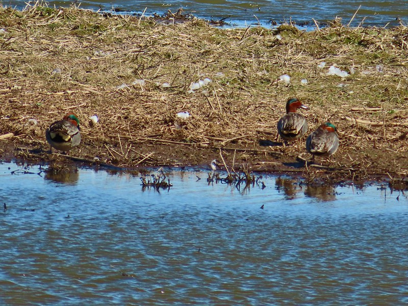 Green-winged teals
 Northern shovelers
 Canada geese
 Another green-winged teal
 Various ducks
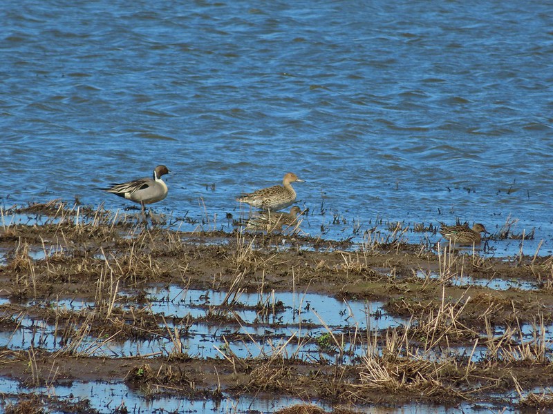 Northern pintails
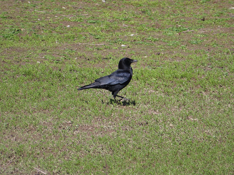 Crow
Crow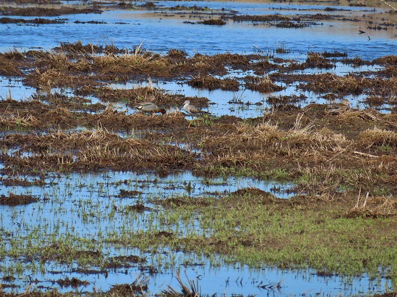 A green-winged teal and a yellow legs