
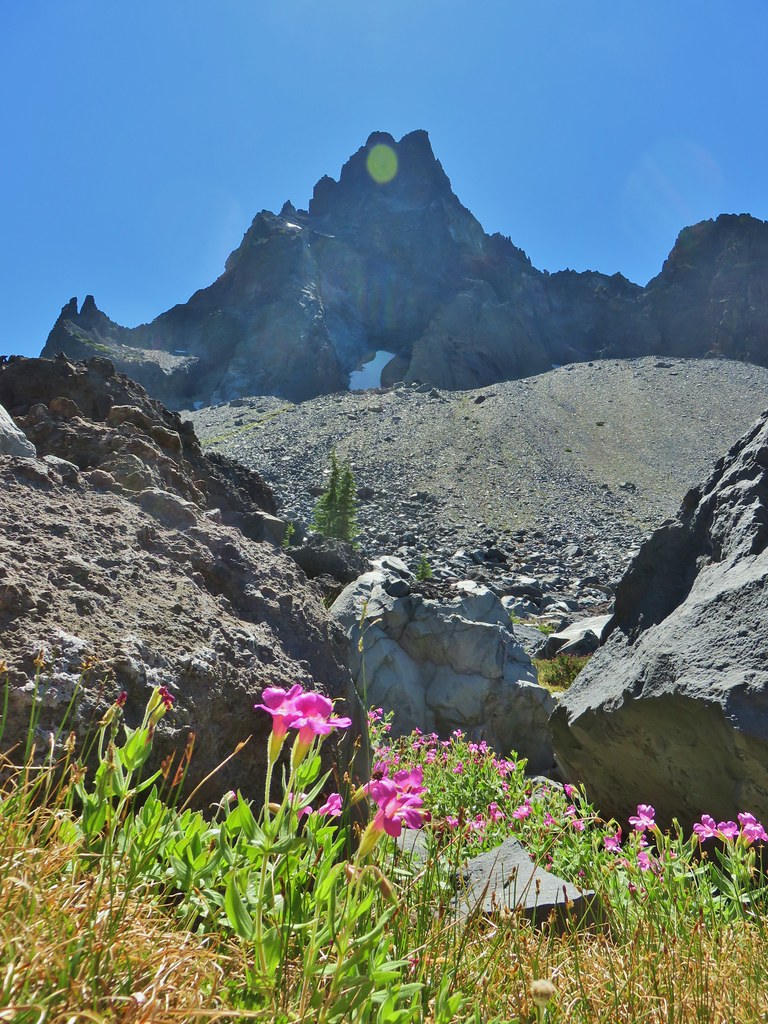
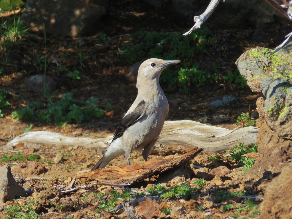
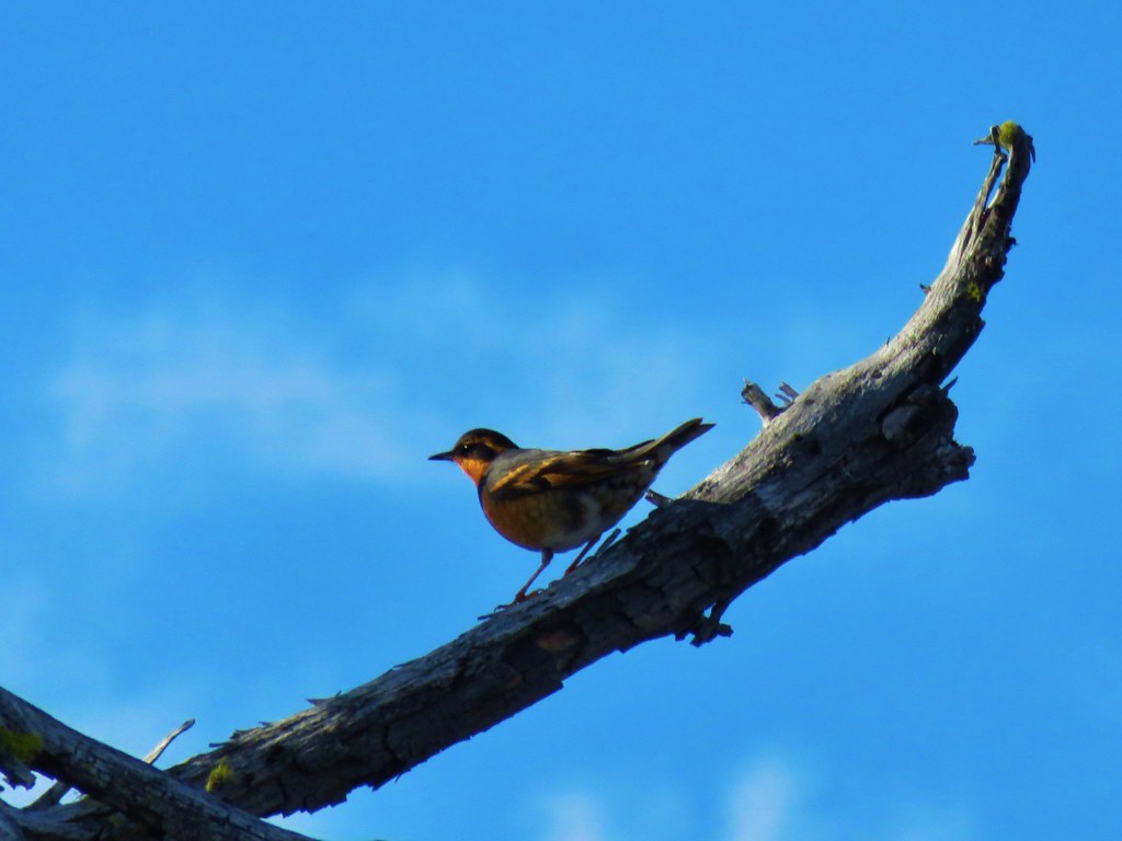
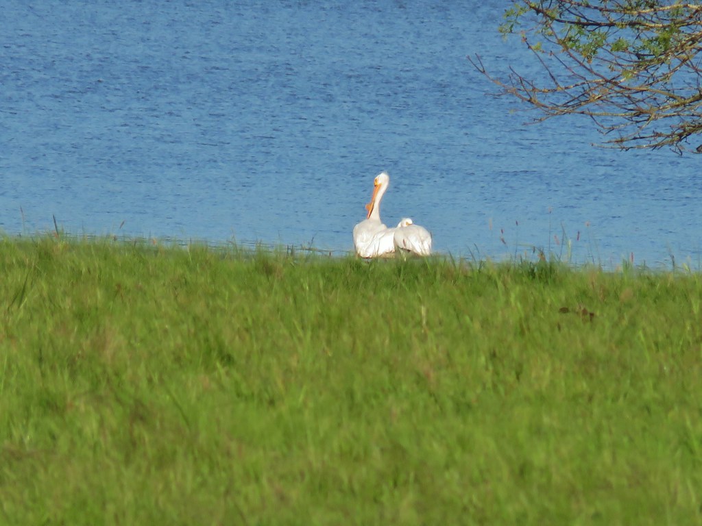
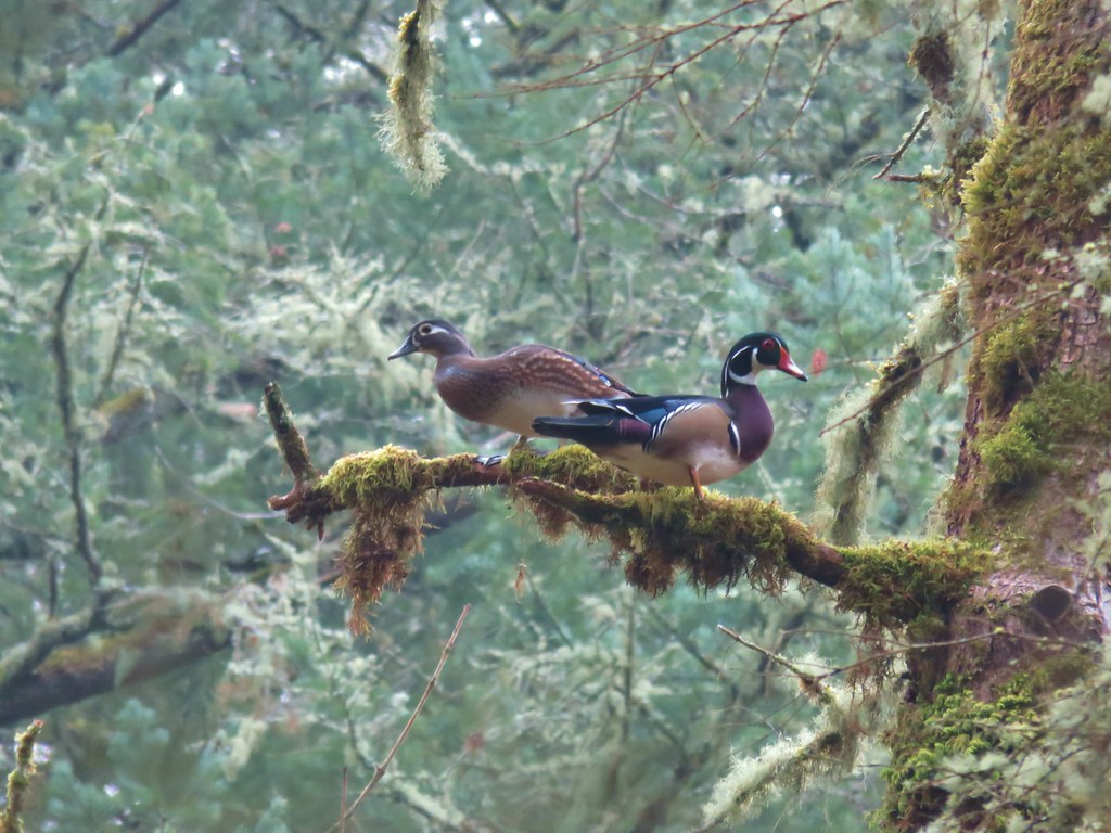
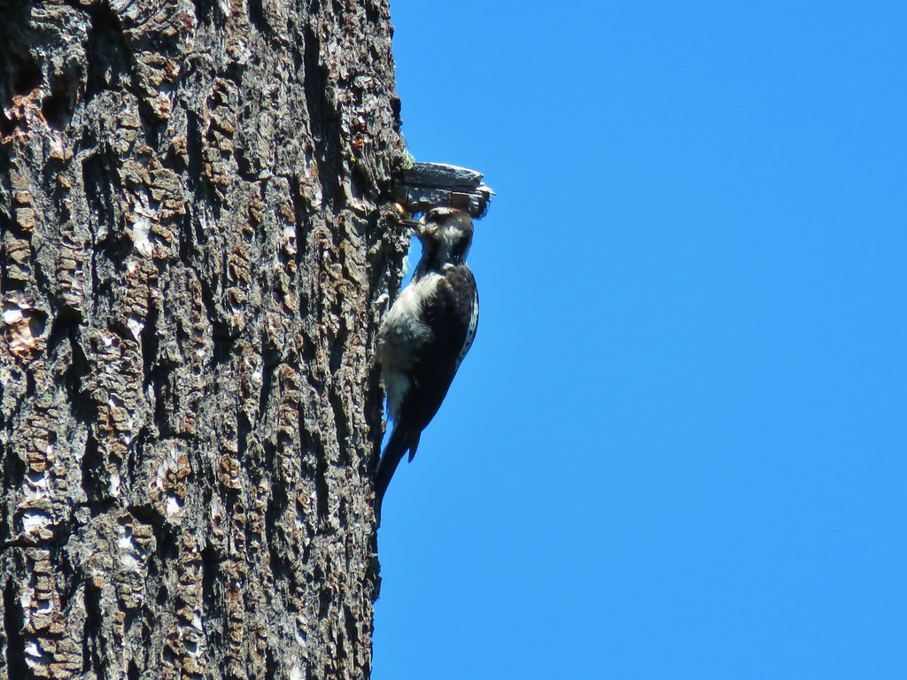
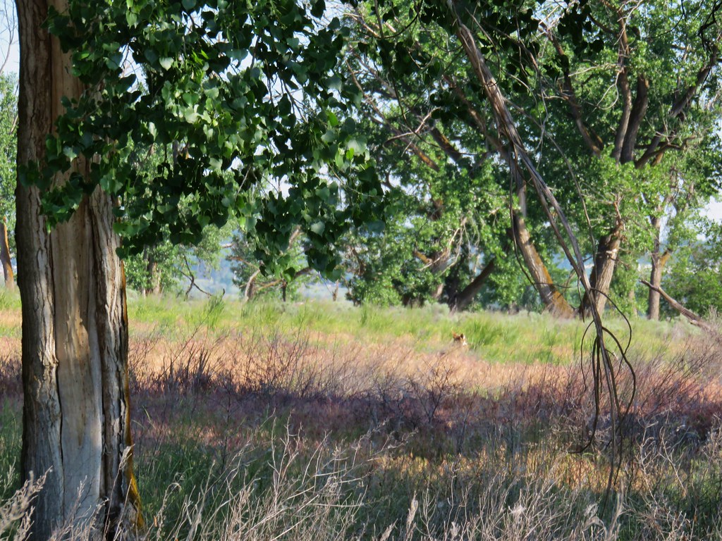
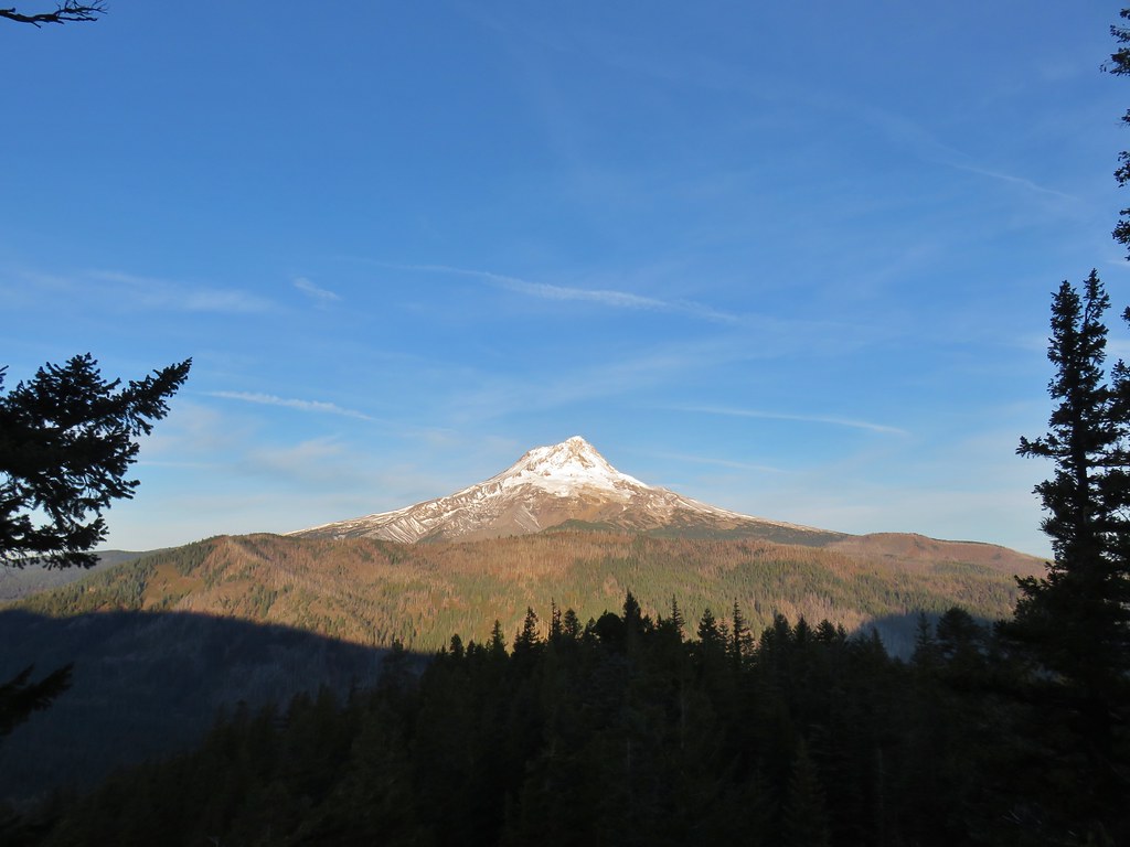
This year we split our wildlife gallery into two posts starting with our feather friends (post). We now move on to our featherless friends which ranged from tiny ants to bull elk and an almost too friendly black bear. It was an especially good year for deer including several encounters with does and fawns.
We’ll start out small and work our way up to the larger mammals.
 Ants dropping sawdust from a log along the Catherine Creek Trail. We sat and watched these busy ants for quite a while. They had created a good-sized pile on the ground below.
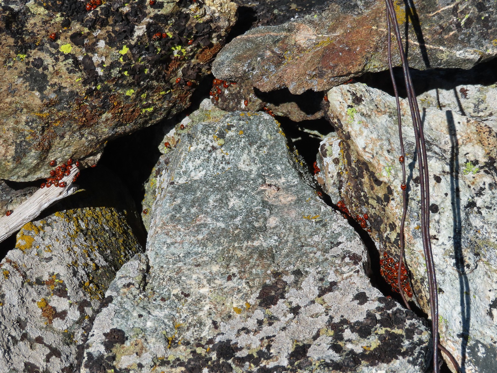 We see a lot of beetles but usually not all at once like these lady bugs on Observation Peak.
 Lady bug – Upper Table Rock
 Yellow & black beetle – Mule Mountain
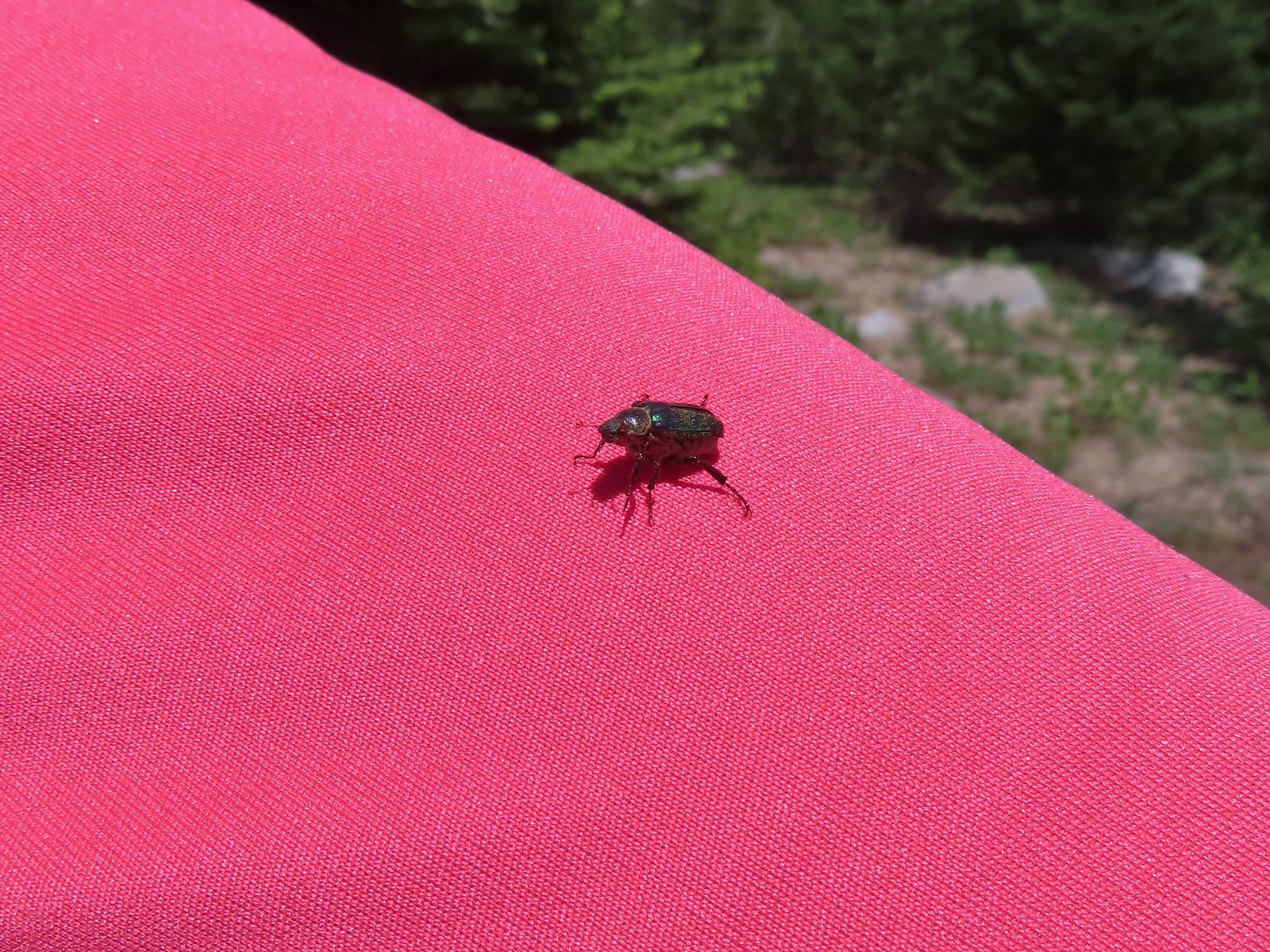
 Redish brown beetle – Siskiyou Wilderness
 Green beetle – Siskiyou Wilderness
 Hitchhiker – Mt. Ireland
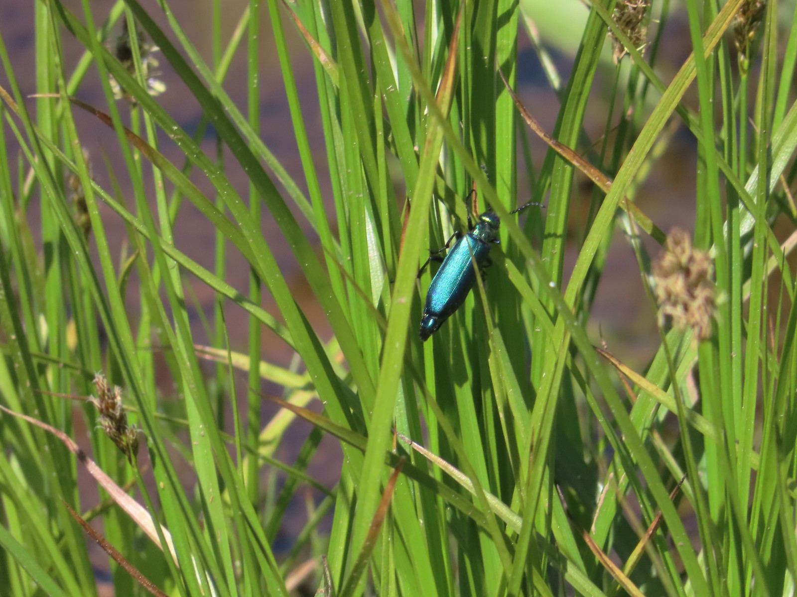 Blueish green beetle – Catherine Creek Meadows
 Small beetle – Catherine Creek Meadows
 Green beetle on a geranium – Eagle Cap Wilderness
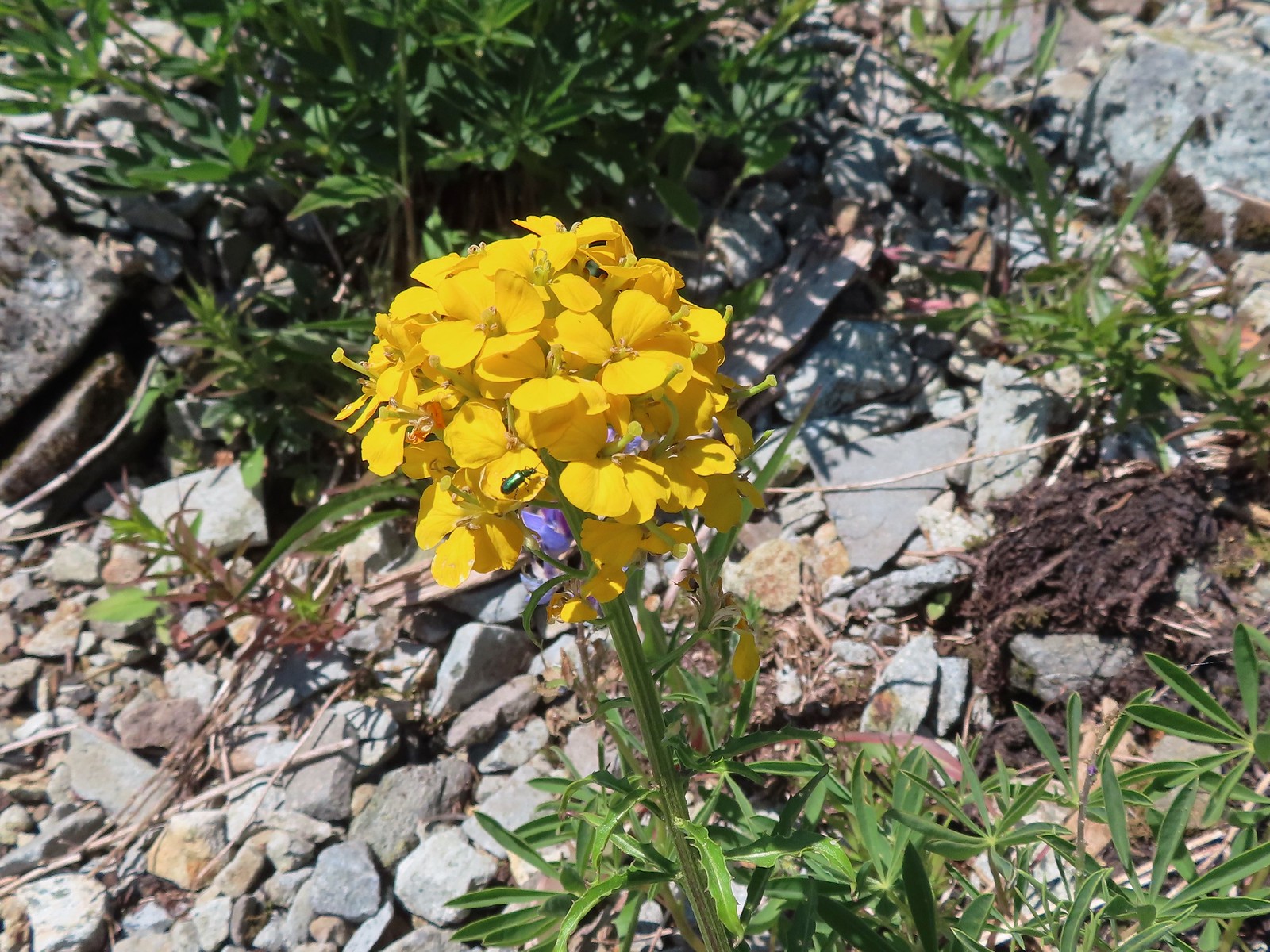 Green beetle on a wallflower – Silver Star Mountain
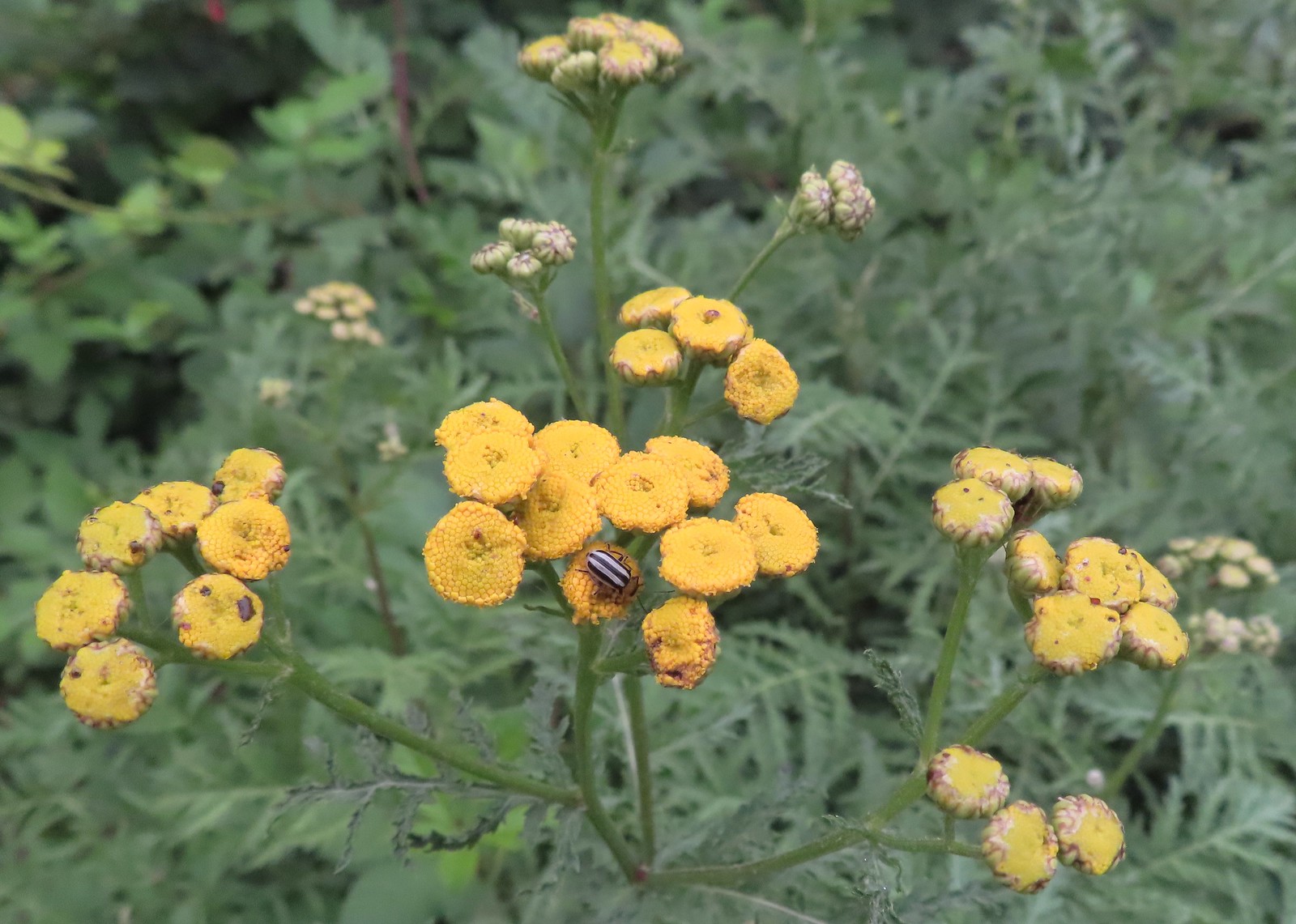 Stripped beetle – Spring Valley Greenway
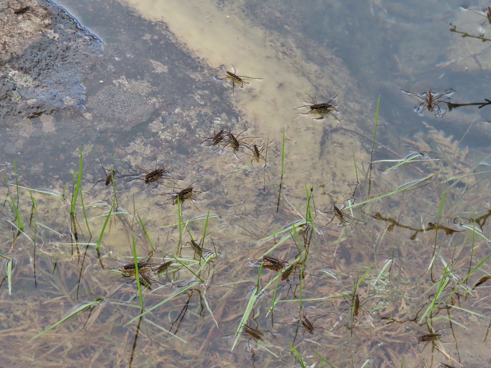 Water skippers – Big Twin Lake
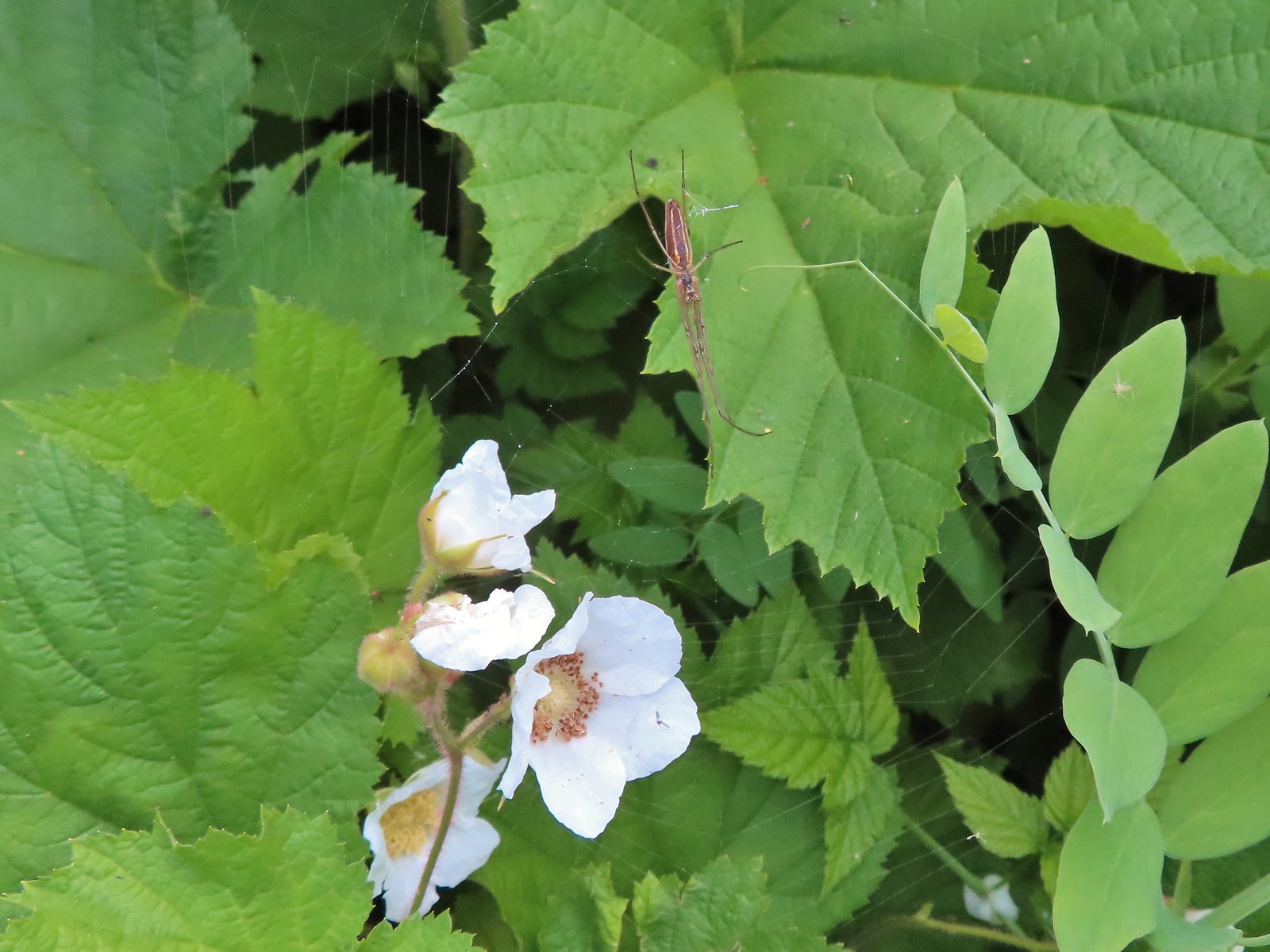 Spider on thimbleberry – Siskiyou Wilderness
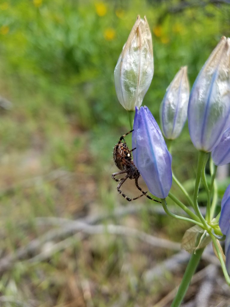
 Crab spider – Eagle Cap Wilderness
 Another crab spider – Eagle Cap Wilderness
 Cricket – Pacific Crest Trail
 We are often literally struck by grasshoppers as we hike. Sometimes they stick when they hit us such as this one along the PCT.
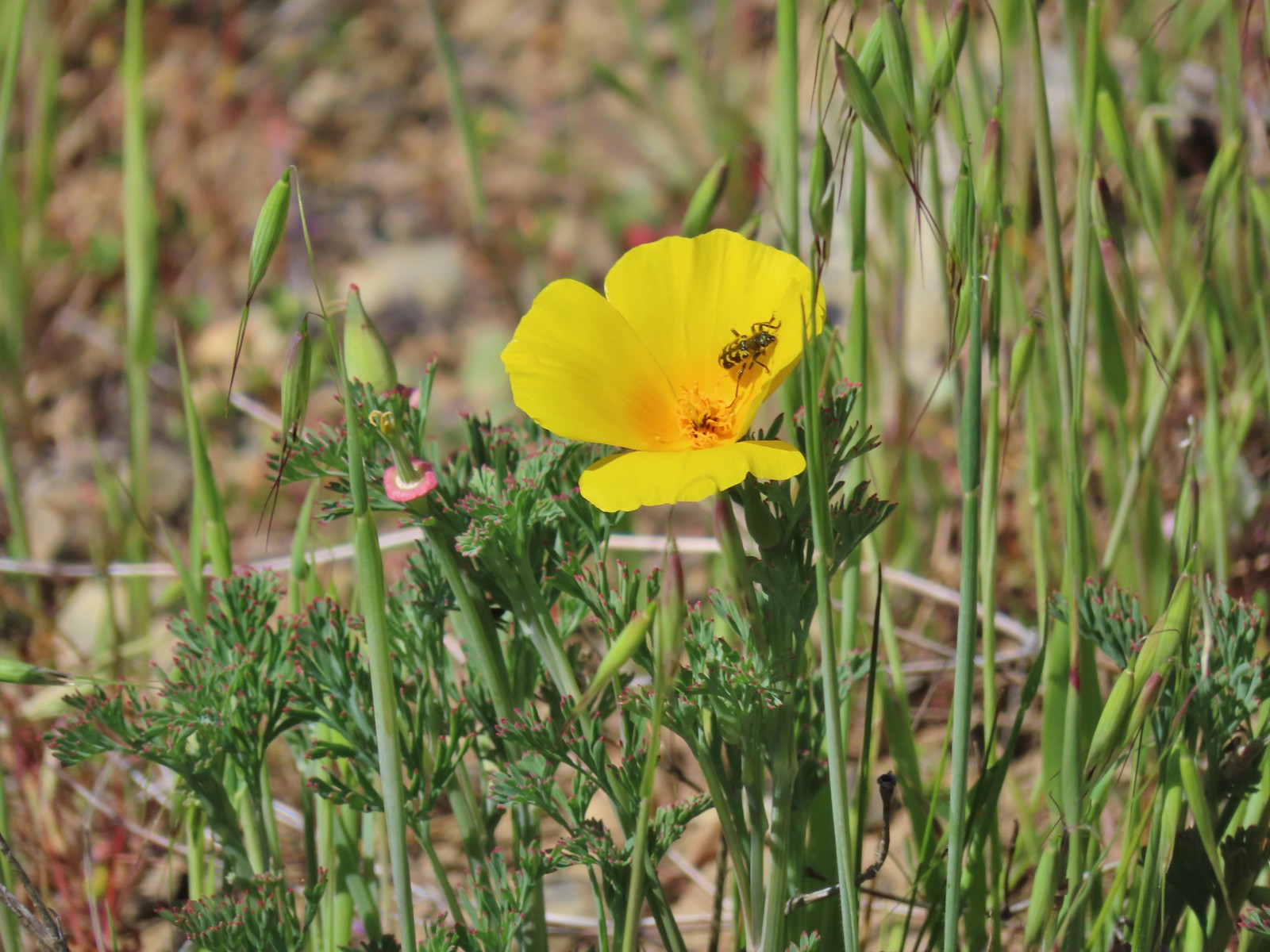
 Bee on phacelia – Mule Mountain
 Wet bee on lupine – Julia Butler Hanson Wildlife Refuge
 Bumble bee – Hemlock Creek Trail
 Lots of pollen – Mt. Adams Wilderness
 Bee landing on a marsh marigold along the PCT
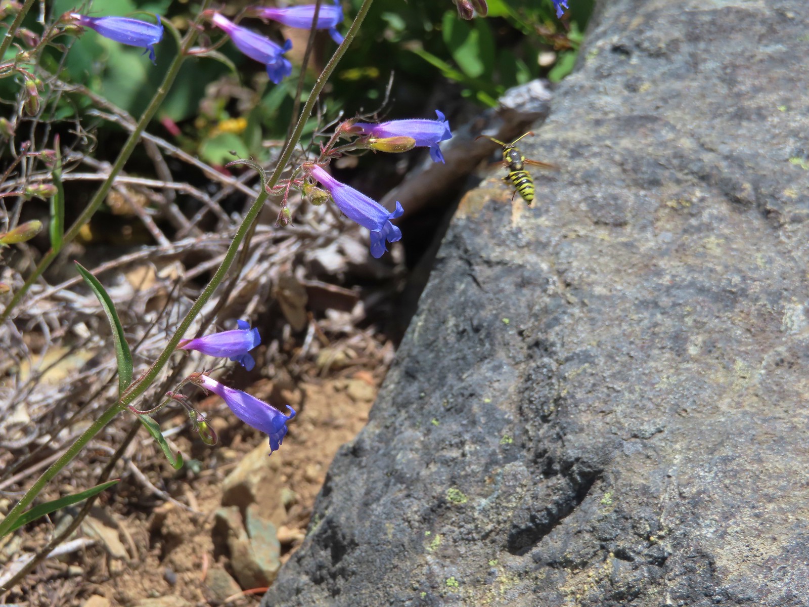 Bee approaching penstemon – Siskiyou Wilderness
 Bee and a tiny ant in a bindweed – Siskiyou Wilderness
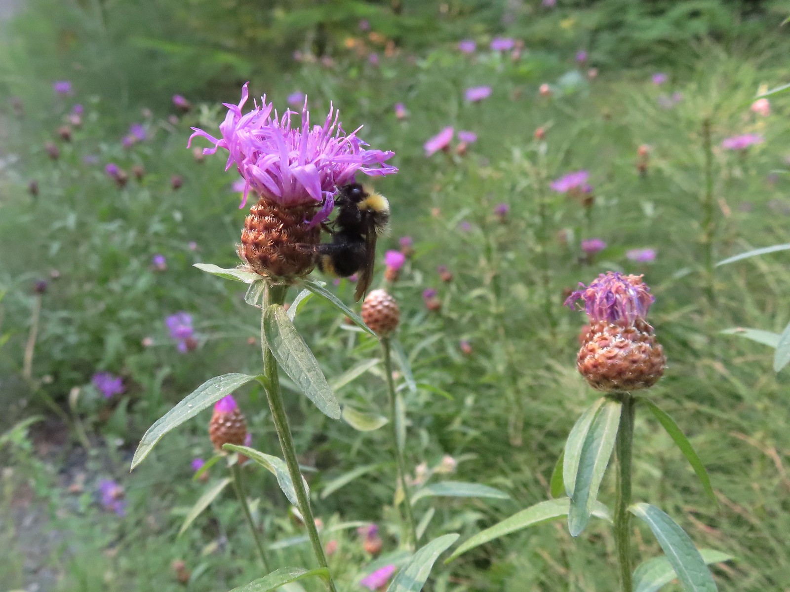
 Insects on thistle – Eagle Cap Wilderness
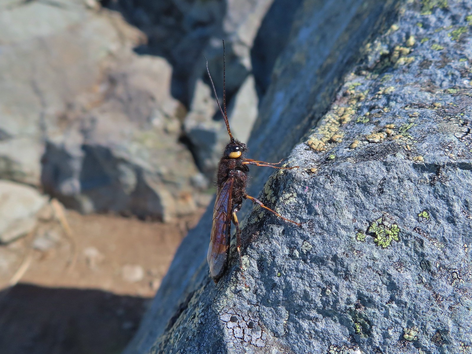
 Wasp? – Eagle Cap Wilderness
 Some sort of wasp – Silver Star Mountain
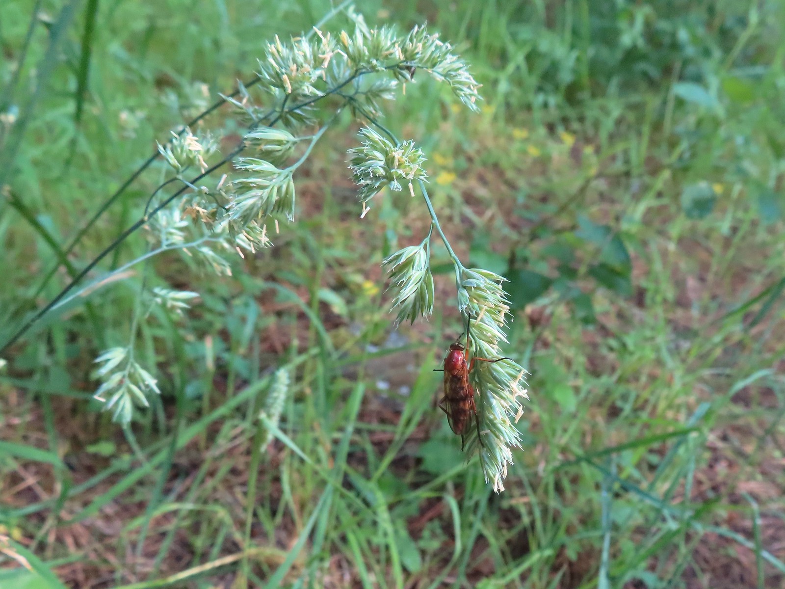
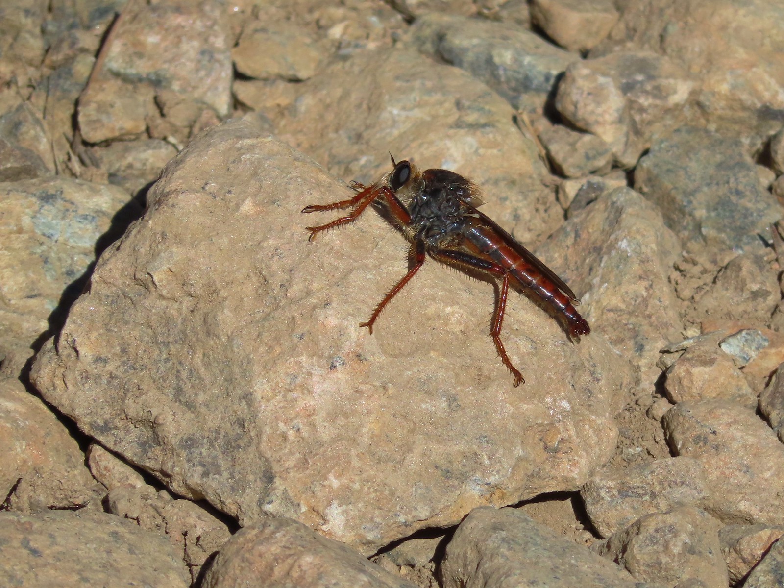
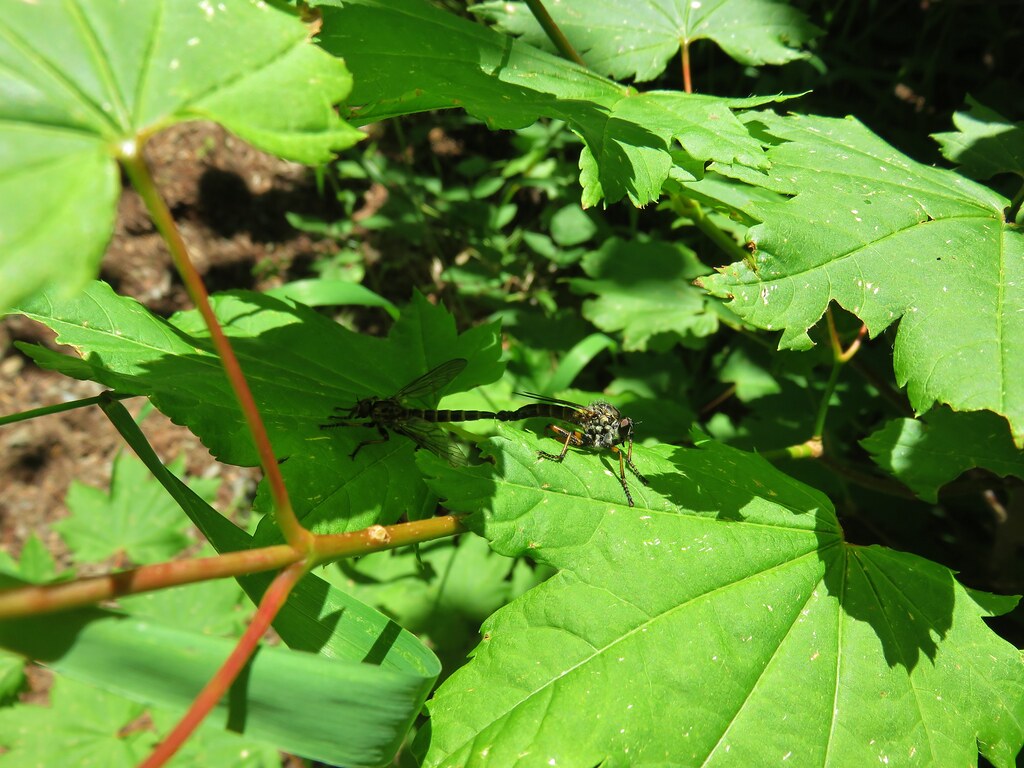
 Insect along Bear Creek – Eagle Cap Wilderness
 My brother and I used to call these “weird things”; I have no idea what it actually is – Trinity Alps Wilderness
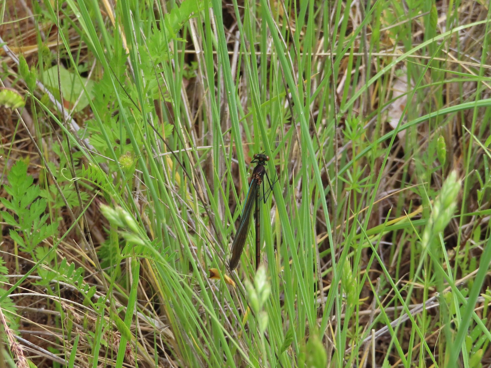 Damsel fly – Denman Wildlife Area
 Damsel fly – Hemlock Lake
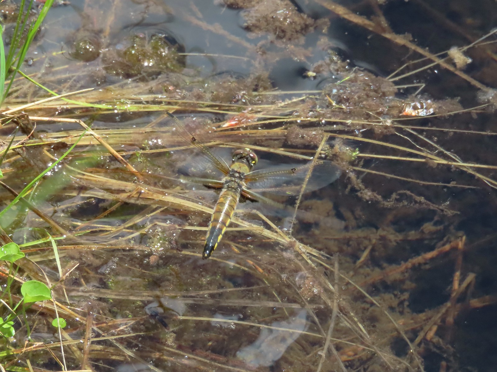
 Dragon fly – Goat Marsh Lake
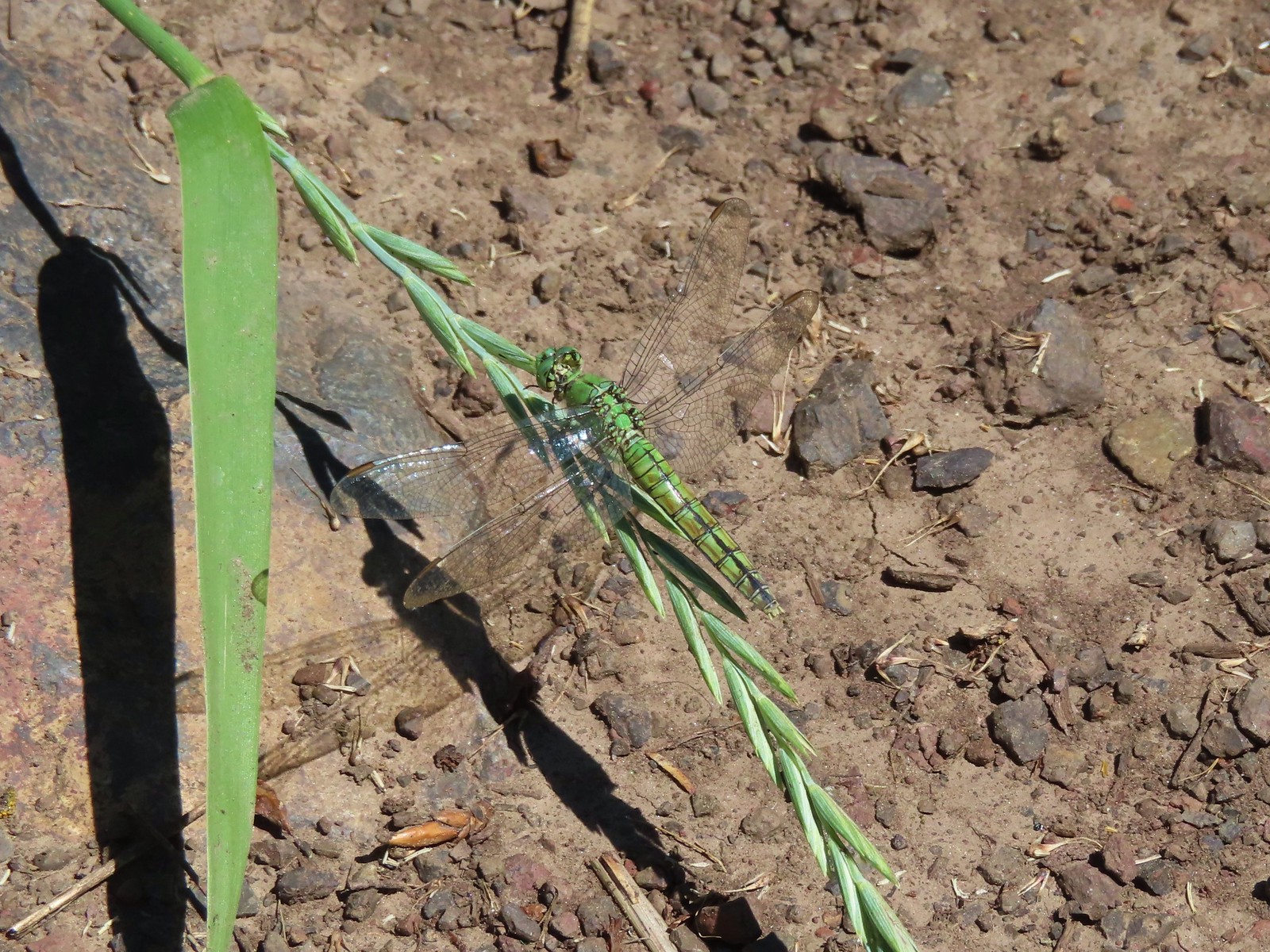
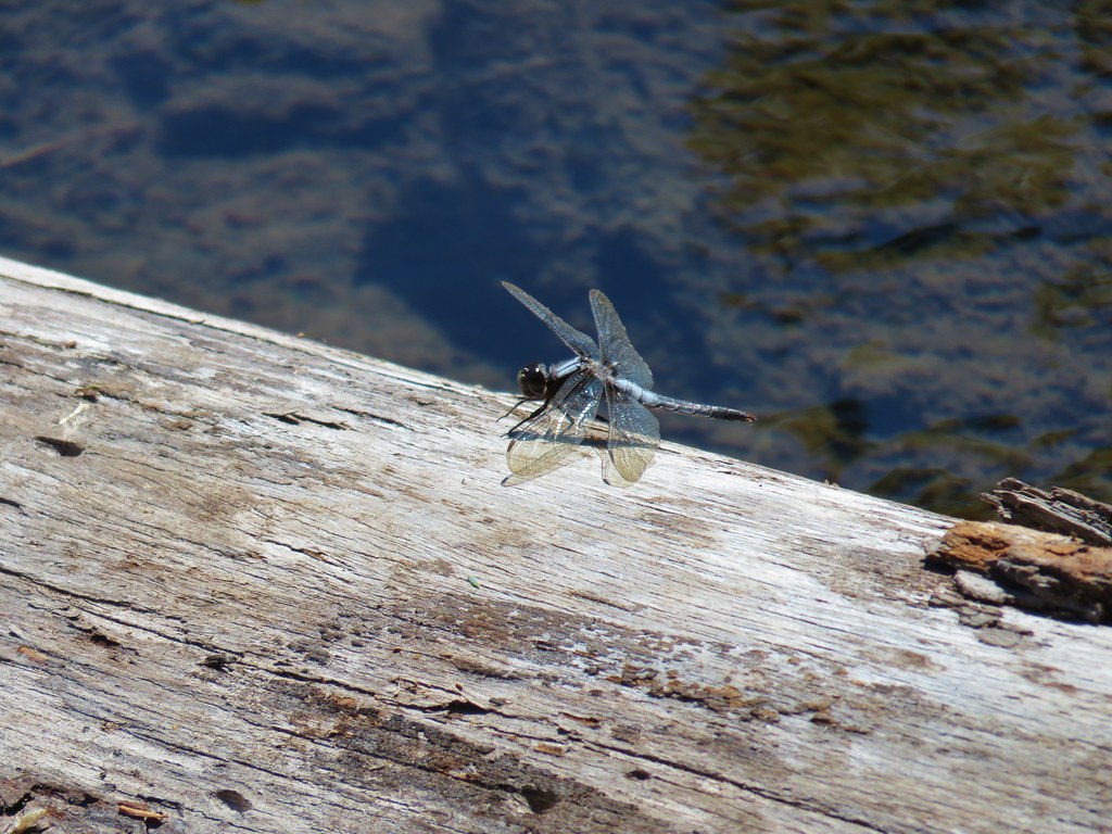
 Dragon fly – Siskiyou Wilderness
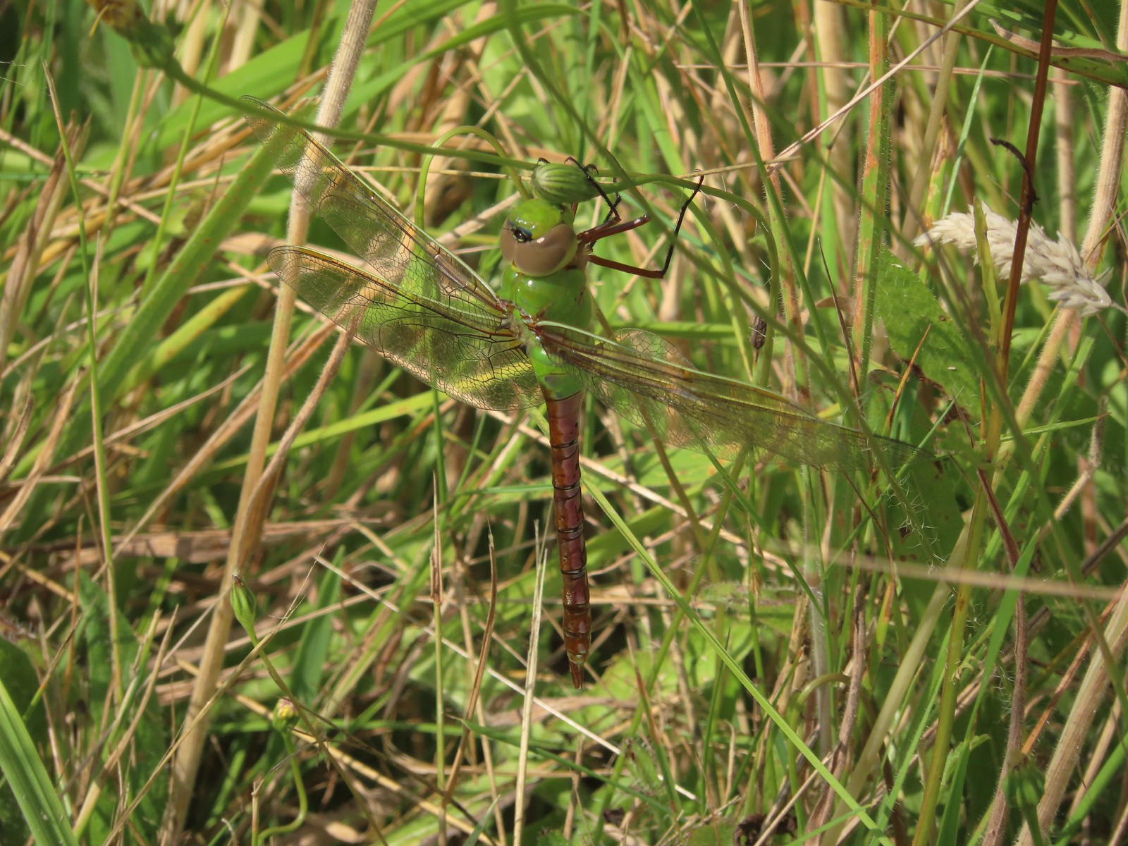
 Dragon fly – Siskiyou Wilderness
 Dragon fly – Eagle Cap Wilderness
 Dragon fly along the Wallowa River – Wallowa Homeland
 Dragon fly – E.E. Wilson Wildlife Area
 Dragon fly – Hemlock Lake
 Dragon fly – Sky Lakes Wilderness
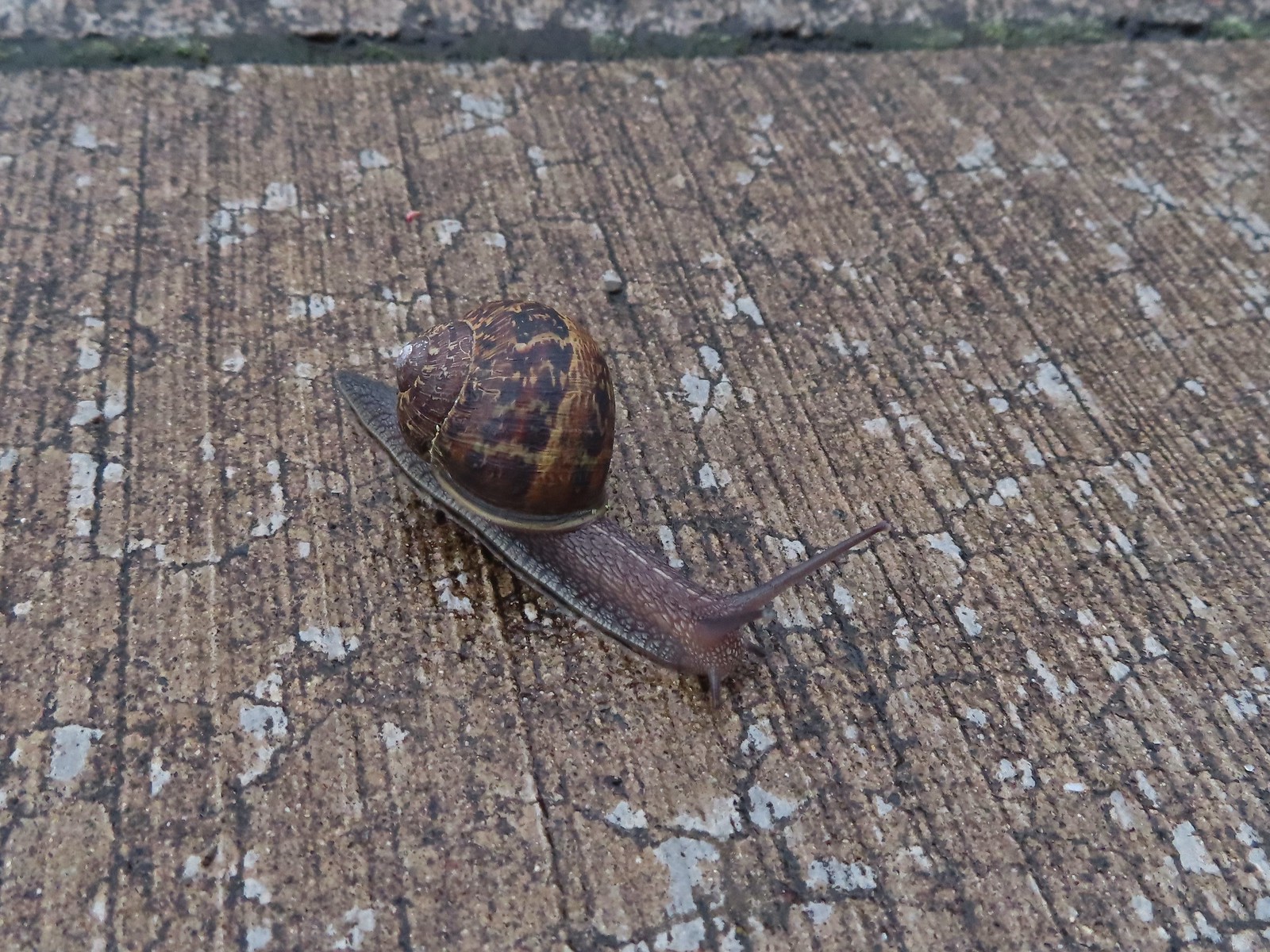 Snail – Rock Creek Trail
 Snail – Applegate Lake
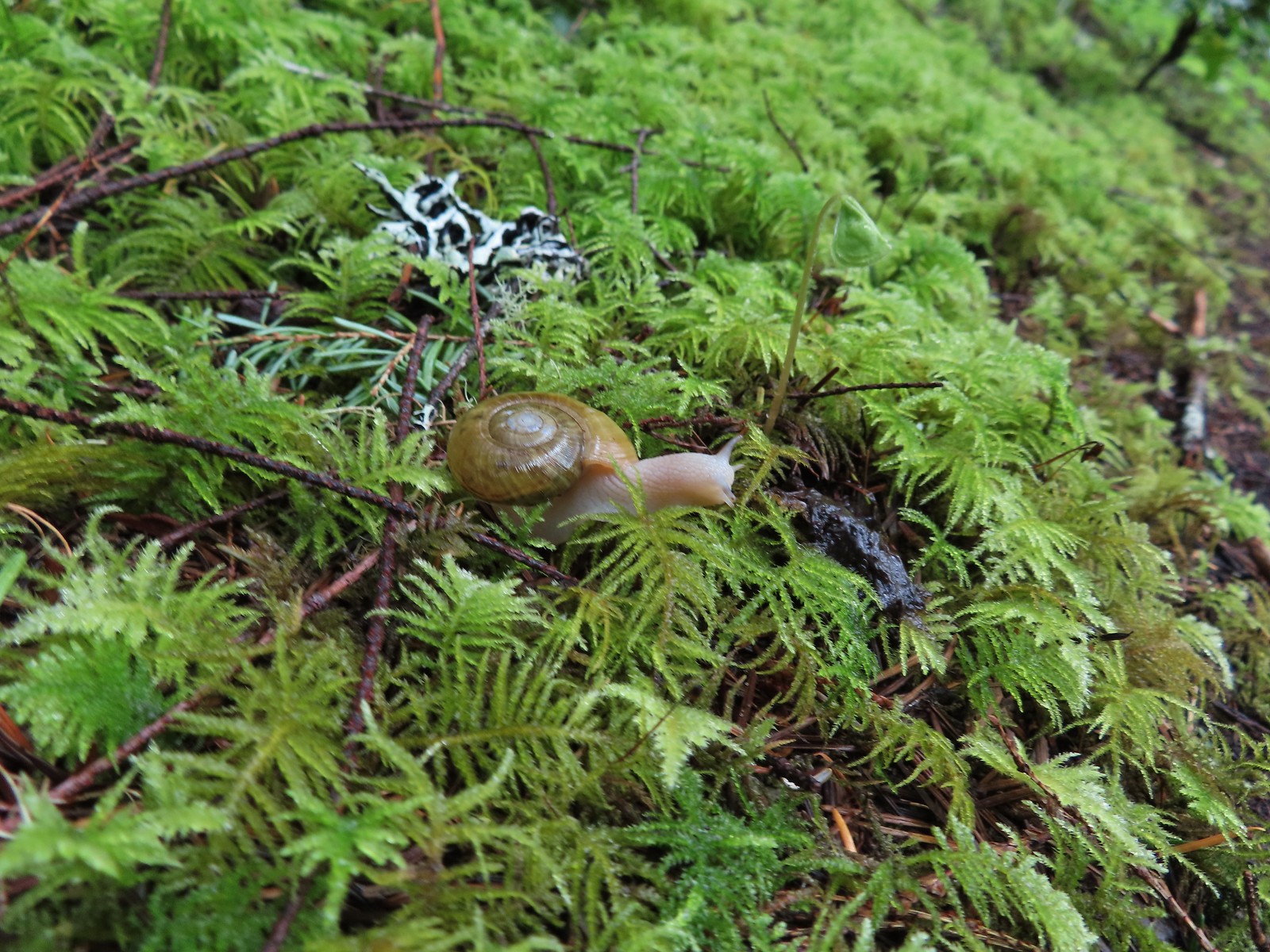 Snail – North Siouxon Trail
 Snail – Julia Hansen Butler Wildlife Refuge
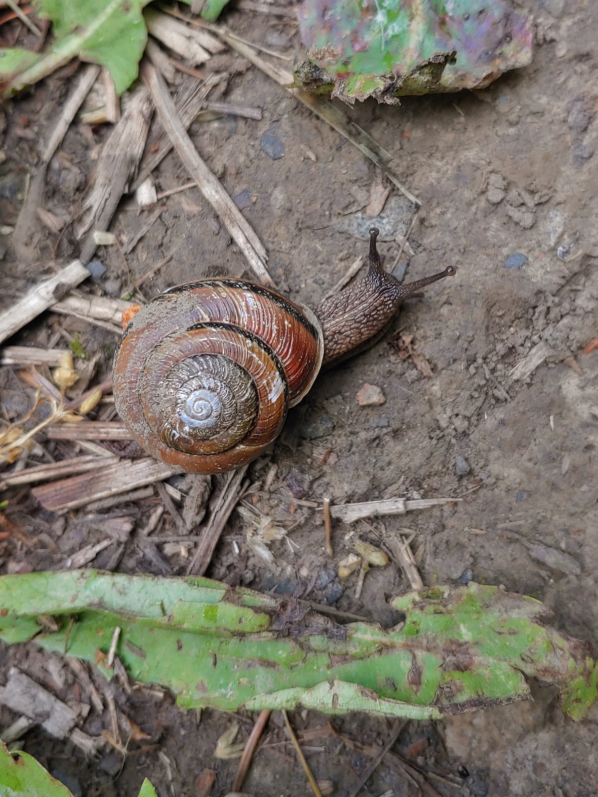
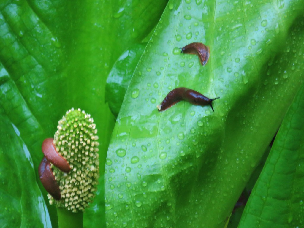
 Snail – Siskiyou Wilderness
 Snail – Cascade Head
 Slug – Larch Mountain Trail
 Slug (and a fly) – Susan Creek Trail
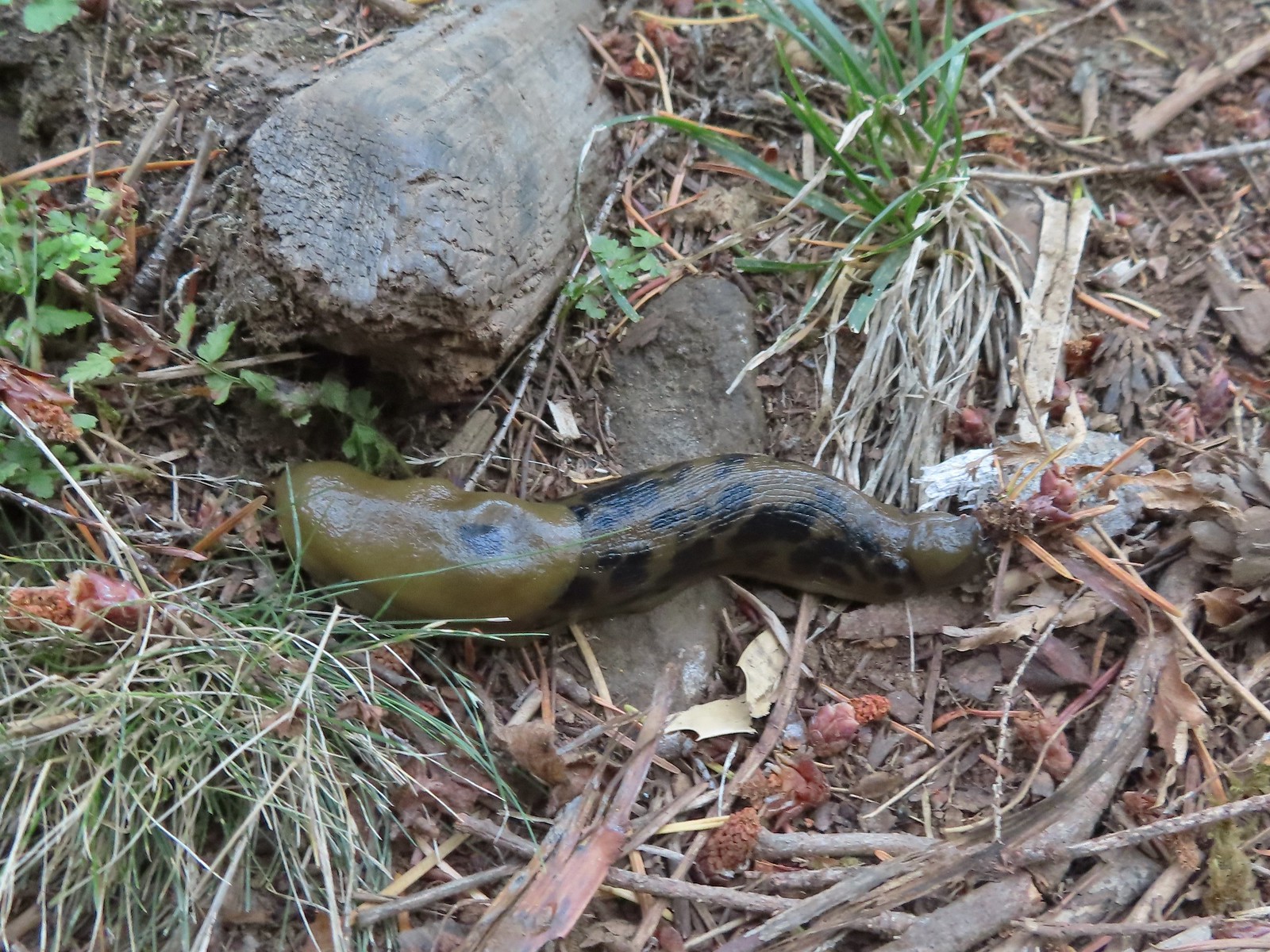
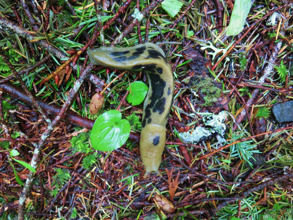
 Slug – Fish Lake
 Slug on lupine – Julia Butler Hansen Wildlife Refuge
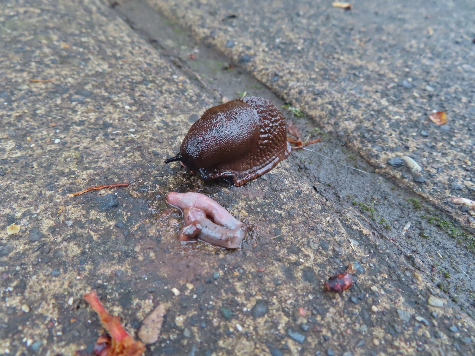 Slug and an unfortunate earth worm – Rock Creek Trail
 Worms – Chehalem Ridge Nature Park
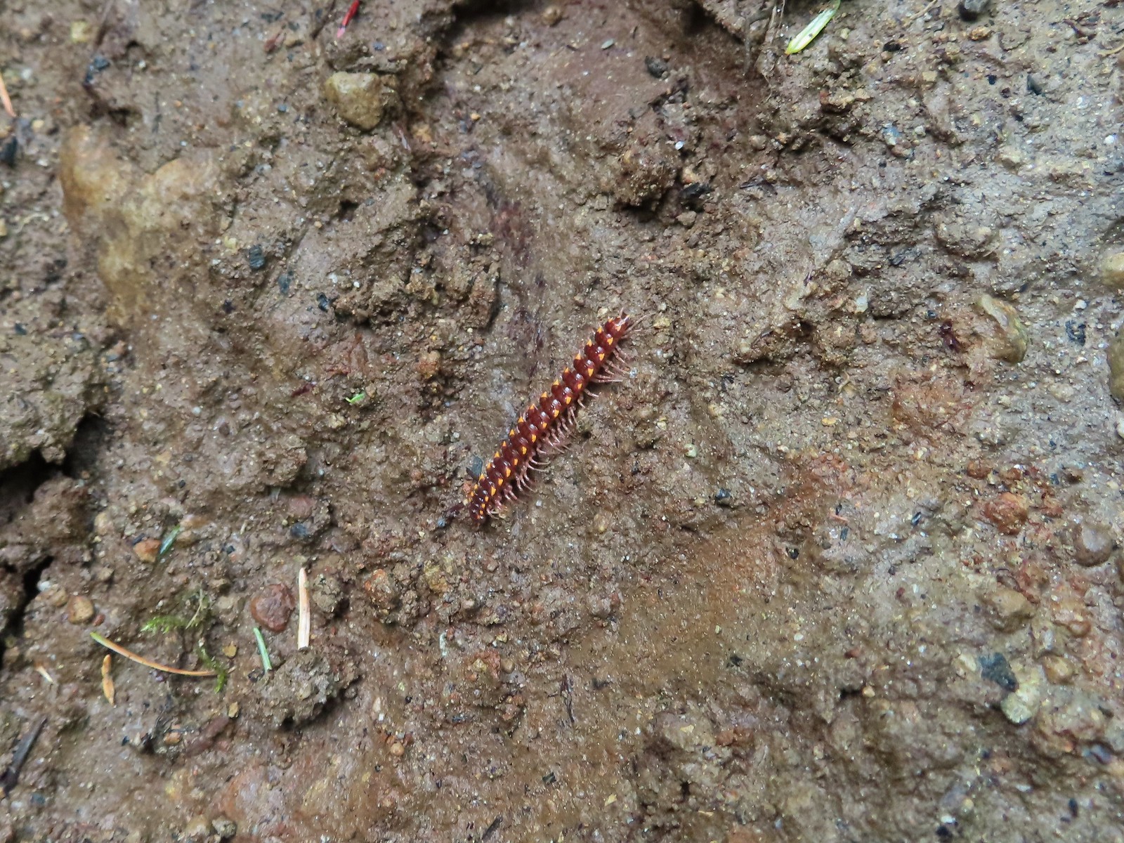 Millipede – North Siouxon Trail
 Millipede – Rock Creek Trail
 Millipede – Illahee Rock
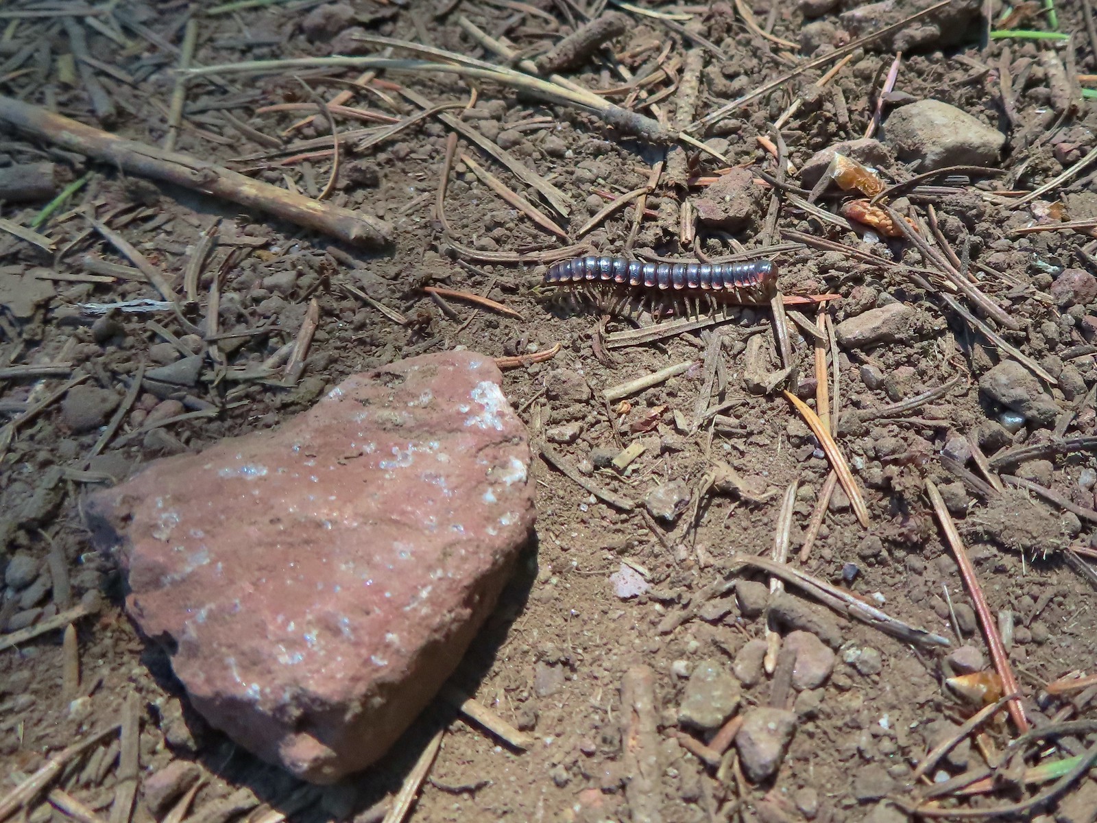 Millipede – Eagle Cap Wilderness
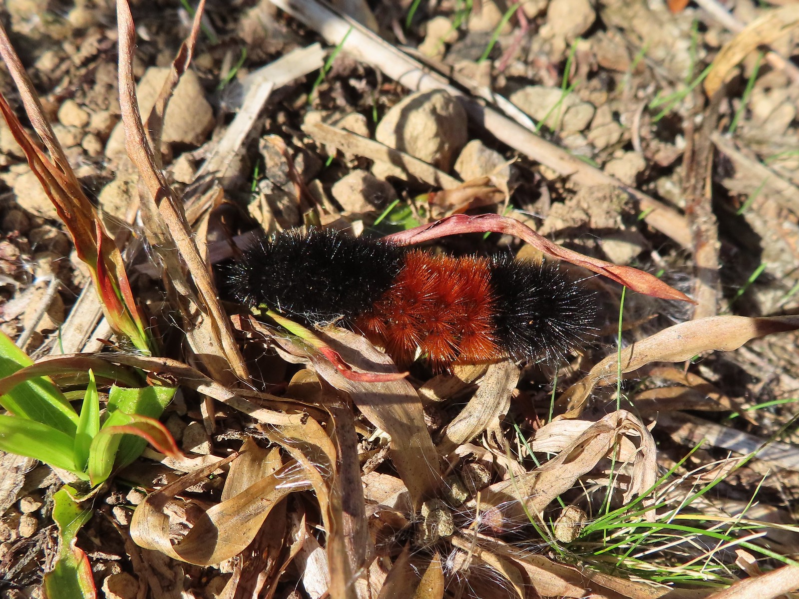
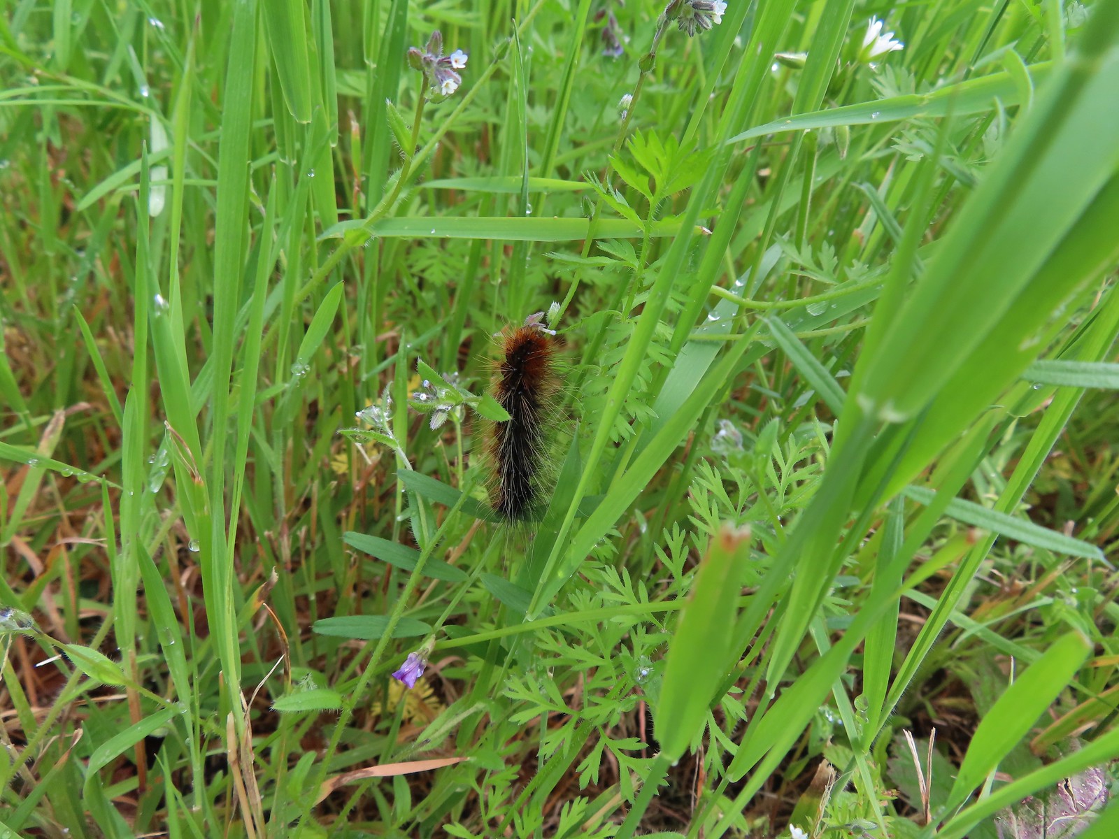
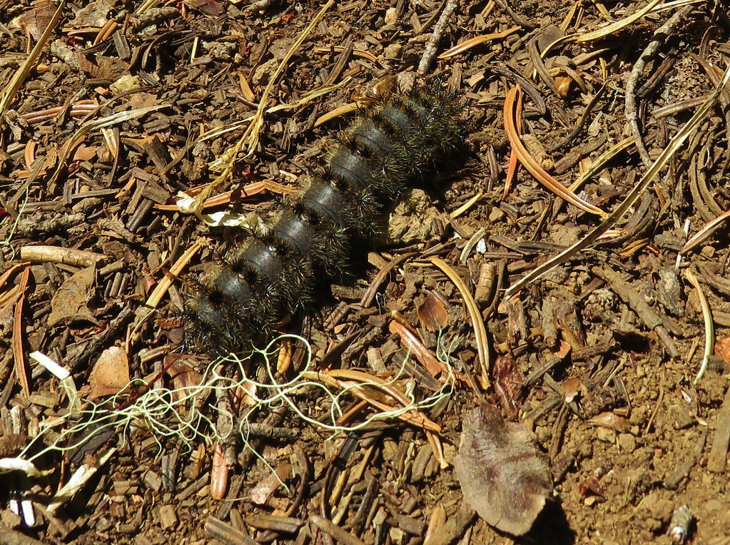
 Wet caterpillar – Yakona Nature Preserve
 Dry version – Larch Mountain Trail
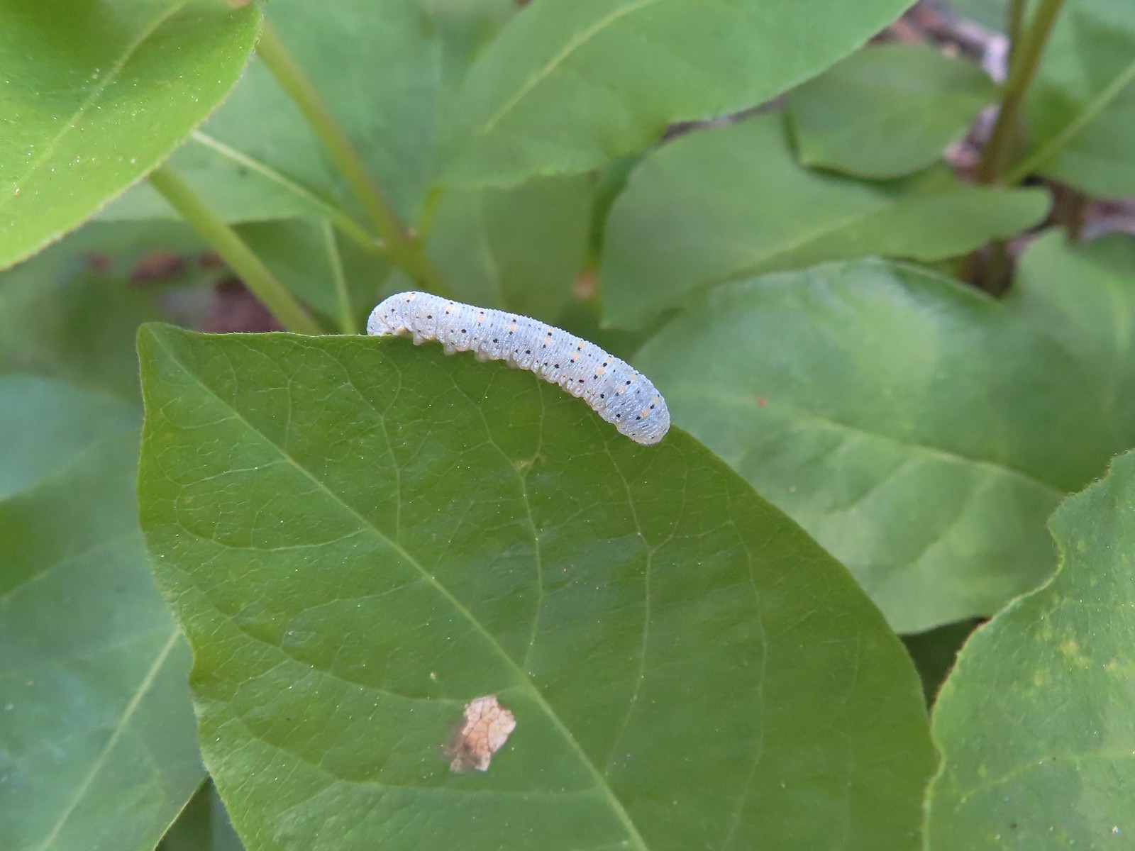
 Caterpillar – Julia Butler Hansen Wildlife Refuge
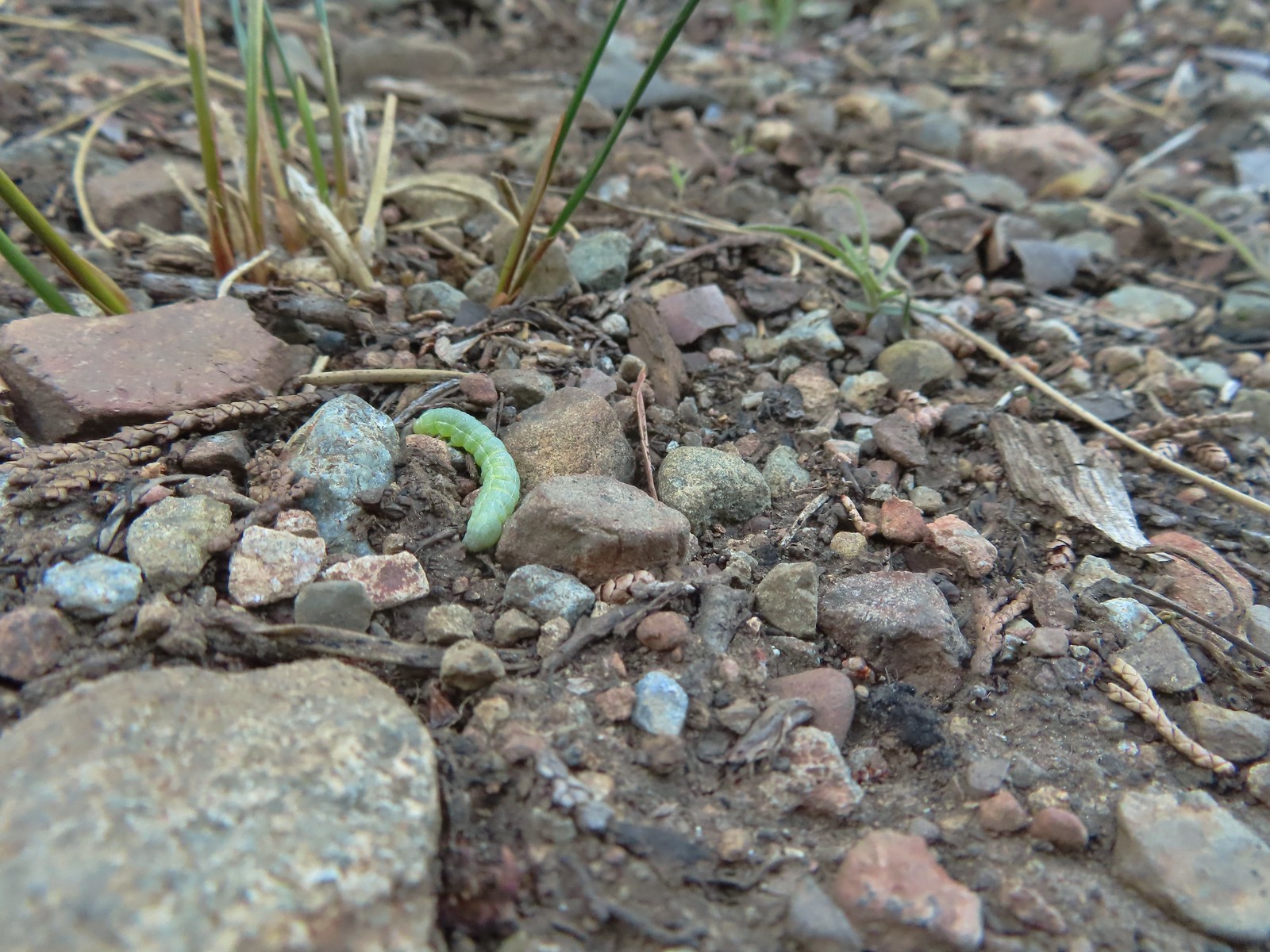
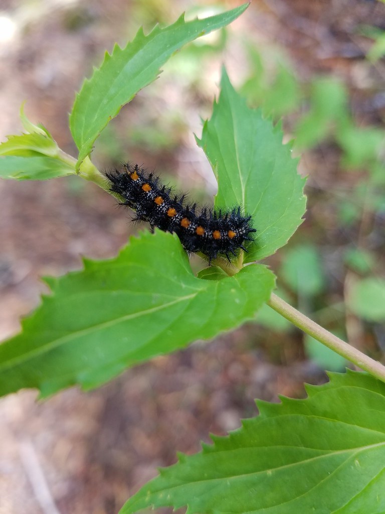
 Caterpillar – Siskiyou Wilderness
 Caterpillar – Siskiyou Wilderness
 Caterpillar – Larch Mountain Trail
 Caterpillar – Larch Mountain Trail
 Caterpillar – Larch Mountain Trail
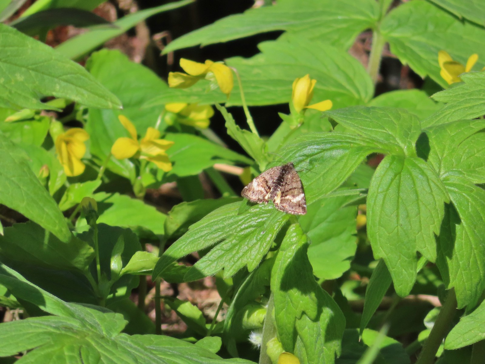
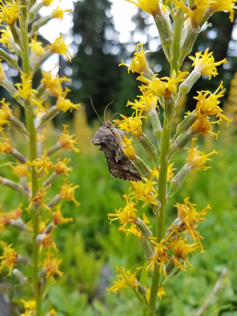
 Moth – Klickitat Trail
 Moth -Eagle Cap Wilderness
 Moth – Twin Lakes
 Moth – Eagle Cap Wilderness
 Moth – Eagle Cap Wilderness
 Moth – Eagle Cap Wilderness
 Moth – Wolf Creek Falls Trail
 Moth – Cascade Head
 Propertius duskywing (Erynnis propertius) – Klickitat Trail
 Duskywing – Siskiyou Wilderness
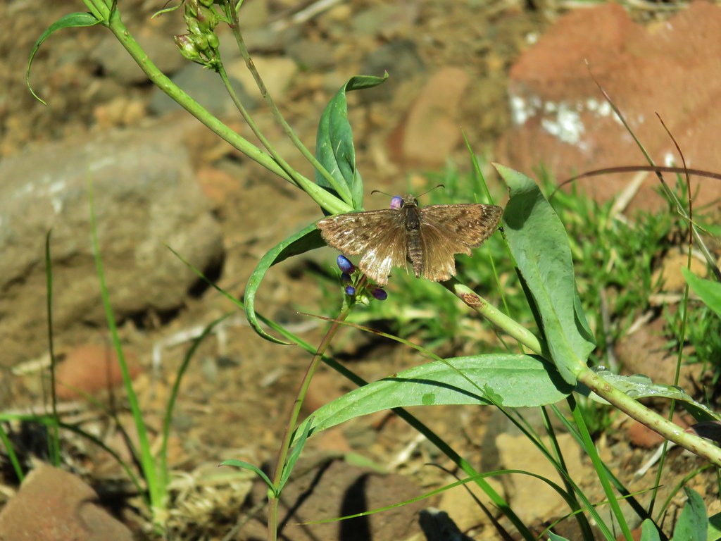
 Northern Cloudywing? – Siskiyou Wilderness
 Silver-spotted skipper – Siskiyou Wilderness
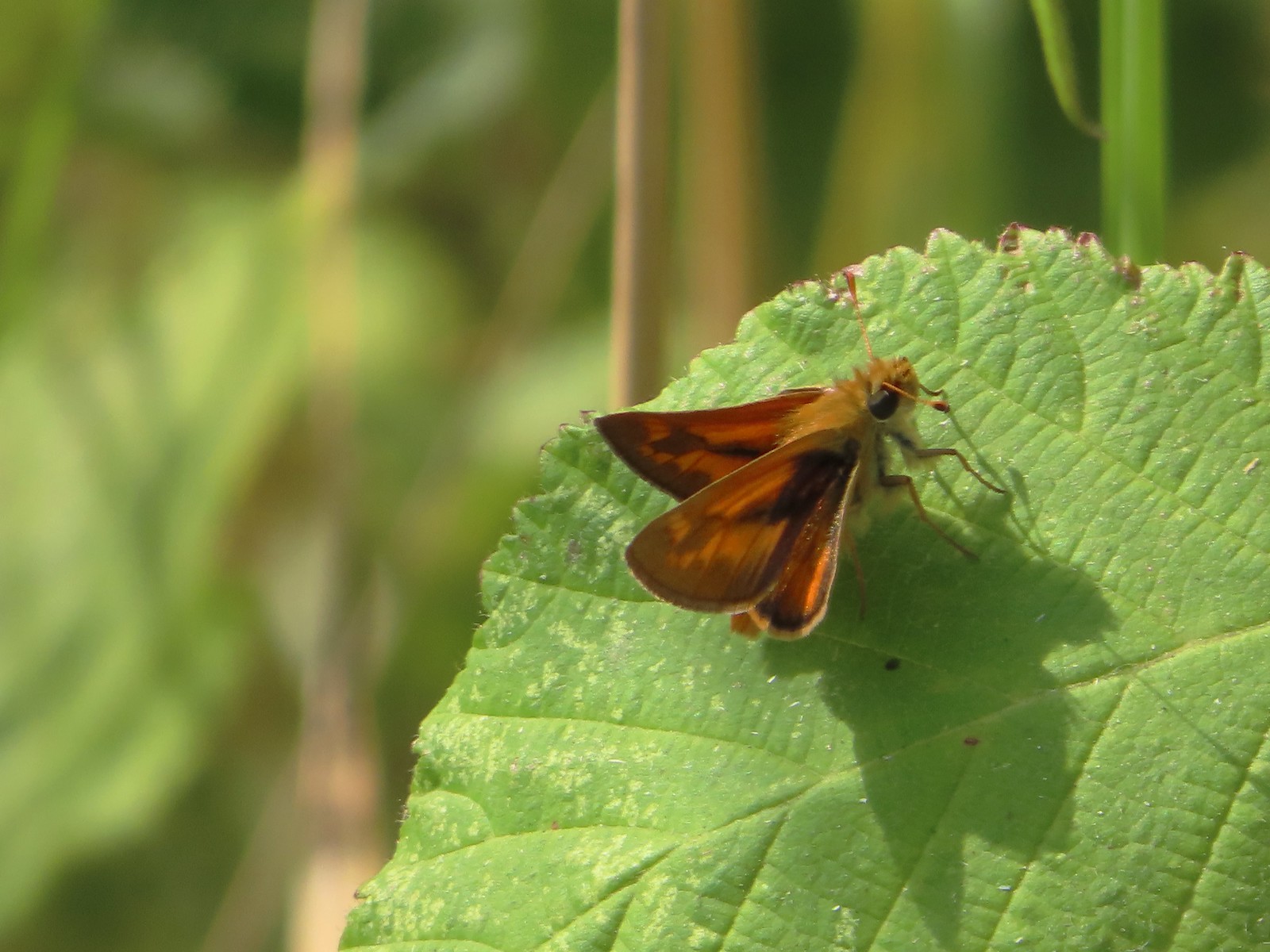
 Skipper – Grizzly Peak
 Skipper – Rogue-Umpqua Divide Wilderness
 Skipper – E. E. Wilson Wildlife Area
 Hairstreak (bramble?) – Siskiyou Mountains
 Cedar hairstreak – Siskiyou Wilderness
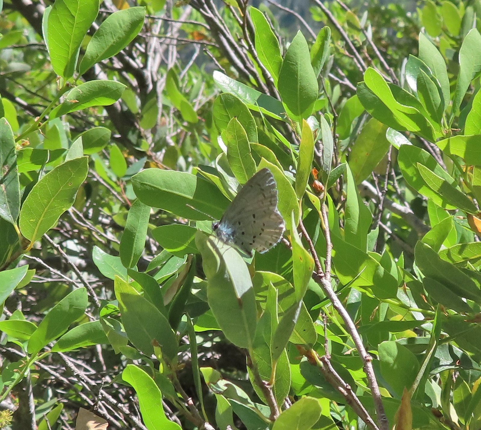
 Hairstreak (possibly thicket) – Eagle Cap Wilderness
 Ochre ringlet – Jack Ash Trail
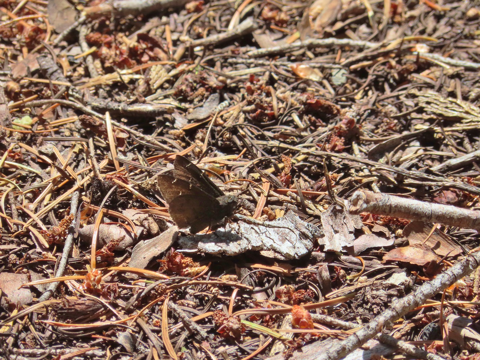
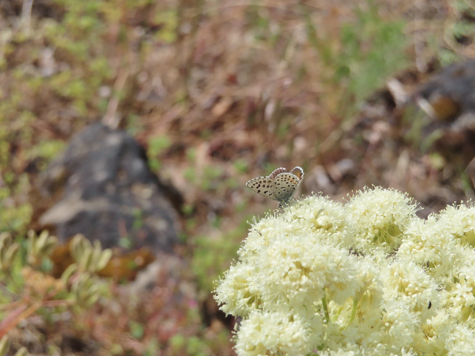
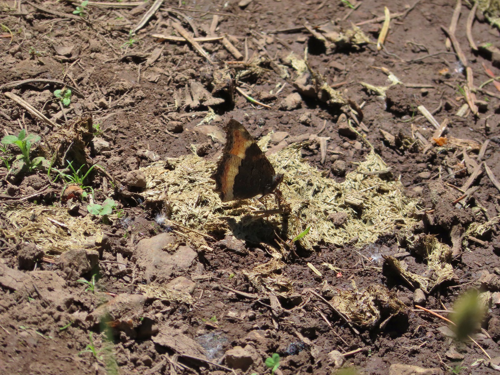
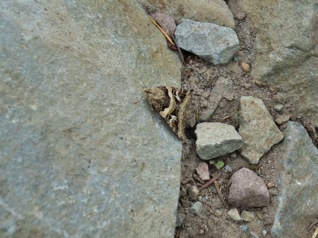
 Butterfly – Siskiyou Wilderness
 Butterfly – Trinity Alps Wilderness
 Butterfly – Trinity Alps Wilderness
 Butterfly – Upper Table Rock
 Butterfly – Mule Mountain
 Butterfly – Eagle Cap Wilderness
 Butterfly – Eagle Cap Wilderness
 Butterfly – Mt. Adams Wilderness
 Butterfly – Mt. Adams Wilderness
 Butterfly – Mt. Ireland
 Butterfly – Trinity Alps Wilderness
 Butterfly – Silver Star Mountain
 Butterfly – Russian Wilderness
 Butterfly – Trinity Alps Wilderness
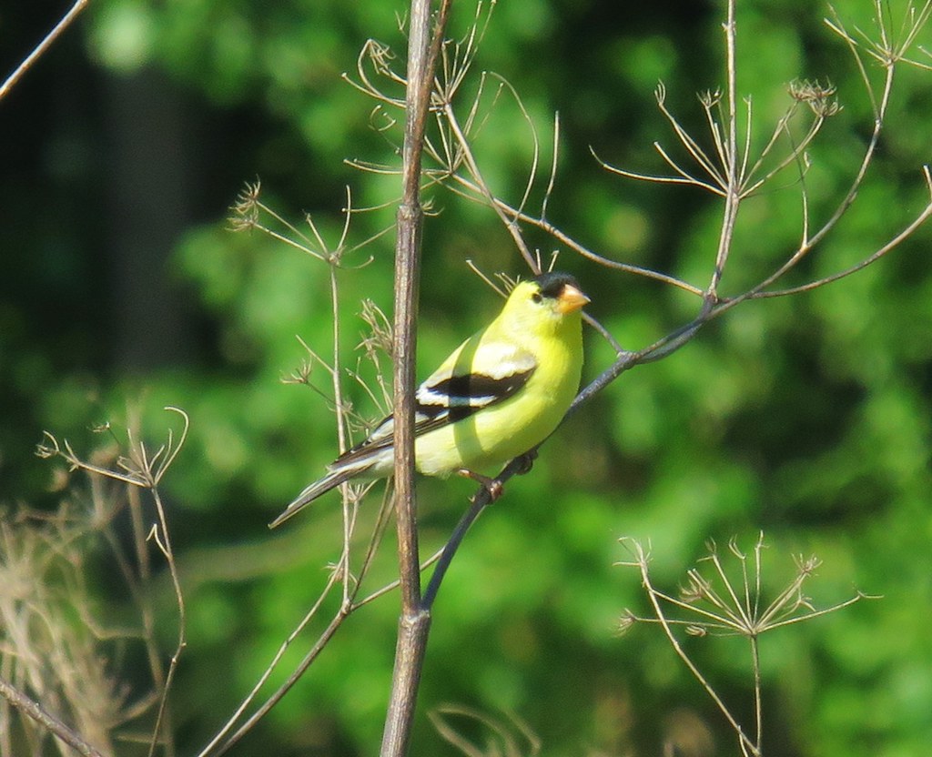
 Sara’s orangetip – Klickitat Trail
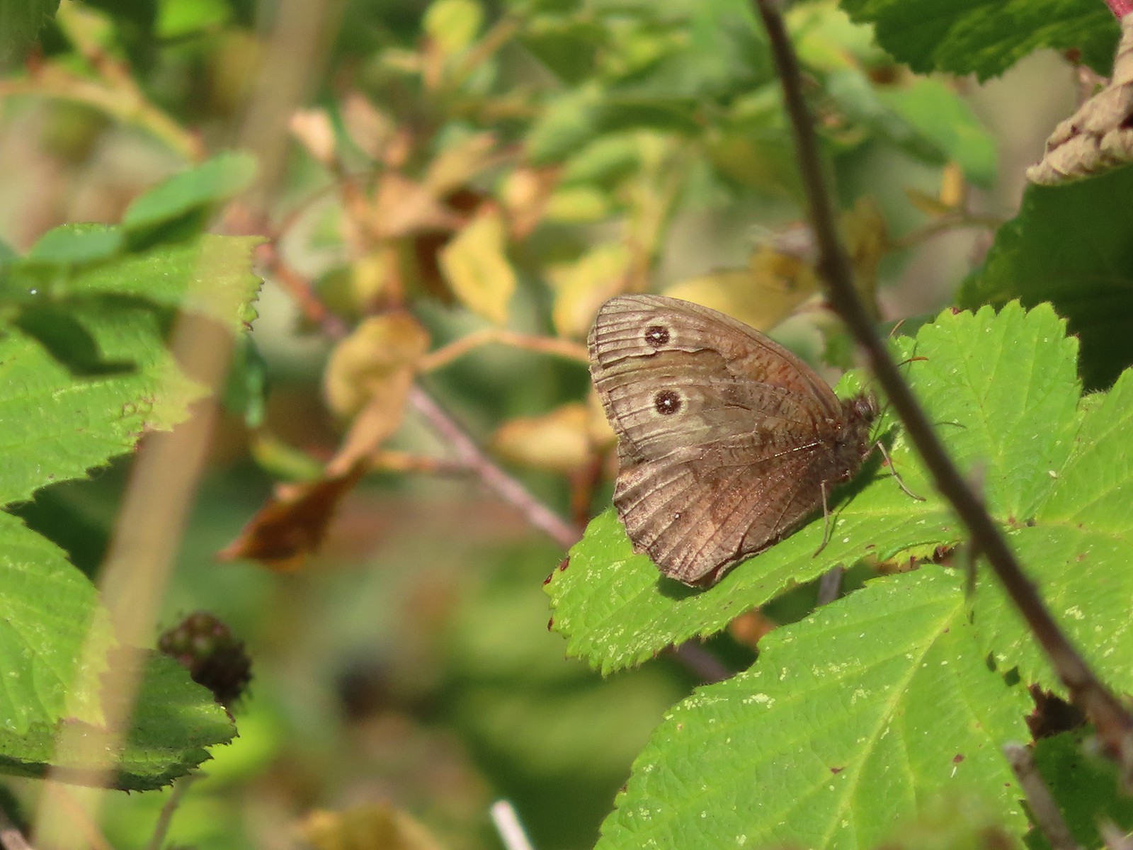 Common woodnymph – E. E. Wilson Wildlife Area
 Another woodnymph – Rogue-Umpqua Divide Wilderness
 Orange sulphur – Siskiyou Wilderness
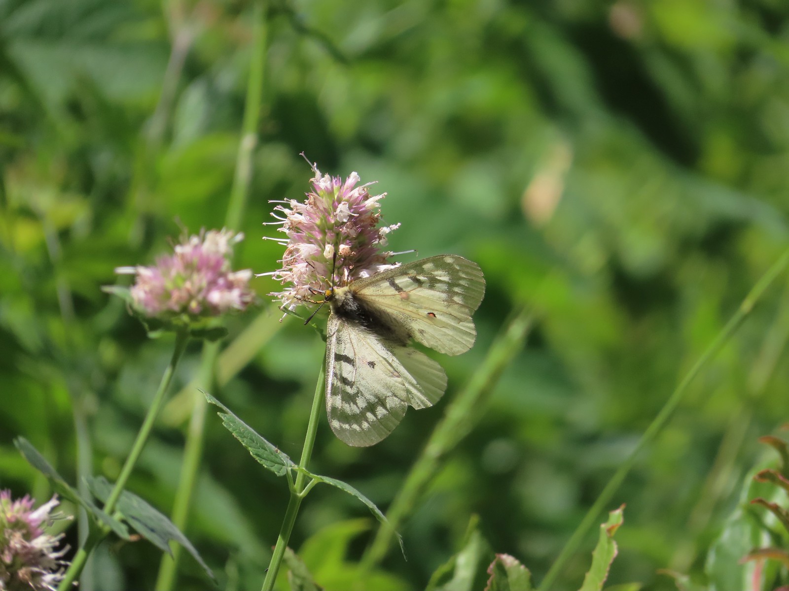
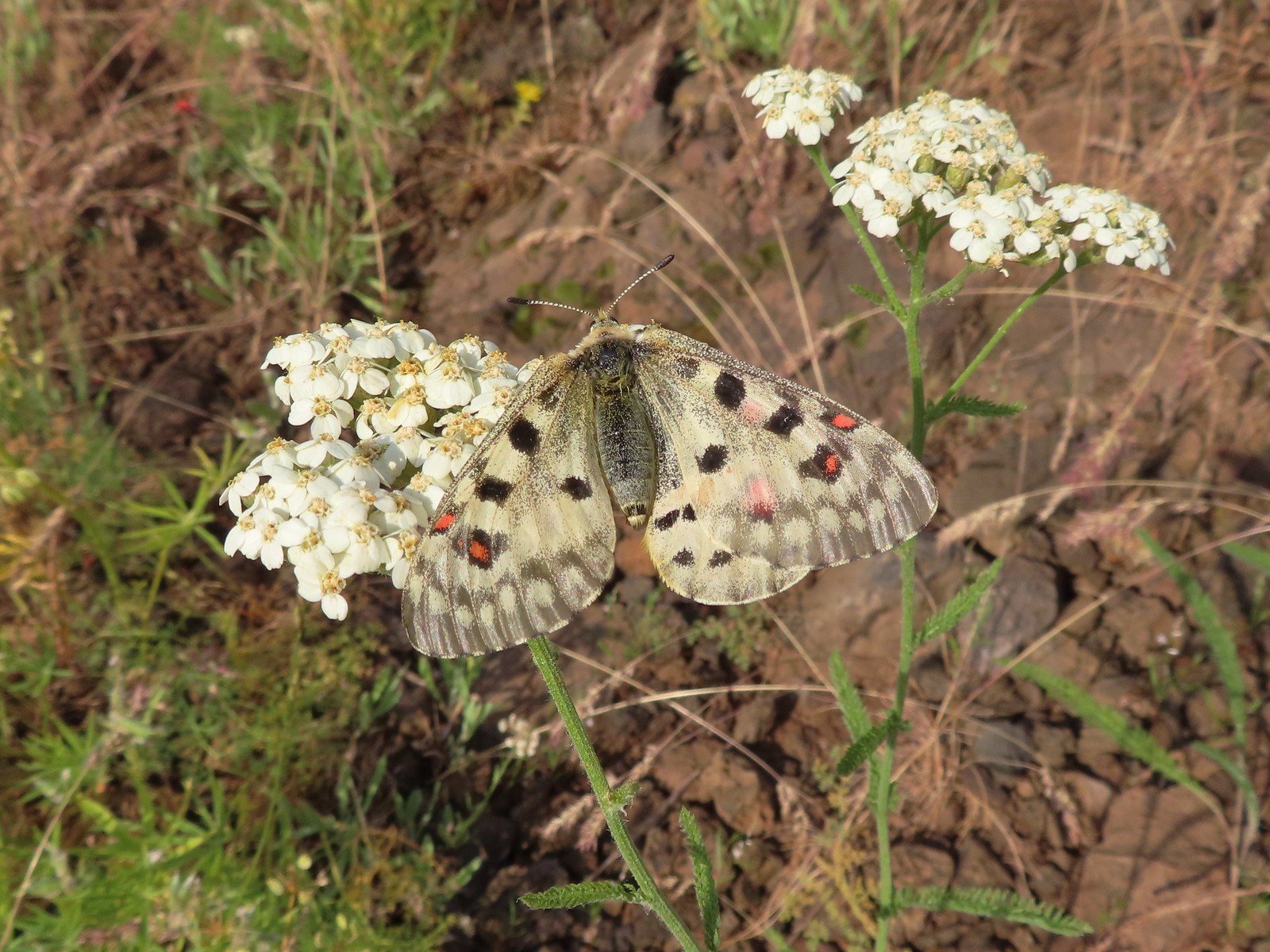 Mountain parnassian – Eagle Cap Wilderness
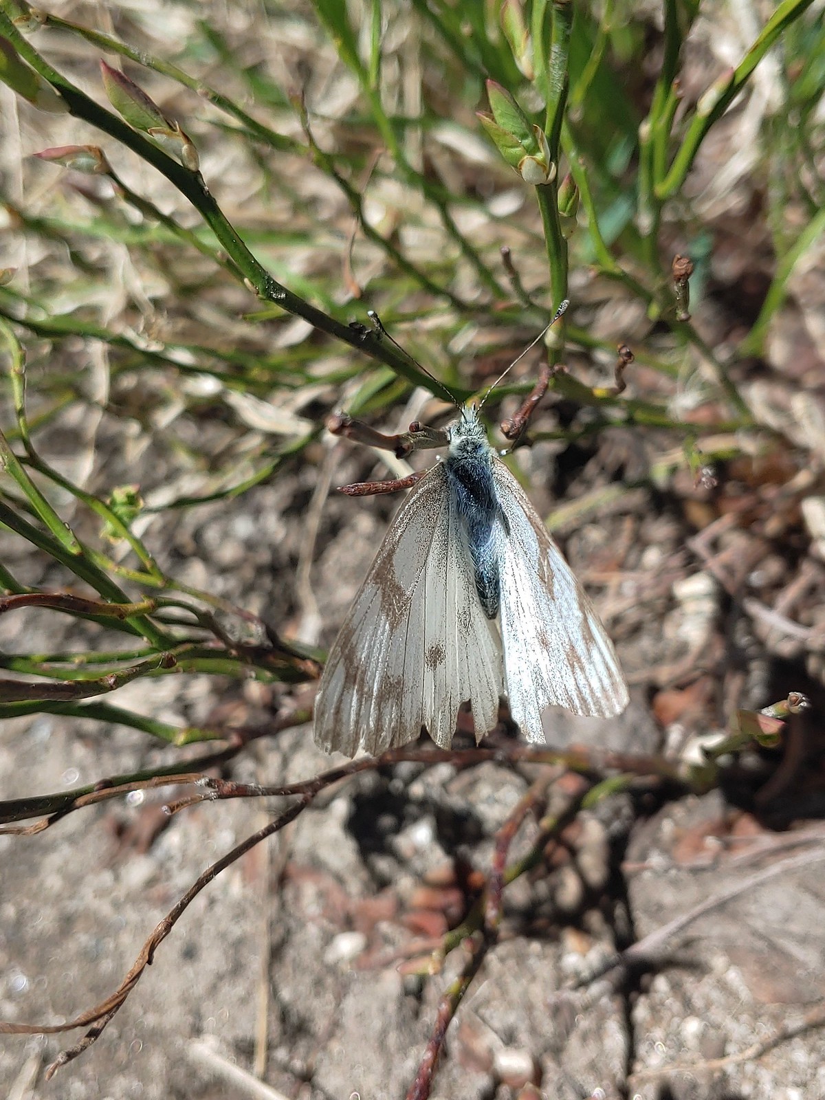
 Clodius parnassian – Hemlock Lake
 Western white? – Eagle Cap Wilderness
 Western white – Trinty Alps Wilderness
 Pine white – Russian Wilderness
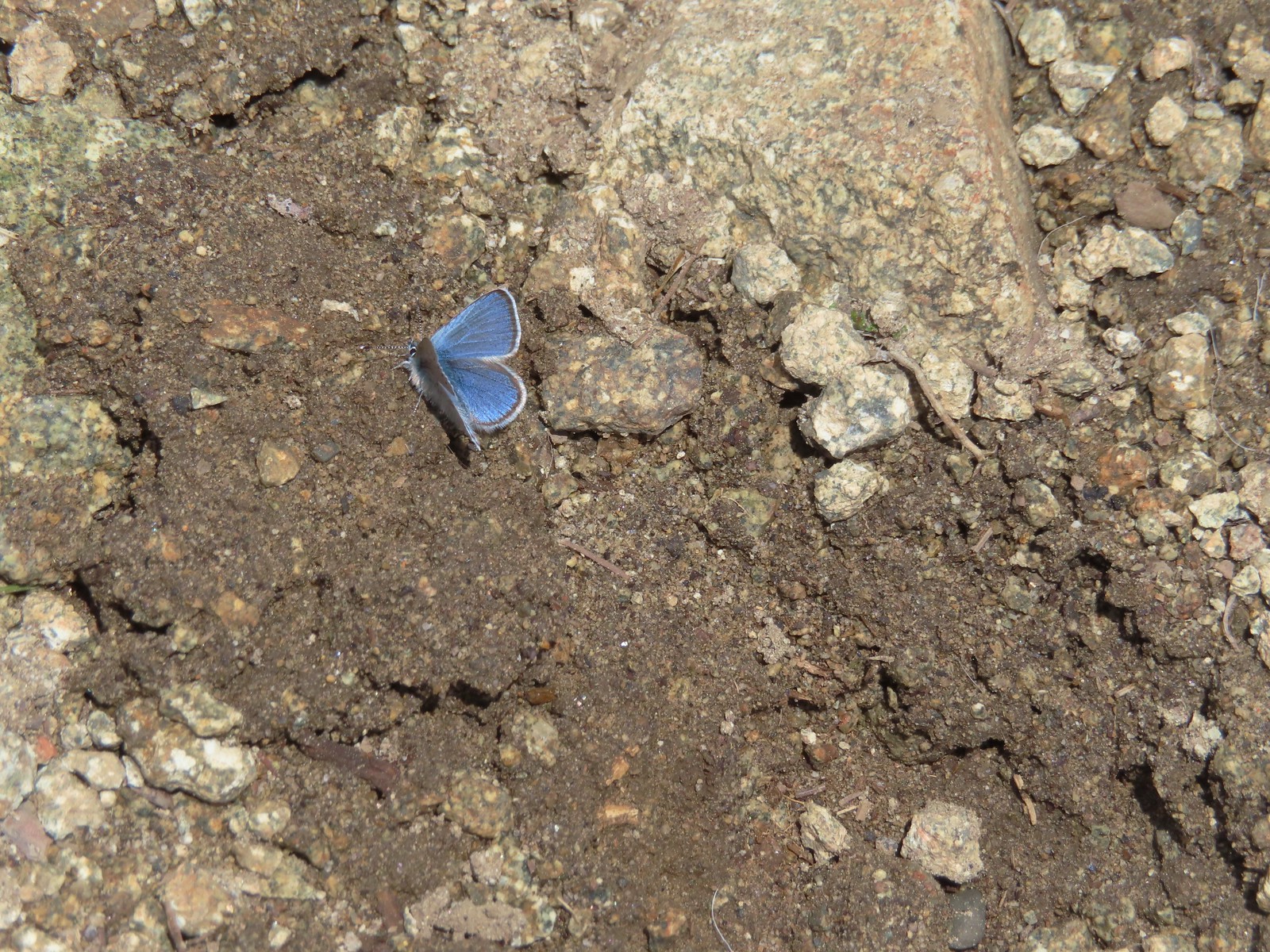
 Butterfly – Eagle Cap Wilderness
 Butterfly – Russian Wilderness
 Butterfly – Mt. Adams Wilderness
 Butterfly – Mule Mountain
 Butterfly – Silver Star Mountain
 Butterfly – Silver Star Mountain
 Butterfly – Silver Star Mountain
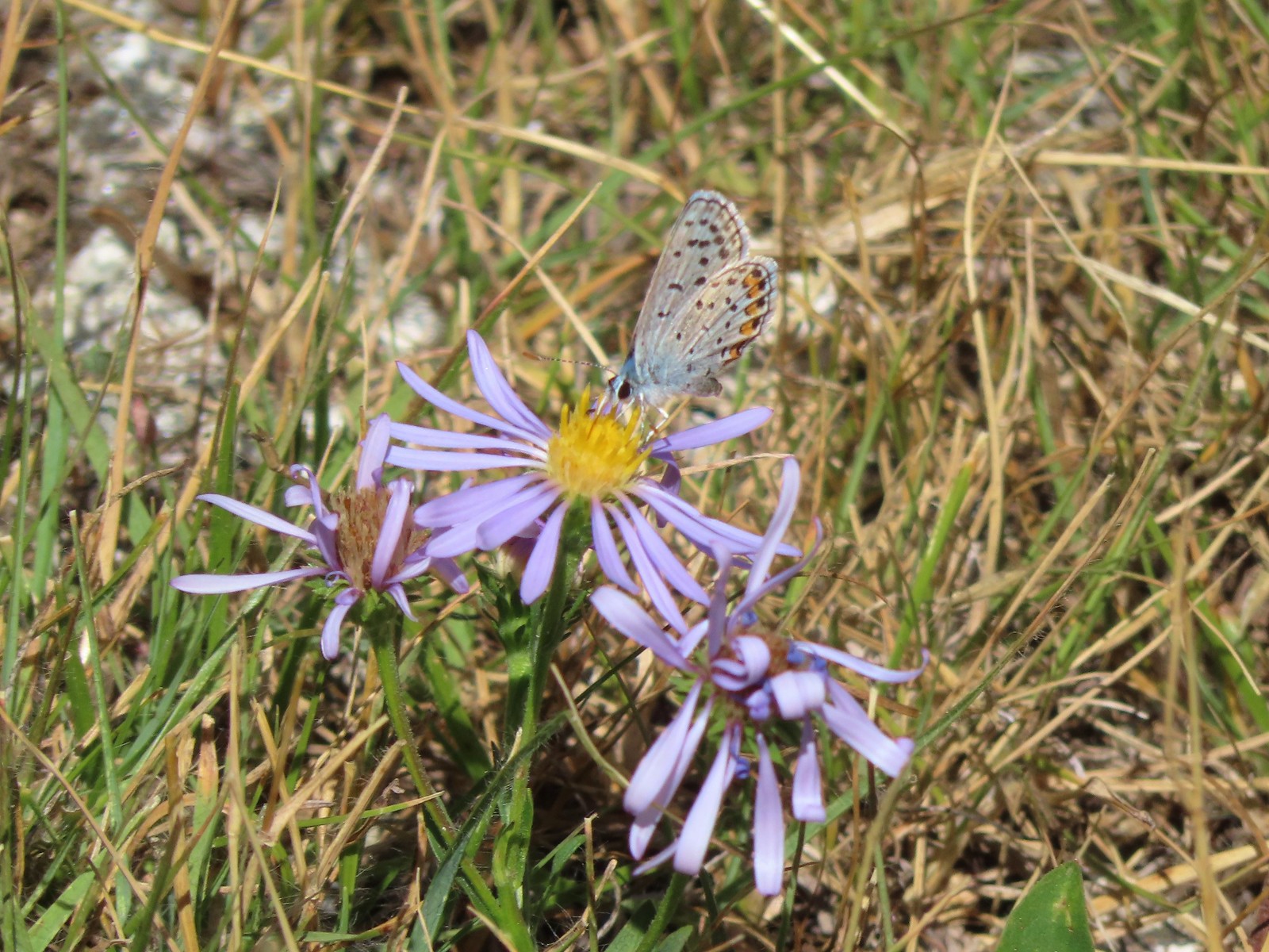
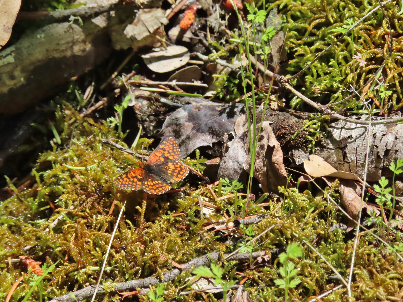
 Western meadow fritillary? – Silver Star Mountain
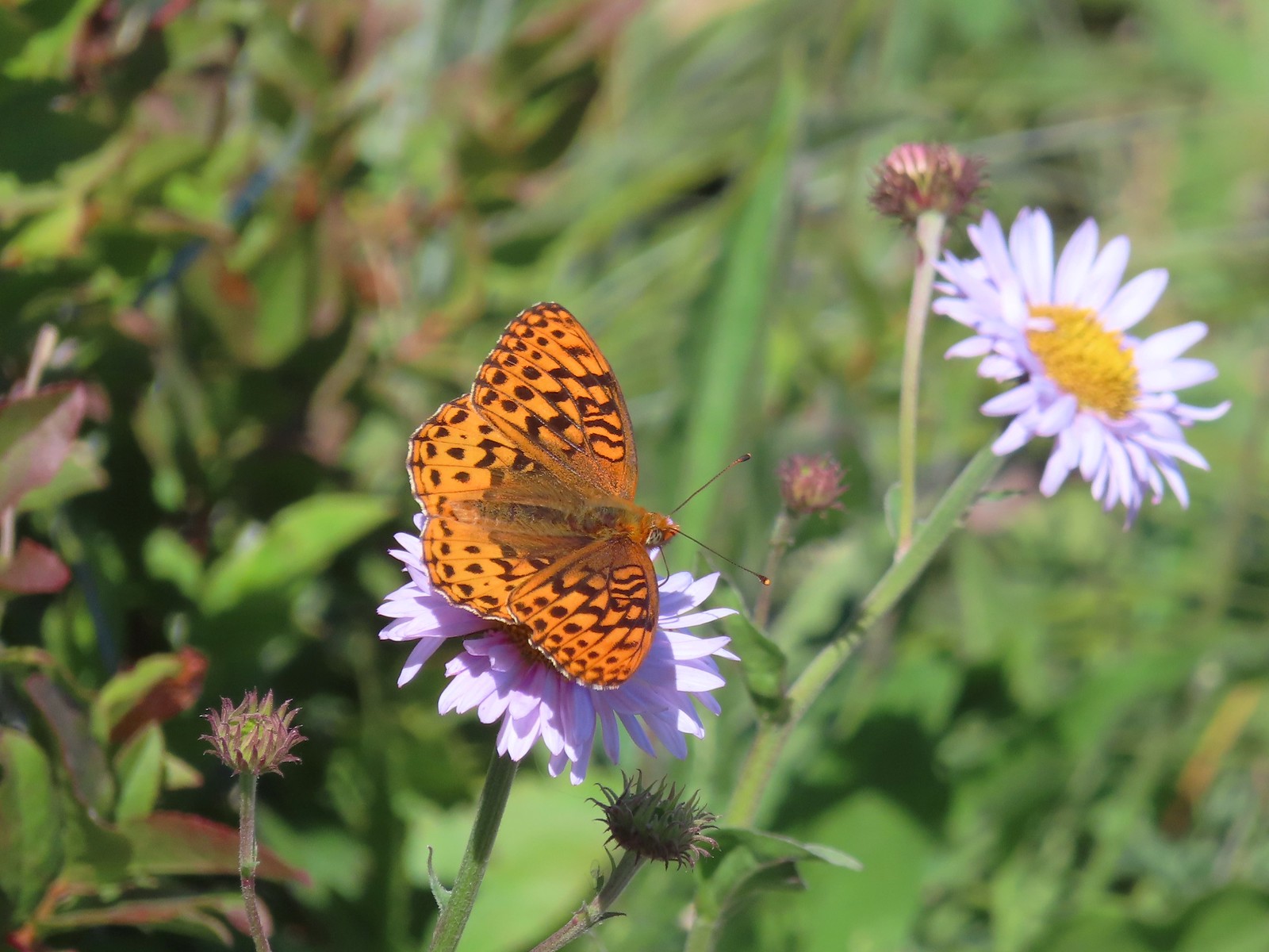 A fritillary – Silver Star Mountain
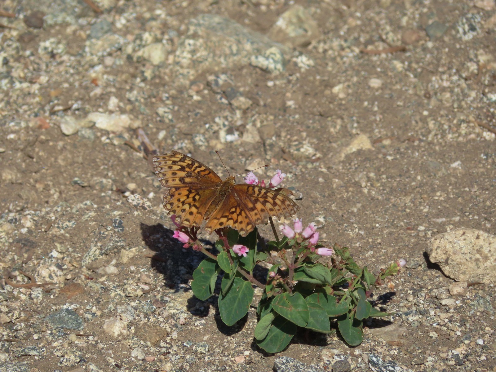
 A fritillary – Trinity Alps Wilderness
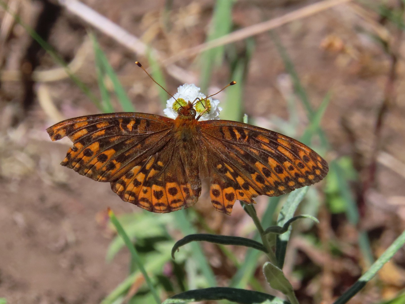
 A fritillary -Russian Wilderness
 A fritillary – Rogue-Umpqua Divide Wilderness
 Mourning cloak – Klickitat Trail
 California tortoiseshell – Siskiyou Wilderness
 Milbert’s tortoiseshell – Eagle Cap Wilderness
 Lorquin’s admiral – Eagle Cap Wilderness
 Common buckeye – Mt. Shasta Wilderness
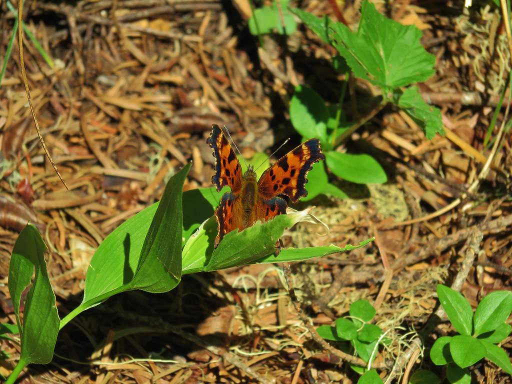
 Hoary comma – Sky Lakes Wilderness
 Green comma? – Eagle Cap Wilderness
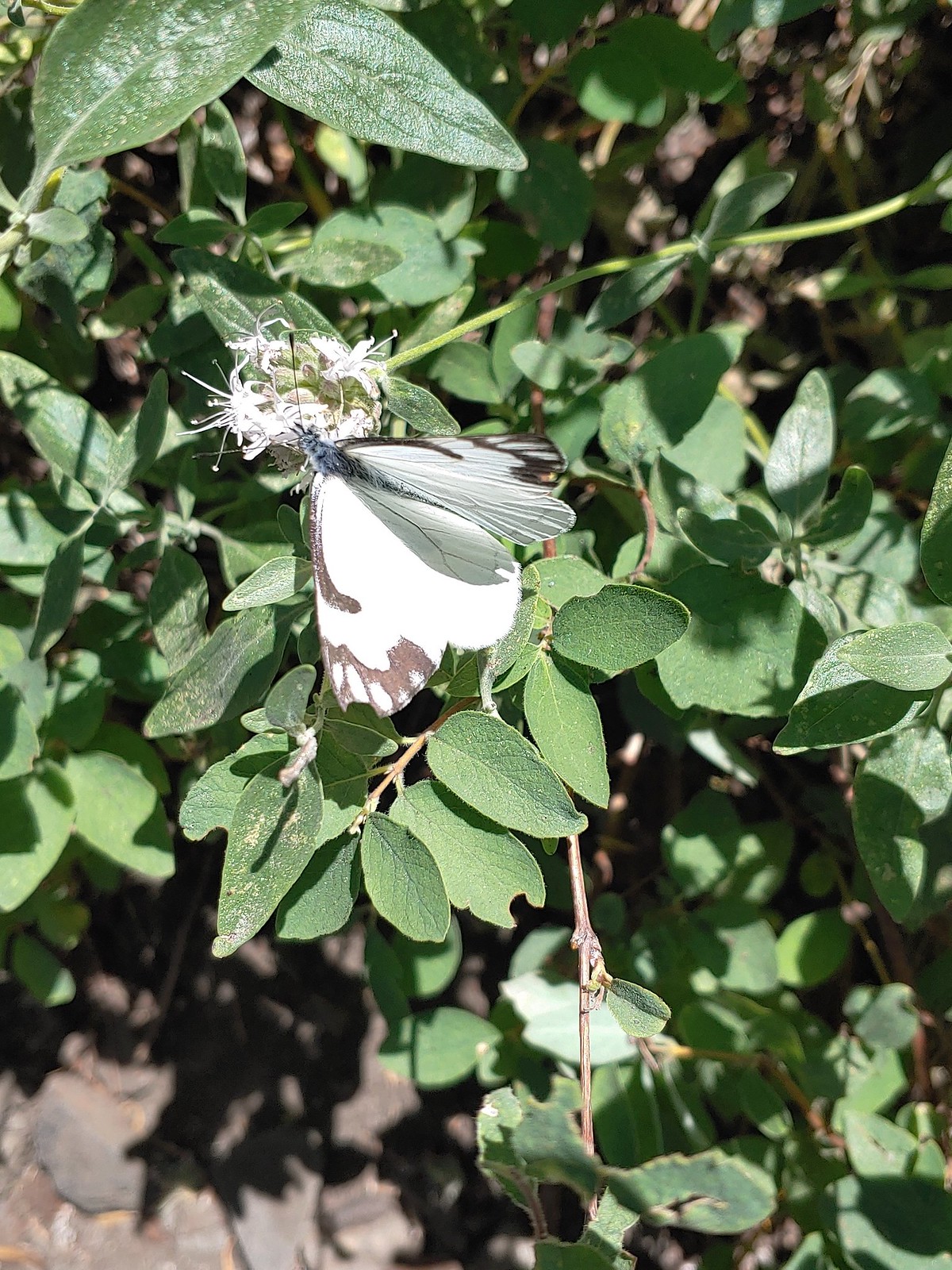
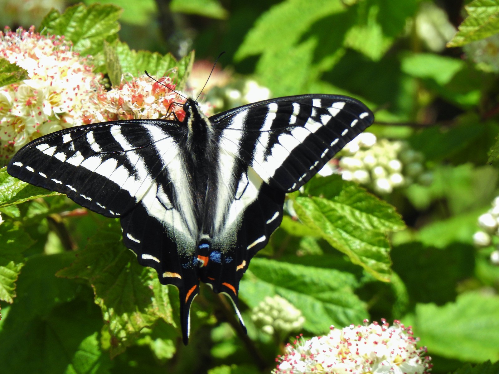
Swallowtails:
 Klickitat Trail
 Julia Butler Hanson Wildlife Refuge
 Eagle Cap Wilderness
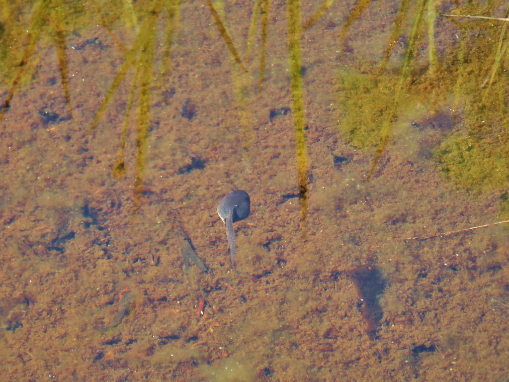
 Tadpoles – Russian Wilderness
 Tadpole transforming – Mt. Adams Wilderness
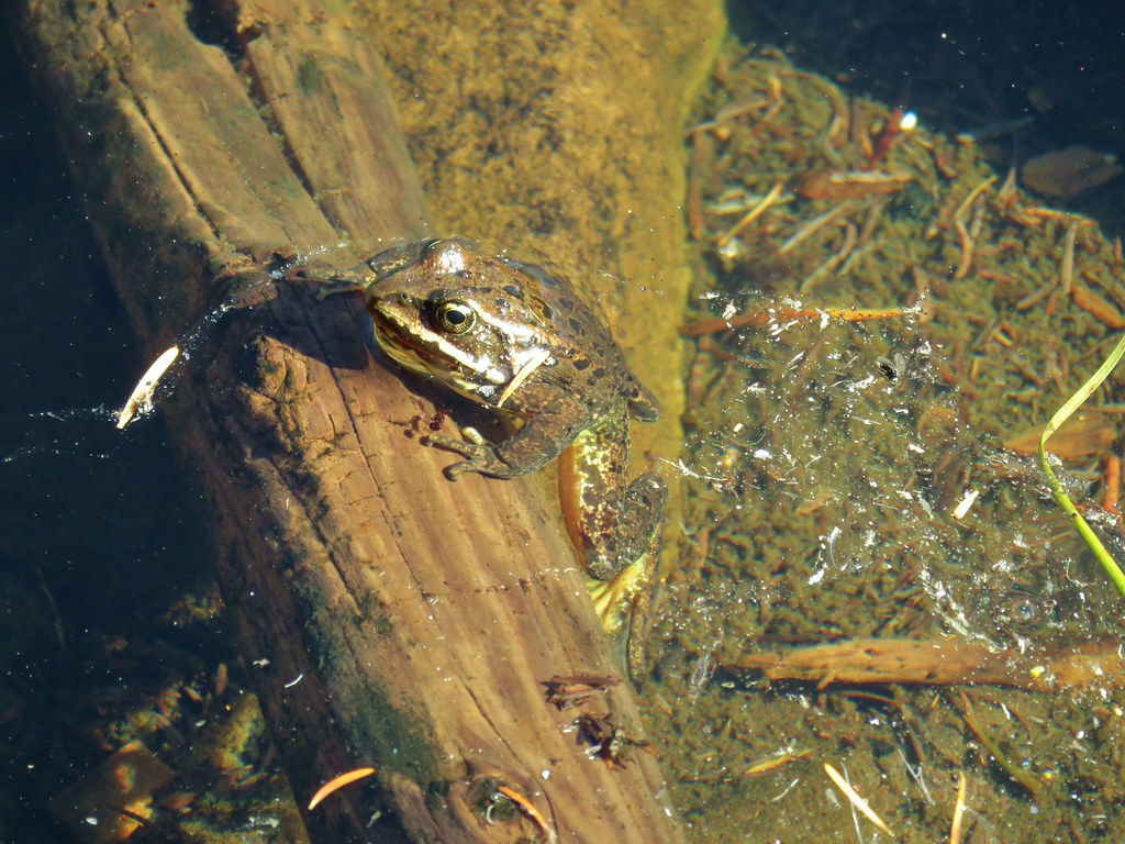
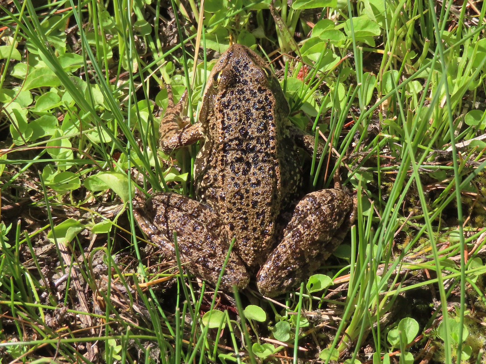 Frog – Russian Wilderness
 Frog – Goat Marsh Lake
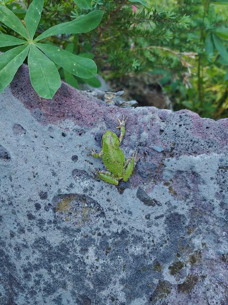
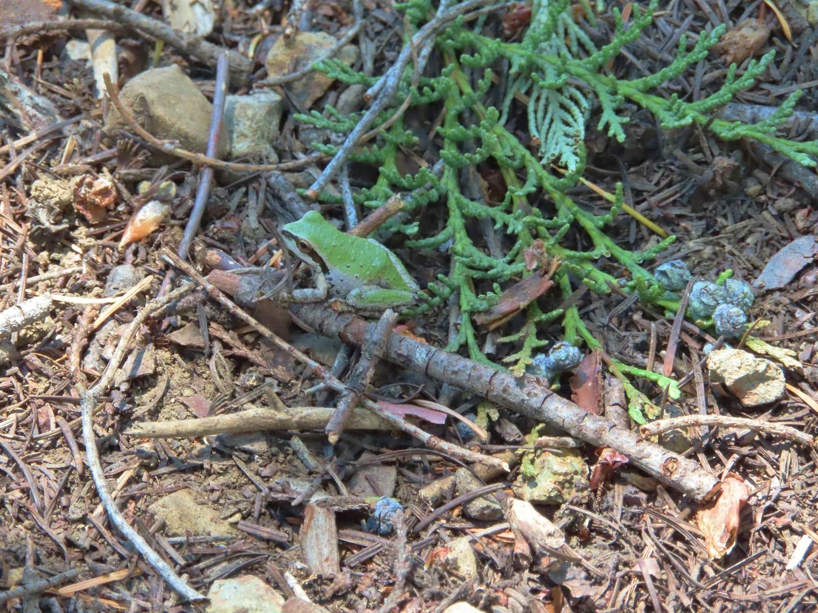 Tree frog – Siskiyou Wilderness
 Frog – Trinity Alps Wilderness
 Toad – Trinity Alps Wilderness
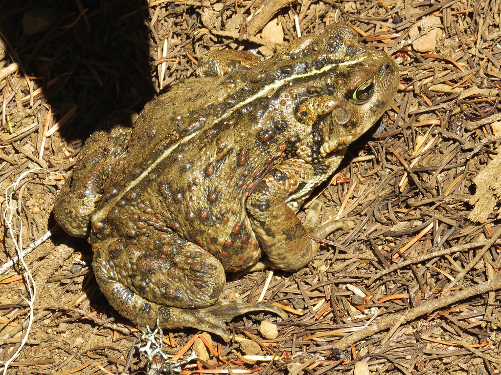
 Toad – Mt. Jefferson Wilderness
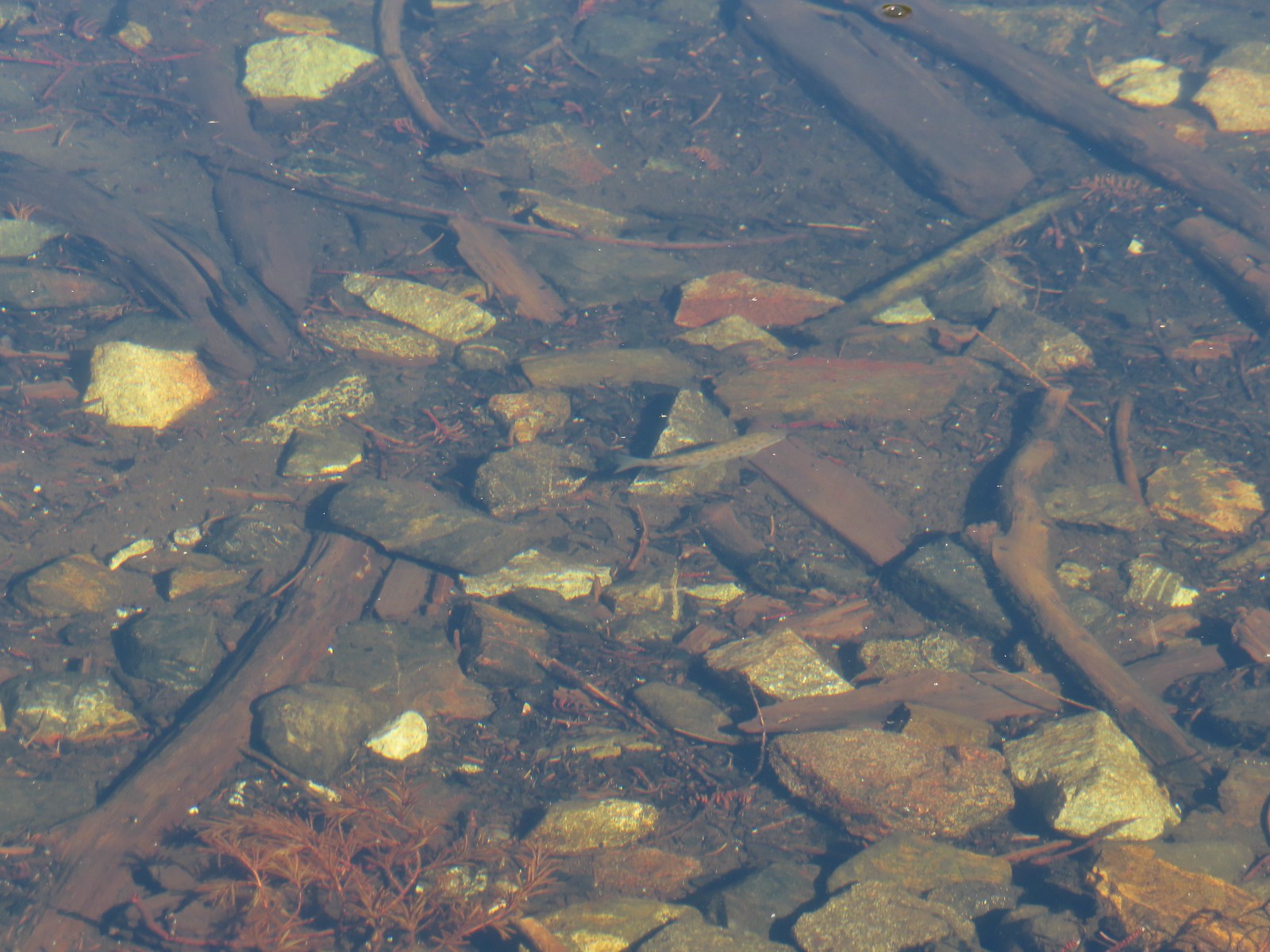 Fish – Siphon Lake
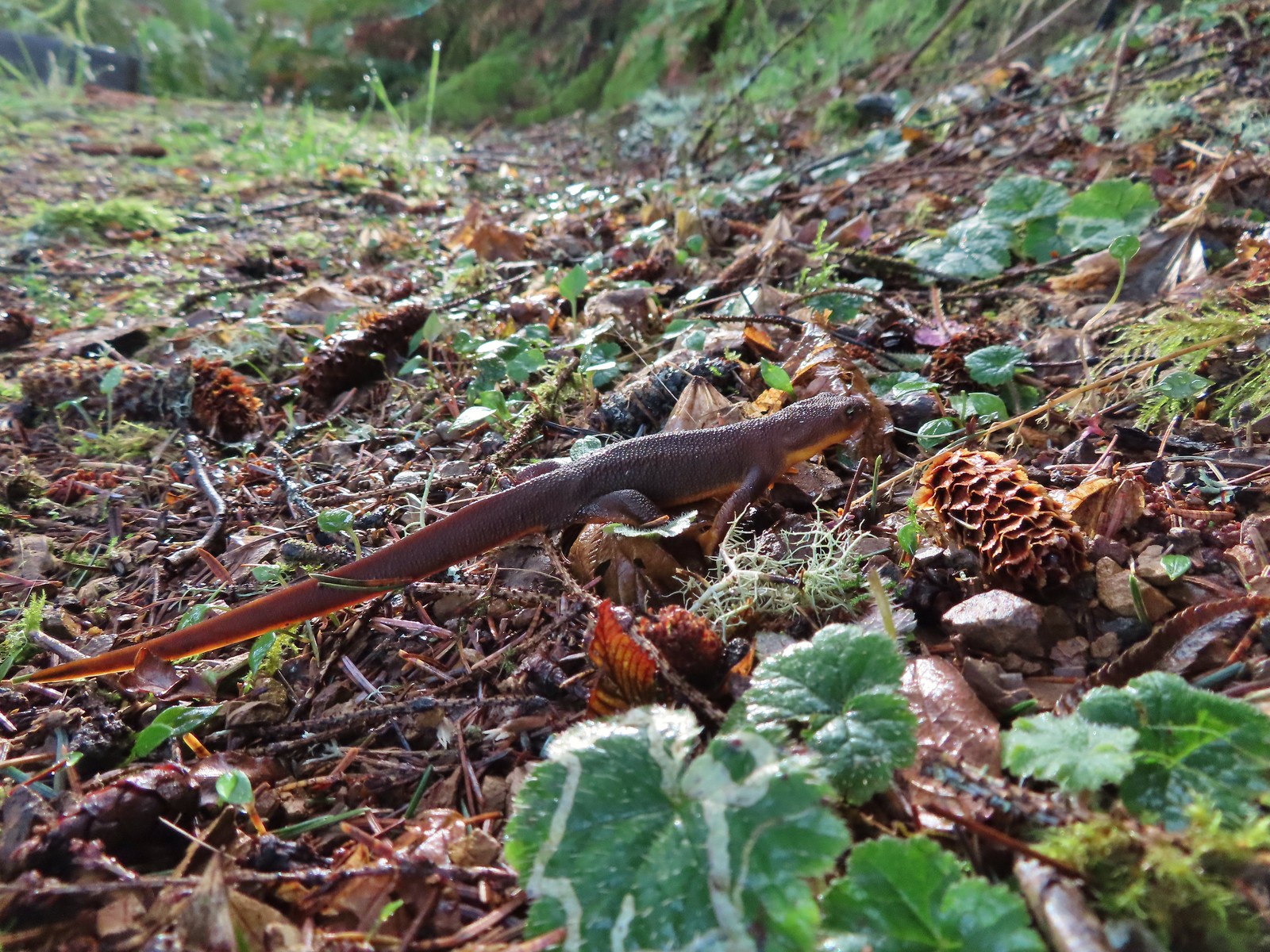 Rough skinned newt – Yakona Nature Preserve
 Western painted turtle – Julia Hansen Butler Wildlife Refuge
 Baby snake – Miller Woods
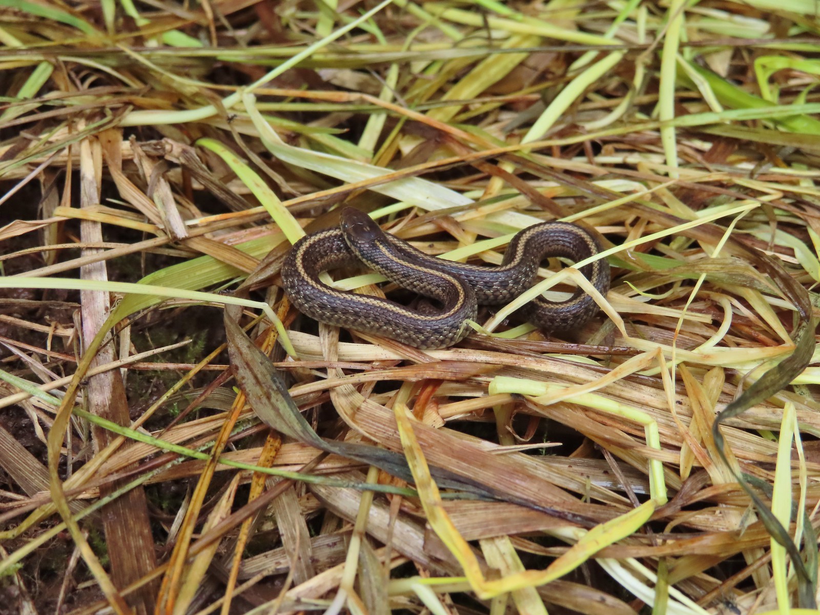
 Garter snake – Julia Hansen Butler Wildlife Refuge
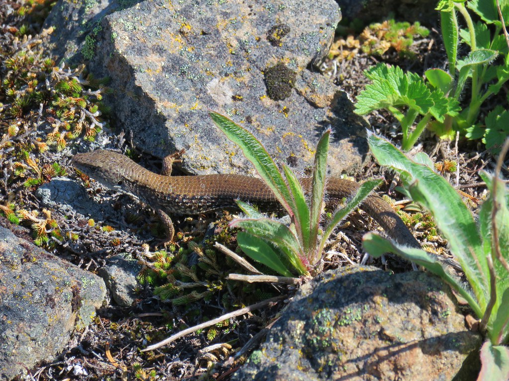
 Lizard – Mule Mountain
 Lizard – Upper Table Rock
 Lizard – Russian Wilderness
 Lizard – Siskiyou Wilderness
 Lizard – Klickitat Trail
 Lizard – Upper Table Rock
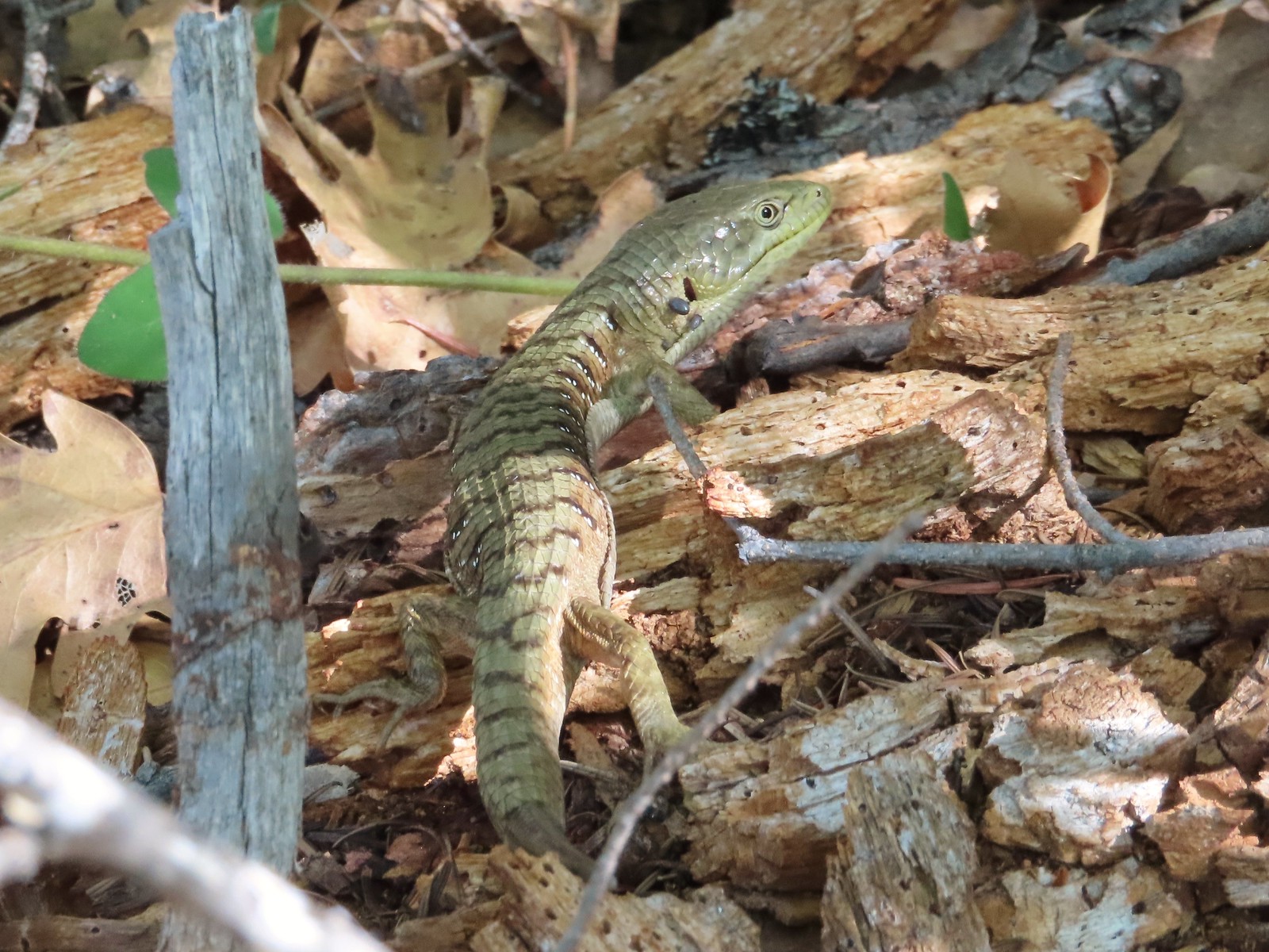 Alligator lizard – Mule Mountain
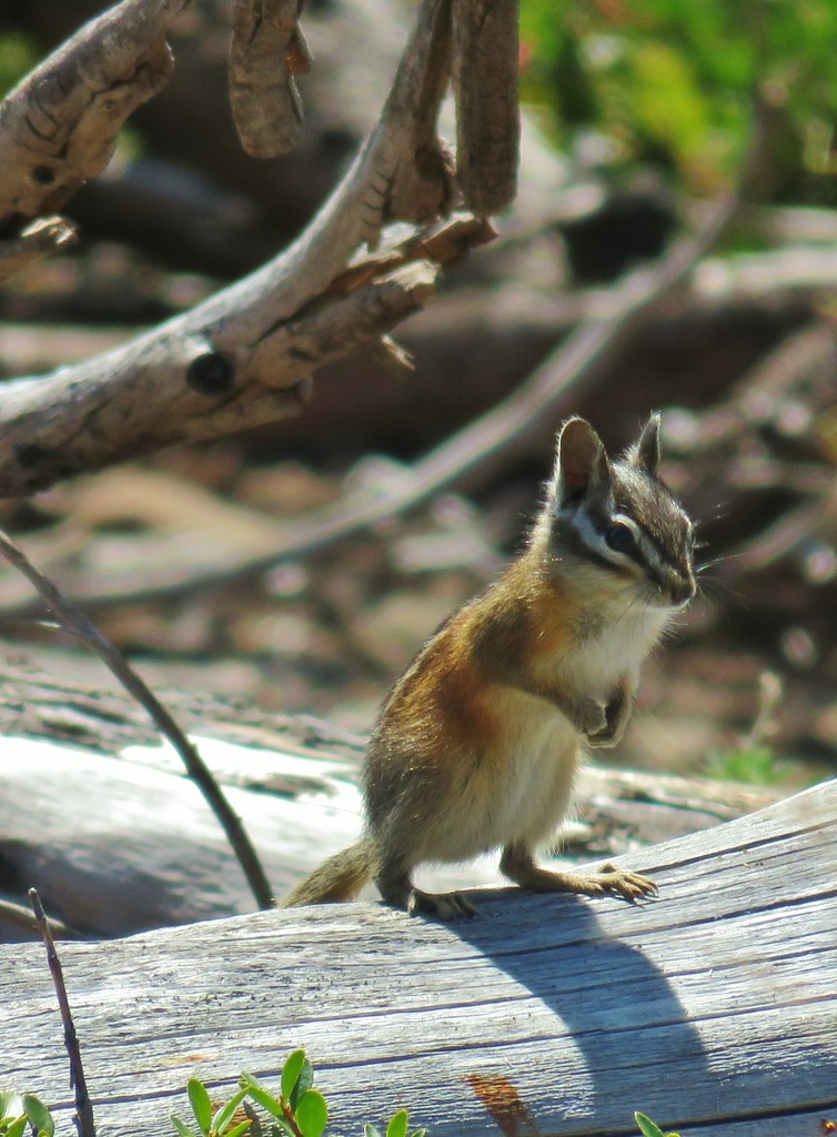
 Chipmunk – Observation Peak
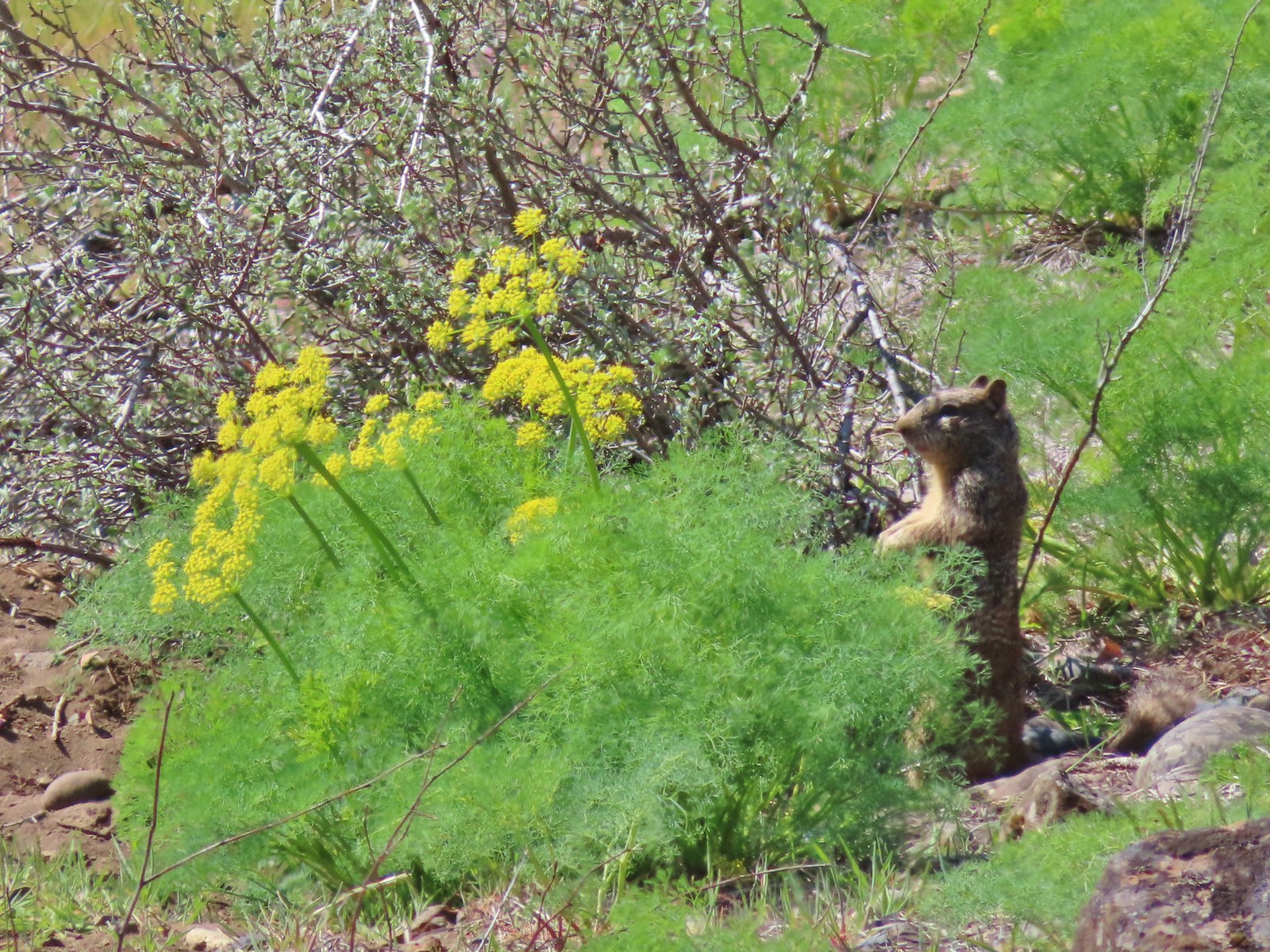
 Ground squirrel – Russian Wilderness
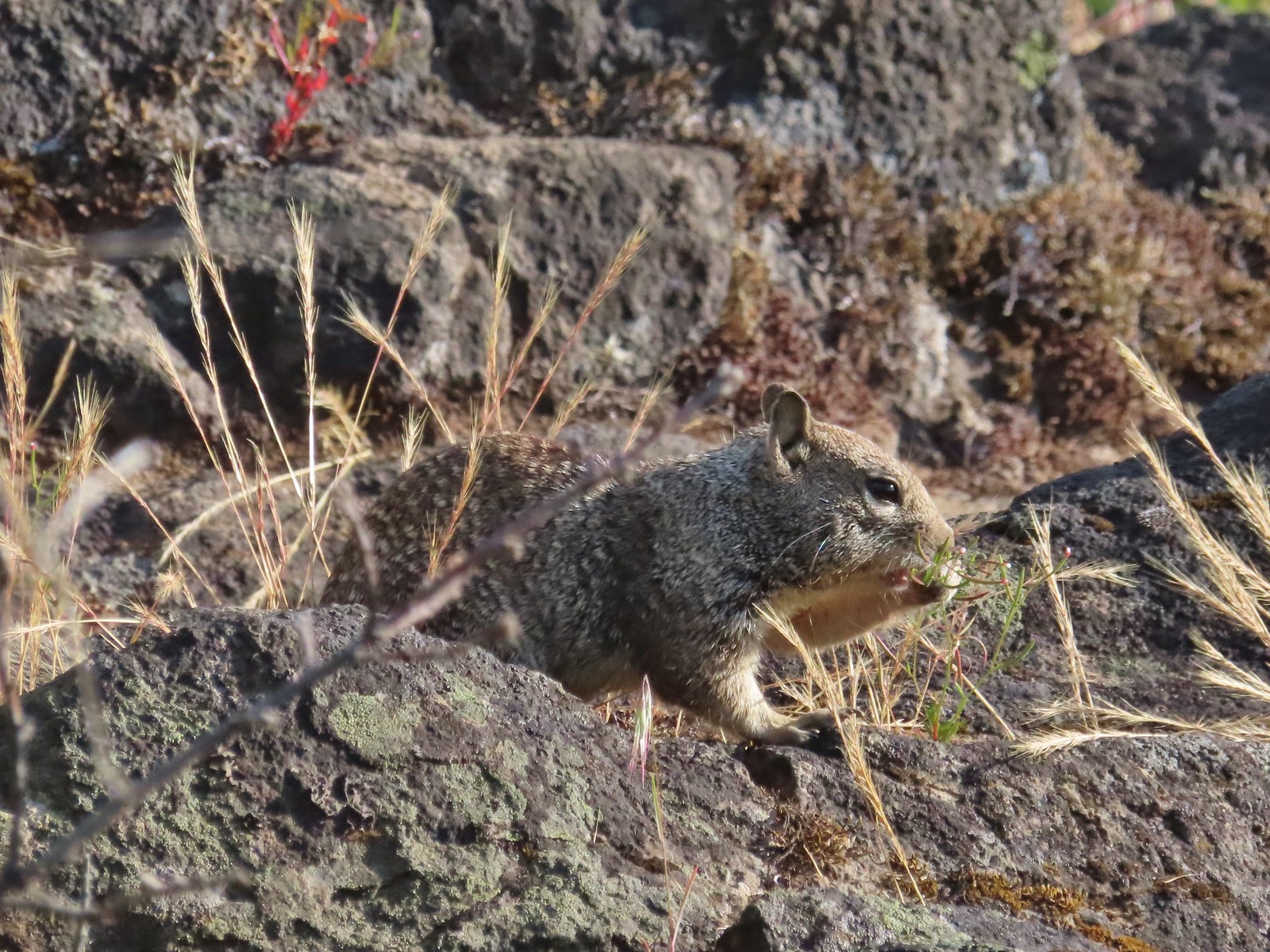
 Ground squirrel – Klickitat Trail
 Ground squirrel – Eagle Cap Wilderness
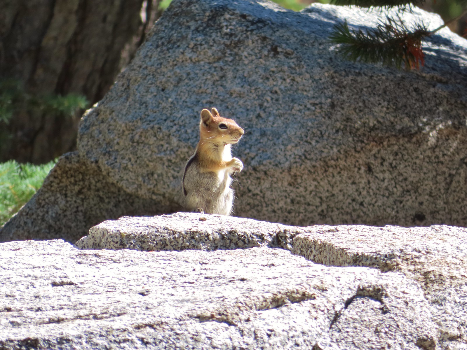
 Ground squirrel – Upper Table Rock
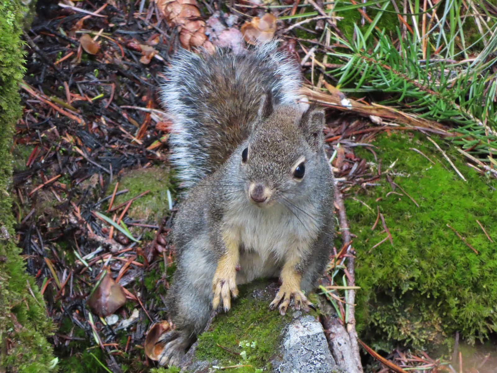
 Squirrel – Rock Creek Trail
 Squirrel – Twin Lakes
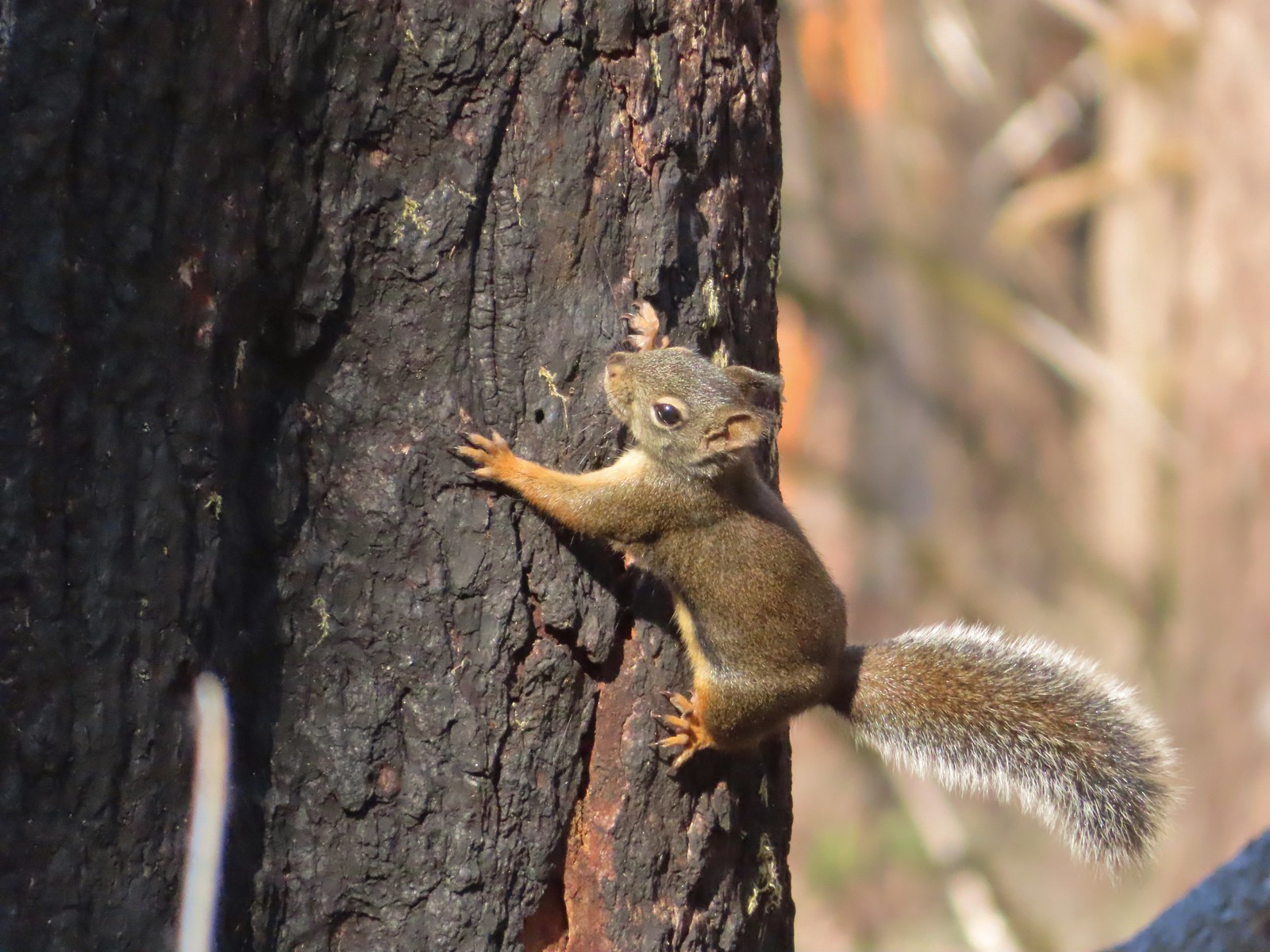 Squirrel – Larch Mountain Trail
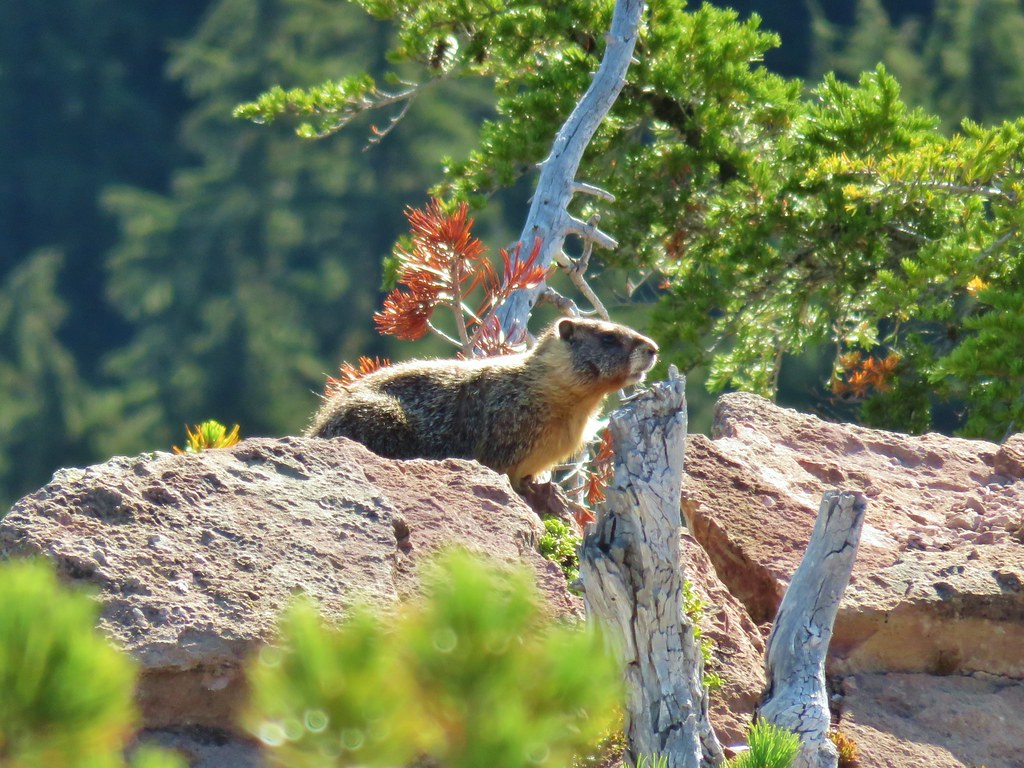
 Marmot – Wallowa Homeland
 Jack rabbit – Denman Wildlife Area
 Rabbit – E. E. Wilson Wildlife Area
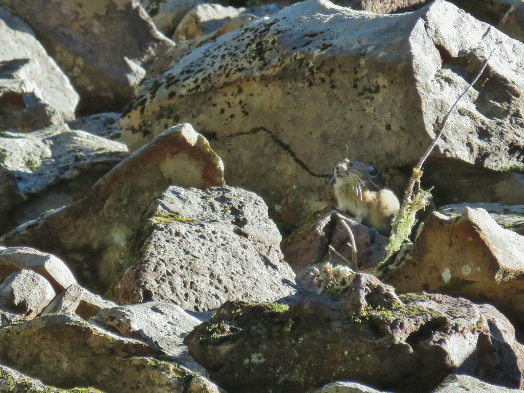
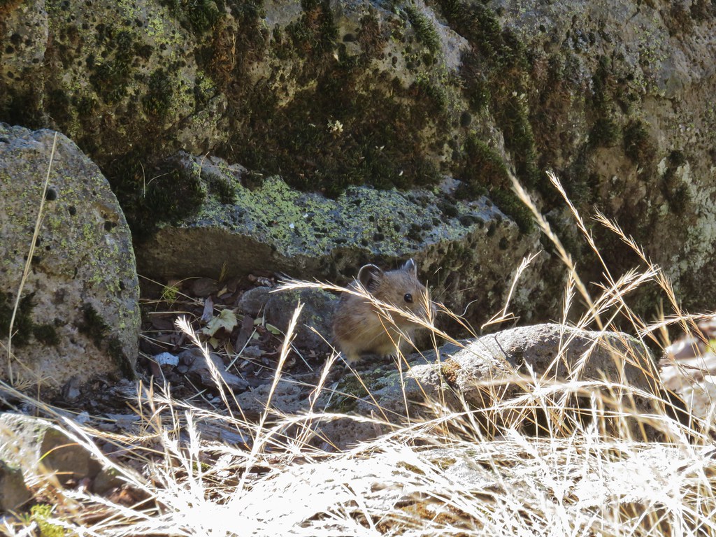
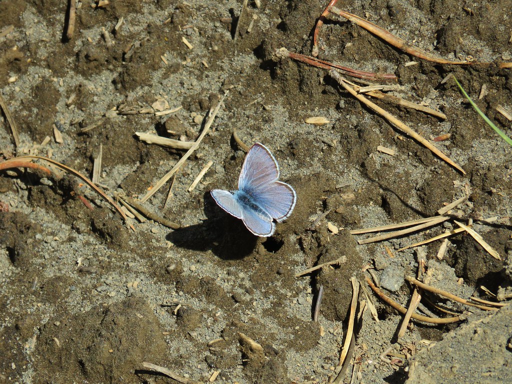
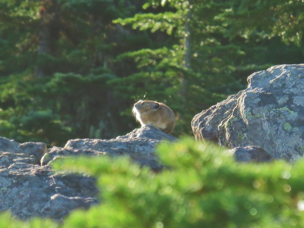
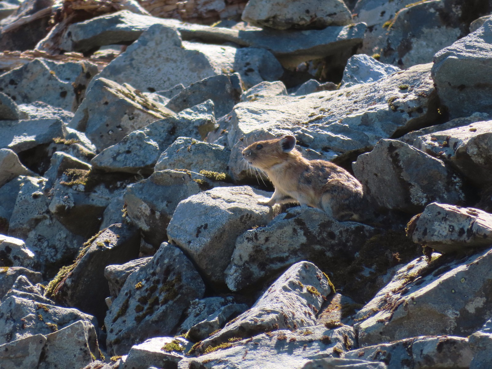 Pika – Silver Star Mountain
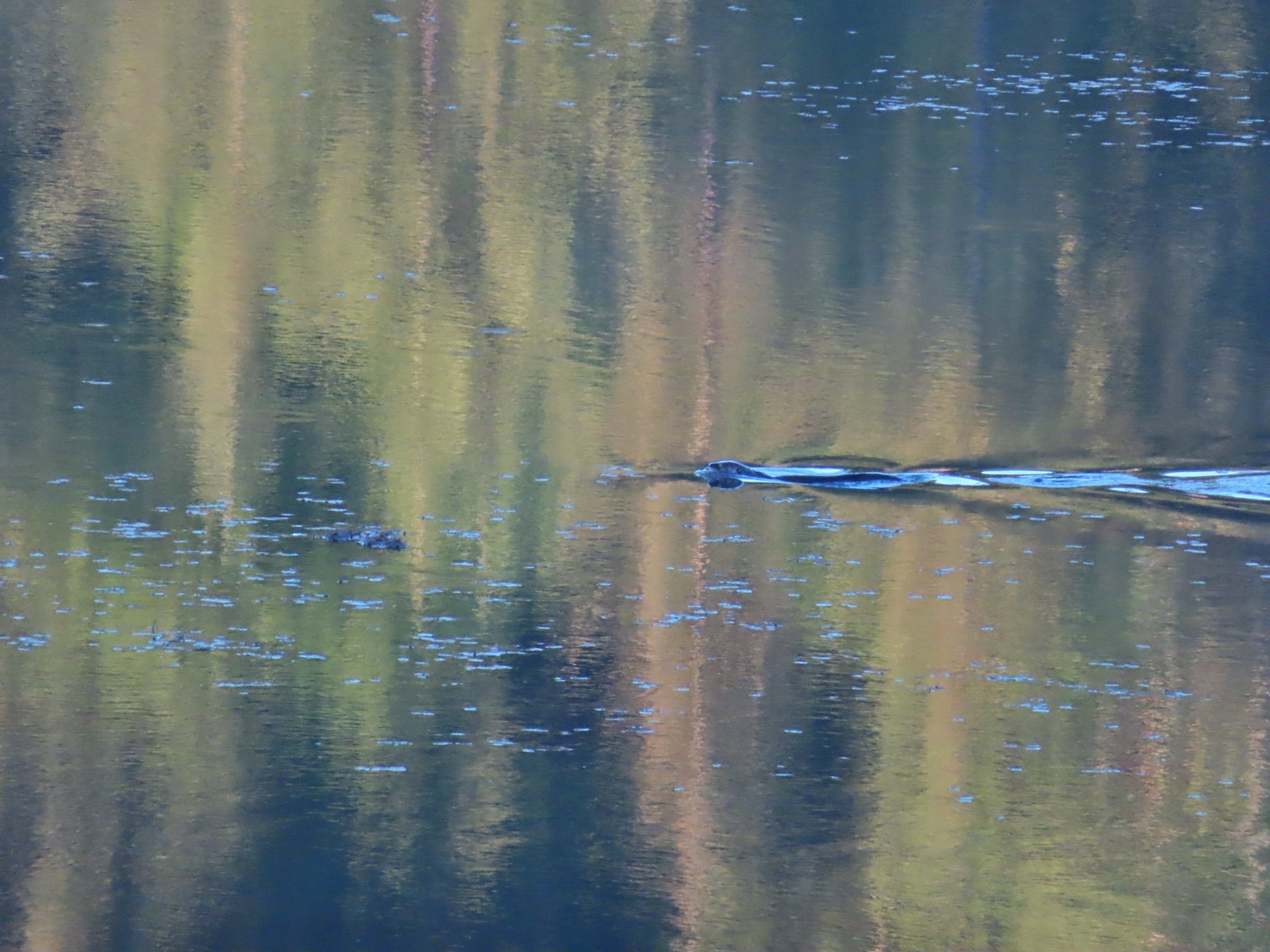
 Muskrat – Julia Butler Hansen – Wildlife Refuge
 Otter – Killin Wetlands
 Sea lion – Hart’s Cove
 Deer – Memaloose Hills
 Doe – Miller Woods
 Mamma – Roxy Ann Peak
 Fawn – Roxy Ann Peak
 Columbian white-tailed buck – Julia Butler Hansen Wildlife Refuge
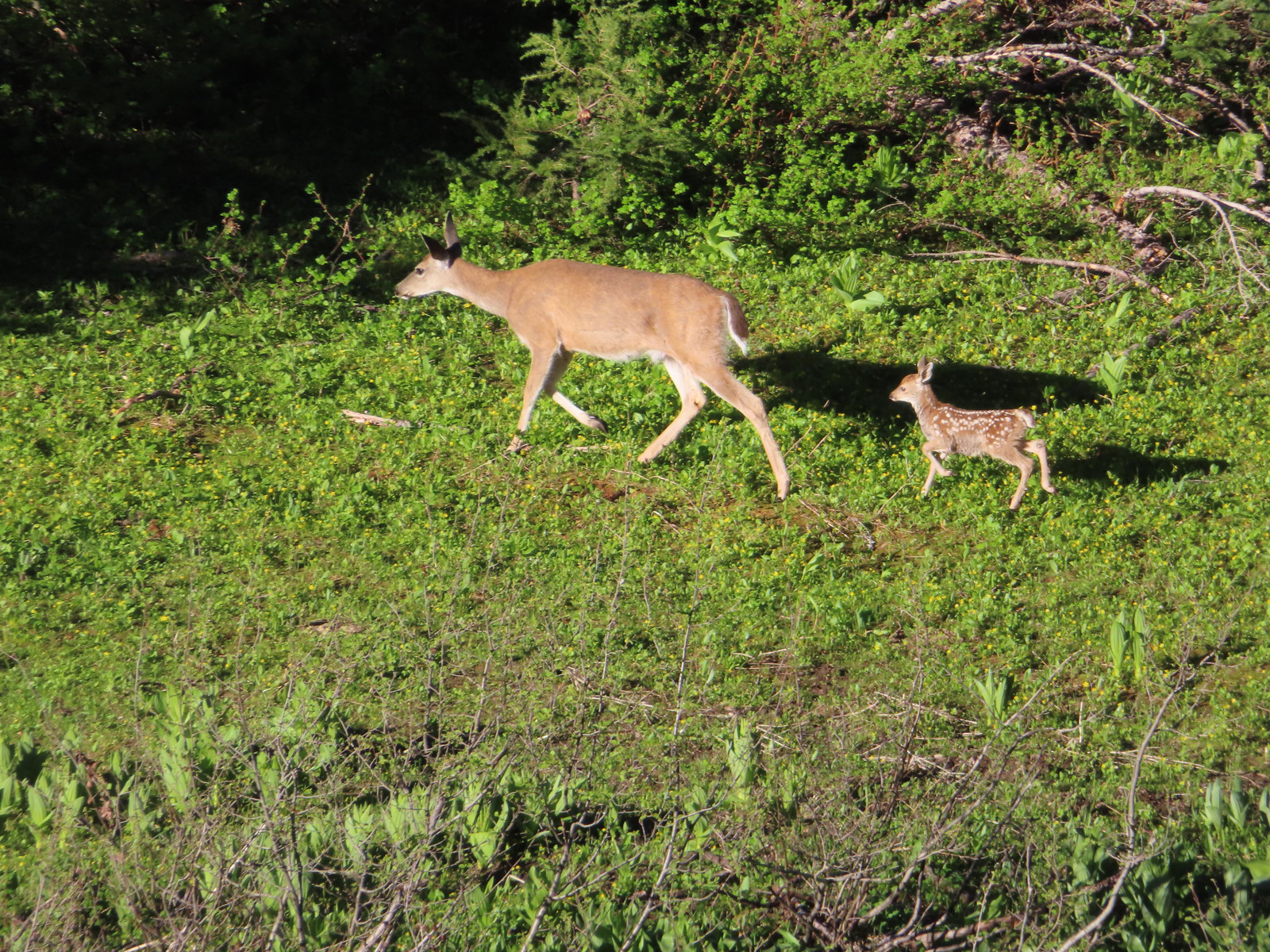 Doe & fawn – Donomore Meadows
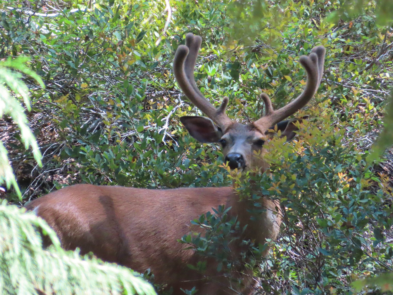
 Three bucks – Siskiyou Wilderness
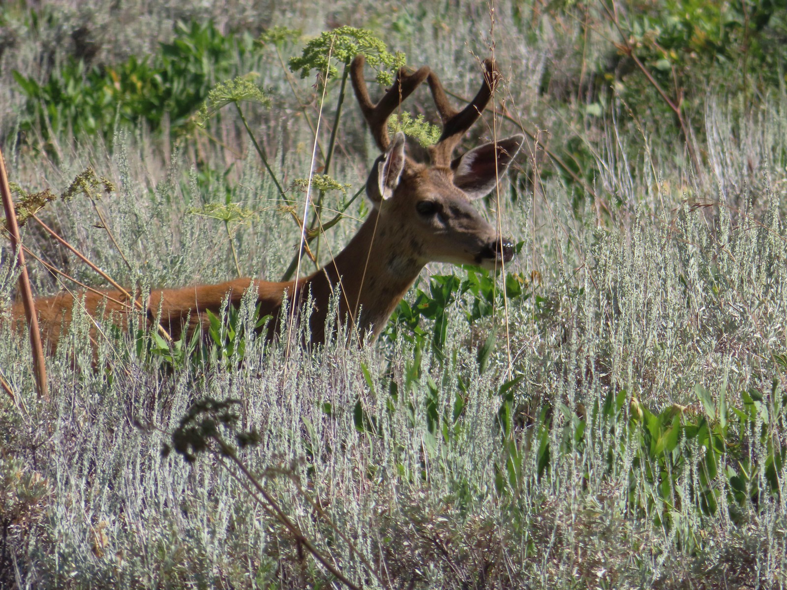
 Buck – Siskiyou Wilderness
 Buck – Trinity Alps Wilderness
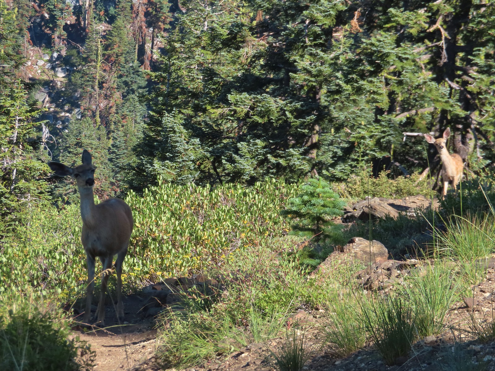 Doe & fawn – Russian Wilderness
 Buck and does – Russian Wilderness
 Two bucks – Crater Lake National Park
 Elk – Yakona Nature Preserve
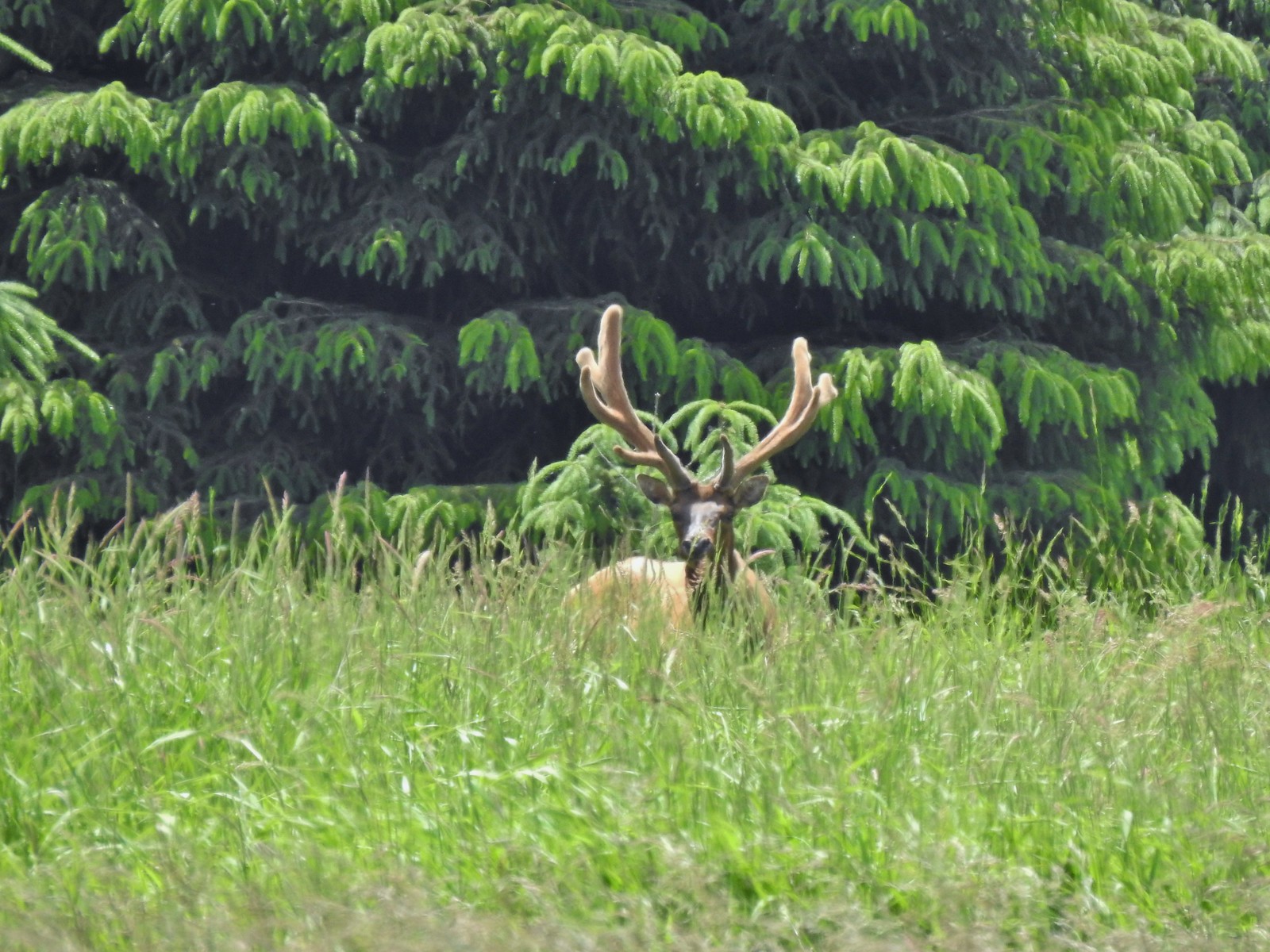 Bull elk – Julia Butler Hansen Wildlife Refuge
 Mountain goat below the Mt. Ireland Lookout – Mt. Ireland
 Domestic goat – Near the Julia Butler Hansen Wildlife Refuge
 Black bear – Siskiyou Wilderness
 The same black bear making eye contact the day before.


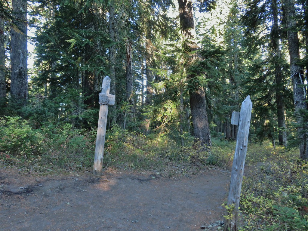
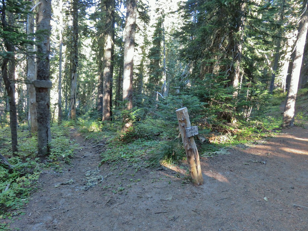
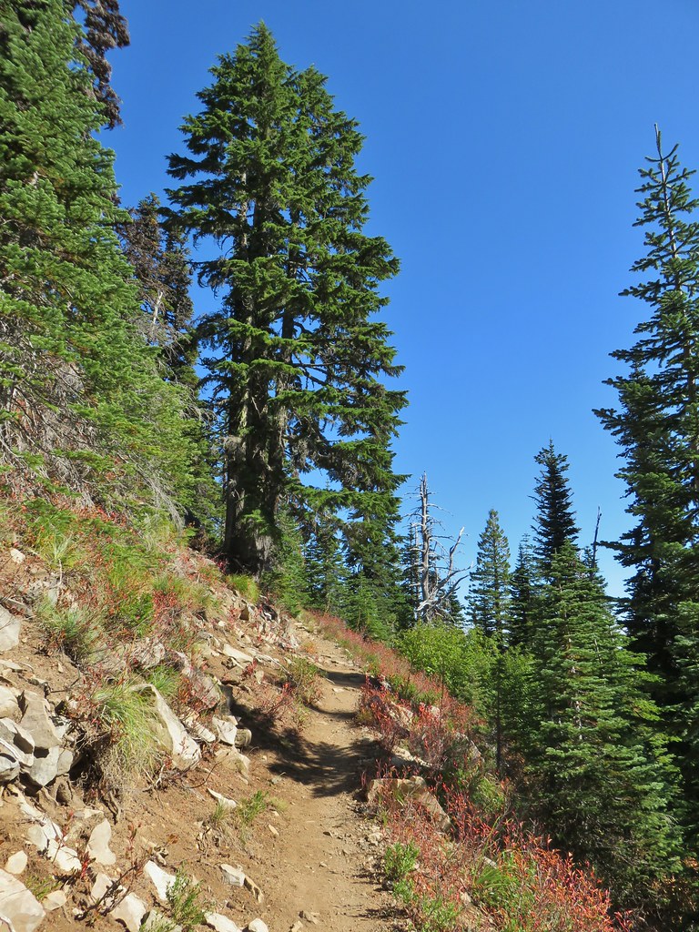
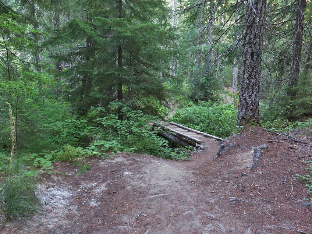
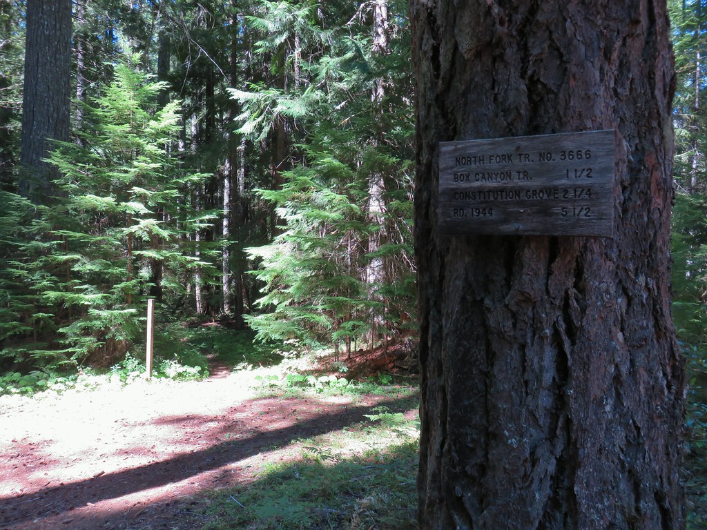
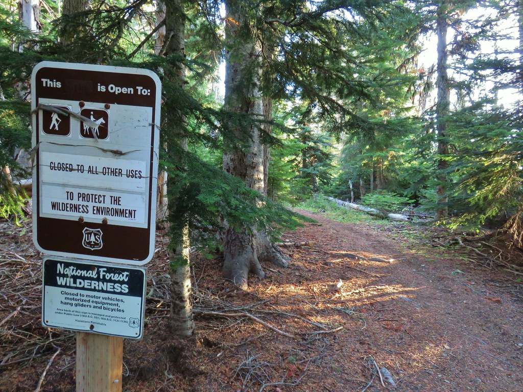
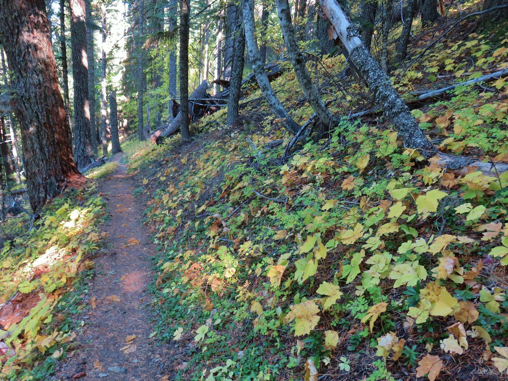
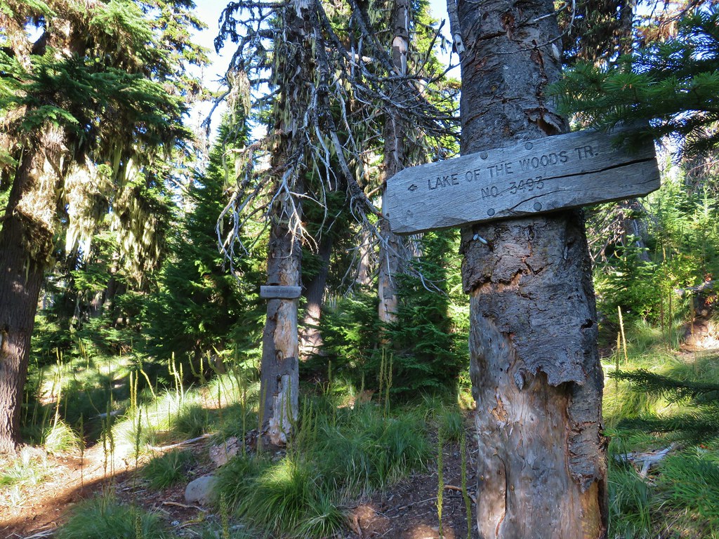
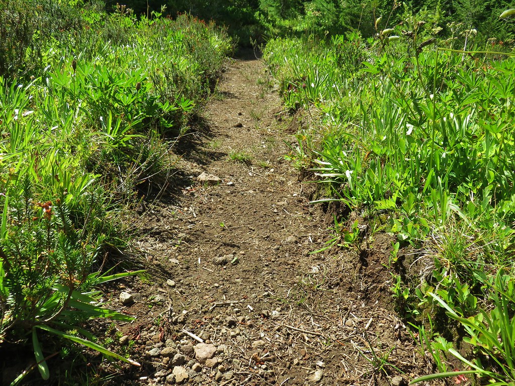
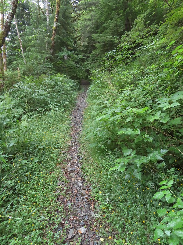 Overgrown roadbed that is now the Starway Trail.
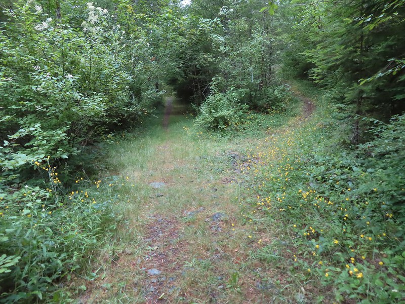 The fork with the Starway Trail to the right.
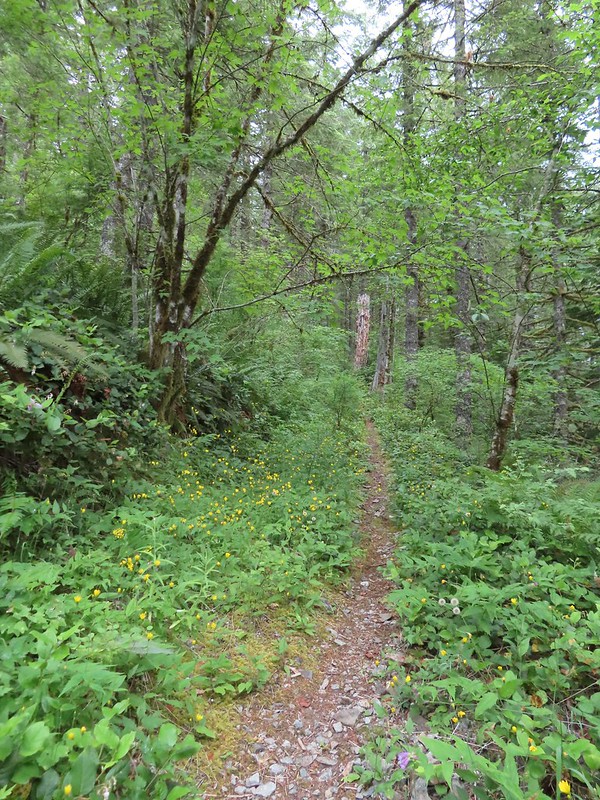
 Scouler’s bluebells
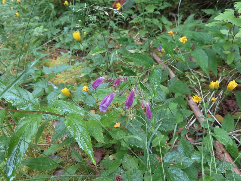 Beardstongue
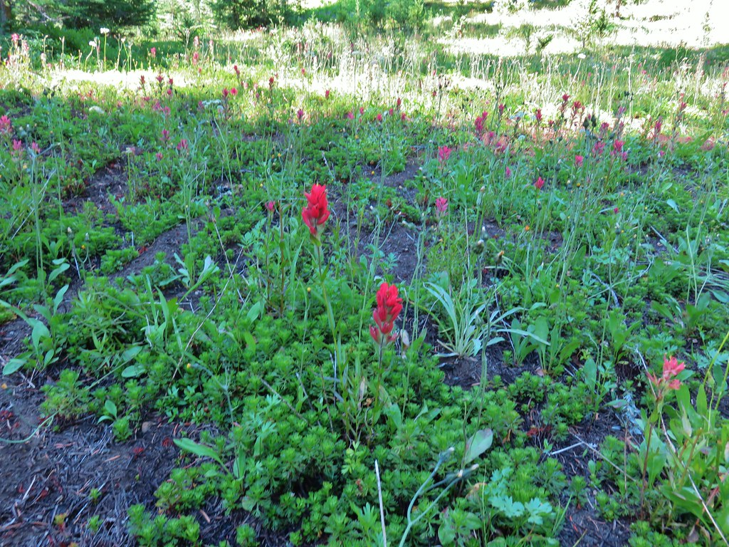
 Paintbrush
 Taken from the first switchback this gives a little reference for how steep the trail was.
 Pictures never do justice to just how steep trails are.
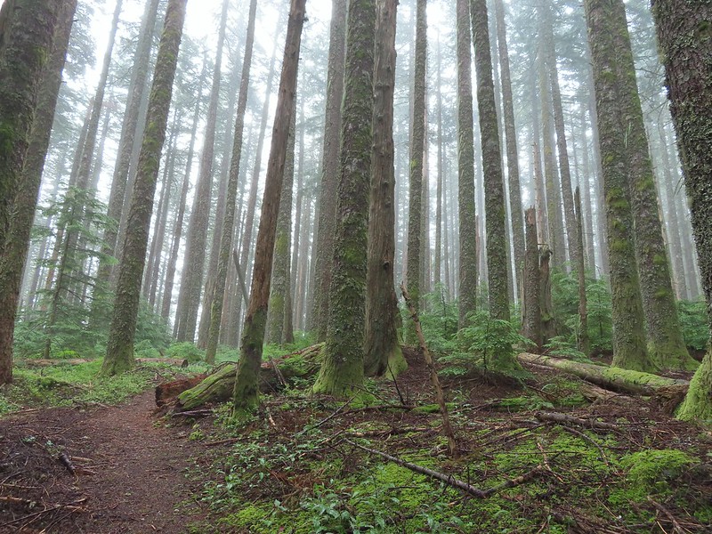 Almost to the bench.
 Level trail!
 Inside out flower
 The trail starting to steepen again.
 The first set of what appeared to be fairly recently built switchbacks.
 Approaching the little meadow.
 A little bit of blue overhead through the fog.
 Tiger lily
 Paintbrush
 Wood rose
 Thimbleberry
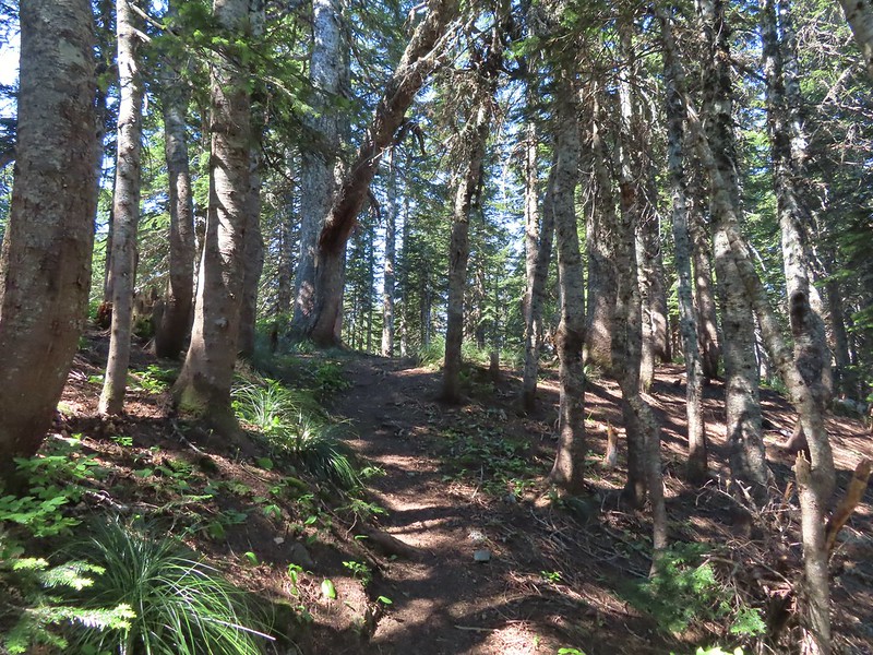
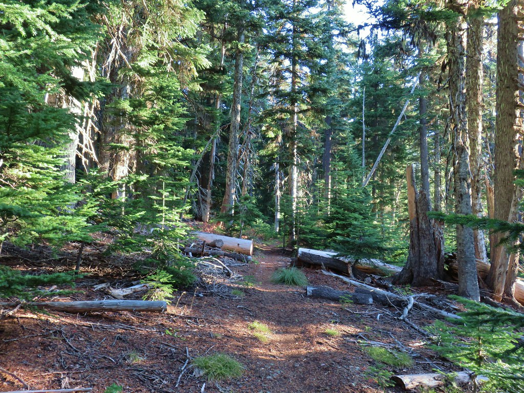
 Into the trees to look for a log.
 Silver Star Mountain
 Bunchberry
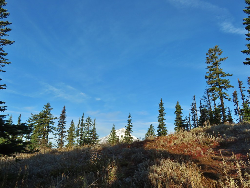
 Our first view of Mt. St. Helens
 Zoomed in on Mt. St. Helens.
 Arriving below Point 3977.
 Point 3977
 Pollinator on catchfly
 The pink vetch was very bright.
 Silver Star Mountain from the trail below Point 3977.
 Rose
Rose Wildflowers on Point 3977.
 Bluebells of Scotland
 Sub alpine mariposa lily
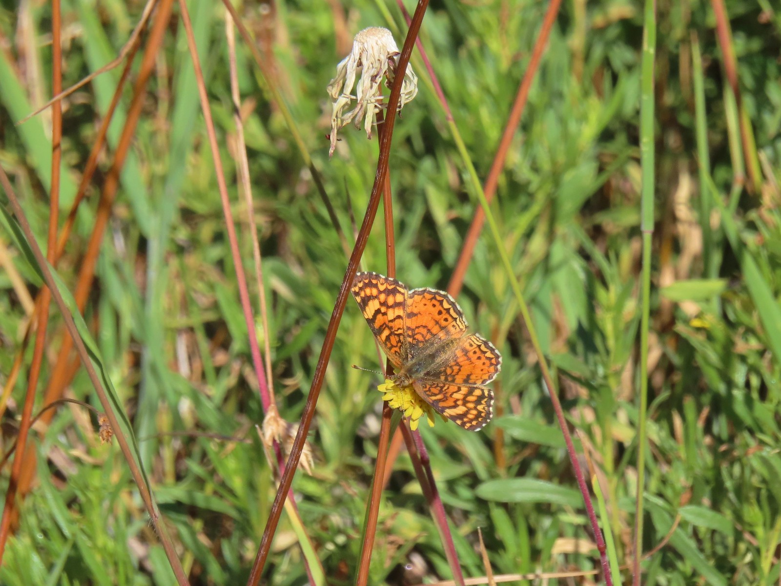
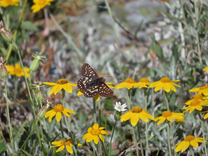 Checkerspot on Oregon sunshine
 Lots of purple larkspur amid the other flowers.
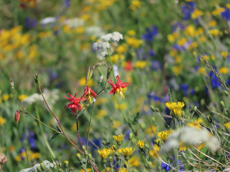 A few columbine were hiding in the mix.
 Violet
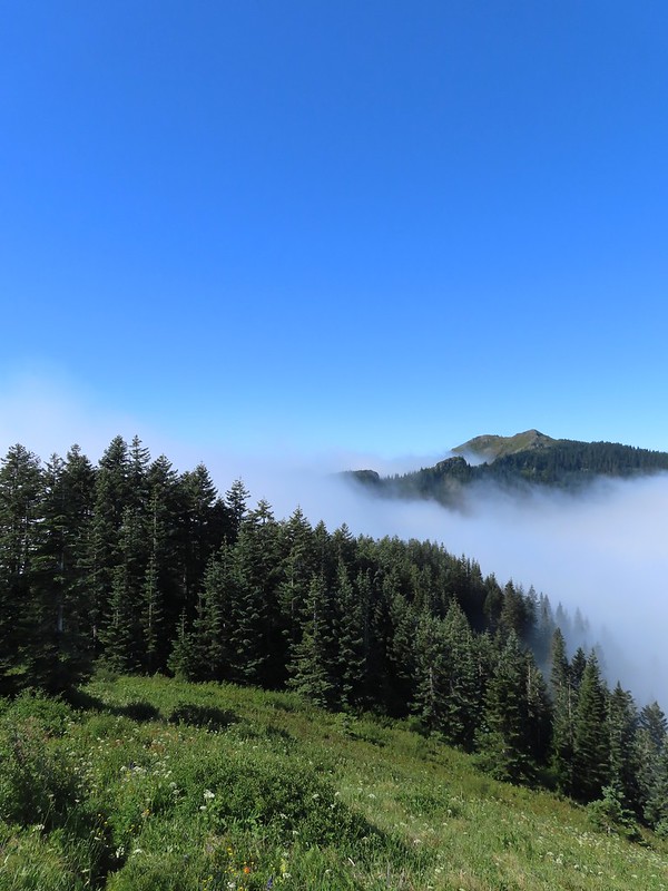 Starting down.
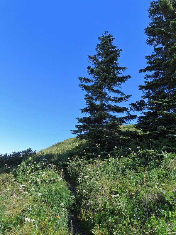 Looking back up.
 Stars on the trees marked the Starway Trail at times.
 Pinesap emerging from the ground.
 A cairn at the end of this brief level section marked the start of another steep descent. By this time we’d lost enough elevation to be back in the clouds.
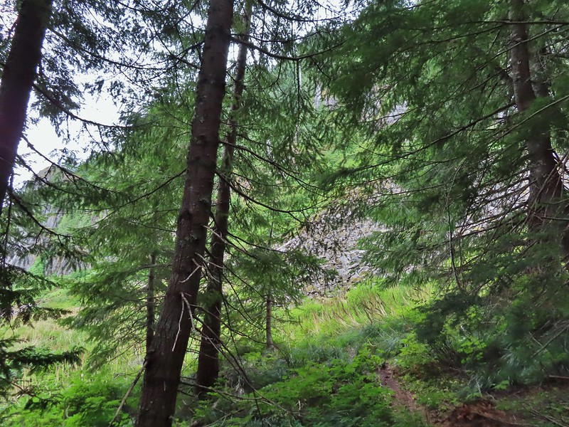
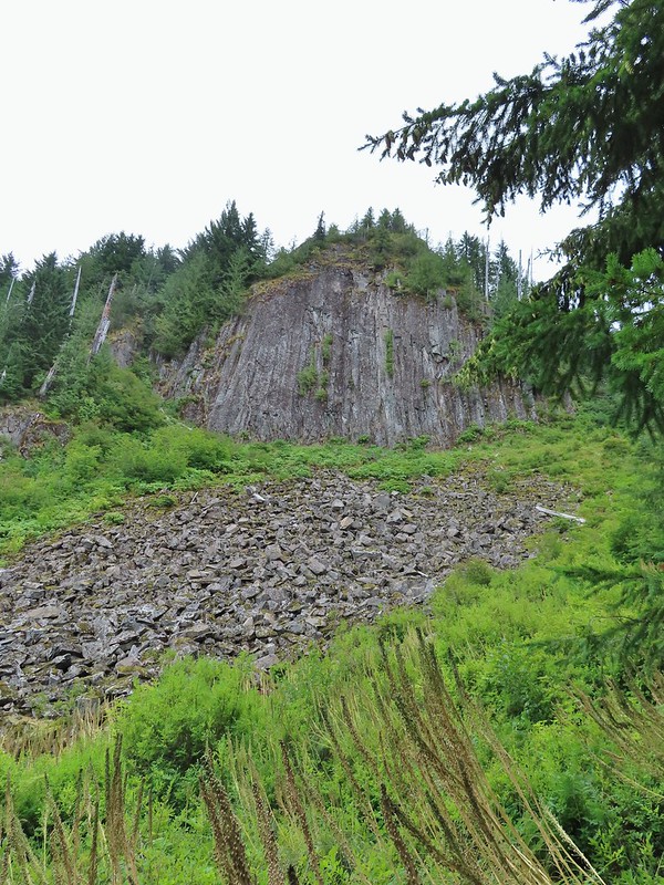
 Part of the elevation loss was to drop below some interesting rock outcrops.
 Fully back in the fog.
 Time to climb again.
 Big root balls.
 Trail sign near the Bluff Mountain Trail junction.
 Final pitch to the Bluff Mountain Trail.
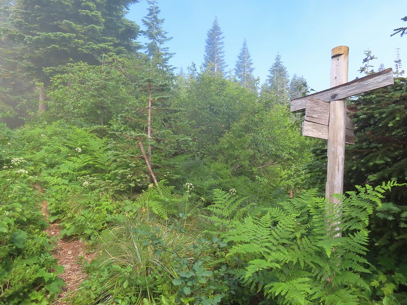 On the Bluff Mountain Trail at the junction.

 Lots of nice wildflowers along the Bluff Mountain Trail.
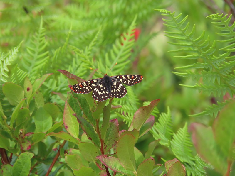 Another checkerspot
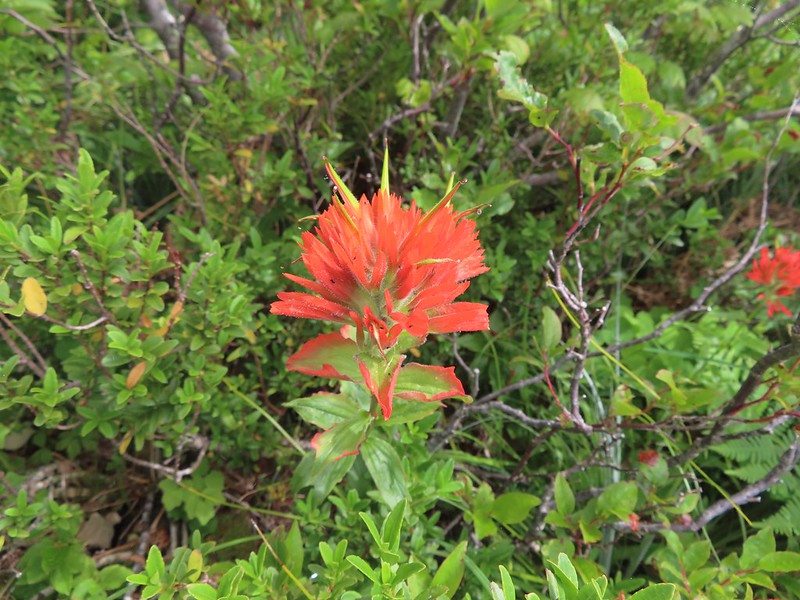 Paintbrush
 Penstemon
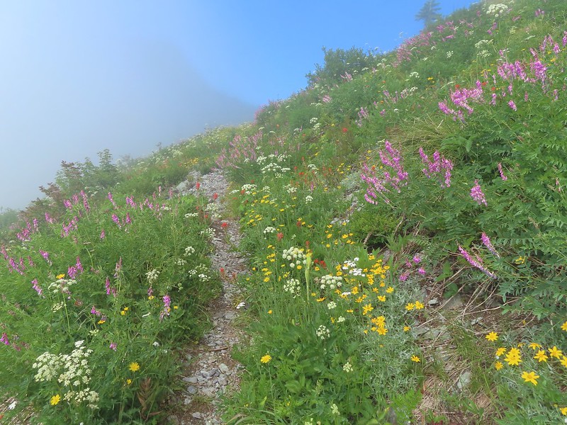 We just couldn’t quite shake the fog.
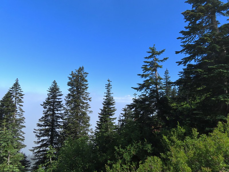 First sighting of Mt. Rainier.
 Mt. St. Helens to the left with Mt. Rainier to the right.
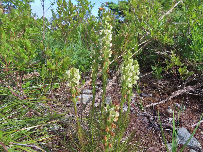 Coiled lousewort
 Lupine
 Getting closer to Silver Star.
 Crab spider on fleabane
 Spirea along the trail.
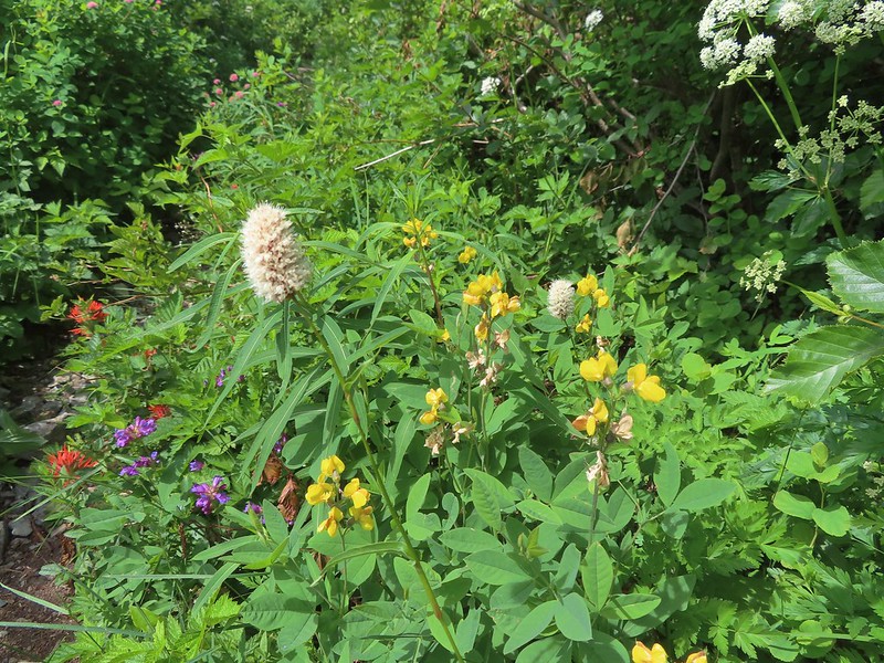 Bistort and mountain goldenbanner
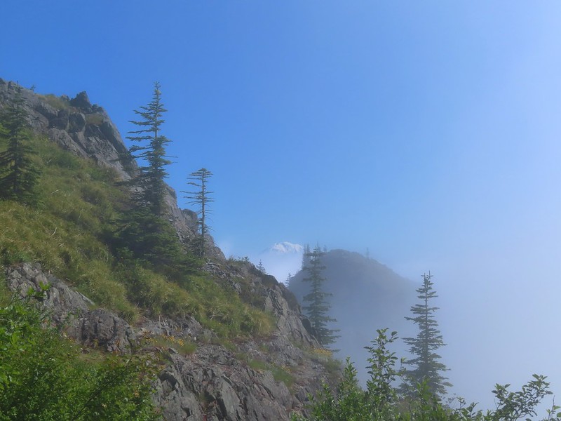 First Mt. Adams sighting.
 A crescent on bistort.
 Penstemon
 Wallflower with beetle.
 Passing below Silver Star Mountain.
 Mt. Hood
 Rock arch below Silver Star’s summit.
 Fading avalanche lily.
 The old roadbed.
 The summit to the left with Mt. Adams in the distance.
 Mt. Hood to the right at the saddle.
 Mt. St. Helens, Mt. Rainier, and Mt. Adams.
 Goat Rocks (between Mt. Rainier and Mt. Adams)
 Mt. Hood and Mt. Jefferson
 Mt. Jefferson. If you enlarge and look closely you can also make out Three Fingered Jack and the North Sister to the far right.
 Swallowtail
 Sturgeon Rock
 Wildflowers at the summit.
 Bug at the summit.
 Point 3977 is the the island surrounded by clouds.

 The only beargrass bloom we saw all day.
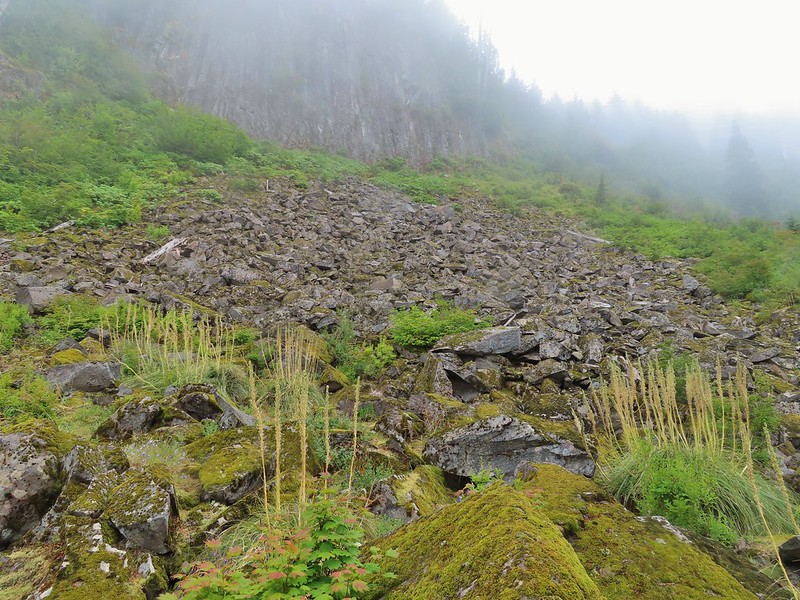
 The talus slope.
 Pikas are not easy to spot.
 On alert.
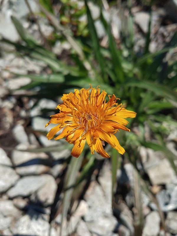 Orange agoseris
 Ladybug
 Making the steep climb back up to Point 3977.
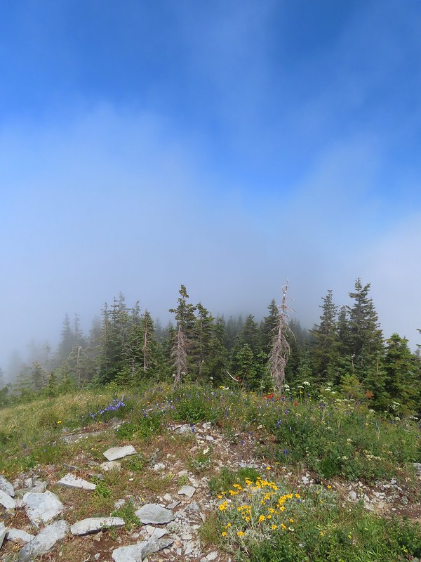 Looking toward Mt. St. Helens and Mt. Rainier.
 Looking toward Silver Star.
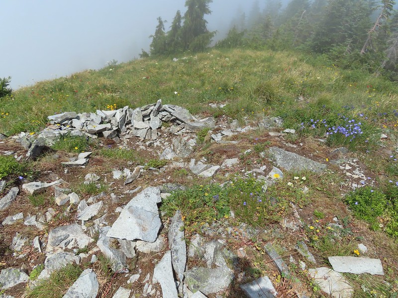 Possibly a Native American vision quest pit.
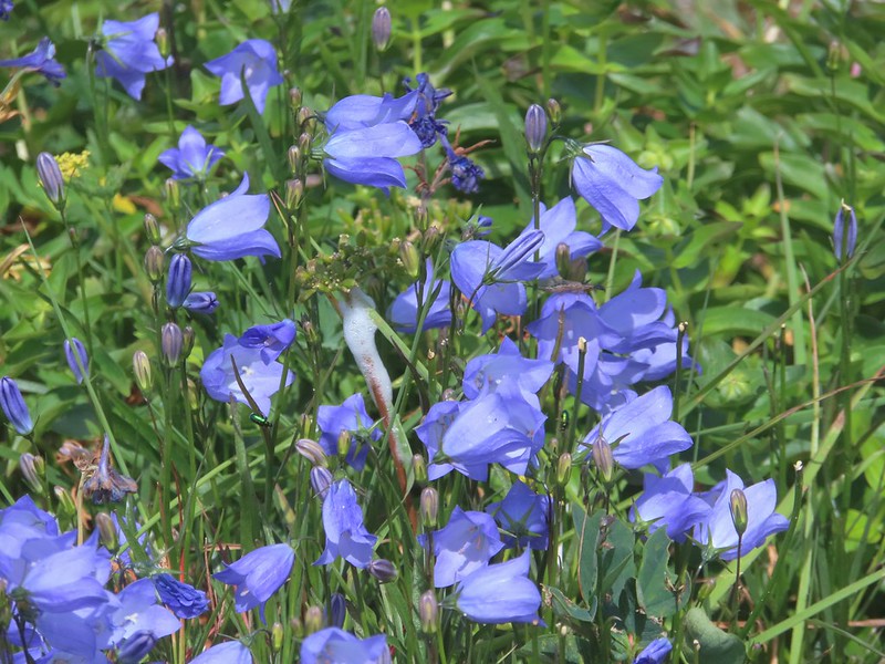 Bluebells of Scotland with at least three visible insects.
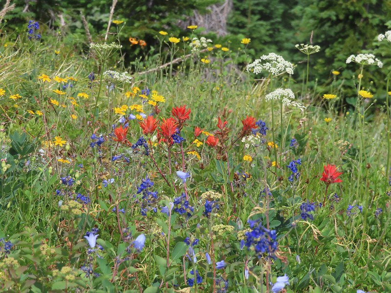 Some bright paintbrush.
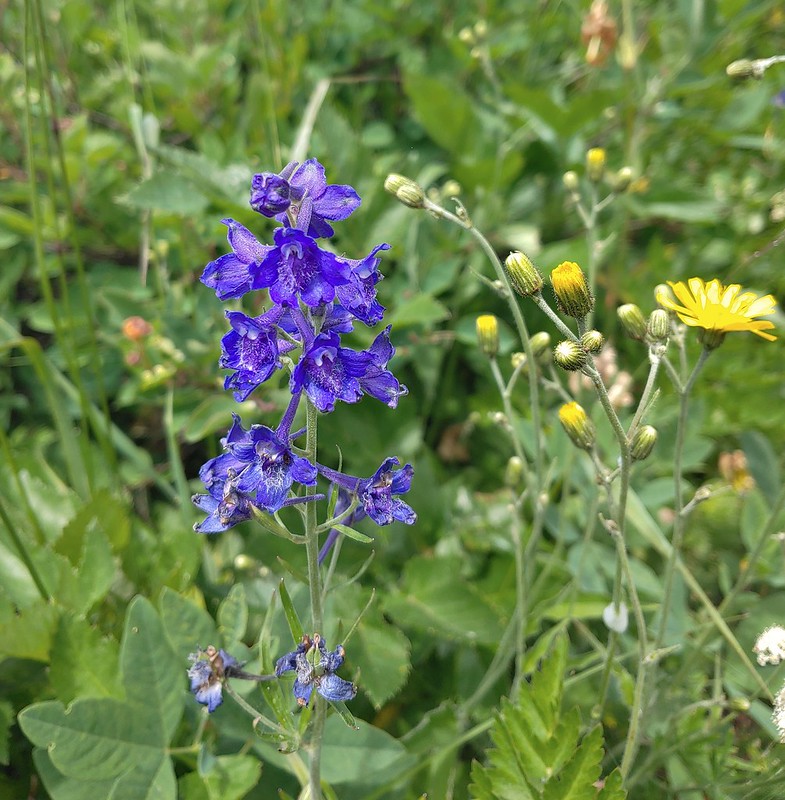 Larkspur
 A brief appearance by Silver Star’s summit.
 Sorry knees.
 Mock orange
 A little blue sky in the afternoon.
 Salmonberries along FR 4107. I may have eaten a few as well as some red huckleberries along the lower portion of the Starway Trail.
 Looking back at the hillside the Starway Trail climbs from FR 4107.
 The start of the “trail” at the end of the road.
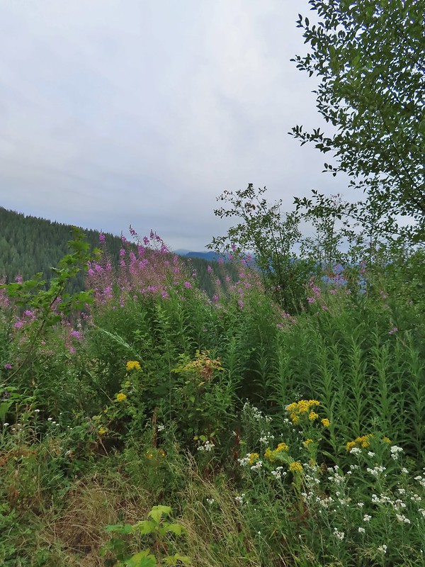 Wildflowers at the trailhead.
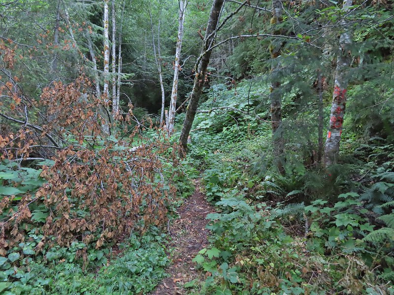


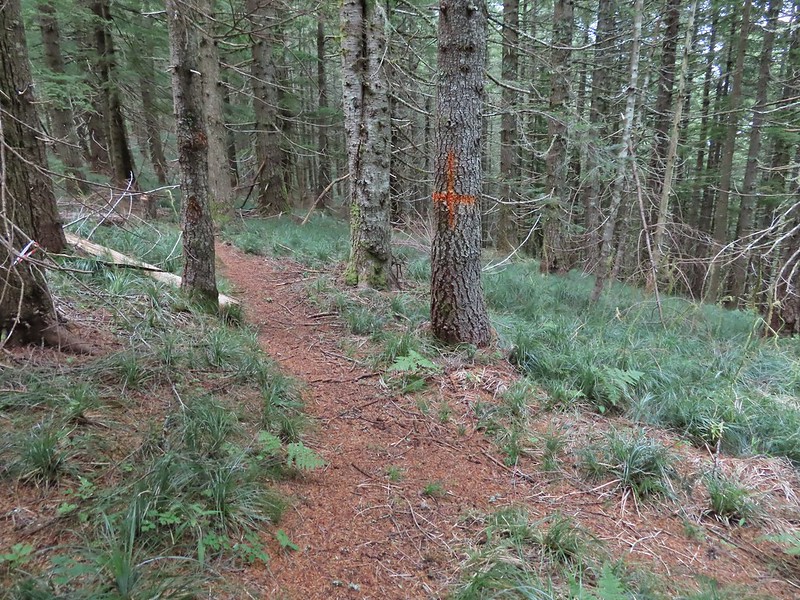
 Orange dot on a tree.
 Another orange dot.
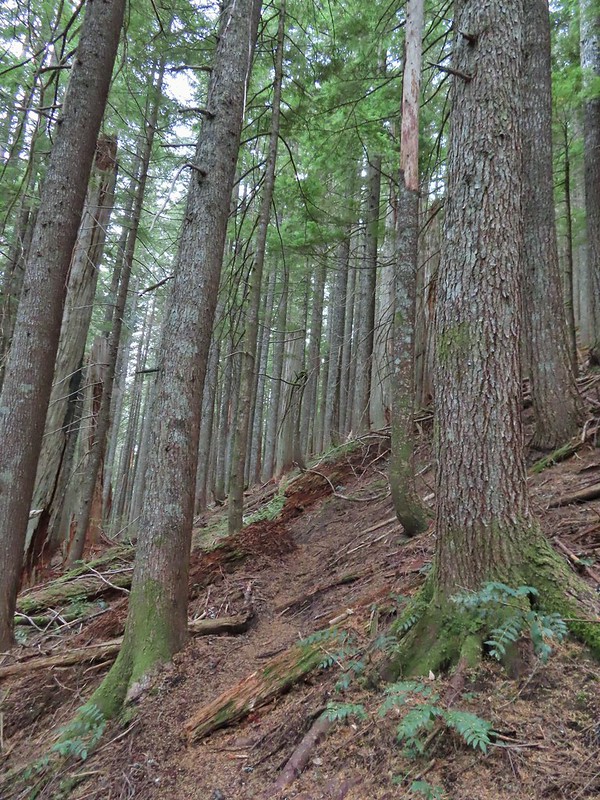 Occasionally there were short steep climbs but nothing as steep as the first part.
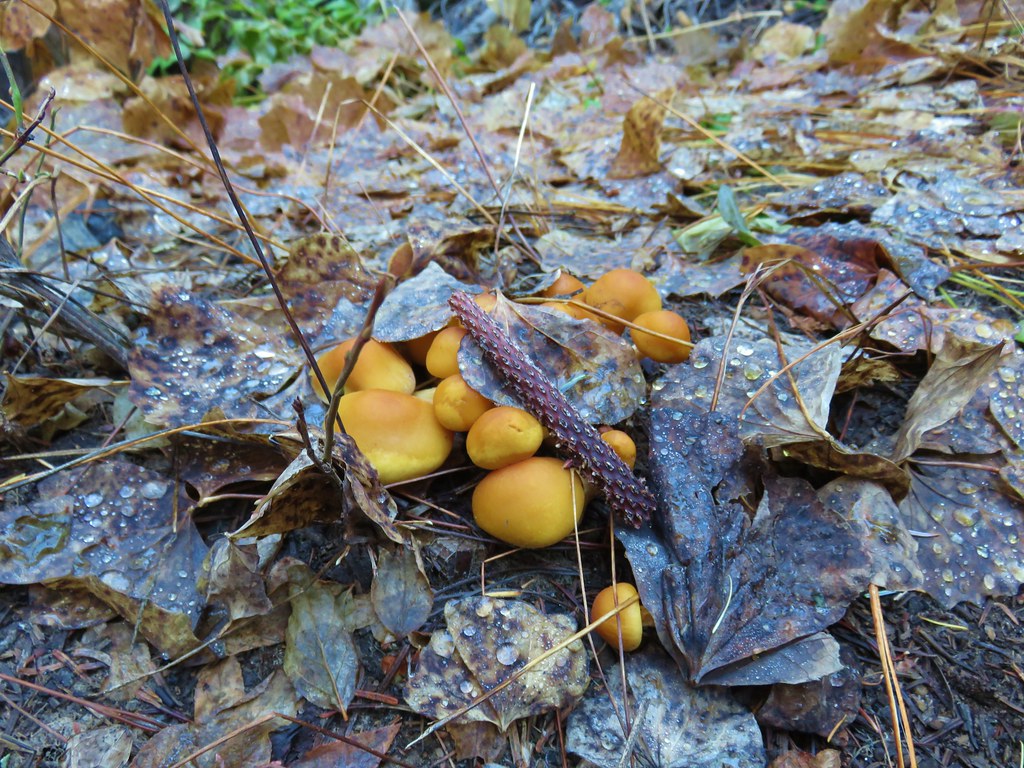
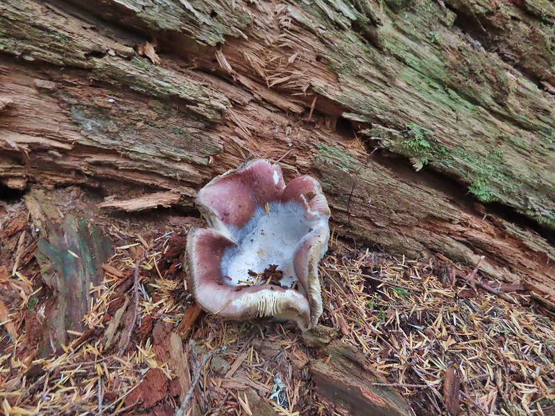 Mushroom
 Pink flagging on the right related to the timber sale.
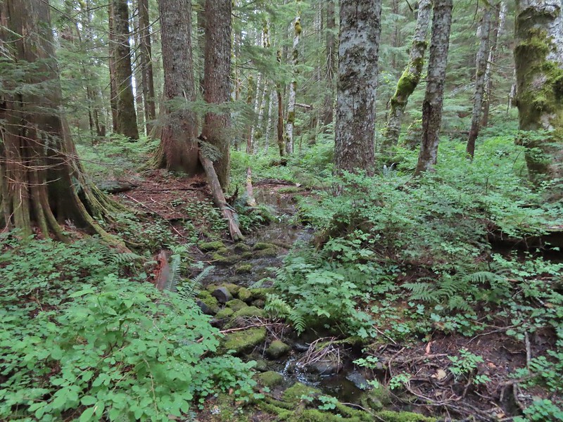 Water in a creek bed.
 Mushroom amid bunchberry leaves.
 Red huckleberries
 Timber sale boundary sign on the right with a flag.
 More huckleberries.
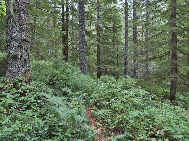


 Bluebell of Scotland
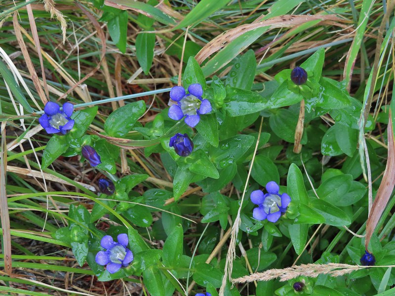 Gentian
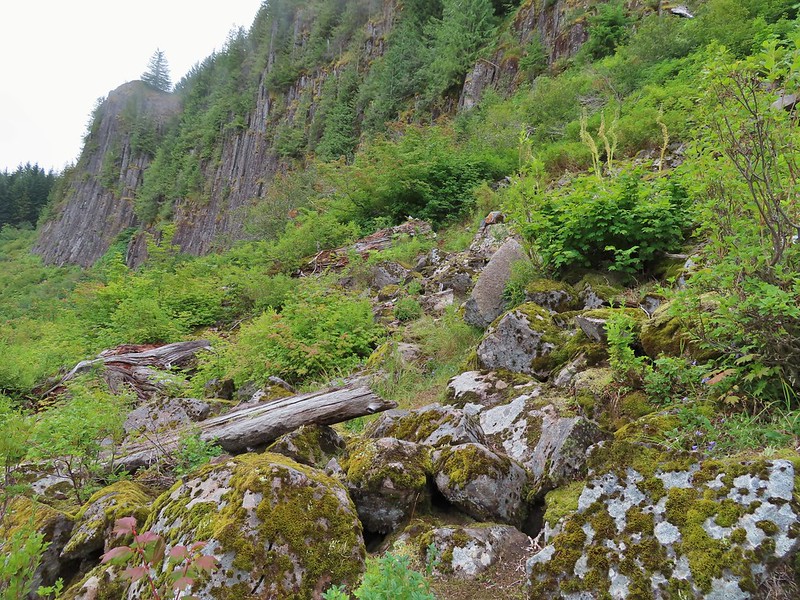
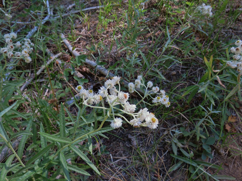
 Pearly everlasting
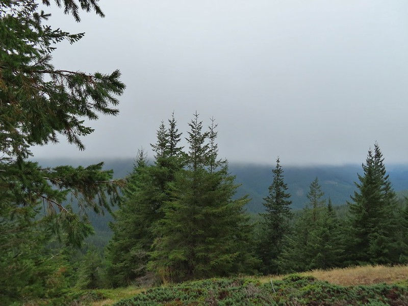
 The view north, not much to see.
 Mount Mitchell from the path.
 Paintbrush
 Gentian
 Penstemon
 aster
aster Oregon sunshine
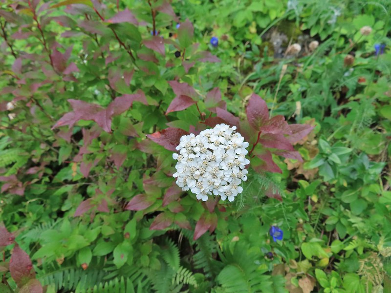 Yarrow
 The trail nearing the end of the basalt cliffs.
 The view south across North Siouxon Creek was the same as it had been to the north.

 It was apparently a good beargrass year along the trail.


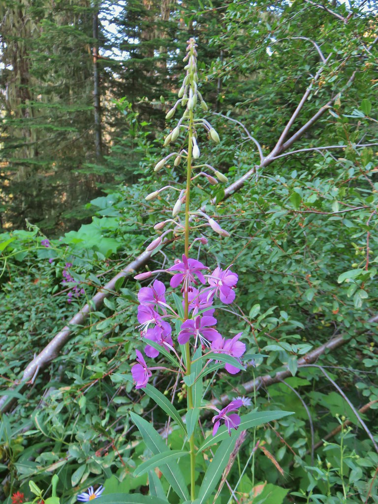
 Fireweed amid the beargrass.
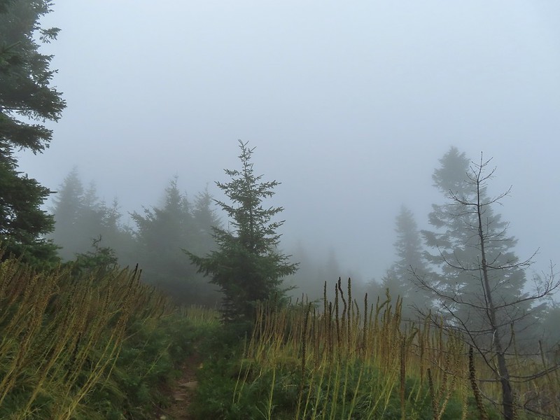


 Mt. St. Helens is out there somewhere.
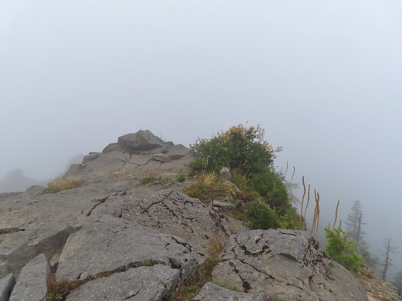 Looking east over the site of the former lookout.
 The survey marker and one of several neat rock formation near the summit.
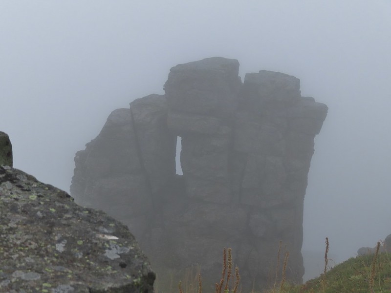 Closer look at the formation.

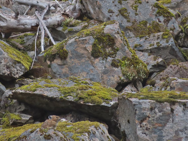
 A second picture after seeing it move again.
 The pika popped back out below the larger rock that it had run behind.
 A non zoomed in photo, the pika is still in the same spot as in the two photos immediately above.
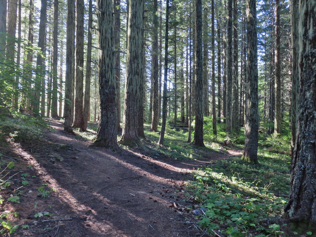
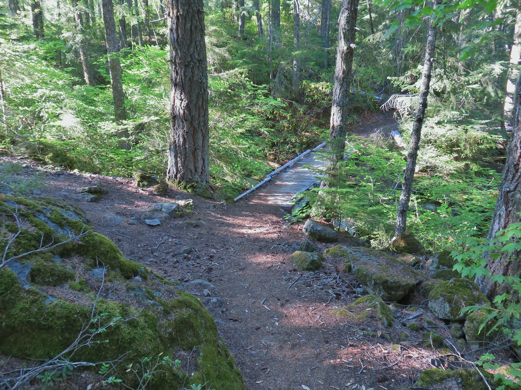
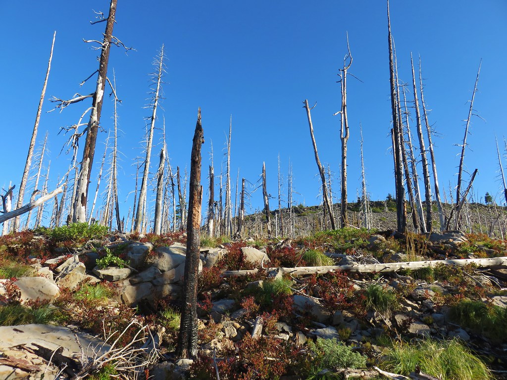
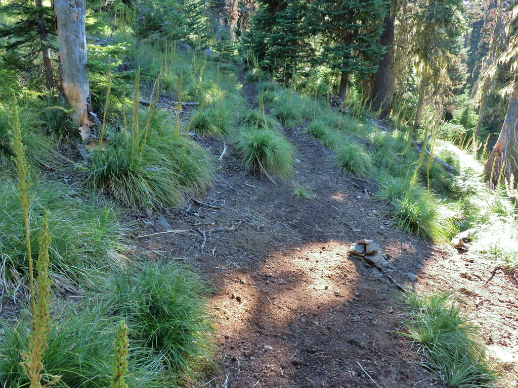
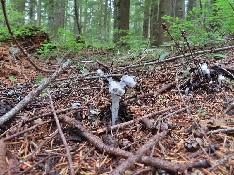 Spotting this patch of ghost pipe emerging from the forest floor was another highlight on the return hike. The hike is reportedly 7.3 miles with a little over 2000′ of elevation gain but Heather’s GPS put us at 7.8 miles and mine registered 8.3 miles. (If you’ve read other posts you know that Heather’s unit used to almost always show the higher mileage but lately mine has been.) Whatever the actual mileage it was a good hike through a very nice forest which sadly, barring a last minute successful change, may not be possible in the future.


 Still some fireweed blooming in the fire scar.
 East Crater beyond a pond.
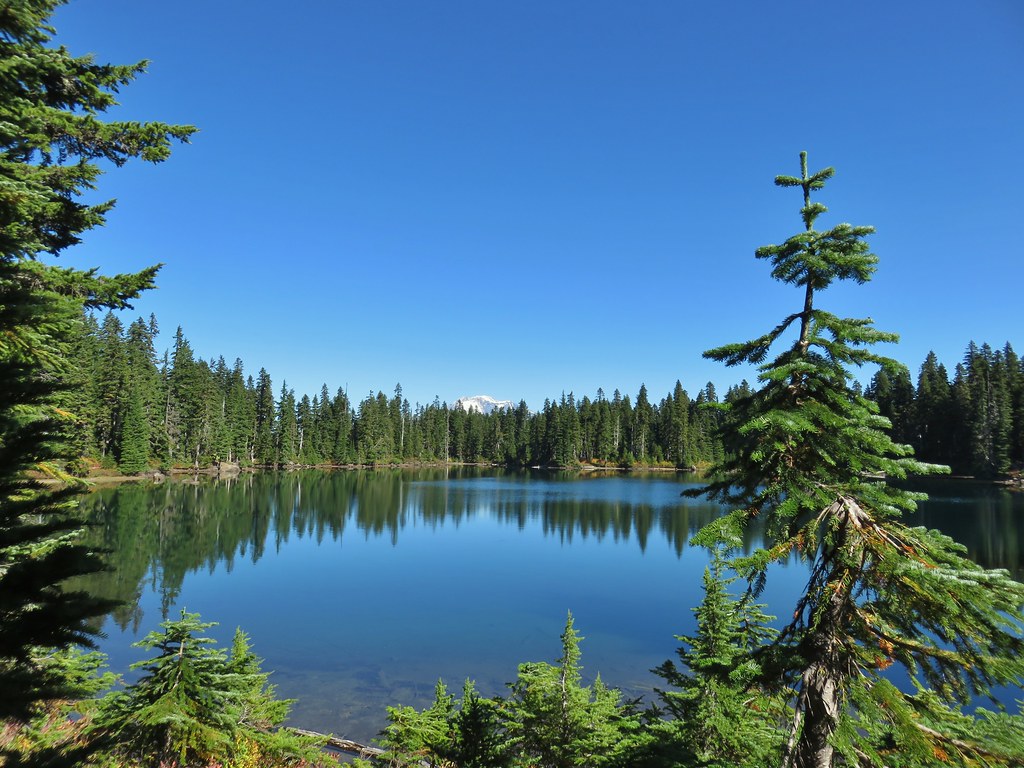
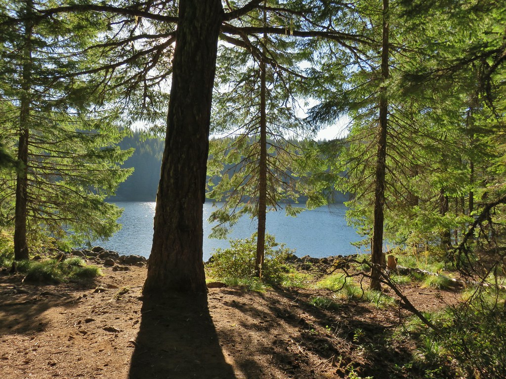
 Junction Lake
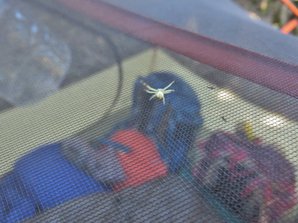 This crab spider offered to watch our tent for us while we were away.


 Placid Lake Trail on the left.
 No pikas in these rocks, that we saw.
 PCT at the 4-way junction.
 Cultus Creek Trail heading uphill to the right.

 Goat Rocks with Mt. Adams hiding behind trees.
 Mt. Rainier behind Sawtooth Mountain (and Steamboat Mountain to the right)
 Mt. Rainier
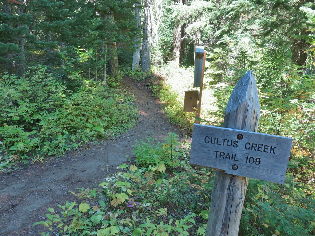


 The Labor Day wind storm had knocked a number of trees down but the trails we took had mostly been cleared already.

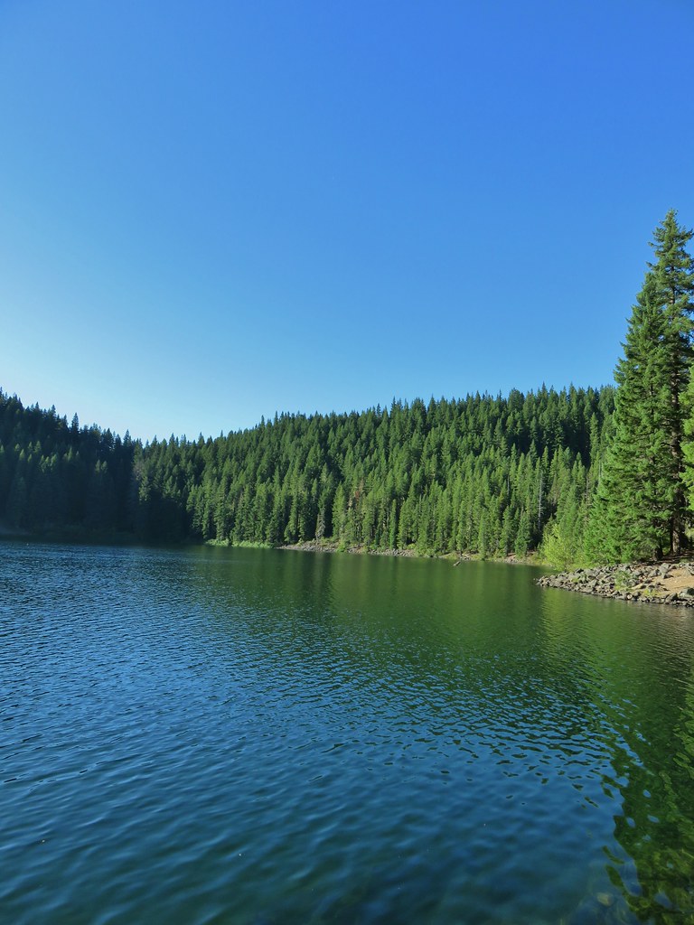
 Cultus Lake from the Deep Lake Trail.
 Lemi Rock beyond Cultus Lake
 Cultus Lake from the Lemi Trail.

 The climb was up a forested hillside.
 Mt. St. Helens

 Mt. Adams as we approached the viewpoint.
 Lake Wapiki
 Mt. Hood


 Lemi Lake


 Pearly everlasting
 Lemi Rock from the Lemi Lake Trail.

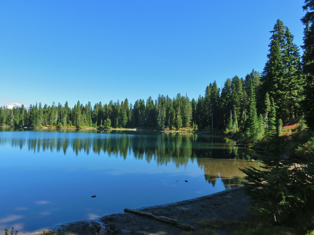
 Junction Lake
 Back to the PCT.
 Junction Lake from the PCT/Lemi Lake Trail junction.
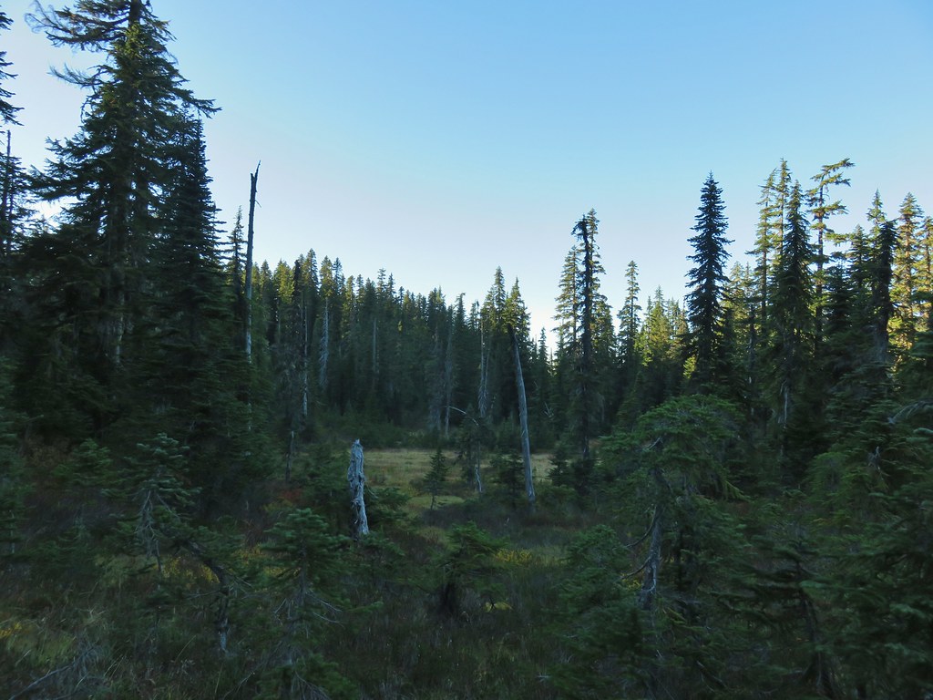


 Lower Erma Bell Lake from the climb.
 Above the falls.

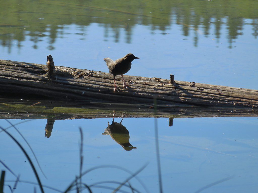 Ouzel
Ouzel Ducks
Ducks Pond along the trail.
 Spur trail on the right to Upper Erma Bell Lakes.
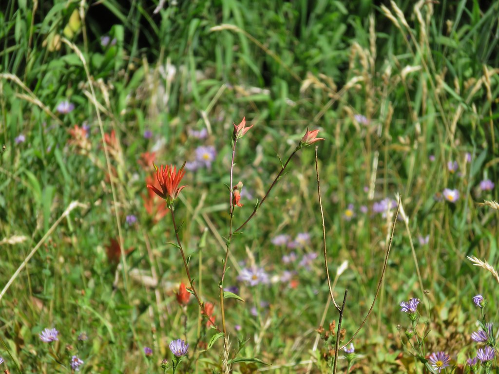
 Paintbrush and aster along the lake shore.
 Upper Erma Bell Lake
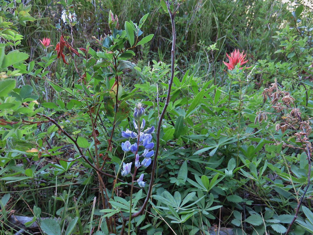 Lupine and paintrbush
 Judy Lake Trail on the right.
 Williams Lake Trail joining from the right.
 Grouse giving us the what for from a tree.
 Williams Lake
 Dry creek bed near Williams Lake.

 Pearly everlasting
 Fleabane
 Prince’s pine
 Mushroom
 Aster
Aster
 Coneflower
 Paintbrush
 Paintbrush

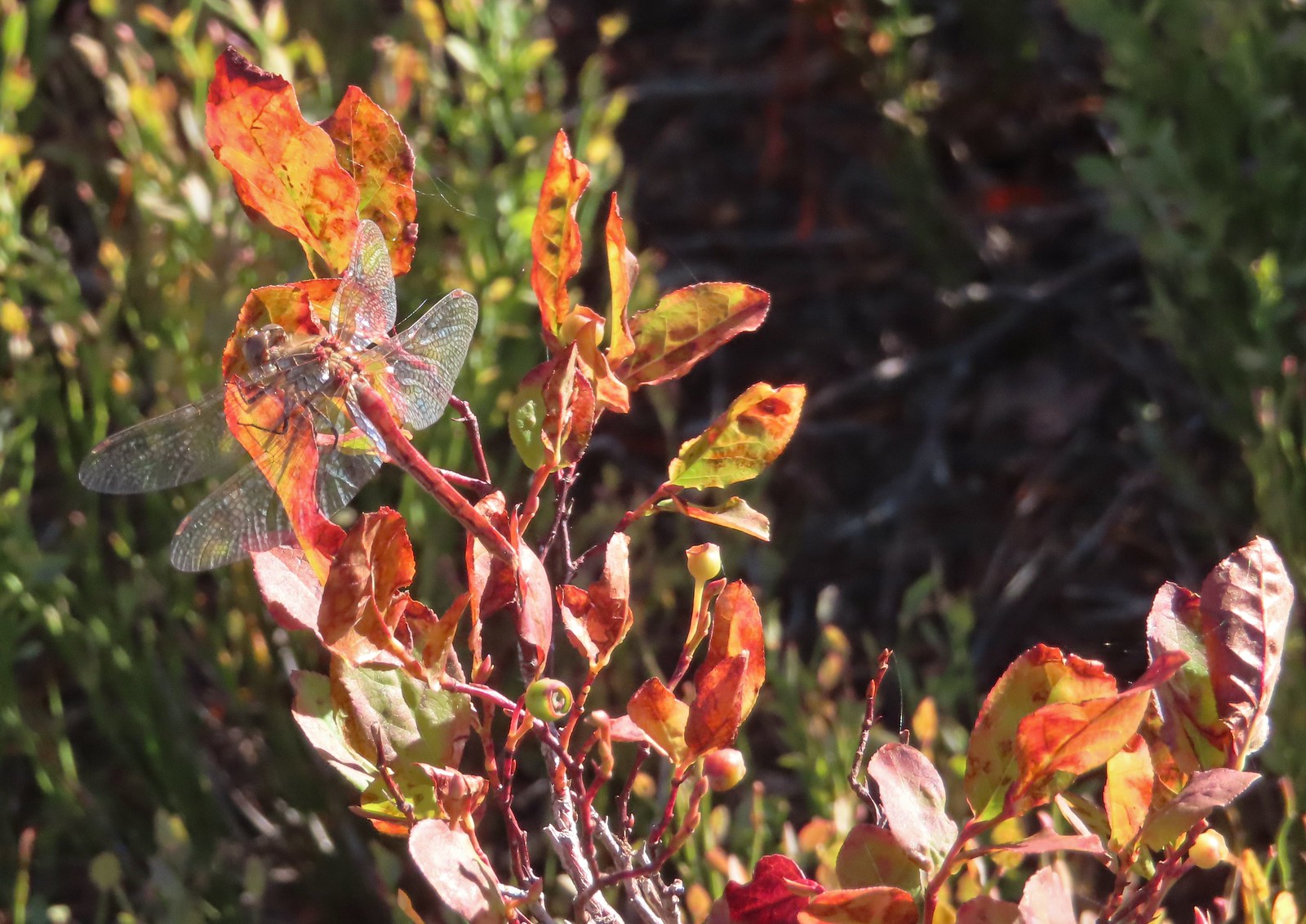
 Curious dragonfly


 Ghost Pipe aka Indian Pipe


 Arriving at Cedar Bog.
 One of a couple dry channels.
 North Fork Middle Fork
 Flagging on a downed tree marking the continuation of the Shale Ridge Trail.
 North Fork Middle Fork at Cedar Bog
 Orange flagging on the far side of the river.
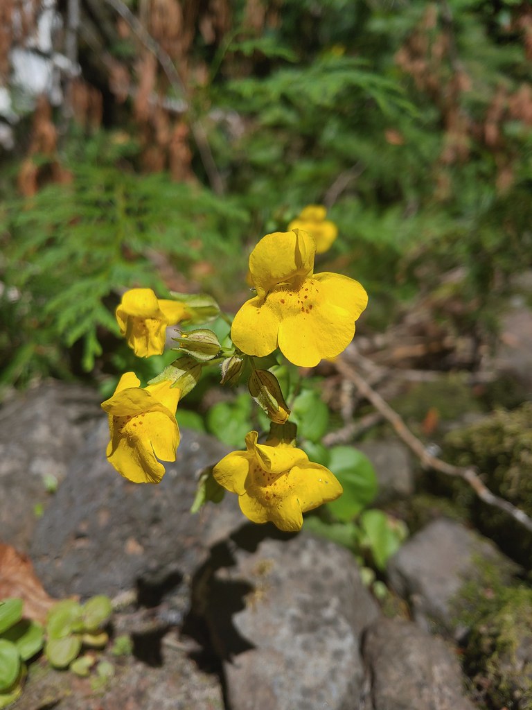 Monkeyflower at Cedar Bog
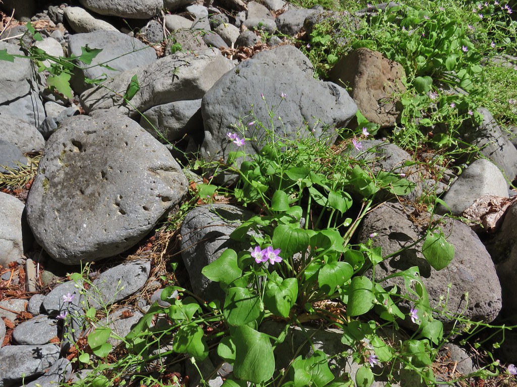 Candy flower

 Bohemia Mountain from the road.


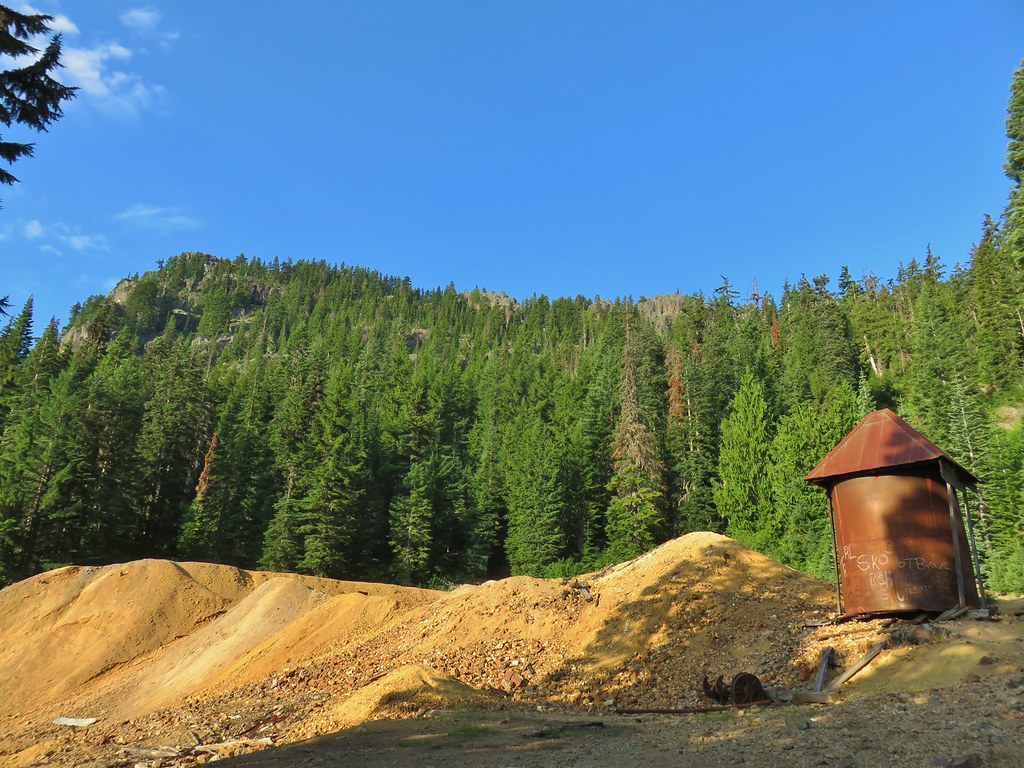 Old mining structure from the road near the post office.
 No miners were seen but I did spot a pika nearby.
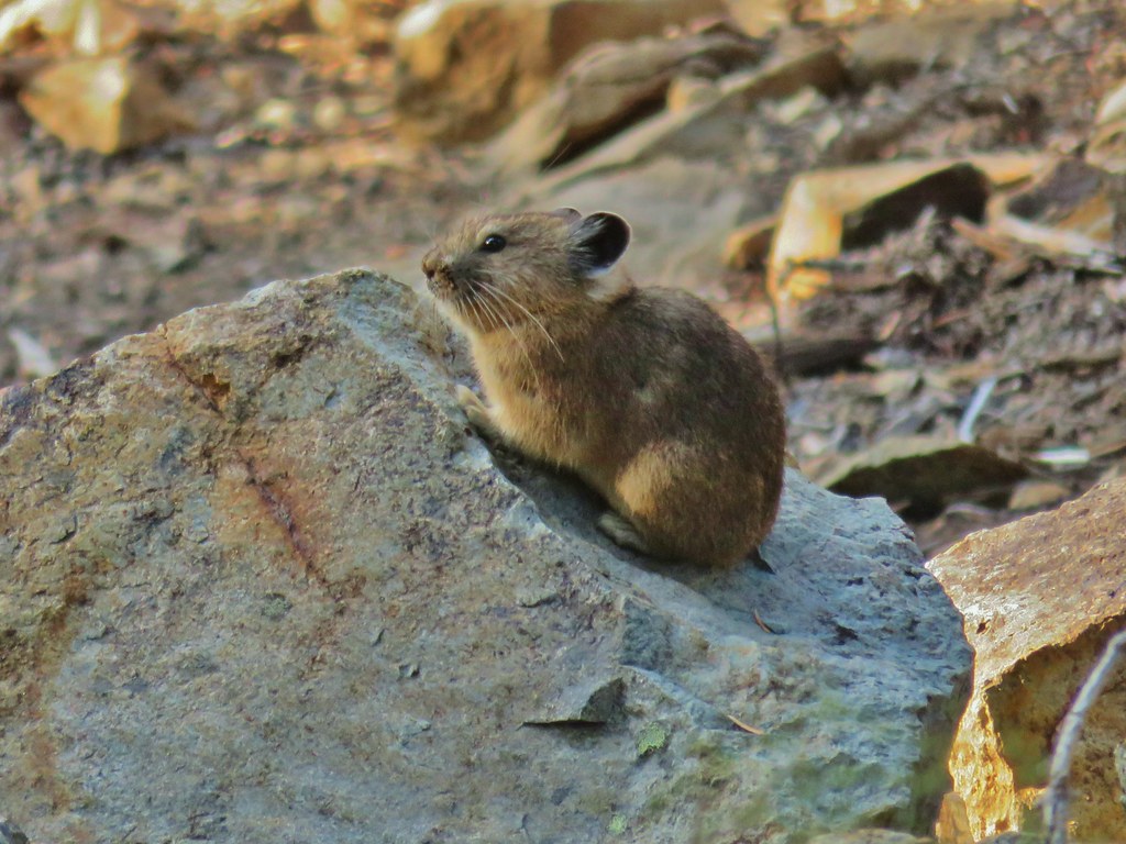
 Fireweed
 Beardtongue
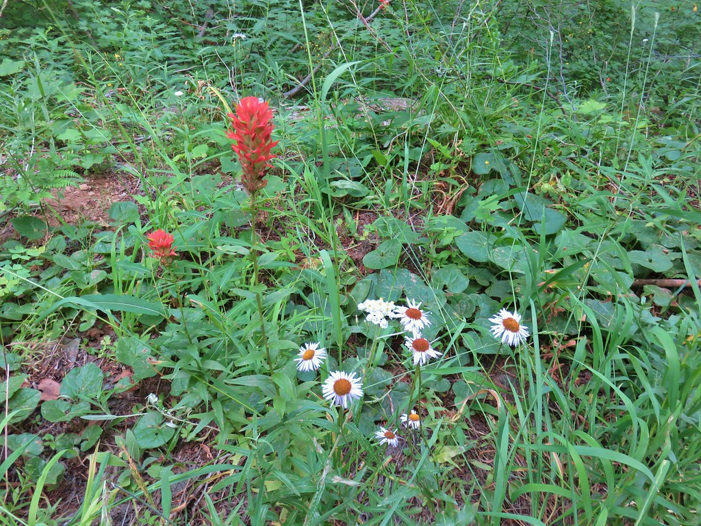 Paintbrush, pearly everlasting, and some type of fleabane
 Large boykinia
 Spreading dogbane
 Blue head gilia
 Bistort
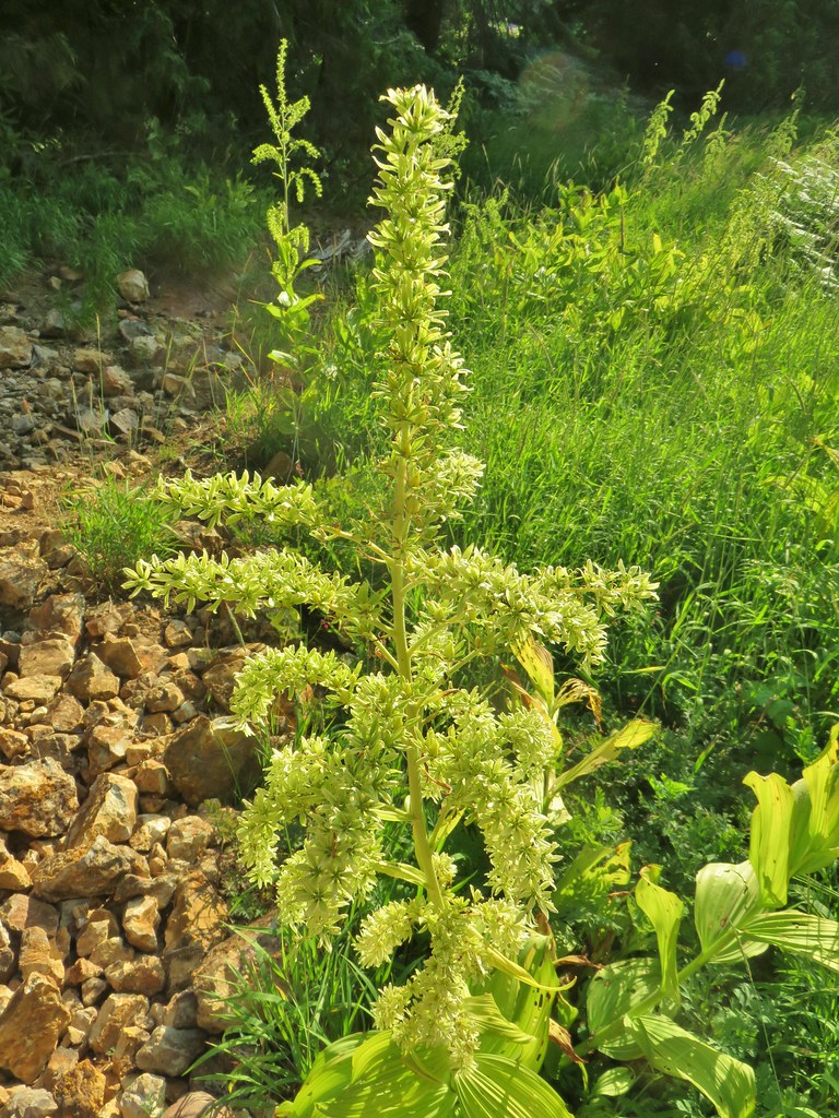 False hellebore
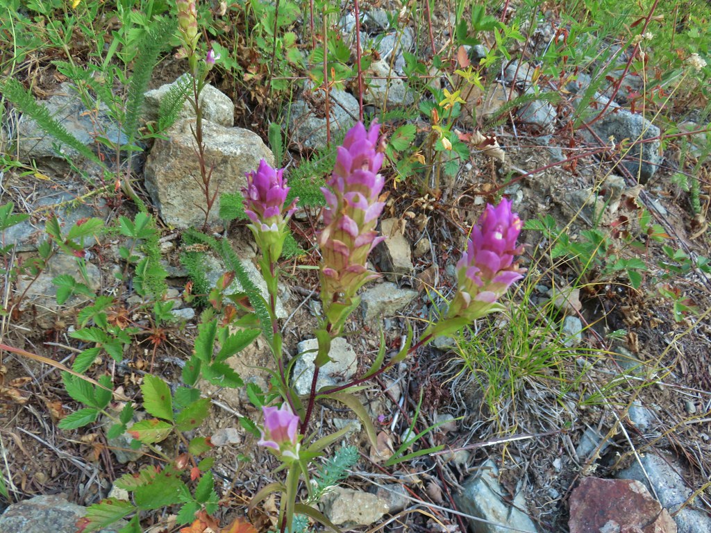 Owl’s clover
 Mountain parnassian butterfly on pearly everlasting.
 A lone lupine still in bloom.
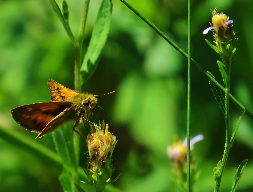
 Skipper
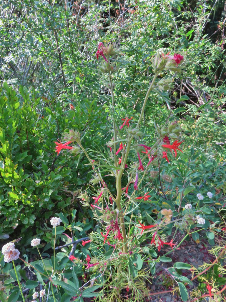 Scarlet gilia
 Bohemia Saddle
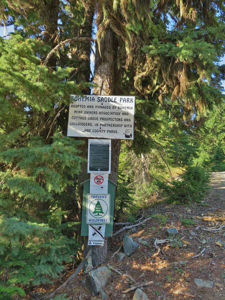 Signage at Bohemia Saddle
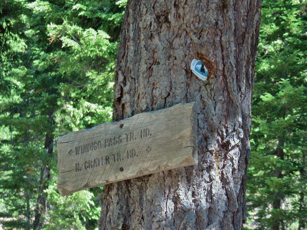
 Sign marking the start of the trail.
 Starting up Jackass Ridge
 Rainiera
 Paintbrush and fleabane
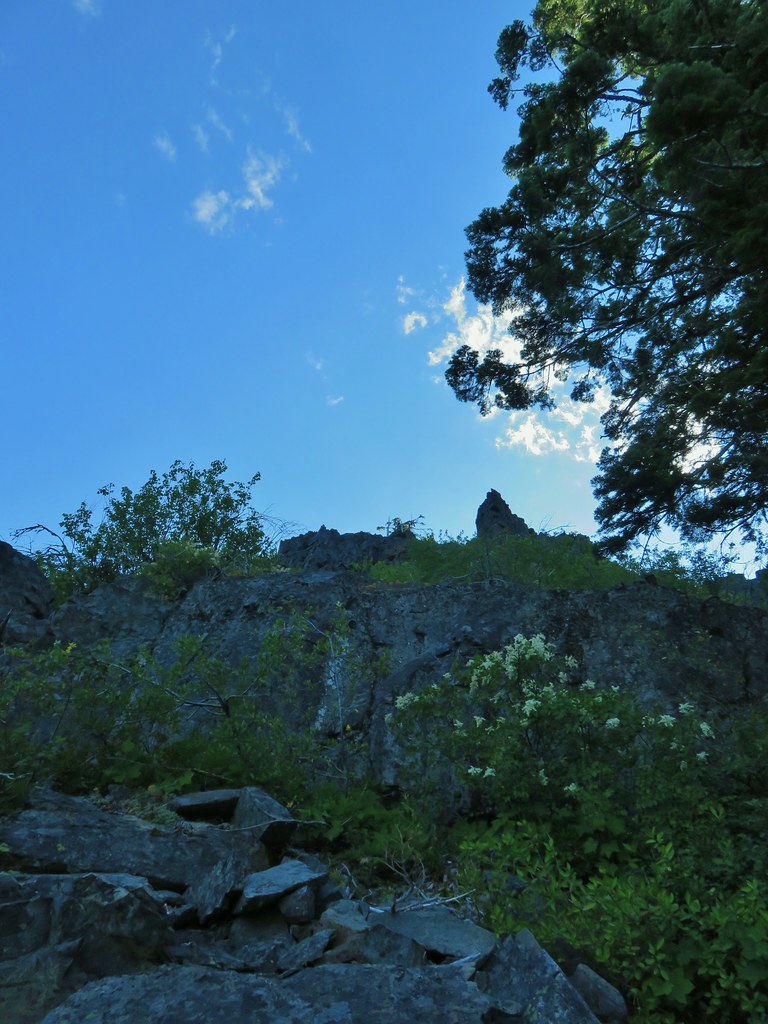 The rocky ridge provided shade during the climb.
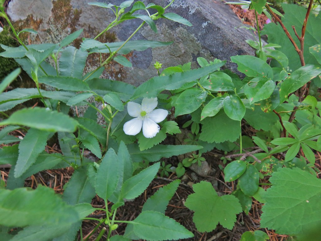 A lingering anemone.
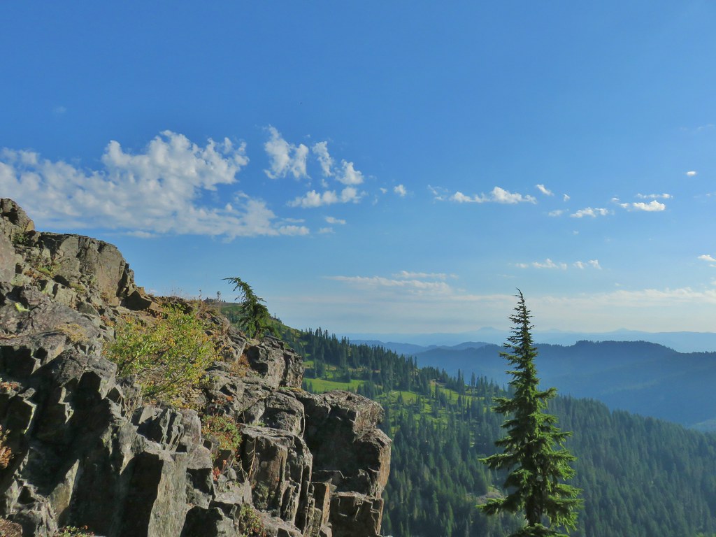 The Fairview Peak lookout tower to the left with the Three Sisters, Broken Top, and Mt. Bachelor in the distance.
 Three Sisters, Broken Top, and Mt. Bachelor in the distance.
 Nearing the summit.
 Mt. Bailey and Mt. Scott in the distance.
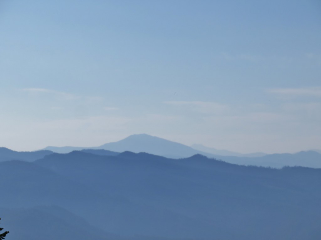 Mt. Bailey and Mt. Scott
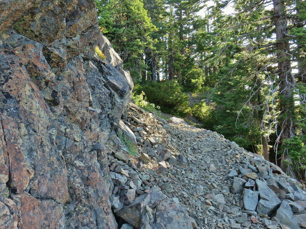
 Bohemia Mountain summit
 Mt. Jefferson and Three Fingered Jack
 Mt. Washington and the North & Middle Sisters
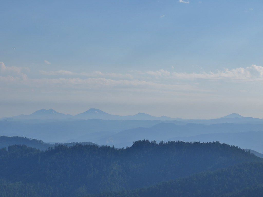 Three Sisters, Broken Top, and Mt. Bachelor
 Mount Yoran and Diamond Peak
 Tipsoo Peak, Howlock Mountain, Mt. Thielsen, Mt. Bailey, Mt. Scott, Hillman Peak and The Watchman.

 Fairview Peak lookout
 A lot more yet to ripen.
 We also found a few ripe thimbleberries.
 Alligator lizard


 Little bee landing on fireweed at the trailhead.


 Sample of the blowdown.
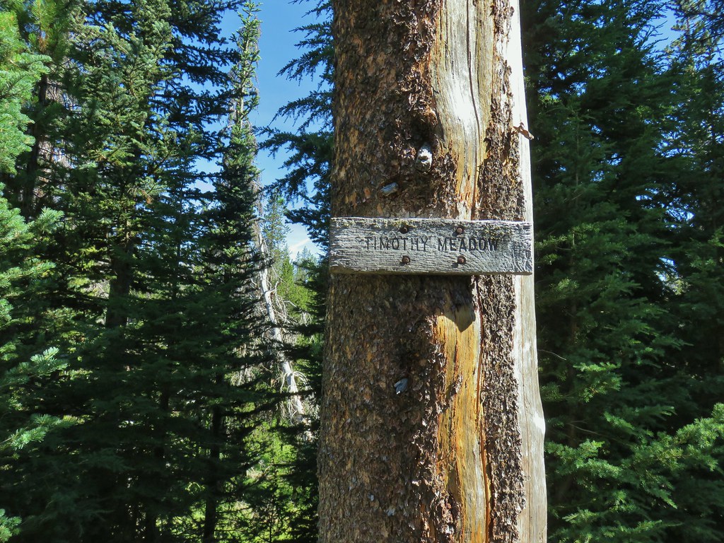

 Fittingly a downed log welcomed us to the wilderness.
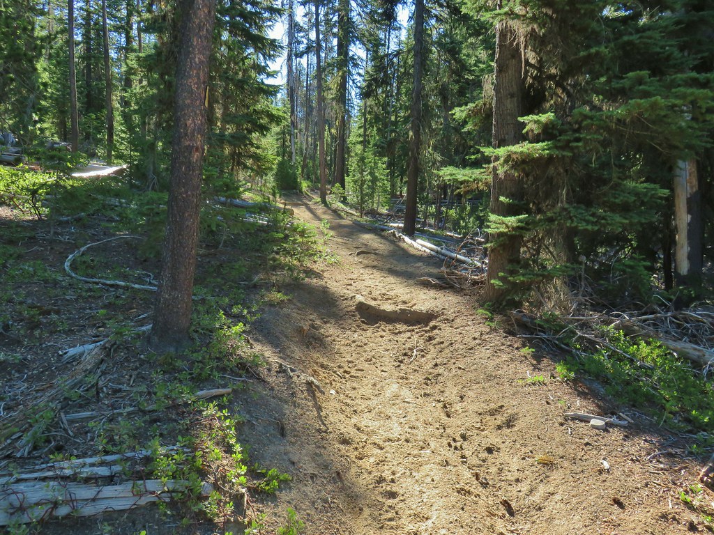
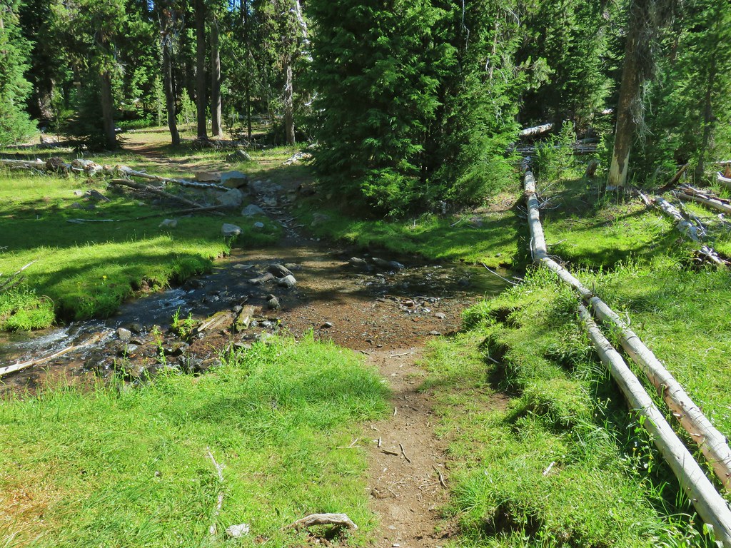 Thielsen Creek at the head of Timothy Meadows
 flower at Timothy Meadows
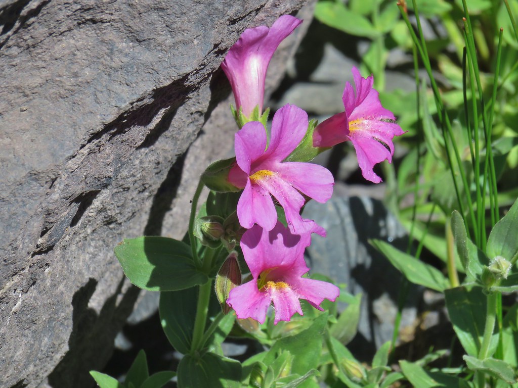
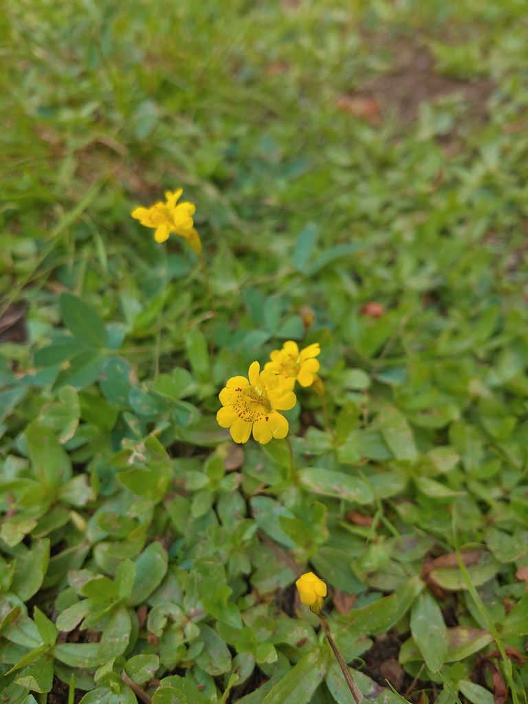 Musk monkeyflower?
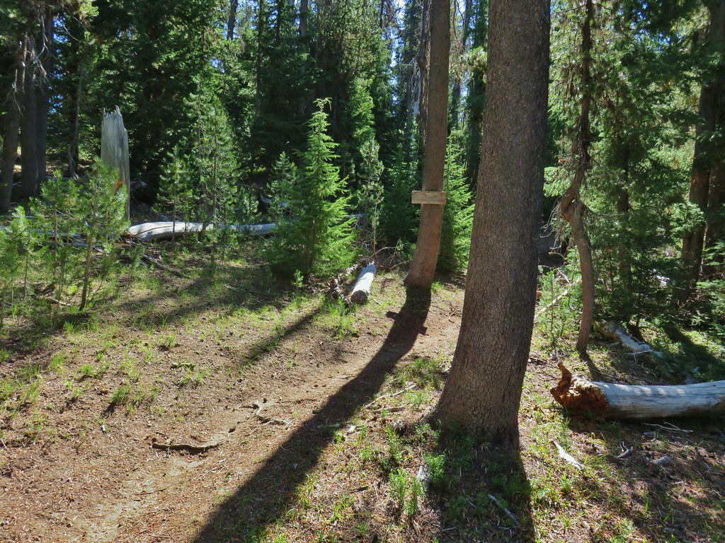 Thielsen Creek Trail
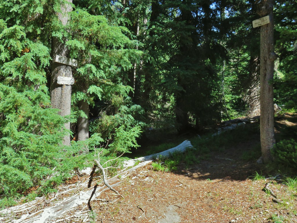 Howlock Mountain Trail
 Pinesap
 As the trail climbed around a ridge end the forest thinned enough to get some views of both Mt. Thielsen and Mt. Bailey (
 Mt. Bailey
 Mt. Thielsen
 After rounding the ridge the trail remained mostly in the trees until it neared Howlock Meadows and then Howlock Mountain started to come into view.
 Orange agoseris

 Butterfly on pumice
 PCT leaving Howlock Meadows.
 Mt. Bailey from the PCT.
 Talus slope above the PCT.
 Lots of rocks along the hillside.

 PCT crossing Thielsen Creek
 Use trails on the left and right hand side of Thielsen Creek.
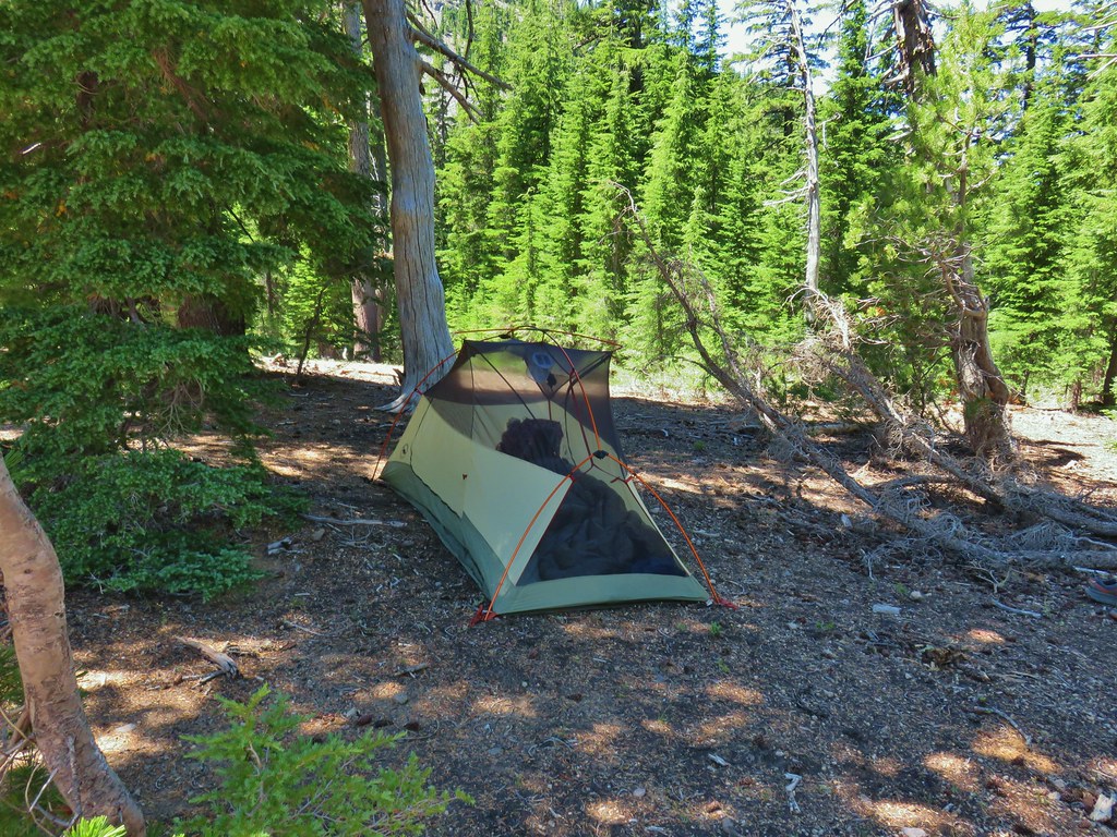 Found our tent.
 I was also looking at the saddle between Mt. Thielsen and Sawtooth Ridge which we needed to climb over in order to reach the falls.


 Pink and white blossoms
 Some yellow monkeyflower too.
 Maybe “clear” use trail isn’t exactly the correct term.
 It’s clearer here.
 Mt. Thielsen
 Sawtooth Ridge
 East side of Mt. Thielsen
 Cottonwood Falls was on the far side of the pumice plain.
 Paintbrush, penstemon, and buckwheat near the saddle.
 I had to drop below this neat rock feature which I got too close to and had a difficult time finding my footing to get around.
 Looking up the hillside.
 Looking back at the rock formation.

 Impressively large cave on the face of Mt. Thielsen.
 Penstemon
 The saddle doesn’t look too bad from this angle.
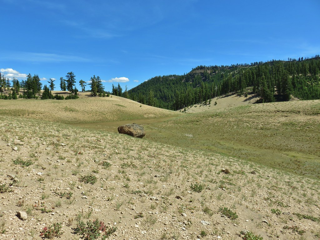


 We got onto the use/game trail as soon as we could going back up.
 The “trail” leading up to the saddle.
 Mt. Thielsen with the Sun behind.
 Howlock Mountain
 Unfortunately the lighting wasn’t all that great due to the position of the Sun so we never really could capture all the colorful rocks on the mountain.
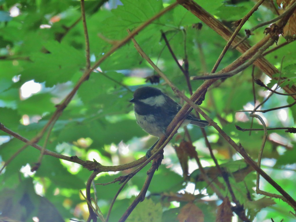
 Junco near camp.
 Mt. Thielsen
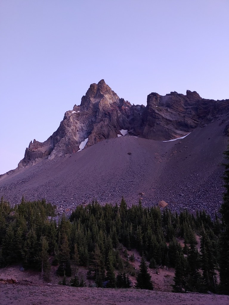
 Anyone know what the celestial body to the right of the Moon is?
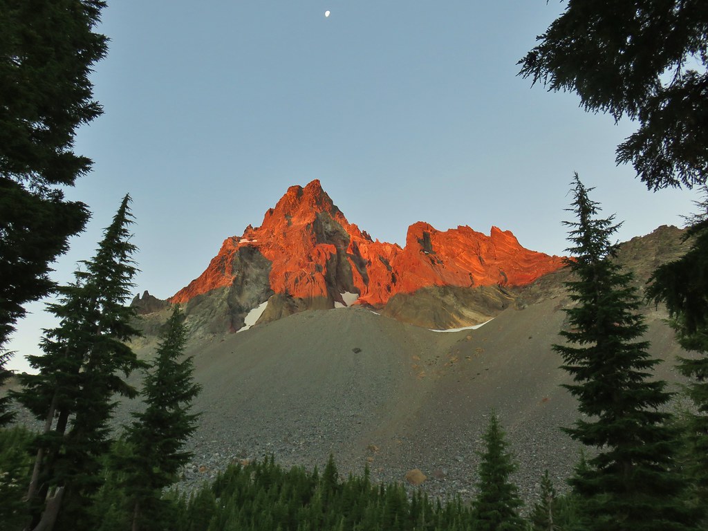


 Searching for pikas in the rocks.
 Jackpot
 Mountain heather
 Monkeyflower
 Partridge foot
 Golden-mantled ground squirrel
 Lupine
 Merten’s rush
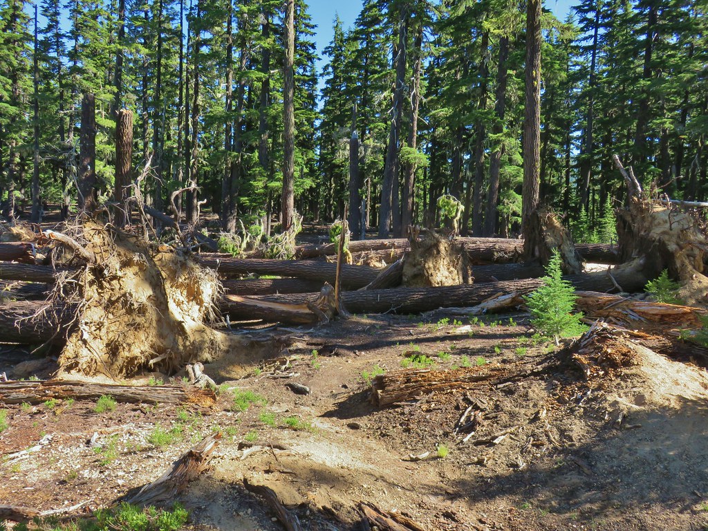
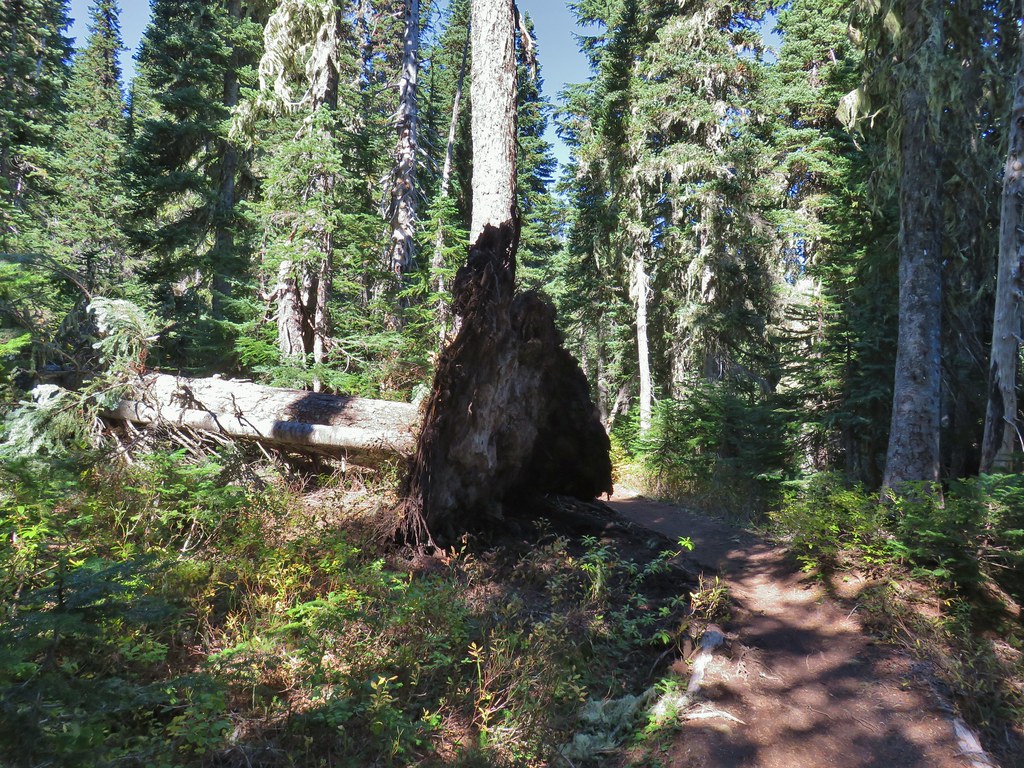
 Another angle of the tree fall.

 Just picture a good sized buck in the trees, I snapped this hoping to get lucky but I don’t see him at all.


 Gumjuwac Trail at Highway 35.
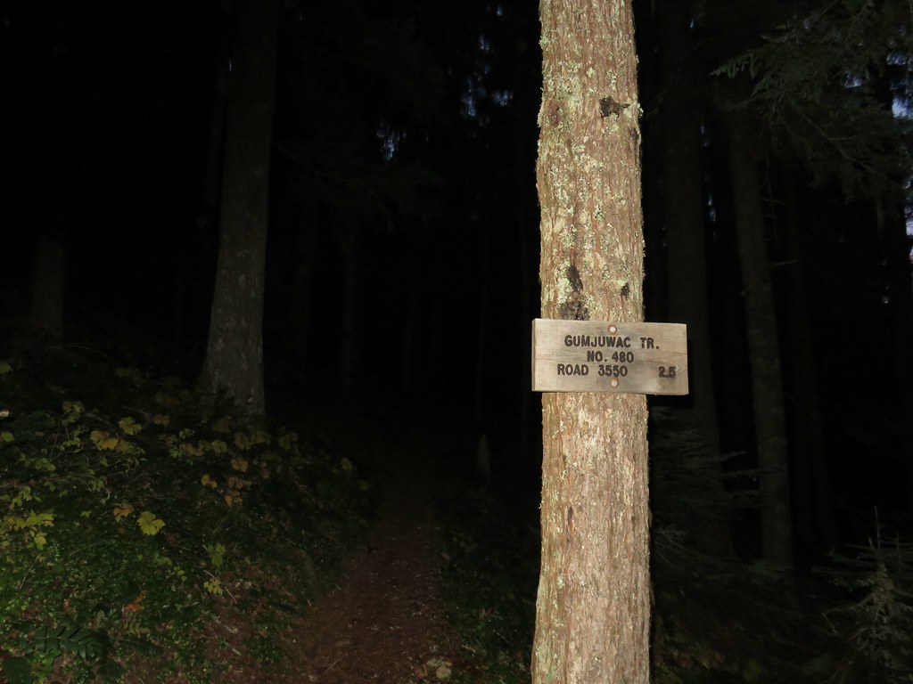
 Mt. Hood in the morning Sun.


 Mt. Rainier and Mt. Adams
 Mt. Adams
 Finally an unobstructed view of Mt. Hood.
 Gumjuwac Saddle


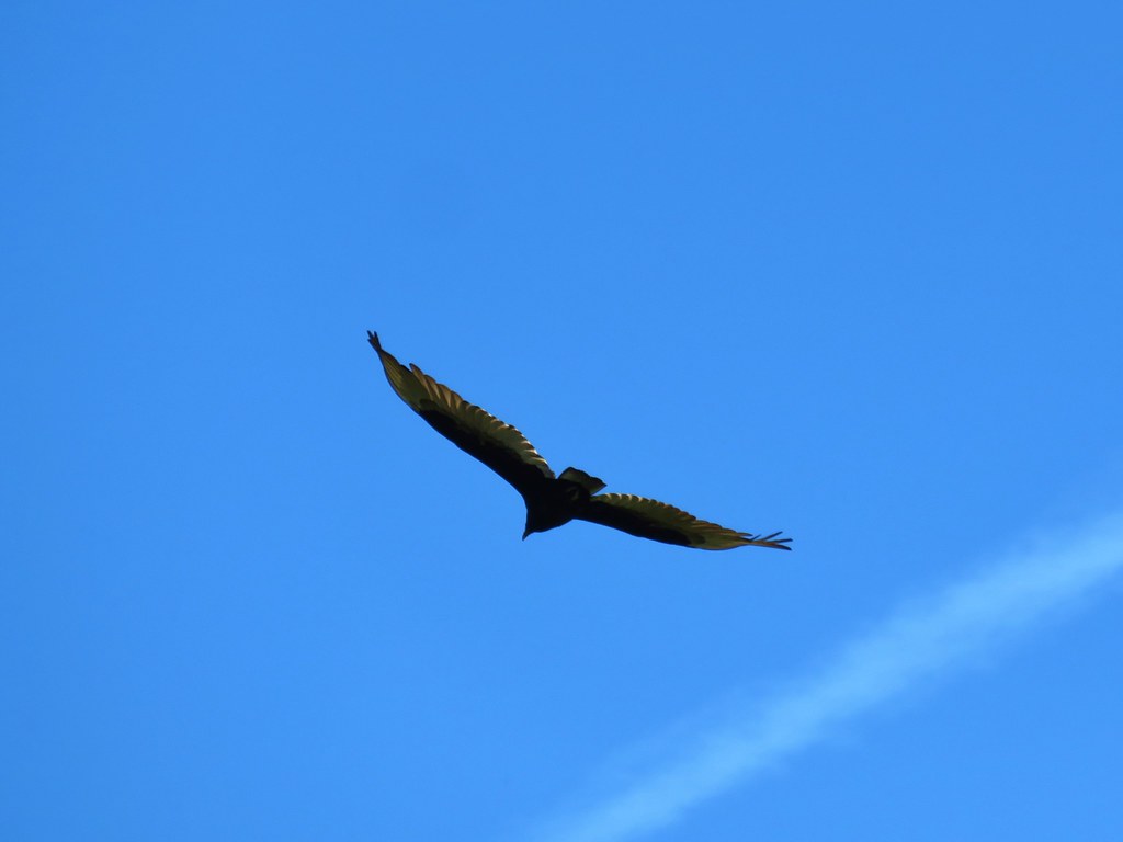
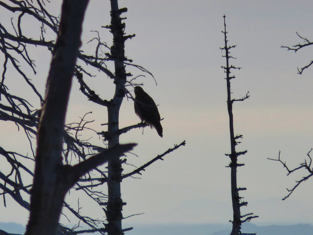 The hawk.
 Light green to yellow larches on the hillside behind the raven.

 Mt. St. Helens
 View south.
 From L to R: Broken Top, The Three Sisters, Mt. Washington, and Mt. Jefferson.

 Mt. Jefferson


 Approaching the summit.
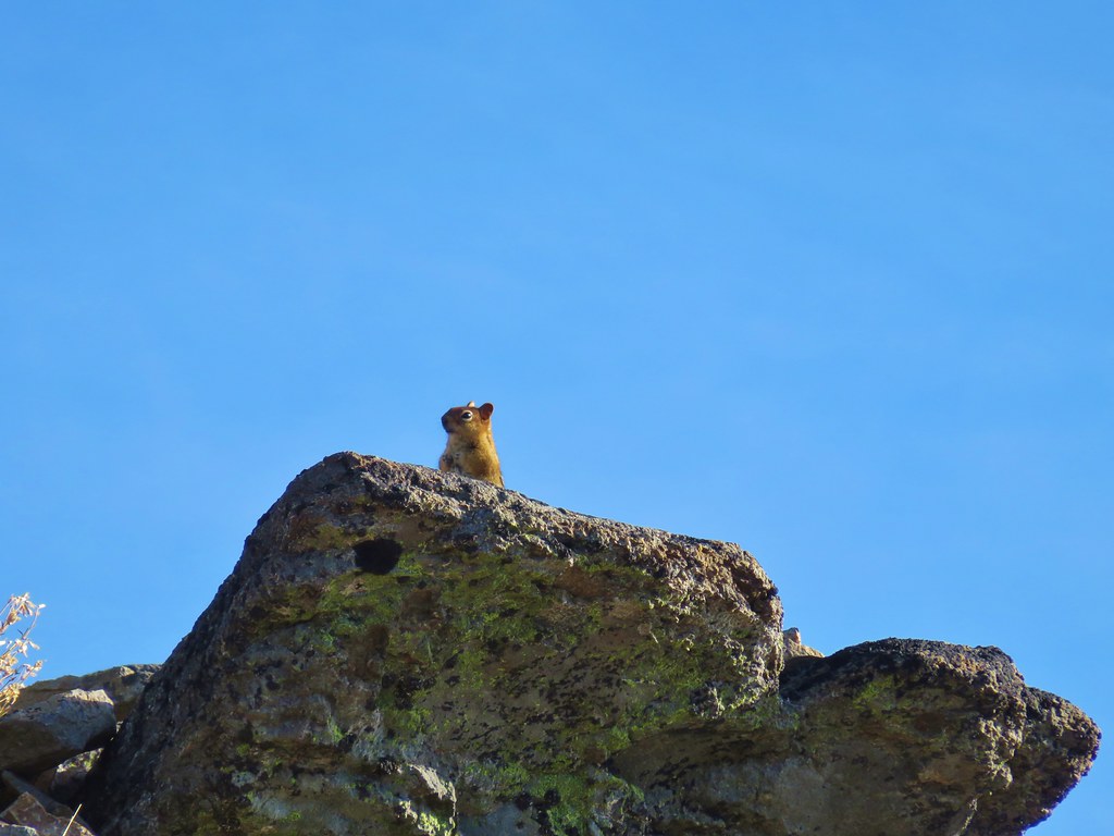 Lookout on Lookout Mountain.
 Flag Point Lookout in the distance.
 Flag Point Lookout


 Mt. St. Helens, Mt. Adams, and Mt. Rainier
 Mt. St. Helens
 Mt. Rainier
 Mt. Adams
 Mt. Hood
 Mt. Jefferson followed by Mt. Washington, The Three Sisters, and Broken Top
 The Three Sisters


 Lookout Mountain from the Gunsight Butte Trail.
 Clark’s nutcracker


 Huckleberry bushes and beargrass in the clear-cut.
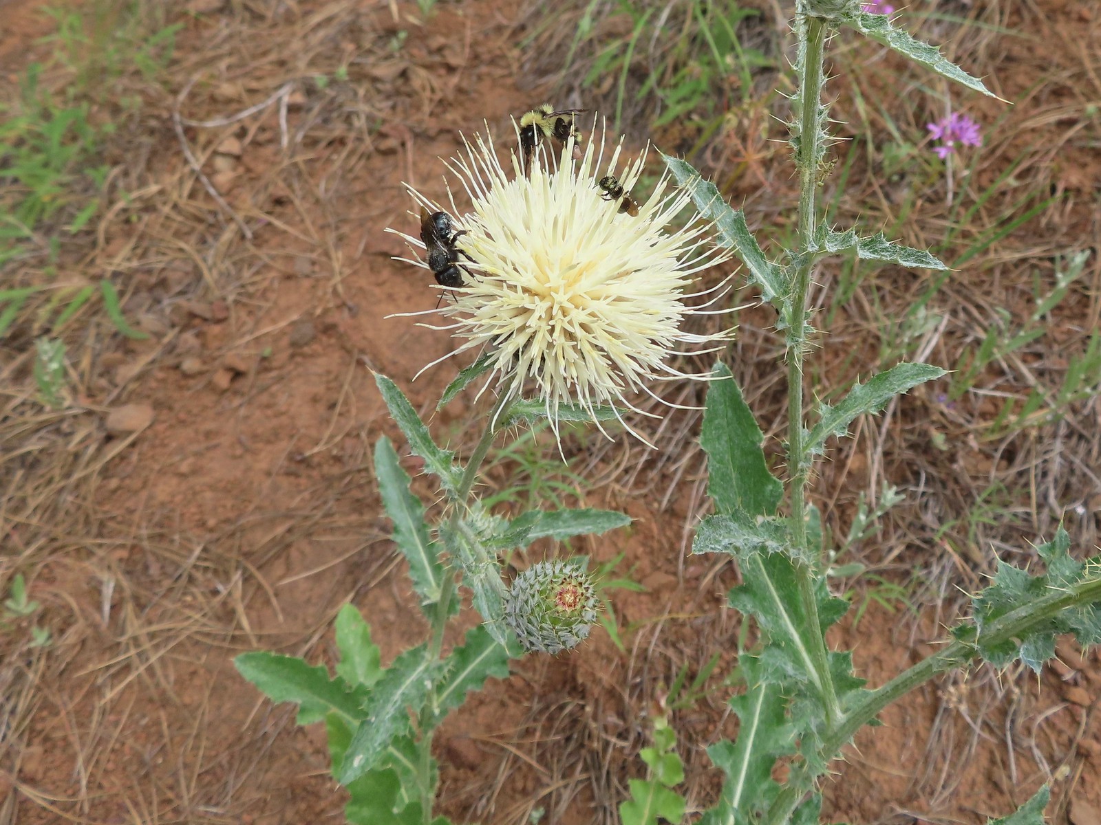
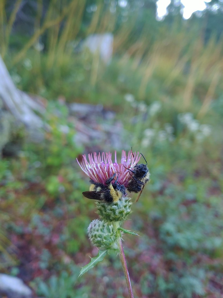 Sleeping bees on some thistle.
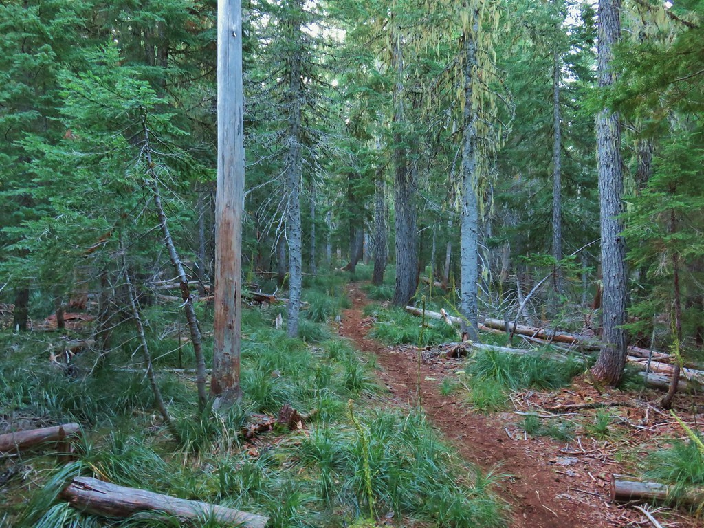

 The bees on the thistle may have been asleep but a western toad was out and about.
 Mt. Jefferson through the burned trees.
 Back in the green.
 Three Fingered Jack through the burned trees.
 Aster
Aster Pearly everlasting
 Fireweed
 Three Fingered Jack
 The rock covered rise.
 South Cinder Peak (
 Still passing the rocks.
 The low saddle.
 Coffin and Bachelor Mountains (


 Spirea with a beetle.
 Unnamed lake with Mt. Jefferson (and those pesky clouds).
 From the opposite side of the lake.


 Looking south over the rock field.
 One of the frogs.
 Frog in the trail.


 Apparently the trail was rerouted at some point because we could see tread that we never used.
 The Three Pyramids beyond Bingham Ridge.
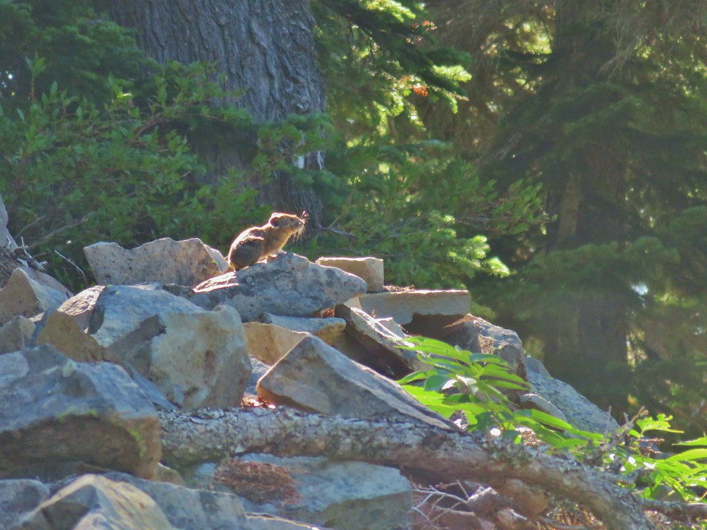


 (the clouds had finally vanished)
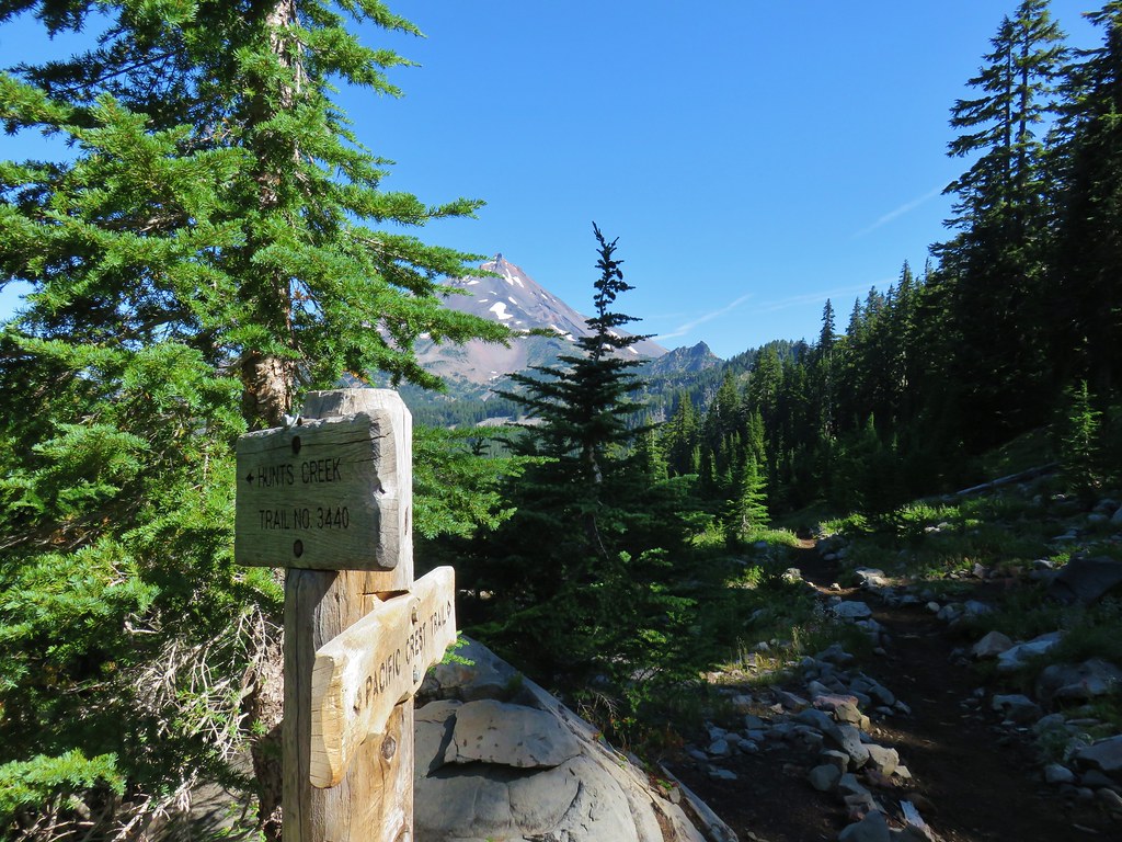
 Hanks Lake
 Hunts Lake
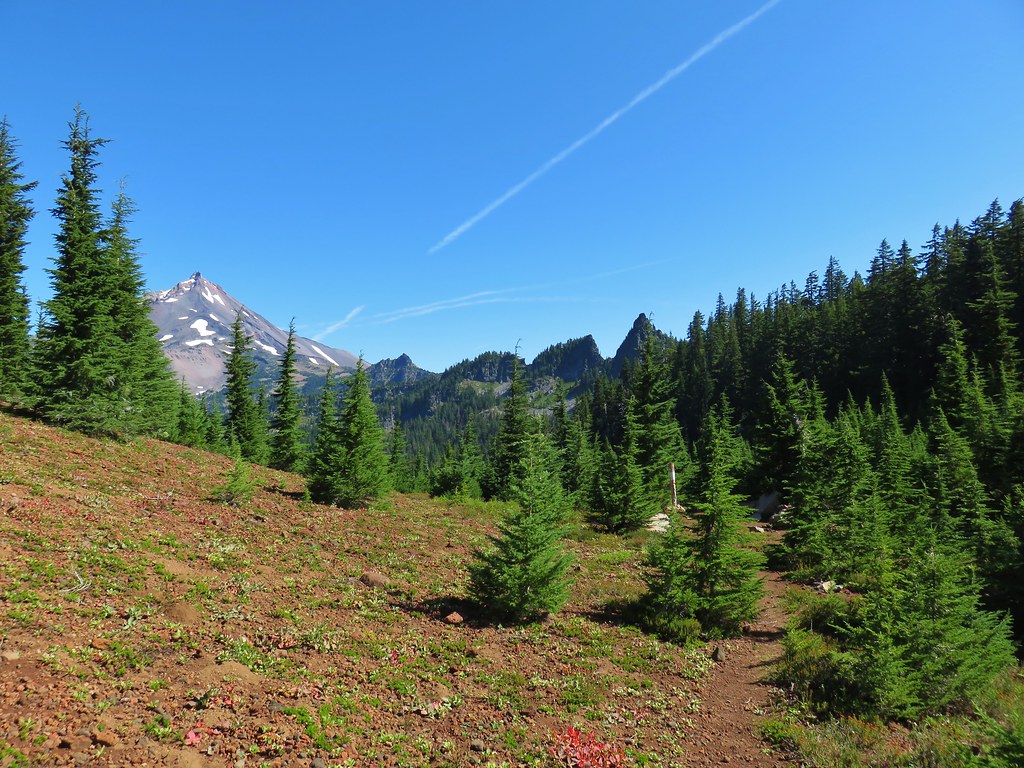
 Rock fin above Hunts Cove.
 Penstemon and a western pasque flower.
 Western pasque flower seed heads.
 Hippie-on-a-stick

 Paintbrush and lupine
 Patridge foot
 Mt. Jefferson, Goat Peak (behind the tree) and the Cathedral Rocks.
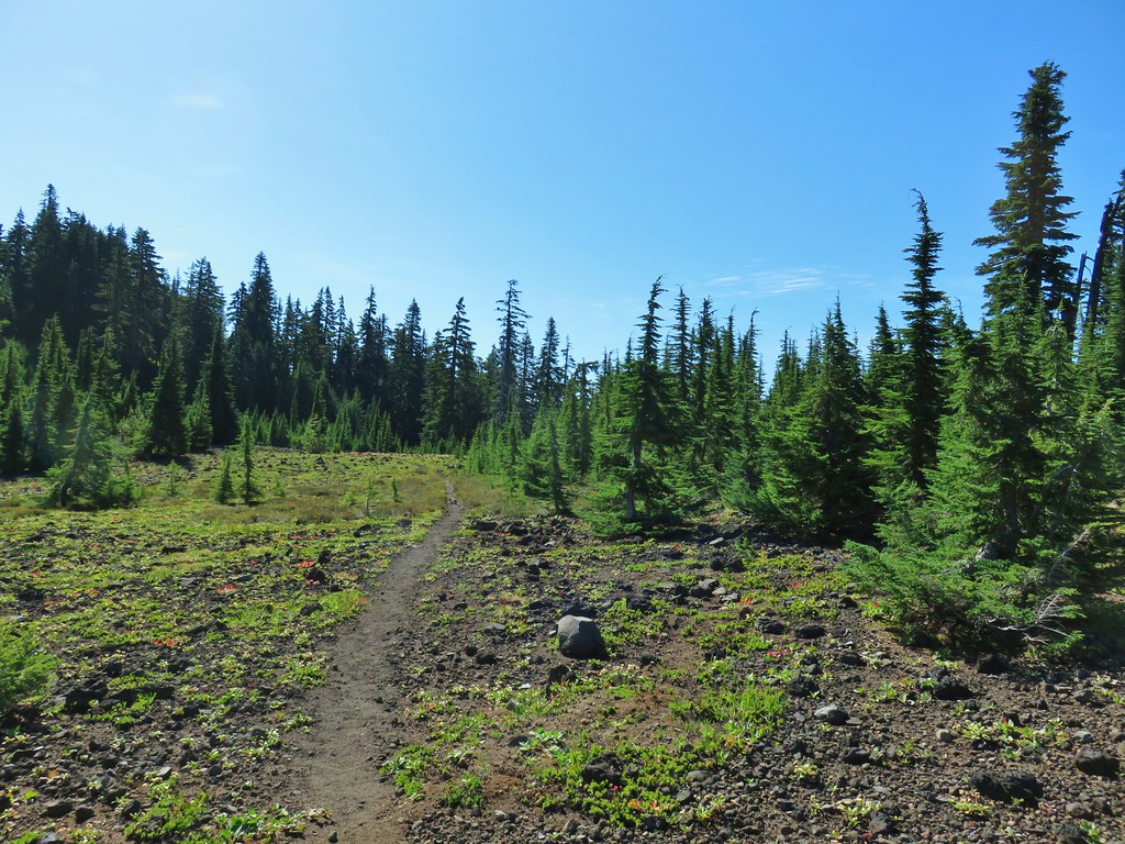
 South Cinder Peak
 The Three Sisters
 Three Fingered Jack
 Paintbrush in a meadow behind the butte.
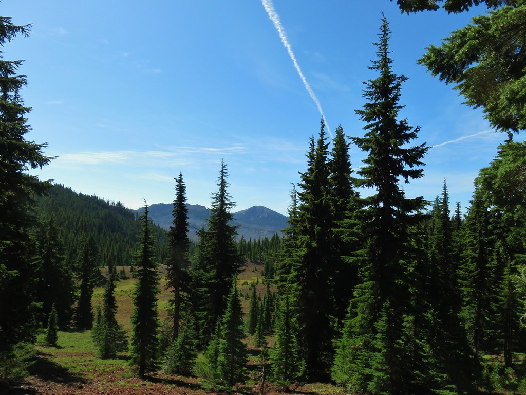 South Cinder Peak
 Three Fingered Jack
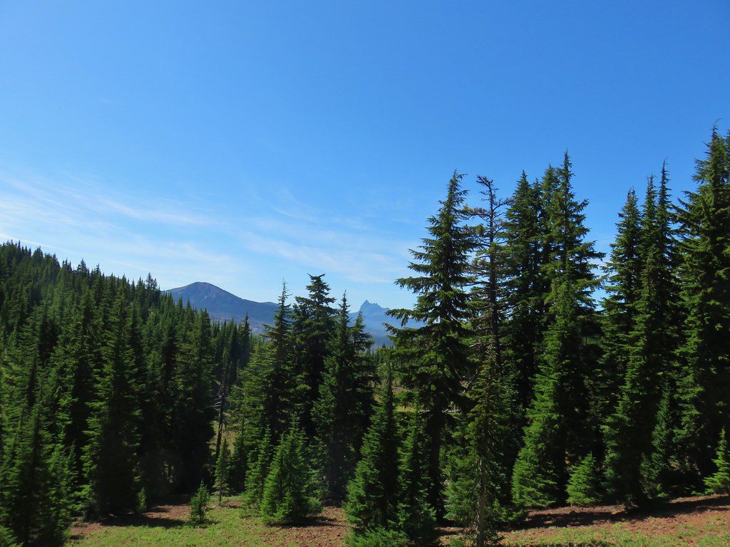

 Mostly past lupine
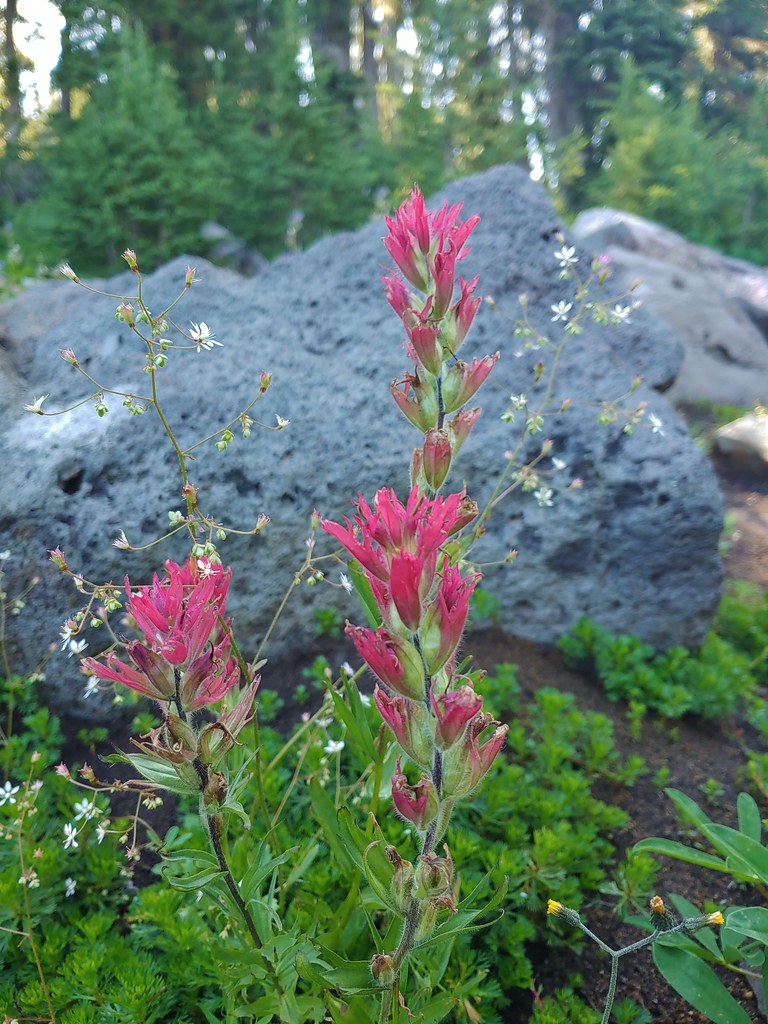 Paintbrush
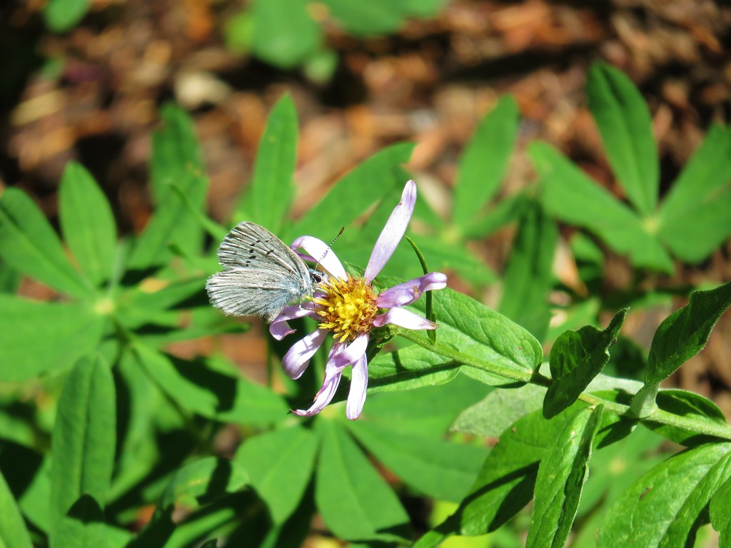 Butterfly on an aster.
 Never seen one of these looks so clean and smooth, it almost looked fake.
 We don’t know if this was just a stunted wallflower or something we’d never seen before.