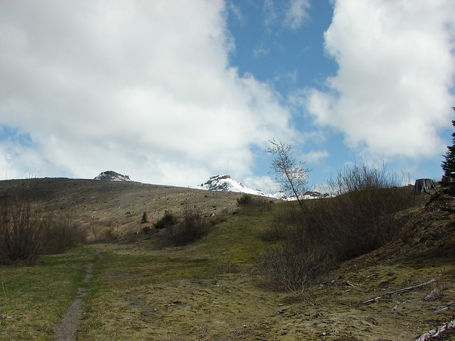
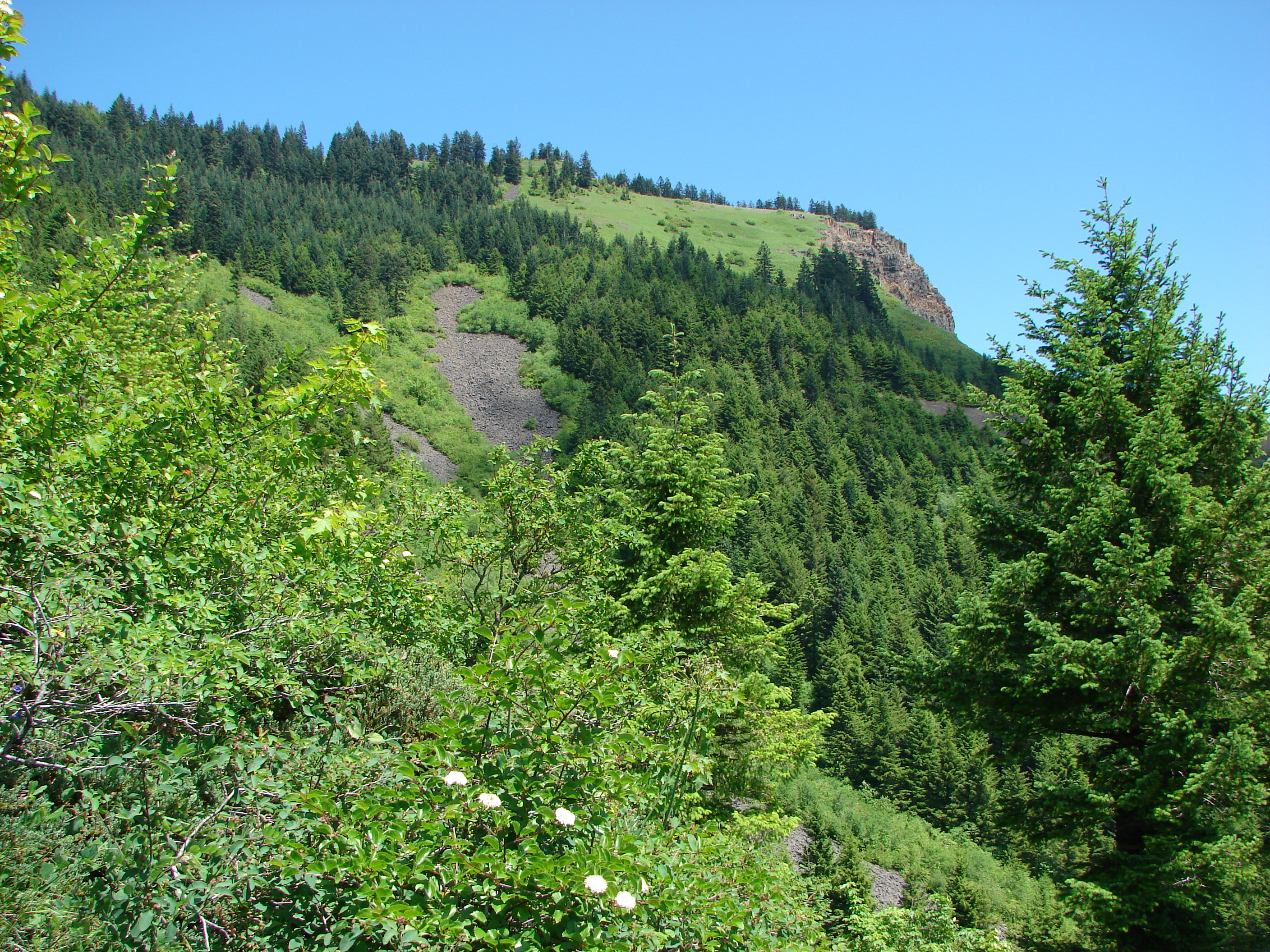
One of the things that makes for a good hike is variety. We have often commented on how much variety can be packed into just several miles of hiking. The terrain, vegetation, wildlife and views can vary drastically in a relatively short distance. That was the case on our most recent hike in the Mt. St. Helens National Volcanic Monument.
We had toyed with the idea of making this an overnight trip but the uncertainty of suitable water sources gave us pause so we amended our plans to make a day hike out of it. We stuck with our original plan to start at the June Lake trail head and headed up to the Loowit Trail from there. Originally we planed on turning right on the Loowit and heading over to the Plains of Abraham to find a camp spot and then explore further on down to Loowit Falls, but that would be too far for a day hike so instead we decided to go left and check out Dryer Creek Meadows.
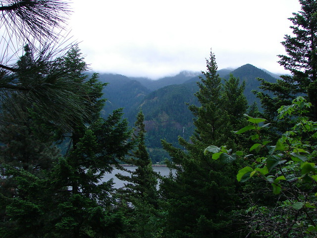
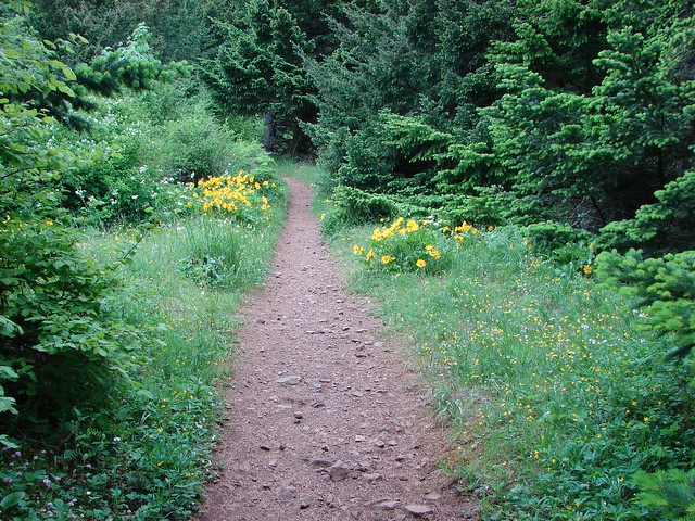
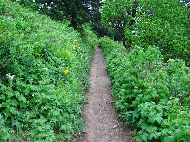
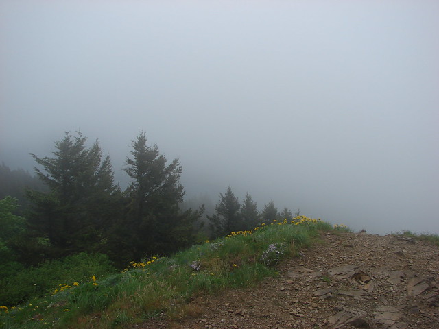
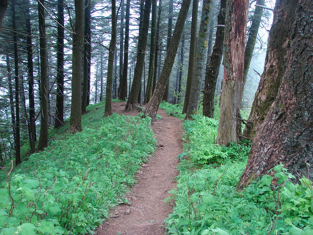
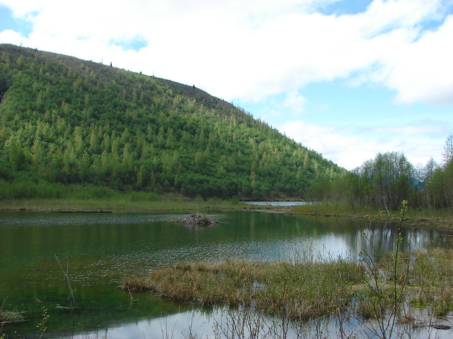
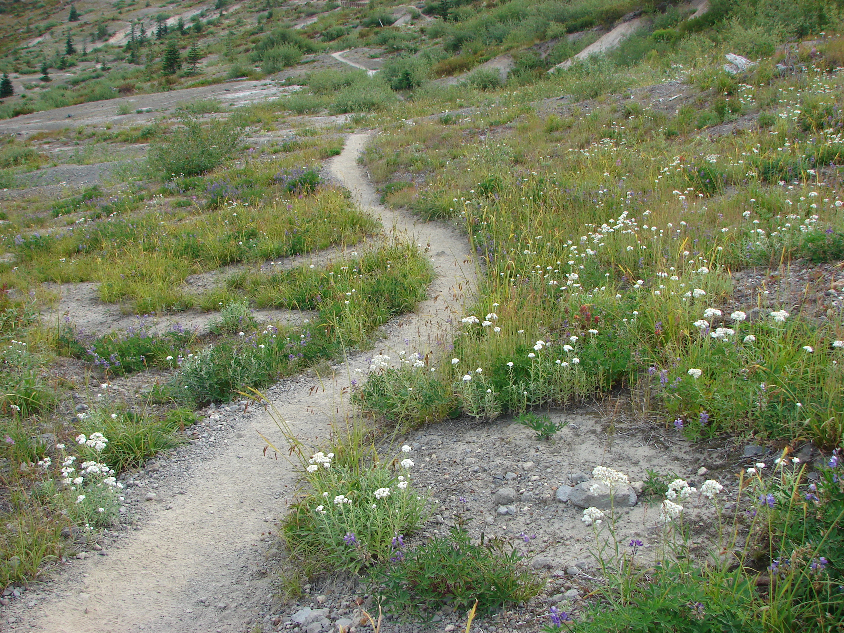
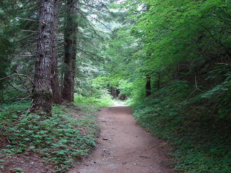
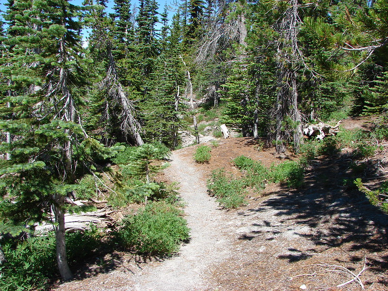
It was a cloudy morning as we set off on the June Lake Trail. From the trail head it was a mere 1.3 miles to June Lake on a nice wide trail that gently climbed through a forest with plenty of ripe berries to snack on.
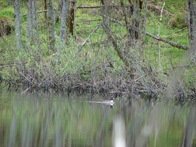
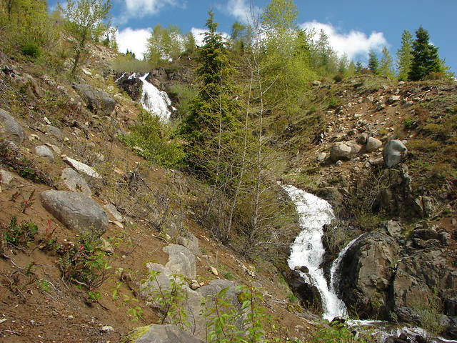
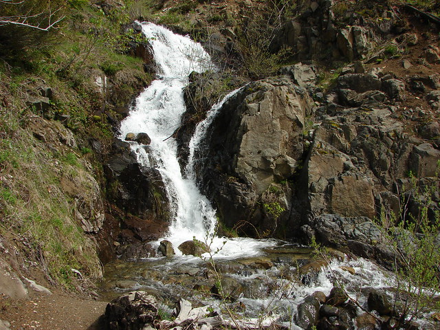
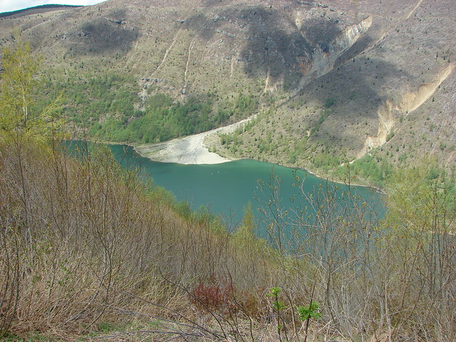
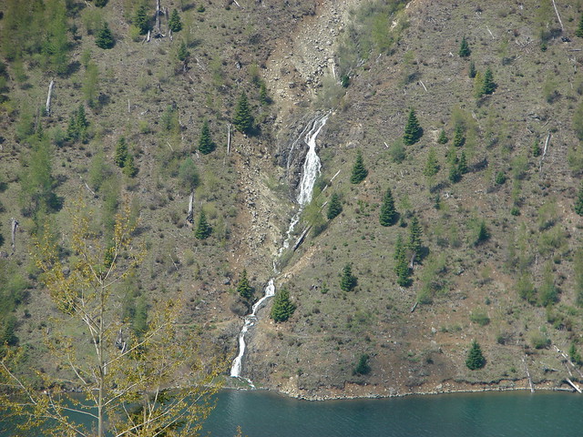
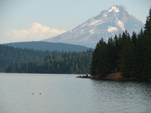
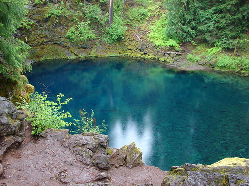
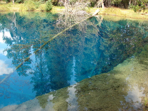
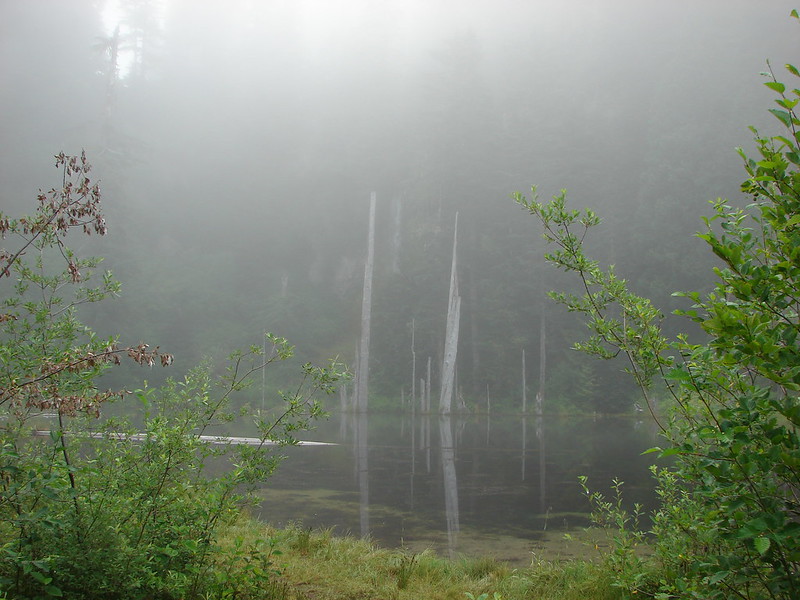
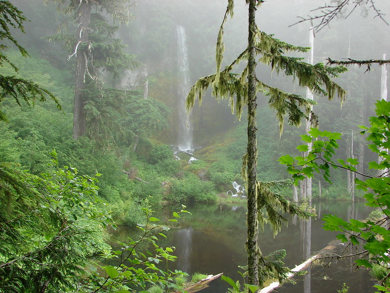
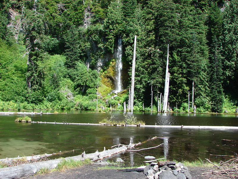
We were surrounded by fog when we arrived at June Lake which made it difficult to get a good view of the 40′ waterfall that falls on the far shore of the lake.
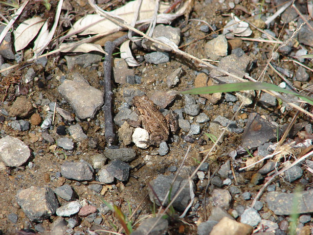
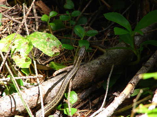
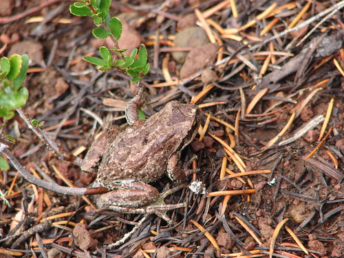
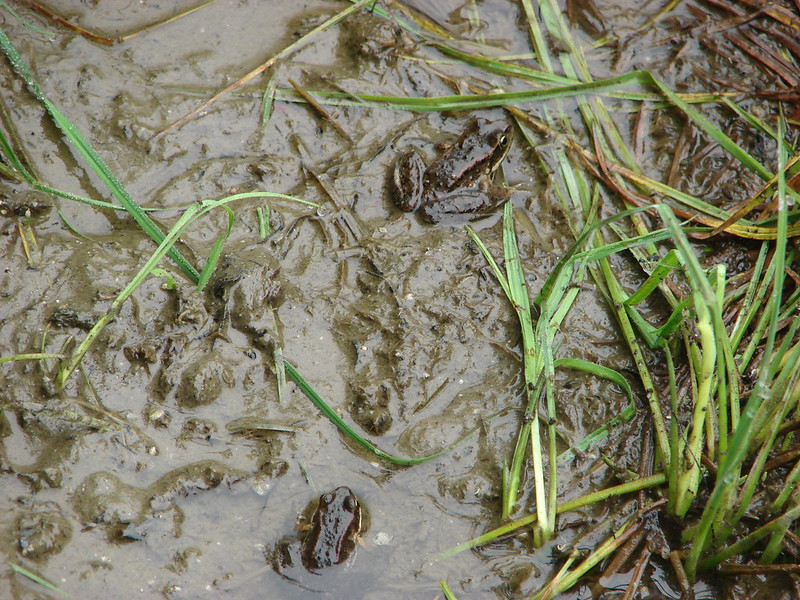
While exploring the small lakes shore we spotted a couple of frogs in the muddy water.
The best view of the falls came from a side trail at the north end of the lake shortly after a switchback. The reflection of the falls created the illusion of water both falling and rising to the surface of the lake.
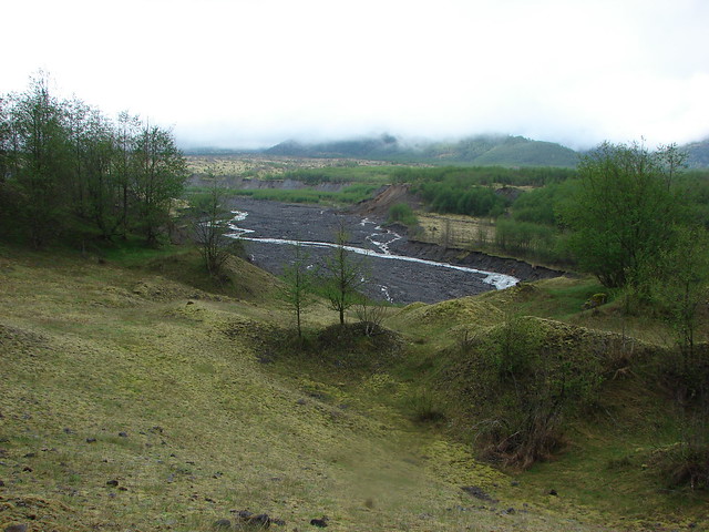
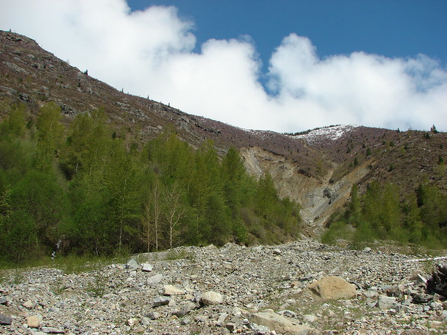
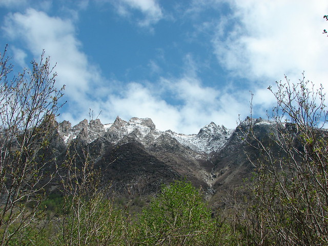
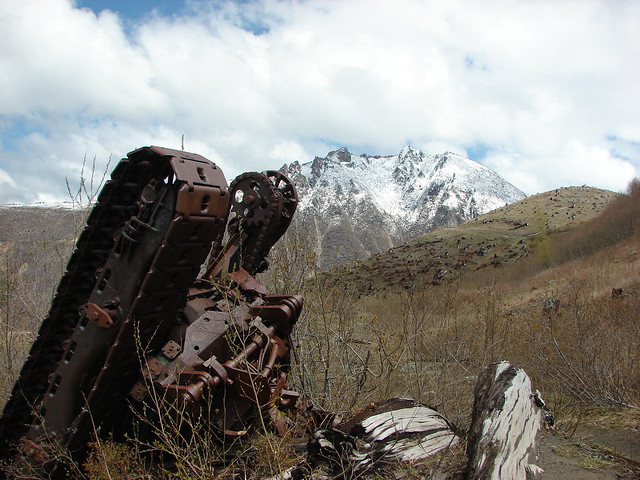
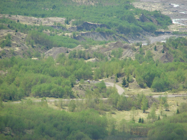
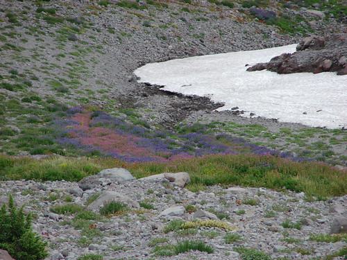
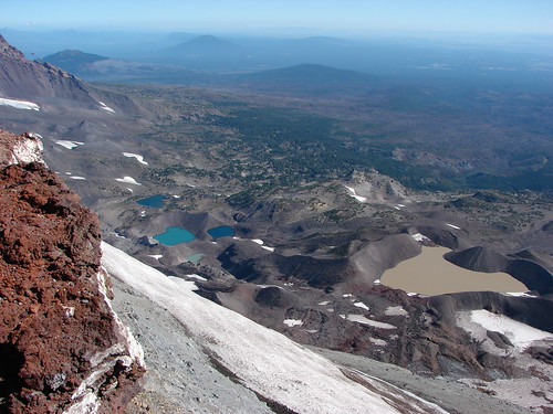
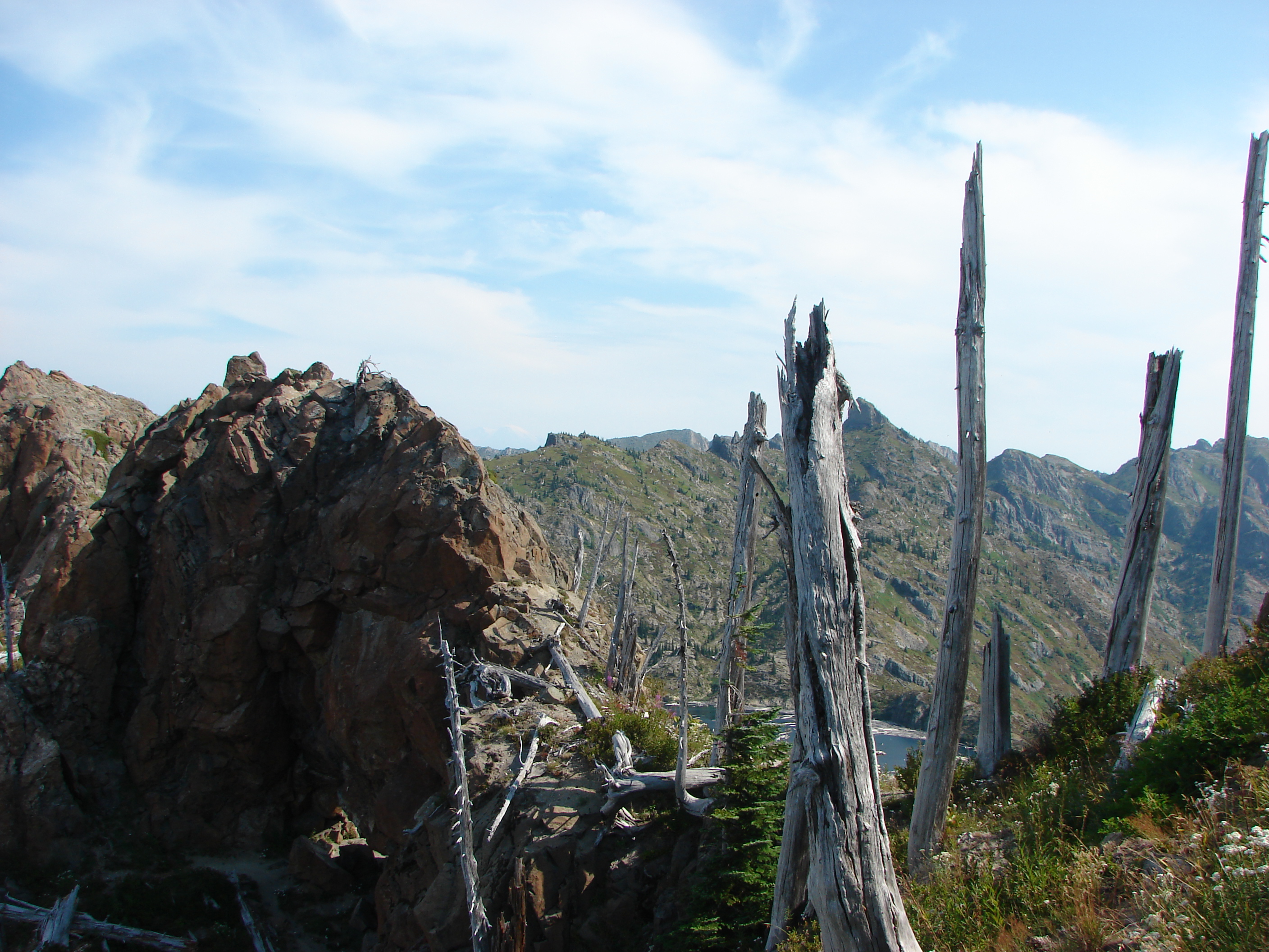
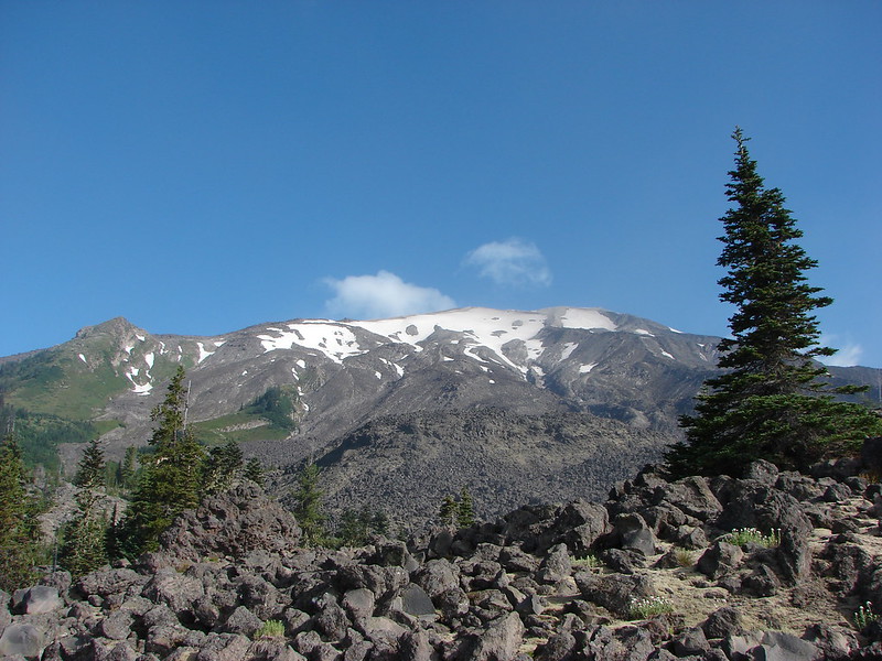
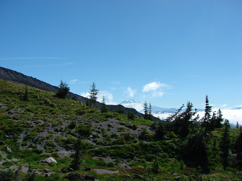
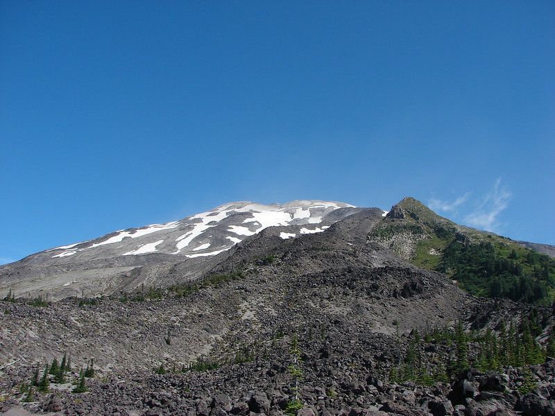
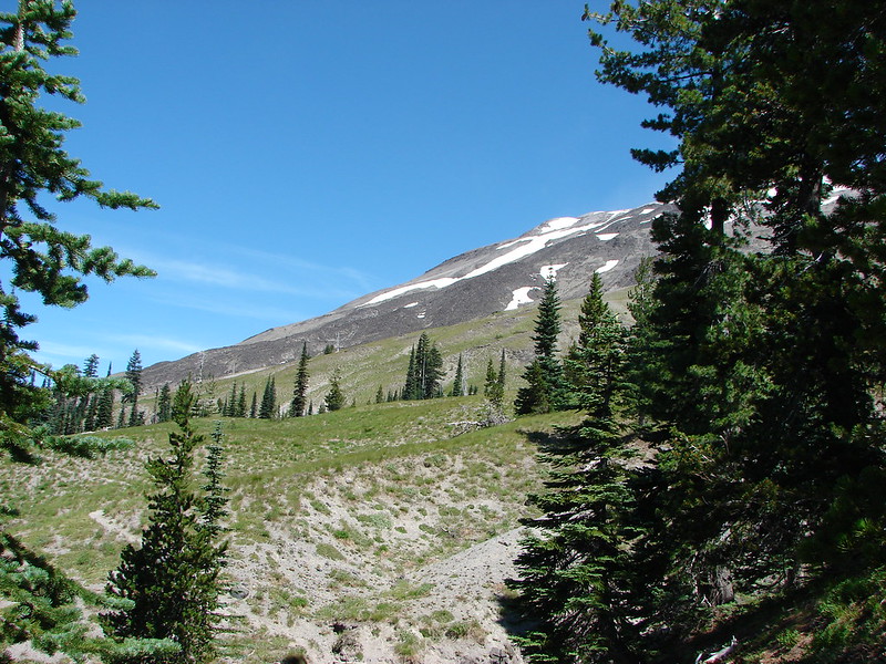
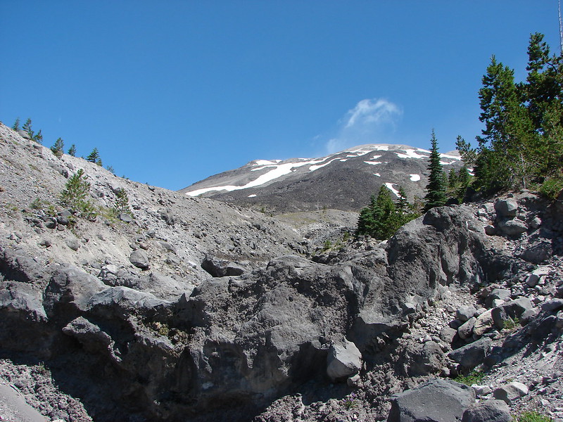
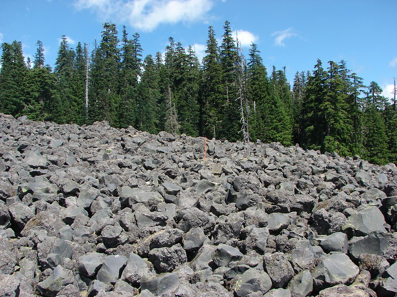
About a quarter mile from the side trail we arrived at the junction with the Loowit Trail which circles the entire mountain on a 29.5 mile loop. We turned right and quickly emerged from the forest and began crossing the first of three lava flows that make up the “Worm Flows”. Unlike some of the other lava fields we have hiked over there was no visible trail in many places, just a series of posts and rock cairns to aim for.
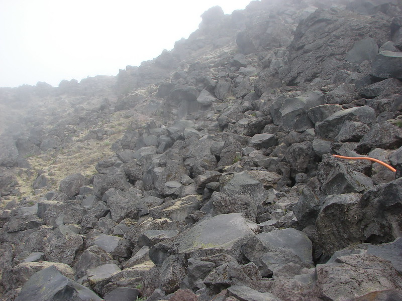
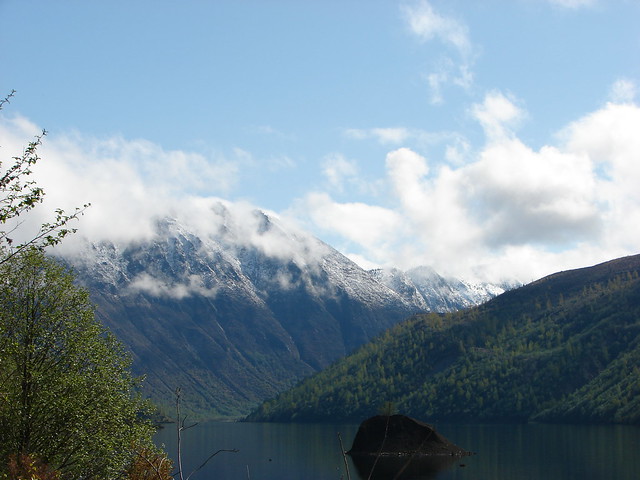
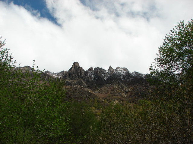
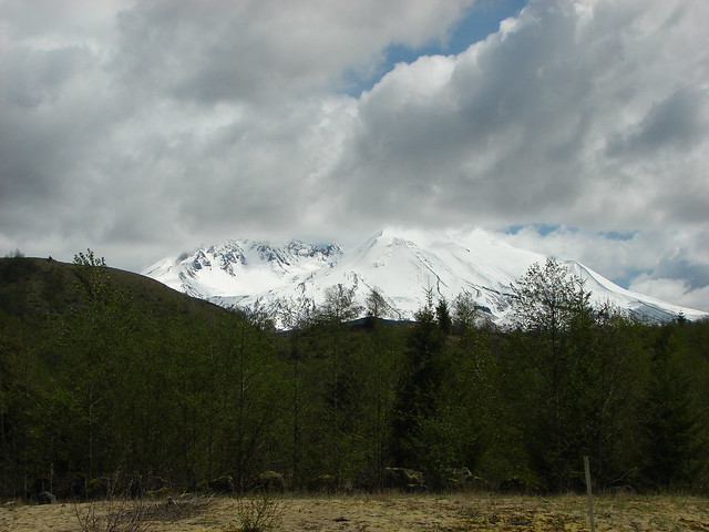
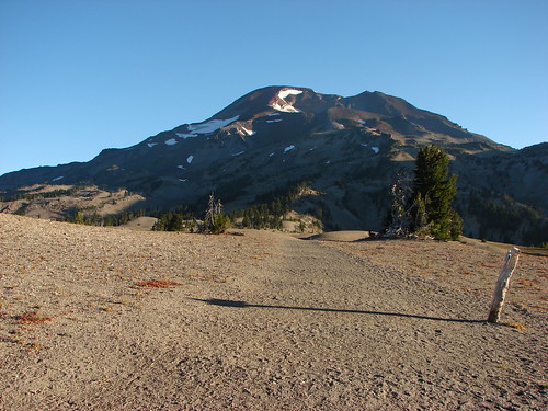
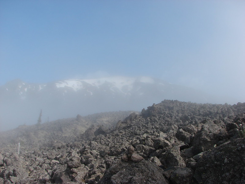
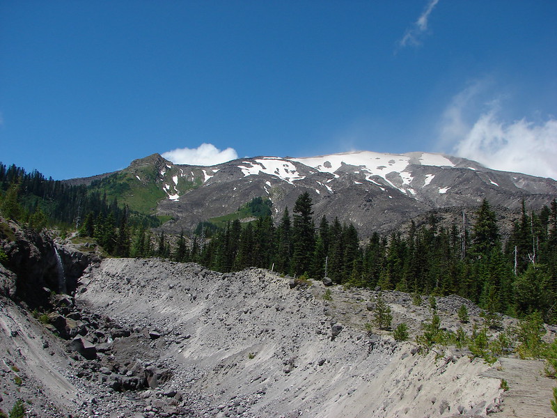
It meant a lot of rock hopping and scouting for the best looking route to the next marker. While we were working on making our way over the lava the clouds began to give way and we were treated to a clear view of Mt. St. Helens.
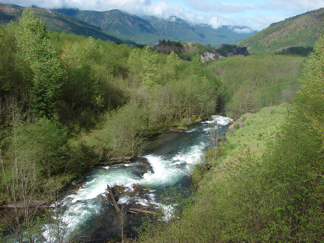
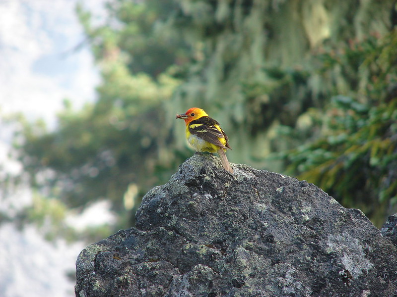
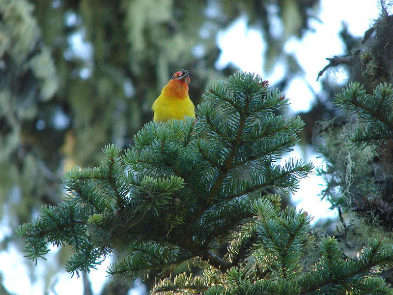
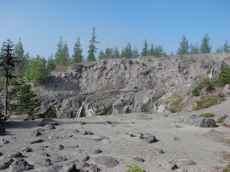
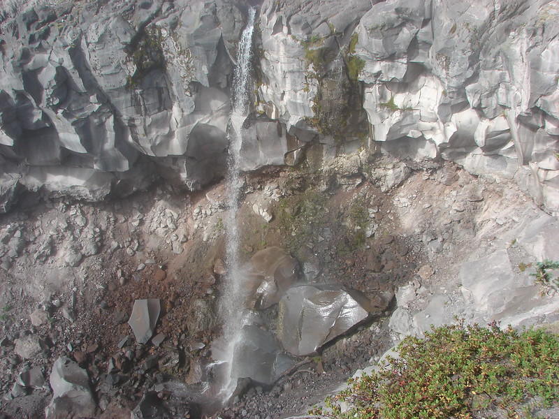
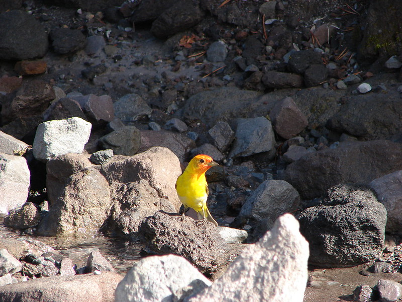
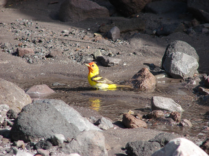
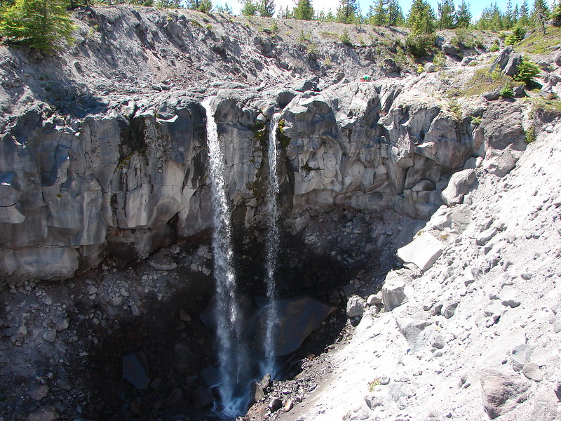
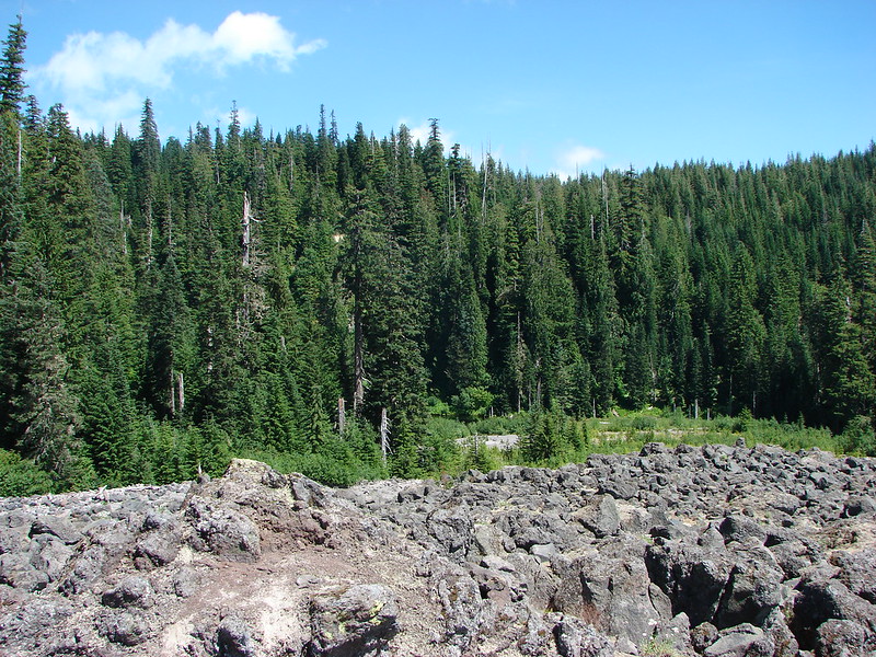
After crossing the Worm Flows the trail began descending into Swift Creeks canyon where we would find Chocolate Falls. On our way down a colorful western tanager posed for some pictures.
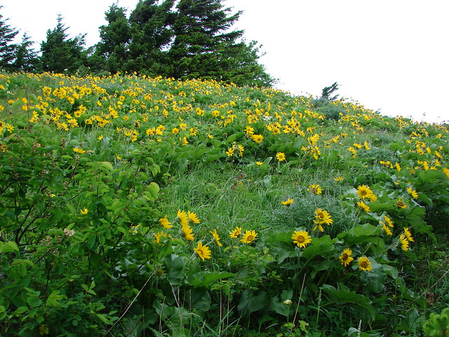
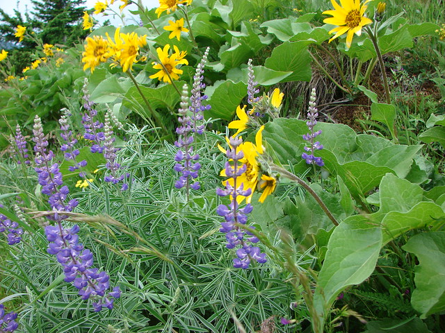
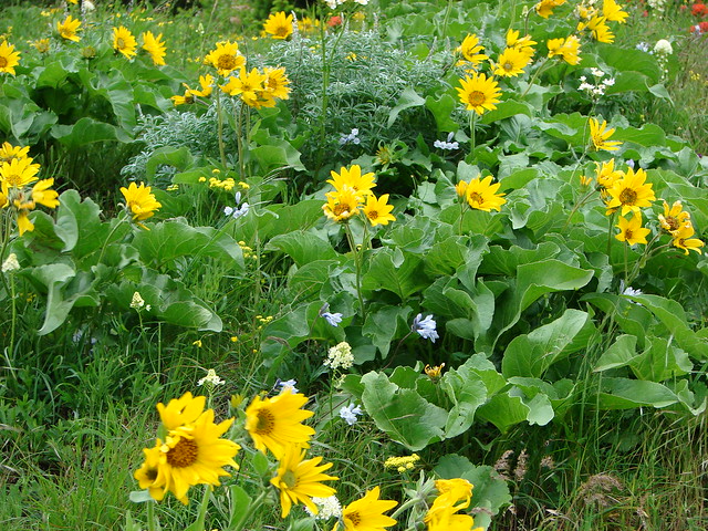
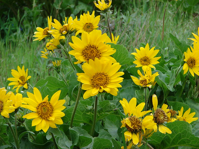
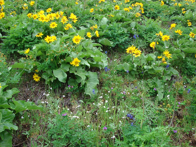
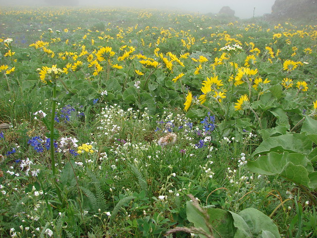
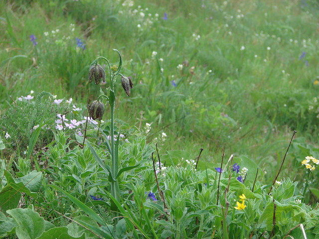
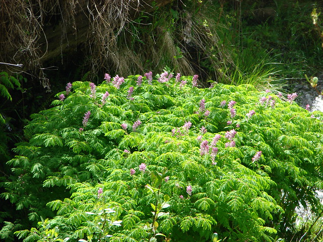
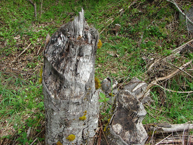
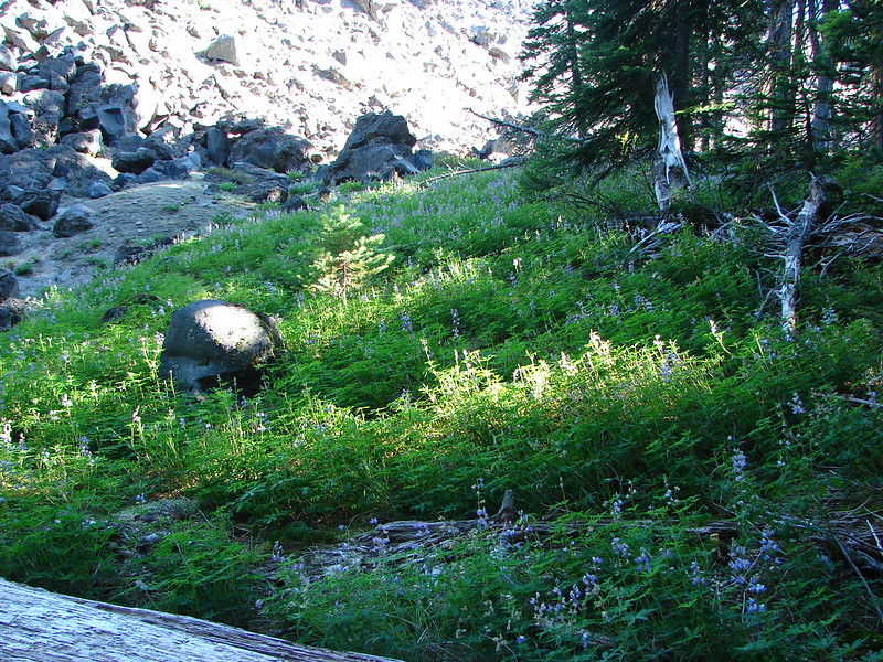
Before reaching swift creek we passed through a small pocket of vegetation.
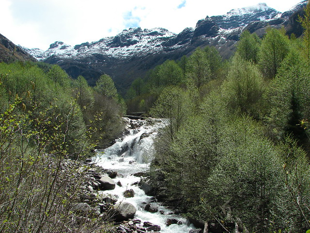
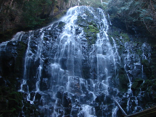
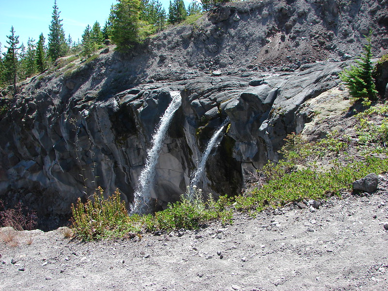
We were happy to find water flowing over Chocolate Falls as Swift Creek often dries up overnight and doesn’t begin flowing again until after 11AM on some days.
We took a snack break at the falls and while we were relaxing we were joined by what I think was the same western tanager who decided it was time for a bath.
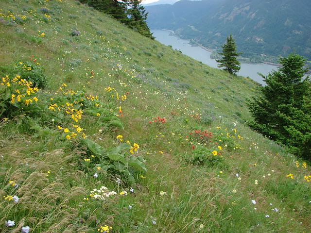
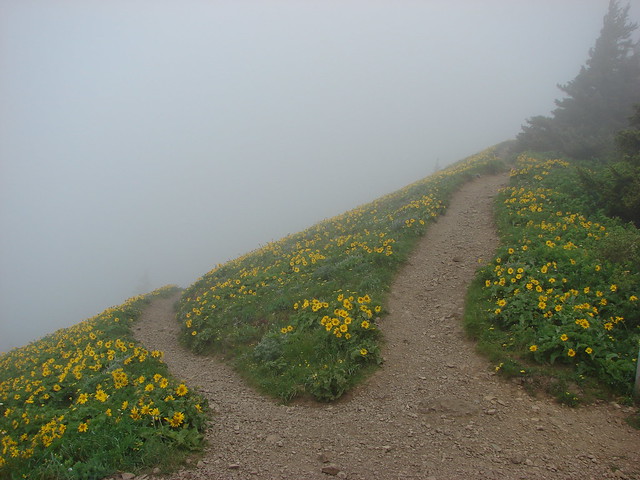
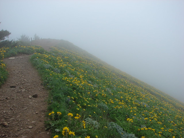
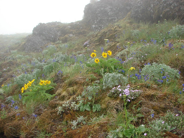
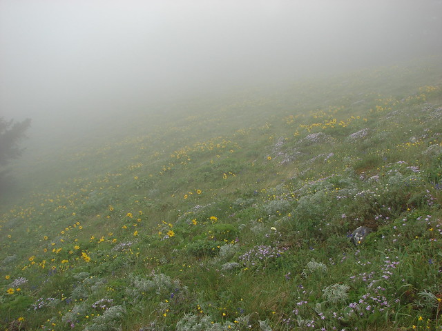
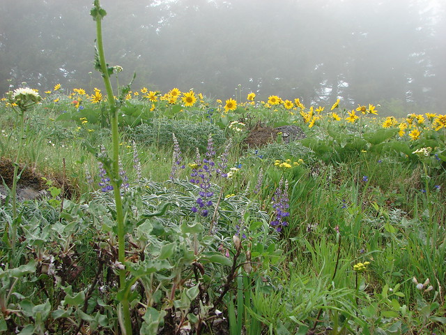
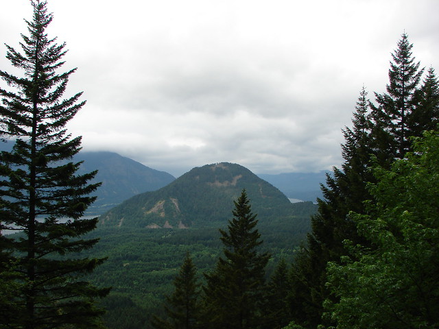
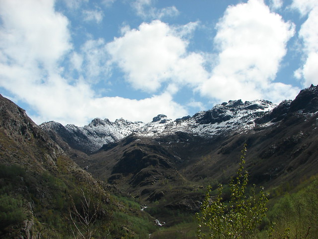
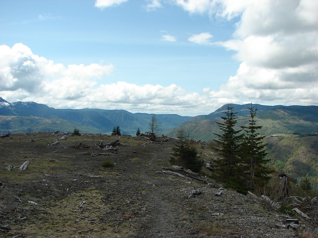
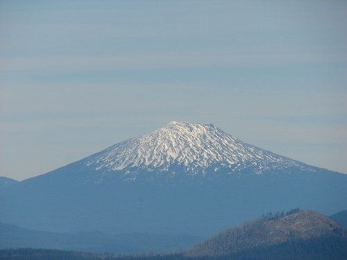
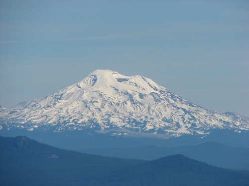
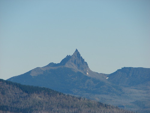
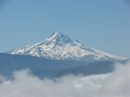
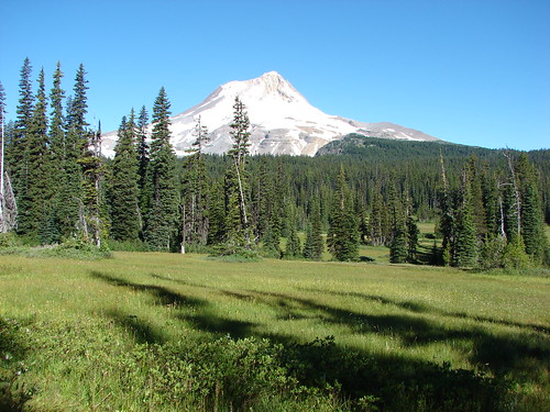
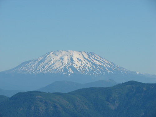
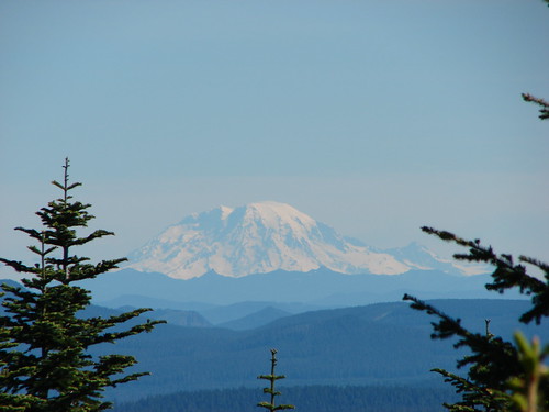
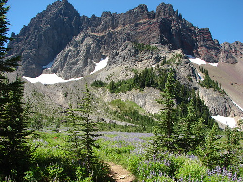
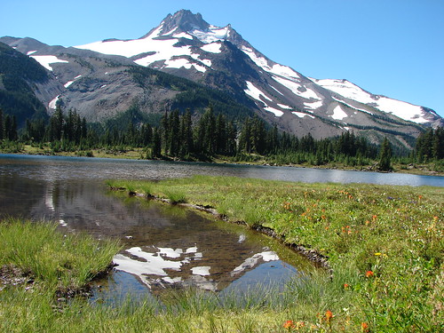
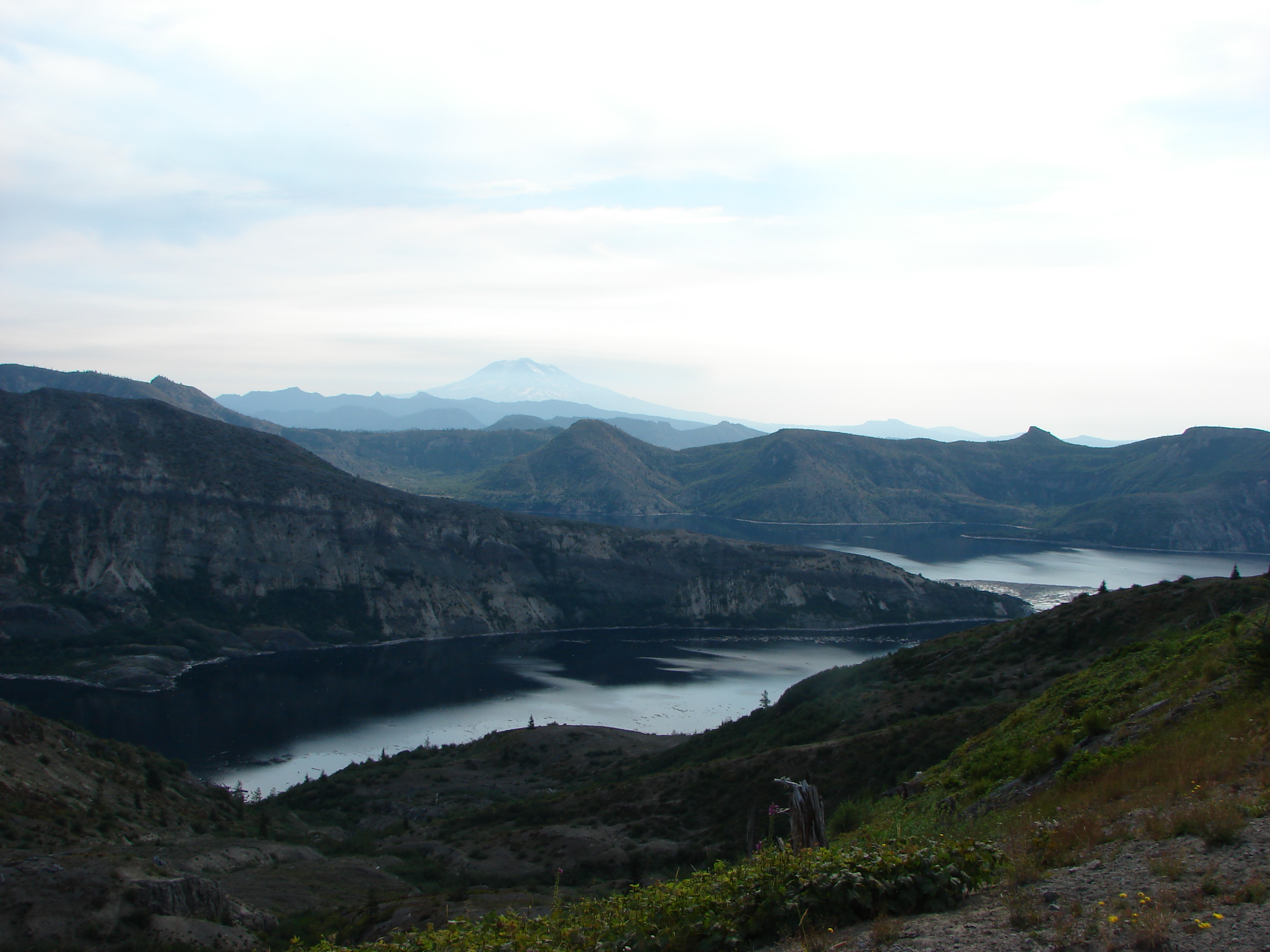
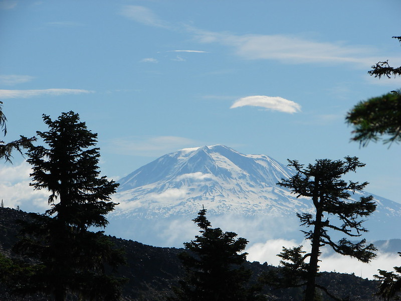
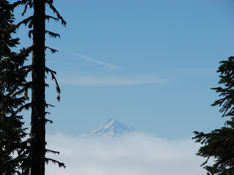
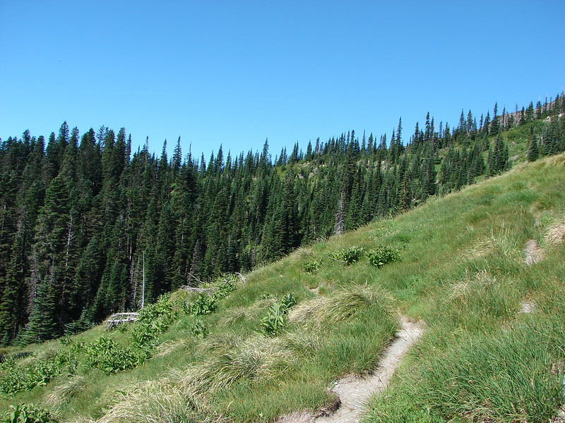
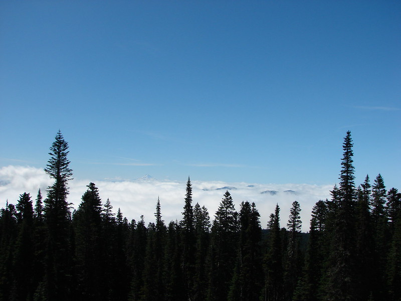
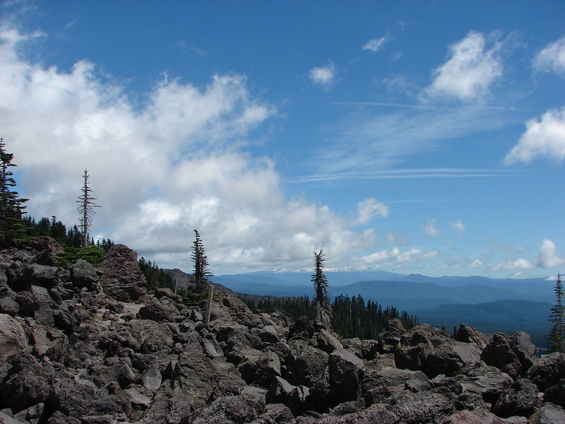
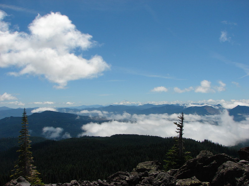
We continued on the Loowit Trail from Swift Creek and began a steep climb that passed through forest and meadows. We also were treated to a great view of Mt. Adams and a descent view of Mt. Hood looming above the clouds.
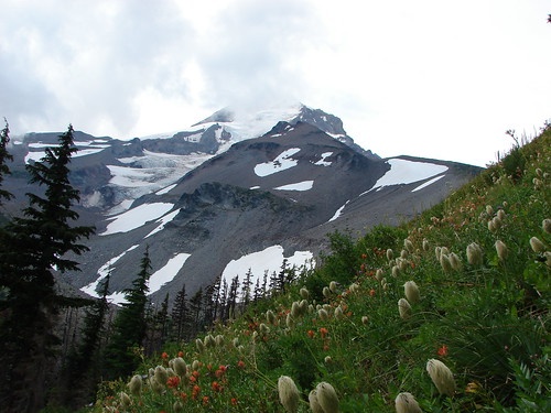
Mt. Adams
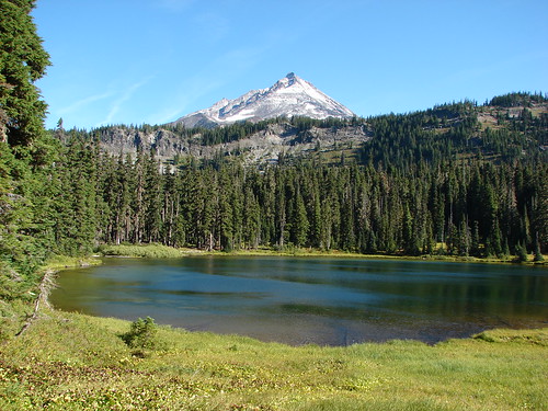
Mt. Hood
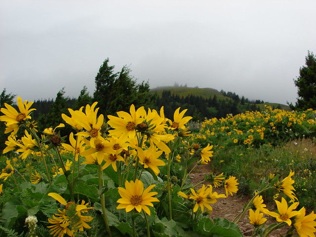
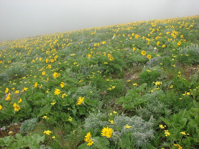
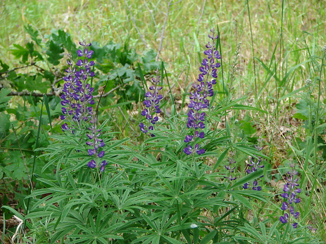
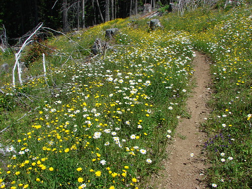
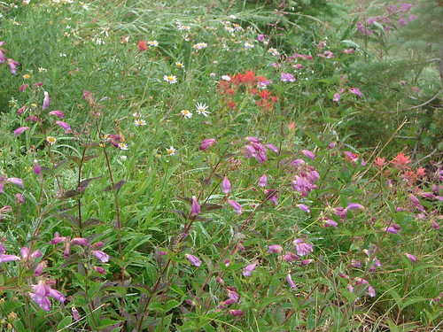
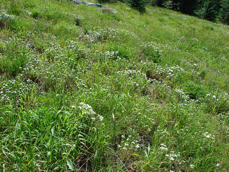
Meadow filled with nuttall’s linanthus
Mt. Adams from one of the meadows
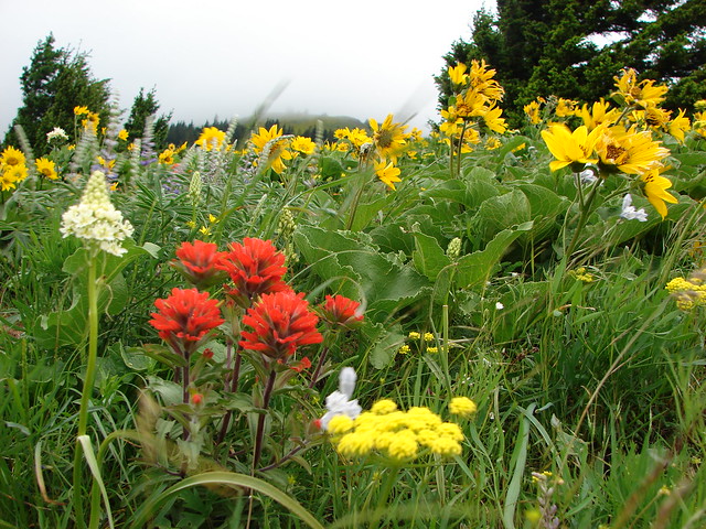
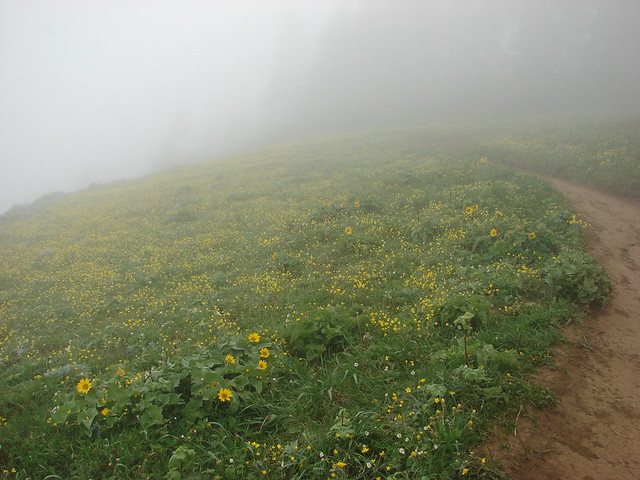
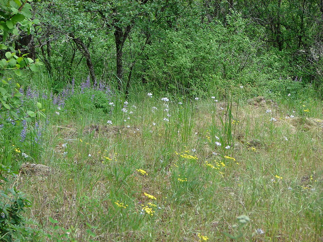
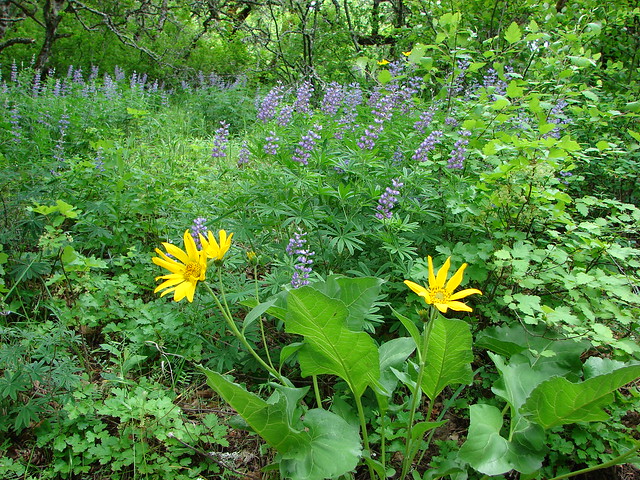
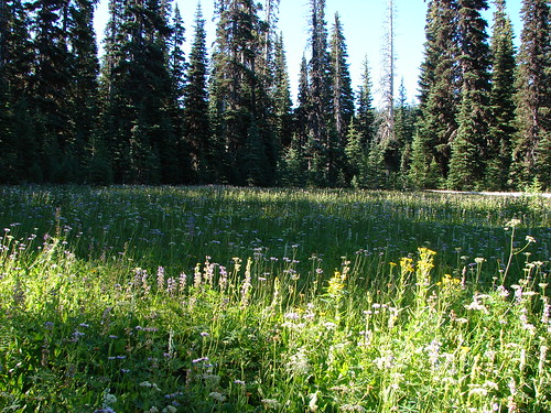
Passing through a meadow
Mt. Hood from the meadow
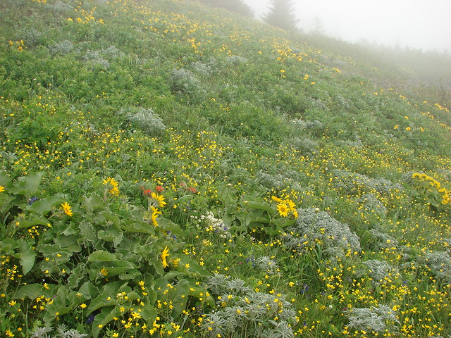
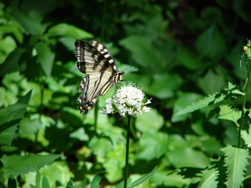
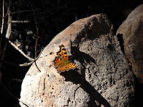
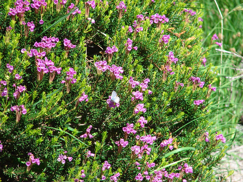
Mountain heather and a blue copper butterfly
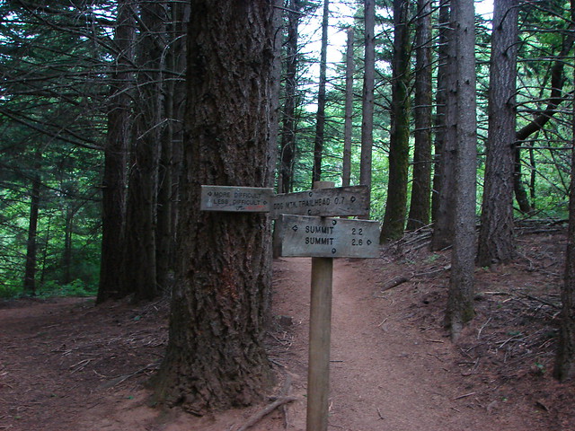
Two miles from Chocolate Falls we crossed the Ptarmigan Trail which climbs up Monitor Ridge to the Rim of Mt. St. Helens.
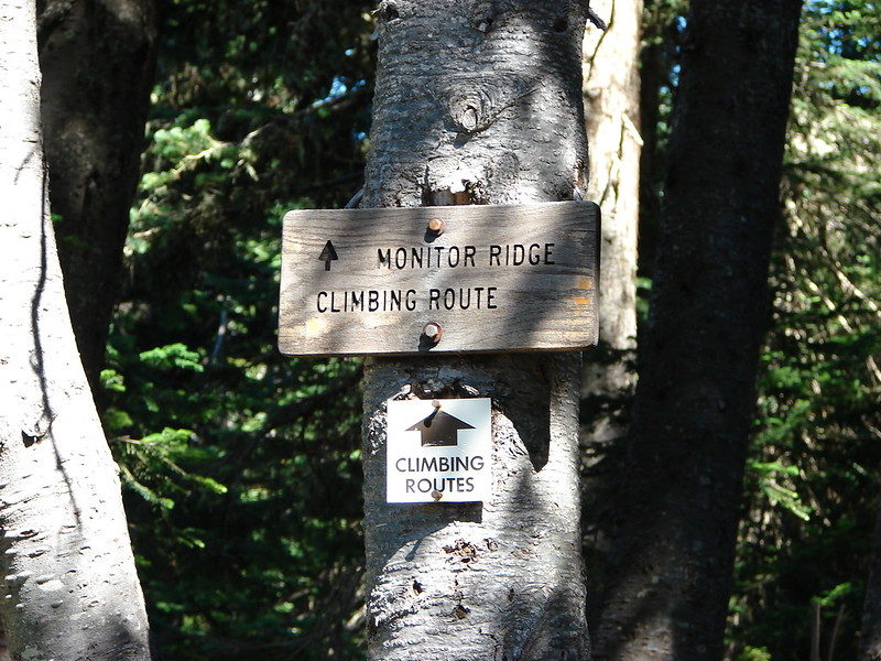
We have a date with that trail later this year.
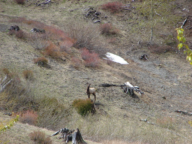
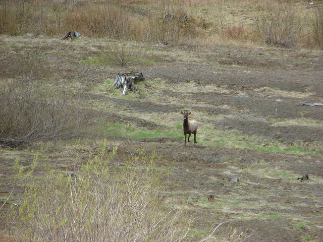
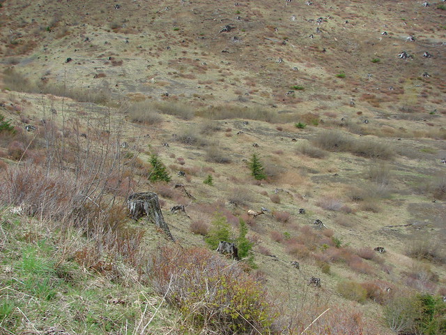
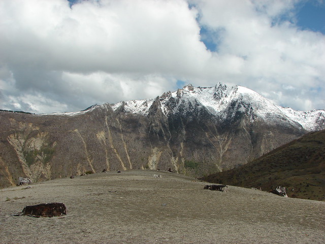
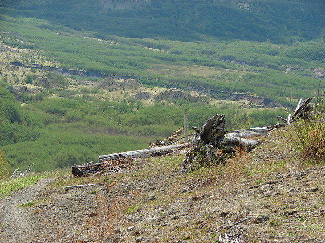
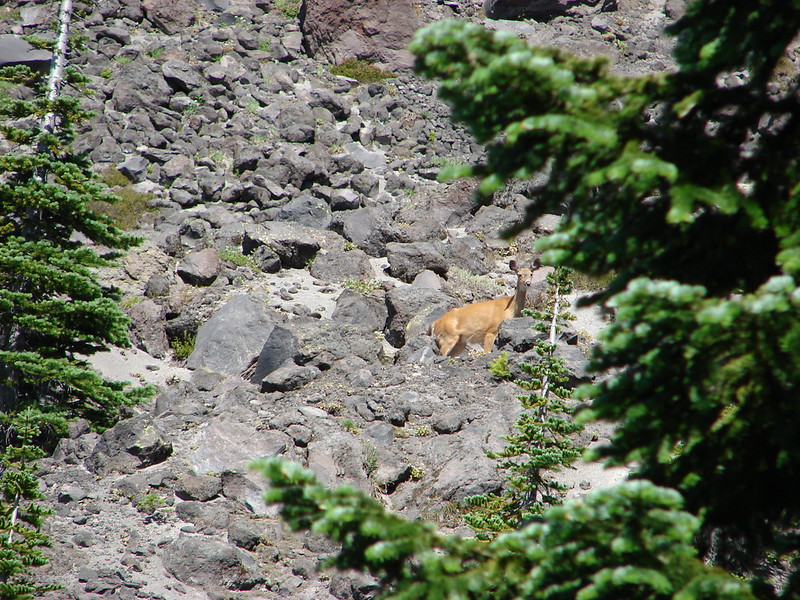
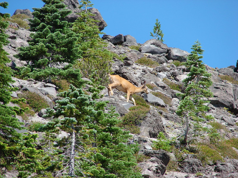
We crossed the trail and shortly came to the edge of another lava flow. A doe was making her way up toward Monitor Ridge showing off her superior rock hopping skills.
This crossing was .9 miles of post to post travel.
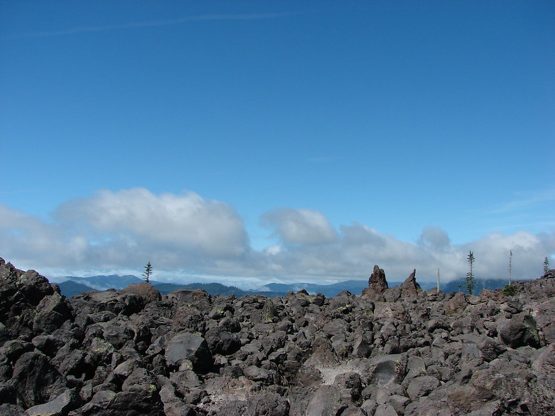
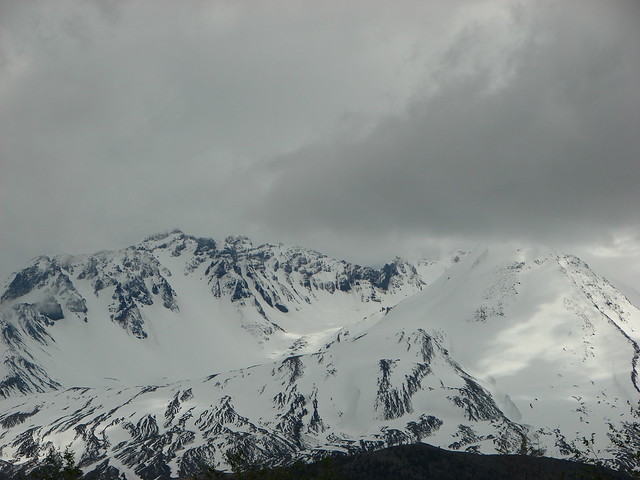
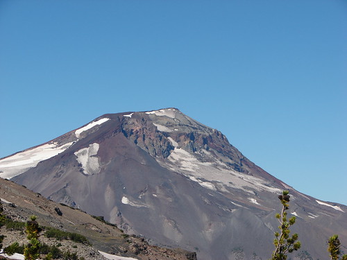
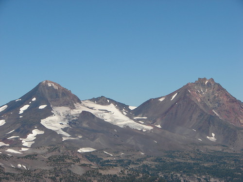
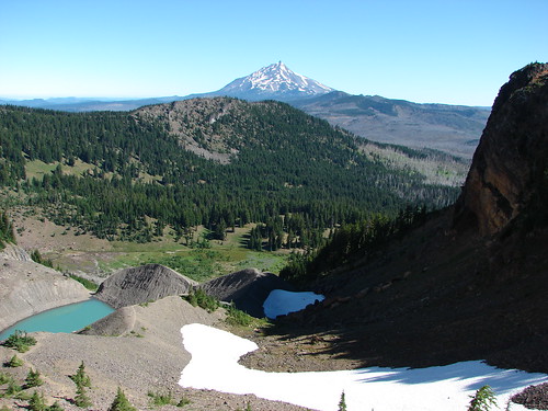
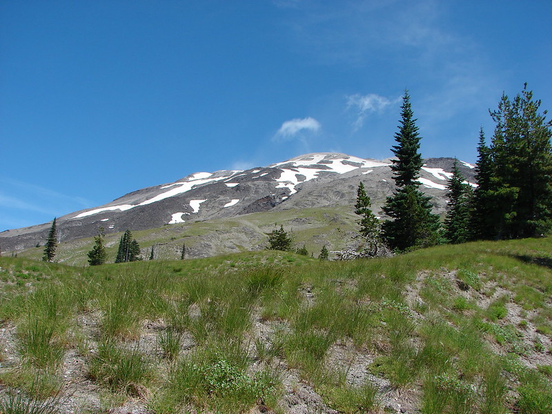
From this section we had a great view of Mt. St. Helens, Monitor Ridge, and the Green Knob.
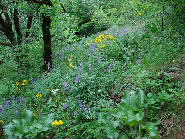
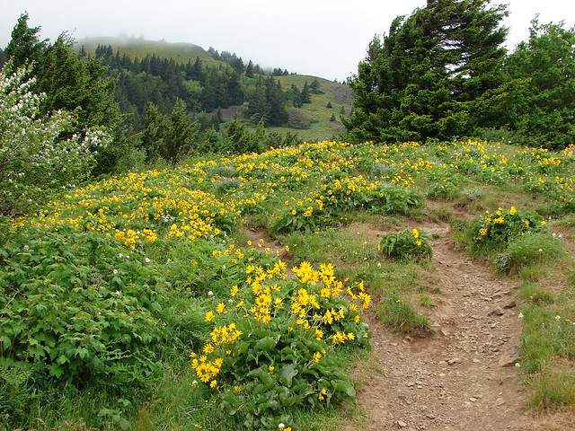
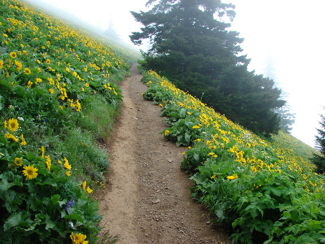
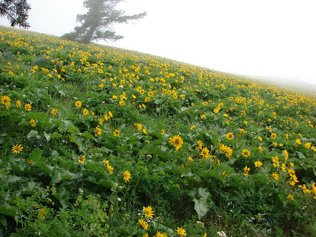
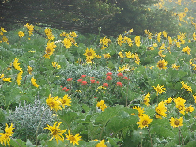
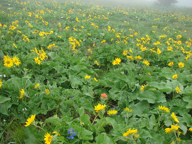
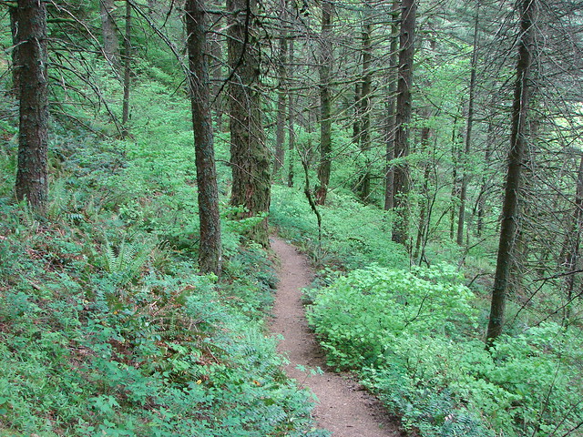
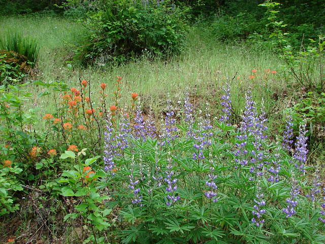
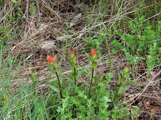
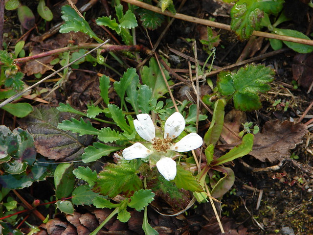
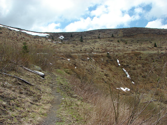
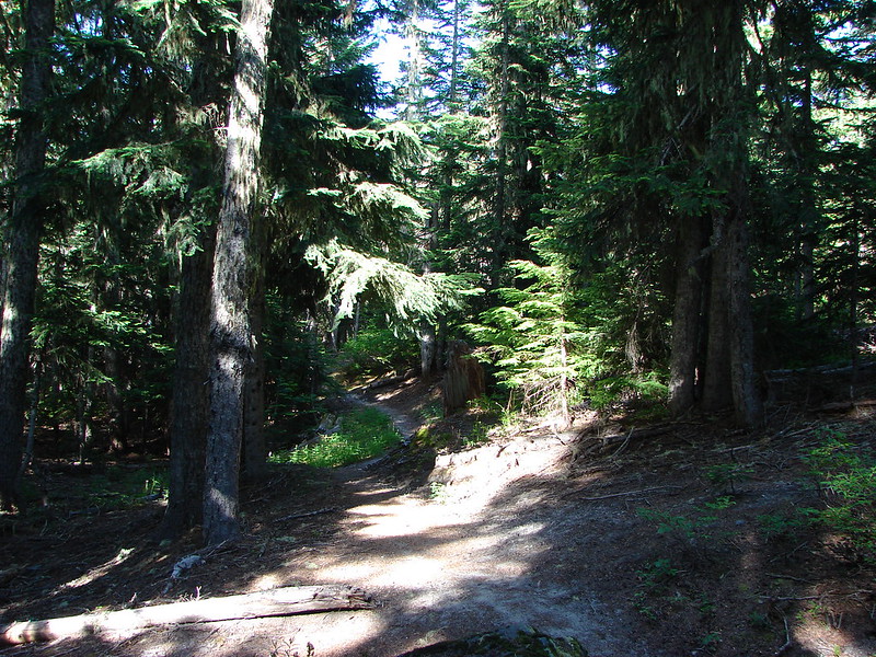
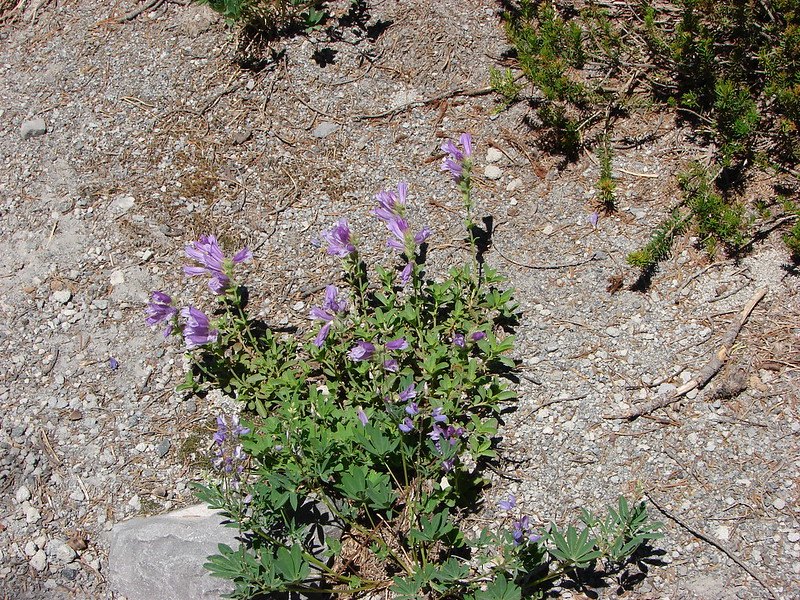
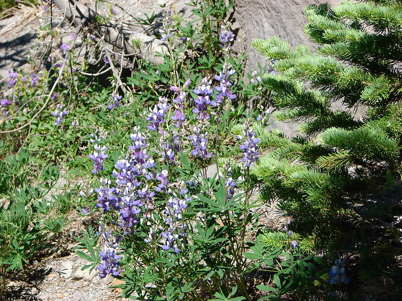
After navigating the lava flow we were once again in a forest. This one was drier and the trees more sparse than the previous sections we’d passed through. Cicadas chirped loudly from the pine trees and scattered flowers dotted the sandy landscape.
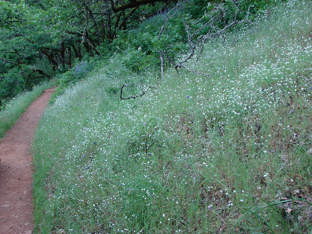
The trail then began alternating between trees and meadows.
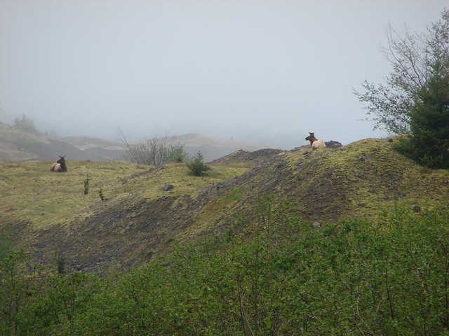
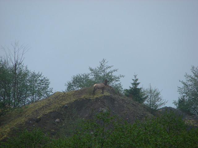
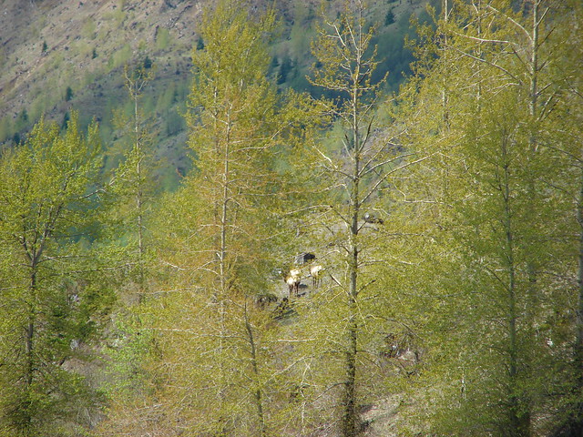
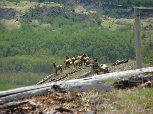
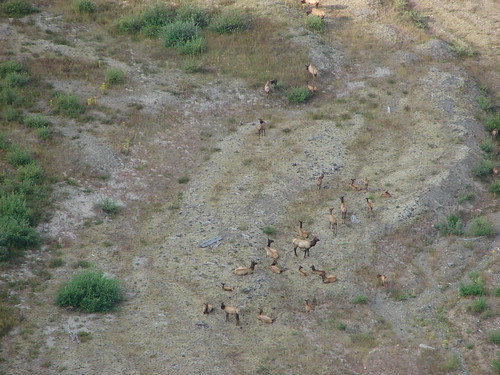
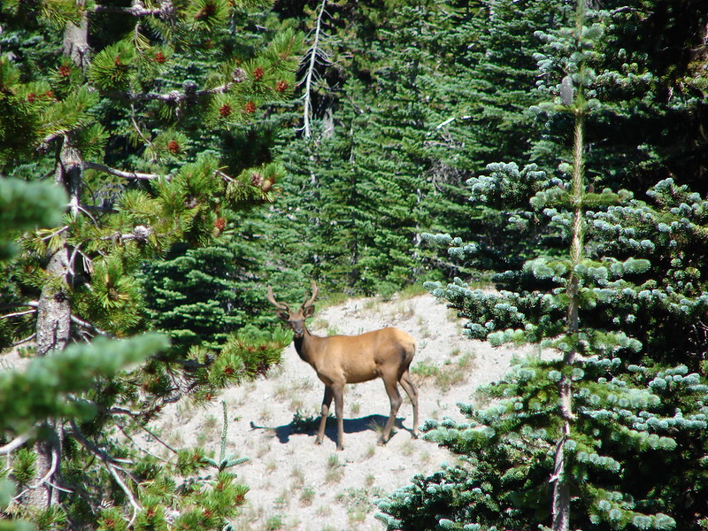
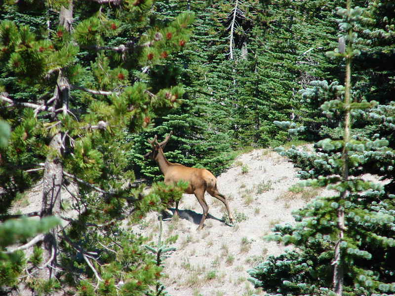
As we came around a corner I noticed something peering out of a tree further up along the trail.
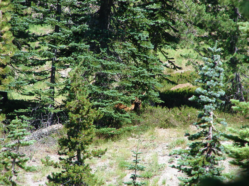
A bull elk emerged and gave us a quick look before heading downhill deeper into the trees.
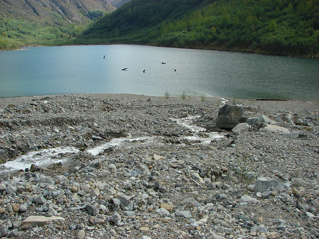
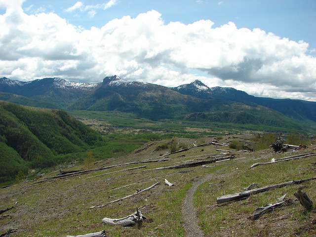
We turned around at the dry Dryers Creek and retraced our steps back toward Chocolate Falls.
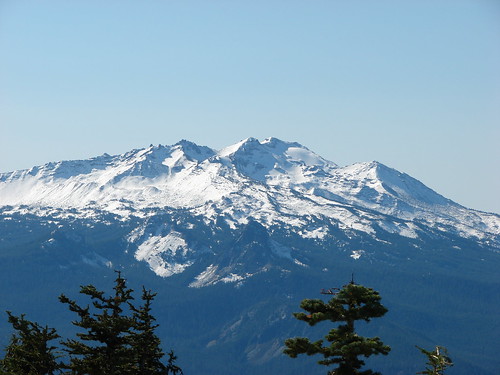
Mt. St. Helens from the dry bed of Dryers Creek
Mt. Adams had been hidden by clouds while Mt. Hood had nearly fully emerged from them.
There was evidence of the increased afternoon snow melt when we arrived back at Chocolate Falls.
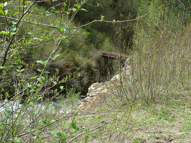
We took our shoes and socks off and soaked our feet for a bit in the creek before setting off from the falls. When we did get going we left the Loowit Trail and turned right along Swift Creek on the Swift Ski Trail.
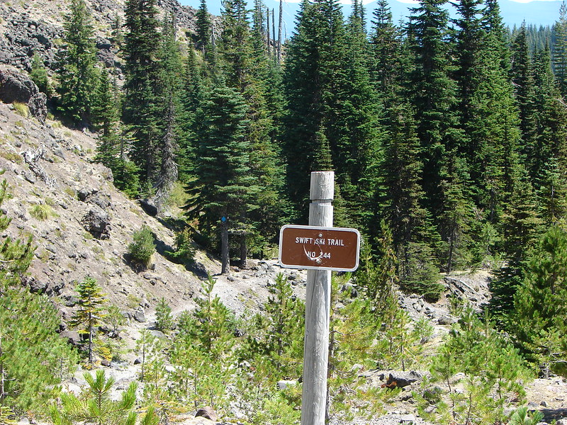
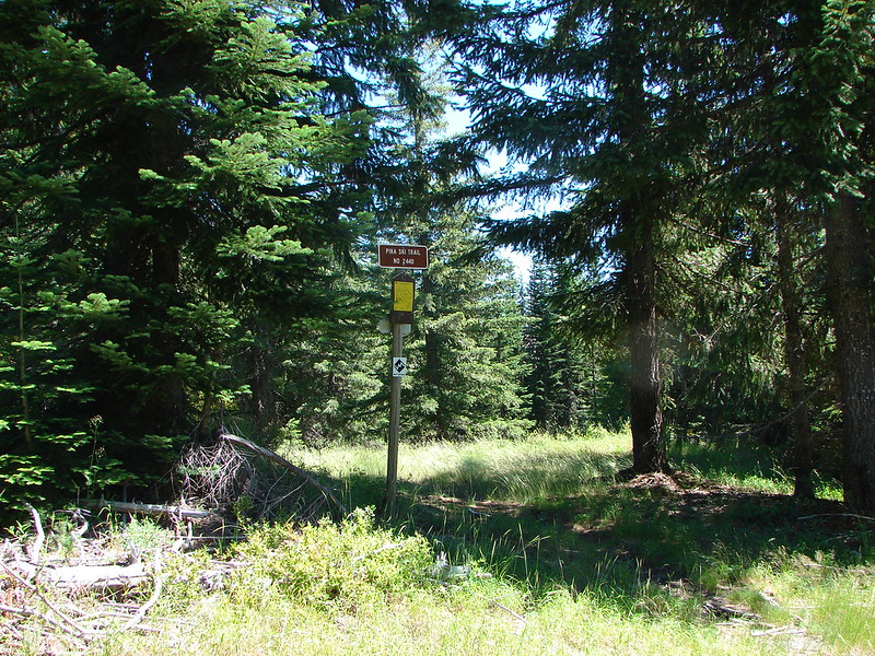
It was an easy trail to follow and we quickly descended .5 miles to the Pika Ski Trail which we took and headed back toward June Lake.
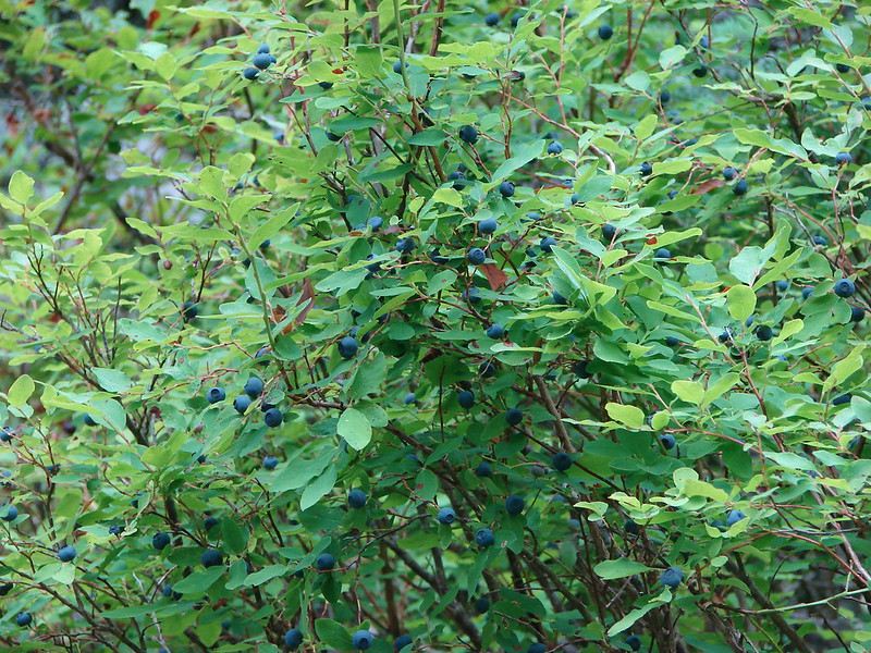
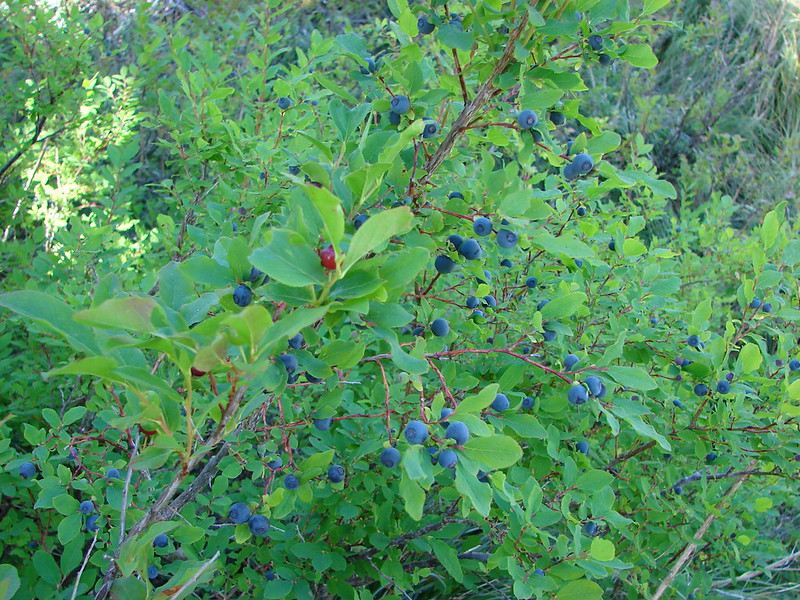
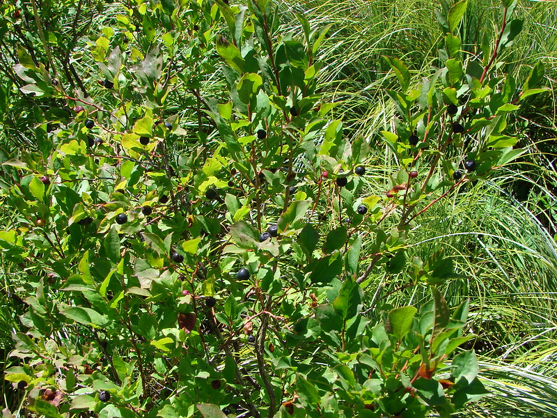
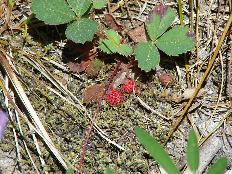
The Pika Trail was easy to follow for the first few tenths of a mile plus it was lined with ripe blueberries, huckleberries, and a few strawberries.
The easy trail didn’t last long though as we still had to cross part of the Worm Flows to return to June Lake. The crossing here was the most difficult of the day as there was no sign of any trail at all and the few orange poles ended halfway across the lava flow.
Luckily from the final pole June Lake was visible on the other side of the flow.
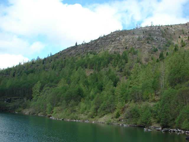
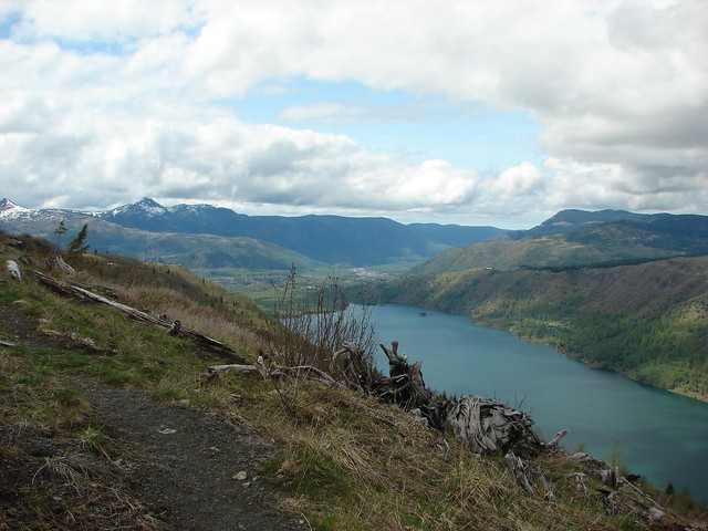
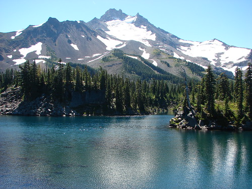
We headed for the lake and eventually made it down to the sandy bed of a dry creek which we climbed out of and returned to the June Lake Trail. The lake was clear now so we stopped to get some unobstructed photos of the waterfall and lake before beginning the final leg of our hike.
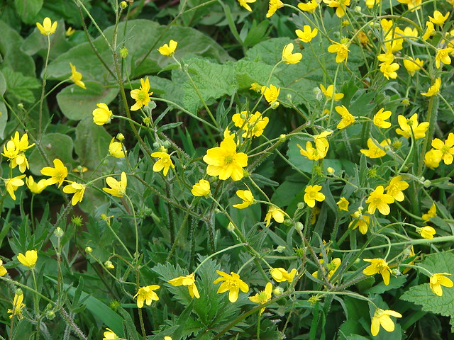
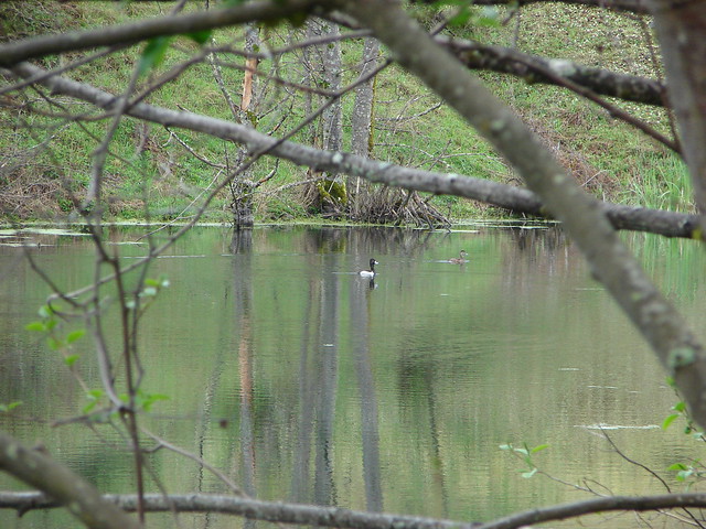
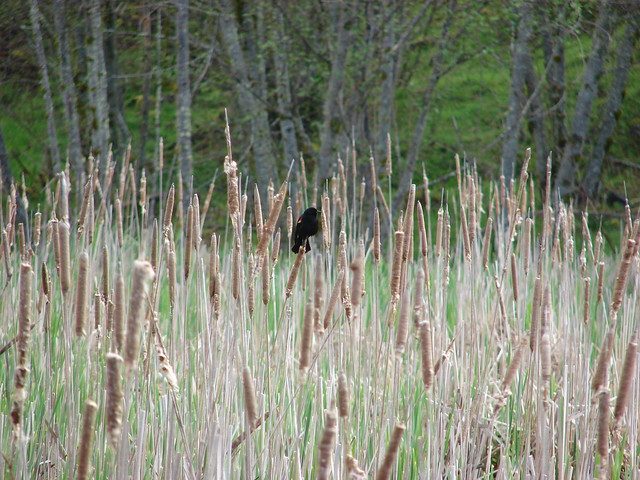
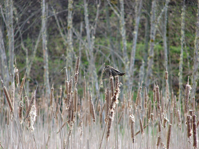
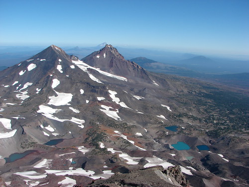
We took our time on the final 1.3 miles partly due to being tired from all the rock hopping and partly because we were picking berries as we went. The hike had totaled 13.4 miles and in that distance we’d passed two waterfalls, a lake, several creeks (dry and flowing), through several sections of forest, multiple meadows, and over four different lava flows. We’d seen an elk, a deer, chipmunks, golden-mantled squirrels, frogs, and various birds. We sampled at least 6 different kinds of berries, saw a variety of wildflowers, and had views of three cascade volcanoes. It had been worth the effort. Happy Trails!
flickr: https://www.flickr.com/photos/9319235@N02/sets/72157645372723387/
Facebook: https://www.facebook.com/media/set/?set=a.10204499327590388.1073741894.1448521051&type=1