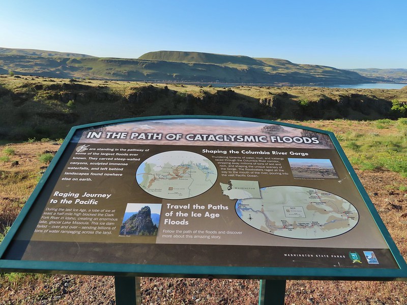
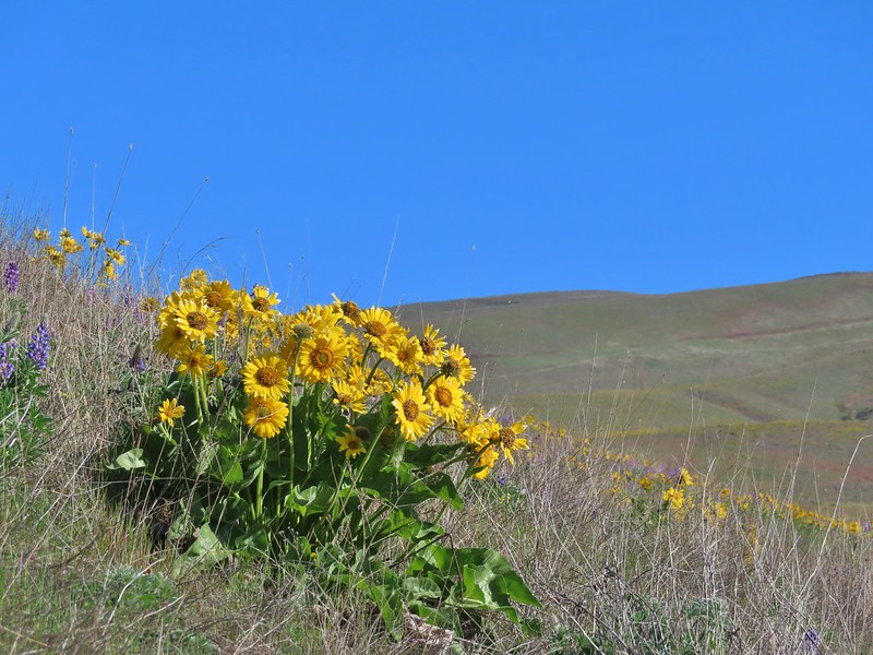
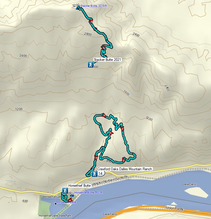
We joined the masses of people heading to the eastern end of the Columbia River Gorge to catch the wildflower display which may be brief this year due to a combination of a lack of moisture and higher than normal (what is normal anymore?) temperatures. While we try to avoid crowds the hikes in Columbia Hills State Park are a featured hike in William L. Sullivan’s “100 Hikes/Travel Guide Eastern Oregon” (Hike #2 in the 3rd edition) and one that Heather had missed out on in 2015 when I was joined by my parents (post). Knowing that word was out on social media that the bloom was on, we left even a little earlier than typical in hopes of minimizing the number of encounters with others. We followed the same order that I had done the hikes in during my first visit stopping first at the Horsethief Butte Trailhead.
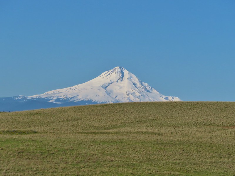
 Mt. Hood from the trailhead.
We followed the trail .3 miles to a junction where, unlike the first visit, we went right first following the trail around to the south side of Horsethief Butte where a fence announced the area beyond was closed.
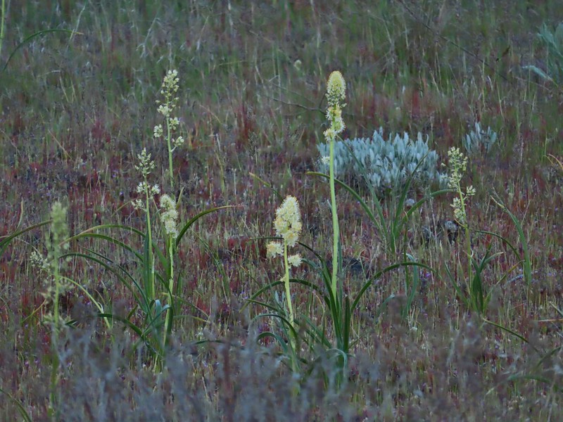 Death camas
 Western stoneseed
 Fiddleneck
 Large-flower tritelia
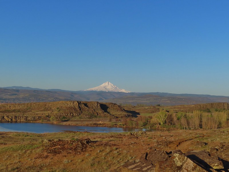 Mt. Hood beyond Horsethief Lake
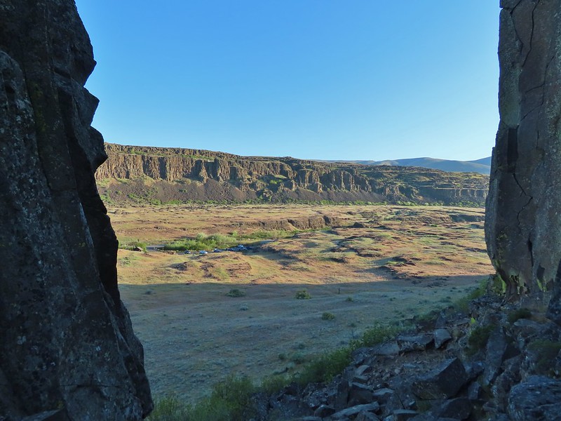
 Standing at the fence looking east.
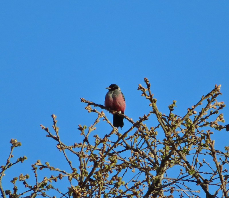
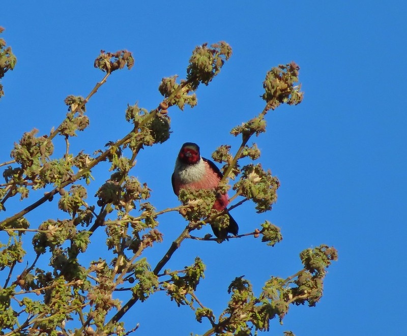
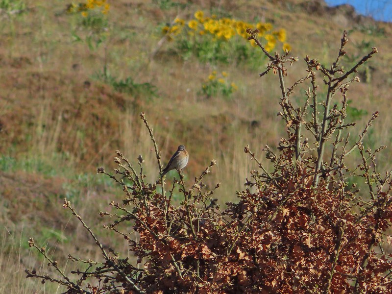
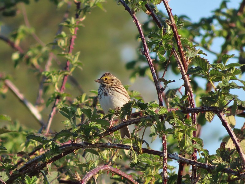
 Wren
Wren
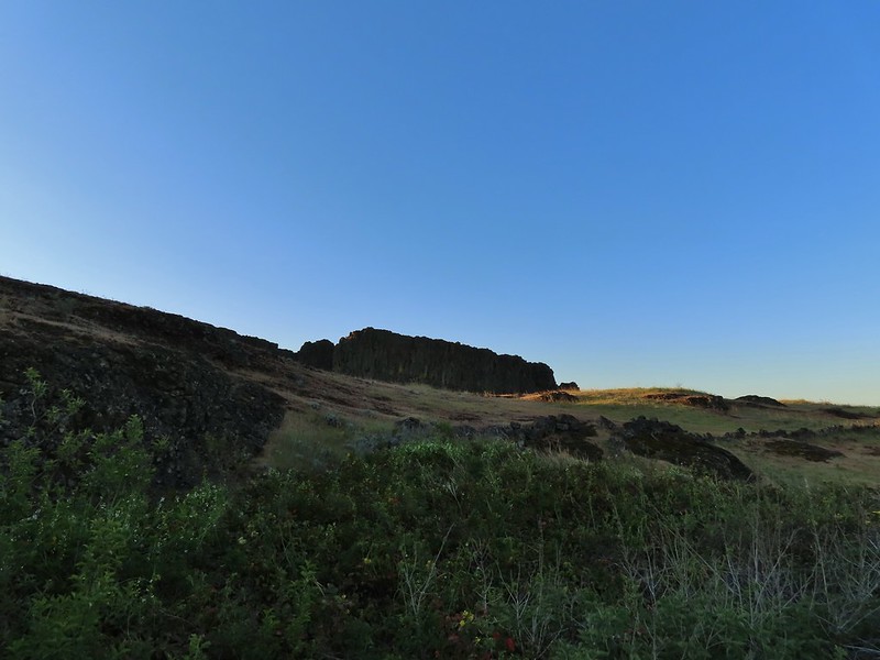
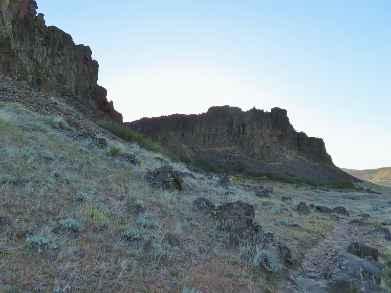
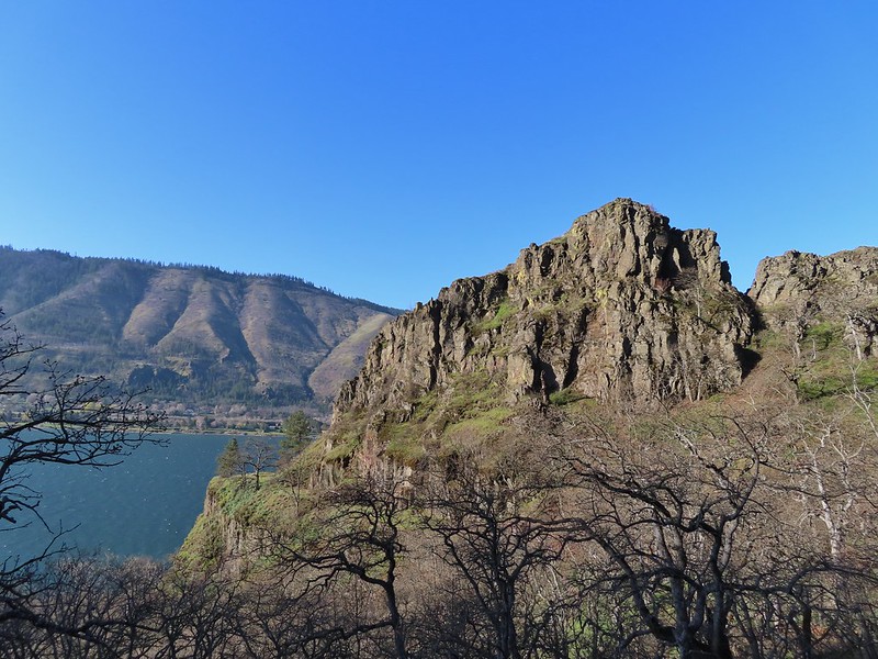
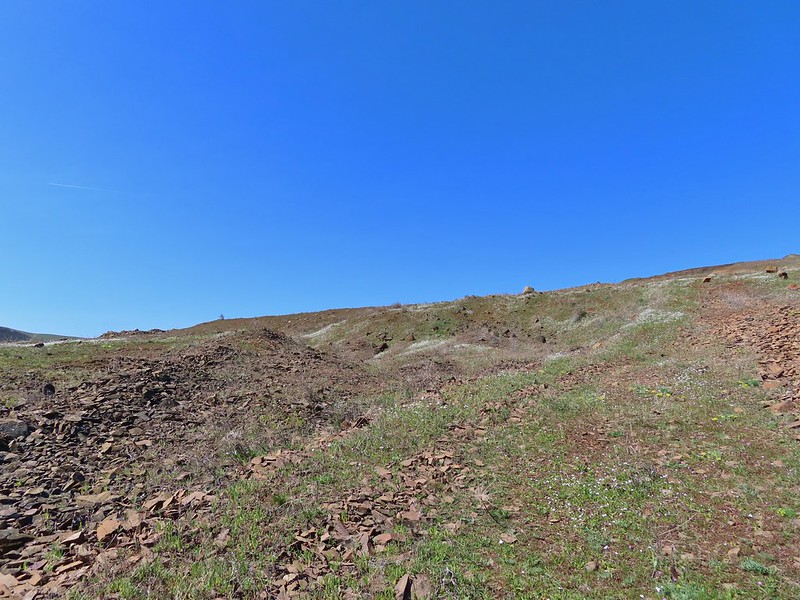
 Horsethief Butte
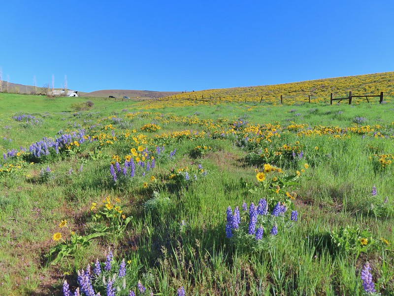
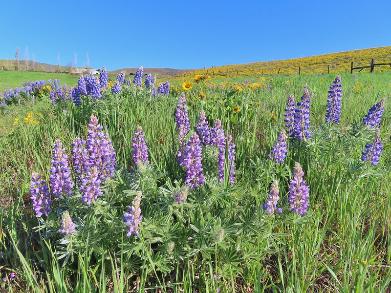
 Lupine
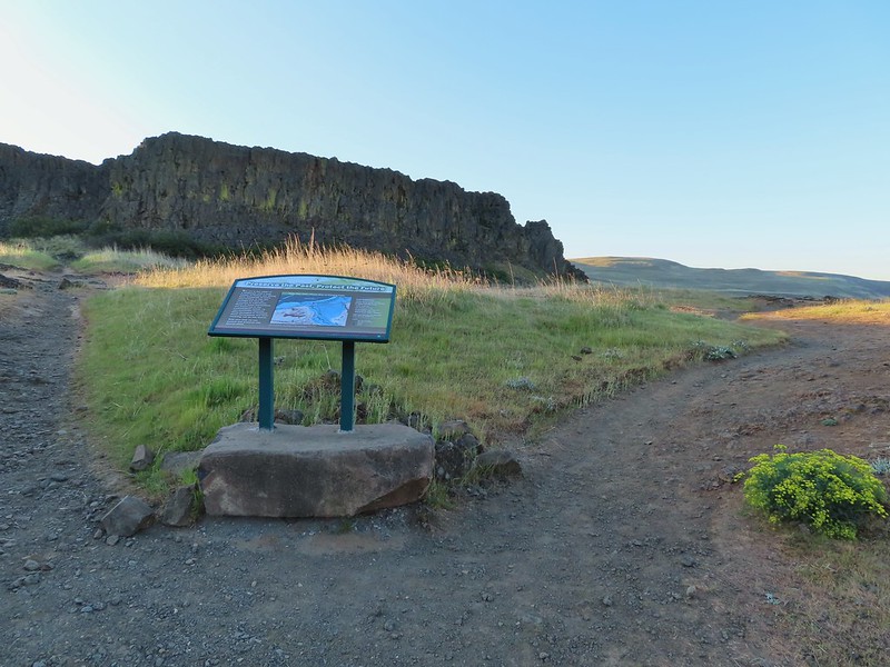
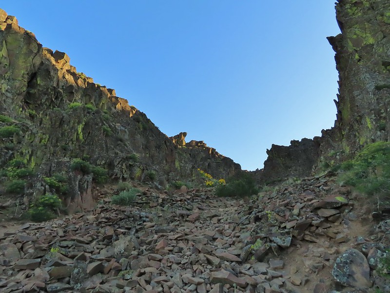
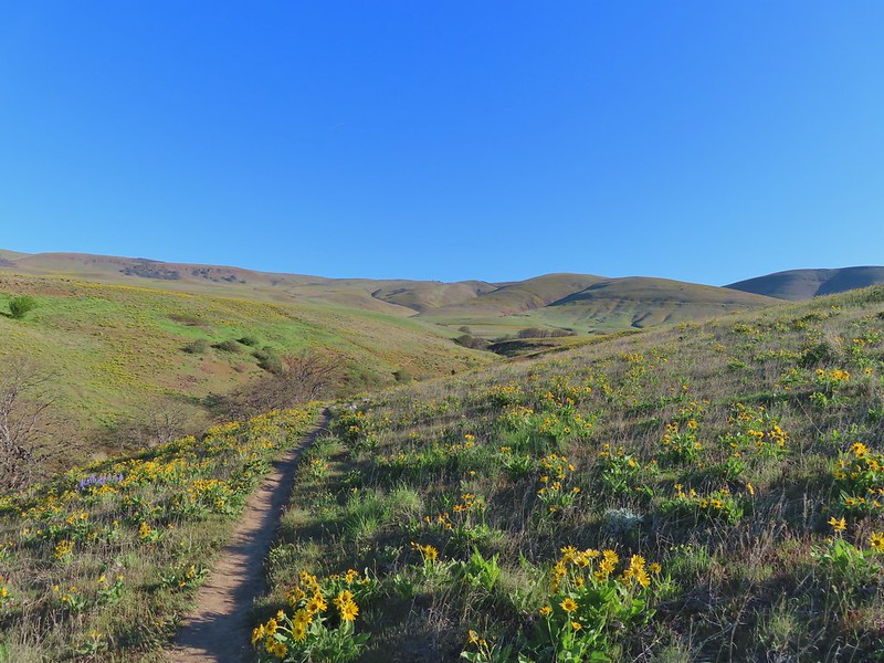
We then walked back about a quarter of a mile to a sign at an opening in the rock formation.

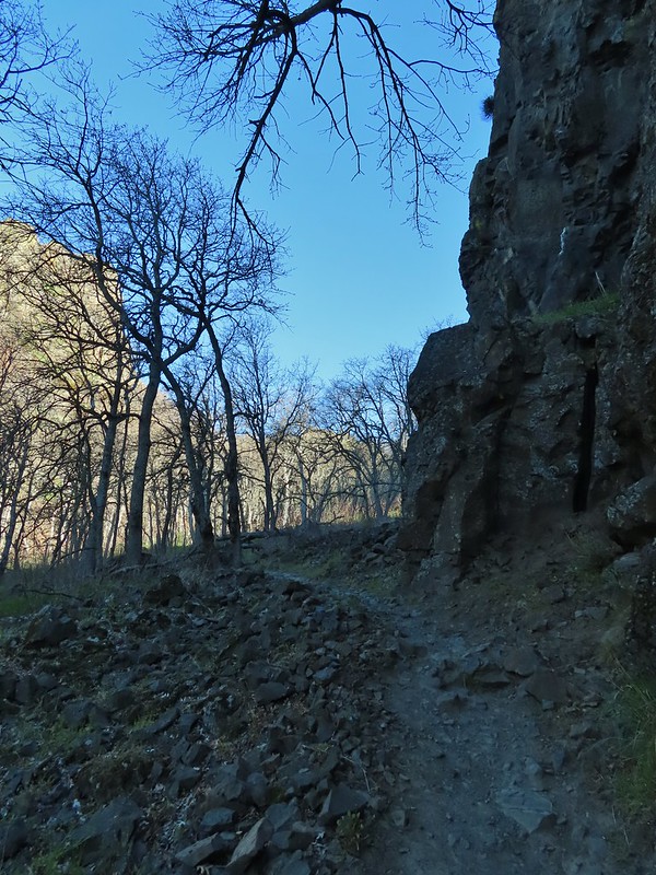
Here we turned and headed up into the rocks.


There is an optional side trail to a viewpoint inside the formation but we wanted to save the time and get to our second stop sooner rather than later. We had been the only car at the trailhead but half an hour later there were another half dozen cars (mostly rock climbers) with more arriving.
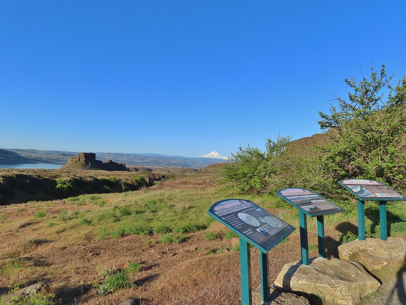
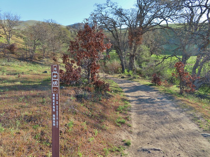
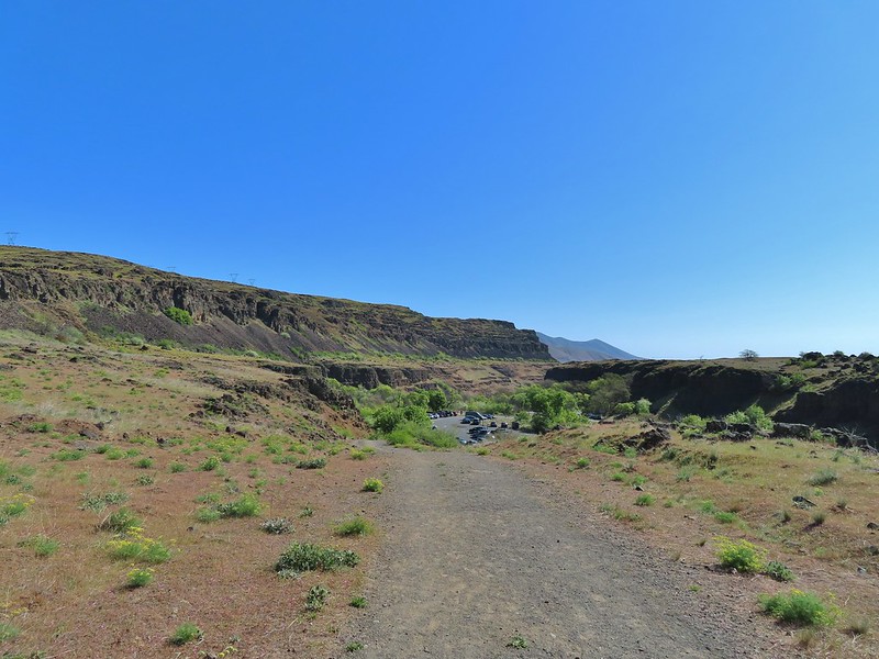
We descended from Horsethief Butte and after a short detour due to a wrong turn at a junction we arrived back at our and drove east on SR 14 for 0.7 miles to the Crawford Oaks Trailhead. While the trailhead opened in May of 2014 my parents I had not parked here opting instead to park at the Dalles Mountain Ranch making this a primarily new hike for me too.

There was a small handful of cars here but not bad (it was a different story later). We followed the Entry (Access) Road Trail uphill form the parking lot past the Ice Aged Floods Viewpoint.
 Horsethief Butte and Mt. Hood from the viewpoint.
After a 180 degree turn the Entry Road approached Eightmile Creek near Eightmile Creek Falls.

 Purple cushion fleabane
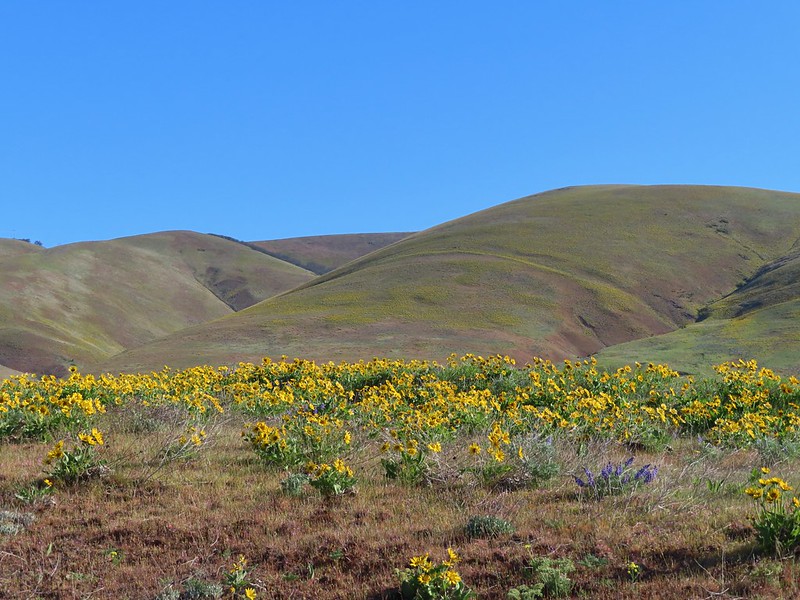
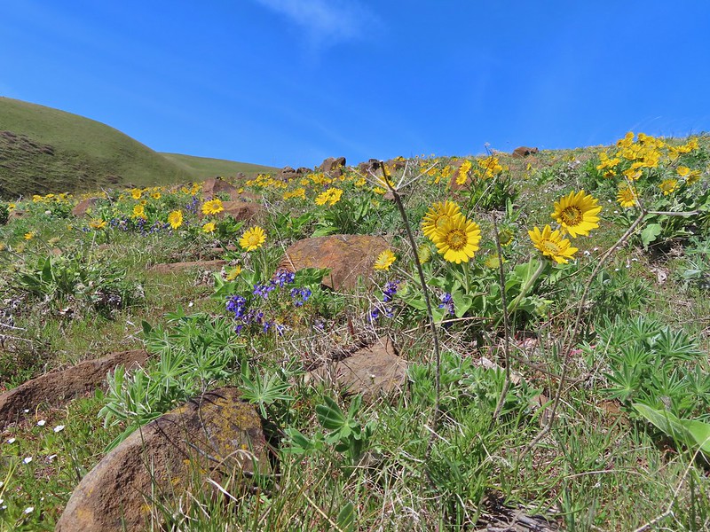
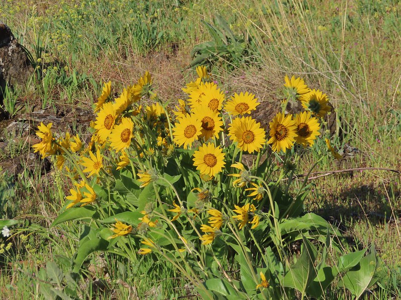 Balsamroot
The road turned uphill along the creek where several Lewis’s woodpeckers were flying from oak to oak.


 Western bluebird
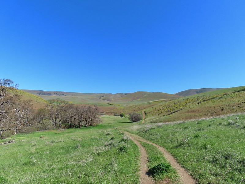
We followed the road down and across Eightmile Creek to an interpretive sign at a junction.
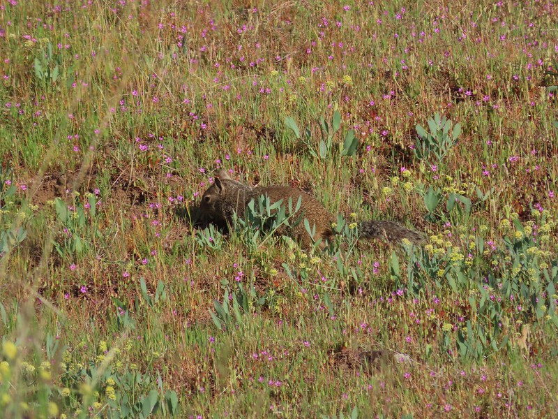 Ground squirrel

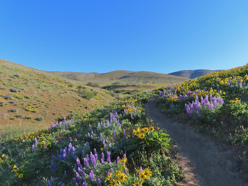
This was the start of a couple different loop options. We chose to take the left fork which was the Military Road Trail. Going this direction is the shortest route to the Crawford Ranch Complex plus it would mean that we would be heading toward Mt. Hood as we looped around on the Vista Loop Trail (the right hand fork here). The Military Road Trail climbed away from the creek reaching another junction after .3 miles. Here we forked left again leaving the Military Road for the Eightmile Trail. (Sticking to the Military Road would have led us to the Vista Loop Trail in .4 miles.)


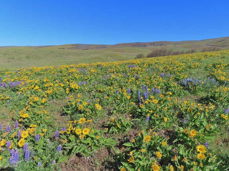
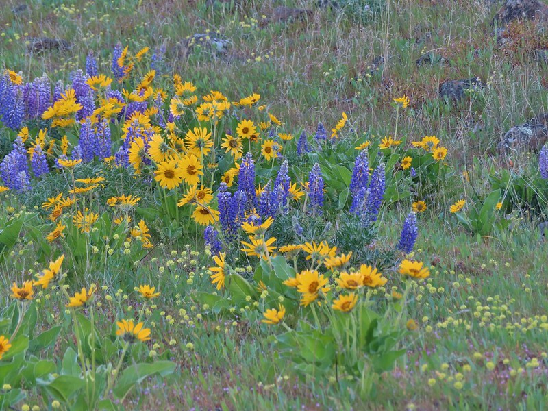 Lupine, balsamroot and parsley
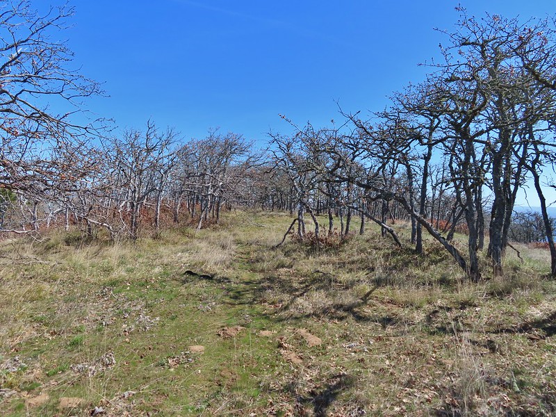
 The Crawford Ranch Complex ahead to the left.
 Phlox
Phlox

The Eightmile trail dropped to cross a smaller stream before finally returning to Eightmile Creek near a fence line.


 Approaching the fence line.
While there was a bit of a break in the flowers at this fence line there was no shortage of birds.

 Yellow-rumped warbler
 Back of a scrub jay

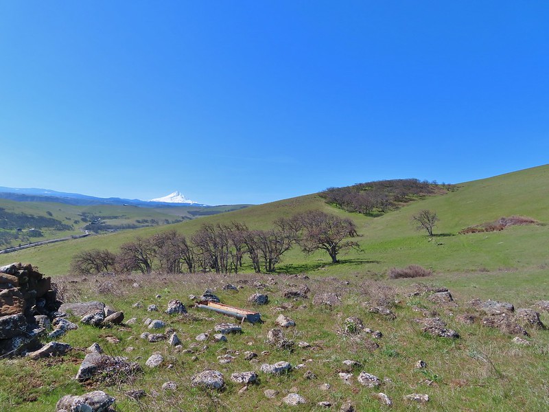
The trail then veered away from the creek and came to another junction after passing through a fence. The flowers here were spectacular and both Mt. Hood and Mt. Jefferson were visible.


 Mt. Hood
 Mt. Jefferson
At the junction we went right on the Ranch Route Trail eschewing a visit to what looked like a very busy Crawford Ranch Complex. The Ranch Route meandered for 1.4 miles through the flowered covered hillsides before arriving at a junction with the Vista Loop and Military Road Trails.


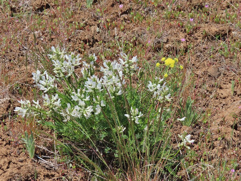
 Yakima milk-vetch


We turned left on the Vista Loop Trail following it a total of 1.8 miles back to the the junction near Eightmile Creek.
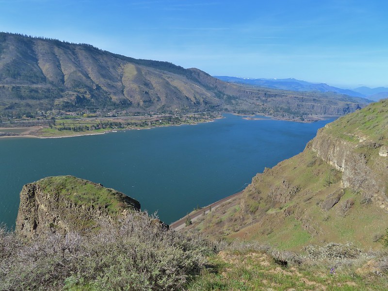
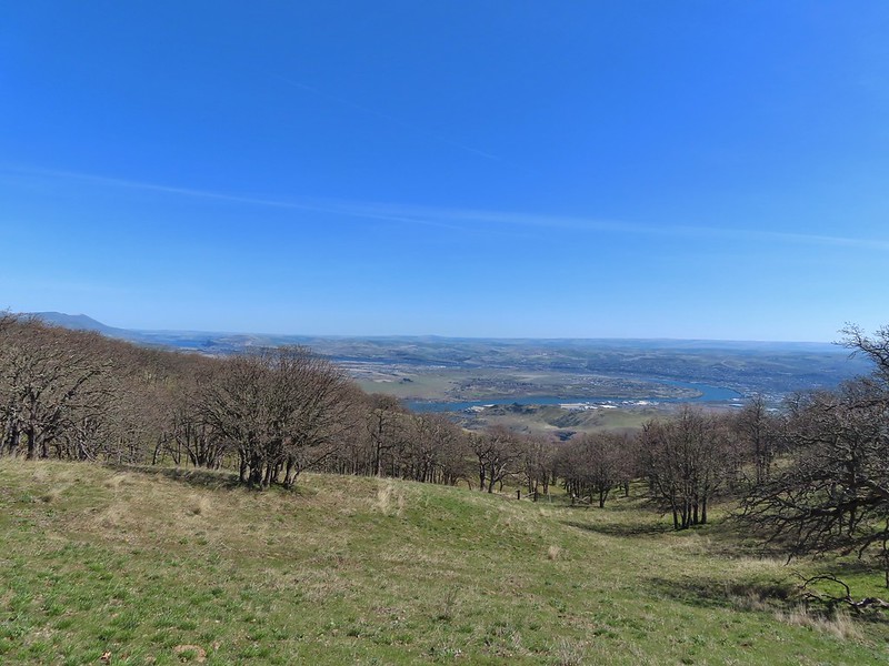
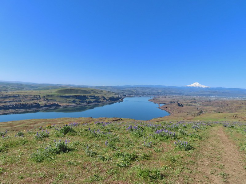 The Columbia River, Horsethief Butte, and Mt. Hood
 Death camas
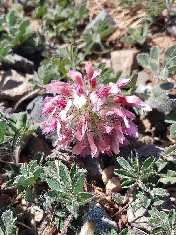
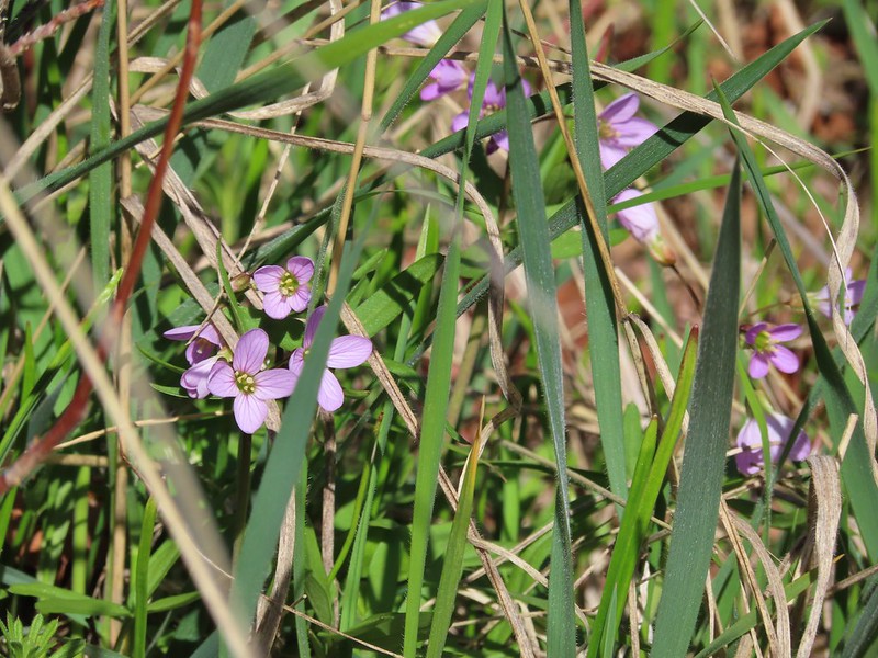
 Large head clover
 Approaching the junction.
We followed the Entry/Access Road back down to the now packed trailhead.
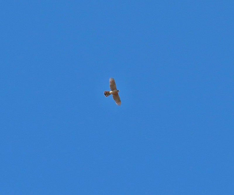
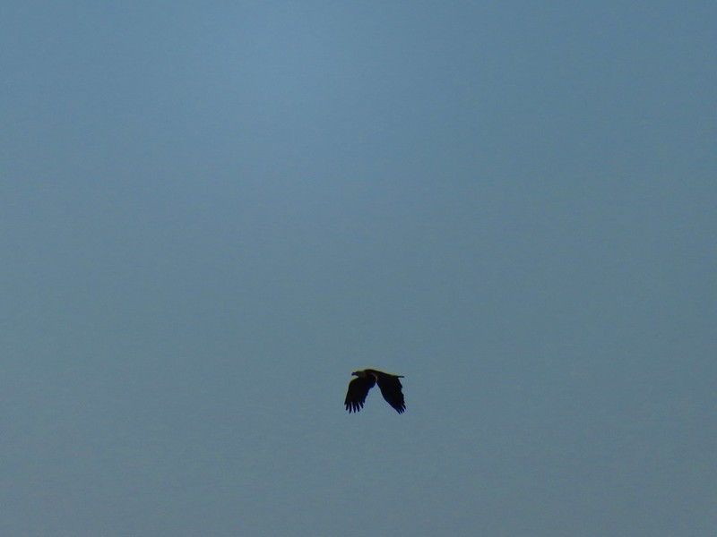
 Hawk watching all the hikers.
 A different hawk? watching the goings on.
 Western fence lizard watching everything.
 Poppy, manroot, and red-stemmed storksbill
 The crowded trailhead
This stop clocked in at 6.9 miles and 900′ of elevation gain.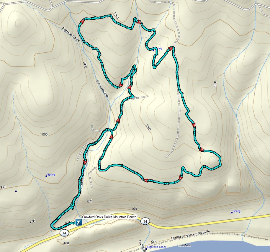
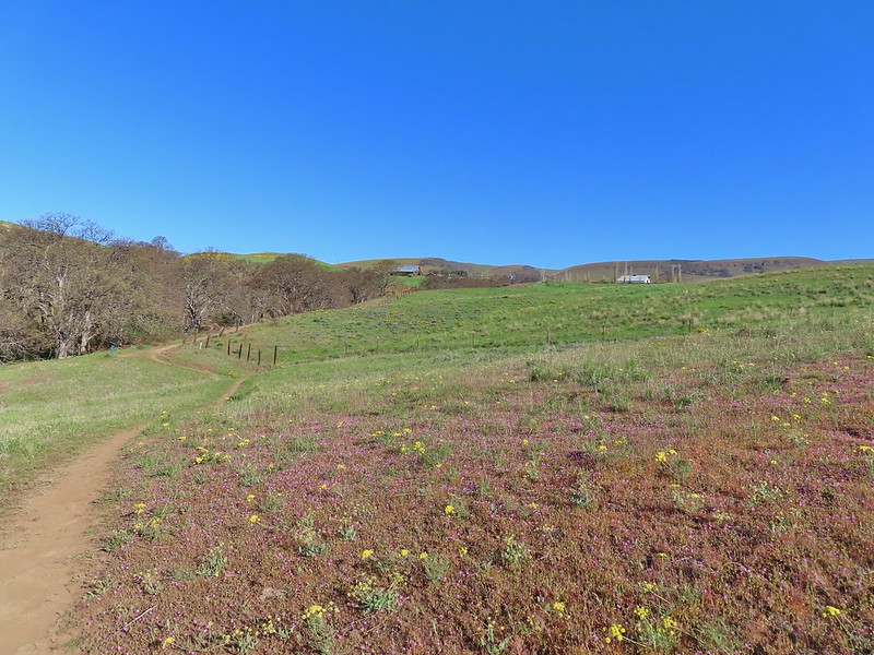
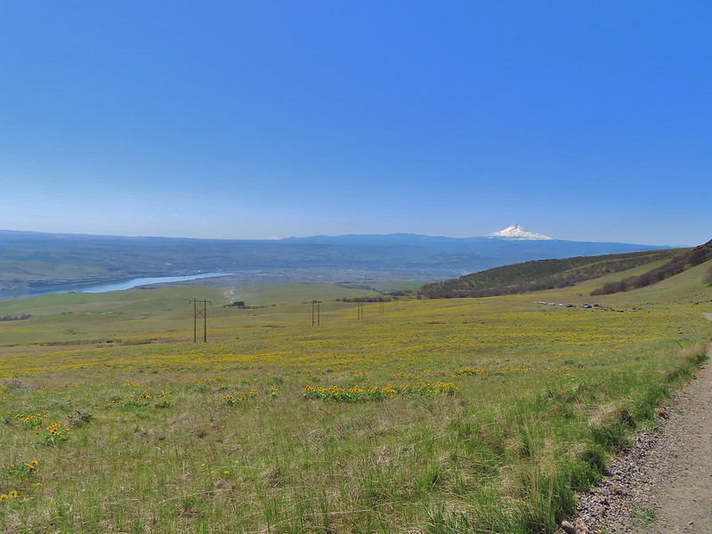
We opened up a spot here and drove west on SR-14 to Dalles Mountain Road where we turned north (right) and drove 3.5 miles to a fork near the Crawford Ranch Complex. Here we turned left heading uphill for another 1.4 miles (passing a number of hikers walking up along the road) to the Stacker Butte Trailhead. There were a fair number of cars but a few spots were open.

 While both were part of the Crawford Ranch, Stacker Butte is not part of the Columbia Hills State Park but is part of the Columbia Hills Natural Area Preserve.
The hike here is pretty straight forward following the gravel road approximately 2.6 miles to some towers on the 3220′ summit of the butte. The flowers were thickest along the lower section of the hike with some that we had not seen down lower including paintbrush, daggerpod and some sicklepod rockcress.

 Yakima milk-vetch
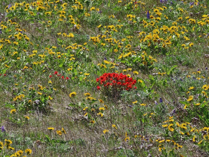 Paintbrush amid the balsamroot.

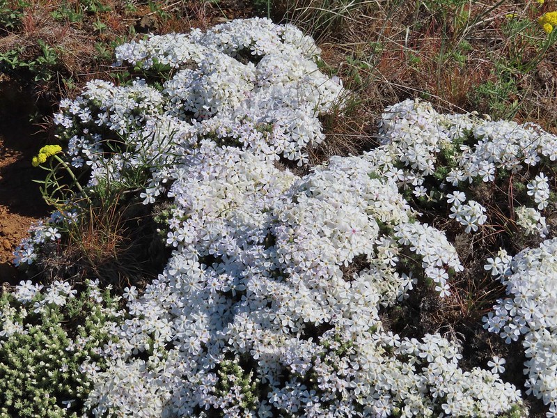 Phlox
Phlox

 Big-seed biscuitroot
 Sicklepod rockcress

 Sagebrush false dandelions
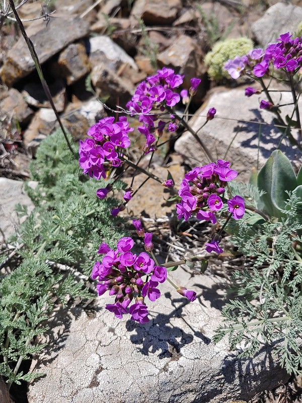 Daggerpod
 Daggerpod
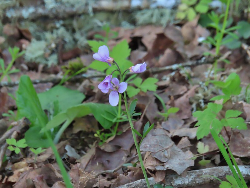
 Slender toothwort?
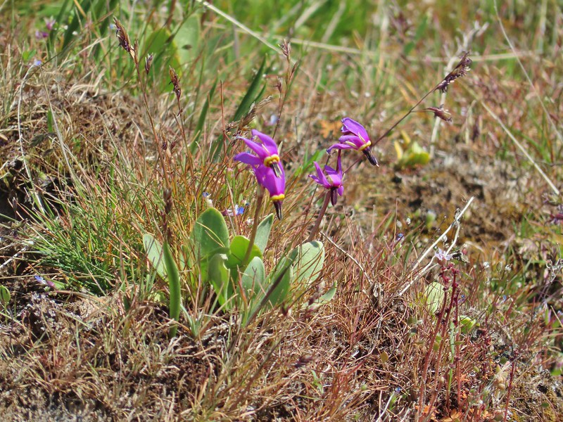 Shooting stars in front of a little blue-eyed Mary
 Large head clover
 Popcorn flower
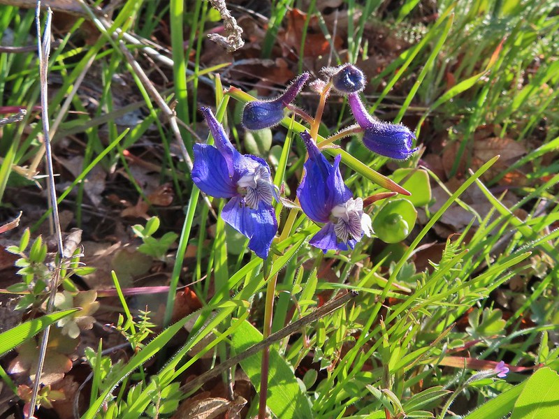
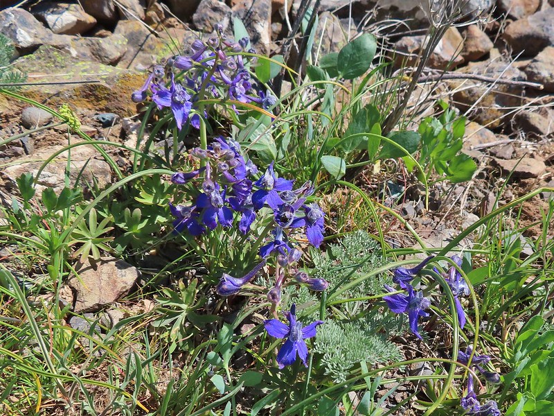 Larkspur
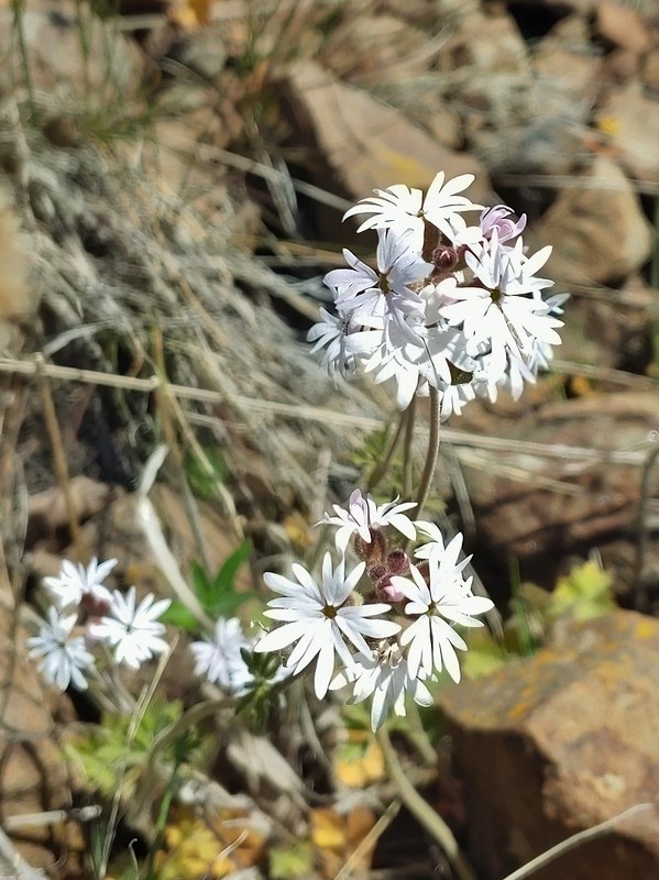 Woodland stars
At the summit we were treated to a clear view of Mt. Adams, Mt. Rainier, and Goat Rocks to the north.
 Mt. Adams
 Mt. Rainier
 Goat Rocks
After a little rest on top we headed down admiring the flowers along the way and watching for wildlife too.
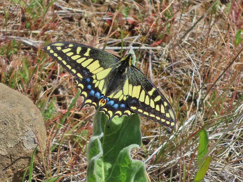 Swallowtail
 Western fence lizards
 White crowned sparrow
 Another sparrow
 Mt. Jefferson and Mt. Hood as we neared the trailhead.
The three hikes came to a combined 13.2 miles and 2240′ of elevation gain which is why we didn’t just hike up the road from the ranch complex. It’s a little too early in the season for a 16 mile, 3000′ hiking day. Maybe in a couple more months. Happy Trails!
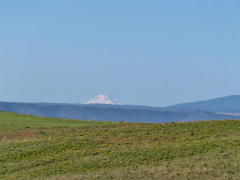
 Mt. Jefferson from the trailhead.
 A few lupine and buttercups
 Camas
Camas Castilleja levisecta – Golden Paintbrush
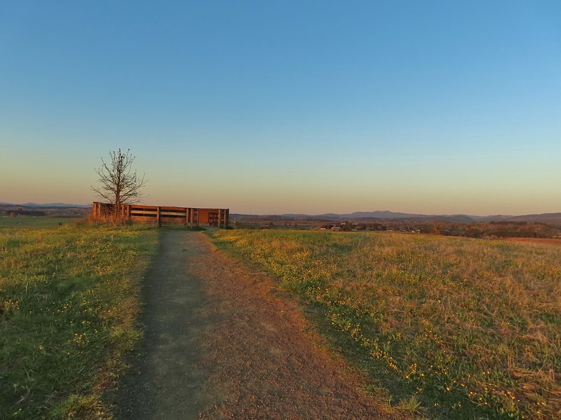
 A few little flowers starting to open up.
 View from the deck.
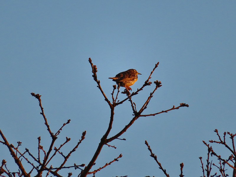 Western meadowlark


 Camas pretending to be part of a lupine plant.
 White crowned sparrow
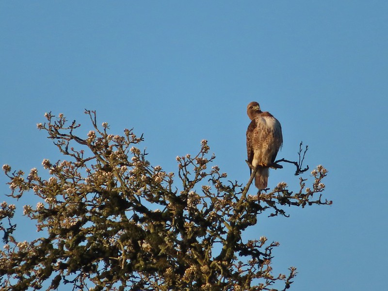 Hawk
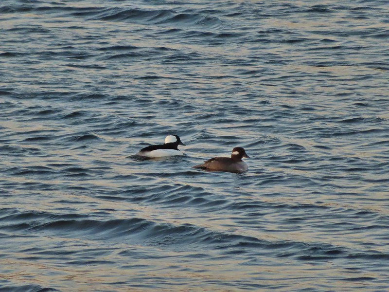
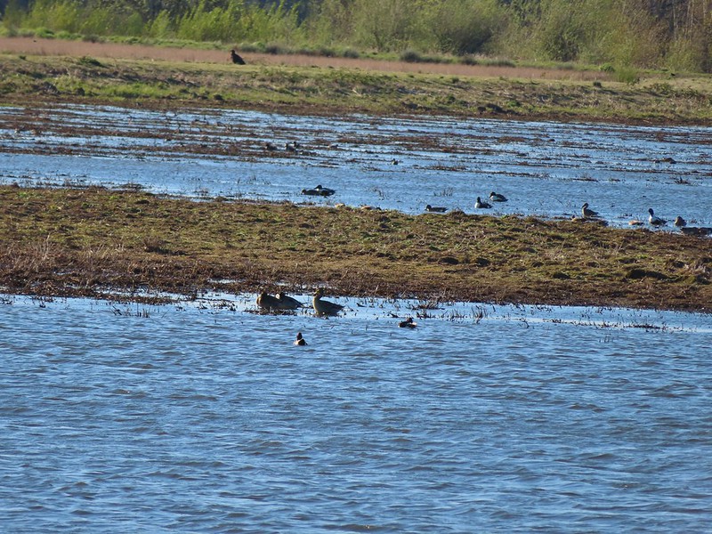
Hawk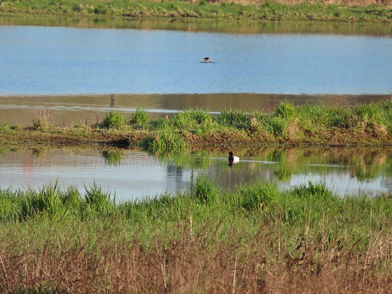 Lesser scaup
 American wigeons
 Pied billed grebe
 Yellowlegs
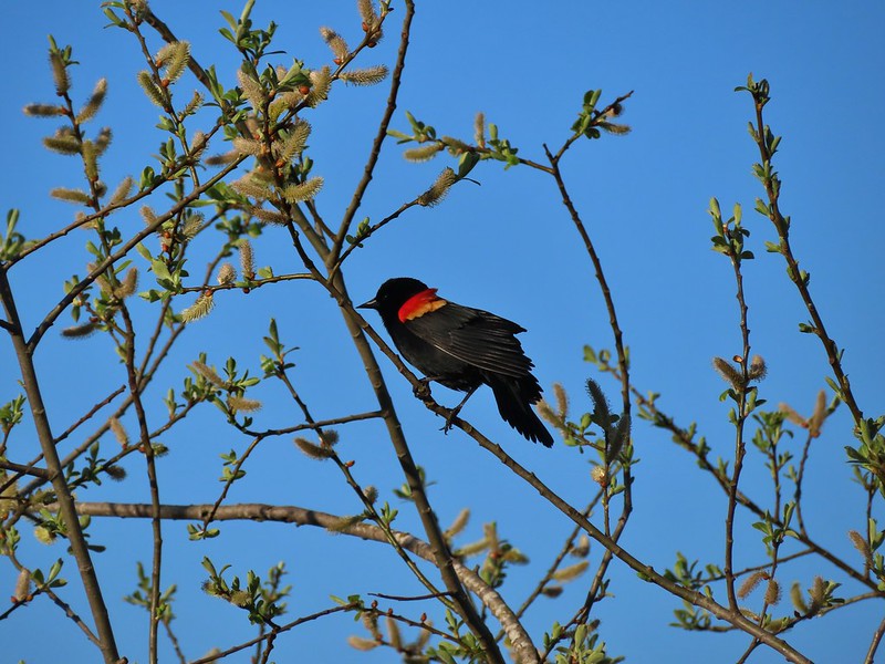

 Savannah sparrow
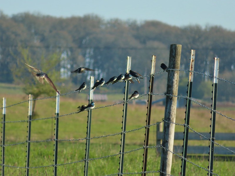 Swallows
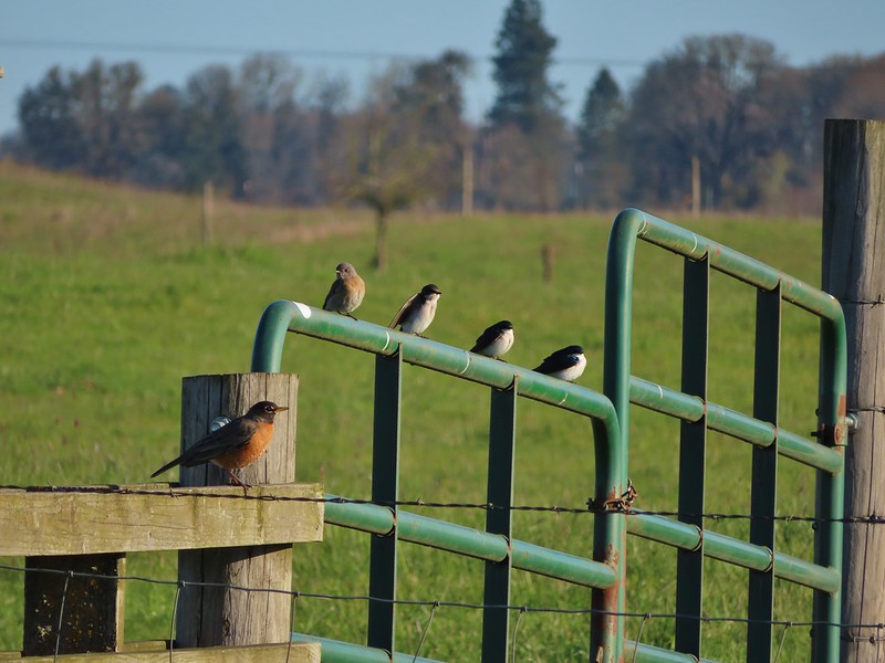 A robin, a western bluebird and swallows
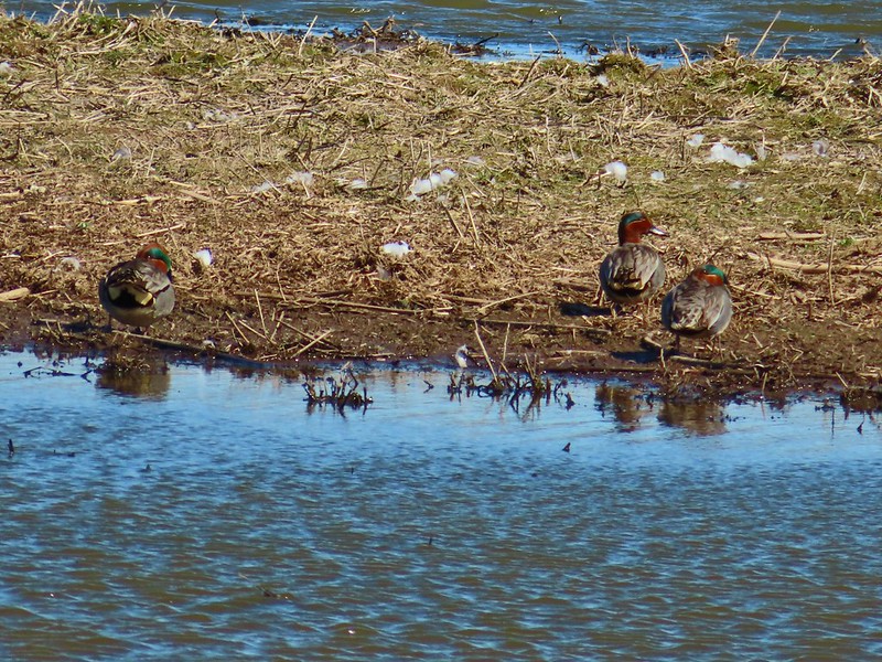
 A green winged teal and a cinnamon teal in a small marsh.
 This scrub jay wasn’t shy.
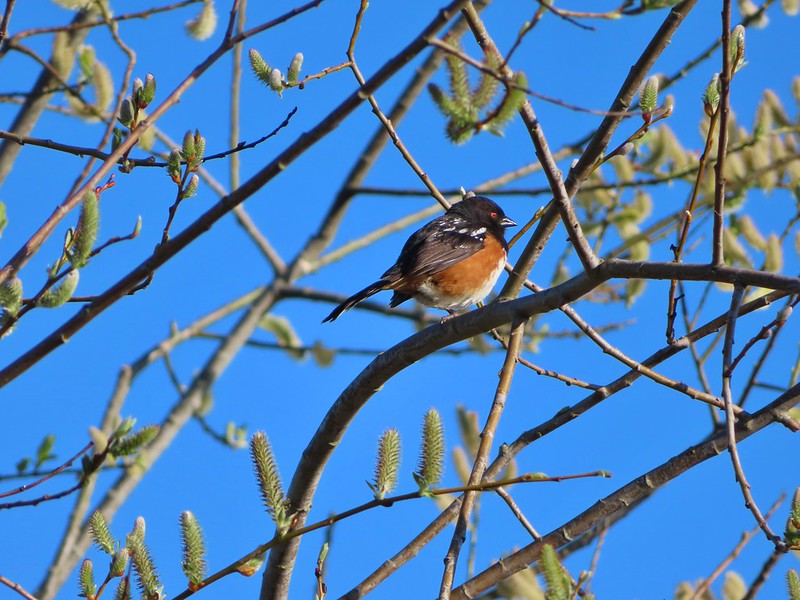 Neither was this serious looking spotted towhee
 Norther shovelers heading to the opposite side of the lake.
 A bufflehead and some lesser scaups
 Canada goose flyover
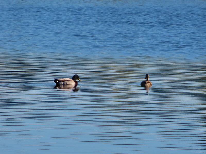 Mallard pair
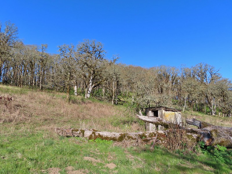 Old out building below Baskett Butte.
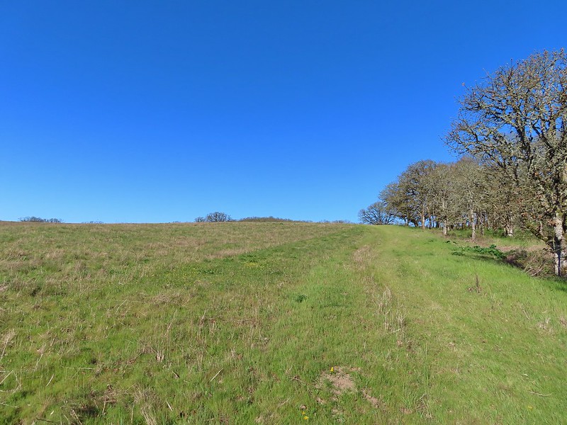 Not only was this uphill but we didn’t know for sure where it might lead.
 Along the field we went.

 Looking uphill along the row of brush.
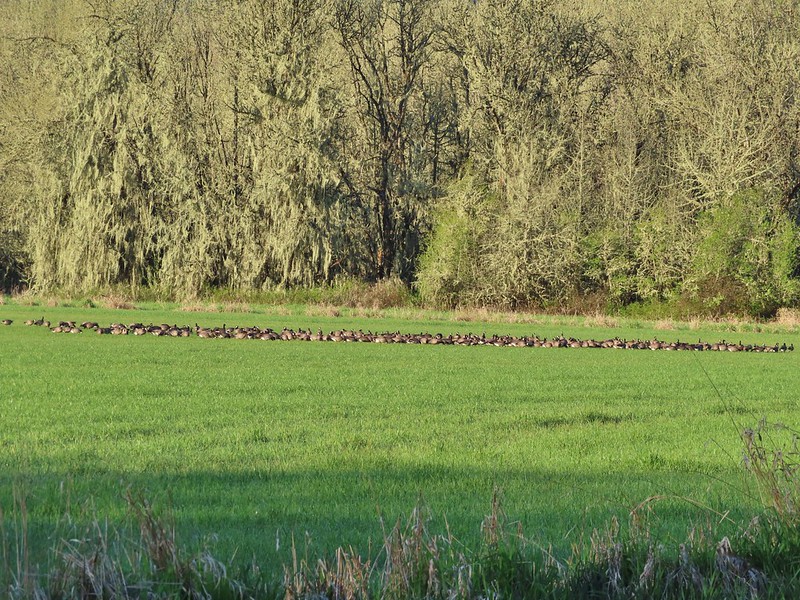
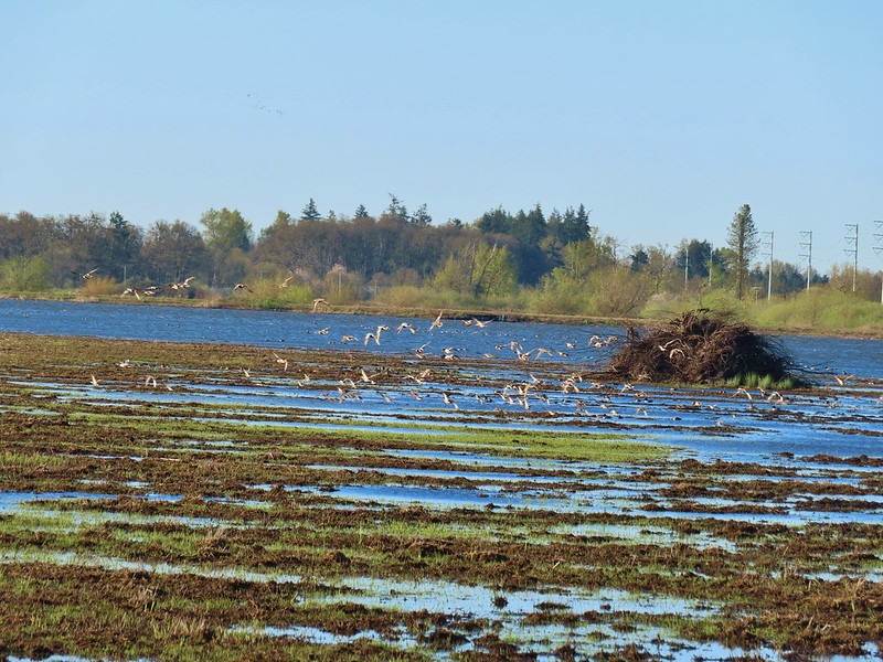
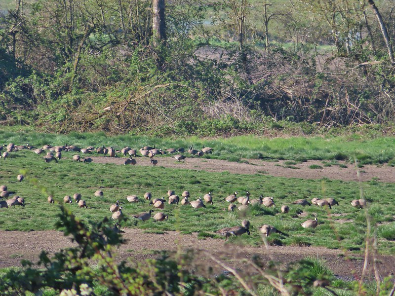 An extremely small portion of the geese.
 Baskett Butte from the field.


 Mt. Hood from the refuge road
 The Three Sisters from the road
 Yellow paintbrush
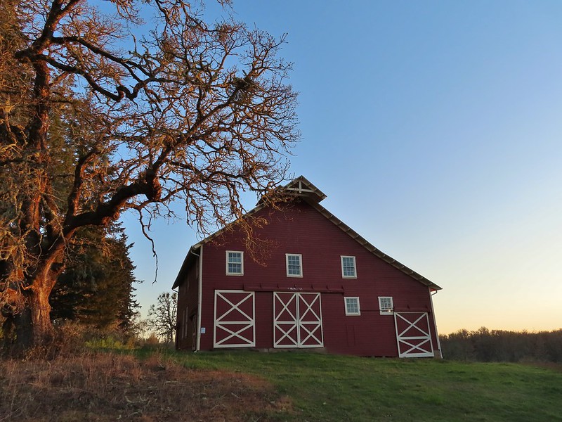 Cabell Barn
 Rabbit at the lodge
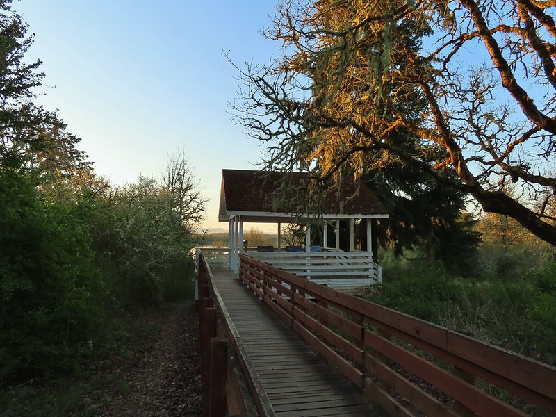 Cabell Marsh Overlook
 White crowned sparrows
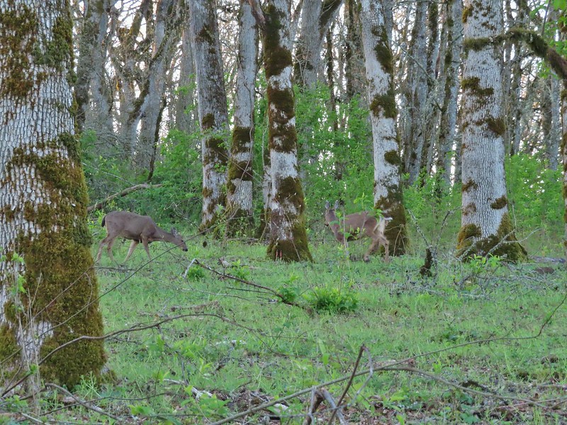
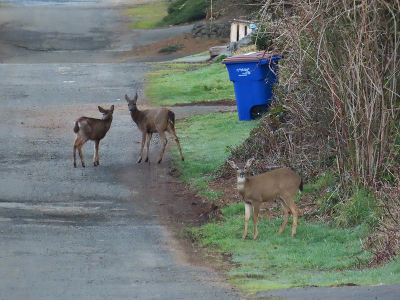
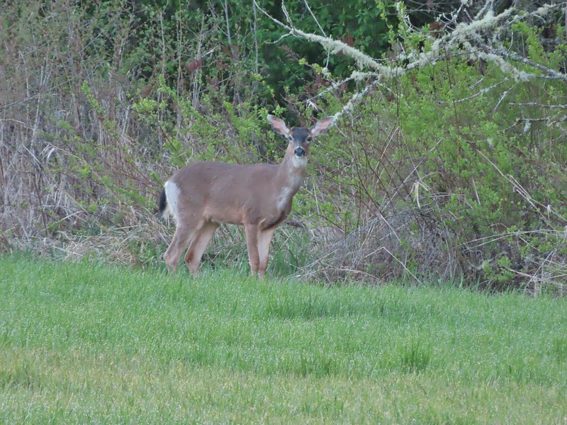 Deer in a field near Cabell Marsh
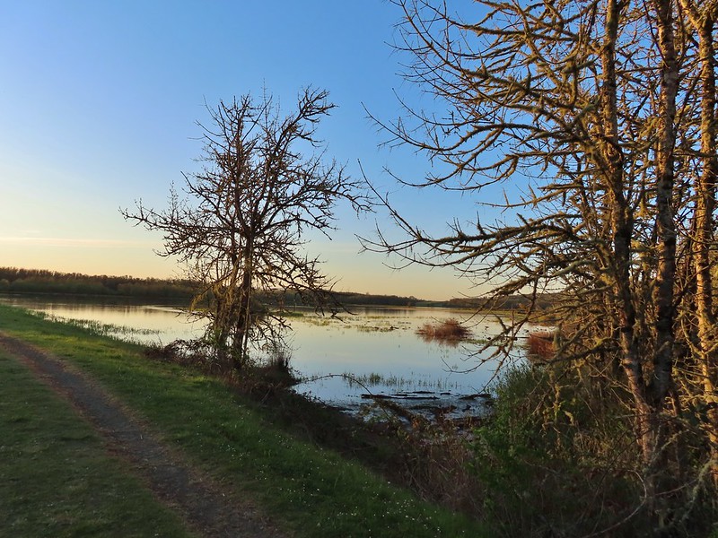 Cabell Marsh (the marsh had been drained when we visited in 2020)
 Norther shovelers
 American coots
 Ring-necked ducks
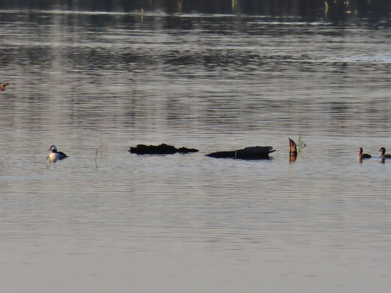 Buffleheads
 Black pheobe
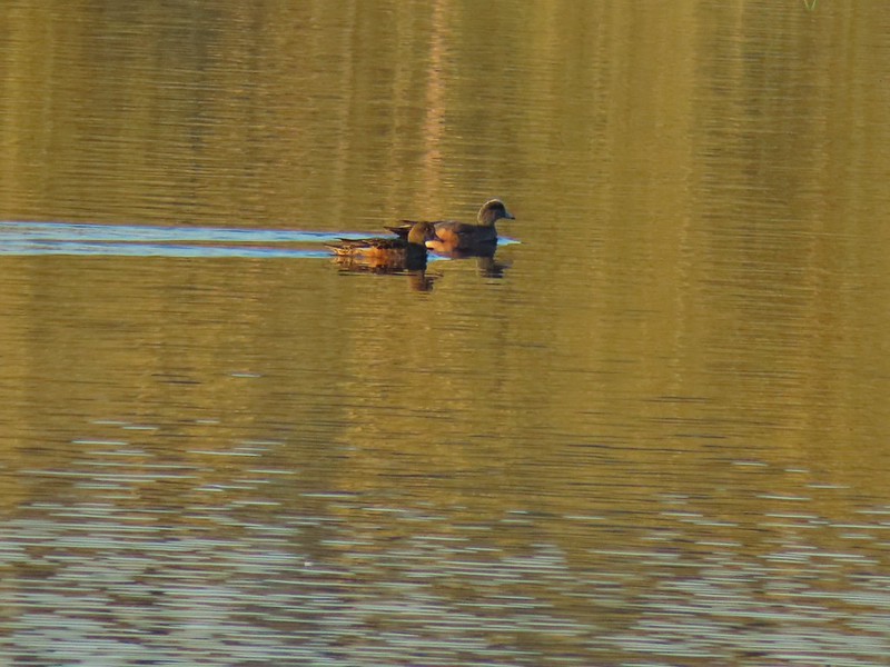 American wigeons
 Cabell Marsh
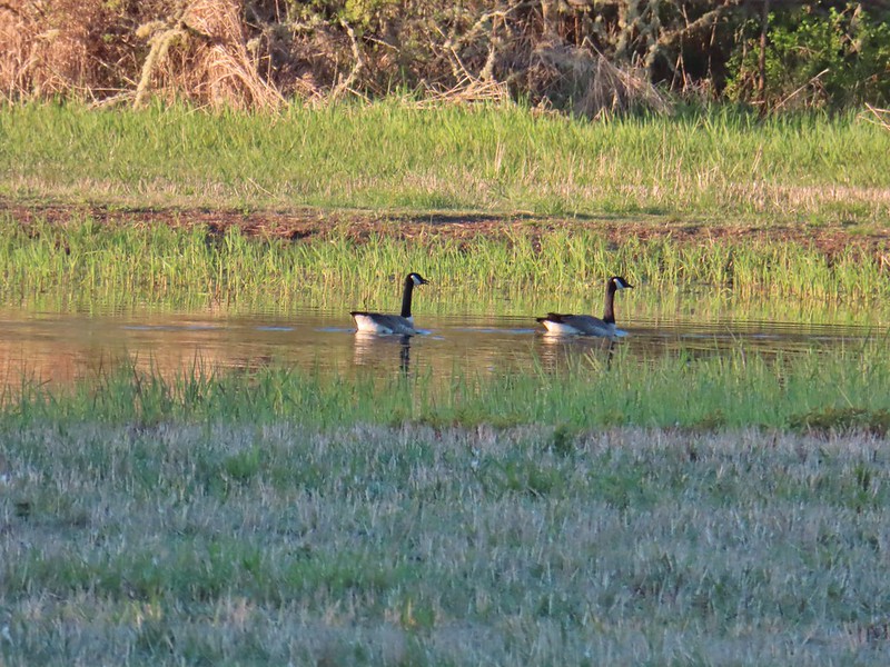 Canada geese
 Wood duck, ring-necked ducks and a pied billed grebe
 More northern shovelers
 Ring-necked ducks
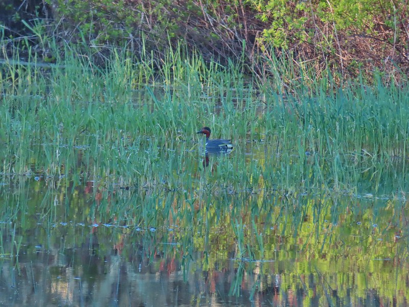 Green winged teal
 Robin
Robin

 Killdeer
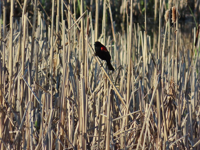 Red-winged blackbird
 Junction with the Pigeon Butte Trail (grassy track heading uphill)
 Tortoiseshell butterfly
 Spotted towhee serenade
 Bewick’s wren
 Madrone
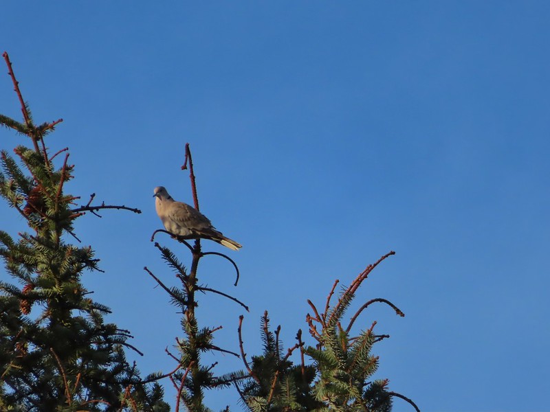
 Mourning dove
 Camas blooming near the summit
 View from Pigeon Butte
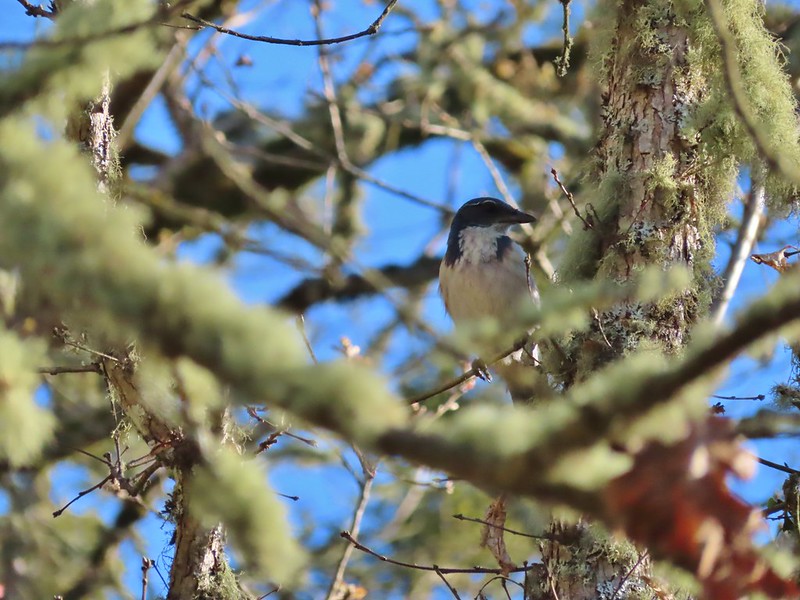 Scrub jay spotted on the way down.
 One of the “blue” butterflies, maybe a silvery blue
 Acorn woodpecker
 Looking back at Pigeon Butte, the yellow paintbrush was starting its bloom on the hillside.

 Looking back at Pigeon Butte and the Cheadle Barn
 Western bluebird
 Bruce Rd and a sign for the overlook.
 Swallows at the overlook
 Mary’s Peak and Pigeon Butte from the overlook.
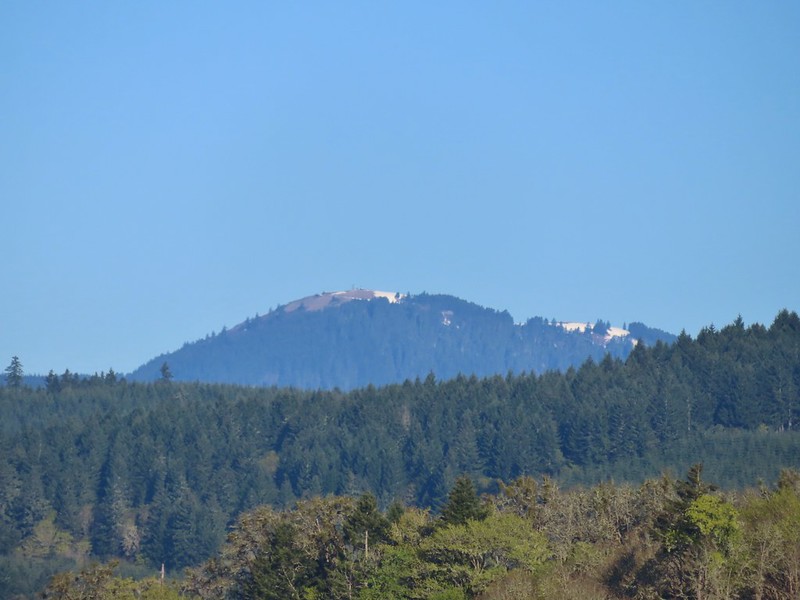 Mary’s Peak (
 Ground squirrel on Bruce Rd.
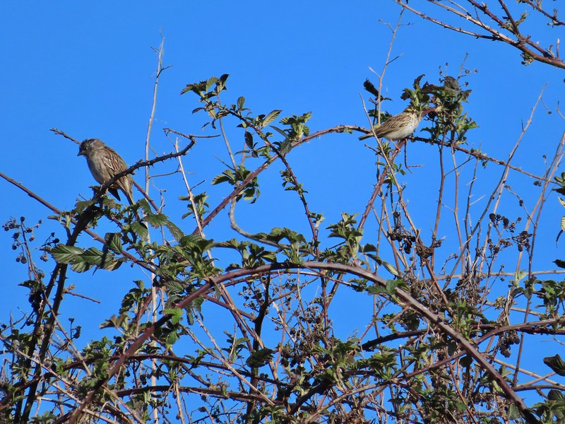 Sparrows
 Western bluebird
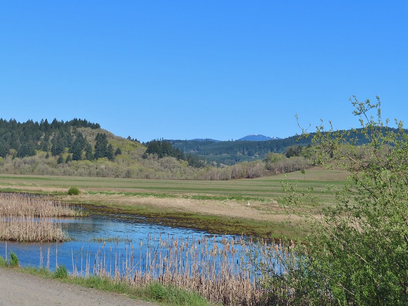 Mitigation Wetland
 Egret
Egret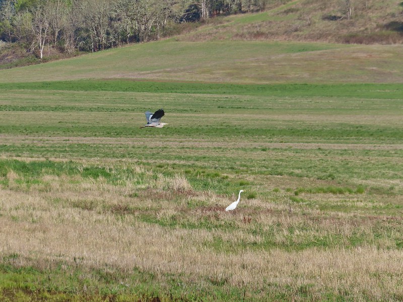 heron flying by the egret
 Northern shoveler
 Green winged teals
 Trailhead off of Bruce Road
 Ground squirrel
 Entering the woods
 Giant white wakerobin
 Fairybells
 Startled heron
 Egret and a cinnamon teal pair and maybe an American wigeon
 Candyflower
 The pink turned out to be shooting stars.
 Iris
Iris Bleeding heart
 One of many fairy slippers
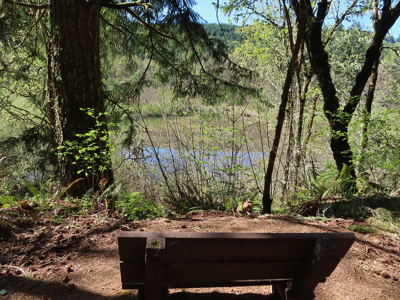
 It took some work to get the camera to stop focusing on the brush in the foreground.
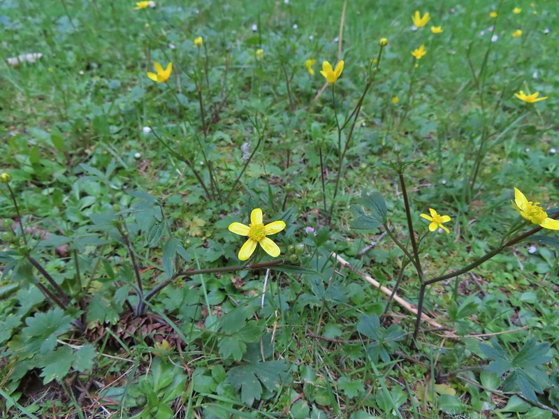 Buttercups
 Violets
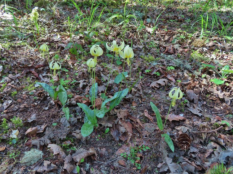 Fawn lilies
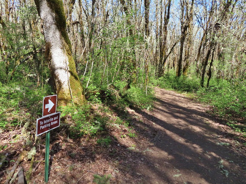 Back at the junction and onto the Intertie Trail

 Service berry
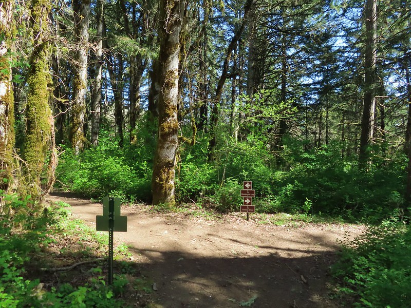 The Woodpecker Loop
 Norther flicker along the Woodpecker Loop
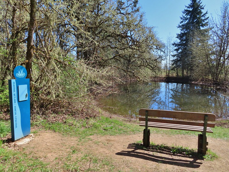 Amphibian pond and interpretive kiosk.
 Viewing structure
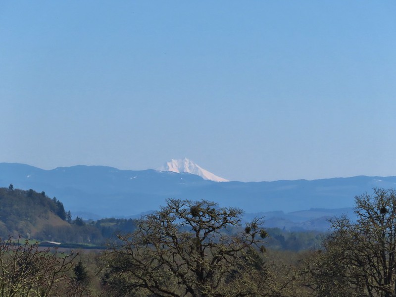 Mt. Jefferson
 The Three Sisters
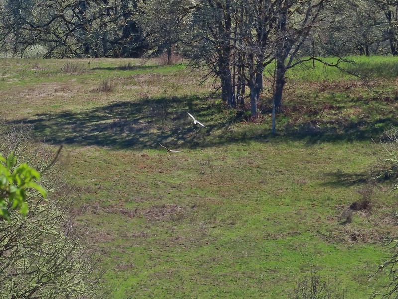
 This was the best shot I could get at 40x zoom with the sun in front of me.


 Buffleheads
 Canada goose and mallards
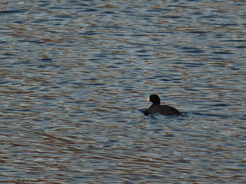 American coot
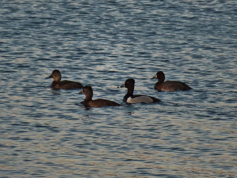 Ring-necked ducks (I’m not sure all the females are the same.)
 Geese flying over Eagle Marsh as the Sun rises.
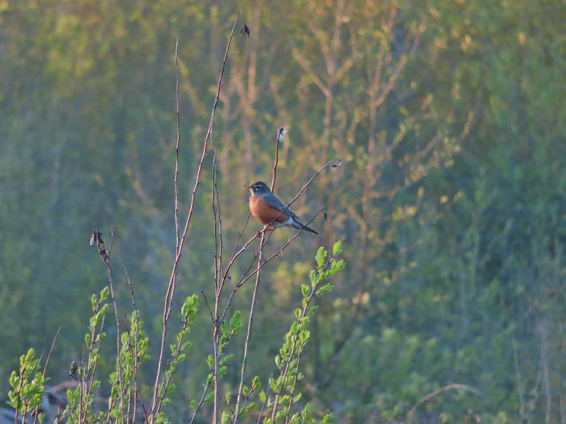

 Willow Marsh
 A bufflehead and mallards
 Mallards and ring-necked ducks
 Teal Marsh to the left of the dike.
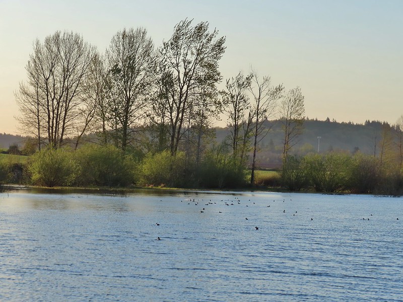
 Mallards an northern shovelers
 Buffleheads
 Spotted towhee
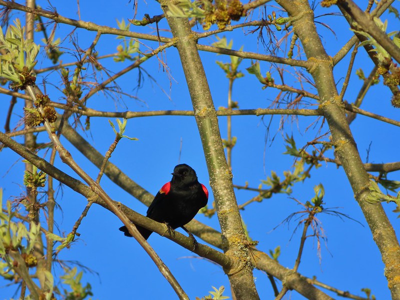 Red-winged blackbird
 Female red-winged blackbird
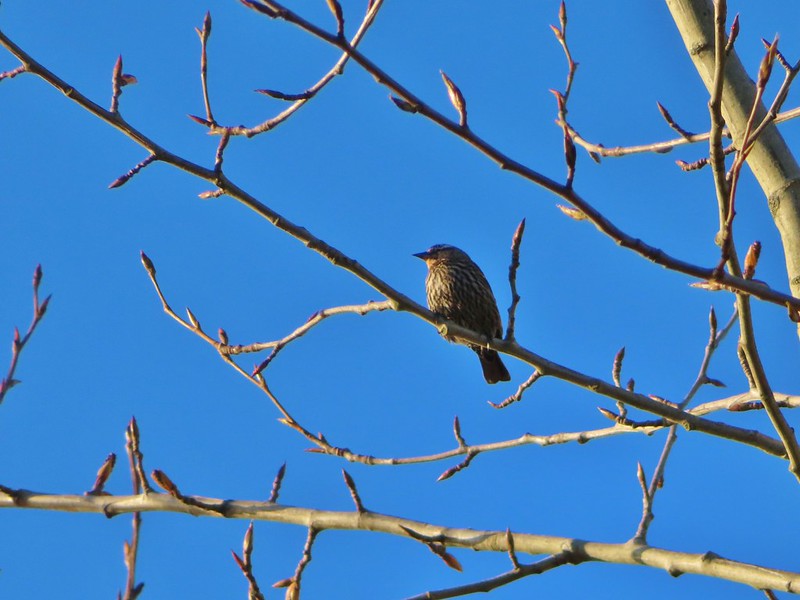 Sparrow
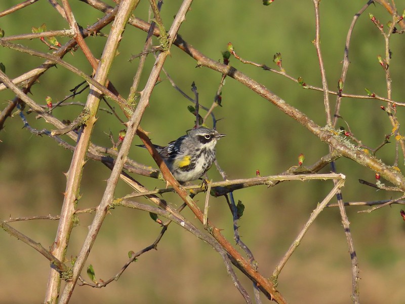 Yellow-rumped warbler
 Geese coming in for a landing on Teal Marsh
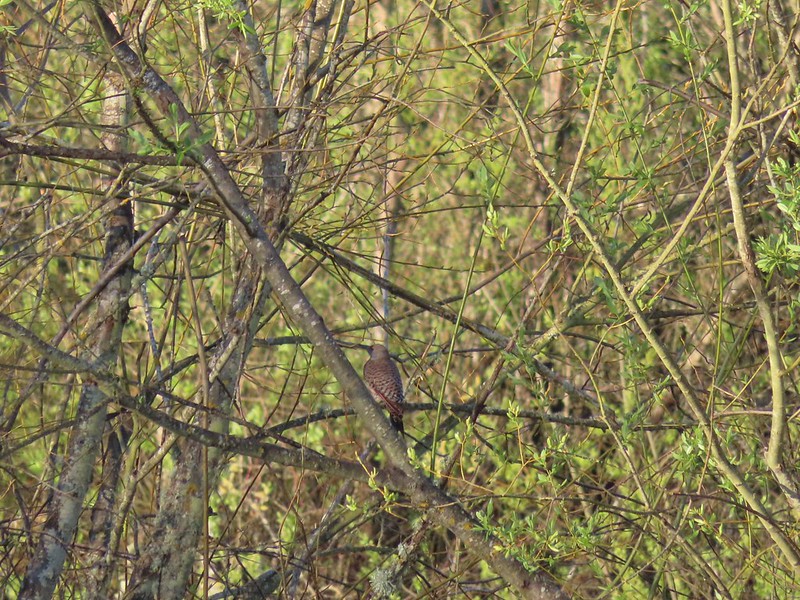 Northern flicker
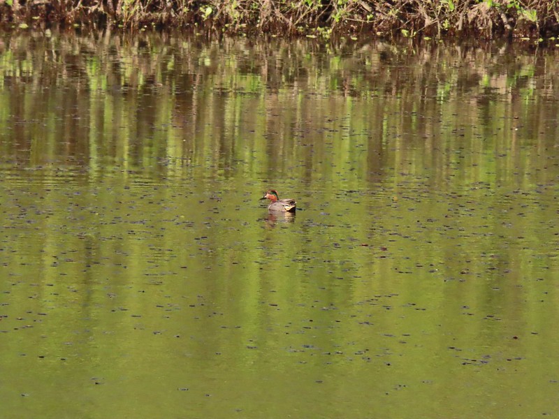 Green-winged teal
 Ring-necked ducks and a bufflehead pair
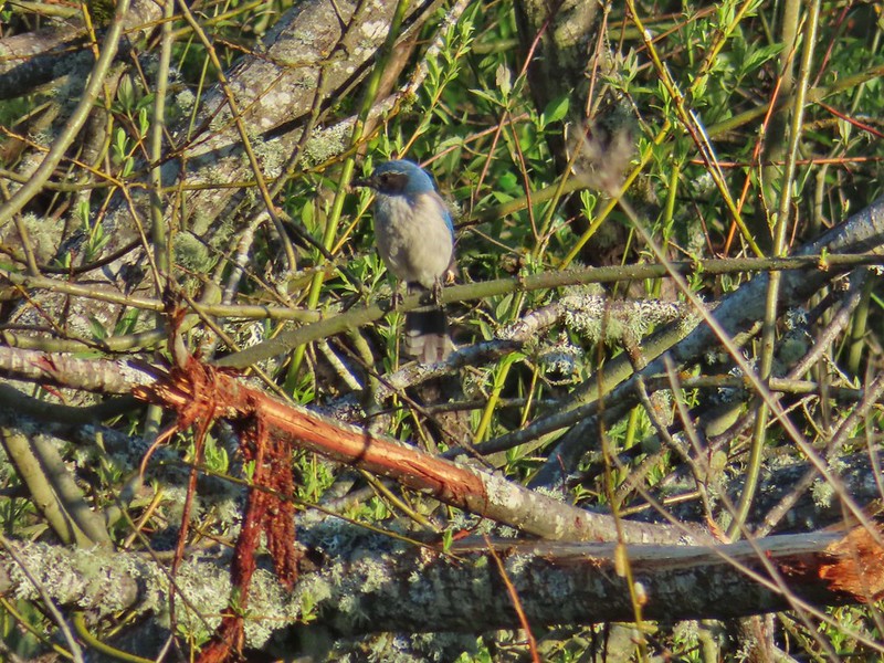 Scrub jay
 Pie billed grebe at Eagle Marsh


 I didn’t see it when I took the picture but it appears there is an eagle on the ground in the distance here.
 One of the egrets taking off.
 Brewer’s blackbird on a tree along the railroad tracks.
 Pintail Marsh ahead on the left.
 The dike between Mohoff Pond and Pintail Marsh.
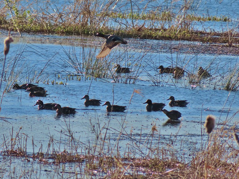 Ducks at Pintail Marsh
 Pintail Marsh
 Looking back at the gate and Wintel Road
 Yellow legs
 The boardwalk across Dunlin Pond from the dike.
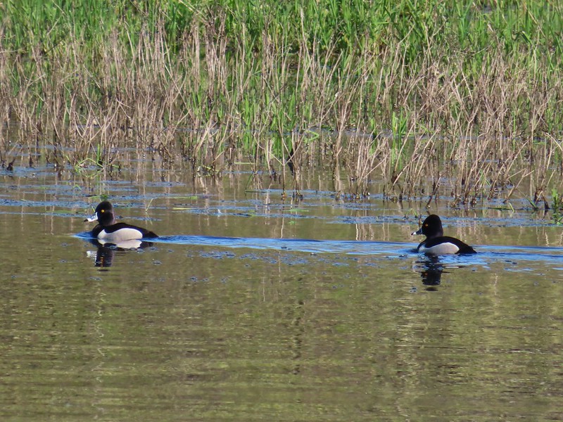 Ring-necked ducks
 Ring-necked ducks taking off.
 Sparrow
 Common yellowthroat
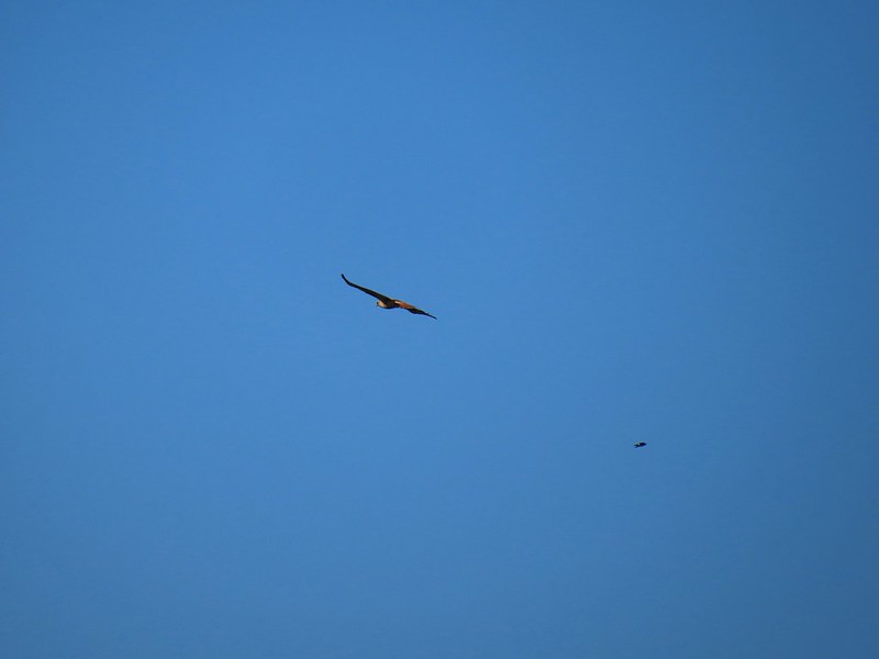 Hawk and a sparrow
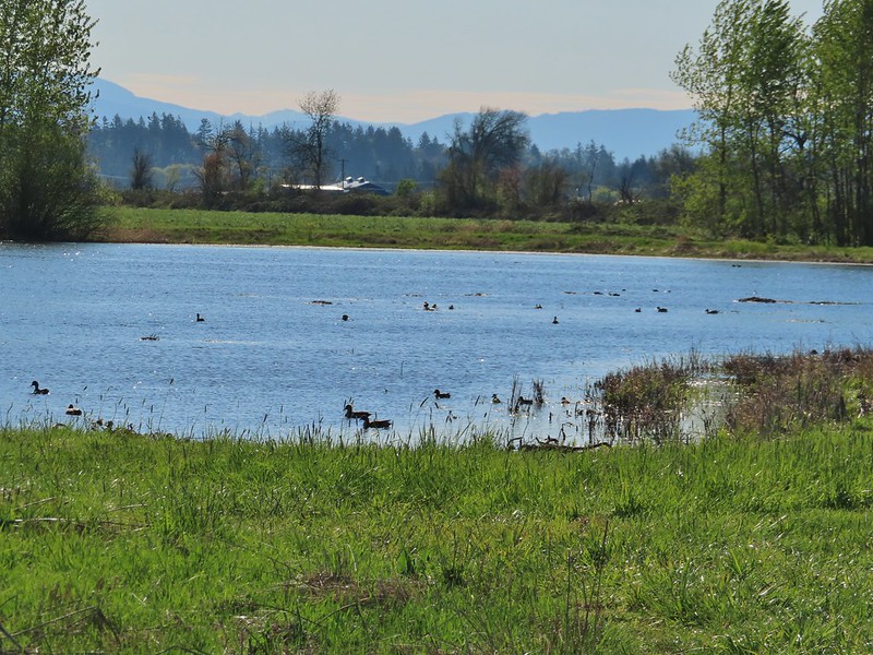 Killdeer Marsh
 Another yellow legs?
 Mustard along Killdeer Marsh
 A killdeer amid ducks at Killdeer Marsh
 South Pond
 Cinnamon Teal in South Pond
 Damaged trees from the ice storm earlier this year.
 Turkey vulture
 Candyflower

 American coots
 I think this is a ring-necked duck and a lesser scaup.
 The dike from the blind.
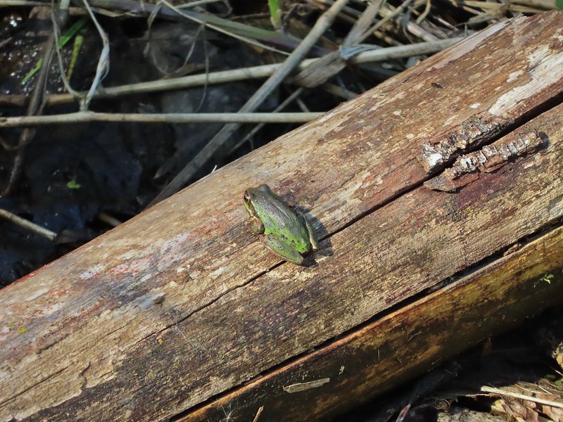


 Killdeer on the dike.
 A whole lot of geese in the air ahead.

 Green-winged teals
 Northern shovelers
 Canada geese
 Another green-winged teal
 Various ducks
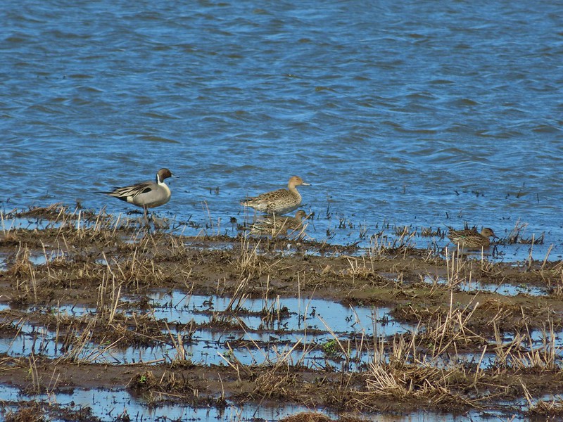 Northern pintails
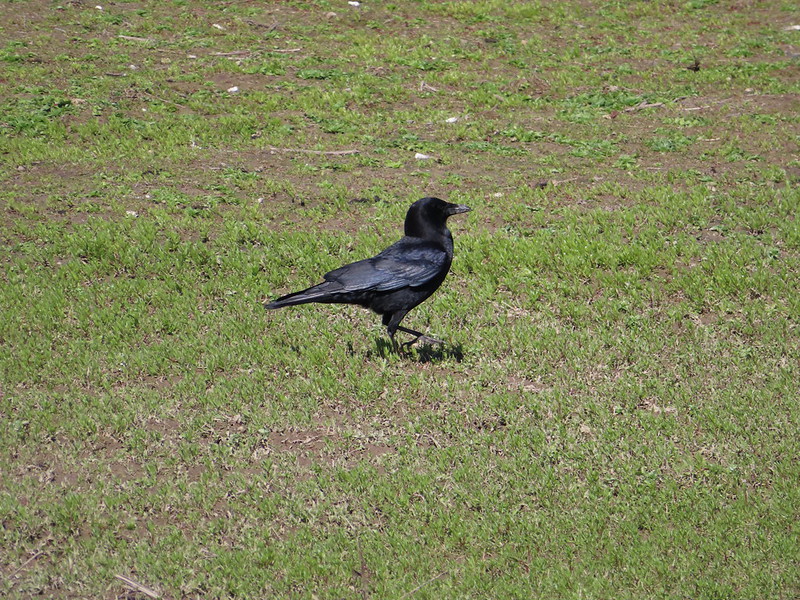 Crow
Crow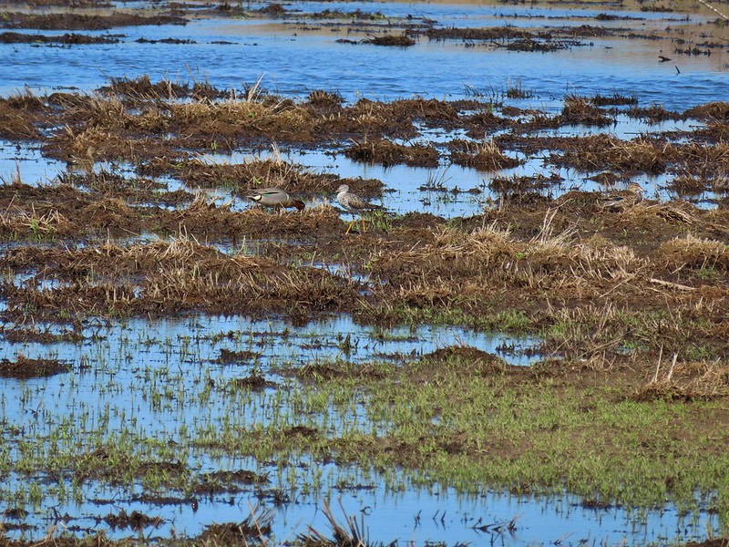 A green-winged teal and a yellow legs
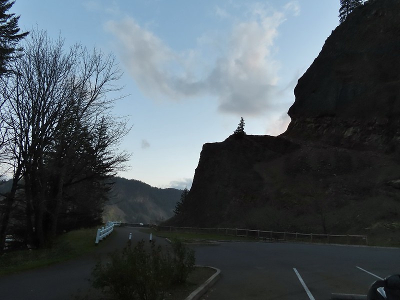

 Bench at a switchback.

 Reroute below Mitchell Point
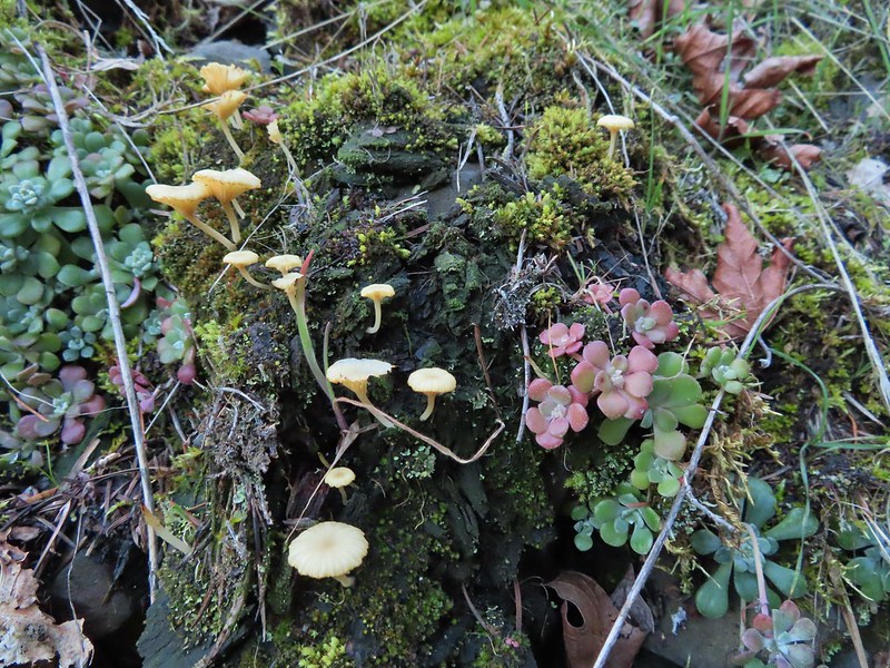 Mushrooms’ and some sedums.

 Houndstongue
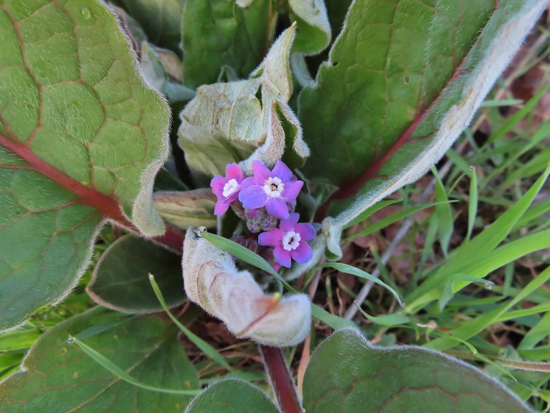
 Grass Widows
 Woodland stars
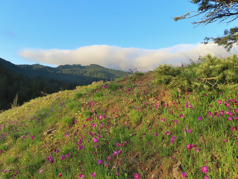
 Yellow bell lily
 Desert parsley and woodland stars
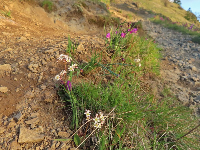 A saxifrage
 Gold stars and woodland stars
 Looking west
 North across the Columbia River into Washington
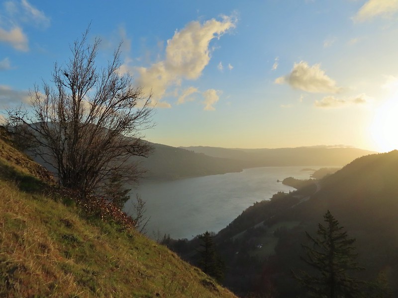 East
East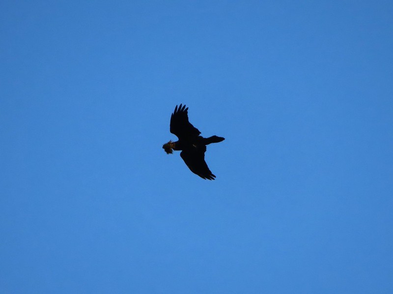 Looks like moss for a nest maybe?
 Turkeys on the Wygant Trail
 Red leaves of poison oak behind a death camas
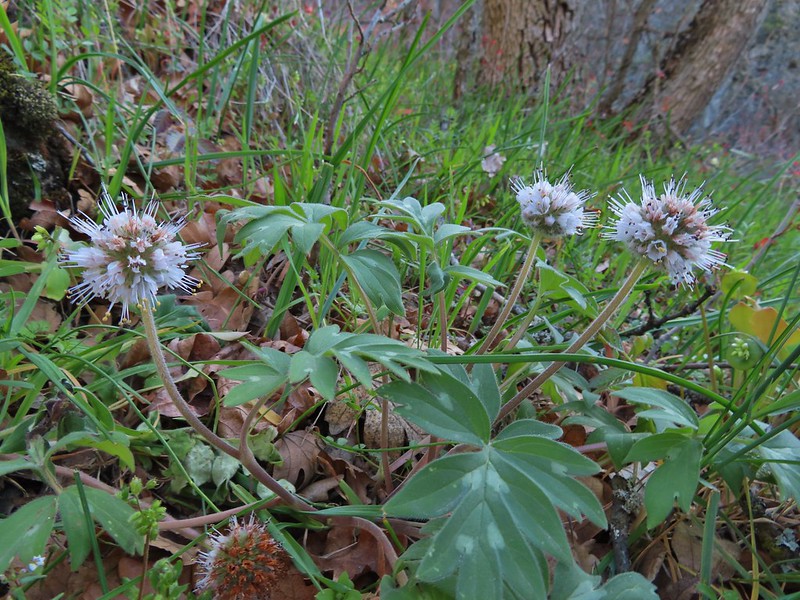 More poison oak behind a waterleaf
 Poison oak around some balsamroot


 Fiddleneck
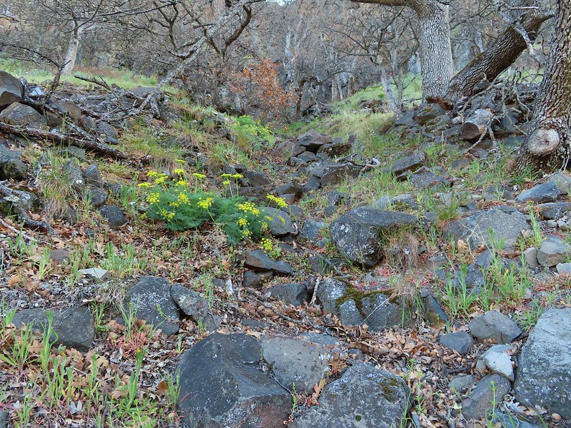 Desert parsley
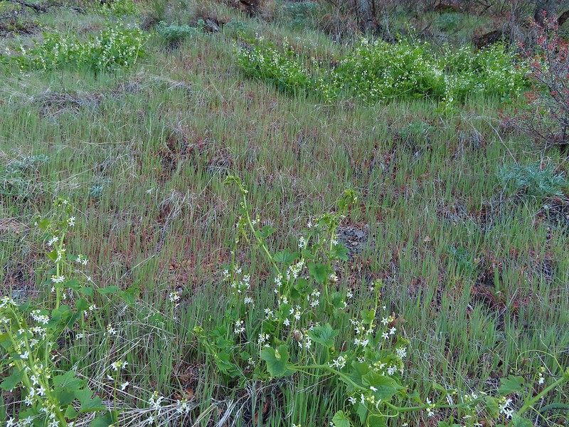 Manroot
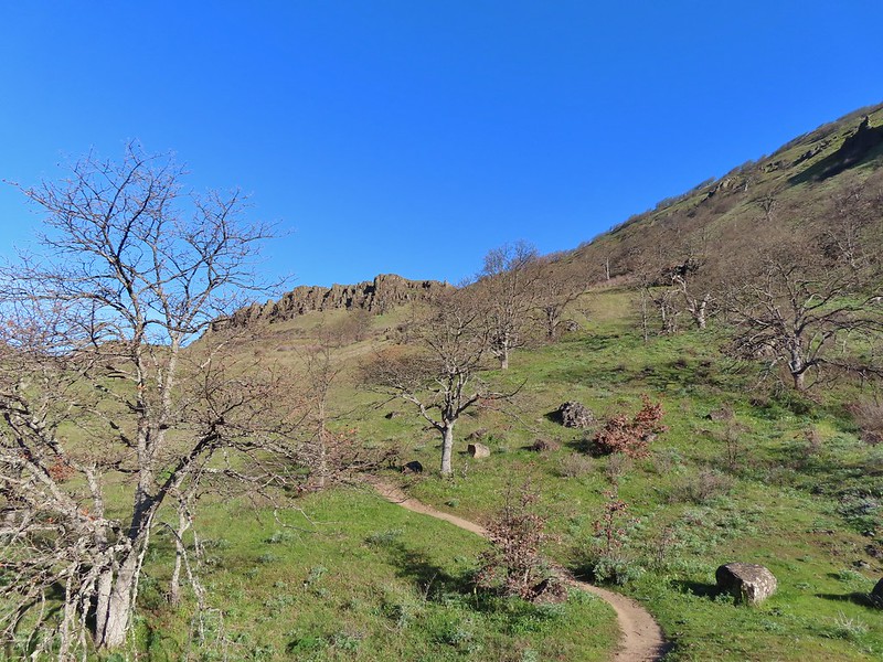
 Lots of death camas blooming on the plateau.
 Looking up at the cliffs above.
 Balsamroot blooming below the rim.

 Balsamroot
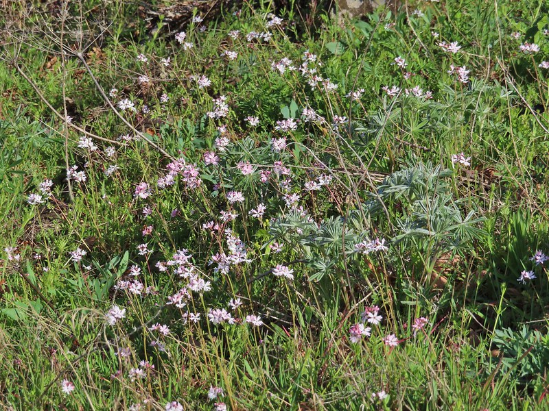 Woodland stars with some lupine leaves
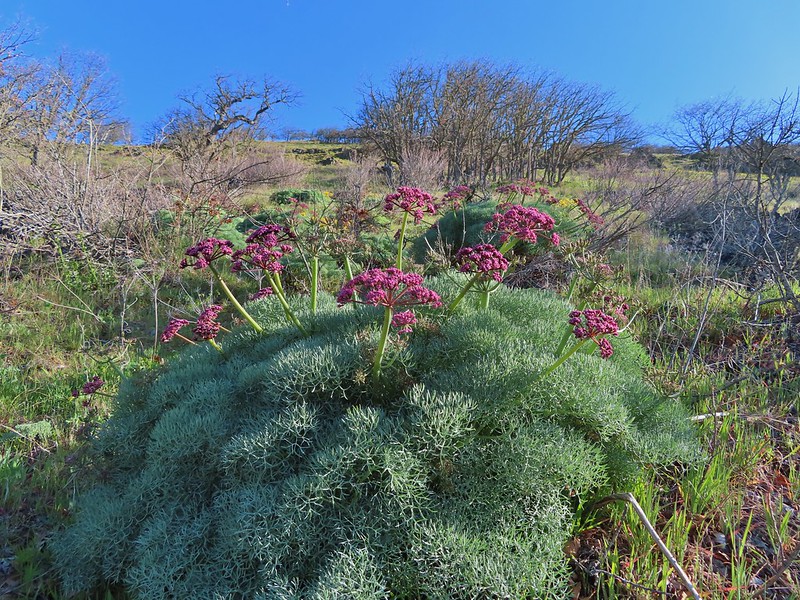 Columbia desert parsley
 A biscuitroot
 Balsamroot
 Balsamroot
 View west (With a snow capped Mt. Defiance (
 Larkspur
 Buttercups
 Glacier lilies
 Yellow bell lily, woodland stars, grass widows and shooting stars.
 Yellow bell lilies
 Toothwort
 Sagebrush false dandelions
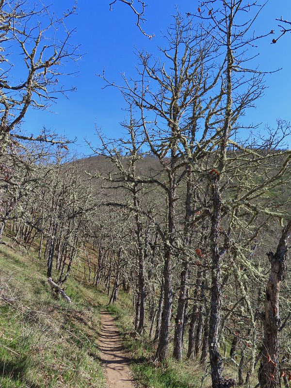
 Tortoiseshell butterfly
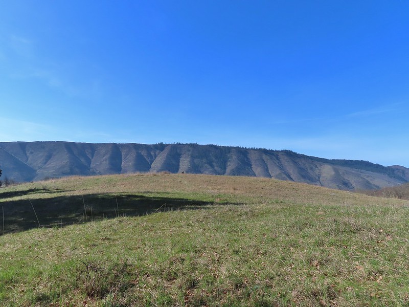


 Tom McCall Point and the Rowena Plateau with Mt. Defiance in the distance.
 Hikers on the trailhead and below.
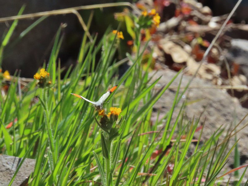 Just my third photo of an orange-tip.
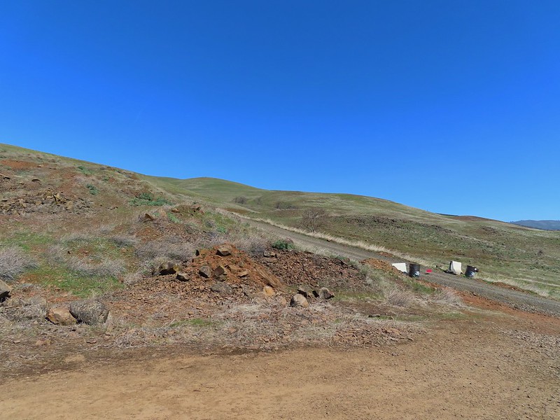
 Mt. Hood and Columbia desert parsley from the first knoll we tried.
 Top of knoll #1.
 A lone balsamroot blossom.
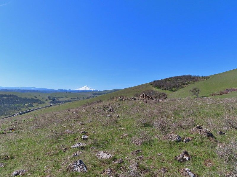
 The path leading past the spring to the oaks.
 The spring
 Back on the right side
 Balsamroot surrounded by some little white flowers.
 Lupine thinking about blooming.
 Larkspur
 Yellow bell lilies
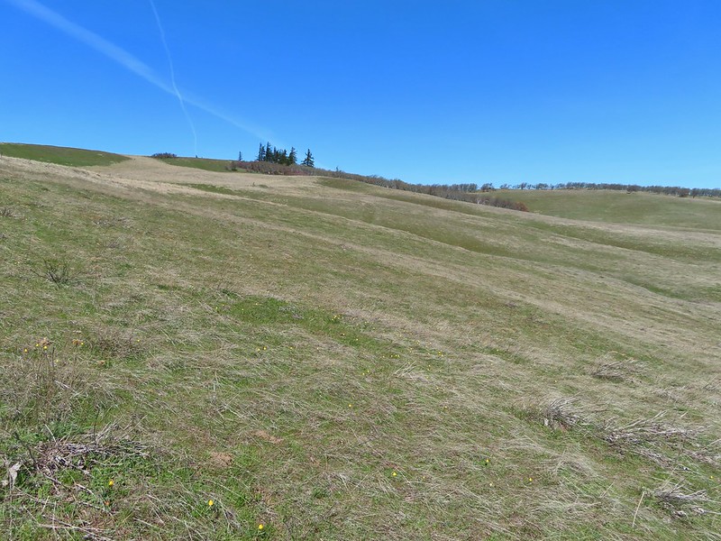
 We didn’t notice any poison oak here.
 A grass widow at the viewpoint.
 Mt. Adams
 Mt. Hood over the oak stand.


 The Dalles beyond the fence line.
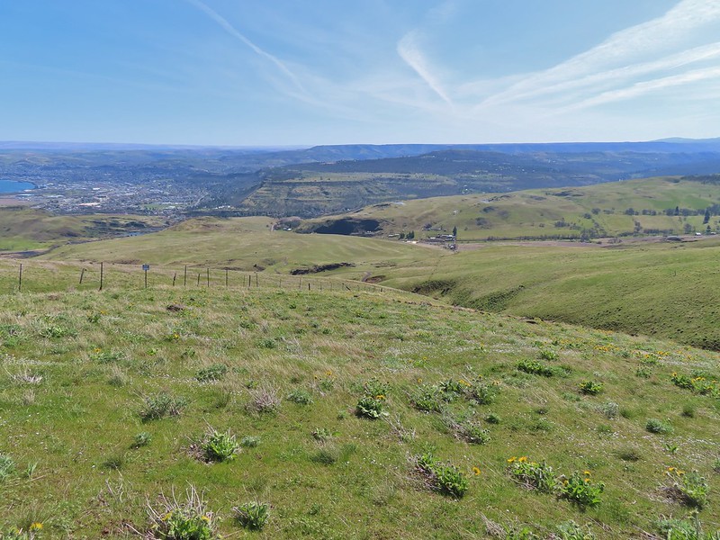 Heading down the fence line.
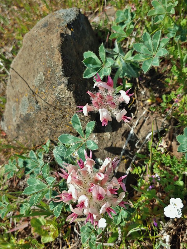 Large head clover
 A lupine with blossoms.
 Hillside covered in Columbia desert parsley
 Our car had been joined by one other. (middle left of photo)
 Gooseberry Creek
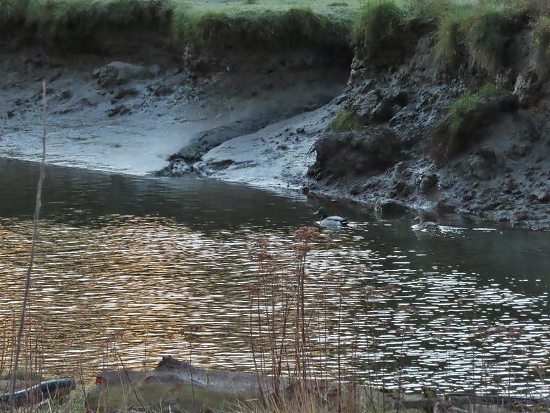 Mallard pair
 Canada geese
 Goose and a mallard in the channels.


 Several interpretive signs were placed along the loop.
 A reminder that COVID-19 is still an issue.
 The larger muddy area along the bank ahead on the right is where Heather spotted the otter.
 Alder lined trail.
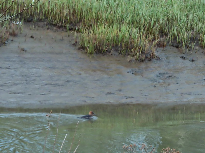 Blurry photo of a non-breeding male hooded merganser.
 The blurry river otter.
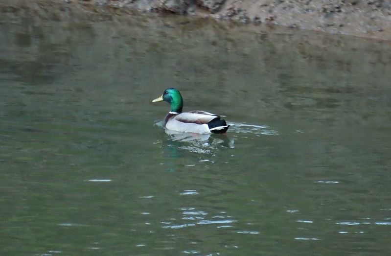 Another mallard
 Canada geese
 Siletz River
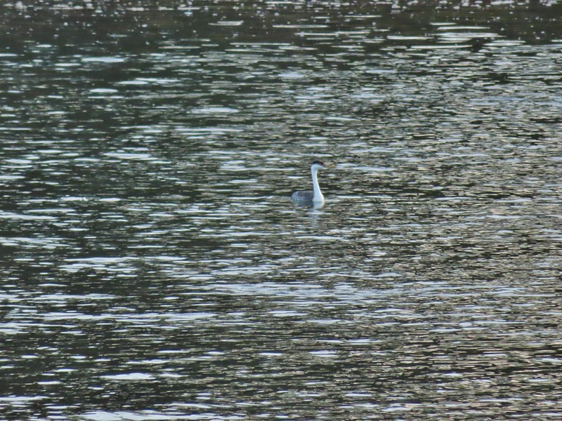 Western grebe
 Goose and a bufflehead (the duck not the post)
 Bufflehead
 Spring is coming!
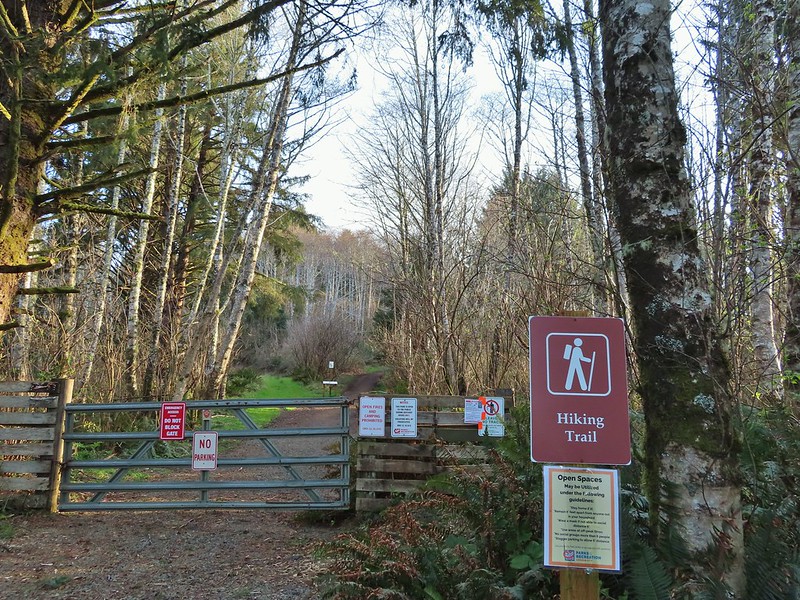
 Sentry at the Roads End entrance.
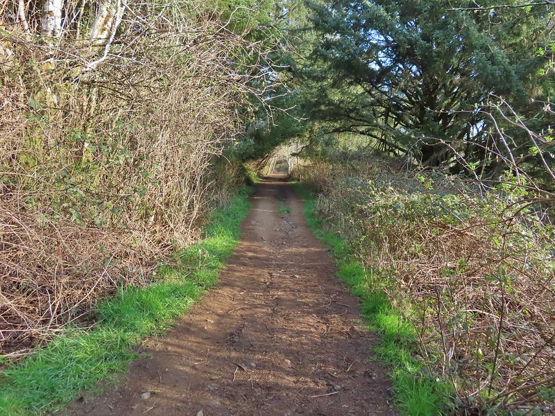 It’s hard to tell just how much uphill this is. Fortunately it wasn’t very muddy.
 A little easier to see the uphill here, this was near the top.
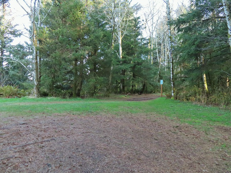 The junction.

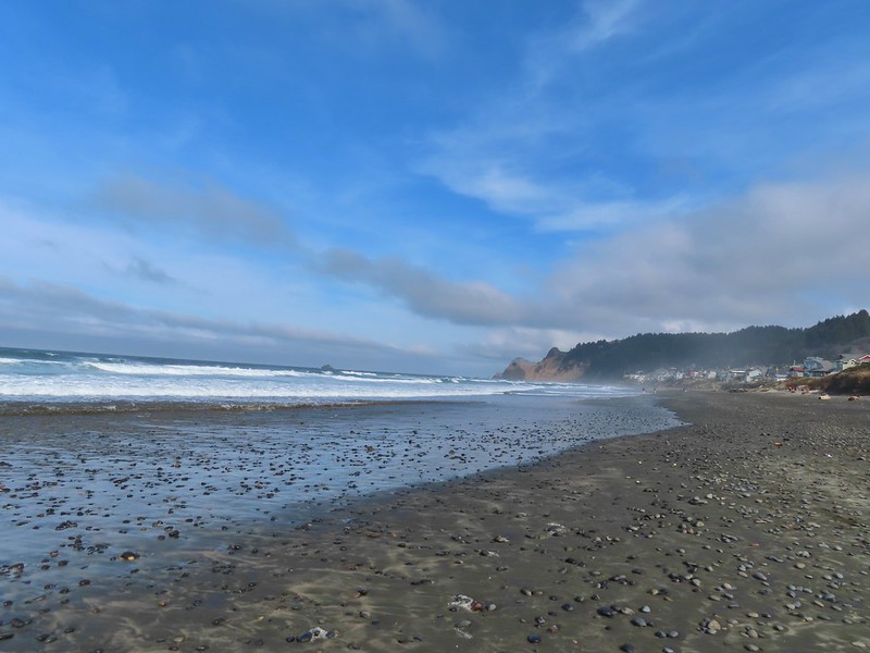
 The Roads End parking area is the open green space in the center along the ocean.
 The Pacific Ocean.
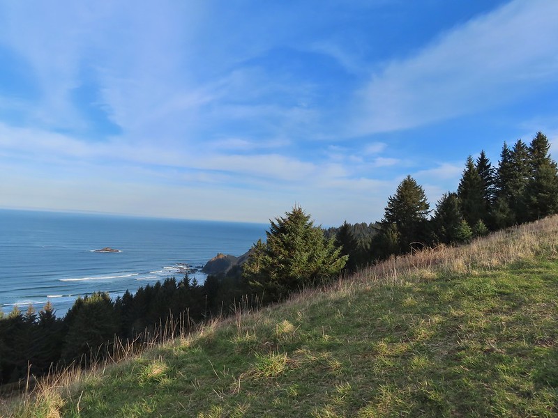 Roads End Point jutting out to the north.
 The Knoll
 Snow queen
 More signs of Spring, salmonberry blossom and buds.
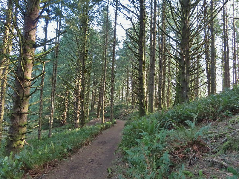 Sitka spruce and ferns along the ridge.
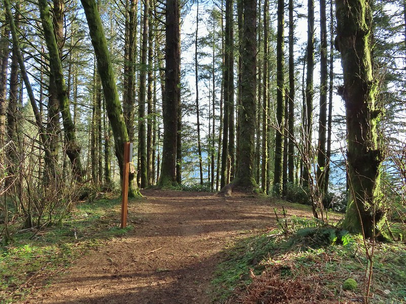
 The downed trees ahead in the distance.
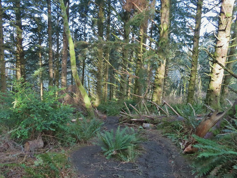 The last of the tree fall.
 Mud had begun to be a bit of an annoyance at this point.

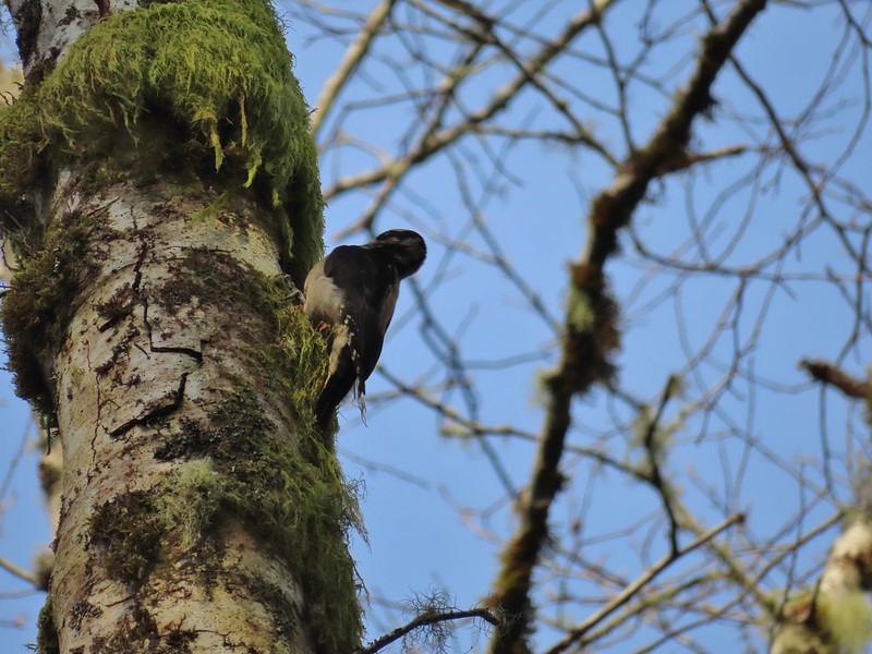 Busy woodpecker
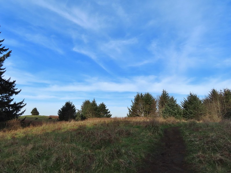 The trail getting nearing the turn left.
 Lone tree in the meadow.
 Lone robin in the lone tree.
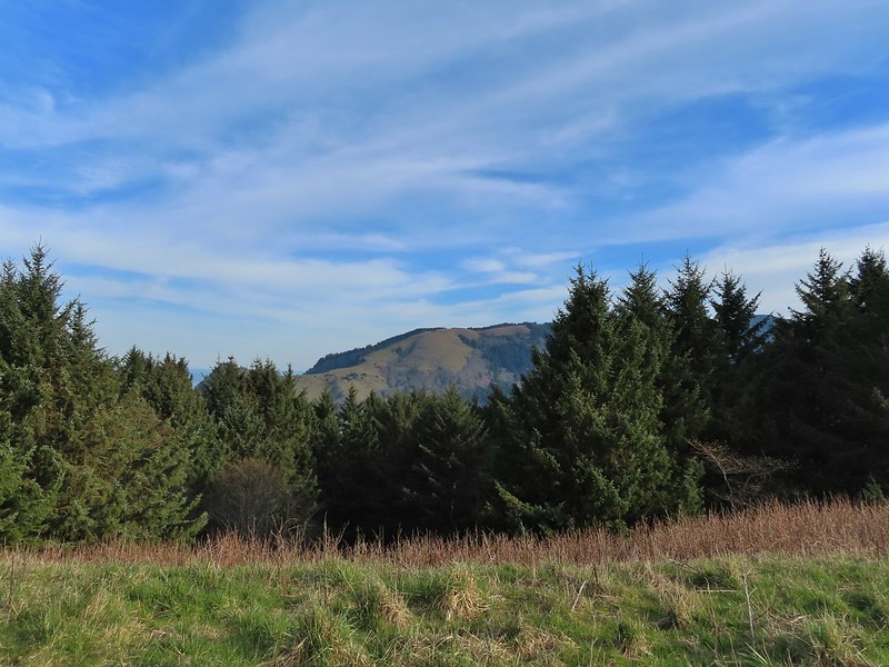


 Heather crossing the saddle (left of the big bush)
 Cascade Head from the saddle.
 Final pitch up to the top.
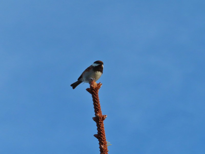 Not quite to ourselves, we shared the space briefly with some chestnut backed chickadees.
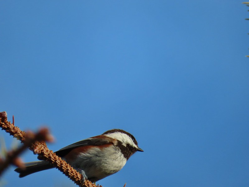
 Cascade Head and the mouth of the Salmon River.
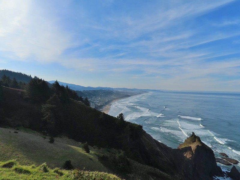 Roads End Point and Lincoln City
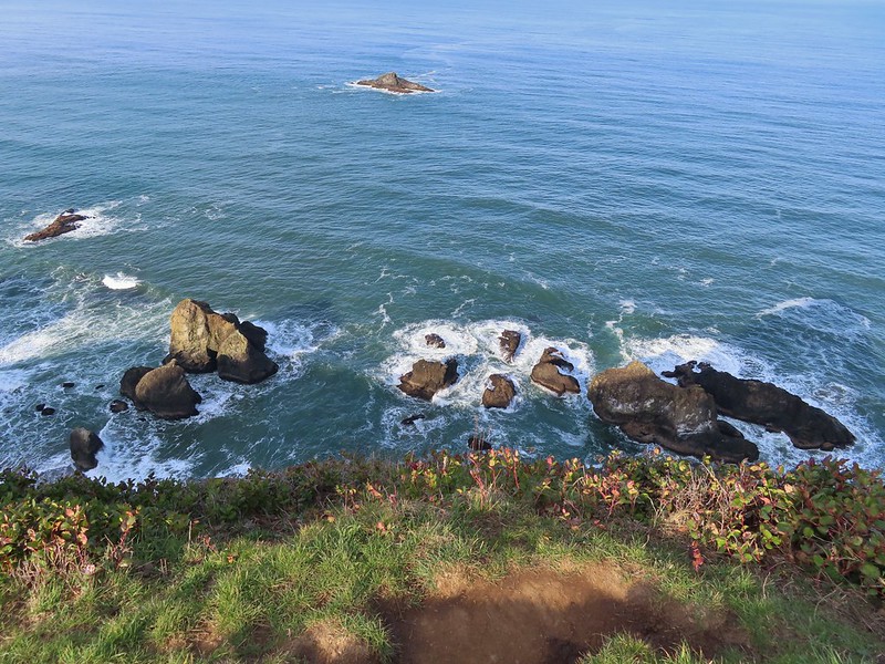 Rocks below God’s Thumb
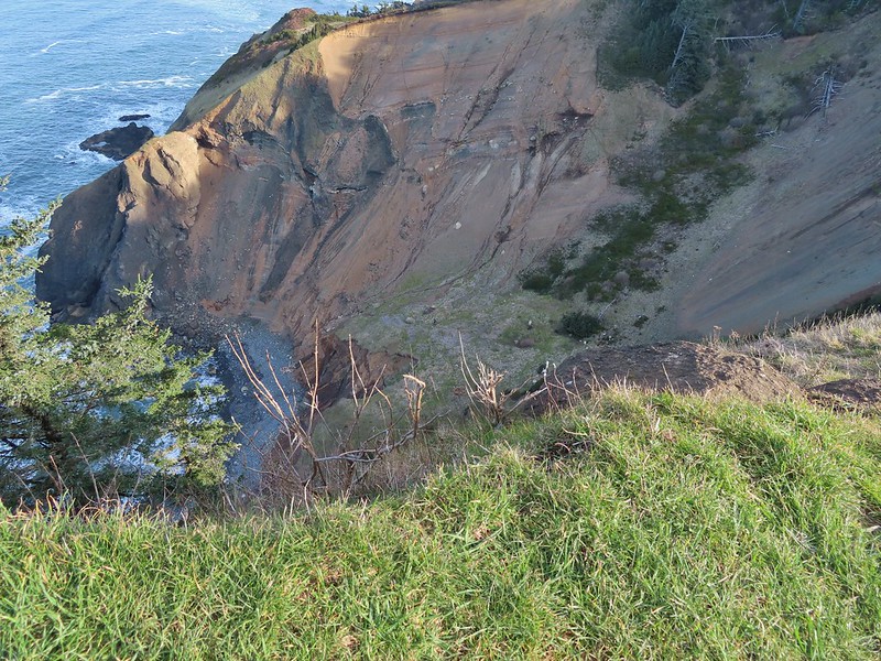
 A reasonable representation of the wet/muddy conditions on this part of the hike.
 Toothwort
 The gate and Sal La Sea Drive in the distance.
 It’s not a hike at the coast without some skunk cabbage.

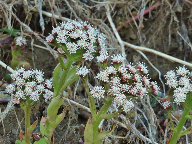 Coltsfoot
 An immature bald eagle flew overhead at one point.
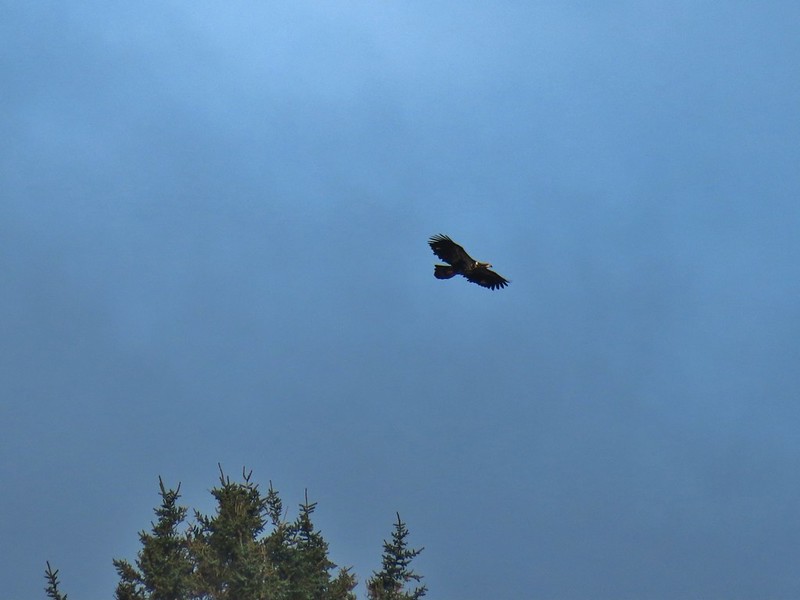
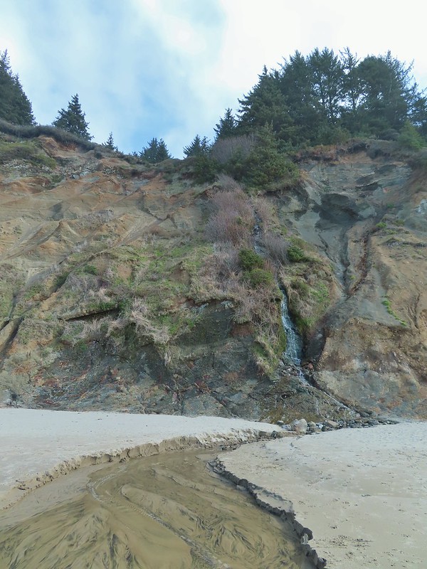 Little waterfall along the beach.
 Roads End Point
 Not going around that today.
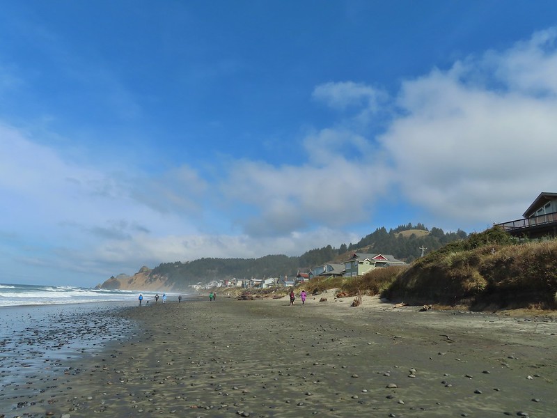
 God’s Thumb on the right.
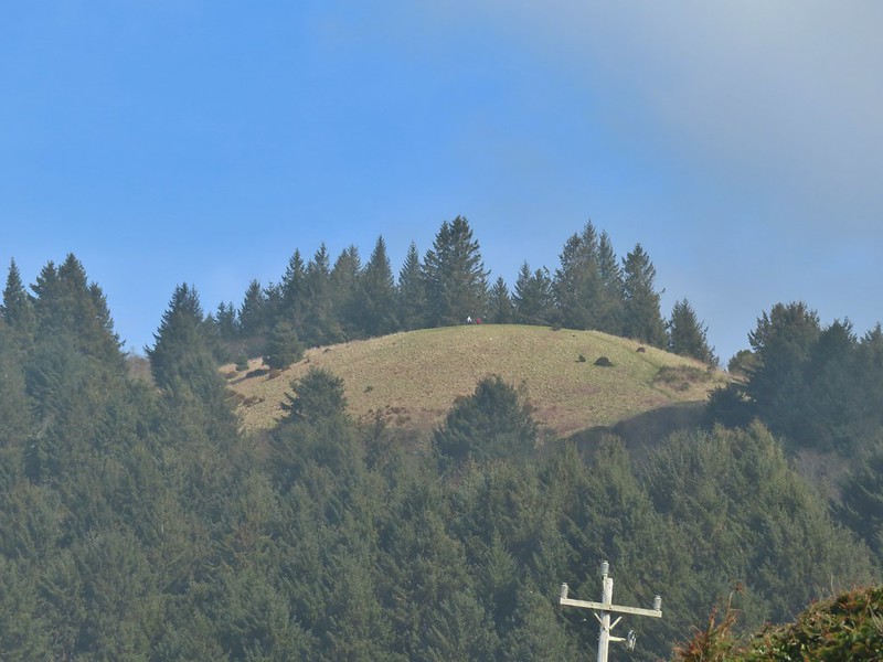 Hikers on The Knoll


 Gods Valley Creek
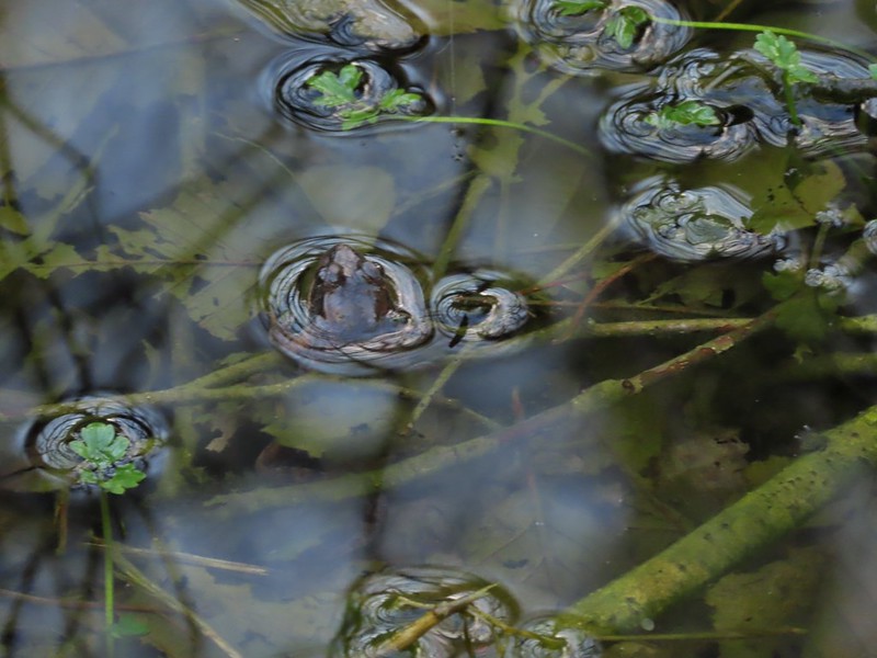 Frog near the old picnic tables.


 Not much in the way of flowers yet but there was a bit of skunk cabbage in bloom.
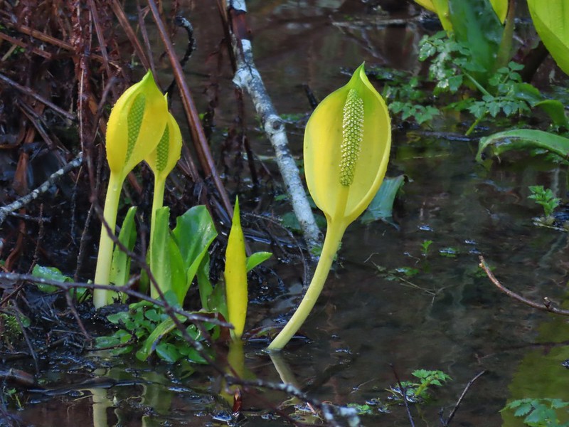
 Some low hanging trees, presumably from the storm. The roads had been cleared but occasional damage along the side of the road was evident.
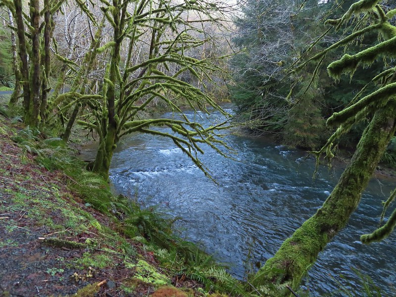
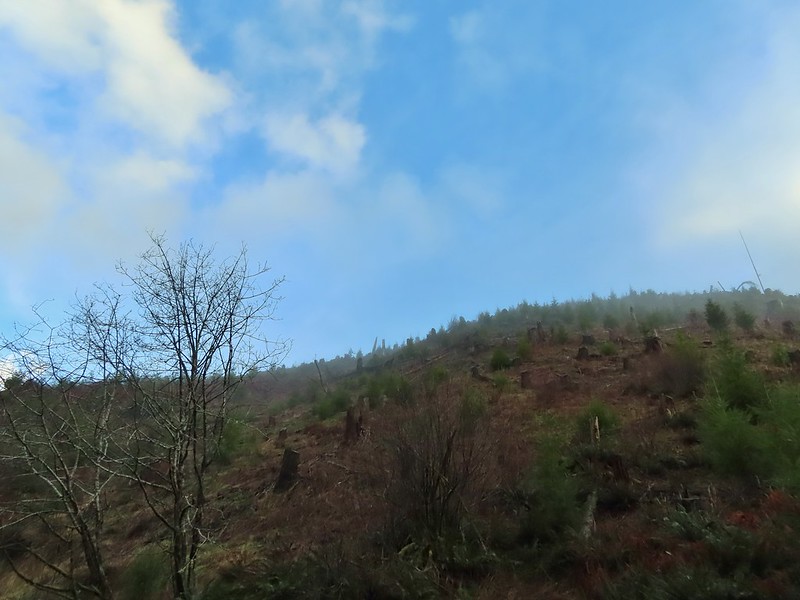
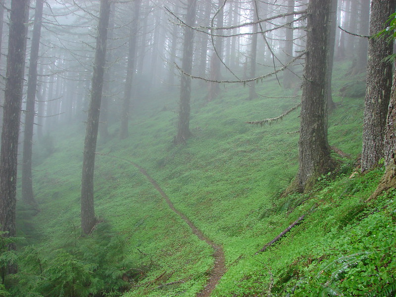
 There were no recent clearcuts in the Clatsop State Forest section but there was evidence of past logging.
 Fall Creek
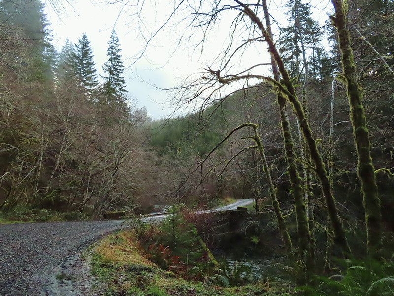
 Not sure why I neglected to get a picture of the bridge from the locked gate but this is the only one I took of the bridge.
 The hike description in the Oregon Hikers Field Guide mentions walking along the bank to get a view of Upper North Fork Falls from the rocks below but that wasn’t going to be an option with the river level today.


 We both thought that this thick moss looked like some sort of hairstyle.
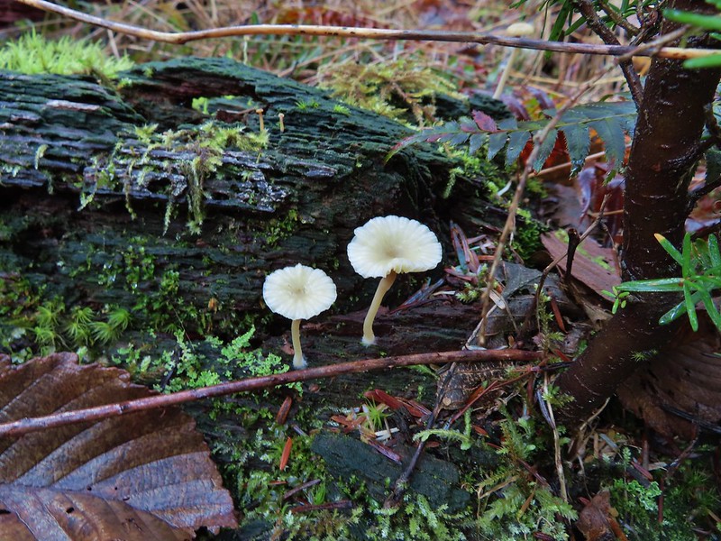
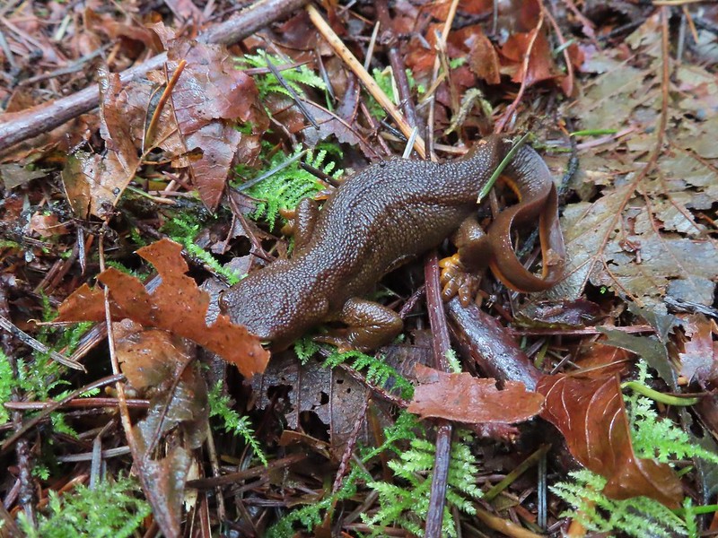 Rough-skinned newt


 Middle North Falls
 Shellburg Falls
 Henline Falls
 Jawbone Flats
 Tumble Lake from Dome Rock
 Mt. Jefferson from Battle Ax
 View from Stahlman Point
 Meadow below the Three Pyramids
 Beargrass on Crescent Mountain
 Mt. Jefferson from Browder Ridge
 Boardwalk in Echo Basin
 Iron Mountain from the trail.

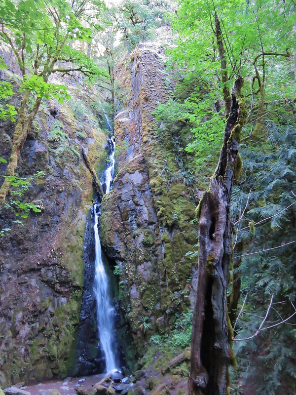 Soda Creek Falls
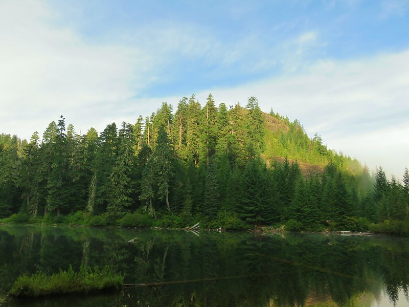
 Majestic Falls
 Roaring Creek
 Mt. Jefferson
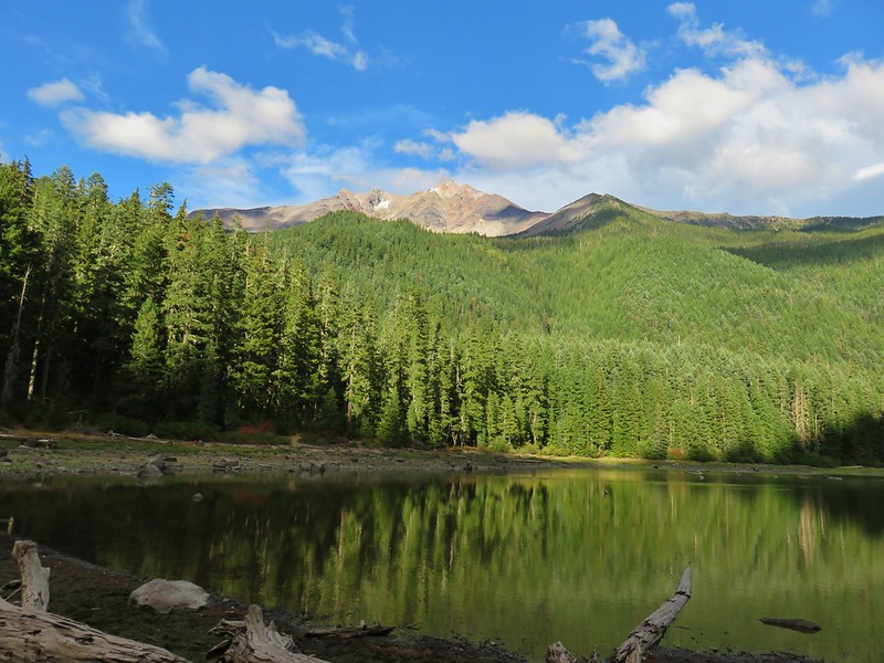
 Three Fingered Jack from Marion Lake
 Mowich Lake and Duffy Butte from Red Butte
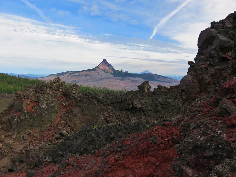
 Three Fingered Jack
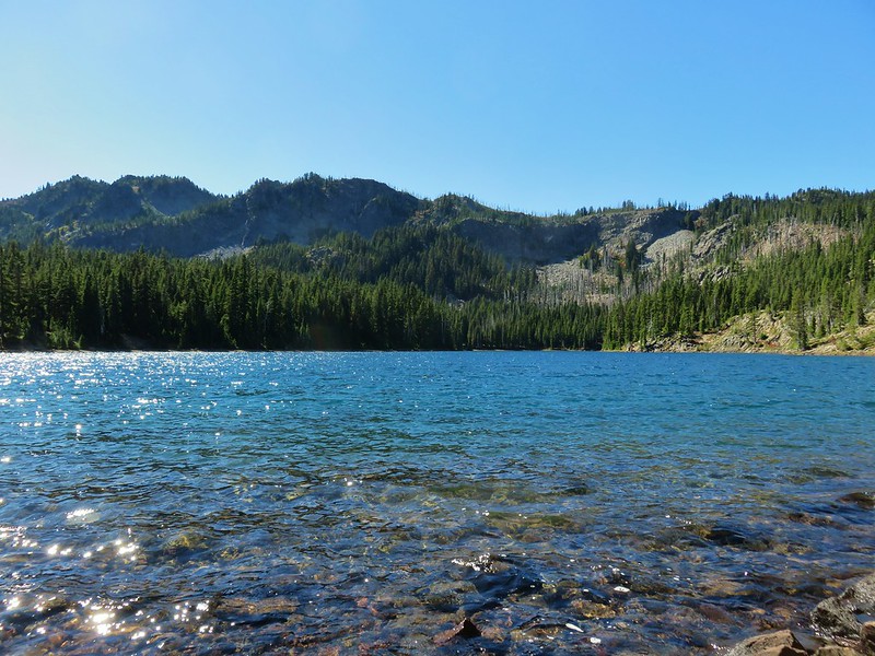
 Wizard Falls
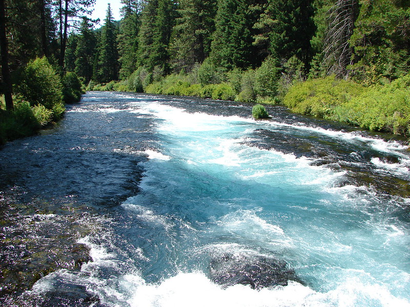
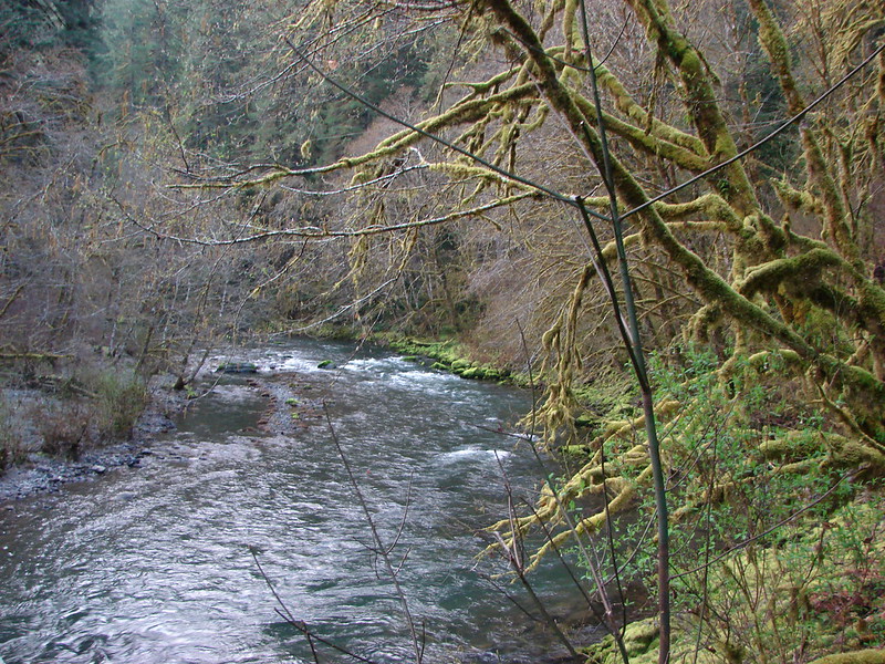
 Deschutes River

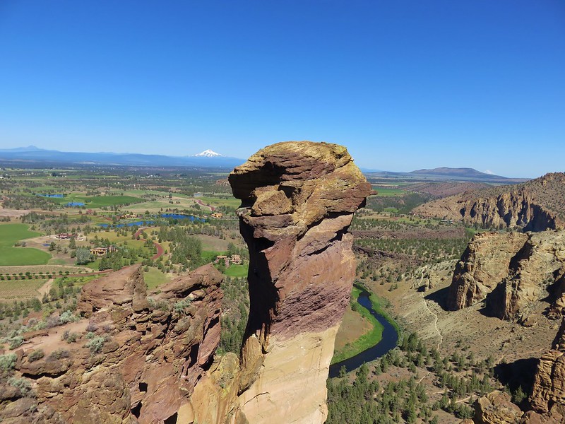 Monkey Face
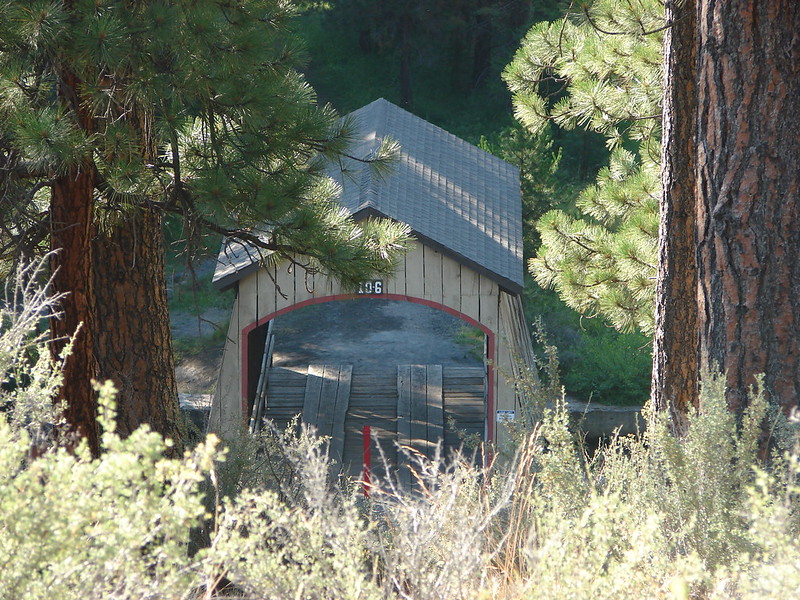 Hixson Crossing Covered Bridge
 Benham Falls
 Deschutes River
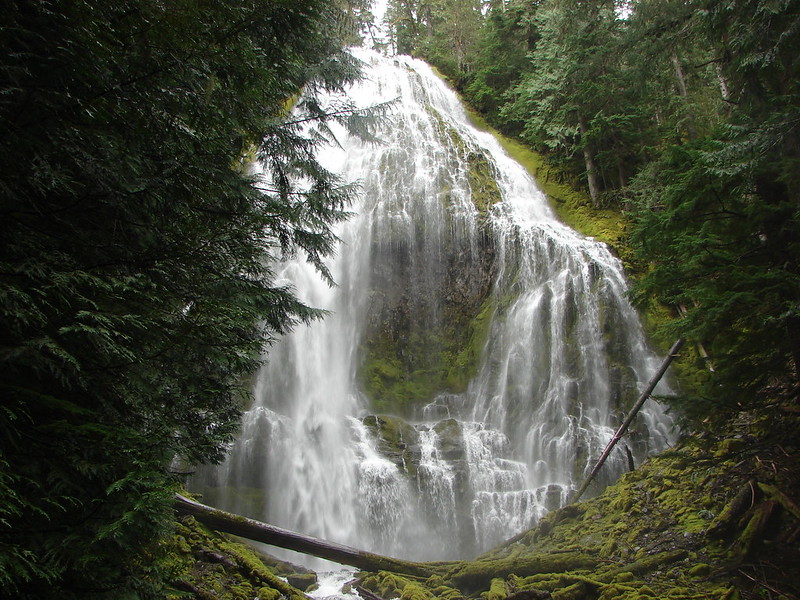 Proxy Falls
 Obsidian Falls
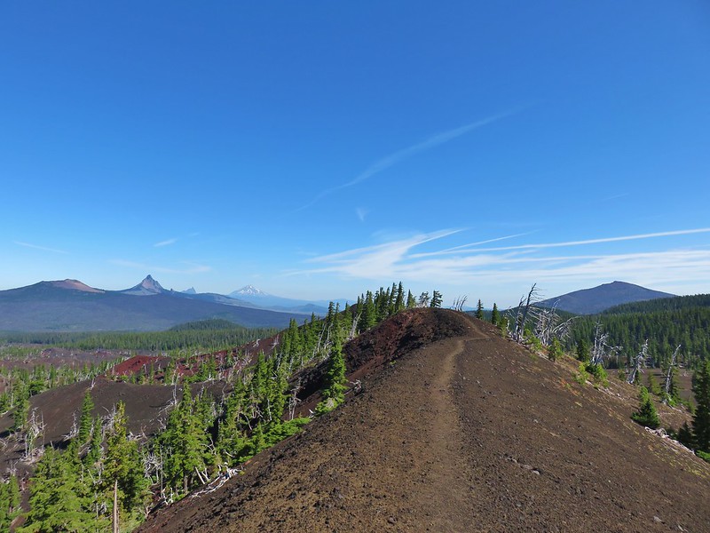 View from Four-in-One-Cone

 Mt. Washington, Three Fingered Jack, and Mt. Jefferson from Little Belknap Crater
 North Sister from South Matthieu Lake
 Former lookout site on Black Crater.
 South Sister from Camp Lake
 Middle and North Sister from Golden Lake
 Broken Top and Broken Hand from Tam McArthur Ridge
 Trees near the summit of Tumalo Mountain.
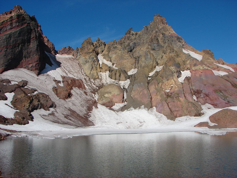 Broken Top from No Name Lake
 South Sister from Sparks Lake
 The third Green Lake
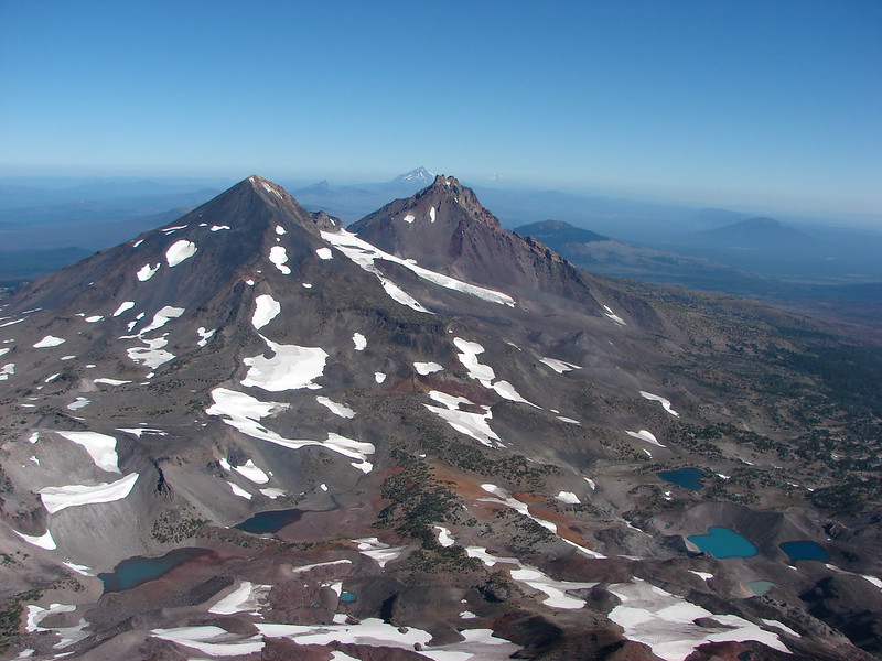 Looking north from the South Sister.
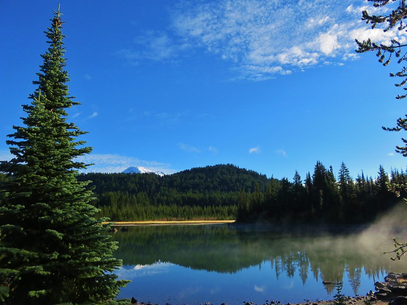 South Sister from Sisters Mirror Lake
 Horse Lake
 Doris Lake
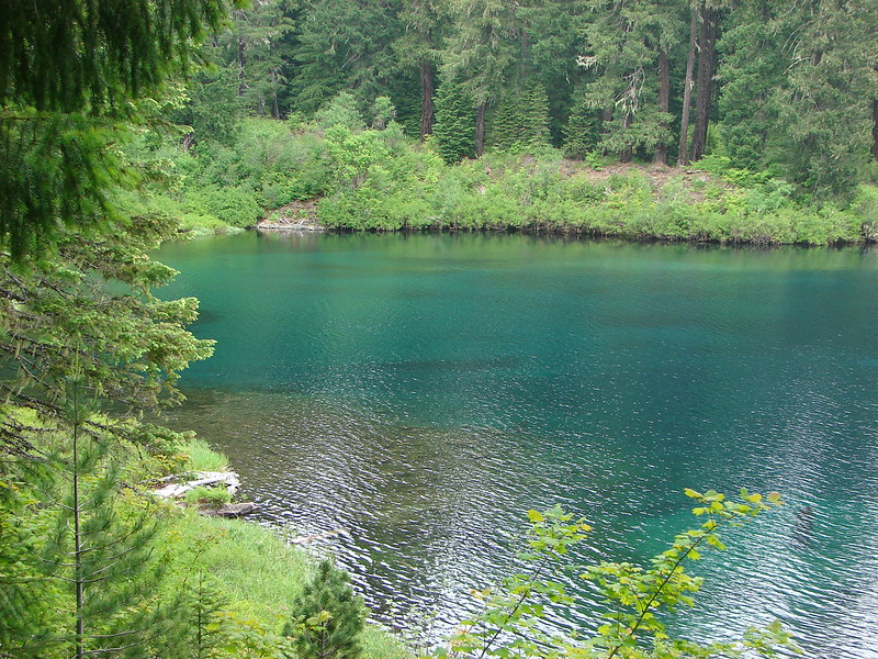
 Sahalie Falls
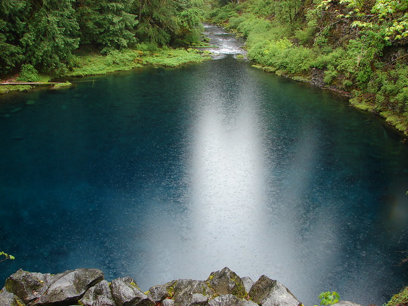
 Separation Lake
 South Sister and Mt. Bachelor form Horsepasture Mountain.
 View from Lowder Mountain.
 View from Tidbits Mountain.
 Monkeyflower and plectritis on Castle Rock.
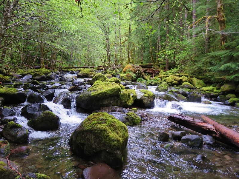
 Middle Erma Bell Lake
 Fog over Eugene.
 Summit marker on Mt. Pisgah.
 Sawtooth Trail
 Lone Wolf Meadow
 Wildflowers along the Tire Mt. Trail.
 Buffalo Rock from the North Fork Willamette River
 Beargrass meadow along the Blair Lake Trail.
 Indigo Springs (These springs have not burned.)
 Moon Falls
 Upper Trestle Creek Falls
 Lower Eddeeleo Lake
 View from the Waldo Mountain Lookout.


 Pulpit Rock from Middle Rosary Lake
 Yoran Lake
 Diamond Peak from Diamond View Lake
 Huckleberry Bushes along Saddle Lake.
 Notch Lake
 Diamond Peak from Corrigan Lake
 Diamond Peak
 Sawtooth Mountain from Timpanogas Lake
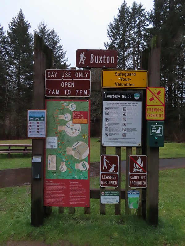


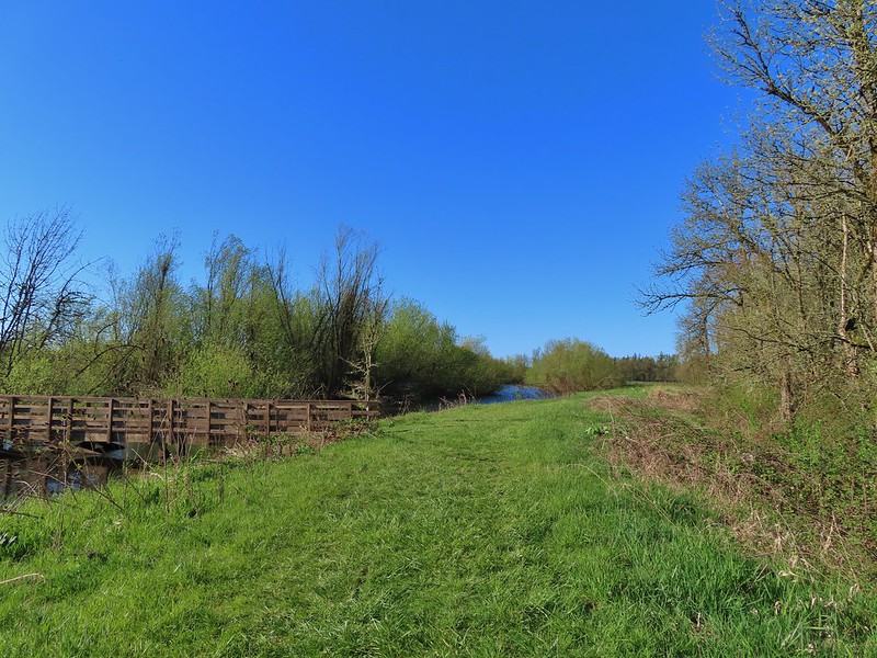
 Leaving the Buxton Trailhead area.
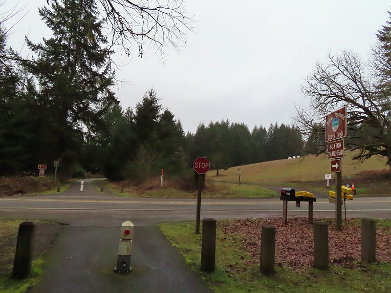
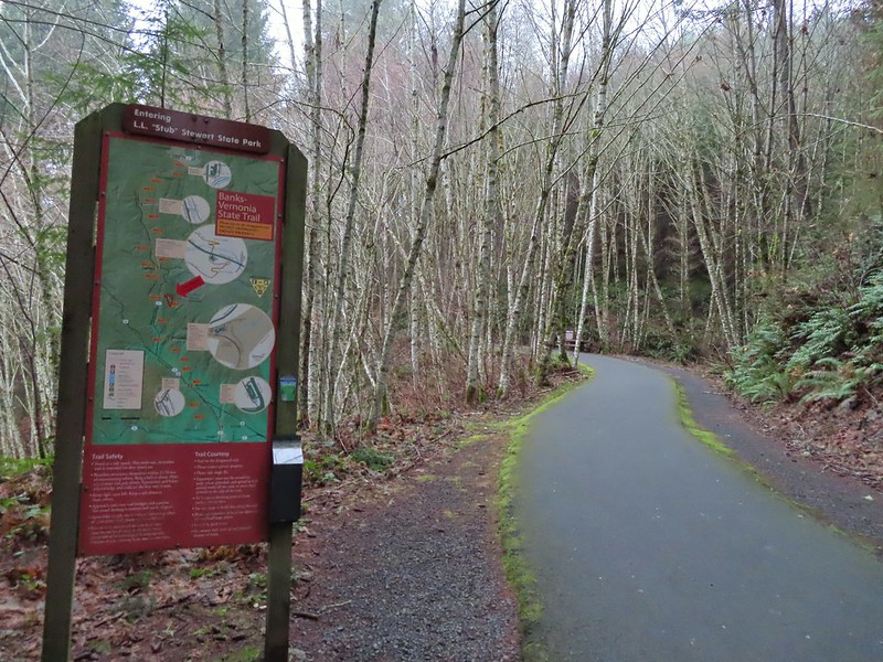 Entering Stub Stewart State Park.
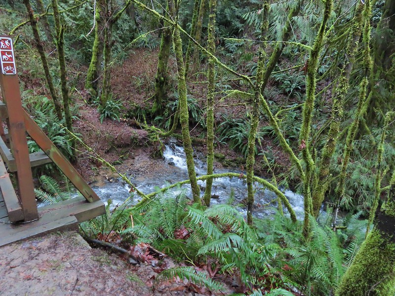
 This trail was just north of Logging Creek and appeared to just loop back to the Banks-Vernonia Trail a bit further north.
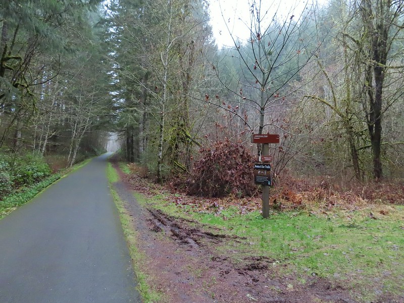 The Caddywhomper Way(s) Trail was signed better. We skipped the viewpoint given the amount of fog/clouds and not wanting to add another 2 miles to the days total. The Oregonhikers field guide also mentions that there isn’t much of a view left due to the presence of trees.
 Trail junction just north of Williams Creek


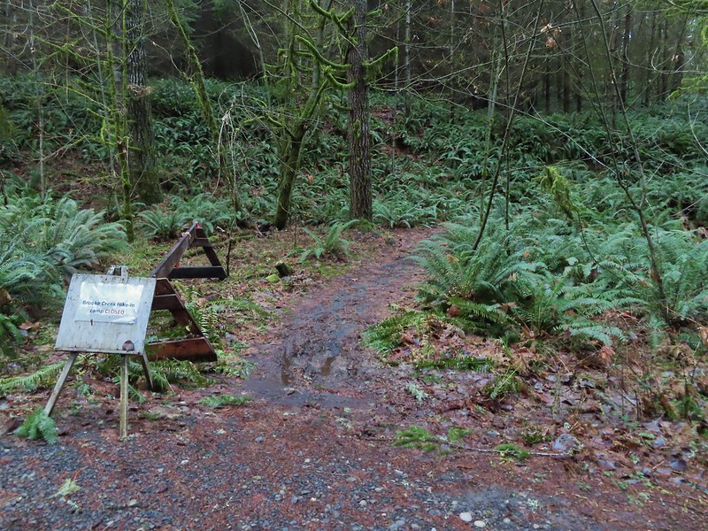


 Sign for the Widowmaker Way and Harse Canyon Trails.

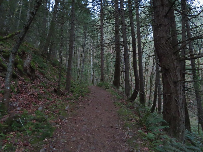
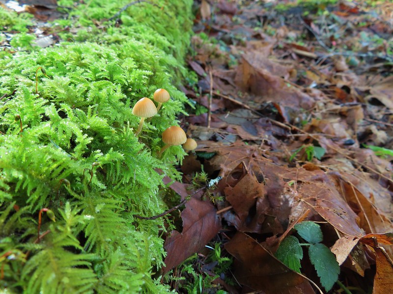
 No flowers yet but plenty of mushrooms and fungi.
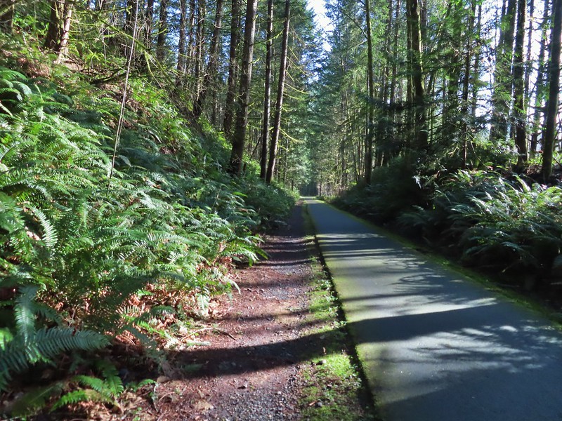
 The trails were well signed so it was easy to stay on the Hares Canyon Trail.
 Comming up on North Caddywhomper Way


 Wet webs in the trees.


 Chatty squirrel

 Passing over Highway 47 on the way to the Tophill Trailhead.
 Orange jelly fungus on a tree.
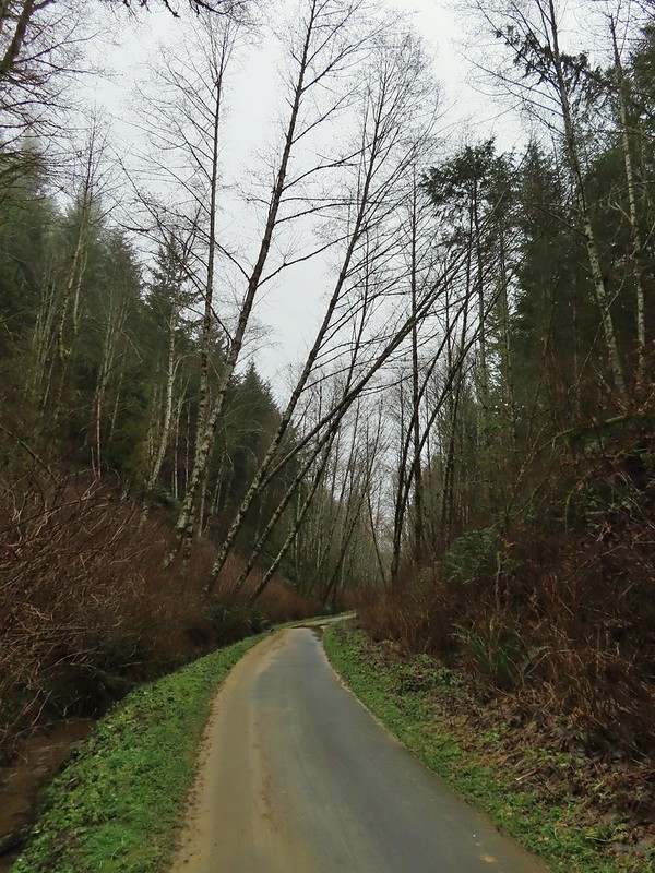 Heading up from the hill from the less steep south side.
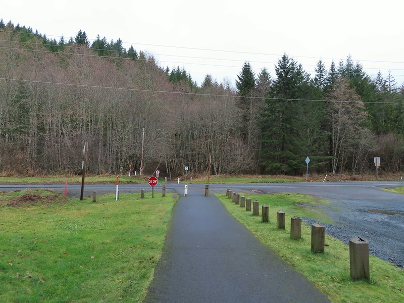 Highway 47 at the Tophill Trailhead.
 Chestnut-backed chickadee
 Pond along the trail.
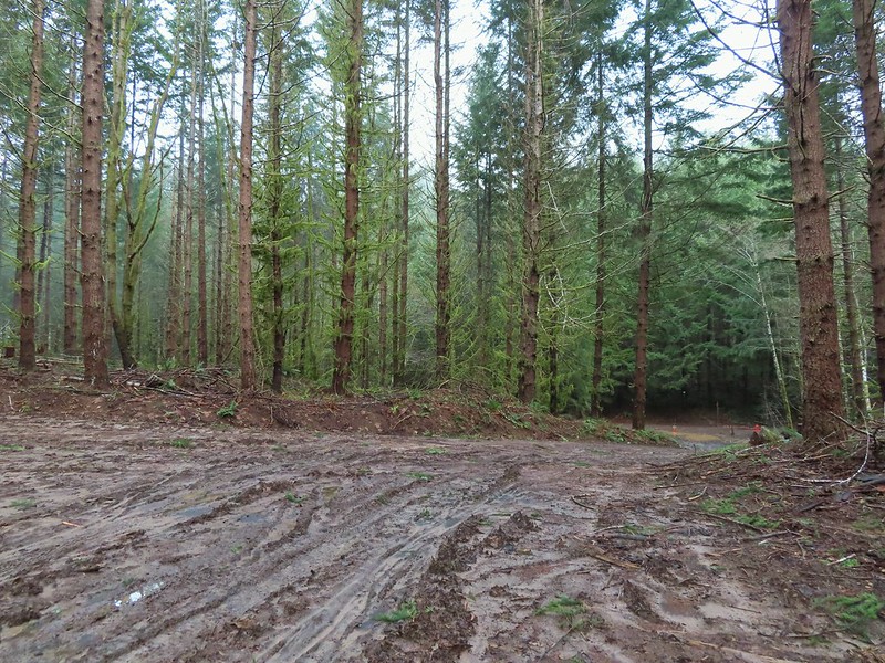
 Entrance road to Stub Stewart.
 Back at the Buxton Trailhead
 Bench at the Buxton Trailhead
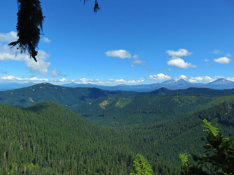
 Ponderosa Pines in the Boulder Creek Wilderness
 Boulder Creek Wilderness
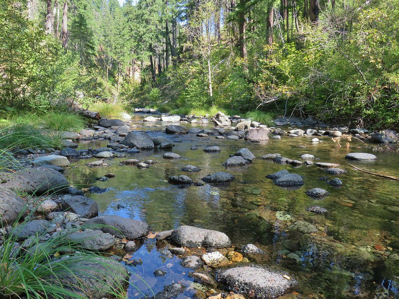 Boulder Creek
 The Palisades
 Gearhart Mountain
 Looking down from Gearhart Mountain
 Meadow below Gearhart Mountain
 Looking up at Gearhart Mountain