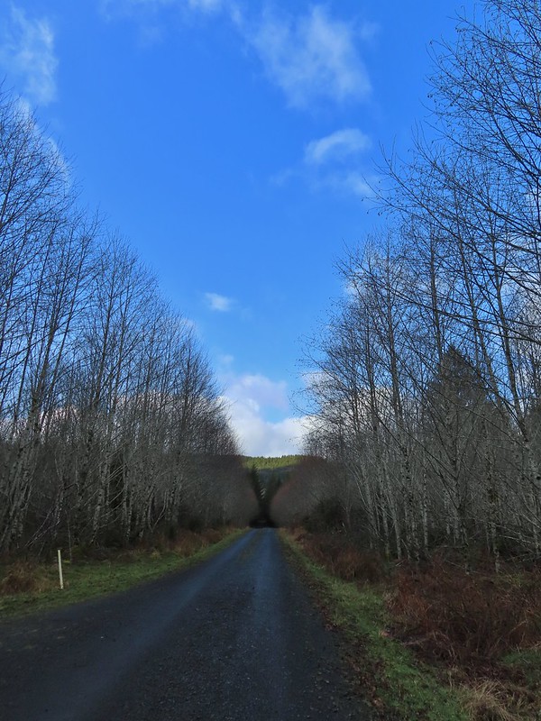
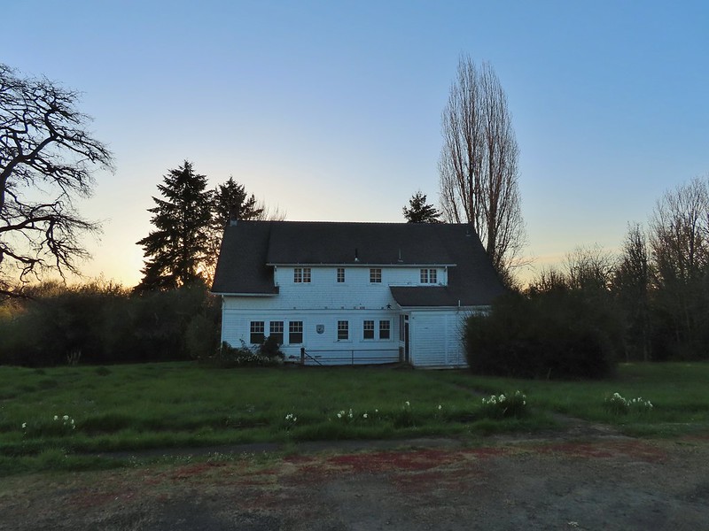
Our first big trip of the year was an extended weekend visit to the southern Oregon coast area to finish the remaining featured hikes from Sullivan’s “100 Hikes Oregon Coast & Coast Range” (3rd ed.) as well as a couple from his additional hikes section. For the first day of the trip we had set an ambitious goal of stopping at five different trailheads on the way to our motel in Gold Beach and after checking in continuing almost to the California border for a sixth hike on the Oregon Redwoods Trail. We got our typical early start driving from Salem to Eugene to take Highway 126 toward the coast and our first stop at the Mapleton Hill Pioneer Trailhead .

The short loop (0.6 miles) on the Pioneer Trail here follows portions of the historic North Fork Trail and Mapleton Hill Road which were early routes connecting Florence and Eugene.

The trail was in good shape and there were a some wildflowers in bloom to go along with the numerous interpretive signs along the loop.

 Thimbleberry
 Salmonberry
 McLeod Creek
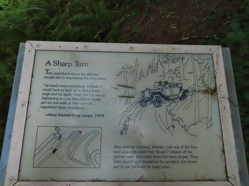
 One of the sharp turns.
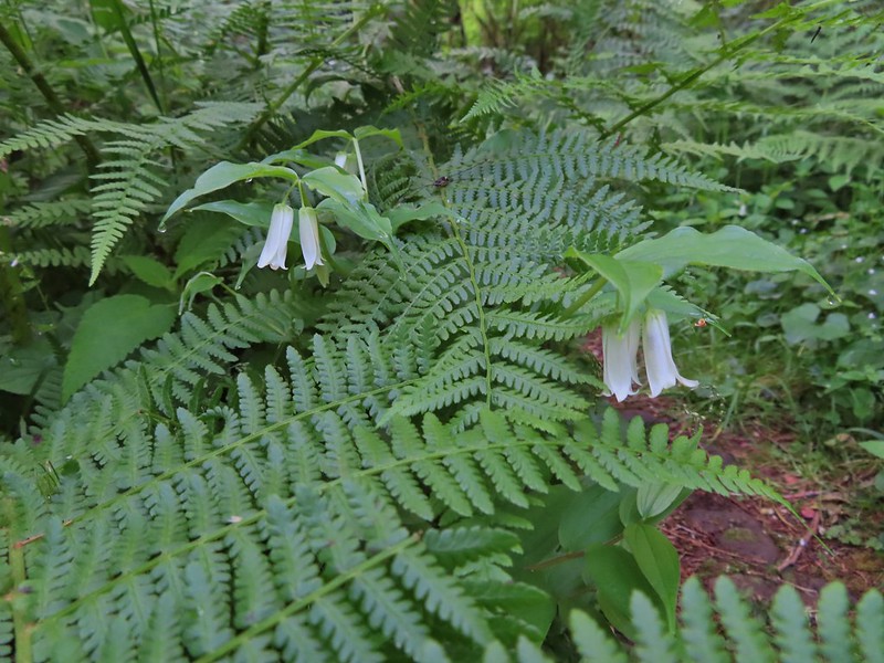 Fairy bells
 Columbine
 Bleeding heart
 Monkeyflower
 Sourgrass
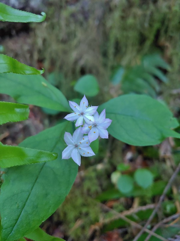 Star flower
 Trillium

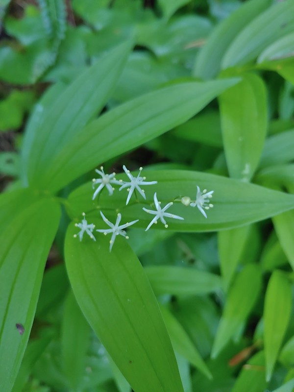 Star flower solomonseal
 Twisted stalk
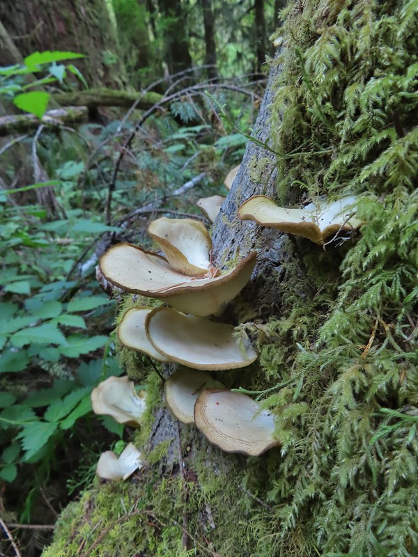
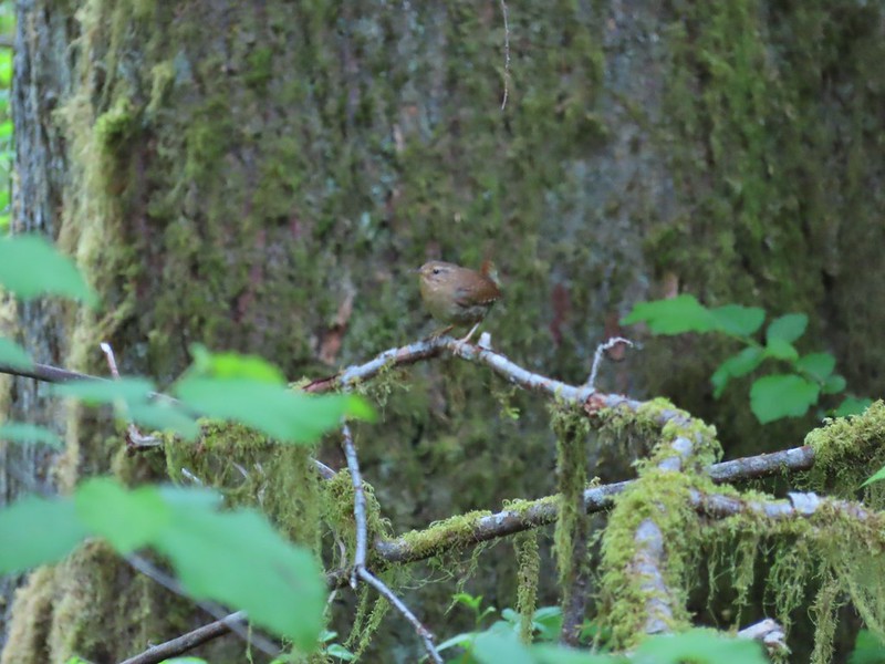 Wren – We heard lots of birds but didn’t see many of them.


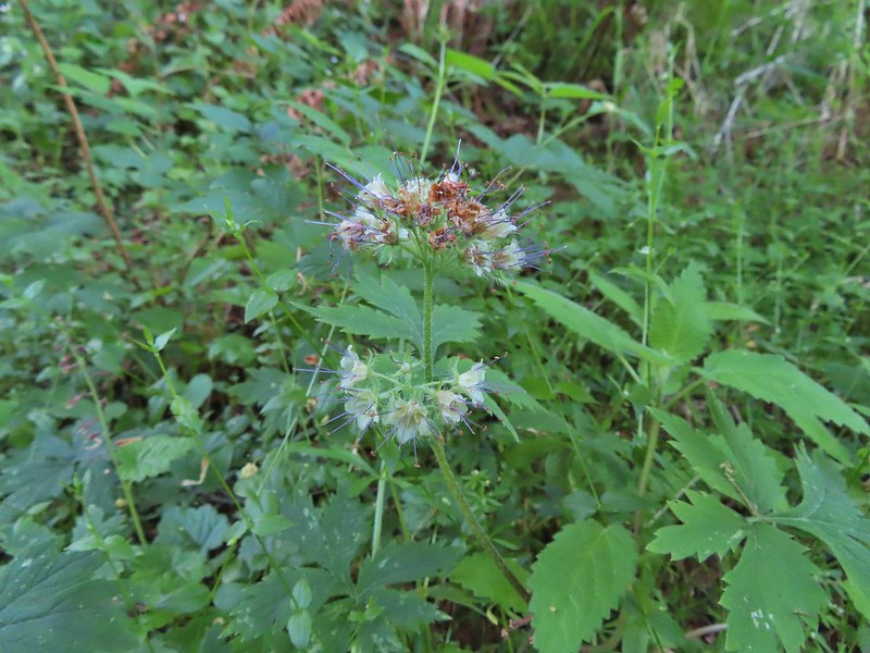 Waterleaf
After completing the loop we drove west from the trailhead on Road 5070/North Fork Siuslaw Road to Road 5084 which we followed 5 miles to the Pawn Trailhead.

This was another short loop hike (0.8 miles) which combined with the Pioneer Trail make up featured hike #57 in the 3rd edition (they were moved to the additional hikes section in the 4th edition). This trail suffered some storm damage over the Winter and as of our hike had only been 80% cleared. It is also an interpretive trail but instead of signs there are markers which correspond to information on a brochure that can be downloaded from the Forest Service here. The name “Pawn” was derived from the last names of four families that settled in the area in the early 1900’s – the Pooles, Akerleys, Worthingtons, and Nolans.

While this trail was relatively close to the Pioneer Trail the presence of the old growth trees gave the hike a different feel.
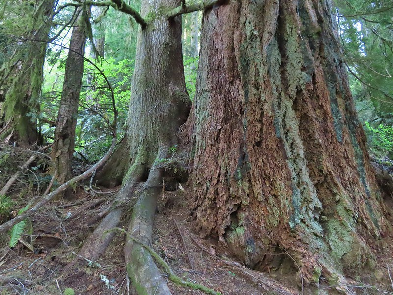
 Marker for a fire scarred Douglas fir. According to the brochure the last major fire in the area was in the 1860s.

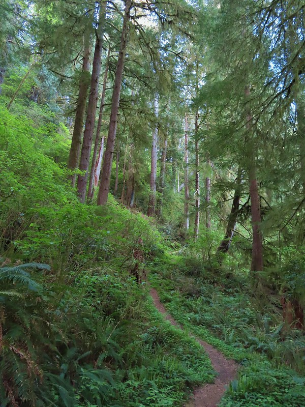
The storm damage proved to be a bit tricky but it appeared the Forest Service had started a reroute of the trail which we were able to follow.

 We had to climb over this big tree.
We lost the reroute after climbing over the big trunk and had to bushwack our way through some debris before climbing up on a second downed trunk and walking along it to the resumption of the trail. At one point Heather bumped a limb and pine needles exploded over her head like confetti giving us both a good laugh.


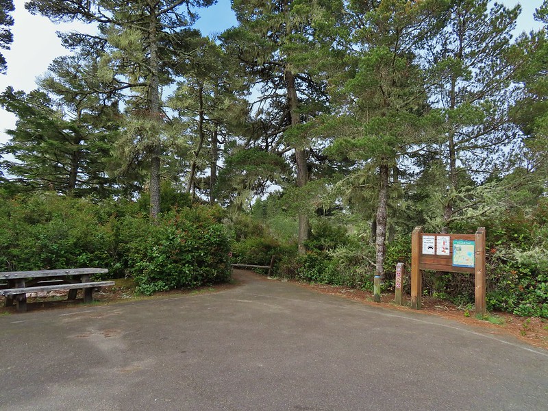
The loop ended shortly beyond the damage and we were soon back at the trailhead. From there we drove west on North Fork Siuslaw Road into Florence. From Florence we took Highway 101 south toward Coos Bay. We turned off a little north of North Bend at a sign for Horsefall Dune and Beach. Our next stop was yet another short loop trail, this time at Bluebill Lake. We parked at the Bluebill Trailhead and set off on the wide trail.

We went clockwise around the loop. The water level of the lake varies throughout the year but there was a good amount of water now but no flooding which can be an issue in late Winter/early Spring.
 Looking at the bridge at the north end of the lake.
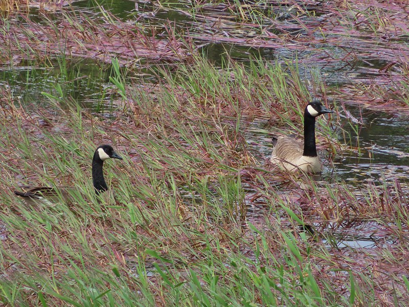 Canada geese
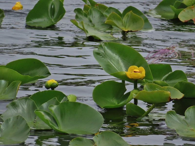
 Cormorants flying above the lake.
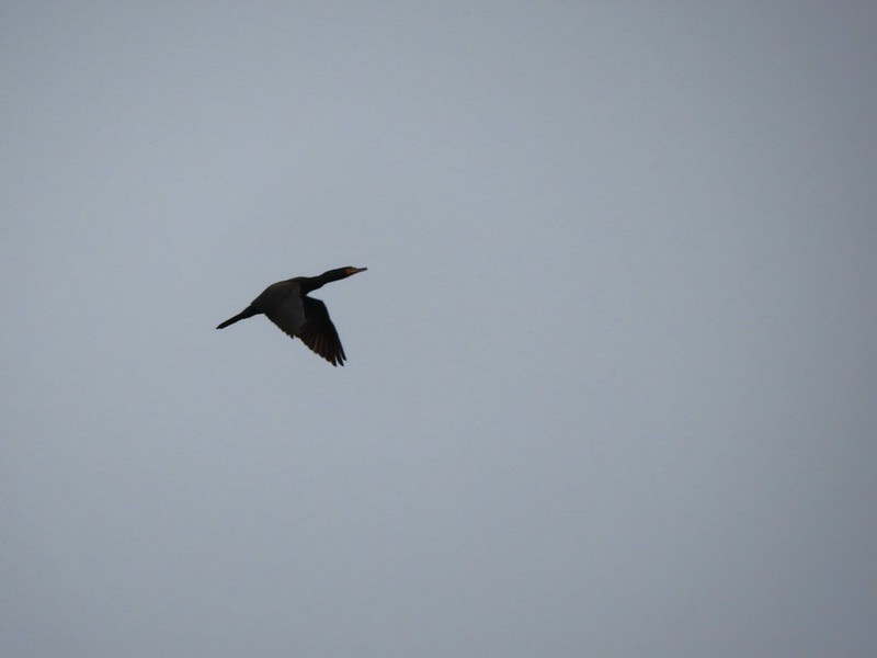 Cormorant

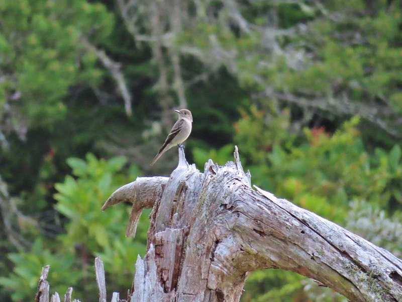
 Ring necked ducks
 Rhododendron
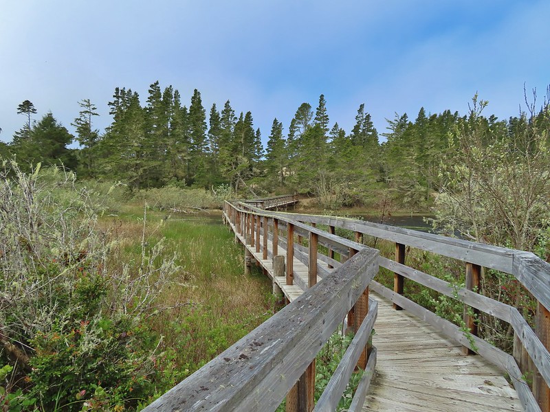 Boardwalk at the south end of the lake.

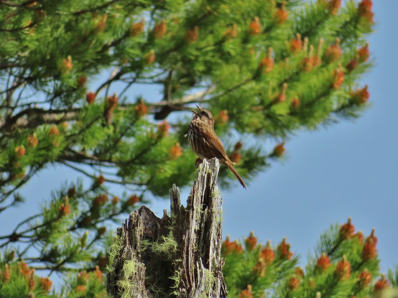 Sparrow
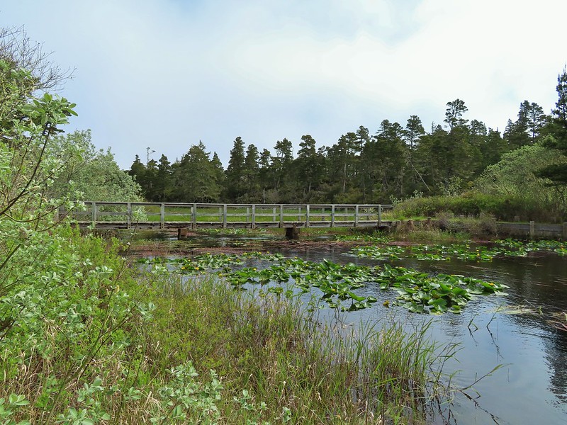 Coming up on the bridge at the north end.
 Yellow rumped warbler
 Finch
Finch
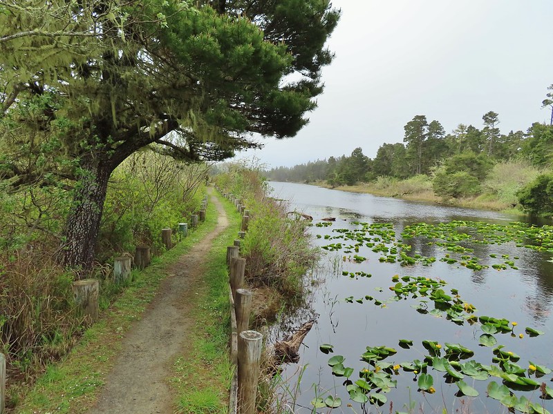
After completing the 1.5 mile hike here we returned to Highway 101 and continued south into Coos Bay where we detoured to our fourth stop of the day at Millicoma Marsh. This was an interesting trailhead given that it was right next to a middle school track and field.
 The trail on the far side of the track.

We followed the posted directions and kept to the outside of the grass as we walked around the track to the trail.

 One of three panels on a signboard at the start of the trails.

<img src="https://live.staticflickr.com/65535/51186413813_b626e92da2_c.jpg" width="800" height="600" alt="IMG_4030">Woodpecker
Two tenths of a mile from the signboard the grassy track came to a junction. The loop continued to the left but a quarter mile spur trail to the right led to an observation bench. We hiked out to the end of the spur trail before continuing on the loop.
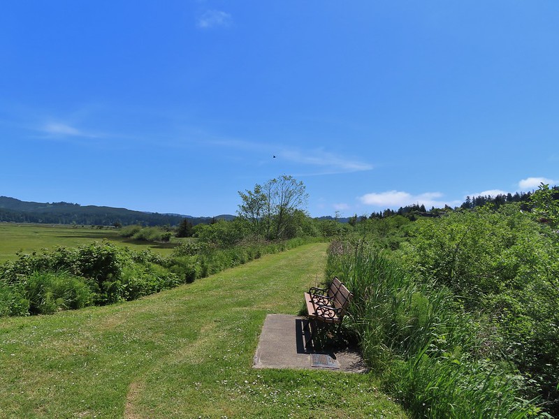 This bench is at the junction.
 Sparrow near the junction.
 Heading to the observation structure.
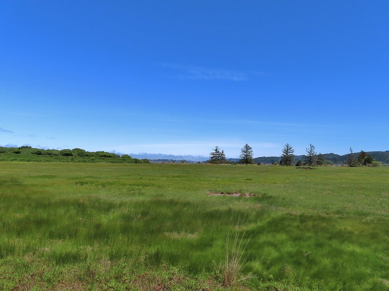 Looking toward Coos Bay along the Coos River.
 McCullough Memorial Bridge spanning Coos Bay.
 Wetlands from the end of the spur.
We returned to the loop and continued counterclockwise around. There wasn’t much wildlife activity which was probably a matter of timing as it looked like an area where we might see quite a bit. In any case the hike was pleasant with nice scenery.
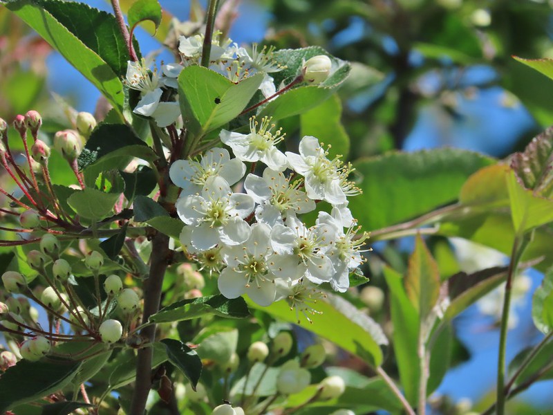 Bitter cherry
 Crow
Crow
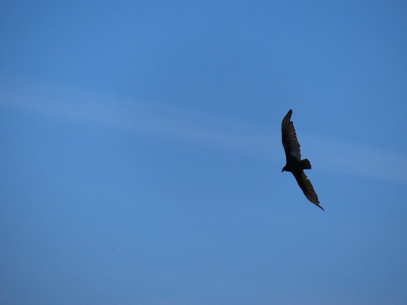 Turkey vulture

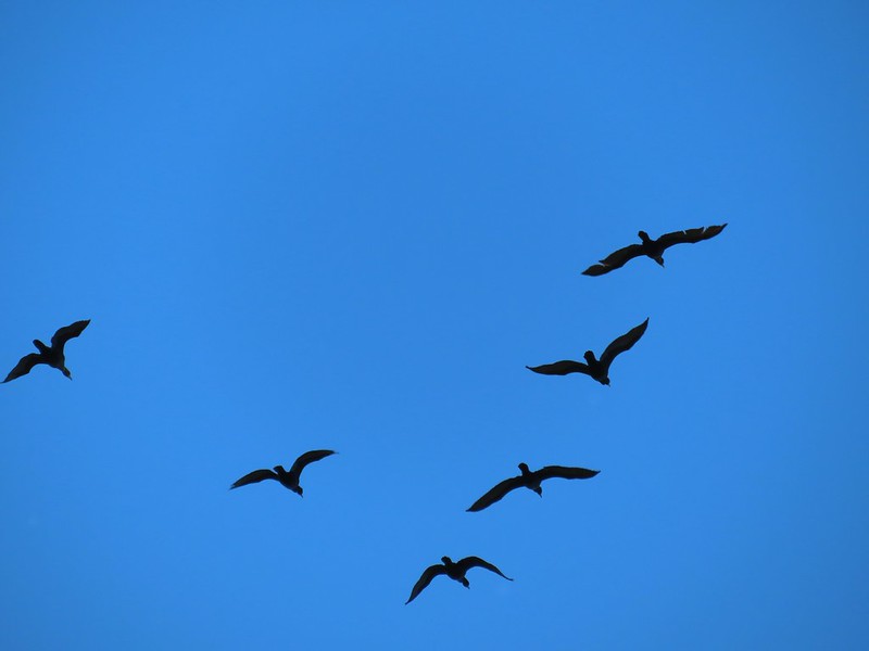 Cormorants overhead
 Canada goose with goslings
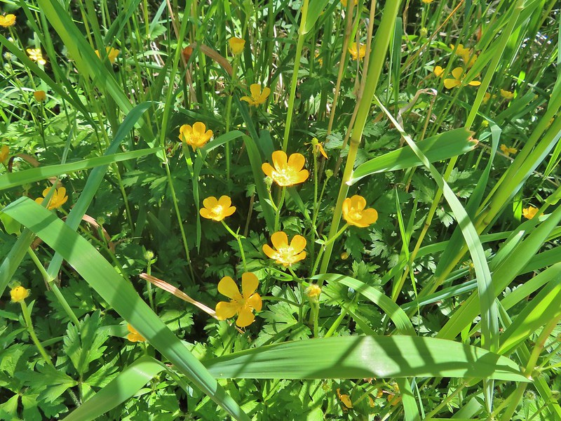 Buttercups
 Pale flax
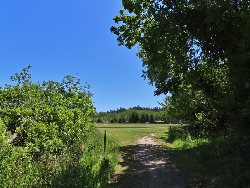 Arriving back at the field.
Up to this point we had only passed one other hiker all day (at Bluebill Lake) but this area was popular and we ran into over a half dozen other users on this 1.8 mile jaunt.
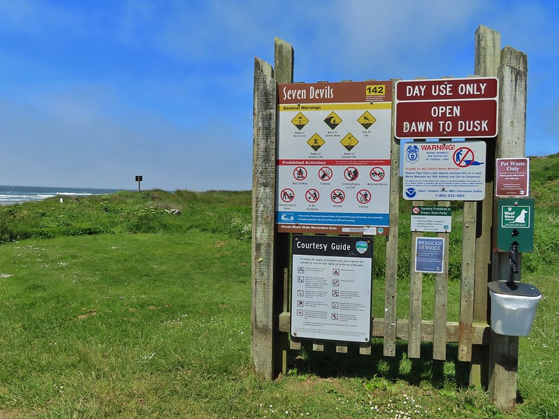
From Coos Bay we continued south on Hwy 101 for 14.6 miles before turning right onto West Beaver Hill Road at a sign for the Seven Devils Wayside, our next stop. We parked in the large lot where only one other vehicle sat and promptly headed down to the beach.
 Ground squirrel enjoying the view.
 Twomile Creek
Our plan here was to hike south along the beach at least as far as Fivemile Point to complete another of Sullivan’s featured hikes. We hopped across the creek using rocks and logs and set off on what is considered possibly the windiest beach along the Oregon coast (it was windy).
 Shore bird in the creek.

The occupant of the other vehicle had headed north so we had this stretch of beach to ourselves, and a few feathered friends.

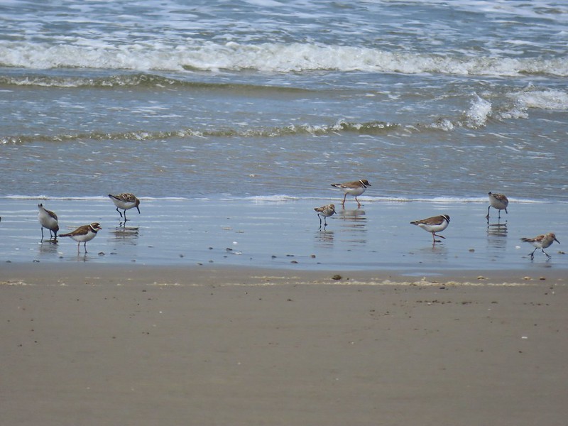

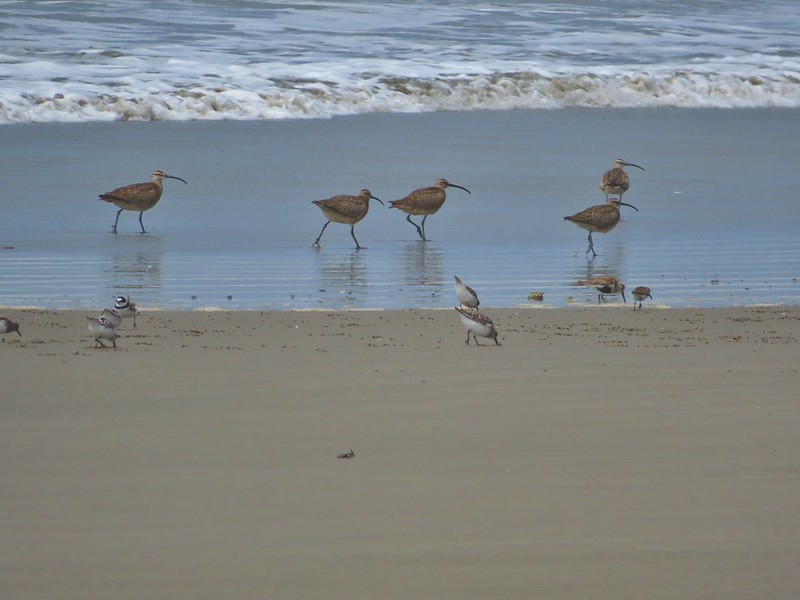
The hillside was covered with yellow gorse, an invasive but colorful shrub.
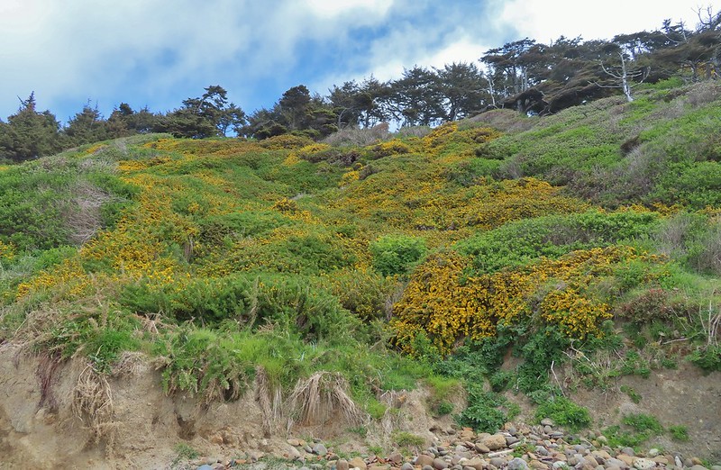
The gorse wasn’t the only yellow flowers present though.
 Brass buttons (another non-native)
We were looking for a side trail up to a viewpoint bench that Sullivan showed as .7 miles from the trailhead just beyond a brown outcrop.
The brown outcrop a little way ahead with Fivemile Point further on.
We couldn’t pick out any trail just several stream beds and seeps so we kept going coming next to a rock spire a short distance from Fivemile Point.
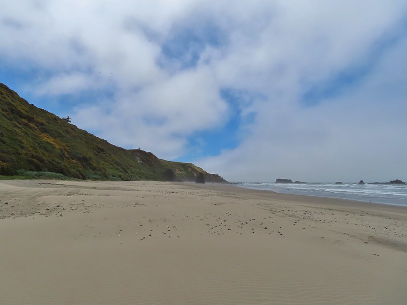


We passed the spire and continued to Fivemile Point where the ocean was coming up to the rocks effectively creating our turn around point.
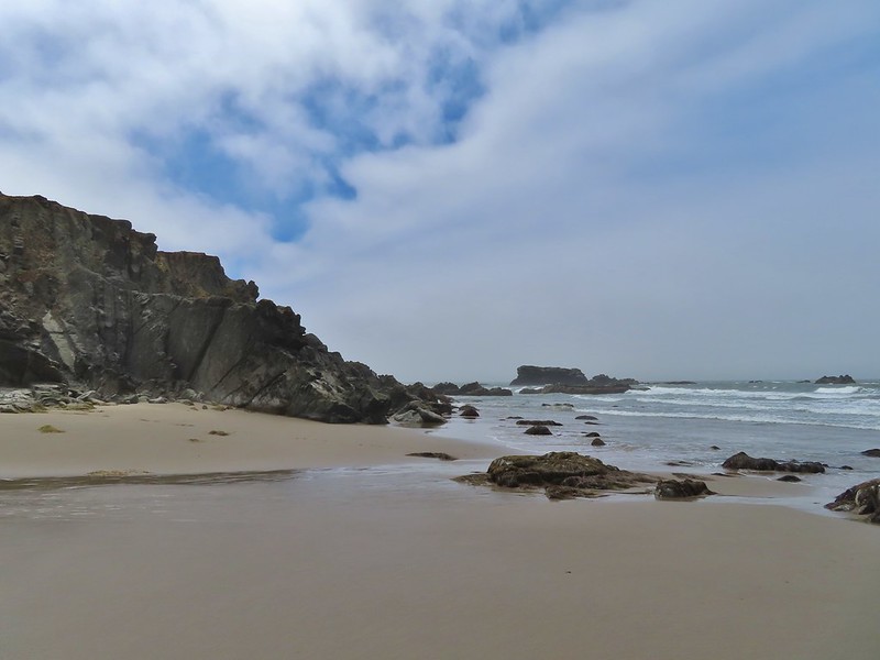 Whiskey Run Beach lay on the other side of the rocks with another parking area 0.8 further south.
 A cormorant off Fivemile Point
We turned back and headed north past the spire.

We were now walking into the stiff wind but from this direction Heather was able to spot some stairs in the vegetation marking the side trail to the bench.

We followed a good trail .2 miles to said bench.
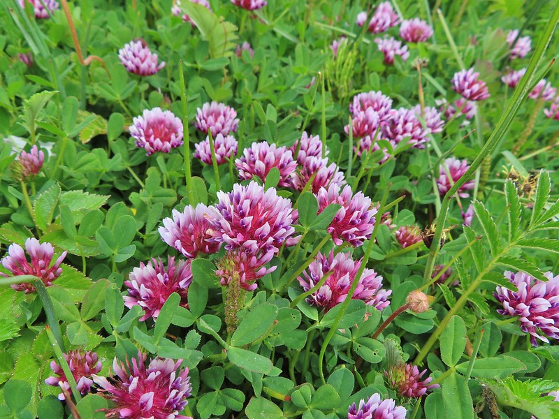


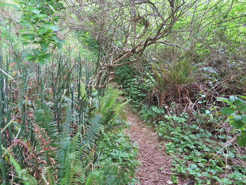
 View from the bench.
After a short break at the viewpoint we descended to the beach and returned to our car.

We returned to Highway 101 and drove south into Gold Beach where we checked into our motel and dropped our stuff off before hitting the road again. Our final stop of the day had us driving south of Brookings to the Oregon Redwoods Trailhead.

A 1.2 mile barrier free lollipop loop trail starts at the trailhead.


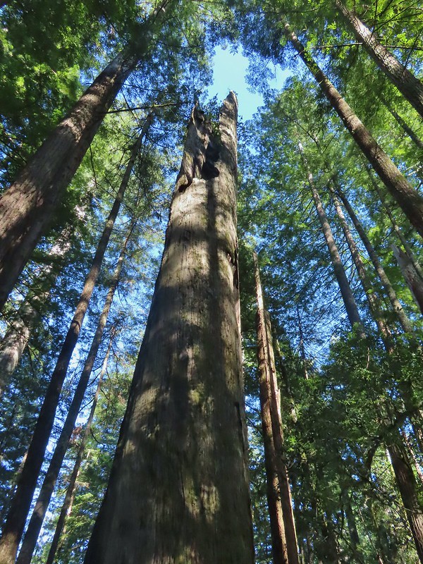
We were once again the only people on this trail which was especially nice given the setting amid the giant trees. Although the trees here aren’t as big as those found in California we were once again awestruck by them. We stayed right where the barrier free loop started which brought us to a hollowed out trunk with room for several people.


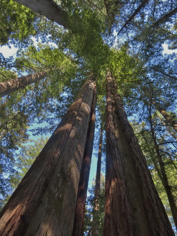
 Coming up on the hollow trunk straight ahead.


Approximately a half mile into the loop portion of the trail the Oregon Redwoods Trail split off allowing for a longer (2.5 miles total) hike.


We set off on the Pioneer Trail at 7:19am and stepped off the Oregon Redwood Trail at 5:51pm. We logged 9.8 miles of hiking but nearly 147 miles (as the crow flies) separated the Oregon Redwoods Trailhead from the Pawn Trailhead (and another 70 miles home) making for a long but great day. We had gotten to see a great variety of scenery all in one day. To top it off we could now check three more featured hikes off our yet-to-do list. The only thing that could have made the day better would have been an actual knob on the cold water handle in the motel shower. Happy Trails!
Flickr: Southern Oregon Coast
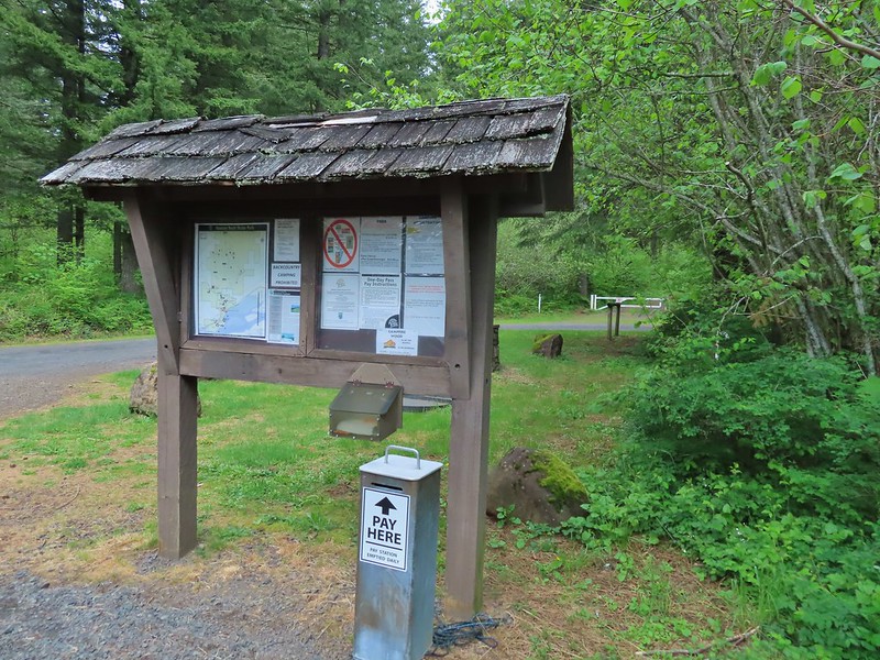
 Equestrian Trail at the trailhead.
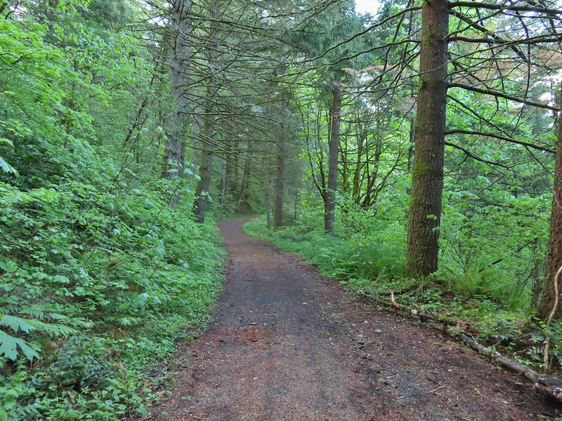 On the old roadbed/Equestrian Trail.
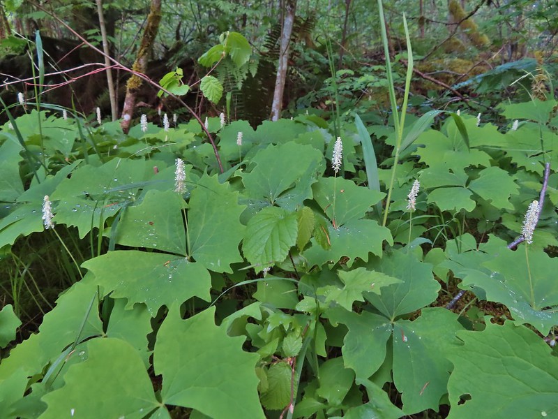 Vanilla leaf
 Fairy bells
 Violets
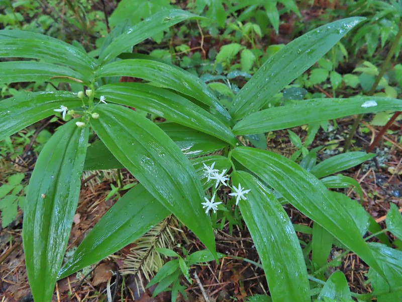 Star-flowered false solomon seal
 Youth-on-age
 Possibly a cinquefoil
 Thimbleberry
 Fringecup
 At the 4-way jct the Equestrian Trial continued straight with the West Hardy Trail to the left and Lower Loop Trail to the right.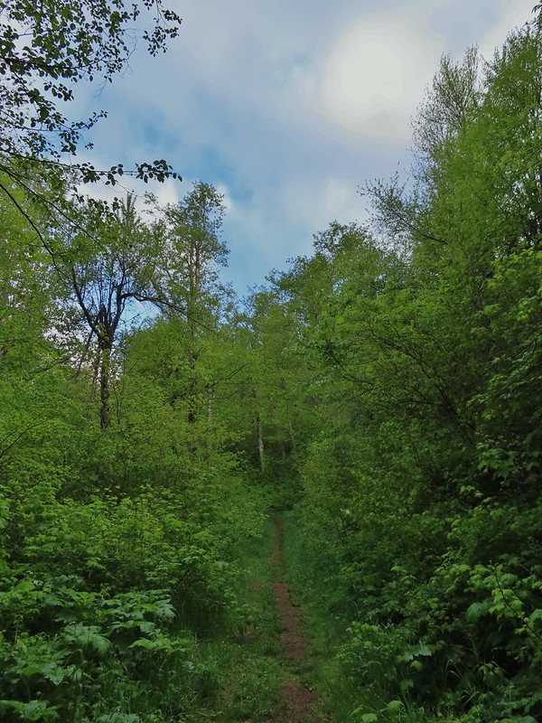

 Salmonberry
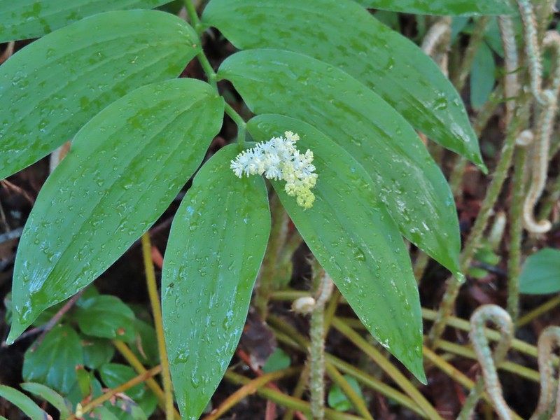 False solomon seal
 Bleeding heart
 Here come the clouds.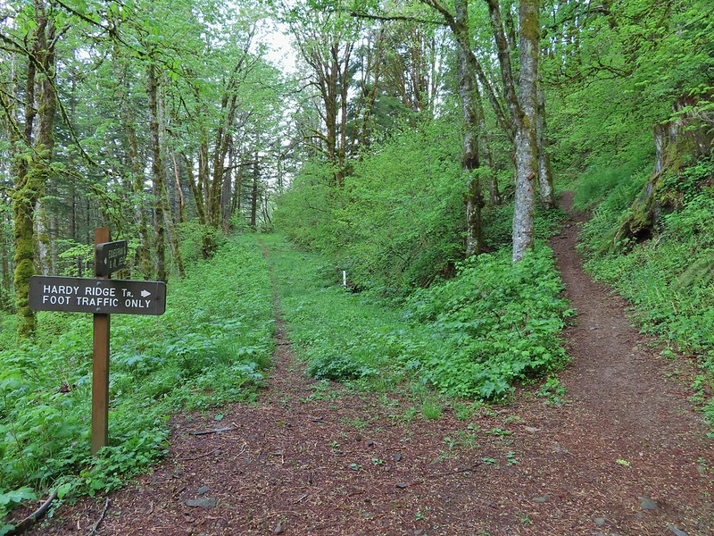

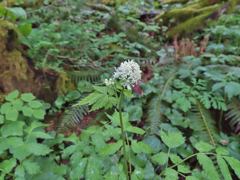 Baneberry
 Trillium
 Paintbrush
 Red flowering currant
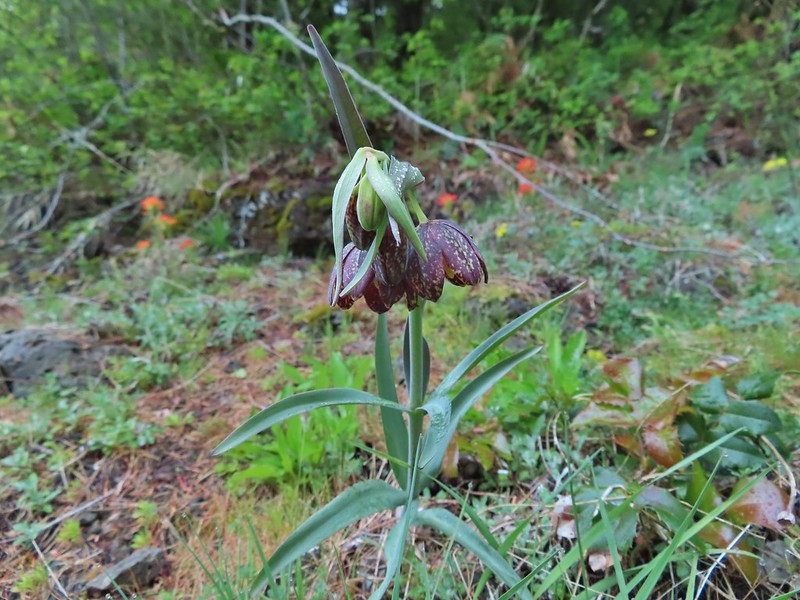 Chocolate lily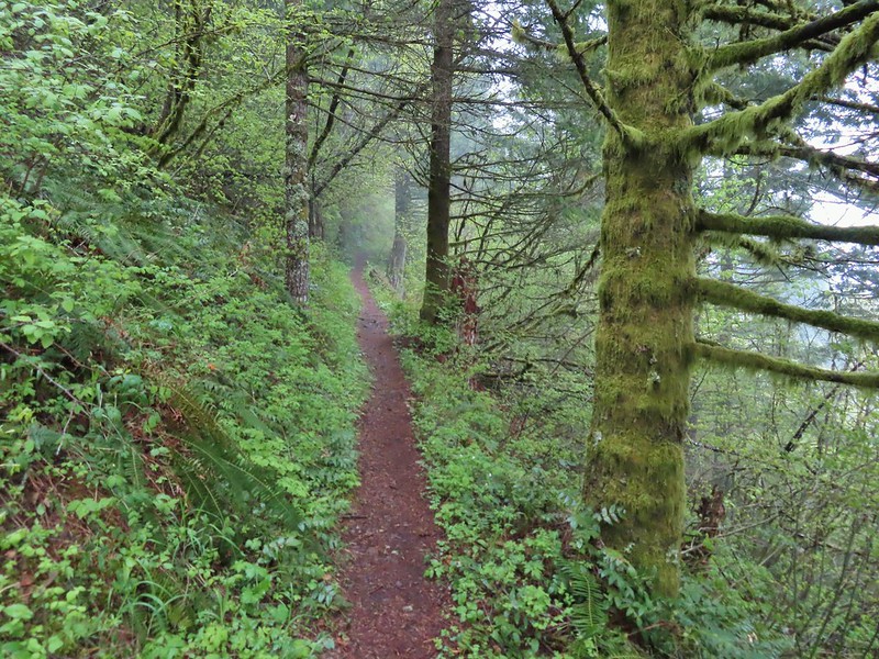
 Anemones
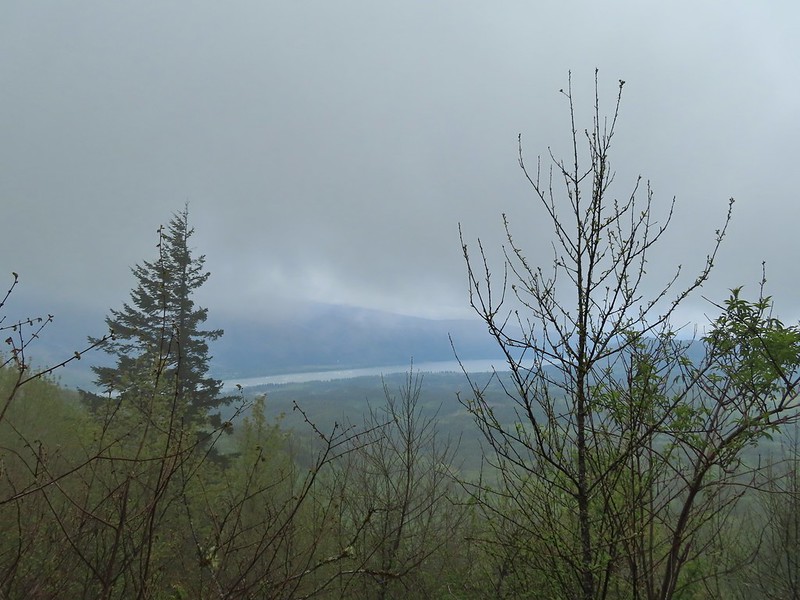 Looking across the Columbia River into Oregon.
 Horsetail Falls (
 Field chickweed and Oregon grape
 Junction at the saddle.
 Glacier lily
 Trilliums
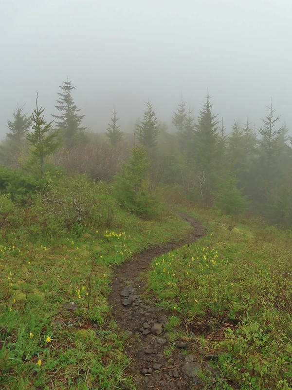 Glacier lilies along the trail.
 Another hiker caught up to us at this rock field not far from the high point. It looked like the trail was going across the rocks for a bit and she decided to turn around but after just a few feet the trail resumed behind a bush.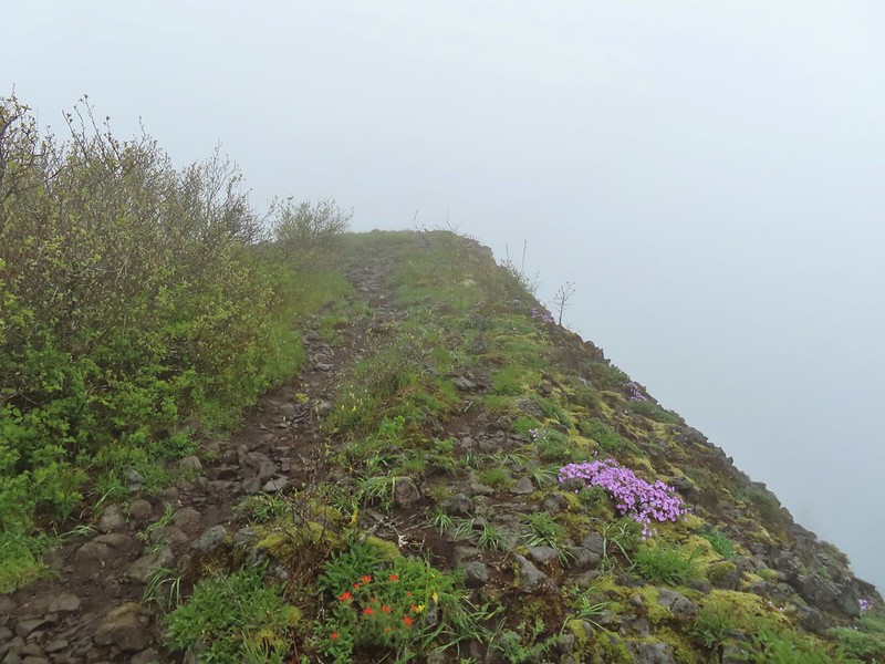
 Phlox
Phlox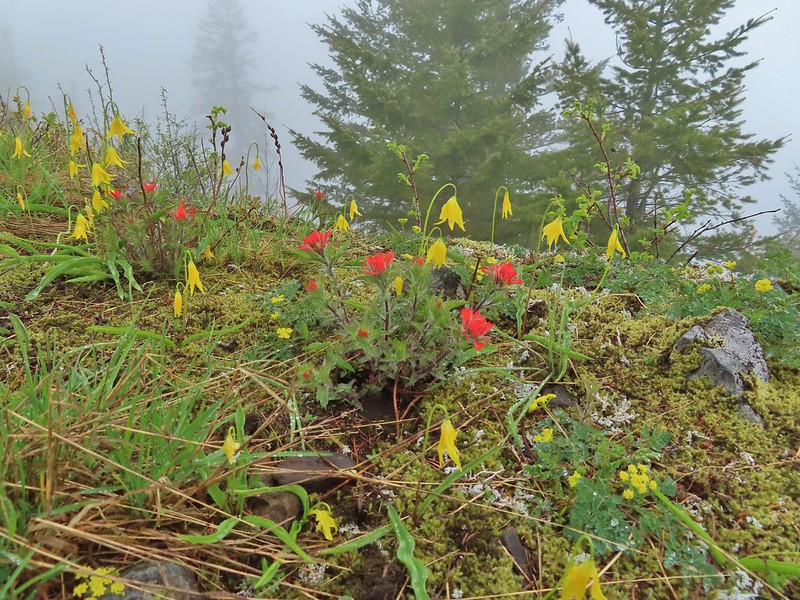 Paintbrush and glacier lilies.
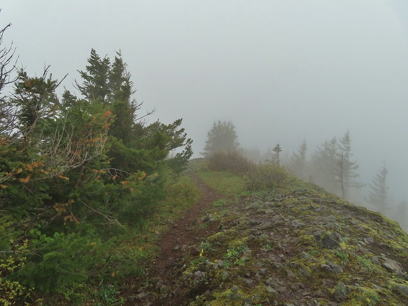 The high point.
 Glacier lilies at the high point.

 Hamilton Mountain (high point to the right) and the Columbia River.
 Bonneville Dam and the Hamilton Mountain Trail crossing The Saddle.
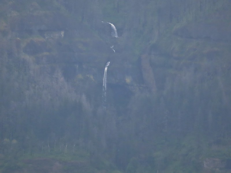 Upper McCord Creek Falls (
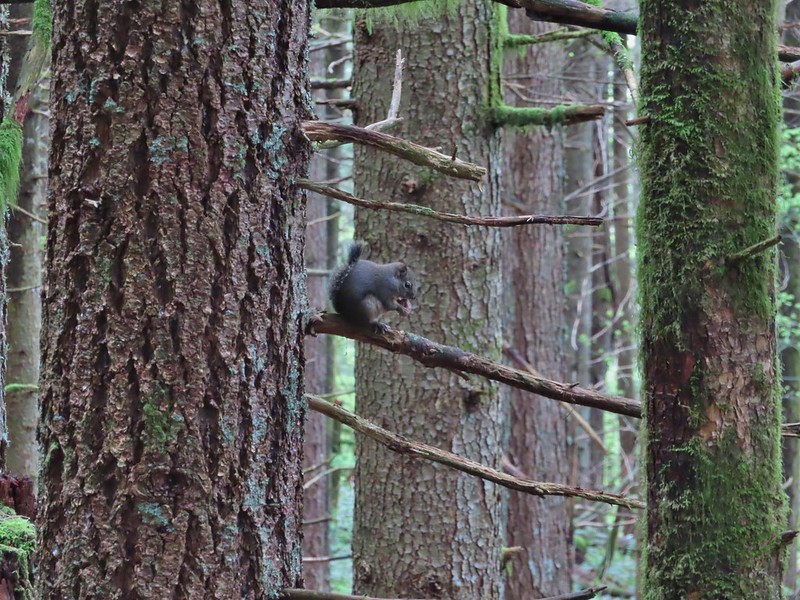 Squirrel
 Snail
Snail

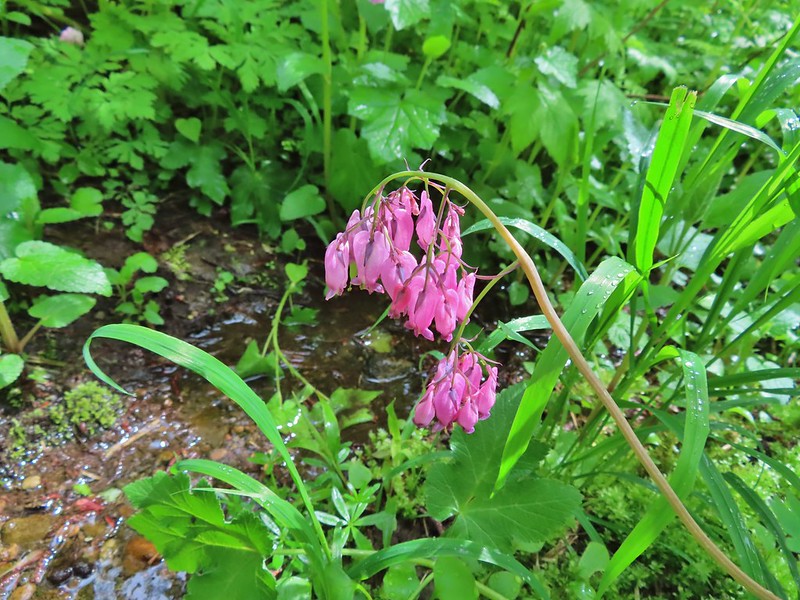 Bleeding heart along a little stream.
 False lily-of-the-valley getting ready to bloom.
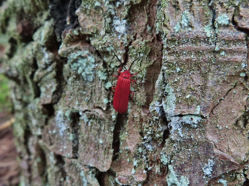 Possibly a Dictyoptera aurora (Golden net-winged beetle)

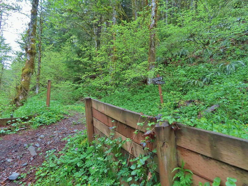

 Hardy Ridge from the Upper Hardy Trail.
 The left fork would have been slightly longer by leading us around the back side of a knoll and making a 180 degree turn following the east side of the ridge toward The Saddle.
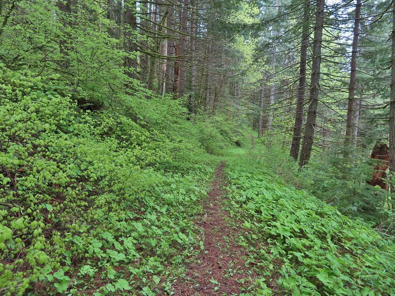 We turned right opting for the slightly shorter route to The Saddle.
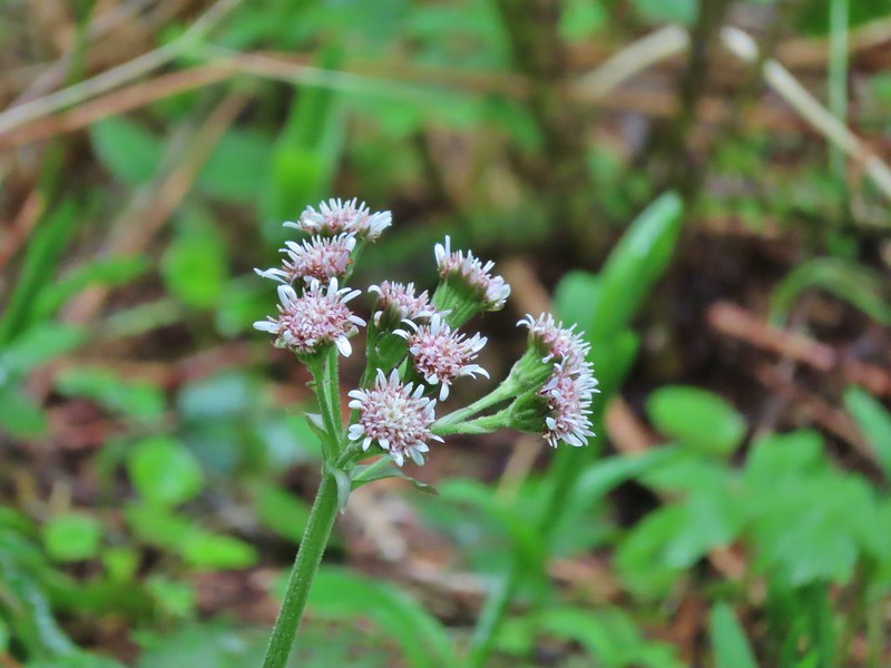 Coltsfoot
 Southern junction of the two forks of the Upper Hardy Trail.
 Hikers coming down from Hamilton Mountain.
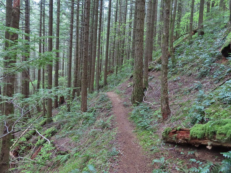
 Dons Cutoff Trail nearing the Upper Hardy Trail.
 Upper Hardy Trail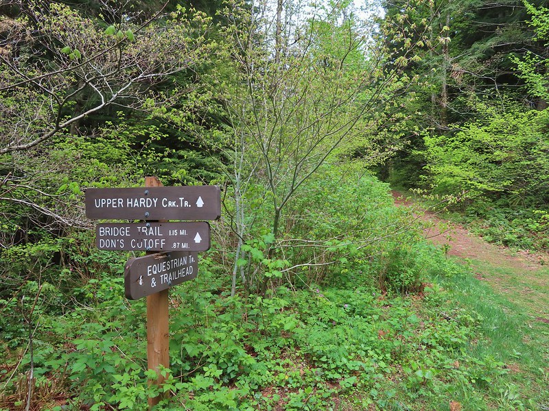
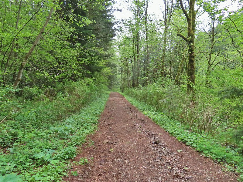 Equestrian Trail
 Hardy Creek



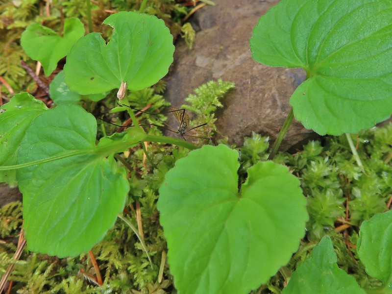 Spotted this guy while I was photographing the slug above. Not sure if it’s a crane fly or ?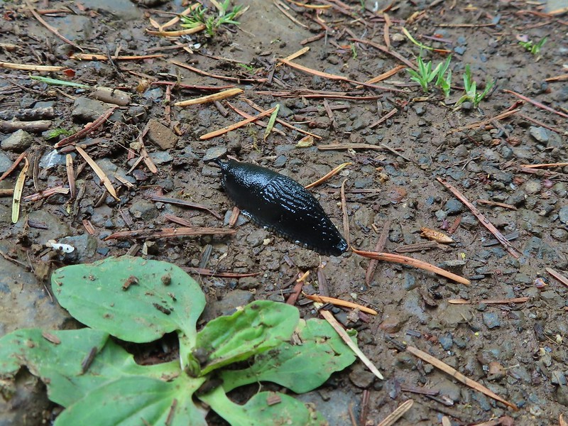
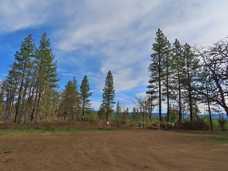
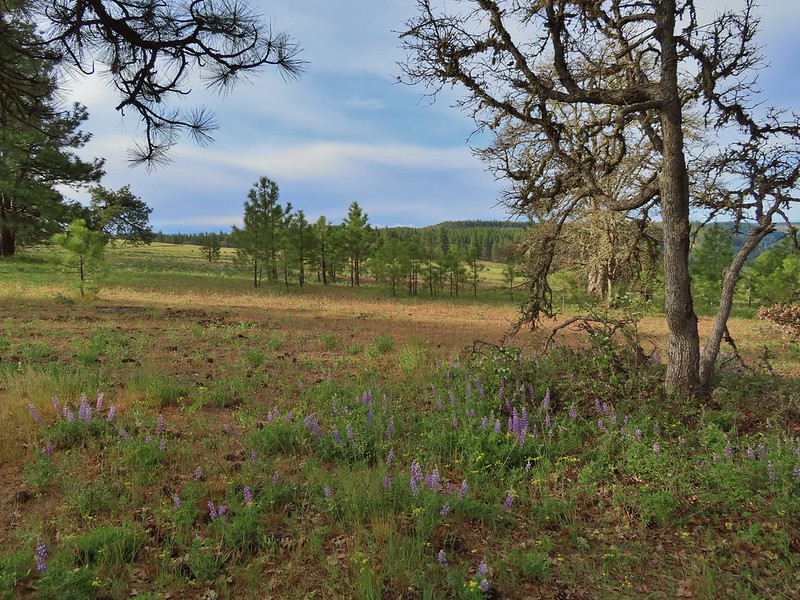 Looking back toward the meadow.
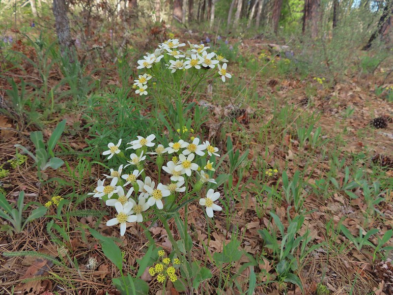 Western white groundsel
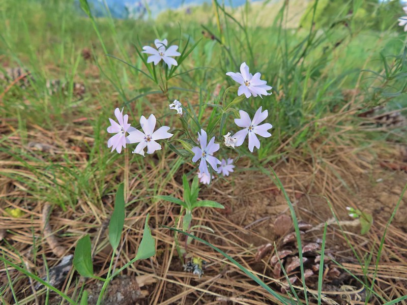 Showy phlox
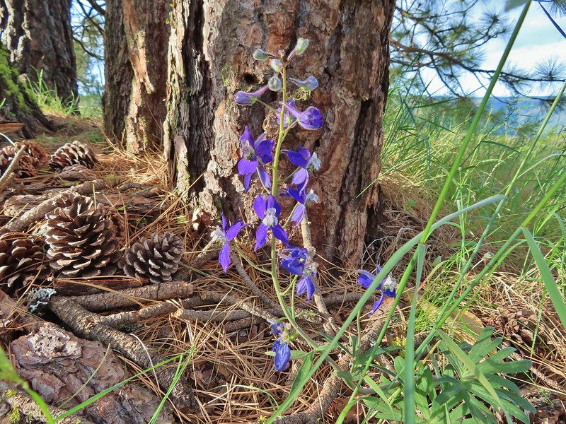 Larkspur
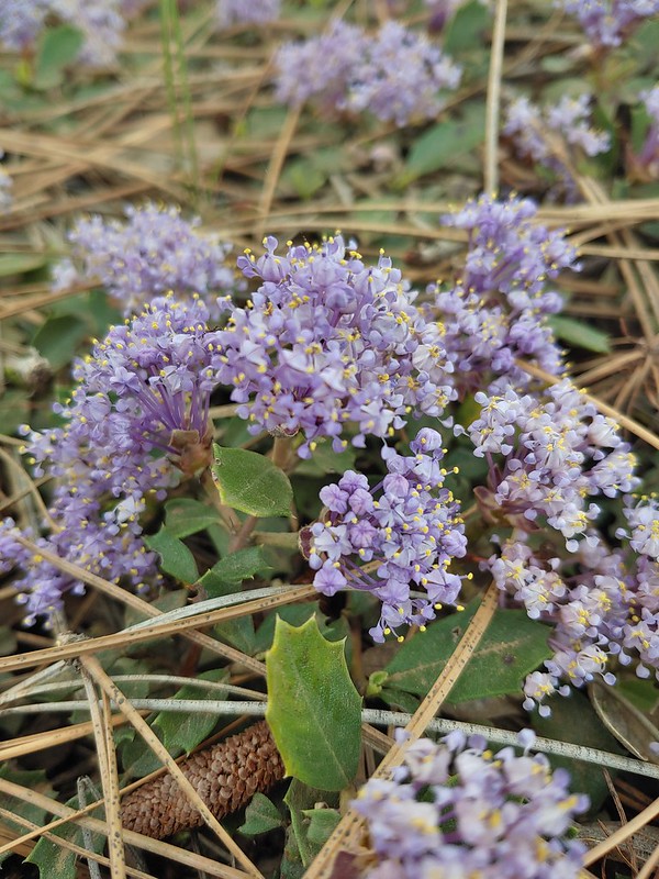 Mahala Mat (Prostrate ceanothus)

 Showy phlox among the oaks.
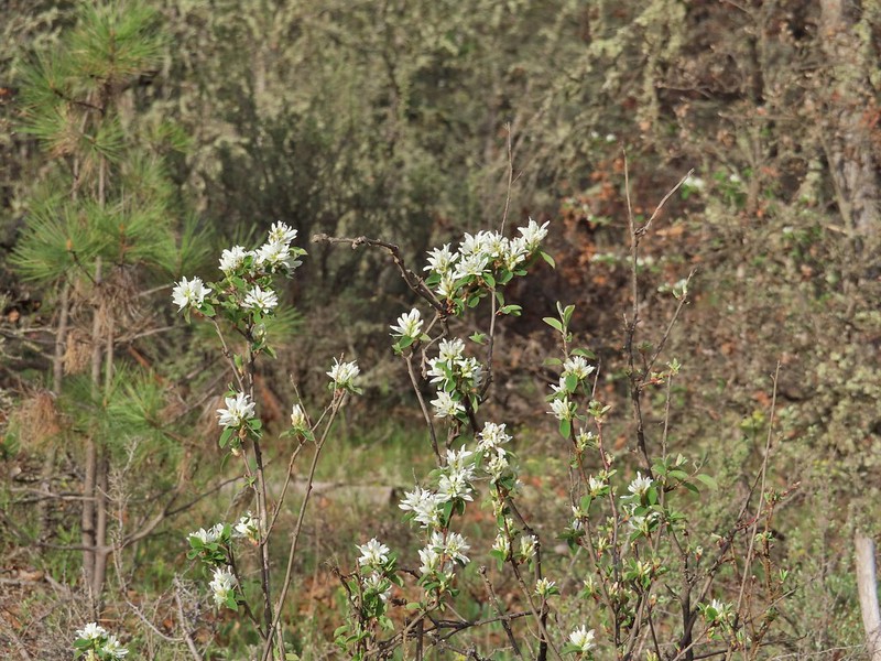 Serviceberry
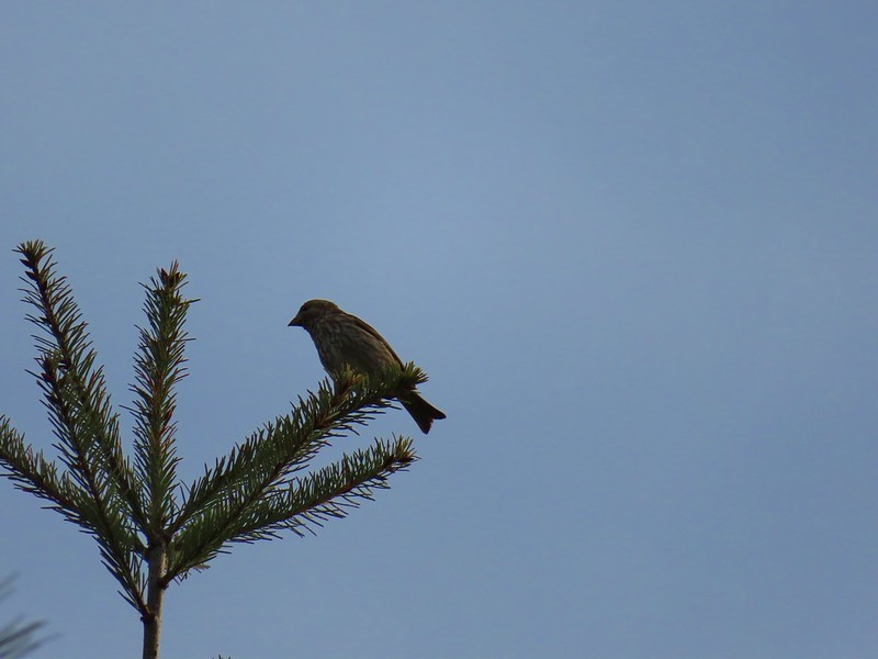 Sparrow
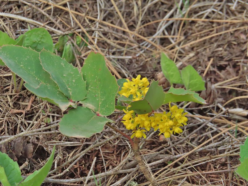 Oregon grape
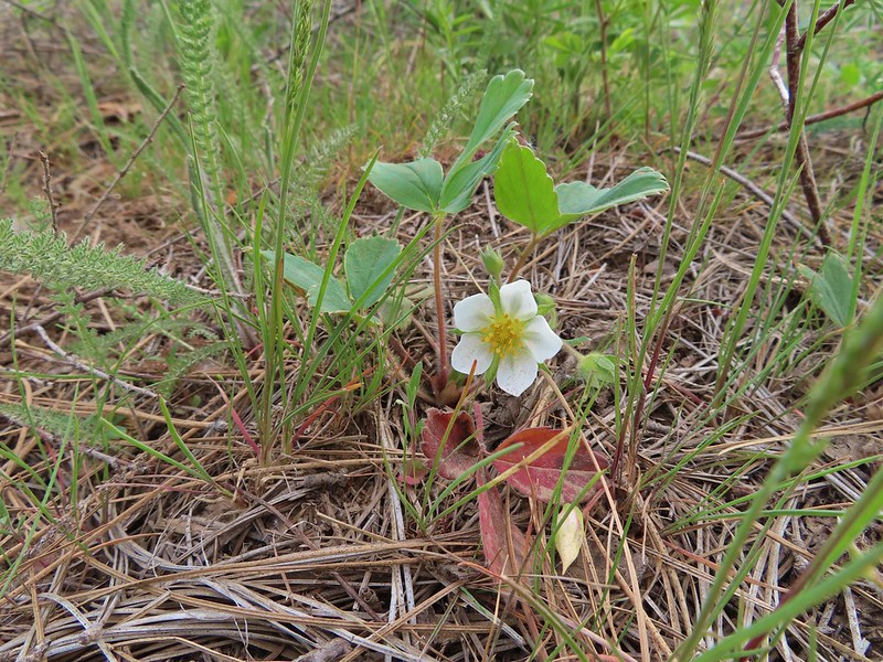 Strawberry
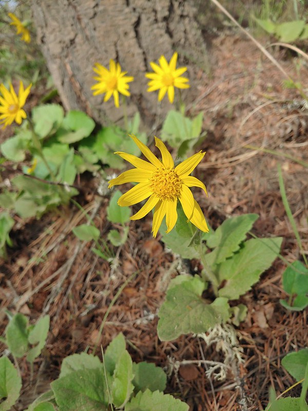 Arnica
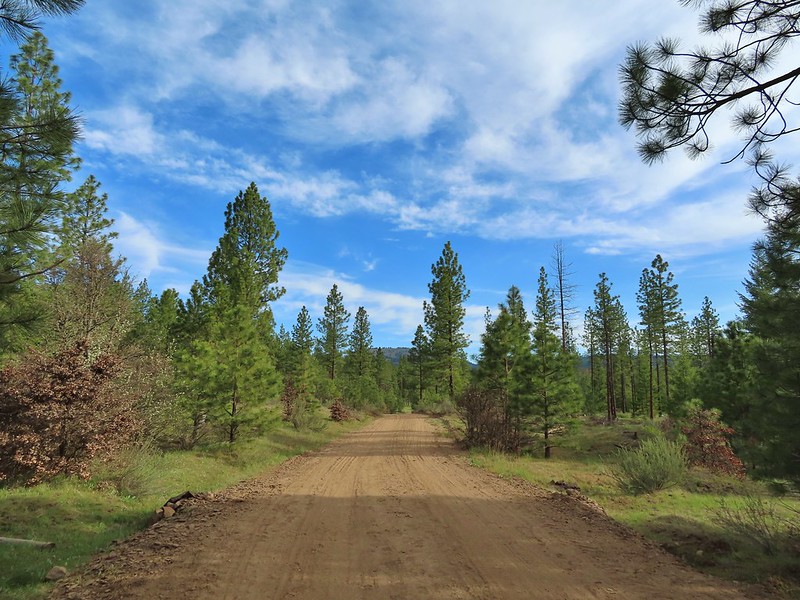 Grayback Mountain from Grayback Road. The first 2.5 miles of the hike only gained 400′ while the next 3.1 gained 1400′.
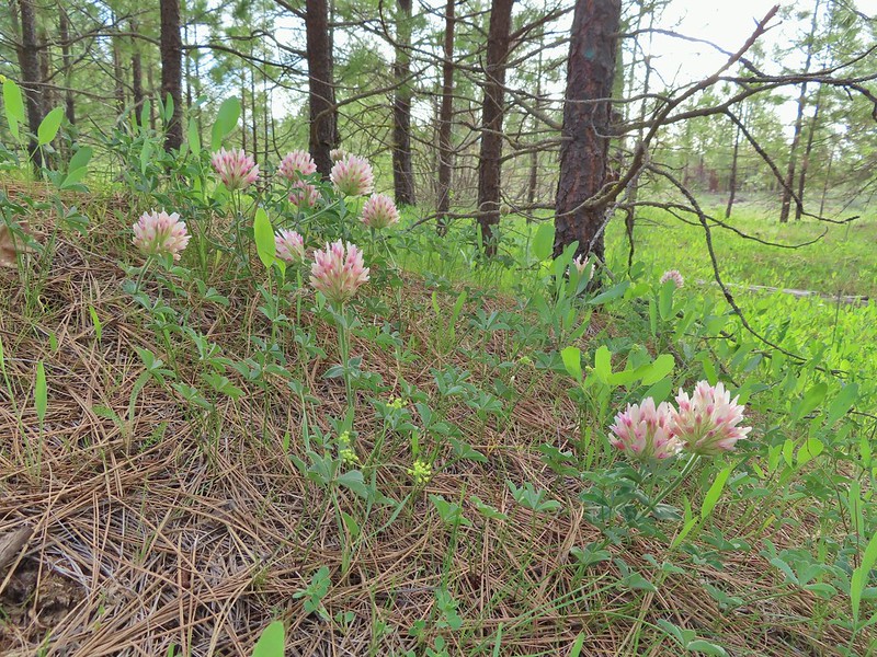 Large head clover
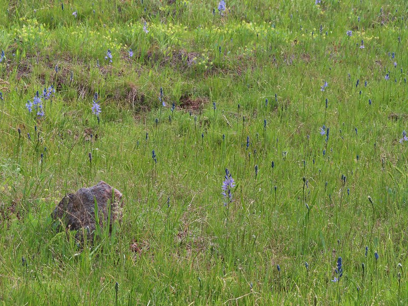 Camas, much of which had yet to bloom.
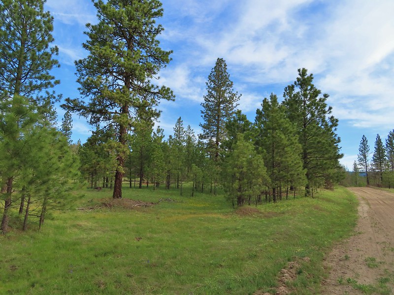 Ponderosa pines along the road.
 Western buttercups
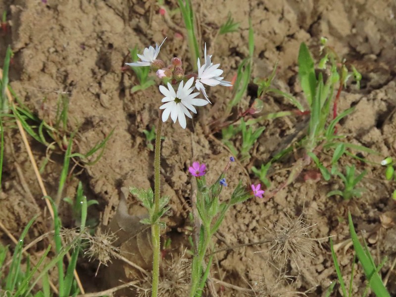 Woodland star and slender phlox
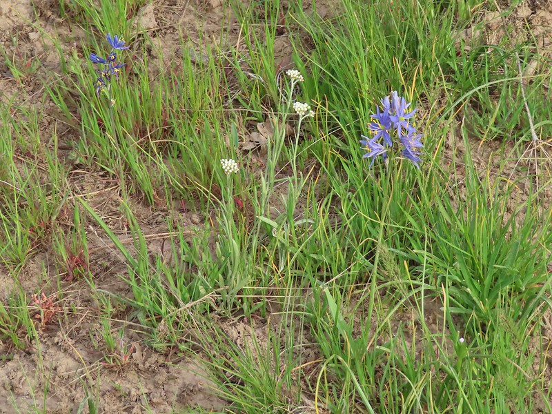 Pussytoes and camas
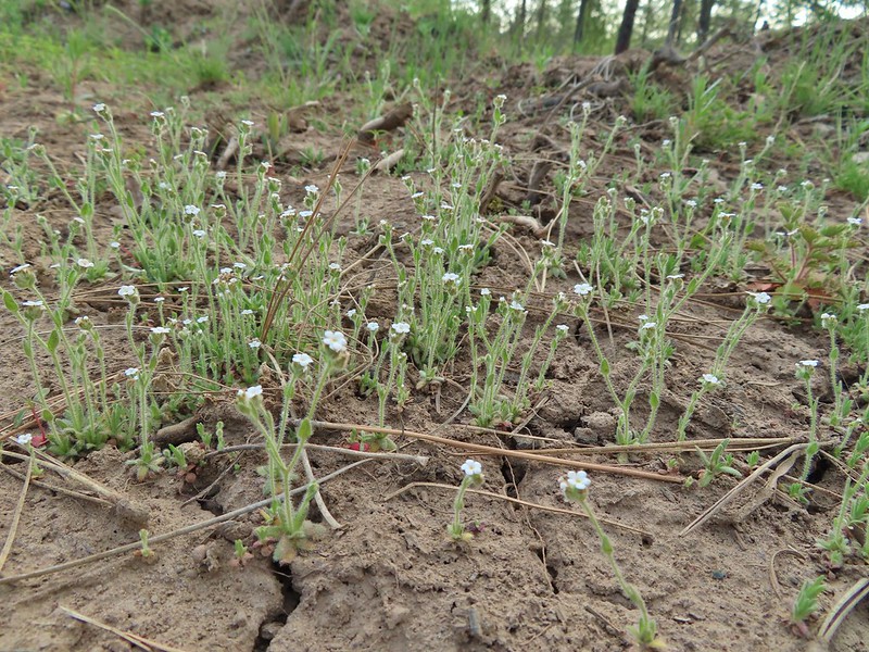 A cryptantha
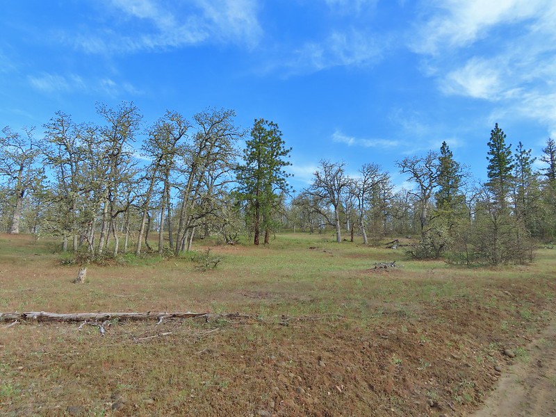 Oaks and ponderosas
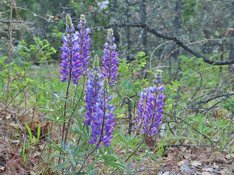 Lupine
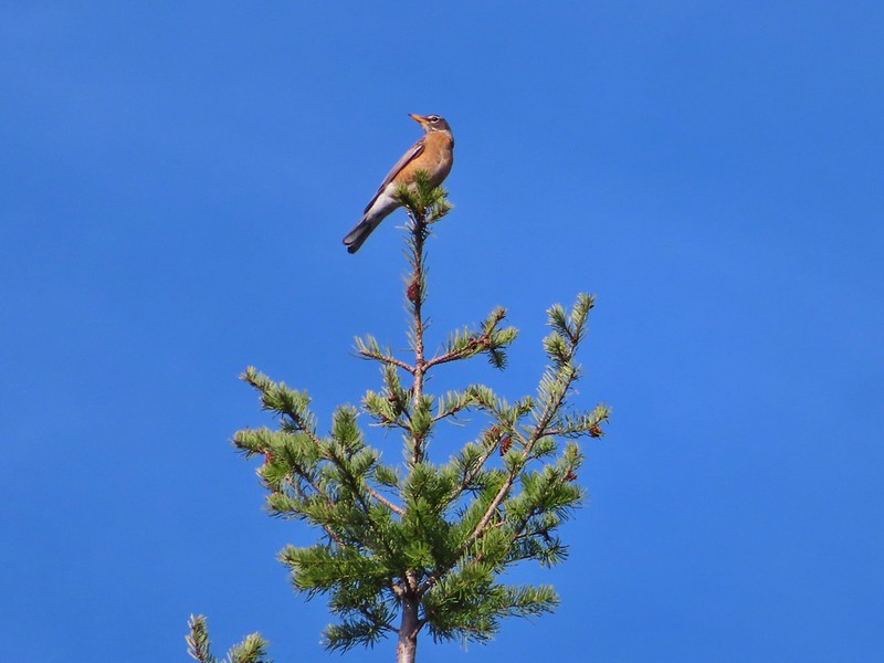 Robin
Robin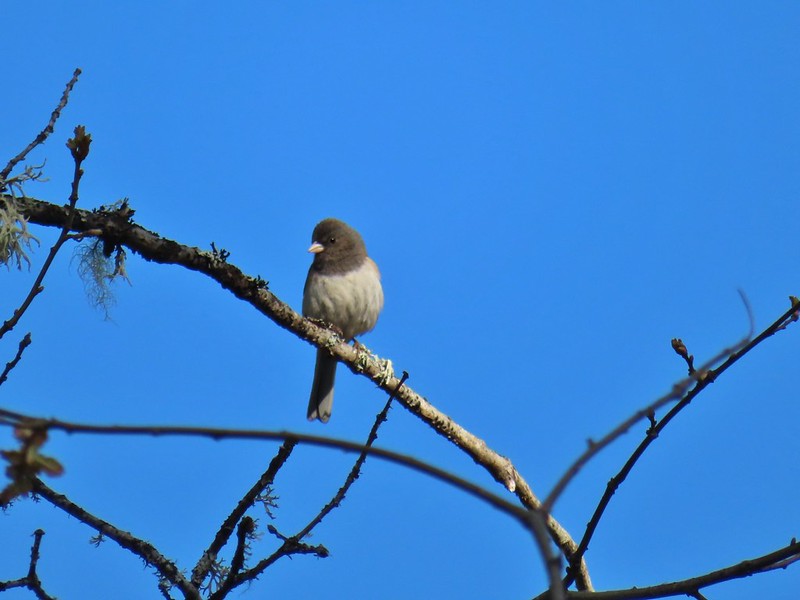 Dark eyed junco
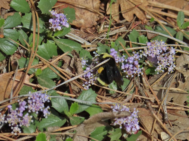 Bumble bee
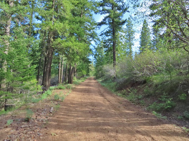 A more forested section of the road.
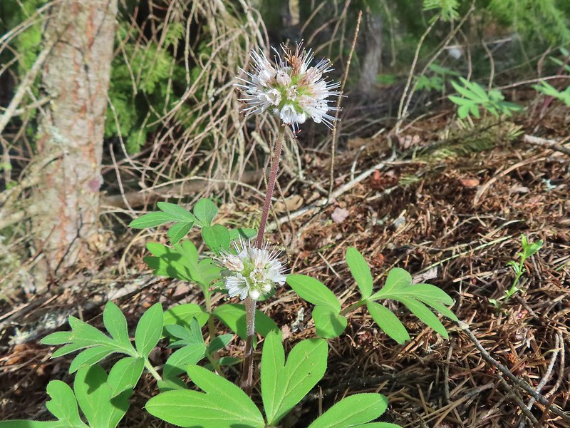 Ball-head waterleaf
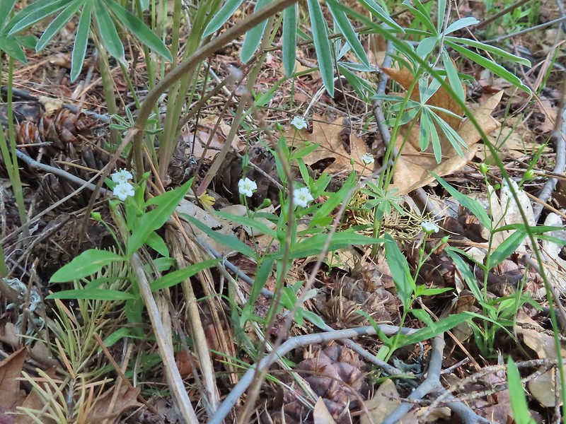 Largeleaf sandwort
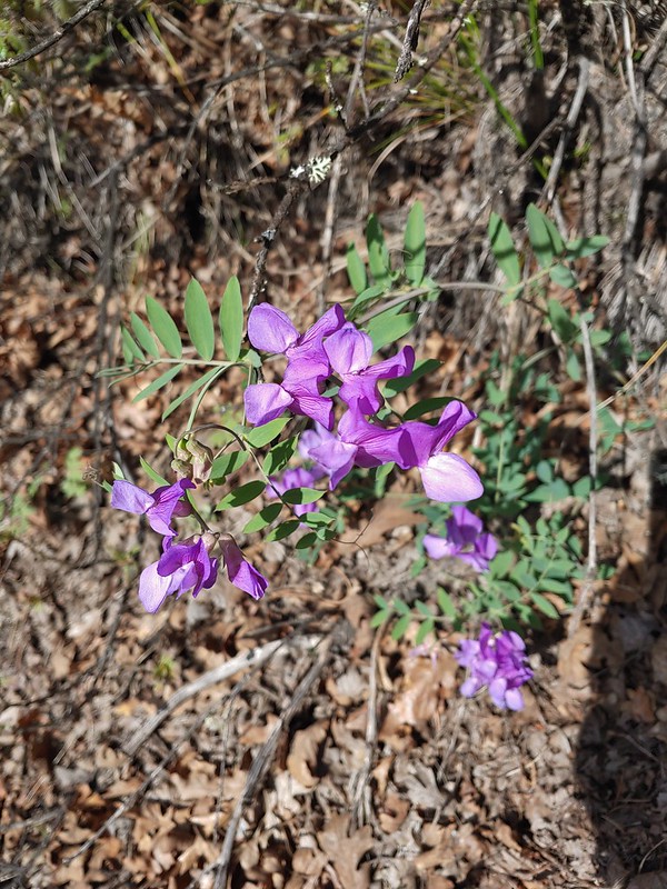 American vetch
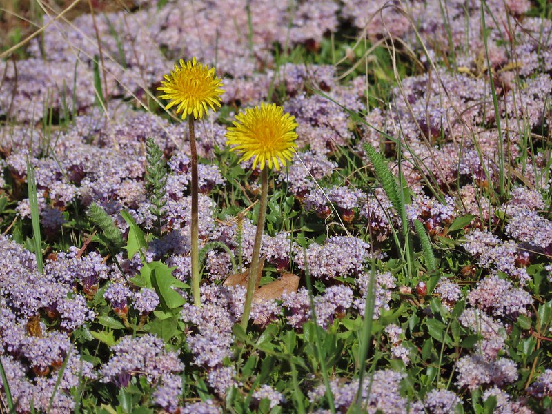 Dandelions in Mahala Mat
 Bitter cherry
 The real climb started at about the 4 mile mark at a junction below Grayback Mountain.
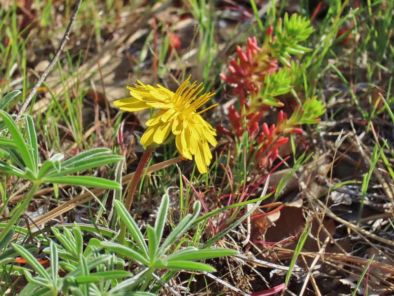 Sagebrush false dandelion
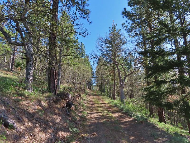 Climbing up Grayback Mountain
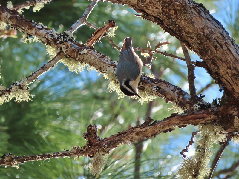 Red breasted nuthatch
 First view of Mt. Hood since the trailhead.
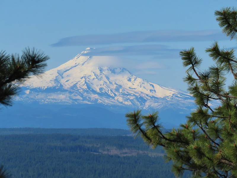 Mt. Hood
 Buckwheat
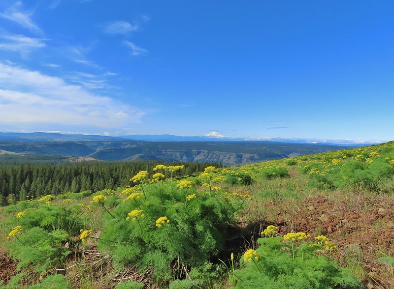 Mt. Hood beyond the Klickitat River Canyon
 Turkey vulture
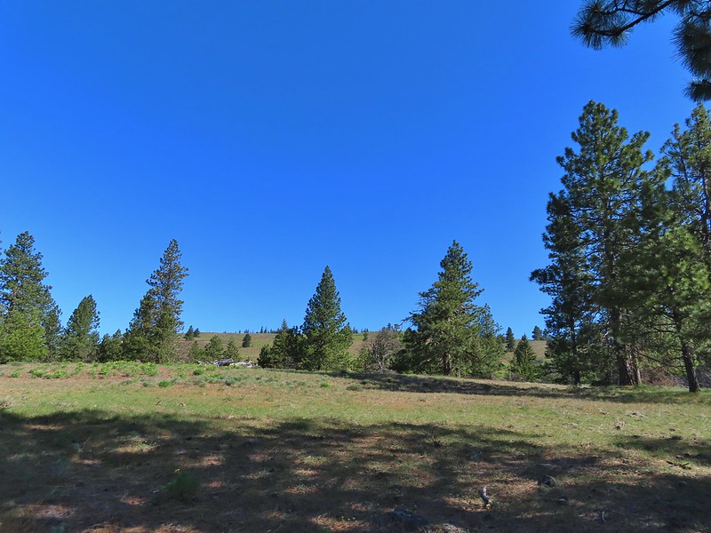 Entering the meadows on Grayback Mountain.
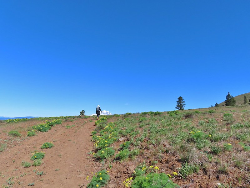 Approaching the first view of Mt. Adams.
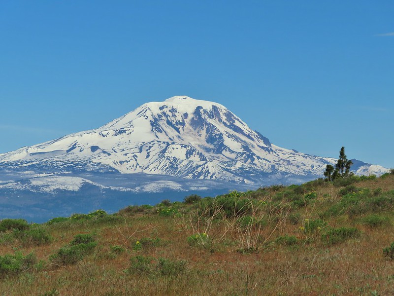 Mt. Adams
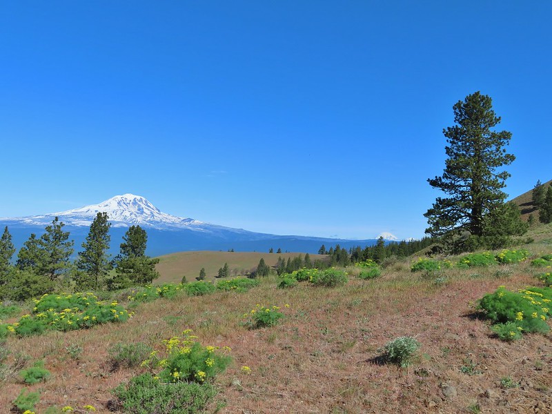 Mt. Adams, Mt. Rainier and Goat Rocks
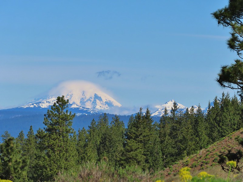 Mt. Rainier and Goat Rocks
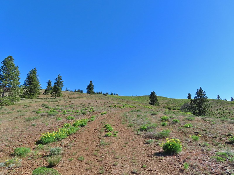 In the meadows.
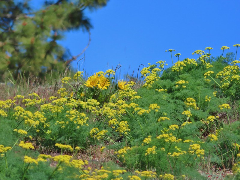 A balsamroot surrounded by parsley.
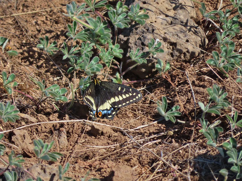 Indra swallowtail
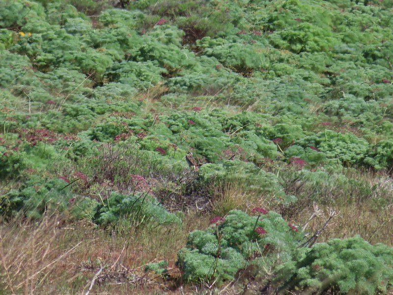 Western meadowlark in a patch of Columbia desert parsley.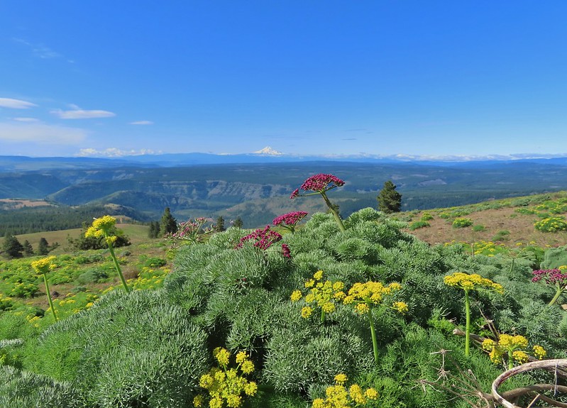
 Radio equipment atop Grayback Mountain with Mt. Adams beyond.
 Mt. Hood (we could just barely make out the top of Mt. Jefferson too.) from the summit.
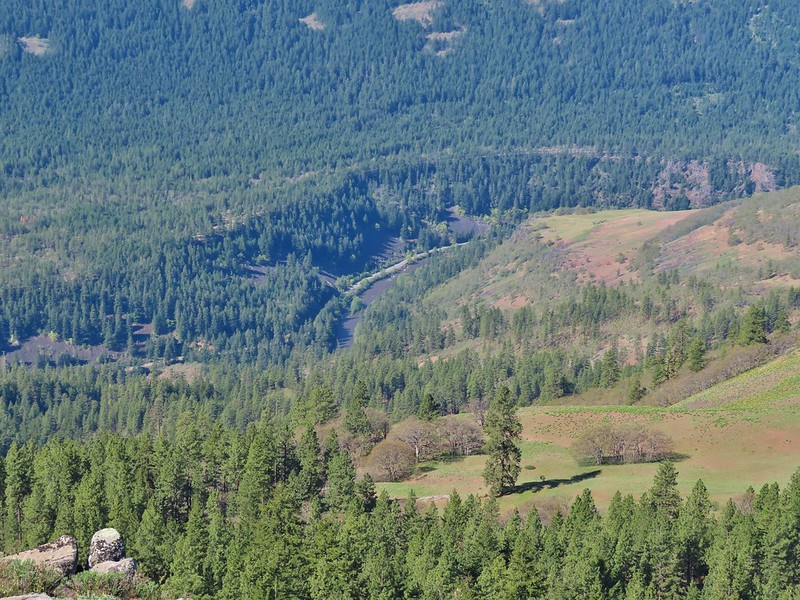 The Klickitat River
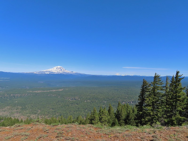 Mt. Adams, Mt. Rainier and Goat Rocks
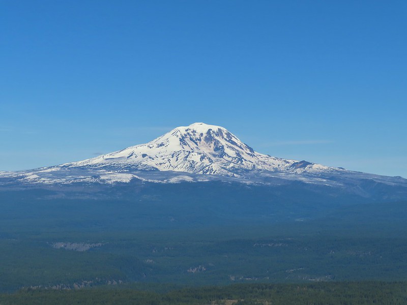 Mt. Adams
 Mt. Rainier and Goat Rocks (the Klickitat River originates from Goat Rocks.)
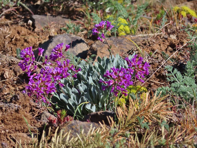 Daggerpod
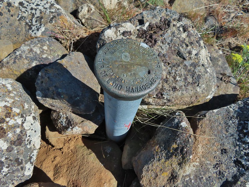 Obligatory survey marker photo.
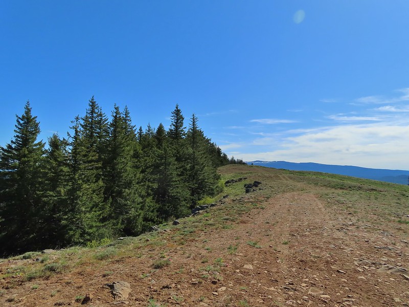 Looking east across the summit to the long ridge of Indian Rock. The boundary of the Yakima Indian Reservation is just on the north side of the summit.
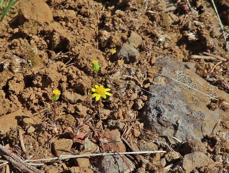 A few gold stars still had petals.
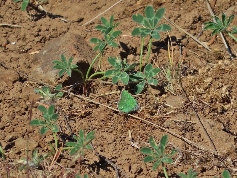 A hairstreak but I’m not sure which type.
 At least 4 ants on a large head clover.
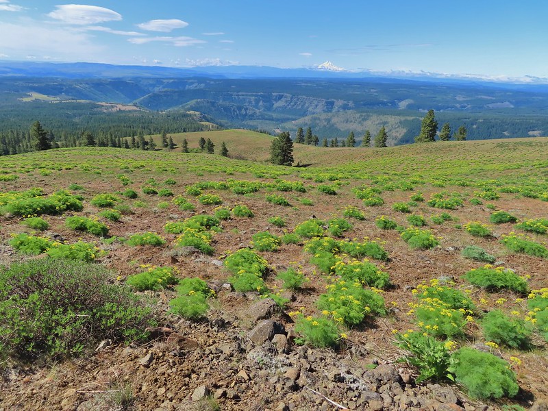 Looking back south down Grayback Mountain.
 There was a lot of white-stemmed frasera in the area but this was the closest one to blooming (and it’s a ways off).
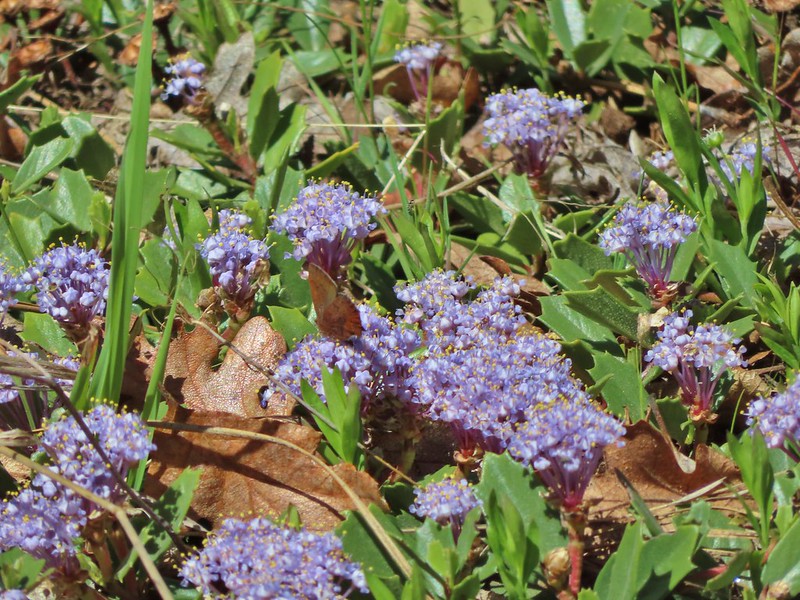 Maybe a brown elfin. I couldn’t get a clear picture of this one.
 Erynnis propertius – Propertius Duskywing (aka Western Oak Dustywing). There were lots of these duskywings flying about, it turns out that oaks are their host plants.
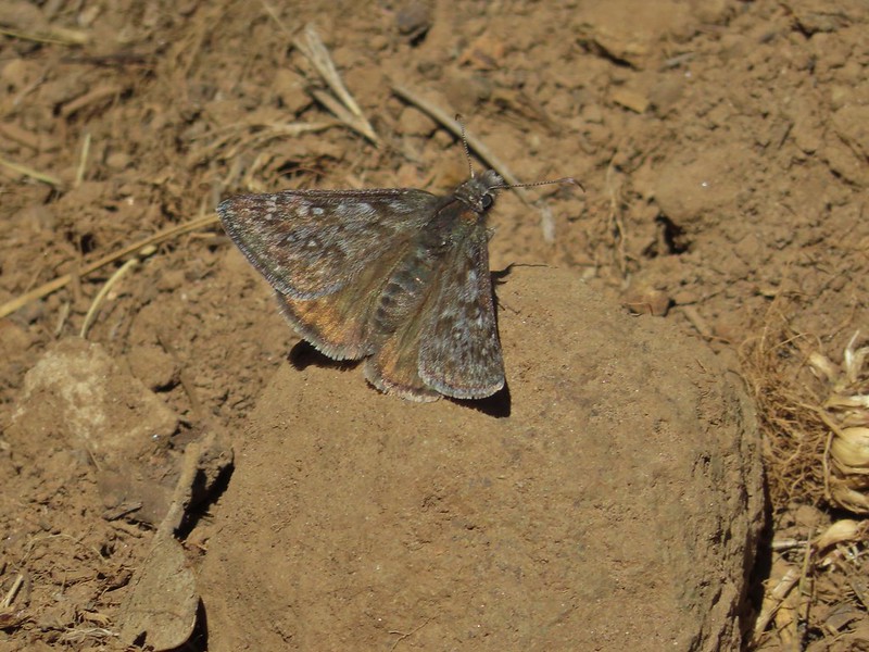 Another Erynnis propertius
 Juba skippers caught in the act.
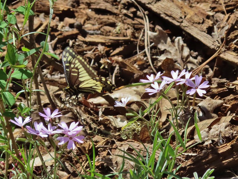 Anise swallowtail coming in for a landing on showy phlox.
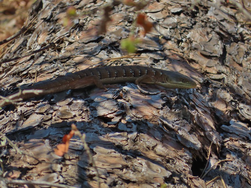 Alligator lizard on a log.
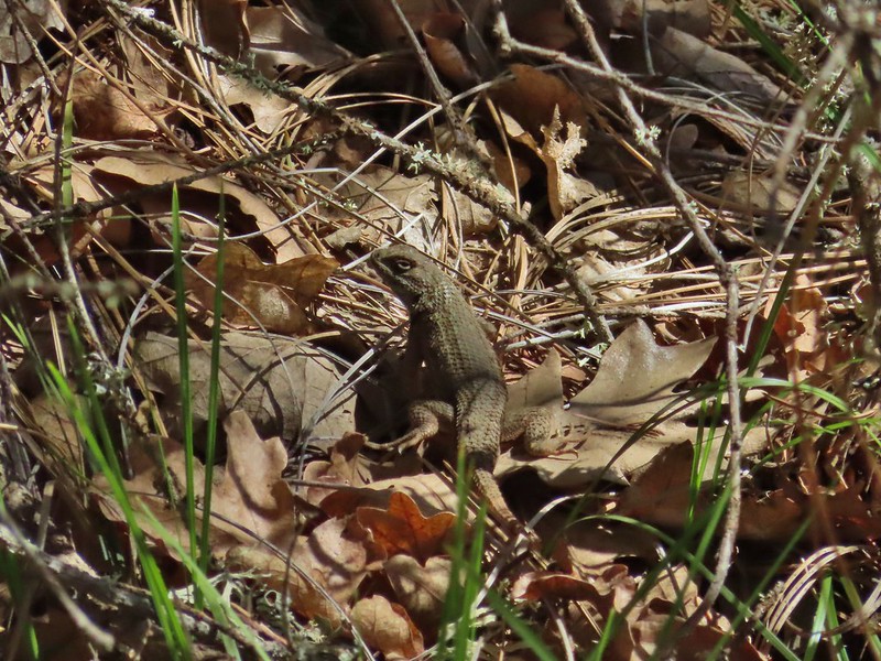 Western fence lizard
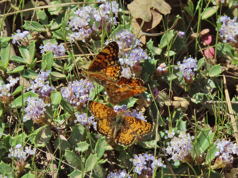 I believe these to be Mylitta crescents.
 Mt. Hood from the trailhead.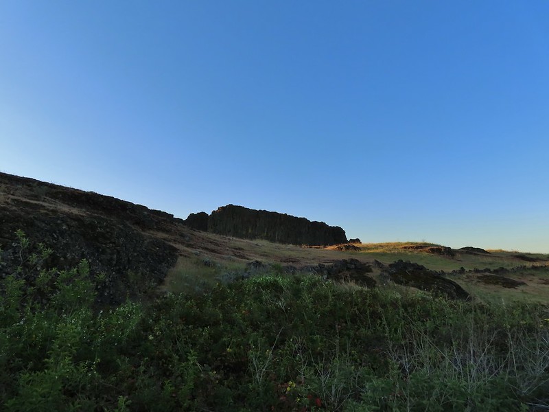
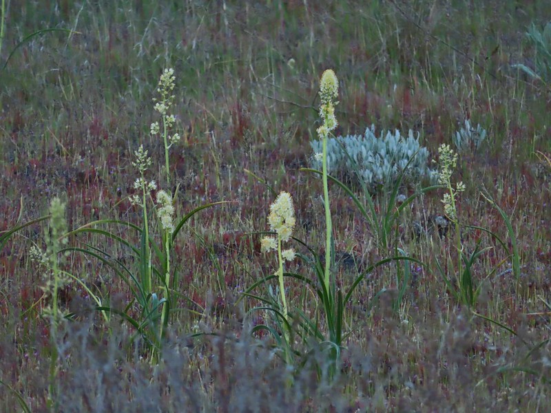 Death camas
 Western stoneseed
 Fiddleneck
 Large-flower tritelia
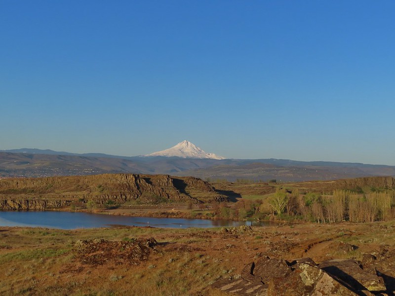 Mt. Hood beyond Horsethief Lake
 Standing at the fence looking east.
 Wren
Wren Horsethief Butte
 Lupine
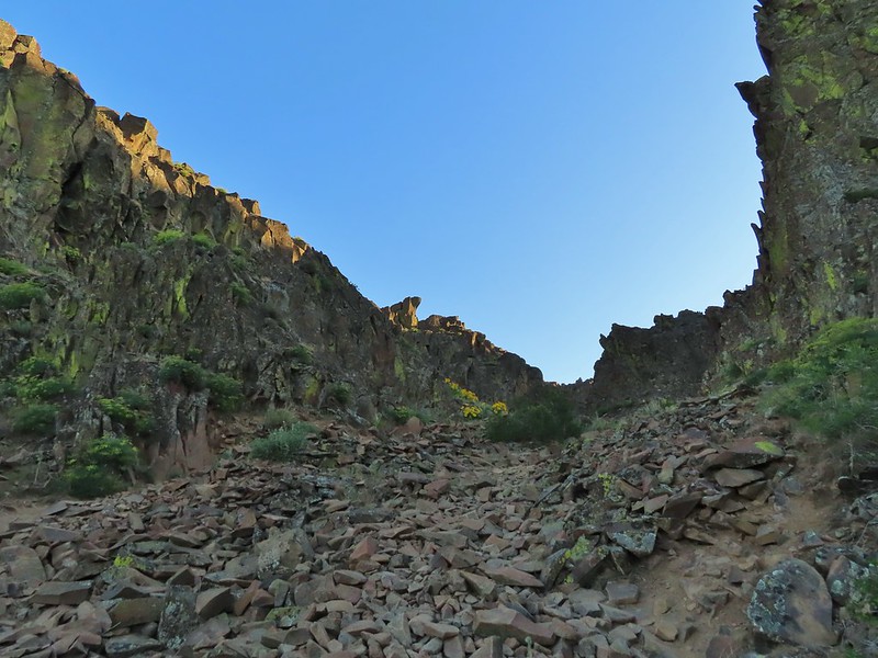


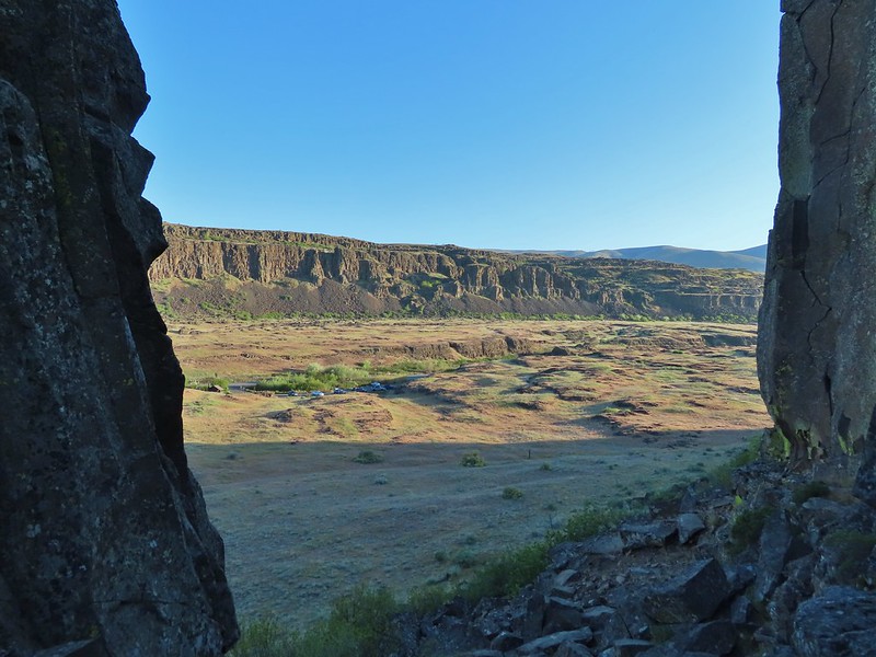

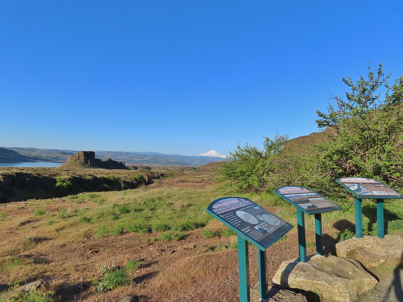 Horsethief Butte and Mt. Hood from the viewpoint.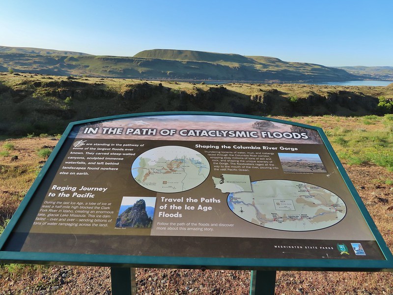

 Purple cushion fleabane
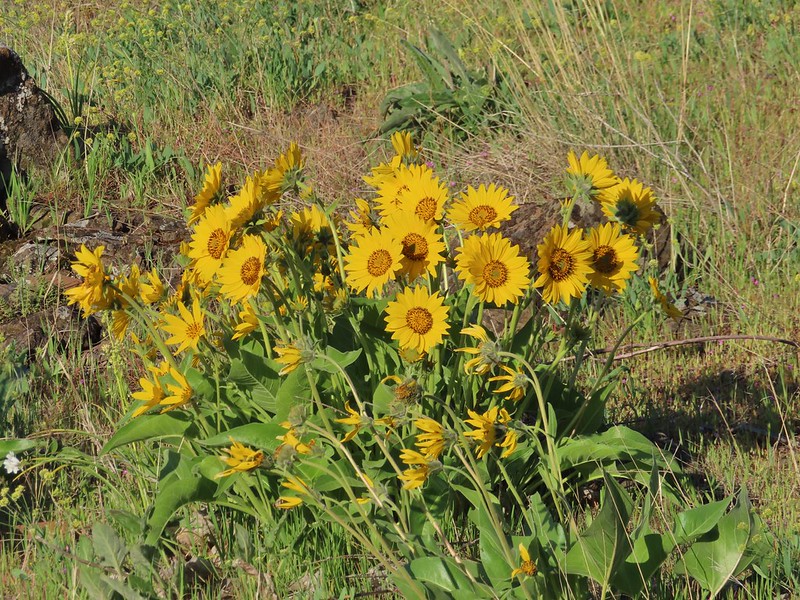 Balsamroot
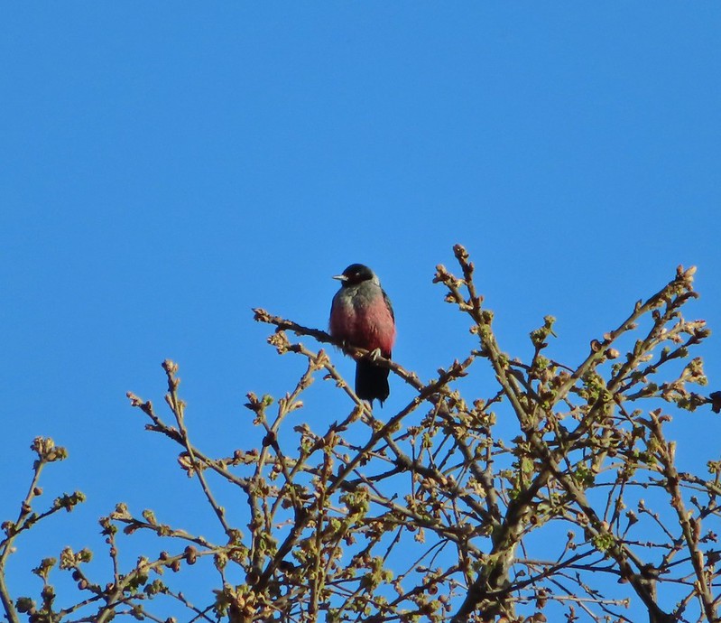

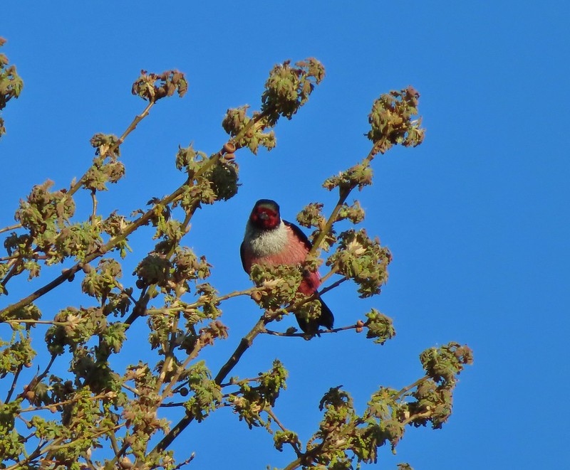
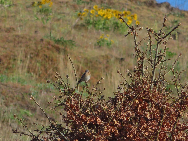 Western bluebird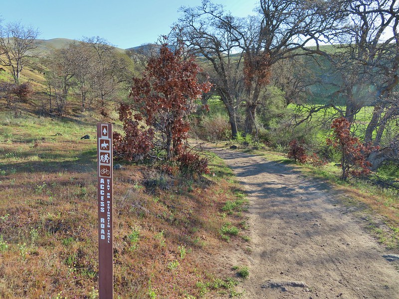
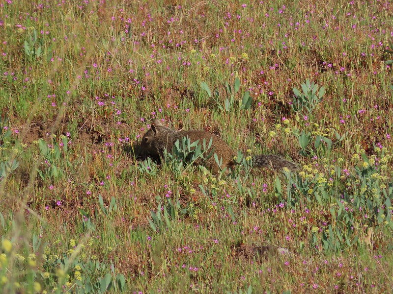 Ground squirrel


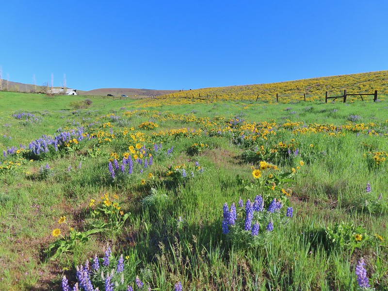
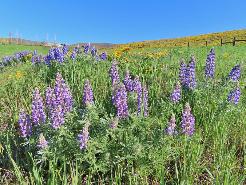
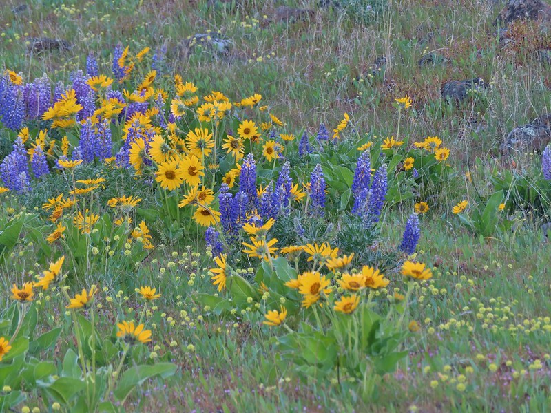 Lupine, balsamroot and parsley
 The Crawford Ranch Complex ahead to the left.
 Phlox
Phlox
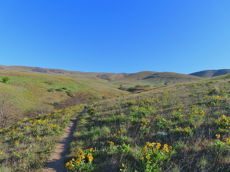


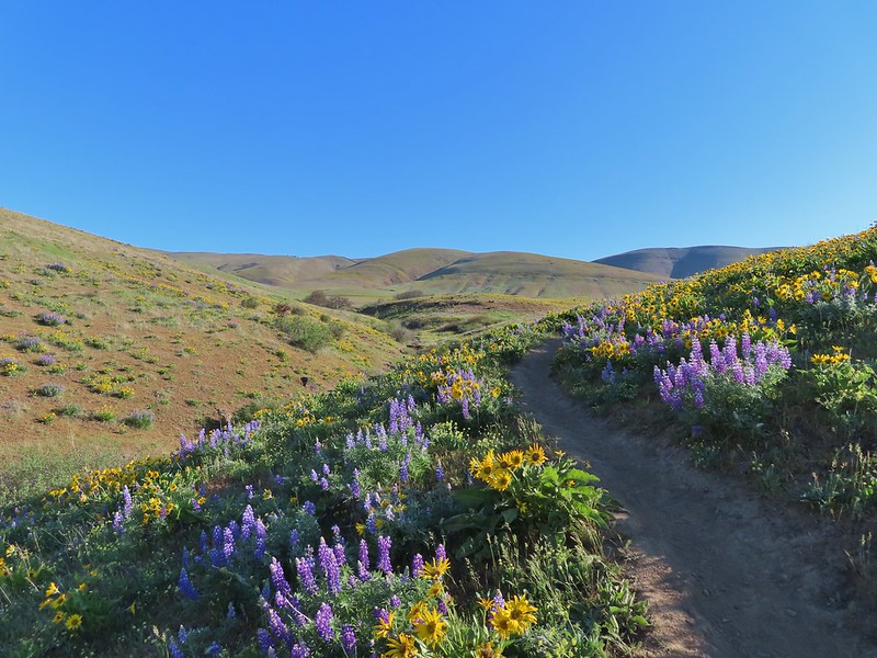


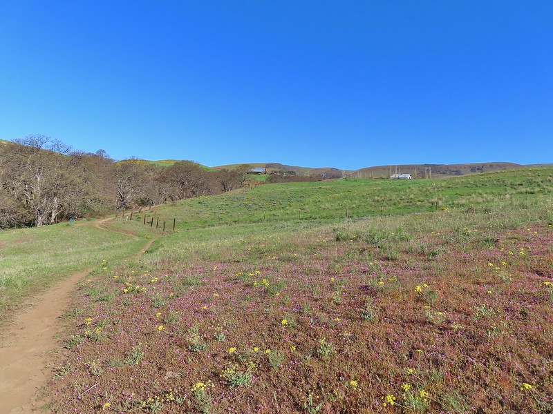 Approaching the fence line.
 Yellow-rumped warbler
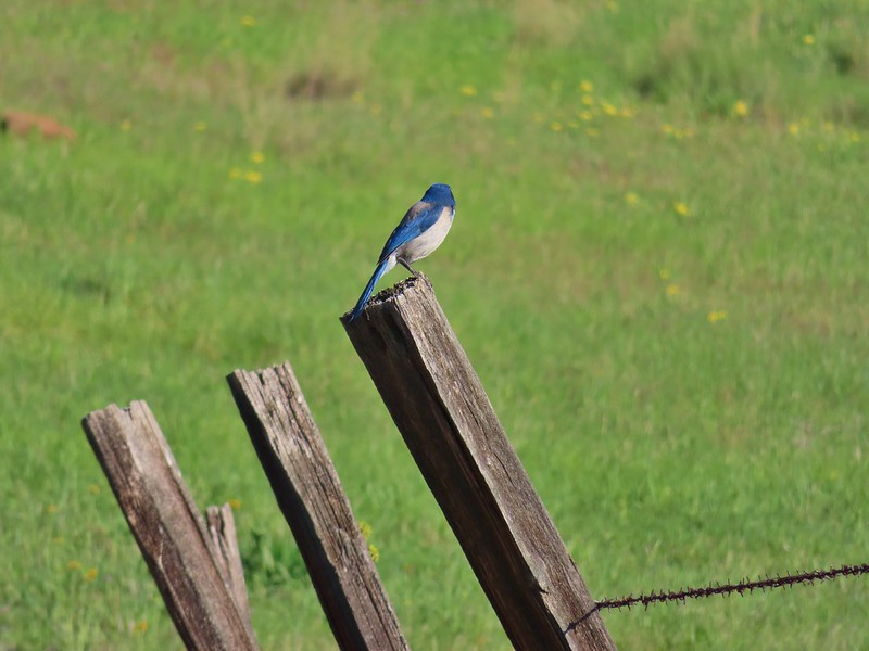 Back of a scrub jay


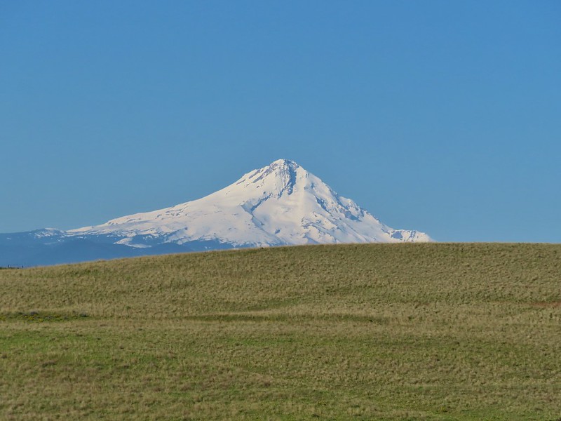 Mt. Hood
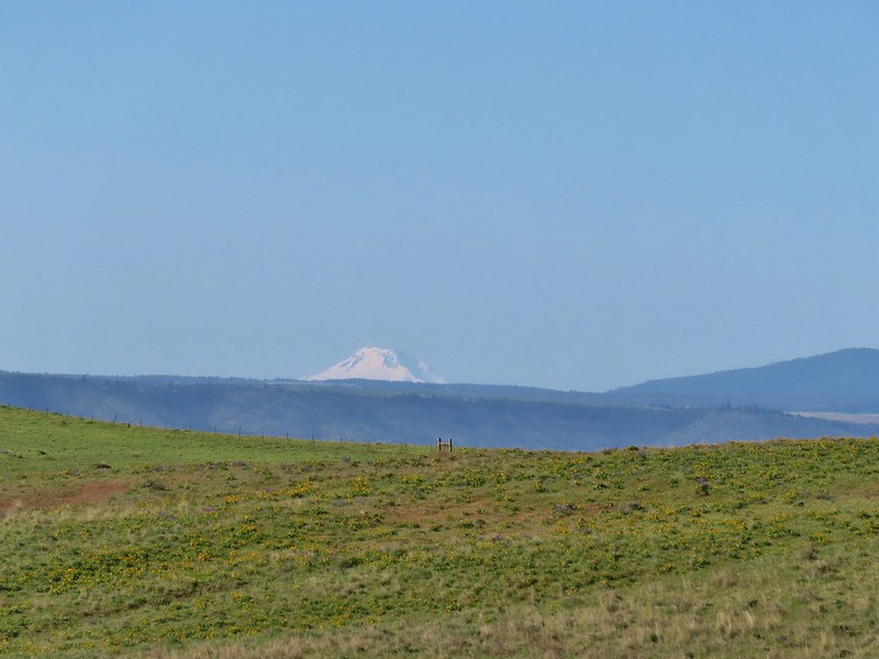 Mt. Jefferson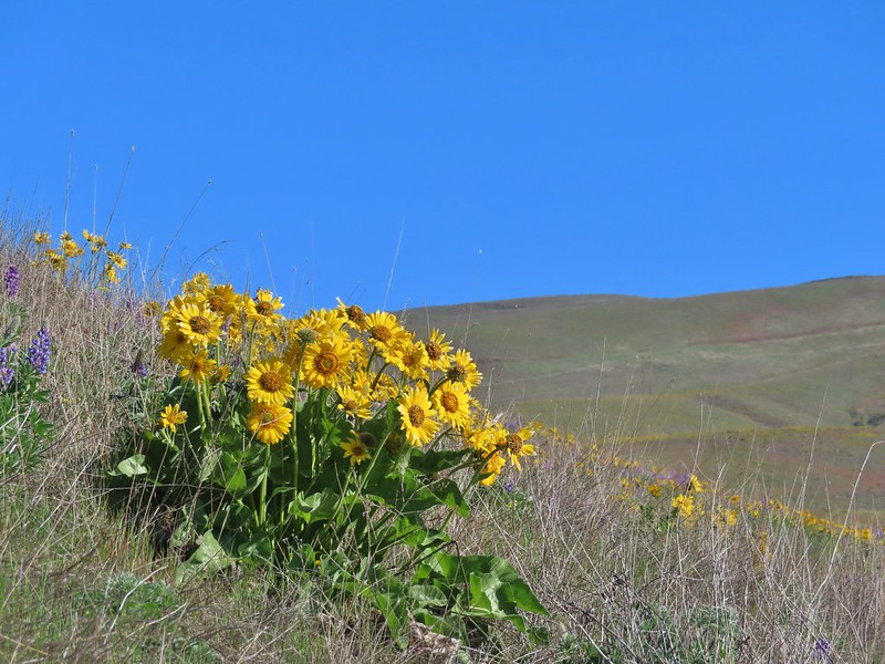

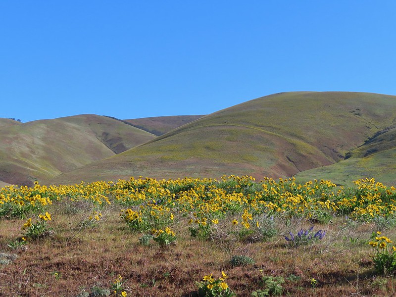


 Yakima milk-vetch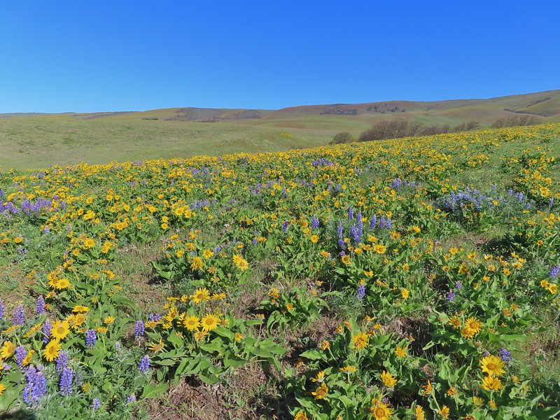


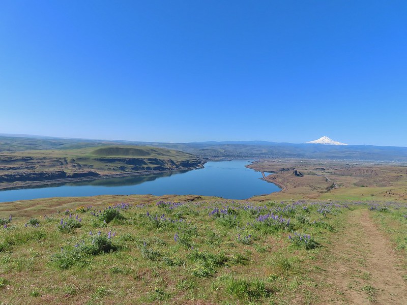 The Columbia River, Horsethief Butte, and Mt. Hood
 Death camas
 Large head clover
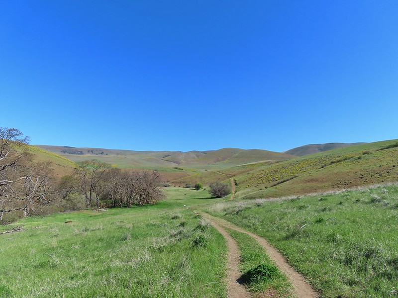 Approaching the junction.
 Hawk watching all the hikers.
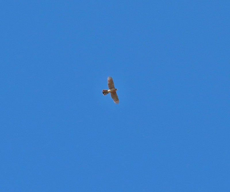 A different hawk? watching the goings on.
 Western fence lizard watching everything.
 Poppy, manroot, and red-stemmed storksbill
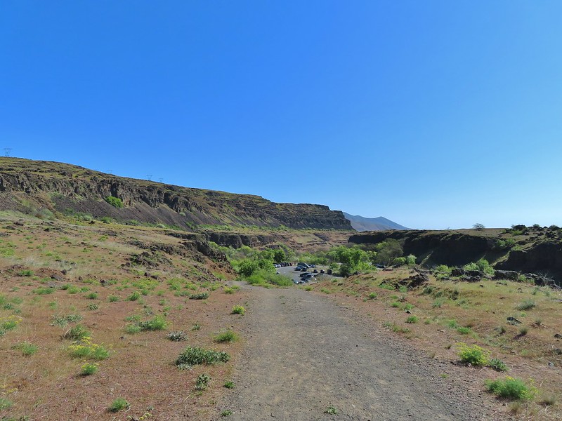 The crowded trailhead

 While both were part of the Crawford Ranch, Stacker Butte is not part of the Columbia Hills State Park but is part of the Columbia Hills Natural Area Preserve.
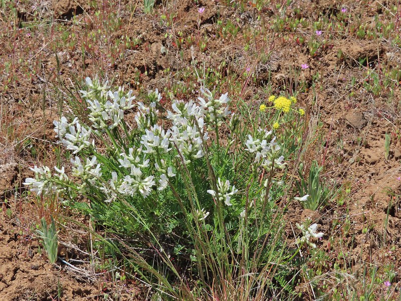 Yakima milk-vetch
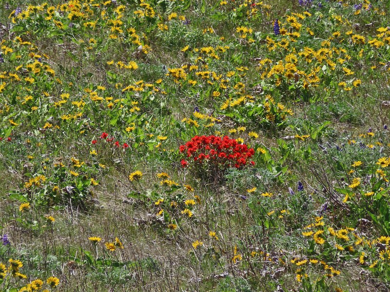 Paintbrush amid the balsamroot.
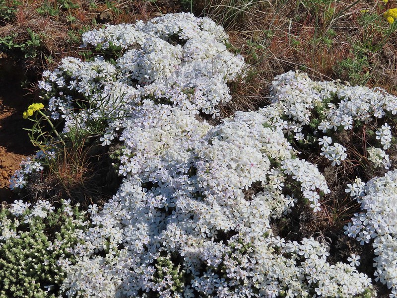 Phlox
Phlox
 Big-seed biscuitroot
 Sicklepod rockcress
 Sagebrush false dandelions
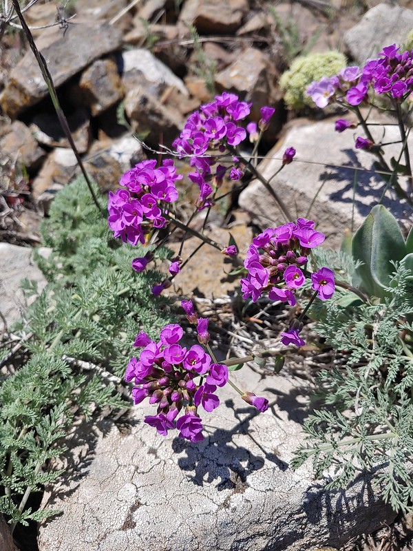 Daggerpod
 Daggerpod
 Slender toothwort?
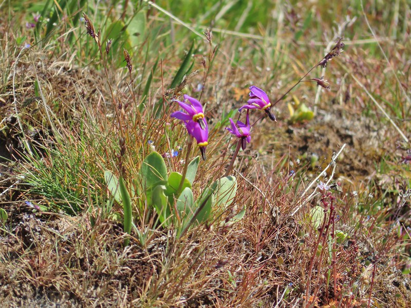 Shooting stars in front of a little blue-eyed Mary
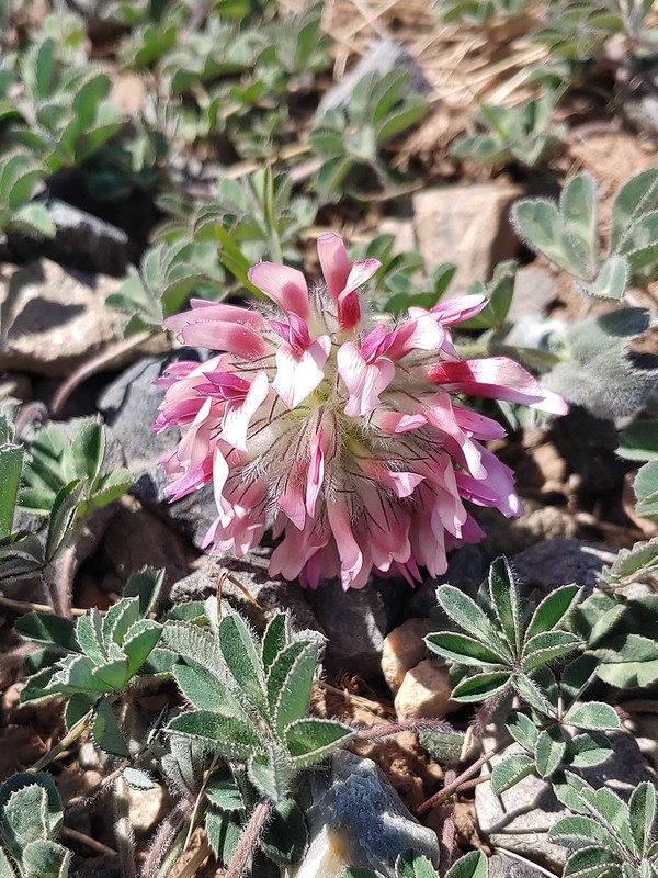 Large head clover
 Popcorn flower
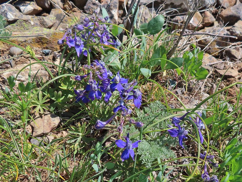 Larkspur
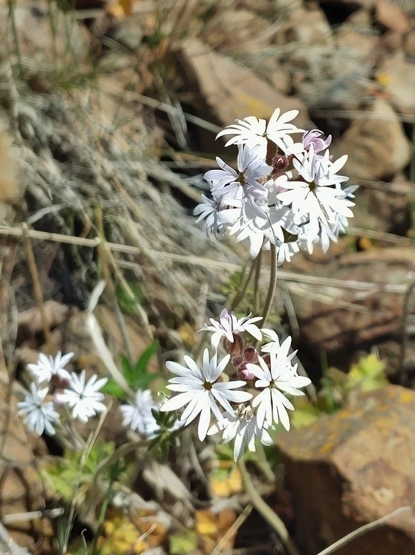 Woodland stars
 Mt. Adams
 Mt. Rainier
 Goat Rocks
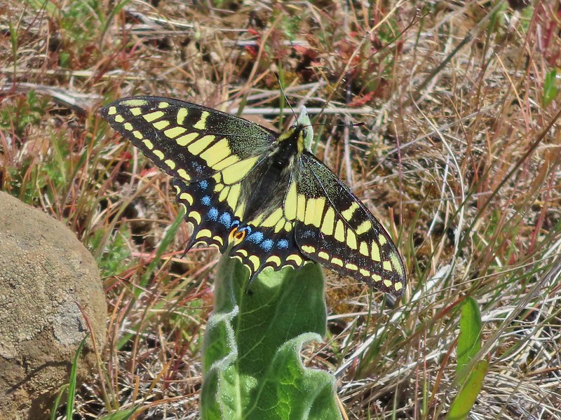 Swallowtail
 Western fence lizards
 White crowned sparrow
 Another sparrow
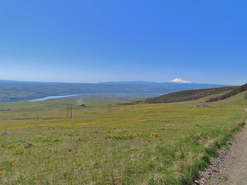 Mt. Jefferson and Mt. Hood as we neared the trailhead.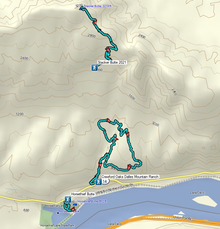
 Mt. Jefferson from the trailhead.
 A few lupine and buttercups
 Camas
Camas Castilleja levisecta – Golden Paintbrush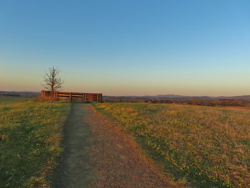
 A few little flowers starting to open up.
 View from the deck.
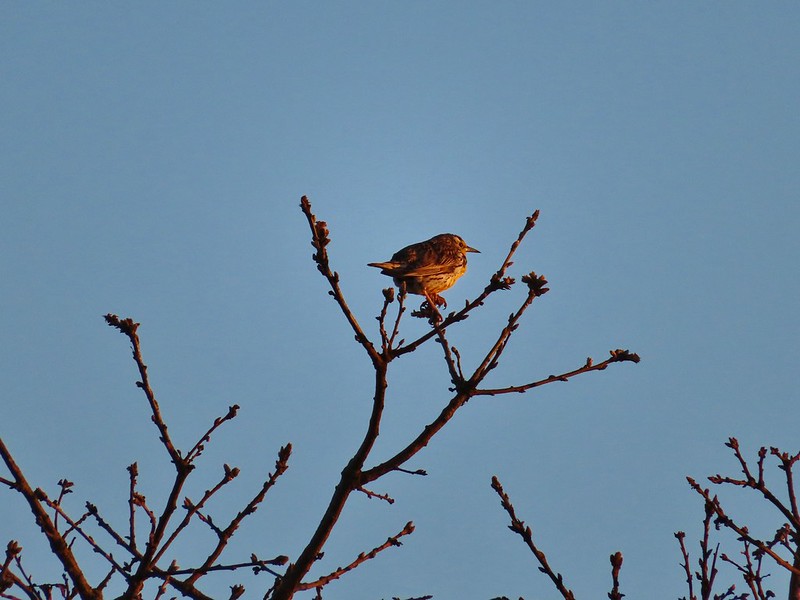 Western meadowlark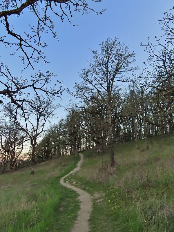


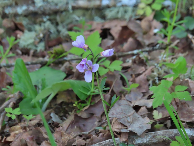


 Camas pretending to be part of a lupine plant.
 White crowned sparrow
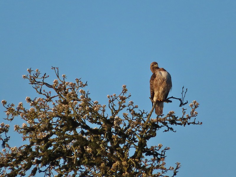 Hawk
Hawk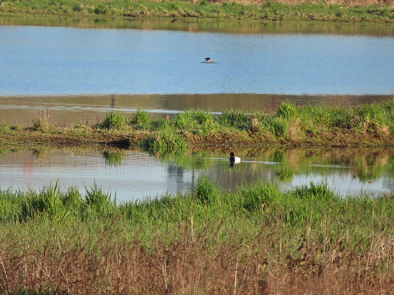 Lesser scaup
 American wigeons
 Pied billed grebe
 Yellowlegs

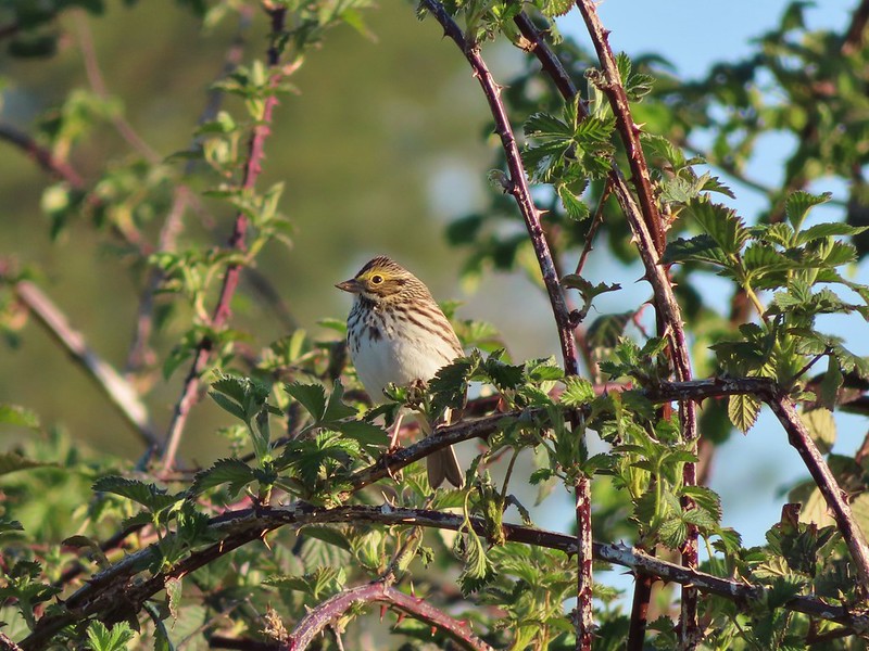 Savannah sparrow
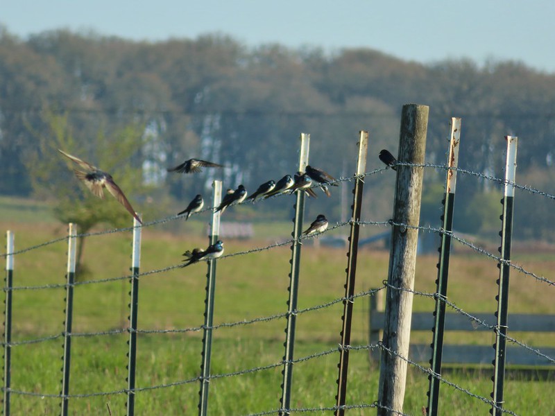 Swallows
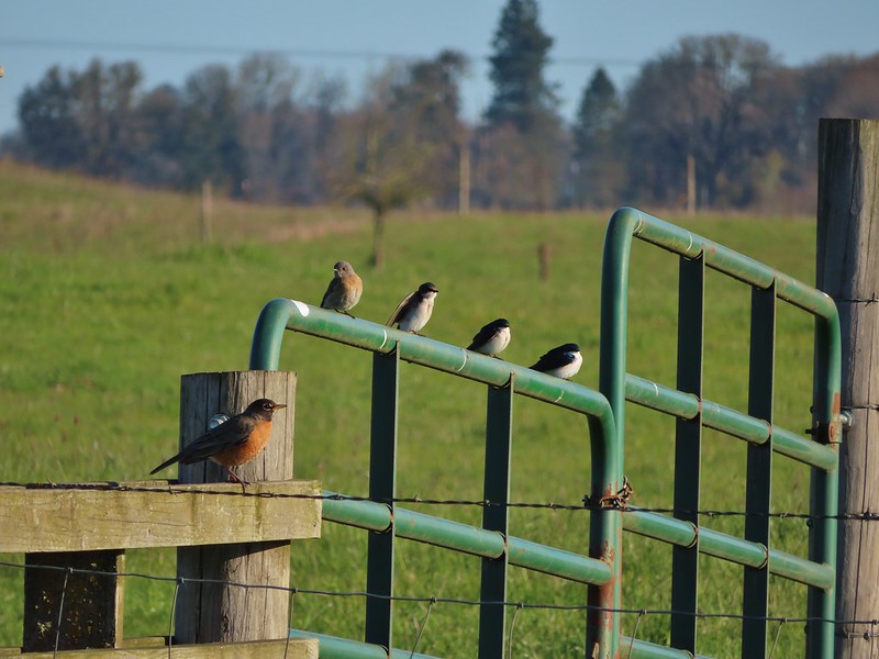 A robin, a western bluebird and swallows
 A green winged teal and a cinnamon teal in a small marsh.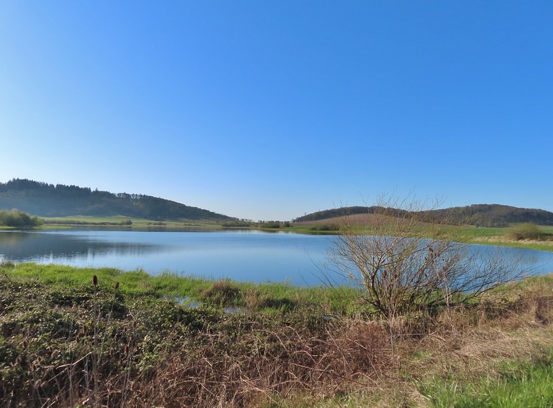
 This scrub jay wasn’t shy.
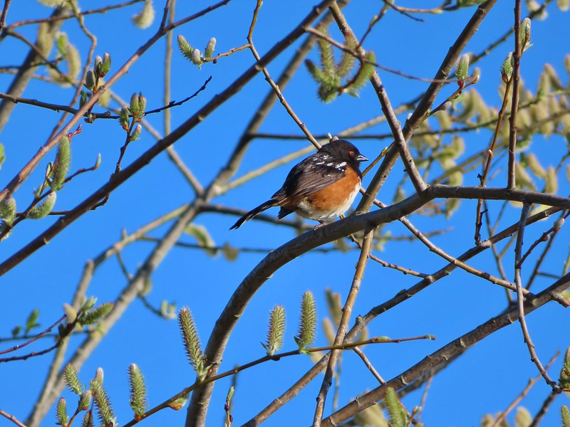 Neither was this serious looking spotted towhee
 Norther shovelers heading to the opposite side of the lake.
 A bufflehead and some lesser scaups
 Canada goose flyover
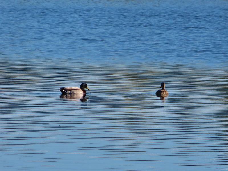 Mallard pair
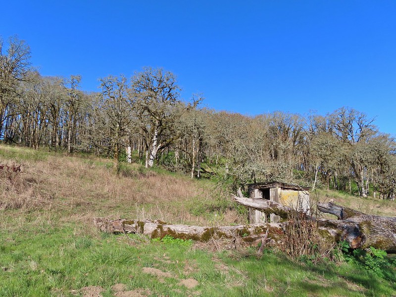 Old out building below Baskett Butte.
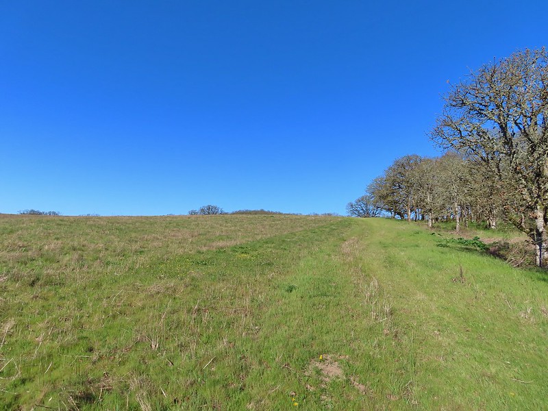 Not only was this uphill but we didn’t know for sure where it might lead.
 Along the field we went.

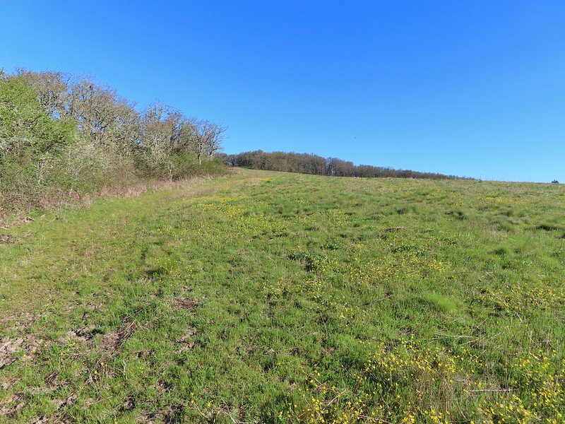 Looking uphill along the row of brush.
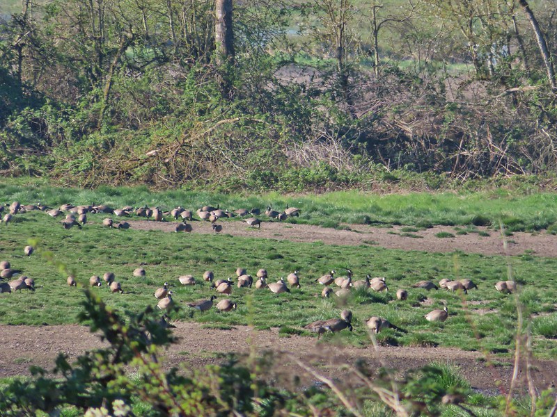 An extremely small portion of the geese.
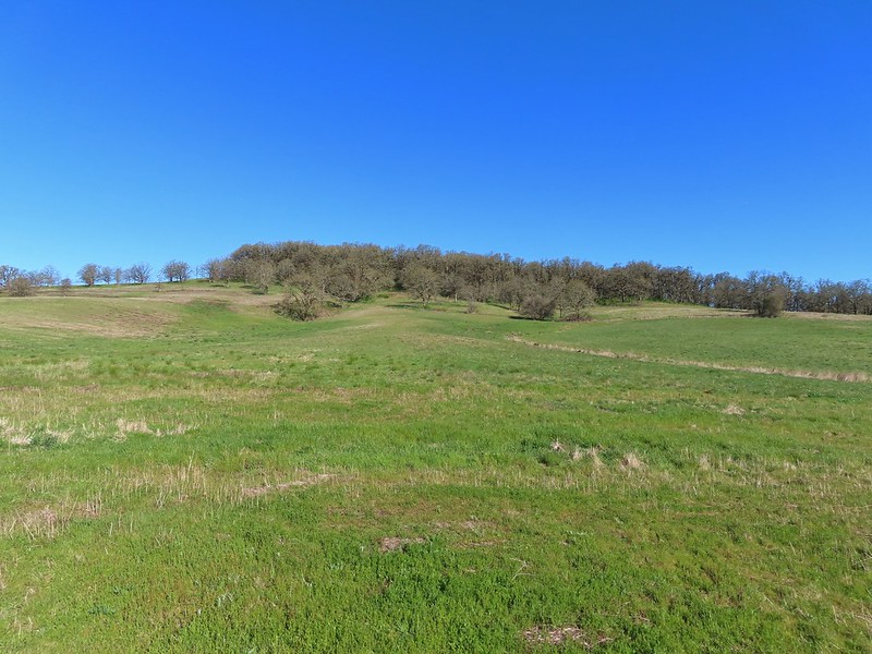 Baskett Butte from the field.


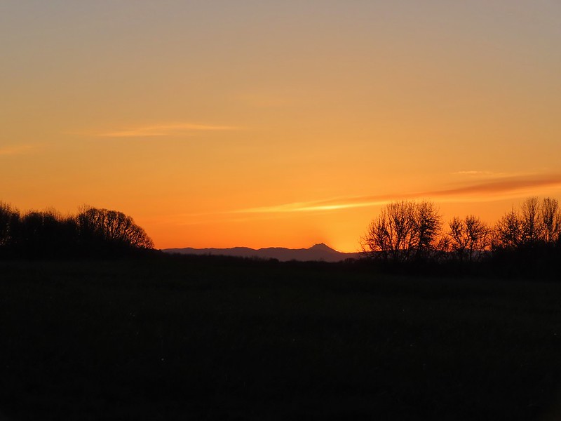
 Mt. Hood from the refuge road
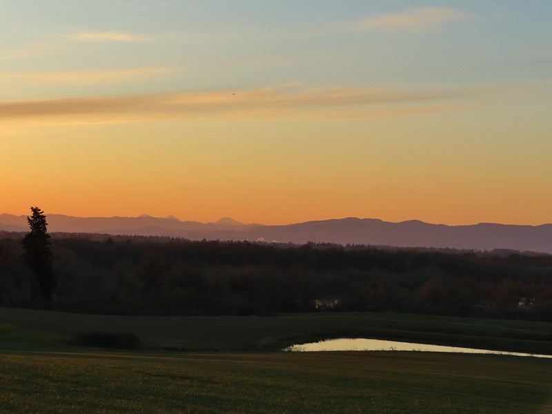 The Three Sisters from the road
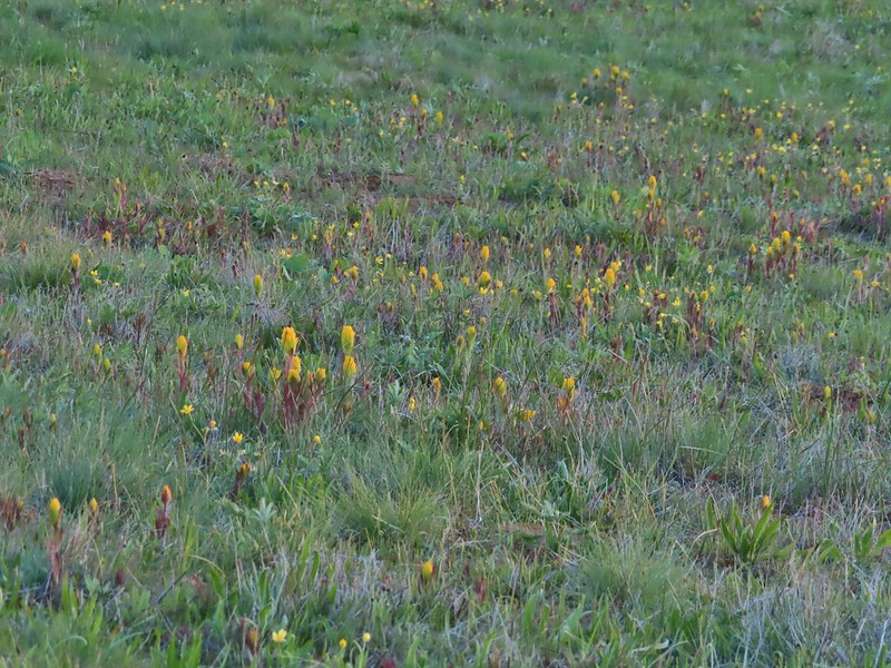 Yellow paintbrush
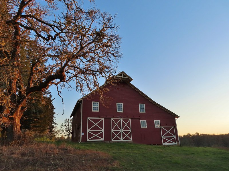 Cabell Barn
 Rabbit at the lodge
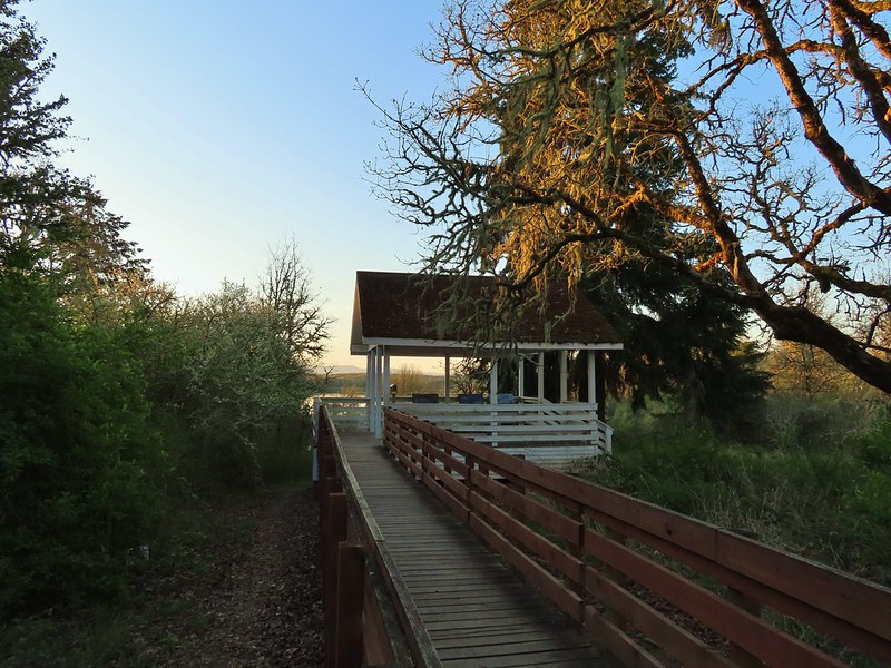 Cabell Marsh Overlook
 White crowned sparrows
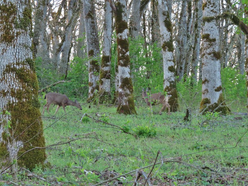
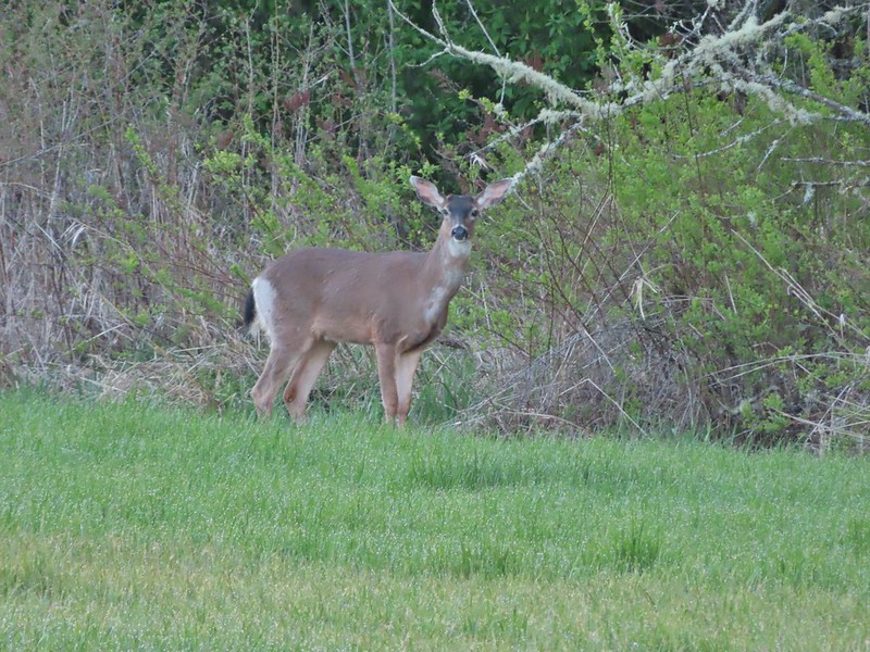 Deer in a field near Cabell Marsh
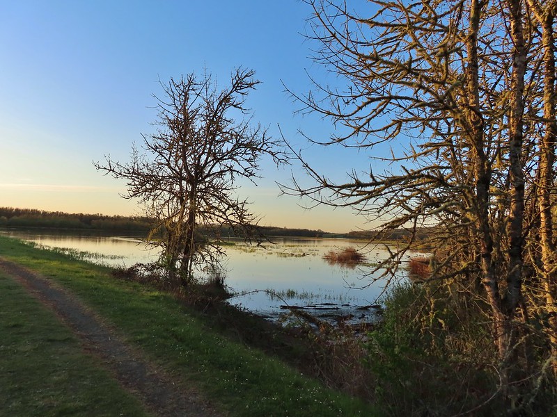 Cabell Marsh (the marsh had been drained when we visited in 2020)
 Norther shovelers
 American coots
 Ring-necked ducks
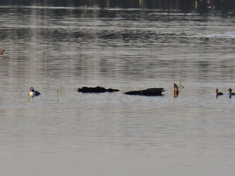 Buffleheads
 Black pheobe
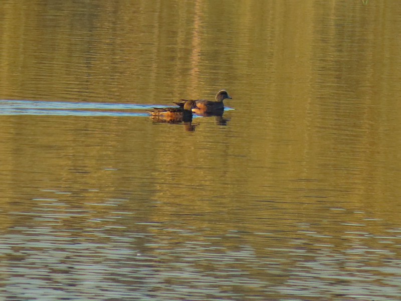 American wigeons
 Cabell Marsh
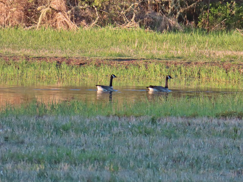 Canada geese
 Wood duck, ring-necked ducks and a pied billed grebe
 More northern shovelers
 Ring-necked ducks
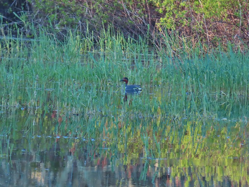 Green winged teal
 Robin
Robin
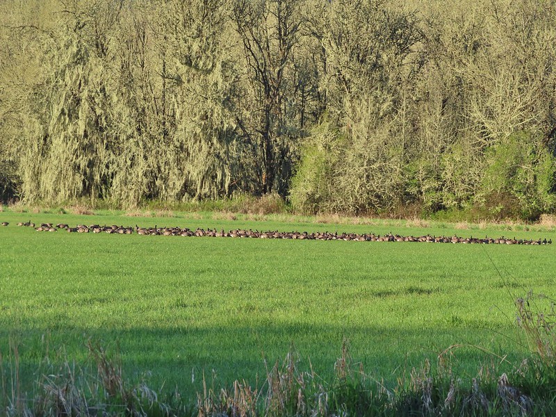

 Killdeer
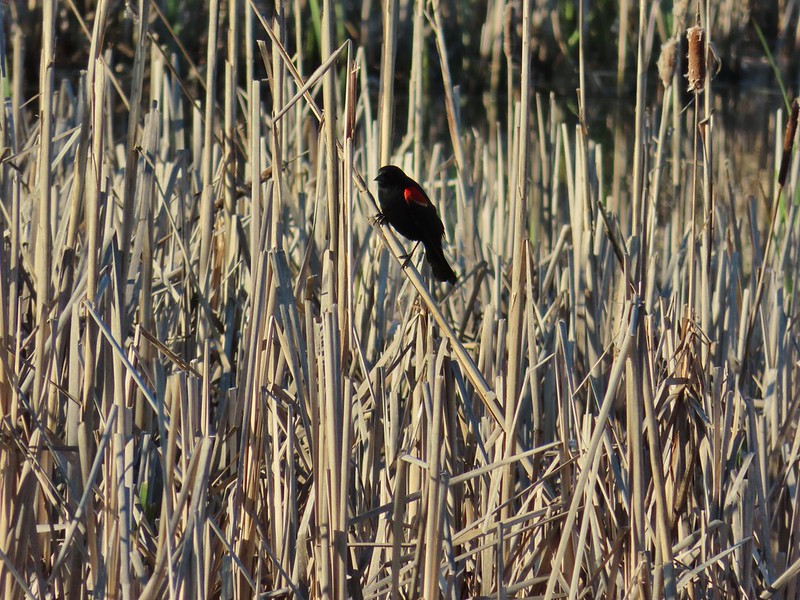 Red-winged blackbird
 Junction with the Pigeon Butte Trail (grassy track heading uphill)
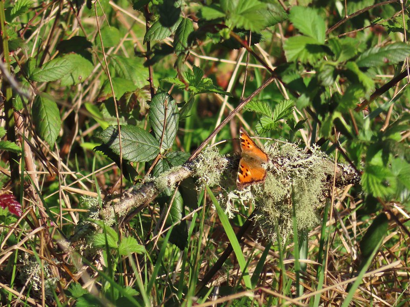 Tortoiseshell butterfly
 Spotted towhee serenade
 Bewick’s wren
 Madrone
 Mourning dove
 Camas blooming near the summit
 View from Pigeon Butte
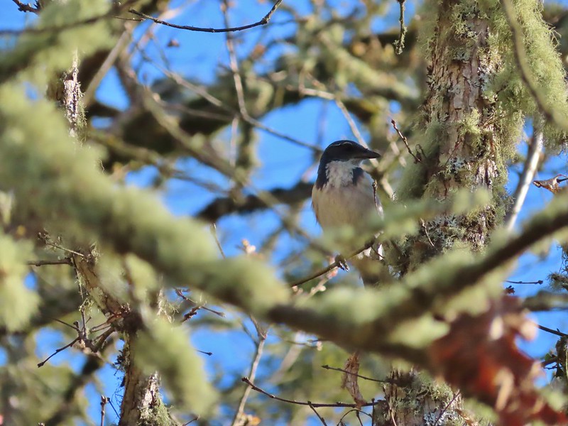 Scrub jay spotted on the way down.
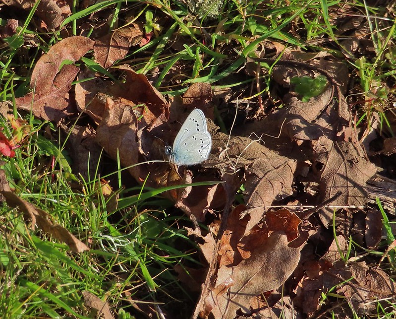 One of the “blue” butterflies, maybe a silvery blue
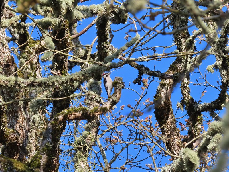 Acorn woodpecker
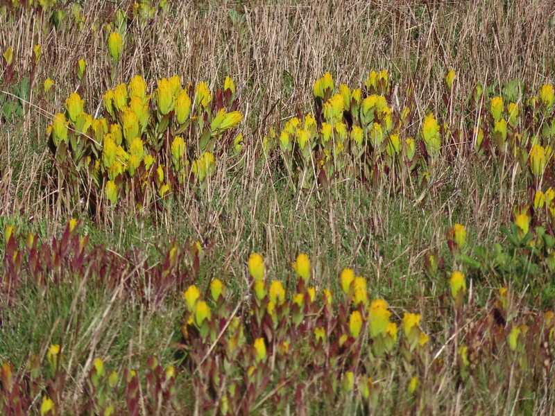
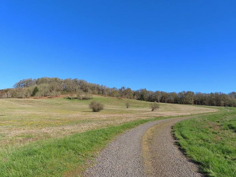 Looking back at Pigeon Butte, the yellow paintbrush was starting its bloom on the hillside.

 Looking back at Pigeon Butte and the Cheadle Barn
 Western bluebird
 Bruce Rd and a sign for the overlook.
 Swallows at the overlook
 Mary’s Peak and Pigeon Butte from the overlook.
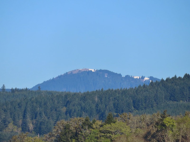 Mary’s Peak (
 Ground squirrel on Bruce Rd.
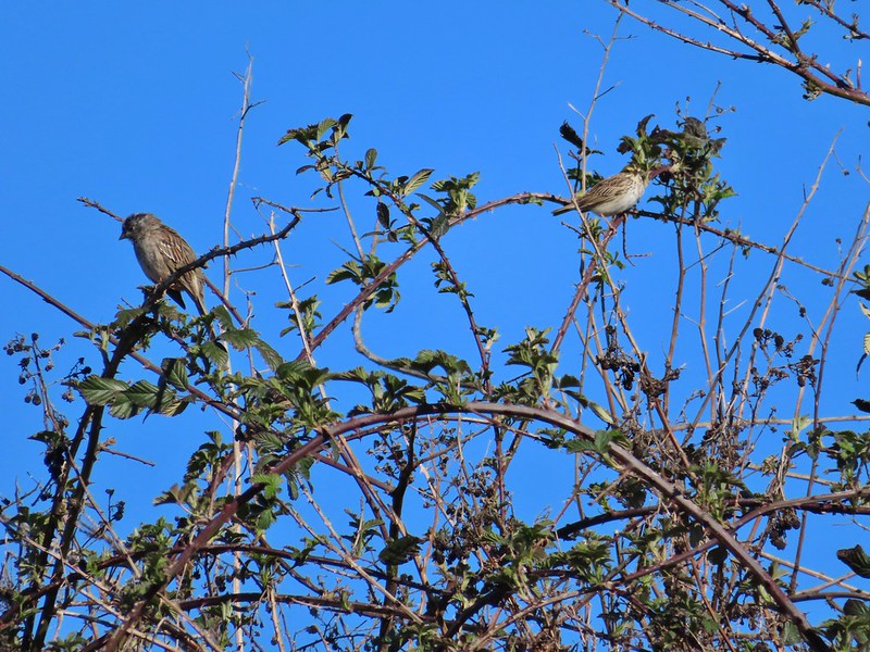 Sparrows
 Western bluebird
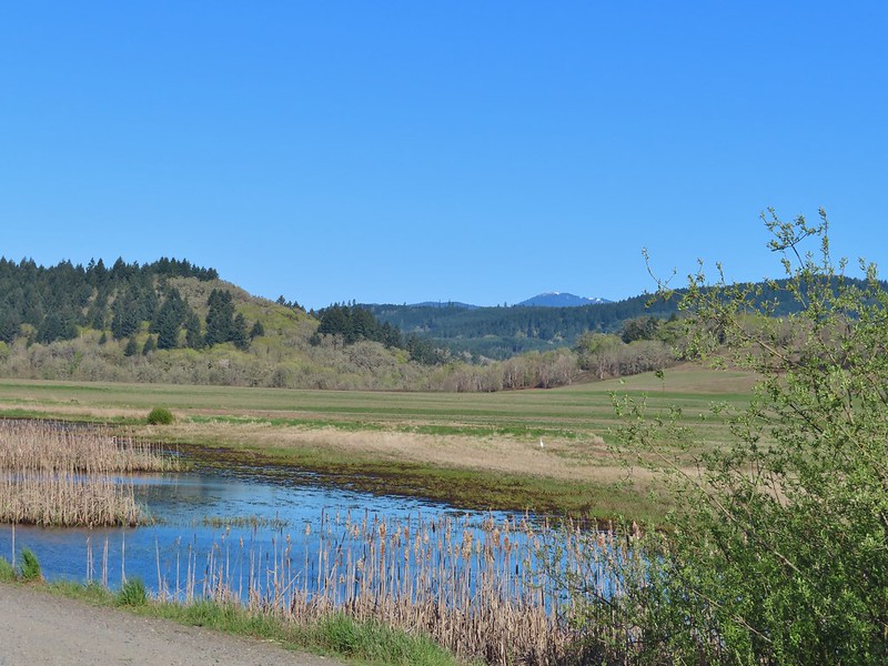 Mitigation Wetland
 Egret
Egret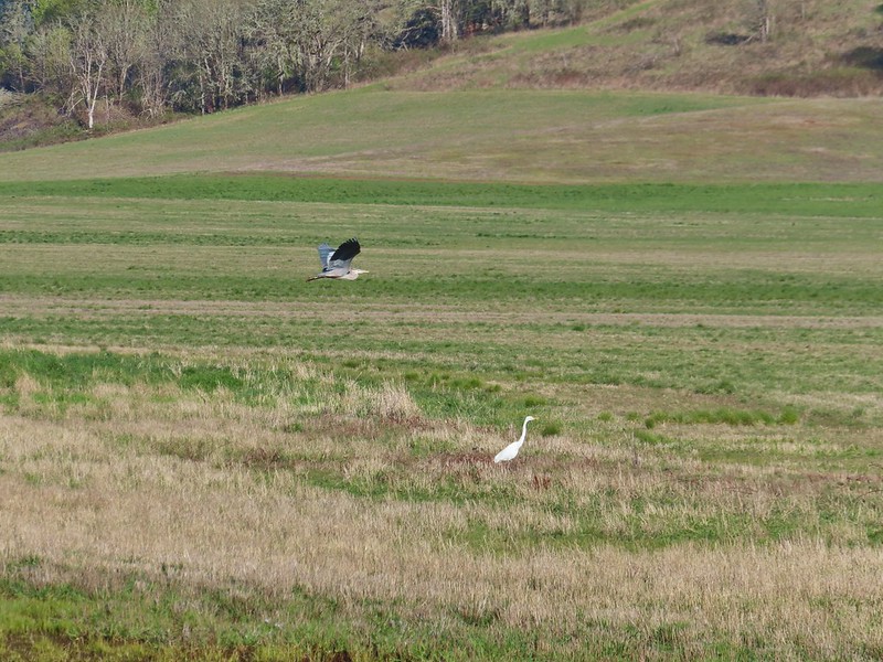 heron flying by the egret
 Northern shoveler
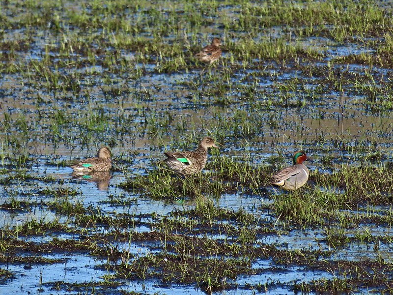 Green winged teals
 Trailhead off of Bruce Road
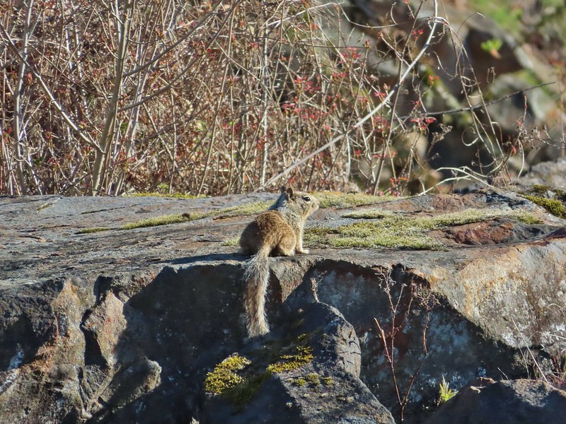 Ground squirrel
 Entering the woods
 Giant white wakerobin
 Fairybells
 Startled heron
 Egret and a cinnamon teal pair and maybe an American wigeon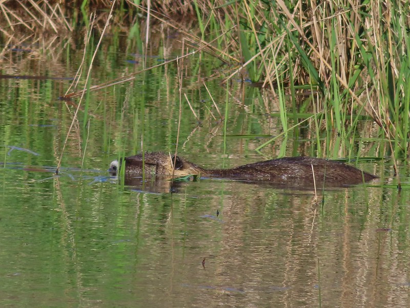
 Candyflower
 The pink turned out to be shooting stars.
 Iris
Iris Bleeding heart
 One of many fairy slippers
 It took some work to get the camera to stop focusing on the brush in the foreground.
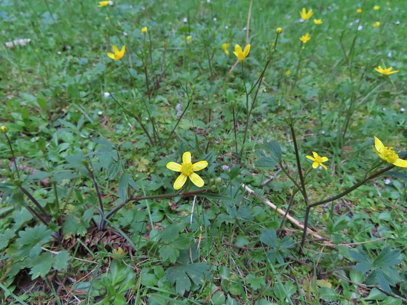 Buttercups
 Violets
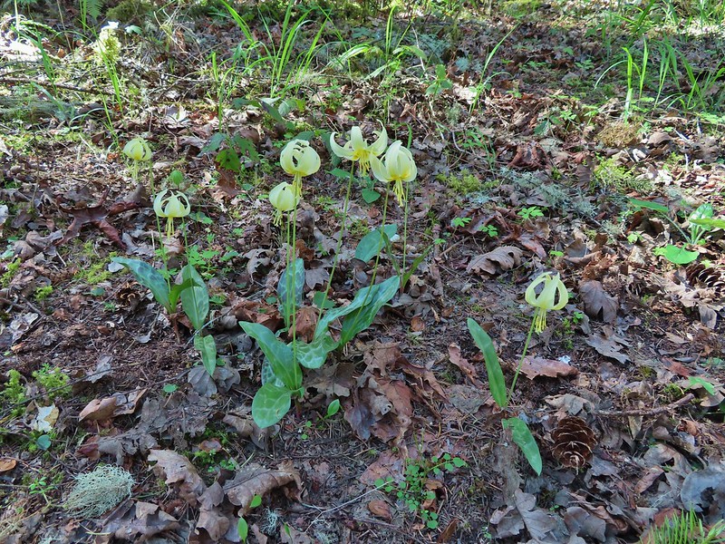 Fawn lilies
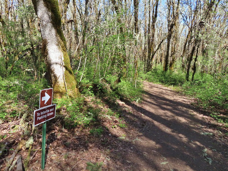 Back at the junction and onto the Intertie Trail

 Service berry
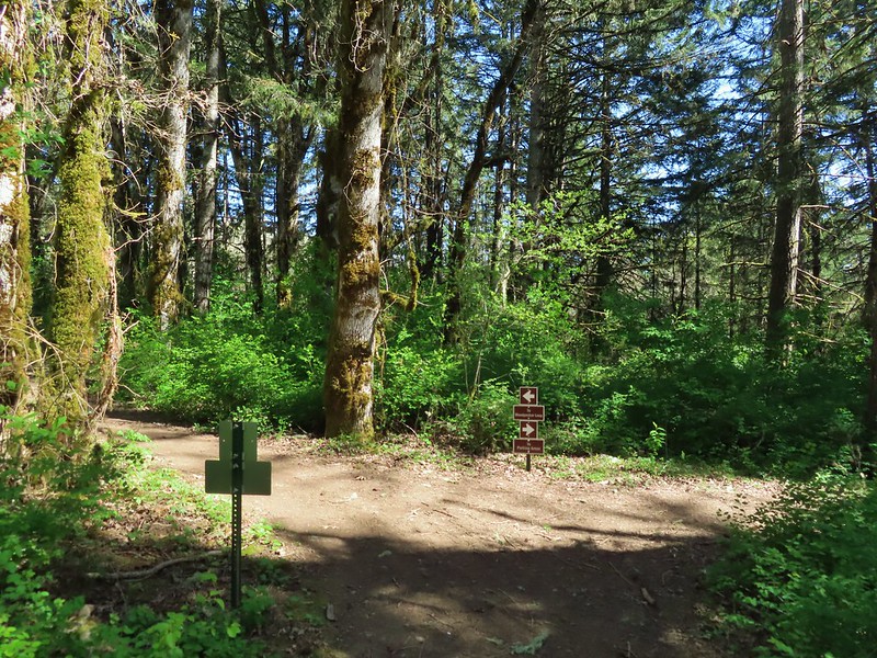 The Woodpecker Loop
 Norther flicker along the Woodpecker Loop
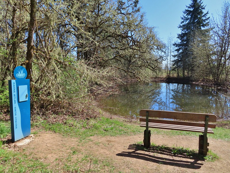 Amphibian pond and interpretive kiosk.
 Viewing structure
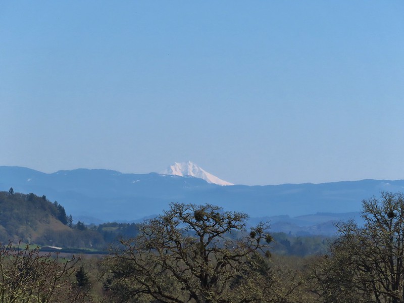 Mt. Jefferson
 The Three Sisters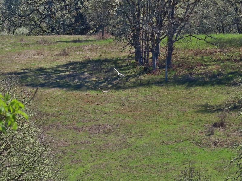
 This was the best shot I could get at 40x zoom with the sun in front of me.


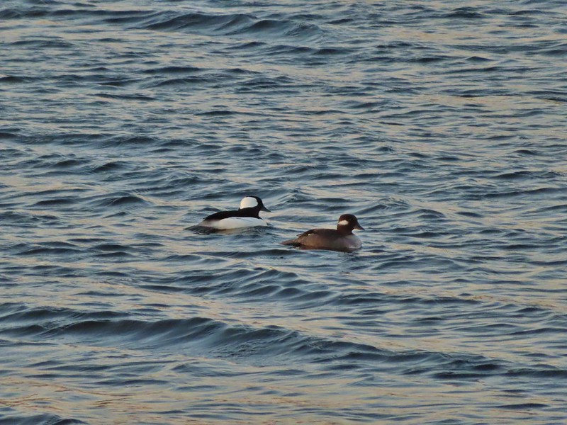 Buffleheads
 Canada goose and mallards
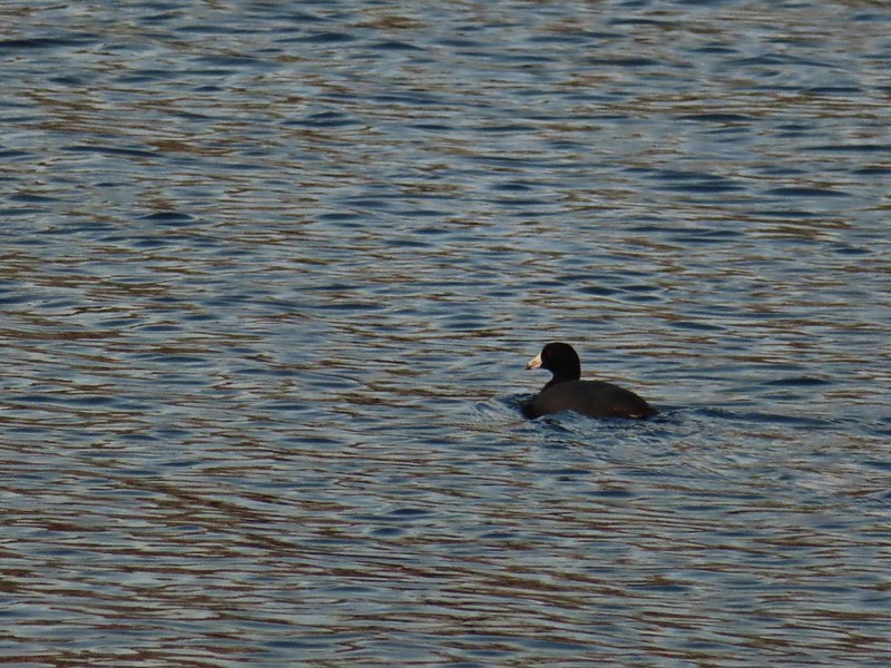 American coot
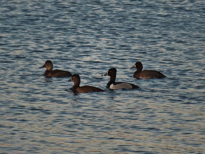 Ring-necked ducks (I’m not sure all the females are the same.)
 Geese flying over Eagle Marsh as the Sun rises.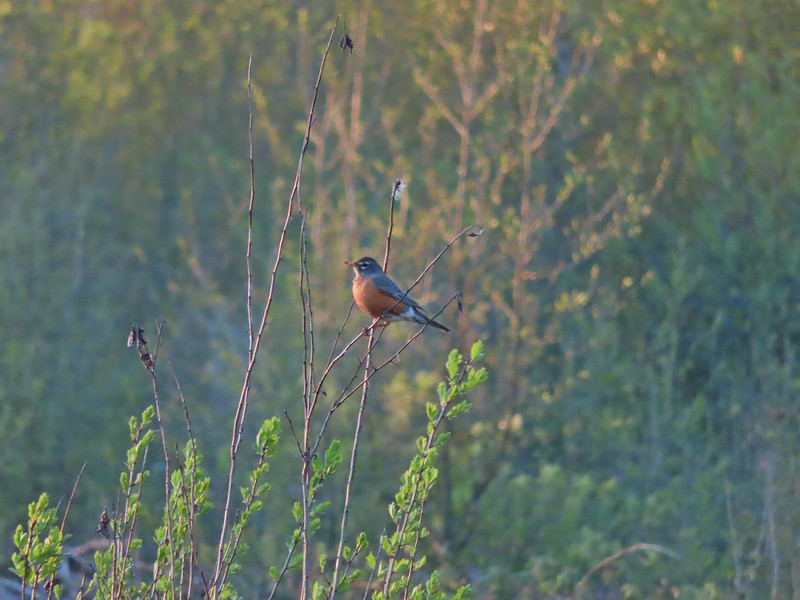

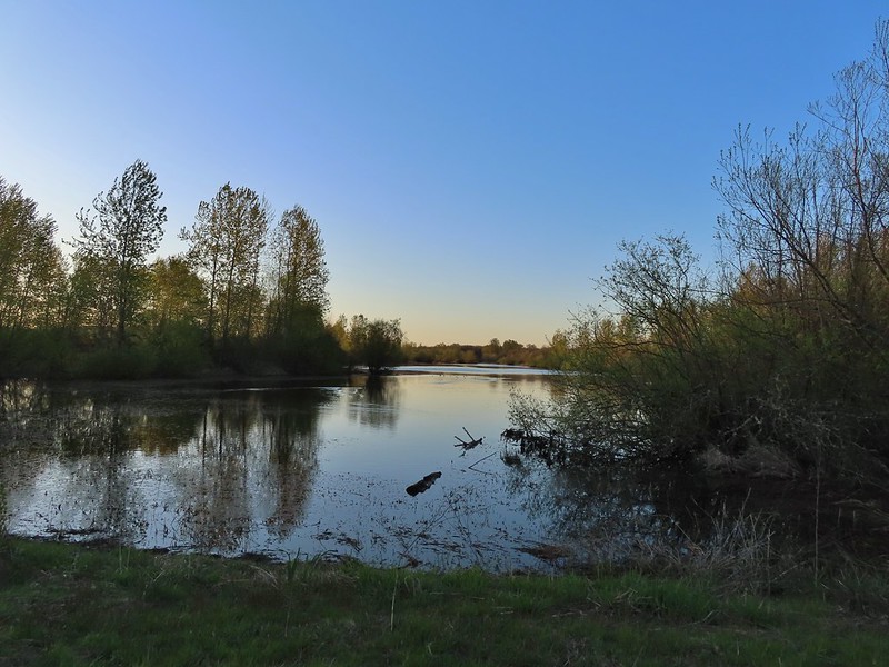 Willow Marsh
 A bufflehead and mallards
 Mallards and ring-necked ducks
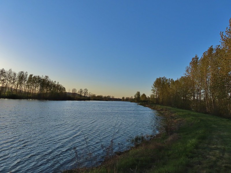 Teal Marsh to the left of the dike.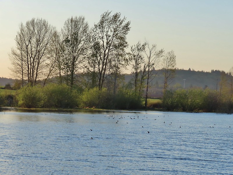
 Mallards an northern shovelers
 Buffleheads
 Spotted towhee
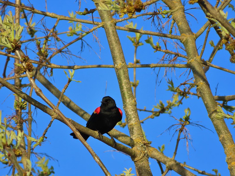 Red-winged blackbird
 Female red-winged blackbird
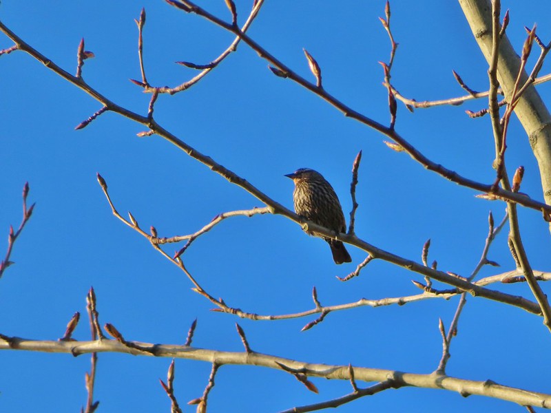 Sparrow
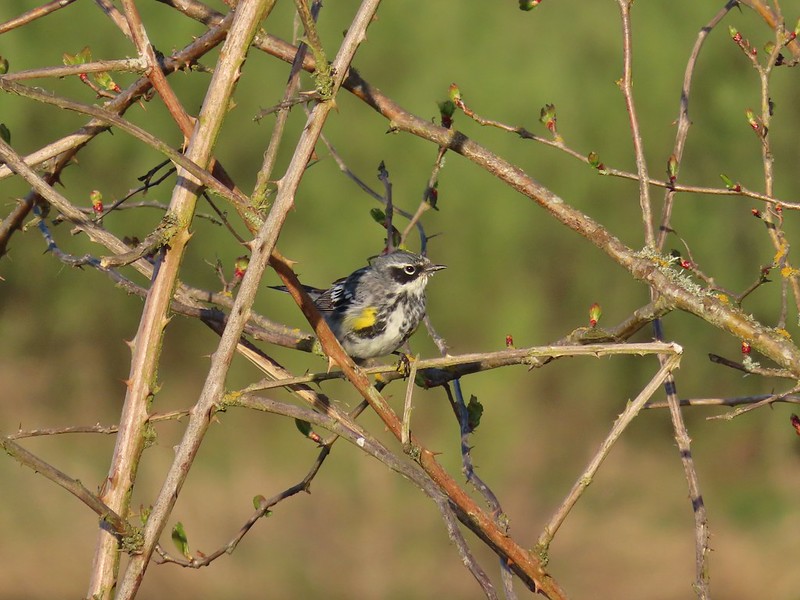 Yellow-rumped warbler
 Geese coming in for a landing on Teal Marsh
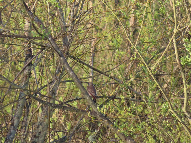 Northern flicker
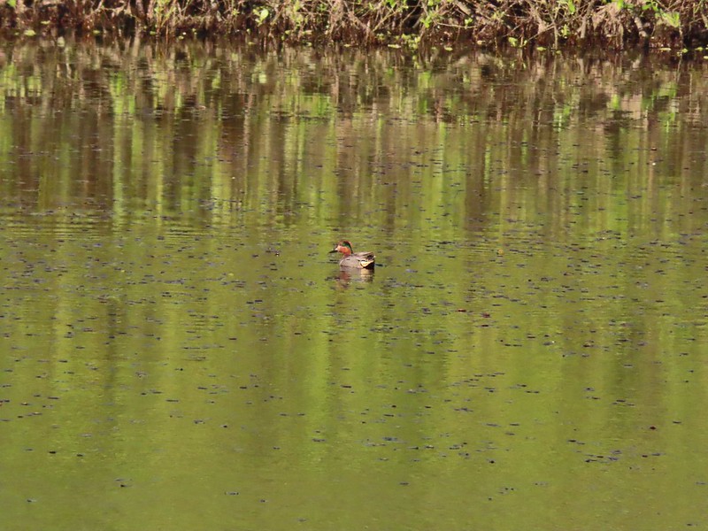 Green-winged teal
 Ring-necked ducks and a bufflehead pair
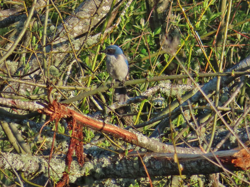 Scrub jay
 Pie billed grebe at Eagle Marsh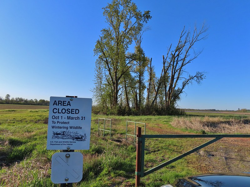
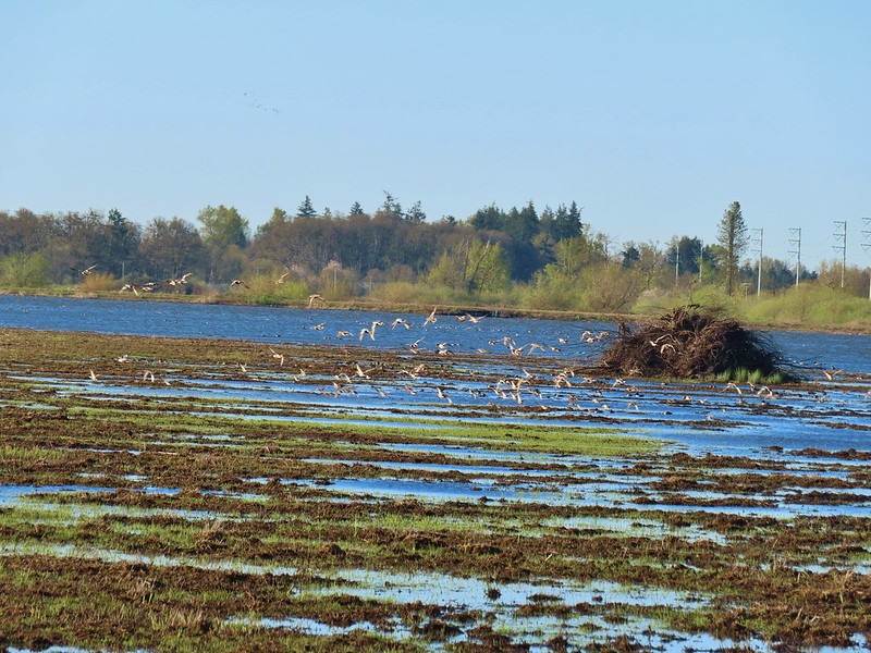


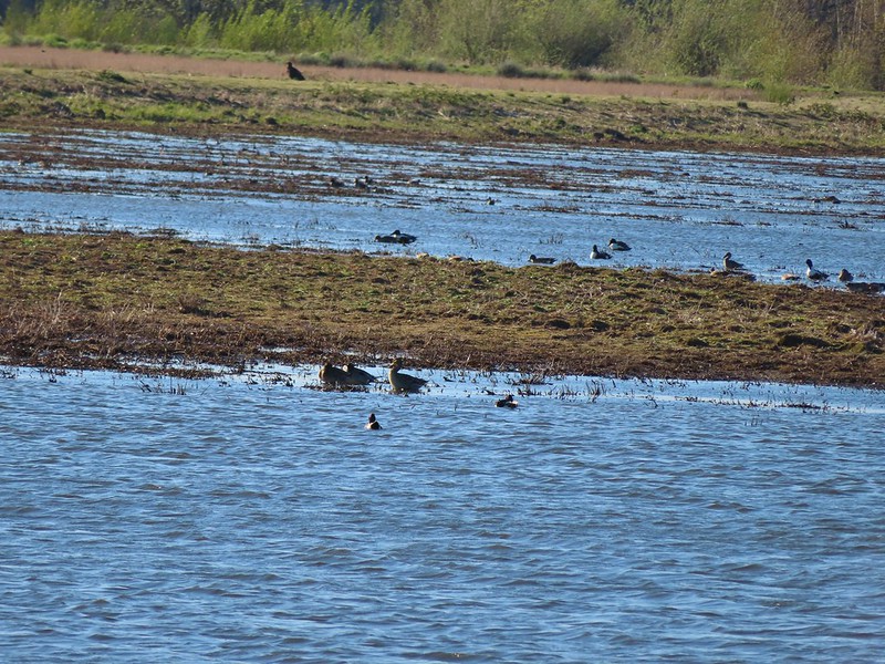 I didn’t see it when I took the picture but it appears there is an eagle on the ground in the distance here.
 One of the egrets taking off.
 Brewer’s blackbird on a tree along the railroad tracks.
 Pintail Marsh ahead on the left.
 The dike between Mohoff Pond and Pintail Marsh.
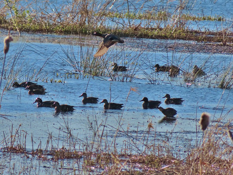 Ducks at Pintail Marsh
 Pintail Marsh
 Looking back at the gate and Wintel Road
 Yellow legs
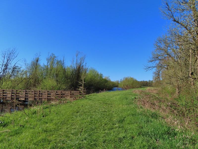
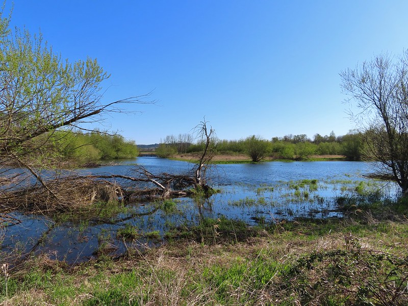 The boardwalk across Dunlin Pond from the dike.
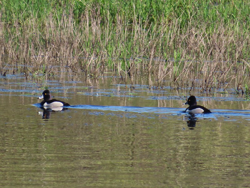 Ring-necked ducks
 Ring-necked ducks taking off.
 Sparrow
 Common yellowthroat
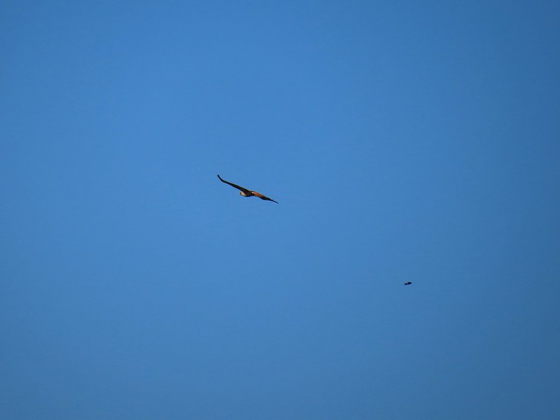 Hawk and a sparrow
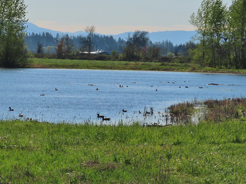 Killdeer Marsh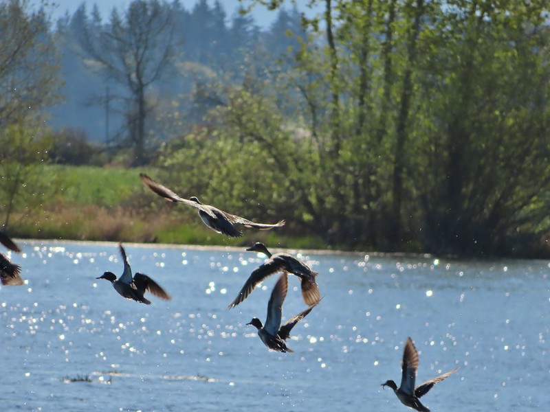
 Another yellow legs?
 Mustard along Killdeer Marsh
 A killdeer amid ducks at Killdeer Marsh
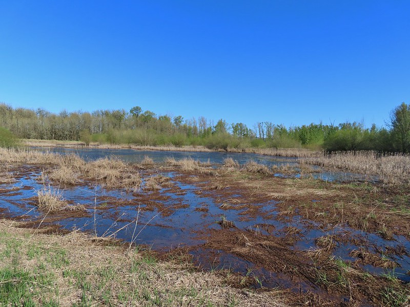 South Pond
 Cinnamon Teal in South Pond
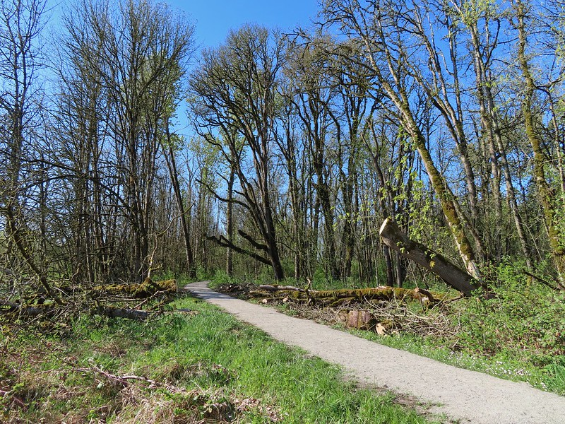 Damaged trees from the ice storm earlier this year.
 Turkey vulture
 Candyflower

 American coots
 I think this is a ring-necked duck and a lesser scaup.
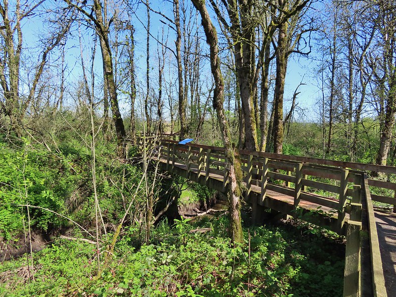
 The dike from the blind.


 Killdeer on the dike.
 A whole lot of geese in the air ahead.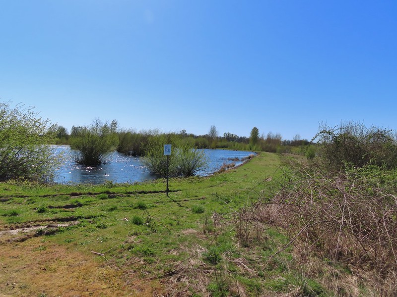

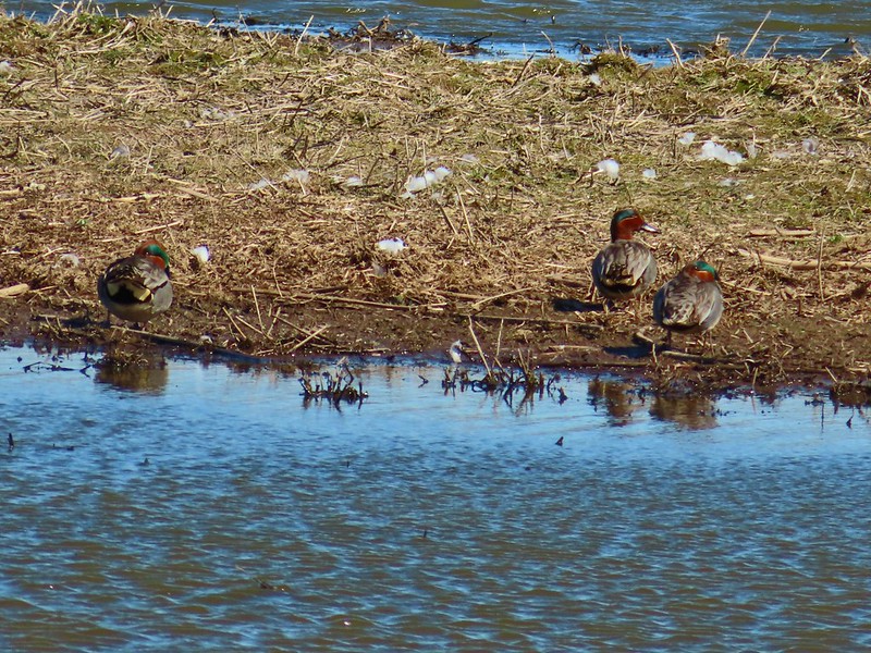 Green-winged teals
 Northern shovelers
 Canada geese
 Another green-winged teal
 Various ducks
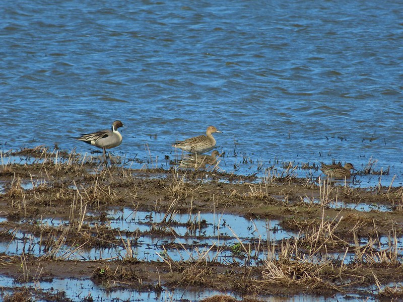 Northern pintails
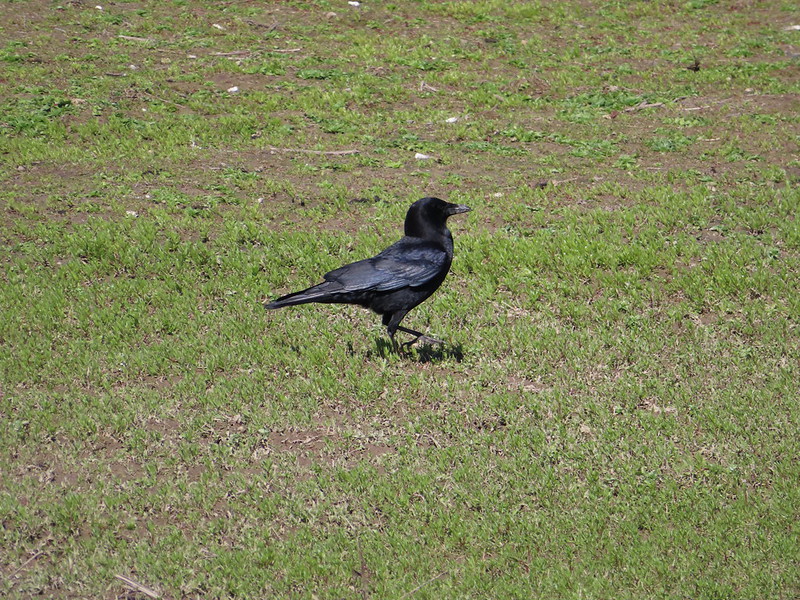 Crow
Crow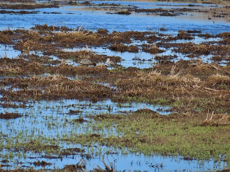 A green-winged teal and a yellow legs

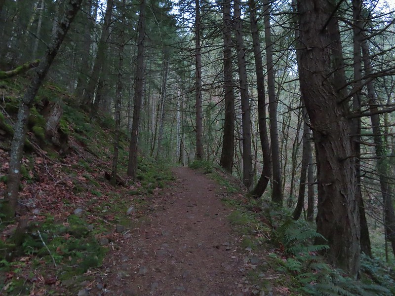
 Bench at a switchback.

 Reroute below Mitchell Point
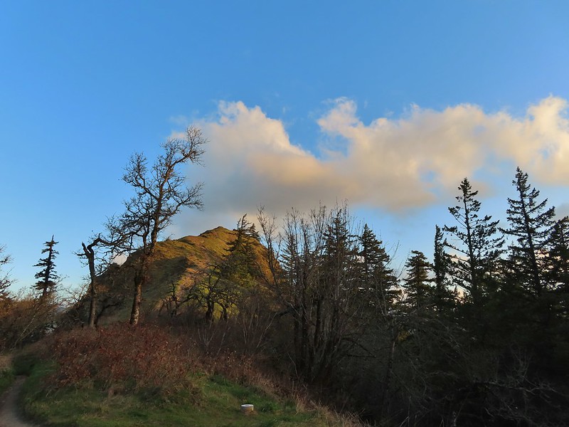
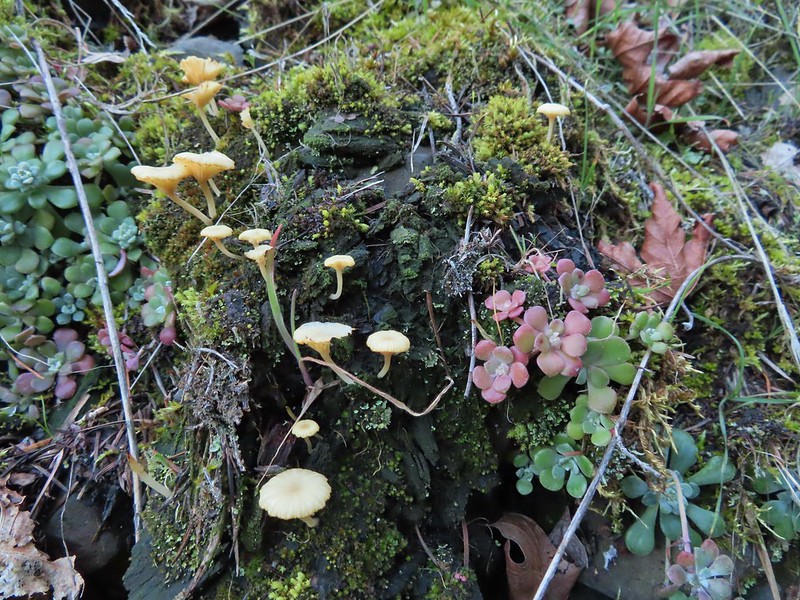 Mushrooms’ and some sedums.

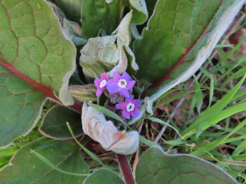 Houndstongue
 Grass Widows
 Woodland stars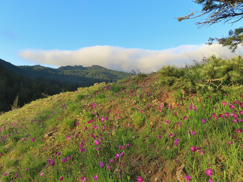
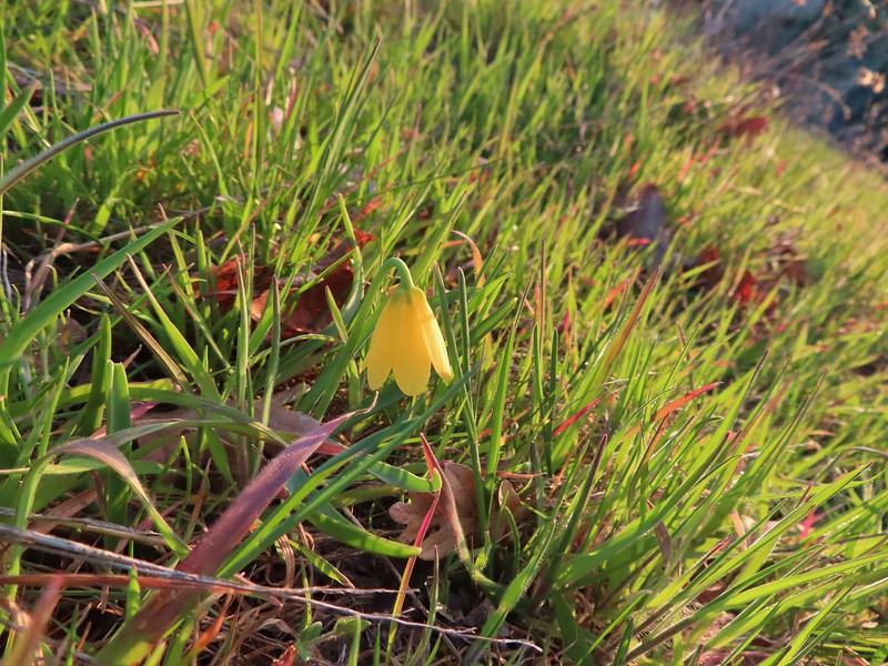 Yellow bell lily
 Desert parsley and woodland stars
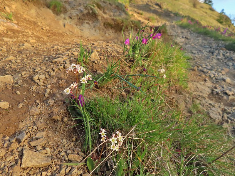 A saxifrage
 Gold stars and woodland stars
 Looking west
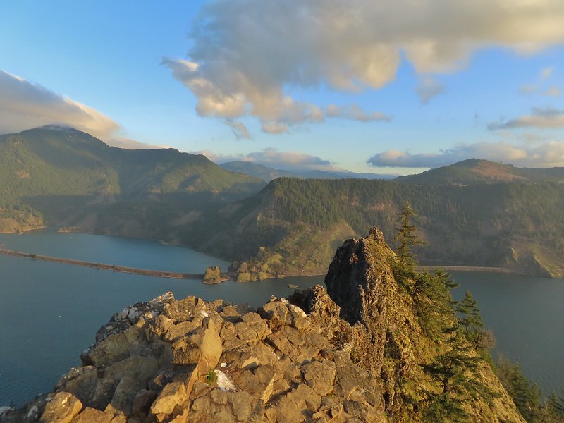 North across the Columbia River into Washington
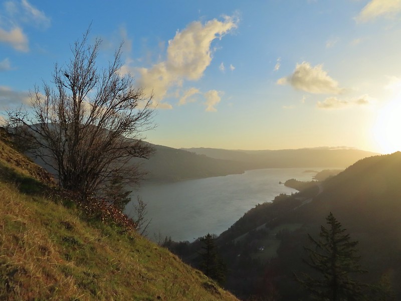 East
East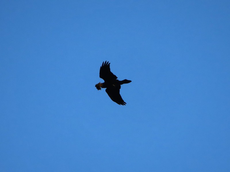 Looks like moss for a nest maybe?
 Turkeys on the Wygant Trail
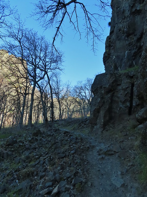
 Red leaves of poison oak behind a death camas
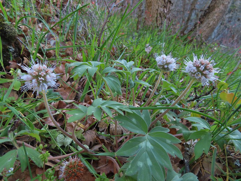 More poison oak behind a waterleaf
 Poison oak around some balsamroot


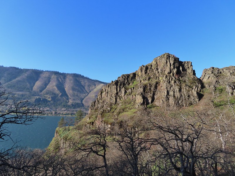
 Fiddleneck
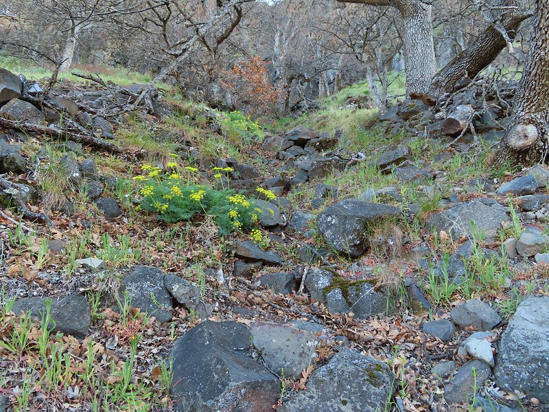 Desert parsley
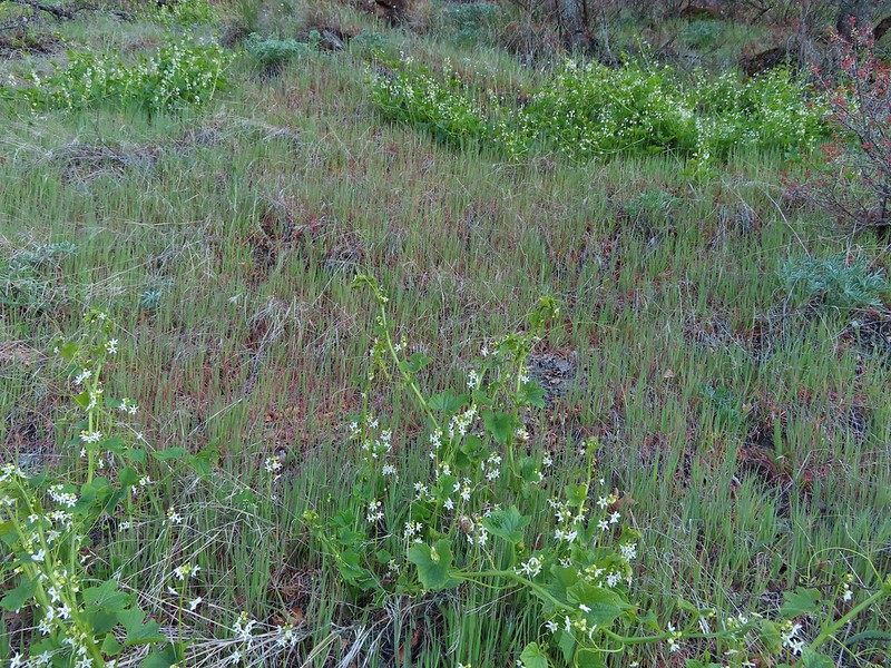 Manroot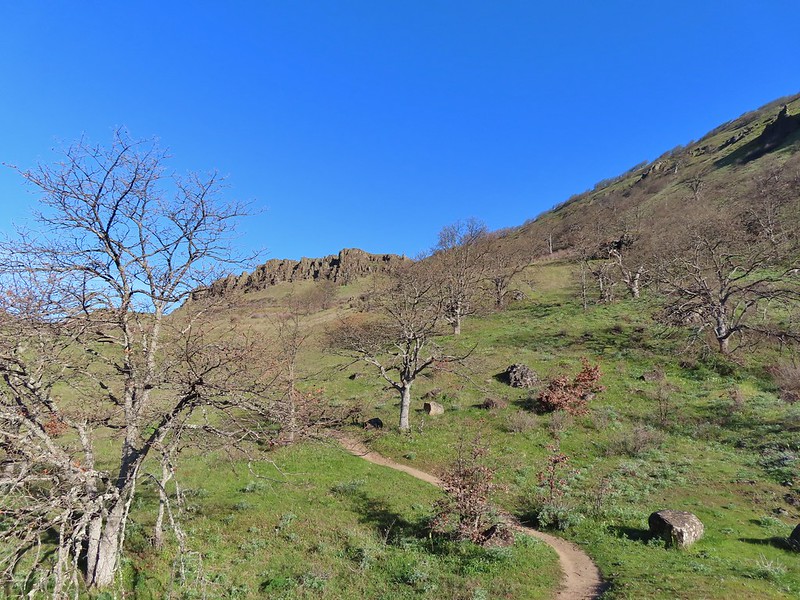
 Lots of death camas blooming on the plateau.
 Looking up at the cliffs above.
 Balsamroot blooming below the rim.

 Balsamroot
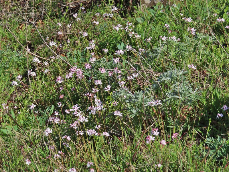 Woodland stars with some lupine leaves
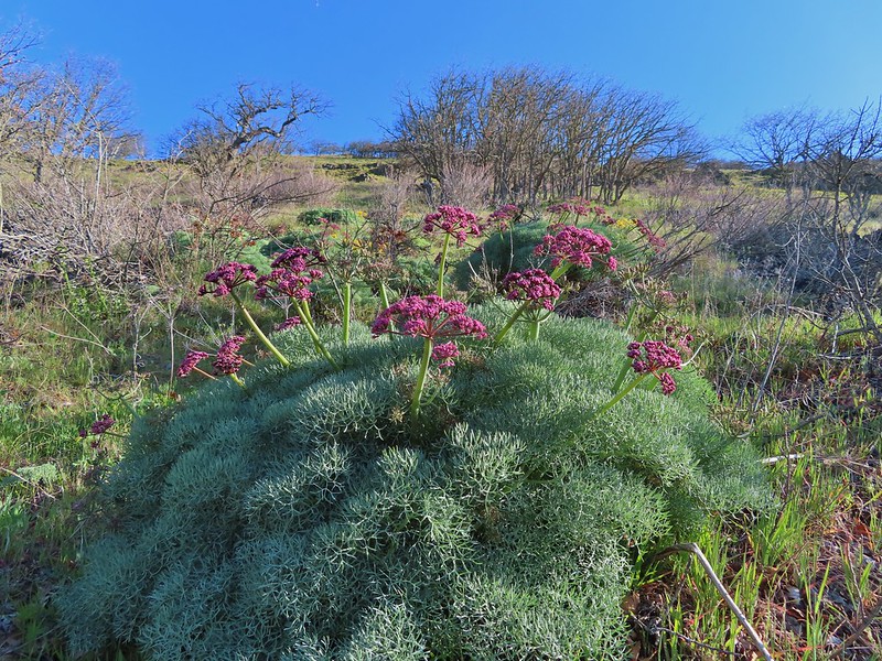 Columbia desert parsley
 A biscuitroot
 Balsamroot
 Balsamroot
 View west (With a snow capped Mt. Defiance (
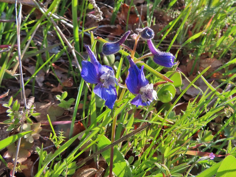 Larkspur
 Buttercups
 Glacier lilies
 Yellow bell lily, woodland stars, grass widows and shooting stars.
 Yellow bell lilies
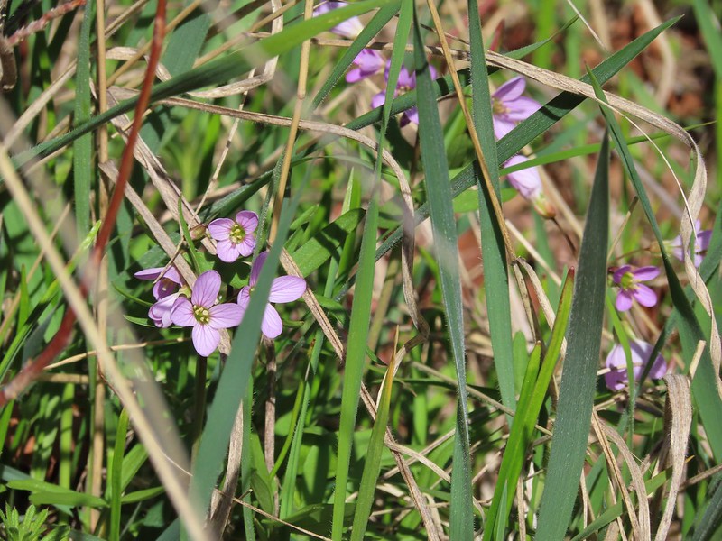 Toothwort
 Sagebrush false dandelions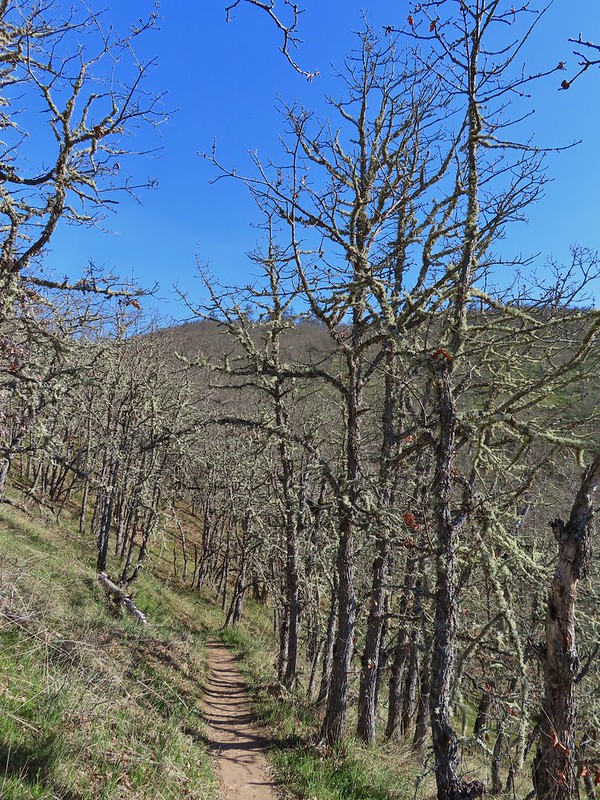
 Tortoiseshell butterfly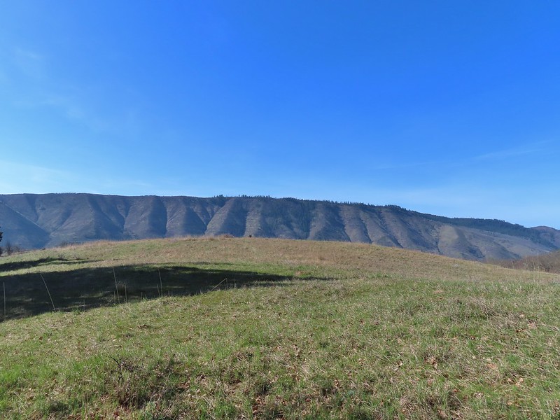


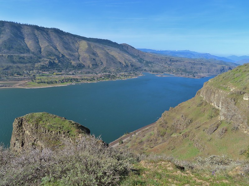 Tom McCall Point and the Rowena Plateau with Mt. Defiance in the distance.
 Hikers on the trailhead and below.
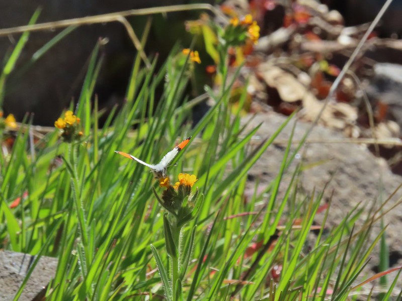 Just my third photo of an orange-tip.
 Mt. Hood and Columbia desert parsley from the first knoll we tried.
 Top of knoll #1.
 A lone balsamroot blossom.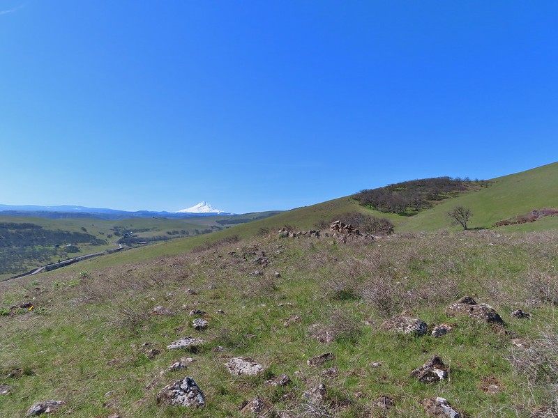
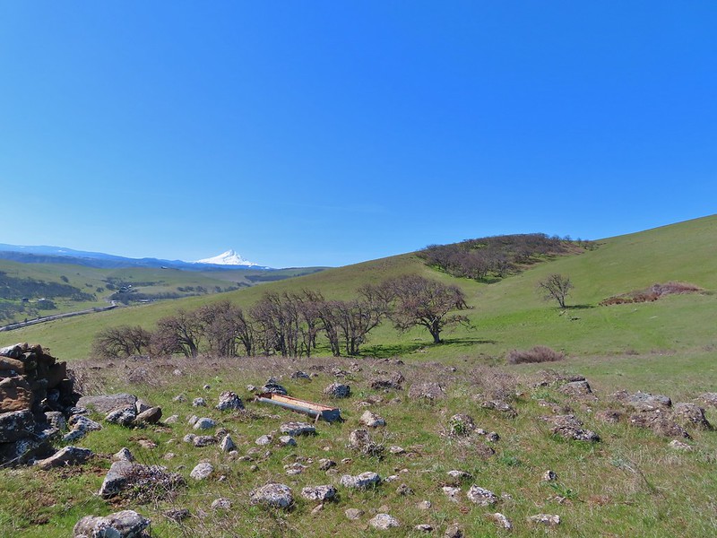
 The path leading past the spring to the oaks.
 The spring
 Back on the right side
 Balsamroot surrounded by some little white flowers.
 Lupine thinking about blooming.
 Larkspur
 Yellow bell lilies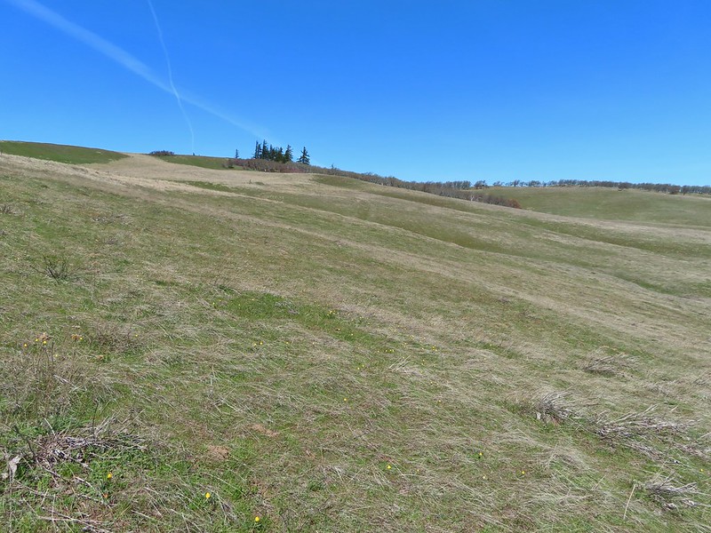
 We didn’t notice any poison oak here.
 A grass widow at the viewpoint.
 Mt. Adams
 Mt. Hood over the oak stand.
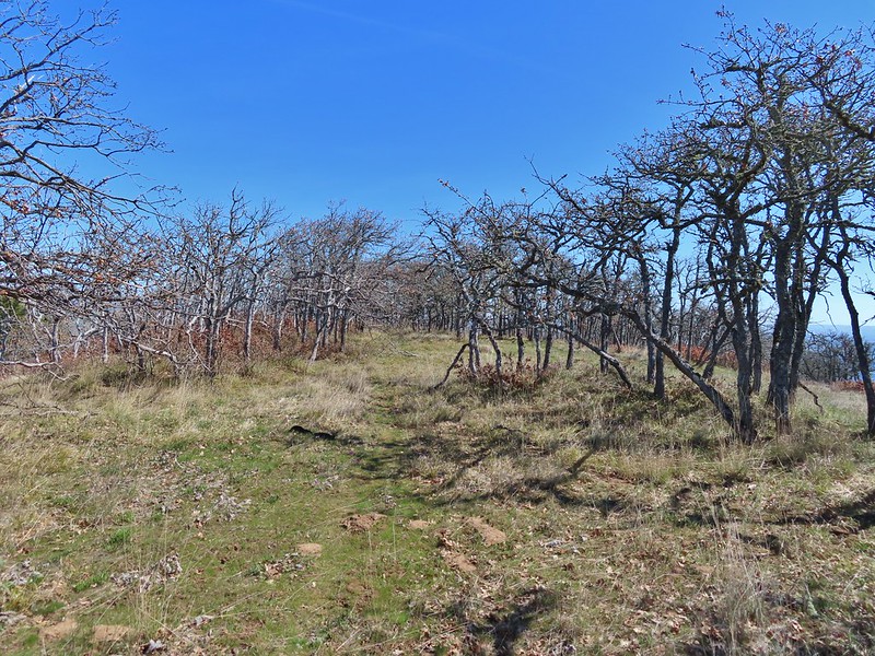


 The Dalles beyond the fence line.
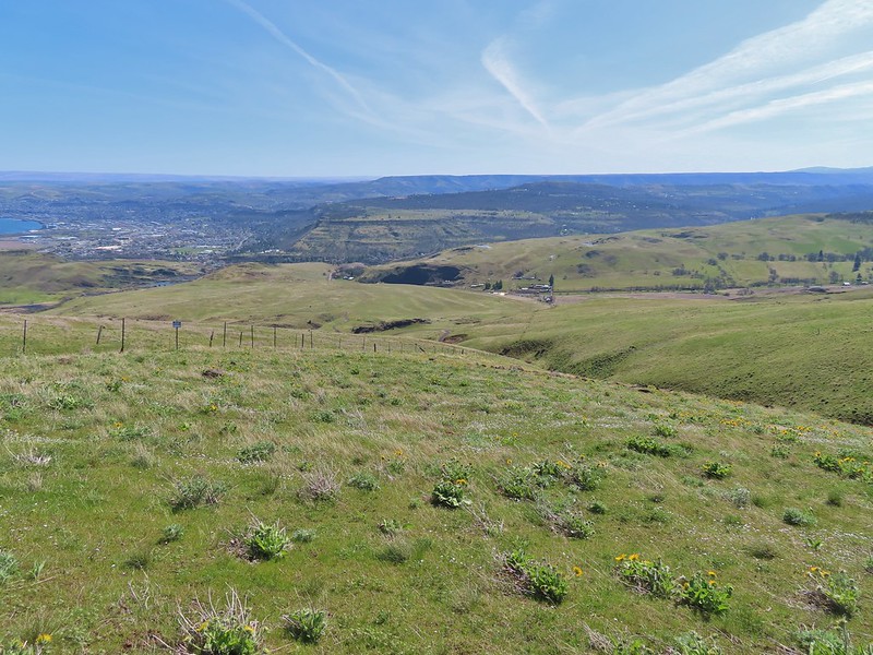 Heading down the fence line.
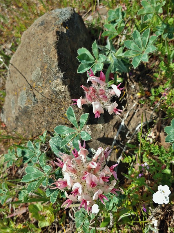 Large head clover
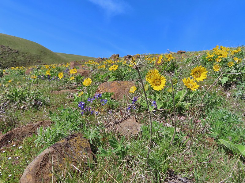
 A lupine with blossoms.
 Hillside covered in Columbia desert parsley
 Our car had been joined by one other. (middle left of photo)
 Gooseberry Creek
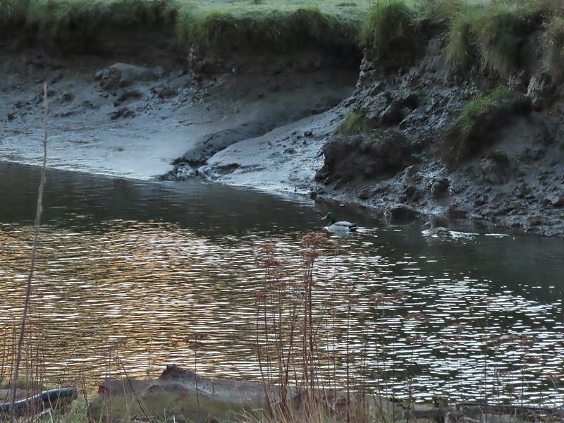 Mallard pair
 Canada geese
 Goose and a mallard in the channels.


 Several interpretive signs were placed along the loop.
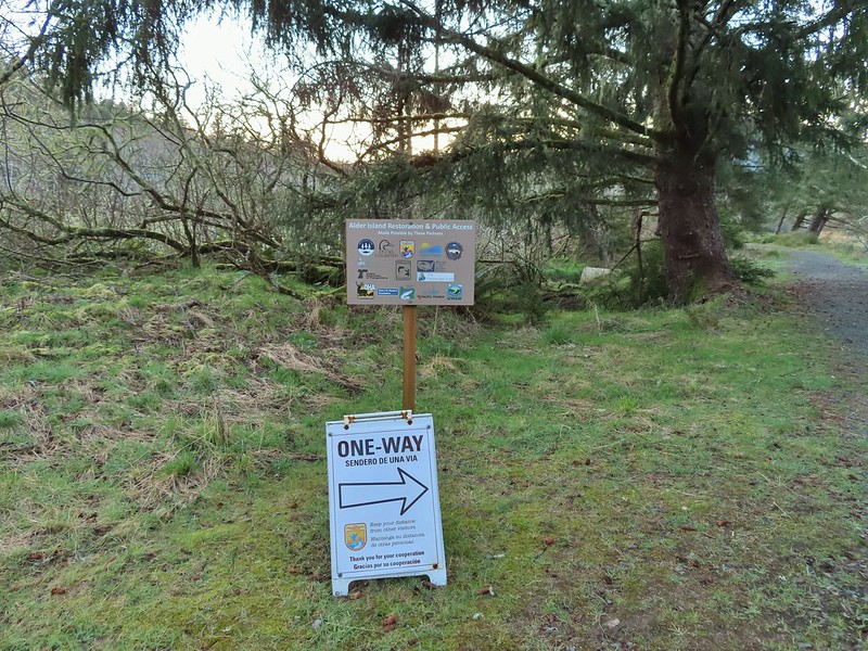 A reminder that COVID-19 is still an issue.
 The larger muddy area along the bank ahead on the right is where Heather spotted the otter.
 Alder lined trail.
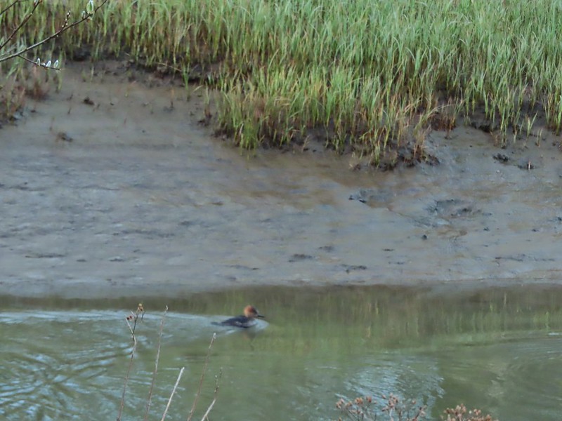 Blurry photo of a non-breeding male hooded merganser.
 The blurry river otter.
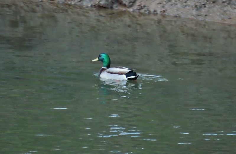 Another mallard
 Canada geese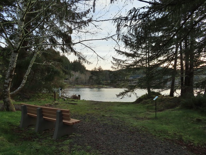
 Siletz River
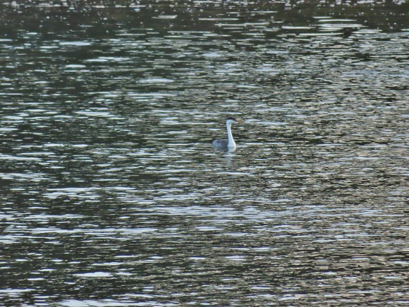 Western grebe
 Goose and a bufflehead (the duck not the post)
 Bufflehead
 Spring is coming!
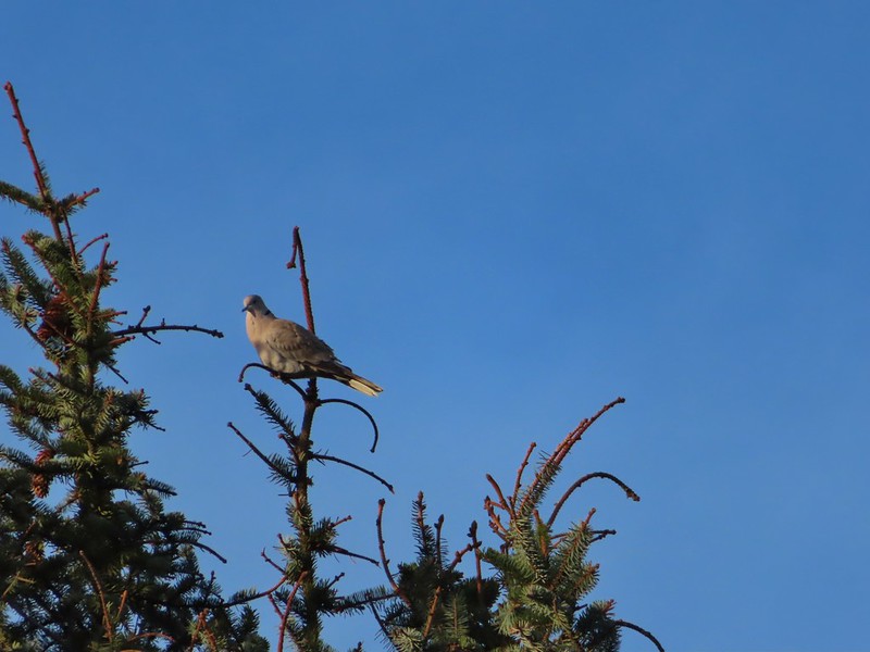
 Sentry at the Roads End entrance.
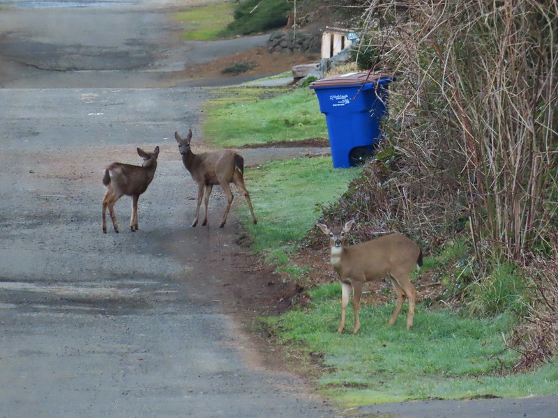
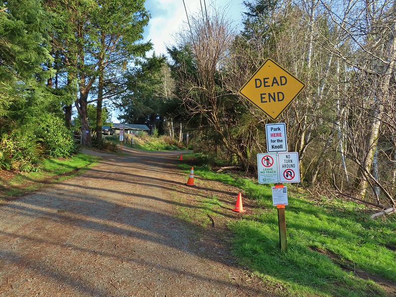
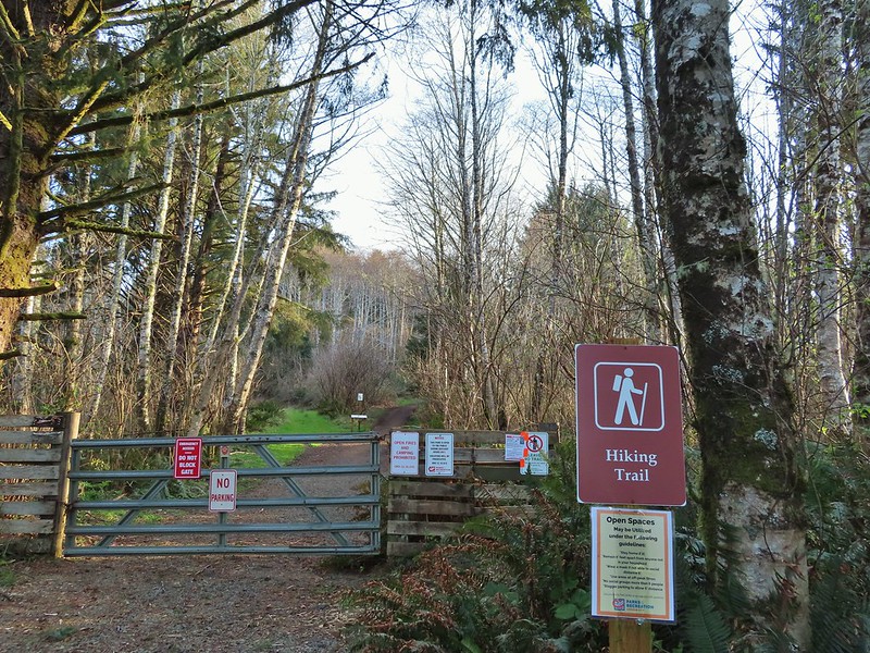
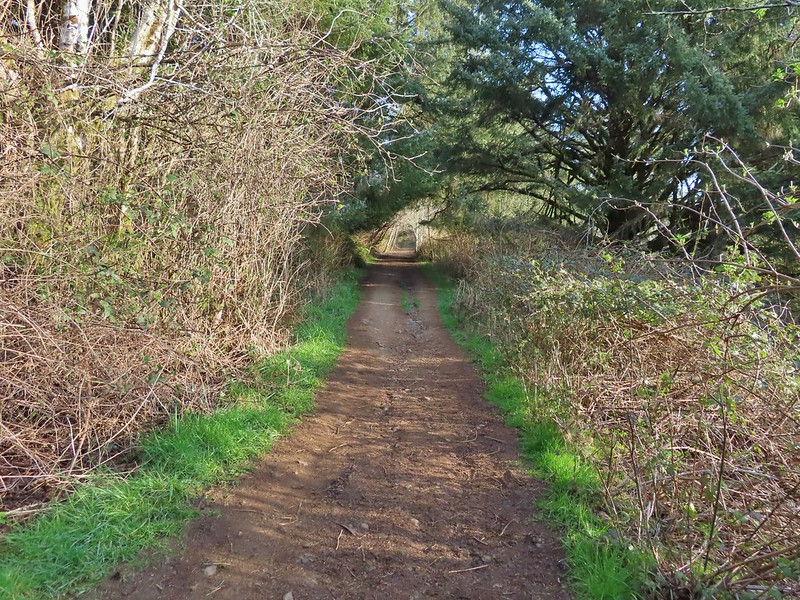 It’s hard to tell just how much uphill this is. Fortunately it wasn’t very muddy.
 A little easier to see the uphill here, this was near the top.
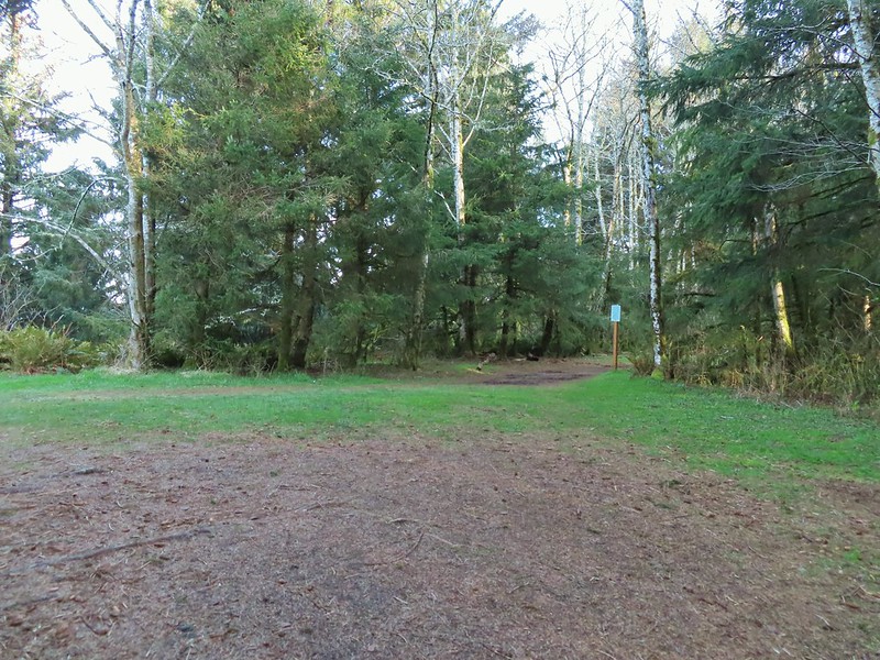 The junction.

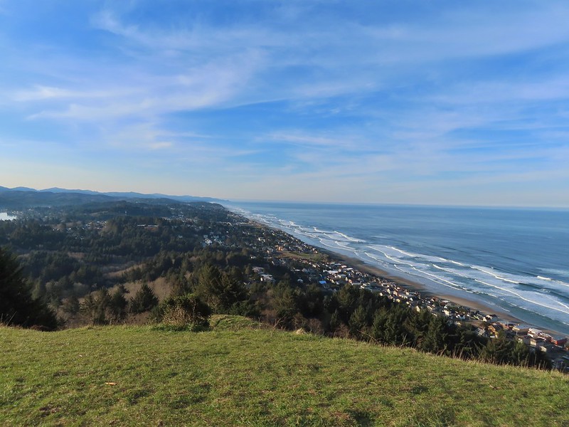 The Roads End parking area is the open green space in the center along the ocean.
 The Pacific Ocean.
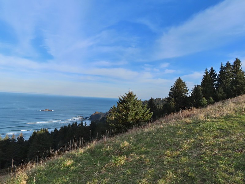 Roads End Point jutting out to the north.
 The Knoll
 Snow queen
 More signs of Spring, salmonberry blossom and buds.
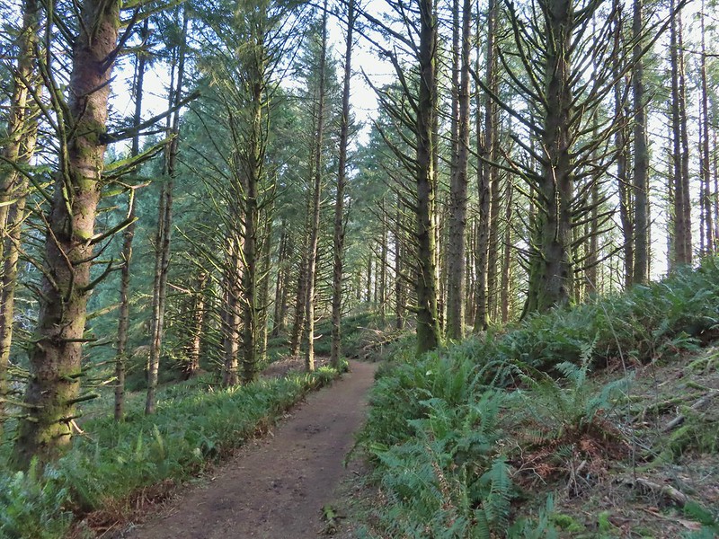 Sitka spruce and ferns along the ridge.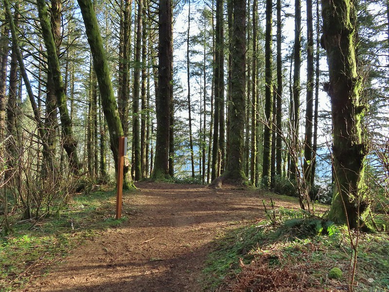
 The downed trees ahead in the distance.
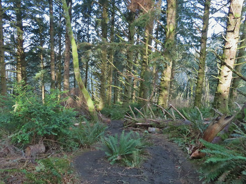 The last of the tree fall.
 Mud had begun to be a bit of an annoyance at this point.

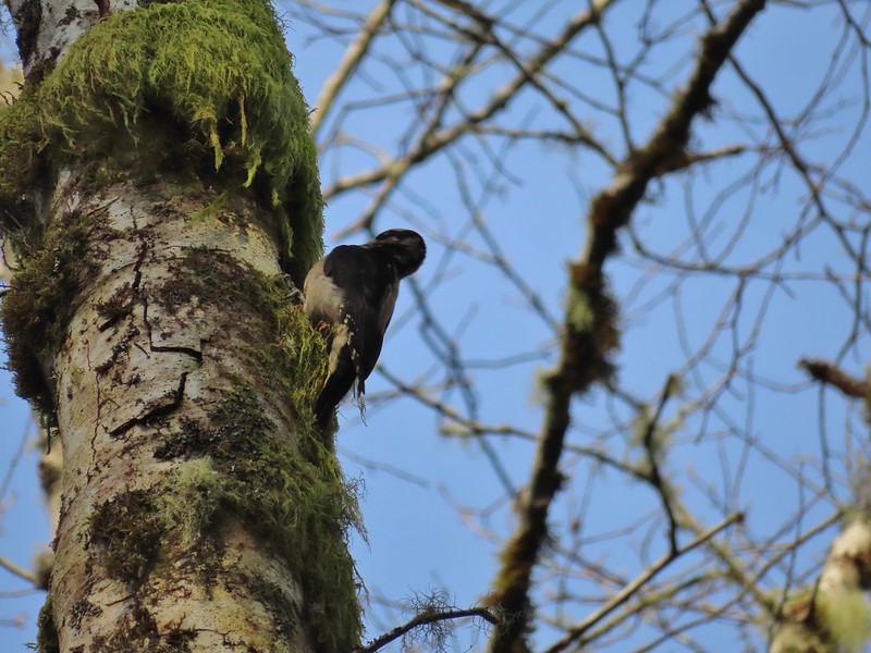 Busy woodpecker
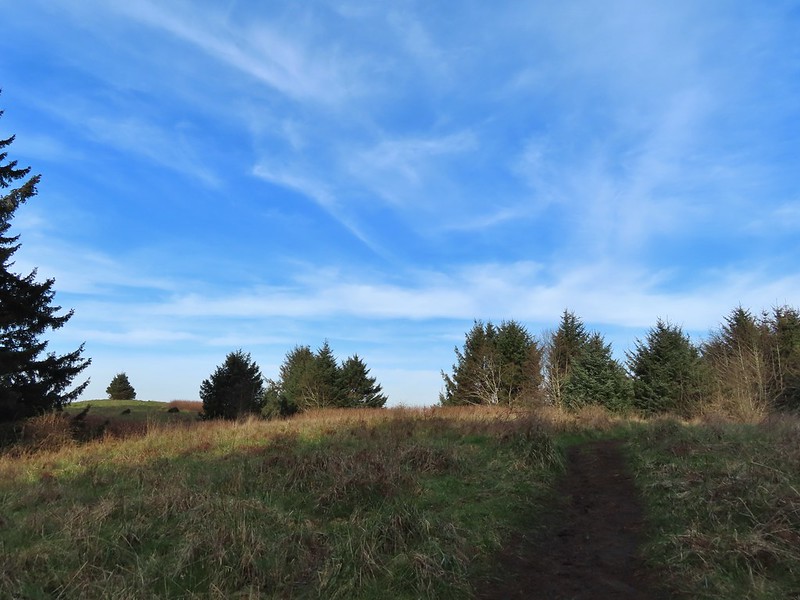 The trail getting nearing the turn left.
 Lone tree in the meadow.
 Lone robin in the lone tree.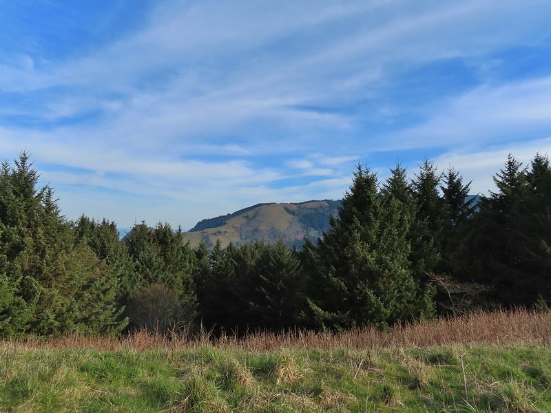


 Heather crossing the saddle (left of the big bush)
 Cascade Head from the saddle.
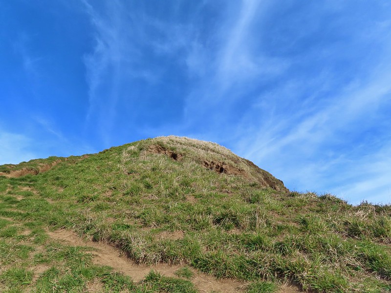 Final pitch up to the top.
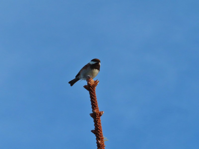 Not quite to ourselves, we shared the space briefly with some chestnut backed chickadees.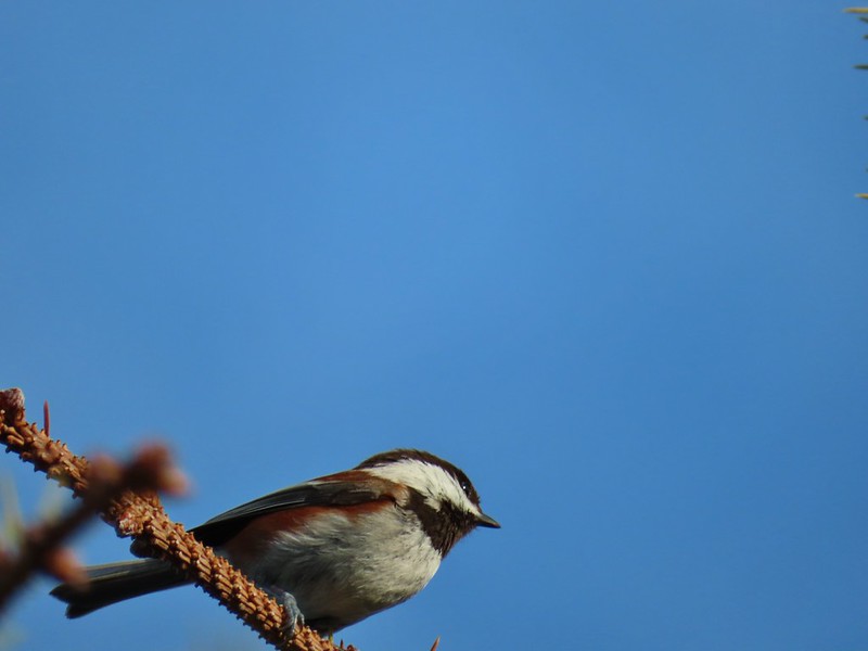
 Cascade Head and the mouth of the Salmon River.
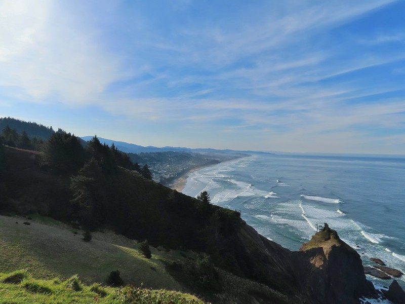 Roads End Point and Lincoln City
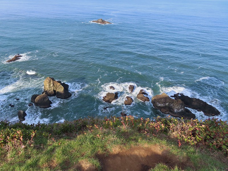 Rocks below God’s Thumb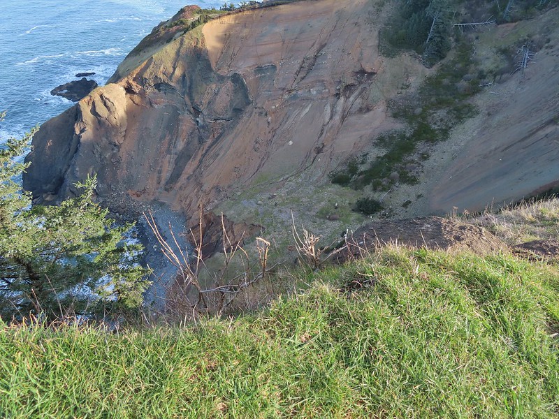
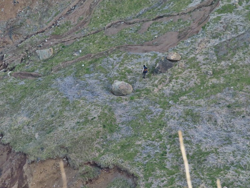
 A reasonable representation of the wet/muddy conditions on this part of the hike.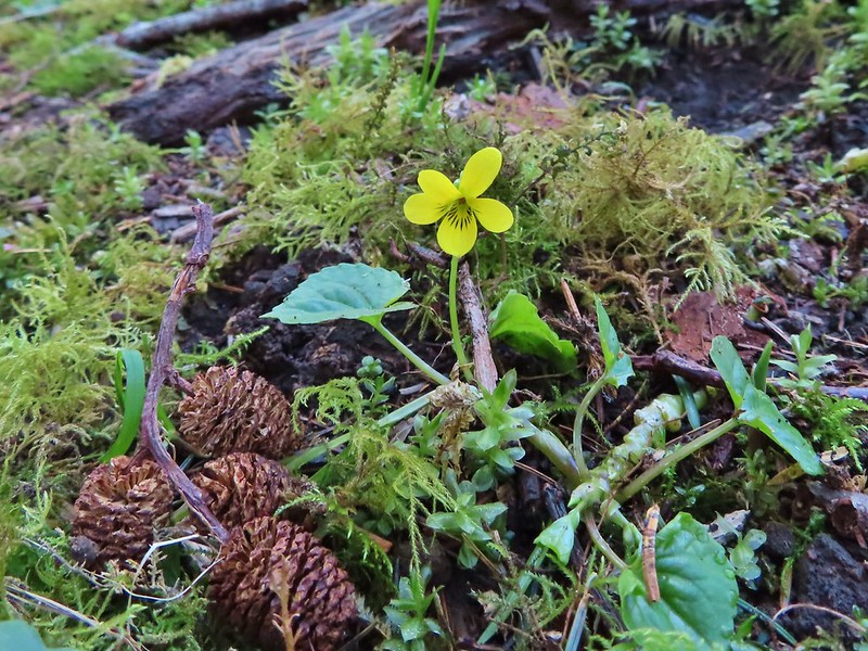
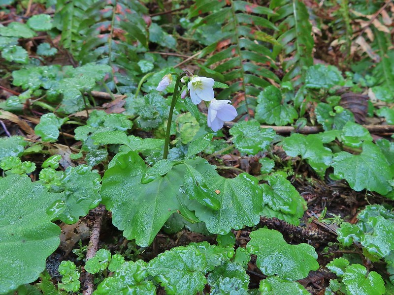 Toothwort
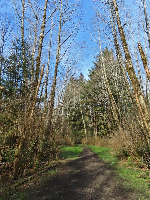
 The gate and Sal La Sea Drive in the distance.
 It’s not a hike at the coast without some skunk cabbage.
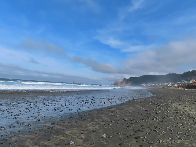

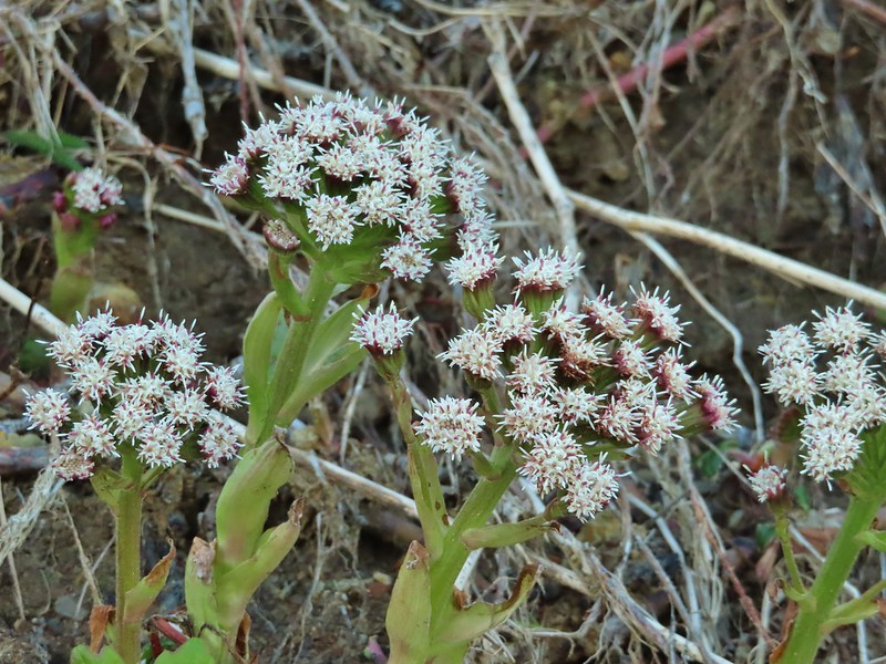 Coltsfoot
 An immature bald eagle flew overhead at one point.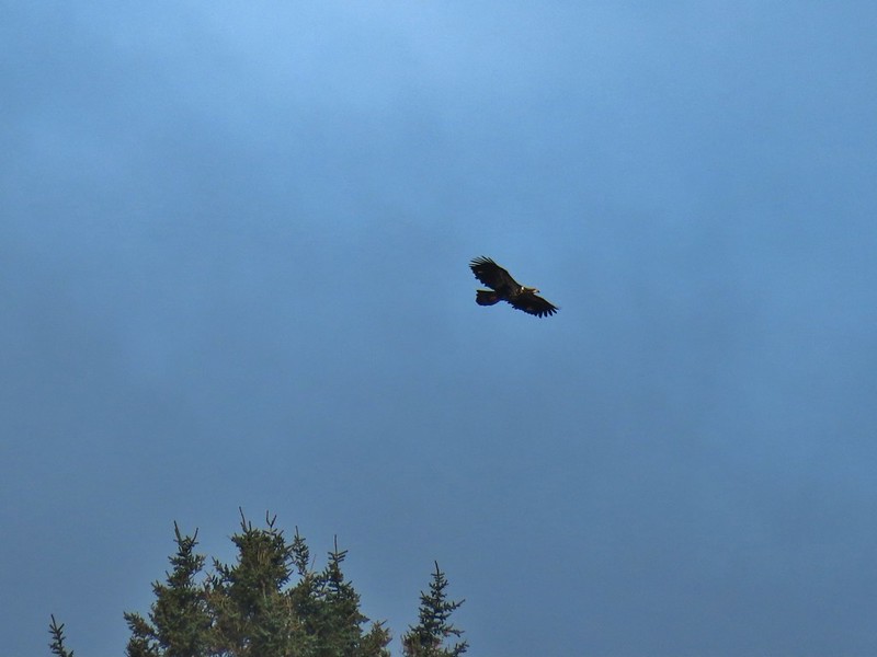
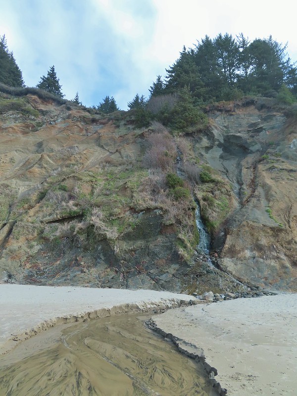 Little waterfall along the beach.
 Roads End Point
 Not going around that today.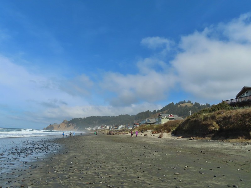
 God’s Thumb on the right.
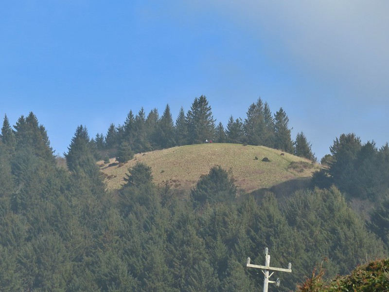 Hikers on The Knoll






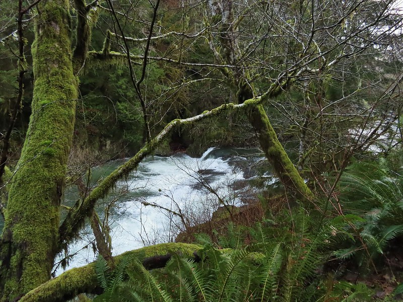


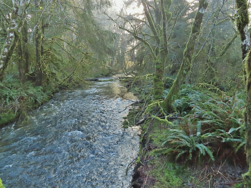 Gods Valley Creek
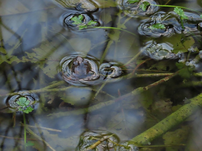 Frog near the old picnic tables.


 Not much in the way of flowers yet but there was a bit of skunk cabbage in bloom.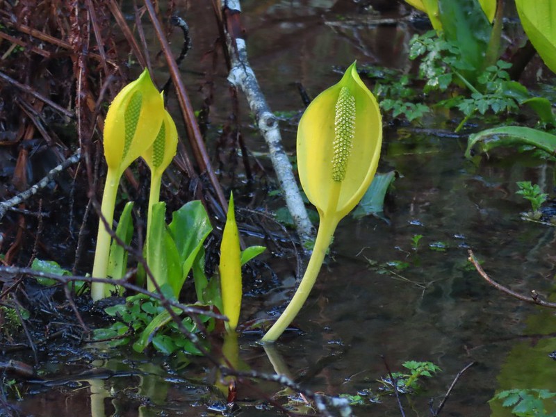
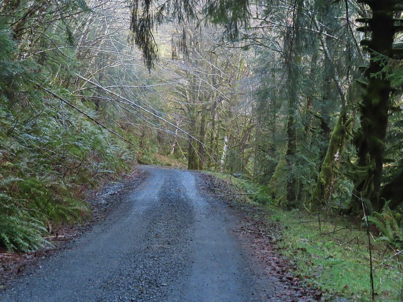 Some low hanging trees, presumably from the storm. The roads had been cleared but occasional damage along the side of the road was evident.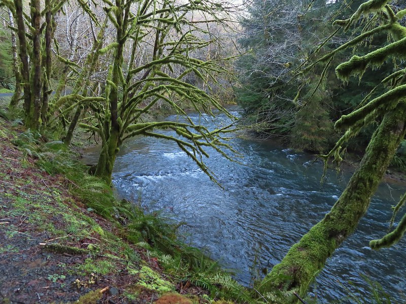
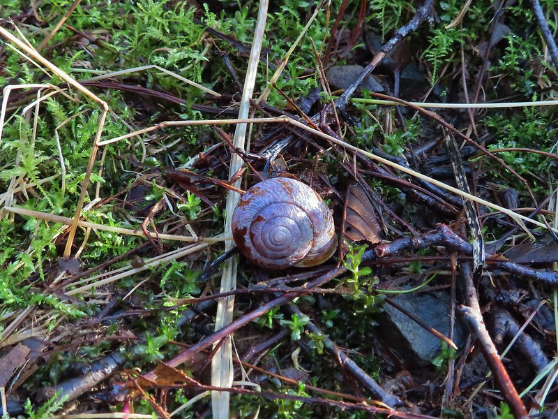
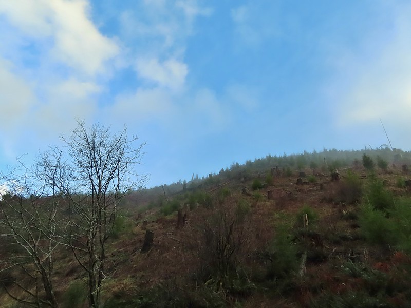
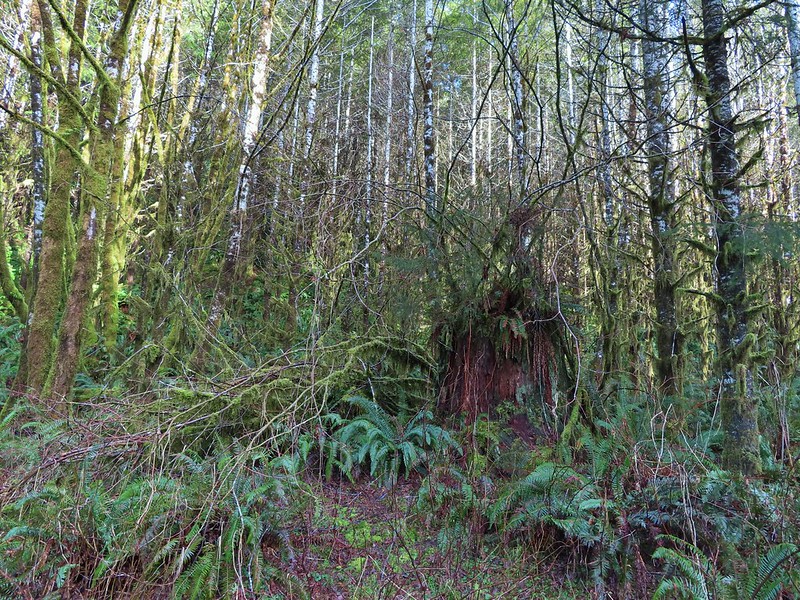 There were no recent clearcuts in the Clatsop State Forest section but there was evidence of past logging.
 Fall Creek
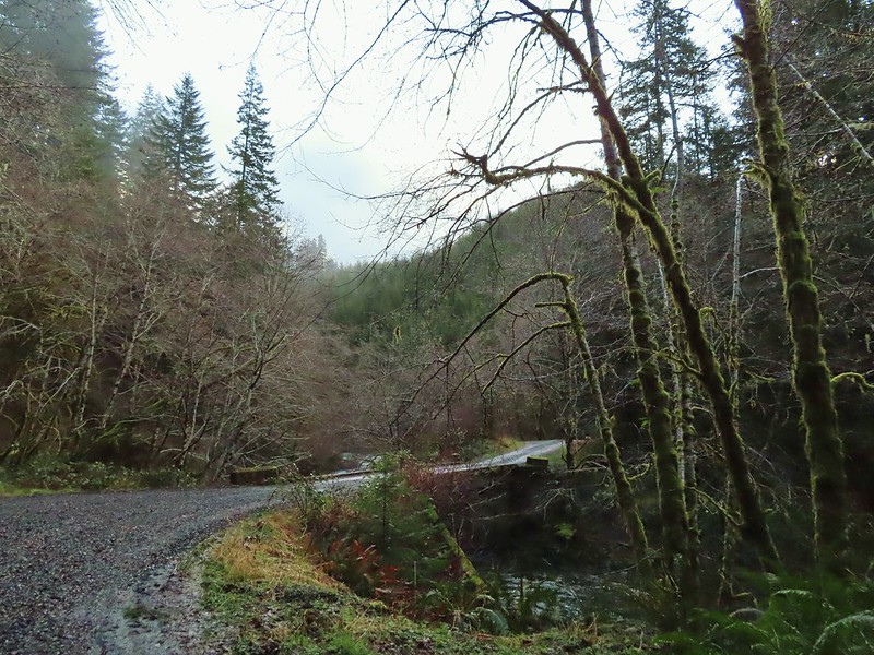
 Not sure why I neglected to get a picture of the bridge from the locked gate but this is the only one I took of the bridge.
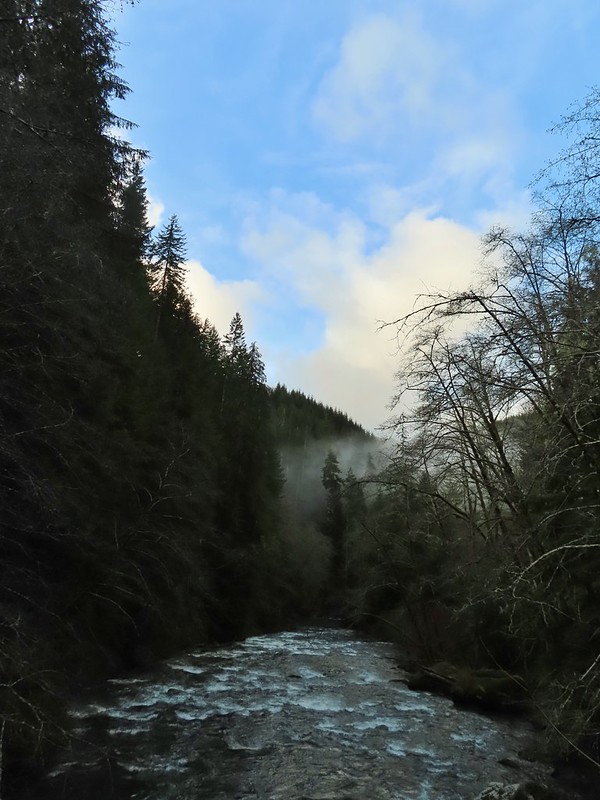
 The hike description in the Oregon Hikers Field Guide mentions walking along the bank to get a view of Upper North Fork Falls from the rocks below but that wasn’t going to be an option with the river level today.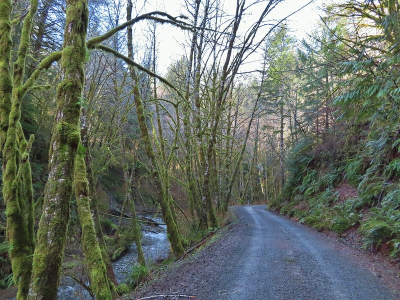


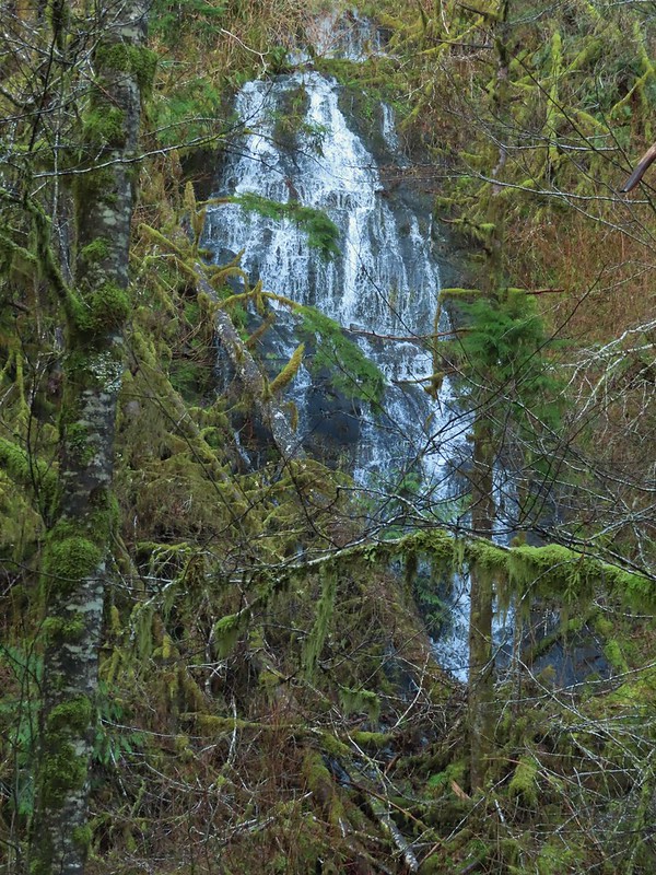

 We both thought that this thick moss looked like some sort of hairstyle.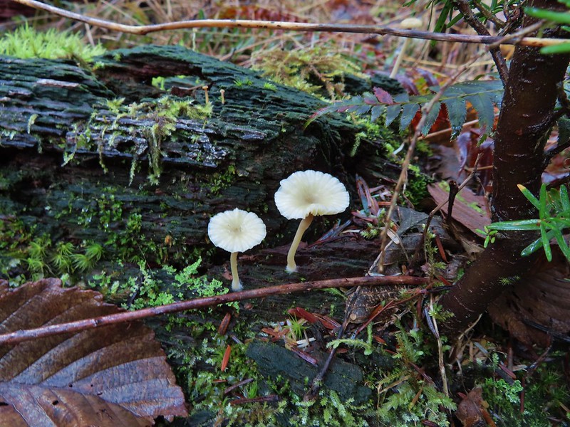
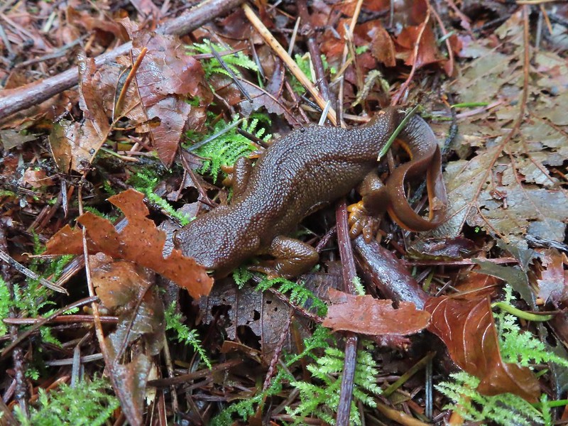 Rough-skinned newt