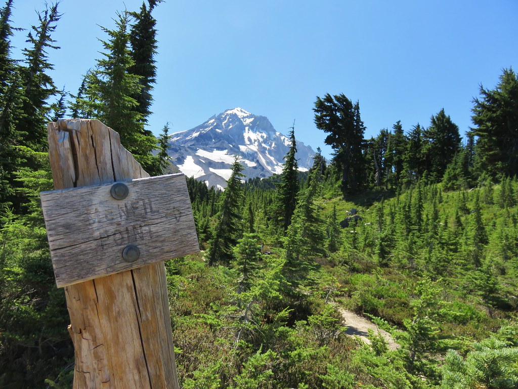
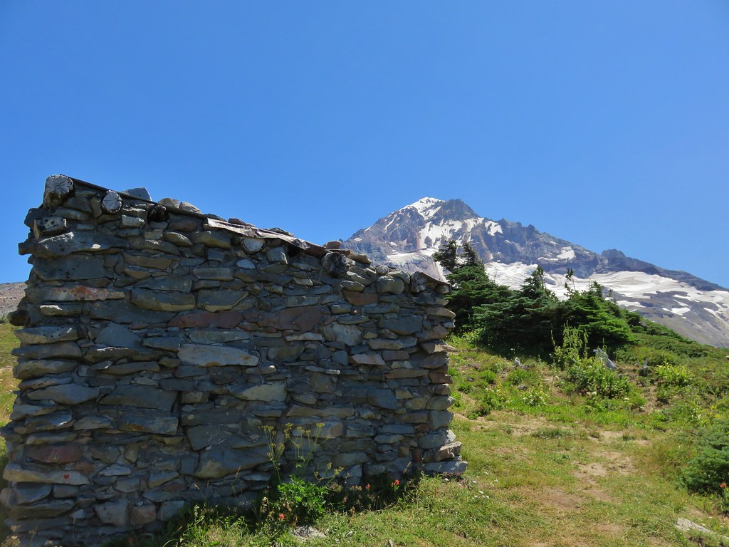
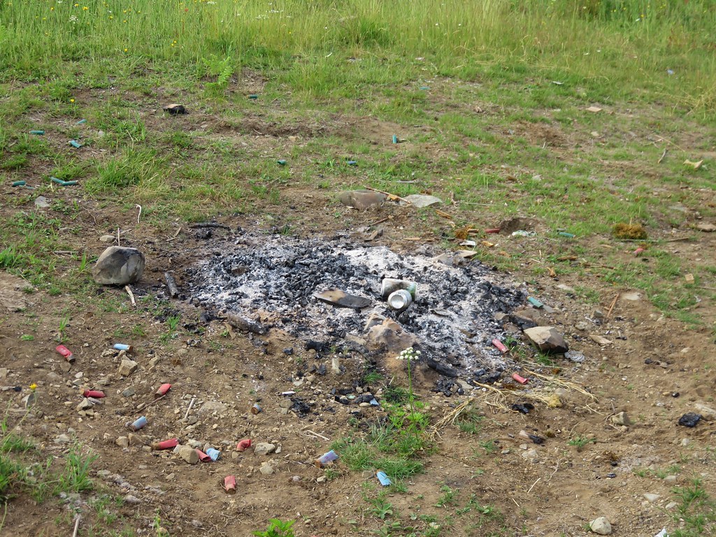
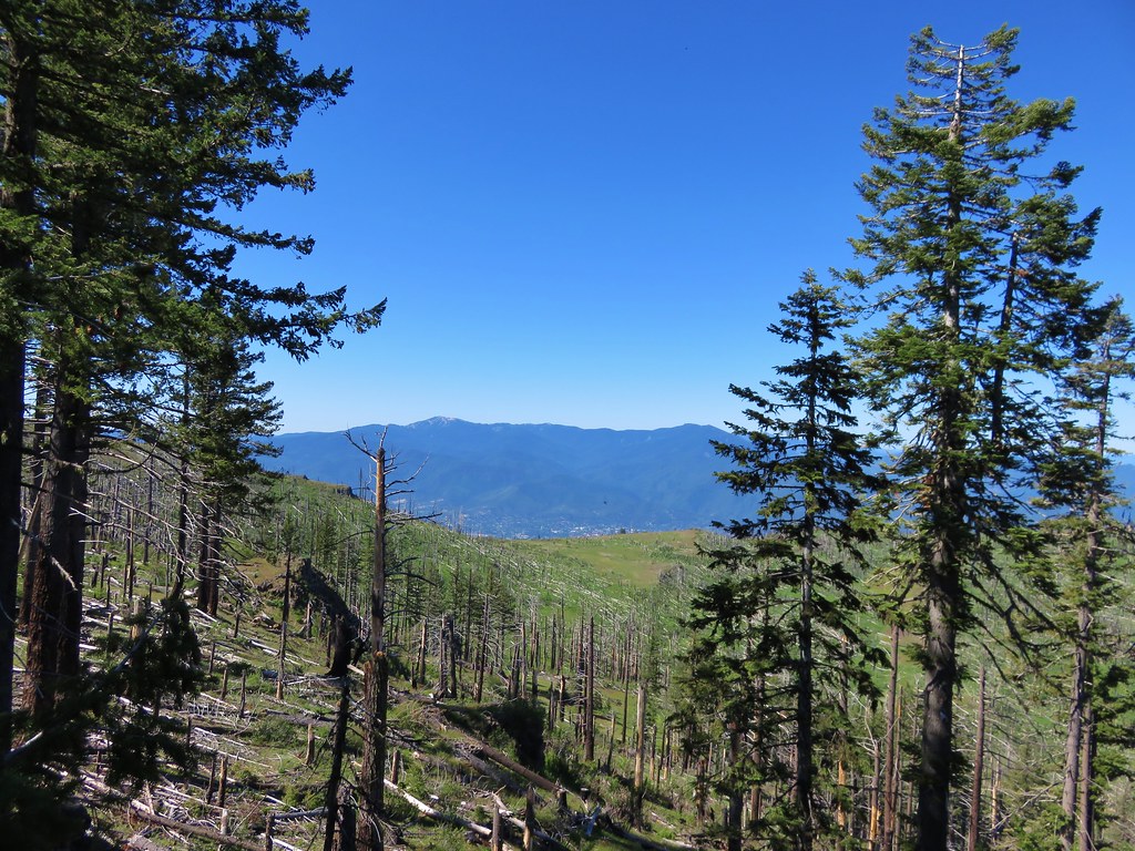
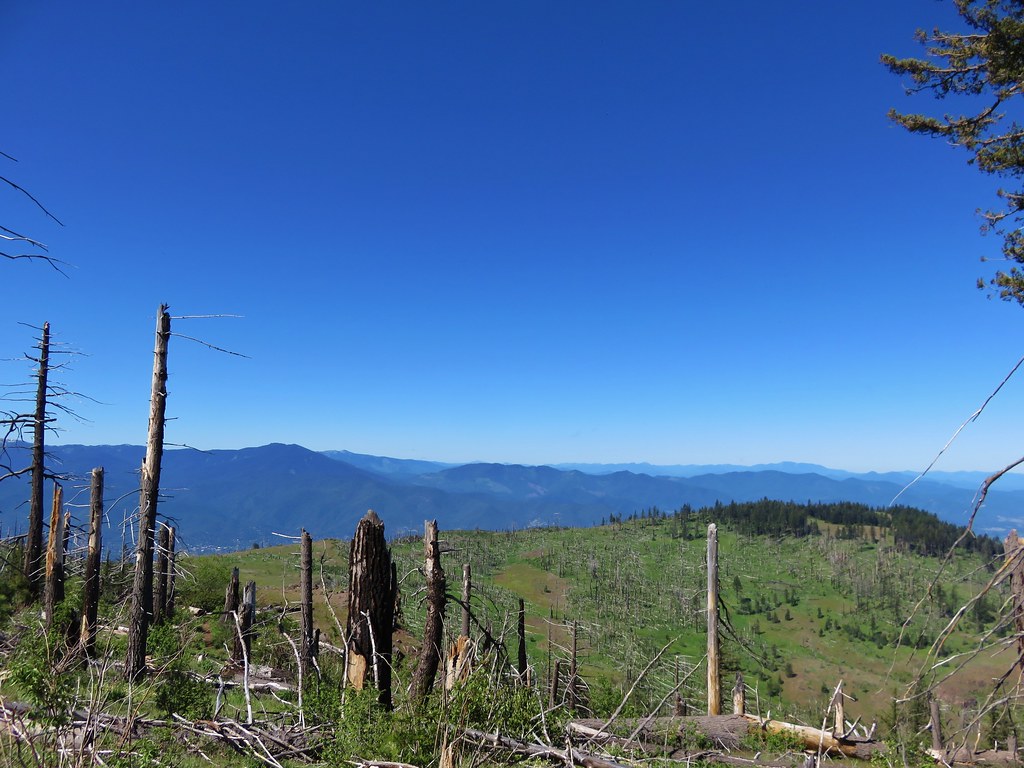
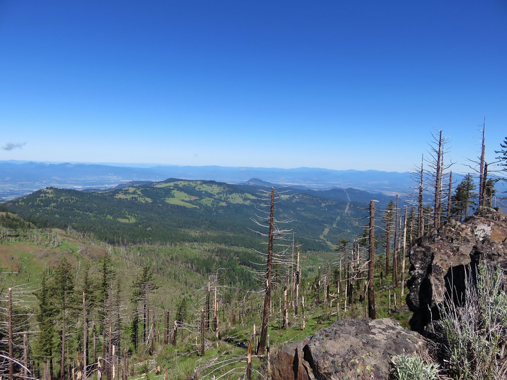
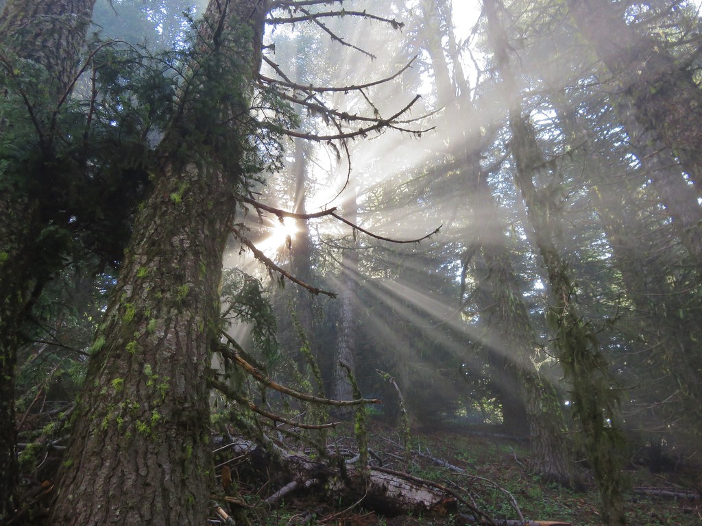
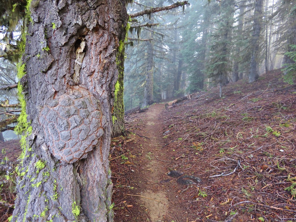
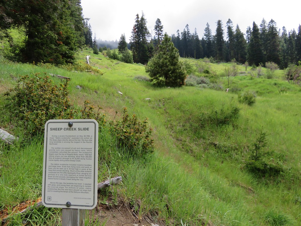
**Note the 2017 Separation Fire burned a portion of this hike.**
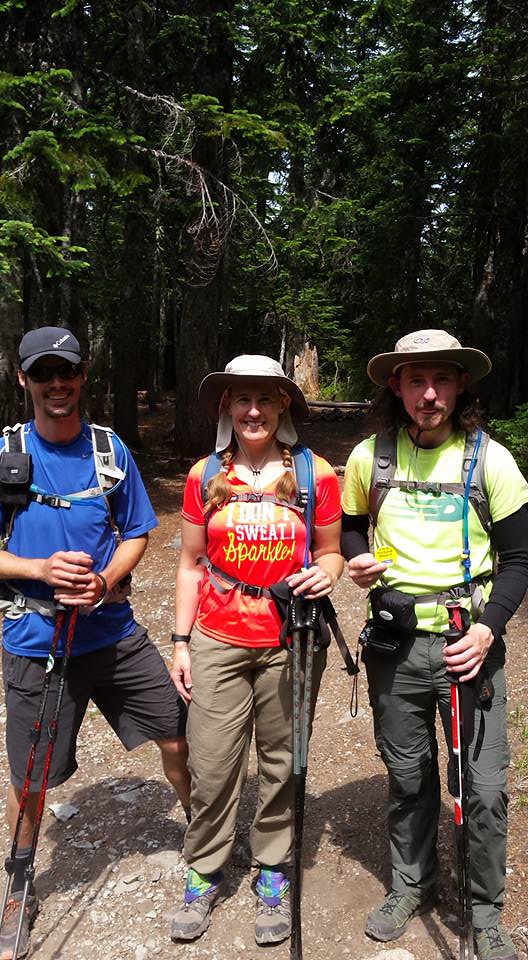
We just started backpacking last year and we really enjoyed it so we were looking forward to our first outing of the year which we recently completed. I plan on covering our trip over three entries starting with this post featuring our first day.
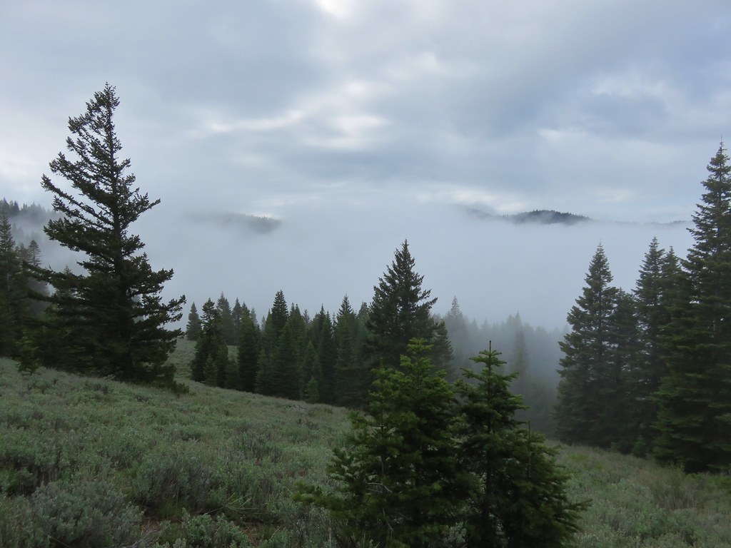
We had originally planned on spending a long weekend in the Opal Creek and Bull of the Woods Wilderness areas, but with the early snow melt in the mountains we changed our destination to the Three Sisters Wilderness. I had been wanting to check out the waterfalls along Linton Creek since seeing a trip report that was posted on Portlandhikers.org in 2013. There is no official trail to any of the falls along the creek and in most places there is no trail at all. The few reports I found on the area all began their hike at Linton Lake along Highway 126 and climbed up toward Linton Meadows. In the report on Portlandhikers they had hiked up the creek then over to Eileen Lake for the night then returned to Linton Lake the next day. I wasn’t too keen on the idea of carrying our full packs while bushwacking uphill so I came up with a different plan.
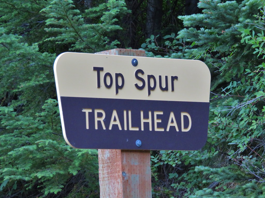
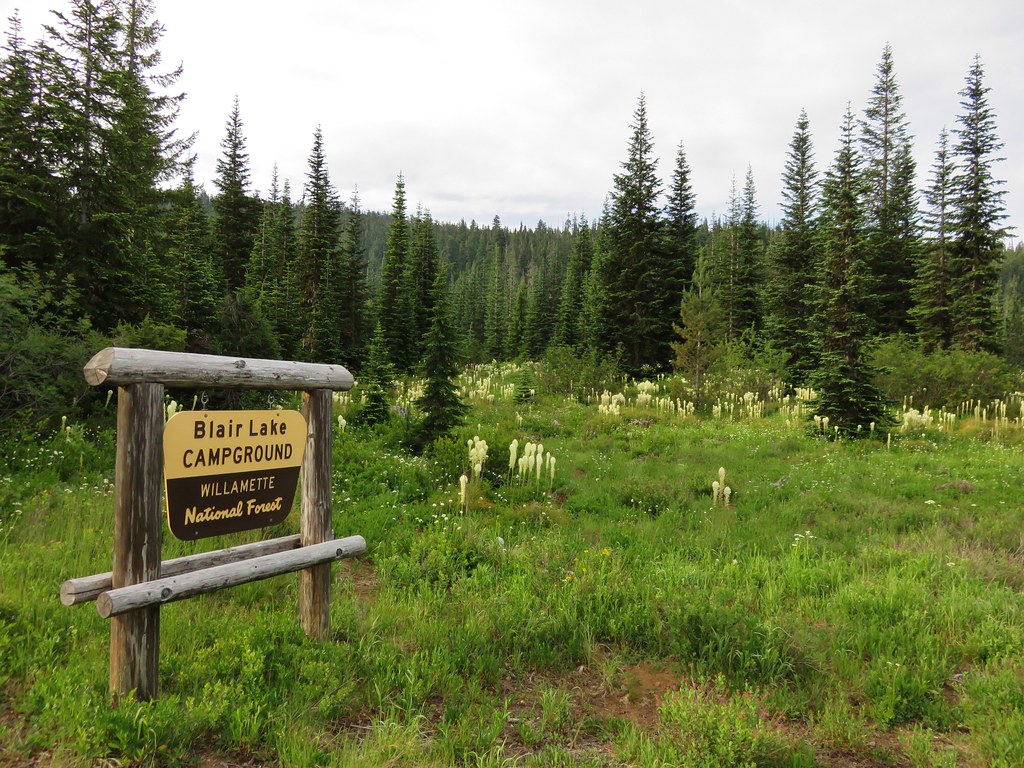
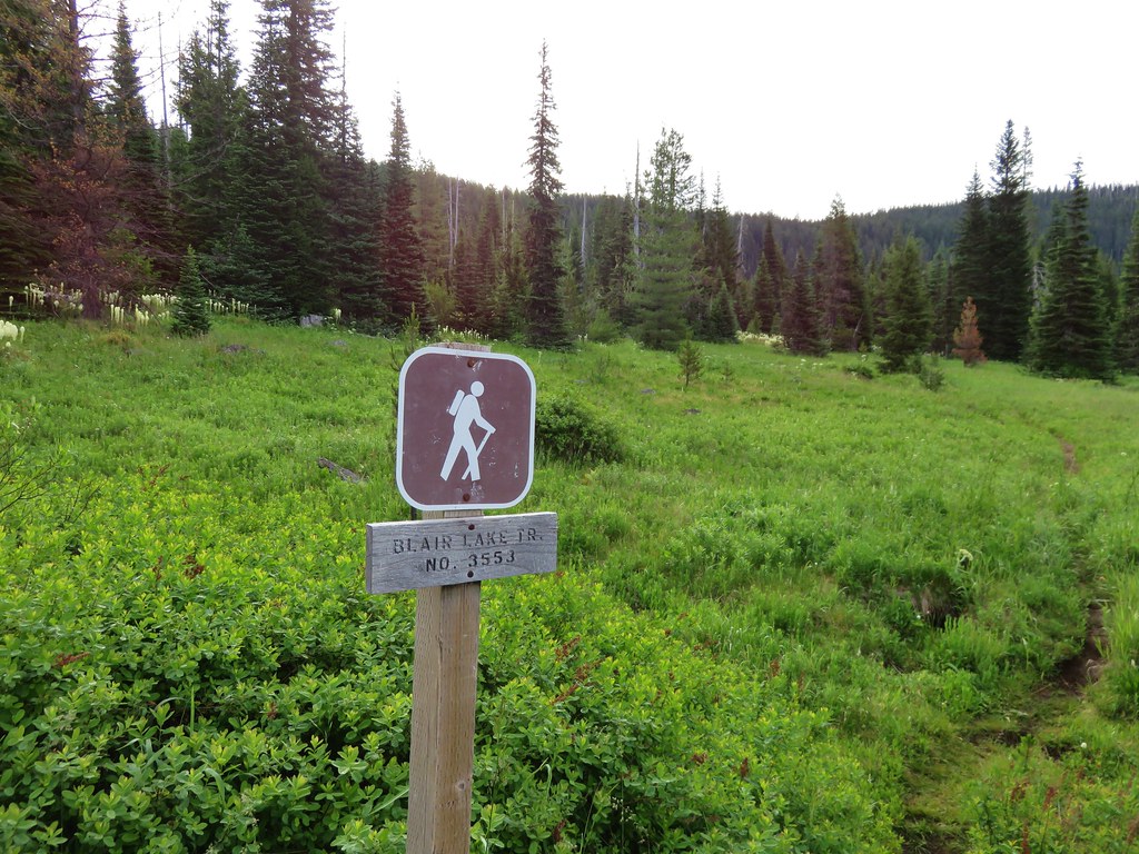
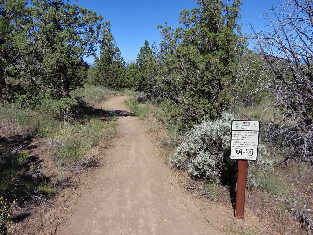
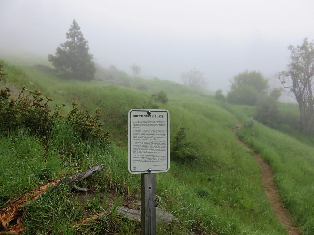
The solution was to start the exploration of Linton Creek from Eileen Lake where we would already have established our campsite. This would allow us to explore down stream as far as Upper Linton Falls using daypacks. I began studying our maps trying to plan the trip. The three closest trailheads to Eileen Lake are the Obsidian Trailhead, the Foley Ridge Trailhead, and the Separation Lake Trailhead. I quickly settled on the Separation Lake TH since it was the closest to us, didn’t require a limited entry permit, and offered a couple possible return loops.
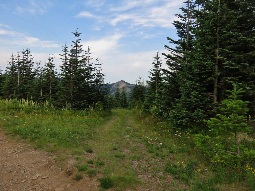
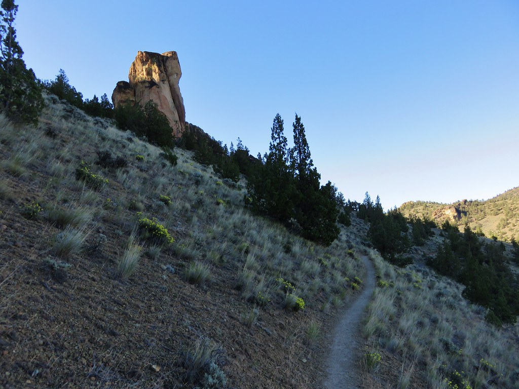
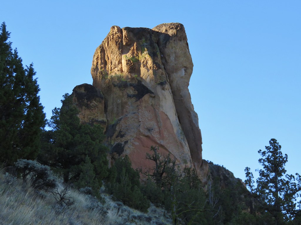
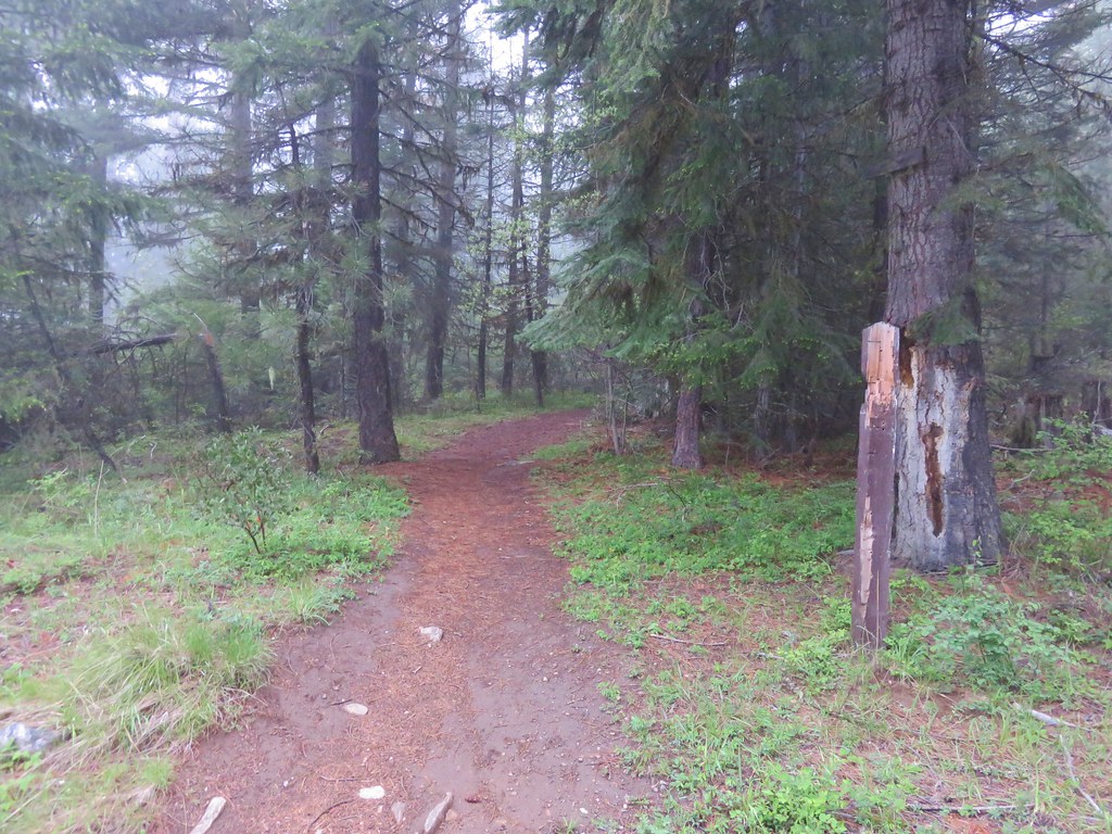
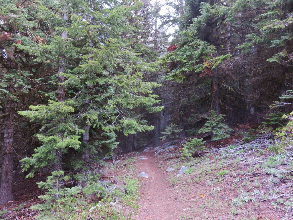
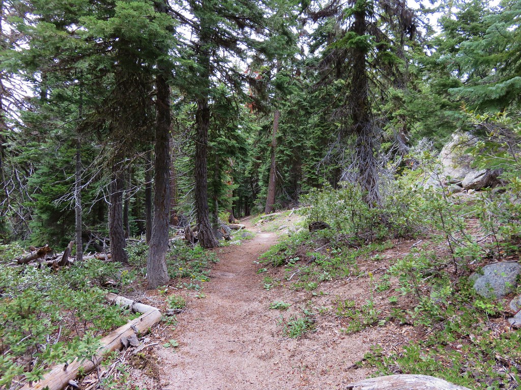
We had been to the Separation Lake Trailhead in May 2014 when we hiked to Separation Lake so we were familiar with the trail when we slung our packs on and set off into the Three Sisters Wilderness.

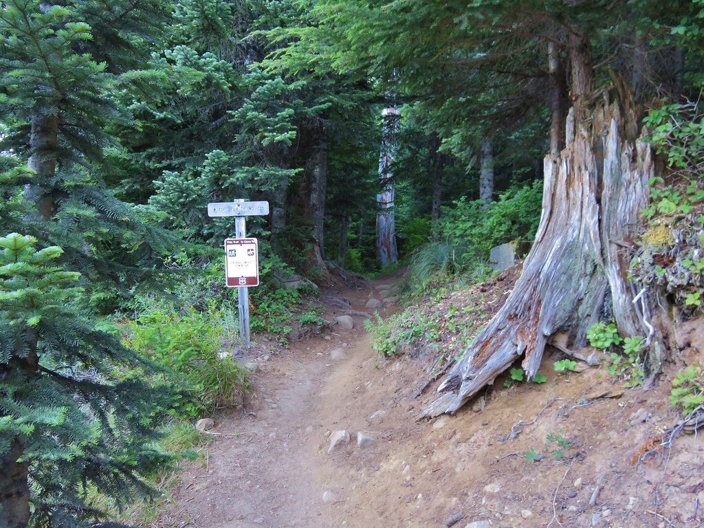
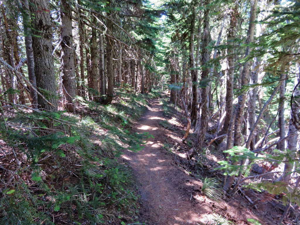
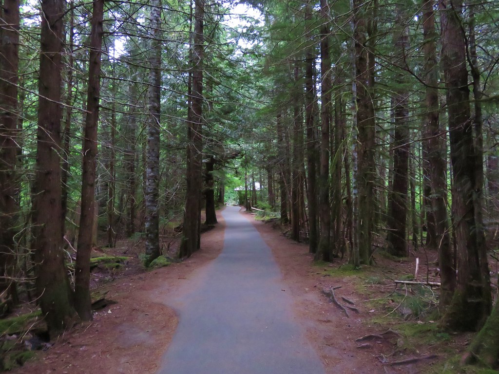
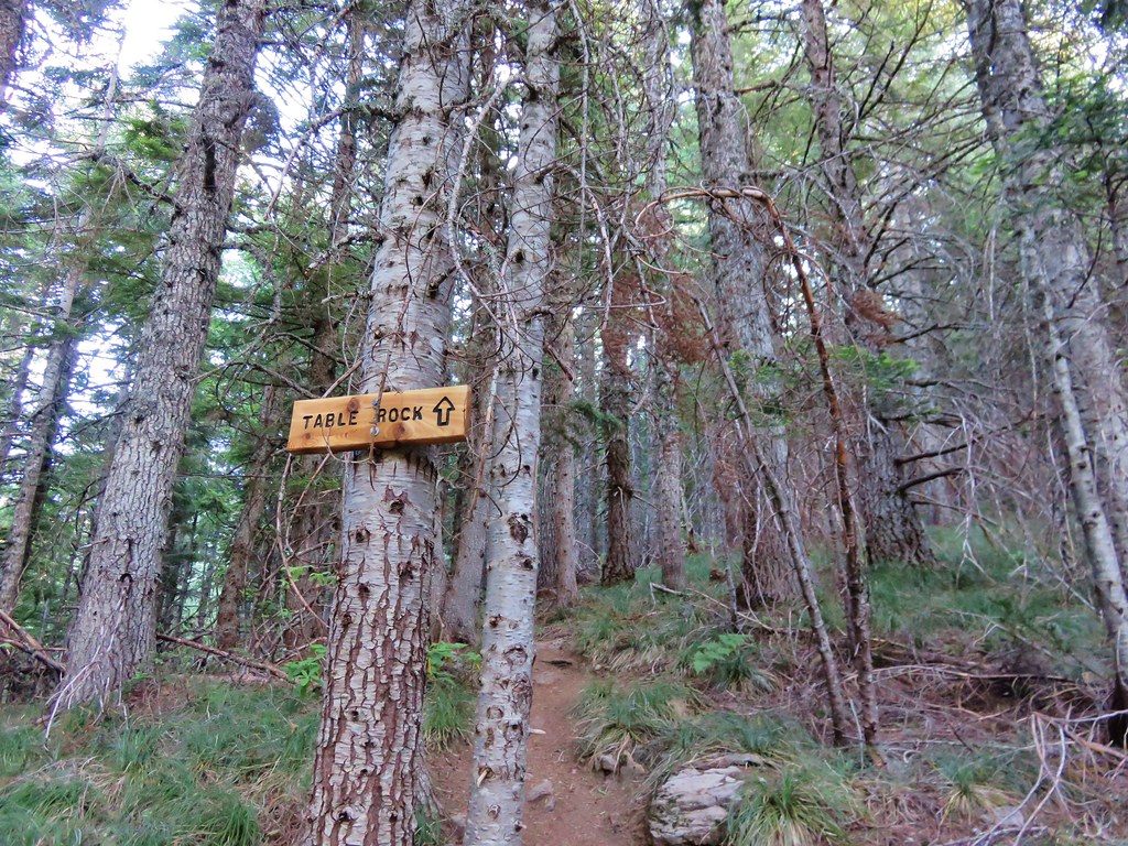
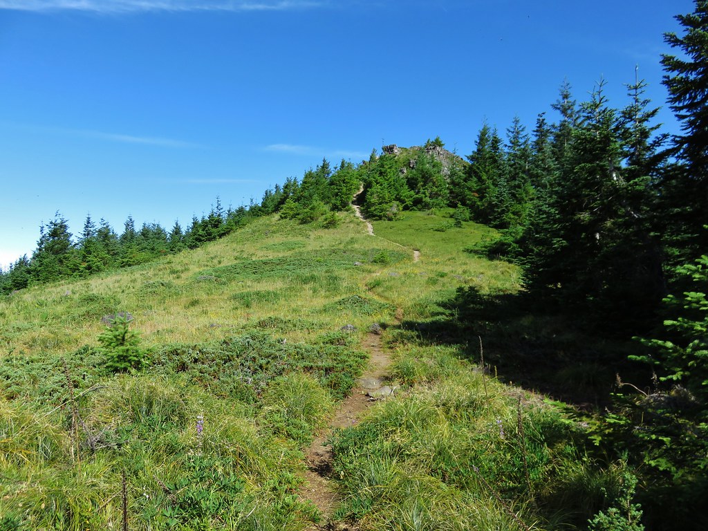
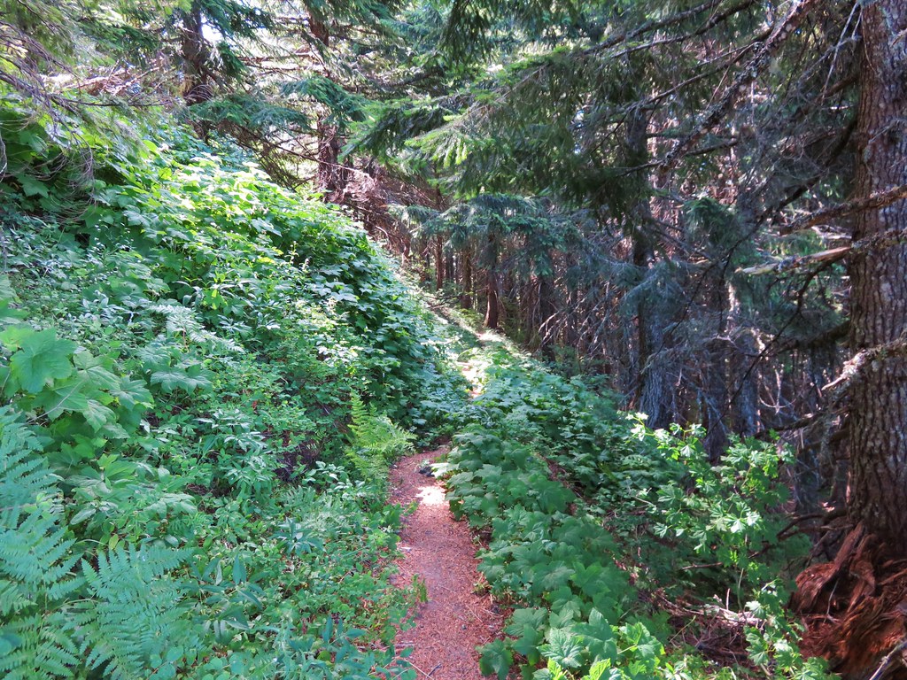
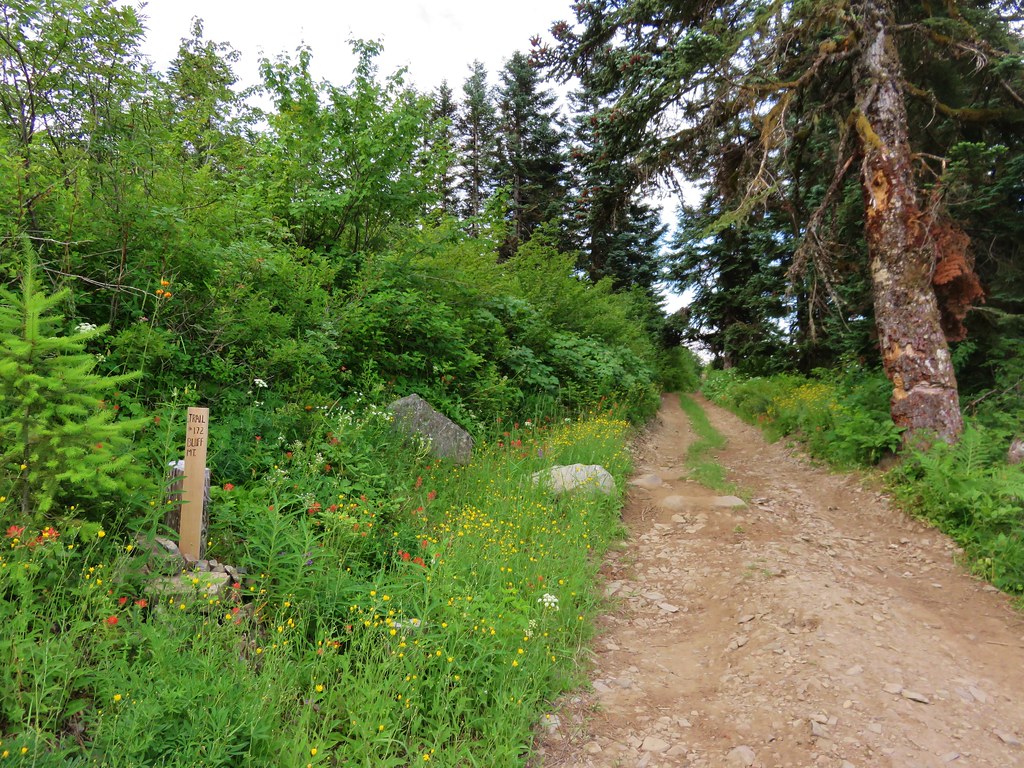
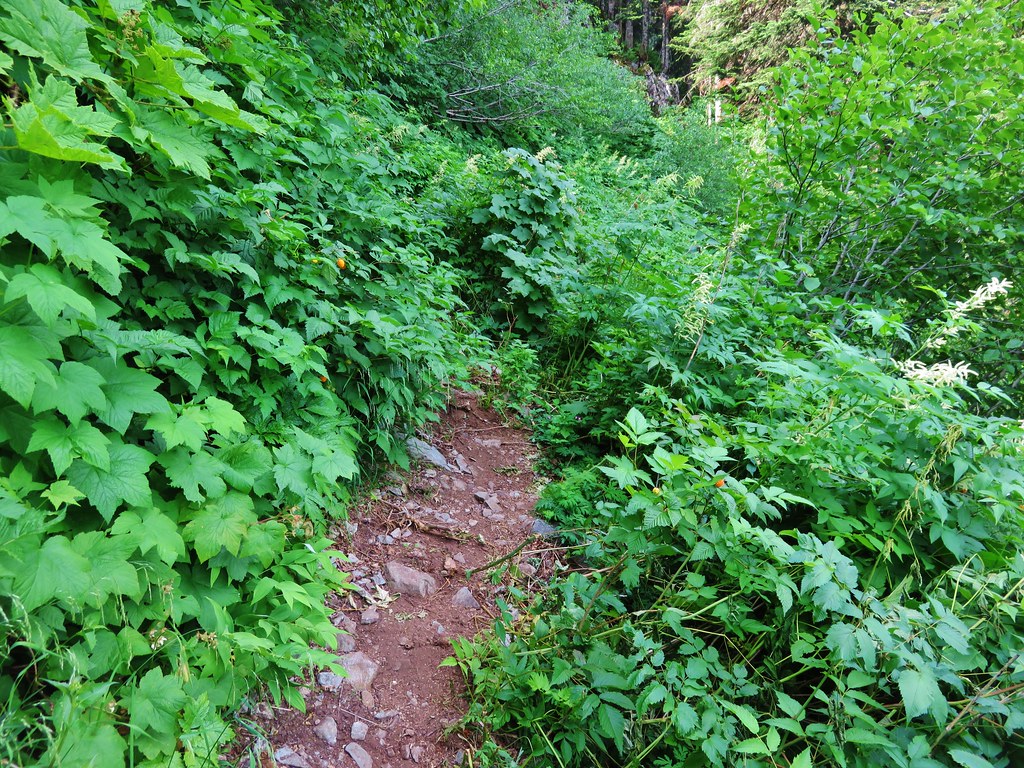
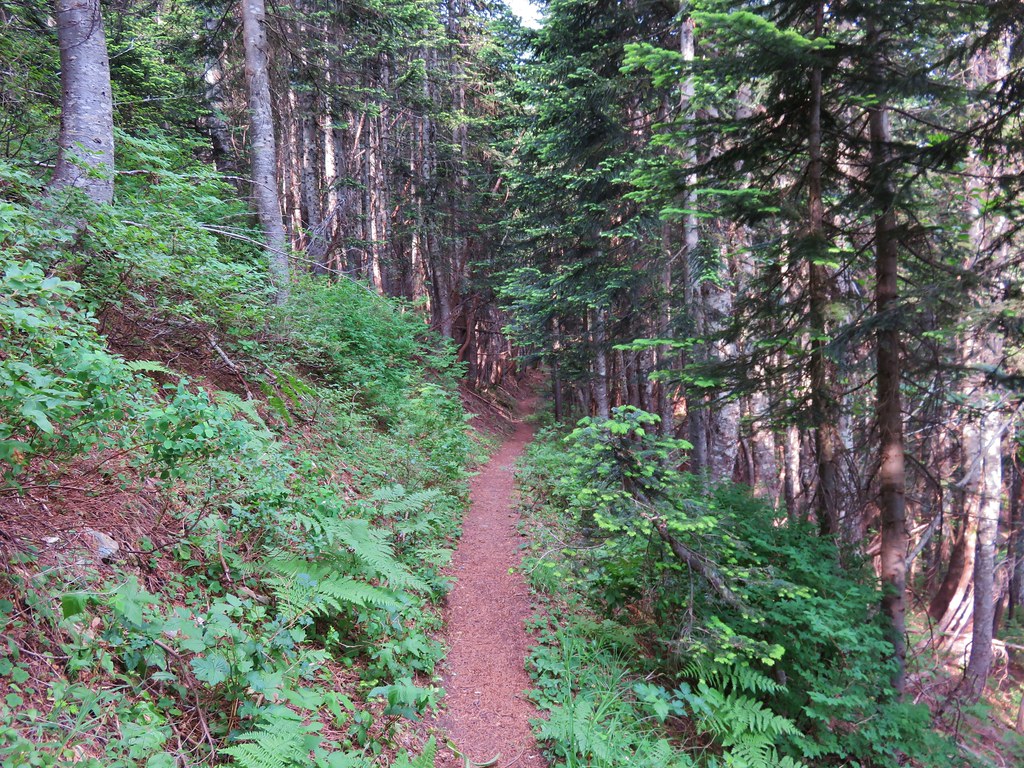
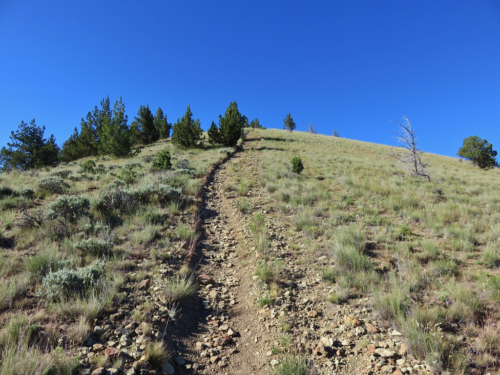
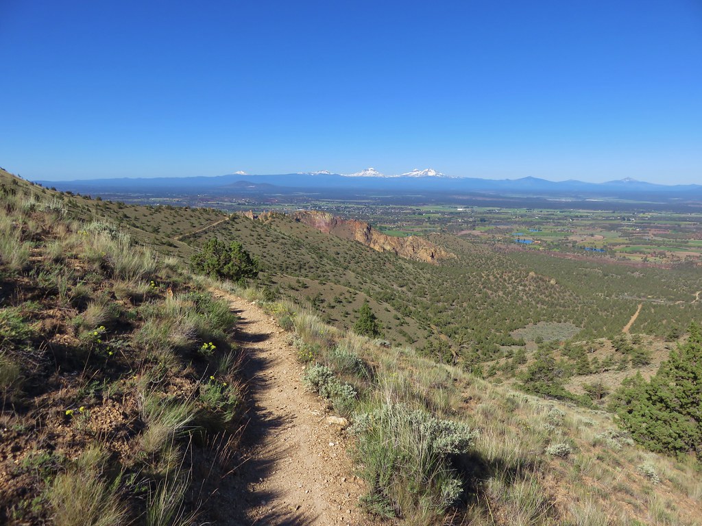
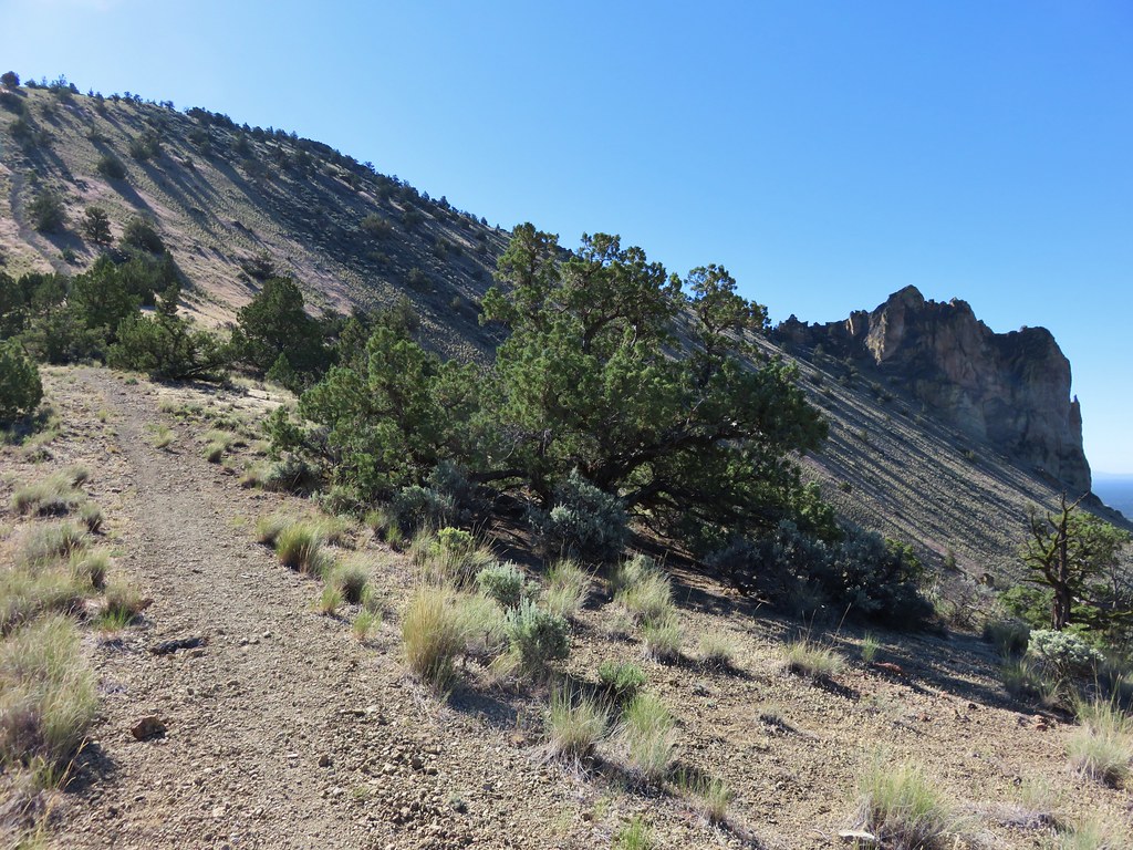
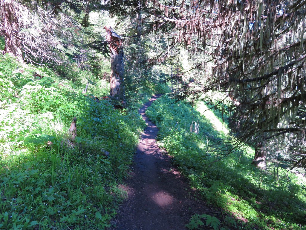
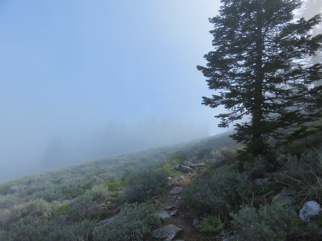
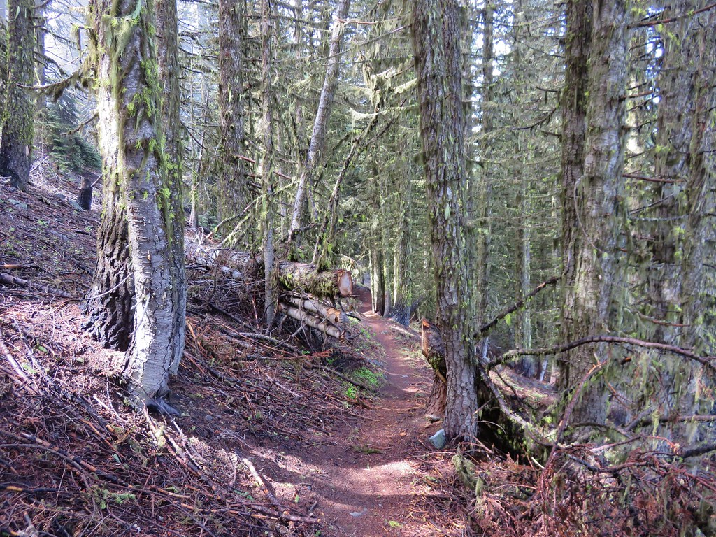
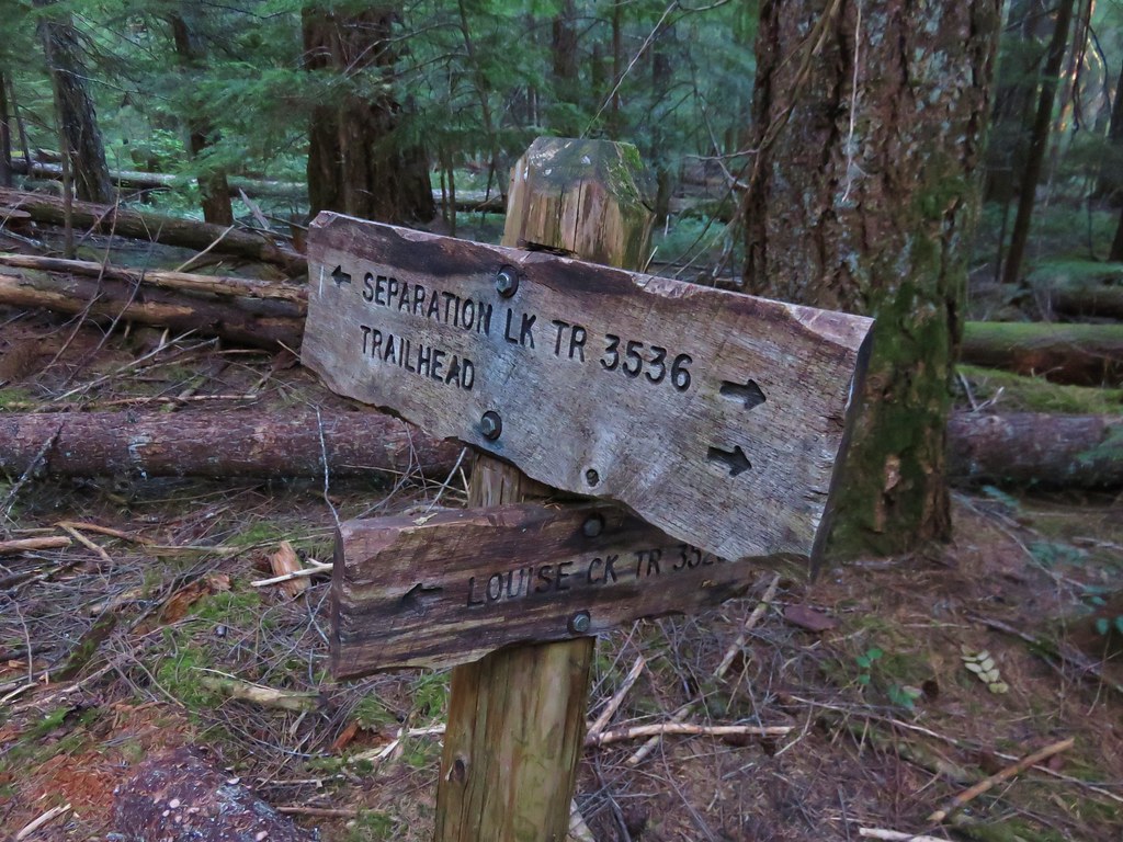
This time we took the Louise Creek Trail when we reached the junction just under a mile from the trailhead.
Our plan was to follow the Louise Creek Trial for 7.2 miles to another trail junction at Buck Meadows then continue up to the Foley Ridge Trail which would take us to yet another junction. From there we would take the Linton Meadows Trail to a final junction where we would head for Husband Lake and our ultimate destination of Eileen Lake.
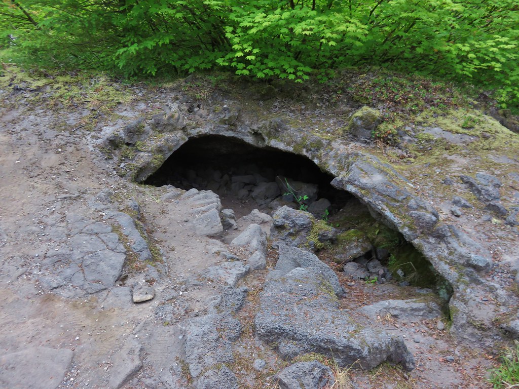
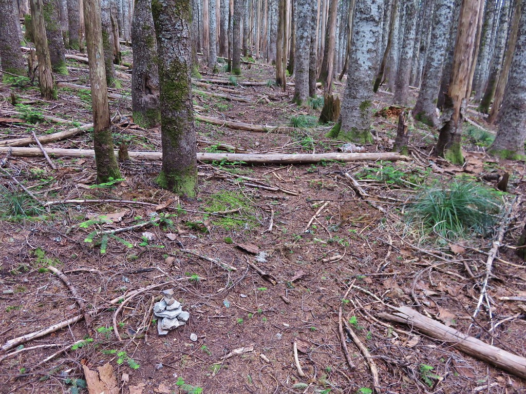
As we climbed up the Louise Creek Trail we met a couple that were hiking out after having camped at Sisters Mirror Lake. They had come down a portion of the Separation Creek Trail from the James Creek Shelter to Indian Hole Falls and reported that the trail did indeed have many downed trees across it. This confirmed what the information on the Forest Service website which called the trail “impassible due to heavy blowdown”. We had planned on visiting Indian Hole Falls then taking that trail down to Separation Lake where we would camp on our third night but had nixed those plans after seeing the information on the website. The other couple said the falls were beautiful and we still planned on visiting them but by using the Separation Creek Meadows Trail instead.
They also reported that there were a couple of people doing trail maintenance just up the trail and that they had not seen any water along the trail for quite some time. We had plenty of water for the day but it was good information to have for our return trip so we didn’t short ourselves hiking out.
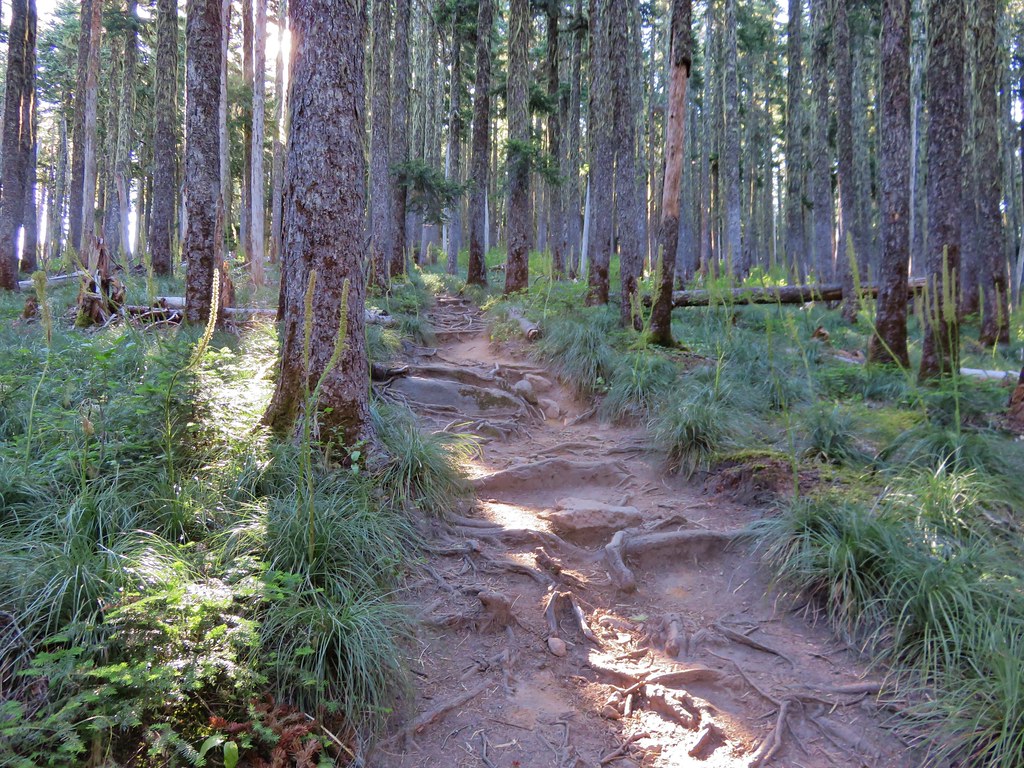
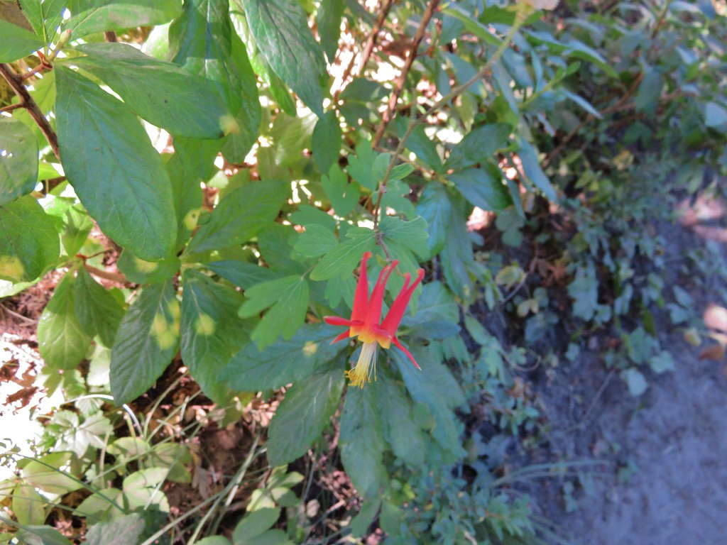
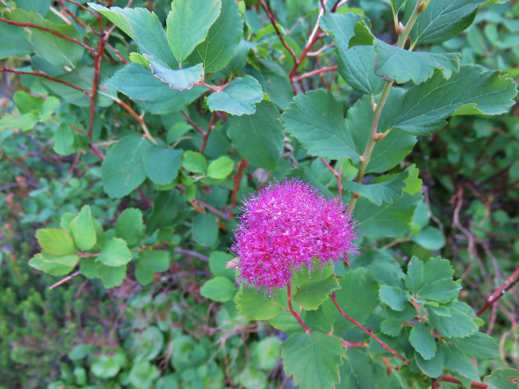
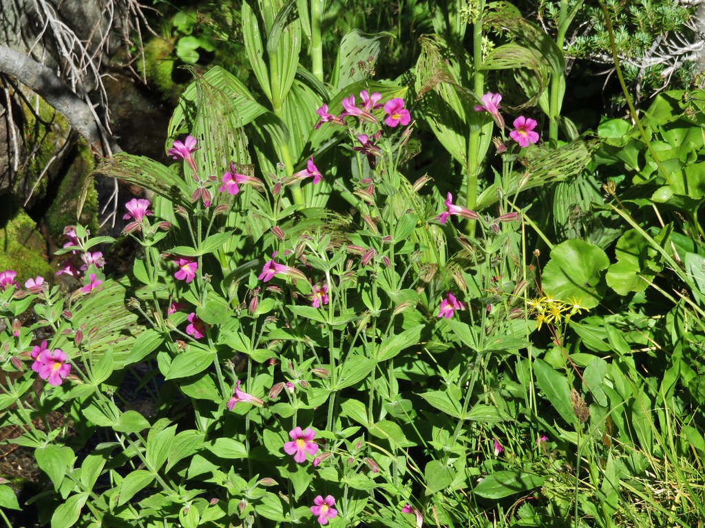
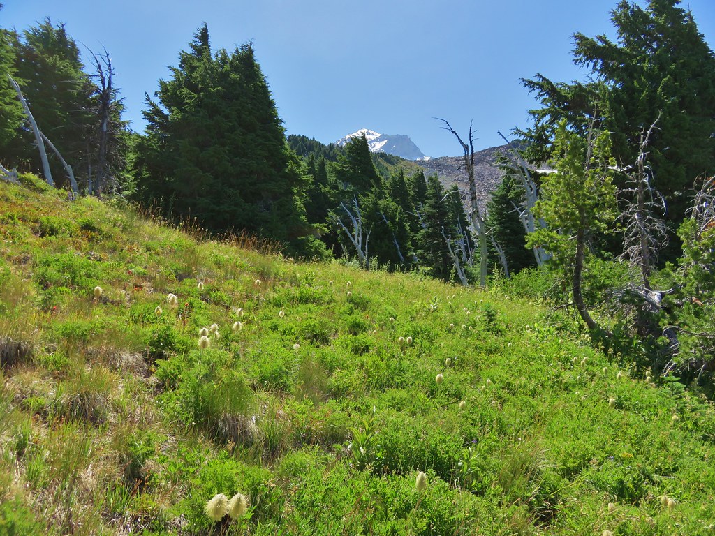
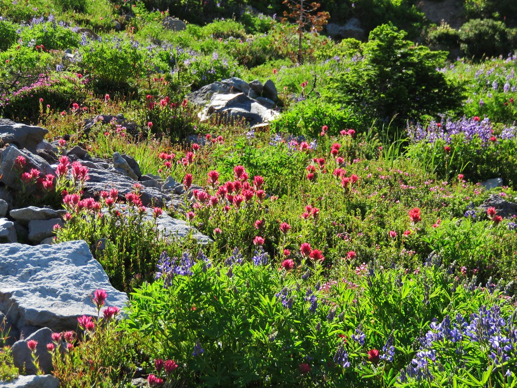
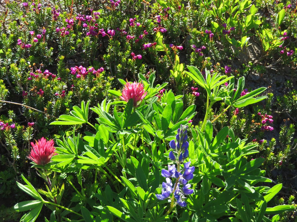
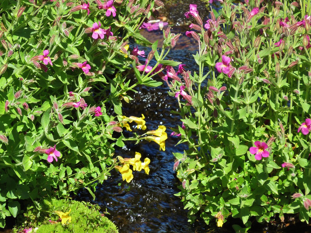
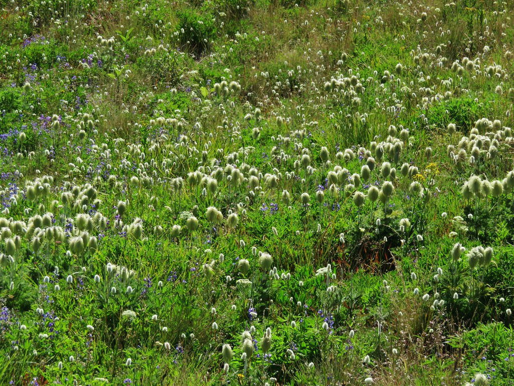
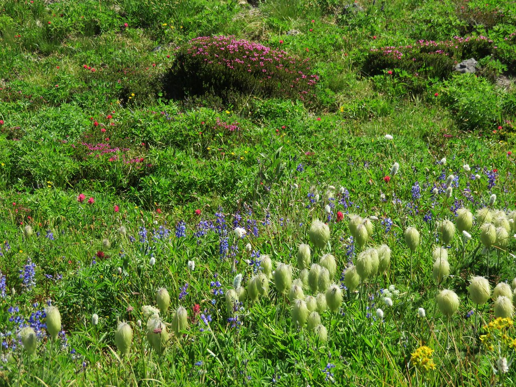
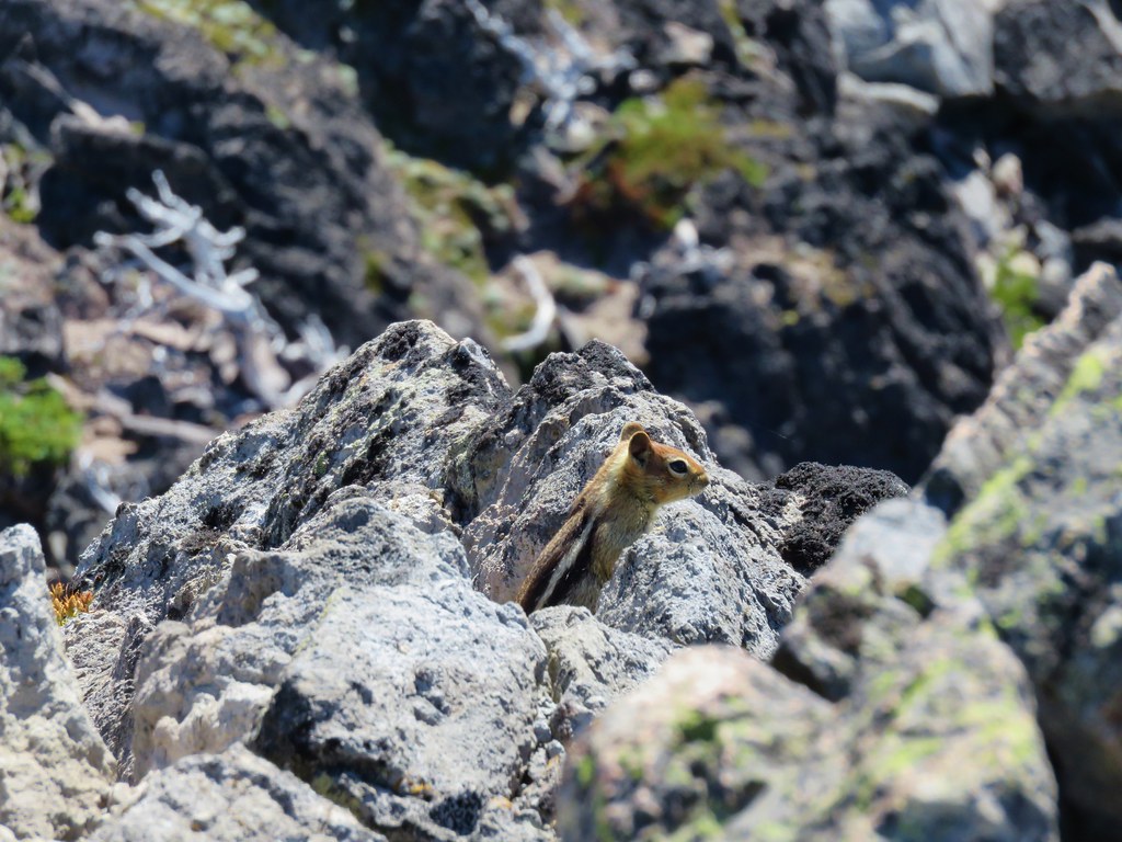
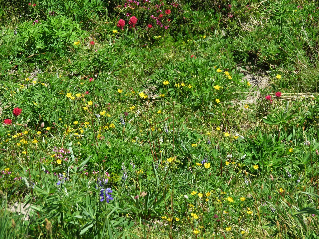
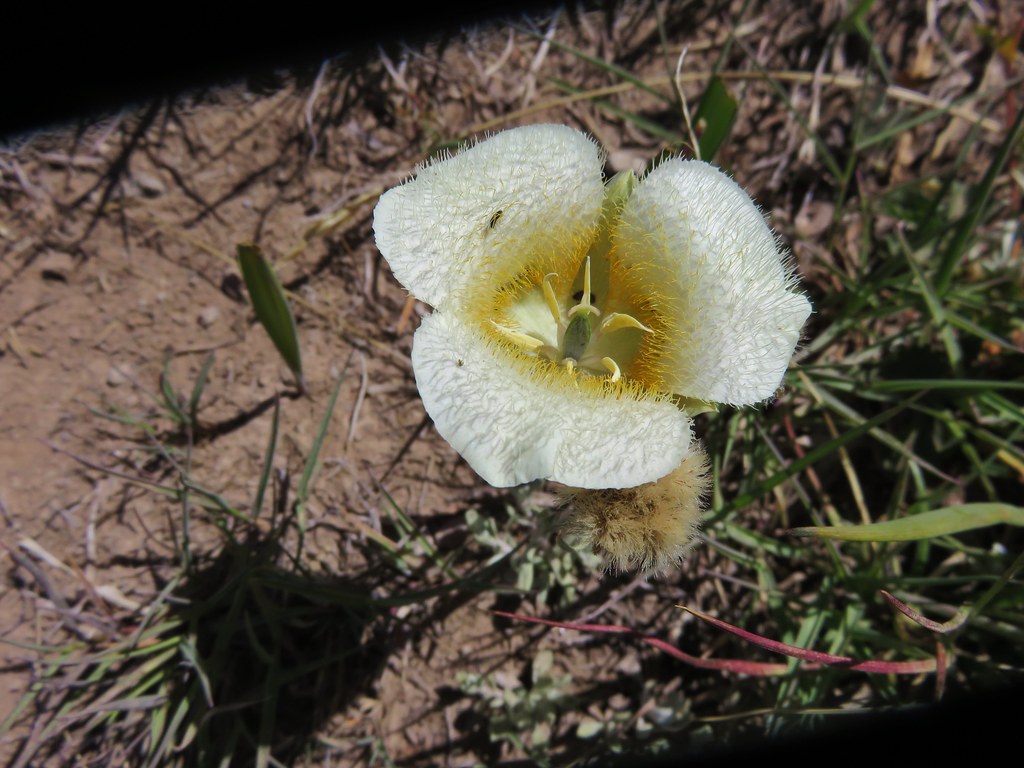
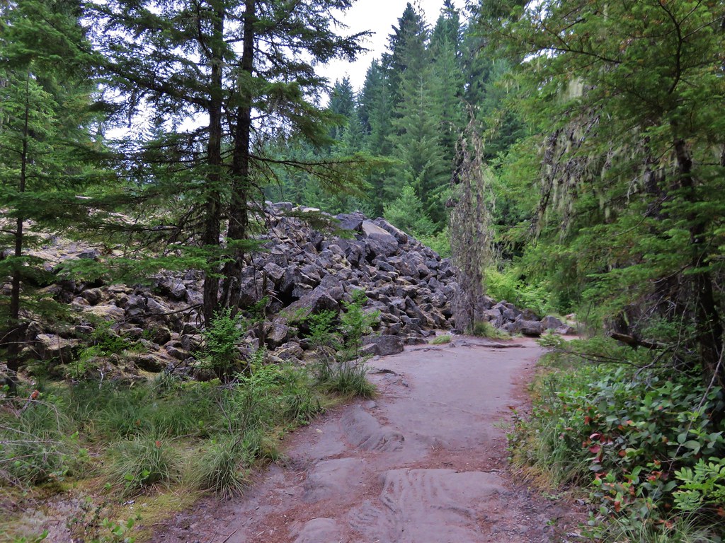
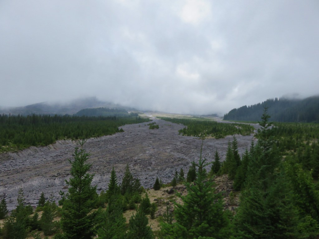
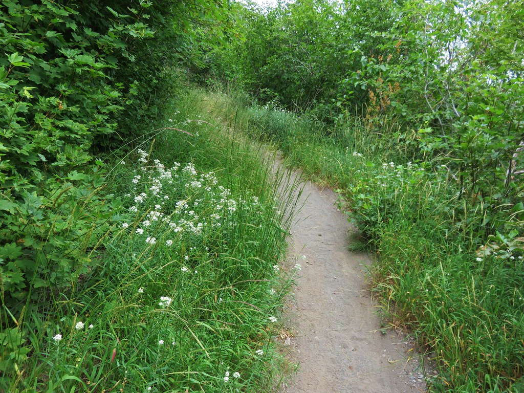
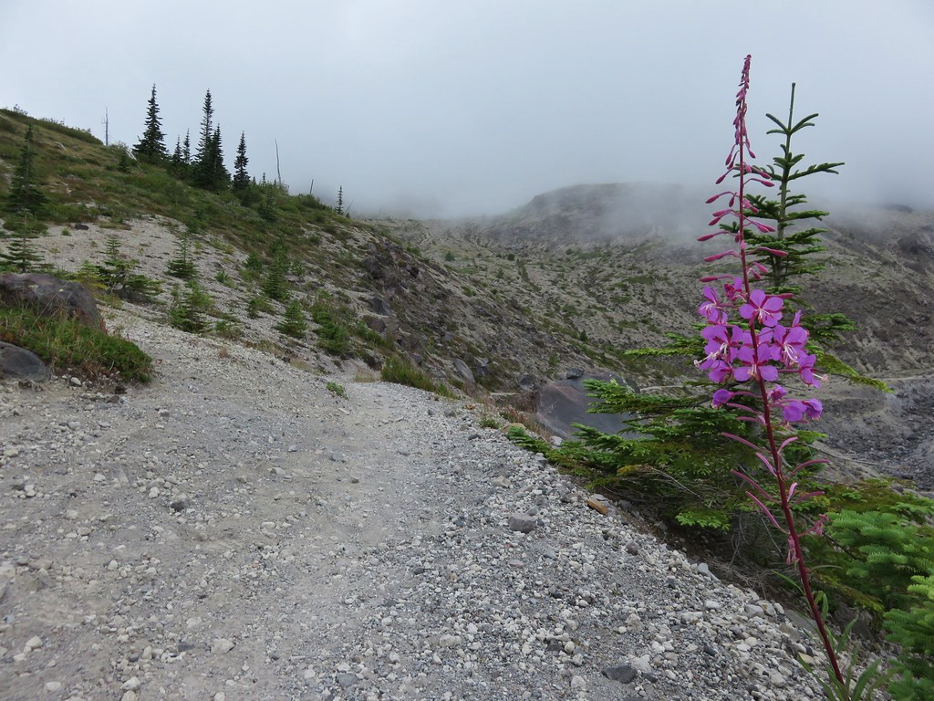
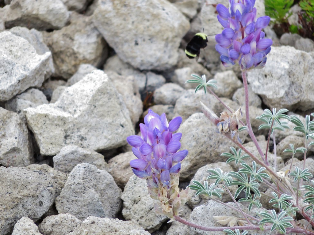
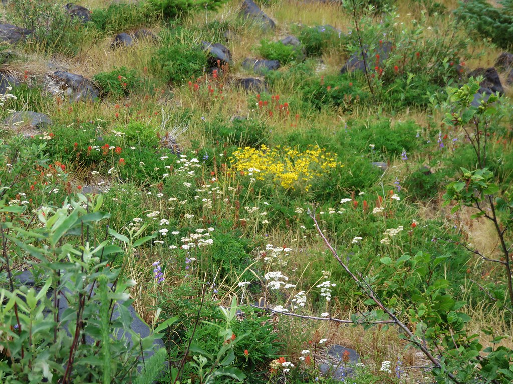
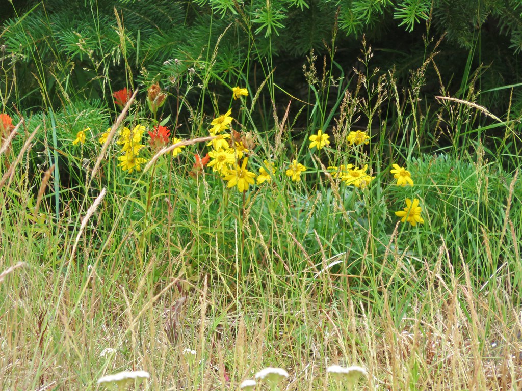
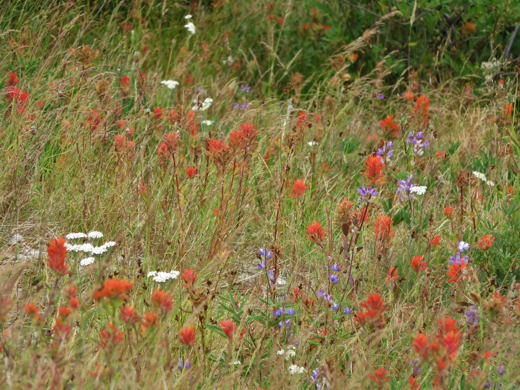
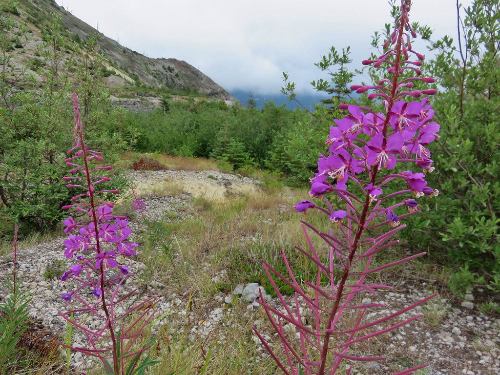
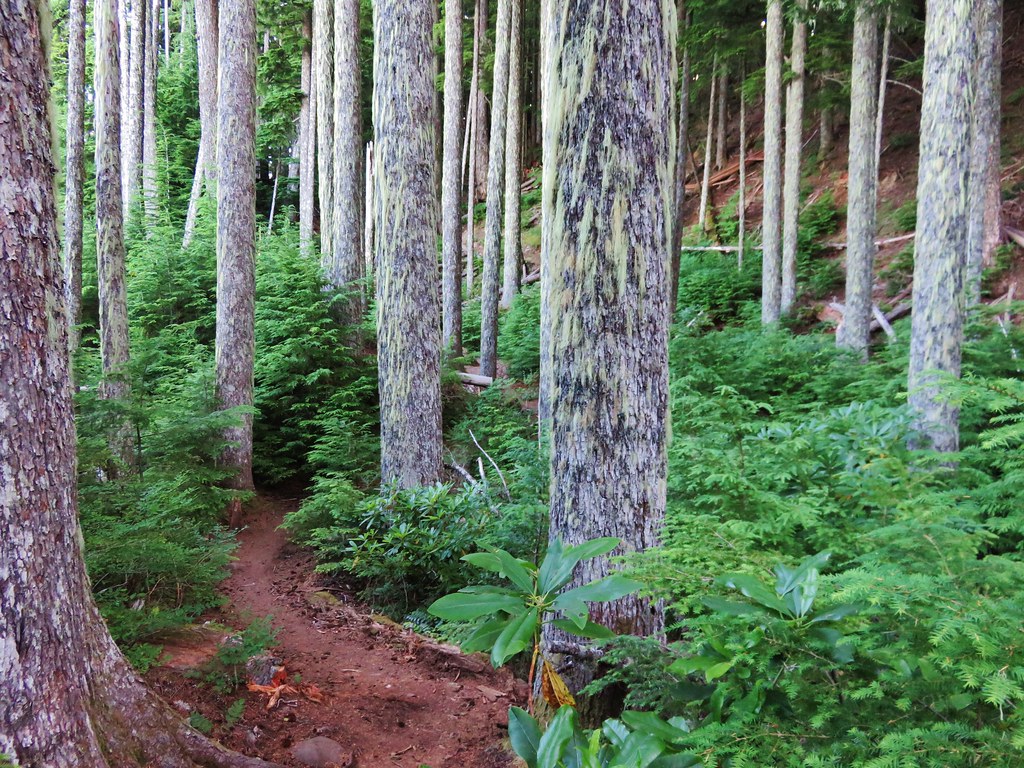
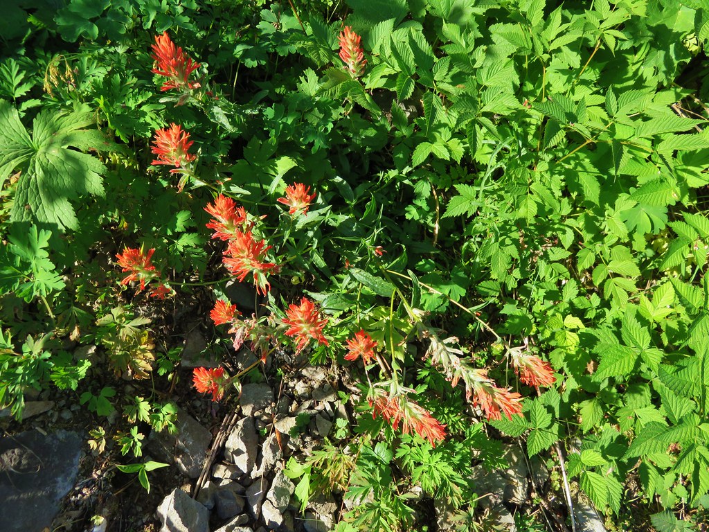
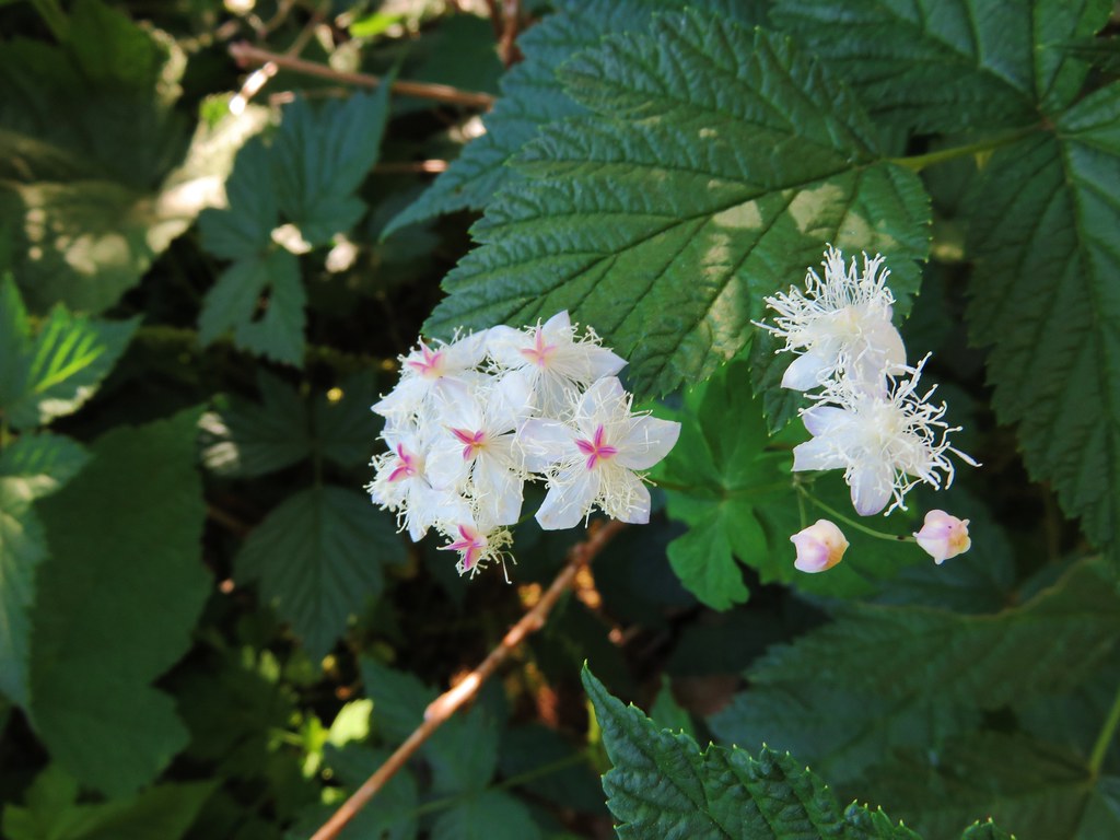
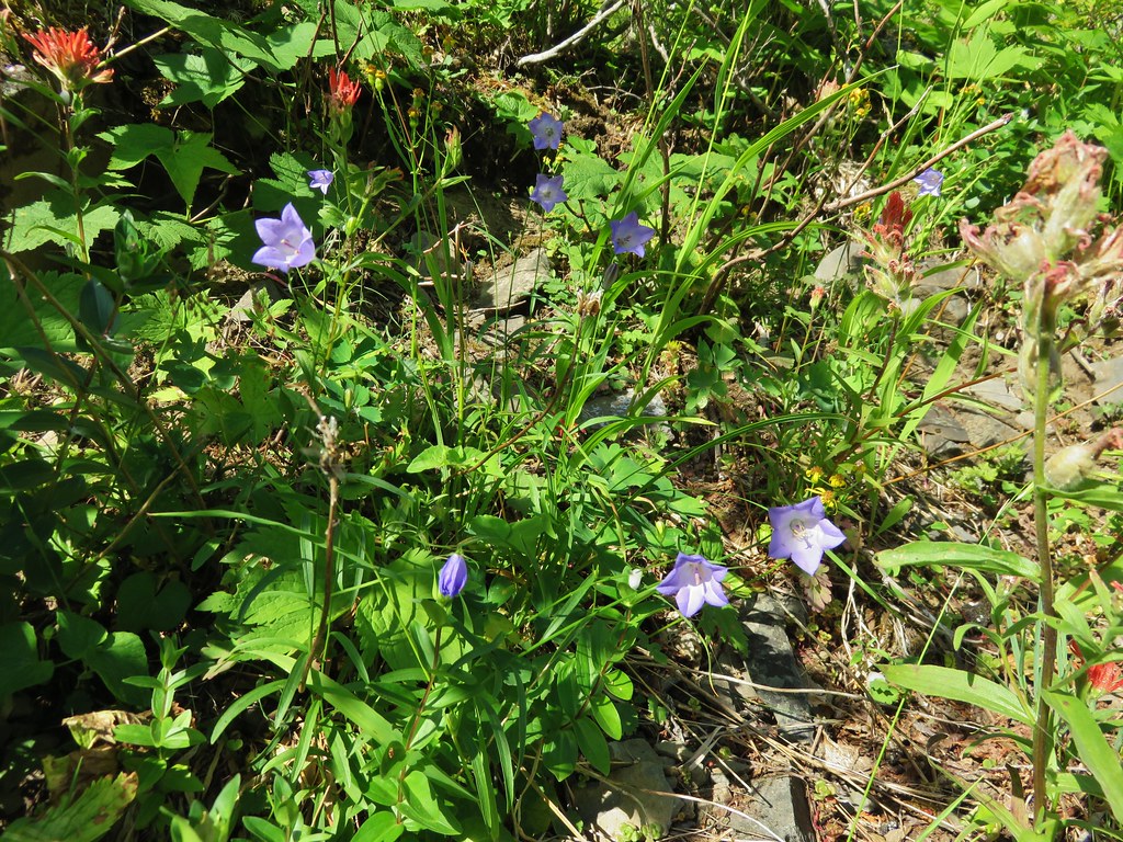
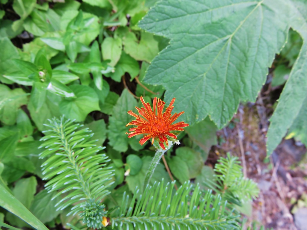
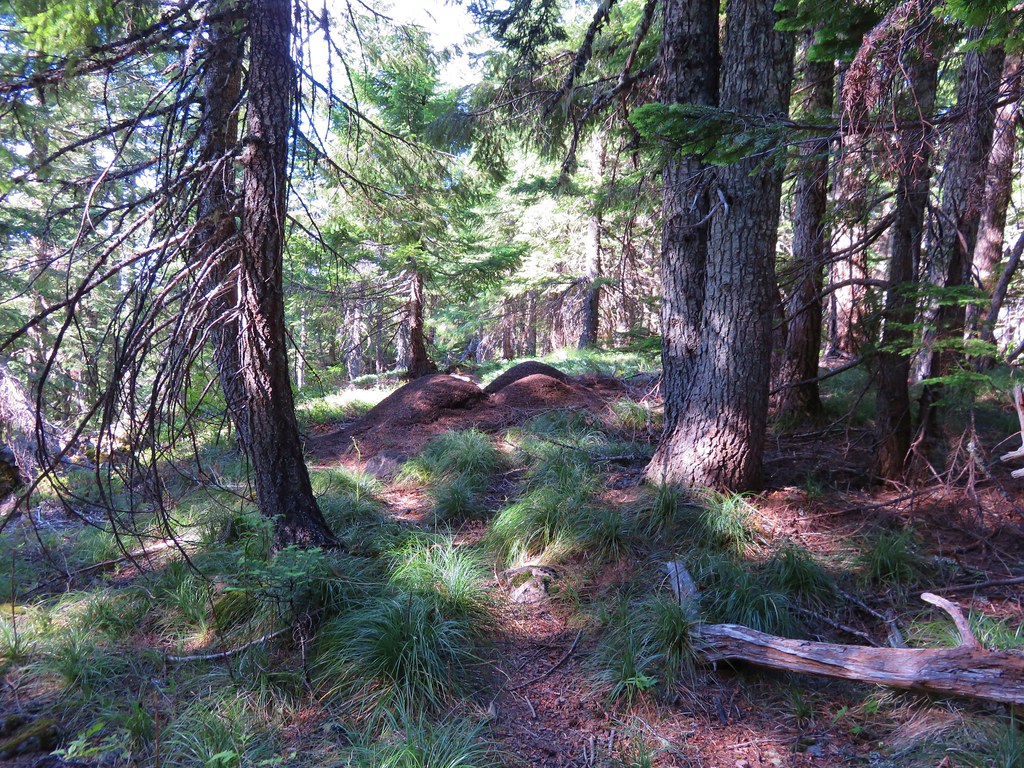
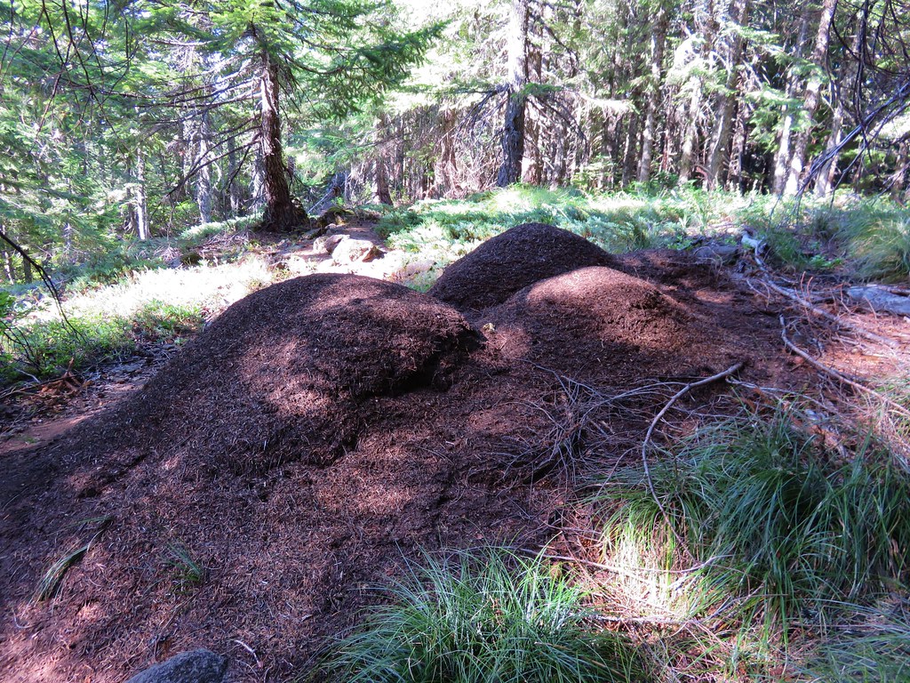
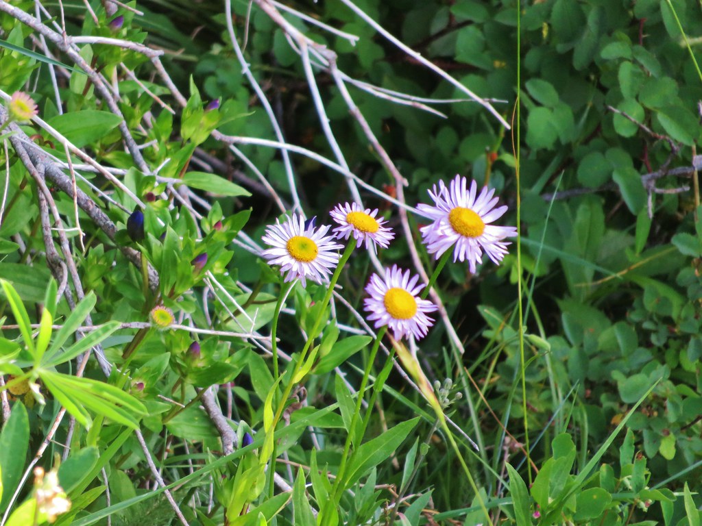
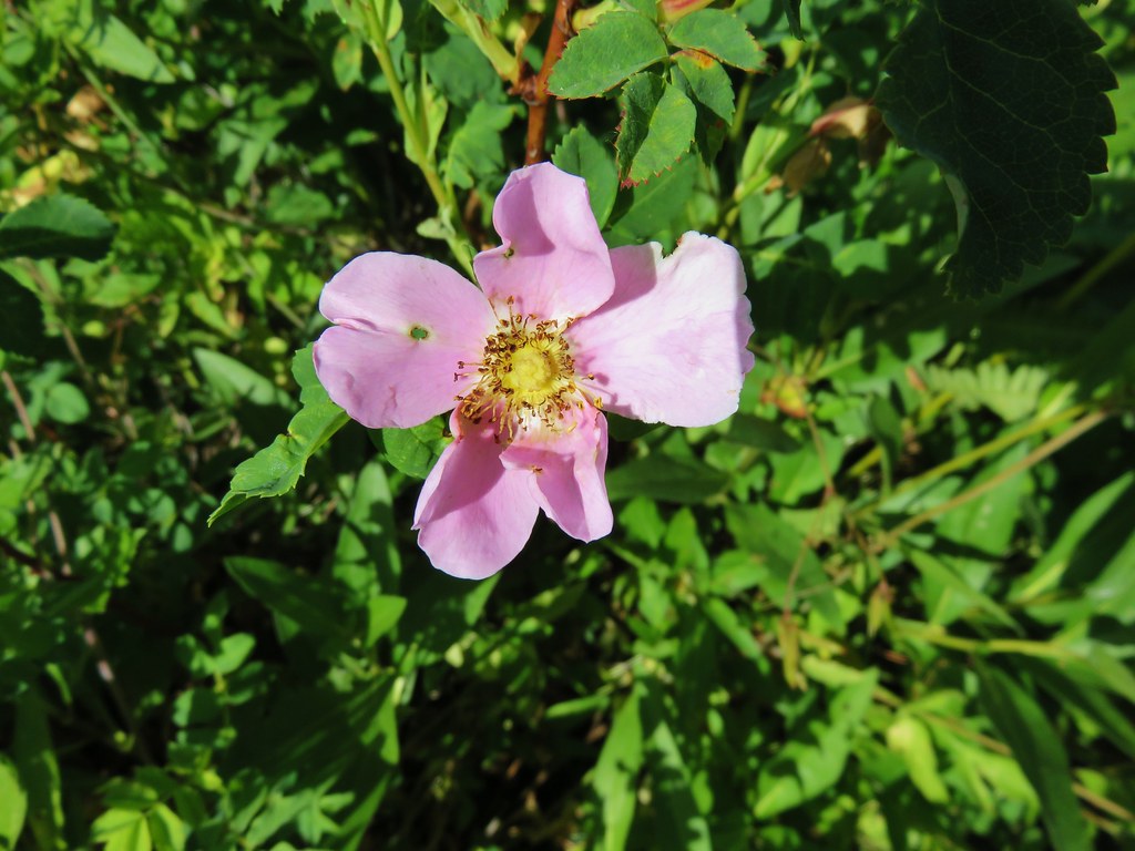
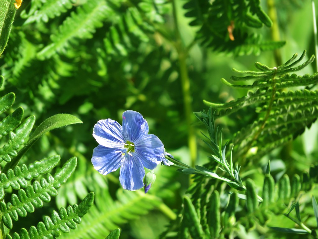
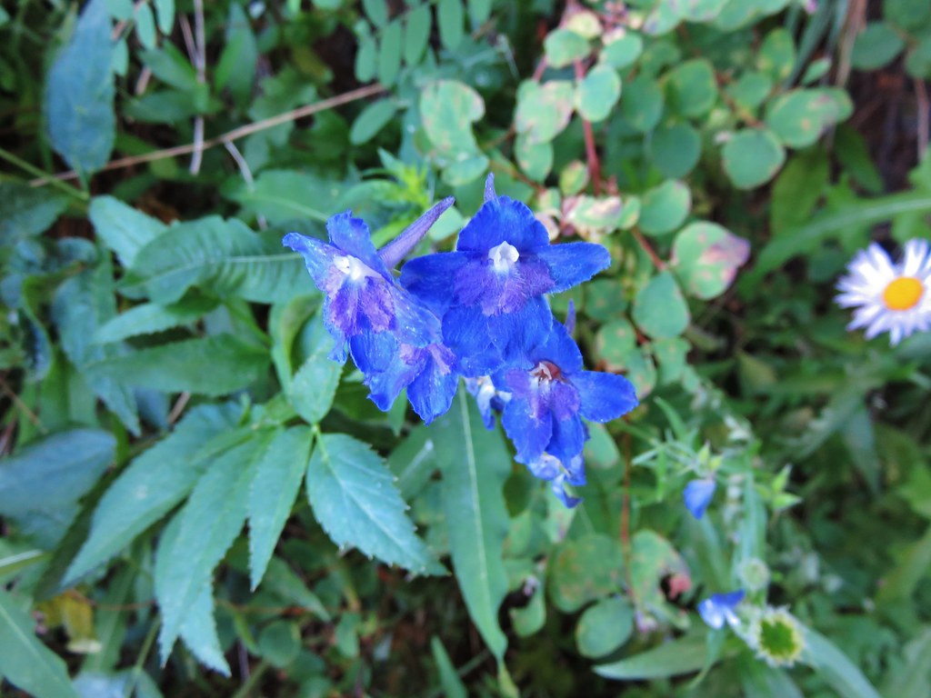
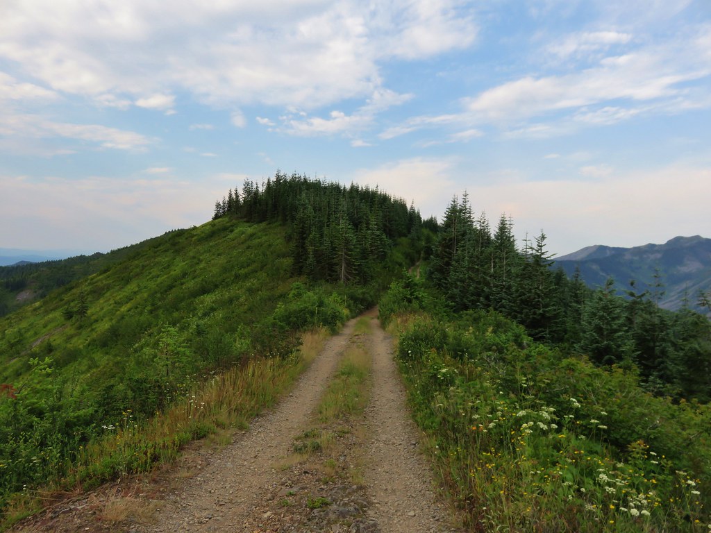
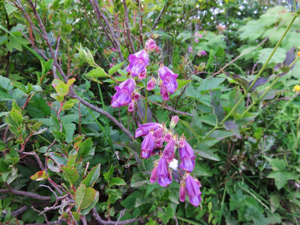
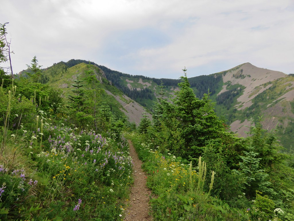
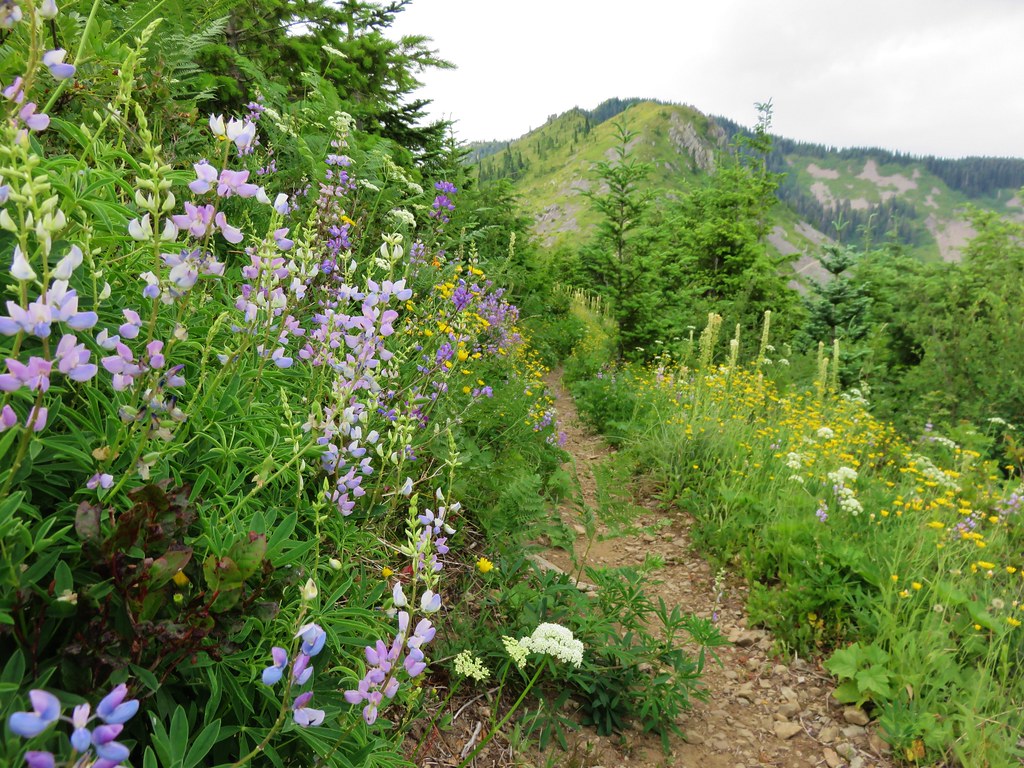
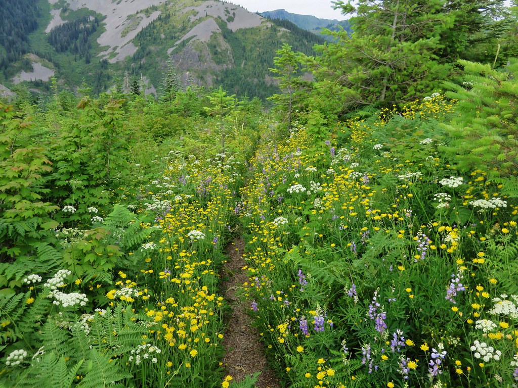
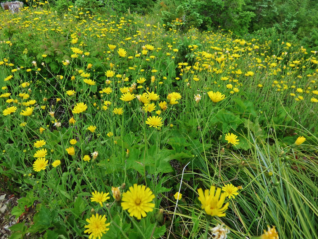
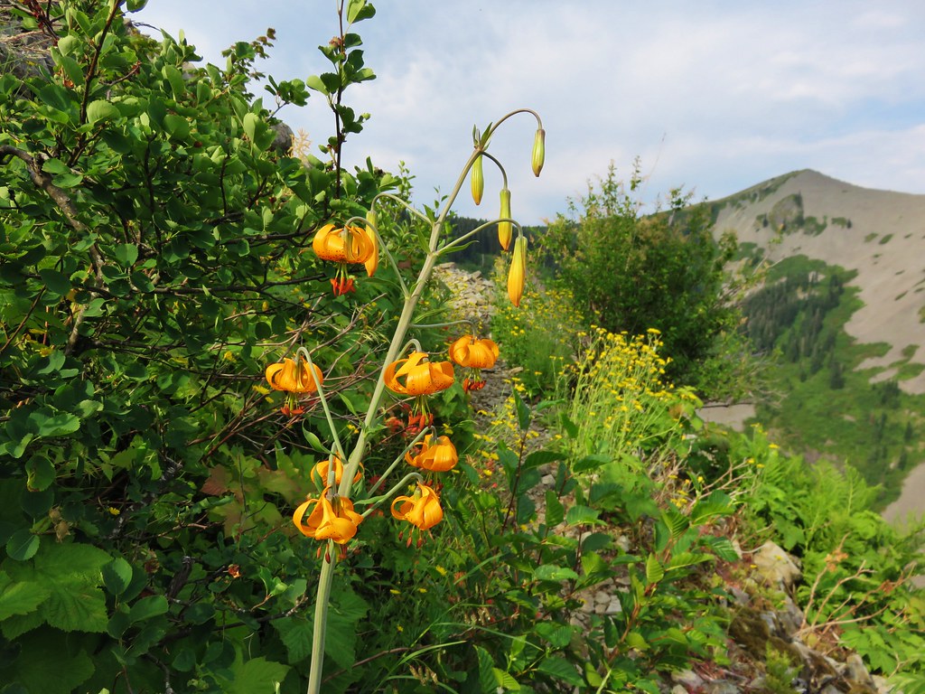
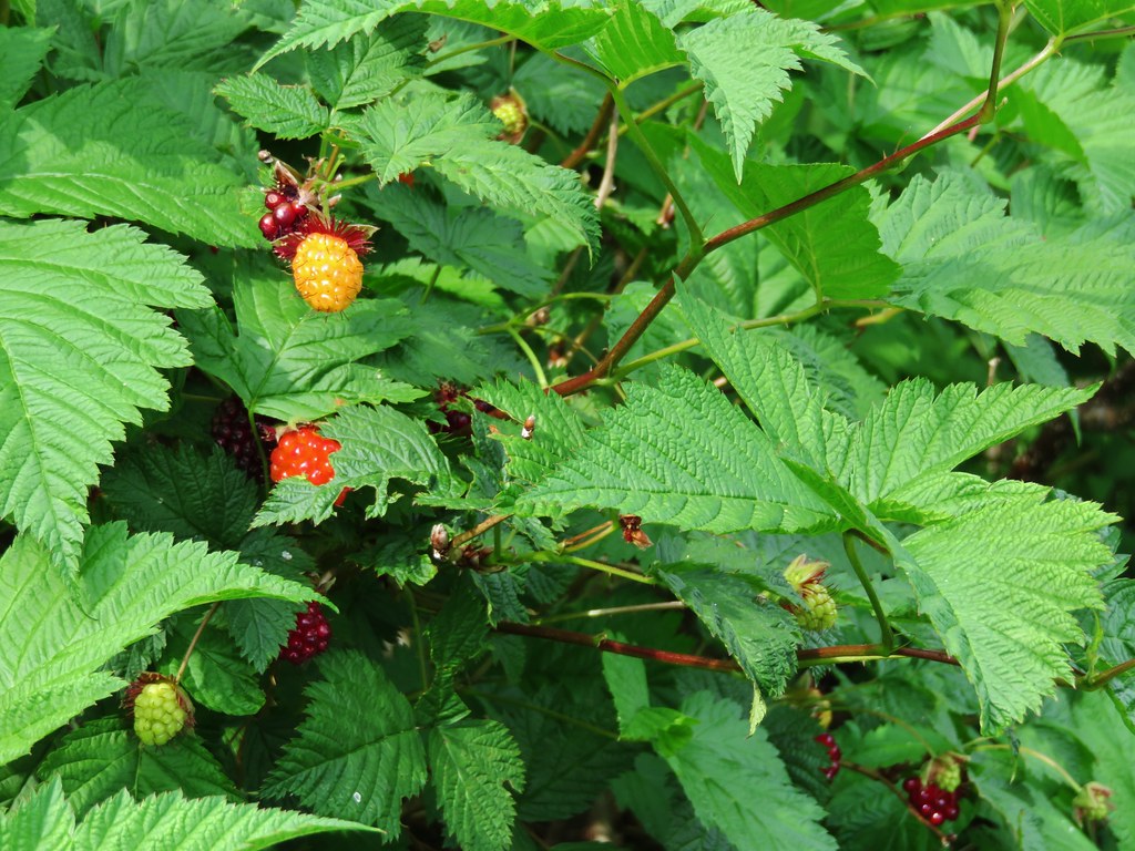
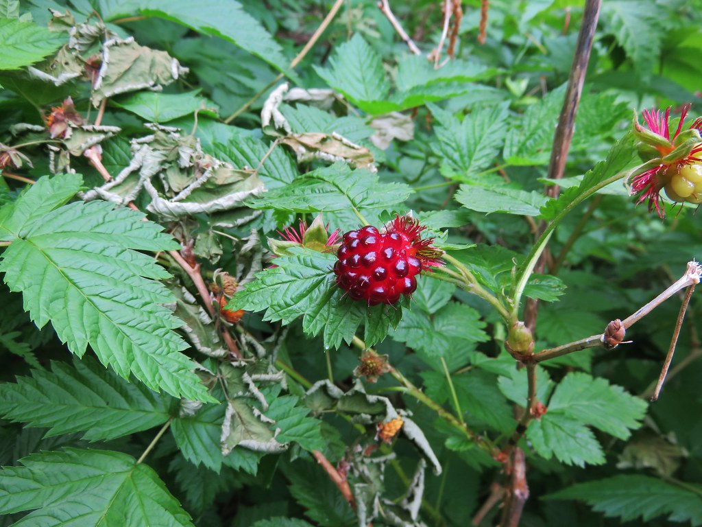
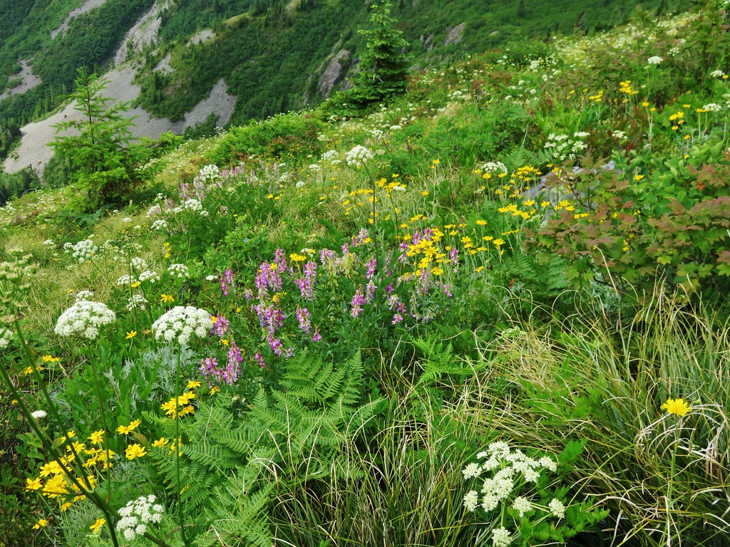
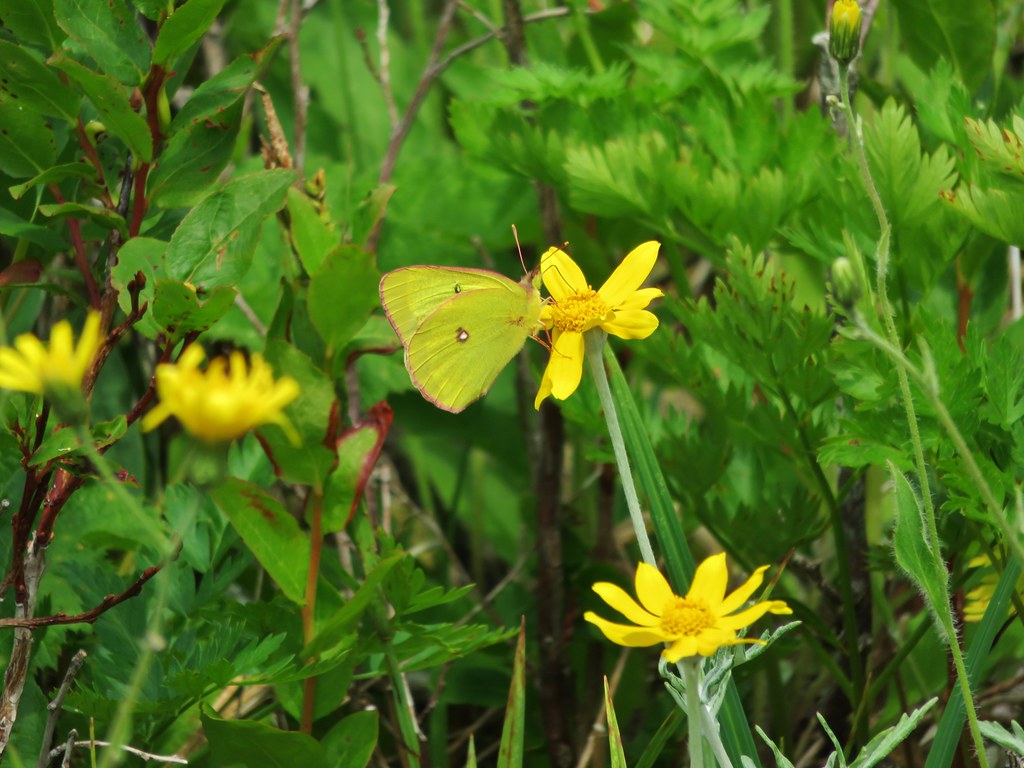
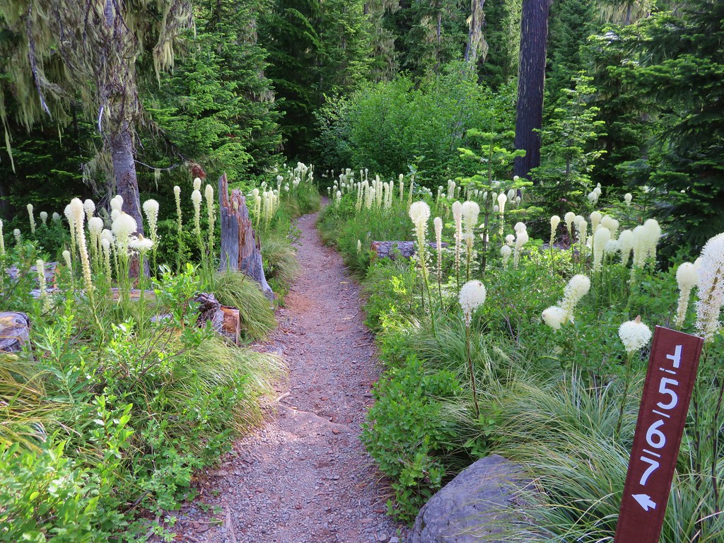
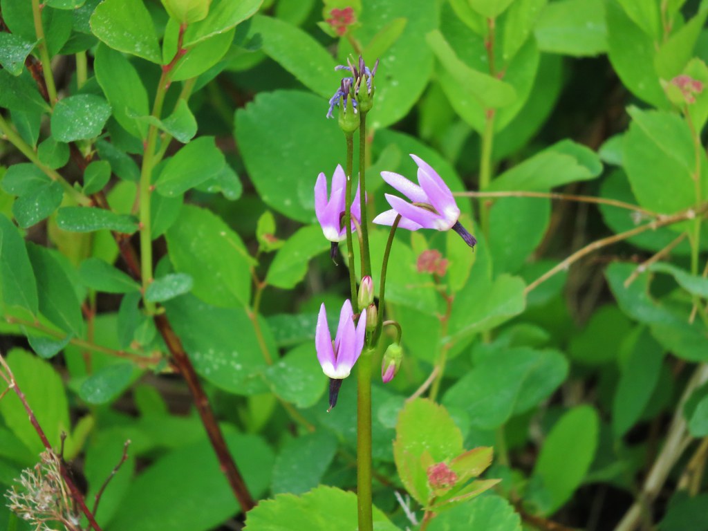
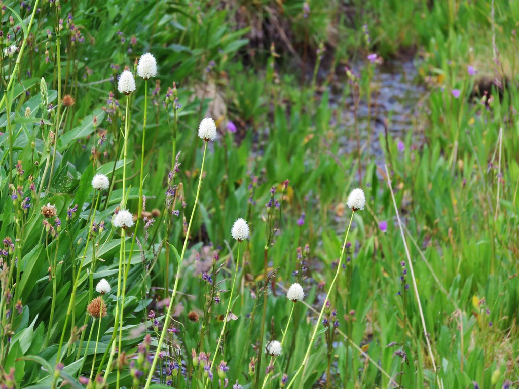
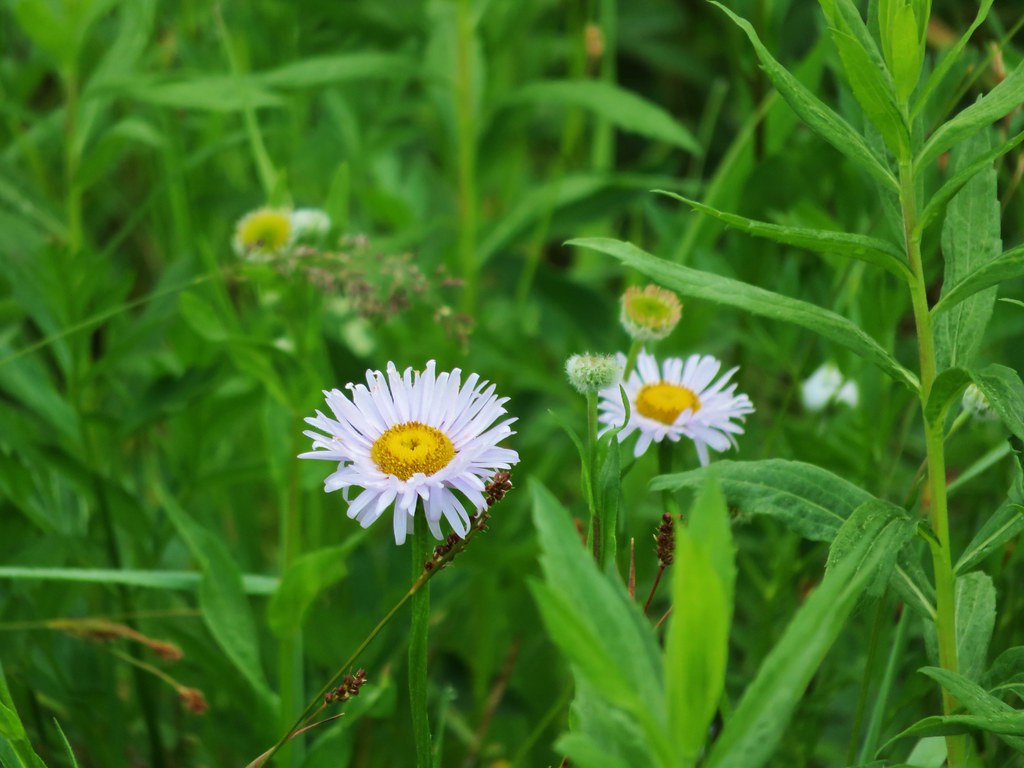
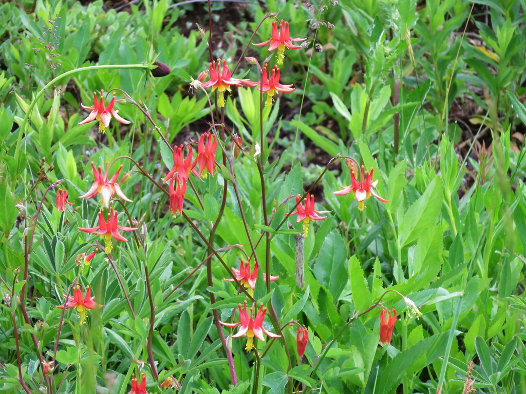
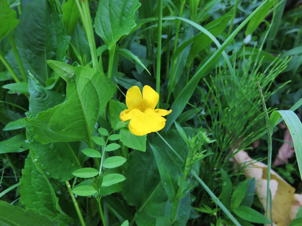
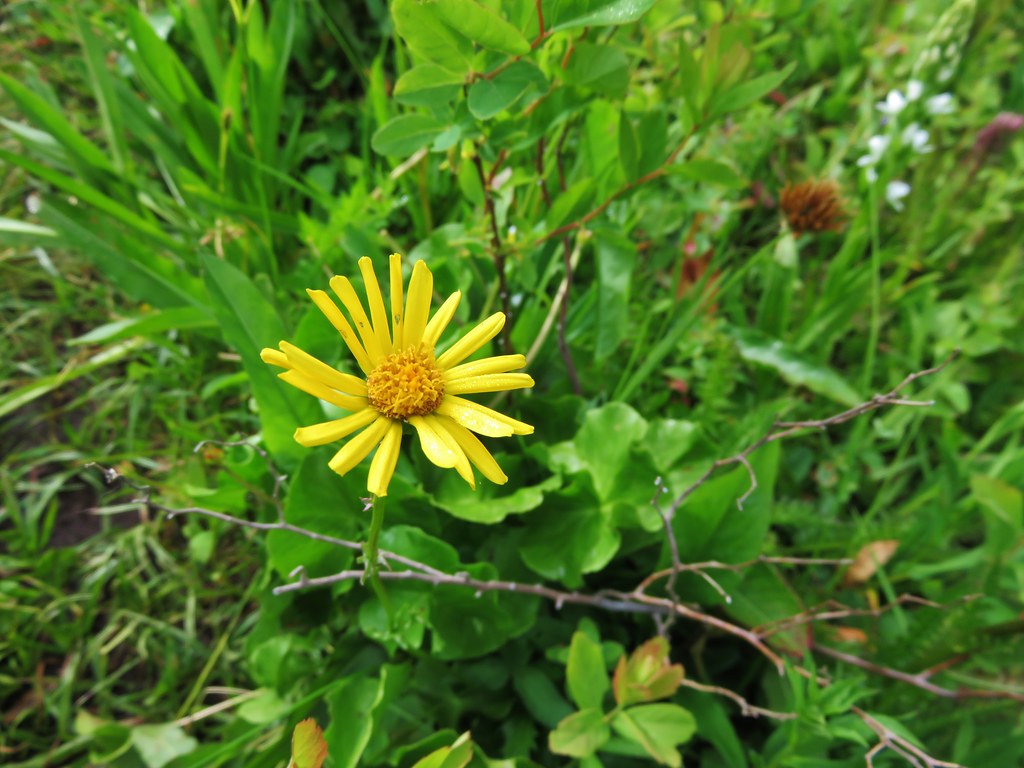
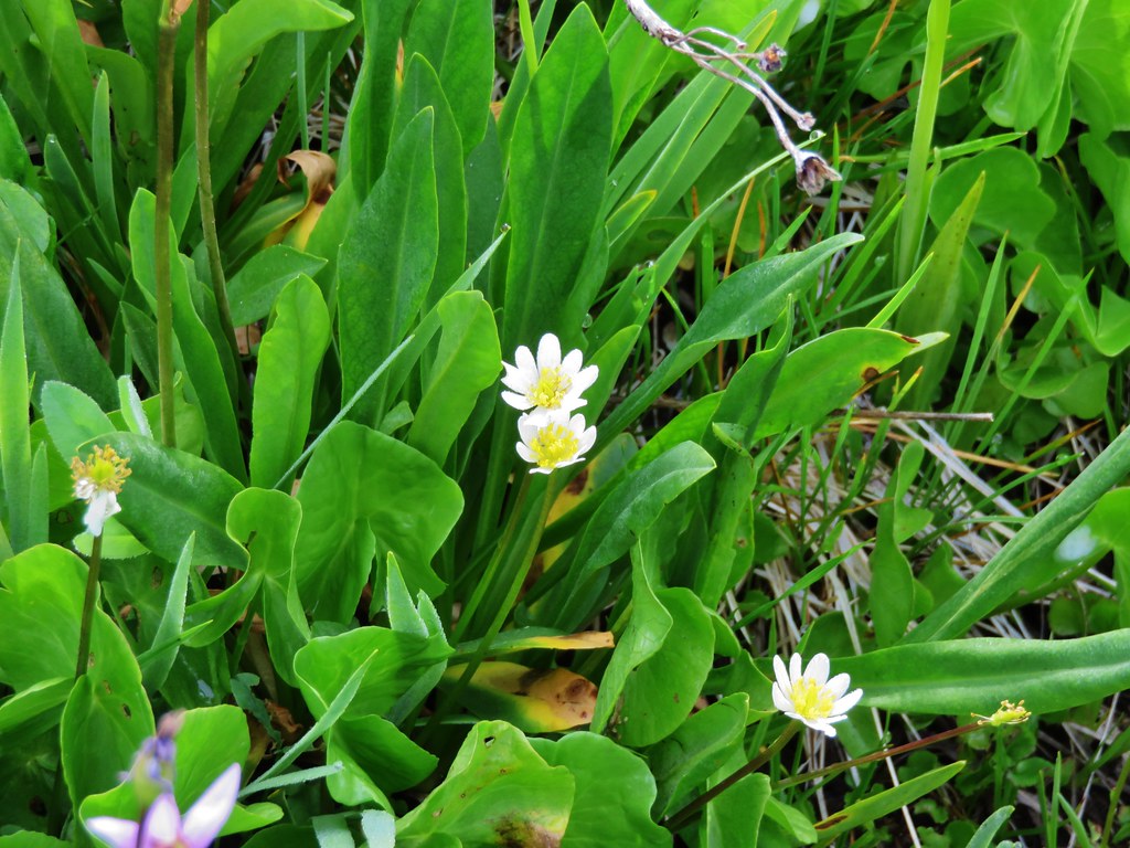
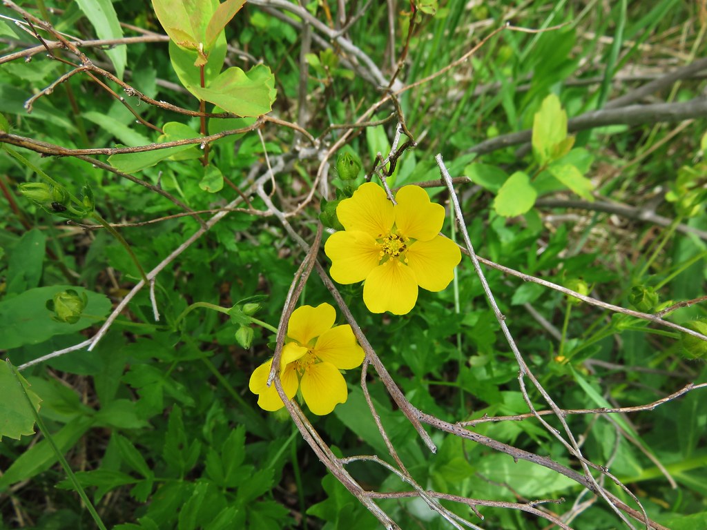
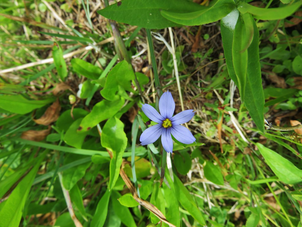
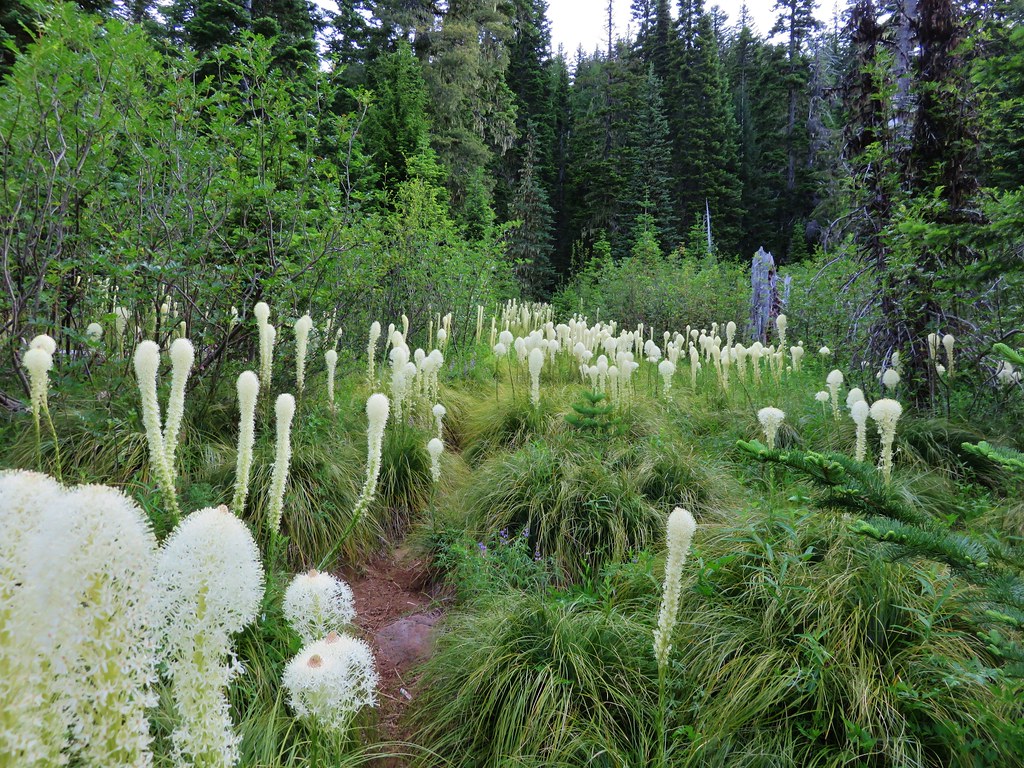
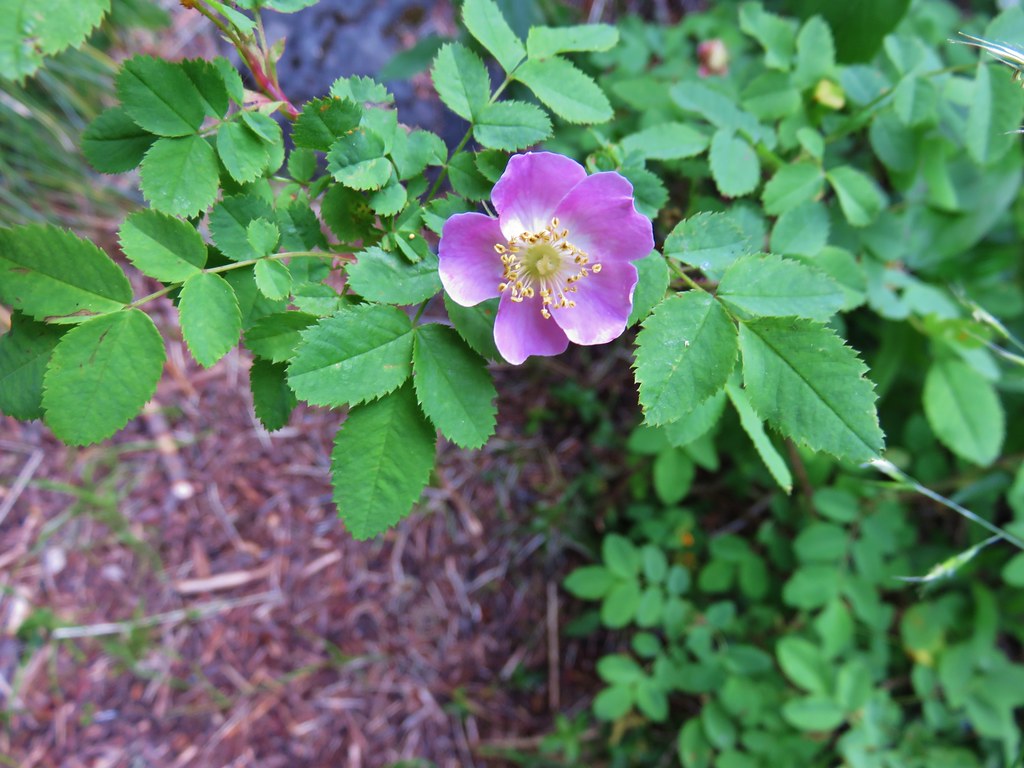
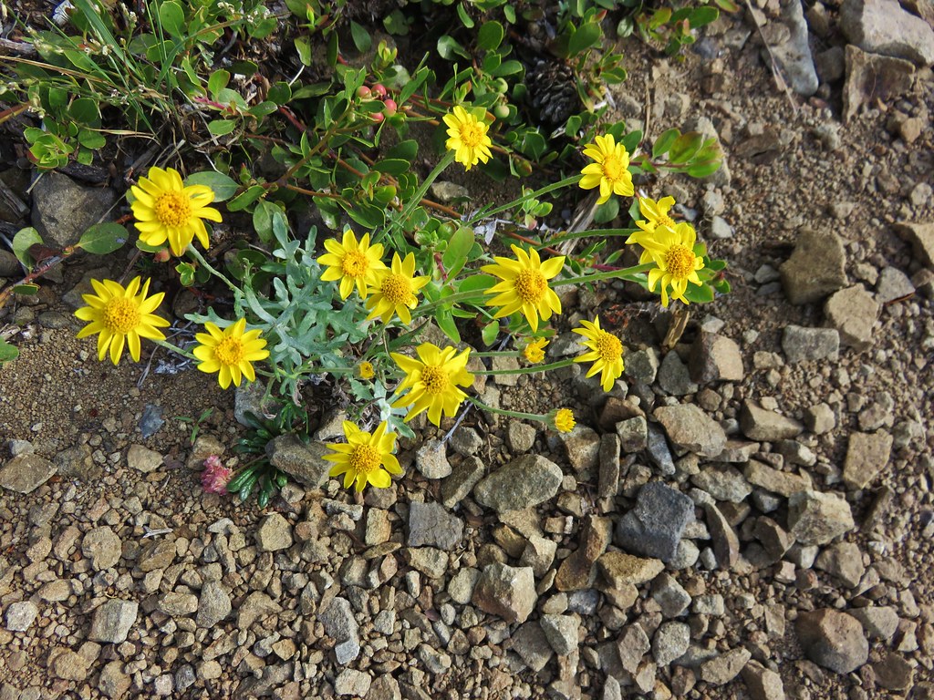
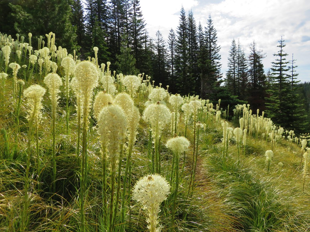
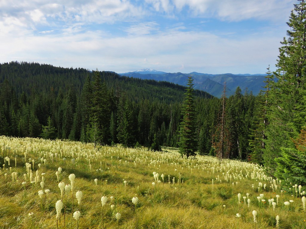
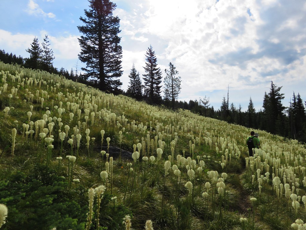
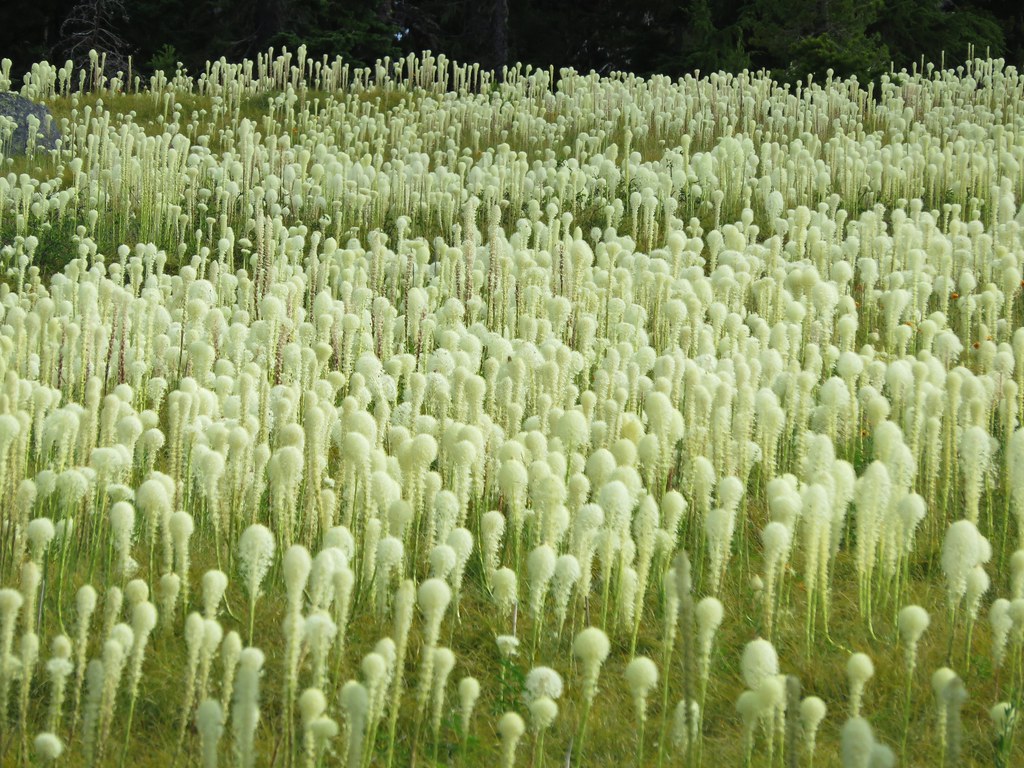
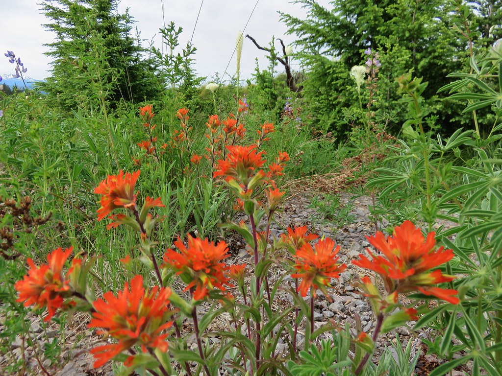
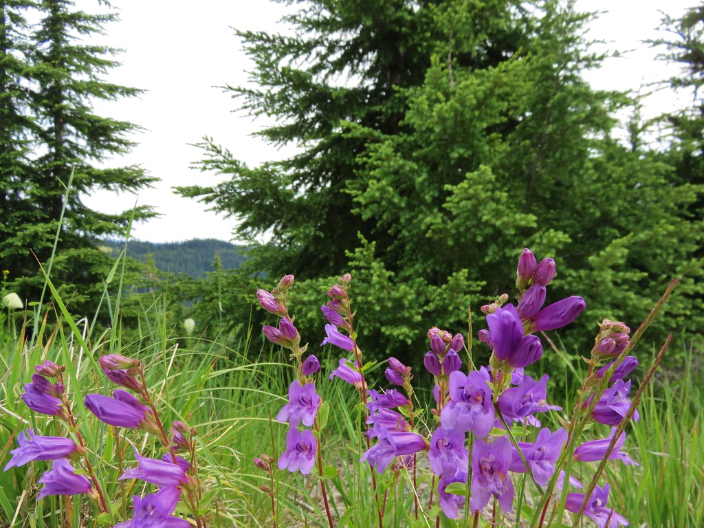
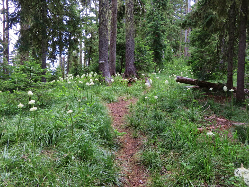
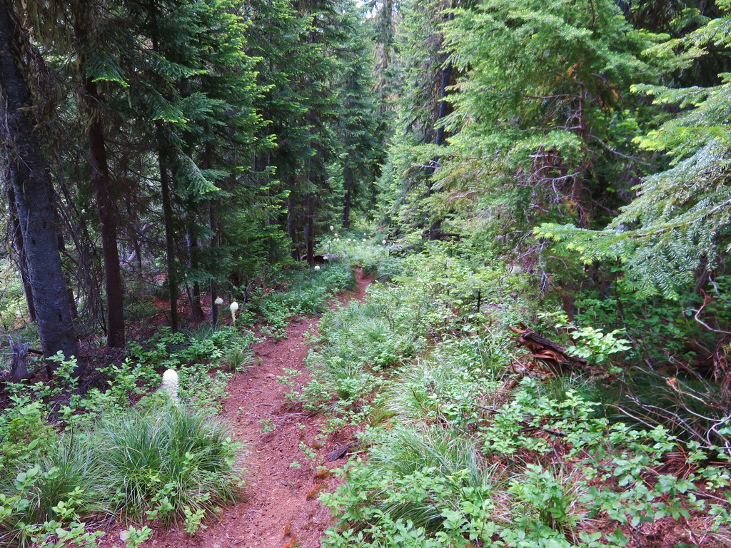
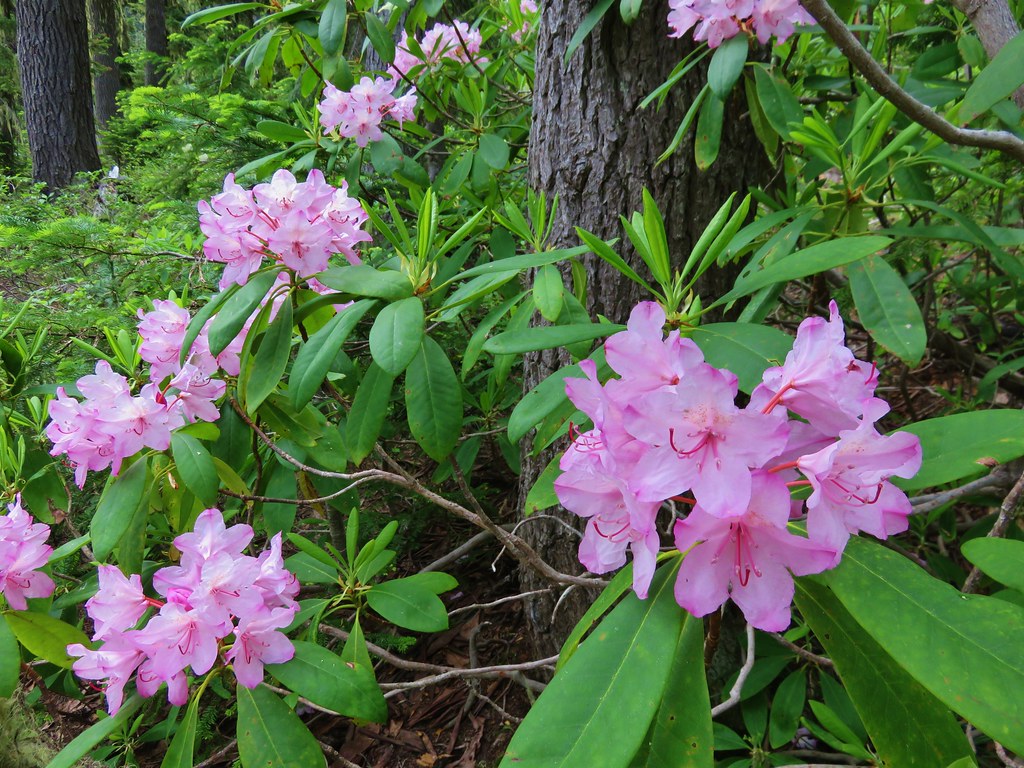
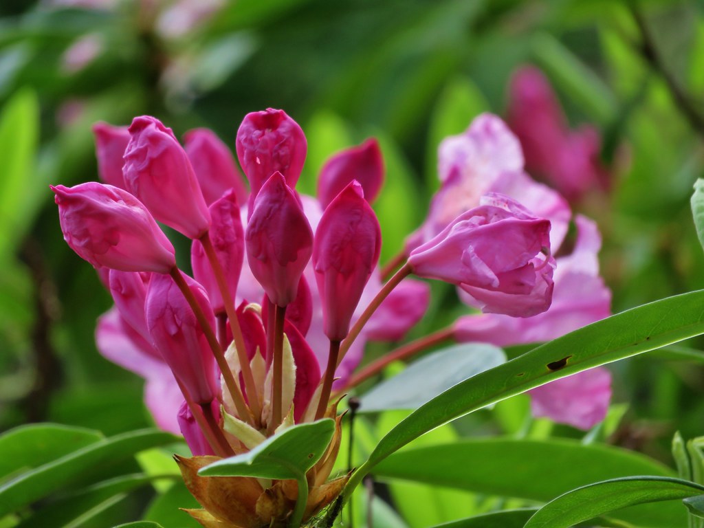
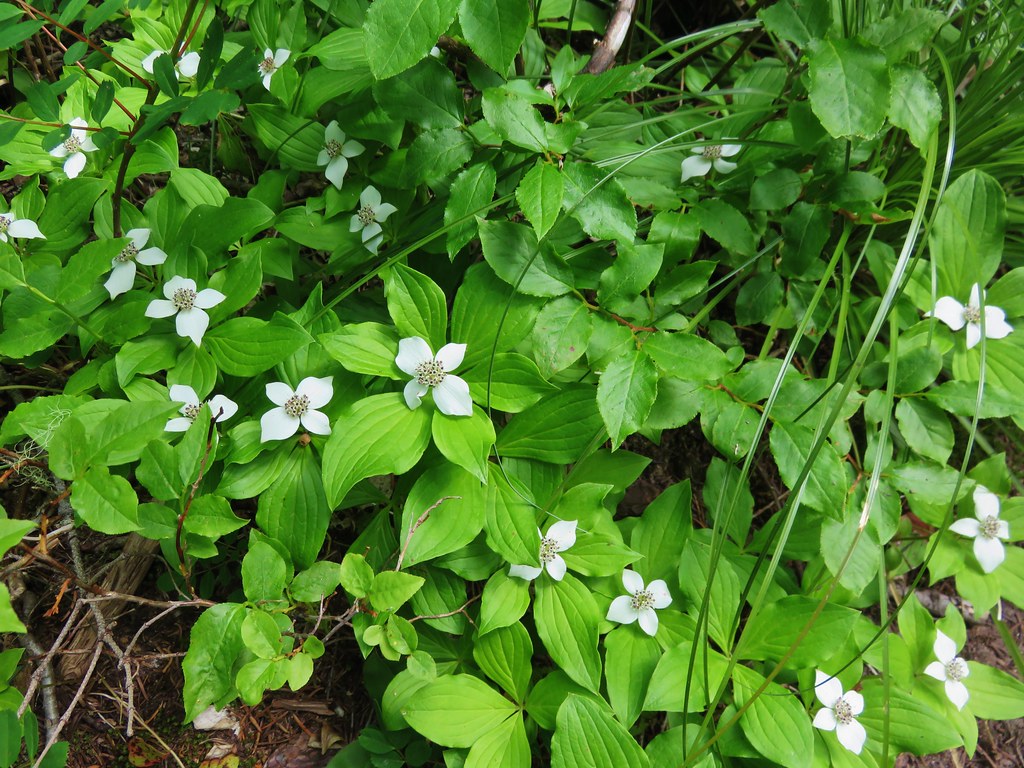
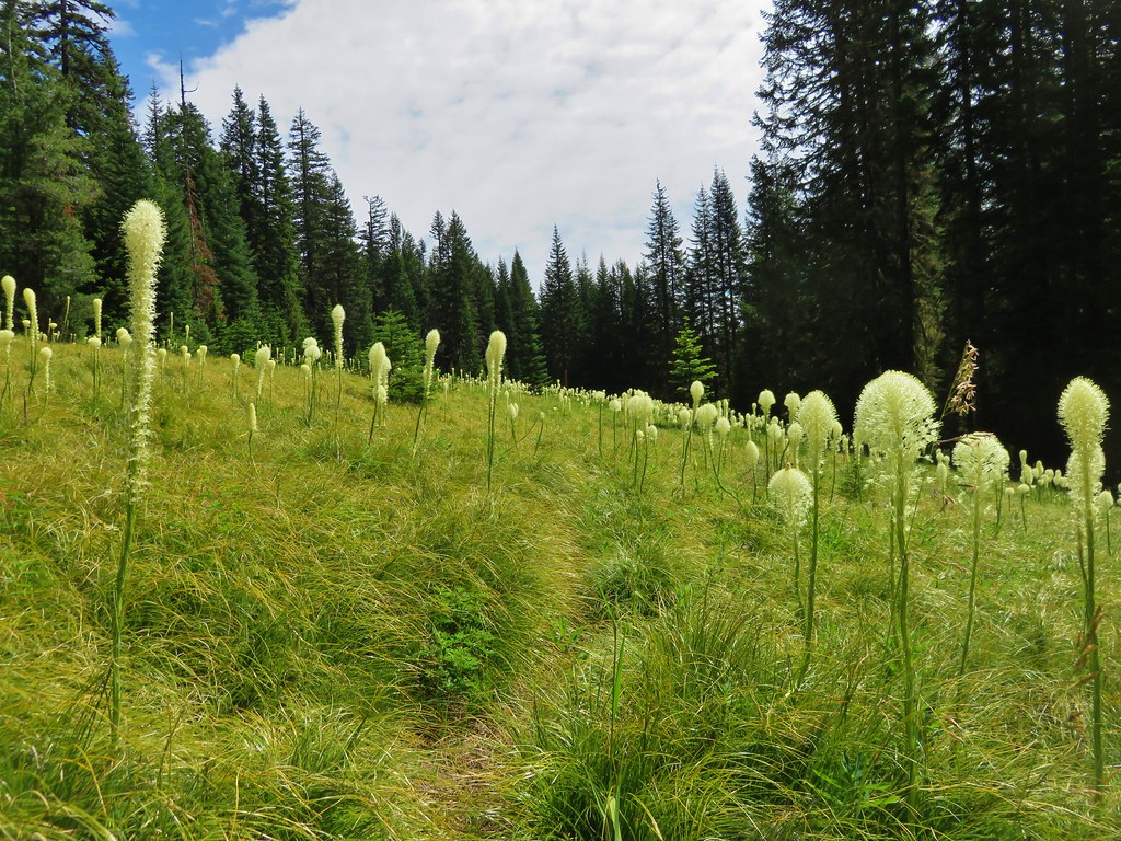
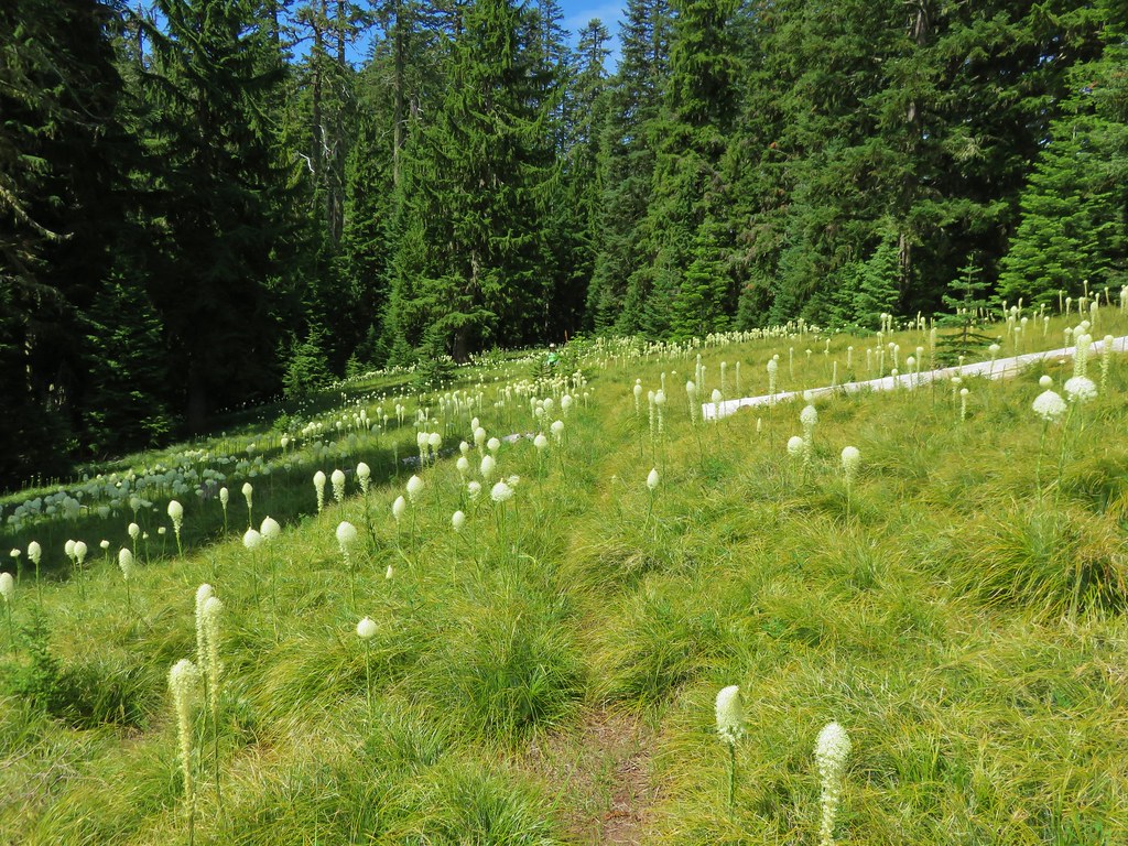
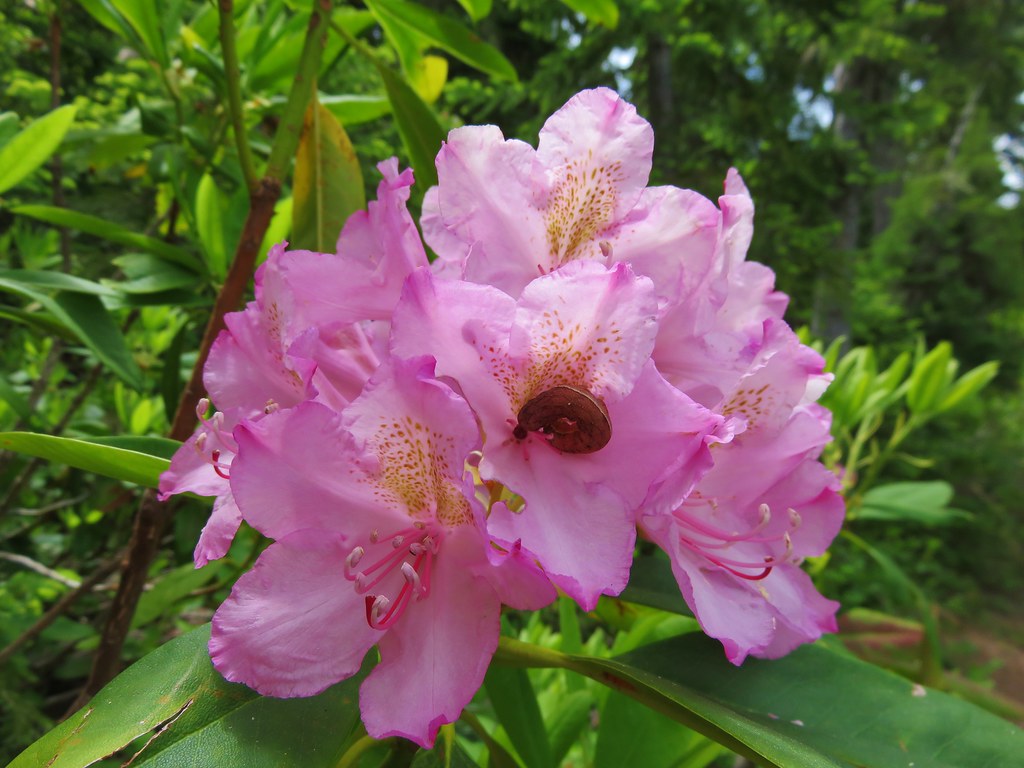
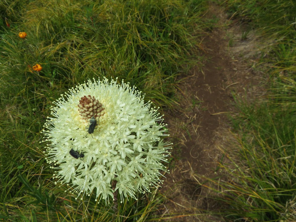
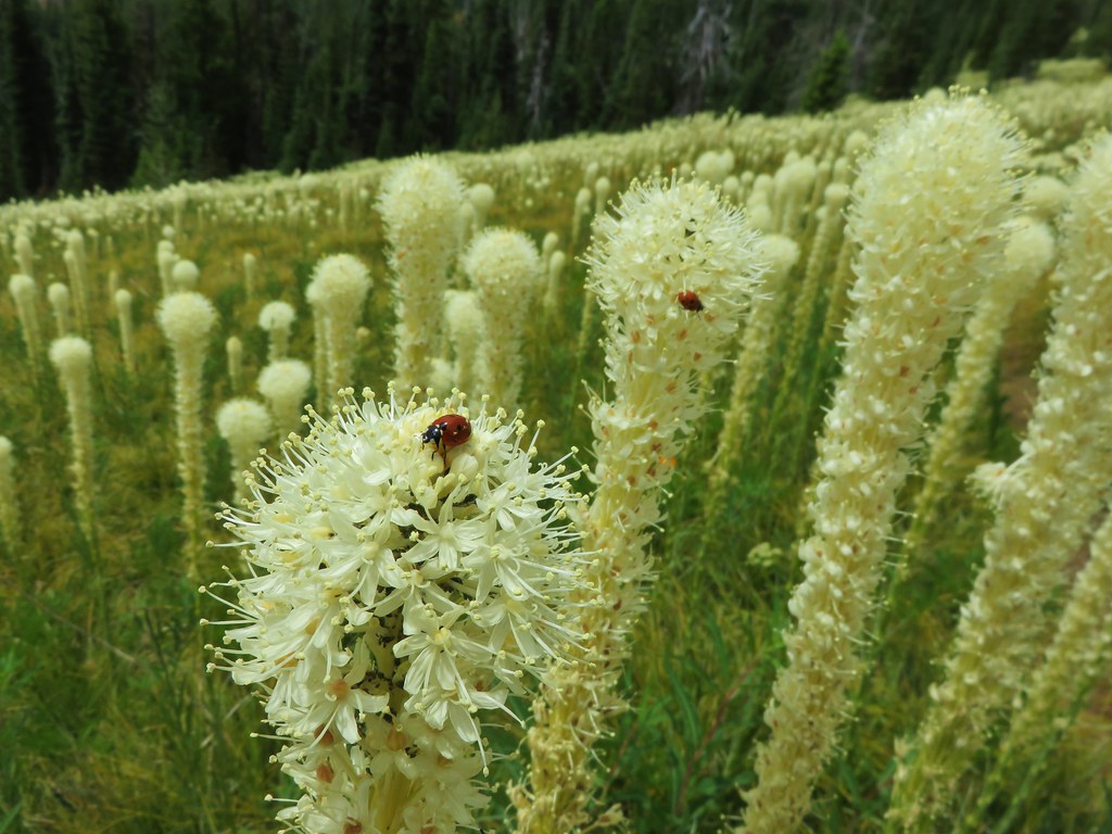
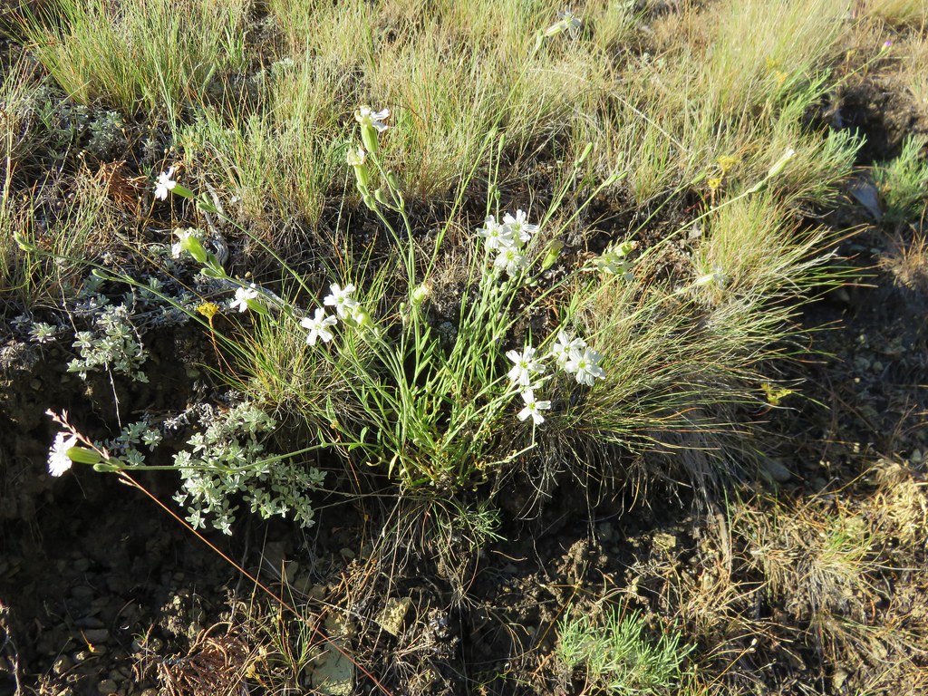
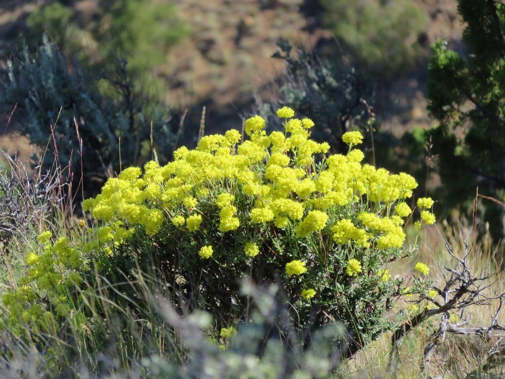
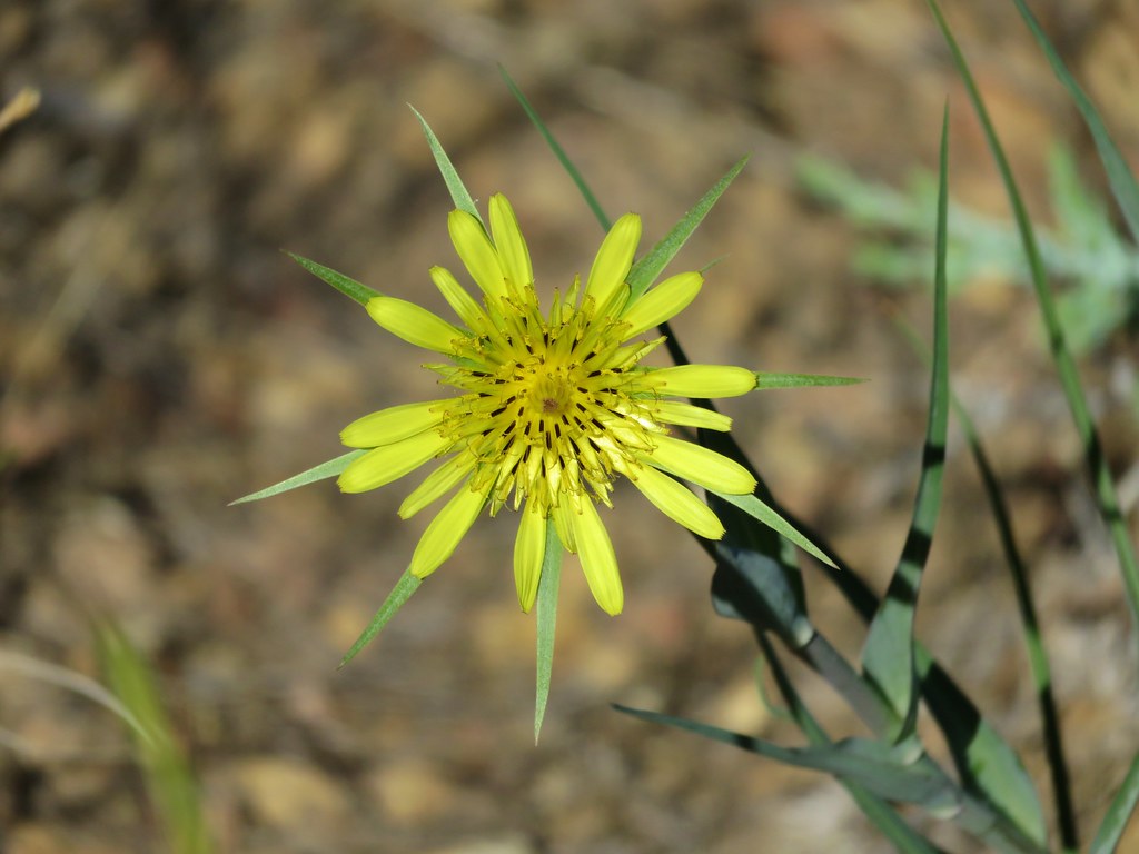
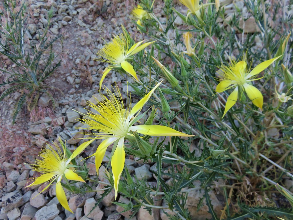
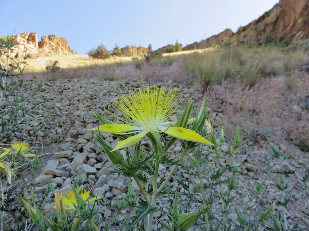
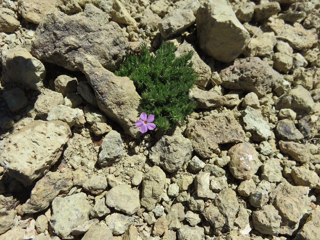
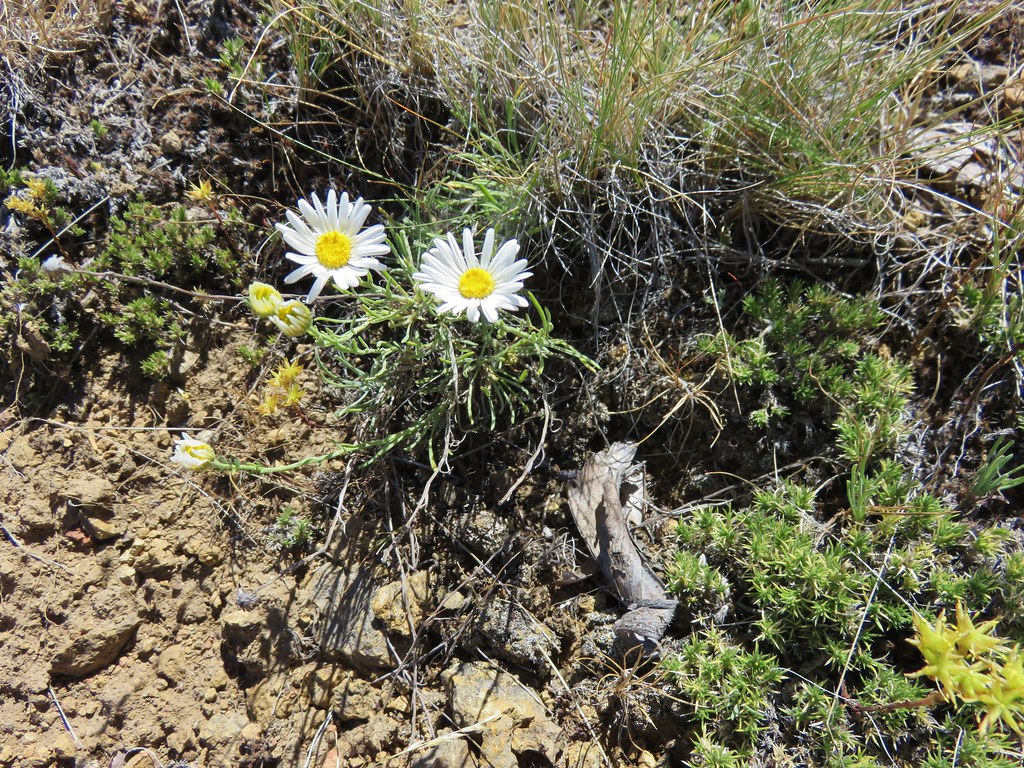
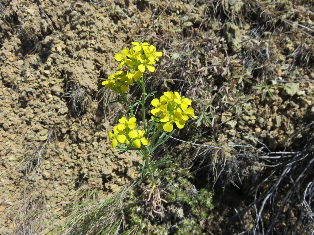
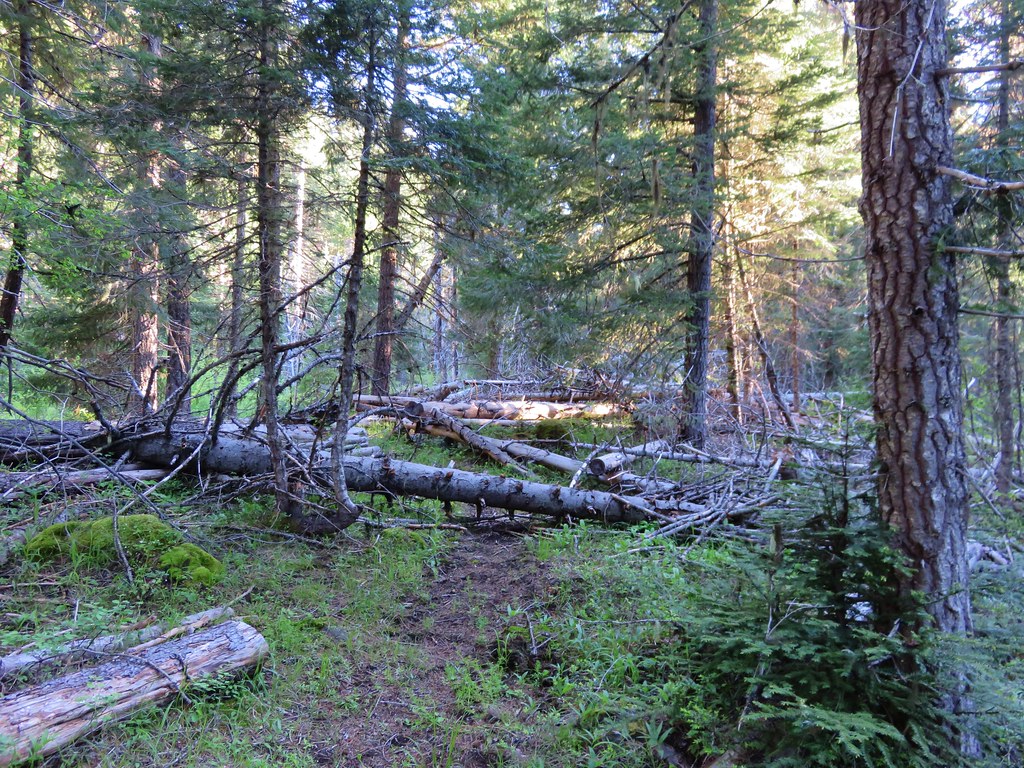
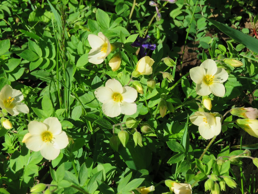
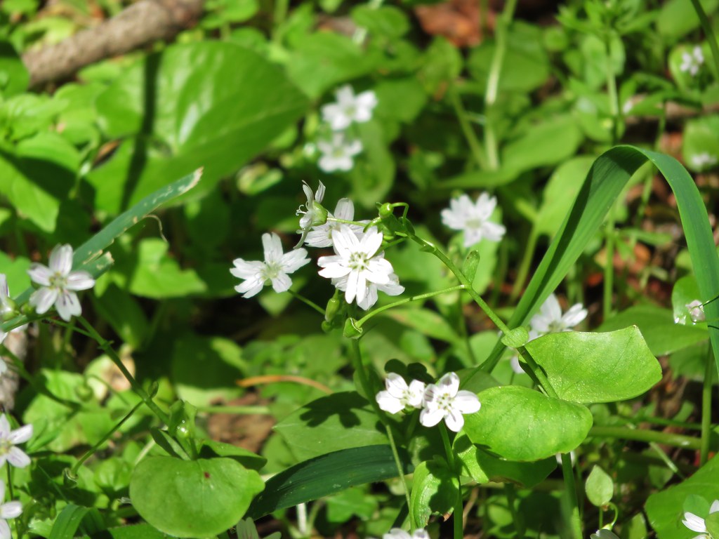
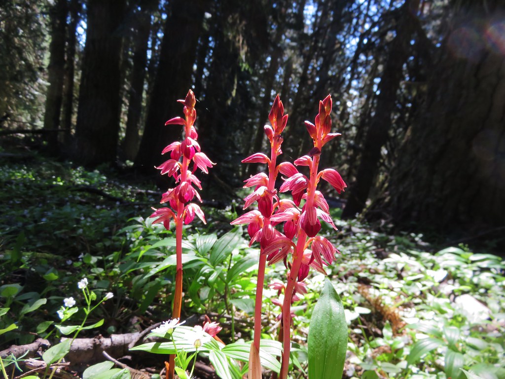
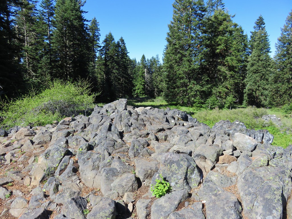
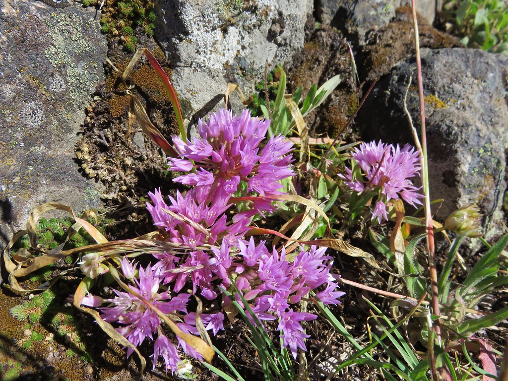
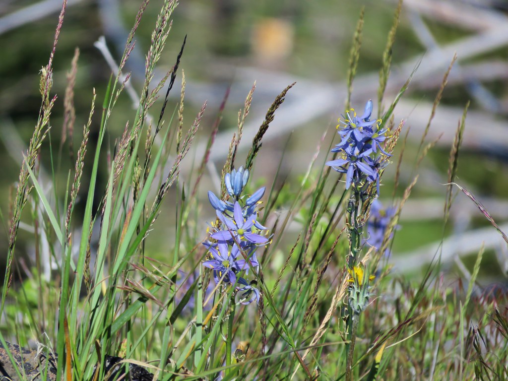
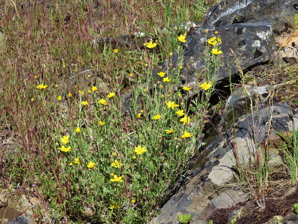
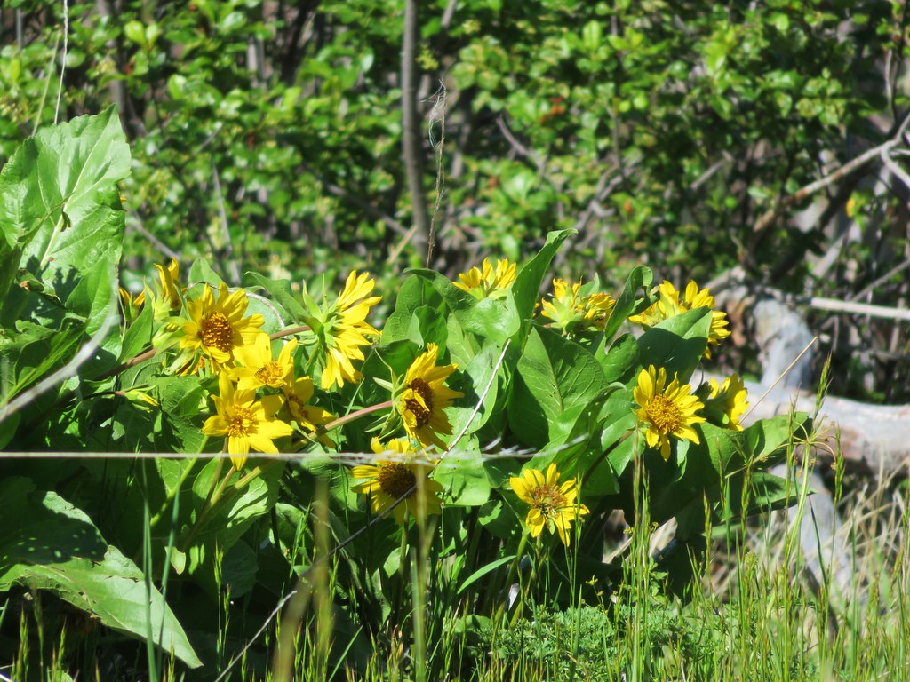
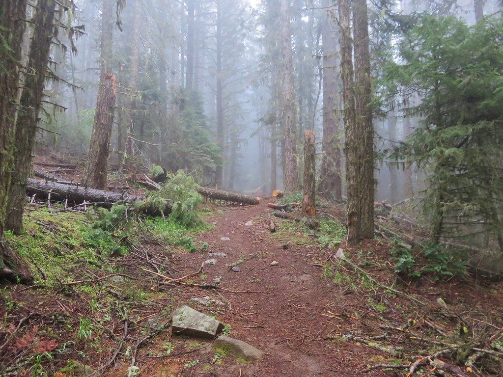
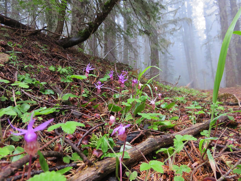
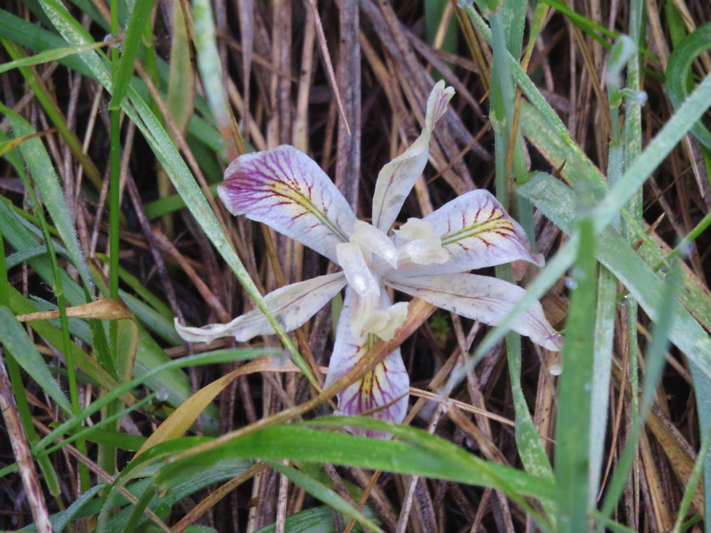
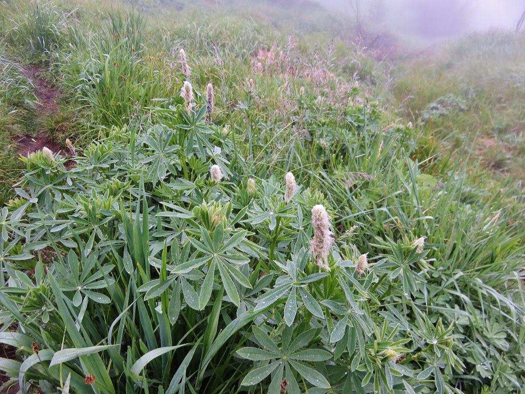
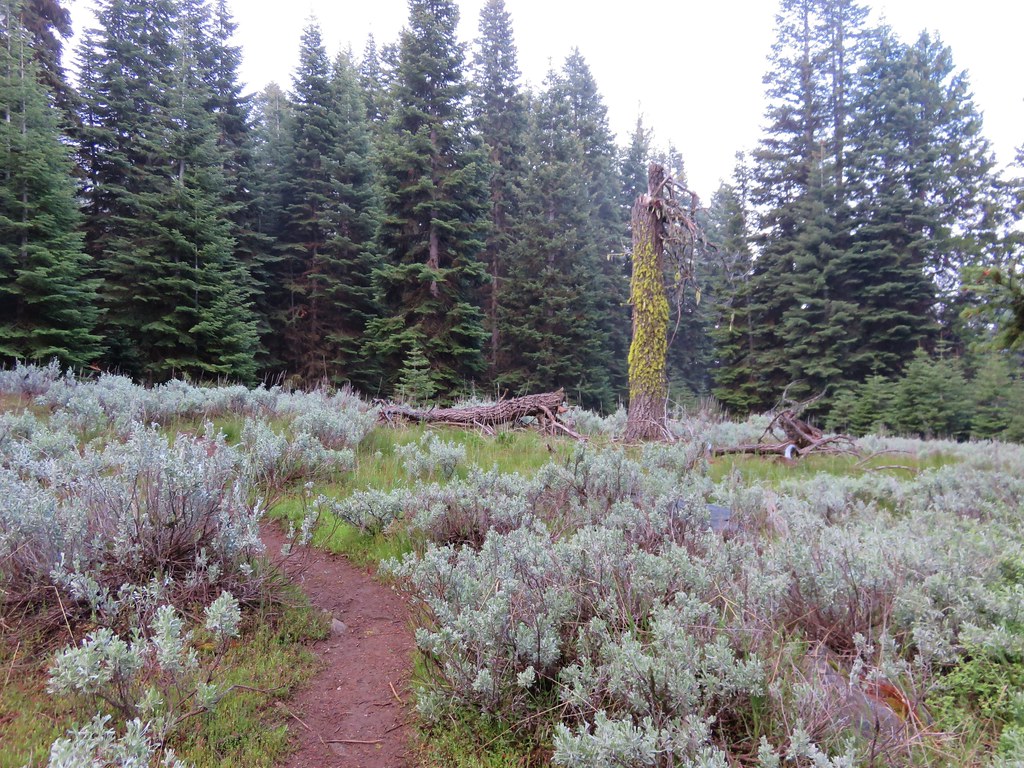
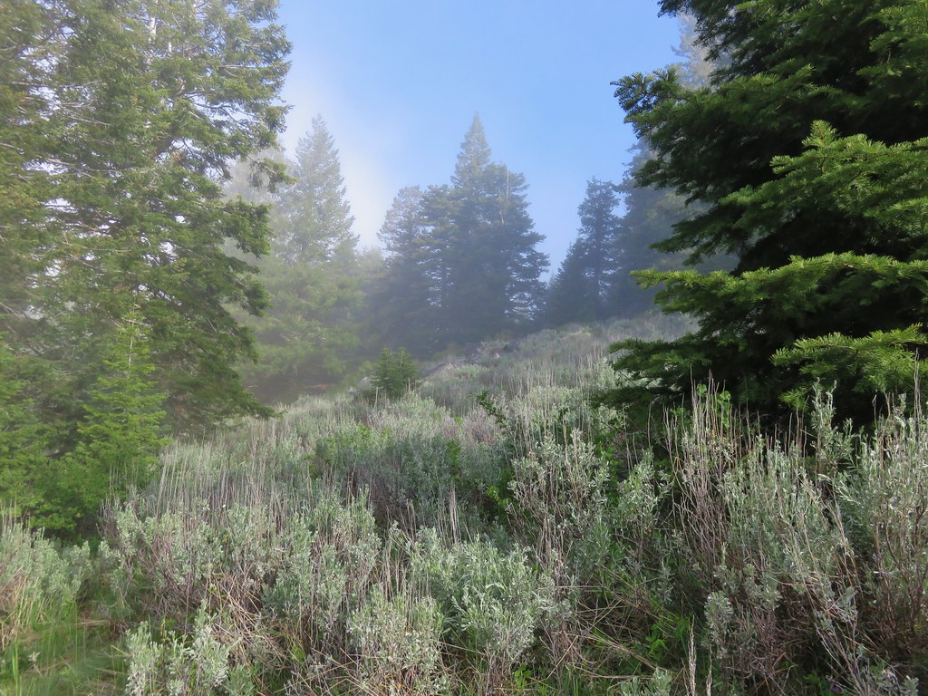
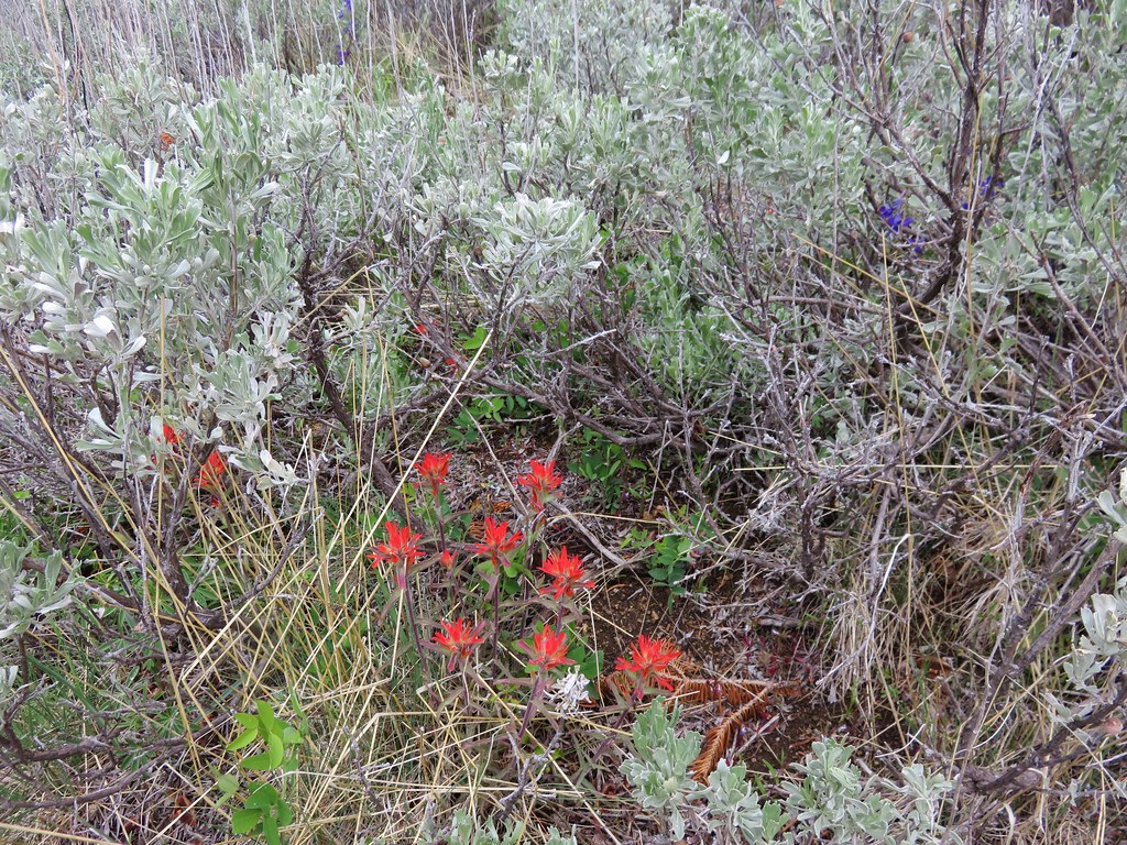
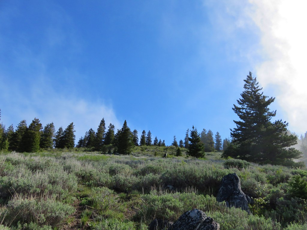
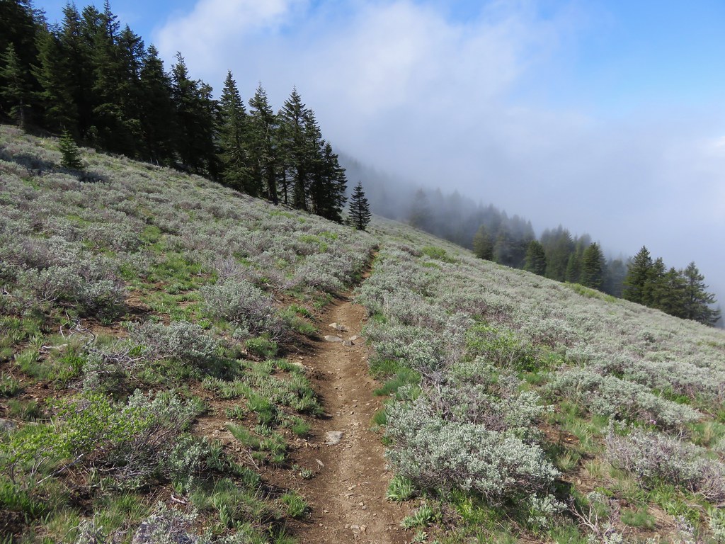
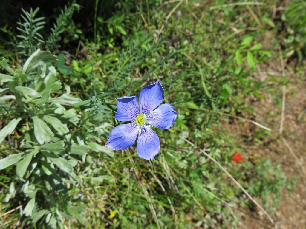
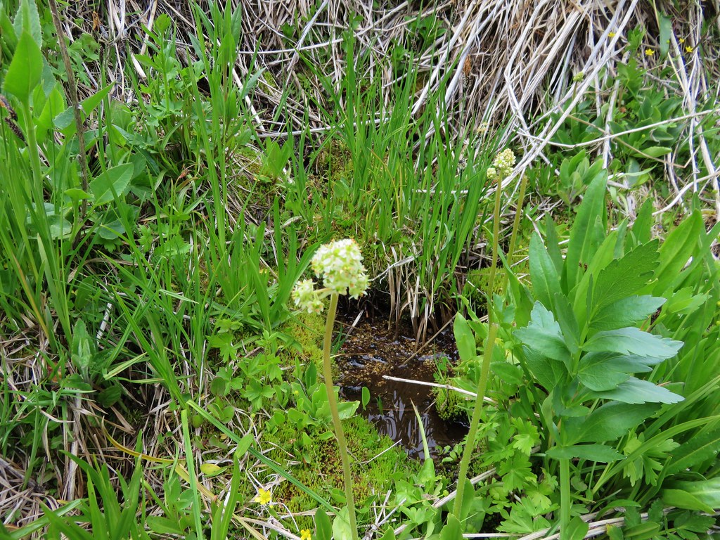
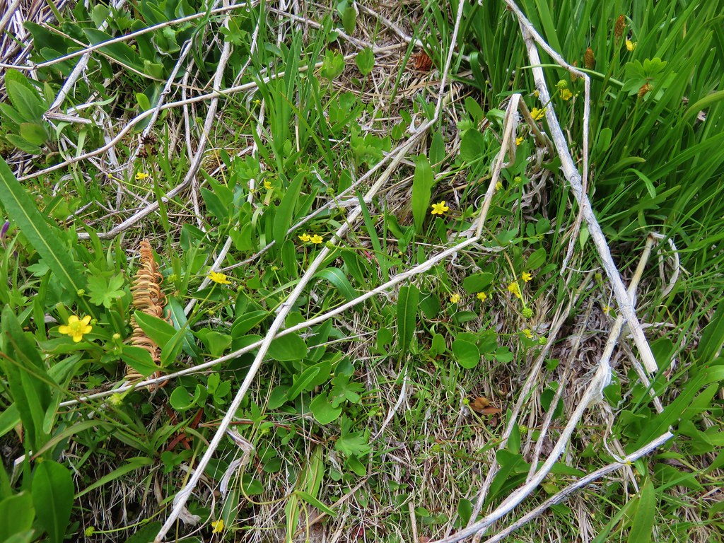
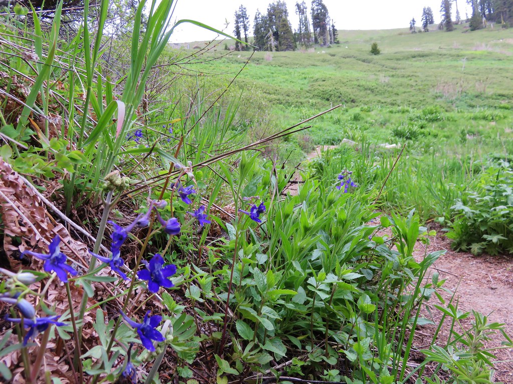
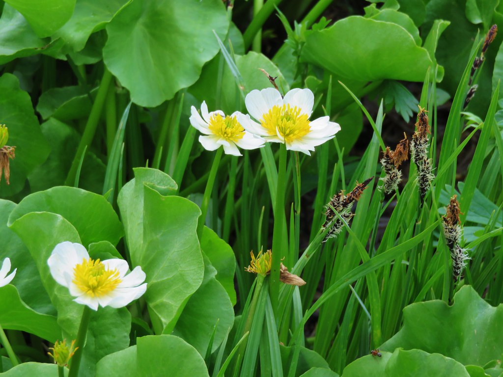
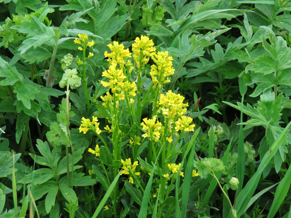
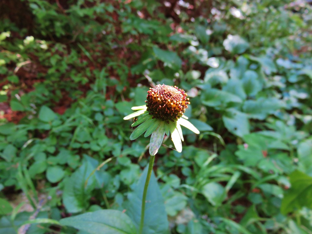
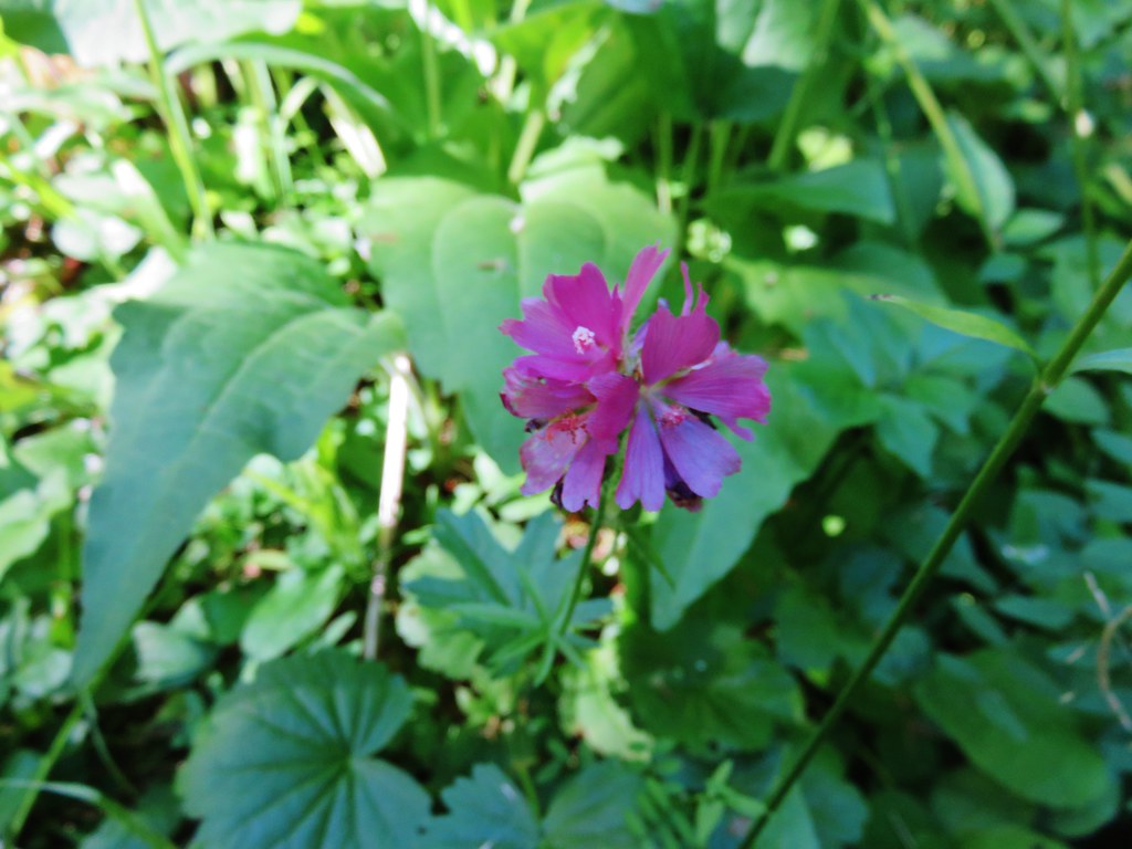
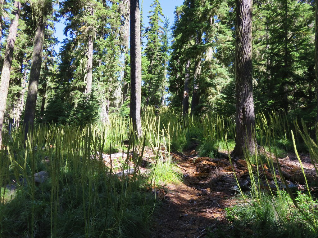
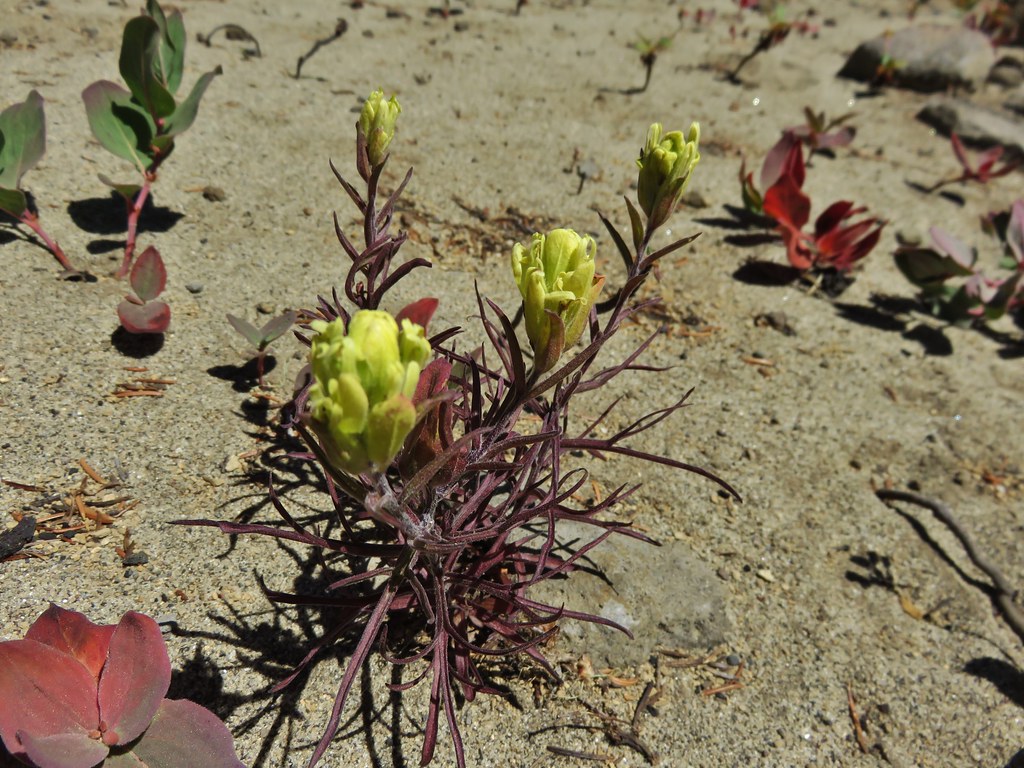
The Louise Creek Trail was indeed dry and most of the flowers had long since passed although a few stragglers could be found here and there. There was also the remains of what must have been an impressive beargrass display lining much of the trail.
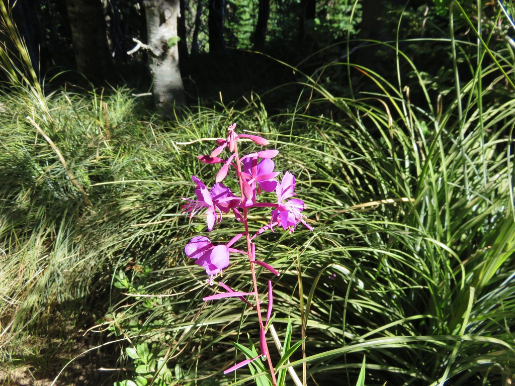
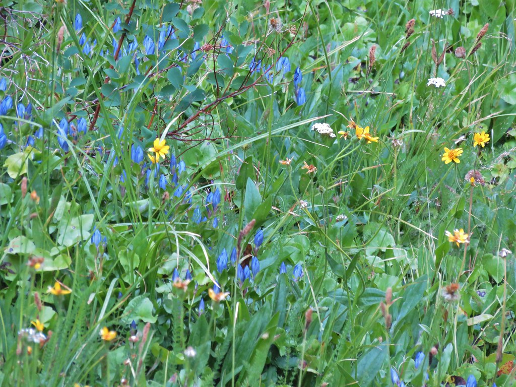
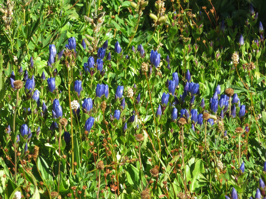
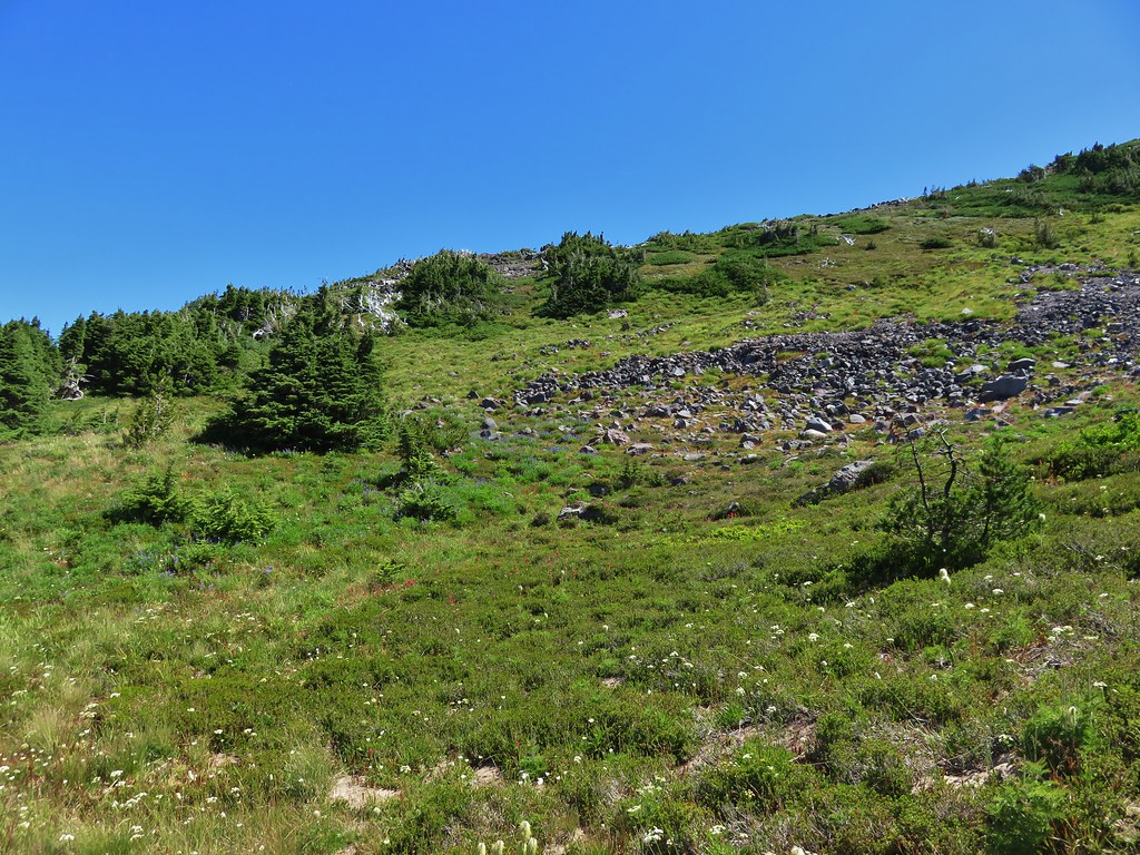
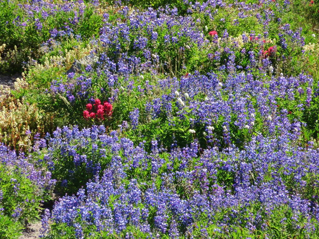
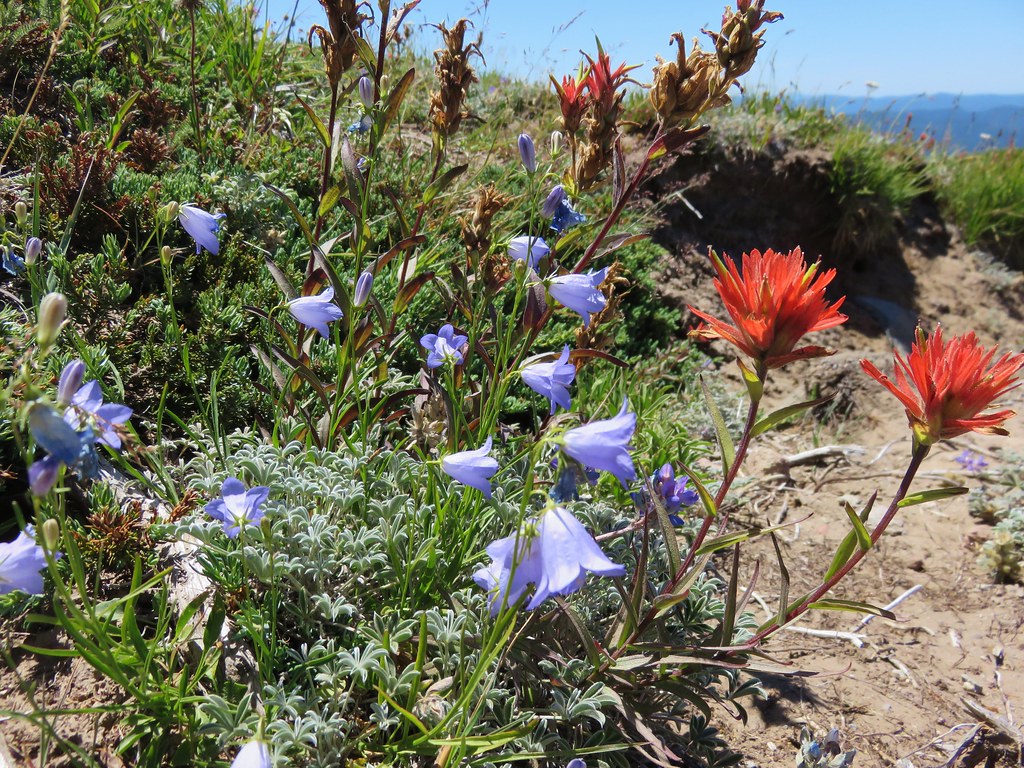
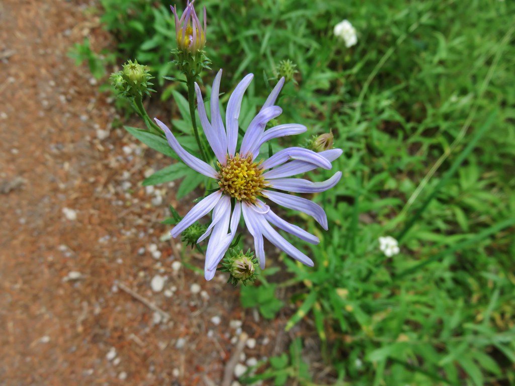
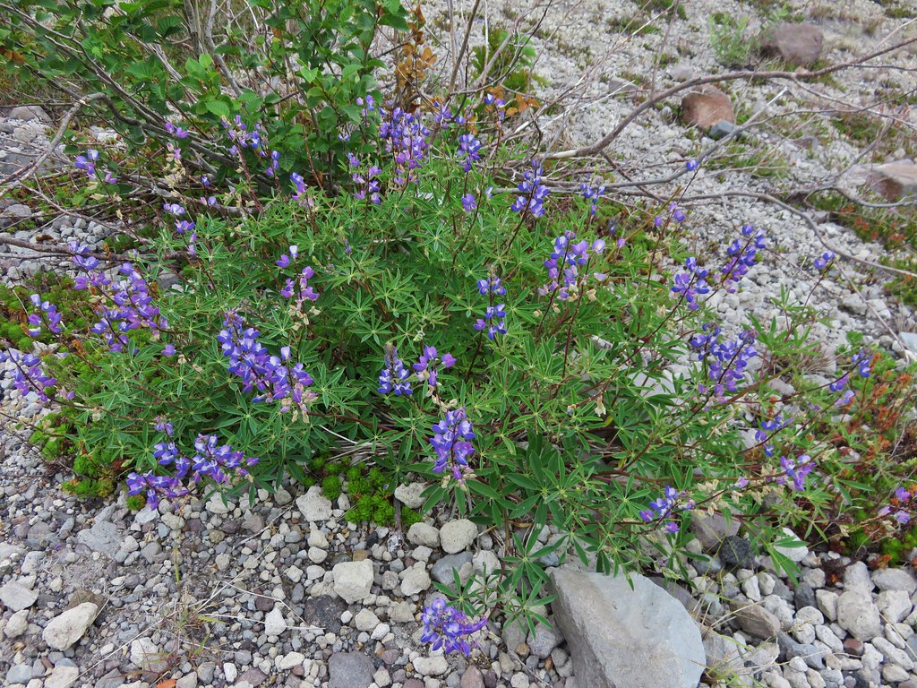
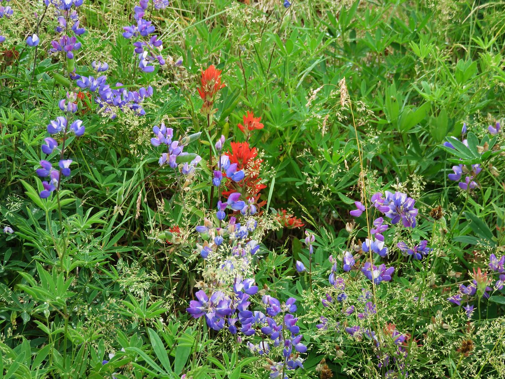
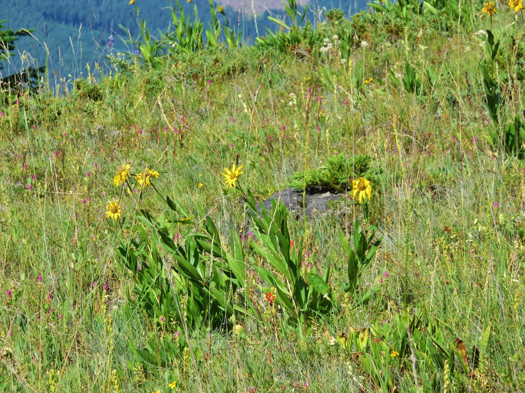
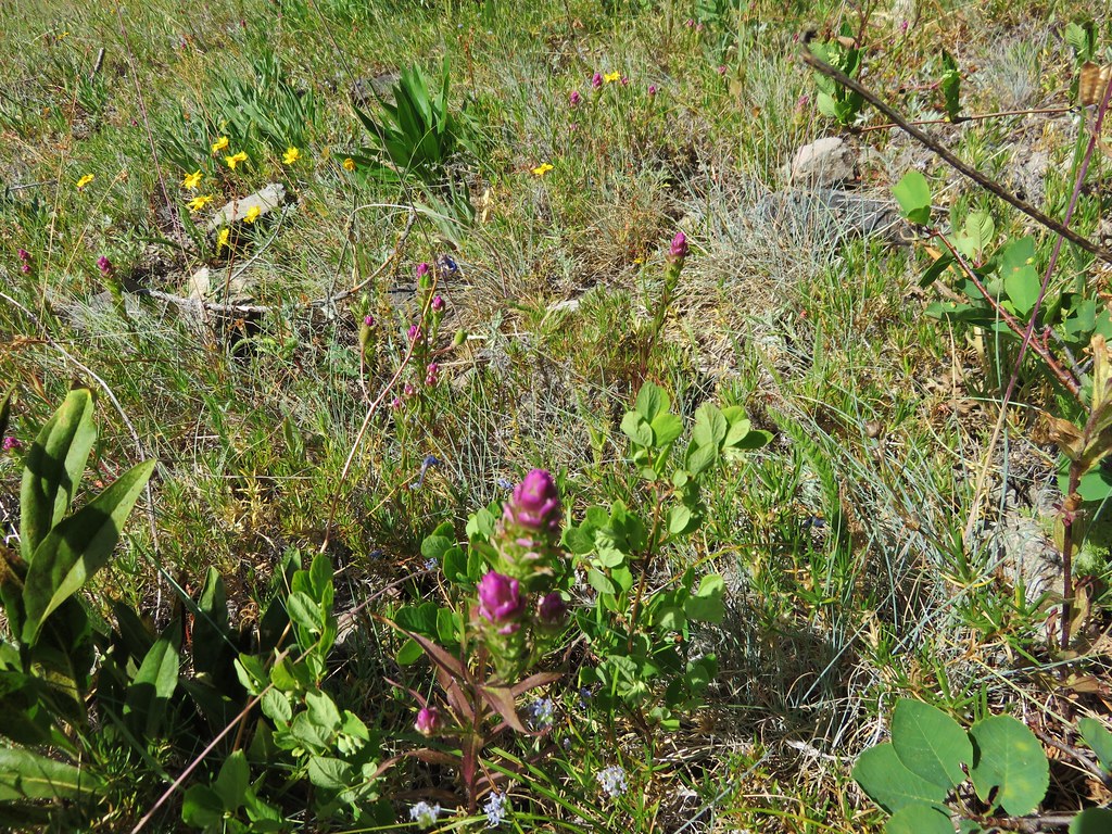
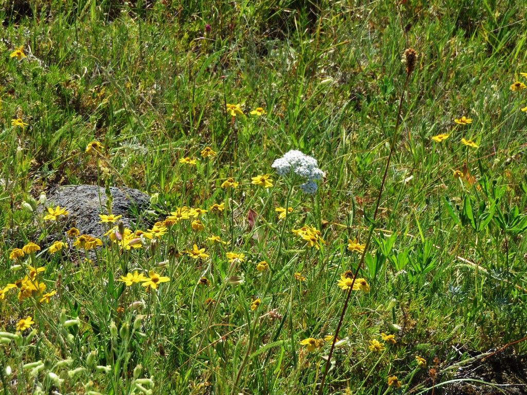
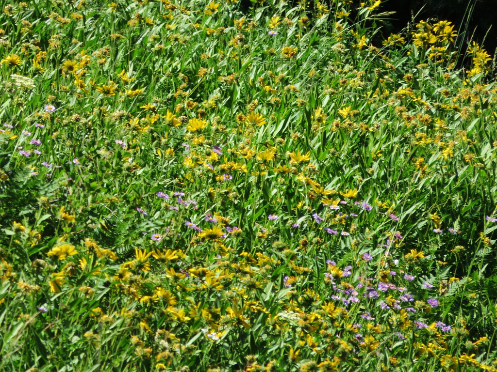
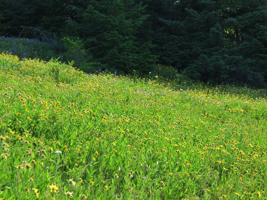
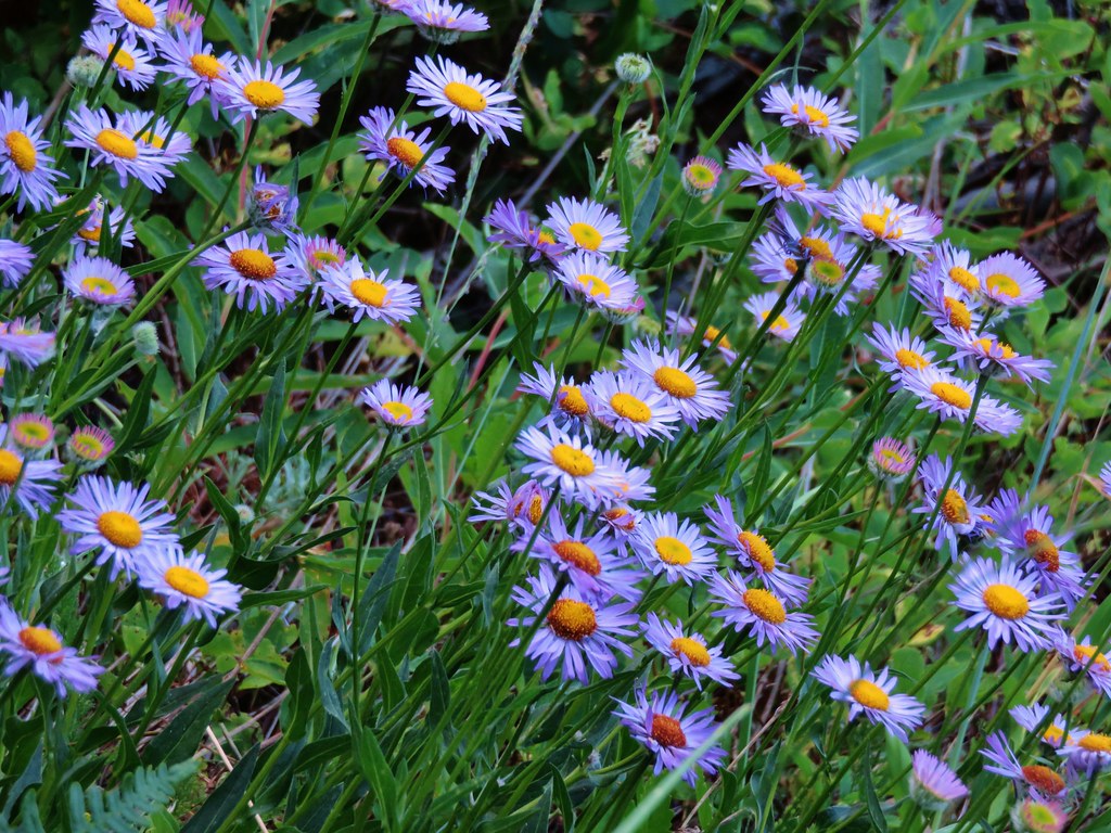
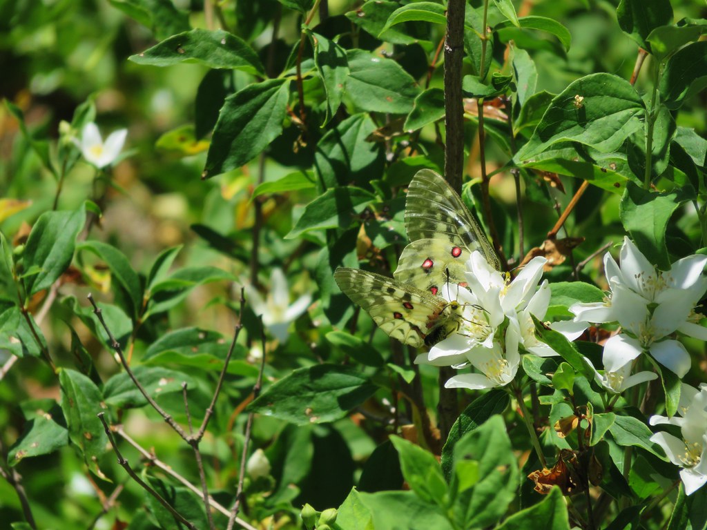
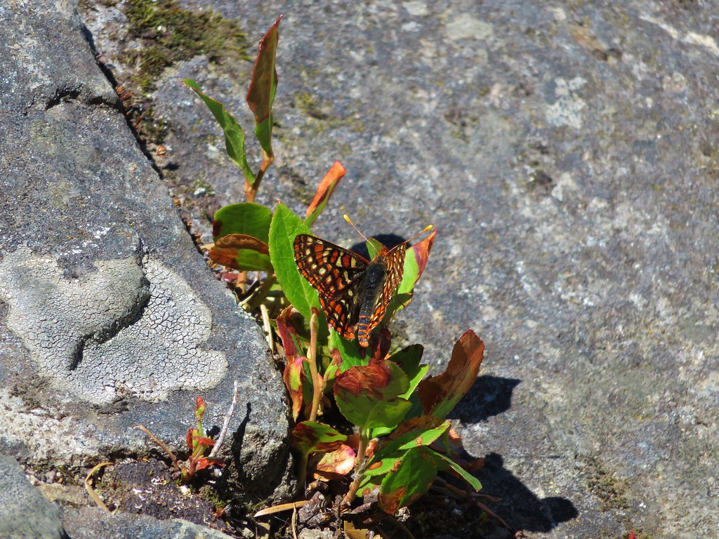
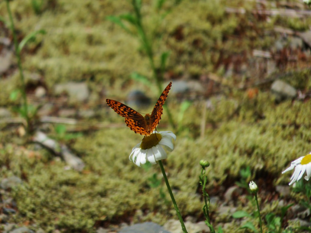
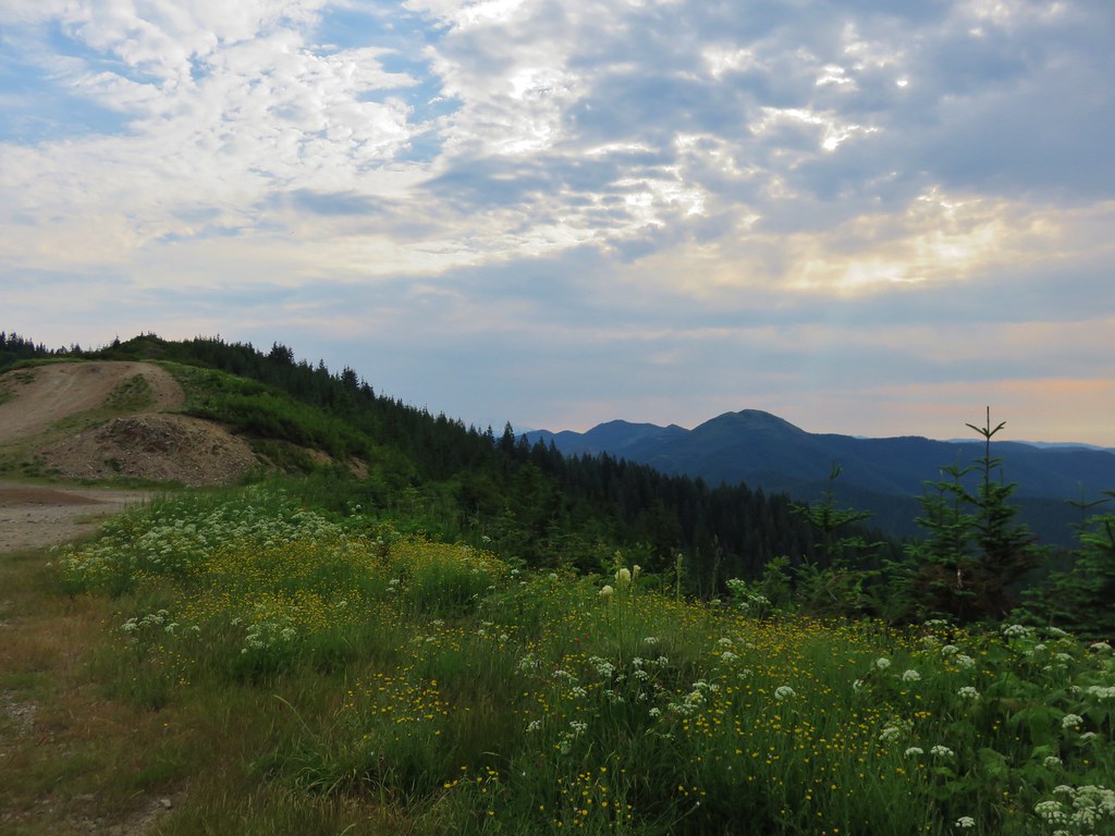
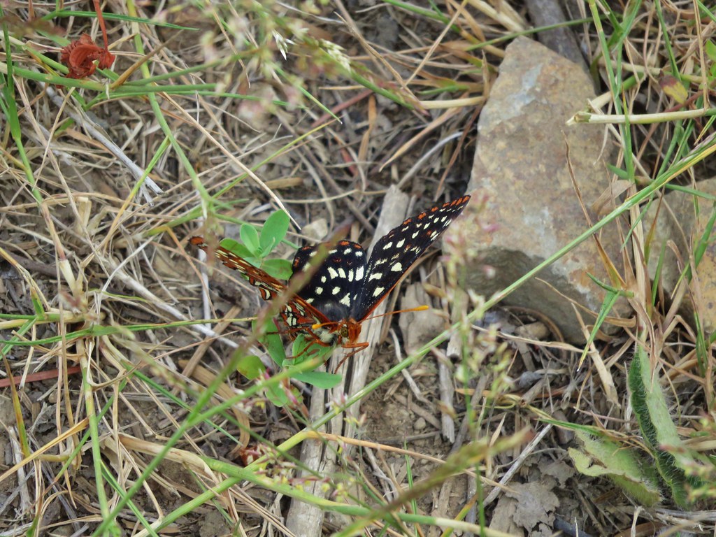
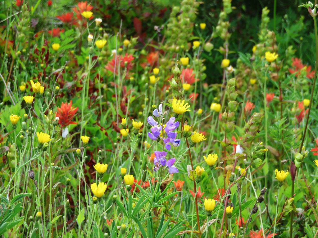
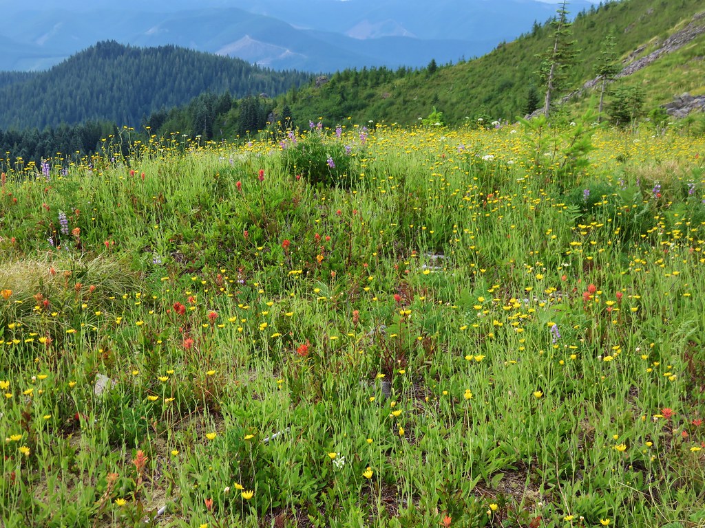
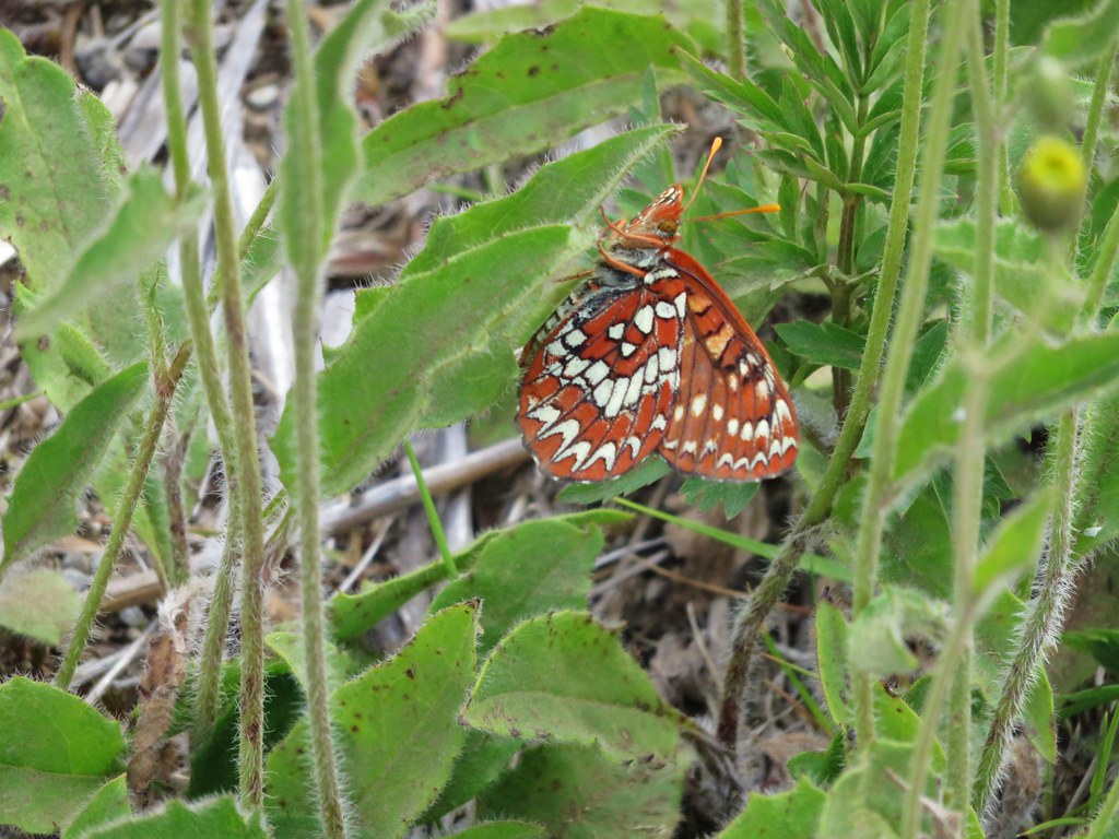
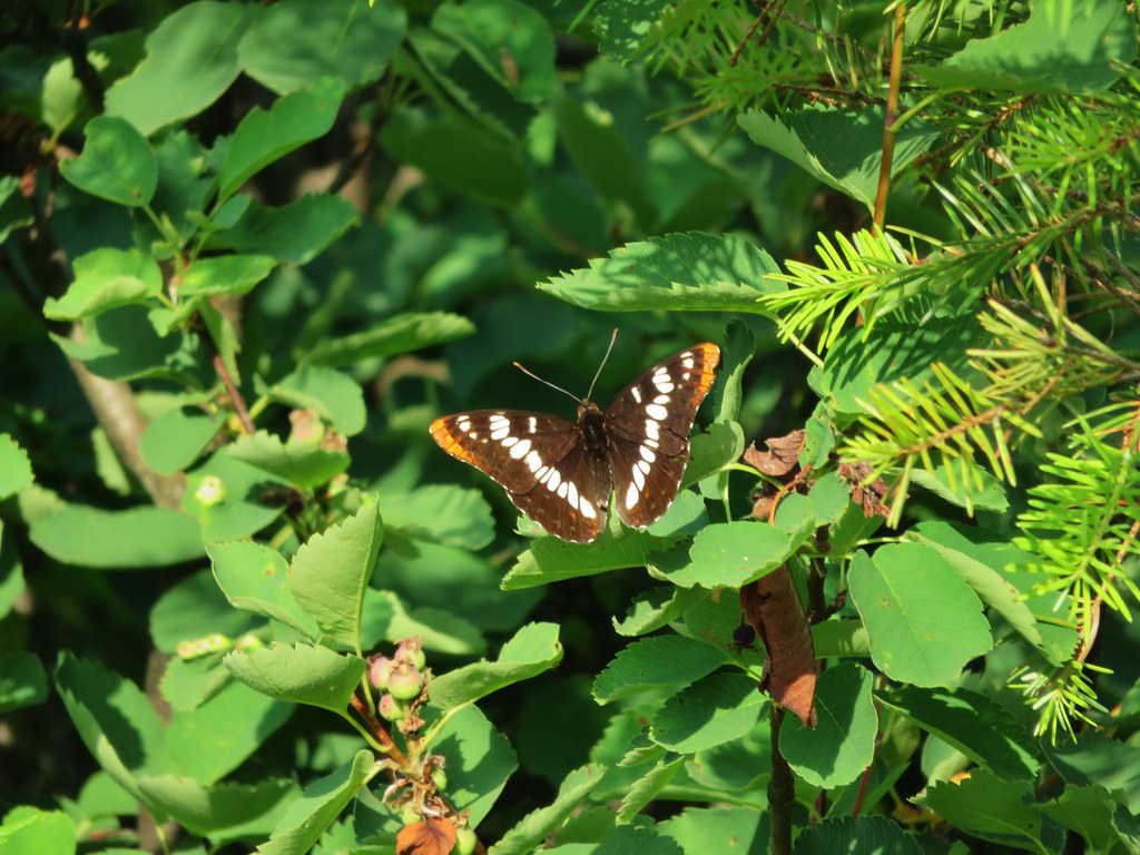
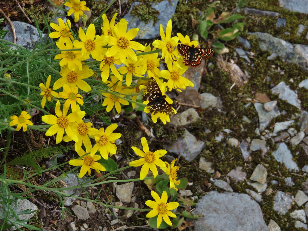
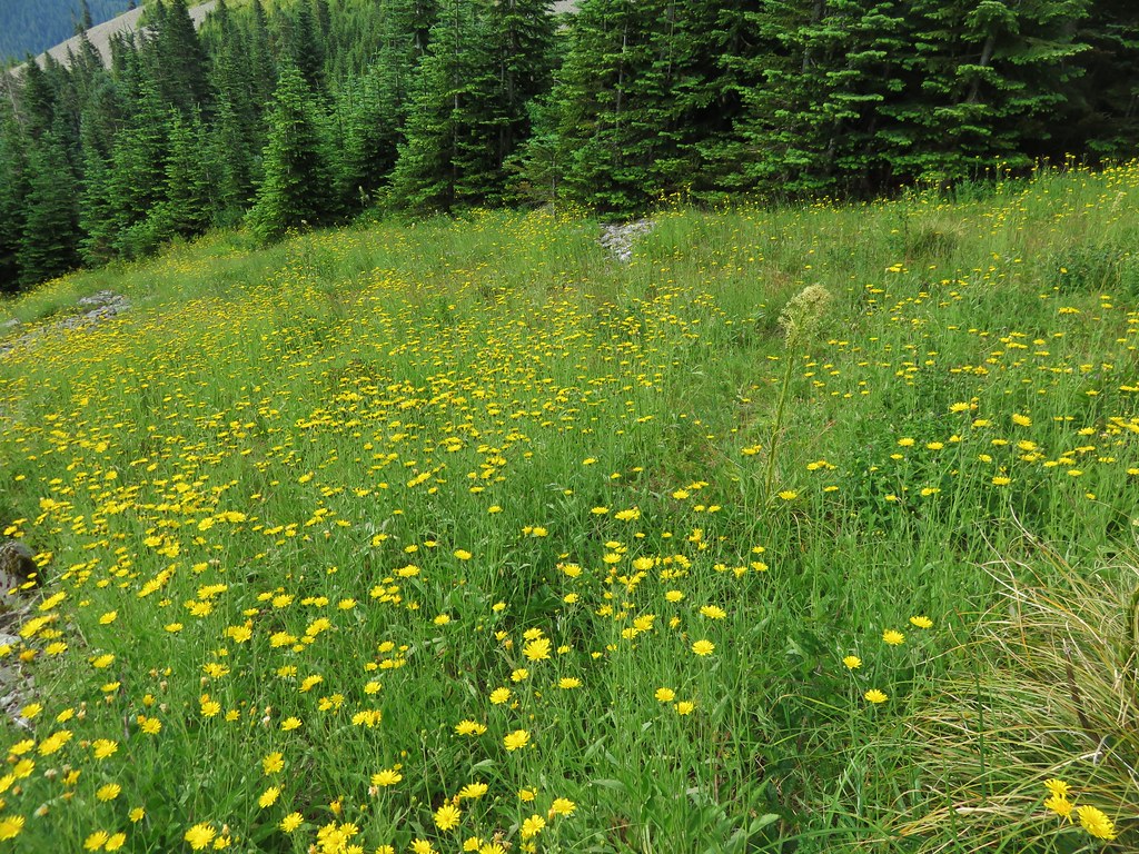
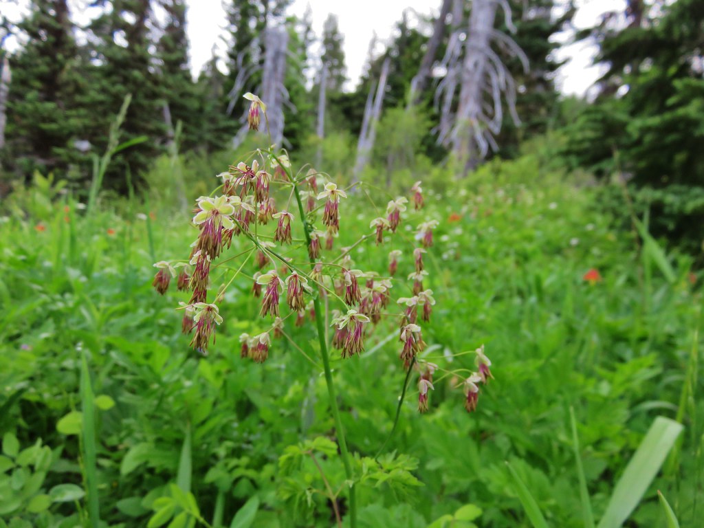
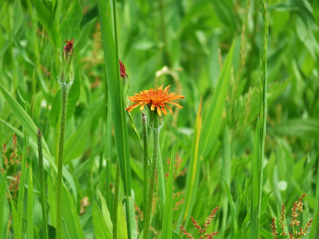
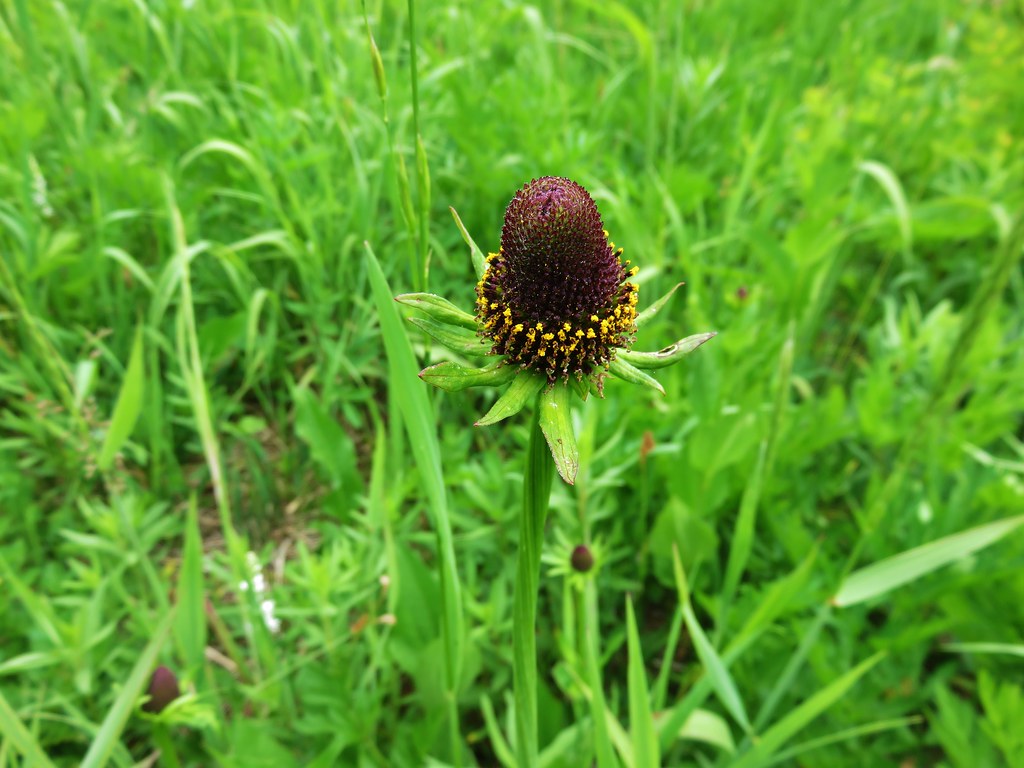
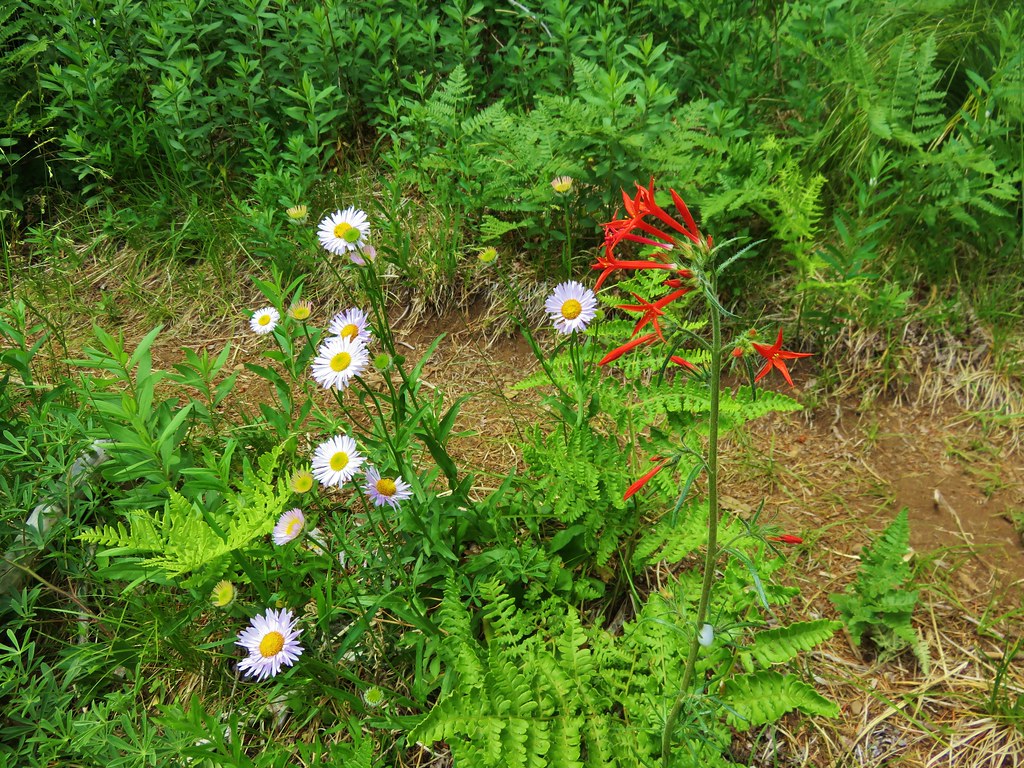
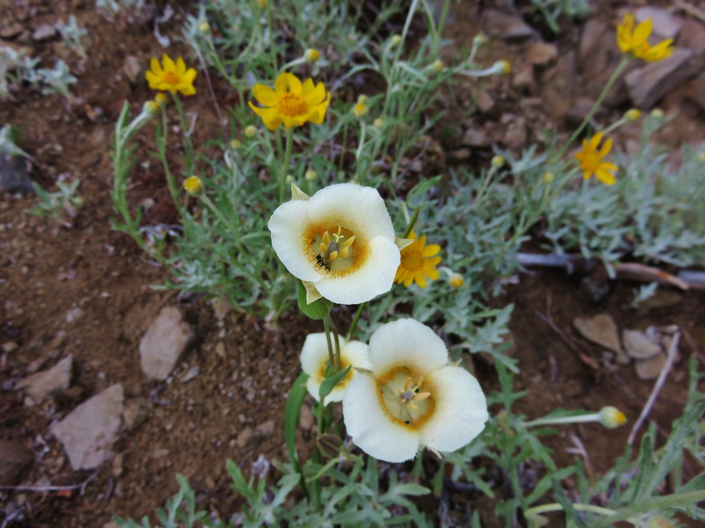
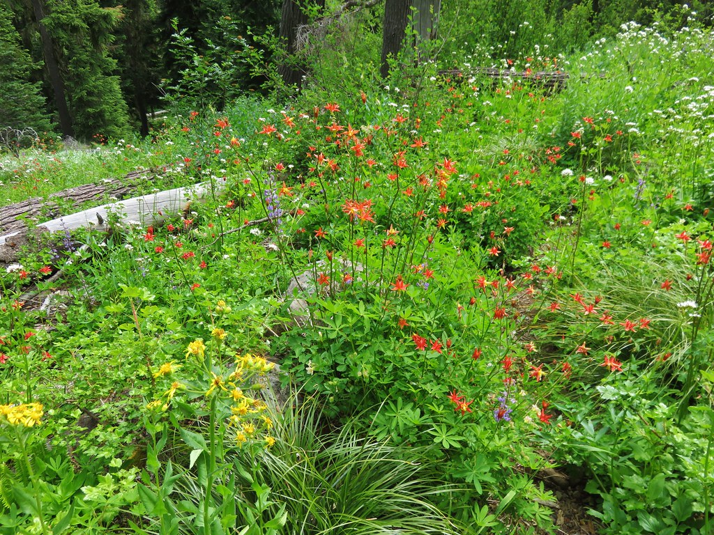
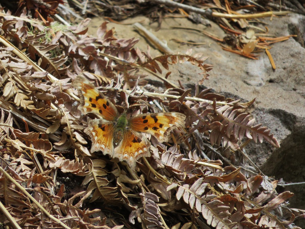
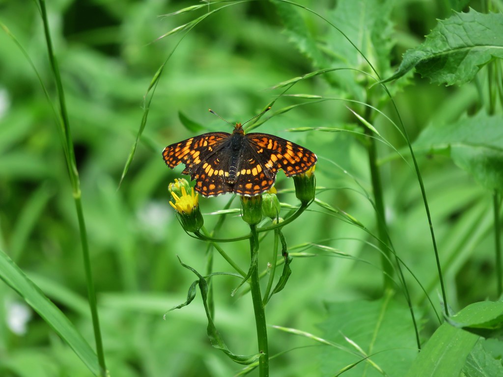
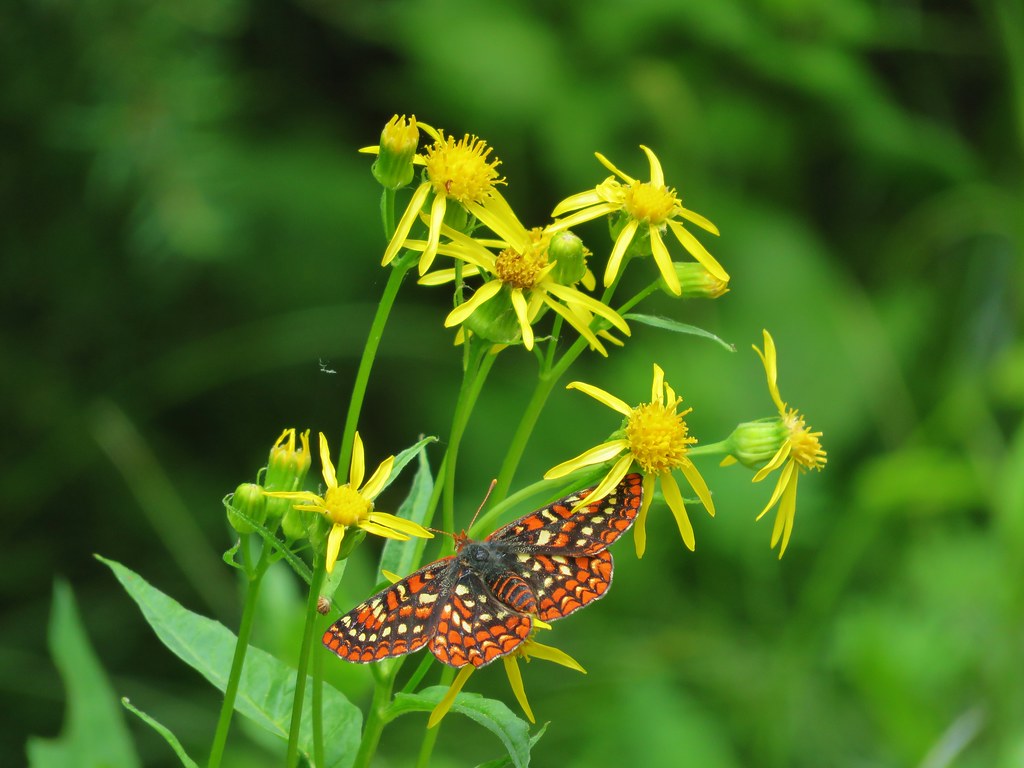
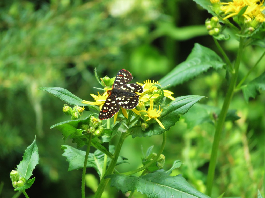
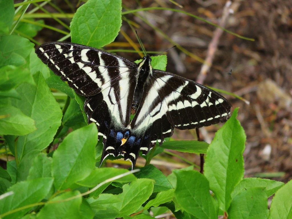
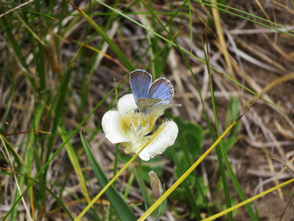
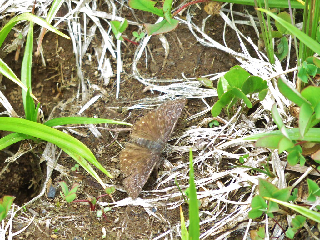
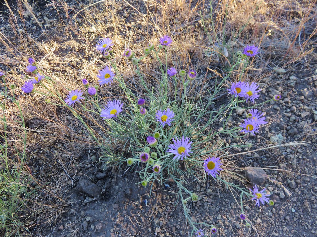
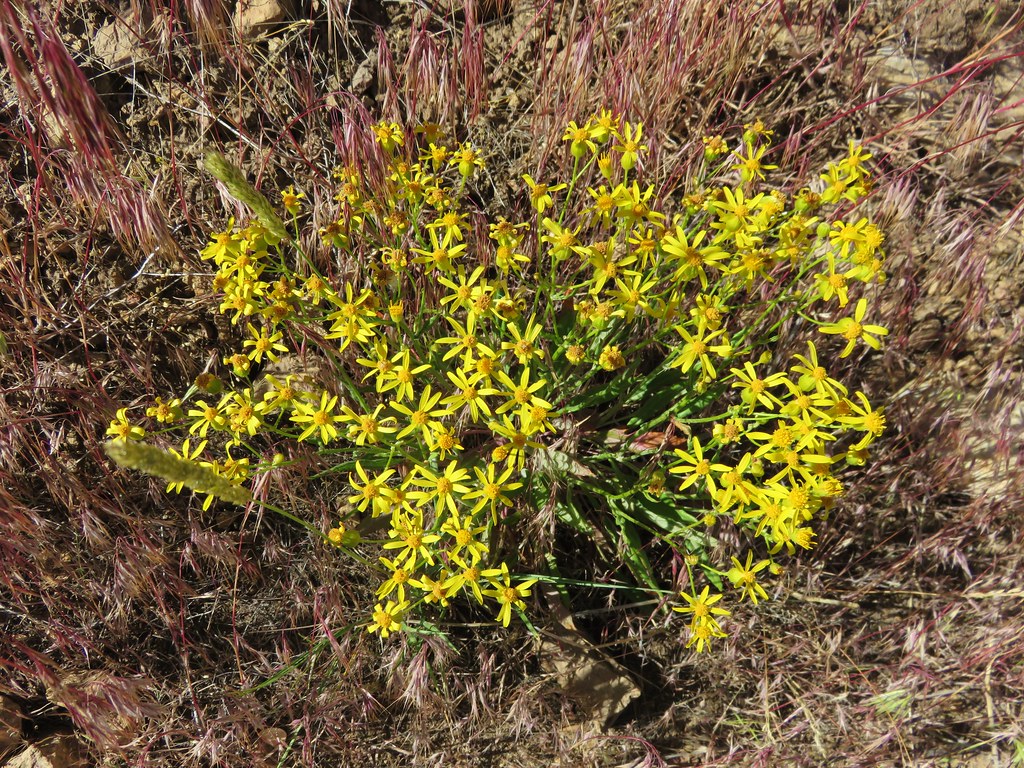
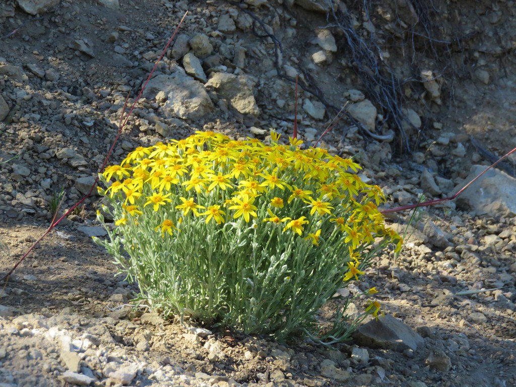
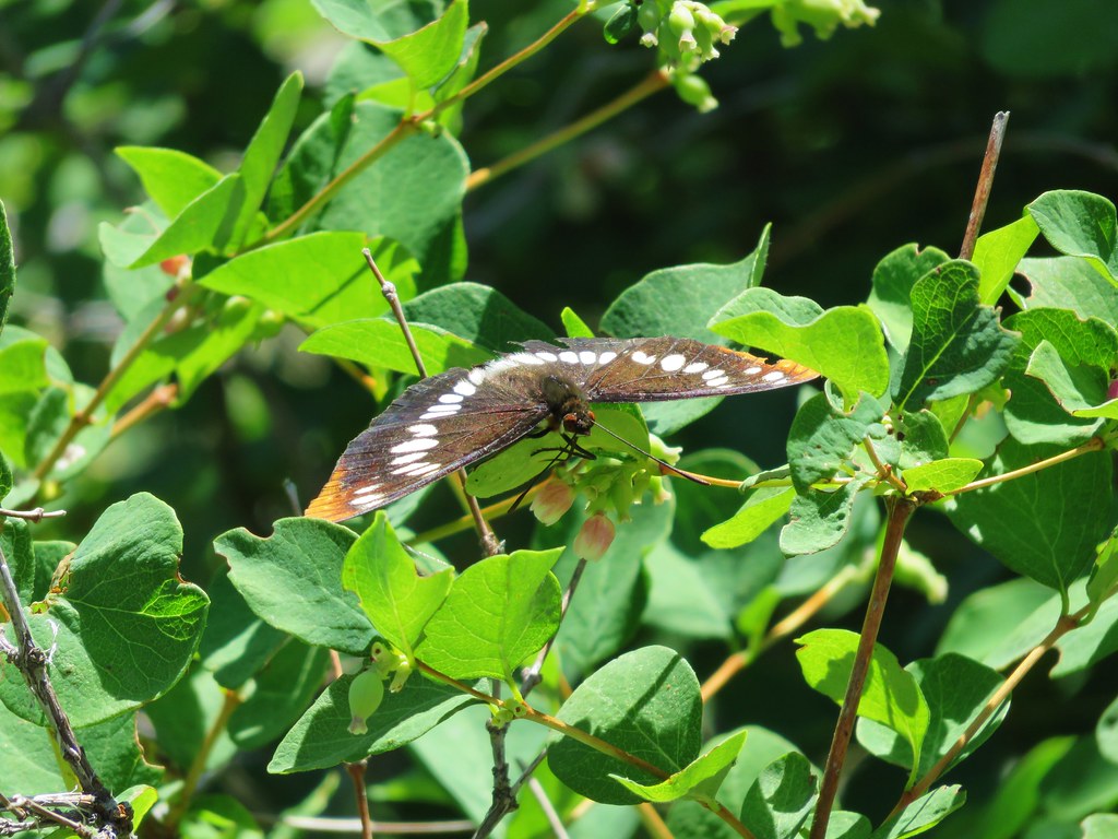
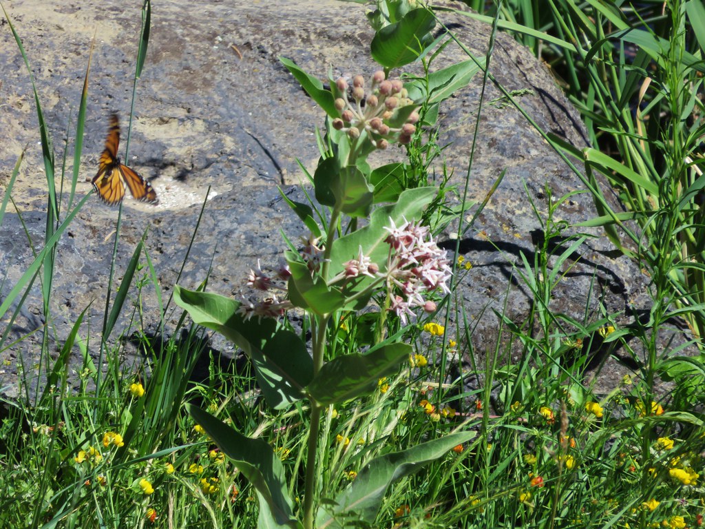
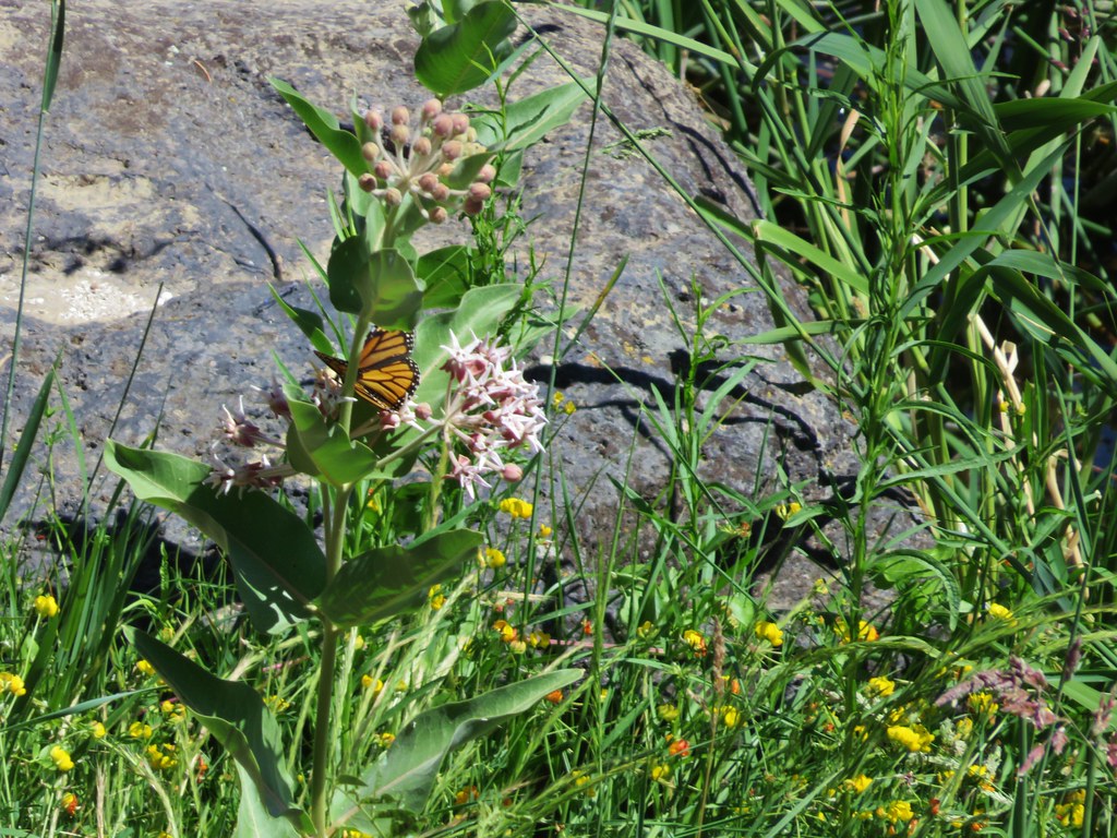
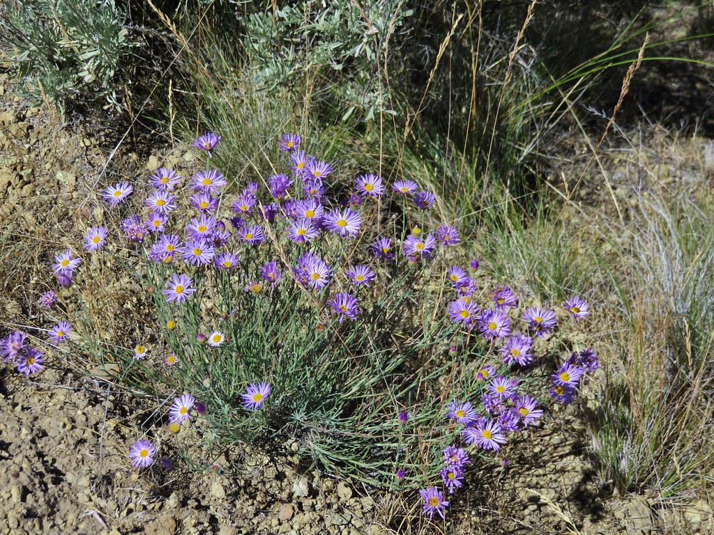
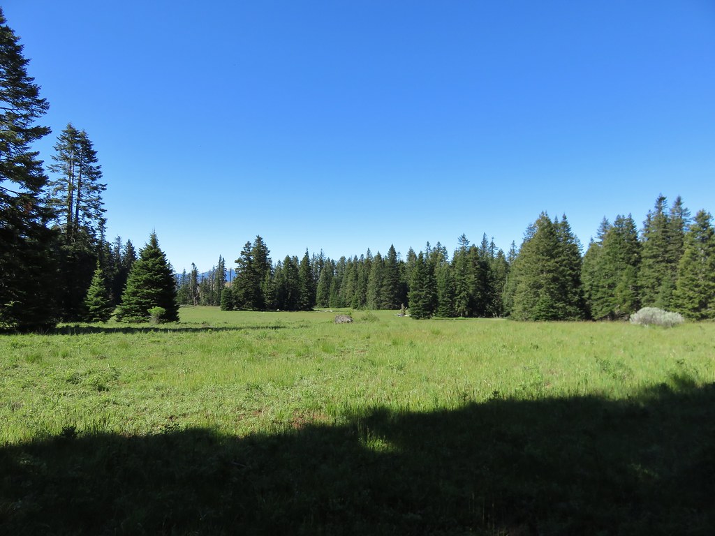
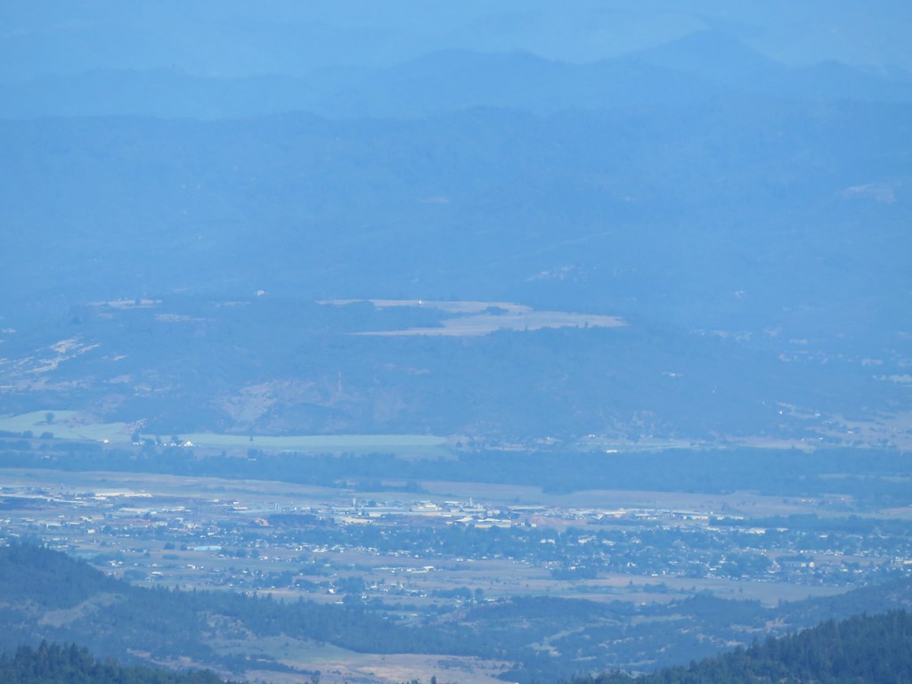
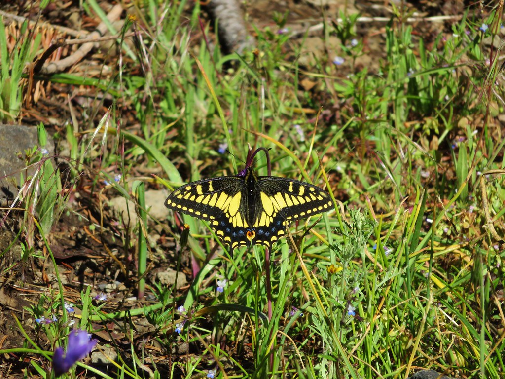
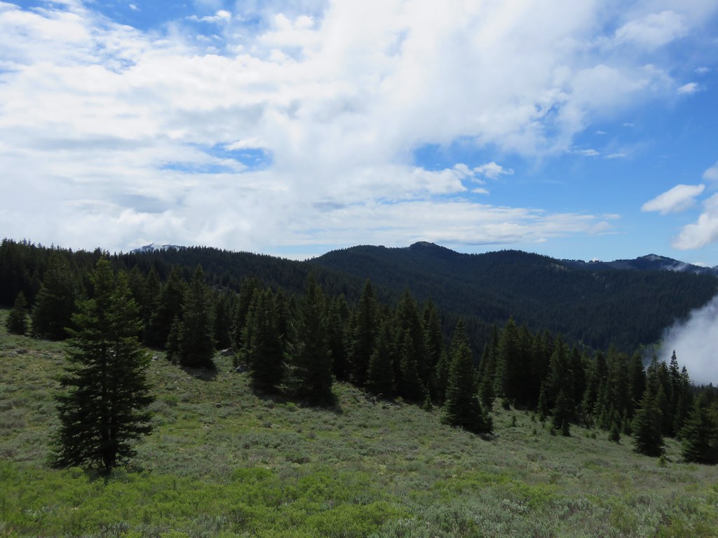
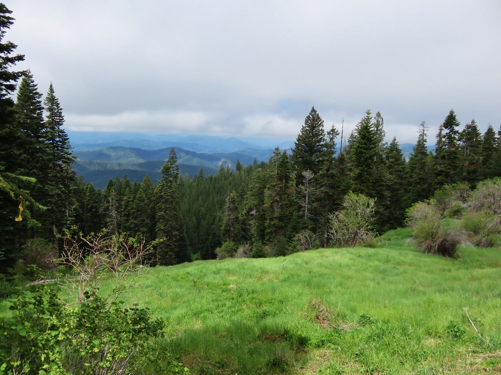
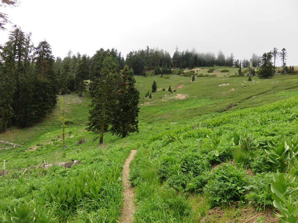
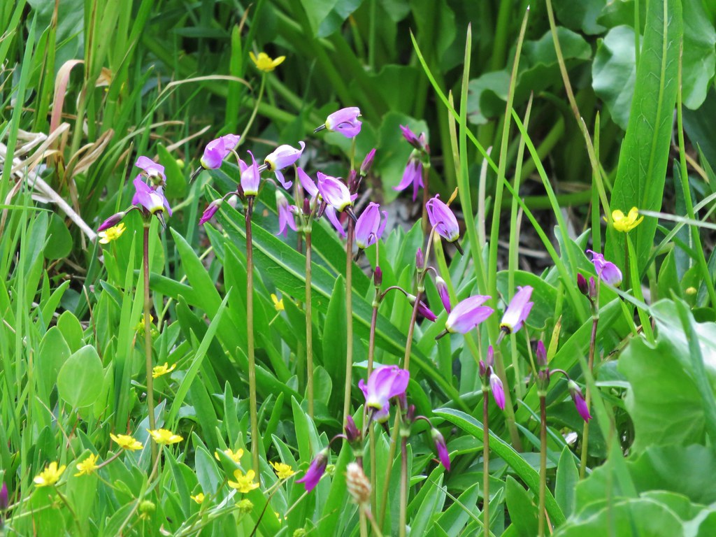
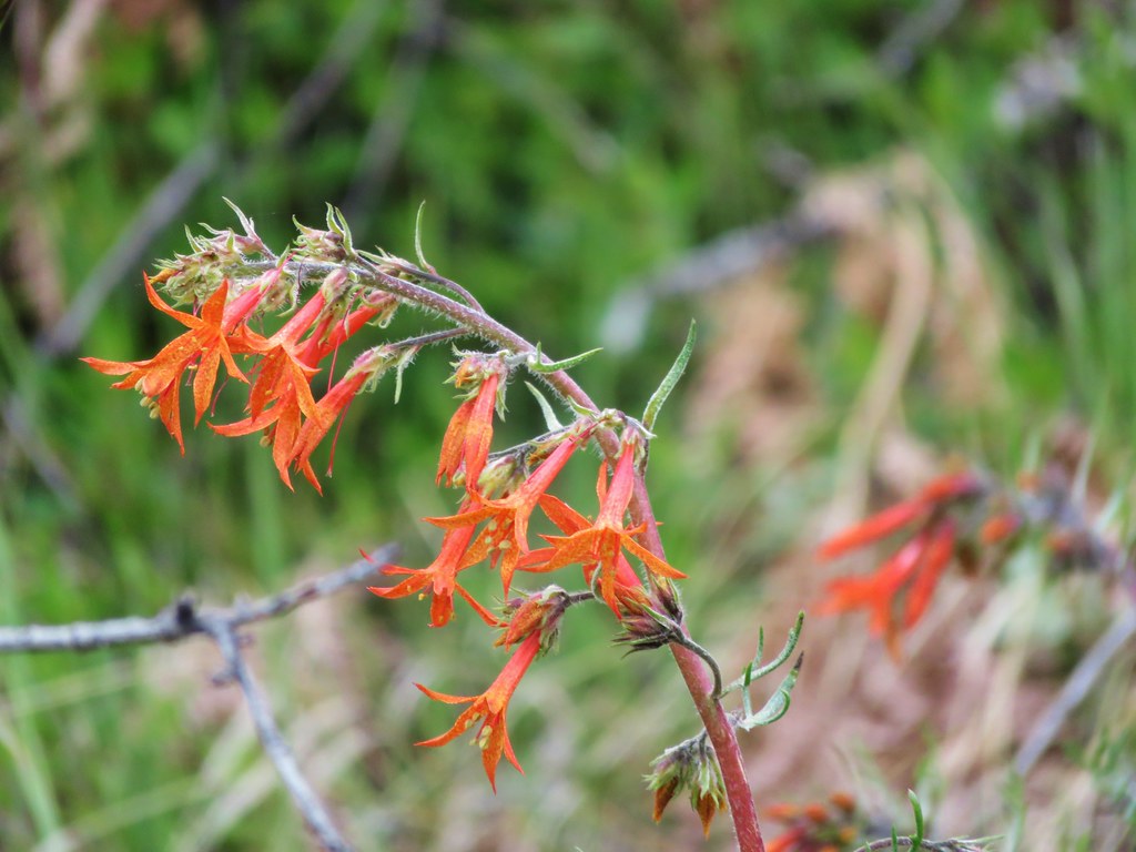
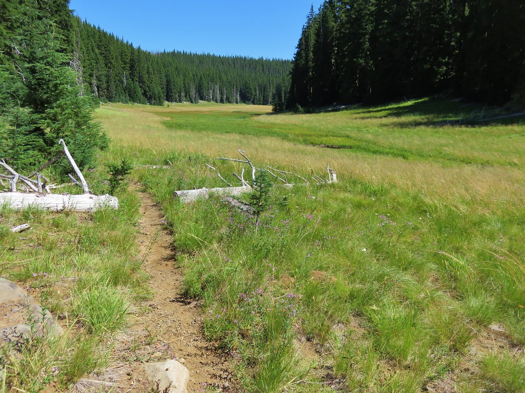
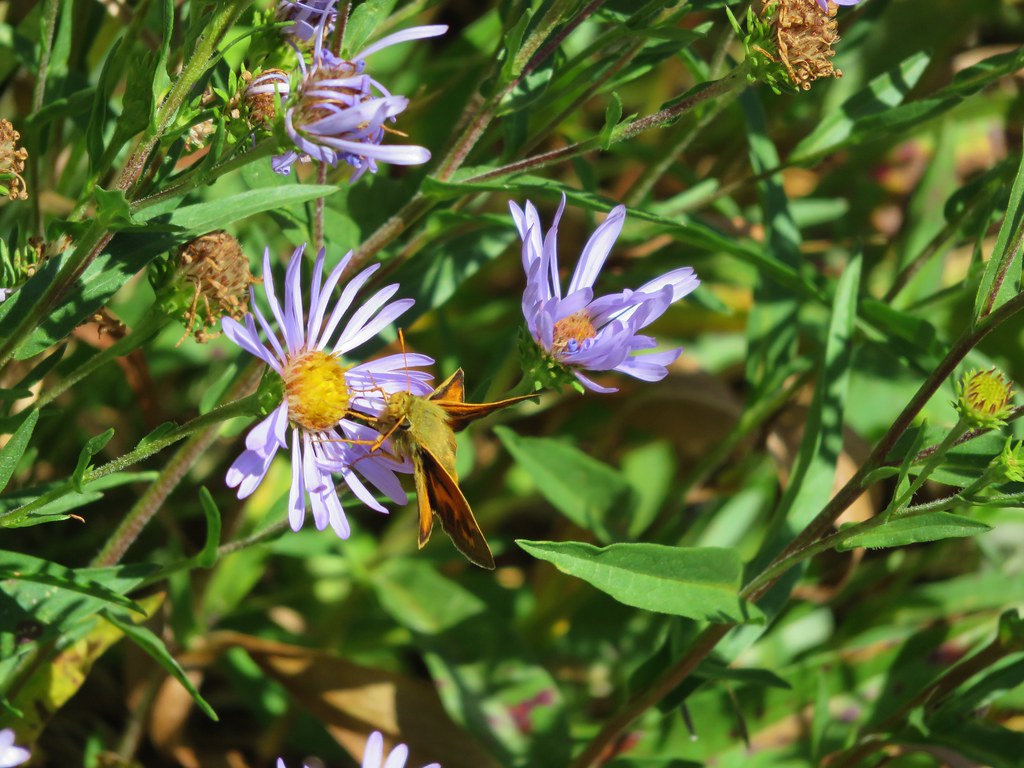
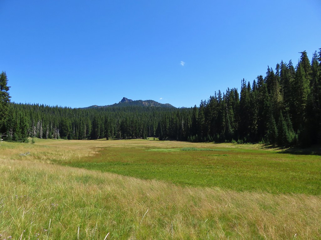
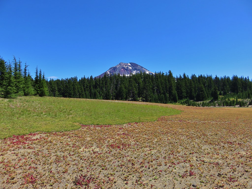
The meadows of Buck Meadows were also dry as far as we could tell. There were some patches of green but no visible water. Purple aster dotted the dry grasses and were popular with the butterflies.
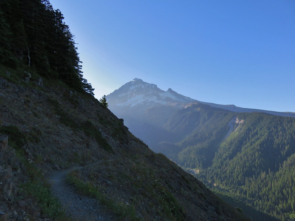
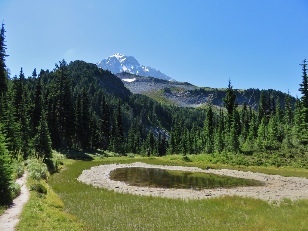
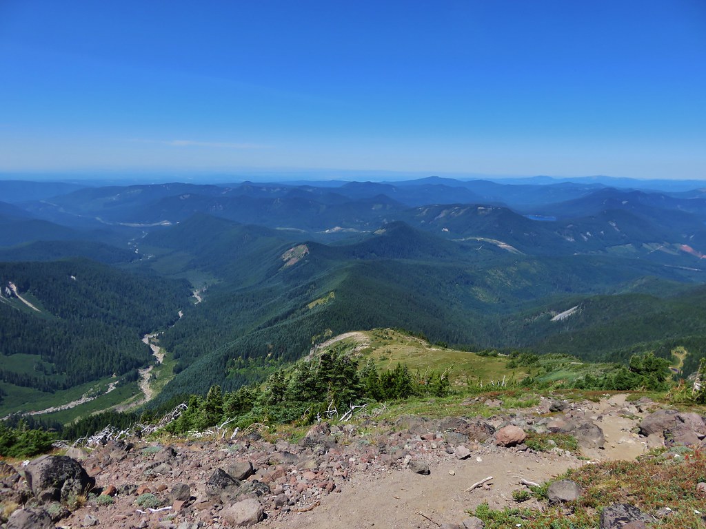
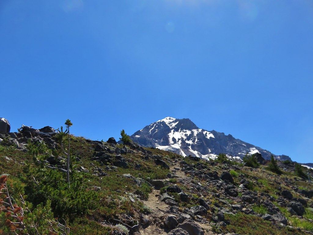
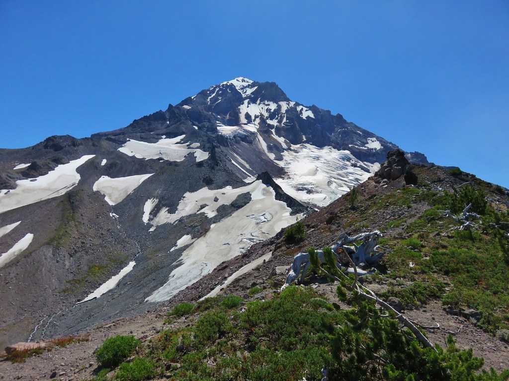
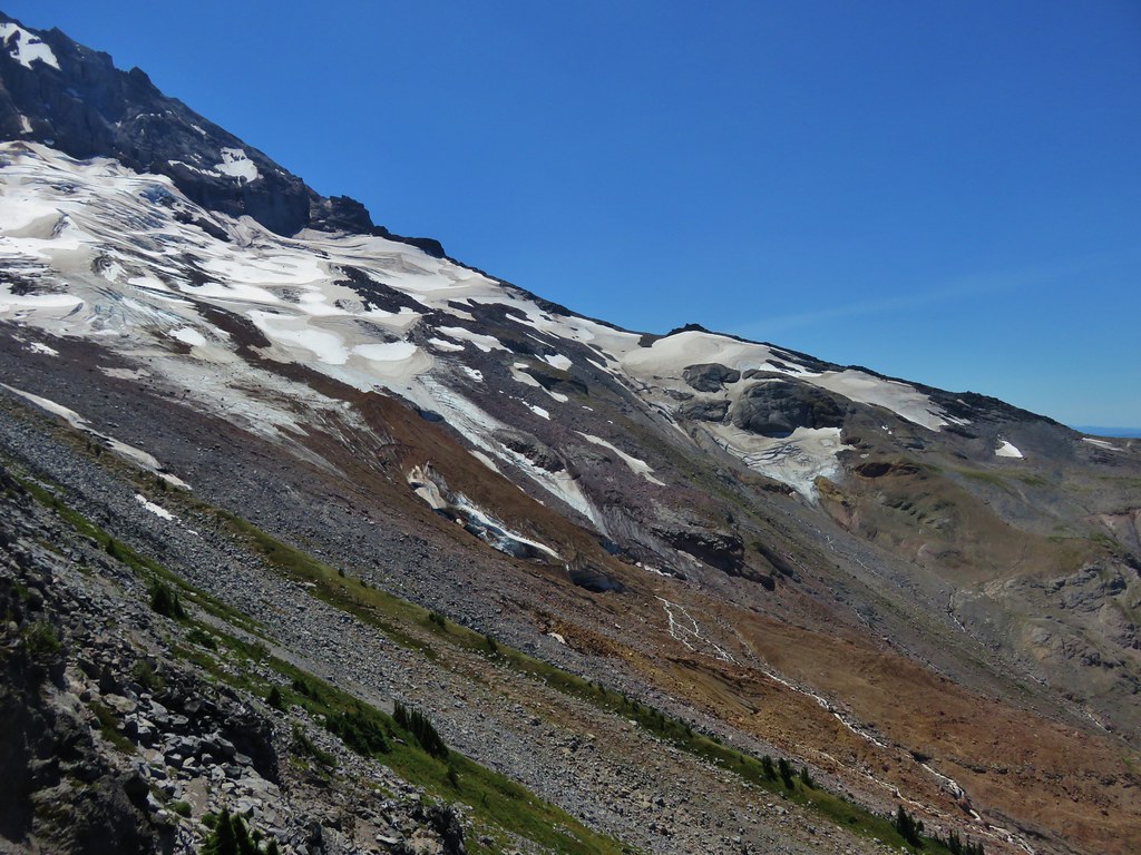
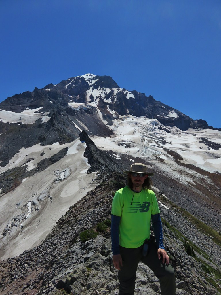
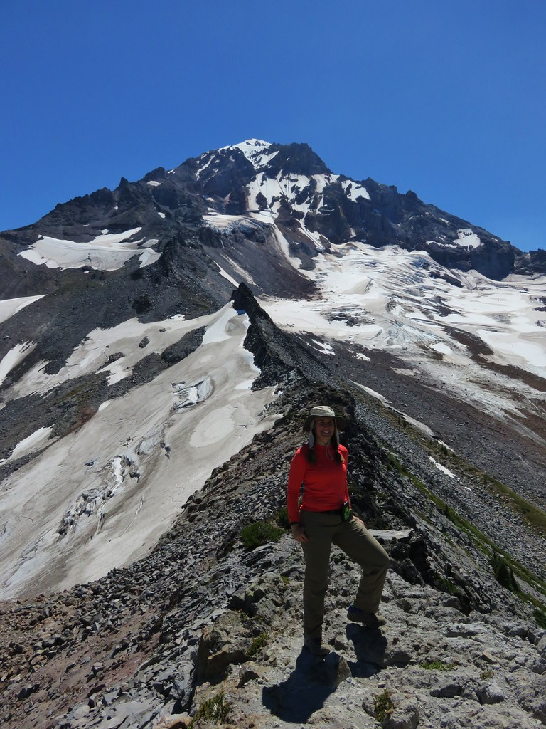
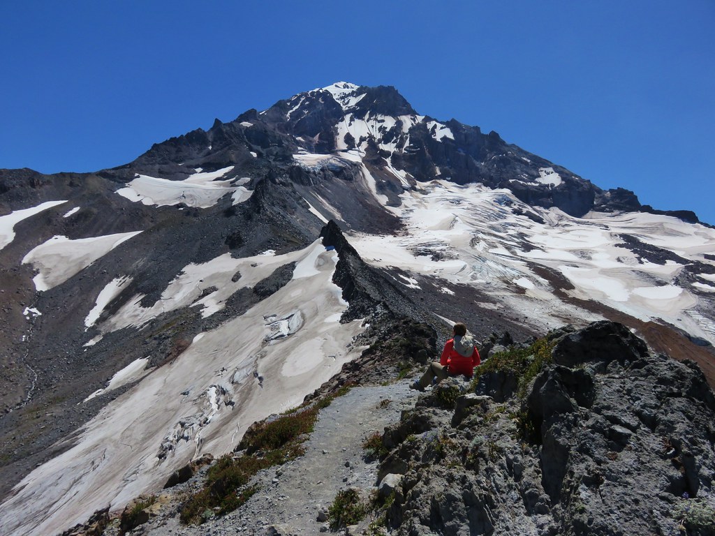
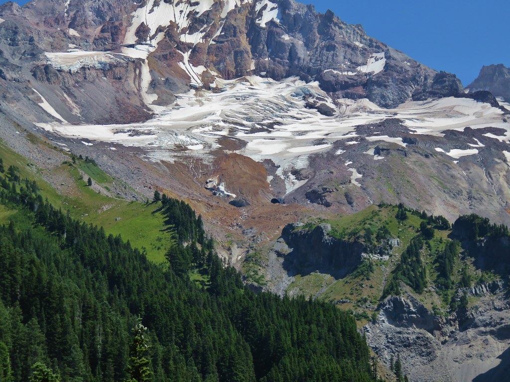
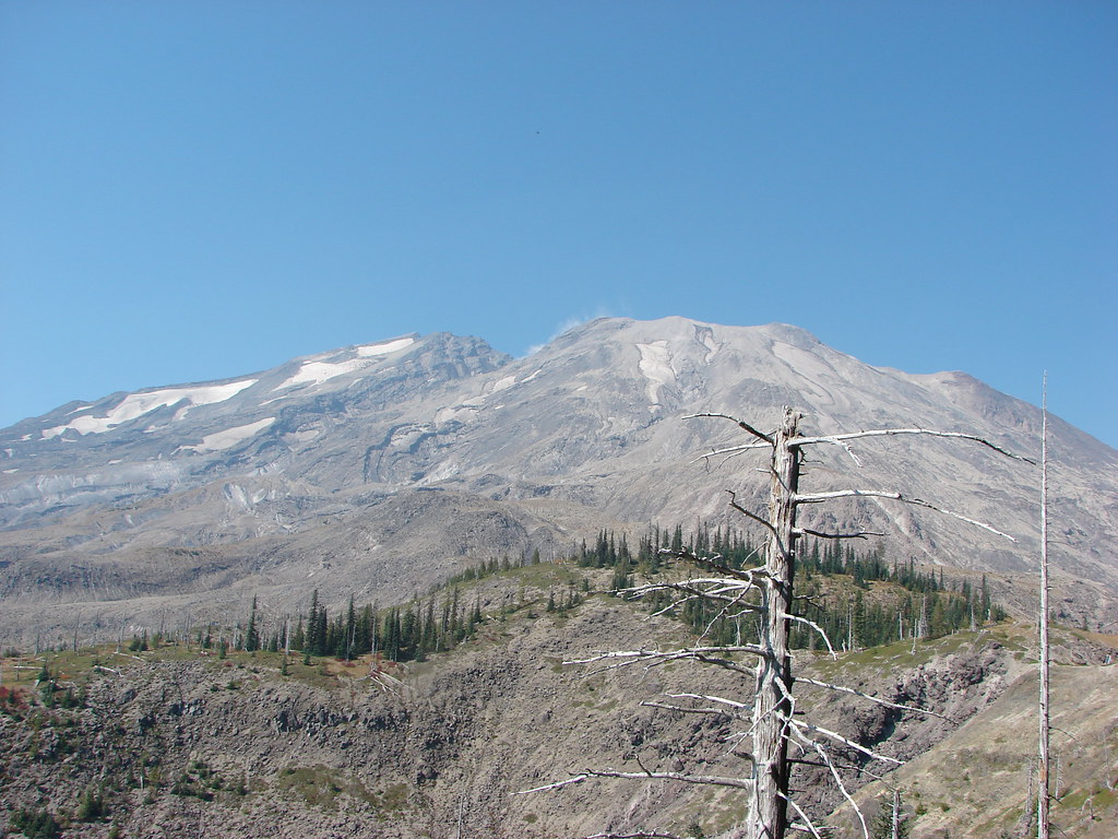
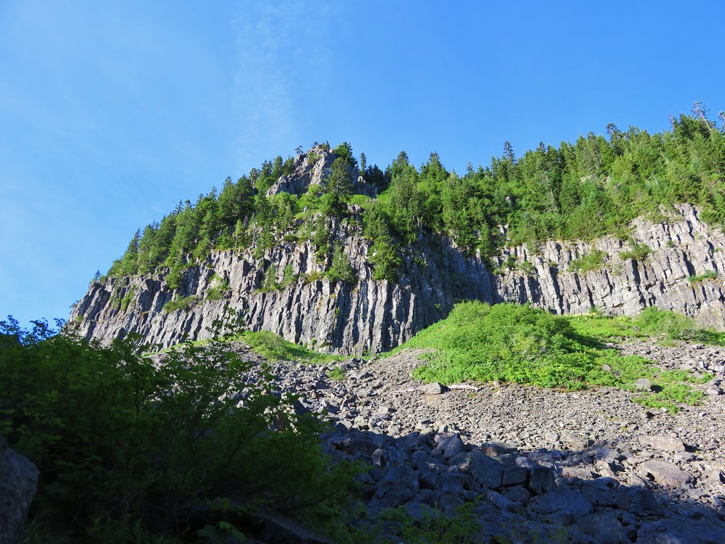
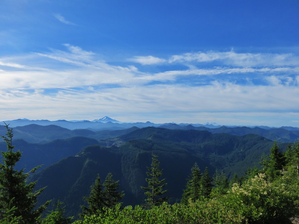
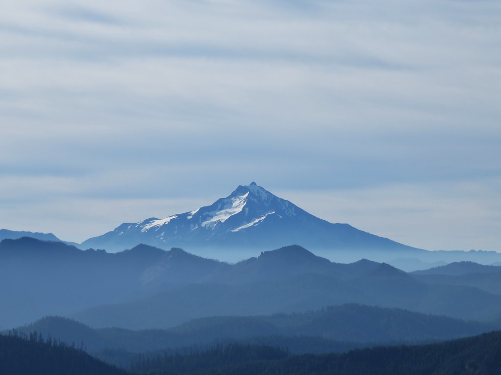
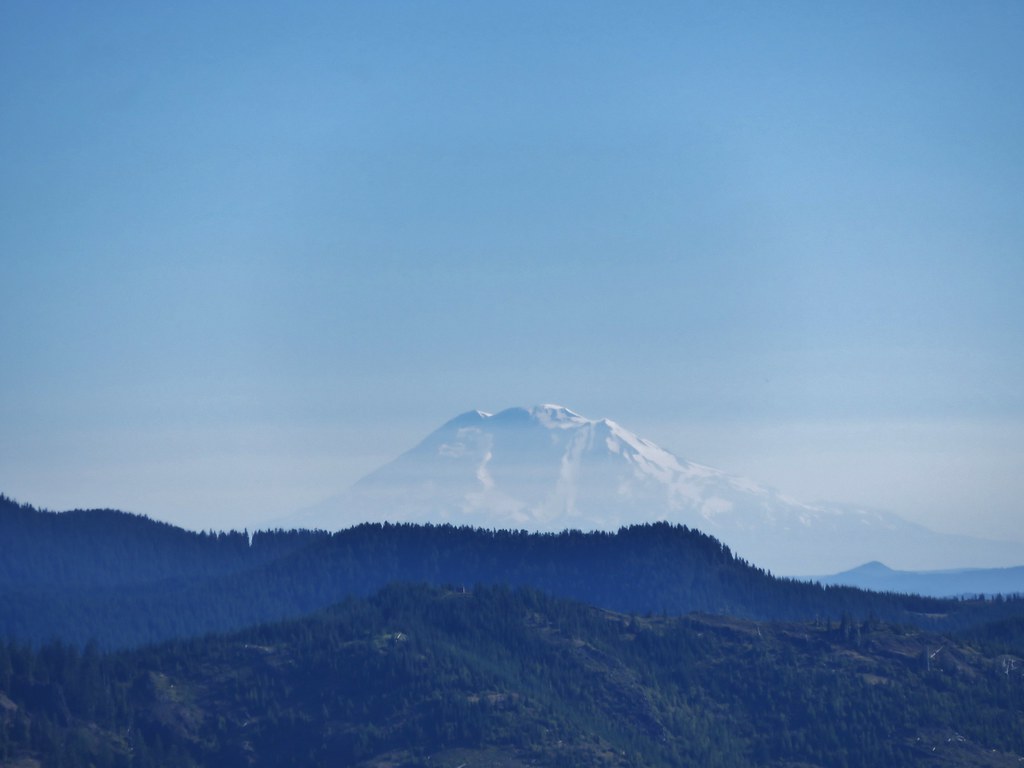
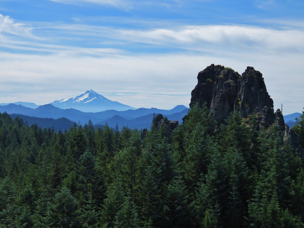
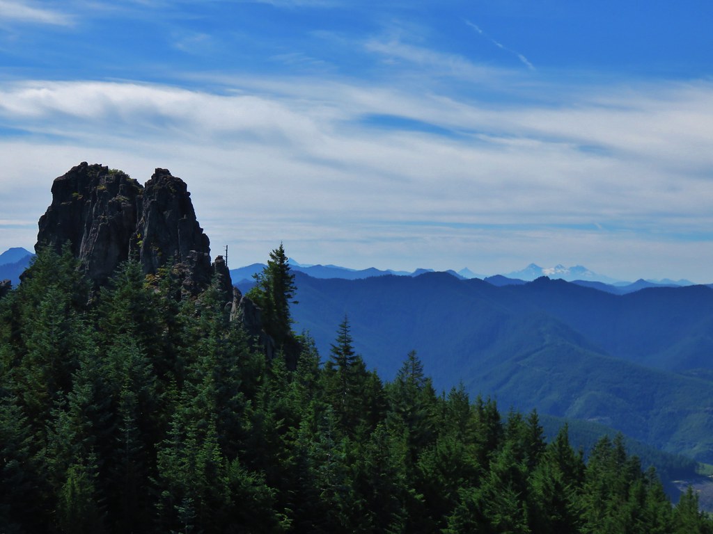
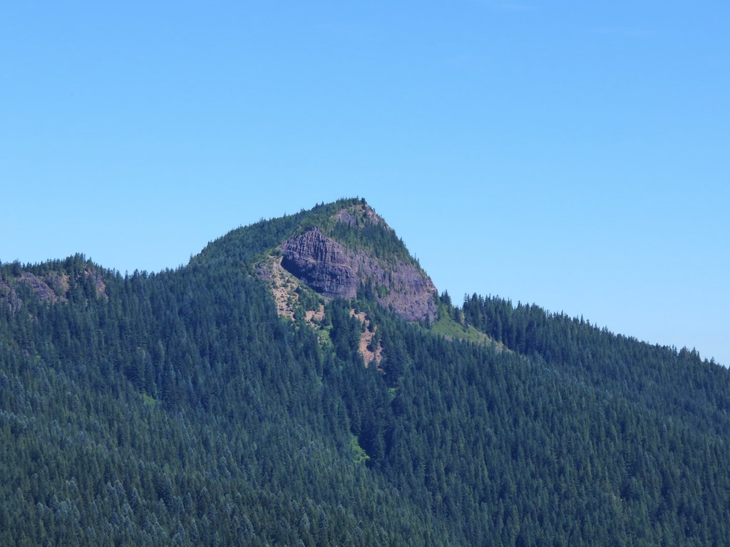
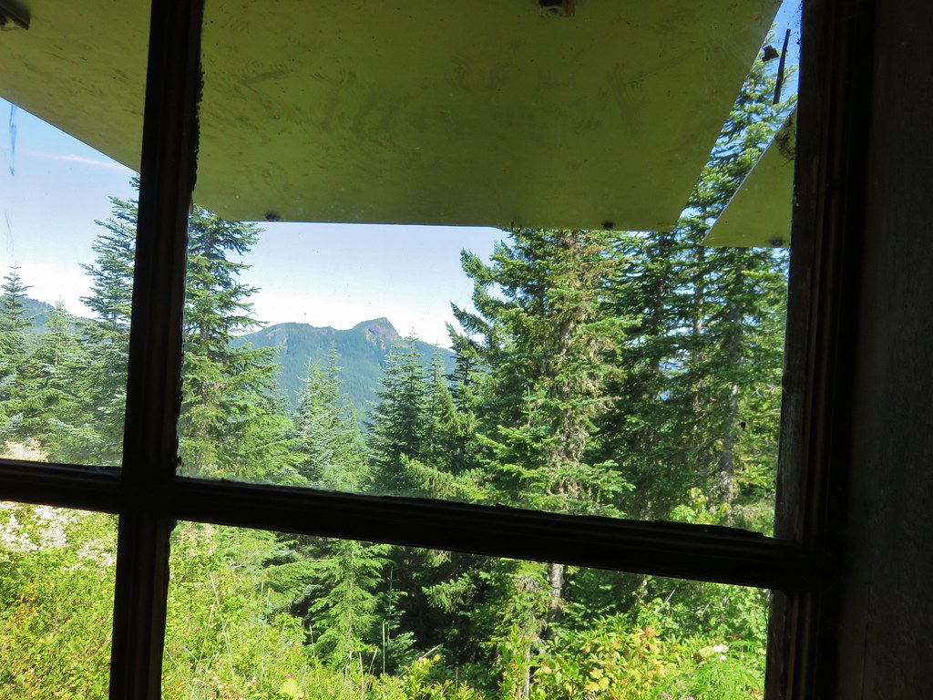
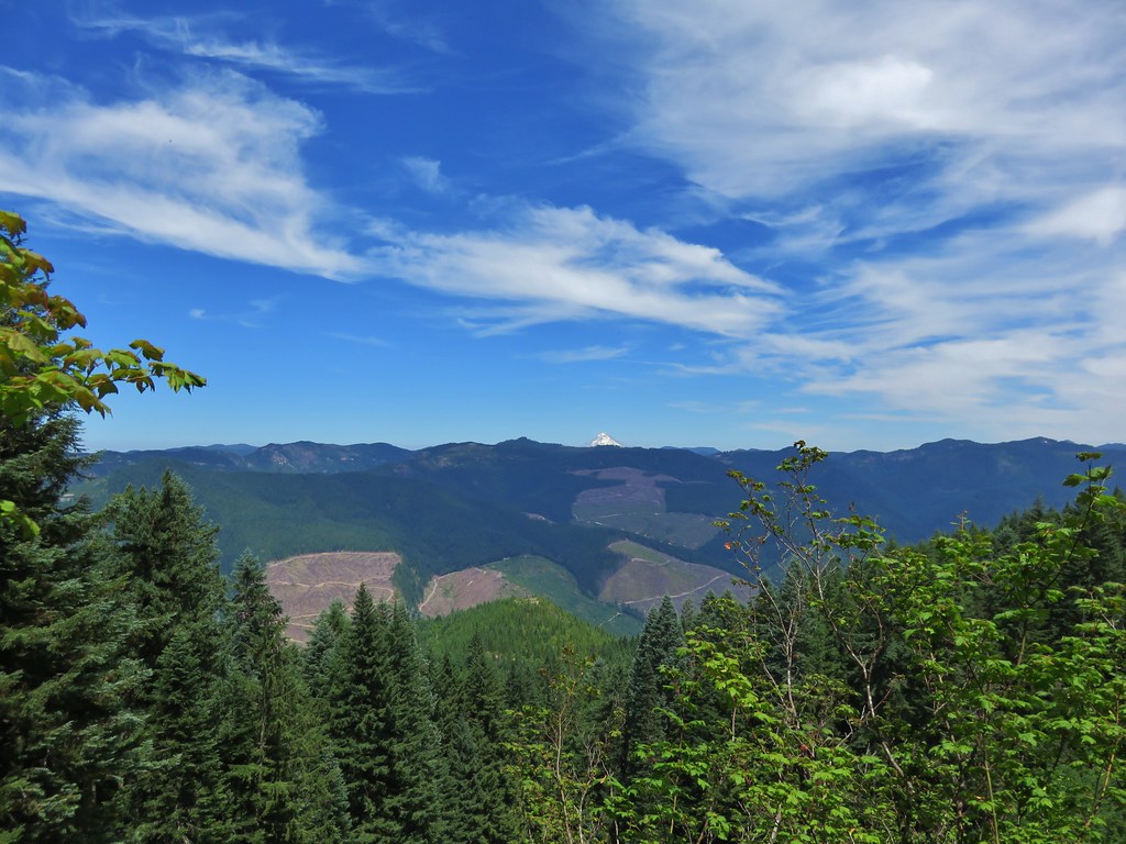
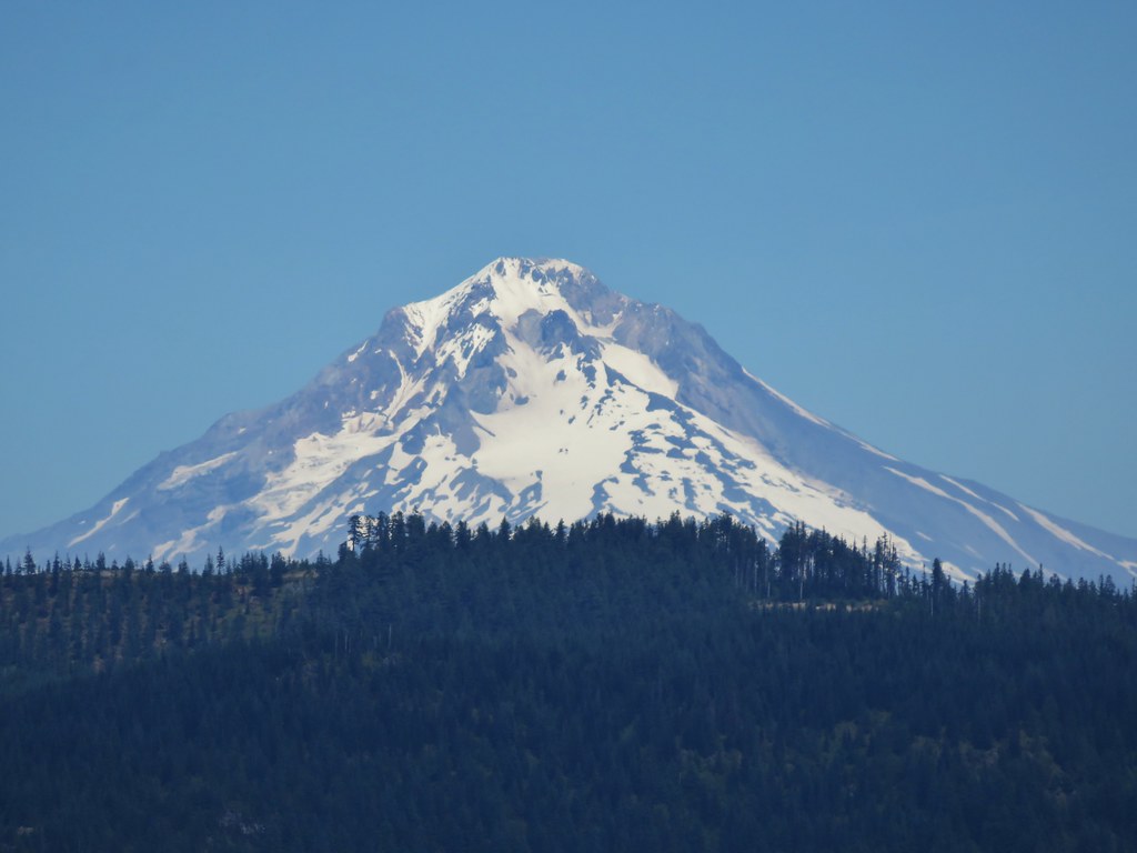
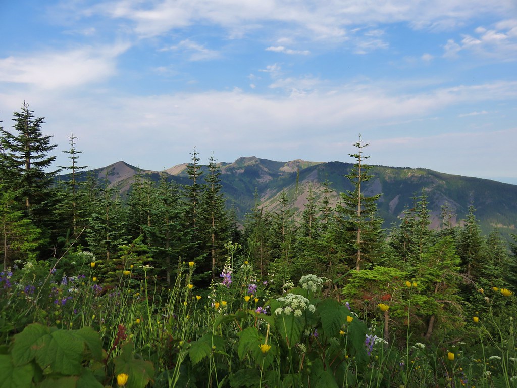
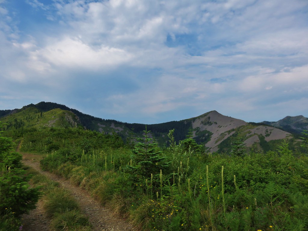
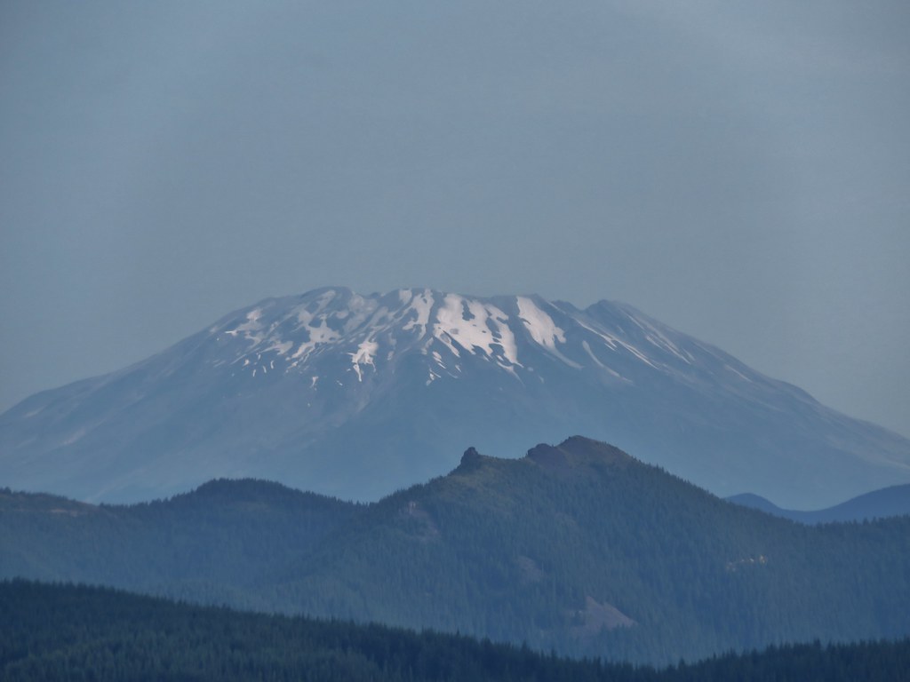
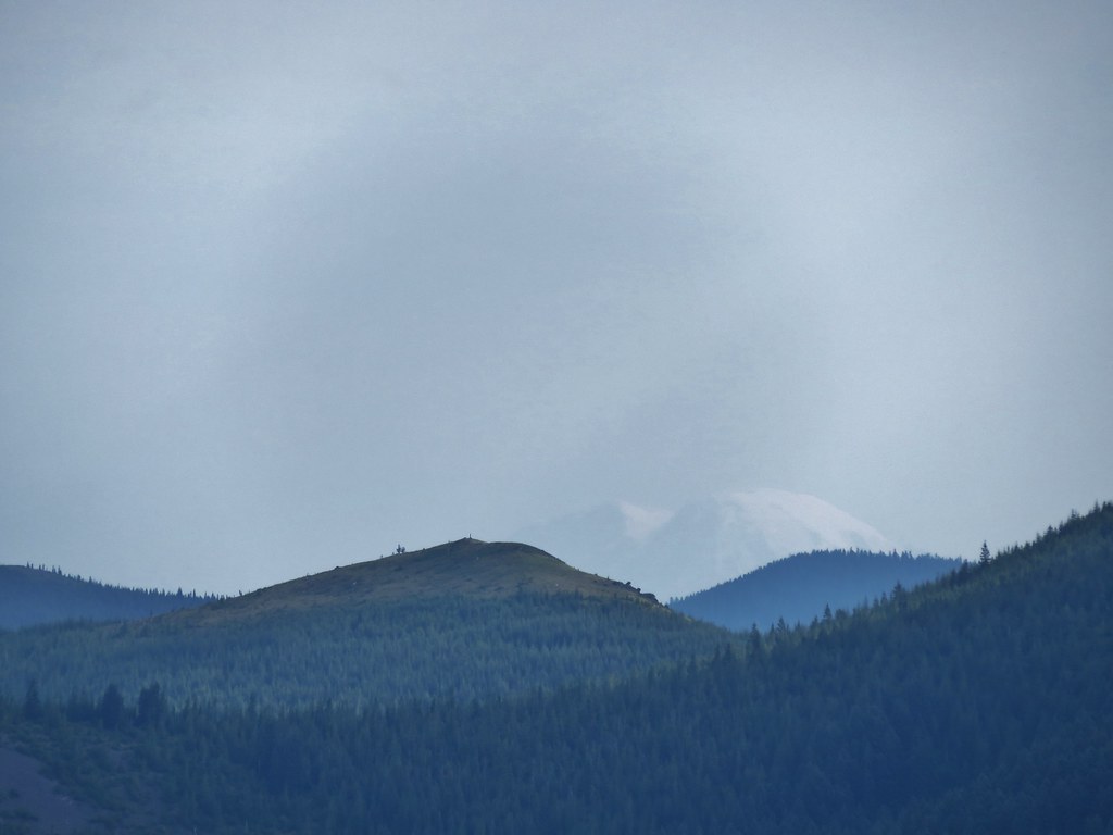
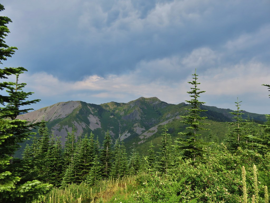
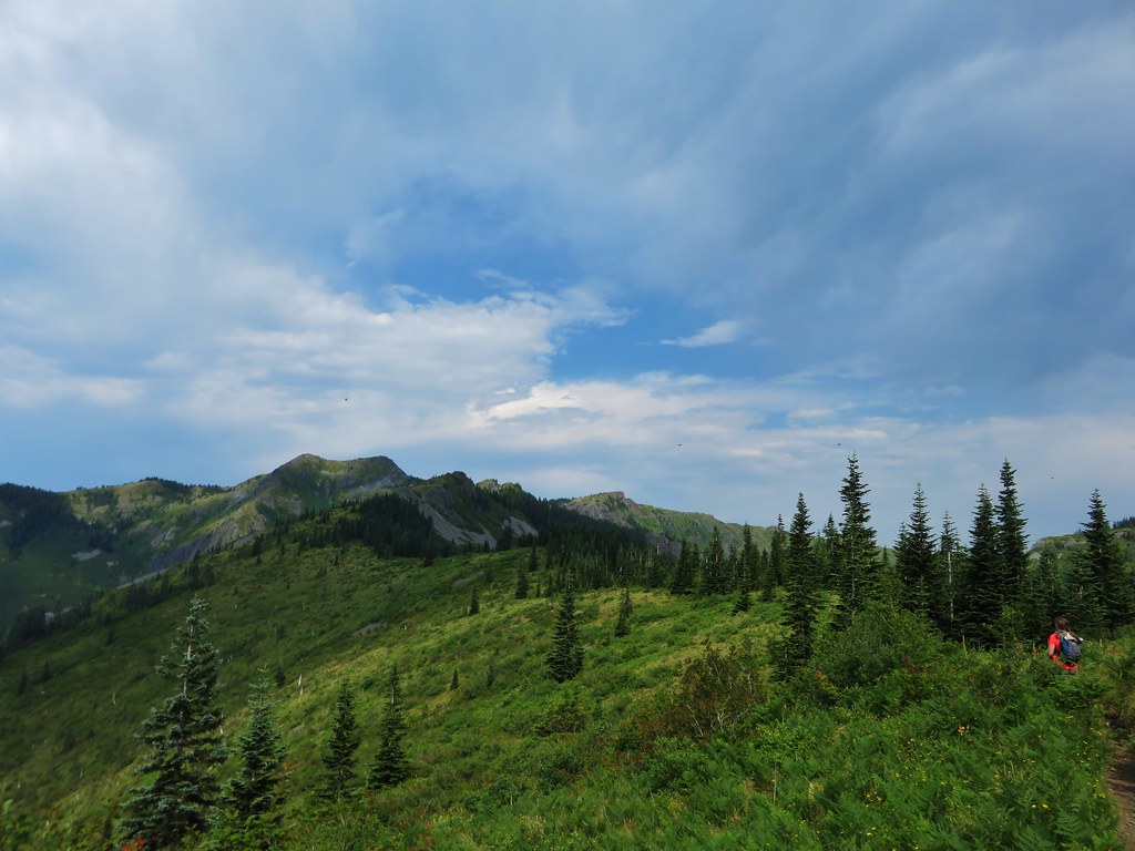
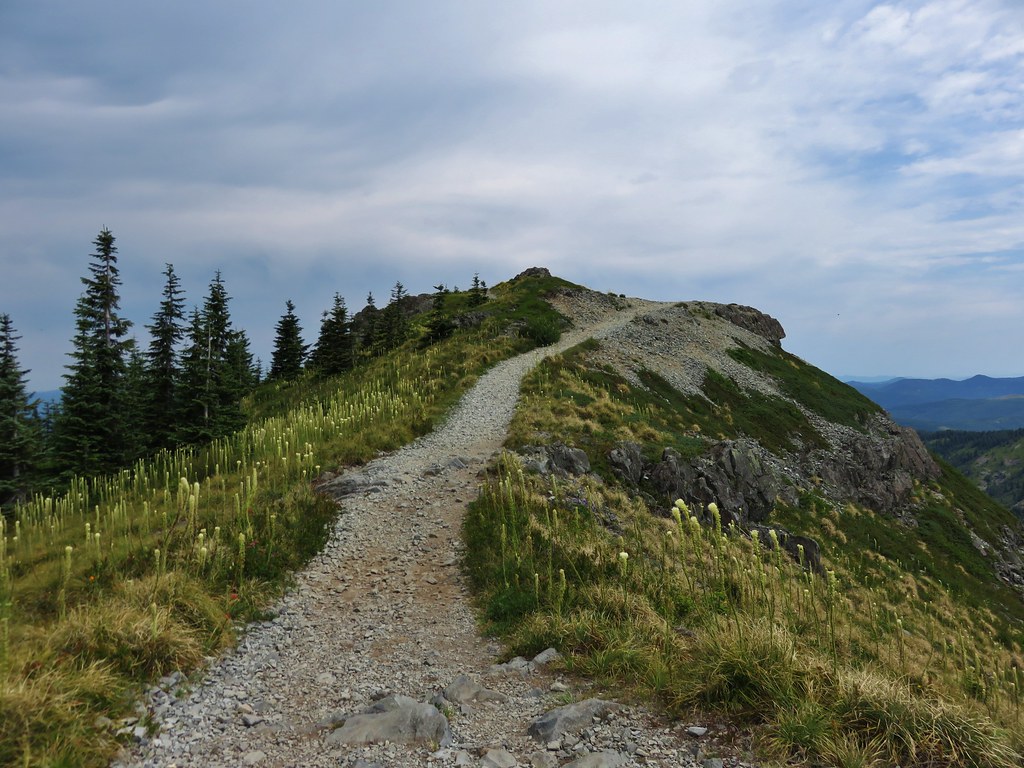
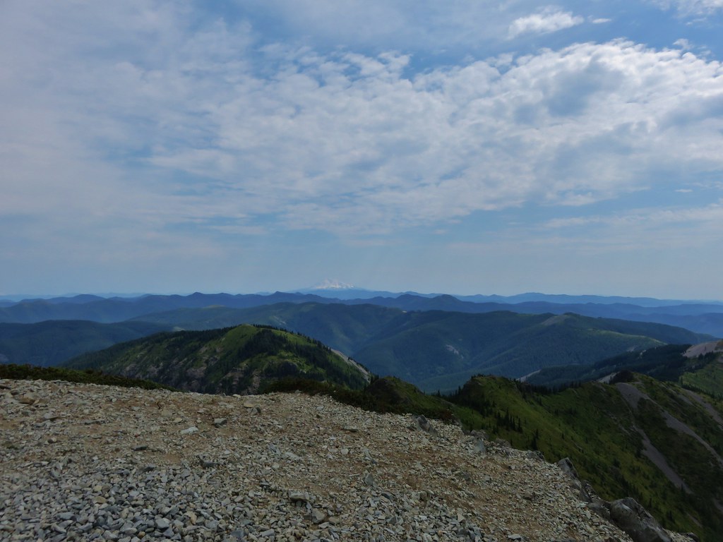
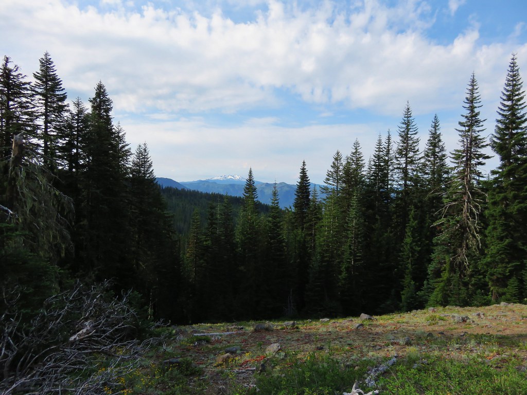
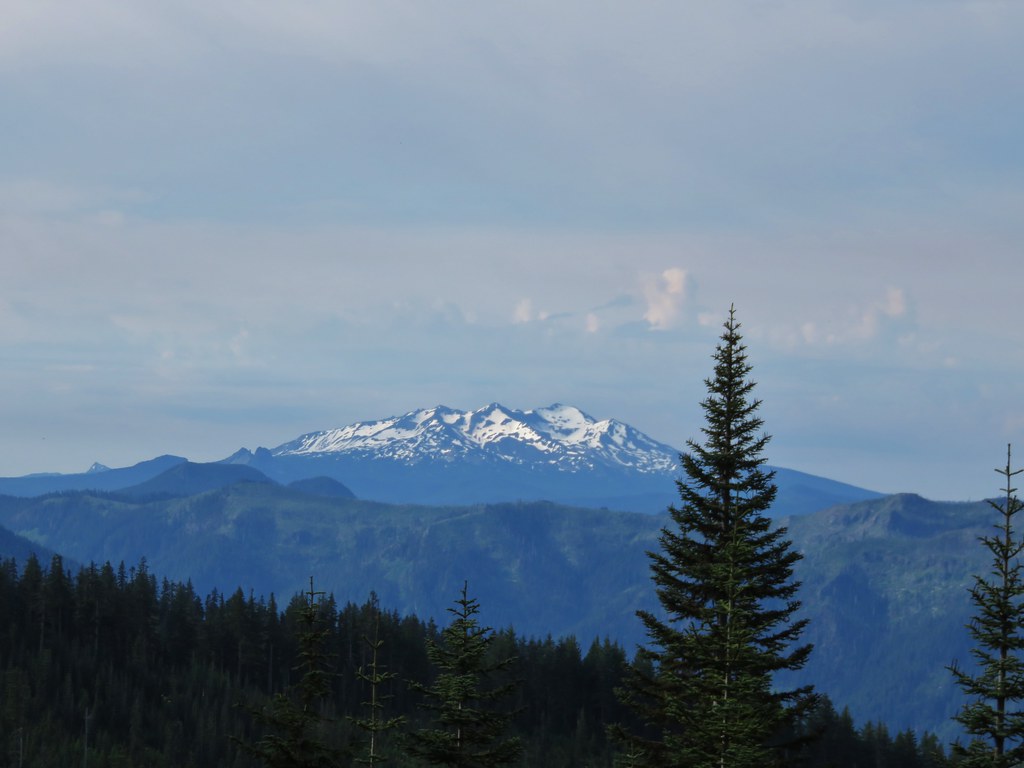
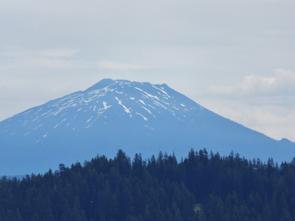
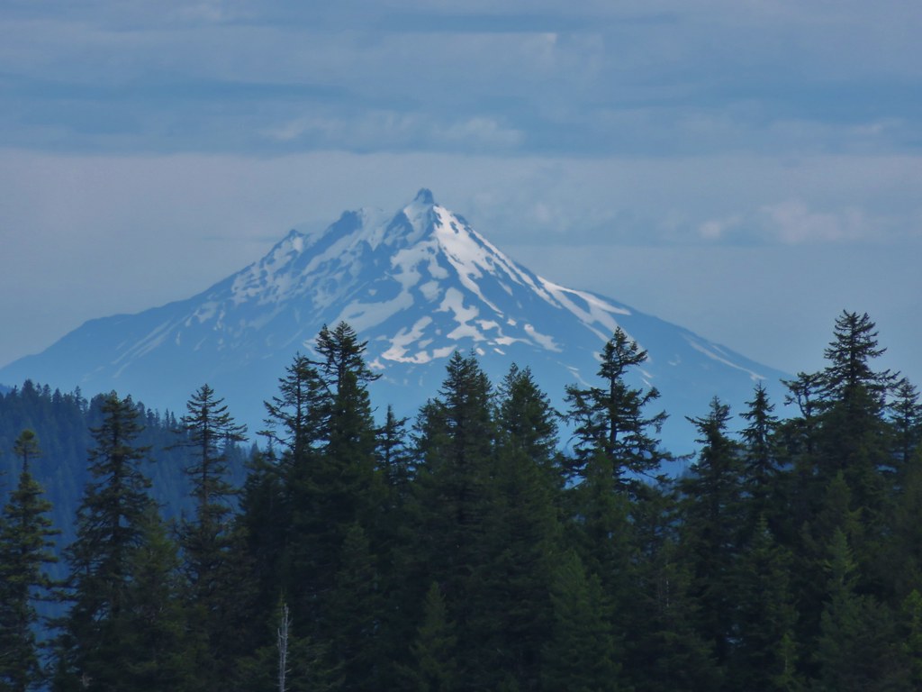
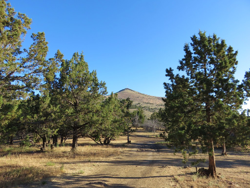
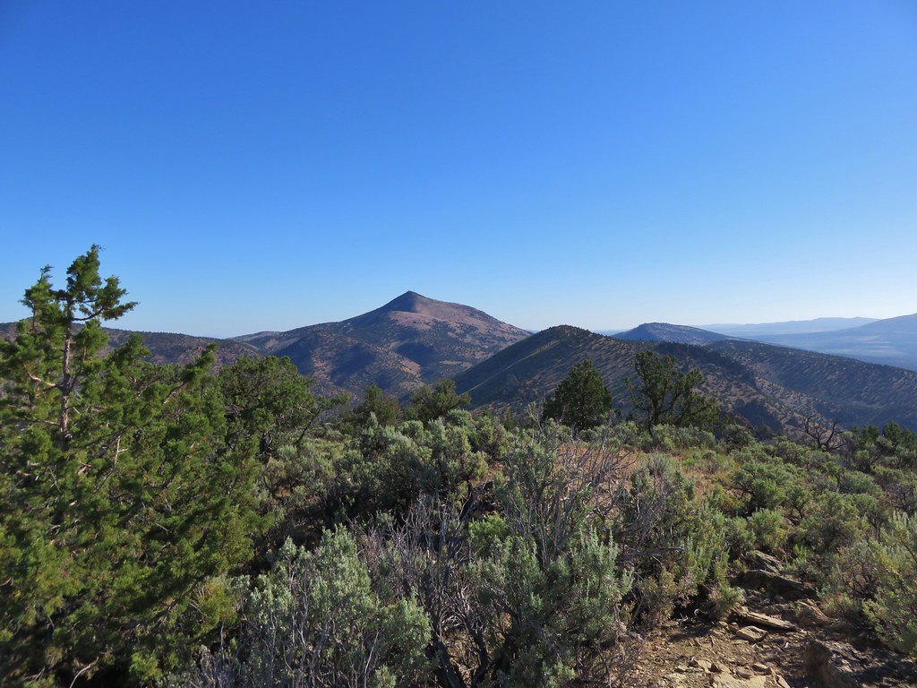
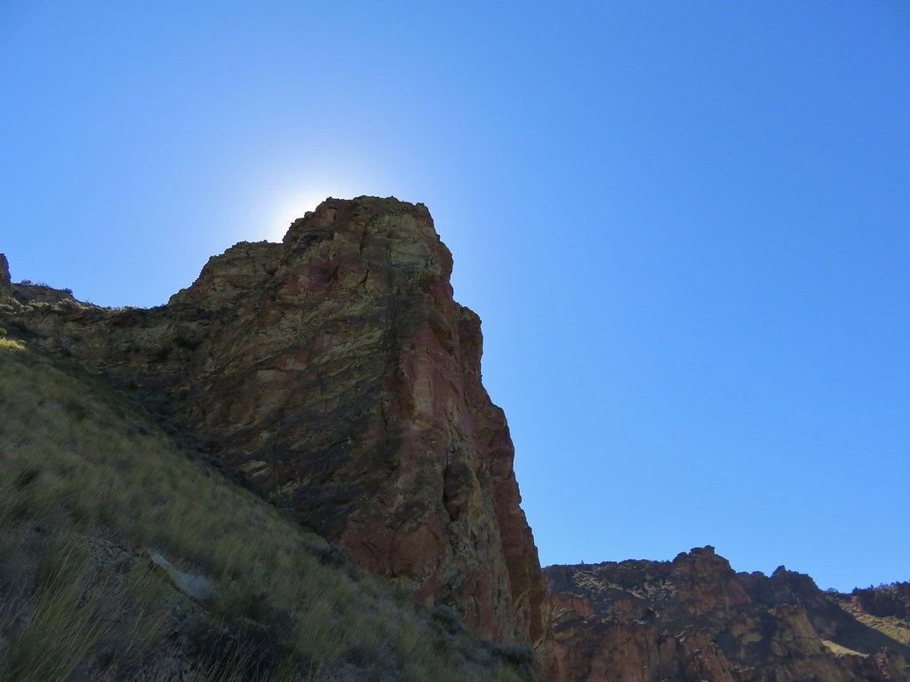
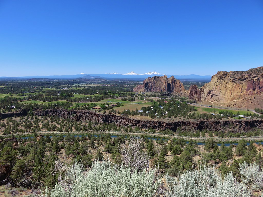
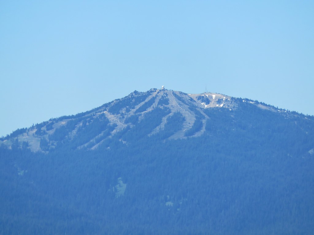
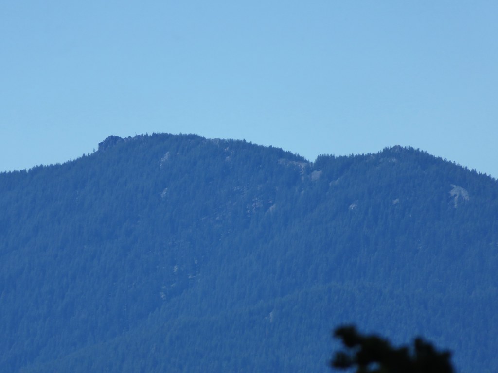
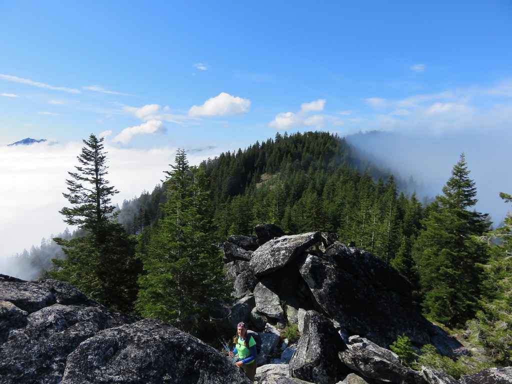
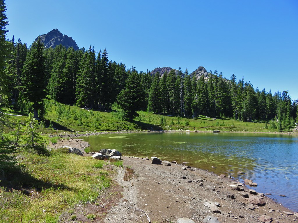
We got our first look at The Husband from the meadows. We knew Eileen Lake was on the far side of the rocky mountain.
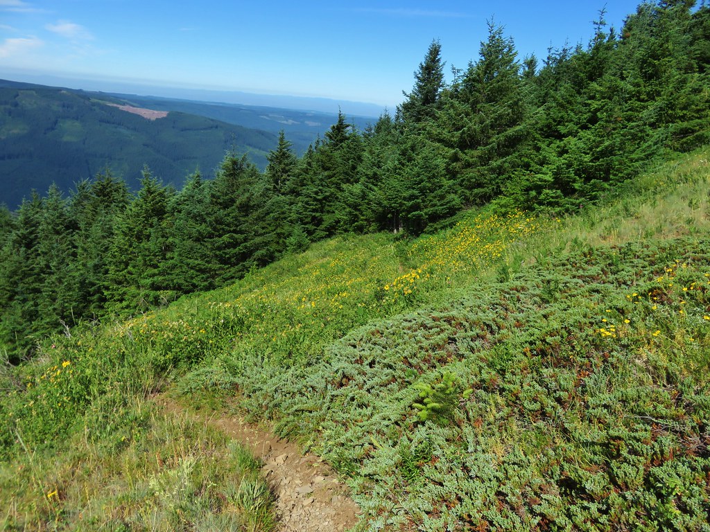
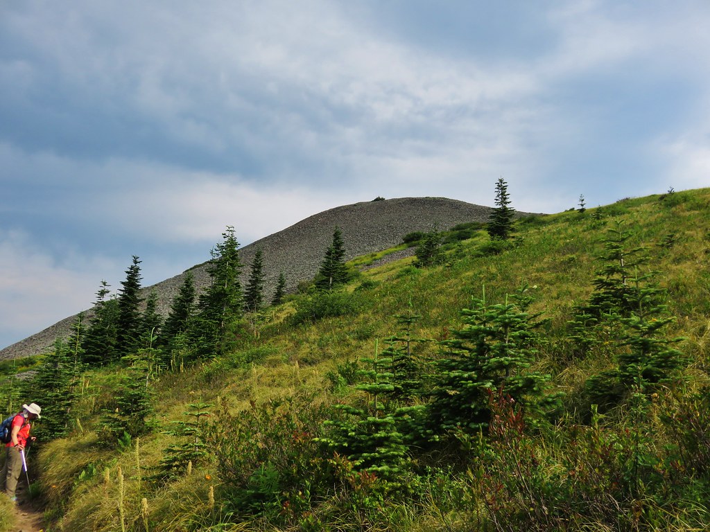
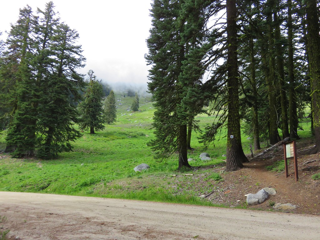
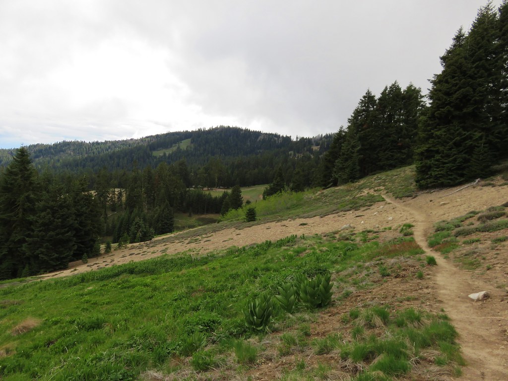
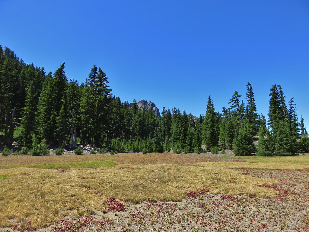
The final meadow was surprisingly long and we wound up losing track of the trail near the far end and just headed cross county to a small knoll with trees. We were now planning on staying somewhere in the area of the meadows on our final night and this seemed to be a viable spot. We picked up the trail again near the signed trail junction.
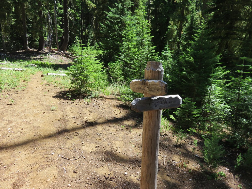
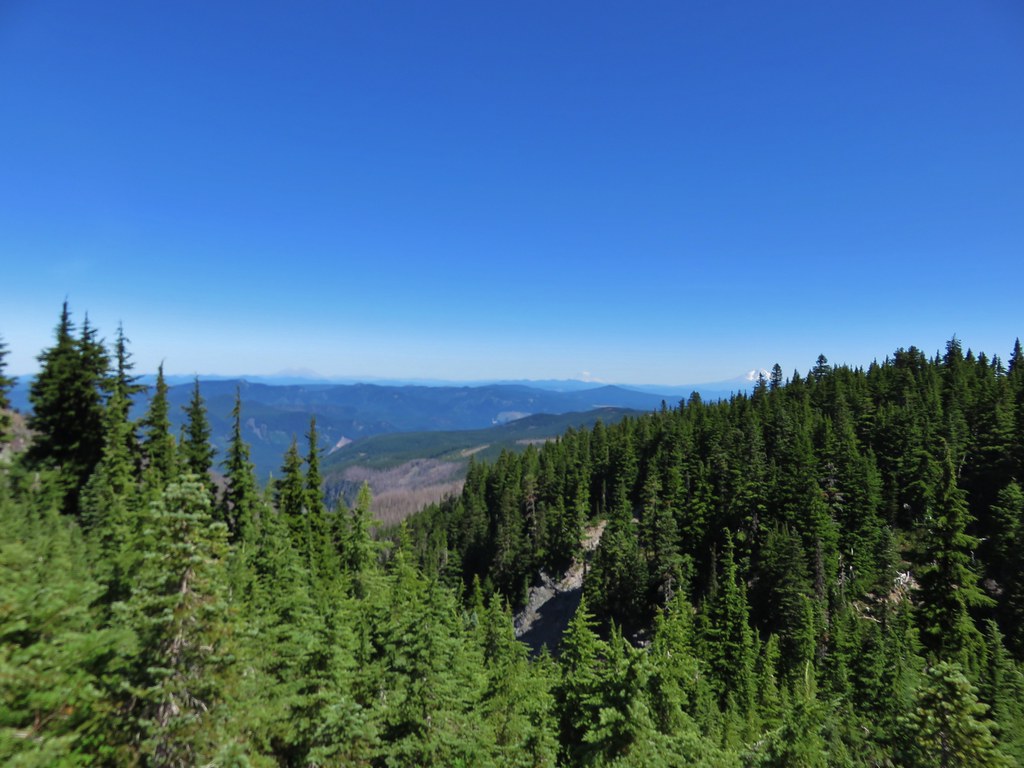
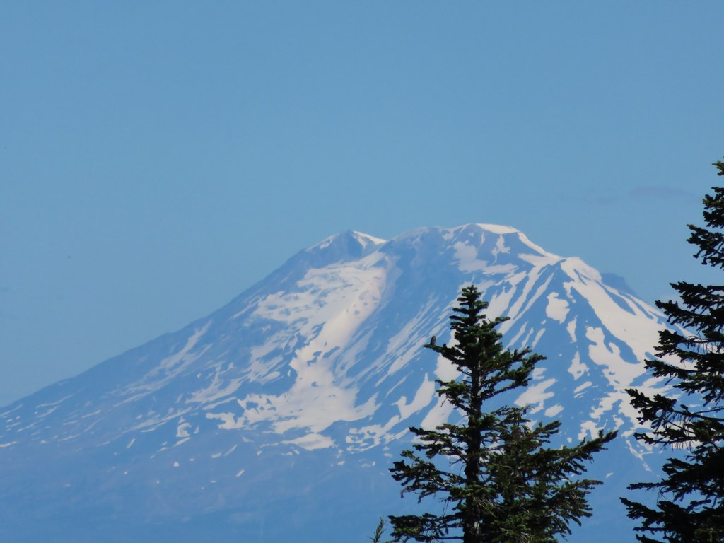
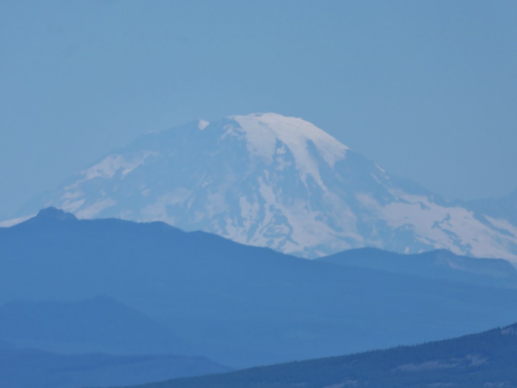
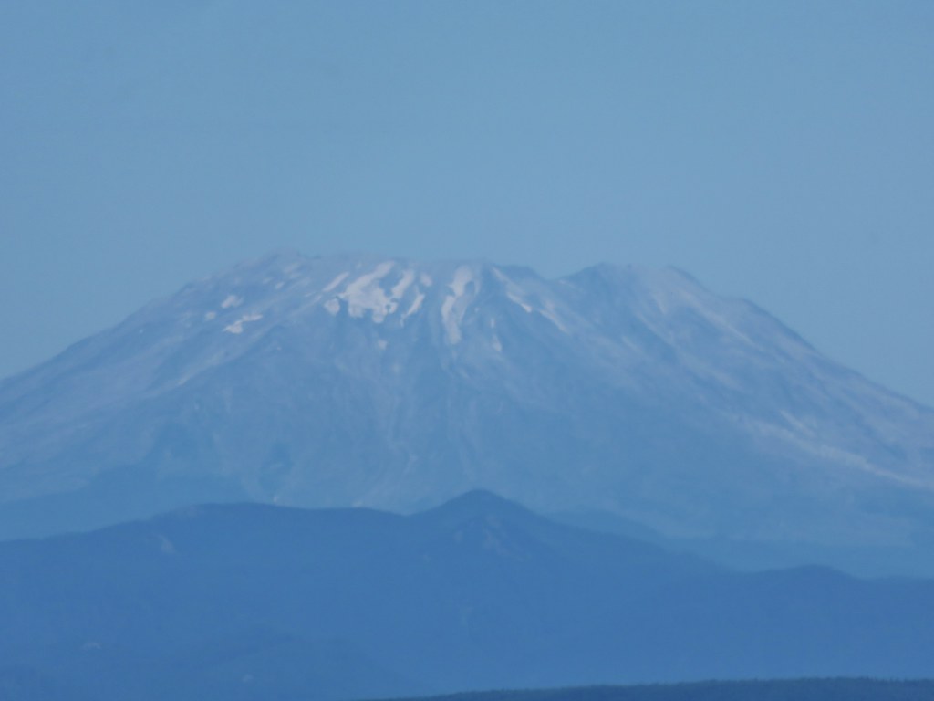
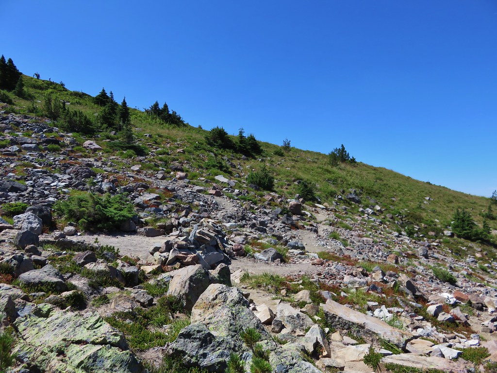
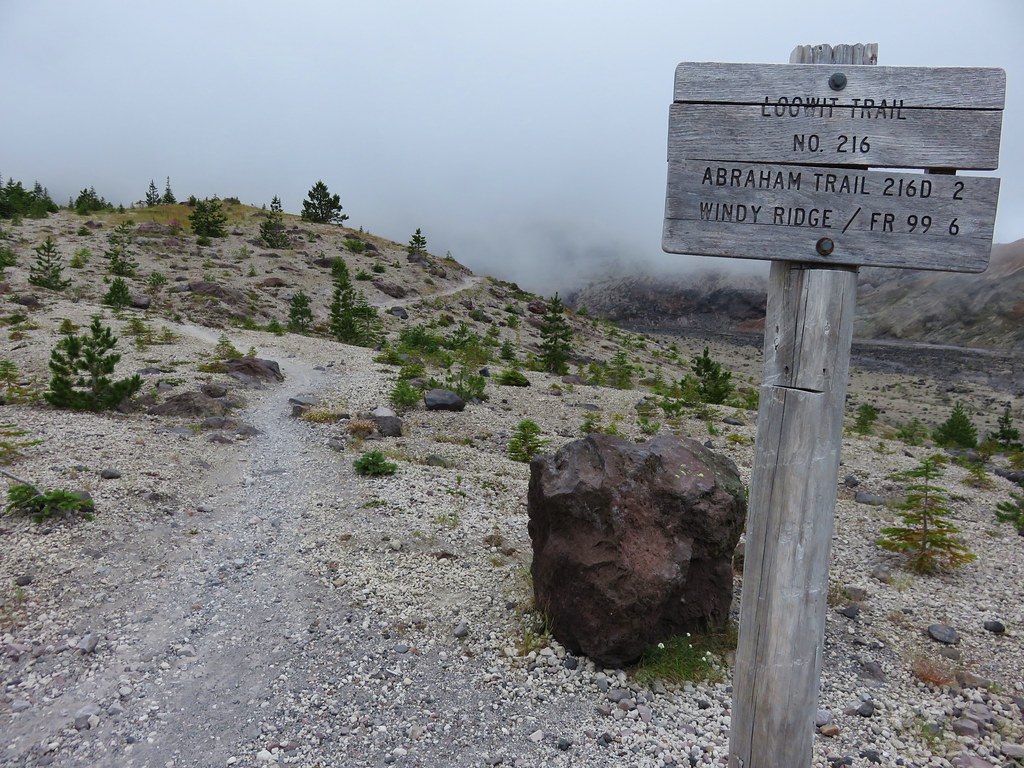
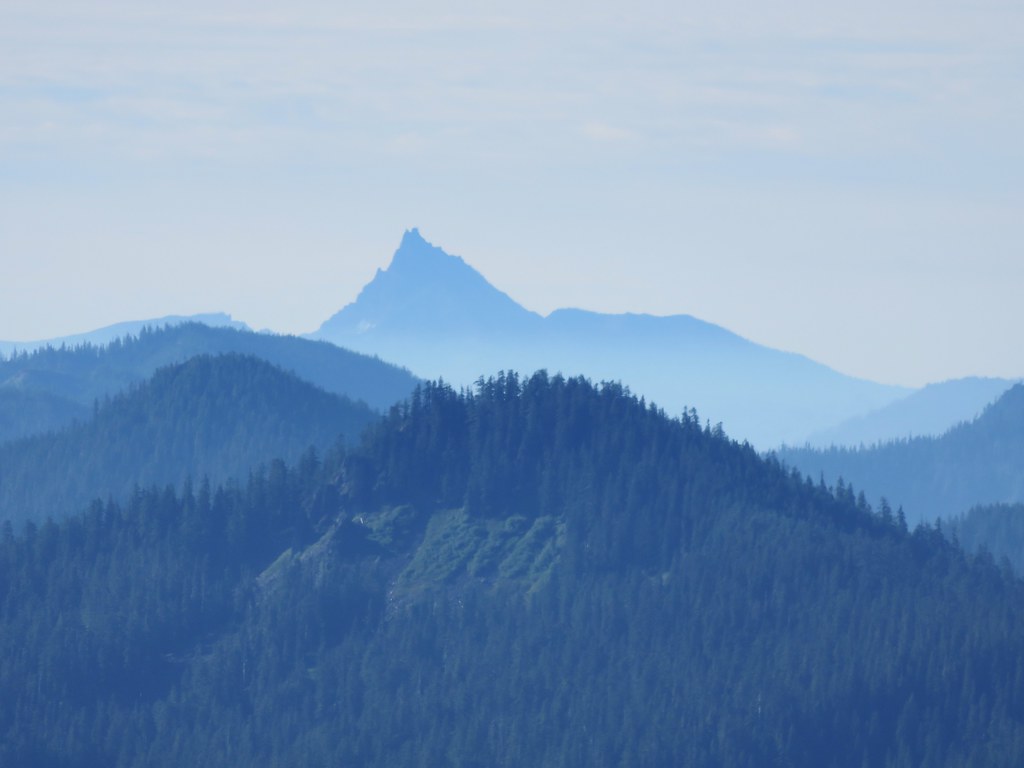
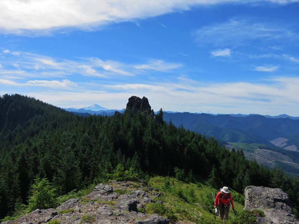
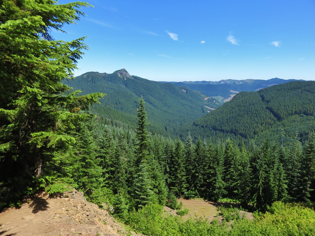
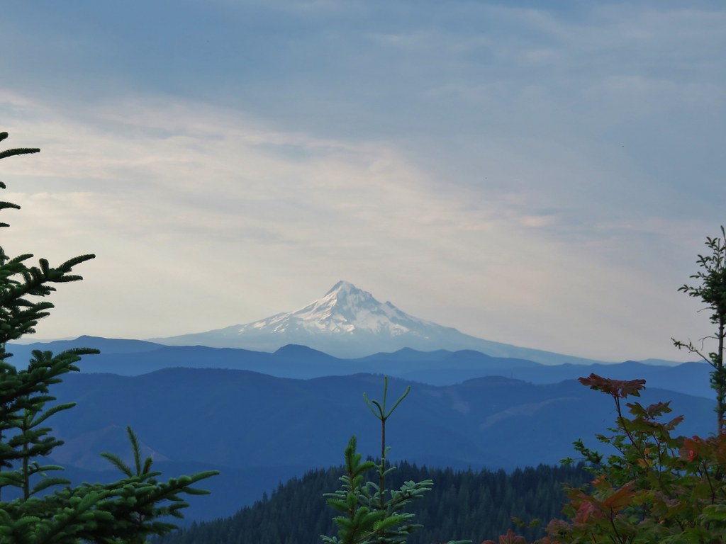
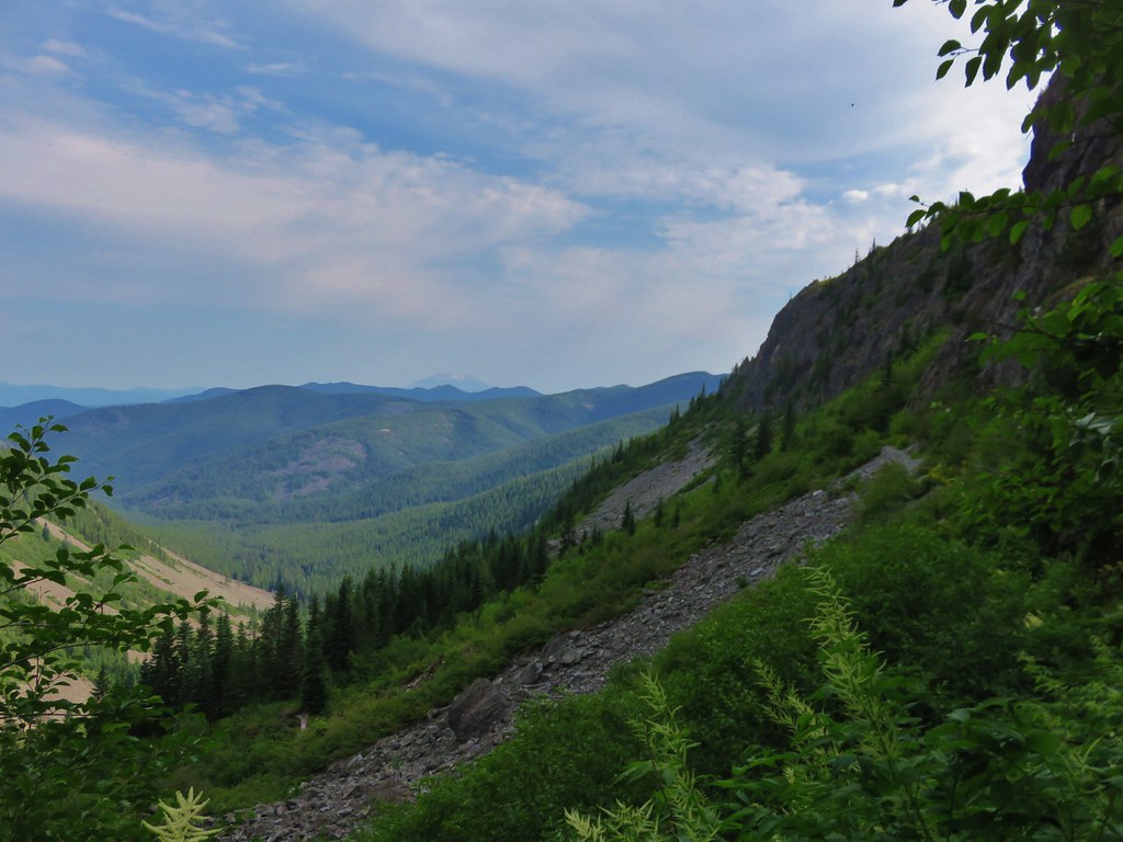
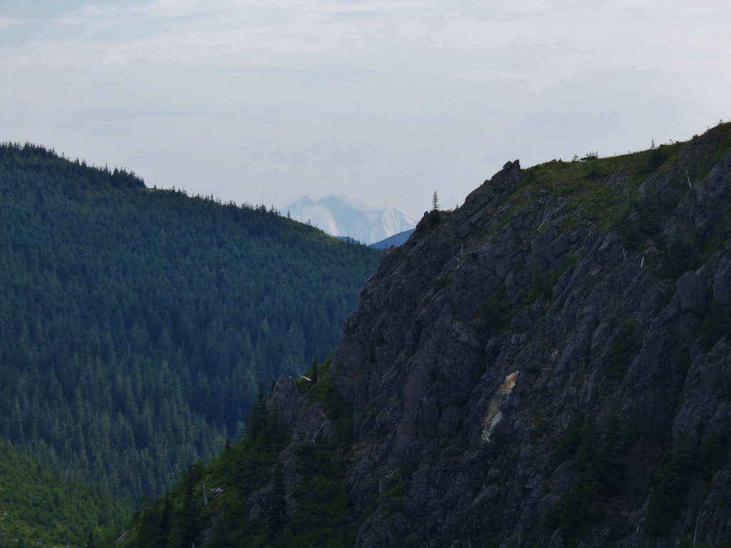
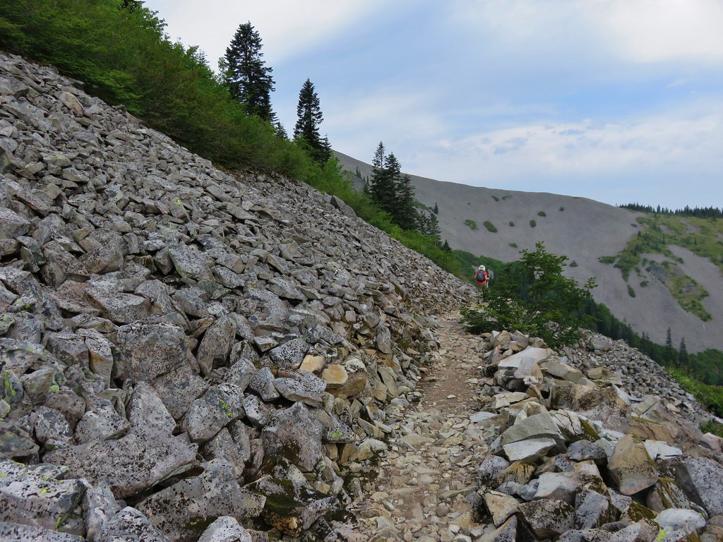
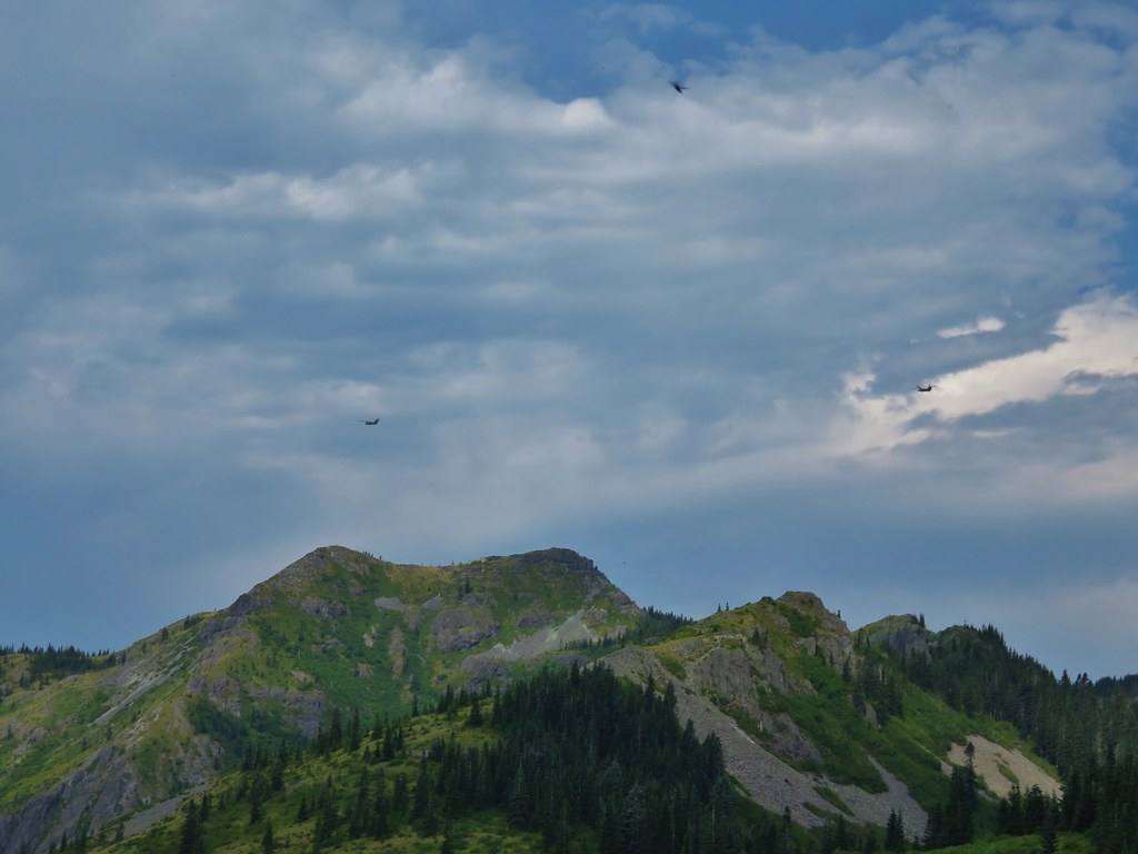
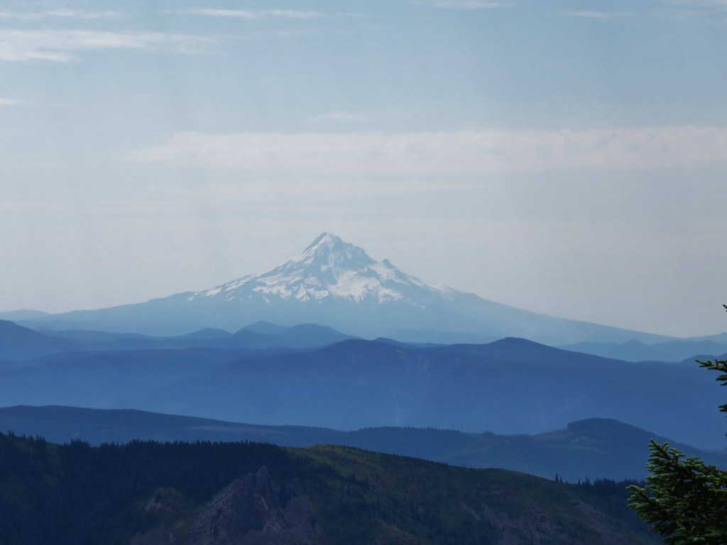
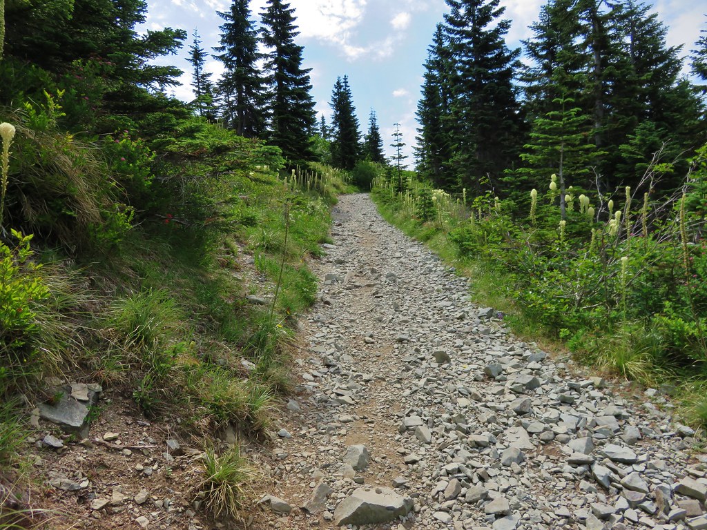
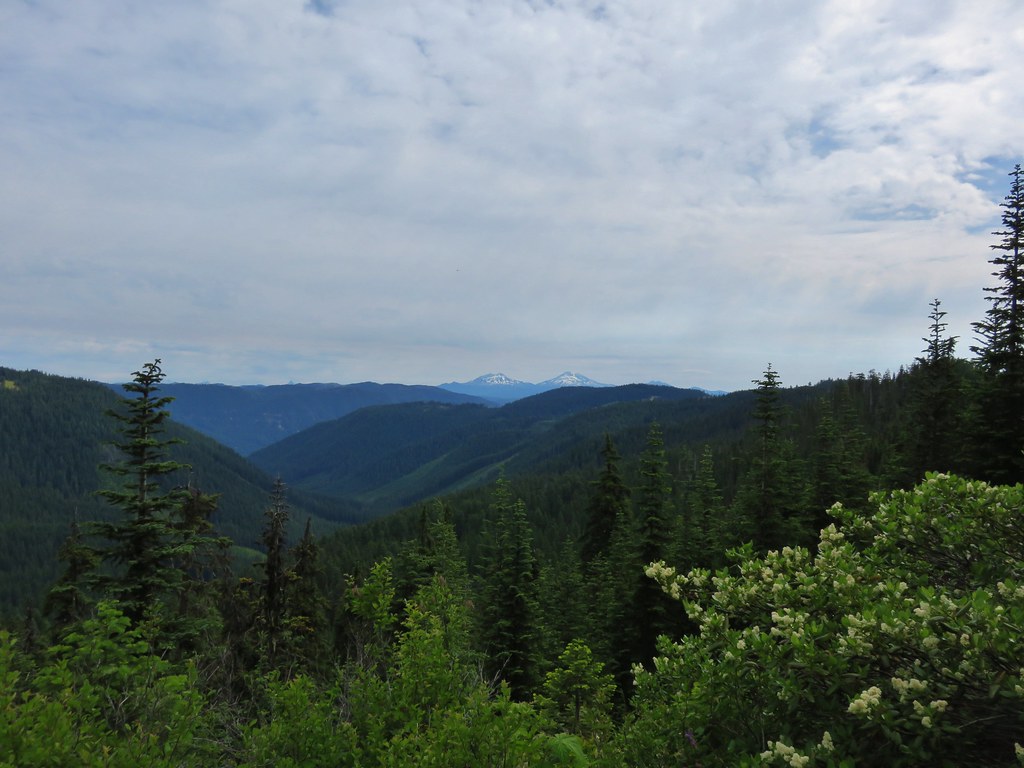
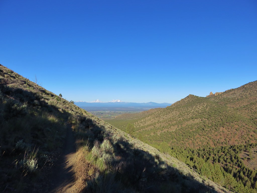
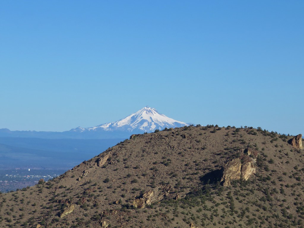
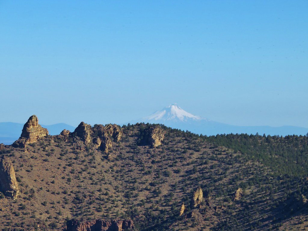
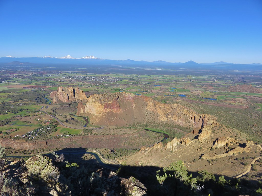
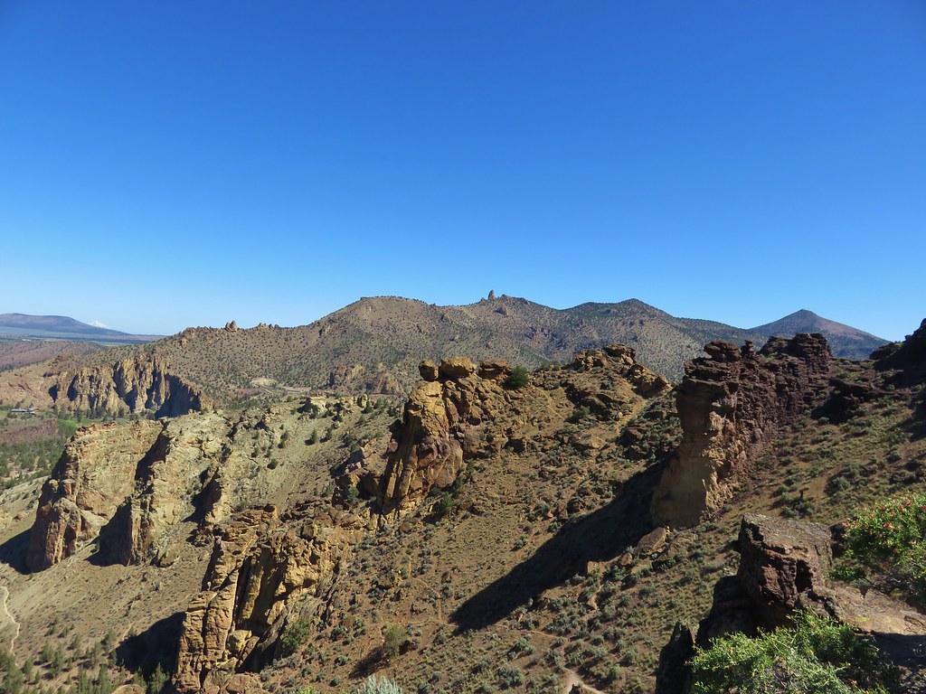
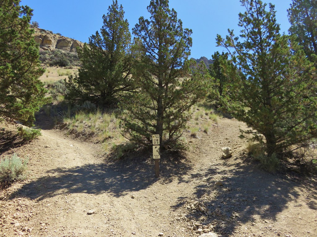
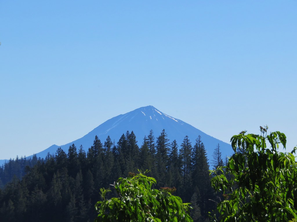
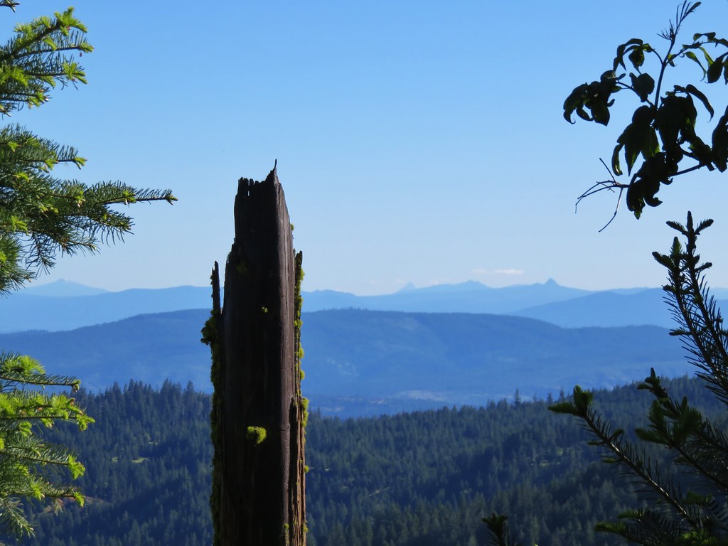
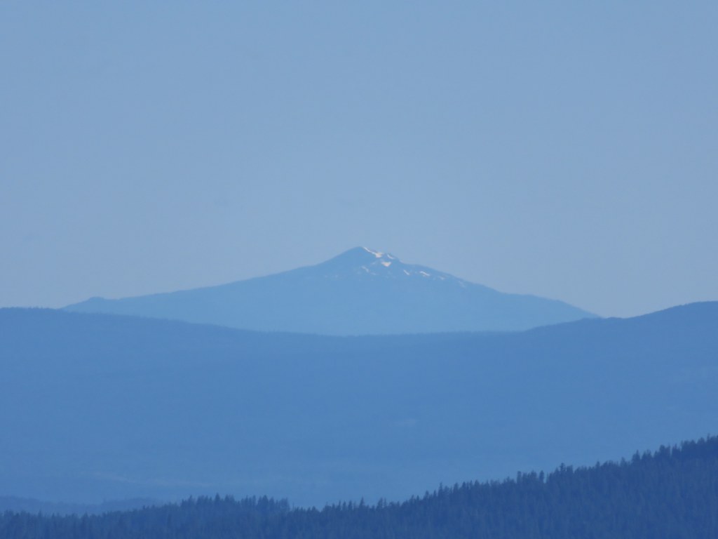
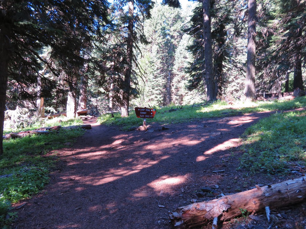
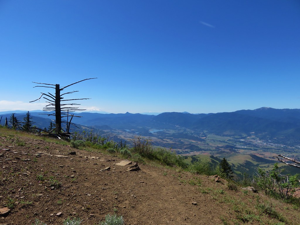
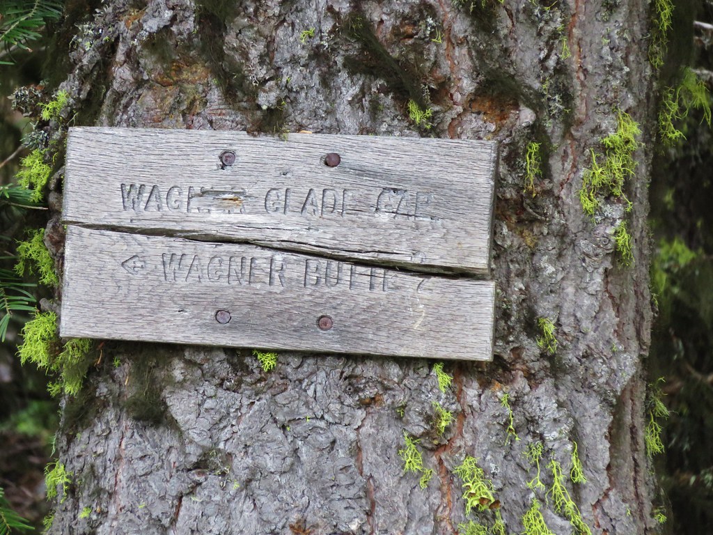
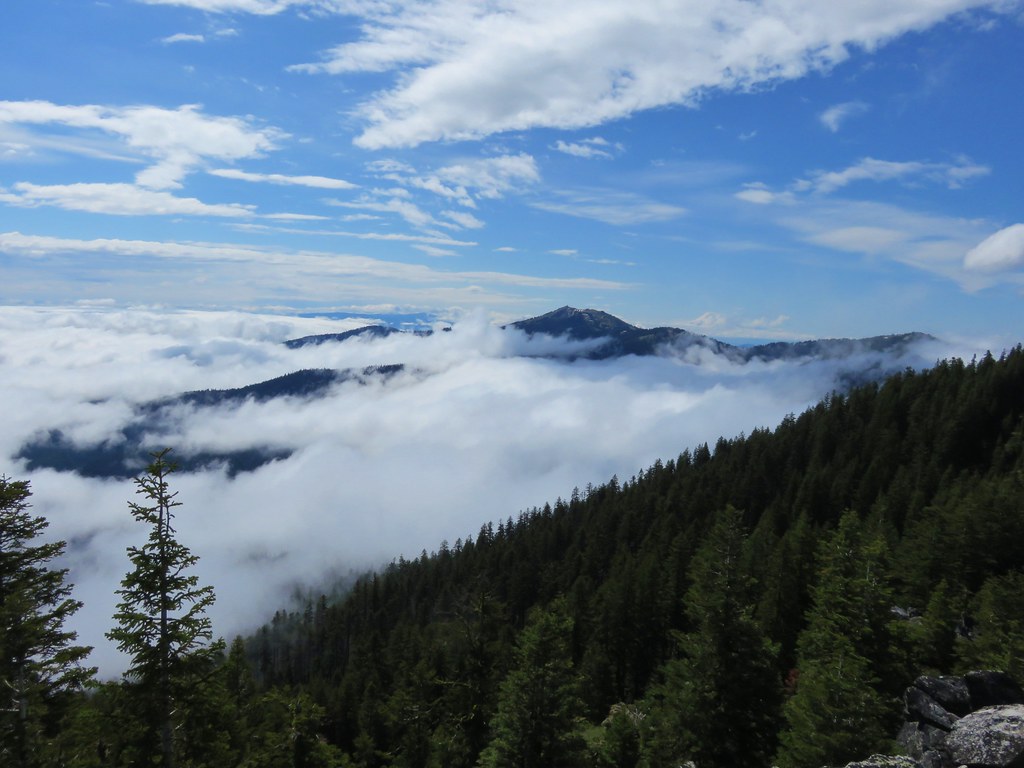
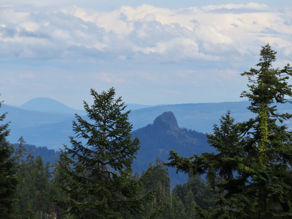
The pointer to the left was for the Foley Ridge Trail and the right was for Honey Lake. Oddly none of our maps or the Forest Service website showed a trail going to Honey Lake, instead the trail passed by on its way to the Separation Creek Meadows Trail. It was also unclear if either or both forks were still considered the Louise Creek Trail. Our two maps indicated the right hand fork was the Louise Creek Trail but the Forest Service showed it as the left fork. Either way we needed to get to the Foley Ridge Trail so we headed left. The trail switchbacked uphill offering a brief view of Diamond Peak to the south before arriving at the Foley Ridge Trail junction.
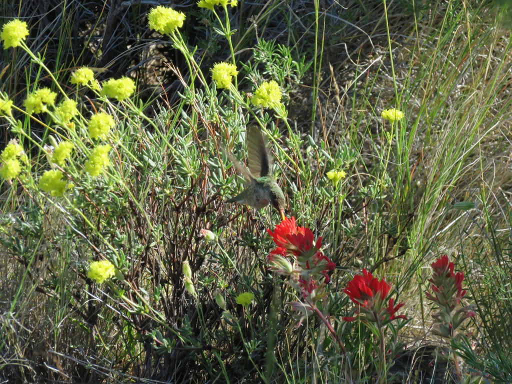
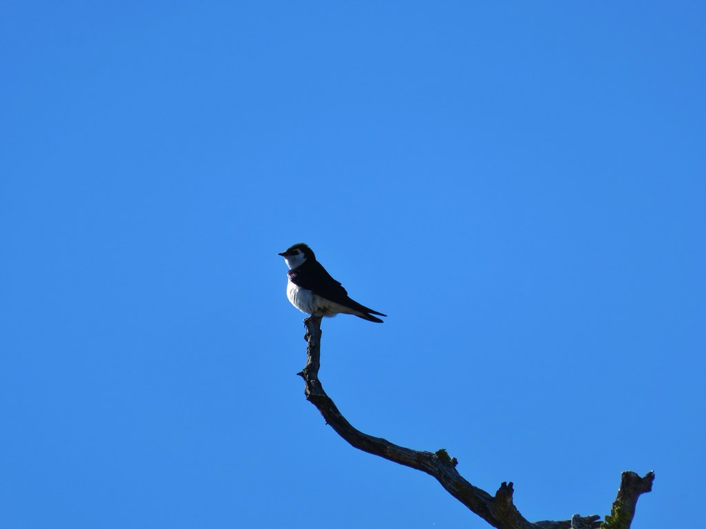
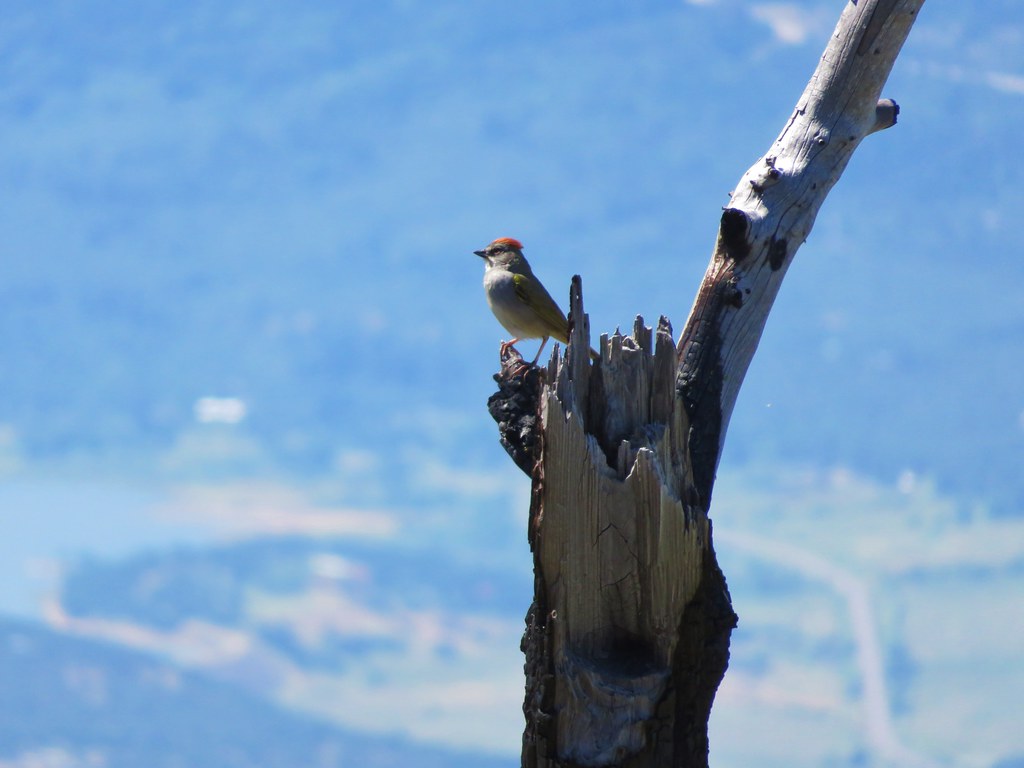
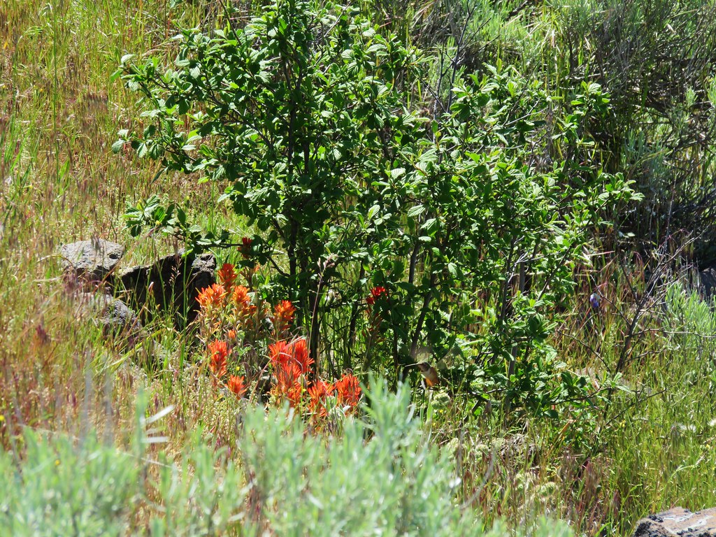
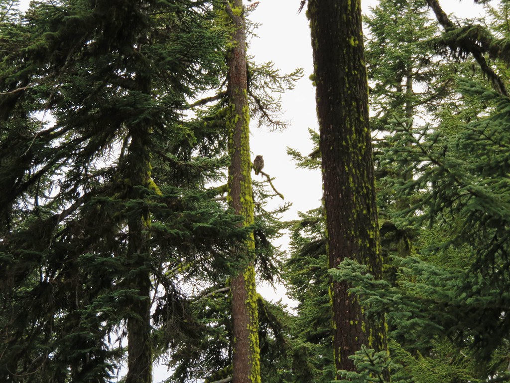
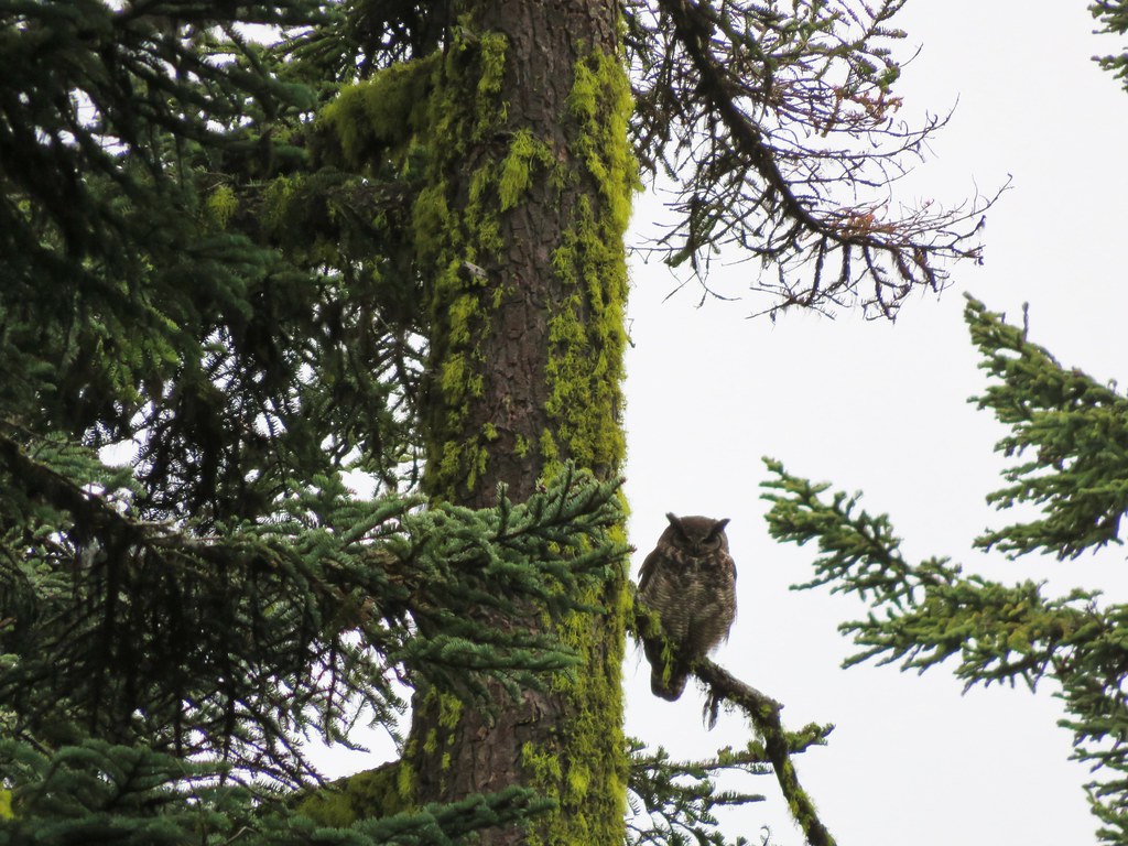
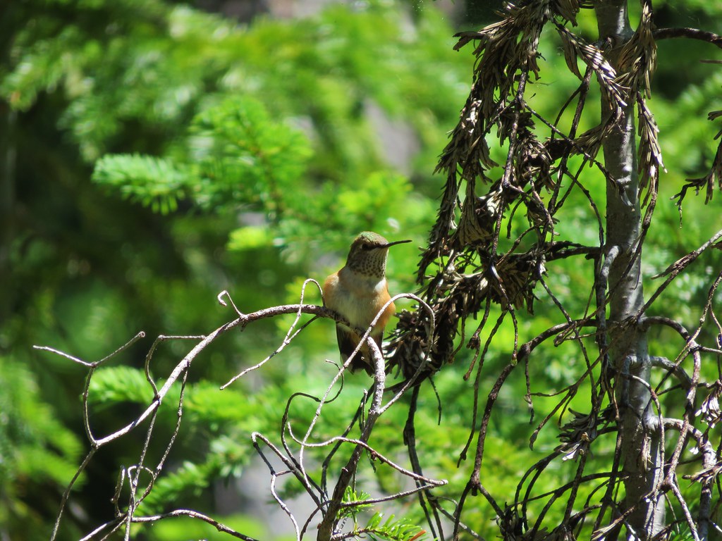
It had been a tough climb up for us not being used to carrying full packs so we rested a bit at the junction where we were joined by a hummingbird.
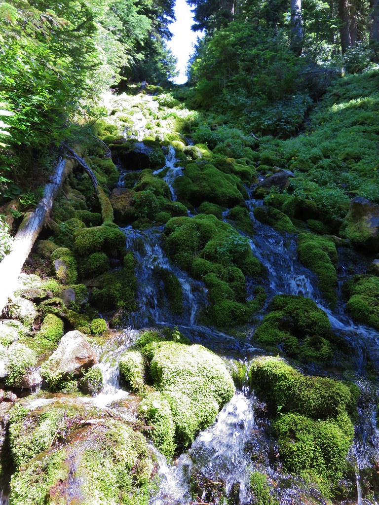
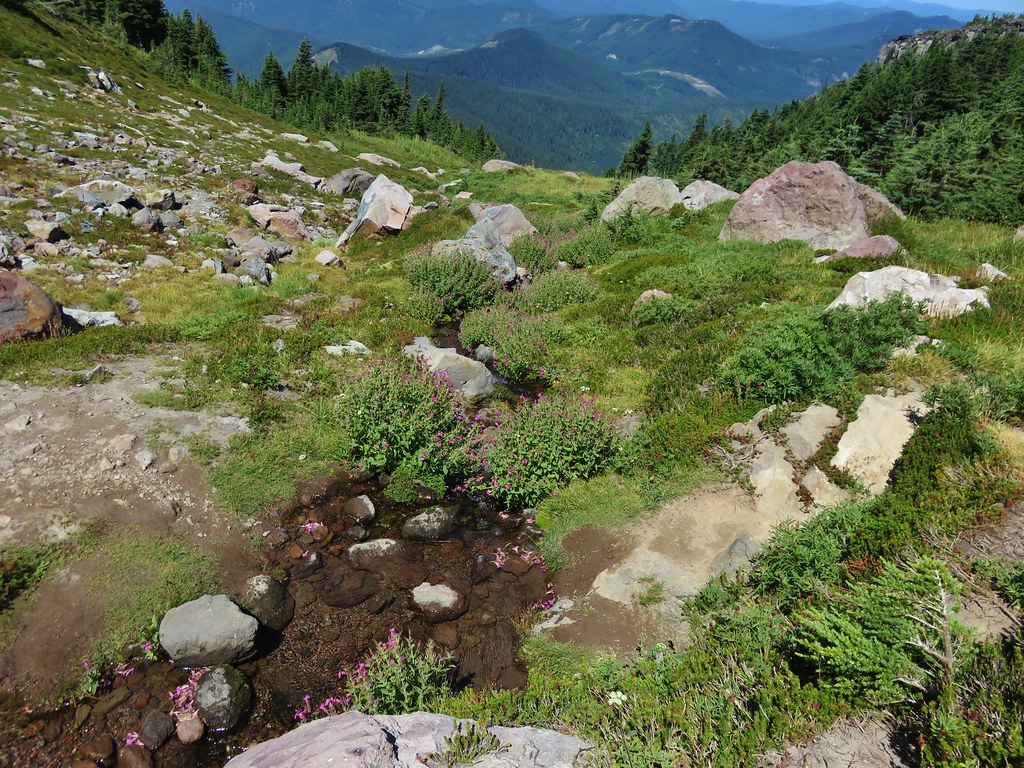
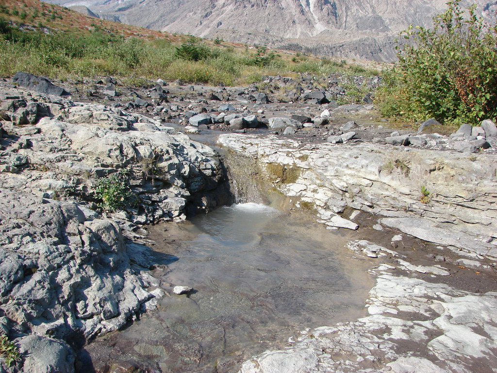
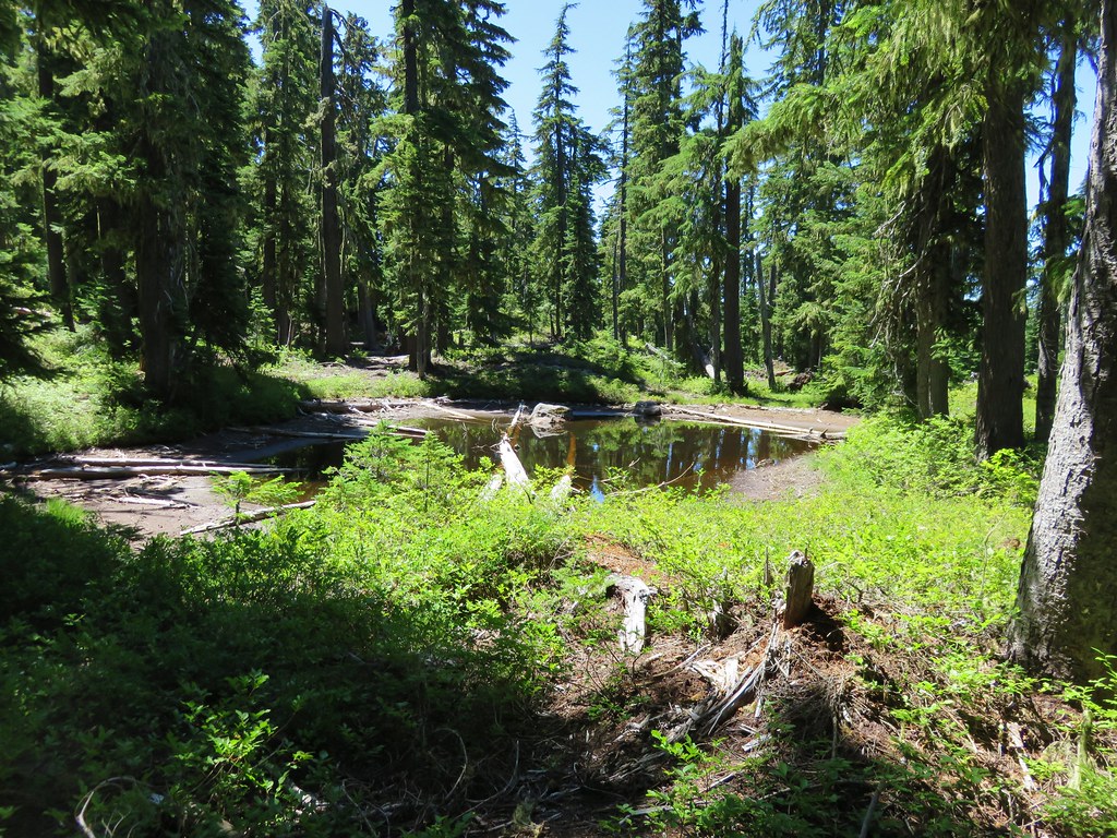
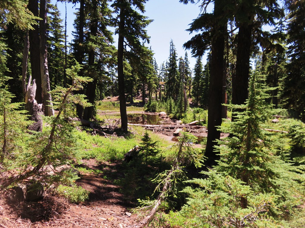
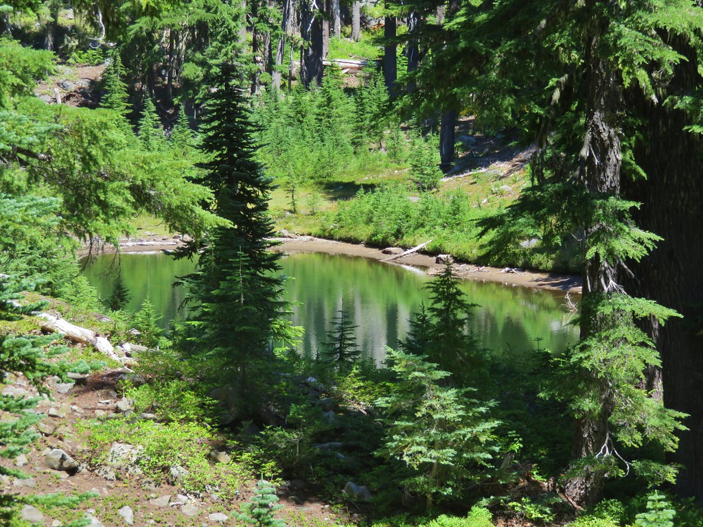
Shortly after setting off again we passed the first water we’d seen all day, a few small ponds that still held some water.
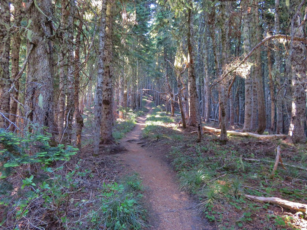
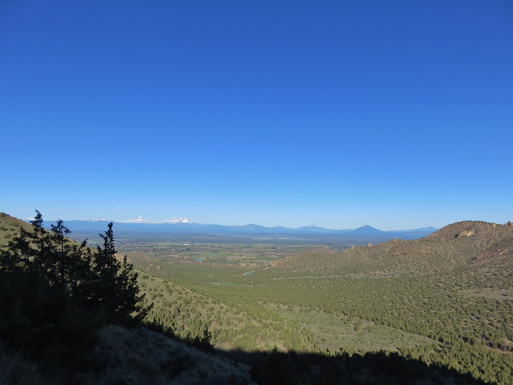
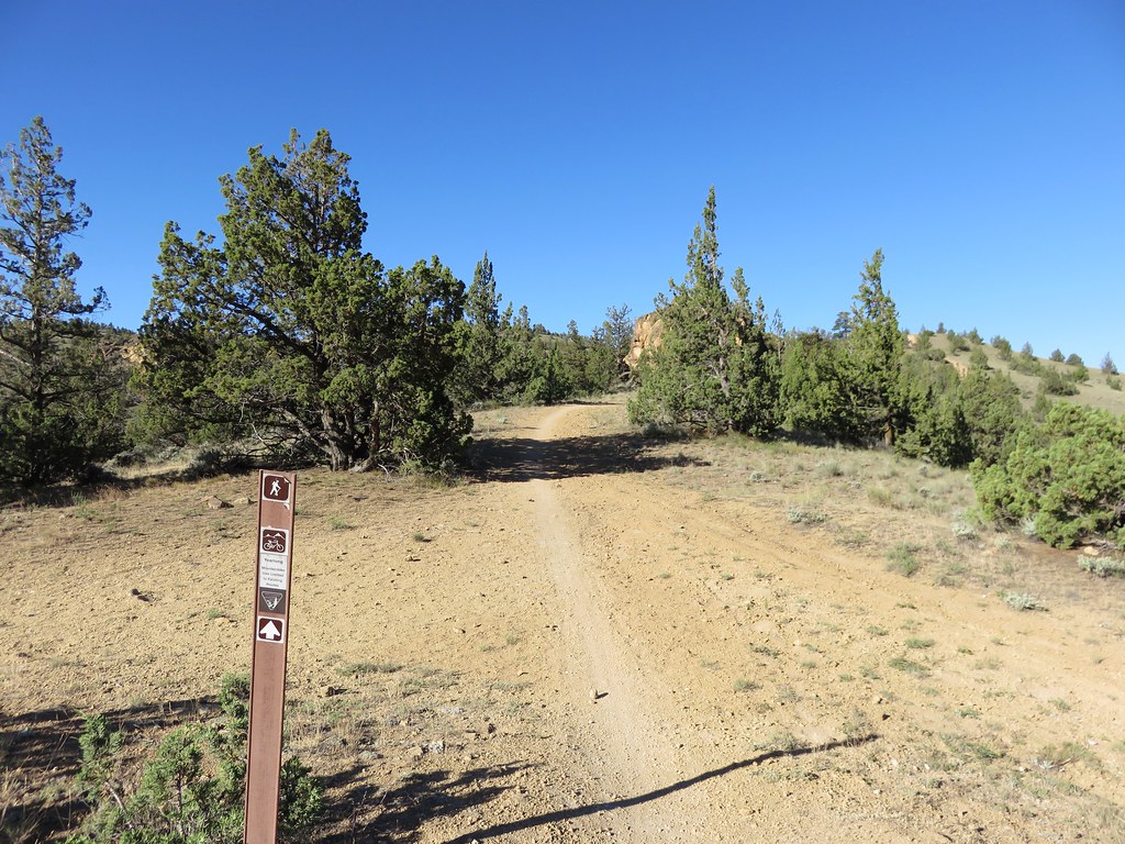
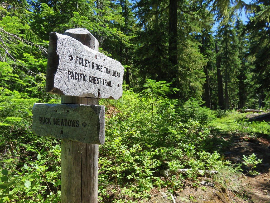
We followed the Foley Ridge Trail for almost two and a half miles to the next trail junction.
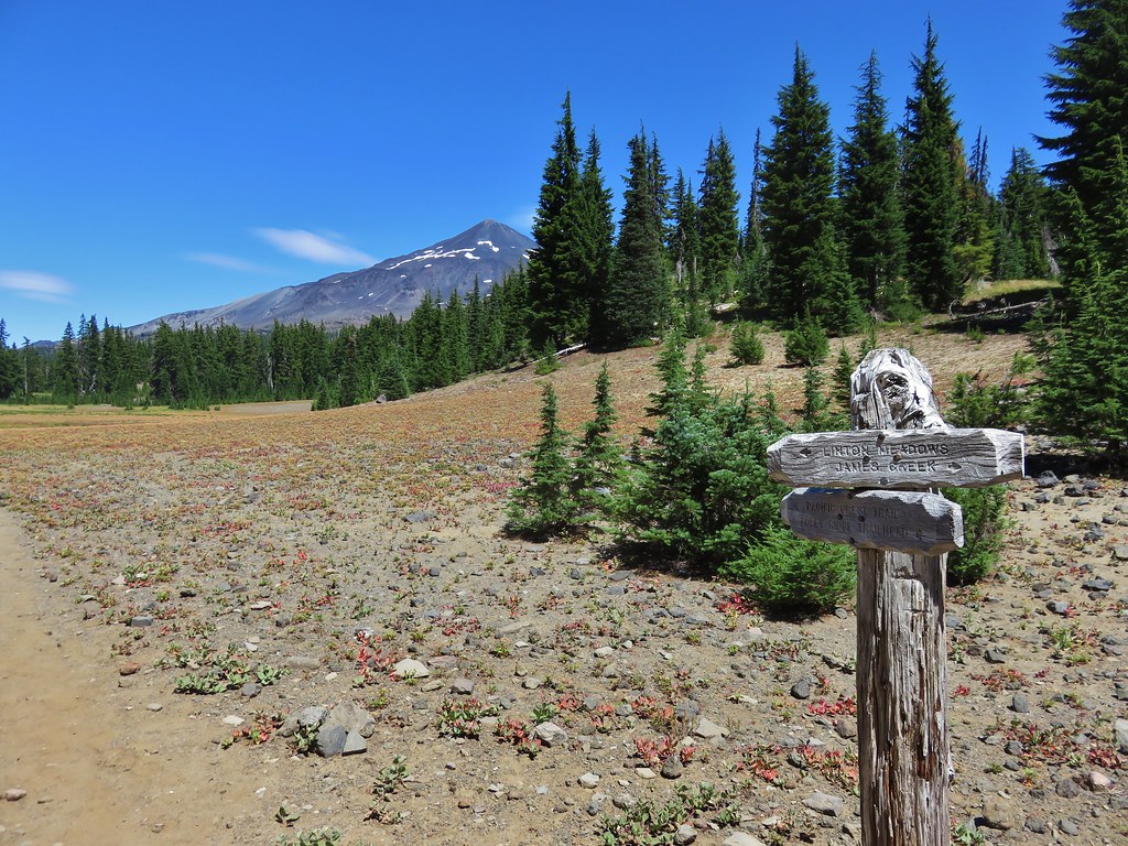
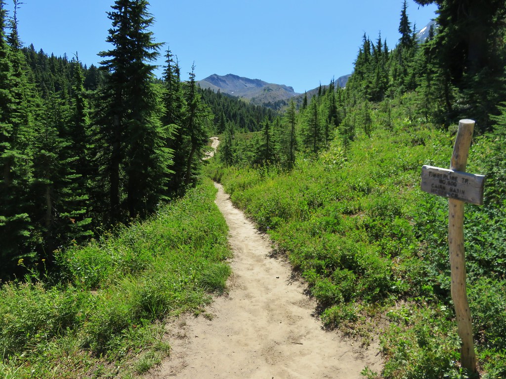
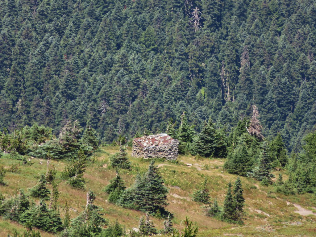
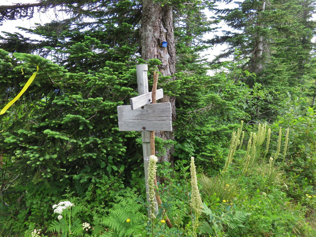
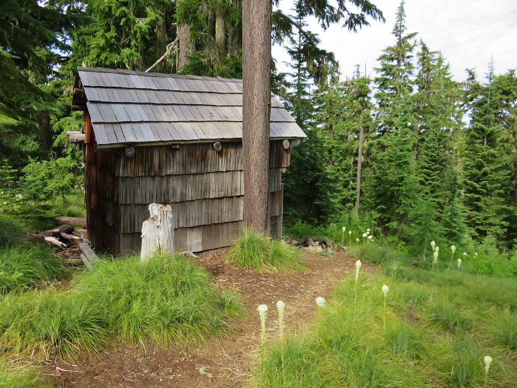
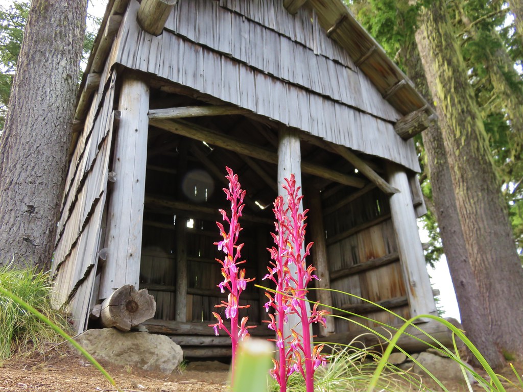
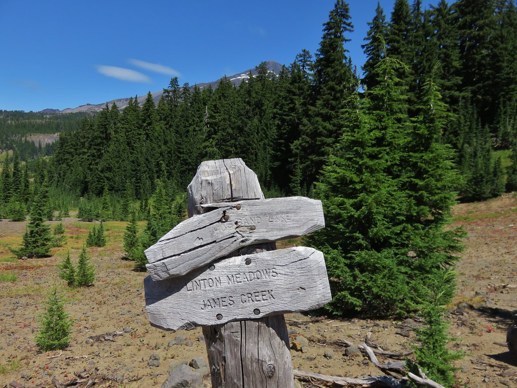
Four trails met at this junction. The Foley Ridge Trail we had come up and on its right was the trail to the James Creek Shelter. To the left were two trails one to the Pacific Crest Trail and to the immediate left the trail to Linton Meadows. We had expected to see a fifth trail at the junction, the Separation Creek Meadows Trail, which appeared to also meet here according to the maps. We thought it was odd but it was a question for another day and headed toward Linton Meadows.

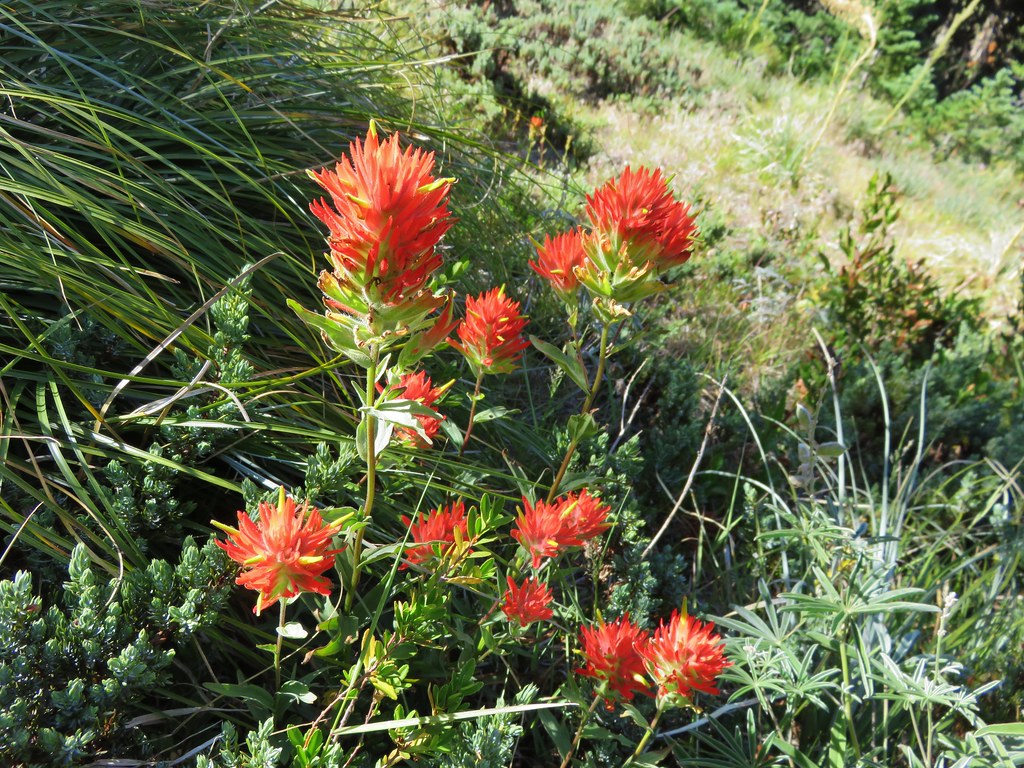
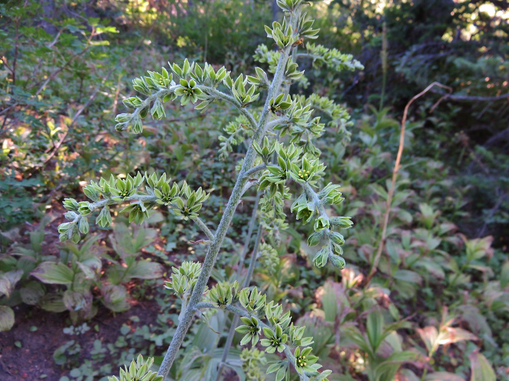
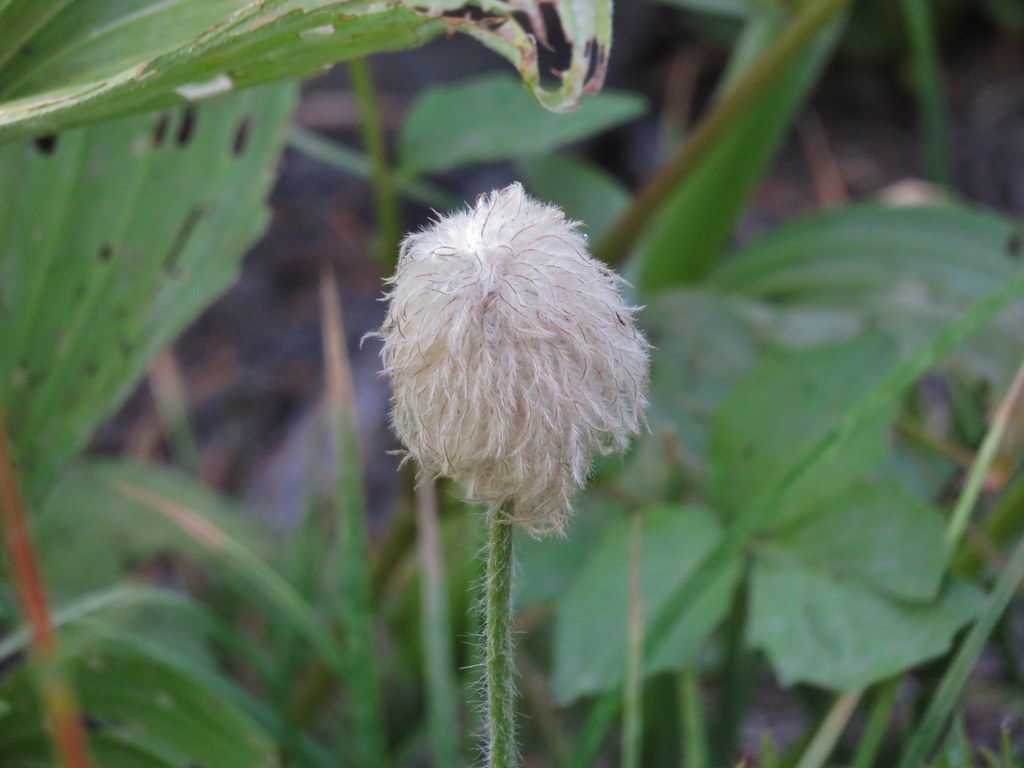
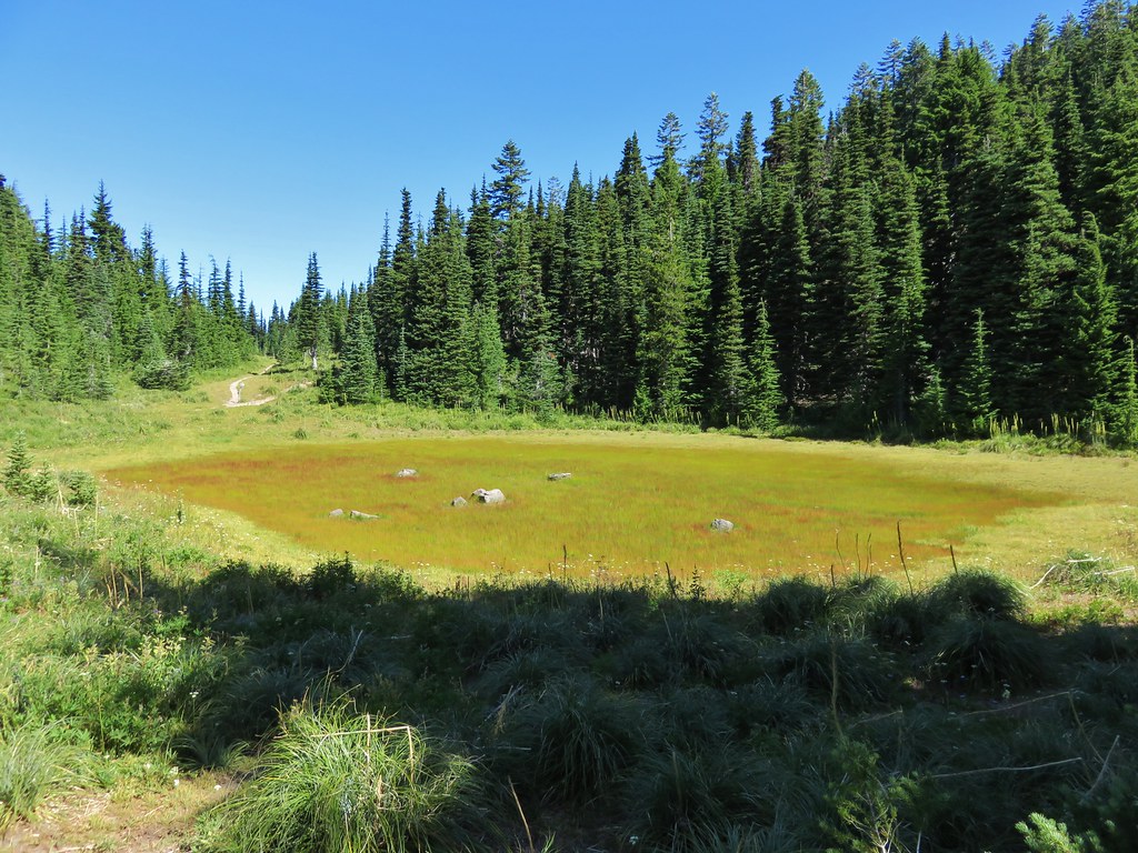
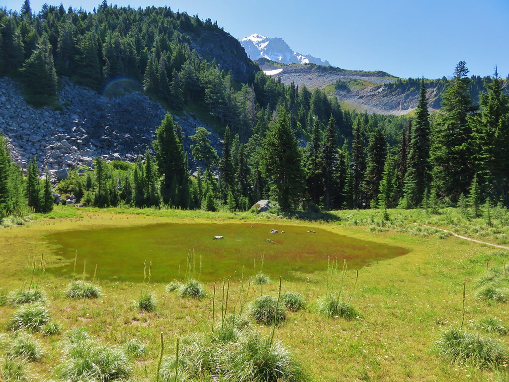
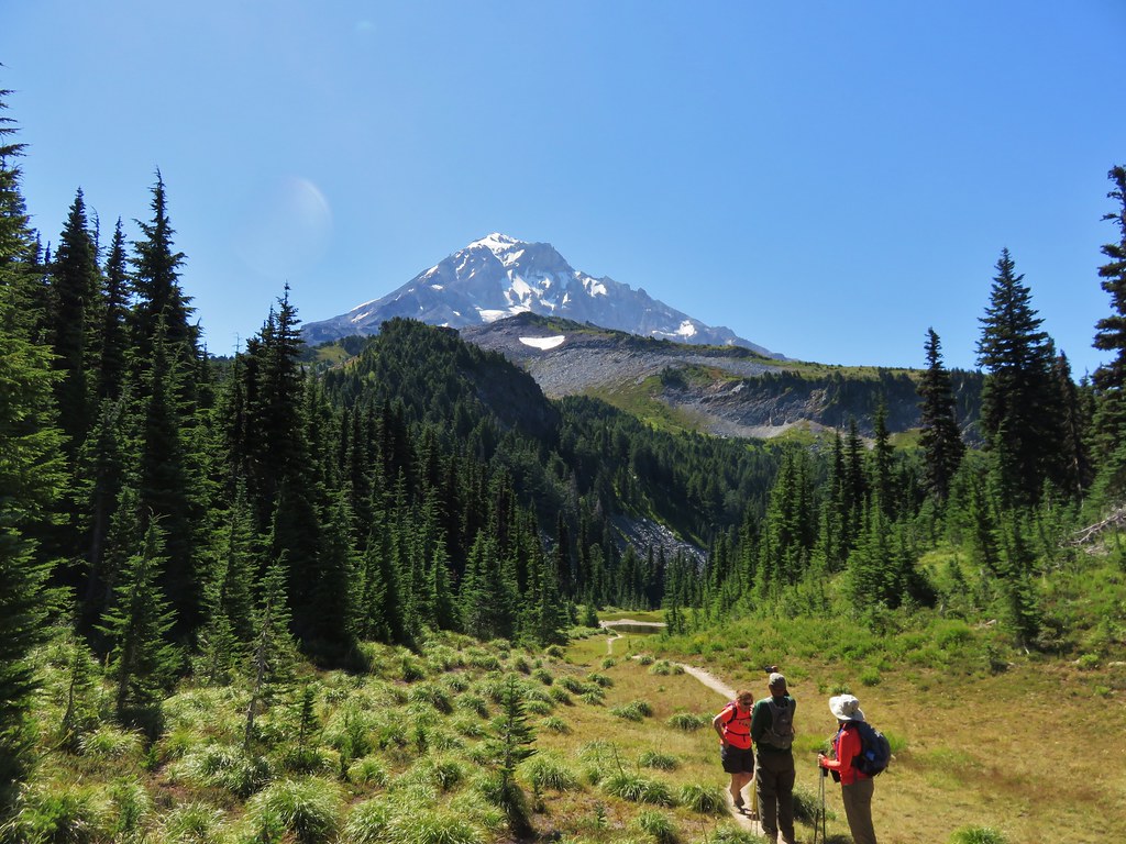
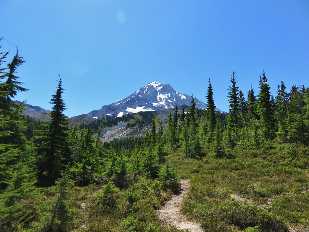
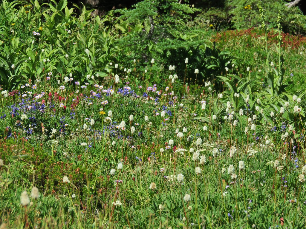
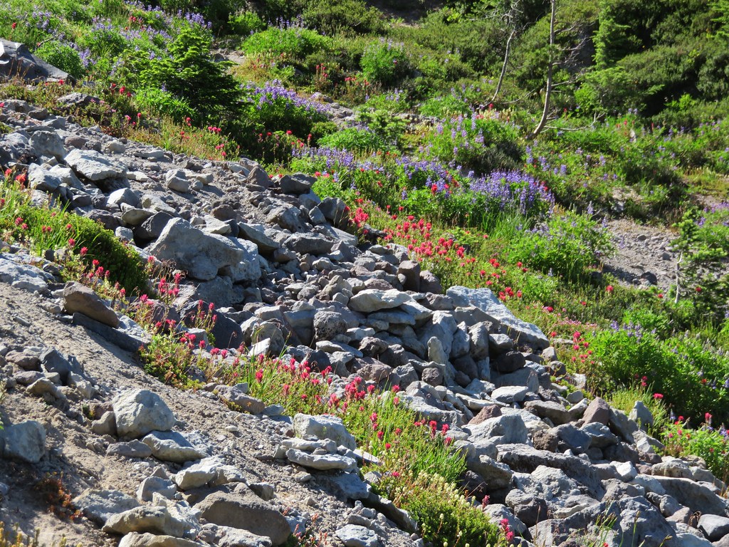
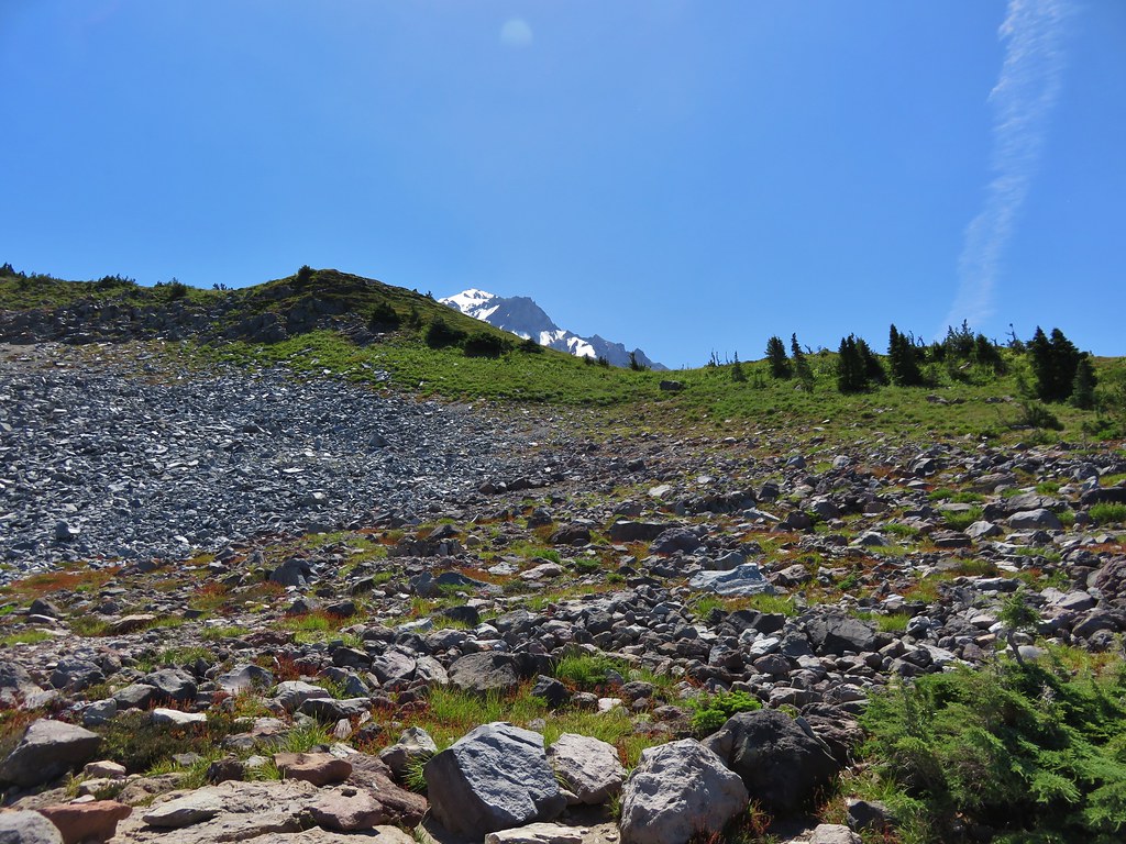
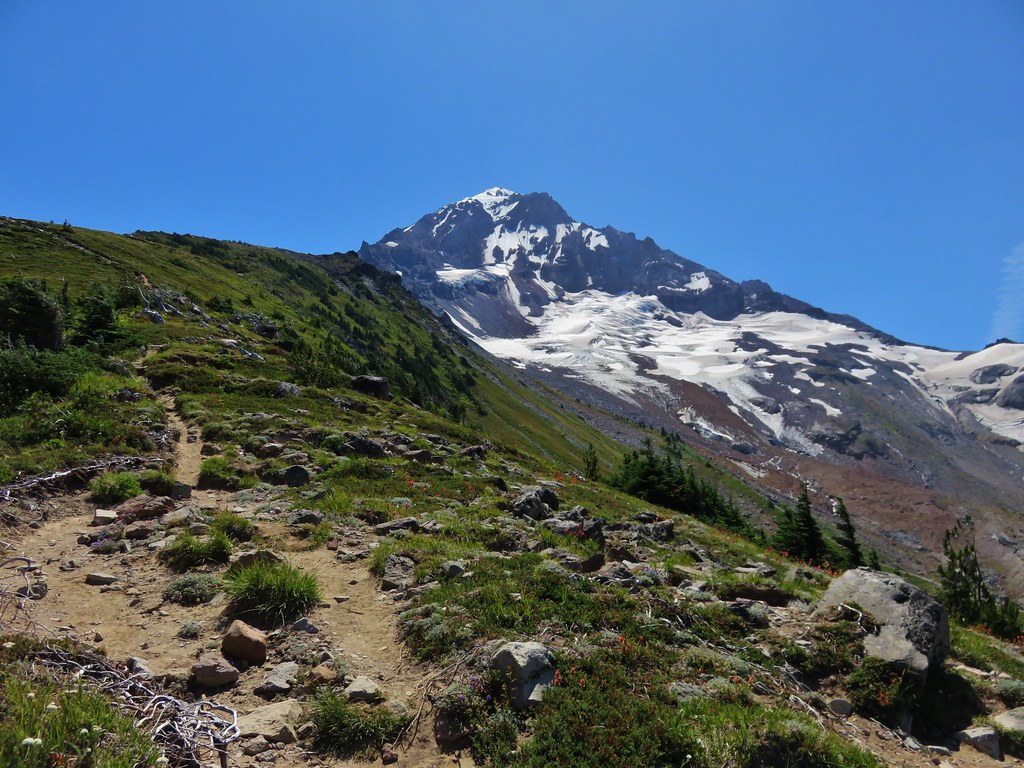
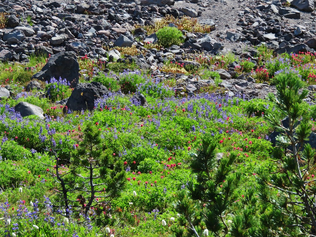
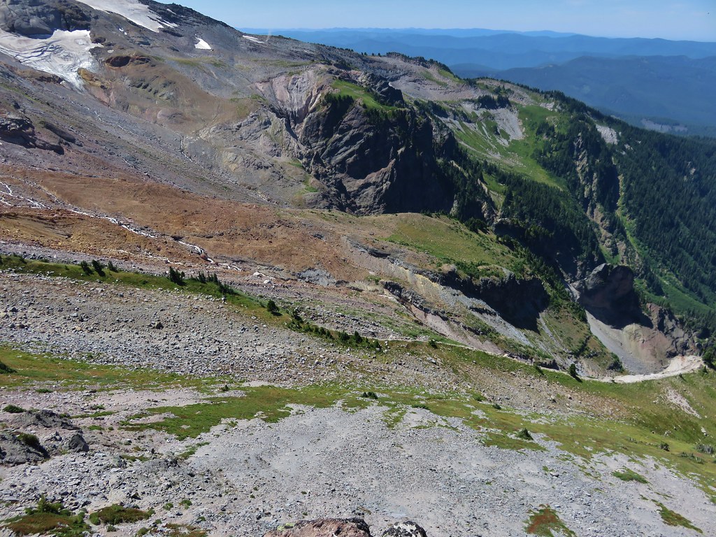
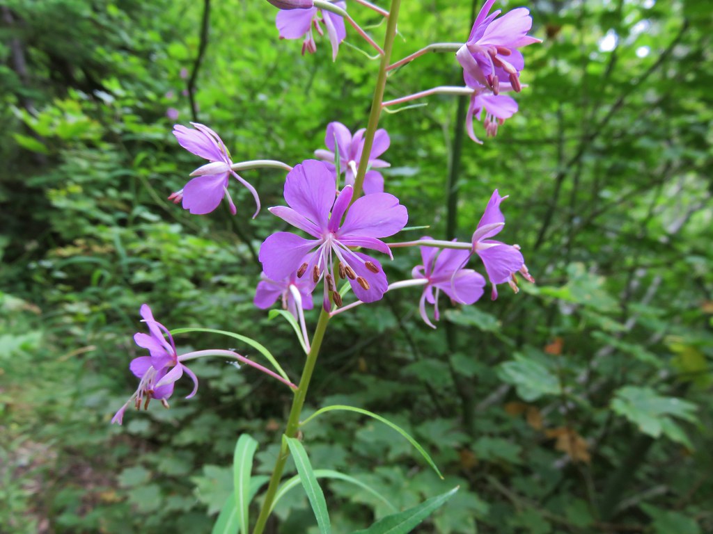
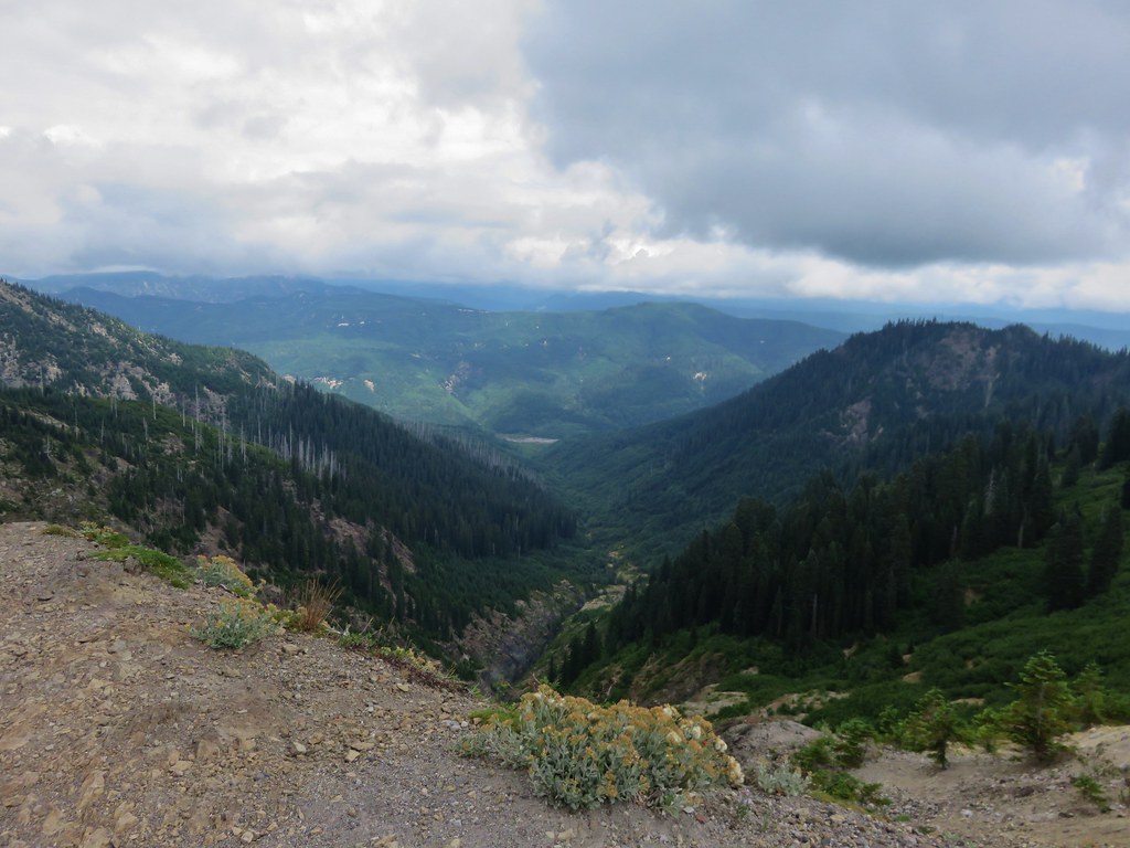
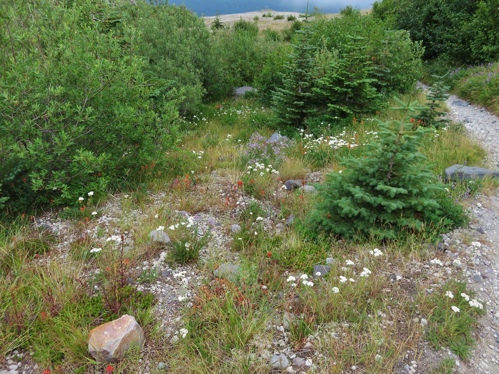
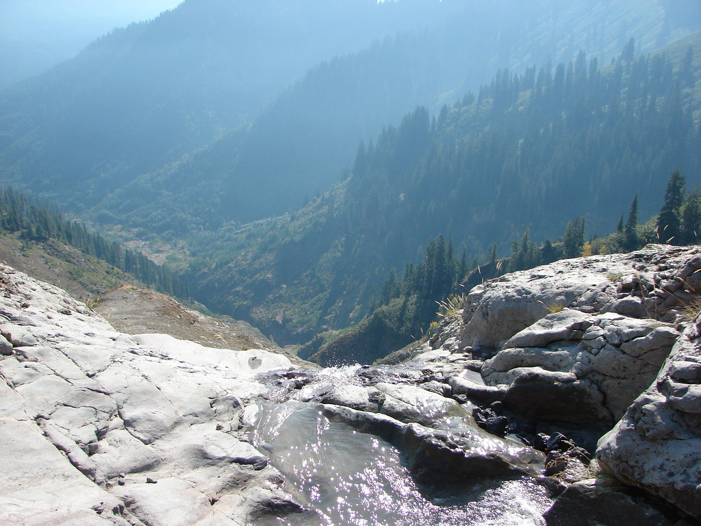
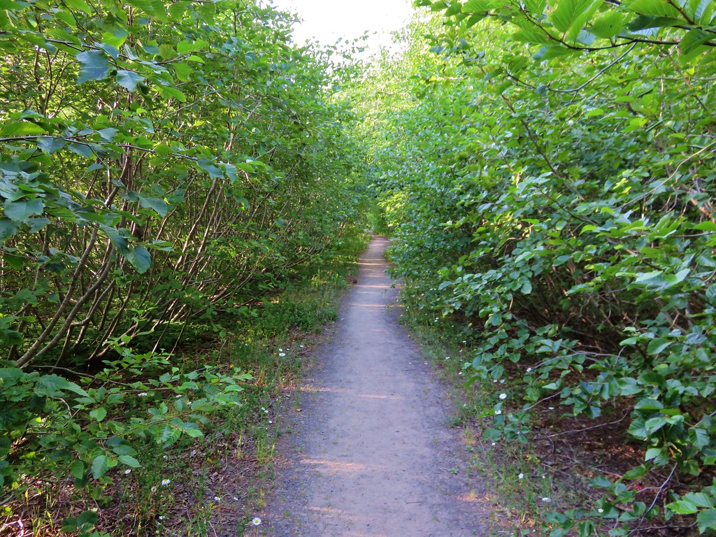
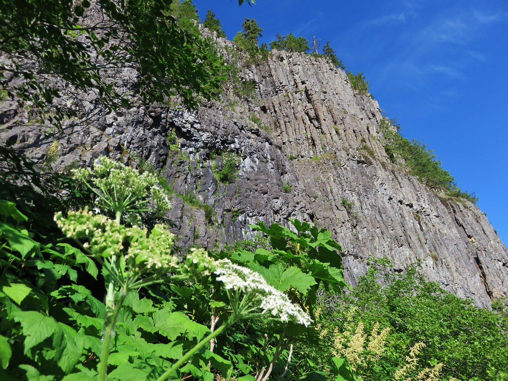
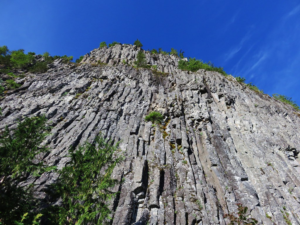
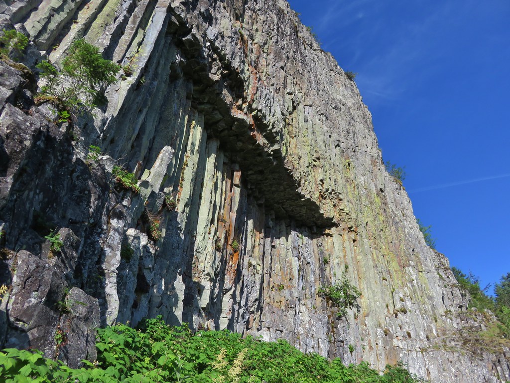
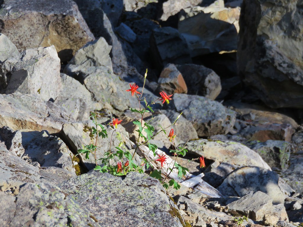
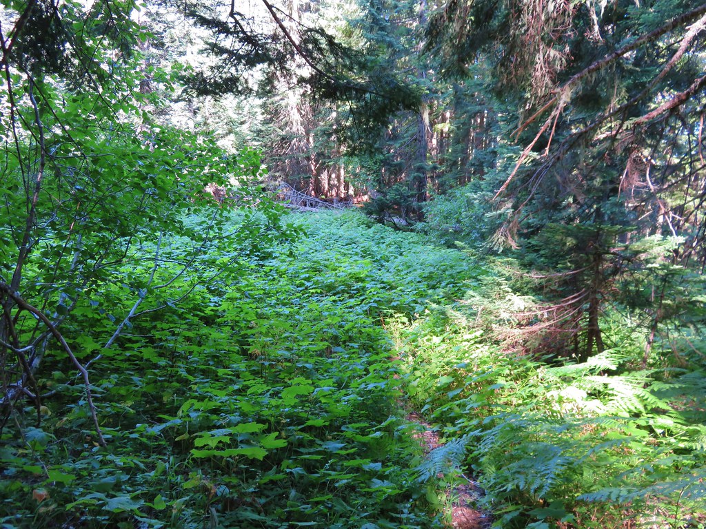
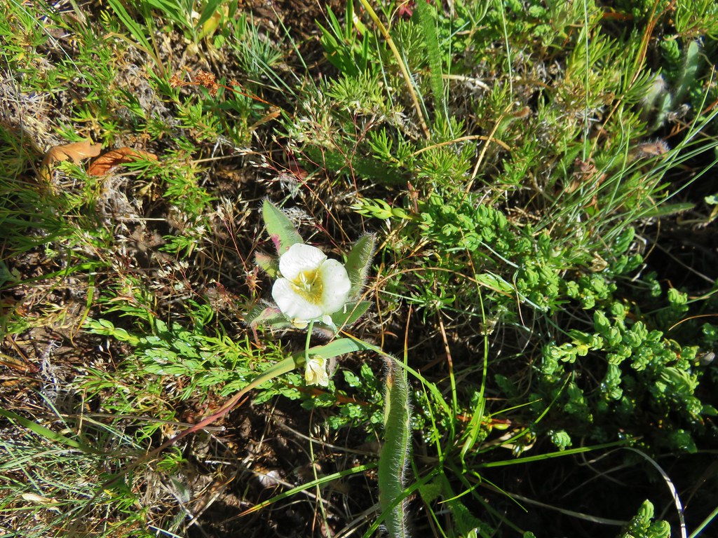
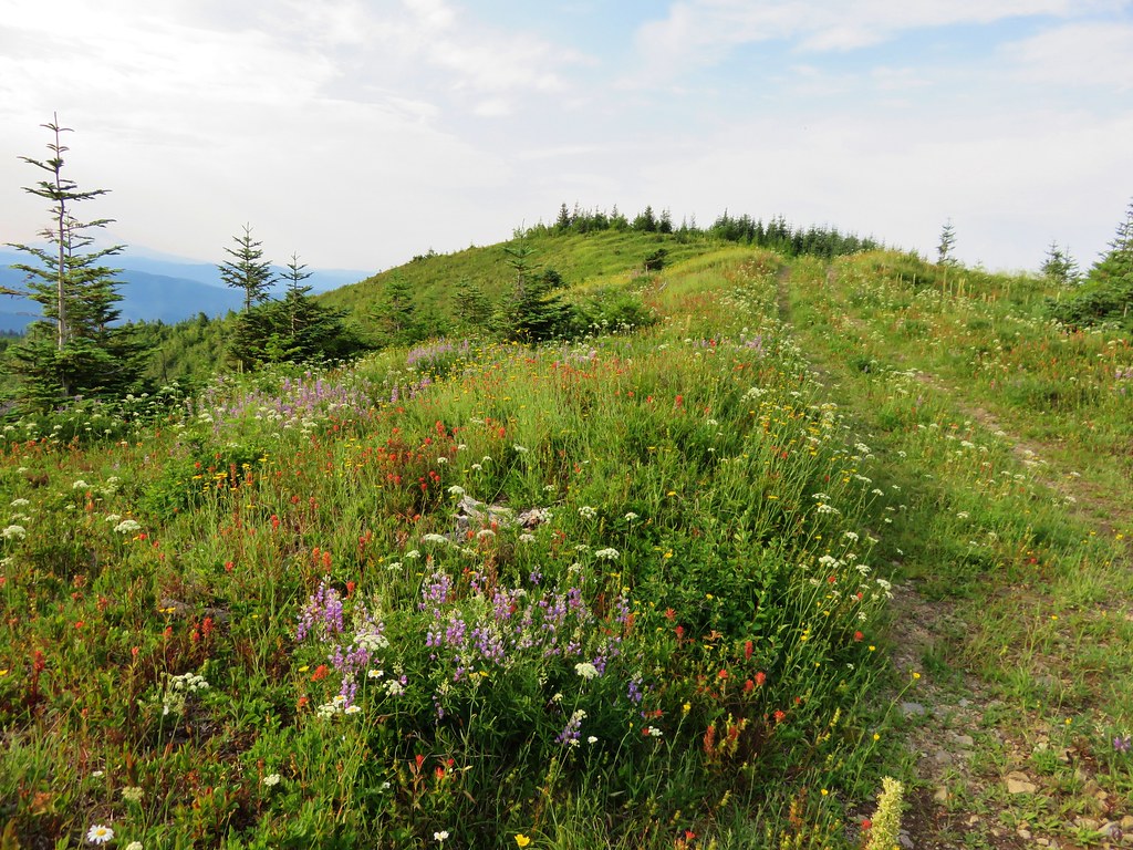
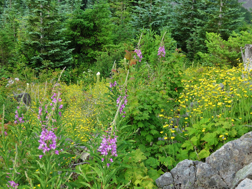
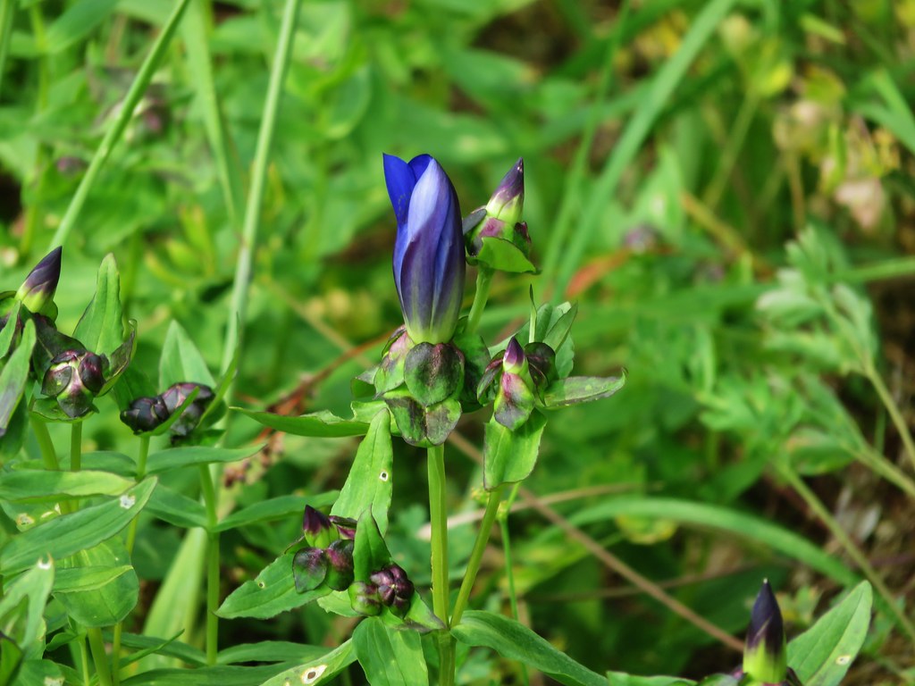
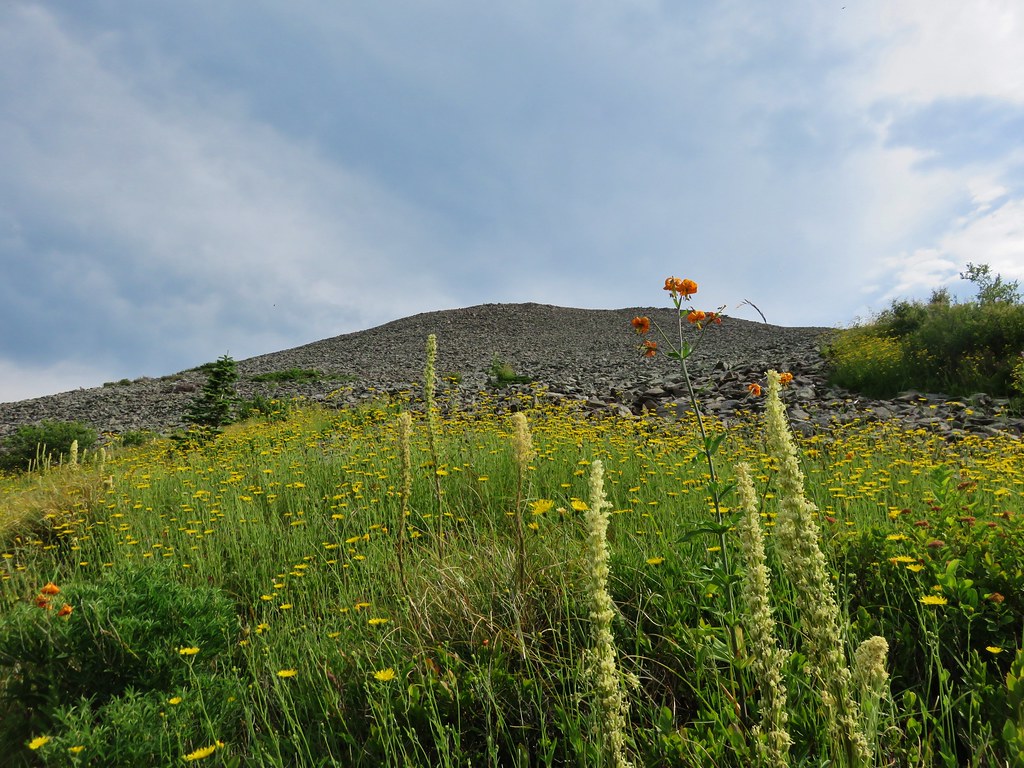
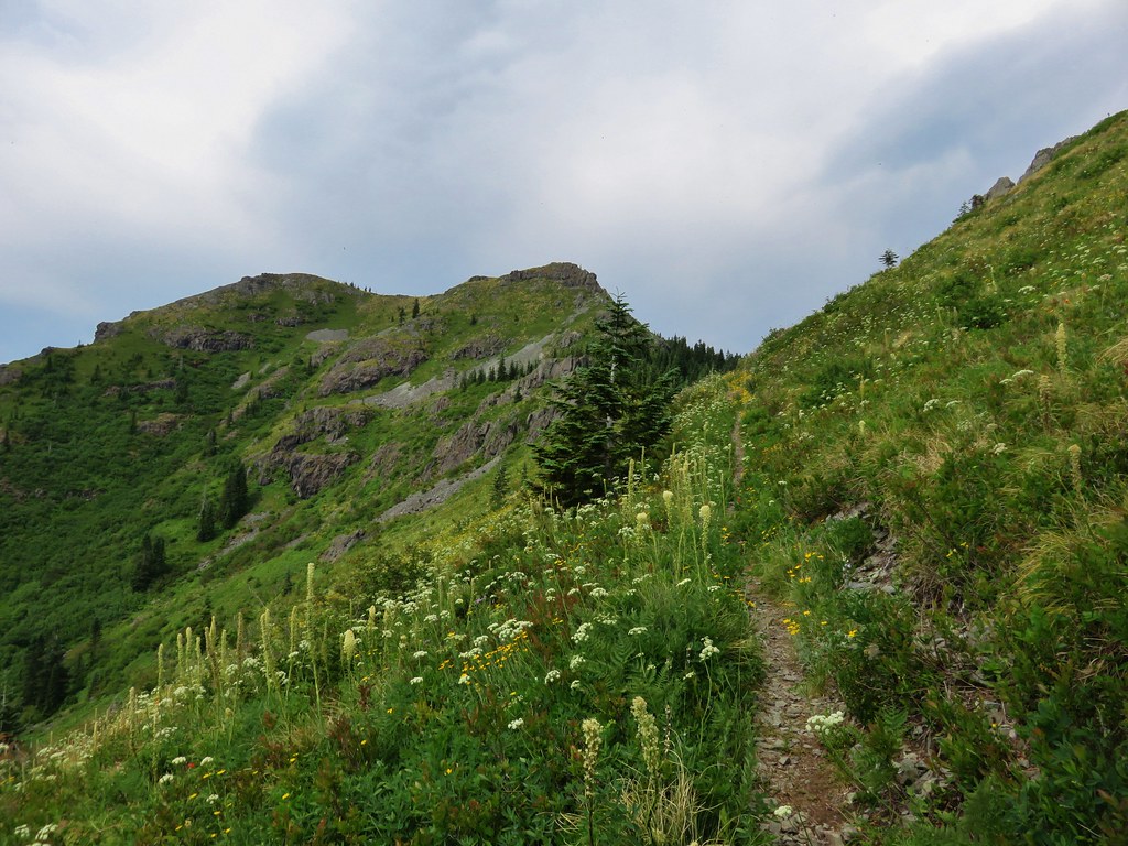
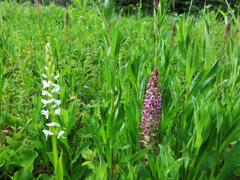
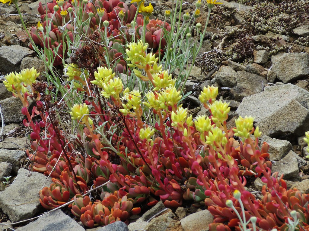
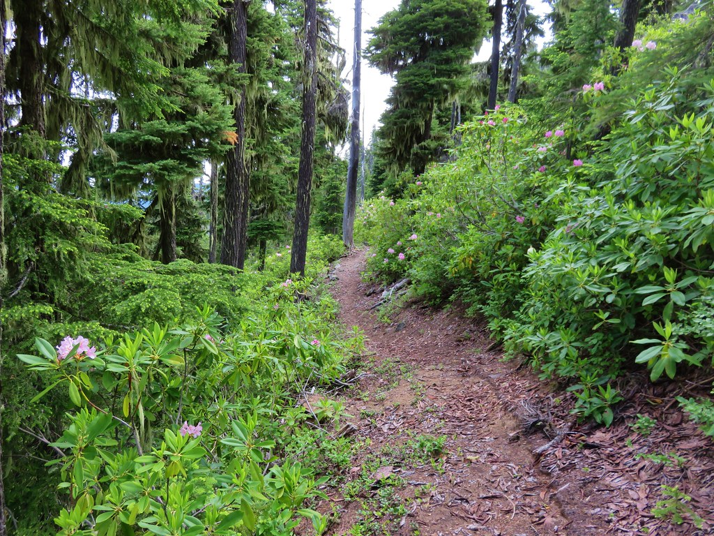
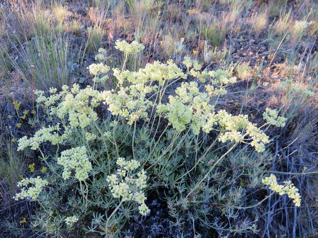
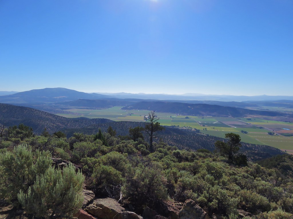
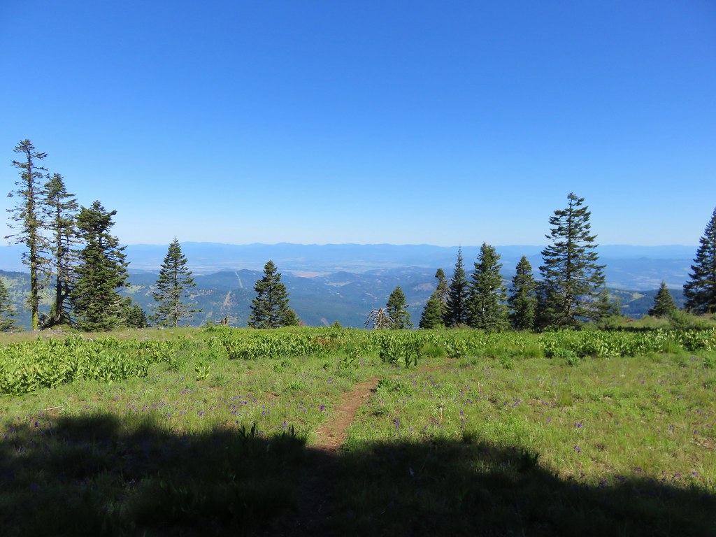
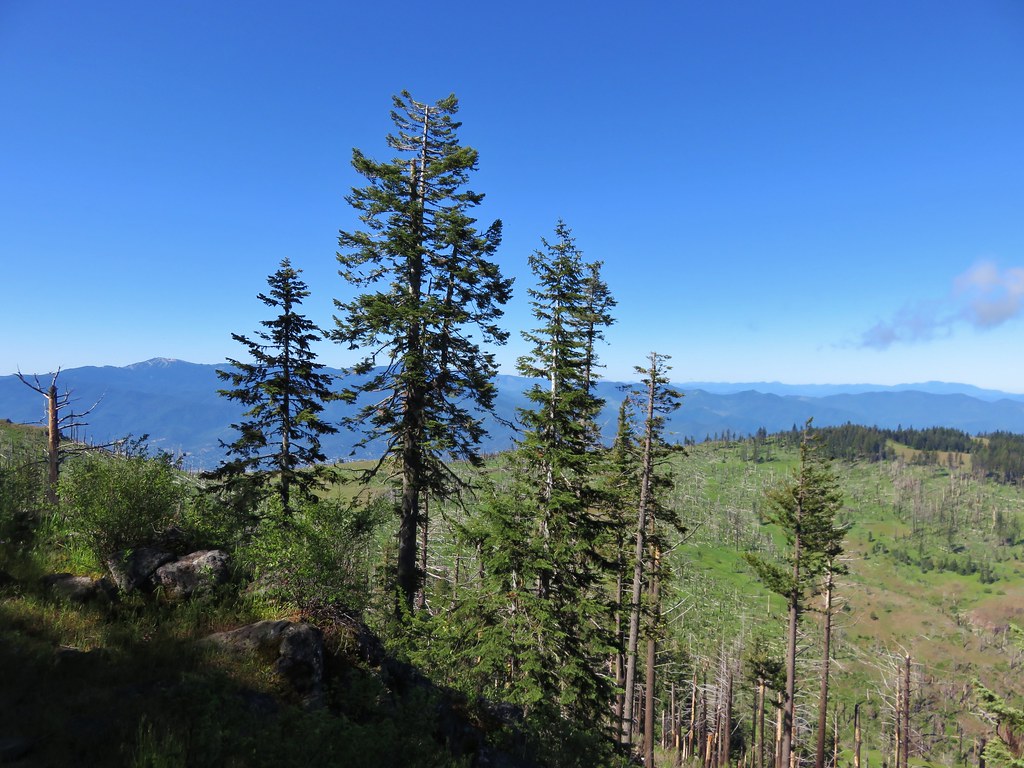
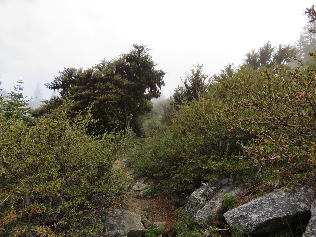
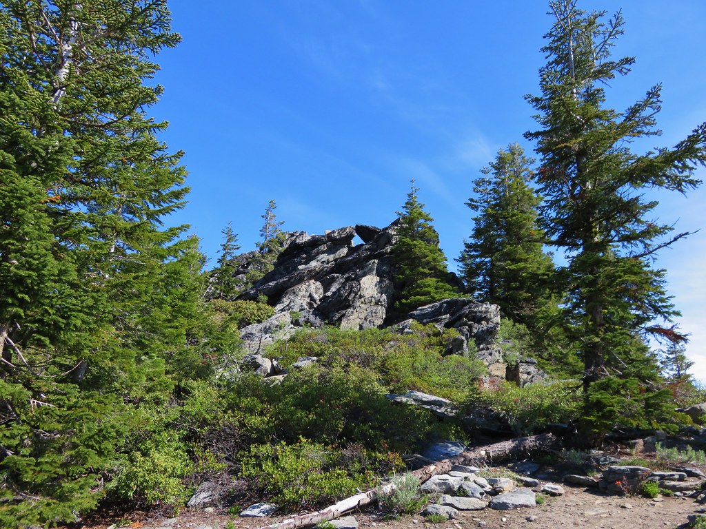
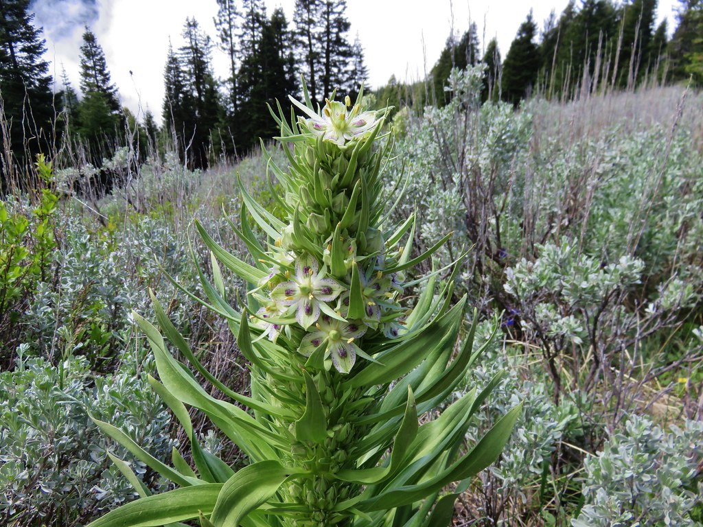
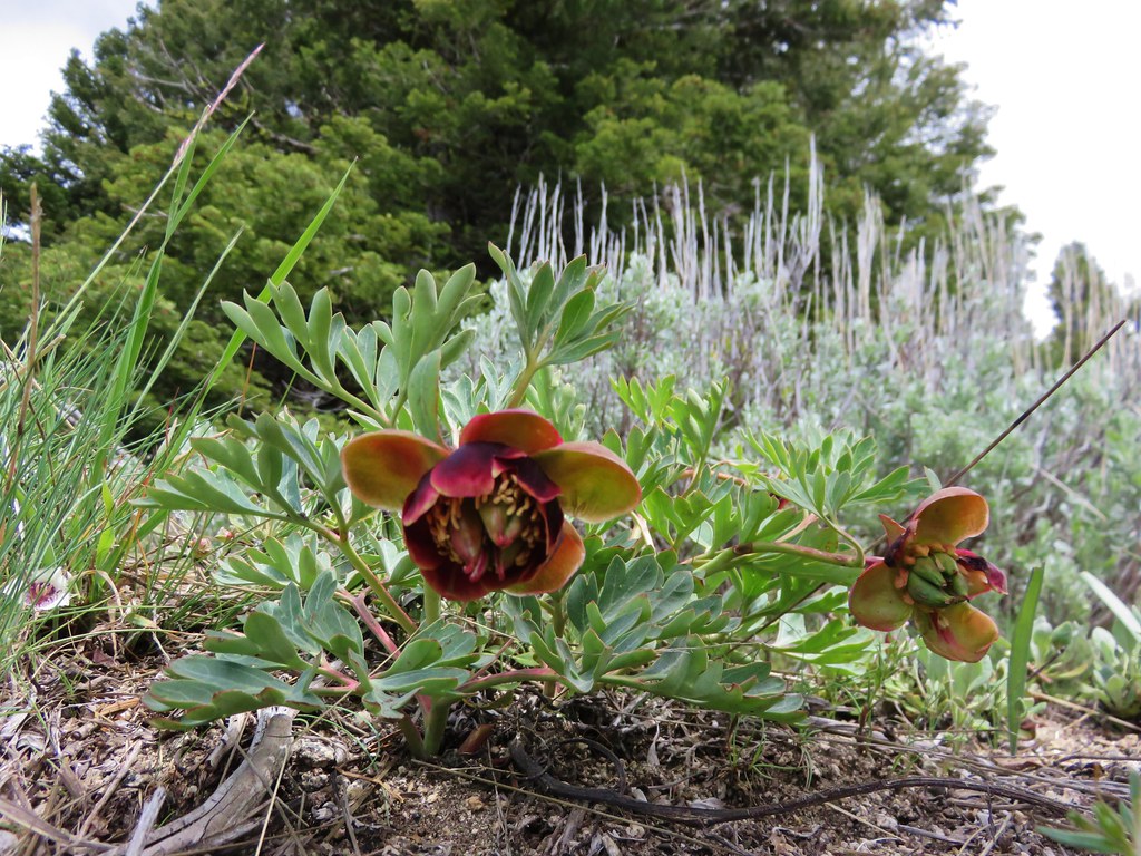
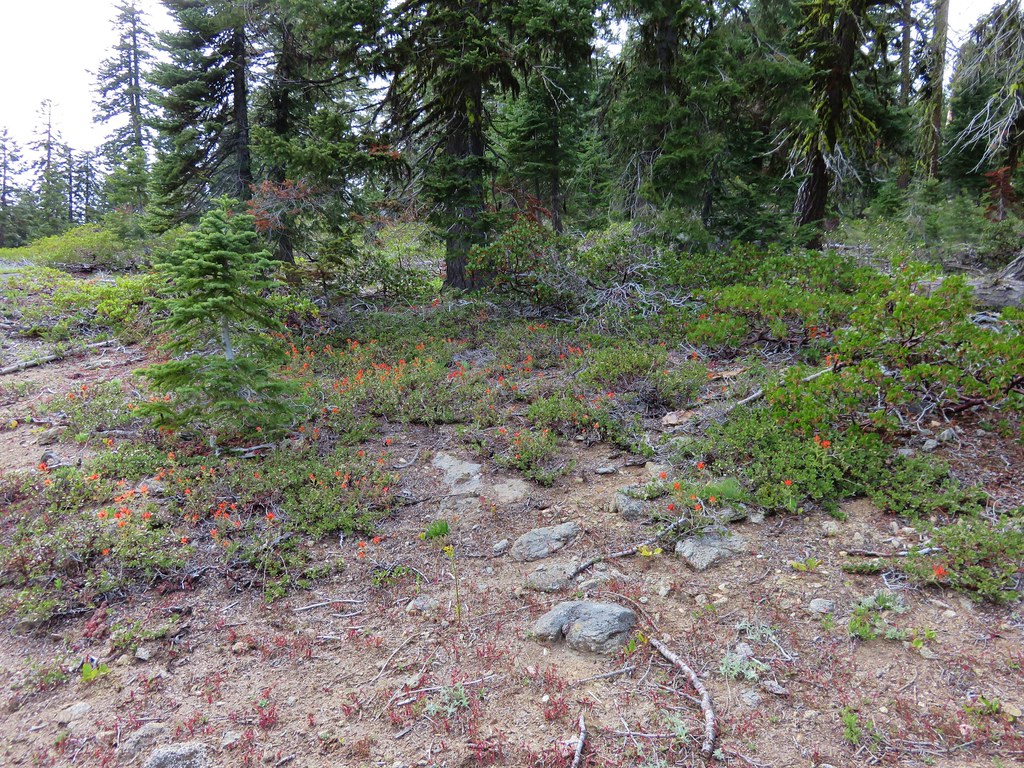
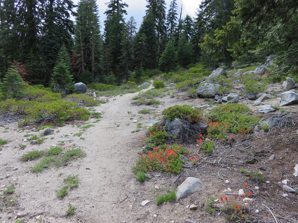
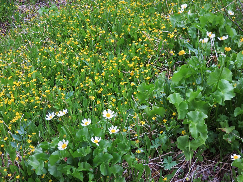
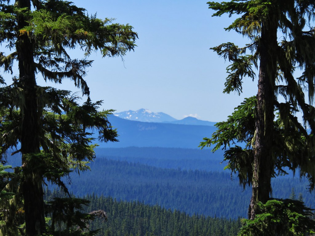
We had been on this portion of trail during our backpacking loop around the South Sister the previous year. The trail passes through a pumice plain which manages to support a good amount of colorful vegetation.
Just .3 miles from the big junction the Linton Meadows Trail split again. The right fork headed down to Linton Meadows while the left fork pointed to Husband Lake. The left fork then passes Eileen Lake before rejoining the right hand fork at Linton Creek.
We stopped at Husband Lake for a moment to take in the views before continuing on our way.


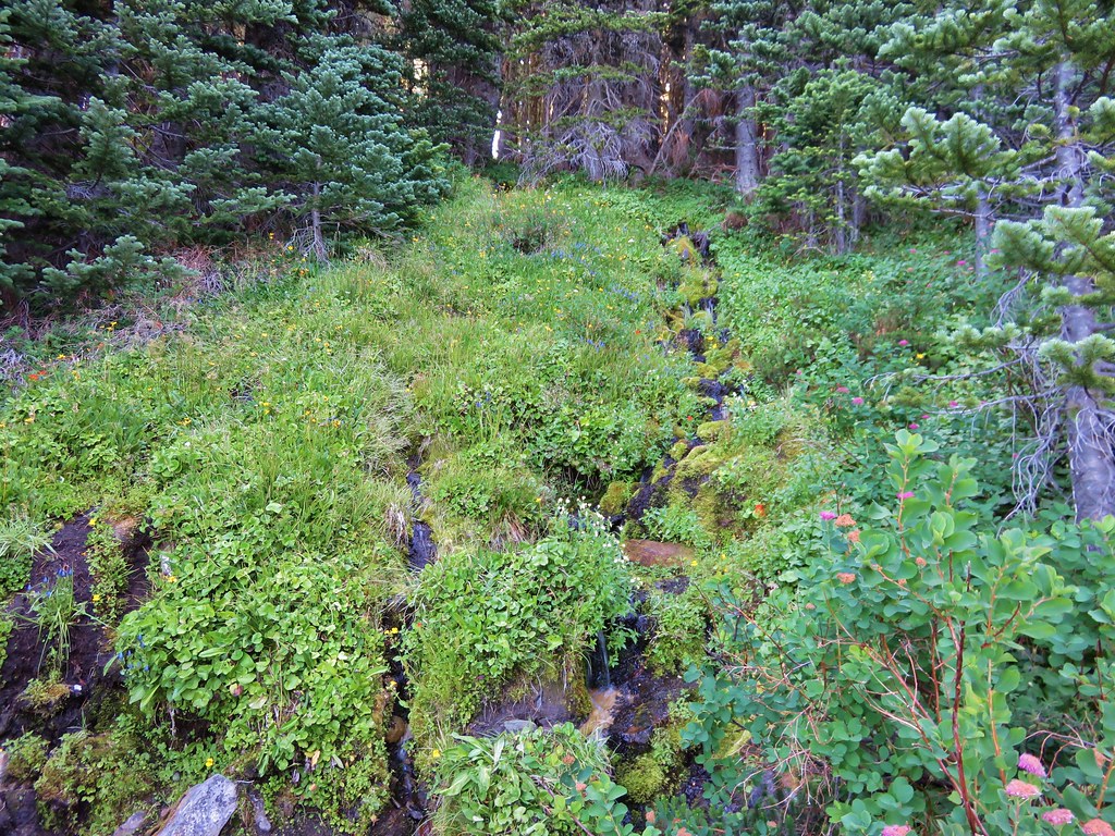
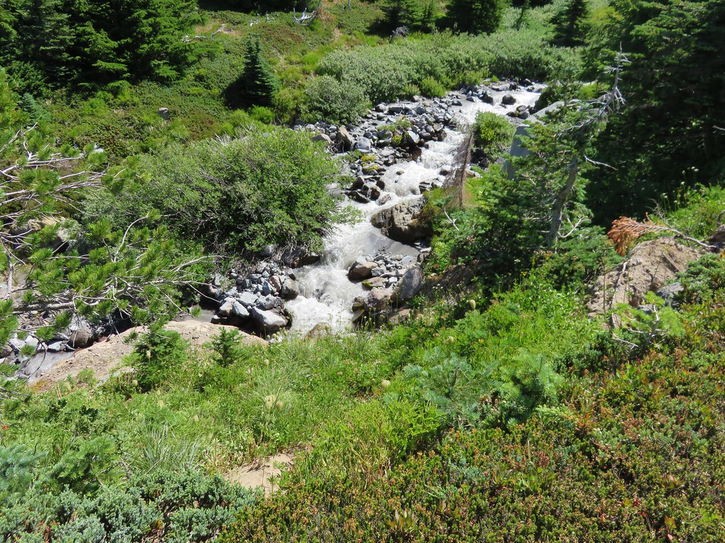
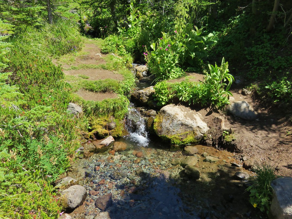
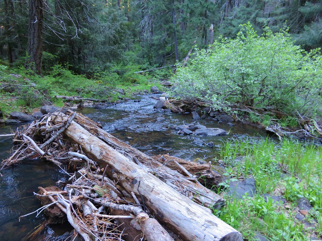
We finally came upon a creek with flowing water between the lakes coming down from The Husband.

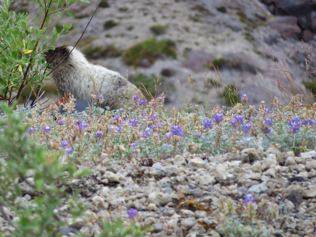
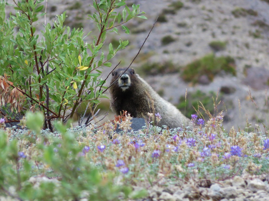
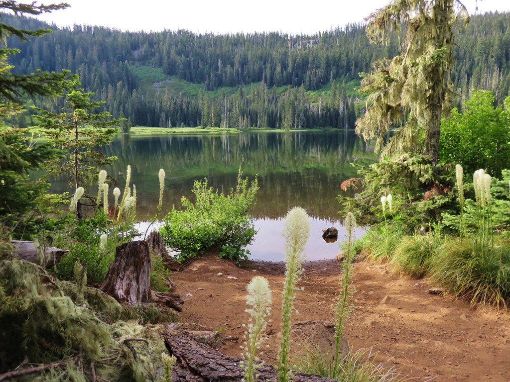
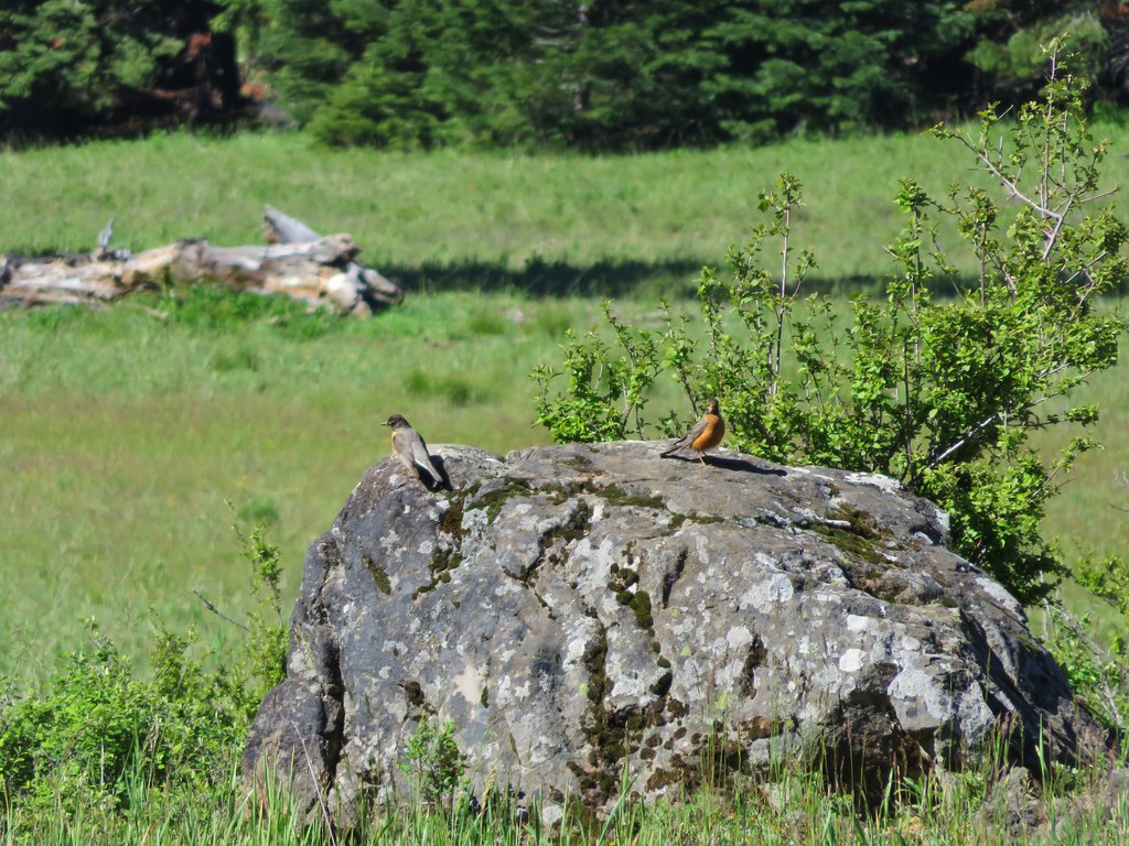
On our previous visit there had been tons of frogs along the shore of Eileen Lake and we had been wondering if we would find the same thing this time. That question was answered upon arriving at the lake.

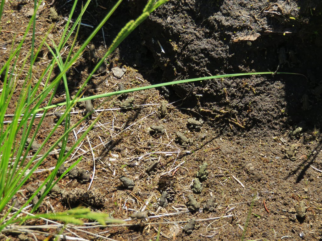
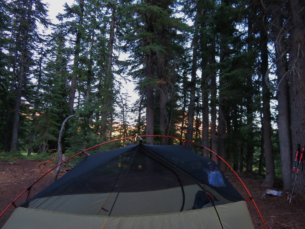
There were more this time than before and we slowly made our way around the lake being careful not to step on any of them. We were planning on setting up camp on the far side of the lake where we would be able to set up at least 100 feet away from the water and the trail per wilderness regulations. We found our spot on a small rise with a small meadow behind us and no frogs to have to watch out for.
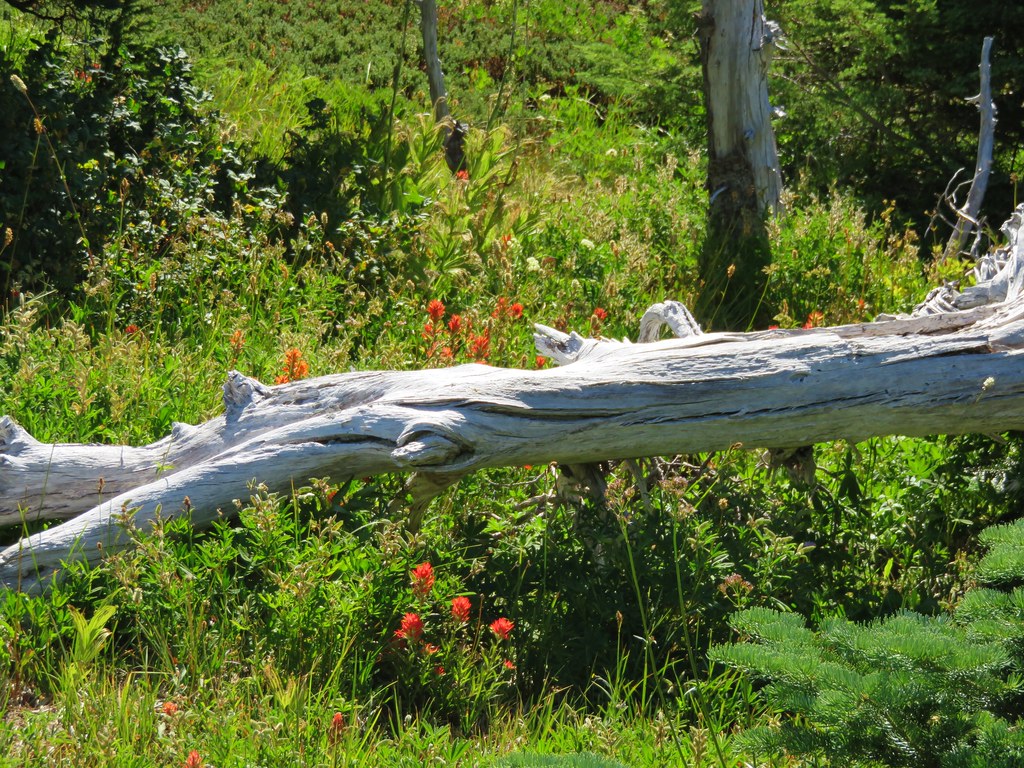
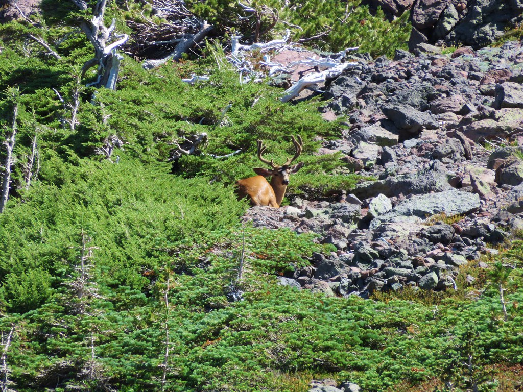
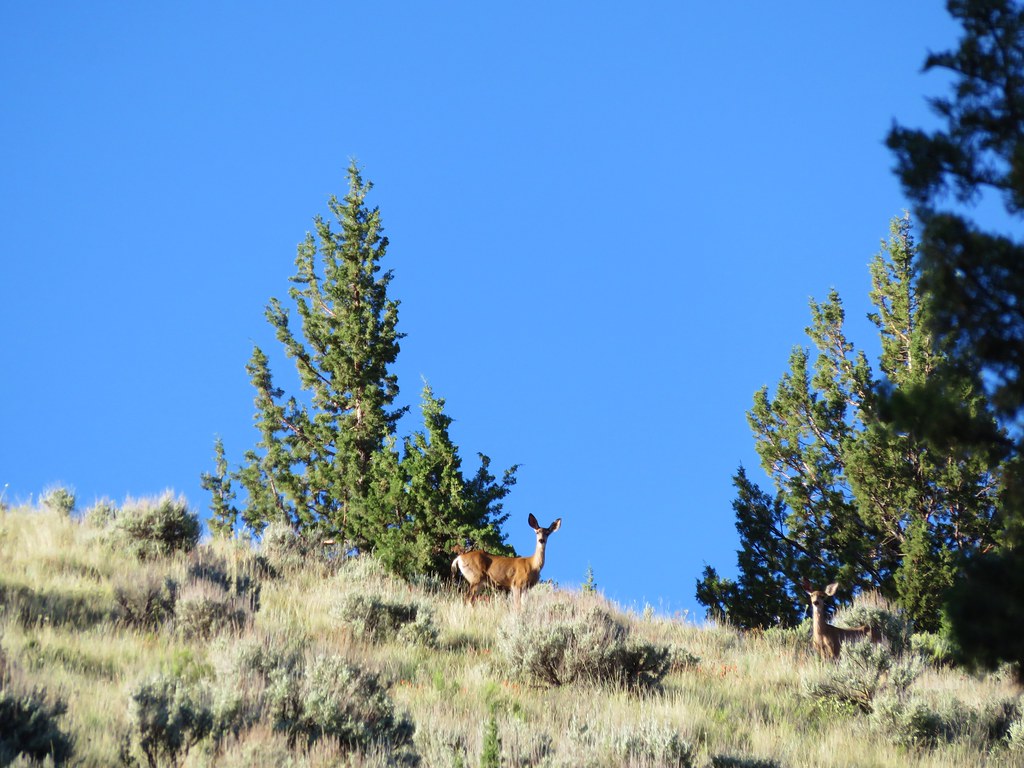
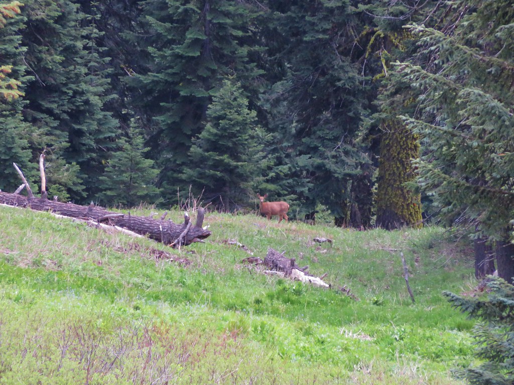
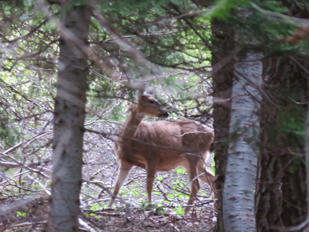
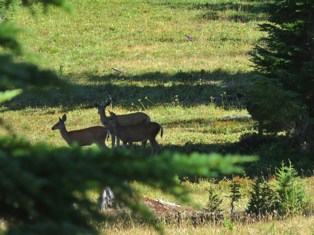
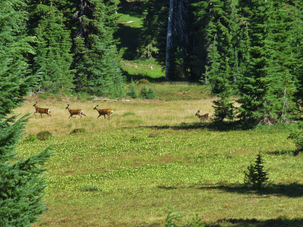
After setting up camp we decided to hike down to Linton Creek to have dinner in the same location we had eaten at the year before and to fill up on water from the creek. We tried going around the lake on the other side hoping the frogs would be less but it proved just as challenging and slow. On our way down to the creek we spotted 4 deer also making their way down the meadows.
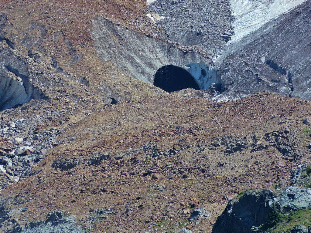
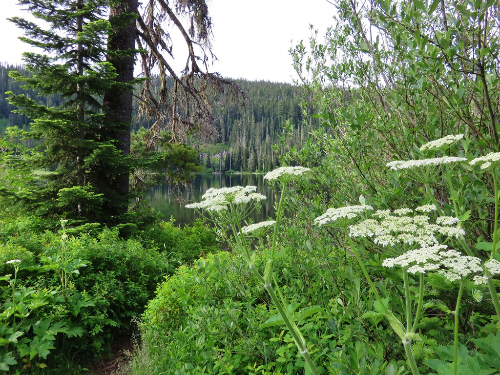
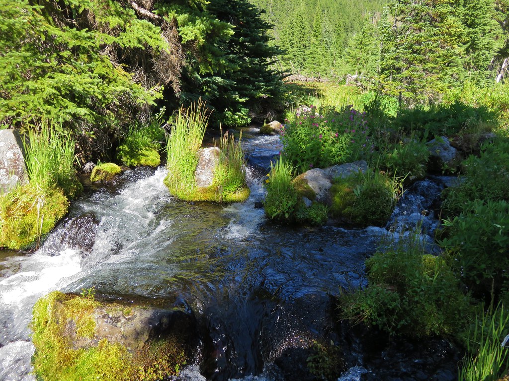
We arrived at Linton Creek to find it flowing strongly. It is primarily fed by Linton Springs so the dry year apparently hadn’t effected it as much as the other creeks. The springs also mean the water is cold and we had forgotten just how cold until we tried to soak our feet. The water was too cold to keep them in for more than 10 or 15 seconds.
After having dinner and filling up on the wonderfully cold water we returned to Eileen Lake where we explored the area behind our campsite then sat by the water watching the frogs along the shore and small fish occasionally jumping from the water disrupting the reflection of the mountains.

It had been a great start to our trip and the adventure had just begun. Happy Trails!
Flickr: https://www.flickr.com/photos/9319235@N02/sets/72157656374056692