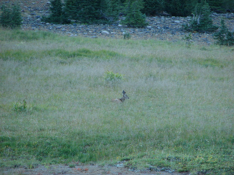
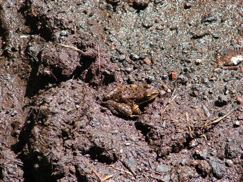
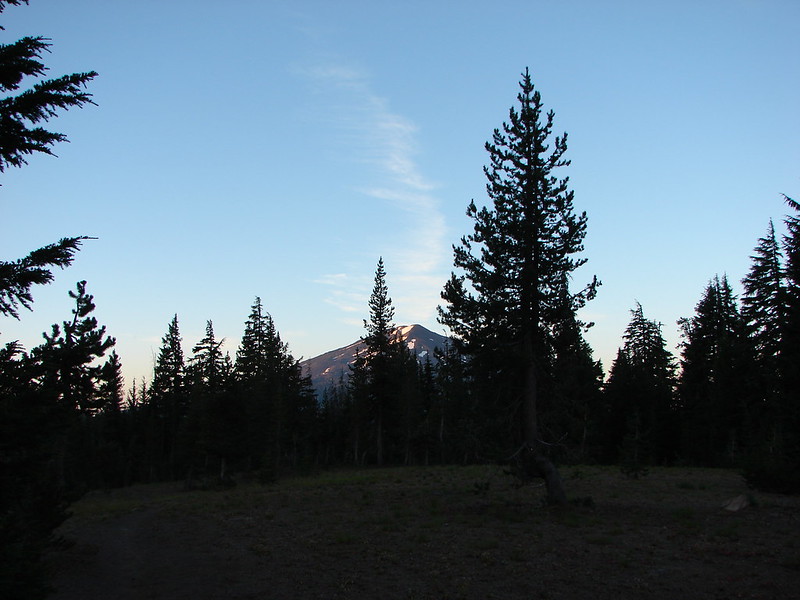
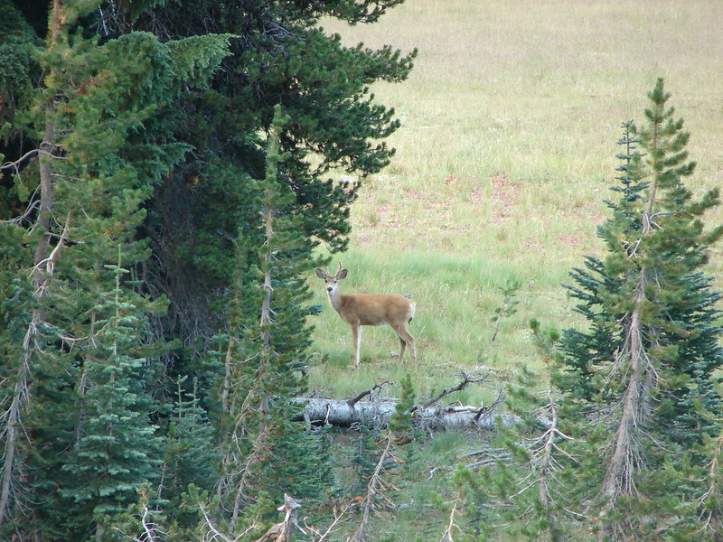
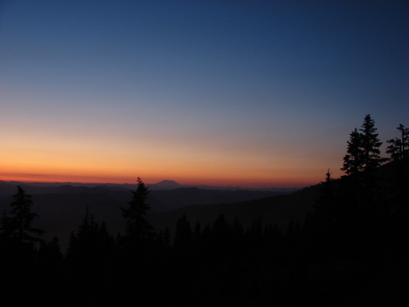
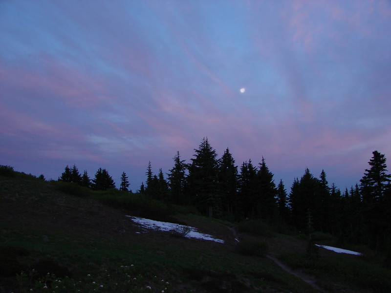
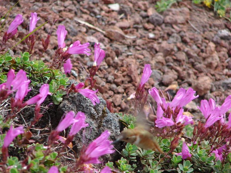
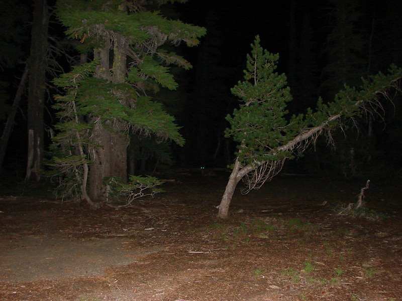
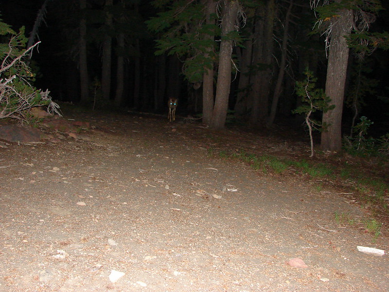
After not being able to fall asleep in the wake of an amazing second day the third day of our backpacking loop started way to early. I woke up just after 5am needing to empty my bladder. Looking out our tent to the East I could see an orange glow through the trees indicating that the Sun was coming, but not for awhile. I threw my headlamp on, grabbed my camera hoping to get a shot of the horizon, and started to walk toward the edge of the plateau that Demaris Lake sits on. I was scanning the forest with my light when I noticed a pair of glowing eyes about 50yds to the left of our tent. They were fairly low to the ground and I couldn’t tell what it was. Since I didn’t know what kind of animal was staring at me I wasn’t sure if I should get big or slowly back away. Not being fully awake my solution was to take a picture using the flash to see if I could figure out what it was. That may not have been the best idea, but when the flash went off I could see that it was a deer that was bedded down.
She got up after I took the picture and began walking along the ridge in front of me so I stopped heading that way and thought I would loop around behind to get my horizon picture. Apparently she didn’t like that because when I looked back in the direction she had been headed she had turned around and was now walking toward me with her head down.
She stopped when she realized I’d spotted her and I backtracked down to the lake shore and tried taking a wider loop around a rocky outcropping to get my picture. I got to good viewpoint and after scanning for the deer I set about trying to get a decent picture.

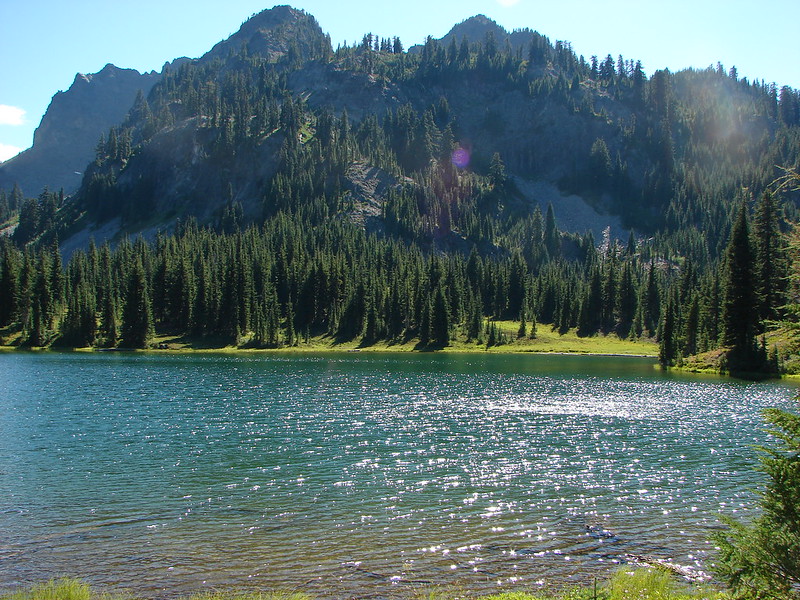
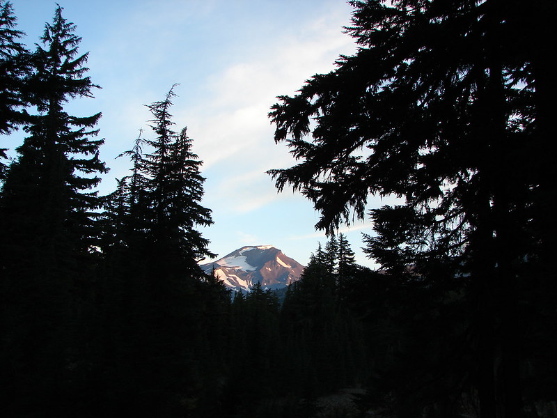
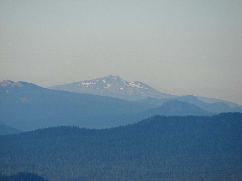
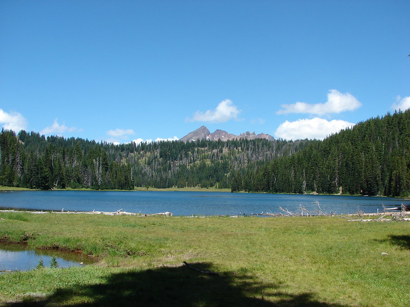
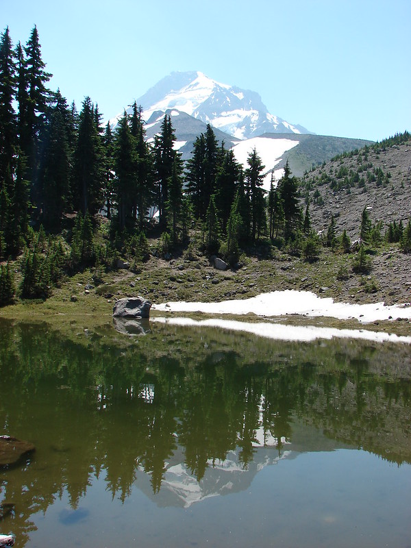
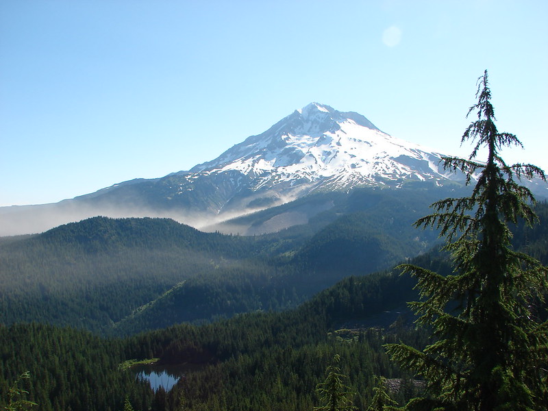
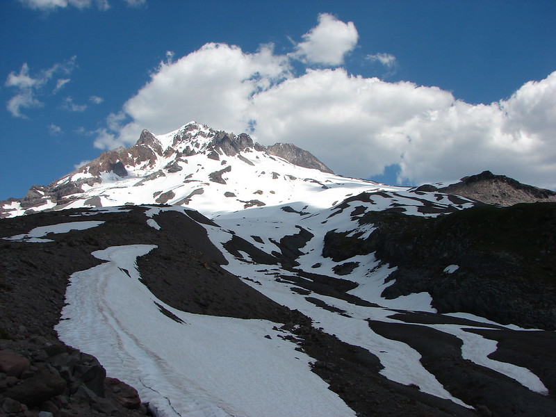
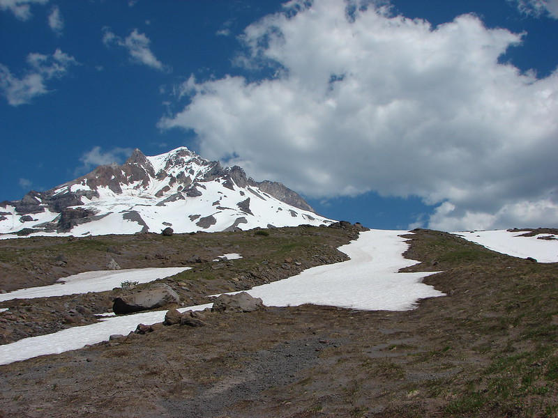
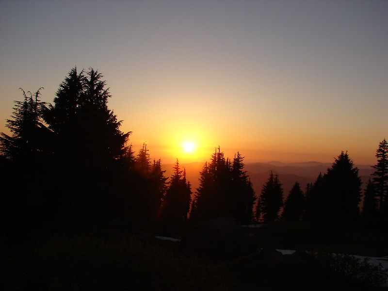
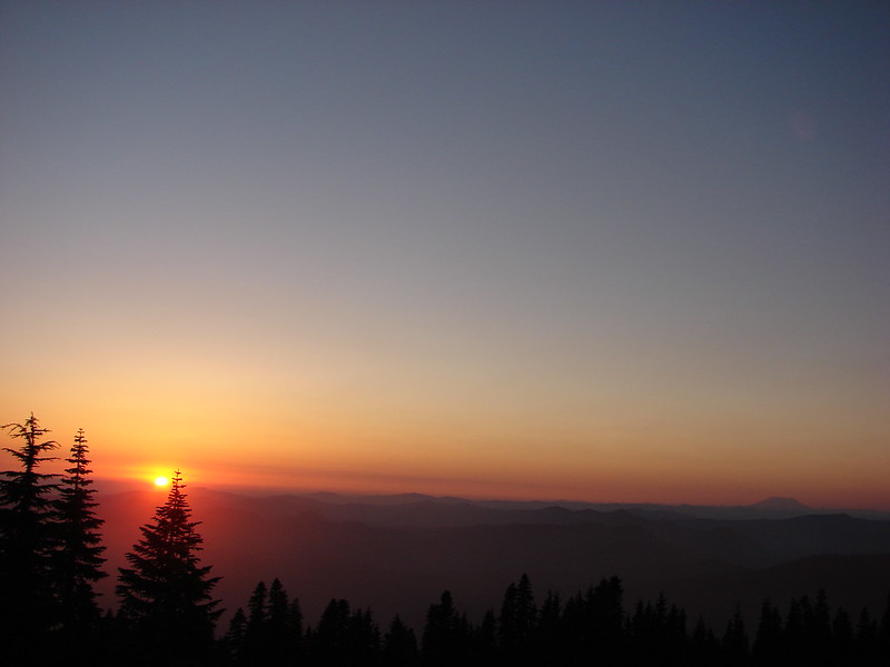
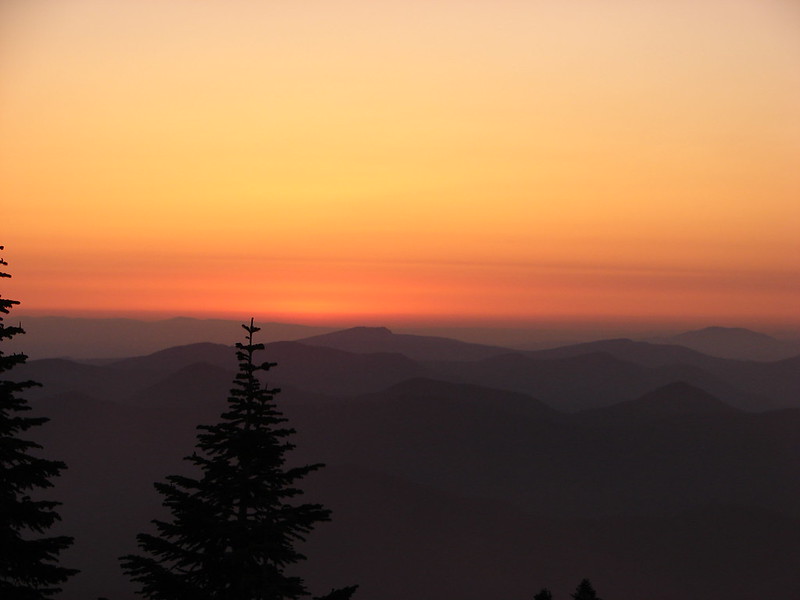
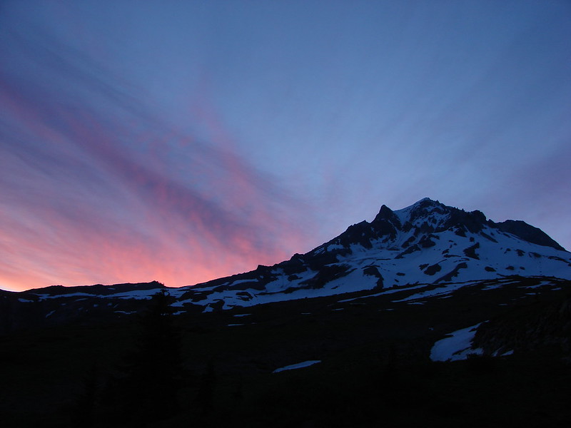
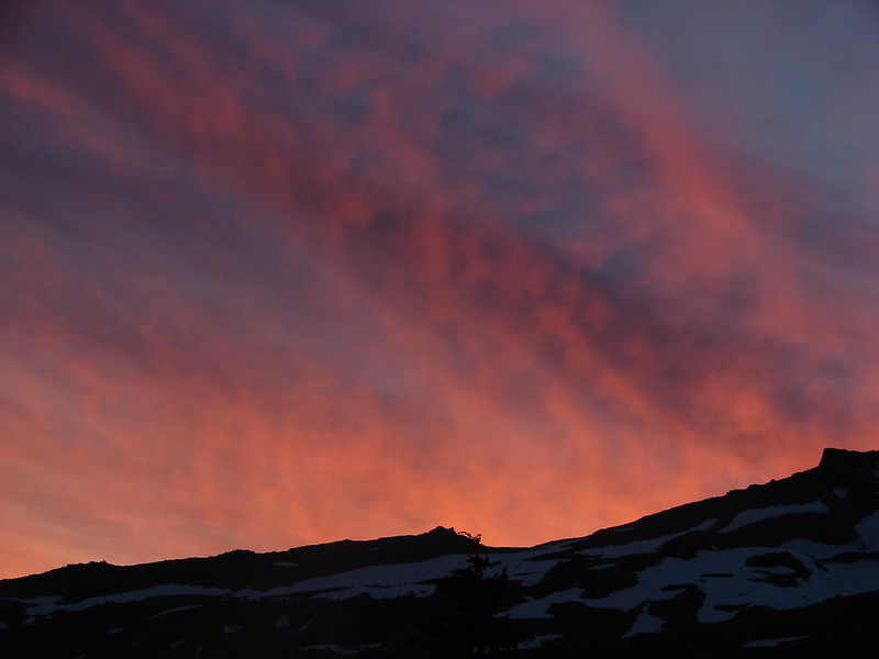
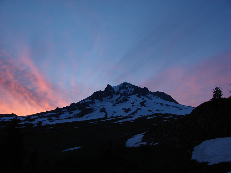
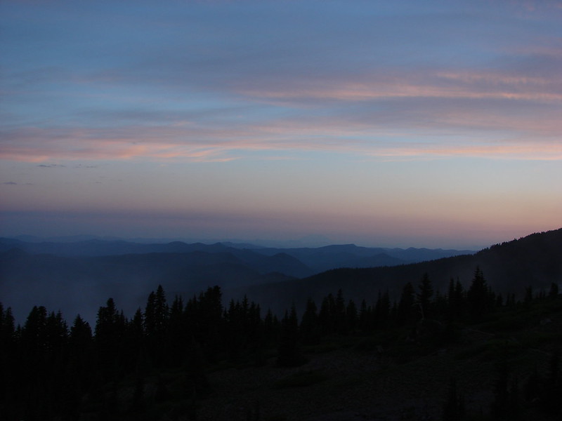
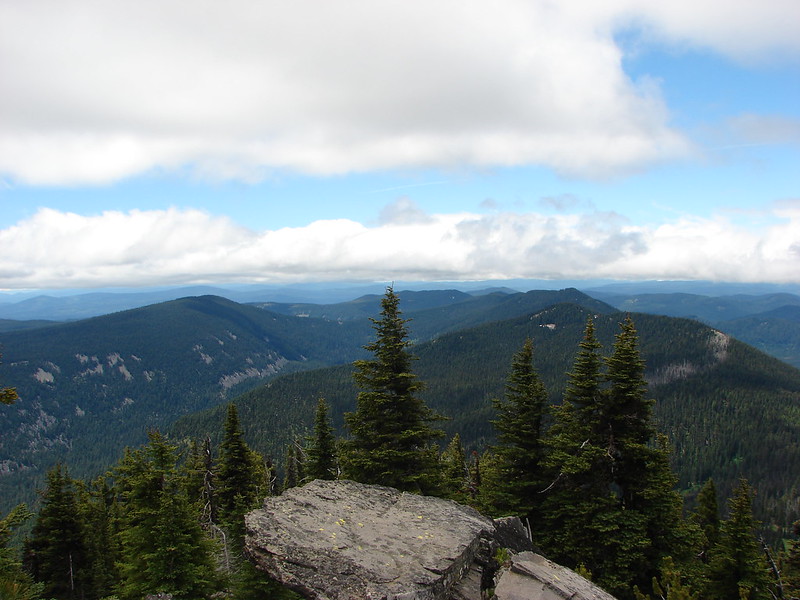
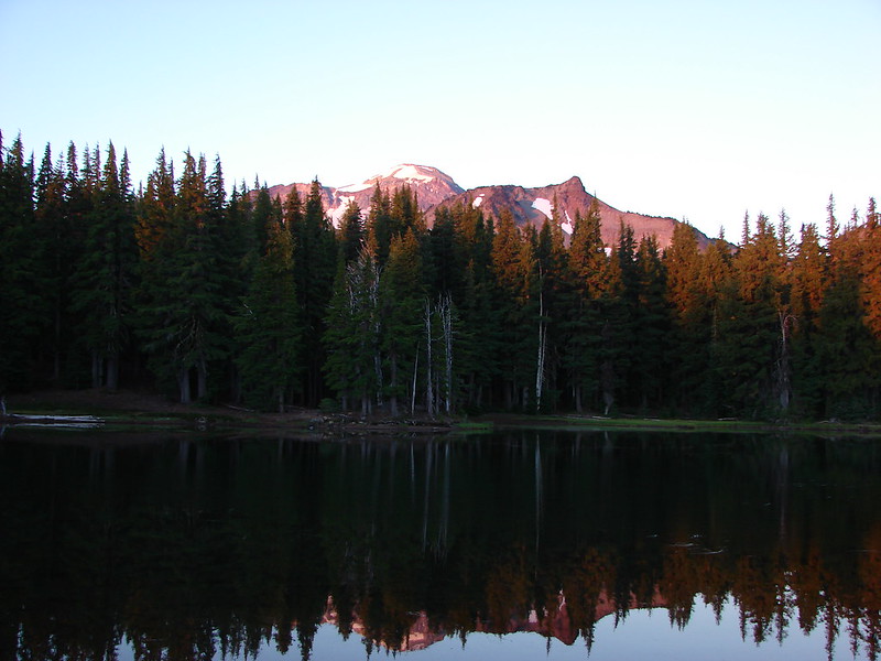
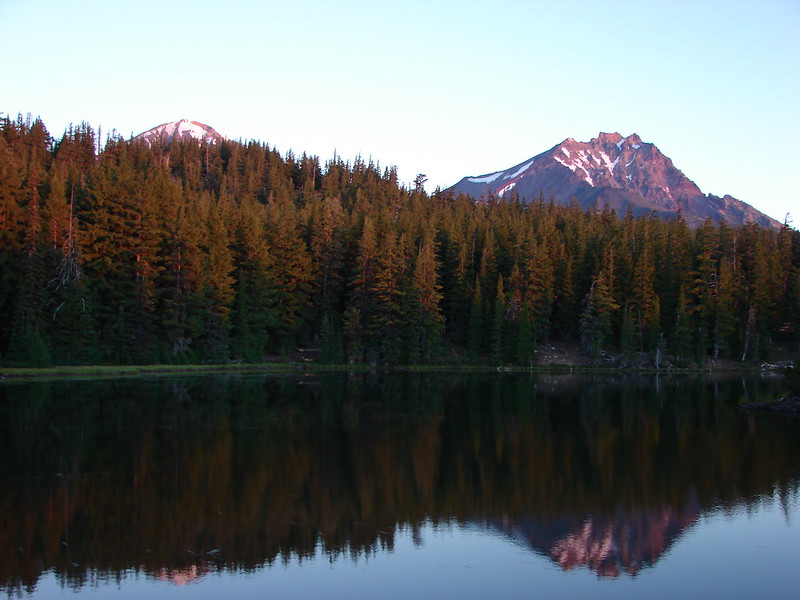
After taking a few pictures I suddenly had a strange feeling. Glancing to my right there was that crazy deer again staring at me with those glowing eyes. I headed back down to the lake and hurried back to the tent site to grab my poles and wake Heather up thinking that maybe the presence of a second person would deter the stalker deer. It must have because we didn’t see her again and were able to watch the sunrise light up the mountains and trees above the lake.
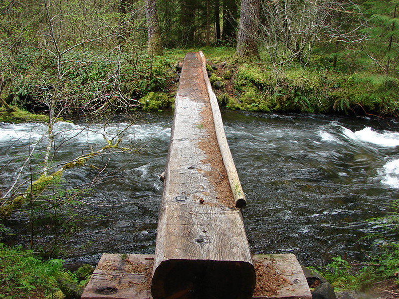
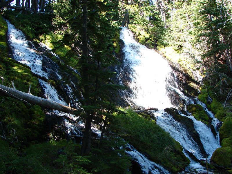
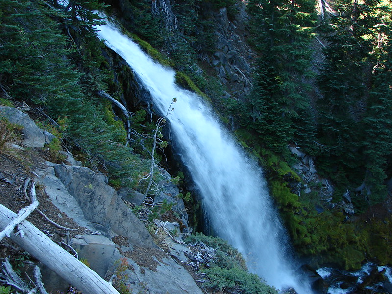
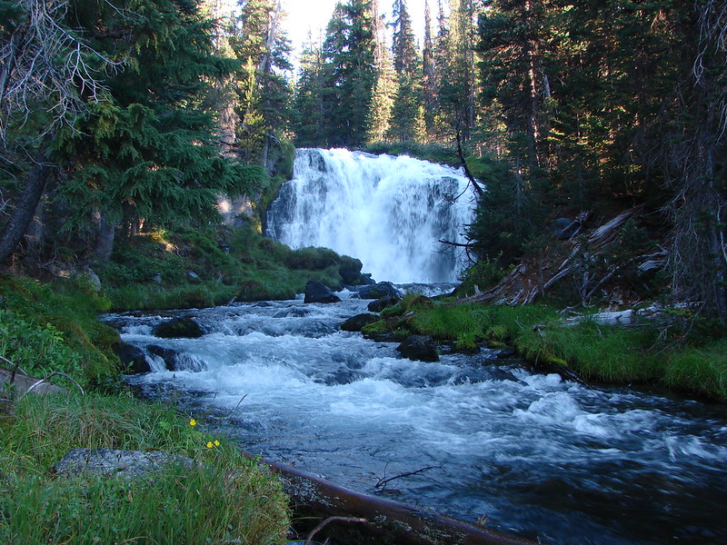
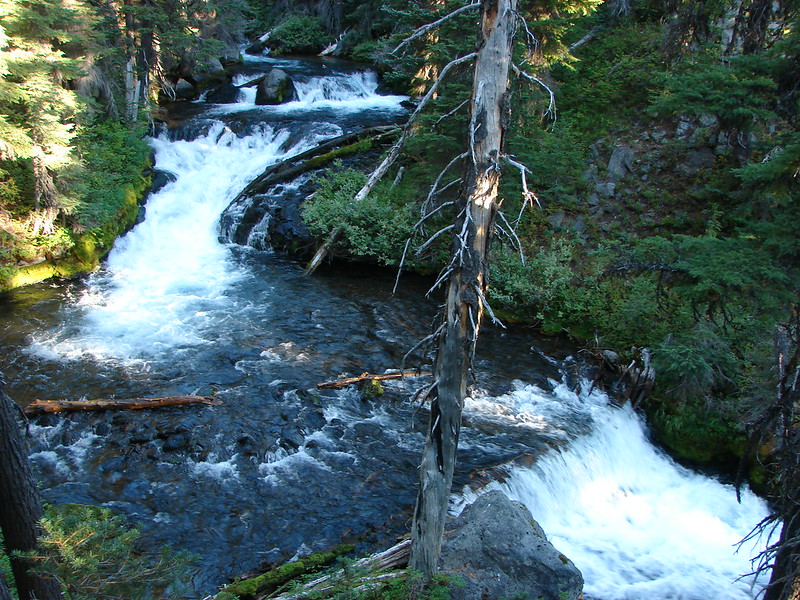
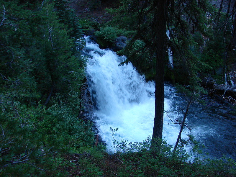
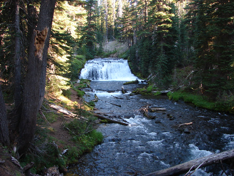
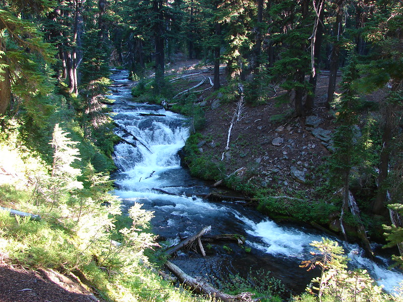
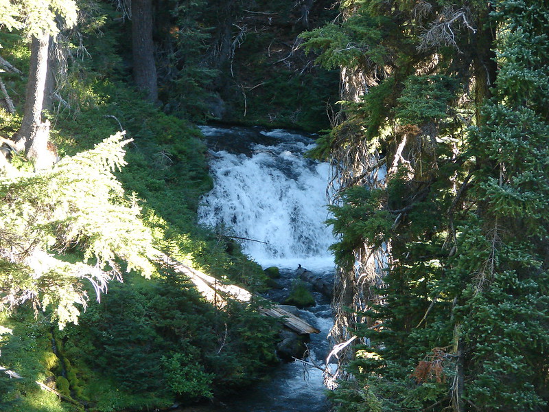
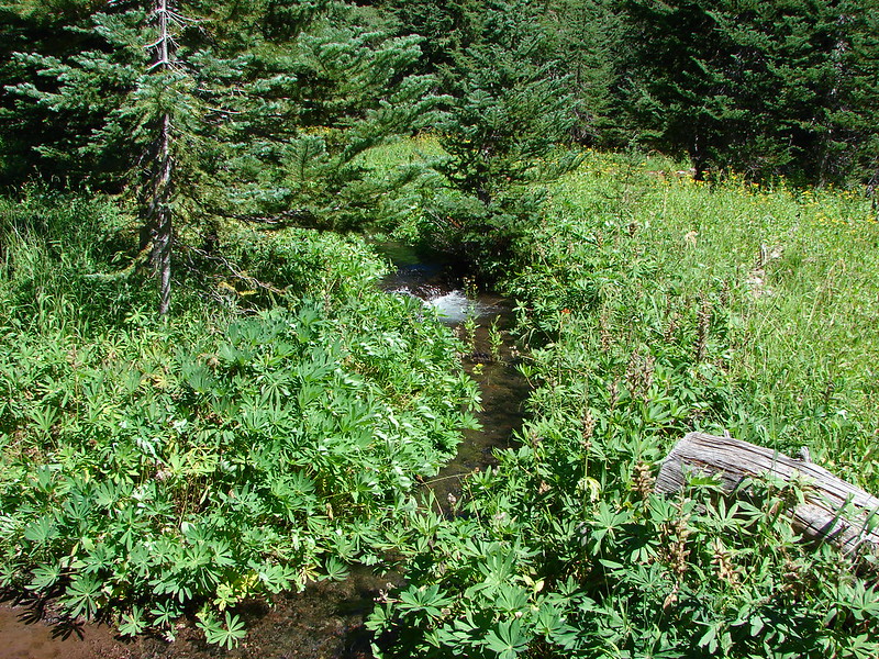
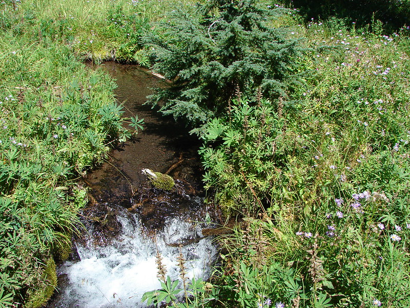
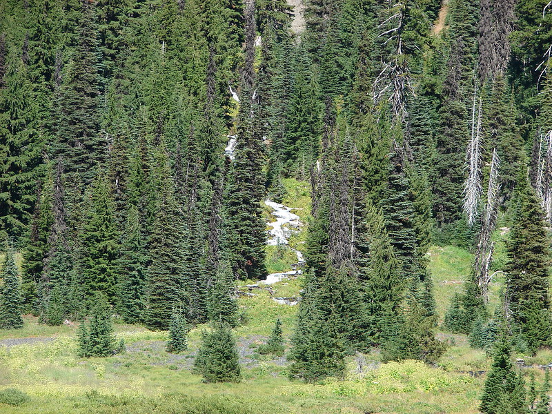
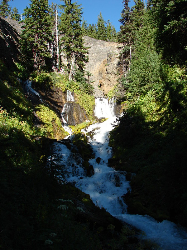
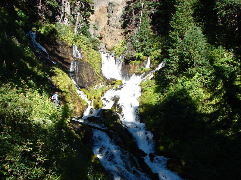
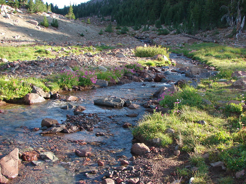
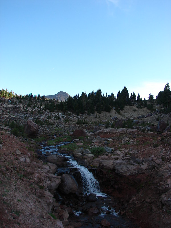
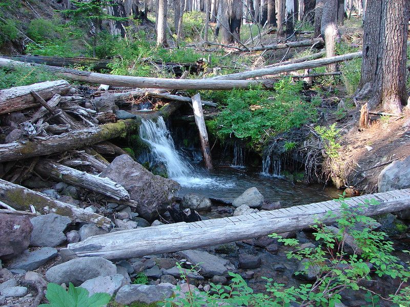
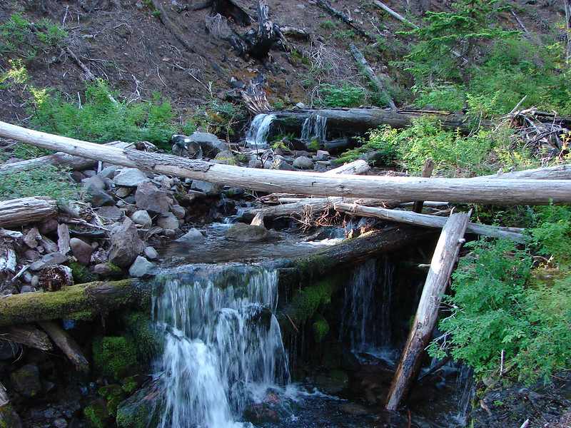
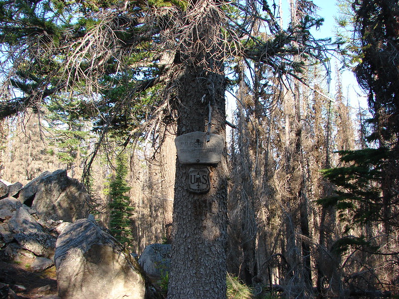
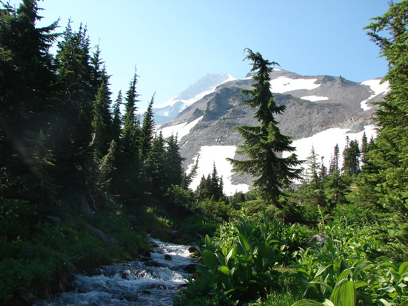
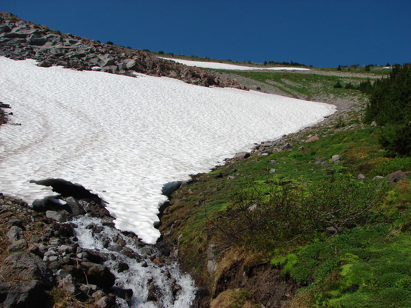
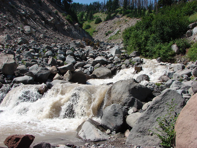
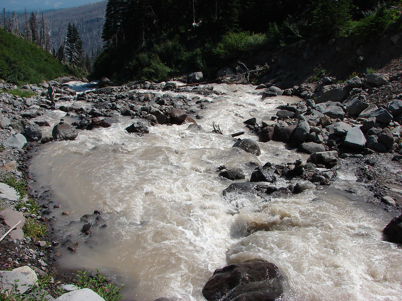
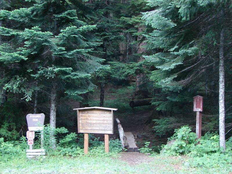
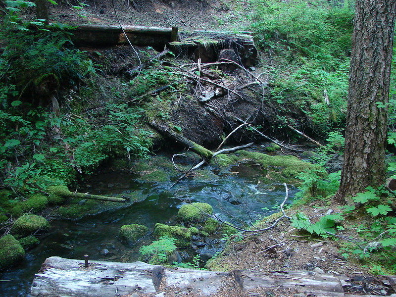
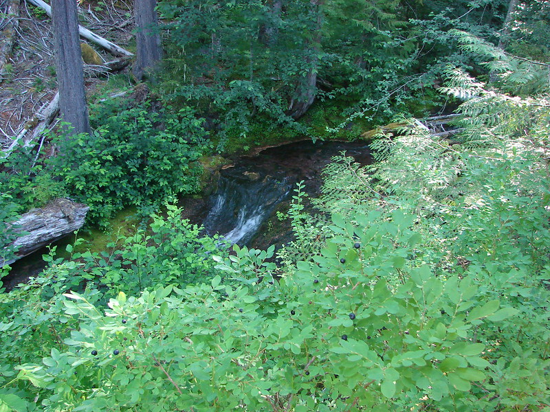
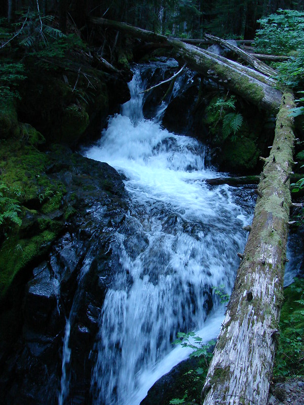
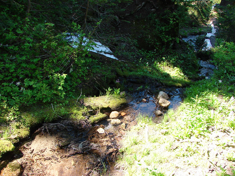
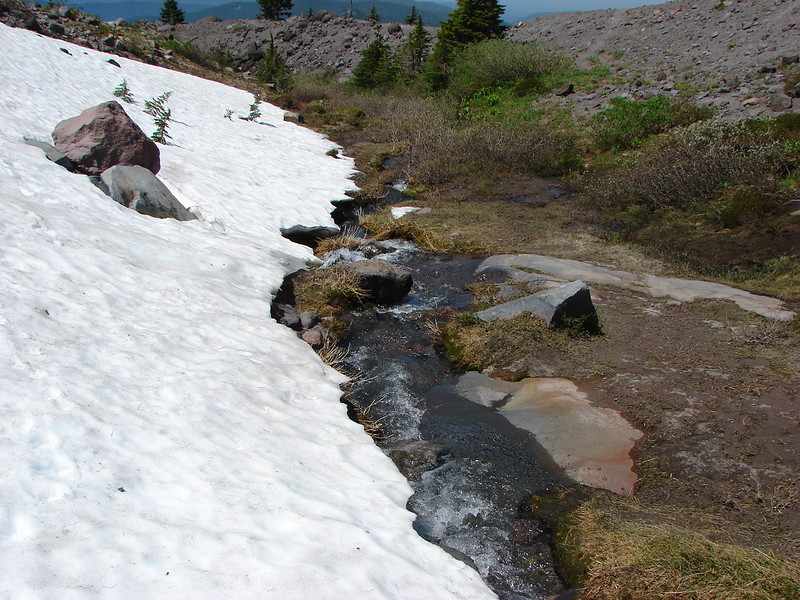
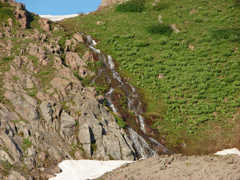
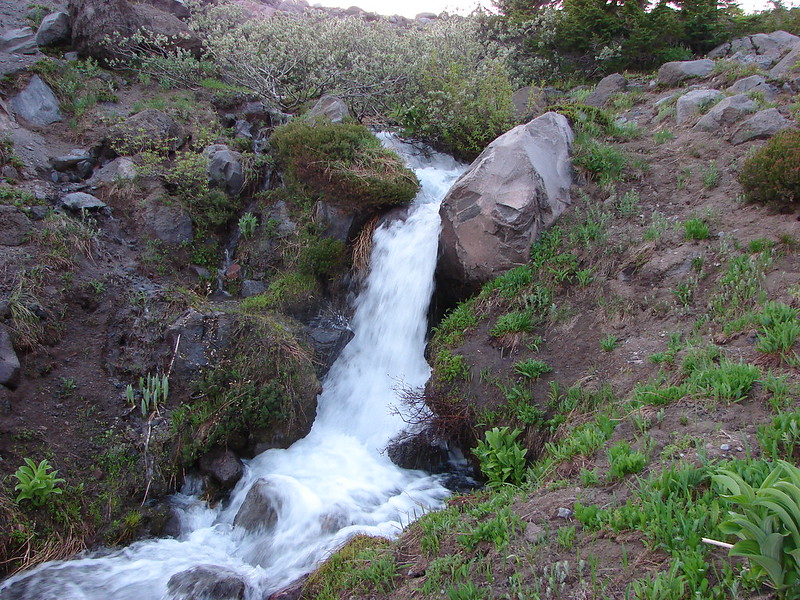
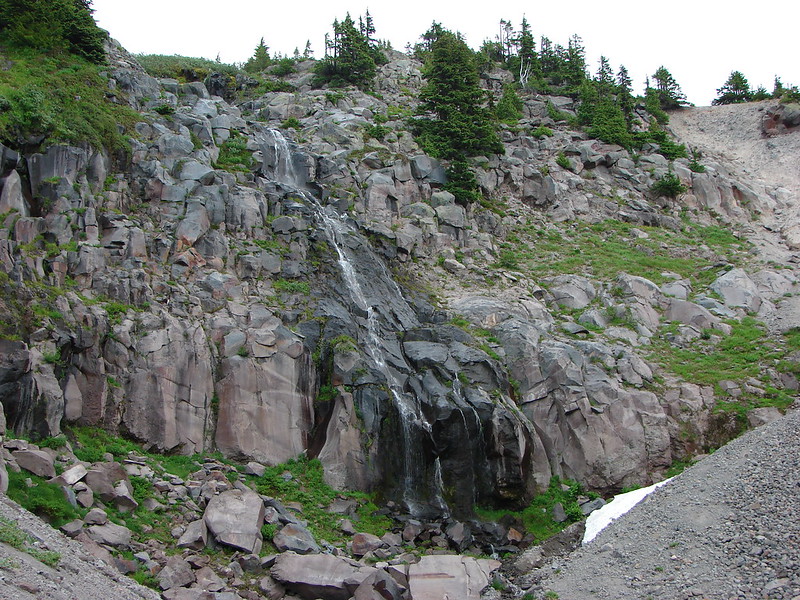
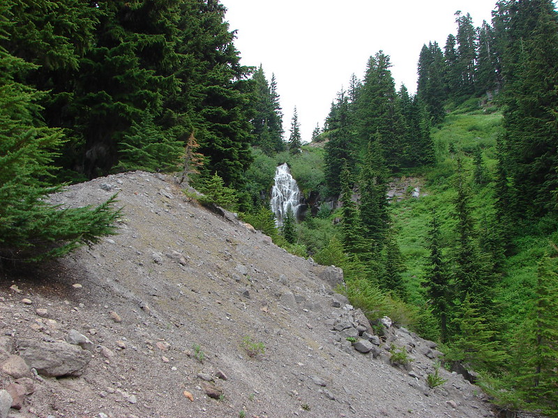
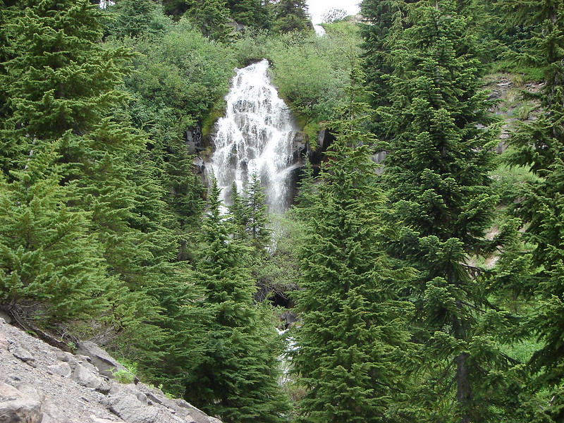
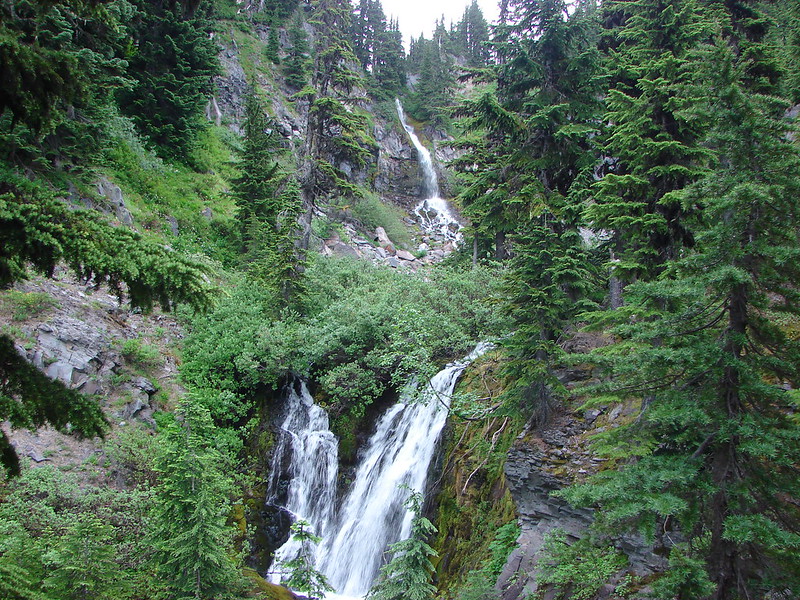
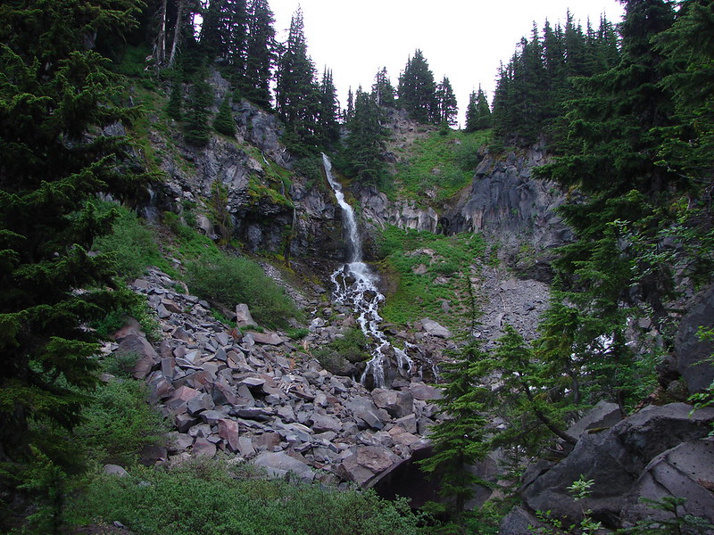
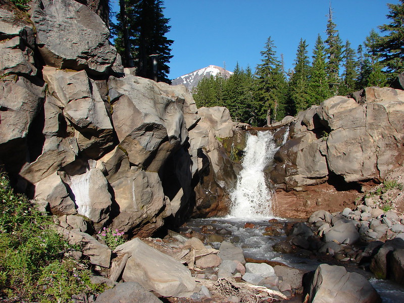
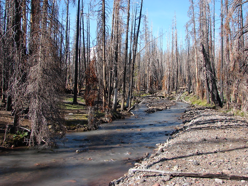
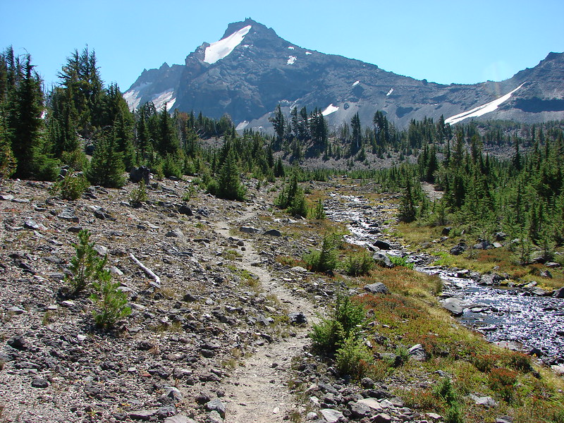
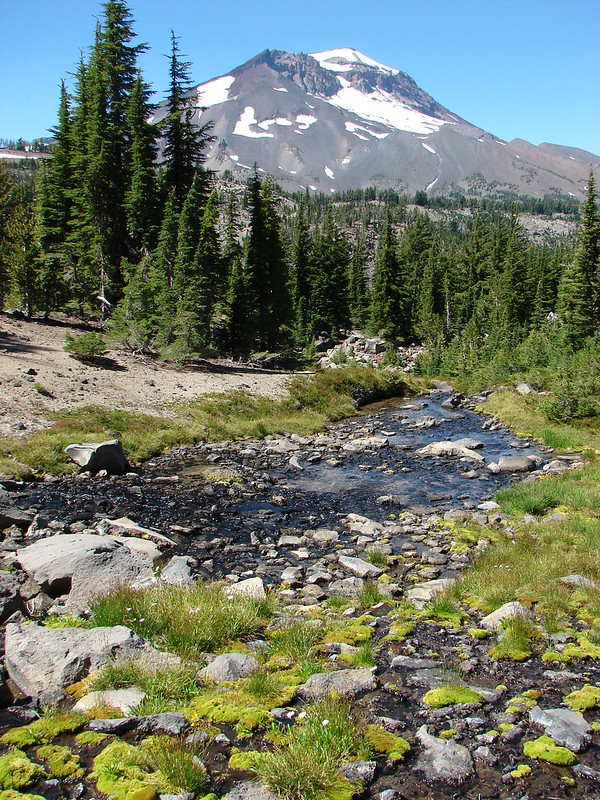
After a deer free breakfast we returned to the Camp Lake Trail at the North Fork Wychus Creek. A nice little waterfall lay just downstream from the creek crossing.
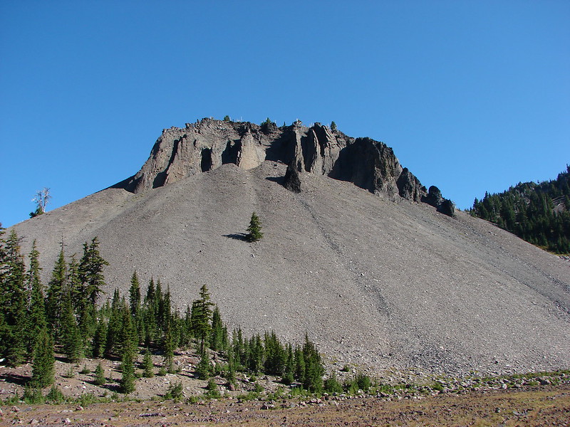
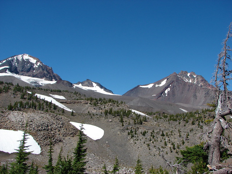
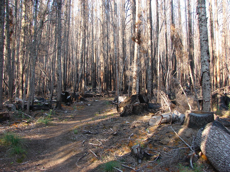
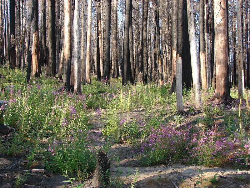
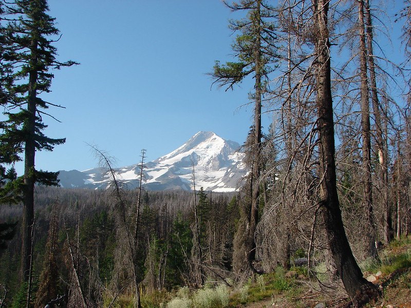
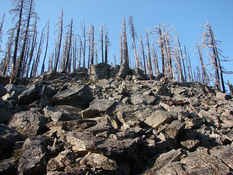
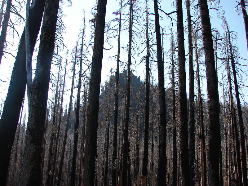
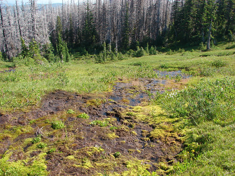
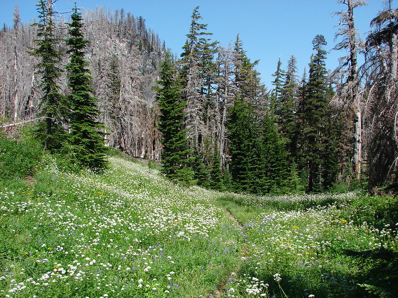
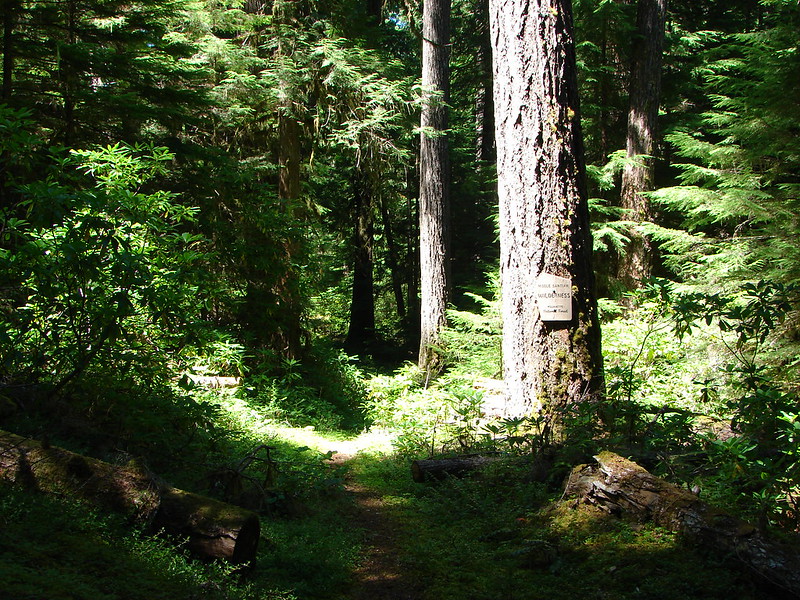
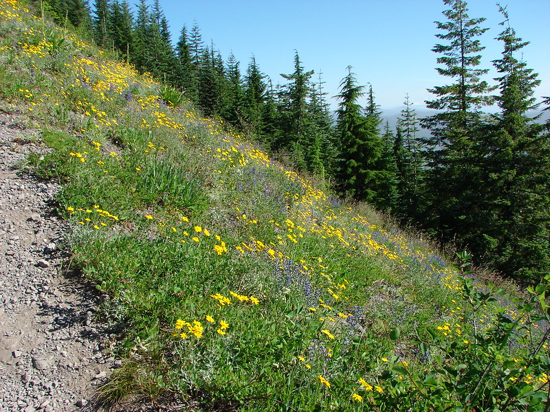
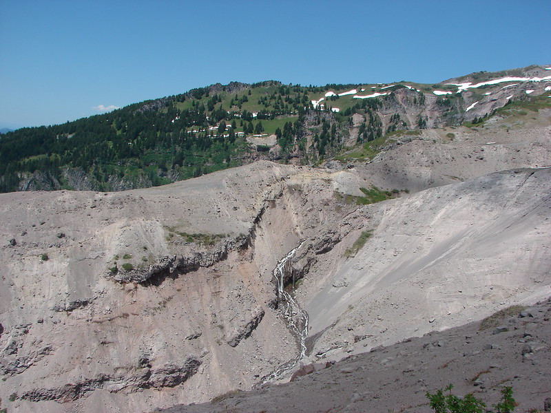
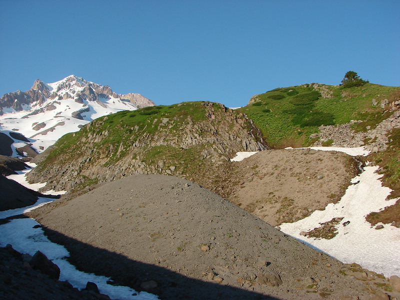
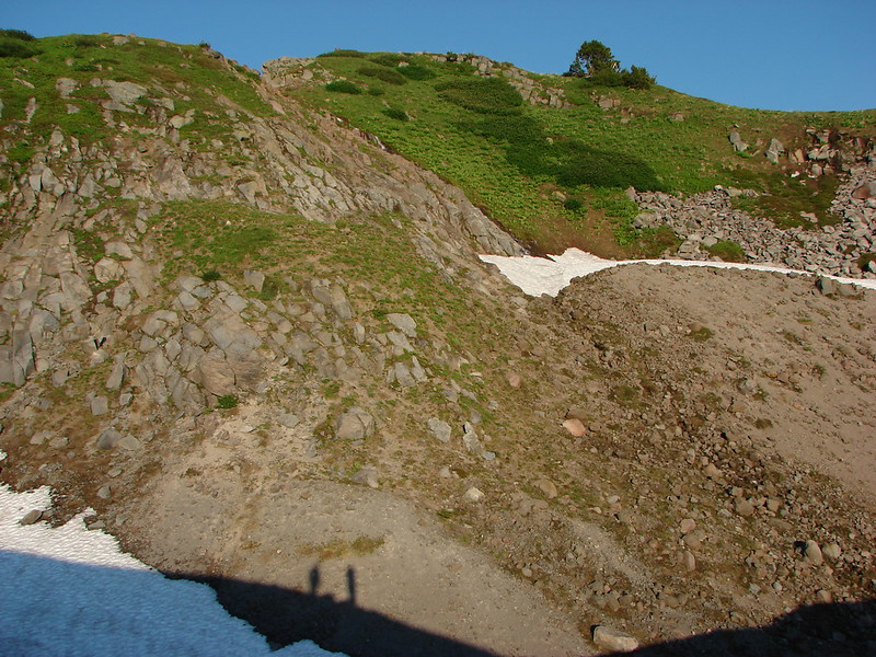
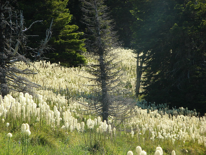
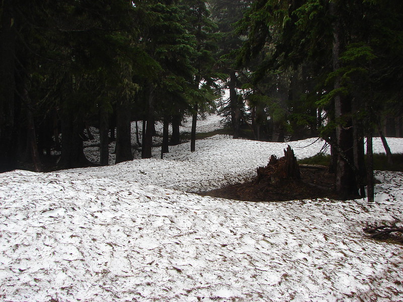
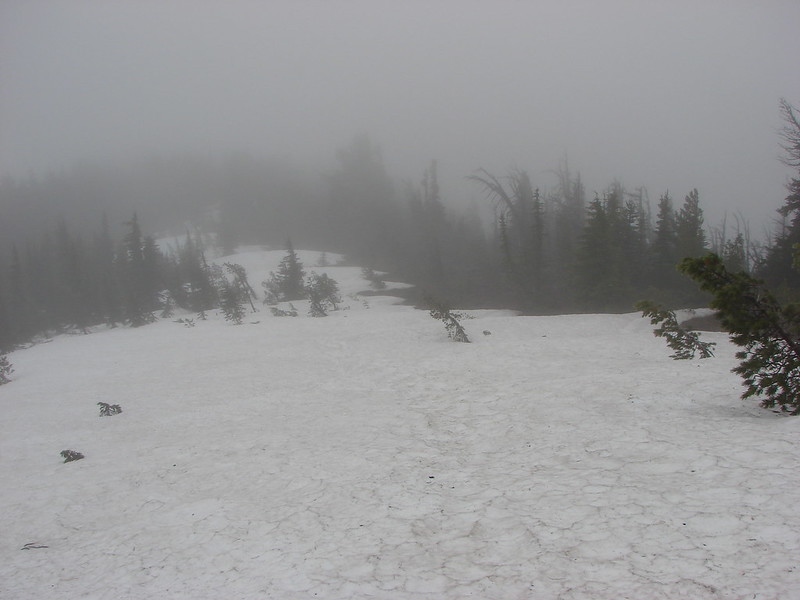
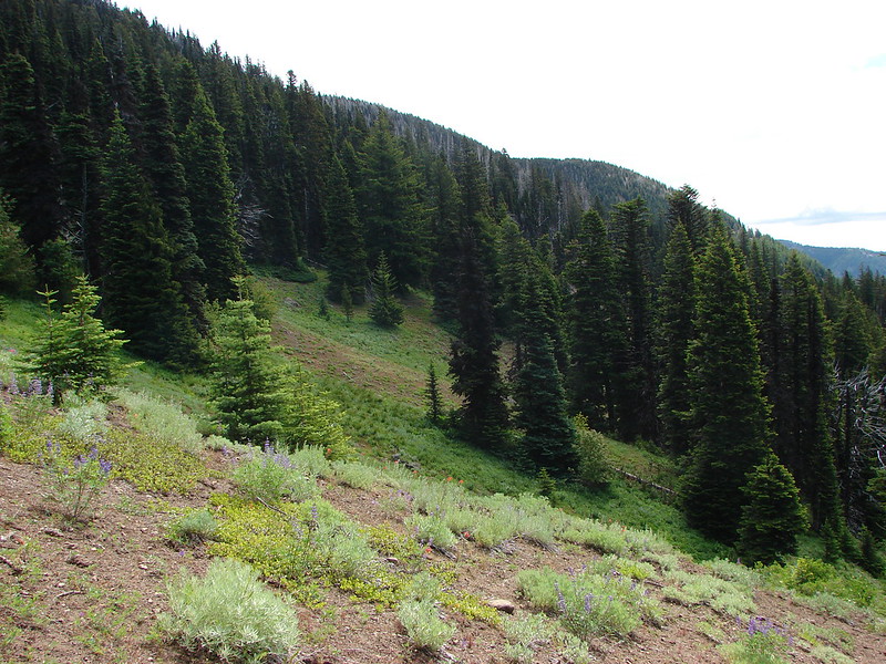
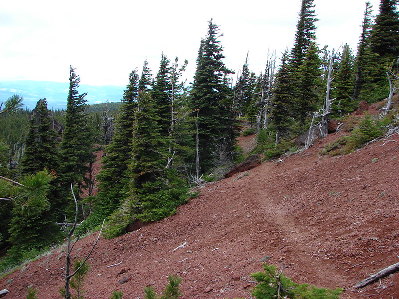
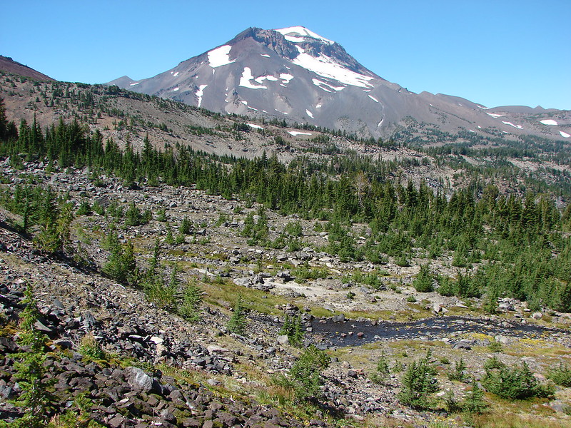
Soon we entered the area burned during the 2012 Pole Creek Fire.

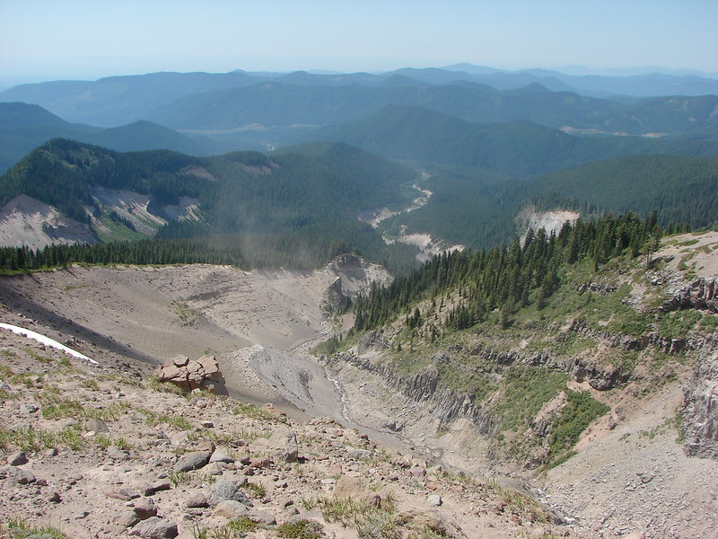
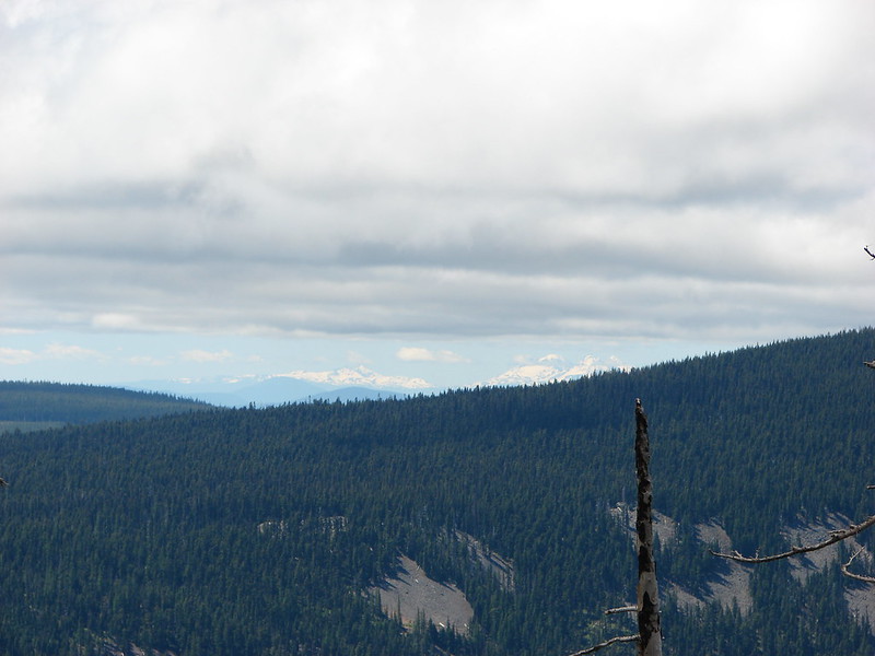
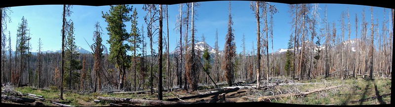
The forest is only starting to recover from the fire so there wasn’t much to see as we made our way to the Green Lakes Trail and Soda Creek.
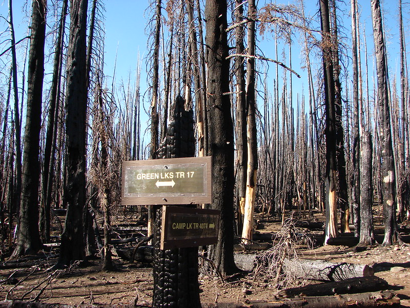
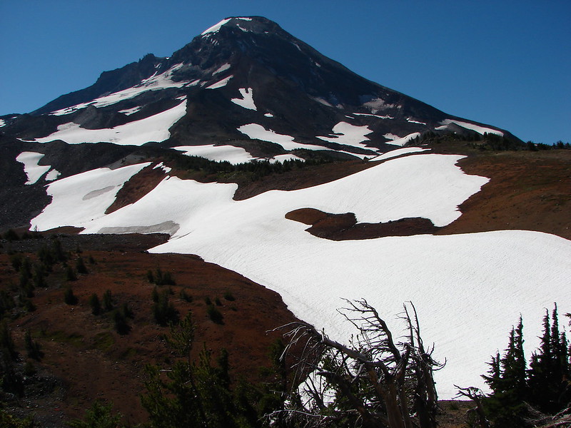
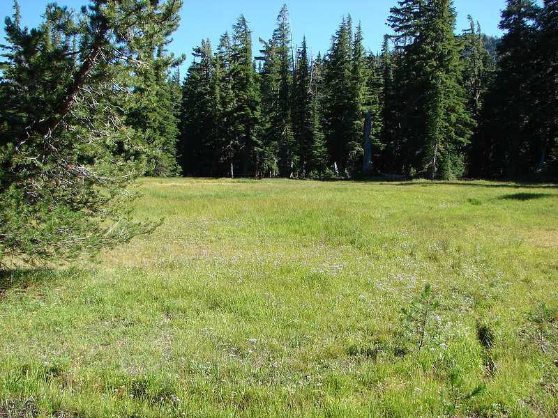
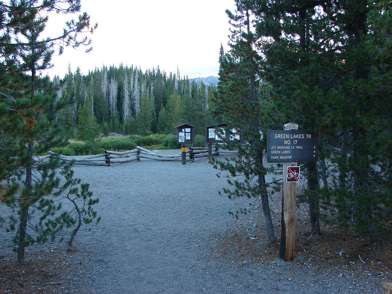
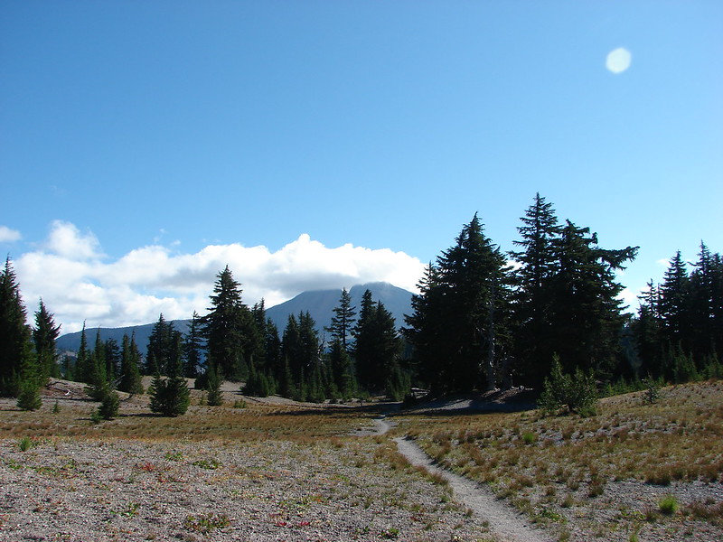
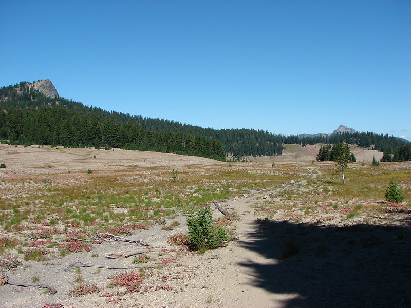
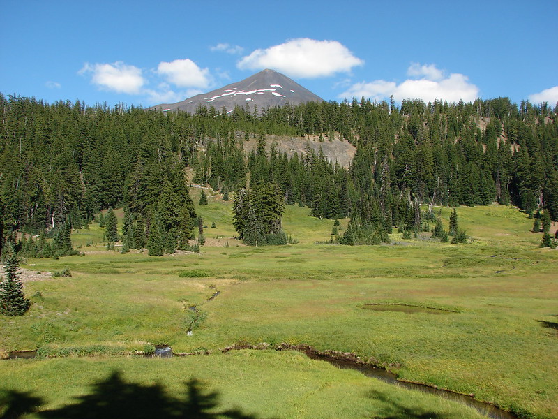
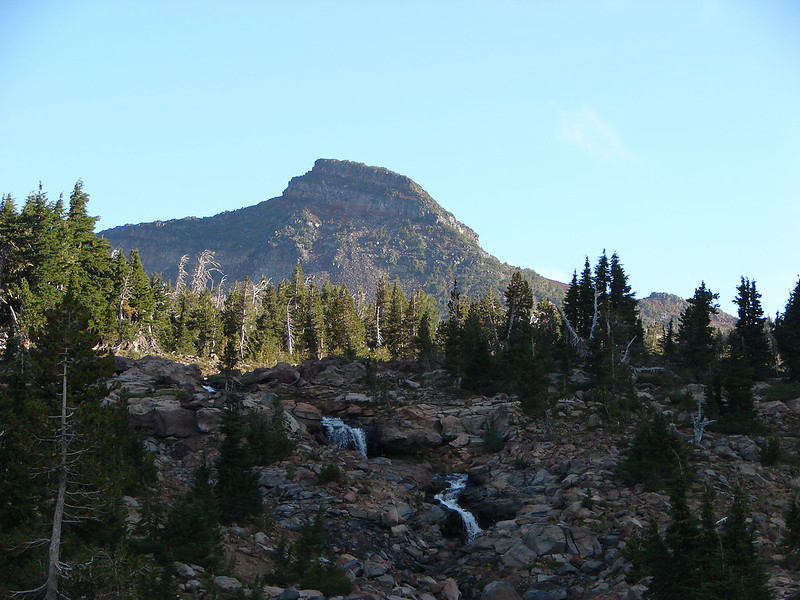
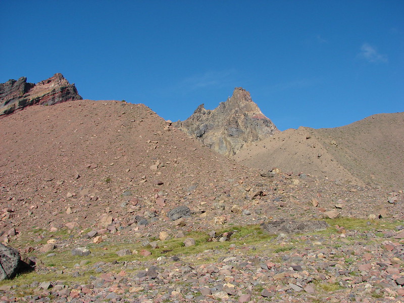
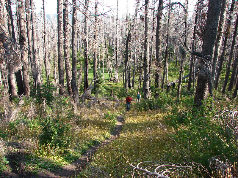
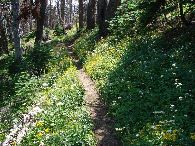
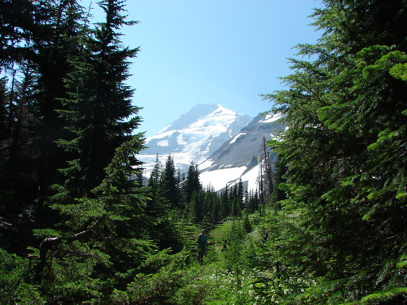
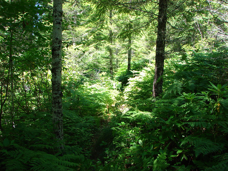
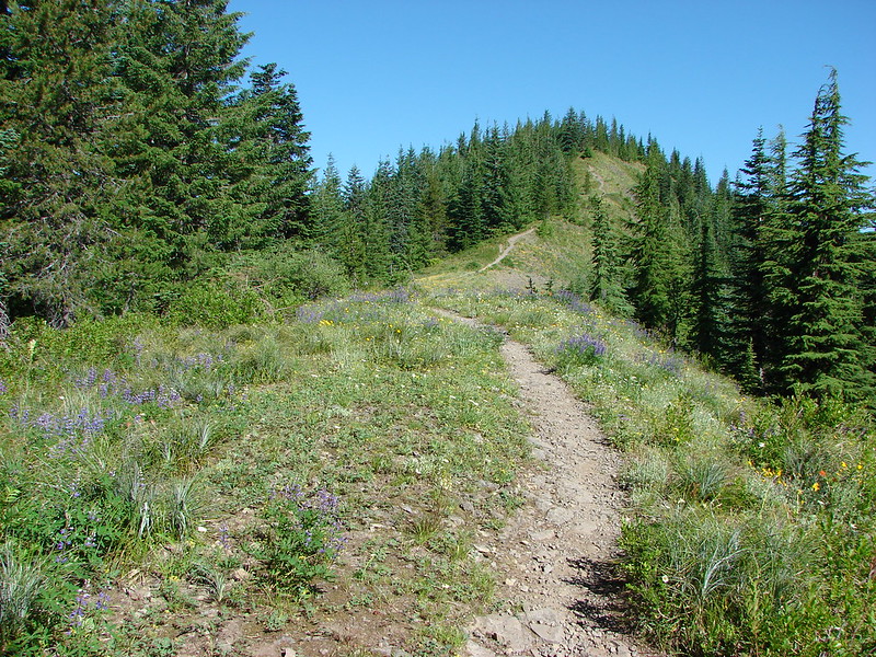
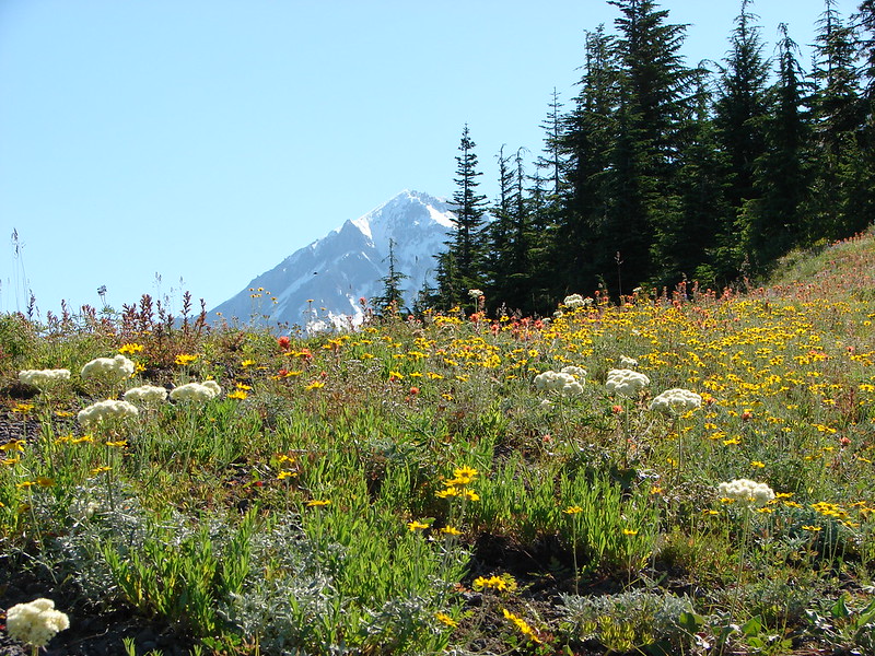
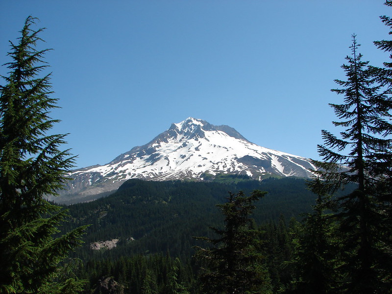
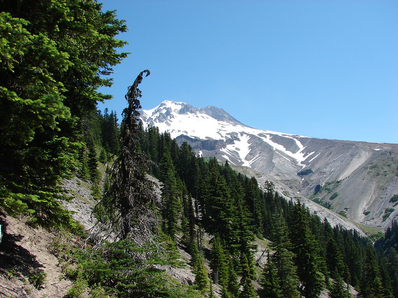
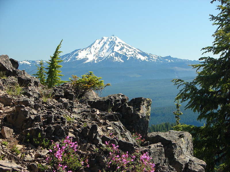
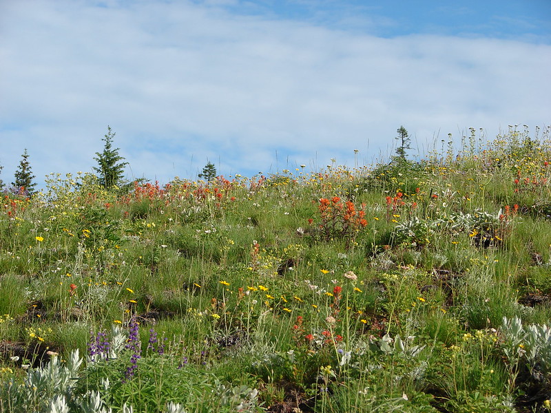
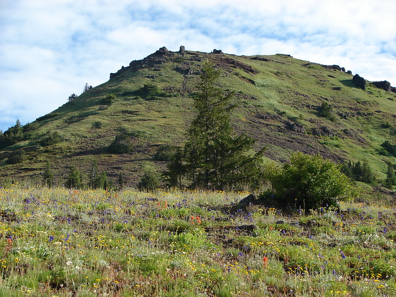
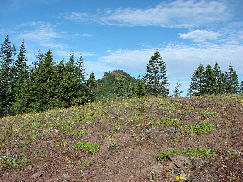
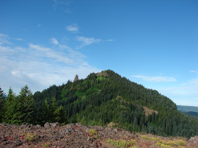
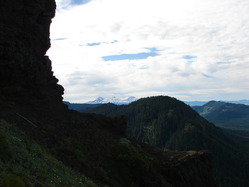
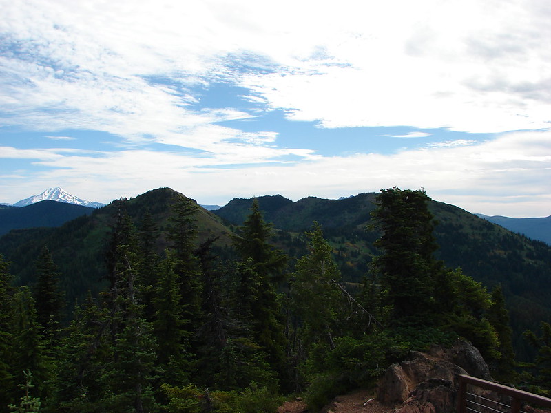
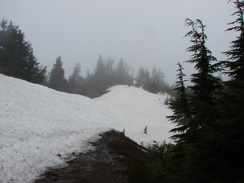
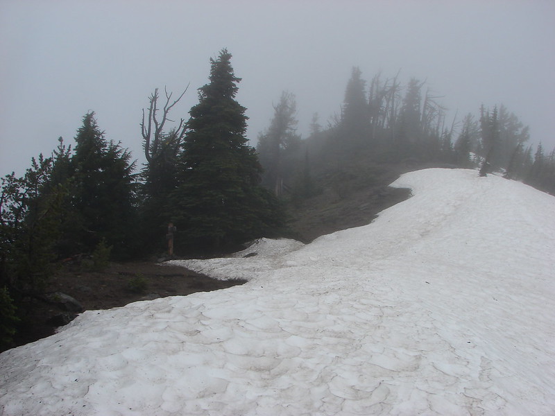
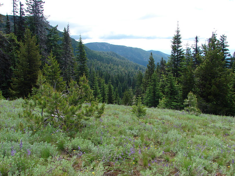
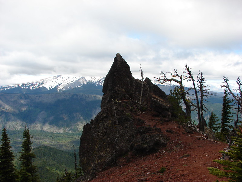
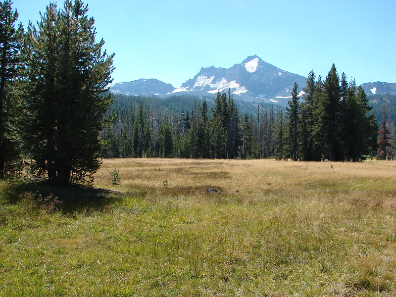
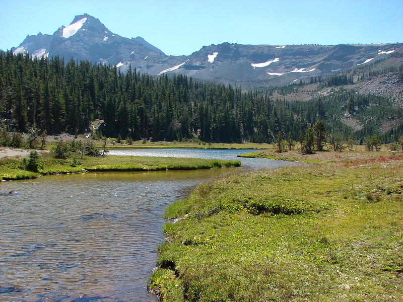
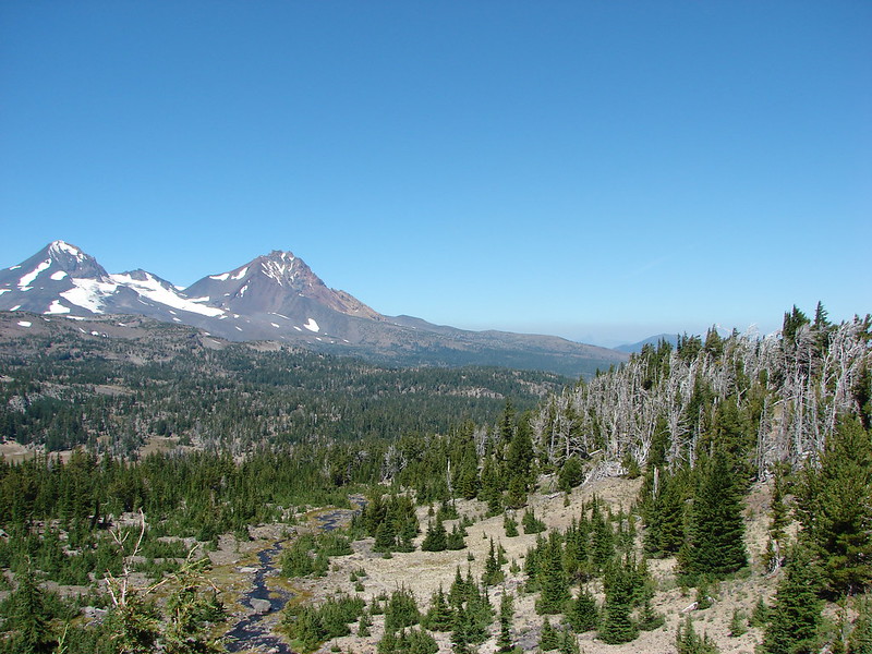
We turned right on the Green Lakes Trail and headed south toward Park Meadow. The first section of trail remained in the burn area but we were now headed back toward the mountains so we at least had a view.
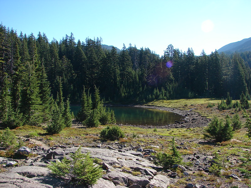
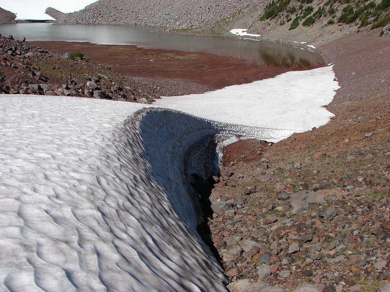
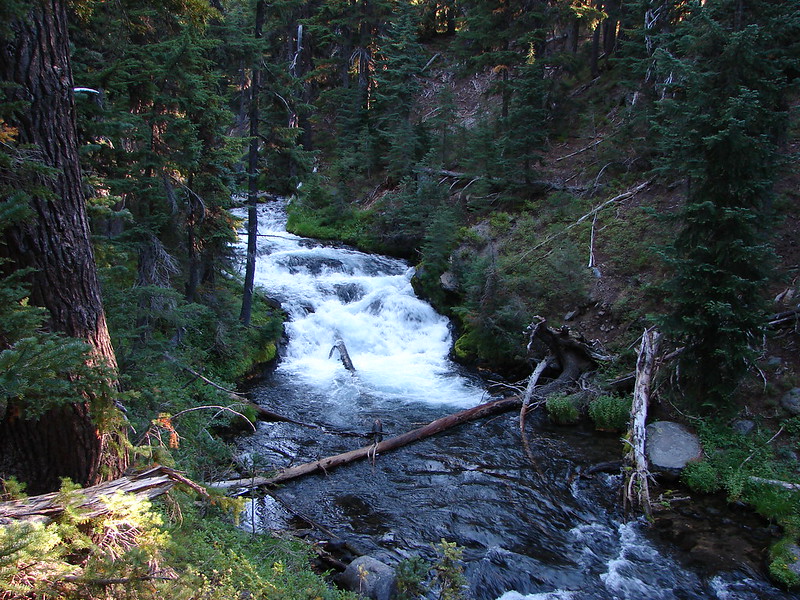
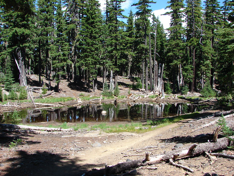
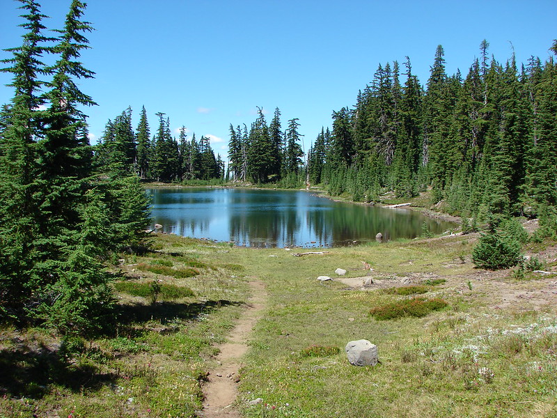
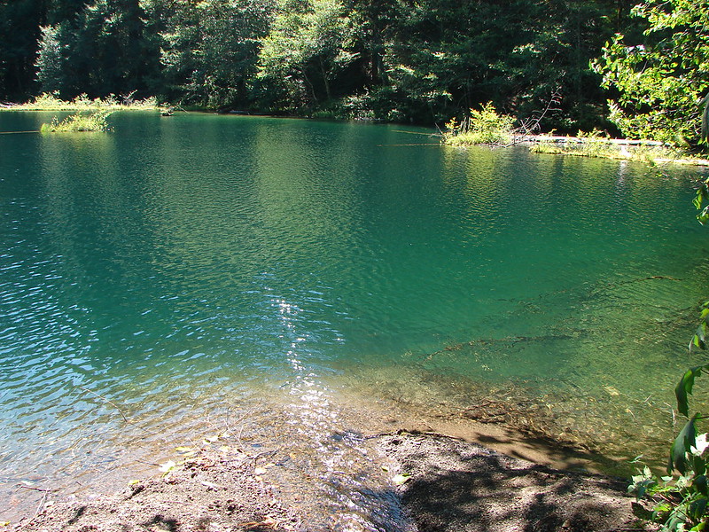
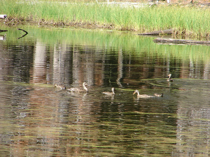
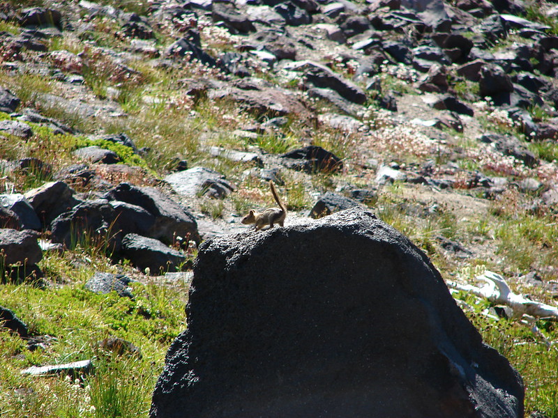
After recrossing the North Fork Wychus Creek and then crossing the South Fork Wychus Creek the trail passed between a pair of ponds at the edge of the burn. The large pond on the left was empty while the much smaller pond on the right was filled with ducks.
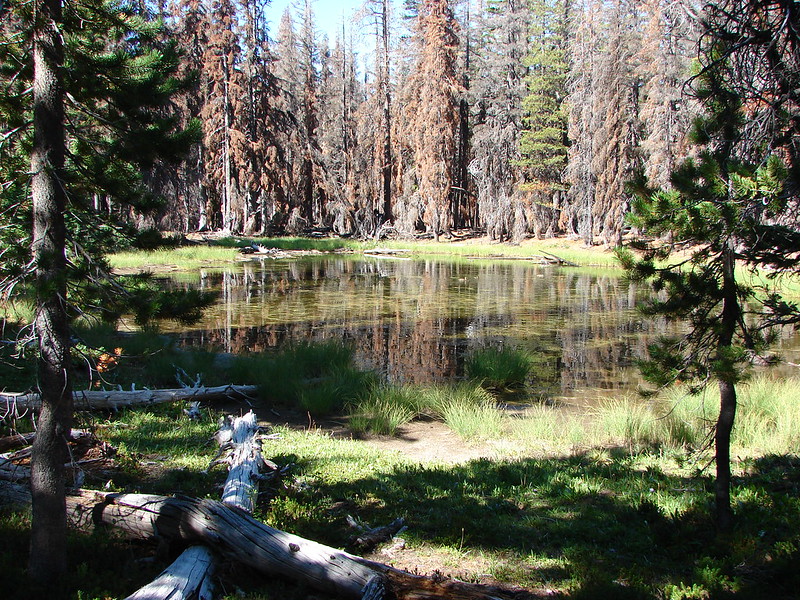
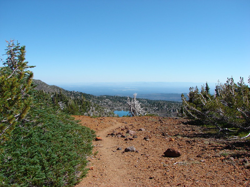
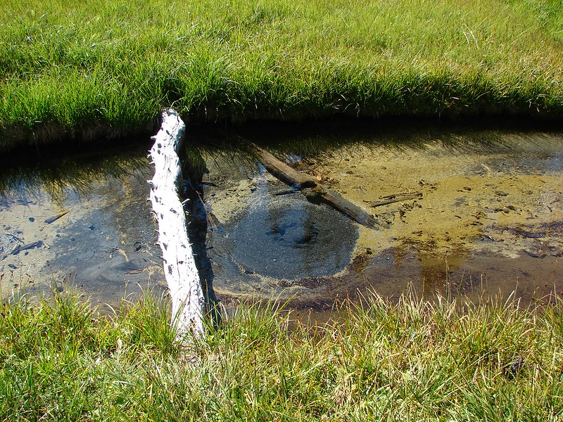
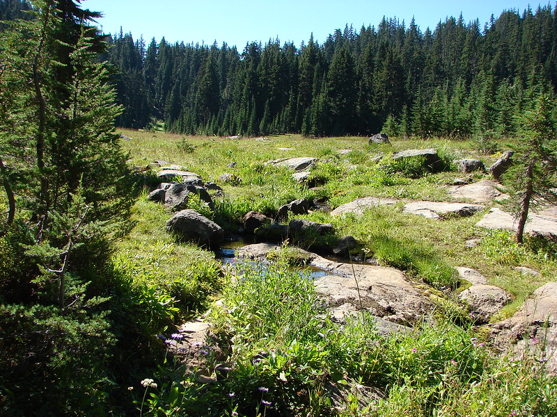
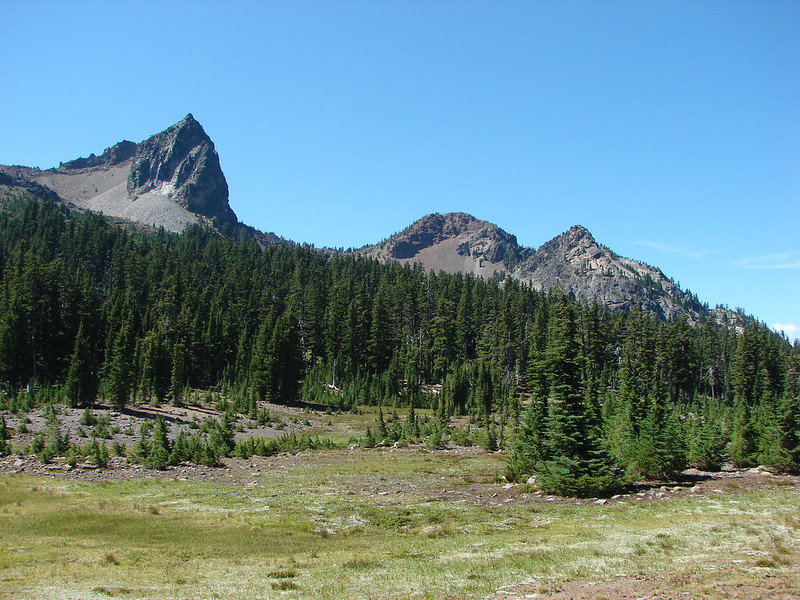
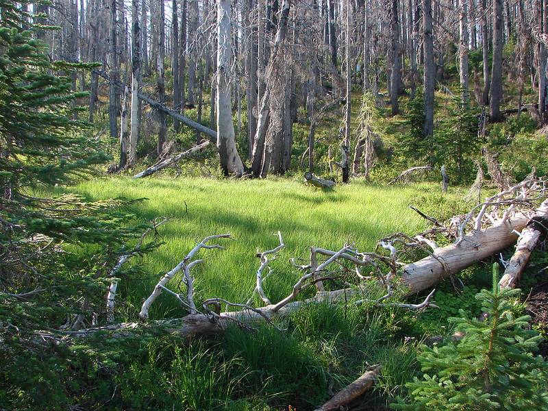
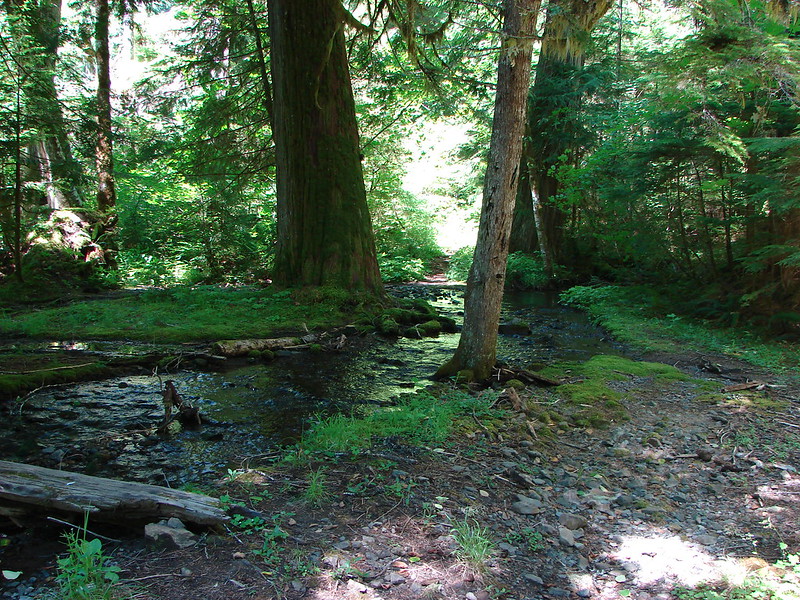
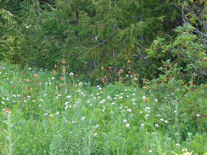
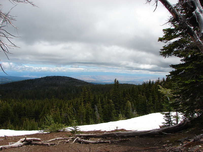
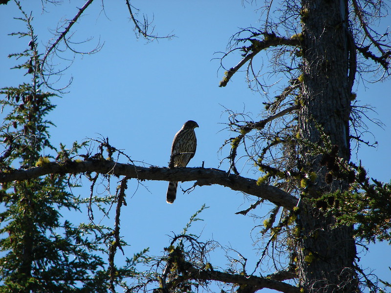
After leaving the burn area our next marker was the West Fork Park Creek in Red Meadow.


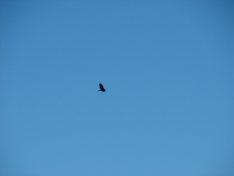
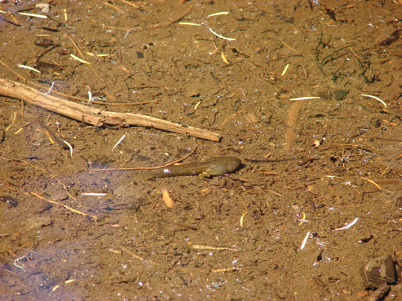
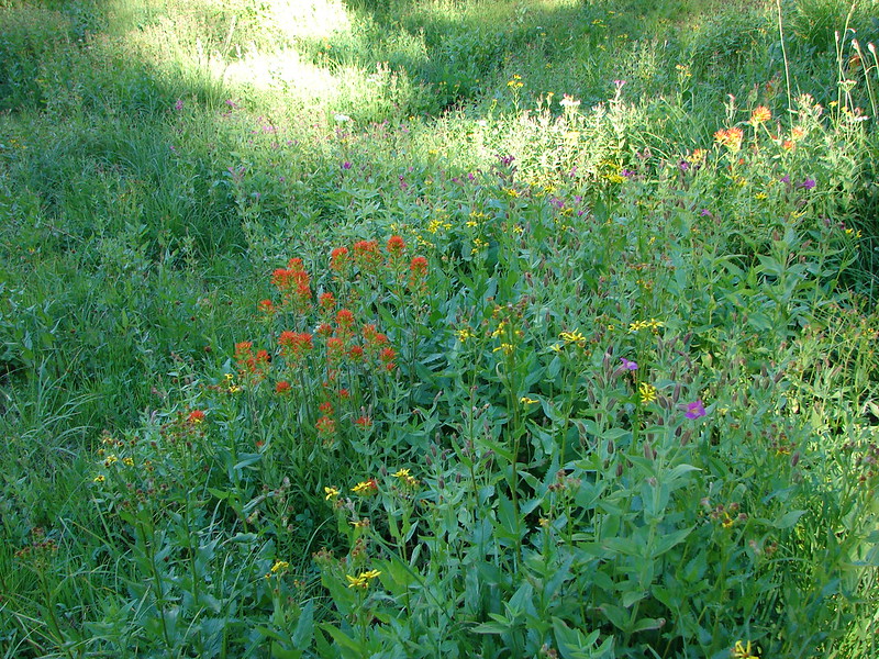
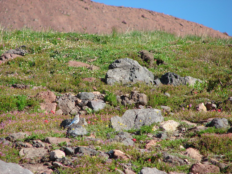
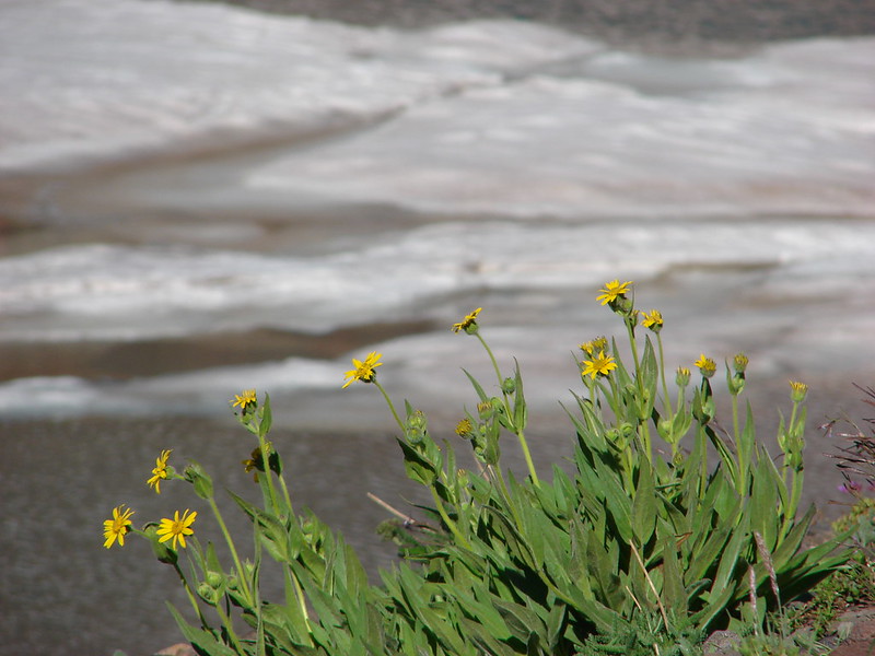
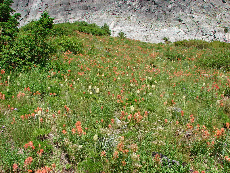
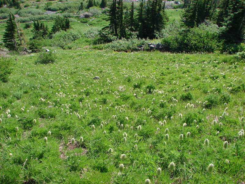
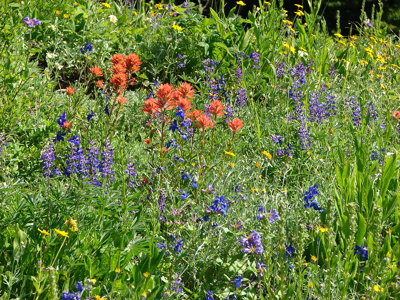
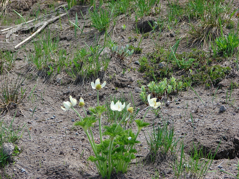
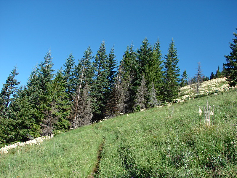
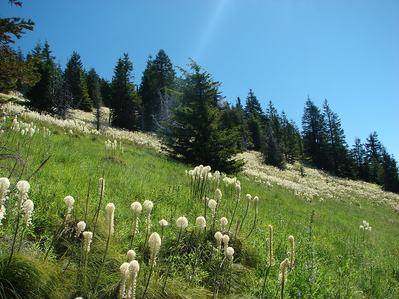
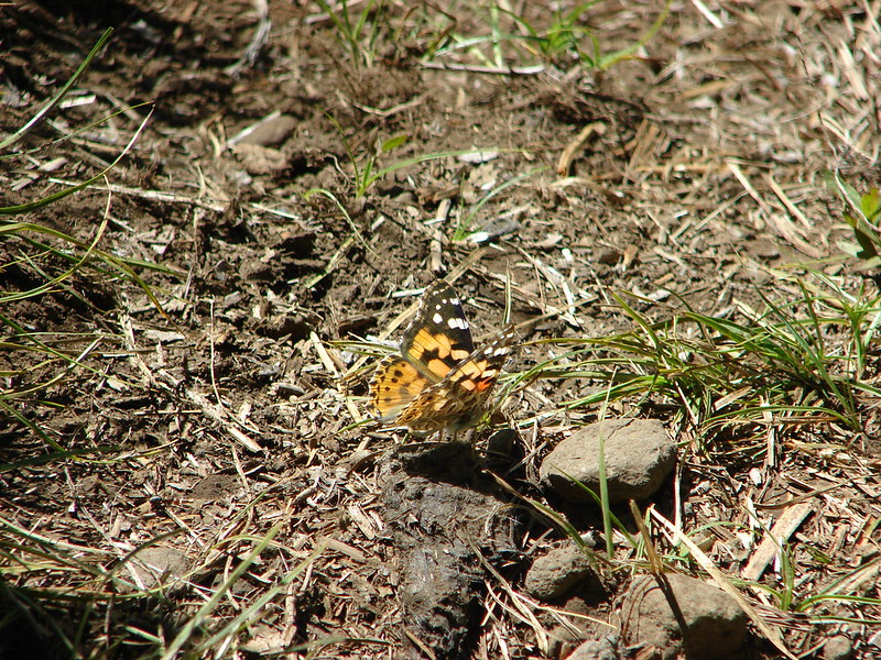
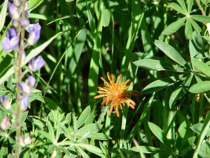
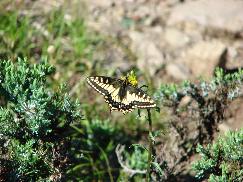
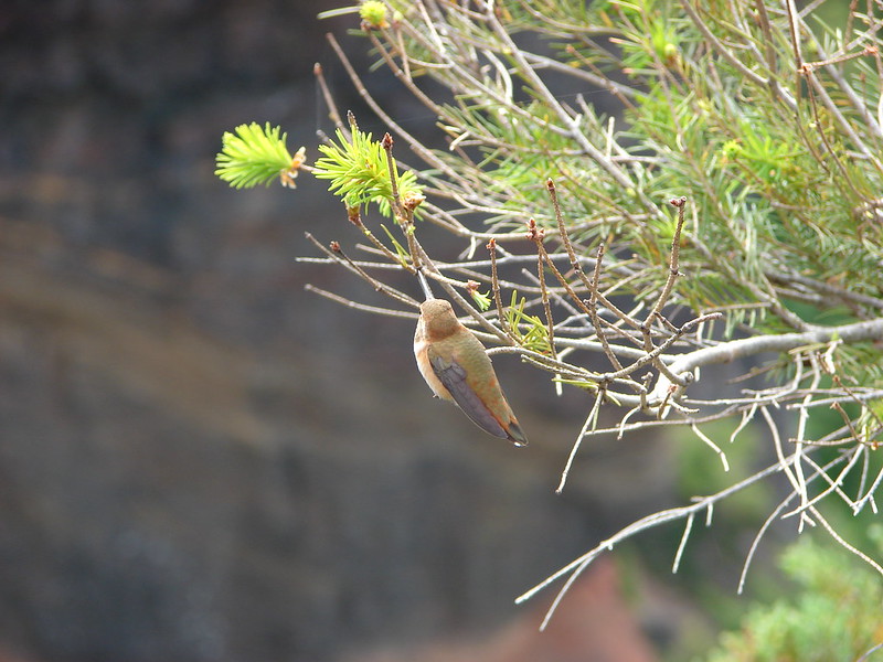
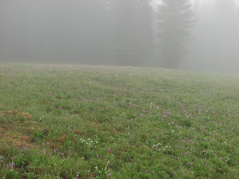
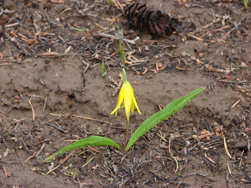
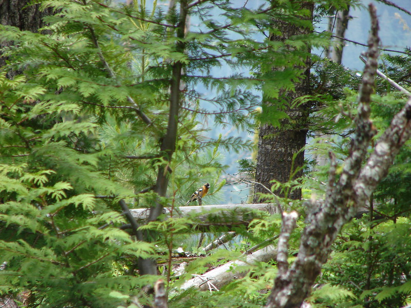
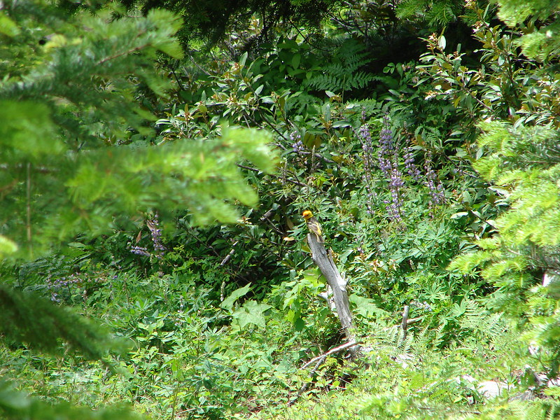
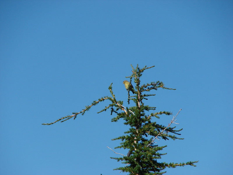
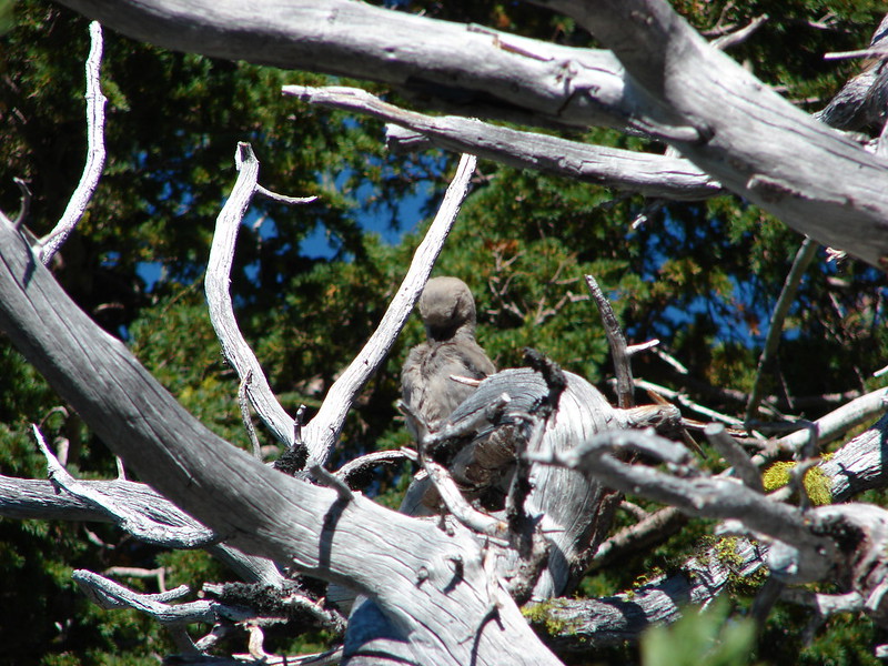
There weren’t many flowers in the meadow but a hawk provided some entertainment as it watched us from a nearby tree.
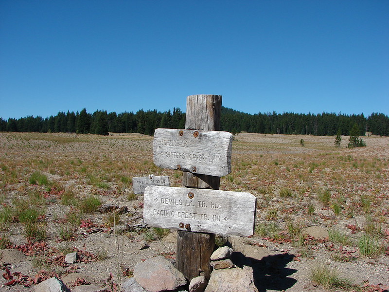
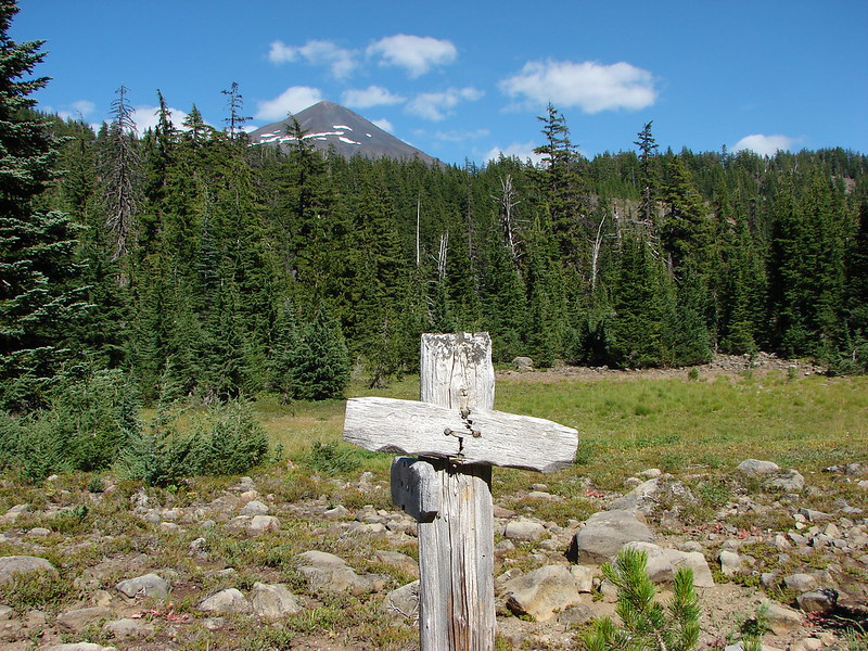
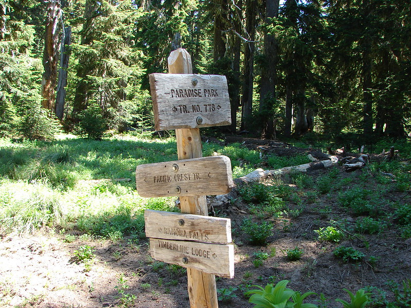
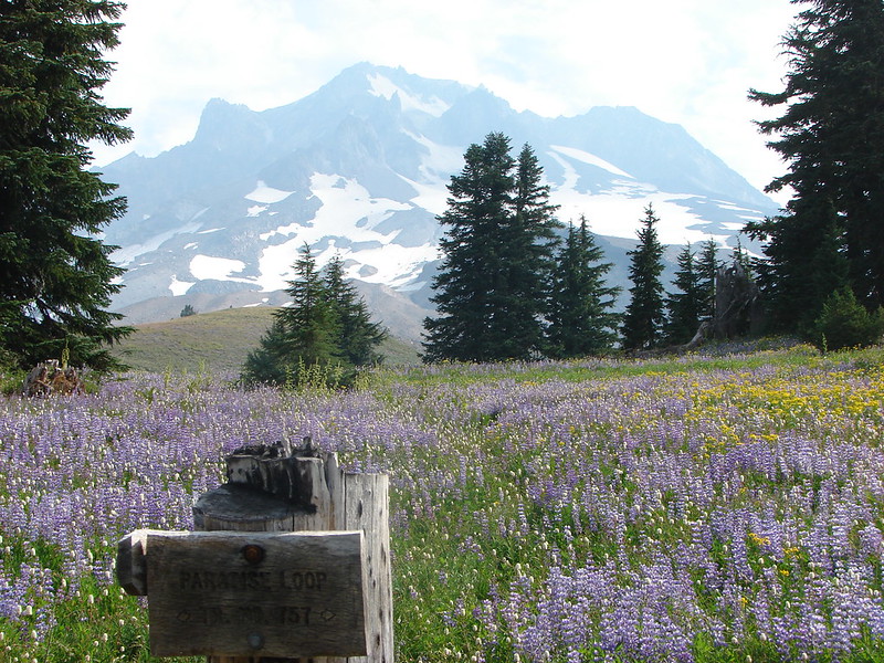
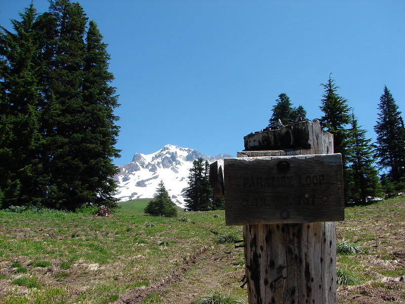
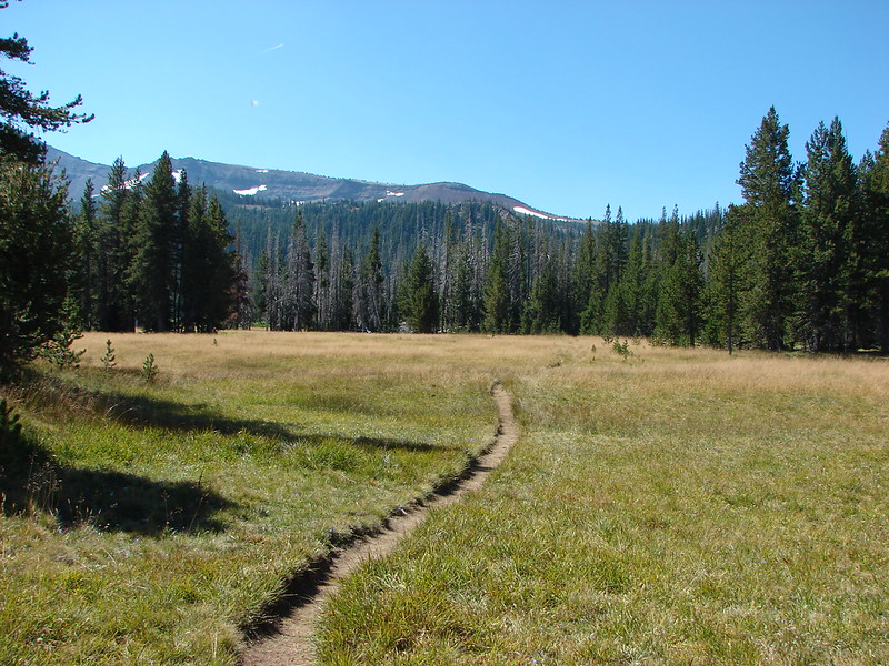
From there it was just under a mile to our next trail junction located in Park Meadow.

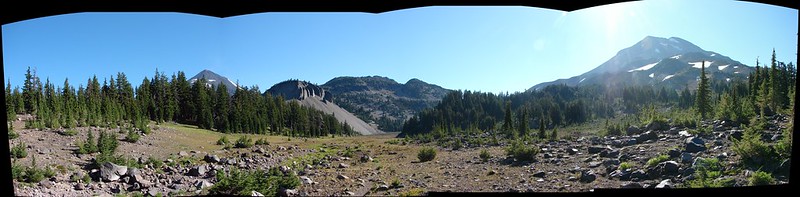
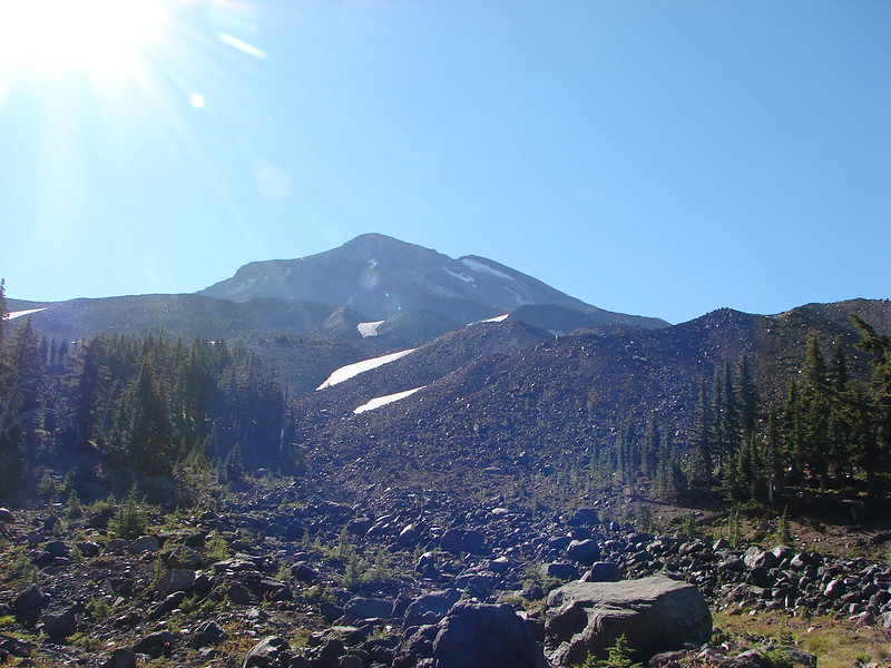
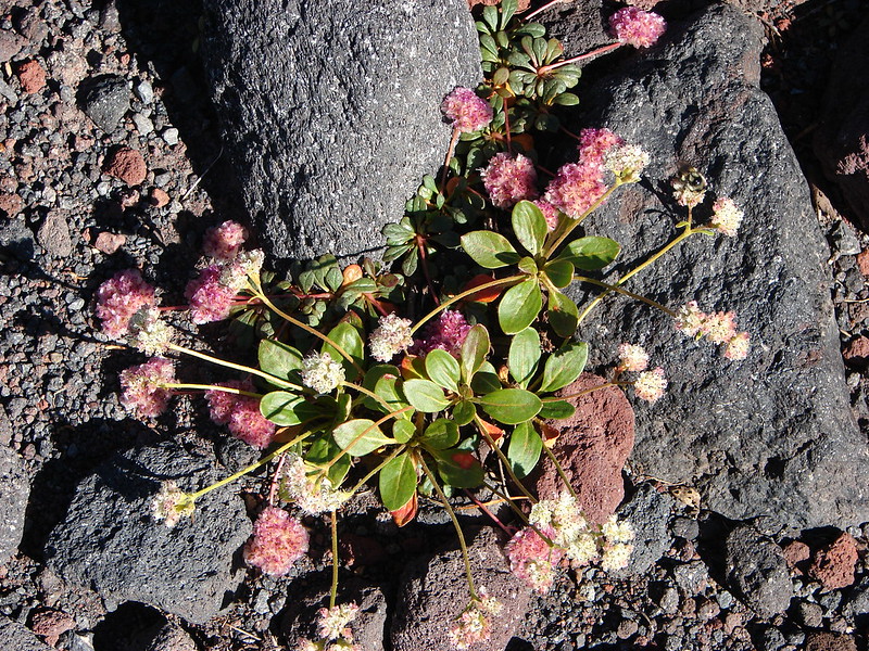
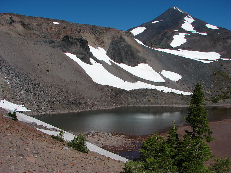
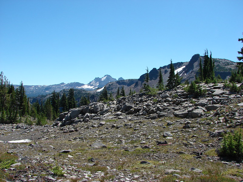
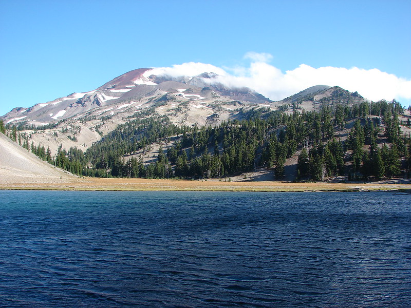
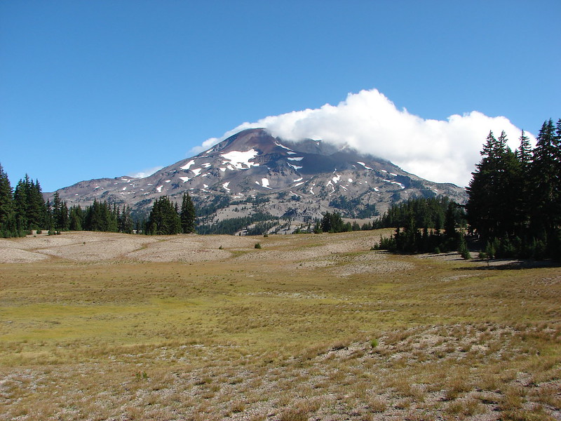
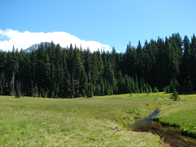
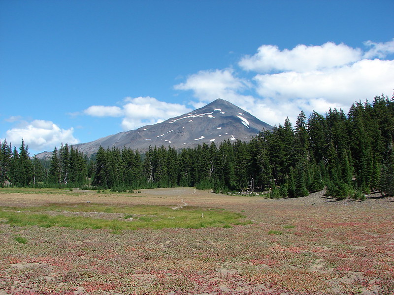
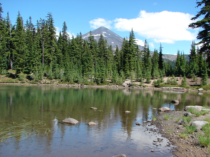
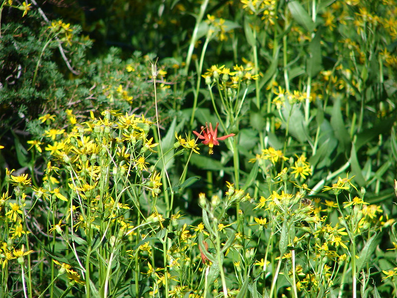
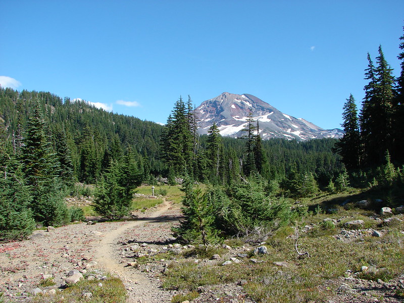
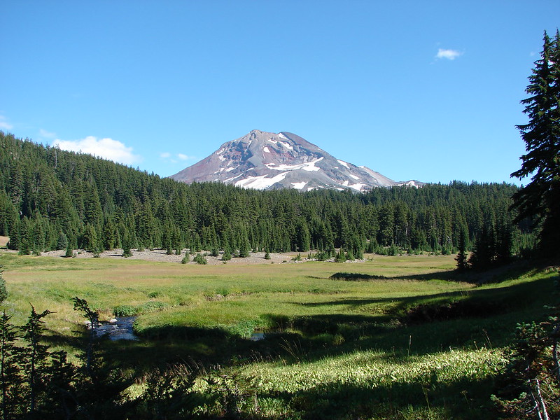
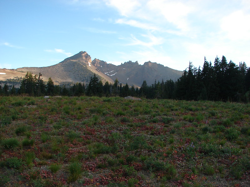
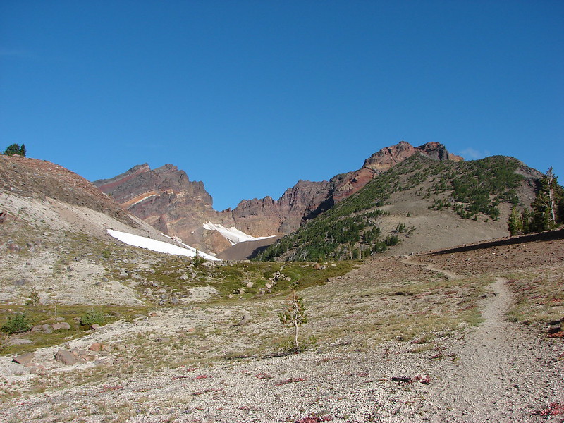
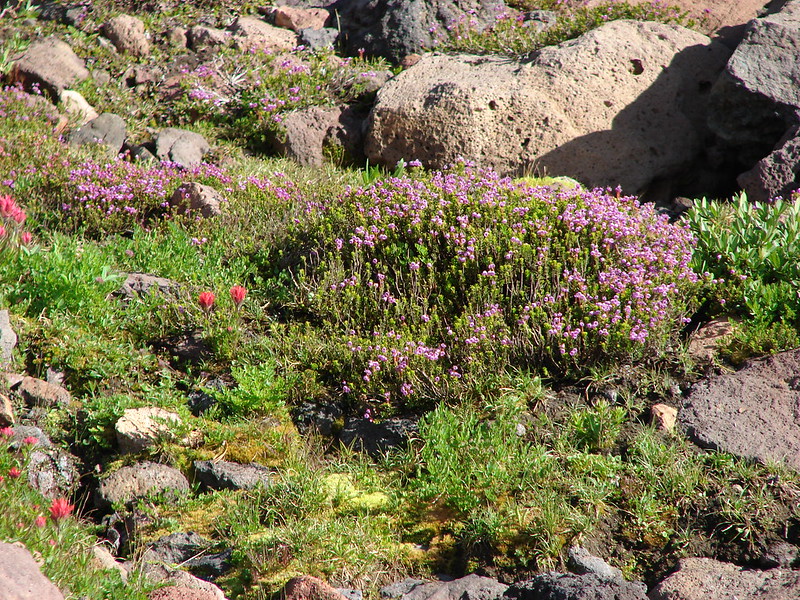
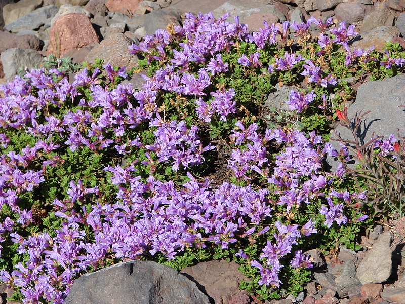
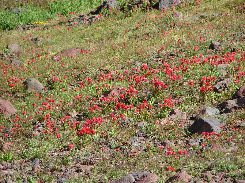
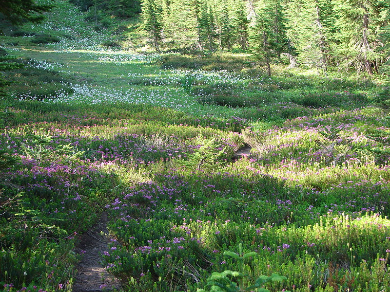
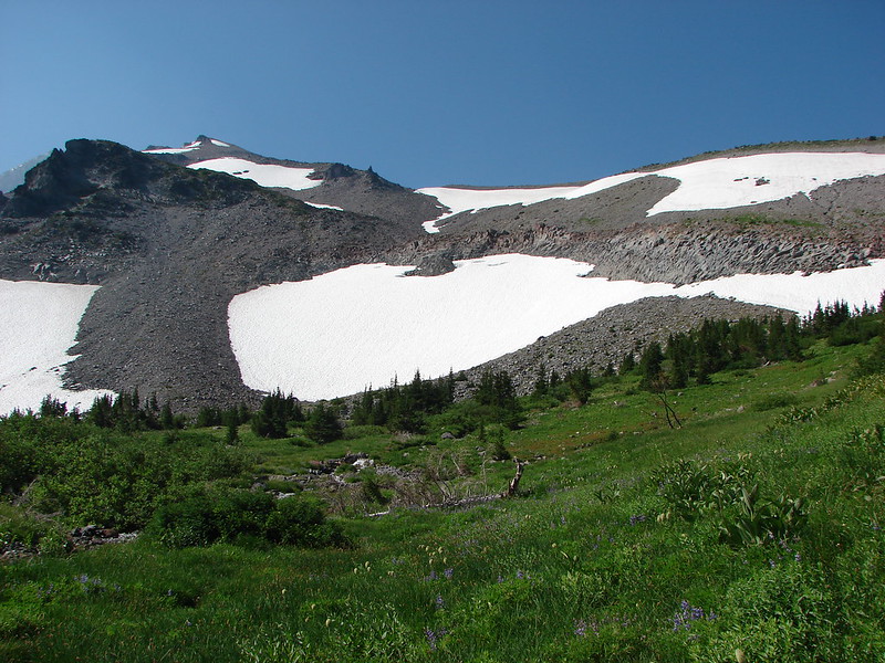
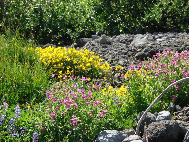
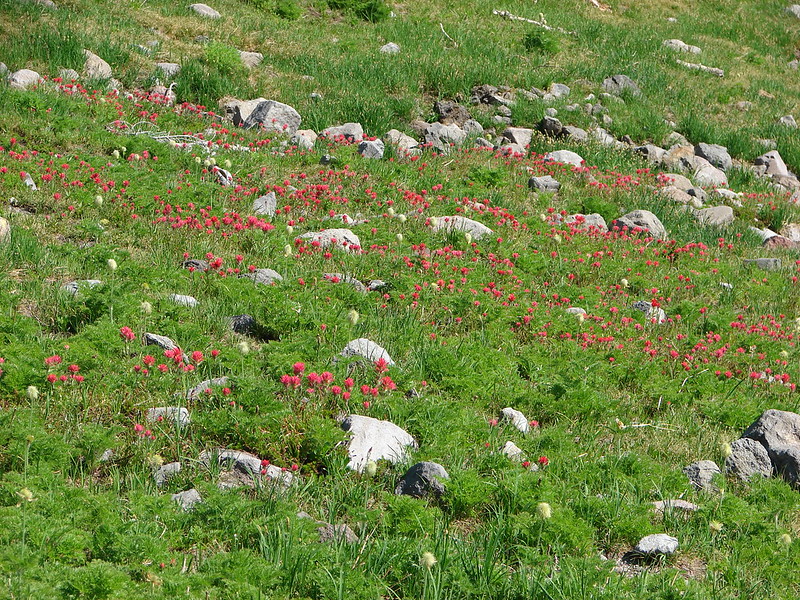
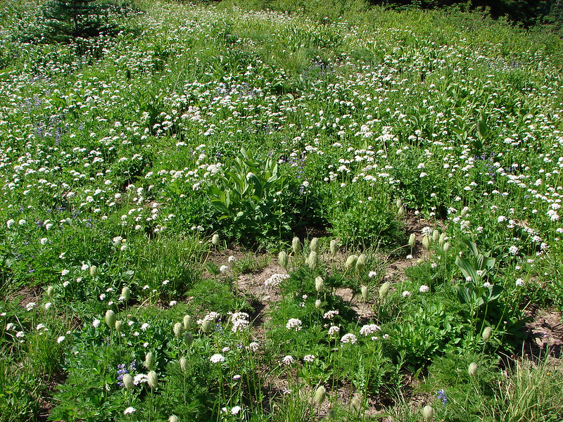
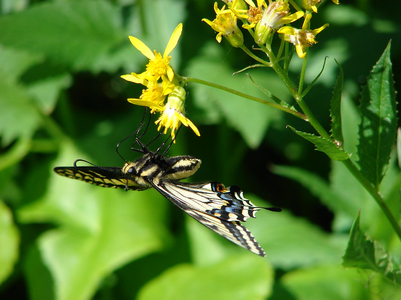
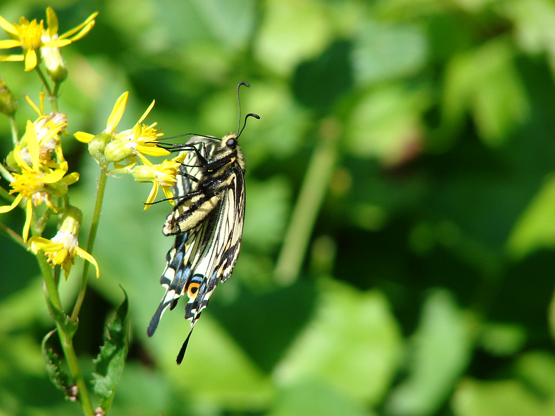
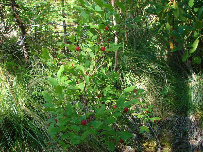
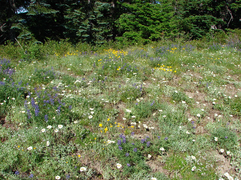
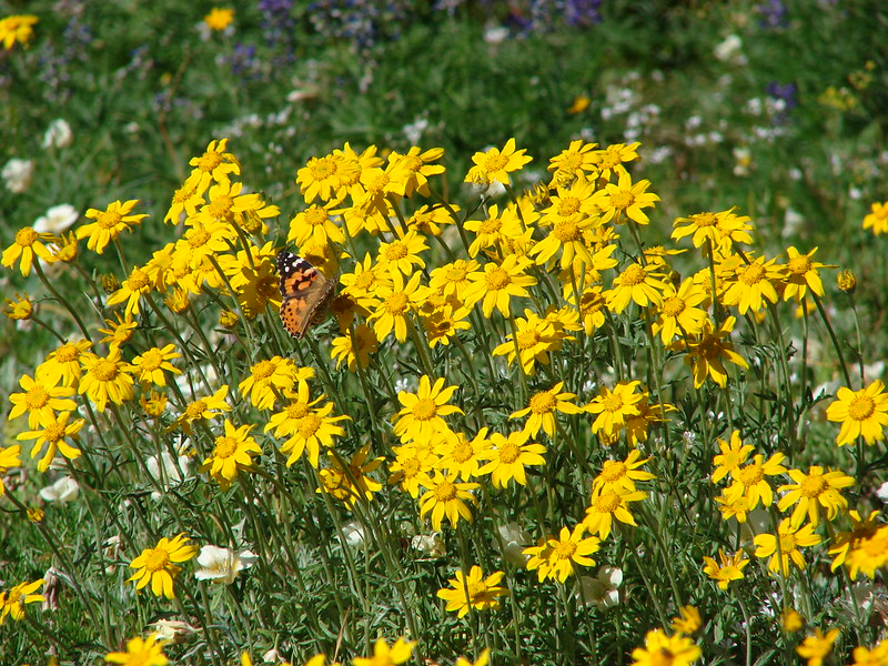
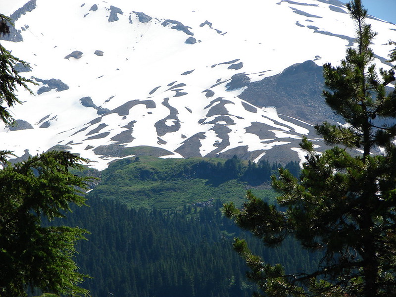
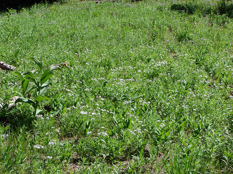
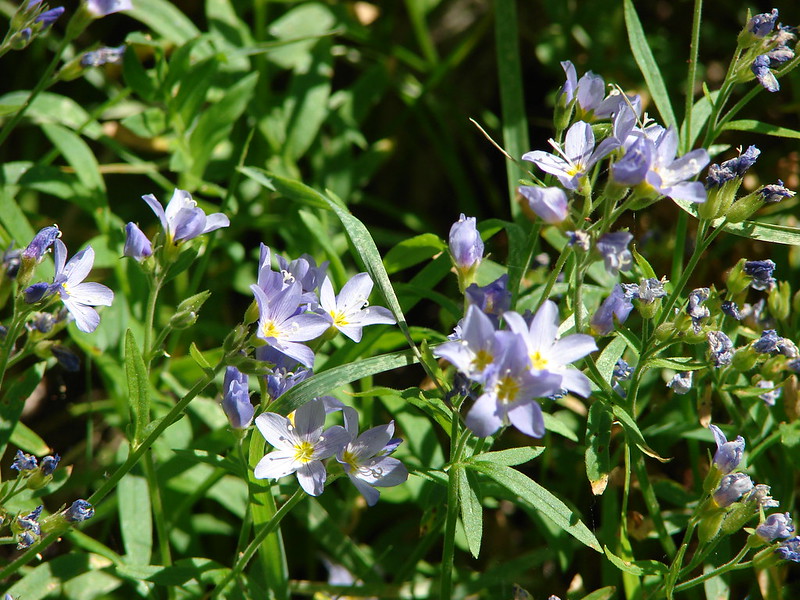
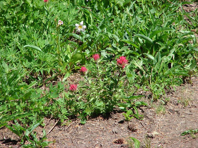
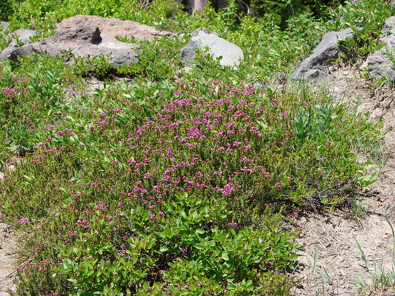
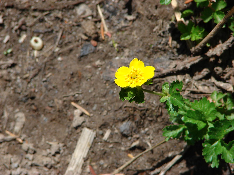
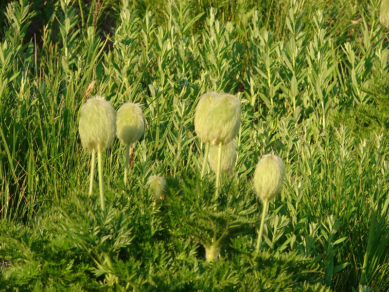
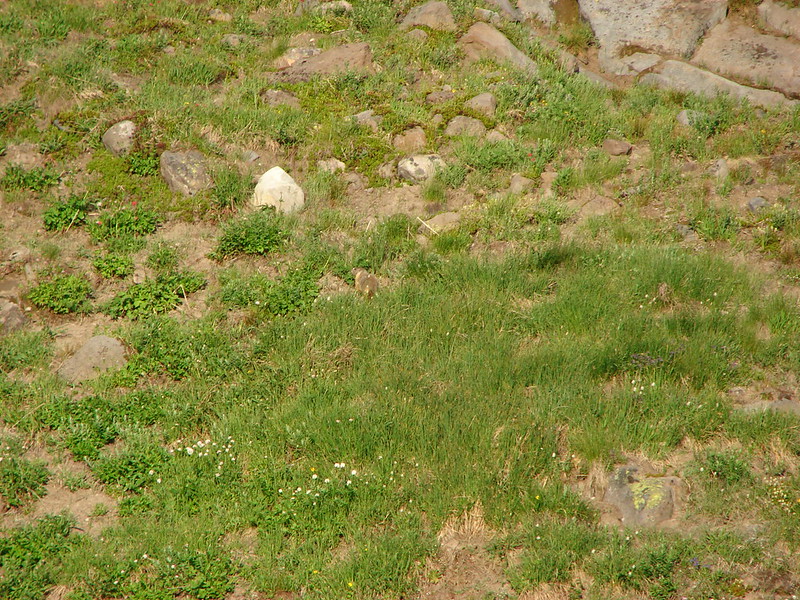
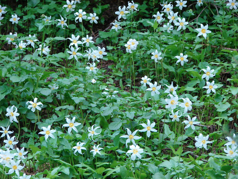
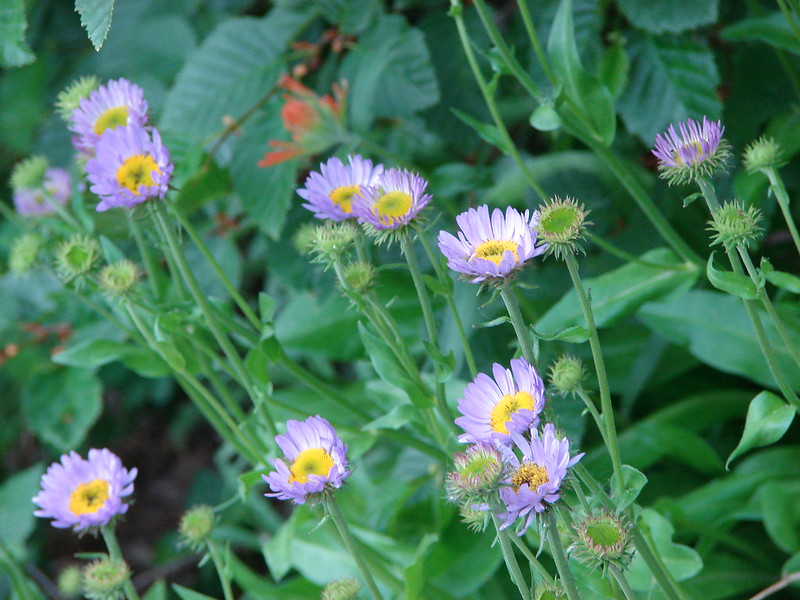
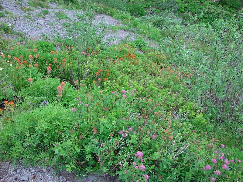
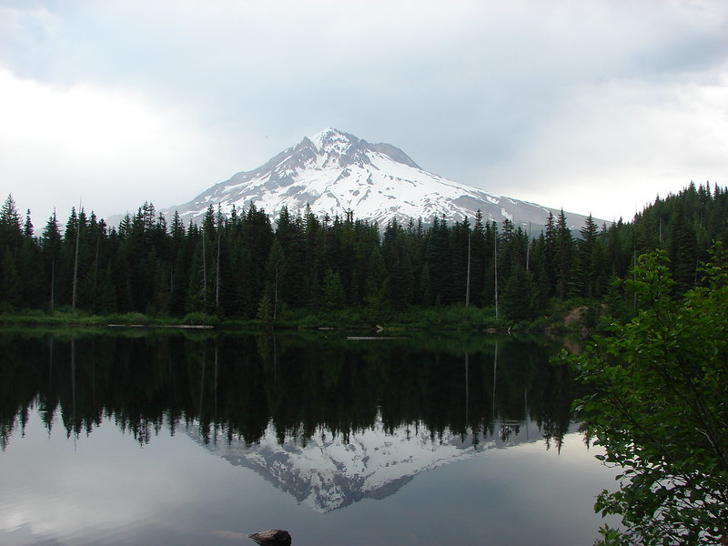
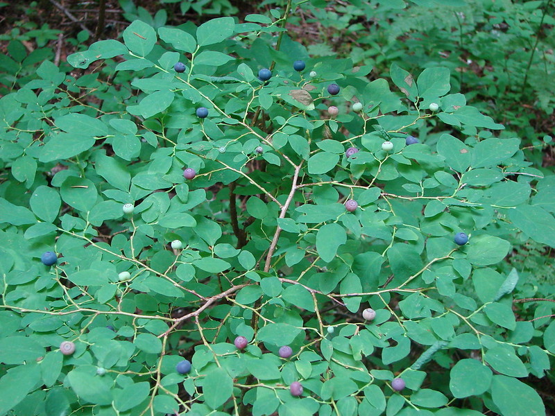
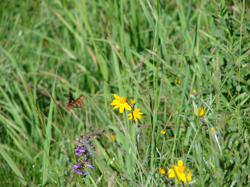
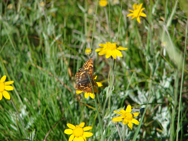
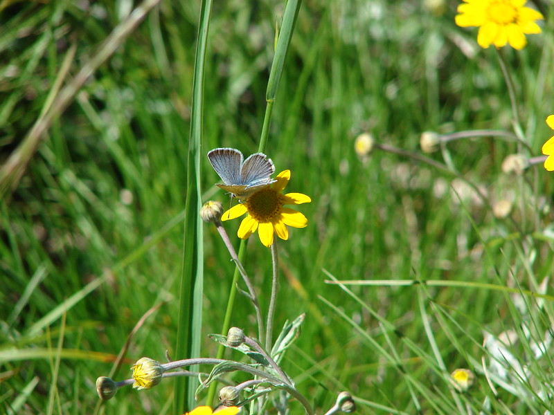
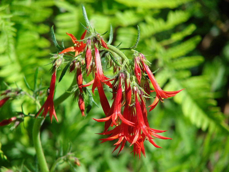
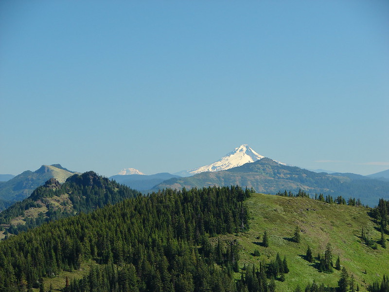
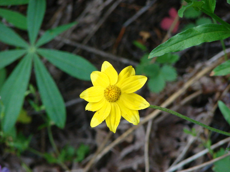
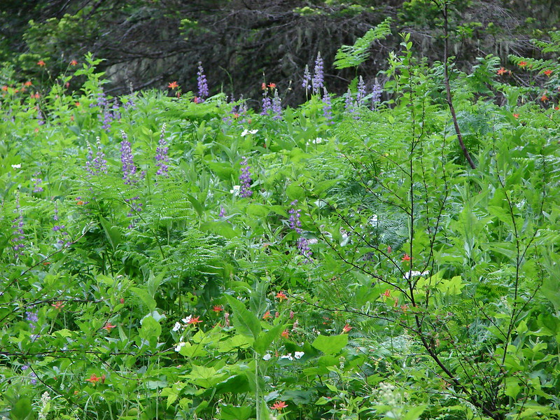
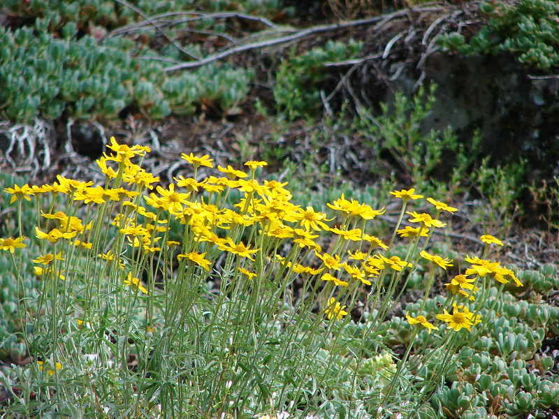
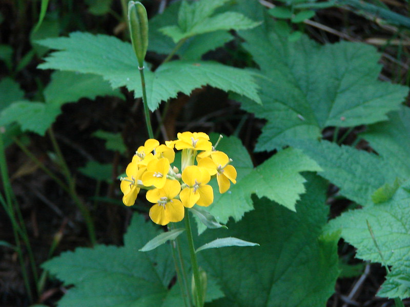
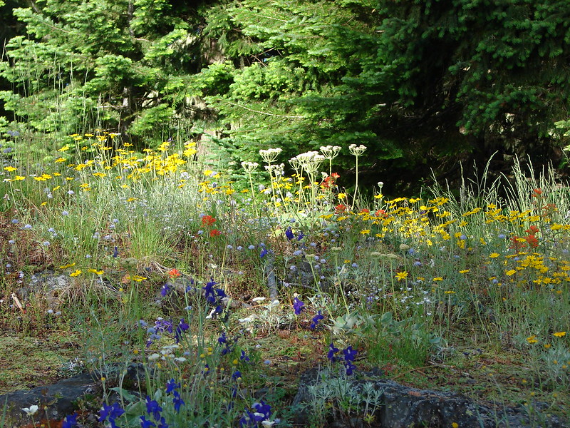
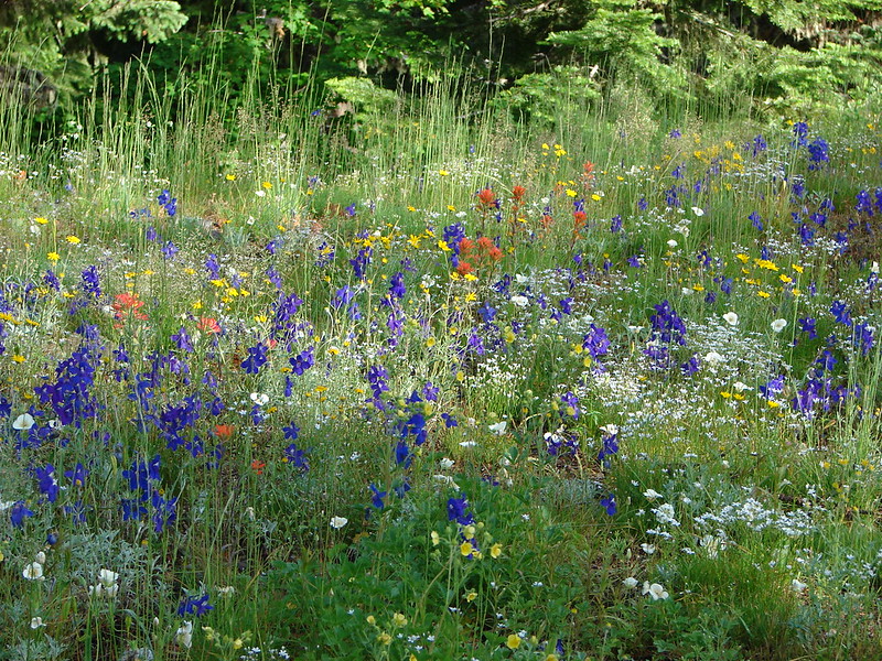
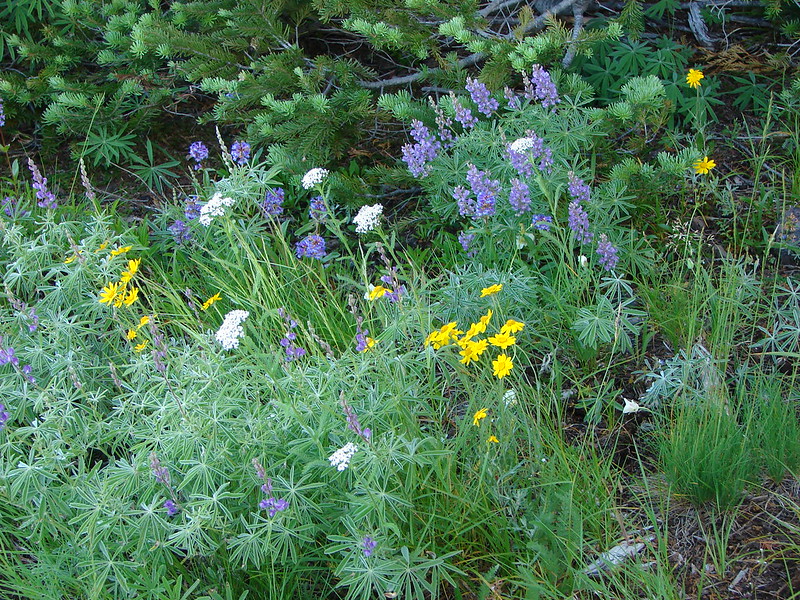
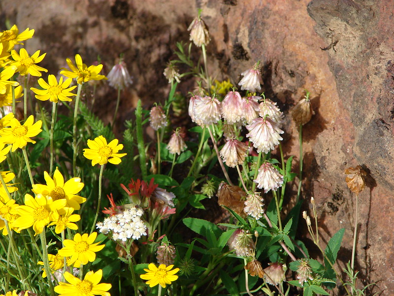
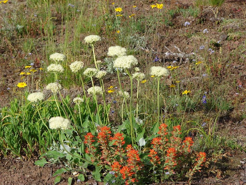
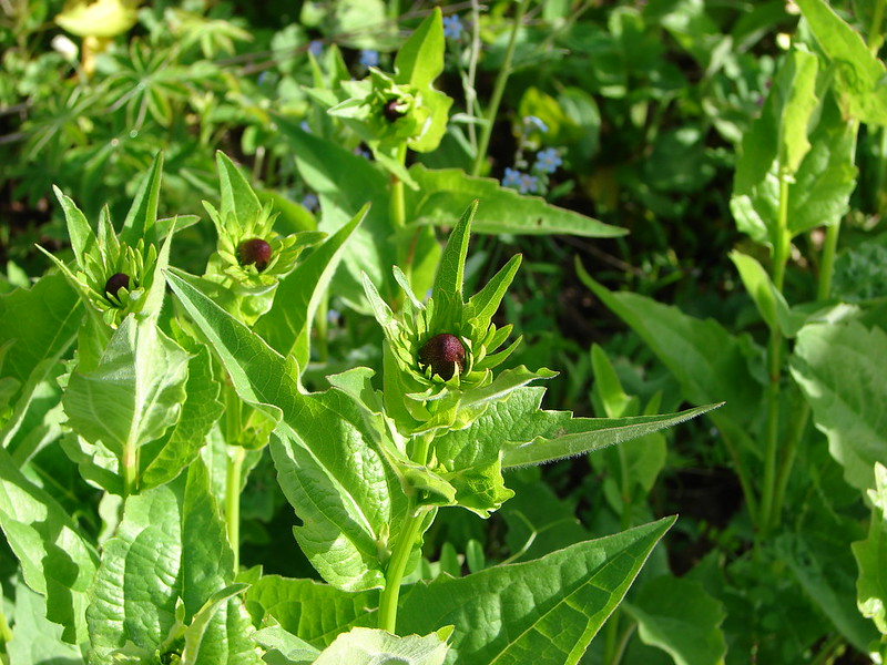
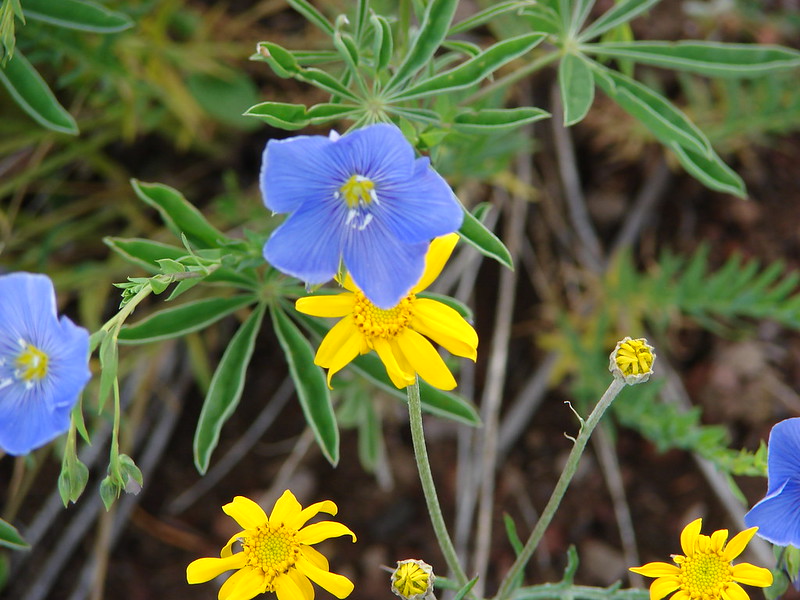
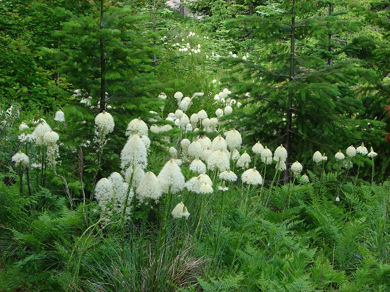
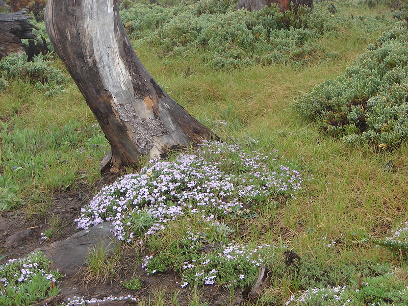
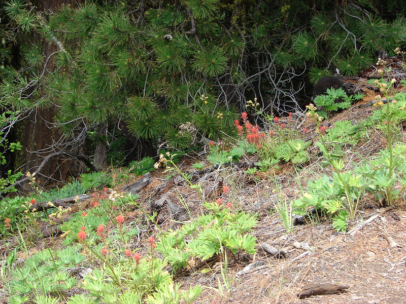
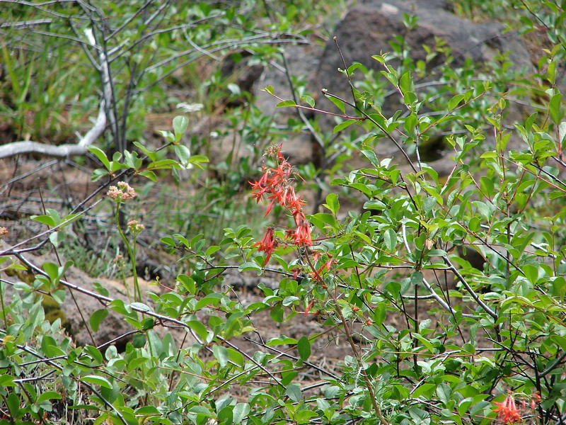
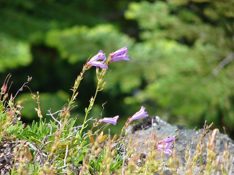
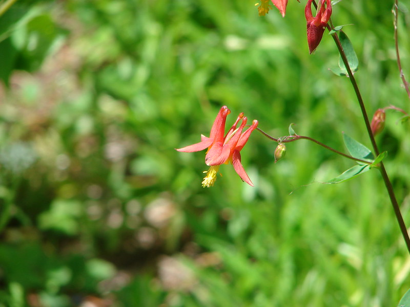
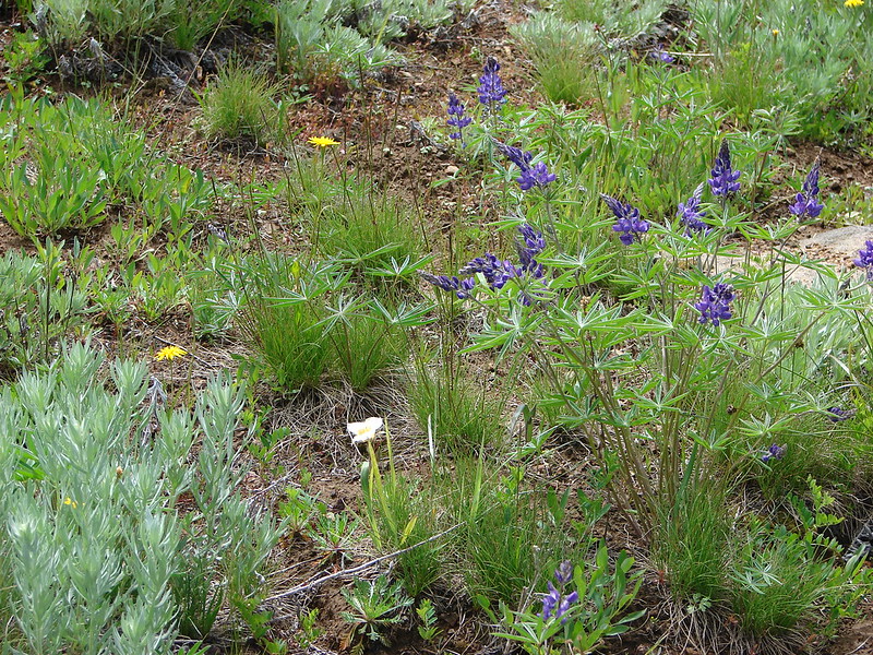
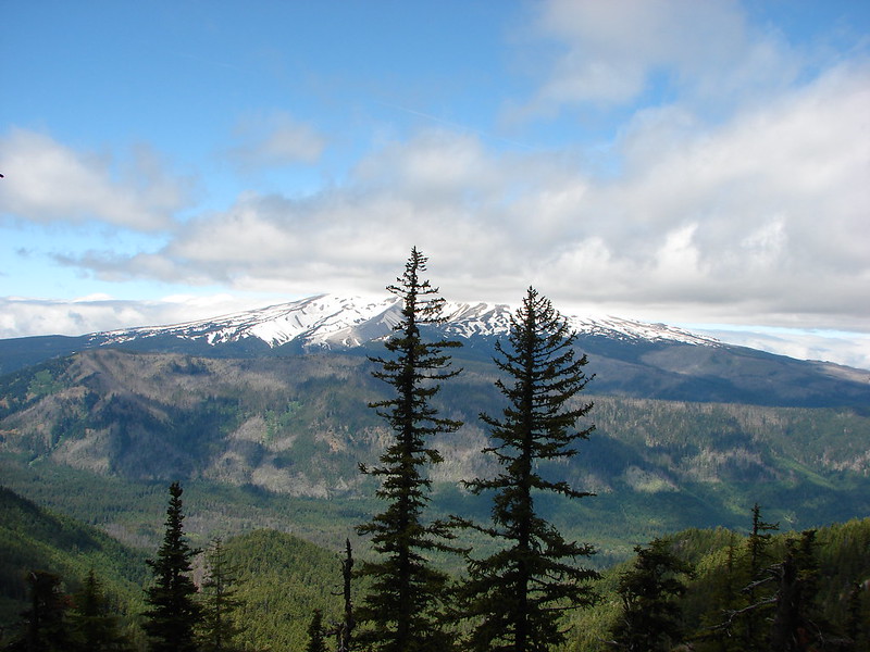
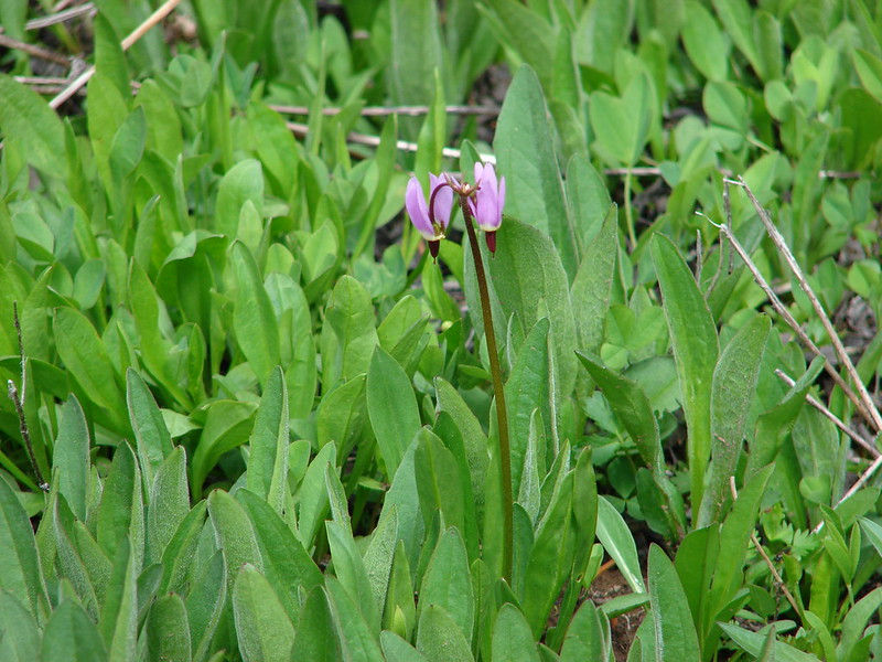
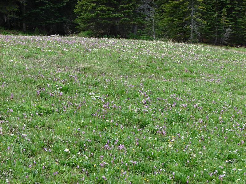
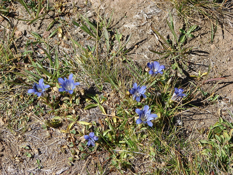
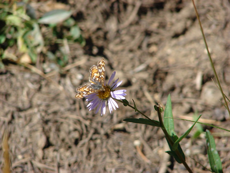
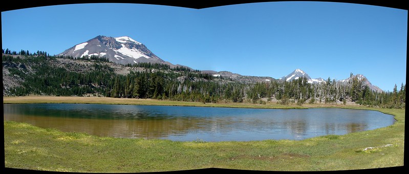
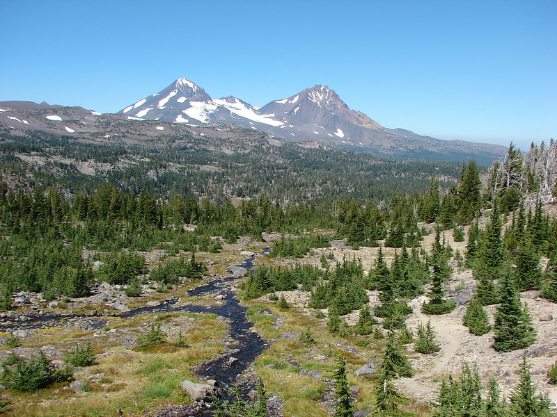
After taking a quick look at Park Creek we continued on the Green Lakes Trail passing through Park Meadow. The meadow was quite large with a good view of both Broken Top and the South Sister. Although it was fairly dry many gentian flowers dotted the ground along with the occasional aster.
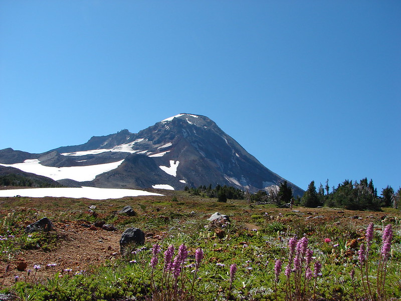
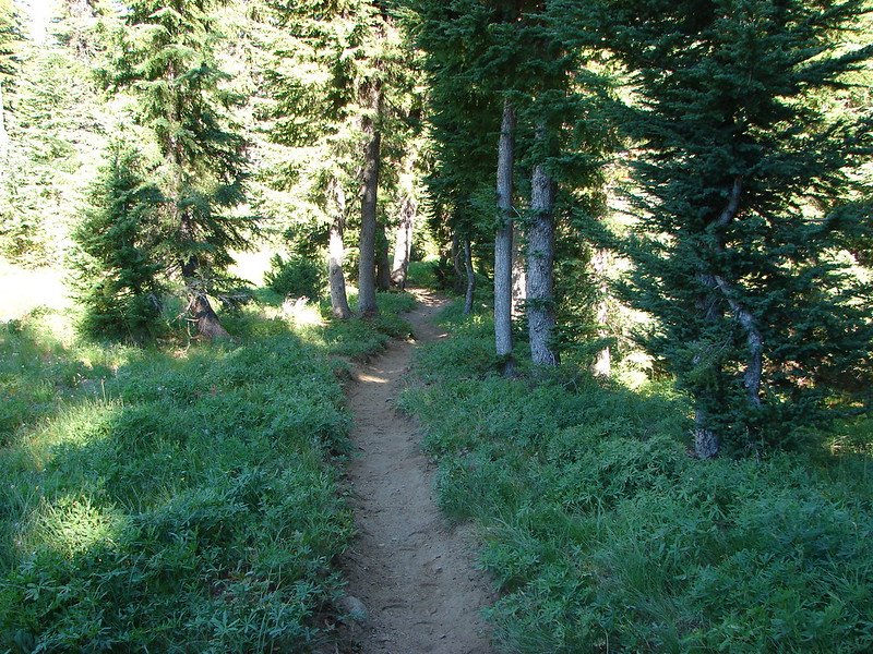
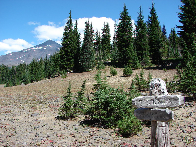
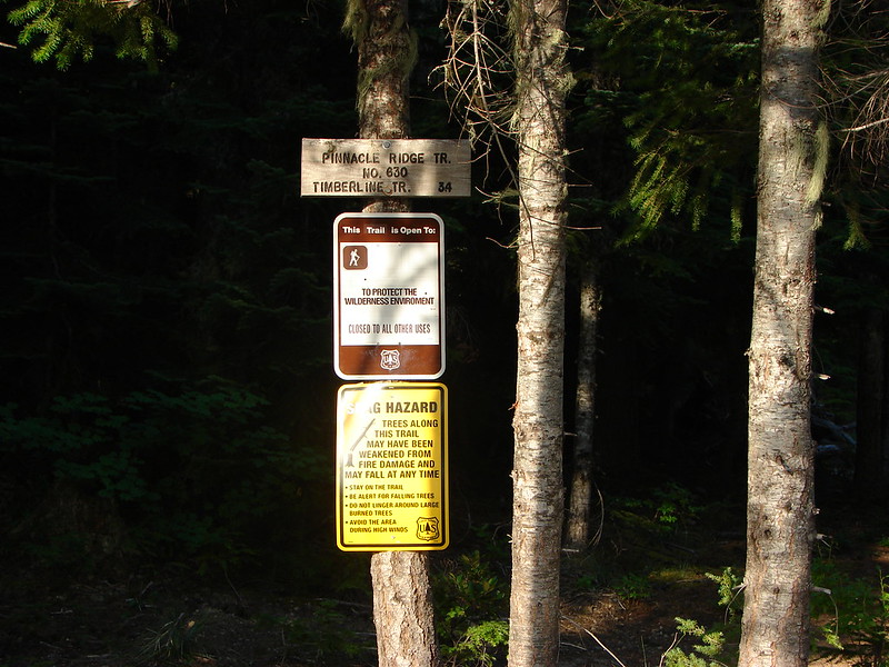
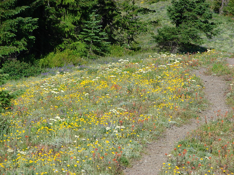
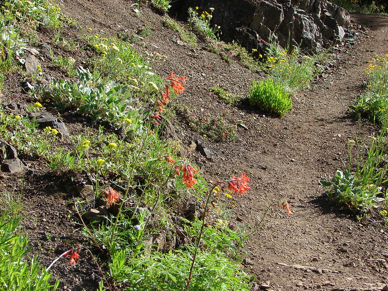
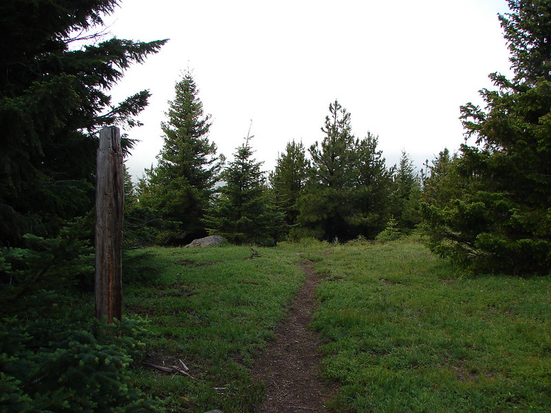
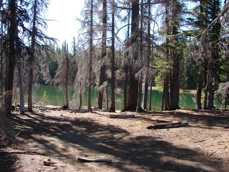
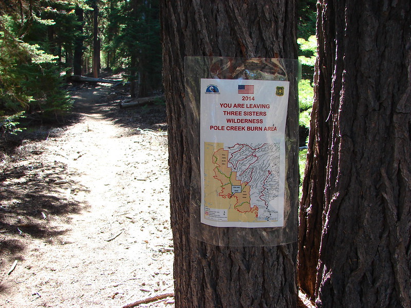
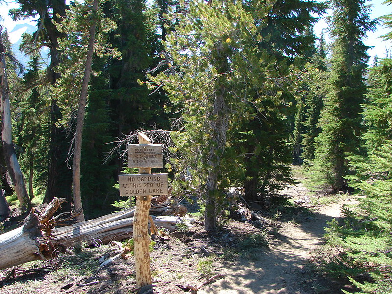
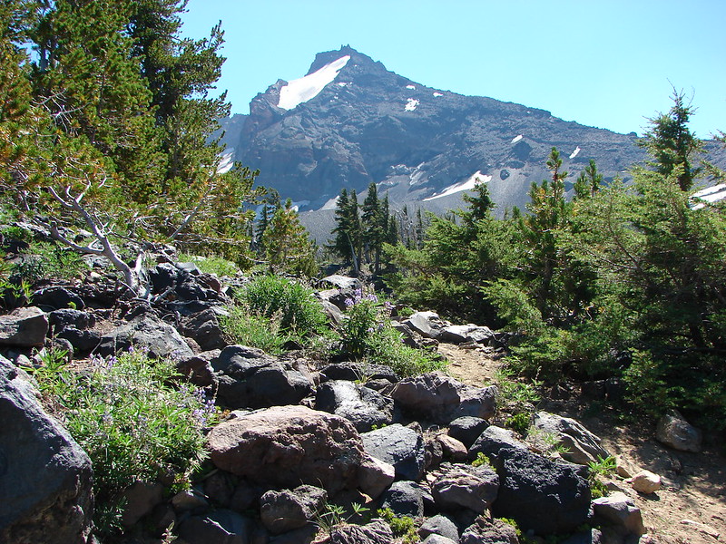
We were looking for a side trail about a mile from Park Meadow that would take us to Golden Lake. There was no sign marking the .7 mile trail to the lake but as we made our way toward the lake we did see signs announcing the areas restrictions.
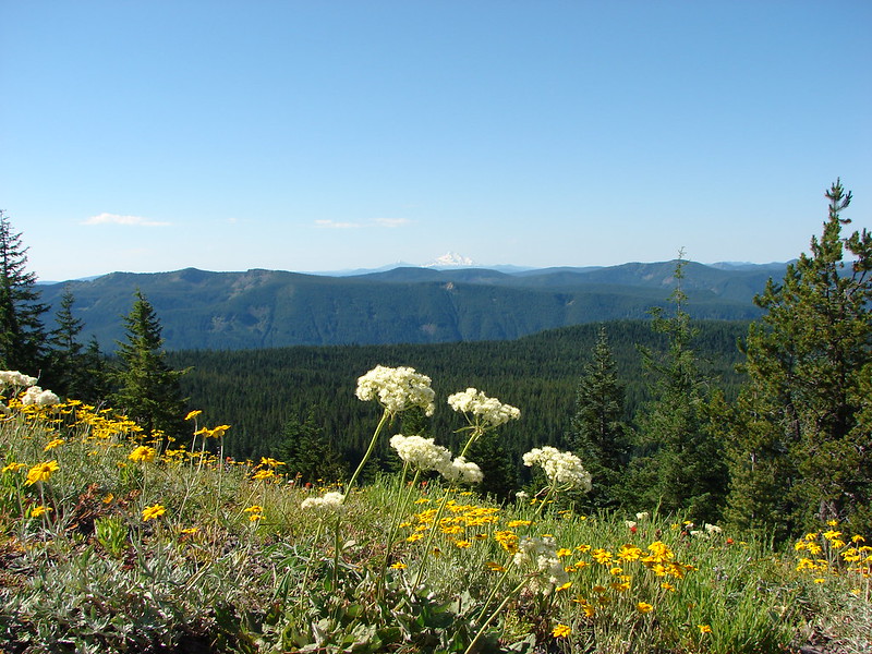
It was easy to see why this was a popular spot.

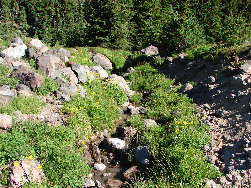
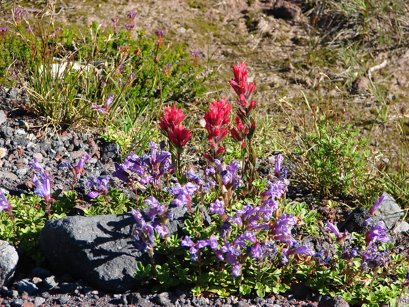
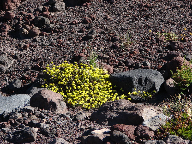
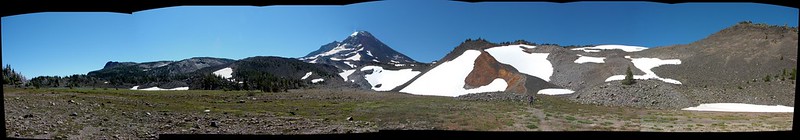
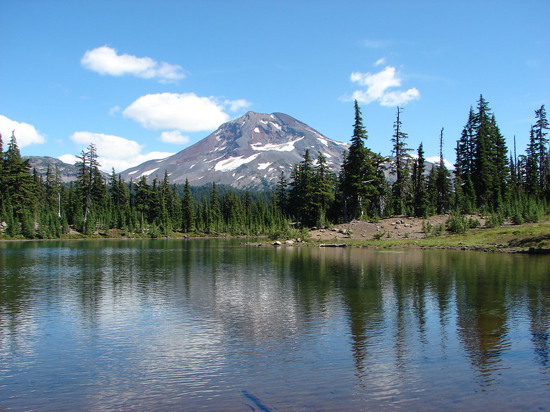
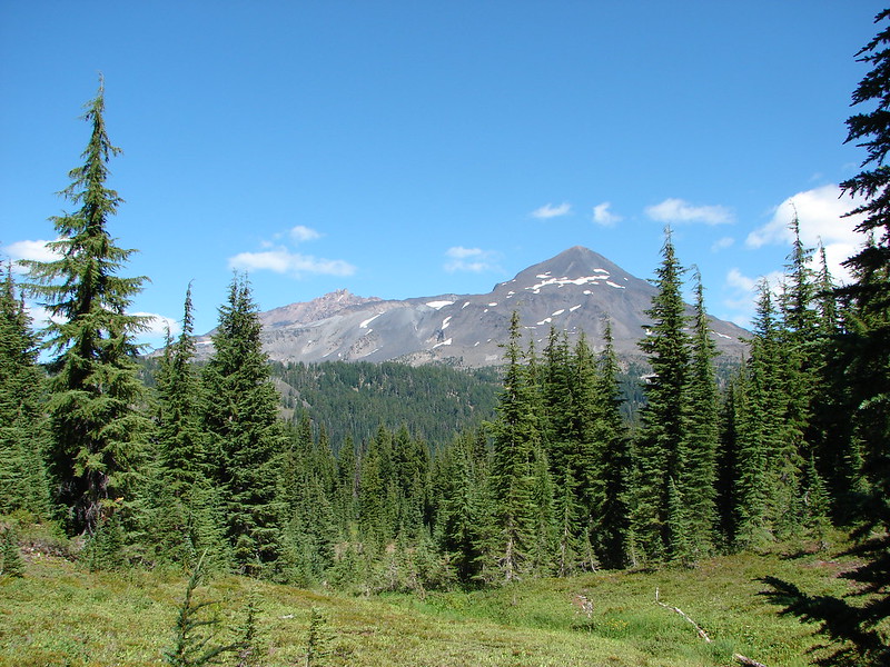
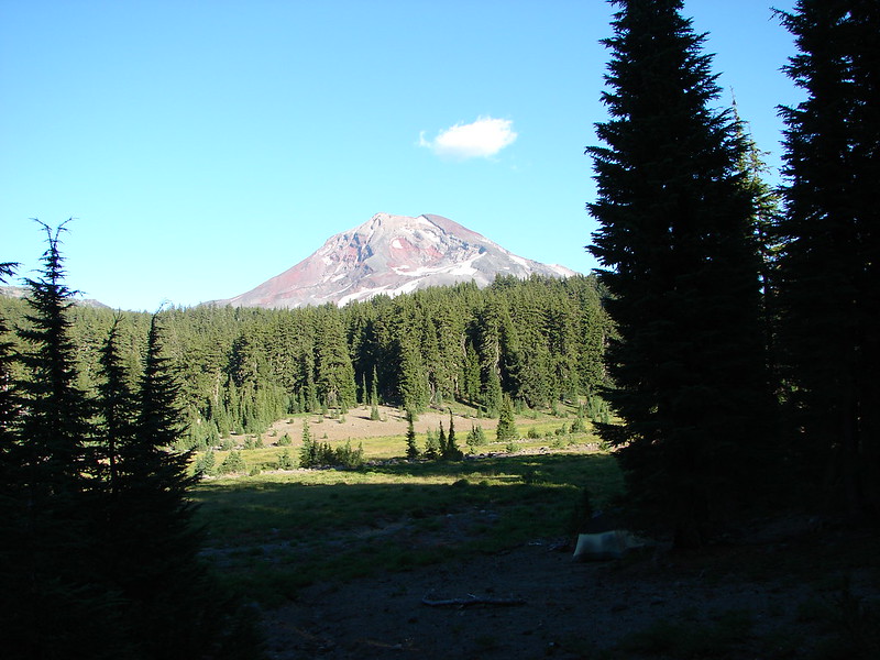
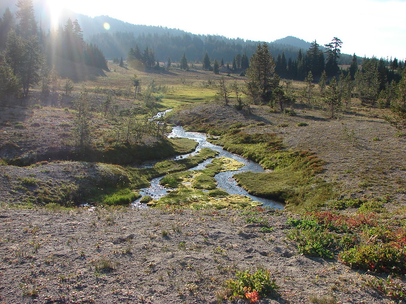
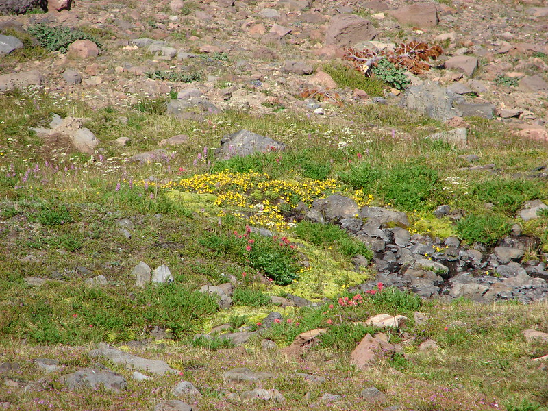
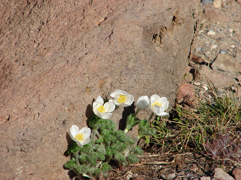
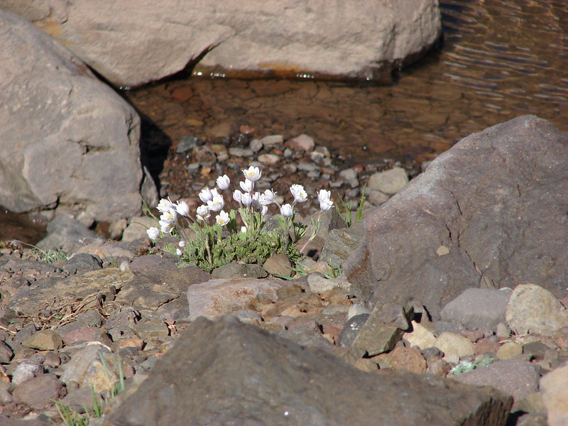
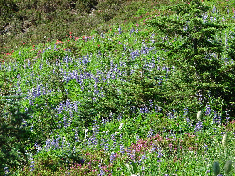
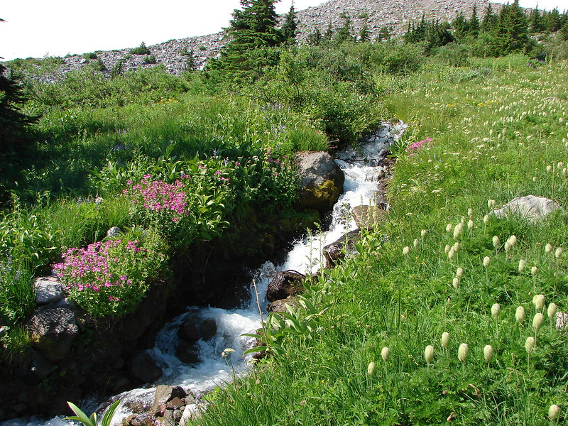
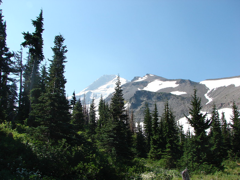
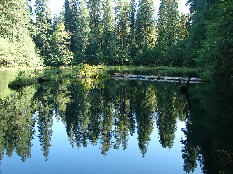
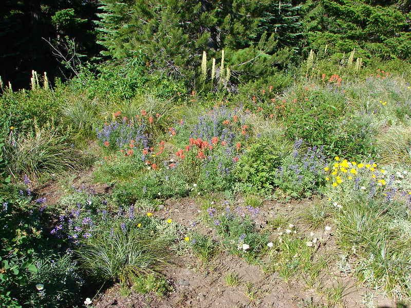
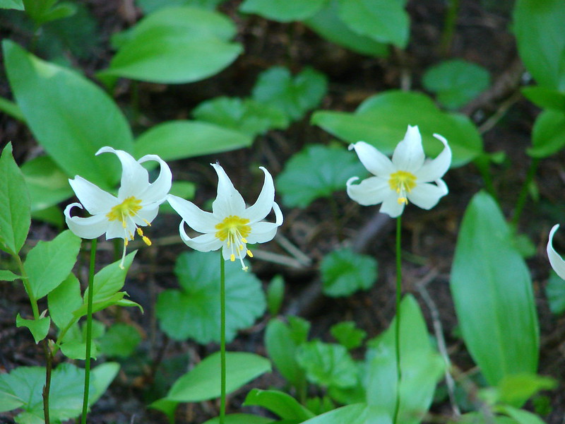
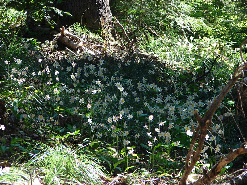
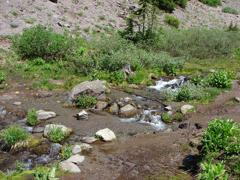
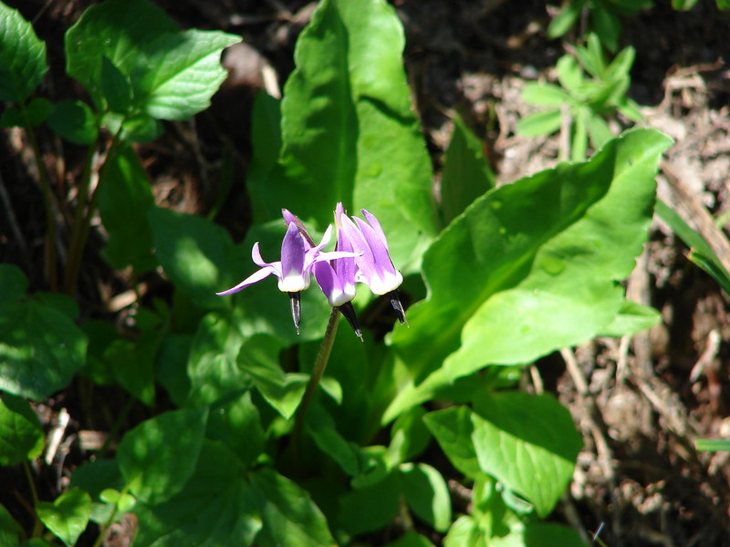
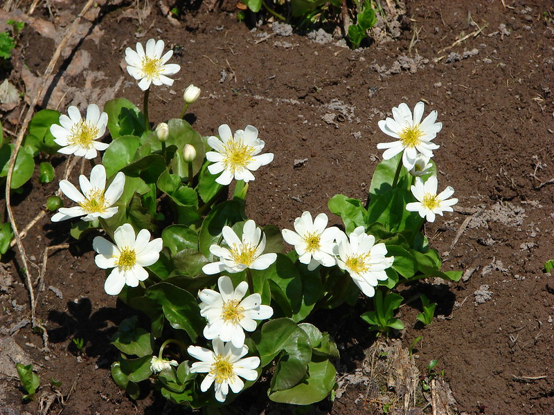
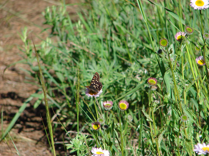
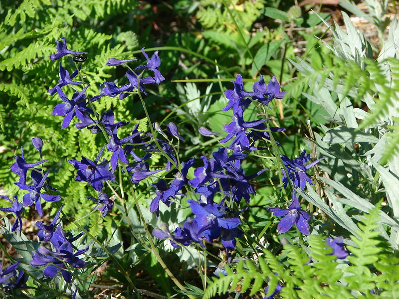
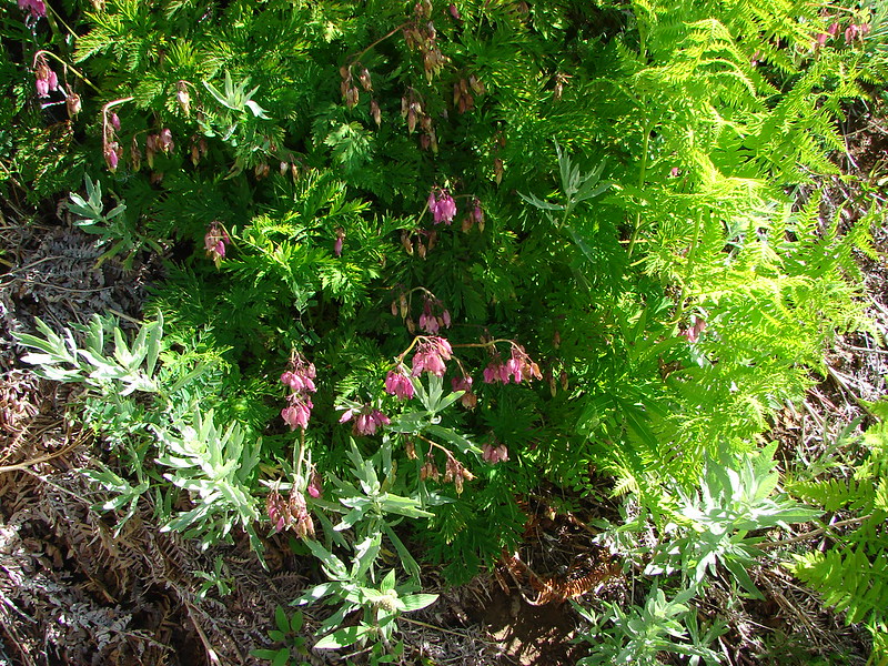
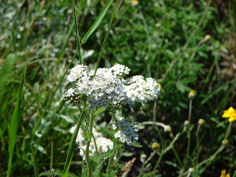
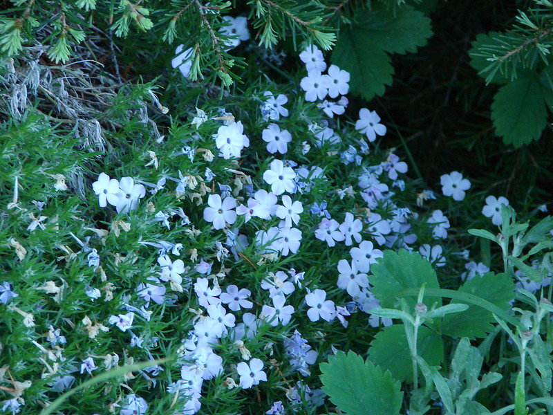
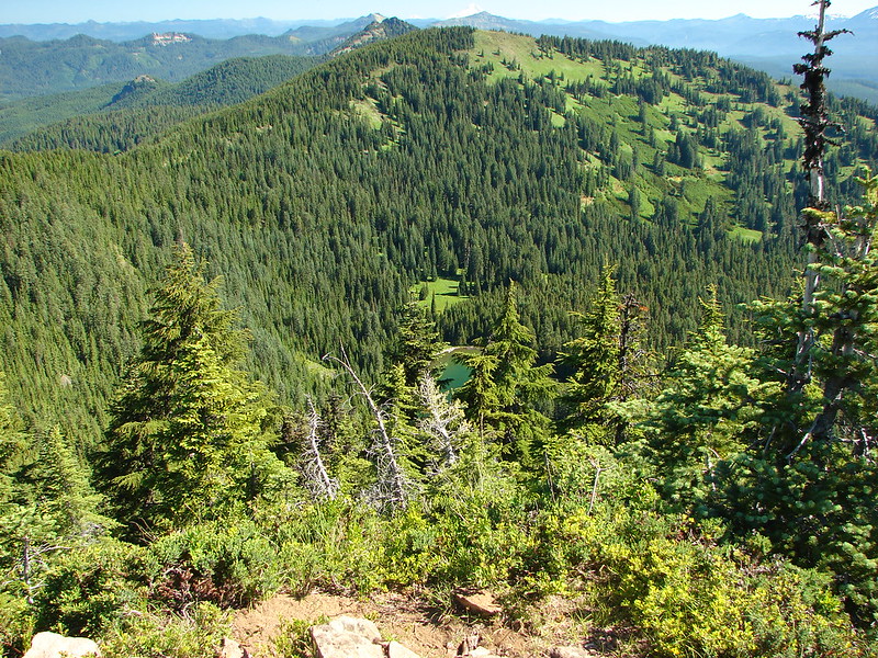
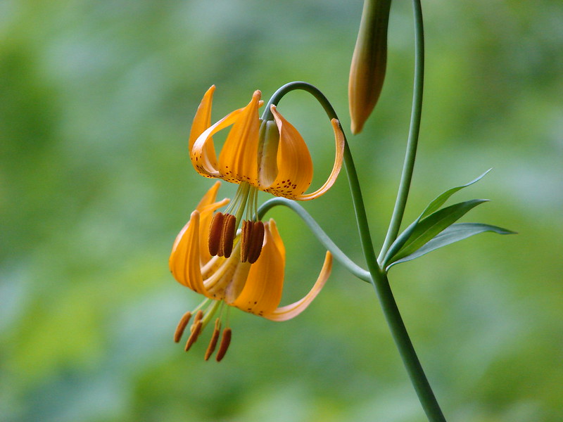
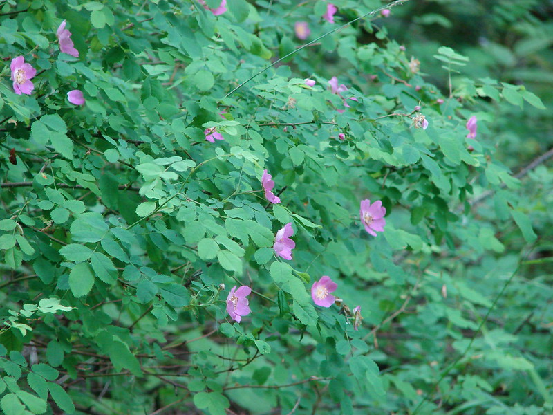
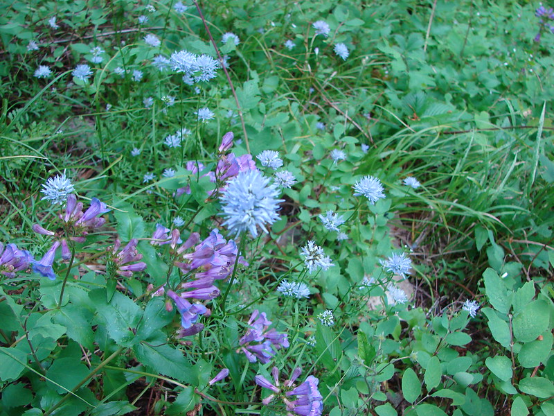
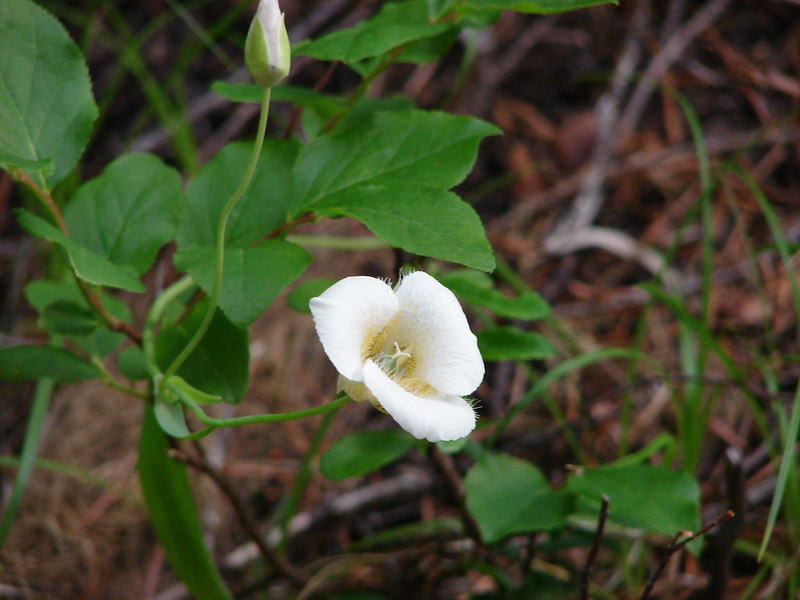
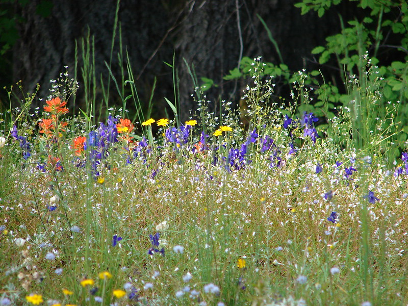
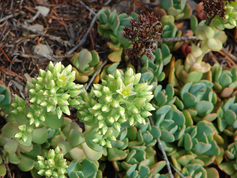
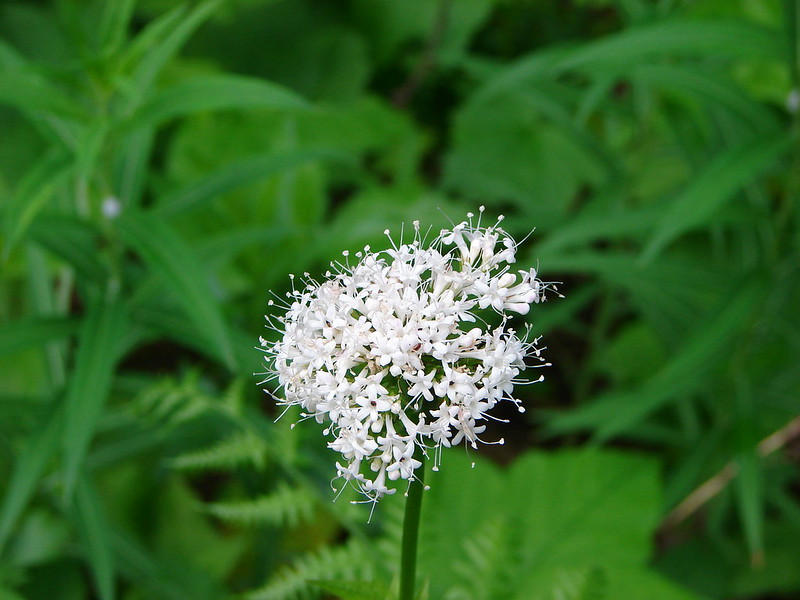
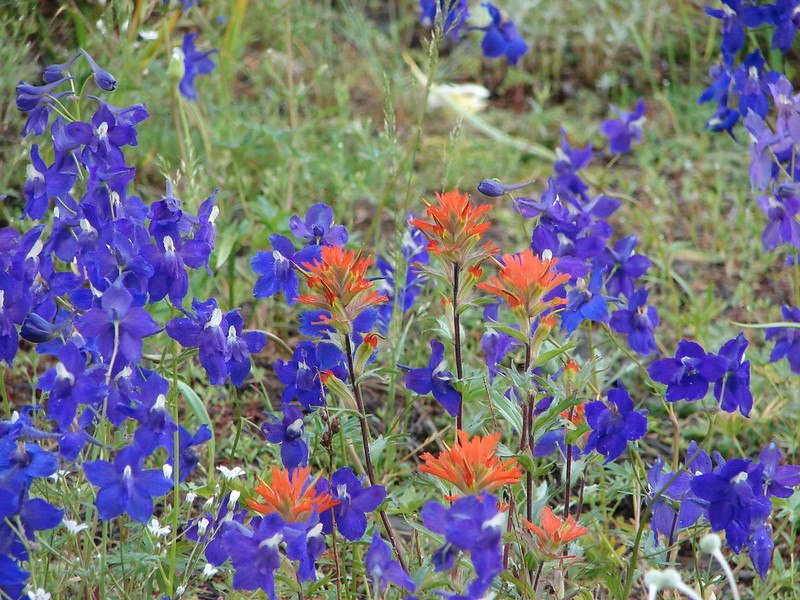
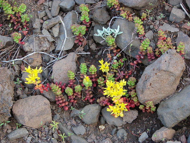
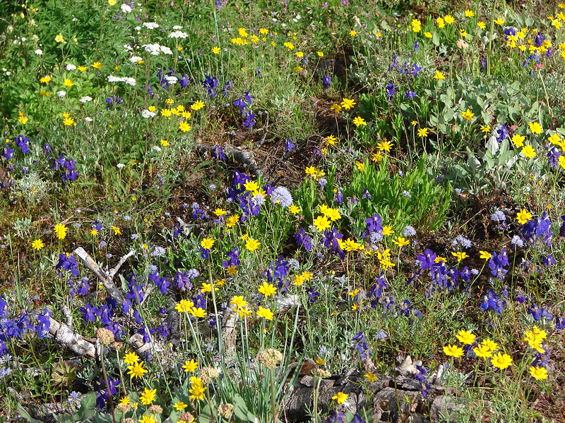
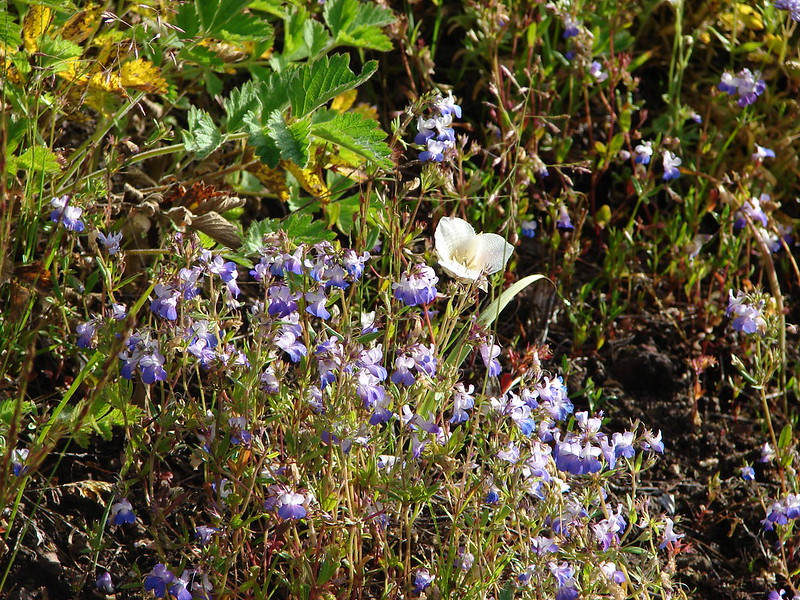
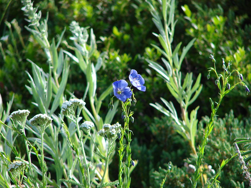
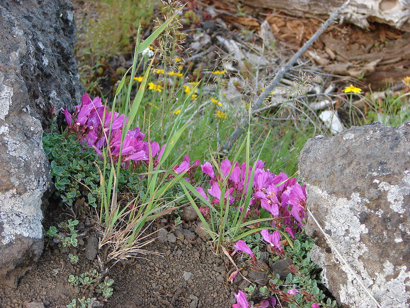
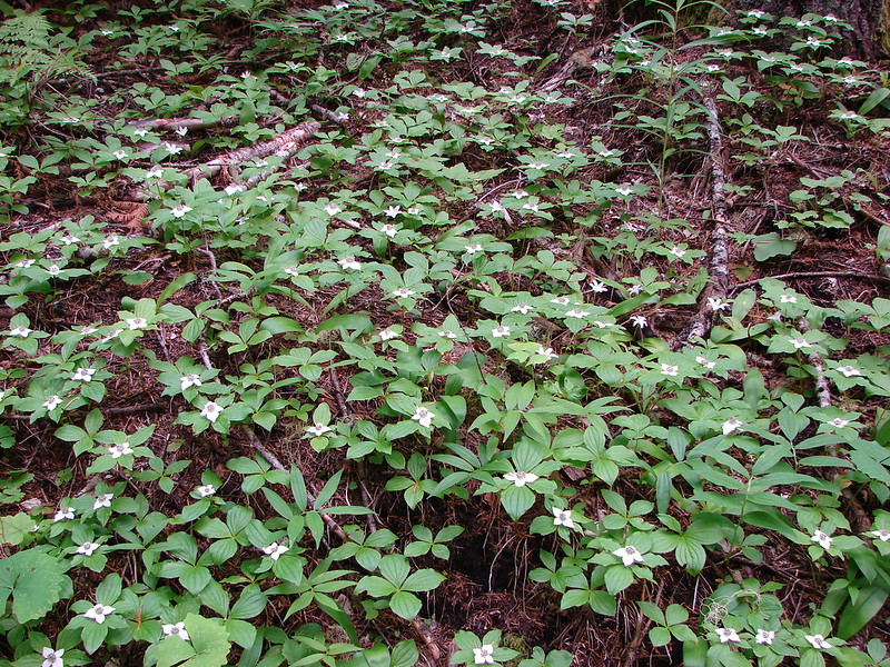
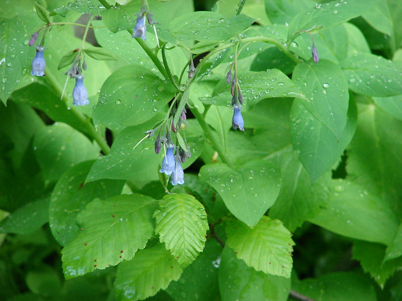
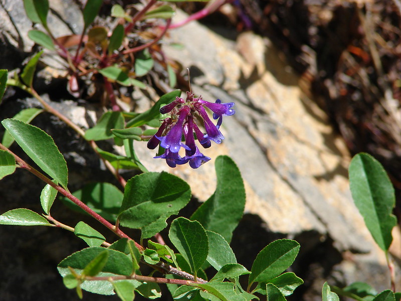
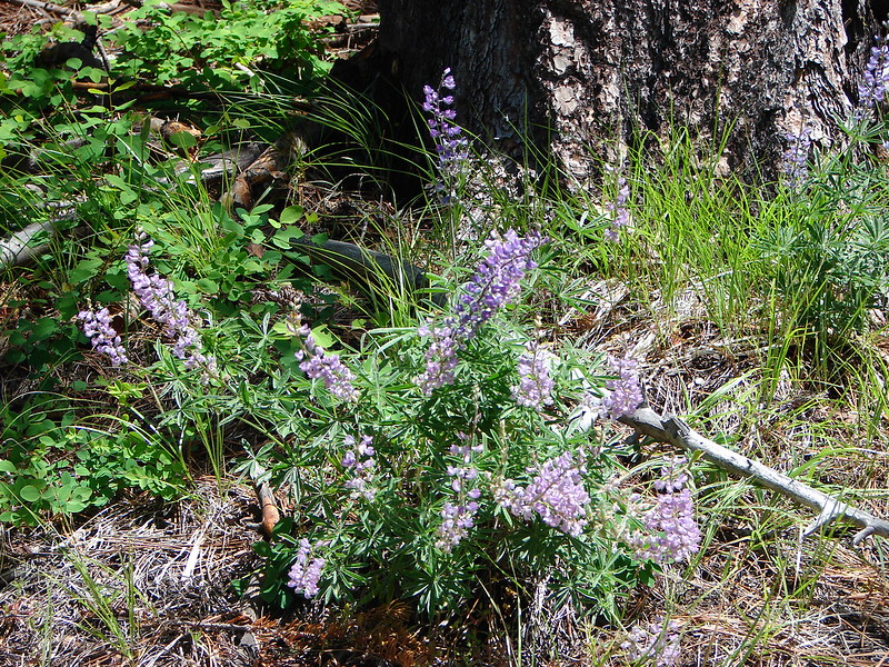
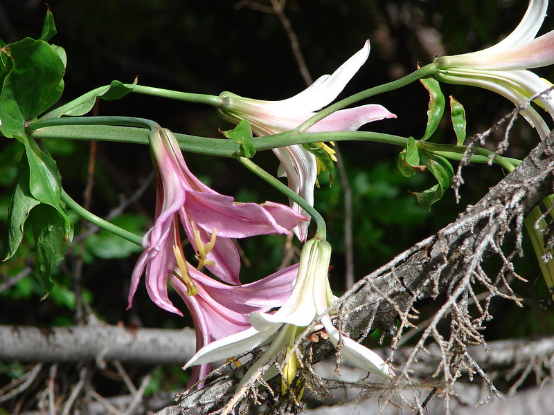
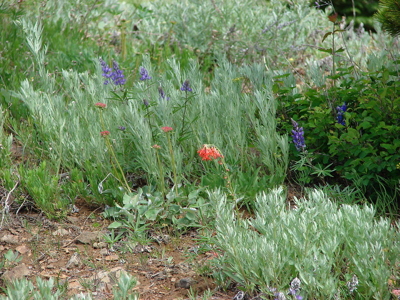
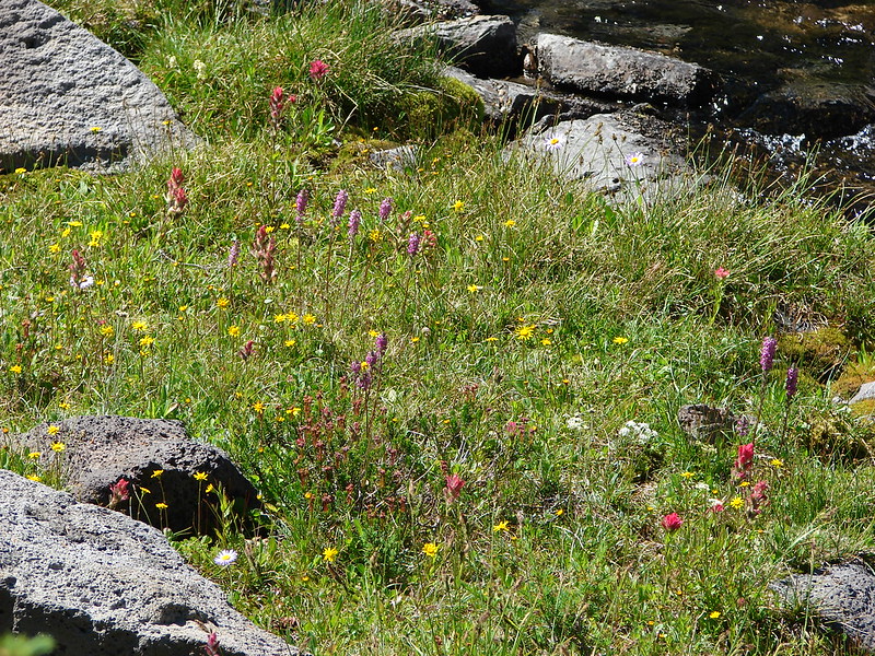
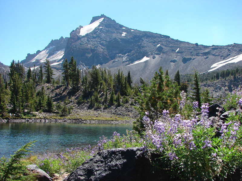
We hiked around to the far end of the lake and decided to follow the inlet creek up looking for a place to set up our tent far enough from the lake to fit the 250′ restriction. We knew that there were a pair of tarns about a mile up from Golden Lake which we had originally planned on visiting after we had found our camp site and dropped off our gear. We weren’t having much luck finding a site, but the scenery was once again spectacular. Wildflowers lined the creek and the water was as clear as glass. We were headed straight at Broken Top and the South Sister loomed across the creek to our right.

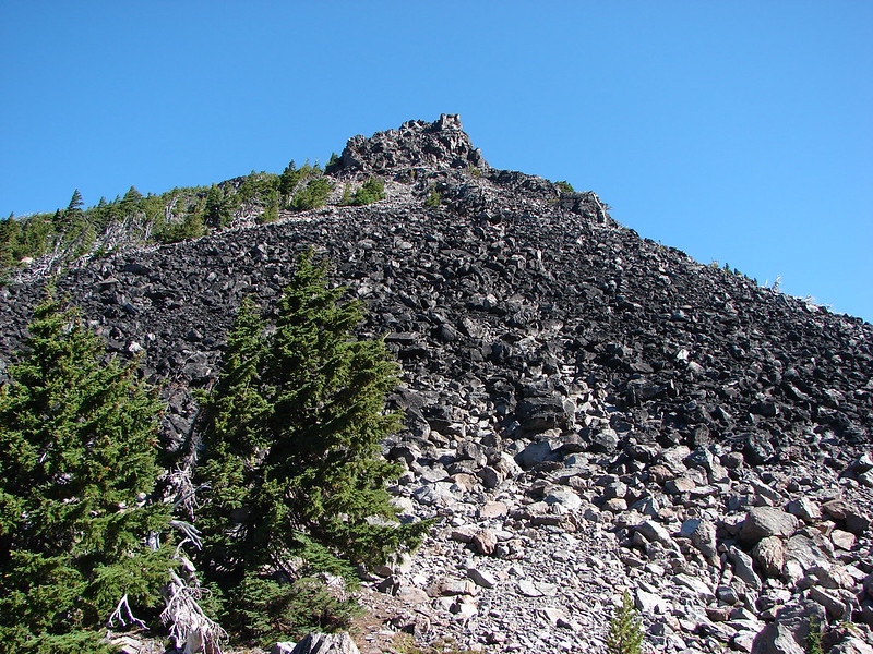
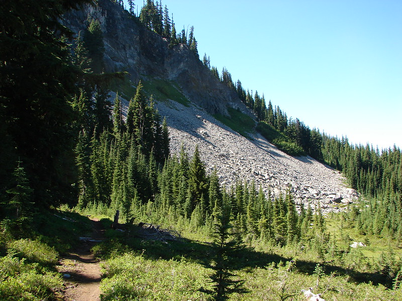
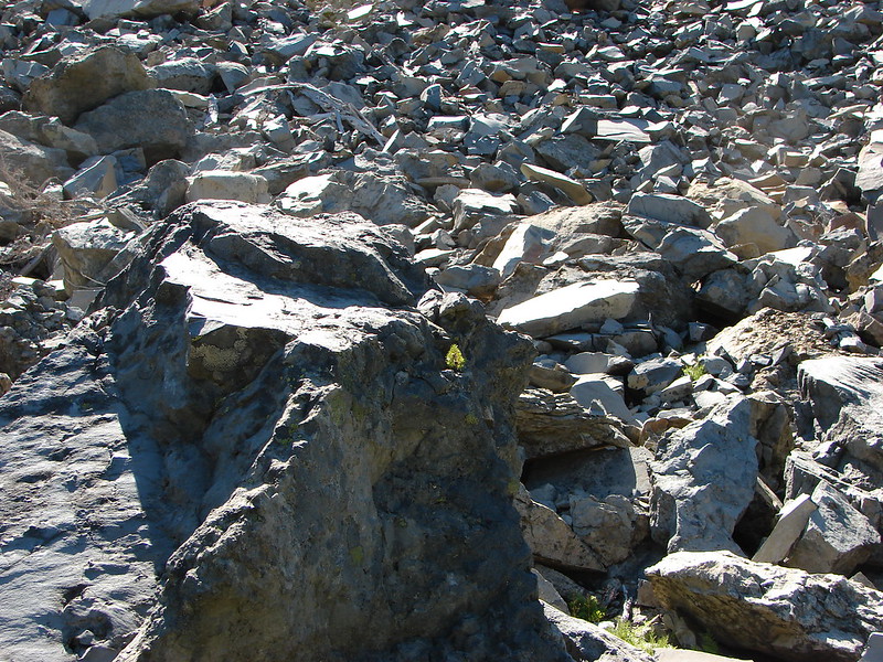
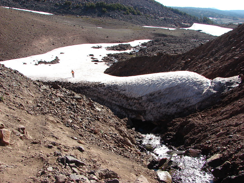
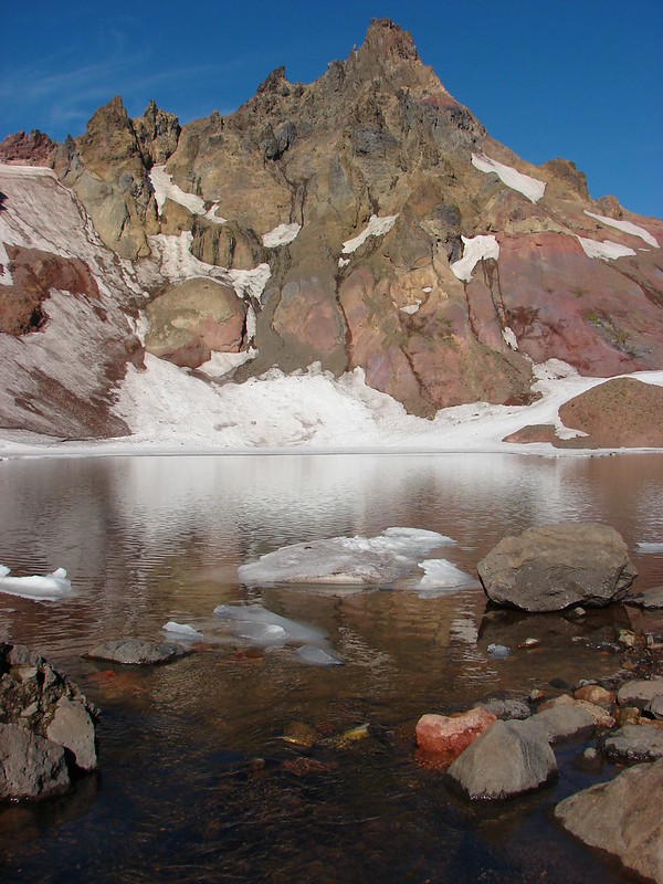
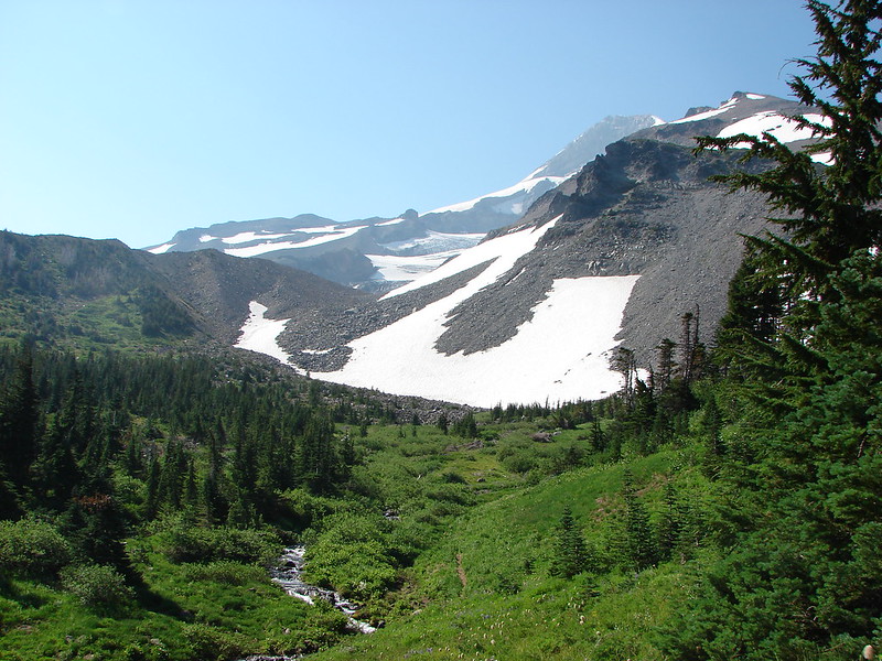
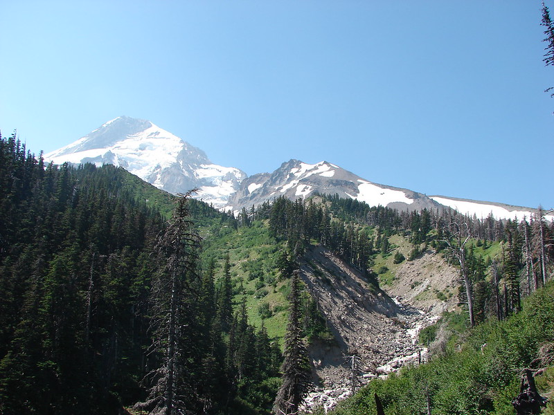
We eventually reached the beginning of the creek as it flowed out from the bottom of a rocky hillside.
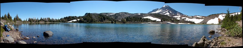
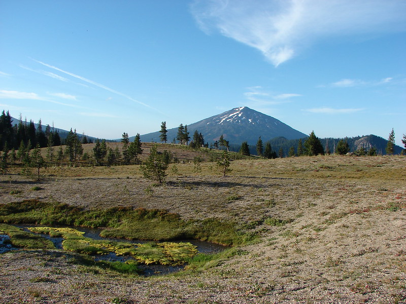
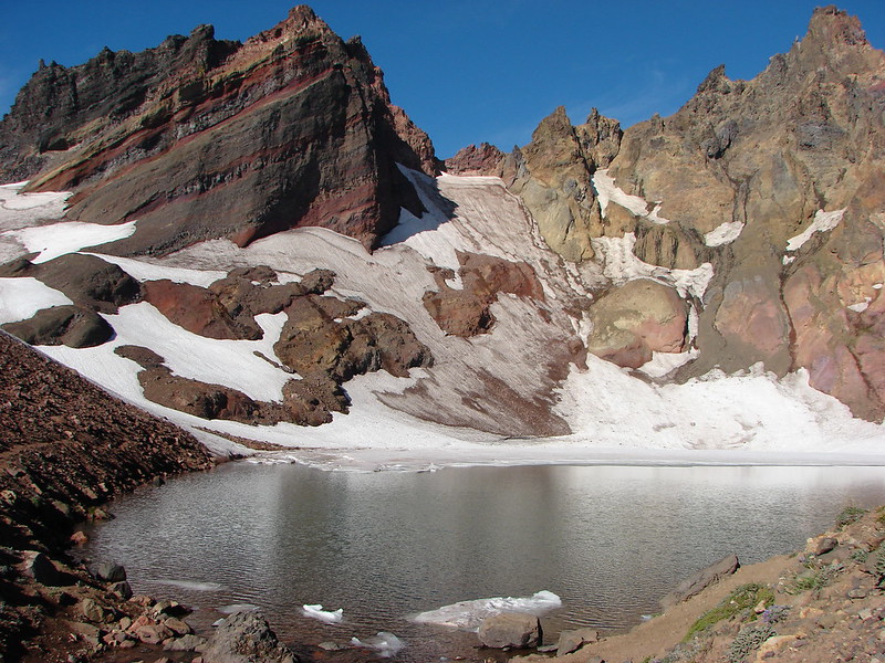
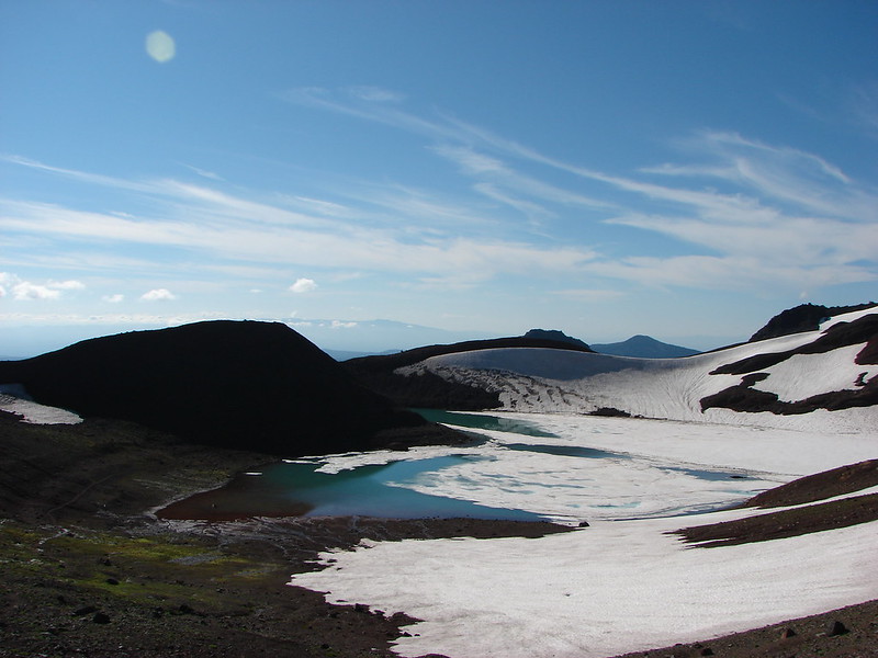
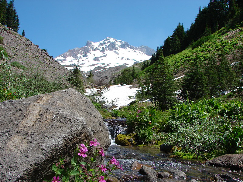
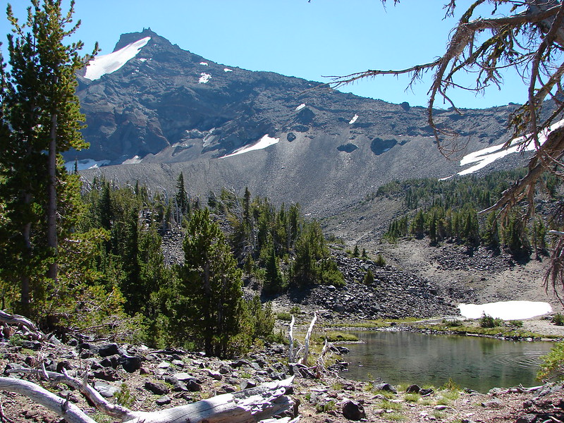
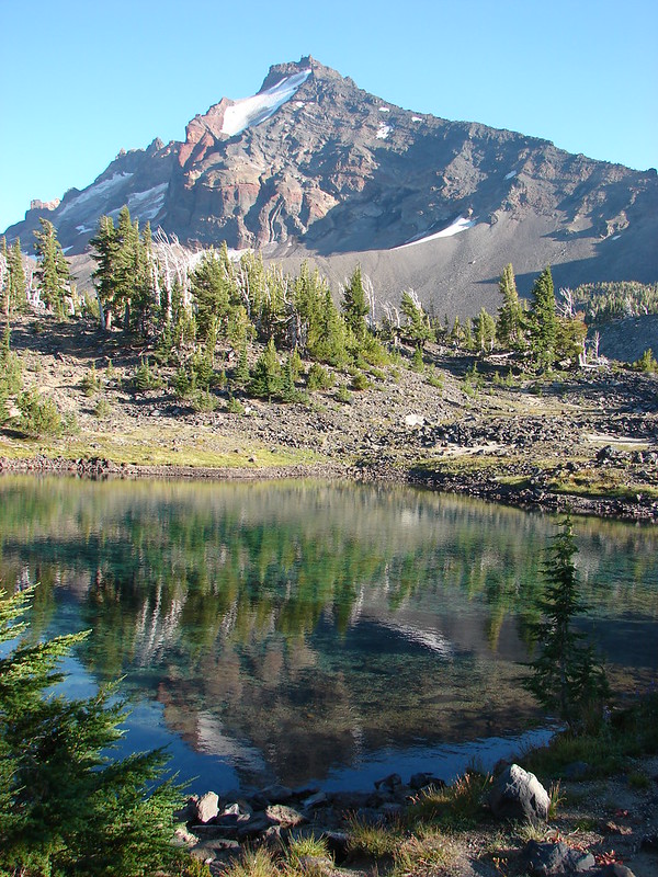
We began climbing the hill expecting to find the first tarn at the top.
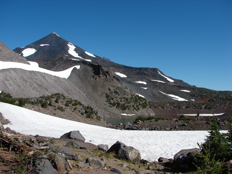
We were not disappointed.
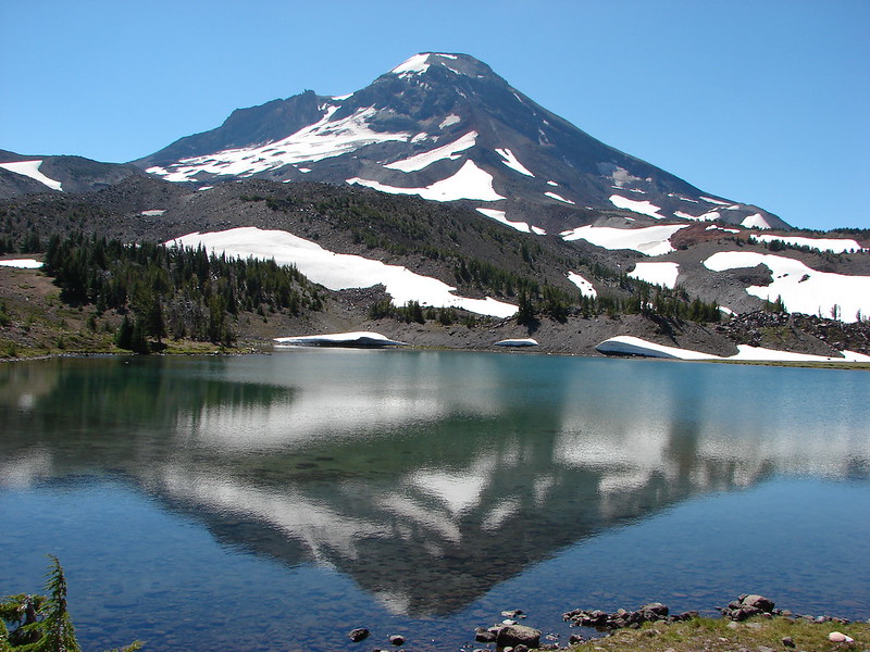
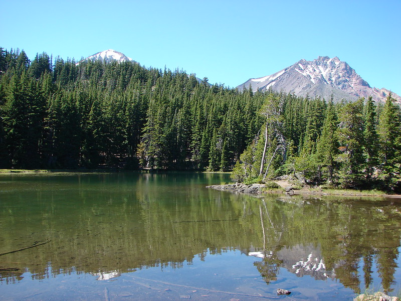
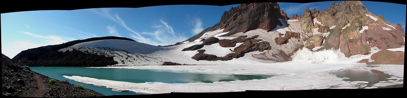
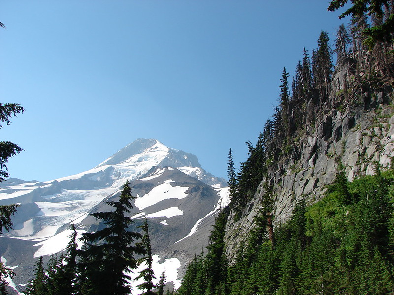
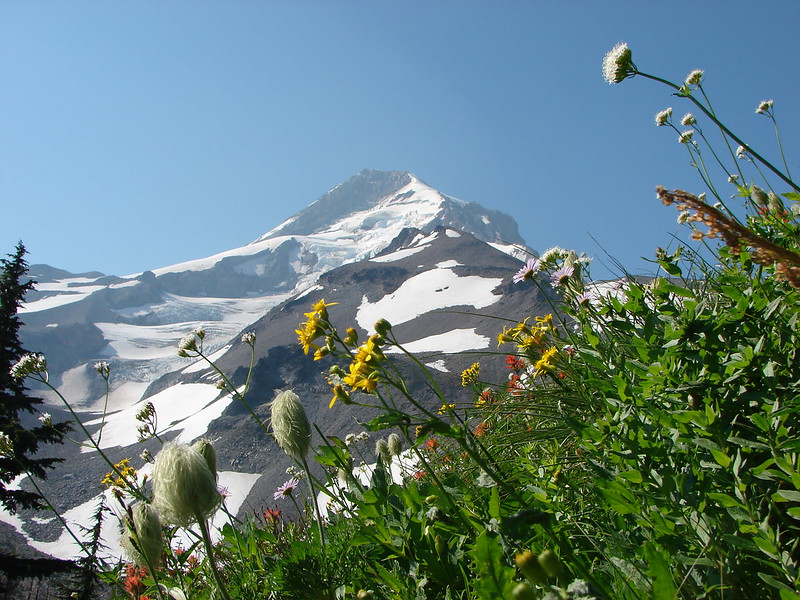
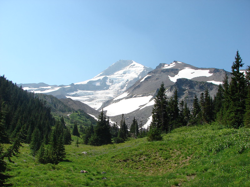
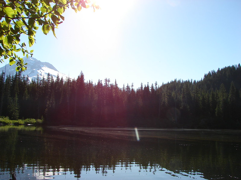
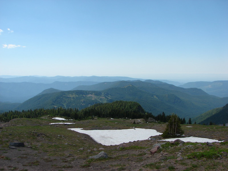
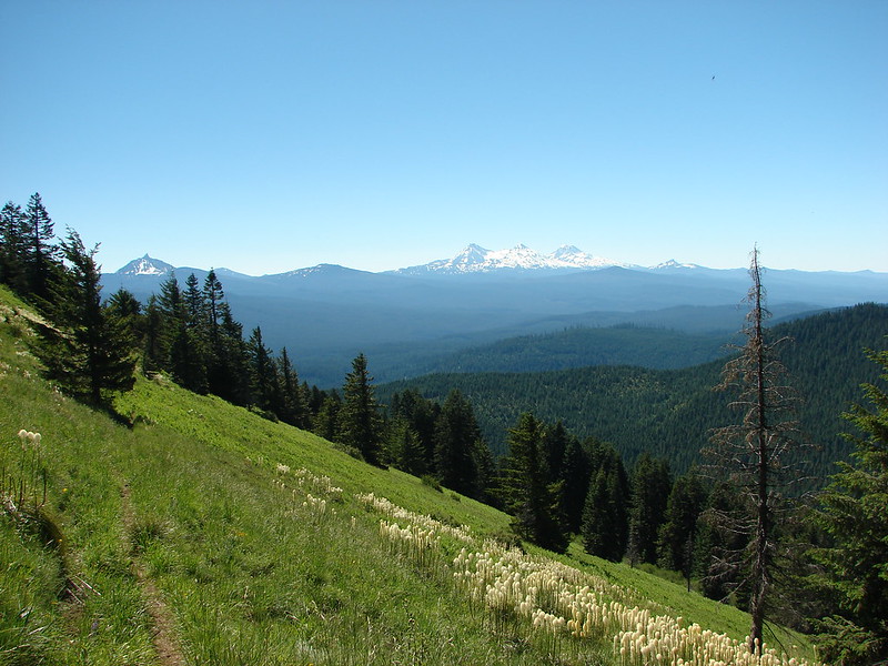
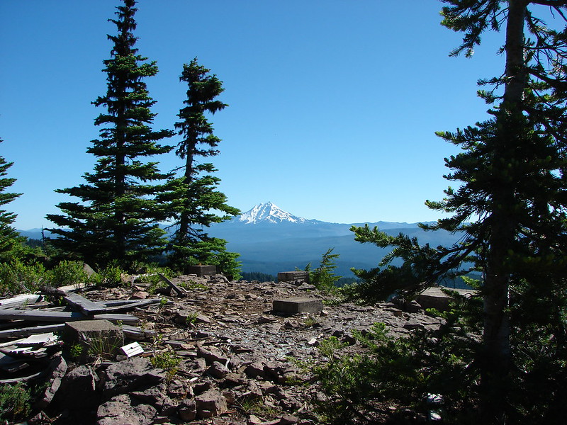
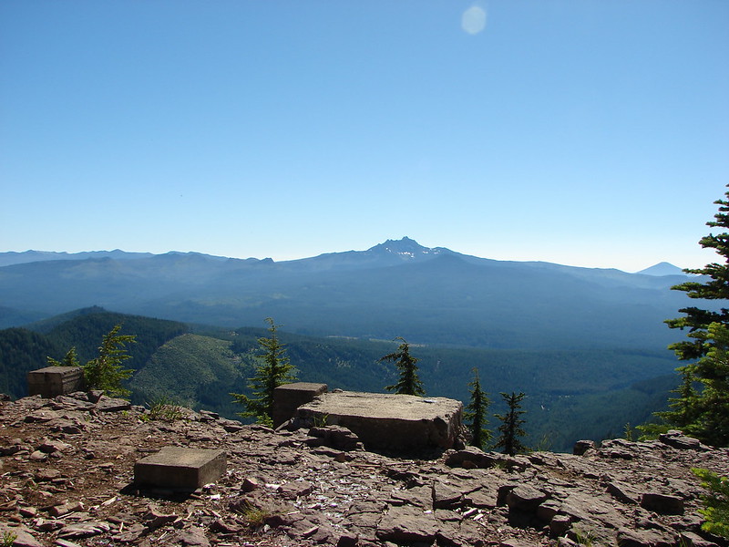
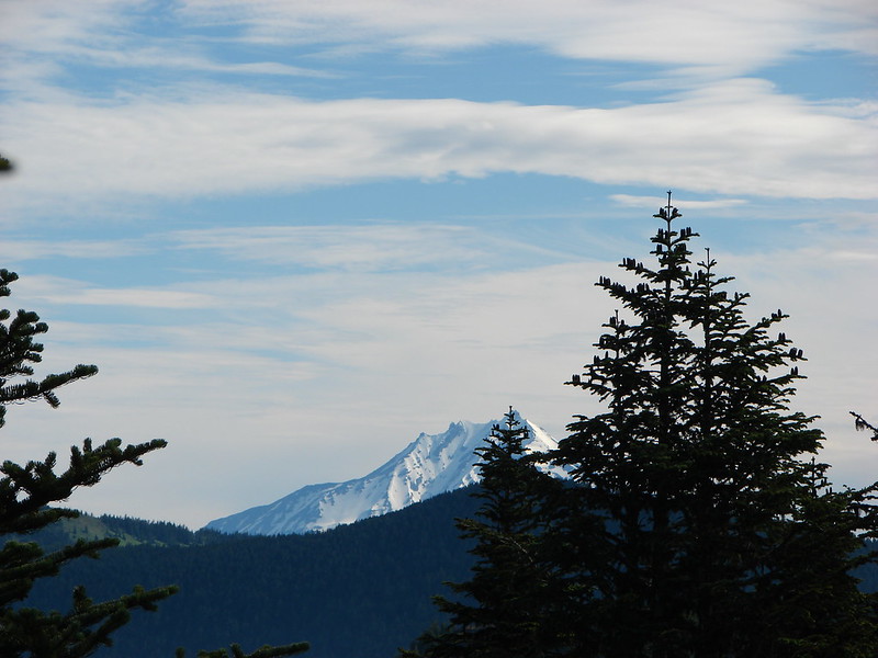
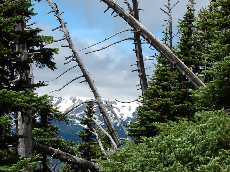
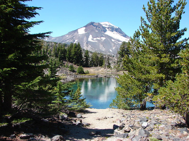
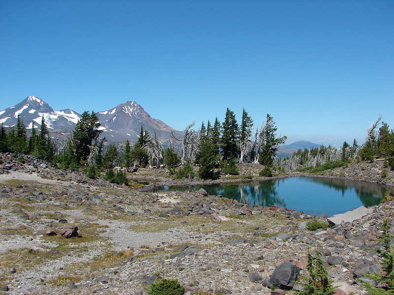
The water in the tarn was crystal clear and the views extended to Mt. Jefferson to the North.

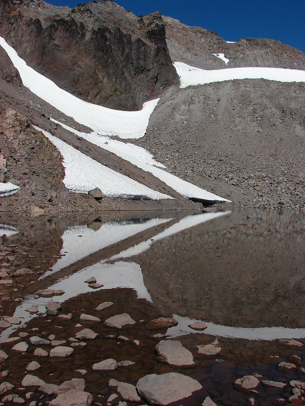
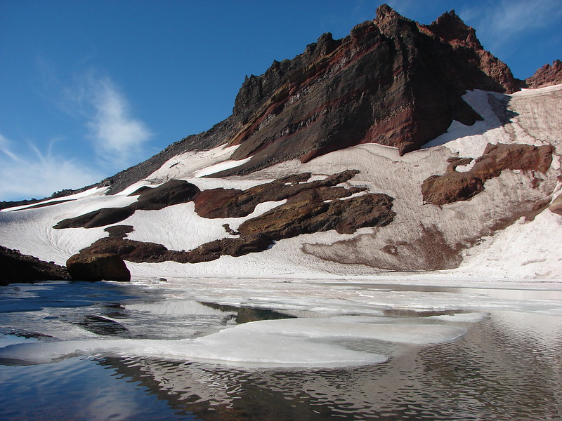
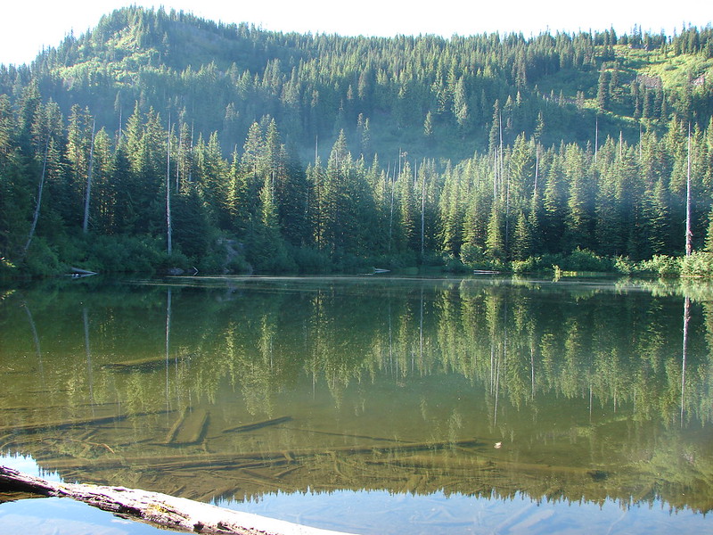
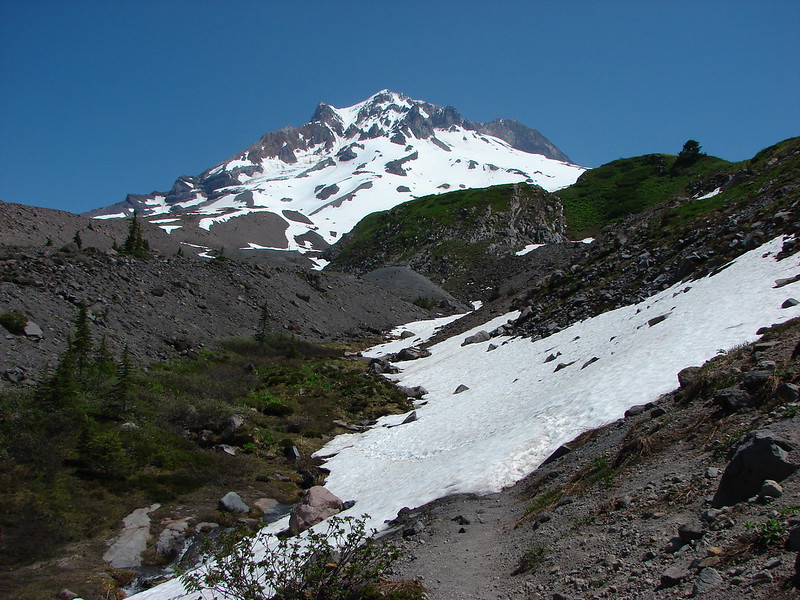
A path led up another hill to the second tarn. It was quite a bit smaller and there was a hiker with a dog splashing around in it so we headed back down to the first tarn and went about setting up camp. We had found our spot for the night.
Second tarn
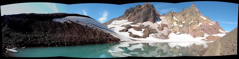
South Sister over the first tarn
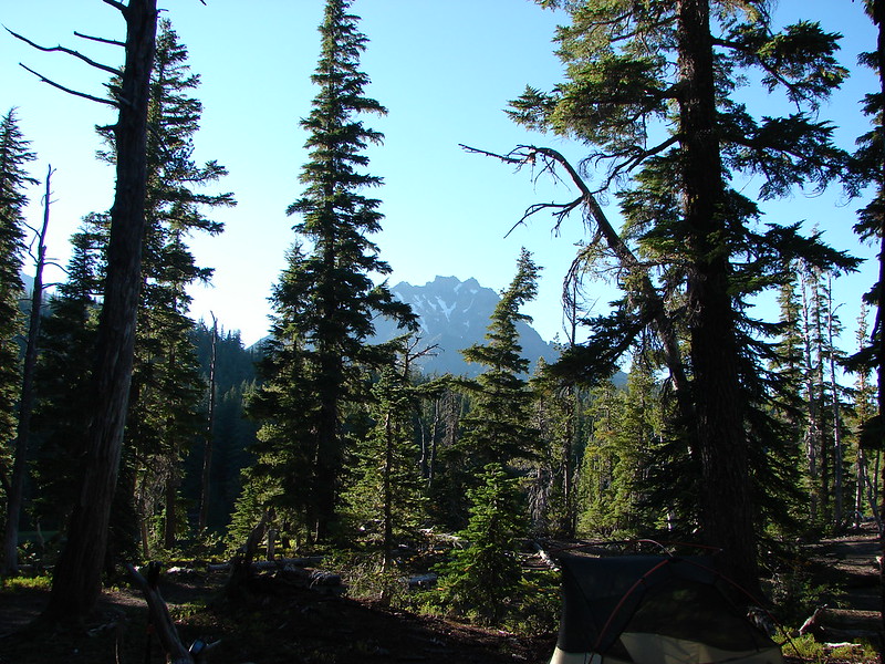
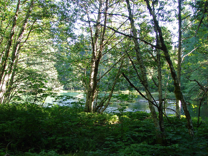
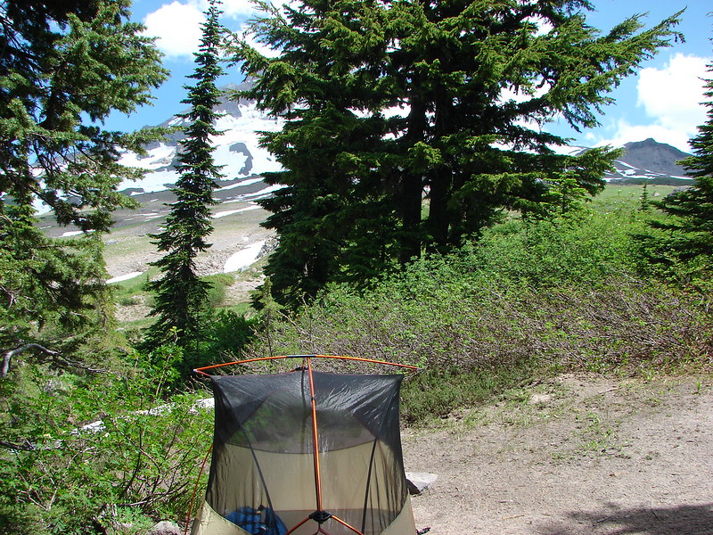
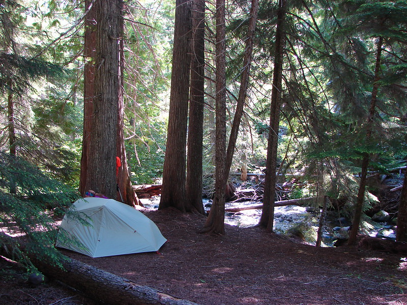
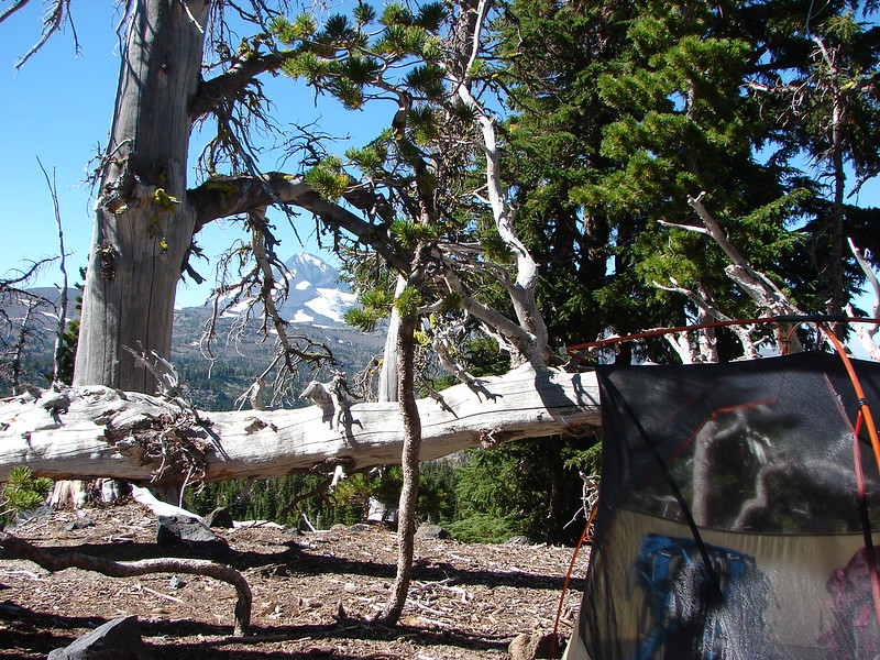
Our campsite back in the trees on the far side of the tarn.
We had views all around from the site.

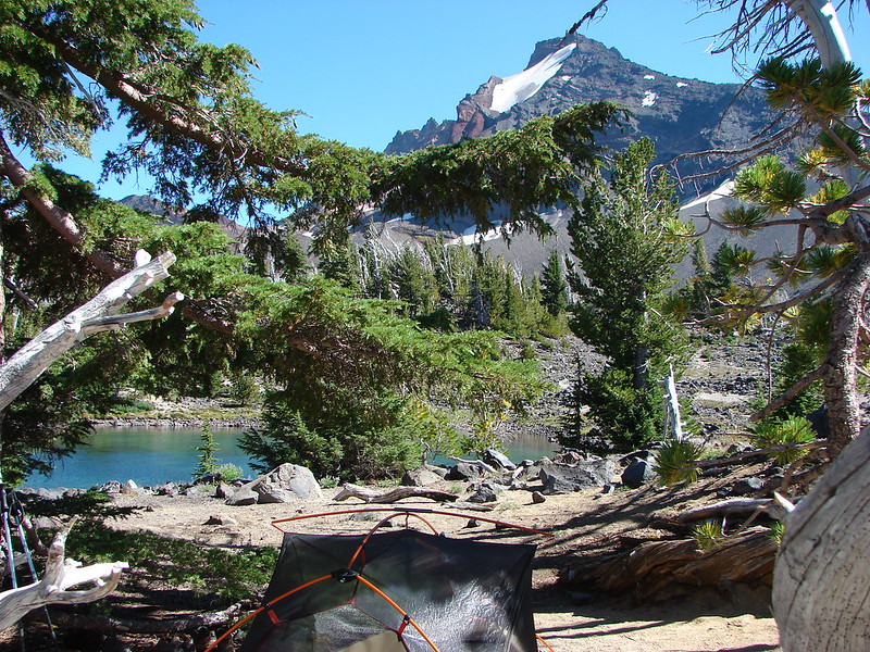
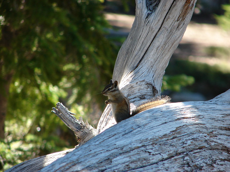
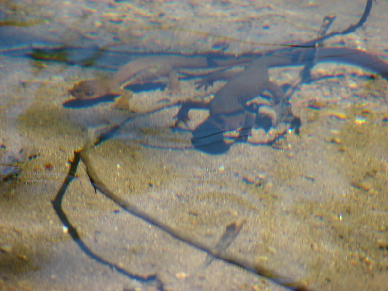
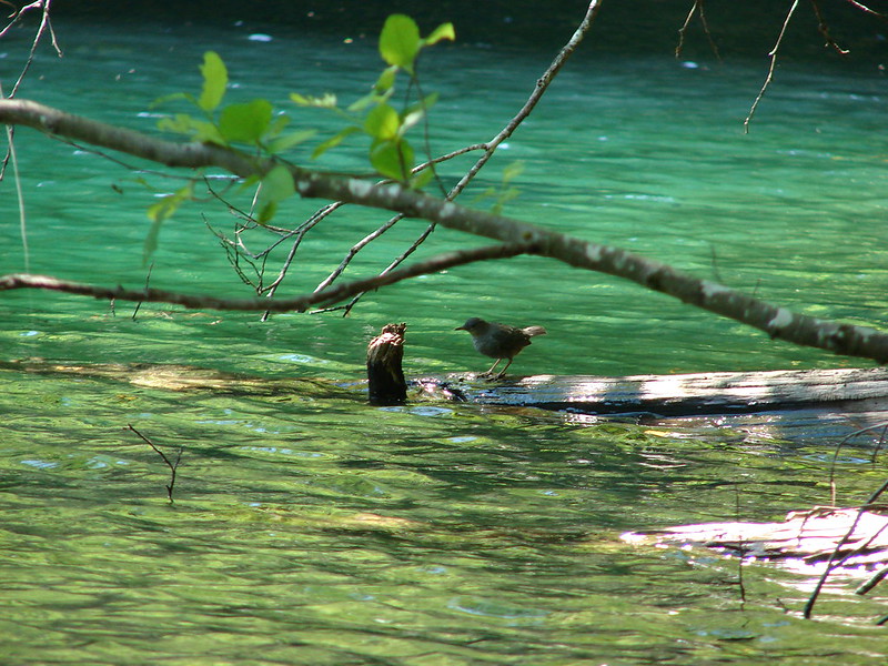
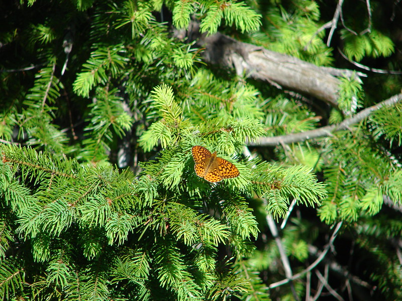
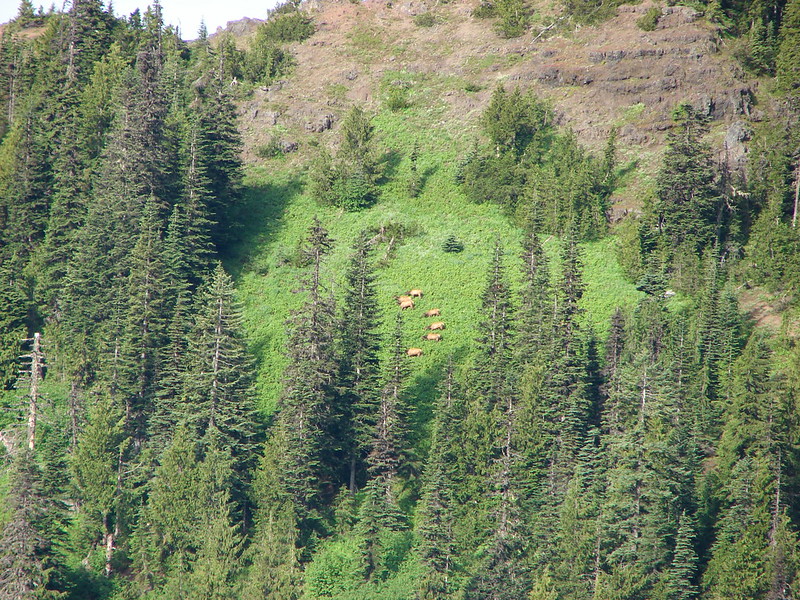
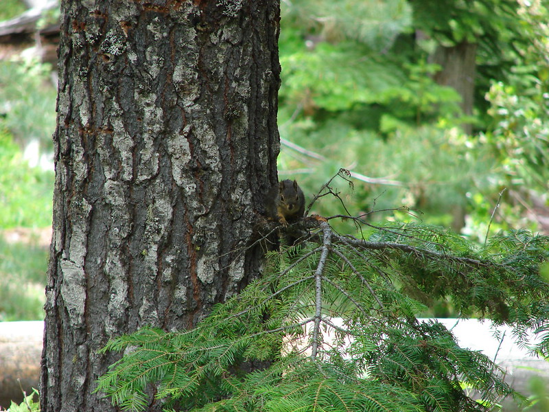
The nice part was we had arrived just after 1pm so we had plenty of time to soak our feet (the water was way too cold for anything else) and watch the wildlife that would occasionally stop by the tarn.
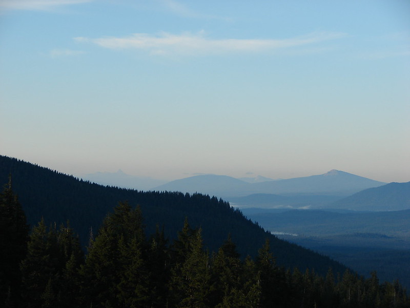
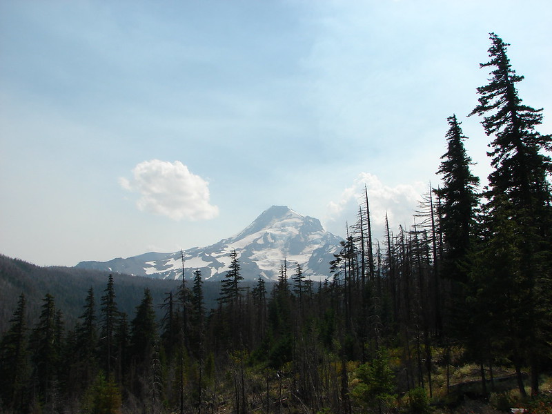
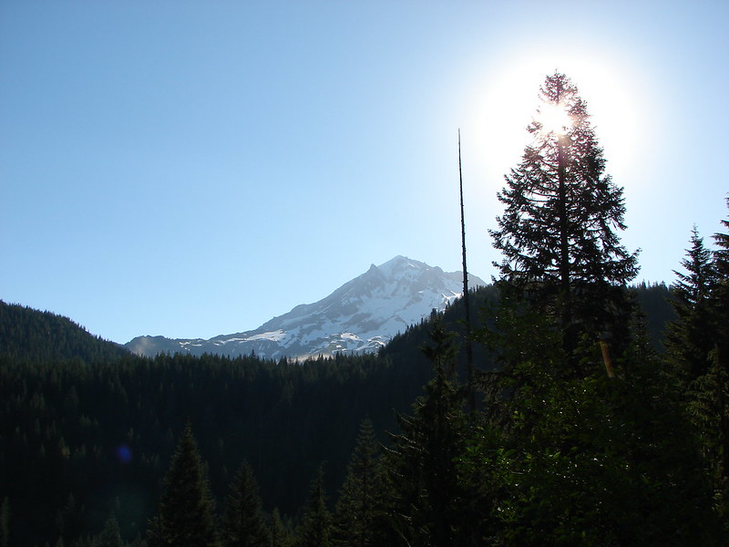
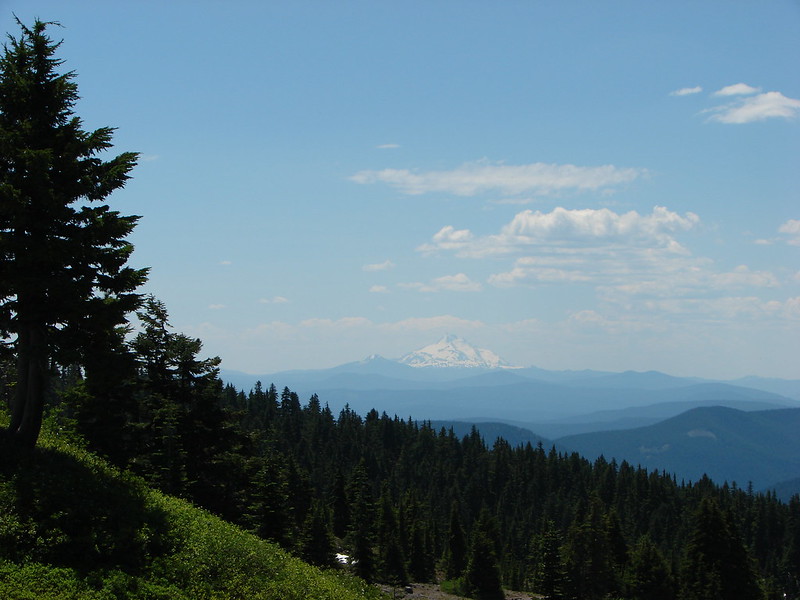
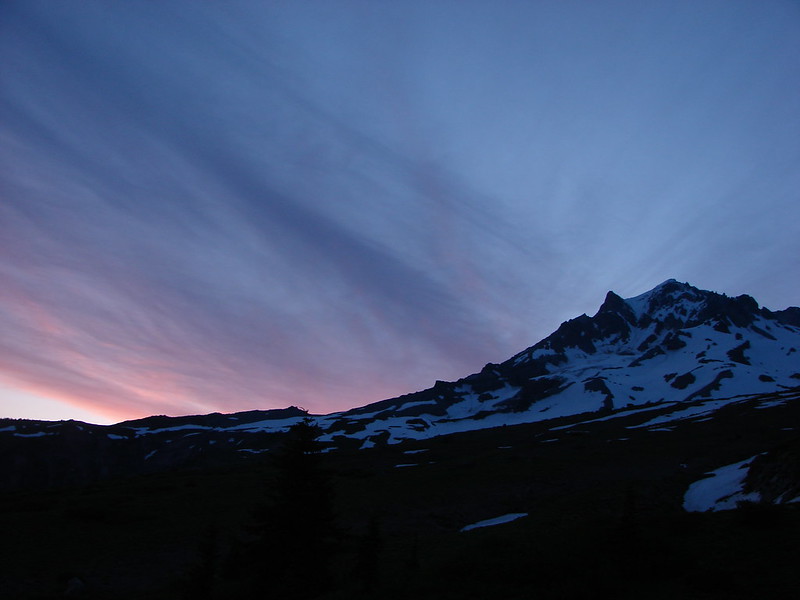
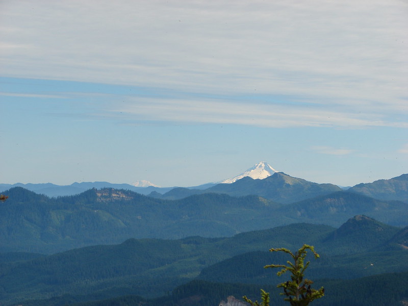
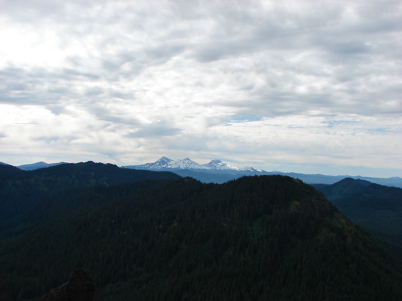
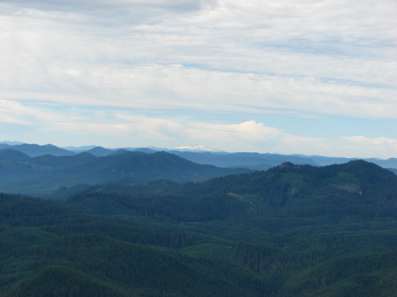
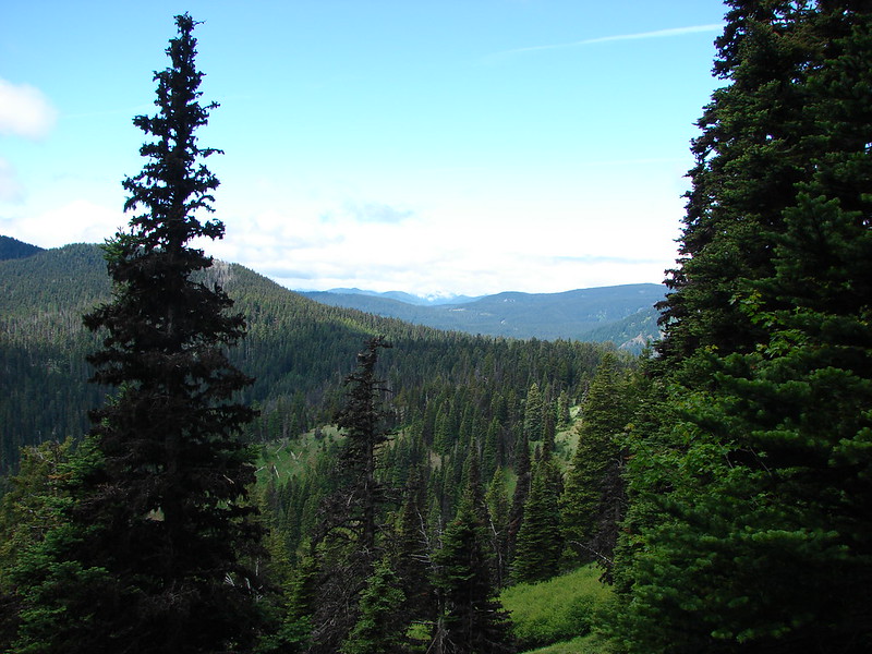
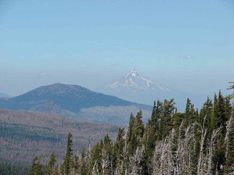
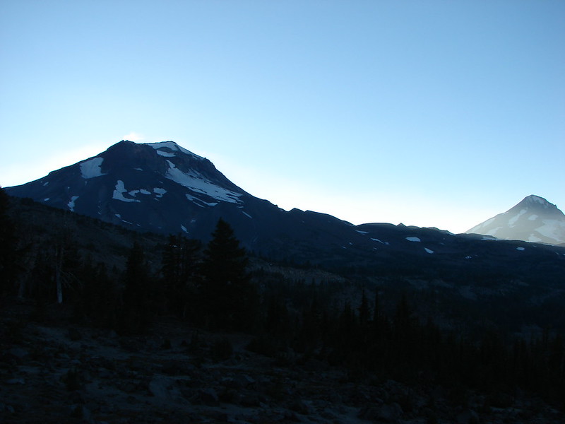
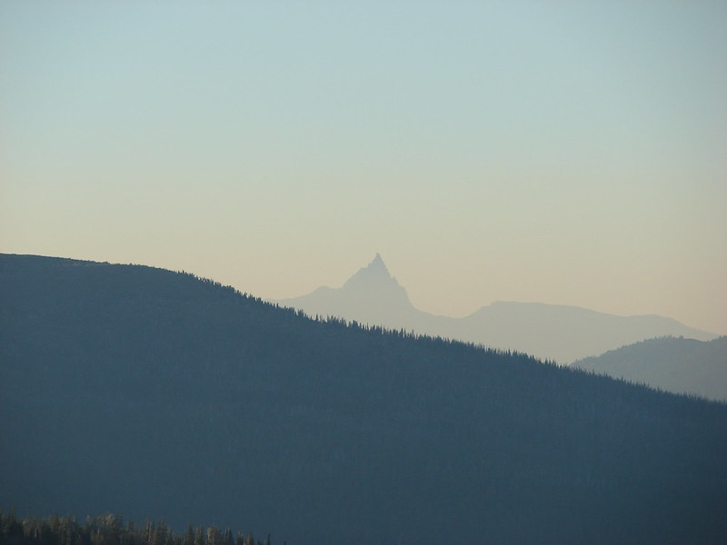
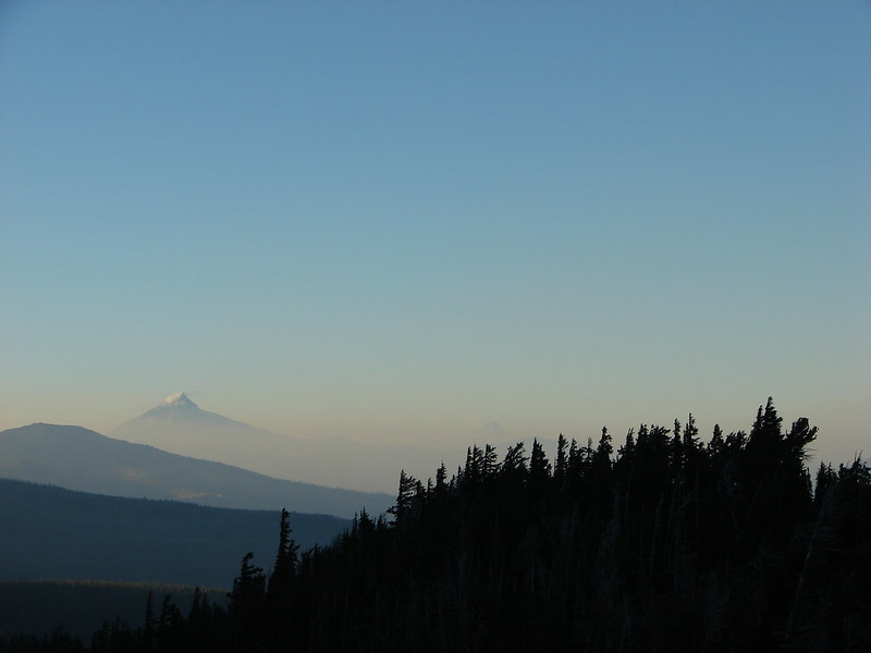
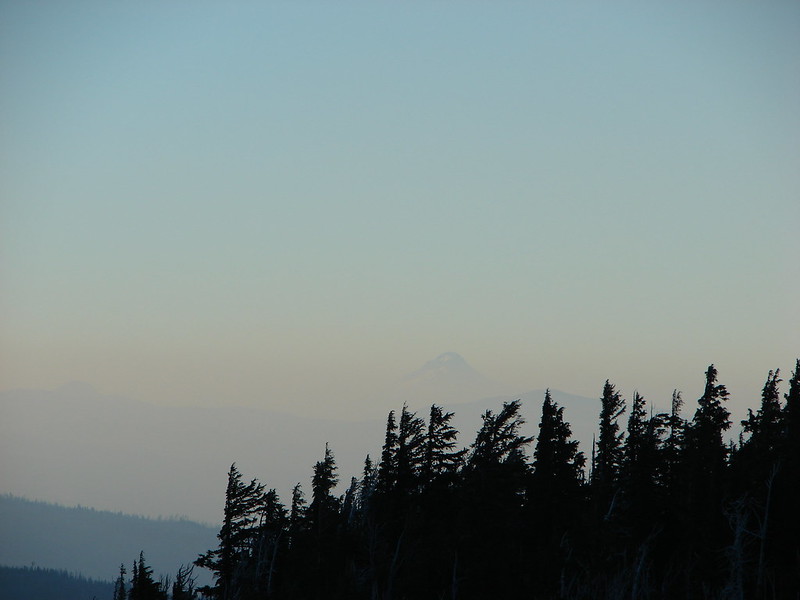
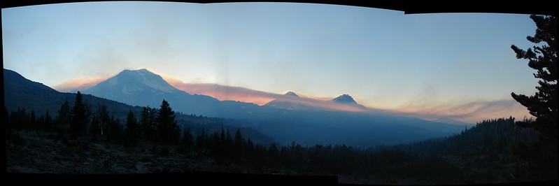
We decided to try and turn in early (or at least take a nap) since we didn’t get much sleep the night before so we laid down in the tent around 6pm. Heather fell asleep but I wasn’t having any luck so I got back up shortly after 7pm and took a few more pictures. It had been hazy to north all weekend but I could now make out Mt. Hood in that direction, and rays of sunlight shot through the gap between the South and Middle Sister.
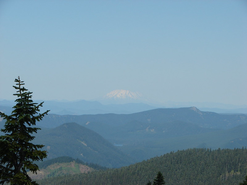
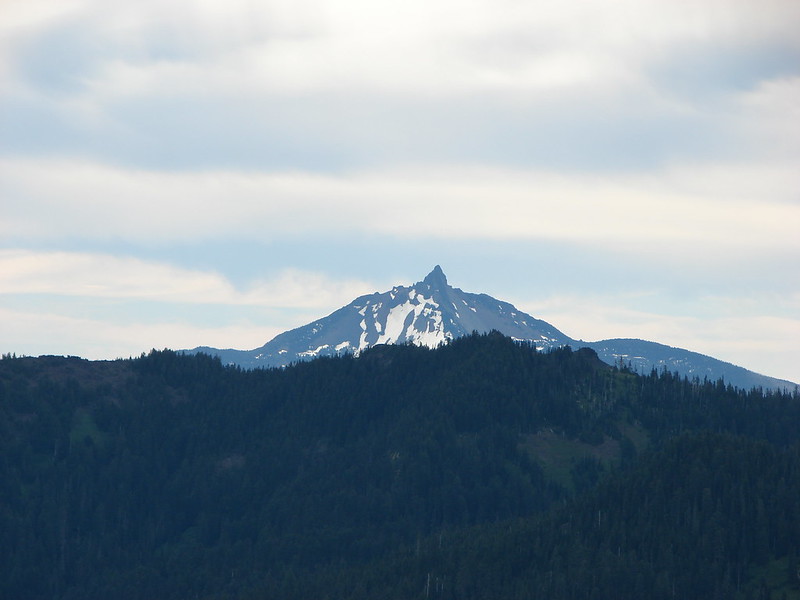
The Three Sisters, Three Fingered Jack, Mt. Jefferson, and Mt. Hood at 7:04pm

Broken Top at 7:07pm
I went back to the tent and laid back down after taking the picture of Broken Top hoping to finally get some sleep. About 20 minutes later I smelled smoke. Thinking it was a campfire I lay there for a minute wondering if someone wasn’t able to follow the restriction on campfires. The smell kept getting strong so I sat up and looked around. Smoke was filling the basin below Broken Top and when I turned around I could see a line of smoke passing between the Sisters. The whole valley below us was full of smoke and it looked like it was rising up from somewhere on the other side of the South Sister.
I woke Heather up and we began discussing what to do. Another hiker came up to the tarn and she was wondering what was going on as well. She had a satellite phone and had managed to talk to a friend in Bend but they didn’t have any knowledge of a fire near the Sisters. There were some fires near Oakridge, OR 40 miles to the South but it didn’t seem possible that this smoke was coming from there. Looking at the smoke column we weren’t sure if we would be able to hike out via Green Lakes since it appeared to be rising from somewhere in that direction so we considered our Plan B evacuation route back through Park Meadow to the Three Creeks Campground. We were also debating on if we should try and stick it out through the night of if we should just pack up and try and get out before it got any worse. We quickly agreed that neither of us would be able to get any sleep under these conditions and if the smoke got any worse it would certainly be unhealthy even if we did manage to fall asleep.
We loaded everything up grabbed our headlamps and started back down toward Golden Lake just after 8:15pm. We were watching the smoke column still unable to decide exactly where it was emanating from when arrived back at Golden Lake. No one had any new news at the lake so we decided to attempt to hike out as originally planned past the Green Lakes as it looked like the smoke was coming from the far side of the South Sister.
This was our first experience with night hiking so we didn’t know exactly what to expect. Our adrenaline was pumping as we began climbing the Green Lakes Trail to its high point above the Green Lakes. To our surprise and relief the smoke lessened as we went. By the time we arrived at the Green Lakes area the sky was full of stars and the smell of smoke had all but vanished.

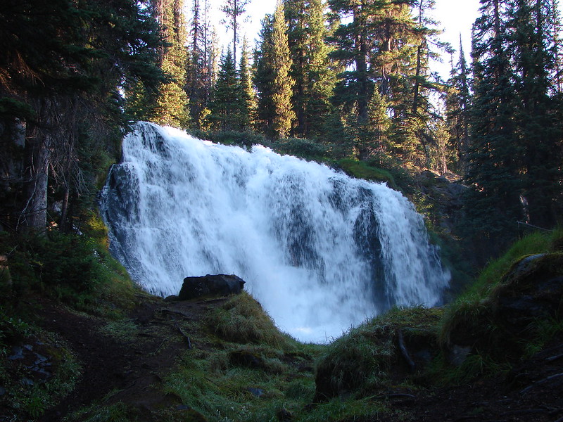
I managed one picture of the elusive Green Lakes having once again missed seeing them in the light of day.
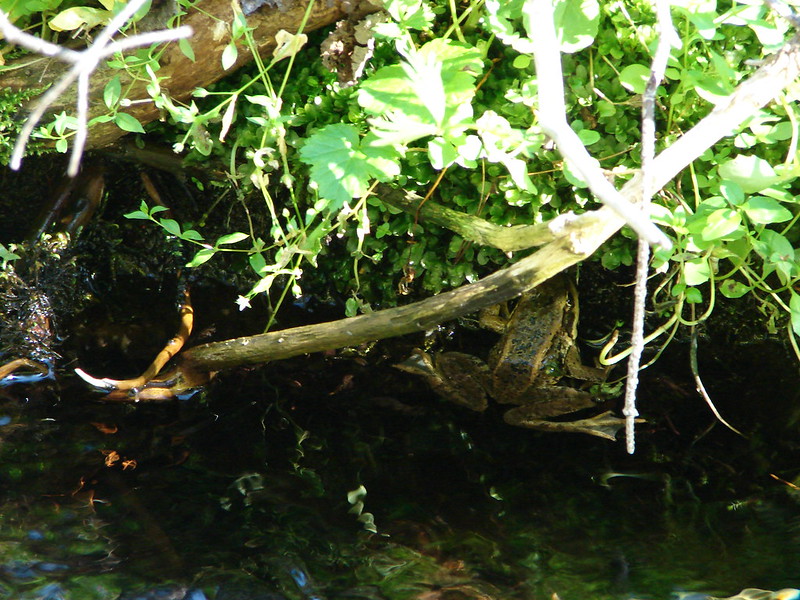
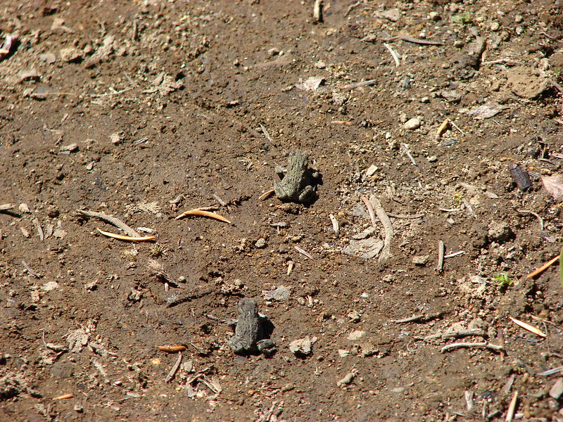
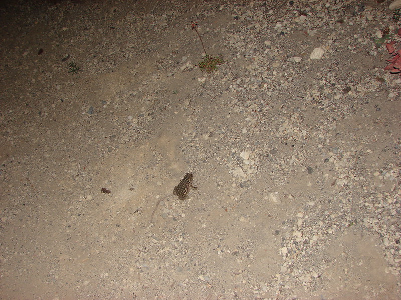
We were now committed to leaving though so we kept hiking. It turned out to be quite a bit of fun. We missed out on seeing a lot but the sky was beautiful and we spotted some things we would not have seen during the day like toads and the glowing eyes of many deer.

We were fortunate that the Green Lakes Trail is well used and easy to follow. By 11:40pm we had reached the trailhead and our waiting car. There was no sign of fire anywhere around and as it turned out the smoke had come from the Deception Creek Complex of fires near Oakridge. The wind had apparently shifted just right flooding the area with smoke. Although it would have been nice to have spent the night by the tarn and been able to wake up to that view we felt like we made the right choice. Experiencing our first night hike was something to remember and it brought our day 3 total to a nice round 21 miles. It truly was a trip to remember.
Happy (and smoke free) Trails!
Flickr: https://www.flickr.com/photos/9319235@N02/sets/72157646556478610/
Facebook: https://www.facebook.com/media/set/?set=a.10204873722630030.1073741905.1448521051&type=1