
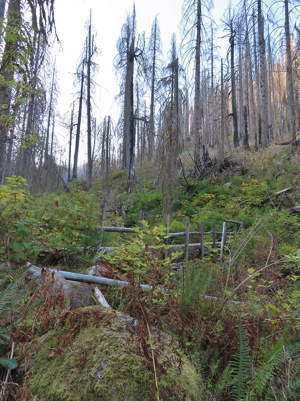
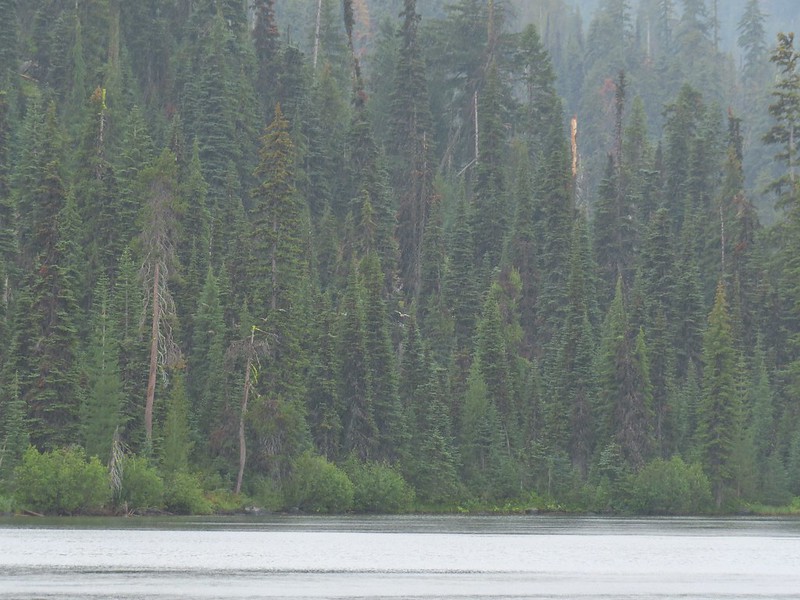
Our lack of rain unfortunately continued for another week allowing the numerous fires in Oregon and Washington to remain active. To top it off a warm, dry East wind arrived in time for the weekend creating a red flag warning for high fire danger and blowing the smoke from the current fires into Western Oregon. The combination of the smoke and unseasonably high temperatures had me searching for a suitable hike. My Plan A, B, and C hikes were all forecast to be in the smoke (and warmer than I’d prefer in October) then I remembered seeing that Hike Oregon had gone up Mount Washington’s North Ridge back in August using a climbers trail off of the Pacific Crest Trail. I had been interested in that trail ever since hearing about it during the Chemeketans Route Finding course we’d taken and then later passing it on our hike to Mount Washington Meadows in 2017 (post). A quick of check of the forecast there showed clear (but breezy) skies and a high below 60 at the mountain, I was sold.
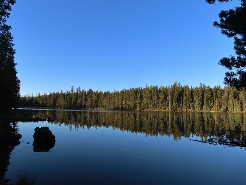
Just as we had done in 2017 I parked at the Pacific Crest Trailhead at Big Lake which at this time does not require a Cascade Wilderness Permit for day-use (one is required for overnight stays).
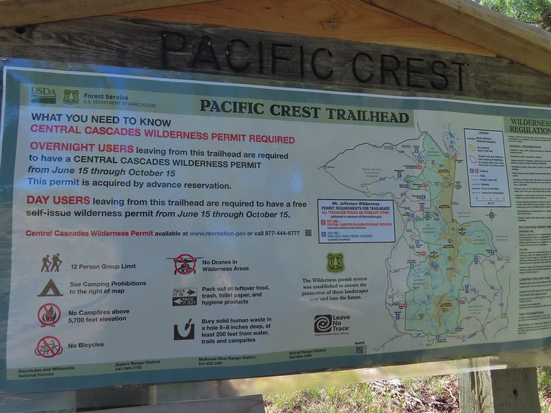
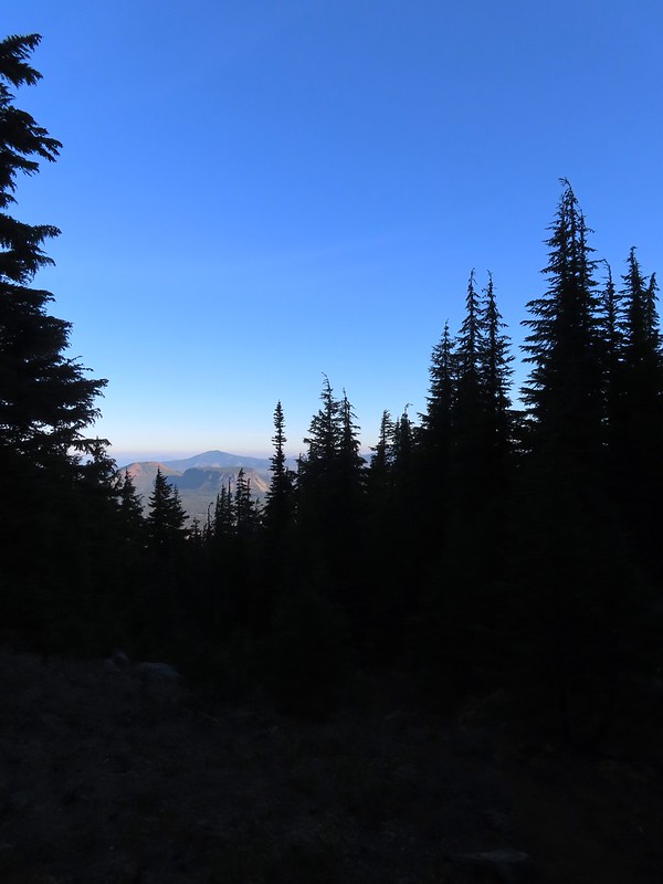
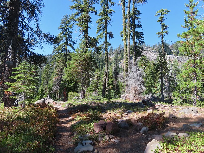
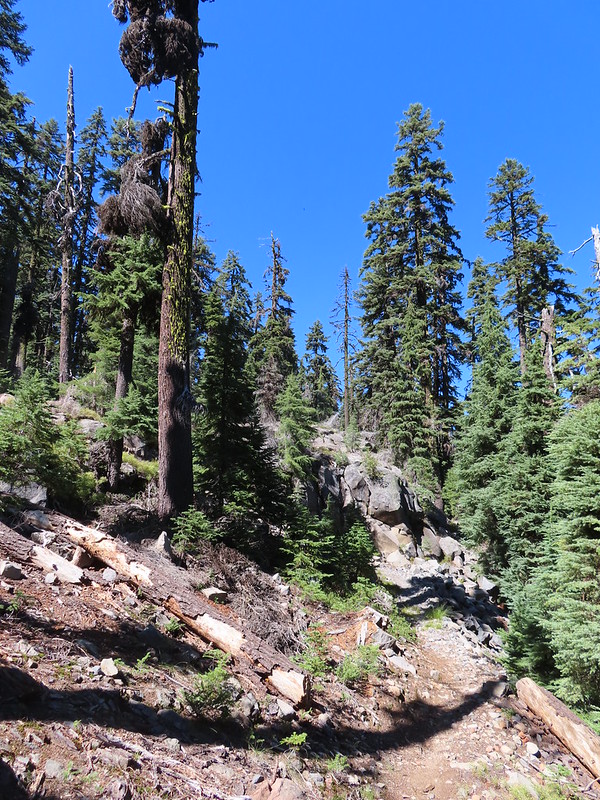
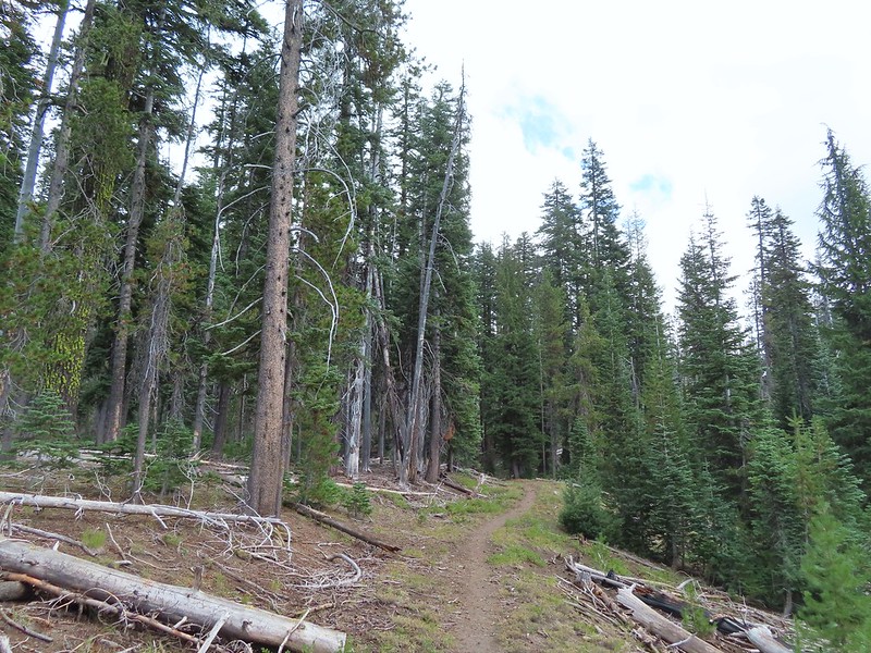
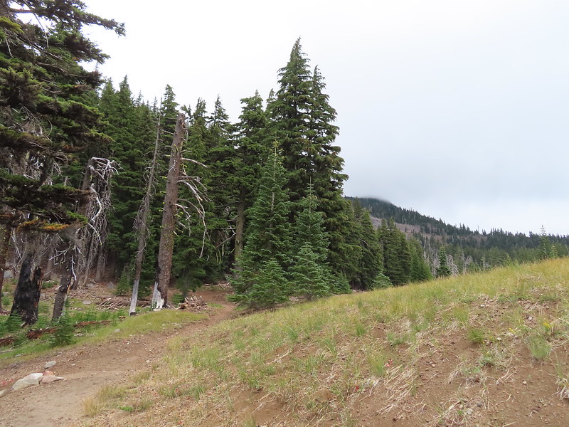
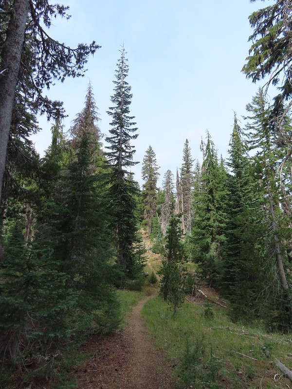
I set off South on the PCT shortly before sunrise and followed it for three miles to a cairn marking the obvious climbers trail.
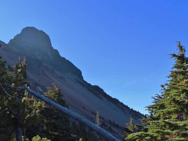
 Mount Washington from the Mt. Washington Wilderness boundary just a few hundred feet from the trailhead.
 Three Fingered Jack to the North from the PCT.
 From left to right – Sand Mountain (post), Hoodoo Butte, and Hayrick Butte.
 Mount Washington
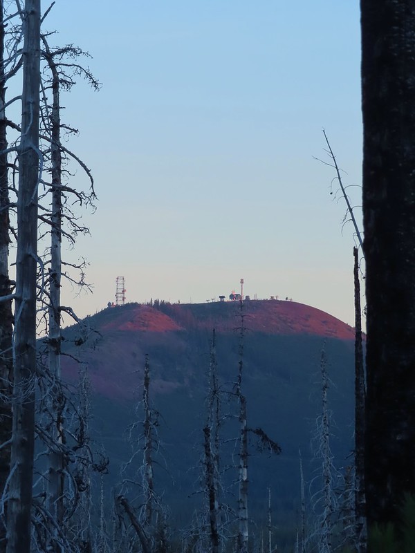 Sunrise on Hoodoo Butte.
 Sunlight hitting the spire of Mount Washington.
 Hayrick Butte and Three Fingered Jack at sunrise.
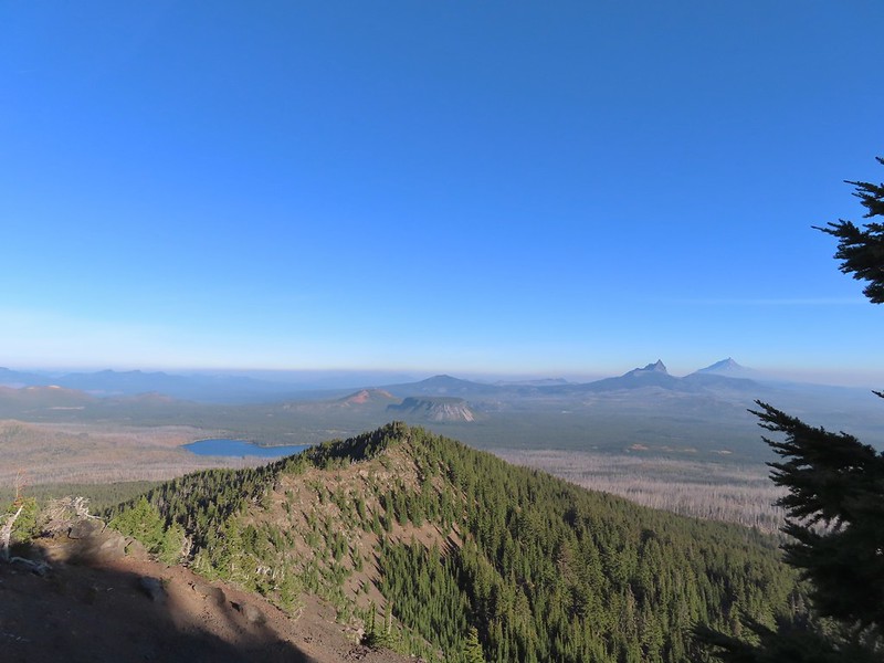
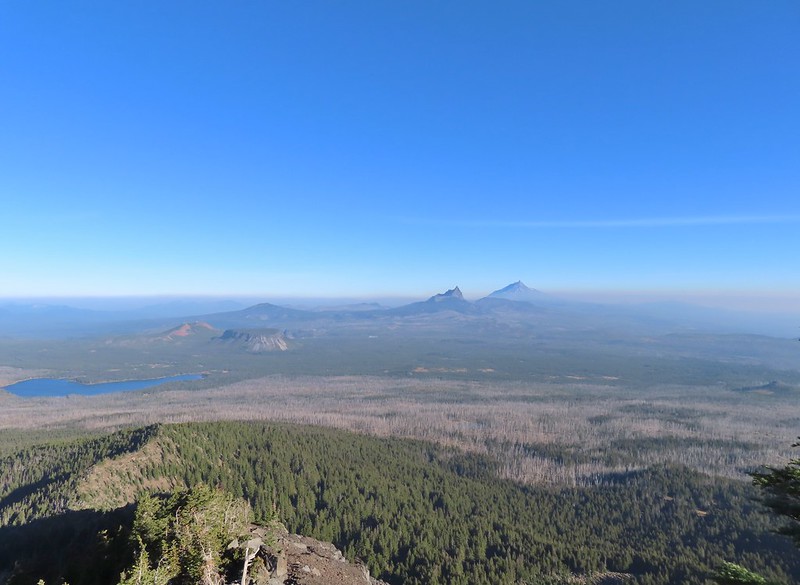
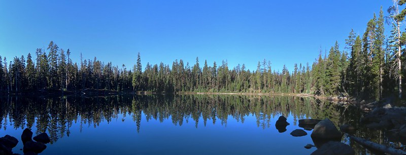
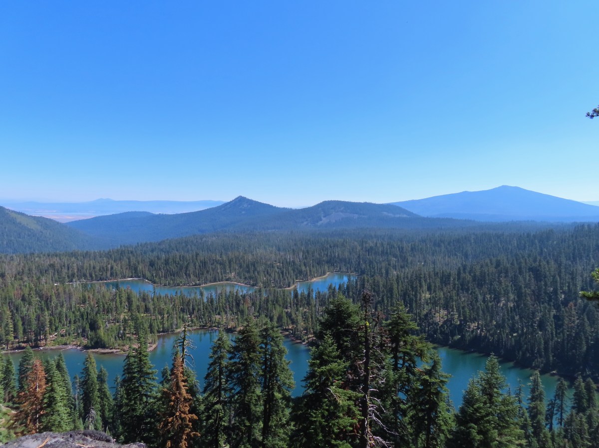
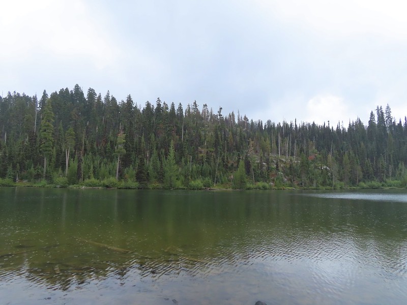
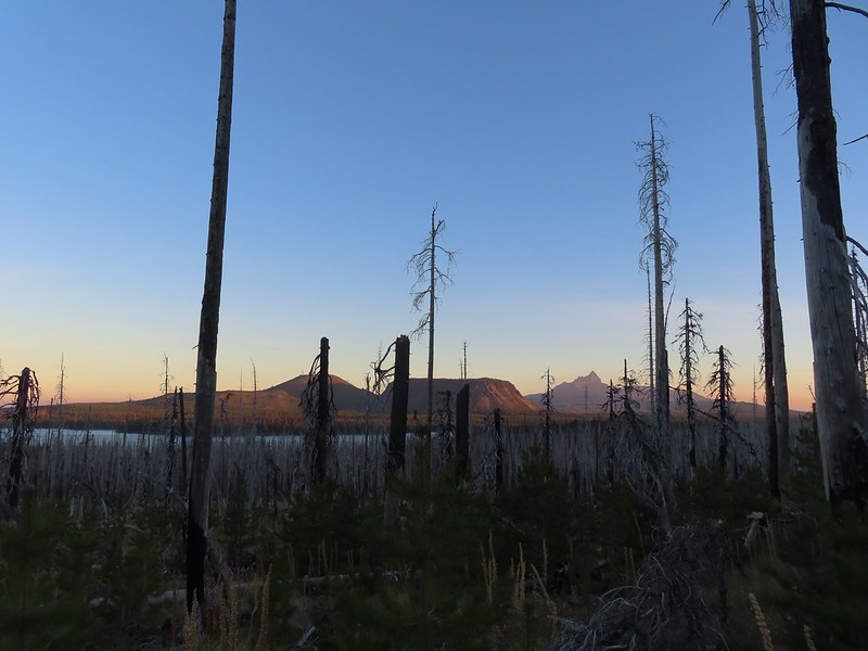 Big Lake, Hoodoo, Hayrick Butte, and Three Fingered Jack.
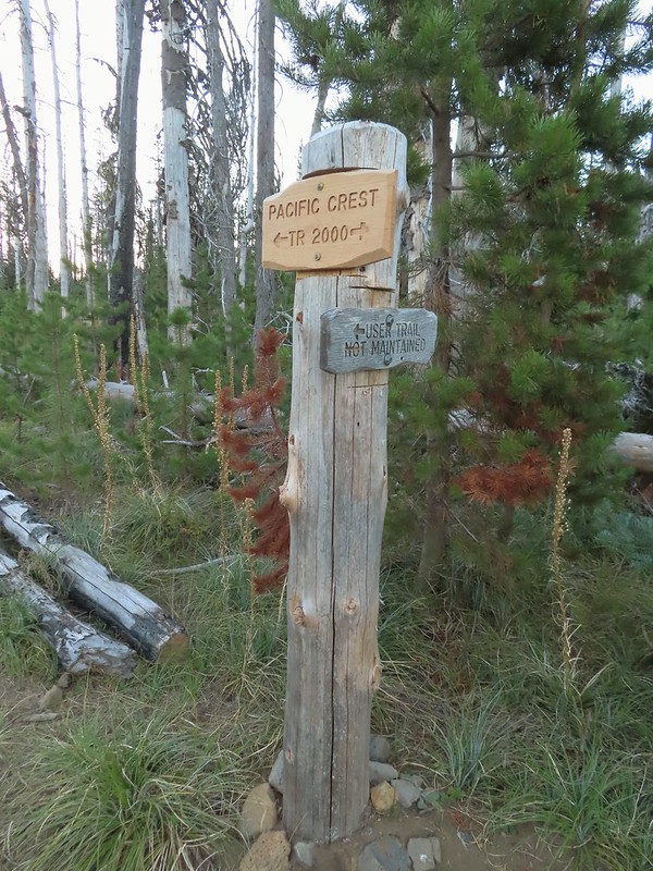 Just over two miles from the trailhead I passed a sign for the non-maintained use trail from the private Big Lake Youth Camp.
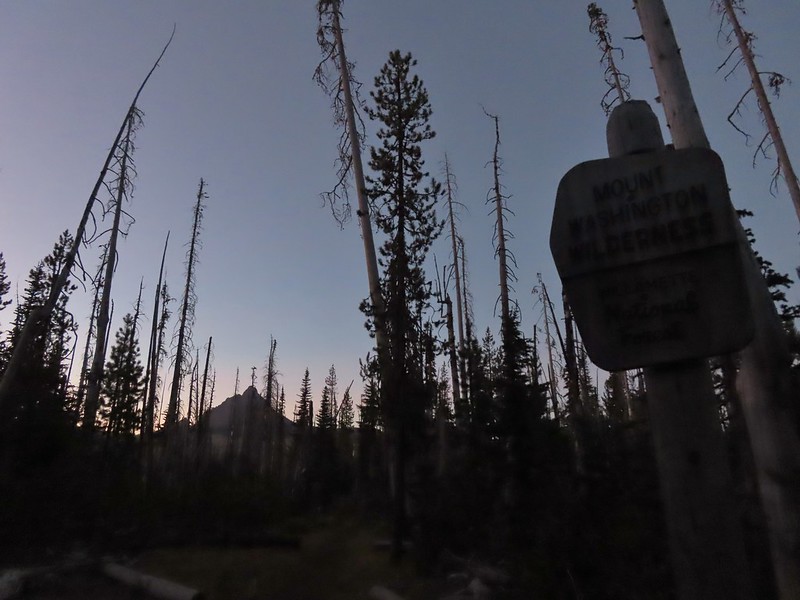
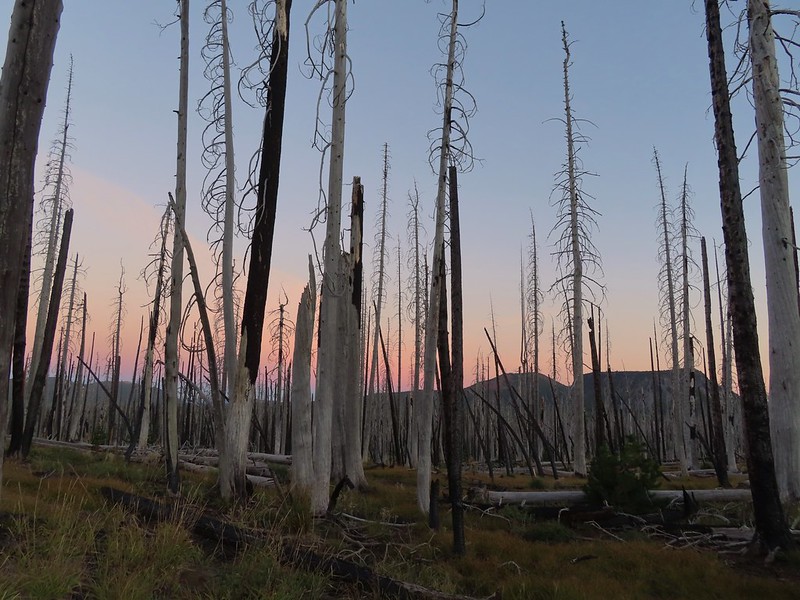
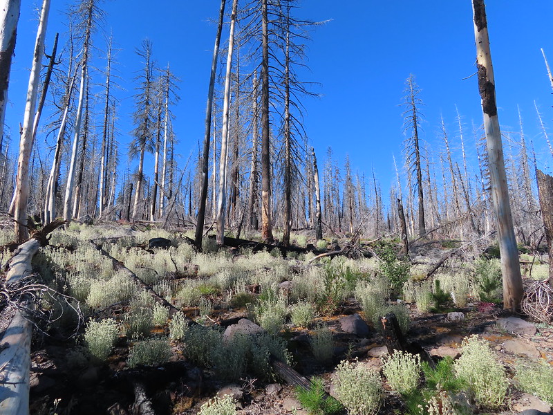
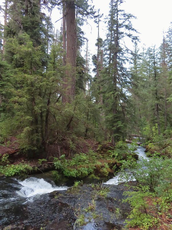
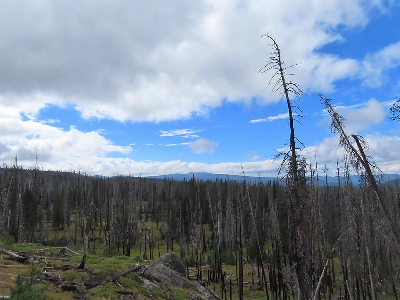
 Shortly before reaching the climbers trail the PCT left the 2011 Shadow Lake Fire scar.
 The cairn and climbers trail from the PCT.
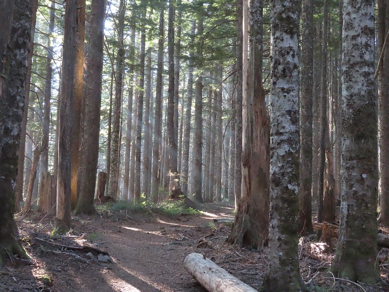
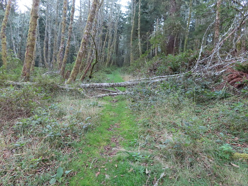
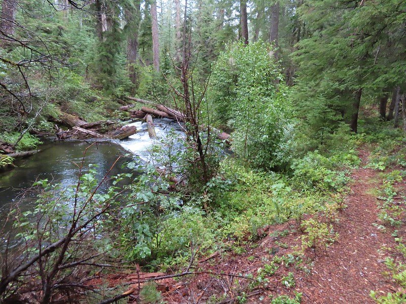
I turned left onto this trail which was fairly easy to follow through the trees.
 Huckleberry leaves turning color.


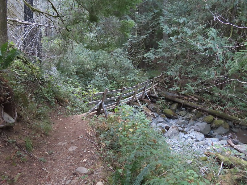
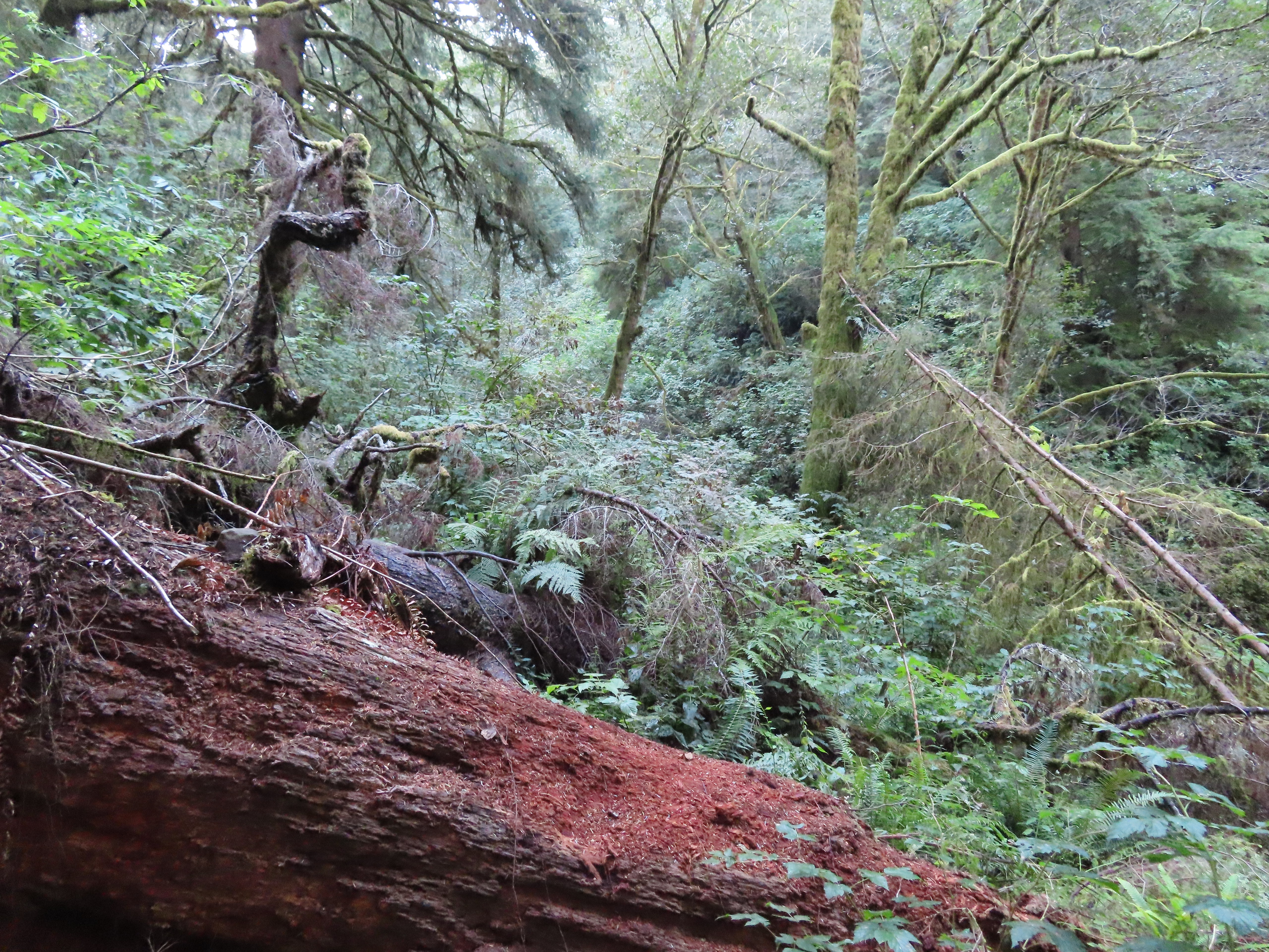
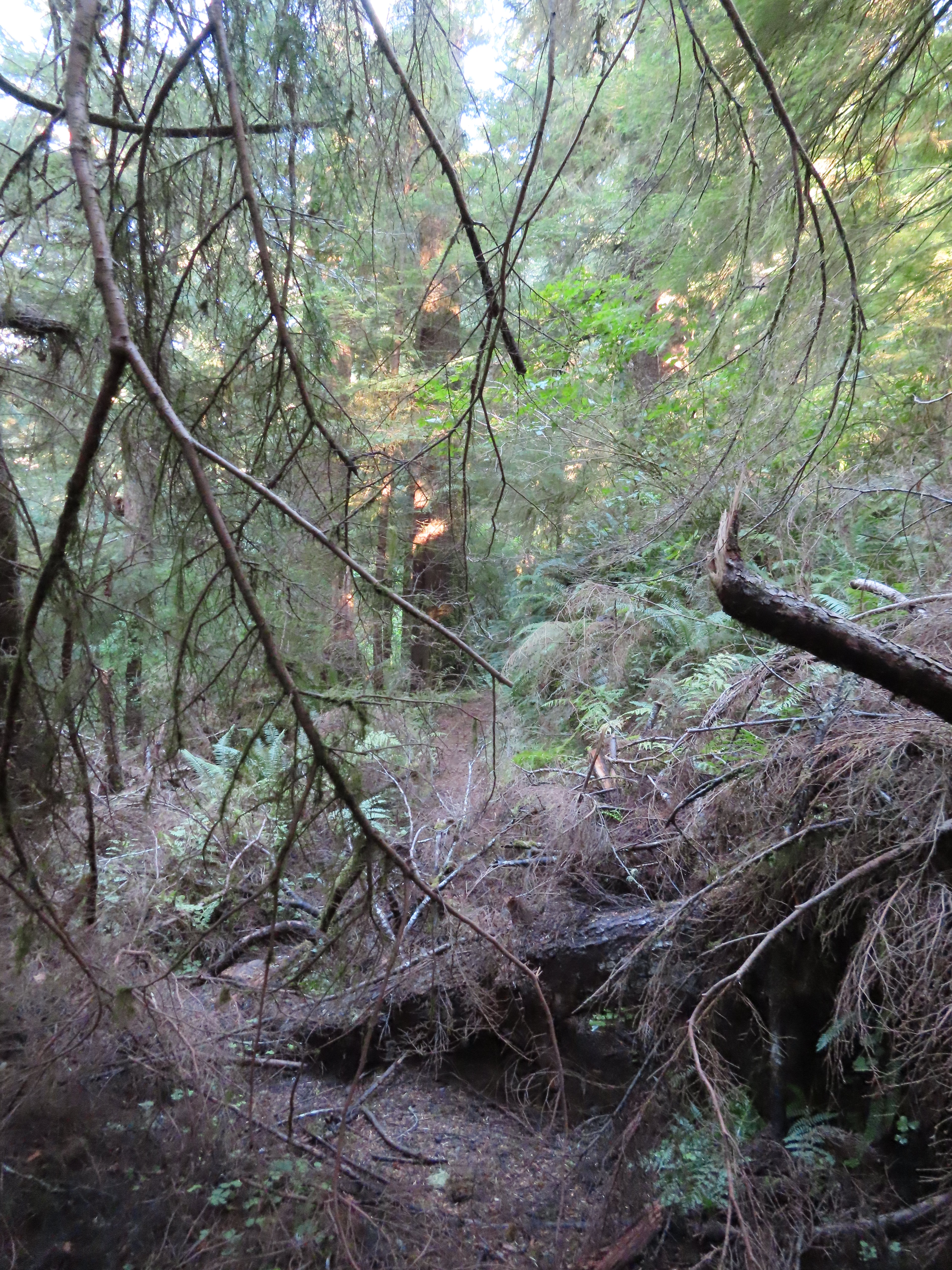
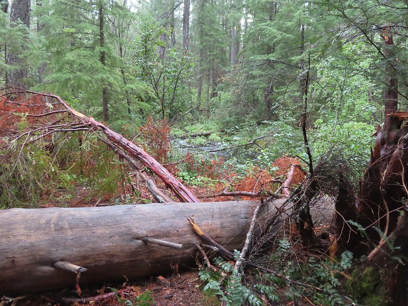
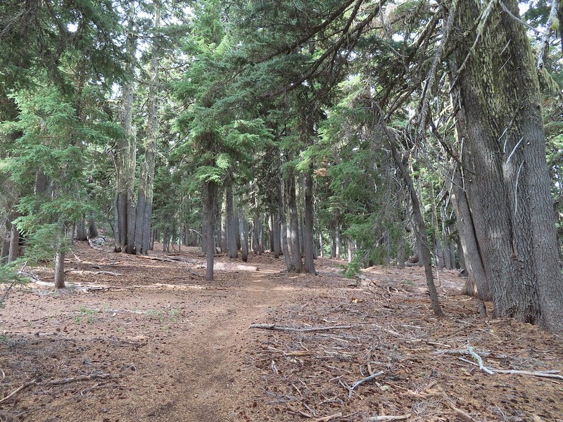
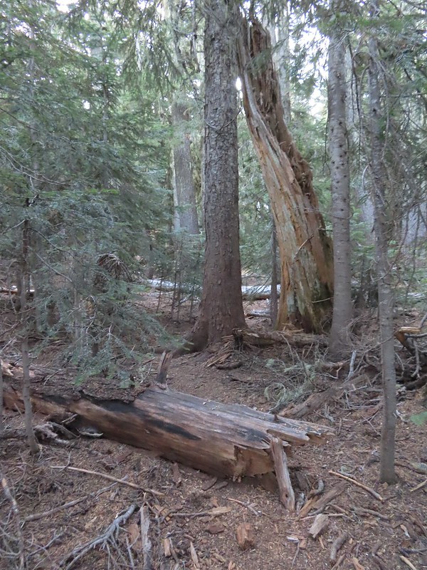 There were a few logs to navigate and keeping an eye on the tread was helpful.
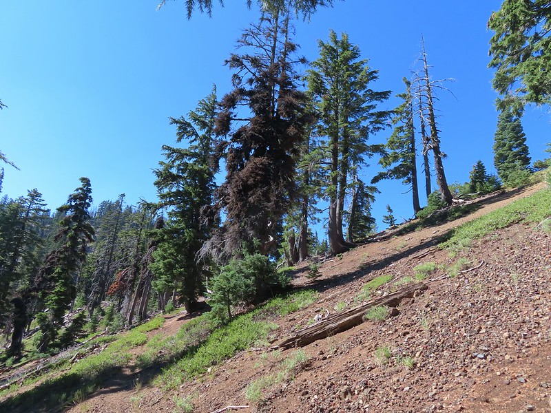
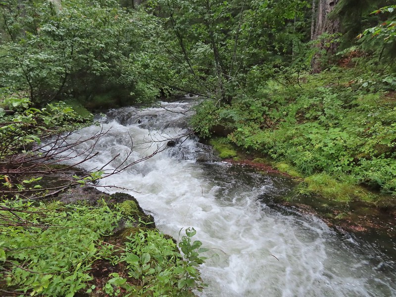
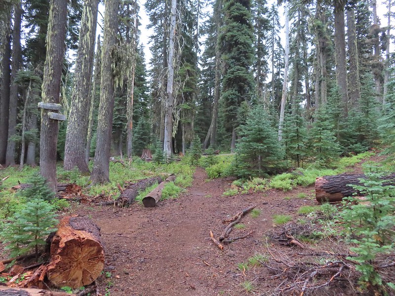
The trail climbed moderately at first then steepened as it went, with occasional flatter sections before reaching the ridge.

 Maxwell Butte (post) behind Hoodoo and Hayrick Butte.

 Mount Washington

I stopped here for a moment to admire a raptor that was hovering high above the ridge (small black dot in the middle of the photo).
 The only movement that I could see was when it tilted its tail feathers which would catch the sunlight.
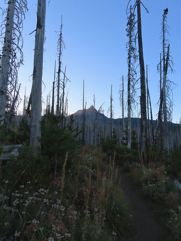
 First view of Mt. Jefferson behind Three Fingered Jack.
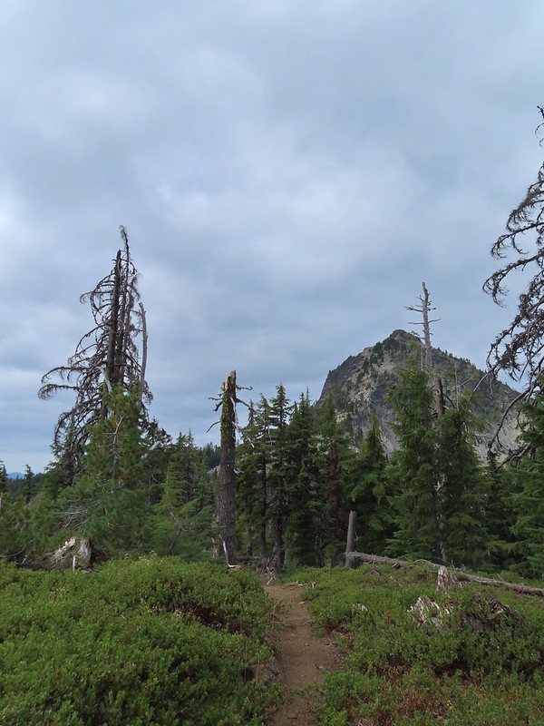
 Coming up on the ridge.
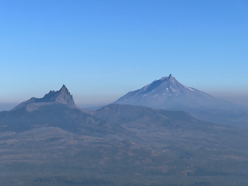
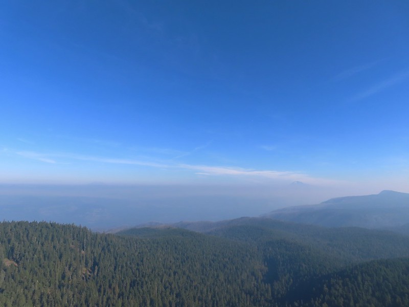
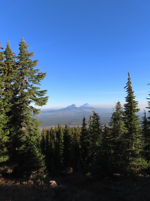 Three Fingered Jack, Mt. Jefferson, and a lot of smoke to the North.
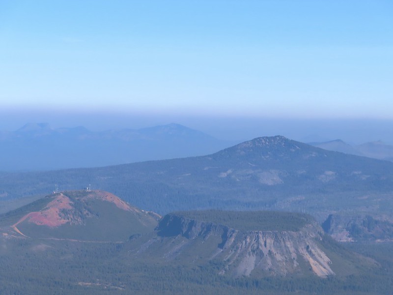
 Cache Mountain and Black Butte (post) to the NE.
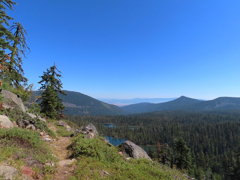
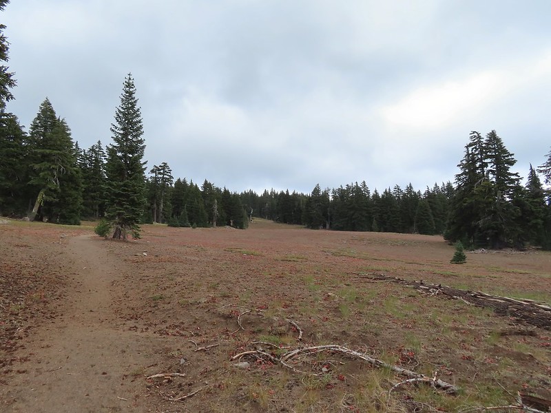
Approximately 1.5 miles from the PCT the climbers trail turned North along the ridge toward Mount Washington.
 View along the ridge to Mount Washington.
 That East wind was really noticeable as I made my way along the open ridge crest.
I didn’t have much trouble following the trail for the first three-quarters of mile up the ridge. It was typical Cascade volcanic rock which isn’t the most fun rock to hike through but the views were great.
 Three Fingered Jack and Mt. Jefferson to the left. Green Ridge (post) across the center, and Cache Mountain & Black Butte to the right.
 Big Lake came into view as I climbed.
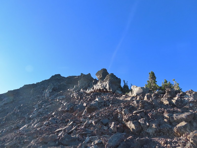
 One of the steeper sections I went up. The spire is poking up on the right.
 Mount Washington’s shadow.
 View back down the ridge.
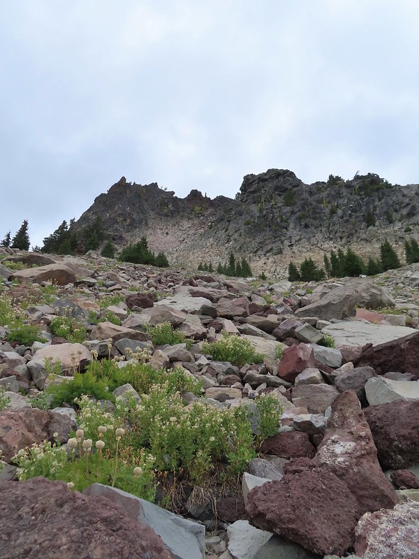
 I was hoping to get up and over these rocks where the map showed a more level bench but I wound up reaching a chute where I was unsure of the correct route. The further up I’d gone the more braided the trail became and I may have been too far left. A climber had passed me way back on the PCT but if I had been able to watch him go up here I may have found a better route.
 The chute that turned me back. It’s a bit hidden by the rocks in the foreground but there was no way across that I would have been comfortable with and scrambling up looked way too sketchy for my taste (especially w/o a helmet).
I sat down here and took a brief break to catch my breath and have a snack. I was just over 7100′ in elevation and had been feeling that on the climb up.
 My shadow on the left from my break spot.
 This was the place I’d come up.
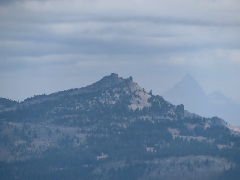
 Zoom of Three Fingered Jack and Mt. Jefferson
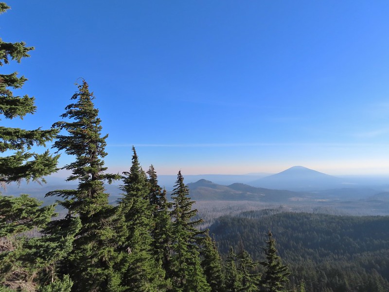
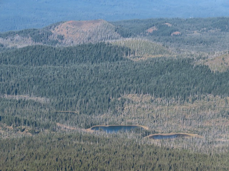
 With all the smoke I hadn’t noticed Coffin (flat top) and Bachelor Mountains (post) beyond Hoodoo, Hayrick, and Maxwell Buttes.
After catching my breath I started carefully down, pausing often to admire the view.
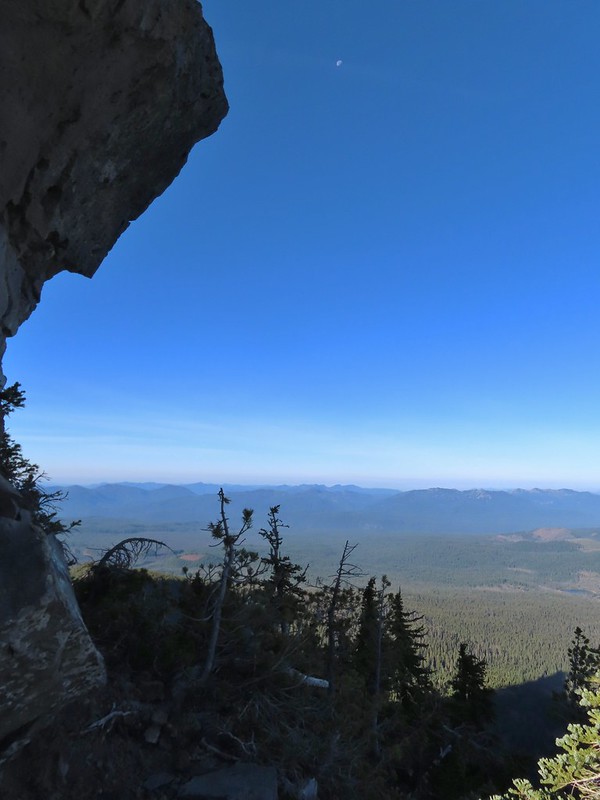 The Moon overhead to the West.
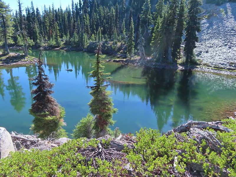
 Patjens Lakes (post) in the forest below.
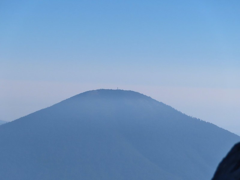 Lookout tower on Black Butte.
 Unfortunate that my timing once again put the Sun directly in line with my view.
I passed three more hikers heading up the ridge on my way down and at one point wound up following a wrong trail too low on the ridge and had to scramble back up to the correct one.
 Using a tree to try and get a better view.
 A framed Mt. Jefferson.
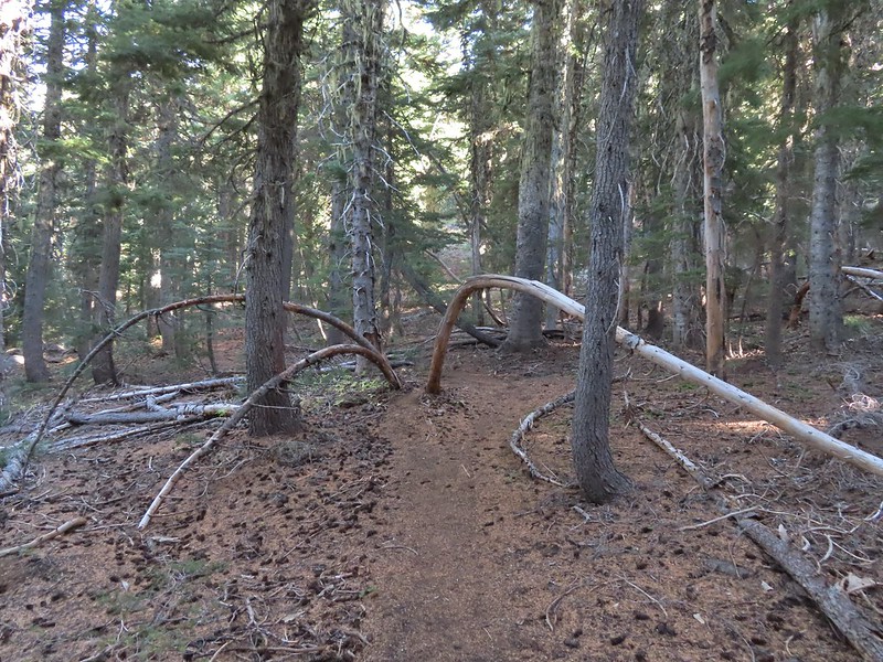 Sometimes it’s the little things, like these bent trees that I really appreciate on a hike.
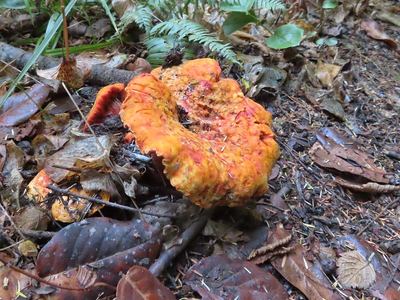
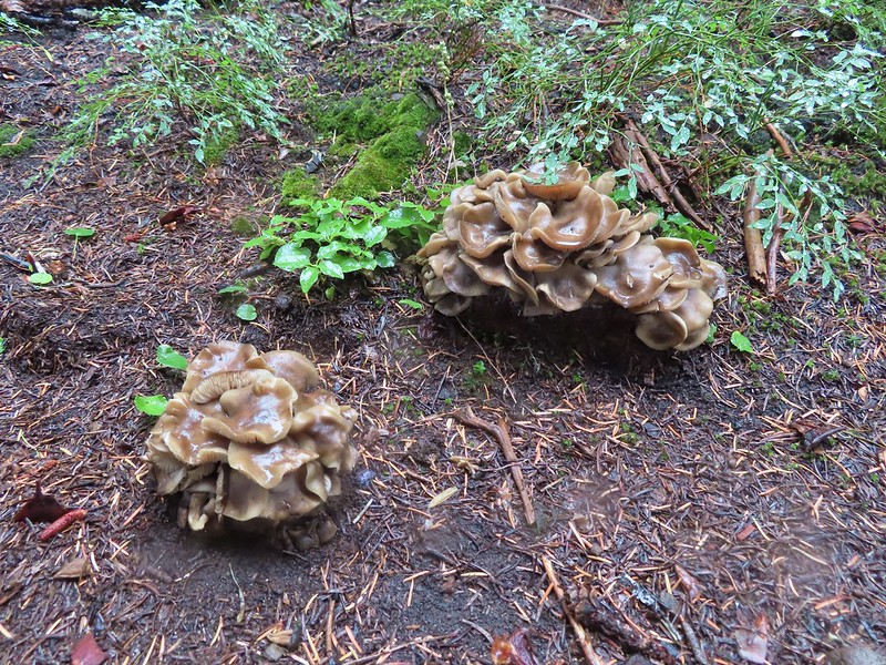
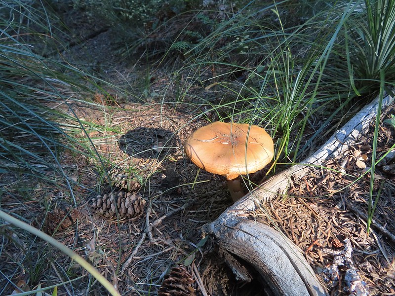 This mushroom casting a shadow was another one.

When I got back to the PCT I turned right and hiked the three miles back to the trailhead.

 Looking back at Mount Washington from the PCT.
 Three Fingered Jack
 Hoodoo and Hayrick Buttes behind Big Lake.
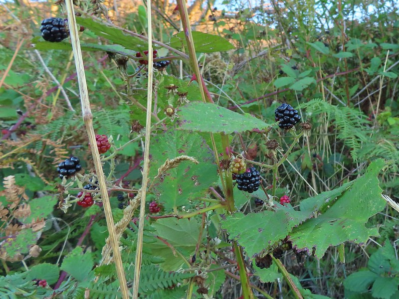
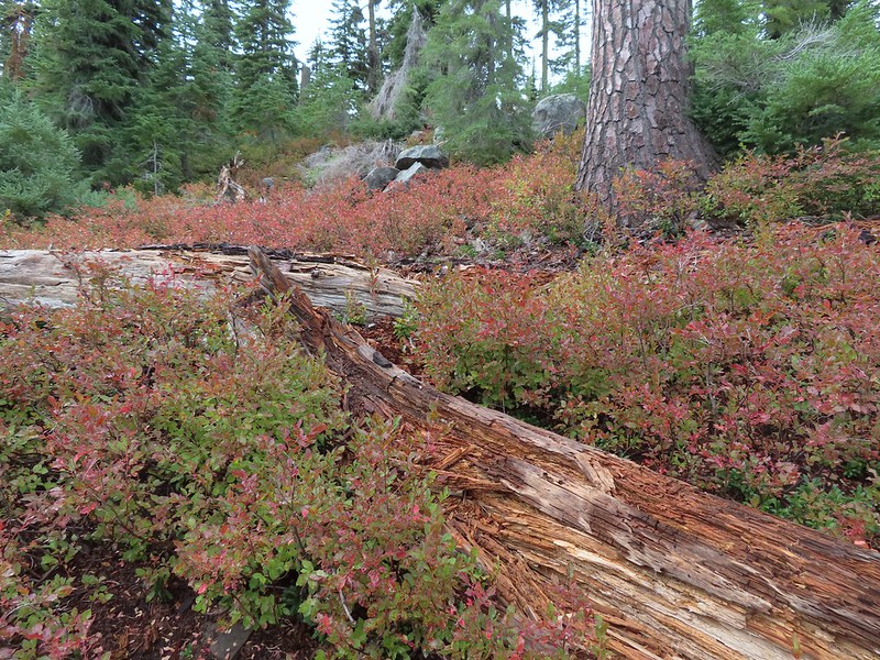
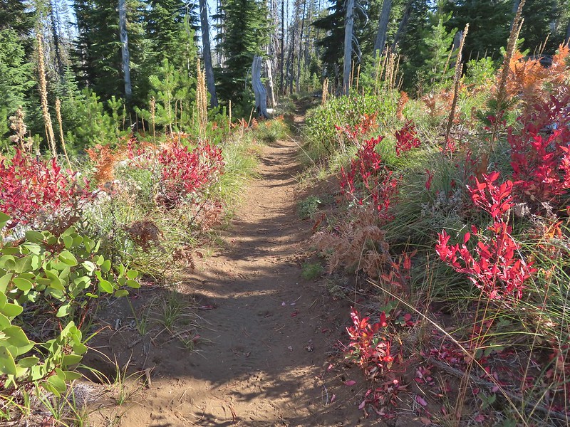 Huckleberry bushes and ferns adding some Fall colors.
 The best Fall colors were near the trailhead.

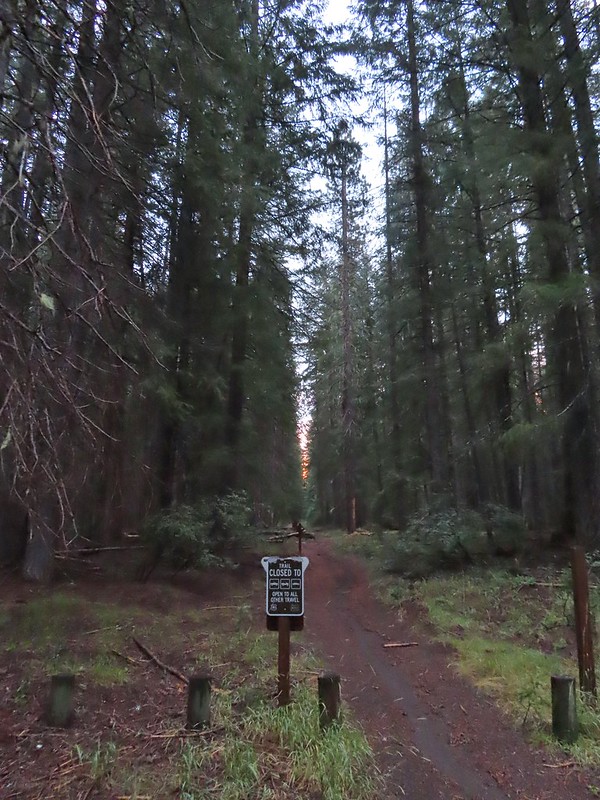
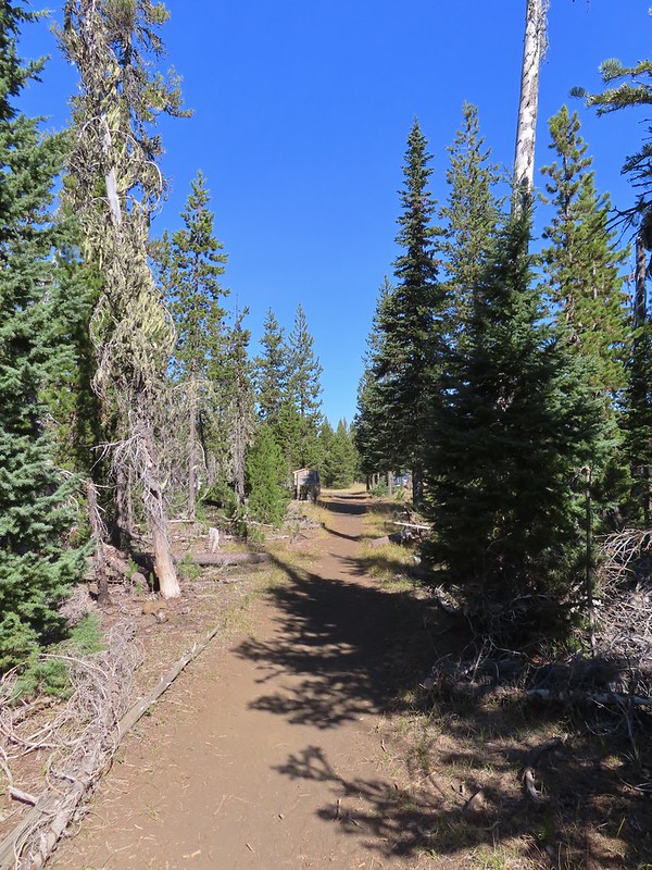 The trailhead from the wilderness boundary sign.
This hike came to 10.7 miles with a little over 2700′ of elevation gain. In total I saw 7 hunters, 4 climbers, and two fellow hikers, not bad for a sunny Saturday. It might not be one for those uncomfortable with heights or climbing/descending loose volcanic rock (for those reasons it was a good choice since Heather is still sidelined) but if you don’t mind those things this would be a worthwhile outing.

When I got back to Salem around 2pm it was 90 degrees, in mid-October! The good news is that the high pressure system causing the warm, dry weather is supposed to break up this week with rain to follow. Hopefully it will be enough to put an end to the fires. Happy Trails!
Flickr: Mount Washington North Ridge


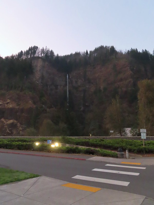
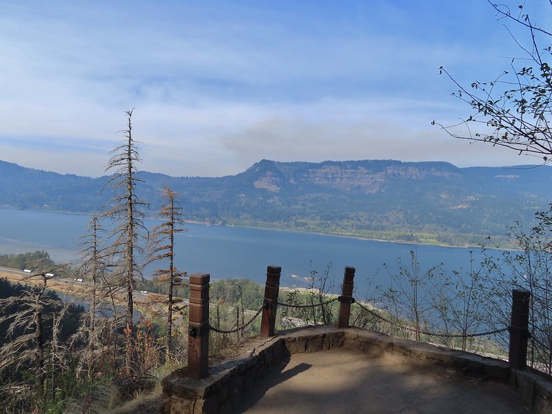
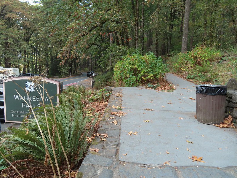
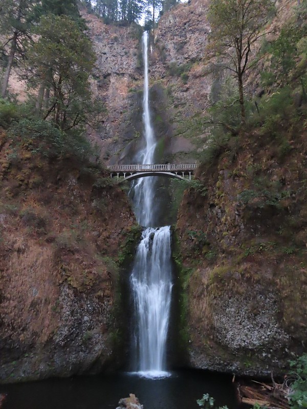 Multnomah Falls
 The Benson Bridge.
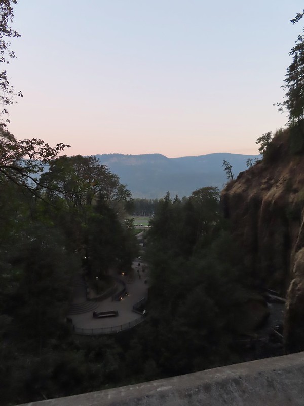 View from the bridge.
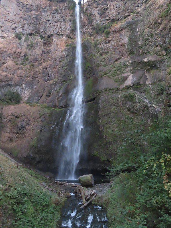 Multnomah Falls from the bridge.
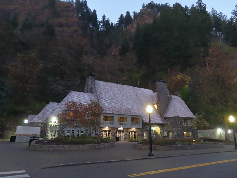
 The Moon beyond the Columbia River and Multnomah Falls Lodge.
 Beacon Rock (
 The second switchback.
 Another view of the falls. I passed a pair of hikers along this stretch then didn’t see another person for another couple of hours.
 Viewpoint trail.

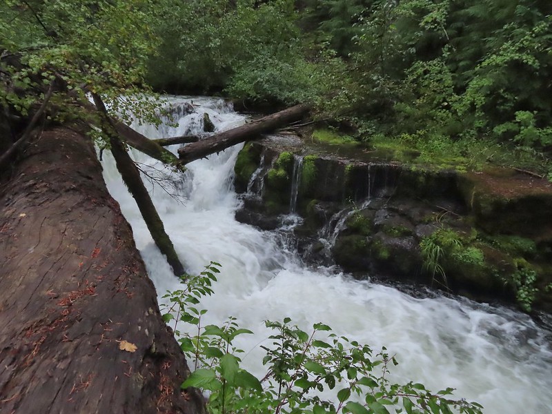
 Small fall just upstream from Multnomah Falls.
 Cape Horn (
 Bridge over Multnomah Creek.
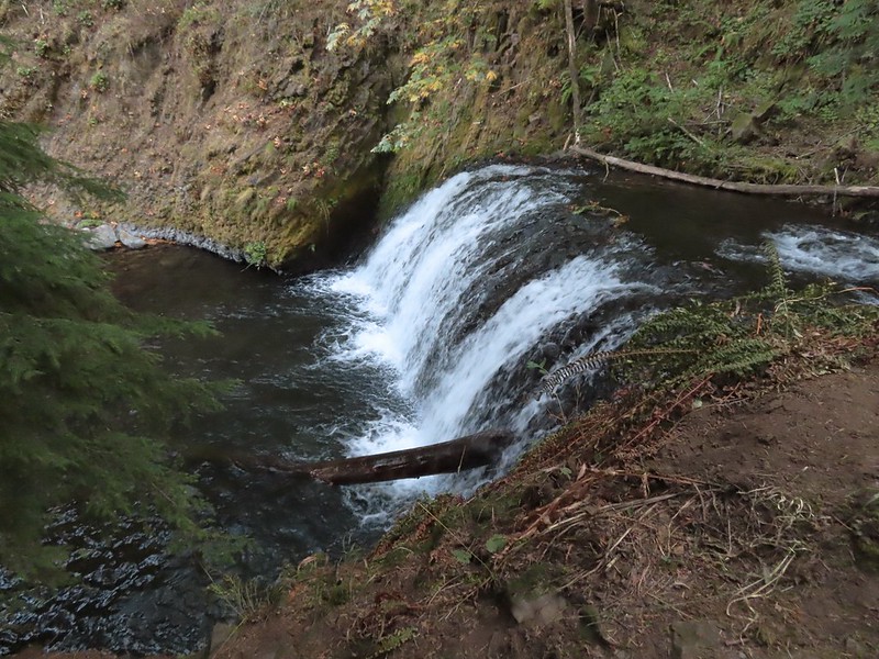
 Approaching Middle Dutchman Falls.
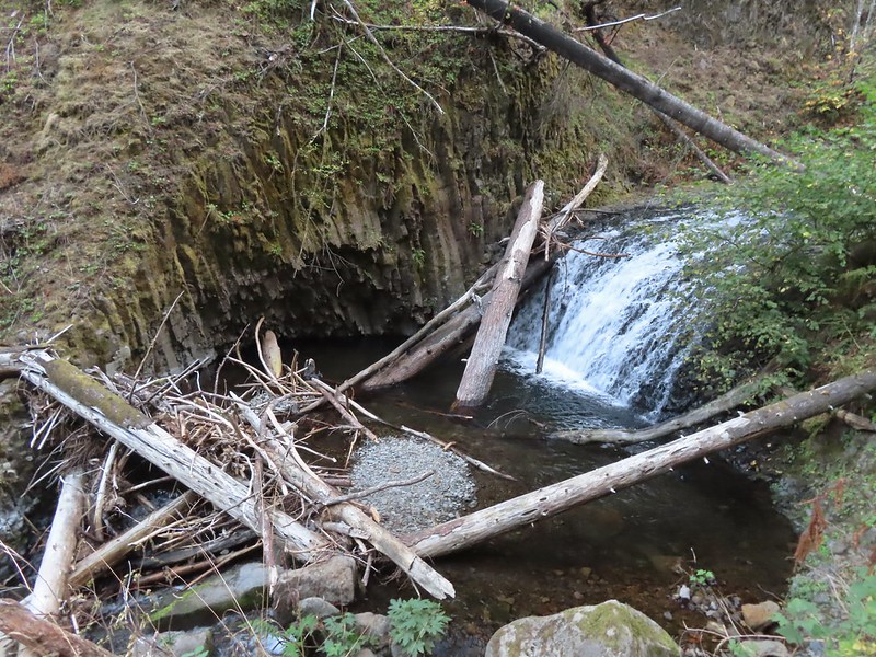 Middle Dutchman Falls
 Upper Dutchman Falls
 Dutchman Tunnel
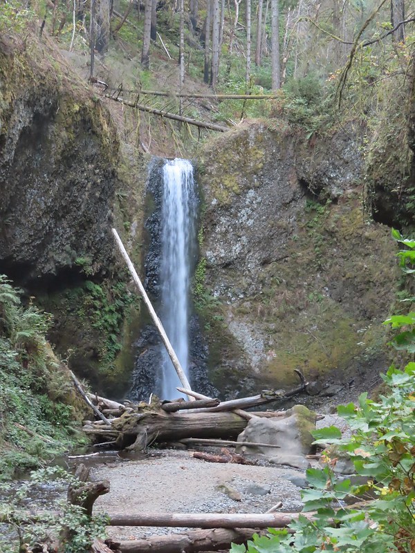 Wiesendanger Falls is located just beyond Dutchman Tunnel.
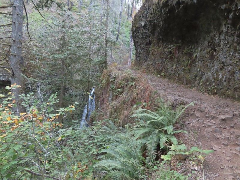 A short distance beyond Wiesendanger Falls is Ecola Falls.
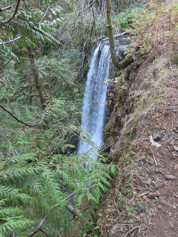 Ecola Falls
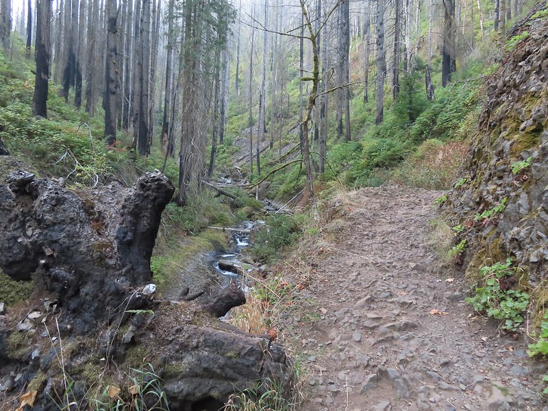
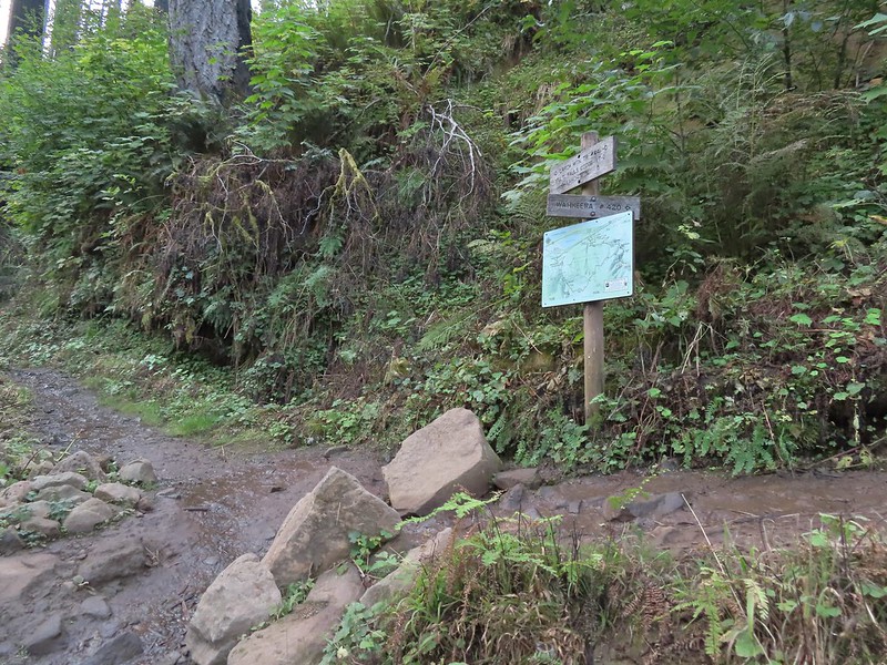
 Good signage at nearly all trail junctions, especially those closest to the trailheads.
 Looking down the creek at sunlight starting to hit the hillside.
 A few bleeding heart were still in bloom.
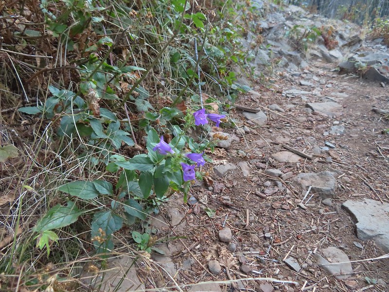 Penstemon
 This section is flooded in late Winter/Spring. The signed High Water Trail leads up and around it for those high water times.
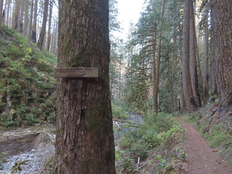 Sign for the High Water Trail at its southern end.
 The southern end of the High Water Trail heading uphill to the right.
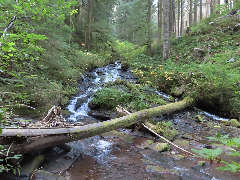 I couldn’t find a name for this creek but it had a good flow, in fact it was more water than what was in Multnomah Creek upstream from their confluence.
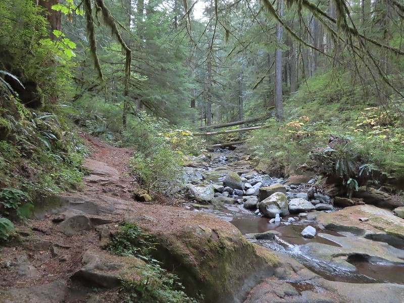 Multnomah Creek upstream from the unnamed creek.
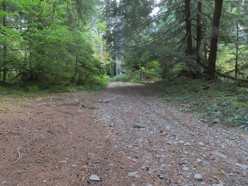


 Reentering the fire scar.
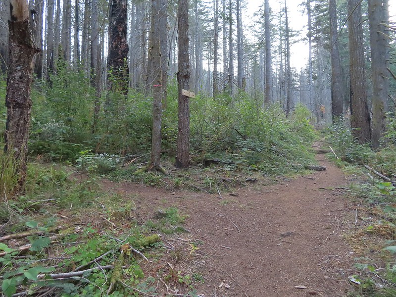 The Franklin Ridge Trail on the left.


 Maple changing colors
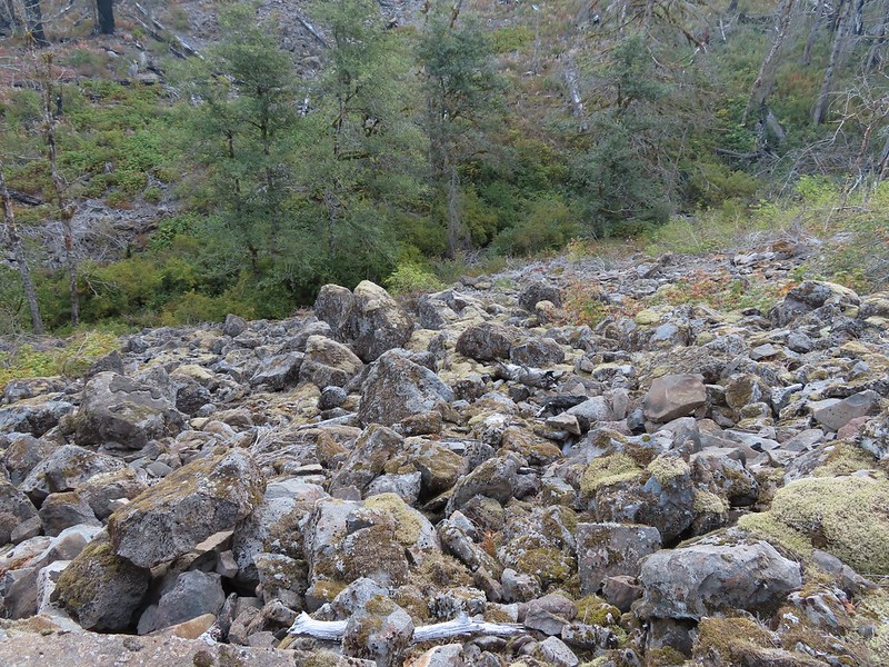 I’m sure there is at least one pika in this photo somewhere.
 Looking back toward Franklin Ridge.
 Arriving at the junction.


 I was hoping for less smoke in the air but these sunbeams told me that there was still a fair amount lingering around much as it had been for the last several days.
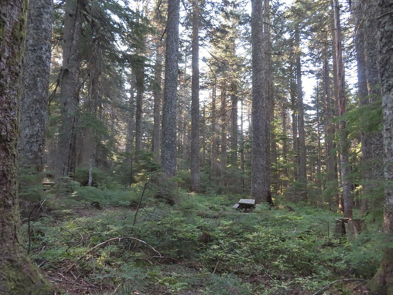 After 1.25 miles I passed a pair of old campsites with picnic tables on the right. I stayed right at an unsigned junction with a trail that led uphill to the left. We had come down that way on our previous trip skipping a short section of the actual Larch Mountain Trail.
 There were four cars at this trailhead.
 Vine maple near the Sherrard Point Trail.


 Mt. St. Helens in the smoke to the left and Mt. Adams a bit above it to the right.
 Mt. Hood
 Mt. Adams
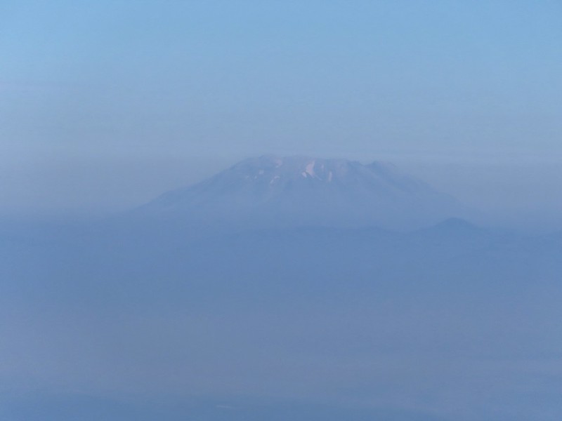 Mt. St. Helens
 Silver Star Mountain (
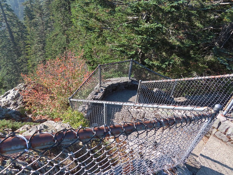 Heading down.
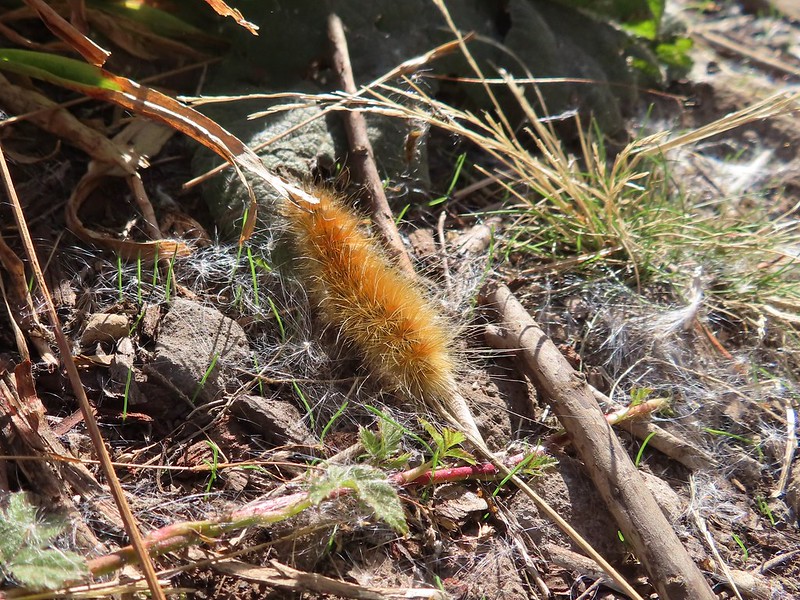


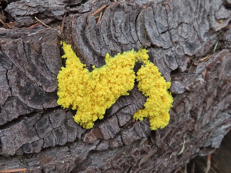
 Lots of fungi on this tree.
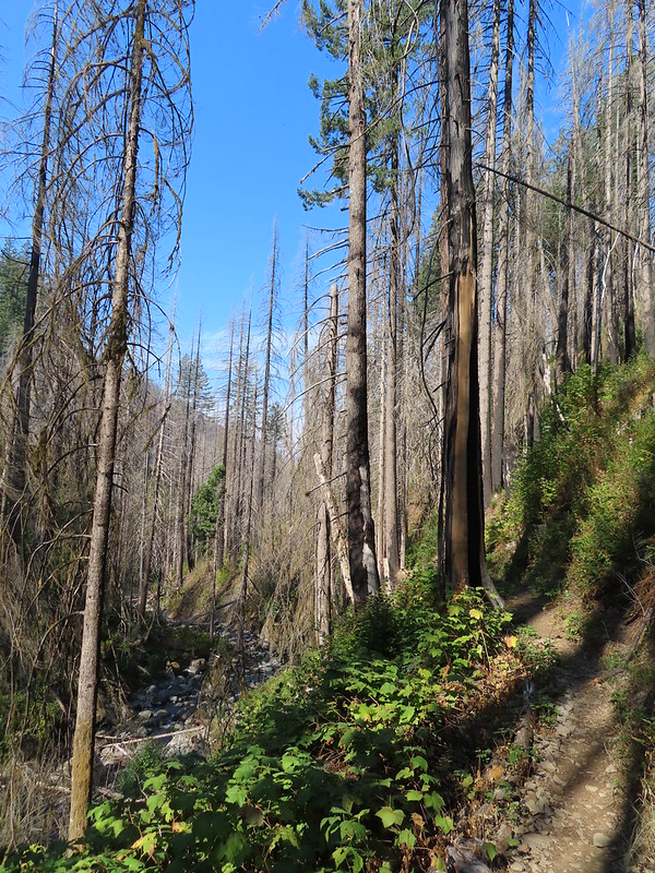
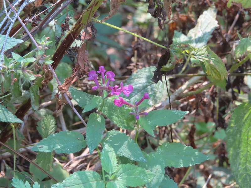 Hedgenettle
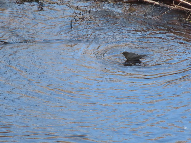 Ouzel
Ouzel
 Looking back down at Multnomah Creek.
 Cape Horn again across the Columbia.
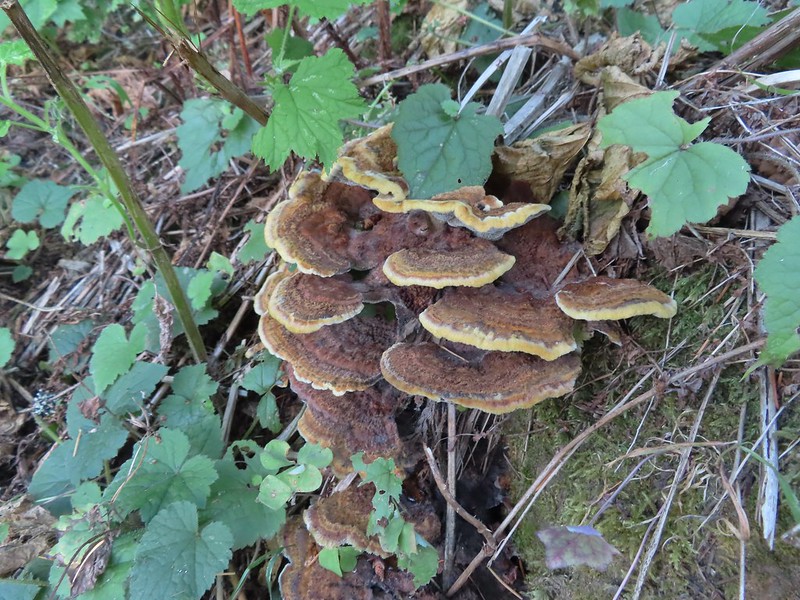
 I couldn’t recall seeing these before on a hike, not this color anyway.
 The Devil’s Rest Trail on the left at the ridge top.
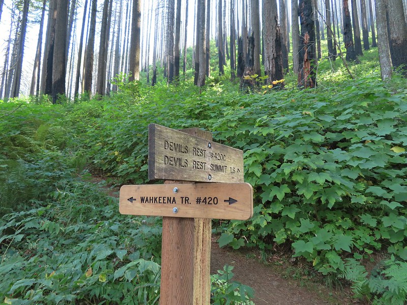
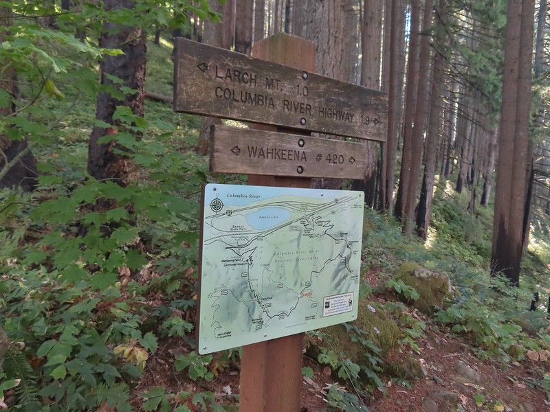 I should have followed the Wahkeena Trail Pointer here.
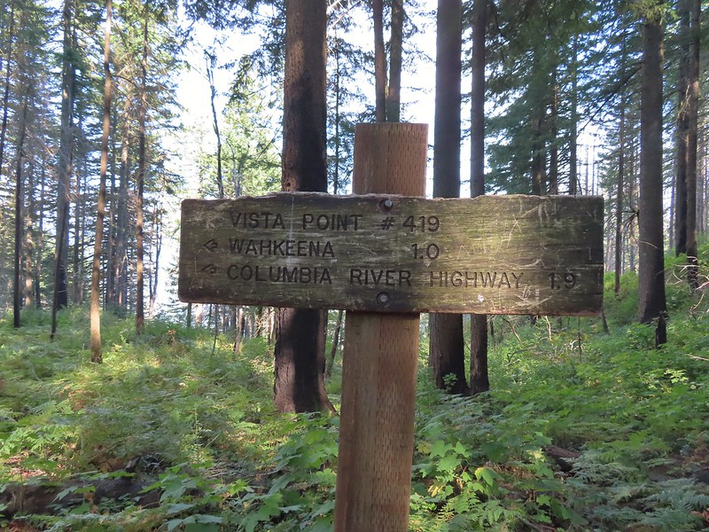 Instead I followed the pointer for Wahkeena 1.0.
 Vista Point Trail


 There is the trail I had intended to be coming down arriving at the junction with the other end of the Vista Point Trail.
 Looking back at the Vista Point Trail from the junction.
 Lots of tight switchbacks to get down the gorge.
 Fairy Falls
 Fairy Falls

 Looking out across the Columbia River.


 Cape Horn (again)
 The Wahkeena Trail from Lemmons Viewpoint.
 The poison oak was really colorful.
 Approaching Wahkeena Falls.
 Wahkeena Falls
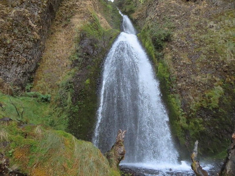 Wahkeena Falls.
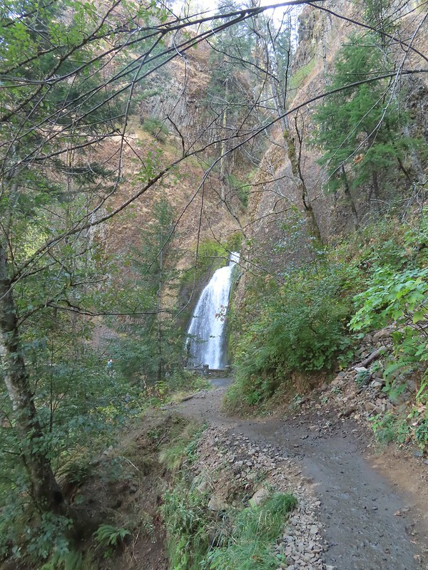 Looking back at Wahkeena Falls.
 One last look at Wahkeena Falls through the trees.

 A line of cars on Historic Highway 30 in front of the lodge.


 Merry (black) is 3 mos. and Pippin is 2 mos. Both boys from separate litters.

 It seems this time of year I (we) are always a little ahead of the sunlight which does nothing for photos.
 Coming up on the road crossing.
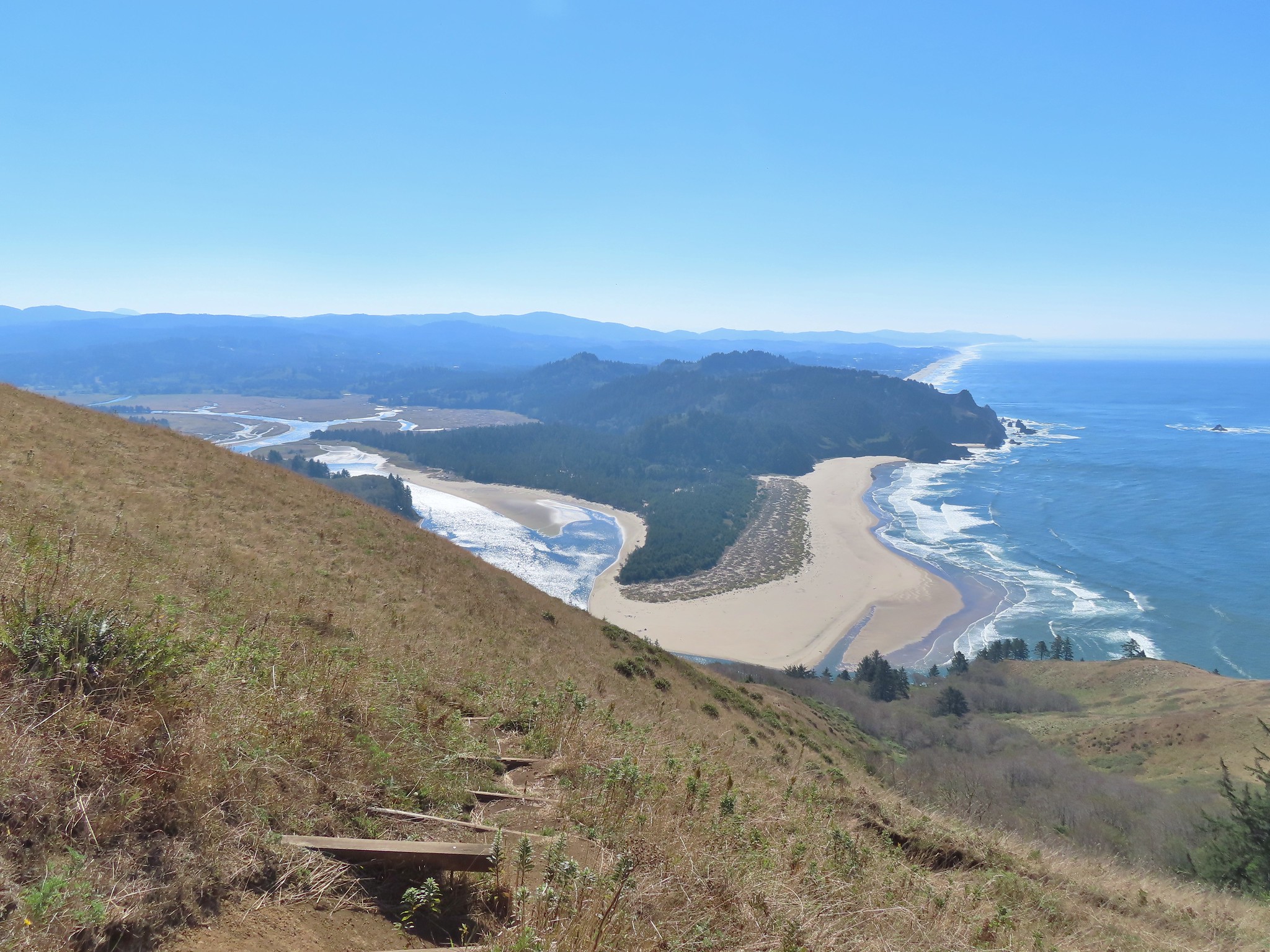
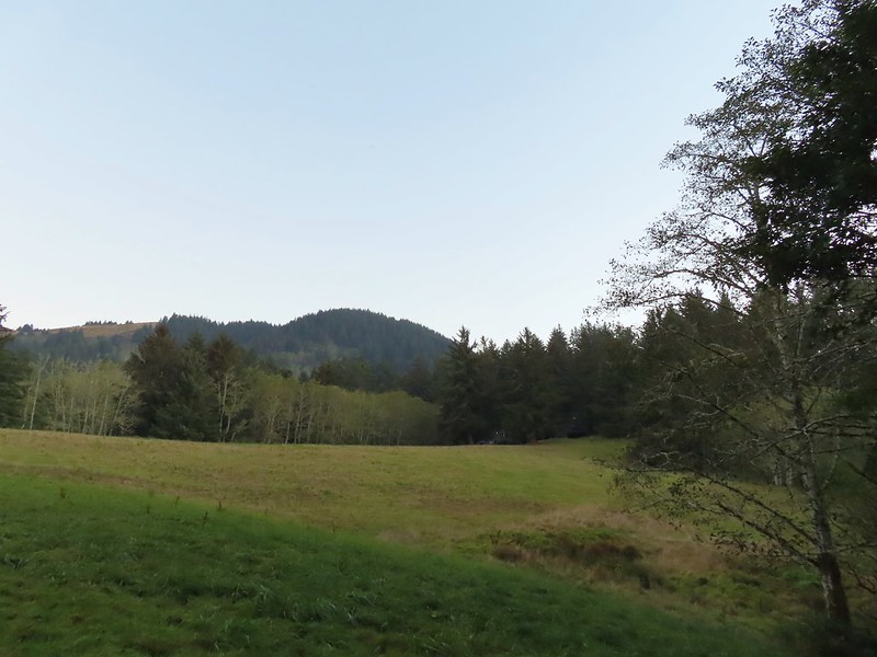 Cascade Head from the trail with the elk at the end of the grass to the right.
 Fuzzy (low light) photo of the elk.
 Crossing Savage Road with the first view of the Pacific.


 View from one of five metal footbridges along this section.
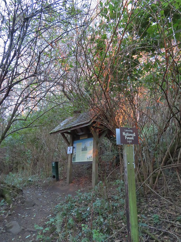 Signboard and donation box at the start of
 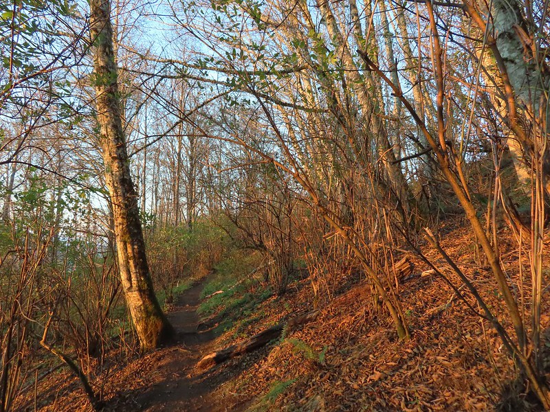 First direct sunlight of the morning.
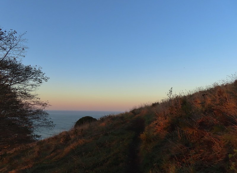 Out of the trees and into the meadows.
 Looking uphill
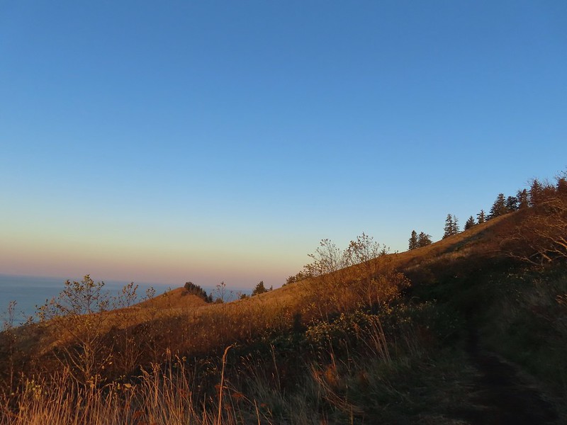
 Snacks
 Salmon River Estuary
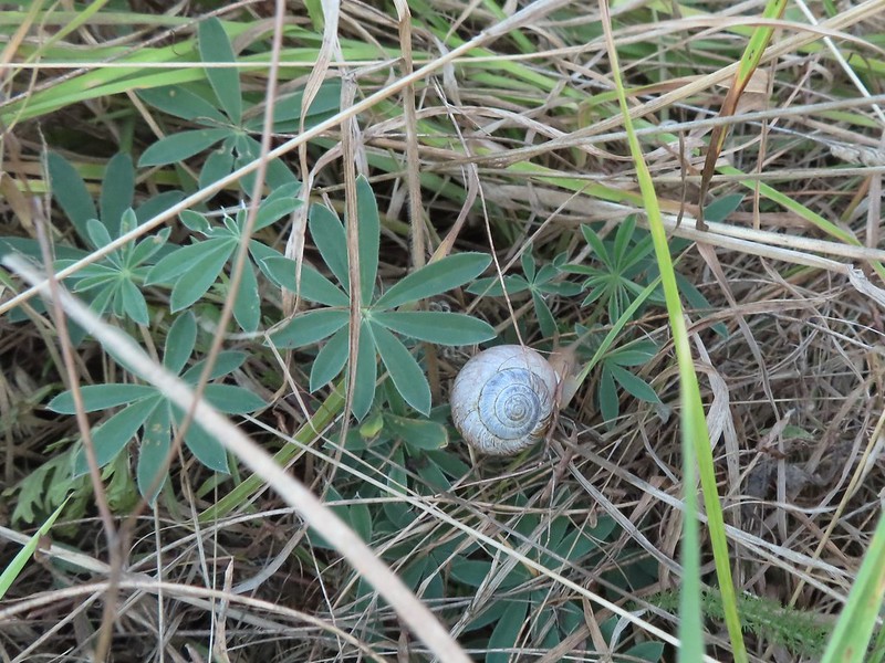 A snail and lupine leaves.
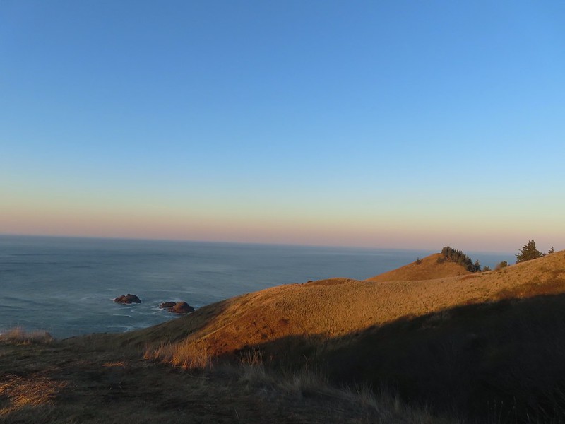
 A small viewpoint just before the trail turns uphill.
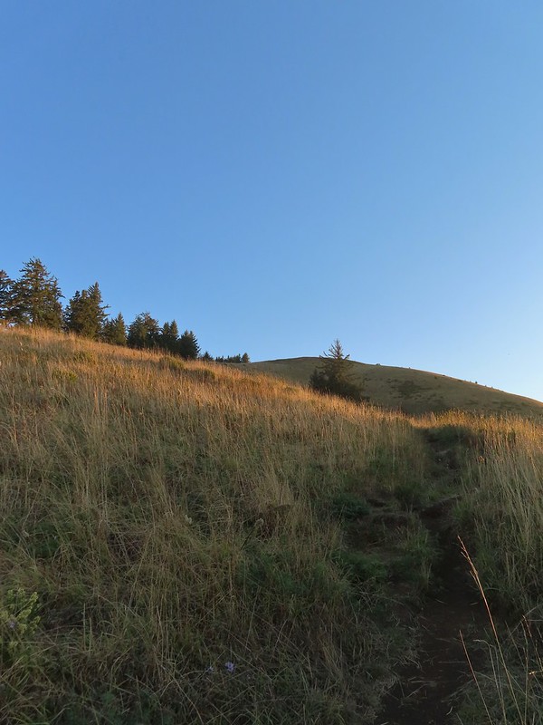 Going up
 The trail gains views as it gains elevation.
 The trail through the meadow below.
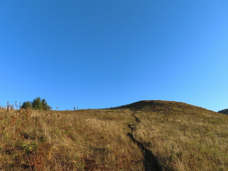 This knoll looks like the high point as you climb, but it’s a trick.
 The high point is actually marked by a post. (Near the right end of the photo).


 Wooden arch over the old roadbed.
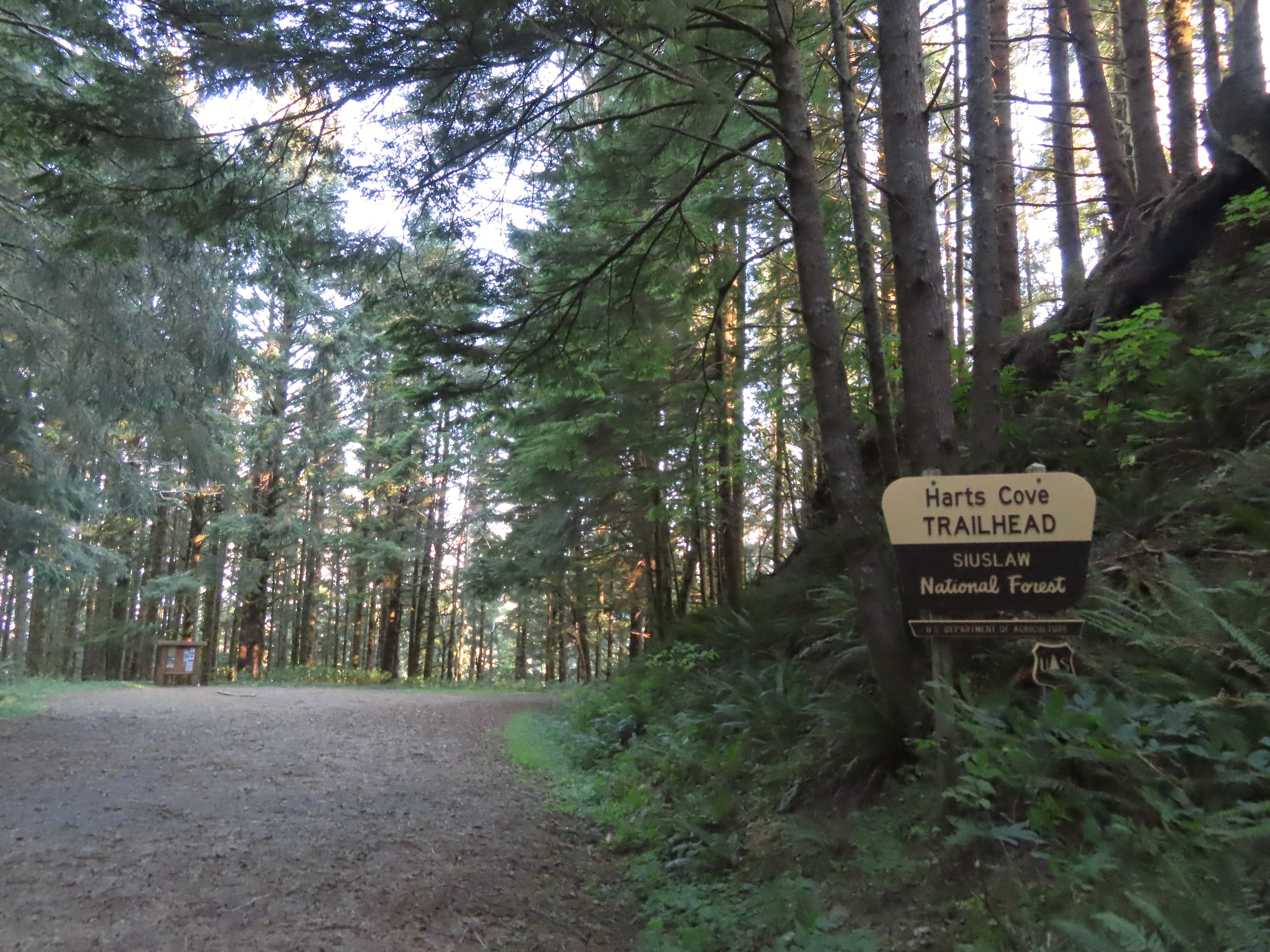
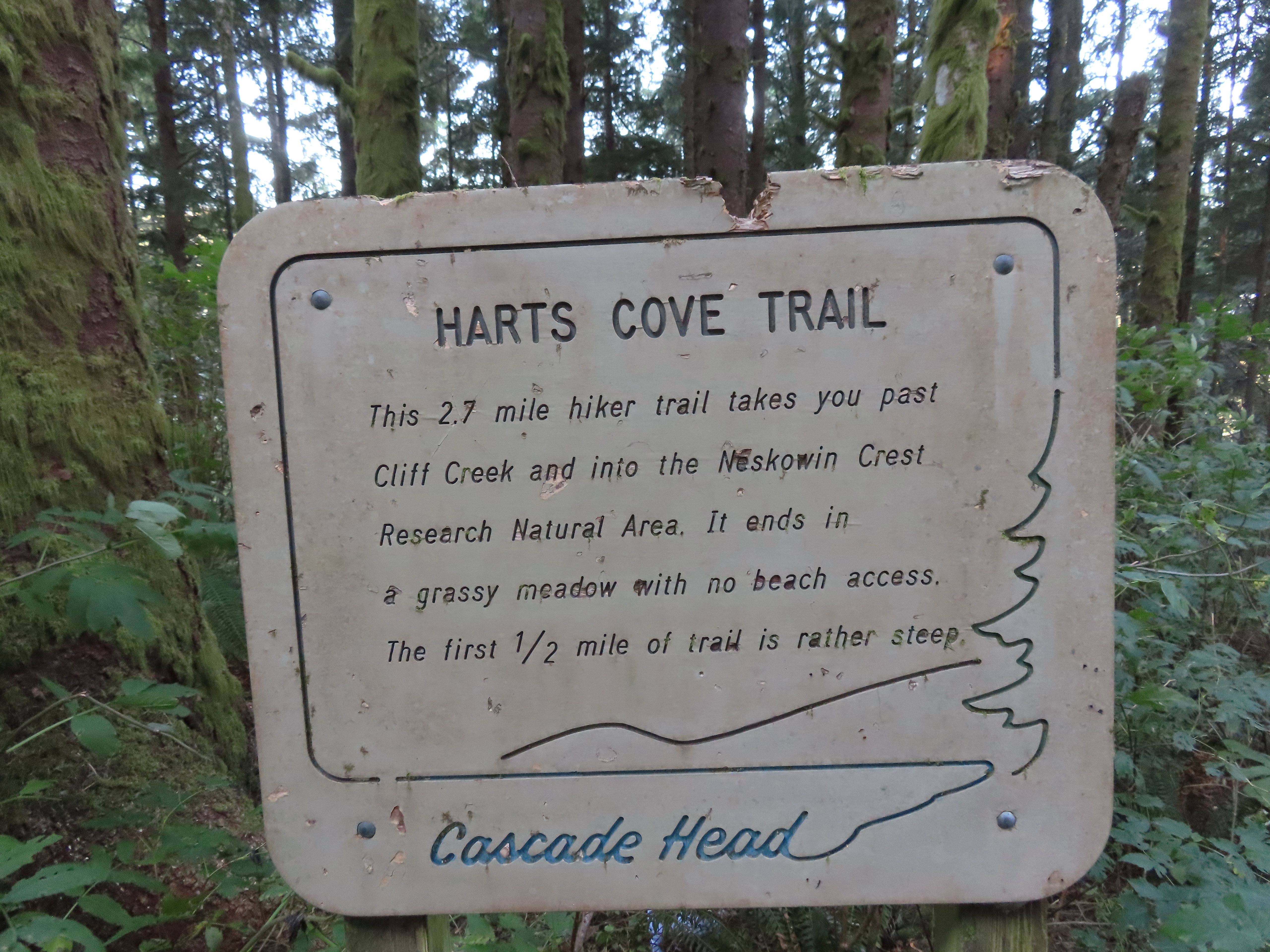
 Nearing the upper trailhead.
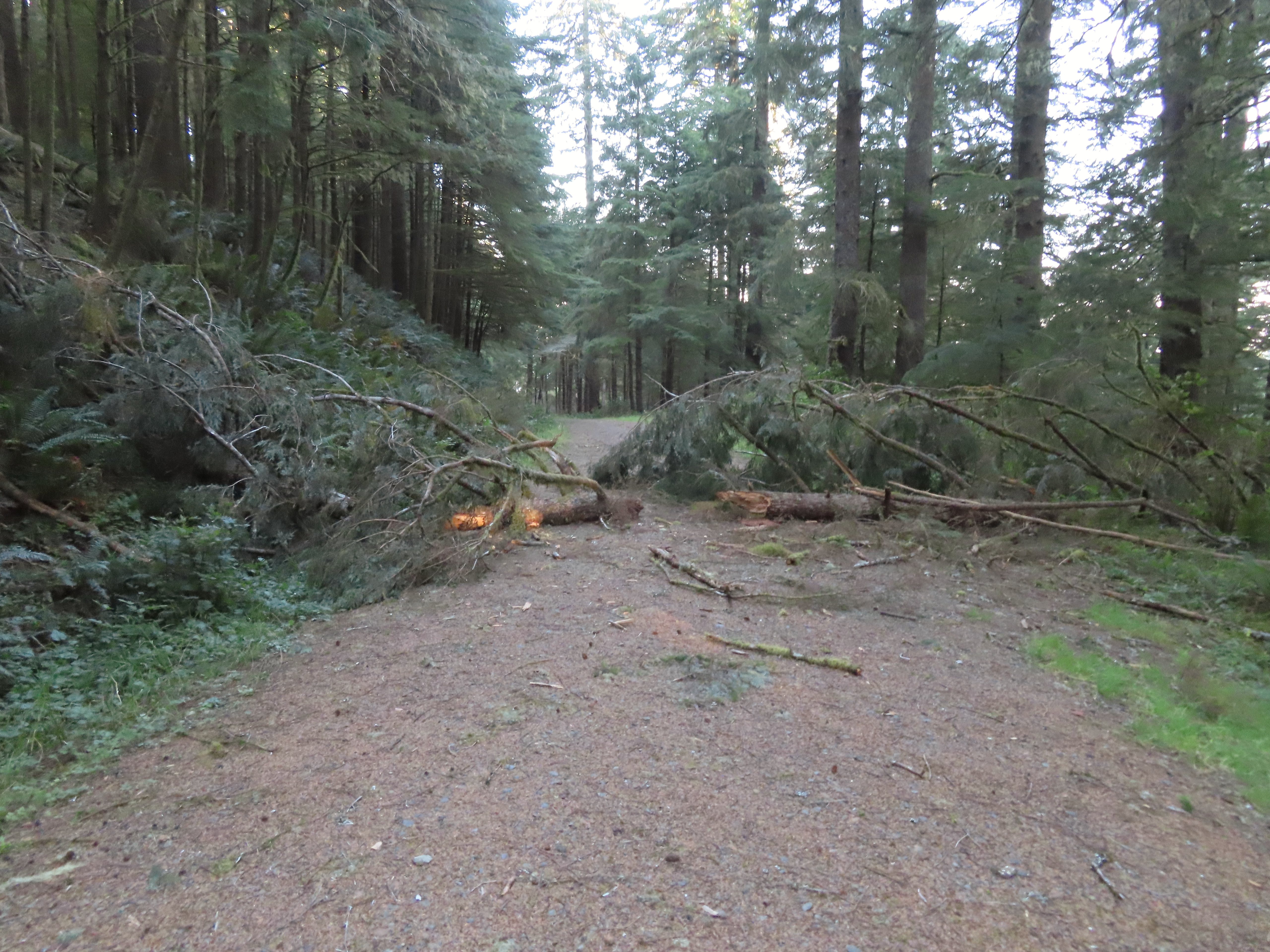 When they do reopen the road there will be a few trees to deal with.


 There were around 18 trees such as this one across the trail from the trailhead to Cliff Creek.
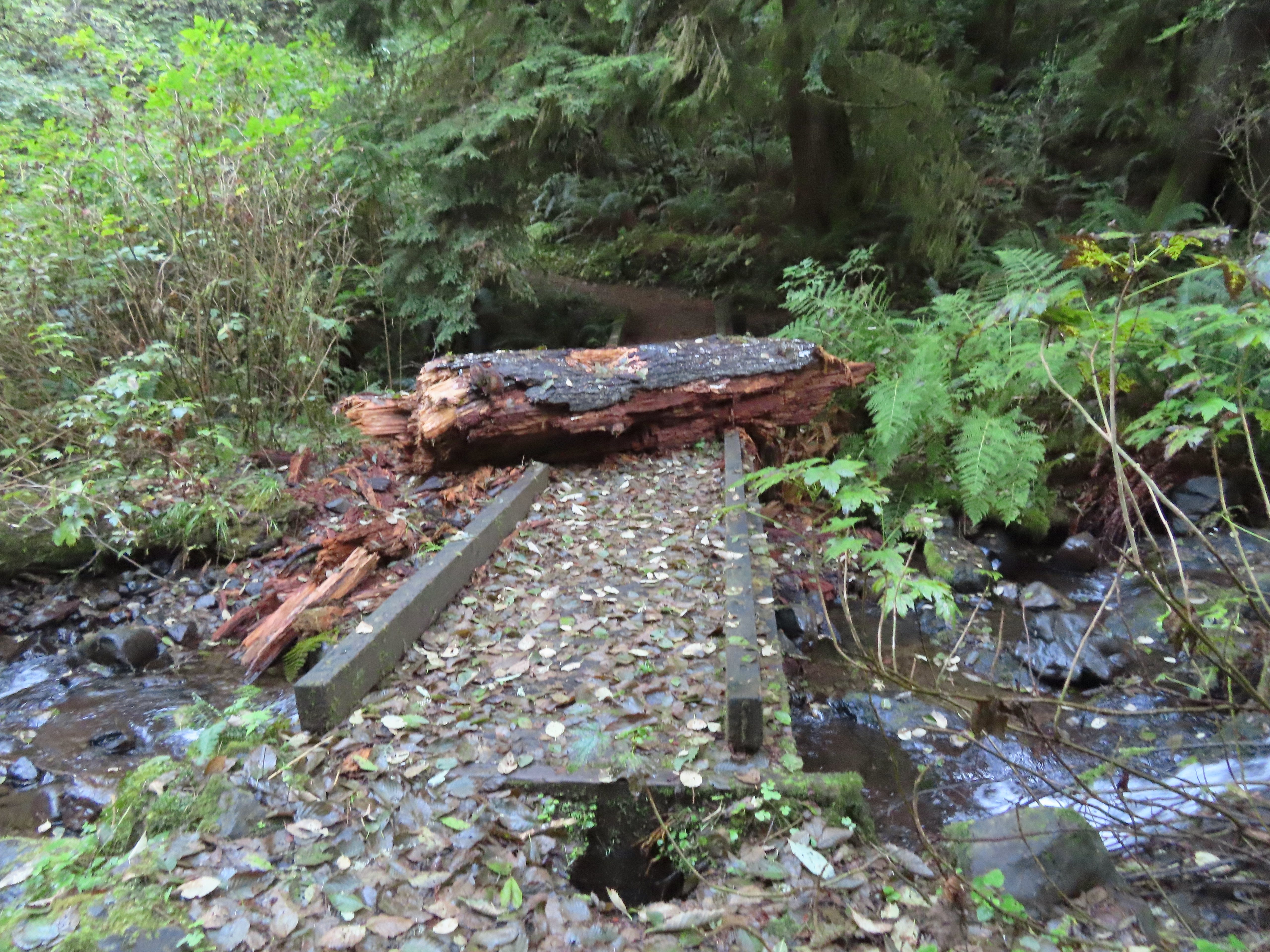 This large chunk of tree trunk has done some damage to the bridge, but it was still passable.
 Cliff Creek
 At the 1.6-mile mark I entered the
 Sign near the bench.
 Big sitka spruce trunk.
 Approaching the Chitwood Creek crossing.
 Chitwood Creek
 Heading back toward the ocean.
 Someone stuck some feathers in this mushroom.
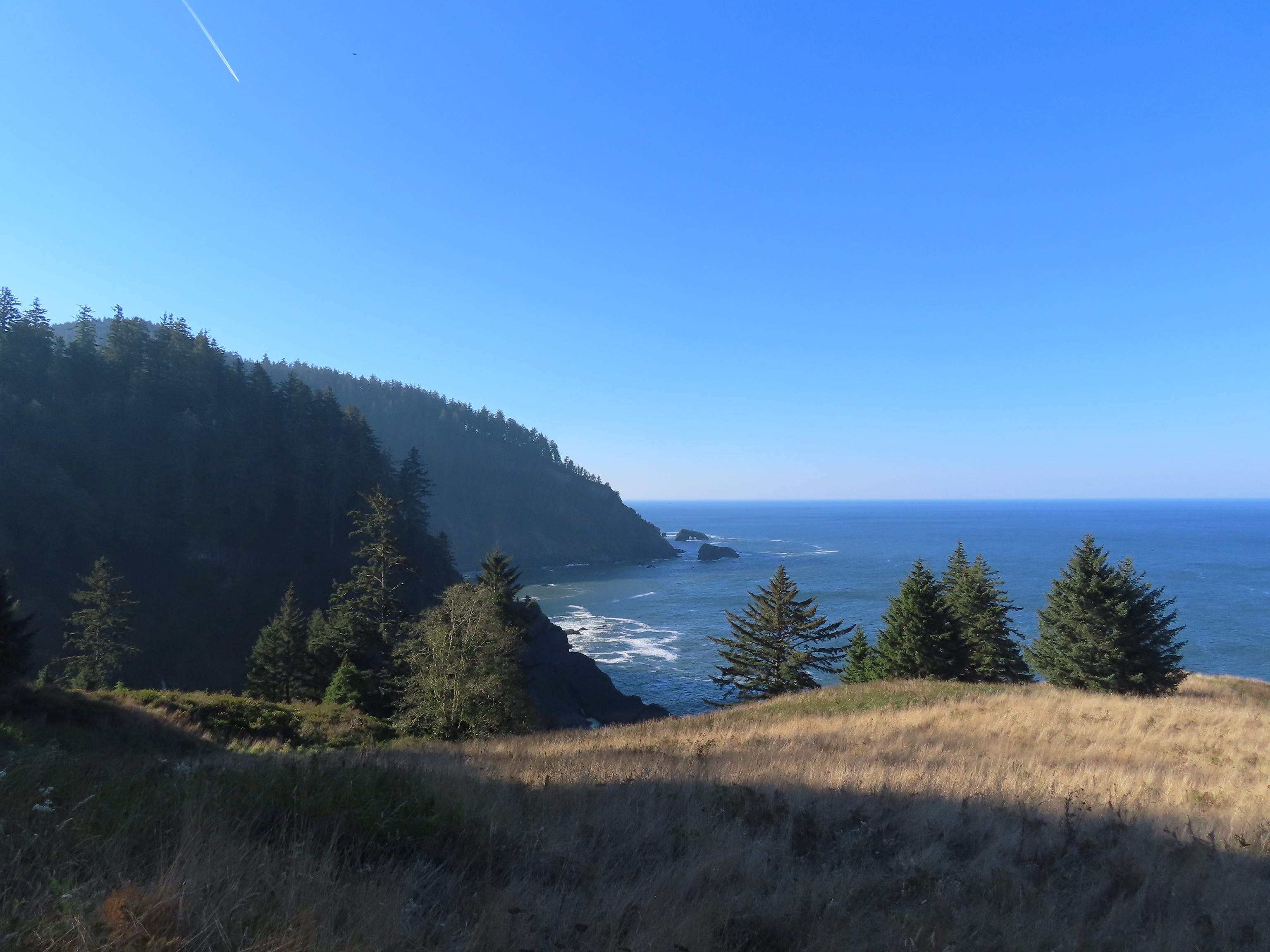
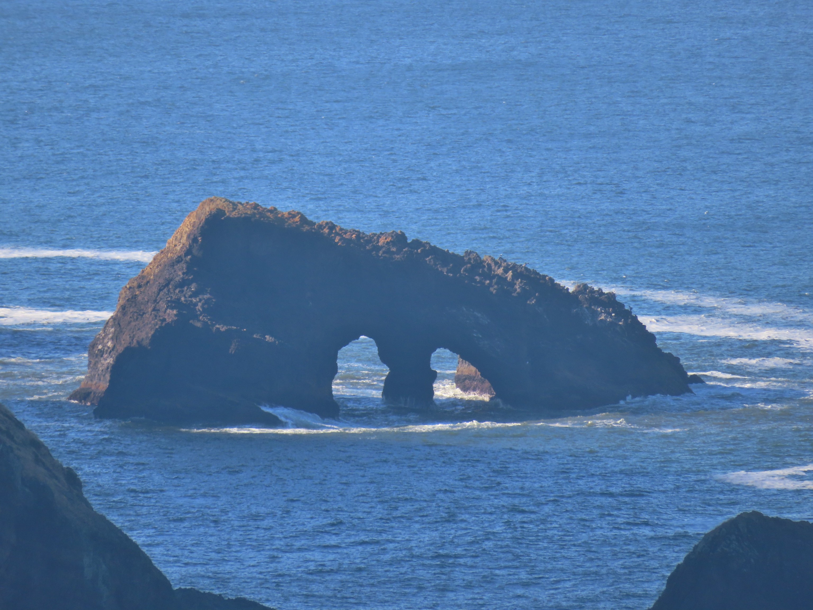
 There was a large number of noisy sea lions on the shaded rocks below Cascade Head. Even though they were quite far away they were loud.
 Seagull hanging out on a sea rock.
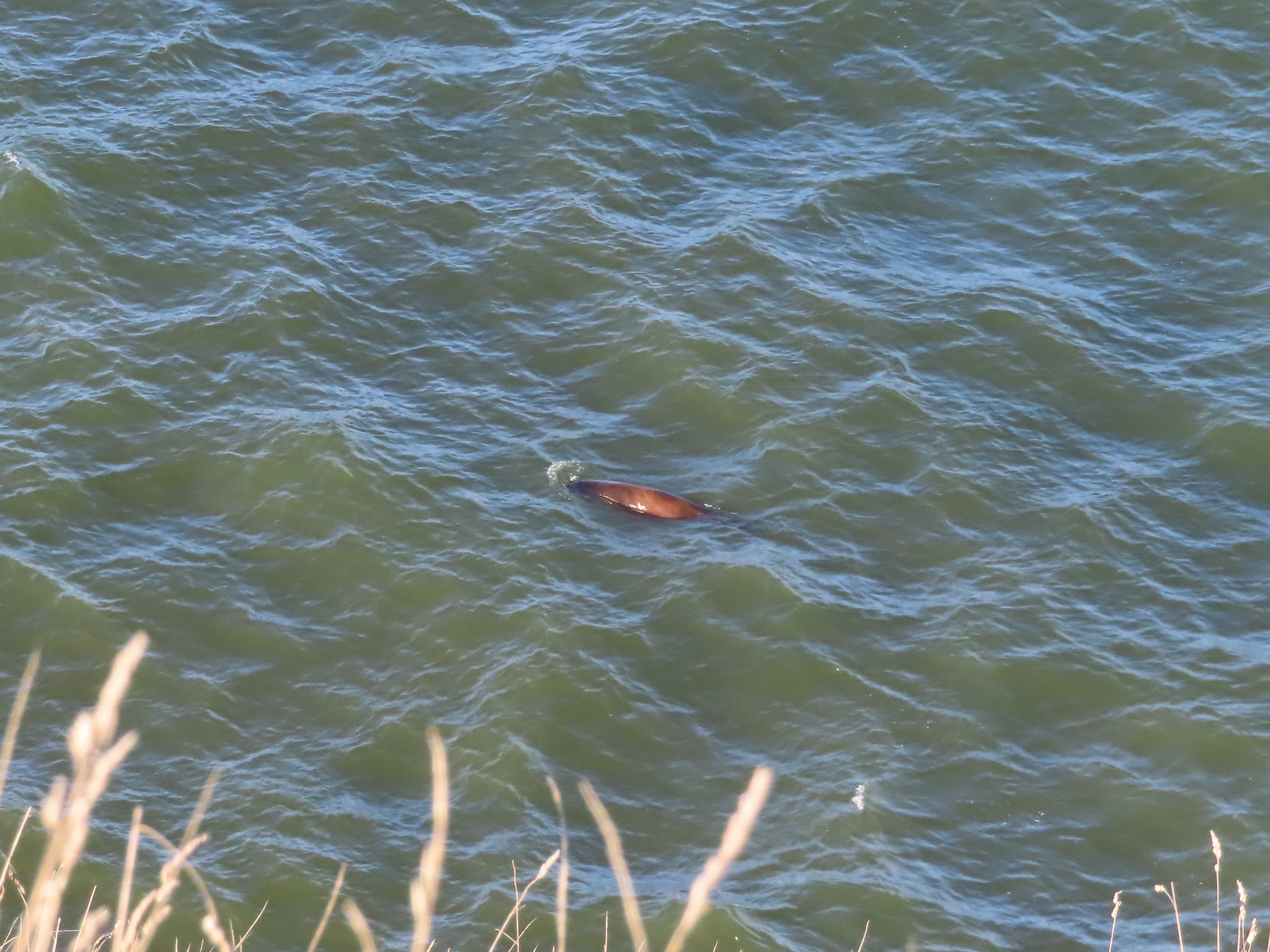 Sea lion heading for its buddies.
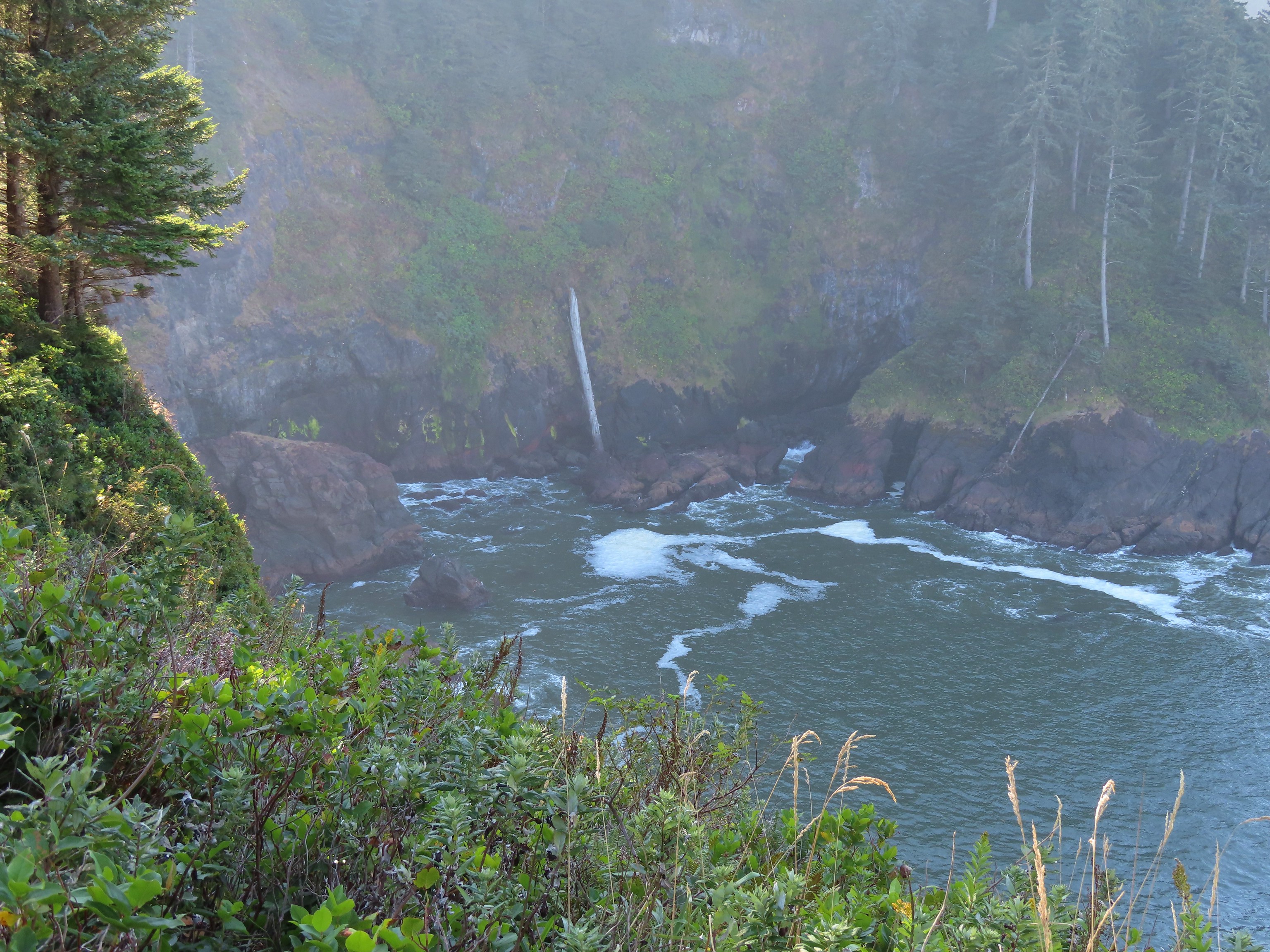
 A combination of the position of the Sun and the presence of haze made it very difficult to make out the waterfall on Chitwood Creek. I don’t know if the haze was smoke or just the usual coastal haze. (There was a fairly good east wind blowing steadily all morning.)


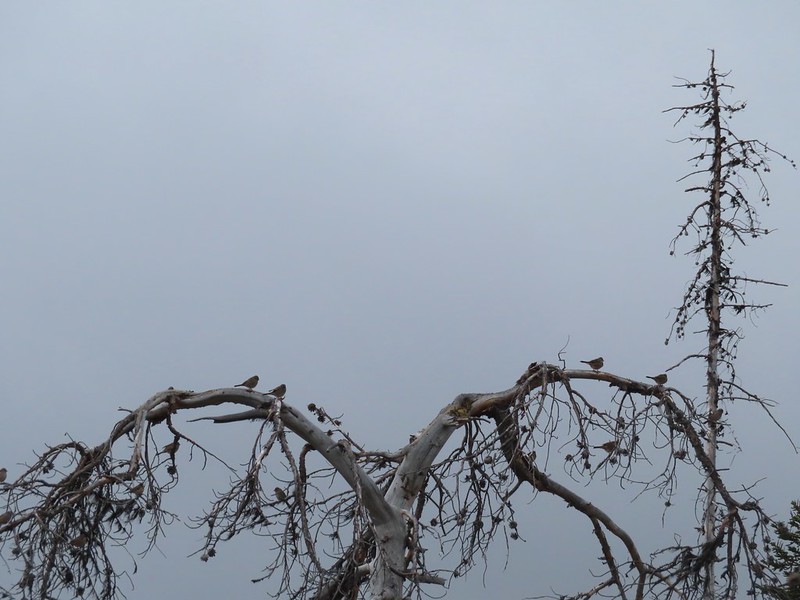
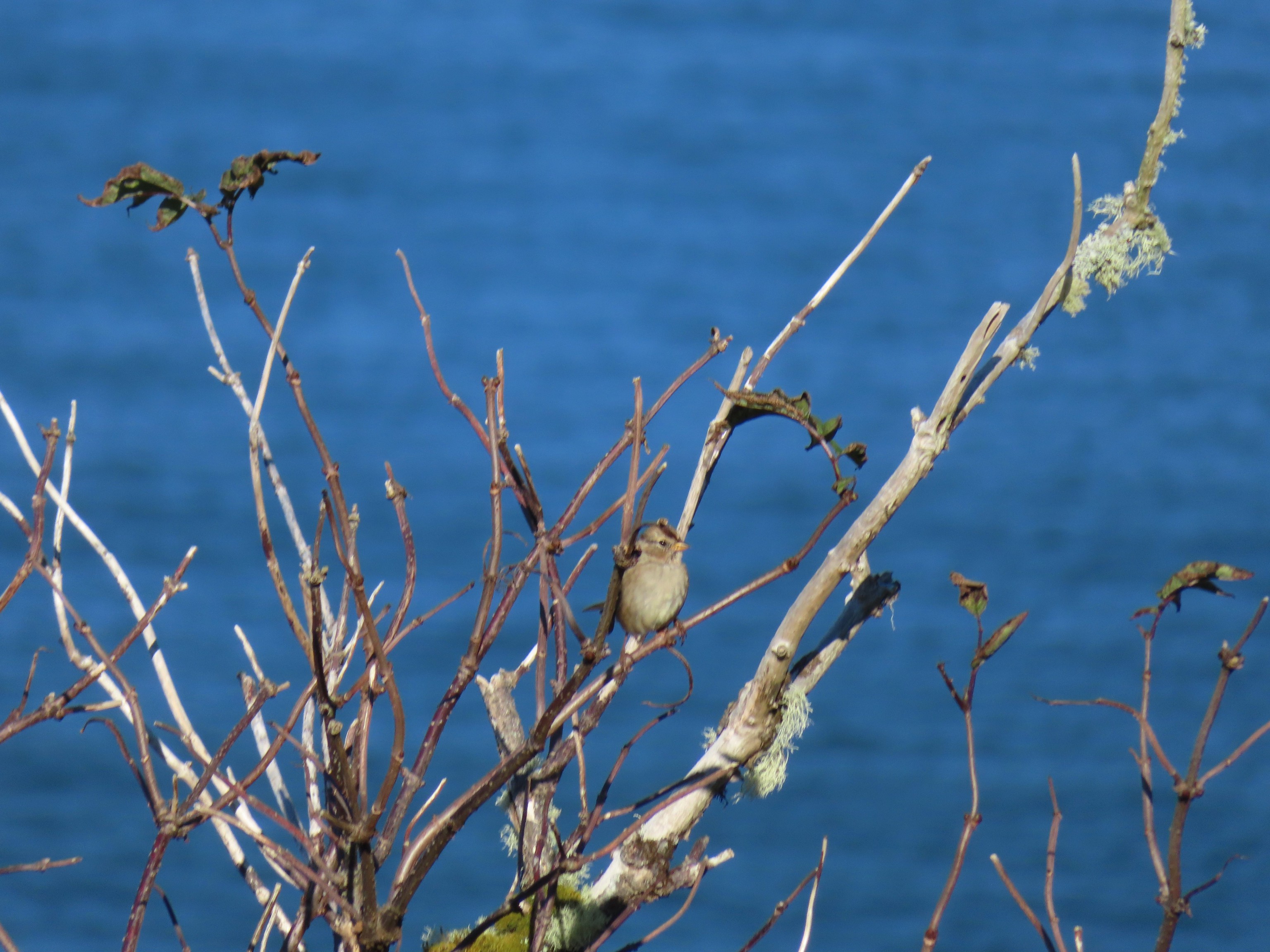 Sparrow in the meadow at Hart’s Cove.
 Pearly everlasting
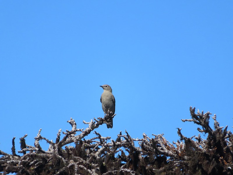
 Varied thrush
 A reminder of Spring, a trillium that bloomed months ago.
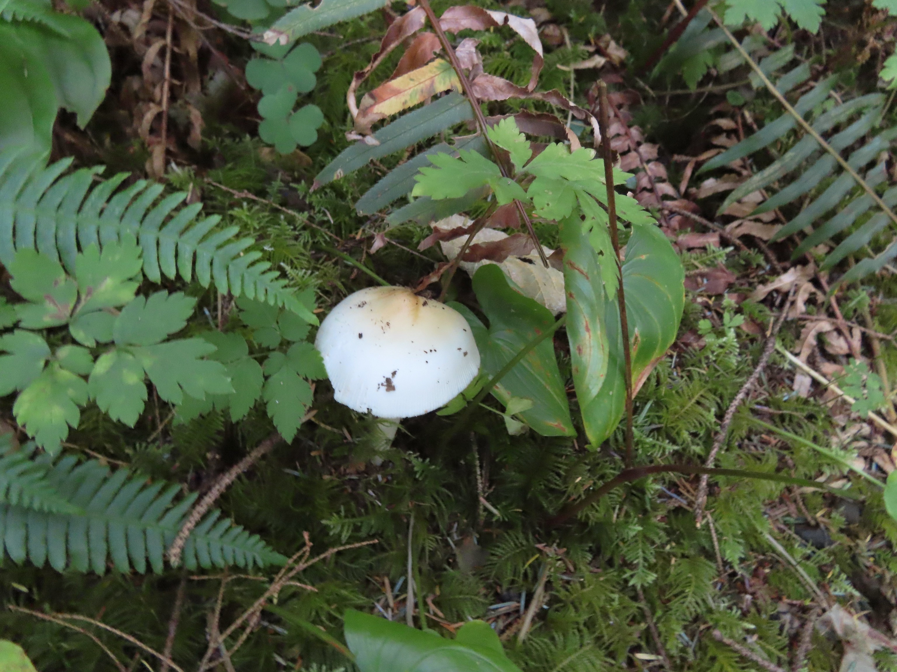
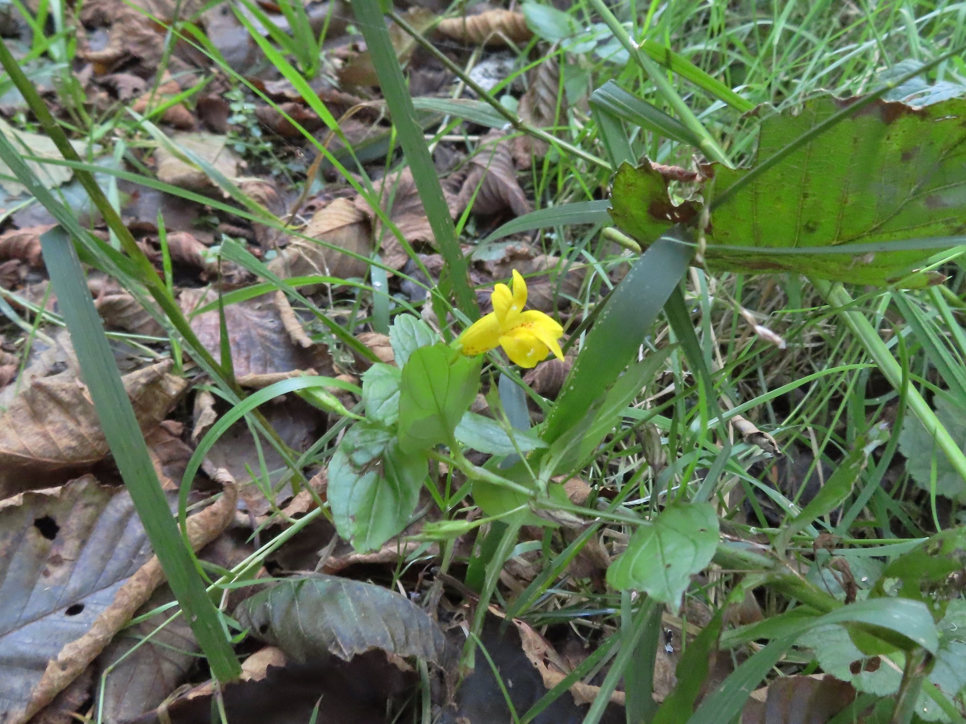 A monkeyflower along FR 1861.
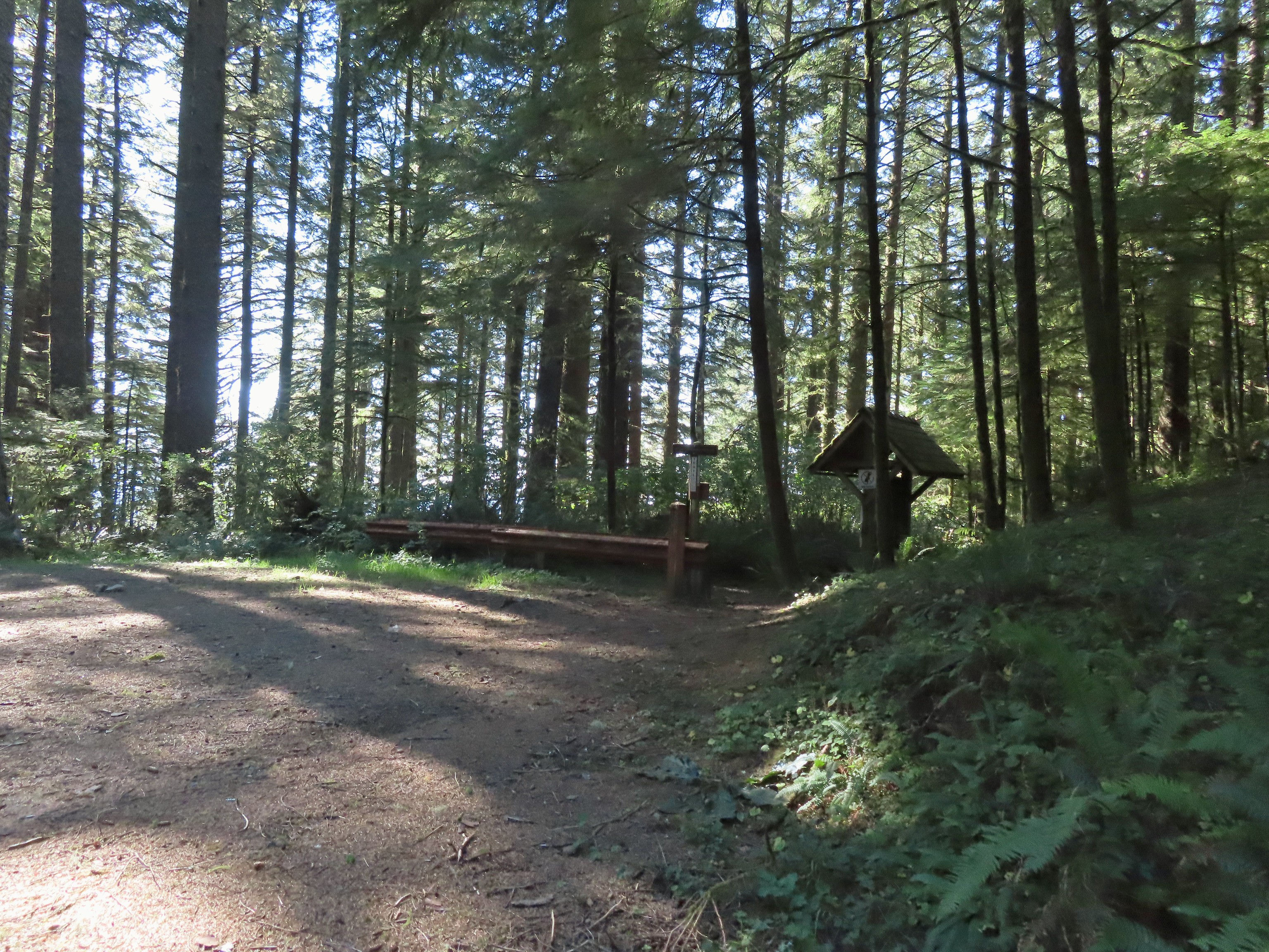 Back at the upper trailhead.
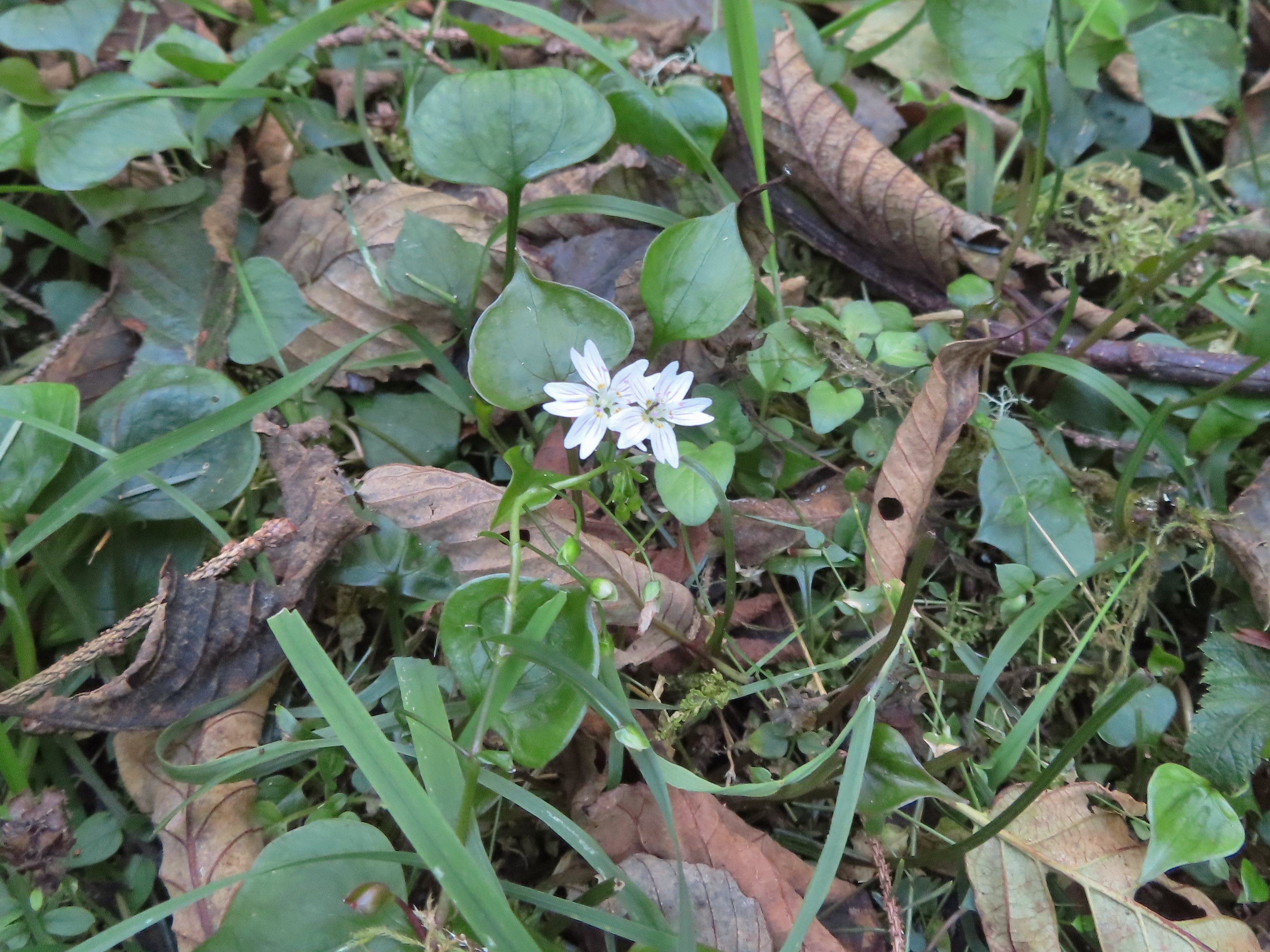 Candyflower
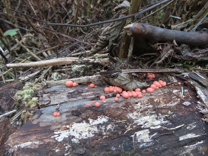
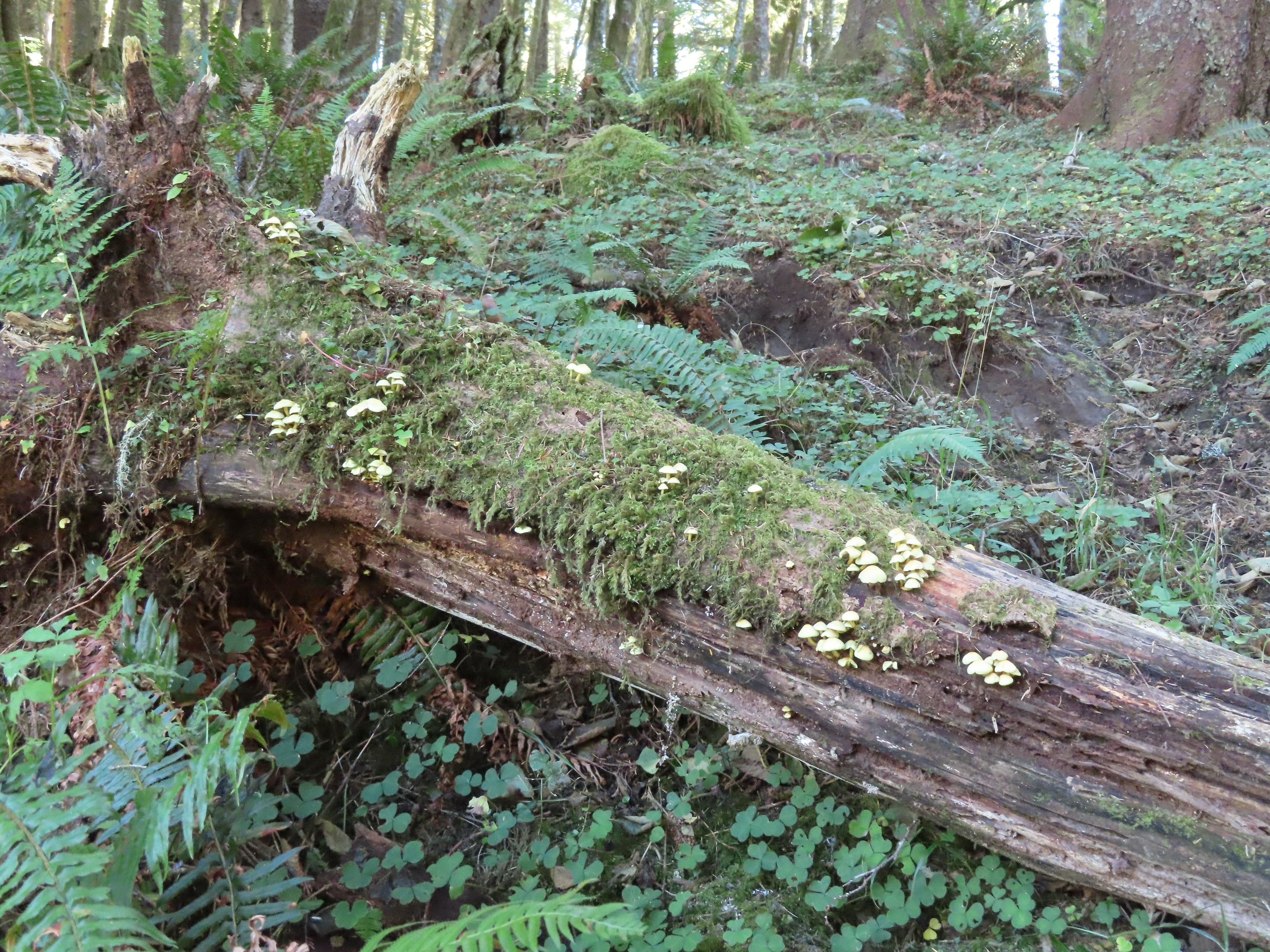 Mushrooms on a log.

 The Thumb, aka God’s Thumb (
 Heading for the high point.
 Descending Cascade Head
 There were quite a few of these (an aster?) blooming along the trail.
 Not sure what type of bird this is.
 Sulphur butterfly
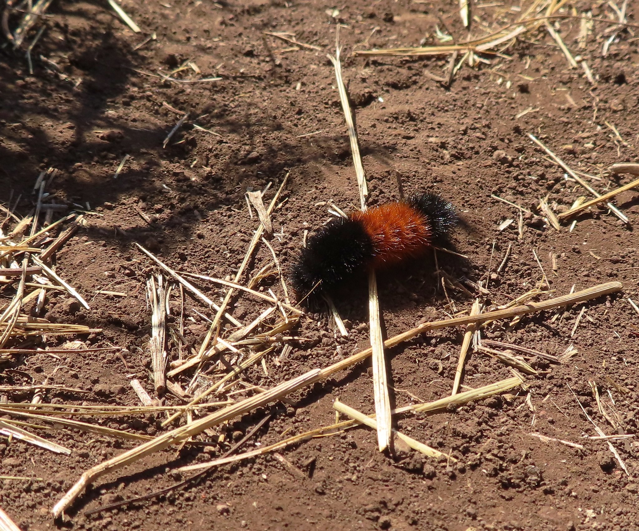 Wooly bear caterpillar, there were many of these on the trail.
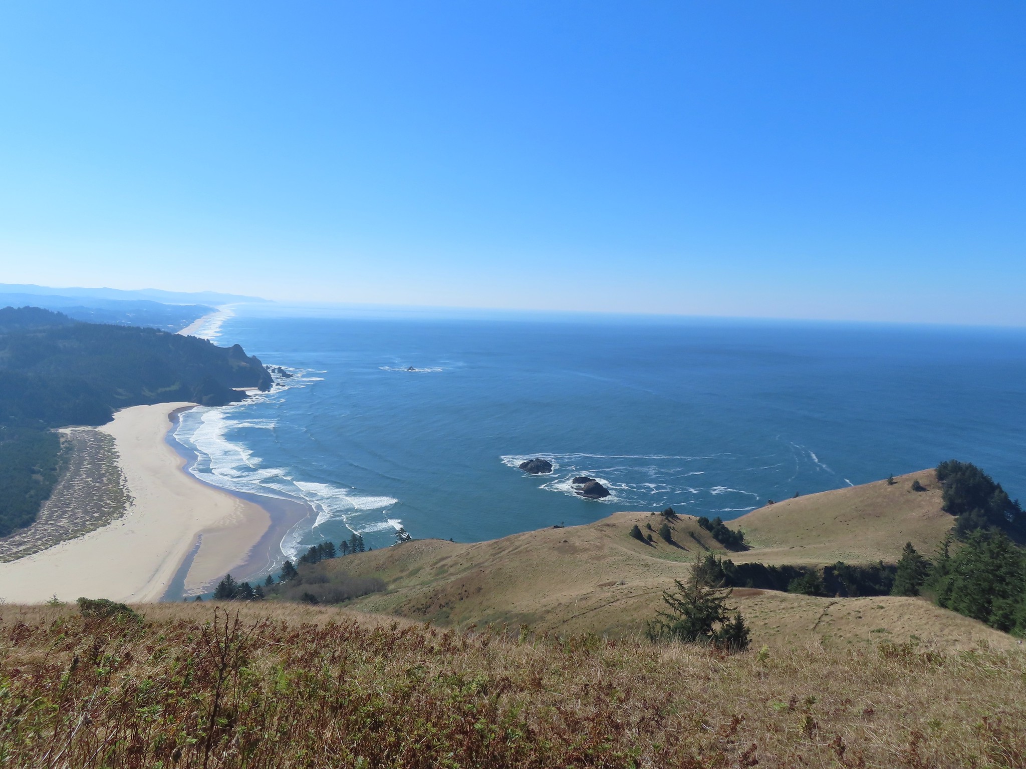
 Looking back up at one of the first hikers I’d passed.
 Pretty moth on a bush.
 View to the east of the Coastal Range.
 Heading for the tree line.
 Back where I’d seen the bull elk in the morning.
 Cars parked along Three Rocks Road, the parking area at Knights County Park was full when I got back to the car a little before 1pm.
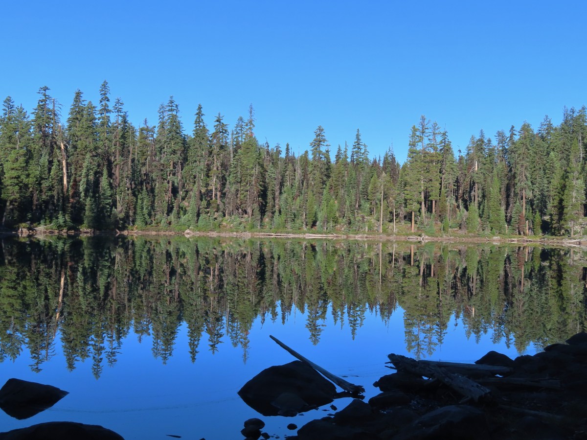
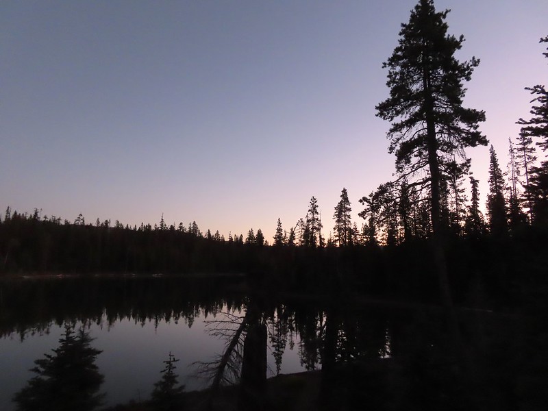
 Low-light at Trapper Lake.
 Sunrise from the trail.
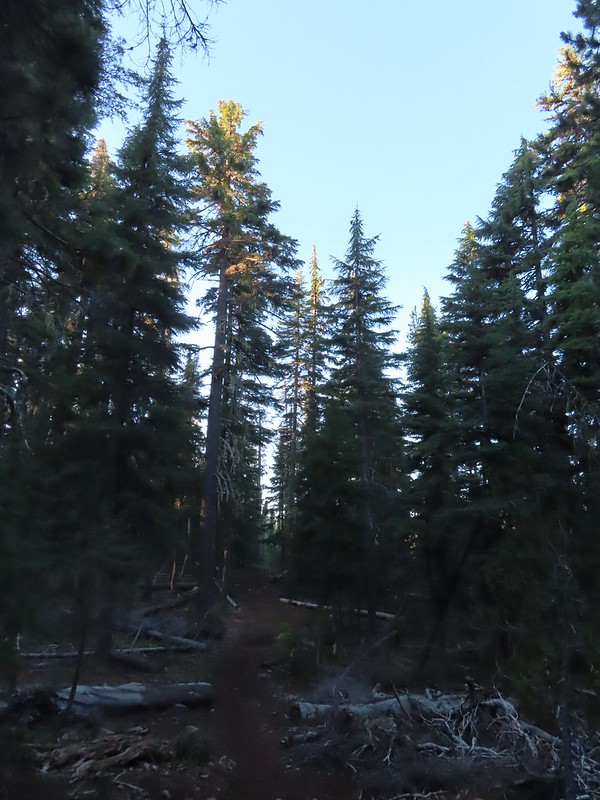 Sunlight hitting the tops of trees.

 Heading up to the bluff.
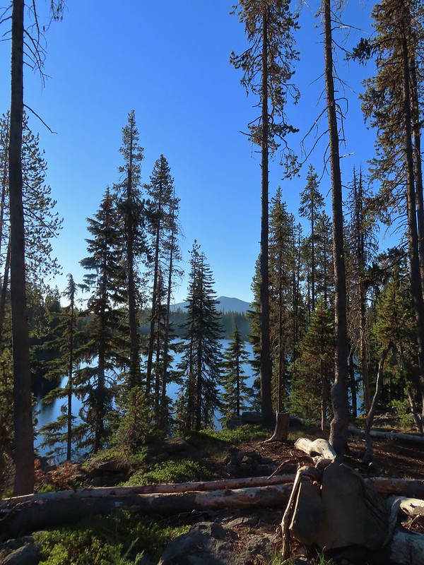 Pelican Butte beyond Isherwood Lake.
 Fall foliage above Isherwood Lake.
 Heading for Lake Liza through a dry bed.
 Great reflection
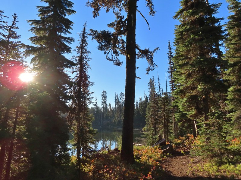

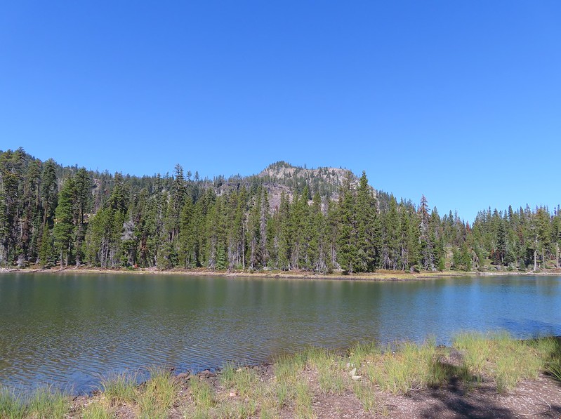
 Lake Notasha
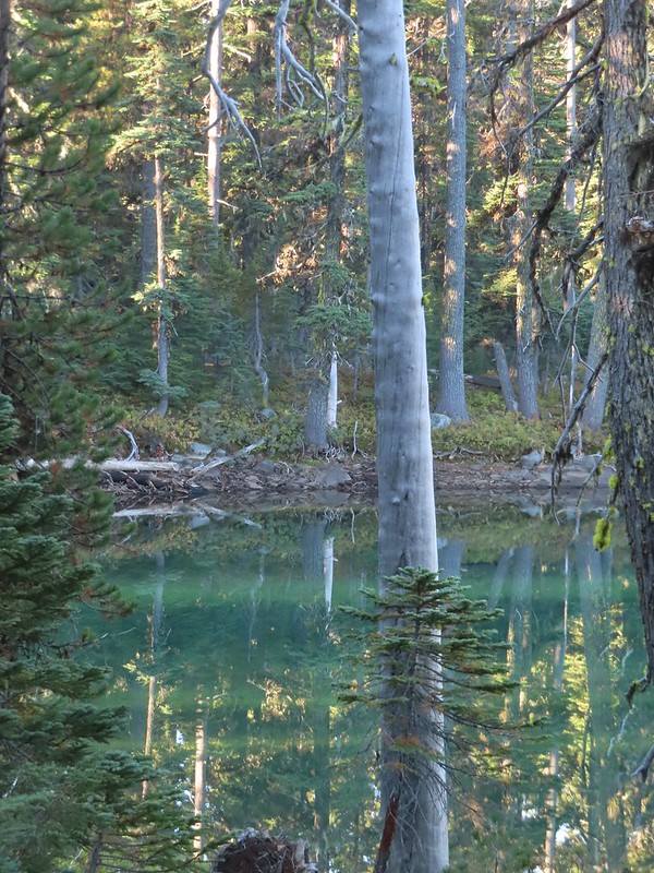 Depending on the angle the water was a beautiful green.


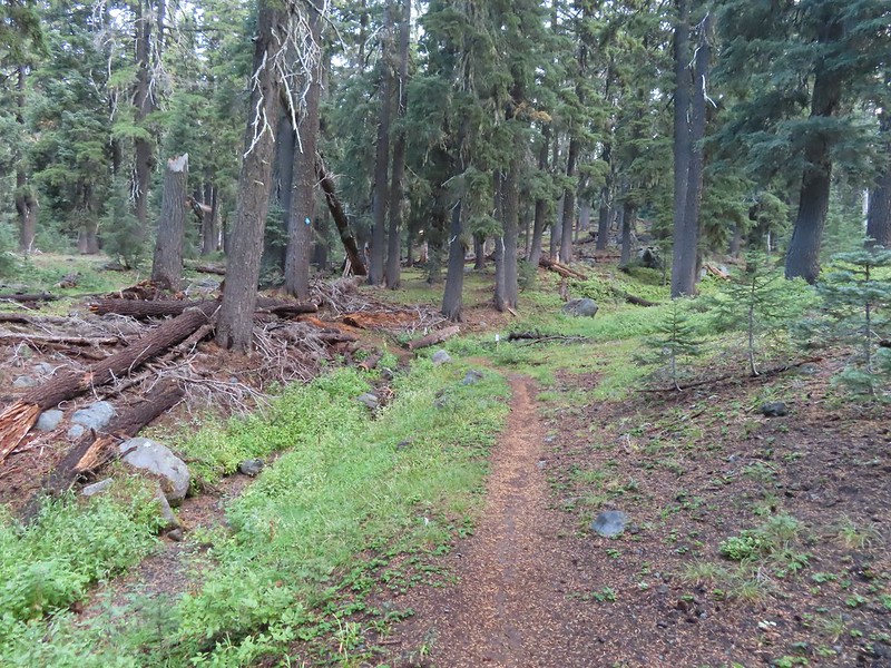
 Parts of the latter half of this trail passed through the 2017 fire scar.
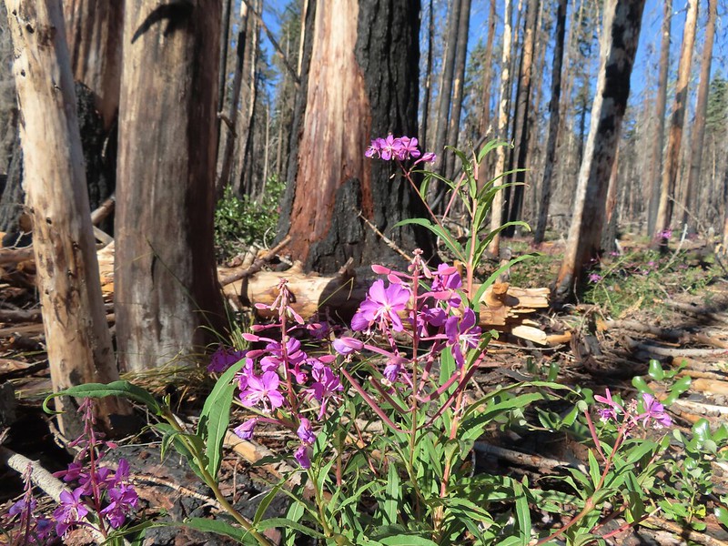
 Fireweed seeds
 Pelican Butte as we descended toward the junction.
 Leaving the
  Dark-eyed junco seeing us off.
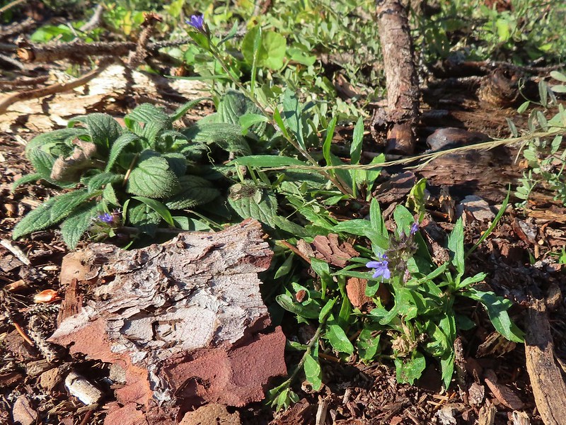 An as of yet unidentified flower.
 Another unidentified flower.
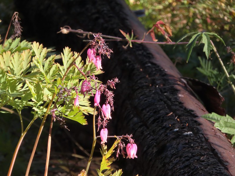 I do know this one – bleeding heart.
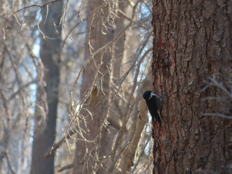 Woodpecker (it was a busy final 0.6 miles).
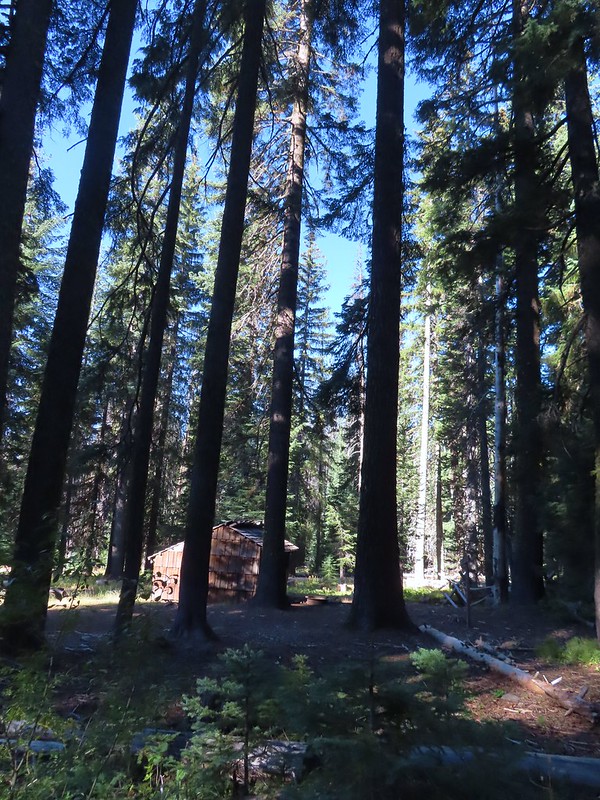 Back at the shelter and trailhead.
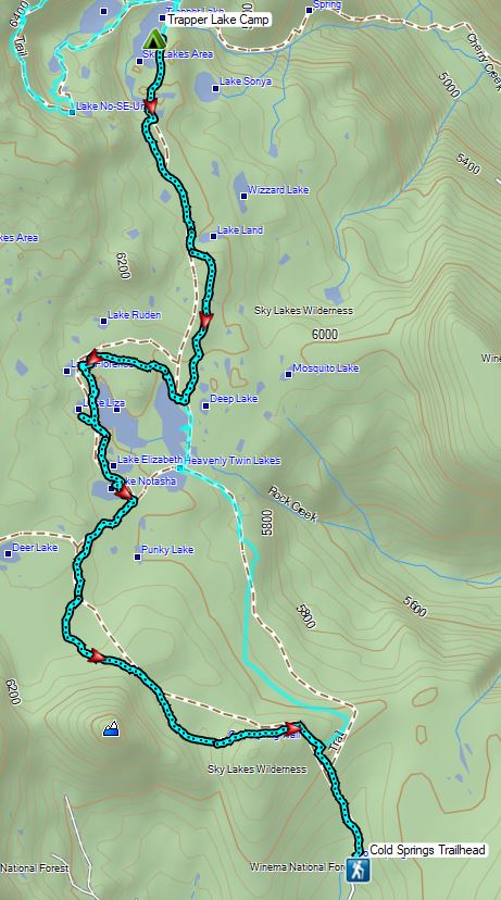

 Shelter at the trailhead.

 Aster
Aster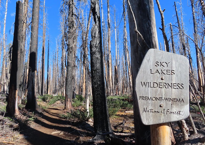
 Fireweed
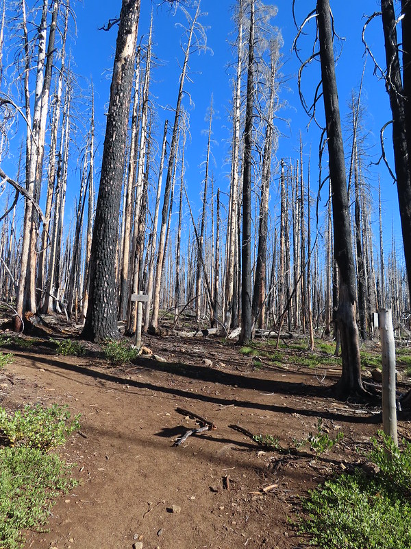

 Comma butterfly
 Exiting the fire scar.
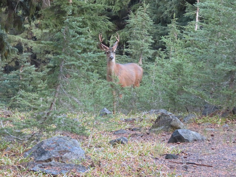
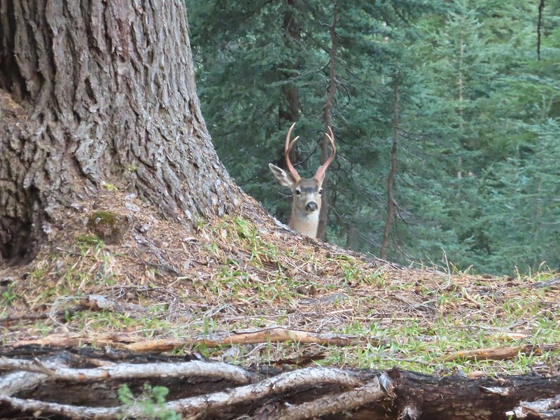
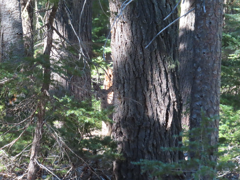 Doe watching us through the trees.


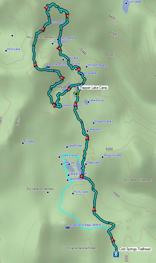
 Luther Mountain on the left and Lee Peak on the right.
 Sign for the Sky Lakes Trail.
 Isherwood Trail junction.
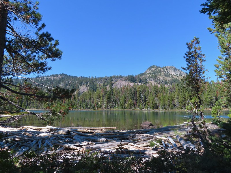
 Lake Land
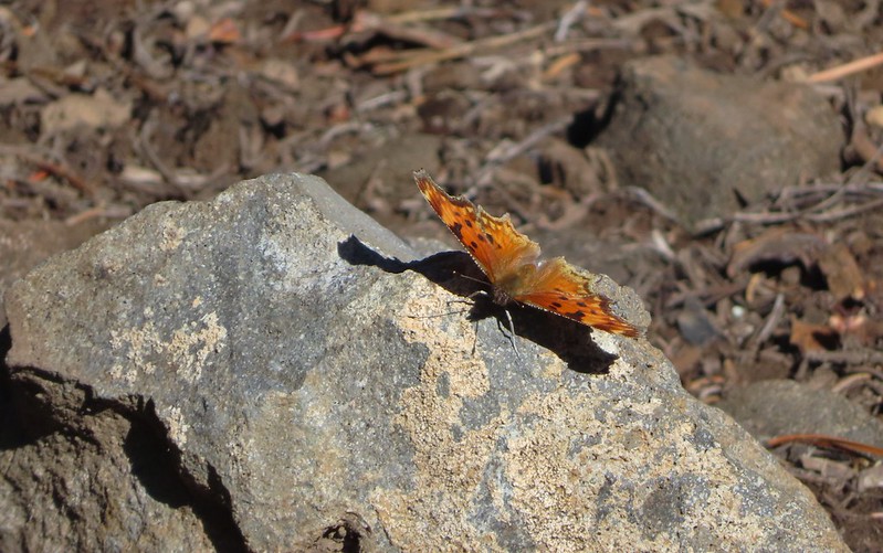

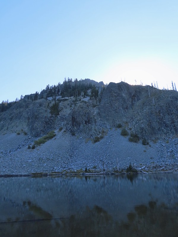
 Luther Mountain from Trapper Lake.
 View along the trail.
 Sign for the Cherry Creek Trail.
 Sky Lakes Trail sign.
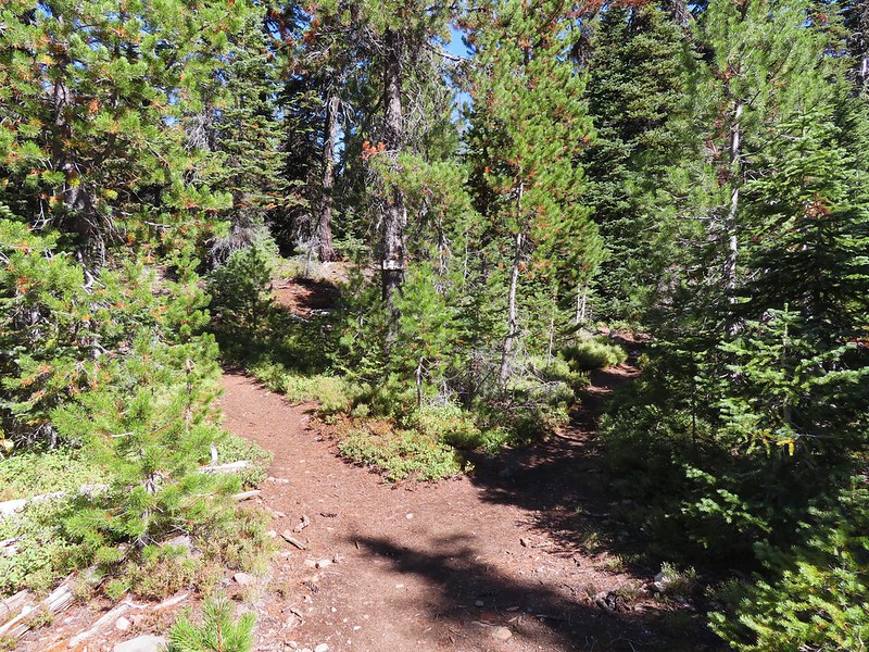 Donna Lake Trail to the right.
 Divide Trail junction.


 Saddle Mountain is in the distance with pointy Cherry Peak in the foreground. I believe that is Agency Lake visible in the Valley.
 Pelican Butte to the right.
 Mt. McLoughlin (
 Eagle flyby.
 Lather Peak with several more lakes below.
 In the distance to the left is Aspen Butte (
 Fall is in the air.
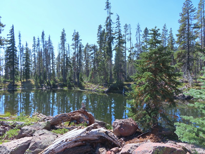 On of several small bodies of water along the shelf.
 We know there were pikas out there because we heard their “meeps” off and on all day but with so many rocks we were never able to spot one.
 Heading toward Luther Mountain.
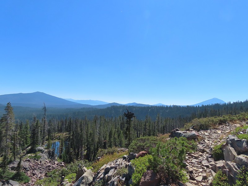 Pelican Butte on the left and Mt. McLoughlin on the right. The peaks in the Mountain Lakes Wilderness are behind and to the right of Pelican Butte then the small, closer hump is Imagination Peak. To the right of Imagination Peak and slightly further back is Lost Peak and then further to the right (left of Mt. McLoughlin) is Brown Mountain (

 Luther Mountain from the saddle.
 The Pacific Crest Trail.
 Lucifer Peak directly behind Shale Butte.
 Lucifer Peak, Shale Butte, Devil’s Peak and Lee Peak.
 Blowdown on the PCT.
 Luther Mountain
 Luther Mountain and Mt. McLoughlin behind us.
 Lots of little birds along the ridge but most didn’t stop long enough for even a poor picture.
 Sign at the Snow Lakes Trail junction.
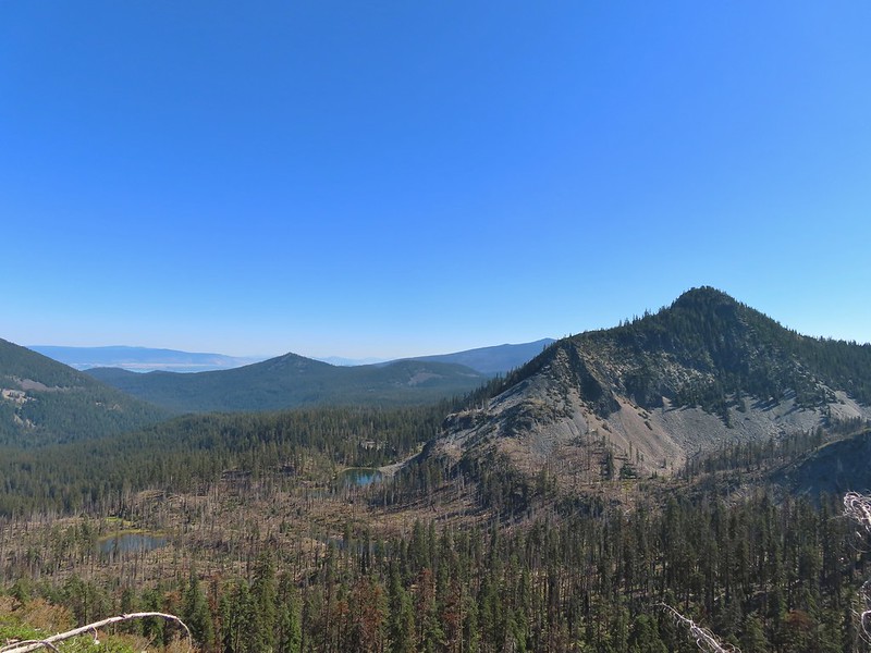 Martin, Wind and a Snow Lake from the Snow Lakes Trail.
 Hawk circling overhead.
 While I was trying to keep track of the hawk this Bald Eagle flew over.
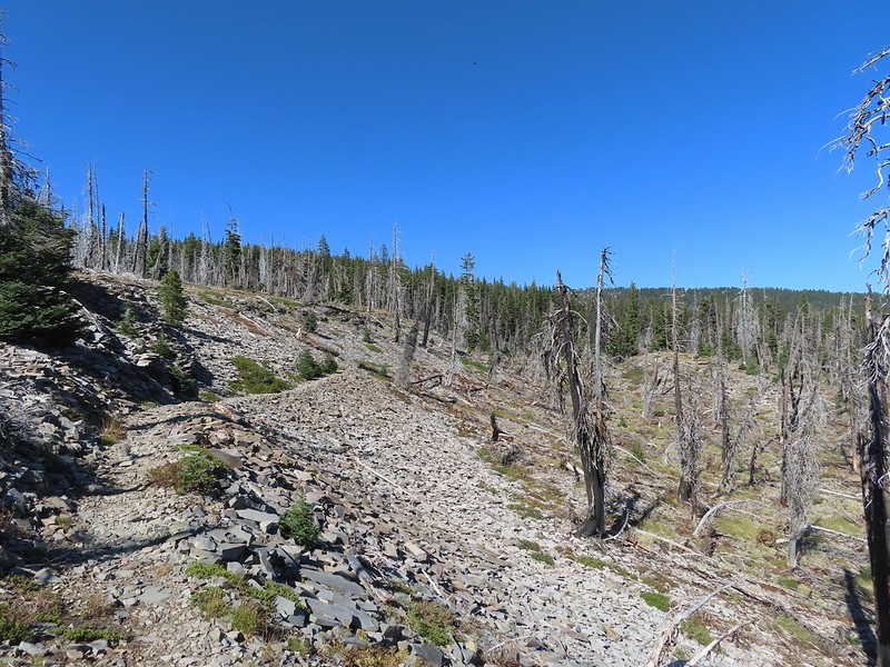 Nearing the end of the 2014 fire scar.
 Luther Mountain from one of the Snow Lakes.
 Another of the lakes.
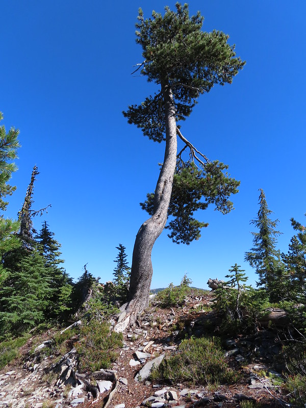 Tree on the edge of the shelf.
 View from the shelf.
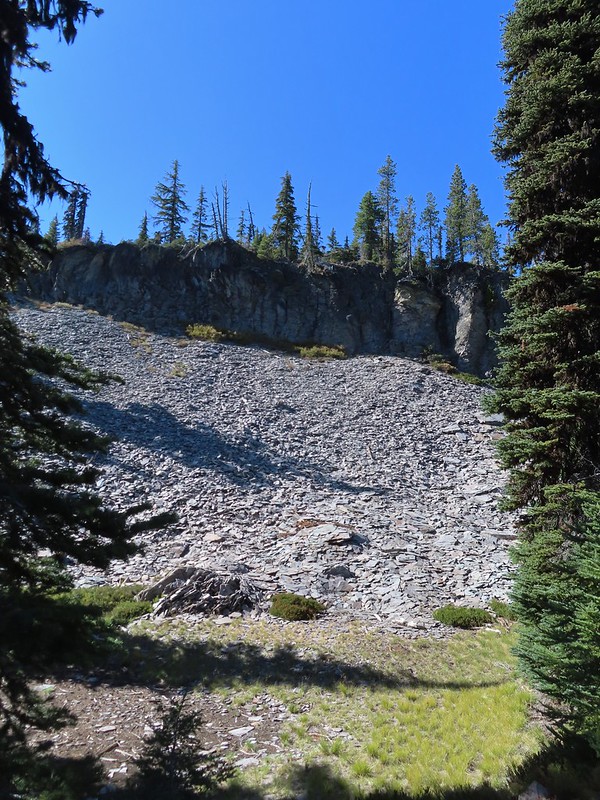 There were many cool rock features along the trail.
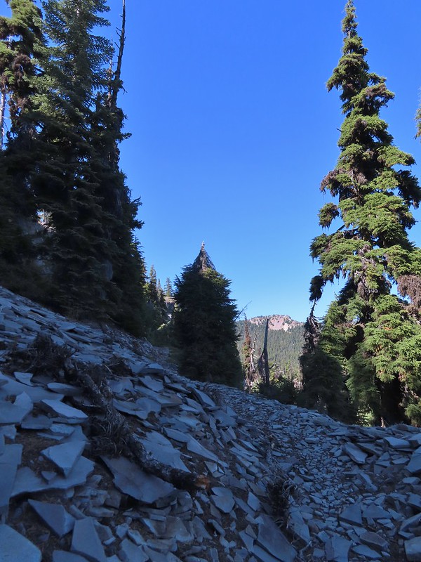 Devil’s Peak
 Lee Peak and another of the Snow Lakes.
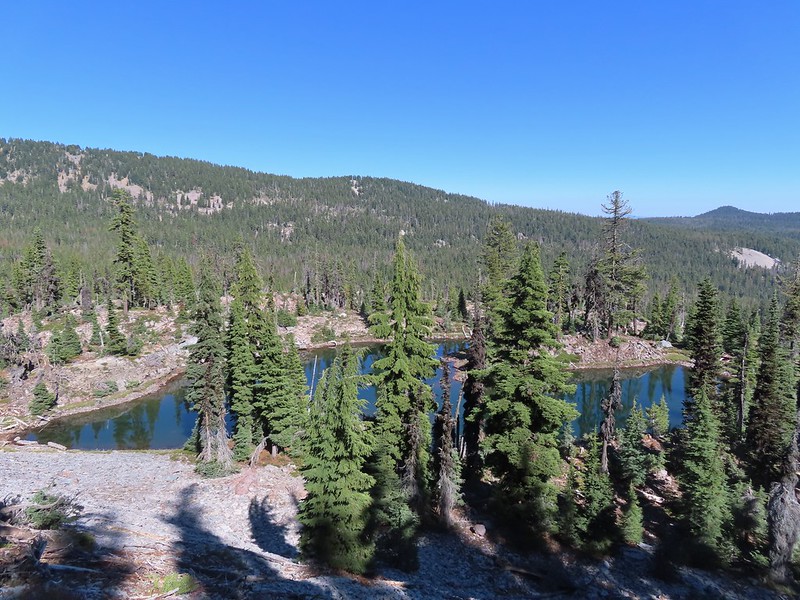
 A tree had fallen over the Snow Lakes Trail hiding it right where a use trail veered off to the lake. Only seeing the use trail we followed it along the lake until it petered out. A quick look at the map showed we were off-trail so we made our way back finding the downed tree covering the actual trail.
 The worst obstacle for the day.
 Pelican Butte from the trail.
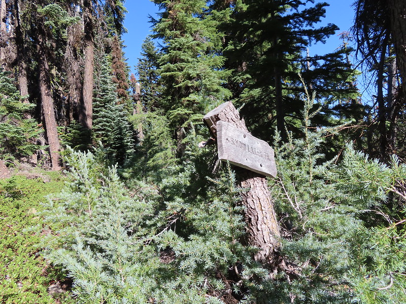 Sign at the Nannie Creek Trail junction.
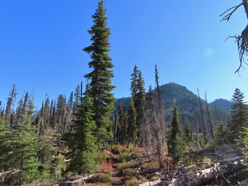 Luther Mountain as we neared Martin Lake.
 Dragon fly blending in with the huckleberry leaves.
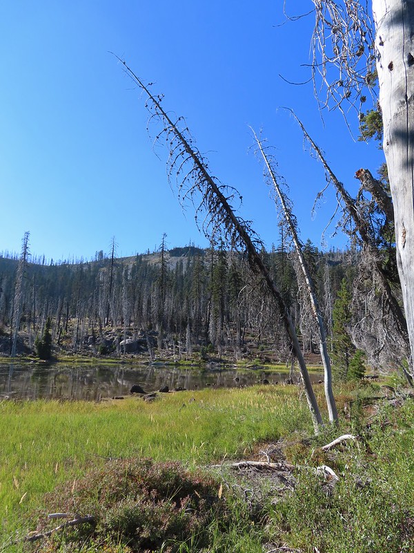 Martin Lake with a view of the shelf that we’d been on.
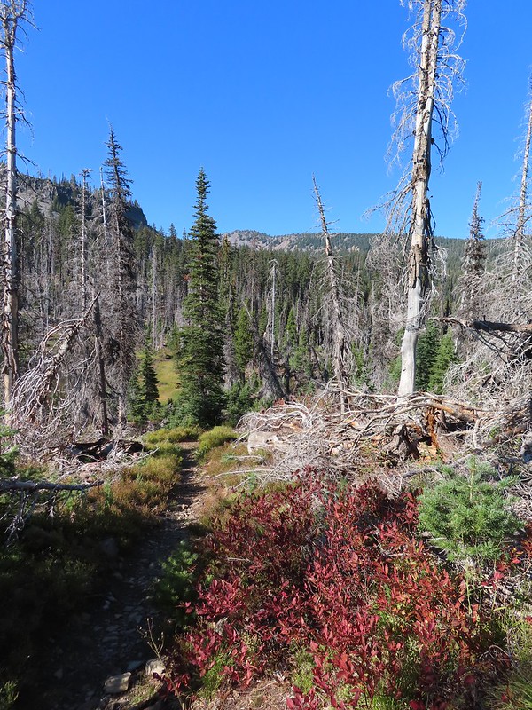 Red huckleberry leaves


 Deep Lake was up first, just a tenth of a mile down the trail.
 Donna Lake was only two tenths further.
 Donna Lake Trail
 Back at Trapper Lake.
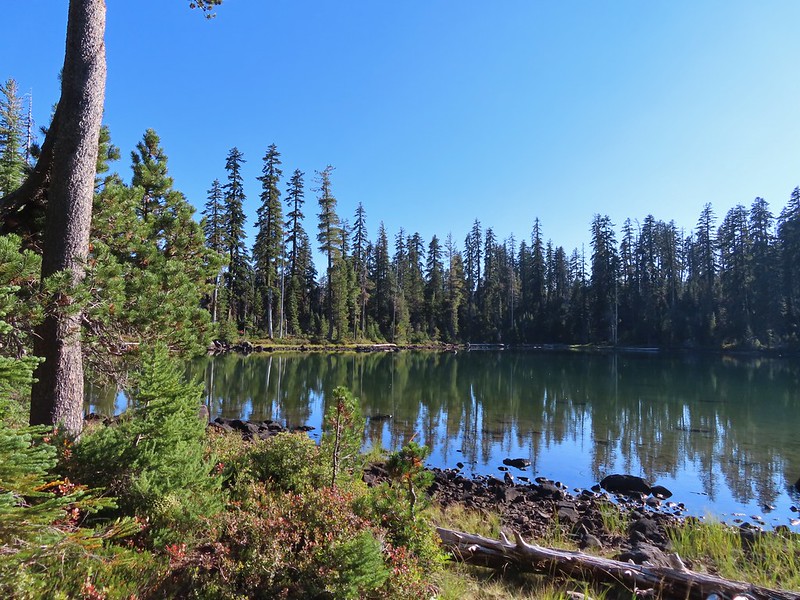
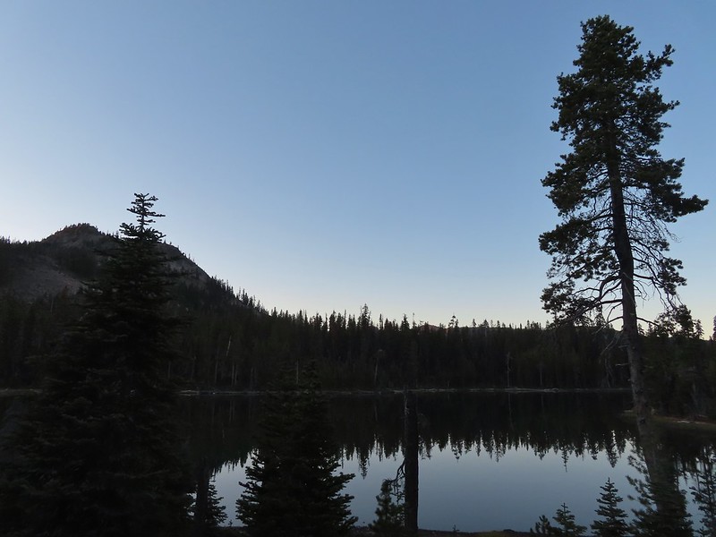

 An OHV Trail continues on the old road bed from the parking area.


 We had to get creative to see some of the many cool water features along the creek.


 The first mess on the trail.
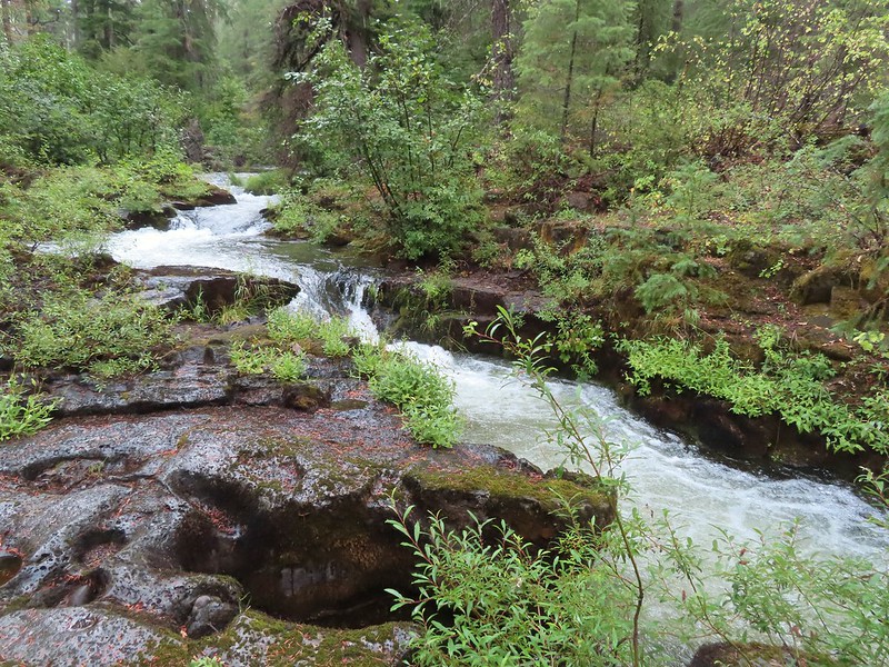


 This mess was just before the bigger tree that turned us back.
 Where I crossed the channel.


 Mt. Scott (
 Raven making a landing atop a mountain hemlock.
 The Watchman (
 It was by far the most scenic mistake we’ve made while hiking.
 Wizard Island and Llao Rock
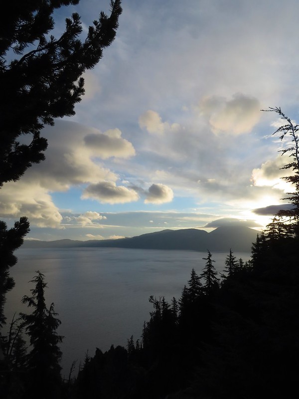 Mount Scott
 We joked that views had been so good maybe we should just end the hike now.


 Dutton Creek was dry.
 Blue sky ahead.
 Not much left for flowers, this could be a Crater Lake collomia although it’s a little late in the season.
 Castle Creek still had some water flowing.
 We spotted several piles of hail, possibly from the severe thunderstorms that had been forecast for Saturday night?
 Arriving at the PCT.
 The campsite at the junction was closed due to hazard trees.
 Recrossing Castle Creek.
 The PCT appeared to be following an old road bed through the park.
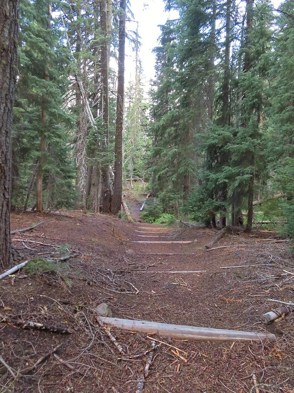 Dropping down to Trapper Creek.
 PCT crossing of Trapper Creek.
 A red-breasted nuthatch that was toying with me as I tried to get a photo.
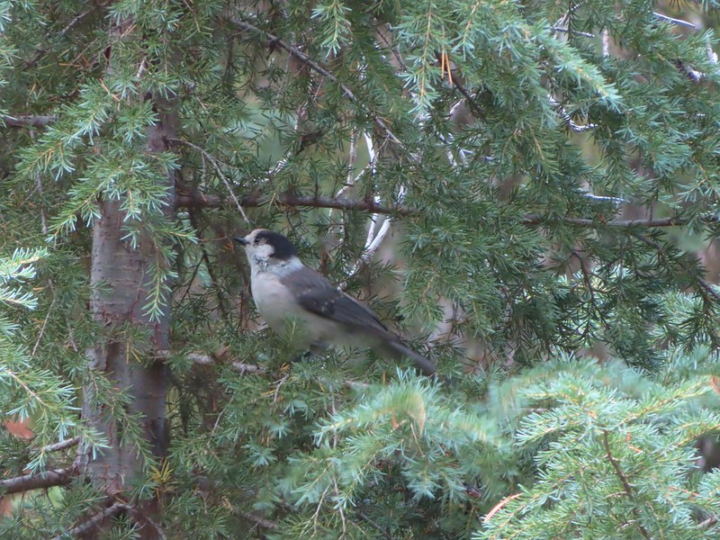 Canada jay (grey jay)
 Blue sky to the north ahead.
 Some blue sky south too with a glimpse of Union Peak (
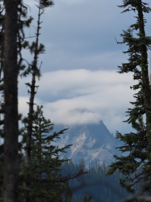 Union Peak
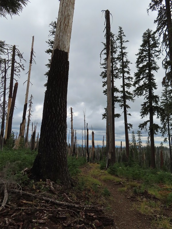 Entering the 2006 Bybee Complex fire scar.
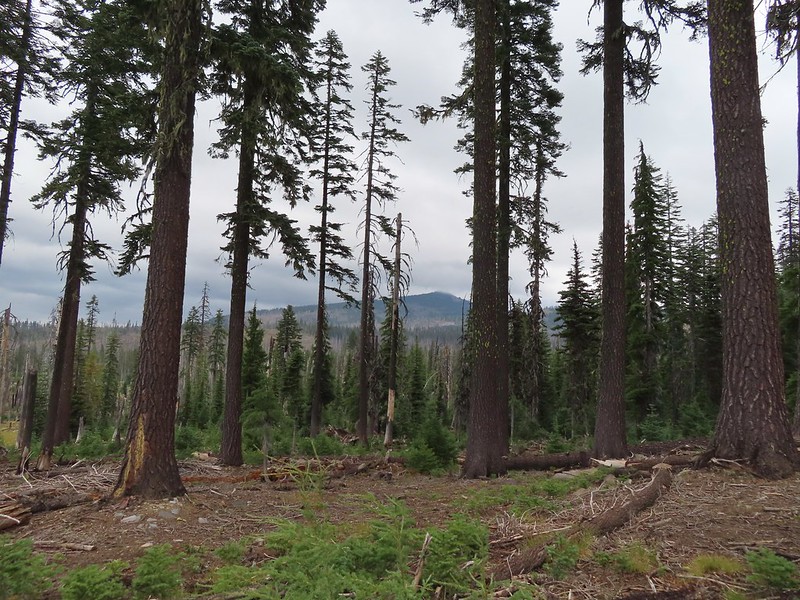 The Watchman. The lookout tower on top was in a cloud after having been clearly visible from rim earlier. We wondered what that might mean for our views when we finally made it back to the rim.
 Chipmunk checking us out.
 Coneflower remains
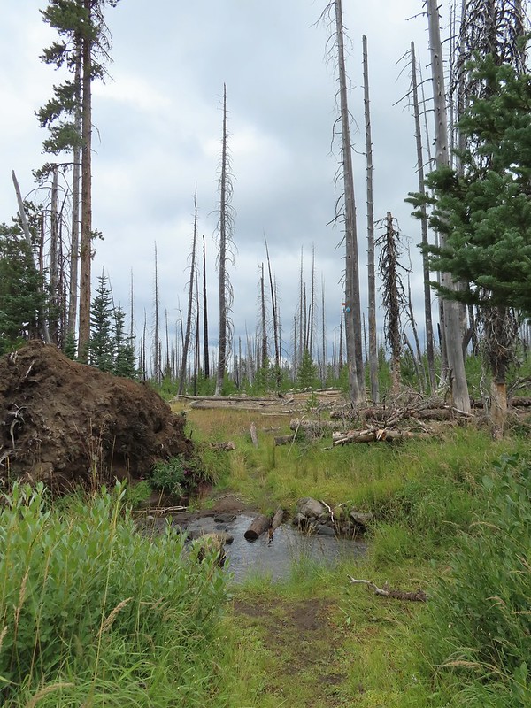 Another creek crossing.
 Red crossbills at the creek crossing.
 There were some pretty ominous looking clouds behind us but no showers yet.
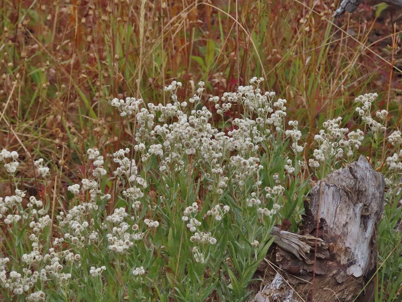
 Several white crowned sparrows and at least one junco. We could also hear chickadee calls but I couldn’t find one in this capture.
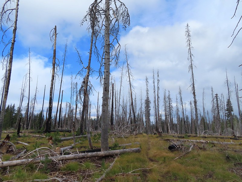 Despite the ugly clouds behind us there was almost always blue sky ahead.
 North Fork Castle Creek
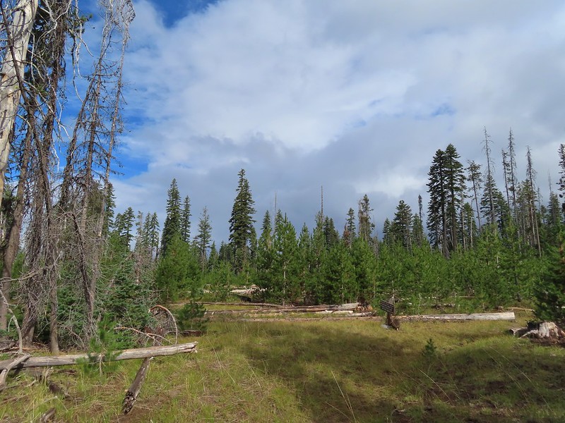 Approaching the junction with the Lightning Springs Trail.

 Townsend’s solitaire
 Union Peak had been swallowed by clouds.
 The Watchman with a cloud still hanging on.
 Hawk
Hawk
 The base of Union Peak with lots of blue sky around.
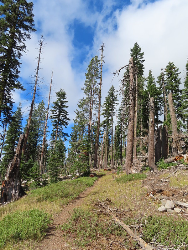 A brief stint in full sunlight.
 Robin
Robin
 Union Peak nearly free of clouds.
 The Watchman still not free.

 Mountain bluebird

 Full view of Union Peak.
 And finally a full view of The Watchman.
 Conditions were changing quickly and now there was blue sky above The Watchman.
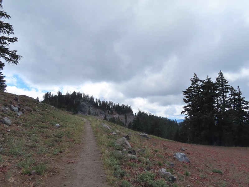 West Rim Drive ahead with the lower portion of Mt. McLoughlin (
 Mt. McLoughlin
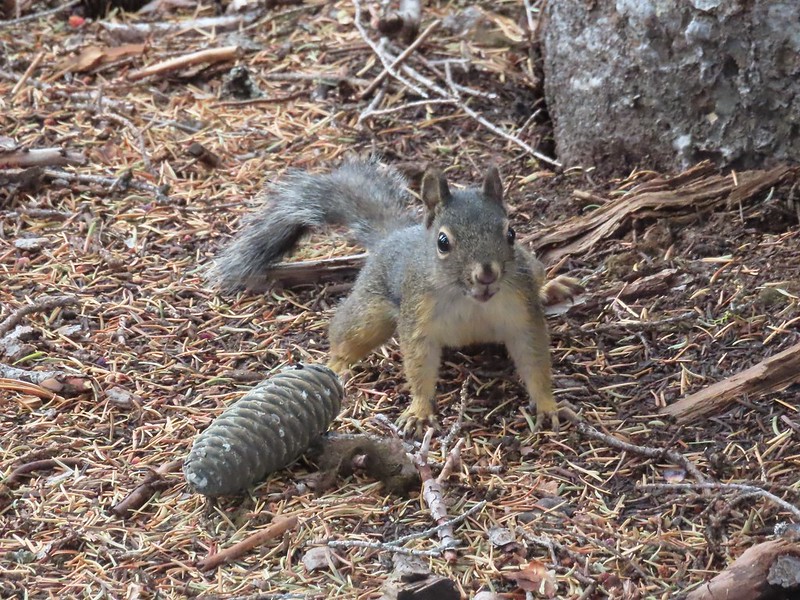 This squirrel put its cone down in case I had something better for it, but we don’t feed the wild animals per Park rules (and
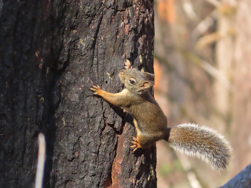


 Wizard Island’s cone
 Llao Rock
 Dock along Wizard Island
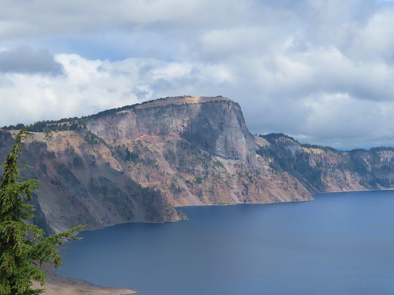
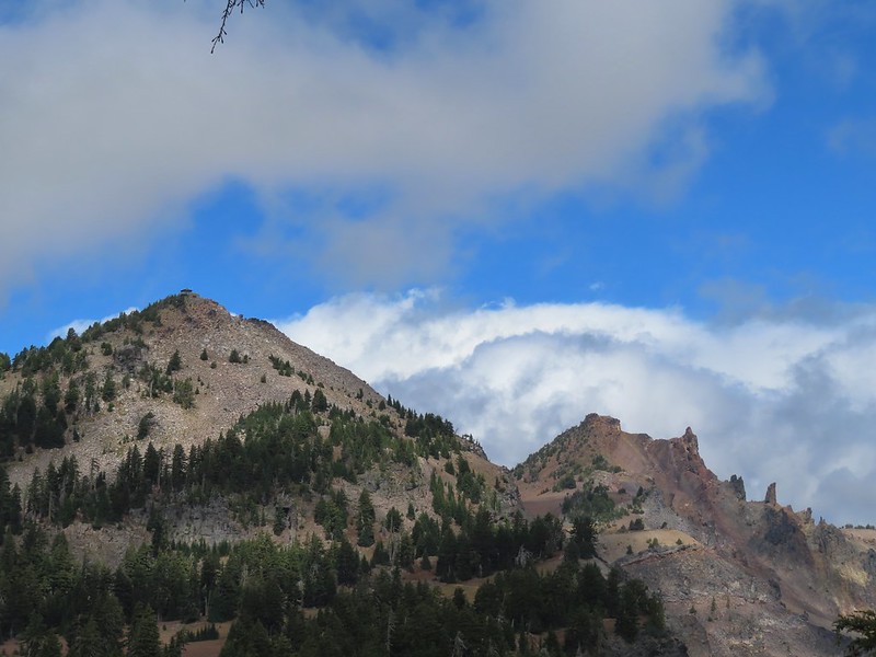 The Watchman and Hillman Peak
 Garfield Peak to the left with Union Peak to the far right.

 Phantom Ship
 Mount Scott
 Clark’s nutcracker
 That blue though!
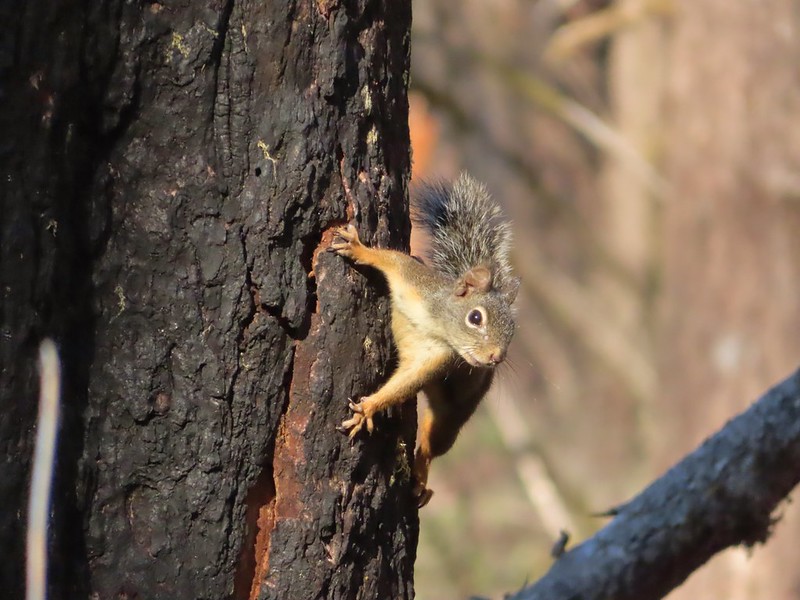
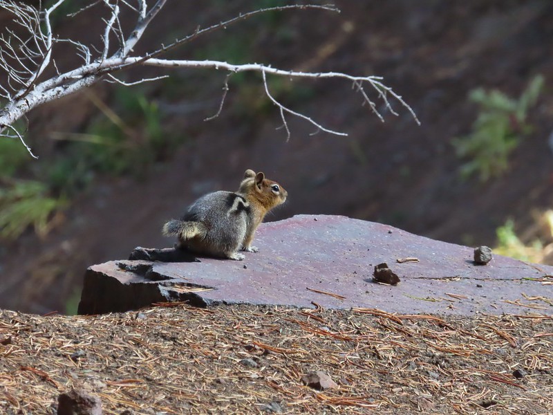 Golden-mantled ground squirrel
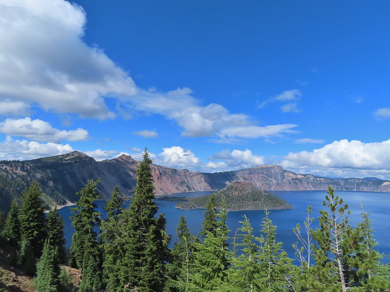 Back to where we’d been that morning.
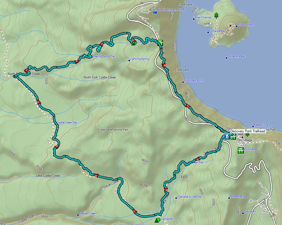

 An old fence in the meadow.
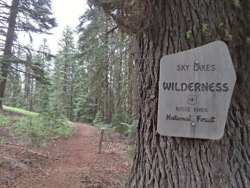 Entering the Sky Lakes Wilderness.
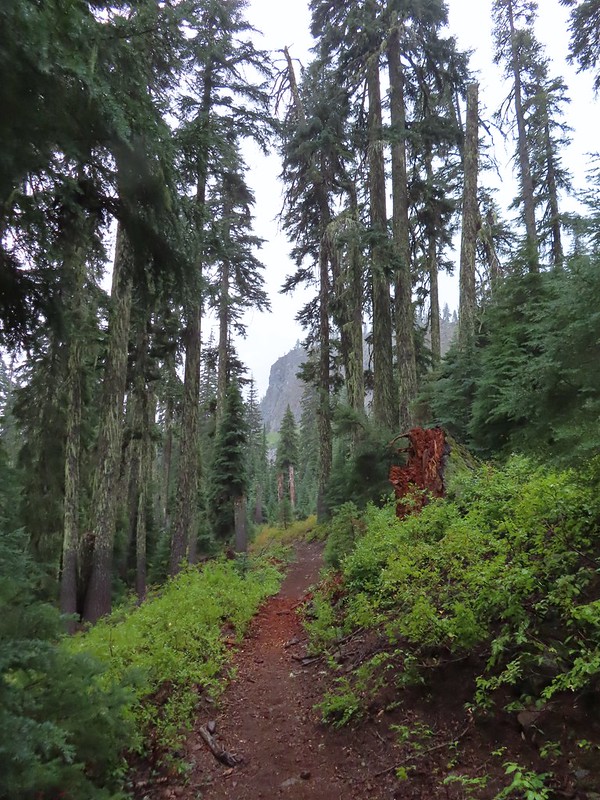
 Into the trees we go.


 The cliff face above Blue Lake ahead from the trail.
 Hiking along Blue Lake.
 Blue Lake
 The bald eagle across the lake after startling me.
 The South Fork Trail went to the left past Meadow Lake and the Mud Lake before following the South Fork Rogue River to Road 720.
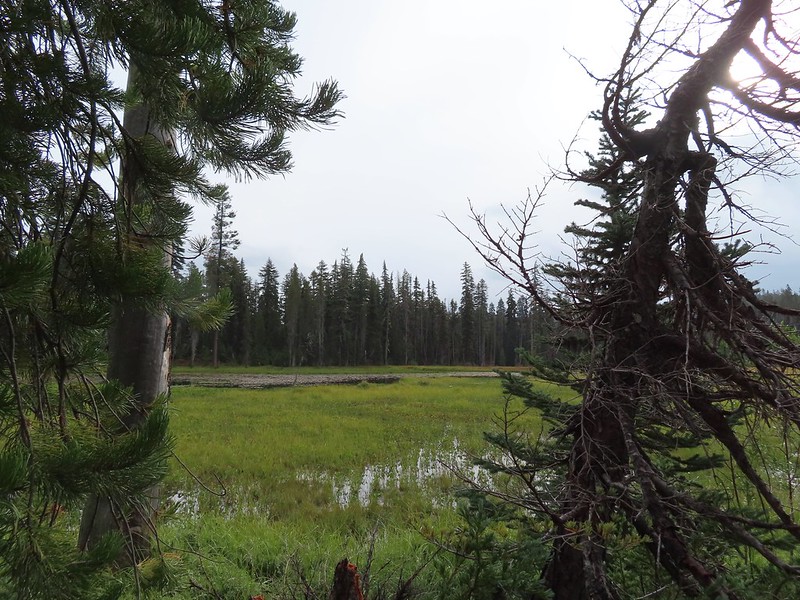 Meadow Lake
 Meadow Lake Trail junction.
 Just beyond this small pond south of the trail we turned right on a use trail which led out onto Horseshoe Lake’s peninsula.
 Camping is prohibited on the peninsula which is signed in multiple places.


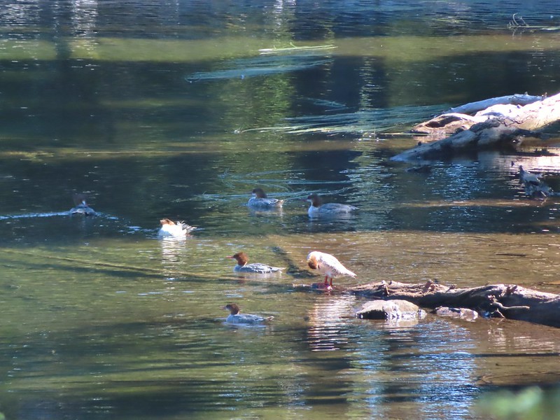
 Ducks flying further down the lake.
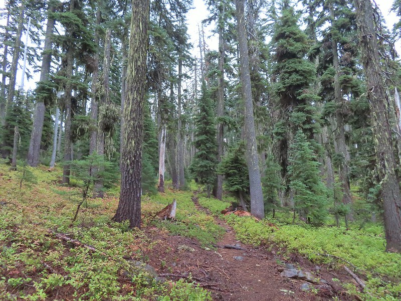
 Grouse
 The only flowing water we’d encounter on this day after not crossing any streams the day before at Union Peak (
 Dee Lake barely visible through the trees.
 Bigelow’s sneezeweed
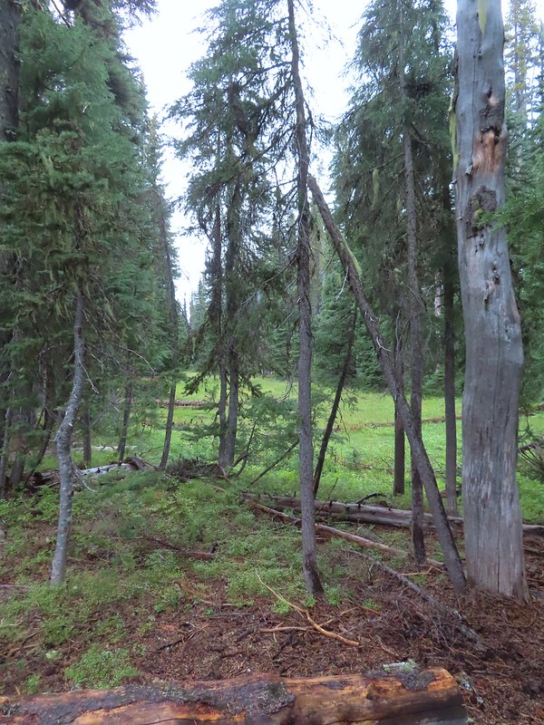 Meadow near Island Lake.
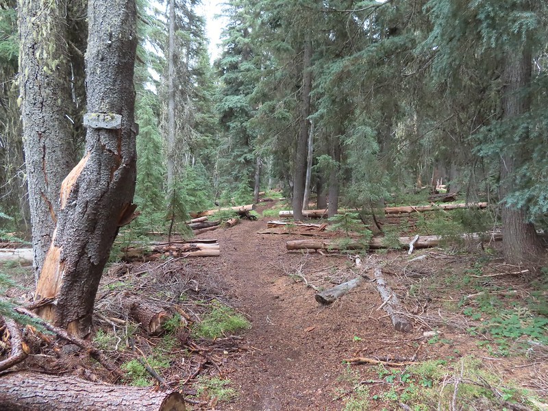 A Horse Camp sign.
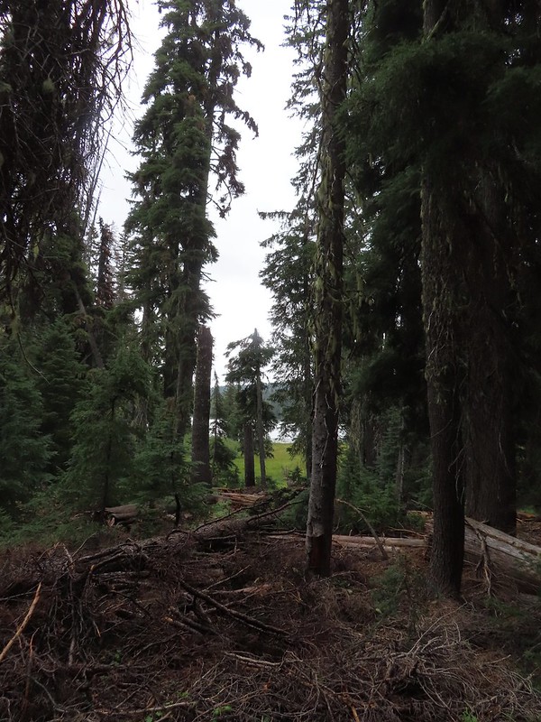 Island Lake through the trees.
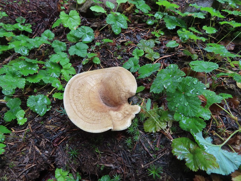


 There were a lot of mushrooms down by the water though.
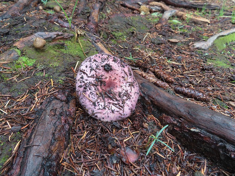


 For those interested the 1888 inscription reads:
 Pear Lake from the Blue Canyon Trail.
 Back at the Meadow Lake junction.
 Heading up the Meadow Lake Trail.
 The huckleberries don’t lie, Autumn was right around the corner.
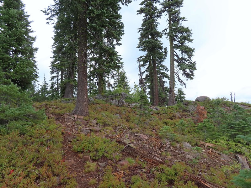 Approaching the ridge top.
 Not sure what we missed here but imagine it was some of the peaks in the Sky Lakes Wilderness.


 Colorful fungus
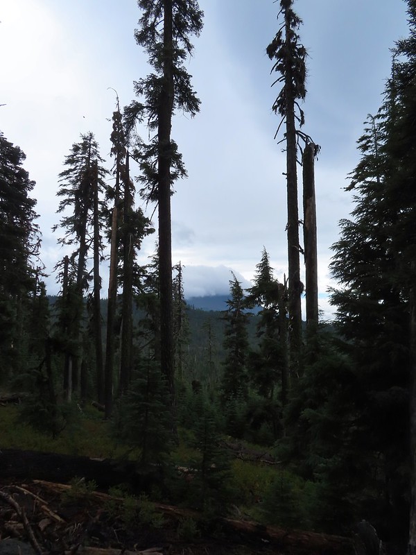 Mt. McLoughlin
 A little fresh snow, a welcome sight.
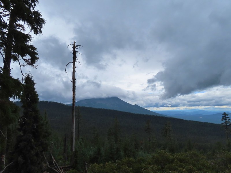 A nice little viewpoint just off the trail.
 Passing below Cat Hill.
 Back to the trailhead.
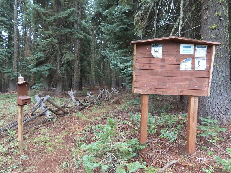

 Wizard Island
 The Watchman (
 Hillman Peak and Llao Rock
 The sign calls this the “steepest” hike in Southern Oregon. We wondered what criteria that was based on?
 There were a large number of big mushrooms along this section of trail as seen to the lower right.
 One of the big shrooms.
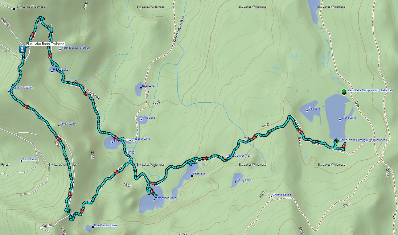
 A Stellar’s jay.
 More of the big mushrooms.
 Another Stellar’s jay.
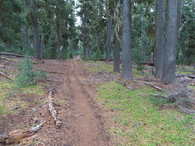
 Nearing the trail junction.
 First glimpse of Union Peak through the trees.
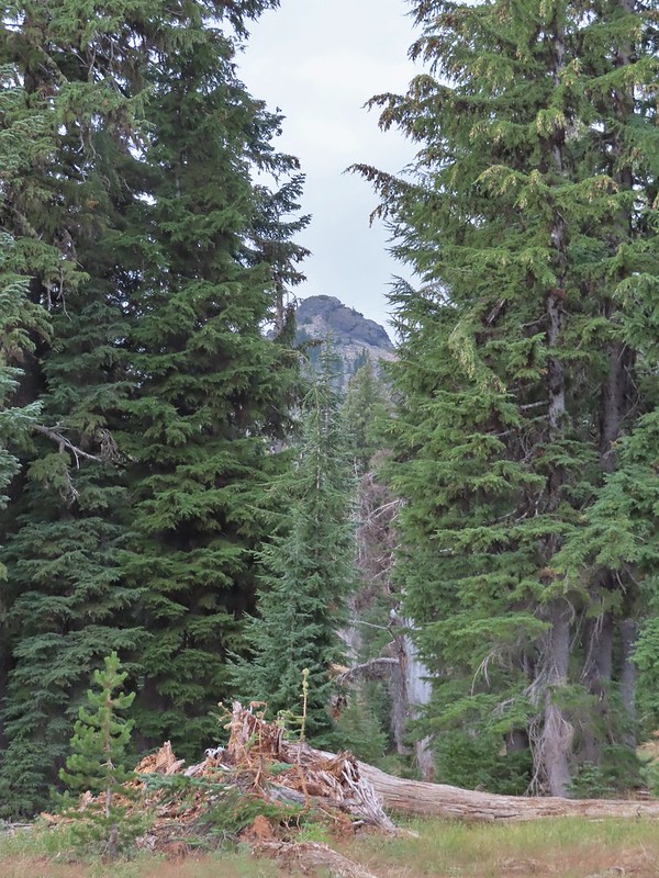
 Gardner Peak behind Goose Egg (center) to the SE.
 Fireweed
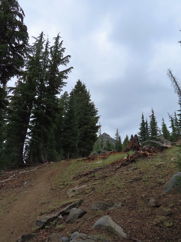
 It was cloudy but no showers so far and the clouds appeared to be well above the summit.
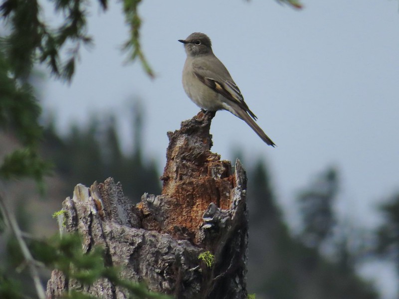 Townsend’s solitaire

 Mount Bailey in the distance to the right of the outcrop.
 The last doe keeping watch as the rest of the deer disappeared into the forest.
 Golden-mantled ground squirrel
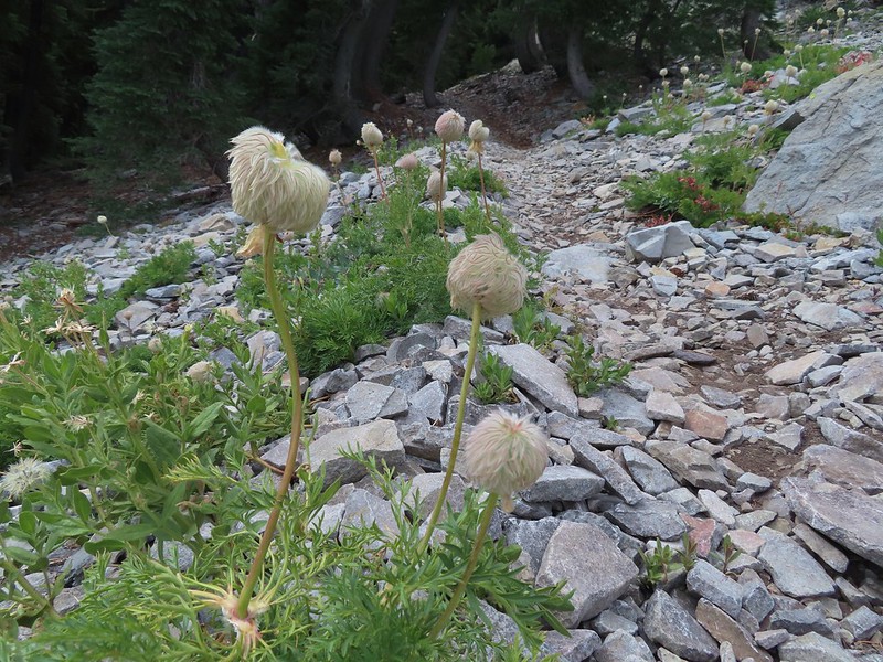 Western pasque flower seed-heads along the trail.
 Looking up at Union Peak and wondering how the trail got up there.
 Nearing the cinder field.
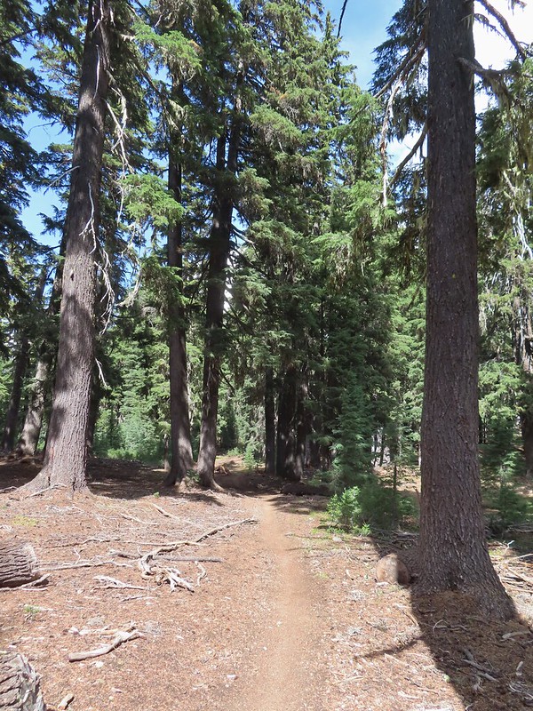
 Mount Scott (
 It’s always interesting to see the various rock that make up these volcanic peaks.
 The Watchman and Llao Rock with Mt. Thielsen in between in the background.
 That’s the trail on the right side of the photo.
 Looking down at the trail below.
 The trail was fairly easy to follow as it switchbacked up through the rocks. It was narrow in places which might be hard for those with a fear of heights.
 While there were no people at the summit the brush had attracted a fairly large number of yellow jackets.
 Looking west toward the Rogue-Umpqua Divide.
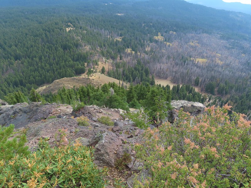 The trail along the ridge below Union Peak.
 Lost Creek Lake (
 Mount Bailey, Diamond Peak (
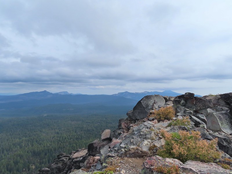 The rim of Crater Lake.
 Mt. McLoughlin is to the far right with some clouds over the top. Starting from the left is Goose Nest, Goose Egg (with Gardner Peak behind), Maude Mountain (with a faint Pelican Butte behind to the right), Lee, Devil’s, & Lucifur Peaks (Mt. Shasta is behind those three.) followed by Mt. McLoughlin.
 Mt. Bailey
 The Watchman and Hillman Peak directly behind with Mt. Thielsen further in the distance.
 Llao Rock
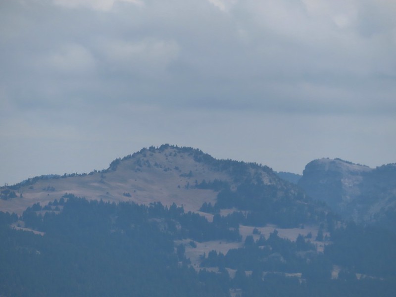 Applegate Peak
 Looking back up from the rock field.
 Mount Shasta arnica
 Bleeding heart

 One of several mountain bluebirds we spotted.
 Bumblebees on a few remaining aster.
 Sunshine
 A sulphur butterfly.
 Arriving back at the trailhead.
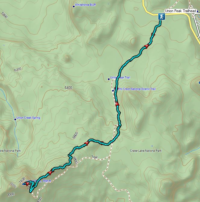


 The combination of low light and orange hue made for some poor photography conditions.
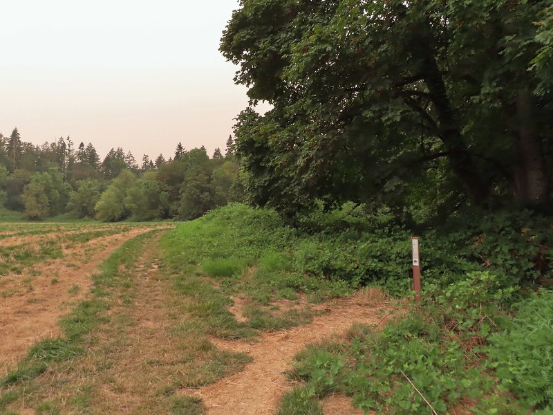
 Approaching the entrance road. The gate is for the road which is only open during daylight hours.
 The Generator Trail.


 Spring Valley Creek passing under the entrance road.
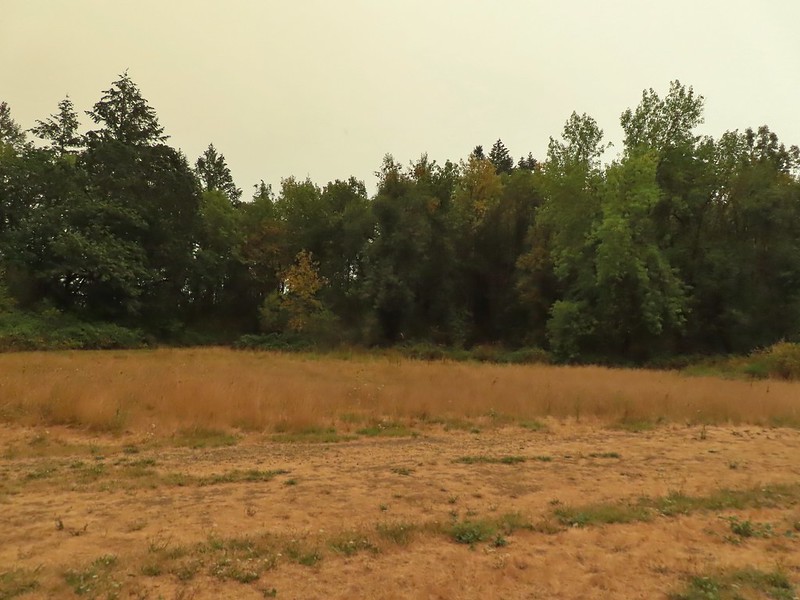 The mowed field.
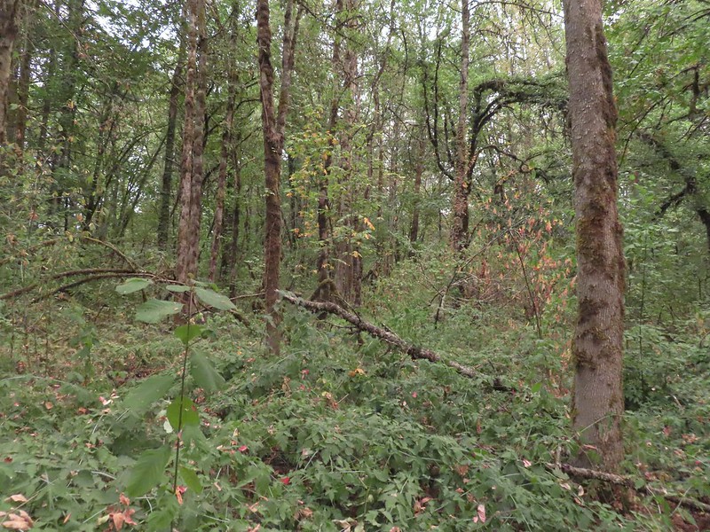
 Upper Spring Valley Creek Trail.
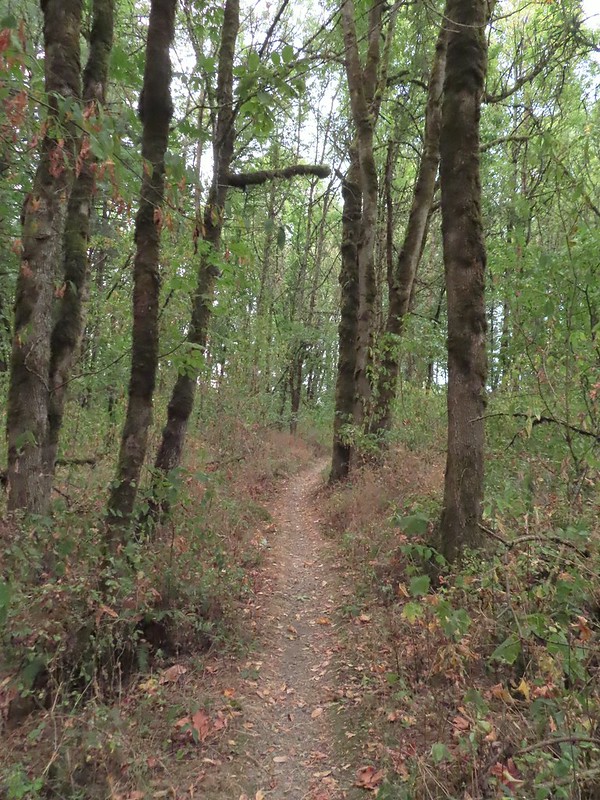
 A few Autumn colors starting to show, now we just need some Fall rain.
 Brief glimpse of the Willamette River.
 The tailgate was up on the pickup, a good sign for us.
 Some of the various non-native wildflowers in the area.
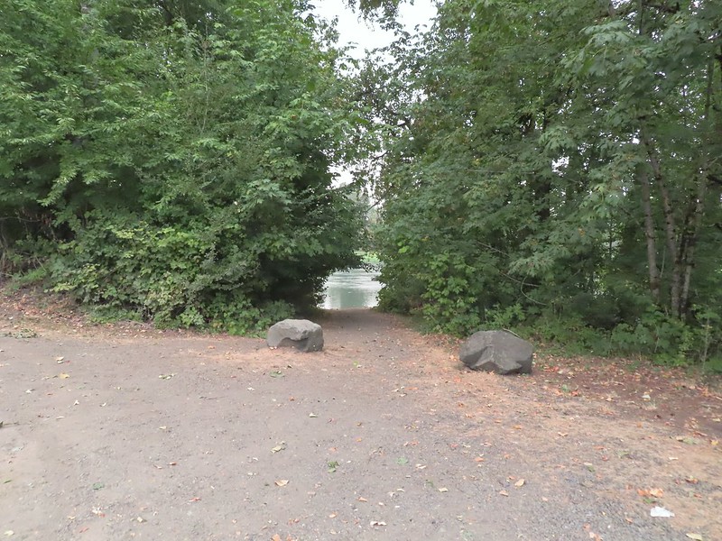
 Mile 74.2 of the
  The Perimeter Trail begins to the right of the gate.
 Invasive common tansy but the beetle was cool looking.
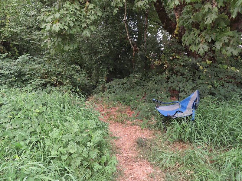 We were initially fooled by this side-trail at the 0.1 mile mark which was not the TCC Trail, but did provide access to the Willamette.
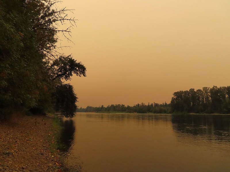 Willamette Mission State Park (
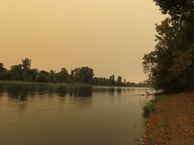
 There’s the TCC Trail.

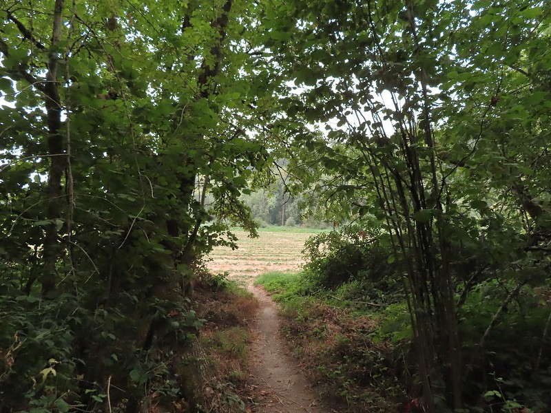 Back to the field after half a mile.
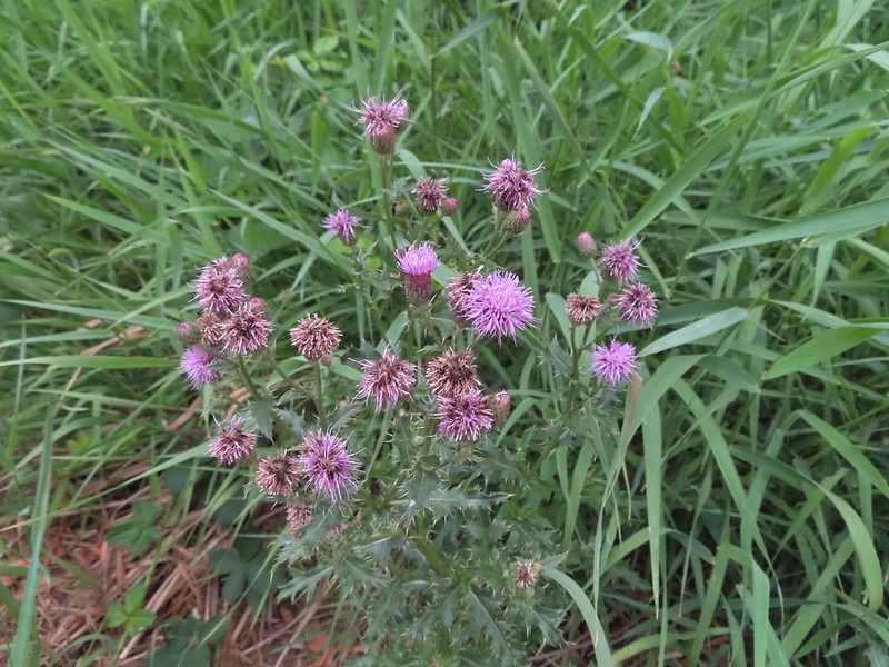 Invasive Canadad thistle.
 Common toadflax – non-native.
 Moth mullein – you guessed it, non-native.
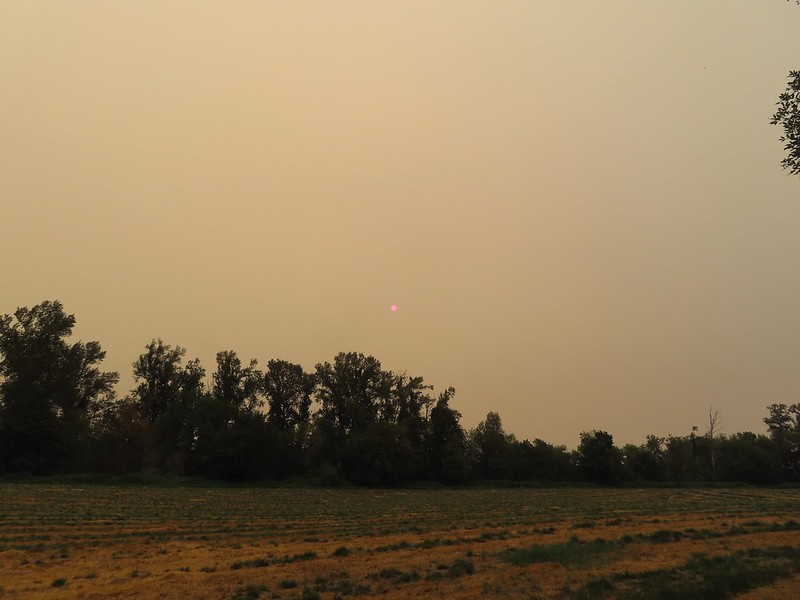 The Sun behind a layer of smoke.
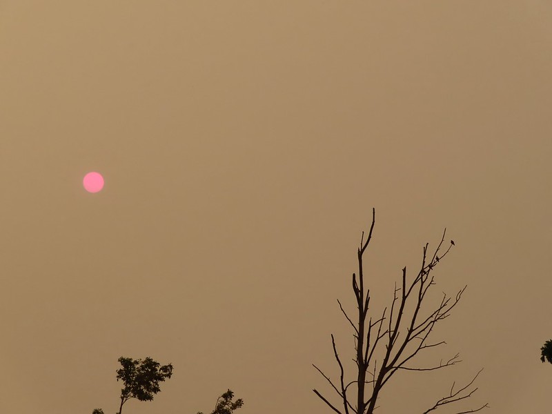 Pigeons (or doves) in a snag.
