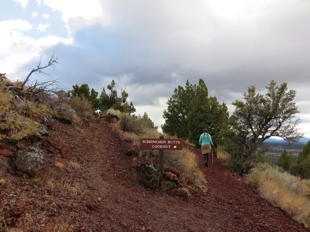
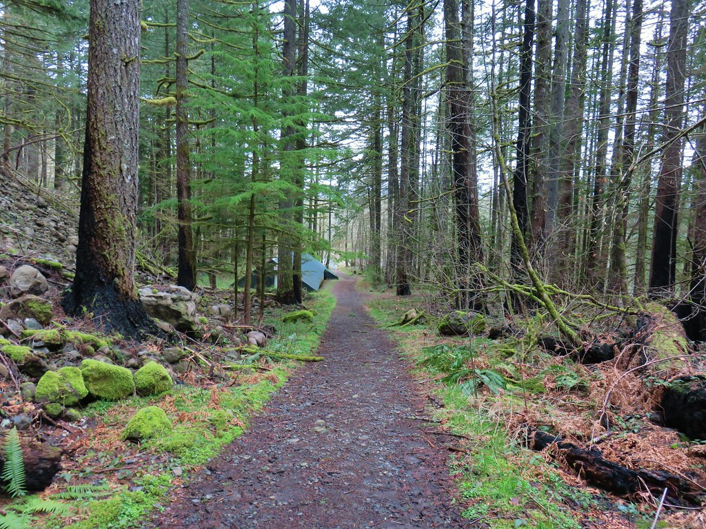
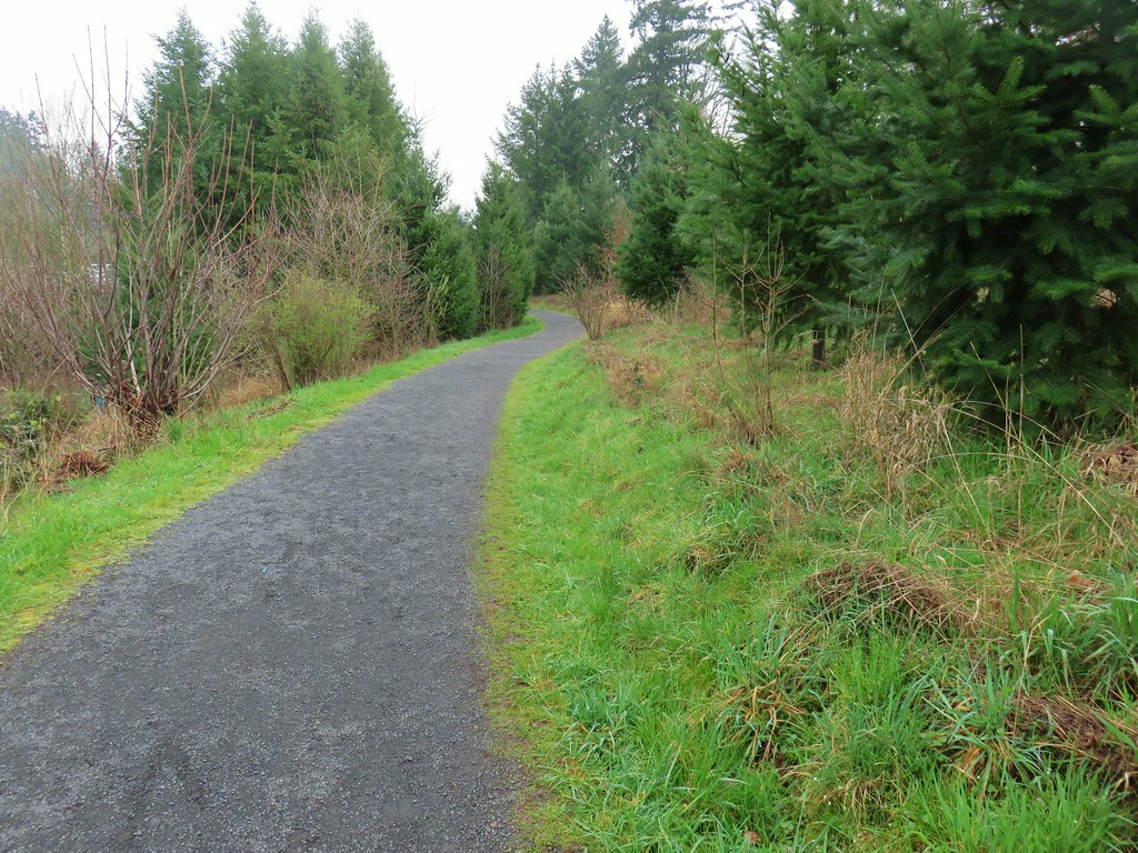
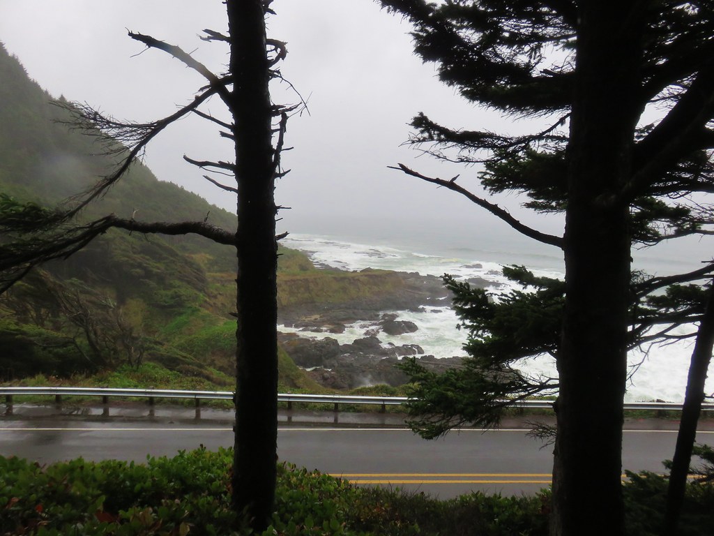
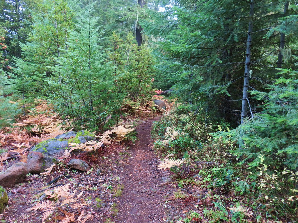
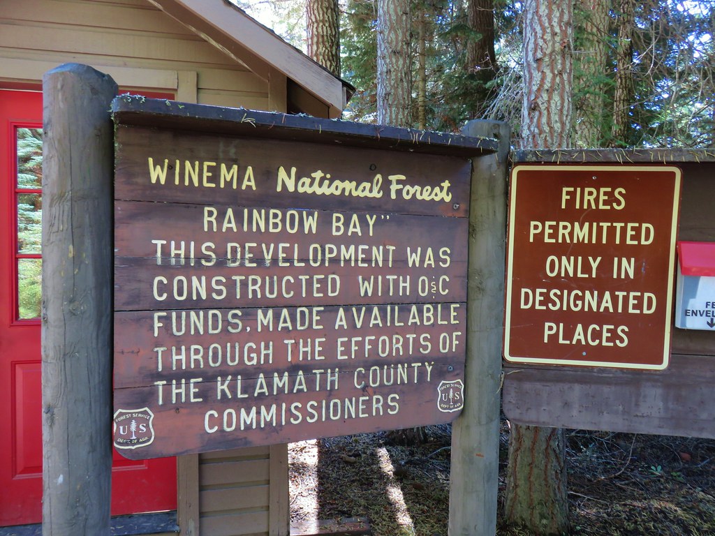
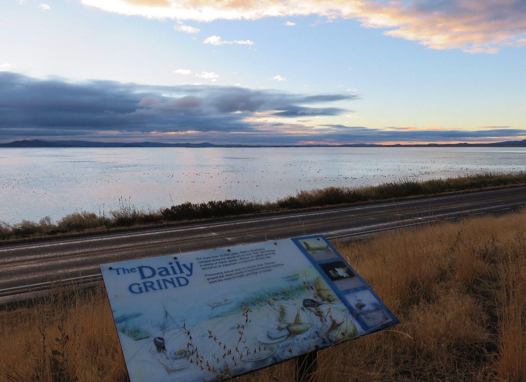
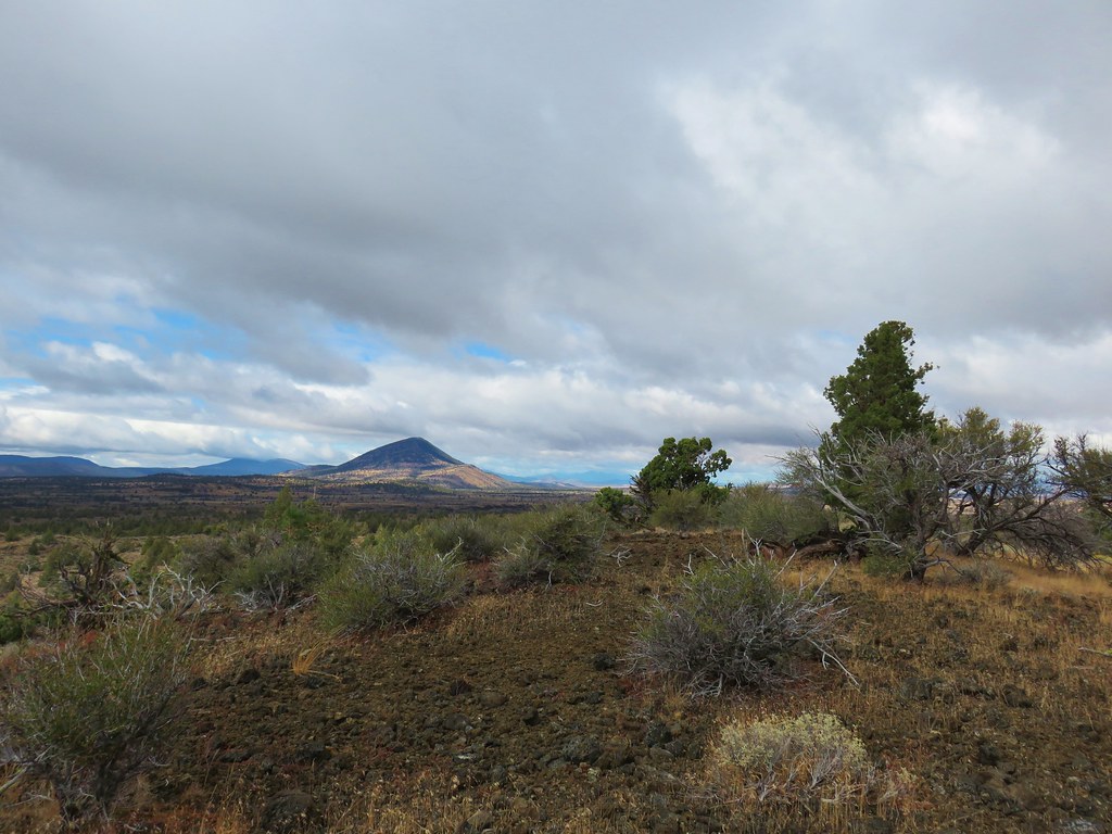
We continue to be impressed by the number and variety of urban hikes in the Portland-metro area. On our most recent outing we visited three more areas near West Linn and Lake Oswego.
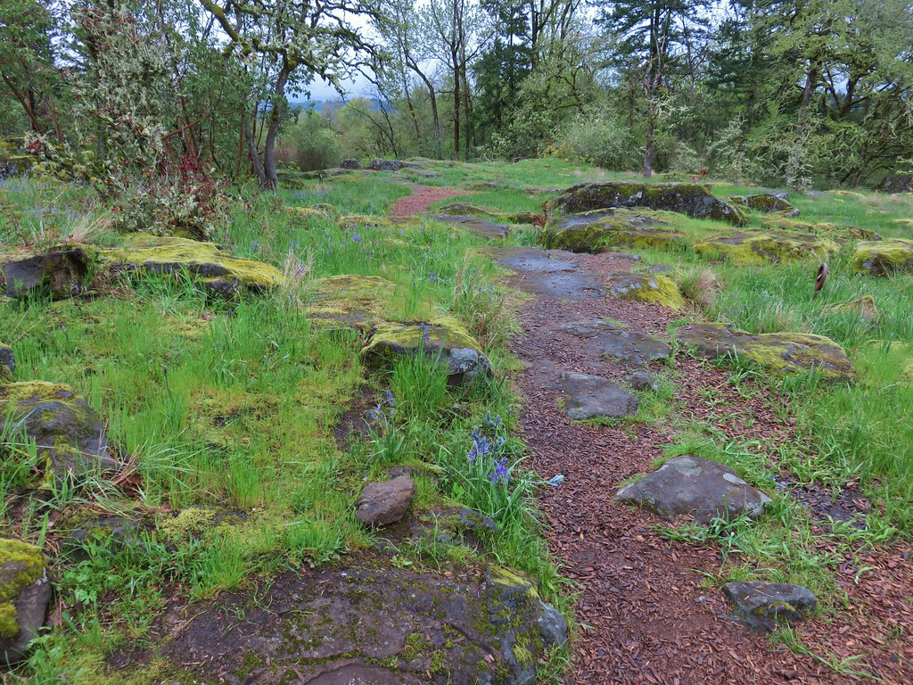
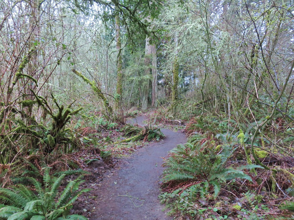
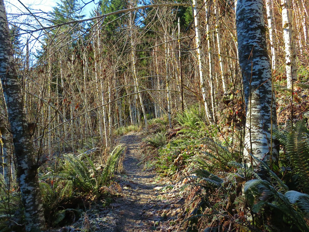
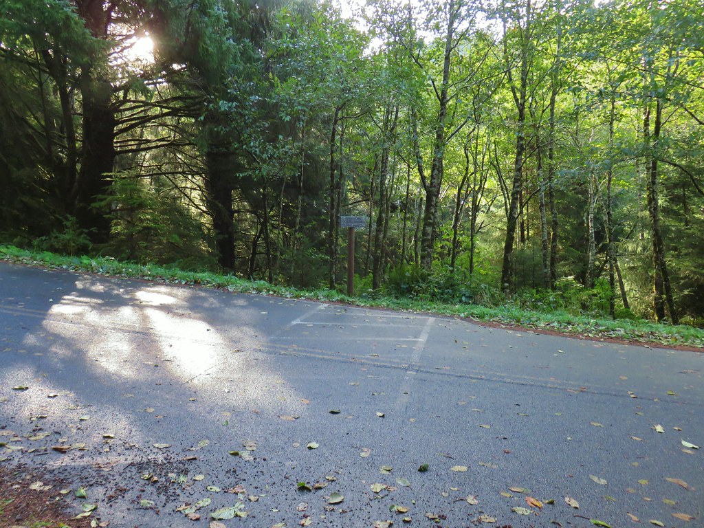
We started our day in West Linn at the Camassia Natural Area just before 7am. Our hike started from the trailhead at the end of Walnut Street.

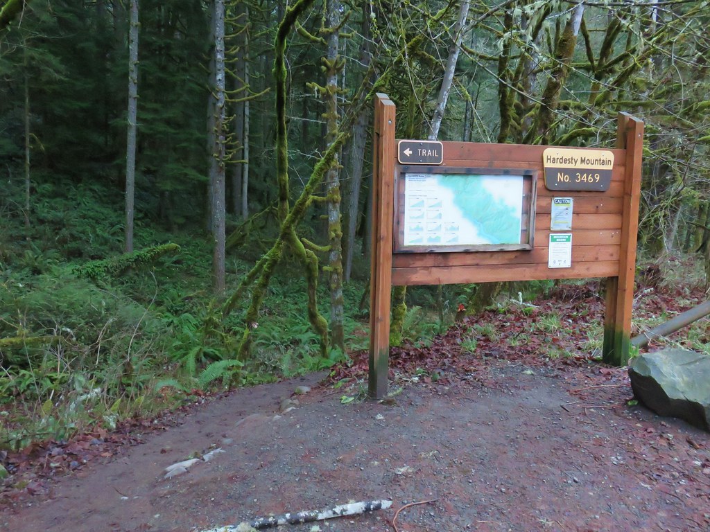
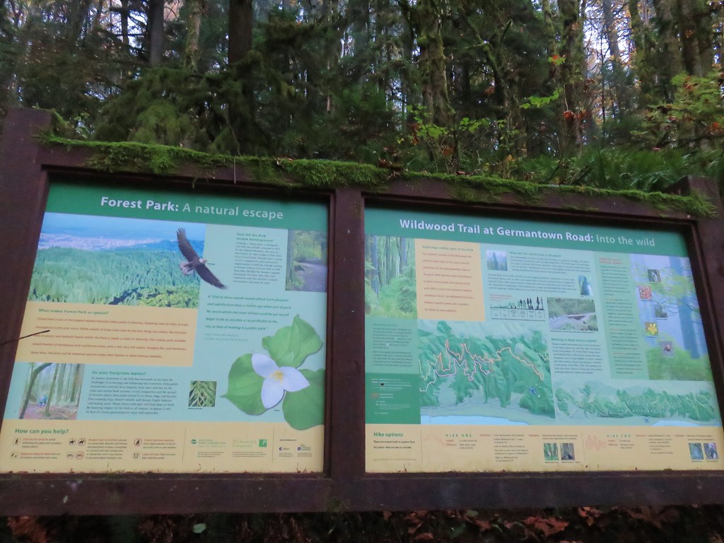
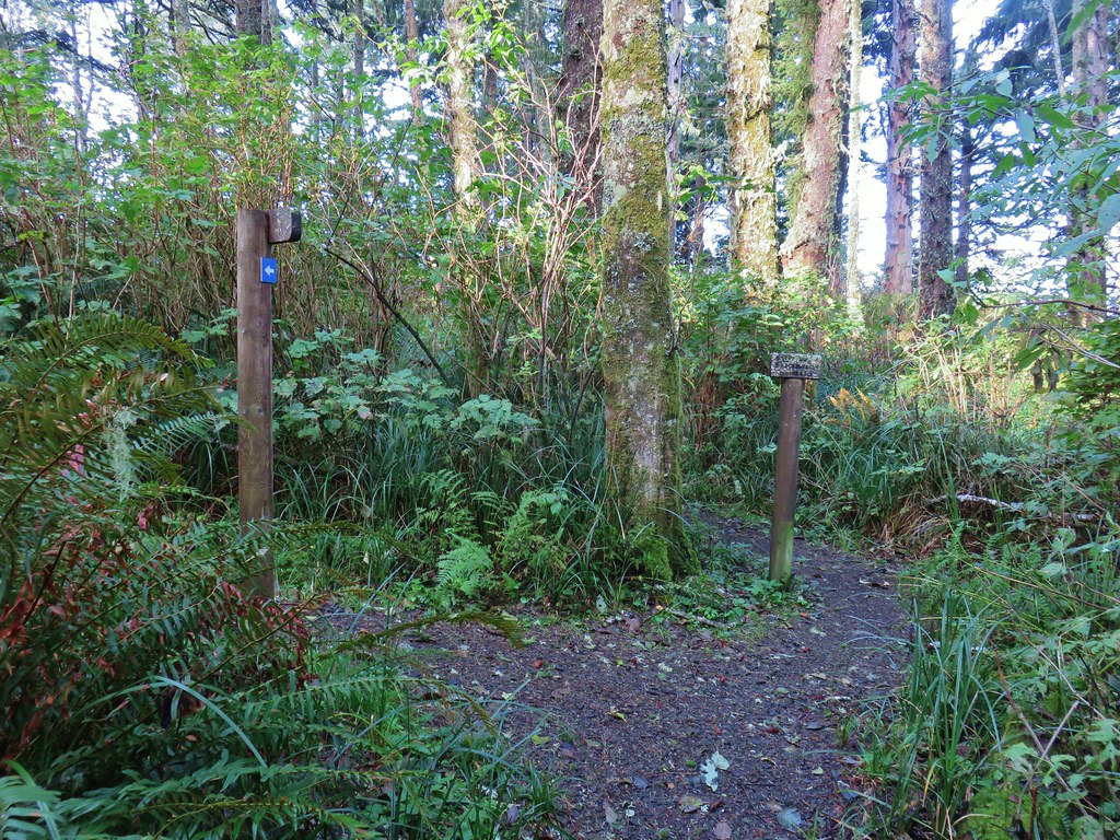
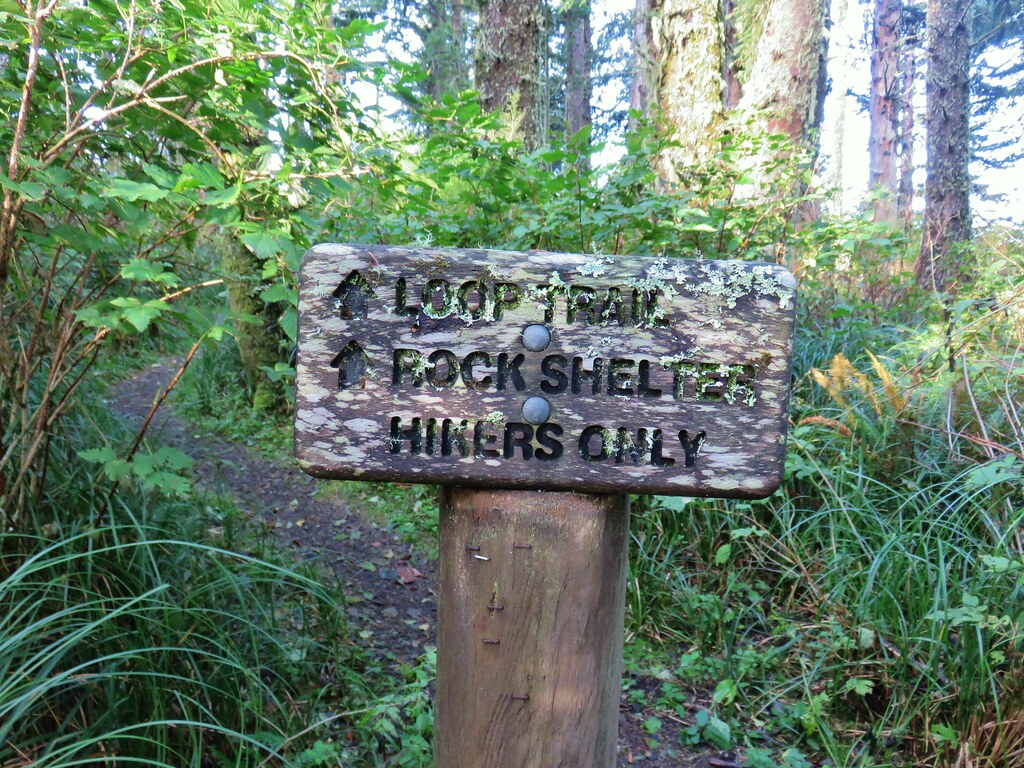
A few feet from the trailhead is a signboard and the start of a loop.
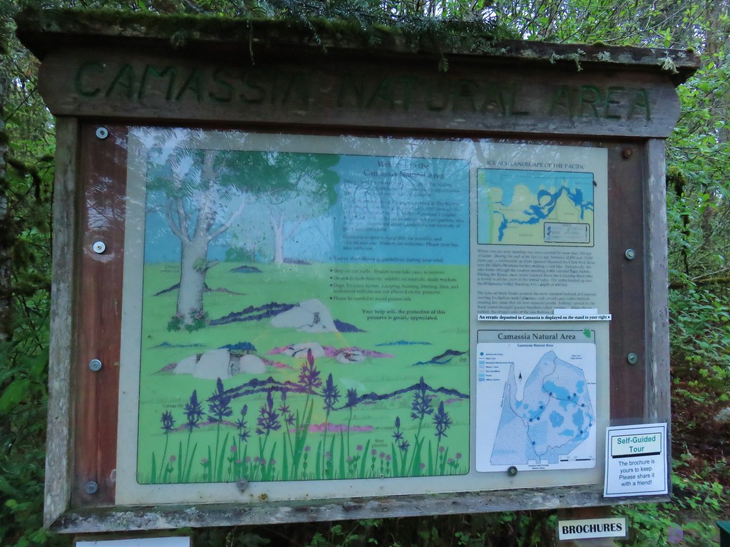

We picked up a guide brochure and started the loop by heading left (clockwise).

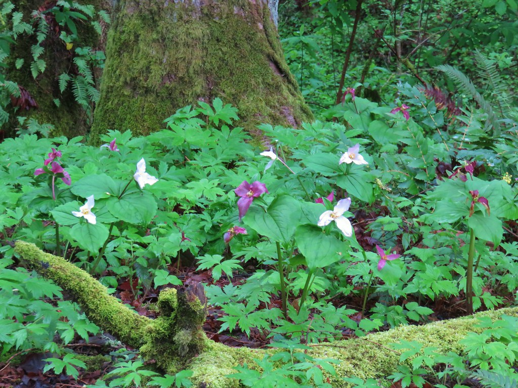
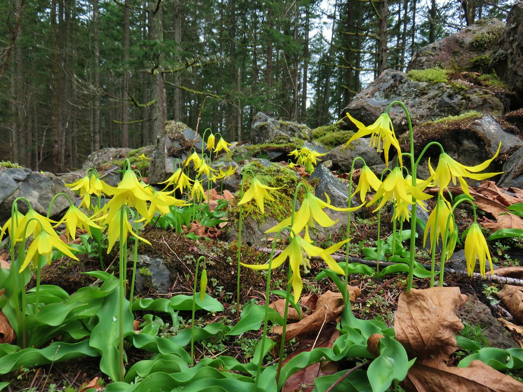
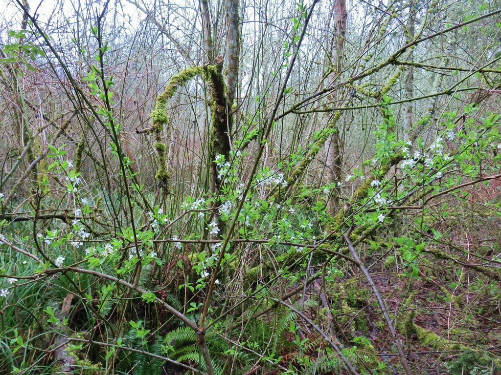
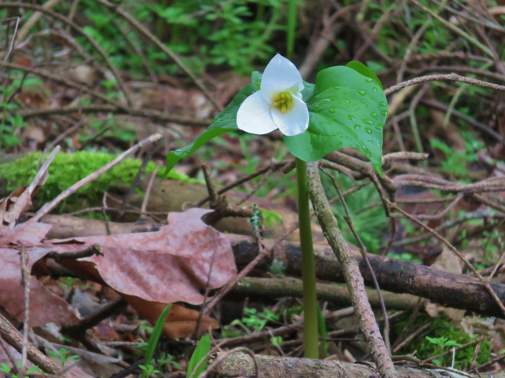
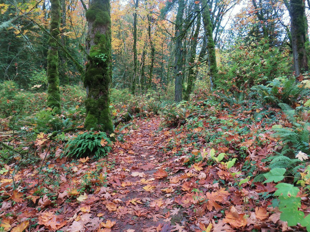
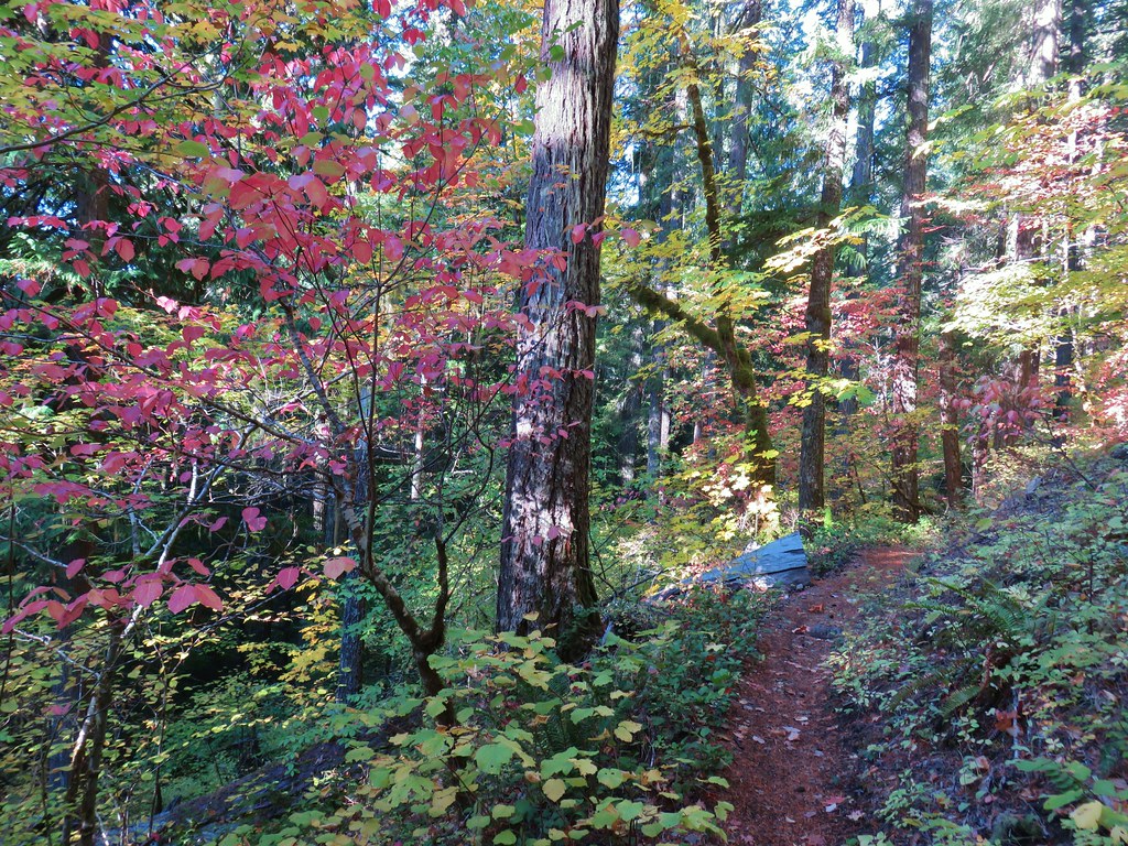
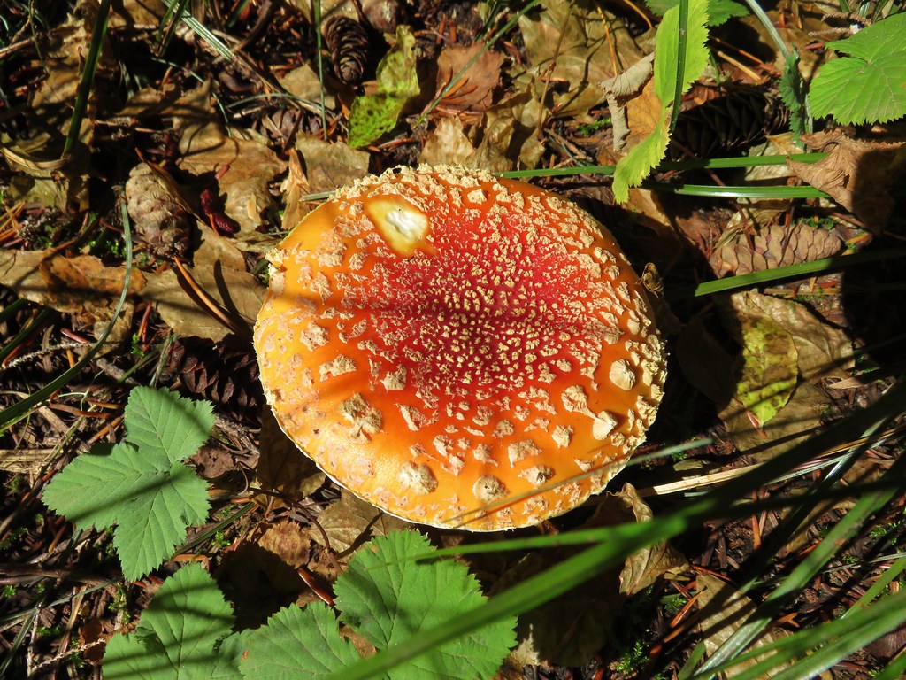
The woodlands here were full of white flowers including trillium, giant fawn lilies, and giant white wakerobin.


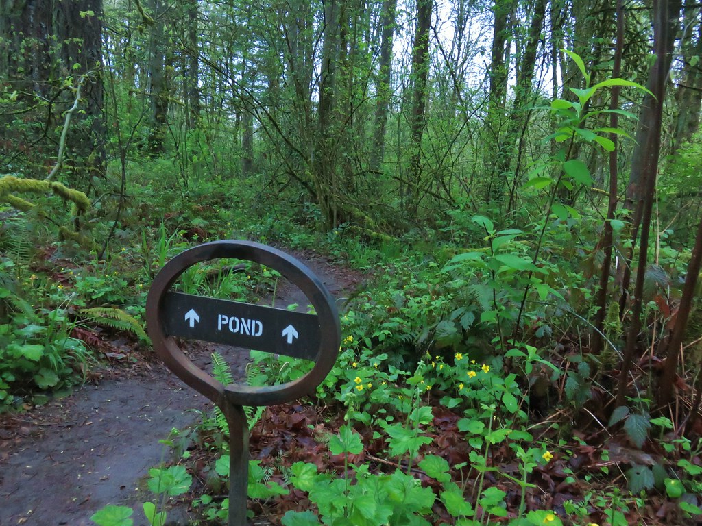
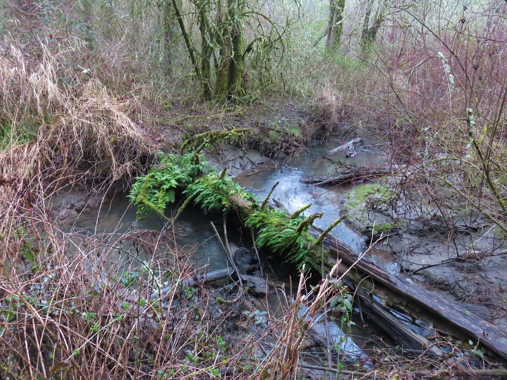
We detoured to the right briefly at a “Pond” sign which led down to a very muddy wet area.

Continuing on the loop the next brief detour was to the left at a pointer for Wilderness Park.

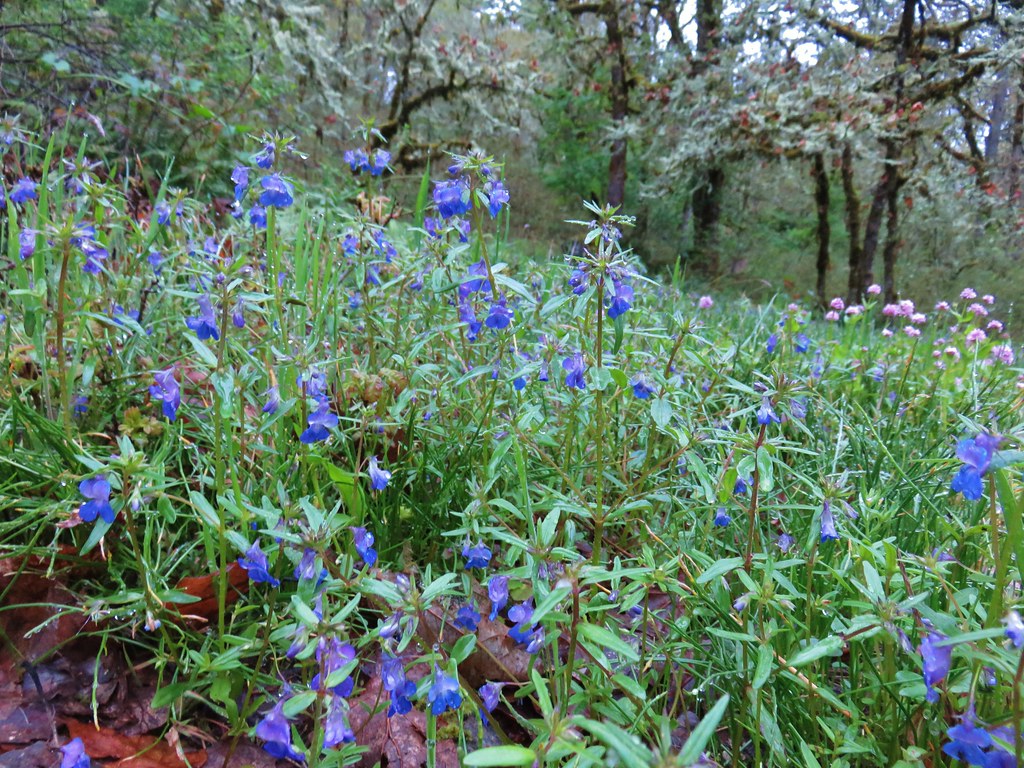
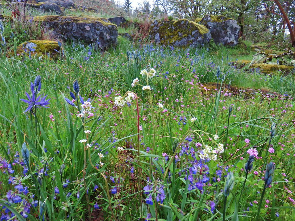
We followed this path a short distance to a small wildflower meadow full of giant blue-eyed mary and rosy plectritis.

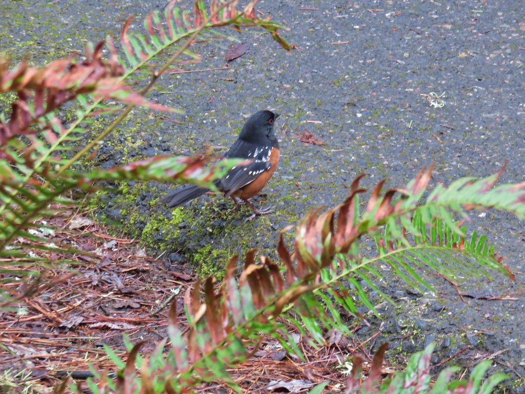
As we were returning to the loop trail Heather spotted an animal moving in a meadow below. As we headed toward the meadow on the trail we were excited to find out what was roaming the meadow. As it turned out our first wildlife encounter of the day was a domestic cat.


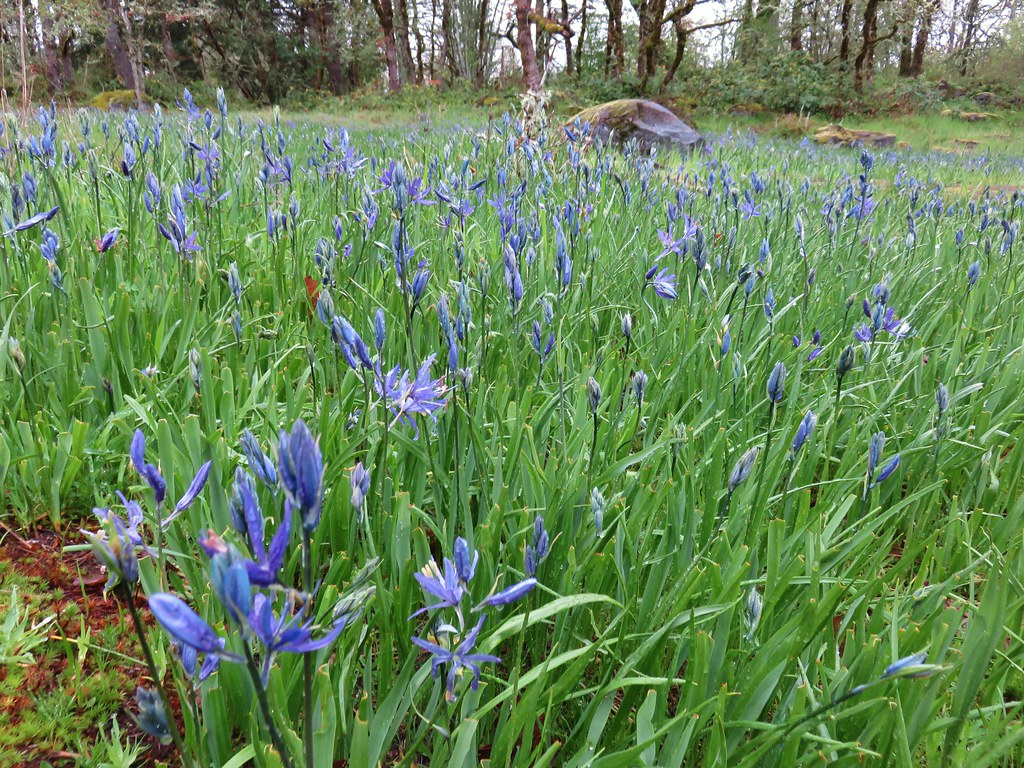
We were still a week or two early for the bulk of the flowers, especially the camas, but again this meadow had a nice showing of the plectritis and blue-eyed mary.

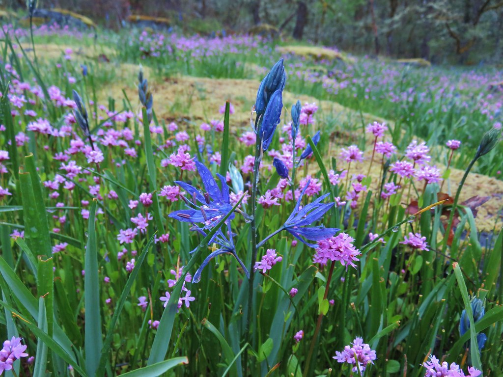
One of the few open camas blossoms.

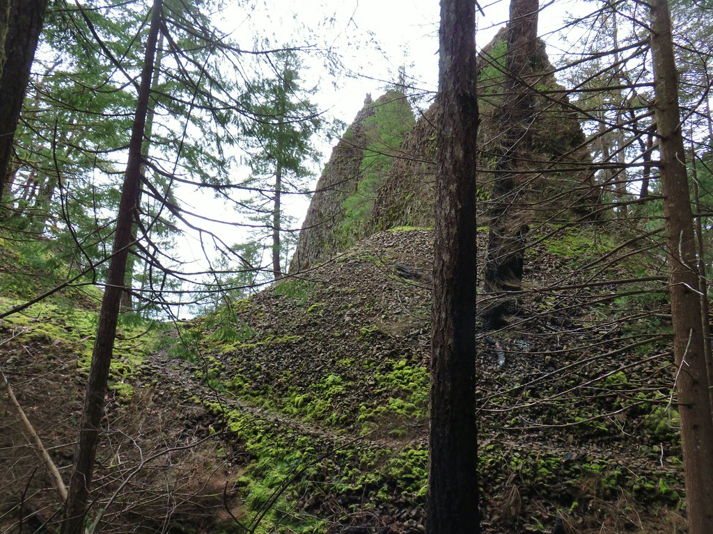
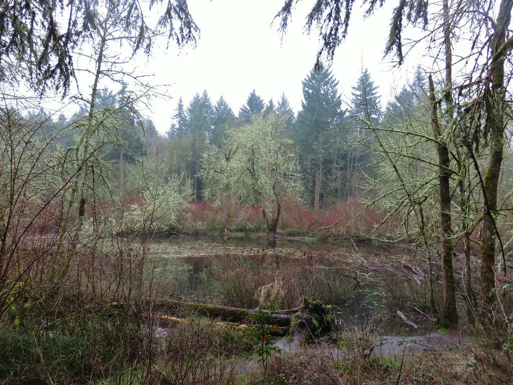
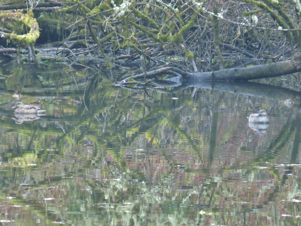
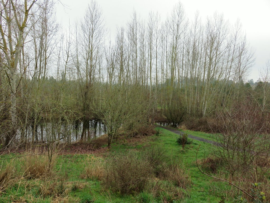
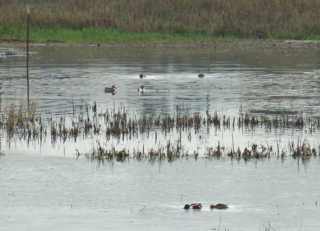
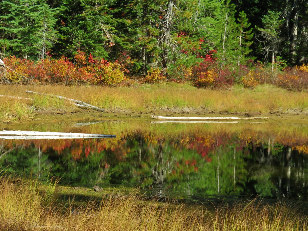
The trail passed through the meadow and into an open oak woodland where we detoured to the right to an overlook of a large pond.


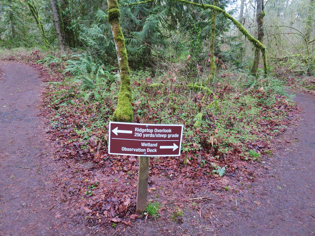
At a “High School” pointer in another meadow we left the loop trail again.

This path led past some nice flower displays to a marshy wetland.


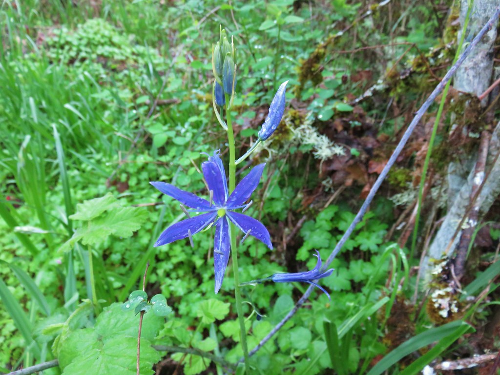
The Oregonhiker field guide mentions that this wetland is “one the best areas in the northwest to see Great Camas“. We were too early to see much in the way of camas but we did spot a lone stalk blooming near the far end of the wetland.
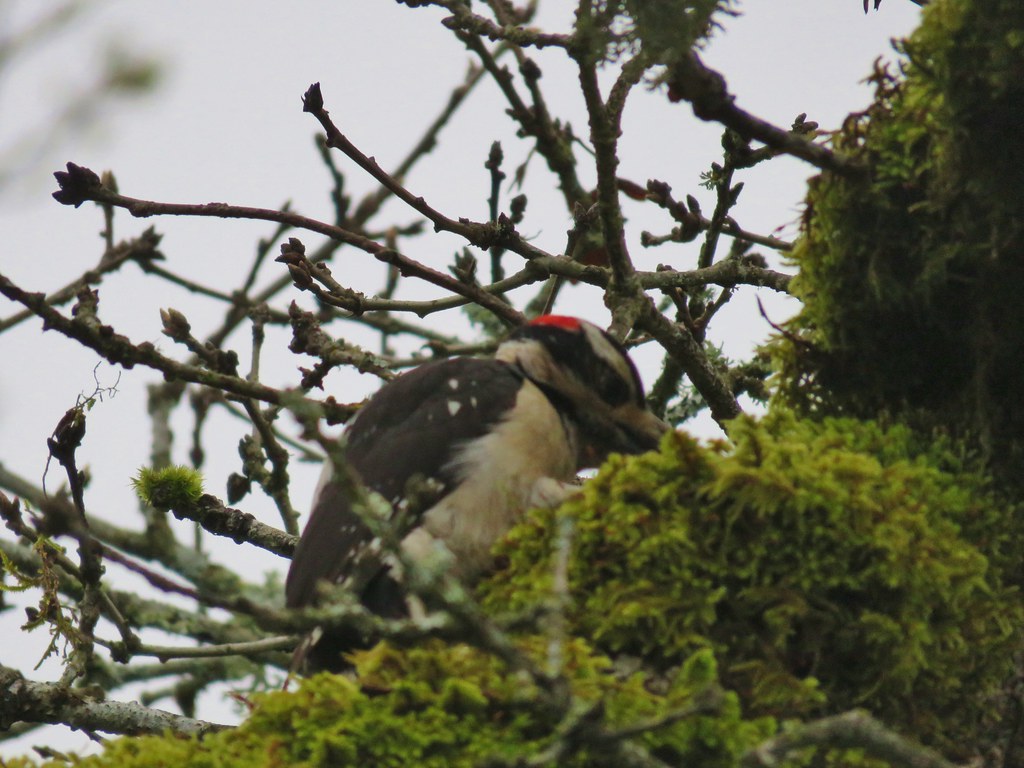
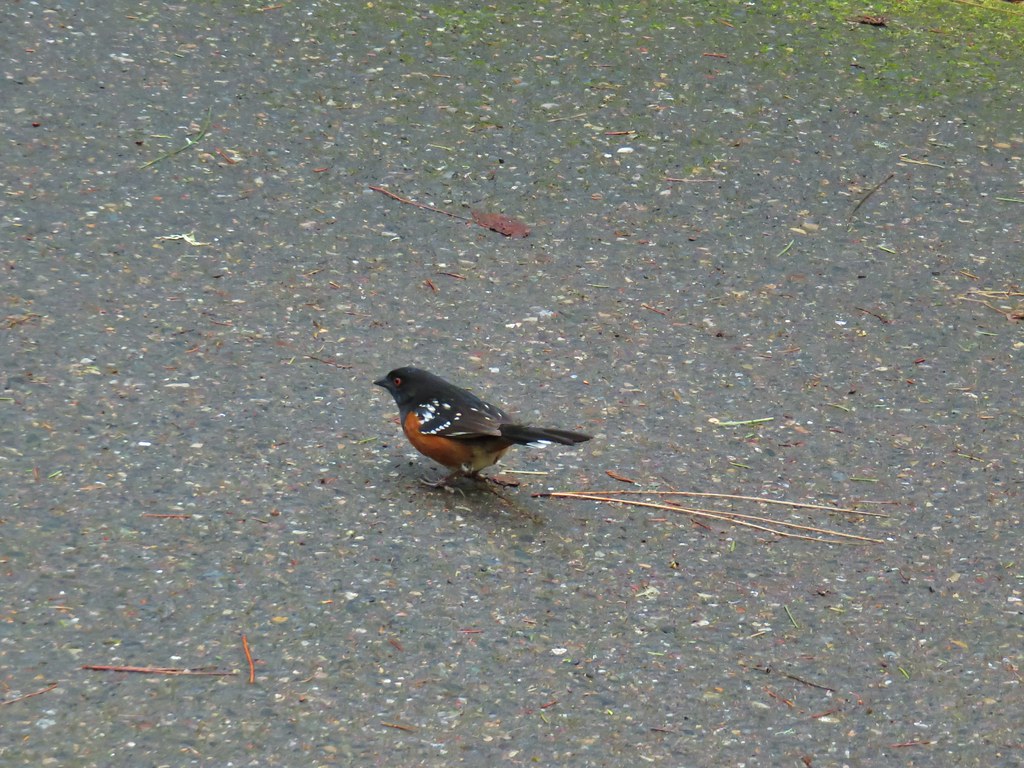
On our way back to the loop trail we spotted a hairy woodpecker working on finding its breakfast.
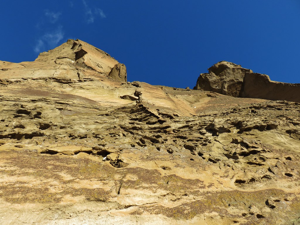
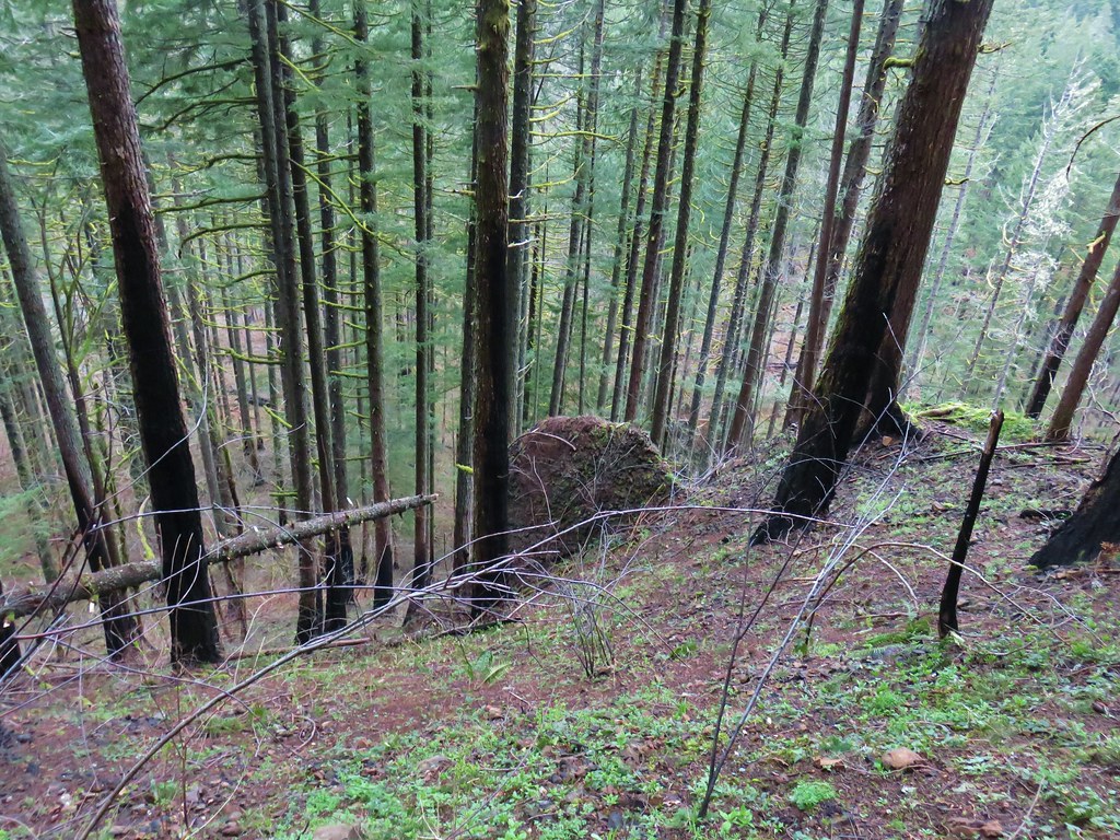
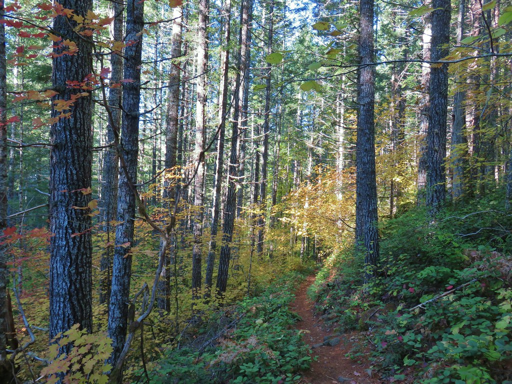
The loop trail descended a set up steps and soon entered a rockier meadow with more flowers including some Oregon saxifrage which was still unfolding.

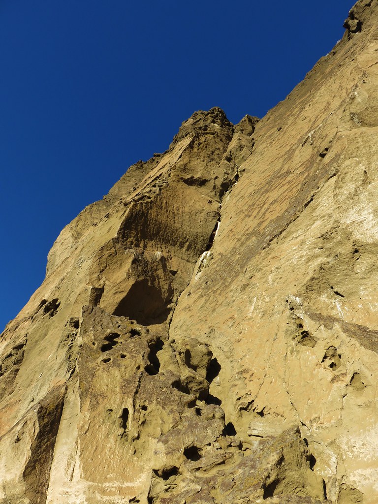
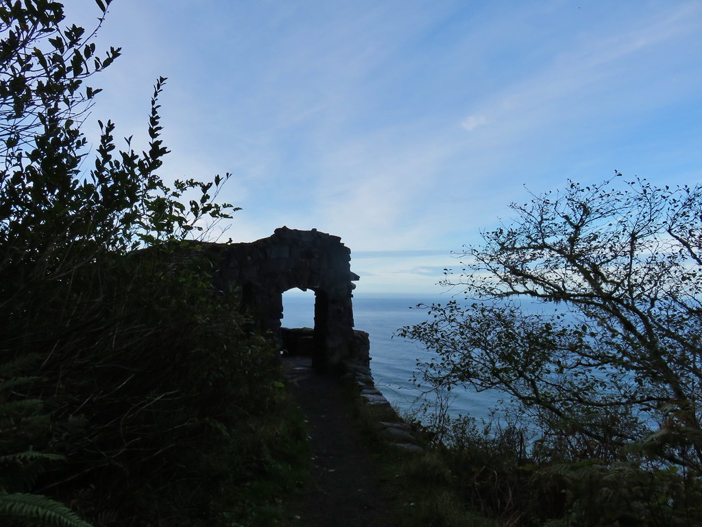
The trail then led to a viewpoint atop a cliff next to some madrones.
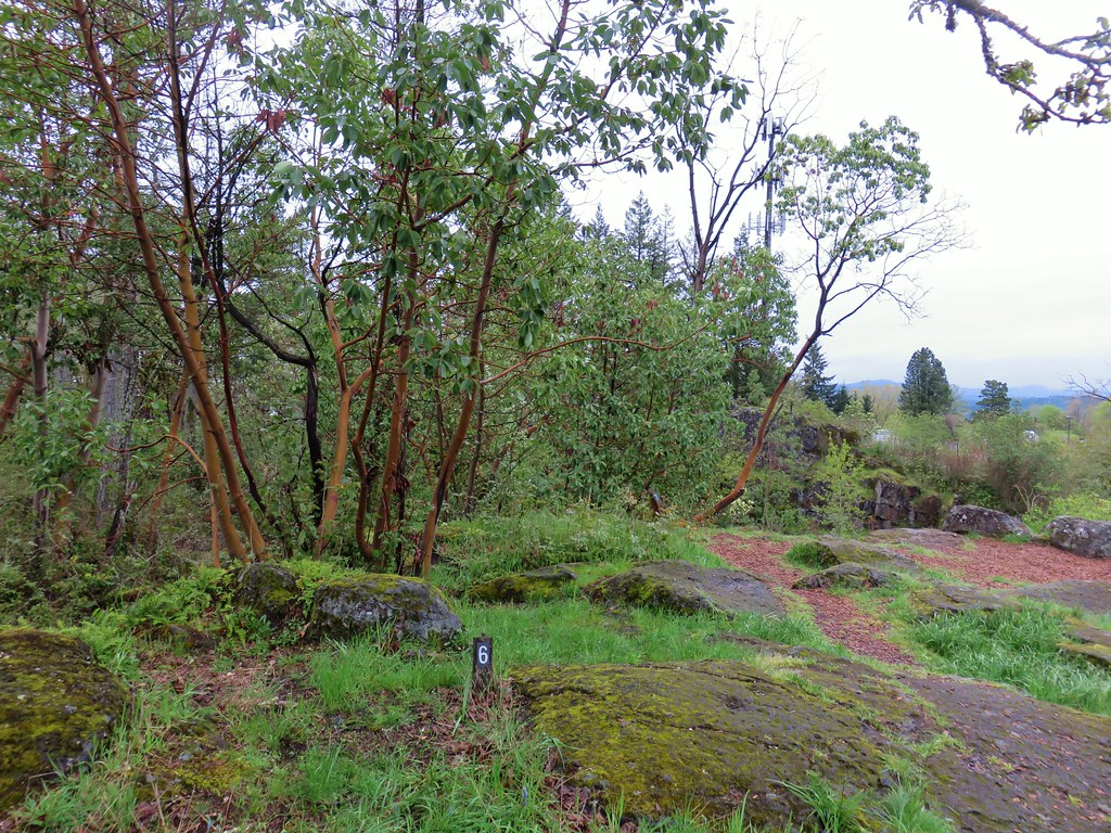

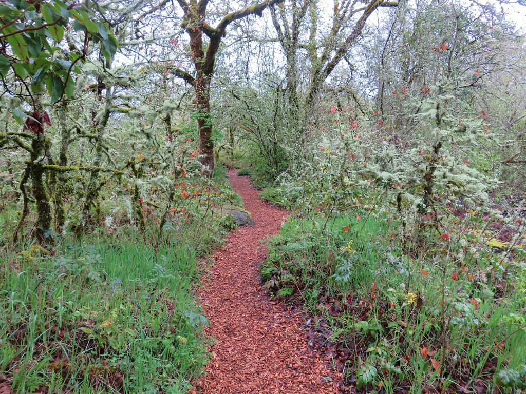
More wildflowers followed before the trail reentered the woods.


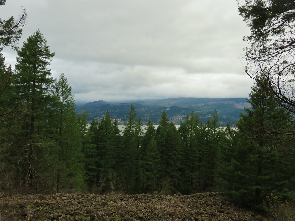
We passed a point for the Bridge Trail which headed downhill toward the high school parking lot and came to a viewpoint of Mt. Hood. Well what would have been a view of Mt. Hood on a clearer day anyway.


One final patch of camas awaited before we completed our mile loop here.
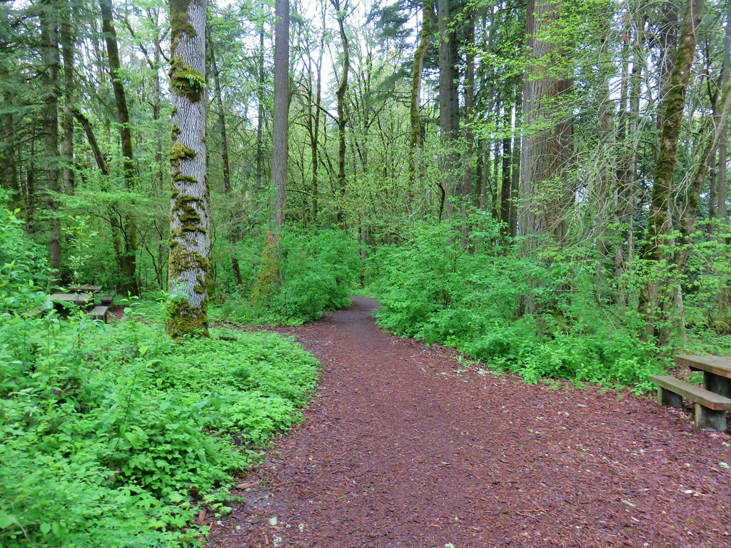
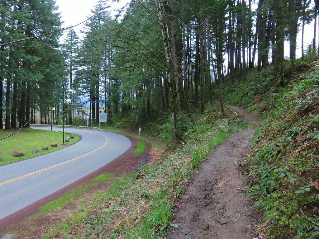
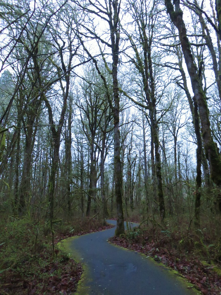
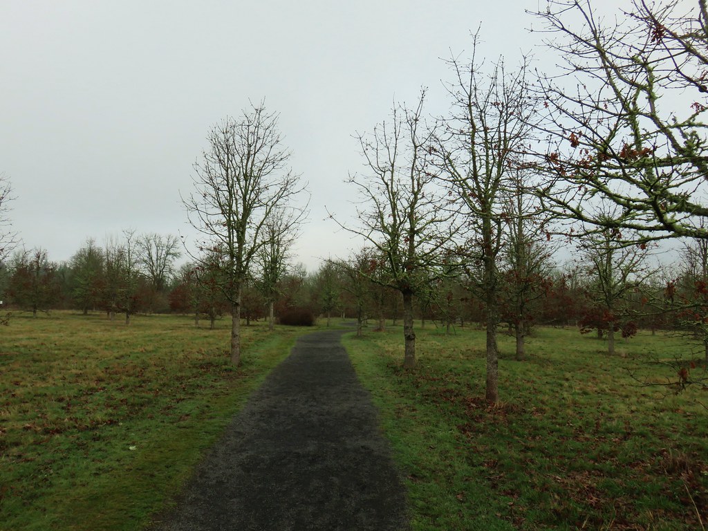
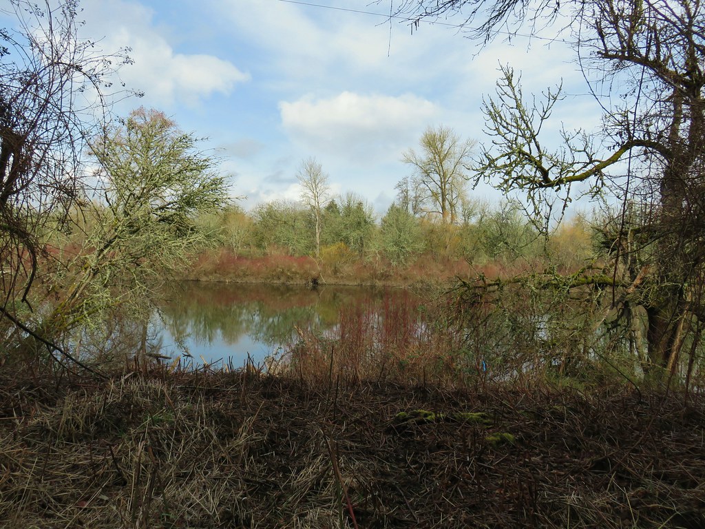
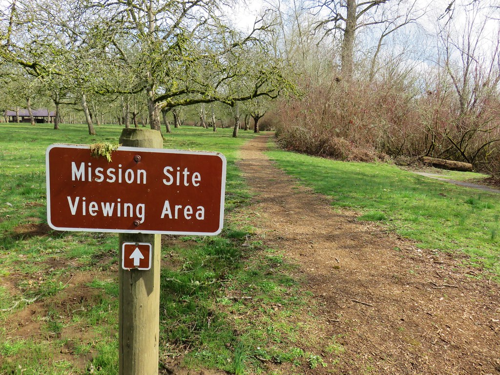
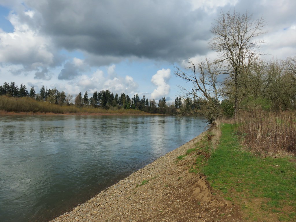
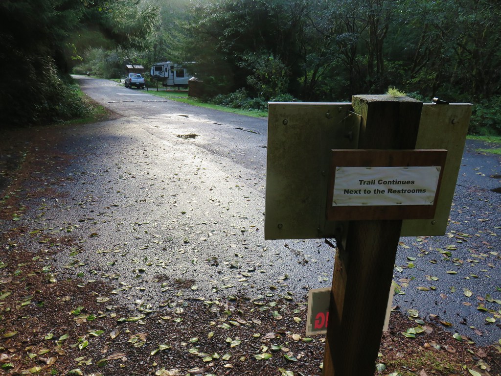
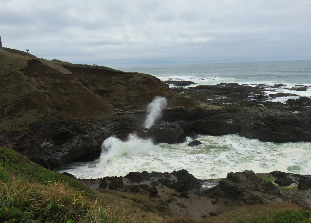
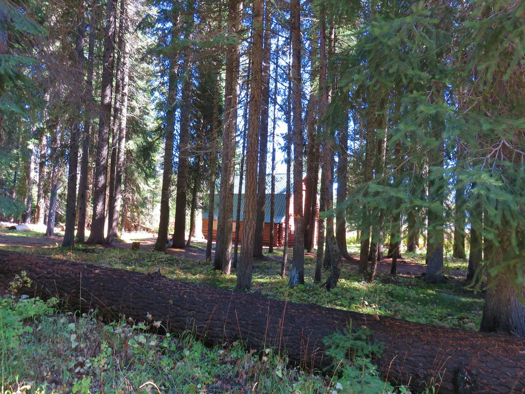
For our next stop we headed north on Highway 43 (Willamete Dr.) to Mary S. Young Park. A joint effort between the city of West Linn and Oregon Parks and Recreation Department the park sits on the bank of the Willamette River and offers many activities. We began our hike from the trailhead at the parking lot at the end of the park entrance road.

There were no brochures available with maps so we took a photo of a map off a signboard near the parking lot which turned out to be extremely helpful due to a serious lack of signage along the trails. We set off on the paved Riverside Loop Trail near the northern end of the parking lot. After a few feet we veered left on a wide unpaved path between picnic tables.
The woods here were filled with large trillium flowers of varying color.


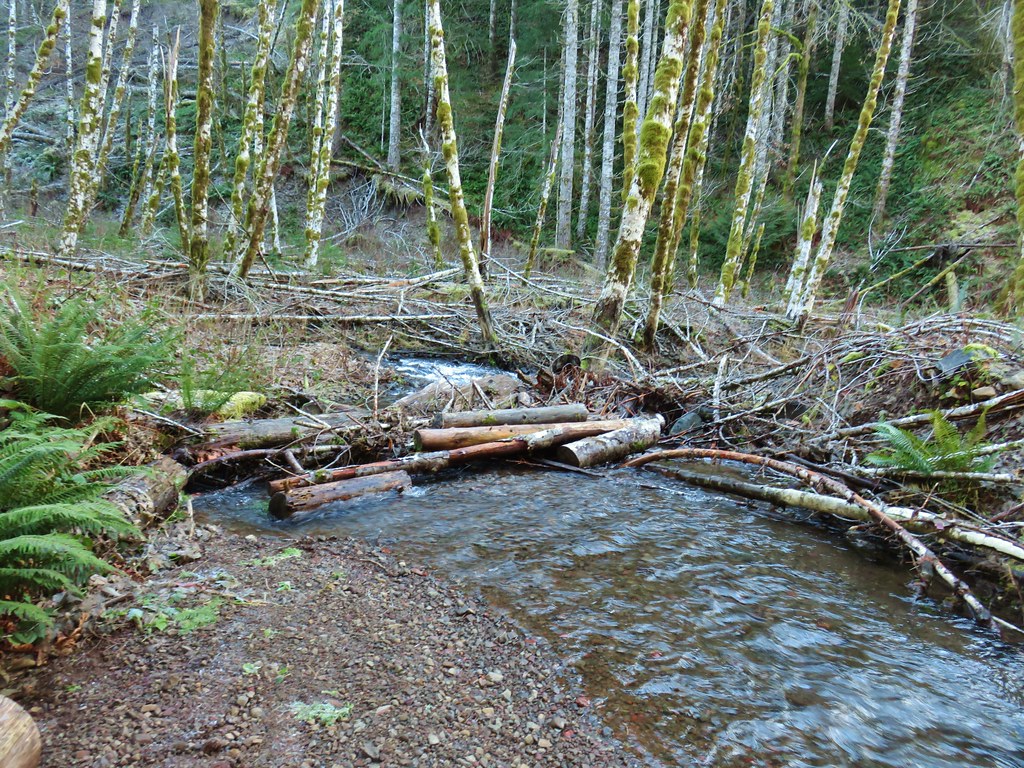
After crossing over the Trillium Trail we turned right at a T-shaped junction on the Turkey Creek Trail. This trail led downhill to Turkey Creek.

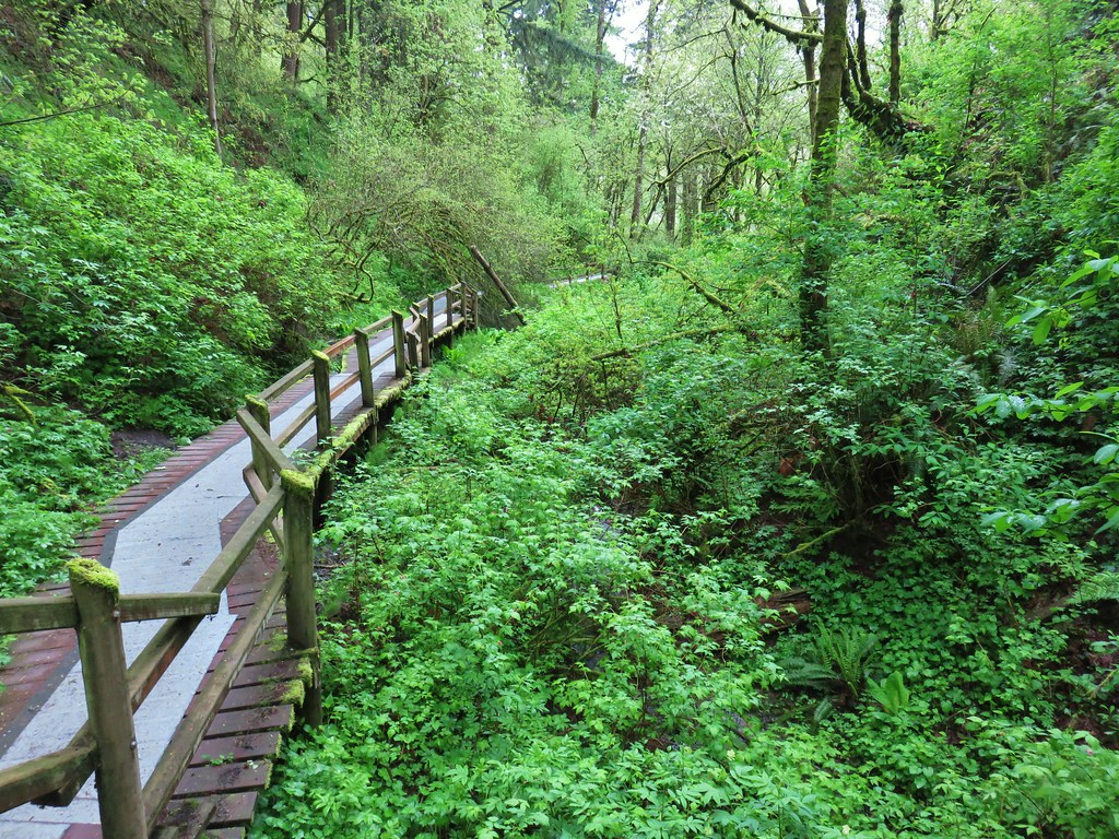
After about a quarter mile the Turkey Creek Trail ended at the paved Riverside Loop Trail where we turned left. We stayed right at a fork and headed downhill to the Cedar Island Trail.

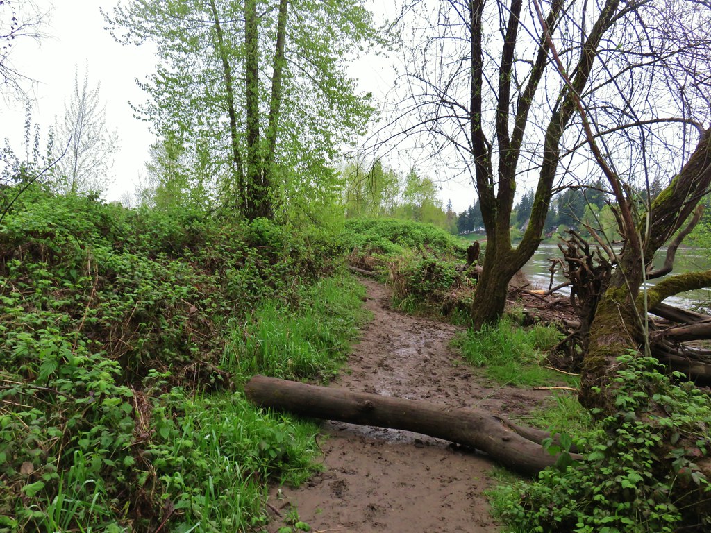
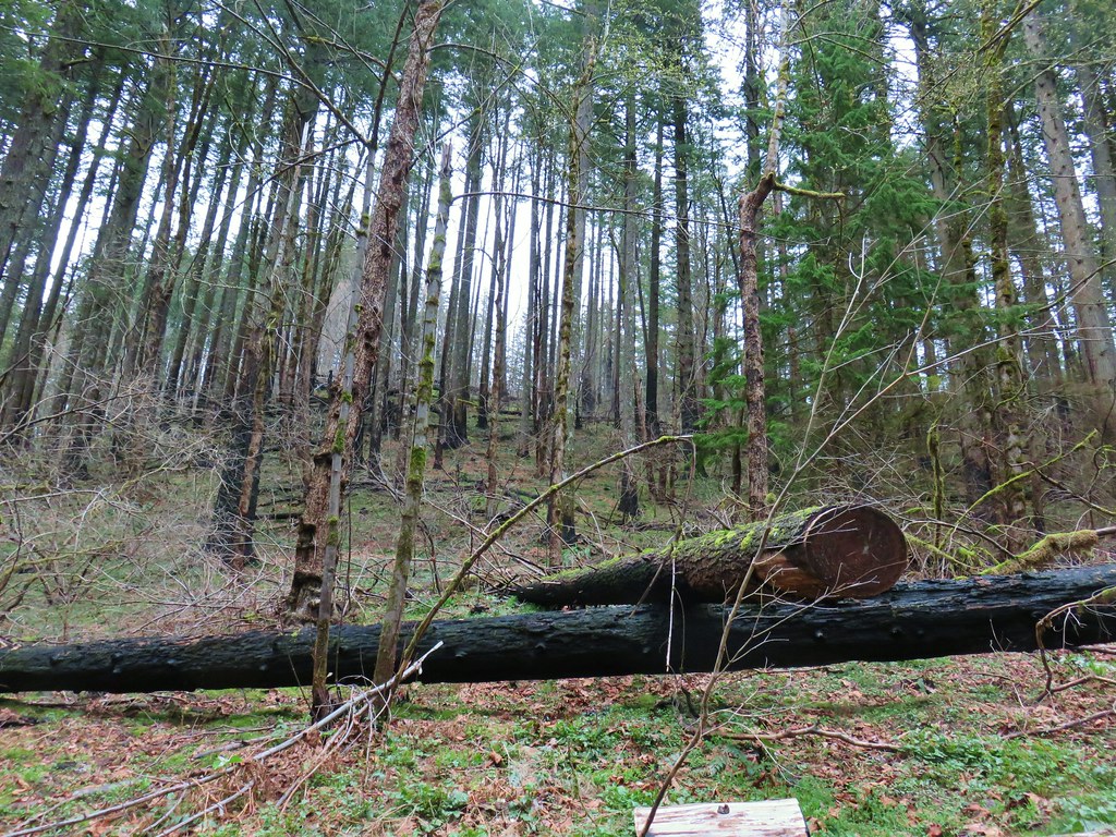
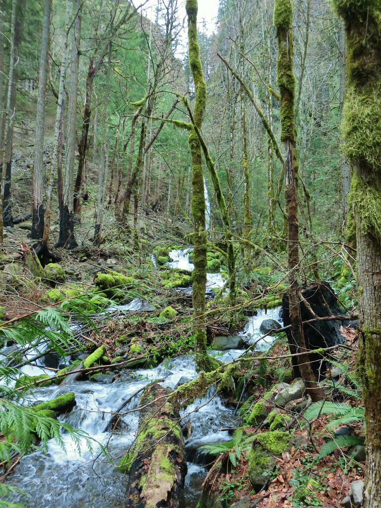
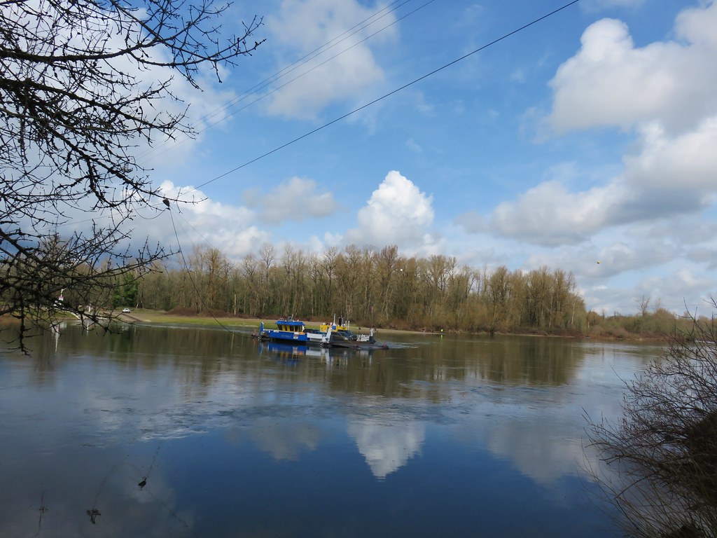
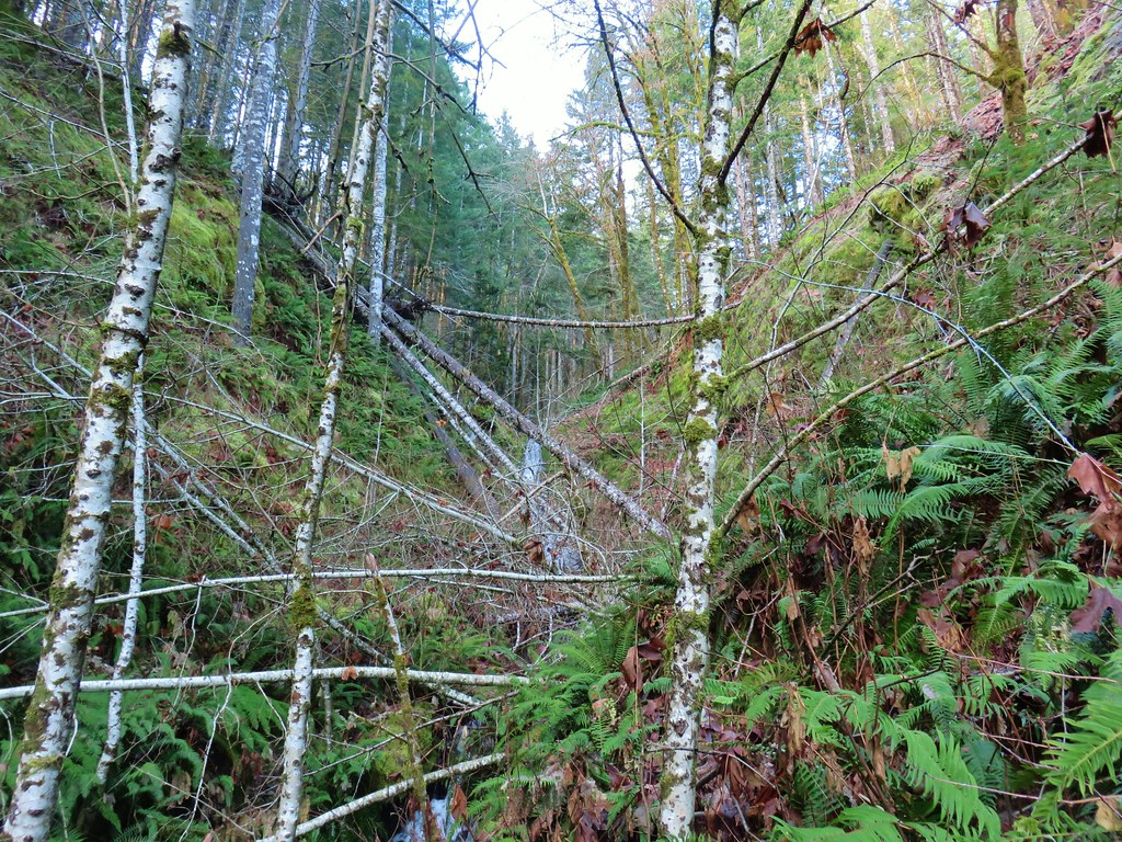
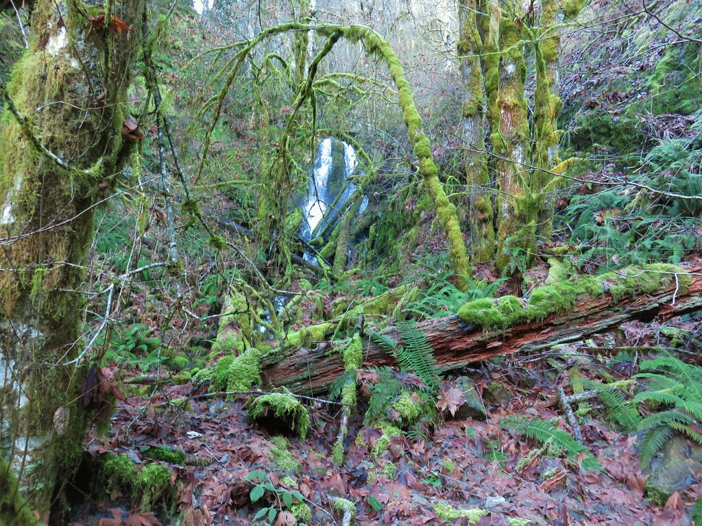
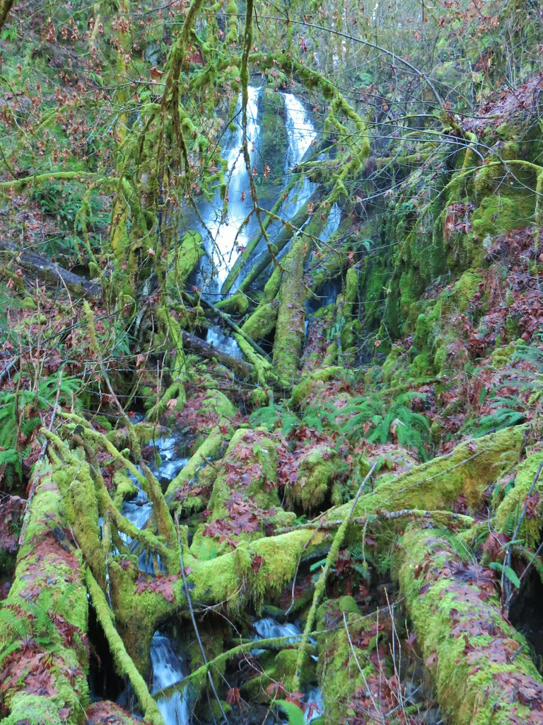
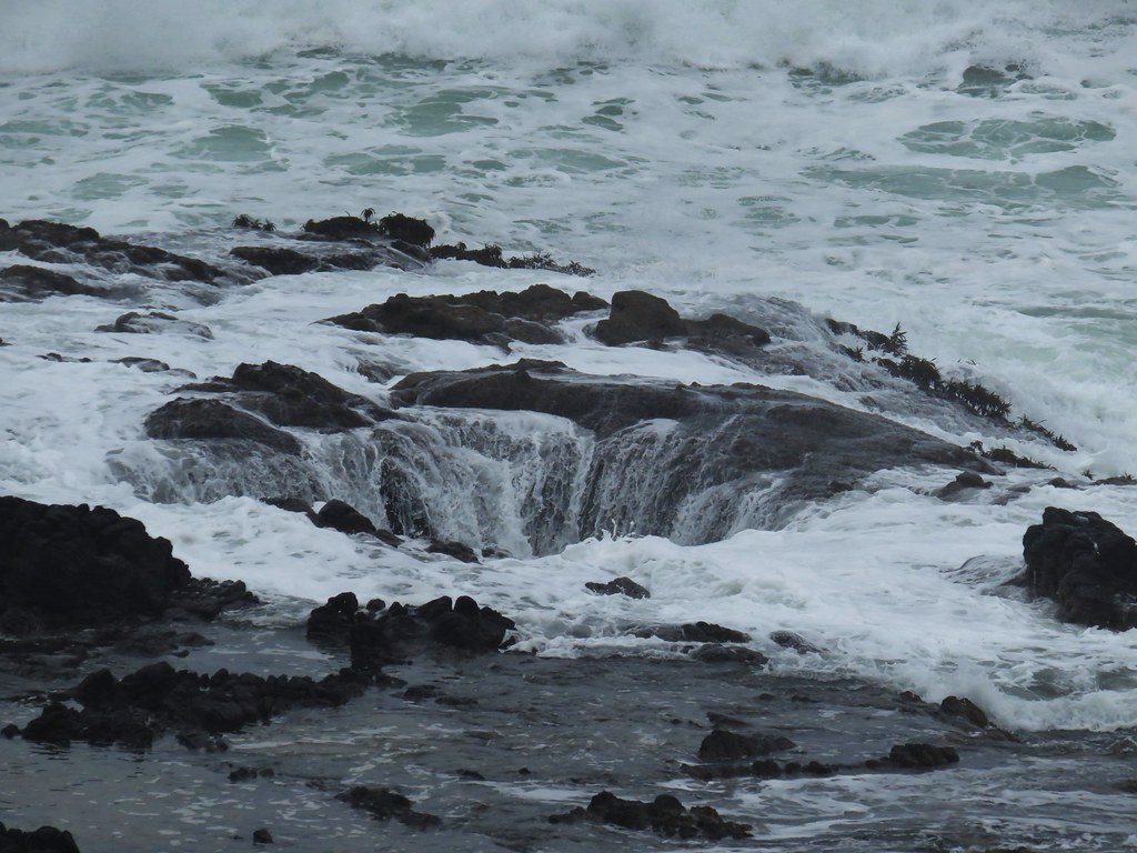
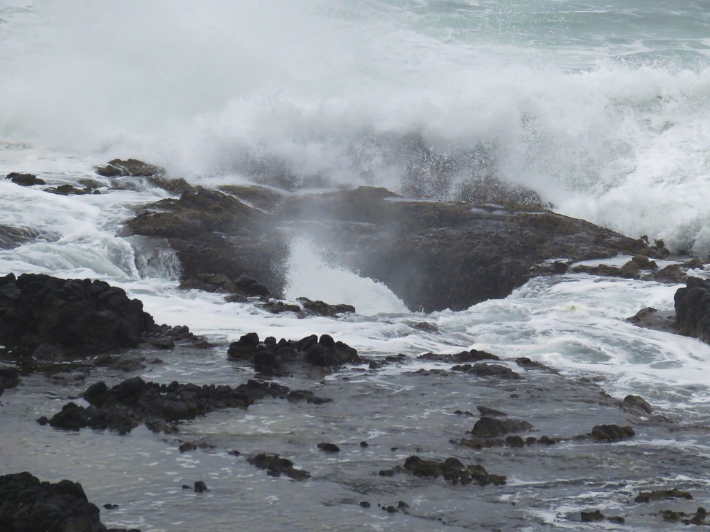
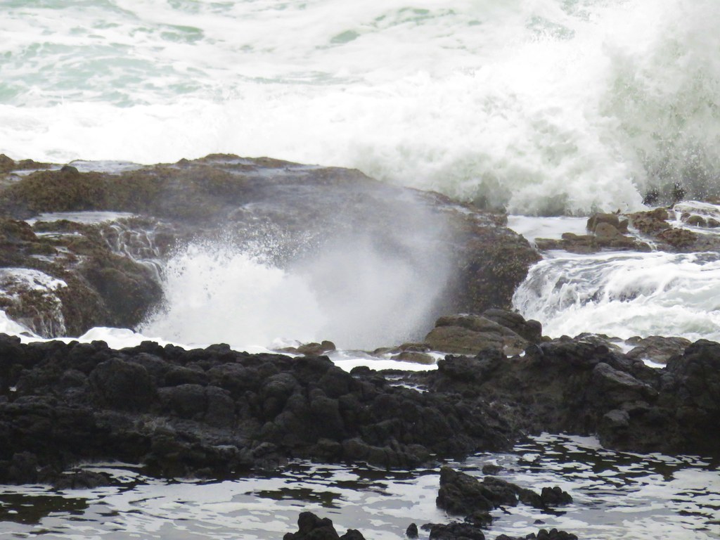
We veered left onto the muddy Cedar Island Trail even though we knew that the recent heavy rains had swollen the Willamette enough that access to Cedar Island itself would be cut off.

Rabbit hopping into the brush on the left side of the Cedar Island Trail

Cedar Island
After taking a look at Cedar Island we turned around staying right at junctions to pass around a sewer pump station on the Beaver Trail. At the far end of the station we turned left through a fence and dropped back down to the Riverside Loop Trail.
Fringecup and a couple of bleeding heart were blooming in this area.


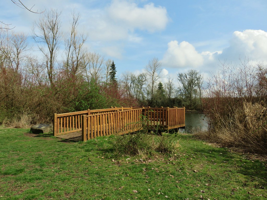
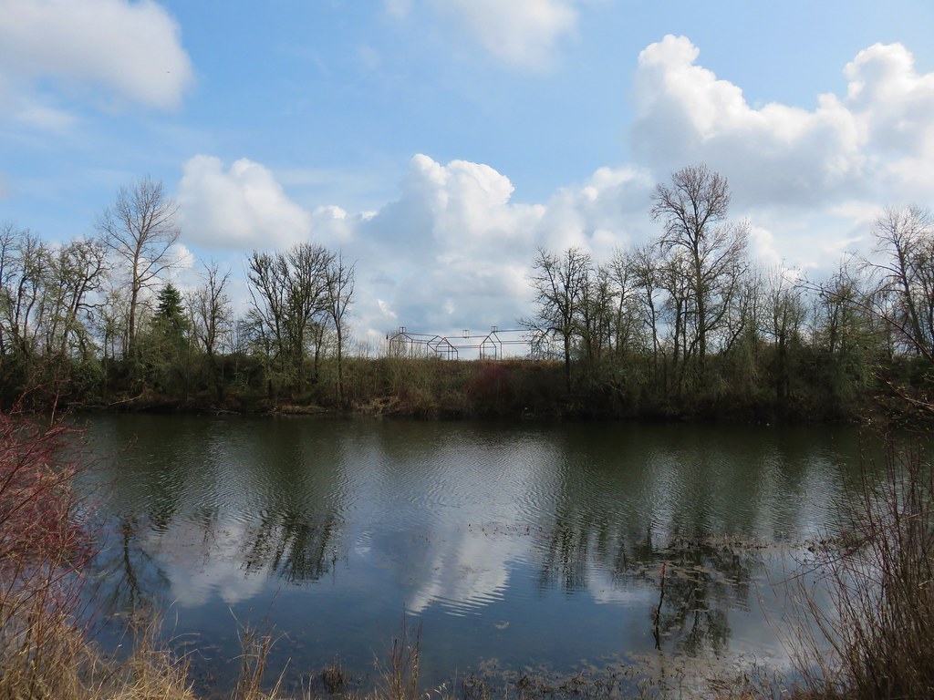
We headed uphill on the Riverside Loop Trail retracing earlier steps to the junction with the Turkey Creek Trail. We passed that trail and continued uphill on the paved path for approximately 500′ where we veered left to a viewpoint bench overlooking the Willamette.


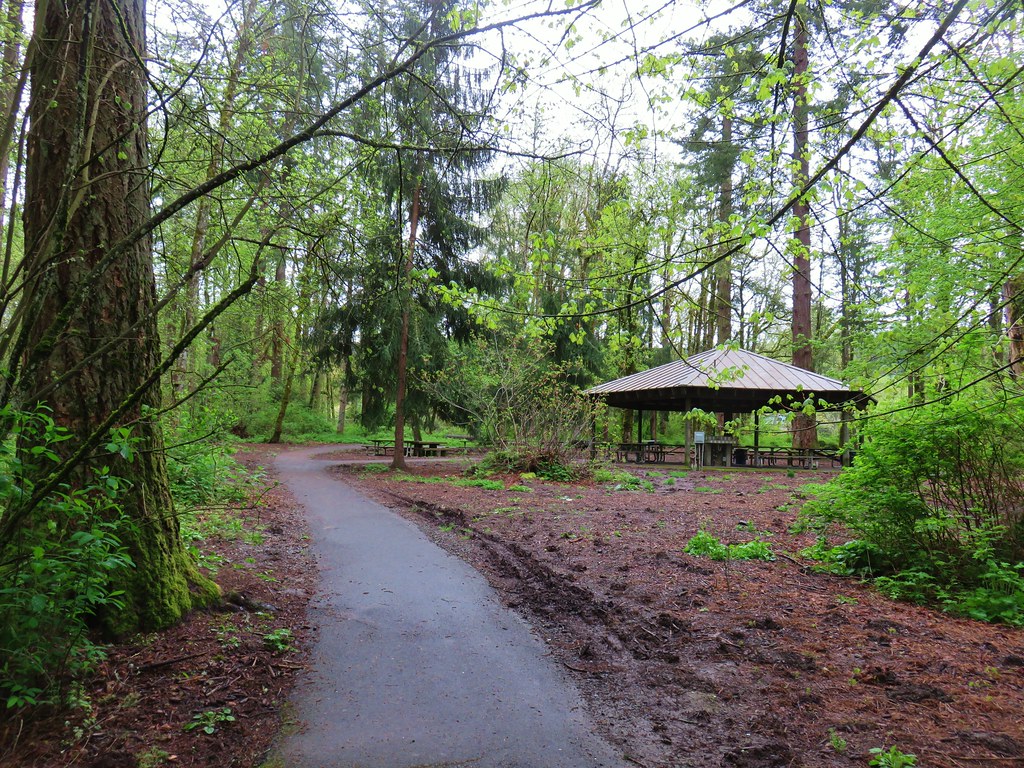
This 0.1mi path looped back to the Riverside Loop Trail which we followed uphill past a picnic shelter.
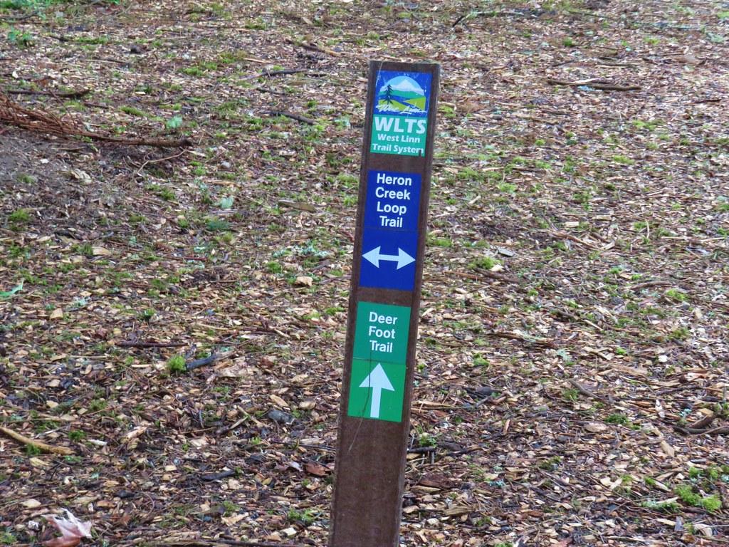
The path continued to the southern end of the parking lot where we had started. Here we veered left onto the unpaved Heron Creek Loop Trail.
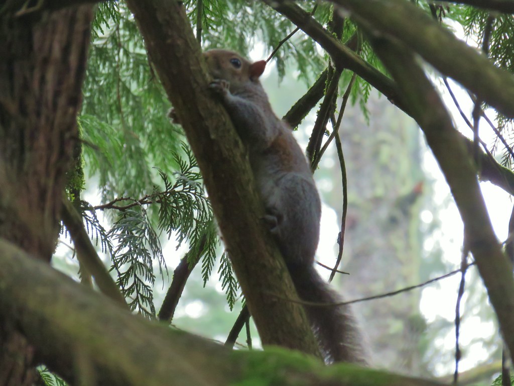
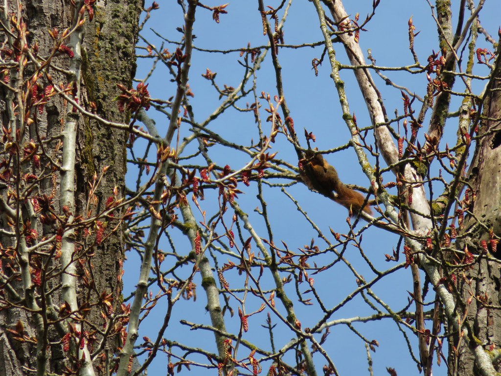
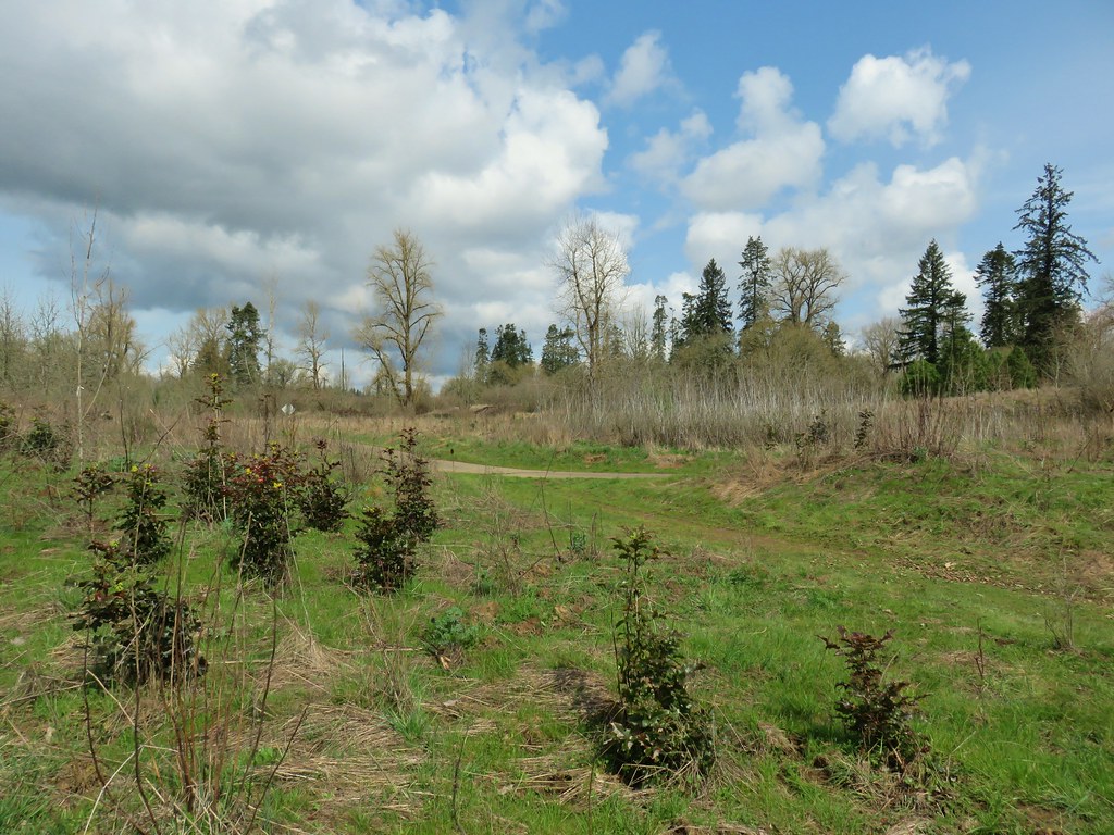
We followed this trail as it passed the parks ball fields and some busy squirrels.


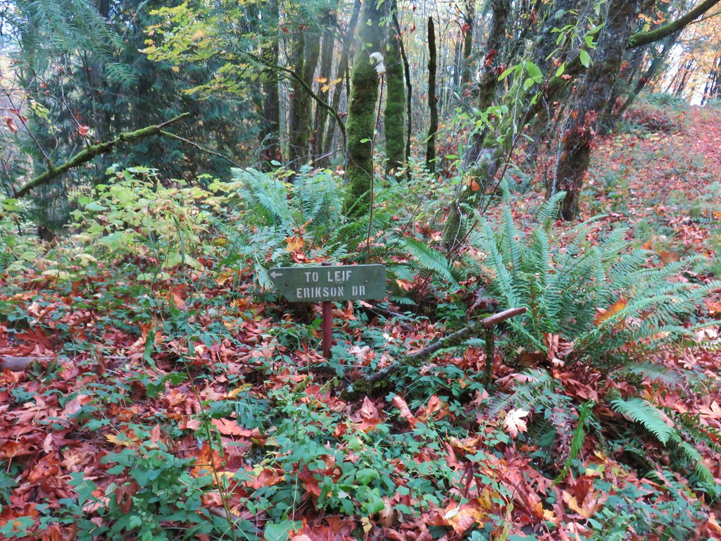
At the far end of the fields we spotted only the second pointer we had seen along the trails where we stayed on the Heron Creek Loop Trail as it headed back into the woods.

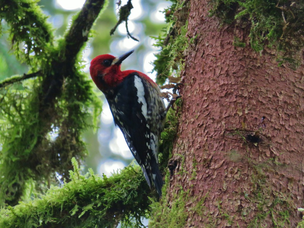
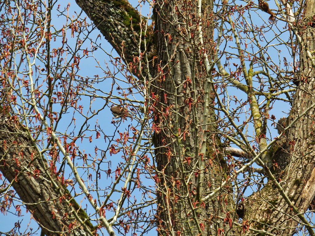
Back in the woods we spotted a pair of woodpeckers in the same area. One appeared to be a hairy woodpecker while the other was a red-breasted sapsucker.

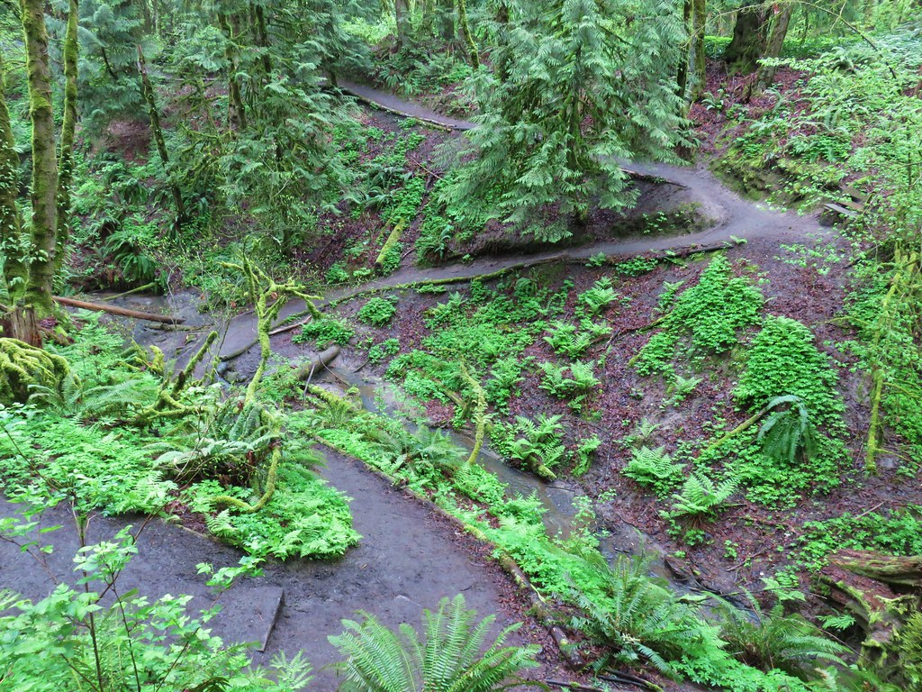
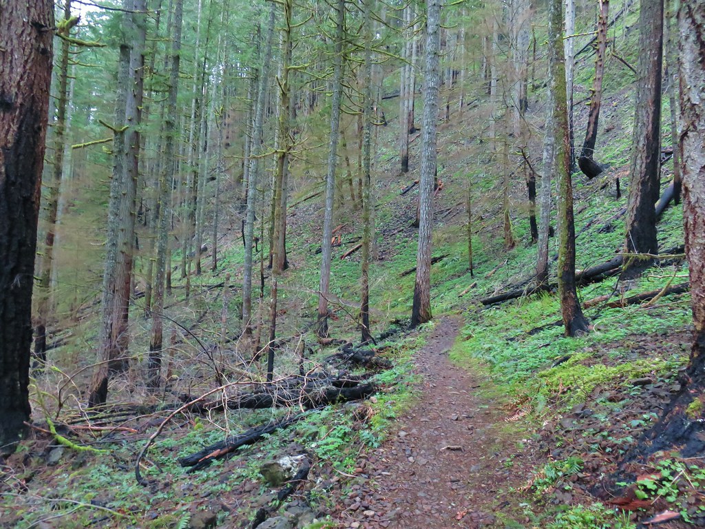
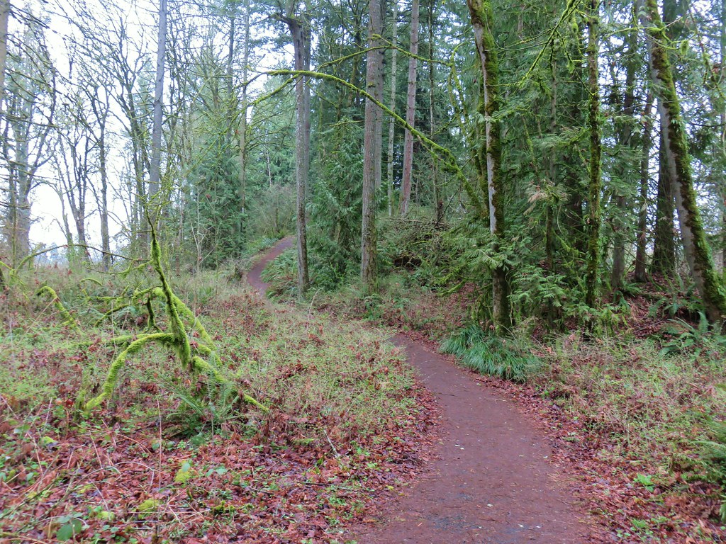
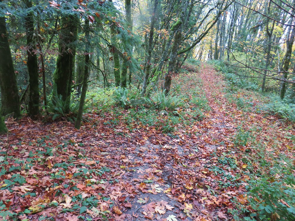
Using the picture of the map on Heather’s phone we stuck to the Heron Creek Loop by staying left at junctions and crossing over both the Trillium Trail and the park entrance road. We stayed right at the next junction opting not to take the short Eagle Scout Loop Trail then stayed straight at a junction with the the Railroad Trail. Beyond that junction the Heron Creek Loop Trail soon began a descent to Heron Creek.

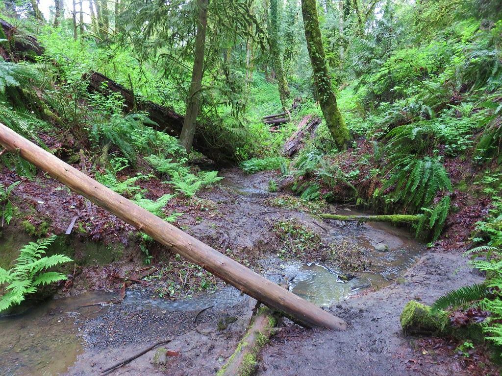
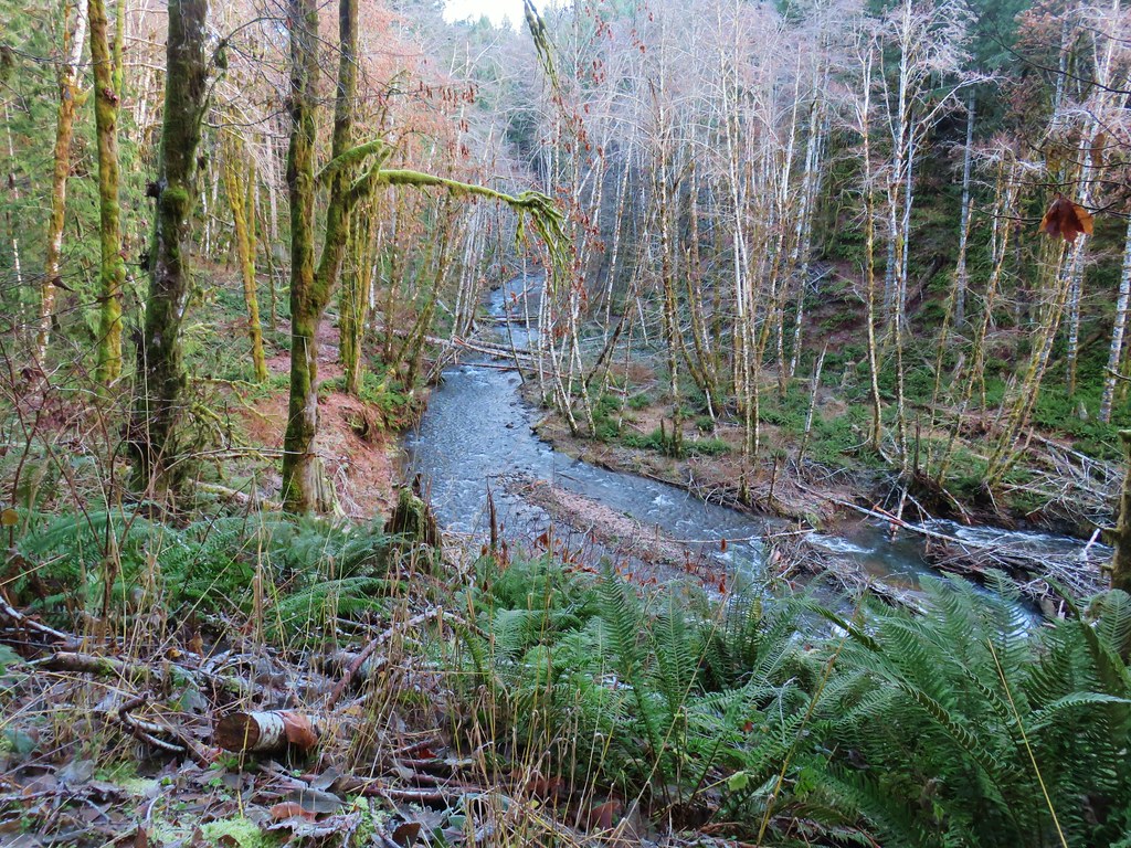
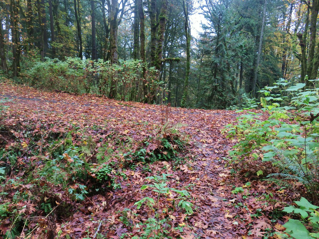
After a second descent and climb past a tributary of the creek the trail leveled out again before arriving at the Turkey Creek Trail where we turned left, crossed Turkey Creek and arrived back at the junction where we had turned onto the Turkey Creek Trial earlier in the morning. We then retraced our earlier steps back to the parking area ending a 3 mile hike through the park.
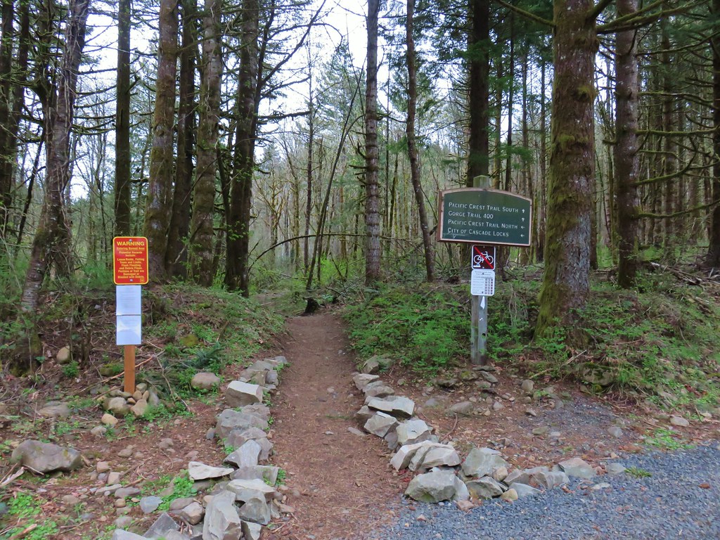
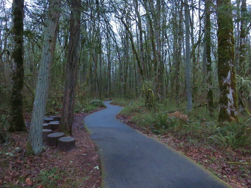
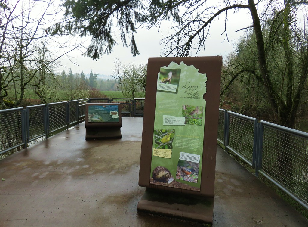
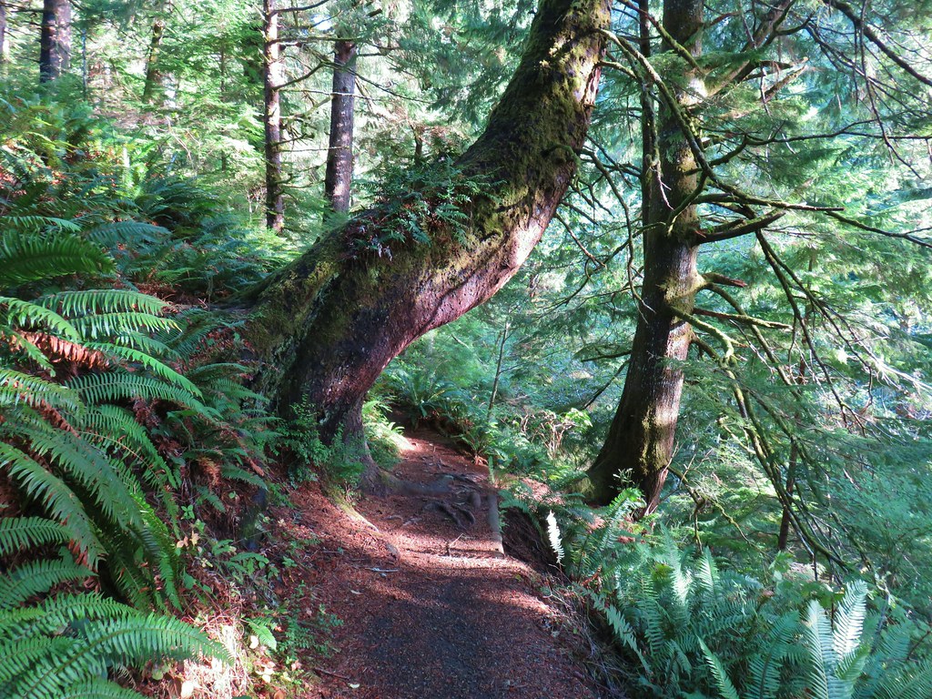
We then headed for our final stop of the day in Lake Oswego at the Tryon Creek State Natural Area. There are several possible trailheads for the park we chose to start at the large parking area near the Nature Center. (Note the Nature Center and Jackson Shelter are currently closed due to construction but the restrooms are open. No reopening date has been set as of the day of this post.)
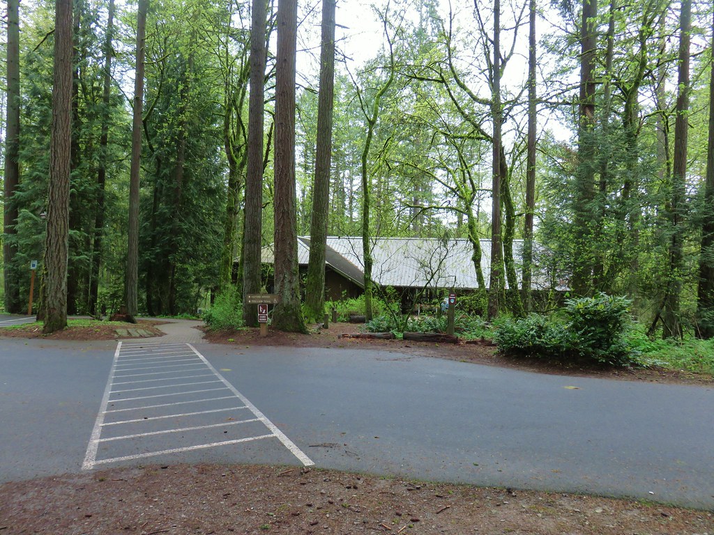
We stopped by the closed Nature Center to pick up a paper map and also consulted the map on a signboard to plot out our hike. The number of trails and multiple junctions allowed for numerous possibilities. We settled on a loop utilizing the North Horse Loop, Lewis & Clark, Middle Creek, Cedar, Red Fox, and Old Main Trails.

From the Nature Center we followed a brick path right (north) to another map.
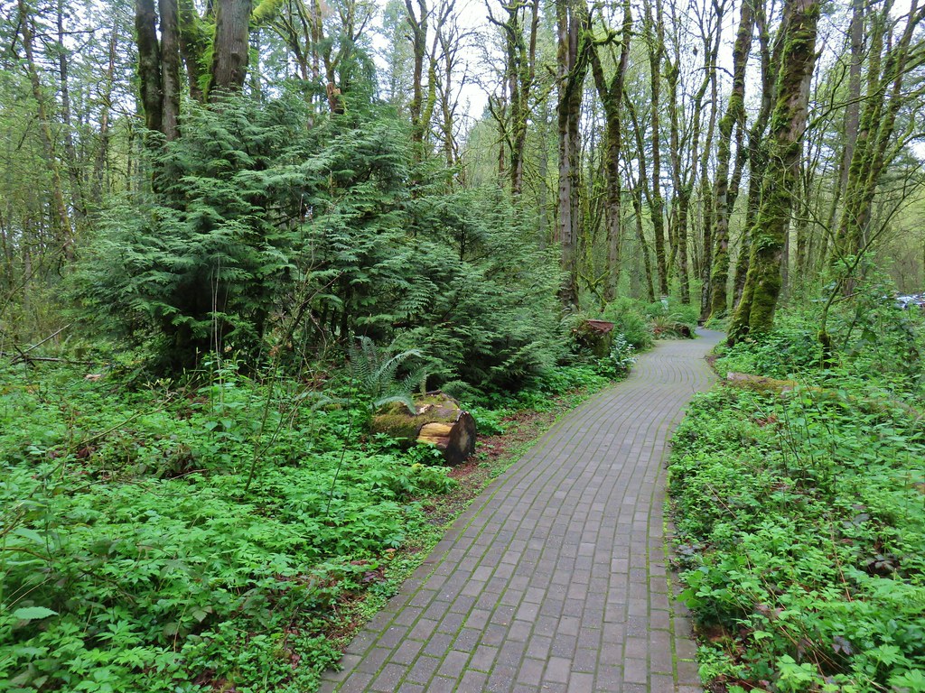
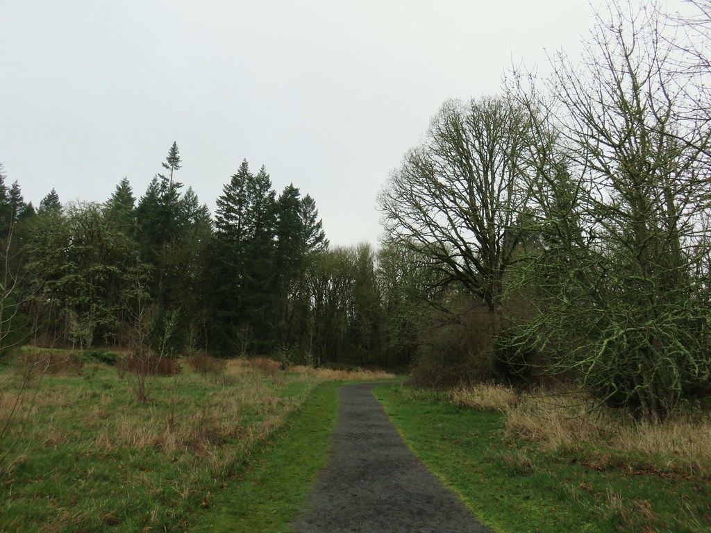
We stayed straight for a tenth of a mile passing the Maple Ridge Trail on the left just before a junction with the North Horse Loop.

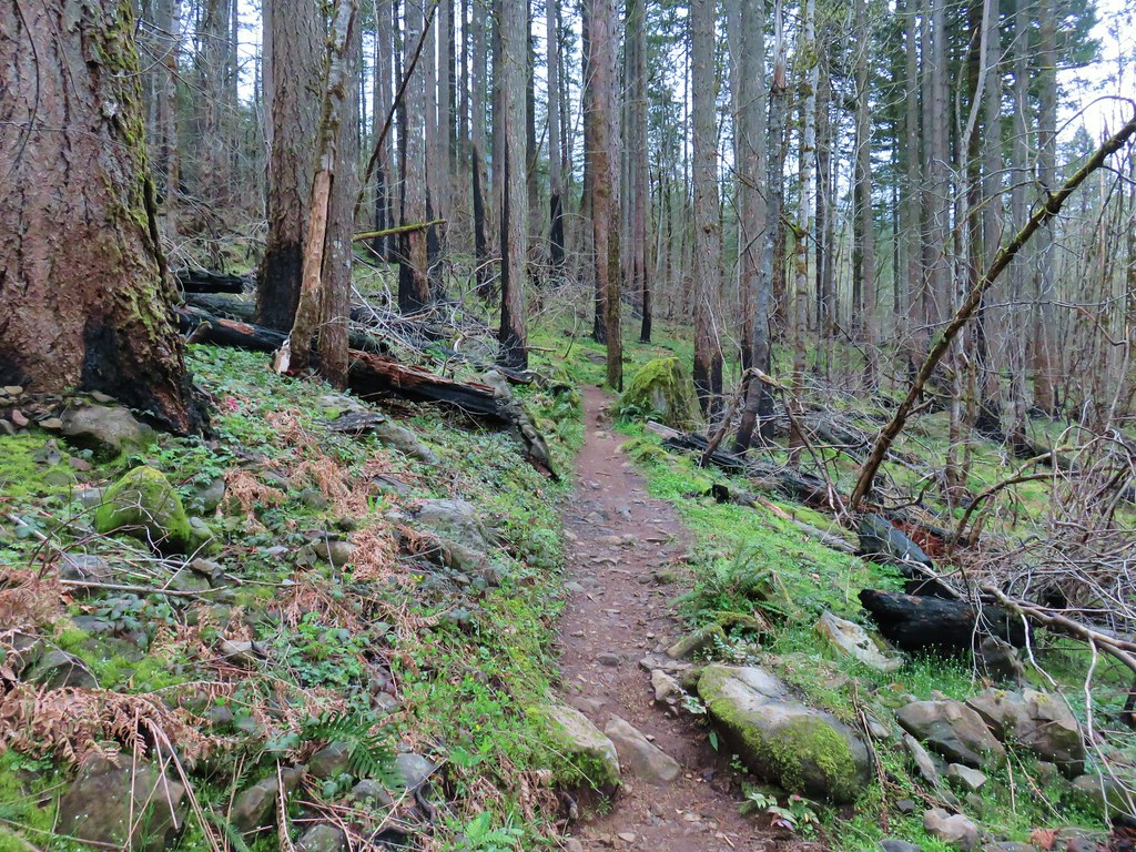
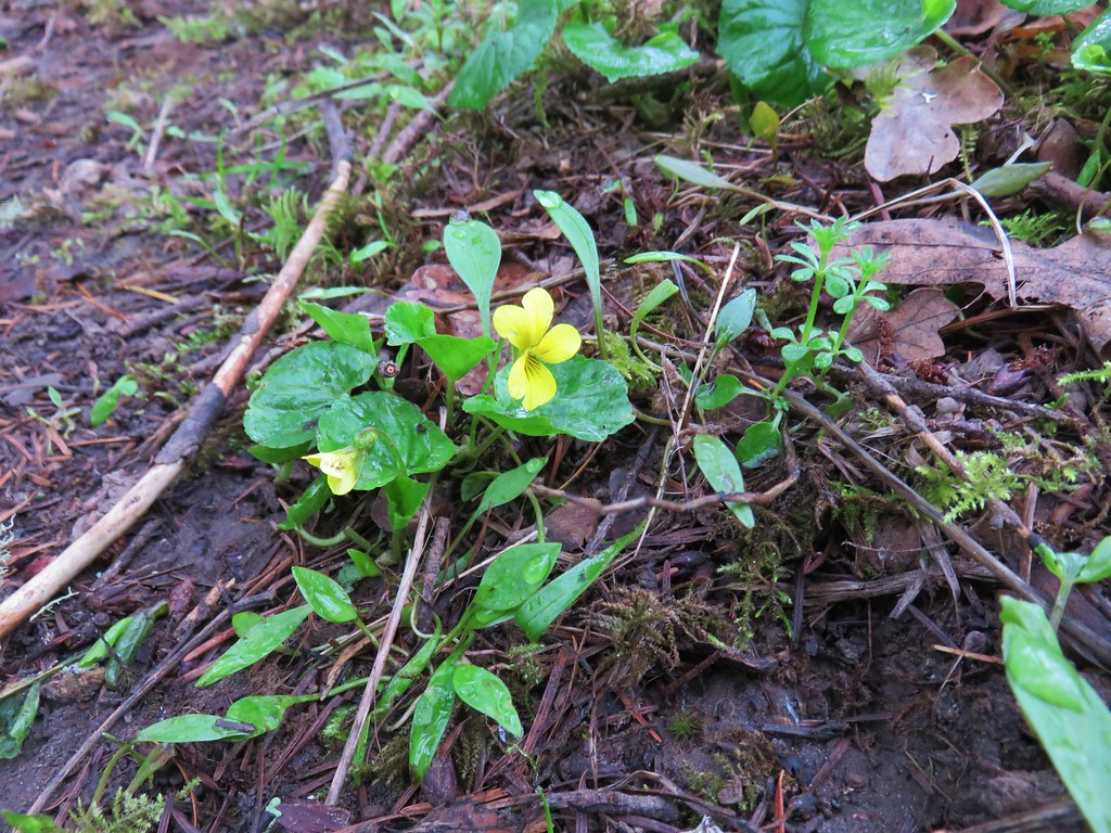
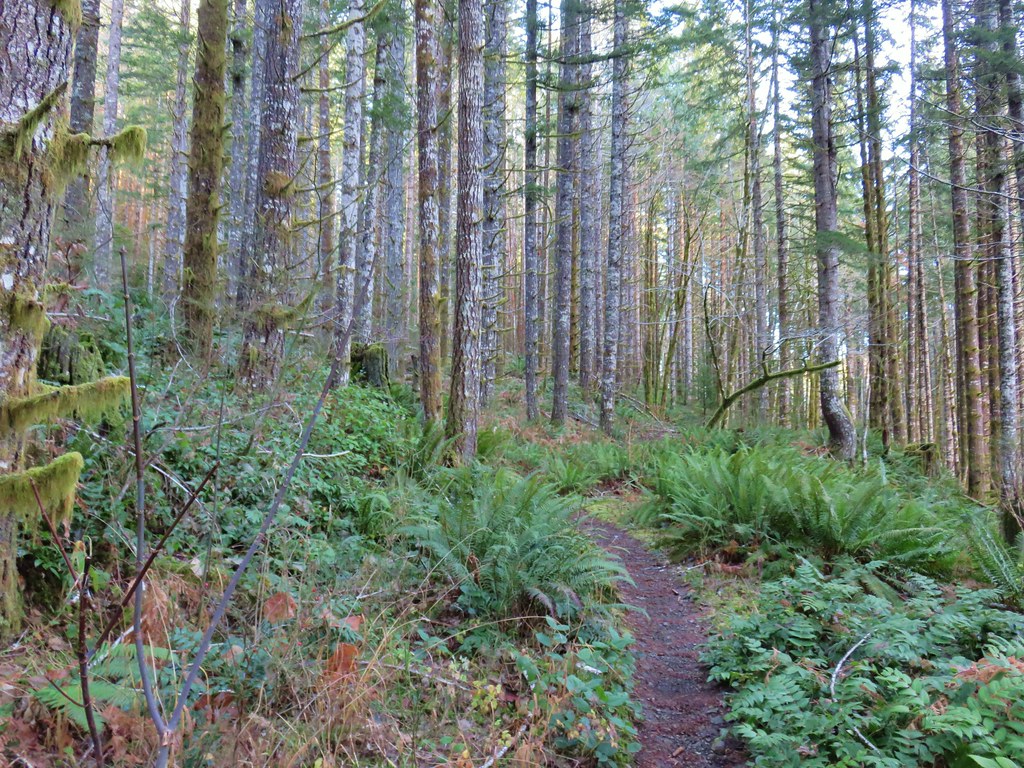
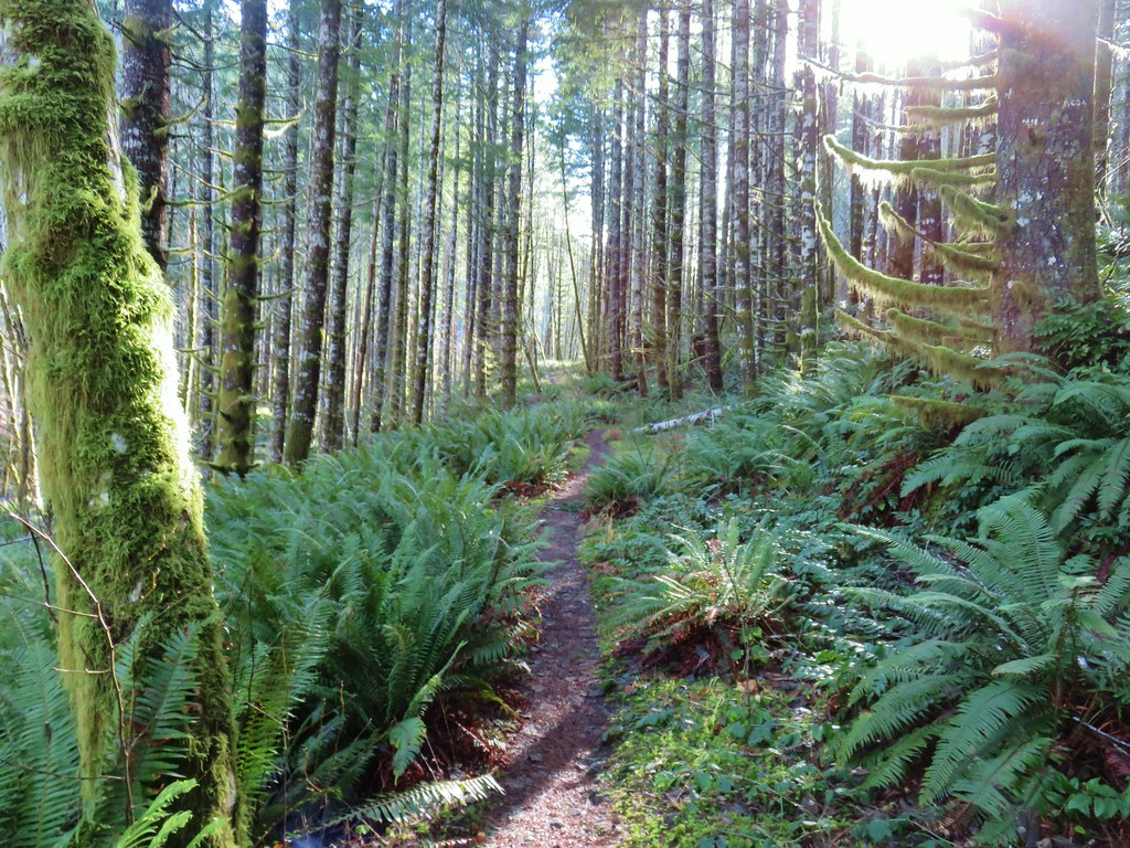
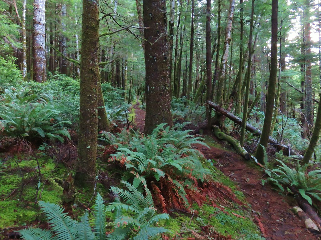
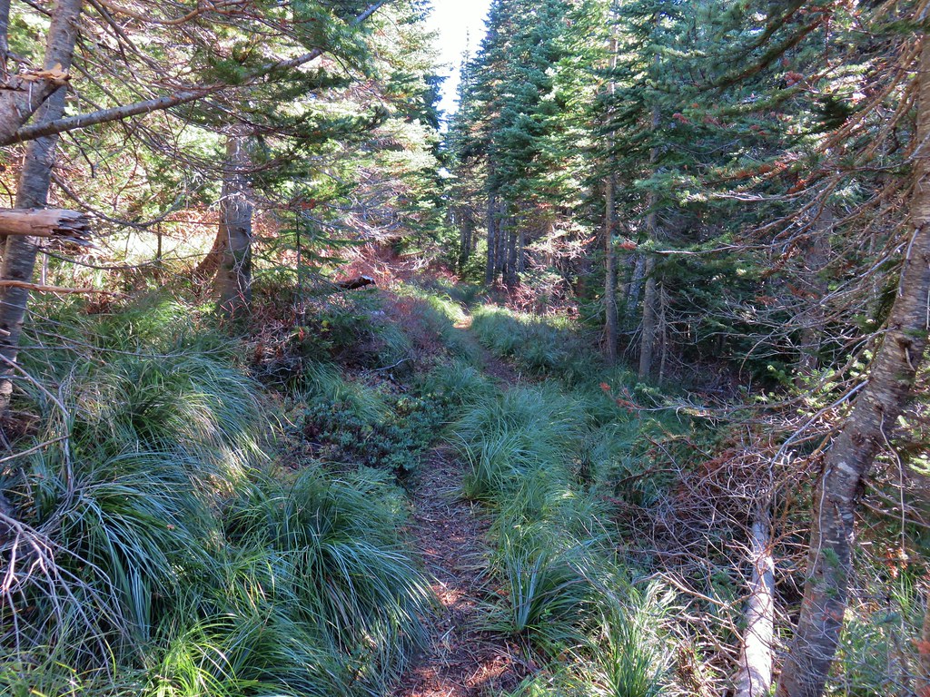
This wide path led through a green forest with violets and trillium.


After .2 miles we stayed left ignoring the right hand route leading to a bicycle path and then quickly veered right when the North Horse Loop split creating two loop options.

This right hand path swung north another .4 miles to a junction with the Lewis and Clark Trail.

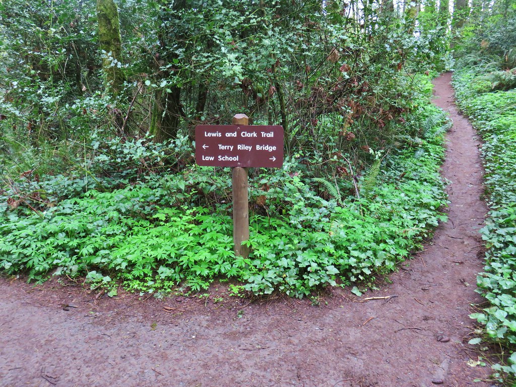
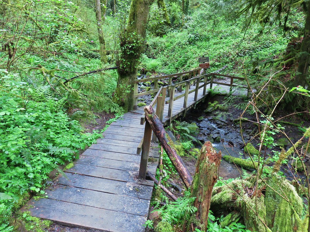
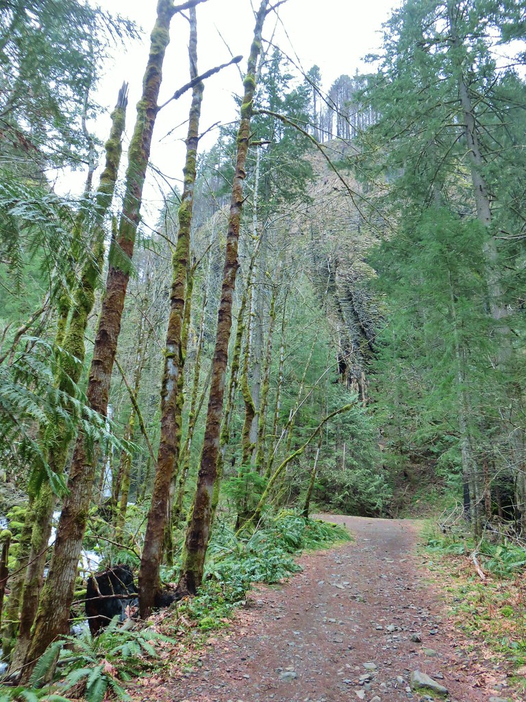
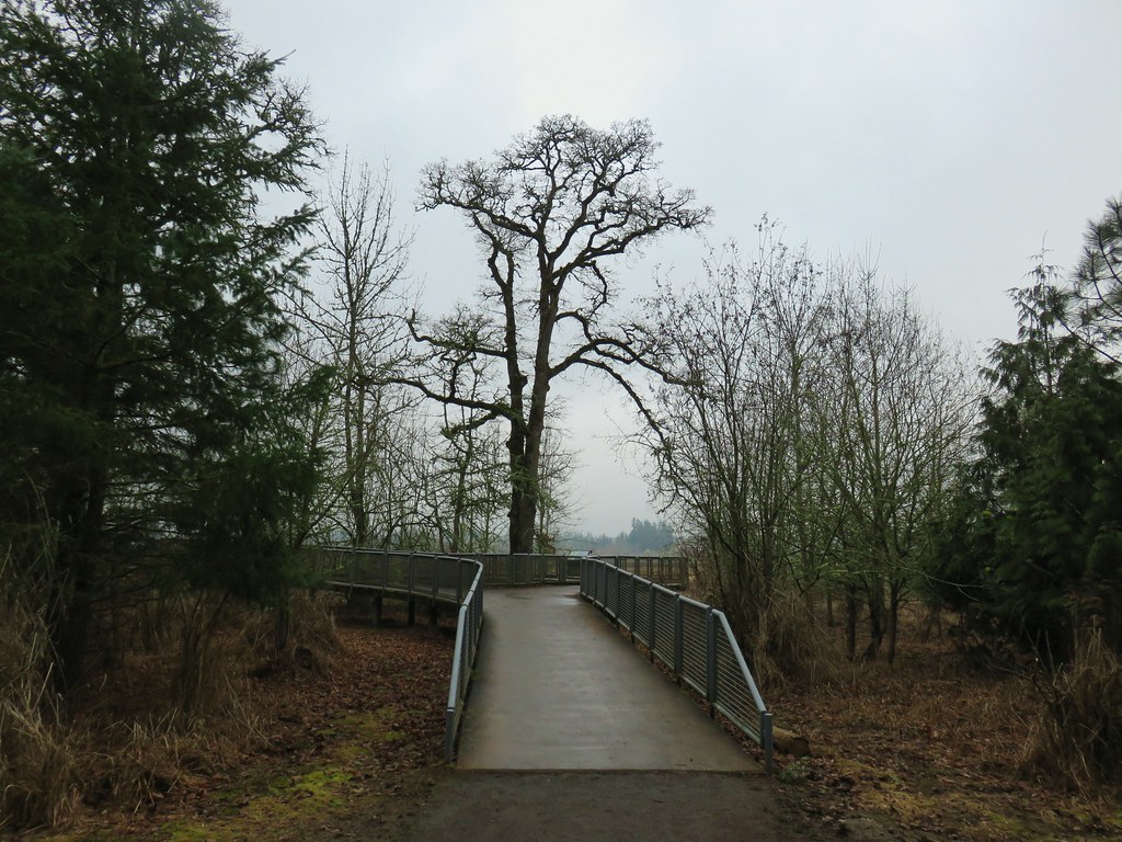
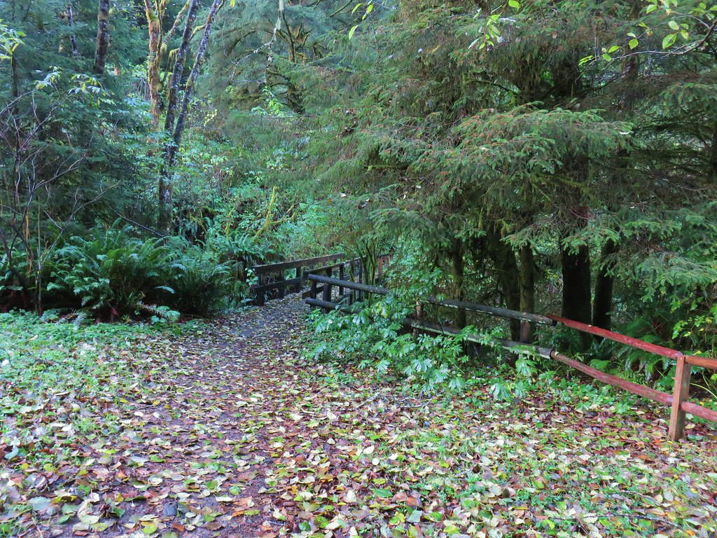
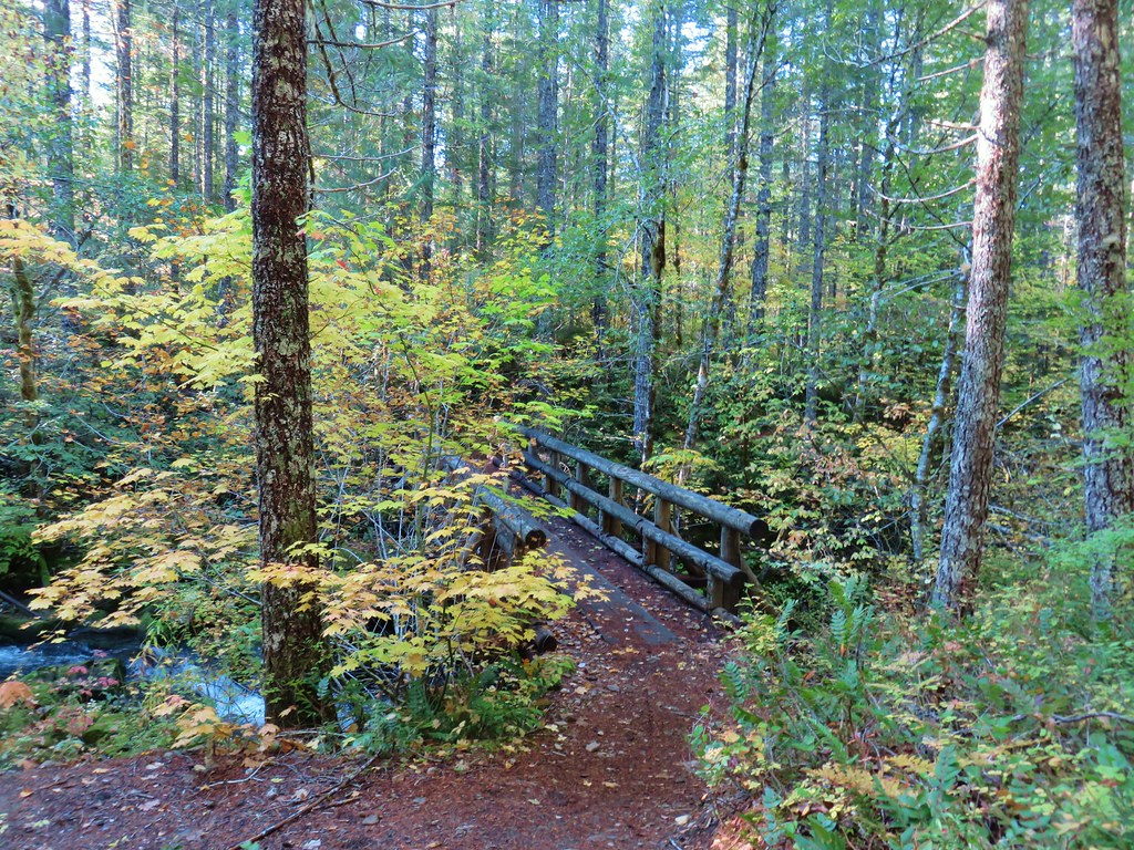
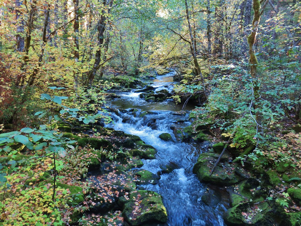
We followed pointers for the Lewis and Clark Trail and Terry Riley Bridge. The trail descended along a hillside above East Fork Tryon Creek to the small suspension bridge which passed over a side stream.


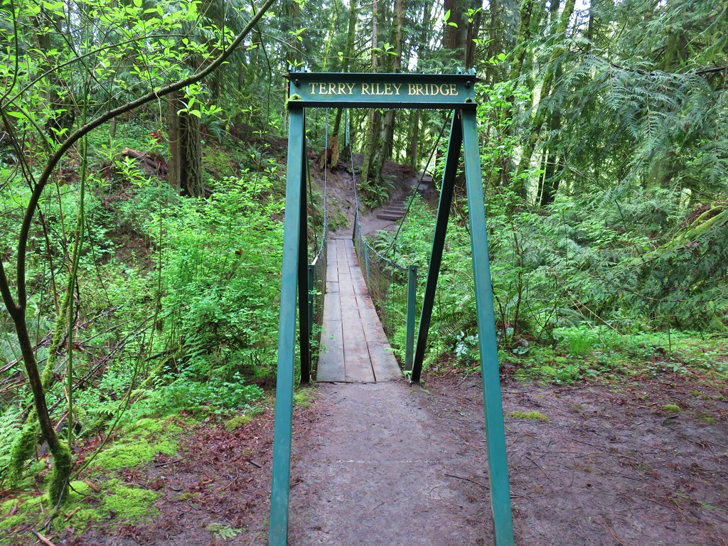
On our way down we passed a stump hosting a pair of snails. We actually spotted quite a few in the park.


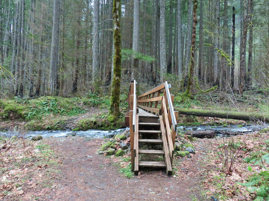
Beyond the suspension bridge .2 miles we rejoined the equestrian trail and crossed over Tryon Creek on High Bridge.
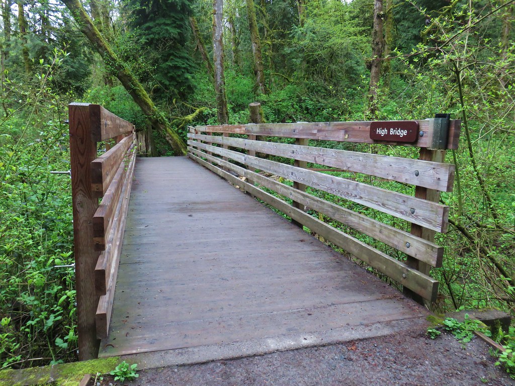

The trail split on the far side of High Bridge where we opted to go left on the hiker only Middle Creek Trail.

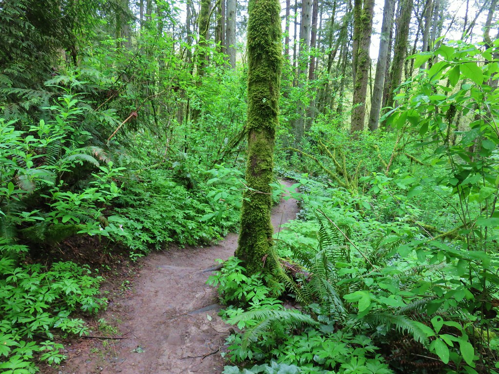
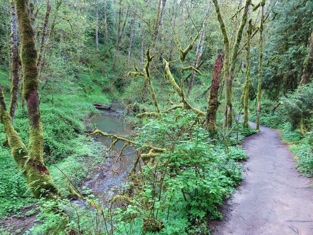
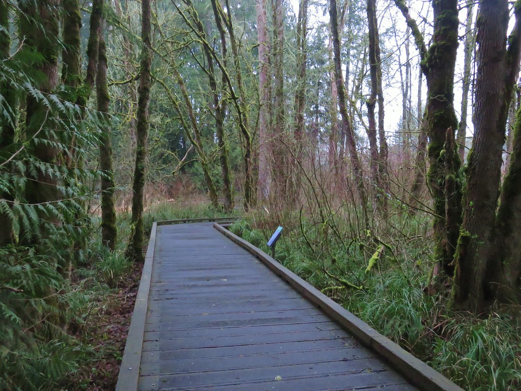
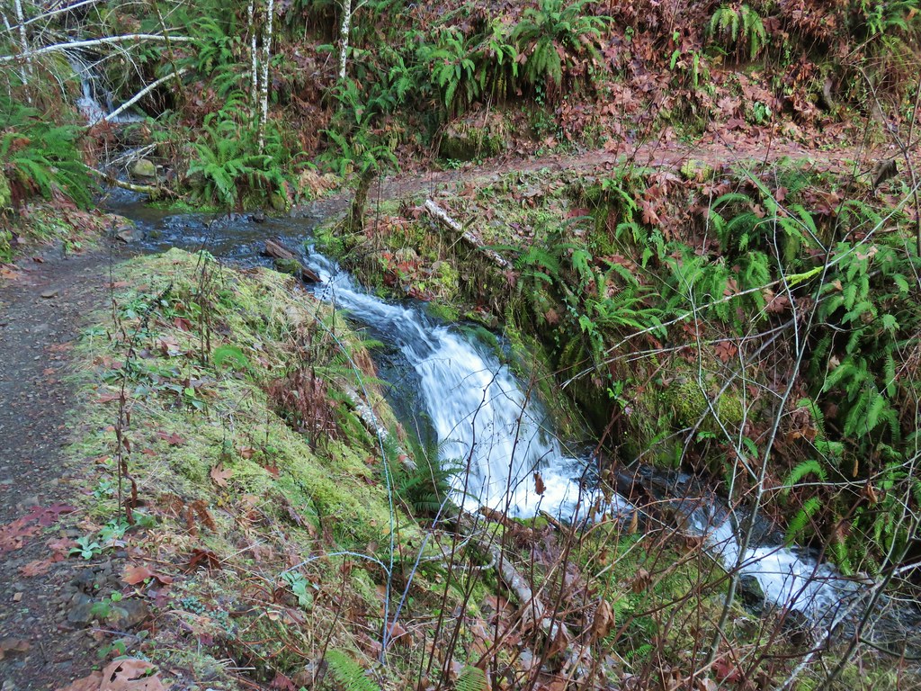
We followed this path for .2 miles across a boardwalk and along Tryon Creek to another trail junction.

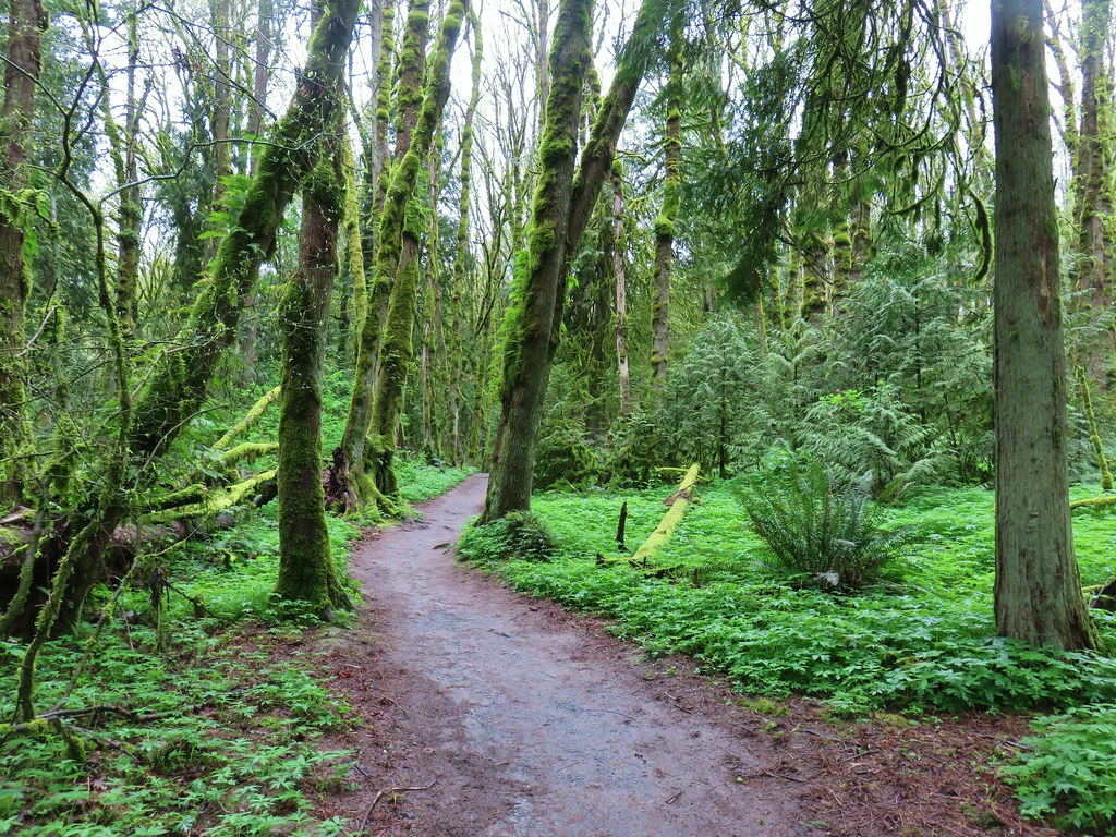
At this junction we left the Middle Creek Trail crossing over the West Horse Loop and headed up the Cedar Trail.

We followed the Cedar Trail through the woods, crossing the West Horse Loop again at the .2 mile mark, then crossing Park Creek on Bunk Bridge, passing a small pond and finally crossing Paget Creek on another bridge before arriving at the Red Fox Trail a mile from the start of the Cedar Trail.

looking back at Bunk Bridge


Bridge over Paget Creek

Red Fox Trail junction.
We turned left onto the Red Fox Trail and in just over a tenth of a mile crossed Tryon Creek on Red Fox Bridge.


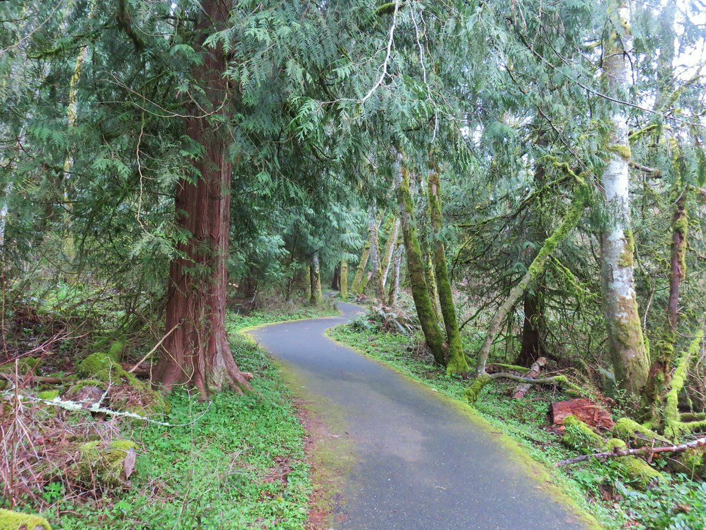
The trail made a brief but steep climb up to a three way junction with the Big Fir and Old Main Trail. We opted for the slightly shorter (but less crowded) Old Main Trail and turned right for .3 miles back to the Nature Center. Our route came in at 3.5 miles.
Although there were a lot of people in the park it never really felt all that crowded which was nice. There are still some trails left too so a return trip may be in order sometime in the future when the Nature Center is back open.
In all we covered 7.5 miles between the three stops and saw quite a few different flowers and a decent amount of wildlife. It had been another nice set of urban hikes. As much as we are looking forward to getting back up into the mountains once the snow melts we’re finding that these types of hikes have a lot to offer. Happy Trails!
Flickr: Camassia Natural Area, Mary S. Young Park, and Tryon Creek


 Snow queen and violets
 Trillium


 October 2015
 April 2019


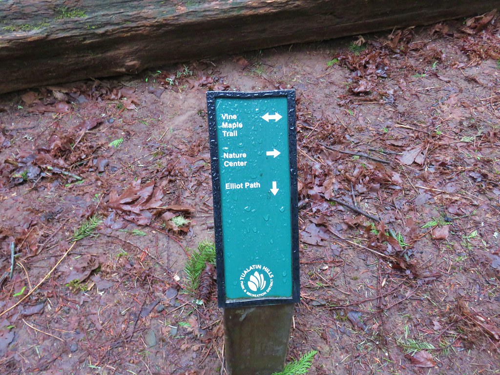
 Trail pointer at the Mink Path junction. We appreciated the fact that all of the junctions were signed and those signs were easy to read but placed in such a way that they were unobtrusive.
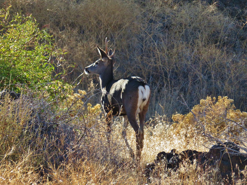
 Can you see the deer?
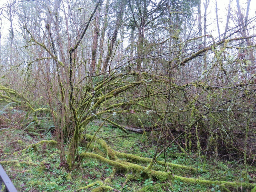 How about now?
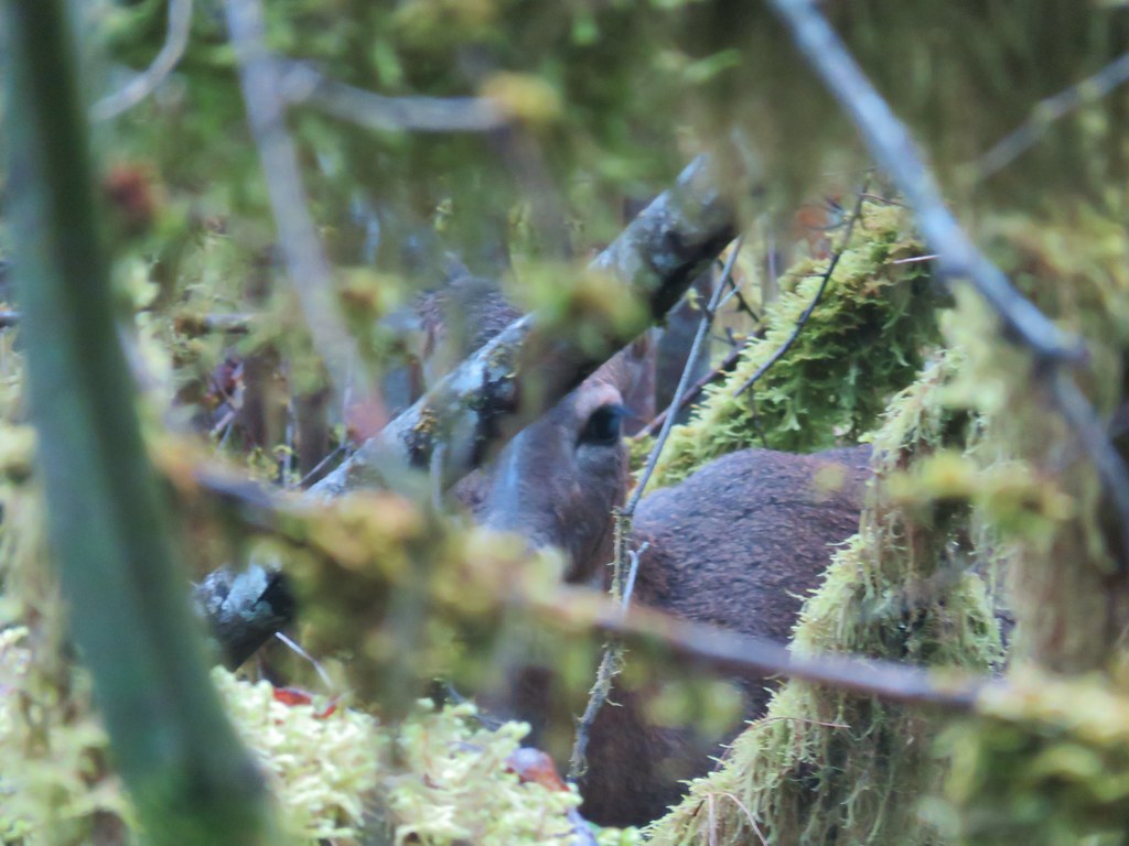


 Beaverton Creek
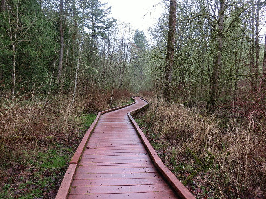


 The osprey and the squirrel (upper right hand corner).
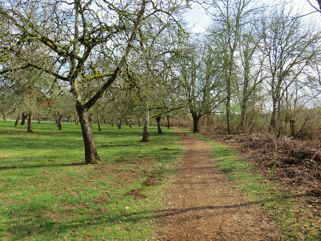


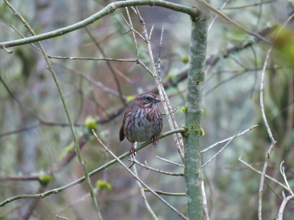
 Wren signing along the trail
 The route we came up.
 A short section of railroad grade.
 The logs we came across.
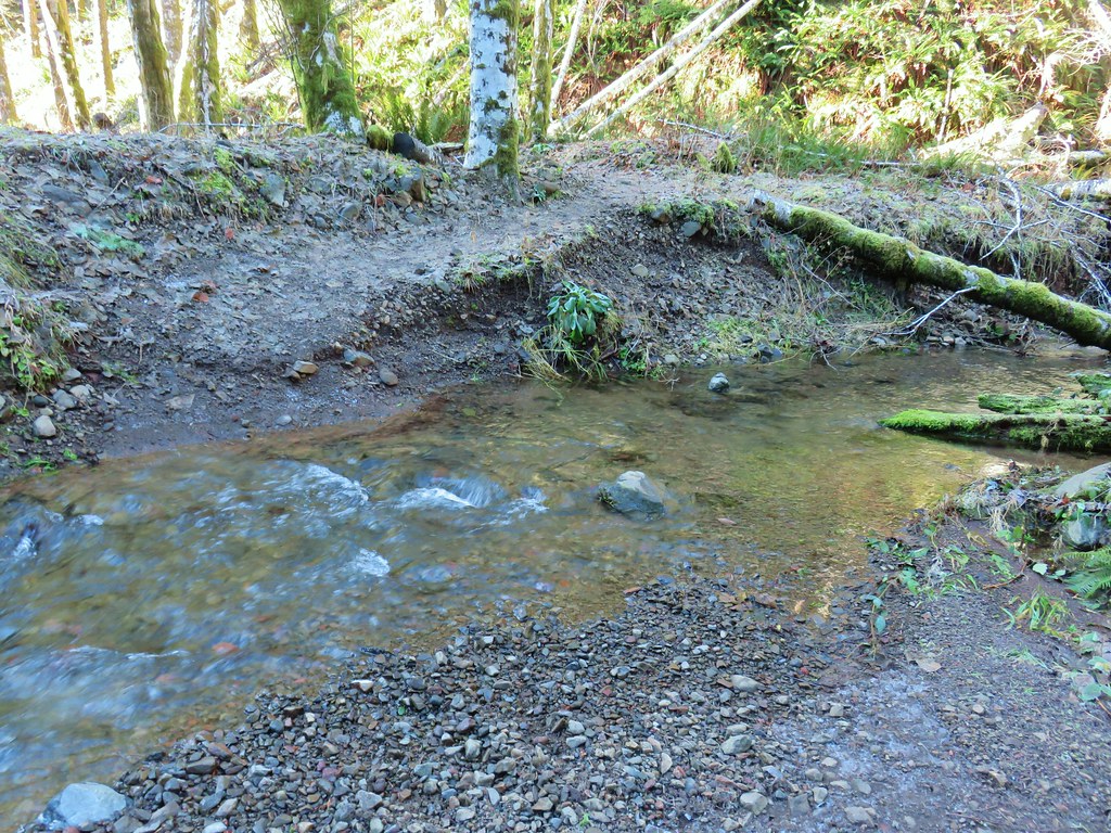 The rock after having crossed.
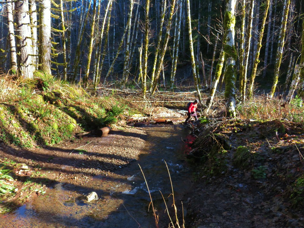 Heather finishing her crossing on the way back.

 Waterline Trail junction
 Map at the Springville Road junction.
 Ridge Trail junction
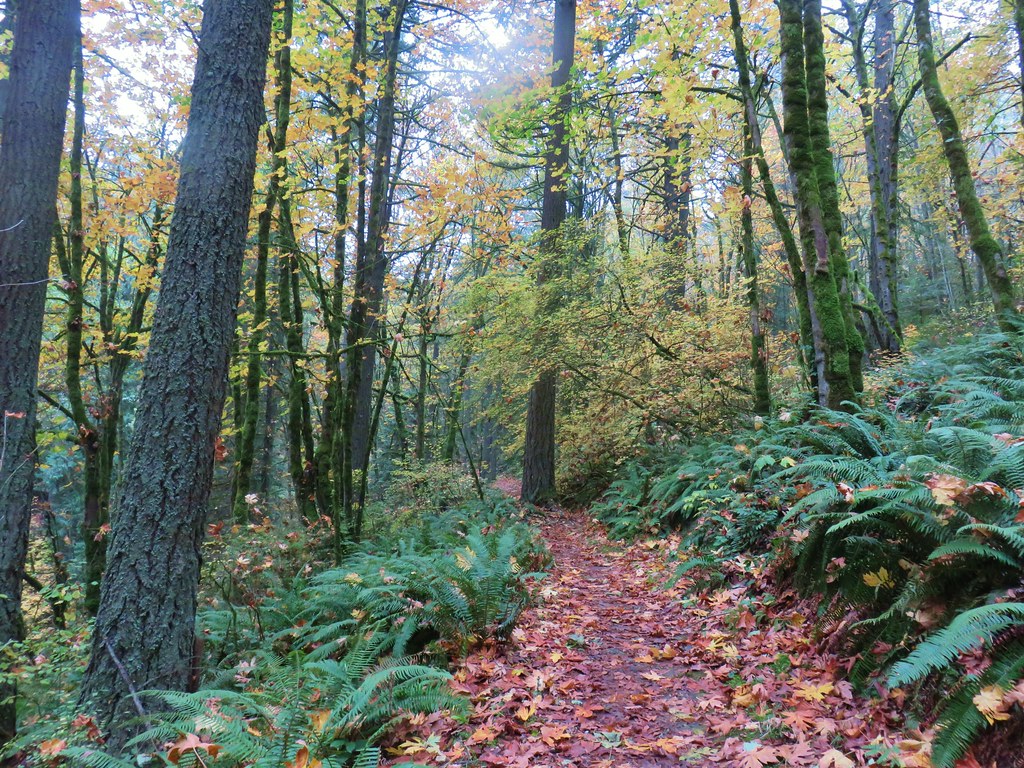


 This may named be Green Lake


 Lemei Rock and Mt. Adams

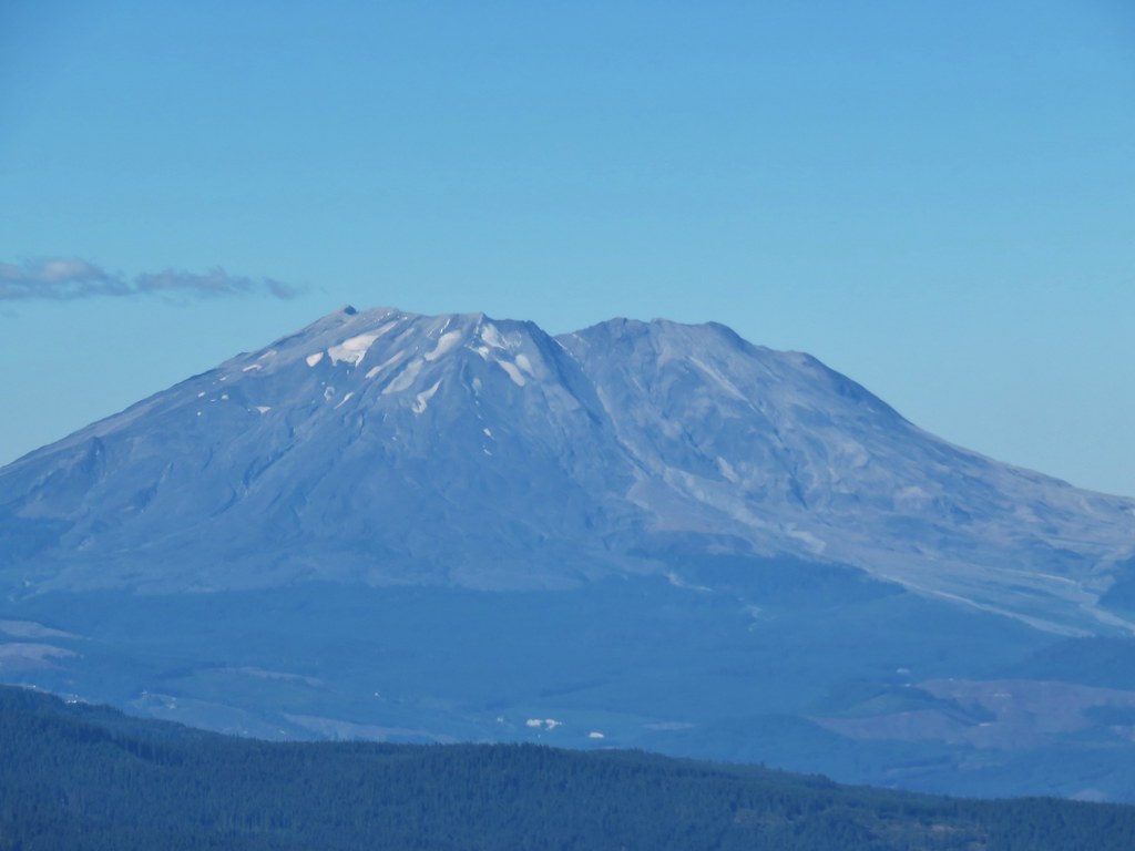 Mt. St. Helens
 Mt. Rainier
 Mt. Adams


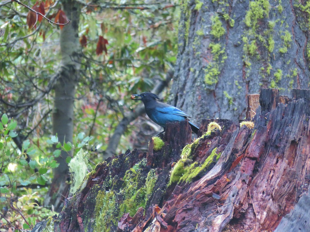 Stellar’s jay
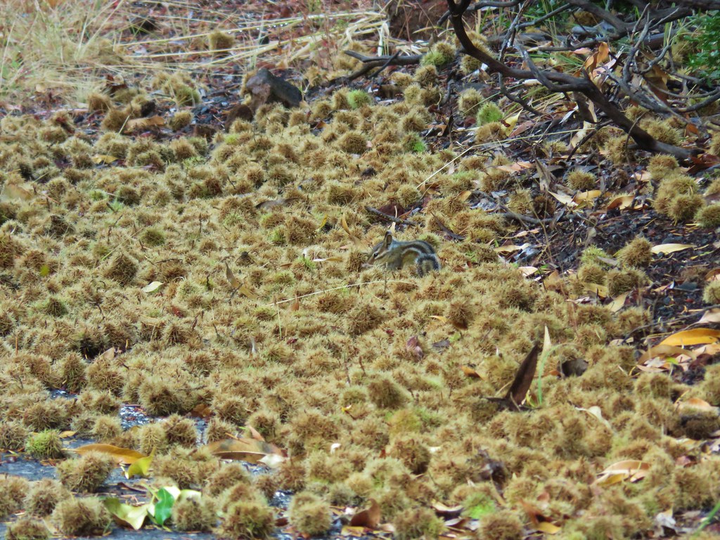 Chipmunk
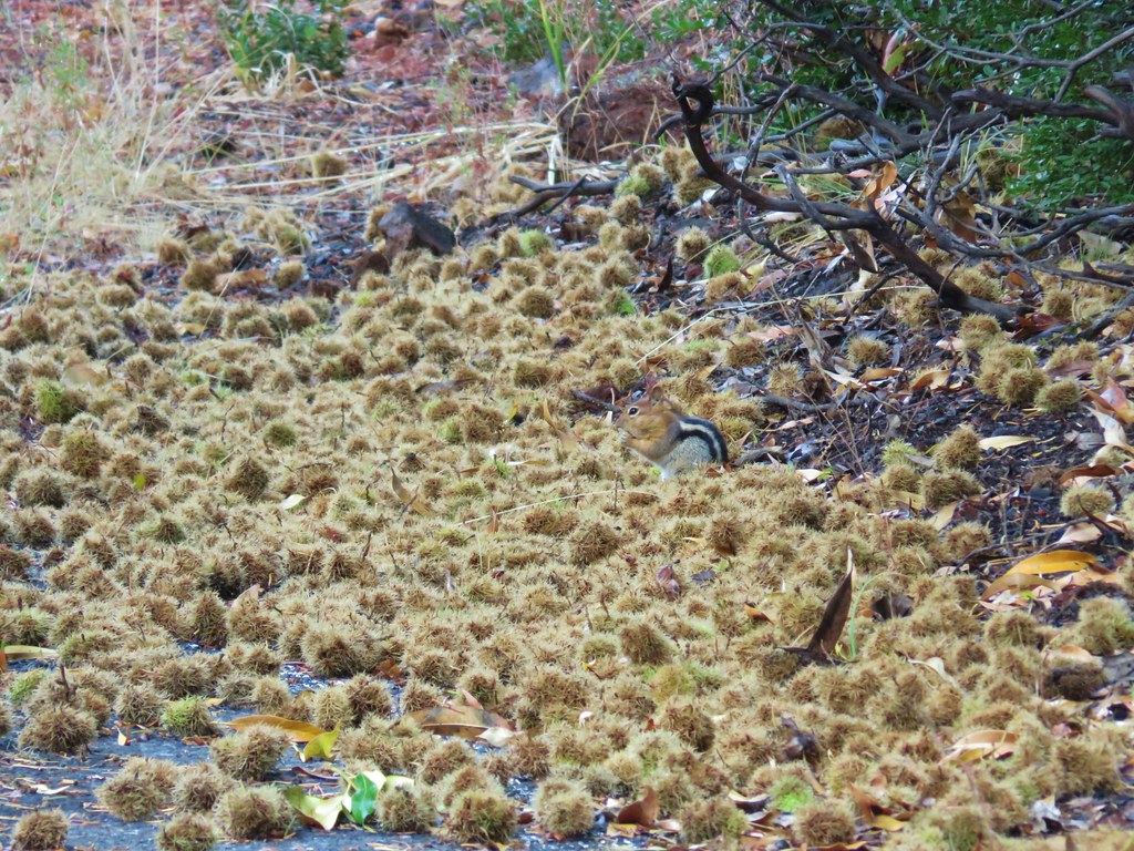 Golden-mantled ground squirrel


 Tule Lake


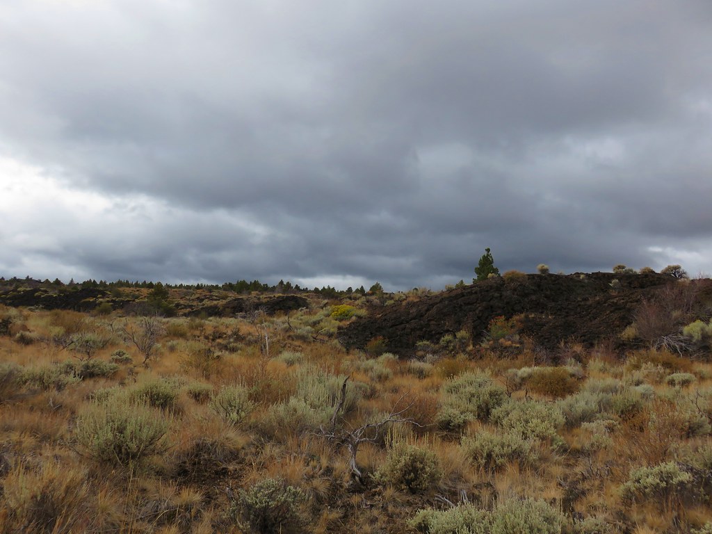
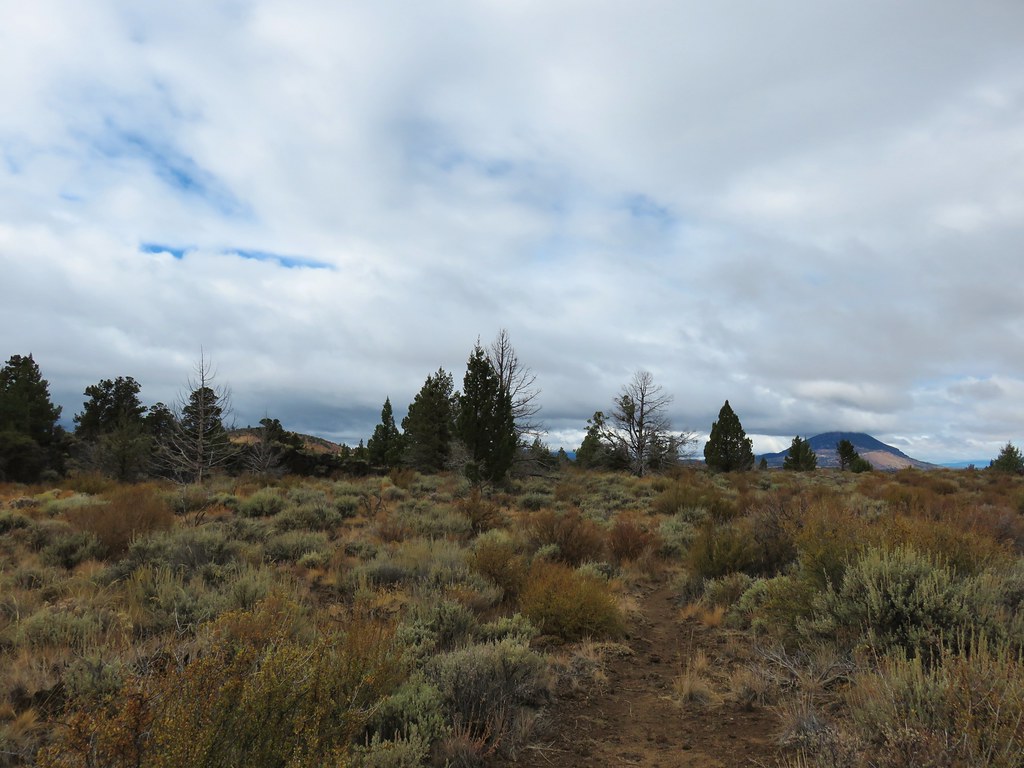 Whitney Butte to the left and Mount Dome to the right.
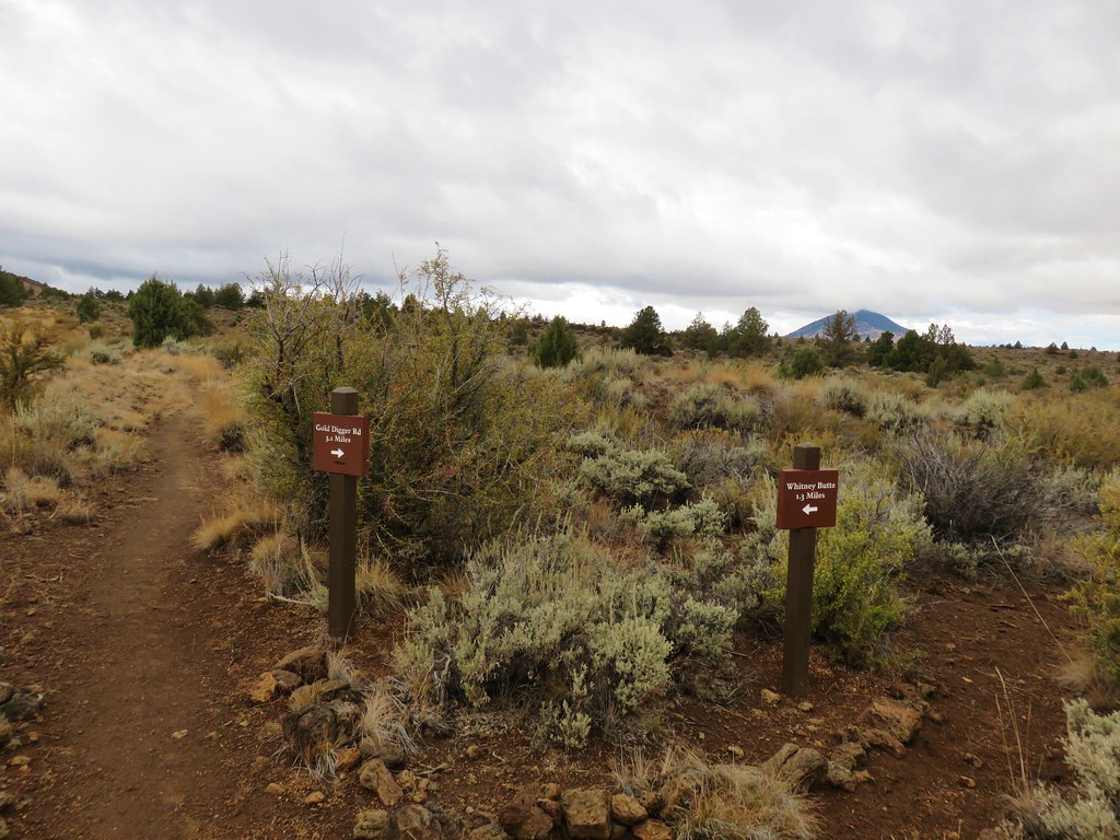


 Tule Lake
 Whitney Butte and Mount Dome