**Note the 2020 Beachie Creek Fire burned a portion of this hike.**
Having done quite a bit of driving over our Memorial Day Weekend trip to NE Oregon we stuck close to Salem for our next hike. The hike up to the summit of Sardine Mountain from Matt Reeder’s “101 Hikes in the Majestic Mt. Jefferson Region“. Reeder recommends the hike in Winter when you can snowshoe the route, but as we have yet to get into snowshoeing (we’ve talked about it) an early June visit seemed appropriate. Located toward the western edge of the Old Cascades Sardine Mountain has an elevation of 4948′. This combination allows it to melt out sooner than some of the other peaks in the Old Cascades.
The peak is named after nearby Sardine Creek which purportedly gained that name when Thomas Henness found a sardine can in the creek in 1867. There are no official trails to the mountain but there is a scramble trail from Knutson Saddle which can be reached via Forest Road 2223 or by the route we took following Sardine Road (which becomes a 4wd track) up from Highway 22. Sardine Road is an unsigned gravel road located .4 miles east of Big Cliff Dam (2.3 miles west of Detroit Dam). In his description Reeder had parked just beyond a bridge over Sardine Creek just .2 miles up this road which is where we had planned to park but a van was already occupying it so we proceeded up the road another 150 yards to the next pullout.
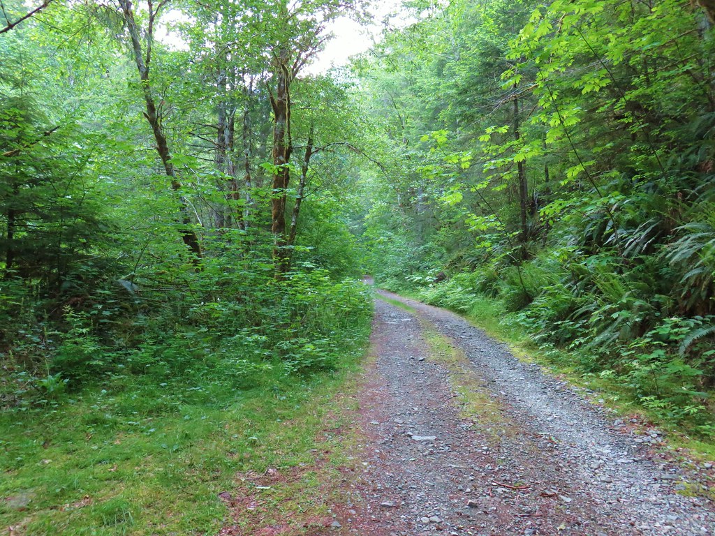
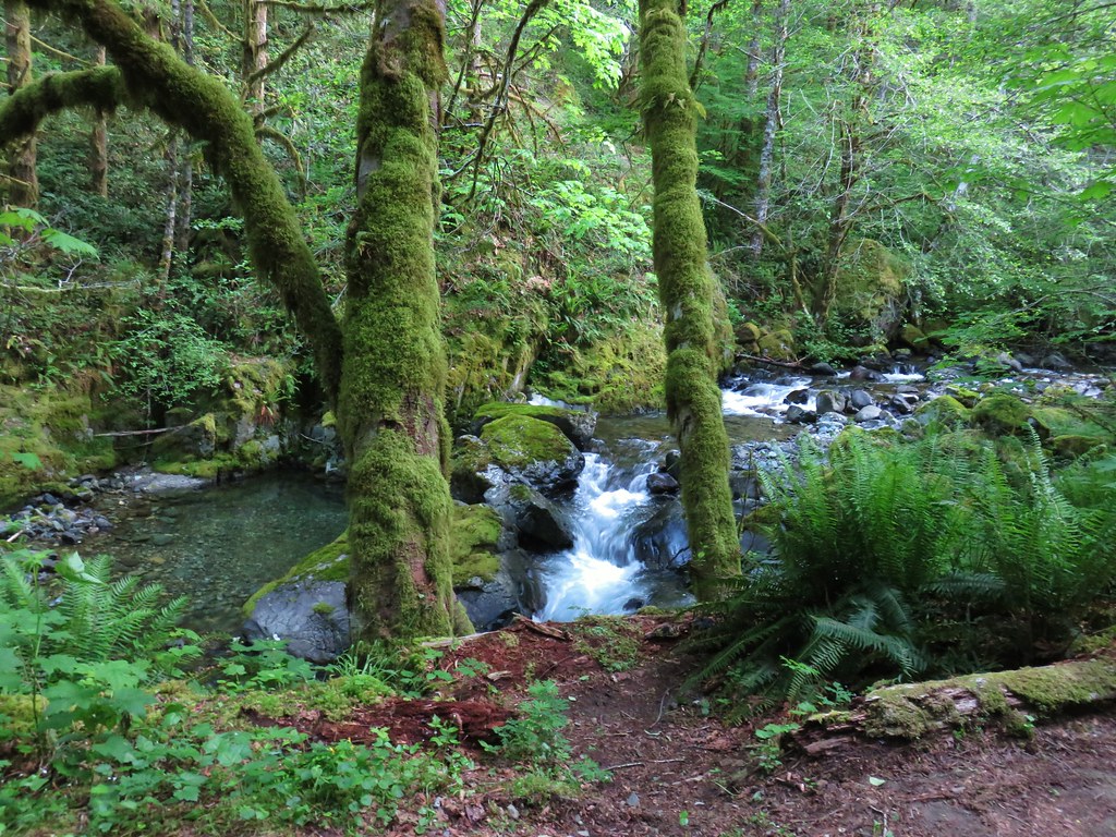
There had been a “road closed ahead” sign just after we had turned onto the road and Matt had mentioned that high clearance vehicles could make it as far as 3-4 miles up the road and other cars probably shouldn’t go further than a mile up. In addition to avoiding the bumpy drive the first mile of the road follows close to Sardine Creek so by parking sooner we were able to get some good looks at the creek.
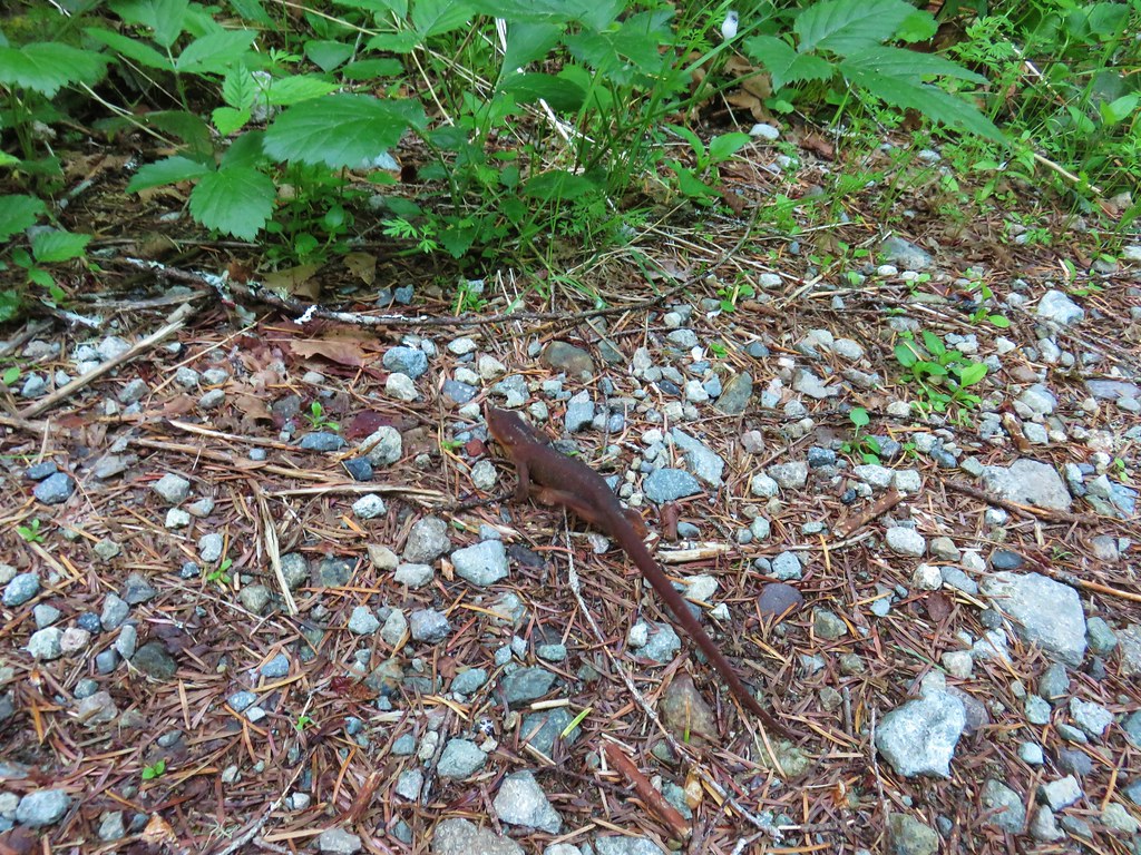
There were a lot of rough skinned newts out on the road which made us wonder how many have been on roads we’ve been driving on. 😦

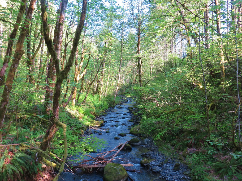
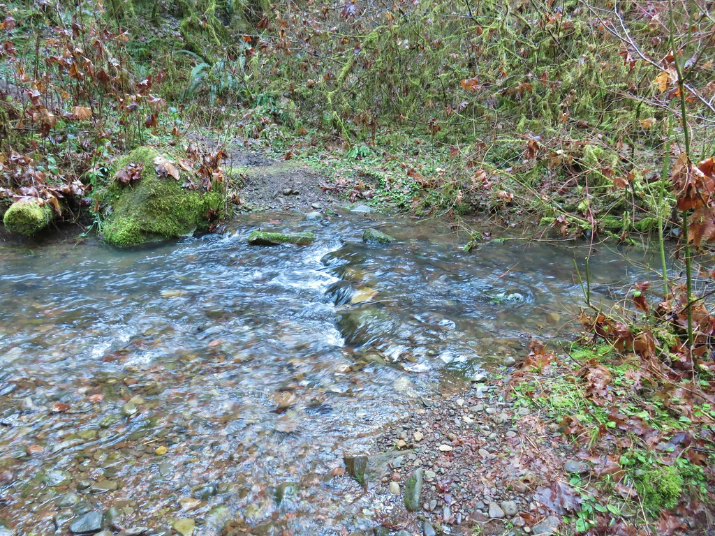
A half mile from where we parked we passed an scenic unnamed side creek.

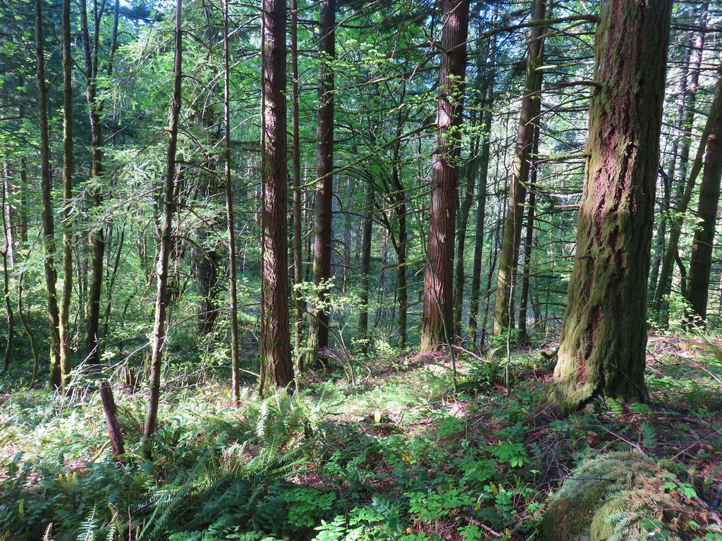
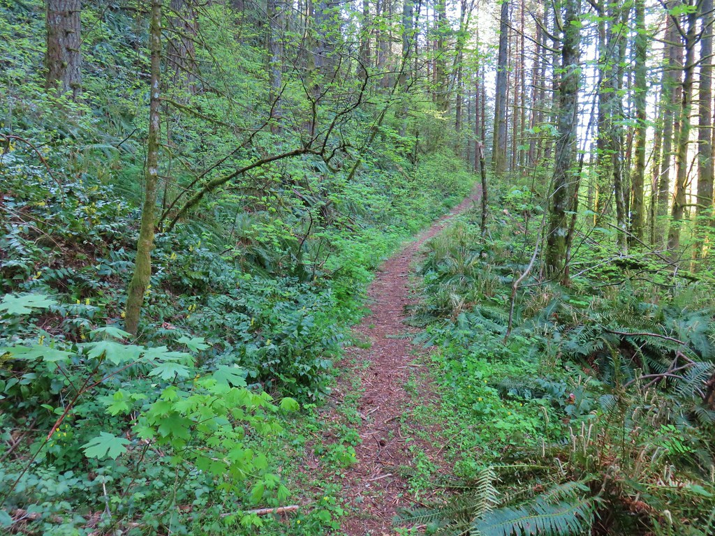
Despite being a road walk there was a lot to see between the creek, flowers, and the forest.
 Paintbrush above Sardine Creek
 Iris
Iris
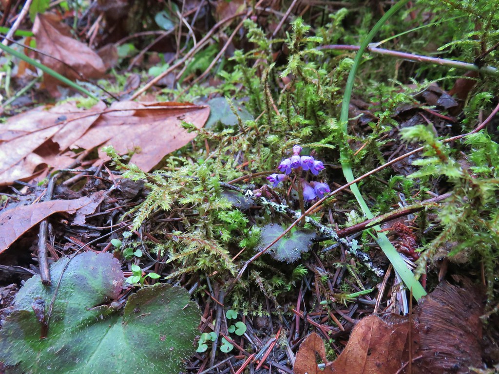
 Rhododendron
 Candy flower

Approximately a mile and a half from where we had started the road veered away from Sardine Creek at a sharp switchback. In another quarter mile we arrived at a fork.

The right hand fork was the continuation of the route up to Knutson Saddle and Sardine Mountain but we detoured left on Reeder’s recommendation to visit a huge logjam. We followed this road for four tenths of a mile to one of Sardine Creeks forks where there was indeed an impressive logjam.
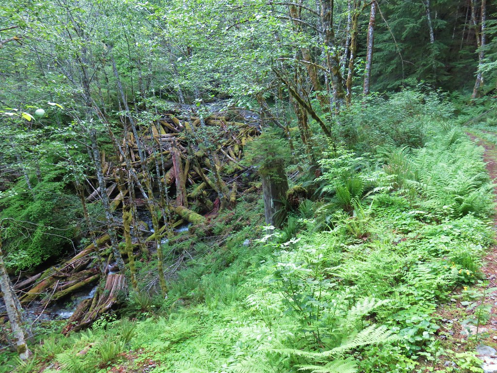
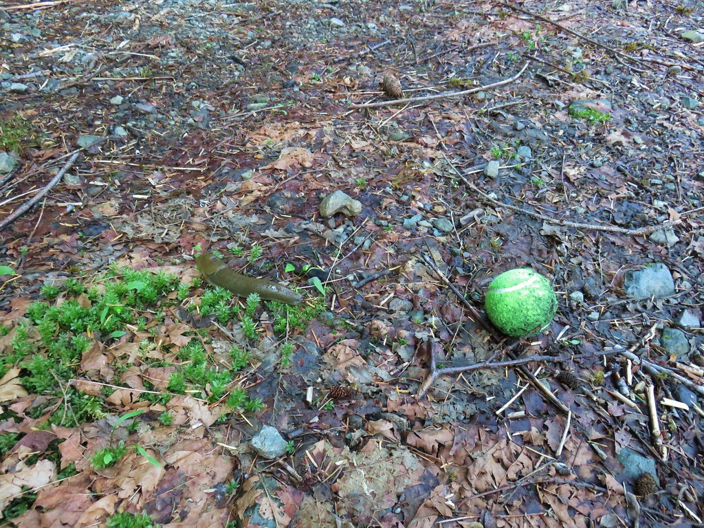
On the way to the logjam we came across a tennis ball and a slug and wondered if this was the worlds slowest game of fetch.
Also there were more newts.

There were even more logs jammed upstream on the creek.

We returned to the fork and continued climbing up toward the saddle. We still had about 2000′ to gain just to reach the saddle. We tried to keep our minds off the climb by focusing on the sights along the way. There was one quarter mile section (1.4 miles from the fork) where the road lost 200′ of elevation before steeply climbing again.
 Beargrass
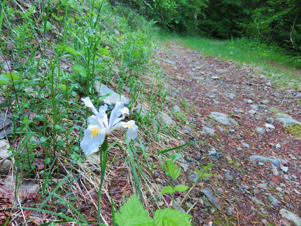 Iris
Iris
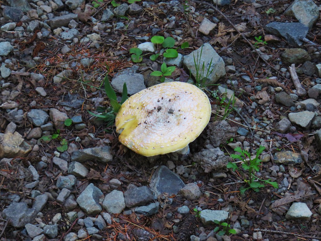 Mushroom in the middle of the road
 Valerian
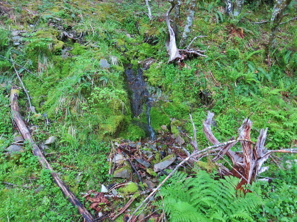 A hillside spring
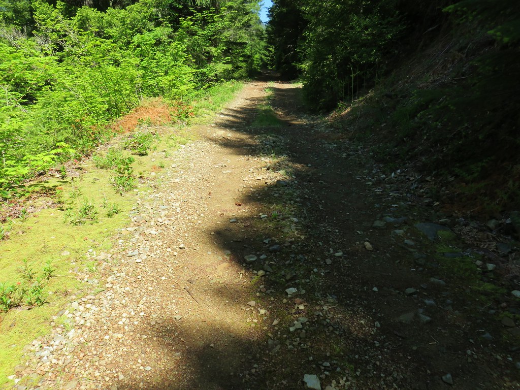
The road deteriorated as we climbed although there were some noticeable tire tracks and there had been some recent clearing of brush.

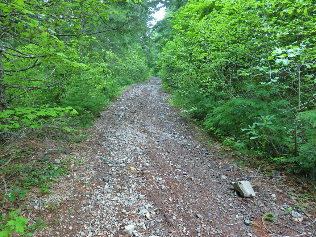
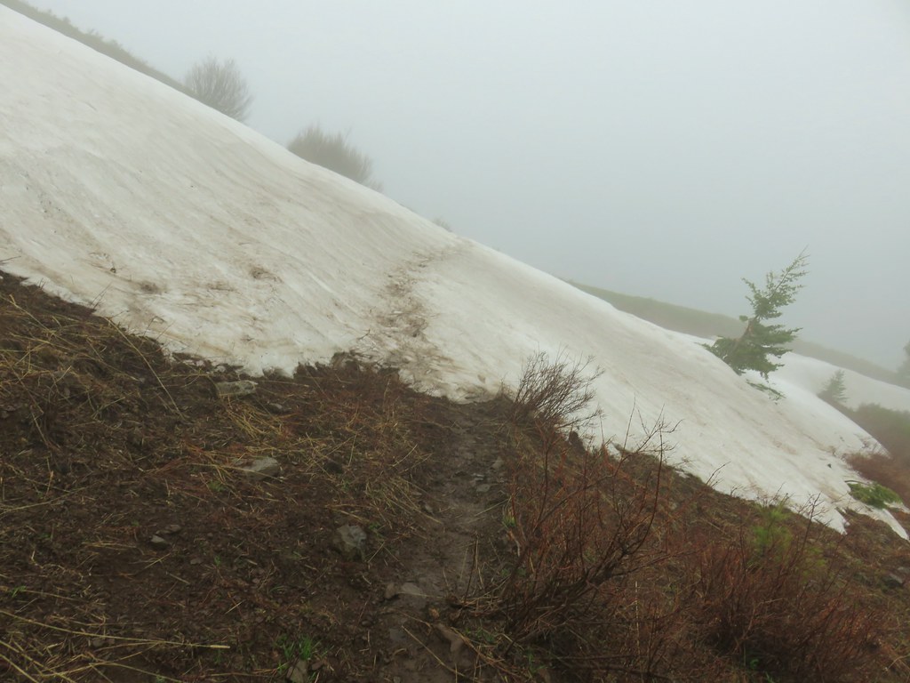
Shortly after passing the 4000′ elevation we passed a lingering patch of snow (with tire tracks).
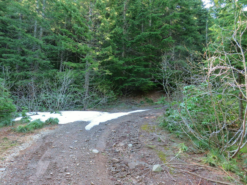
A total of 5.5 miles from where we’d parked (6.3 if you add in the side trip to the logjam) we arrived at Knutson Saddle where the trilliums where still white. We took a seat near some snow and rested.


Before continuing up I walked NE along the level Forest Service road 100 yards to a view of Dome Rock and Mt. Jefferson. Unfortunately it was a very hazy morning so the mountain was blending with the haze.


After our rest we located the use trail heading uphill where the 4wd track arrived at Knutson Saddle.

After a brief stint in some trees we emerged in a meadow of huckleberry bushes and beargrass.

At times the route was overgrown or became faint but pink flagging helped mark the way.

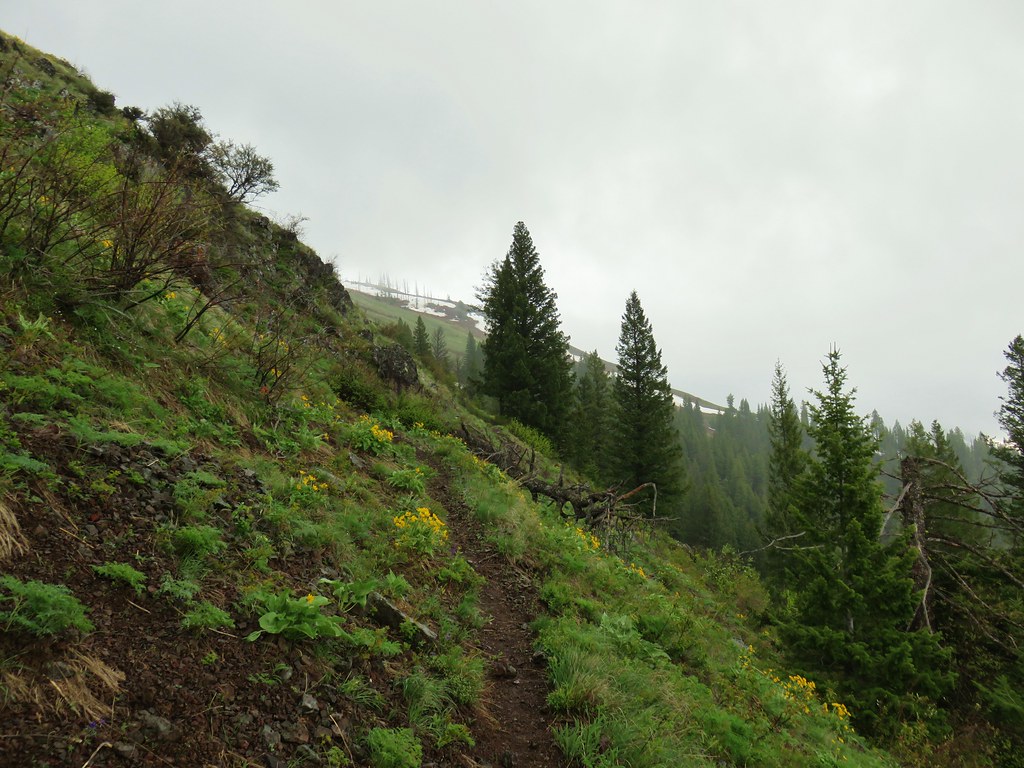
The bushes gave way to an open rocky hillside where yellow wallfowers and red paintbrush colored the slopes.
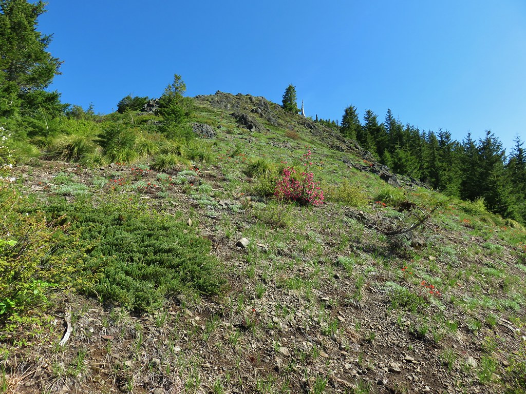


 Red flowering currant
It was a fairly steep but non-technical class 2 scramble.

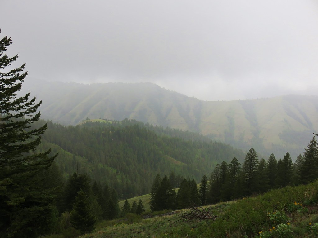
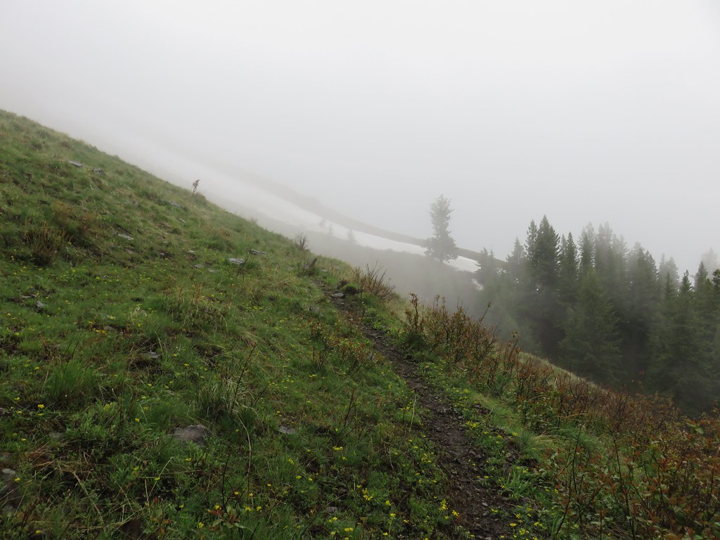
The combination of the haze and time (the Sun we still to the east of us) really impacted what would have been spectacular views.

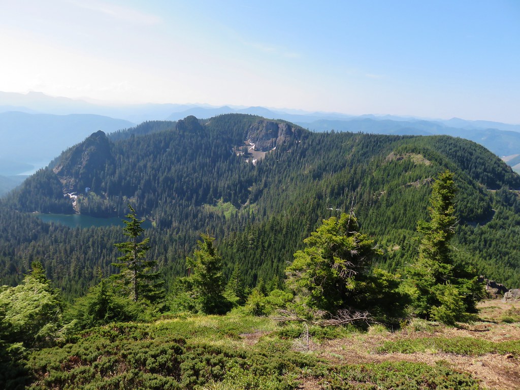
Along the way up we spotted a northern alligator lizard.

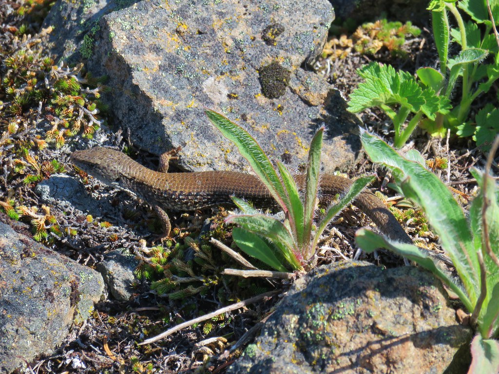
We reached the summit of Sardine Mountain where a long ridge extended north toward Rocky Top.

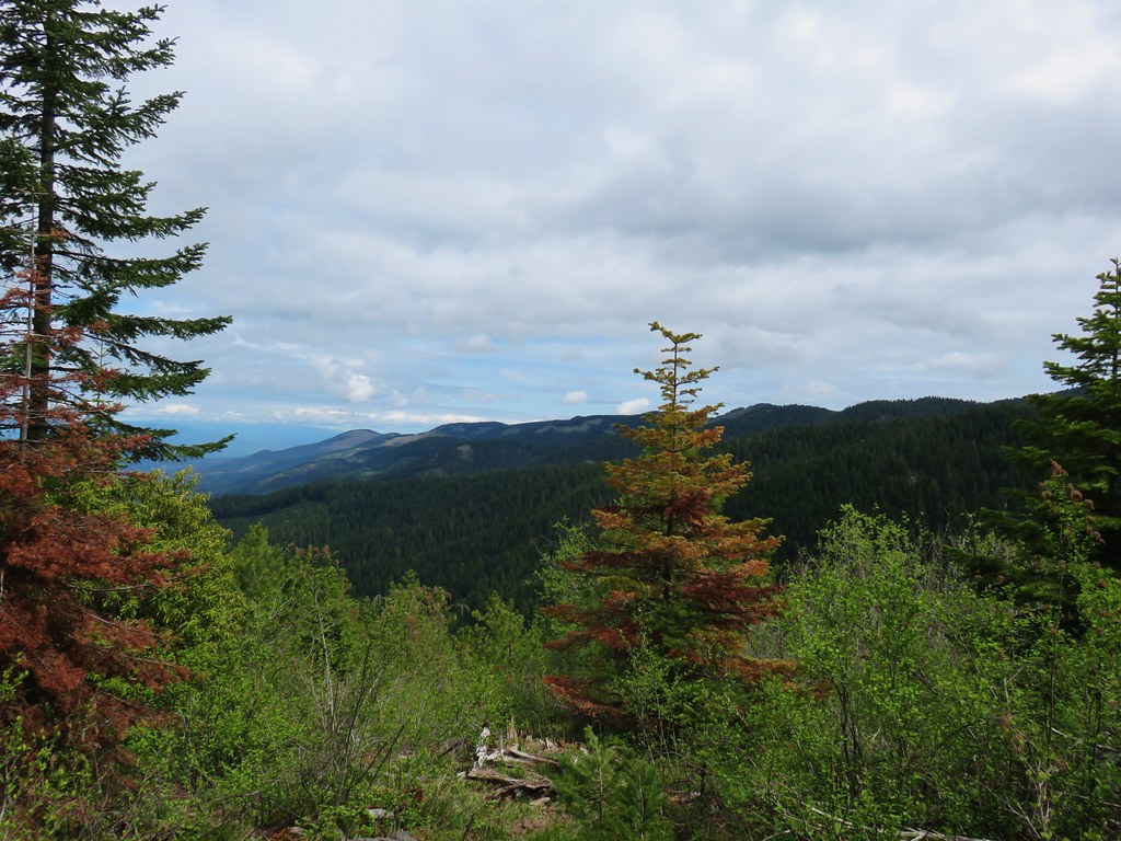
The view west was marred by clearcuts.

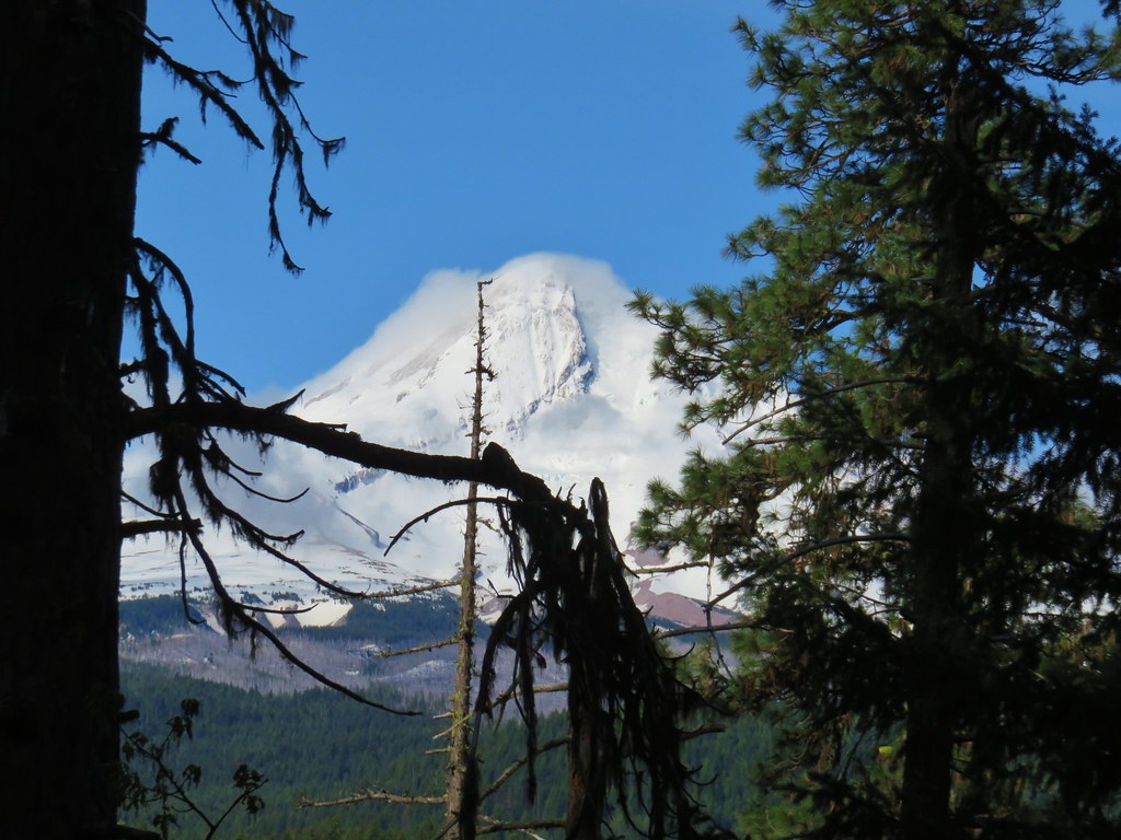
To the NE Mt. Hood stood out with Mt. Adams being barely visible through the haze.
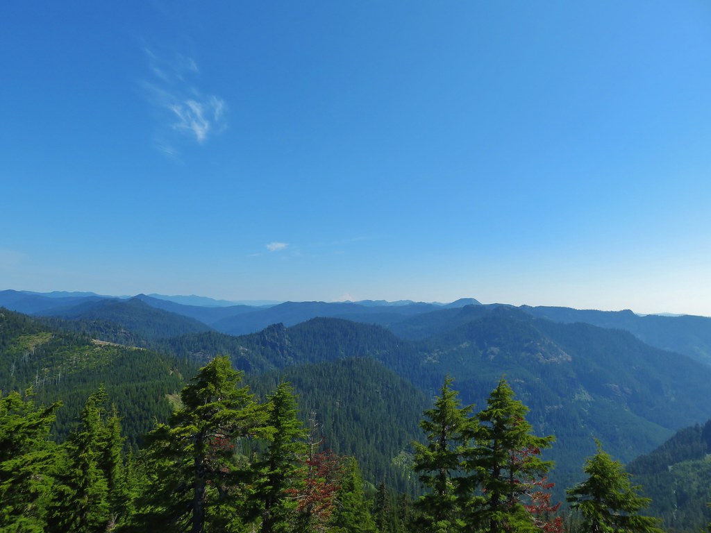
 Mt. Hood with North Dicky Peak in front.
Mt. Jefferson rose to the east behind Dome Rock (post).
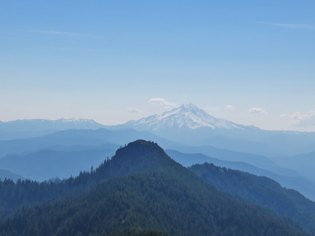

Beyond Tumble Lake to the SE was Three Fingered Jack behind Coffin Mountain (post), Mt. Washington, and the barely visible Three Sisters.

 Three Fingered Jack
 Mt. Washington and the Three Sisters
 Tumble Lake
After another nice rest we started back down stopping to get pictures of some of the flowers we hadn’t noticed on the way up.

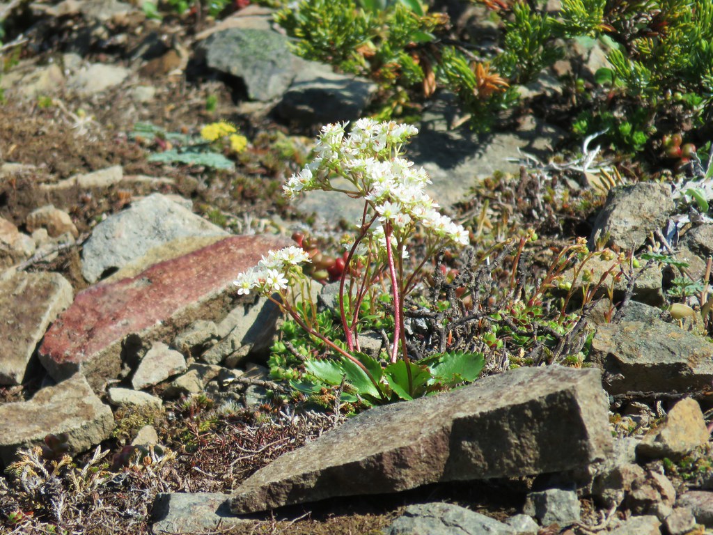 A saxifrage
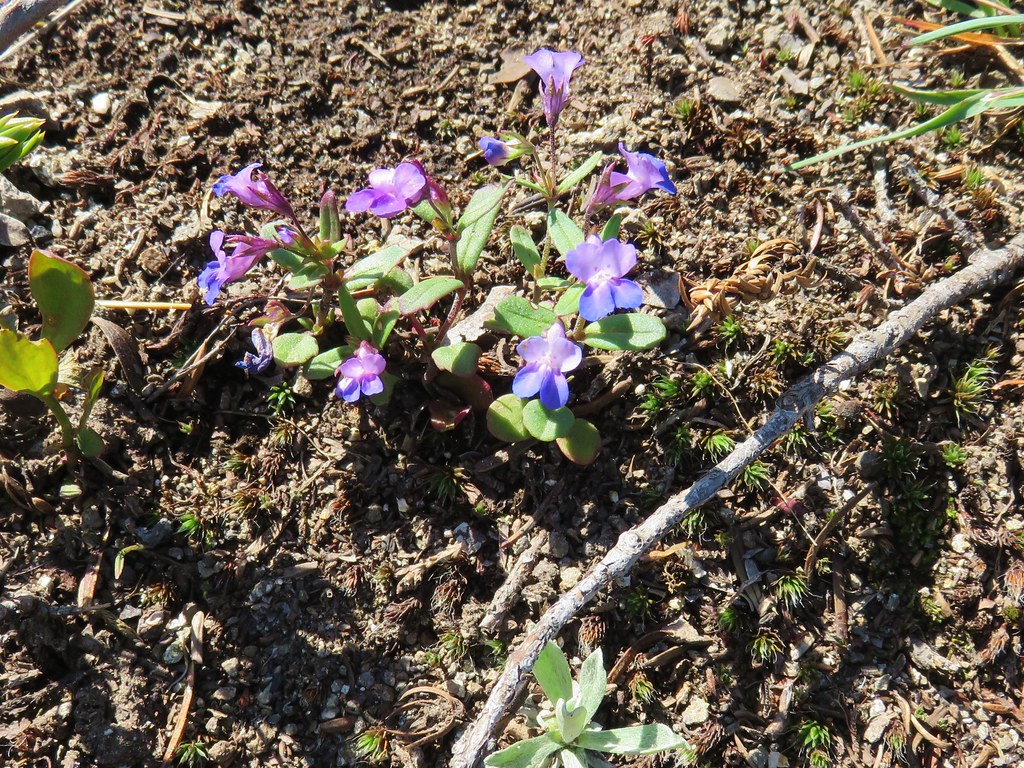 Blue-eyed mary
 Cats ears
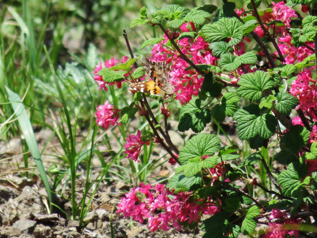 Butterfly on red flowering currant
After picking our way down the exposed slope we made our way back to Knutson Saddle and headed back downhill on the 4wd road. We didn’t see anymore newts along the road on our descent but we did see a few other critters.
 Rabbit
 Snake
Snake

 Another northern alligator lizard

 These two long legged spiders got into a brawl when they met crossing the road.
With the Sun now overhead the candy flower had opened up and many of the other flowers were showing up better so we stopped to get some pictures of them as well.
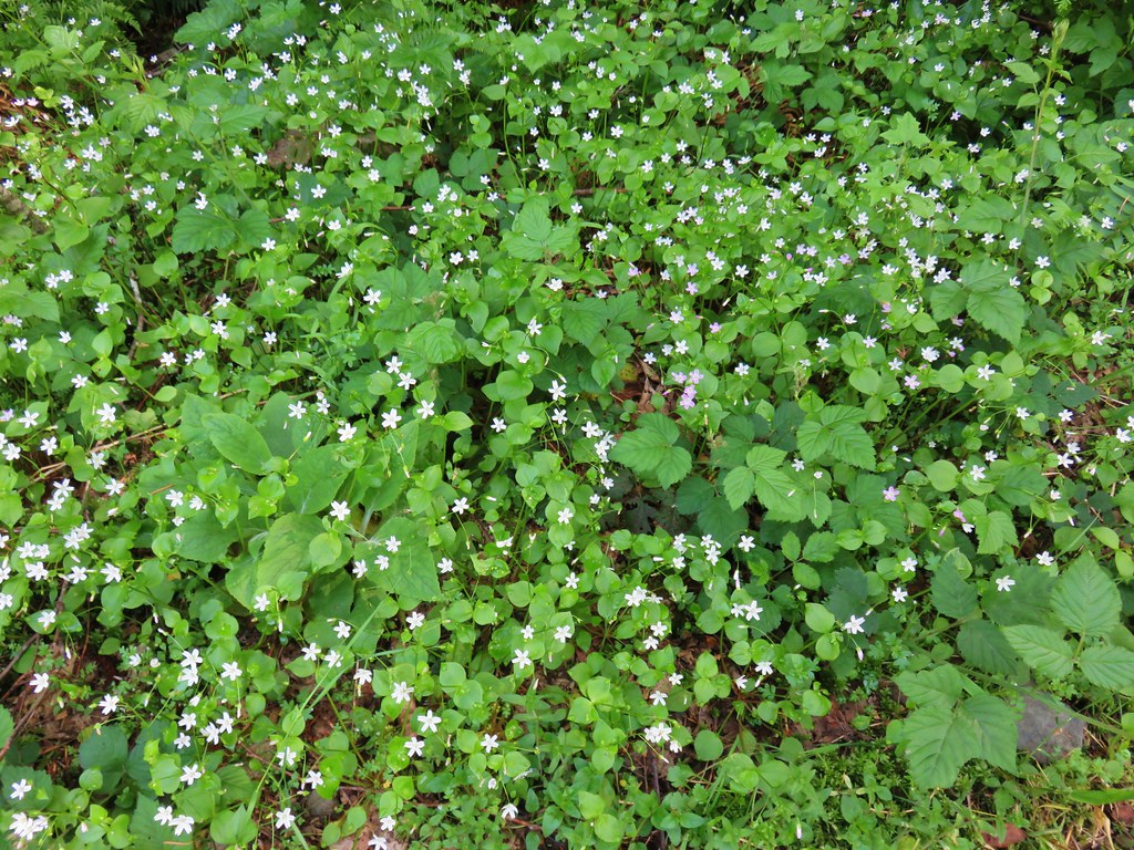
 Candy flower
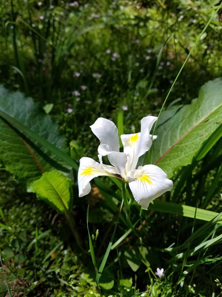 Iris
Iris
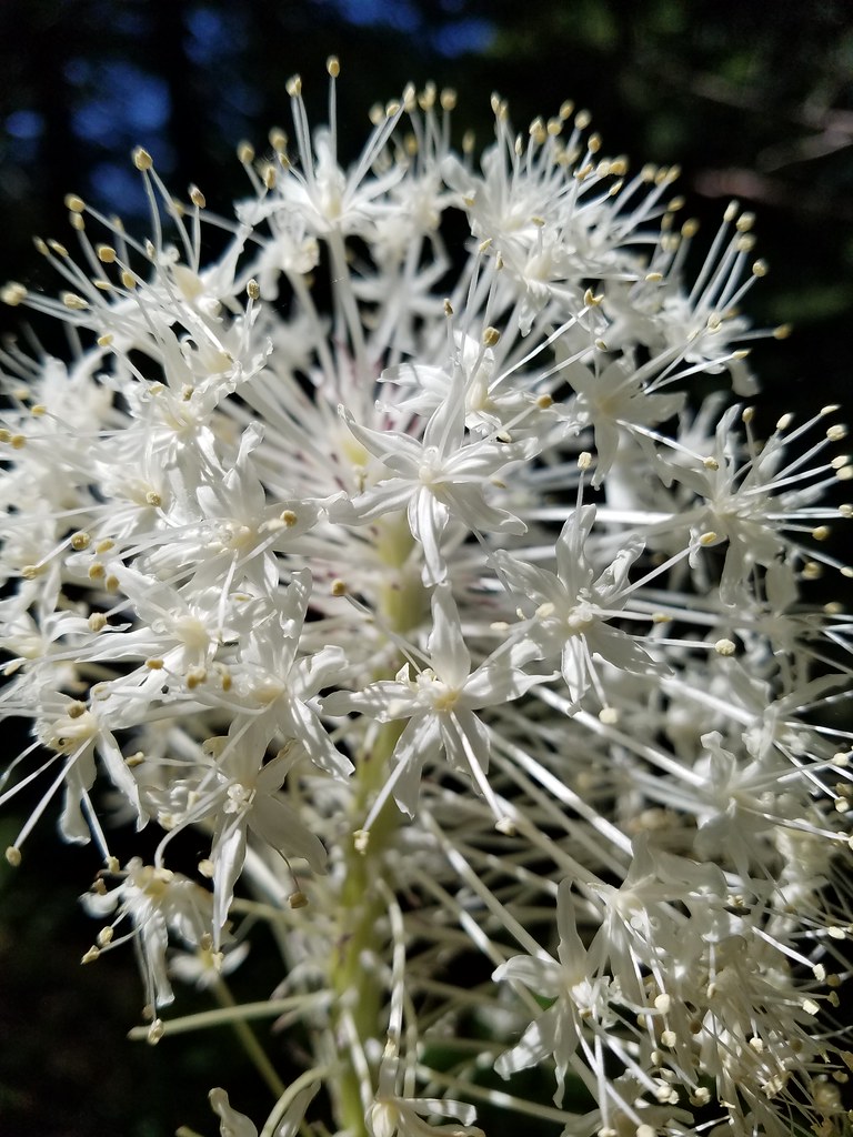 Beargrass
 Cinquefoil and candy flower
 Fringecup
 Monkeyflower
 Thimbleberry
 Stonecrop
 Youth-on-age with an interesting insect
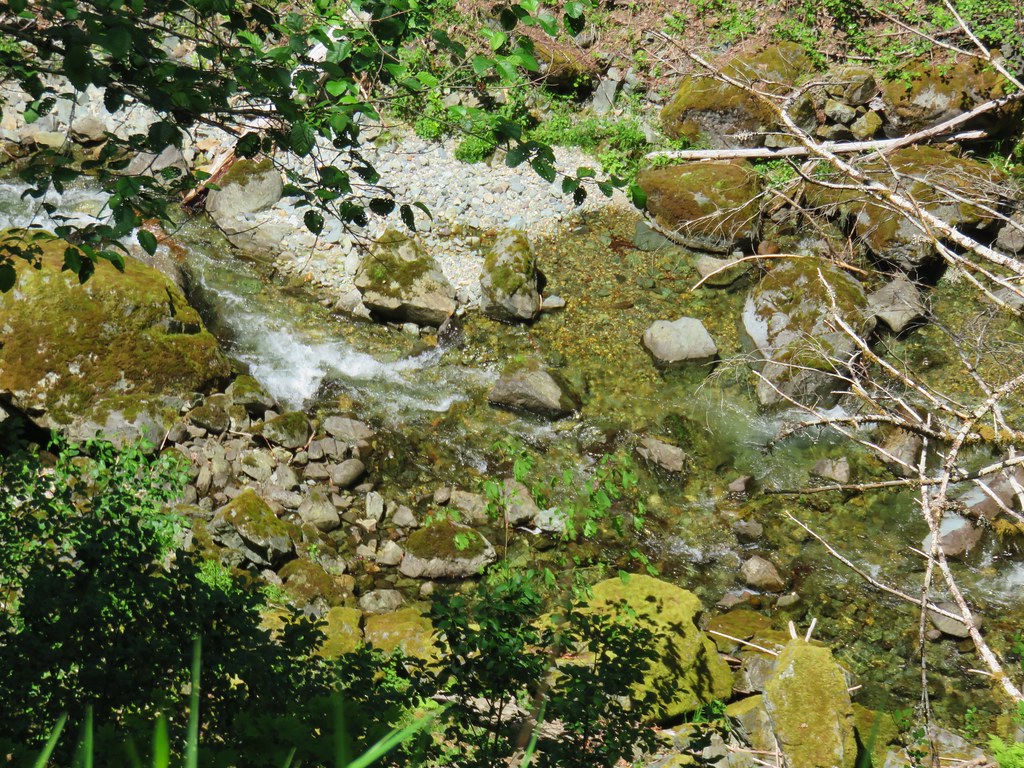
The sunlight also helped bring out the colors of Sardine Creek.
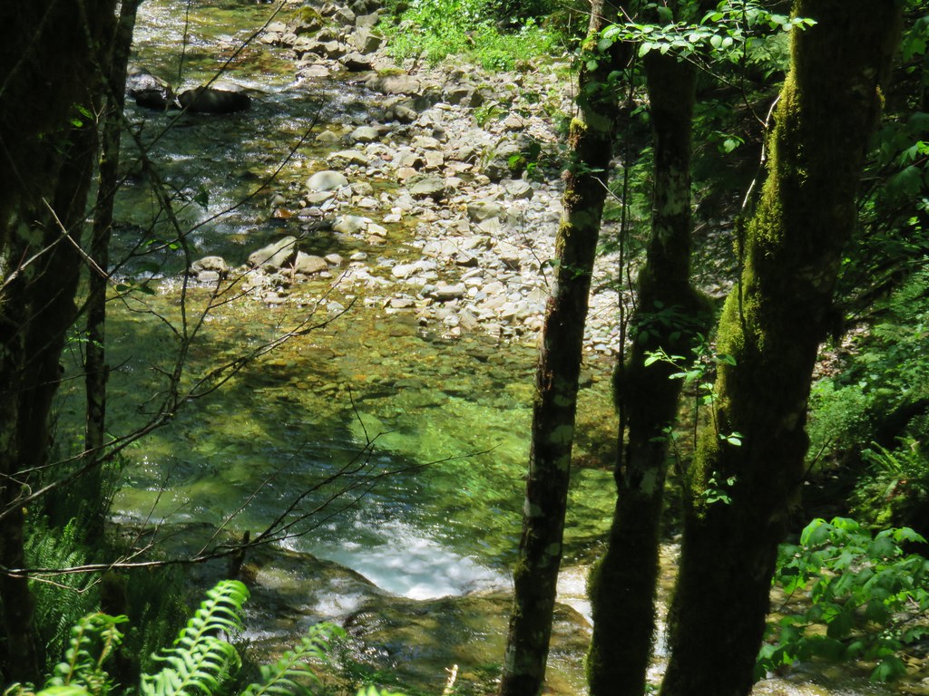


Aside from the unfortunately hazy conditions the only real drawback to the hike was that we each managed to pick up a couple of ticks, likely taking pictures of the flowers and creek at the end of the day where the grass was tall along the road. A good reminder to always check thoroughly, best a couple of times as even though we did a check and knocked three off us at the car one managed to make it all the way home with Heather where a second check found it before it had started to dig in.
We did not see another person the whole day although we did hear a car drive past Knutson Saddle as we approached it. There was plenty of evidence that people do spend time along the road though based on the used shotgun shells, pieces of clay targets, and trash filled fire pits at several of the pullouts. 😦
From where we parked, with the logjam side trip, our GPS recorded a 12.8 mile hike which was a bit shorter than we’d expected based on Reeder’s book where he put it at 14.4 miles without the side trip. The stat that did agree was the 4600′ cumulative elevation gain making this a pretty good early season training hike for climbers. Happy Trails!
Flickr: Sardine Mountain
 Looking toward the Seven Devils in Idaho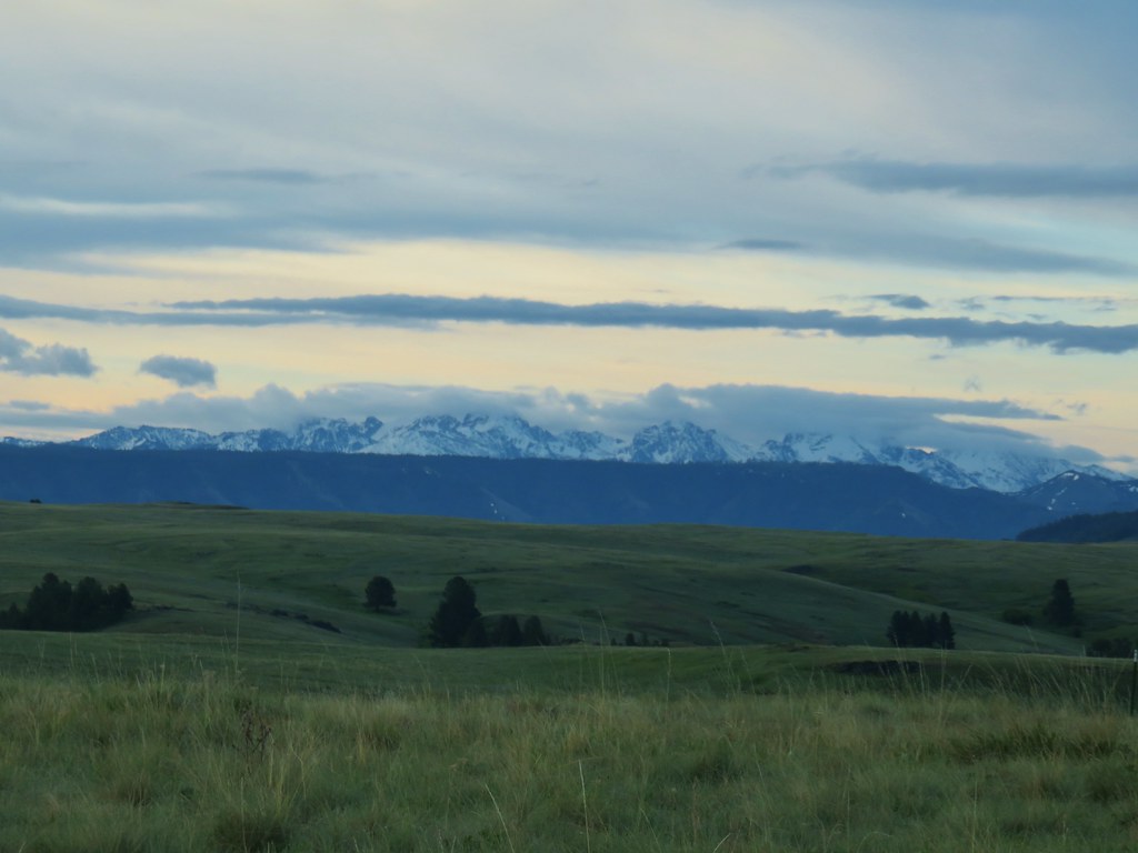

 Findley Buttes (You can see some of the standing water on Duckett Road on the right hand side.)
 Old man’s whiskers
 Phlox with larkspur in the background
 Cusick’s paintbrush
 White-stem frasera
 Paintbrush
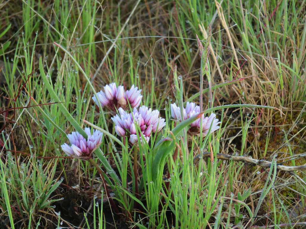 A wild onion
 Larkspur
 Milk vetch
 Chickweed
 Woodland stars
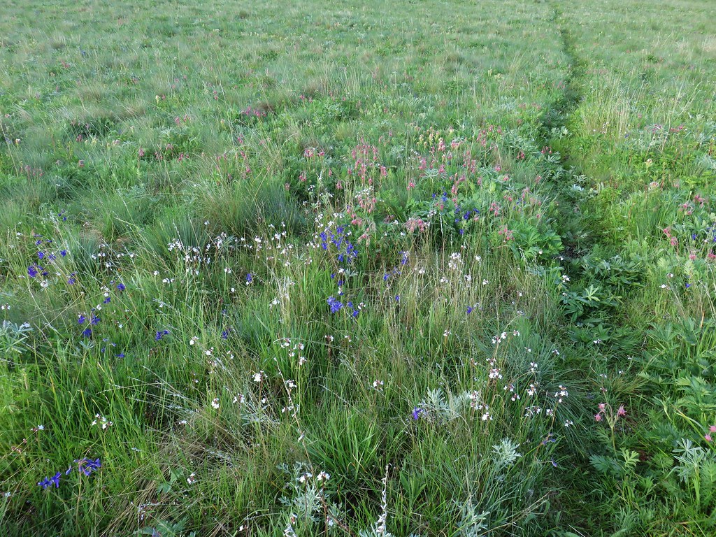
 An assortment of flowers
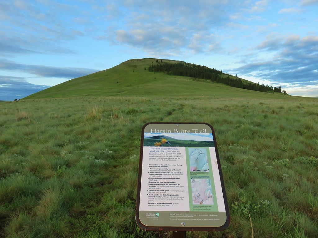
 One of the carins and the trail going up Harsin Butte in the background.

 Monument plant
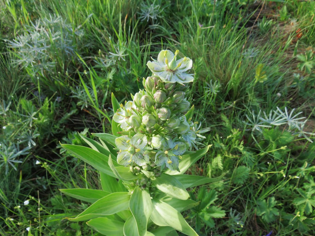 Top of the monument plant
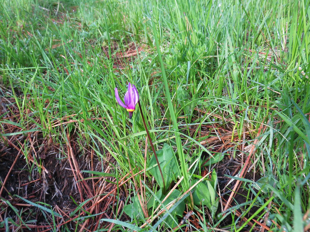 Shooting star
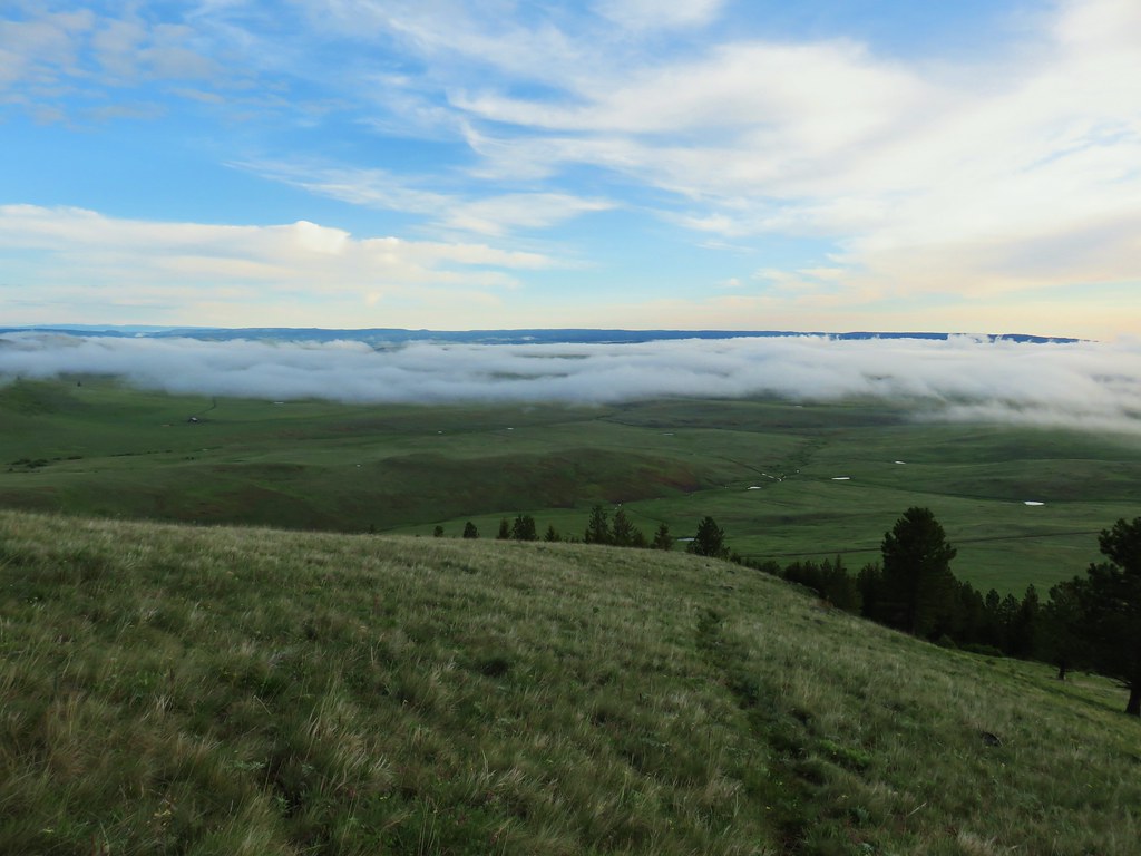 Here comes the clouds.
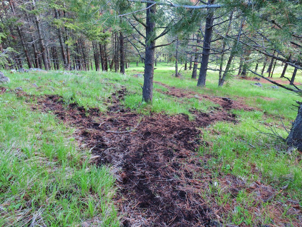
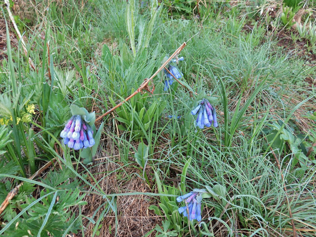 Bluebells
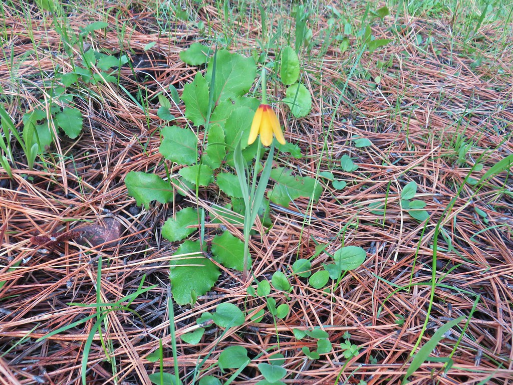 Yellow bell
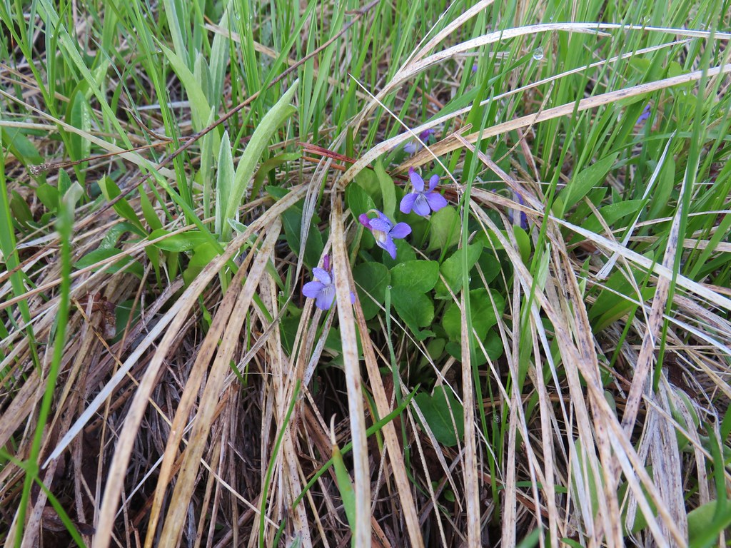 Violets
 Ball-head waterleaf






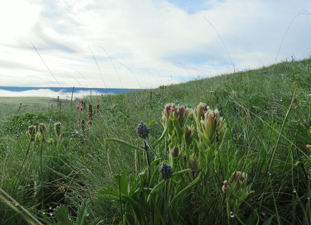




 Camas
Camas Old man’s whiskers and white-stem frasera
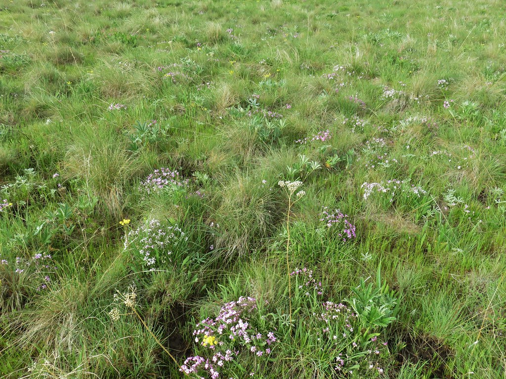 Lots of phlox
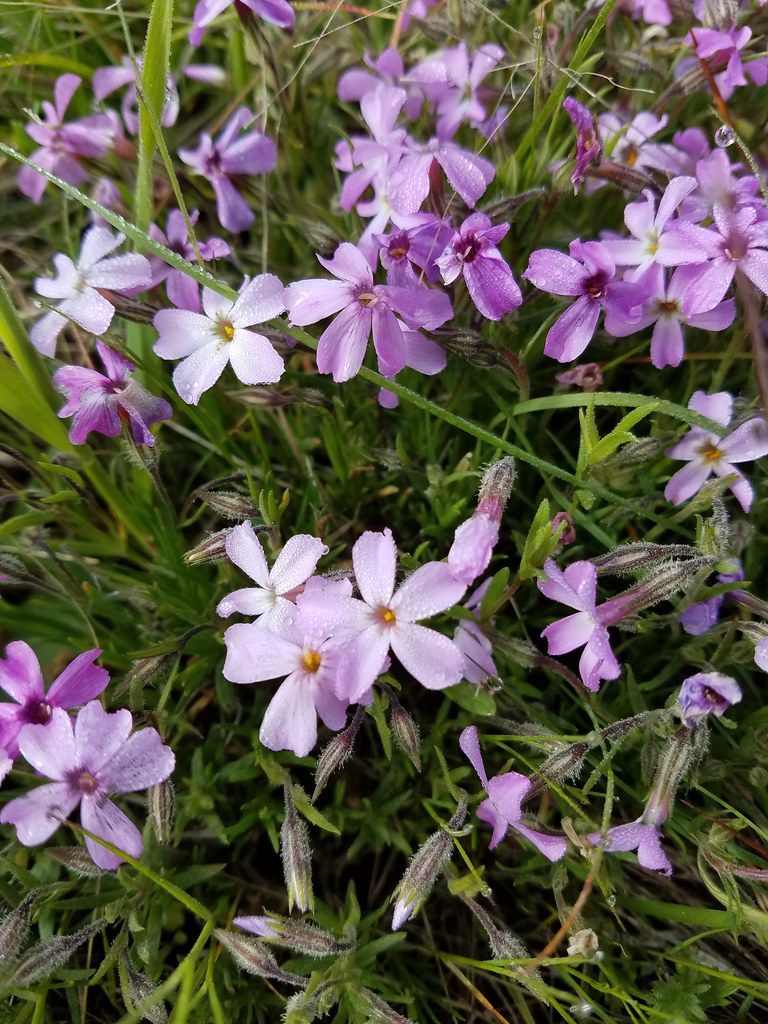 Phlox
Phlox Large head clover, larkspur, and wild onion
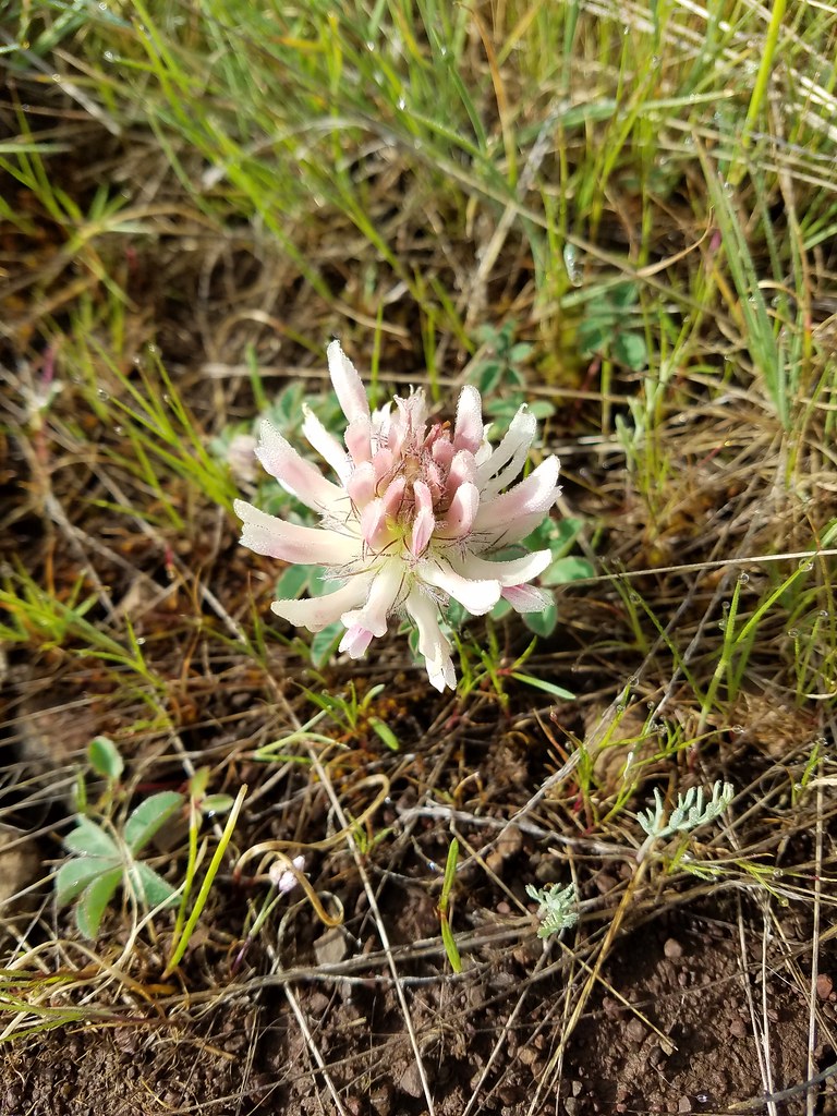 Large head clover
 Wild onion
 Duckett Barn starting to disappears as we descended.
 Possibly hoary balsamroot
 Hoary balsamroot?
 Phlox
Phlox Diffuseflower evening-primrose
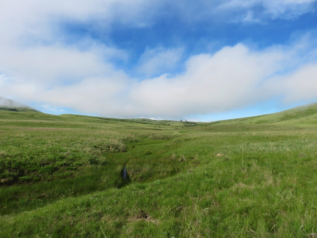 Camp Creek
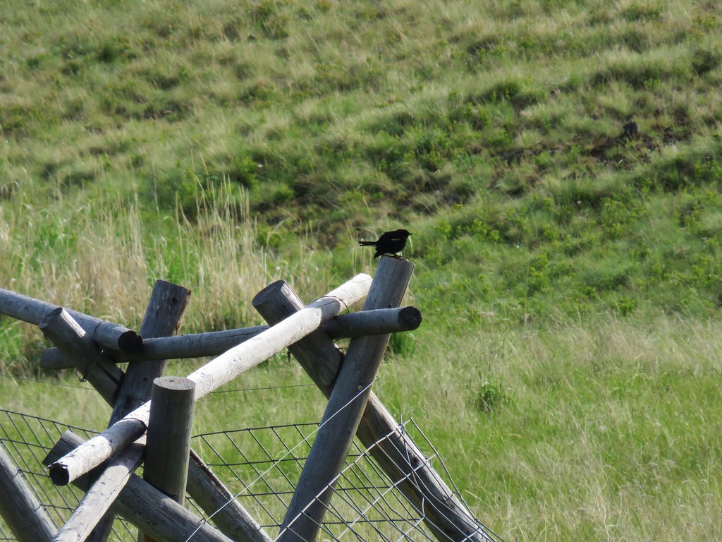

 Possibly a mustard
 White-stem frasera blooming
 Violets
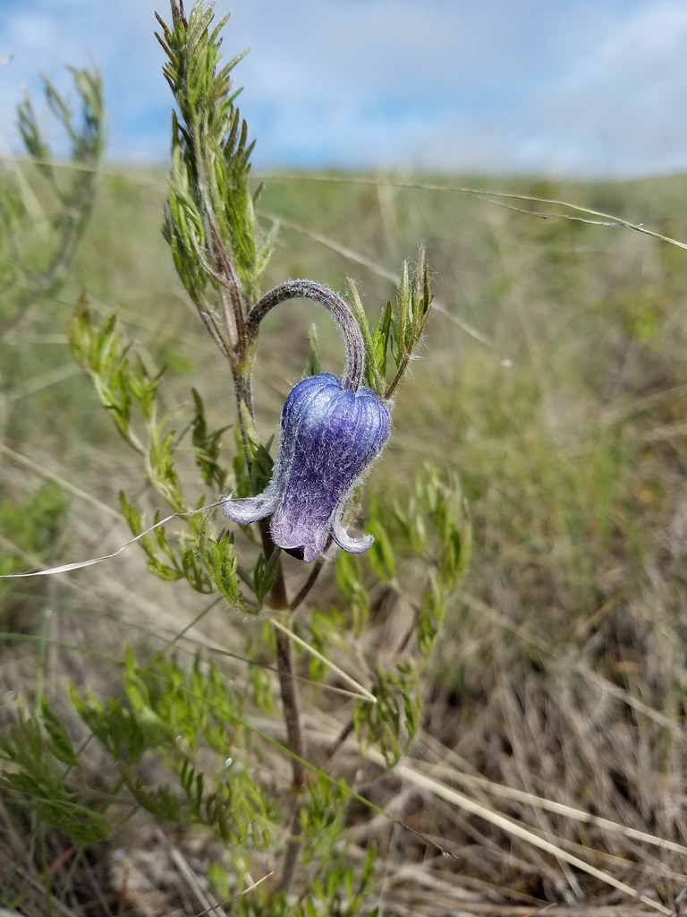 Hairy clematis
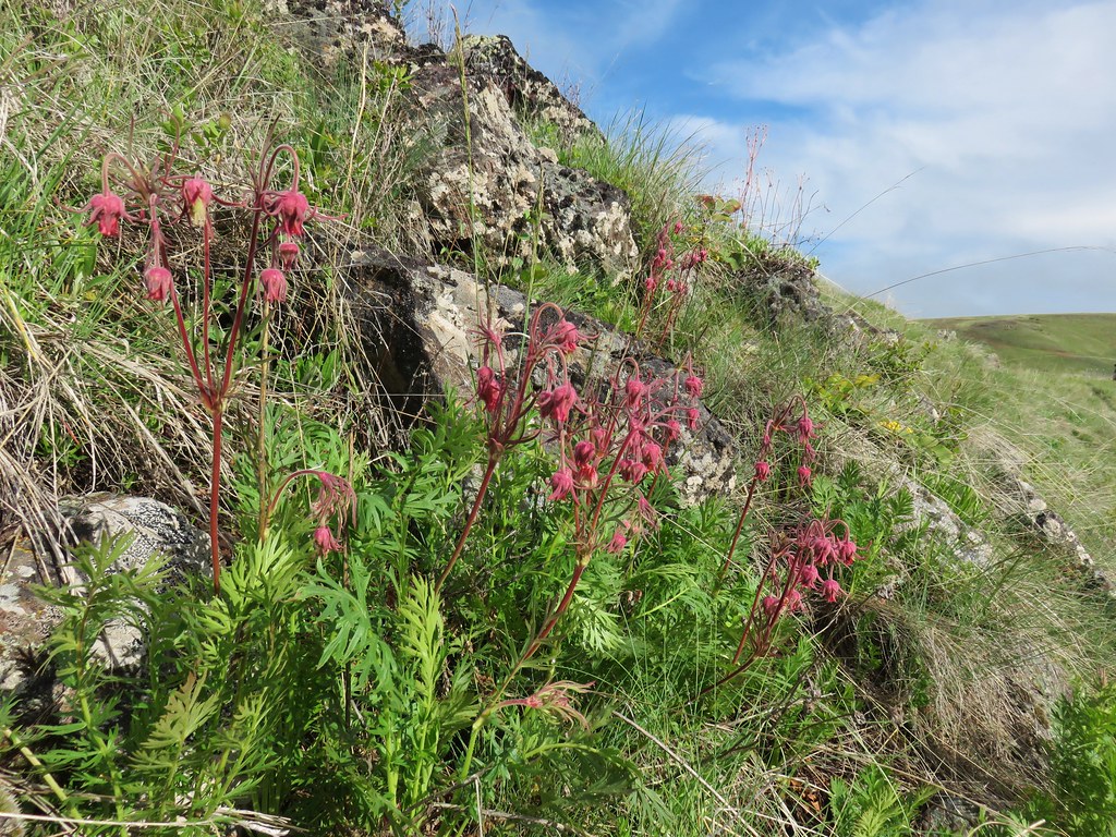 Old man’s whiskers

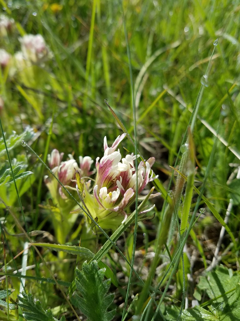 Cusick’s paintbrush
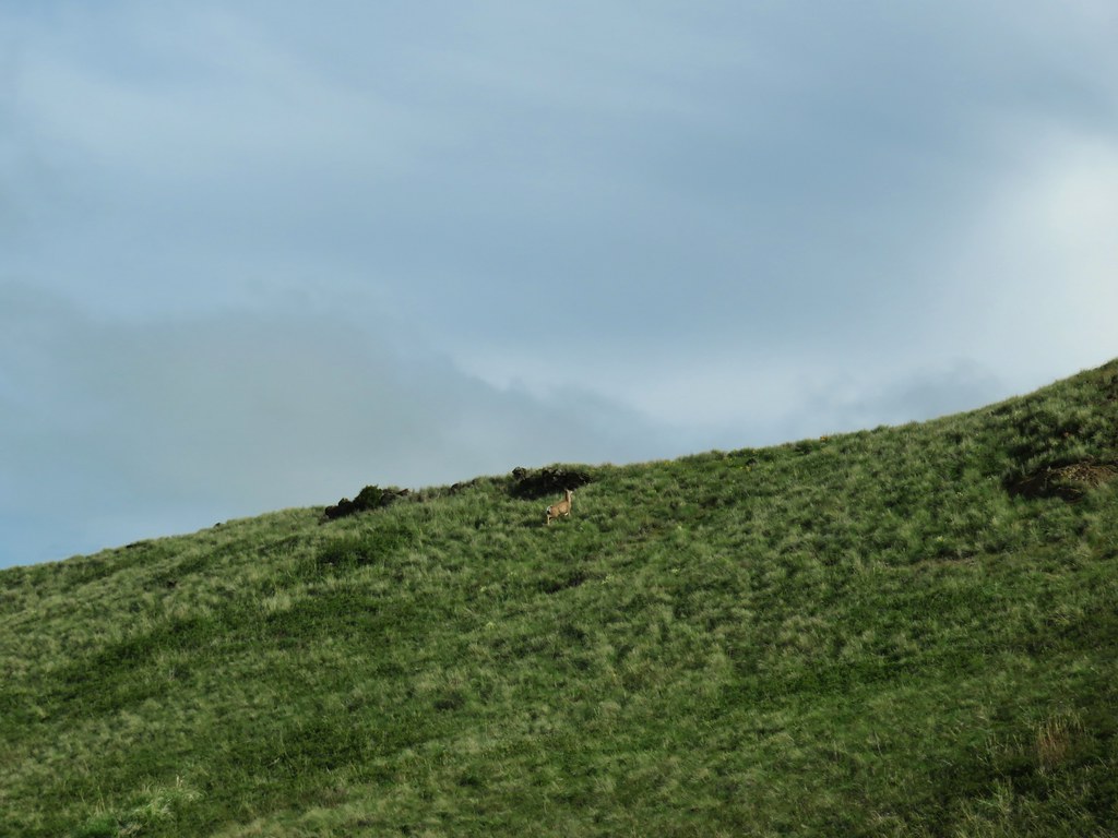








 Paintbrush and biscuitroot
 A ragwort or groundsel (I think)
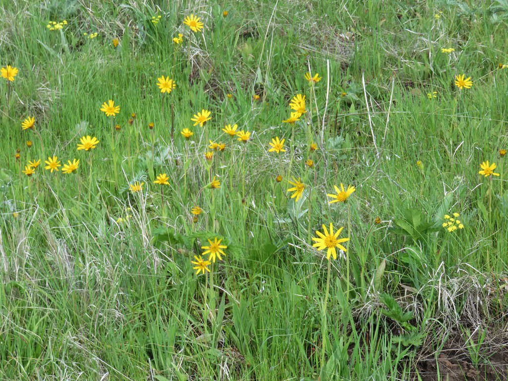 False sunflower?
 Old man’s whiskers and milk vetch
 Western stoneseed
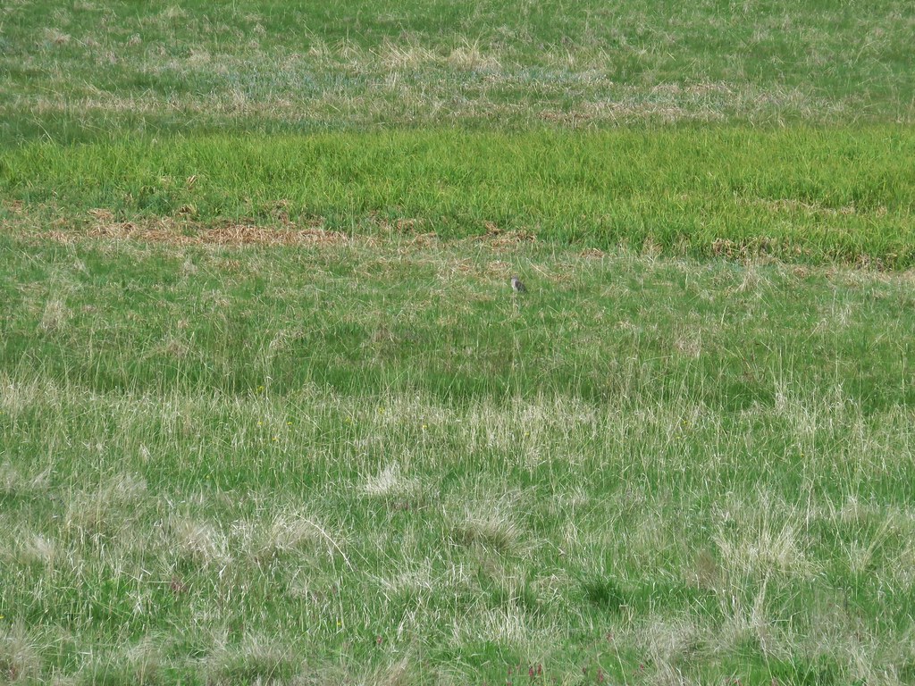
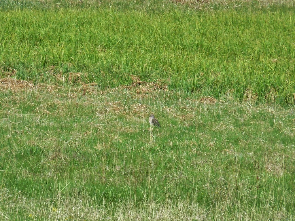
 I had to dip into the digital zoom to get this photo so it’s a bit blurry.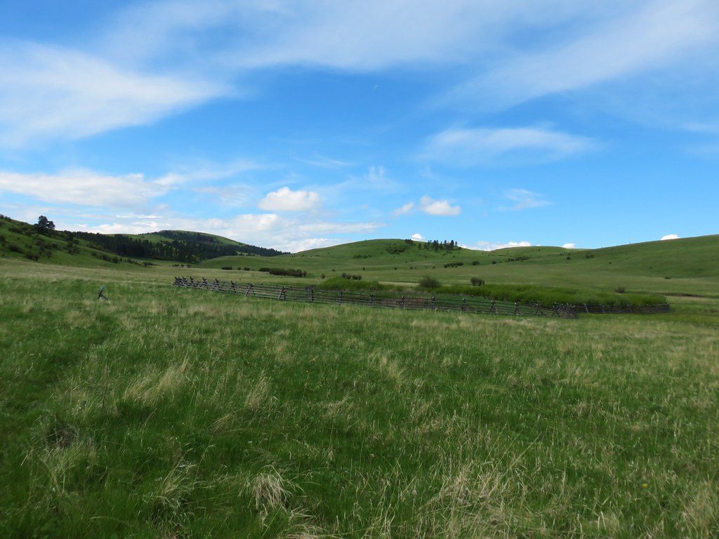



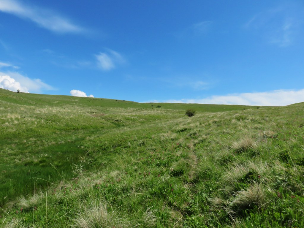
 Dwarf yellow fleabane
 Blue dicks
 Looking back down the draw.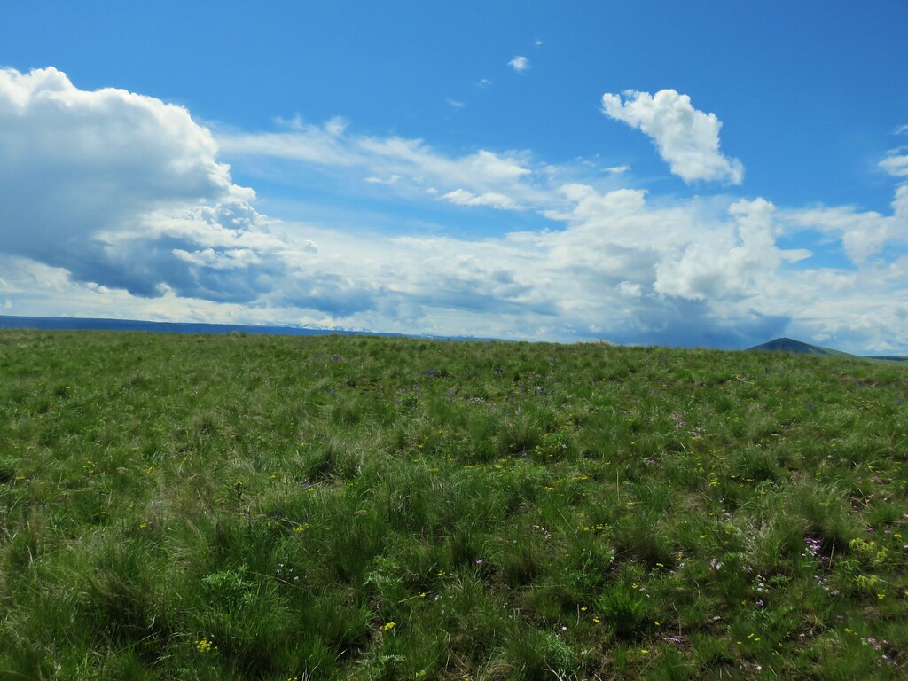
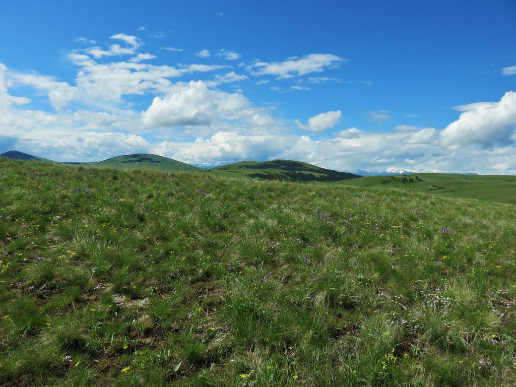


 Vetch
Vetch Spreading dogbane
 Wild rose with a beetle
 Yarrow
 Houndstongue
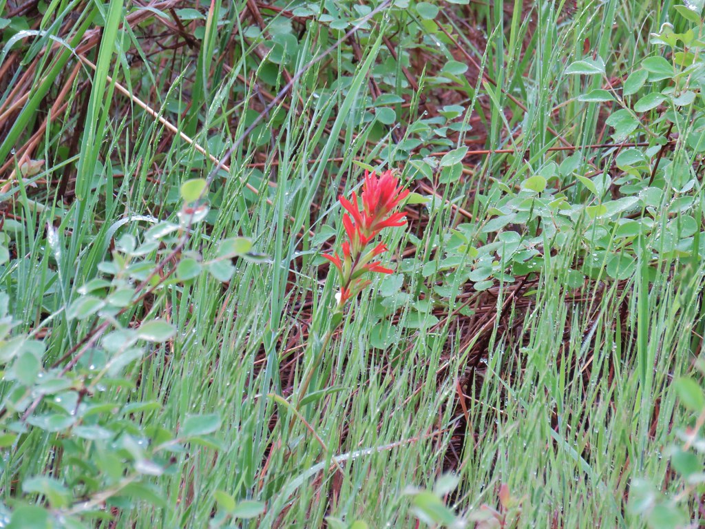 Paintbrush
 Catchfly
 sticky purple geranium


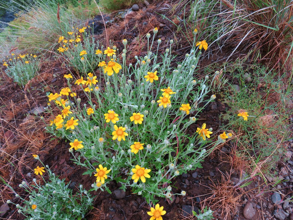 Oregon sunshine
 Monkey flower
 Watercress?
 Fiddleneck
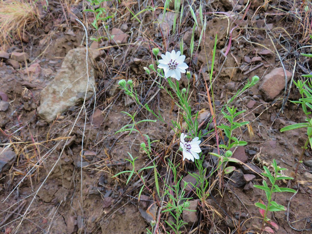 Rough eyelashweed
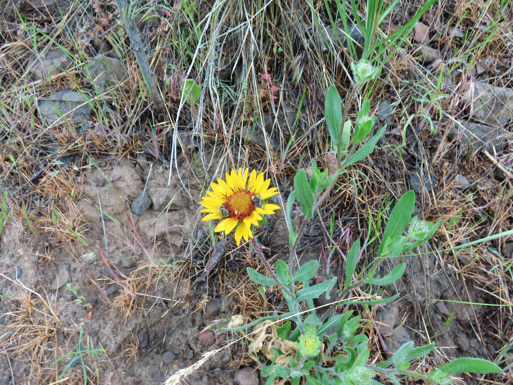 Blanket flower with two sleeping bees
 Yellow breasted chat
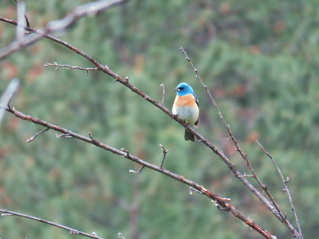 Lazuli bunting


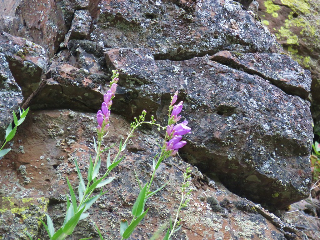 Penstemon
 Clarkia
 Phlox
Phlox More spreading dogbane
 Buckwheat
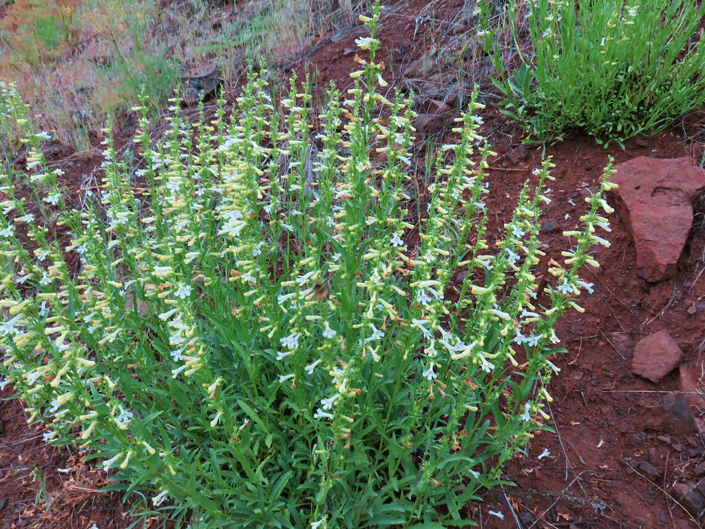 Scabland penstemon
 Cinquefoil?


 Woodpecker with a snack.
 Northern flicker
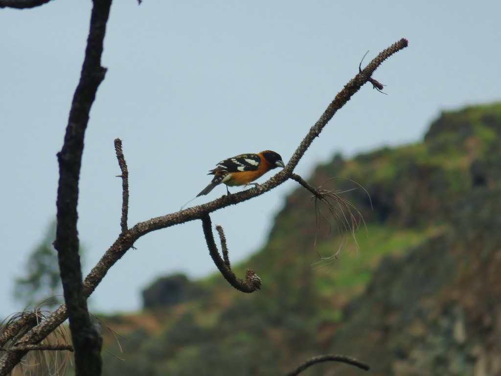 Black headed grosebeak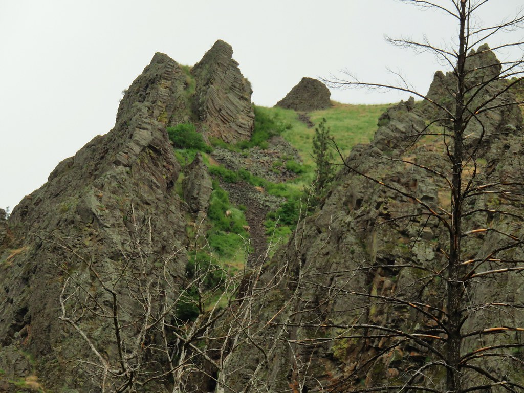
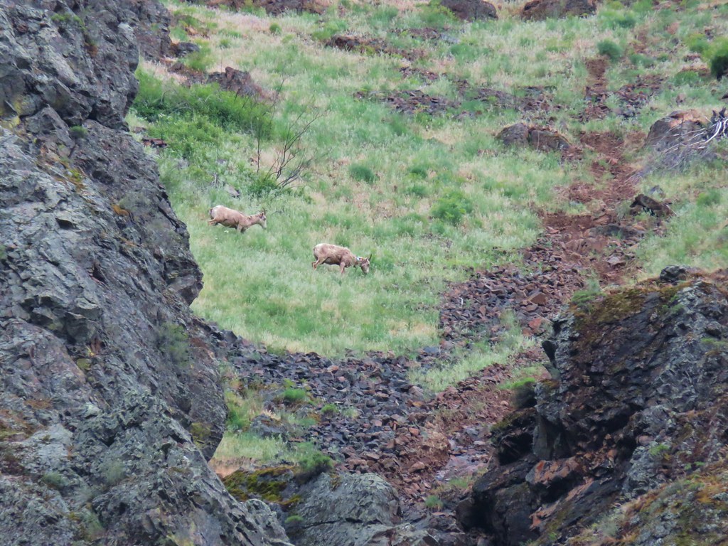
 Blue dicks with a beetle
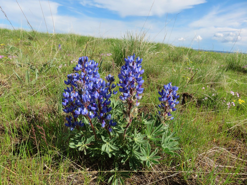
 Lupine
 Salsify
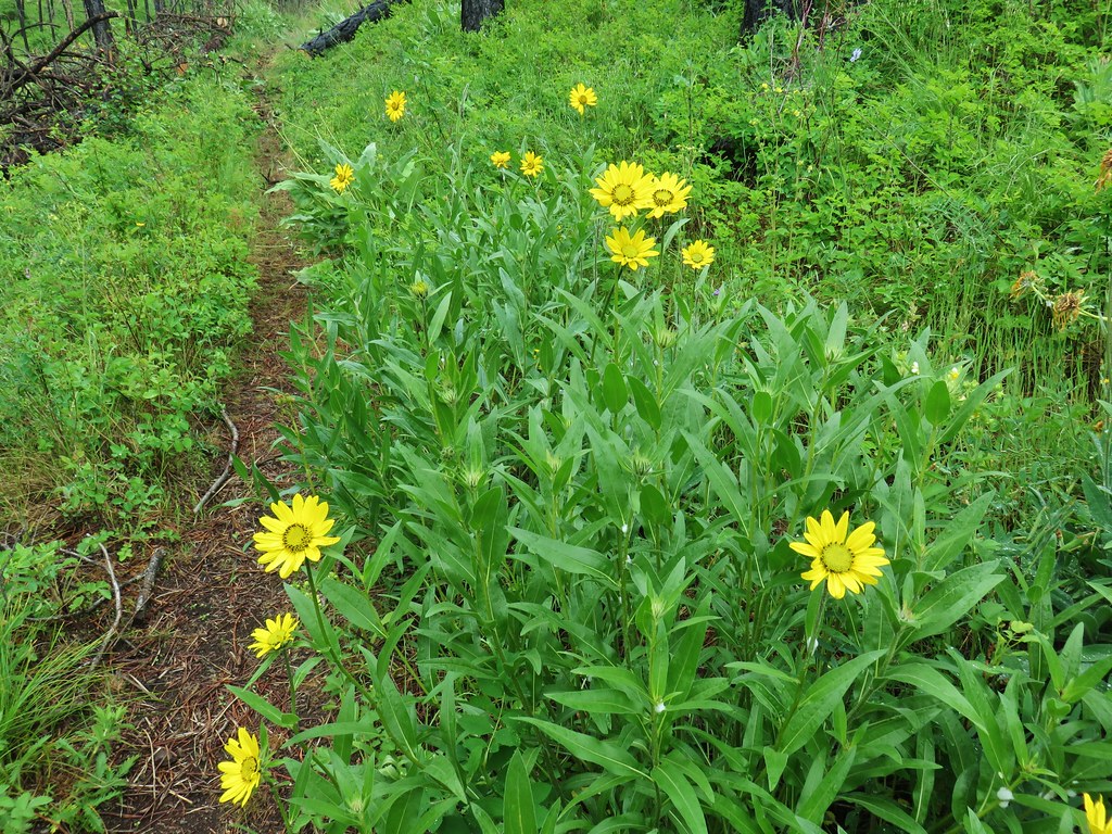 False sunflowers
 Balsamroot
 Clarkia with beetles
 View from the ridge end.
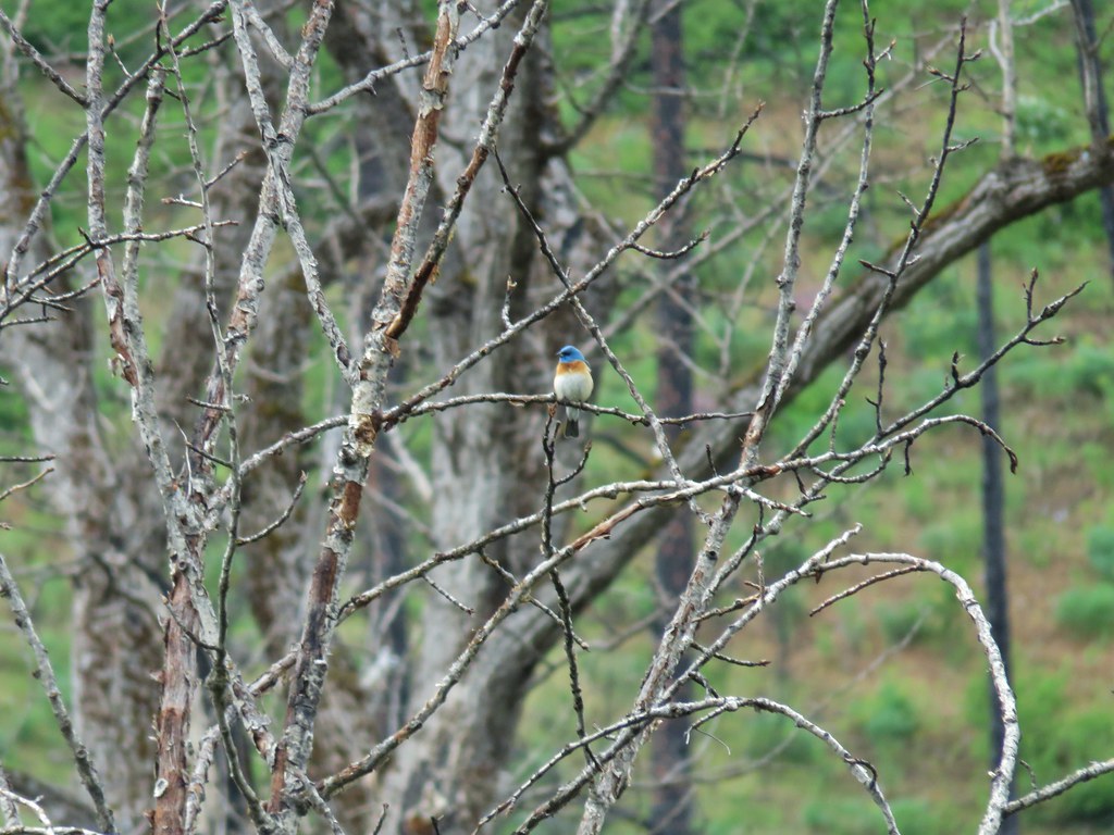 Another bunting
 Wallflower
 Another chat


 Geranium

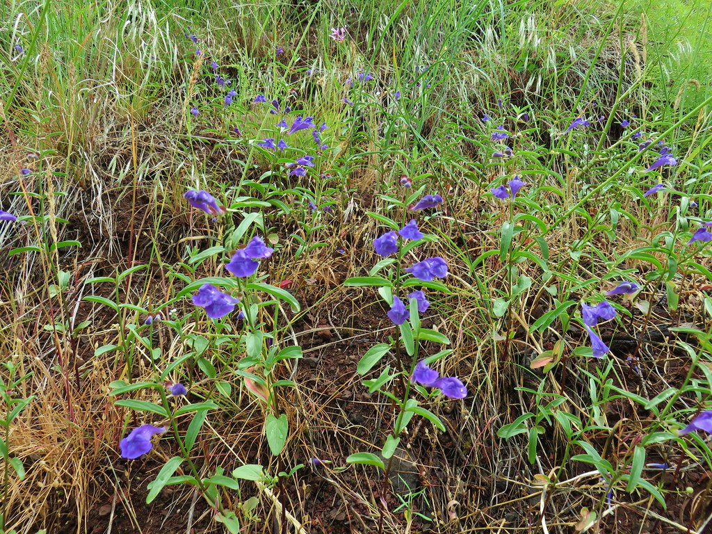 Skullcap
 Stream globemallow
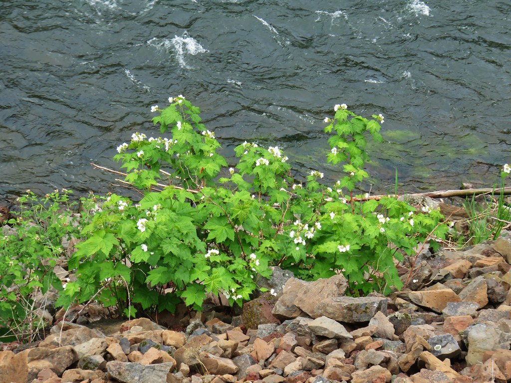 Thimbleberry
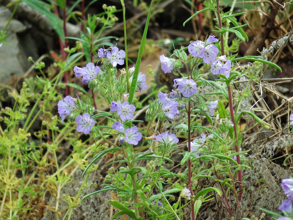 Threadleaf phacelia
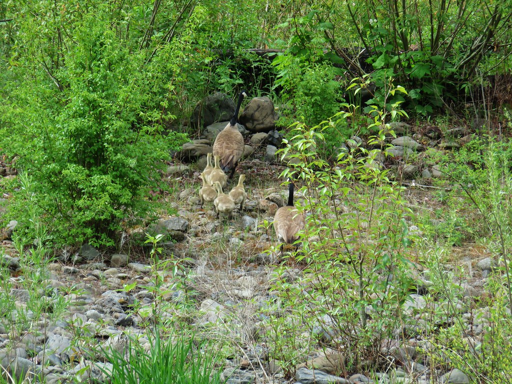


 Officially inside the wilderness
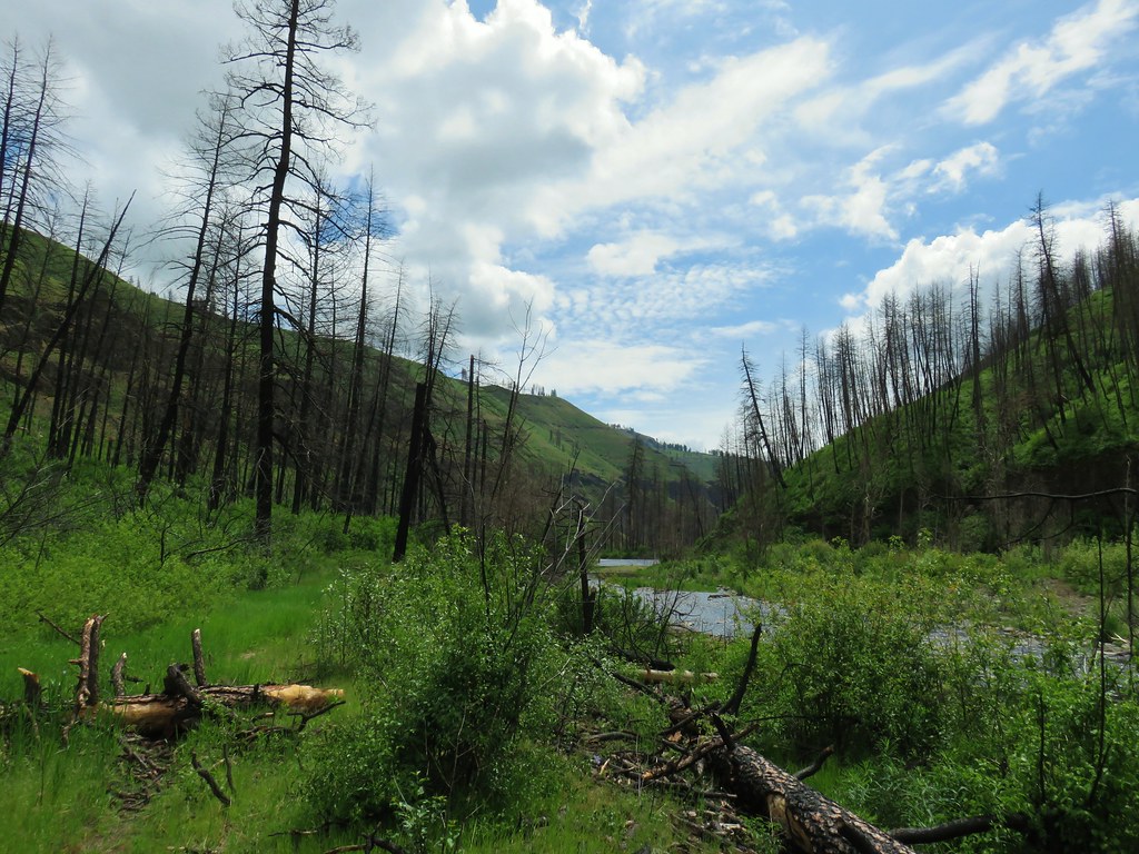 Blue sky
 Wren
Wren Spider and blue dicks
 Old man’s whiskers
 Wild onion



 The bees woke up at some point.




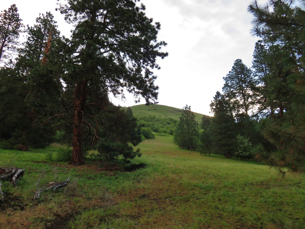 (The black dot in the center of the hill is one such cow.)
 Western stoneseed
 Prairie stars
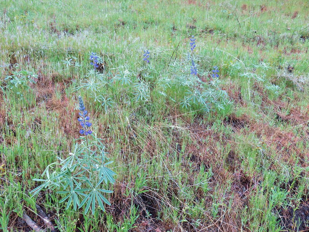 Lupine
 Heather emerging from the brushy section.

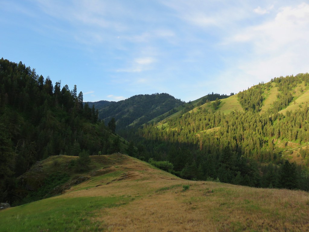

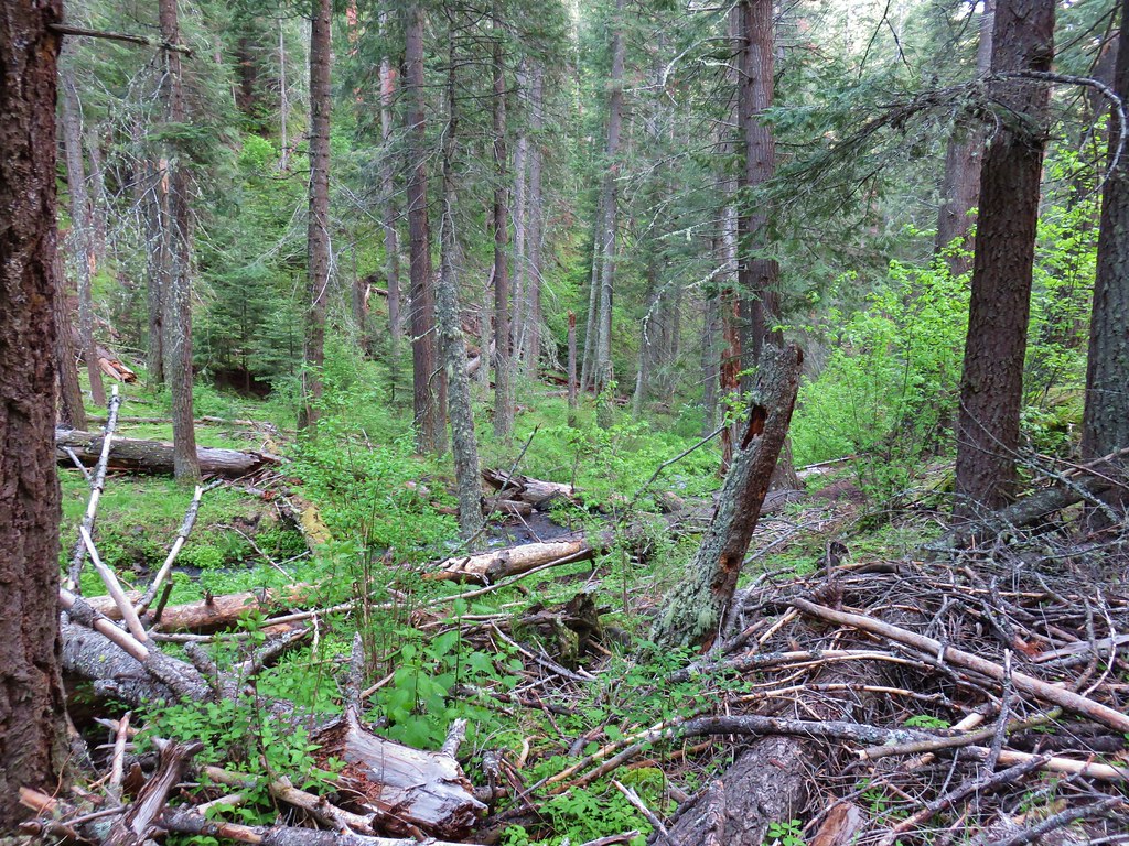


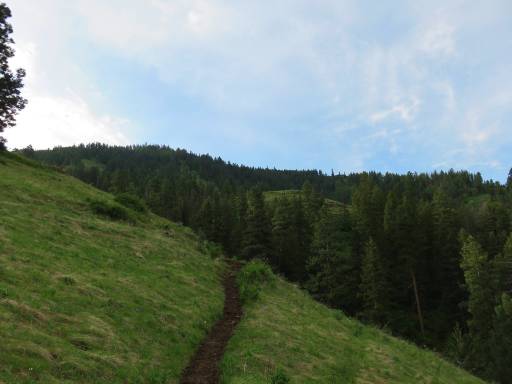
 Blue Dicks
 Balsamroot
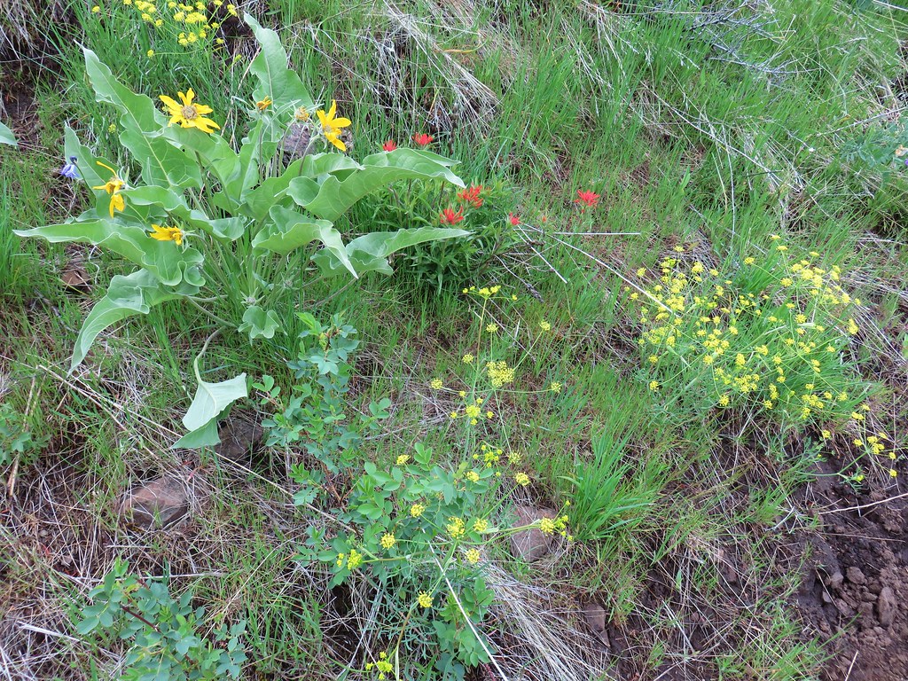 Balsamroot, paintbrush and biscuitroot



 Larkspur and monkeyflower
 Paintbrush
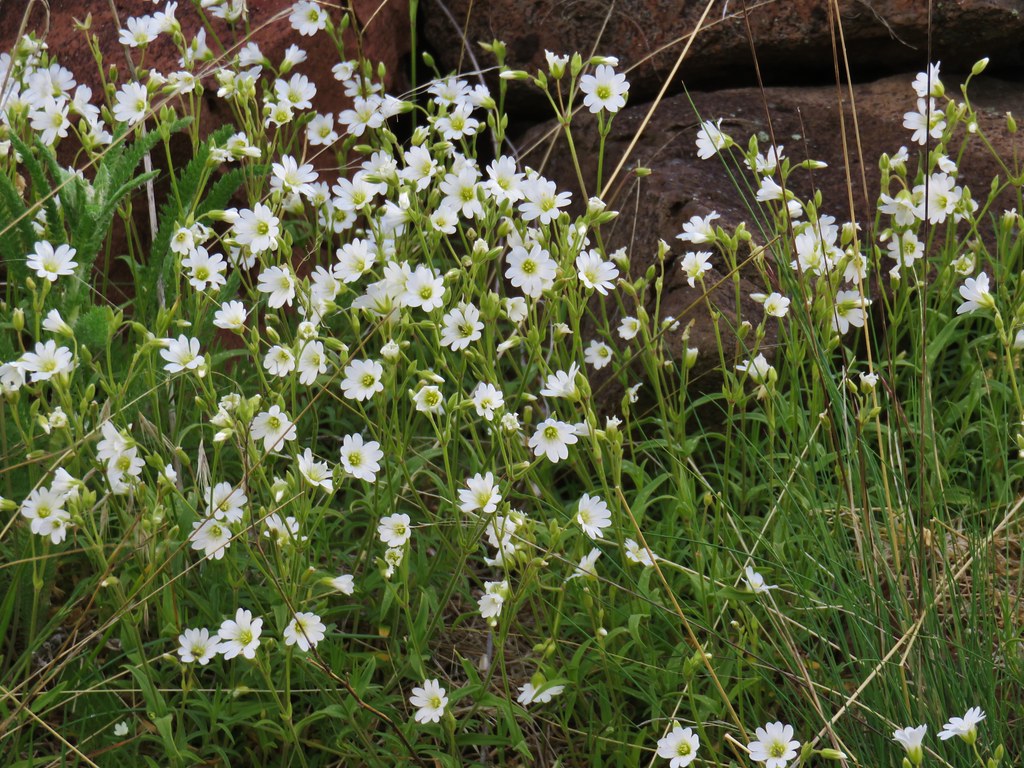 Chickweed
 Possibly going to be a penstemon
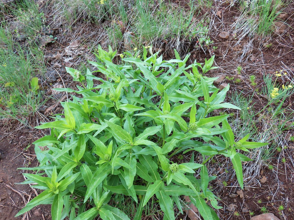 Unkown
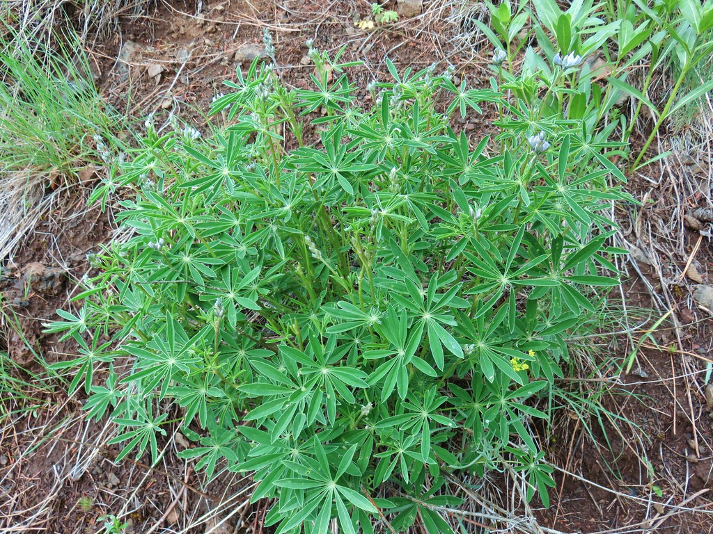 Lupine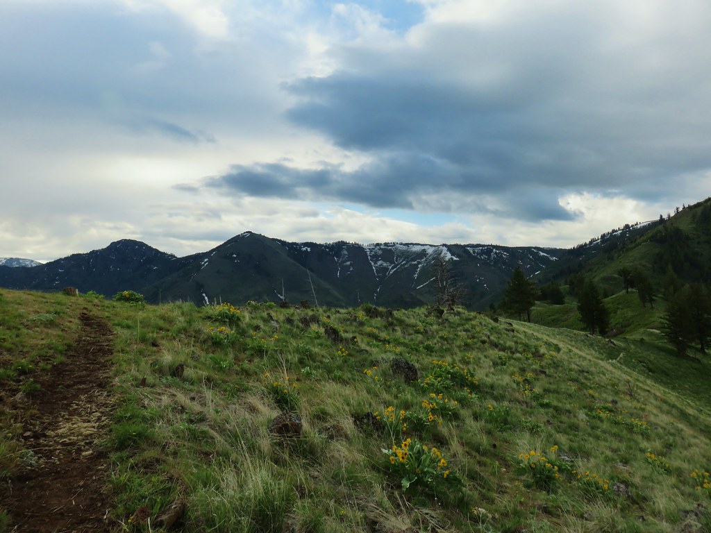

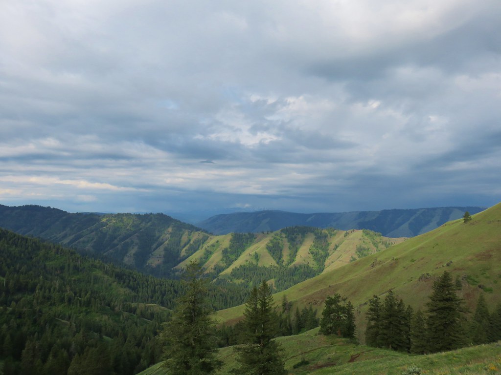 West to the quickly vanishing Wallowa Mountains.
 North
North South
South East into Hells Canyon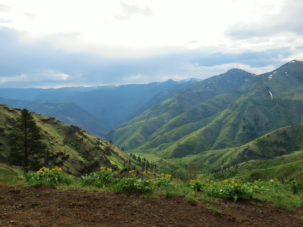
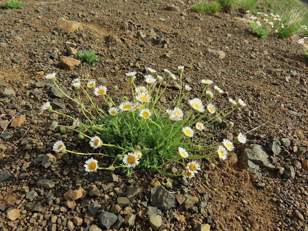 Cutleaf daisy
 Largehead clover








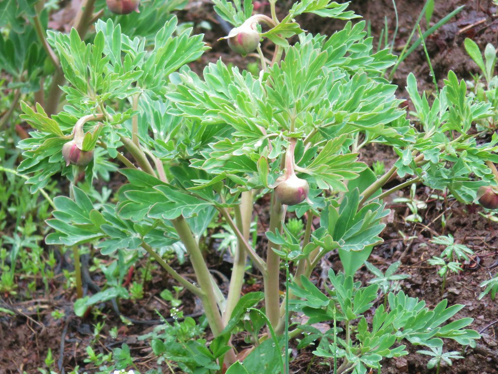 Brown’s peony getting ready to bloom.
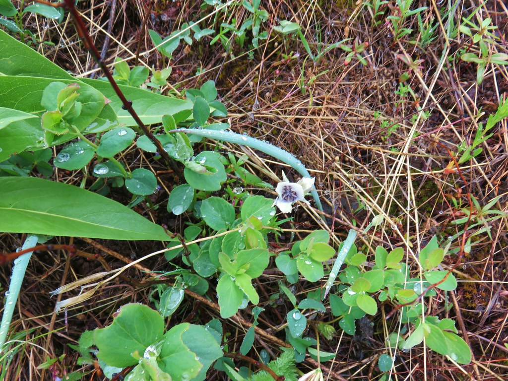 Mariposa lily starting to open.


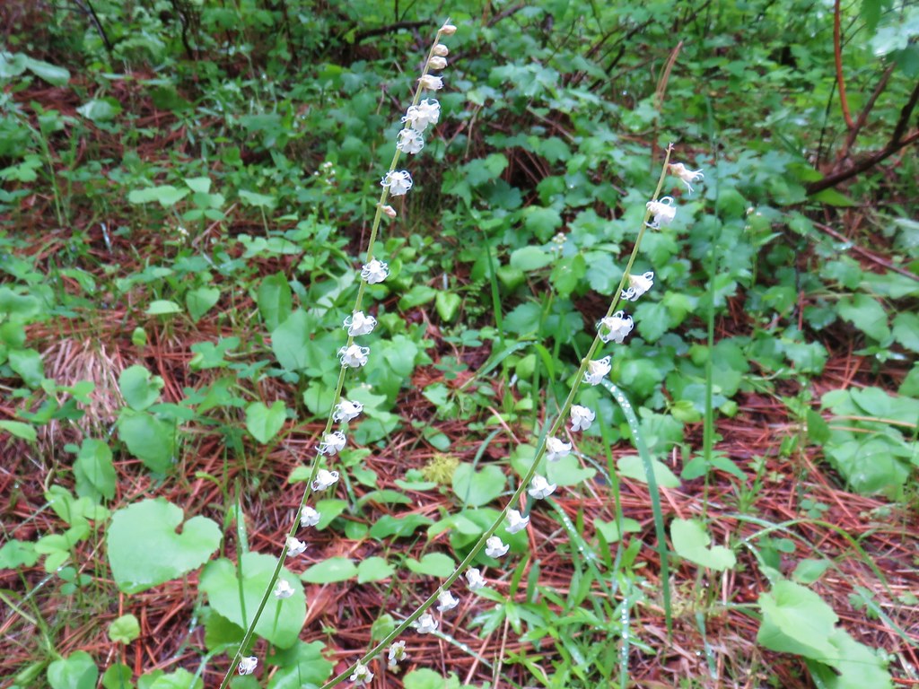 Small flower miterwort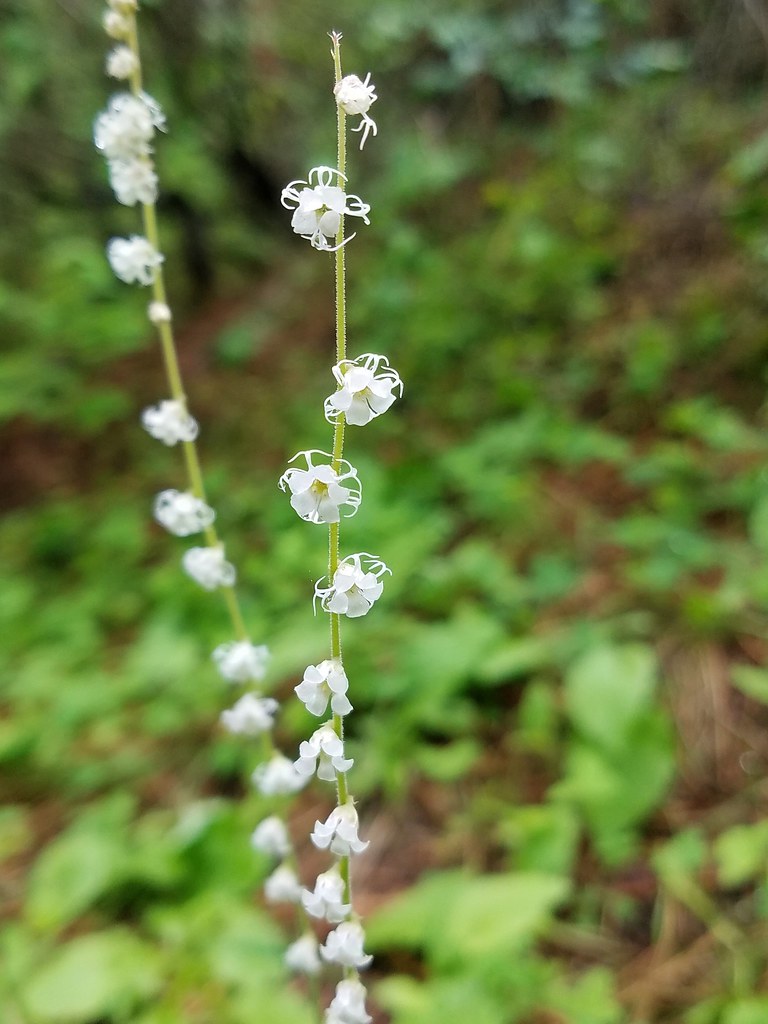

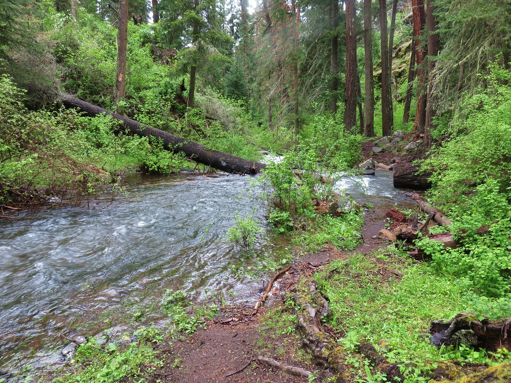
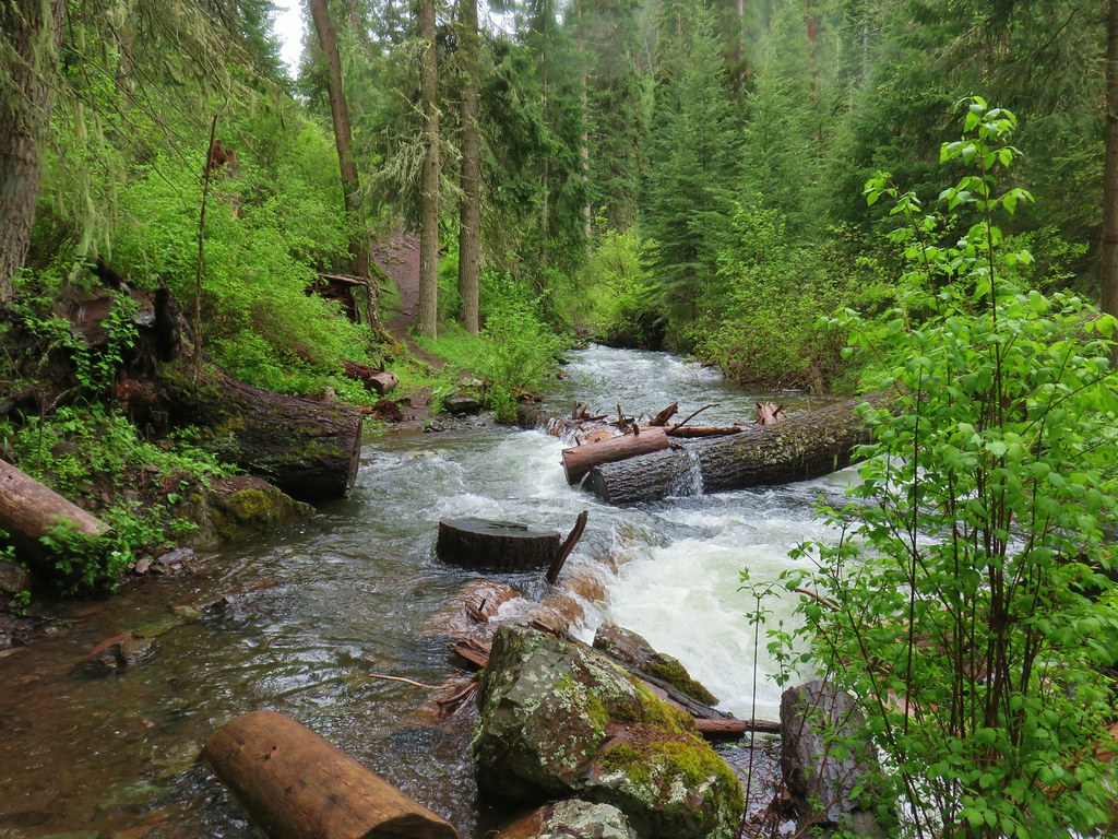


 Yarrow


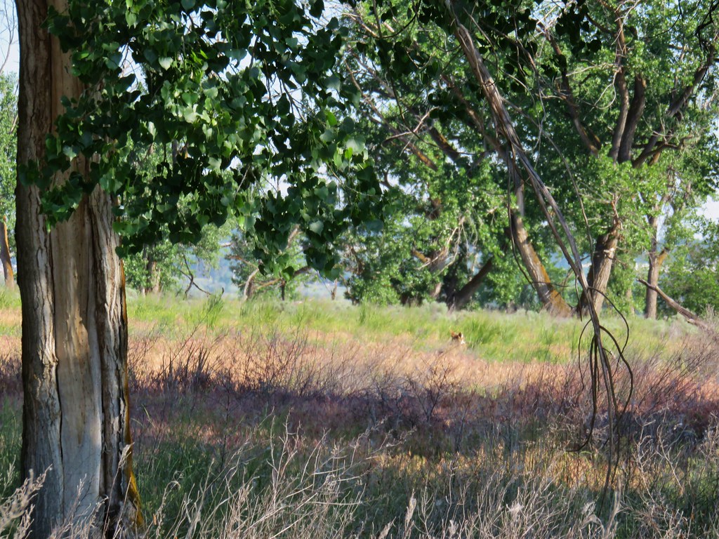 First coyote in the grass.
 Second coyote racing off through the grass.
 One of the deer running off.
 Great blue heron flying off.
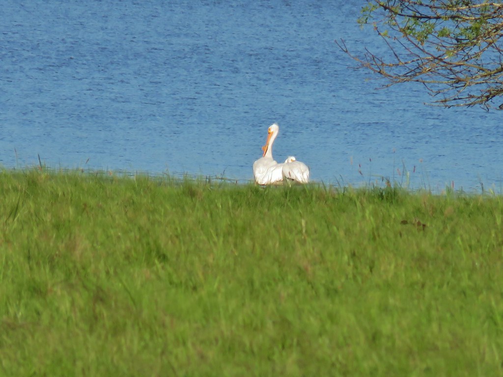
 White pelicans circling overhead.

 Bald Eagle
 Wild Rose
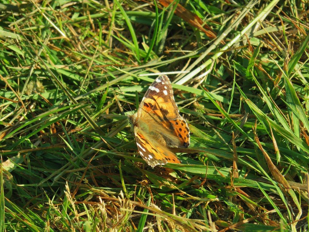
 Butterfly
 Killdeer
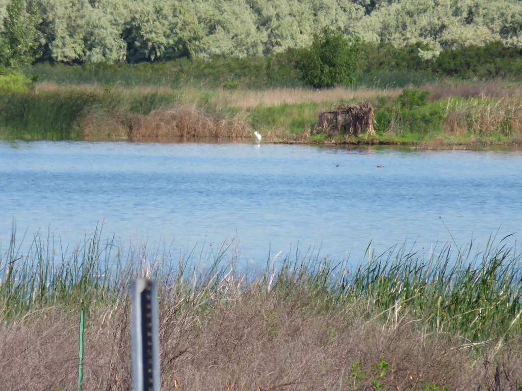 An egret on the other side of the slough.
 Sagebrush lizard
 Another butterfly
 Deadly Nightshade
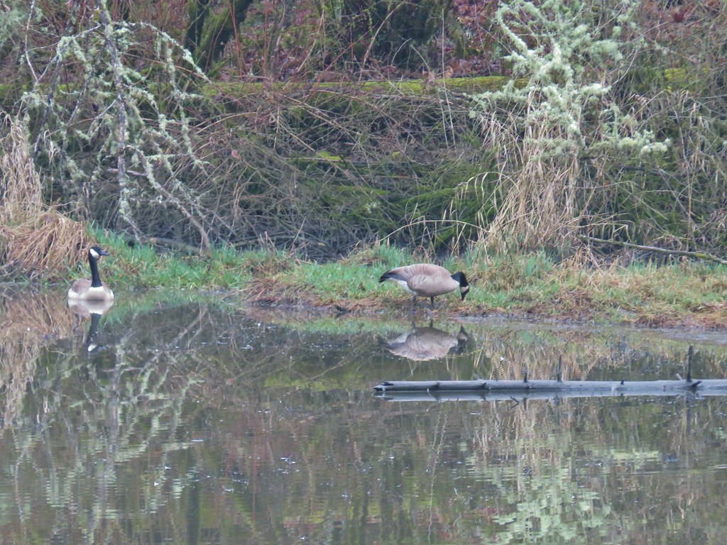
 A goose in the reeds.
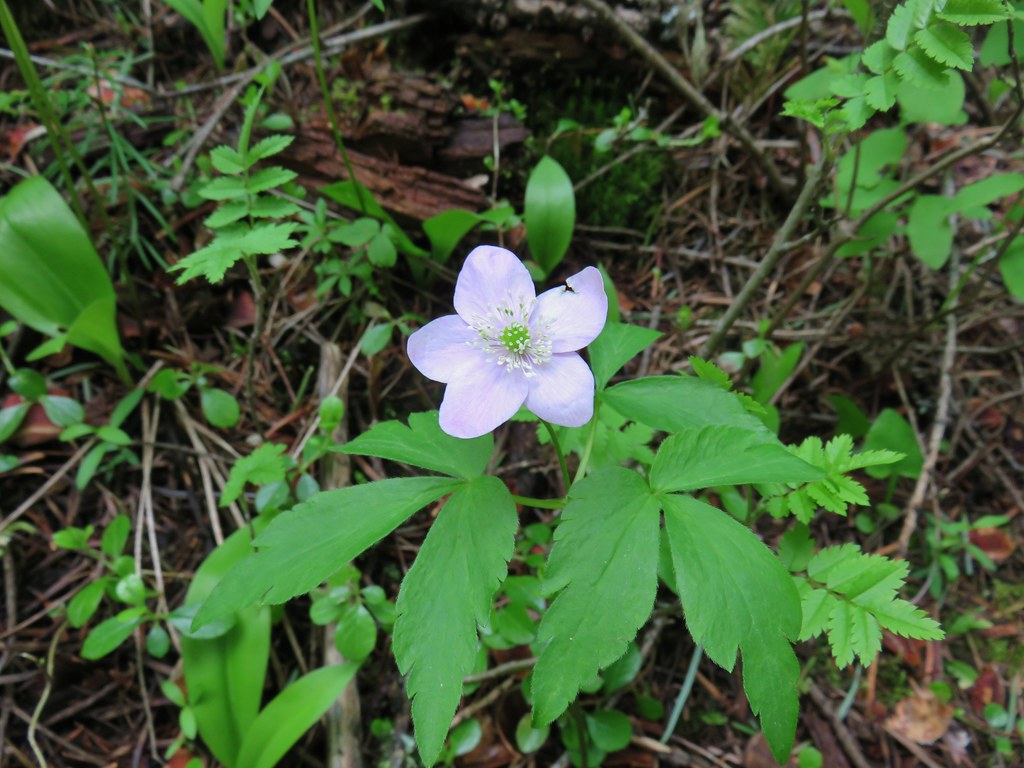 Anemone
 Fairyslipper
 Arnica



 Bluebells
 Prairie stars
 More rock clematis
 Paintbrush
 Larkspur
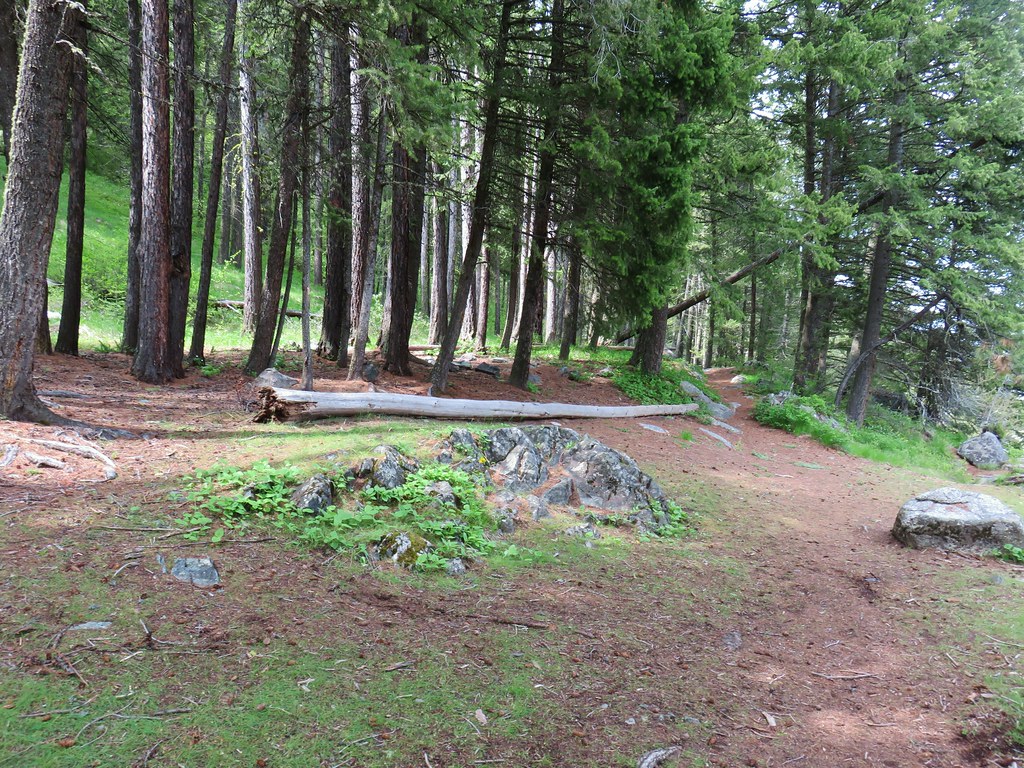 Area near the viewpoint.
 Looking further into the Wallowas.
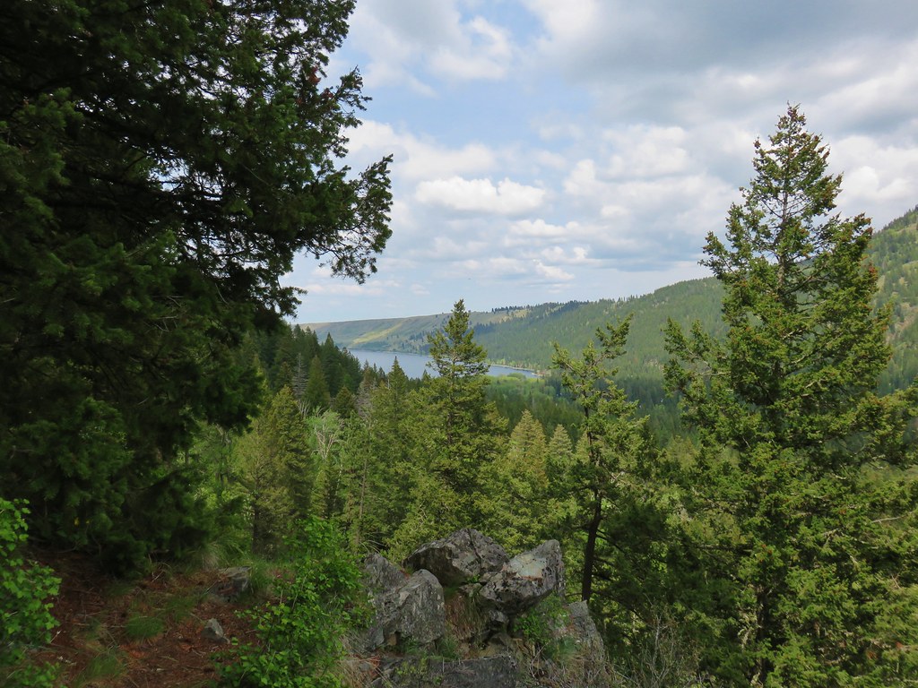 Wallowa Lake




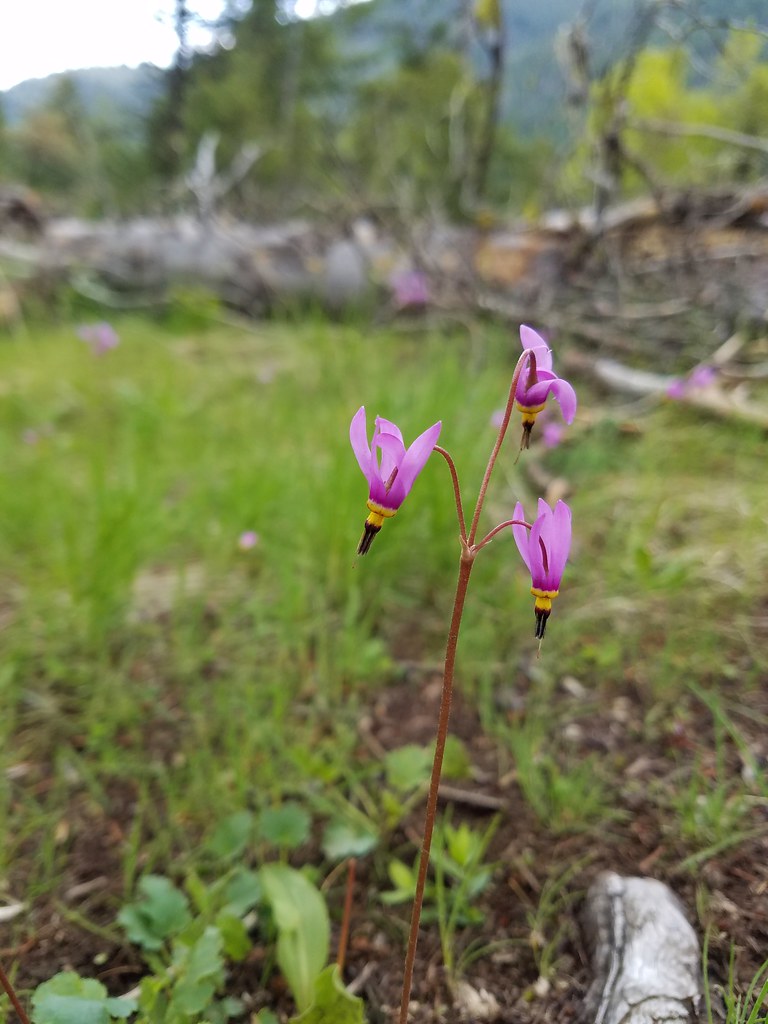 Shooting star
 Old man’s whiskers
 Possibly a checkermallow
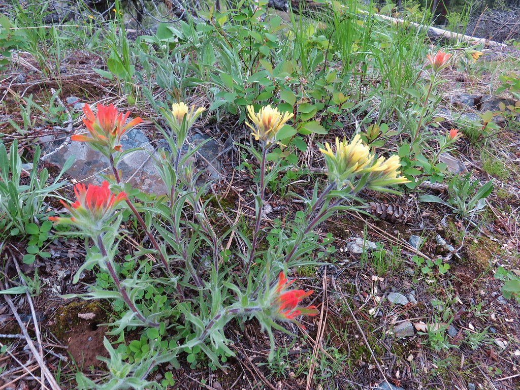 Paintbrush






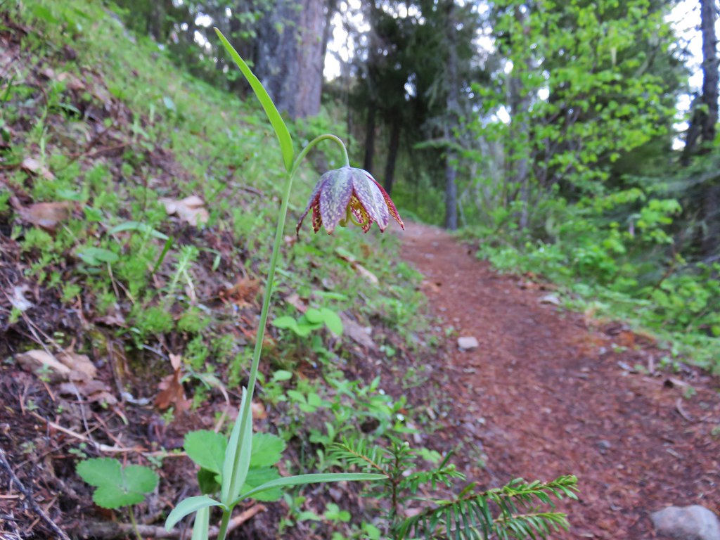 Chocolate lily
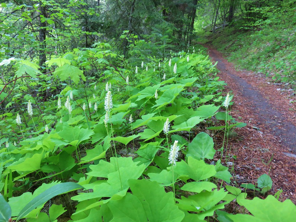 Vanilla leaf
 Columbia windflower (anemone)
 Red flowering currant
 Ball-head waterleaf
 Dogwood (and a crab spider)
 Arnica
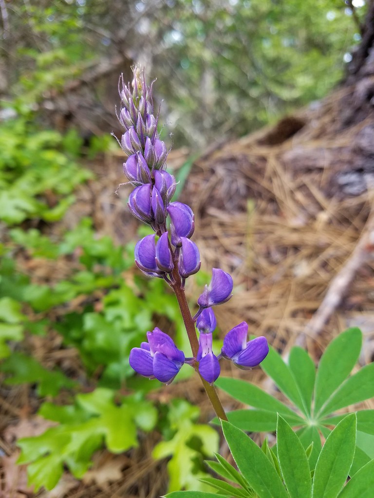 Lupine
 Lupine yet to bloom
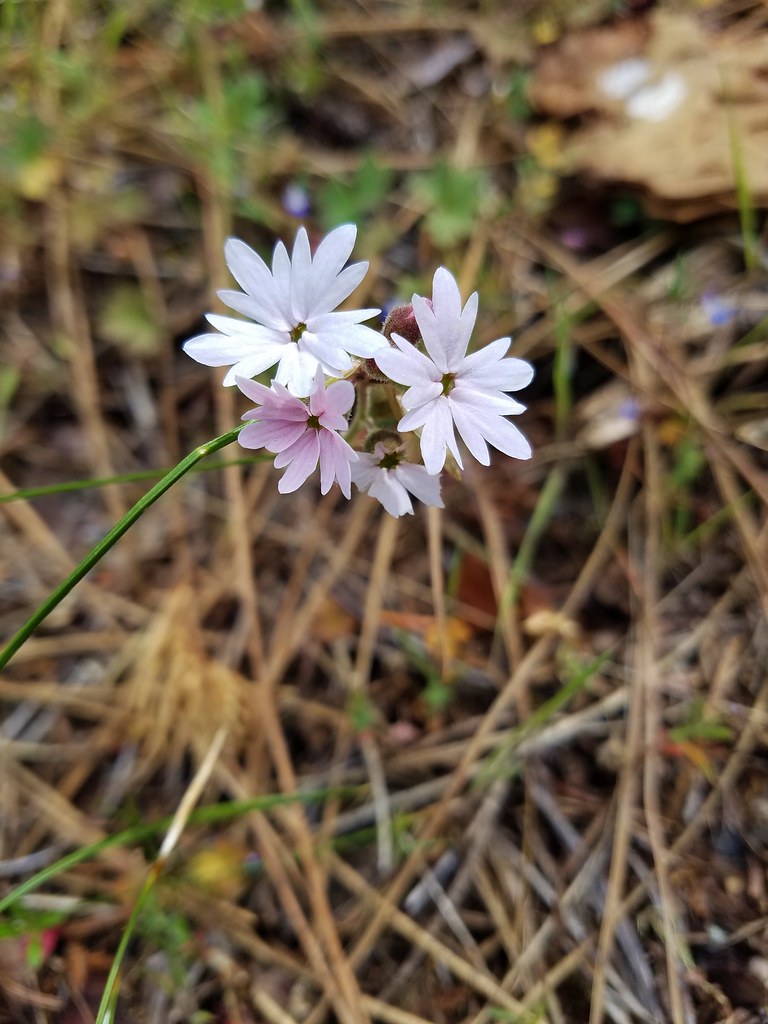 Woodland stars
 Larkspur with biscuitroot in the background
 Fairy slippers
 Indian paintbrush
 Popcorn flower
 Sandwort
 Sticky blue-eyed mary
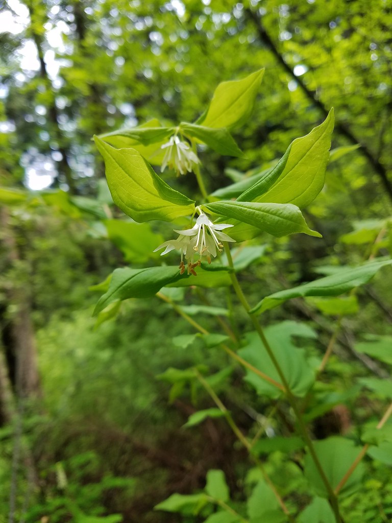 Hooker’s fairy bells
 Solomon’s seal








 Penstemon
 Phlox
Phlox



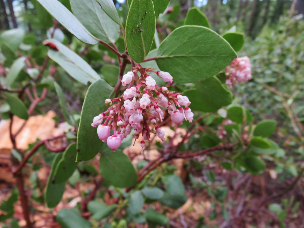 Manzanita
 A currant
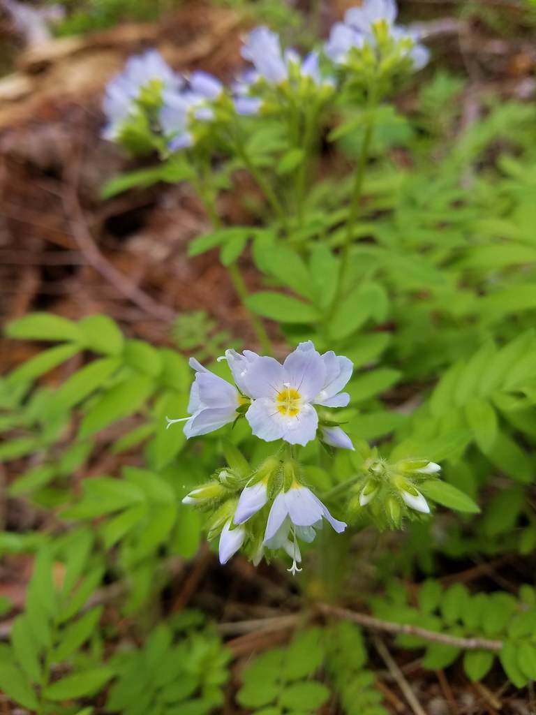 Jacob’s ladder
 Popular tree


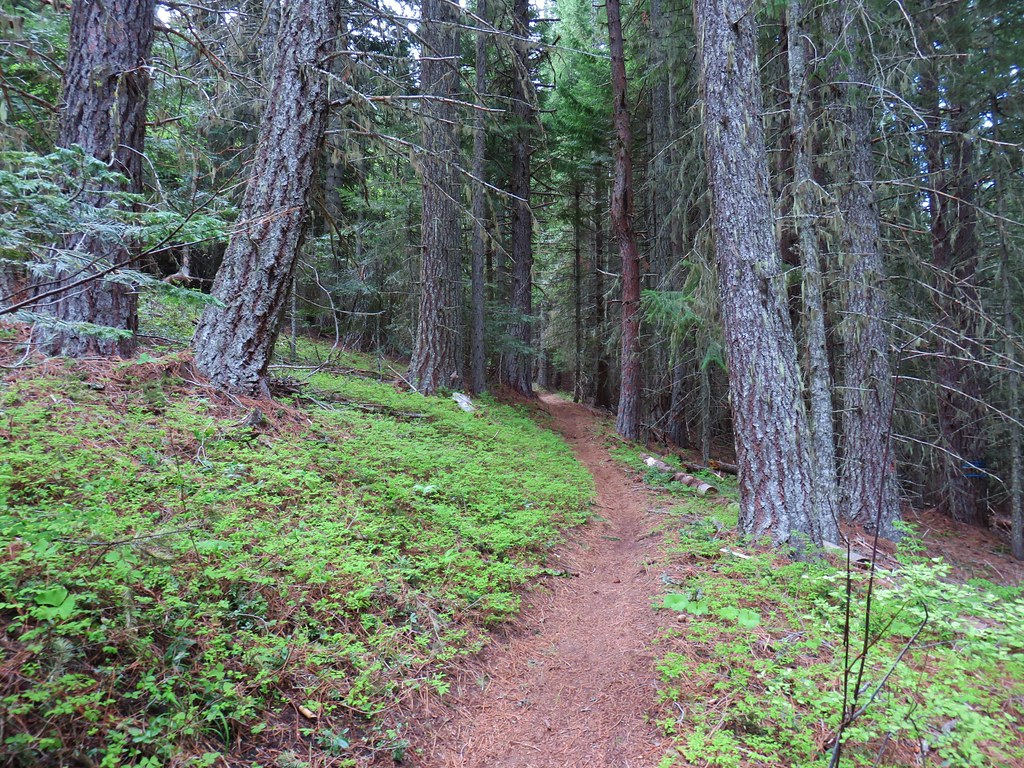

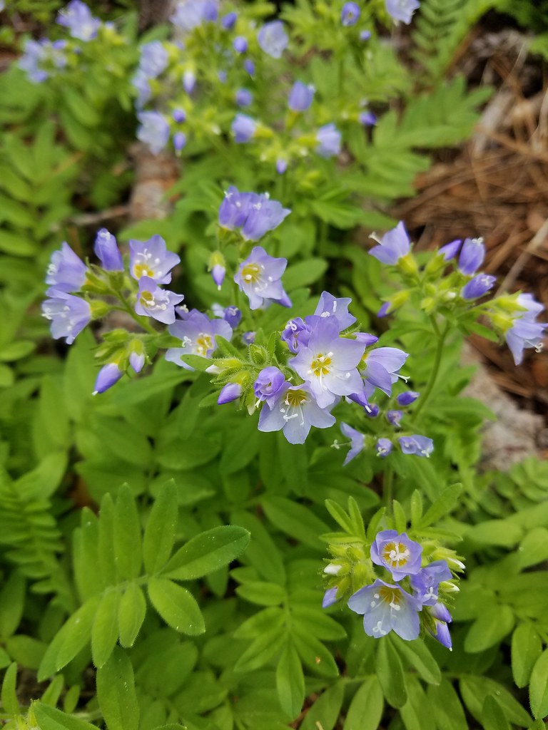 There was quite a bit of Jacob’s ladder along this stretch of trail.
 Oregon anemone
 Forest Road 620.


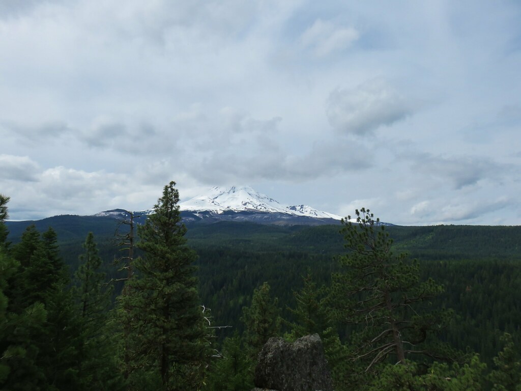
 A still cloudy Mt. Hood
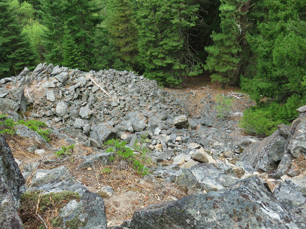 Looking down the talus slope with the Dog River Trail visible between the trees to the right.









 Black-headed grosbeak


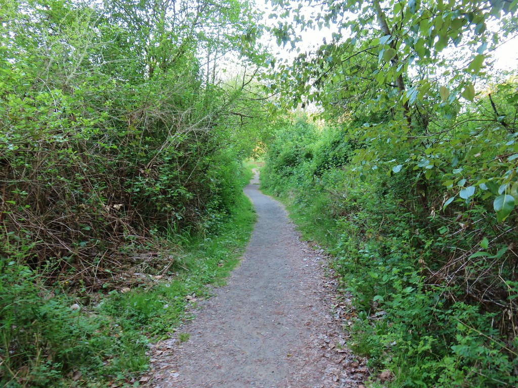

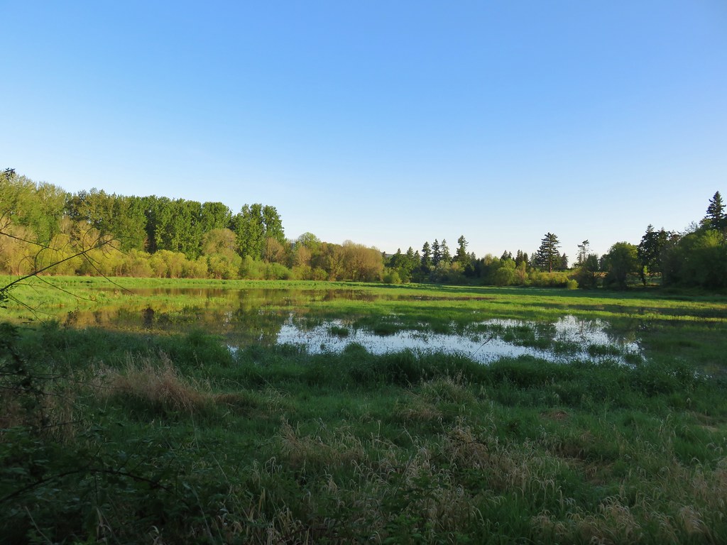
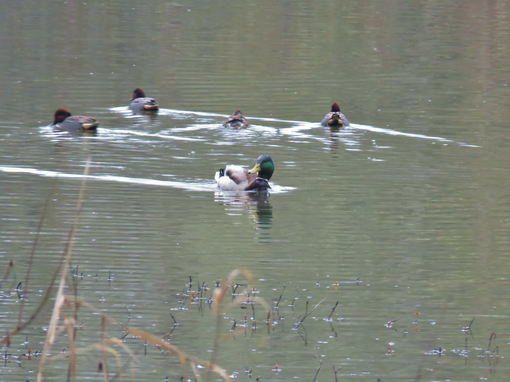
 Mallards with a great blue heron in the distance.
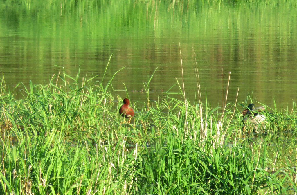 Cinnamon teal and a mallard
 Pied-billed grebe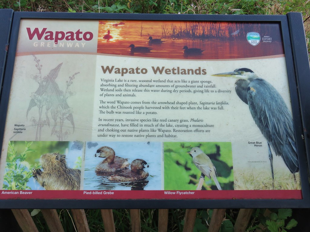



 Looking back at the gate.

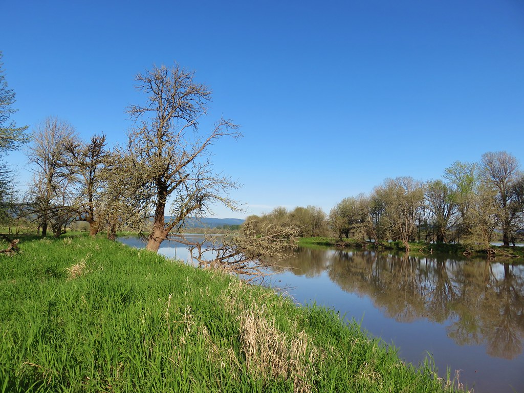 Looking toward Steelman Lake from the Narrows.
 The Narrows. Another lake, Mud Lake, is on the other side of the trees.
 Mt. Adams (it is really there)
 Mt. St. Helens


 Mt. St. Helens and an Osprey nest.
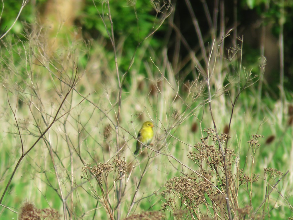 Female
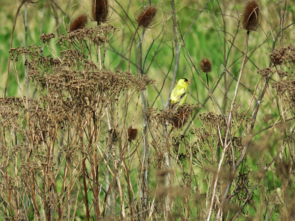 Male
Male
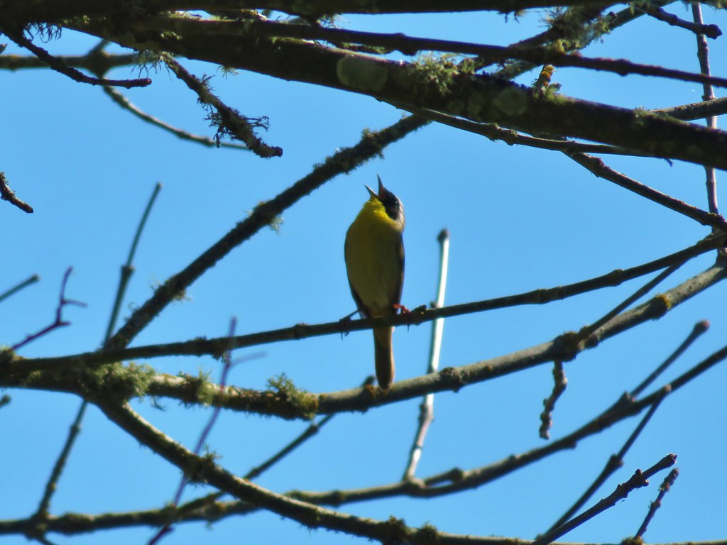
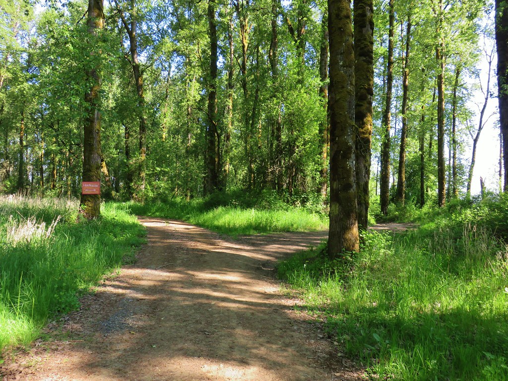
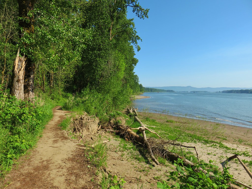

 Mt. St. Helens again.


 1905 Columbia County Courthouse


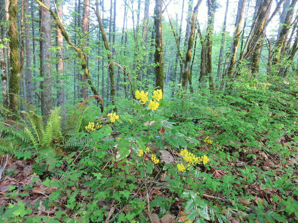 Oregon grape
 Dogwood
 Large solomonseal
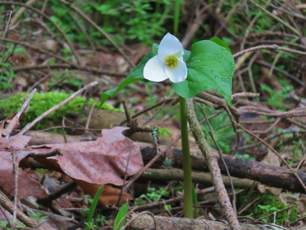
 Trillium

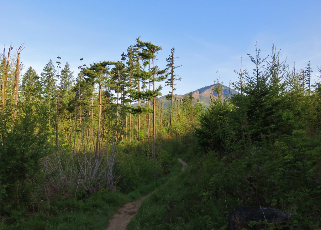


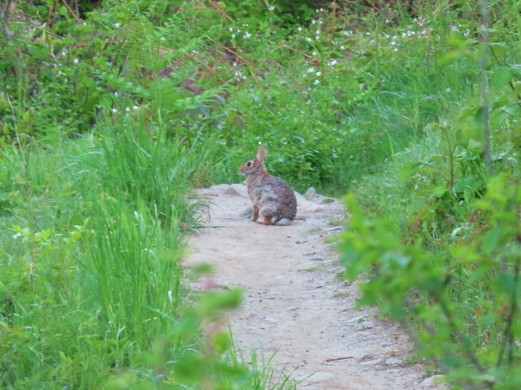


 Hamilton Mountain (
 Sacagawea and Pappose Rocks
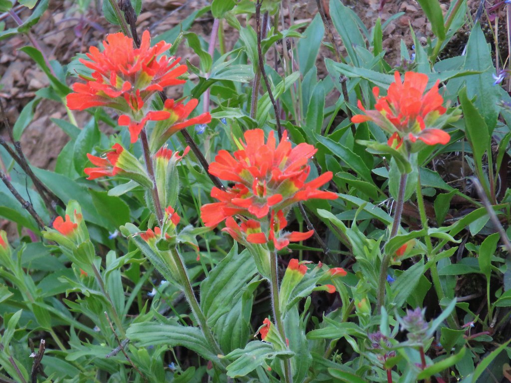 Indian paintbrush

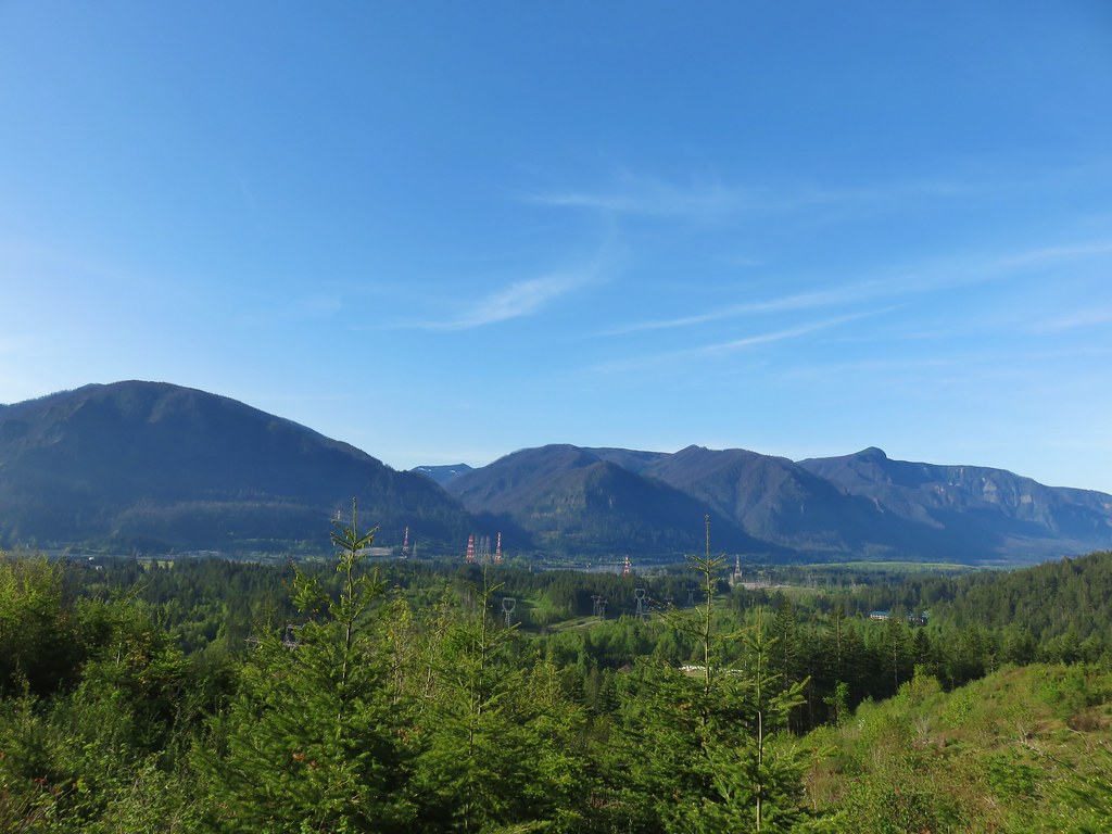 Bonneville Dam on the Columbia River. Nesmith Point (
 Unnamed lake through the trees.


 Bleeding heart
 Vanilla leaf

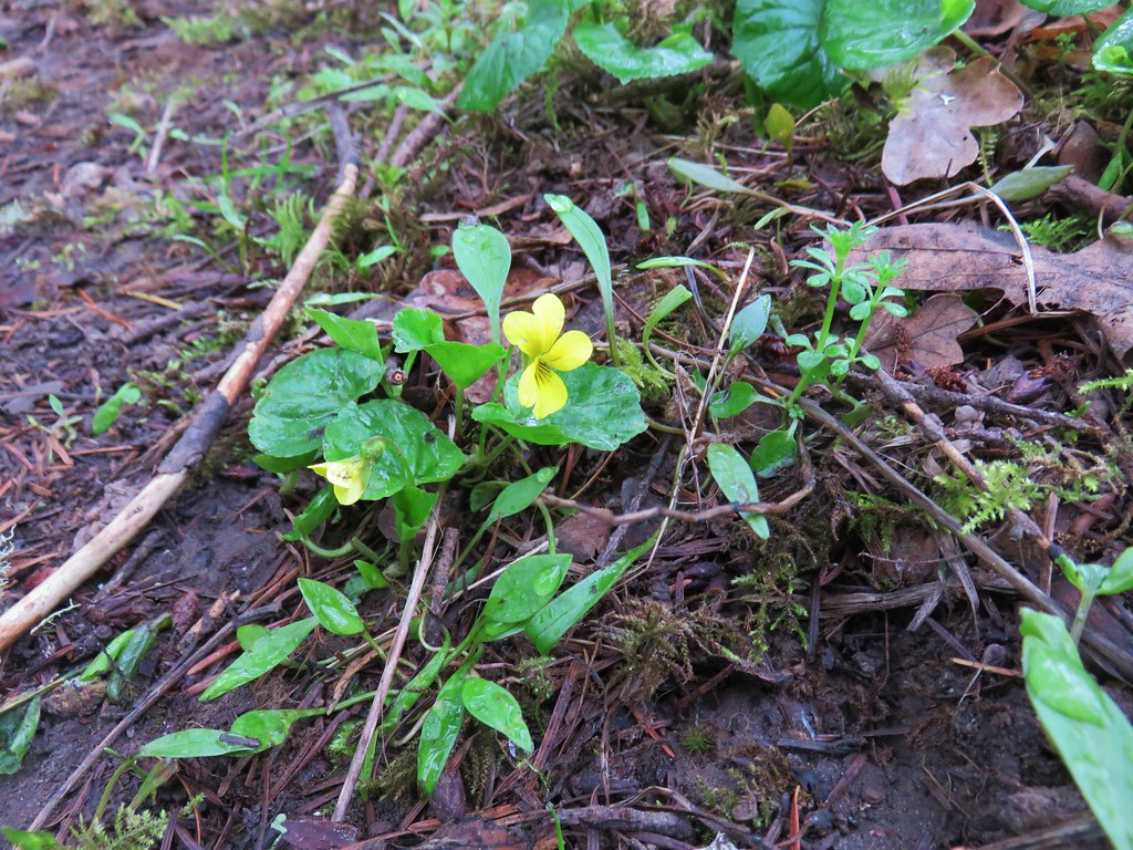
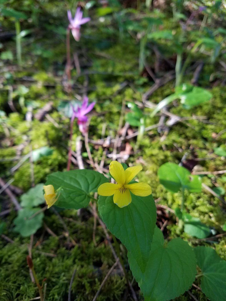 Wood violet
 Fairy slipper
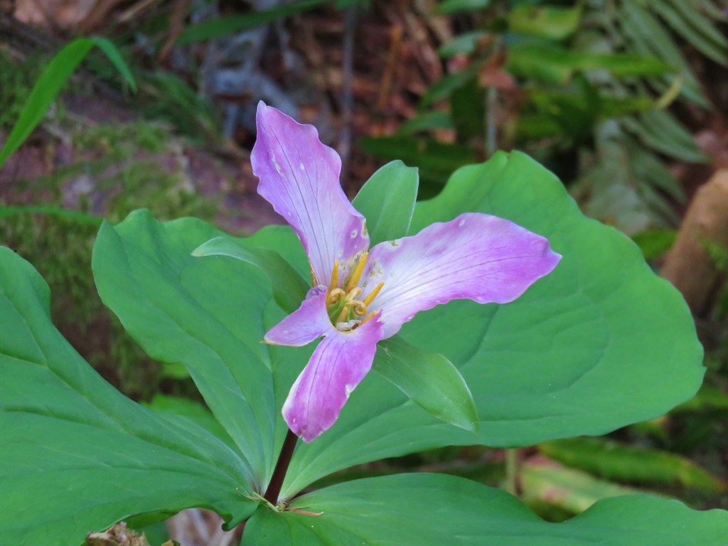 Trillium
 The Two Chiefs on the left and Table Mountain on the right.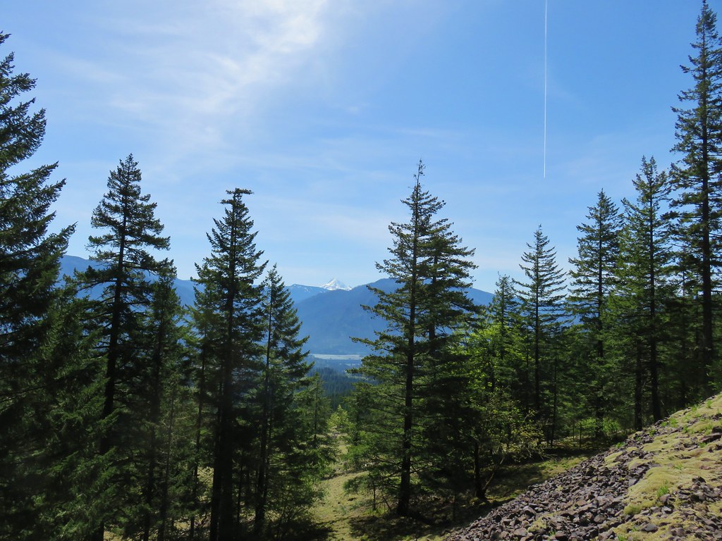
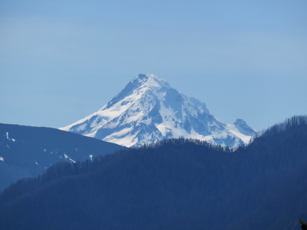
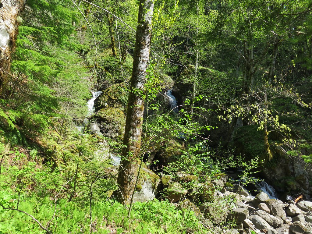

 Left side
 Right side
 The highest tier that I was able to see.
 A middle section of Greenleaf Falls
 Cascades along Greenleaf Falls just above the ones visible from the trail.


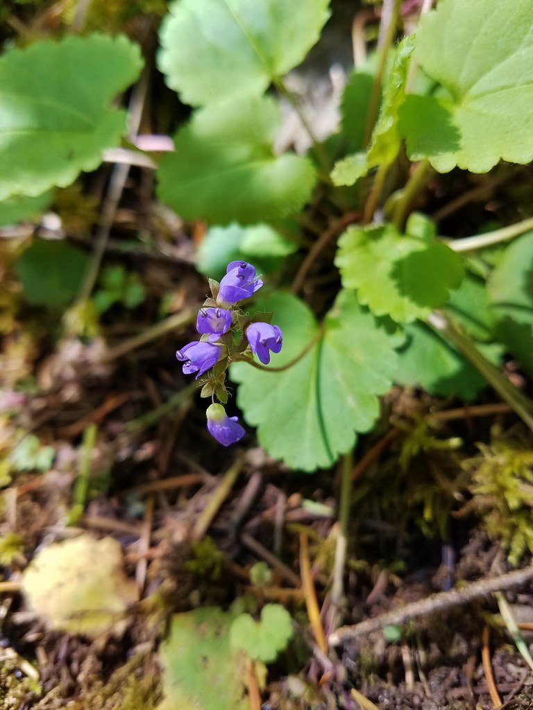 Snow queen
 Wild strawberry
 Butterfly landing on leafy pea
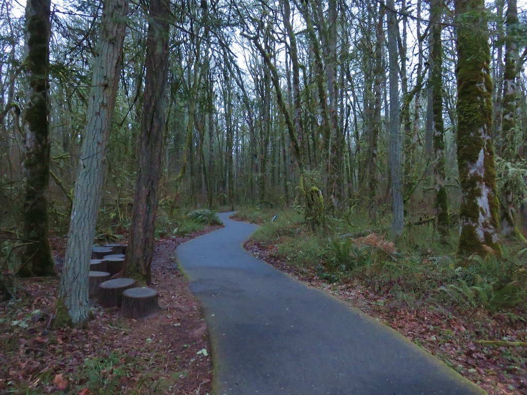
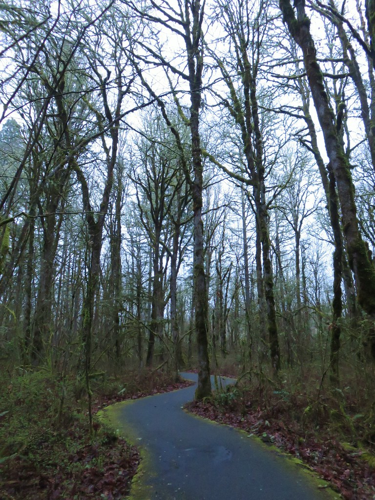

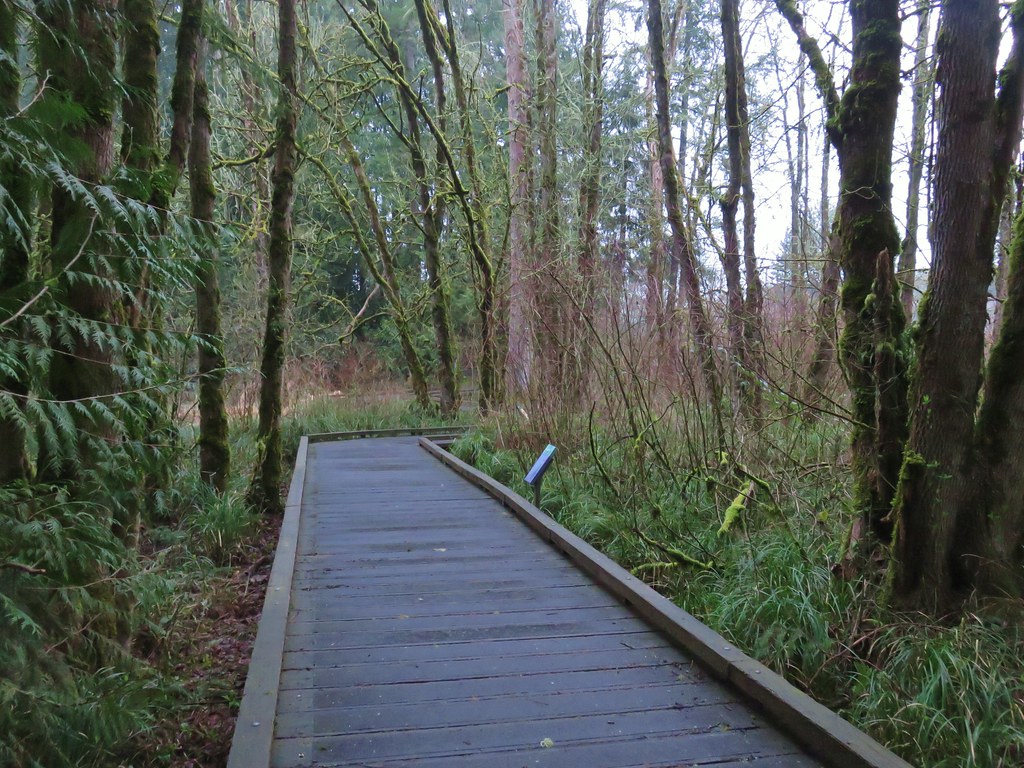



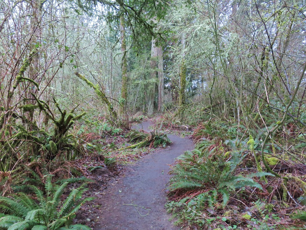

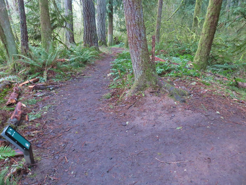 Trail pointer at the Mink Path junction. We appreciated the fact that all of the junctions were signed and those signs were easy to read but placed in such a way that they were unobtrusive.
 Can you see the deer?
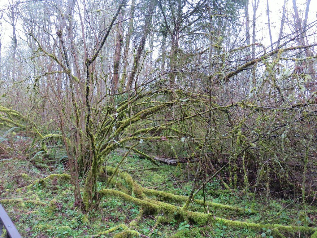 How about now?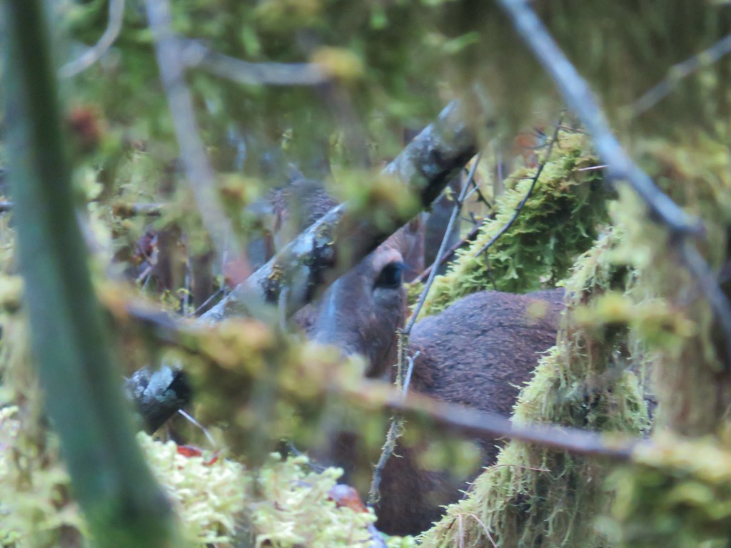


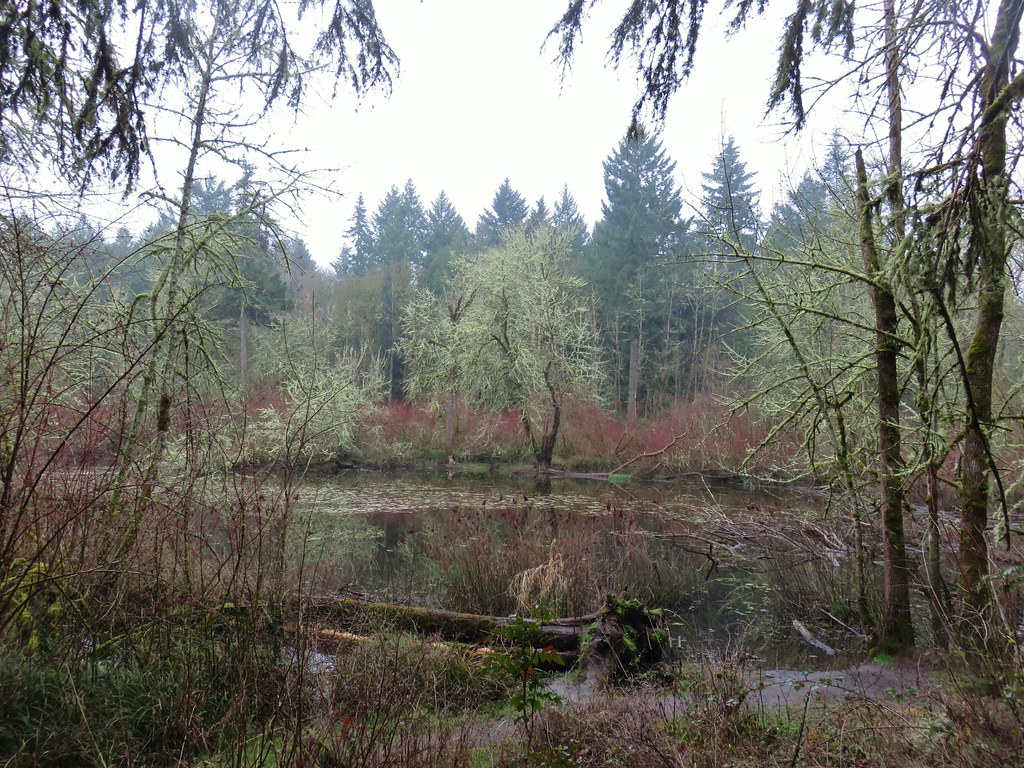
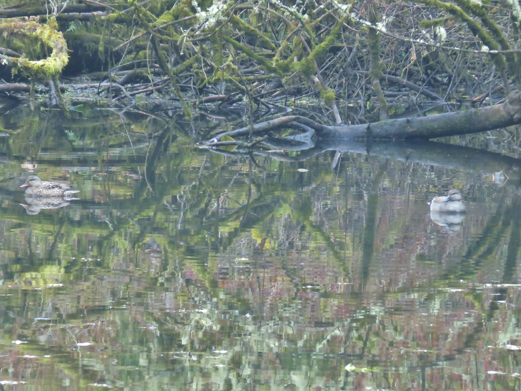
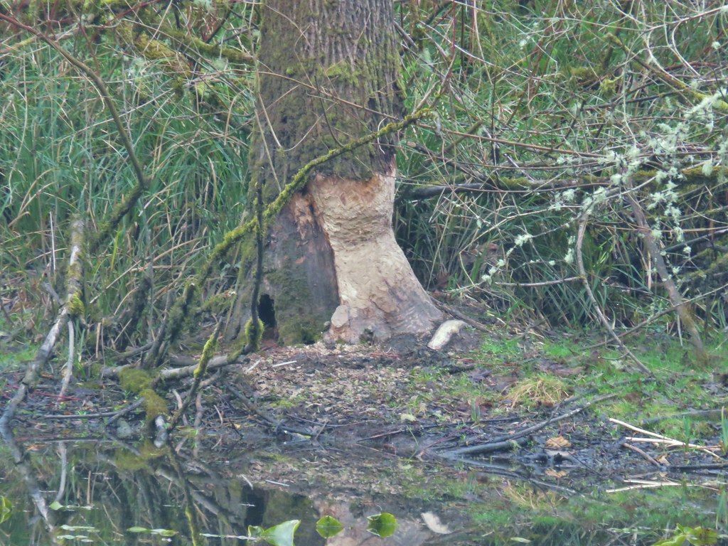
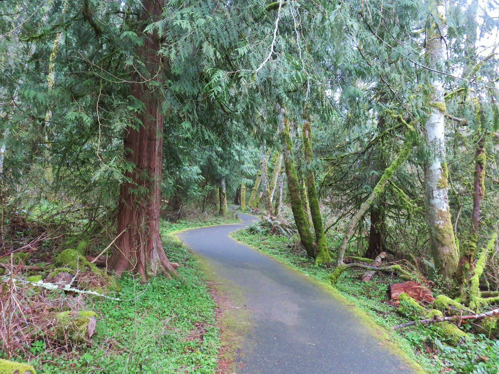

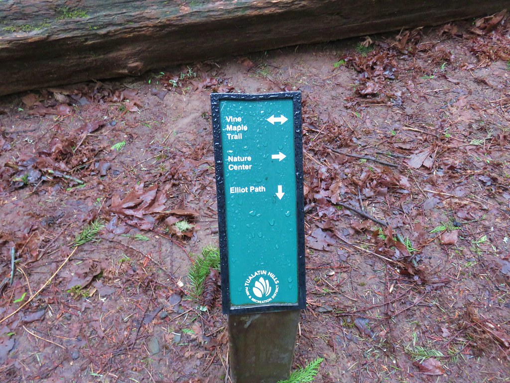
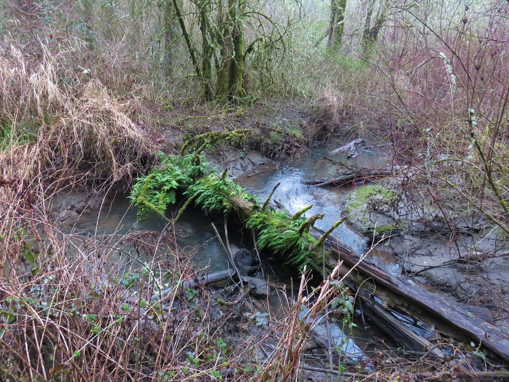
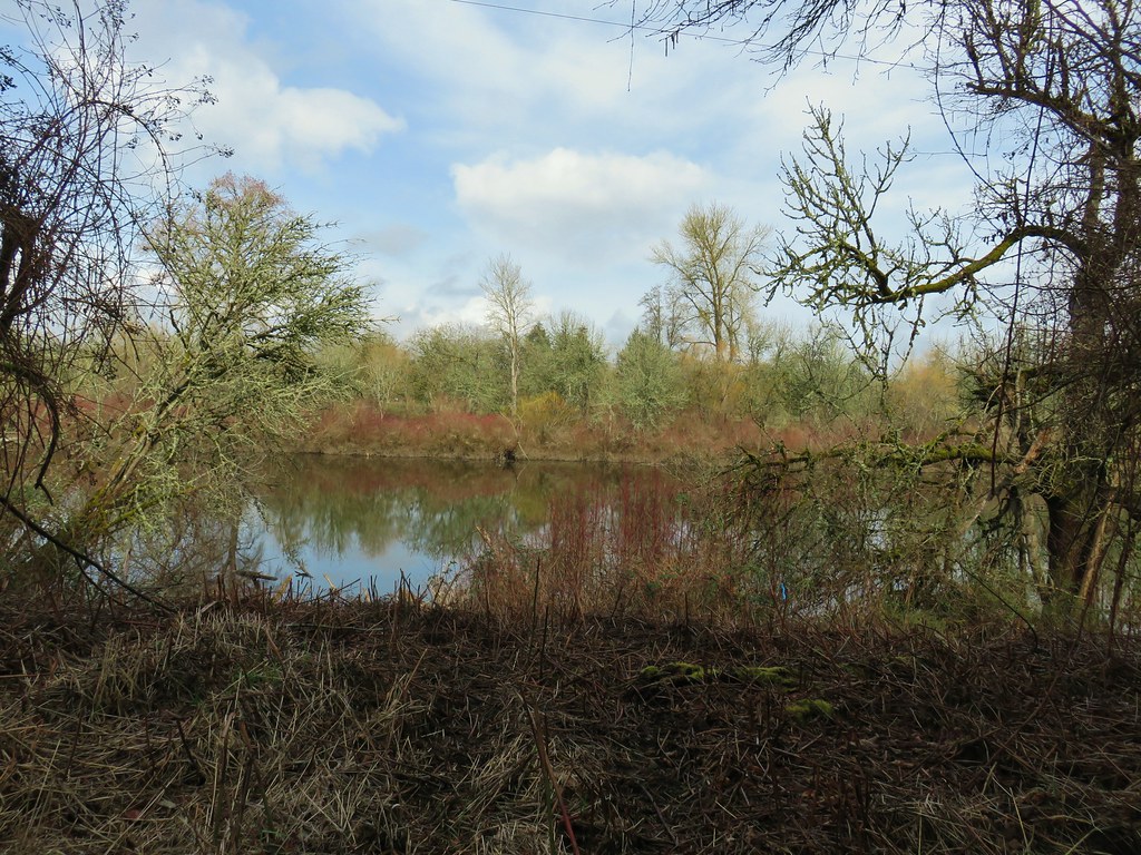
 Beaverton Creek










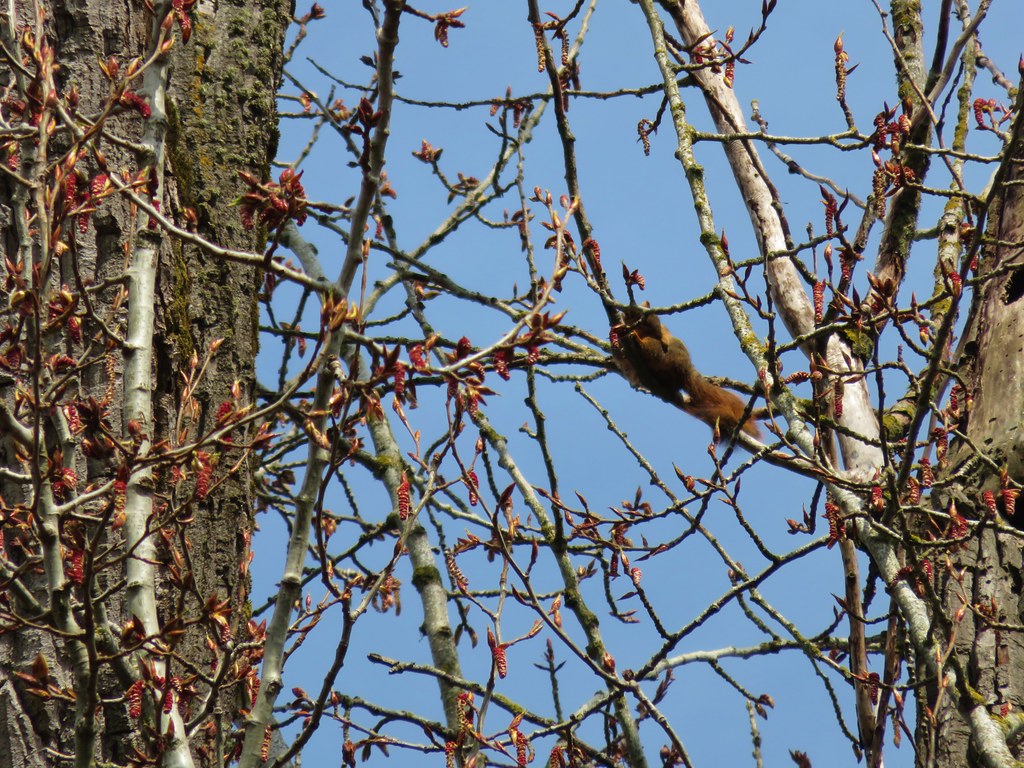
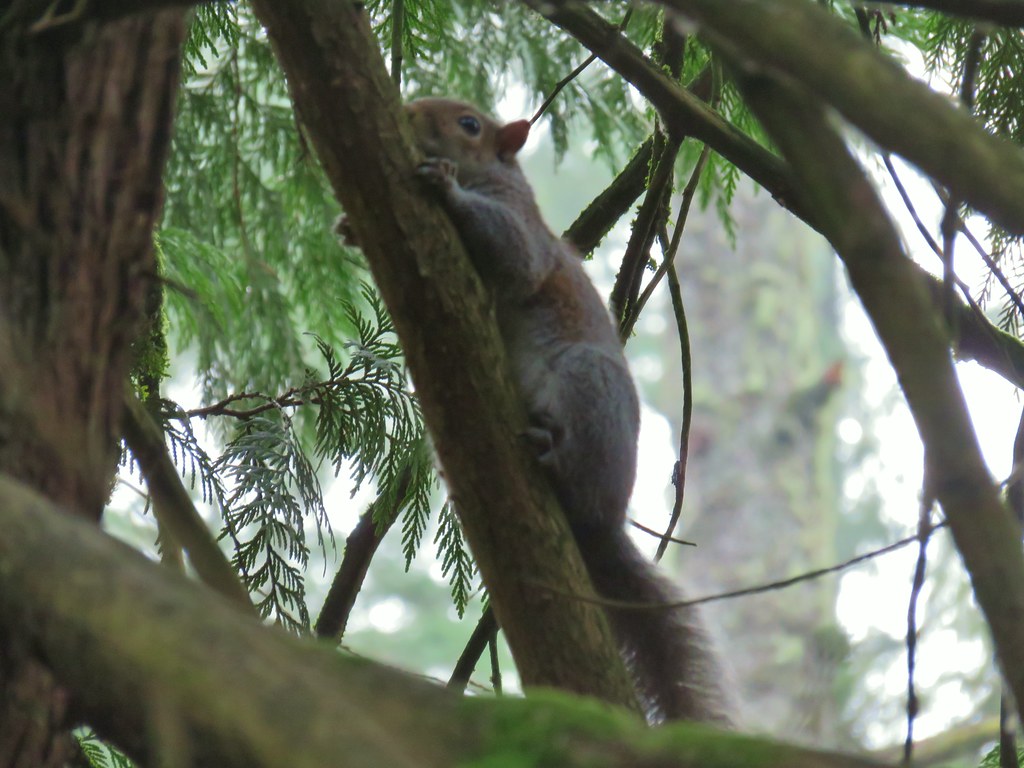
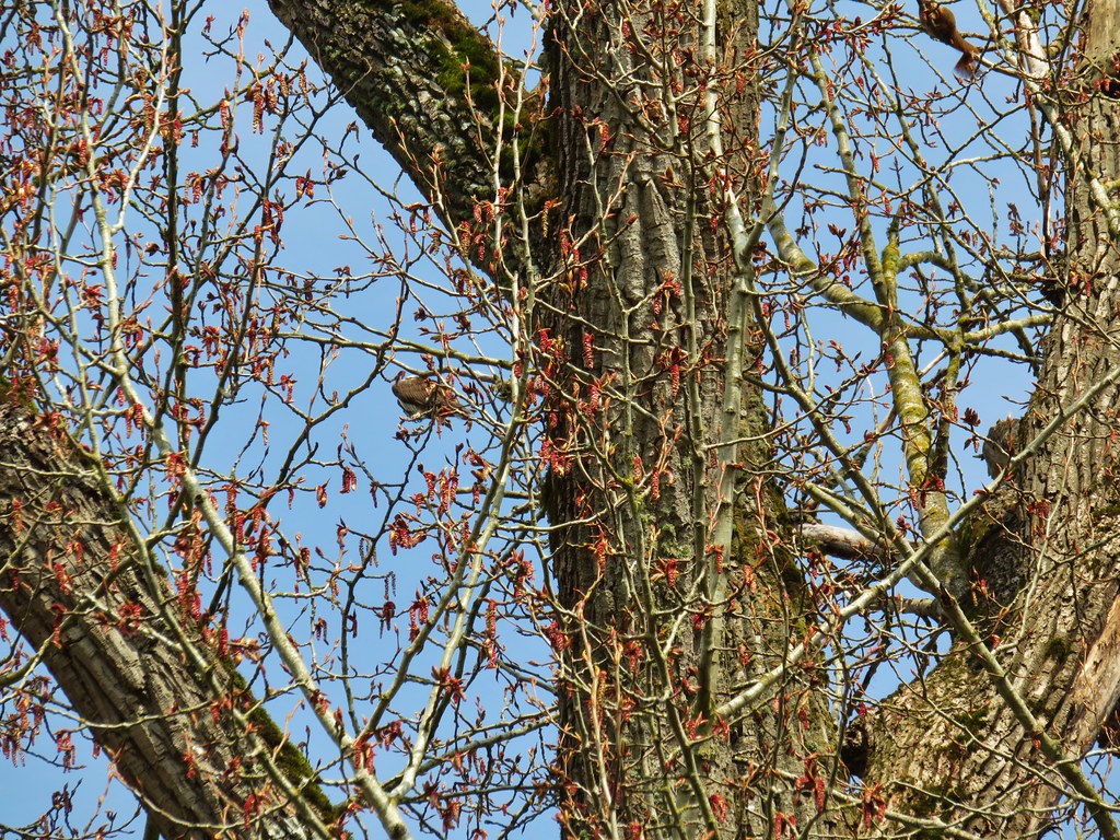 The osprey and the squirrel (upper right hand corner).









 Wren signing along the trail