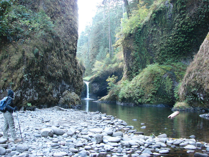
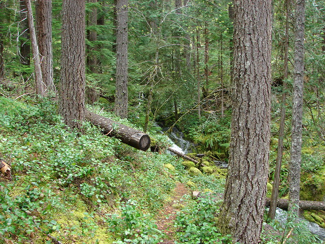
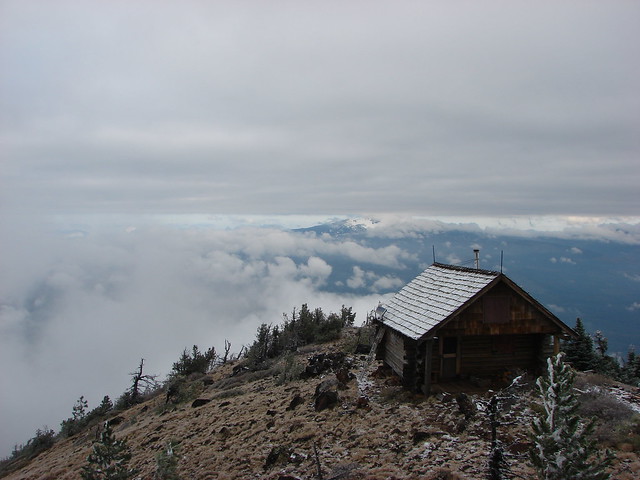
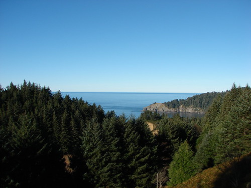
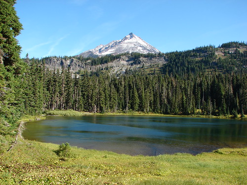
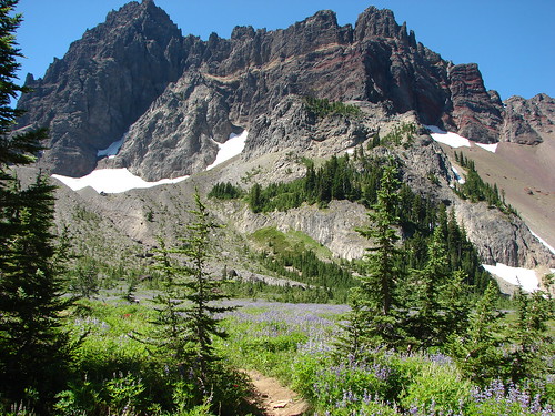
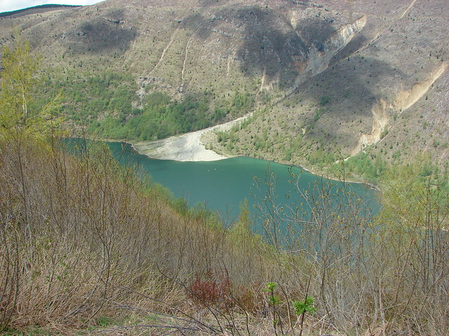
We ended our “Creek Week” vacation by changing things up a bit and heading to the Mt. St. Helens National Volcanic Monument hoping to see some snowy mountains. Our creek theme wasn’t totally abandoned though. Our destination was Coldwater Lake which was formed during the 1980 Mt. St. Helens eruption when Coldwater Creek was blocked by debris from the mountain. The creek still flows into and out of the lake on it’s way to the North Fork Toutle River.
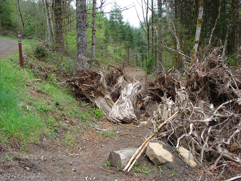
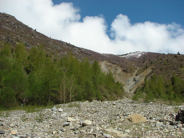
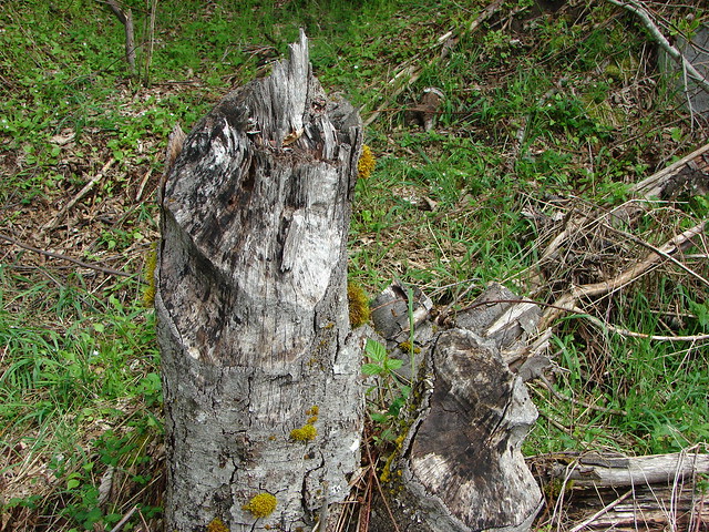
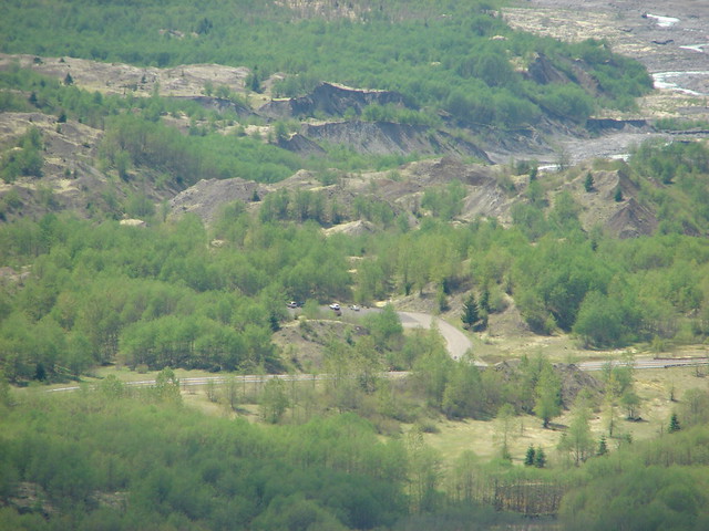
The slide that created Coldwater Lake also created the Hummocks which are piles of rock, ash, and other debris that was washed down and deposited along the Toutle River. A 2.5 mile trail loops through these mounds and that was where we decided to start our hike. Our plan was to hit that popular trail first before it got crowded then walk back along the shoulder of Highway 504 for a quarter mile to the entrance to Coldwater Lake and once there either do an 8.8mi out and back to a footbridge over Coldwater Creek or continue over the bridge on a longer loop up and around the lake. We decided to wait until we got closer to the bridge before choosing which option we would take.
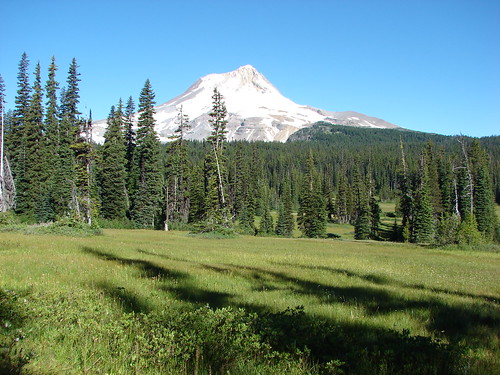
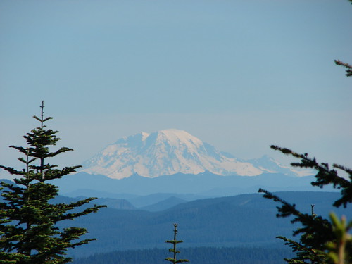
It was quite foggy when we arrived at the trailhead for the Hummocks loop making it pretty clear that we wouldn’t be seeing Mt. St. Helens for awhile at least.

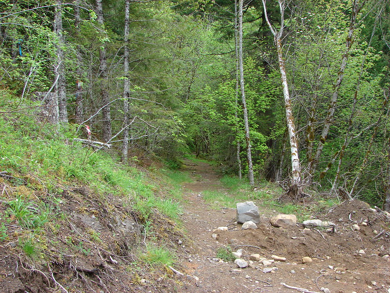
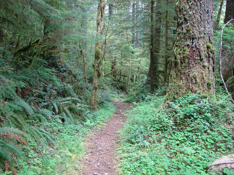
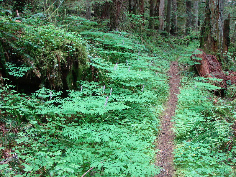
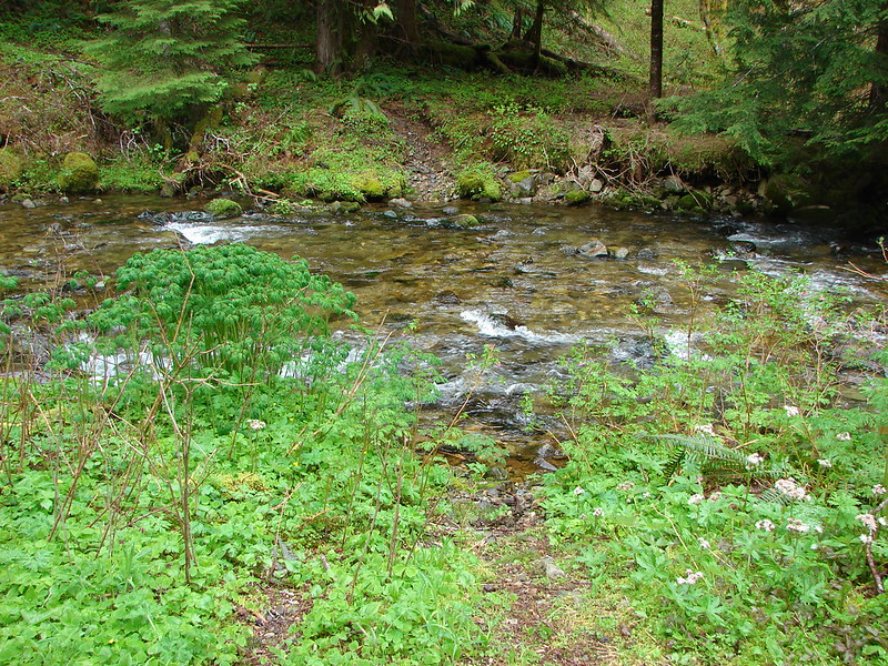
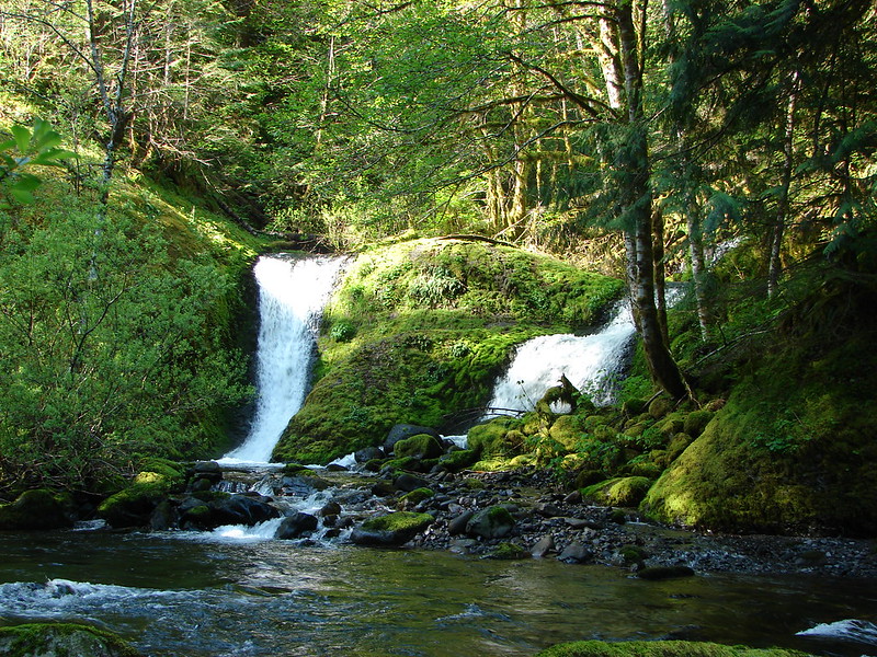
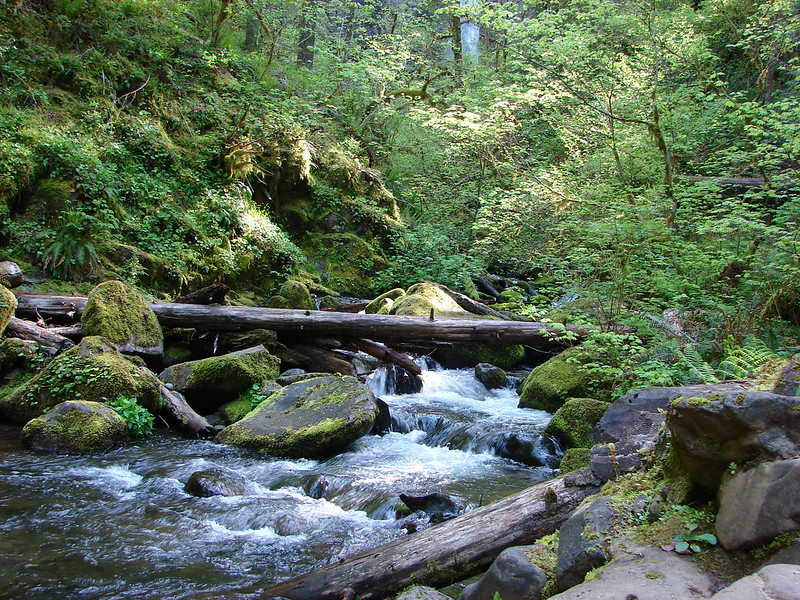
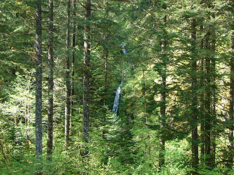
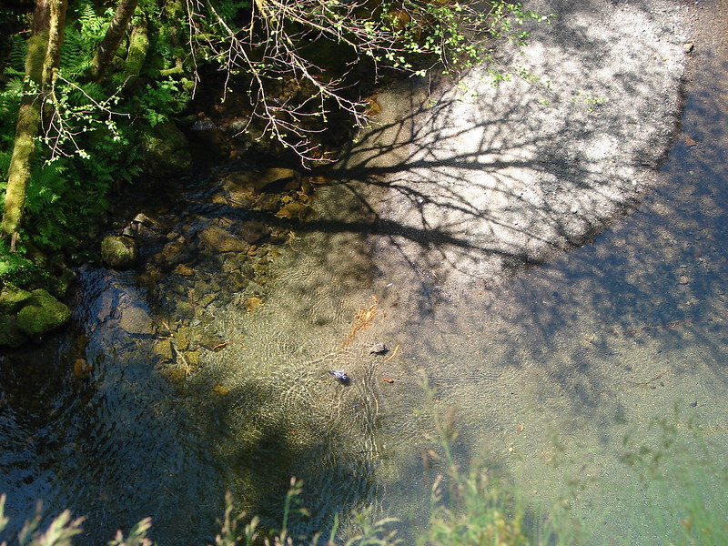
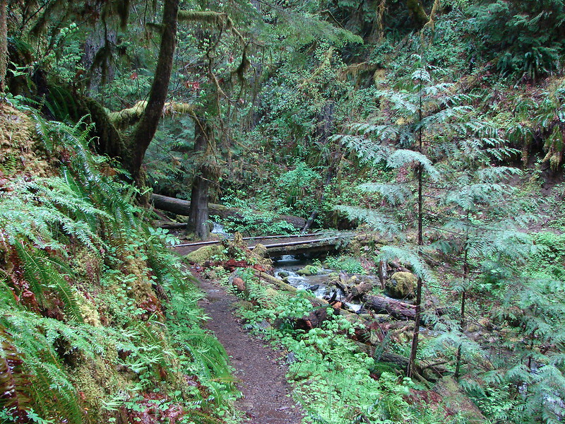
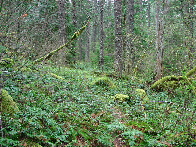
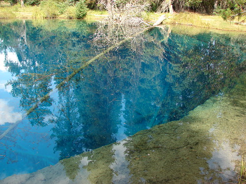
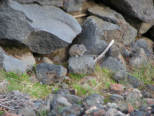
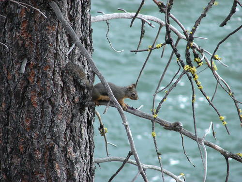
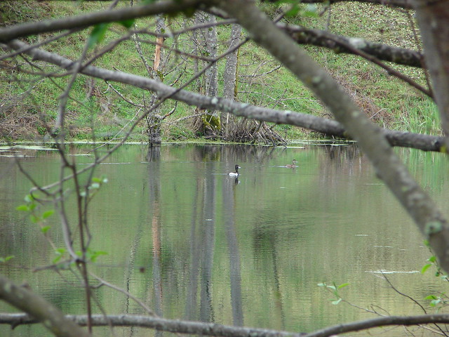
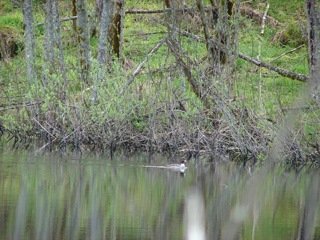
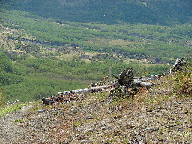
The scenery along the trail deserved our attention anyway with many ponds and streams nestled between the various mounds.
Ducklings on one of the ponds

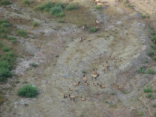
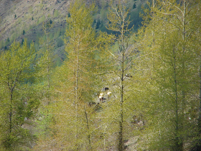
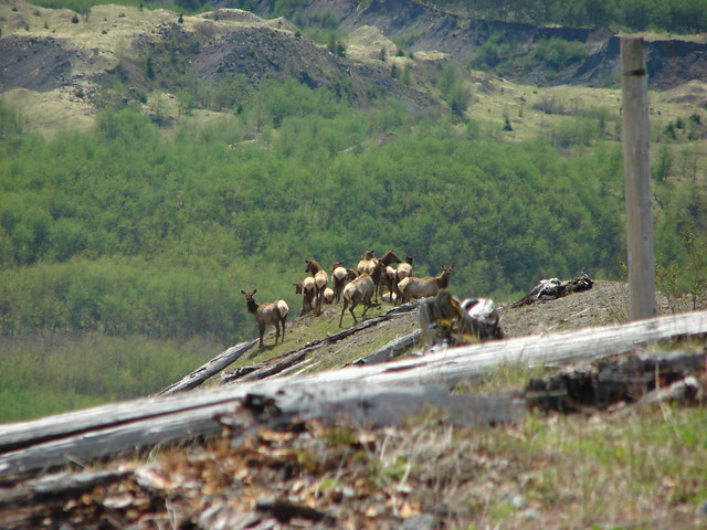
As we were making our way through the strange landscape we spotted some elk on one of the Hummocks a short distance away.
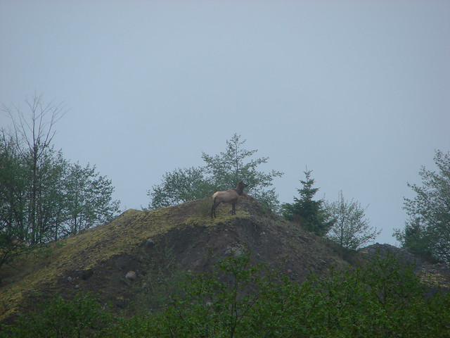
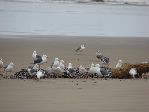
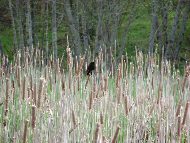
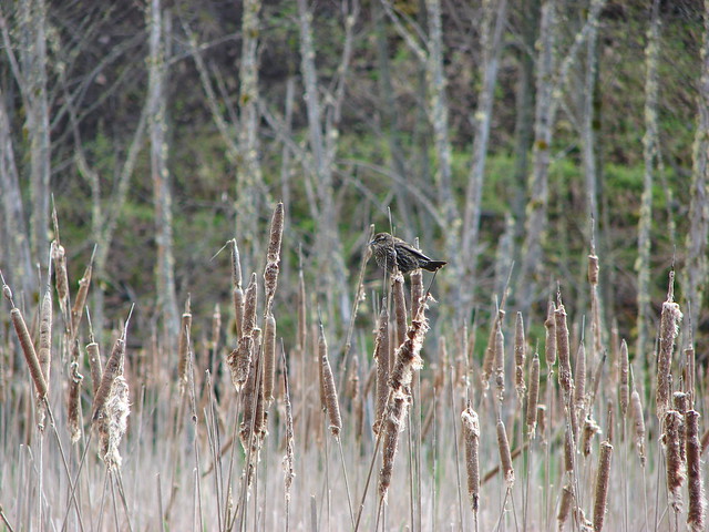
They didn’t seem to be the least bit concerned with us. There were also numerous ducks, geese, and other birds enjoying the ponds and marshes along the trail.

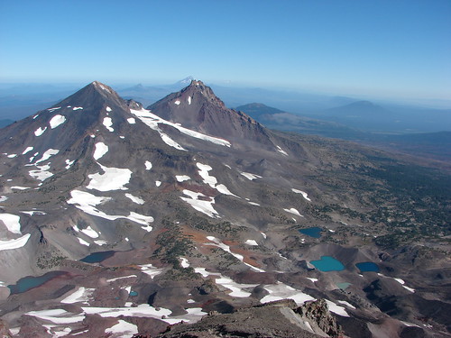
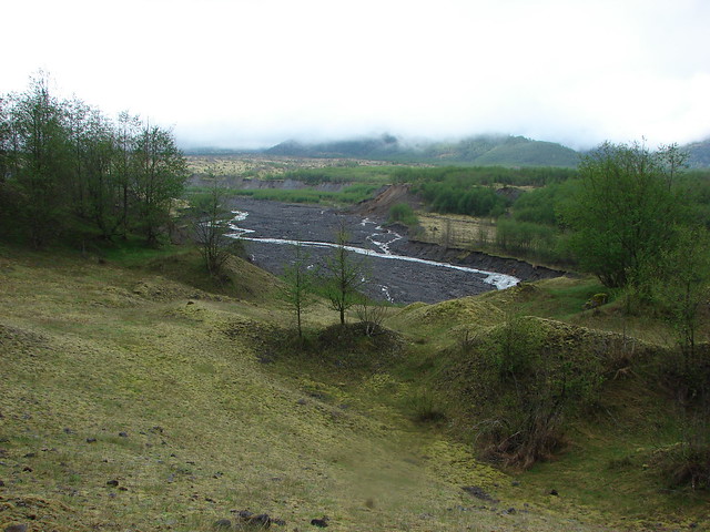
The trail also passes a nice viewpoint above the North Fork Toutle River where Mt. St. Helens would be visible on a clear day. We settled for the river and another group of elk grazing on the far bank.

Shortly after leaving the viewpoint we were passing through a wooded area when I noticed an elk around 30′ away standing in the trees. Before I could get the camera up it disappeared but that had been the closest we’d come to an elk yet.
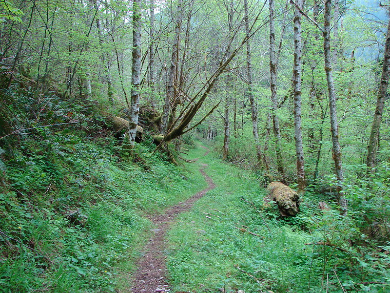
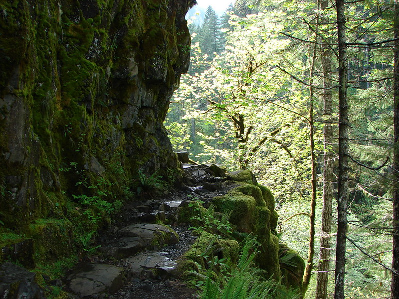
The clouds were beginning to clear up when we made it back to the parking lot and set off along the highway toward the Coldwater Lake entrance. We passed over Coldwater Creek on it’s way from the lake down into the Toutle Valley and then crossed the road and headed down to the lake.
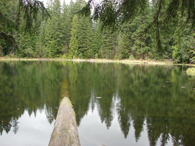
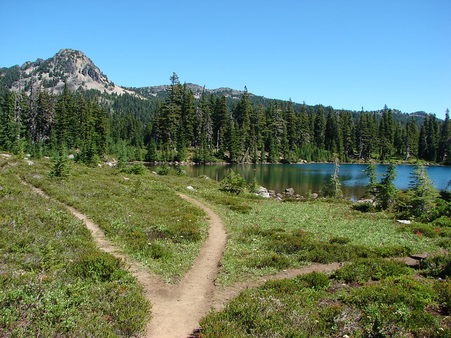
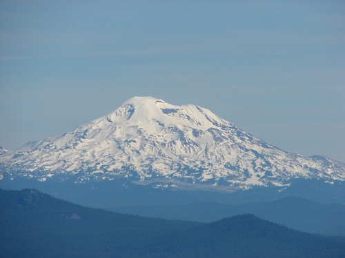
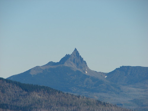
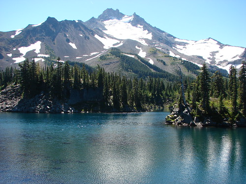
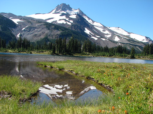
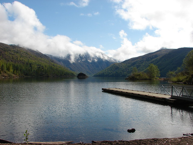
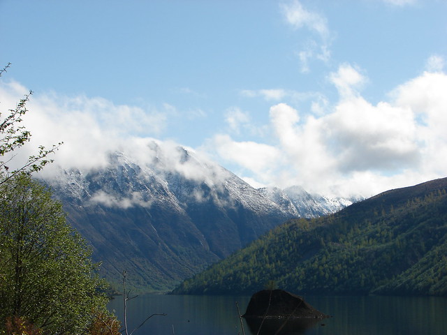
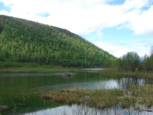
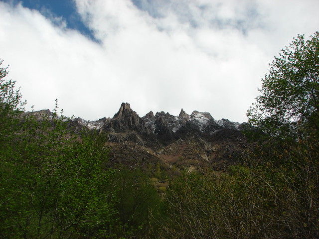
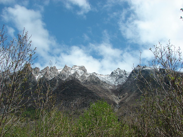
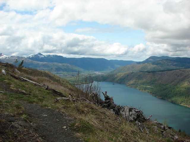
The view across the lake was spectacular from the trailhead. Minnie Peak lay ahead with a dusting of snow and a misty covering of clouds.
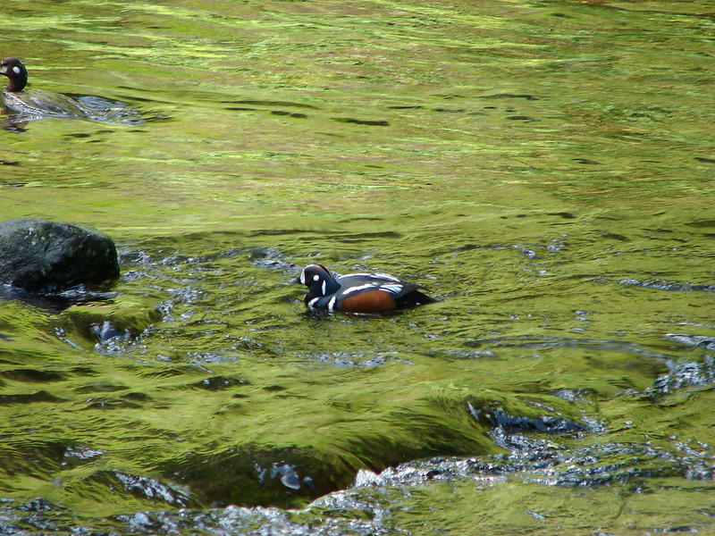
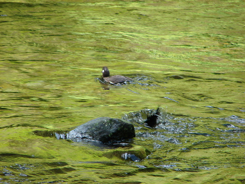
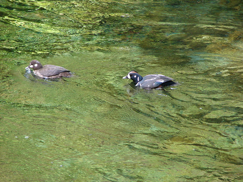
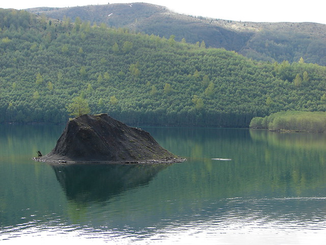
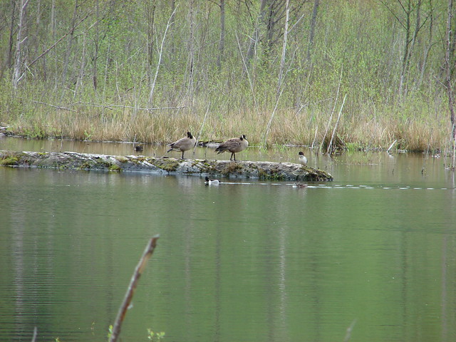
A little island was a popular spot for geese and ducks. I am sure they were there for the views.
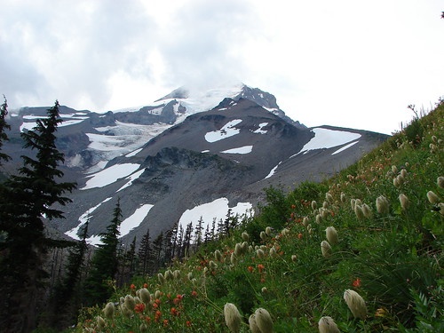
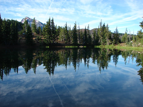
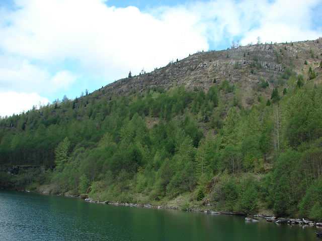
As we traveled along the north shore of the lake the views both ahead and behind kept getting better. The clouds were lifting revealing more and more snow covered peaks.


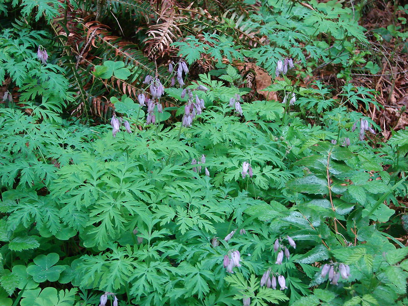
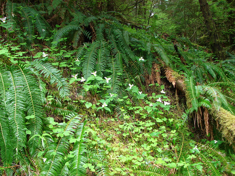
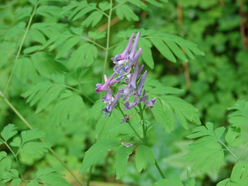
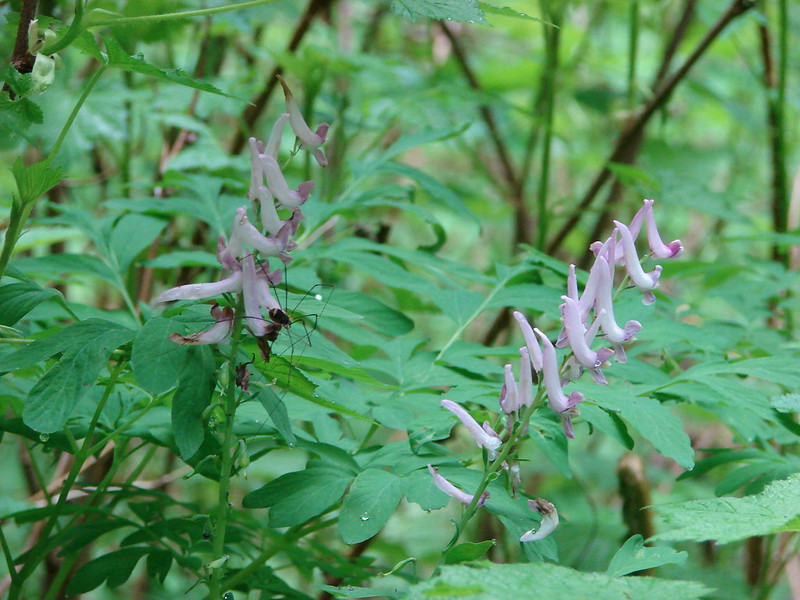
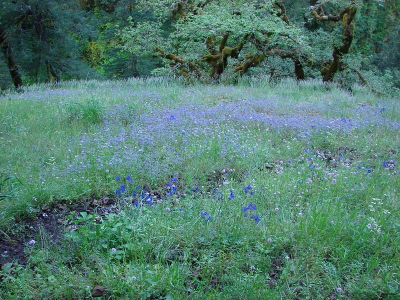
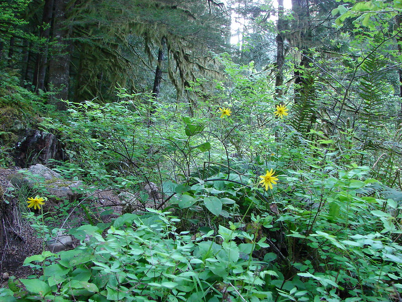
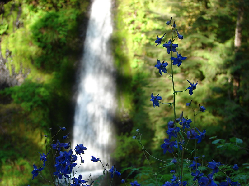
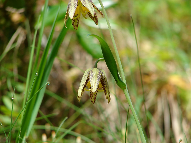
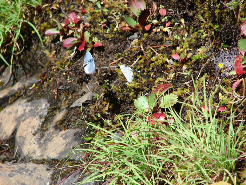
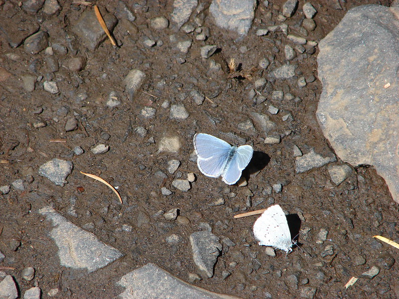
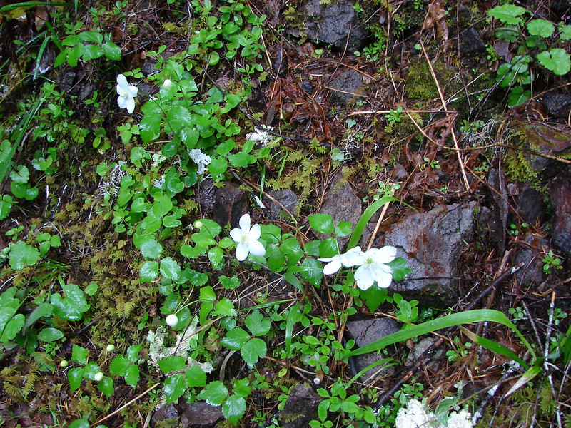
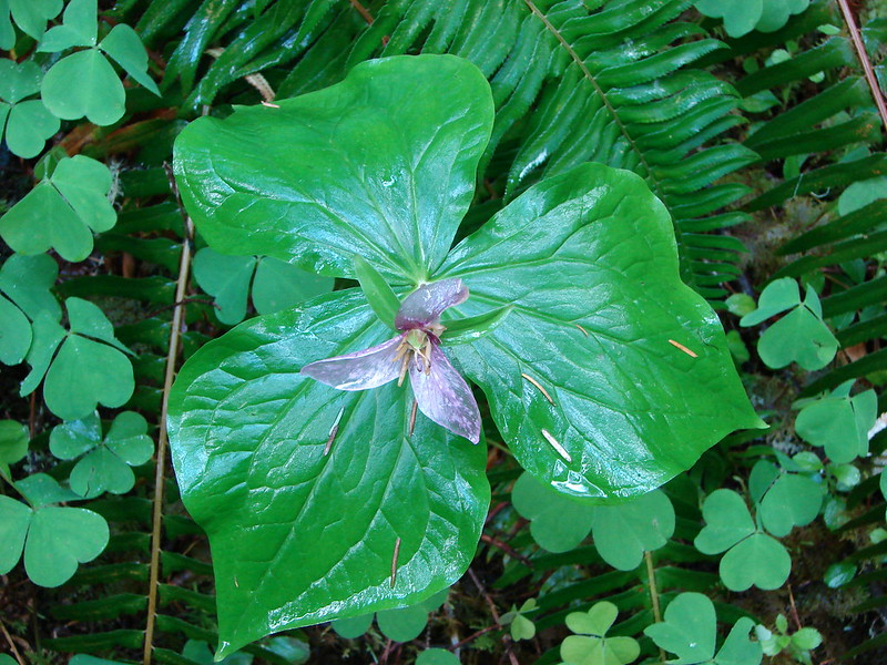
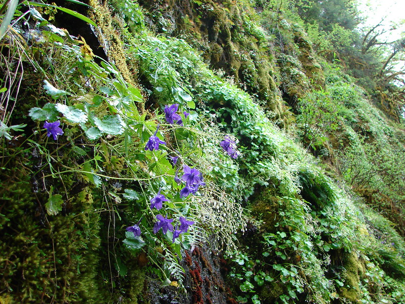
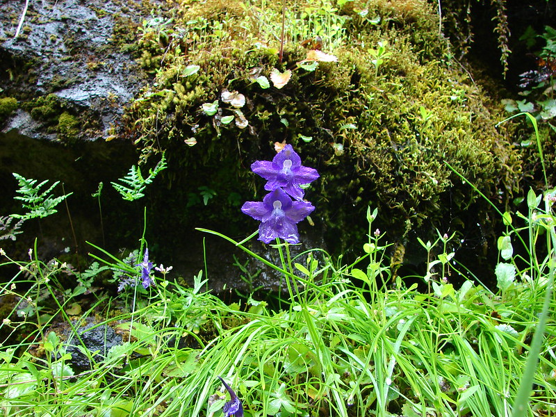
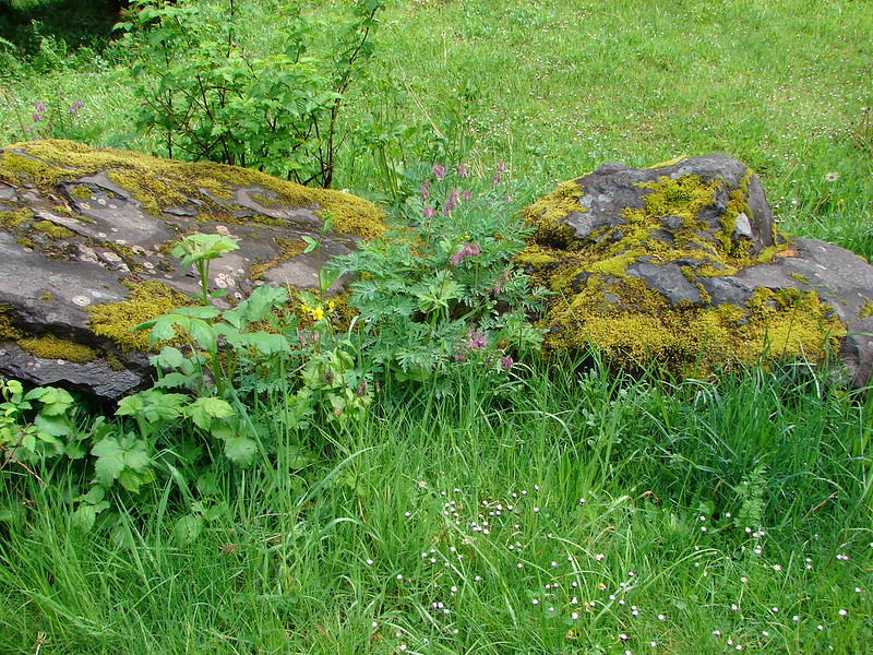
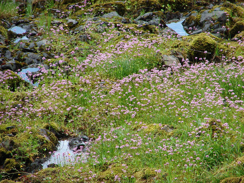
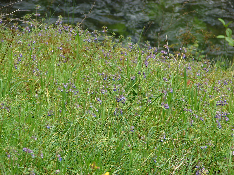
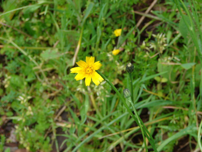
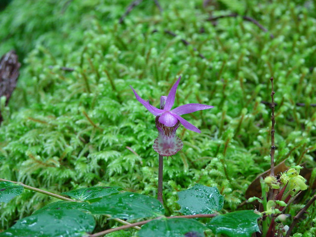
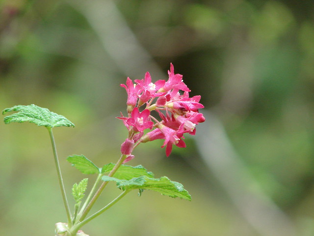
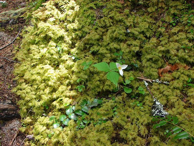
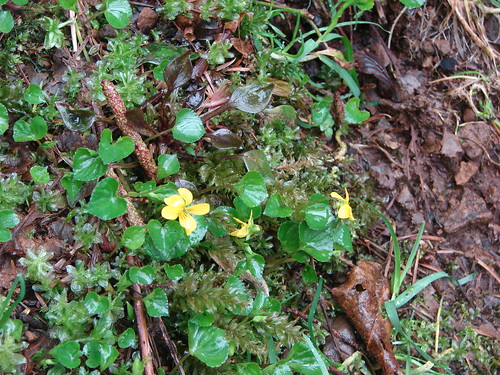
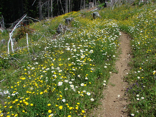
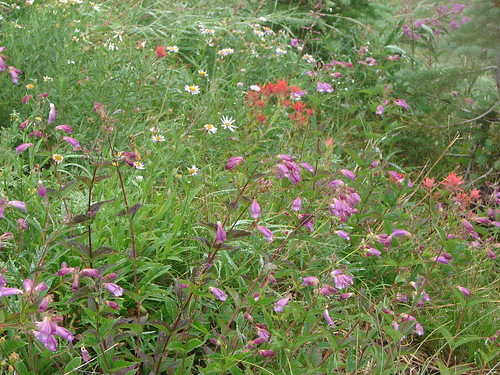
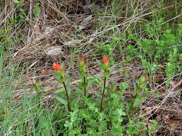
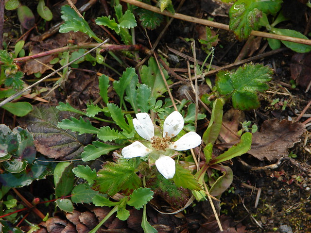
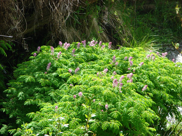
A few flowers were ahead of schedule giving us a taste of what will be coming in the next few weeks.

I had my eyes on Minnie Peak waiting for the last cloud to finally let go. It was a stubborn one though and just wouldn’t quite disappear.

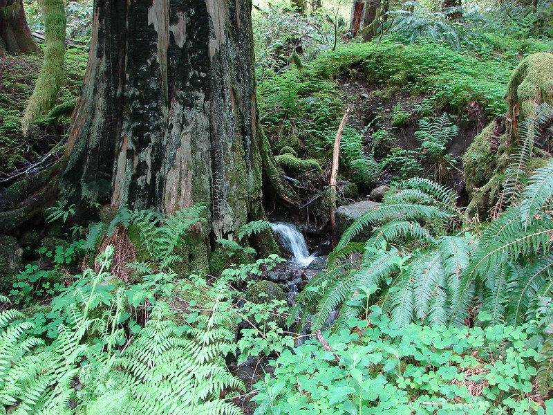
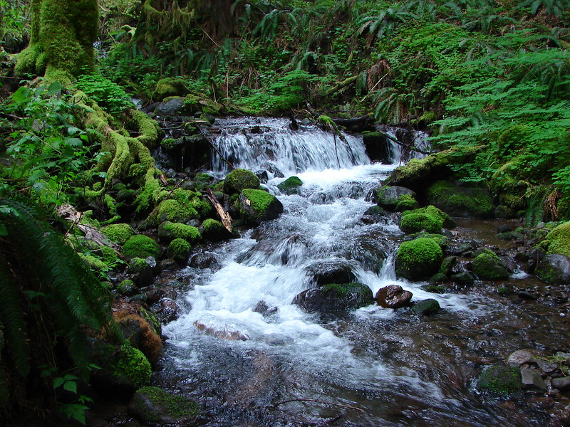
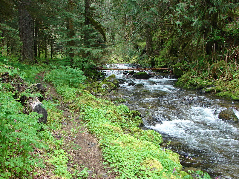
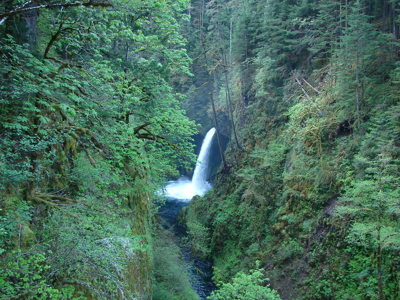
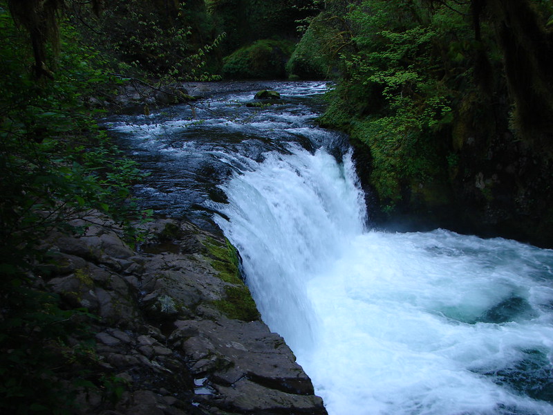
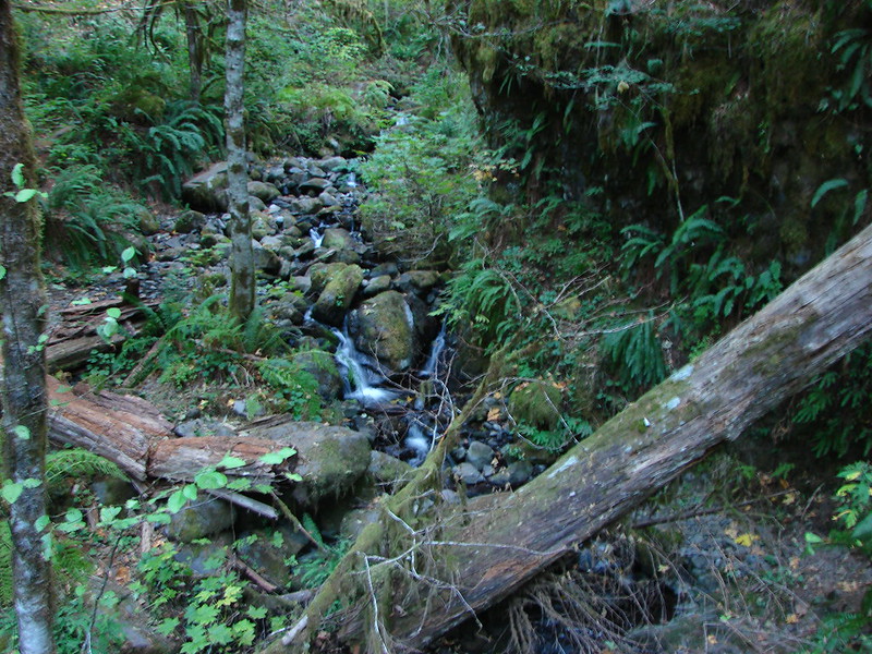
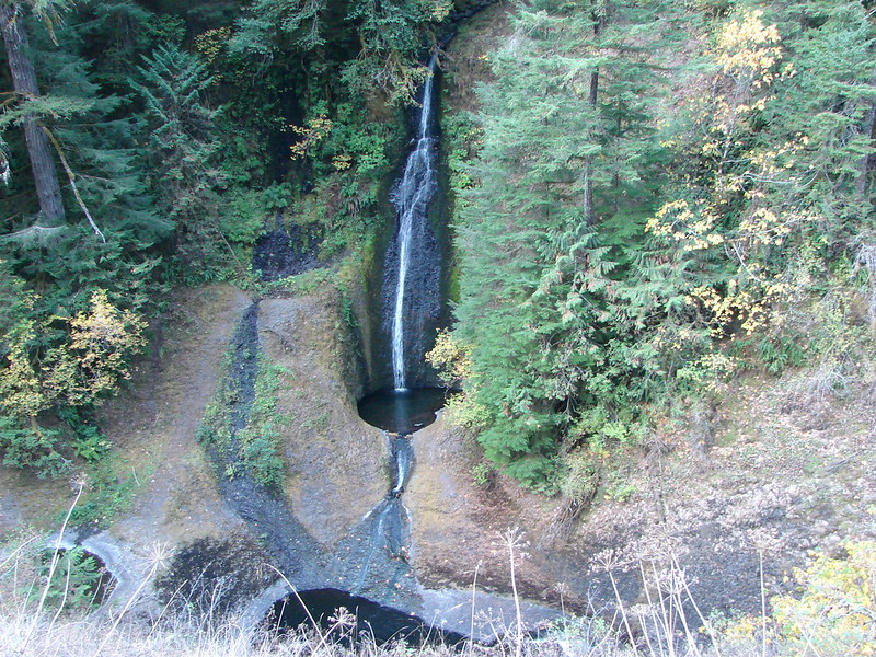
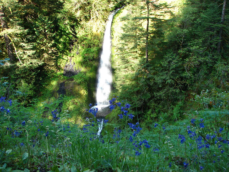
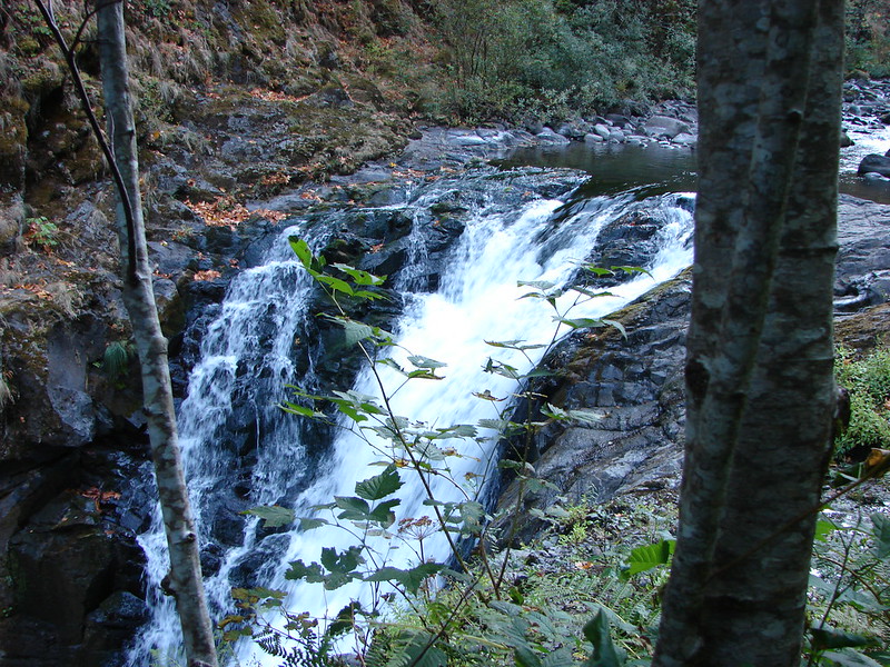
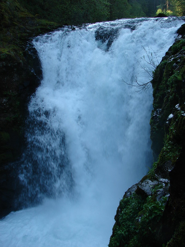
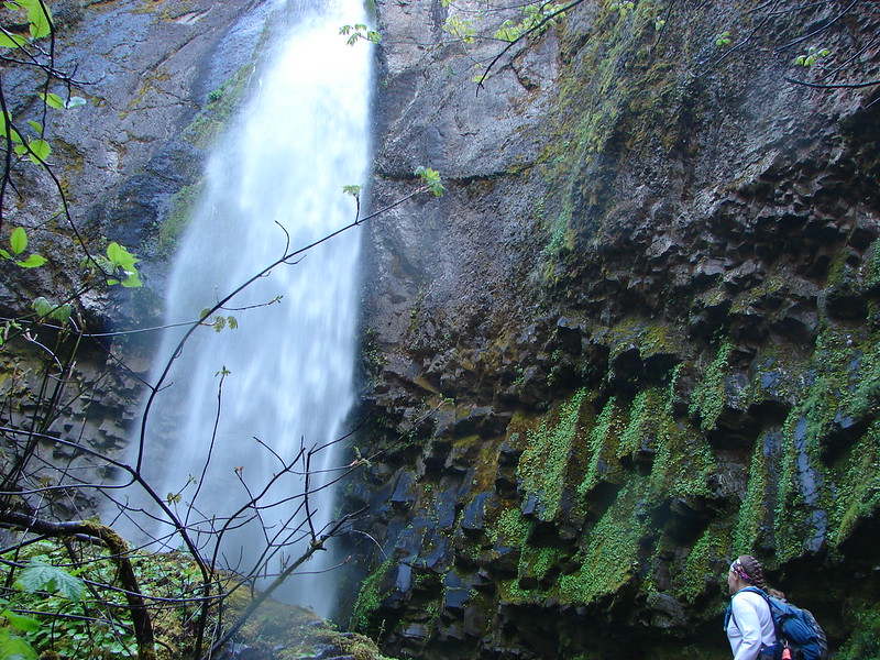
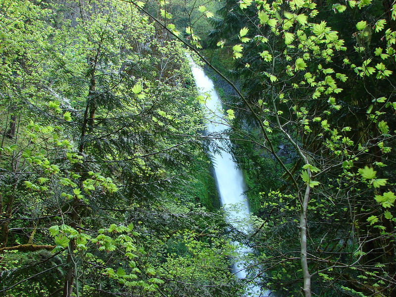
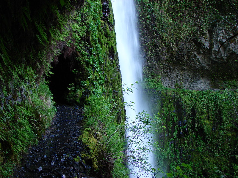
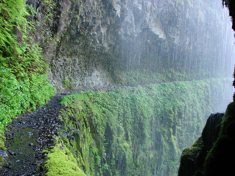
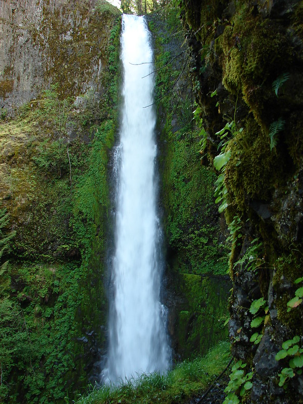
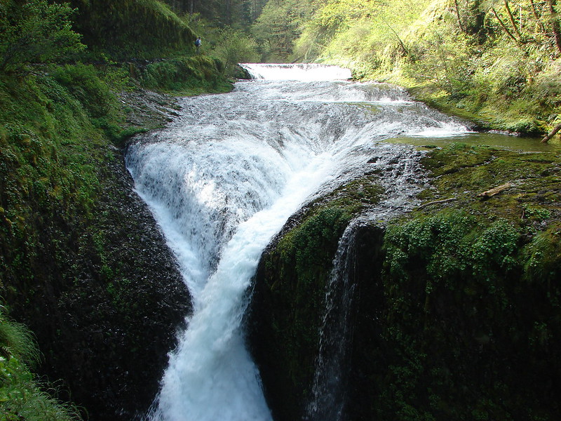
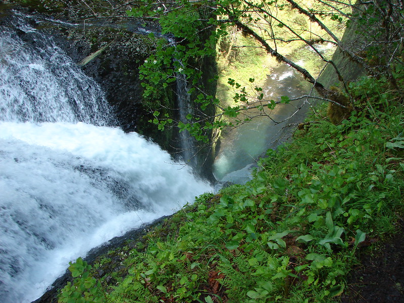
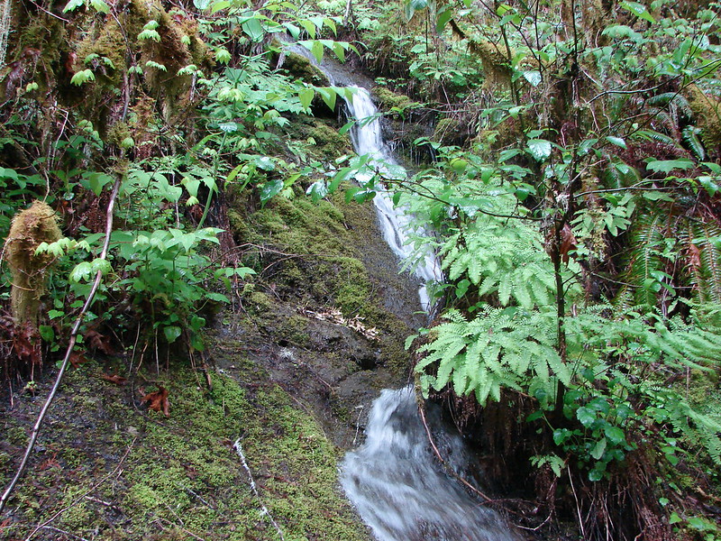
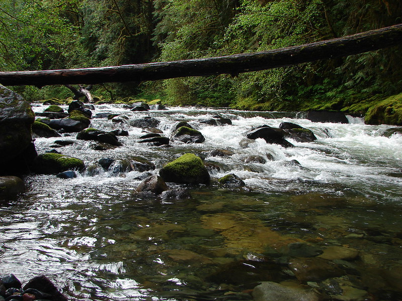
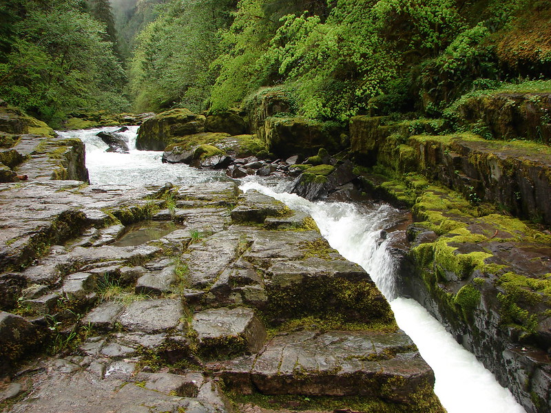
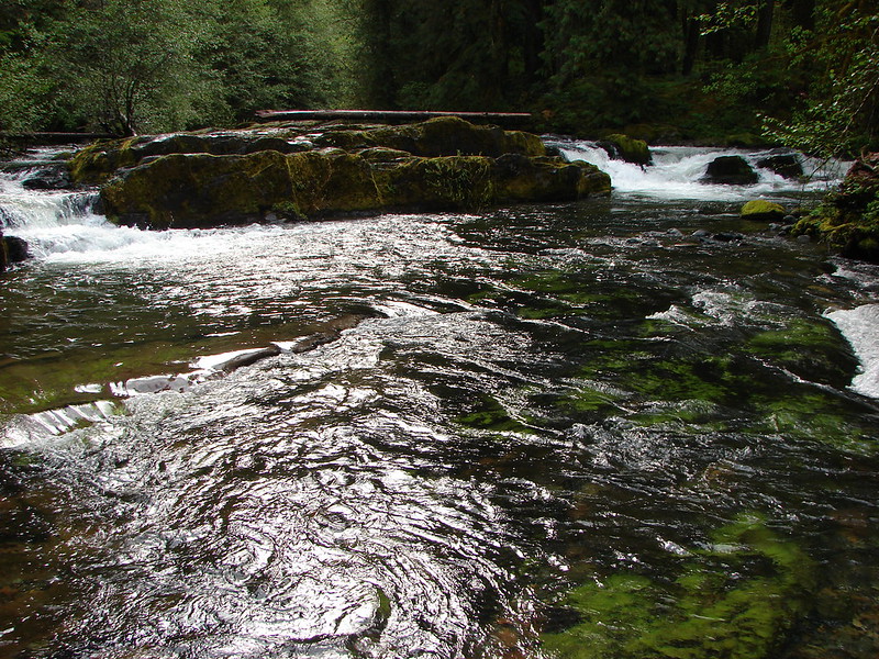
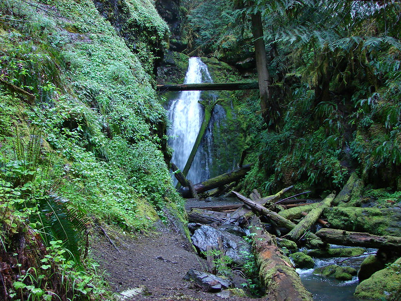
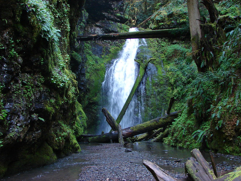
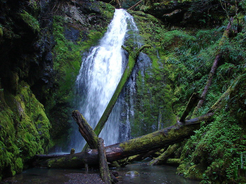
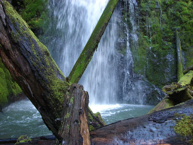
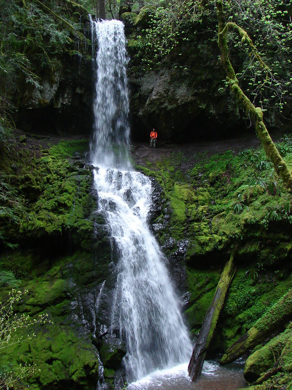
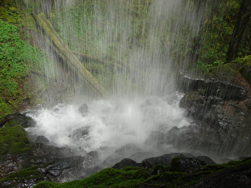
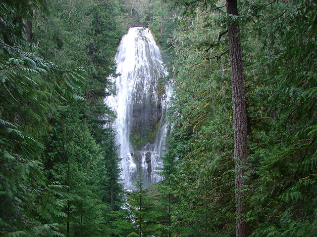
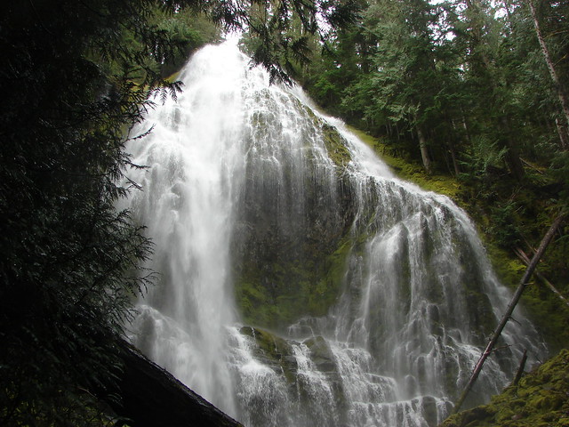
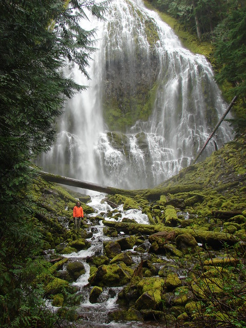
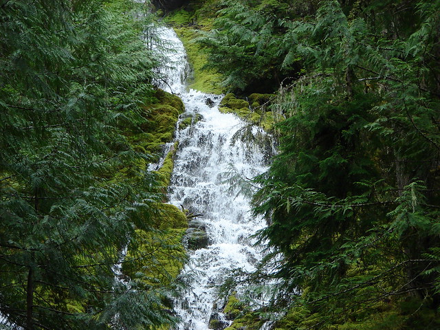
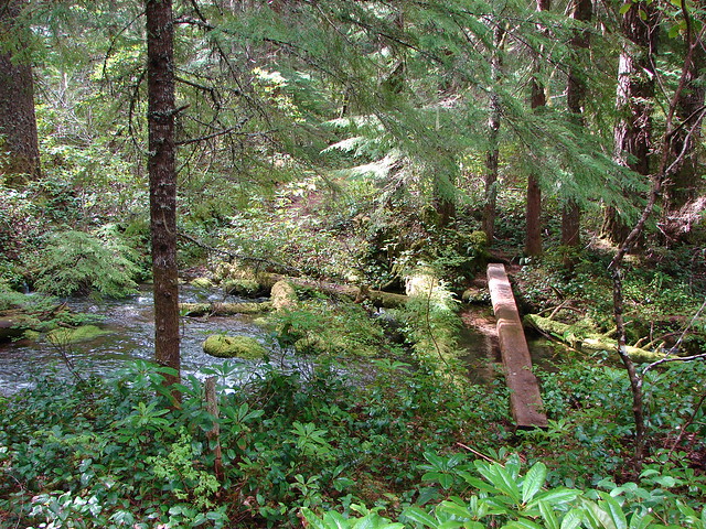
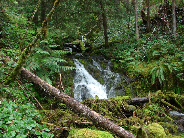
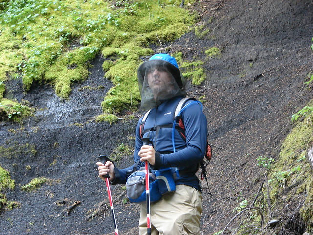
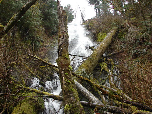
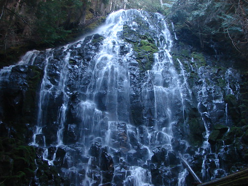
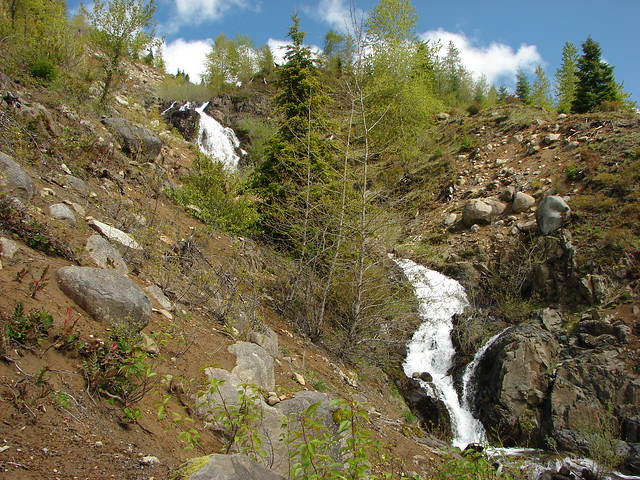
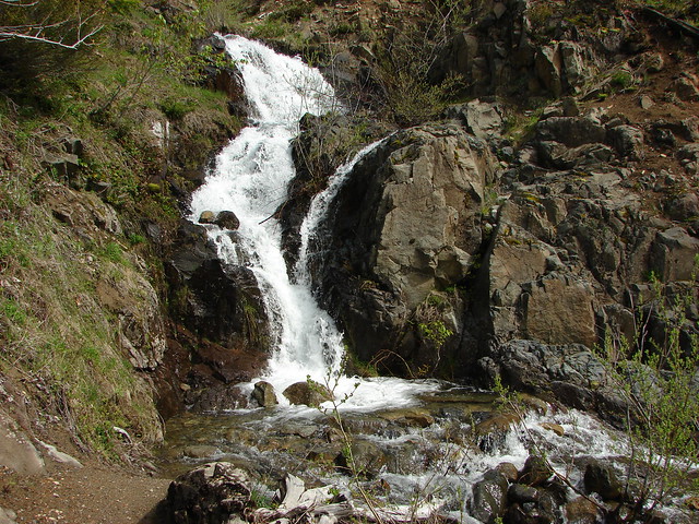
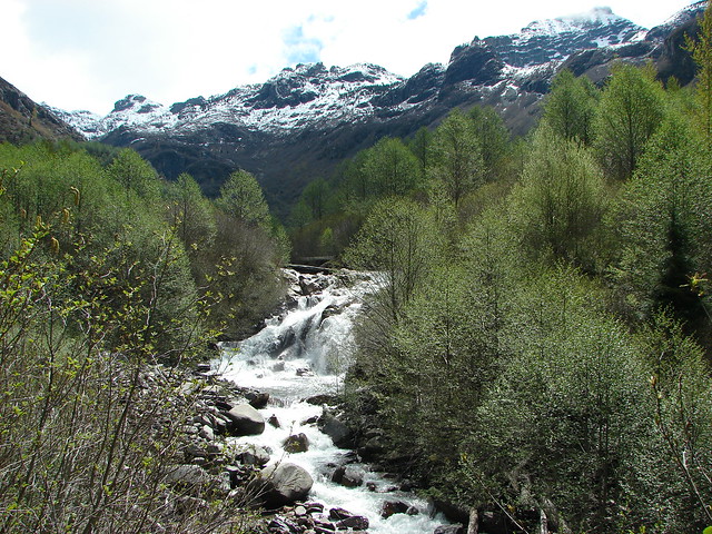
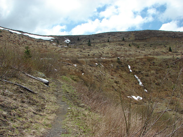
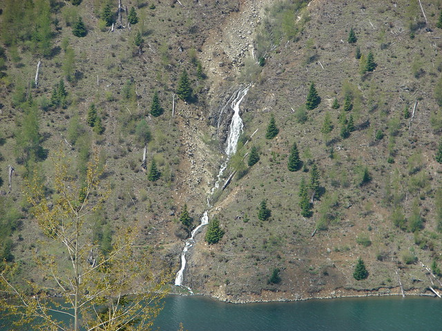
The trail crosses several small streams before reaching what was a very nice waterfall on this day. Rock Gully Falls, as it’s called in Sullivan’s book, was swollen with melt water making it a damp crossing since there is no bridge.
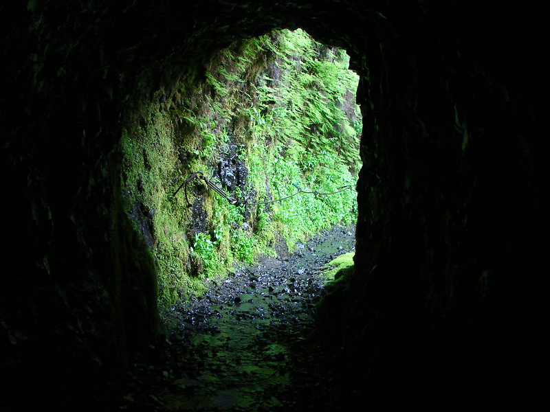
The crossing
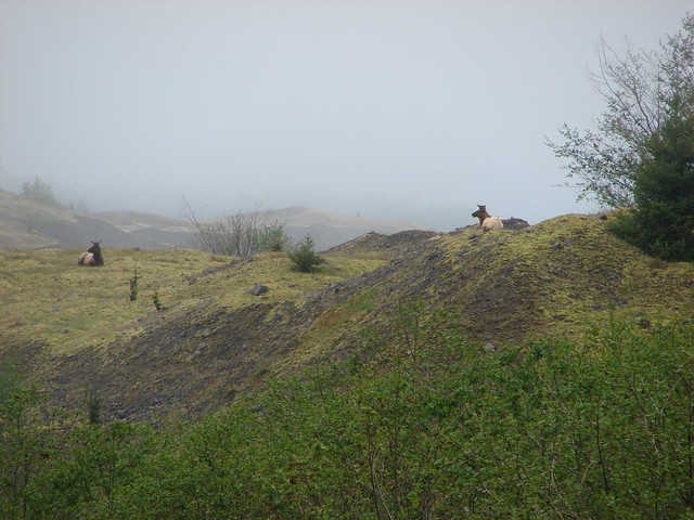
We spotted several more elk above us on the hillside as we rounded a small peninsula shortly after passing the falls. It was amazing watching them quickly traverse the steep hillside.

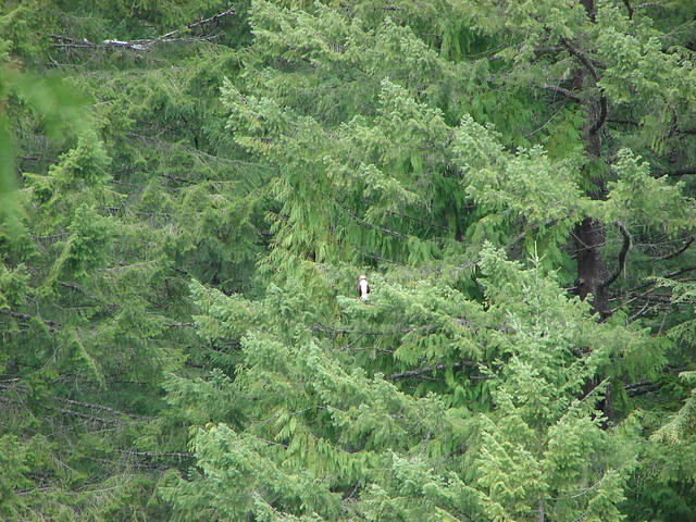
Can you spot them here?
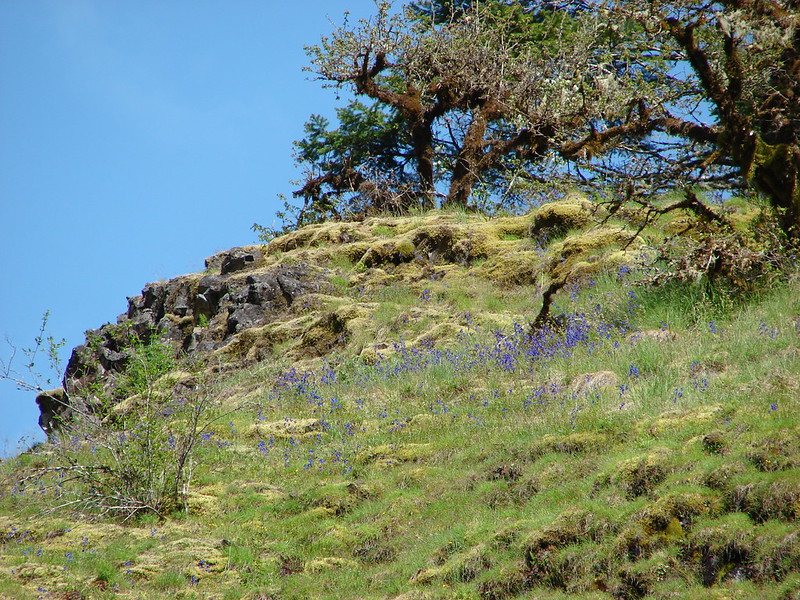
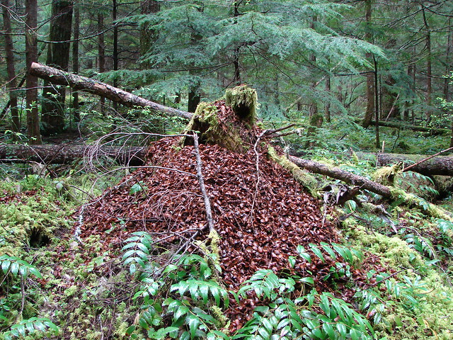
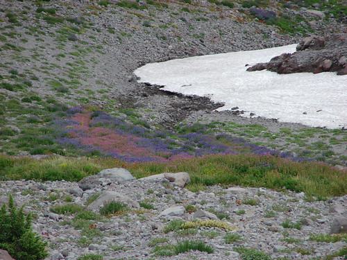
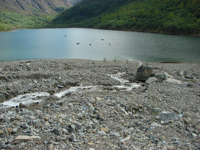
The next marker along the trail was a fan of rocks that had been part of a slide into the lake.
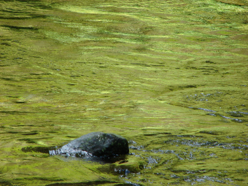
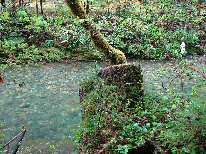
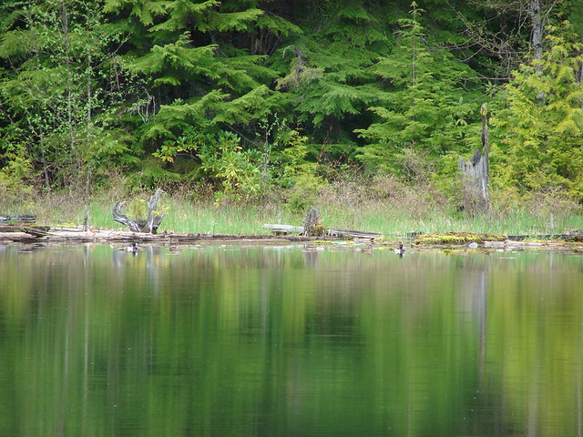
Near the end of Coldwater Lake we came to a shallow pool of water that was, at least at one time, home to a beaver. We didn’t see one but we did see plenty of ducks and geese here.
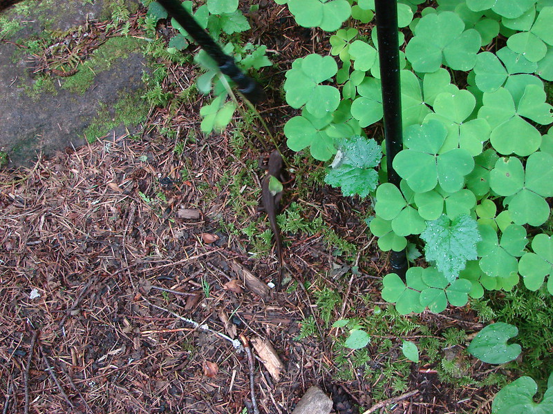
Evidence of Beaver work
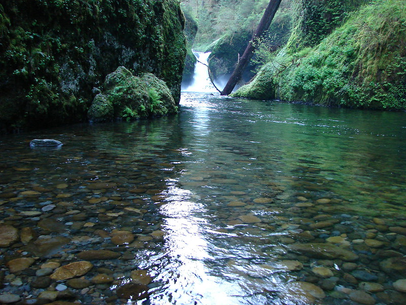
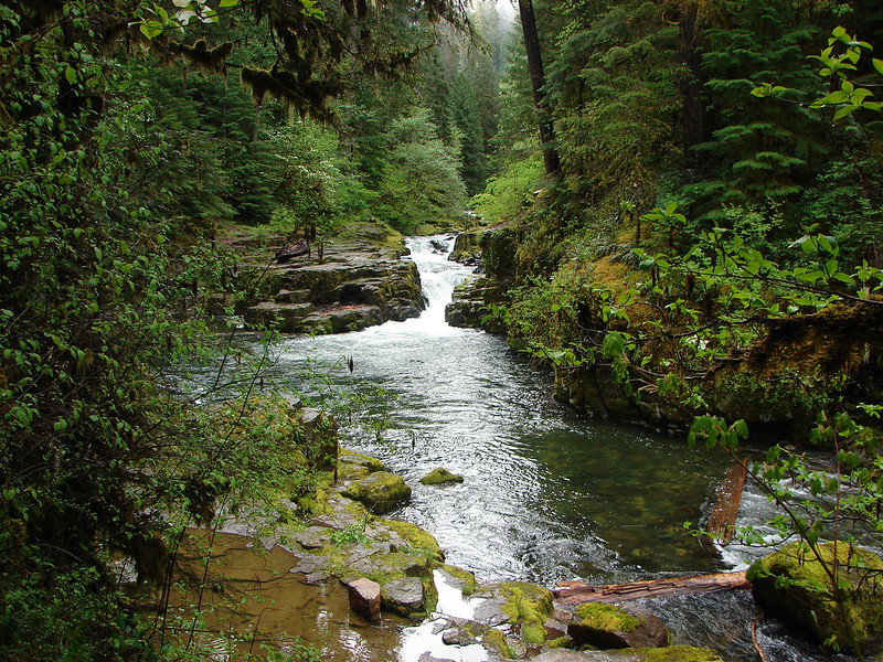
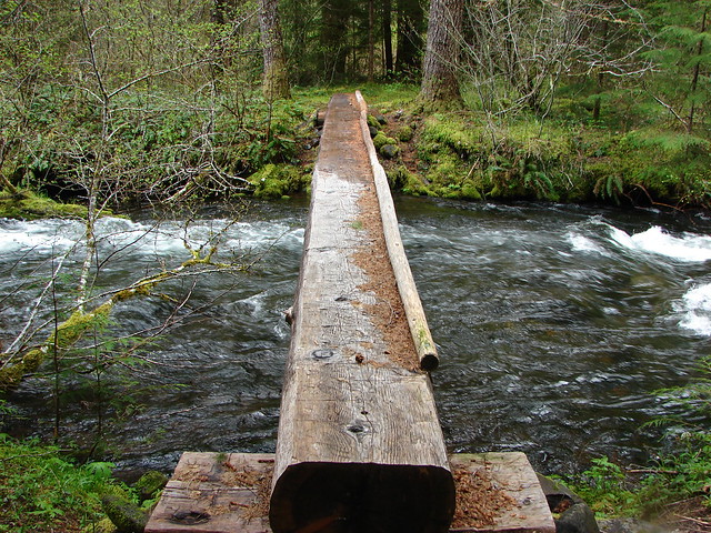
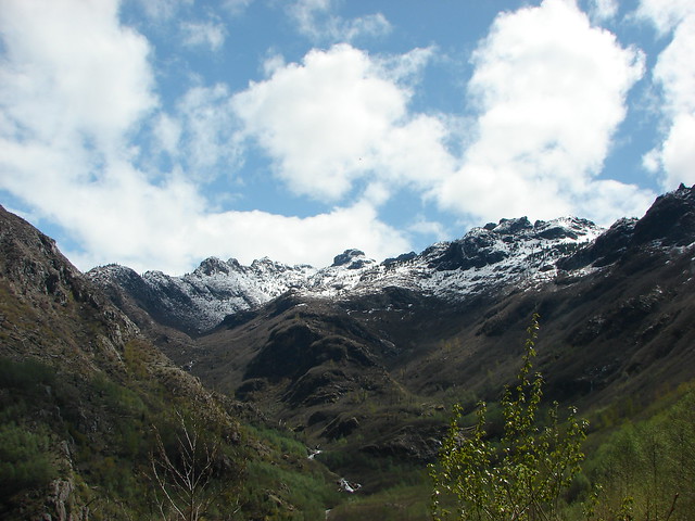
The cloud had finally left Minnie Peak revealing the craggy mountain top by the time we reached the trail junction just above the bridge over Coldwater Creek.
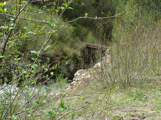
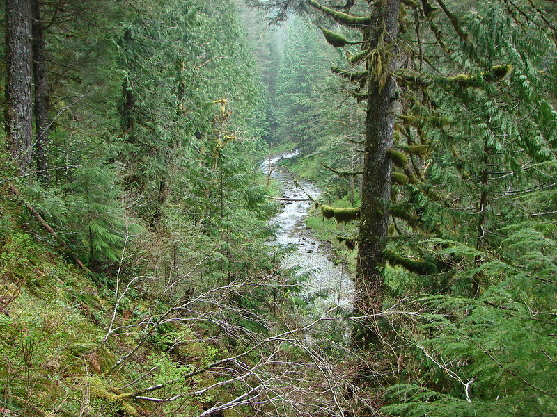
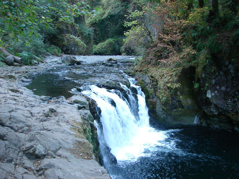
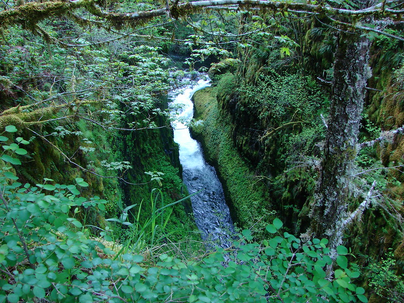
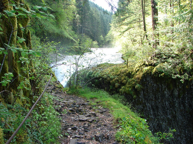
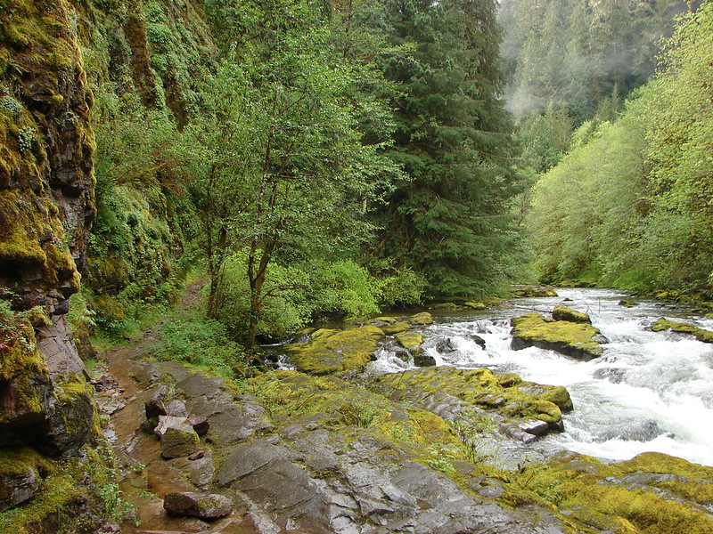
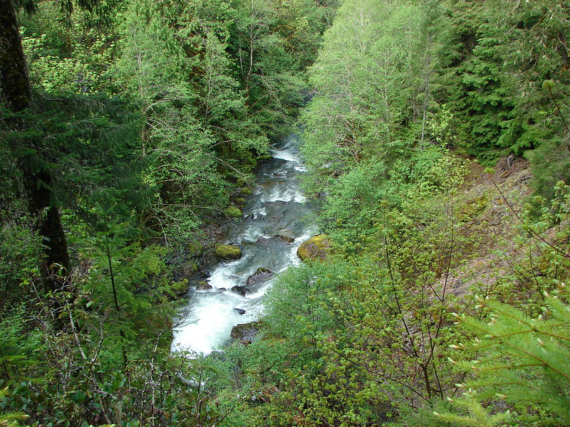
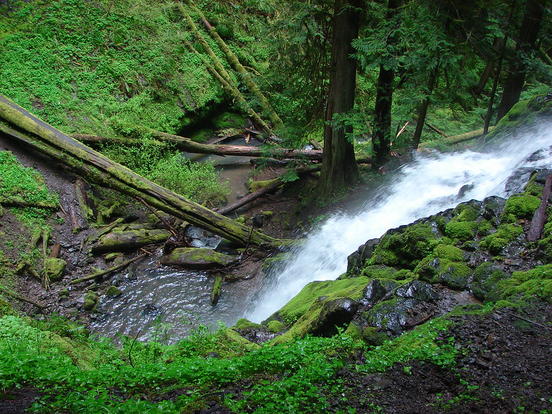
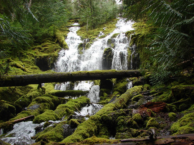
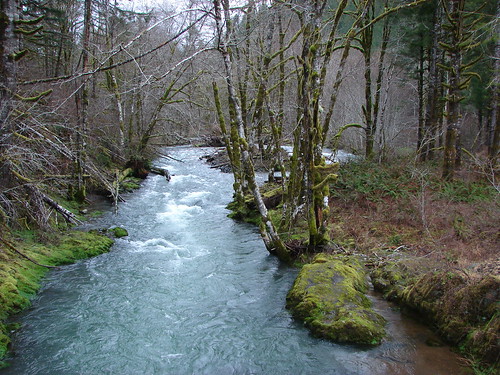
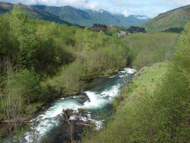
Coldwater Creek came raging down the valley putting on an impressive show.
We had decided to do the full loop as it appeared that snow would not be an issue and loops are generally more fun than retracing your steps so we crossed the bridge and began to climb the ridge on the south side of Coldwater Lake. The views behind us as we climbed just kept getting better.

The rock fan
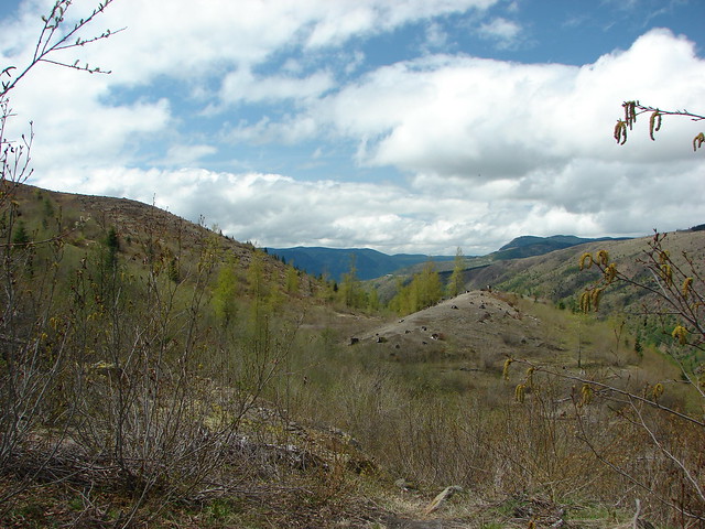
It was a stiff climb but the views eased the pain some. As the trail began to become more gradual, we could see the Coldwater Visitor Center far off in the distance on the opposite hillside.
Down in the little valley Heather spotted more elk moving in the trees.
Just a short while later she spotted another elk heading our way. It stopped in a little bowl below us to check us out.
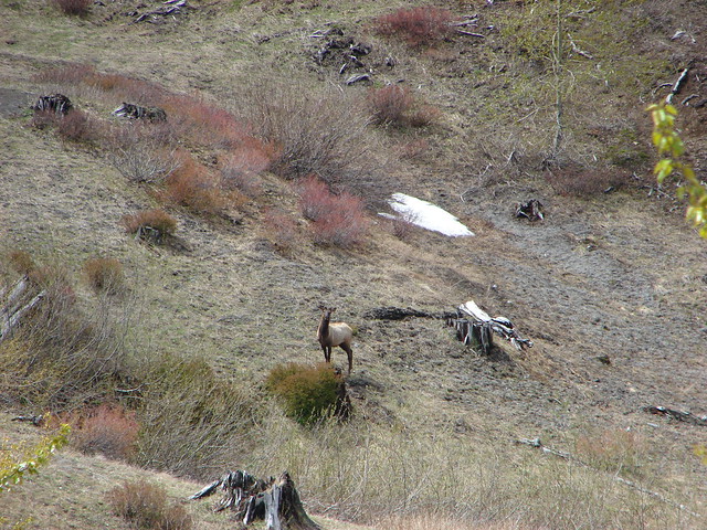
Nique correctly identified it as a young bull as it began to come toward us again.
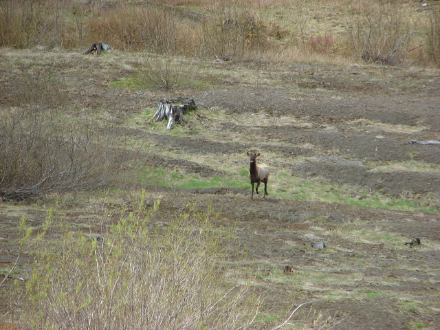
He then veered slightly away from us and crossed the trail a ways ahead and disappeared behind a small rise. I kept looking up the hillside to see if I could see where he was heading.

Just moments after taking the above picture he popped his head up over the rise and looked right down at us. As I fumbled with the camera he jumped down onto the trail no more than 10 yards in front of us and sped off back the way he had come originally. By the time I got a picture he was quite a ways down the into the bowl.
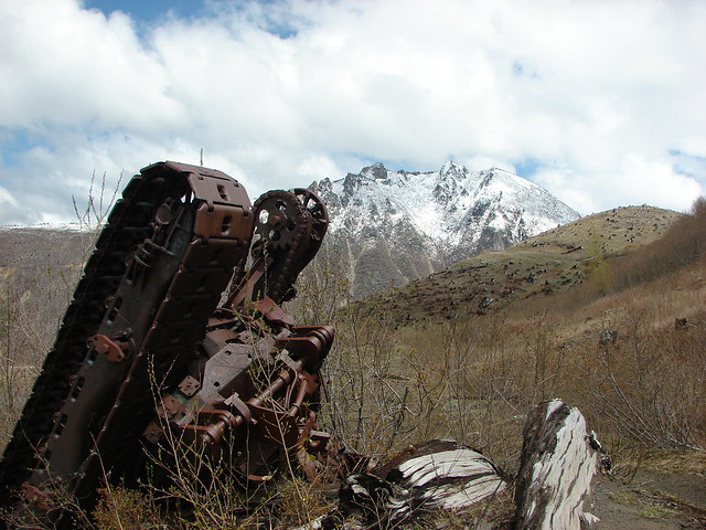
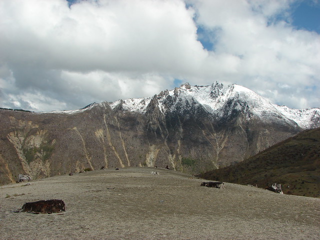
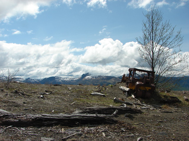
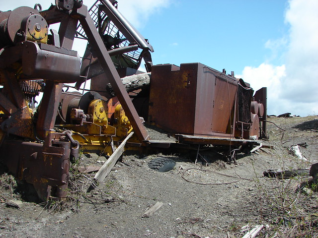
That had gotten my heart racing as I wasn’t sure if he had decided to turn aggressive. I had been expecting him to run away from us not at us. After the excitement we continued on to tractor junction where a trail leads up to Coldwater Peak. The junction is named for the piece of logging equipment that was laid to rest there by the eruption.
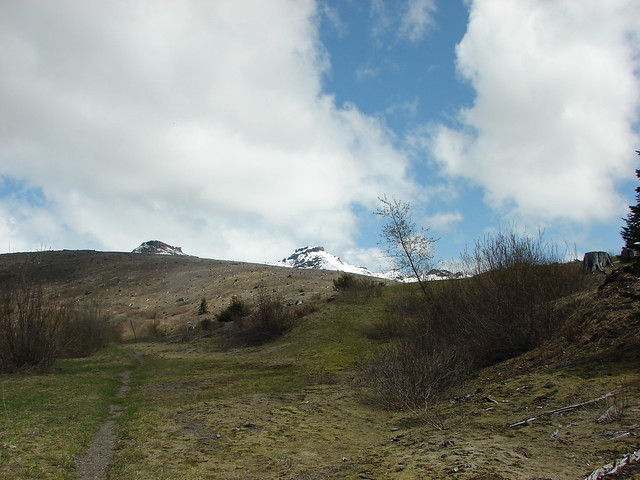
We had finally found a little snow in this area but not much was left.
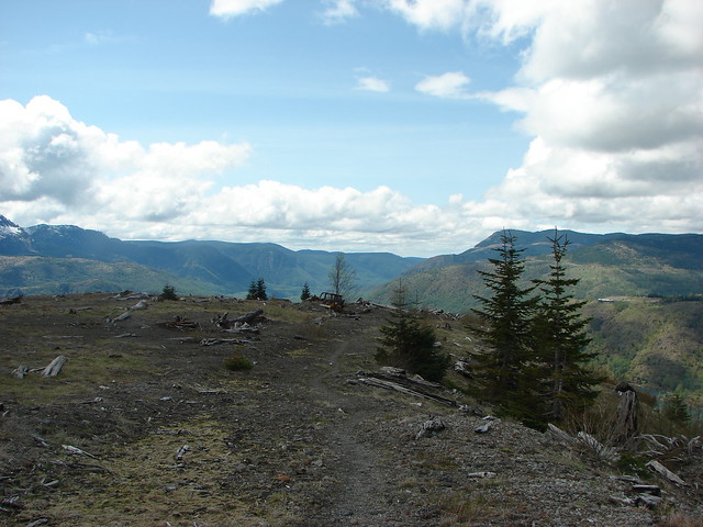
After curving around the trail came to a great open viewpoint.

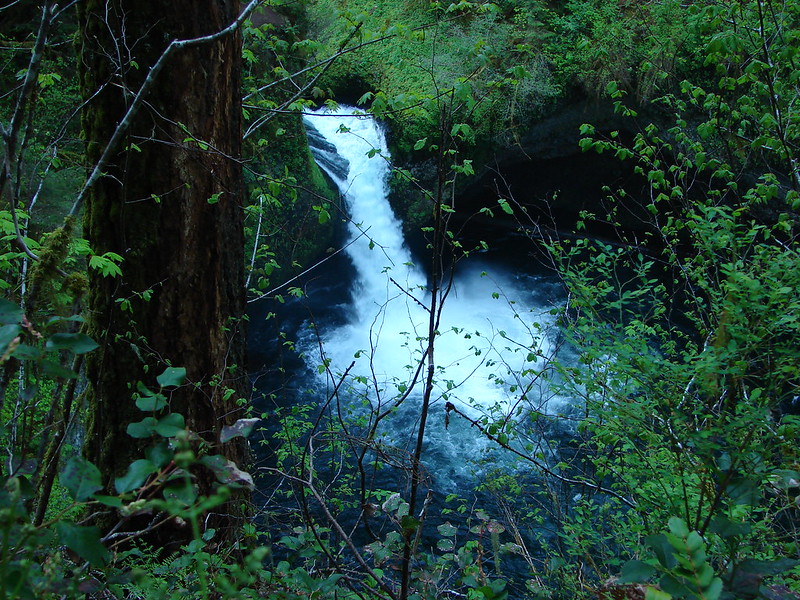
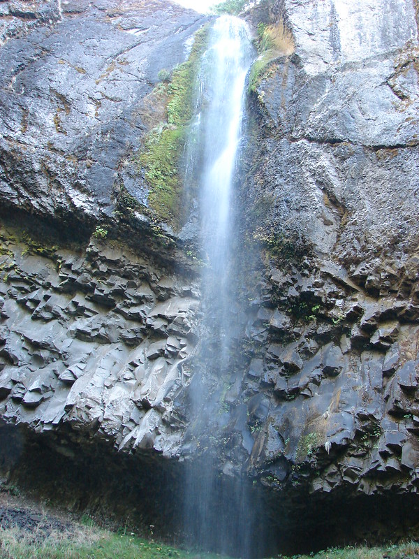
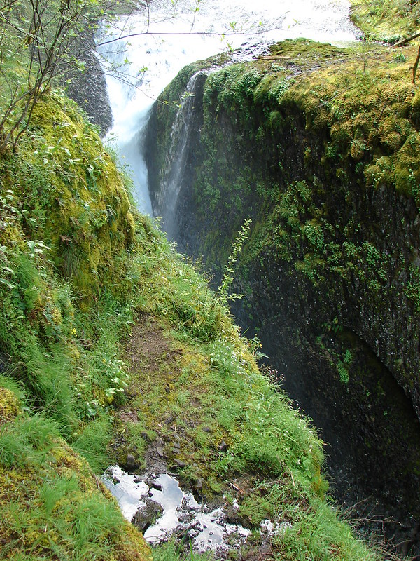
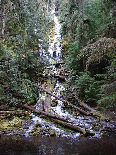
We could see Rock Gully Falls and the North Coldwater Lake trail really well.
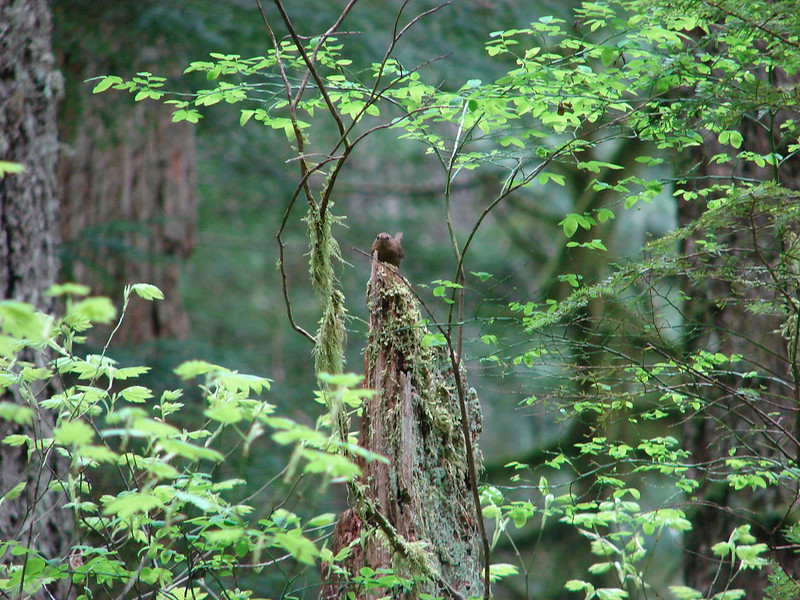
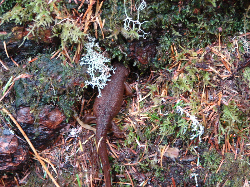
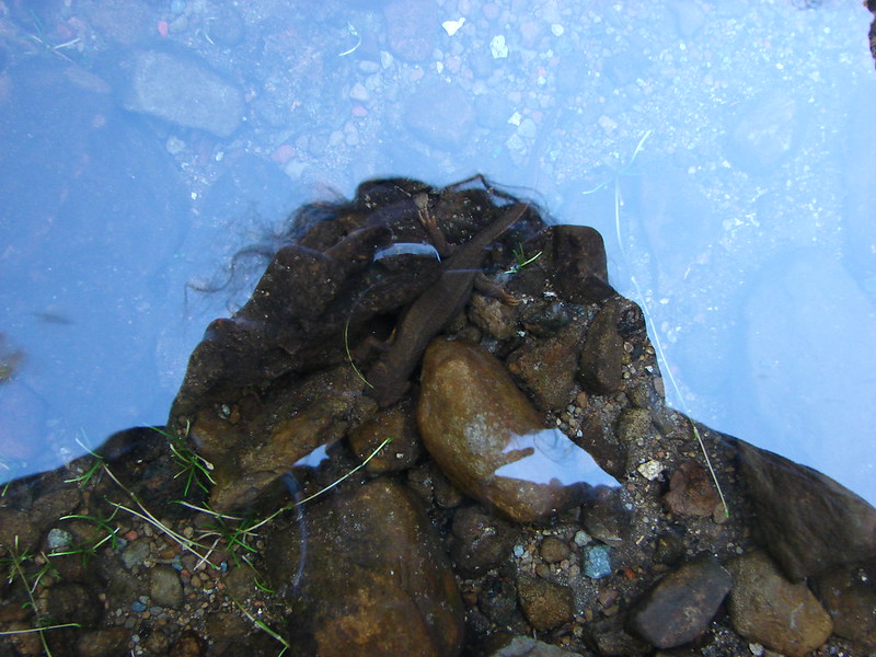
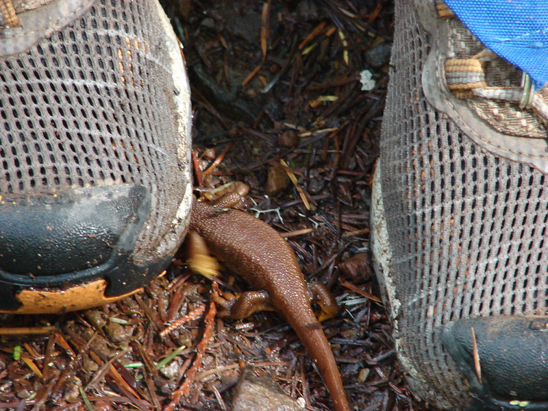
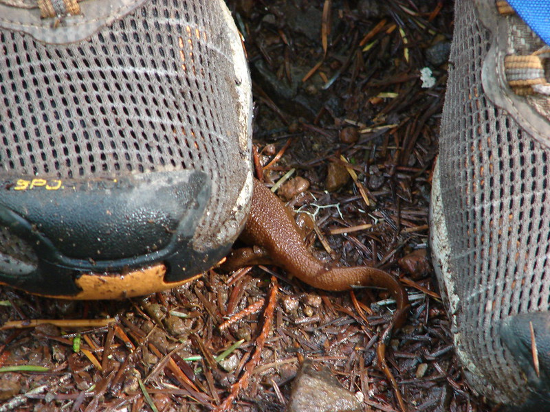
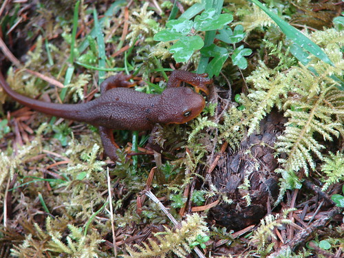
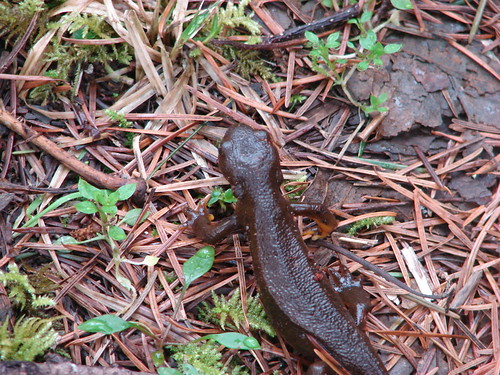
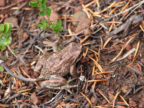
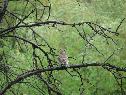
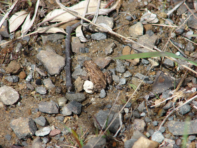
We had heard a lot of croaking on the Hummocks trail but hadn’t seen any frogs or toads there or along the lake, but now at almost 3500′ Nique spotted one.
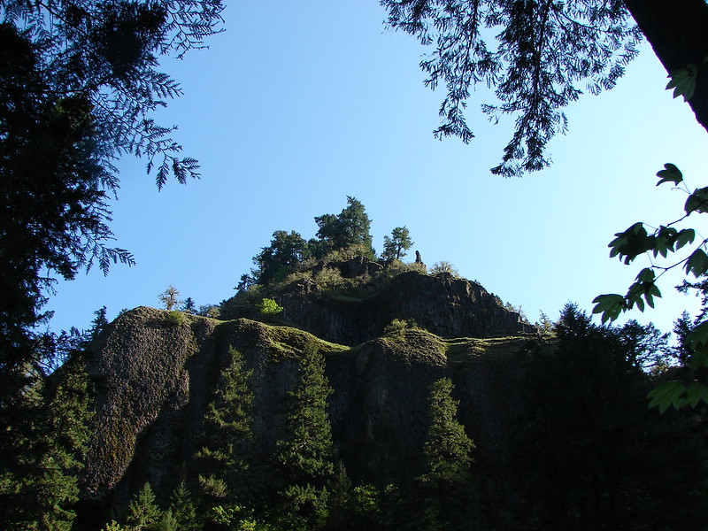
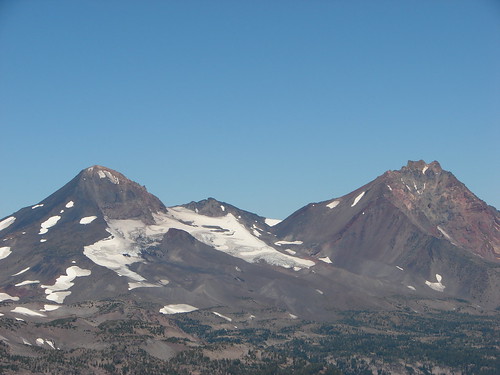
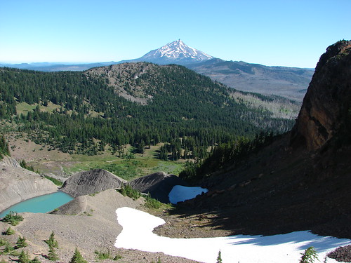
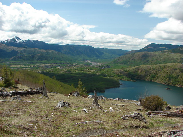
Coldwater Peak became visible as we made our way back toward the west end of the lake. It was interesting to see this side of it after having hiked up it last year.

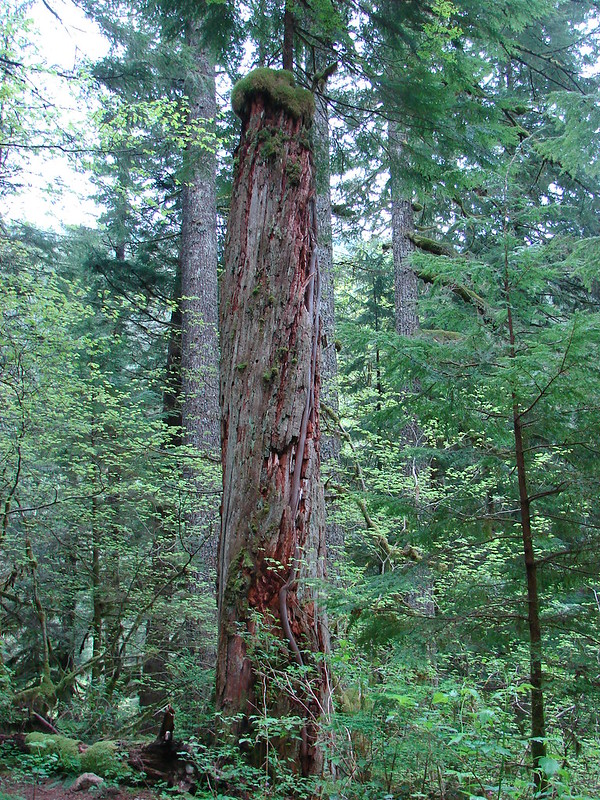
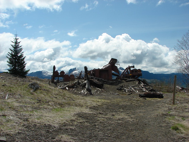
Just as the trail began to descend we came to more logging equipment that didn’t survive the eruption.
From here we could also see the Hummocks parking lot and our car.
We still had a ways to go.
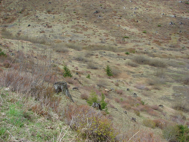
Our last elk sighting was a big one. As we were coming down, the largest herd we’d seen was scrambling to stay ahead of us and dropping down over the hillside.
What a sight 🙂
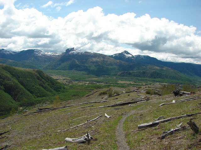
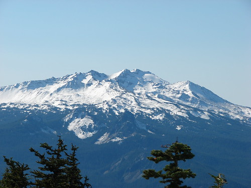
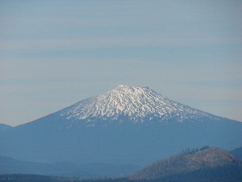
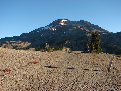
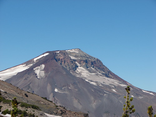
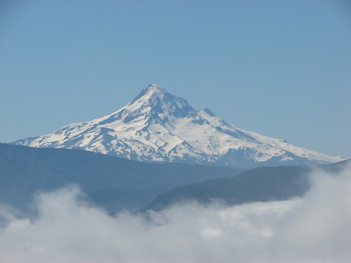
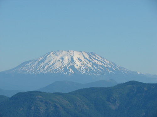
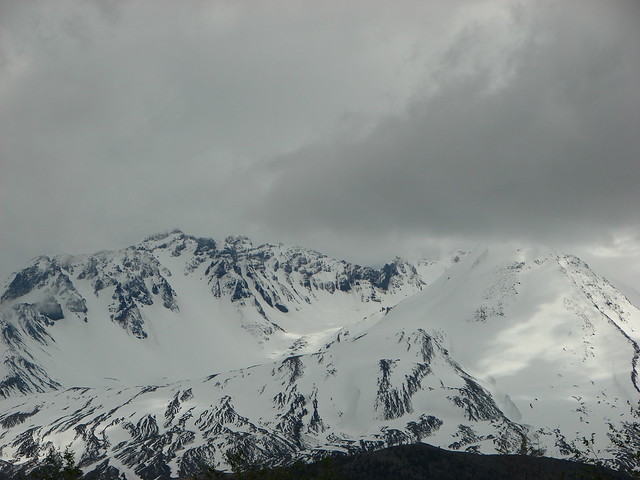
We made it down to the South Trailhead and began our road walk back to our car. Mt. St. Helens finally decided to make an appearance at this point.
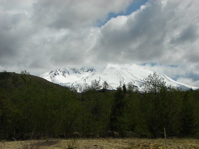
When we got back to the car I dropped off my pack and jogged down the Hummocks Trail to the first good viewpoint to get my volcano pictures.

Now that’s the way to end a hike – Happy Trails indeed! 🙂
flickr: https://www.flickr.com/photos/9319235@N02/sets/72157644218596998/
facebook: https://www.facebook.com/deryl.yunck/media_set?set=a.10203973677849473.1073741876.1448521051&type=1