Our first visit to Jefferson Park was way back in 2011 and it made such an impact on us that we revisited yearly up to 2017 when the lightning sparked Whitewater Fire forced us to skip a year. We returned in 2018 (post) and then decided to take a break from our yearly visits. Then in 2020 the Lionshead Fire, driven by strong easterly winds, raced through the area before combining with the Beachie Fire on 9/7/20. There are still closures in effect due to that fire, but the Woodpecker Trailhead has since been reopened and we thought it was time to revisit an old friend.
We had used the Woodpecker Trailhead for our 2016 visit (post) prior to either of the fires impacting the area. This was also before the Central Cascade Wilderness Permits were enacted. Currently the Woodpecker Trailhead only requires a free self-issued permit for day-use which can be obtained at the trailhead. Overnight permits are required for the Mt. Jefferson Wilderness regardless of which trailhead is used from 6/15 to 10/15.
Heather and I had set different goals for the day. I had my sights set on finally visiting Sprague Lake which is located just below Park Ridge (post) and requires off-trail navigation. Heather had set a more sensible goal of stopping at Scout Lake which is the first lake that you reach when entering Jefferson Park from the SW. Given our different goals we established a meeting spot on the west side of Scout Lake and set off at our own paces. Another reminder that overnight permits are required in the wilderness.
Due to the two recent fires having burned over the entire route of our planned hikes the vast majority of the trails up to Jefferson Park are devoid of any tree cover. Luckily for us it was in the upper 30’s when we set off and the highs were set to be in the upper 50’s in Jefferson Park and low 70’s at the trailhead. It was also forecast to be mostly clear skies as recently cooler temperatures combined with rain and even some snow at higher elevations had helped to suppress the numerous fires currently burning in other parts of the Cascades and eastern Oregon. Low clouds in the valley.
Mt. Jefferson through some of the snags with a few surviving trees on the right.
After an initial steep climb the trail levels out then descends slightly into a patch of trees that survived the fires. At the 1.2-mile mark it enters the Mount Jefferson Wilderness.
Just under a half mile later the trail climbed to an unsigned junction with the Pacific Crest Trail (PCT). Mt. Jefferson from the junction, note the rock cairn on the left marking the PCT.
The cairn at the junction.
We turned left on the PCT and followed it through the fire scars for 2.6-miles to a crossing of Russell Creek. Triangulation Peak (post) getting hit with sunlight with Whitewater Lake (lower right) in Mt. Jefferson’s shadow.
Whitewater Lake
Triangulation Point and Bocca Cave (Trailheads still closed.)
Tarn 0.3-miles from the junction.
Mt. Jefferson reflecting in the tarn.
Ducks on the tarn.
The Sentinel Hills with Park Butte behind to the right. The Whitewater Trail (post) traverses the hillside below the Sentinel Hills, but that trailhead is also still closed.
The fires did open up fairly consistent views of the mountain.
A few remaining penstemon blossoms.
Heading down to the Russell Creek crossing.
This can be a tricky crossing at times, but there was a makeshift bridge which made it fairly easy this time.
Aster and pearly everlasting near the creek.
Beyond Russell Creek the PCT climbed for half a mile to a junction with the Whitewater Trail where we turned right sticking to the PCT.
We started seeing more trees that had survived the fire as we got closer to Jefferson Park.
Gentians and aster
Grass-of-parnassus
From this junction it was just under a mile to the first of several signed trails leading to Scout Lake off the PCT. There were patches of burned forest along this stretch.
Approximately 0.4-miles from the junction the trail crosses Whitewater Creek.
From the other side of Whitewater Creek the views of Mt. Jefferson are amazing.
Based on the barred sides I believe this is a black-backed woodpecker.
Unofficial use trails are an issue in Jefferson Park which has prompted the Forest Service to install a number of “Closed for Rehabilitation” sign such as the one on the left side of the trail.
They’ve also added quite a few signs to indicated sanctioned trails. Typically in wilderness areas the Forest Service tries to keep signage to a minimum, but overuse has led them to add additional signs.
Another sign with Park Butte in background.
Since I was headed for Park Ridge I ignored the trails to Scout Lake for now and continued on the PCT for three quarters of a mile beyond the first sign for Scout Lake to a sign for Russell Lake on the right side of the trail.
There are a few hikes we’ve done where either fog, clouds, or smoke have left us without a view from our destination. When that happens, we add them to the list of destinations to revisit. Big Huckleberry Mountain was one such destination. Located in SW Washington in the Gifford-Pinchot National Forest we had visited this former lookout site in 2019 (post). For that hike we started from the Grassy Knoll Trailhead. That was an 11.4-mile hike gaining 1800′ of elevation with lots of wildflowers.
While the Grassy Knoll approach was great there are other ways to reach Big Huckleberry Mountain. Two of them are by starting at trailheads along the Pacific Crest Trail from either the north or south. We chose the southern trailhead based on it being the starting point of William L. Sullivan’s featured hike in his “100 Hikes Northwest Oregon” guidebook. An unofficial trailhead, it isn’t shown on Forest Service or Google maps, but a large pullout along Forest Road 68 where the Pacific Crest Trail crosses serves the purpose. Looking down at the pullout from the PCT on the way back.
Be aware that FR68 is rough with numerous good-sized potholes and one large, steep drop that would be difficult for low clearance vehicles.
From the pullout we crossed the road at a large sign for the Wind River Experimental Forest and headed uphill on the PCT.
The PCT gradually climbed through a nice forest where a good number of wildflowers were blooming. There were also some glimpses of Mt. Hood through the trees. At the 1.3-mile mark the views to the south opened up where a large landslide at some point in the distant past had removed much of the forested hillside.
Phantom orchid
Spotted coralroot
Finetooth beardtongue
Mt. Hood through a window in the trees.
Finetooth beardtongue along the trail.
White spiraea
Bluehead gilia
Paintbrush
Some yellow balsamroot along the trail.
Columbine
Inside-out flower
Queen’s cup
Bunchberry
Vanilla leaf
Arnica
Approaching the landslide area.
Starting at the green up to the left is Augspurger Mountain (post) and Dog Mountain (post) on the Washington side of the Columbia River Gorge. Mt. Defiance (post) is the high point on the Oregon side with Mt. Hood to the right. The three lower peaks to the right of Mt. Hood are Tomlike, Chinidere, and Indian Mountain (post).
Mt. Hood from the viewpoint.
Lomatium, bluehead gilia, and arrowleaf buckwheat in the bowl.
The trail continued along above the landslide before veering left to pass around a rise along the ridge.
Honeysuckle
On the far side of the rise a spur trail led right to a small wildflower meadow along the side of the landslide.
Wild onion mixed in with bluehead gilia.
Bluehead gilia
Lupine
Catchfly
Beyond the viewpoint the trail dropped to a saddle then resumed its gradual climb following the forested ridge. Just before the 3-mile mark we passed the Cedar Creek Trail coming up from the right. Along the way we passed through a couple more small meadows with nice wildflowers. Arnica and beargrass in the forest.
Nearing one of the little meadows.
Sub-alpine mariposa lilies
Bluehead gilia
Sub-alpine mariposa lilies
A closer look shows why these are also known as cat’s ear lilies.
A third of a mile beyond the Cedar Creek Trail junction the PCT passed by a rocky outcrop. On the far side we took a path to the left leading to the top of the outcrop which had a great view of Mt. Hood and more wildflowers.
Wallflower
White groundsel
Cliff beardtongue
Cliff beardtongue
Wild rose
Larkspur
Mt. Hood from the viewpoint.
Spotted coralroot
Oregon sunshine and wild onions
Chickweed
While we were taking a break at the viewpoint another pair of hikers arrived (the only others we would see all day). We left the viewpoint to them and continued on. Arriving at another small clearing with flowers.
Phlox, penstemon, lomatium, onion, and mariposa lilies.
Another little meadow.
Larkspur and balsamroot
This was the only time we spotted Mt. St. Helens on the hike.
At the 4-mile mark (0.7 from the rock outcrop viewpoint) we arrived at the junction with the Grassy Knoll Trail.
Almost immediately after passing this trail the Big Huckleberry Mountain Trail led uphill to the right.
We had forgotten how steep the 0.2-mile trail to the former lookout site was compared to the PCT, but the wildflowers and views from the long summit were worth it.
We walked west from the summit down the wildflower covered ridge to get some additional views.
Balsamroot and groundsel
Mt. Adams
Phlox
Paintbrush and cliff beardtongue
Another view of Mt. Hood.
Sandwort
Chickweed
Balsamroot
Some of the smaller flowers present on the summit.
Finetooth beardtongue
Wallflower
Wild onion
The end of the ridge is about three quarters of a mile from the lookout site.
We took a break on a small rock outcrop to enjoy the scenery and the gentle breeze that was keeping things from being too warm. Heather on the outcrop.
Painted lady
When we finally started back we heard voices which turned out to be the two hikers that we’d seen at the lower viewpoint. They had set up their amateur radio and had just been communicating with someone in Pennsylvania. We passed by and made our way back past the lookout site and down to the PCT.
Larkspur Swallowtail
Chickweed in some phlox.
We returned the way we’d come on the PCT enjoying the wildflowers the second time as much as we had the first.
Wallflower
Colubmine
Bluehead gilia
Beargrass along the PCT.
Heading down to the trailhead.
The hike ended up being 9.3 miles with approximately 1460′ of elevation gain.
This was a great hike with good views, lots of wildflowers, and plenty of solitude. The only downside at all was the rough drive up FR 68. Happy Trails!
As we near our goal of finishing at least part of all 100 featured hikes in William L. Sullivans “100 Hikes/Travel Guide Southern Oregon & Northern California” edition 4.2 (post) there was one backpacking trip left. Sullivan’s Seven Lakes West and Seven Lakes East (hikes 38 & 39 in edition 4.2) start at trailheads on opposite side of the Cascade Crest but both contain a loop through the Seven Lakes Basin and a climb up Devil’s Peak in the Sky Lakes Wilderness. Aside from the different trailheads the only other difference is that he includes a visit to Lake Alta from the west trailhead.
We opted to begin from the eastern trailhead – Sevenmile Marsh. The primary reason for this was the trailhead is roughly half an hour closer to Salem but the Forest Service currently shows the status of the western trailhead (Seven Lakes) as unreachable. (This may simply be an oversight when updating their webpages, but it is a good reminder that it’s always a good idea to double check with the managing agencies before heading out.) Sevenmile Marsh Trailhead
The trail descended to a crossing of Sevenmile Creek then climbed gradually along a hillside above Sevenmile Marsh, entering the Sky Lakes Wilderness along the way.
Sevenmile Creek
Entering the wilderness
Sevenmile Marsh
The Sevenmile Trail climbed gradually through a nice forest for nearly two miles before joining the Pacific Crest Trail. Lodgepole pines were the dominate trees along the first part of the trail.
Mountain hemlock took over as the trail gained elevation.
Junction with the PCT.
We turned left onto the PCT and found ourselves losing a bit of elevation before beginning another gradual climb.
There were a few downed trees along this section but nothing difficult to get around.
This twisted tree caught our attention.
Nice blue sky.
Lewis’s woodpecker way up in a snag.
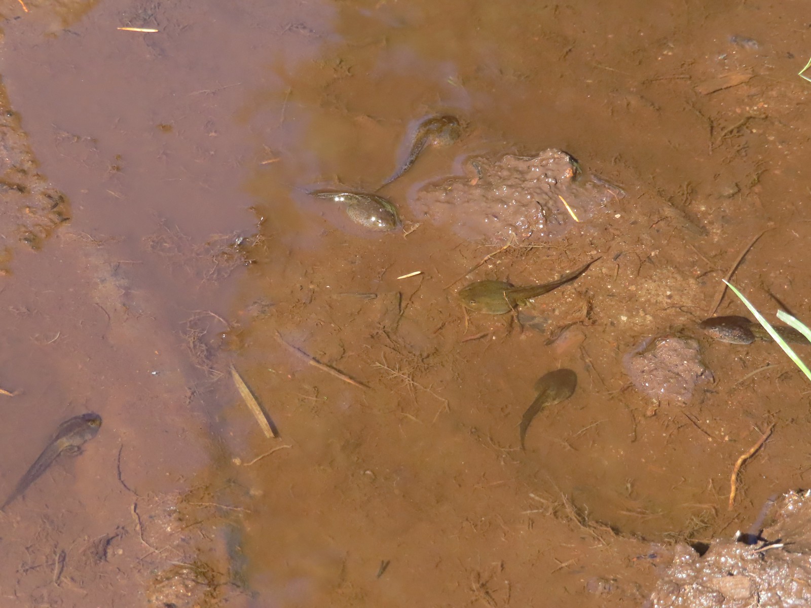
After two miles on the PCT we arrived at Honeymoon Creek which resembled a small pond. Tadpoles splashed around in the mud while larger frogs hung out around the water.
Tadpoles
Frog in the water.
After another 0.6-miles on the PCT we arrived at a signed junction with the Seven Lakes Trail. Trail sign ahead on the right.
Our plan was to set up camp at Cliff Lake then do the loop and summit Devil’s Peak as described by Sullivan. We could have turned right here and followed the Seven Lakes Trail 1.3-miles past Grass and Middle Lakes to Cliff Lake, but sticking to the PCT for another 0.7-miles then turning the Cliff Lake Trail would save us nearly a quarter of a mile. We decided to save Middle and Grass Lakes for our hike out the following morning and stayed straight on the PCT.
Unnamed creek along the PCT. We were surprised at how many of the seasonal creeks still had flowing water.
Grass-of-parnassus
Huckleberries, there were a lot of these around the basin which we happily sampled.
Devil’s Peak poking up above the trees.
The Cliff Lake Trail.
We turned right onto the Cliff Lake Trail and descended a third of a mile to rejoin the Seven Lakes Trail a tenth of a mile from Cliff Lake.
Prince’s pine
Another flowing seasonal creek.
Crater Lake collomia (Collomia mazama)
The Seven Lakes Trail arriving on the right.
Cliff Lake
At Cliff Lake we turned onto a use trail following it around the eastern side of the lake in search of a suitable campsite. While there were numerous sites most of the sites we were seeing were large enough for multiple tents. We didn’t want to take up one of the large sites with our single tent and we also didn’t want to wind up with neighbors if we could avoid it. We wound up getting separated in the process and after walking back and forth for a bit we found each other and settled on a campsite.
Arnica
Aster
Splash in Cliff Lake from one of many fish that were feeding on insects.
Camp
After getting set up we grabbed our daypacks and headed back to the Seven Lakes Trail. We decided to hike the loop clockwise which meant backtracking along the Seven Lakes and Cliff Lake Trails to the PCT and then turning right to continue southward. Huckleberry bushes along the Cliff Lake Trail.
Anywhere there was water nearby there were lots of tiny Cascade toads to watch out for.
Back at the PCT.
Larger frog
Monkshood
More grass-of-parnassus
Not only were the toads tiny, they also were well camouflaged.
The PCT climbed steadily providing the first glimpses of the peaks around Crater Lake. Mount Scott (post) between the trees.
Near Devil’s Peak the PCT left the trees and switchbacked up a talus field resulting on great view to the north toward Crater Lake and beyond.
Mt. Thielsen (post) in the center beyond the rim of Crater Lake.
Union Peak with Mt. Bailey (post) behind to the right.
Lots of neat rock formation on Devil’s Peak.
Western pasque flower seed heads.
Buckwheat
Two and a half miles from the Seven Lakes Trail junction the PCT arrived at a pass. The final climb was fairly steep even with switchbacks, so a brief rest was in order at the pass.
Views to the South opened up at the pass including Klamath Lake and Pelican Butte.
Klamath Lake
Devil’s Peak and the PCT coming up to the pass from the North.
Klamath Lake, Pelican Butte, Aspen Butte (post) over the right shoulder of Pelican, Brown Mountain (post) is the small cone on the right, and Mt. McLoughlin (post)
Mt. McLoughlin
A faint Mt. Shasta which, given the wildfires burning in NW California was a bit of a surprise to be able to see.
The view North.
Goose Egg and Ethel Mountain in the forefront with Llao Rock, Mt. Thielsen, and Garfield Peak (post) behind.
Devil’s Peak
While we were resting at the pass we heard a helicopter approaching from the NW. It wound up hovering low above the lakes basin before heading back the way it came. We were a little concerned at first that it might be picking up water for a new fire but there wasn’t anything hanging from the helicopter so we have no idea what it was actually doing.
A path headed uphill from the pass toward Devil’s Peak while the PCT headed slightly downhill. The use path to Devil’s Peak on the right and the PCT on the left.
We headed up the use trail which was fairly easy to follow with just one slightly sketchy narrow spot.
The rather ominously named Lucifer from the use trail.
A second use trail coming up from the opposite side.
Western pasque flowers on the hillside above the use trails.
The summit of Devil’s Peak ahead.
The views were excellent from the summit so we took another nice break to soak them in before heading down. Looking North toward Crater Lake and Mt. Thielsen
Lucifer, Jupiter, and Venus
Lee Peak above the pass.
Luther Mountain (post) in the foreground with Aspen Butte, Brown Mountain and Mt. McLoughlin.
Remains of a former lookout.
The PCT below Devil’s and Lee Peaks.
Goose Egg, Llao Rock, and Mt. Thielsen
Mt. Scott
Mt. Shasta to South through a little smoke but again we felt fortunate to be able to see the mountain at all.
Colorful grasshopper at the summit.
American pipit
We headed down taking the other use trail which angled down along a ridge to the PCT approximately a third of a mile from where we had left it to climb Devil’s Peak. The Seven Lakes Basin from the use trail down.
South, Middle, North, and Grass Lakes
Heading down the use trail.
Looking back up the use trail.
When we reached the PCT we turned right and headed toward Lucifer.
Western snakeroot along the PCT.
A comma butterfly on western snakeroot.
Painted lady
At a ridge below Lucifer we arrived at a signed trail junction.
Here the PCT forked left toward Luther Mountain while the Devil’s Peak Trail forked right. We took the Devil’s Peak Trail and followed it 1.3-miles to the Seven Lakes Trail. Passing below Jupiter and Venus along the way. Venus from the Devil’s Peak Trail.
Looking back at Devil’s Peak.
Looking North across the Seven Lakes Basin.
Lake Alta in a bowl below Violet Hill.
Pond along the Devil’s Peak Trail.
Coming up to the Seven Lakes Trail junction. A rock cairn was the only marker.
We turned right onto the Seven Lakes Trail and descended 0.2 miles to a signed junction with the Alta Lake Trail.
We turned left onto the Alta Lake Trail. We followed this trail for a fairly level half mile to the long lake.
Heather took another break at the South end of the lake while I hiked another quarter mile along the lake to get a better look at the northern end. I was still only about halfway along the lake after the quarter mile. There used to be a campground at the North end.
Common merganser
The southern end of Lake Alta.
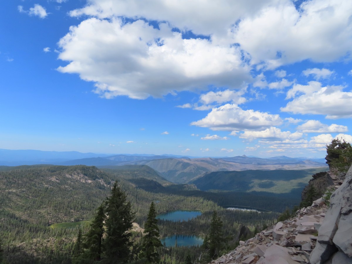
On the way back to Heather I detoured to take in the view from the cliffs above the basin. Cliff Lake below Devil’s Peak and Middle Lake.
Middle and Grass Lakes
I could hear several pikas in the rocks below the cliffs but the only thing I spotted was a chipmunk.
Chipmunk
After rejoining Heather we headed back to the Seven Lakes Trail and continued descending into the basin. Sulphur butterfly on aster.
Gentian
Fireweed
A mile from the Alta Lake Trail we arrived at South Lake.
South Lake
Another quarter mile brought us to a view of Cliff Lake.
Devil’s Peak from the trail. There were more pikas “meeping” from the rocks here but again we failed to spot any of them.
We followed the trail around to the North side of Cliff Lake and then turned on the use trail to return to our campsite.
Back at camp we refilled our water supply and had dinner then relaxed a bit before turning in for the night. For me this had been a 15.3-mile hike with 2000′ of elevation gain. One and a quarter of those miles was hiking from the Seven Lakes Trail to our camp, and initially wandering around looking for a site and Heather. Devil’s Peak in the evening.
So many fish in the evening.
In the morning we packed up and headed back, this time sticking to the Seven Lakes Trail to visit Middle and Grass Lakes.
Devil’s Peak in the morning.
Seven Lakes and Cliff Lake Trail junction.
We reached Middle Lake in 0.4-miles.
We detoured left at the northern end of the lake following a pointer for Lake Ivern to find a view back across Middle Lake.
Devil’s Peak from Middle Lake.
We returned to the Seven Lakes Trail and in another half mile we passed views of Grass Lake. Stream crossing.
Monkshood and grass-of-parnassus
Grass Lake
We didn’t follow any of the use trails down to Grass Lake and instead stuck to the Seven Lakes Trail as it climbed for 0.2 miles to the Pacific Crest Trail.
Arriving at the PCT.
We turned left onto the PCT and returned to the Sevenmile Marsh Trailhead the way we’d come the day before. Of note were the ducks making use of the small pond along Honeymoon Creek.
Golden-mantled ground squirrel
Sevenmile Trail at the PCT to return to the Sevenmile Marsh Trailhead.
Exiting the Sky Lakes Wilderness.
The hike out came to 6.1-miles with just 200′ of elevation gain.
The red section marks our track out past Middle and Grass Lakes
This was a great trip. The temperatures were pleasant, the views great, lots of huckleberries and only a few mosquitos. We also only saw a total of eight other people all weekend. We are now down to a half dozen featured hikes from the Southern Oregon/Northern California book and if conditions cooperate we may well be finished by November. Happy Trails!
We spent a long weekend at Crater Lake National Park as we continue our quest to hike all 100 featured hikes in William L. Sullivan’s “100 Hikes/Travel Guide Southern Oregon & Northern California” (post). Our plans included the six remaining featured hikes in the Park that we had yet to hike, but before we got to those, we set our sights on a former featured hike. Stuart Falls had been a featured hike in Sullivan’s third edition but washouts in 2014/15 had severely impacted the western approach (April 2015 trip report by Van Marmot). The area was further damaged in the 2017 Blanket Creek Fire leaving the only viable approach to the falls from the East starting from the Pumice Flat Trailhead located at the Lodgepole Picnic Area.
It was a 4-hour drive from Salem so we arrived at the picnic area a little after 9am and set off on the Pumice Flat Trail.
The trail promptly crossed Highway 62 and then ran parallel to the highway for approximately a third of a mile before turning away (SW). Arriving at the highway.
Trail on the far side of Hwy 62.
The Pumice Flat Trail climbed gradually for three miles through unburnt forest to the Pacific Crest Trail.
Clodius parnassian on a pussy paw.
Much of the trail followed an old roadbed.
PCT junction.
Butterfly on the Crater Lake PCT register. While I was working on getting the butterfly photo a northbound thru hiker arrived. He mentioned not having had a shower in 10 days and being really excited to reach Mazama Village and being able to take one.
After a short conversation we turned right onto the PCT for 0.1-miles to the Stuart Falls Trail.
It took us just over three miles to reach Stuart Falls from the PCT. The extensive damage from the 2017 had left the trail hard to follow in some areas. It wasn’t clear how long it had been since the trail had been maintained but even where it was obvious there was plenty of blowdown to navigate. Older cut logs helped us locate the trail at times.
Union Peak from the trail (post). (The “trail” is not in this photo.)
It took a second to find the tread in this meadow.
Once we found it though it was easy to follow.
Big beetle. There are also three clodius parnassian butterflies behind to the right.
Typical trail conditions. I spent a good deal of time removing limbs from the larger trees and pulled some of the smaller ones off the trail.
Doe below the trail.
More messy trail.
There was one small stand of unburned forest which provided a brief break from the blowdown.
Checkerspot butterfly
Mylitta crescent and a hoary comma on spreading dogbane.
Paintbrush
I believe that is Tom Mountain and Jerry Mountain.
Bald Top to the right.
Skipper
Mt. McLoughlin
Lorquin’s admiral
This was the worst of the obstacles.
We hadn’t seen a blue diamond since before the PCT but near the SW corner of the Park boundary we spotted a couple.
Post ahead marking the boundary. The trail passed through a narrow gap here where the blowdown was heavy.
The trail left the Park and entered the Sky Lakes Wilderness.
We left the trail briefly to visit a viewpoint above Stuart Falls.
We continued downhill leaving the trail again to visit a large campsite near the base of 40′ Stuart Falls.
Arnica below the falls and fireweed above the falls added some nice color to the scene.
One-sided wintergreen
I had been toying with the idea of attempting to reach Red Blanket Falls which was another mile and a half from Stuart Falls. We discussed things while we took a break at the falls and I decided to go ahead and make the attempt despite the poor trail conditions while Heather would stay at Stuart Falls. We left it open that she would start back if she wanted and I would catch up after I turned around, whenever that wound up happening.
I struck off from Stuart Falls on some good tread that quickly disappeared.
Four tenths of a mile from the falls I arrived at a trail sign announcing that the old Red Blanket Trailhead was 4 miles away.
Another former trail forked left here that used to hook up to the Lucky Meadows Trail and eventually the PCT. I stayed right along Red Blanket Creek using it as an anchor point when I lost sight of the trail.
Small falls on Red Blanket Creek.
Pink monkeyflower
I’d lost the trail here but headed for the patch of bright orange wildflowers to see what they were.
It wound up being a spectacular patch of leopard lilies.
A little further along I came across a small patch of Crater Lake Collomia.
A very tough mile from the first trail junction I arrived at a second signed former junction.
The next tenth of a mile was spent fighting through head high fireweed and feeling around on the ground to find footing in the thick vegetation that was hiding copious amounts of blowdown.
I was a bit bloody and bruised by I made it to Red Blanket Falls and was not disappointed.
Red Blanket Falls
View down Red Blanket Creek
A spring fed waterfall along Red Blanket Creek below the falls.
A second and third tier of Red Blanket Falls just below the upper fall. I wasn’t able to get a clearer view of these two drops. I hiked a short distance down the creek but decided the poor trail conditions and loss of elevation weren’t worth going further down the trail with no guarantee of a better view.
The three drops of Red Blanket Falls
One more of Red Blanket Falls.
I headed back to Stuart Falls finding it a little easier to follow the old trail alignment going uphill. This resulted in some different views of the creek. Another little cascade.
In my excitement to reach Red Blanket Falls I had spent a little more energy than I had intended so when I got back to Stuart Falls I took a short break. Heather had started back but I needed to cool down, put on a fresh pair of socks, and have a snack.
After recovering a bit, I set off on my quest to catch up to Heather. Several times I found myself following tread that we hadn’t been on earlier. Along this rock outcrop I found switchbacks that I’d missed on the way to the falls.
This might be a black backed woodpecker.
This cairn was new to me as well. At this point I was quite a bit below our track from the morning and I was afraid that I might pass Heather without knowing it if she was sticking to the earlier route.
Hummingbird
Goose egg on the left.
I did wind up catching up with Heather who was also feeling fatigued from the tough trail conditions. We made our way back to the PCT where another brief break was had.
Painted lady
A checkerspot and a copper on sub-alpine fleabane.
Arriving back at the PCT. We again crossed paths with a thru hiker on the way to Mazama Village.
It was nearly all downhill from the PCT but it was three more miles and we were both pretty beat. It was a bit of trudge back to the trailhead made worse by us both running out of water about a mile from the car. We had failed to make use of our filter and refill at Stuart Falls and we paid for it.
Pussypaws
Dwarf lupine
I tried hustling back to the car to retrieve a Gatorade and water to take back up the trail to Heather but she wasn’t far behind. I met her at the Highway with the drinks but it was the thought that counted.
My hike to Red Blanket Falls wound up being 15.9 miles (0.2 was due to taking the drinks back up the trail) and approximately 2000′ of cumulative elevation gain.
For an idea of what the hike was like prior to the fire here is a report by Van Marmot from July 2017.
It was nearly 5:30pm by the time we finished the hike. Luckily we were only about three miles from Mazama Village where we checked into our cabin then grabbed dinner at the Annie Creek Restaurant and some supplies from the small store where a number of PCT thru hikers were hanging out including the two gentlemen we’d seen on the trail. Aside from the two thru hikers the only other person we saw all day was a Park Ranger on the Pumice Flat Trail on our way back to the trailhead.
It was a lot longer and harder day than we’d planned for given we had three more days of hiking lined up, but I was happy that I’d made it to Red Blanket Falls. In the end it was worth the effort. Happy Trails!
Our lack of rain unfortunately continued for another week allowing the numerous fires in Oregon and Washington to remain active. To top it off a warm, dry East wind arrived in time for the weekend creating a red flag warning for high fire danger and blowing the smoke from the current fires into Western Oregon. The combination of the smoke and unseasonably high temperatures had me searching for a suitable hike. My Plan A, B, and C hikes were all forecast to be in the smoke (and warmer than I’d prefer in October) then I remembered seeing that Hike Oregon had gone up Mount Washington’s North Ridge back in August using a climbers trail off of the Pacific Crest Trail. I had been interested in that trail ever since hearing about it during the Chemeketans Route Finding course we’d taken and then later passing it on our hike to Mount Washington Meadows in 2017 (post). A quick of check of the forecast there showed clear (but breezy) skies and a high below 60 at the mountain, I was sold.
Just as we had done in 2017 I parked at the Pacific Crest Trailhead at Big Lake which at this time does not require a Cascade Wilderness Permit for day-use (one is required for overnight stays).
I set off South on the PCT shortly before sunrise and followed it for three miles to a cairn marking the obvious climbers trail. Mount Washington from the Mt. Washington Wilderness boundary just a few hundred feet from the trailhead.
Three Fingered Jack to the North from the PCT.
From left to right – Sand Mountain (post), Hoodoo Butte, and Hayrick Butte.
Mount Washington
Sunrise on Hoodoo Butte.
Sunlight hitting the spire of Mount Washington.
Hayrick Butte and Three Fingered Jack at sunrise.
Big Lake, Hoodoo, Hayrick Butte, and Three Fingered Jack.
Just over two miles from the trailhead I passed a sign for the non-maintained use trail from the private Big Lake Youth Camp.
Shortly before reaching the climbers trail the PCT left the 2011 Shadow Lake Fire scar.
The cairn and climbers trail from the PCT.
I turned left onto this trail which was fairly easy to follow through the trees. Huckleberry leaves turning color.
There were a few logs to navigate and keeping an eye on the tread was helpful.
The trail climbed moderately at first then steepened as it went, with occasional flatter sections before reaching the ridge.
Maxwell Butte (post) behind Hoodoo and Hayrick Butte.
Mount Washington
I stopped here for a moment to admire a raptor that was hovering high above the ridge (small black dot in the middle of the photo).
The only movement that I could see was when it tilted its tail feathers which would catch the sunlight.
First view of Mt. Jefferson behind Three Fingered Jack.
Coming up on the ridge.
Three Fingered Jack, Mt. Jefferson, and a lot of smoke to the North.
Approximately 1.5 miles from the PCT the climbers trail turned North along the ridge toward Mount Washington. View along the ridge to Mount Washington.
That East wind was really noticeable as I made my way along the open ridge crest.
I didn’t have much trouble following the trail for the first three-quarters of mile up the ridge. It was typical Cascade volcanic rock which isn’t the most fun rock to hike through but the views were great. Three Fingered Jack and Mt. Jefferson to the left. Green Ridge (post) across the center, and Cache Mountain & Black Butte to the right.
Big Lake came into view as I climbed.
One of the steeper sections I went up. The spire is poking up on the right.
Mount Washington’s shadow.
View back down the ridge.
I was hoping to get up and over these rocks where the map showed a more level bench but I wound up reaching a chute where I was unsure of the correct route. The further up I’d gone the more braided the trail became and I may have been too far left. A climber had passed me way back on the PCT but if I had been able to watch him go up here I may have found a better route.
The chute that turned me back. It’s a bit hidden by the rocks in the foreground but there was no way across that I would have been comfortable with and scrambling up looked way too sketchy for my taste (especially w/o a helmet).
I sat down here and took a brief break to catch my breath and have a snack. I was just over 7100′ in elevation and had been feeling that on the climb up. My shadow on the left from my break spot.
This was the place I’d come up.
Zoom of Three Fingered Jack and Mt. Jefferson
With all the smoke I hadn’t noticed Coffin (flat top) and Bachelor Mountains (post) beyond Hoodoo, Hayrick, and Maxwell Buttes.
After catching my breath I started carefully down, pausing often to admire the view. The Moon overhead to the West.
Unfortunate that my timing once again put the Sun directly in line with my view.
I passed three more hikers heading up the ridge on my way down and at one point wound up following a wrong trail too low on the ridge and had to scramble back up to the correct one. Using a tree to try and get a better view.
A framed Mt. Jefferson.
Sometimes it’s the little things, like these bent trees that I really appreciate on a hike.
This mushroom casting a shadow was another one.
When I got back to the PCT I turned right and hiked the three miles back to the trailhead.
Looking back at Mount Washington from the PCT.
Three Fingered Jack
Hoodoo and Hayrick Buttes behind Big Lake.
Huckleberry bushes and ferns adding some Fall colors.
The best Fall colors were near the trailhead.
The trailhead from the wilderness boundary sign.
This hike came to 10.7 miles with a little over 2700′ of elevation gain. In total I saw 7 hunters, 4 climbers, and two fellow hikers, not bad for a sunny Saturday. It might not be one for those uncomfortable with heights or climbing/descending loose volcanic rock (for those reasons it was a good choice since Heather is still sidelined) but if you don’t mind those things this would be a worthwhile outing.
When I got back to Salem around 2pm it was 90 degrees, in mid-October! The good news is that the high pressure system causing the warm, dry weather is supposed to break up this week with rain to follow. Hopefully it will be enough to put an end to the fires. Happy Trails!
The longest planned hike of our Southern Oregon trip also promised to be the most scenic with nearly two and a half miles being along the rim of Crater Lake. After a couple of days of rain showers (and one night of thunderstorms) Monday was forecast to be partly sunny albeit with a 40% chance of showers. We were hoping for clear views of the lake with just enough clouds to make the sky interesting. We had picked up a 7-day pass on Saturday when we’d driven through Crater Lake National Park and now reentered the Park from Highway 62 to the south and parked near the Rim Village Gift Shop and Cafe.
Our plan was to hike the Discovery Point and Lightning Spring loop described by Sullivan in his “100 Hikes/Travel Guide Southern Oregon & Northern California” (edition 4.2 hike #21). He describes hiking the route counter-clockwise hiking along the rim of the caldera to Discovery Point first but we opted instead for a clockwise loop for two reasons. First was that we wanted to be hiking the rim later in the day when the Sun would hopefully be directly overhead instead of across the lake to the east. The second reason was because Sullivan described the final section of the Dutton Creek Trail as “climbing more seriously…to your car”. Our thought was that it might be more enjoyable to be going down that stretch rather than up.
Before starting the loop we passed by the Gift Shop to check out the morning view of the lake.
Mt. Scott (post) with a bit of a lenticular cloud.
Raven making a landing atop a mountain hemlock.
The Watchman (post), Hillman Peak, and Llao Rock along the western side of the rim.
The view was amazing and aside from the ravens we were about the only people around this early. We got distracted enough by the views that we didn’t catch that the Dutton Creek Trail was located a bit downhill along the West Rim Road and we set off on the Rim Trail toward the Discovery Point Trailhead.
In our defense the topo map on our GPS showed a connector trail further along the Rim Trail (that trail no longer exists) but we didn’t catch our mistake until we’d gone nearly a quarter mile. We turned around and hiked back to the entrance road to Rim Village and hiked downhill to the signed Dutton Creek Trail. It was by far the most scenic mistake we’ve made while hiking.
Wizard Island and Llao Rock
Mount Scott
We joked that views had been so good maybe we should just end the hike now.
A short distance down the Dutton Creek Trail we came face to face with a pair of bucks.
It was quite the start to the hike and we wondered how anything during the remainder of the hike could top the beginning. We followed the Dutton Creek trail a total of 2.4 miles to the Pacific Crest Trail. The upper portion had indeed been fairly steep before leveling out quite a bit. The forest along the trail was very nice and the trail was in excellent shape.
Dutton Creek was dry.
Blue sky ahead.
Not much left for flowers, this could be a Crater Lake collomia although it’s a little late in the season.
Castle Creek still had some water flowing.
We spotted several piles of hail, possibly from the severe thunderstorms that had been forecast for Saturday night?
Arriving at the PCT.
We turned right on the PCT and followed it for 4.4 fairly level miles to the Lightning Springs Trail. Sullivan described this section of trail as relatively dull but there was enough variety in the scenery to make it enjoyable if not remarkable.
The campsite at the junction was closed due to hazard trees.
Recrossing Castle Creek.
The PCT appeared to be following an old road bed through the park.
Dropping down to Trapper Creek.
PCT crossing of Trapper Creek.
We saw one other deer, a doe in the trail, and otherwise it was a lot of chipmunks and squirrels along with numerous birds. A red-breasted nuthatch that was toying with me as I tried to get a photo.
Canada jay (grey jay) Blue sky to the north ahead.
Some blue sky south too with a glimpse of Union Peak (post).
Union Peak
Entering the 2006 Bybee Complex fire scar.
The Watchman. The lookout tower on top was in a cloud after having been clearly visible from rim earlier. We wondered what that might mean for our views when we finally made it back to the rim.
Chipmunk checking us out.
Coneflower remains
Another creek crossing.
Red crossbills at the creek crossing.
There were some pretty ominous looking clouds behind us but no showers yet.
Several white crowned sparrows and at least one junco. We could also hear chickadee calls but I couldn’t find one in this capture.
Despite the ugly clouds behind us there was almost always blue sky ahead.
North Fork Castle Creek
Approaching the junction with the Lightning Springs Trail.
We turned onto the Lightning Springs Trail and headed for the clouds above The Watchman.
This trail climbed gradually along a ridge at the edge of a 2016 fire scar.
Townsend’s solitaire
Union Peak had been swallowed by clouds.
The Watchman with a cloud still hanging on.
Hawk
The base of Union Peak with lots of blue sky around.
A brief stint in full sunlight.
Robin
We were supposed to pass below a small waterfall after 2.4 miles along Lightning Creek but this late in the Summer it was dry.
The trail continued to climb beyond the dry fall arriving at Lightning Springs after another 0.8 miles. Union Peak nearly free of clouds.
The Watchman still not free.
Mountain bluebird
We detoured a short distance down the trail to Lightning Springs Camp to check out the springs which were not dry.
After visiting the springs we continued another 0.8 miles to West Rim Drive and crossed over to the Rim Trail.
Full view of Union Peak.
And finally a full view of The Watchman.
Conditions were changing quickly and now there was blue sky above The Watchman.
West Rim Drive ahead with the lower portion of Mt. McLoughlin (post) in between the trees to the right.
Mt. McLoughlin
This squirrel put its cone down in case I had something better for it, but we don’t feed the wild animals per Park rules (and Leave No Trace Principles).
We followed the Rim Trail for 2.4 miles back to Rim Village passing Discovery Point at the 1.1 mile mark. The views were spectacular resulting in many, many photos for which we don’t feel the least bit sorry about.
Wizard Island’s cone
Llao Rock
Dock along Wizard Island
The Watchman and Hillman Peak
Garfield Peak to the left with Union Peak to the far right.
Phantom Ship
Mount Scott
Clark’s nutcracker
That blue though!
Golden-mantled ground squirrel
Back to where we’d been that morning.
Including our wandering around Rim Village and going the wrong way to start our hike came to 14.4 miles with 2000′ of cumulative elevation gain.
I don’t think we could have asked for better conditions. It only sprinkled for one brief moment and the amount as well as type of clouds added to the beauty instead of hiding it. Add in temperatures that didn’t get much over 50 degrees if that and it was about a perfect day for a hike. We changed our shoes and socks then grabbed lunch in the cafe and did some shopping in the gift shop before heading back to Shady Cove. Happy Trails!
Our hiking focus this year has been primarily on the Southern Oregon and Northern California area. This was due in large part to that being the area where the majority of the remaining hikes were located for us to reach our goal of hiking Sullivan’s 500 featured hikes (post). Over the last couple of years we’ve canceled several trips down to this area due to wildfires (and associated smoke) as well as inclement weather. In fact we were starting to wonder if we might ever get the chance to finish the featured hikes from the area. This year things have been different, in fact we switched our August vacation from the Wallowas in Eastern Oregon to Northern California because the conditions, for once, were more favorable.
One of the trips we’d canceled in recent years was a four day stay in Union Creek. (Dangerous air quality due to wildfire smoke.) We had placed that trip back on our schedule for this year hoping for better luck. There were no fires in the immediate area but a number of fires were burning elsewhere in Oregon and Northern California which could still send enough smoke into the area to affect air quality. We kept a close eye on the weather and air quality forecasts and while the latter looked good the weather forecast was a little iffy. There was potential for showers including snow at higher elevations (7500′) as well as a slight chance of thunderstorms on a couple of days. The forecast was good enough for us to give it a try. Of the four hikes we had planned, two were not view dependent so we could rearrange the order depending on the forecast.
The forecast for Saturday was for partly cloudy skies with a chance of showers all day and a slight chance of thunderstorms in the afternoon. We decided to attempt Union Peak despite the possible thunderstorms counting on summiting the 7709′ peak well before the arrival of potential thunderstorms. The most direct route from Salem to the Union Peak Trailhead is to take the West Rim Drive through Crater Lake National Park requiring the purchase of a $30.00, 7-day park pass. (Please note that both the Union Peak Trailhead and Union Peak itself are inside the park but do not require a park pass.) Since one of our other planned hikes started along West Rim Drive we would have needed a pass anyway so we entered the Park from the north entrance, purchased a pass, and then stopped at the Watchman Lookout Trailhead for a view of Crater Lake. Wizard Island
We continued through the Park past the south entrance to Highway 62 where we turned right toward Medford for a mile to the Union Peak Trailhead.
It was a little before 9am which gave us plenty of time to complete the hike based on the weather forecast. Both Sullivan and the trailhead signboard indicated that it was an 11 mile out-and-back. The sign calls this the “steepest” hike in Southern Oregon. We wondered what criteria that was based on?
The hike begins on the Pacific Crest Trail following it south for 2.5 fairly level miles to a signed junction with the Union Peak Trail.
There were a large number of big mushrooms along this section of trail as seen to the lower right.
One of the big shrooms.
A Stellar’s jay.
More of the big mushrooms.
Another Stellar’s jay.
Nearing the trail junction.
We veered right onto the Union Peak Trail which began with a gradual climb following a ridge toward Union Peak.
First glimpse of Union Peak through the trees.
Gardner Peak behind Goose Egg (center) to the SE.
Fireweed
It was cloudy but no showers so far and the clouds appeared to be well above the summit.
Townsend’s solitaire
I was so focused on Union Peak I failed to notice the deer to the right below until it and a nearby fawn bounded off.
Approximately 1.7 miles from the junction the trail passed an colorful rock outcrop on the right.
Mount Bailey in the distance to the right of the outcrop.
I missed more deer below the trail here, only noticing them when they started to run off. The last doe keeping watch as the rest of the deer disappeared into the forest.
Beyond the colorful outcrop the trail dipped to a saddle then turned left at the base of Union Peak passing through a boulder field then onto a cinder hillside.
Golden-mantled ground squirrel
Western pasque flower seed-heads along the trail.
Looking up at Union Peak and wondering how the trail got up there.
Nearing the cinder field.
The trail switchbacked in the cinders providing a nice view of Crater Lake’s Rim. Mount Scott (post) was the only peak covered by clouds.
The trail climbed back through the rock field and then came the steep part.
It’s always interesting to see the various rock that make up these volcanic peaks.
The Watchman and Llao Rock with Mt. Thielsen in between in the background.
That’s the trail on the right side of the photo.
Looking down at the trail below.
The trail was fairly easy to follow as it switchbacked up through the rocks. It was narrow in places which might be hard for those with a fear of heights.
The final pitch was more of a scramble than a hike though.
While there were no people at the summit the brush had attracted a fairly large number of yellow jackets.
I had reached the summit before Heather so I wandered back and forth along the top since every time I tried to sit down the yellow jackets took an interest in me, and I don’t do yellow jackets. Looking west toward the Rogue-Umpqua Divide.
Mount Bailey, Diamond Peak (post), and Mt. Thielsen behind the rim of Crater Lake.
The rim of Crater Lake.
The combination of clouds, smoke, and the position of the Sun impacted the view to the south which on a clear day would have included both Mt. McLoughlin (post) and Mt. Shasta. Mt. McLoughlin is to the far right with some clouds over the top. Starting from the left is Goose Nest, Goose Egg (with Gardner Peak behind), Maude Mountain (with a faint Pelican Butte behind to the right), Lee, Devil’s, & Lucifur Peaks (Mt. Shasta is behind those three.) followed by Mt. McLoughlin.
Heather joined me at the summit. Her dislike of heights had kicked in on her way up so she was ready for a nice break but after having been stung two weeks earlier the presence of the yellow jackets did not help her relax. We did however stay long enough for the clouds to start breaking up a little.
Mt. Bailey
The Watchman and Hillman Peak directly behind with Mt. Thielsen further in the distance.
Llao Rock
Applegate Peak
When Heather was ready we headed down. She was a little nervous but managed fine and we soon found ourselves crossing the boulder field again.
Looking back up from the rock field.
Mount Shasta arnica
By the time we were recrossing the ridge near the colorful outcrop a bit of blue sky had appeared behind Union Peak.
Bleeding heart
That trend continued and we imagined that the two hikers we’d passed on the way down were enjoying even better views than we’d had.
We had no complaints though. The smoke hadn’t been bad, we didn’t smell any at all until we were nearly back to the trailhead, and the clouds had kept the temperature down without raining at all. The Sun even made an appearance along the way.
One of several mountain bluebirds we spotted.
Bumblebees on a few remaining aster.
Sunshine
A sulphur butterfly.
Arriving back at the trailhead.
While Sullivan and the signboard listed this as an 11 mile hike our GPS came in at only 10 miles round trip. Either way there was 1600′ of elevation gain, much of which came in the final, steep, half mile.
From the trailhead we continued west on Highway 62 to the Edgewater Inn in Shady Cove, OR where we would be spending the next three nights. A quick check of the forecast for Sunday before bed revealed that “severe” thunderstorms were now forecast for Crater Lake overnight and Sunday called for clouds and a 50% chance of showers everywhere we’d planned on hiking. The good news was that our planned hike for Sunday was a visit to several lakes in the Sky Lakes Wilderness so showers wouldn’t really affect any views and getting some much needed precipitation was a lot more important than whether or not we would be getting wet on our hike. Happy Trails!
For the last hike of our week in Etna, CA we had chosen Hidden and South Fork Lakes in the Trinity Alps Wilderness. (Featured hike #91 in Sullivan’s “100 Hikes/Travel Guide Southern Oregon & Northern California” 4th edition.) This was both the shortest hike and drive of the week which would allow us to get home as early as possible. We began the hike at the Carter Meadows Summit Trailhead which is right next to a helipad. This area was hit pretty hard by the 2021 Haypress Fire.
From the small parking area a trail descends 50′ to a junction which was left unsigned by the fire. Here the to the left was the Pacific Crest Trail coming up from the south and heading uphill to the north on the far right. A second trail to the right led downhill to the Carter Meadows Campground and finally the Hidden Lake Trail went straight ahead on along a ridge. The PCT running left to right with the Hidden Lake Trail extending straight ahead.
Remnants of a trail sign. The sticks across the Hidden Lake Trail are to let PCT hikers know that is not their trail.
We followed the Hidden Lake Trail just under a mile to Hidden Lake. (Sullivan showed a distance of 1.2 miles but our GPS put it at 0.9 each way.) The trail followed a ridge and gained a little over 500′ of elevation which doesn’t sound like a lot but it felt quite a bit harder than we’d expected. Perhaps it was the fact that it was the final day of our trip and we were just worn out, but we were glad that we hadn’t tried to do this portion of the hike the day before after our Gulch Lake Loop (post).
A layer of smoke over the valley on the horizon.
A fleabane, possibly California rayless fleabane.
Hidden Lake Trail following the ridge.
Dwarf purple monkeyflower
Blue-eyed Mary
Approaching Hidden Lake.
We arrived at Hidden Lake right around 7am, early enough that the Sun hadn’t had time to rise high enough to hit the lake.
The lighting conditions were not ideal for photos but it was nice to sit in the shade by the lake after the climb up.
After a short break we headed back along the ridge to the PCT.
Golden-mantle watching us from atop the ridge.
Looking back now that there was a little more sunlight.
We turned right onto the PCT and began a 0.9 mile descent to a crossing of the South Fork Scott River.
Diamond clarkia
A small raptor watching from a snag.
Wildflowers in the burn scar.
Spreading dogbane
A small stream/spring providing some green.
Bleeding heart, fireweed, monkeyflower, and hedge nettle along the stream.
Yarrow and Oregon sunshine.
California harebells
A lot more green vegetation near the river crossing.
South Fork Scott River
Mountain coyote mint
Mountain larkspur
Mountain larkspur
Snacks
Campsites along the PCT near the river crossing.
Two tenths of a mile beyond the river crossing we came to an unsigned junction with the South Fork Lakes Trail. You can just make out the trail ahead heading uphill to the right.
We turned onto this trail and climbed a quarter of a mile to a meadow where the tread became faint. This trail was the most overgrown/least maintained of all the trails we’d been on this trip.
Nearing the meadow.
Entering the meadow and losing the trail.
As of yet unidentified flower in the meadow.
We were behind a pair of bow hunters who were just exiting the meadow at the other end so we were able to follow their path through the tall grass. Beyond the meadow the trail began a steep rocky half mile climb before leveling out in a basin near Lower South Fork Lake. There was a brief pause in the climb while the trail passed a series of springs.
Vegetation along the trail at the springs.
Back to climbing.
The final spring that we passed was coming out of this hollowed trunk.
There were several places where it looked like the trail was going to finally crest but when you got there you just found more uphill.
Finally the trail is leveling out.
It had just been a mile between the PCT junction and the lower lake but it had been the hardest mile of our trip. A well deserved break was taken at the lake.
After the break we followed the trail around the west side of the lake and then bushwhacked two tenths of a mile to Upper South Fork Lake.
Looking back over the lower lake.
Heading off-trail for the upper lake.
We took another break at the upper lake watching dragon flies zoom up and down the shore.
The bow hunters arrived as we were starting to head back. It had been years since they’d visited the lake and were glad to see that at least most of the trees, including those around the campsite had survived the fire. We headed back down to the PCT and then hiked back up to the trailhead passing another group of backpackers heading for the lakes along the way. Back to the lower lake.
A penstemon
Another look at the cool spring.
Monkeyflowers along the springs.
Butterfly on western snakeroot
Back through the meadow.
Thistle
Close up of a California harebell.
I can see a car at the trailhead.
The helipad at the trailhead.
The helipad at the trailhead.
Sullivan has these hikes listed as 2.4 miles out-and-back to Hidden Lake and 6 miles out-and-back to Upper South Fork Lake. Our GPS put the distances as 1.8 and 5 respectively giving us a 6.8 mile total for the day. The cumulative elevation gain was 1770′.
The lower mileage allowed us to get an earlier start on our drive home than expected which was nice. We were back home in Salem a little after 4:30pm giving us plenty of time to unpack and relax for a bit. Despite the flat tire on Wednesday it had been both a successful and enjoyable trip. It also marked our completion of all of Sullivan’s featured hikes in California. That doesn’t mean we are done hiking in that State but it does mean we are that much closer to completing our goal of hiking all the featured hikes in Sullivan’s Southern Oregon & Northern California guidebook (post). Happy Trails!
Our third day in Northern California was set to be our longest. Our goal was Russian Lake which is Sullivan’s featured hike #90 in his “100 Hikes/Travel Guide Southern Oregon & Northern California” (edition 4.2) guidebook. Sullivan’s described hike is only 8.6 miles with 1300′ of elevation gain starting from the Deacon Lee Trailhead. Normally that is where we would have started our hike but his description of the drive to that trailhead is less than encouraging. He says “This narrow road is no place for drivers with a fear of heights. And because of sharp rocks, you must drive slowly to avoid blowouts.” Given our trouble earlier this year with low tire pressure (post) we were reluctant to attempt the drive. Another option was provided by Boots on the Trail using the PCT (post).
This approach only required 0.6 miles of driving on gravel roads as we parked at the second switchback of Forest Road 39N48 within sight of the Pacific Crest Trail. PCT below FR 39N48.
We walked downhill to the PCT and turned right following it along the hillside.
For the next 3.8 miles the PCT alternated between forest and open hillside in a series of ups and downs before arriving at a junction with the Deacon Lee Trail.
Buckwheat
Trinity Alps Wilderness
Caesar and Thompson Peak
We would be passing below the peak in the distance later.
Small buck on the hillside above the PCT.
The Deacon Lee Trail was visible crossing the opening on the far hillside.
Checker-mallow
Crescent butterfly
Small spring along the PCT.
The junction with the Deacon Lee Trail.
We turned onto the Deacon Lee Trail following pointers for Syphon (Siphon on maps) and Waterdog Lakes.
The Deacon Lee Trail follows an old roadbed through a forest and across an open hillside that was full of buckwheats.
Dwarf lupine
Fritillary butterfly on spreading dogbane.
Nearing Siphon Lake.
Siphon Lake was just under a mile from the PCT.
We took a break at Siphon Lake to enjoy the scenery before continuing along the old roadbed. Old pipe that used to bring water down to mines lower on the hillside.
A third of a mile from Siphon Lake the trail veered right leaving the old roadbed and becoming single track.
We were now heading NW and descending slightly.
We spotted a doe in the trail ahead stopped in its tracks staring at us.
She had a pair of fawns with her which we didn’t spot until they headed back down the trail. She stayed put though and as we slowly made our way downhill we were wondering if whether or not she was going to follow them. Soon one of the fawns reappeared and we all stood staring at one another for a few minutes before they finally retreated.
Zoomed in on the pair.
The curious fawn.
After the deer had moved on we continued downhill to a point where the ridge on our right came down near the trail. Here we spotted a cairn and what appeared to be a use trail that we hoped would lead down to Russian Lake.
We could have continued downhill on the Deacon Lee Trail another 0.3 miles to a junction where a right turn would have led us past Waterdog Lake to Russian Lake in half a mile but cutting over the ridge would save us around three quarters of a mile. We pretty easily found the use trail leading steeply downhill.
When we neared Russian Lake we went to the right to visit a small pond in the rocks above the lake.
The pond was full of tadpoles.
After taking a break overlooking the lake we made our way around its NW side and crossed the dry outlet creek.
Hooded ladies tresses
View from the outlet creek.
We explored the rocks on the NE side of the lake with views of Russian Peak and some other interesting rock formations.
Russian Peak
We both fell in love with this lake and wished we were staying there for a couple of days just to explore the area more but alas we weren’t so after a nice break we recrossed the outlet creek and picked up a trail heading toward Waterdog Lake. Fireweed near the outlet.
Large boykinia
Saxifrage seed head
It was a pretty good drop down to Waterdog Lake.
Waterdog Lake.
Waterdog Lake was a nice lake but not nearly as dramatic as Russian Lake had been. As we made our way around the lake we spotted a large frog and several deer, one of which couldn’t stop sneezing.
The deer were across the lake in those trees.
Looking back along the lake.
The trail climbed away from the lake offering a brief glimpse of Lower Russian Lake.
After cresting a saddle the trail dropped to a junction with the Deacon Lee Trail near the boundary of the Russian Wilderness.
We turned left following pointers for the PCT and Siphon Lake.
It was a pretty steady 0.3 mile climb back to where we had left the trail earlier and then another good climb back up to the old roadbed. Paintbrush
There were dozens of lizards scurrying across the trails all day but not many stopped long enough for photos.
Haven’t been able to identify this one yet.
We paused again briefly at Siphon Lake before continuing on and then retraced our steps to the car. The only other person we saw all day was a lone bow hunter.
Butterfly on mountain coyote mint
Another butterfly on mountain coyote mint.
Grasshopper that became obsessed with Heather’s glove.
Cricket
Our hike came in at 14.8 miles with approximately 2900′ cumulative elevation gain.
Our adventure for the day was only beginning though. Ironically shortly after passing Carter Meadows Summit our “low tire pressure” light once again came on. We made it back down to Callahan but less than a mile later I could feel the car begin to pull right so we pulled off Highway 3 into some gravel. The front passenger side tire was flat. I got the jack and spare tire out but was struggling to get the tire off due to the lug nuts being quite tight. Heather was on the phone trying to secure roadside service but the call center on the other end couldn’t even figure out where we were. (Seriously it was a State Highway a mile outside of a town shown on every map but I digress.) I finally managed to get the flat off but hadn’t raised the car quite far enough to get the spare on and of course as I tried to lift the car a bit more it rolled forward off the jack. I managed to get the jack back under and the car up a bit when a pair of ladies in a Forest Service Truck turned around to check on us. We cannot thank Megan and Malia enough, they were able to get their jack under the car to shore it up and used a shovel to create a little more room under the car in order for us to get it high enough to get the spare on. It was over 90 degrees and nearing 5pm and who knows how long we’d have been out there because Heather was still trying to get the road side assistance to understand where we were (she even gave GPS coordinates).
By the time we got back to Etna it was too late to find a tire place so we returned to our motel and put a plan together for the following day. We would get up and drive to Valley Tire & Tackle in Fort Jones when they opened at 8am in hopes that they could either repair the tire or had a set of replacements (we’d already had both driver side tires patched up this year) and then depending on how long that took we would either hike later in the day or extend our stay in order to get all our planned hikes in. After all we didn’t want to leave one featured hike undone that far from home. Happy Trails!
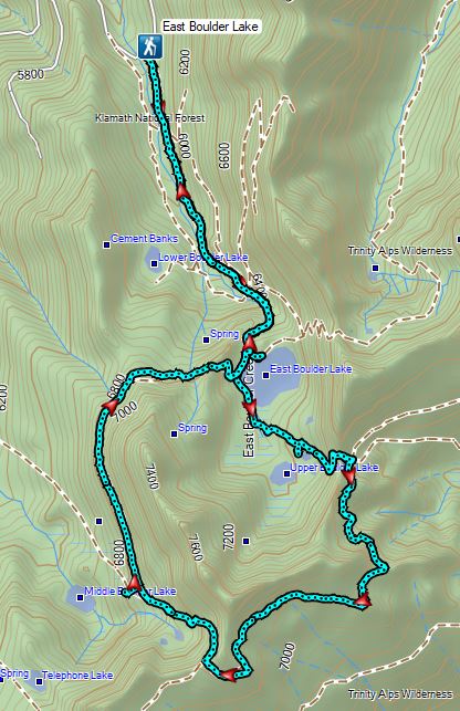
By spending the night in Etna, CA we were only 30 to 45 minutes from the trailheads for the four remaining hikes we had planned for the week. As mentioned in the previous post we chose to do East Boulder Lake first due to it being the closest to the recently started Callahan Fire and thus the most likely to be affected if that fire were to escape containment. From Etna we drove south on Highway 3 to Callahan then made our way to the East Boulder Trailhead.
The road to the trailhead passes through forest burned in the 2021 Haypress Fire but the trailhead and trails for our hike escaped damage.
Sullivan describes three options for his featured hike; a 4 mile out-and-back to East Boulder Lake, a 6.4 mile out-and-back to a pass beyond the lake, and a 9.8 mile lollipop loop past Middle Boulder Lake at the edge of the fire scar which was the option we were planning on. The East Boulder Trail climbed gradually at first through the forest and a couple of small meadows before steepening and climbing past a small waterfall on East Boulder Creek. Entering the Trinity Alps Wilderness.
First view of the small waterfall.
Bigelow’s sneezeweed
Marsh grass-of-Parnassus
Not sure what these little guys are.
Checker-mallow
Western snakeroot
Passing the waterfall.
Above the falls the trail leveled out some and made a final short climb to East Boulder Lake, just over 1.8 miles from the trailhead. Peaks in the Russian Wilderness to the NE.
Dam near East Boulder Lake.
The trail crosses the dam here but there were better views this time of the morning in the other direction so we detoured to the left admiring the reflections in the lake.
We took a nice break along the lake shore listening to cow bells coming from the trees on the far shore. There were cows out there somewhere but we couldn’t see them.
After the break we crossed the dam and continued around the lake. View from the dam. We had to watch out for frogs here.
We lost the trail briefly in a meadow on the southern end of the lake but picked it up again after crossing the inlet creek.
We should have stuck closer to the lake.
Buckwheat
Back on the trail where the cows were just leaving.
The trail then passed two smaller unnamed lakes and Upper Boulder Lake where there were several cows and some ducks.
We detoured to the right to get a view of Upper Boulder Lake then returned to the trail and began to climb out of the basin to the pass. Upper Boulder Lake
Upper Boulder Lake in the background.
One of the cows on the far side of the lake to the left.
Toothed owl’s clover
Ducks on Upper Boulder Lake.
The climb was fairly steep at times.
All four lakes in view.
Almost to the pass.
At the pass.
Looking south further into the Trinity Alps Wilderness.
Beyond the pass the trail descended 150 yards to the Pacific Crest Trail where we turned right.
We turned right onto that trail following it for 2 miles to another pass. The scenery along this section was great, particularly the colorful rocks.
Balloon-pod milk vetch
Golden-mantled ground squirrel taking in the views.
Mt. Shasta over Mt. Eddy through the haze. I believe the lake below to the right is Big Marshy Lake.
Fireweed in the rocks.
Paintbrush
A bit of water from a spring along the PCT.
The water was coming from somewhere up there.
Looking back along the PCT.
Snack time.
Caesar and Thompson Peak
This northern flicker looks like its head is on backwards.
A little bit of burned forest near the pass.
More peaks in the heart of the Trinity Alps.
Caribou Mountain (post) on the right with Sawtooth Mountain over its shoulder.
The pass above Middle Boulder Lake.
Middle Boulder Lake is just visible beyond two smaller unnamed lakes.
There was no sign at the pass but a small cairn marked a trail to the right that led down past the lakes. Middle Boulder Lake Trail at the pass.
The Middle Boulder Lake Trail traversing down the hillside.
A sulphur butterfly.
The trail stayed above the two unnamed lakes.
The trail grew faint as it passed through a series of meadows where little frogs were abundant. The trees on the far hillside were burned in the 2021 fire.
Approximately 0.6 miles from the pass we came to a cairn near a downed tree. A trail sign had been attached to the end of the tree marking the Boulder Tie Trail. The cairn to the right of the downed tree.
It took us a minute to identify the actual start of this trail which was in a wet meadow. There were a few small cairns that helped guide the way and we soon found ourselves on clear tread again. This may be Autumn dwarf gentian
One of the more obvious cairns.
Butterfly on a seed head.
The tread getting clearer.
Middle Boulder Lake
Back on good tread.
As we were traversing a sagebrush hillside Heather started repeating something behind me. She was saying “buck” but that isn’t what I heard and thought something bad had happened to her.
The vegetation was tall enough that he was hard to pick out but when he raised up we got some decent views.
Orange agoseris
After a mile and a half on this trail we climbed to a saddle overlooking East Boulder Lake. Passing through a bit of forest before climbing to the saddle.
From the saddle we spotted a hiker making his way along the lake. He spotted us as we were descending and waited for us to come down. We lost the trail again as we descended and simply hiked cross country through the sagebrush to the East Boulder Trail. The waiting hiker asked us about the loop and how hard it was to follow. He was a local that had been to the lake and the pass above several times but had never attempted the loop. After getting some information from us and taking photos of our paper map he was considering giving the loop a go. We went our separate ways, recrossed the dam, and returned to the trailhead. Approaching the dam.
Fish in East Boulder Creek.
Descending near the waterfall.
An aster or fleabane.
Butterfly
Woodpecker
While Sullivan listed the hike as 9.8 miles our GPS only registered 9.6 miles with a total elevation gain just under 2000′.
We returned to Etna, showered, and then headed to Paystreak Brewing for dinner. We turned in fairly early in anticipation of our longest hike of the week the next day when we would be taking the PCT north from Carter Meadows Summit and heading into the Russian Wilderness. Happy Trails!


 Another reminder that overnight permits are required in the wilderness.
 Low clouds in the valley.
 Mt. Jefferson through some of the snags with a few surviving trees on the right.
 Mt. Jefferson from the junction, note the rock cairn on the left marking the PCT.
 The cairn at the junction.
 Triangulation Peak (post) getting hit with sunlight with Whitewater Lake (lower right) in Mt. Jefferson’s shadow.
 Whitewater Lake
 Triangulation Point and Bocca Cave (Trailheads still closed.)
 Tarn 0.3-miles from the junction.
 Mt. Jefferson reflecting in the tarn.
 Ducks on the tarn.
 The Sentinel Hills with Park Butte behind to the right. The Whitewater Trail (post) traverses the hillside below the Sentinel Hills, but that trailhead is also still closed.
 The fires did open up fairly consistent views of the mountain.
 A few remaining penstemon blossoms.
 Heading down to the Russell Creek crossing.
 This can be a tricky crossing at times, but there was a makeshift bridge which made it fairly easy this time.
 Aster and pearly everlasting near the creek.
 We started seeing more trees that had survived the fire as we got closer to Jefferson Park.
 Gentians and aster
 Grass-of-parnassus
 There were patches of burned forest along this stretch.
 Approximately 0.4-miles from the junction the trail crosses Whitewater Creek.
 From the other side of Whitewater Creek the views of Mt. Jefferson are amazing.
 Based on the barred sides I believe this is a black-backed woodpecker.
 Unofficial use trails are an issue in Jefferson Park which has prompted the Forest Service to install a number of “Closed for Rehabilitation” sign such as the one on the left side of the trail.
 They’ve also added quite a few signs to indicated sanctioned trails. Typically in wilderness areas the Forest Service tries to keep signage to a minimum, but overuse has led them to add additional signs.
 Another sign with Park Butte in background.
 The last of the pointers for Scout Lake.
 PCT heading for Park Butte and Park Ridge.
 Russell Lake pointer.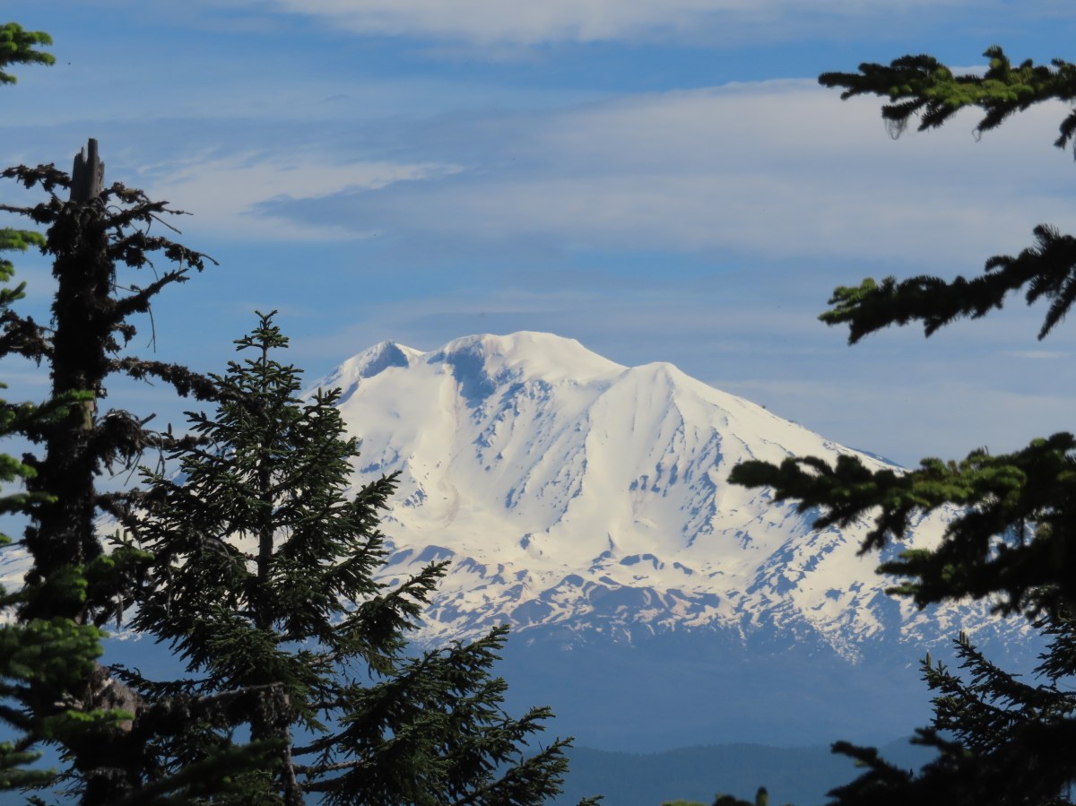
 Looking down at the pullout from the PCT on the way back.


 Phantom orchid
 Spotted coralroot
 Finetooth beardtongue
 Mt. Hood through a window in the trees.
 Finetooth beardtongue along the trail.
 White spiraea
 Bluehead gilia
 Paintbrush
 Some yellow balsamroot along the trail.
 Columbine
 Inside-out flower
 Queen’s cup
 Bunchberry
 Vanilla leaf
 Arnica
 Approaching the landslide area.
 Starting at the green up to the left is Augspurger Mountain (
 Mt. Hood from the viewpoint.
 Lomatium, bluehead gilia, and arrowleaf buckwheat in the bowl.
 Honeysuckle


 Wild onion mixed in with bluehead gilia.
 Bluehead gilia
 Lupine
 Catchfly
 Arnica and beargrass in the forest.
 Nearing one of the little meadows.

 Sub-alpine mariposa lilies
 Bluehead gilia
 Sub-alpine mariposa lilies
 A closer look shows why these are also known as cat’s ear lilies.
 Buckwheat
 Onion
Onion
 Bastard toadflax behind a cat’s ear lily.
 Rosy pussytoes
 Yarrow
 Looking back from the meadow.
 I believe these are some type of microseris.
 Boundary sign for the
  Broadleaf arnica
 Star-flowered false solomonseal
 The Cedar Creek Trail coming up from the right.
 Anemones
 Wallflower
 White groundsel
 Cliff beardtongue
 Cliff beardtongue
 Wild rose
 Larkspur
 Mt. Hood from the viewpoint.
 Spotted coralroot
 Oregon sunshine and wild onions
 Chickweed
 Arriving at another small clearing with flowers.
 Phlox, penstemon, lomatium, onion, and mariposa lilies.
 Another little meadow.
 Larkspur and balsamroot
 This was the only time we spotted Mt. St. Helens on the hike.


 Mt. Adams from the former lookout site.
 There was a lot of phlox in bloom.
 Table Mountain (
 Mt. Hood
 Mt. Hood with Mt. Jefferson behind to the right.
 Balsamroot and groundsel
 Mt. Adams
 Phlox
Phlox
 Paintbrush and cliff beardtongue
 Another view of Mt. Hood.

 Sandwort
 Chickweed
 Balsamroot
 Some of the smaller flowers present on the summit.
 Finetooth beardtongue
 Wallflower
 Wild onion
 The end of the ridge is about three quarters of a mile from the lookout site.
 Heather on the outcrop.
 Painted lady
 Larkspur
 Swallowtail
 Chickweed in some phlox.

 Wallflower
 Colubmine
 Bluehead gilia
 Beargrass along the PCT.
 Heading down to the trailhead.
 Sevenmile Marsh Trailhead
 Sevenmile Creek
 Entering the wilderness
 Sevenmile Marsh
 Lodgepole pines were the dominate trees along the first part of the trail.
 Mountain hemlock took over as the trail gained elevation.
 Junction with the PCT.
 There were a few downed trees along this section but nothing difficult to get around.
 This twisted tree caught our attention.
 Nice blue sky.
 Lewis’s woodpecker way up in a snag.
 Tadpoles
 Frog in the water.
 Trail sign ahead on the right.
 Unnamed creek along the PCT. We were surprised at how many of the seasonal creeks still had flowing water.
 Grass-of-parnassus
 Huckleberries, there were a lot of these around the basin which we happily sampled.
 Devil’s Peak poking up above the trees.
 The Cliff Lake Trail.
 Prince’s pine
 Another flowing seasonal creek.
 Crater Lake collomia (Collomia mazama)
 The Seven Lakes Trail arriving on the right.
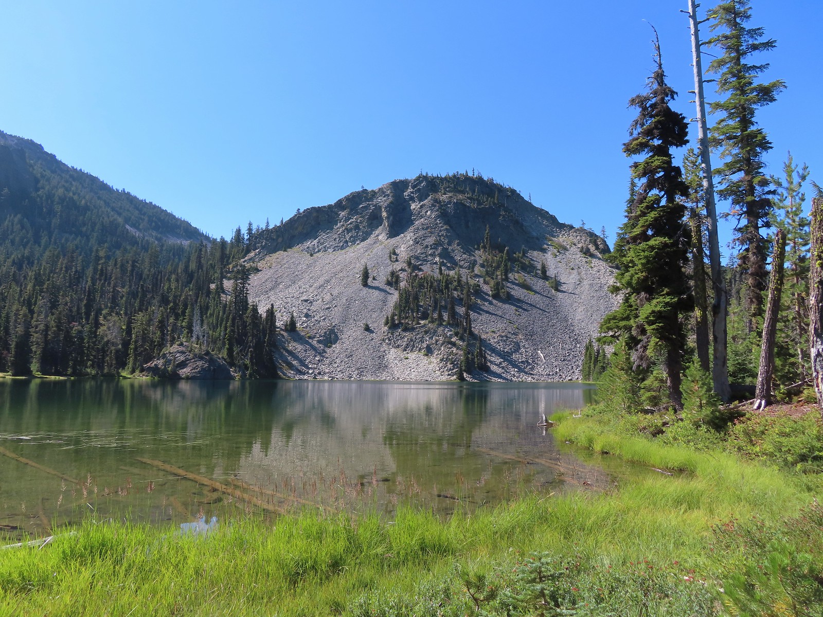 Cliff Lake
 Arnica
 Aster
Aster
 Splash in Cliff Lake from one of many fish that were feeding on insects.
 Camp
Camp Huckleberry bushes along the Cliff Lake Trail.
 Anywhere there was water nearby there were lots of tiny Cascade toads to watch out for.
 Back at the PCT.
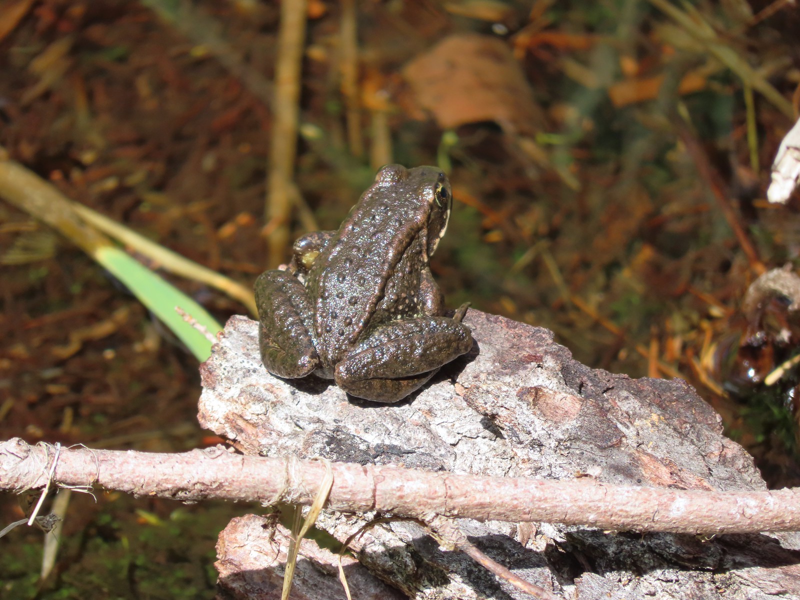 Larger frog
 Monkshood
 More grass-of-parnassus
 Not only were the toads tiny, they also were well camouflaged.
 Mount Scott (
 Mount Scott
 The Watchman (
 The Watchman and Hillman Peak
 Devil’s Peak
 Union Peak (
 Cliff Lake with Violet Hill beyond.
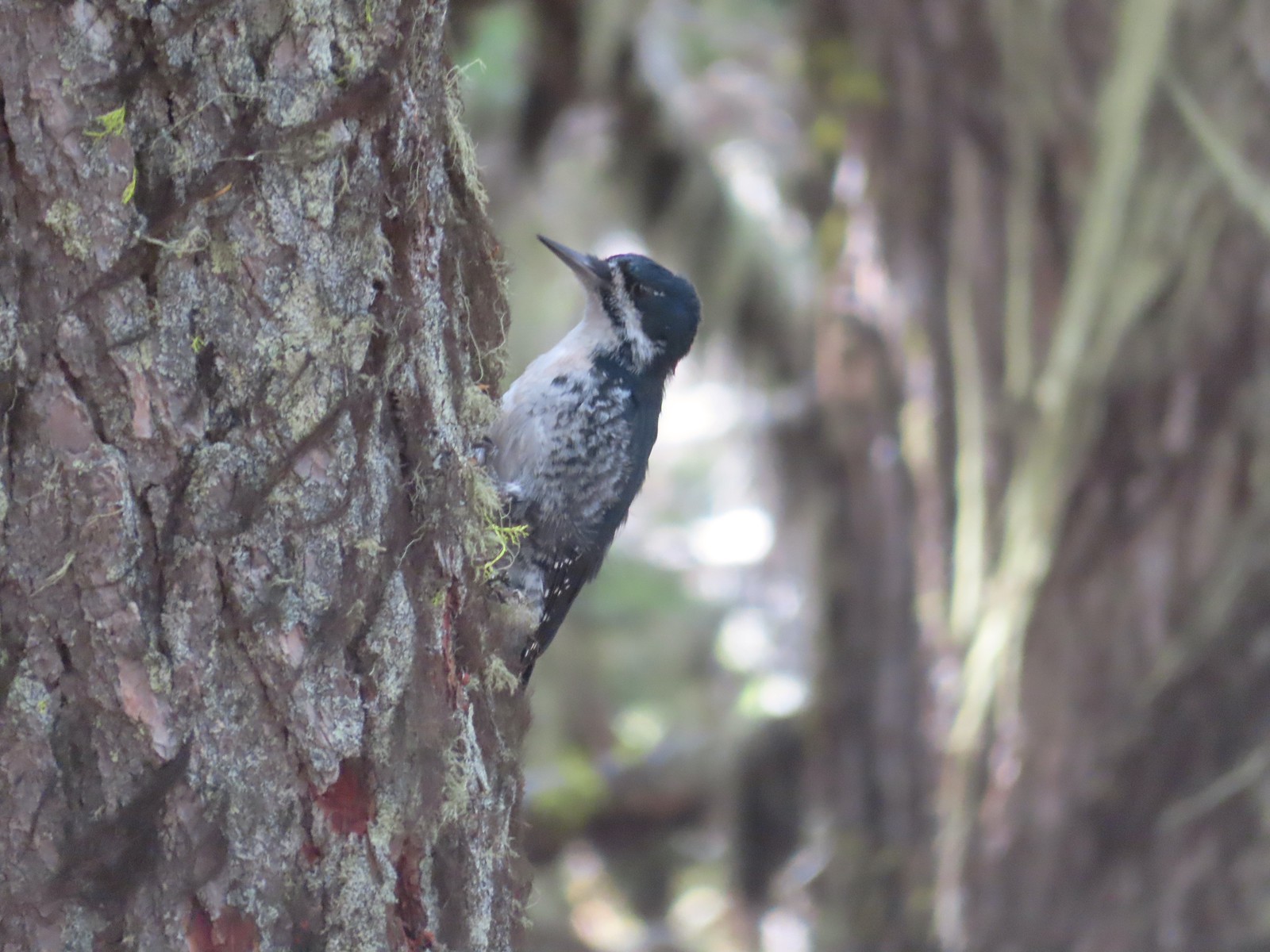 Black backed woodpecker
 Getting closer to Devil’s Peak.
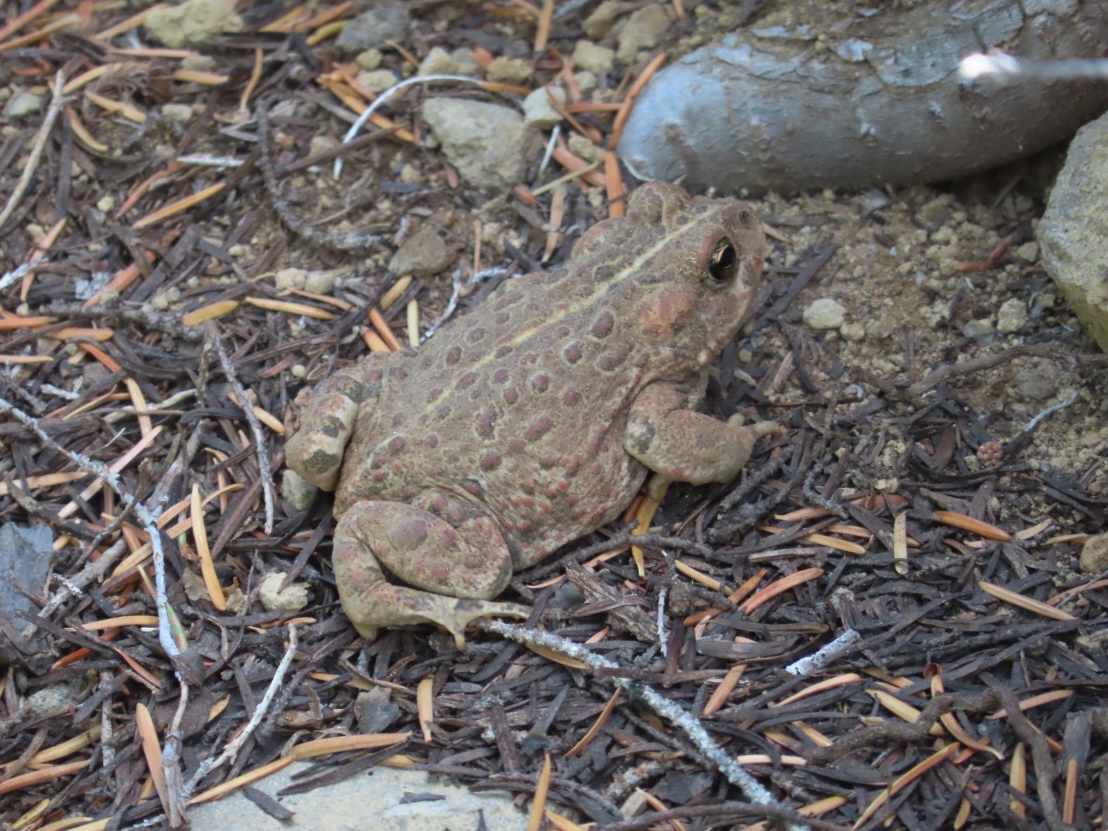 A much bigger Cascade toad.


 Mt. Thielsen (
 Union Peak with Mt. Bailey (
 Lots of neat rock formation on Devil’s Peak.
 Western pasque flower seed heads.
 Buckwheat
 Views to the South opened up at the pass including Klamath Lake and Pelican Butte.
 Klamath Lake
 Devil’s Peak and the PCT coming up to the pass from the North.
 Klamath Lake, Pelican Butte, Aspen Butte (
 Mt. McLoughlin
 A faint Mt. Shasta which, given the wildfires burning in NW California was a bit of a surprise to be able to see.
 The view North.
 Goose Egg and Ethel Mountain in the forefront with Llao Rock, Mt. Thielsen, and Garfield Peak (
 Devil’s Peak
 We were a little concerned at first that it might be picking up water for a new fire but there wasn’t anything hanging from the helicopter so we have no idea what it was actually doing.
 The use path to Devil’s Peak on the right and the PCT on the left.
 The rather ominously named Lucifer from the use trail.
 A second use trail coming up from the opposite side.
 Western pasque flowers on the hillside above the use trails.
 The summit of Devil’s Peak ahead.
 Looking North toward Crater Lake and Mt. Thielsen
 Lucifer, Jupiter, and Venus
 Lee Peak above the pass.
 Luther Mountain (
 Remains of a former lookout.
 The PCT below Devil’s and Lee Peaks.
 Goose Egg, Llao Rock, and Mt. Thielsen
 Mt. Scott
 Mt. Shasta to South through a little smoke but again we felt fortunate to be able to see the mountain at all.
 Colorful grasshopper at the summit.
 American pipit
 The Seven Lakes Basin from the use trail down.
 South, Middle, North, and Grass Lakes
 Heading down the use trail.
 Looking back up the use trail.
 Western snakeroot along the PCT.
 A comma butterfly on western snakeroot.
 Painted lady
 Venus from the Devil’s Peak Trail.
 Looking back at Devil’s Peak.
 Looking North across the Seven Lakes Basin.
 Lake Alta in a bowl below Violet Hill.
 Pond along the Devil’s Peak Trail.
 Coming up to the Seven Lakes Trail junction. A rock cairn was the only marker.


 I was still only about halfway along the lake after the quarter mile. There used to be a campground at the North end.
 Common merganser
 The southern end of Lake Alta.
 Cliff Lake below Devil’s Peak and Middle Lake.
 Middle and Grass Lakes
 I could hear several pikas in the rocks below the cliffs but the only thing I spotted was a chipmunk.
 Chipmunk
 Sulphur butterfly on aster.
 Gentian
 Fireweed
 South Lake
 Devil’s Peak from the trail. There were more pikas “meeping” from the rocks here but again we failed to spot any of them.

 Devil’s Peak in the evening.
 So many fish in the evening.
 Devil’s Peak in the morning.
 Seven Lakes and Cliff Lake Trail junction.

 We detoured left at the northern end of the lake following a pointer for Lake Ivern to find a view back across Middle Lake.
 Devil’s Peak from Middle Lake.
 Stream crossing.
 Monkshood and grass-of-parnassus
 Grass Lake
 Arriving at the PCT.

 Golden-mantled ground squirrel
 Sevenmile Trail at the PCT to return to the Sevenmile Marsh Trailhead.
 Exiting the Sky Lakes Wilderness.
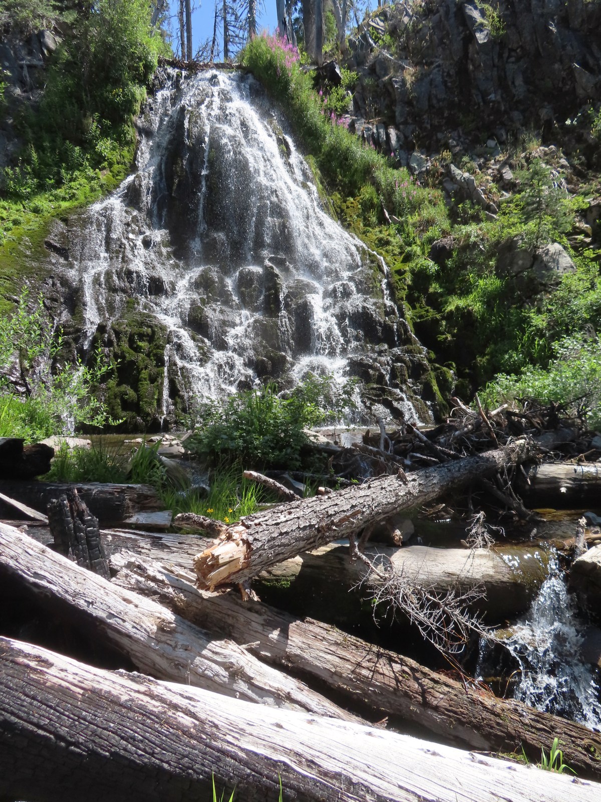

 Arriving at the highway.
 Trail on the far side of Hwy 62.

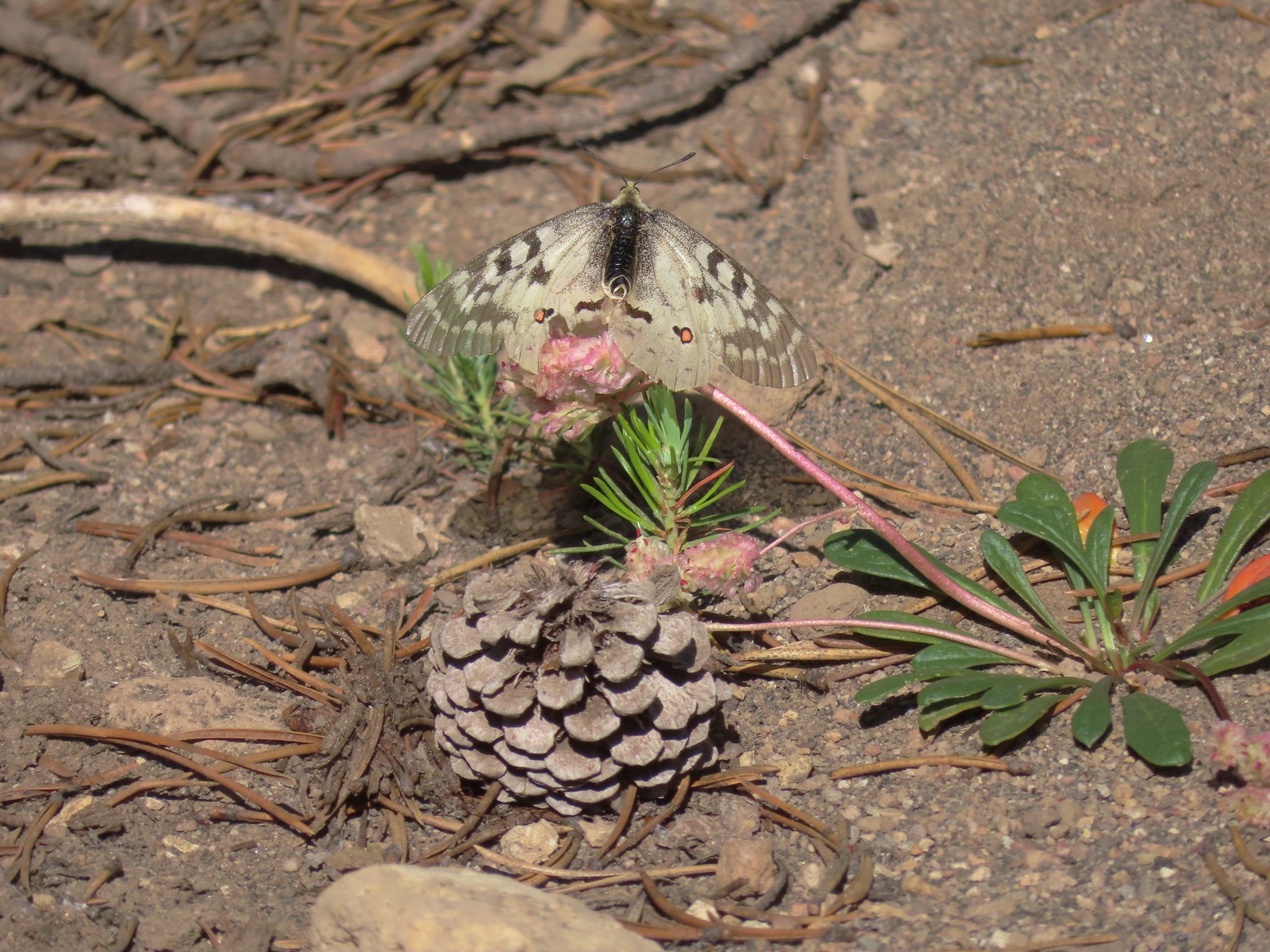 Clodius parnassian on a pussy paw.
 Much of the trail followed an old roadbed.
 PCT junction.
 Butterfly on the Crater Lake PCT register. While I was working on getting the butterfly photo a northbound thru hiker arrived. He mentioned not having had a shower in 10 days and being really excited to reach

 Older cut logs helped us locate the trail at times.
 Union Peak from the trail (
 It took a second to find the tread in this meadow.
 Once we found it though it was easy to follow.
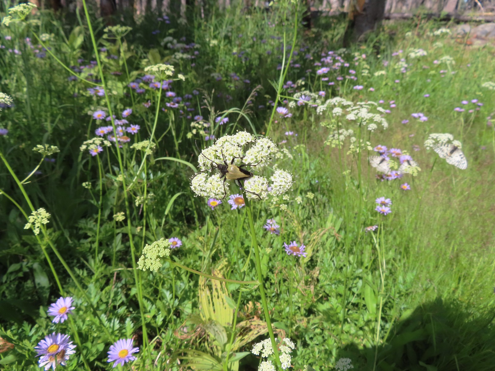 Big beetle. There are also three clodius parnassian butterflies behind to the right.
 Typical trail conditions. I spent a good deal of time removing limbs from the larger trees and pulled some of the smaller ones off the trail.
 Doe below the trail.
 More messy trail.
 There was one small stand of unburned forest which provided a brief break from the blowdown.
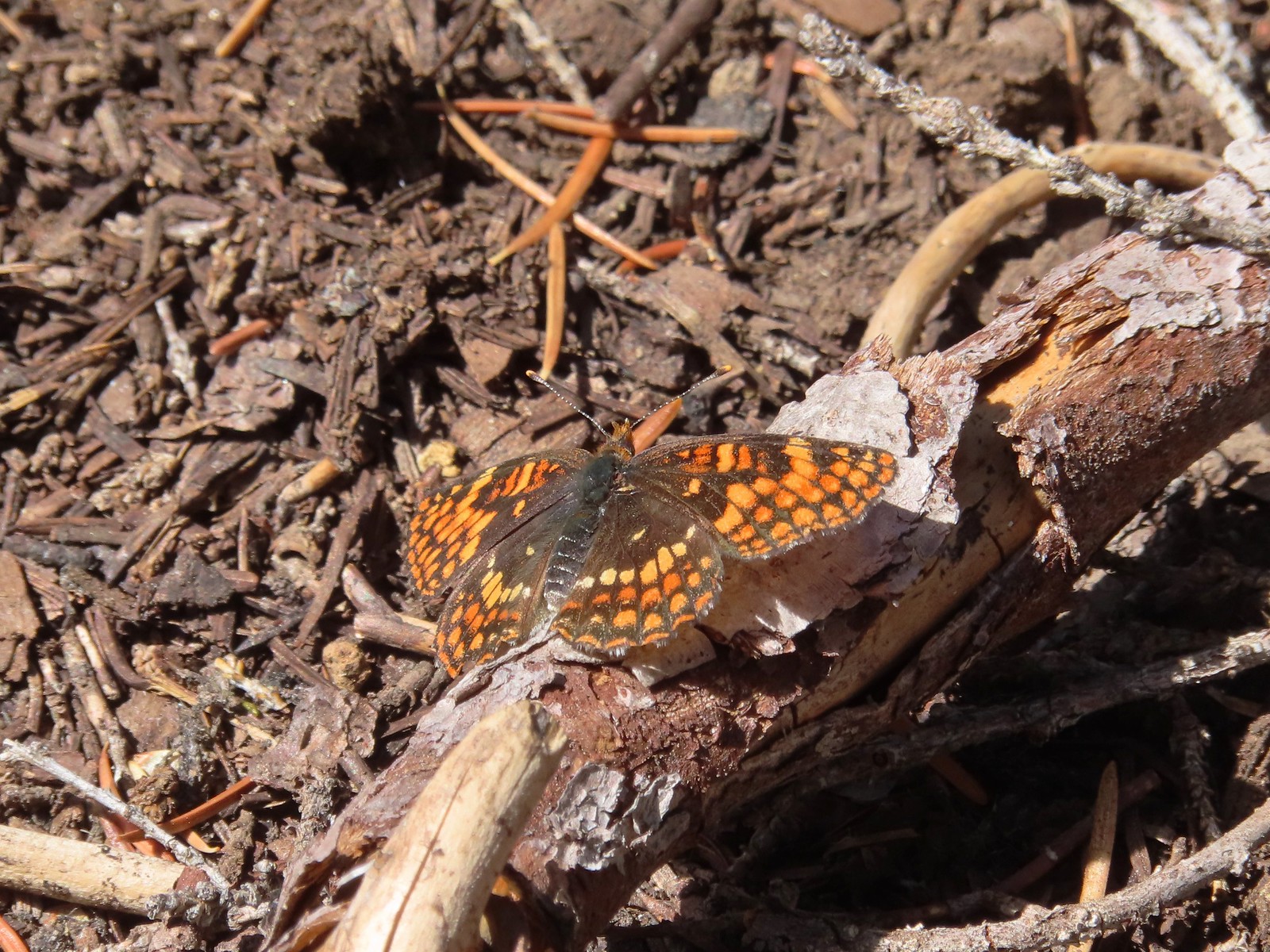 Checkerspot butterfly
 Mylitta crescent and a hoary comma on spreading dogbane.
 Paintbrush
 I believe that is Tom Mountain and Jerry Mountain.
 Bald Top to the right.
 Skipper
 Mt. McLoughlin
 Lorquin’s admiral
 This was the worst of the obstacles.
 We hadn’t seen a blue diamond since before the PCT but near the SW corner of the Park boundary we spotted a couple.
 Post ahead marking the boundary. The trail passed through a narrow gap here where the blowdown was heavy.


 Arnica below the falls and fireweed above the falls added some nice color to the scene.
 One-sided wintergreen


 Small falls on Red Blanket Creek.
 Pink monkeyflower
 I’d lost the trail here but headed for the patch of bright orange wildflowers to see what they were.


 Red Blanket Falls
 View down Red Blanket Creek
 A spring fed waterfall along Red Blanket Creek below the falls.
 A second and third tier of Red Blanket Falls just below the upper fall. I wasn’t able to get a clearer view of these two drops. I hiked a short distance down the creek but decided the poor trail conditions and loss of elevation weren’t worth going further down the trail with no guarantee of a better view.
 The three drops of Red Blanket Falls
 One more of Red Blanket Falls.
 Another little cascade.

 Along this rock outcrop I found switchbacks that I’d missed on the way to the falls.
 This might be a black backed woodpecker.
 This cairn was new to me as well. At this point I was quite a bit below our track from the morning and I was afraid that I might pass Heather without knowing it if she was sticking to the earlier route.
 Hummingbird
 Goose egg on the left.
 Painted lady
 A checkerspot and a copper on sub-alpine fleabane.
 Arriving back at the PCT. We again crossed paths with a thru hiker on the way to Mazama Village.
 Pussypaws
 Dwarf lupine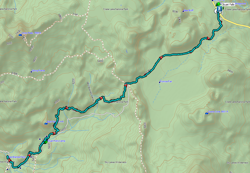

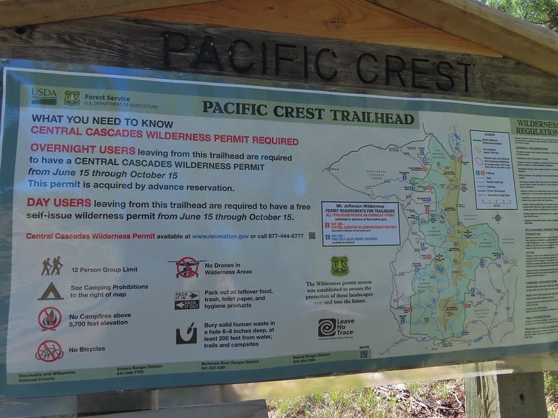
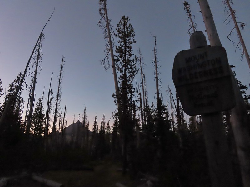 Mount Washington from the
  Three Fingered Jack to the North from the PCT.
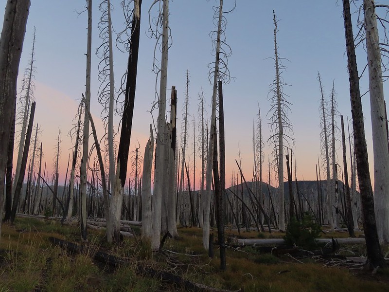 From left to right – Sand Mountain (
 Mount Washington
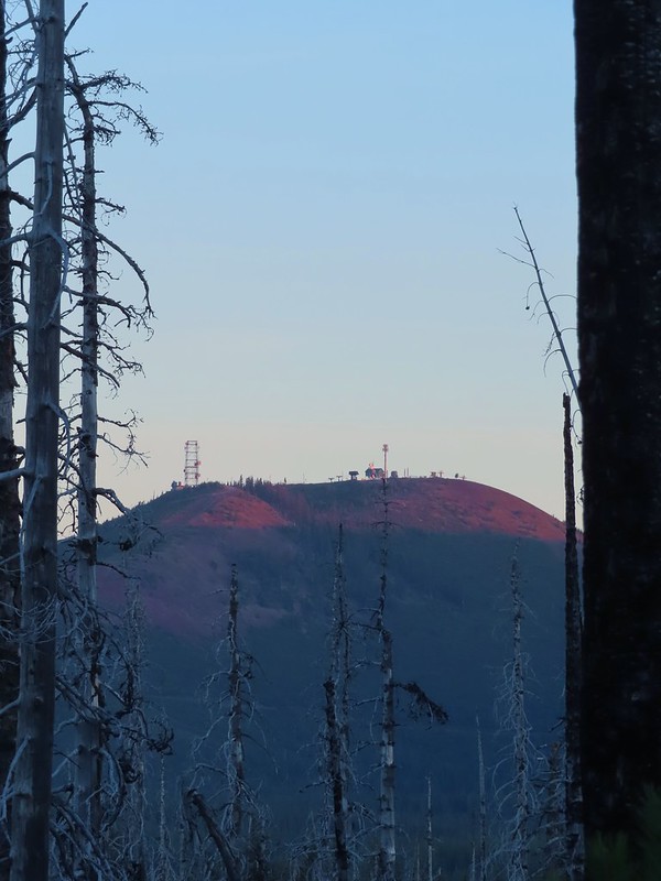 Sunrise on Hoodoo Butte.
 Sunlight hitting the spire of Mount Washington.
 Hayrick Butte and Three Fingered Jack at sunrise.
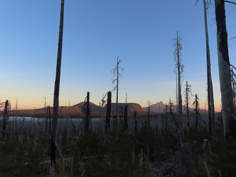 Big Lake, Hoodoo, Hayrick Butte, and Three Fingered Jack.
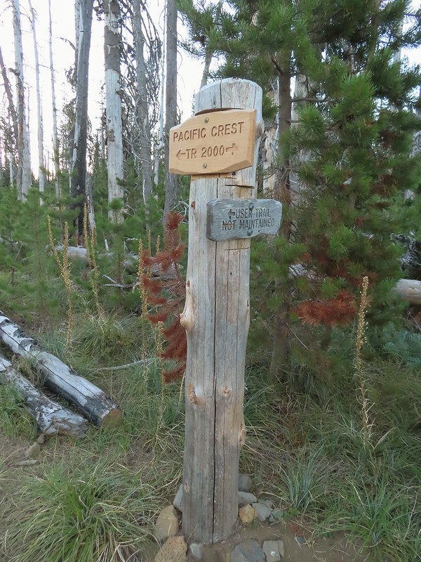 Just over two miles from the trailhead I passed a sign for the non-maintained use trail from the private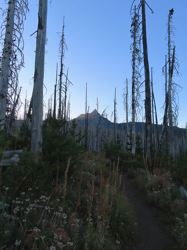
 Shortly before reaching the climbers trail the PCT left the 2011 Shadow Lake Fire scar.
 The cairn and climbers trail from the PCT.
 Huckleberry leaves turning color.

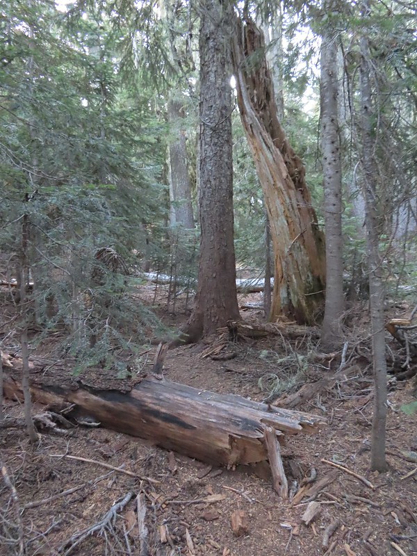 There were a few logs to navigate and keeping an eye on the tread was helpful.
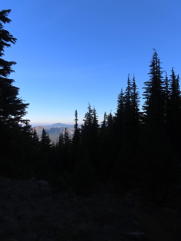 Maxwell Butte (
 Mount Washington
 The only movement that I could see was when it tilted its tail feathers which would catch the sunlight.
 First view of Mt. Jefferson behind Three Fingered Jack.
 Coming up on the ridge.
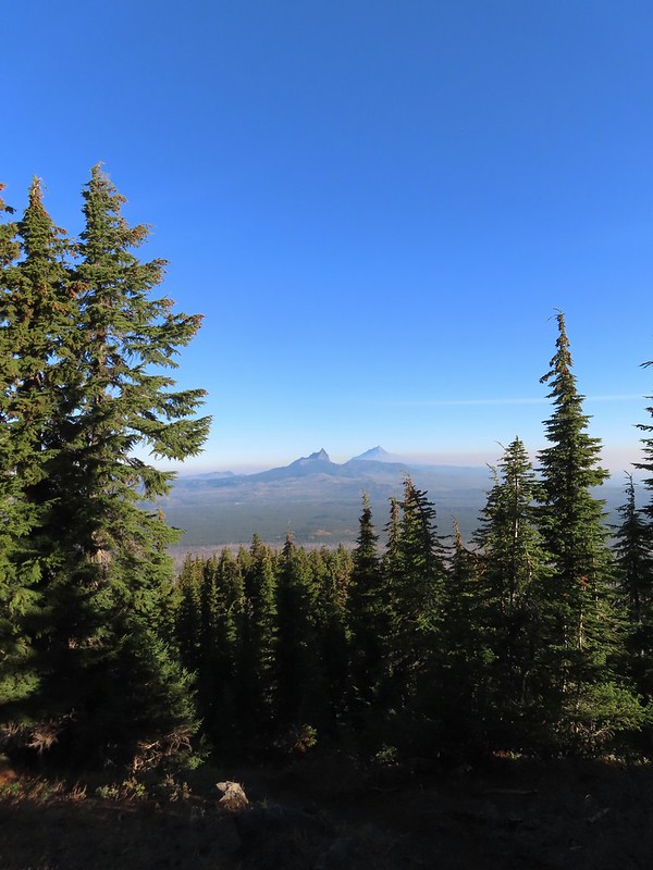 Three Fingered Jack, Mt. Jefferson, and a lot of smoke to the North.
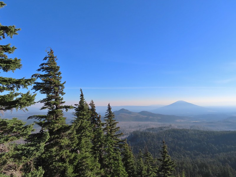 Cache Mountain and Black Butte (
 View along the ridge to Mount Washington.
 That East wind was really noticeable as I made my way along the open ridge crest.
 Three Fingered Jack and Mt. Jefferson to the left. Green Ridge (
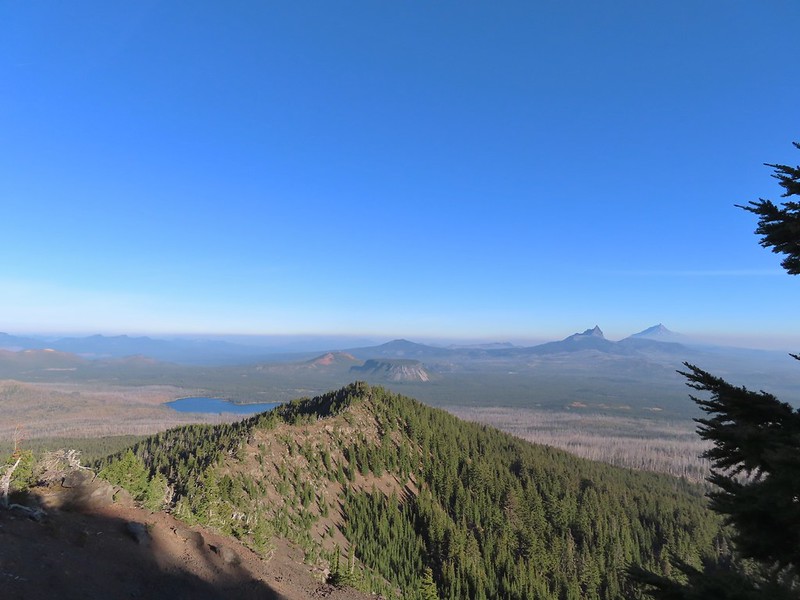 Big Lake came into view as I climbed.
 One of the steeper sections I went up. The spire is poking up on the right.
 Mount Washington’s shadow.
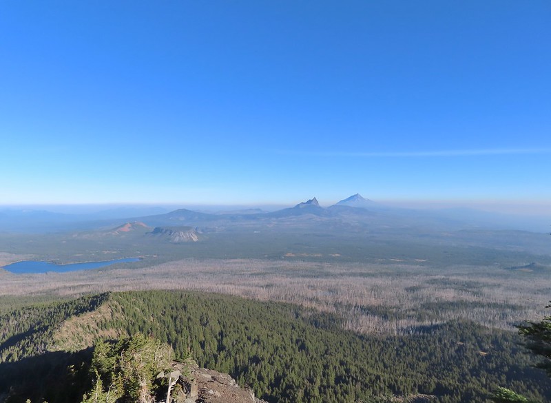 View back down the ridge.
 I was hoping to get up and over these rocks where the map showed a more level bench but I wound up reaching a chute where I was unsure of the correct route. The further up I’d gone the more braided the trail became and I may have been too far left. A climber had passed me way back on the PCT but if I had been able to watch him go up here I may have found a better route.
 The chute that turned me back. It’s a bit hidden by the rocks in the foreground but there was no way across that I would have been comfortable with and scrambling up looked way too sketchy for my taste (especially w/o a helmet).
 My shadow on the left from my break spot.
 This was the place I’d come up.
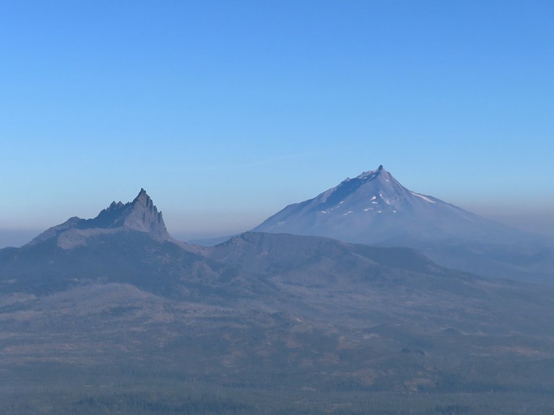 Zoom of Three Fingered Jack and Mt. Jefferson
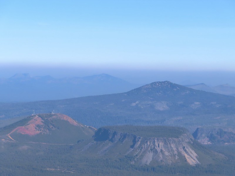 With all the smoke I hadn’t noticed Coffin (flat top) and Bachelor Mountains (
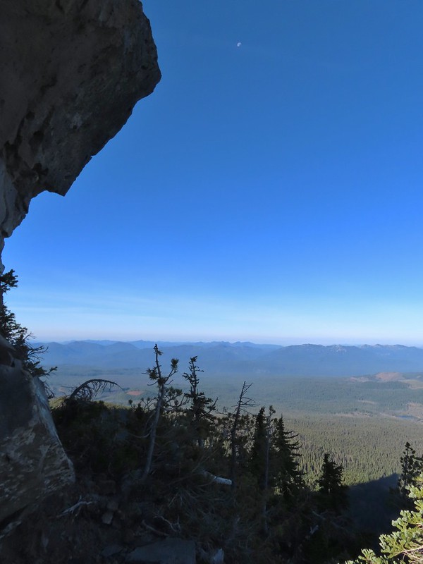 The Moon overhead to the West.
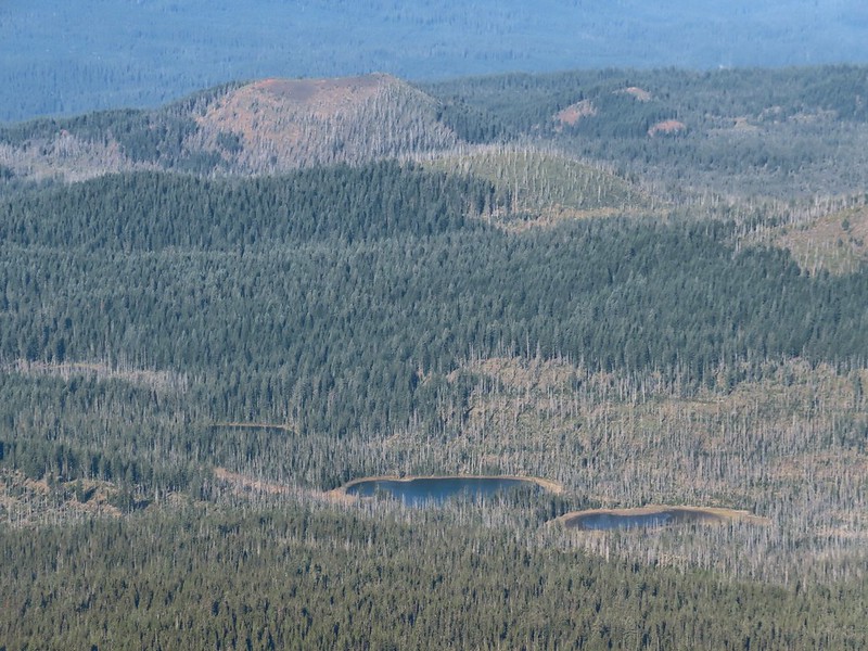 Patjens Lakes (
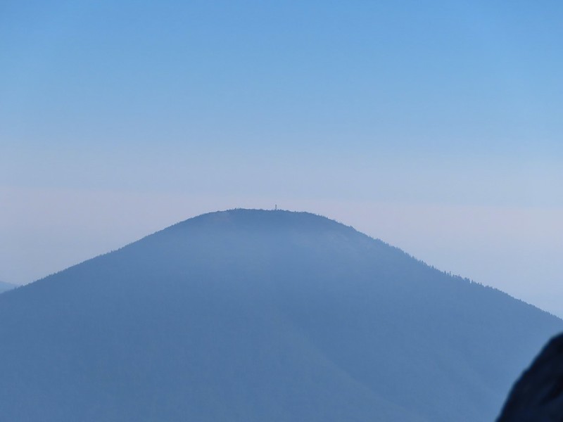 Lookout tower on Black Butte.
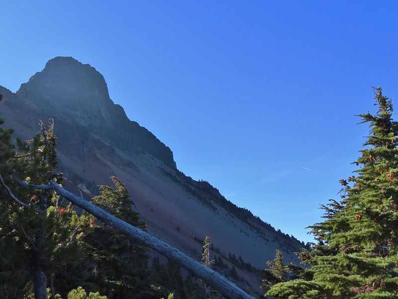 Unfortunate that my timing once again put the Sun directly in line with my view.
 Using a tree to try and get a better view.
 A framed Mt. Jefferson.
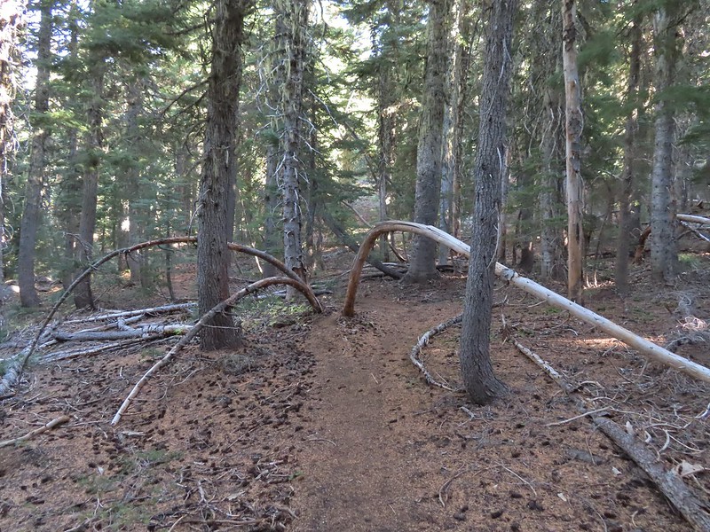 Sometimes it’s the little things, like these bent trees that I really appreciate on a hike.
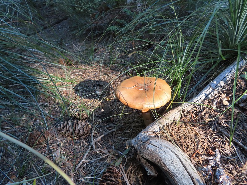 This mushroom casting a shadow was another one.

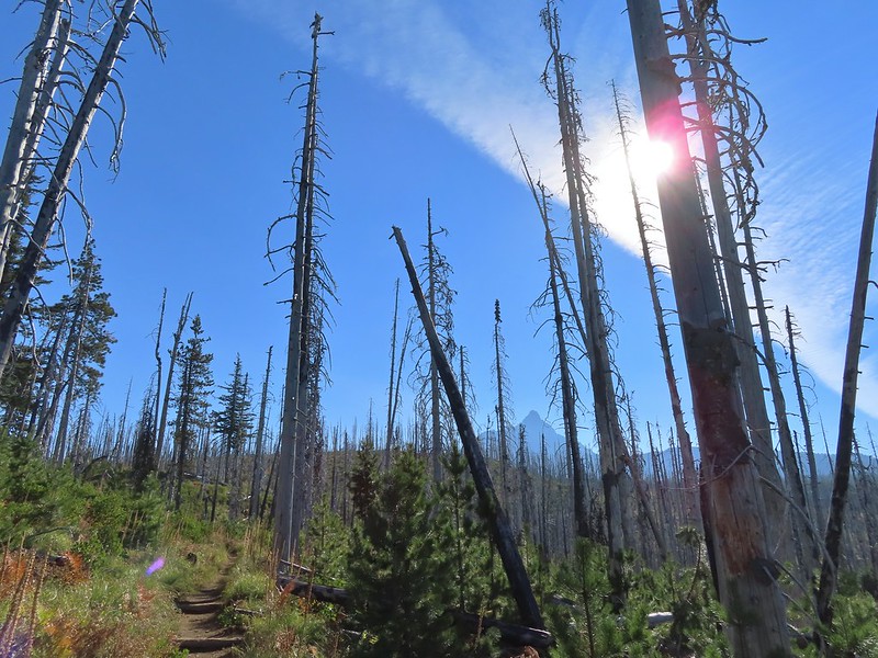 Looking back at Mount Washington from the PCT.
 Three Fingered Jack
 Hoodoo and Hayrick Buttes behind Big Lake.
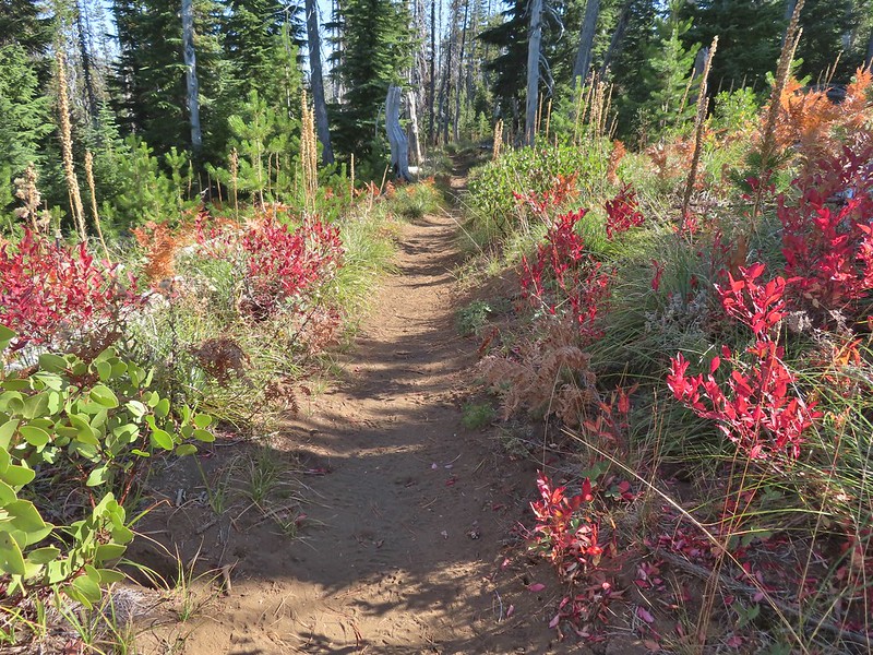 Huckleberry bushes and ferns adding some Fall colors.
 The best Fall colors were near the trailhead.
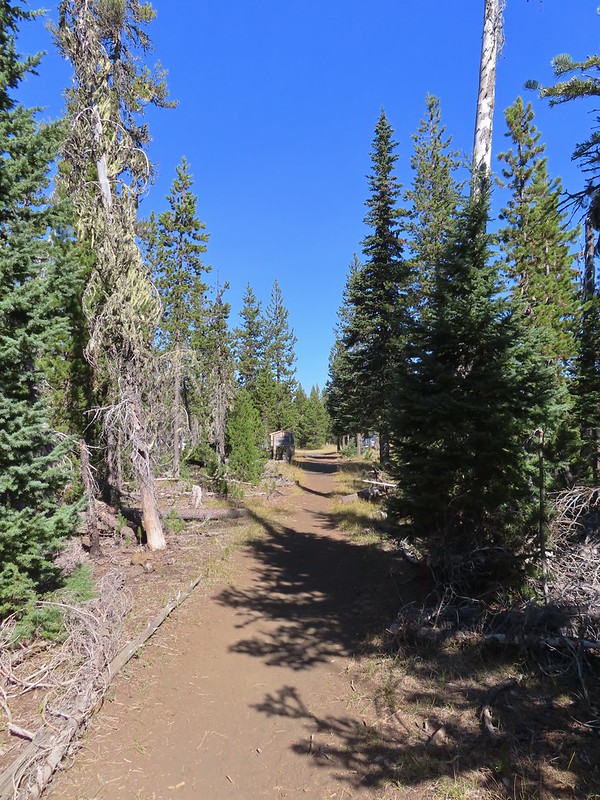 The trailhead from the wilderness boundary sign.

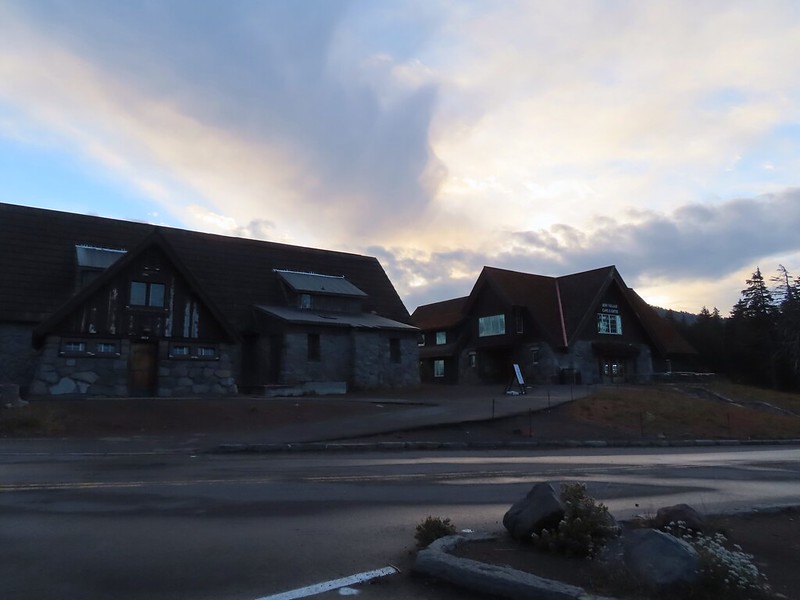

 Mt. Scott (
 Raven making a landing atop a mountain hemlock.
 The Watchman (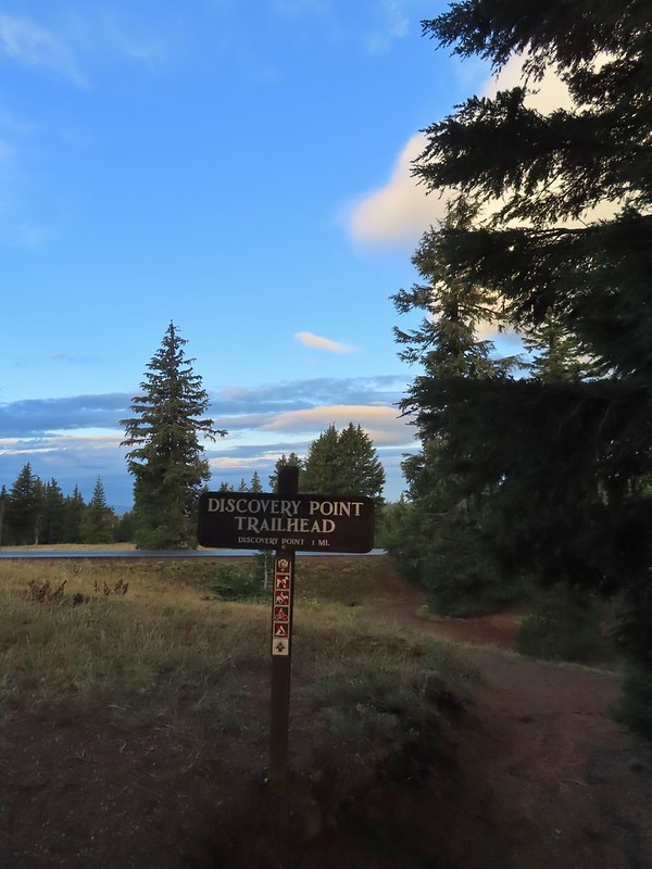
 It was by far the most scenic mistake we’ve made while hiking.
 Wizard Island and Llao Rock
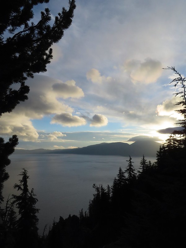 Mount Scott
 We joked that views had been so good maybe we should just end the hike now.


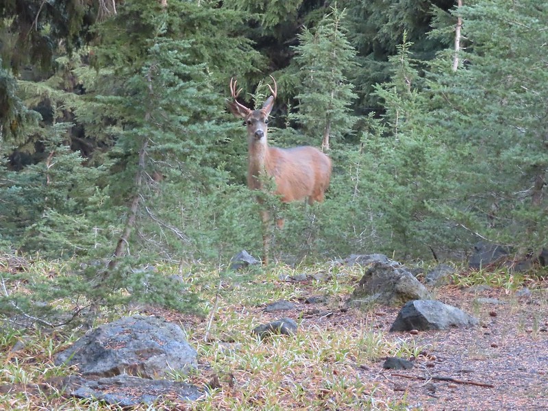
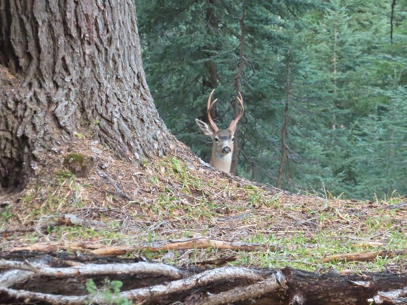


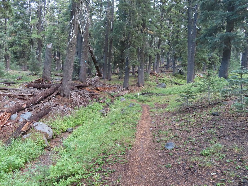 Dutton Creek was dry.
 Blue sky ahead.
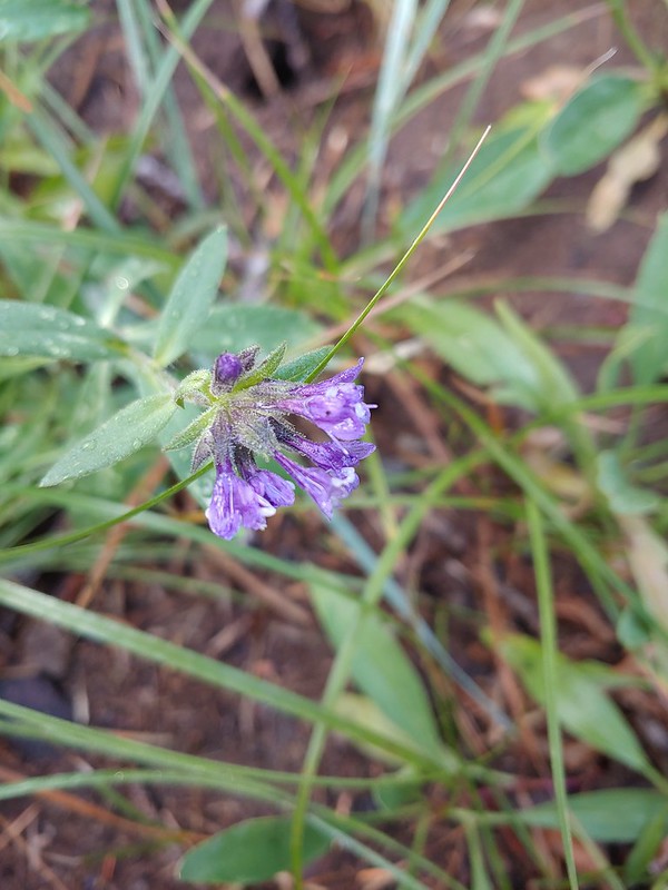 Not much left for flowers, this could be a Crater Lake collomia although it’s a little late in the season.
 Castle Creek still had some water flowing.
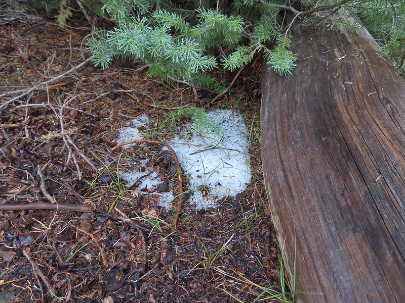 We spotted several piles of hail, possibly from the severe thunderstorms that had been forecast for Saturday night?
 Arriving at the PCT.
 The campsite at the junction was closed due to hazard trees.
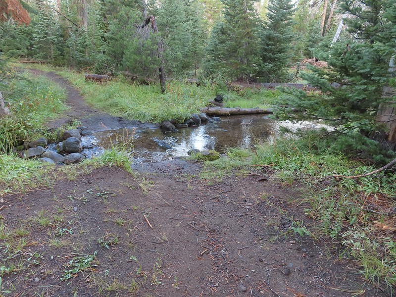 Recrossing Castle Creek.
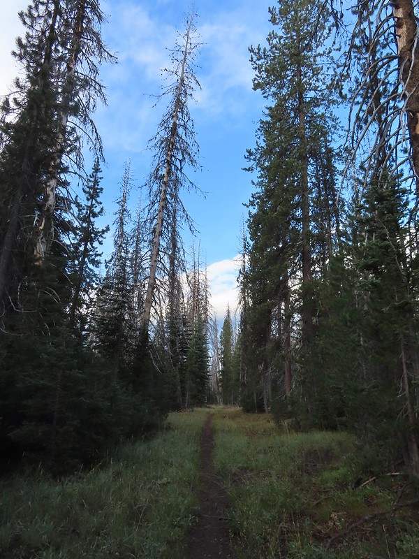 The PCT appeared to be following an old road bed through the park.
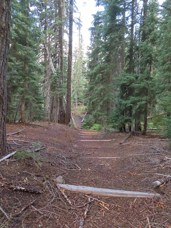 Dropping down to Trapper Creek.
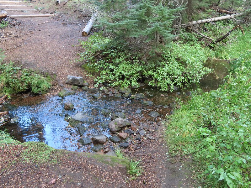 PCT crossing of Trapper Creek.
 A red-breasted nuthatch that was toying with me as I tried to get a photo.
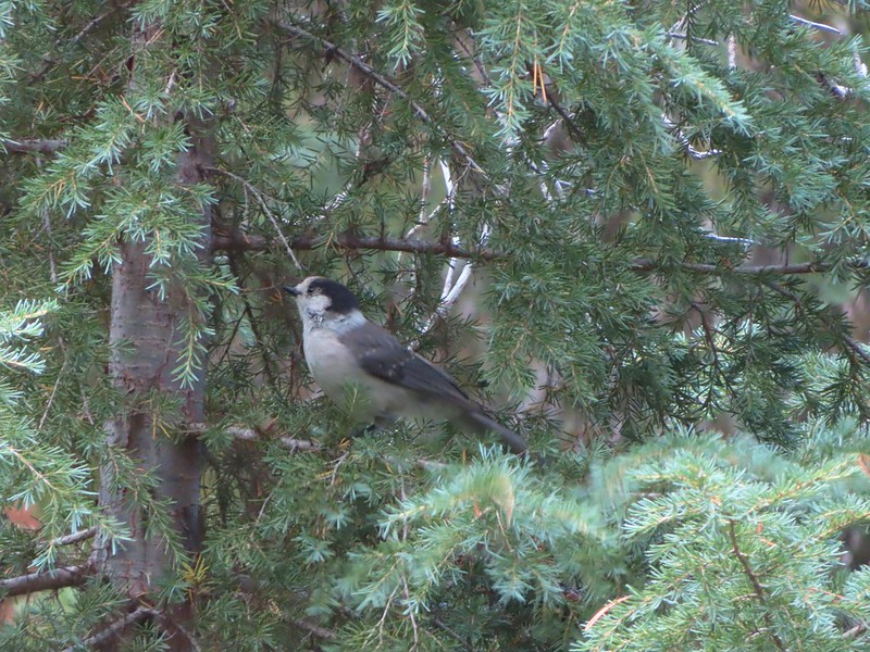 Canada jay (grey jay)
 Blue sky to the north ahead.
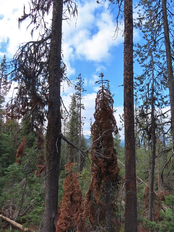 Some blue sky south too with a glimpse of Union Peak (
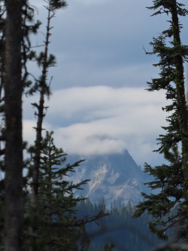 Union Peak
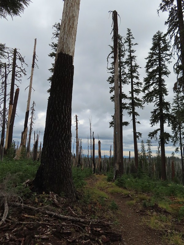 Entering the 2006 Bybee Complex fire scar.
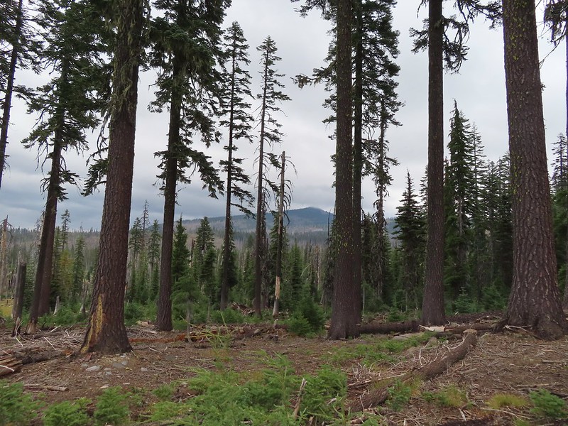 The Watchman. The lookout tower on top was in a cloud after having been clearly visible from rim earlier. We wondered what that might mean for our views when we finally made it back to the rim.
 Chipmunk checking us out.
 Coneflower remains
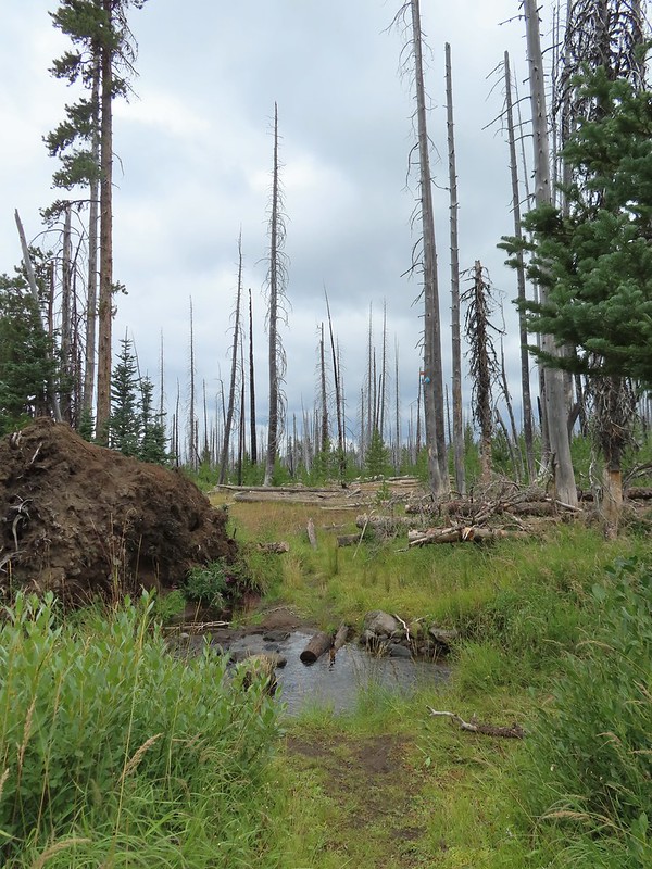 Another creek crossing.
 Red crossbills at the creek crossing.
 There were some pretty ominous looking clouds behind us but no showers yet.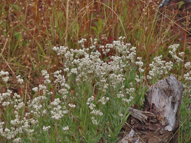
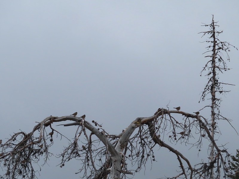 Several white crowned sparrows and at least one junco. We could also hear chickadee calls but I couldn’t find one in this capture.
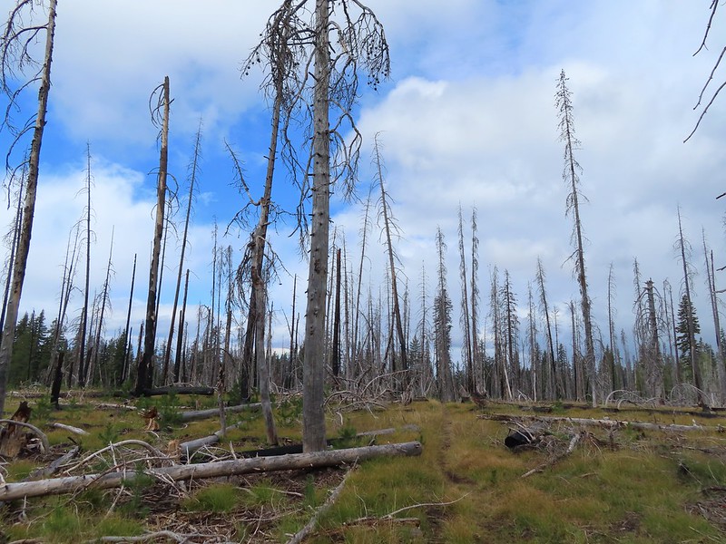 Despite the ugly clouds behind us there was almost always blue sky ahead.
 North Fork Castle Creek
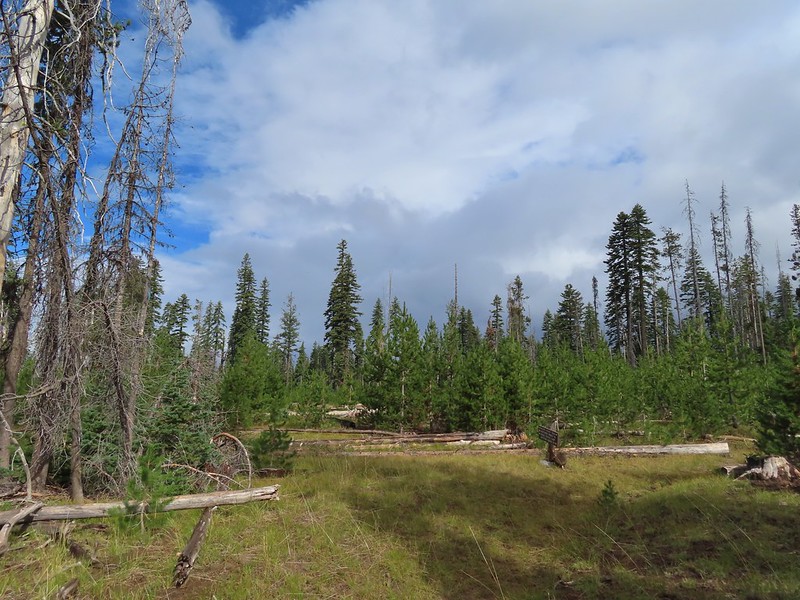 Approaching the junction with the Lightning Springs Trail.

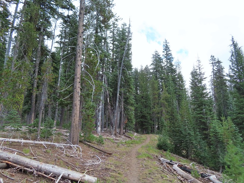
 Townsend’s solitaire
 Union Peak had been swallowed by clouds.
 The Watchman with a cloud still hanging on.
 Hawk
Hawk
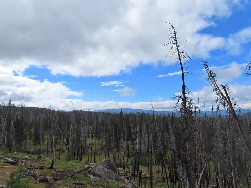 The base of Union Peak with lots of blue sky around.
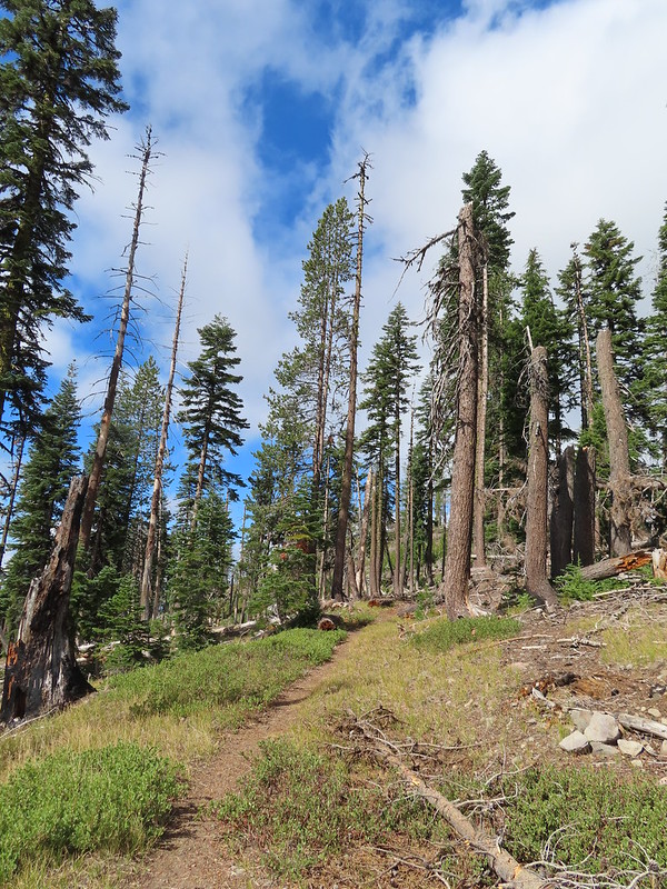 A brief stint in full sunlight.
 Robin
Robin
 Union Peak nearly free of clouds.
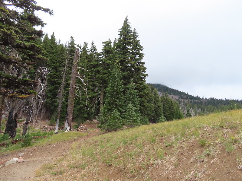 The Watchman still not free.

 Mountain bluebird

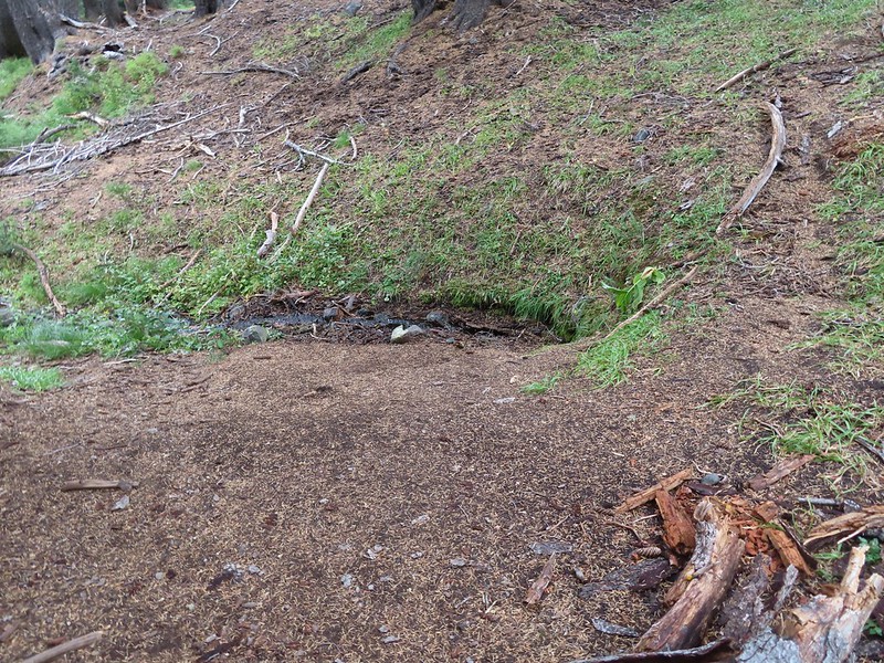
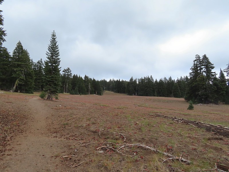
 Full view of Union Peak.
 And finally a full view of The Watchman.
 Conditions were changing quickly and now there was blue sky above The Watchman.
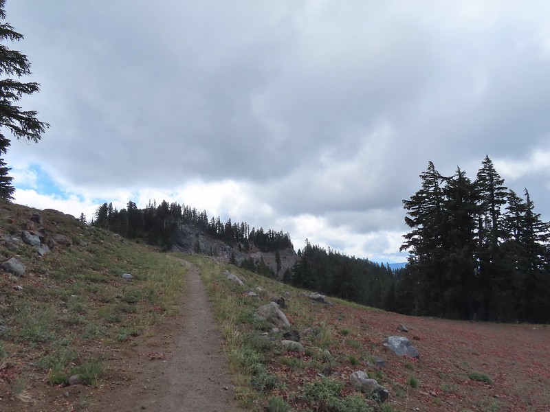 West Rim Drive ahead with the lower portion of Mt. McLoughlin (
 Mt. McLoughlin
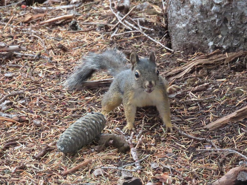 This squirrel put its cone down in case I had something better for it, but we don’t feed the wild animals per Park rules (and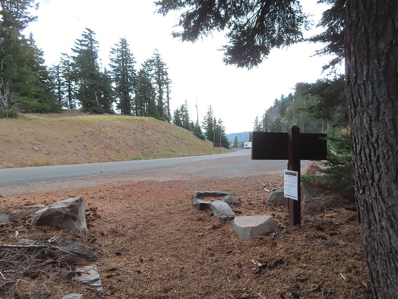


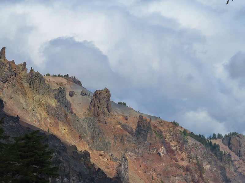
 Wizard Island’s cone
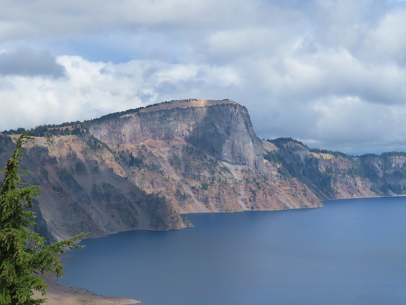 Llao Rock
 Dock along Wizard Island
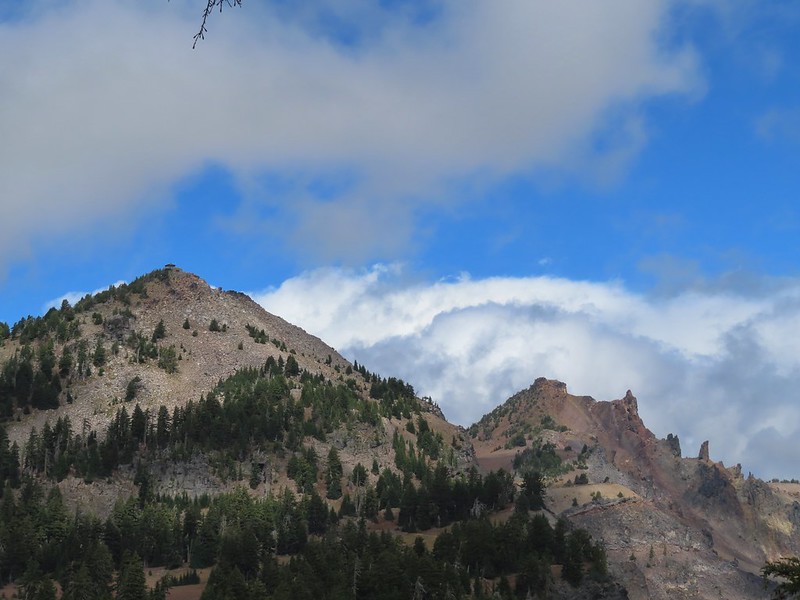 The Watchman and Hillman Peak
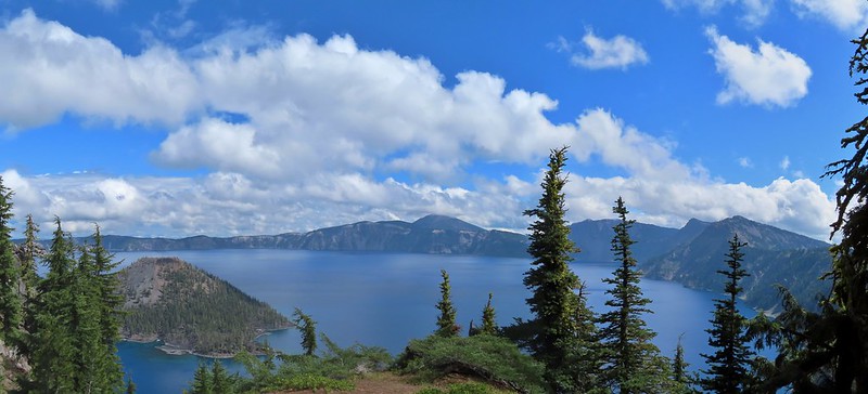
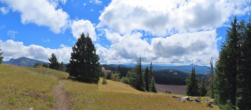 Garfield Peak to the left with Union Peak to the far right.

 Phantom Ship
 Mount Scott
 Clark’s nutcracker
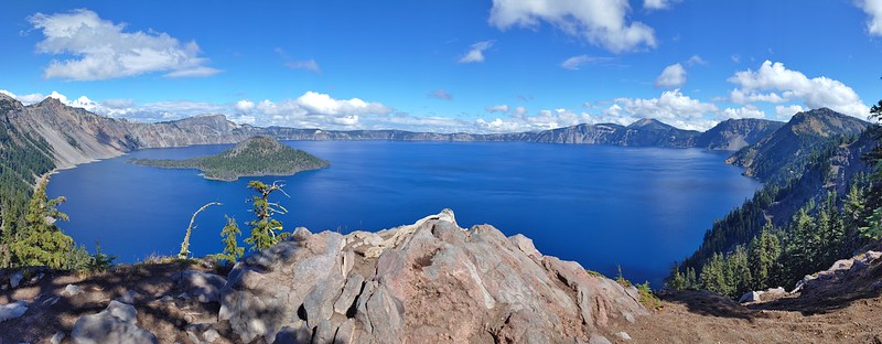
 That blue though!
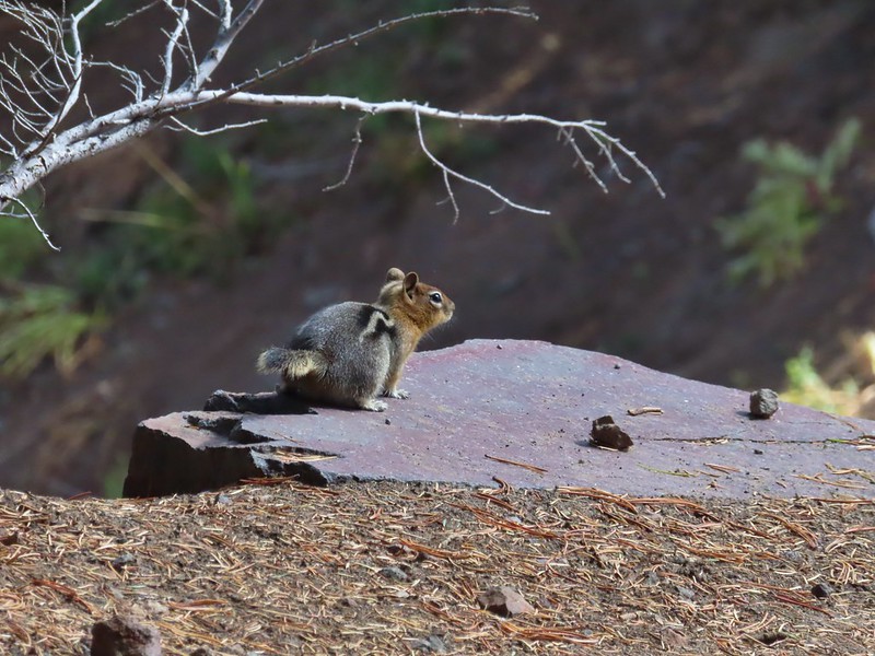 Golden-mantled ground squirrel
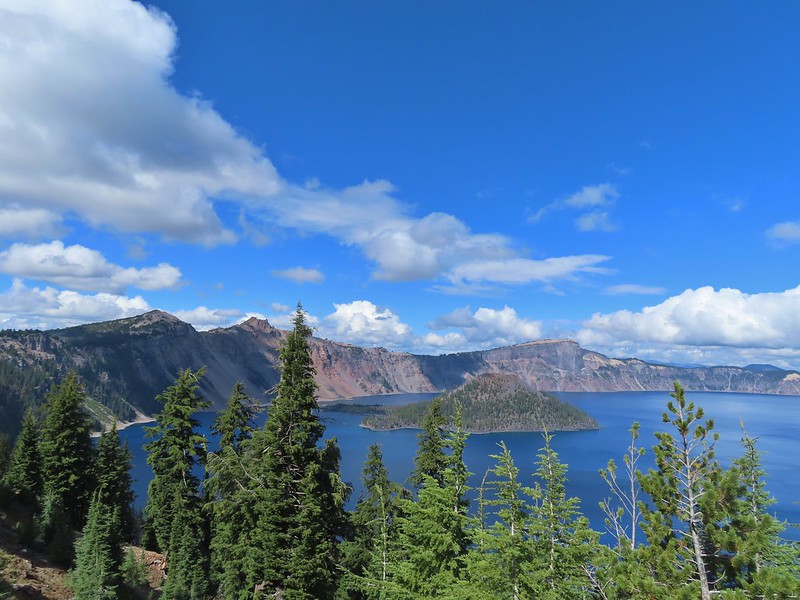 Back to where we’d been that morning.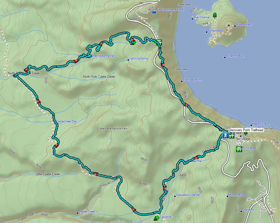

 Wizard Island
 The Watchman (
 Hillman Peak and Llao Rock
 The sign calls this the “steepest” hike in Southern Oregon. We wondered what criteria that was based on?
 There were a large number of big mushrooms along this section of trail as seen to the lower right.
 One of the big shrooms.
 A Stellar’s jay.
 More of the big mushrooms.
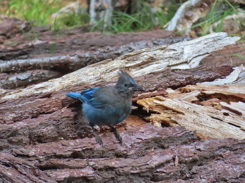 Another Stellar’s jay.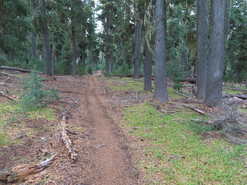
 Nearing the trail junction.
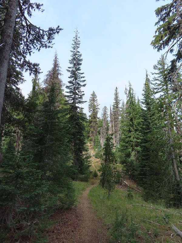
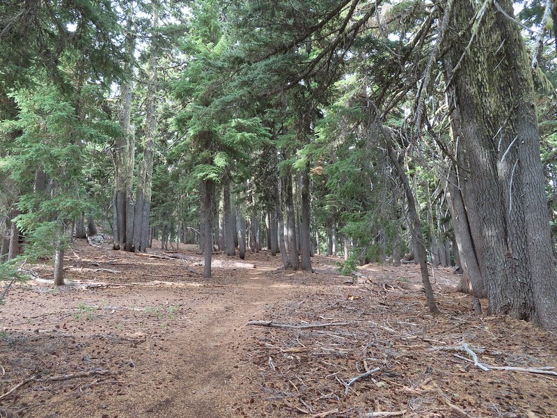
 First glimpse of Union Peak through the trees.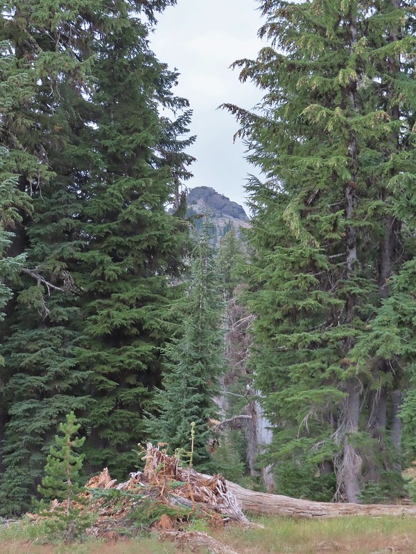
 Gardner Peak behind Goose Egg (center) to the SE.
 Fireweed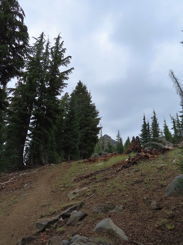
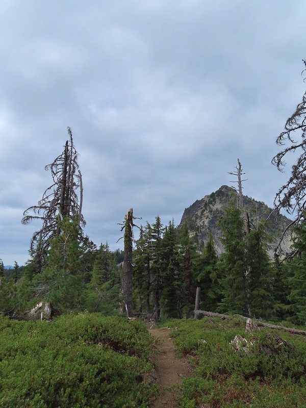 It was cloudy but no showers so far and the clouds appeared to be well above the summit.
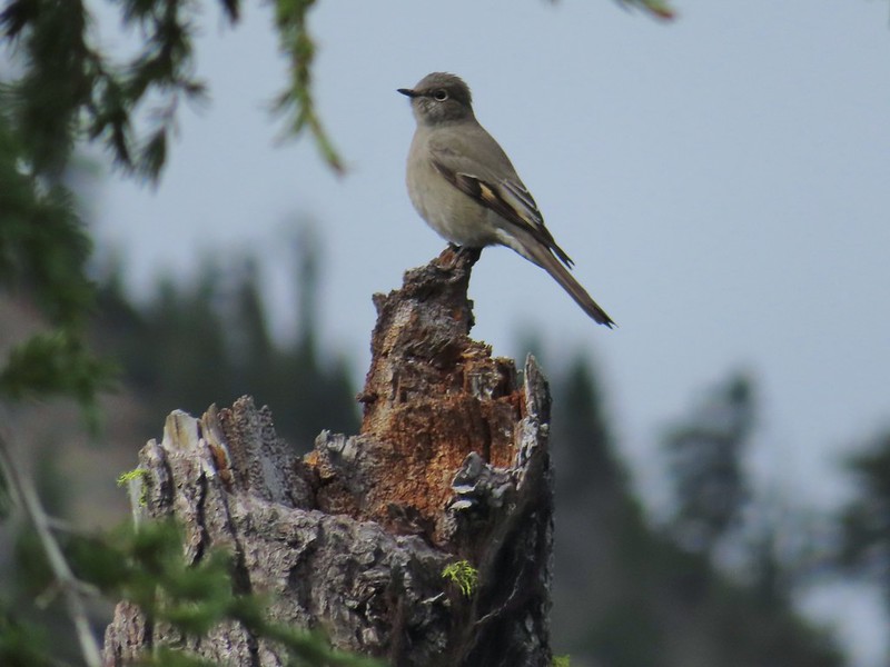 Townsend’s solitaire

 Mount Bailey in the distance to the right of the outcrop.
 The last doe keeping watch as the rest of the deer disappeared into the forest.
 Golden-mantled ground squirrel
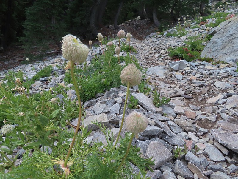 Western pasque flower seed-heads along the trail.
 Looking up at Union Peak and wondering how the trail got up there.
 Nearing the cinder field.
 Mount Scott (
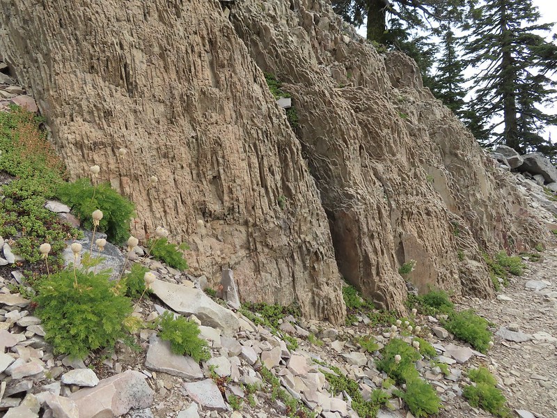 It’s always interesting to see the various rock that make up these volcanic peaks.
 The Watchman and Llao Rock with Mt. Thielsen in between in the background.
 That’s the trail on the right side of the photo.
 Looking down at the trail below.
 The trail was fairly easy to follow as it switchbacked up through the rocks. It was narrow in places which might be hard for those with a fear of heights.
 While there were no people at the summit the brush had attracted a fairly large number of yellow jackets.
 Looking west toward the Rogue-Umpqua Divide.
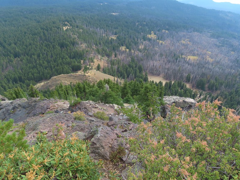 The trail along the ridge below Union Peak.
 Lost Creek Lake (
 Mount Bailey, Diamond Peak (
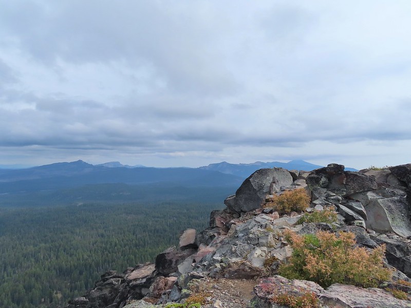 The rim of Crater Lake.
 Mt. McLoughlin is to the far right with some clouds over the top. Starting from the left is Goose Nest, Goose Egg (with Gardner Peak behind), Maude Mountain (with a faint Pelican Butte behind to the right), Lee, Devil’s, & Lucifur Peaks (Mt. Shasta is behind those three.) followed by Mt. McLoughlin.
 Mt. Bailey
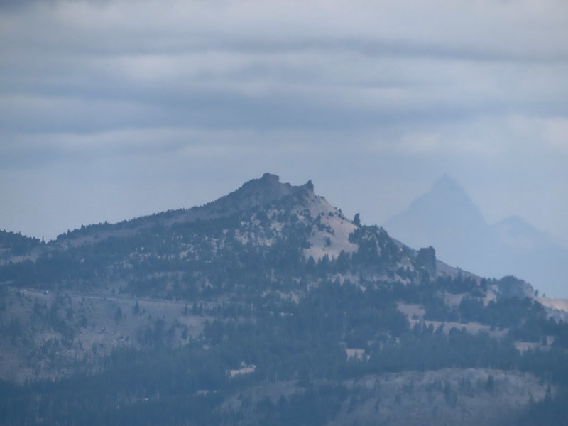 The Watchman and Hillman Peak directly behind with Mt. Thielsen further in the distance.
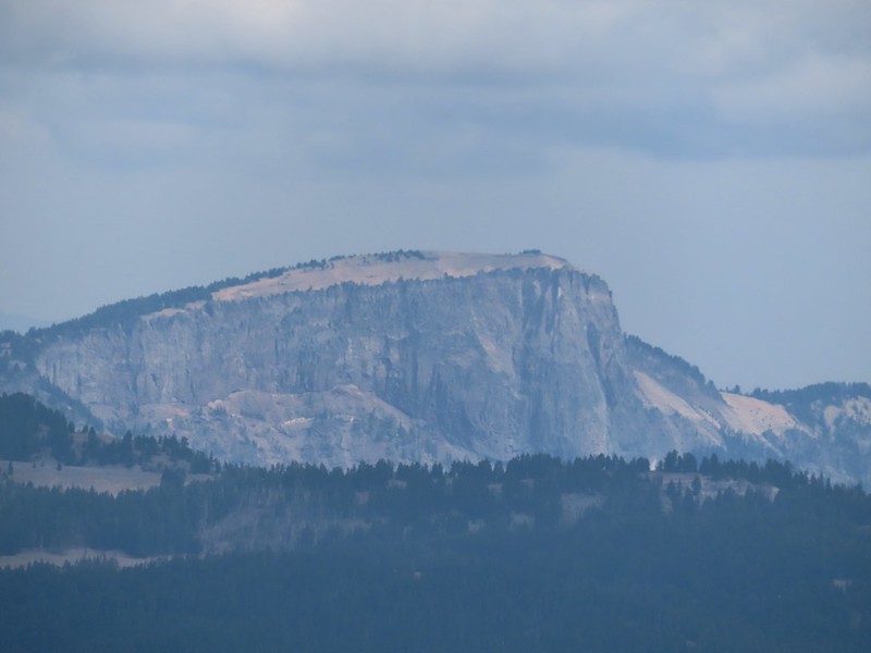 Llao Rock
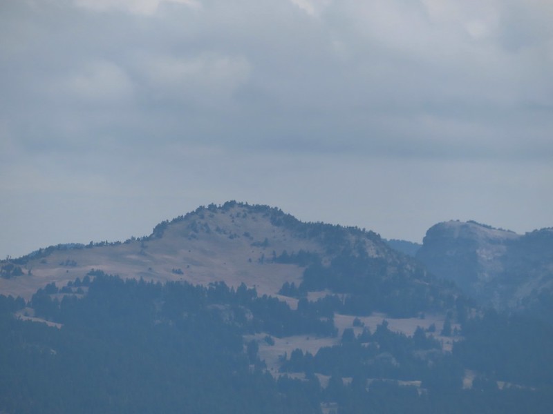 Applegate Peak
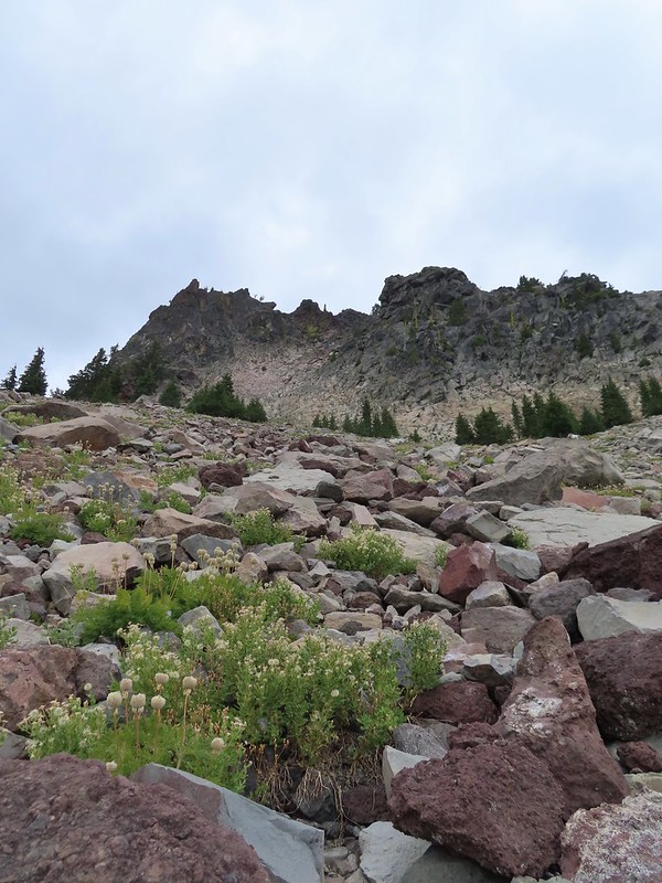 Looking back up from the rock field.
 Mount Shasta arnica
 Bleeding heart

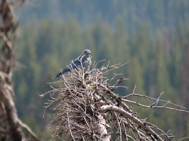 One of several mountain bluebirds we spotted.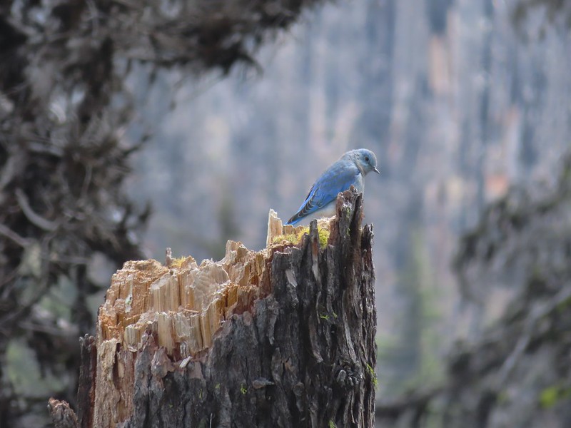
 Bumblebees on a few remaining aster.
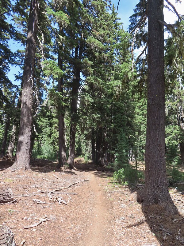 Sunshine
 A sulphur butterfly.
 Arriving back at the trailhead.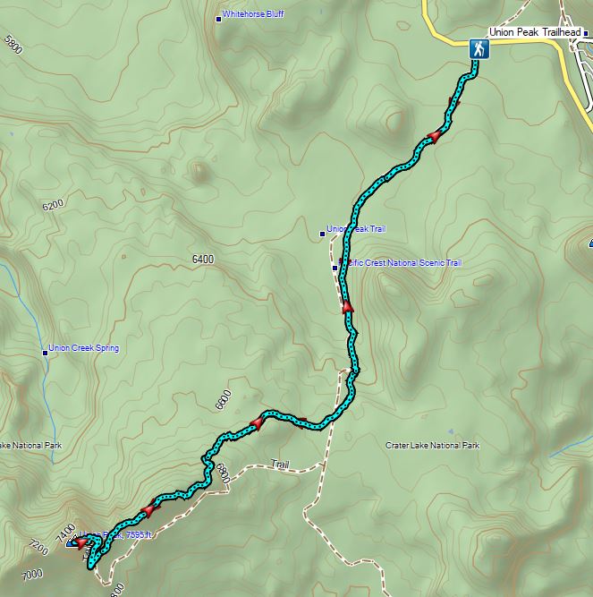


 The PCT running left to right with the Hidden Lake Trail extending straight ahead.
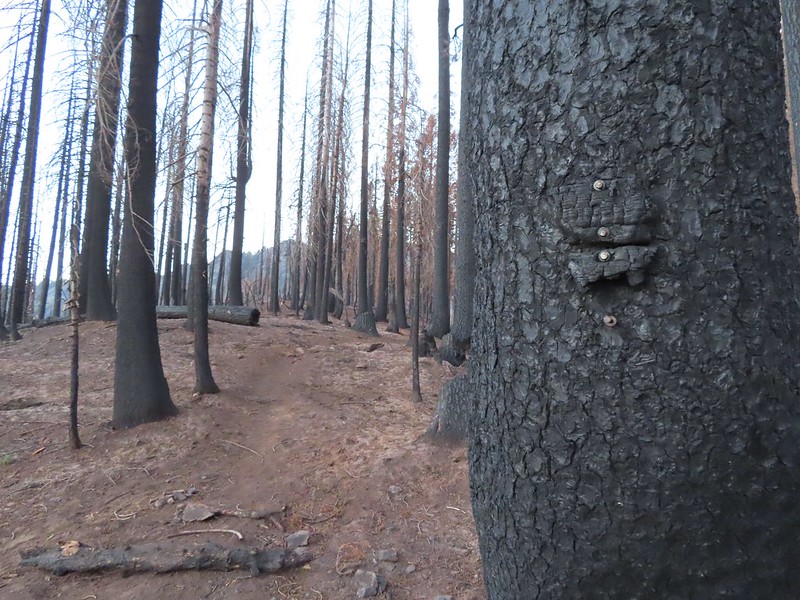 Remnants of a trail sign. The sticks across the Hidden Lake Trail are to let PCT hikers know that is not their trail.
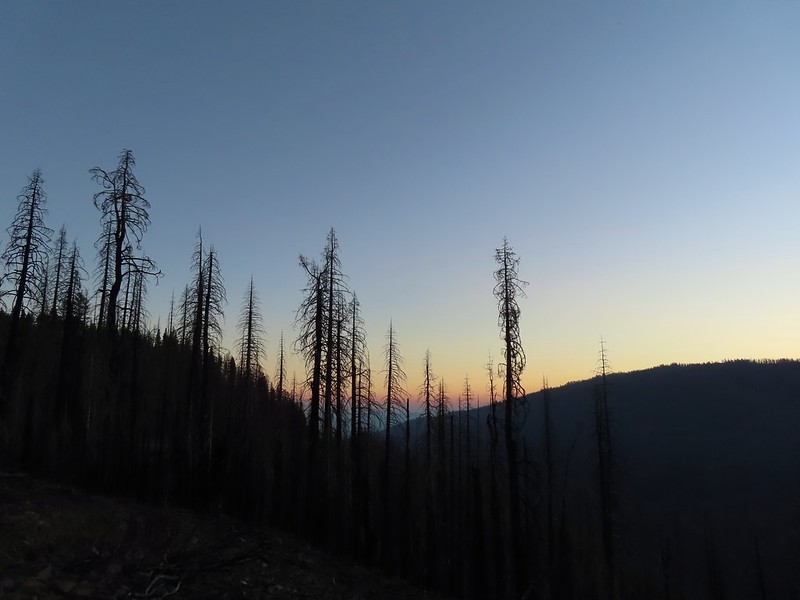 A layer of smoke over the valley on the horizon.
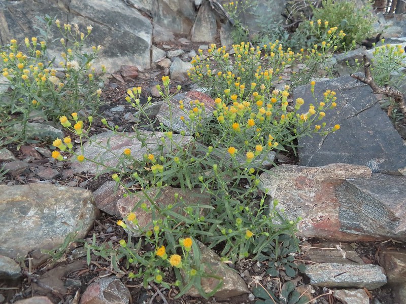 A fleabane, possibly California rayless fleabane.
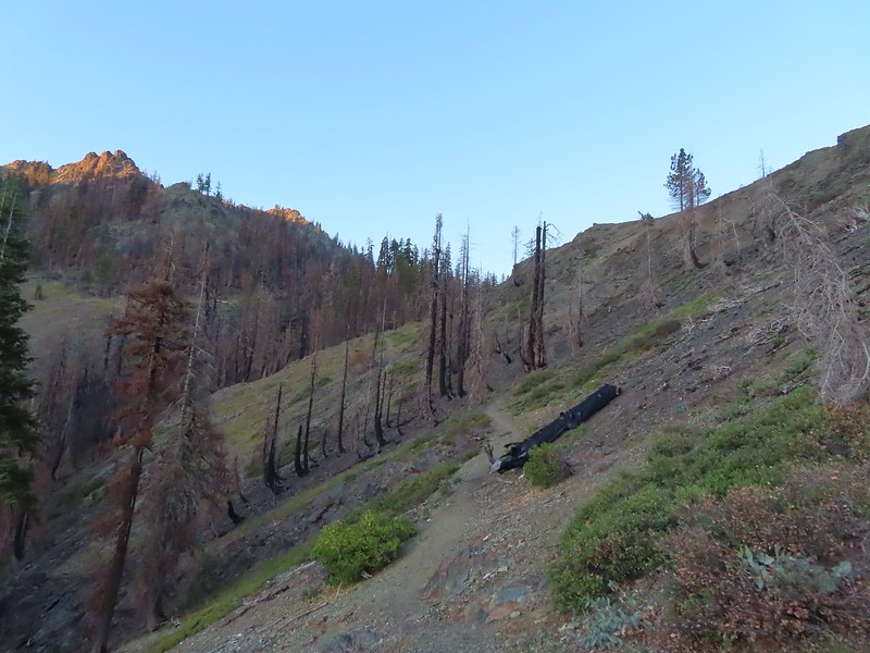 Hidden Lake Trail following the ridge.
 Dwarf purple monkeyflower
 Blue-eyed Mary
 Approaching Hidden Lake.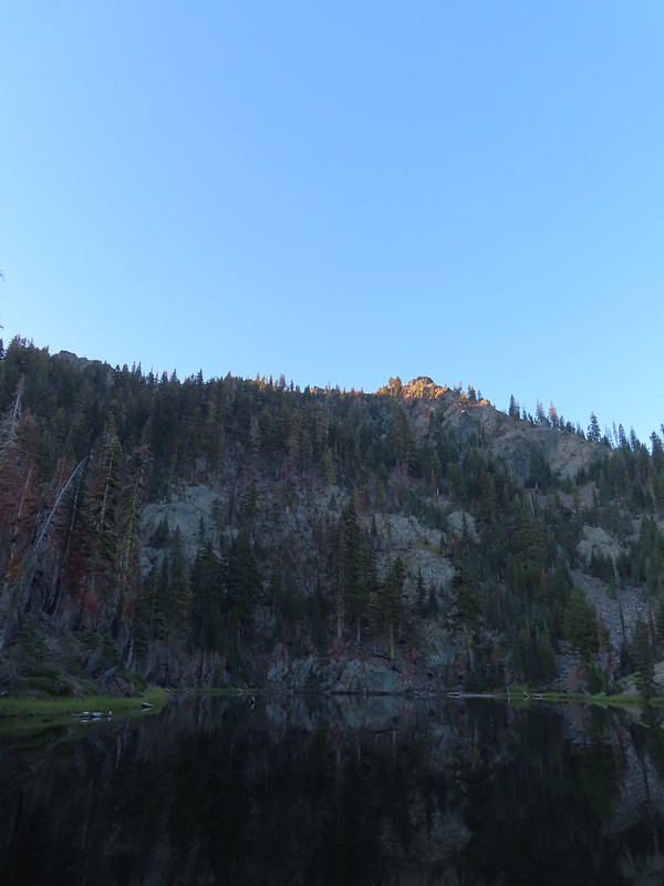


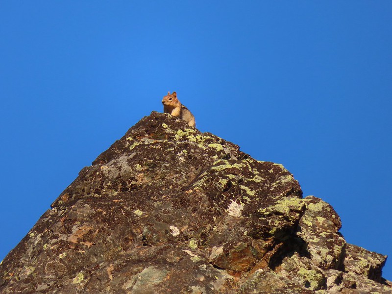 Golden-mantle watching us from atop the ridge.
 Looking back now that there was a little more sunlight.
 Diamond clarkia
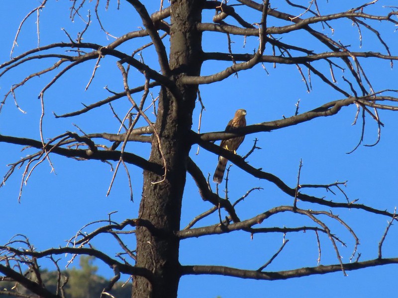 A small raptor watching from a snag.
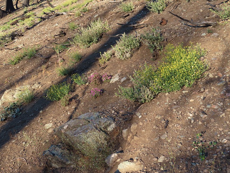 Wildflowers in the burn scar.
 Spreading dogbane
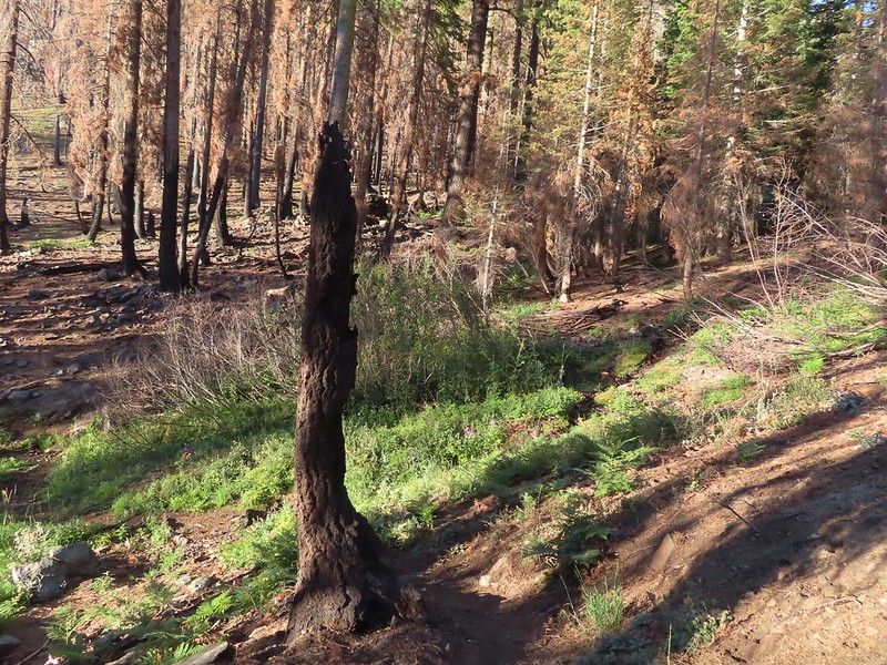 A small stream/spring providing some green.
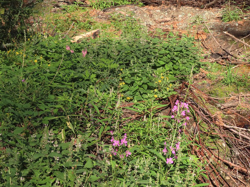 Bleeding heart, fireweed, monkeyflower, and hedge nettle along the stream.
 Yarrow and Oregon sunshine.

 California harebells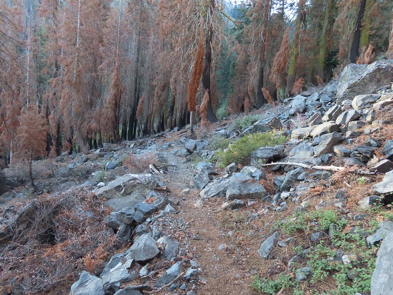
 A lot more green vegetation near the river crossing.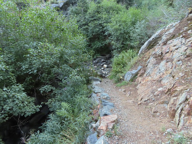
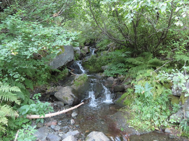 South Fork Scott River
 Mountain coyote mint
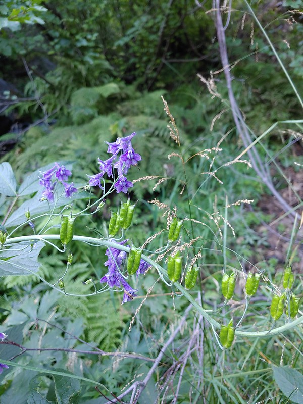 Mountain larkspur
 Mountain larkspur
 Snacks
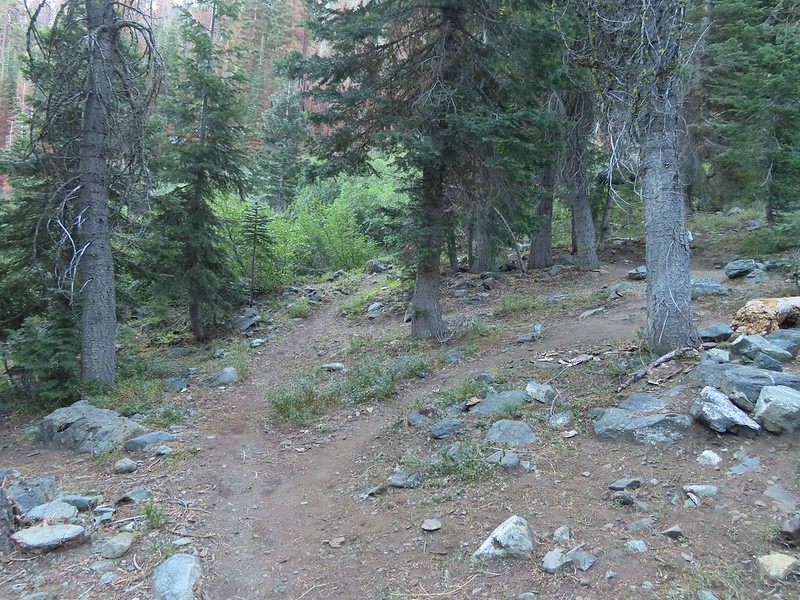 Campsites along the PCT near the river crossing.
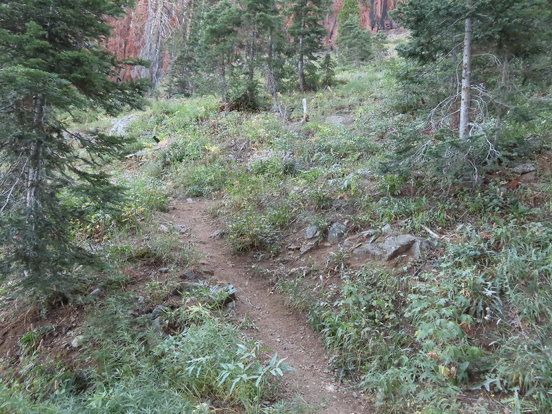 You can just make out the trail ahead heading uphill to the right.
 This trail was the most overgrown/least maintained of all the trails we’d been on this trip.
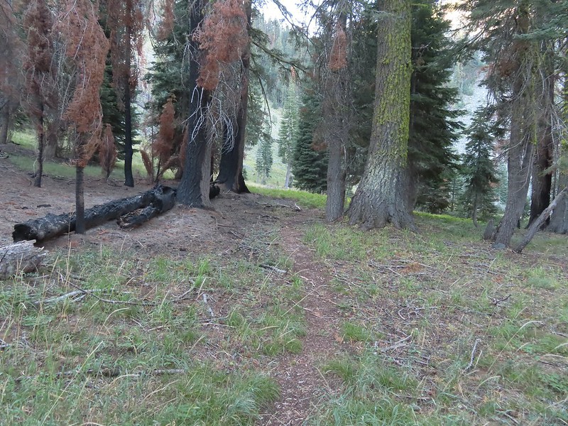 Nearing the meadow.
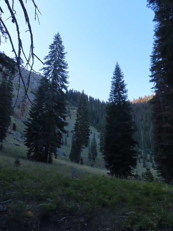 Entering the meadow and losing the trail.
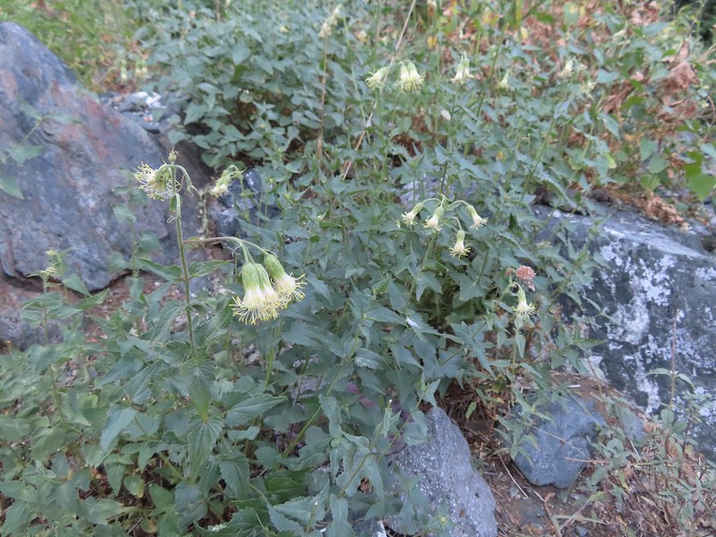 As of yet unidentified flower in the meadow.
 There was a brief pause in the climb while the trail passed a series of springs.
 Vegetation along the trail at the springs.
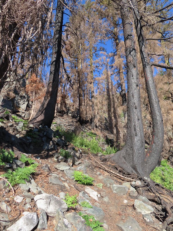 Back to climbing.
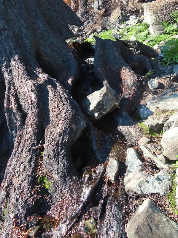 The final spring that we passed was coming out of this hollowed trunk.

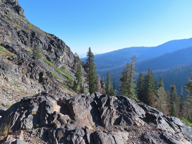
 There were several places where it looked like the trail was going to finally crest but when you got there you just found more uphill.
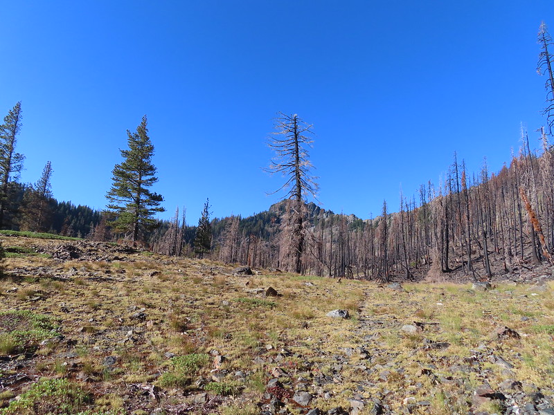 Finally the trail is leveling out.
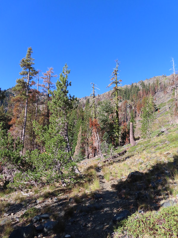
 Looking back over the lower lake.
 Heading off-trail for the upper lake.
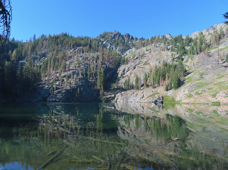
 Back to the lower lake.
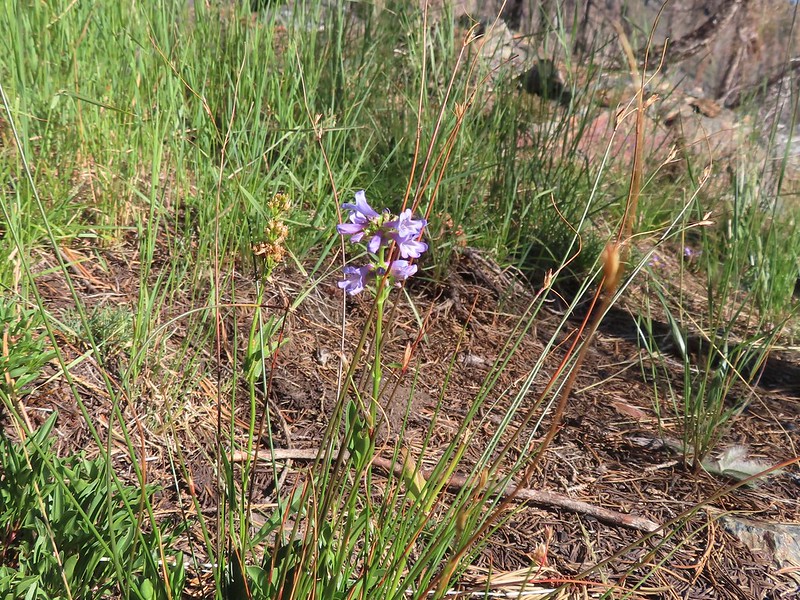 A penstemon
 Another look at the cool spring.
 Monkeyflowers along the springs.
 Butterfly on western snakeroot
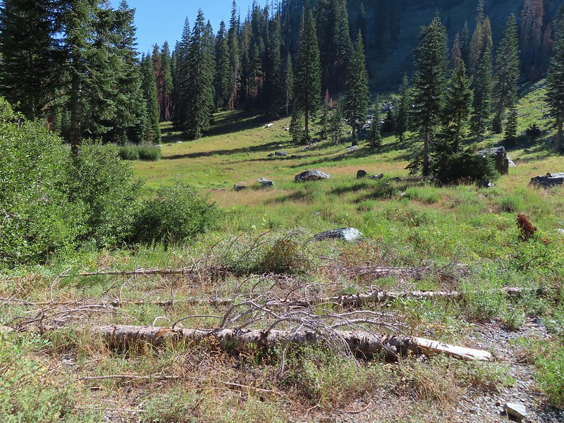 Back through the meadow.
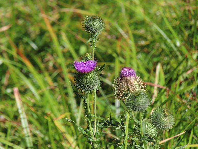 Thistle
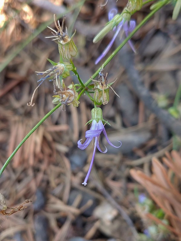 Close up of a California harebell.
 I can see a car at the trailhead.
 The helipad at the trailhead.
 The helipad at the trailhead.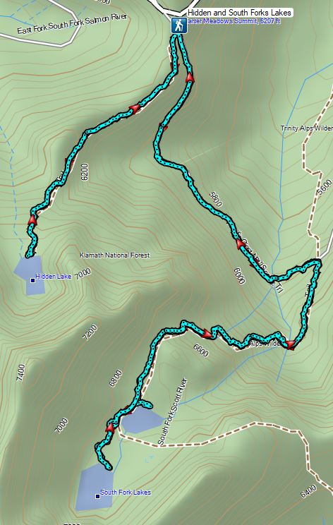

 PCT below FR 39N48.
 Tail and Long Gulches in the
  Lots of buckwheat along the ridge.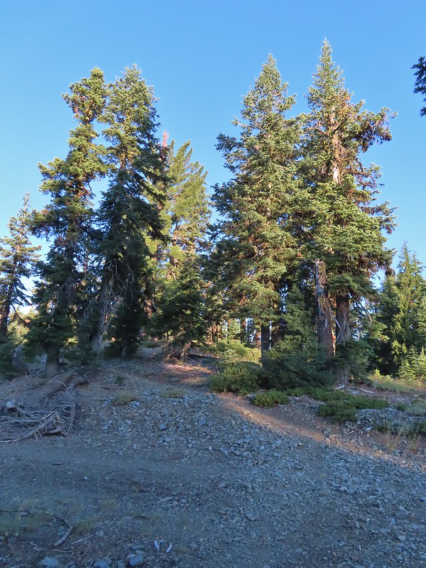

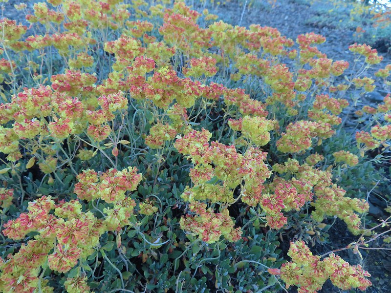 Buckwheat
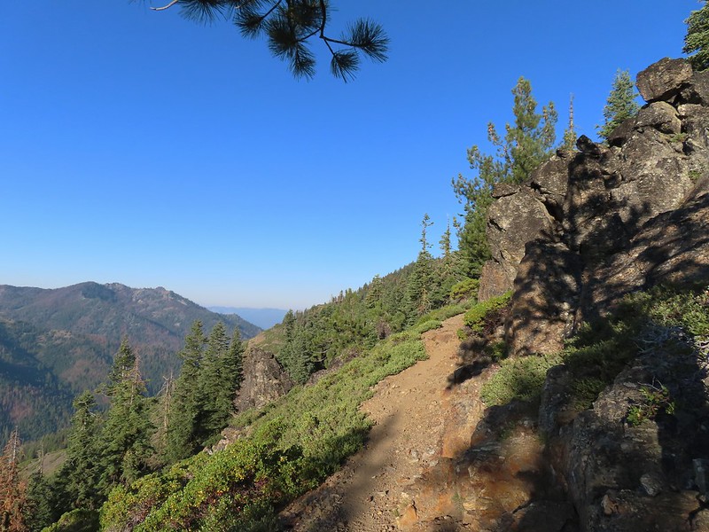

 Trinity Alps Wilderness
 Caesar and Thompson Peak
 We would be passing below the peak in the distance later.
 Small buck on the hillside above the PCT.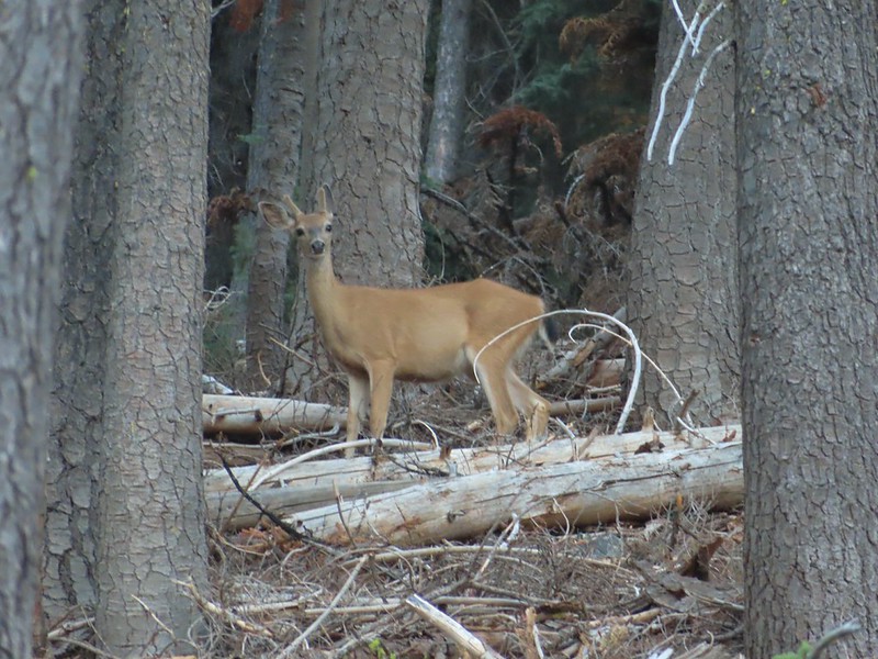
 The Deacon Lee Trail was visible crossing the opening on the far hillside.

 Checker-mallow
 Crescent butterfly
 Small spring along the PCT.
 The junction with the Deacon Lee Trail.


 Dwarf lupine

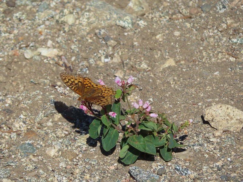 Fritillary butterfly on spreading dogbane.
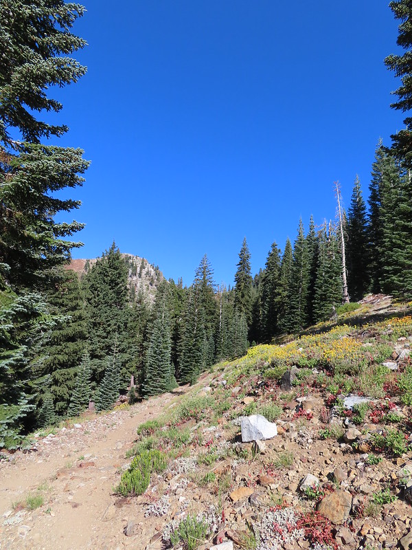 Nearing Siphon Lake.
 Siphon Lake was just under a mile from the PCT.
 Old pipe that used to bring water down to mines lower on the hillside.
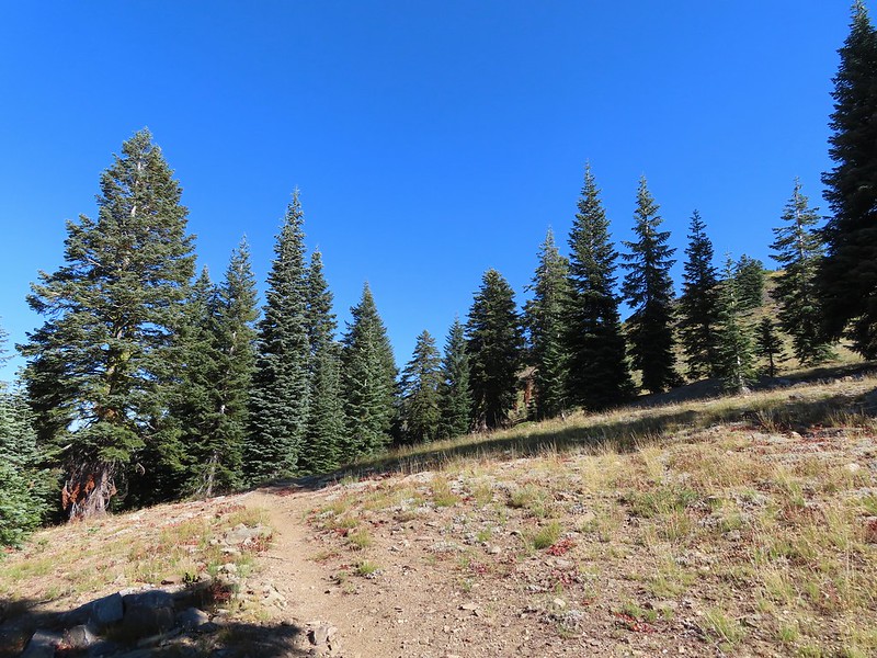
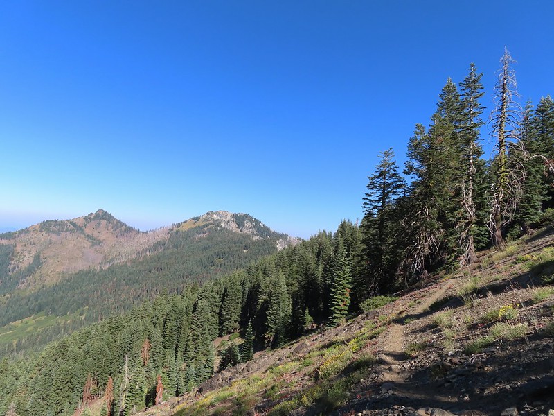


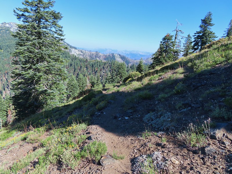
 Zoomed in on the pair.
 The curious fawn.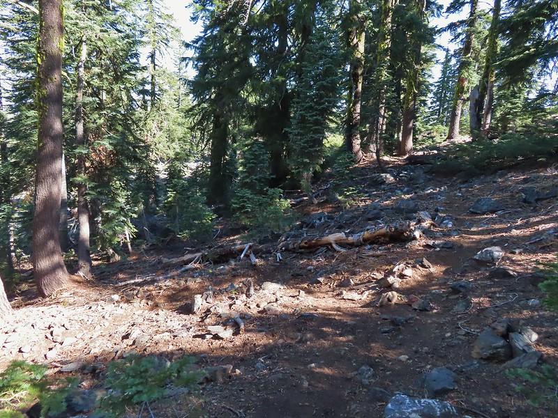


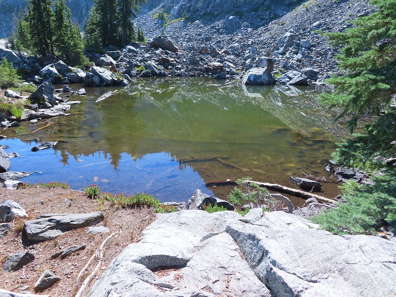
 The pond was full of tadpoles.
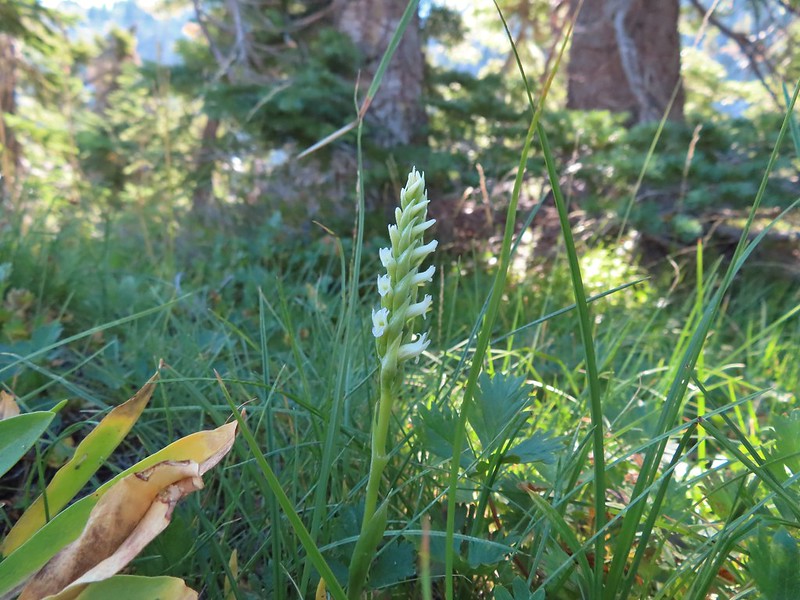 Hooded ladies tresses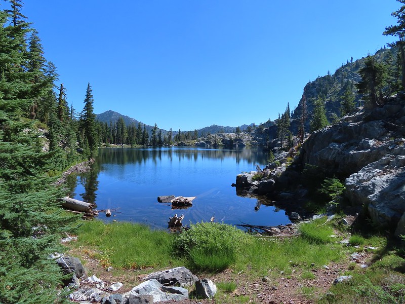
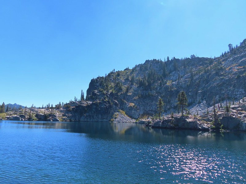
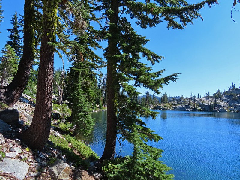
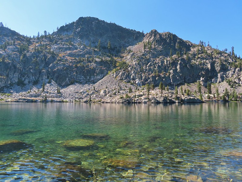
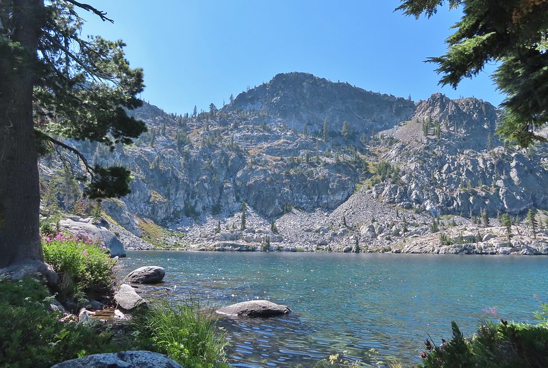 View from the outlet creek.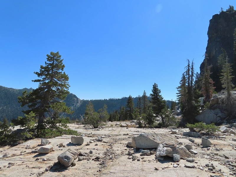
 Russian Peak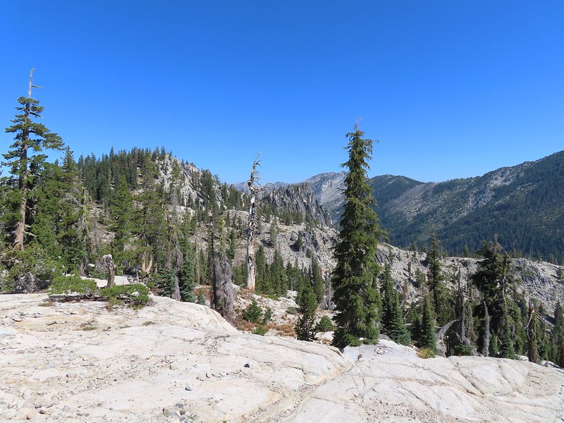


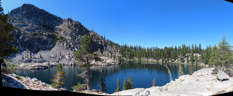
 Fireweed near the outlet.
 Large boykinia

 Saxifrage seed head
 It was a pretty good drop down to Waterdog Lake.
 Waterdog Lake.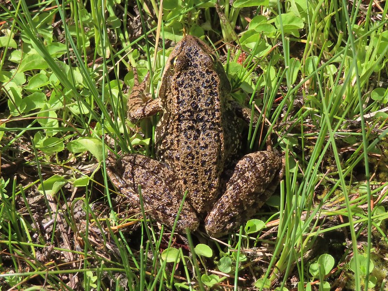

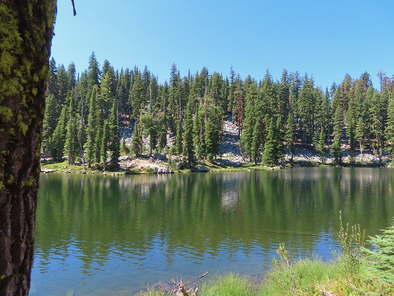 The deer were across the lake in those trees.
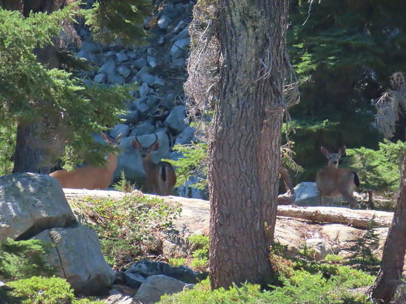
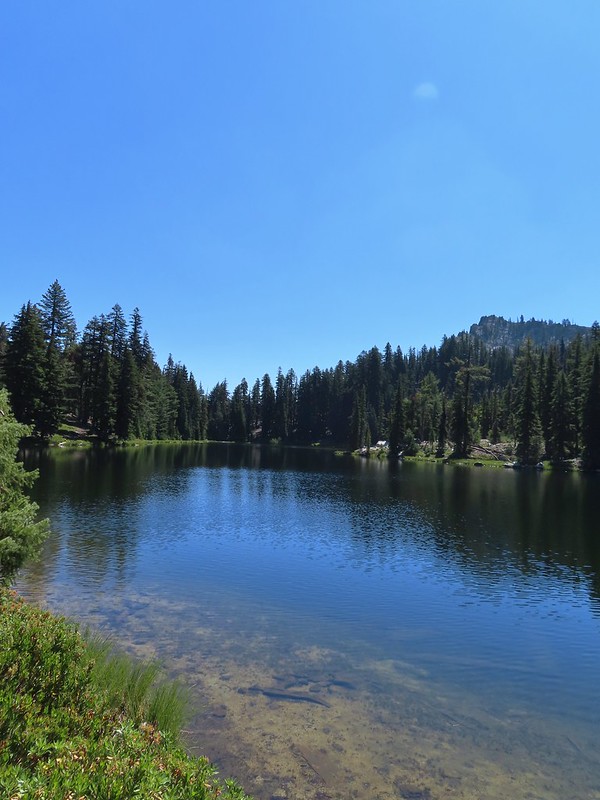 Looking back along the lake.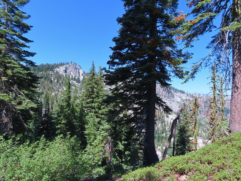
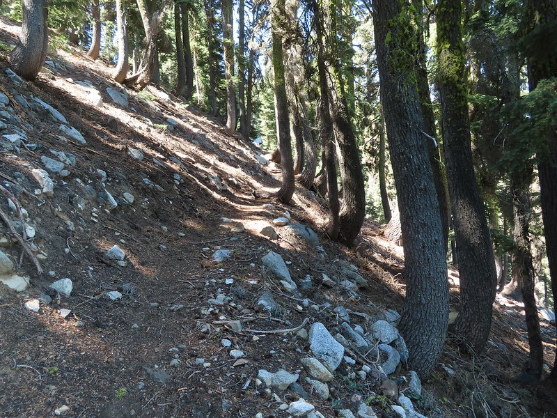
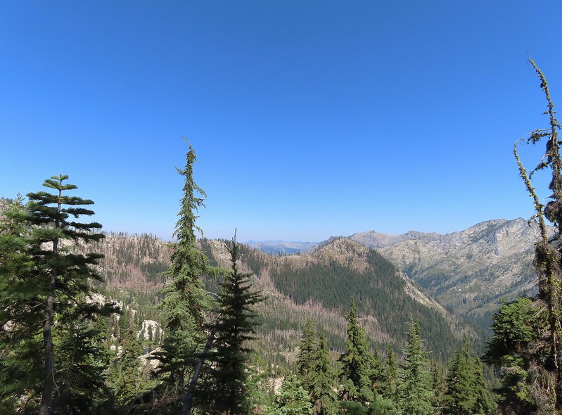


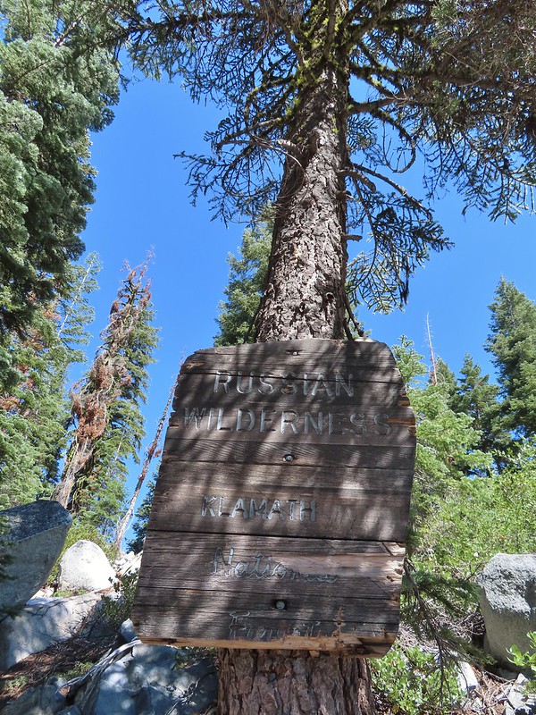

 Paintbrush
 There were dozens of lizards scurrying across the trails all day but not many stopped long enough for photos.
 Haven’t been able to identify this one yet.
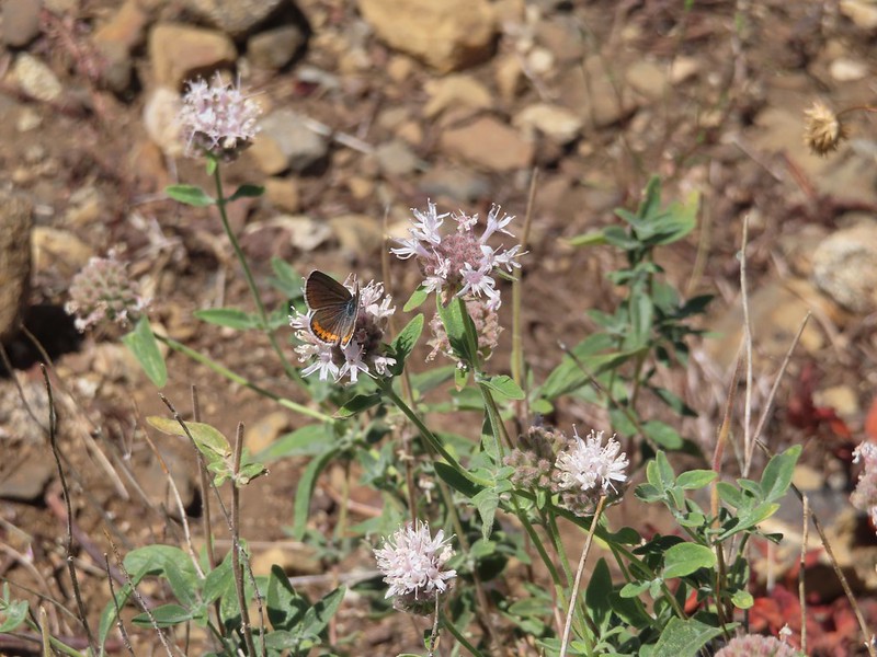 Butterfly on mountain coyote mint
 Another butterfly on mountain coyote mint.
 Grasshopper that became obsessed with Heather’s glove.
 Cricket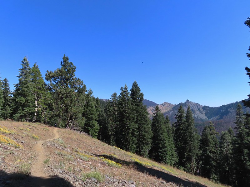
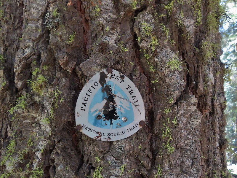
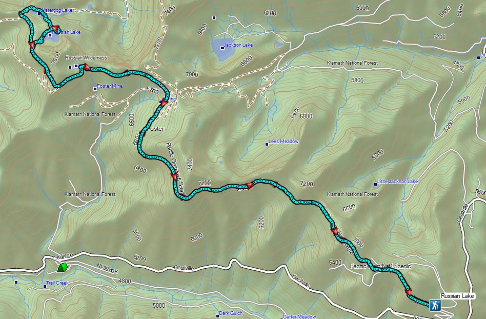


 Entering the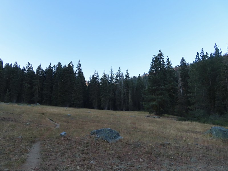

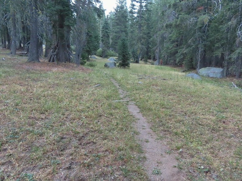
 First view of the small waterfall.
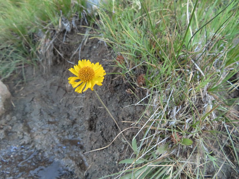 Bigelow’s sneezeweed
 Marsh grass-of-Parnassus
 Not sure what these little guys are.
 Checker-mallow
 Western snakeroot
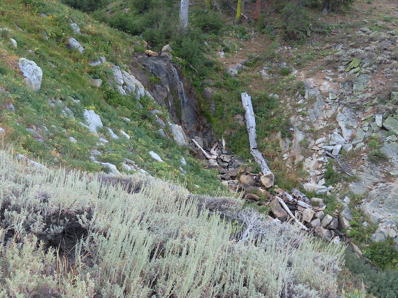 Passing the waterfall.
 Peaks in the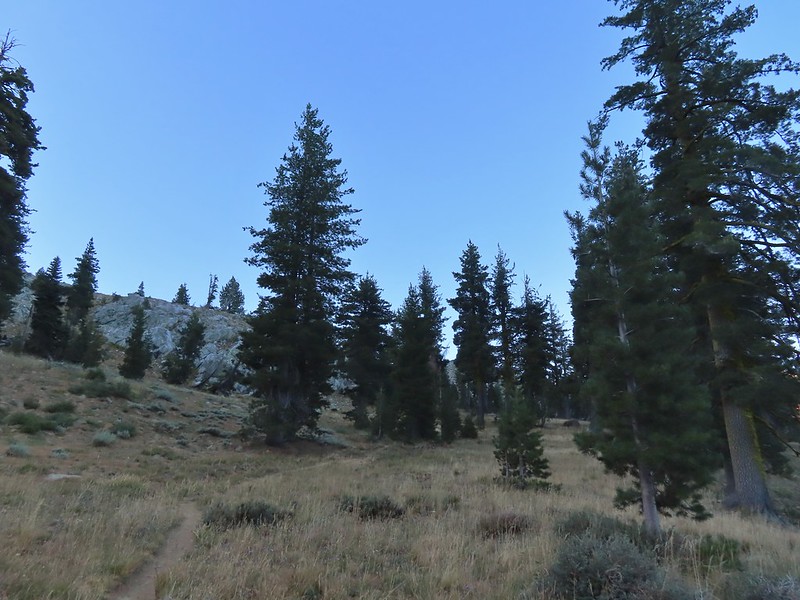
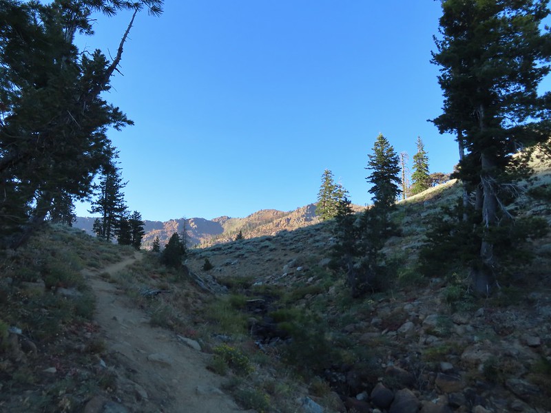
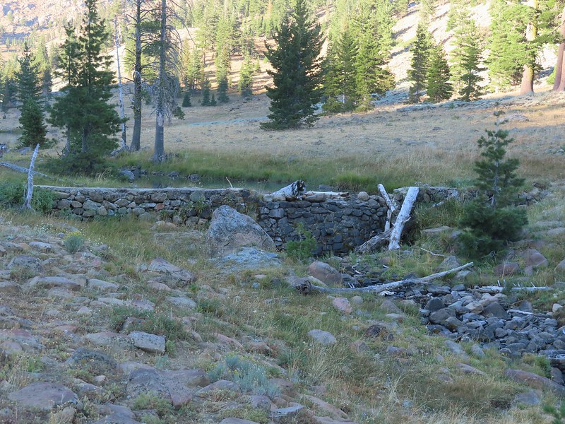 Dam near East Boulder Lake.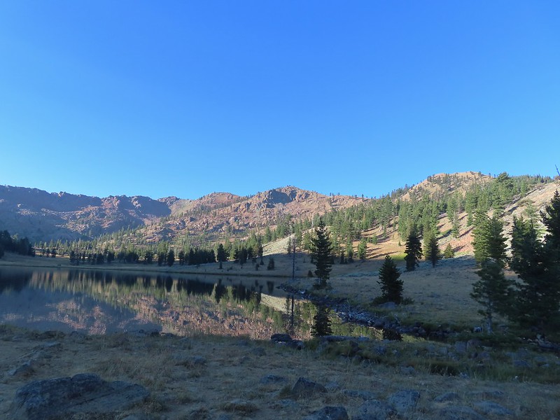


 There were cows out there somewhere but we couldn’t see them.
 View from the dam. We had to watch out for frogs here.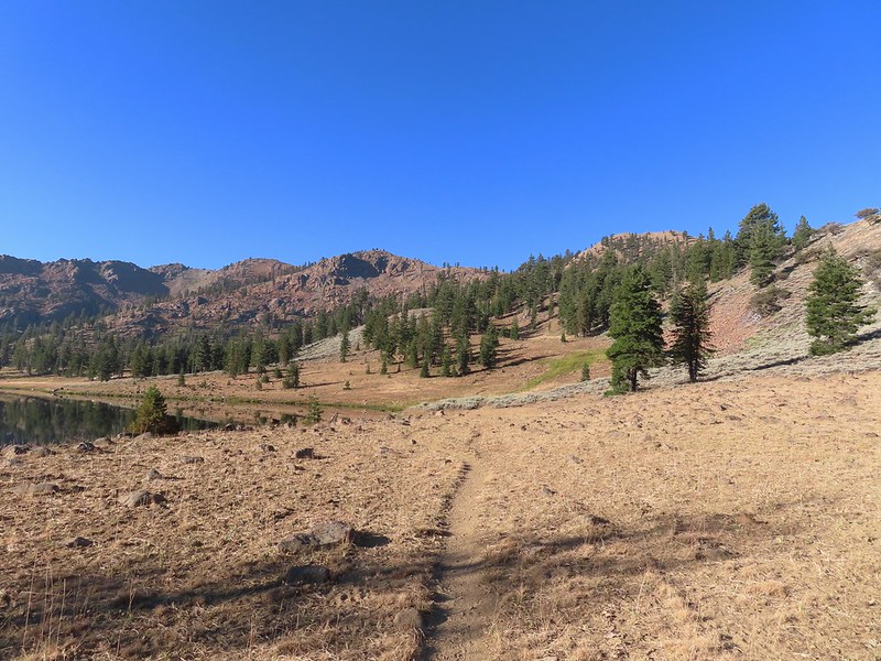

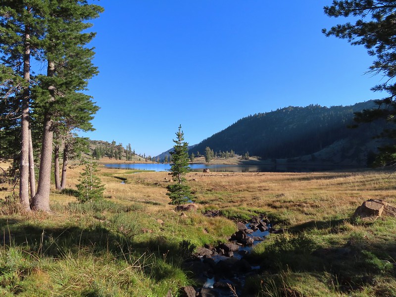 We should have stuck closer to the lake.
 Buckwheat
 Back on the trail where the cows were just leaving.
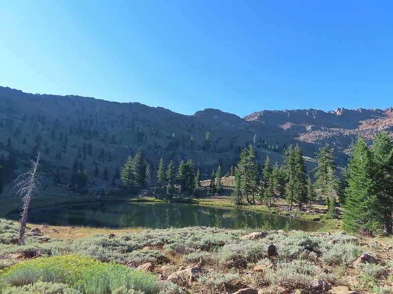
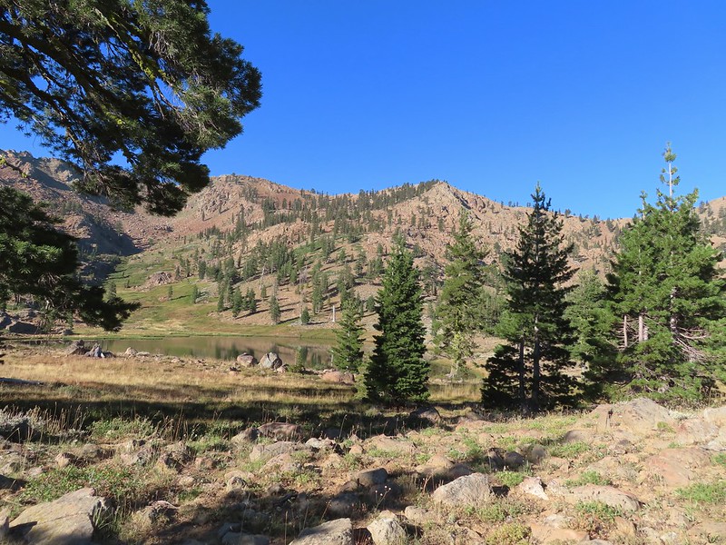 Upper Boulder Lake
 Upper Boulder Lake in the background.
 One of the cows on the far side of the lake to the left.
 Toothed owl’s clover
 Ducks on Upper Boulder Lake.
 The climb was fairly steep at times.
 All four lakes in view.
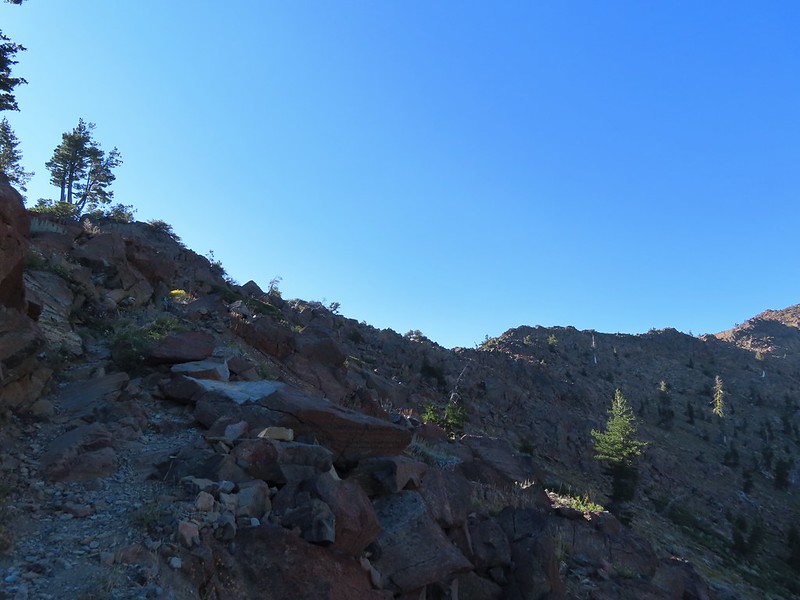 Almost to the pass.
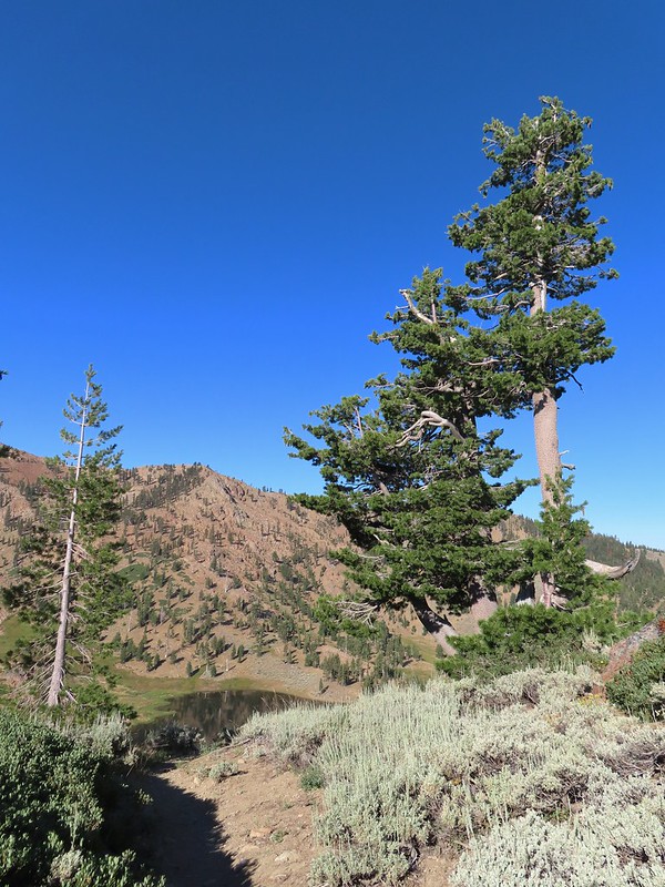 At the pass.
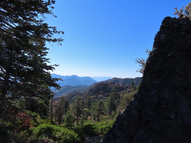 Looking south further into the Trinity Alps Wilderness.


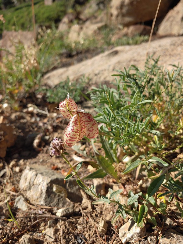 Balloon-pod milk vetch
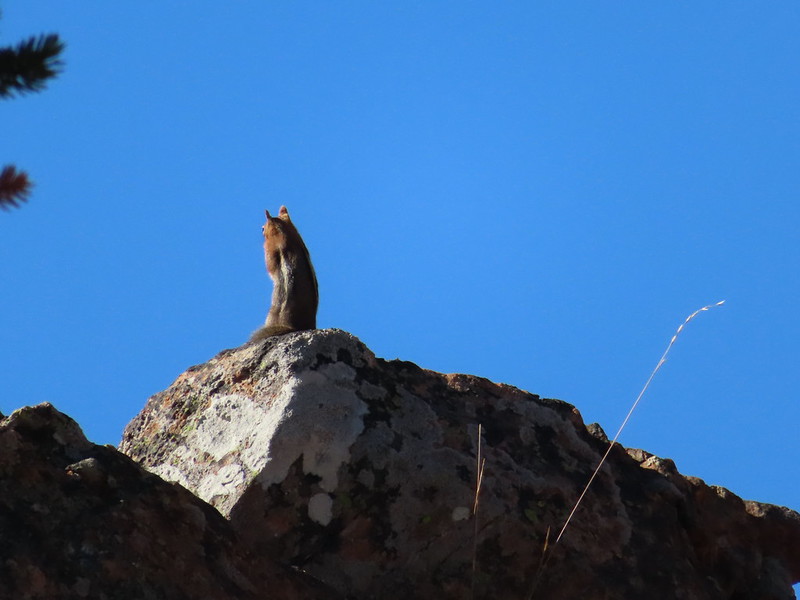 Golden-mantled ground squirrel taking in the views.
 Mt. Shasta over Mt. Eddy through the haze. I believe the lake below to the right is Big Marshy Lake.
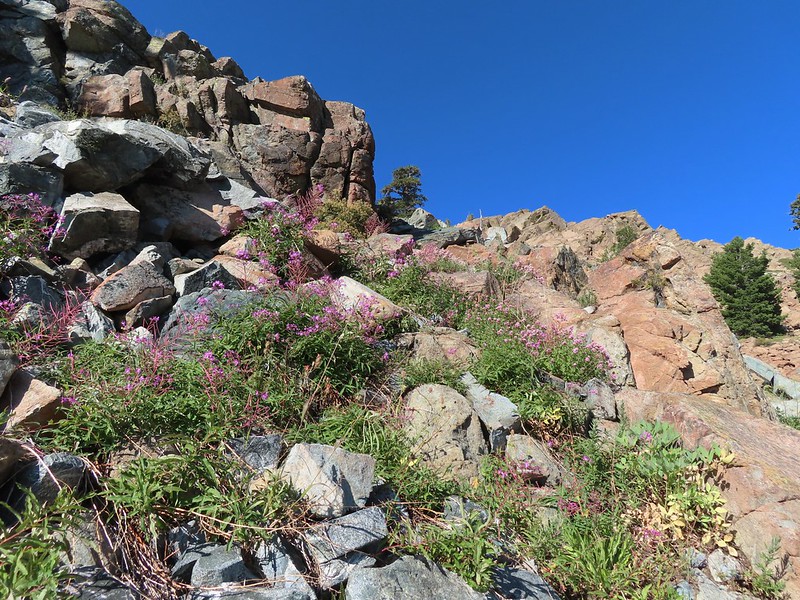 Fireweed in the rocks.
 Paintbrush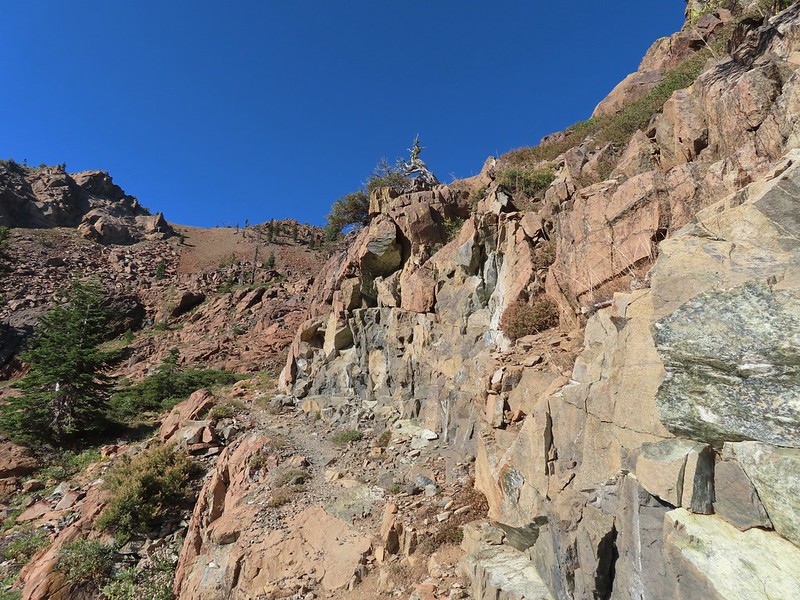
 A bit of water from a spring along the PCT.
 The water was coming from somewhere up there.
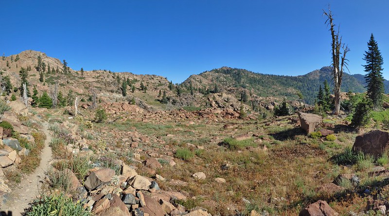 Looking back along the PCT.
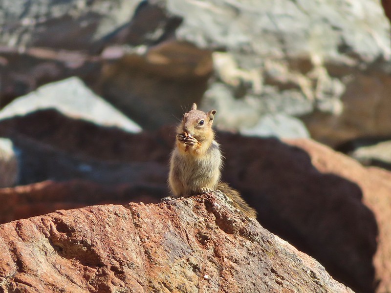 Snack time.
 Caesar and Thompson Peak
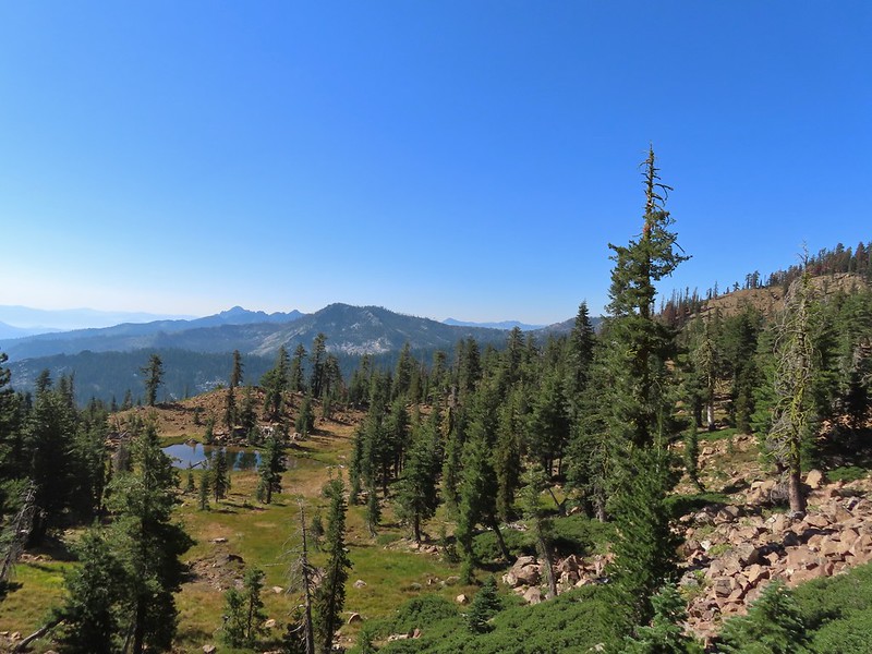
 This northern flicker looks like its head is on backwards.
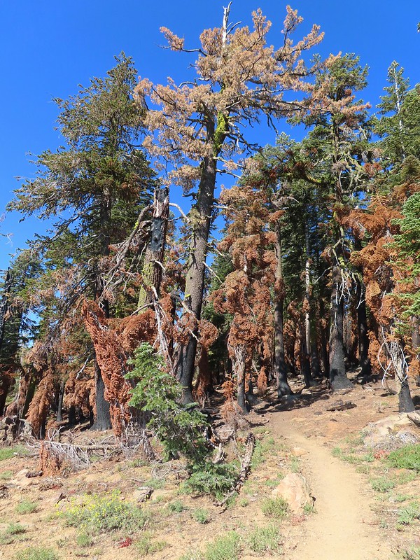 A little bit of burned forest near the pass.
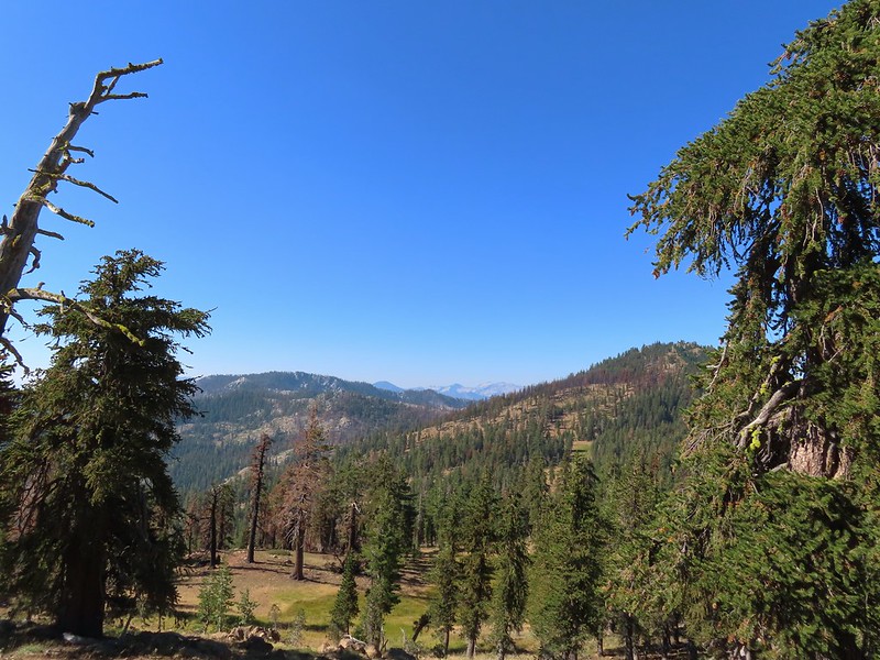 More peaks in the heart of the Trinity Alps.
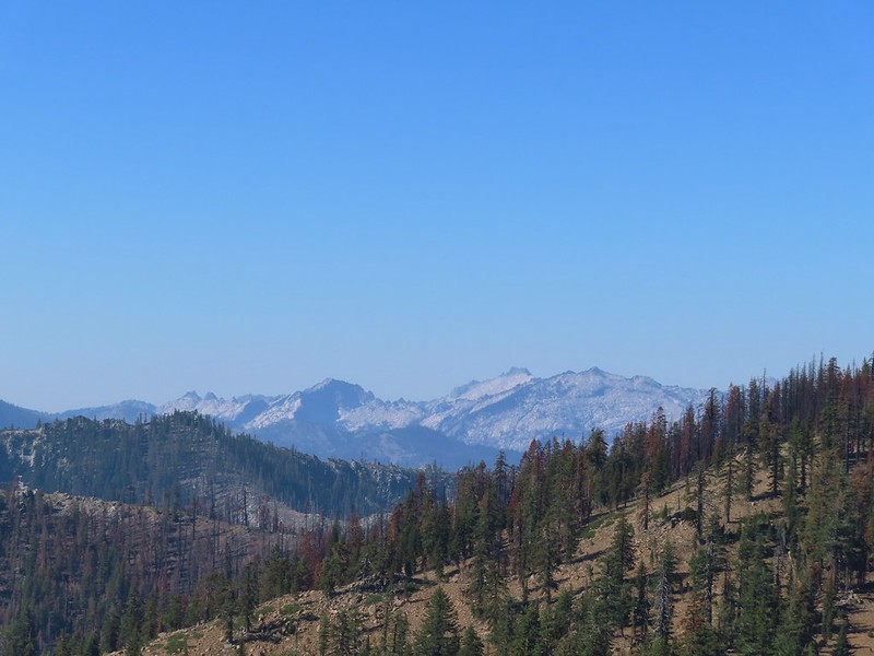 Caribou Mountain (
 The pass above Middle Boulder Lake.
 Middle Boulder Lake is just visible beyond two smaller unnamed lakes.
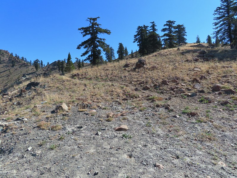 Middle Boulder Lake Trail at the pass.
 The Middle Boulder Lake Trail traversing down the hillside.
 A sulphur butterfly.
 The trail stayed above the two unnamed lakes.
 The trees on the far hillside were burned in the 2021 fire.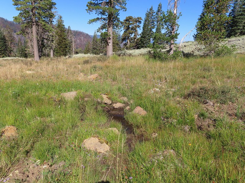


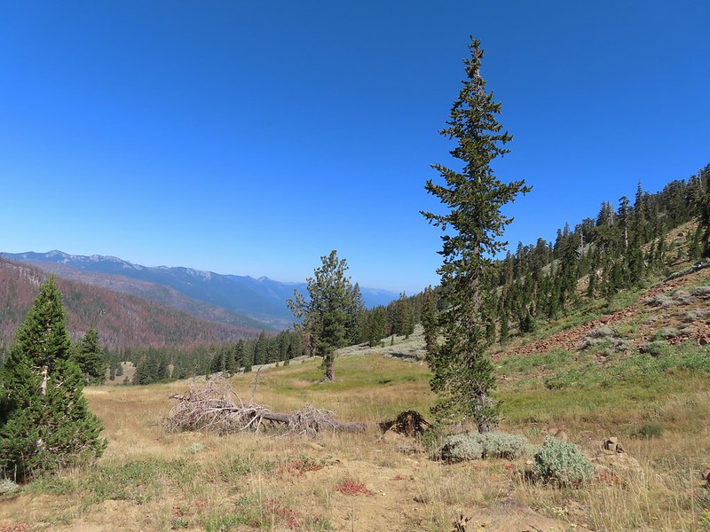 The cairn to the right of the downed tree.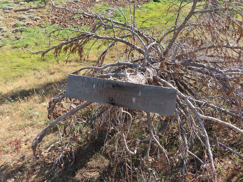
 This may be Autumn dwarf gentian
 One of the more obvious cairns.
 Butterfly on a seed head.
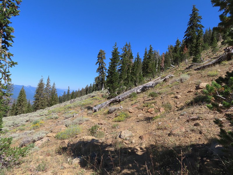 The tread getting clearer.
 Middle Boulder Lake
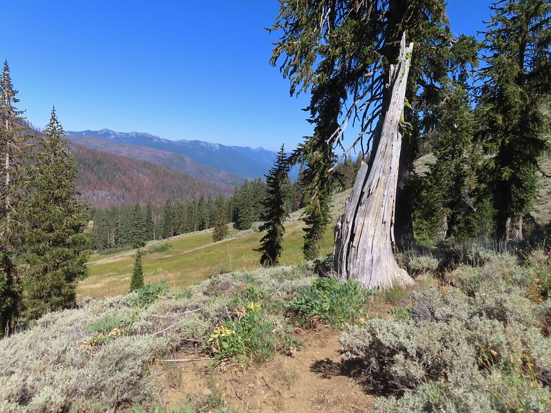 Back on good tread.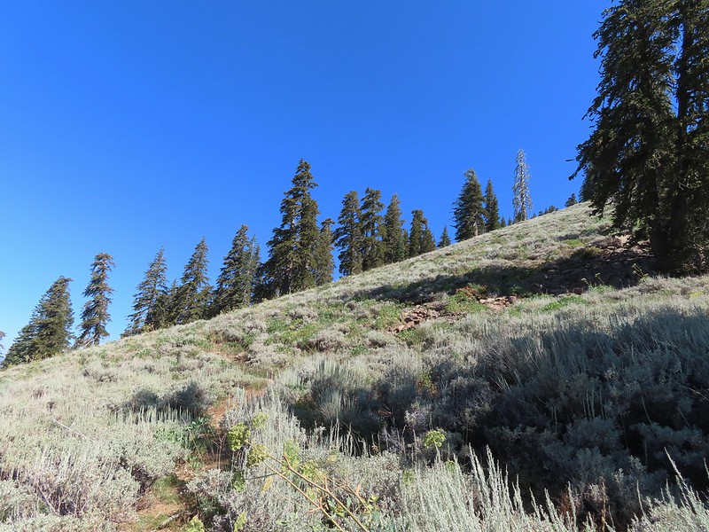
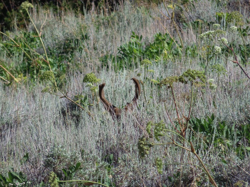


 Orange agoseris
 Passing through a bit of forest before climbing to the saddle.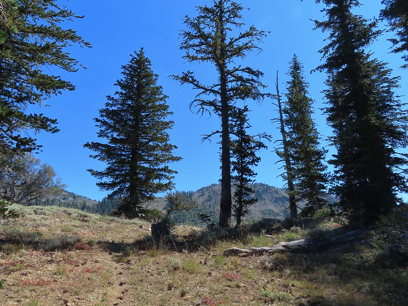

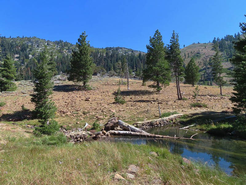 Approaching the dam.
 Fish in East Boulder Creek.
 Descending near the waterfall.
 An aster or fleabane.
 Butterfly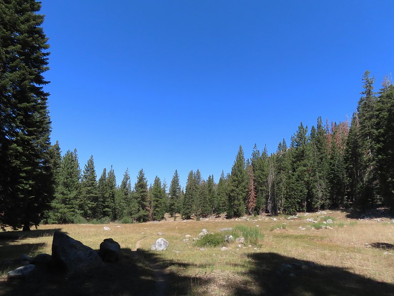
 Woodpecker