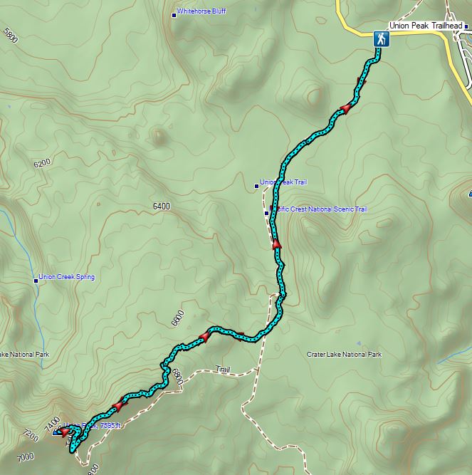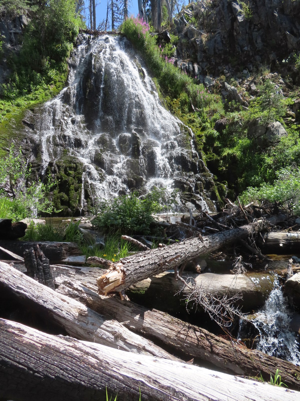
We spent a long weekend at Crater Lake National Park as we continue our quest to hike all 100 featured hikes in William L. Sullivan’s “100 Hikes/Travel Guide Southern Oregon & Northern California” (post). Our plans included the six remaining featured hikes in the Park that we had yet to hike, but before we got to those, we set our sights on a former featured hike. Stuart Falls had been a featured hike in Sullivan’s third edition but washouts in 2014/15 had severely impacted the western approach (April 2015 trip report by Van Marmot). The area was further damaged in the 2017 Blanket Creek Fire leaving the only viable approach to the falls from the East starting from the Pumice Flat Trailhead located at the Lodgepole Picnic Area.
It was a 4-hour drive from Salem so we arrived at the picnic area a little after 9am and set off on the Pumice Flat Trail.

The trail promptly crossed Highway 62 and then ran parallel to the highway for approximately a third of a mile before turning away (SW).
 Arriving at the highway.
 Trail on the far side of Hwy 62.
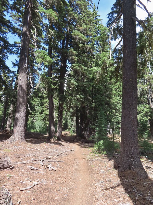
The Pumice Flat Trail climbed gradually for three miles through unburnt forest to the Pacific Crest Trail.


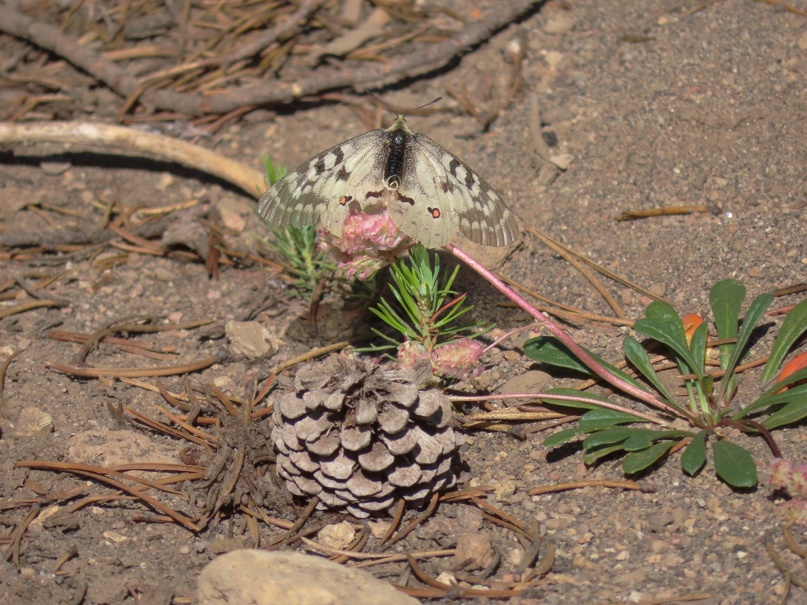 Clodius parnassian on a pussy paw.
 Much of the trail followed an old roadbed.

 PCT junction.
 Butterfly on the Crater Lake PCT register. While I was working on getting the butterfly photo a northbound thru hiker arrived. He mentioned not having had a shower in 10 days and being really excited to reach Mazama Village and being able to take one.
After a short conversation we turned right onto the PCT for 0.1-miles to the Stuart Falls Trail.


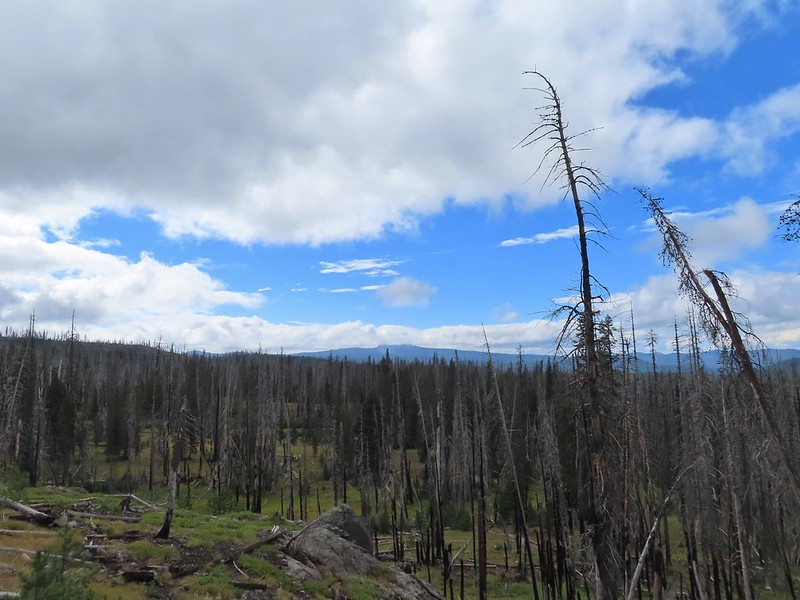
It took us just over three miles to reach Stuart Falls from the PCT. The extensive damage from the 2017 had left the trail hard to follow in some areas. It wasn’t clear how long it had been since the trail had been maintained but even where it was obvious there was plenty of blowdown to navigate.
 Older cut logs helped us locate the trail at times.
 Union Peak from the trail (post). (The “trail” is not in this photo.)

 It took a second to find the tread in this meadow.
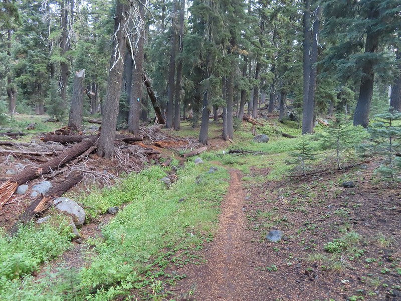
 Once we found it though it was easy to follow.
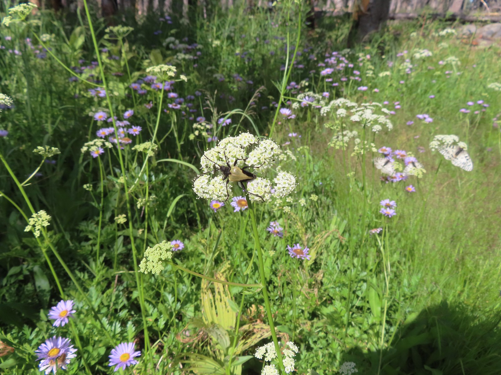 Big beetle. There are also three clodius parnassian butterflies behind to the right.
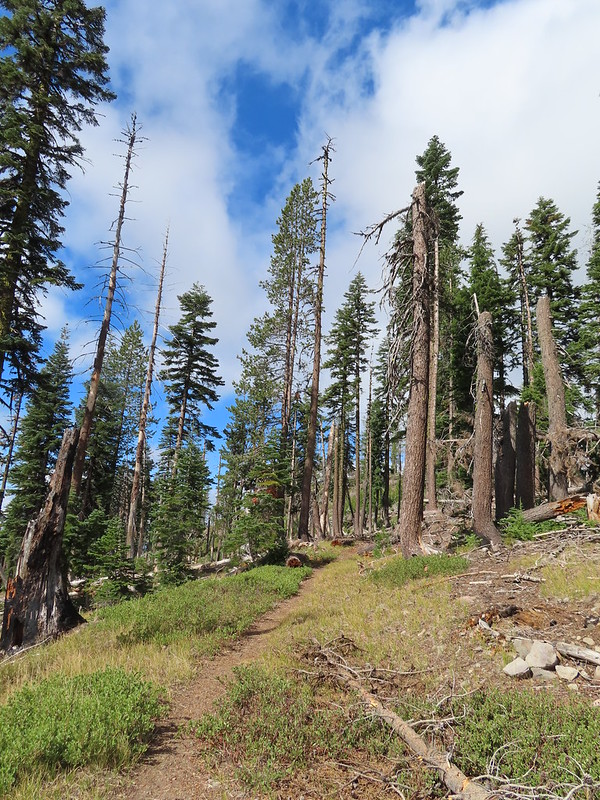
 Typical trail conditions. I spent a good deal of time removing limbs from the larger trees and pulled some of the smaller ones off the trail.
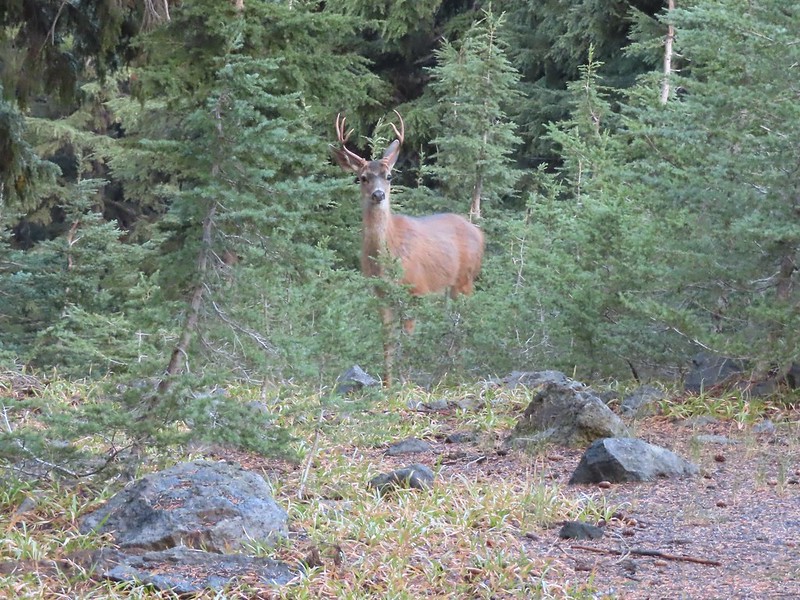
 Doe below the trail.
 More messy trail.
 There was one small stand of unburned forest which provided a brief break from the blowdown.
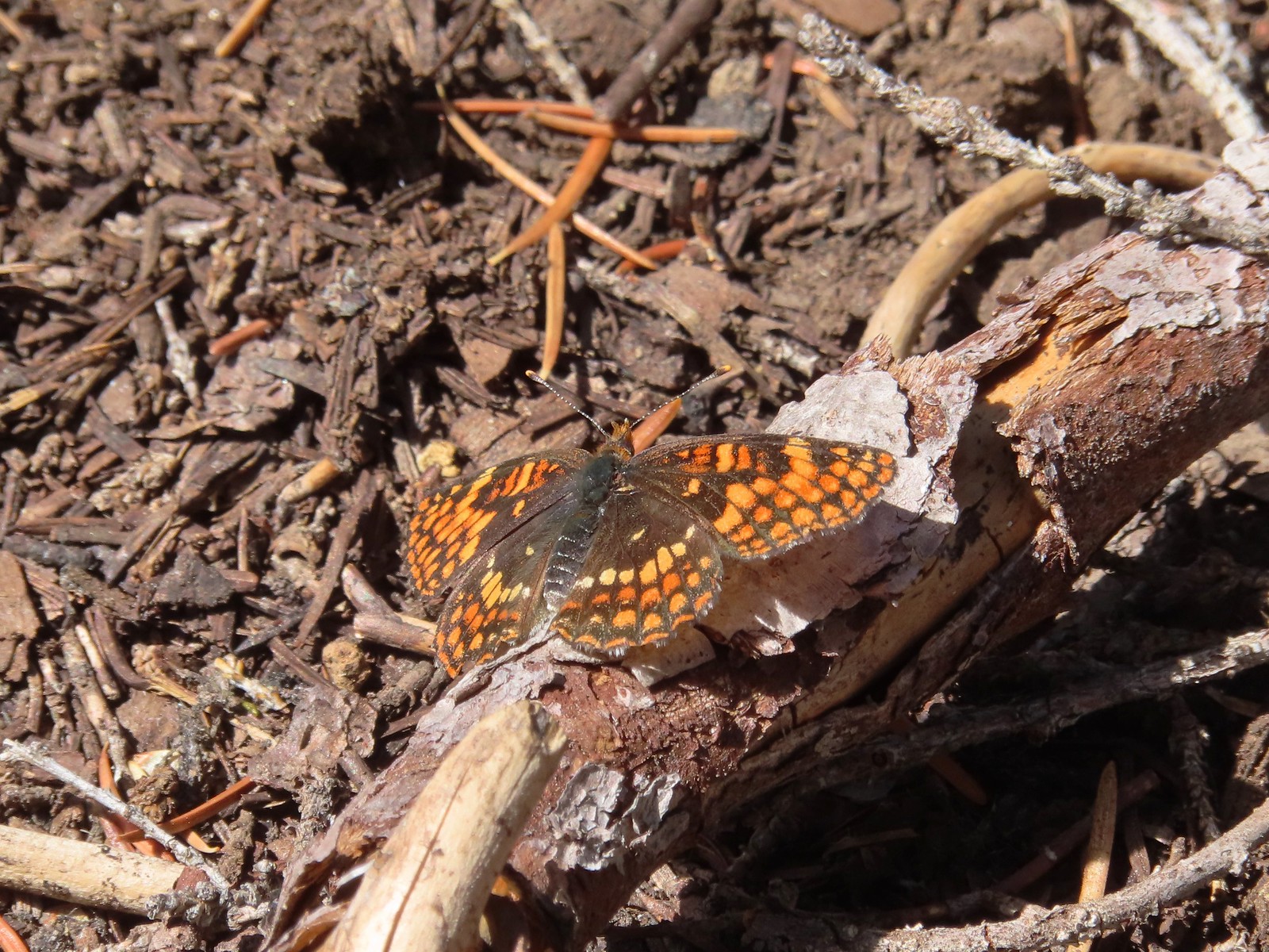 Checkerspot butterfly
 Mylitta crescent and a hoary comma on spreading dogbane.
 Paintbrush
 I believe that is Tom Mountain and Jerry Mountain.
 Bald Top to the right.
 Skipper

 Mt. McLoughlin
 Lorquin’s admiral
 This was the worst of the obstacles.
 We hadn’t seen a blue diamond since before the PCT but near the SW corner of the Park boundary we spotted a couple.
 Post ahead marking the boundary. The trail passed through a narrow gap here where the blowdown was heavy.

The trail left the Park and entered the Sky Lakes Wilderness.


We left the trail briefly to visit a viewpoint above Stuart Falls.

We continued downhill leaving the trail again to visit a large campsite near the base of 40′ Stuart Falls.


 Arnica below the falls and fireweed above the falls added some nice color to the scene.
 One-sided wintergreen
I had been toying with the idea of attempting to reach Red Blanket Falls which was another mile and a half from Stuart Falls. We discussed things while we took a break at the falls and I decided to go ahead and make the attempt despite the poor trail conditions while Heather would stay at Stuart Falls. We left it open that she would start back if she wanted and I would catch up after I turned around, whenever that wound up happening.
I struck off from Stuart Falls on some good tread that quickly disappeared.

Four tenths of a mile from the falls I arrived at a trail sign announcing that the old Red Blanket Trailhead was 4 miles away.

Another former trail forked left here that used to hook up to the Lucky Meadows Trail and eventually the PCT. I stayed right along Red Blanket Creek using it as an anchor point when I lost sight of the trail.


 Small falls on Red Blanket Creek.
 Pink monkeyflower
 I’d lost the trail here but headed for the patch of bright orange wildflowers to see what they were.
It wound up being a spectacular patch of leopard lilies.


A little further along I came across a small patch of Crater Lake Collomia.

A very tough mile from the first trail junction I arrived at a second signed former junction.

The next tenth of a mile was spent fighting through head high fireweed and feeling around on the ground to find footing in the thick vegetation that was hiding copious amounts of blowdown.

I was a bit bloody and bruised by I made it to Red Blanket Falls and was not disappointed.

 Red Blanket Falls
 View down Red Blanket Creek
 A spring fed waterfall along Red Blanket Creek below the falls.
 A second and third tier of Red Blanket Falls just below the upper fall. I wasn’t able to get a clearer view of these two drops. I hiked a short distance down the creek but decided the poor trail conditions and loss of elevation weren’t worth going further down the trail with no guarantee of a better view.
 The three drops of Red Blanket Falls
 One more of Red Blanket Falls.
I headed back to Stuart Falls finding it a little easier to follow the old trail alignment going uphill. This resulted in some different views of the creek.
 Another little cascade.

In my excitement to reach Red Blanket Falls I had spent a little more energy than I had intended so when I got back to Stuart Falls I took a short break. Heather had started back but I needed to cool down, put on a fresh pair of socks, and have a snack.

After recovering a bit, I set off on my quest to catch up to Heather. Several times I found myself following tread that we hadn’t been on earlier.
 Along this rock outcrop I found switchbacks that I’d missed on the way to the falls.
 This might be a black backed woodpecker.
 This cairn was new to me as well. At this point I was quite a bit below our track from the morning and I was afraid that I might pass Heather without knowing it if she was sticking to the earlier route.
 Hummingbird
 Goose egg on the left.
I did wind up catching up with Heather who was also feeling fatigued from the tough trail conditions. We made our way back to the PCT where another brief break was had.

 Painted lady
 A checkerspot and a copper on sub-alpine fleabane.
 Arriving back at the PCT. We again crossed paths with a thru hiker on the way to Mazama Village.
It was nearly all downhill from the PCT but it was three more miles and we were both pretty beat. It was a bit of trudge back to the trailhead made worse by us both running out of water about a mile from the car. We had failed to make use of our filter and refill at Stuart Falls and we paid for it.

 Pussypaws
 Dwarf lupine
I tried hustling back to the car to retrieve a Gatorade and water to take back up the trail to Heather but she wasn’t far behind. I met her at the Highway with the drinks but it was the thought that counted.
My hike to Red Blanket Falls wound up being 15.9 miles (0.2 was due to taking the drinks back up the trail) and approximately 2000′ of cumulative elevation gain.
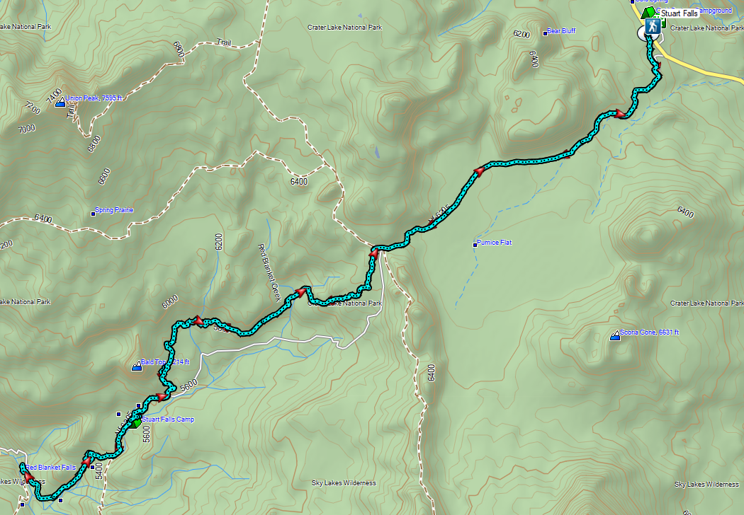
For an idea of what the hike was like prior to the fire here is a report by Van Marmot from July 2017.
It was nearly 5:30pm by the time we finished the hike. Luckily we were only about three miles from Mazama Village where we checked into our cabin then grabbed dinner at the Annie Creek Restaurant and some supplies from the small store where a number of PCT thru hikers were hanging out including the two gentlemen we’d seen on the trail. Aside from the two thru hikers the only other person we saw all day was a Park Ranger on the Pumice Flat Trail on our way back to the trailhead.
It was a lot longer and harder day than we’d planned for given we had three more days of hiking lined up, but I was happy that I’d made it to Red Blanket Falls. In the end it was worth the effort. Happy Trails!
Flickr: Stuart and Red Blanket Falls


 The sign is visible from the campground road.


 Common mergansers
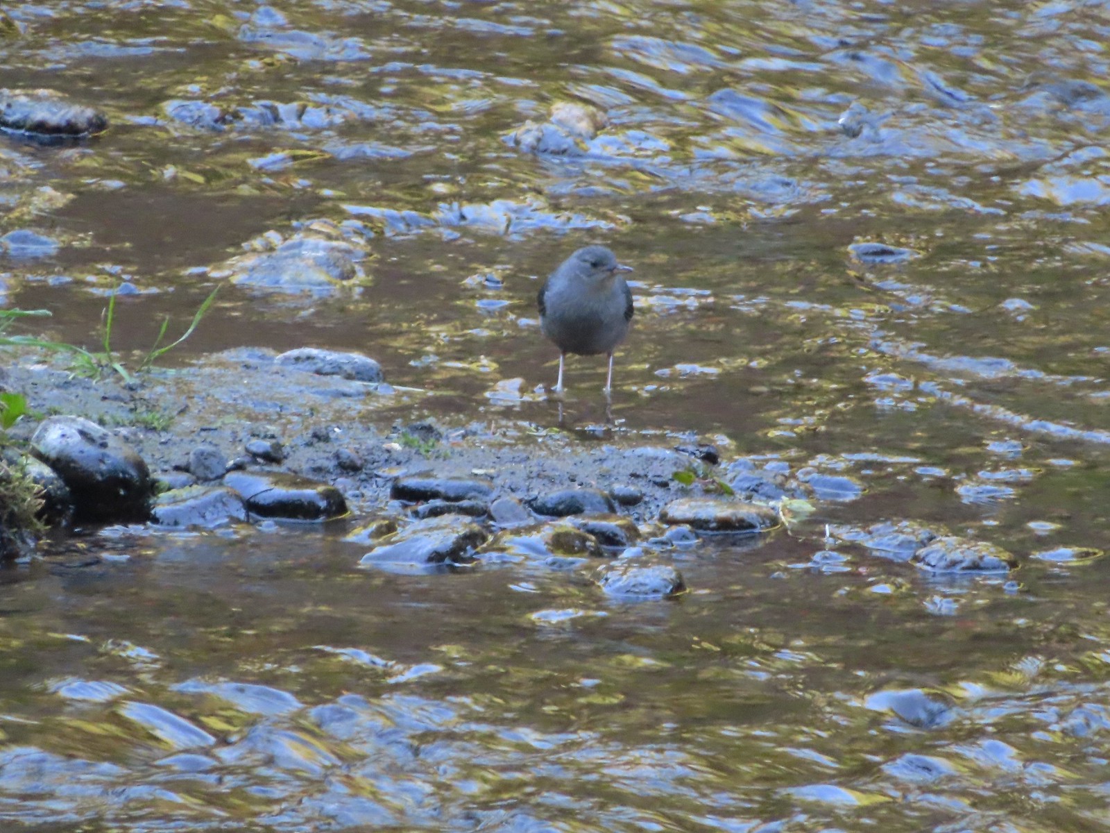 Ouzel
Ouzel Goldenrod
 Passing some of the campsites.
 The Candle Creek Campground across the Metolius.
 We actually went left below the stump here but, on the way back wound up coming downhill by the stump.
 More campsites.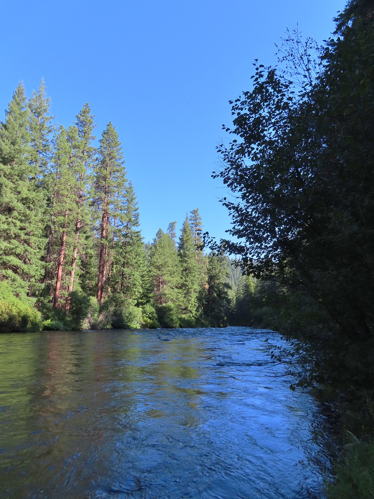
 As we got further from the campground we encountered more and more brushy sections.
 Another section with an increased number of obstacles.
 Getting a bit brushier.
 We left the river for the road at this bend.
 Heading up to the road.
 The use trail from the road.
 We wondered what this post signified.
 They were way past blooming but there were several mountain lady slippers along the road.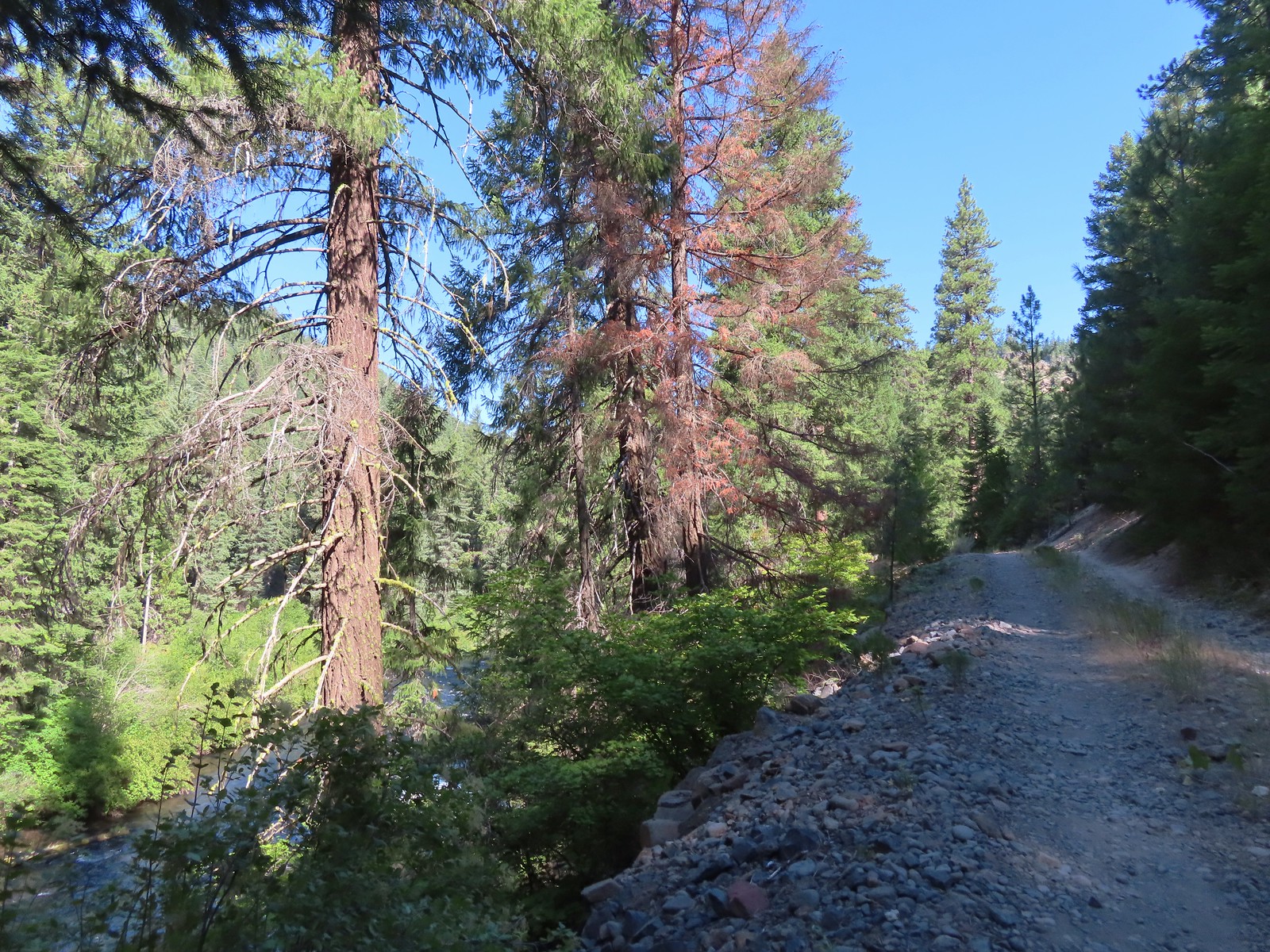
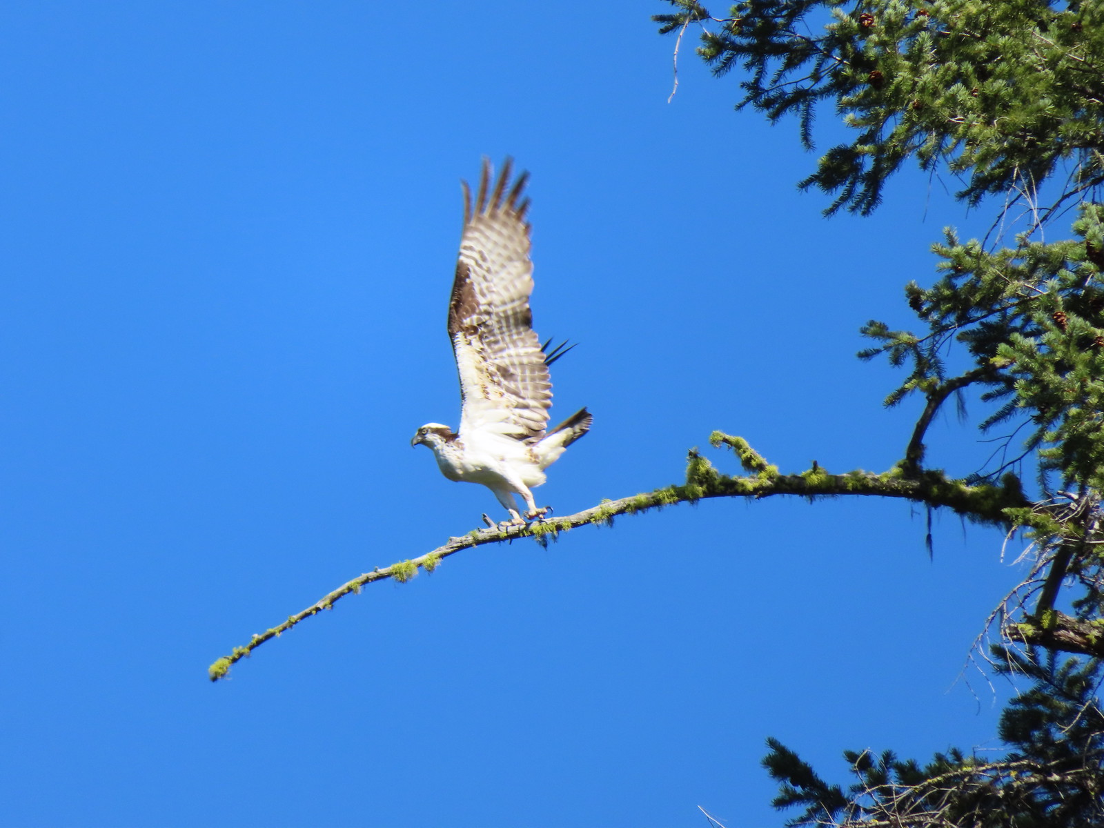
 Osprey nest
 Rock spire on lower section of Green Ridge. There are several interesting rock features higher up on the northern end of Green Ridge that were not visible from the road.
 Orchid
 Scarlet gilia
 Some of the private cabins from the road.


 A couple more cabins.
 The end of the private land.
 The clear water allows for nice views of the rocks making up the riverbed.
 Even though it had received maintenance the road was not in good enough condition for larger vehicles.

 Pink monkeyflower

 Lorquin’s admiral
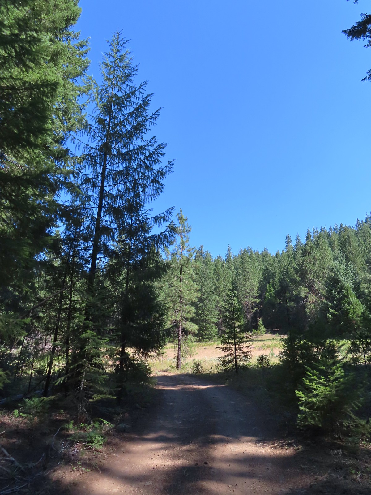
 The forest opened up near the end of the road where we set up camp.
 Campsite
 Yellow monkeyflower
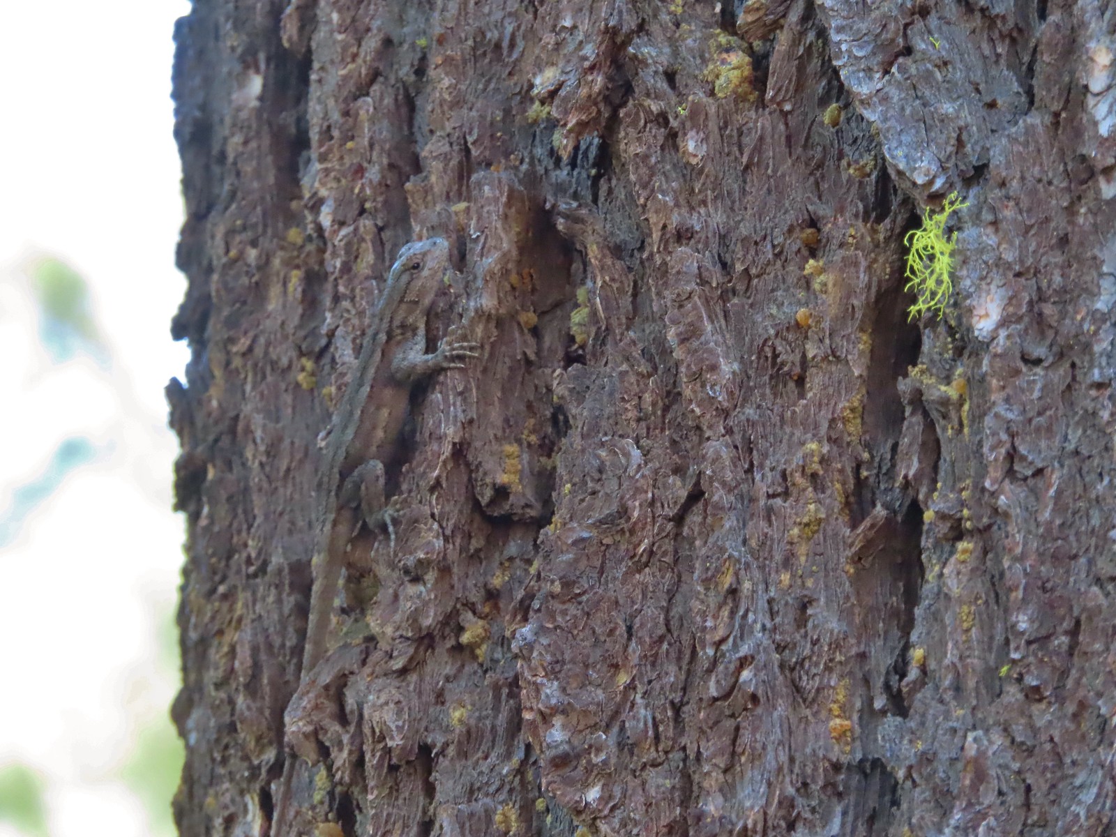 Lizard hanging out near the campsite.

 Grouse
 The answer to the questions is yes bears do.
 The Metolius through the trees.
 Sagebrush mariposa lily. There also tire tracks in the trail behind.
 Recent brushing had been performed through this area.
 Looking up the end of Green Ridge.
 This large tree had been cut fairly recently.
 Flagging marking a reroute around a downed tree.
 Starting to get brushy.
 View across the river to the Warm Springs Indian Reservation.
 Flowers along the Metolius.
 The Whitewater River was behind the rock formation on the far side. The Whitewater River begins at the Whitewater Glacier on Mt. Jefferson and flows roughly 7.5 miles through the Warm Springs Reservation to the Metolius.
 More clear water.
 Fireweed
 Thimbleberries provided us with a few after dinner snacks.
 Hedgenettle
 The Shut-In Trail traveled right along the riverbank at times.
 There was a small set of boards nailed together to assist with crossing the sketchiest part, but they were just lying on the hillside and not anchored in any way.
 The Shut-In Trail from CR-64.
 CR-64
CR-64
 Frog on a skunk cabbage leaf. There were a few wet areas along the Shut-In Trail which meant a few mosquitos were present.
 The Sun going down as we approached camp.
 Pinedrops
 Squirrel
 Bee sleeping on thistle.
 Large boykinia
 We t
We t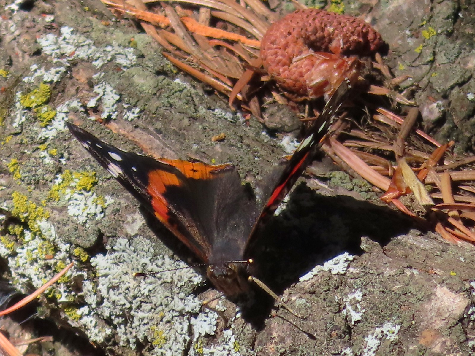 Red admiral. As far as I know this is the first one of this species of butterfly that we’d seen.
 Common wood nymph
 Across from the Candle Creek Campground.
 Green Ridge through some smoke. A couple of new fires, one on the Warm Springs Reservation and one East of Eugene had started over the weekend.
 Love the colors of the Metolius.
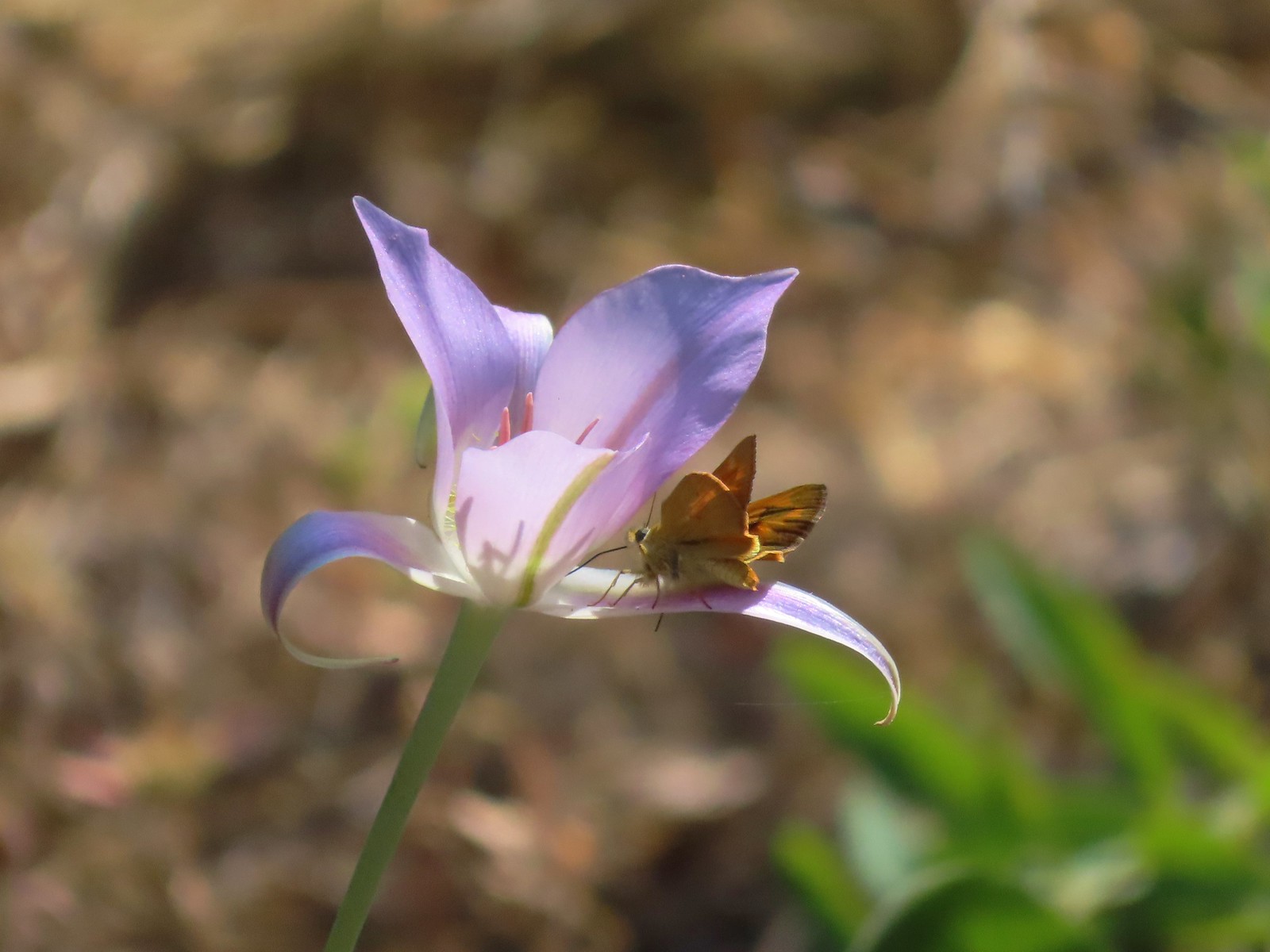 Skipper on a mariposa lily.
 Lower Bridge Campground is ahead to the left in the trees.


 Prince’s pine
 Candystick
 Twinflower
 Big uprooted tree.
 A carpet of vanilla leaf leaves.
 FR 2676
 Despite the “Closed to all Motor Vehicles” sign it was obvious, and unfortunately not surprising, that some people feel they have a right to ignore anything they disagree with.
 More candysticks
 The few sections that weren’t sandy consisted of lava rock.
 Dwarf lupine
 Pussy paws
 Pygmy short-horned lizard next to a deer print.
 Sand Mountain on the right.
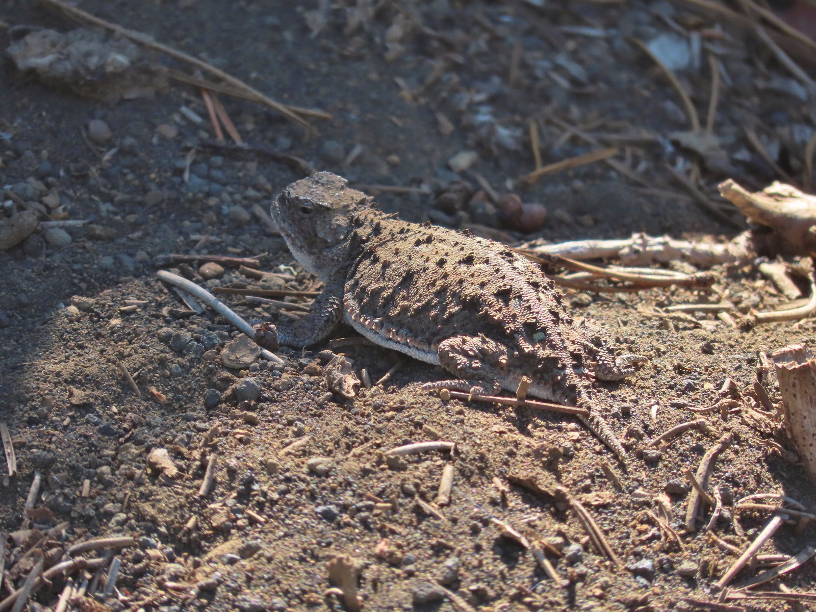 Another pygmy short-horned lizard
 Snowbrush lining the road with the northern end of Sand Mountain ahead.
 Butterflies, including this hoary comma, and other pollinators love the snowbrush.
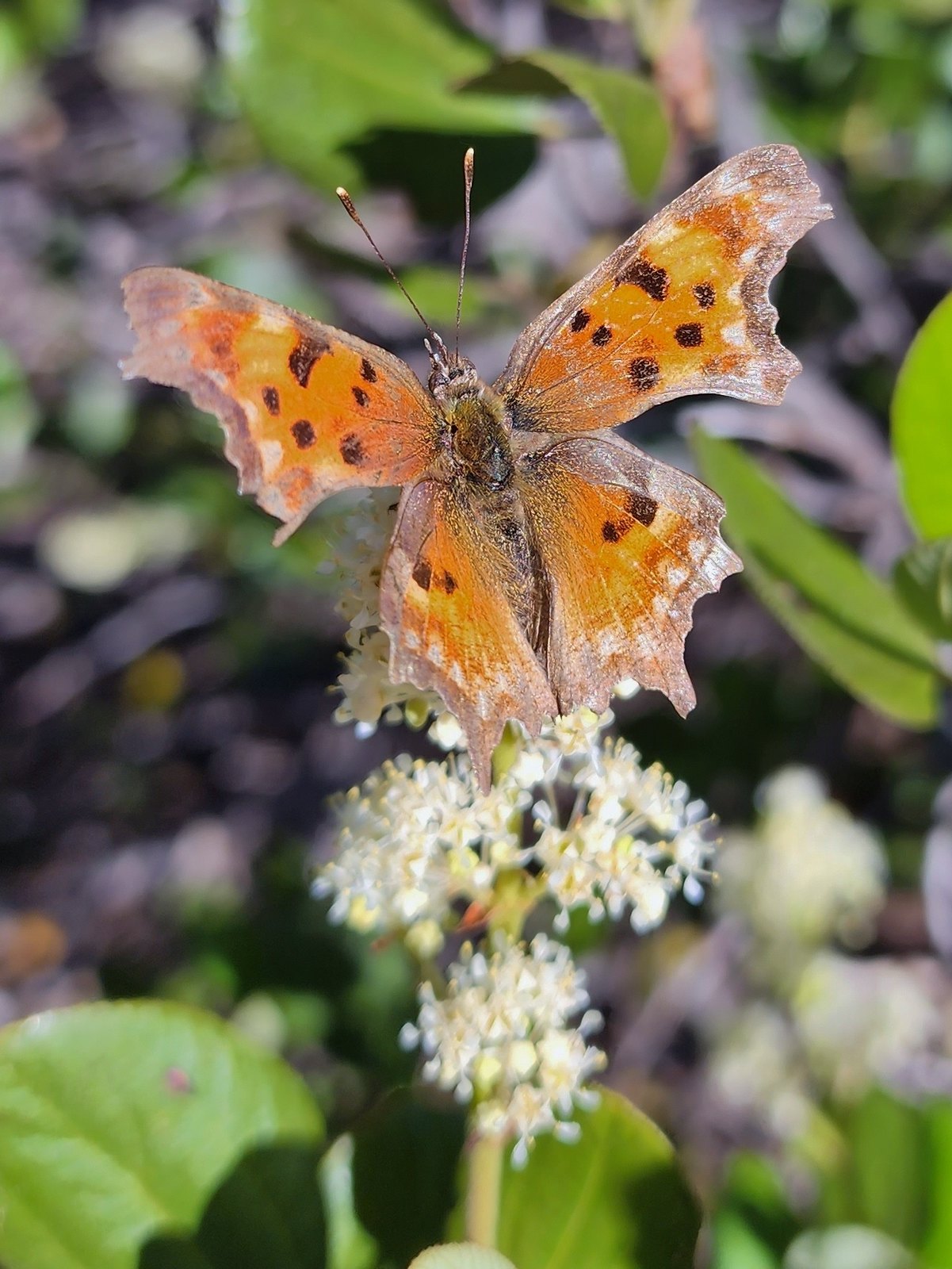 Hoary comma

 Penstemon
 The Moon over Sand Mountain.
 Mt. Washington
 Sign and gate at the road to Sand Mountain.
 Buckwheat
 More snowbrush
 California tortoiseshell
 The Sand Mountain Lookout from below.
 Mt. Jefferson and Three Fingered Jack
 Mt. Washington and the Three Sister
 Western swallowtail
 The Three Pyramids(
 Echo Mountain & North Peak to the left and Crescent Mountain(
 Browder Ridge (
 Lorquin’s admiral

 Mt. Washington (
 Maxwell Butte (
 Just a bit of snow left on the North facing slope.
 Western pasque flower
 It’s very faint but the top of Mt. Hood was visible over the lower left shoulder of Maxwell butte.
 Penstemon
 Belknap Crater, the Three Sisters, The Husband, Scott Mountain (
 Zoom of Diamond Peak. The round looking hump in front is Fuji Moutain (
 Hoodoo and Hayrick Buttes, Black Butte (
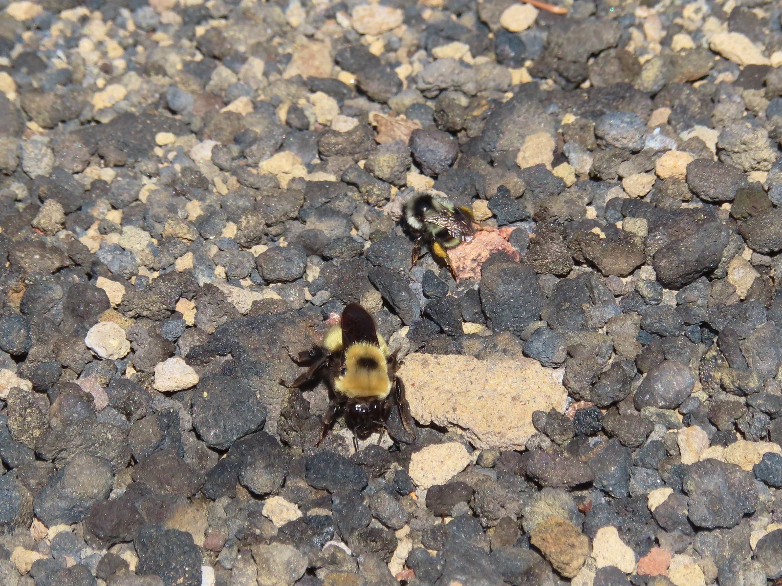 There were quite a few bumblebees at the summit interested in the rocks in this area.
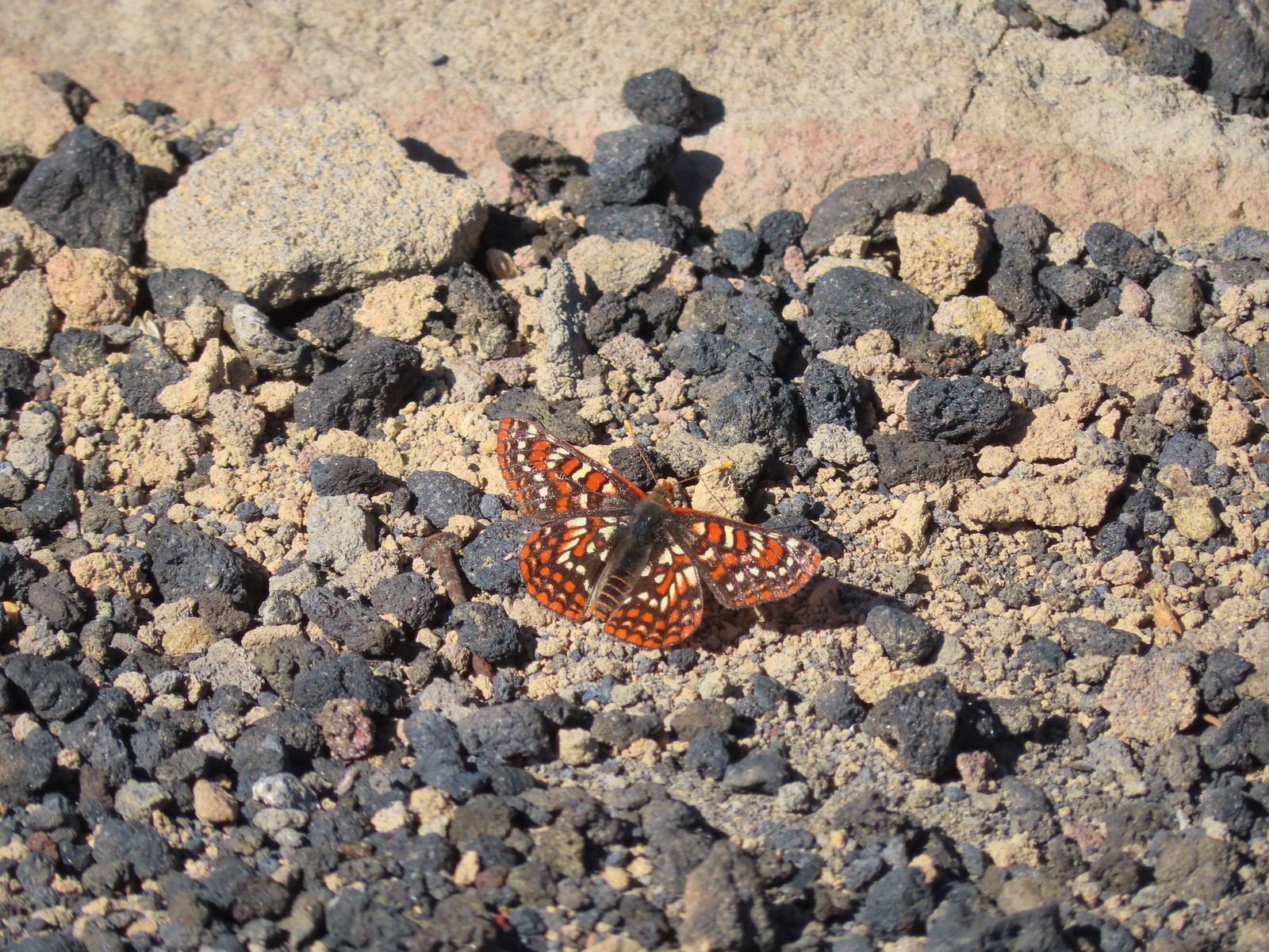 This Edith’s checkerspot joined the bees for a moment.
 Viewpoint below the lookout.
 The lookout from the viewpoint.
 Not sure if this is an aster or a fleabane.
 The trail getting ready to drop down to a saddle. The peaks from right to left are: Browder Ridge, Twin Buttes, Latiwi Mountain, Wildcat Moutain, Tidbits Mountain (
 We were a little surprised to find these broomrape hiding in this silverleaf phacelia.
 Drummond’s anemone
 Look into the crater.
 A couple of penstemon blossoms with the Three Sisters in the background.
 The colors around the crater add to the scenery.
 Pyrola of some sort.
 Starting the steep climb back toward the lookout.
 View from the roadbed. We opted to do as the lookout staffer suggested and follow the road back down toward the parking area instead of back up to the lookout.
 There was one good sized snow drift left encroaching on the road.
 This little cloud wasn’t much of a threat.
 If anything the views had improved now that Sun was more directly overhead.
 A checkerspot
 A hairstreak
 Three Fingered Jack and Hoodoo Butte
 Three Fingered Jack. Note the climbers trail on the slope to the right.
 Ash in the basin below Sand Mountain.
 Pussy paws
 Female western tanager
 Moth
Moth Snake in the trail.
 The snake retreated to a nearby log when we approached.
 Back in the forest.
 This moth blended with the nearby fungus.

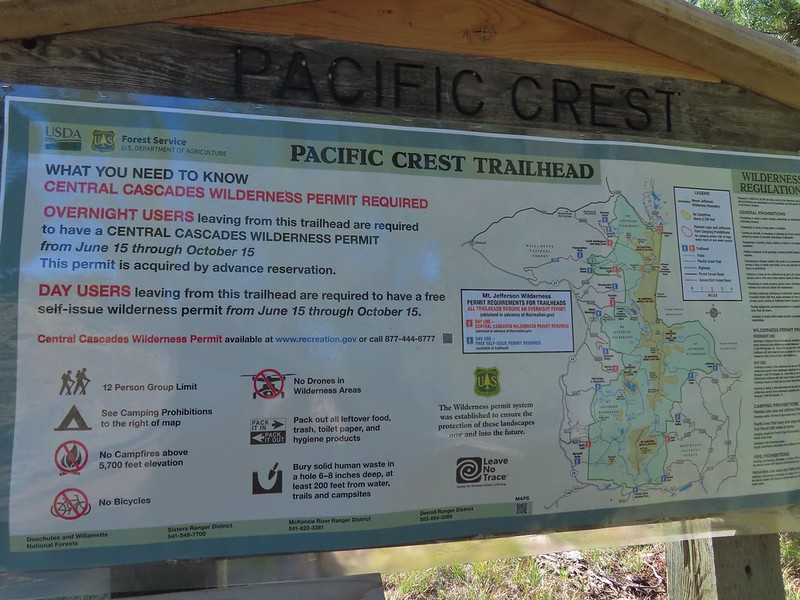
 Mount Washington from the
  Three Fingered Jack to the North from the PCT.
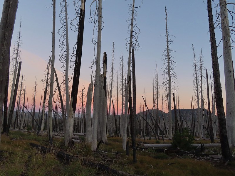 From left to right – Sand Mountain (
 Mount Washington
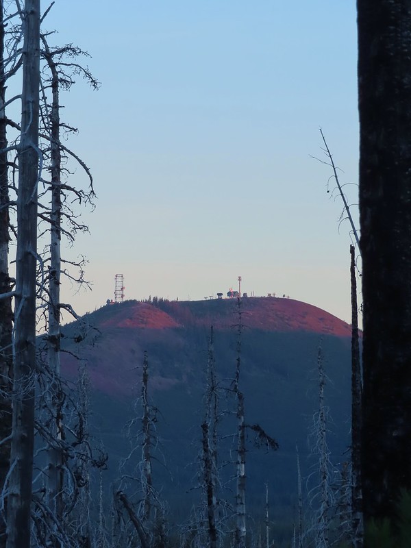 Sunrise on Hoodoo Butte.
 Sunlight hitting the spire of Mount Washington.
 Hayrick Butte and Three Fingered Jack at sunrise.
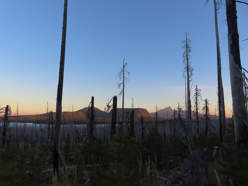 Big Lake, Hoodoo, Hayrick Butte, and Three Fingered Jack.
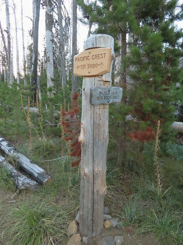 Just over two miles from the trailhead I passed a sign for the non-maintained use trail from the private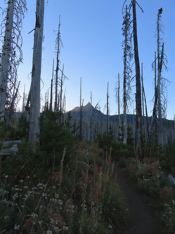
 Shortly before reaching the climbers trail the PCT left the 2011 Shadow Lake Fire scar.
 The cairn and climbers trail from the PCT.
 Huckleberry leaves turning color.

 There were a few logs to navigate and keeping an eye on the tread was helpful.
 Maxwell Butte (
 Mount Washington
 The only movement that I could see was when it tilted its tail feathers which would catch the sunlight.
 First view of Mt. Jefferson behind Three Fingered Jack.
 Coming up on the ridge.
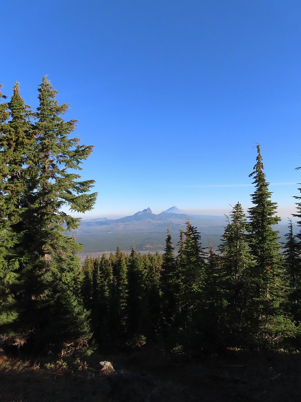 Three Fingered Jack, Mt. Jefferson, and a lot of smoke to the North.
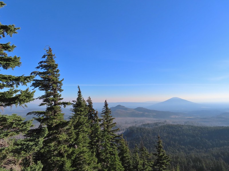 Cache Mountain and Black Butte (
 View along the ridge to Mount Washington.
 That East wind was really noticeable as I made my way along the open ridge crest.
 Three Fingered Jack and Mt. Jefferson to the left. Green Ridge (
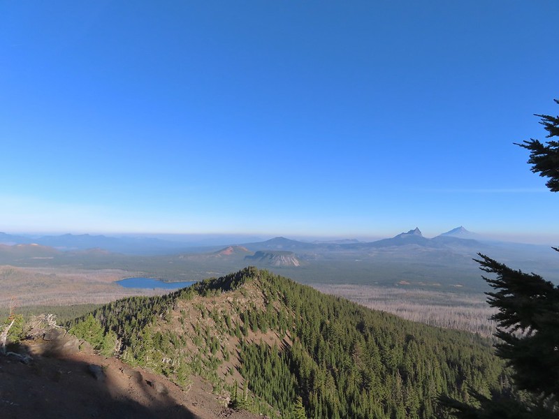 Big Lake came into view as I climbed.
 One of the steeper sections I went up. The spire is poking up on the right.
 Mount Washington’s shadow.
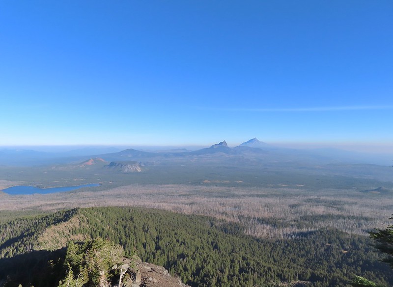 View back down the ridge.
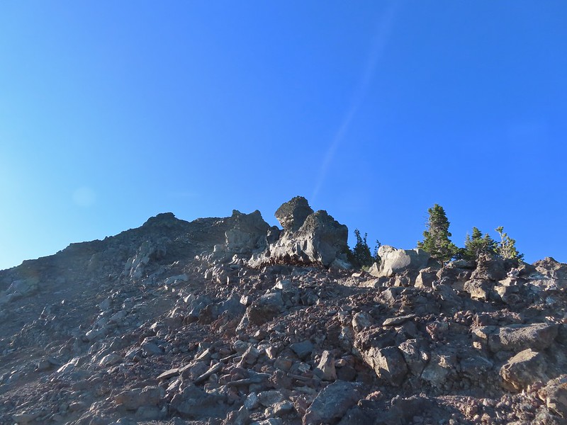 I was hoping to get up and over these rocks where the map showed a more level bench but I wound up reaching a chute where I was unsure of the correct route. The further up I’d gone the more braided the trail became and I may have been too far left. A climber had passed me way back on the PCT but if I had been able to watch him go up here I may have found a better route.
 The chute that turned me back. It’s a bit hidden by the rocks in the foreground but there was no way across that I would have been comfortable with and scrambling up looked way too sketchy for my taste (especially w/o a helmet).
 My shadow on the left from my break spot.
 This was the place I’d come up.
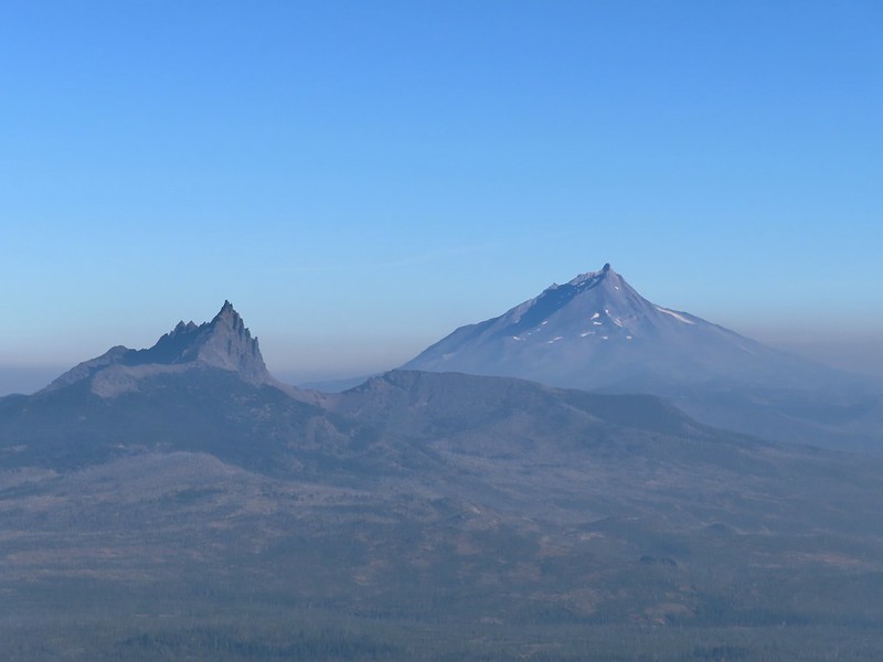 Zoom of Three Fingered Jack and Mt. Jefferson
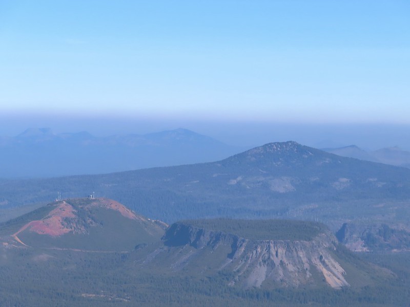 With all the smoke I hadn’t noticed Coffin (flat top) and Bachelor Mountains (
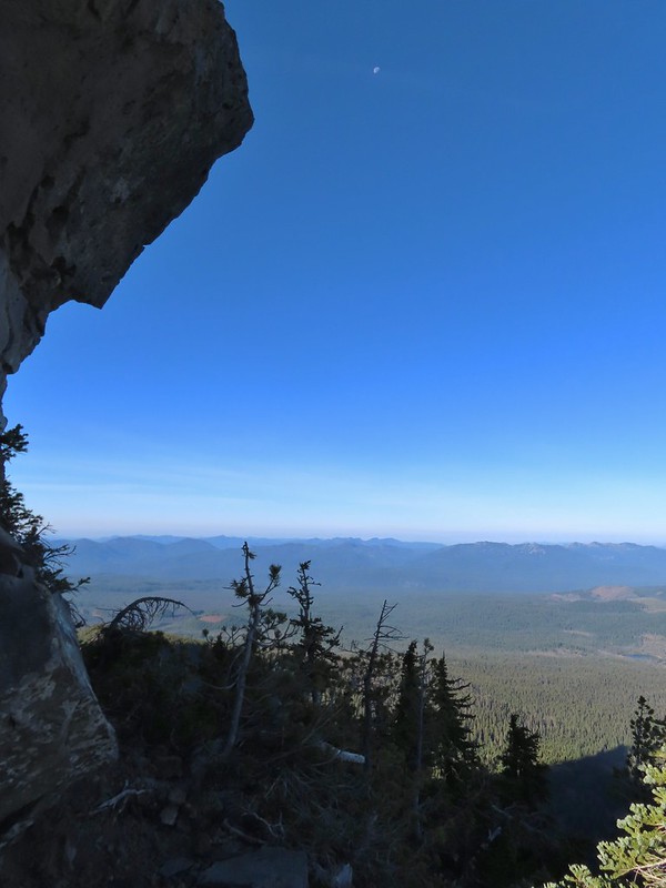 The Moon overhead to the West.
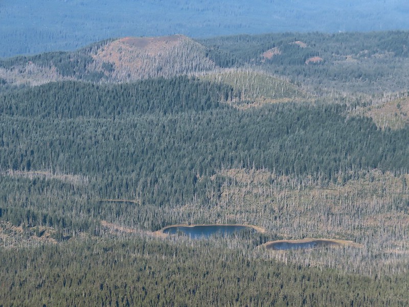 Patjens Lakes (
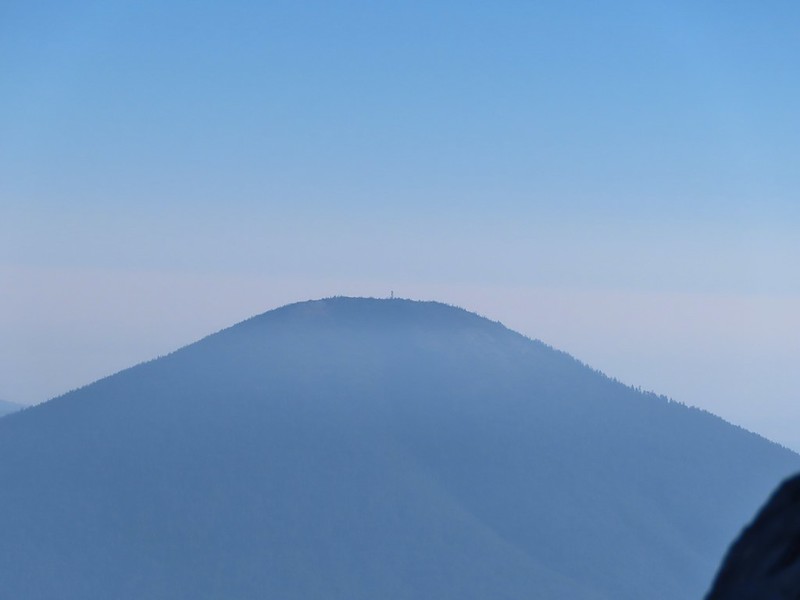 Lookout tower on Black Butte.
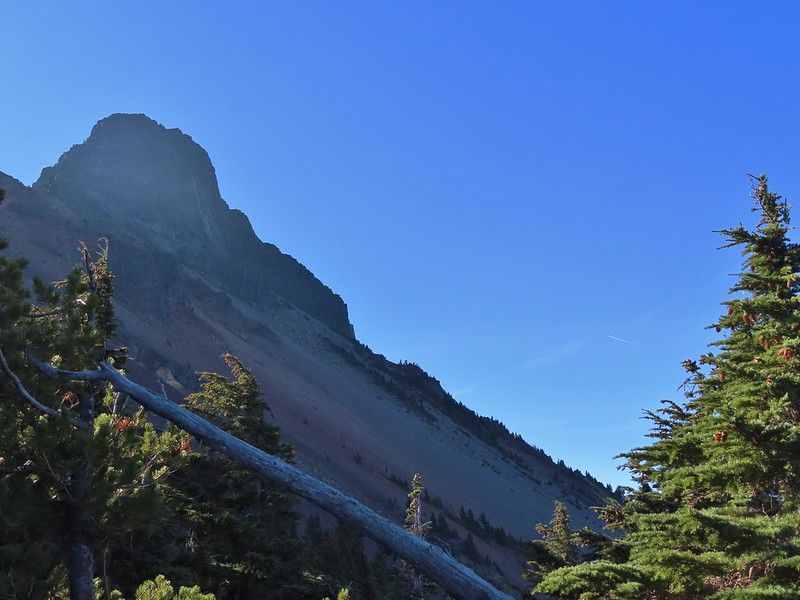 Unfortunate that my timing once again put the Sun directly in line with my view.
 Using a tree to try and get a better view.
 A framed Mt. Jefferson.
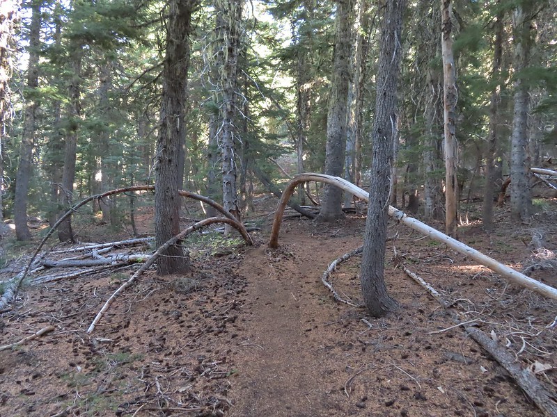 Sometimes it’s the little things, like these bent trees that I really appreciate on a hike.
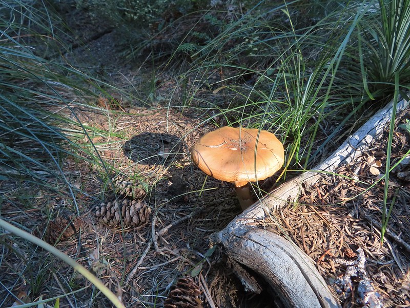 This mushroom casting a shadow was another one.

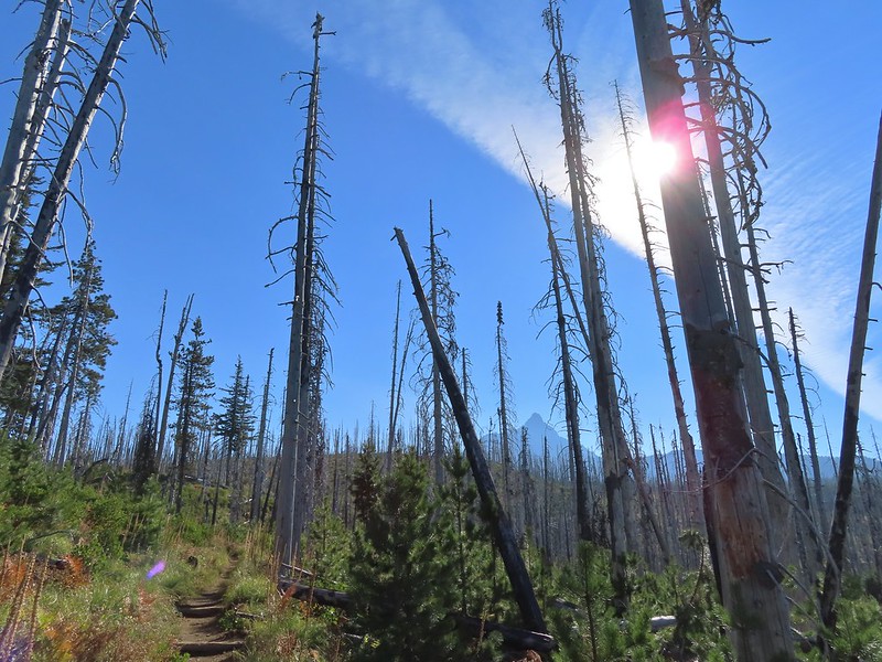 Looking back at Mount Washington from the PCT.
 Three Fingered Jack
 Hoodoo and Hayrick Buttes behind Big Lake.
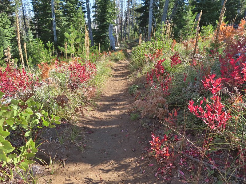 Huckleberry bushes and ferns adding some Fall colors.
 The best Fall colors were near the trailhead.
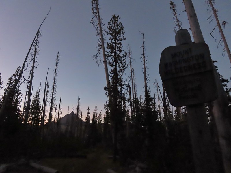
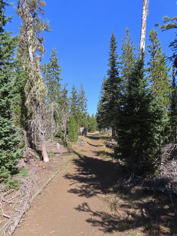 The trailhead from the wilderness boundary sign.
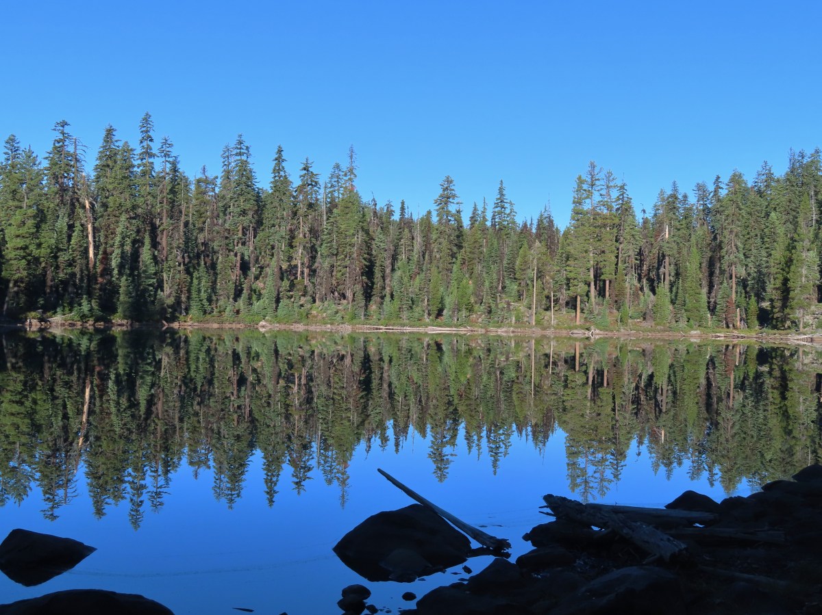
 Low-light at Trapper Lake.
 Sunrise from the trail.
 Sunlight hitting the tops of trees.
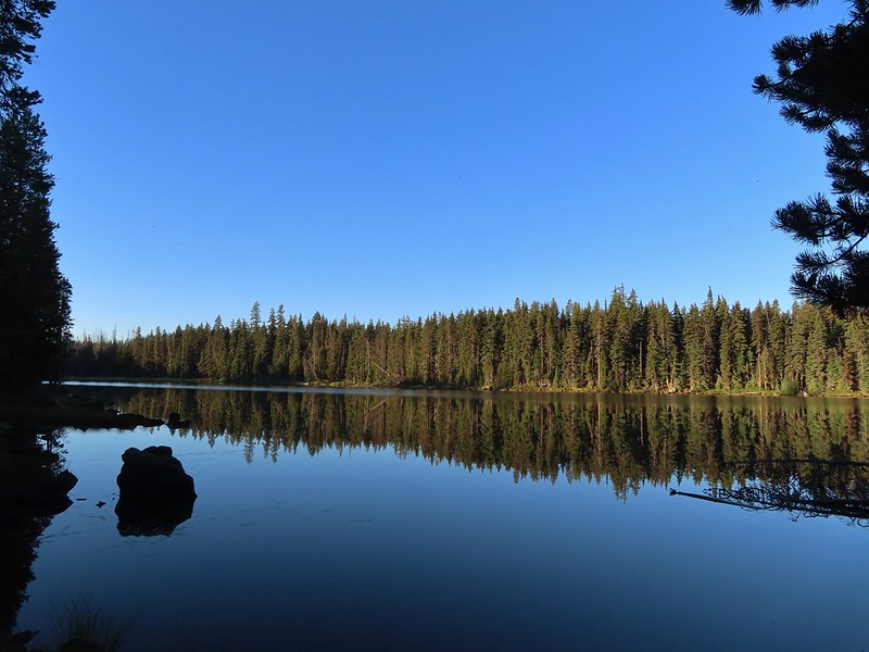

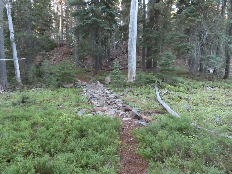
 Heading up to the bluff.
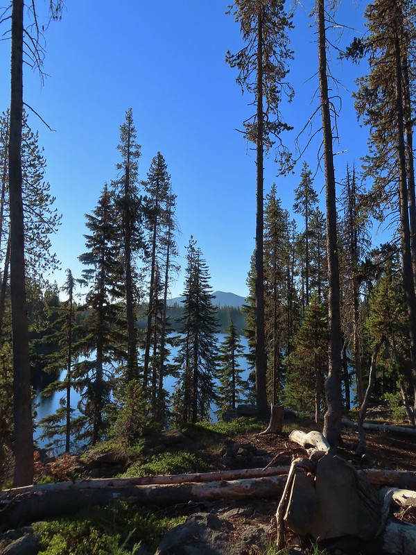 Pelican Butte beyond Isherwood Lake.
 Fall foliage above Isherwood Lake.
 Heading for Lake Liza through a dry bed.
 Great reflection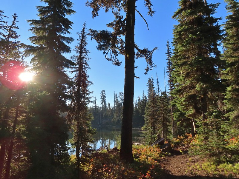

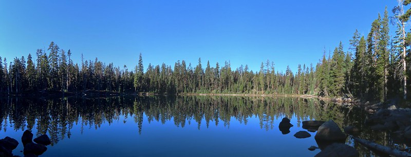 Lake Notasha
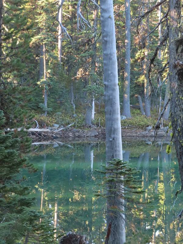 Depending on the angle the water was a beautiful green.


 Parts of the latter half of this trail passed through the 2017 fire scar.
 Fireweed seeds
 Pelican Butte as we descended toward the junction.
 Leaving the
  Dark-eyed junco seeing us off.
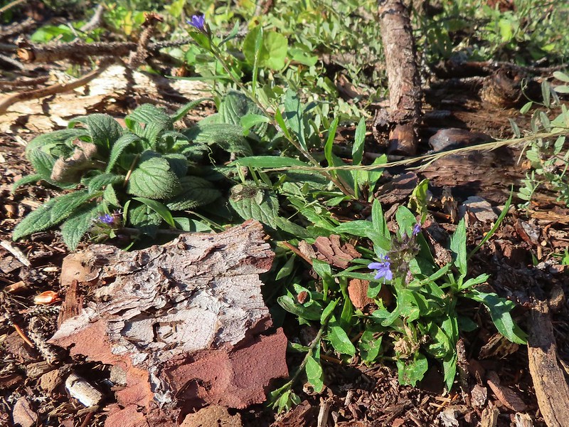 An as of yet unidentified flower.
 Another unidentified flower.
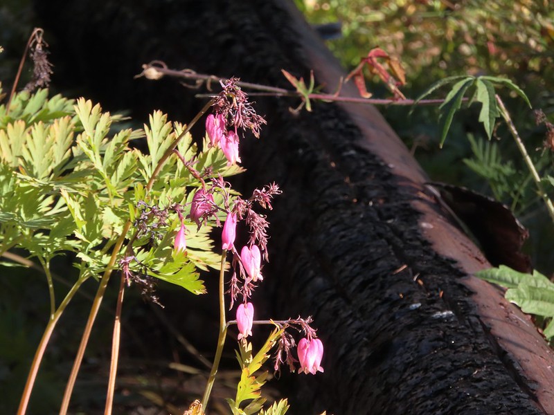 I do know this one – bleeding heart.
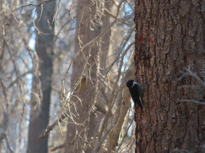 Woodpecker (it was a busy final 0.6 miles).
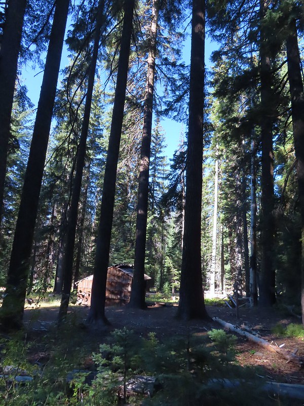 Back at the shelter and trailhead.

 Shelter at the trailhead.

 Aster
Aster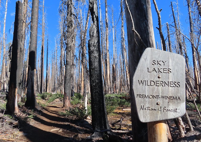
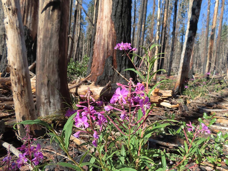 Fireweed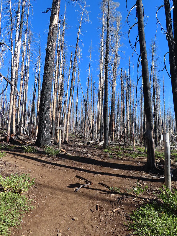

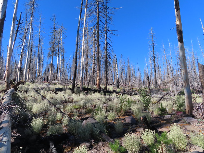
 Comma butterfly
 Exiting the fire scar.
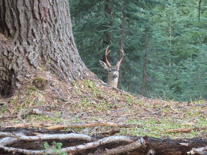
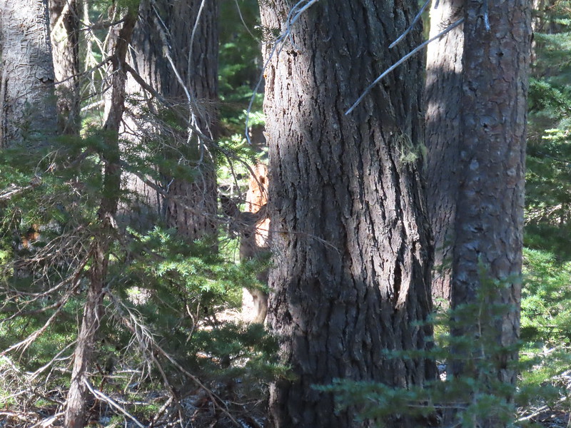 Doe watching us through the trees.


 Luther Mountain on the left and Lee Peak on the right.
 Sign for the Sky Lakes Trail.
 Isherwood Trail junction.
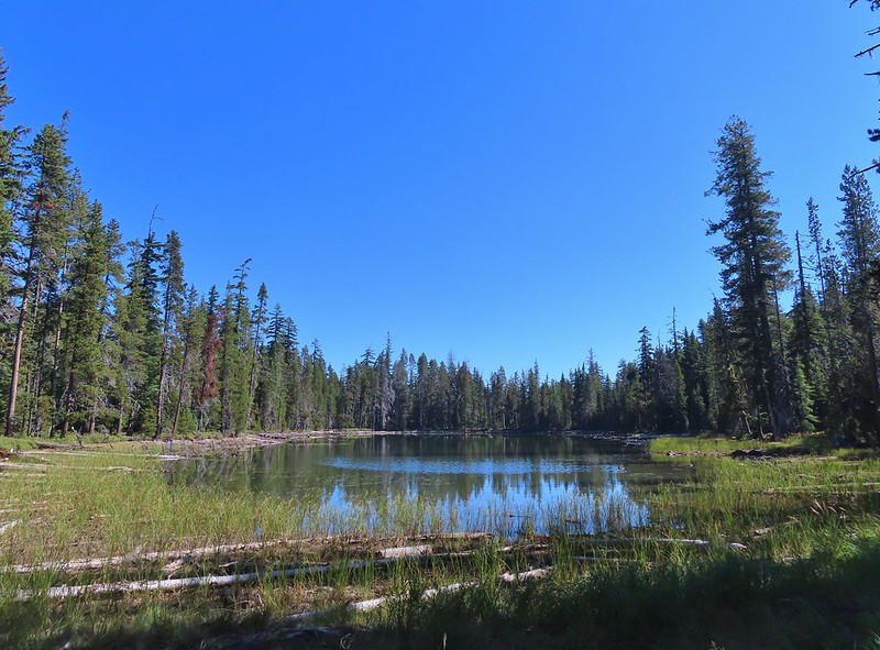 Lake Land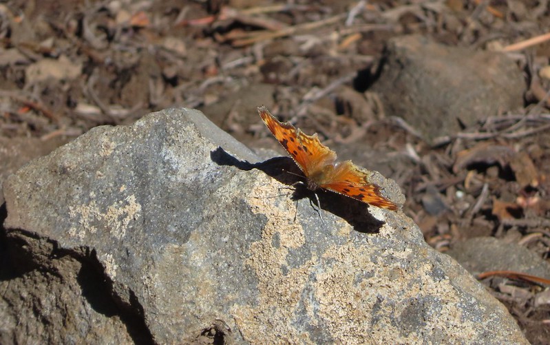

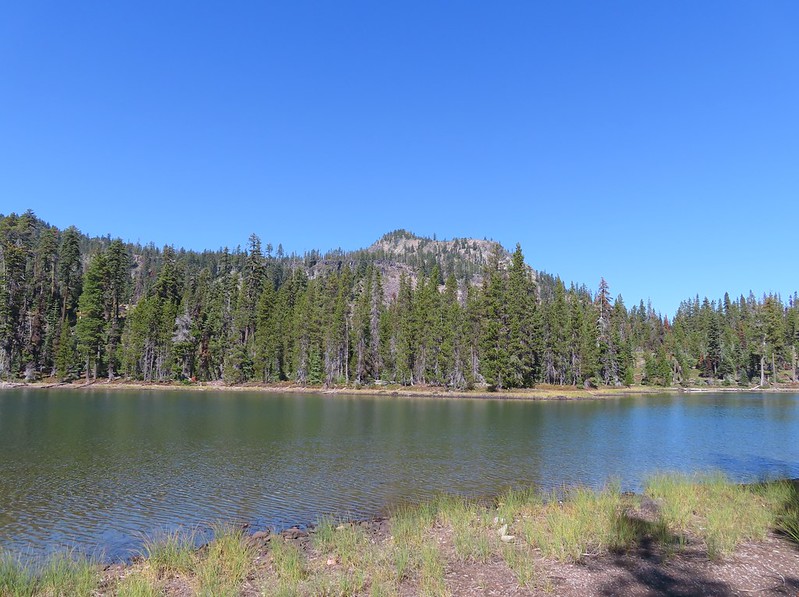 Luther Mountain from Trapper Lake.
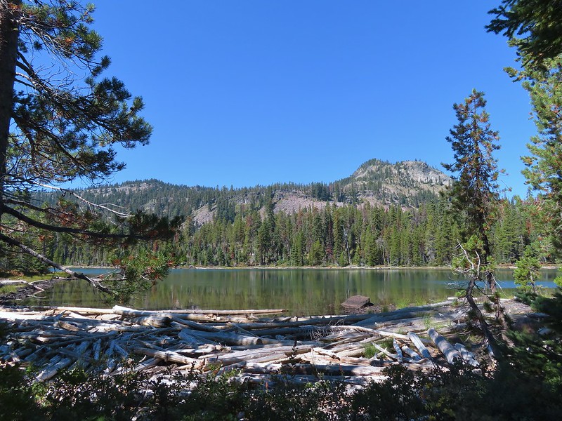 View along the trail.
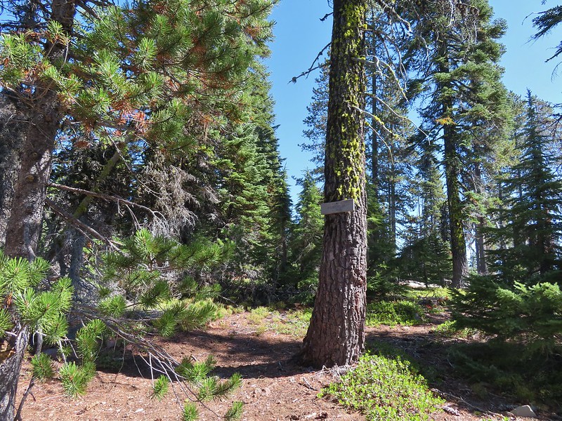 Sign for the Cherry Creek Trail.
 Sky Lakes Trail sign.
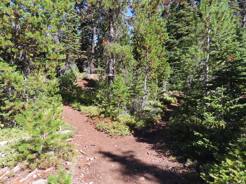 Donna Lake Trail to the right.
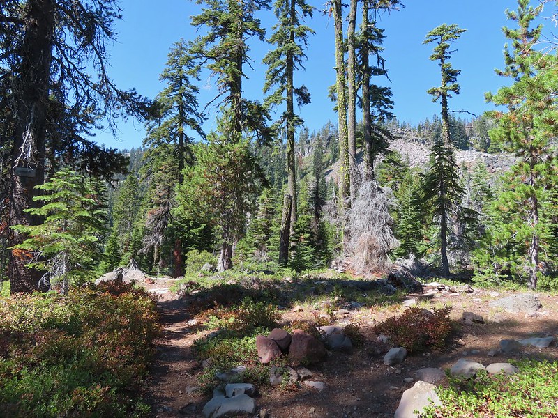 Divide Trail junction.


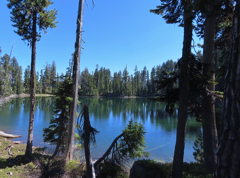

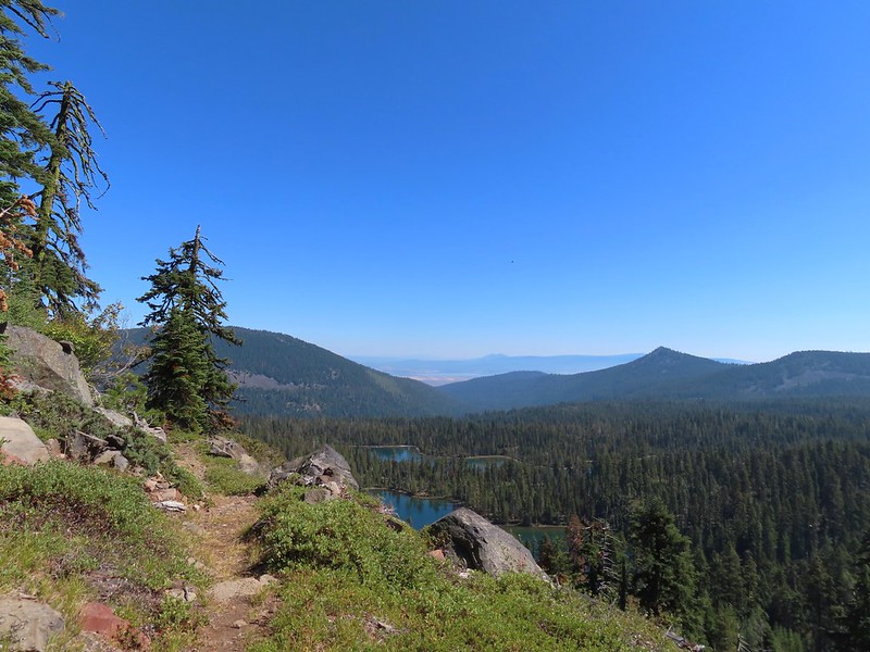 Saddle Mountain is in the distance with pointy Cherry Peak in the foreground. I believe that is Agency Lake visible in the Valley.
 Pelican Butte to the right.
 Mt. McLoughlin (
 Eagle flyby.
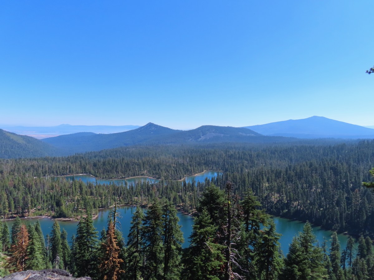
 Lather Peak with several more lakes below.
 In the distance to the left is Aspen Butte (
 Fall is in the air.
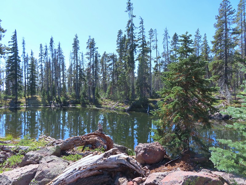 On of several small bodies of water along the shelf.
 We know there were pikas out there because we heard their “meeps” off and on all day but with so many rocks we were never able to spot one.
 Heading toward Luther Mountain.
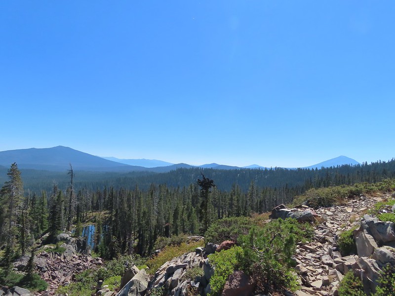 Pelican Butte on the left and Mt. McLoughlin on the right. The peaks in the Mountain Lakes Wilderness are behind and to the right of Pelican Butte then the small, closer hump is Imagination Peak. To the right of Imagination Peak and slightly further back is Lost Peak and then further to the right (left of Mt. McLoughlin) is Brown Mountain (

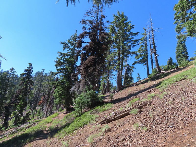
 Luther Mountain from the saddle.
 The Pacific Crest Trail.
 Lucifer Peak directly behind Shale Butte.
 Lucifer Peak, Shale Butte, Devil’s Peak and Lee Peak.
 Blowdown on the PCT.
 Luther Mountain
 Luther Mountain and Mt. McLoughlin behind us.
 Lots of little birds along the ridge but most didn’t stop long enough for even a poor picture.
 Sign at the Snow Lakes Trail junction.
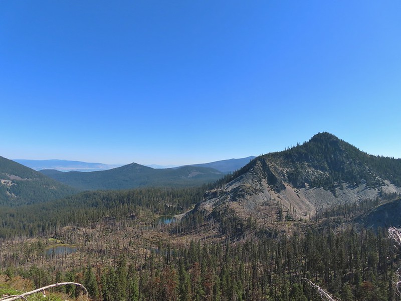 Martin, Wind and a Snow Lake from the Snow Lakes Trail.
 Hawk circling overhead.
 While I was trying to keep track of the hawk this Bald Eagle flew over.
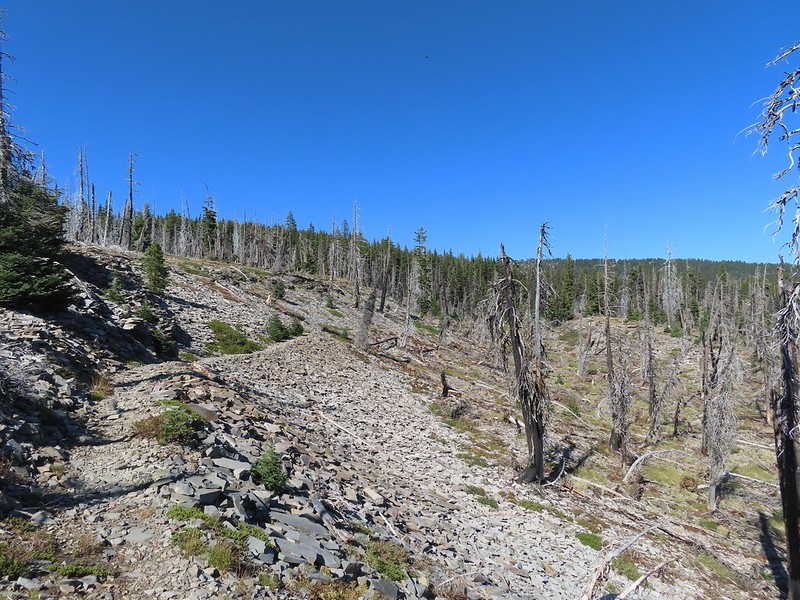 Nearing the end of the 2014 fire scar.
 Luther Mountain from one of the Snow Lakes.
 Another of the lakes.
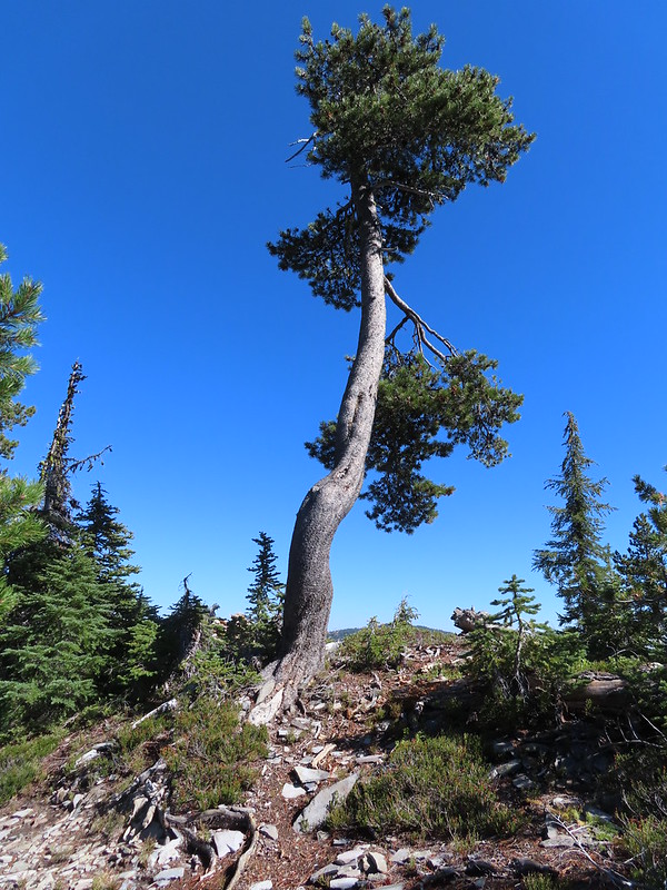 Tree on the edge of the shelf.
 View from the shelf.
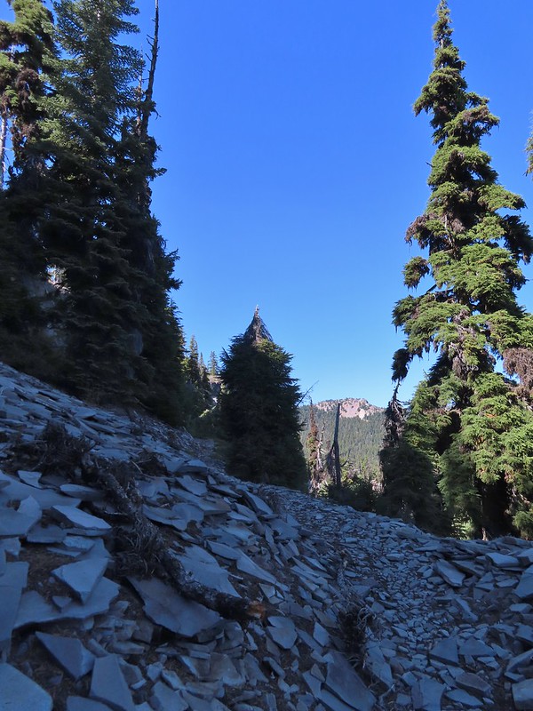
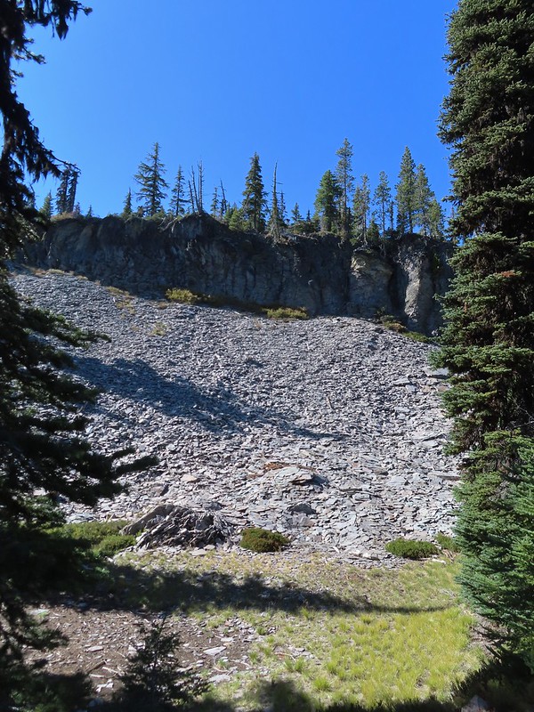 There were many cool rock features along the trail.
 Devil’s Peak
 Lee Peak and another of the Snow Lakes.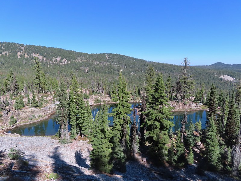
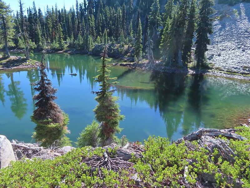 A tree had fallen over the Snow Lakes Trail hiding it right where a use trail veered off to the lake. Only seeing the use trail we followed it along the lake until it petered out. A quick look at the map showed we were off-trail so we made our way back finding the downed tree covering the actual trail.
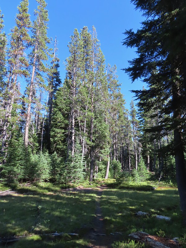
 The worst obstacle for the day.
 Pelican Butte from the trail.
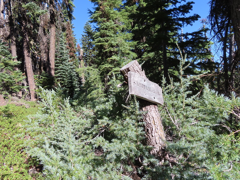 Sign at the Nannie Creek Trail junction.
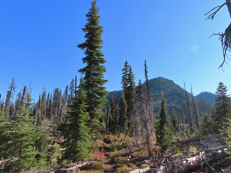 Luther Mountain as we neared Martin Lake.
 Dragon fly blending in with the huckleberry leaves.
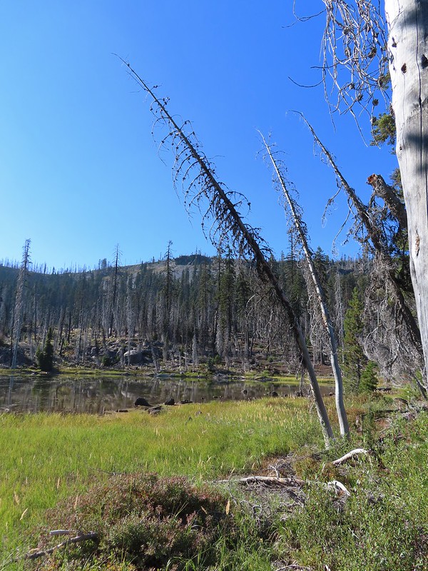 Martin Lake with a view of the shelf that we’d been on.
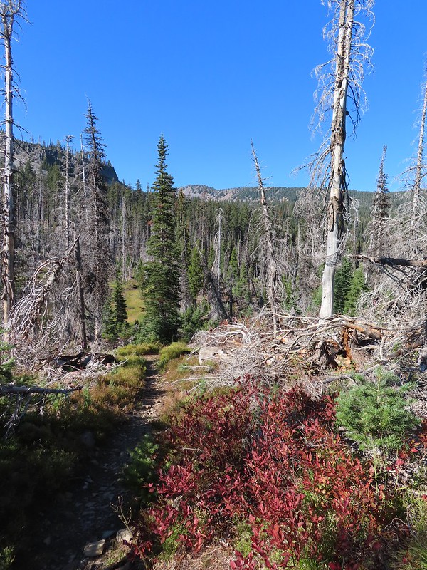 Red huckleberry leaves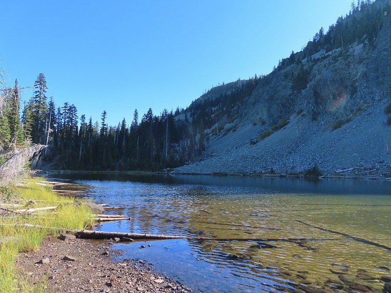


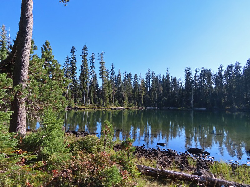 Deep Lake was up first, just a tenth of a mile down the trail.
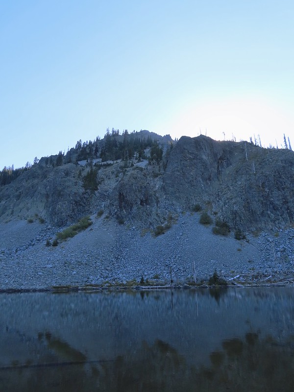
 Donna Lake was only two tenths further.
 Donna Lake Trail
 Back at Trapper Lake.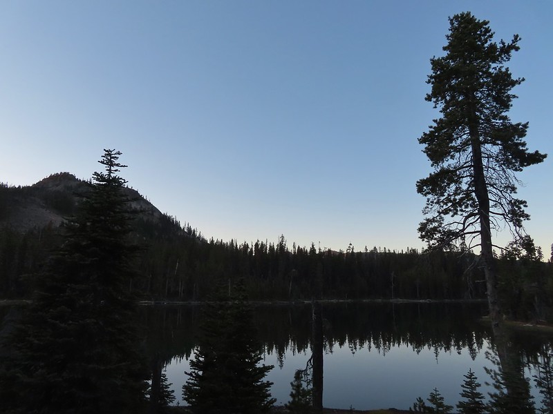
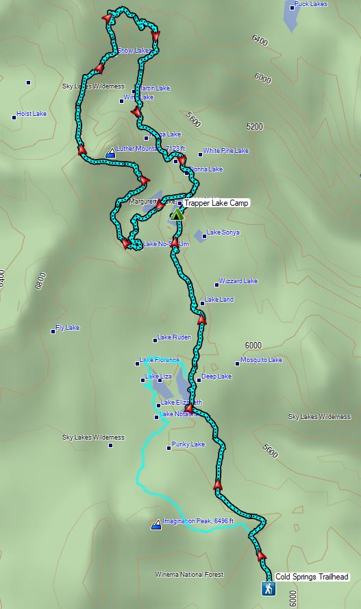

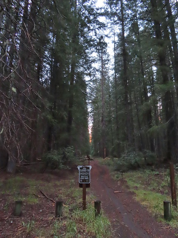 An OHV Trail continues on the old road bed from the parking area.


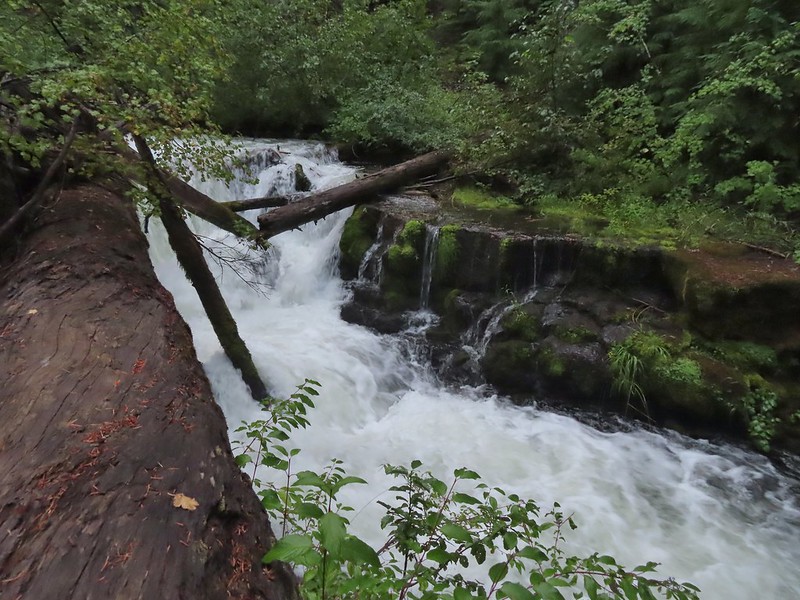
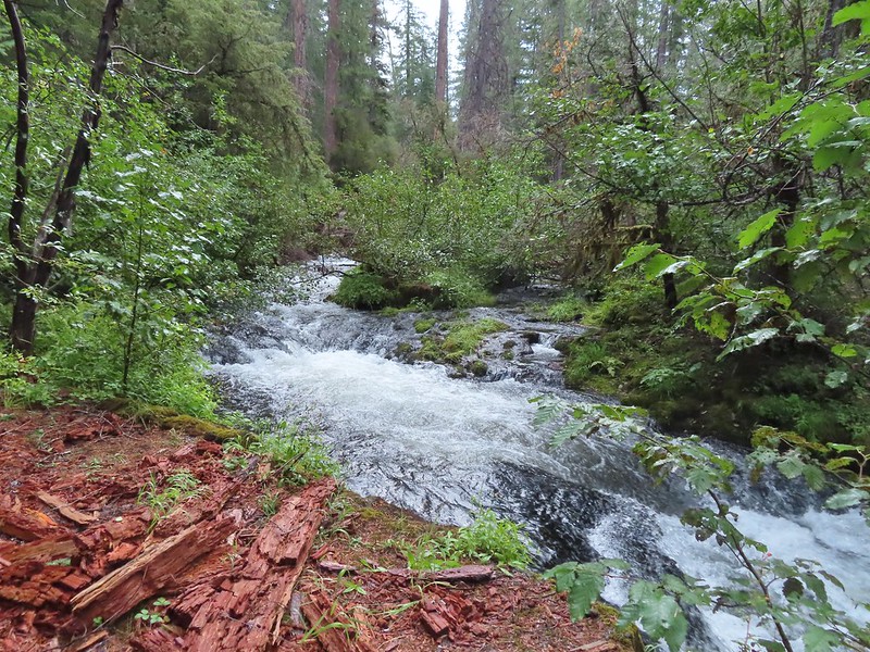
 We had to get creative to see some of the many cool water features along the creek.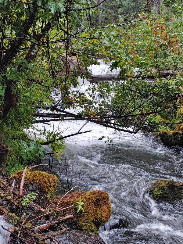

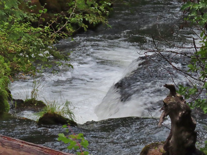
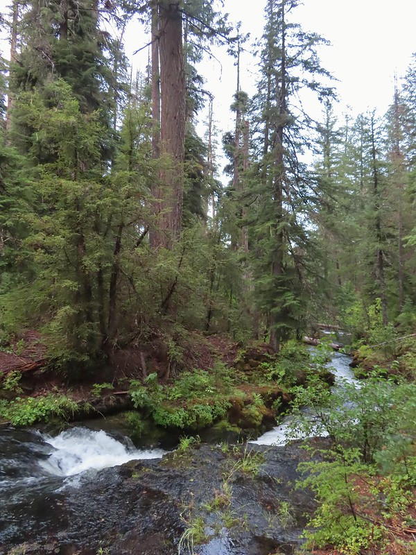

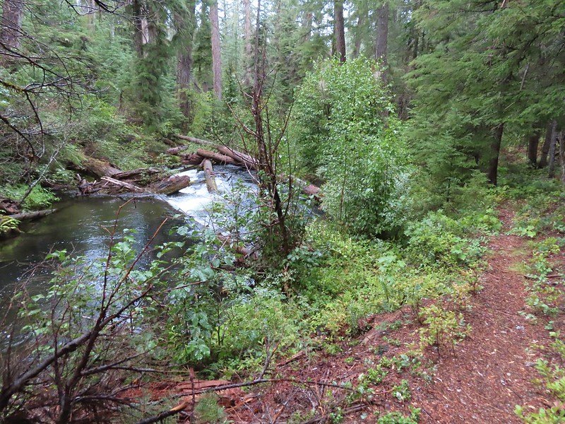

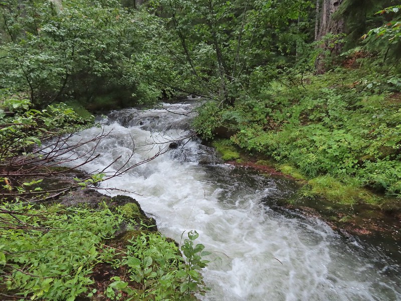
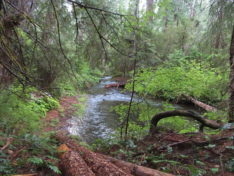
 The first mess on the trail.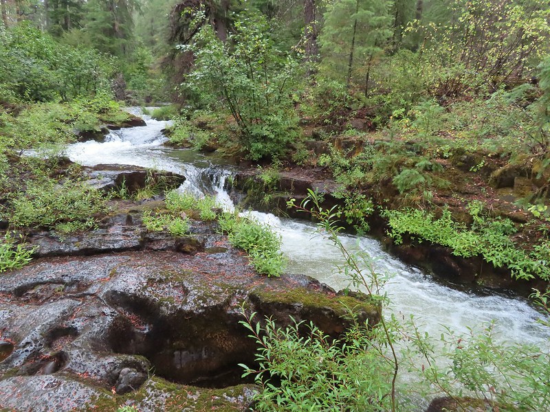
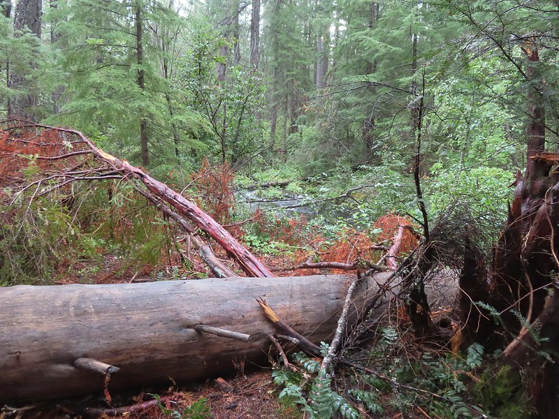


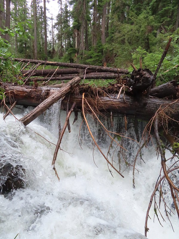
 This mess was just before the bigger tree that turned us back.
 Where I crossed the channel.




 Mt. Scott (
 Raven making a landing atop a mountain hemlock.
 The Watchman (
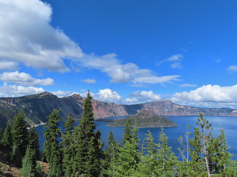
 It was by far the most scenic mistake we’ve made while hiking.
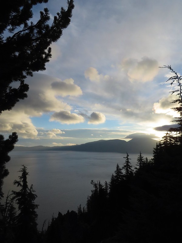
 Wizard Island and Llao Rock
 Mount Scott
 We joked that views had been so good maybe we should just end the hike now.




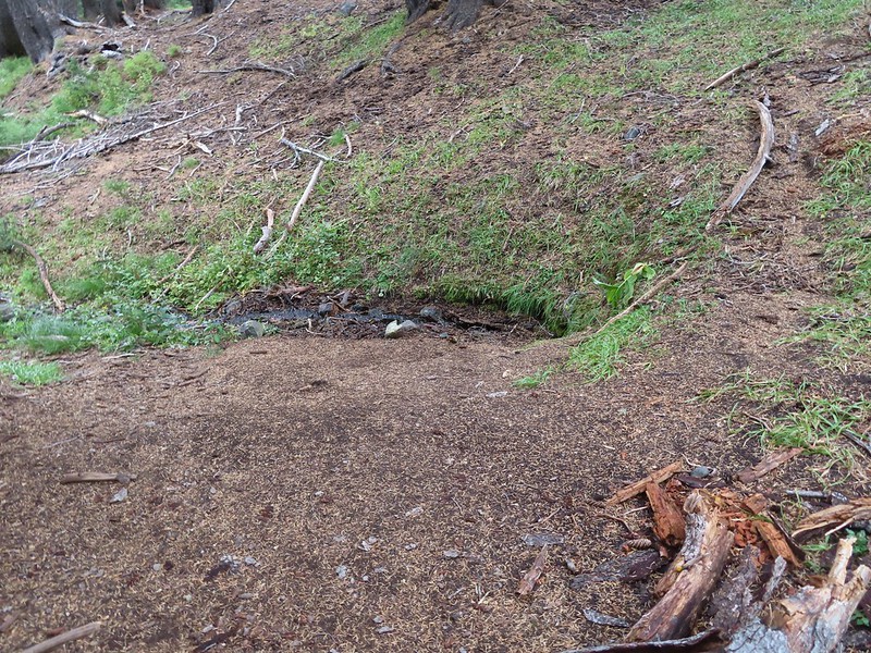
 Dutton Creek was dry.
 Blue sky ahead.
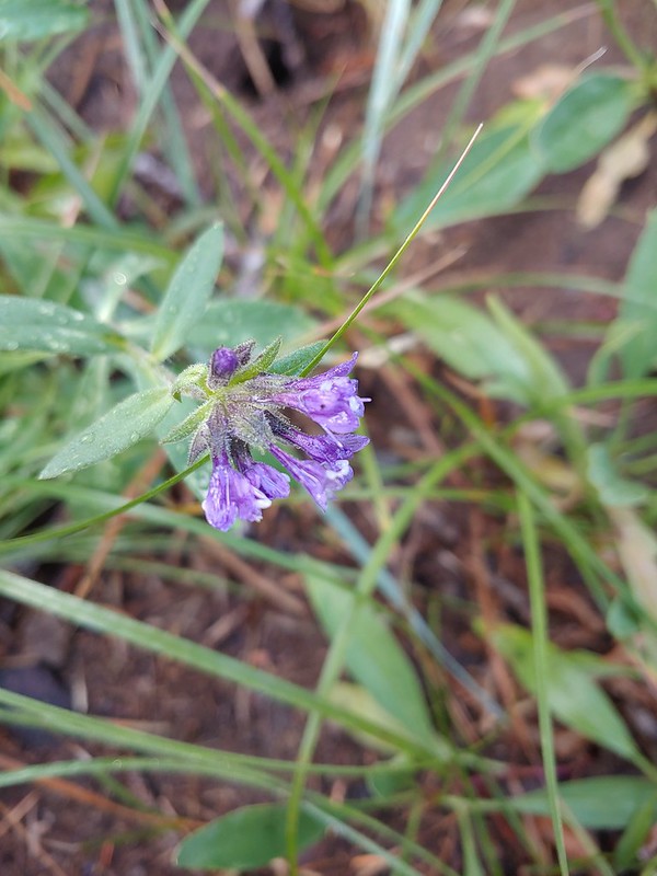 Not much left for flowers, this could be a Crater Lake collomia although it’s a little late in the season.
 Castle Creek still had some water flowing.
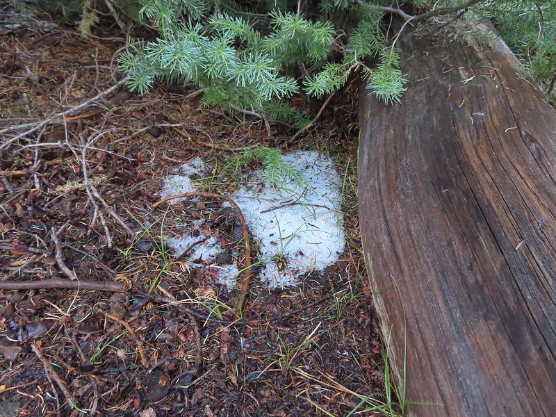 We spotted several piles of hail, possibly from the severe thunderstorms that had been forecast for Saturday night?
 Arriving at the PCT.
 The campsite at the junction was closed due to hazard trees.
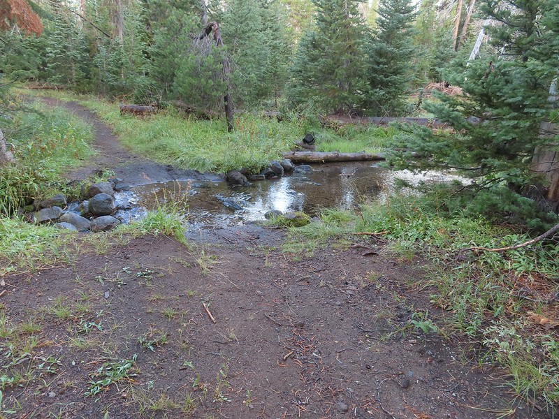 Recrossing Castle Creek.
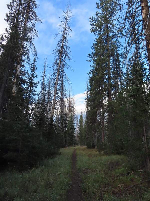 The PCT appeared to be following an old road bed through the park.
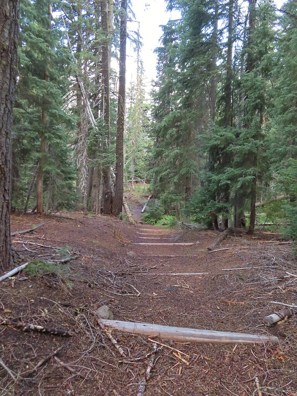 Dropping down to Trapper Creek.
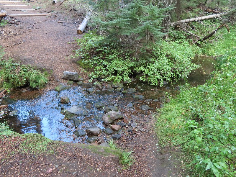 PCT crossing of Trapper Creek.
 A red-breasted nuthatch that was toying with me as I tried to get a photo.
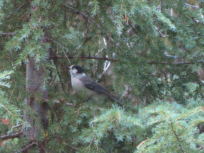 Canada jay (grey jay)
 Blue sky to the north ahead.
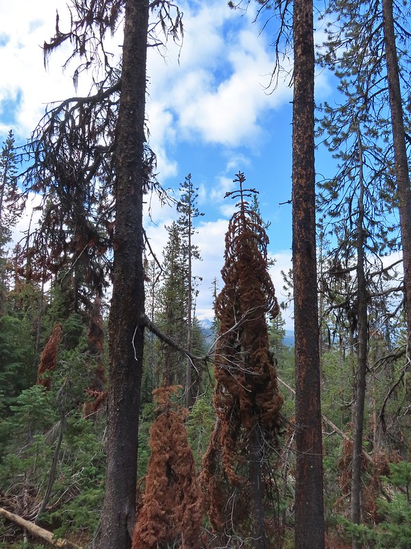 Some blue sky south too with a glimpse of Union Peak (
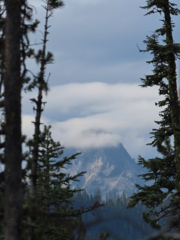 Union Peak
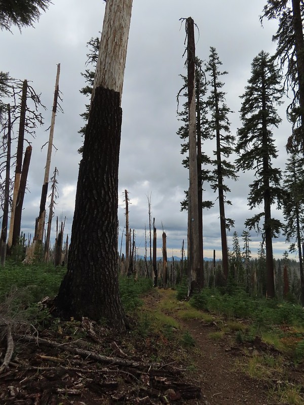 Entering the 2006 Bybee Complex fire scar.
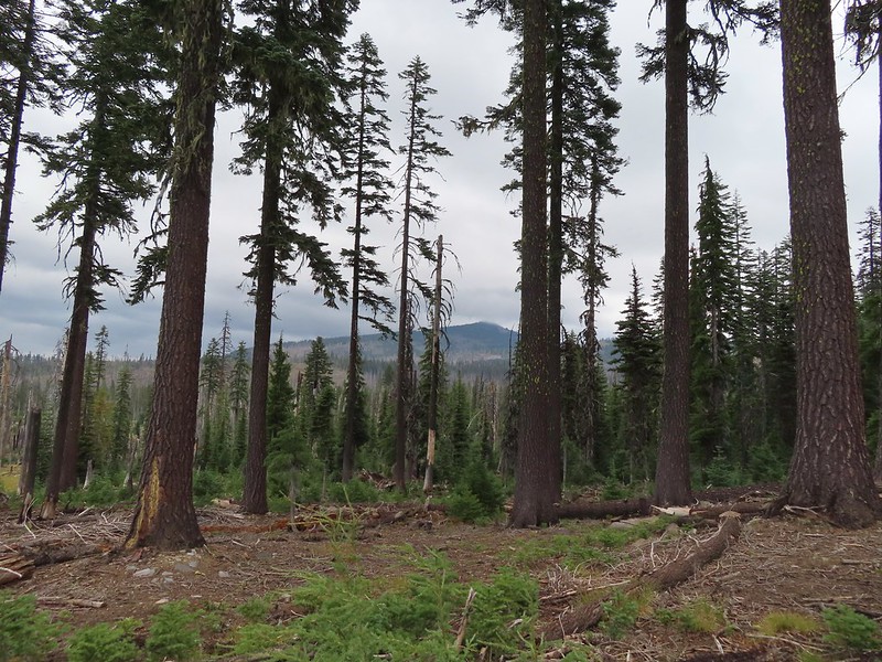 The Watchman. The lookout tower on top was in a cloud after having been clearly visible from rim earlier. We wondered what that might mean for our views when we finally made it back to the rim.
 Chipmunk checking us out.
 Coneflower remains
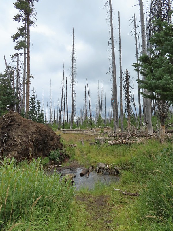 Another creek crossing.
 Red crossbills at the creek crossing.
 There were some pretty ominous looking clouds behind us but no showers yet.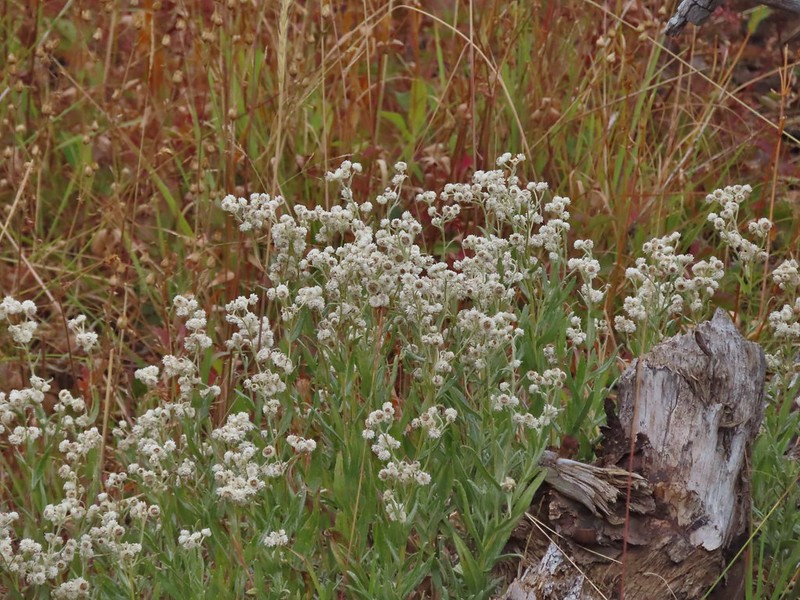
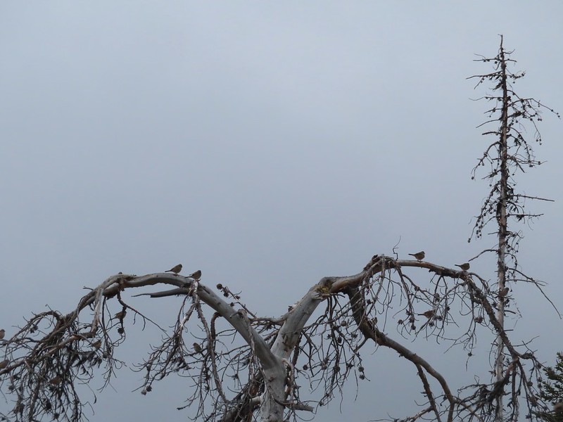 Several white crowned sparrows and at least one junco. We could also hear chickadee calls but I couldn’t find one in this capture.
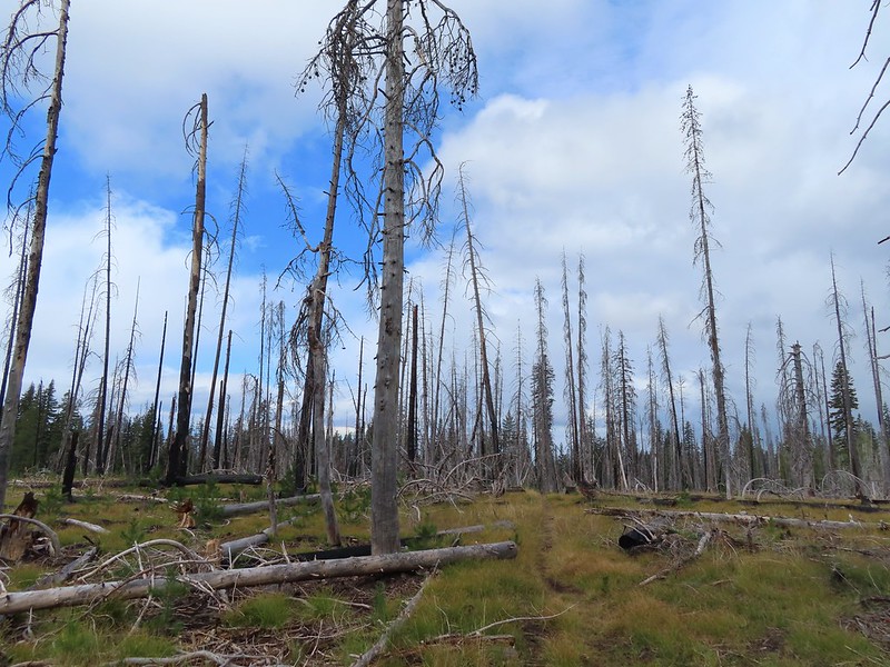 Despite the ugly clouds behind us there was almost always blue sky ahead.
 North Fork Castle Creek
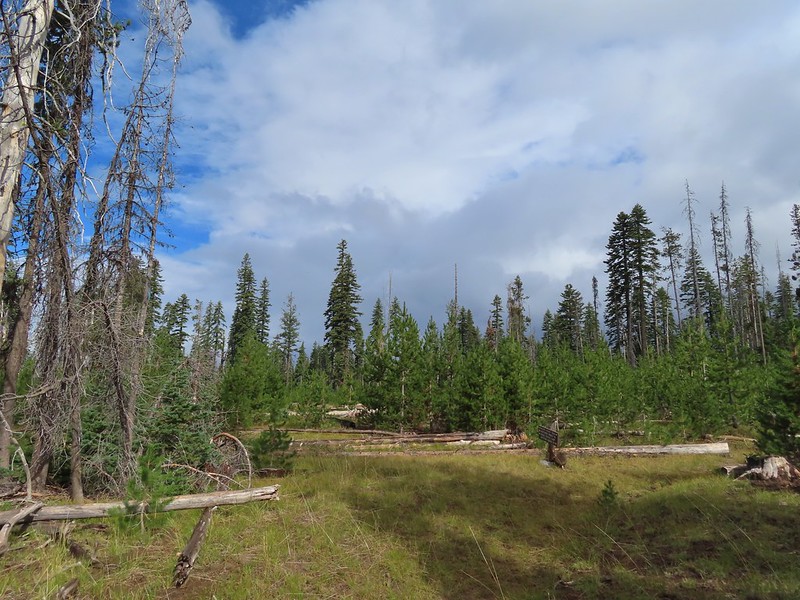 Approaching the junction with the Lightning Springs Trail.

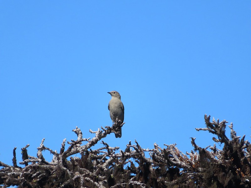
 Townsend’s solitaire
 Union Peak had been swallowed by clouds.
 The Watchman with a cloud still hanging on.
 Hawk
Hawk
 The base of Union Peak with lots of blue sky around.
 A brief stint in full sunlight.
 Robin
Robin
 Union Peak nearly free of clouds.
 The Watchman still not free.

 Mountain bluebird

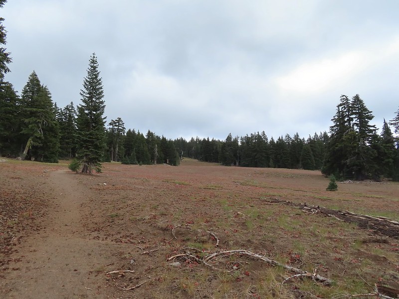
 Full view of Union Peak.
 And finally a full view of The Watchman.
 Conditions were changing quickly and now there was blue sky above The Watchman.
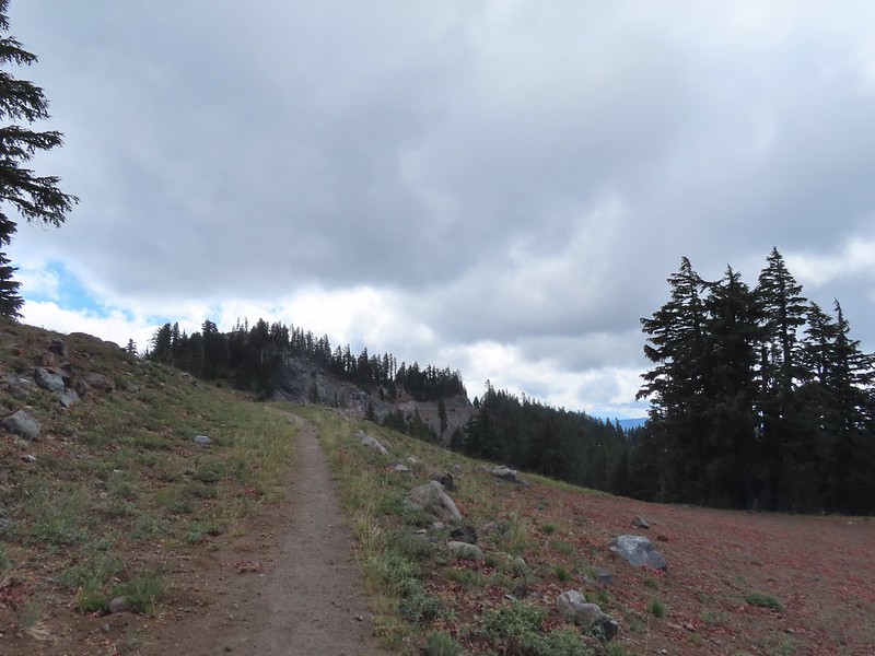 West Rim Drive ahead with the lower portion of Mt. McLoughlin (
 Mt. McLoughlin
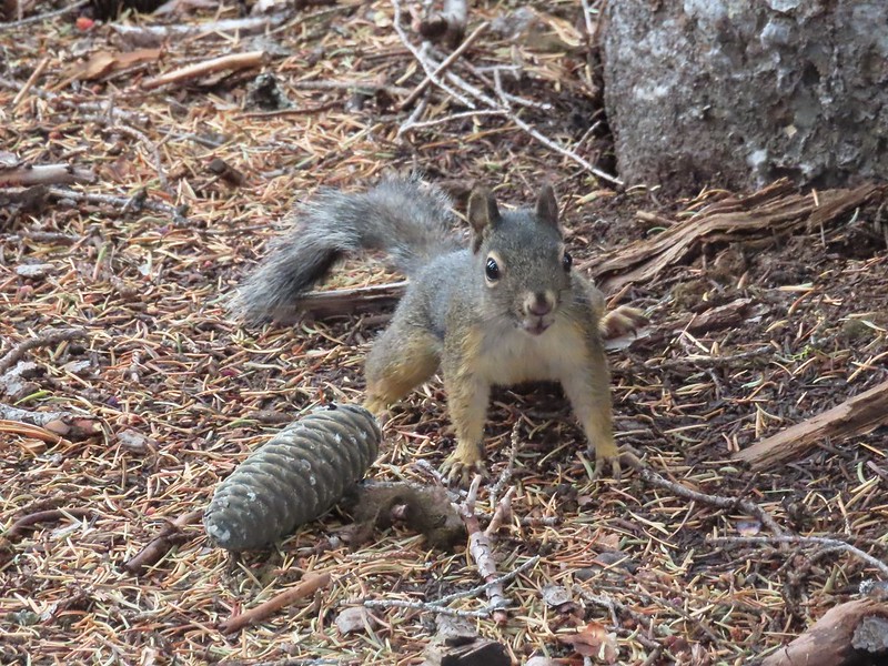 This squirrel put its cone down in case I had something better for it, but we don’t feed the wild animals per Park rules (and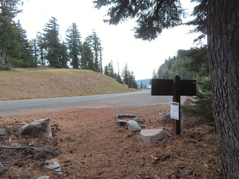


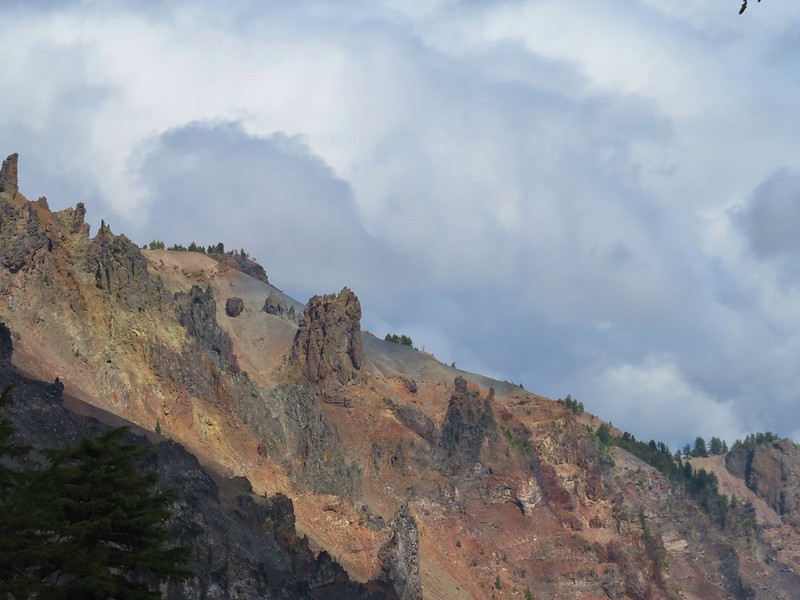
 Wizard Island’s cone
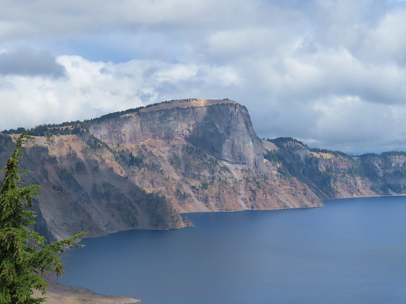 Llao Rock
 Dock along Wizard Island
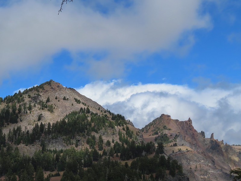 The Watchman and Hillman Peak
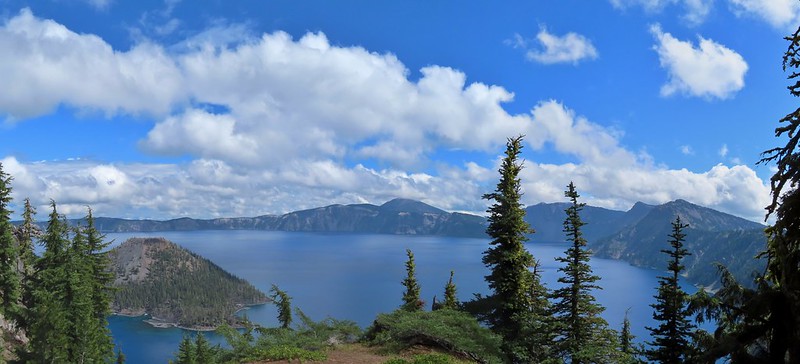
 Garfield Peak to the left with Union Peak to the far right.

 Phantom Ship
 Mount Scott
 Clark’s nutcracker
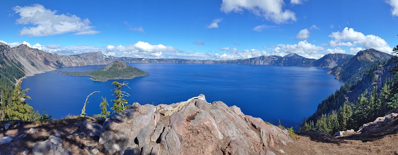
 That blue though!
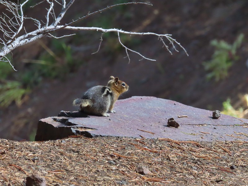 Golden-mantled ground squirrel
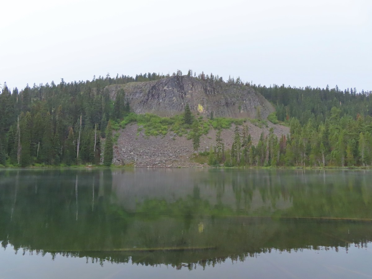
 Back to where we’d been that morning.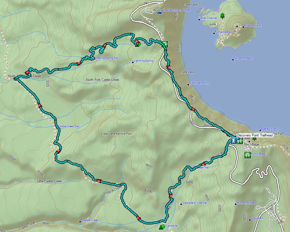

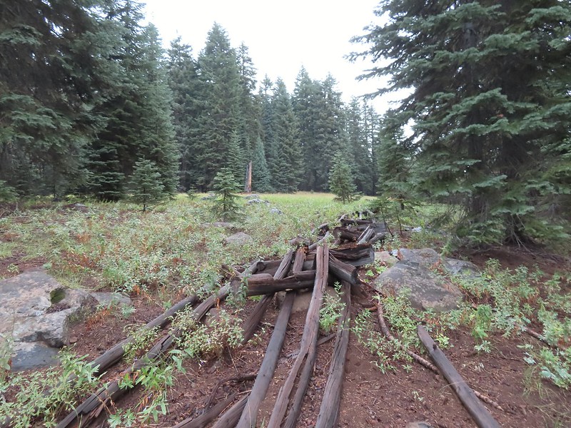 An old fence in the meadow.
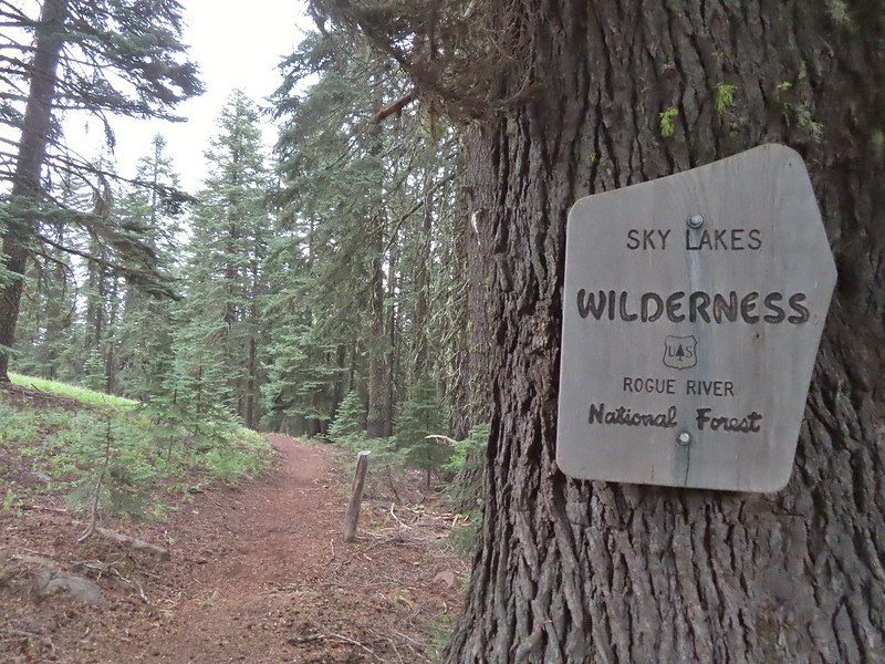 Entering the Sky Lakes Wilderness.
 Into the trees we go.

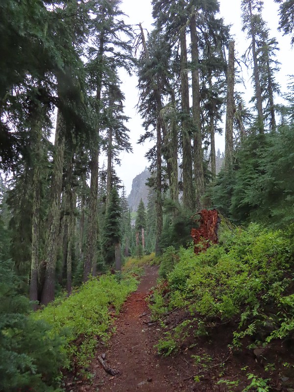 The cliff face above Blue Lake ahead from the trail.
 Hiking along Blue Lake.
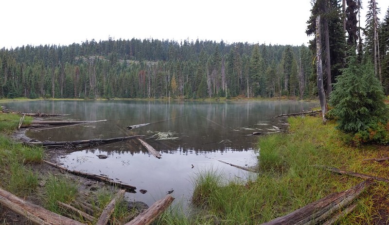
 Blue Lake
 The bald eagle across the lake after startling me.
 The South Fork Trail went to the left past Meadow Lake and the Mud Lake before following the South Fork Rogue River to Road 720.
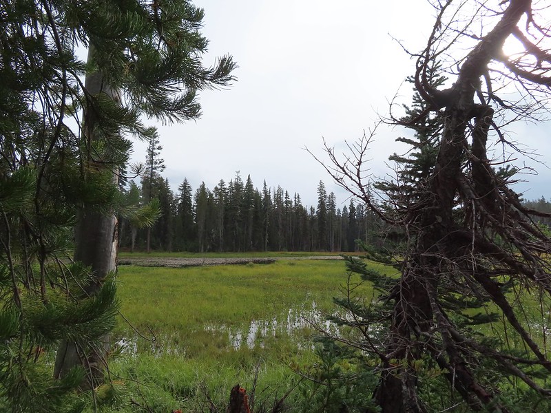 Meadow Lake
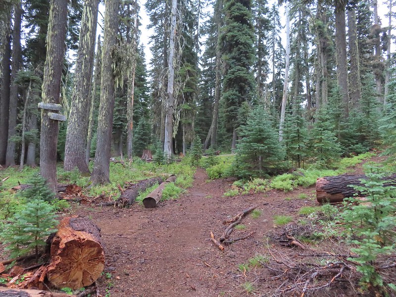 Meadow Lake Trail junction.
 Just beyond this small pond south of the trail we turned right on a use trail which led out onto Horseshoe Lake’s peninsula.
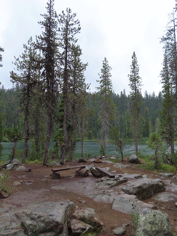 Camping is prohibited on the peninsula which is signed in multiple places.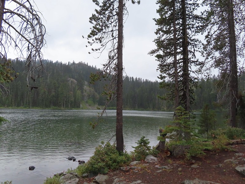


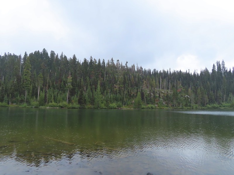
 Ducks flying further down the lake.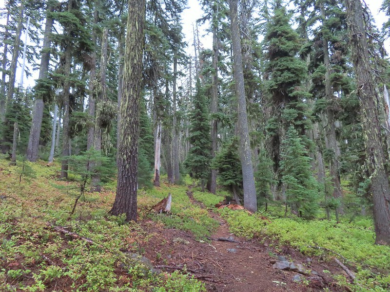
 Grouse
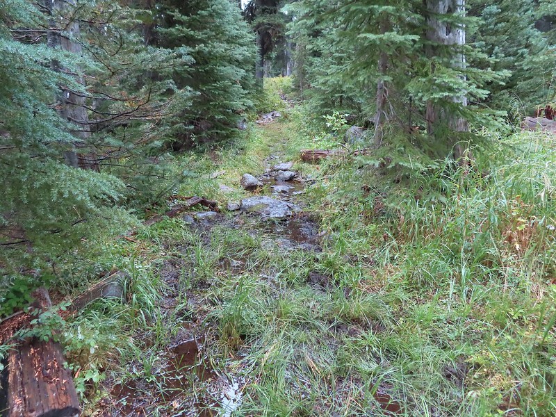 The only flowing water we’d encounter on this day after not crossing any streams the day before at Union Peak (
 Dee Lake barely visible through the trees.
 Bigelow’s sneezeweed
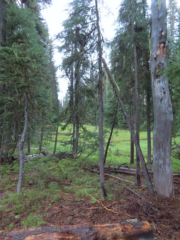 Meadow near Island Lake.
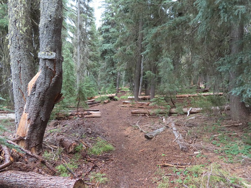 A Horse Camp sign.
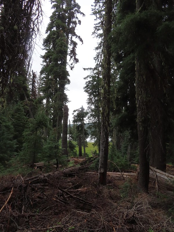 Island Lake through the trees.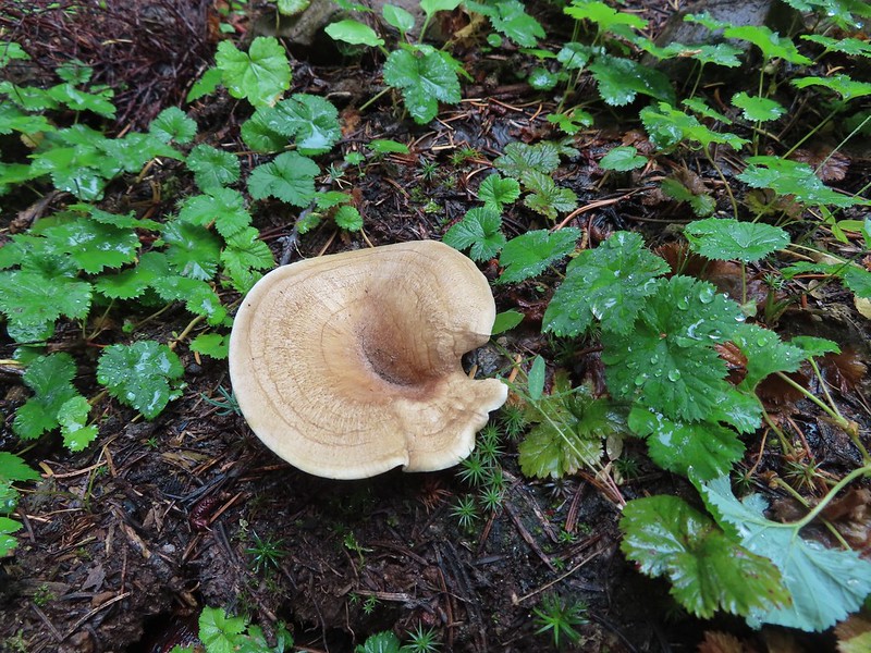


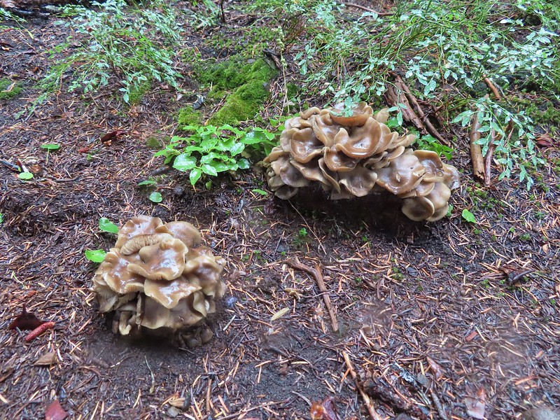
 There were a lot of mushrooms down by the water though.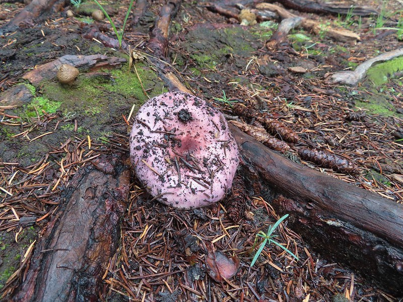


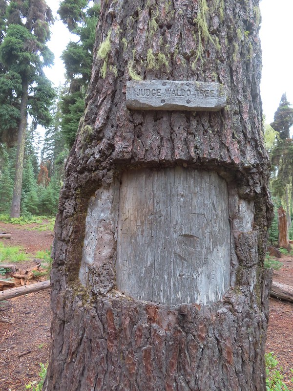
 For those interested the 1888 inscription reads:
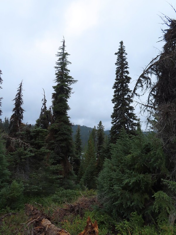 Pear Lake from the Blue Canyon Trail.
 Back at the Meadow Lake junction.
 Heading up the Meadow Lake Trail.
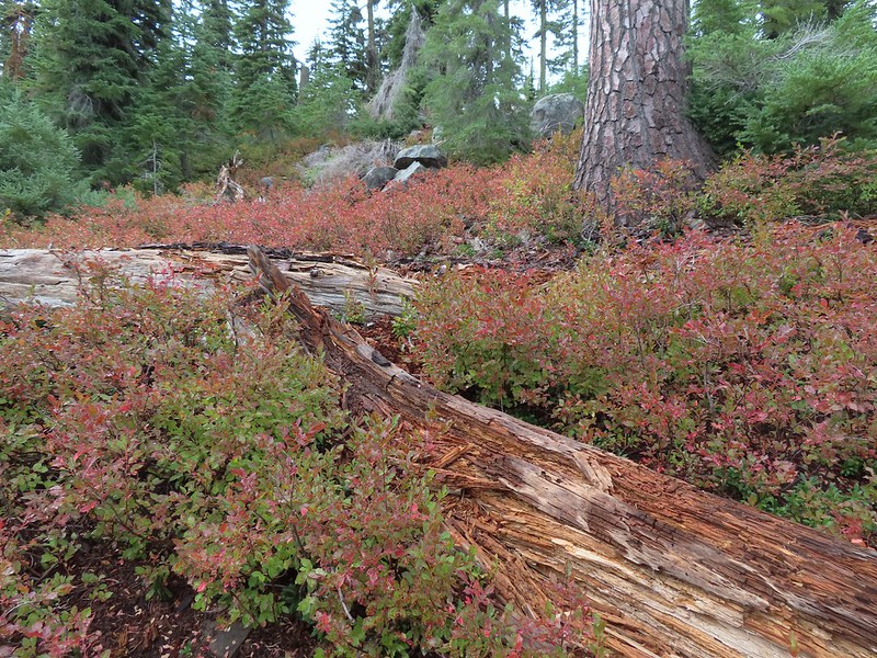 The huckleberries don’t lie, Autumn was right around the corner.
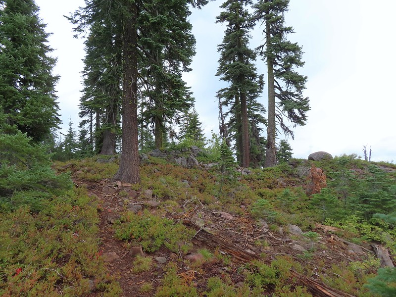 Approaching the ridge top.
 Not sure what we missed here but imagine it was some of the peaks in the Sky Lakes Wilderness.


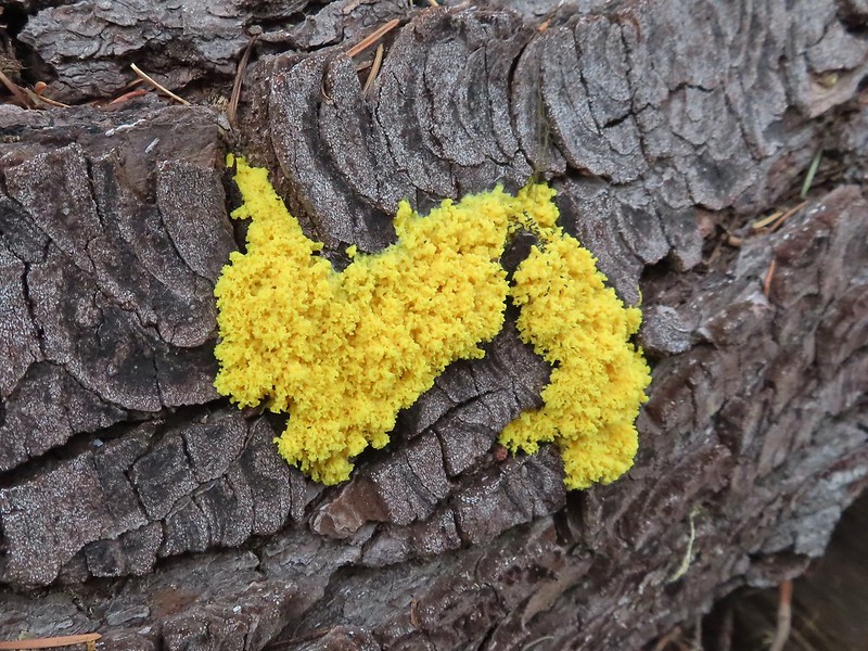 Colorful fungus
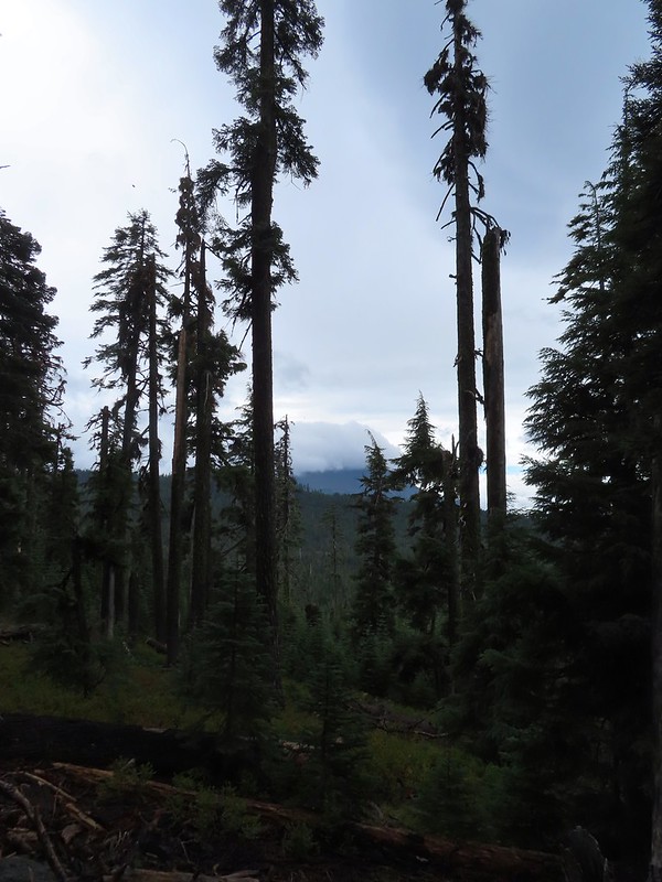 Mt. McLoughlin
 A little fresh snow, a welcome sight.
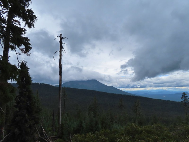 A nice little viewpoint just off the trail.
 Passing below Cat Hill.
 Back to the trailhead.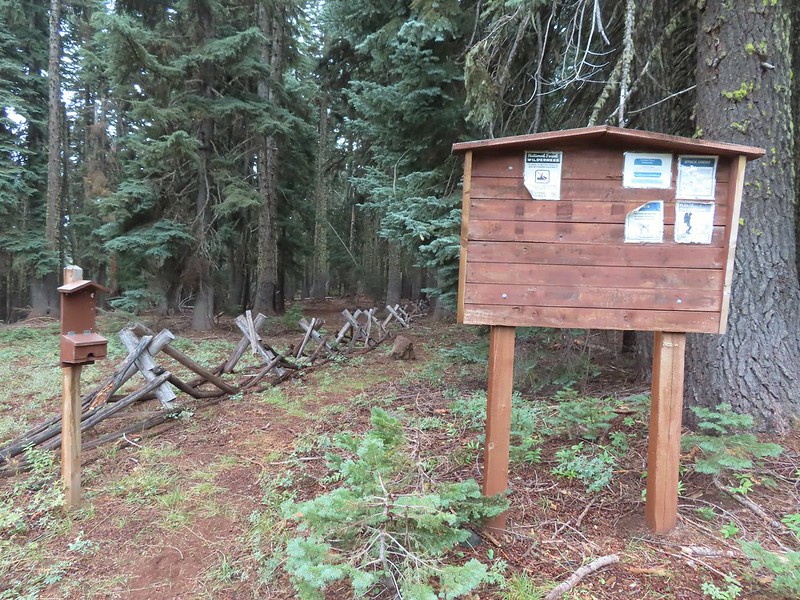
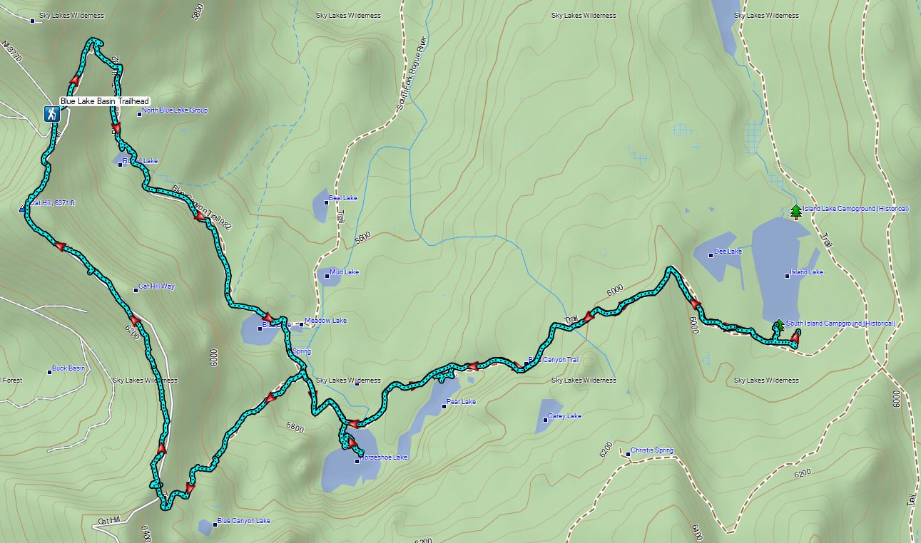

 Wizard Island
 The Watchman (
 Hillman Peak and Llao Rock
 The sign calls this the “steepest” hike in Southern Oregon. We wondered what criteria that was based on?
 There were a large number of big mushrooms along this section of trail as seen to the lower right.
 One of the big shrooms.
 A Stellar’s jay.
 More of the big mushrooms.
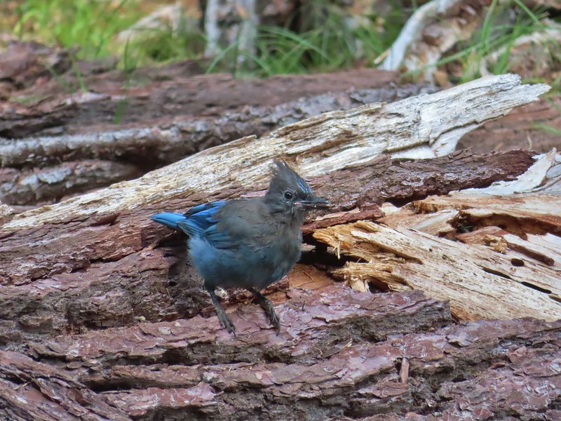 Another Stellar’s jay.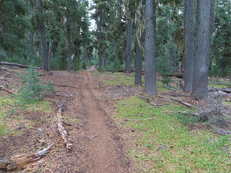
 Nearing the trail junction.
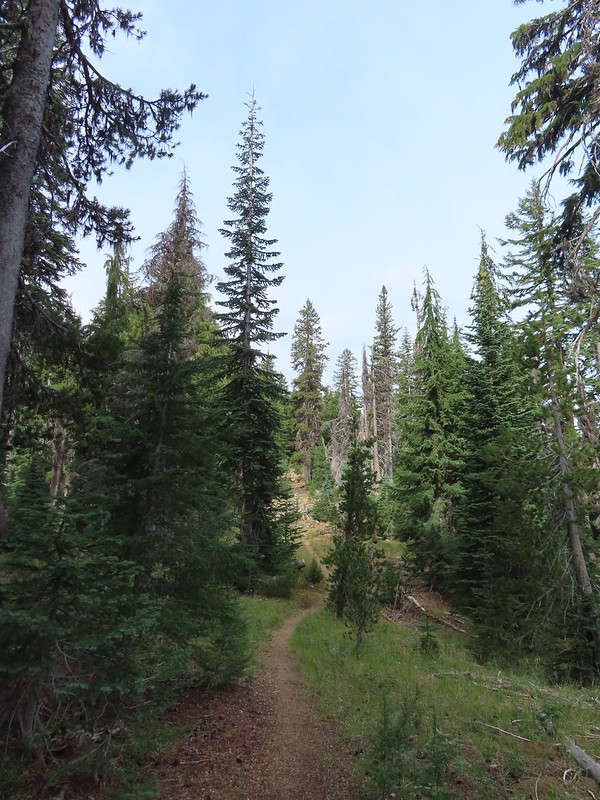
 First glimpse of Union Peak through the trees.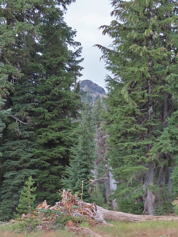
 Gardner Peak behind Goose Egg (center) to the SE.
 Fireweed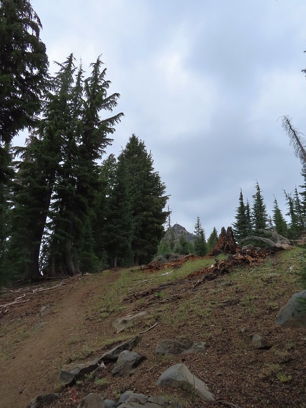
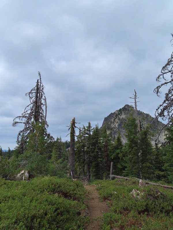 It was cloudy but no showers so far and the clouds appeared to be well above the summit.
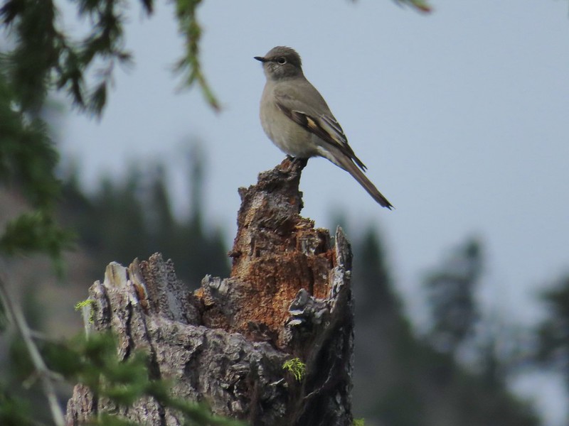 Townsend’s solitaire

 Mount Bailey in the distance to the right of the outcrop.
 The last doe keeping watch as the rest of the deer disappeared into the forest.
 Golden-mantled ground squirrel
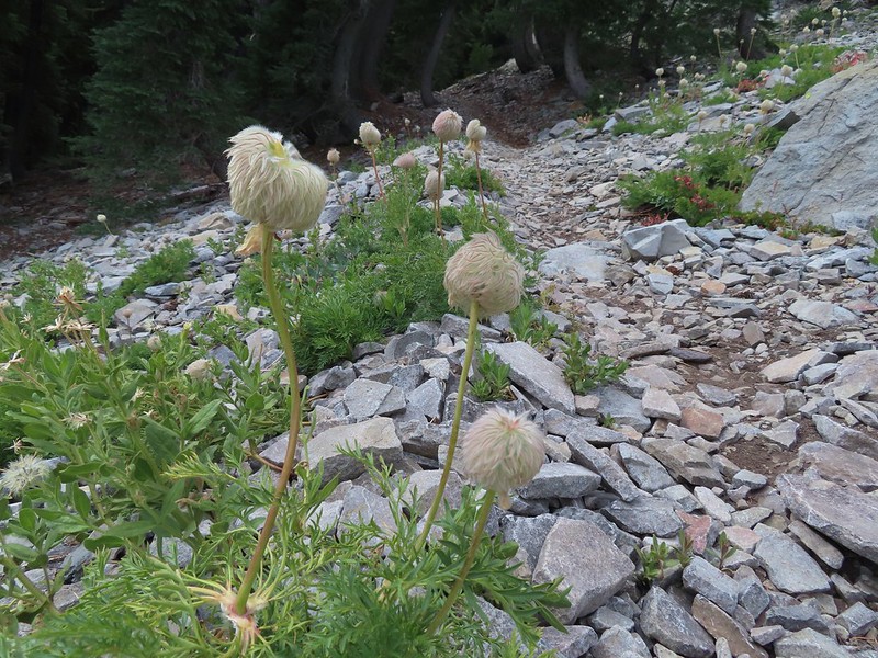 Western pasque flower seed-heads along the trail.
 Looking up at Union Peak and wondering how the trail got up there.
 Nearing the cinder field.
 Mount Scott (
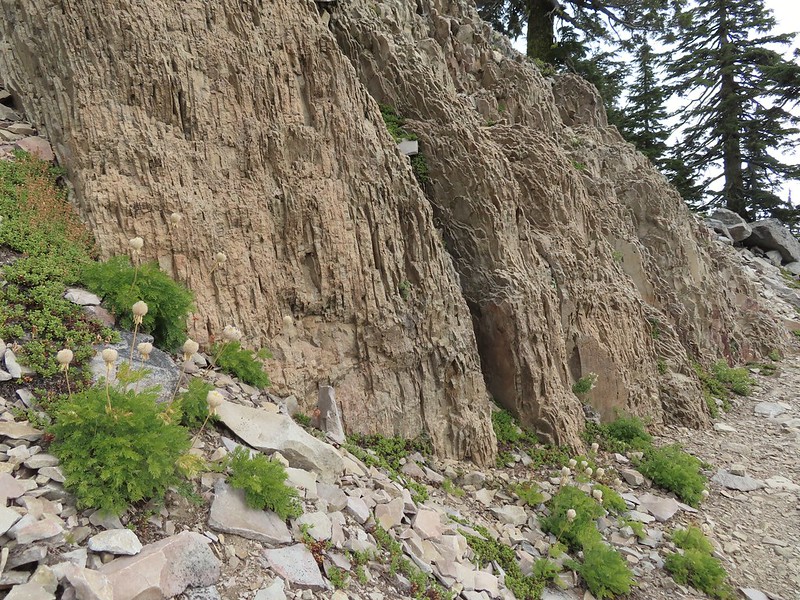 It’s always interesting to see the various rock that make up these volcanic peaks.
 The Watchman and Llao Rock with Mt. Thielsen in between in the background.
 That’s the trail on the right side of the photo.
 Looking down at the trail below.
 The trail was fairly easy to follow as it switchbacked up through the rocks. It was narrow in places which might be hard for those with a fear of heights.
 While there were no people at the summit the brush had attracted a fairly large number of yellow jackets.
 Looking west toward the Rogue-Umpqua Divide.
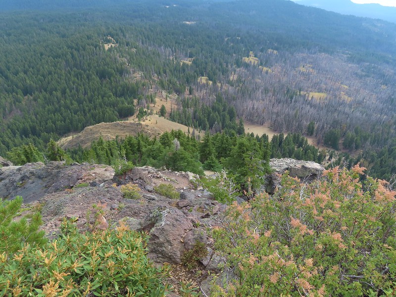 The trail along the ridge below Union Peak.
 Lost Creek Lake (
 Mount Bailey, Diamond Peak (
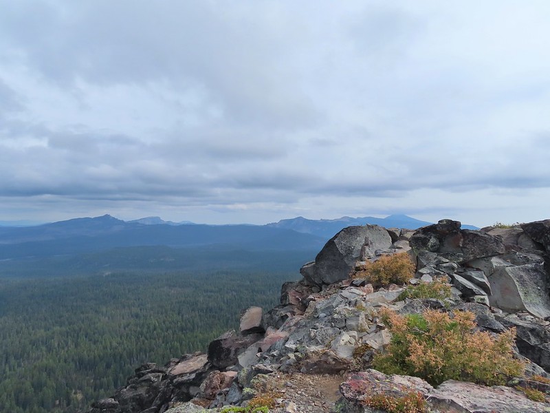 The rim of Crater Lake.
 Mt. McLoughlin is to the far right with some clouds over the top. Starting from the left is Goose Nest, Goose Egg (with Gardner Peak behind), Maude Mountain (with a faint Pelican Butte behind to the right), Lee, Devil’s, & Lucifur Peaks (Mt. Shasta is behind those three.) followed by Mt. McLoughlin.
 Mt. Bailey
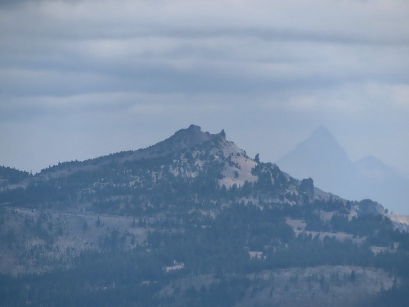 The Watchman and Hillman Peak directly behind with Mt. Thielsen further in the distance.
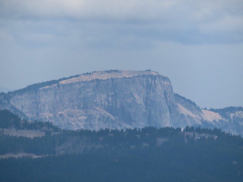 Llao Rock
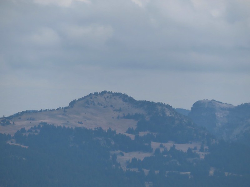 Applegate Peak
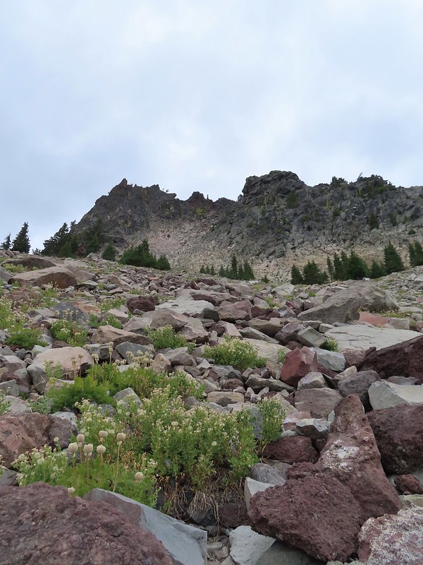 Looking back up from the rock field.
 Mount Shasta arnica
 Bleeding heart

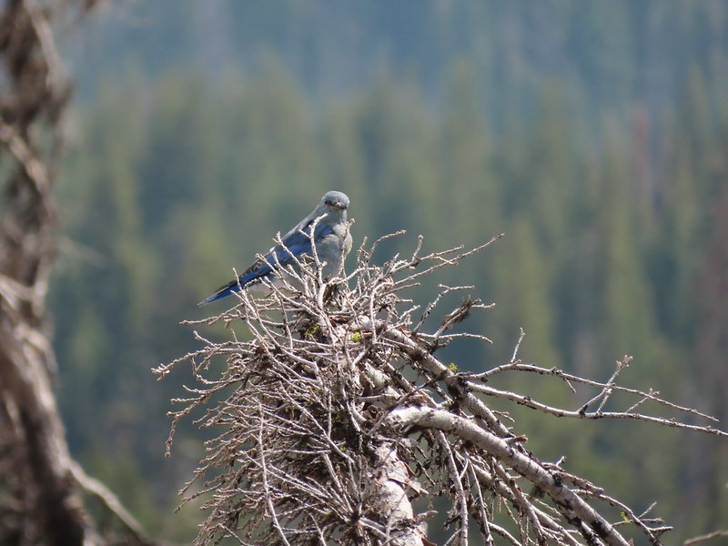 One of several mountain bluebirds we spotted.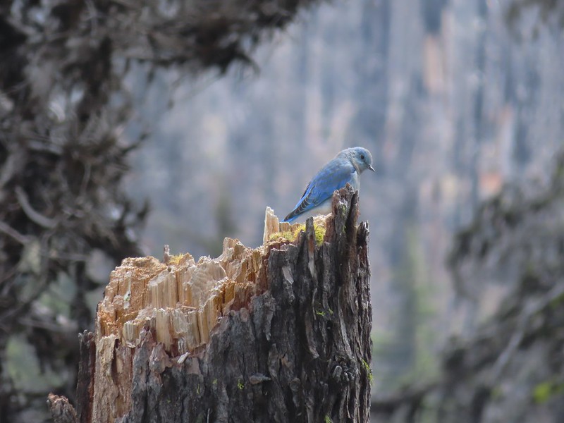
 Bumblebees on a few remaining aster.
 Sunshine
 A sulphur butterfly.
 Arriving back at the trailhead.