
A brief streak of 80+ degree temperatures arrived for the final weekend of April, and we celebrated with a pair of short hikes in Oregon City. We had our sights on two small parks managed by Metro, a regional council covering Clackamas, Multnomah, and Washington counties which includes two dozen cities. The largest of which is Portland.
Our first stop of the day wasn’t at either of the parks though, it was at the Willamette Falls Scenic Viewpoint along McLoughlin Boulevard. The viewpoint was on our way to Canemah Bluff and neither of us had ever actually seen this waterfall in person.

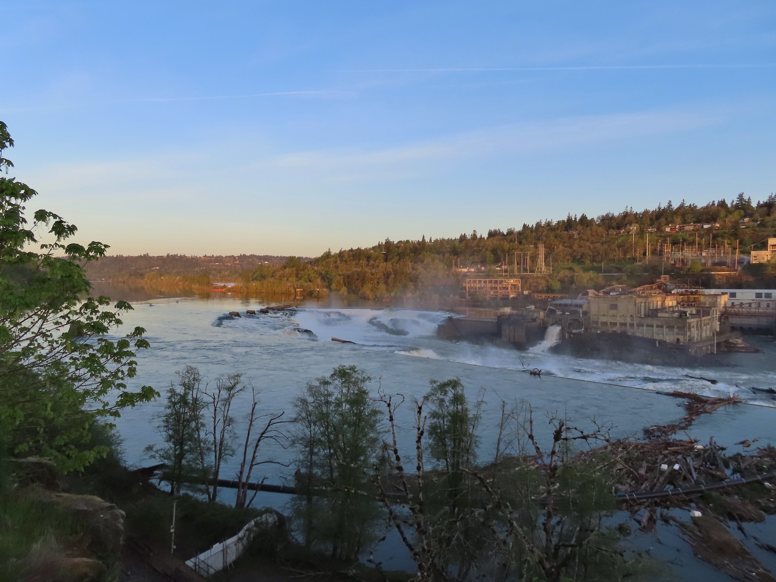
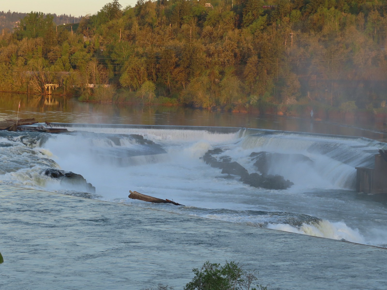

After reading up on some Oregon history we drove on to Canemah Children’s Park which doubles as the trailhead.

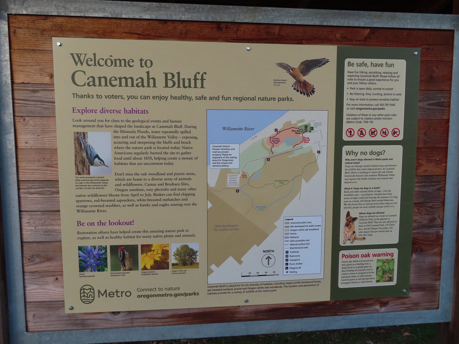
We reviewed the map and decided on the following route: From the children’s park we would take the Camas Springs Trail to Cemetery Road and turn right to the Spur Trail. We’d then take the Spur Trail to the Licorice Fern Trail and then turn right on the Old Slide Trail. The Old Slide Trail would bring us back to the Licorice Fern Trail which we would follow to the park boundary before turning around and hiking back to Cemetery Road via the Licorice Fern Trail. Then turning right on the road, we would follow it to the Frog Pond trail where a left would bring us back to the Childrens Park. This whole route was just barely over 2 miles with a little under 190′ of elevation gain.
The delayed Spring was showing here as the wildflower show was just getting underway.
 Most of the camas was still working on blooming but a few were open.

 Buttercups
 Dark eyed junco
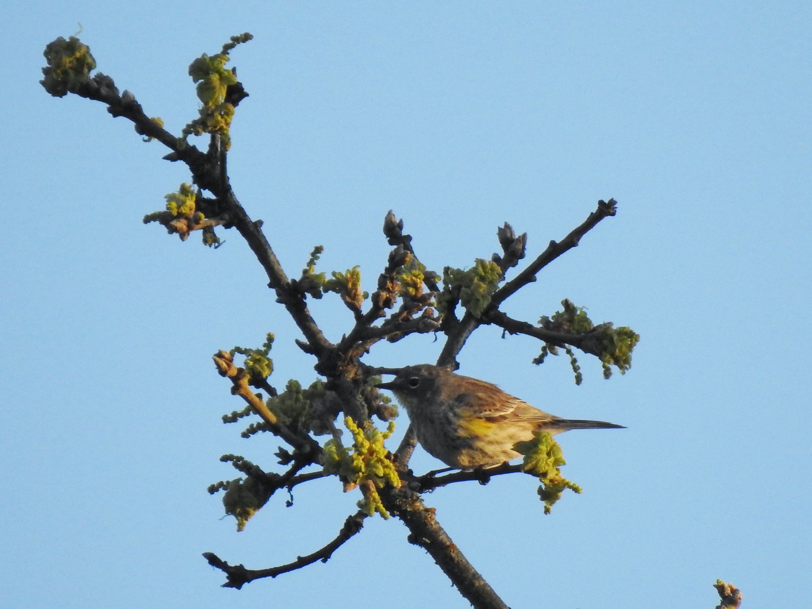 Possibly a female yellow-rumped warbler.

 Plectritis
 Willamette River
 Robin
Robin
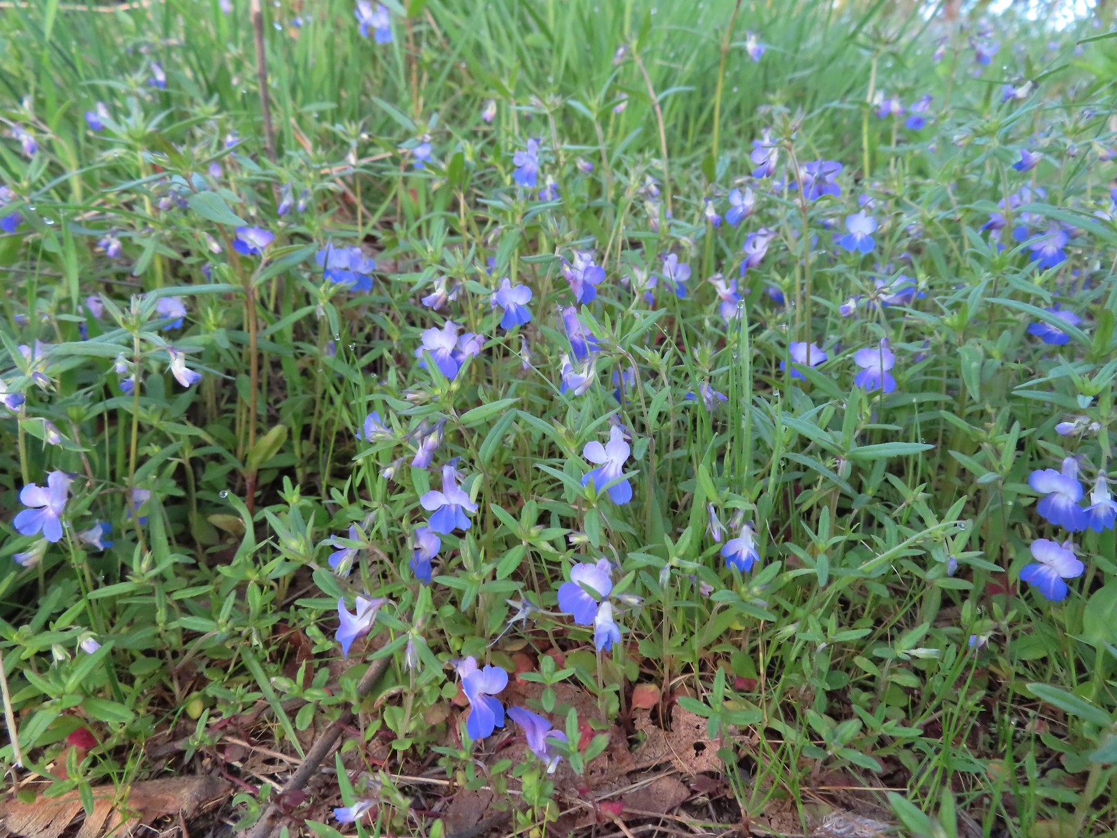 Giant blue-eyed Mary
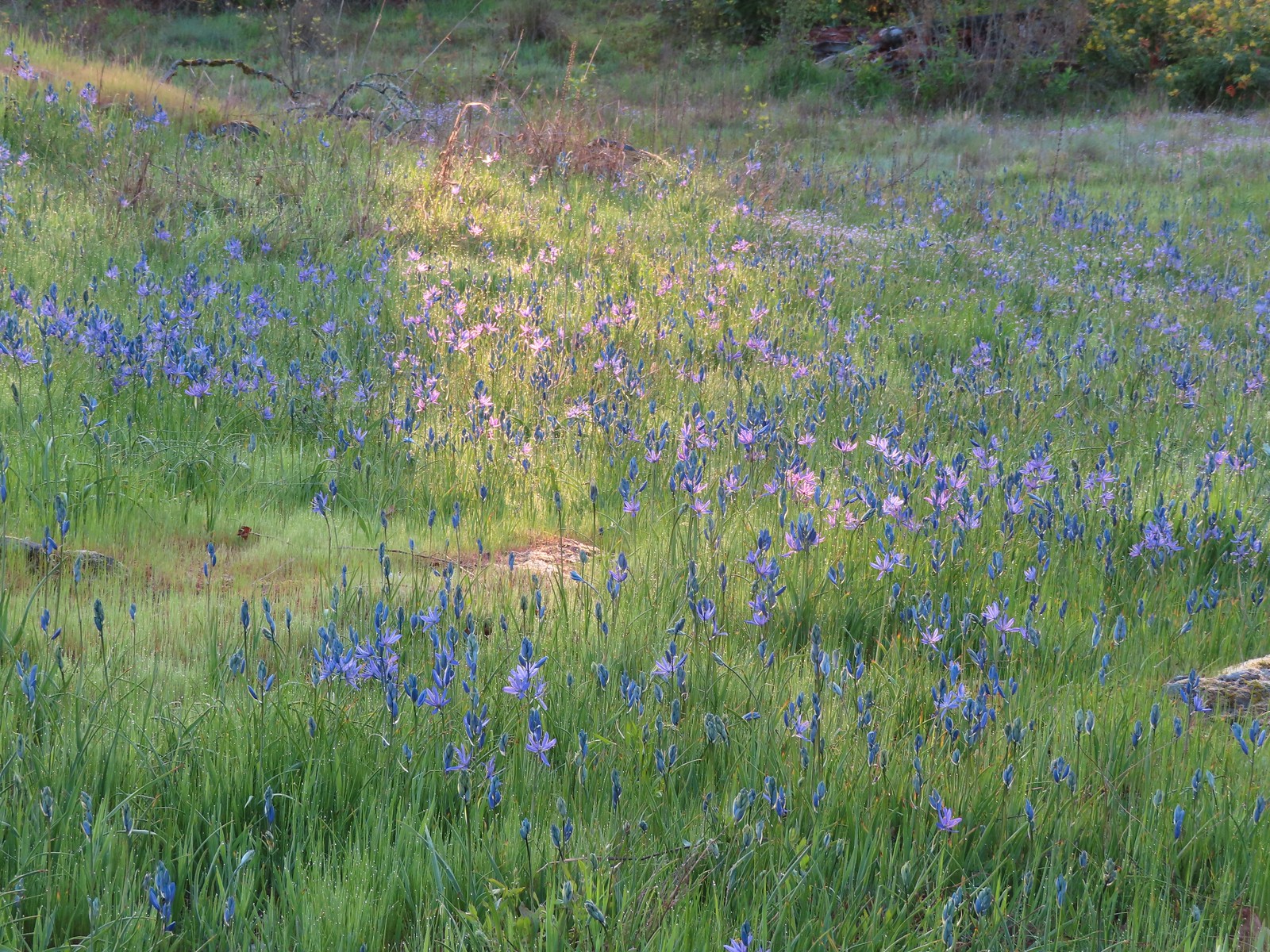 Camas catching a little sunlight.
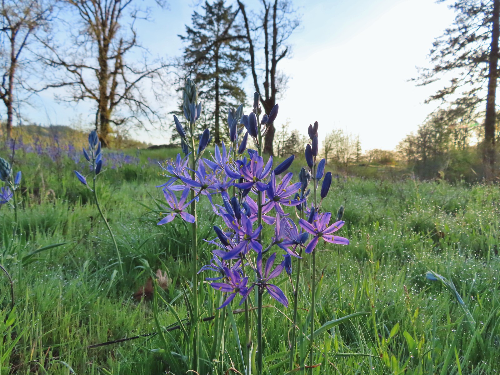
This first part of the hike reminded us very much of another nearby hike we’d taken at Camassia Natural Area (post) which is located on the opposite side of the Willamette from Canemah Bluff.
The Camas Springs Trail eventually entered the trees before arriving at the Cemetery Road.

 Red flowering currant

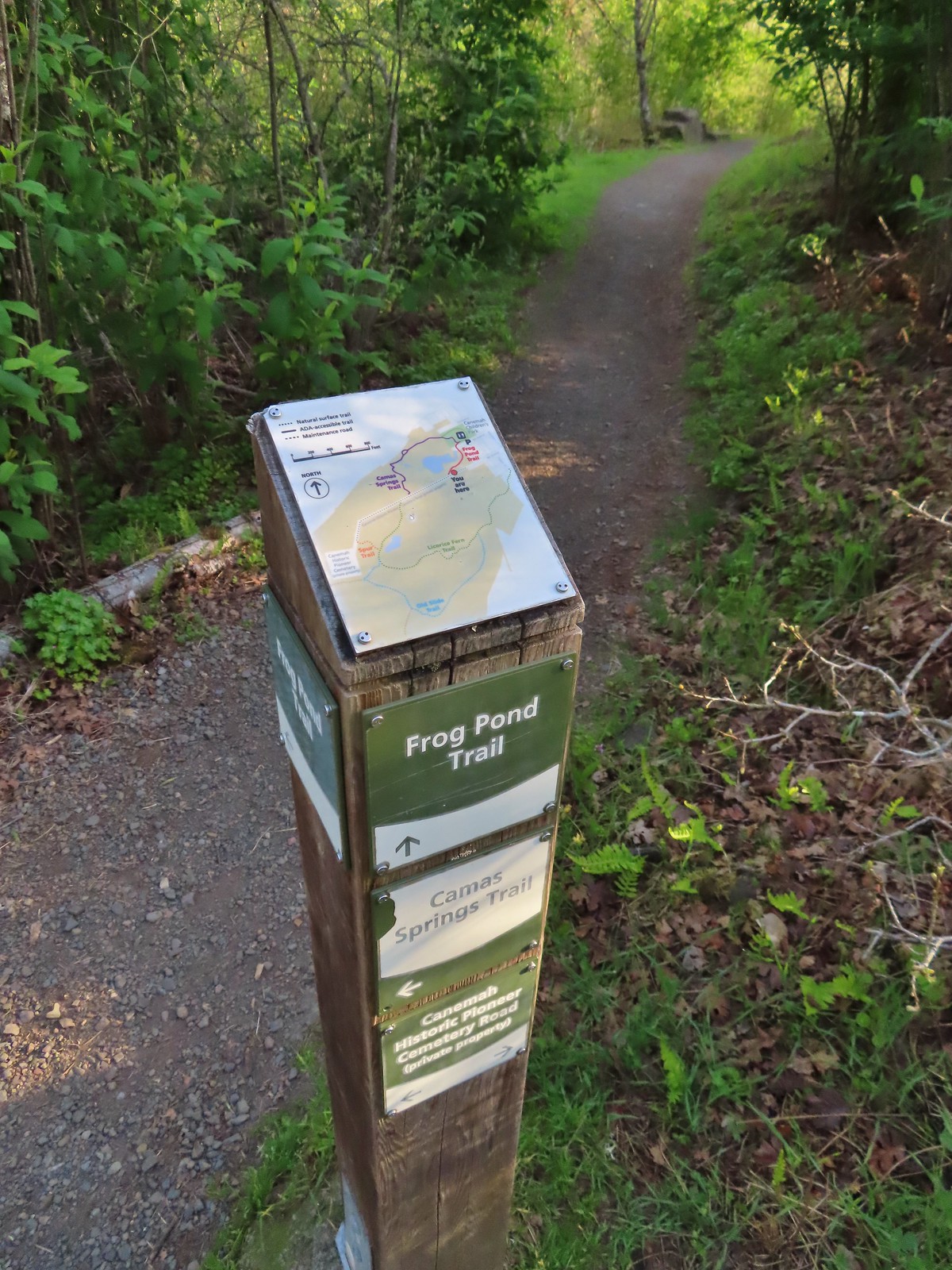
 Metro’s signage has been top notch in the parks we’ve visited so far.
We followed the Cemetery Road to its end at the privately owned Canemah Pioneer Cemetery where we turned onto the Spur Trail.
 Hooker’s fairy bells
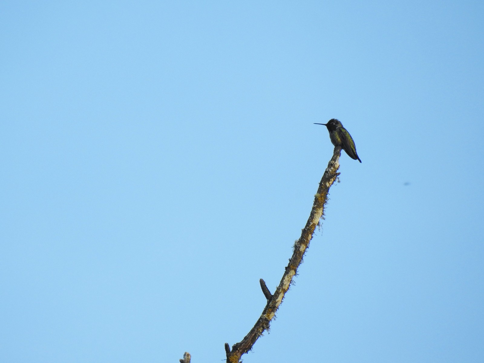 Hummingbird

 Fawn lilies
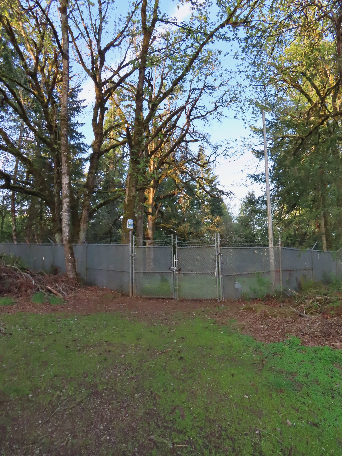 The cemetery behind the fence.
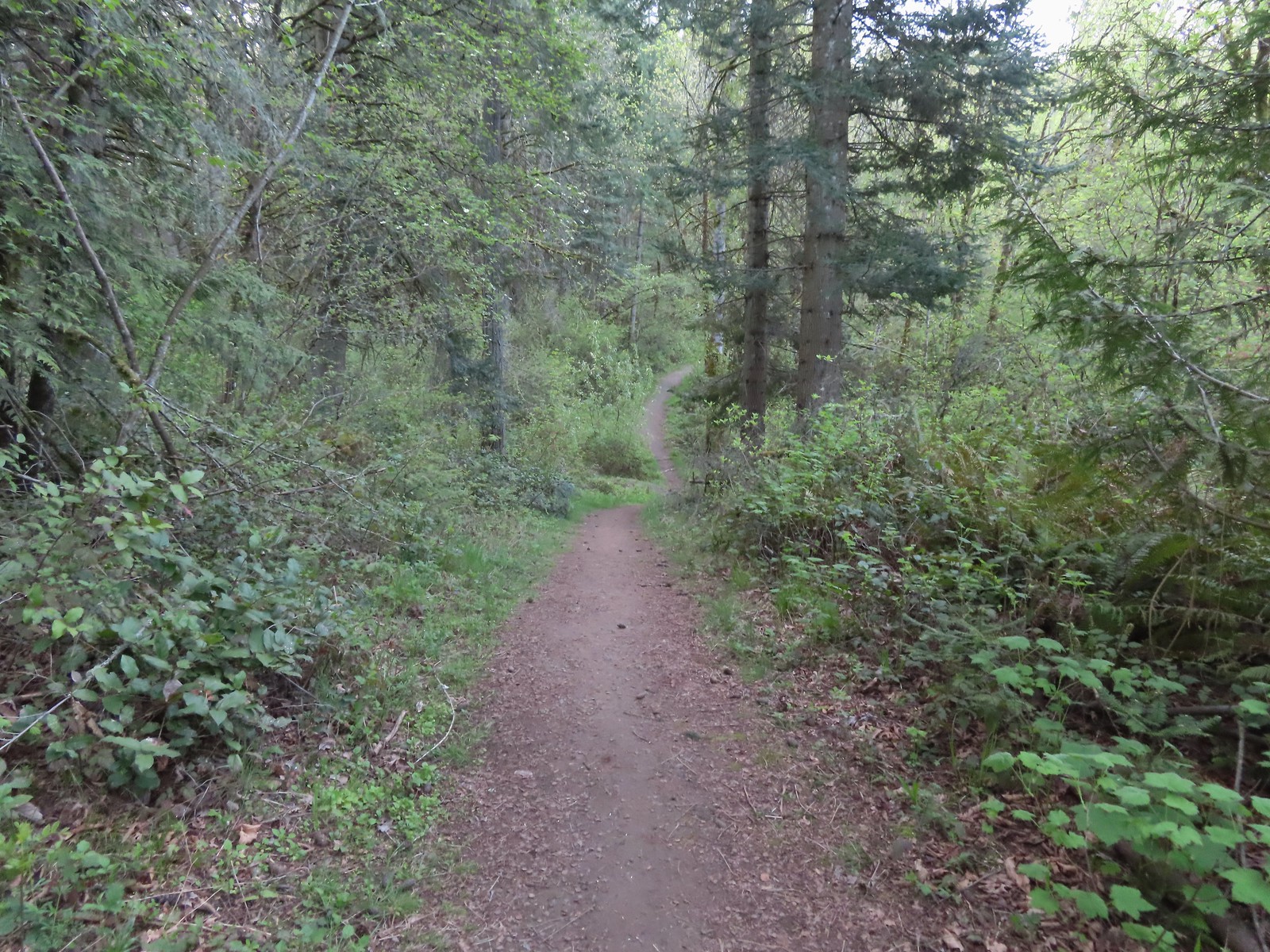
 The Spur Trail.
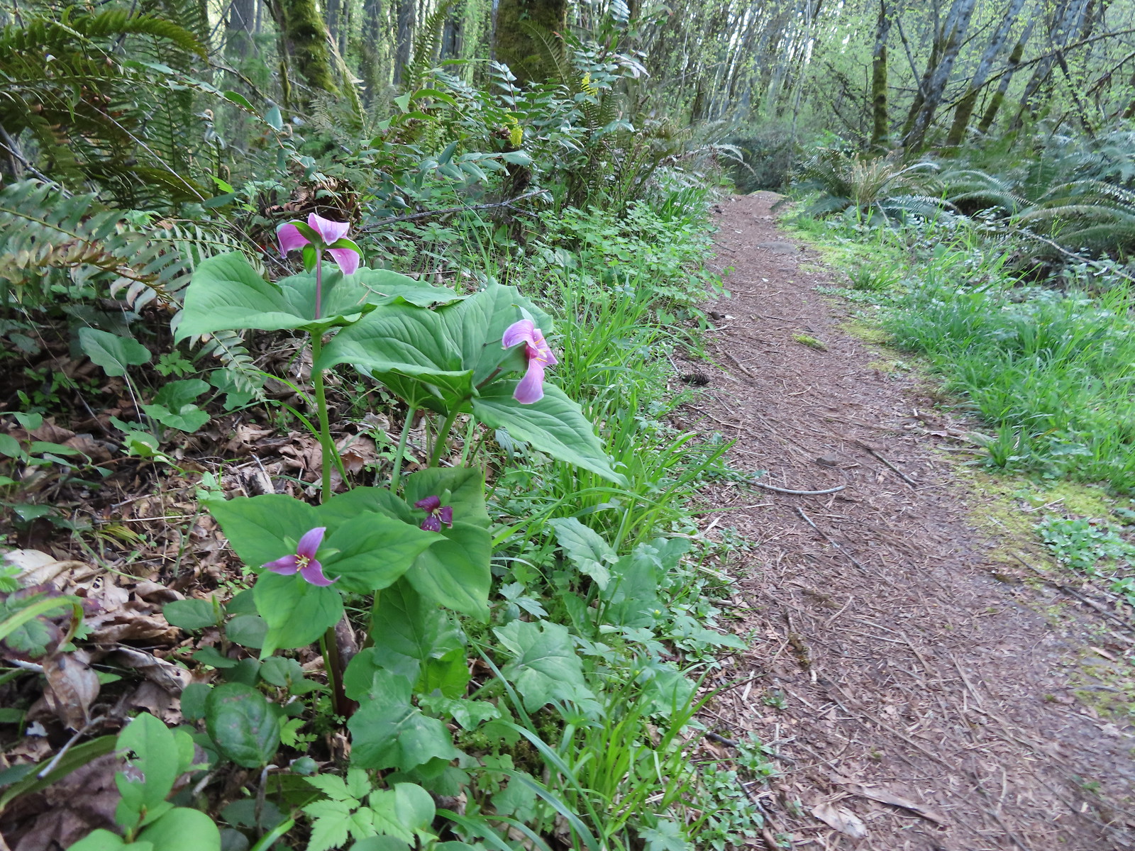
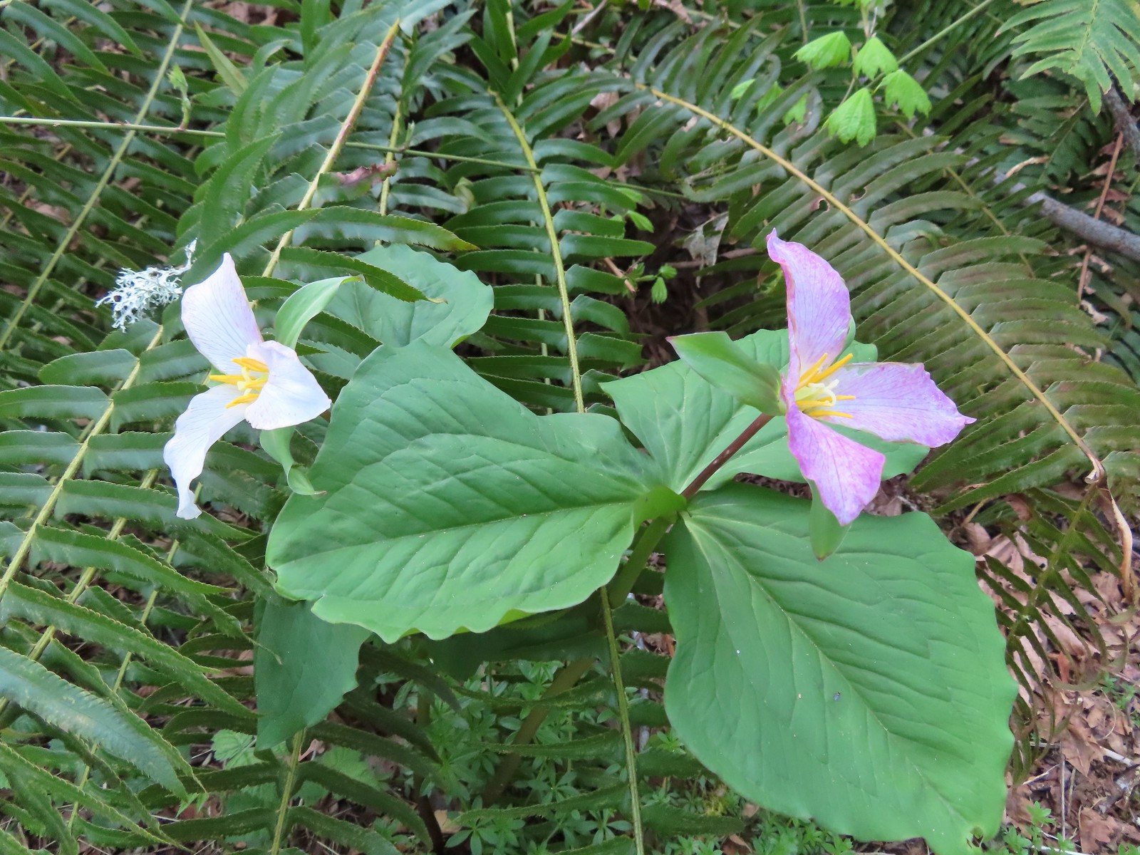
It was a trillium show along the Spur Trail.


At the junction with the Licorice Fern Trail we spotted a couple of largeleaf sandworts in bloom.

After just 100′ on the Licorice Fern Trail we turned onto the Old Slide Trail which climbed 150′ along a hillside before descending to rejoin the Licorice Fern Trail which we followed to the park boundary near a neighborhod.
 The boundary marker. The trail continues a short distance to 5th Place.
We dropped a bit and now had to regain that elevation as we headed back along the Licorice Fern Trail.


We spotted a few more flowers at varying stages of blooming as we made our way back to Cemetery Road.
 Youth-on-age
 Salmonberry
 Violets
 Back on the road.
We turned onto the Frog Pond Trail which was only about 100 yards long. The trees around the pond were full of little birds that we watched flit about for quite a while before continuing to our car.
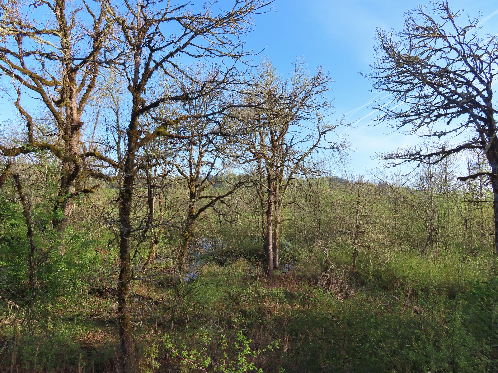 The frog pond.
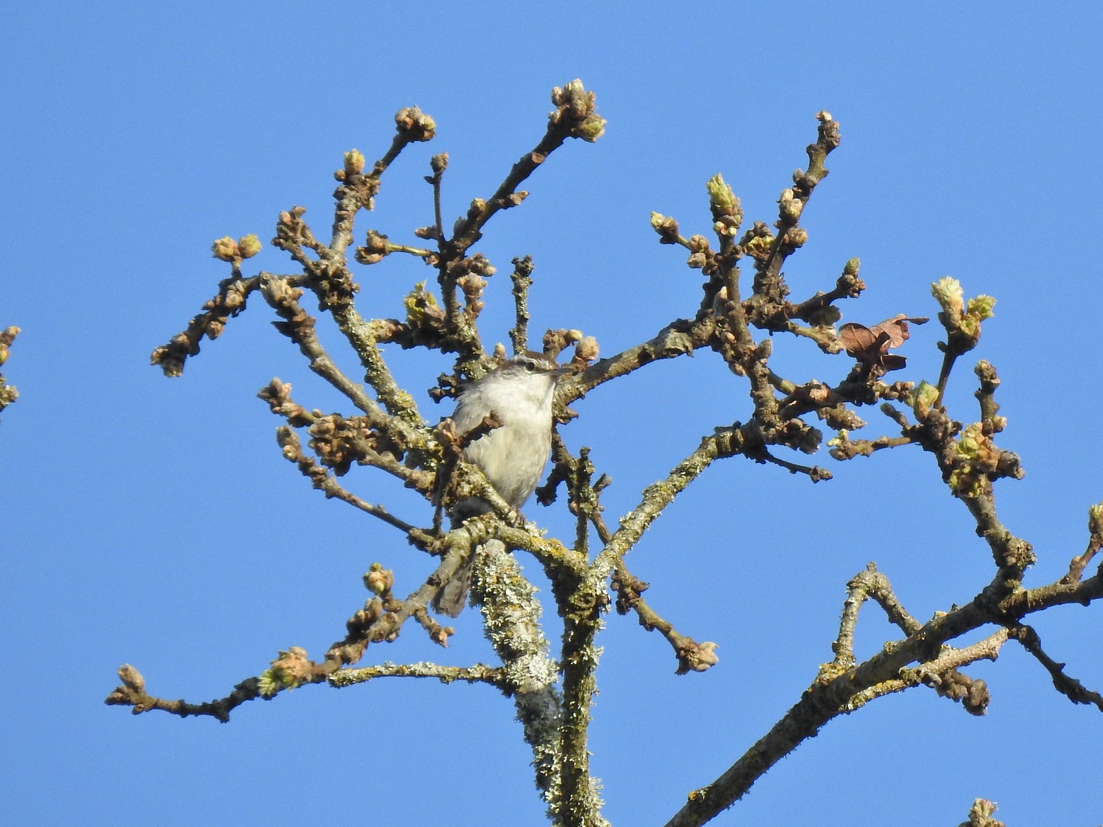 Bewick’s wren
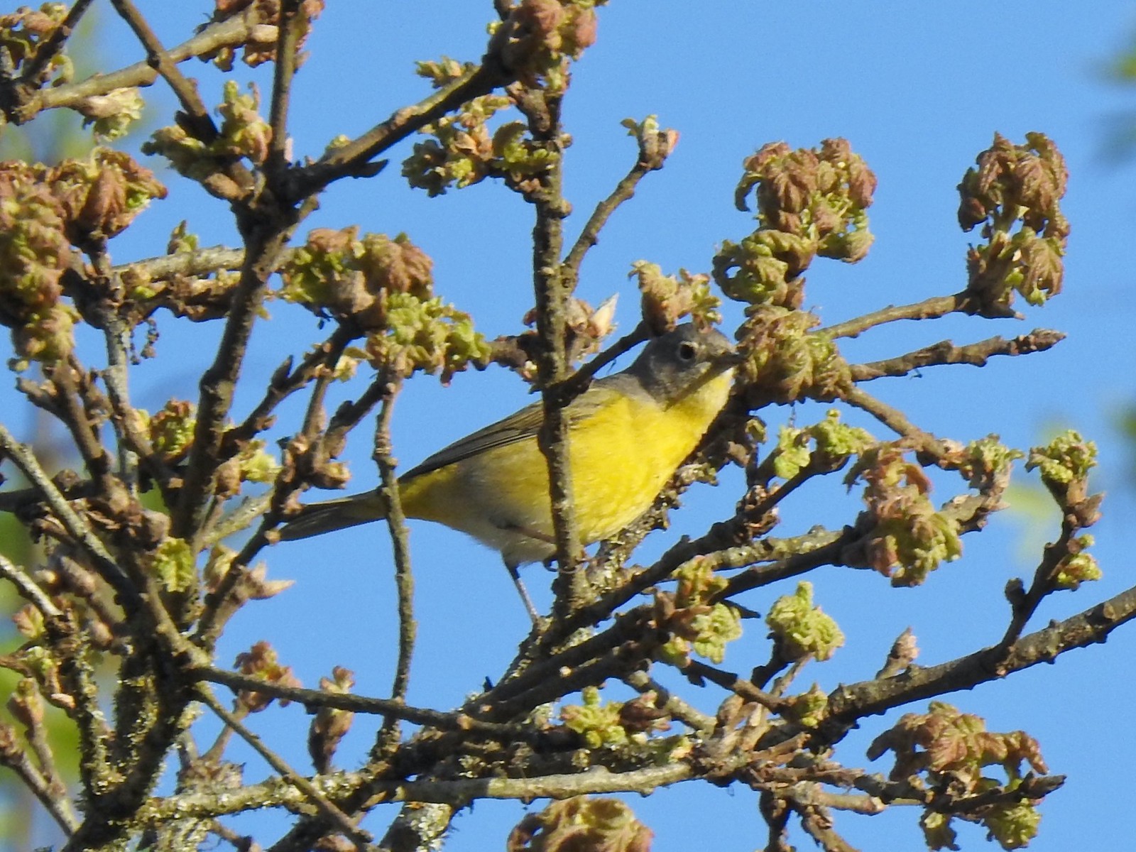 Nashville warbler?
 House finches
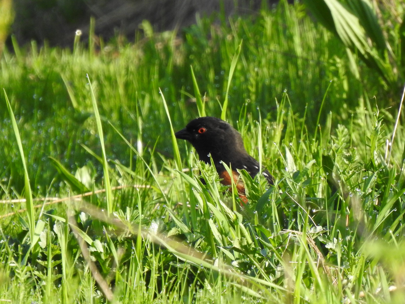 Spotted towhee
 Bleeding heart near the pond.
 Arriving back at the trailhead.
From Canemah Bluff it was only a 2.6-mile drive to Newell Creek Canyon Nature Park. The park opened in December 2021, so it is a relatively new addition to the parks Metro manages. There were just a couple of other cars in the good-sized parking area when we arrived just after 8am.
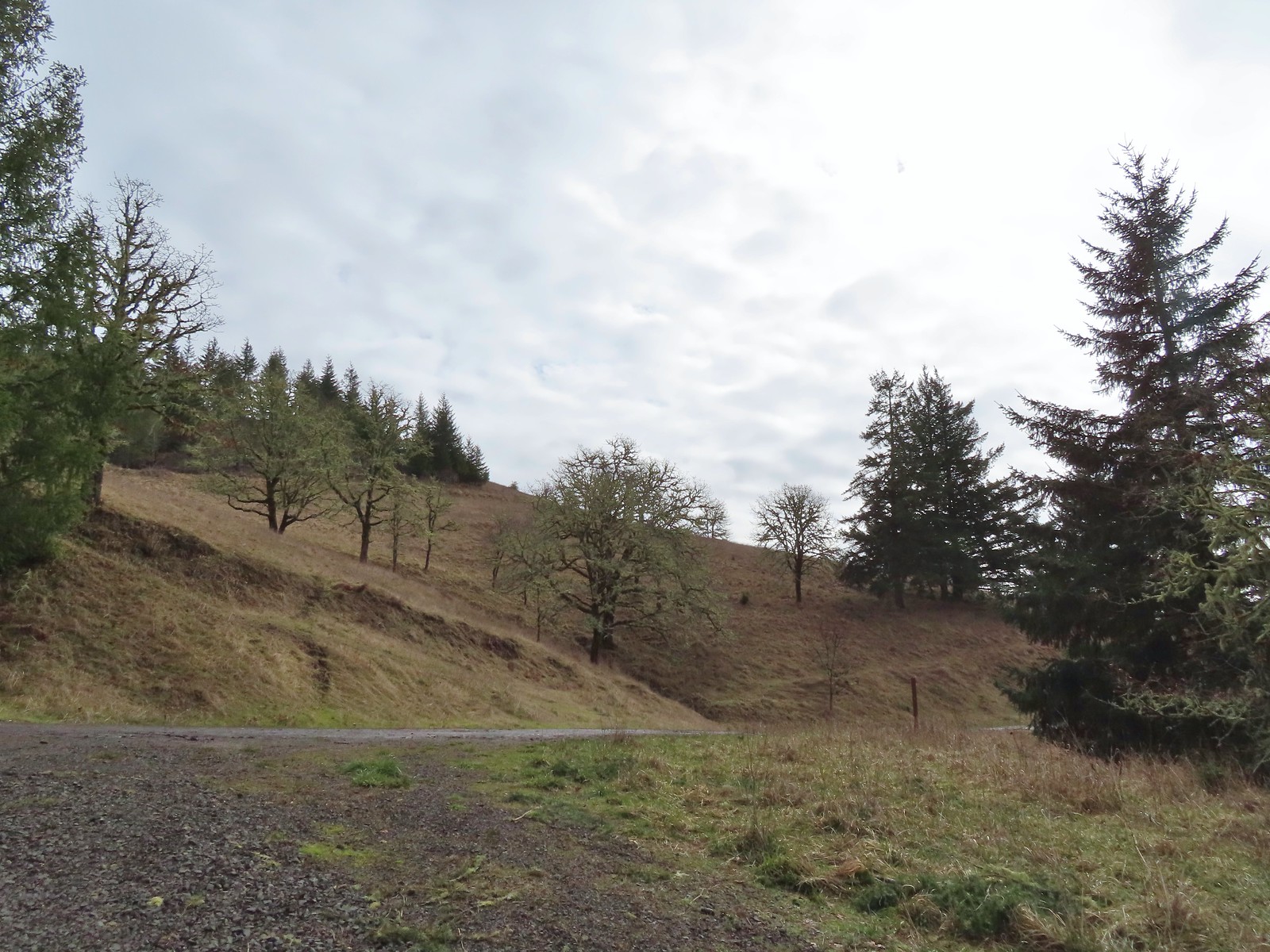
 View from the trailhead.
 Trailhead signboard.
There are three types of trails at Newell Creek Canyon: Shared use (bicycle & hiker), hiker only, and bicycle only. Our plan here was to start with the shared use trails and finish with the hiker only Canyon Spring Loop. This way we would finish the shared use trails nice and early in hopes of avoid too much traffic. We made our way around the outside of the grassy picnic area to the start of the trails at a gate.
 Please note that pets are not allowed at most Metro parks.
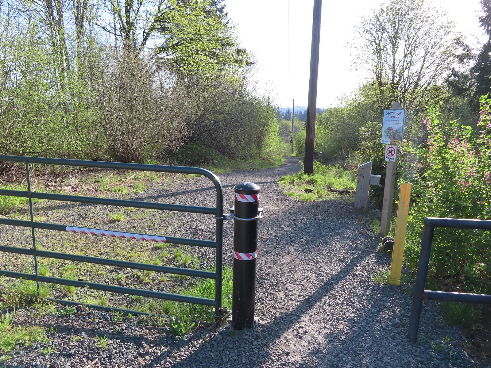 Don’t forget to brush off your shoes when brushes are available.
With the word canyon in the name, it’s not surprising that the Tumble Falls Trail begins by descending into Newell Creek Canyon.
We passed the biker only Shady Lane Trail on our right and further along a second biker only connector to the Shady Lane Trail.
 The Shady Lane Trail.
 Oregon grape, red flowering currant and Indian plum
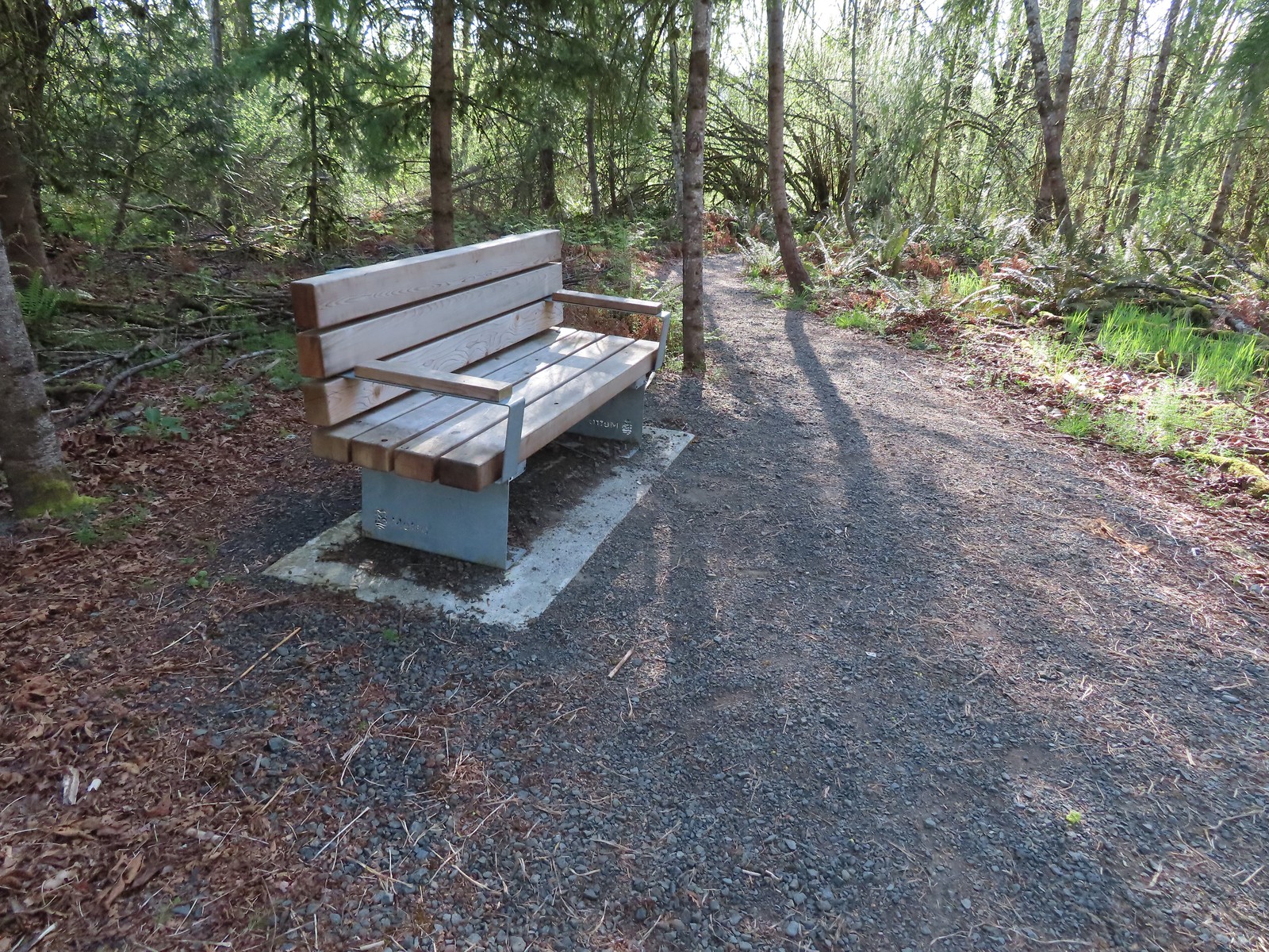 One of several benches located throughout the park.
 The connector trail.
 Candy flower
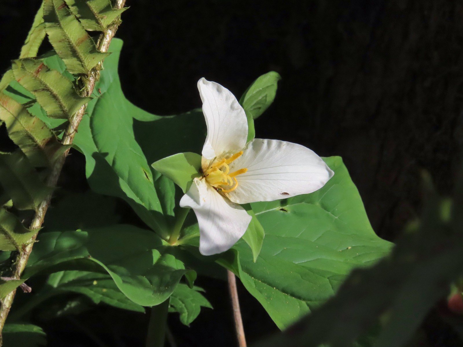 Trillium with a tiny insect.
 Carpet of green.
 A rare bluebird day for us this year.
Near the 0.4-mile mark we passed the Canyon Springs Loop which forked off to the left.

We continued on the Tumble Falls Trail which was now somewhat level.
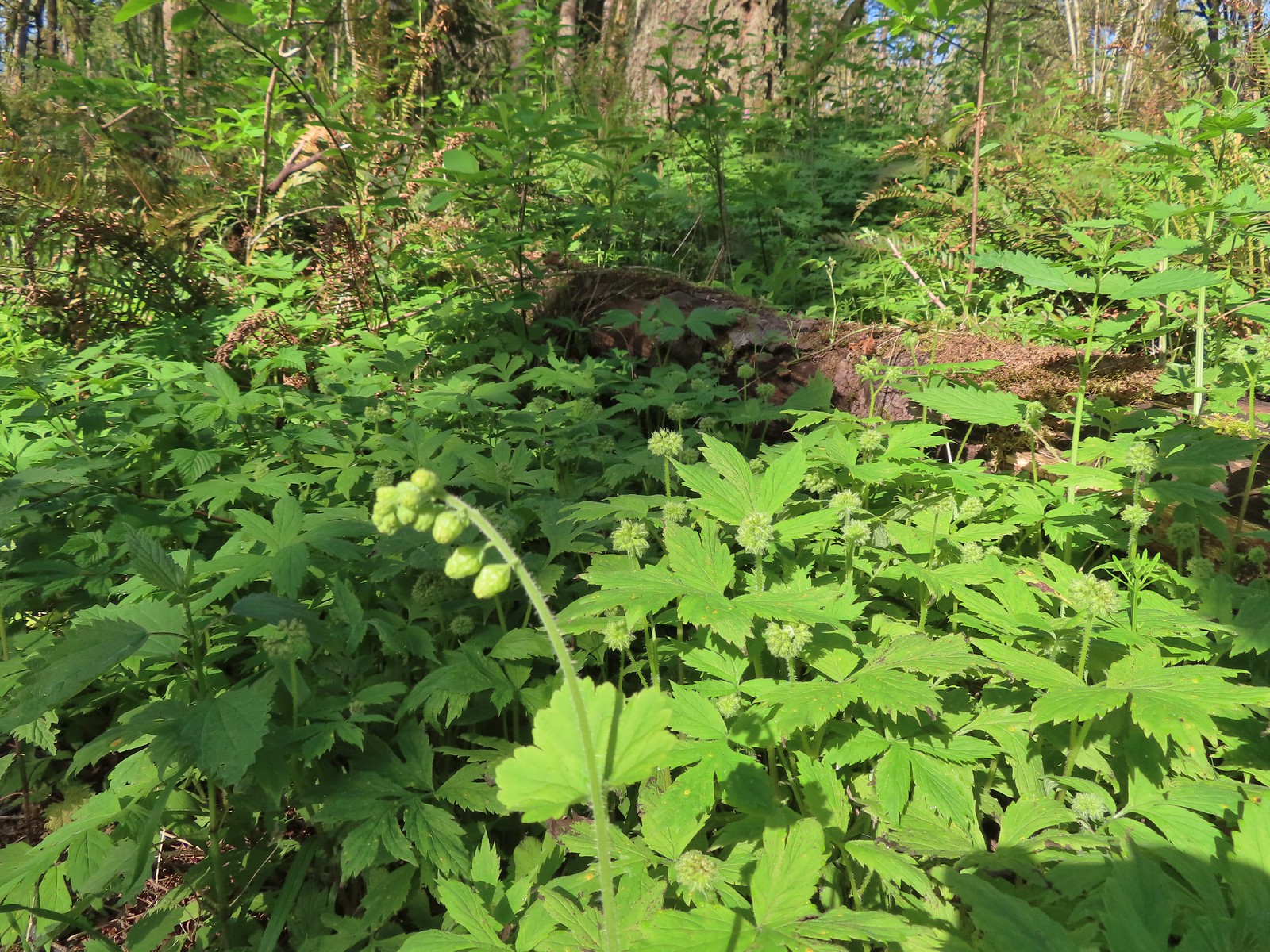
 Salmonberry blossoms
 Fringecup and pacific waterleaf that had yet to start blooming.
The Shady Lane Trail joined from the right just before reaching the Tumble Falls Bridge.

 The Tumble Falls Bridge.
 Tumble Falls
On the far side of the bridge the trail became the shared use Cedar Grove Trail from which the biker only Red Soil Roller Trail quickly split off.

 The Red Soil Roller Trail to the right.
We followed the aptly named Cedar Grove Trail downhill to its end at a bench overlooking Newell Creek Canyon. While we couldn’t see the creek itself the sound of flowing water let us know that it was down there.
 A small pond along the trail.
 Song sparrow
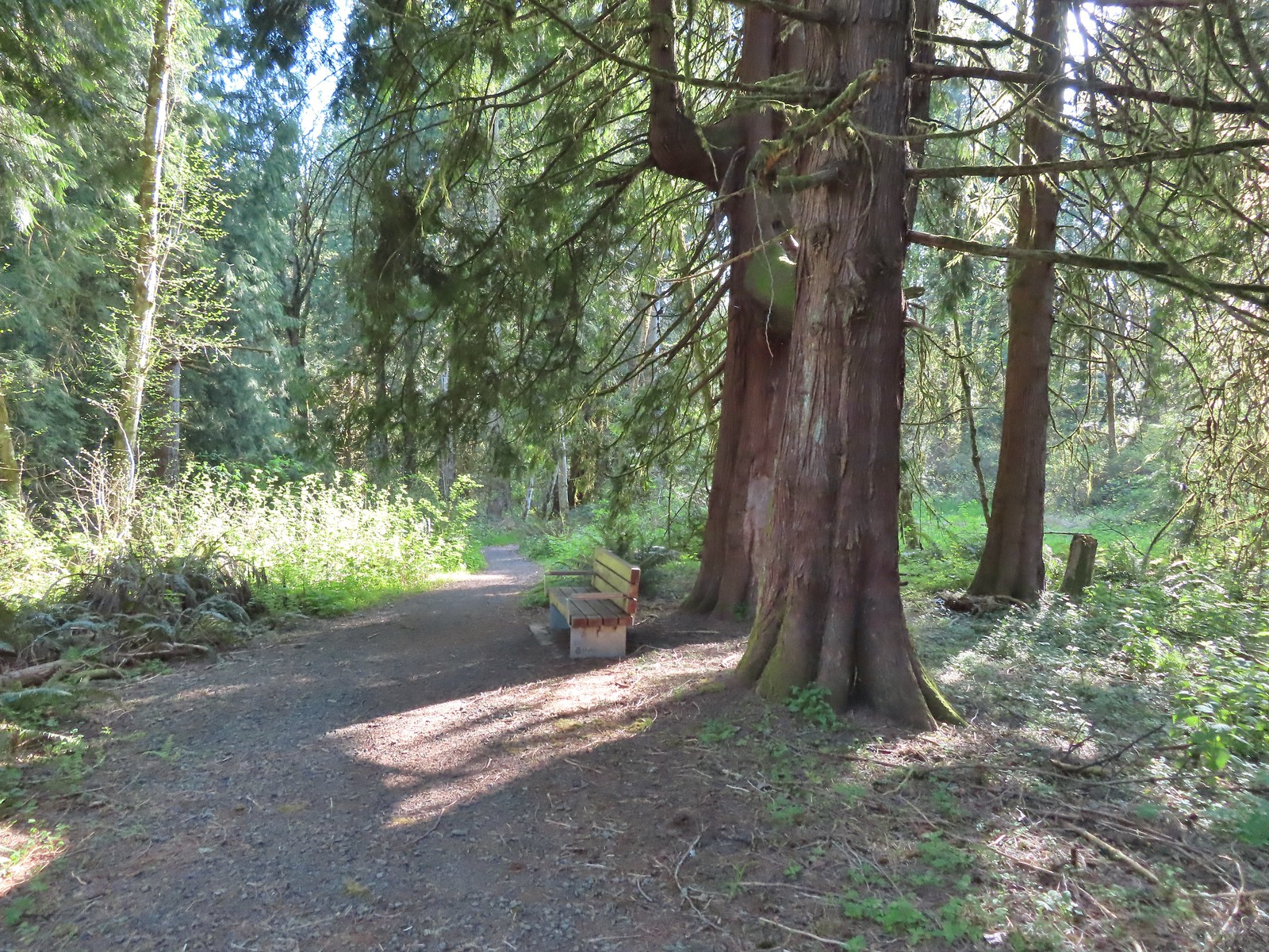 Western red cedars
 Nearing the end of the trail.
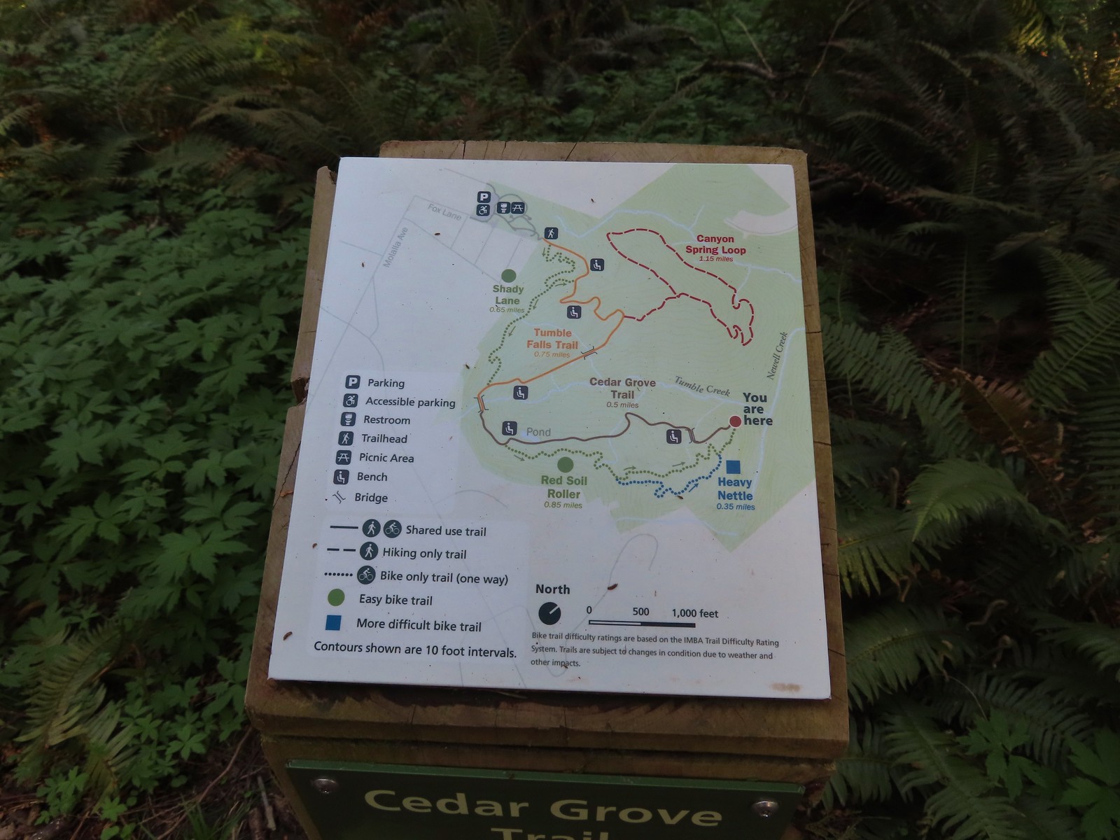 Map at the end of the Cedar Grove Trail.
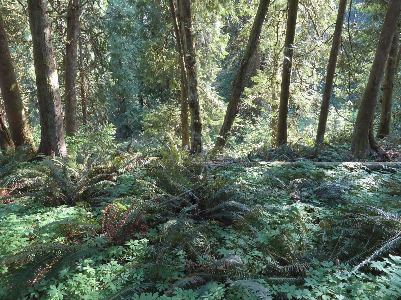 Newell Creek is down there somewhere.
We headed back the way we’d come. It was warming up nicely and we spotted our first butterflies of the year as we climbed back toward Tumble Falls.

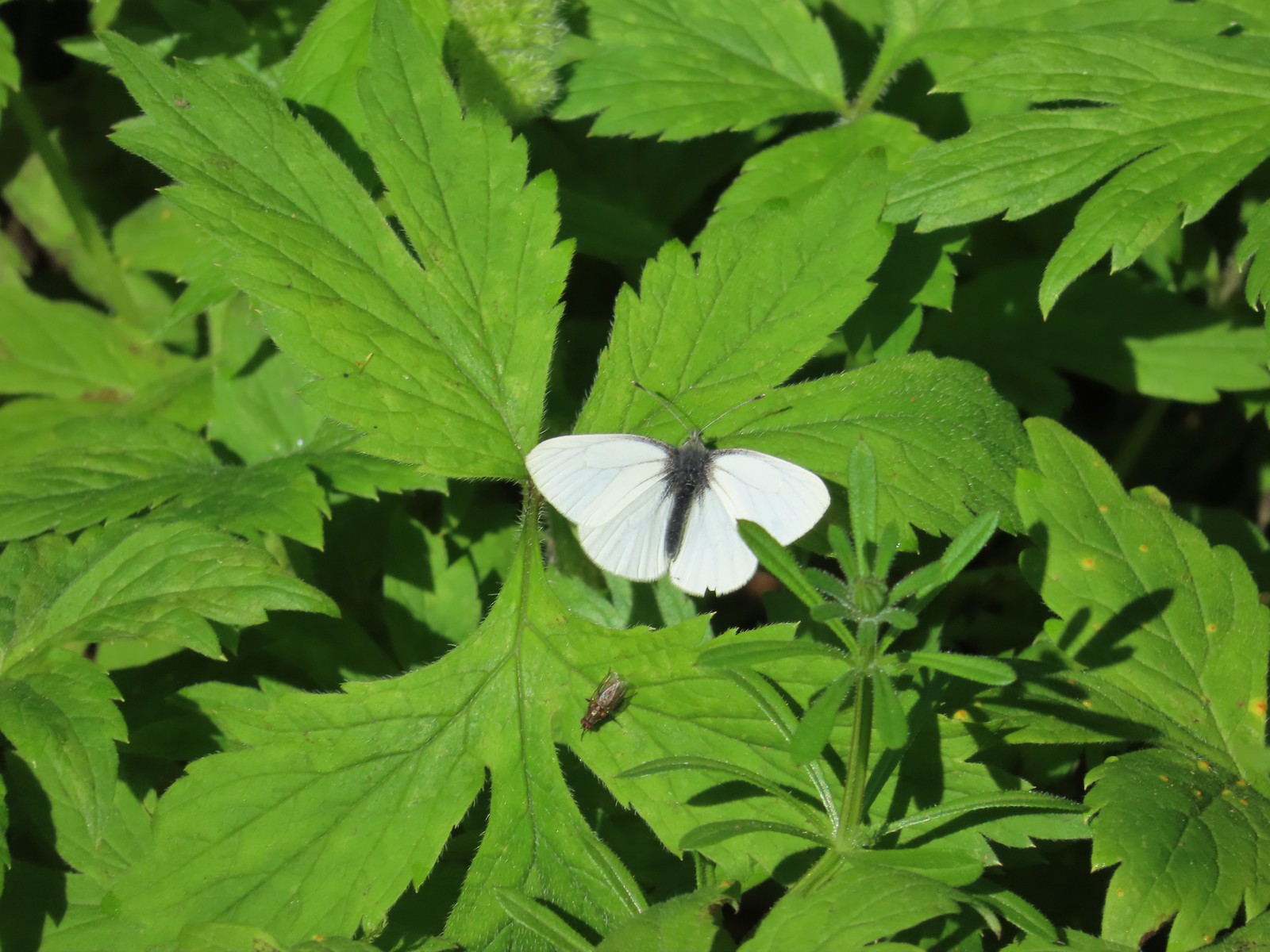 Male margined white?
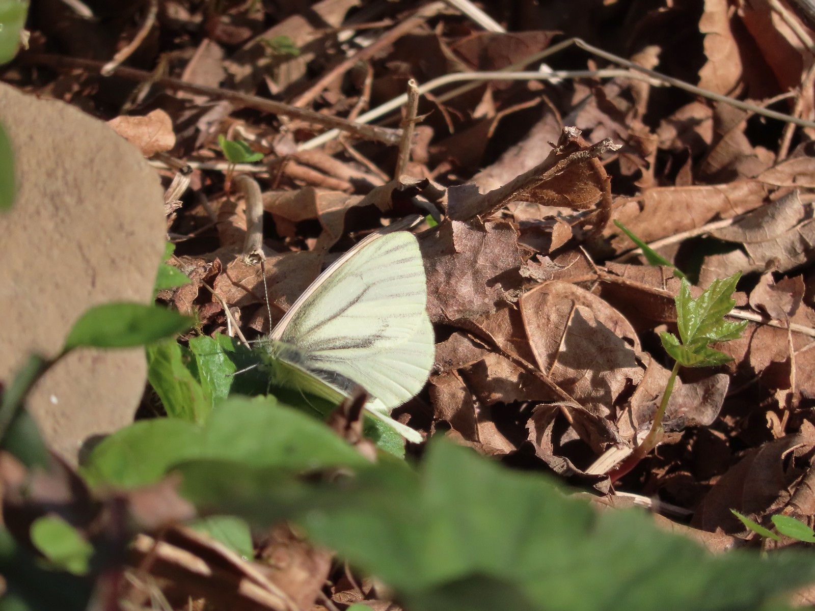 Female margined white?
When we reached the Canyon Spring Loop we turned onto it and followed it for 500′ to a junction on the ridge where the actual loop began. We chose to go right and followed the ridge east.
 Slender toothwort
 The Canyon Spring Trail below in the trees.
The trail lost approximately 100′ before completing a 180 degree turn and leveling out as we headed back West.
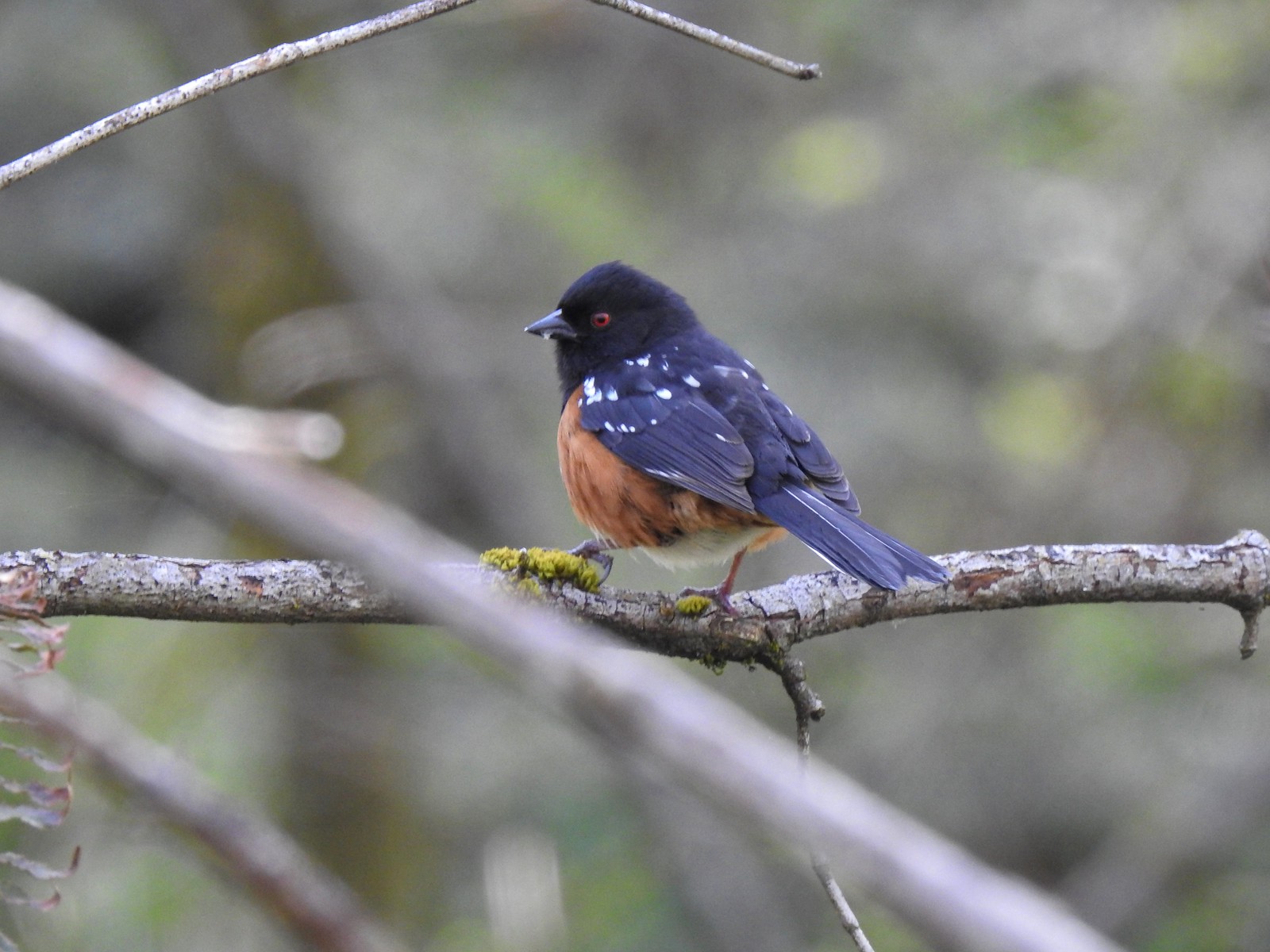 Spotted towhee
 Chipmunk
 Heading back beneath the ridge.
Shortly after starting back beneath the ridge, and not long after the subject of owls had come up, we spotted a great horned owl sitting in the undergrowth just off the trail near a tree.
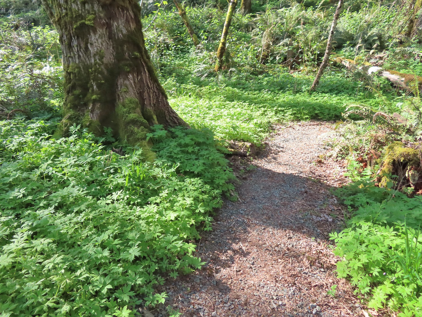
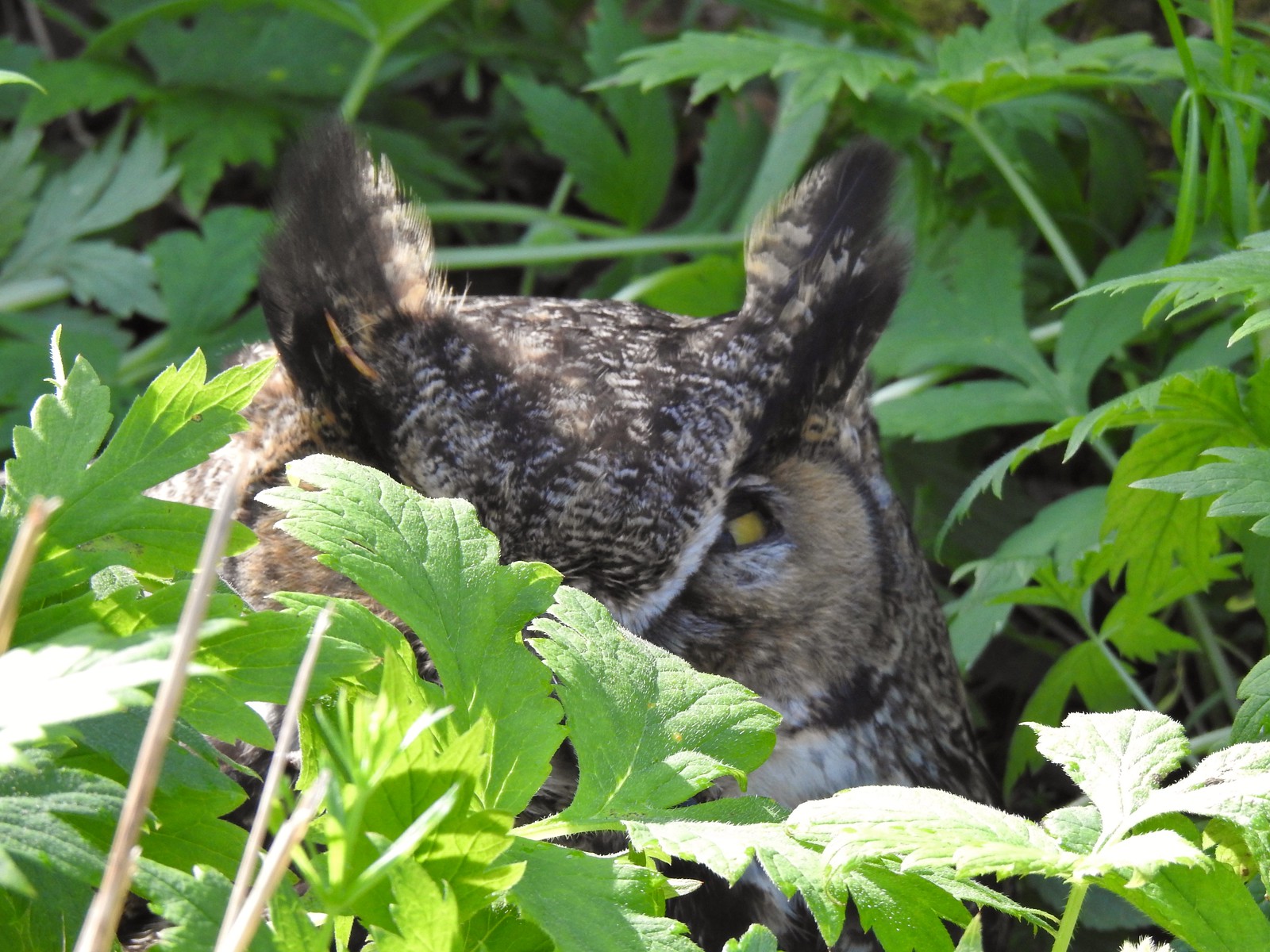
We stopped a ways back to see if it would fly off but aside from some slight head movement and slight eye opening it didn’t move. We made note of where it was and slowly passed giving it as much space as possible. Our plan was to report it when we got back to the car in case it was injured or sick. We finished up the loop and had started up the Tumble Falls Trail when we passed two Metro parks staff. We let them know about the owl, showed them a photo, and pointed out on the map where we’d seen it and they were going to check on it and report it to the appropriate entity if necessary. We hope the owl turned out to be okay. As much fun as it is to see the wild animals it is sad when we come across an injured one.

 Trillium and mushrooms
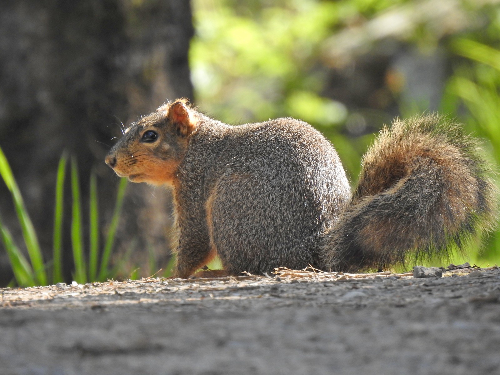 Squirrel
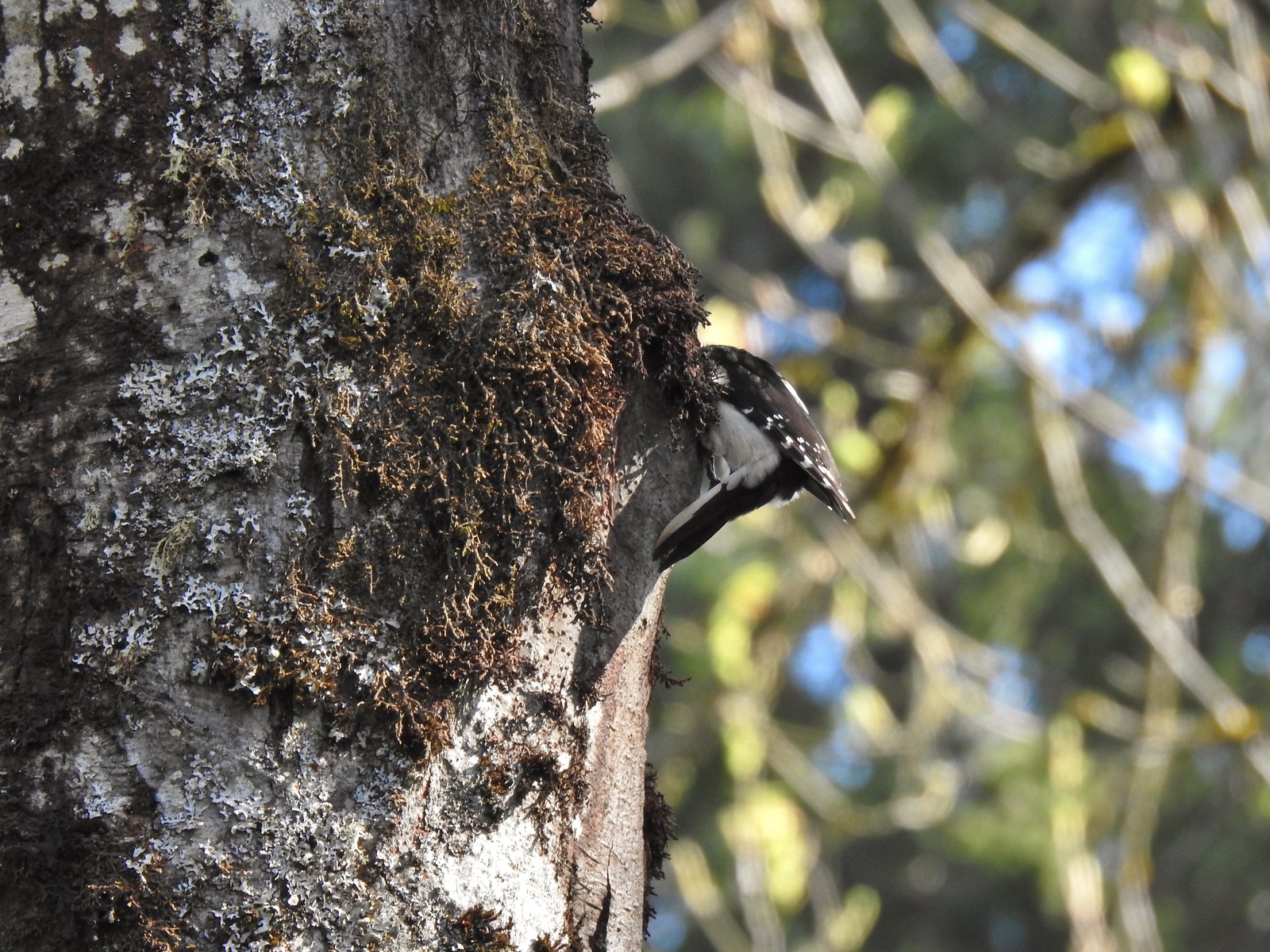 Woodpecker
 Stellar’s jay
 Back at the Tumble Falls Trail.
We felt better knowing that we’d let someone know about the owl and made our way back to the picnic area which we passed through to return to the car.
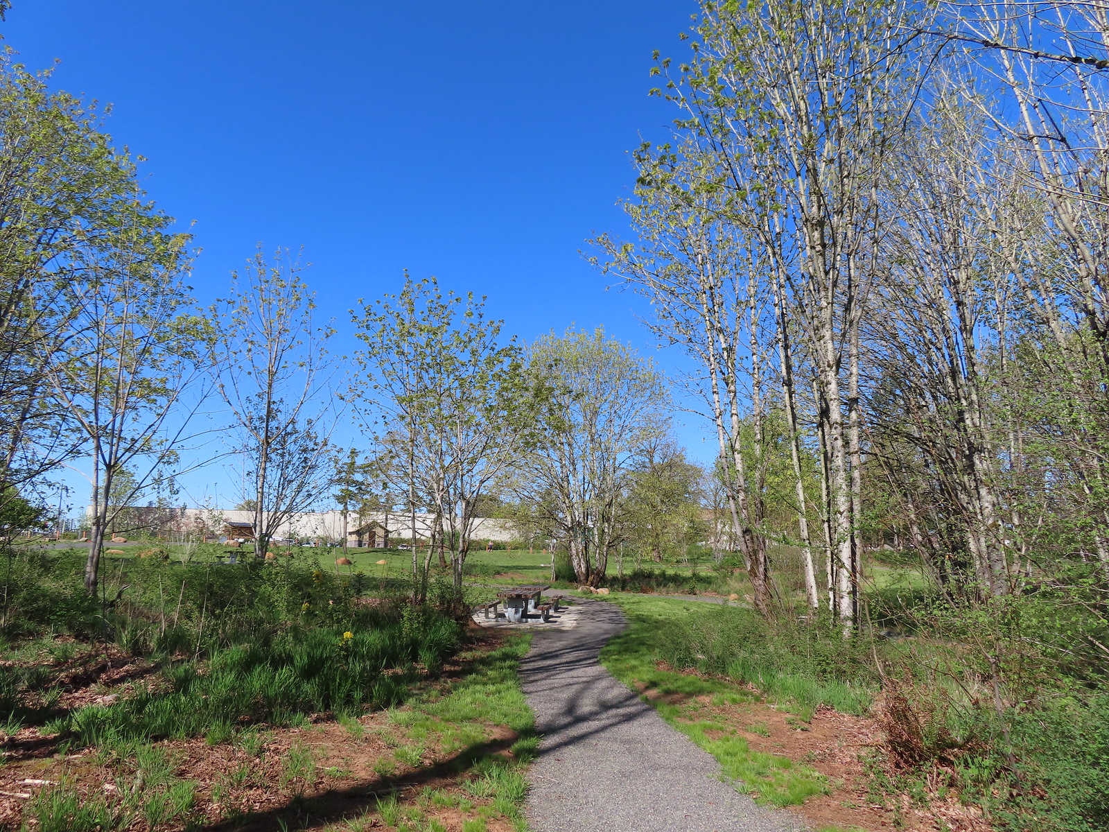
Our hike here came in at just under 3.5 miles with 570′ of elevation gain giving us approximately 5.5 miles and 760′ of elevation gain on the day. Both parks were nice and really well maintained, kudos again to Metro for the job they do with the public spaces. One thing that became clear as the morning heated up was that we are not at all prepared for warm weather hiking. It’s been so cool (cold) and overcast for so long our bodies aren’t ready for temps in the 70 or 80s. Hopefully there is still time for a reasonable transition to the heat of Summer but that window grows shorter every day and more cool, wet weather appears to be on the way for the coming week. Happy Trails!
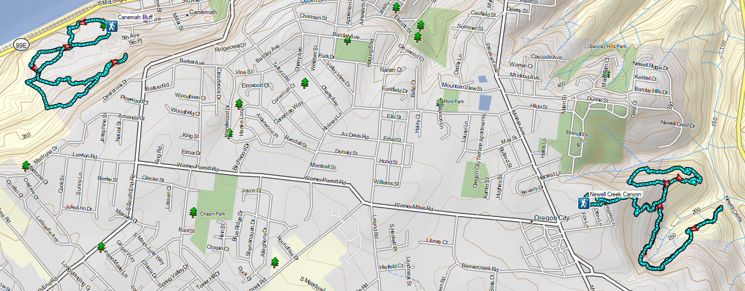


 Not sure how “official” the writing is on the map, but it wasn’t wrong about the Turtle Loop being “closed” (high water).

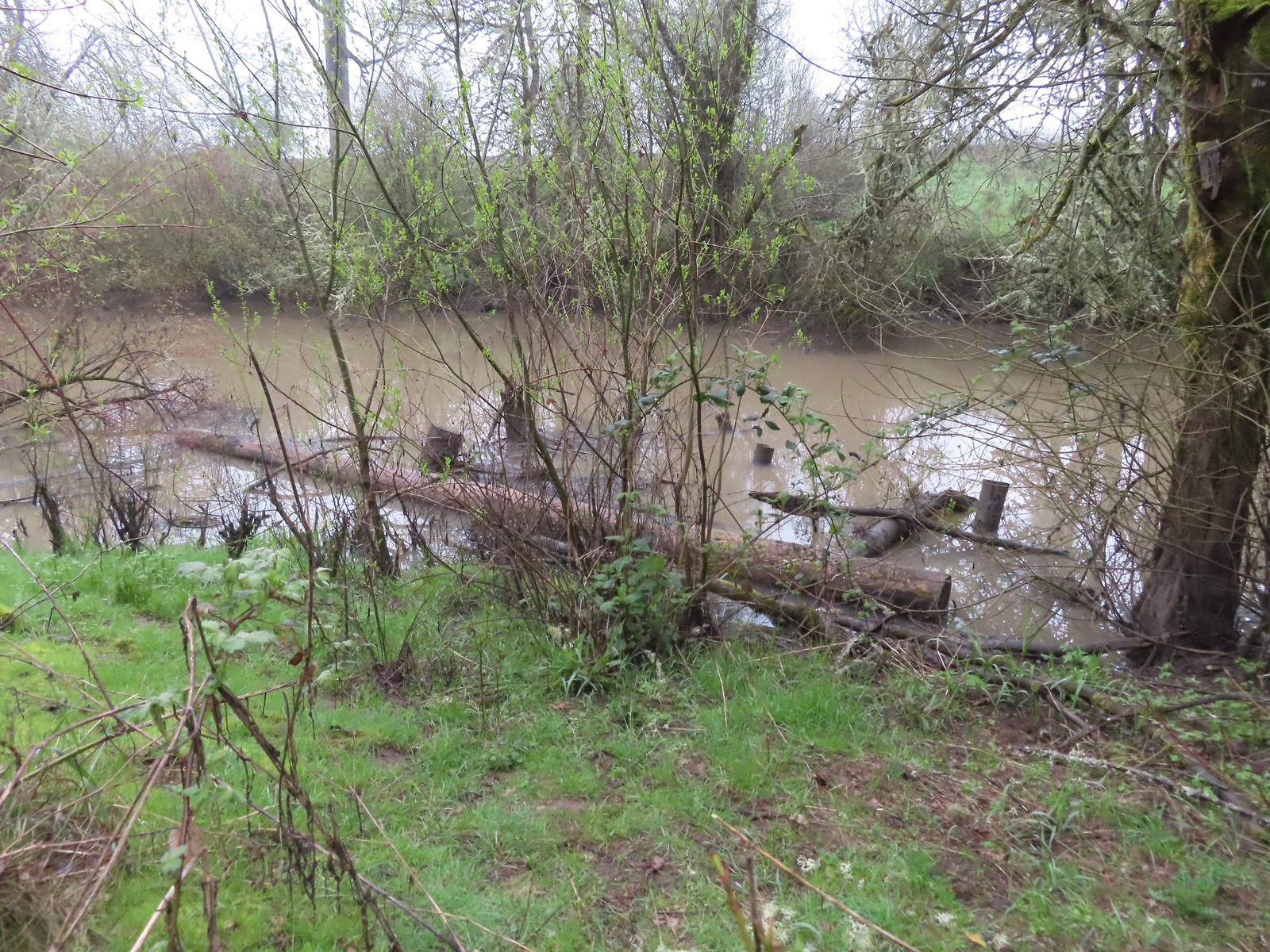 A swollen Lake Creek
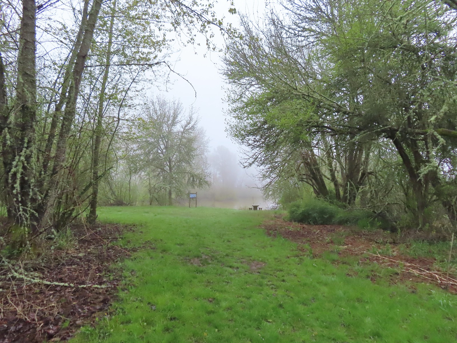 A third of a mile from the trailhead is a picnic table overlooking a former channel of the Willamette River that is now an oxbow lake filled by Lake Creek.
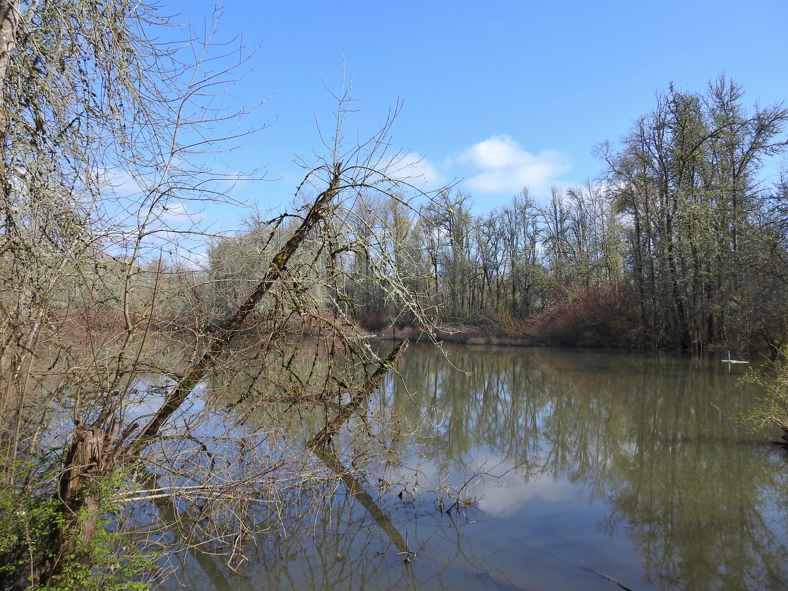
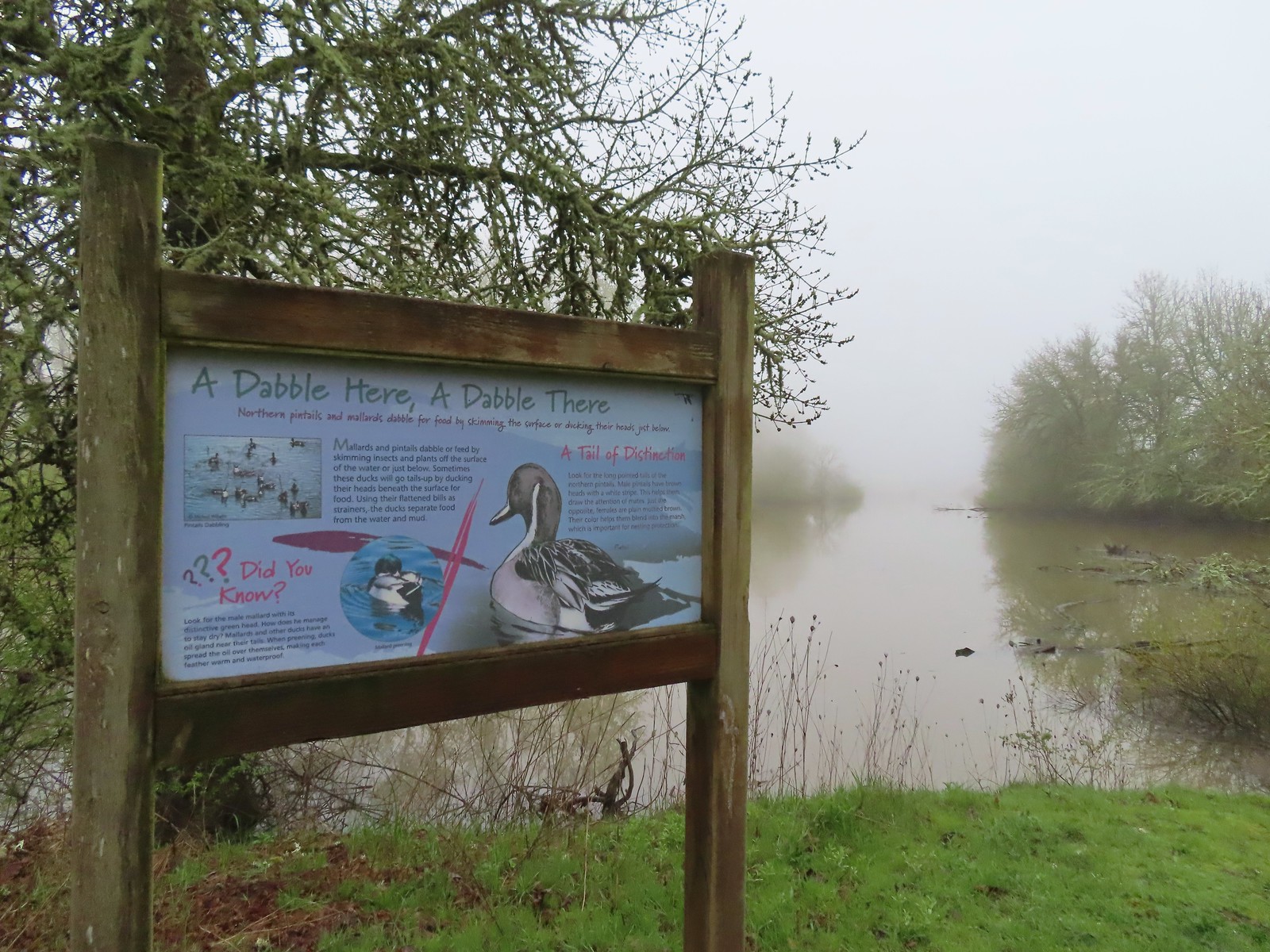 The oxbow lake.
 Lots of water in the lake.
 Woodpecker hiding in the trees.
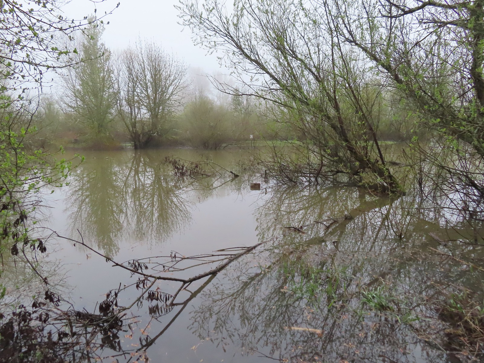 Note the sign on the far side vs the closer sign barely sticking up out of the water.
 Oregon grape
 Red flowering currant
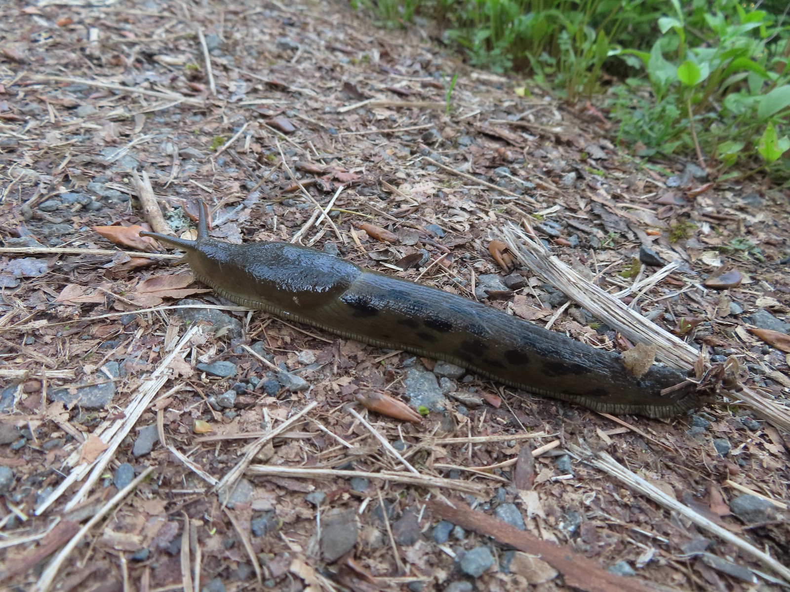
 Slug
Slug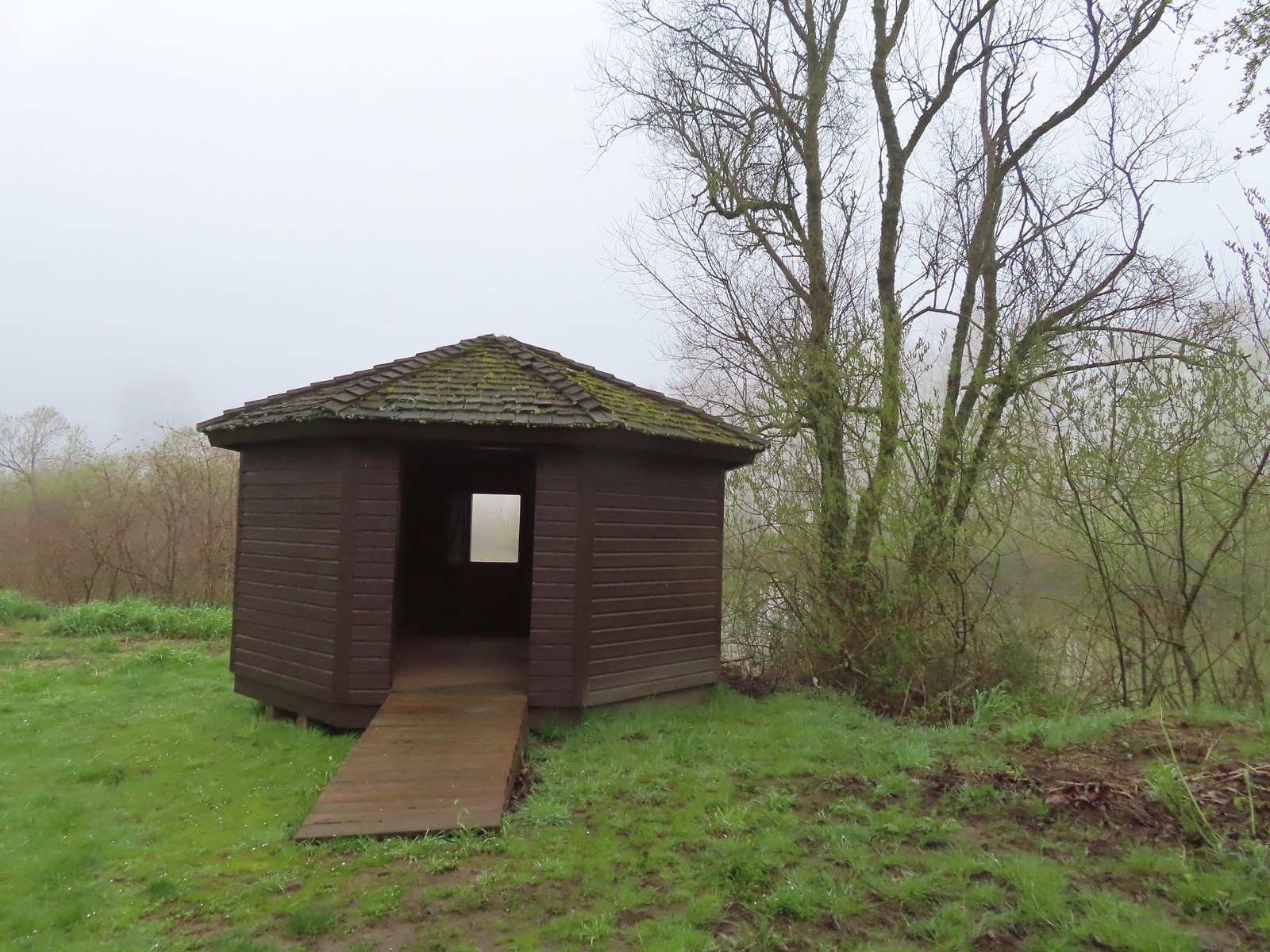 The observation blind.
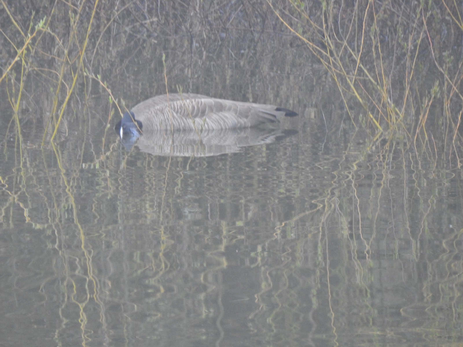 Goose
Goose Spotted towhee
 Mallard drake
 The Blue Heron Trail followed the boarder of the refuge and some private farmland.
 Blue Heron Trail to the left and Turtle Trail on the right.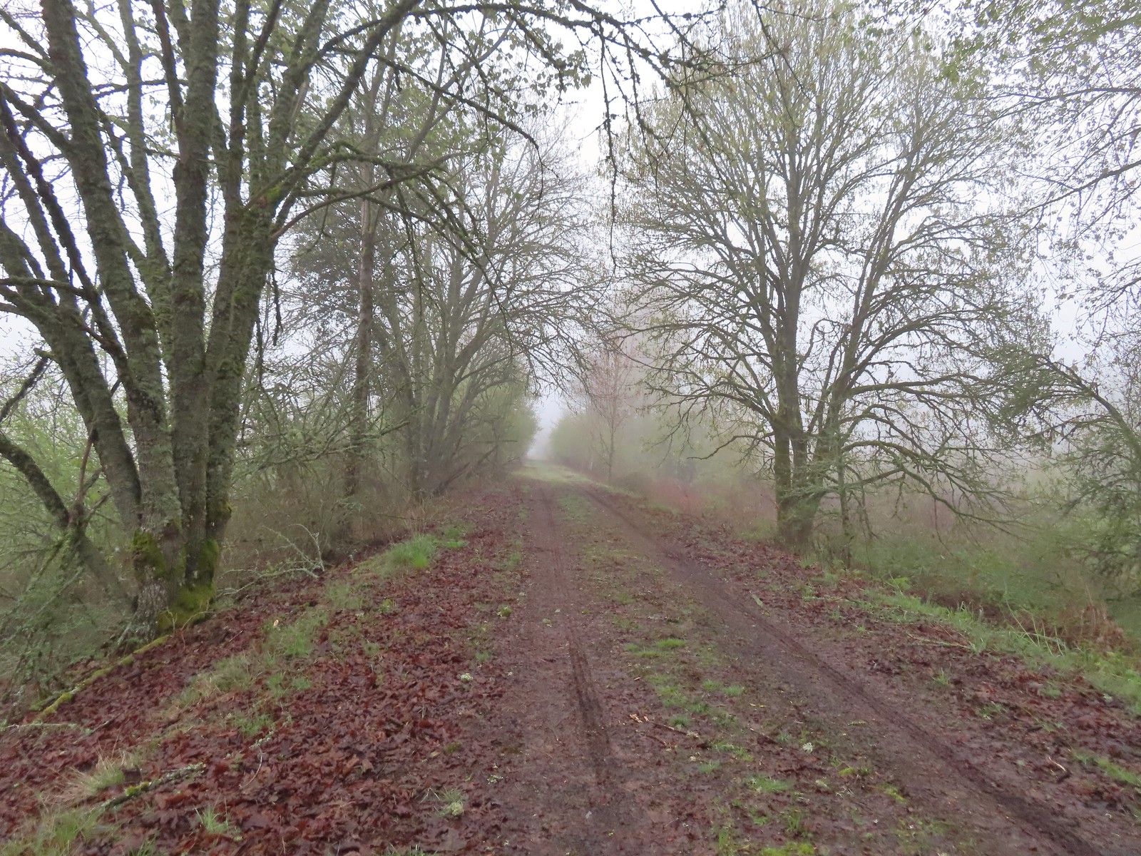

 American widgeon


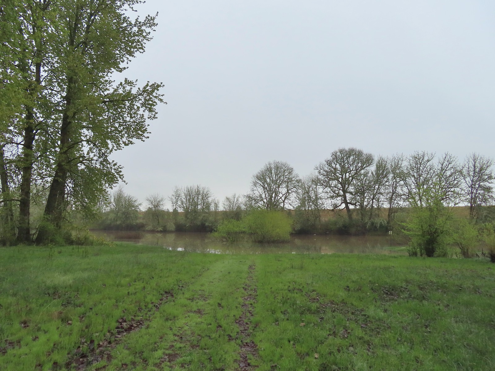
 Another sign out in the middle of the water.
 The start of a possible loop using the Blue Heron Trail. The fainter track on the right heading downhill was flooded just 100 feet or so away.
 The flooded area where the loop would end.
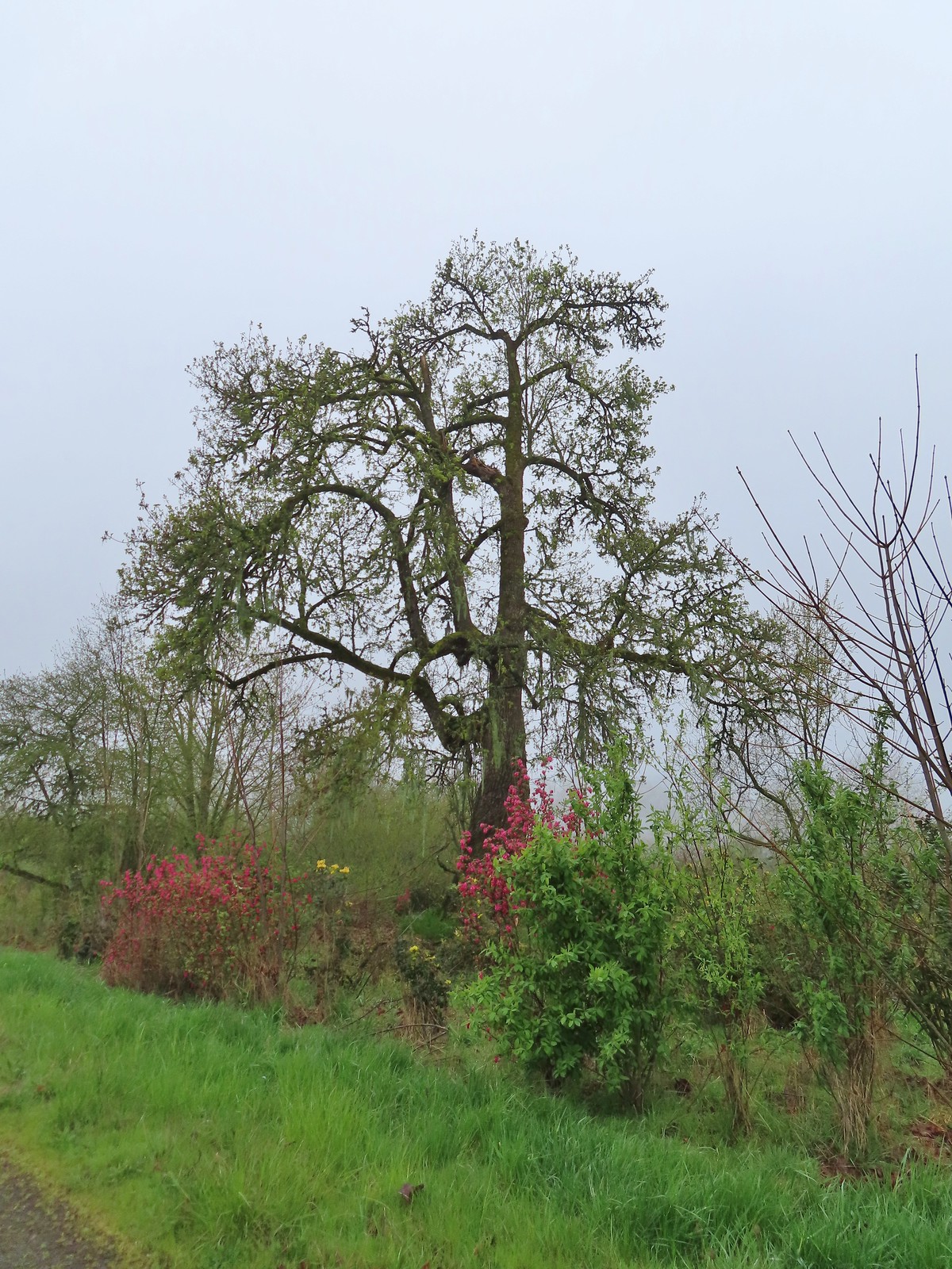 Cottonwood with red flowering currant, Oregon grape, and Indian plum blooming in front.
 We were able to keep our feet dry on the gravel surfaces.
 Mushroom
 Rufous Hummingbird
 Hawk preparing for takeoff.
 We had started to go past the turn for the Blue Heron Trail so this photo is as we headed back toward the turn. We came from the right-hand side so the path straight ahead would have been the “sharp right”.
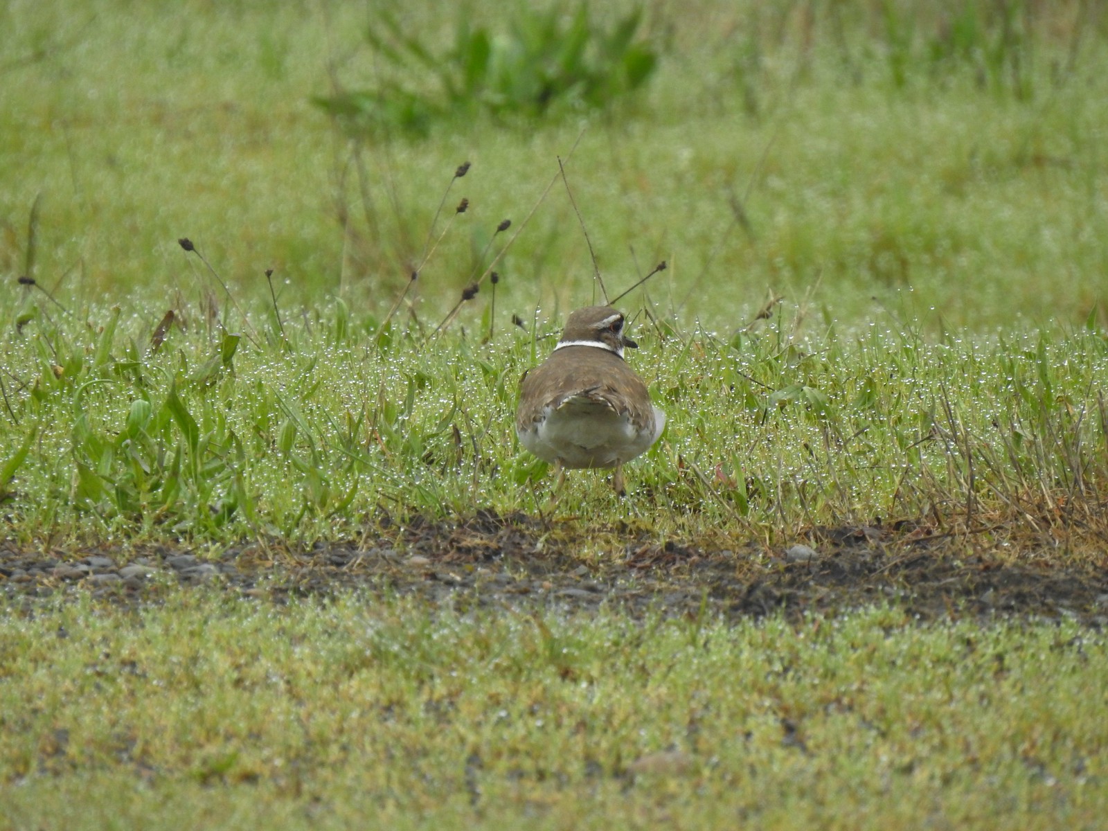 Killdeer
 Our turn around spot. The trail was beginning to bend back to the East here.
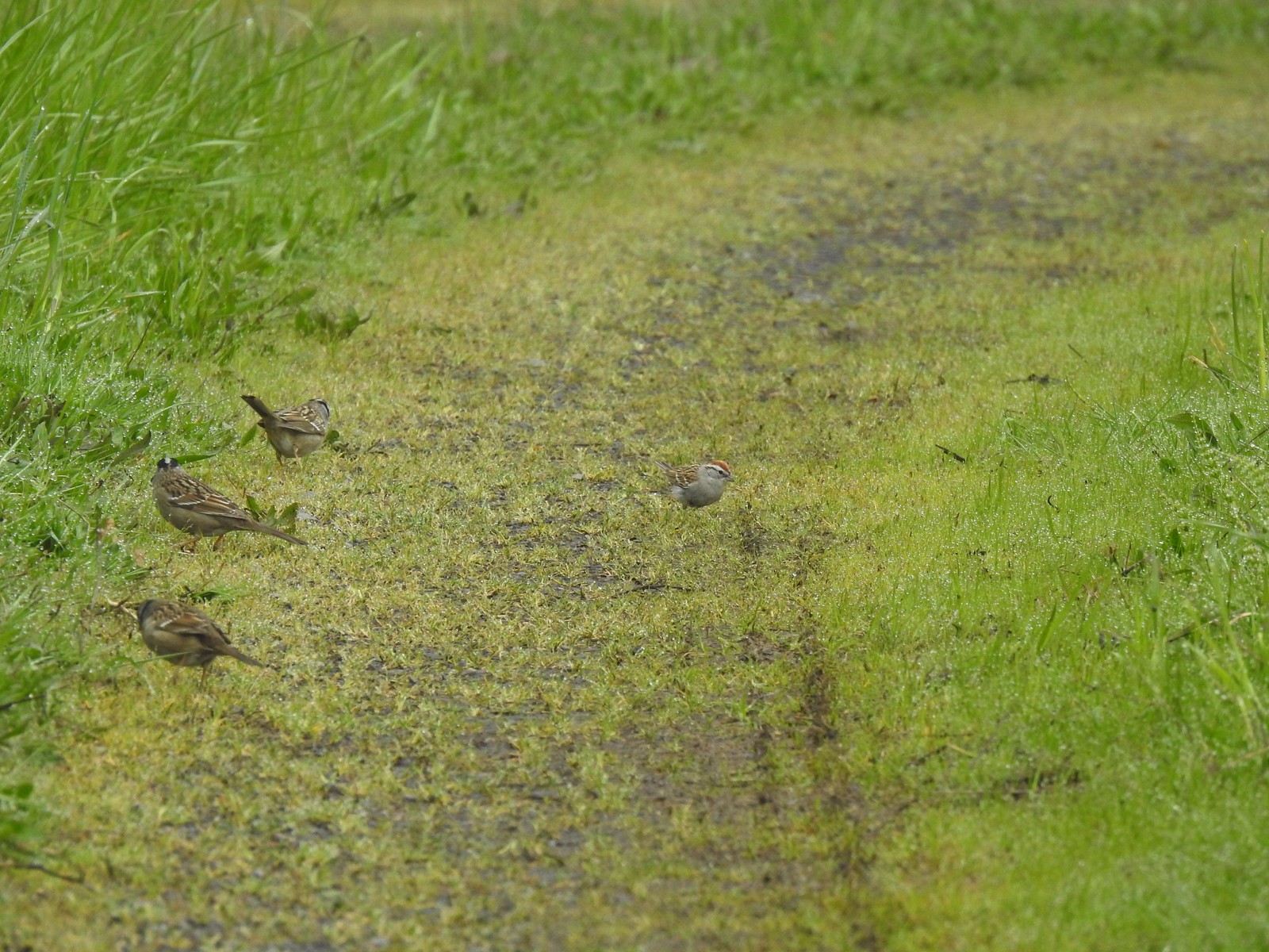 A chipping sparrow among the golden-crowned sparrows.
 On the Snag Boat Bend Loop
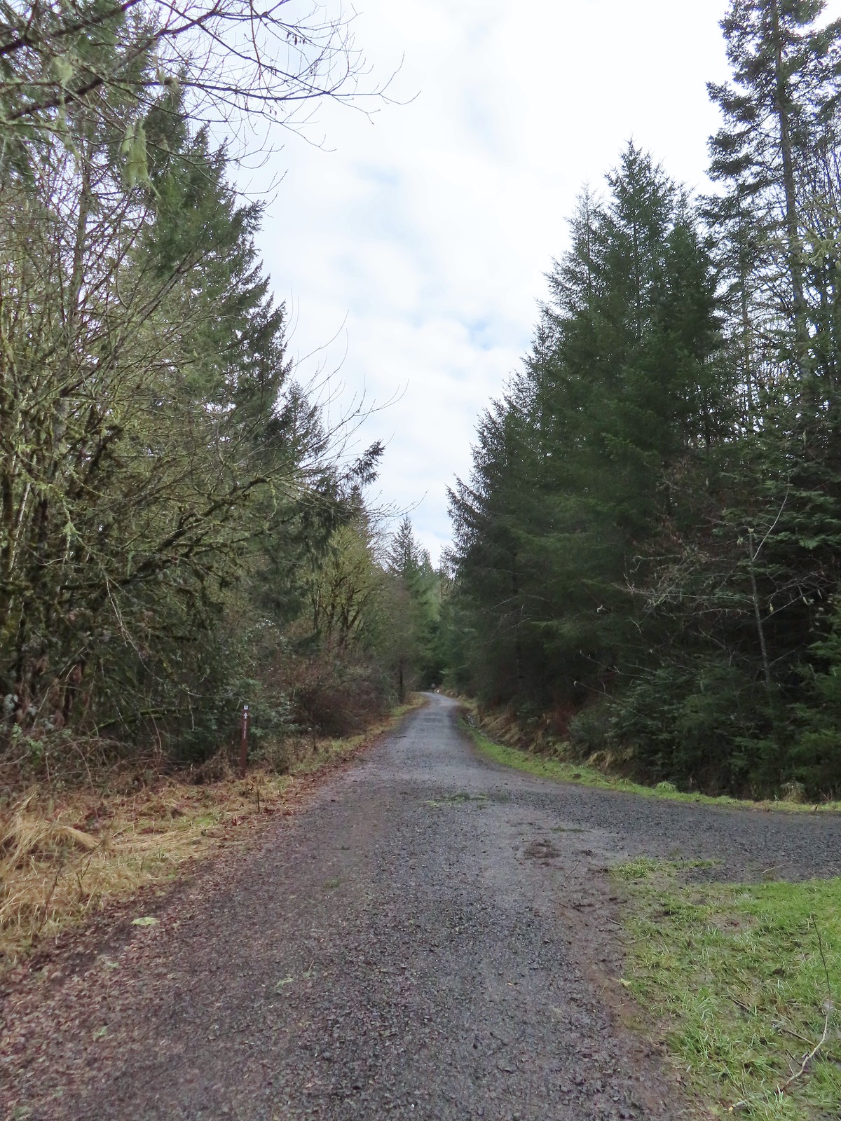
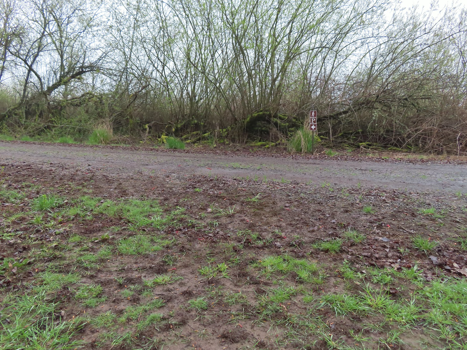 The trail turned left to follow this gravel roadbed for the final third of a mile.
 The gate in the distance is at the trailhead.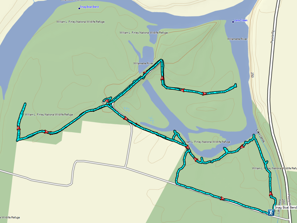
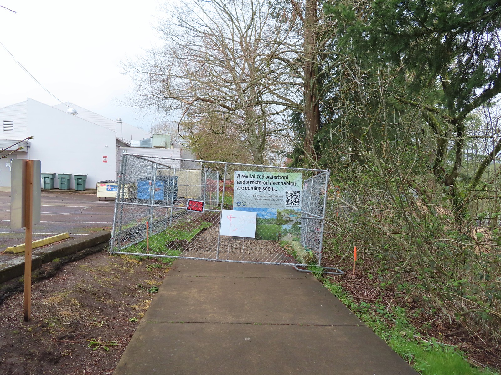 We wound up parking East of the Riverfront Community Center and hoping on the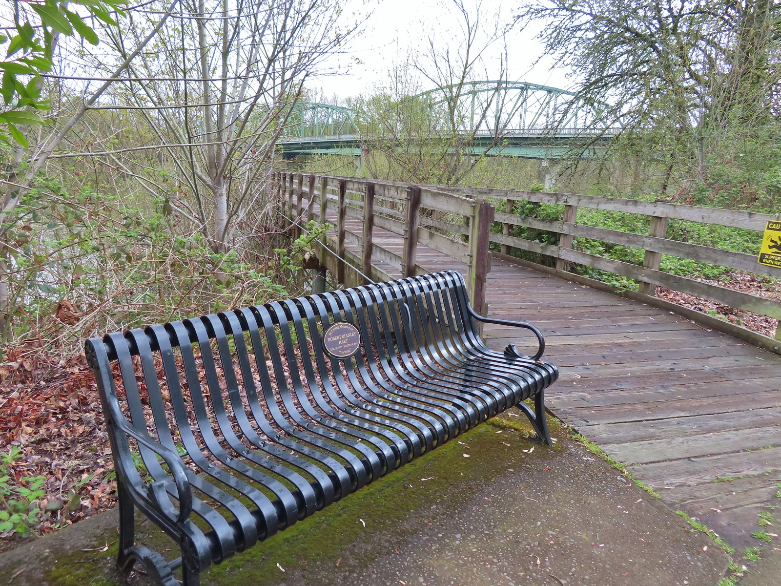
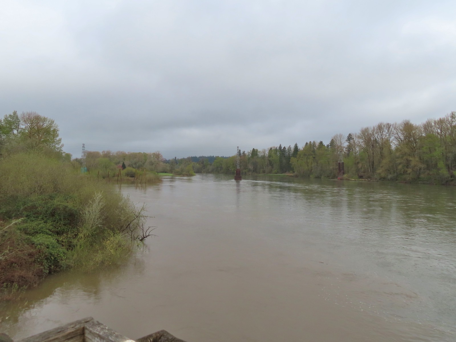 The confluence ahead to the left.
 Highway 20 passing over the Willamette to the left. Fun fact about U.S. Highway 20 – It runs from Newport, OR to Boston, MA and is the longest road in the USA according to the Federal Highway Administration. Click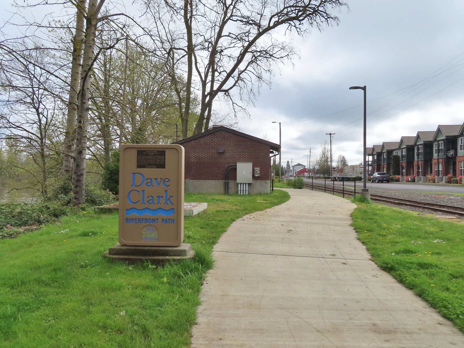
 Orange crowned warbler. One of many small birds we saw along this trail.
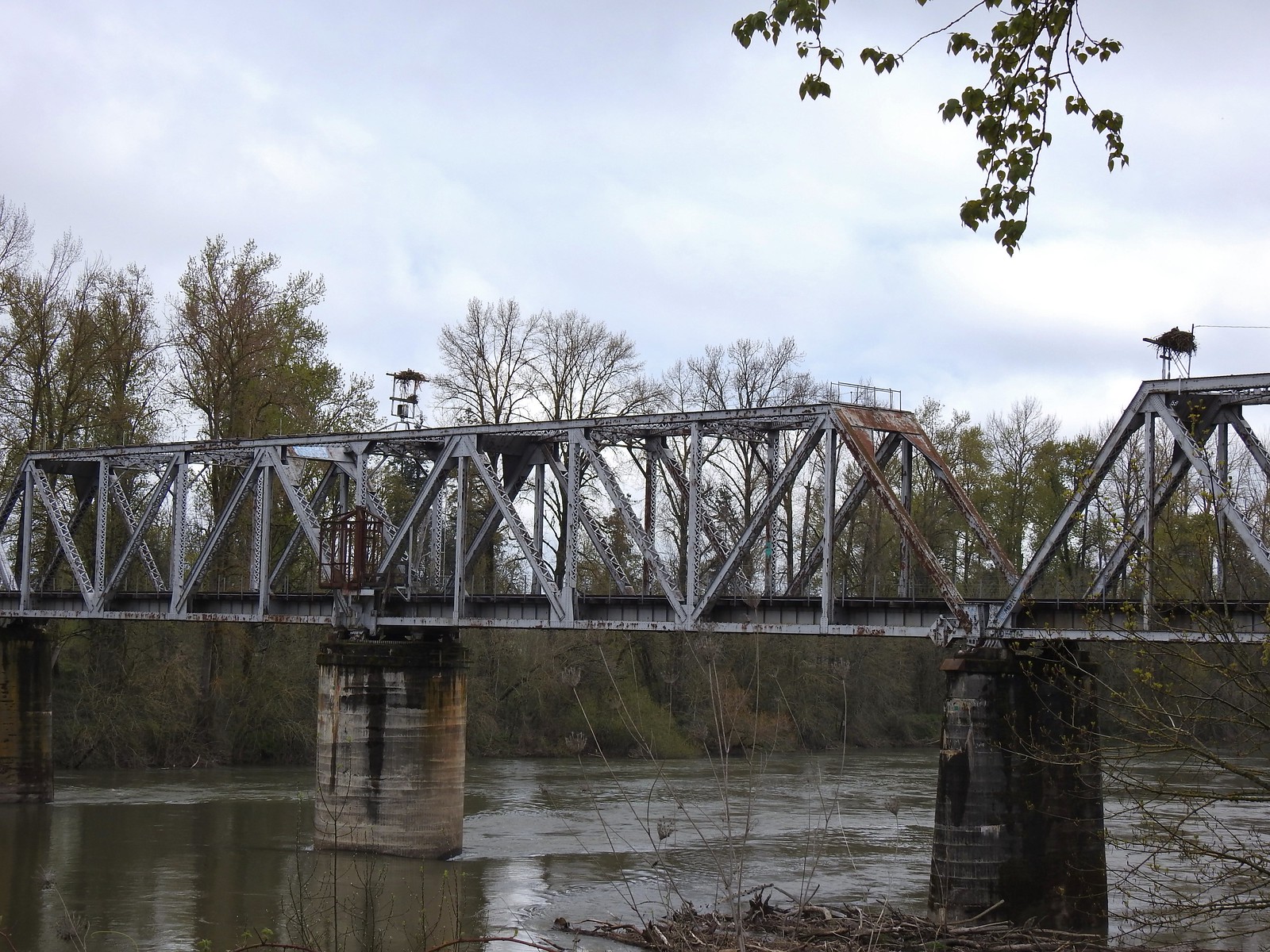 We thought it was a little odd to see two occupied nests atop the railroad so close together until we realized that the occupants weren’t both birds of prey.
 Canada geese were using one of the nests.
 Might be the mate looking acting as lookout from the bridge.
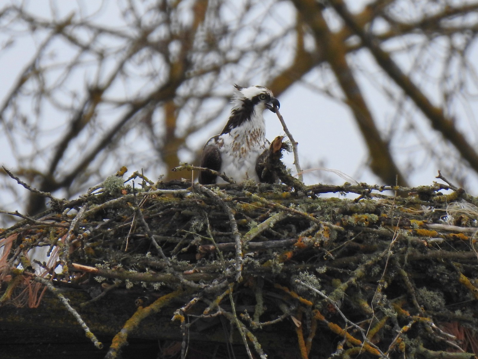 Osprey occupied the other and appeared to be in the process of renovations.
 His bright pink head was more impressive in person.
 The community garden (not pictured) was on our right.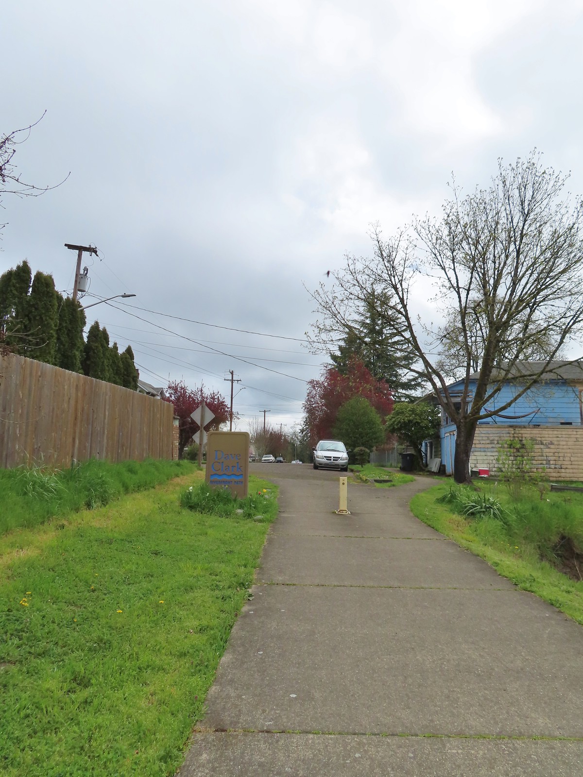
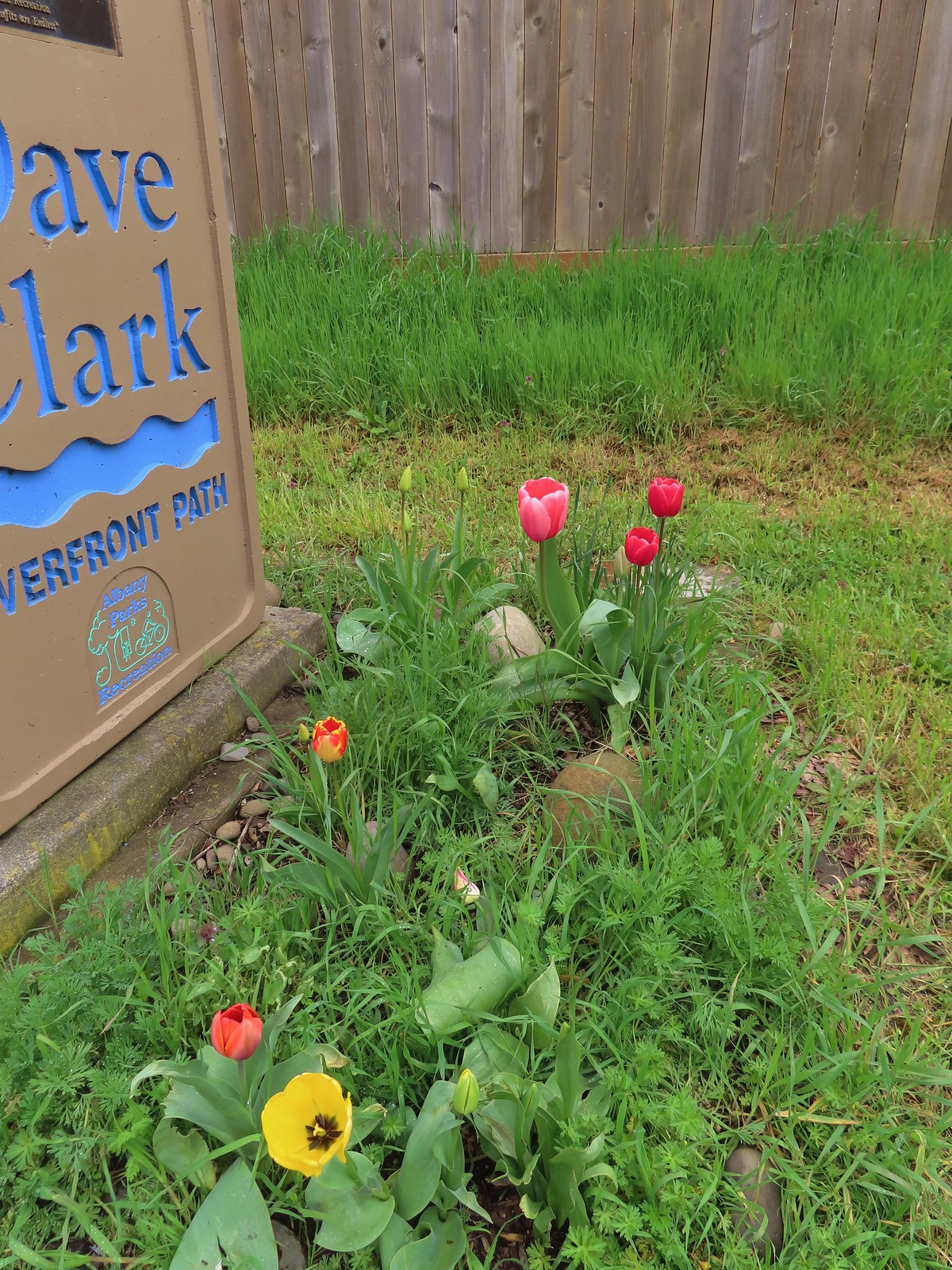 Pretty tulips at the sign.
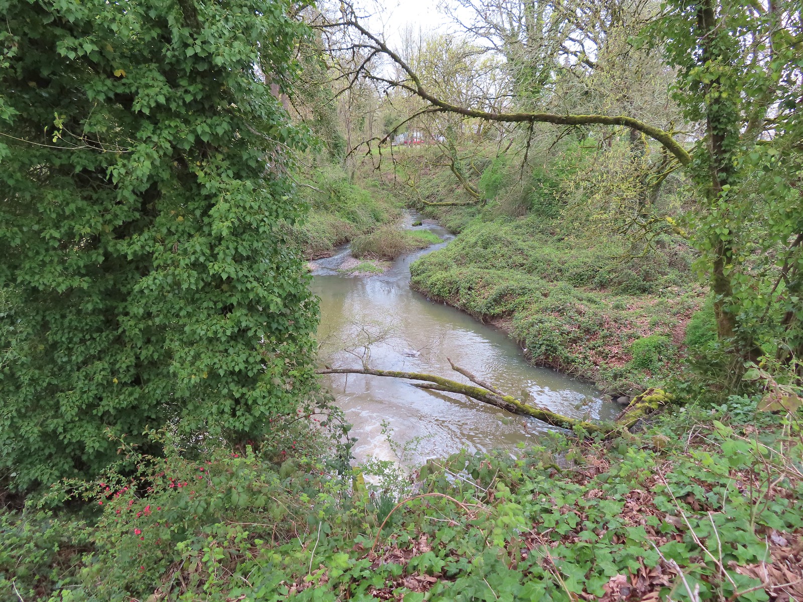 Not a lot to see in the residential neighborhoods but we did cross Pettyjohn Creek along the way.
 Sign for Bowman Park at Geary St.
 Bowman Park on the left and the paved path we took on the right.

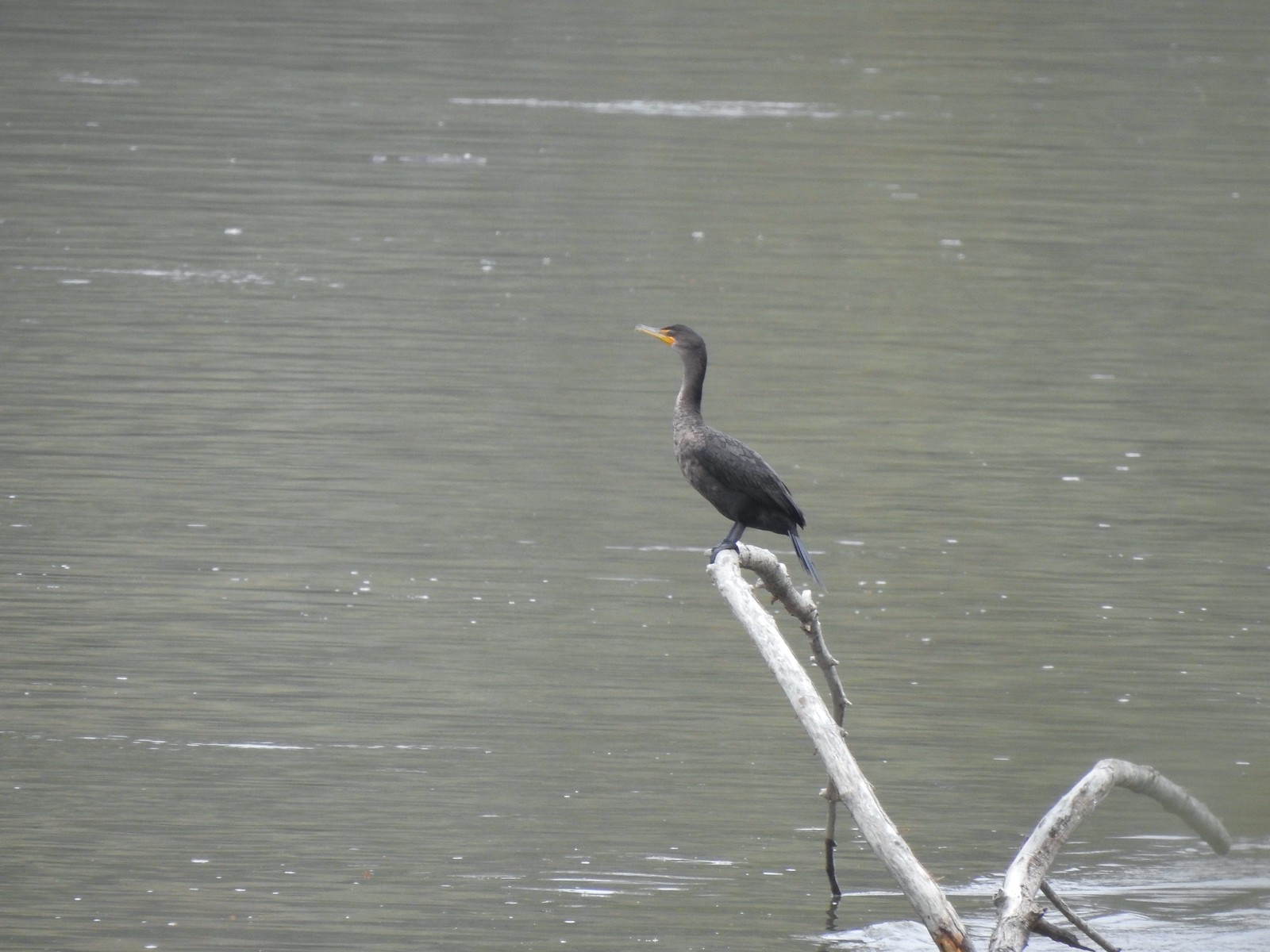 Cormant in the middle of the Willamette.
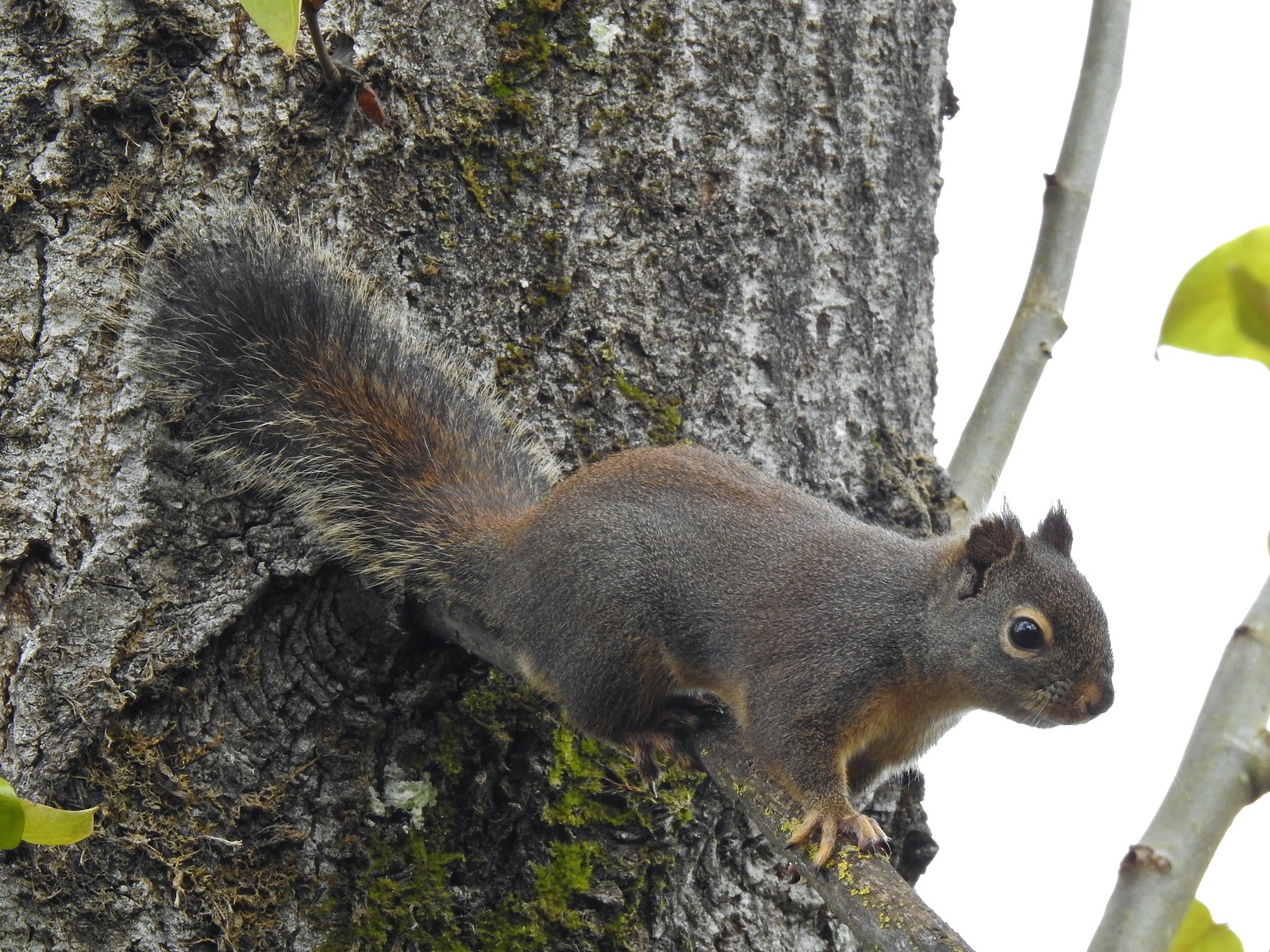 Squirrel
 Seen near a homeless camp which sort of captures the situation. A combination of unaffordable house, drug abuse, and mental illness has created a crisis up and down the West Coast with no simple (or quick) answer.
 We initially mistook all the footprints and bike tracks as a sign that the trail saw good recreational use.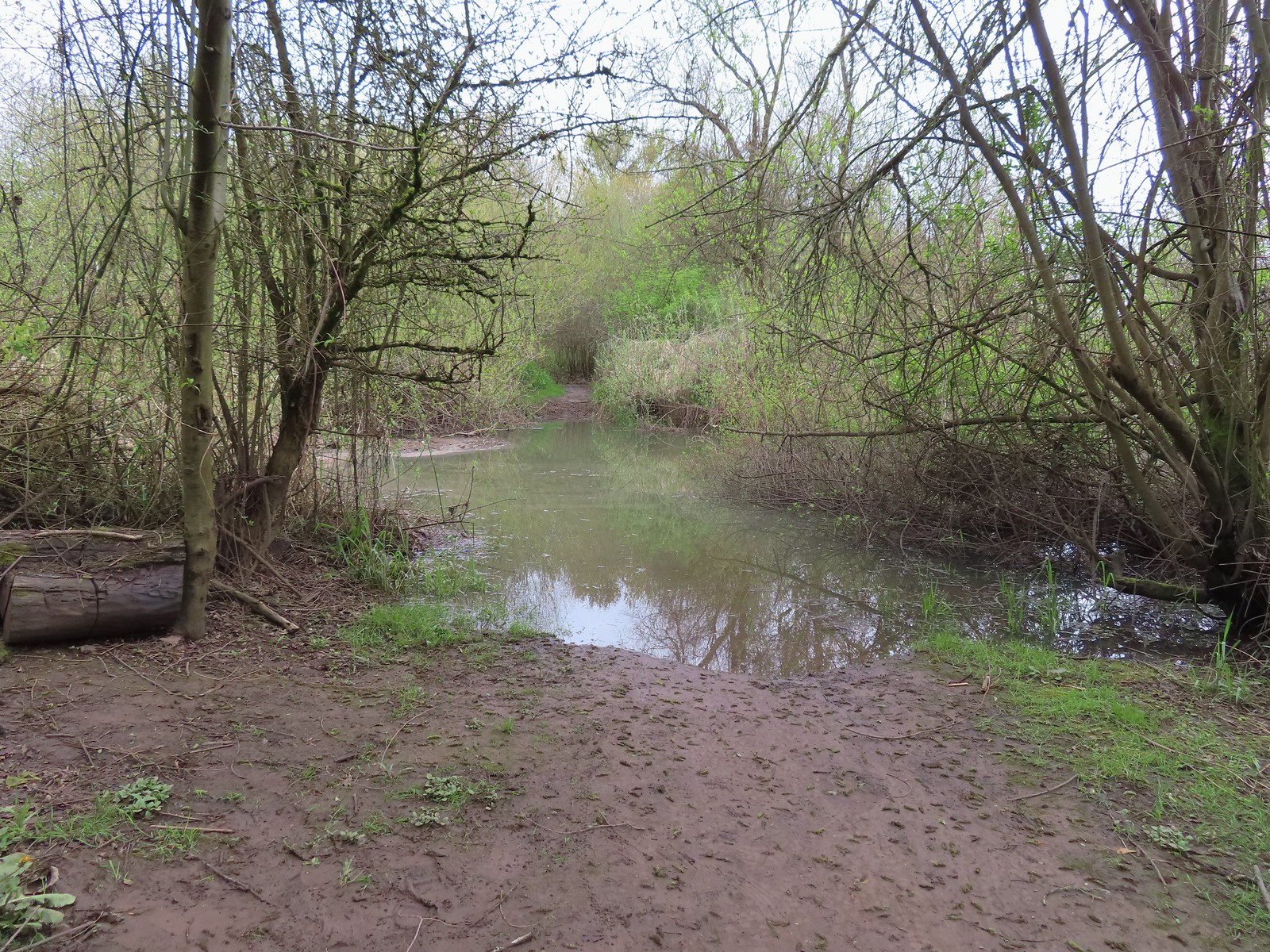


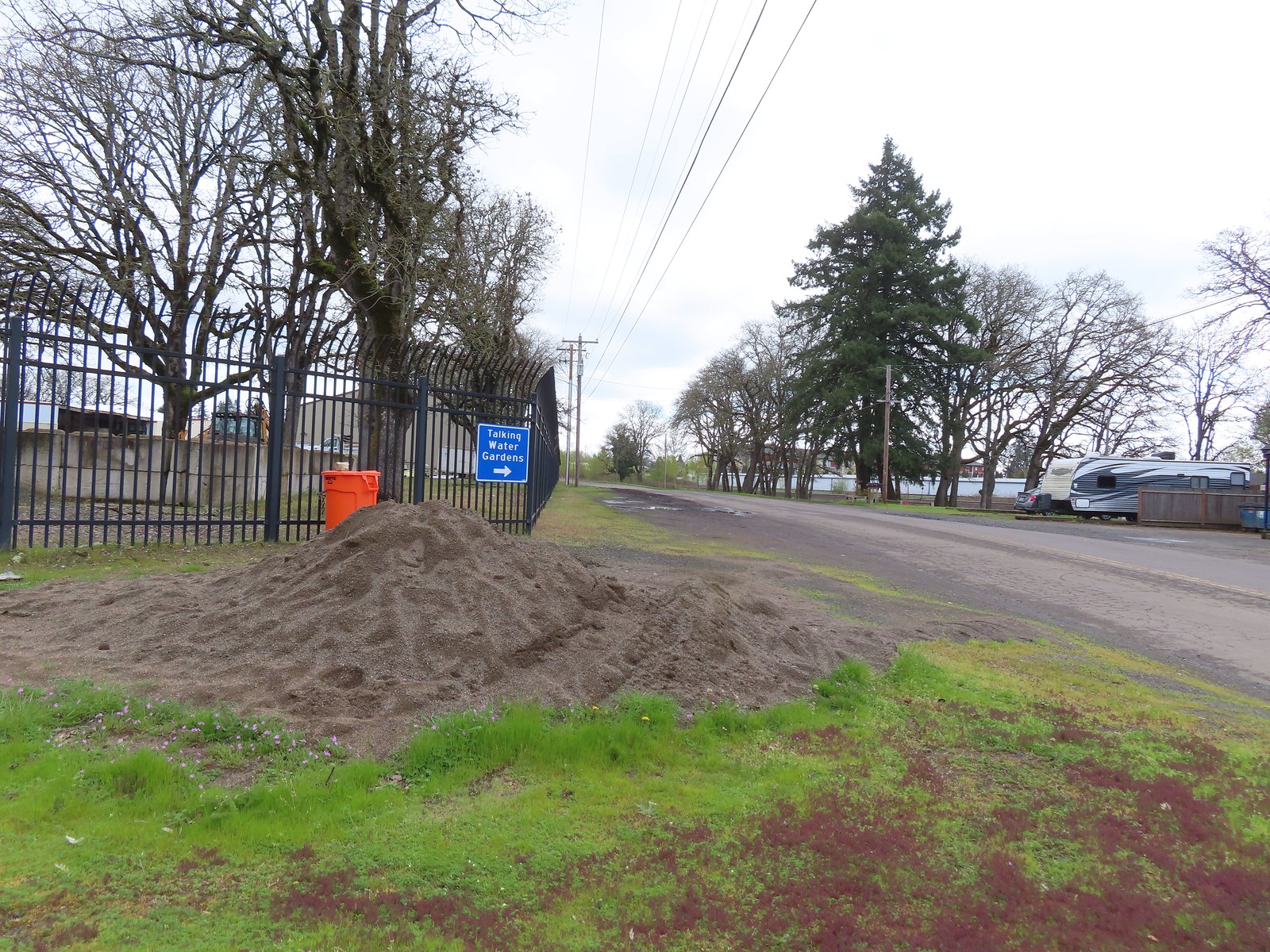
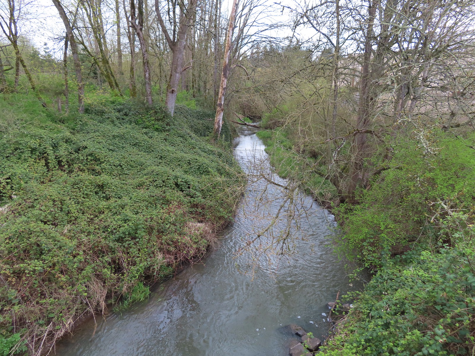


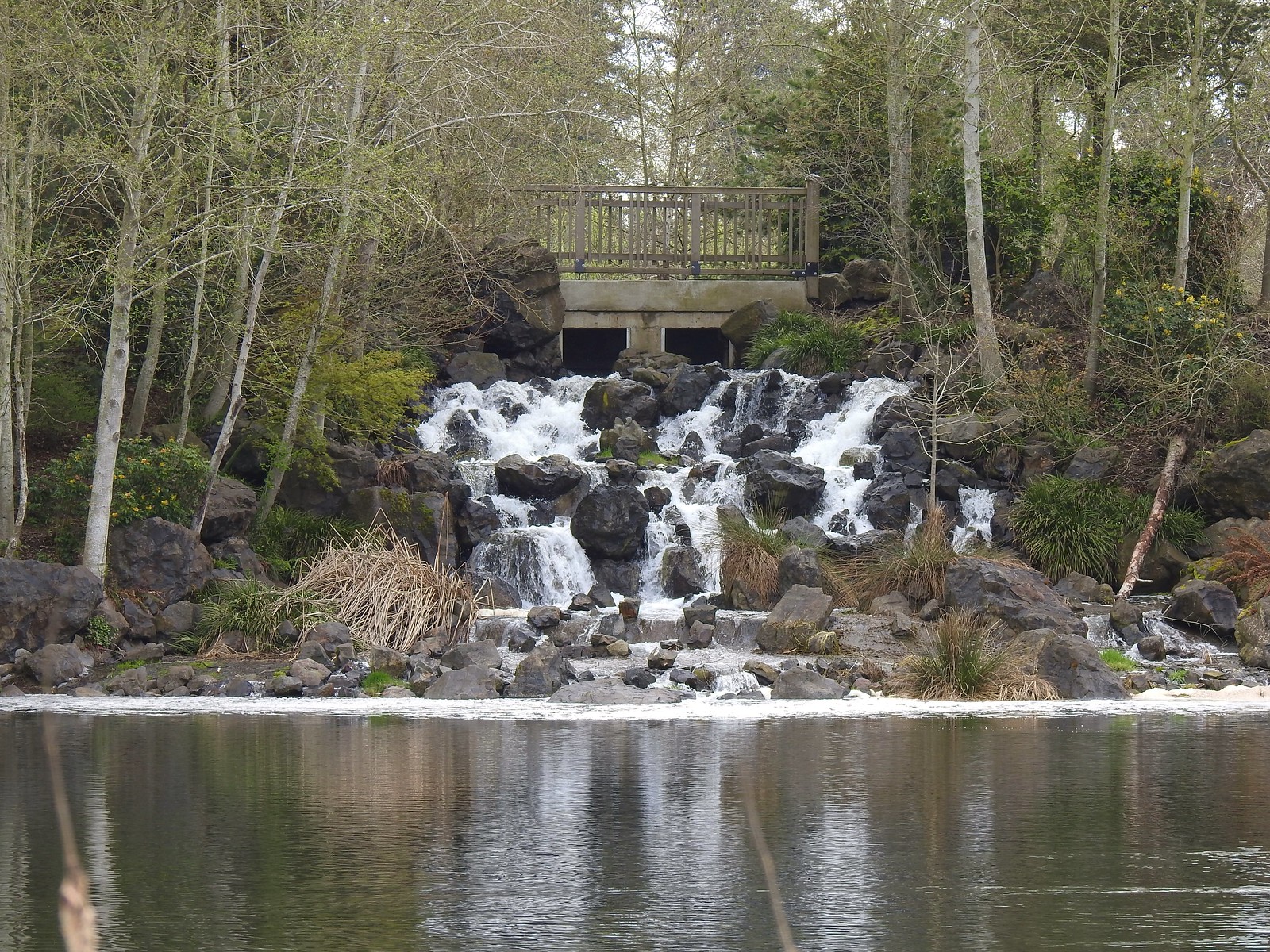
 Buffleheads
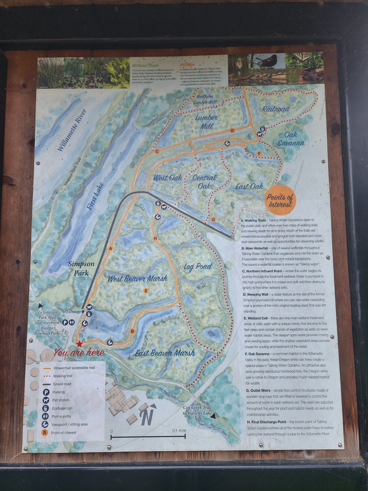 We decided to loop around the West Beaver Marsh and Central Oak areas before heading back.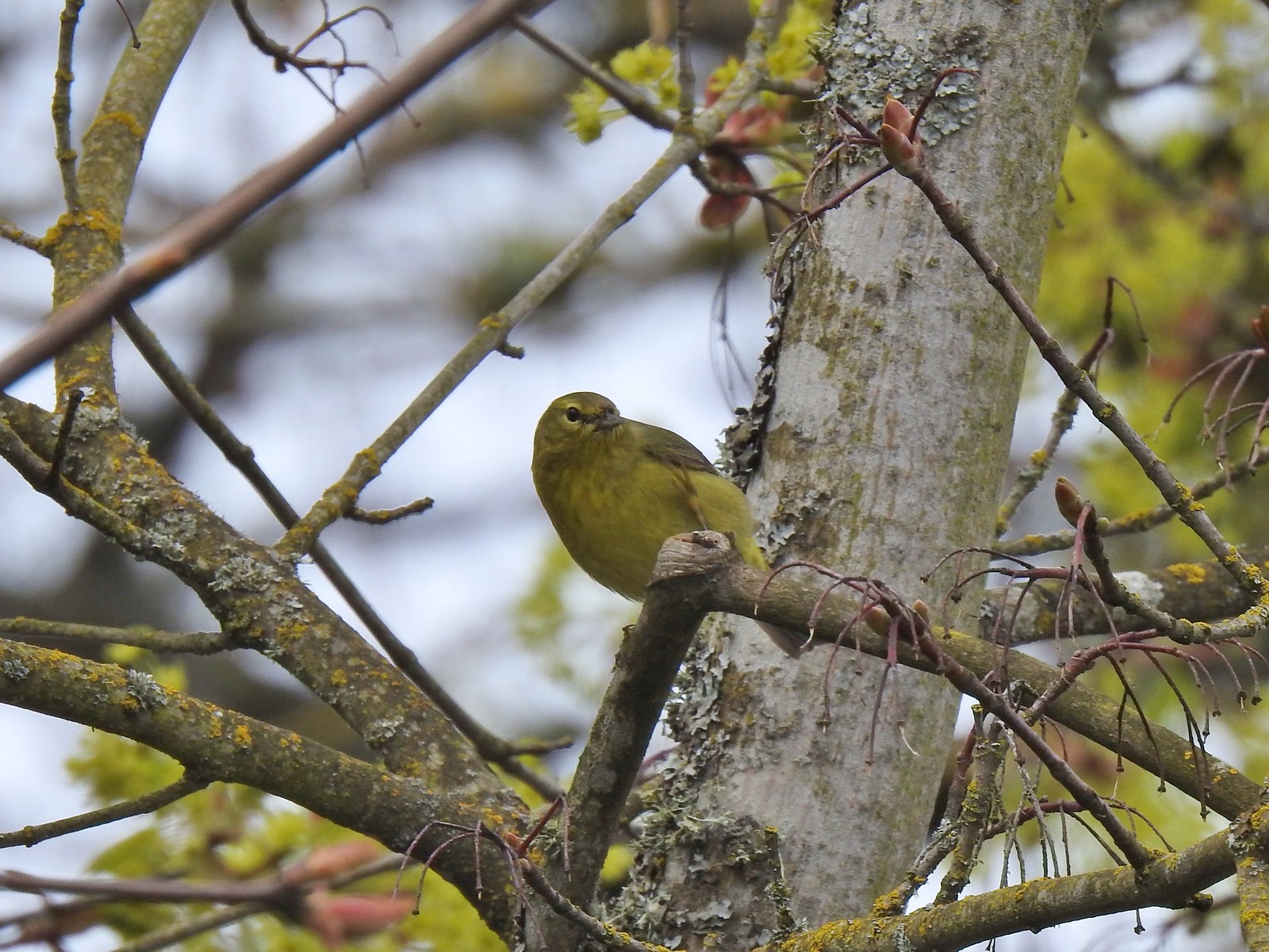
 View from above the waterfall.
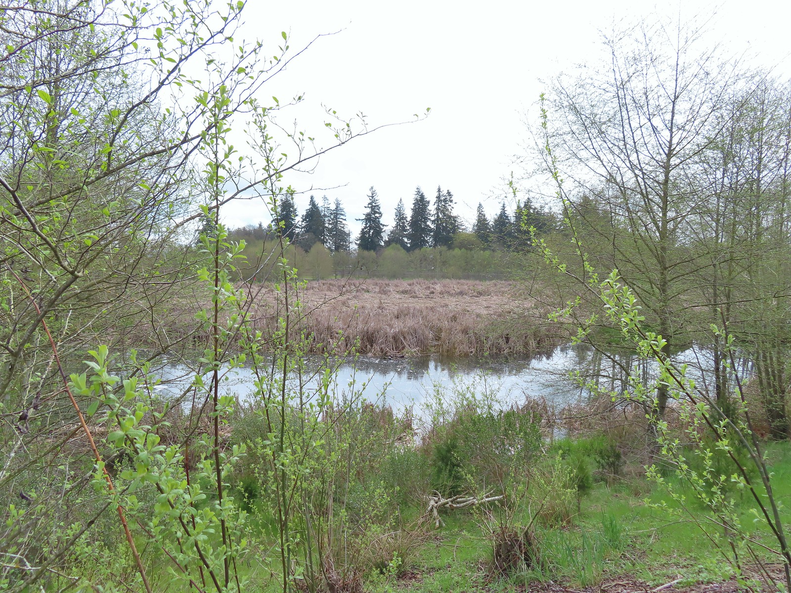 The first set of turtles we spotted.
 Western pond turtles.
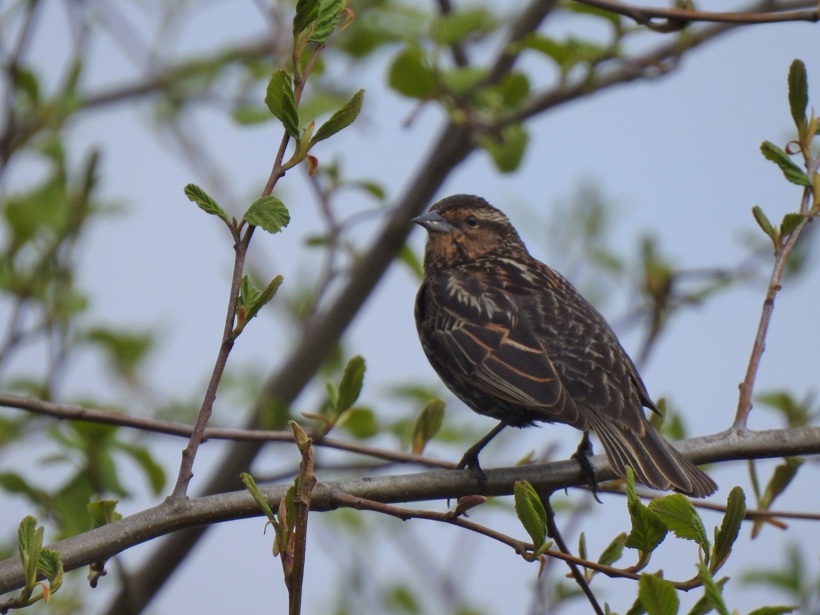 Female red-winged blackbird
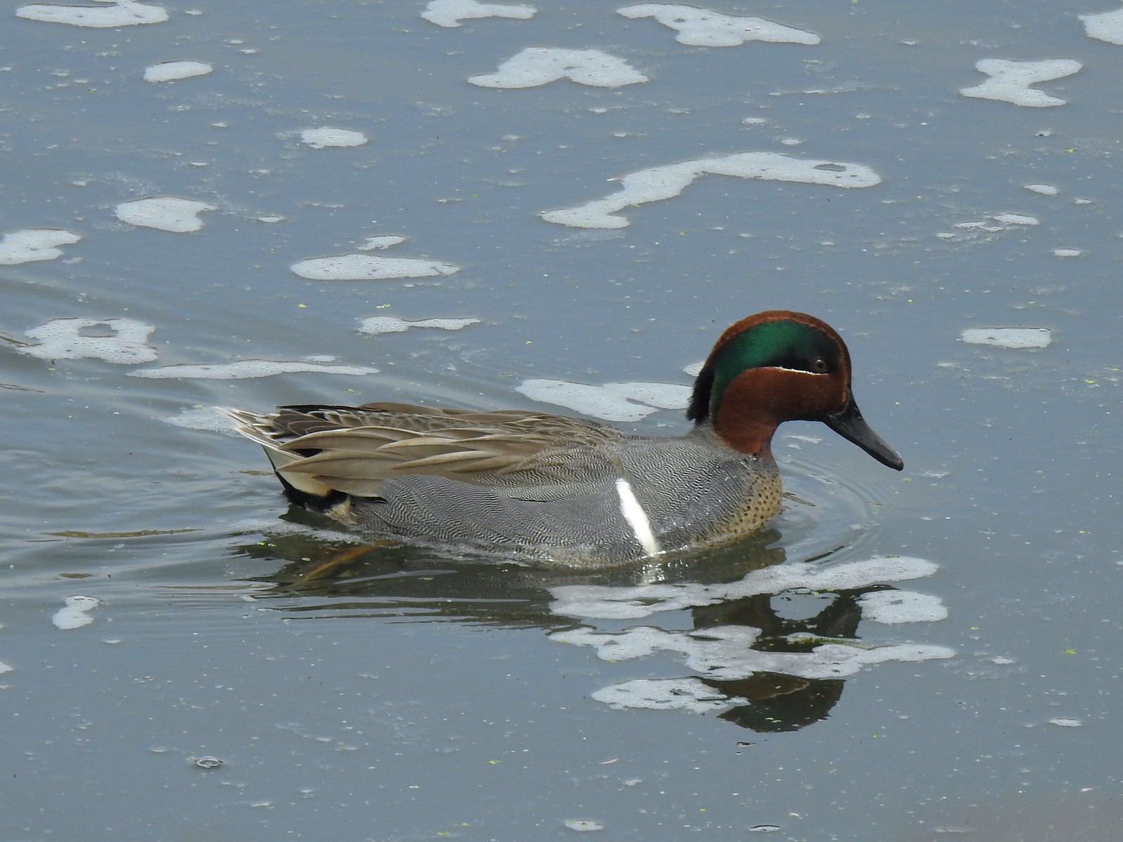 Green-winged teal
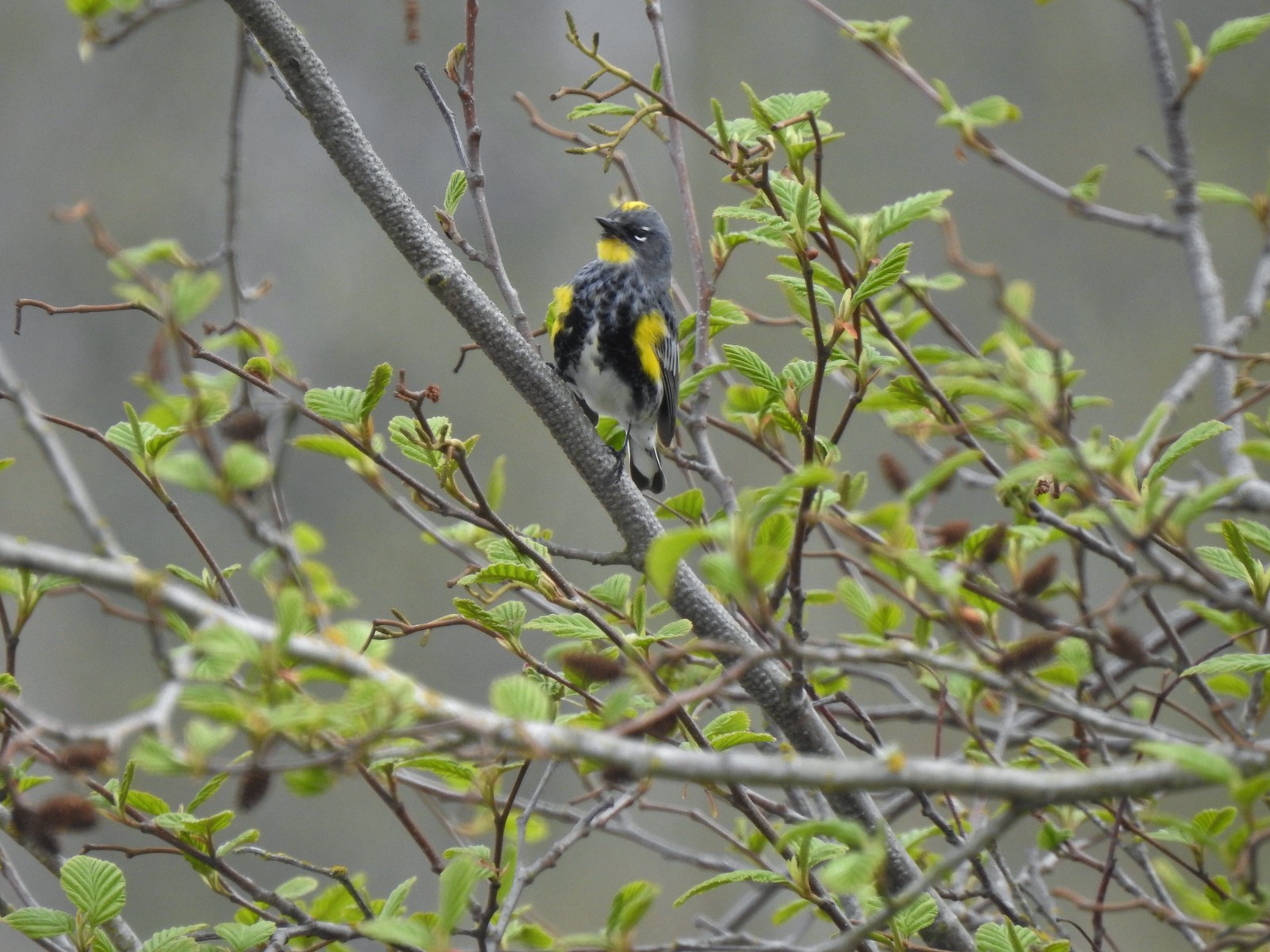 Yellow-rumped warbler (Audubon’s)
 More turtles
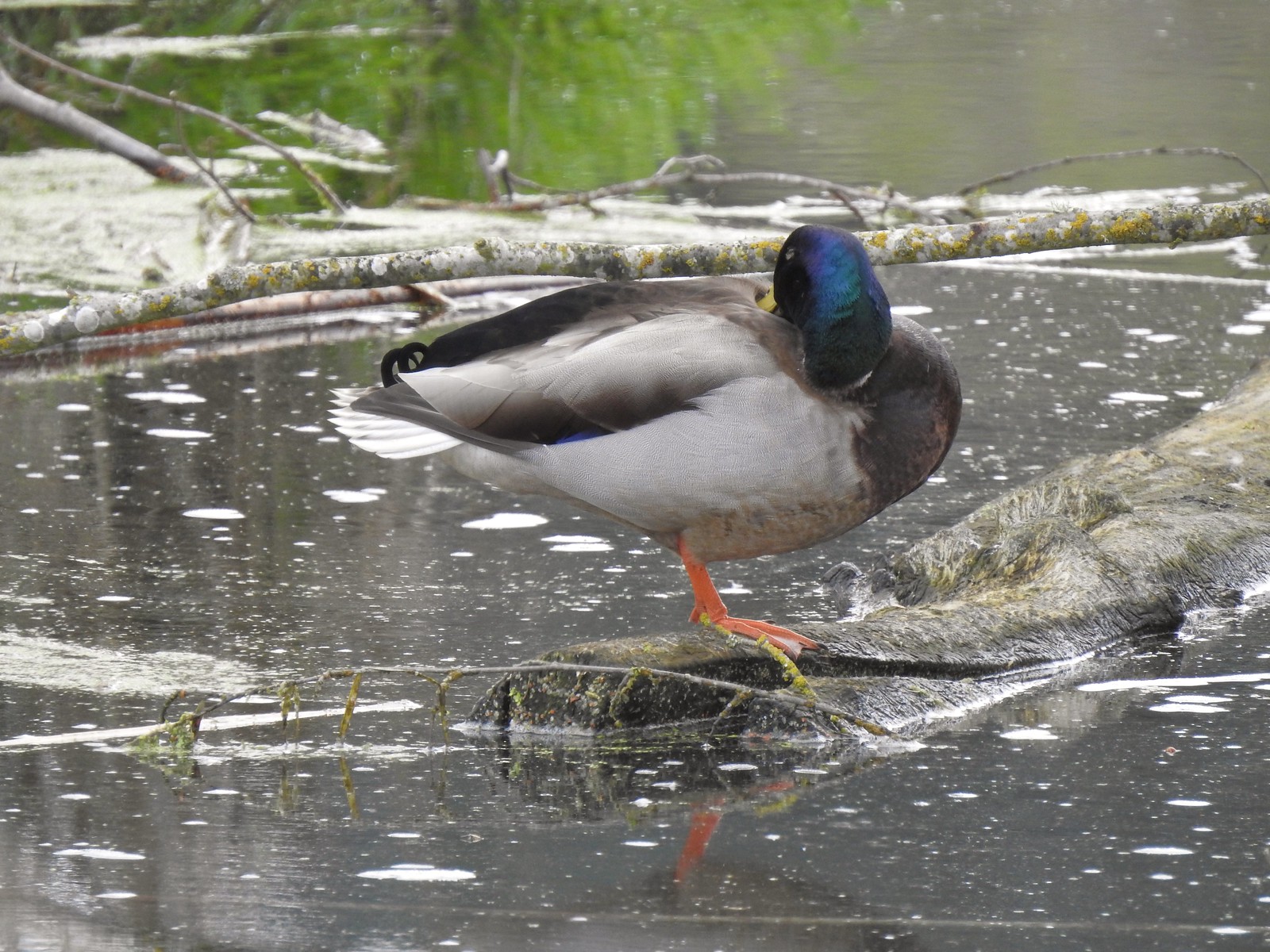 Mallard drake
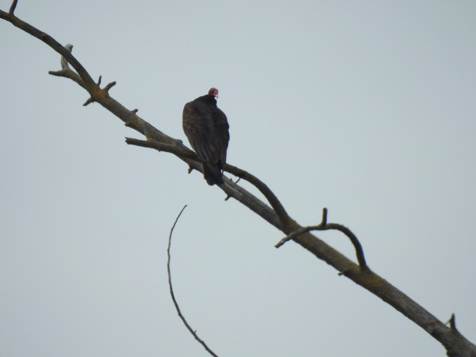 Turkey vulture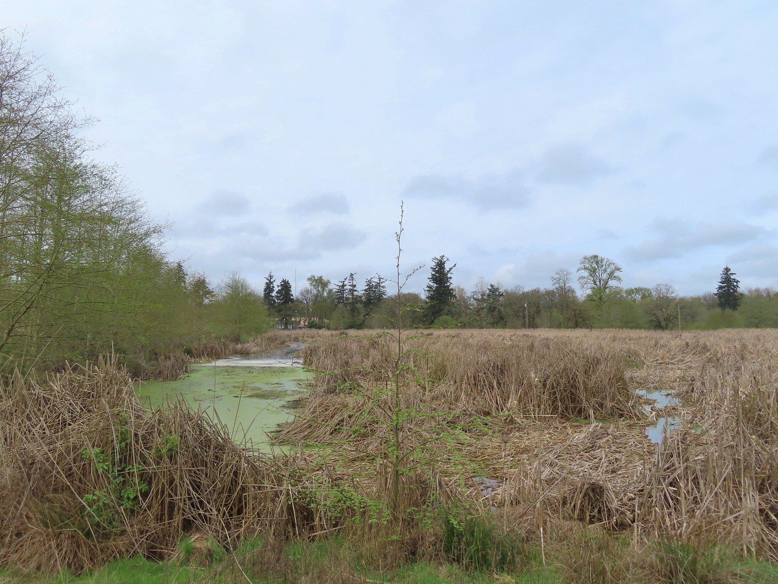
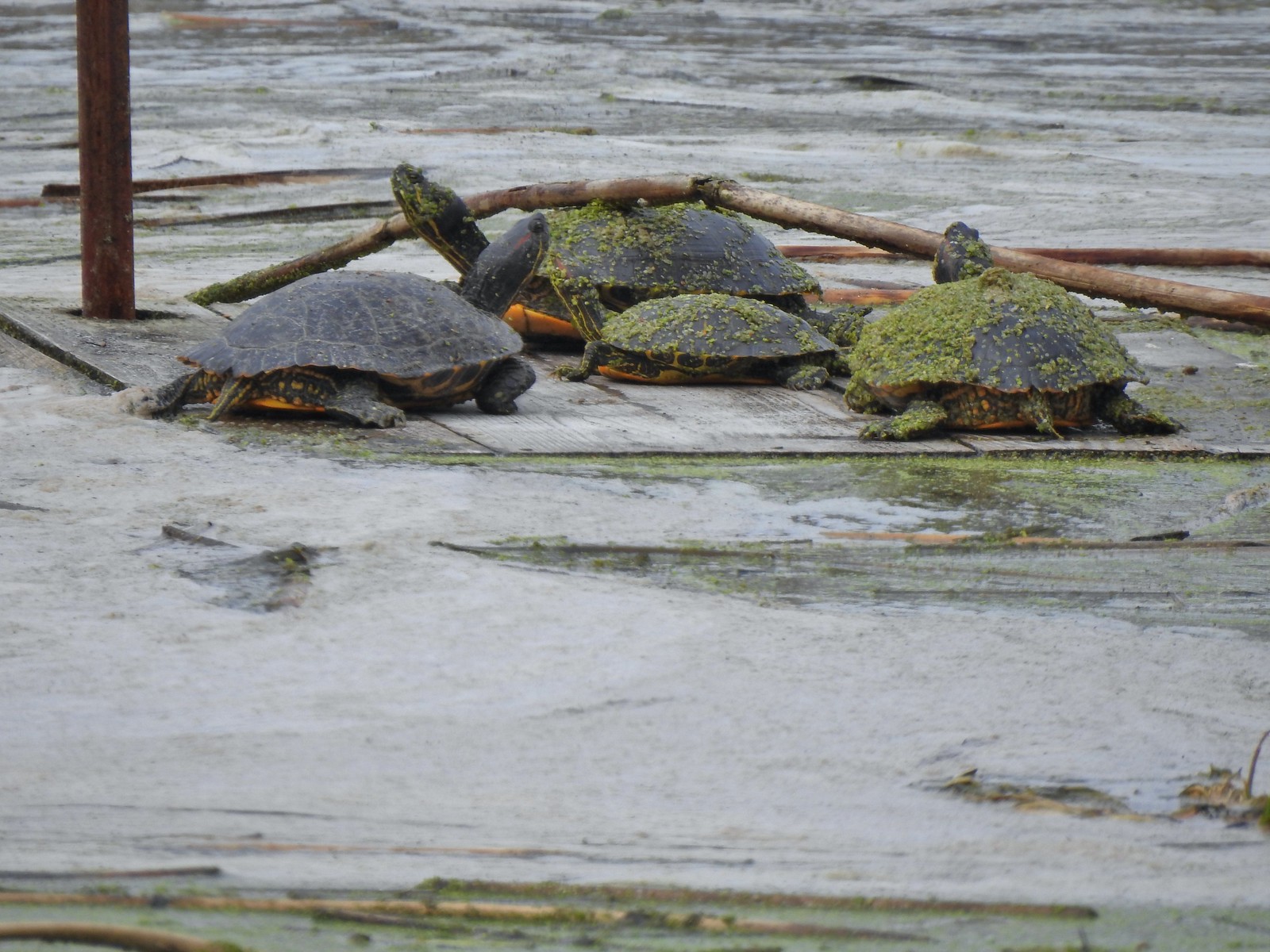 Another bale of turtles. (I had to look up “bale” because I had no idea what a group of turtles was called.)
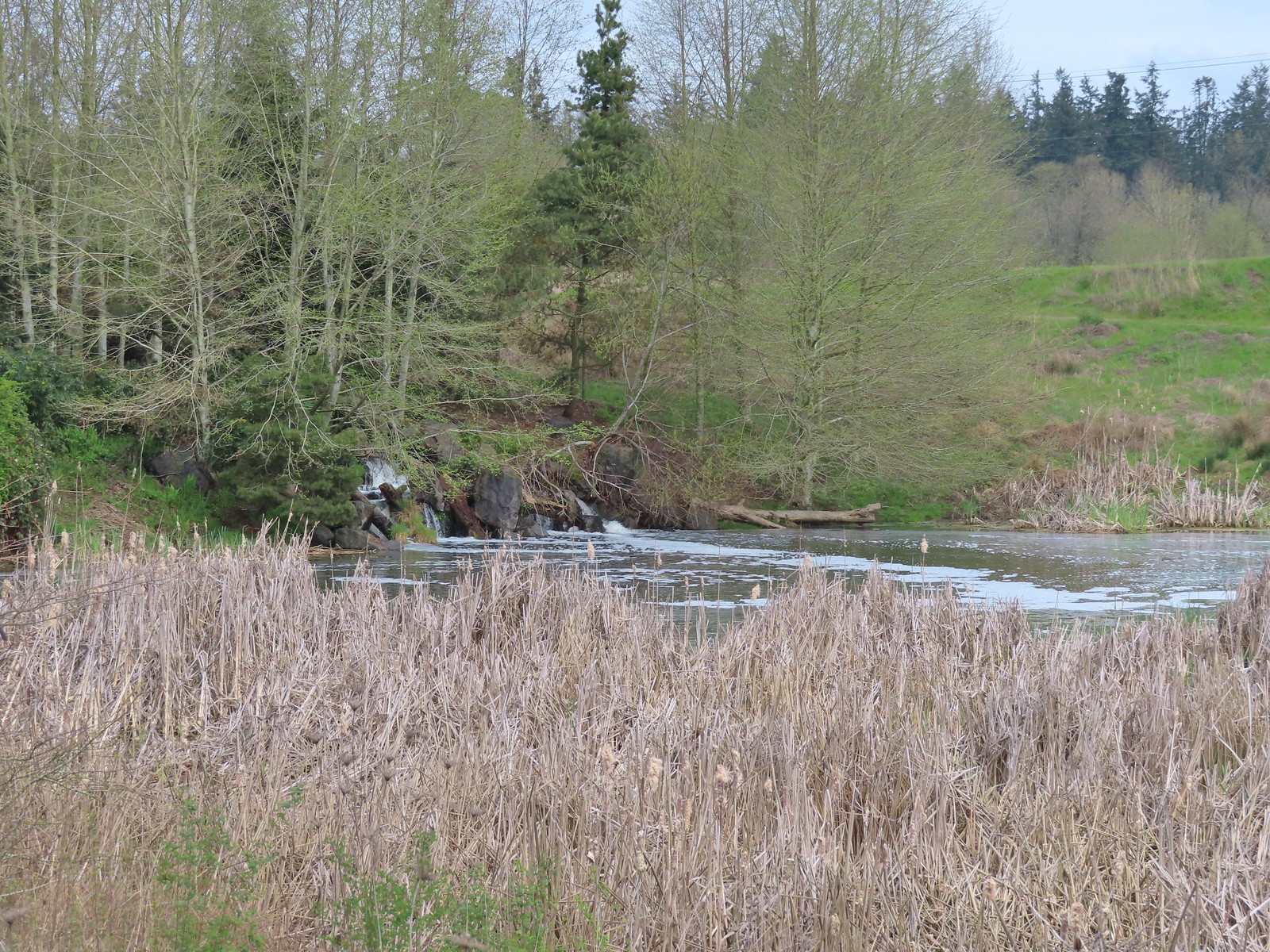 Another man-made waterfall.
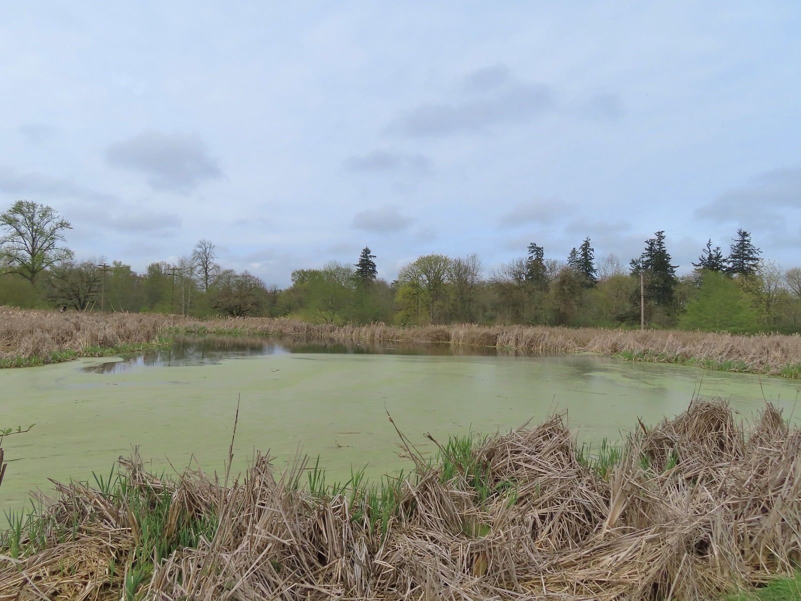 This had been full of ducks on our previous visit.
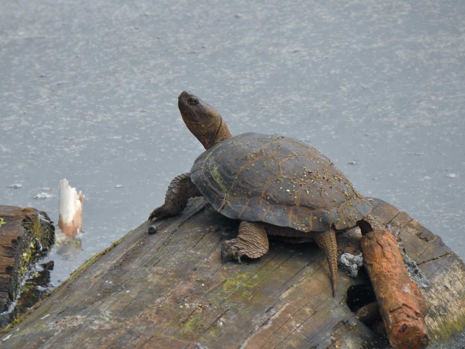 Yet another turtle.
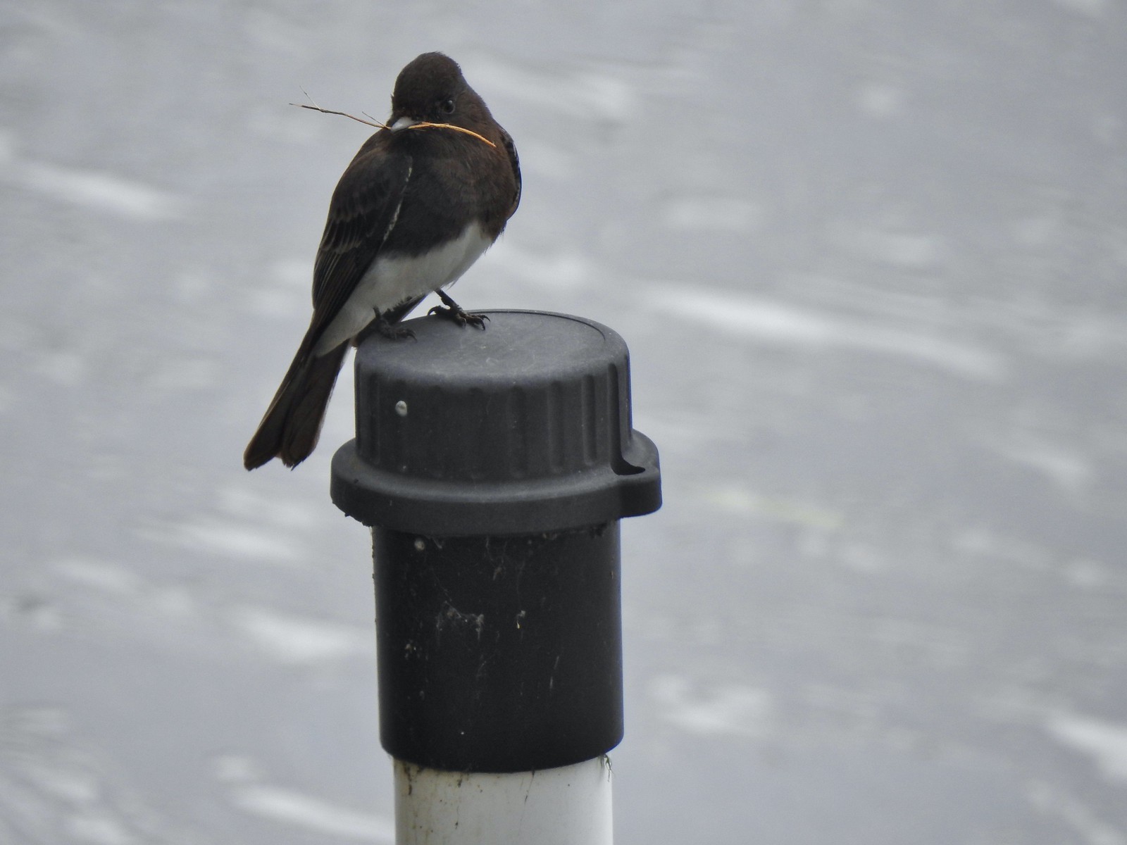 Black phoebe
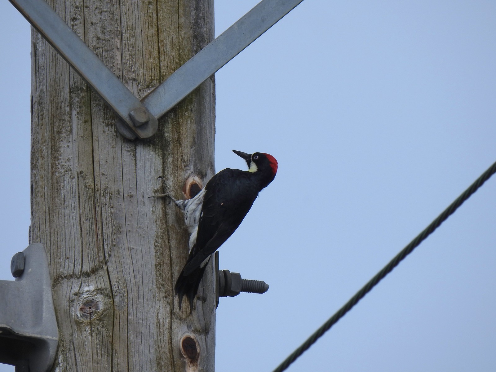 Acorn woodpecker
 Sparrow
 Northern shoveler
 Hummingbird
 Red-winged blackbird
 Bench along the Central Oak area.
 The first goslings we’ve spotted this year.
 Very zoomed in shot of a hawk seen in the distance.
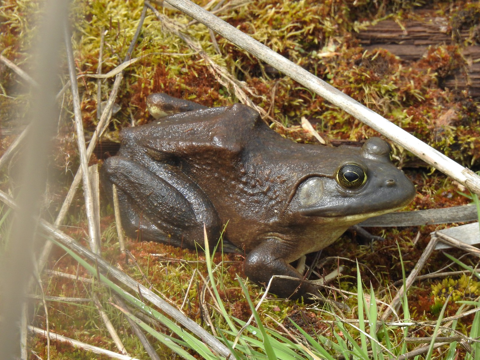 Bullfrog
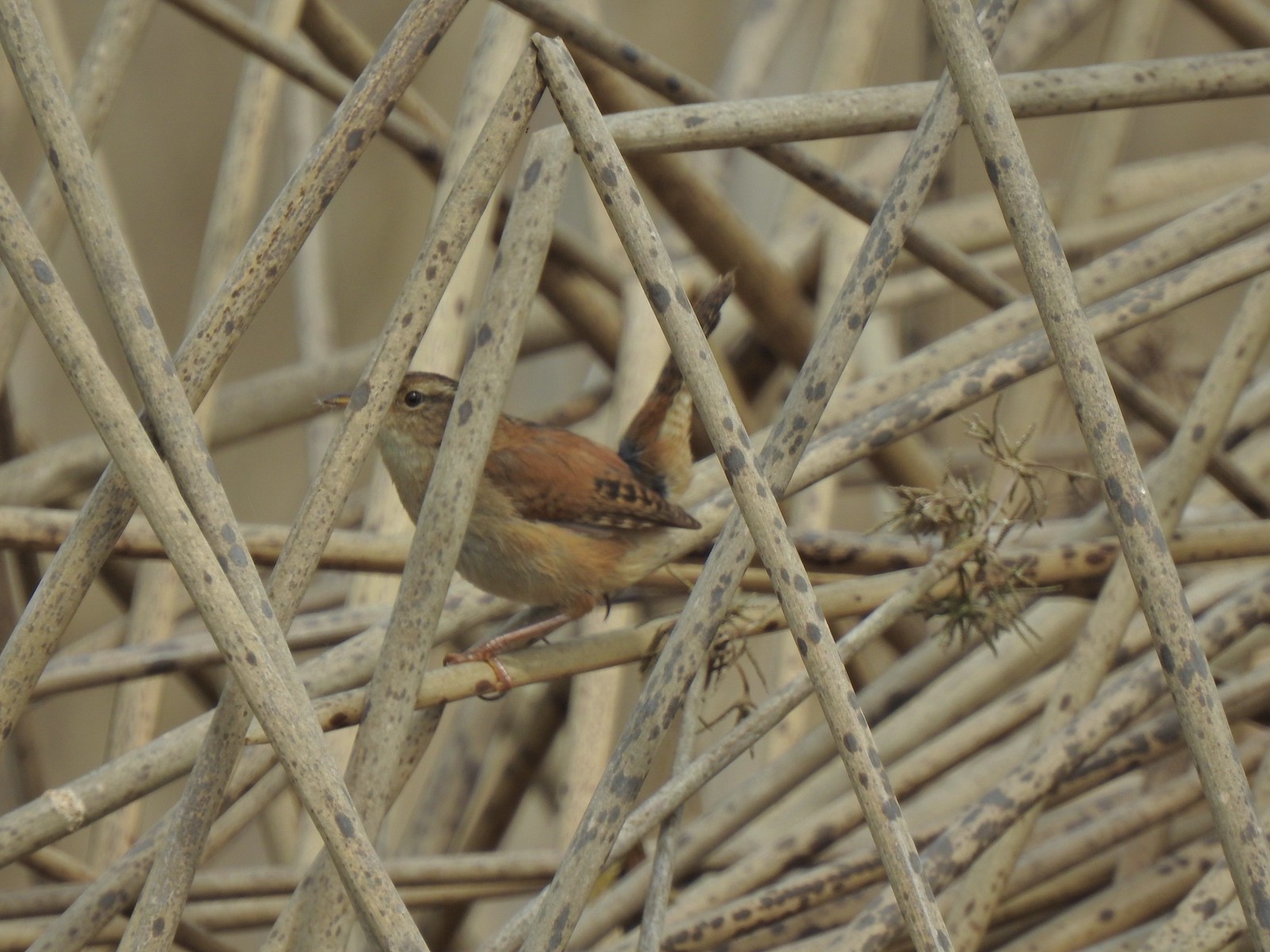 Marsh wren
 Final set of turtles.
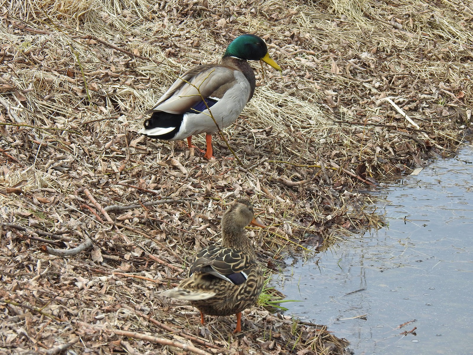 Mallard pair
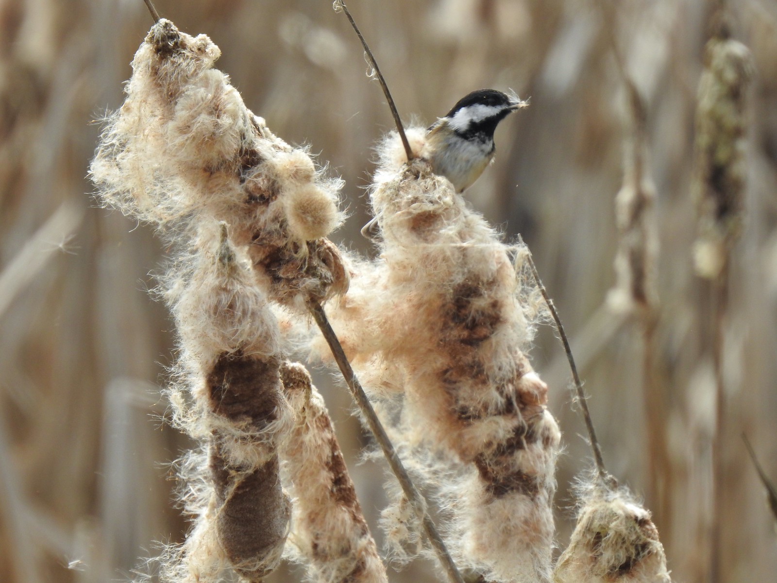 Chickadee
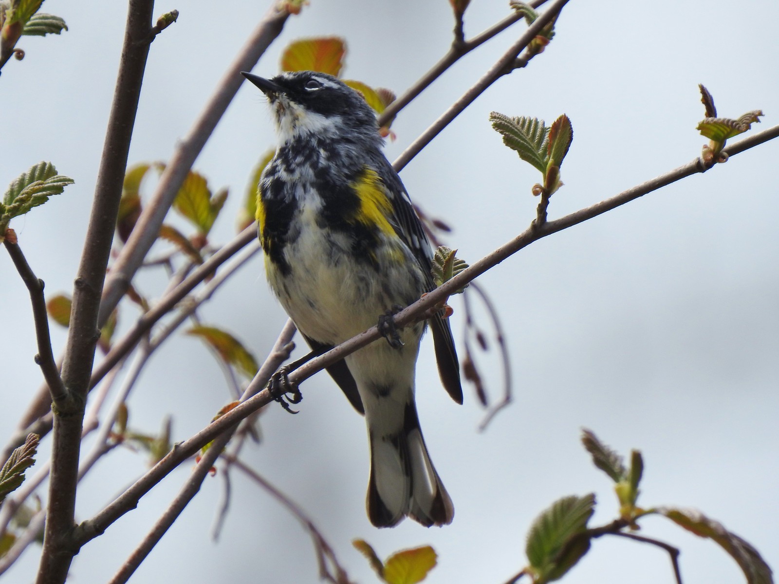 Yellow-rumped warbler (Myrtle)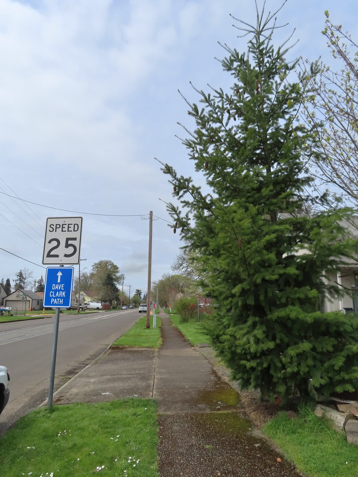

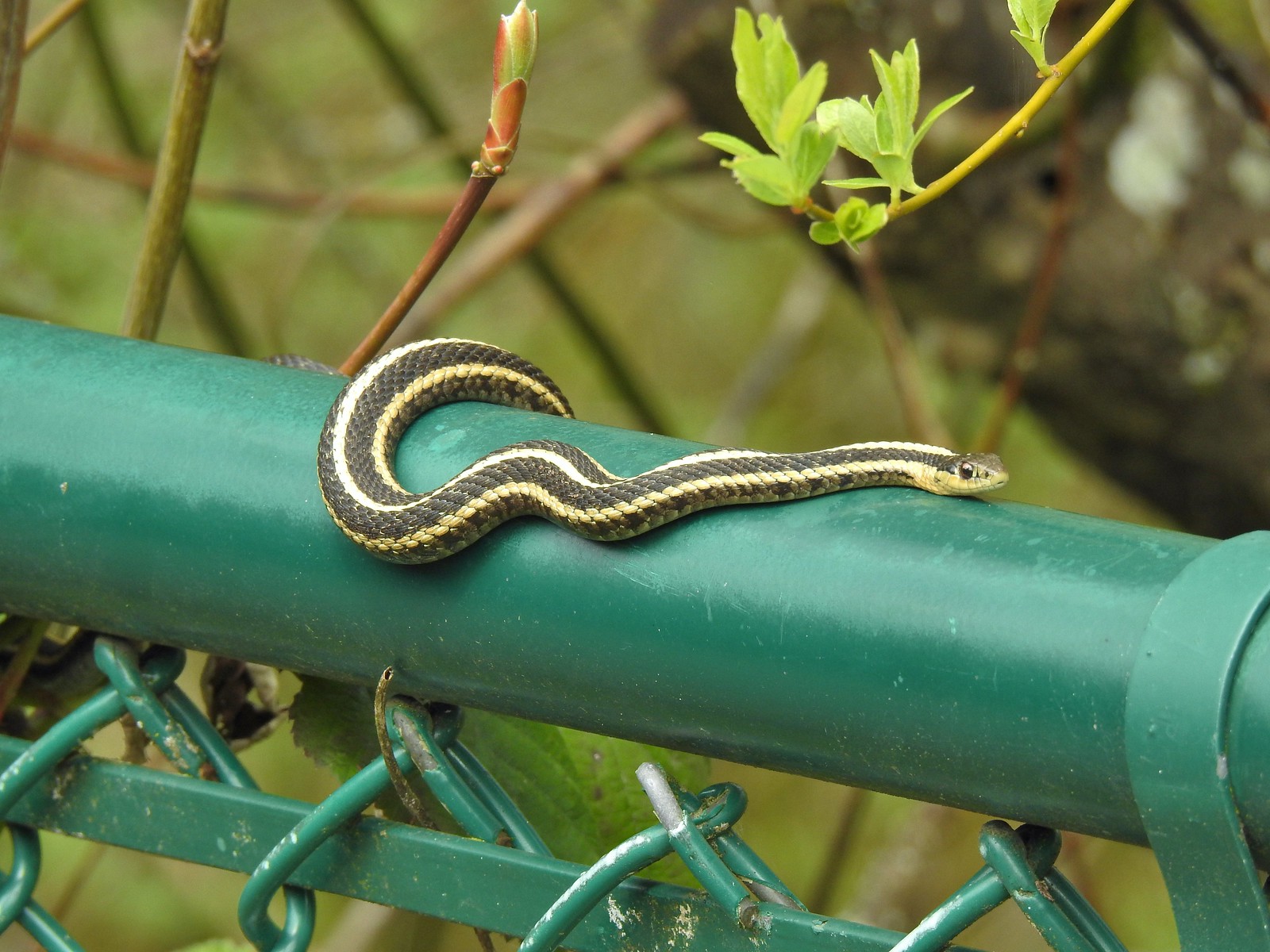 A couple ahead of us on the trail spotted this guy for us.
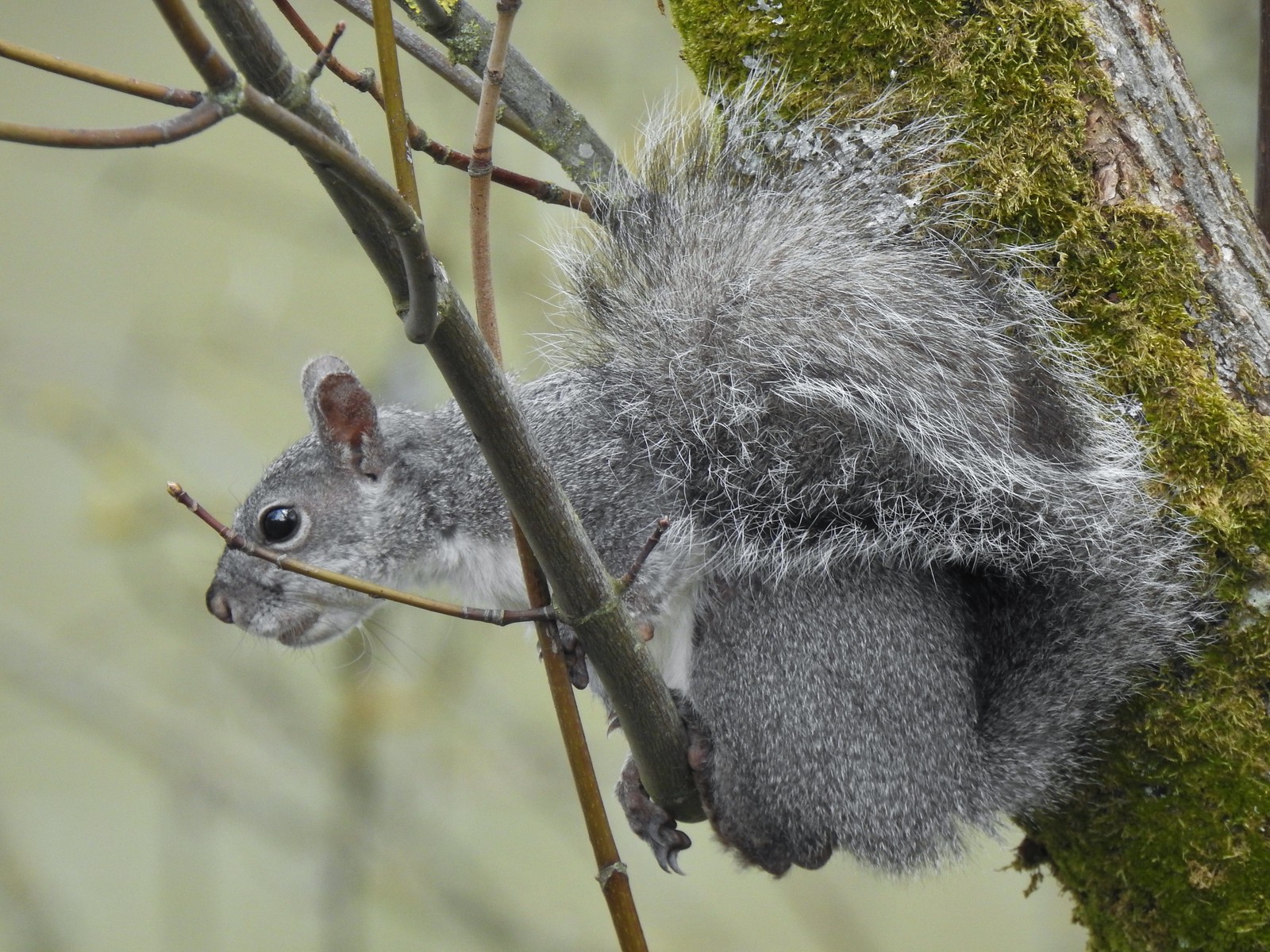 Squirrel


 One of the muddiest sections was just beyond a small footbridge near the trailhead.
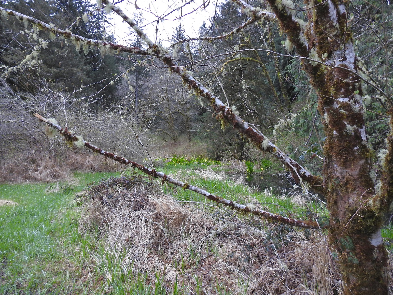 Skunk cabbage blooming along Bailey Creek.
 Skunk cabbage
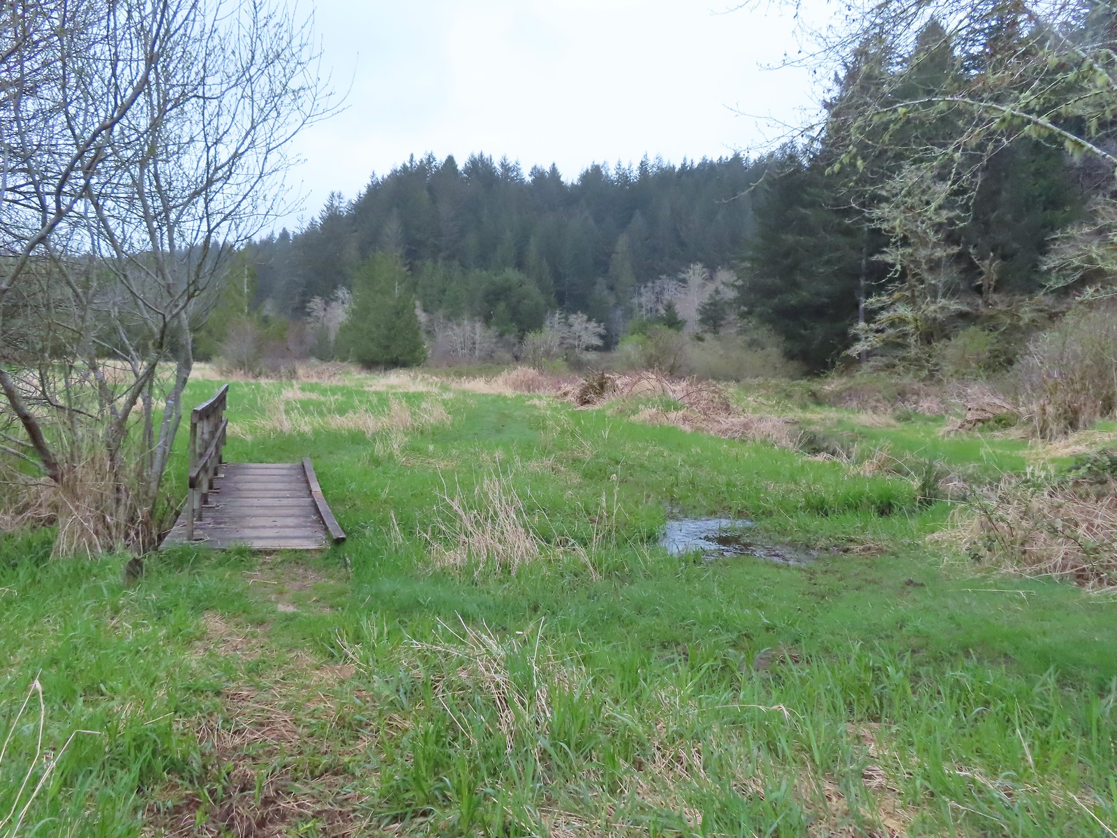 A second little footbridge.
 Coltsfoot
 Closer look at the coltsfoot.
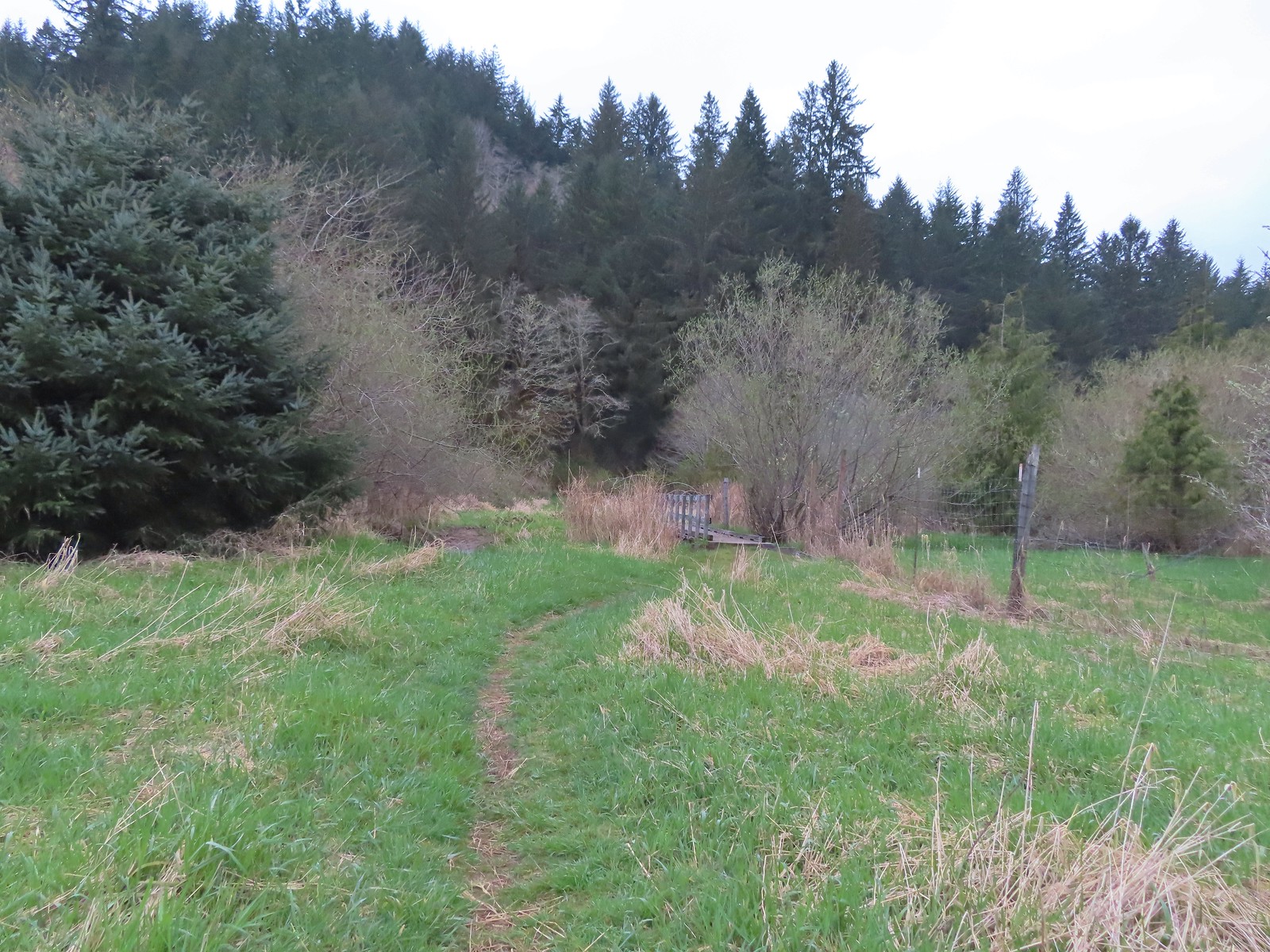 Approaching the footbridge over the unnamed creek.
 This creek was really deep here although it’s hard to tell from the photo.
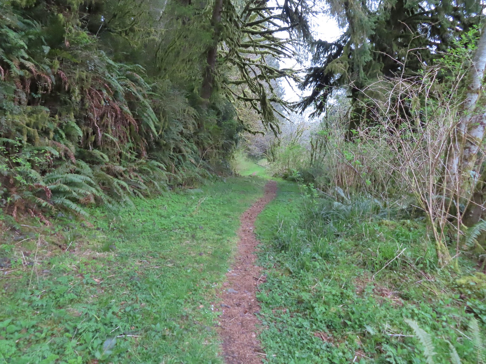
 Wood sorrel
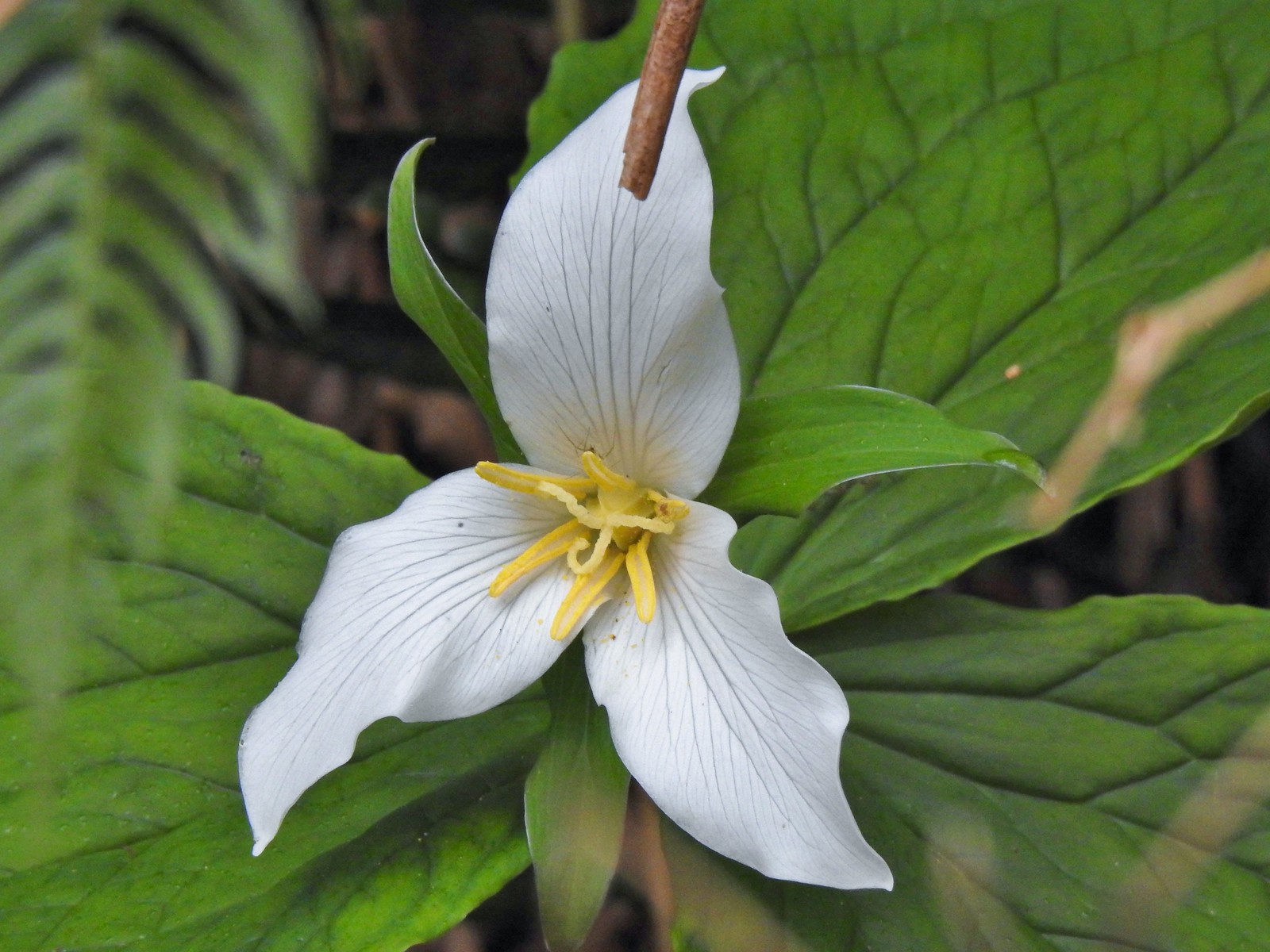 Trillium with a resident spider.
 More skunk cabbage, also with a resident spider.
 Violet
 Bleeding heart
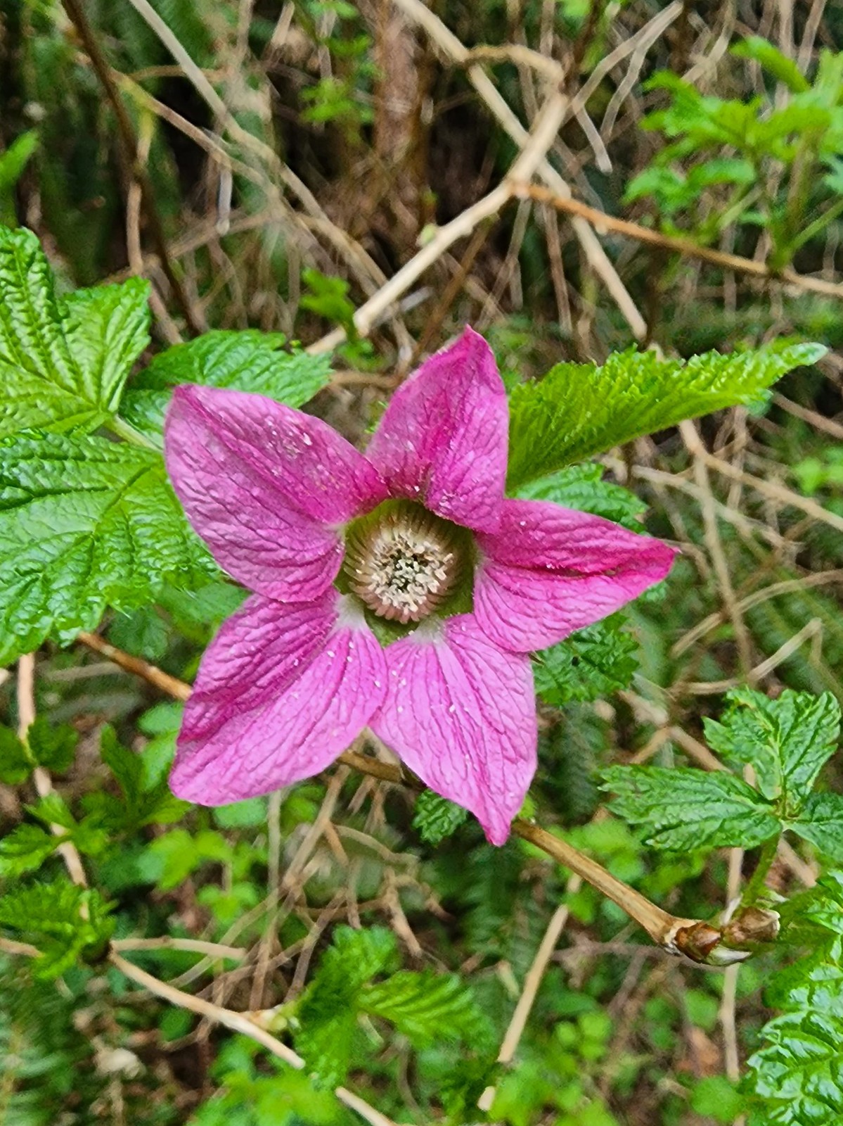 Salmonberry
 Toothwort
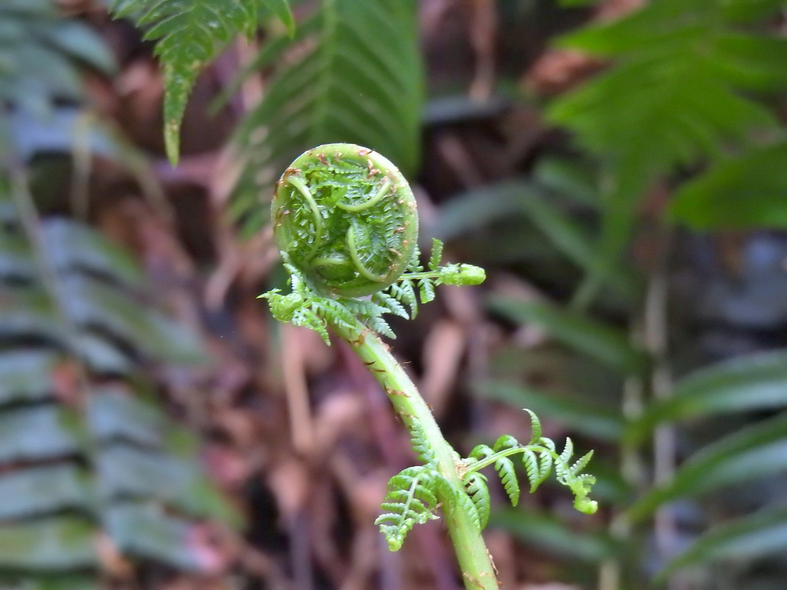 Unfurling fern
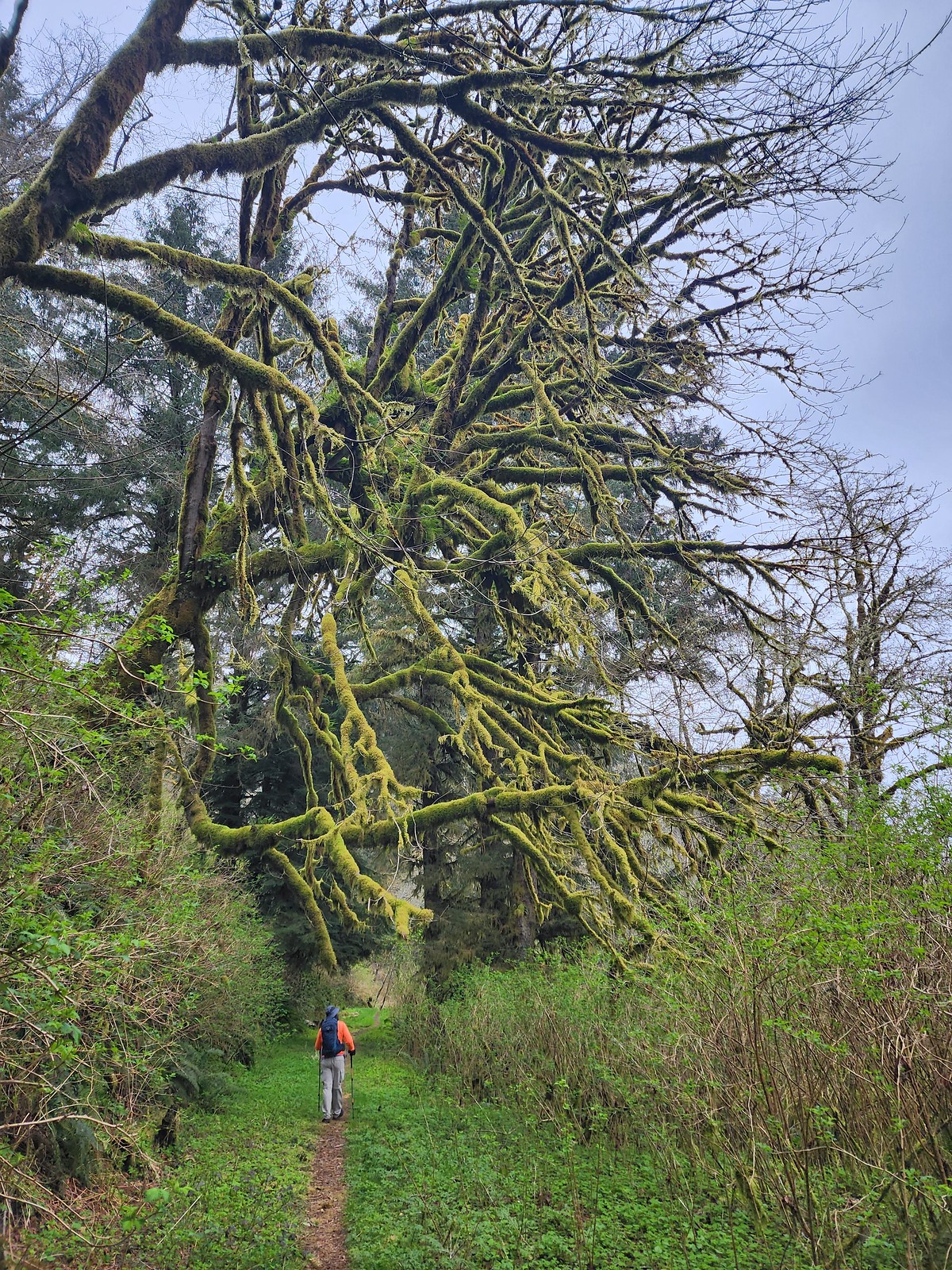 Me passing under a mossy tree.
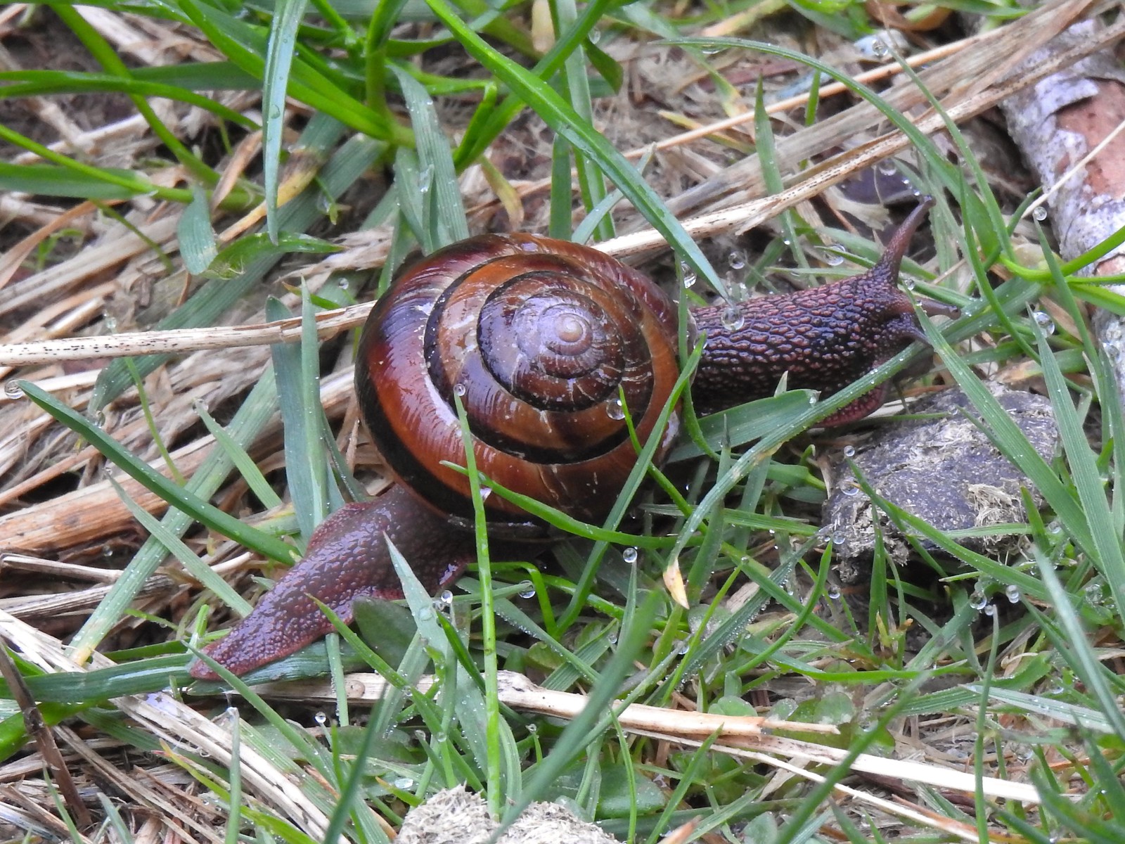 Snail on the trail.
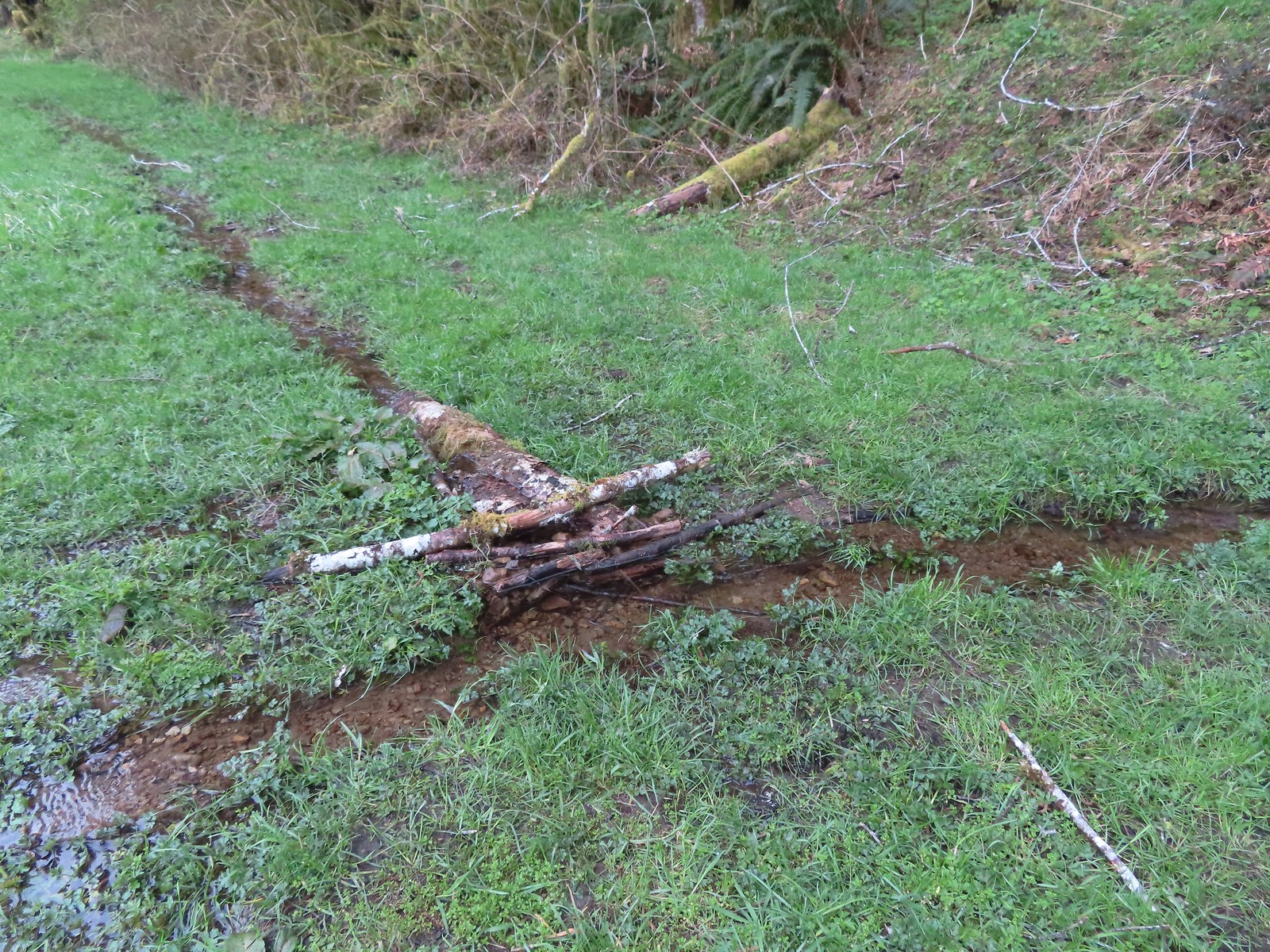 This makeshift damn was not stopping the water from flowing down the trail.
 Another of the small stream crossings.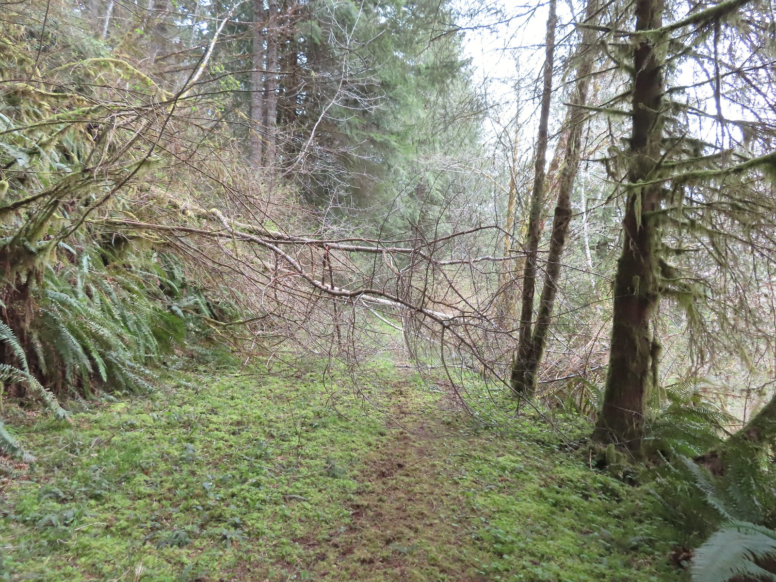
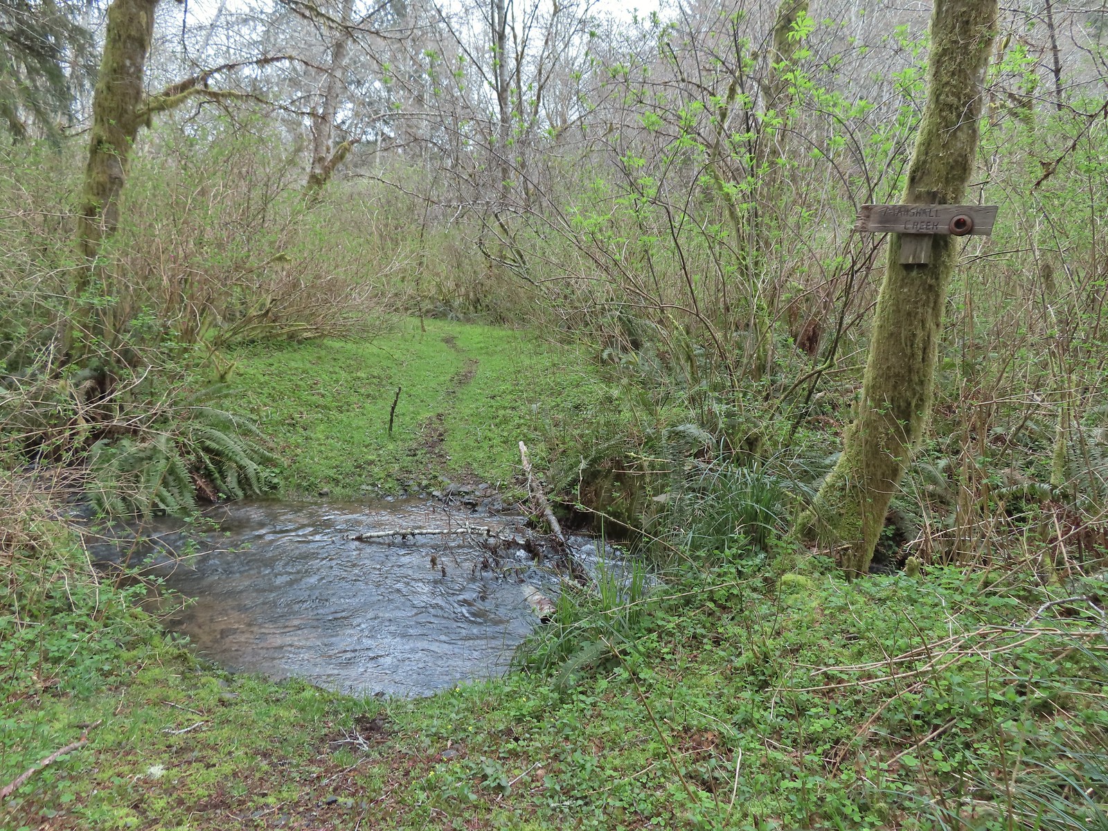 The creek was actually pretty deep here with the recent wet weather we’d had.


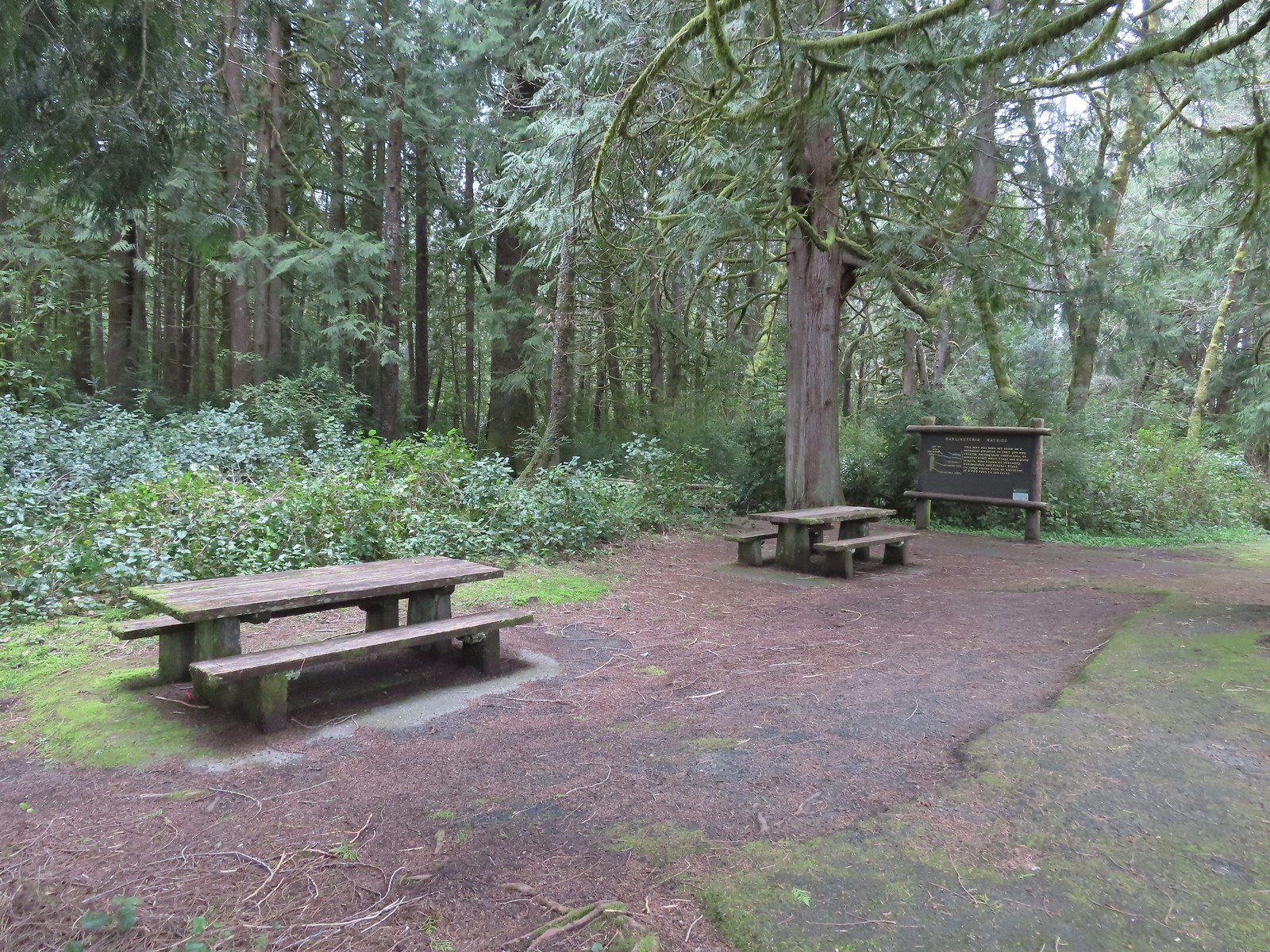
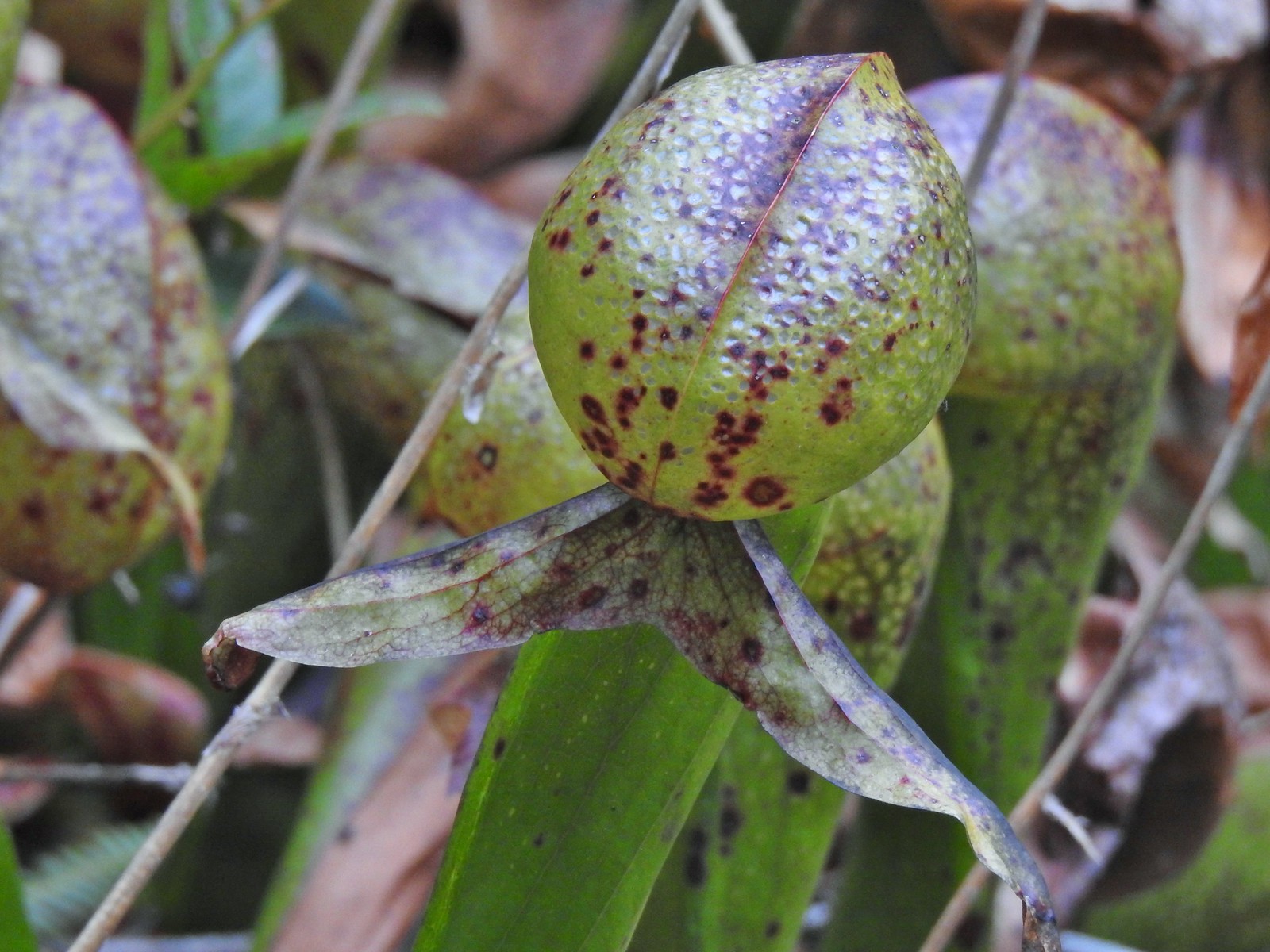


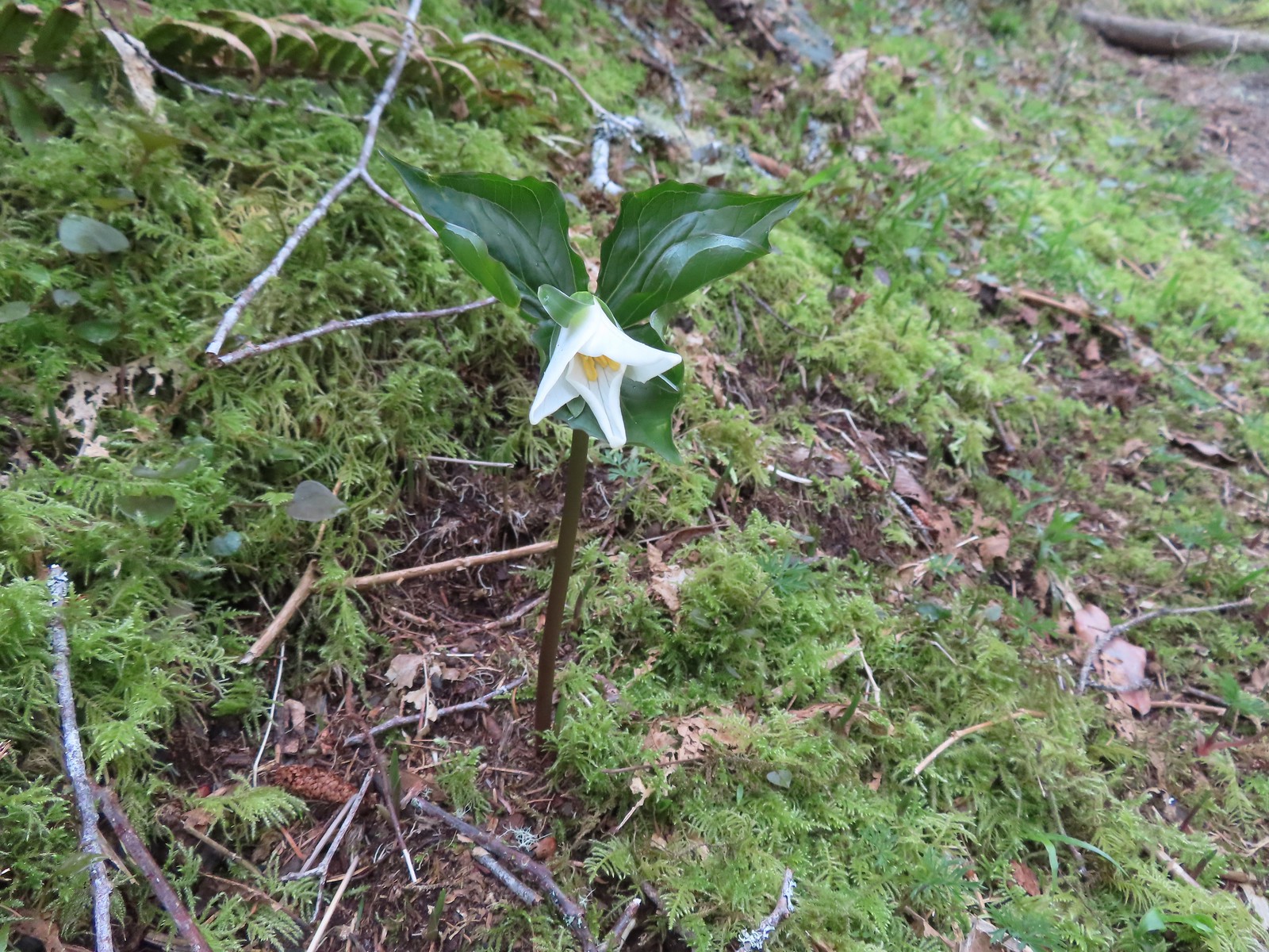 A trillium unfurling.
 Violets
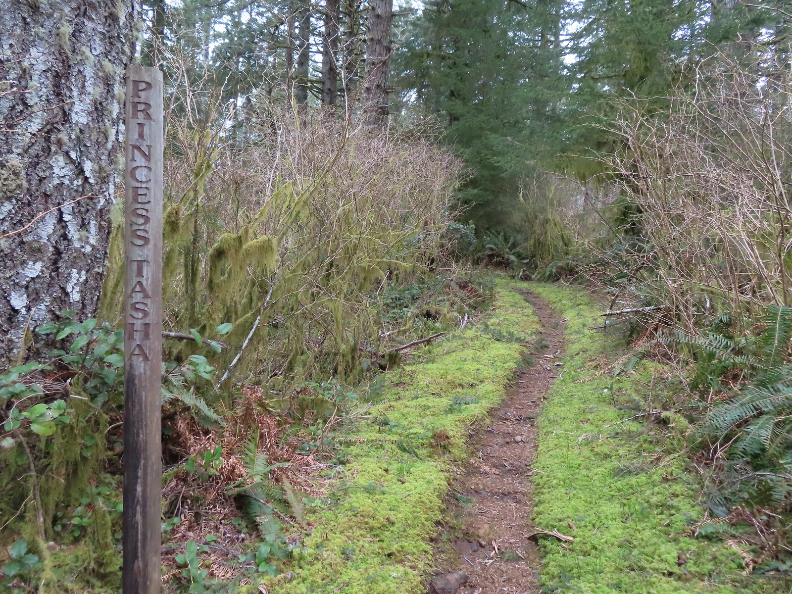
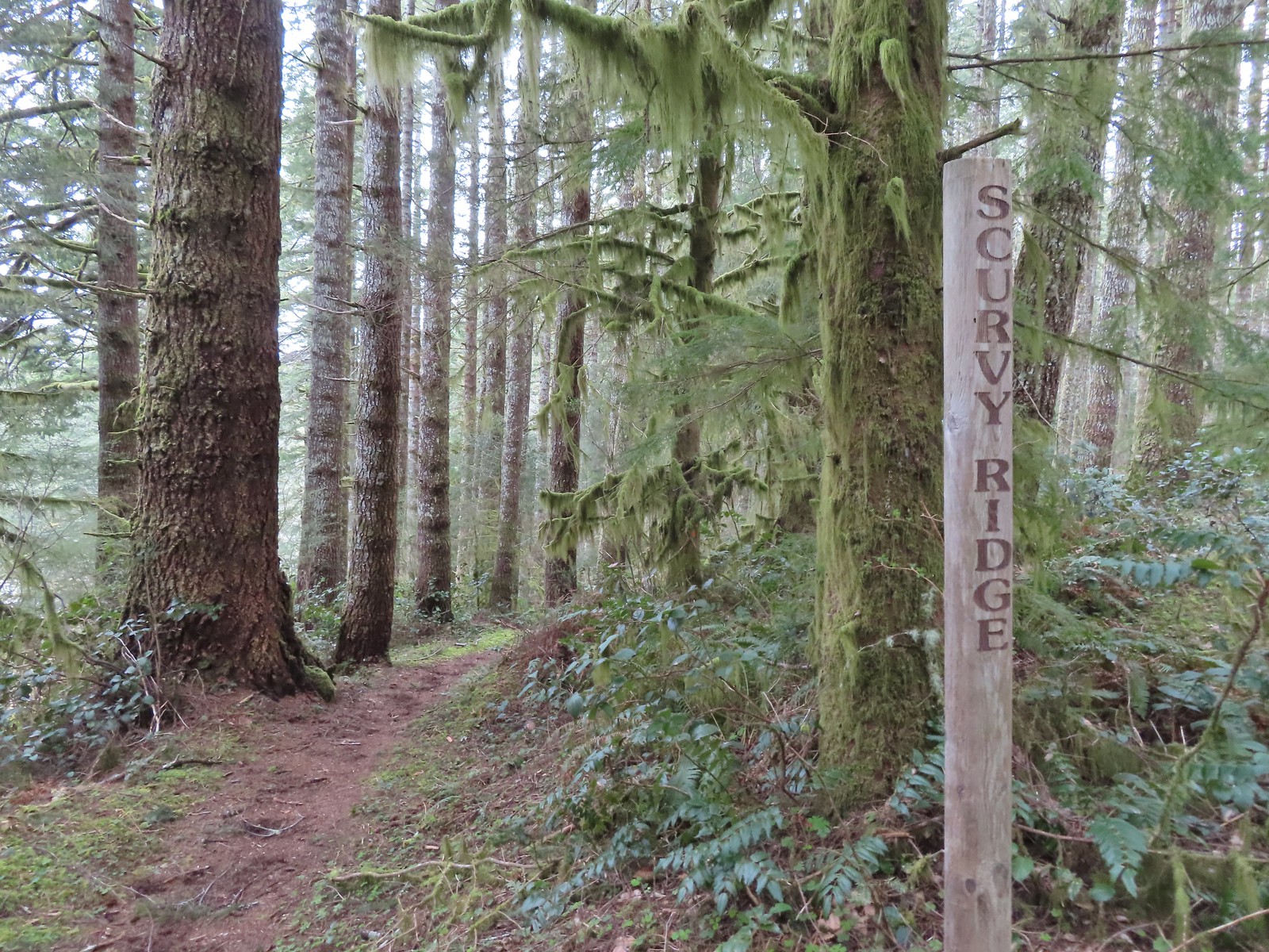
 Several trails have similar markers with most of them being at or near junctions. This one was just alone along the trail.


 Rough skinned newt
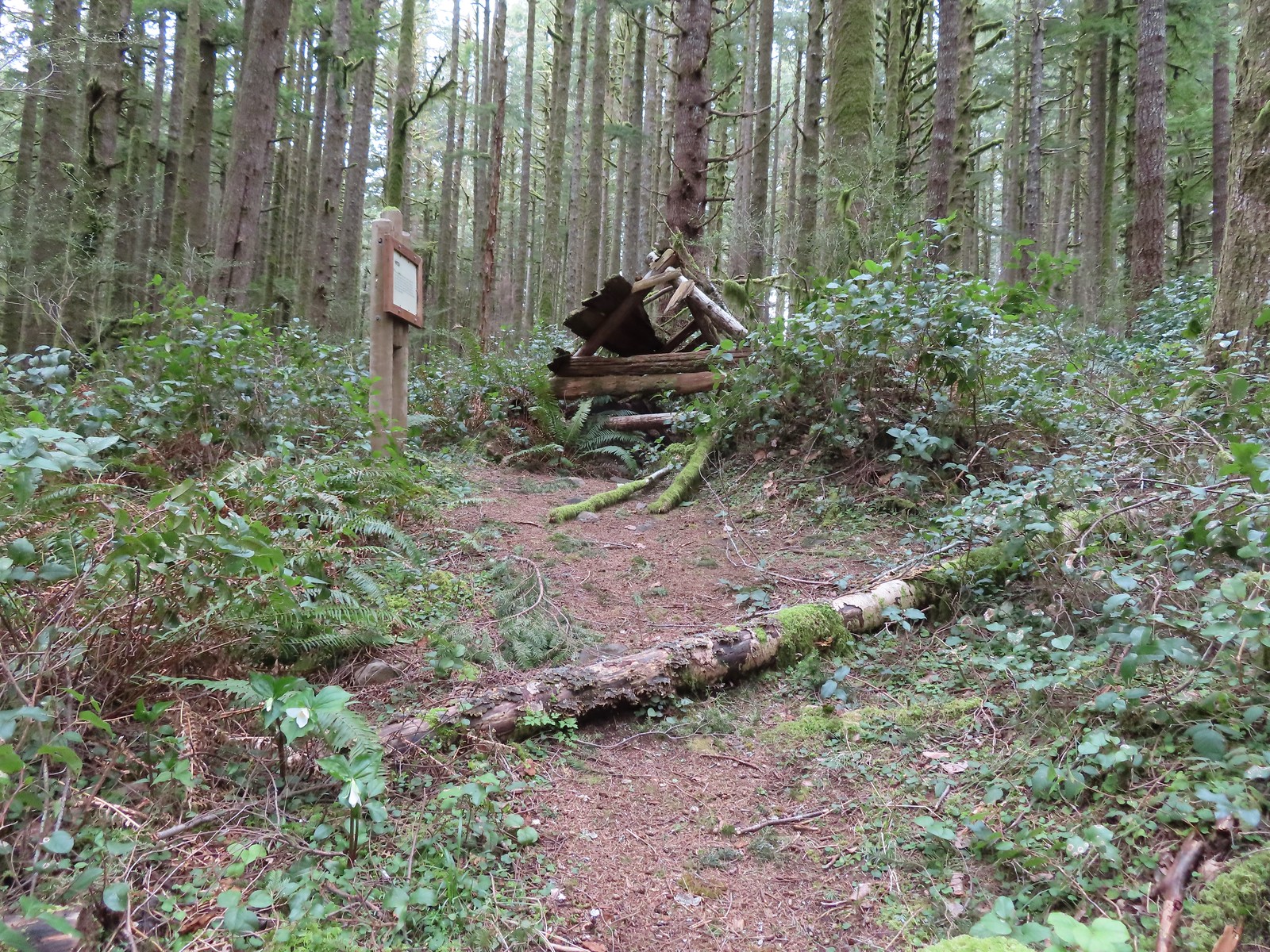
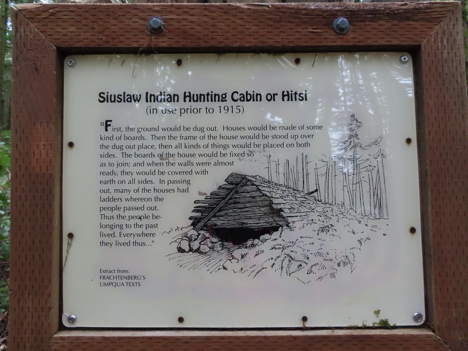

 Time has not been kind to the hitsi.


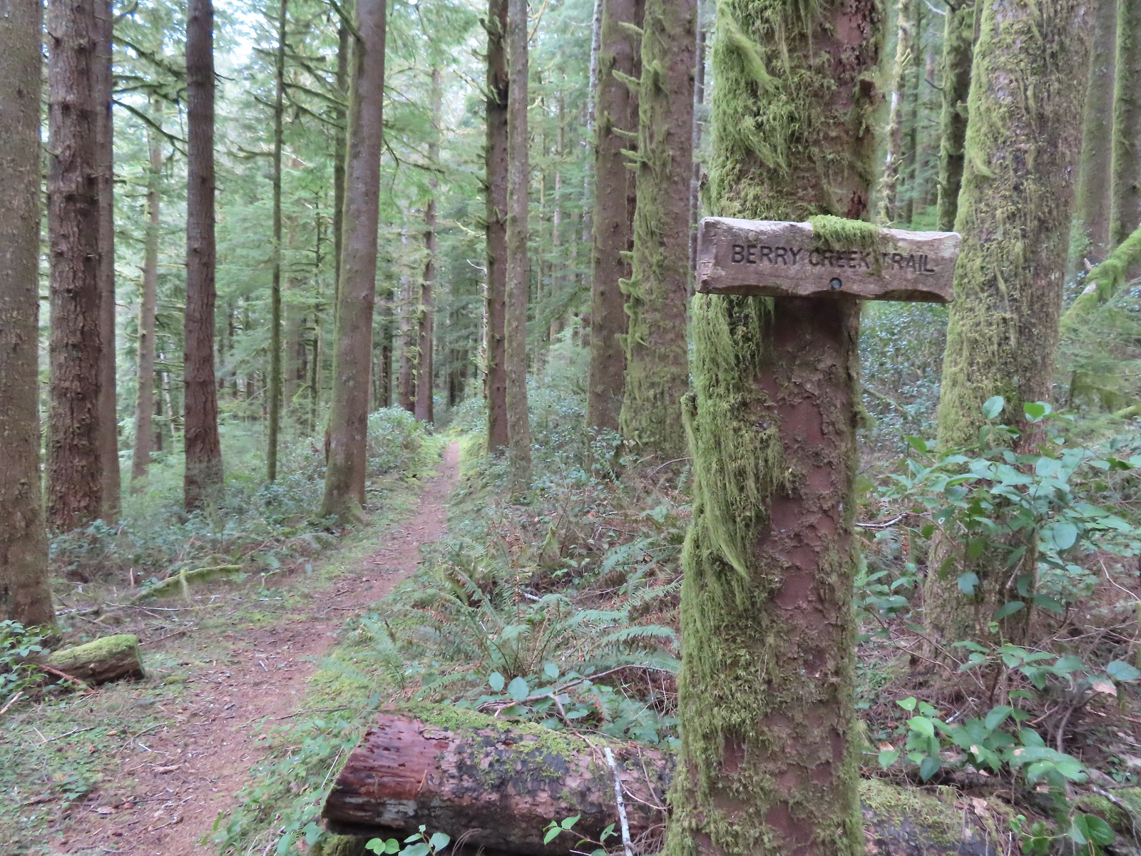
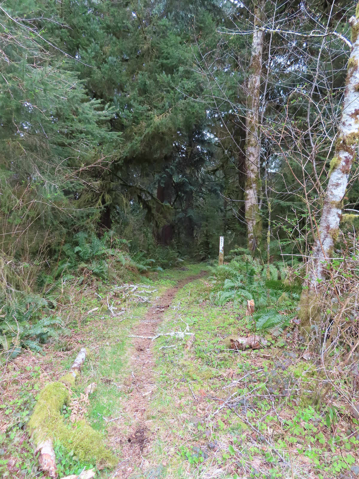
 The trail briefly followed an old roadbed.
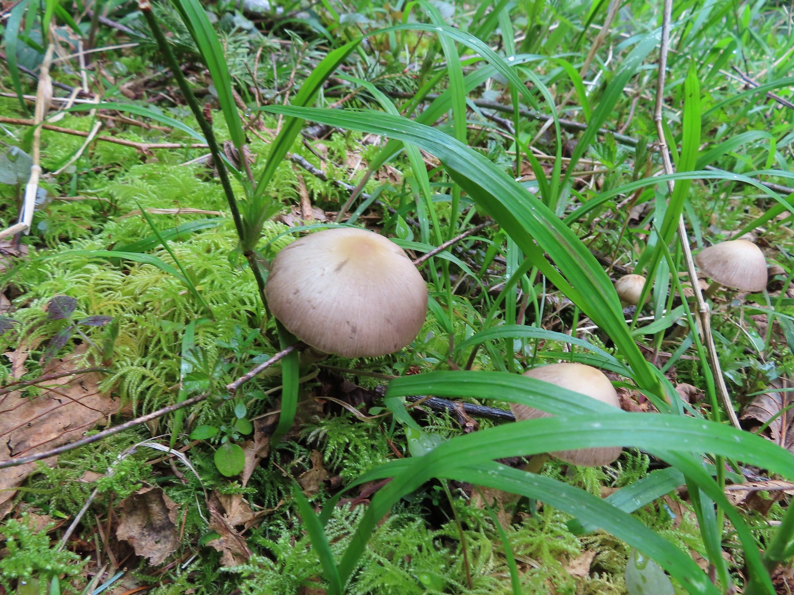 Mushrooms along the roadbed.
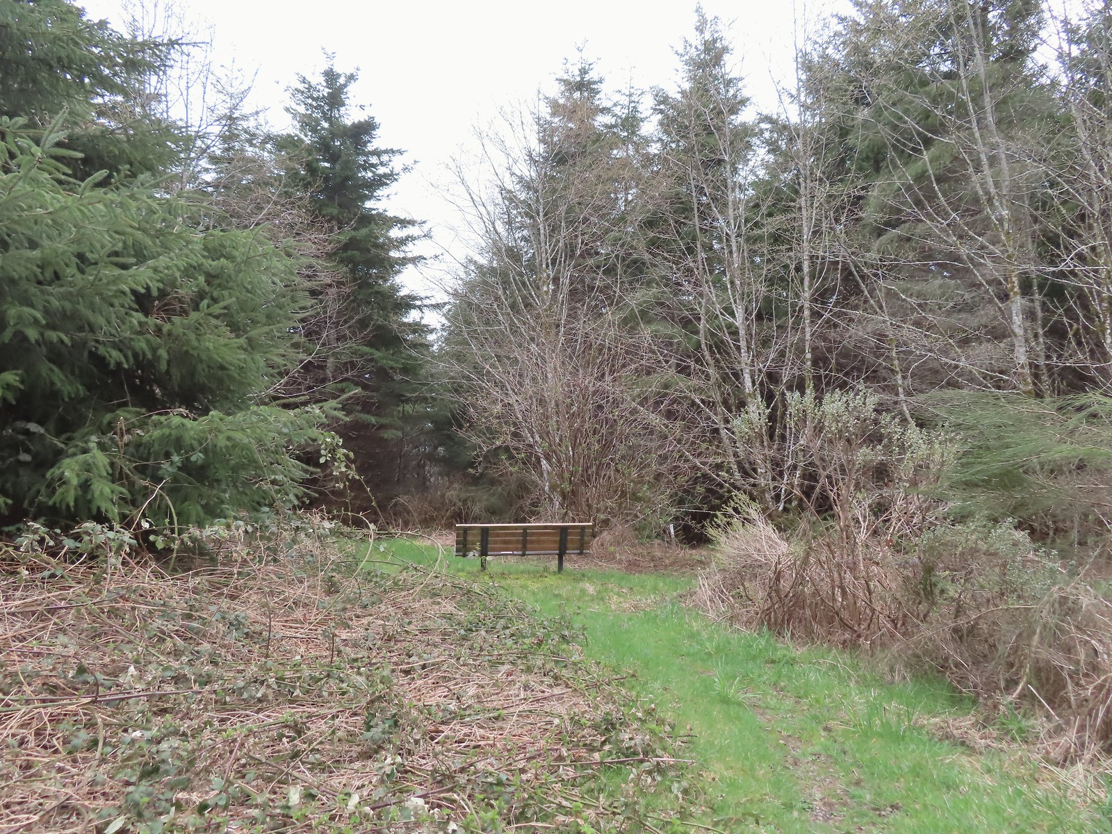 Another bench with a questionable view at the end of the roadbed segment.
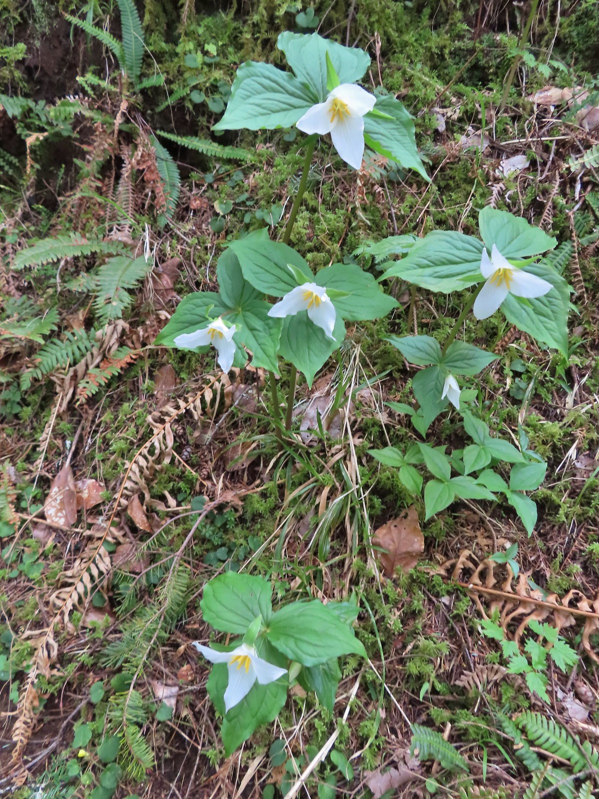 Flowers are a few weeks behind this year but there were quite a few trillium along the trails.
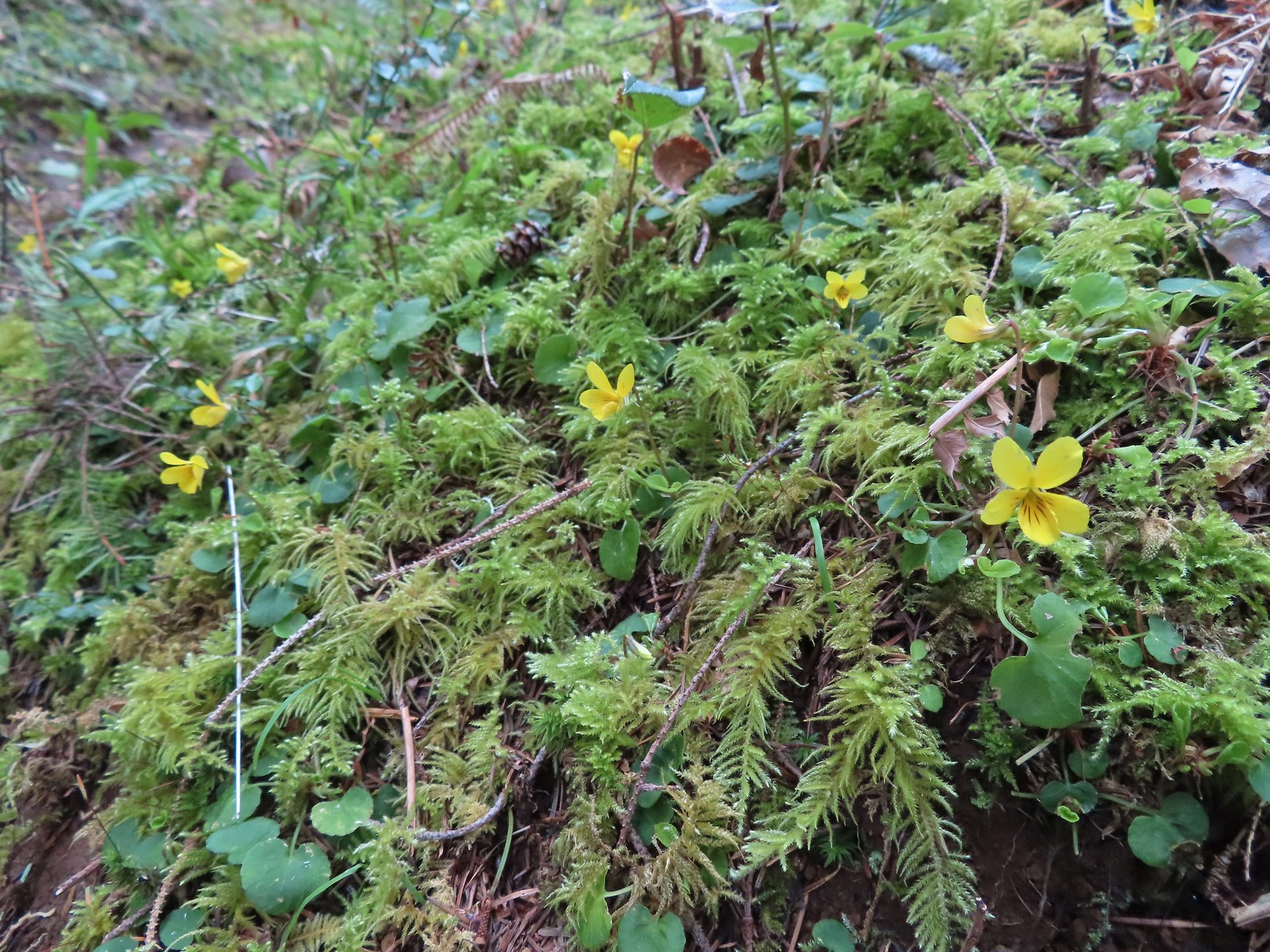 Violets were the other abundant flower.
 Red flowering currant beginning to bloom.
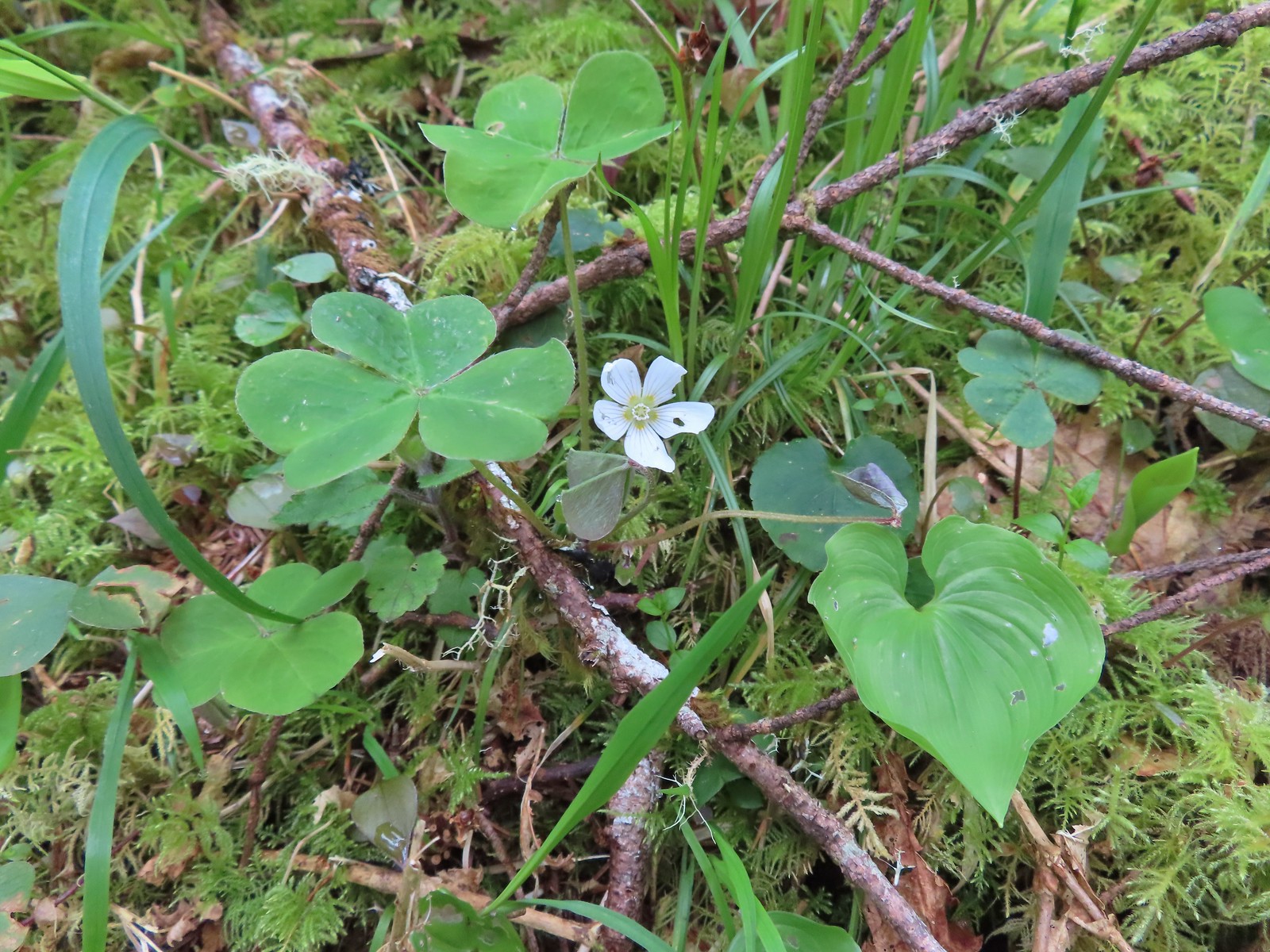 Wood sorrel
 This looked to be a fairly recent uprooting.
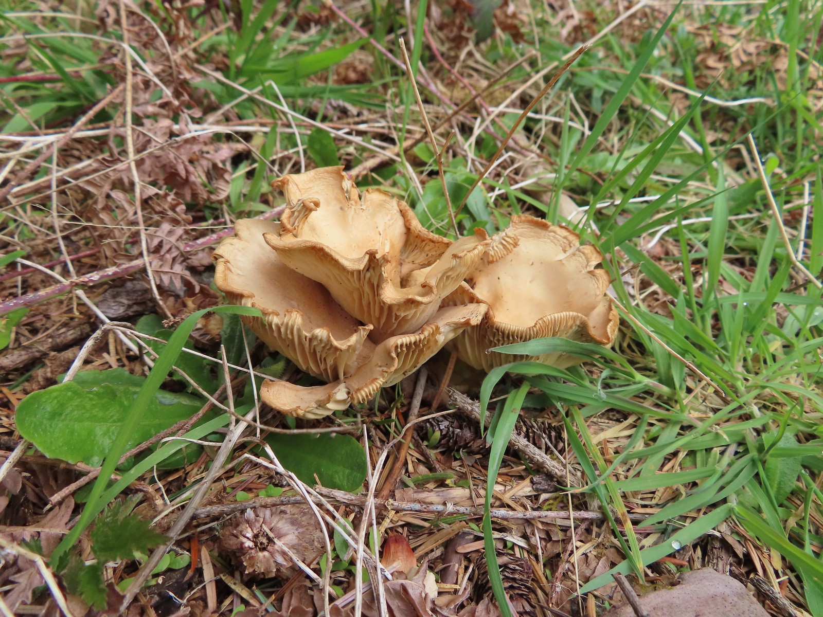
 A cute fungus
 Looking back after fording.

 We made a sharp right here onto the Nelson Ridge Trail.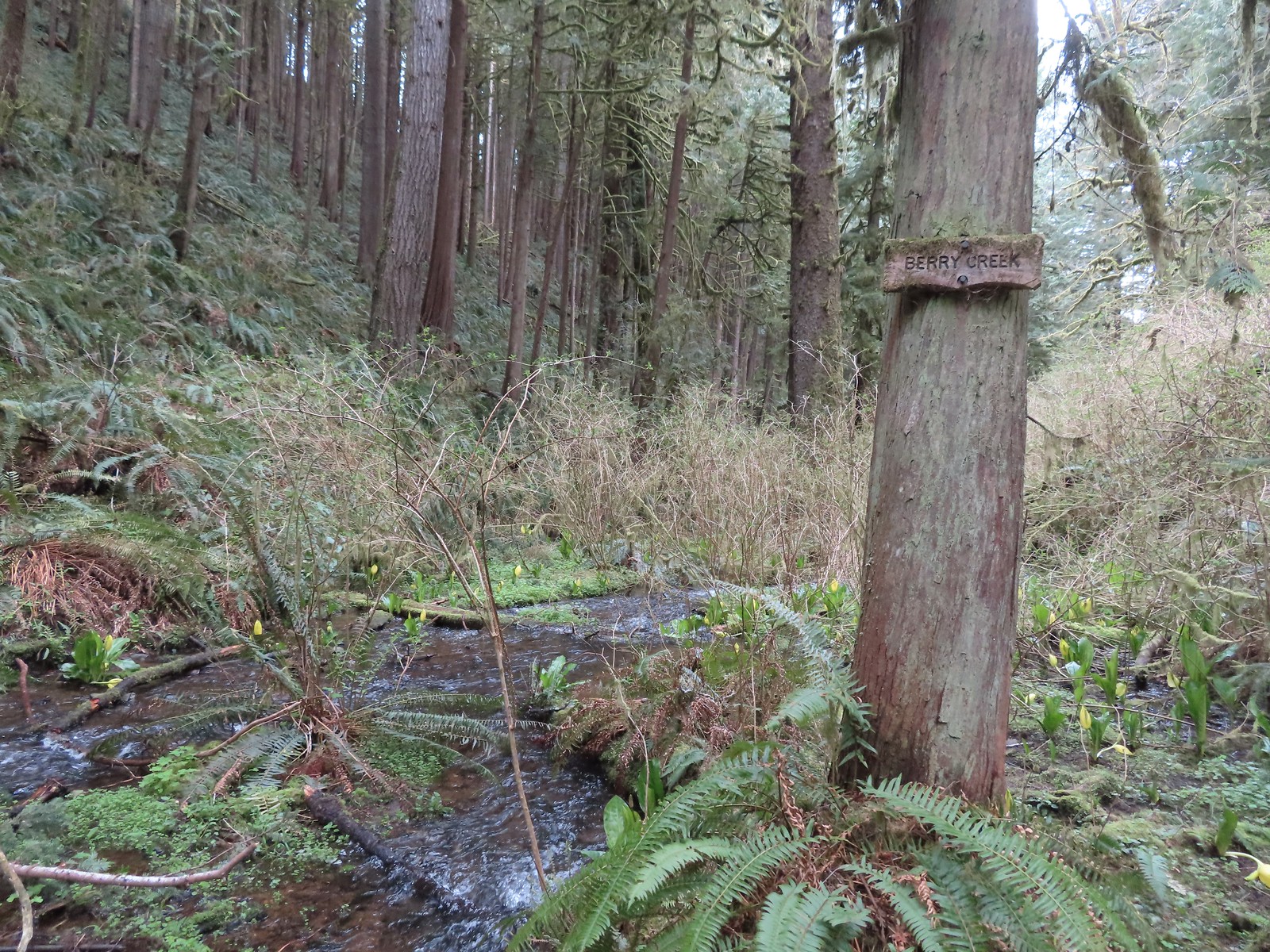
 Skunk cabbage at Berry Creek.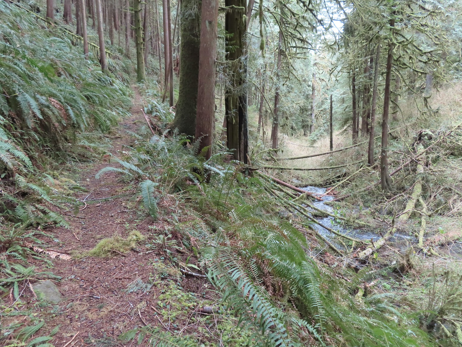
 A few bleeding-heart blooms.
 At least this bench had a view of the Pacific Ocean.
 Passing through a stand of trees along the ridge.
 Another bench.
 Some easy to walk around blow down.
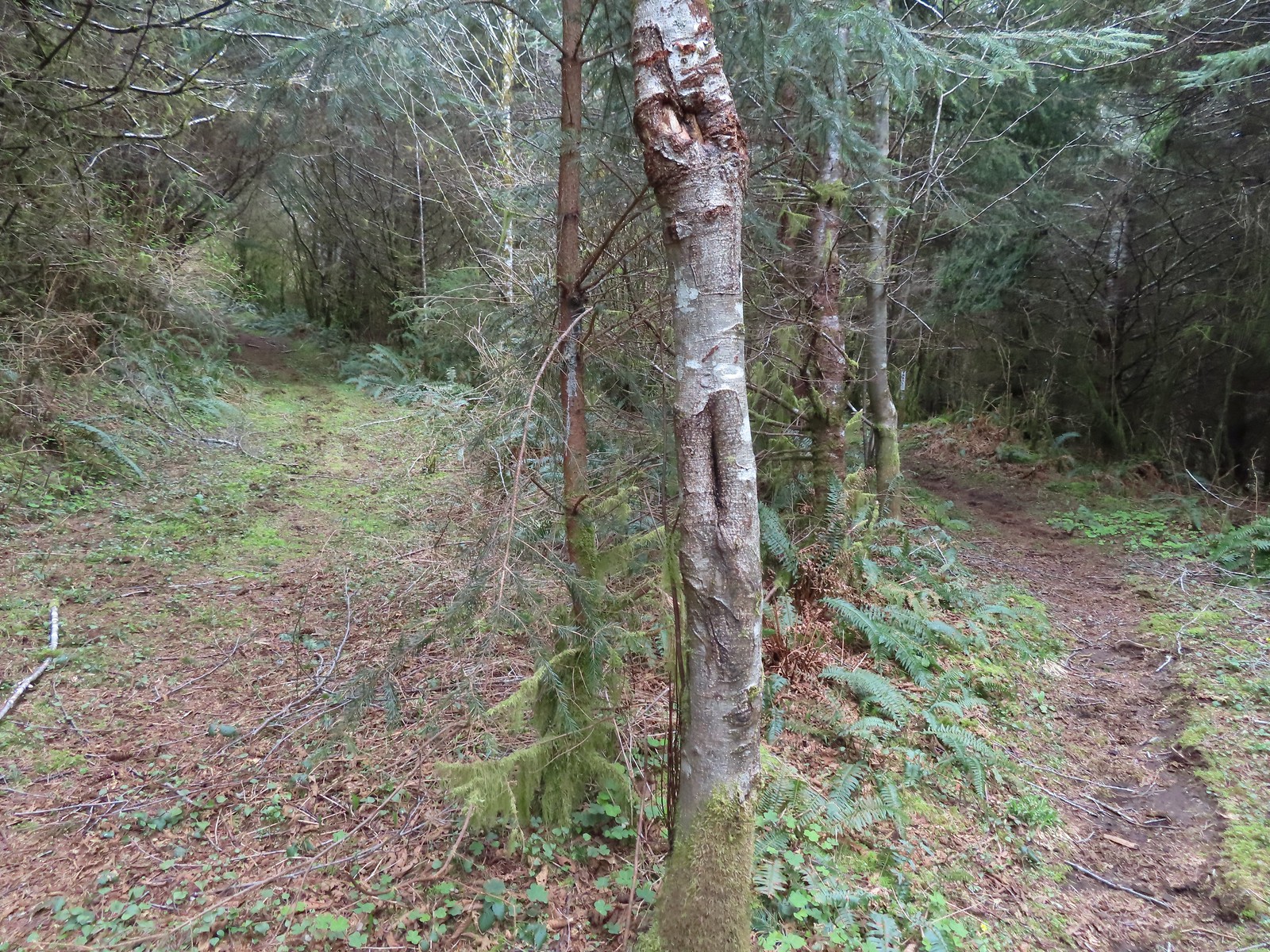 We couldn’t tell what this road/trail to the left was on the map so we stayed right to be safe at this junction.
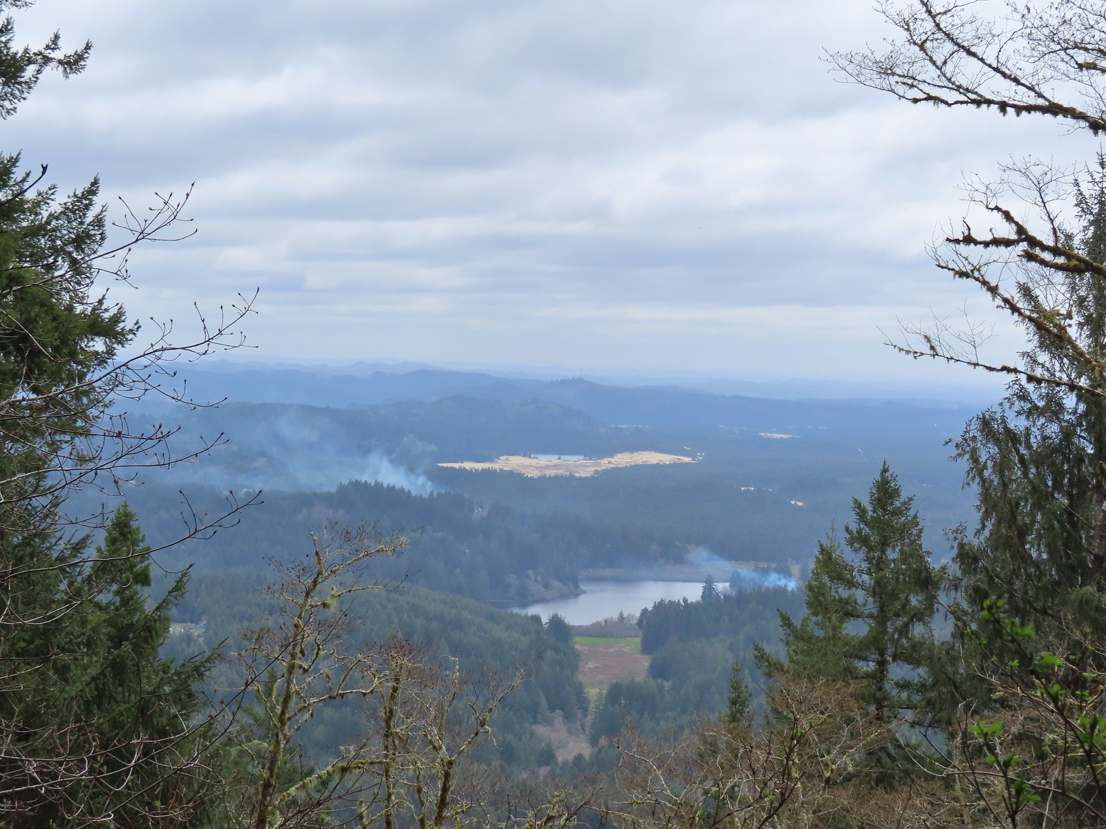 I think that is Sutton Lake and beyond the sand is Clear Lake.
 The end of another short roadbed section.
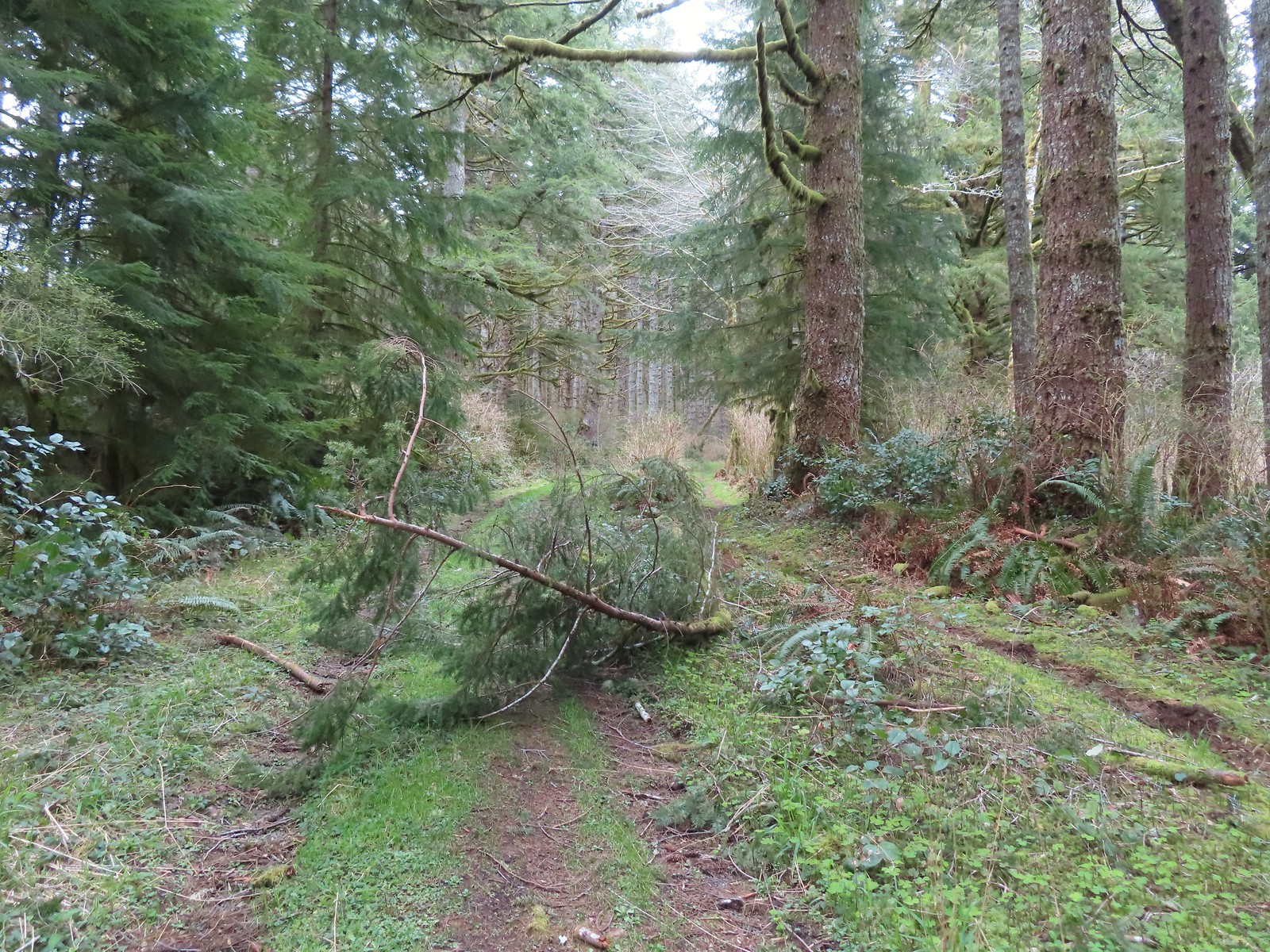 I walked on this roadbed for a bit just to do something a little different than on the first visit when I stuck to the trail (on the right).
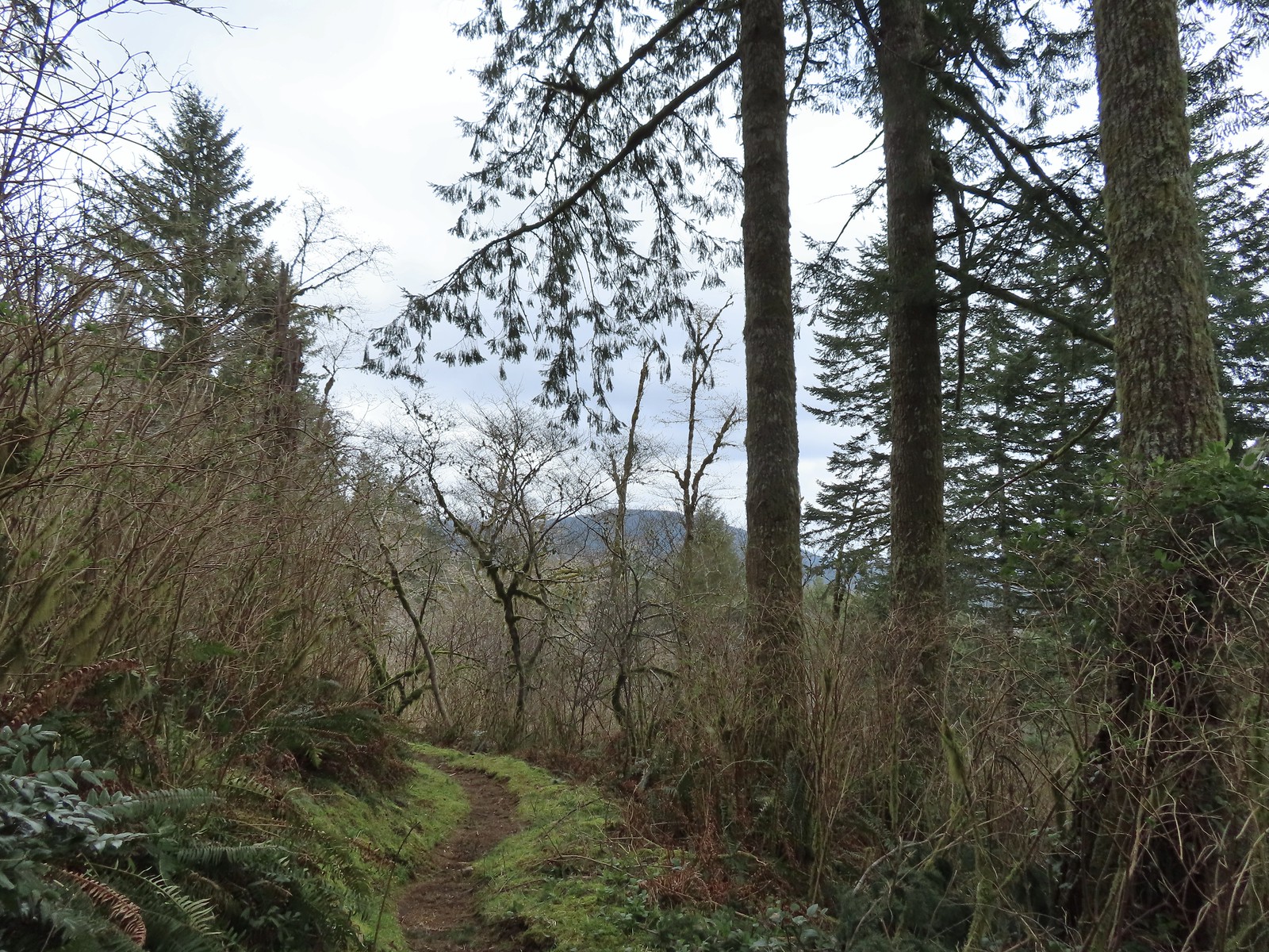 Starting to descend toward Dry Lake.
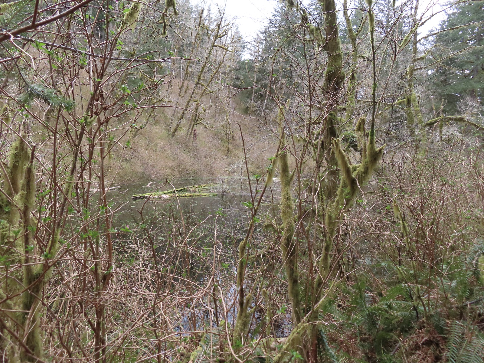 Dry Lake
 Back at the trailhead.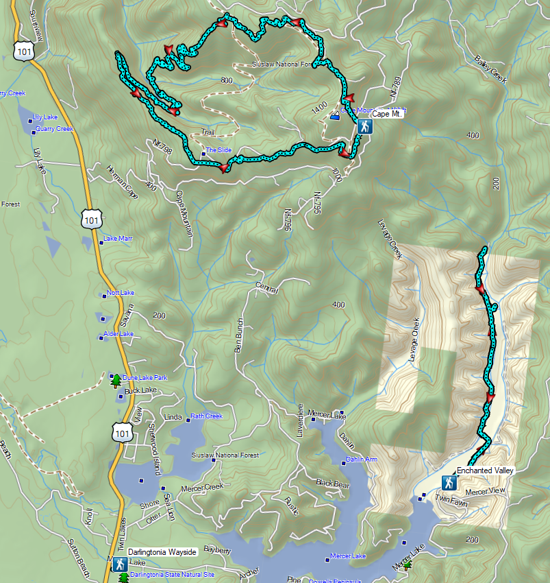

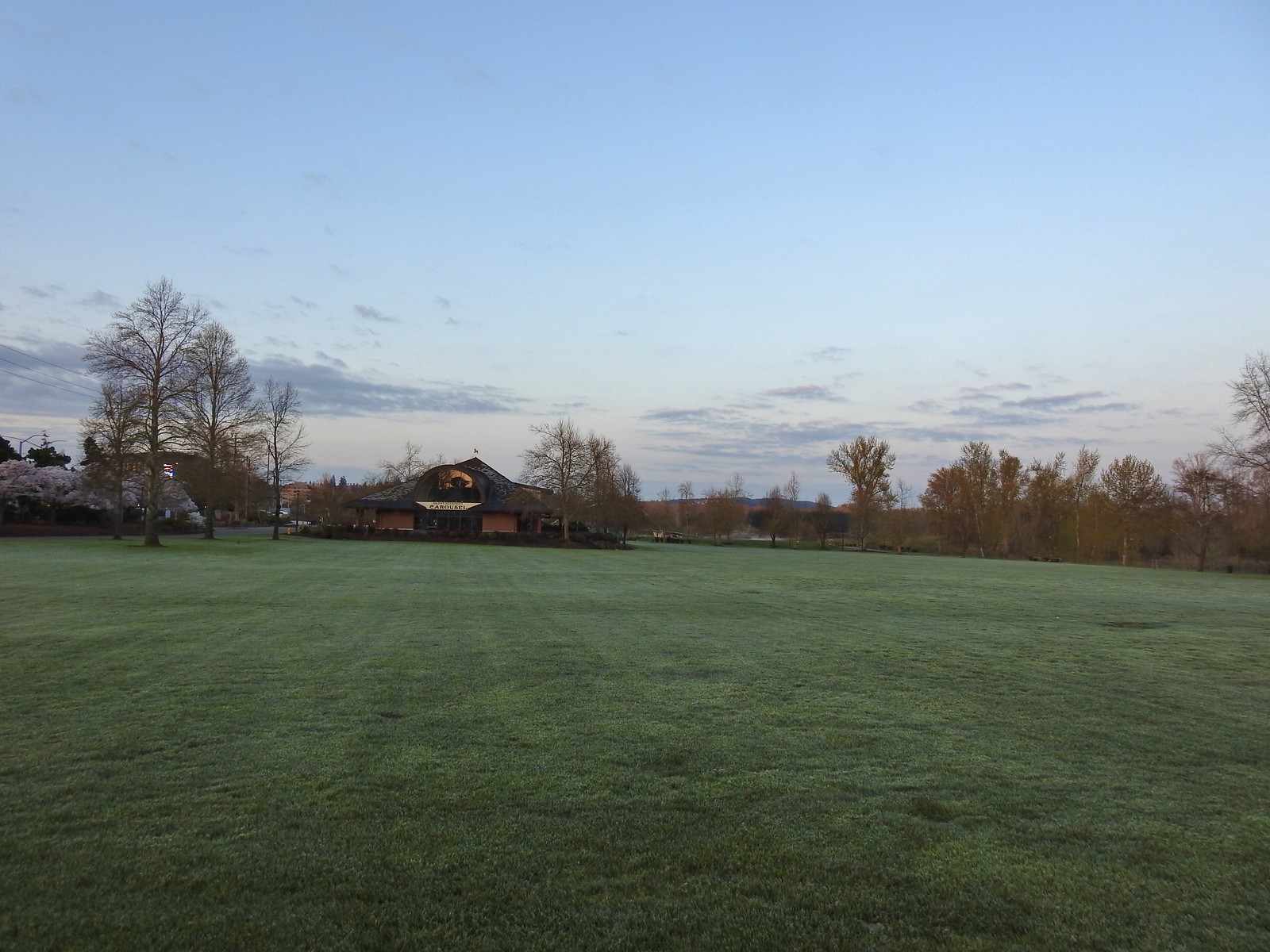
 The amphitheater and bridge on 3/19 23.
 The amphitheater and bridge on 4/14/23.
 Wetland near the bridge on 4/8.
 The wetland on 4/14.
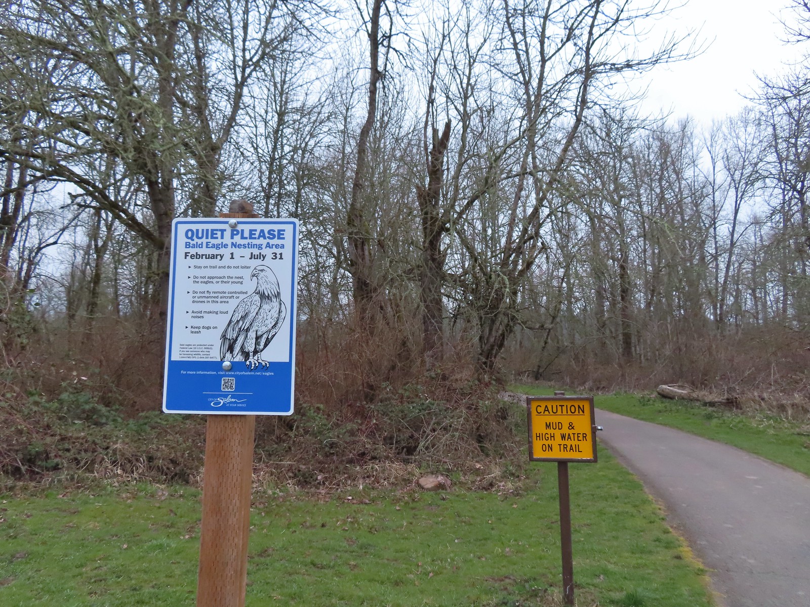 Signs at the 2nd junction – 3/19.
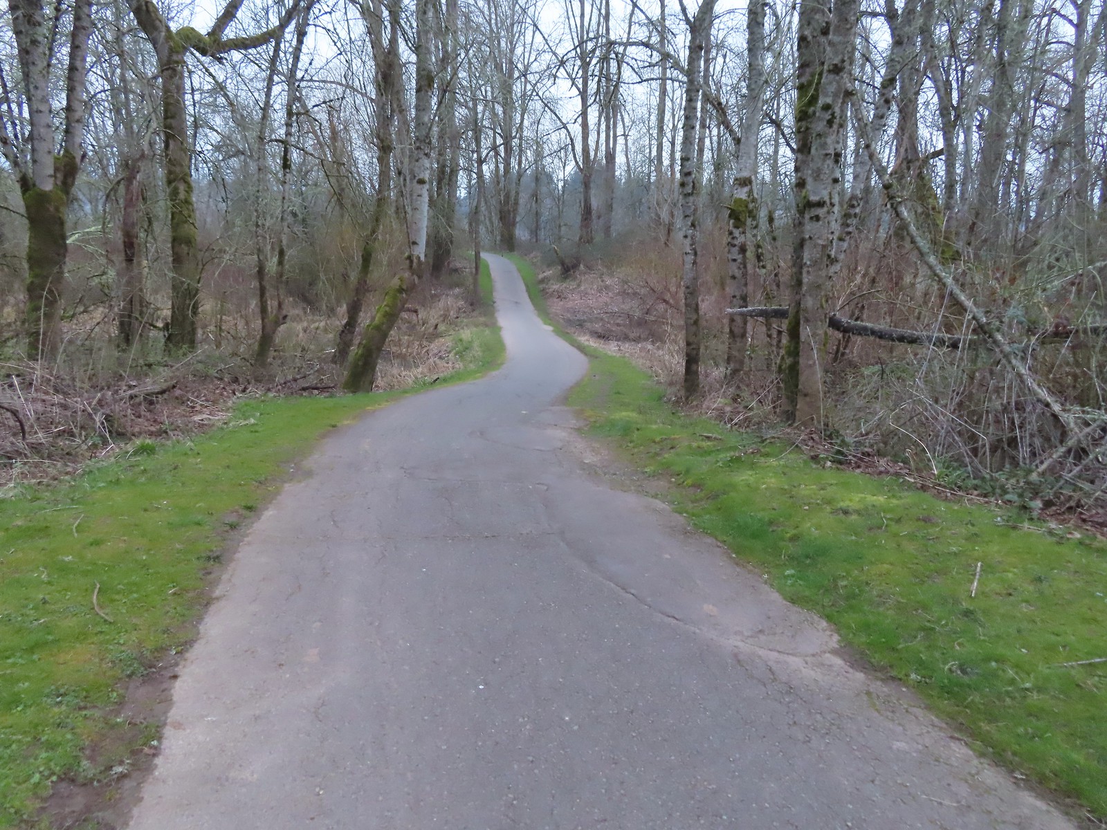 The path to the Willamette River on 3/19.
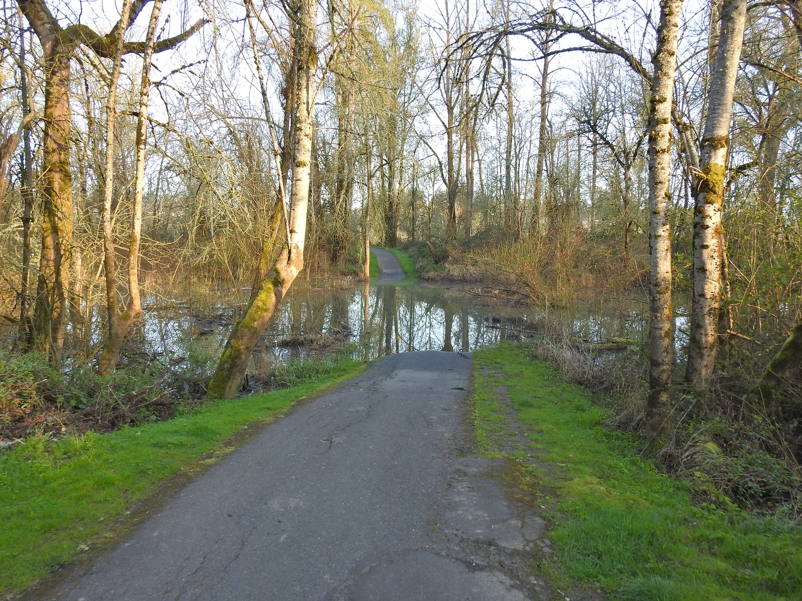 The path on 4/14.
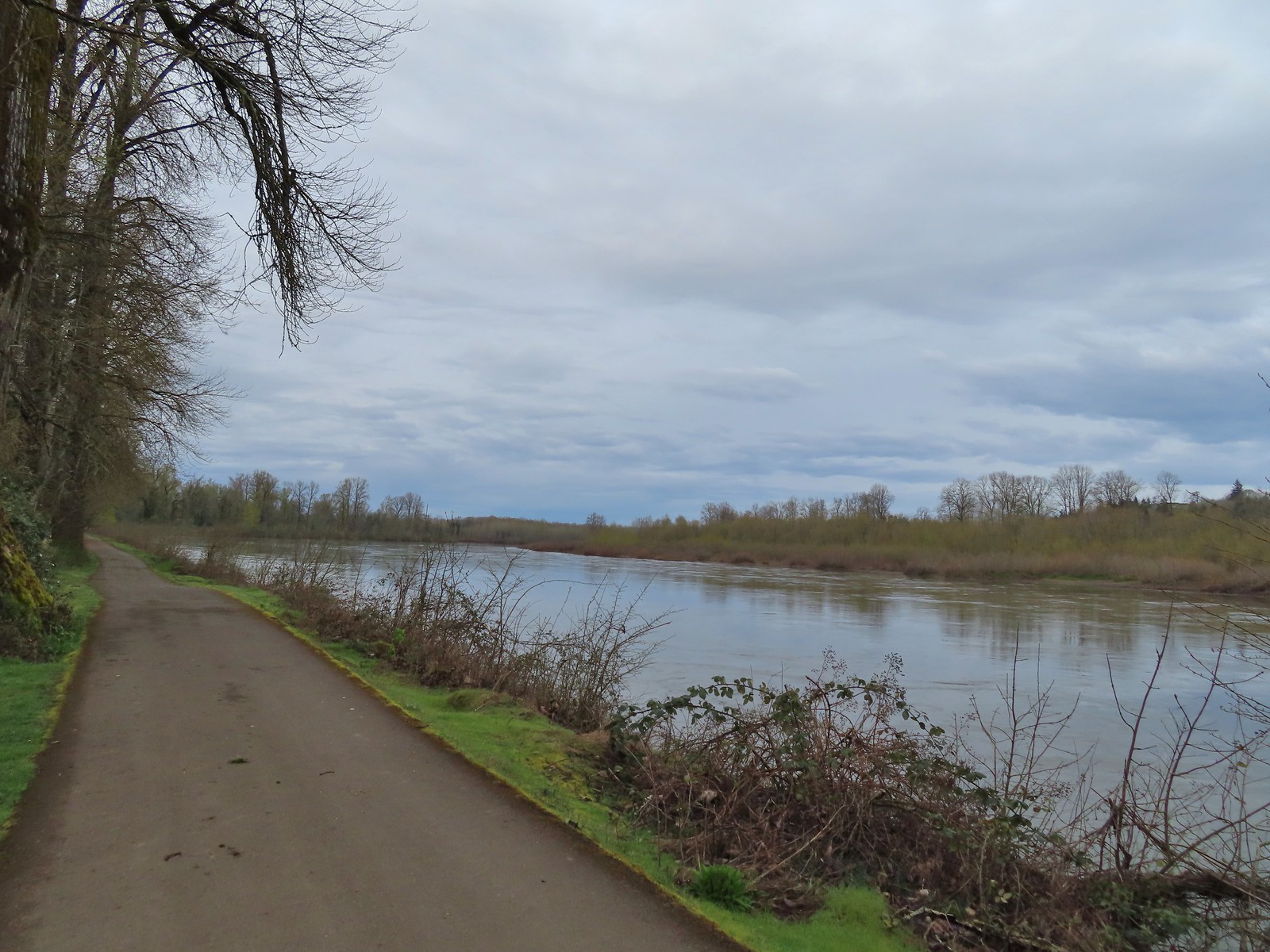 April 8th along the Willamette.
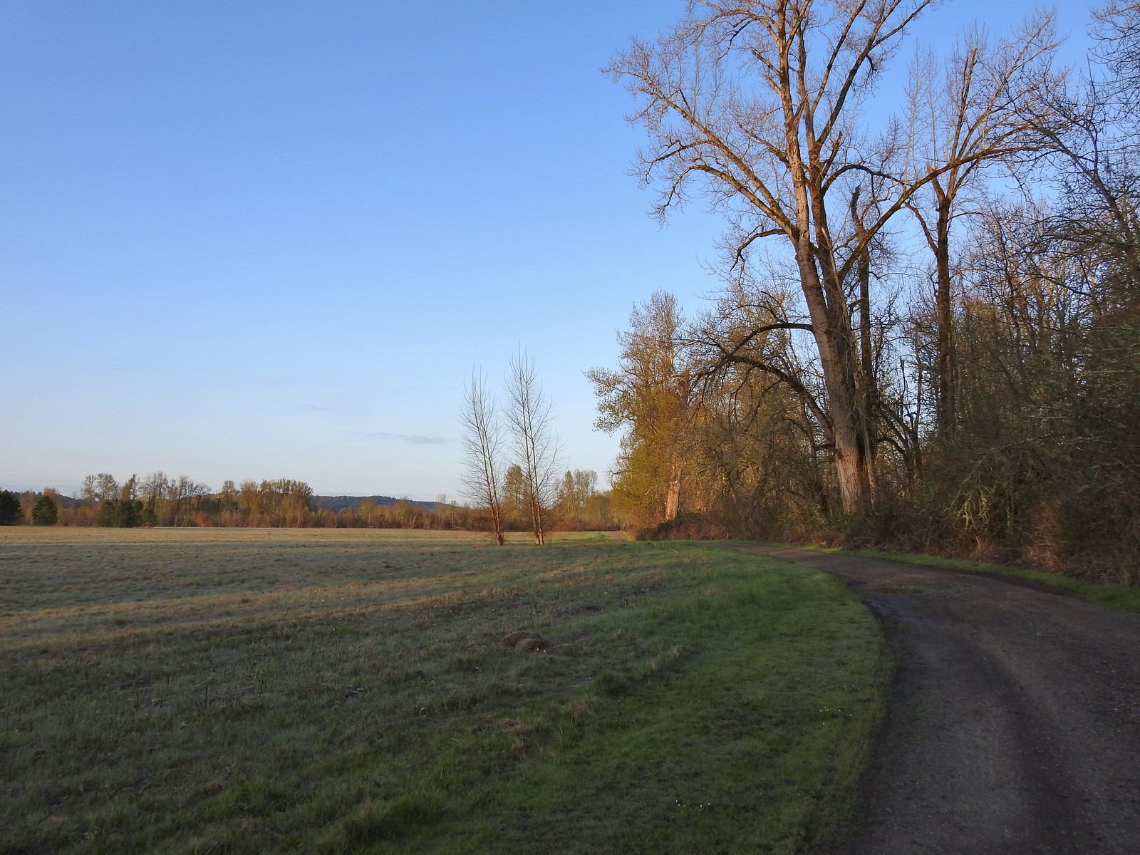 April 14th on the inland gravel path.
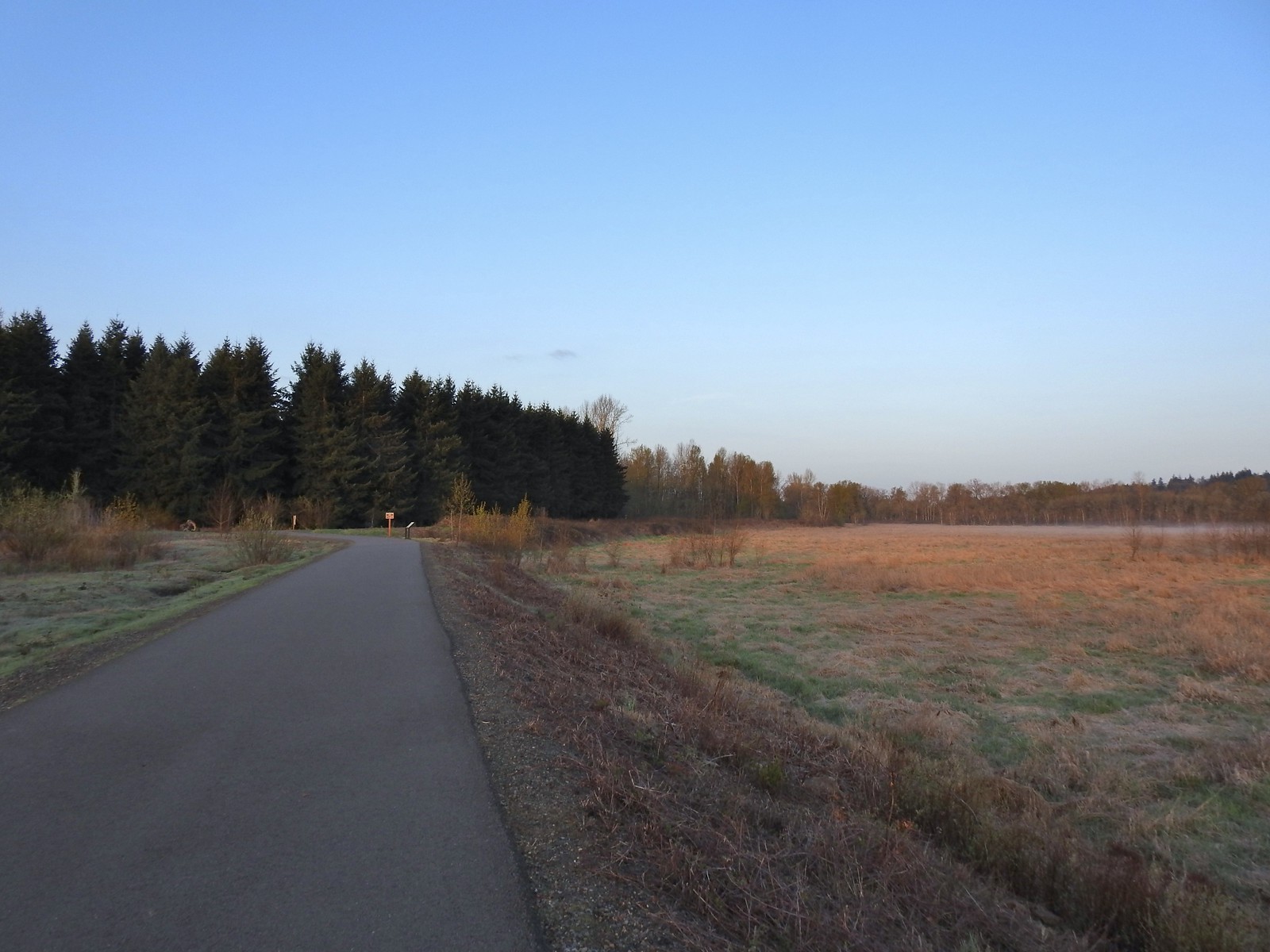 The Minto-Island Conservation Trail (Used during all four hikes.)
 Oxbow slough 3/19.
 April 14th
 Just South of Lot 3 the paved path is shared by the 10k, Purple Rabbit, Blue Heron, Green Deer, Yellow Duck and Brown Squirrel Loops.
 The footbridge over Oxbow Slough is part of the 10k, Blue Heron, and Purple Rabbit Loops.
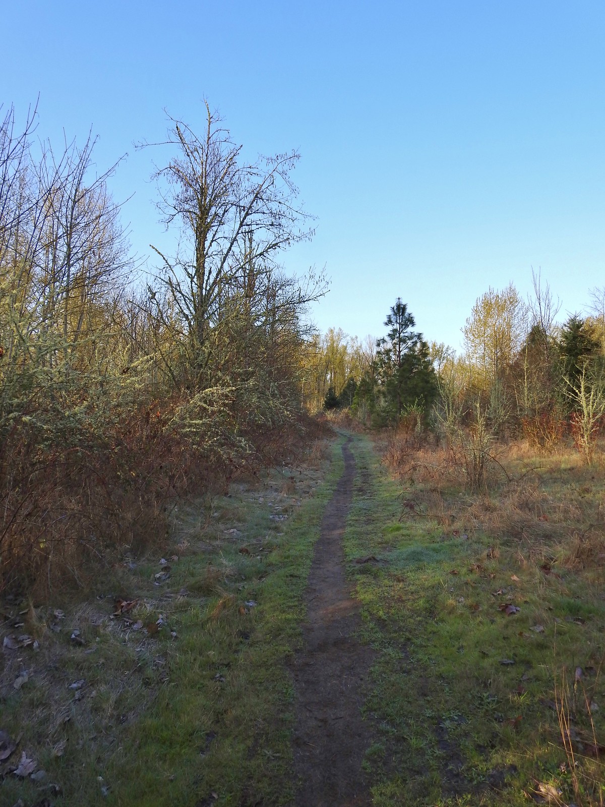 Blue Heron Loop running parallel to the 10k/Purple Rabbit Loops.
 Field along the Blue Heron Loop
 The “T” junction where the 10k/Purple Rabbit Loops turn left from the Blue Heron Loop.
 Most of the junctions are well signed with maps which helped keep me on track.
 Willamette River from the Orange Turtle Loop.
 Orange Turtle Loop
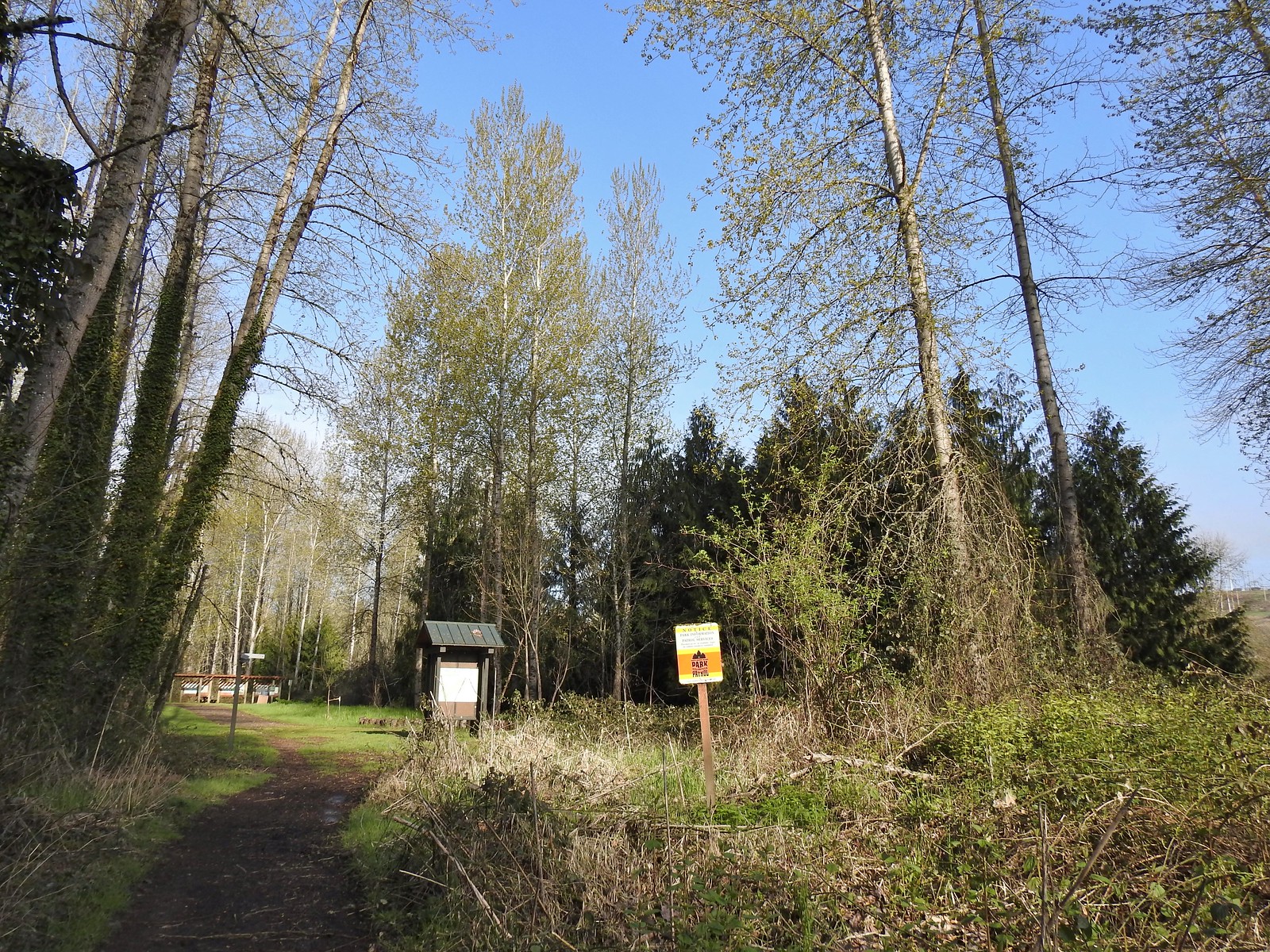 The boarder between Minto-Brown Island Park and Eola Bend County Park.
 A bit of the history of Eola Bend County Park.
 Nice map of the Willamette River watershed.
 Eola Bend County Park
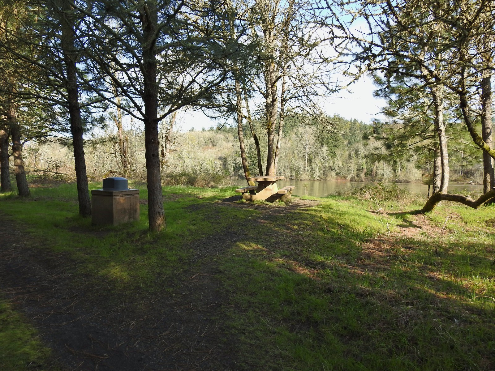 I took advantage of this picnic table to take a short break.
 The landfill behind the map.
 Arriving at the road.
 The 10k/Purple Rabbit Loop on the left.
 The Green Deer Loop junction.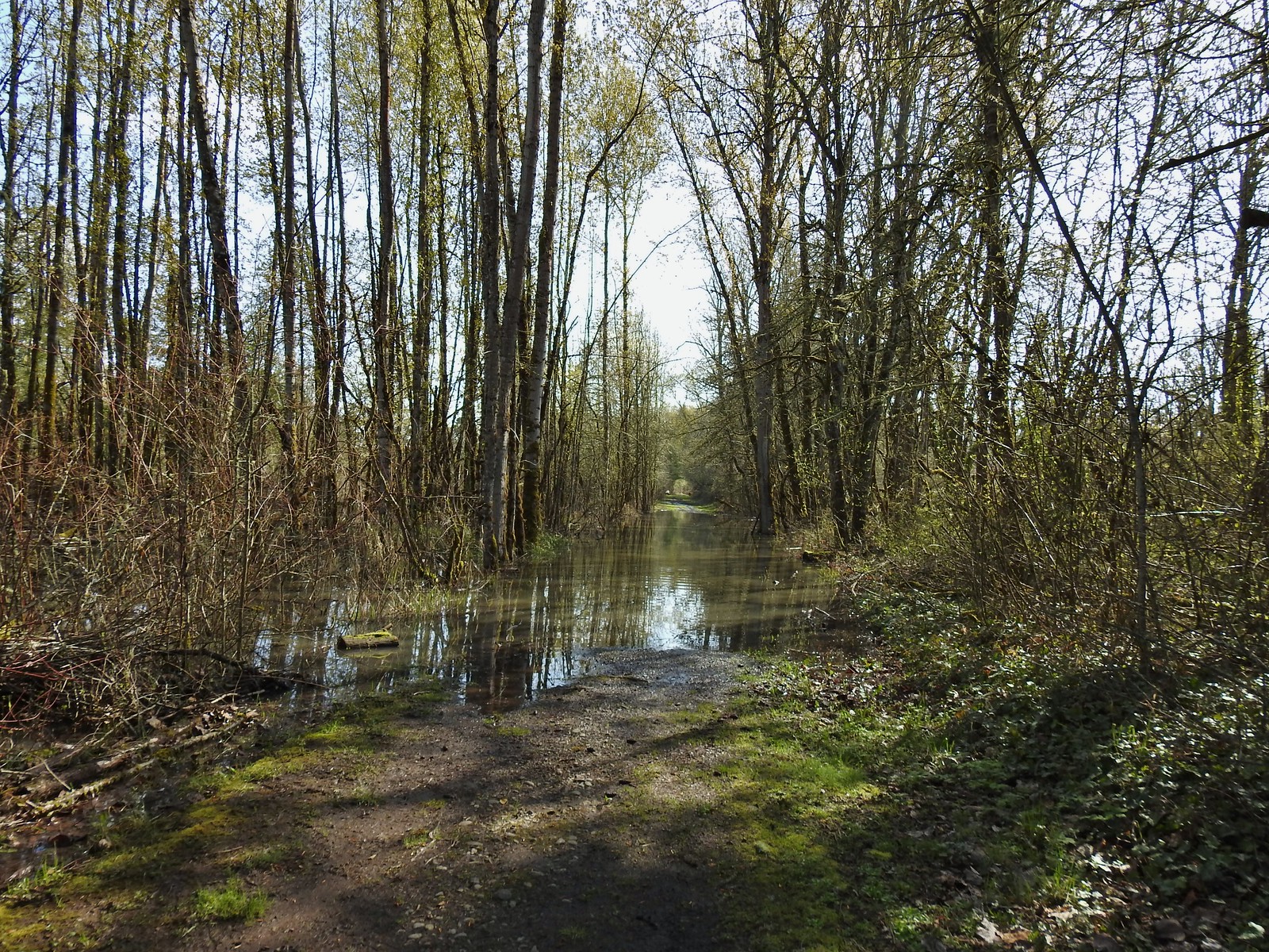
 The paved 10k/Yellow Duck/Brown Squirrel Loop.
 The rougher dirt path.
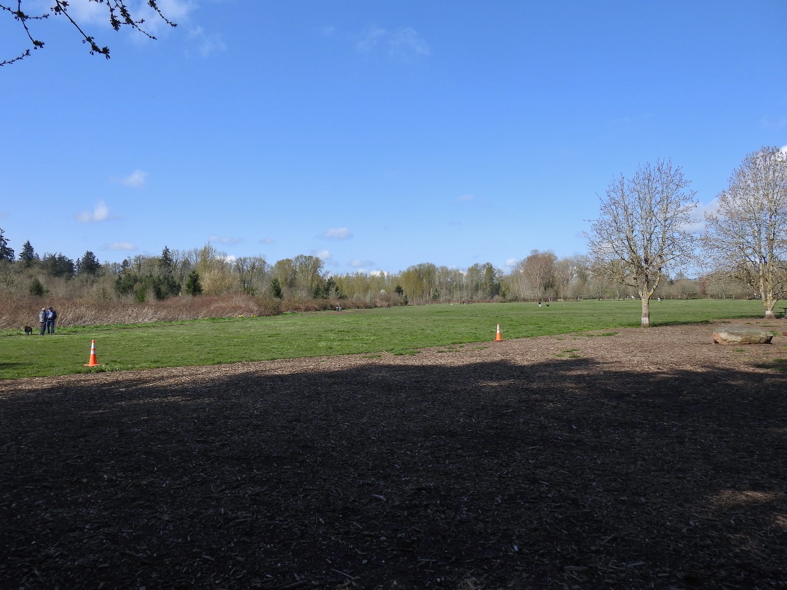 The dog park (possibly the happiest place in Salem, at least for dogs).
 The 10k Loop on the opposite side of the entrance road from Lot 2.
 From our 3/19 hike on the 10k Loop. The path running from left to right is the Red Osprey Loop. On this last trip I took the path on the left down to the sign below at the junction and continued straight.
 At the sign heading toward the old cherry orchard.
 The old cherry orchard.
 Sign in the distance along the paved path where I turned right.
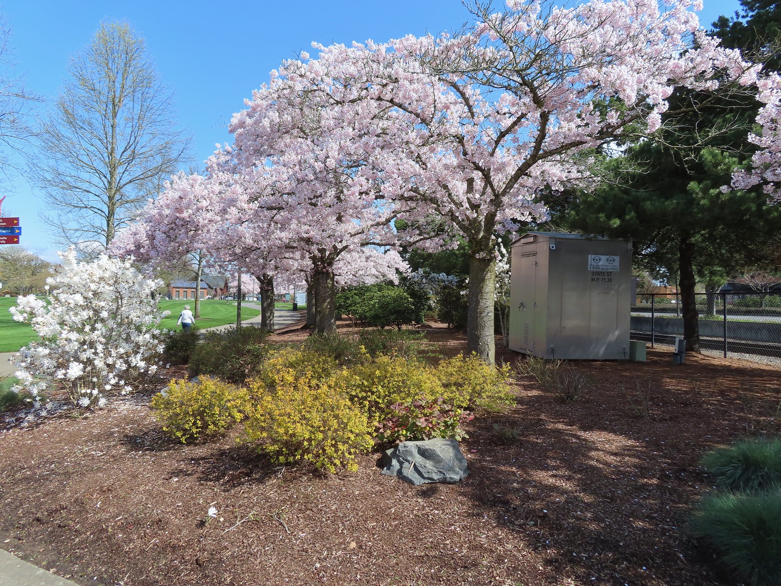 Cherry blossoms.
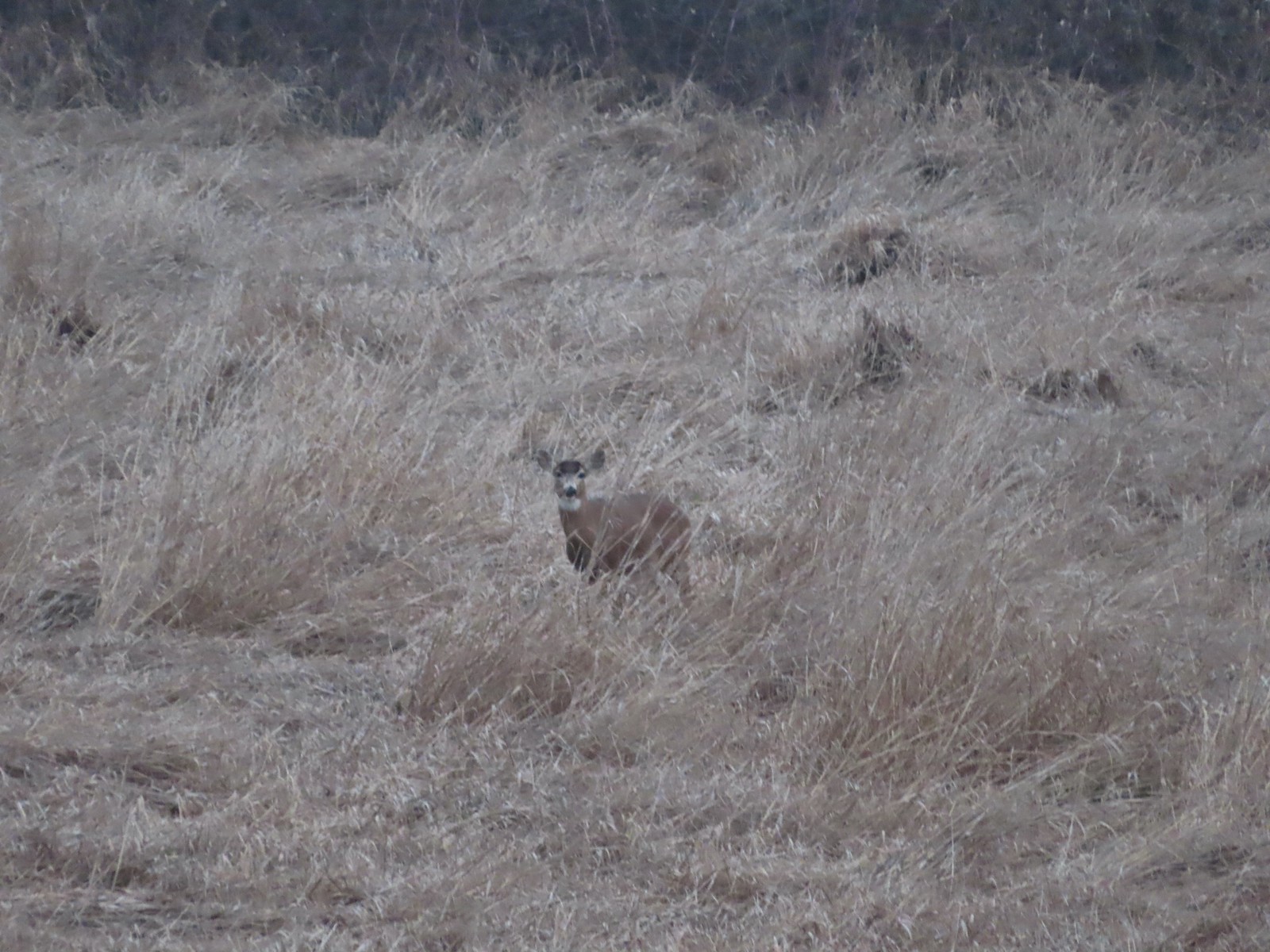 Deer – 3/19
 Bald eagle – 3/19
 Cormorant on the Willamette – 3/25
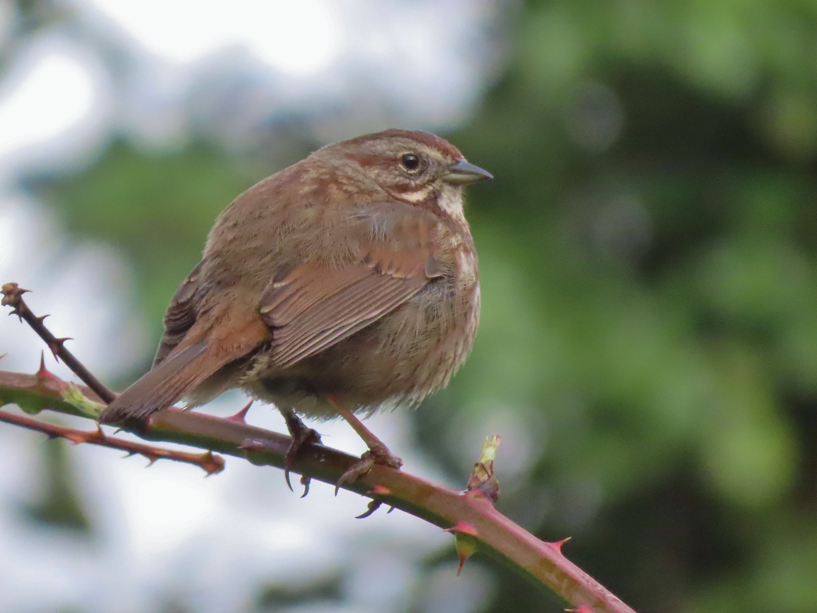 Sparrow – 3/25
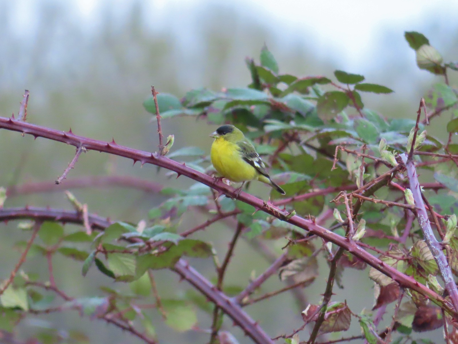 Lesser goldfinch – 4/8
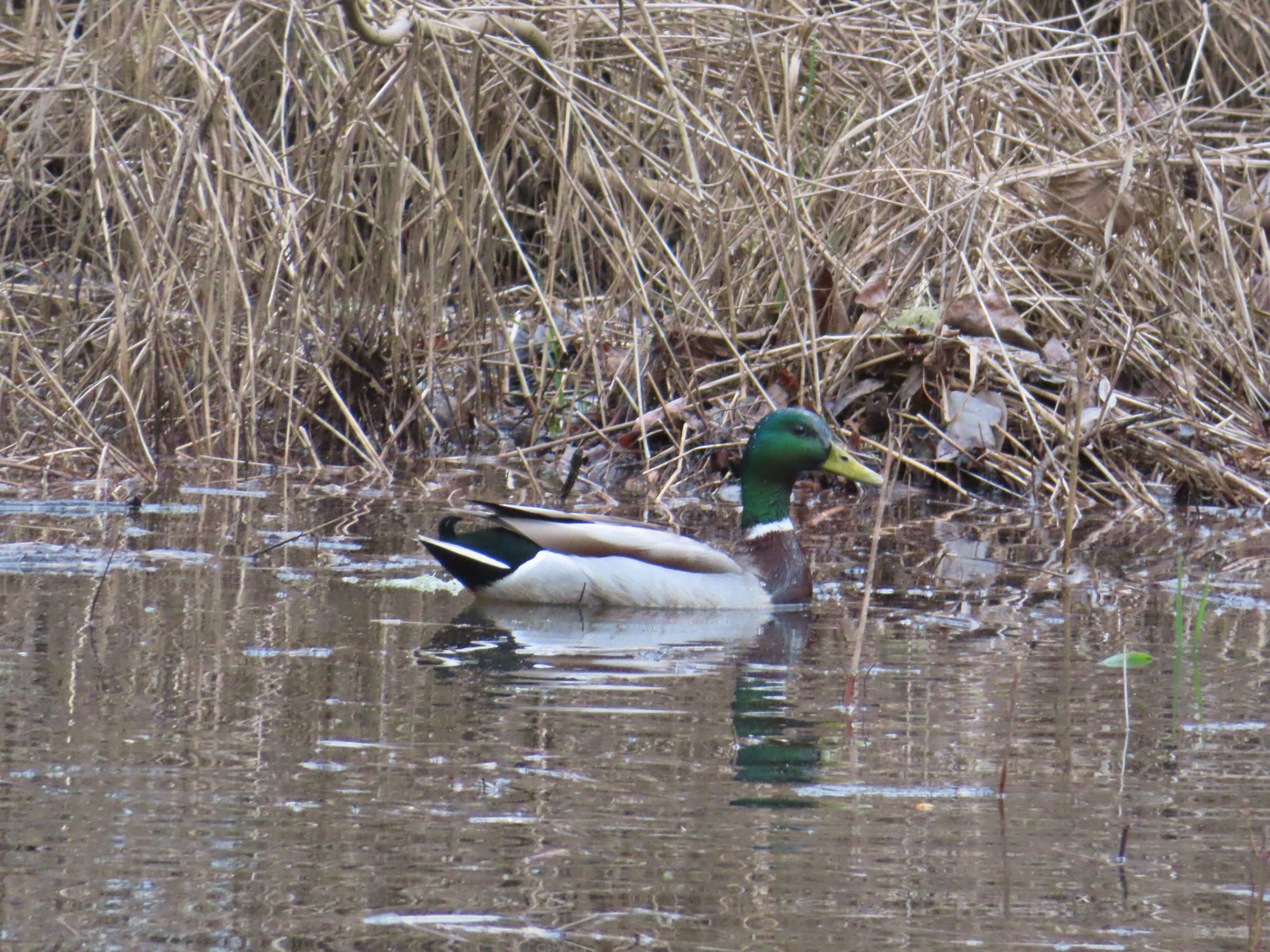 Mallard – 4/8
 Wood ducks up in a tree – 4/8
 Osprey – 4/8
 Green-winged teal – 4/14
 Mallard – 4/14
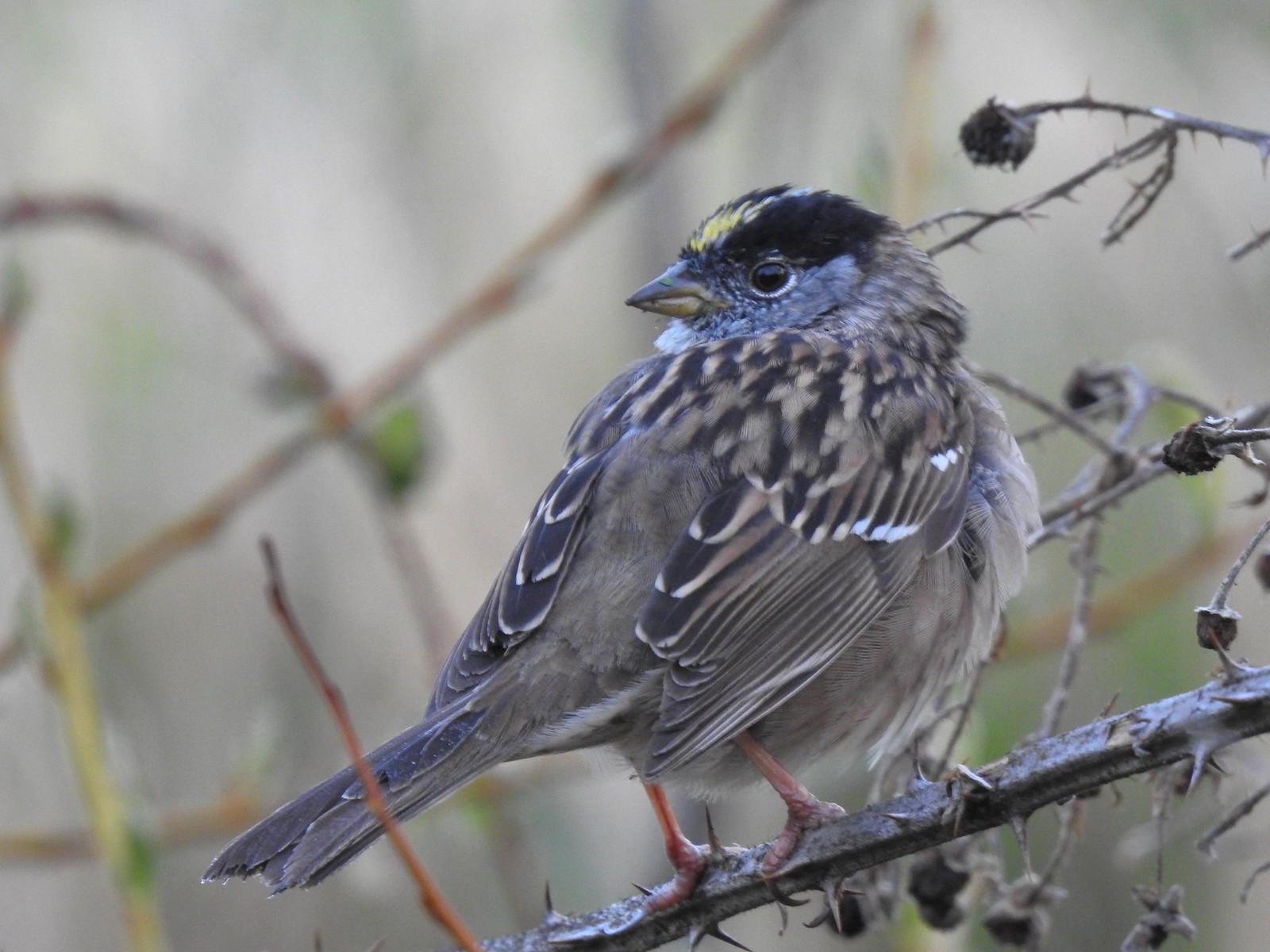 Golden-crowned sparrow – 4/14
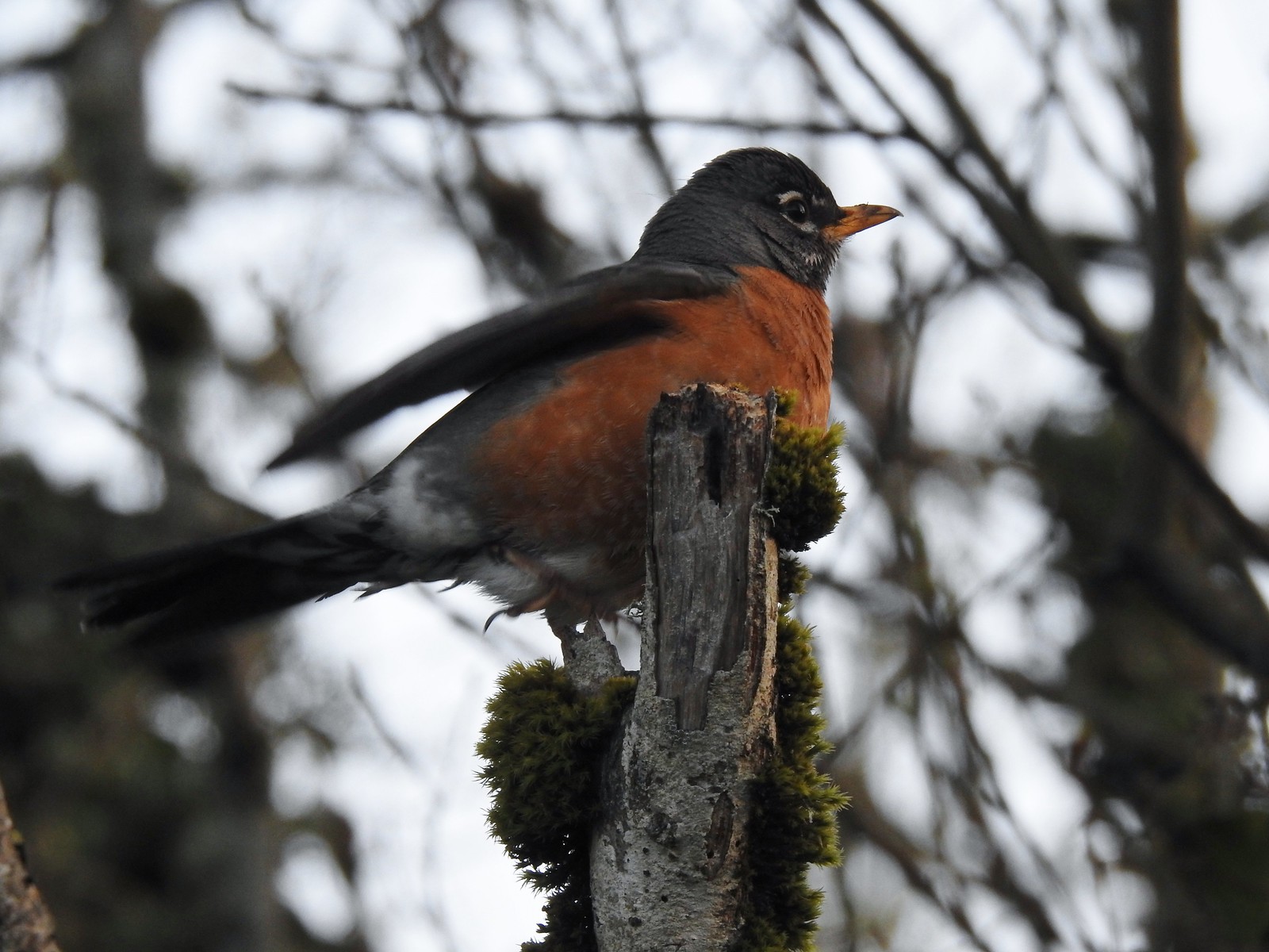 Robin – 4/14
 White-crowned sparrow – 4/14
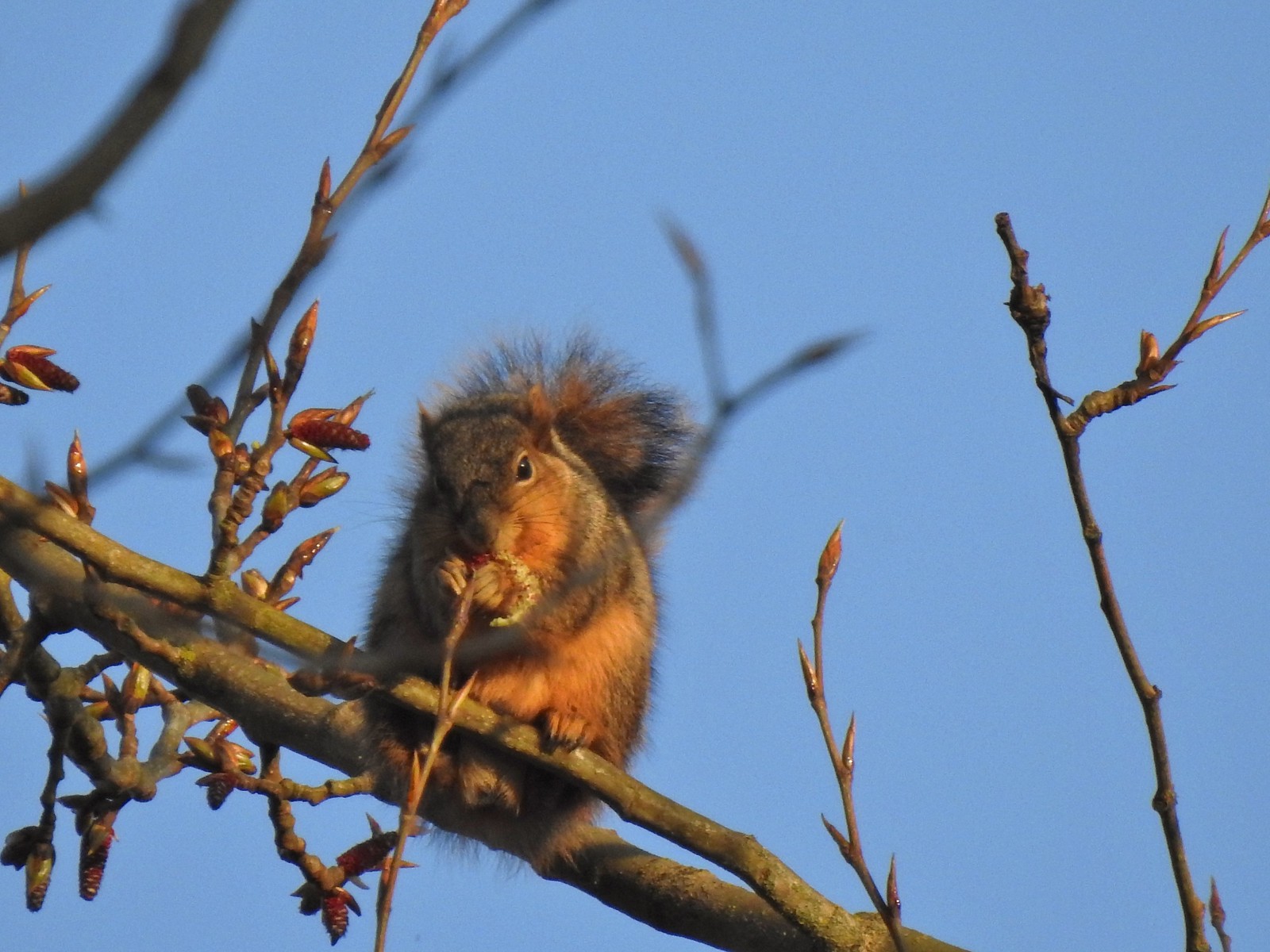 Squirrel – 4/14
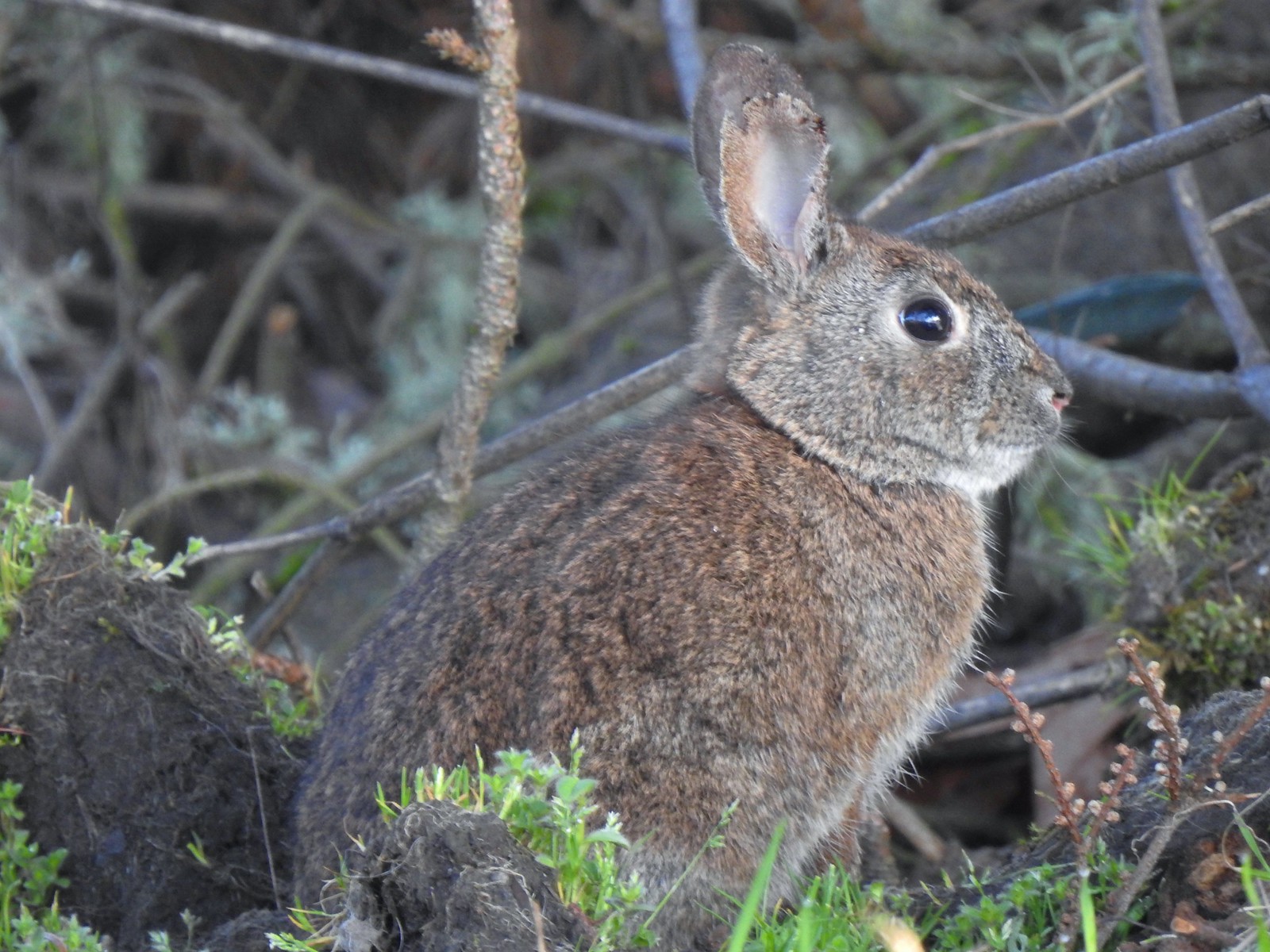 Rabbit – 4/14 (This was one of several dozen bunnies that I encountered on this day.)
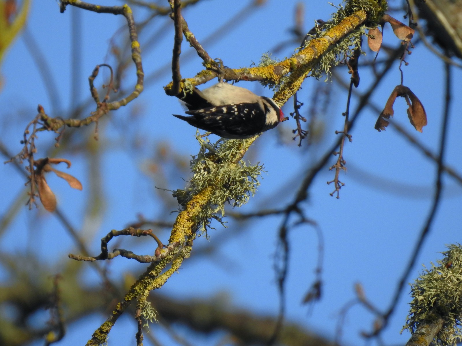 Woodpecker – 4/14
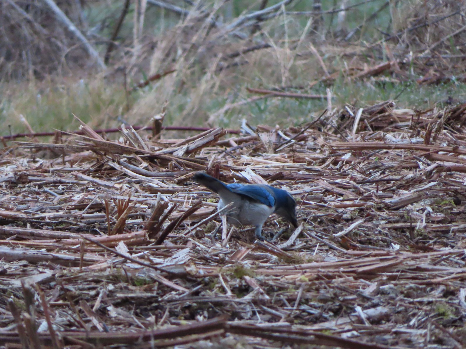 Scrub jay – 3/19
 Dove – 4/8
 Killdeer – 4/14
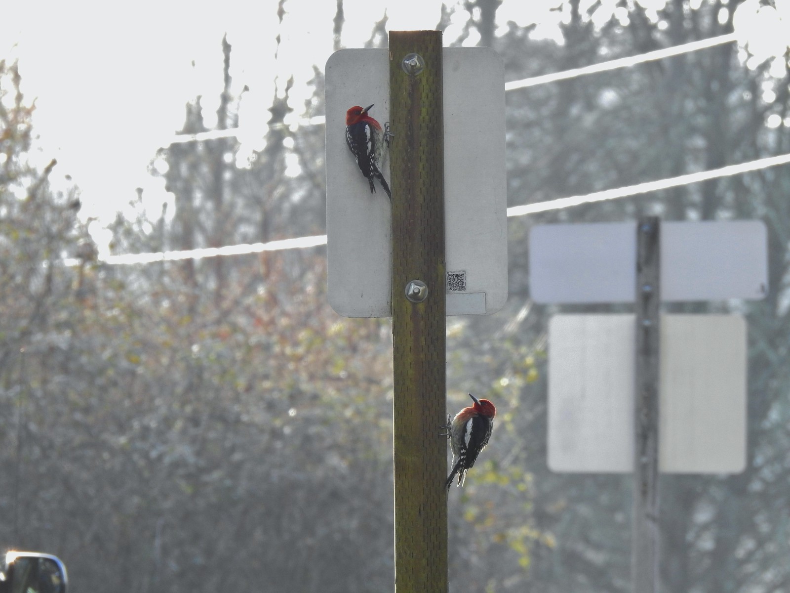 Red breasted sapsuckers – 4/14 (Males peck the sign to make noise to either attract mates or establish territory.)
 Pied billed grebe in Oxbow Slough – 3/19
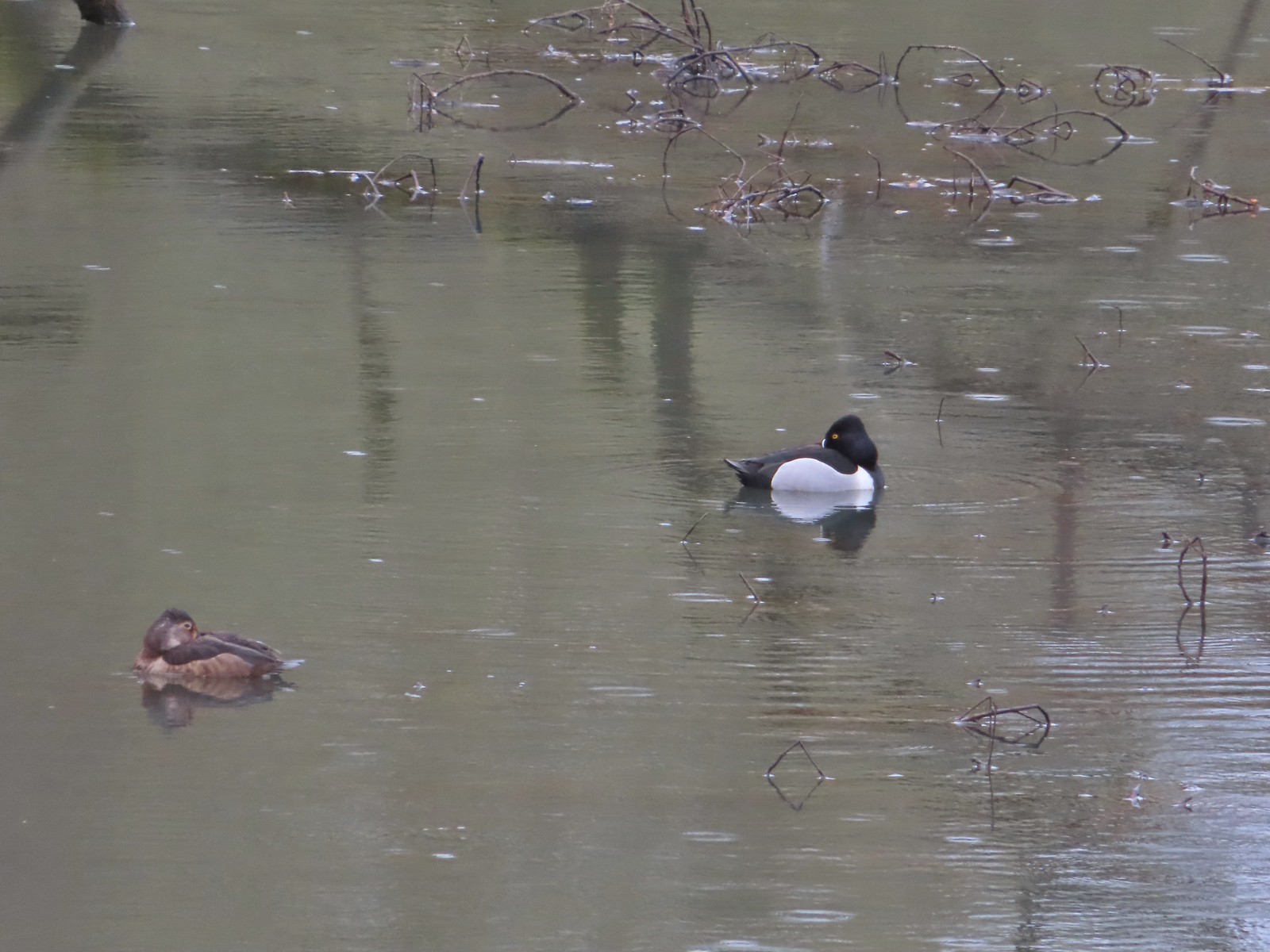 Ring-necked ducks from the bridge over Oxbow Slough – 3/25
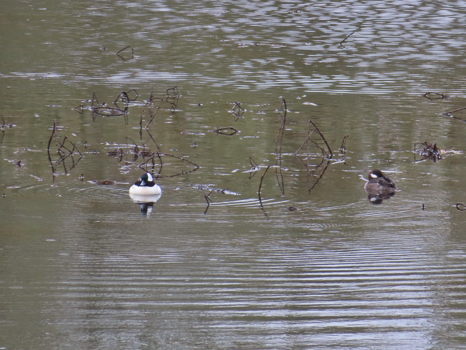 Buffleheads from the bridge over Oxbow Slough – 3/25
 Geese from the bridge over Oxbow Slough – 3/25
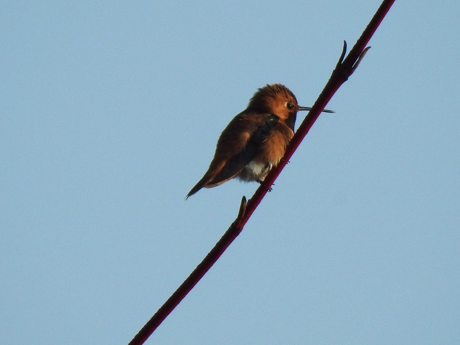 Hummingbird along the Blue Heron Trail – 4/14
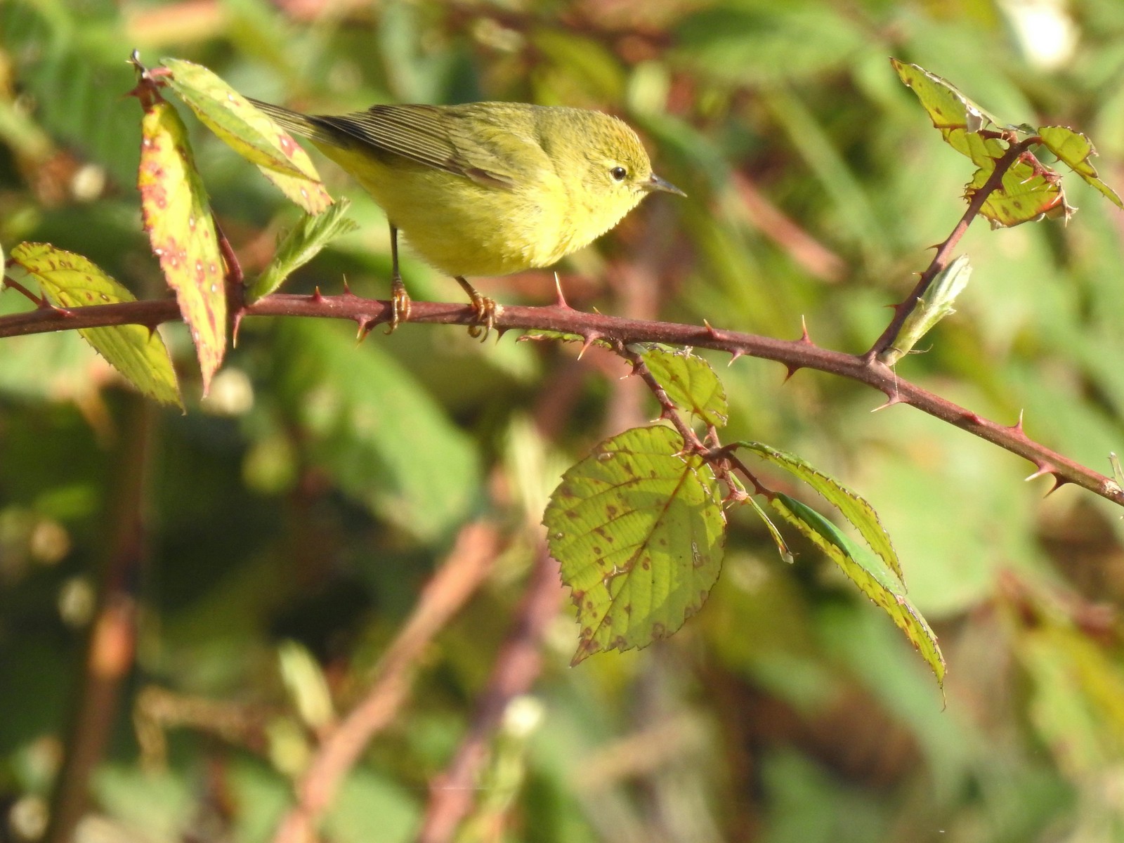 Orange-crowned warbler along the Blue Heron Trail – 4/14
 Dark-eyed junco at Eola Bend County Park – 4/14
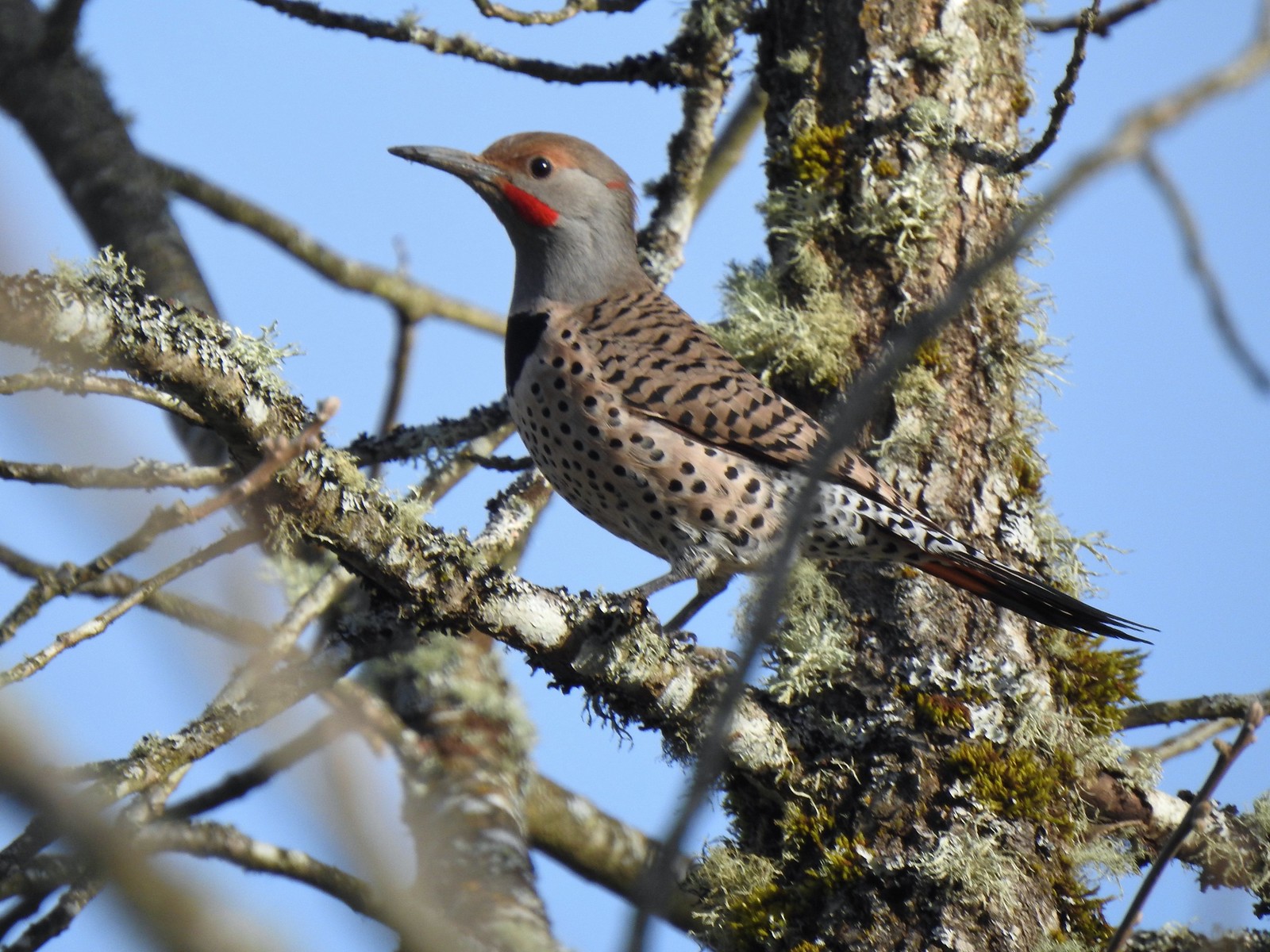 Northern flicker at Eola Bend County Park – 4/14
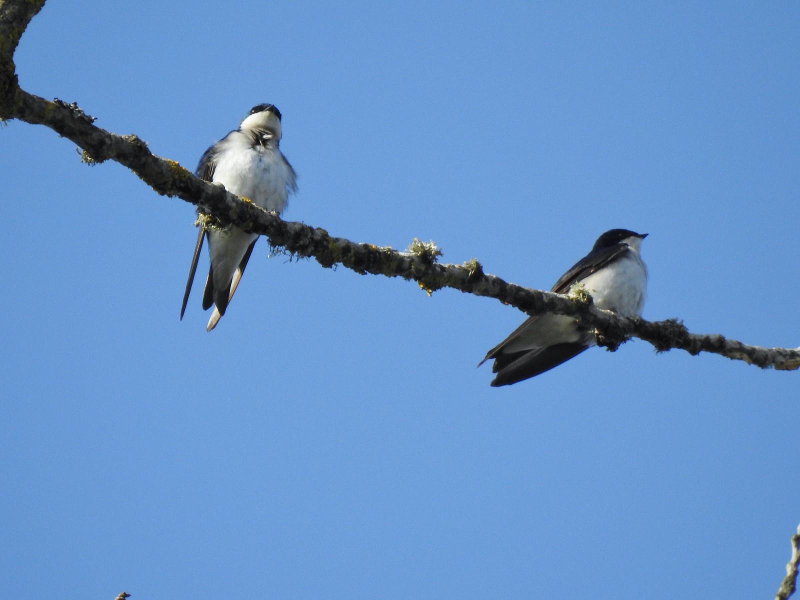 Swallows at Eola Bend County Park – 4/14
 Red-tailed hawk near the landfill – 4/14
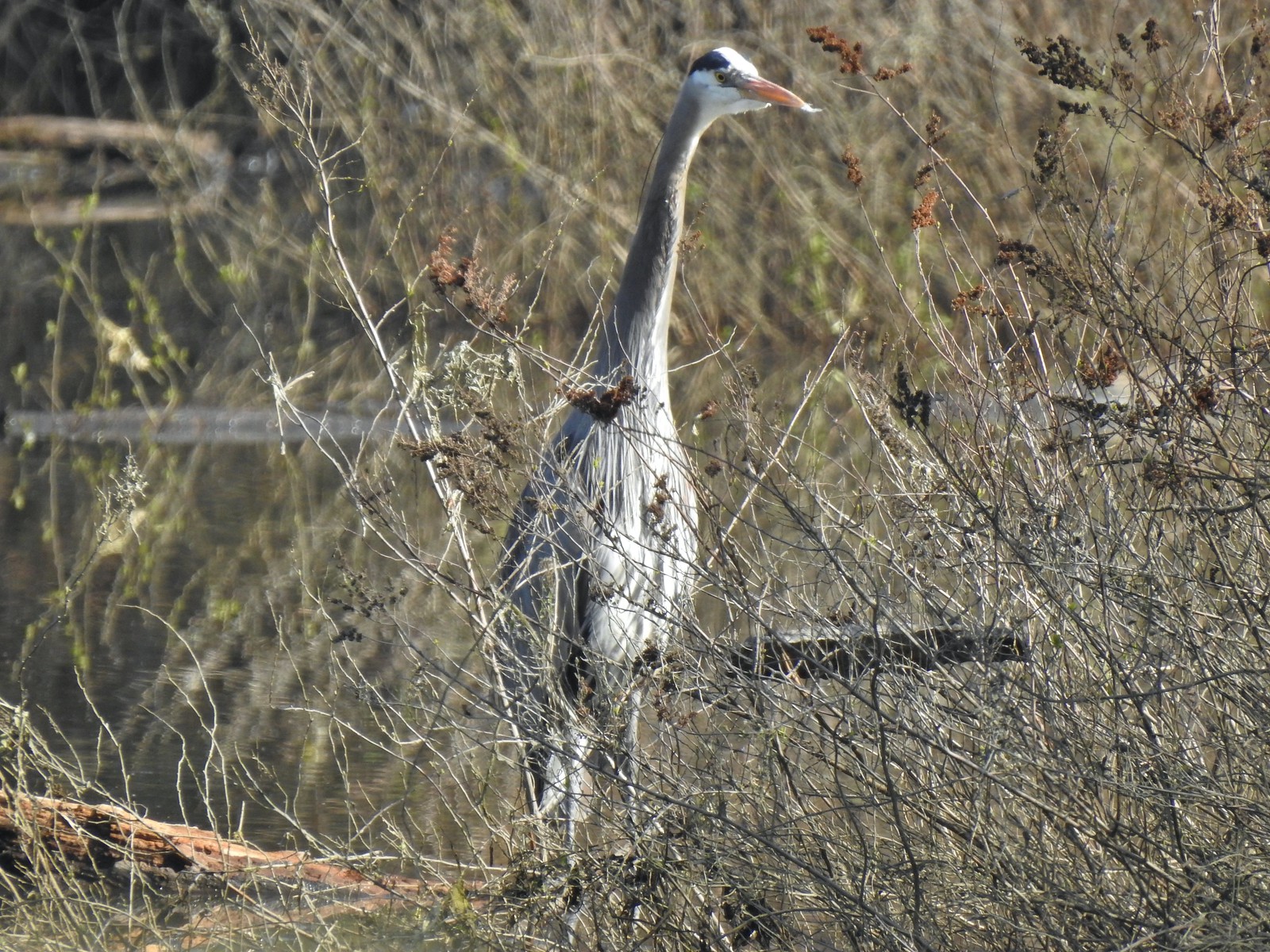 Great blue heron at Oxbow Slough across from the bench viewpoint near Lot 4 (Homestead Road) – 4/14
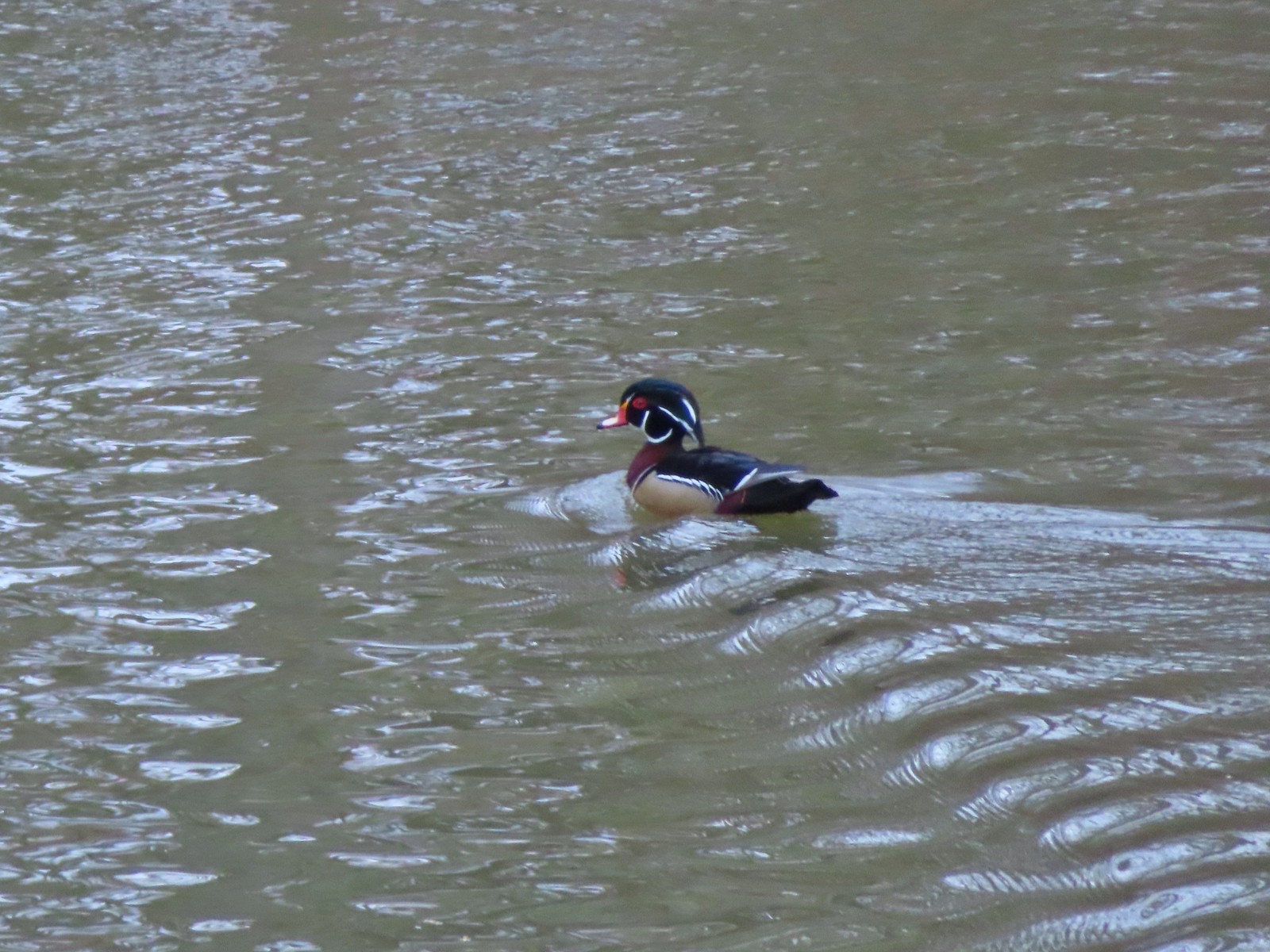 Wood duck drake in Oxbow Slough – 4/8
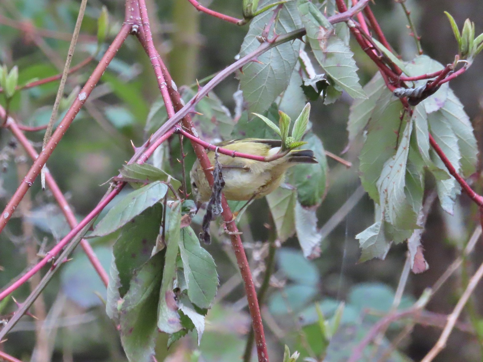 Ruby-crowned kinglet – 4/8
 Rabbit – 4/8
 Egret between the Red Osprey and 10k Loops – 4/8
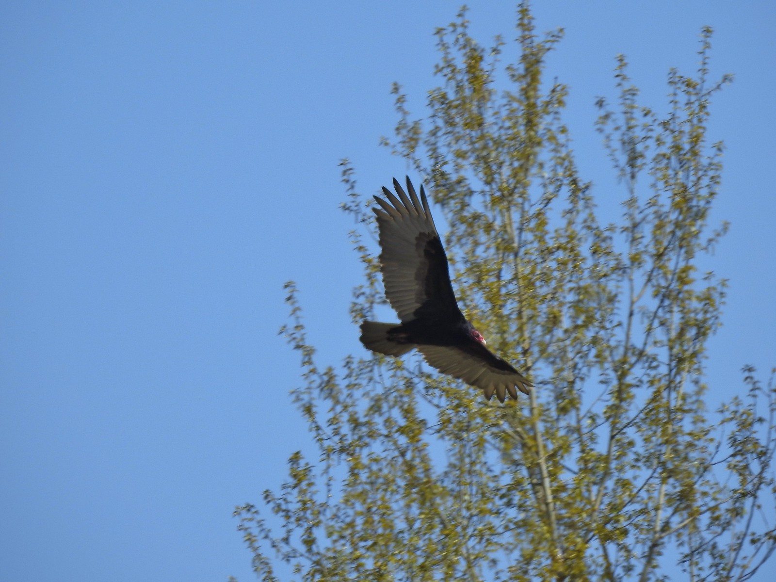 Turkey vulture near the old cherry orchard – 4/14

 There were a few buttercups blooming in the grass and not much else along this side of the Memorial Trail.
 A lone strawberry blossom.
 The Inter-Tie Trail was a wet and muddy affair. I could hear a lot of birds in the surrounding trees but couldn’t make any of them out unless they flew right in front of me.
 I went left here which got me out of the slick mud but onto even wetter grass.
 Coming up on the marsh which is just on the other side of the dip in the road.
 Two rabbits trying to decide if they were going to keep eating grass or race off into the blackberry bushes.

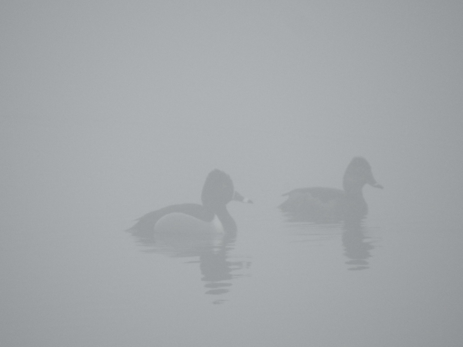 Ring-necked ducks
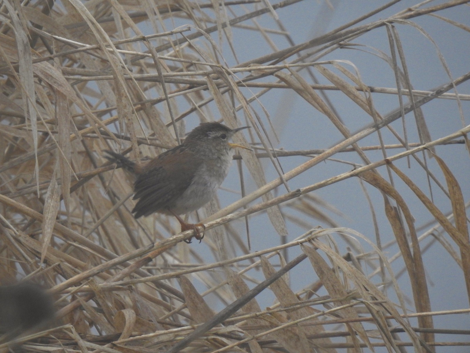 I think this is a marsh wren.

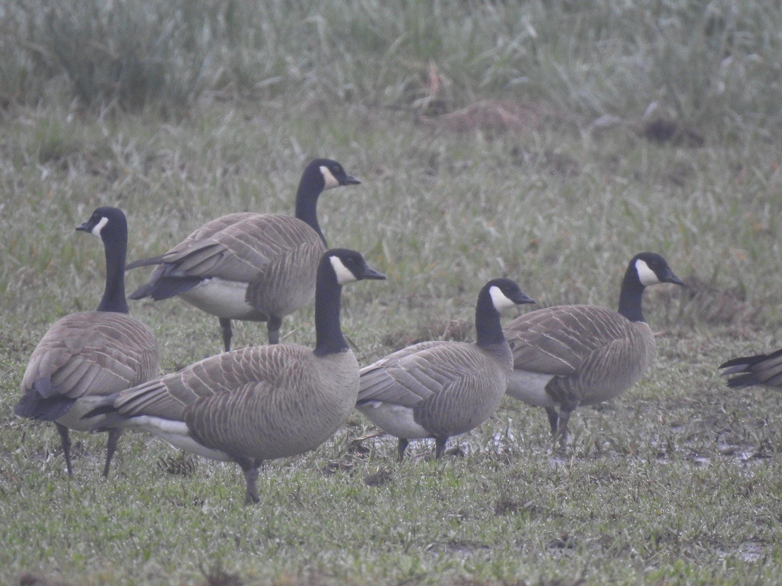 I think the 2nd goose in from the right is a cackling goose while the others are Canada geese. It’s a bit smaller and the white patch is shaped differently.
 Swallows
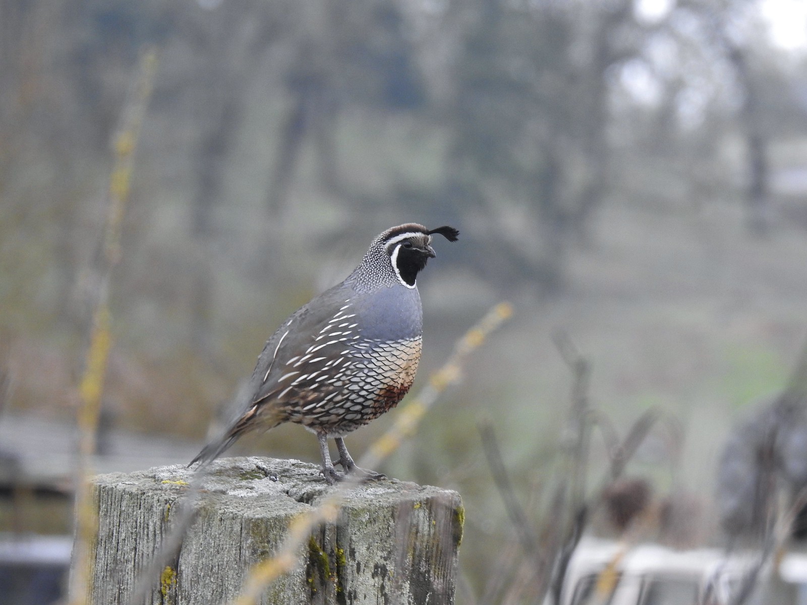 California quail
 Cinnamon teals
 Northern shoveler drake
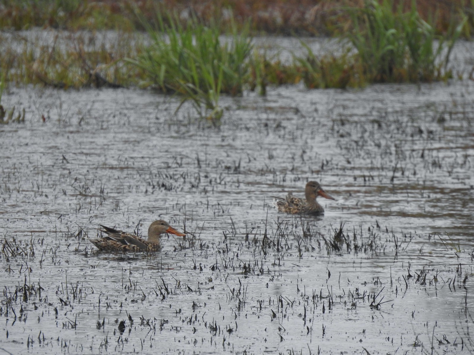 Northern shoveler females
 Signs at the Smithfield Road Trailhead.
 Buffleheads
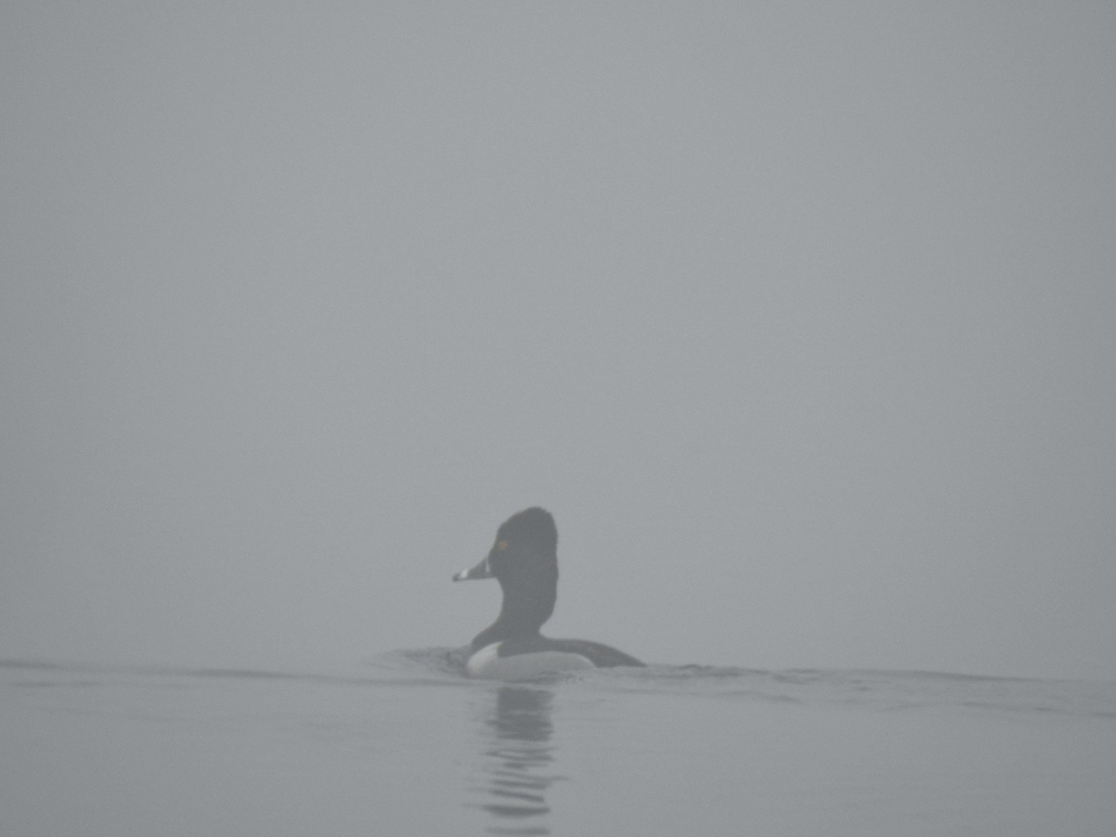 Ring-necked duck
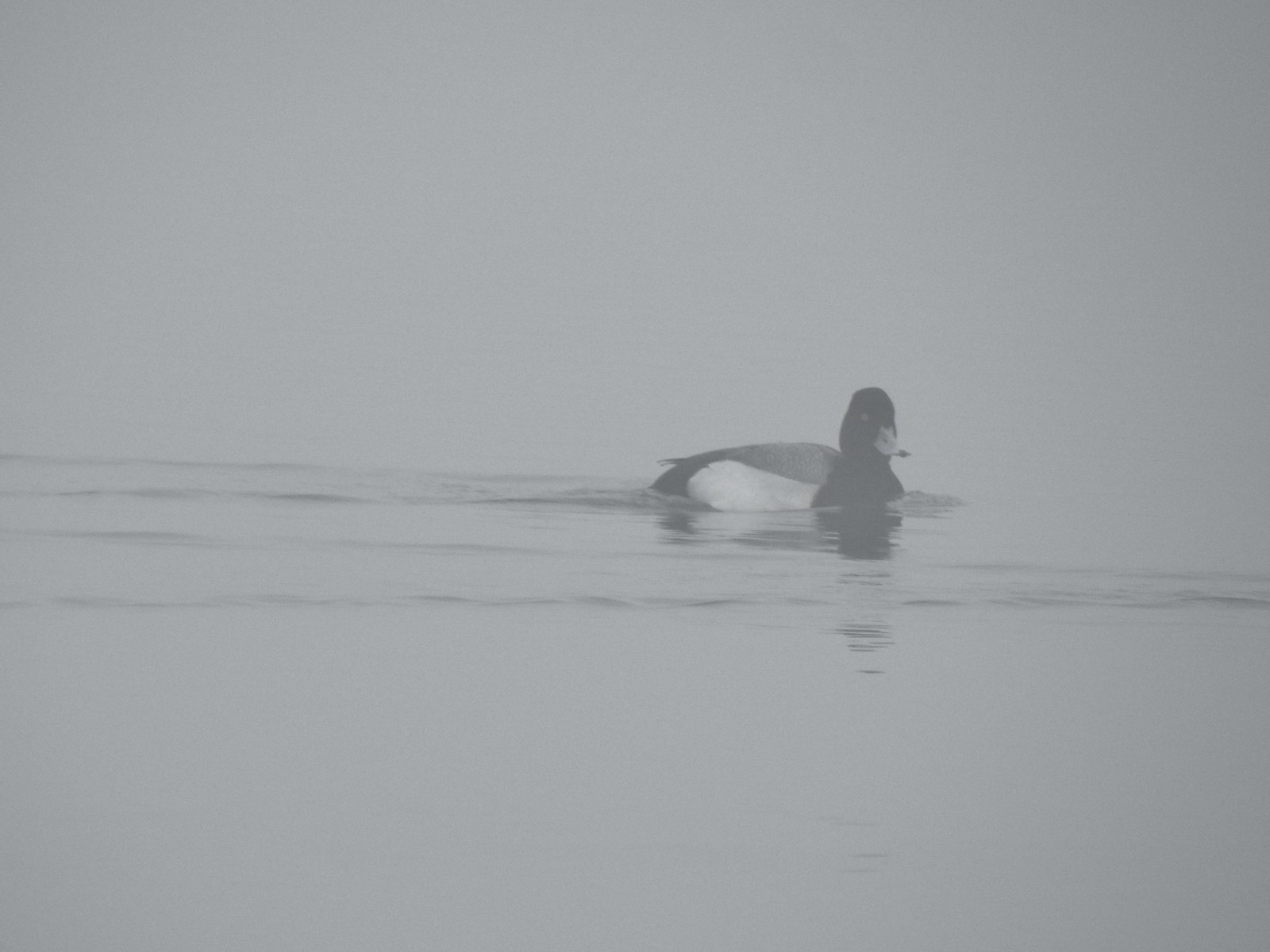 Possibly a lesser scaup.
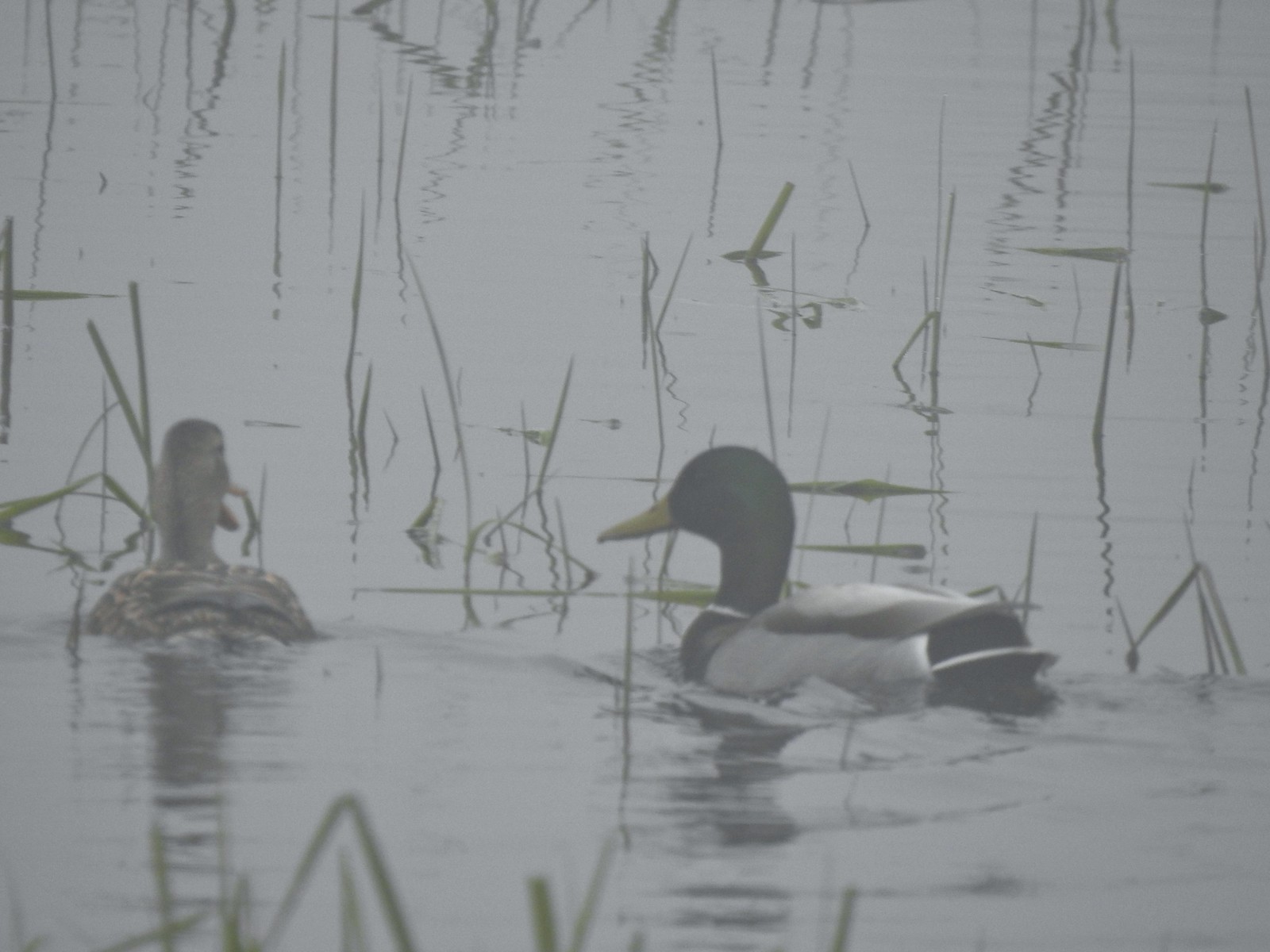 Mallards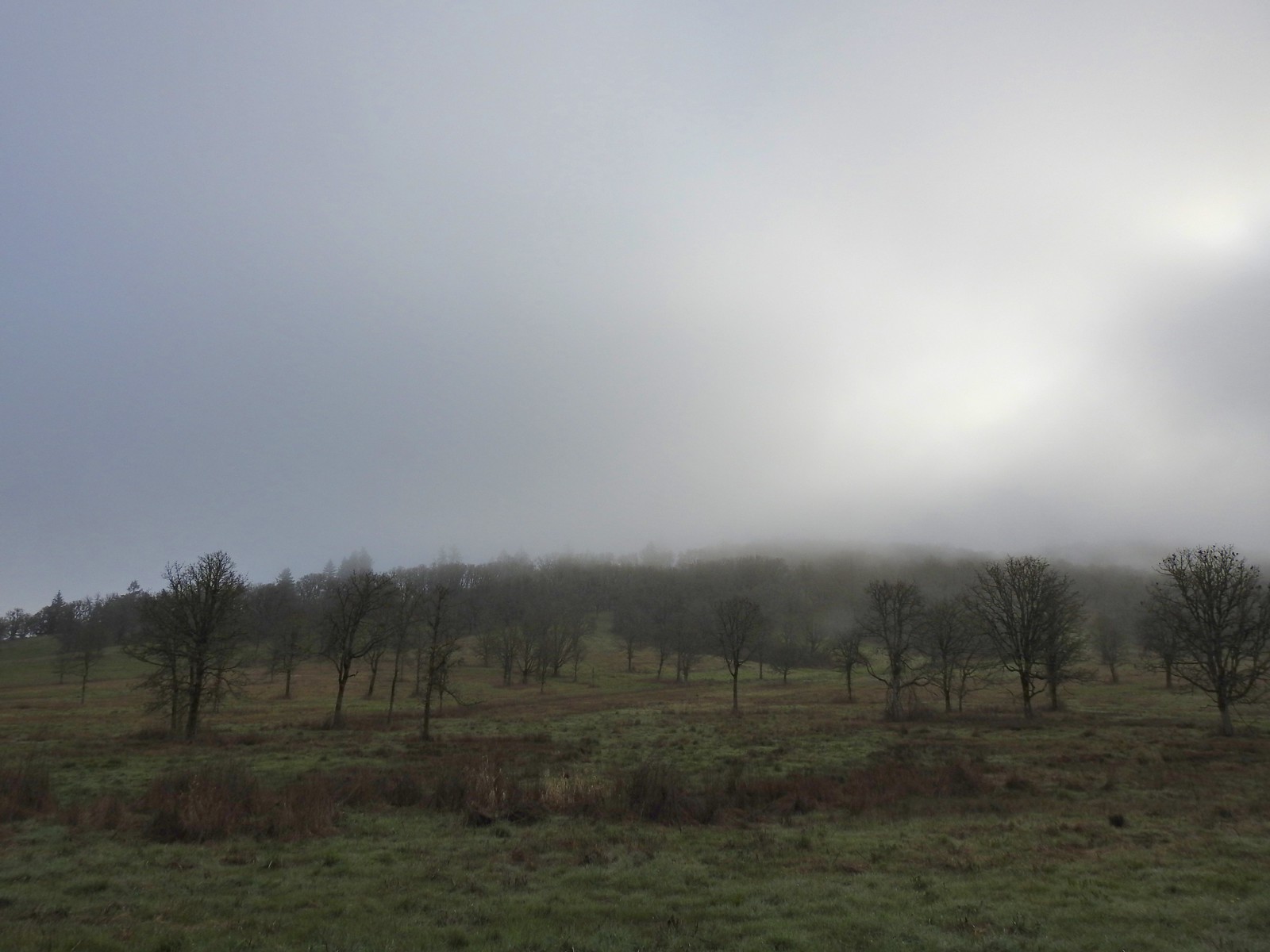


 The only bull I could pick out.

 Robin
Robin Bench overlooking Morgan Lake
 Morgan Lake from the bench.
 Spotted towhees
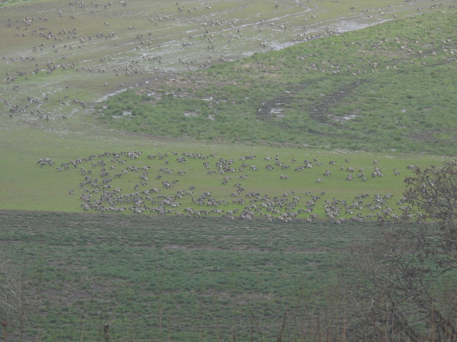 A lot of geese way below the trail.
 I started seeing a lot of toothwort on this side of the loop.
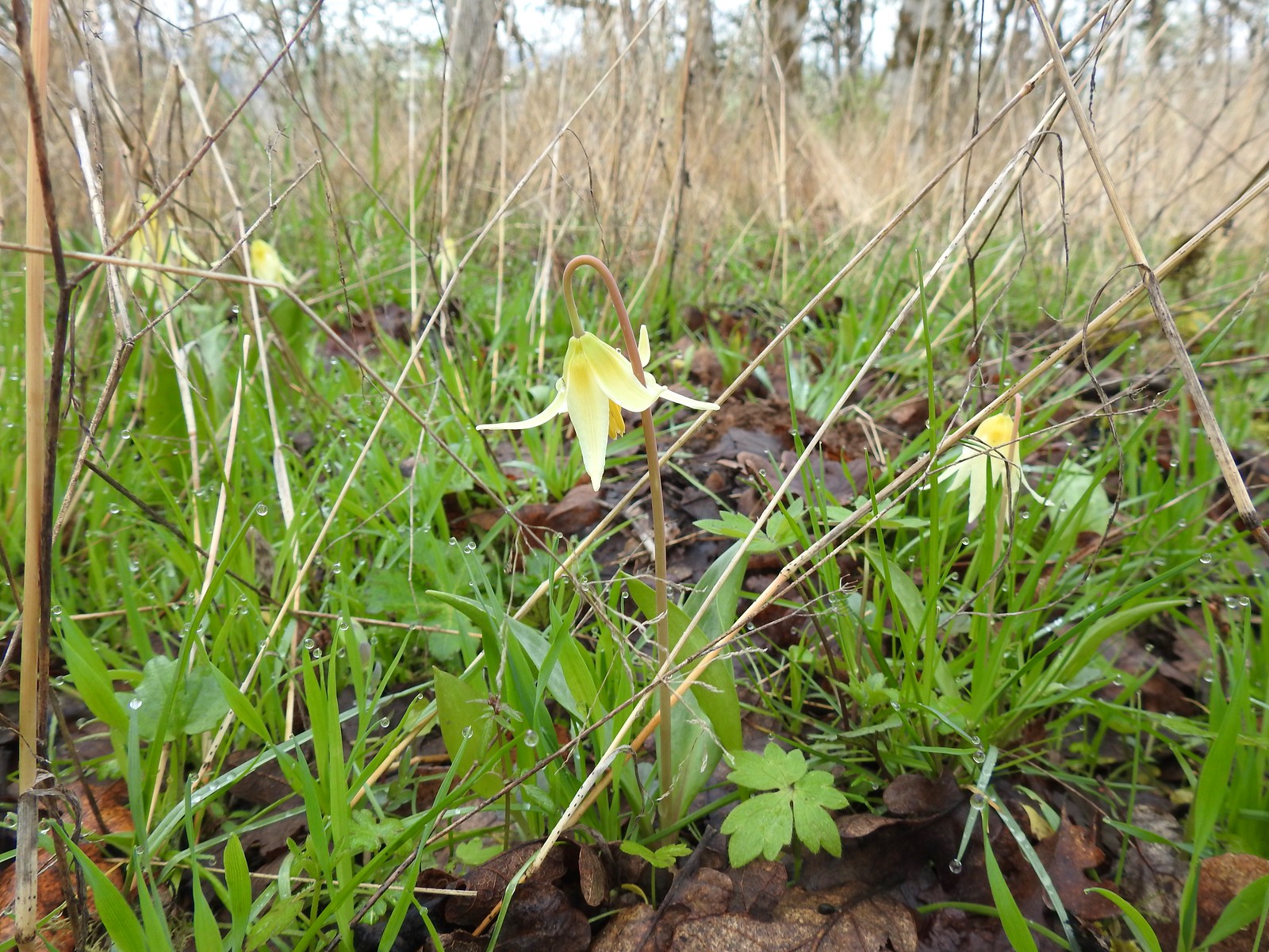 More fawn lilies too.
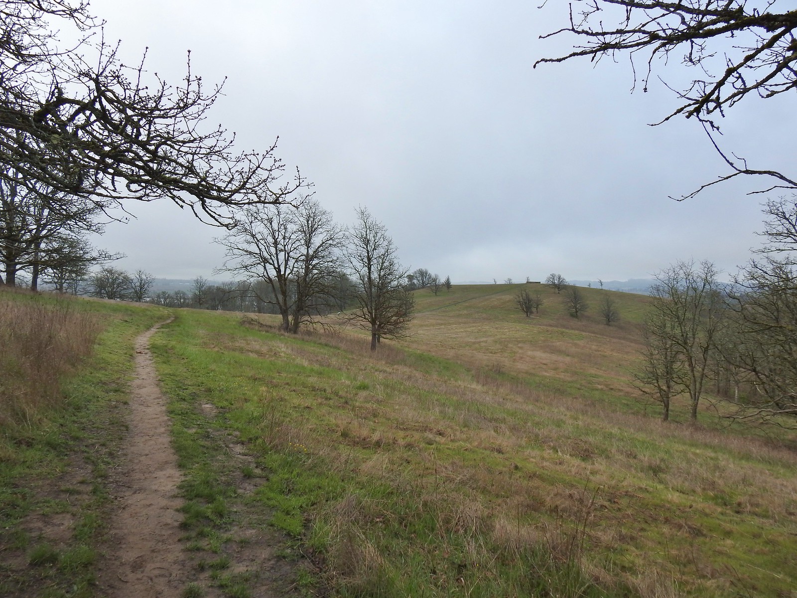 The viewing platform on Baskett Butte to the right.
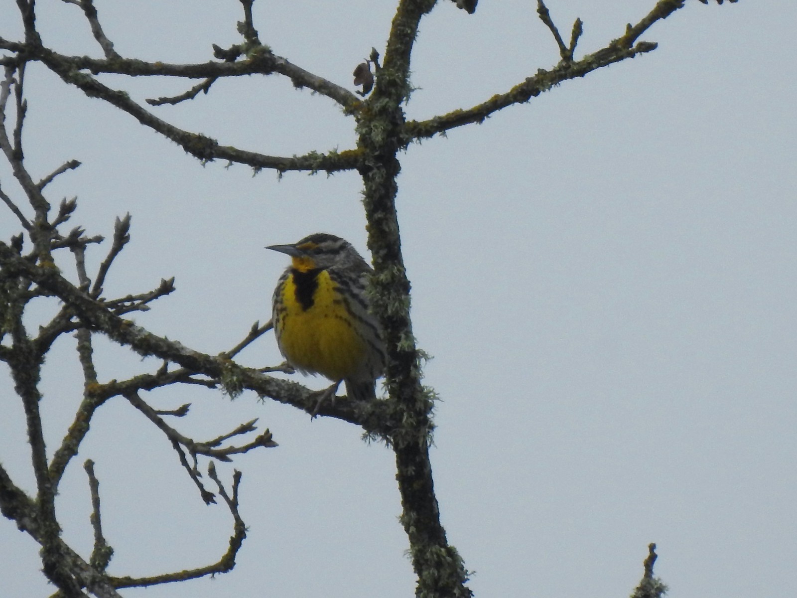 One of several western meadowlarks (Oregon’s state bird) on the butte.
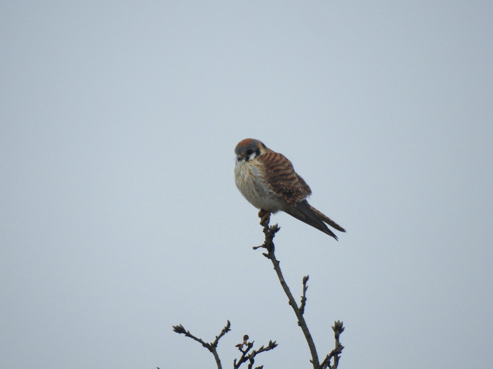 American kestral
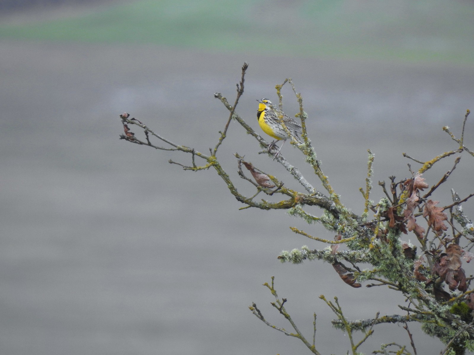 A better look at the yellow on the meadowlarks.
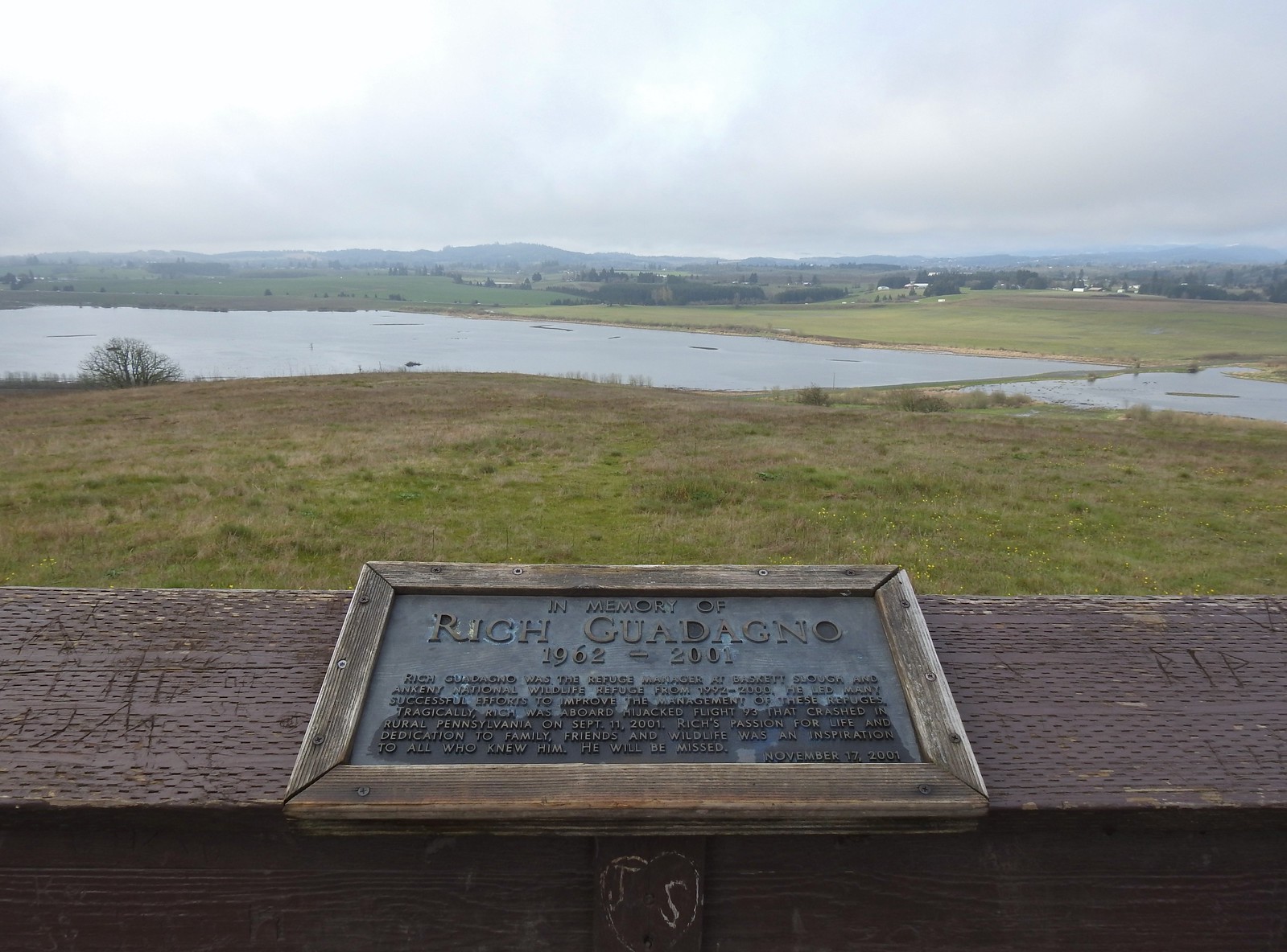 View from the platform.
 Sign along the path.
 More fawn lilies.
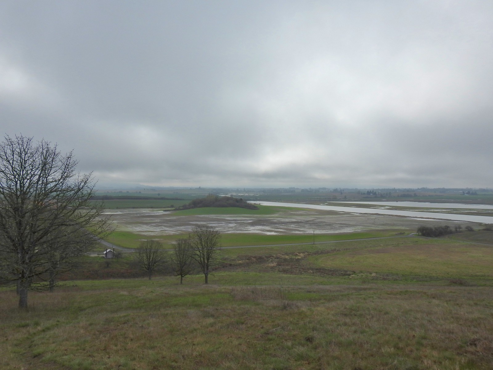 The path leading down toward Coville Road. The outhouse at the Baskett Butte Trailhead is on the left below.
 Baskett Butte from below.
 The trail is simply a dike road that leads to the refuge HQs.
 The headquarters is to the left of the road on the far side of South Slough.
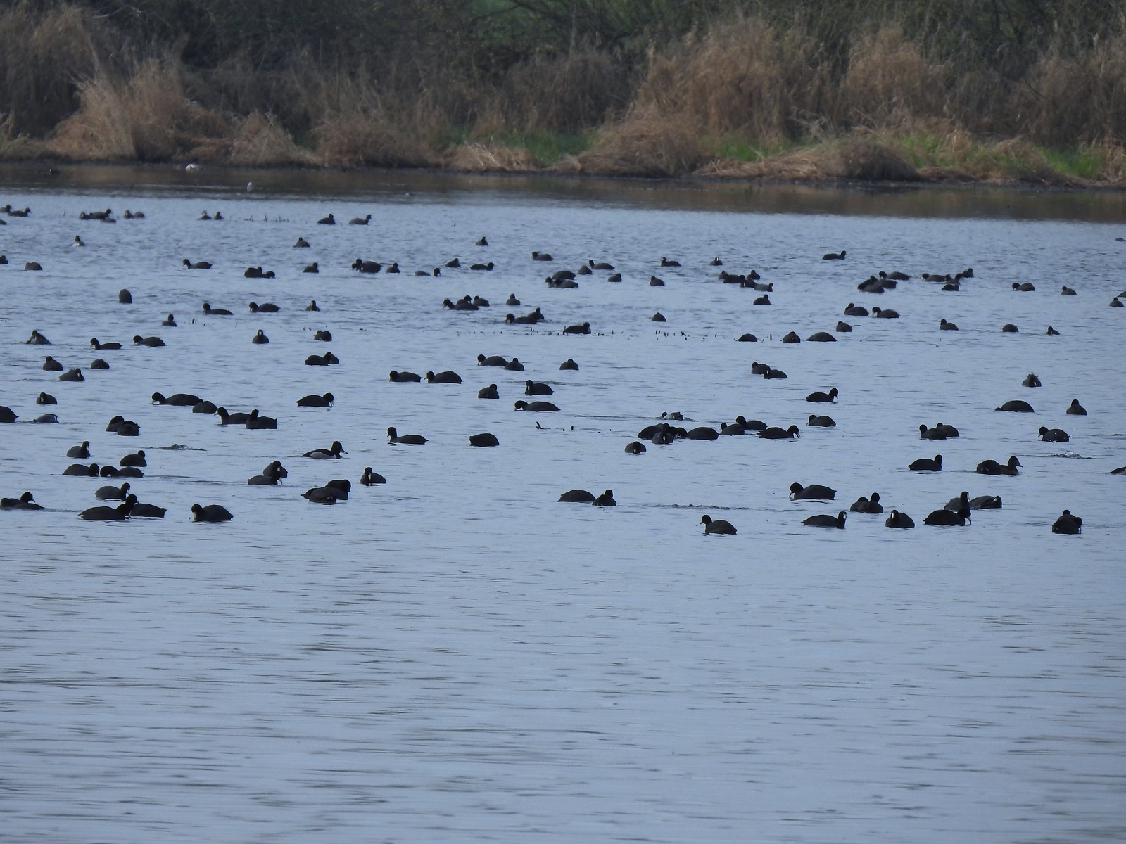 Also a bunch of American coots.
 Northern shovelers
 Buffleheads
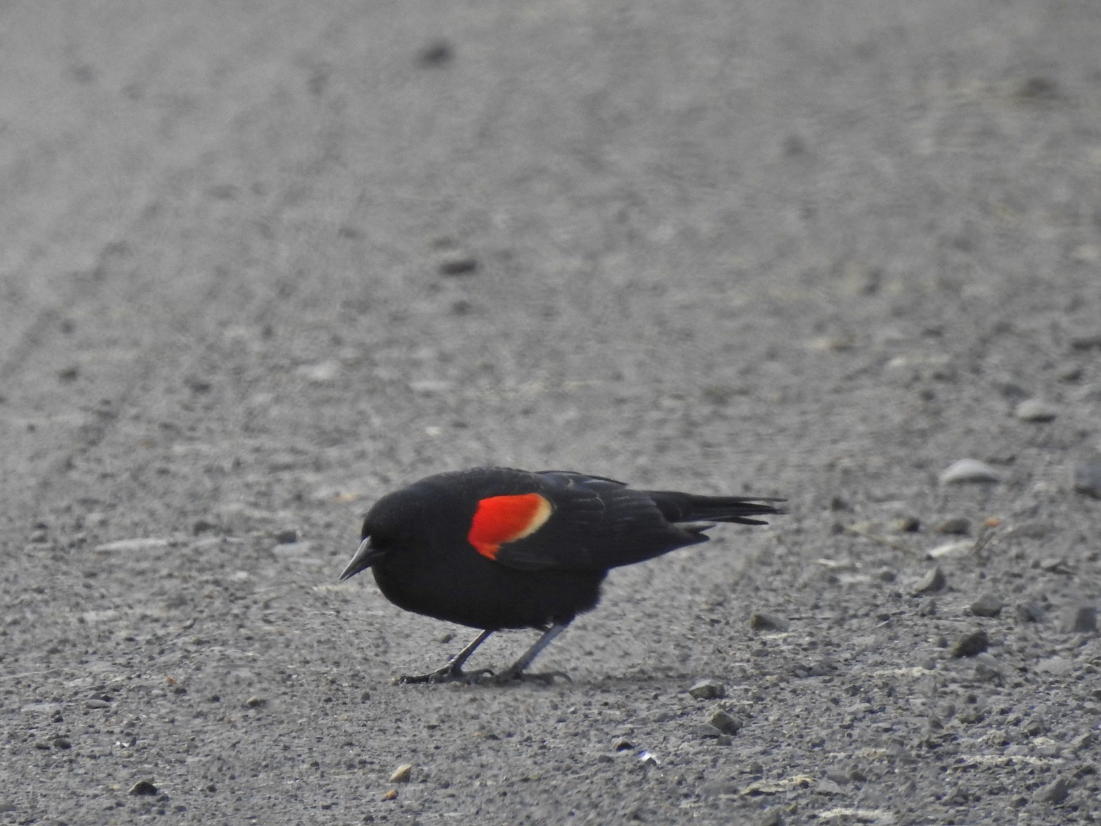 Red-winged blackbird
 Yellowlegs (probably lesser)
 Baskett Butte (left) from my turn around point.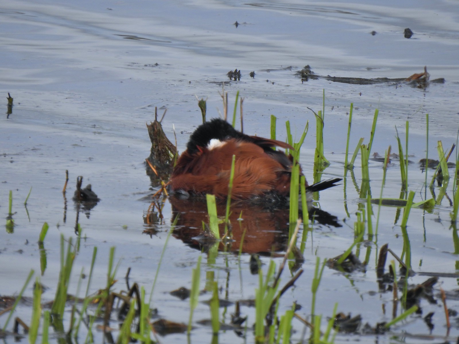
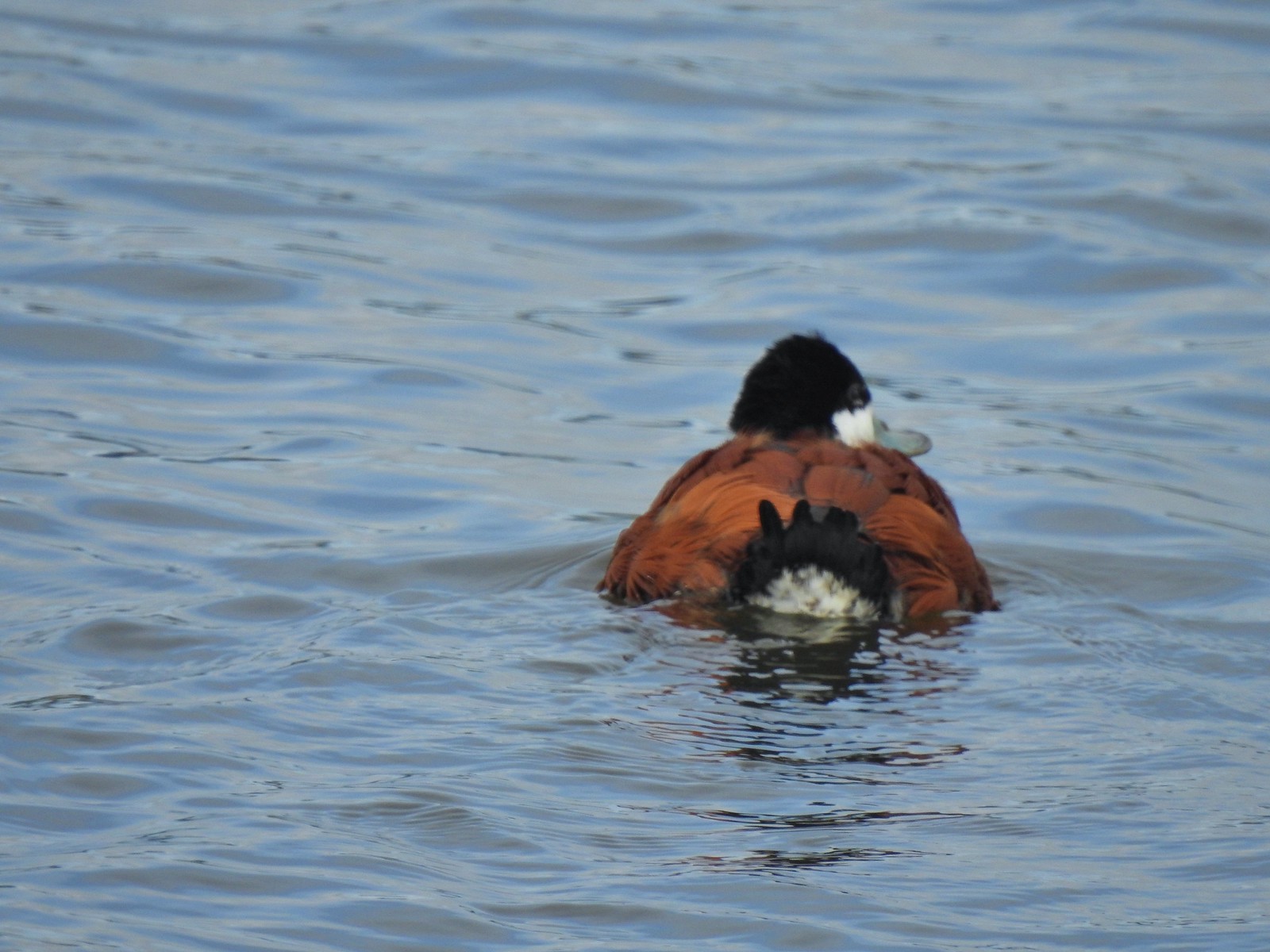 The ruddy duck woke up after all the American coots headed off.
 Savannah sparrow
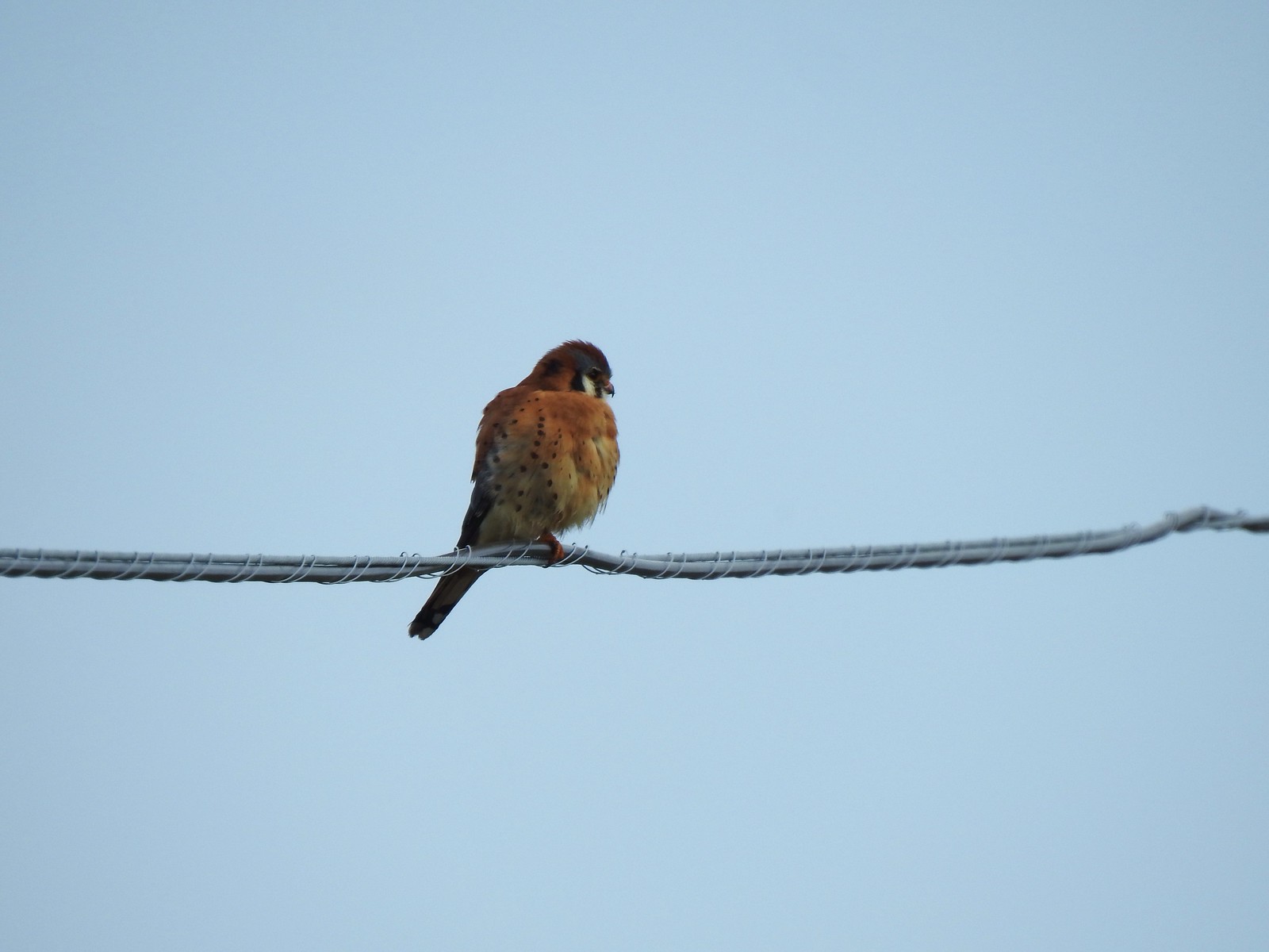 One more American kestral


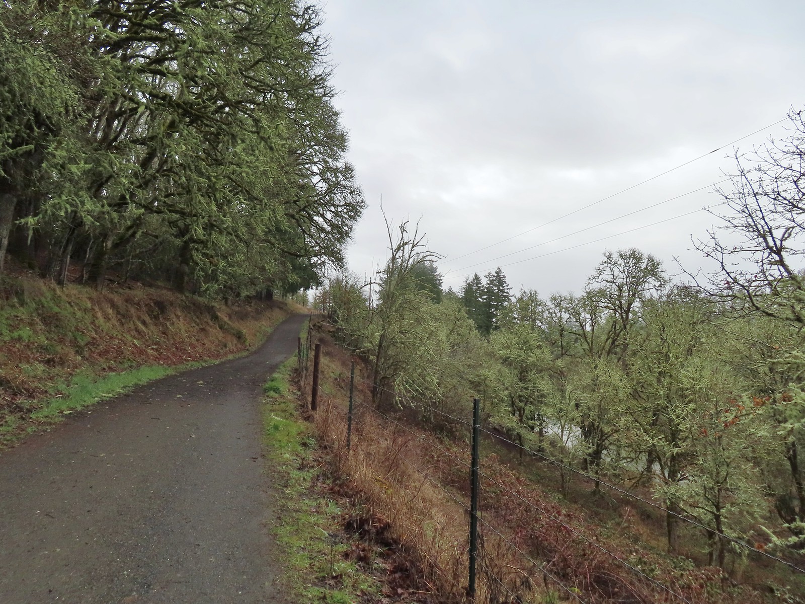
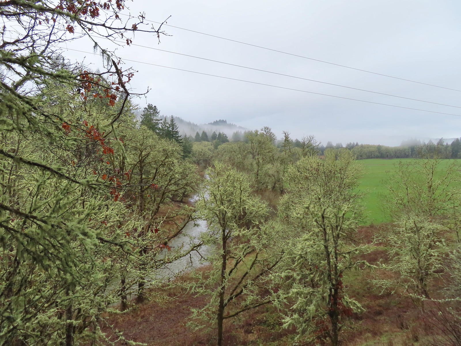
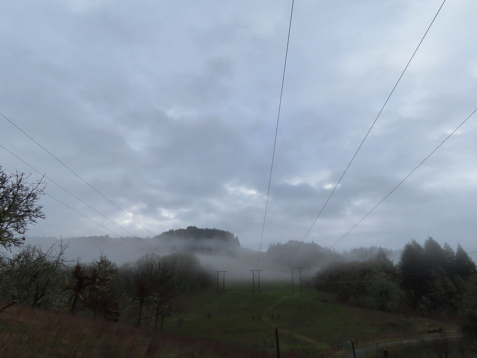 The forecast was for patchy morning fog with a chance of light showers between Noon and 3pm and partly sunny skies. They got the patchy morning fog part right.
 The first of three abandoned cars we’d pass on the day. This one was in a field on a hillside before entering the Crestmont Land Trust.
 Interpretive signs greeted us as we entered the Crestmont Land Trust.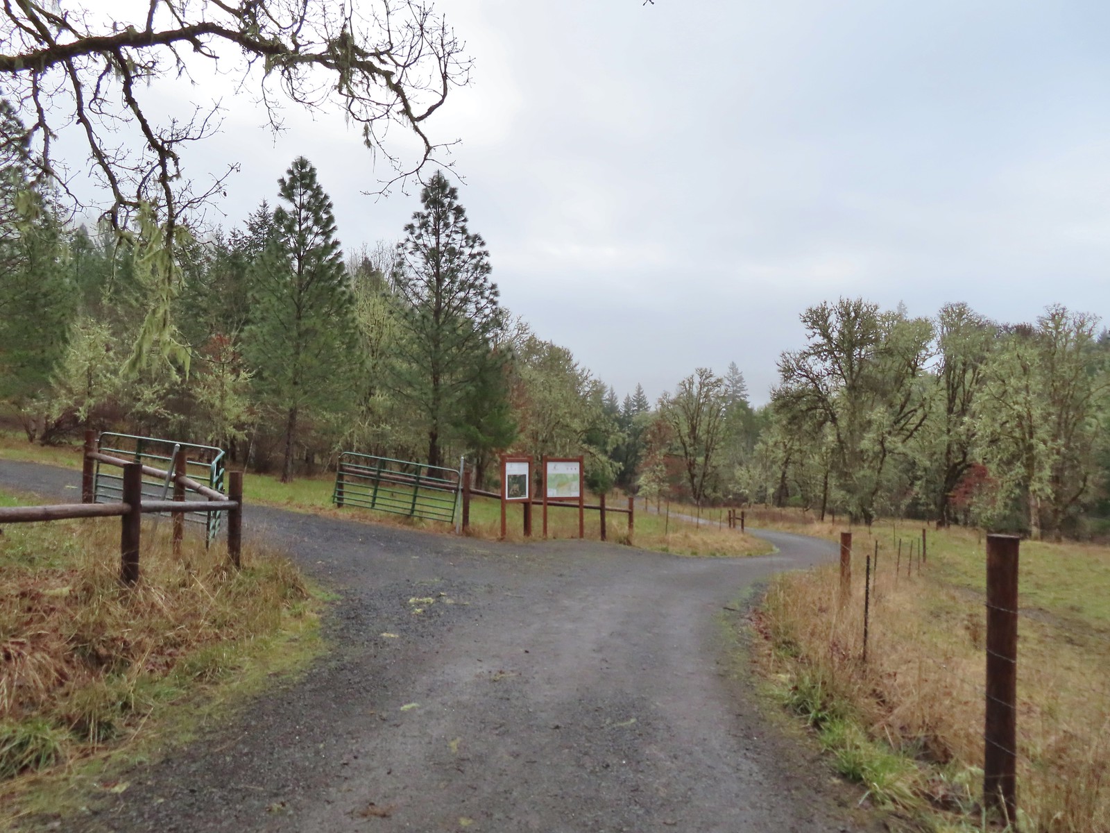
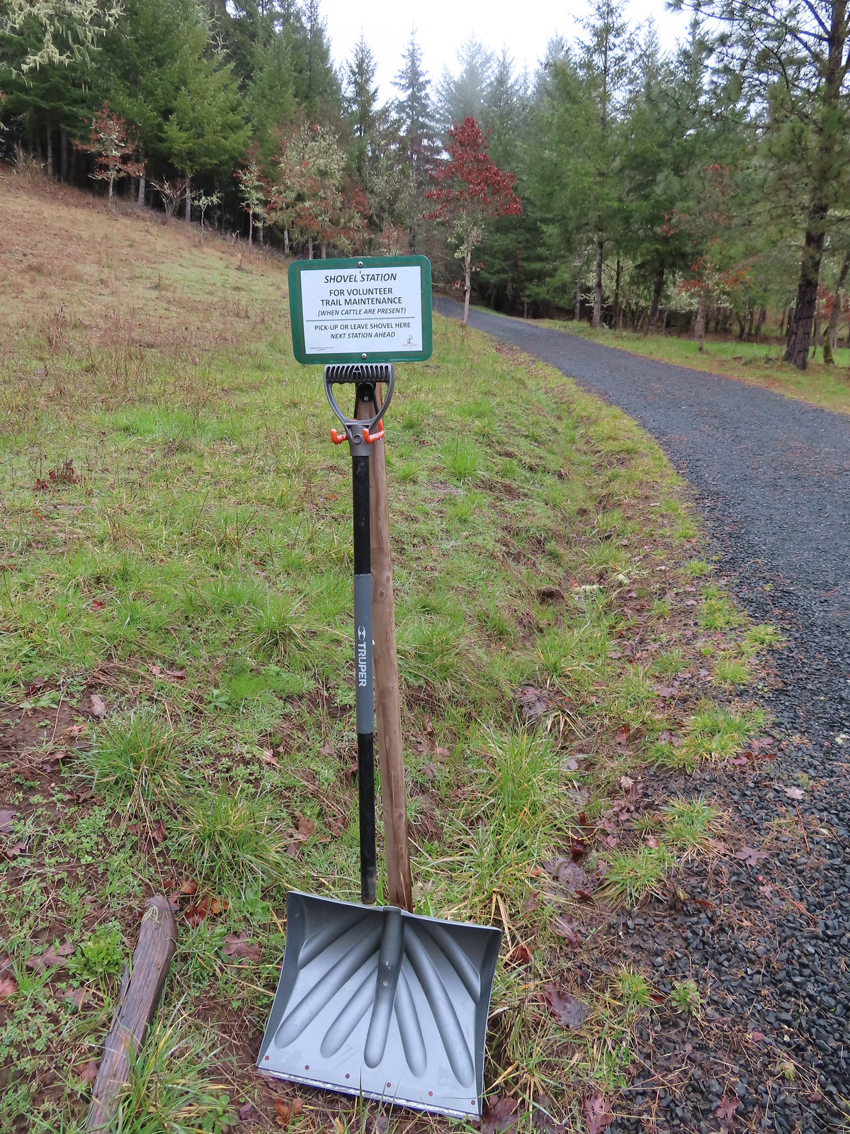
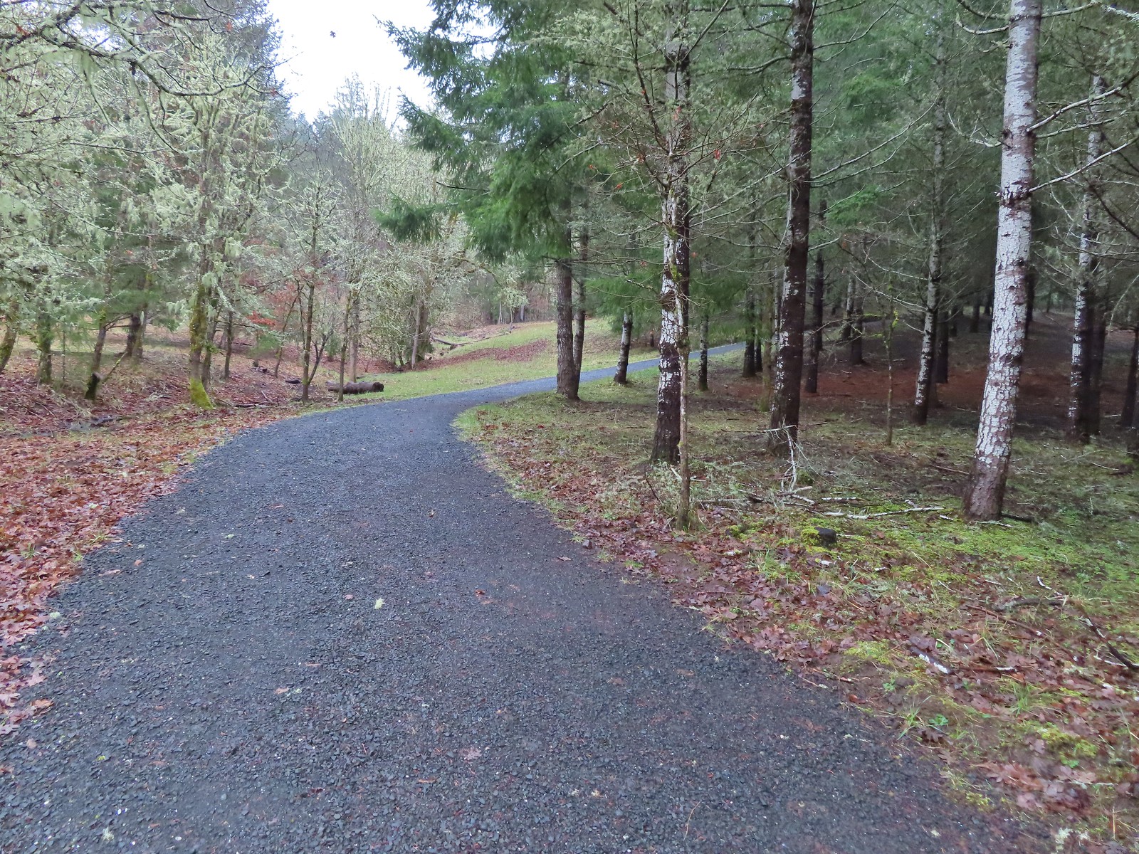
 The gazebo housed a small table with benches. A particularly nice touch was the lack of back on the bench that wasn’t facing the view which allows you to sit facing the view.
 The view from the gazebo.
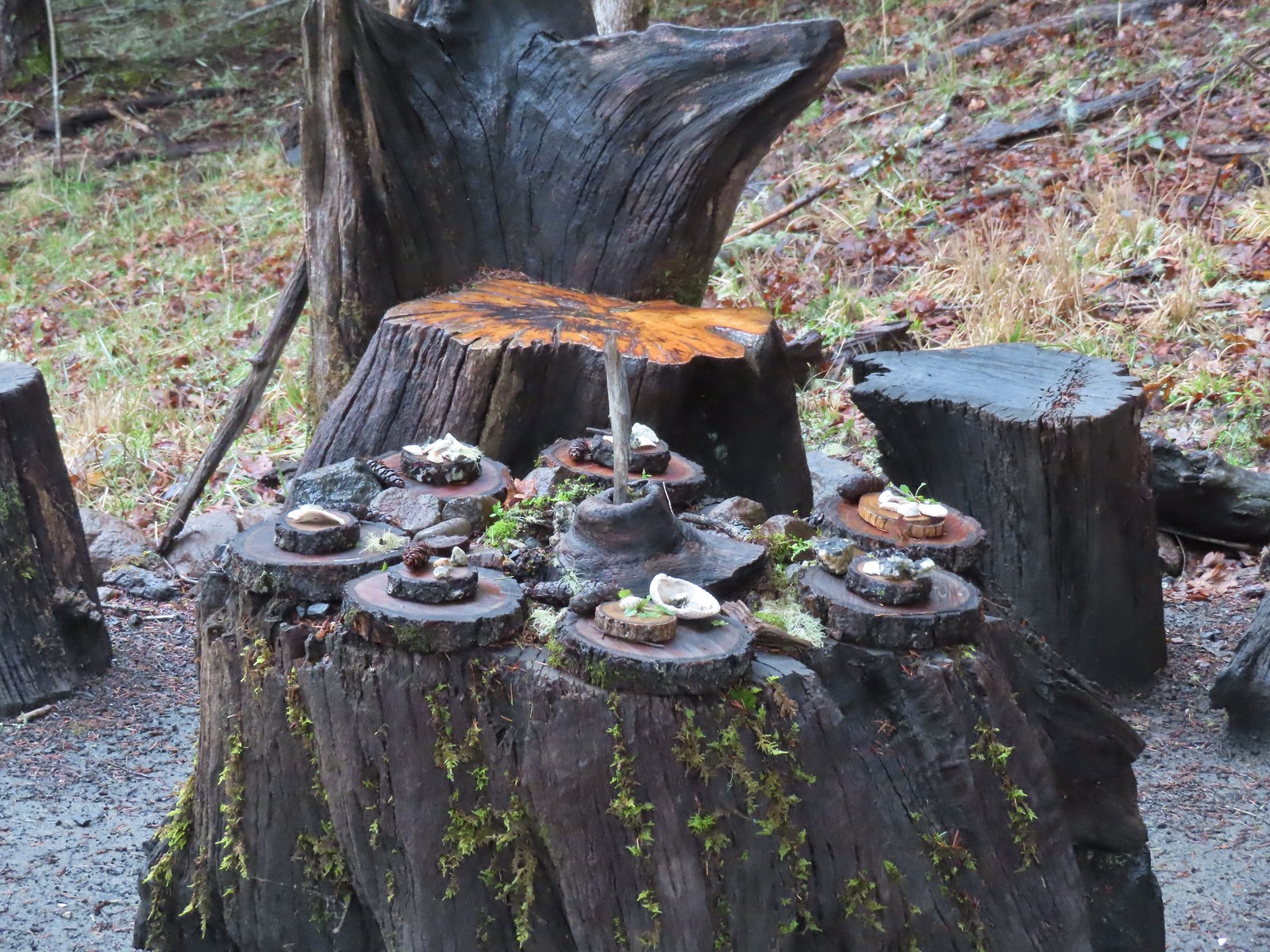 Not sure what the most recent gathering was but there was an interesting variety of items around the table.
 Another bench along the trail.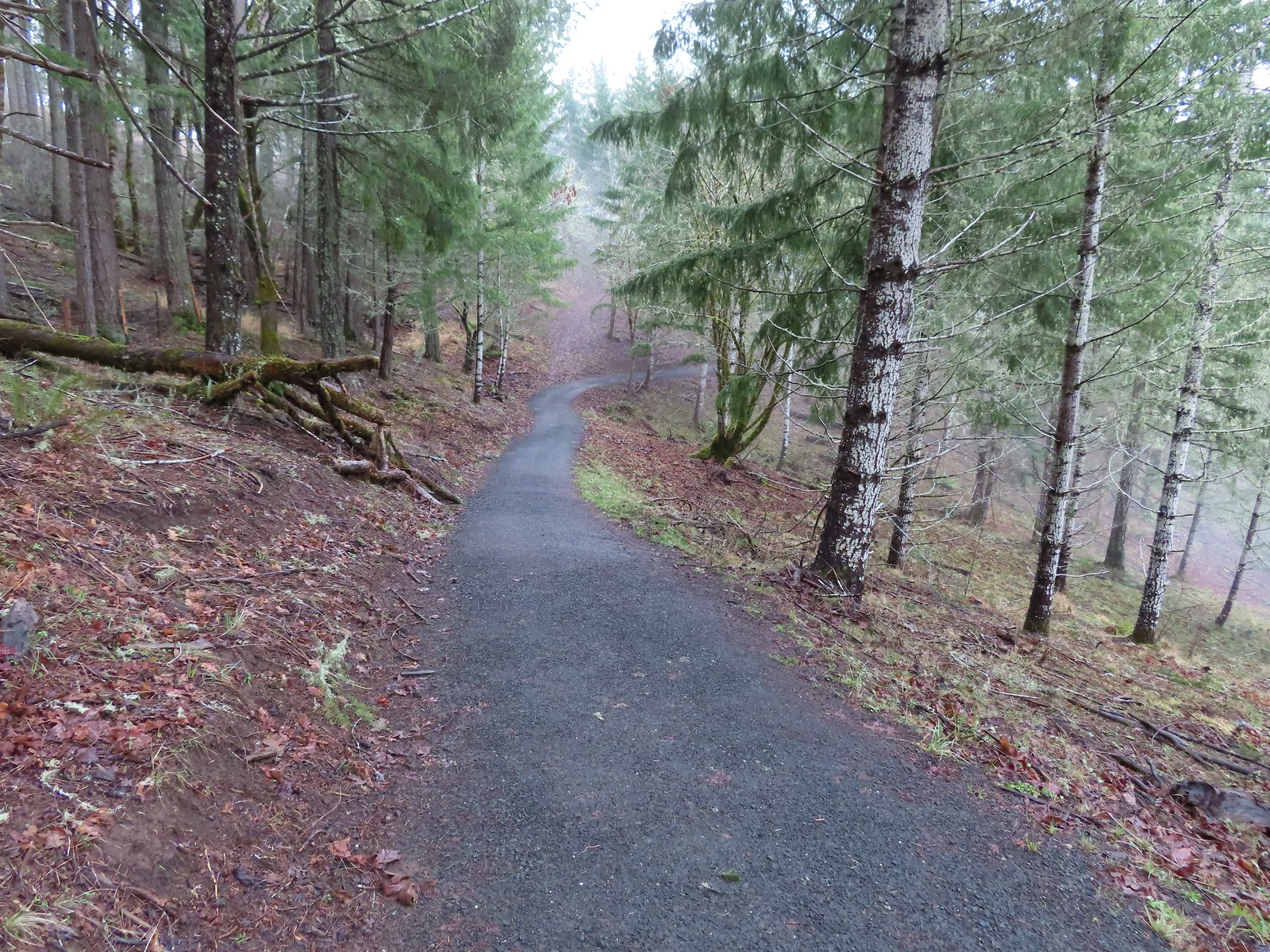
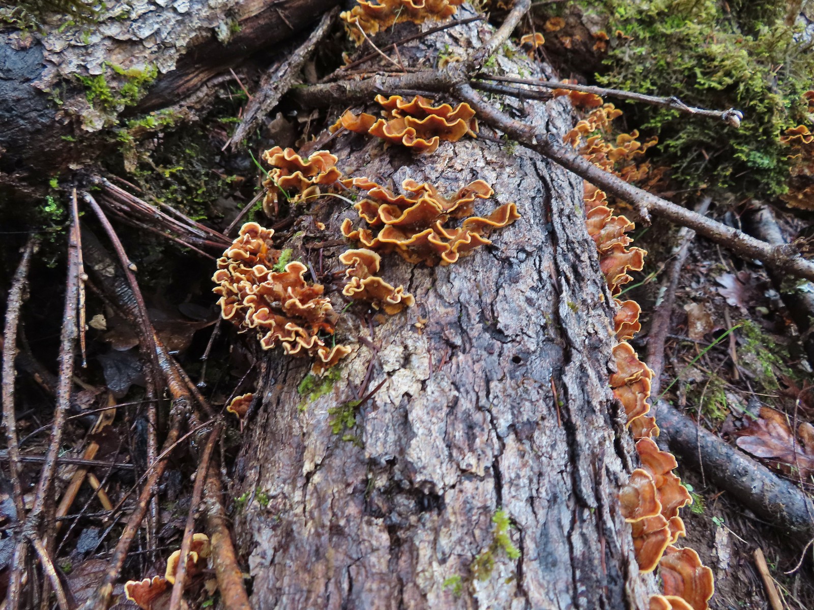 Turkey tails
 The Cardwell Hill Trail in the valley below the North Trail.
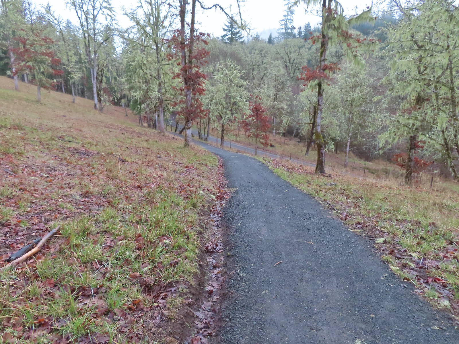 Dropping down to the Cardwell Hill Trail.
 The first spur didn’t have any signage
 The second spur had a marker naming it the Fitton Green North-South Trail.
 Trail marker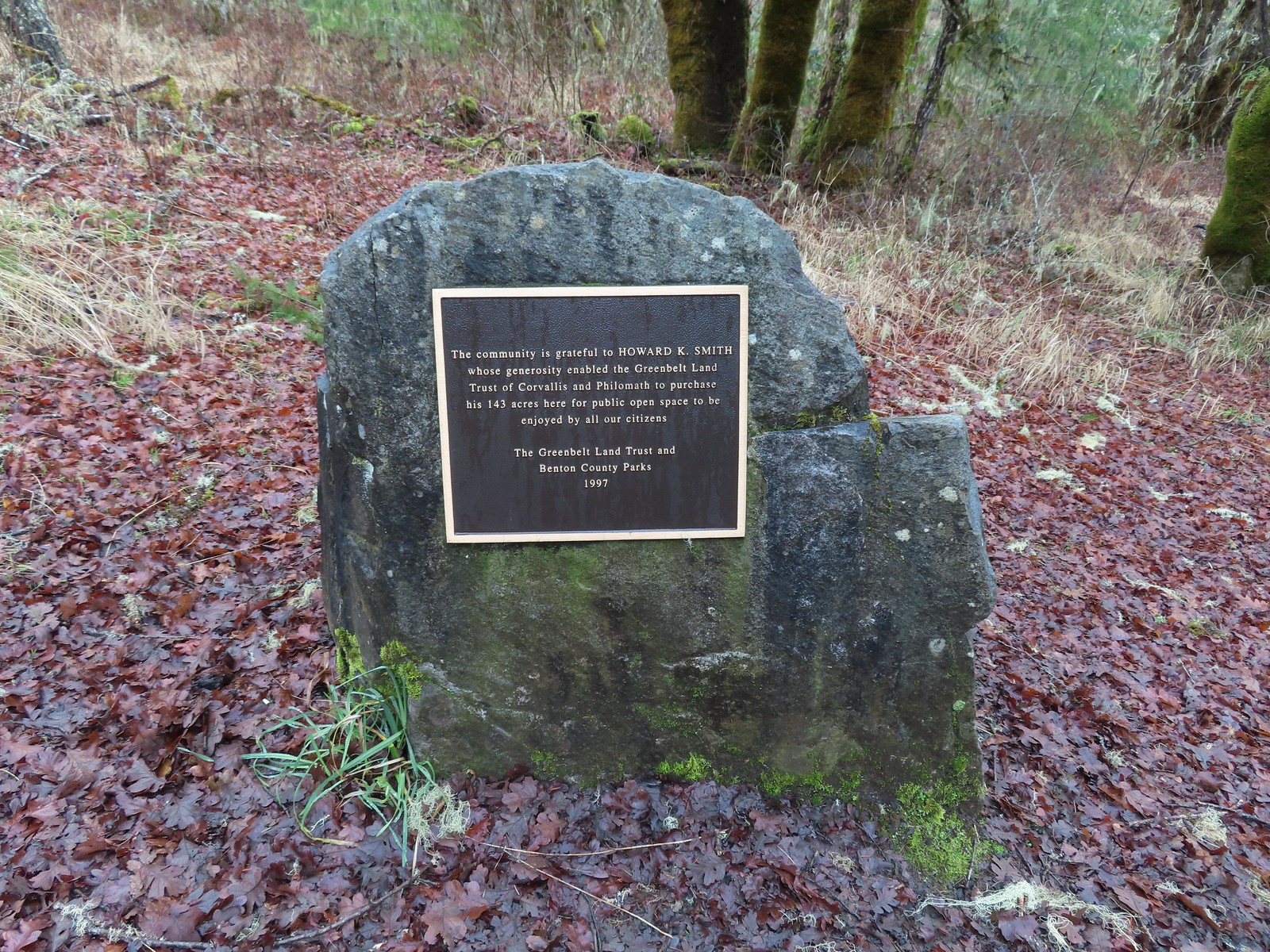

 Dimple Hill in the McDonald Forest (
 The other two abandoned cars, these were outside of the natural area.
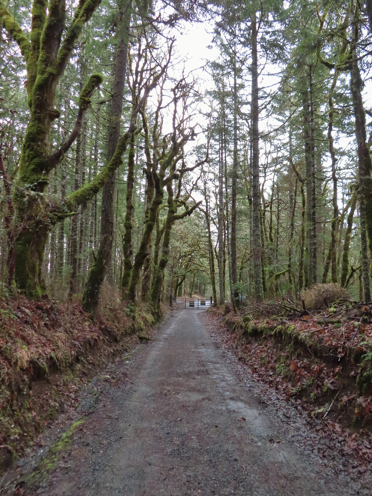 Arriving at the east trailhead.
 One of the more impressive trees along this section of the Cardwell Hill Trail
 The Fitton Green North-South Trail.
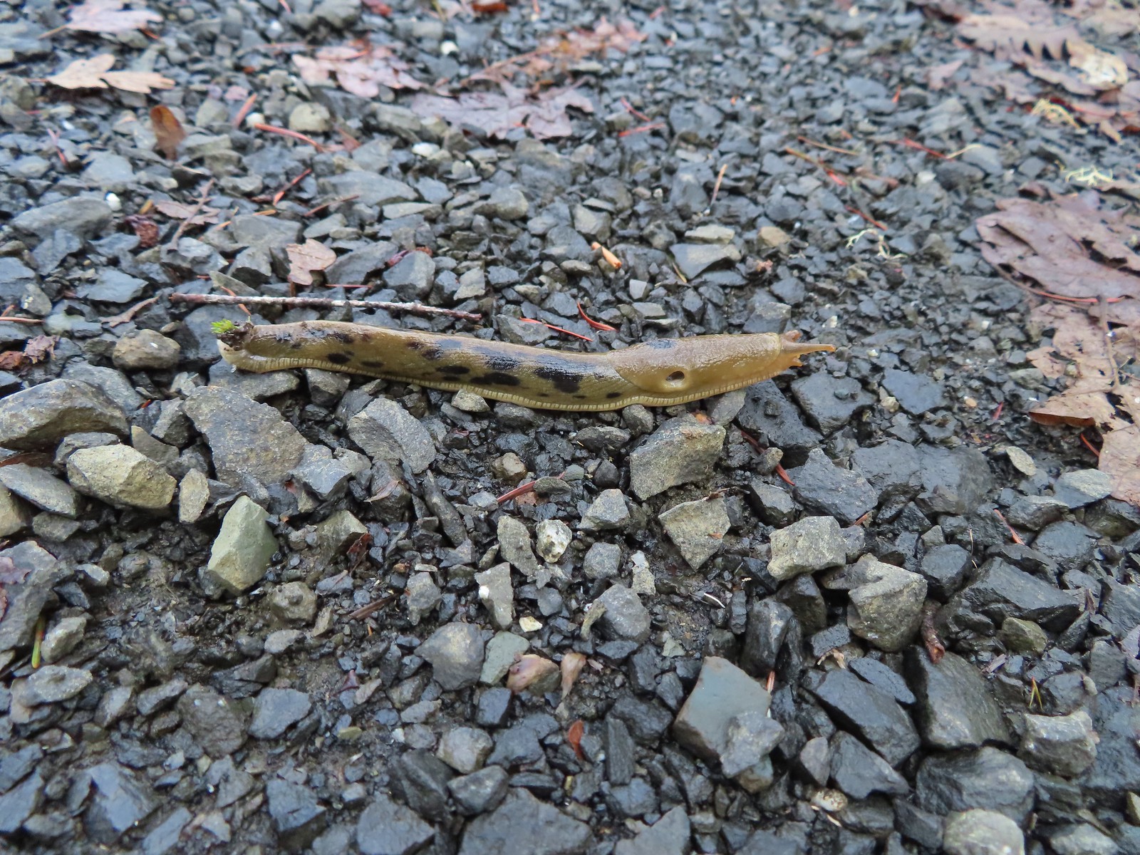 Watch your step.
 Amy’s Trail
 The clouds were beginning to break up as we climbed up this trail.
 The western end of the Throop Loop.
 The eastern end of the Allen Throop Loop. Continuing on the Fitton Green North-South Trail would have brought us to the
  There seems to have been a spelling error (Alan vs Allen) on the trail marker.
 Plaque at a viewpoint along the Allen Throop Loop. Note that it is Allen not Alan on the plaque.
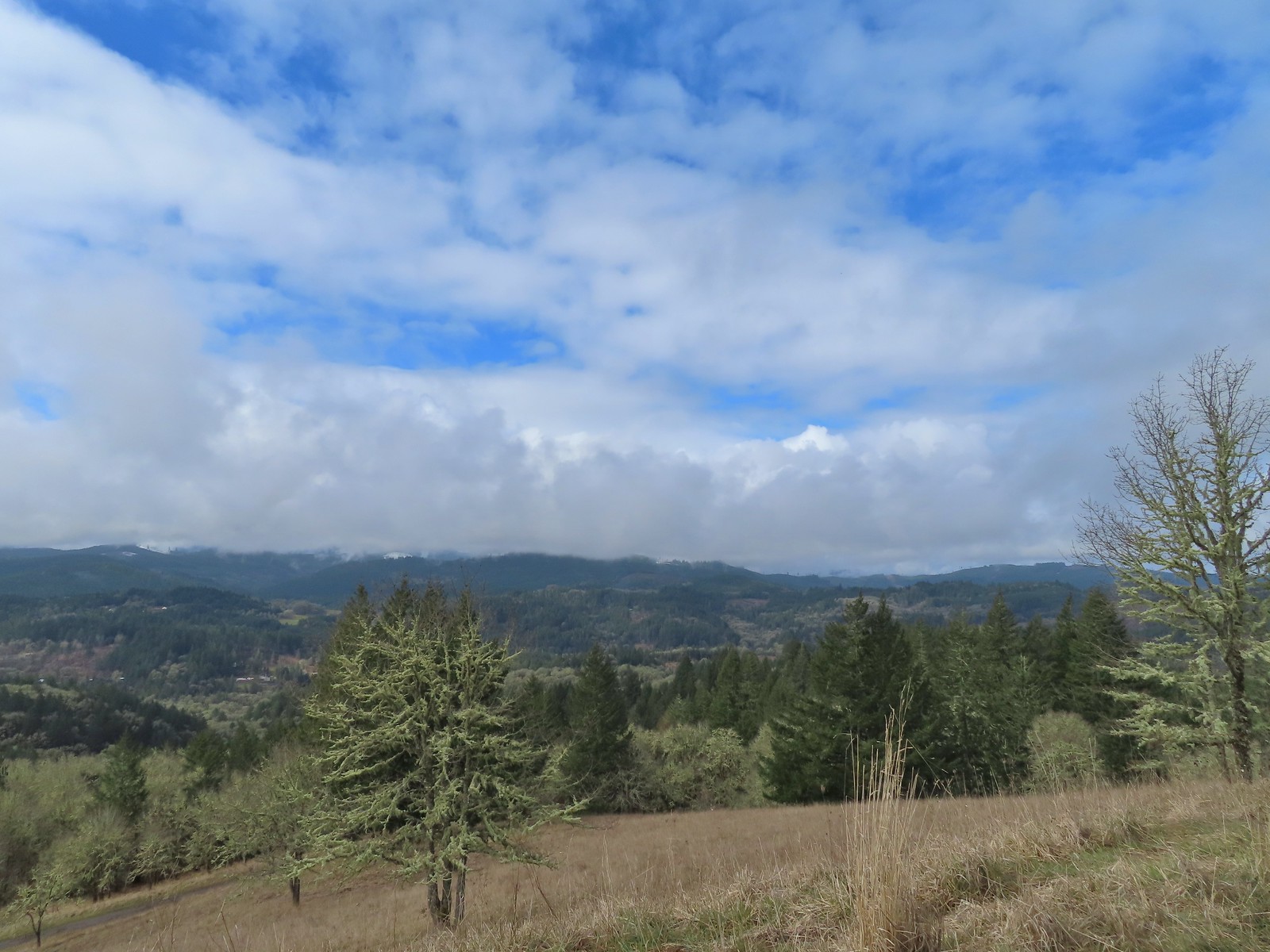 Despite the clouds breaking up we didn’t have a view of Marys Peak, the highest peak in the Oregon Coast Range (
 The trail overlooks the cities of Corvallis (to the left/east) and Philomath (straight/south).
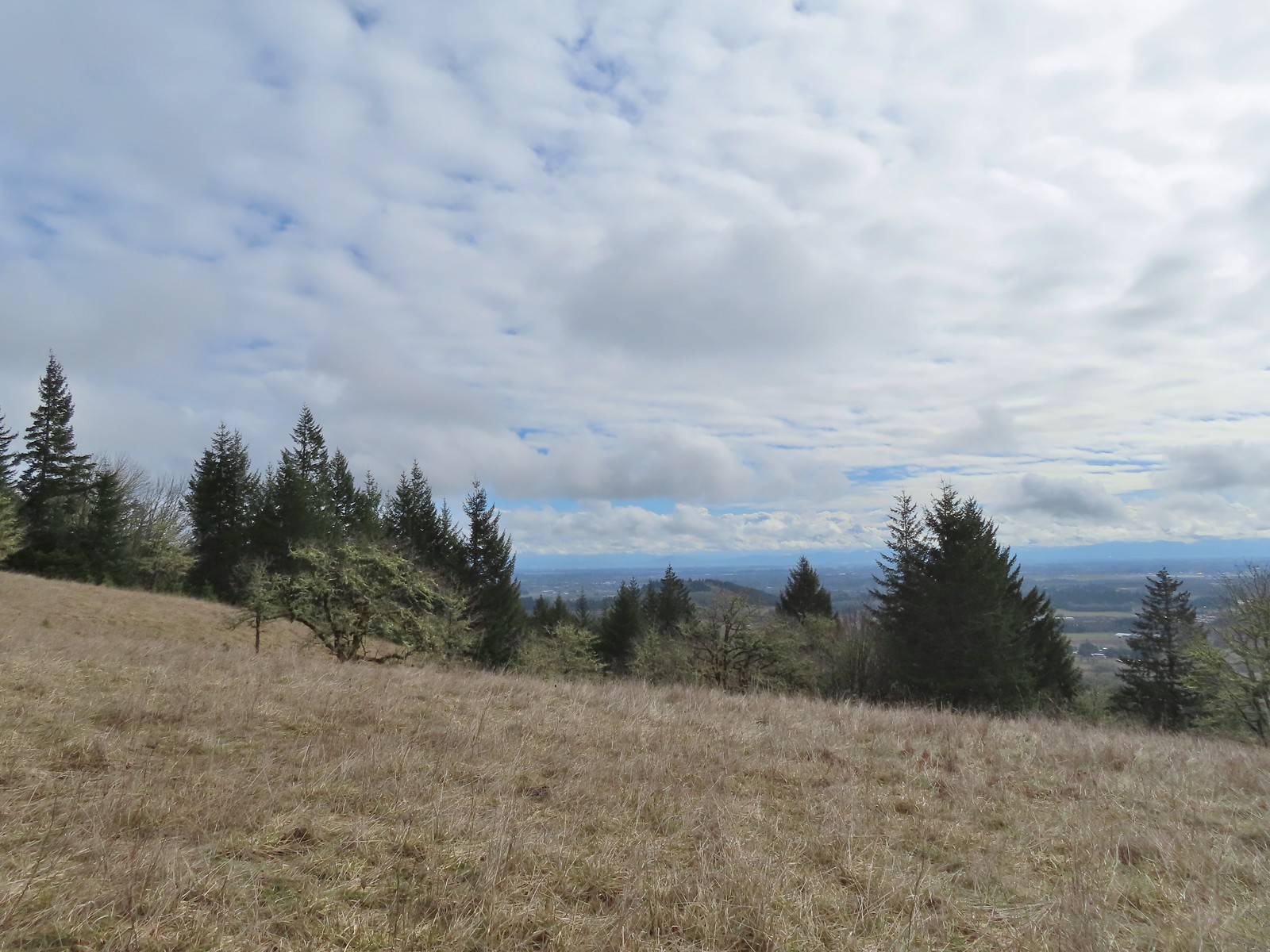 Bald Hill with Corvallis beyond from the Throop Loop.
 East toward the Coast Range.
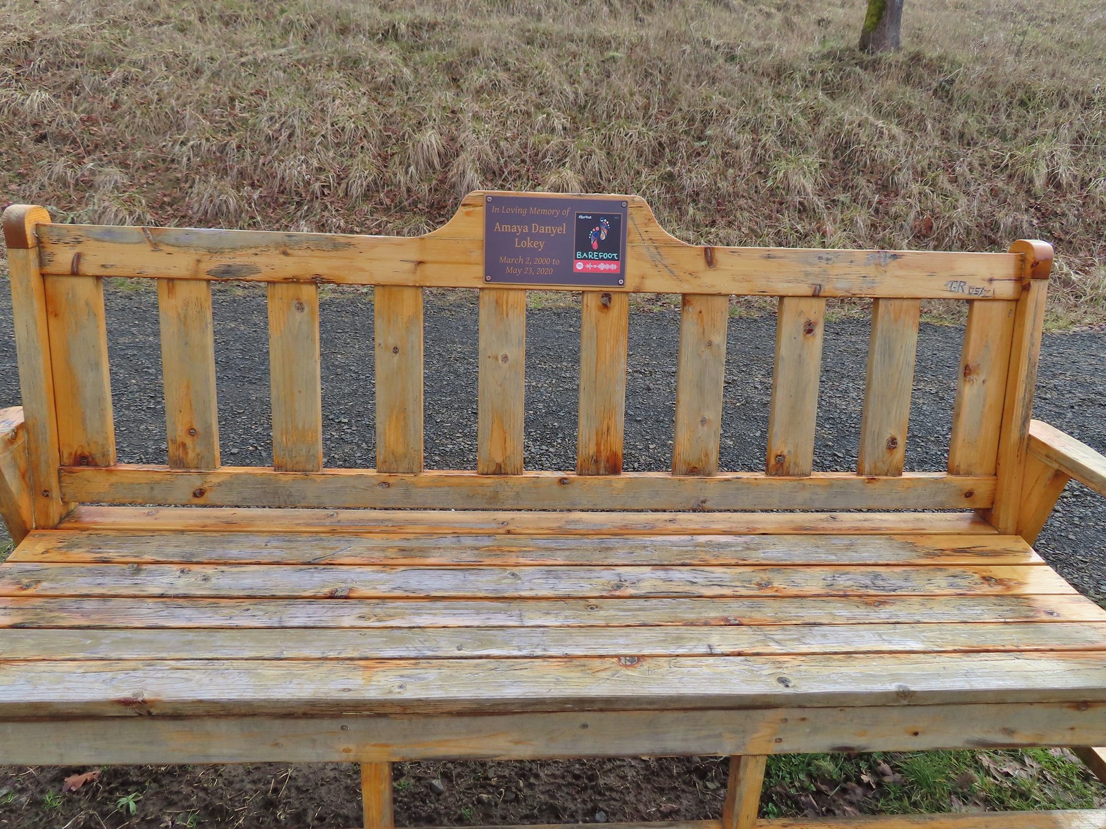
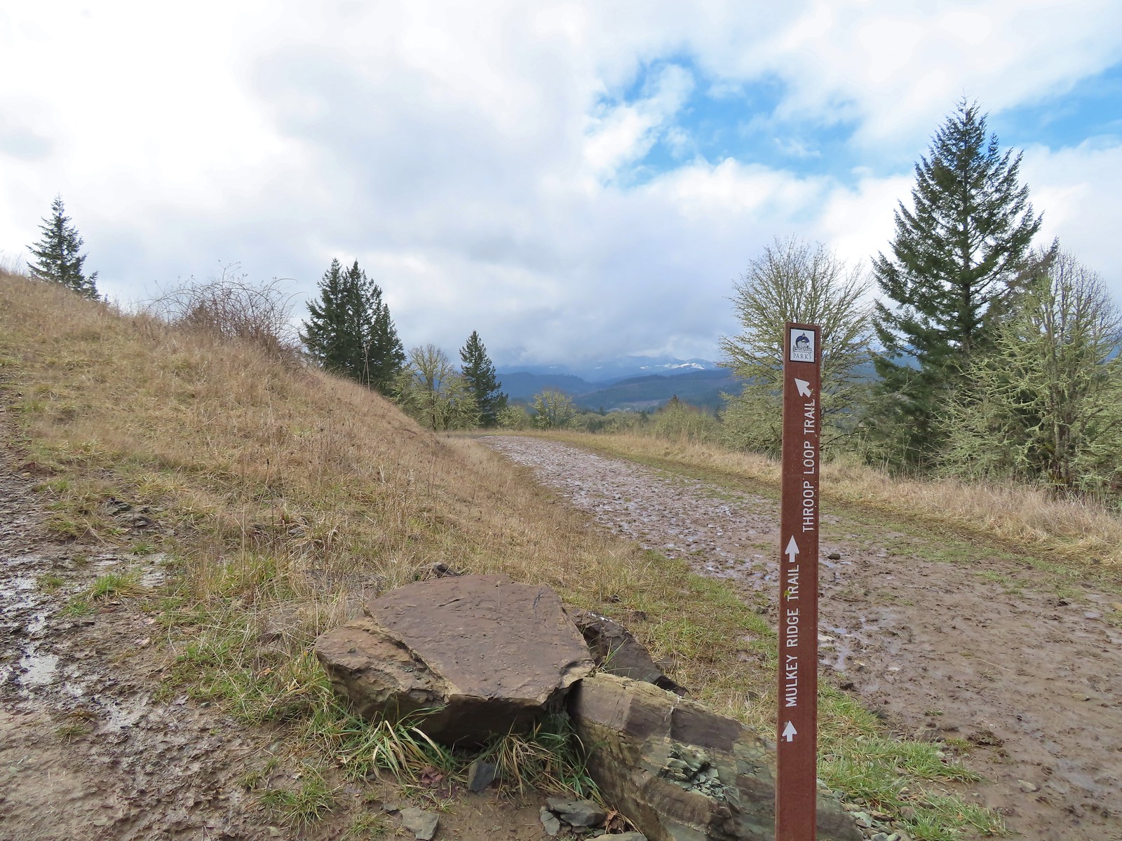 This is the trail that connects Bald Hill with Fitton Green.
 The junction from the Throop Loop Trail.
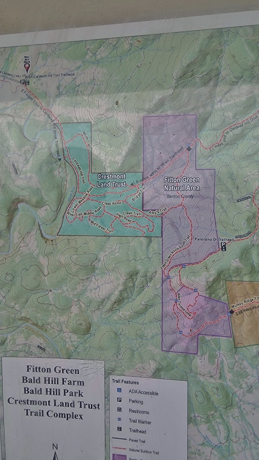
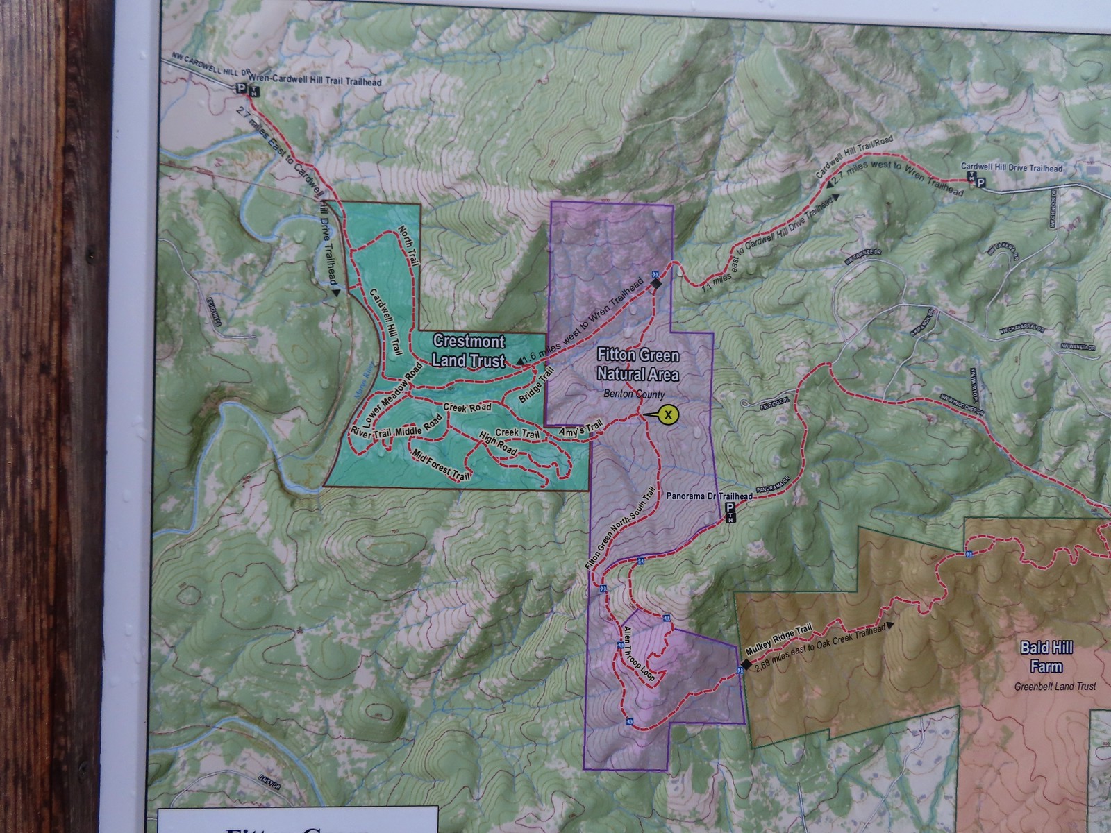 Map at the start of Amy’s Trail.
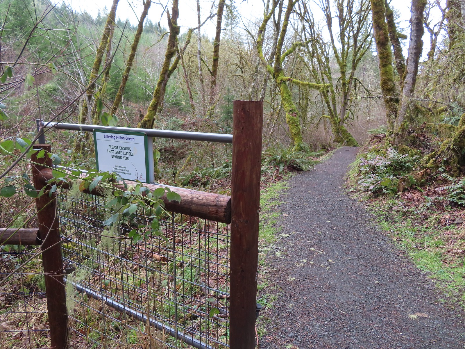 Gate at the Fitton Green-Crestmont Land Trust border.
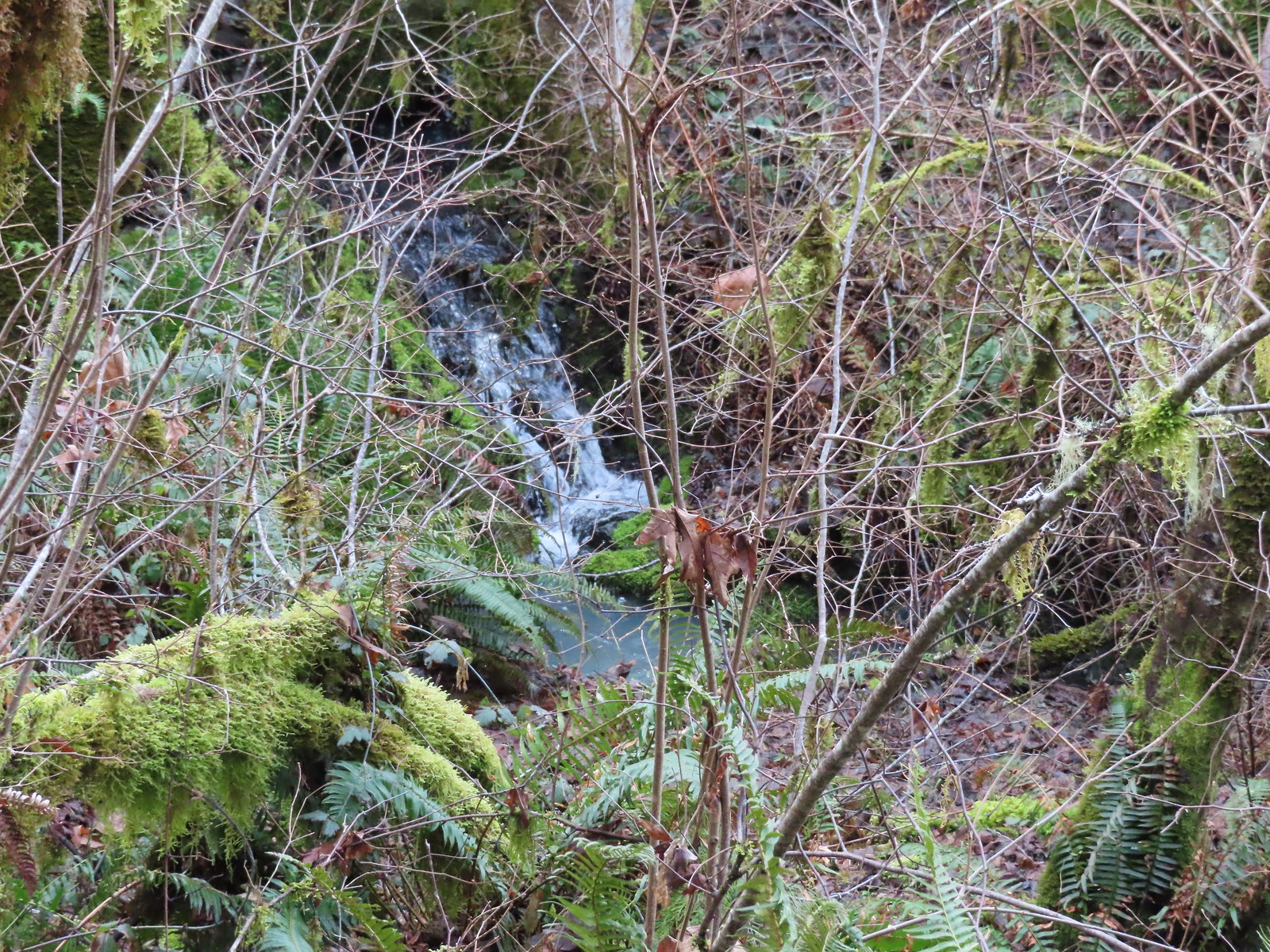 Creek along Amy’s Trail. With all the wet weather there was a fair amount of water in all the streams/creeks in the area.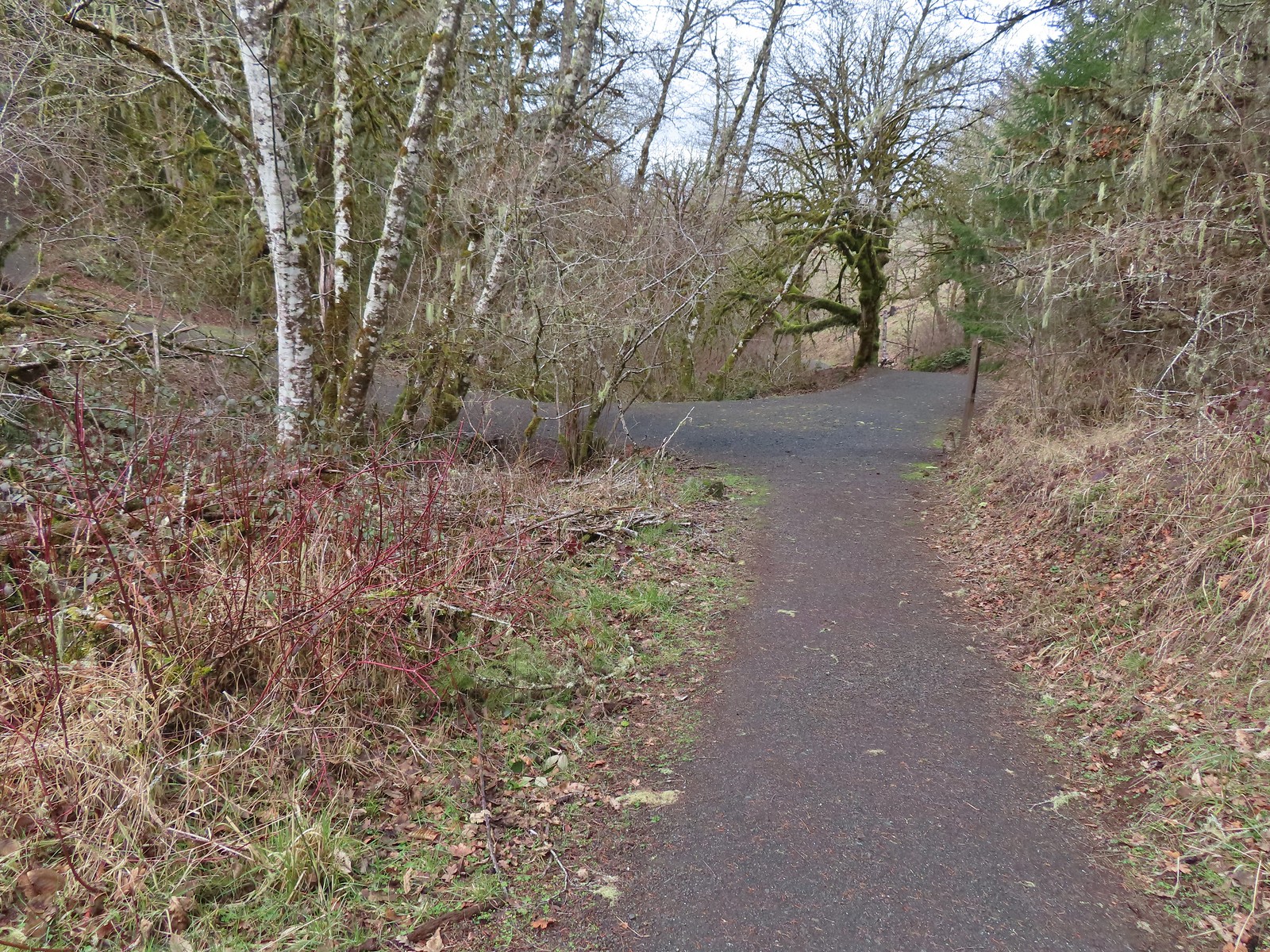

 On the hillside above the picnic table is the Creek Trail.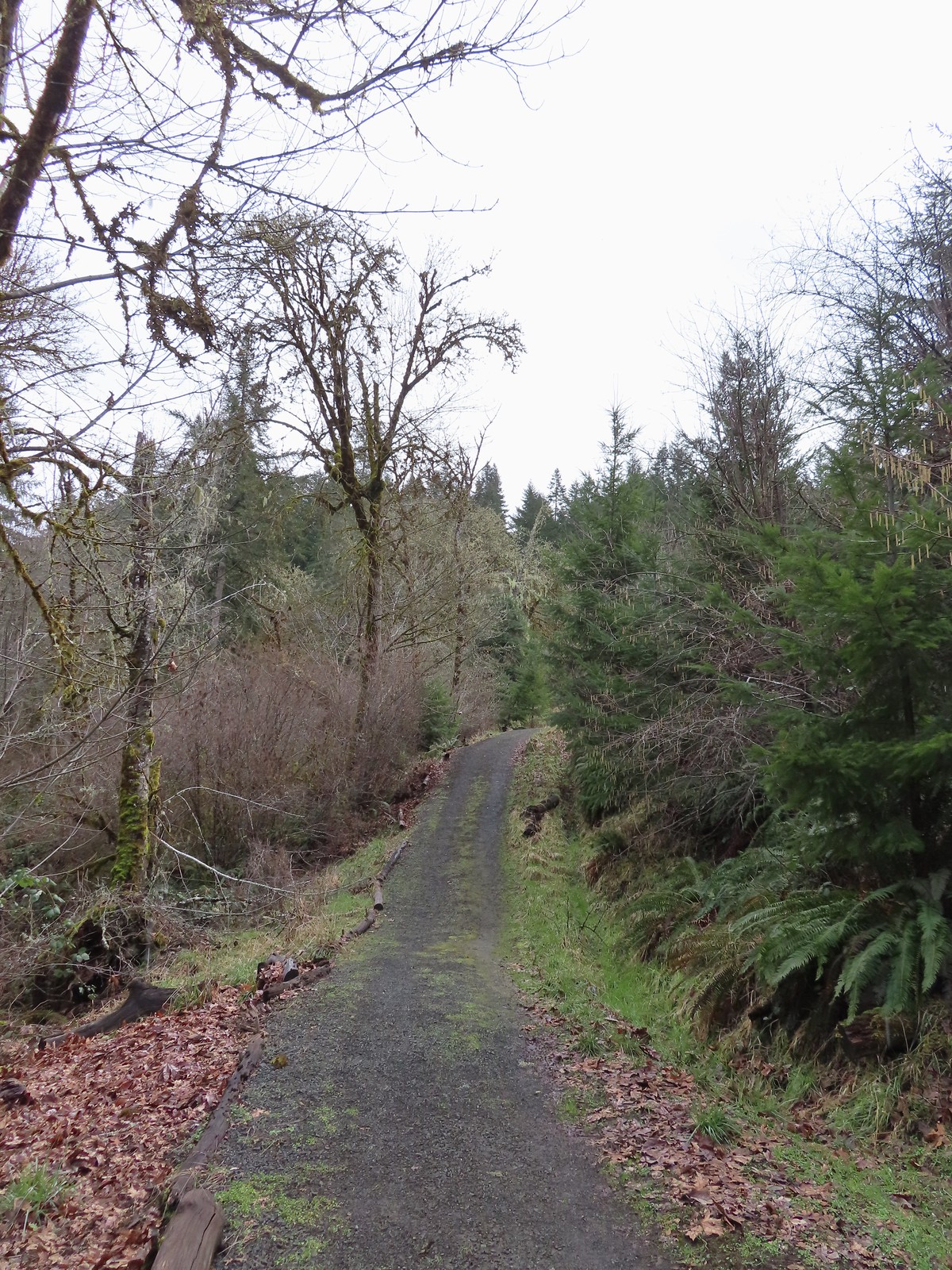
 Switchbacks along the Upper Forest Trail.
 Arriving at High Road.
 The Mid Forest Trail is hidden behind the tree on the left. To the right is the Creek Trail while High Road continues straight ahead.
 Lots of green moss along this trail.
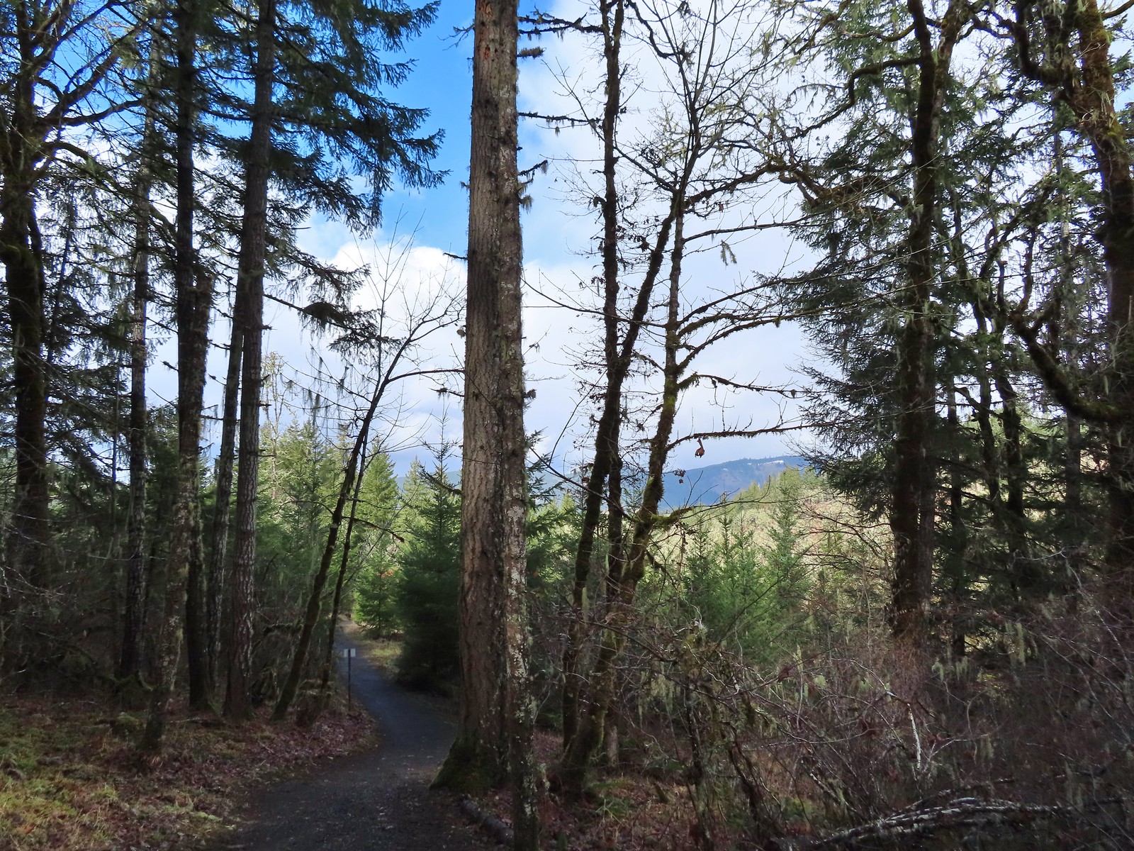 A little snow on the ridge in the distance.
 Rabbit that Heather spotted.
 The junction was at the far end of this open space.
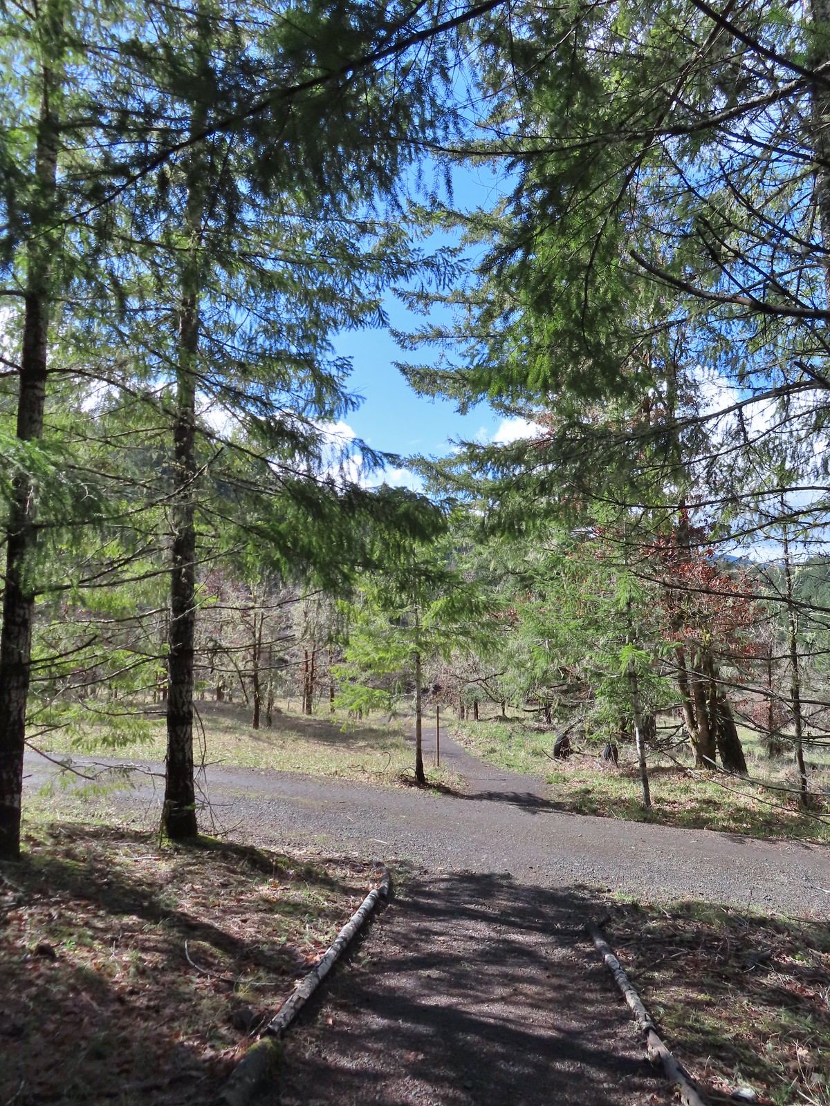 This was by far the most confusing junction we’d encountered all day. It was one of only a couple that was unsigned and none of the maps that we’d seen or had brought with us showed the road continuing to the left. Since we’d planned on staying left at all junctions except for at High Road we initially turned left here thinking it was the River Trail, but it just didn’t feel right so we turned to the Garmin which did show the road continuation. It didn’t look anything like the River Trail route so we promptly turned around and returned to the 4-way junction and took a left downhill through the meadow.
 Lower Meadow
 Gate along the River Trail just before Marys River.
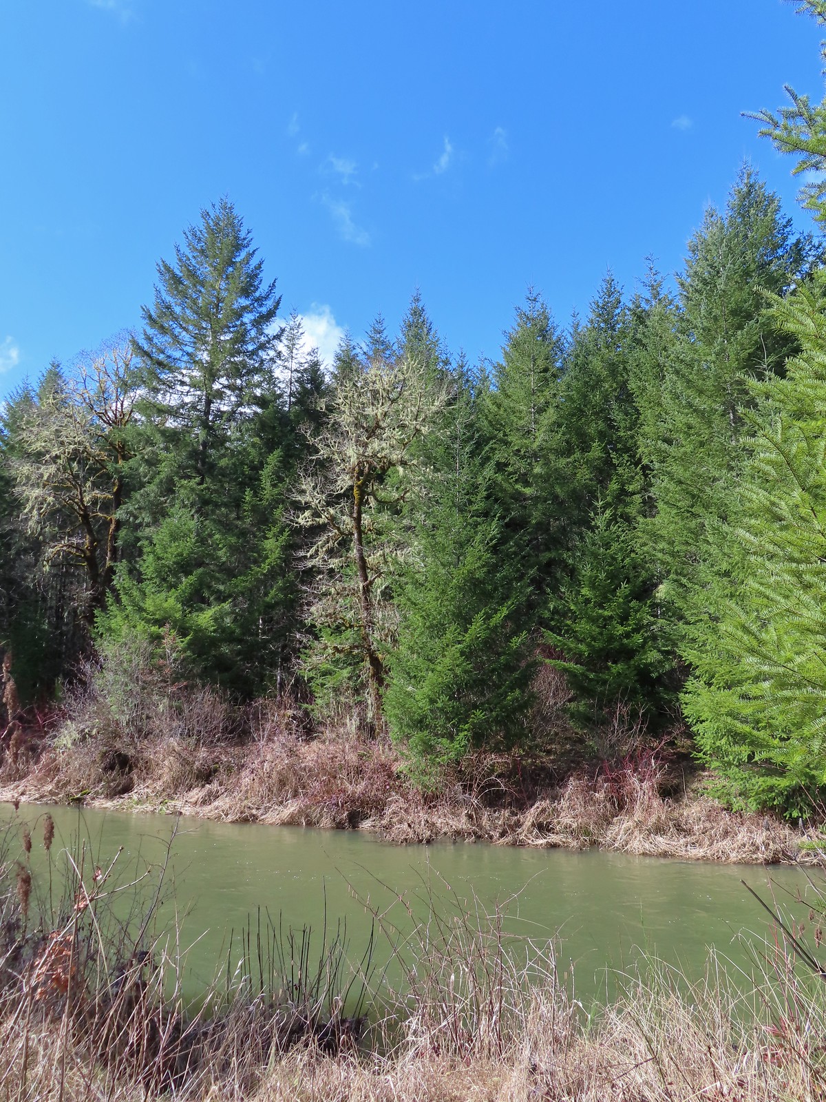 Marys River
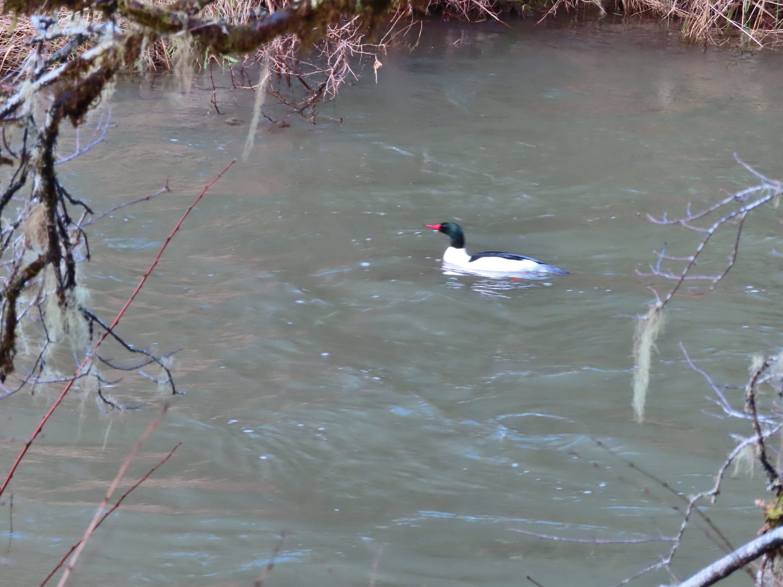 Male common merganser floating Marys River. I only had a brief second to try and get a picture as he floated by thus the poor focus.
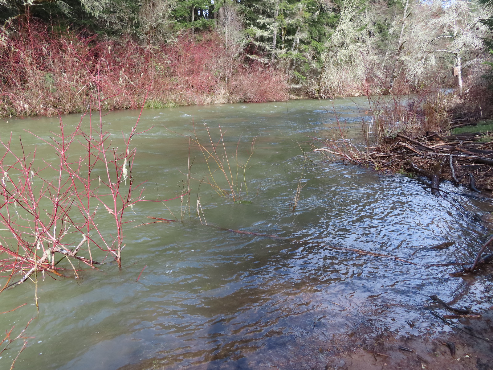 A short spur trail led down to the river bank.
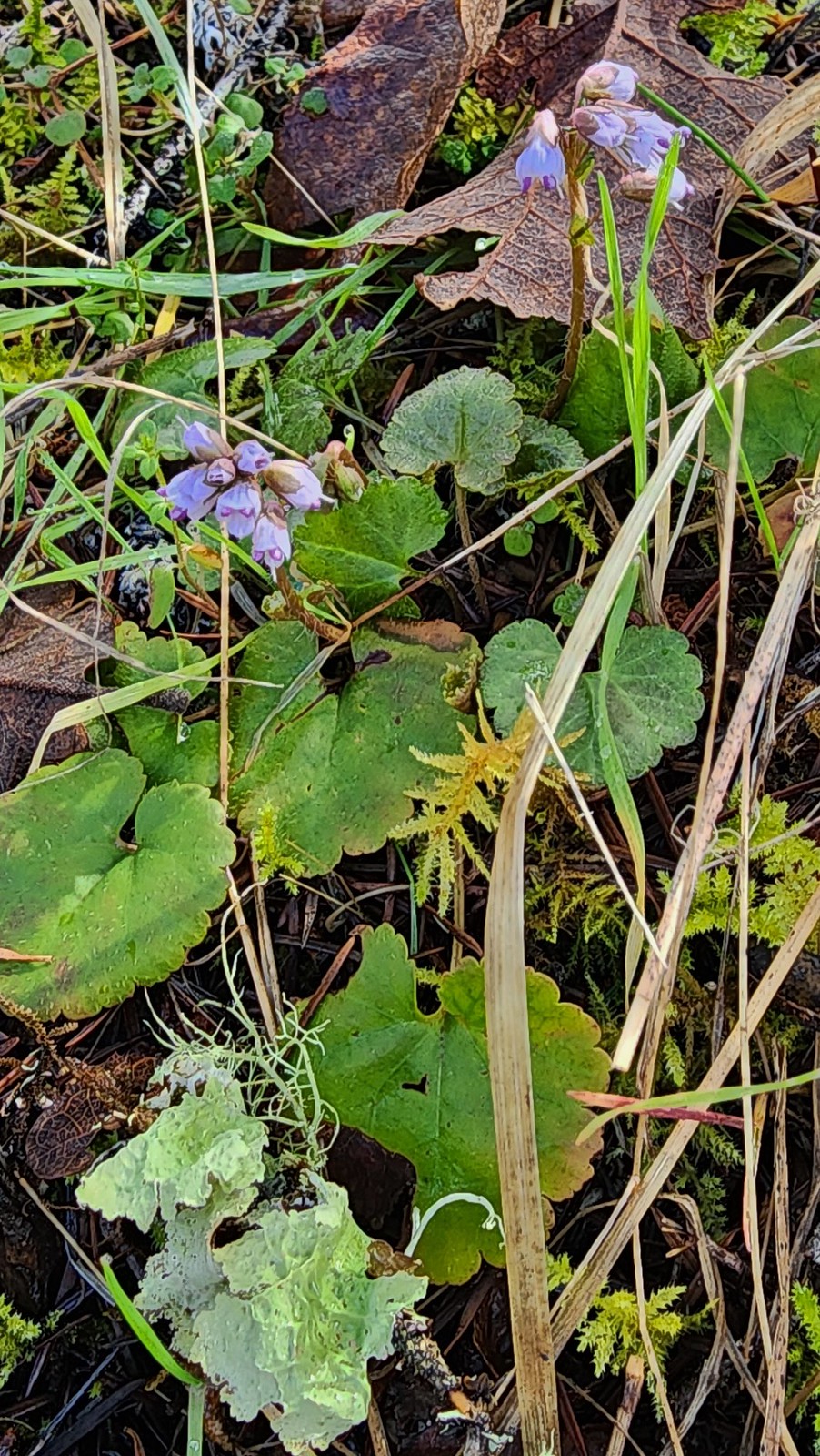


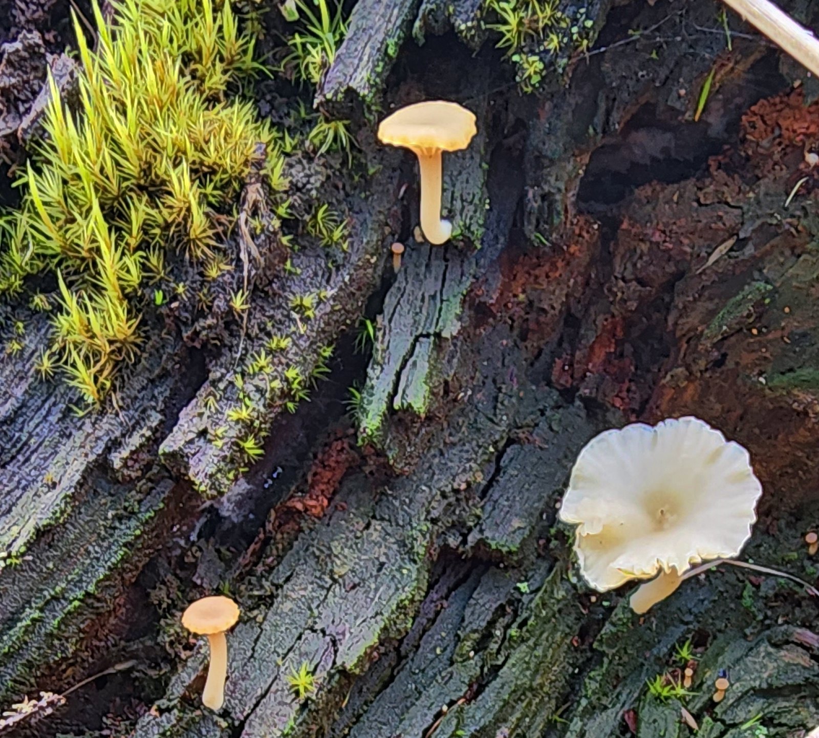 Not flowers but mushrooms are always fun to spot.
 Lower Meadow Road crossing the creek and ending at the Cardwell Hill Trail.
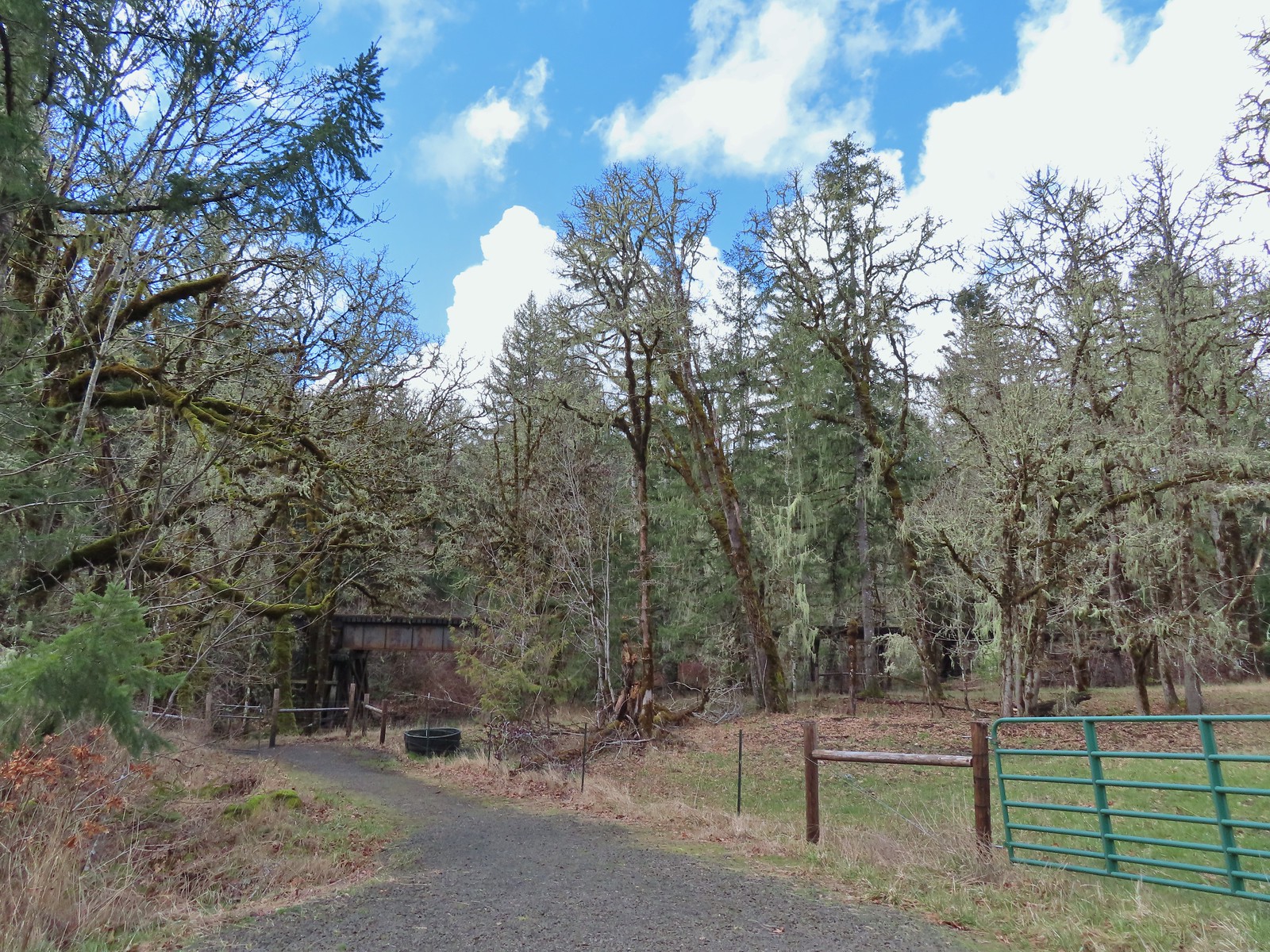 The short Trestle Extension led to a view of a railroad trestle over Marys River.
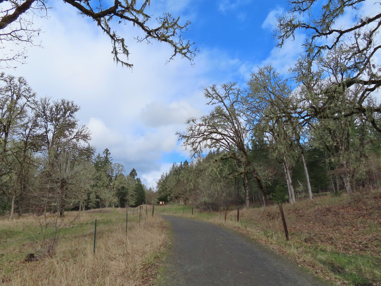 The signboards at the North Trail junction from the Cardwell Hill Trail.
 Robin near the North Trail junction.
 No more fog.


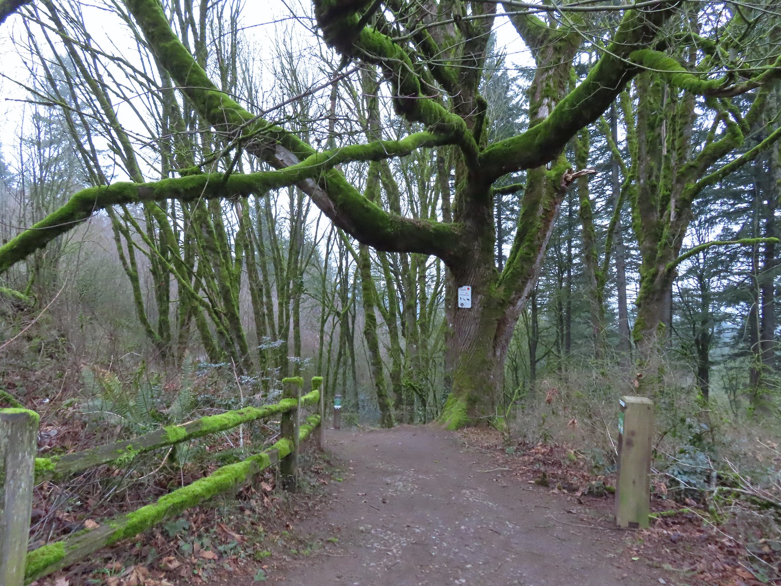
 Coming up to the SW Greenway Ave crossing at the 0.3-mile mark.
 Mossy bench
 Small trailhead at SW Fairmount Blvd at the 0.5 mile mark.
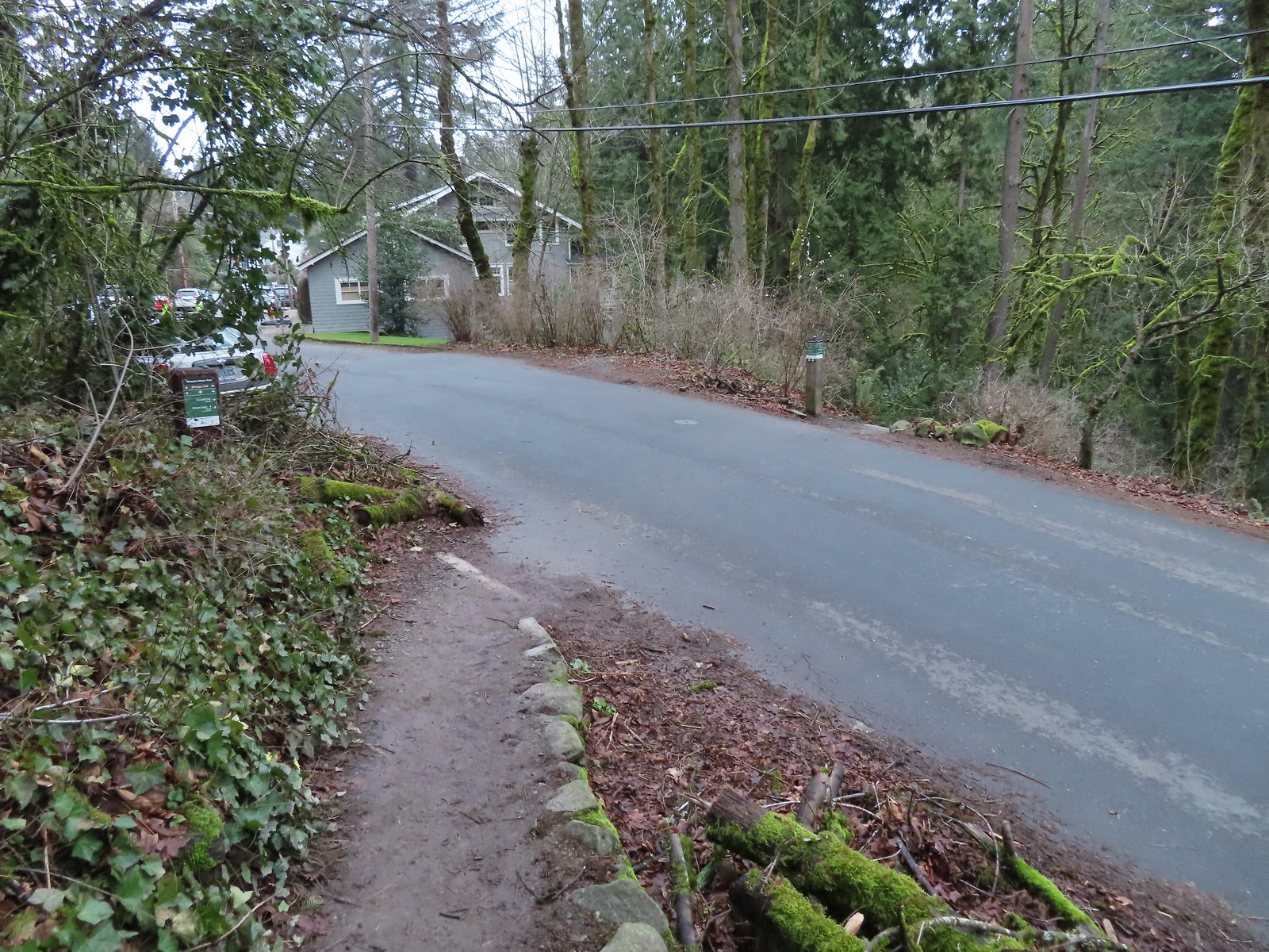 At the 1-mile mark the trail crosses NW Sherwood Dr.
 Maybe the steepest section of the hike was the tenth of a mile between NW Sherwood and the Sunnyside Trail.
 The Sunnyside Trail junction.
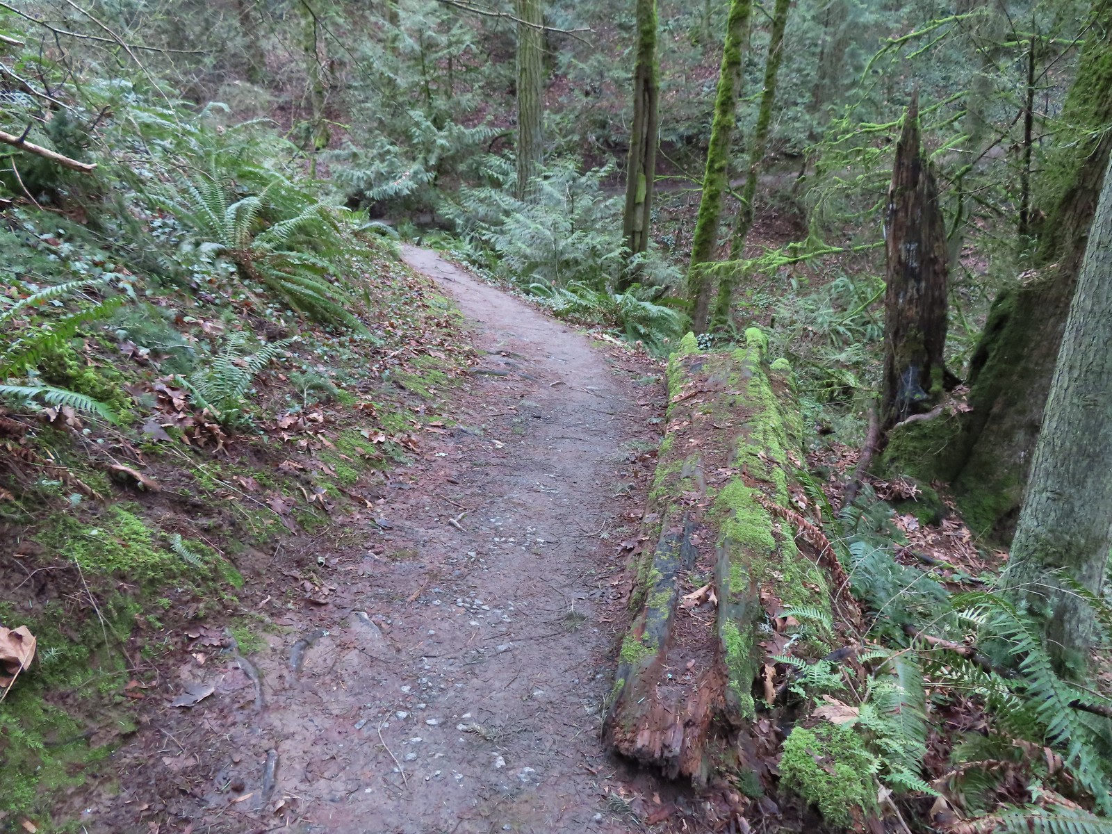
 Every (official) trail junction was well marked by pointers which helped us stay on course.
 The Shadyside Trail on the far hillside.
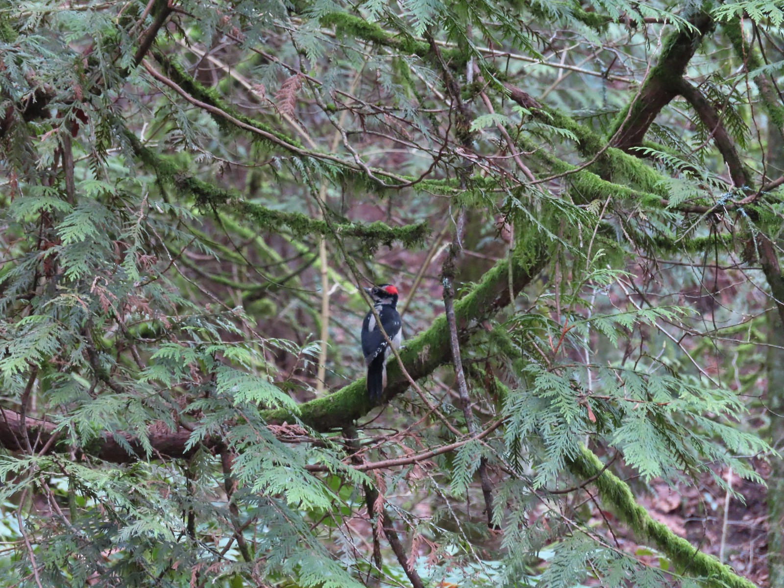 One of two hairy woodpeckers that were busy foraging for breakfast.
 Coming up on the Marquam Shelter.
 We saw little fungi, but these turkey tails added some color to the forest.
 The Marquam Shelter.
 A tenth of a mile from the shelter we passed the Connor Trail on the left. This trail would have taken us to OHSU and the

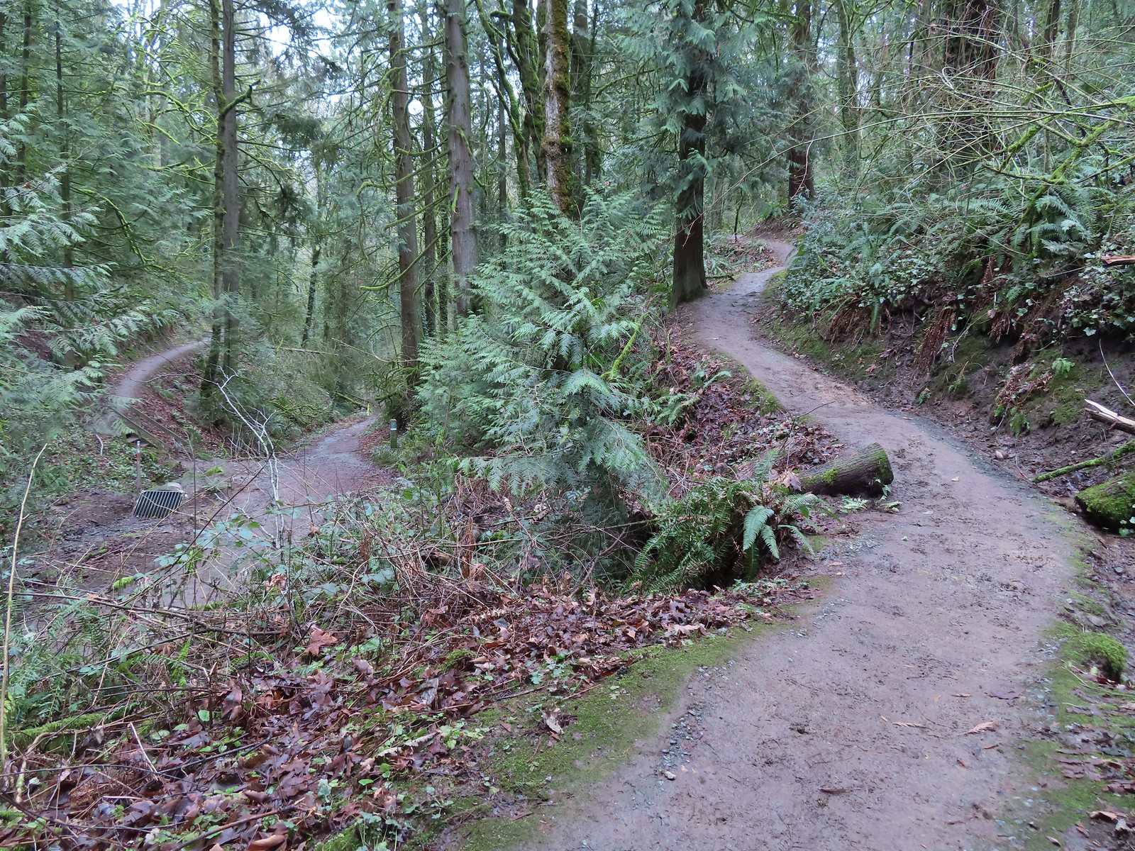 The Marquam Trail to the left and right with the Basalt Trail in the center from the first switchback.
 Trail marker near SW Gibbs.
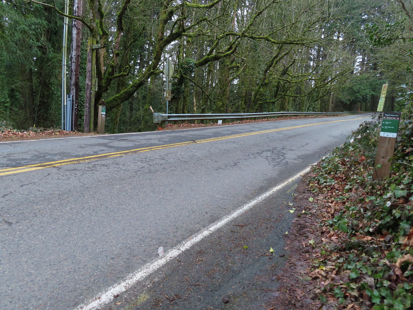
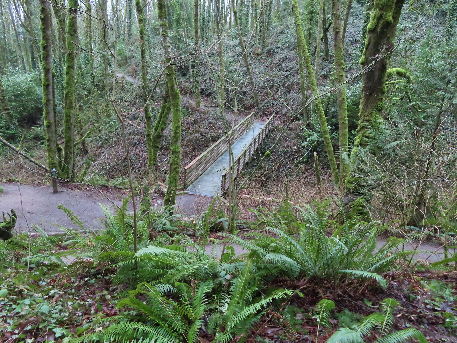 The Flicker Trail from the Marquam Trail.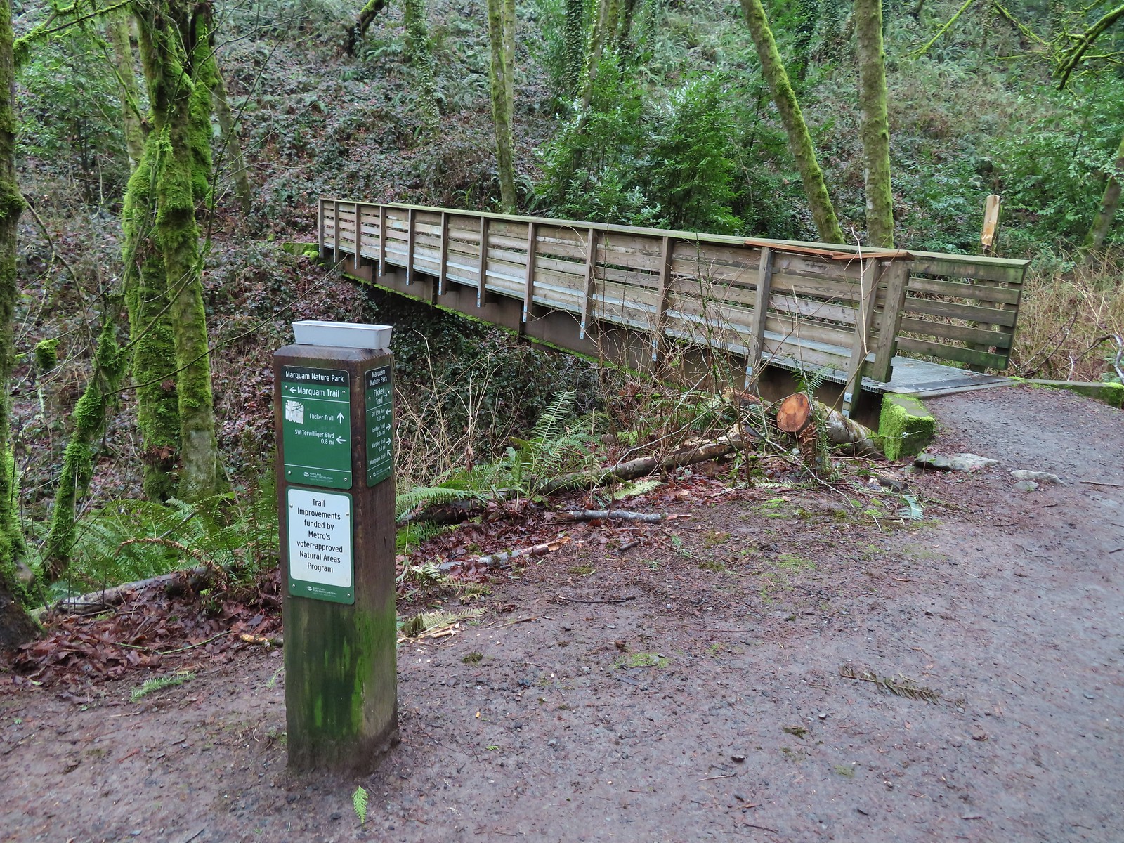

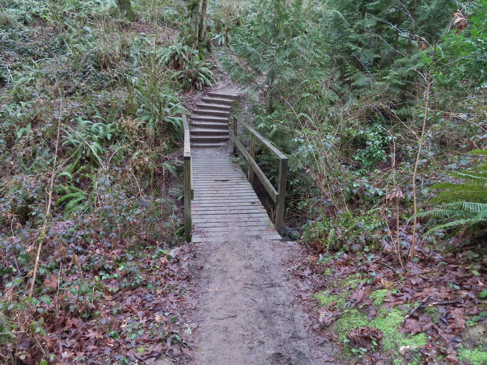


 Note it is still not “mostly sunny” even though it was now almost 10am.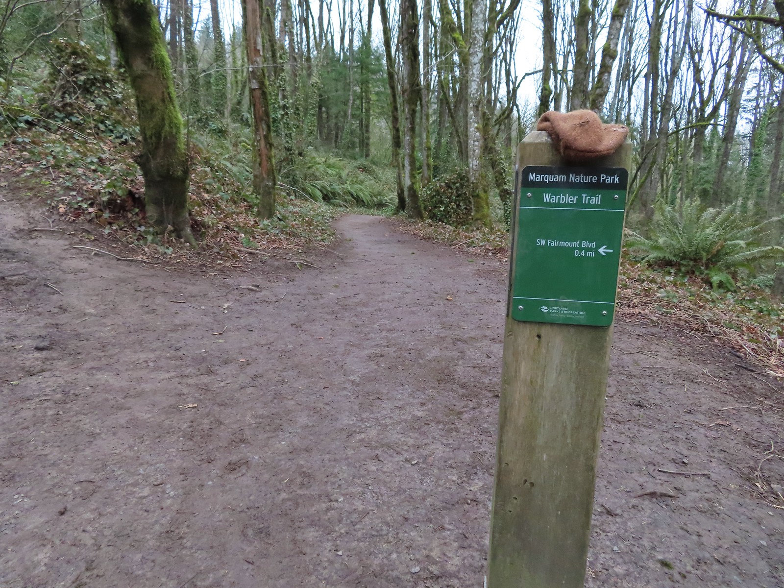
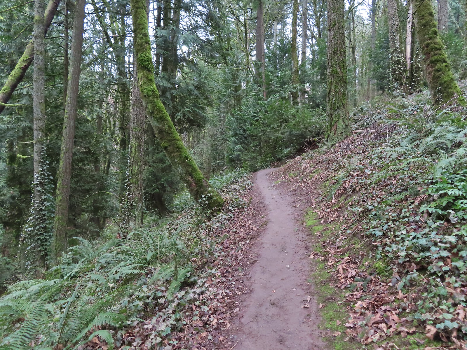
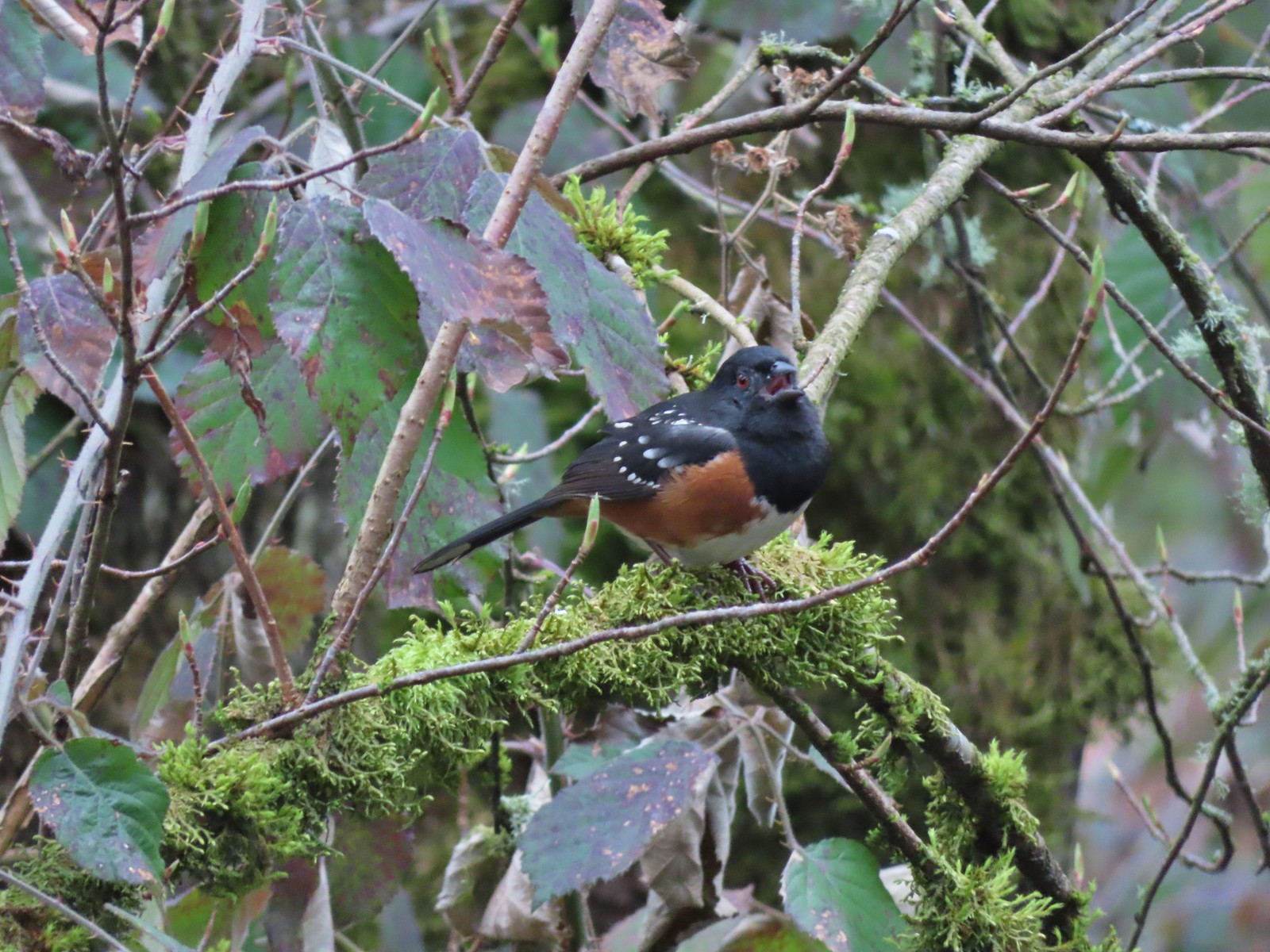 While not a warbler this spotted towhee graced us with a song.
 Checking out a budding leaf.
 The end of the Warbler Trail.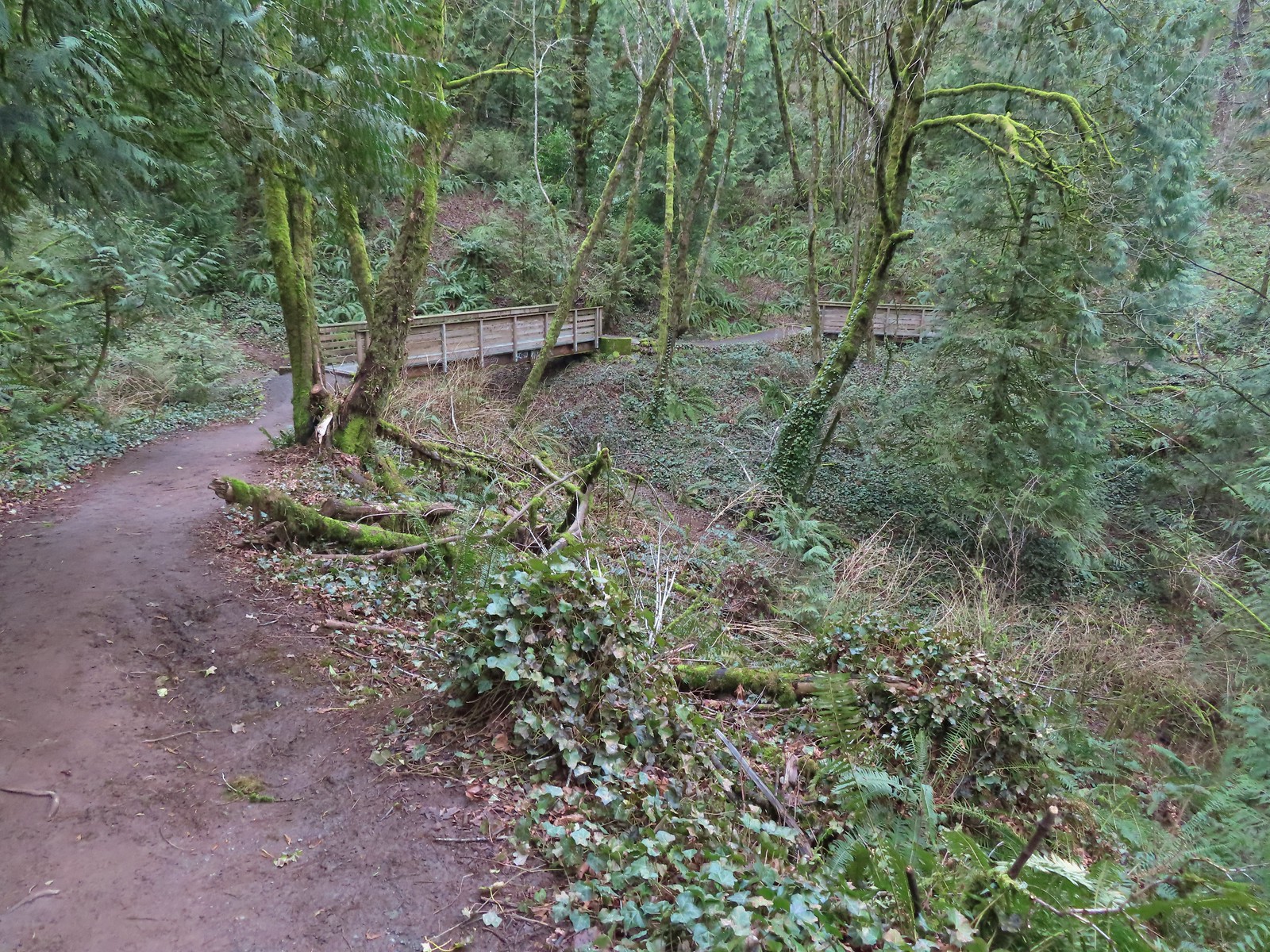


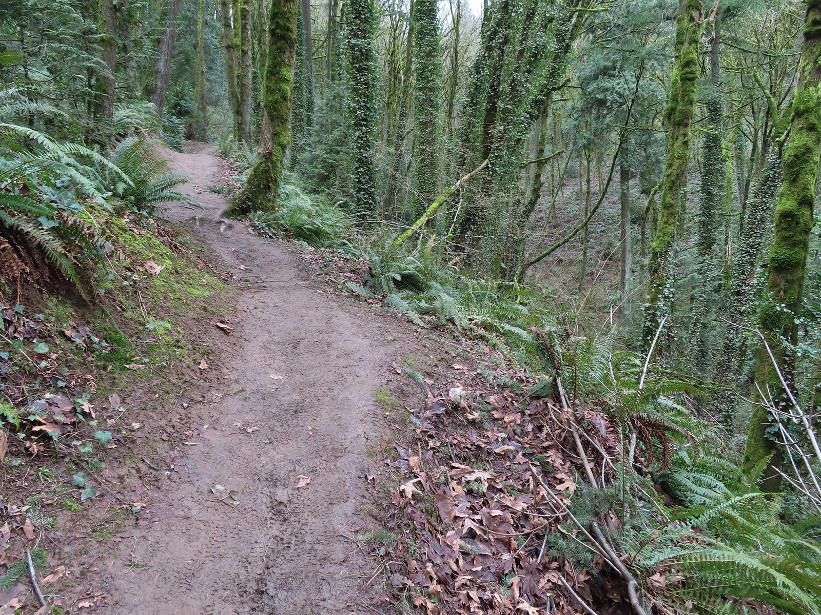
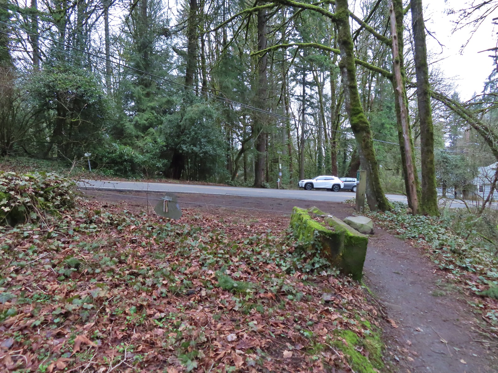
 Pointer for the Marquam Shelter at the trailhead.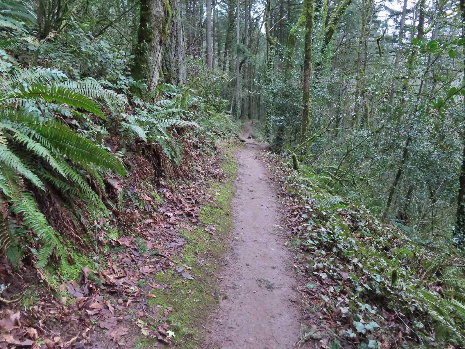
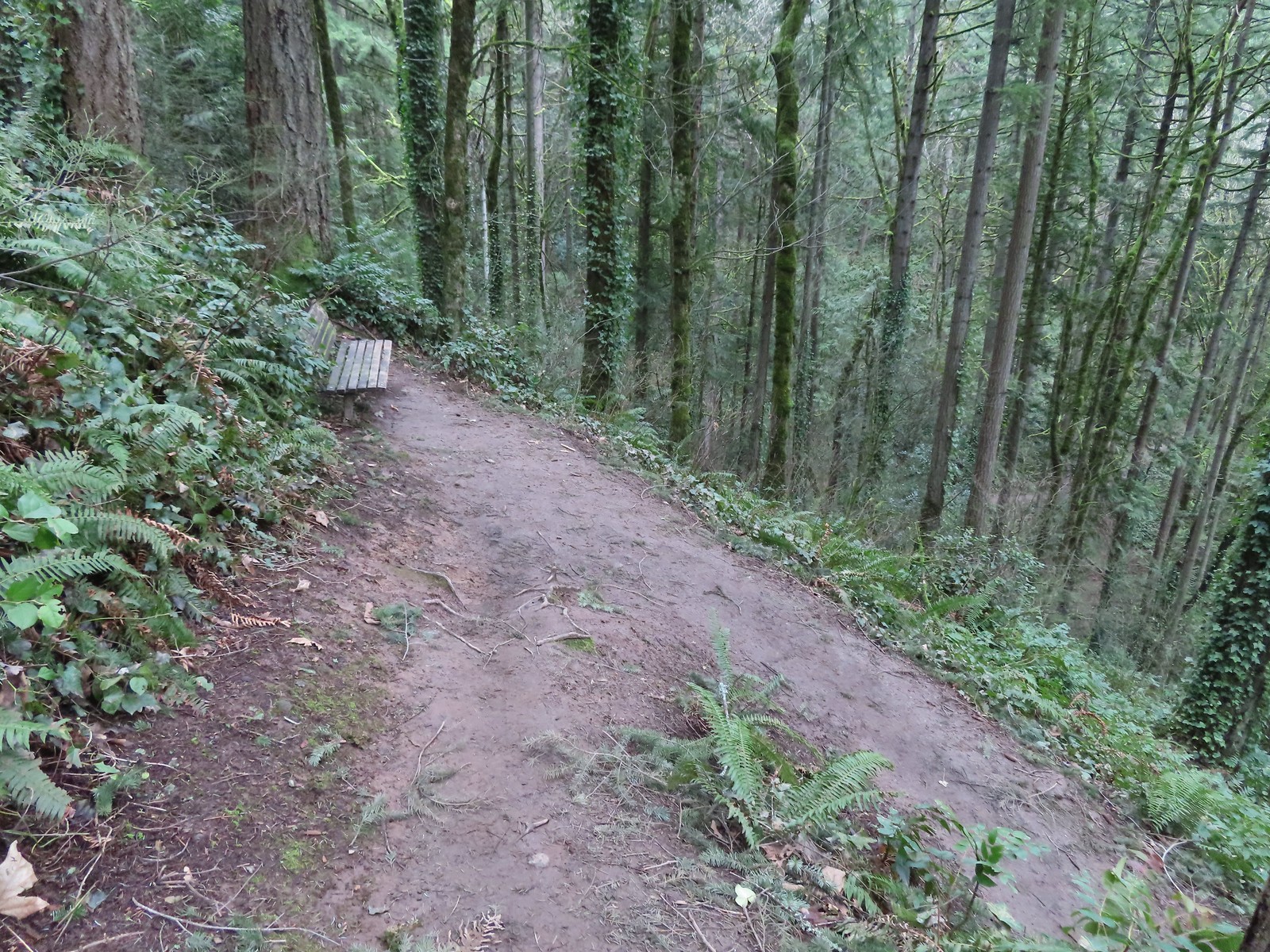 Bench along the switchbacks down to the Marquam Trail.
 The Towhee Trail junction with Marquam Trail was nearly all the way back down to the Basalt Trail (the lower trail in the photo).
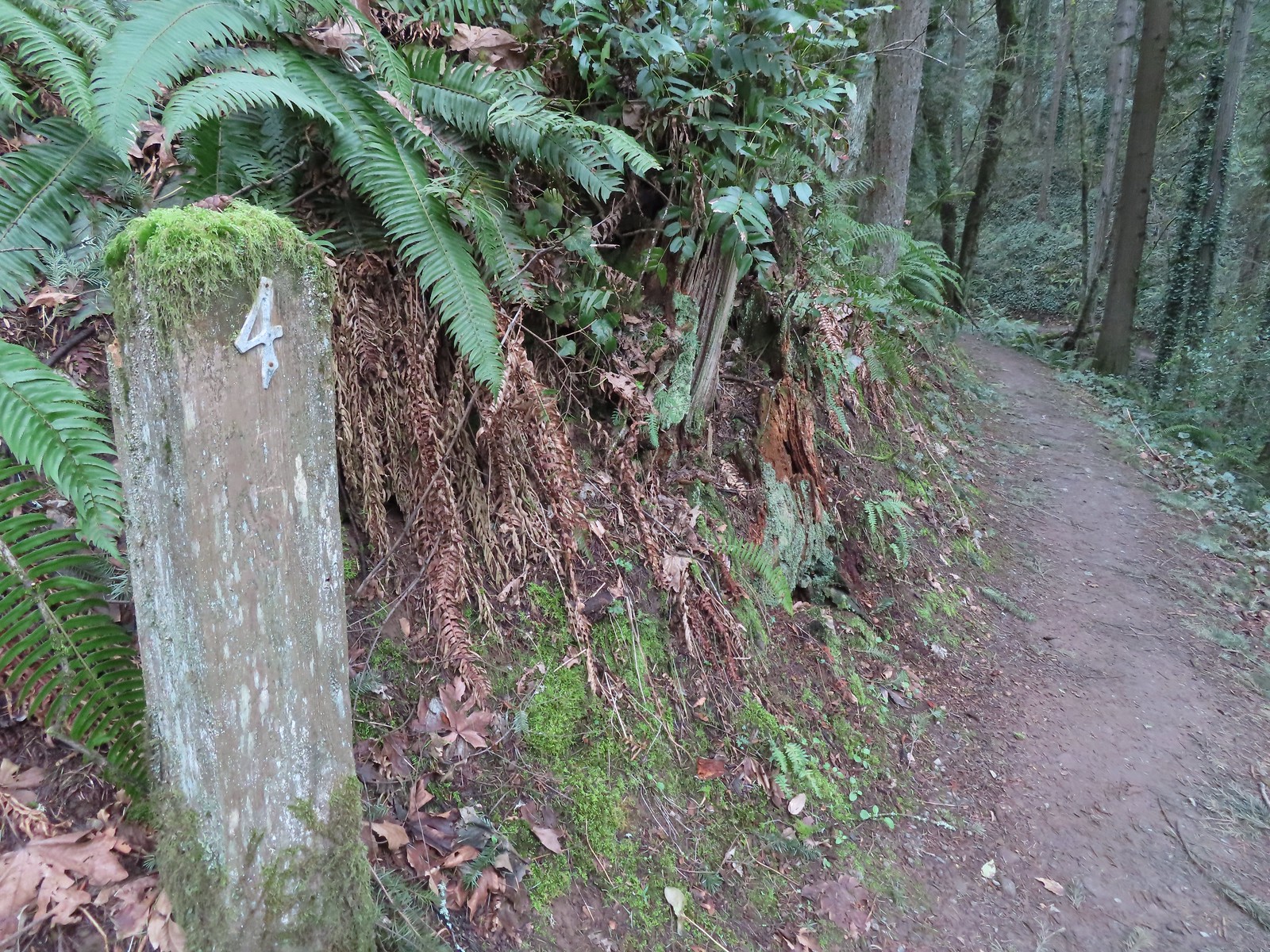 Not sure what the story is behind this post but it was the only one we spotted with this type of number.
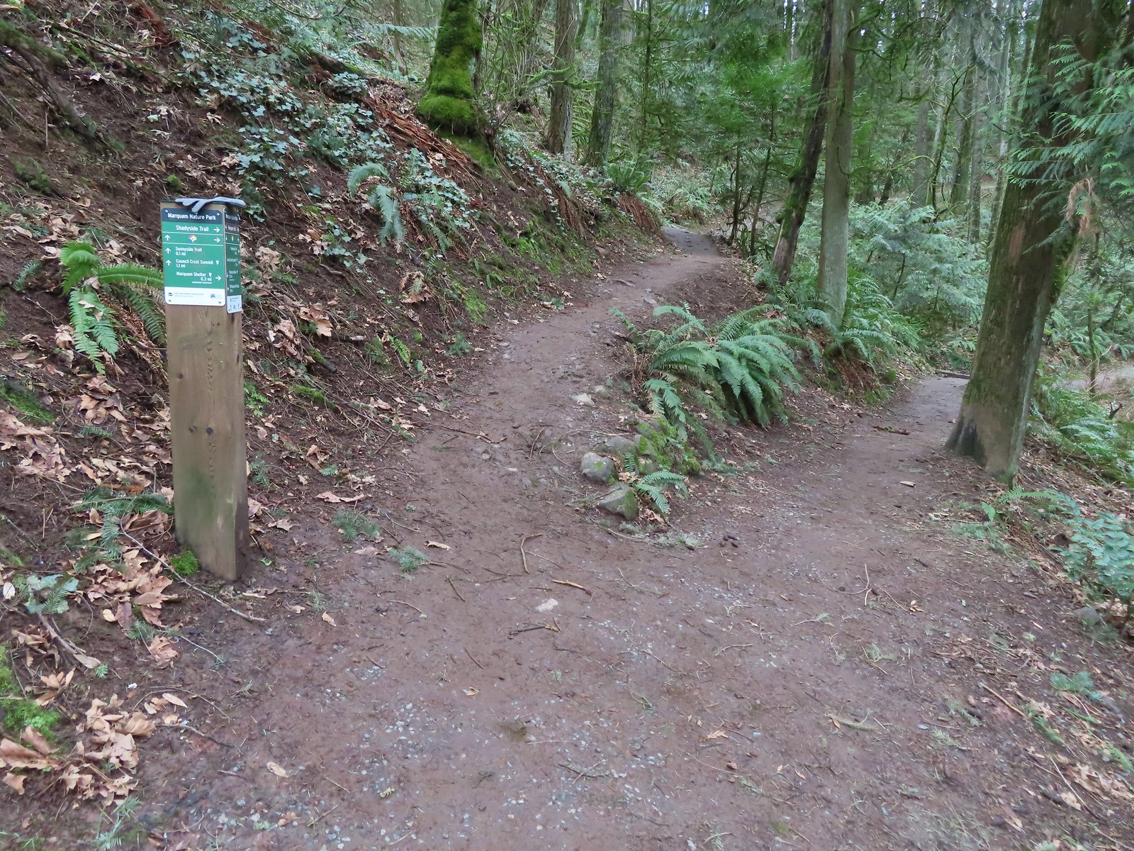 We passed the Shdayside Trail after half a mile.
 There was a short section with some railing before dropping down to the Sunnyside Trail.

 Mt. St. Helens, Mt. Rainier, and Mt. Adams are out there beyond the clouds.
 Freemont Bridge spanning the Willamette River with the Columbia River in the distance.
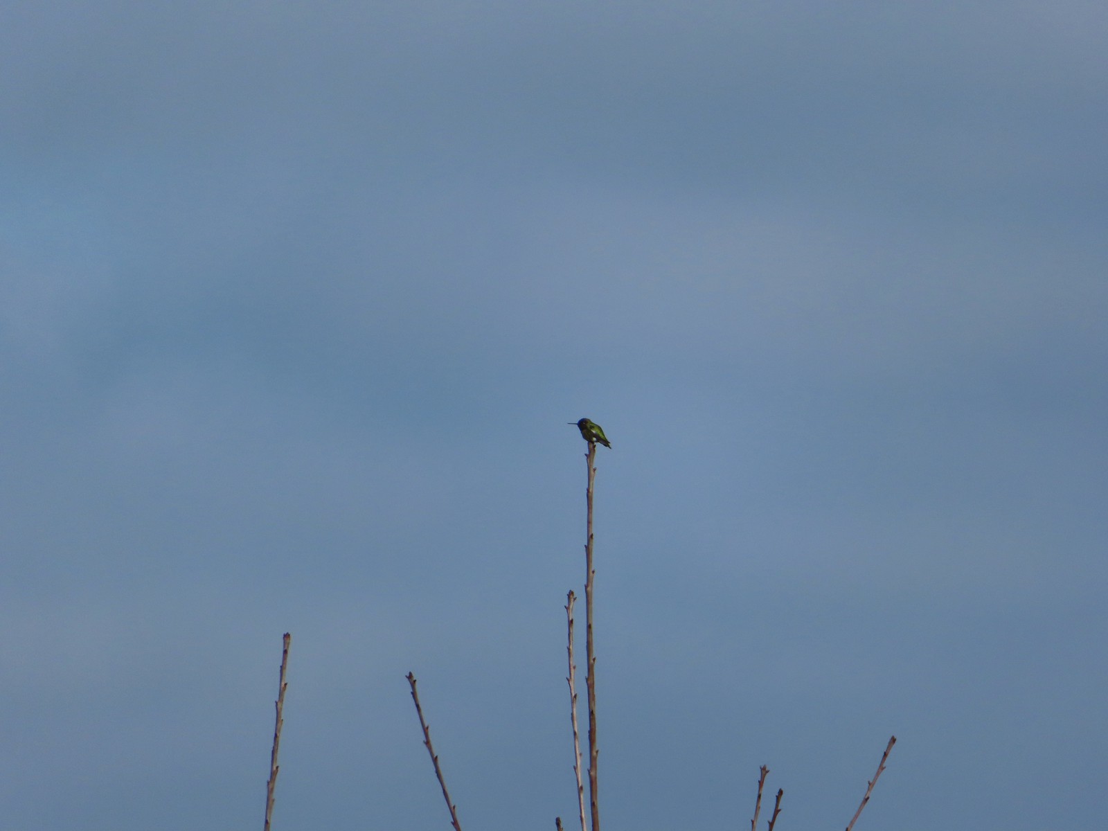 Hummingbird
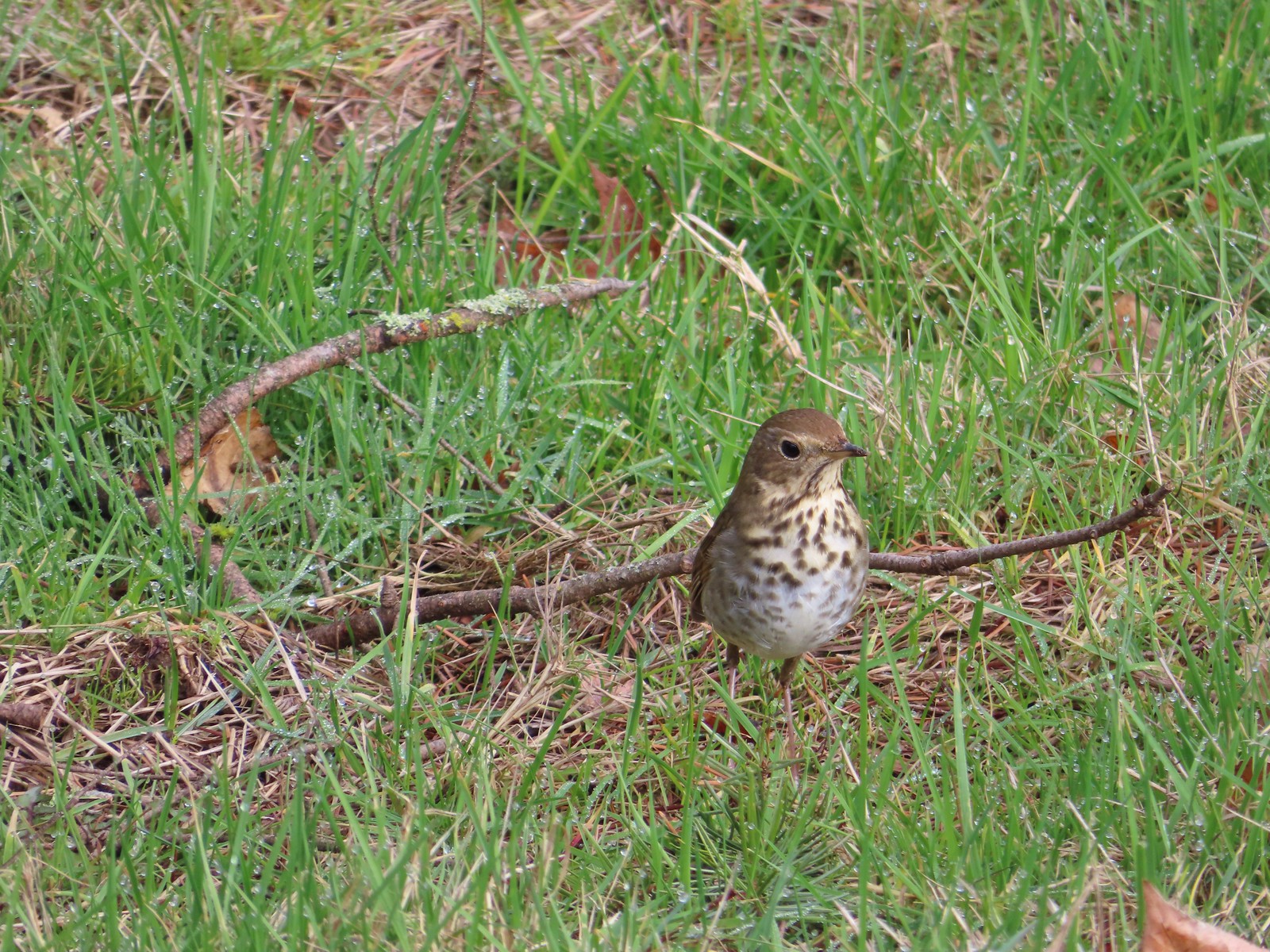 Hermit thrush looking for snacks at Council Crest Park.

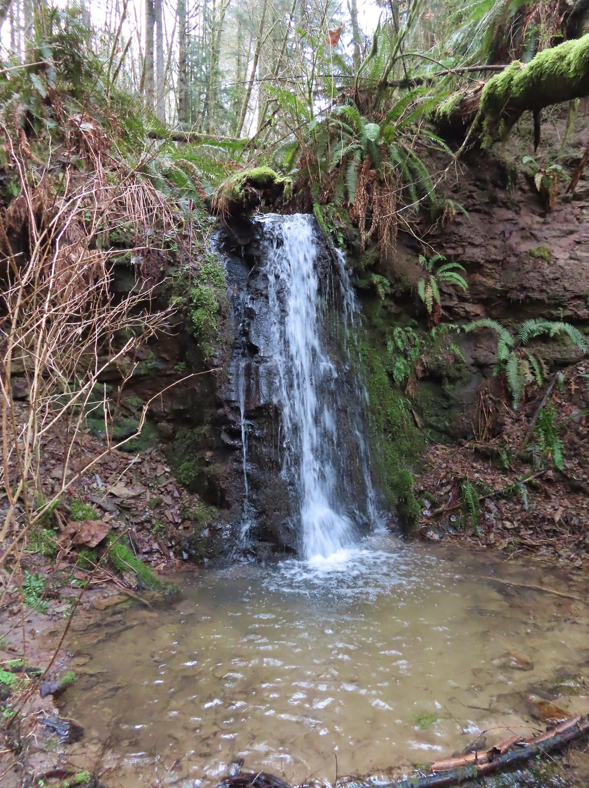
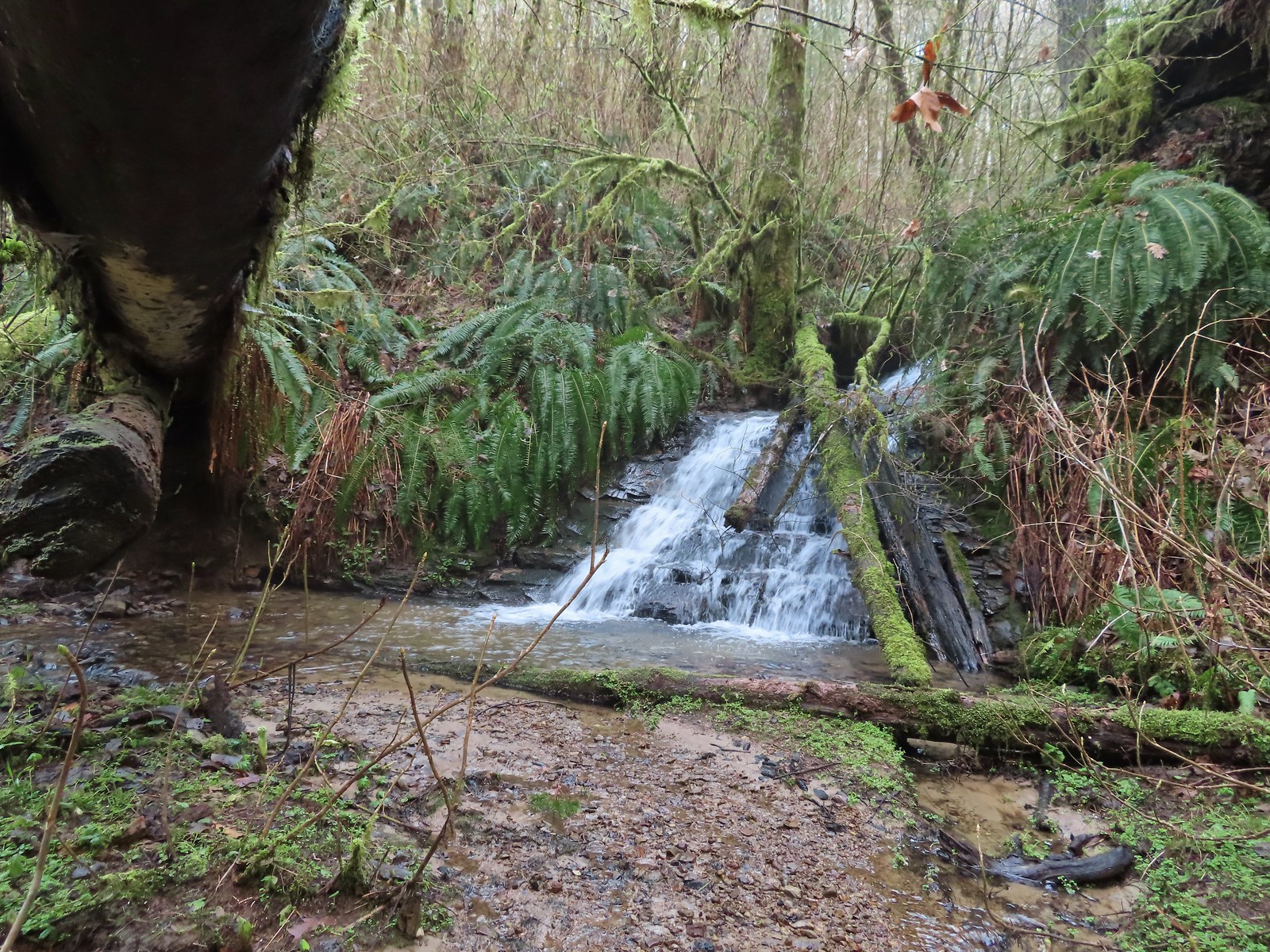
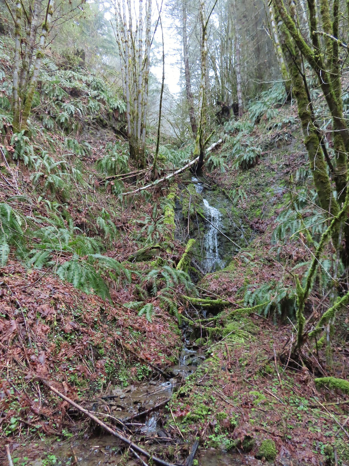

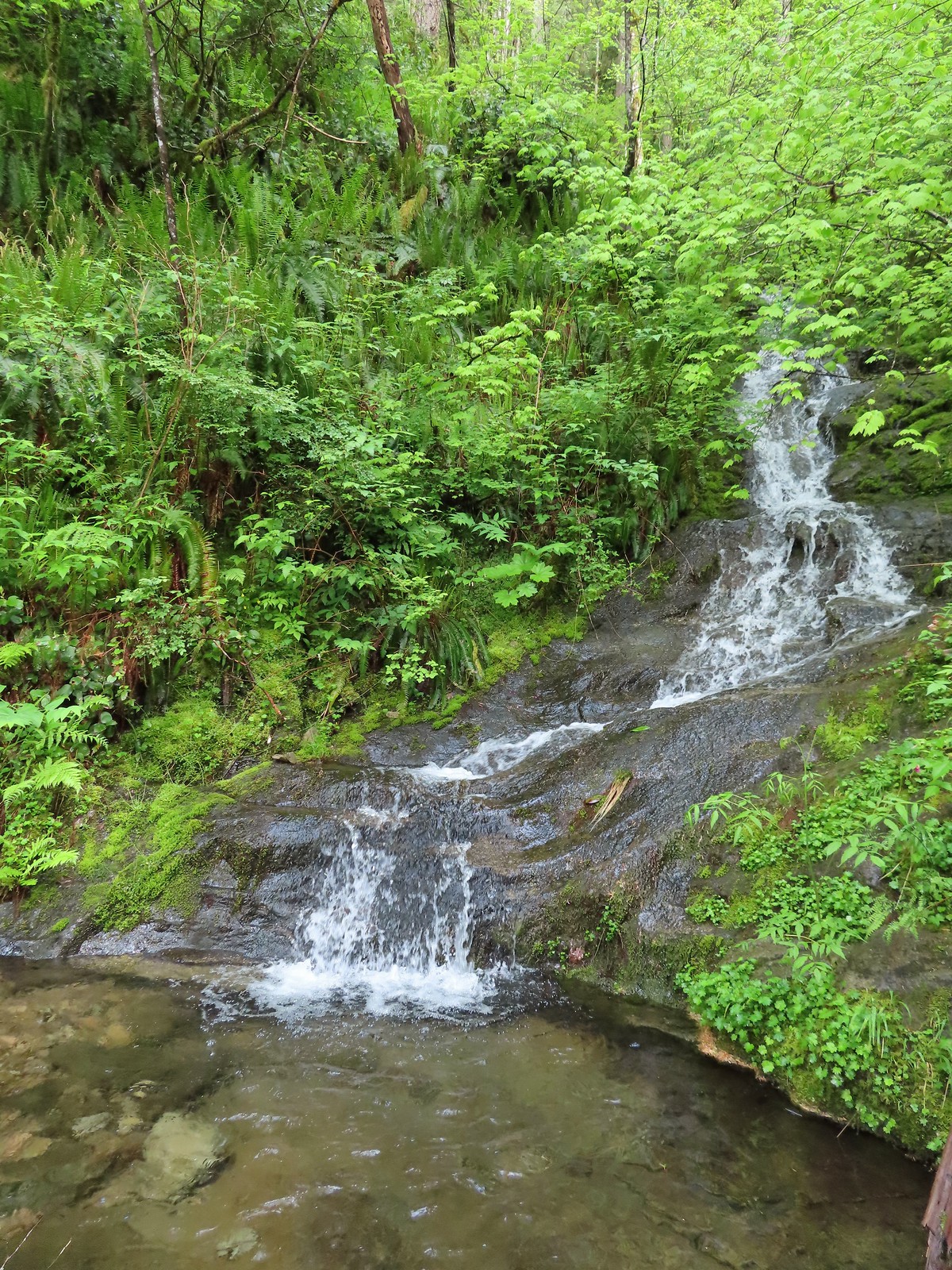

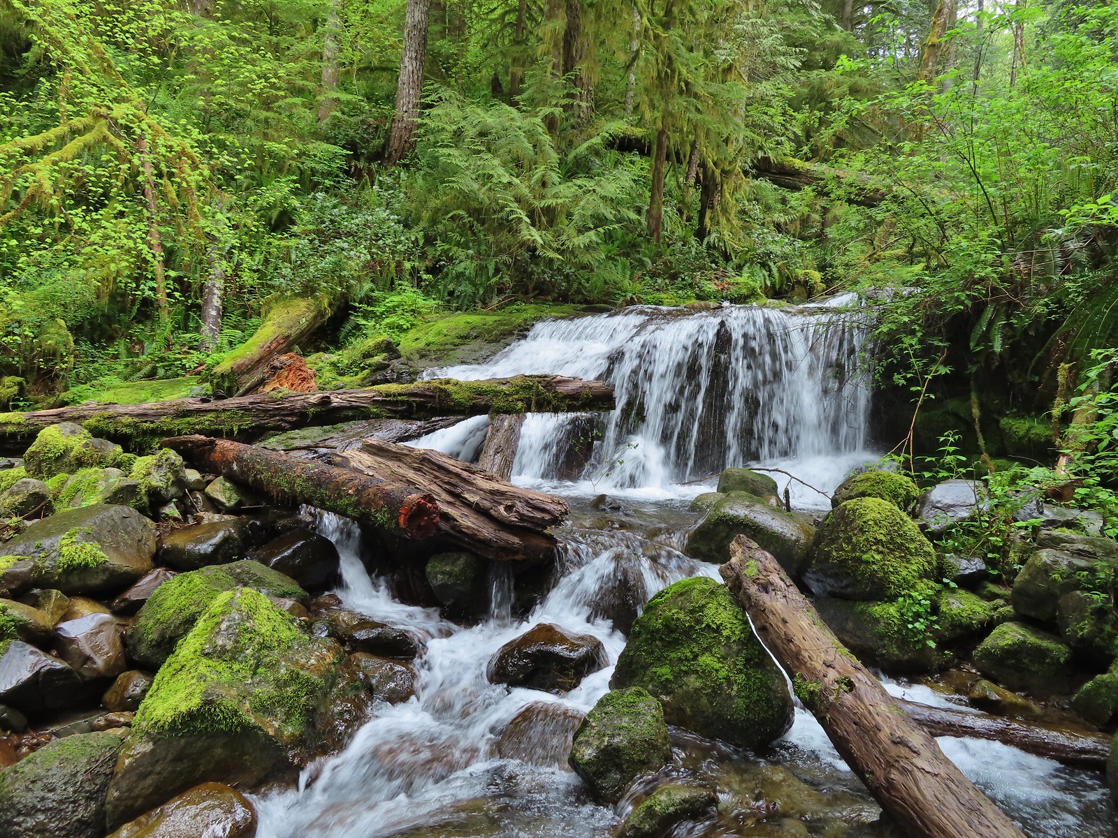
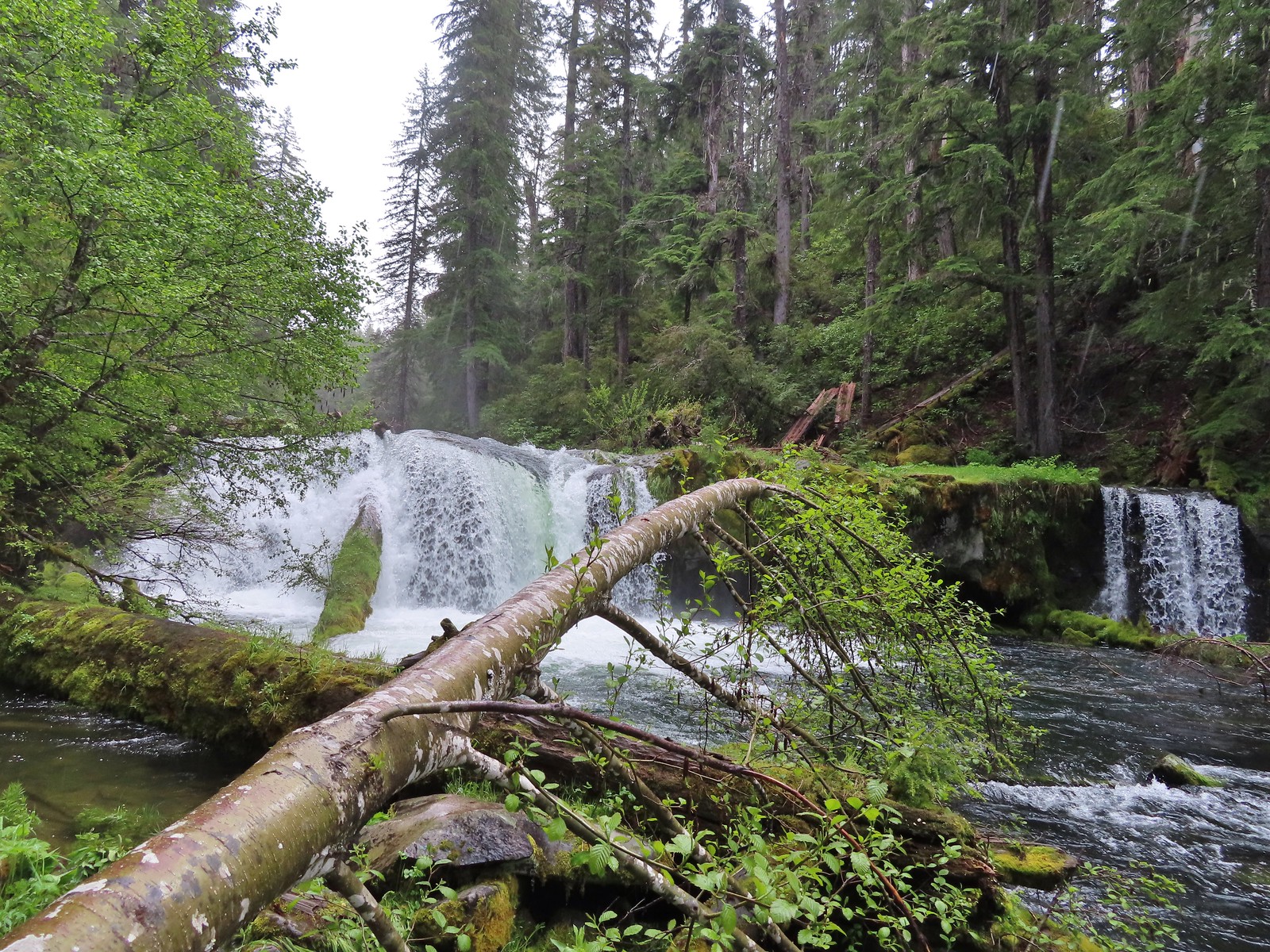
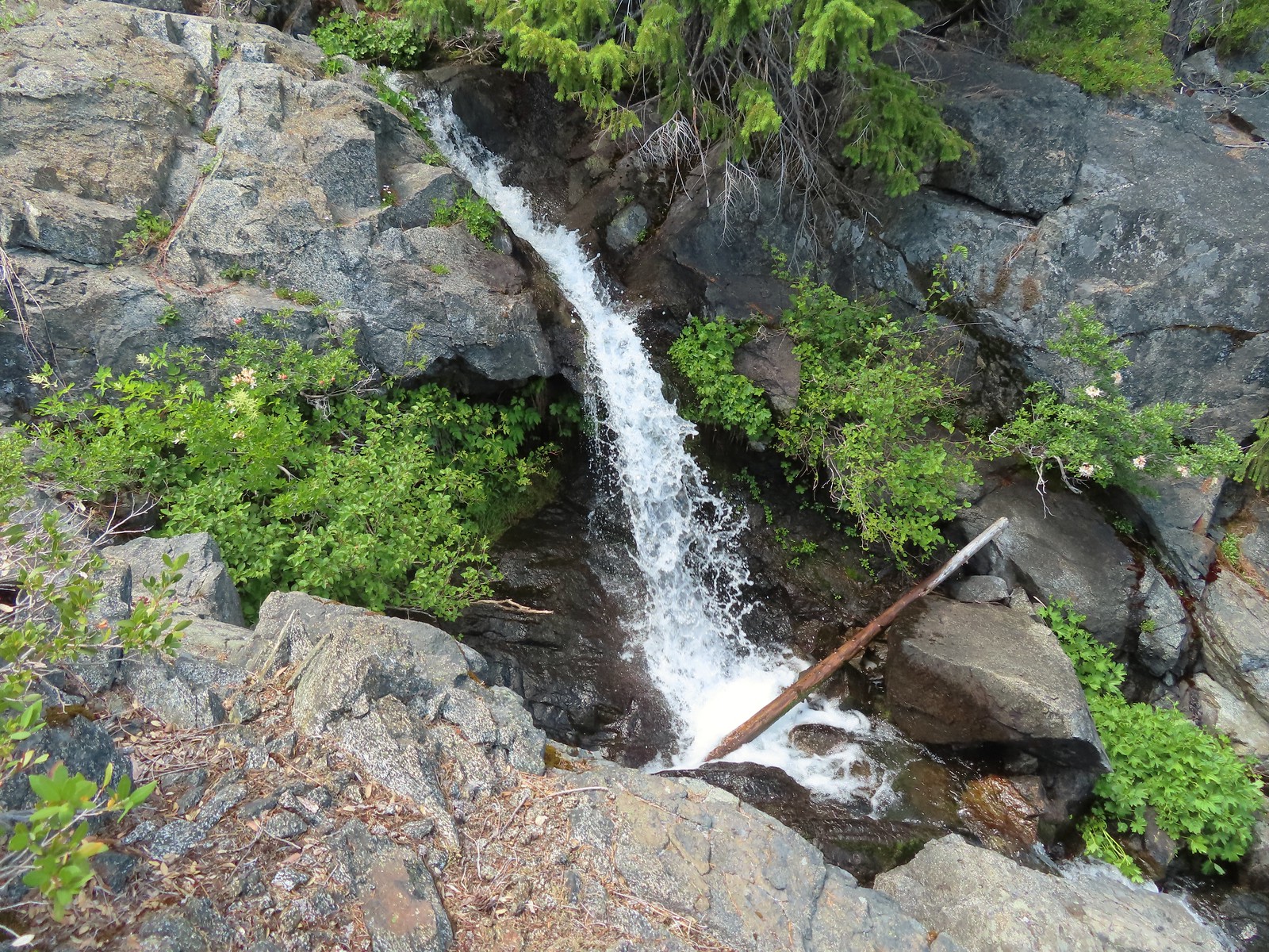
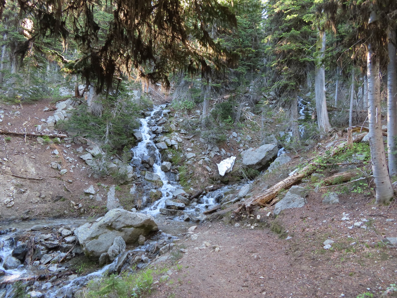
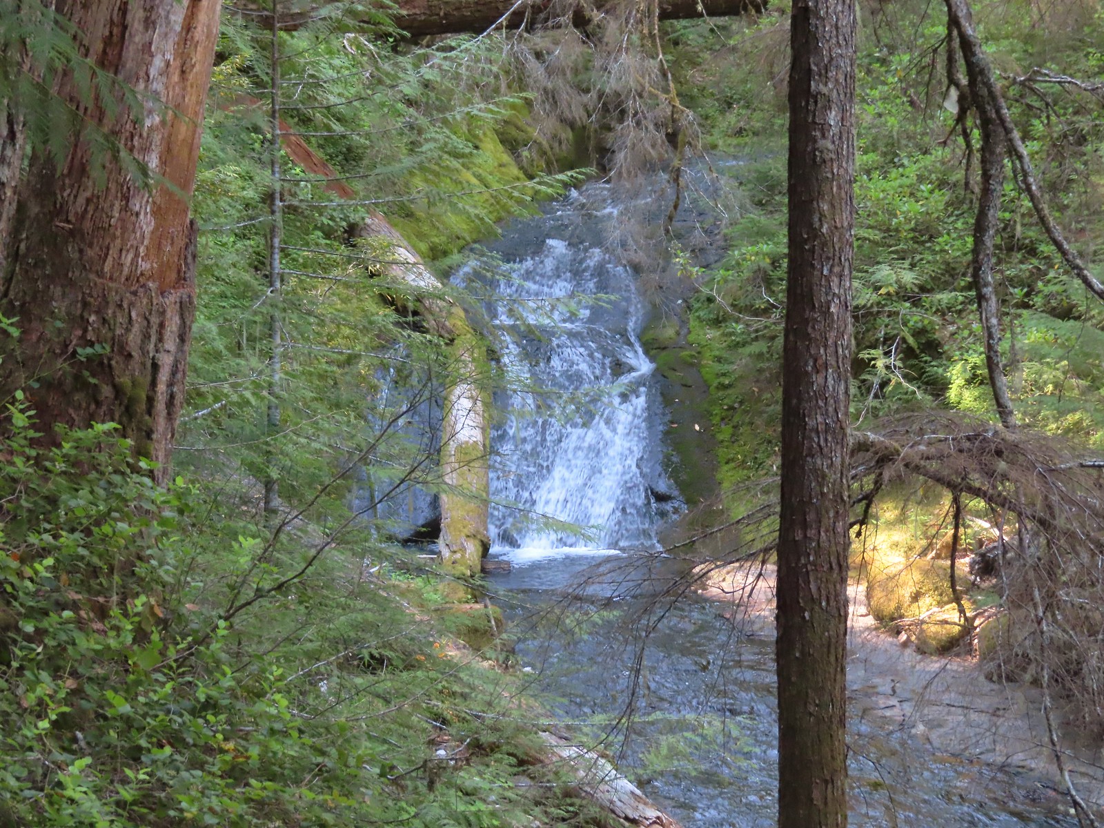
 Unnamed waterfall along Riley Creek in the Mt. Adams Wilderness
 Unnamed waterfall below East Boulder Lake in the Trinity Alps Wilderness.

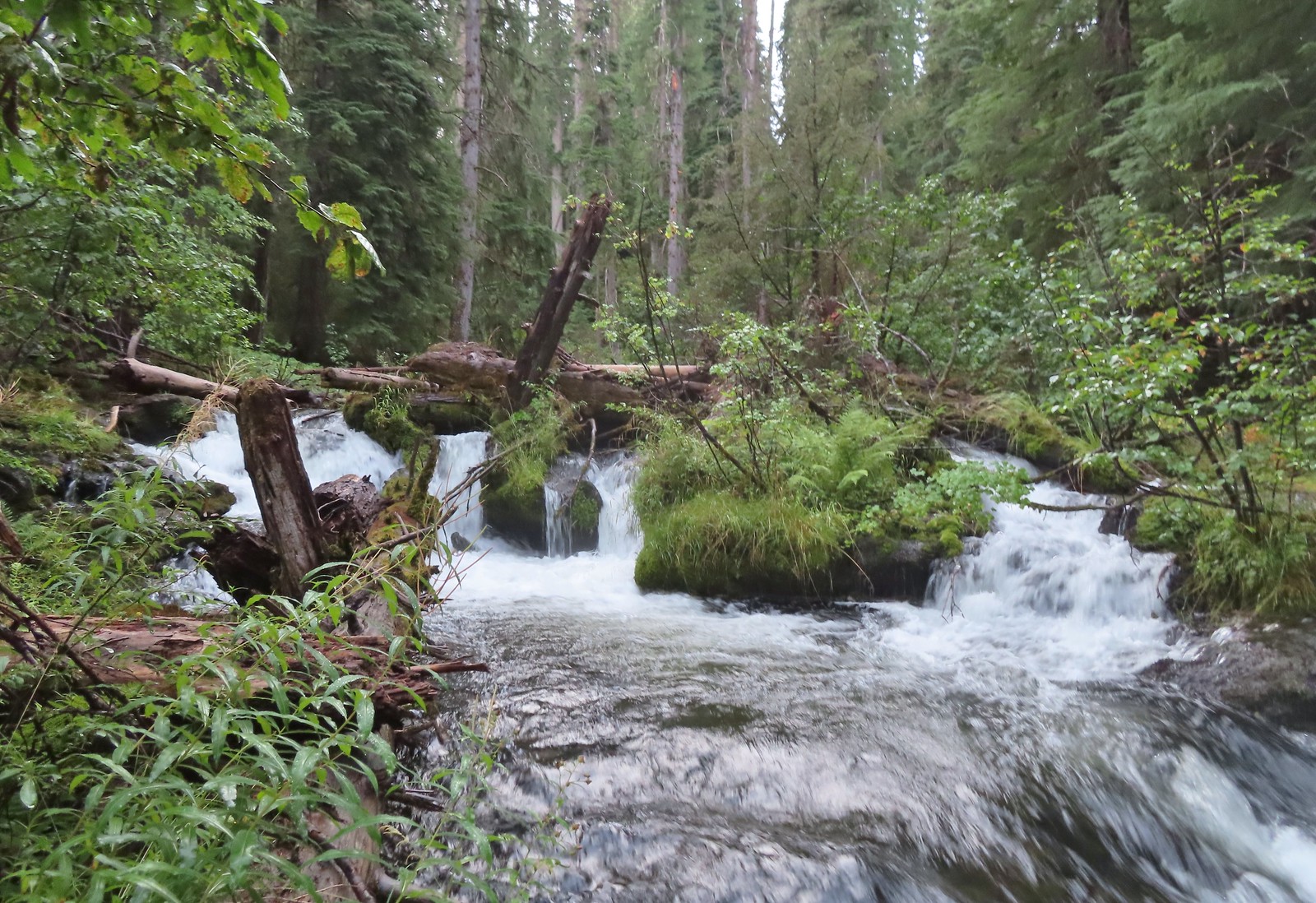
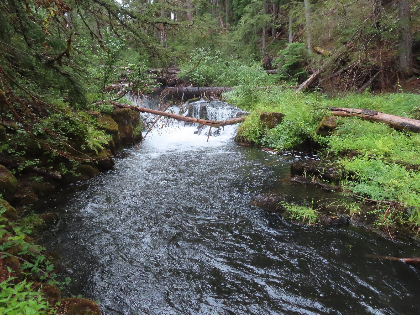
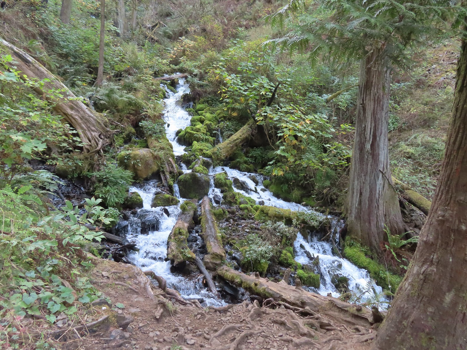 Cascade on Wahkeena Creek.
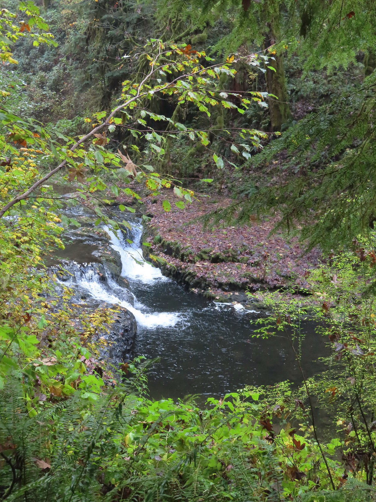 Small cascade along the North Fork Silver Creek.
 Mosier Creek Falls (
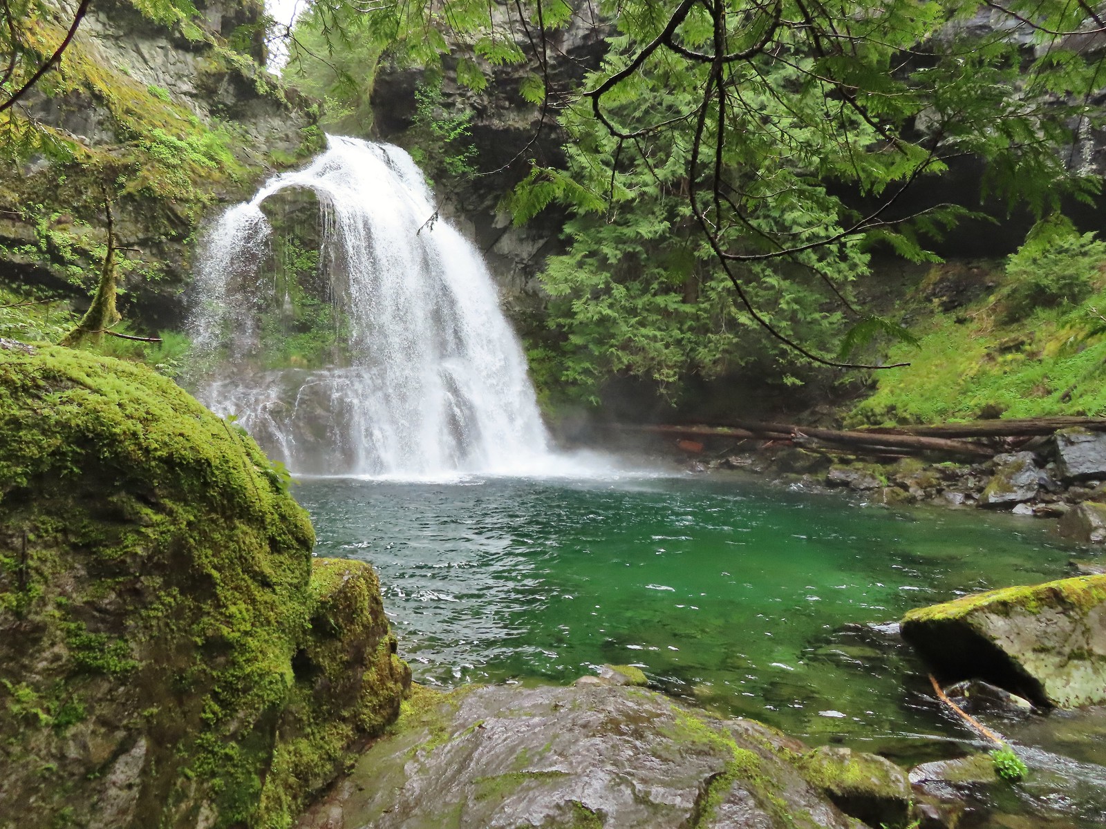 Black Hole Falls (
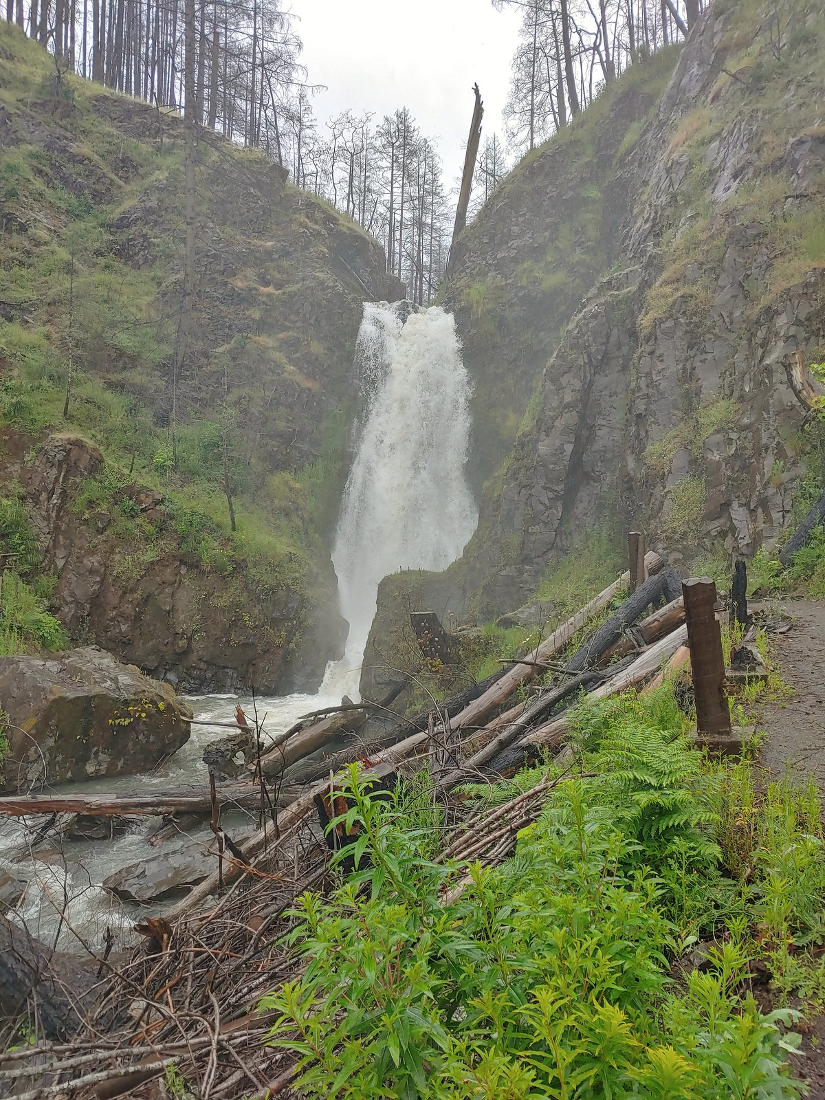 Susan Creek Falls
 Toketee Falls
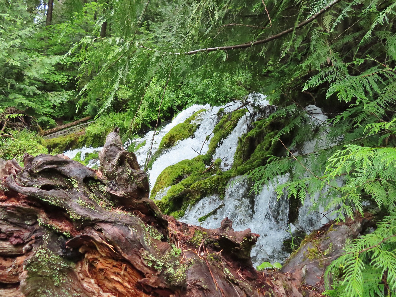 Surprise Falls
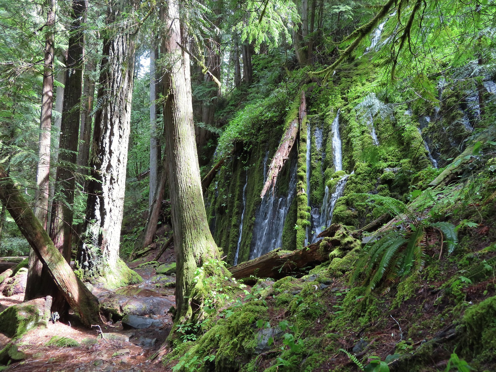 Columnar Falls
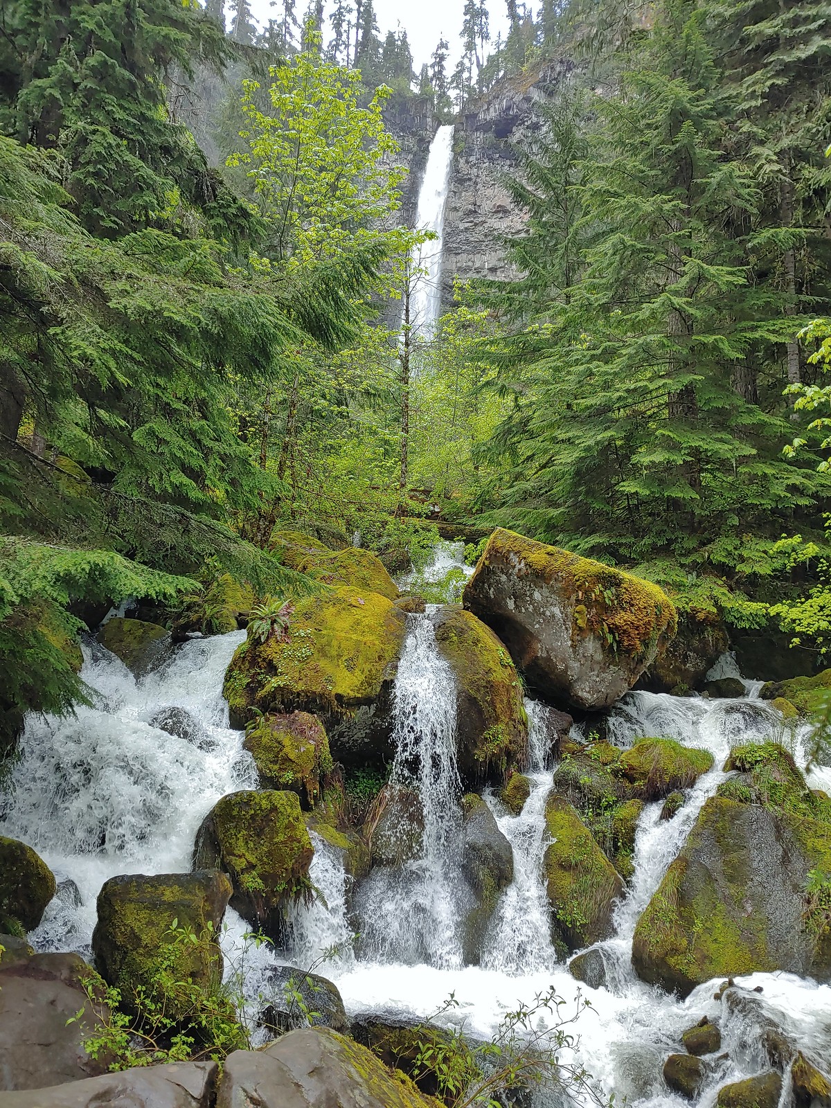 Watson Falls
 Warm Springs Falls
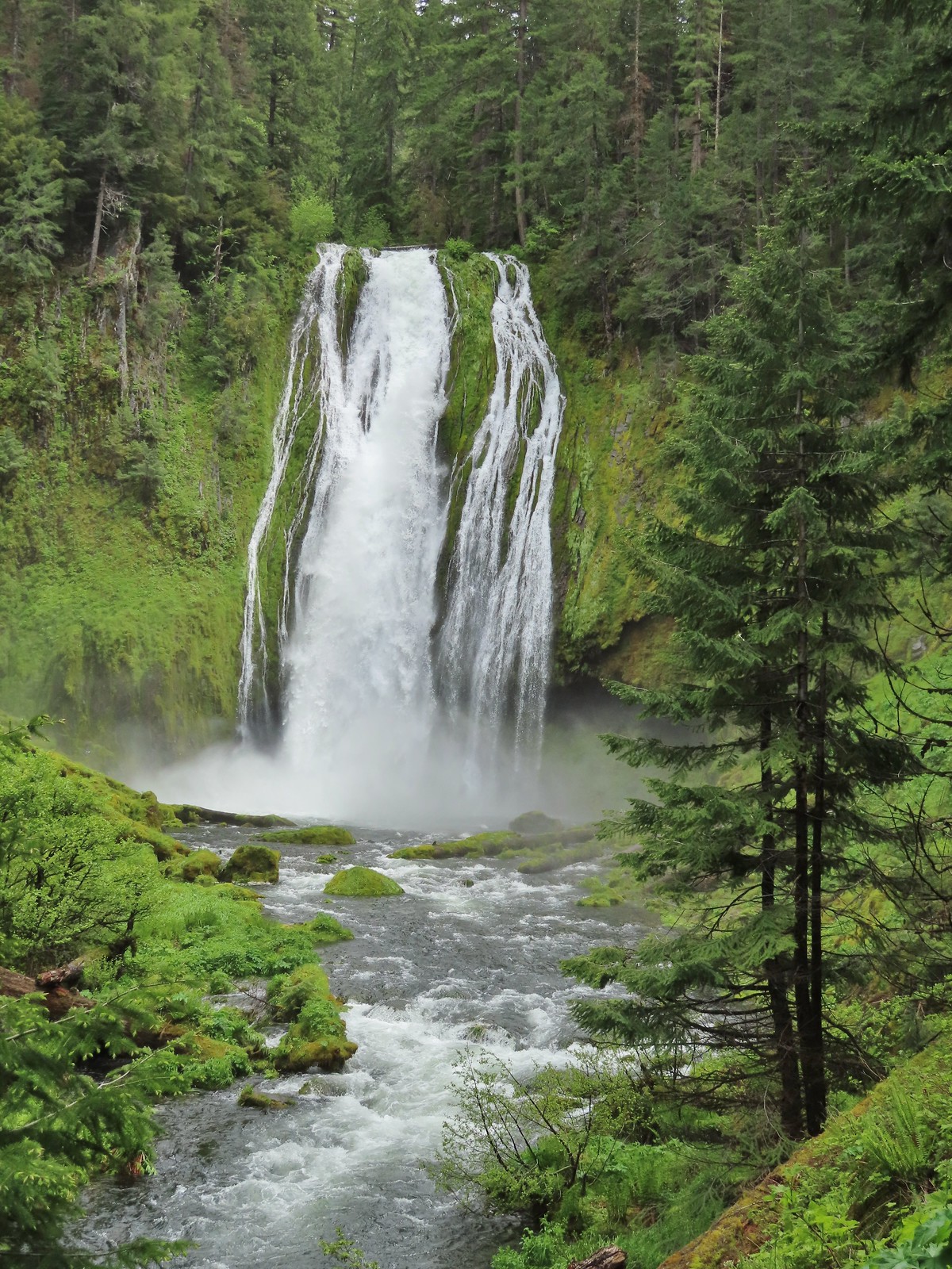 Lemolo Falls
 Alsea Falls
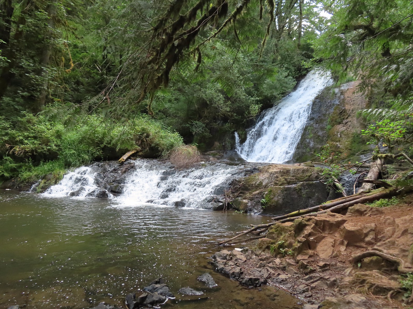 Green Peak Falls
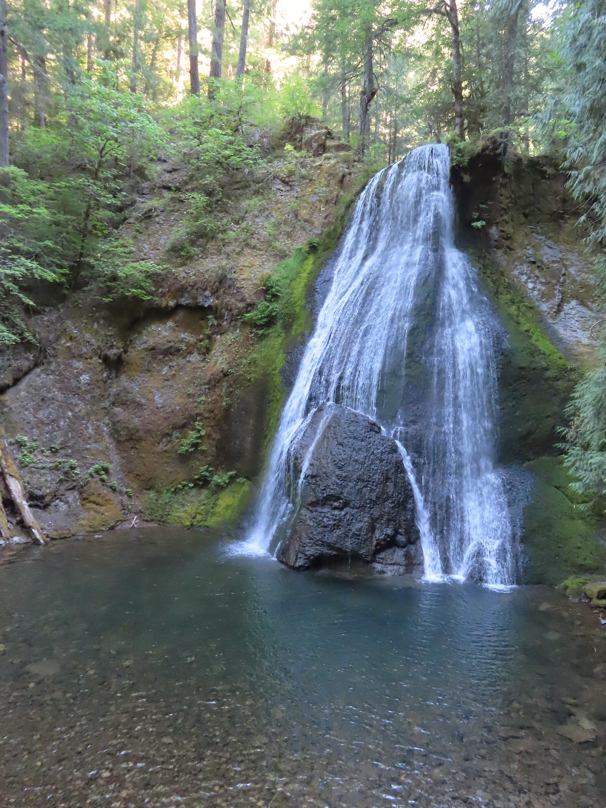 Yasko Falls
 Hemlock Falls
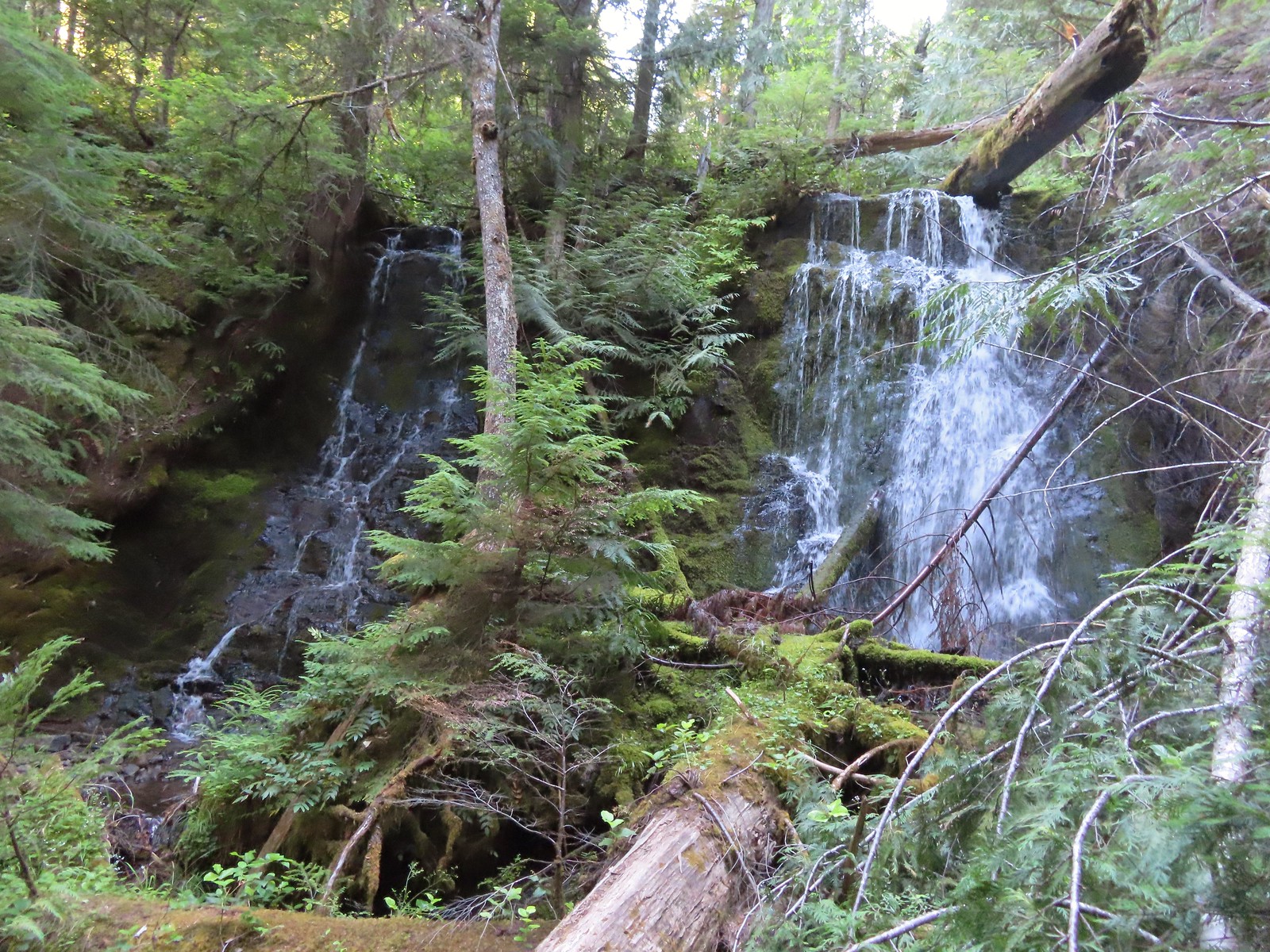 Tributary Falls
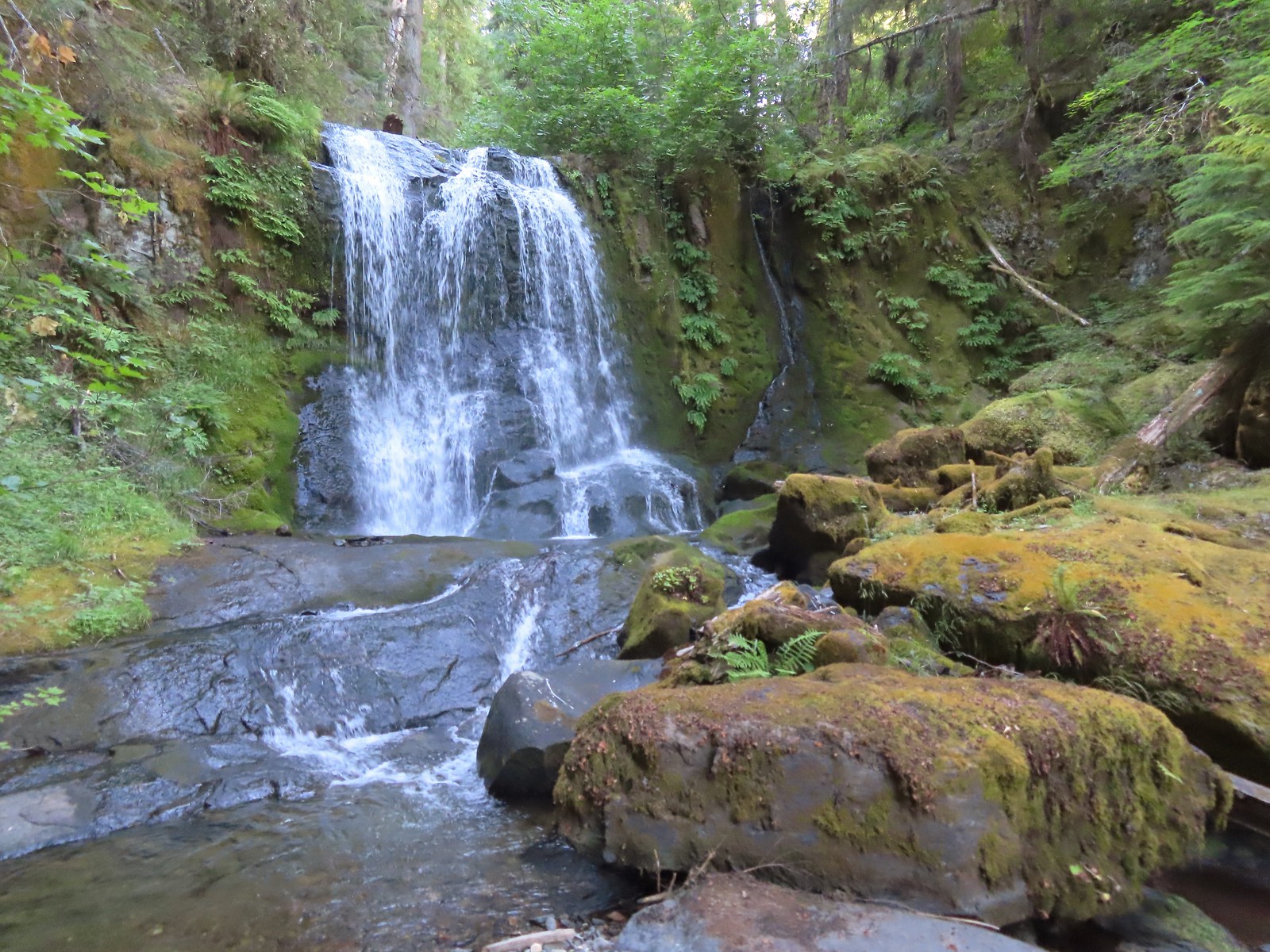 Middle Hemlock Falls
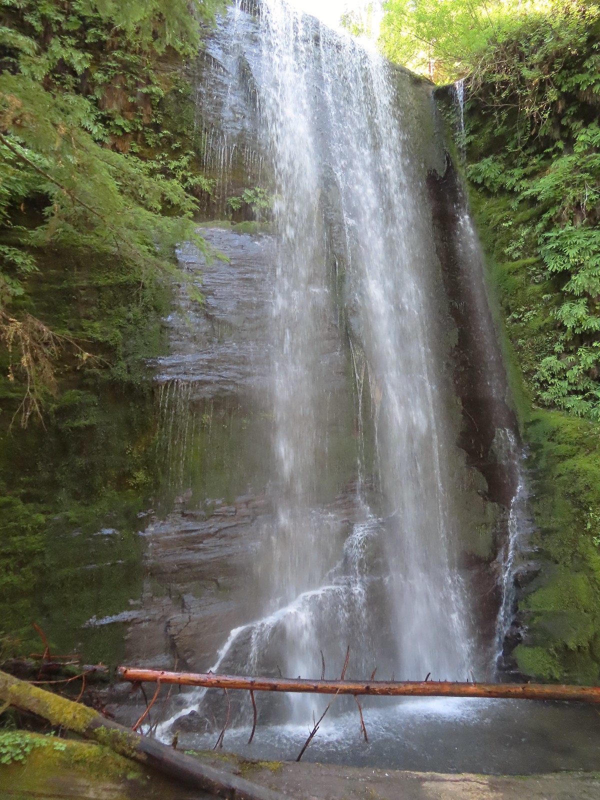 Clover Falls
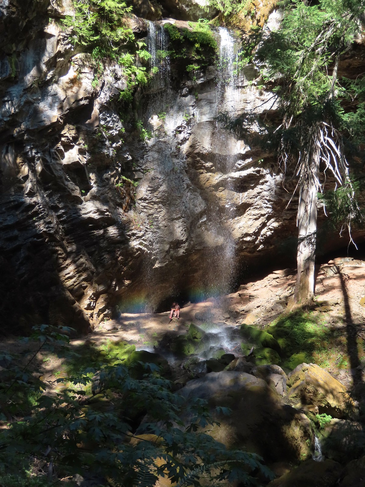 Grotto Falls
 Fall Creek Falls
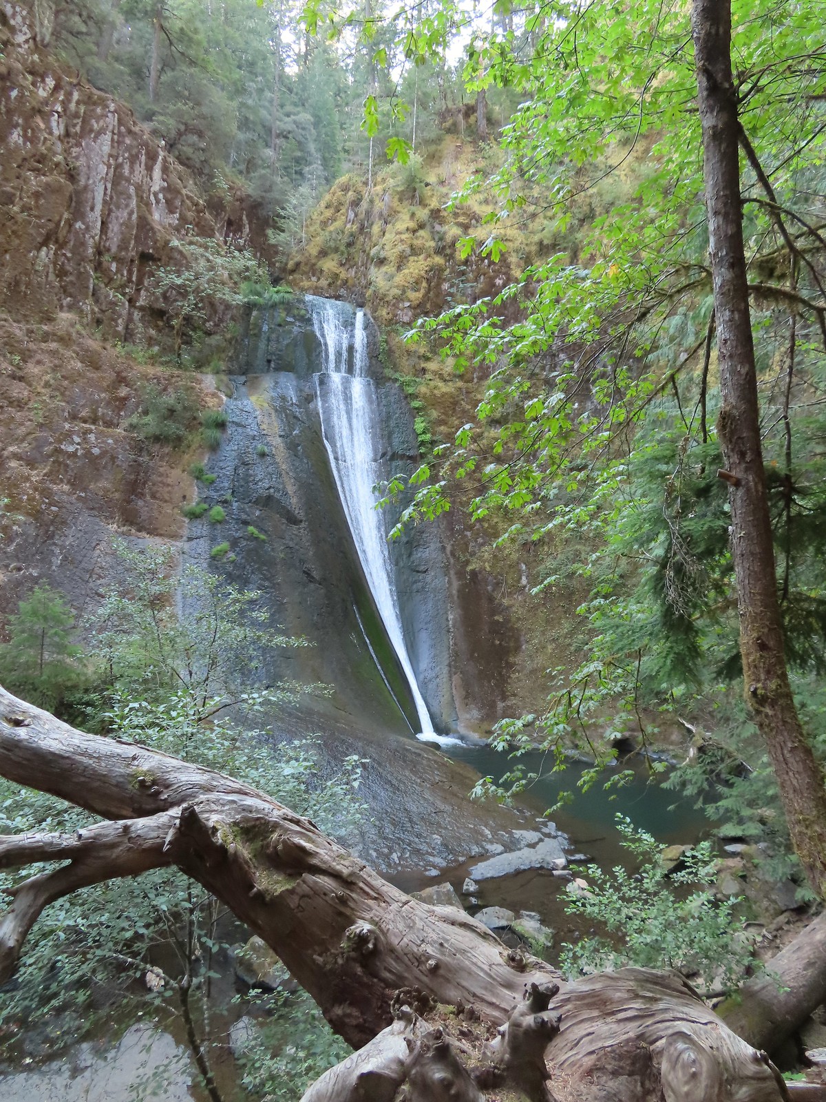 Upper tier of Wolf Creek Falls
 Lower tier of Wolf Creek Falls
 South Umpqua Falls (
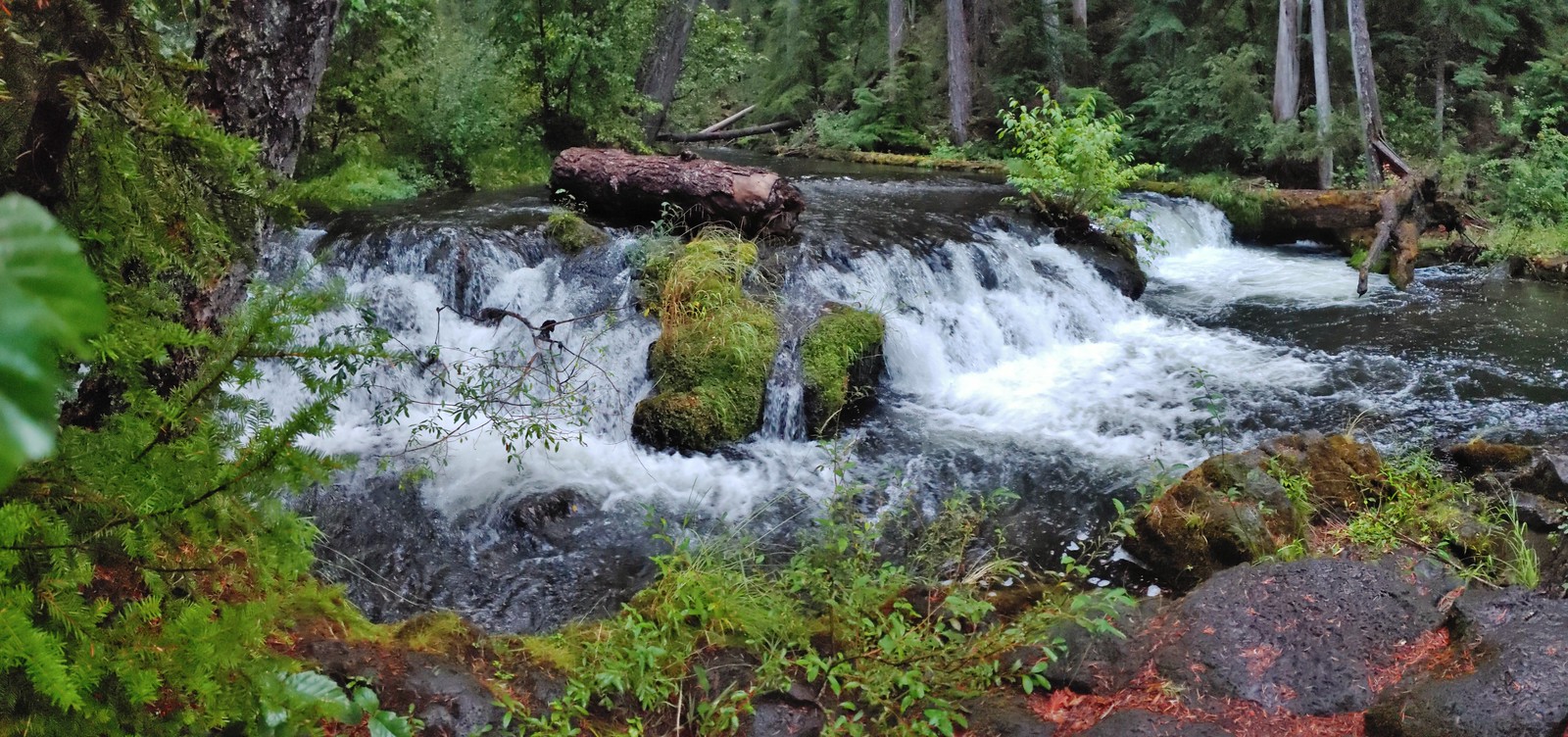 Union Creek Falls (
 Chitwood Creek Falls
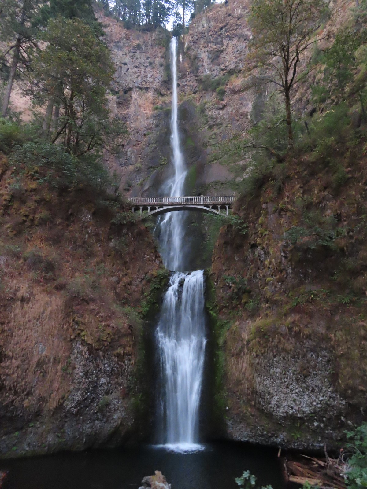 Multnomah Falls
 Lower Dutchman Falls
 Upper Dutchman Falls
 Wiesendanger Falls
 Ecola Falls
 Fairy Falls
 Wahkeena Falls
 Upper North Falls
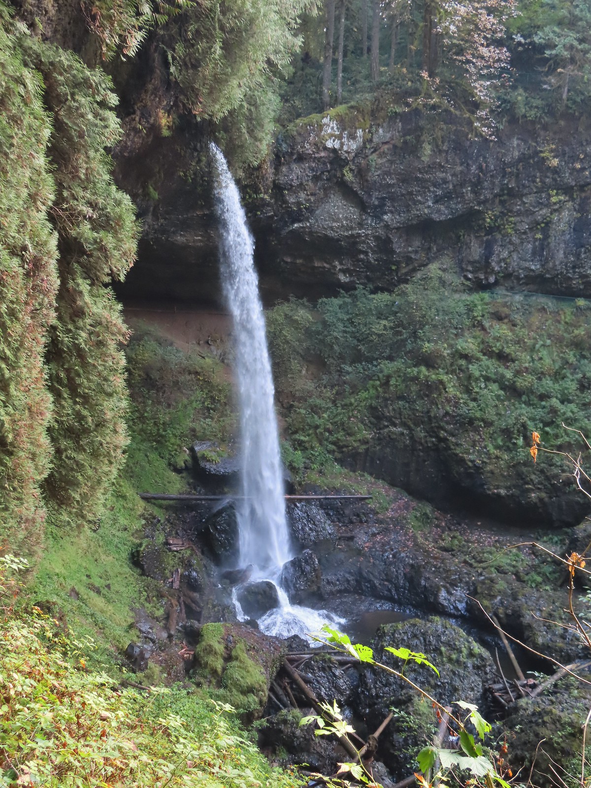 North Falls
 Twin Falls
 Winter Falls
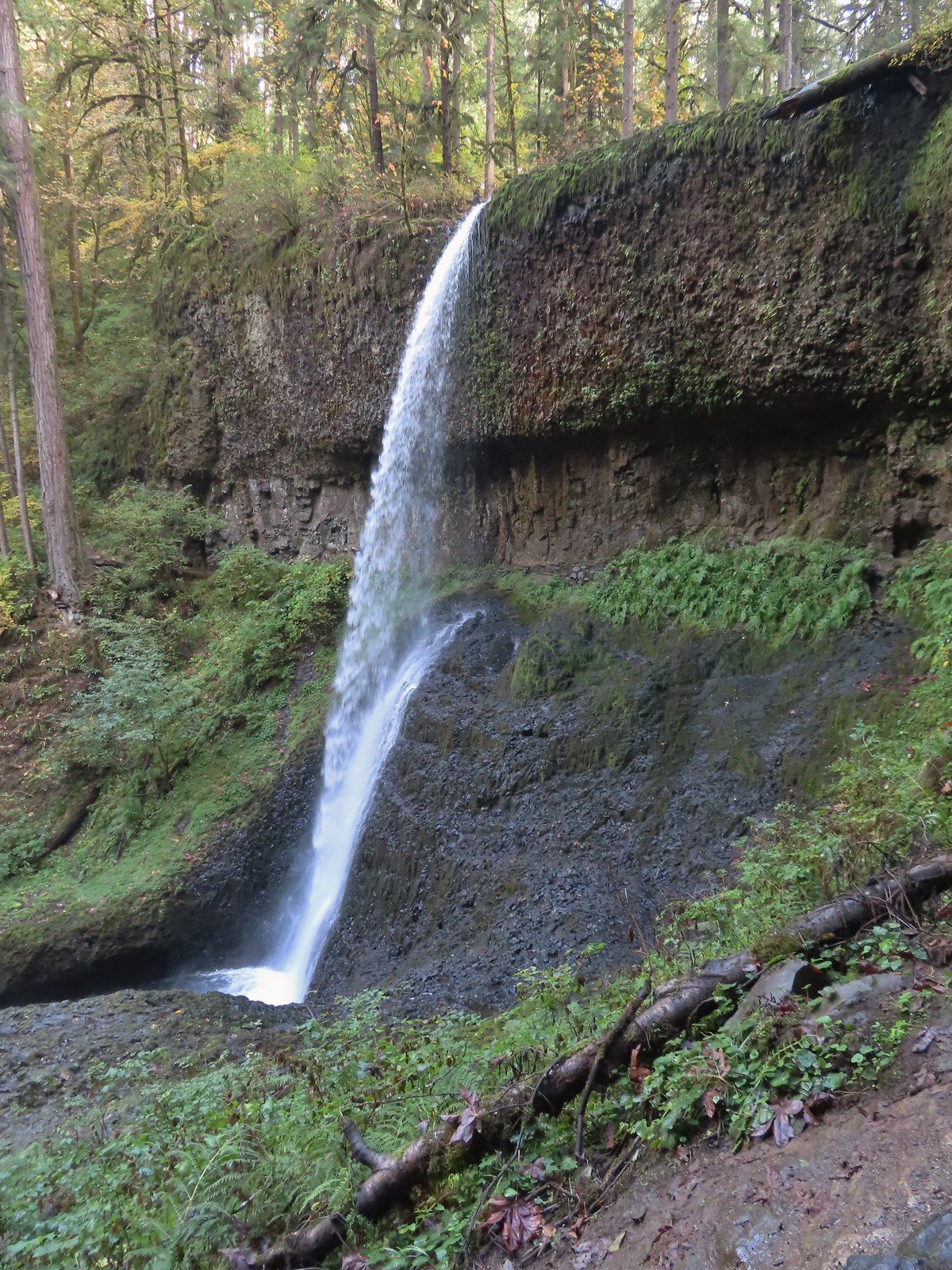 Middle North Falls
 Drake Falls
 Double Falls
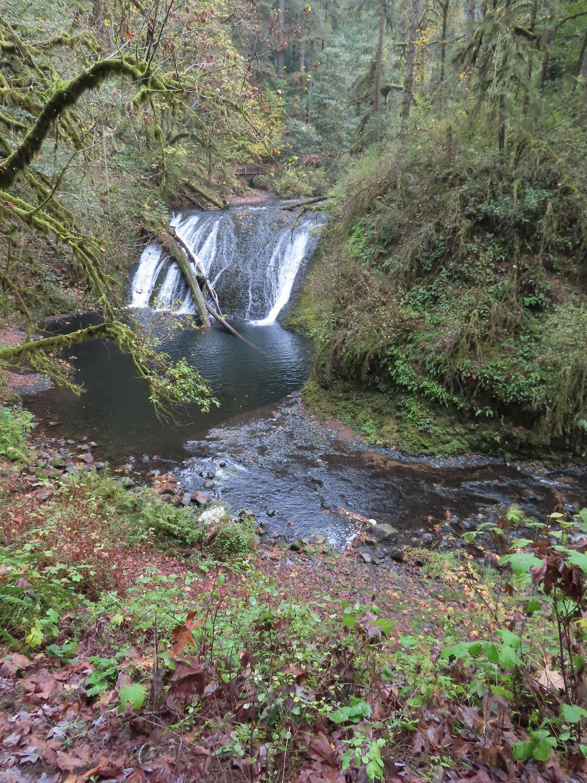 Lower North Falls
 Lower South Falls
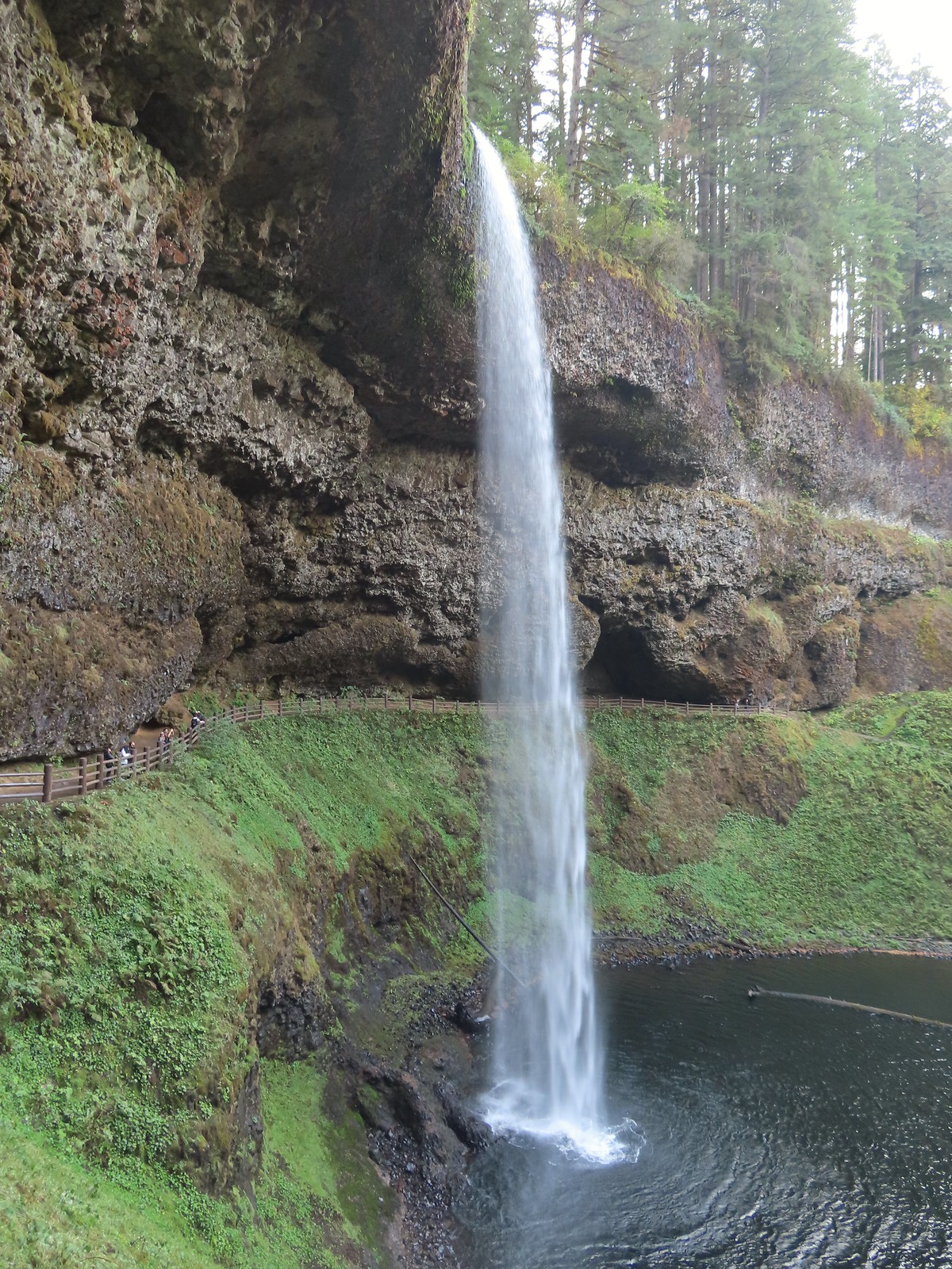 South Falls
 Sorenson Falls
 Metlako Falls
 Lower Punchbowl Falls
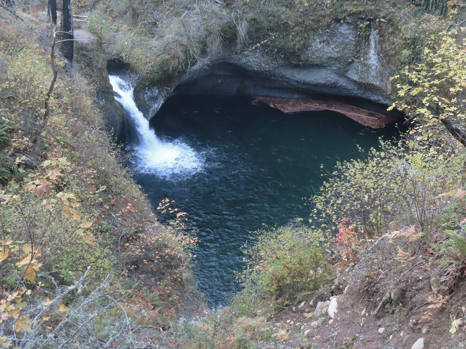 Punchbowl Falls
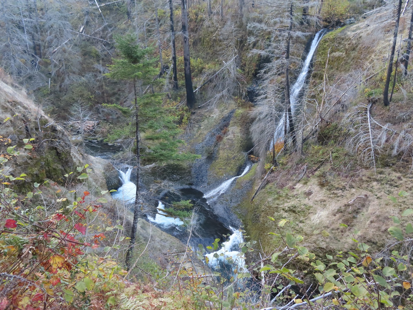 Loowit Falls
 Skoonichuck Falls
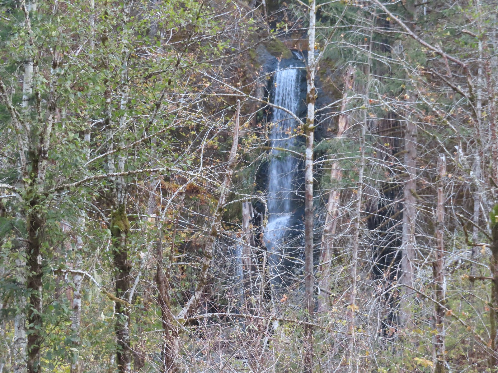 Four Mile Falls
 Tenas Falls
 Wy’East Falls
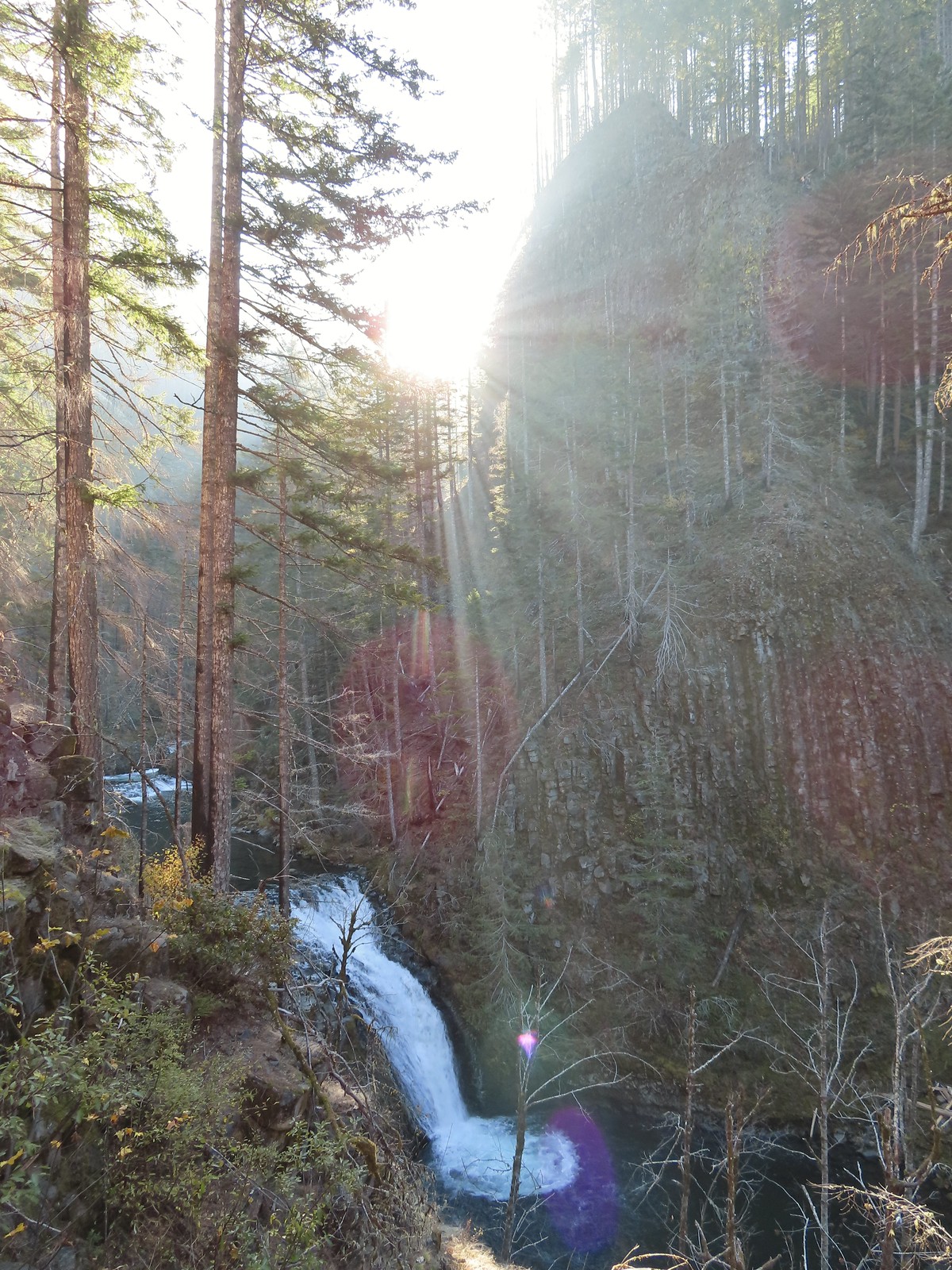 Grand Union Falls
 Tunnel Falls
 Twister Falls
 Seven Mile Falls
 Ants dropping sawdust from a log along the Catherine Creek Trail. We sat and watched these busy ants for quite a while. They had created a good-sized pile on the ground below.
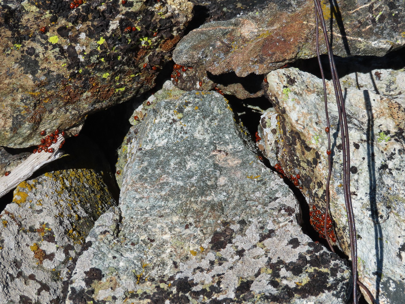 We see a lot of beetles but usually not all at once like these lady bugs on Observation Peak.
 Lady bug – Upper Table Rock
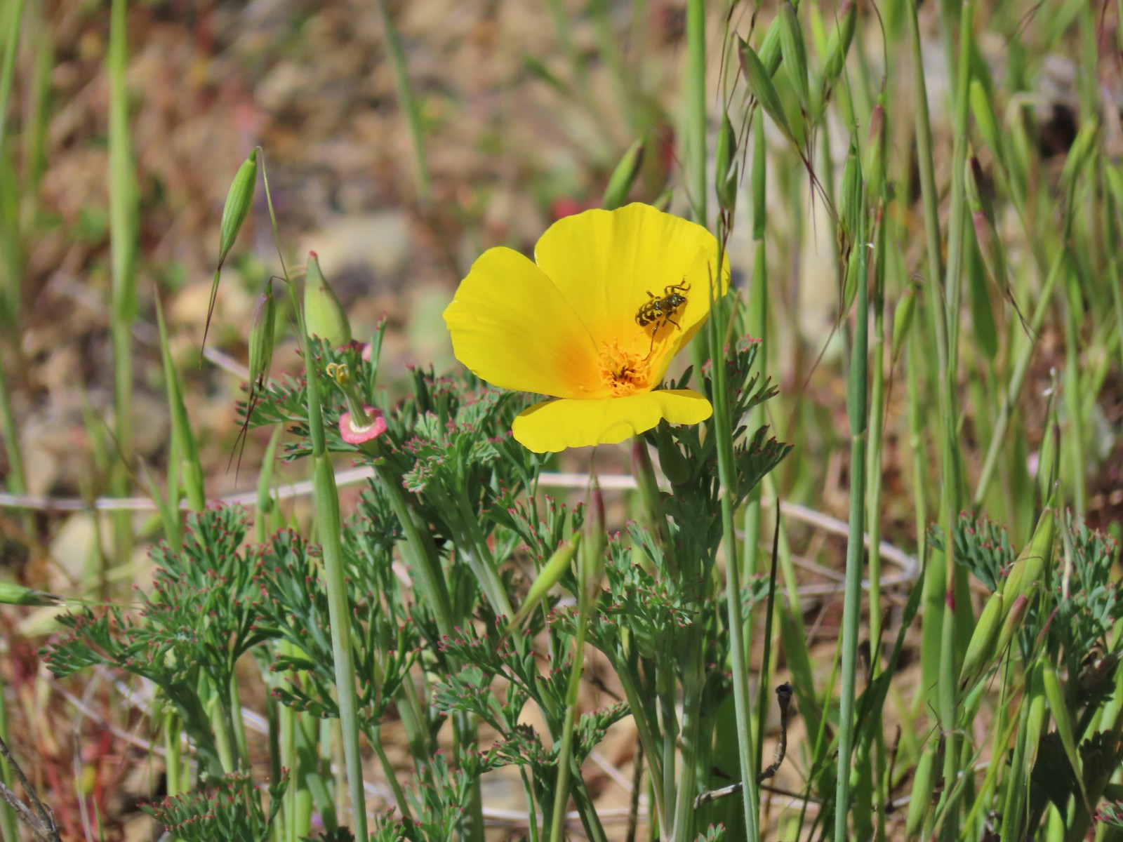 Yellow & black beetle – Mule Mountain
 Redish brown beetle – Siskiyou Wilderness
 Green beetle – Siskiyou Wilderness
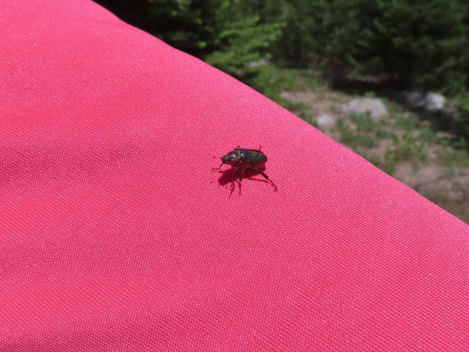 Hitchhiker – Mt. Ireland
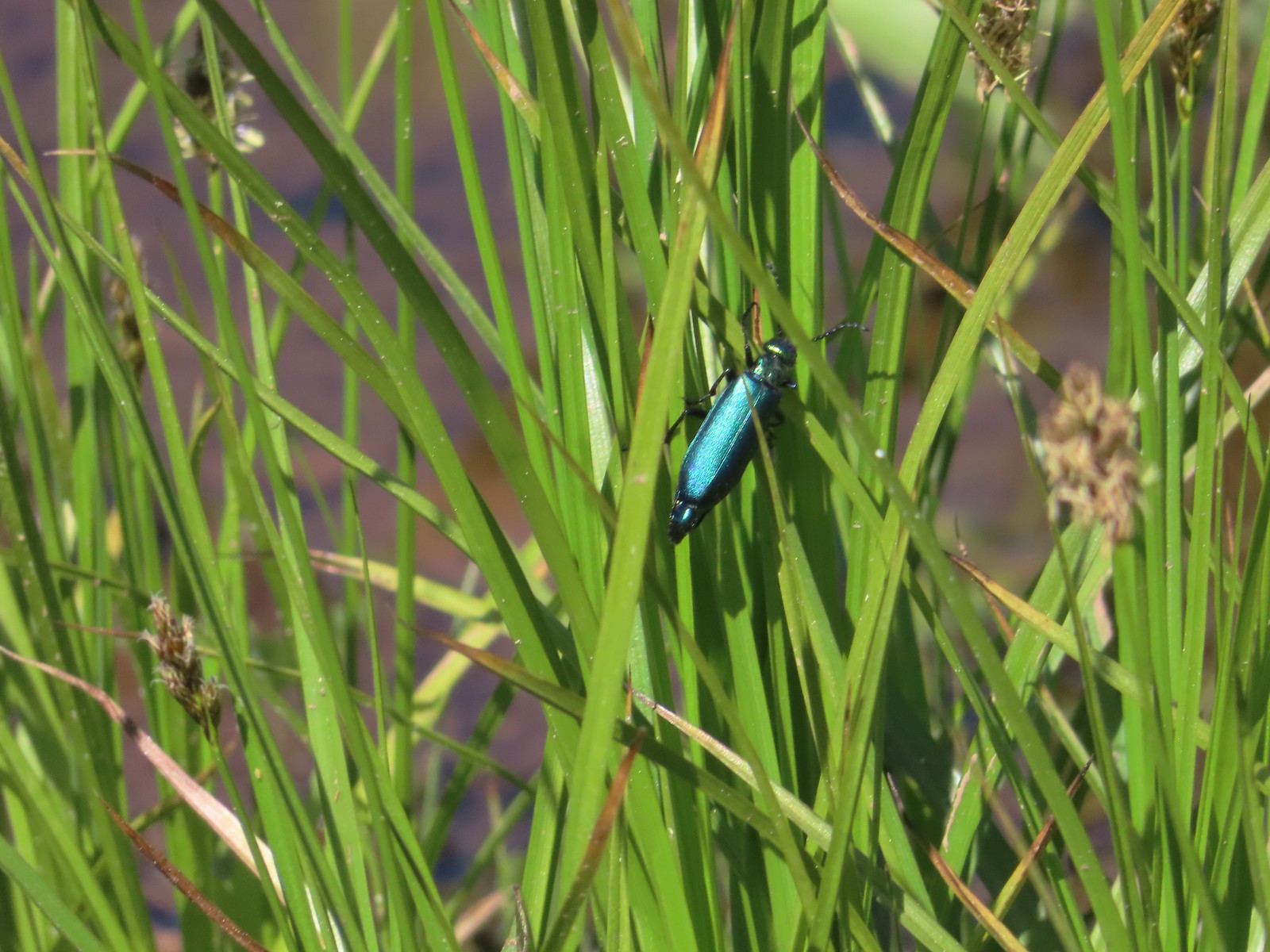 Blueish green beetle – Catherine Creek Meadows
 Small beetle – Catherine Creek Meadows
 Green beetle on a geranium – Eagle Cap Wilderness
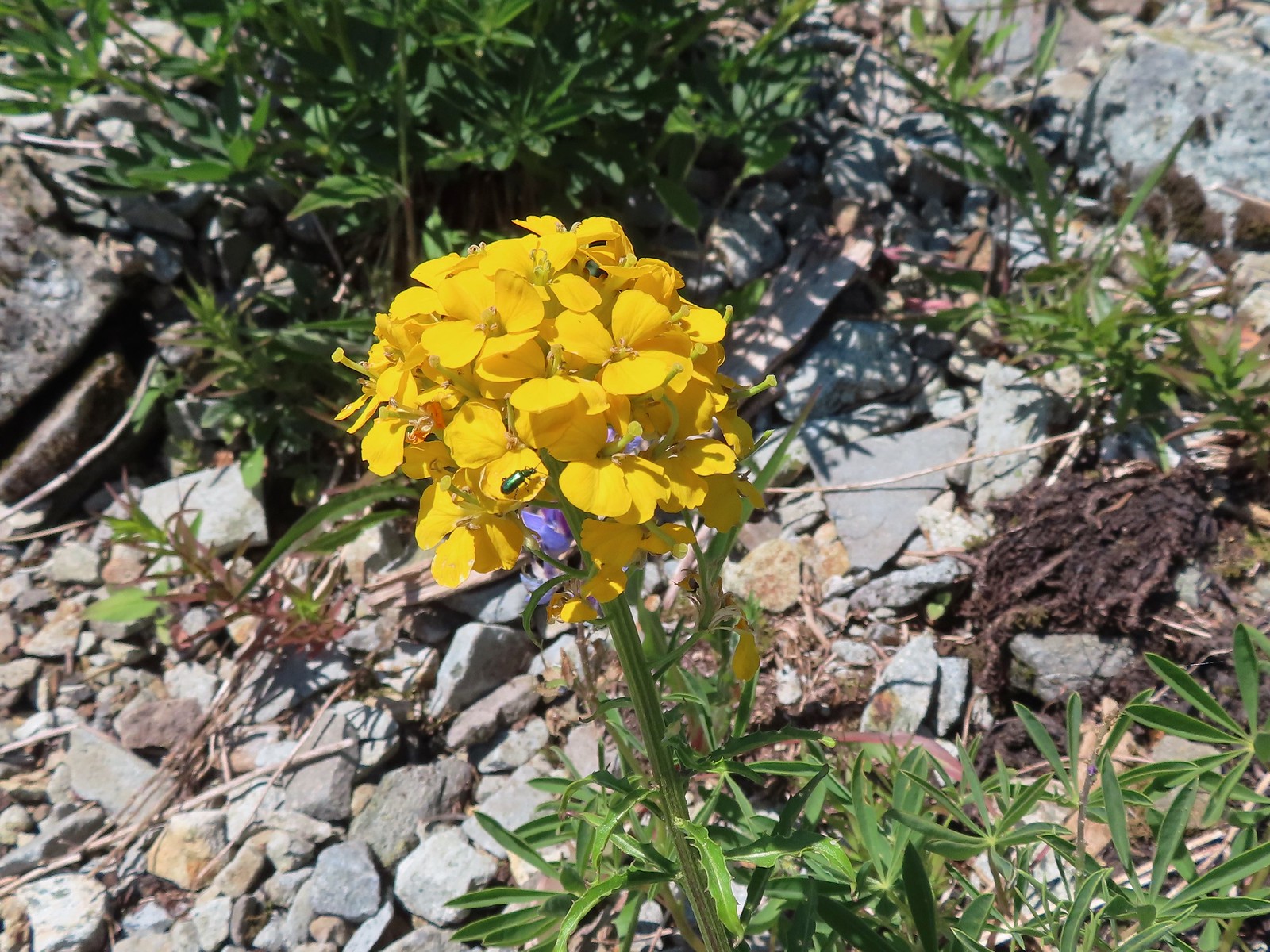 Green beetle on a wallflower – Silver Star Mountain
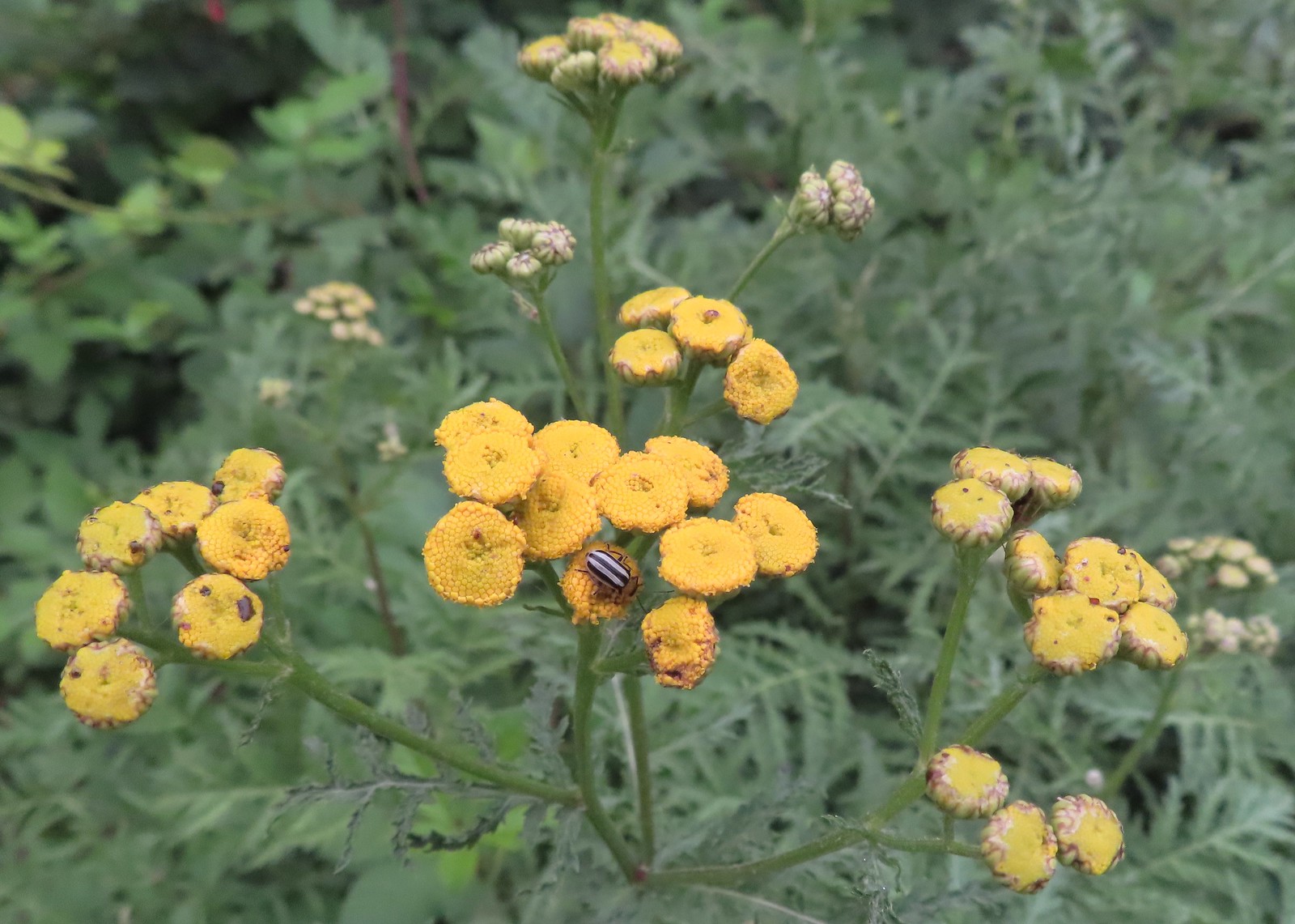 Stripped beetle – Spring Valley Greenway
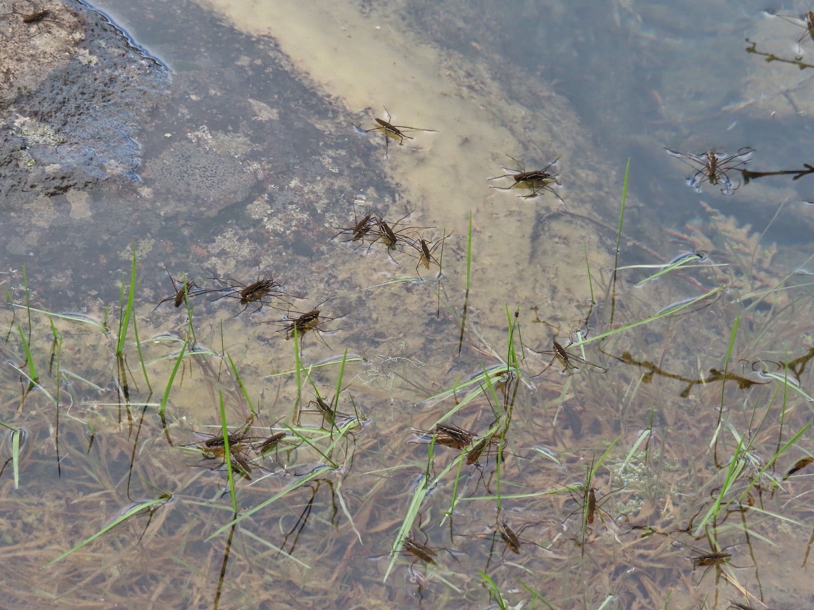 Water skippers – Big Twin Lake
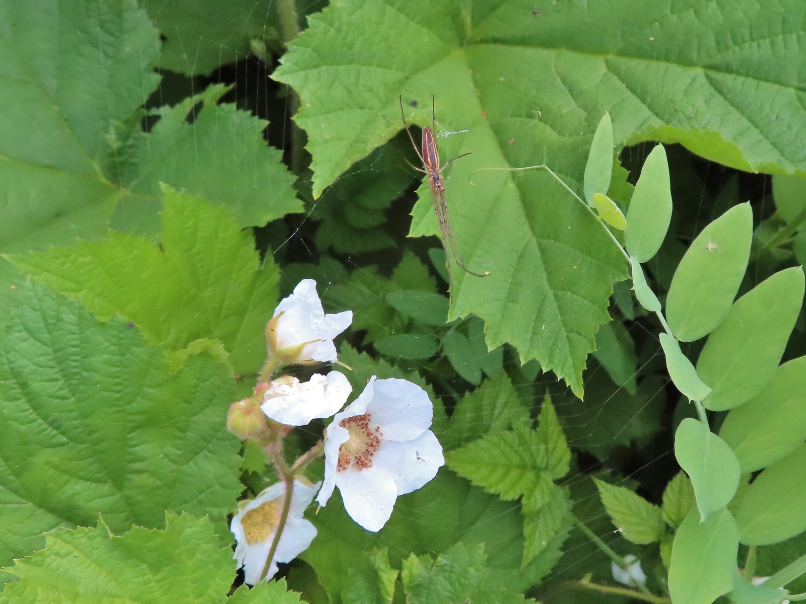 Spider on thimbleberry – Siskiyou Wilderness
 Crab spider – Eagle Cap Wilderness
 Another crab spider – Eagle Cap Wilderness
 Cricket – Pacific Crest Trail
 We are often literally struck by grasshoppers as we hike. Sometimes they stick when they hit us such as this one along the PCT.
 Bee on phacelia – Mule Mountain
 Wet bee on lupine – Julia Butler Hanson Wildlife Refuge
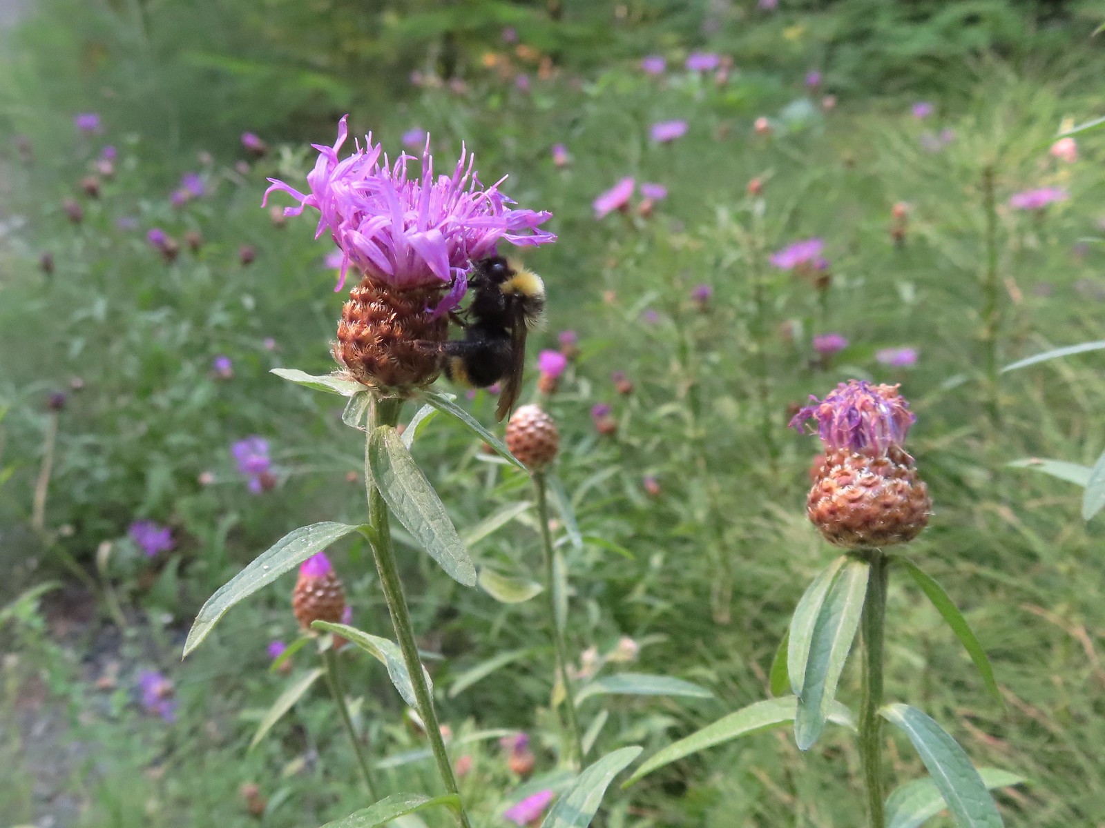 Bumble bee – Hemlock Creek Trail
 Lots of pollen – Mt. Adams Wilderness
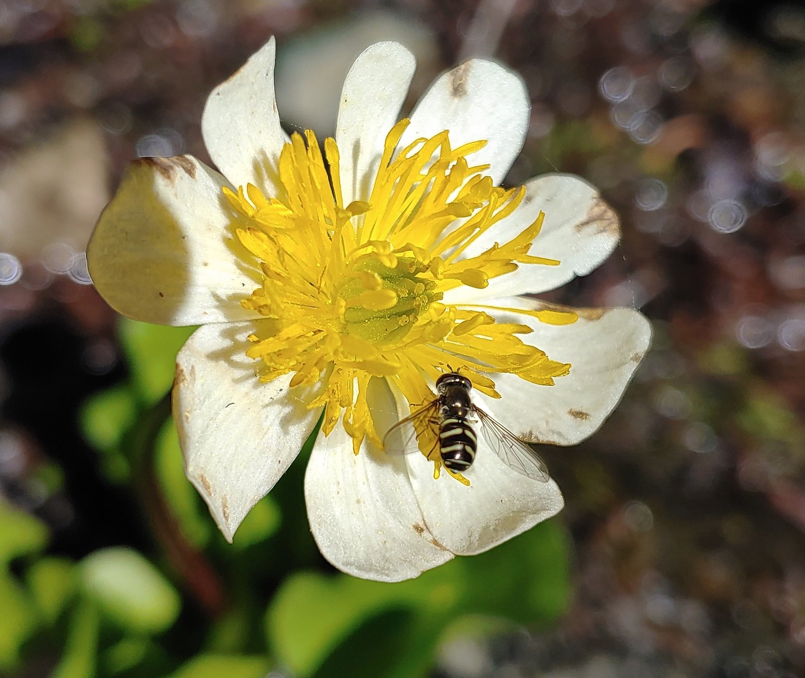 Bee landing on a marsh marigold along the PCT
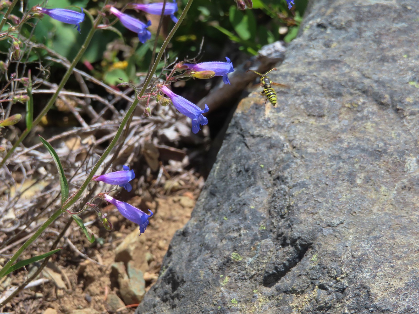 Bee approaching penstemon – Siskiyou Wilderness
 Bee and a tiny ant in a bindweed – Siskiyou Wilderness
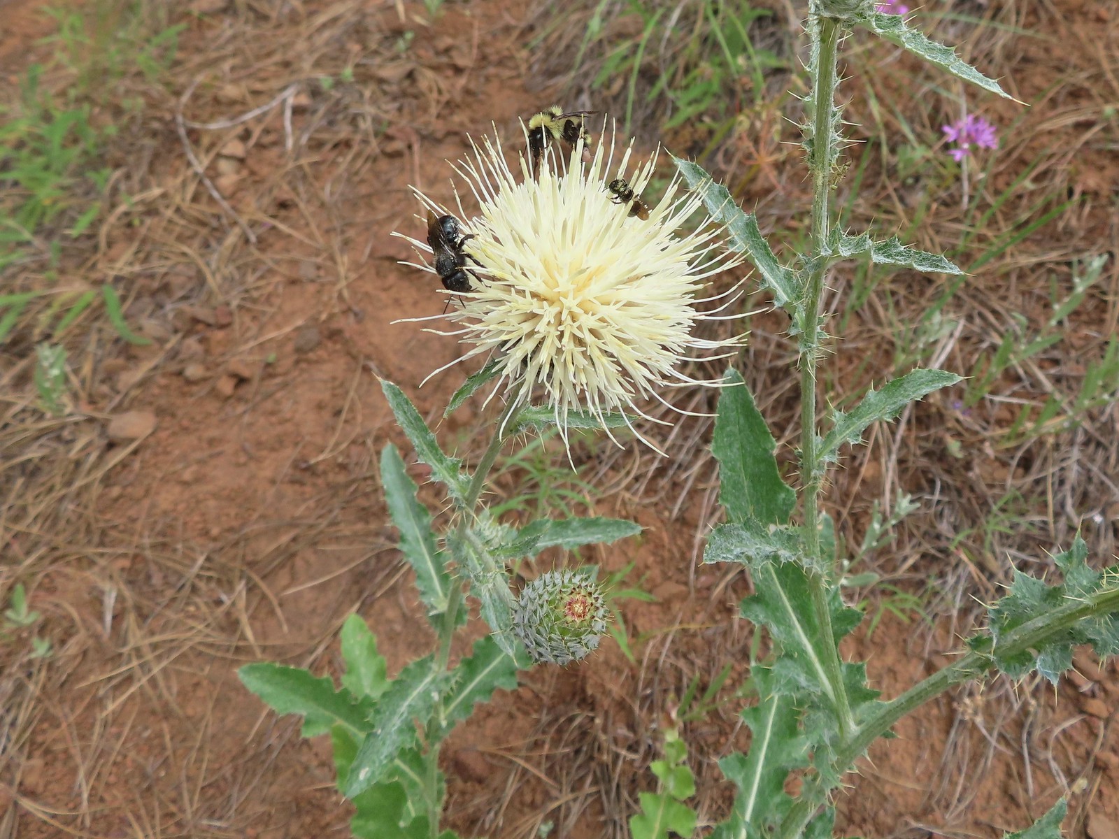 Insects on thistle – Eagle Cap Wilderness
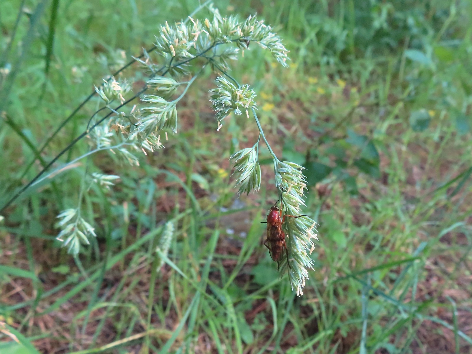 Wasp? – Eagle Cap Wilderness
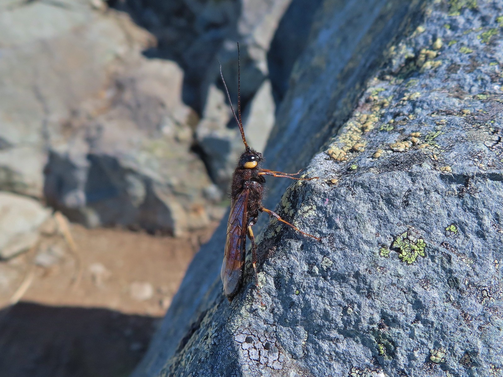 Some sort of wasp – Silver Star Mountain
 Insect along Bear Creek – Eagle Cap Wilderness
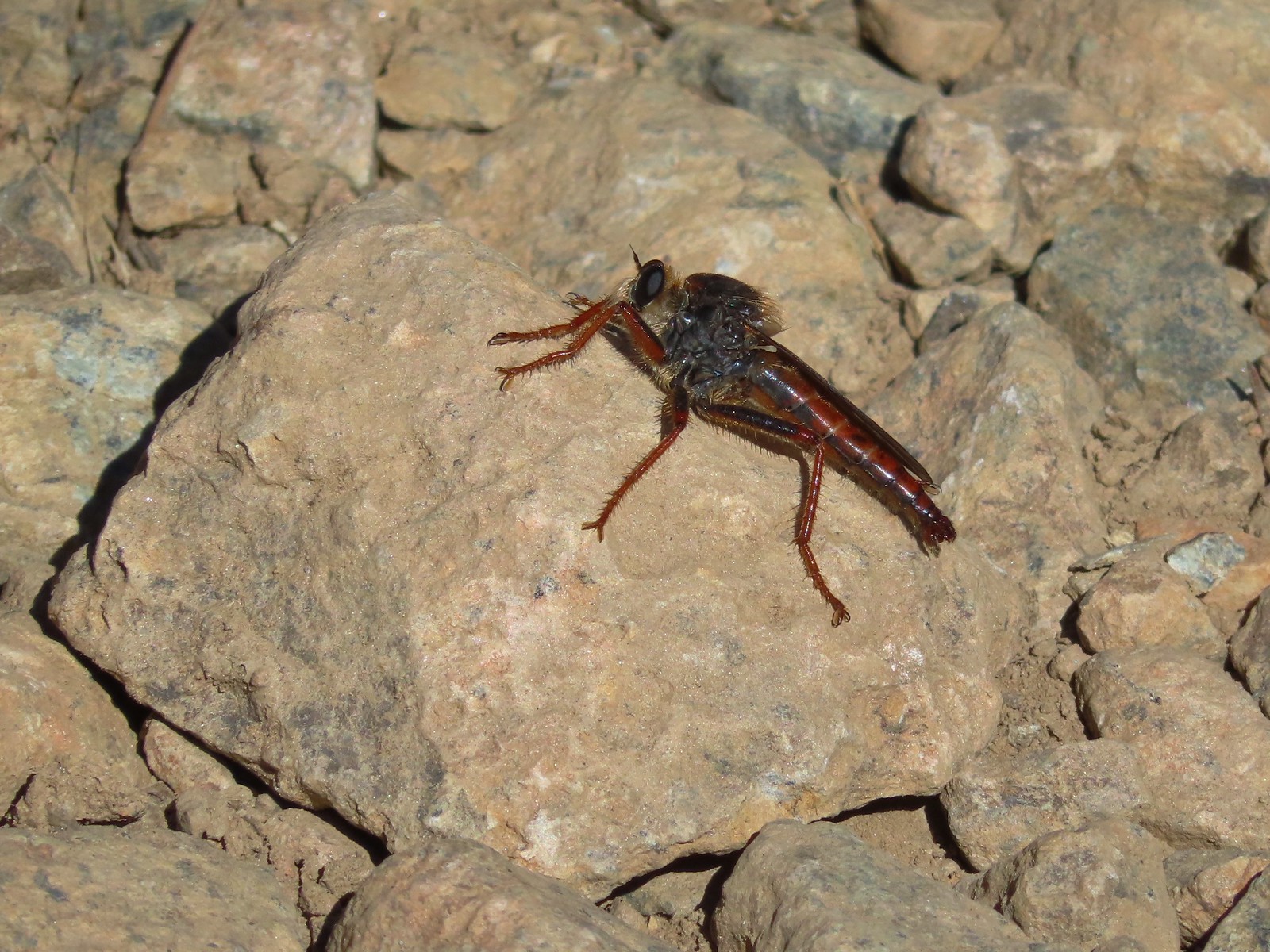 My brother and I used to call these “weird things”; I have no idea what it actually is – Trinity Alps Wilderness
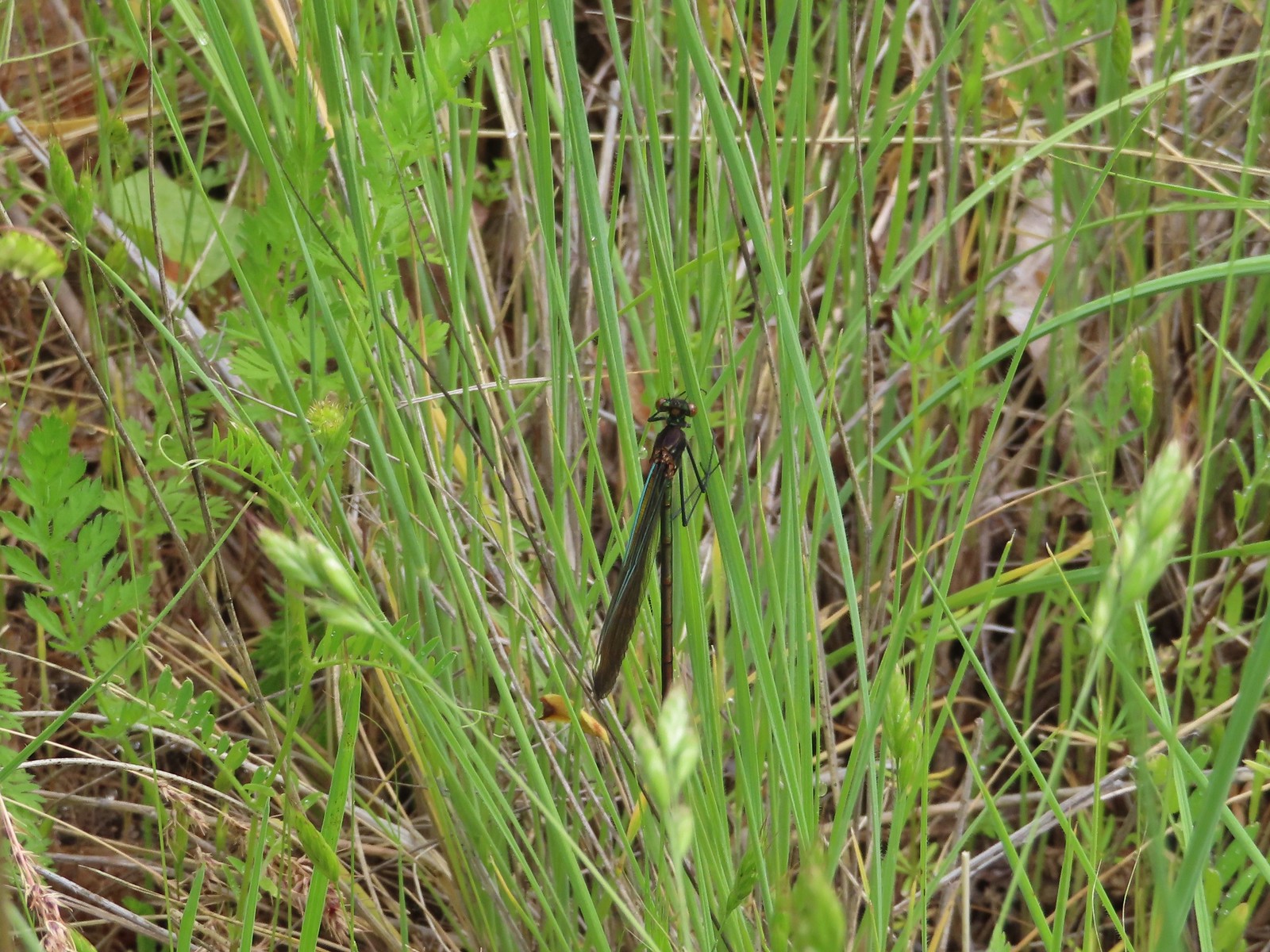 Damsel fly – Denman Wildlife Area
 Damsel fly – Hemlock Lake
 Dragon fly – Goat Marsh Lake
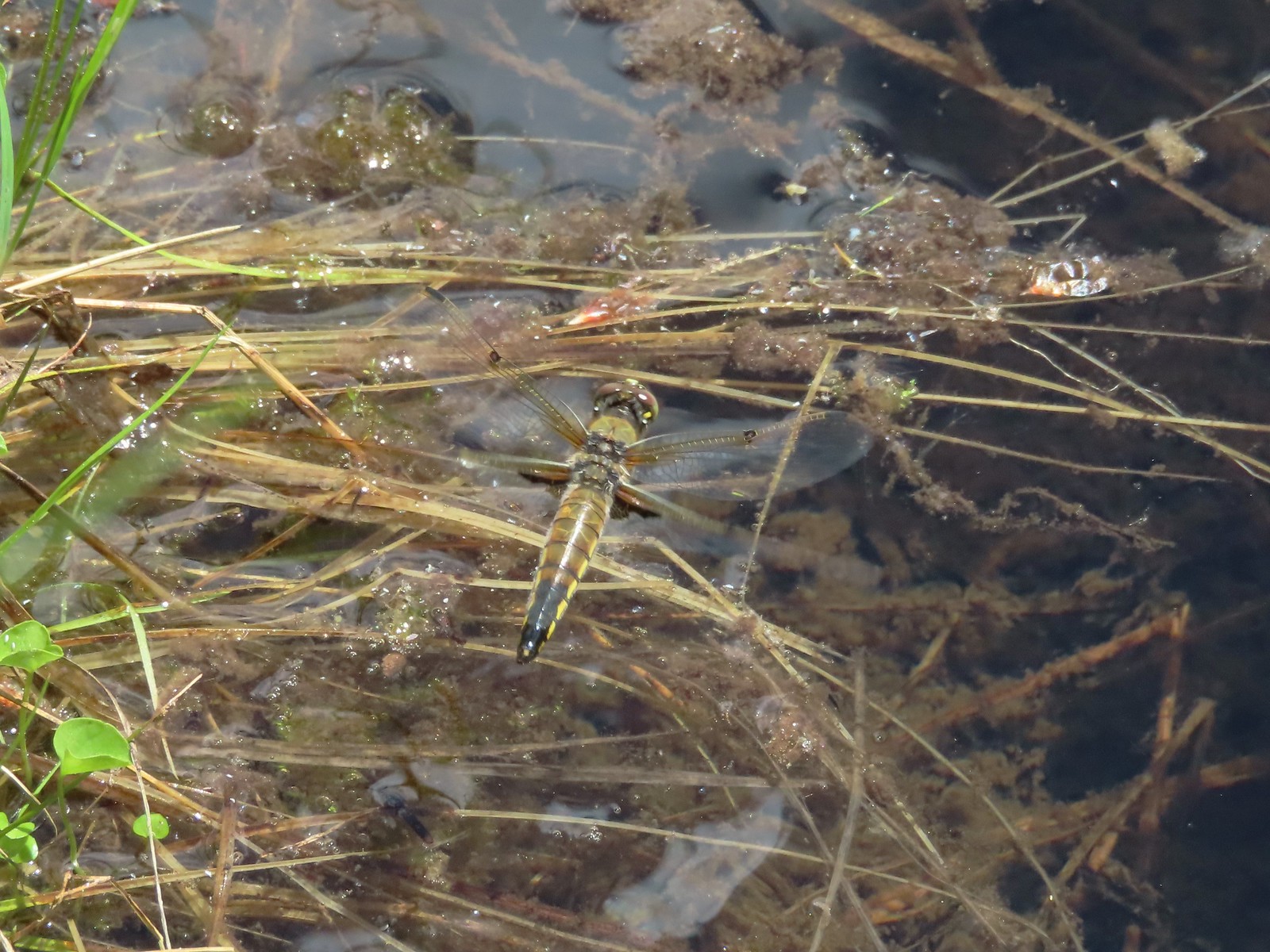 Dragon fly – Siskiyou Wilderness
 Dragon fly – Siskiyou Wilderness
 Dragon fly – Eagle Cap Wilderness
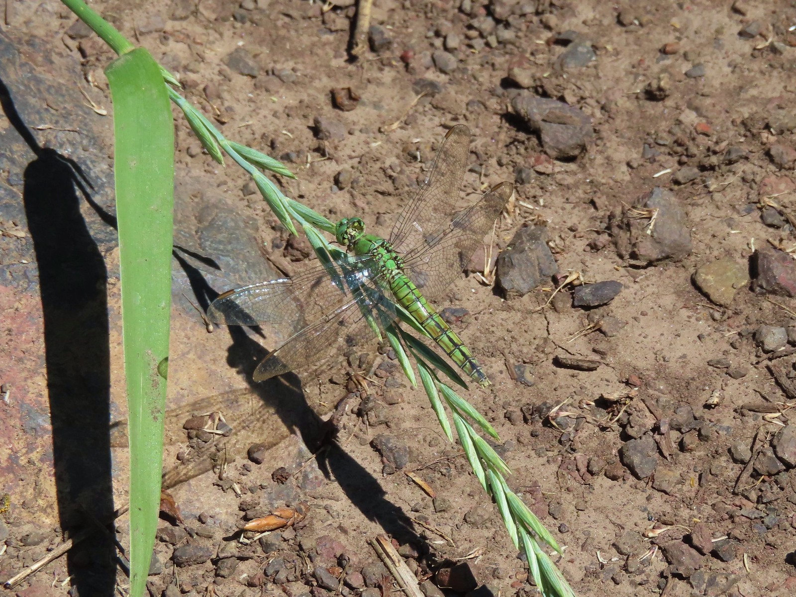 Dragon fly along the Wallowa River – Wallowa Homeland
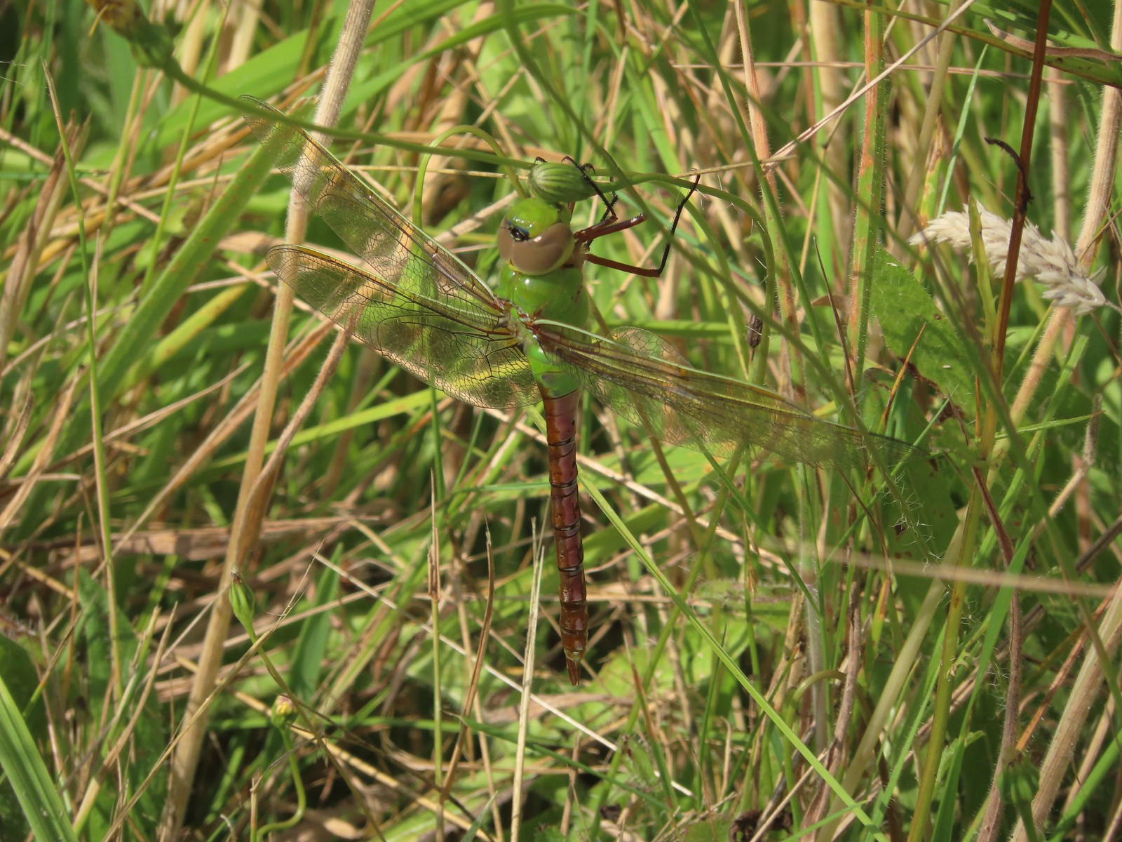 Dragon fly – E.E. Wilson Wildlife Area
 Dragon fly – Hemlock Lake
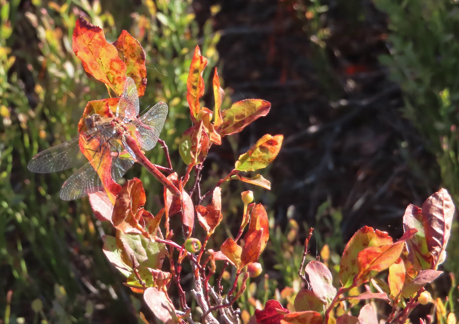 Dragon fly – Sky Lakes Wilderness
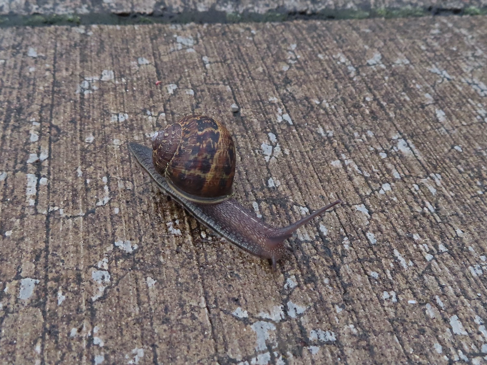 Snail – Rock Creek Trail
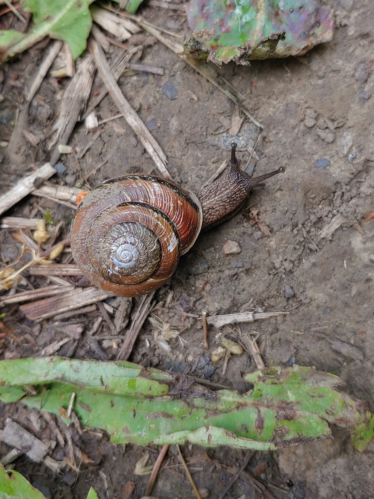 Snail – Applegate Lake
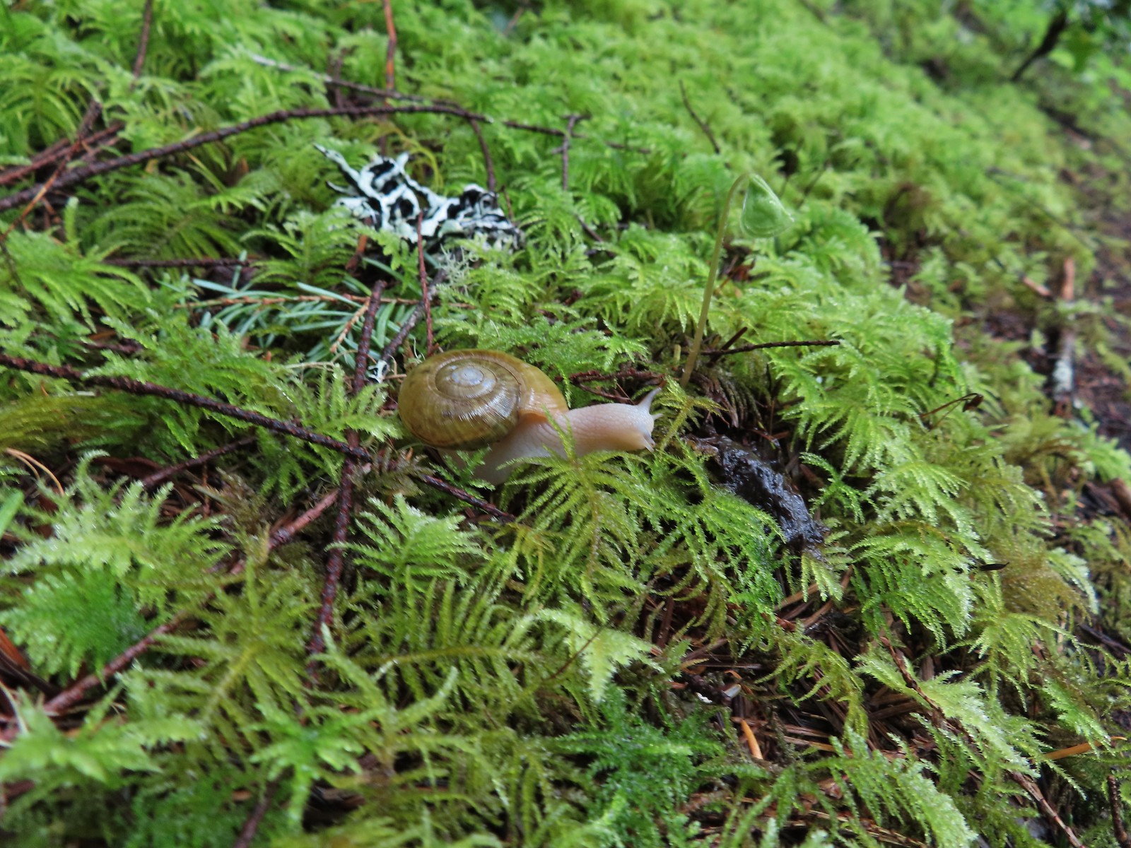 Snail – North Siouxon Trail
 Snail – Julia Hansen Butler Wildlife Refuge
 Snail – Siskiyou Wilderness
 Snail – Cascade Head
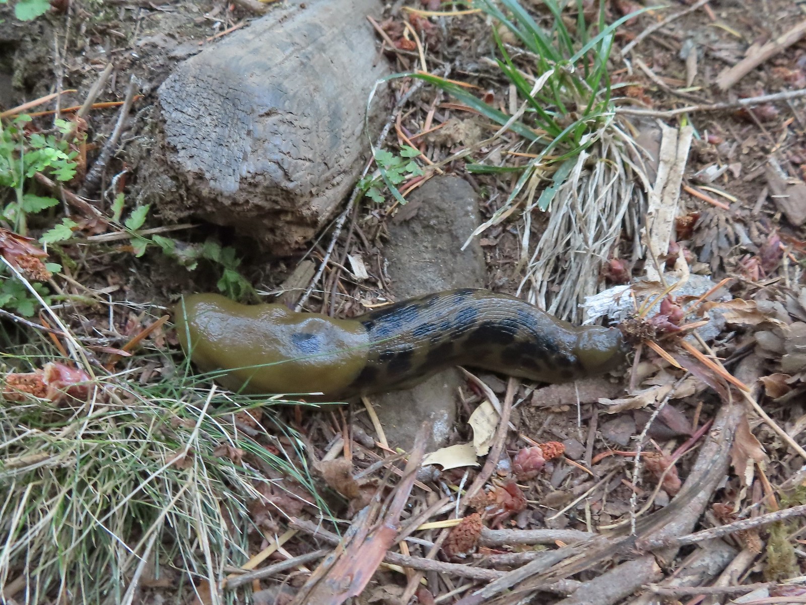 Slug – Larch Mountain Trail
 Slug (and a fly) – Susan Creek Trail
 Slug – Fish Lake
 Slug on lupine – Julia Butler Hansen Wildlife Refuge
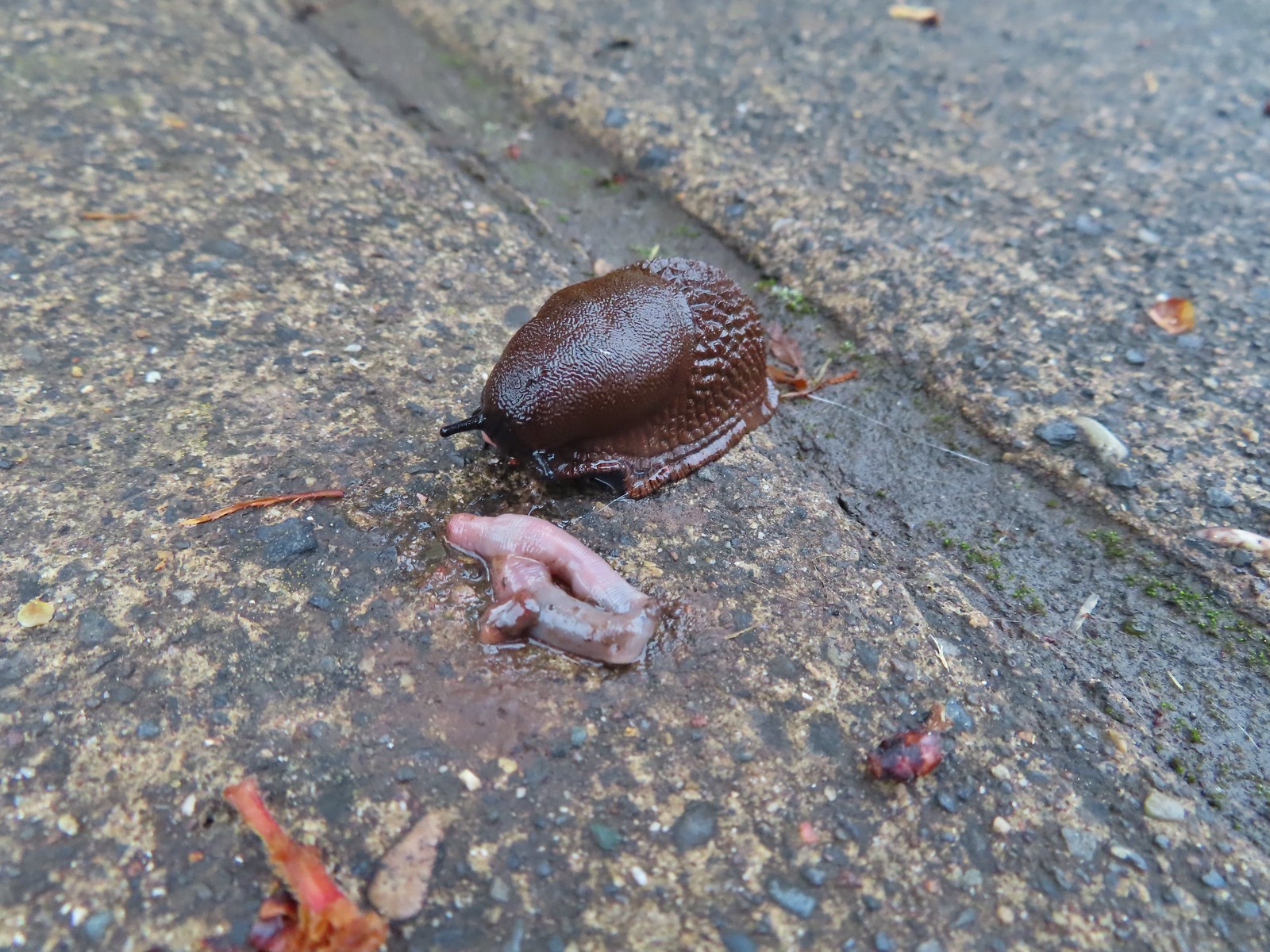 Slug and an unfortunate earth worm – Rock Creek Trail
 Worms – Chehalem Ridge Nature Park
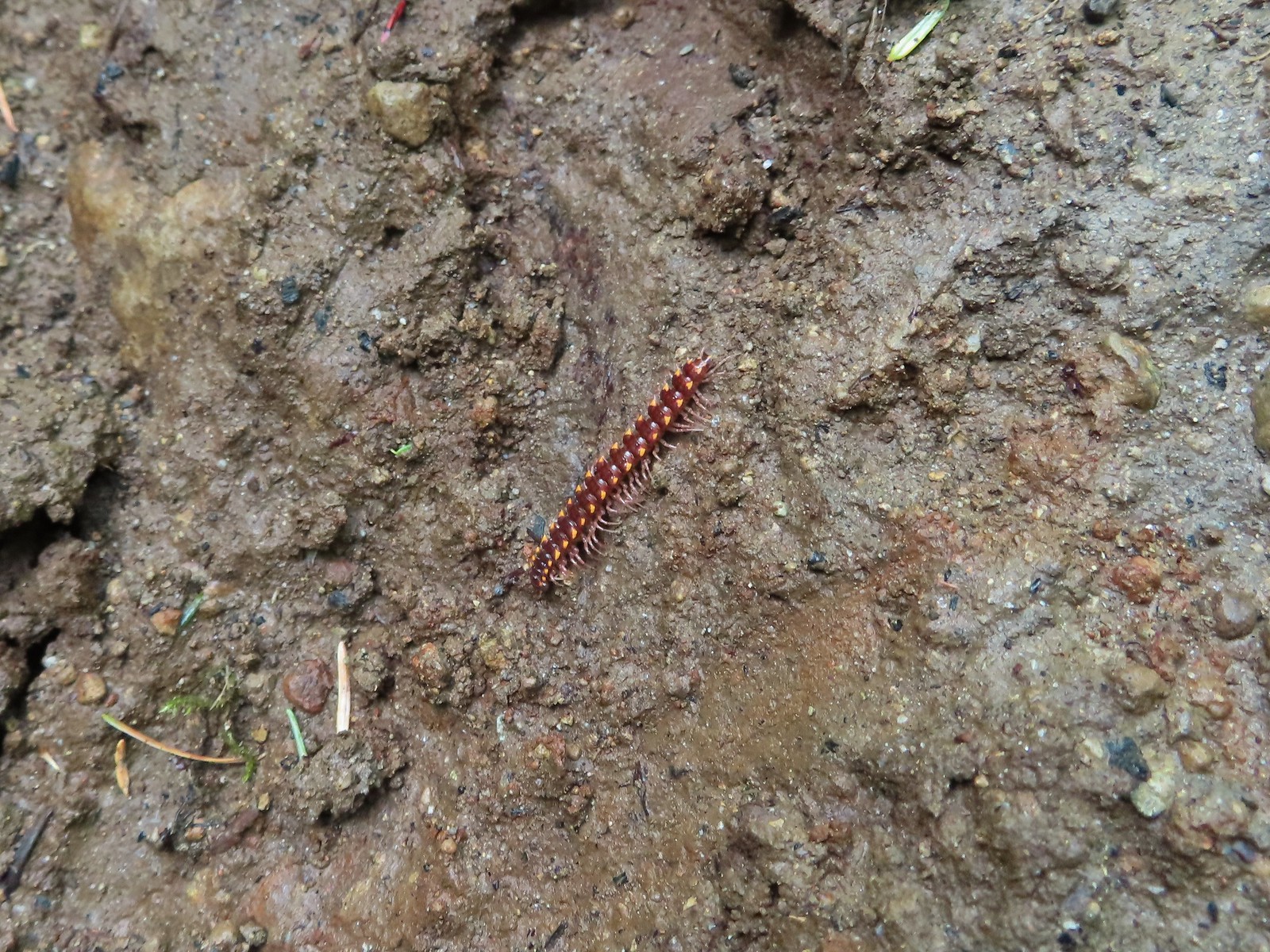 Millipede – North Siouxon Trail
 Millipede – Rock Creek Trail
 Millipede – Illahee Rock
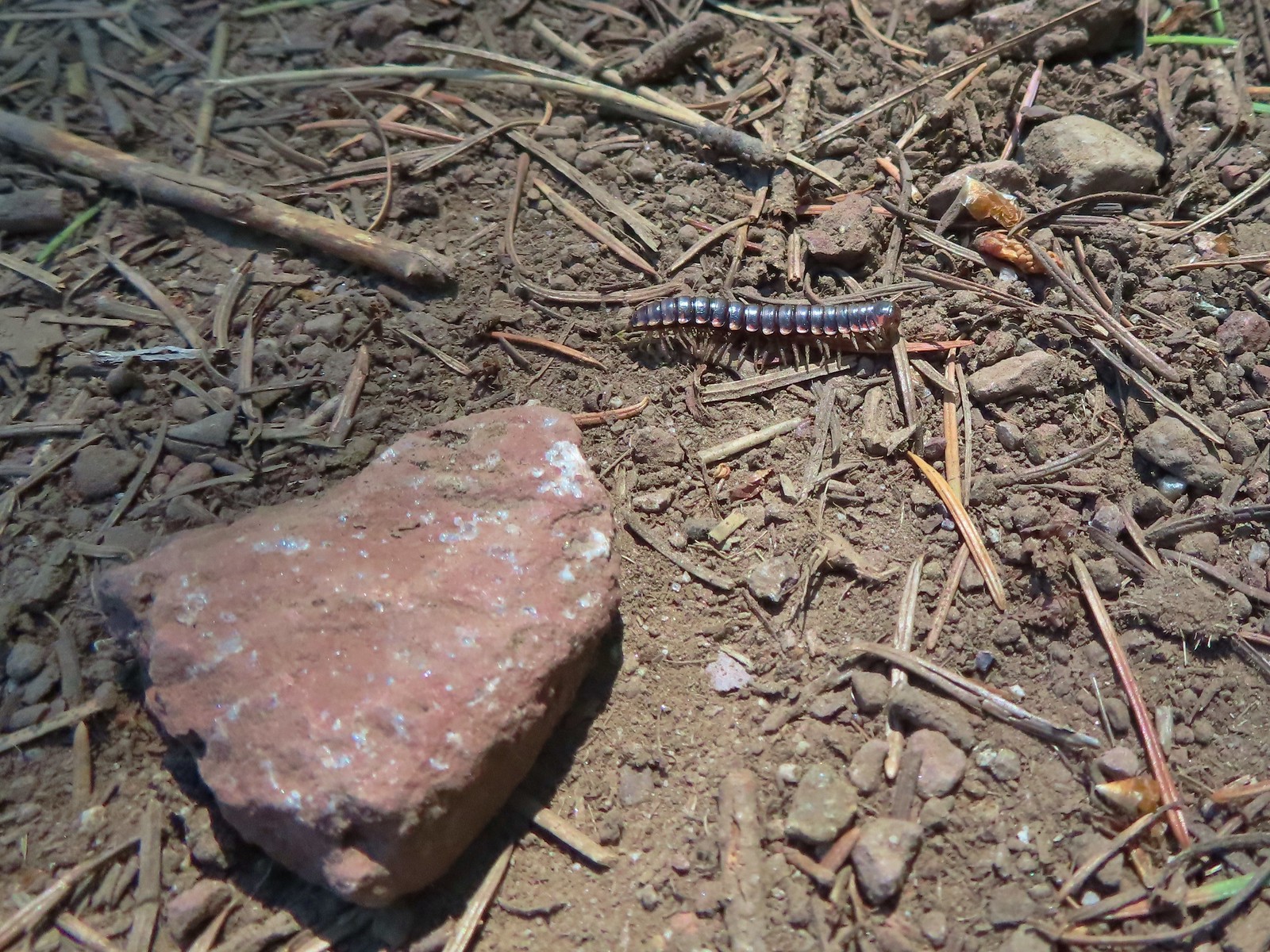 Millipede – Eagle Cap Wilderness
 Wet caterpillar – Yakona Nature Preserve
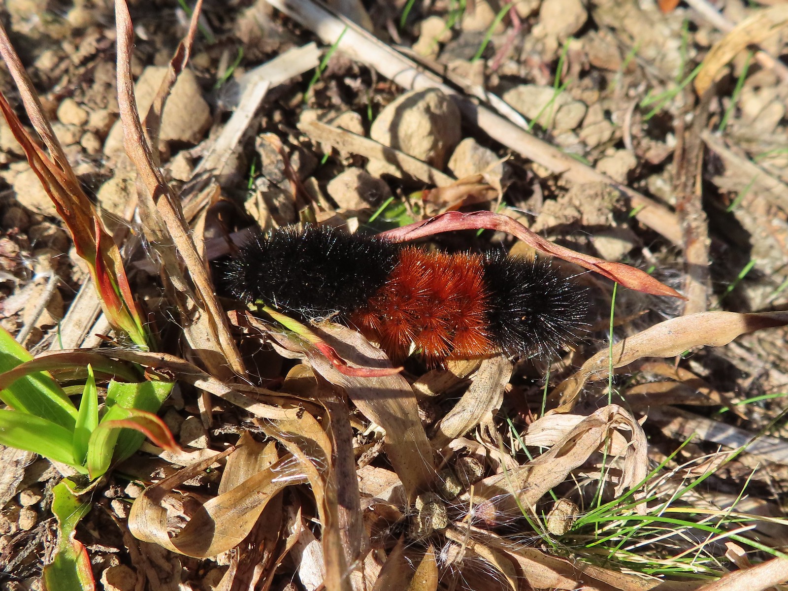 Dry version – Larch Mountain Trail
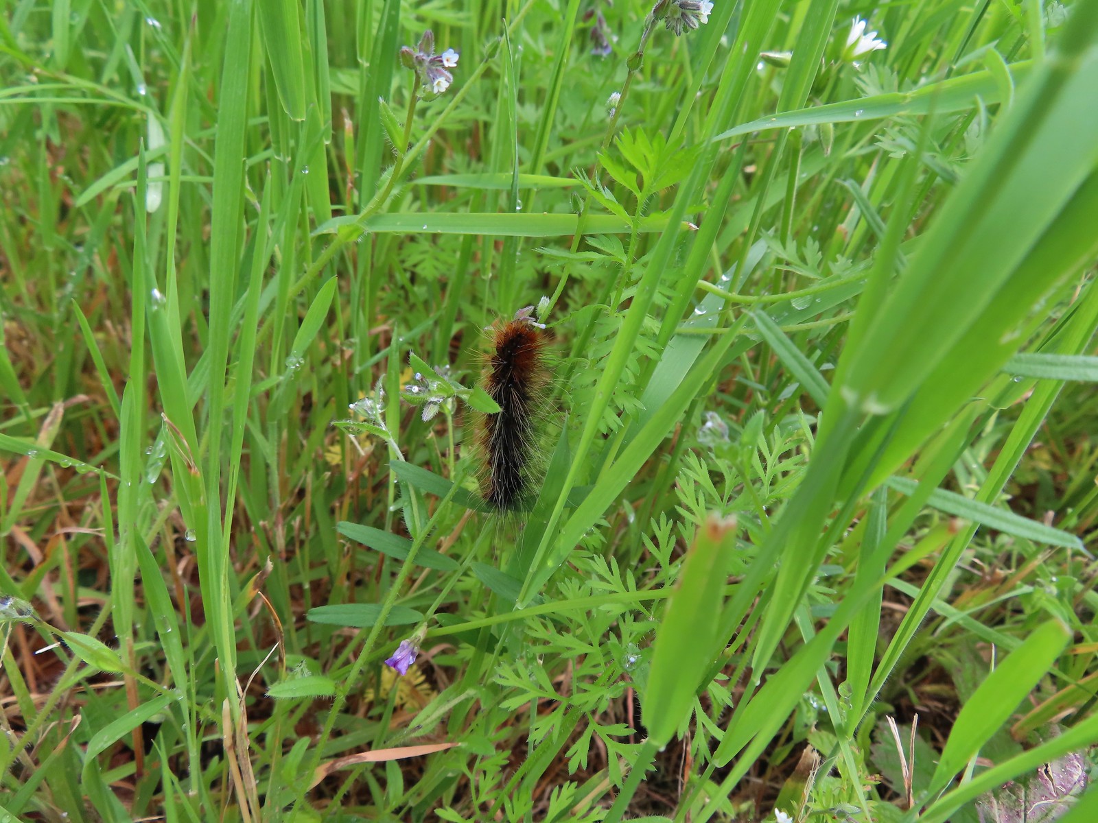 Caterpillar – Julia Butler Hansen Wildlife Refuge
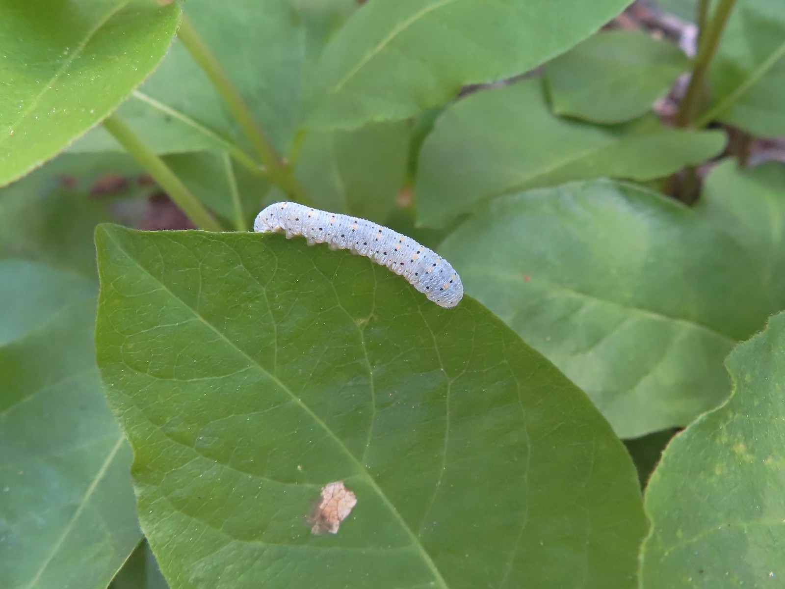 Caterpillar – Siskiyou Wilderness
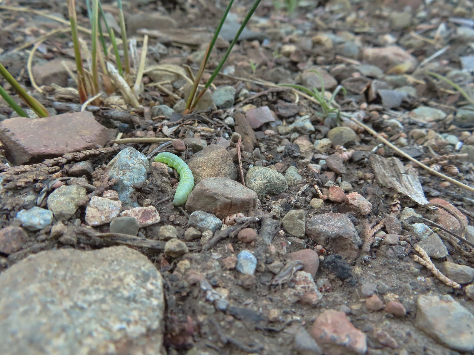 Caterpillar – Siskiyou Wilderness
 Caterpillar – Larch Mountain Trail
 Caterpillar – Larch Mountain Trail
 Caterpillar – Larch Mountain Trail
 Moth – Klickitat Trail
 Moth -Eagle Cap Wilderness
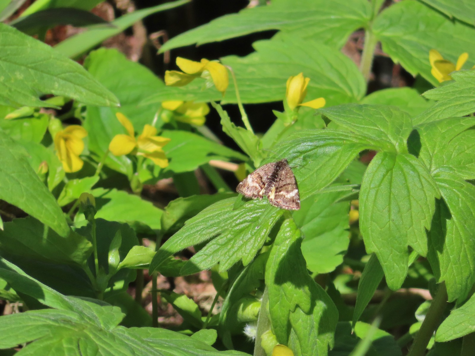 Moth – Twin Lakes
 Moth – Eagle Cap Wilderness
 Moth – Eagle Cap Wilderness
 Moth – Eagle Cap Wilderness
 Moth – Wolf Creek Falls Trail
 Moth – Cascade Head
 Propertius duskywing (Erynnis propertius) – Klickitat Trail
 Duskywing – Siskiyou Wilderness
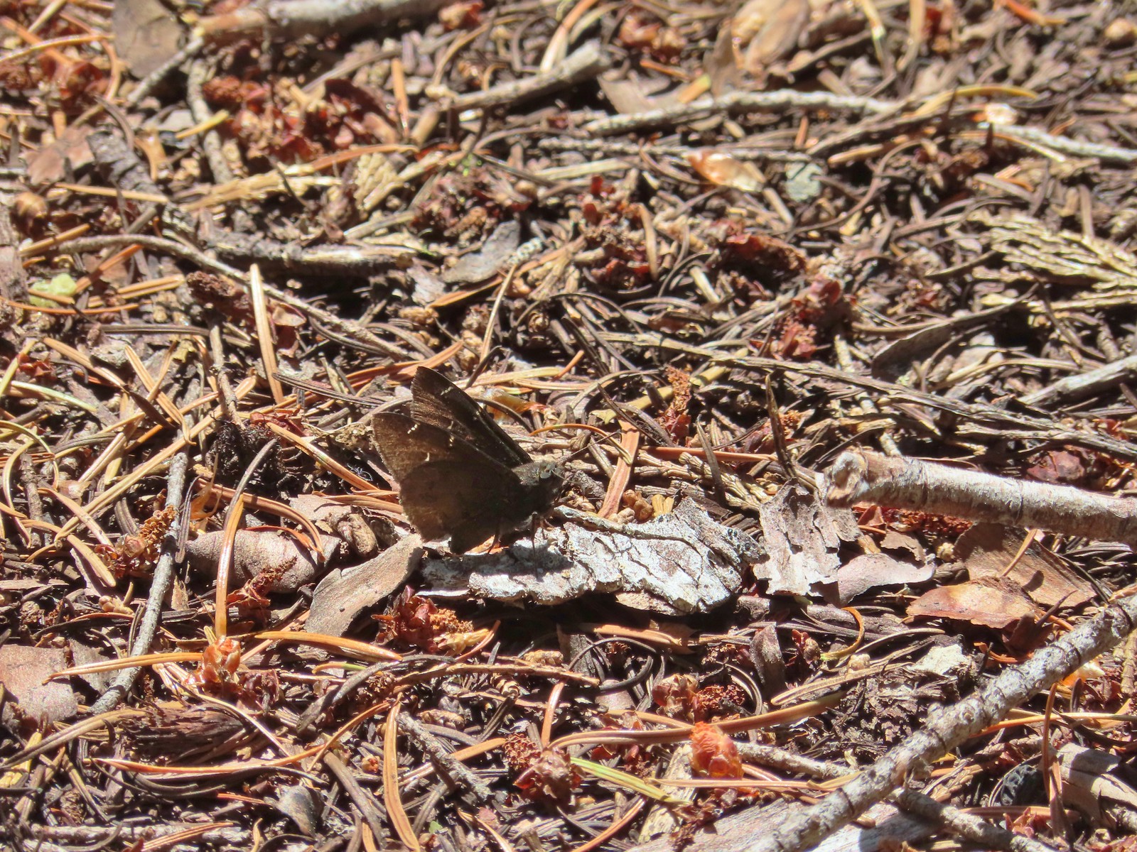 Northern Cloudywing? – Siskiyou Wilderness
 Silver-spotted skipper – Siskiyou Wilderness
 Skipper – Grizzly Peak
 Skipper – Rogue-Umpqua Divide Wilderness
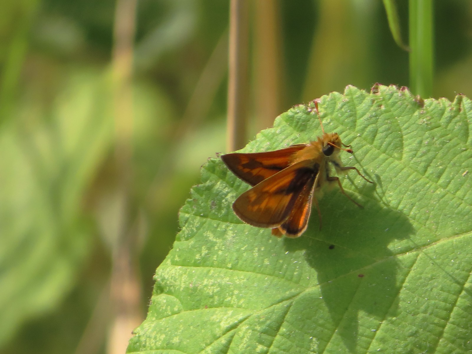 Skipper – E. E. Wilson Wildlife Area
 Hairstreak (bramble?) – Siskiyou Mountains
 Cedar hairstreak – Siskiyou Wilderness
 Hairstreak (possibly thicket) – Eagle Cap Wilderness
 Ochre ringlet – Jack Ash Trail
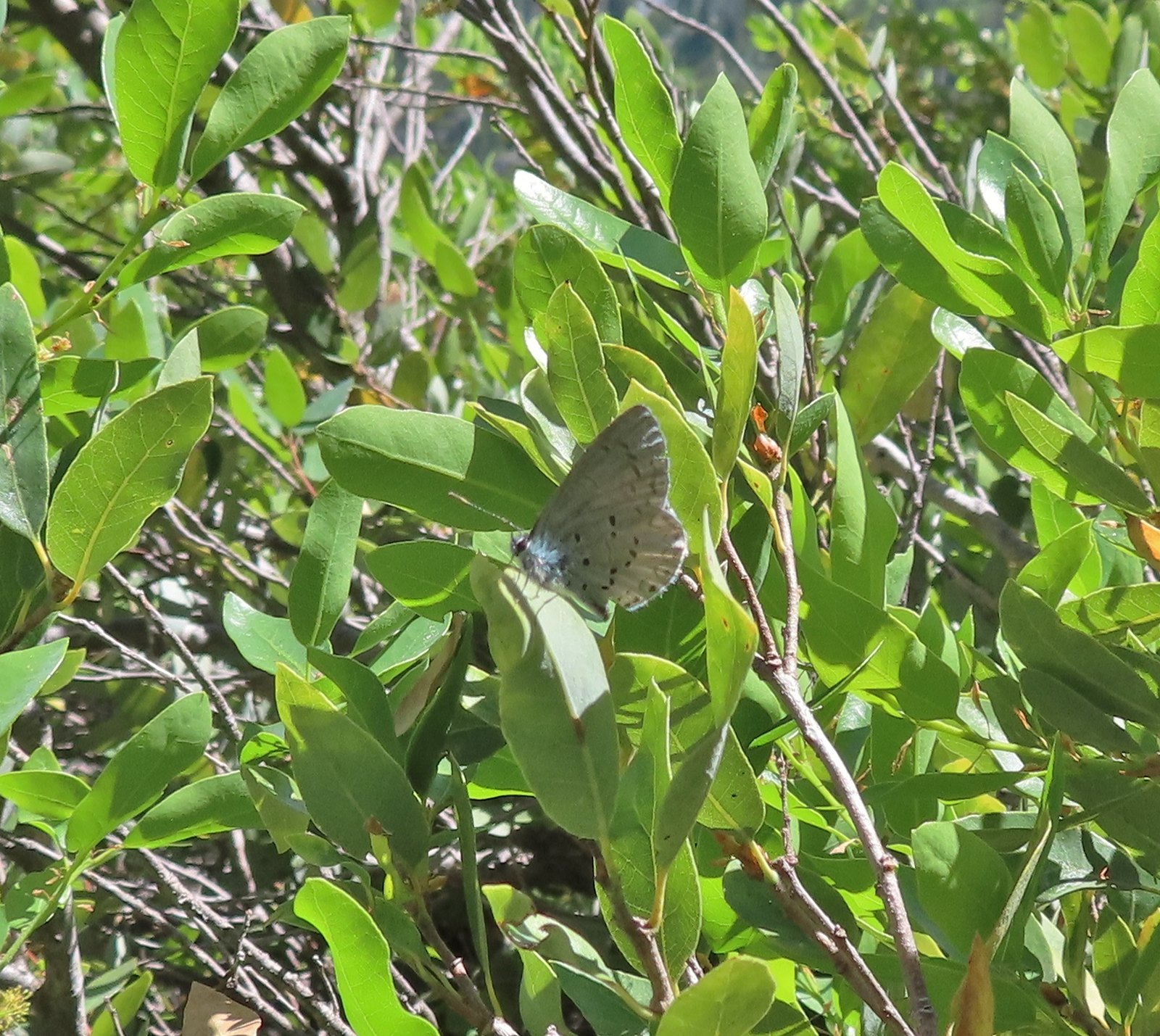 Butterfly – Siskiyou Wilderness
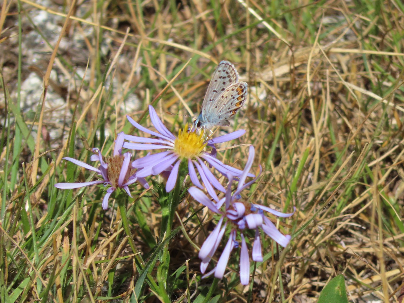 Butterfly – Trinity Alps Wilderness
 Butterfly – Trinity Alps Wilderness
 Butterfly – Upper Table Rock
 Butterfly – Mule Mountain
 Butterfly – Eagle Cap Wilderness
 Butterfly – Eagle Cap Wilderness
 Butterfly – Mt. Adams Wilderness
 Butterfly – Mt. Adams Wilderness
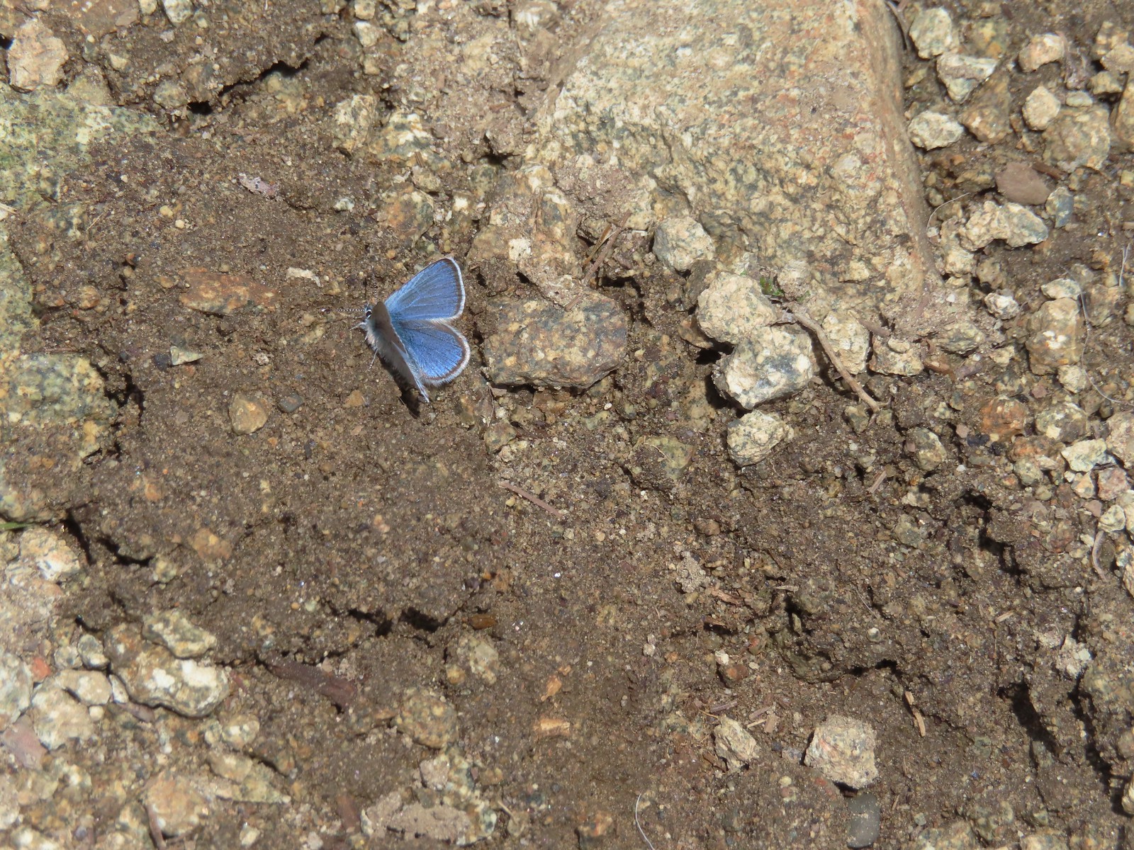 Butterfly – Mt. Ireland
 Butterfly – Trinity Alps Wilderness
 Butterfly – Silver Star Mountain
 Butterfly – Russian Wilderness
 Butterfly – Trinity Alps Wilderness
 Sara’s orangetip – Klickitat Trail
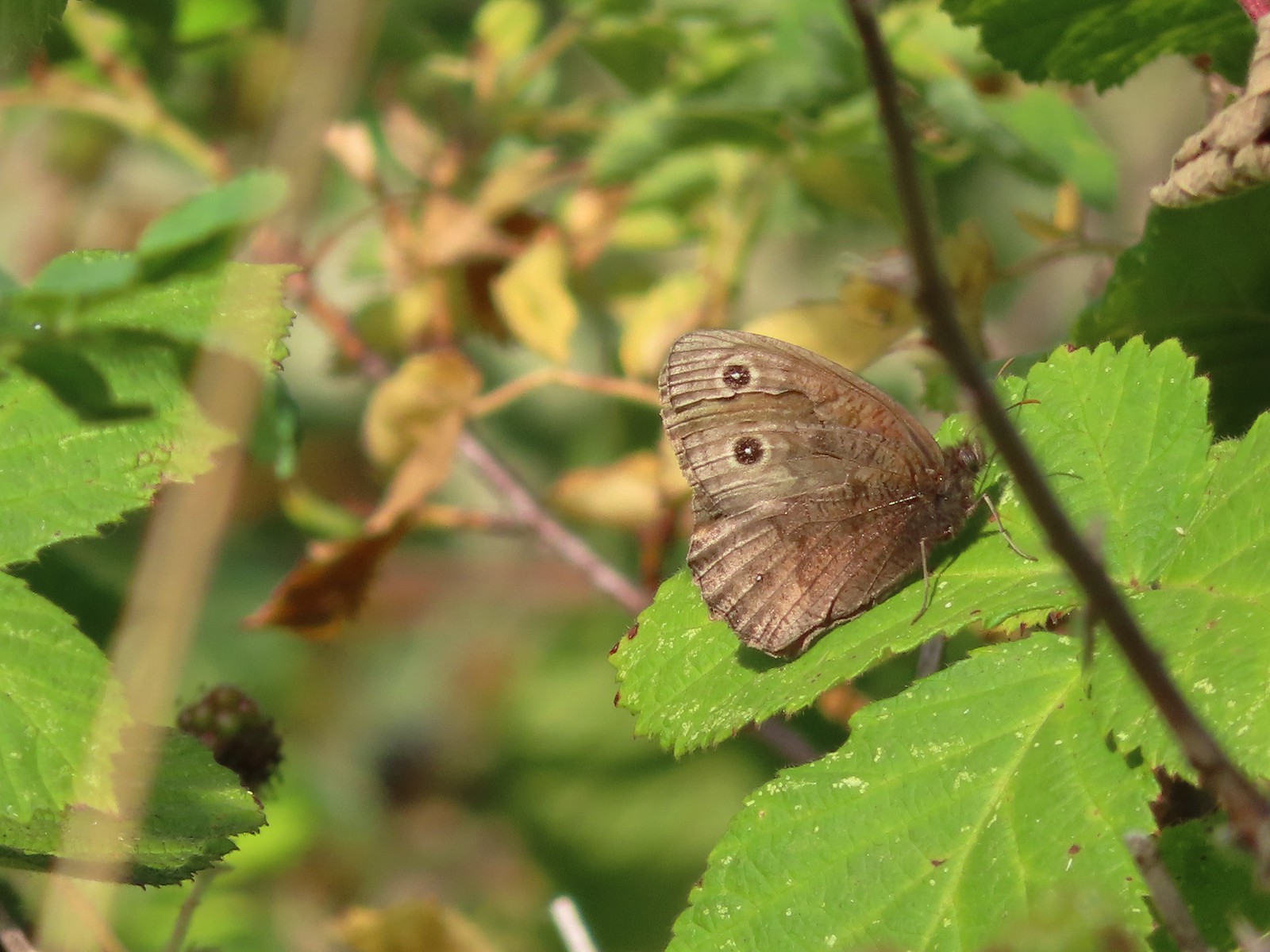 Common woodnymph – E. E. Wilson Wildlife Area
 Another woodnymph – Rogue-Umpqua Divide Wilderness
 Orange sulphur – Siskiyou Wilderness
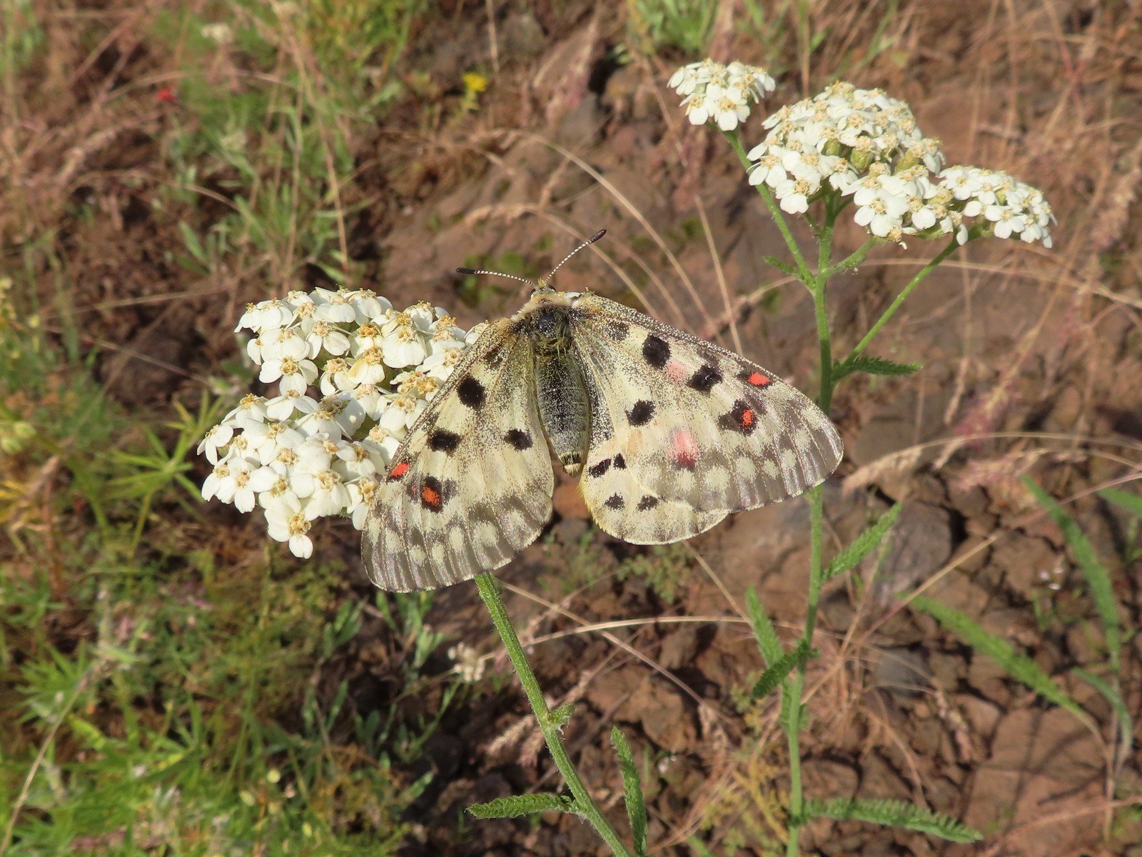 Mountain parnassian – Eagle Cap Wilderness
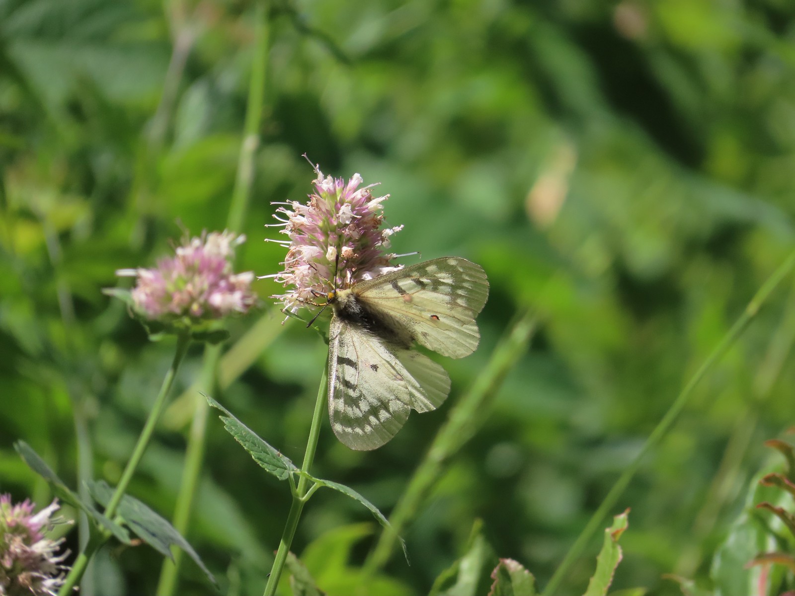 Clodius parnassian – Hemlock Lake
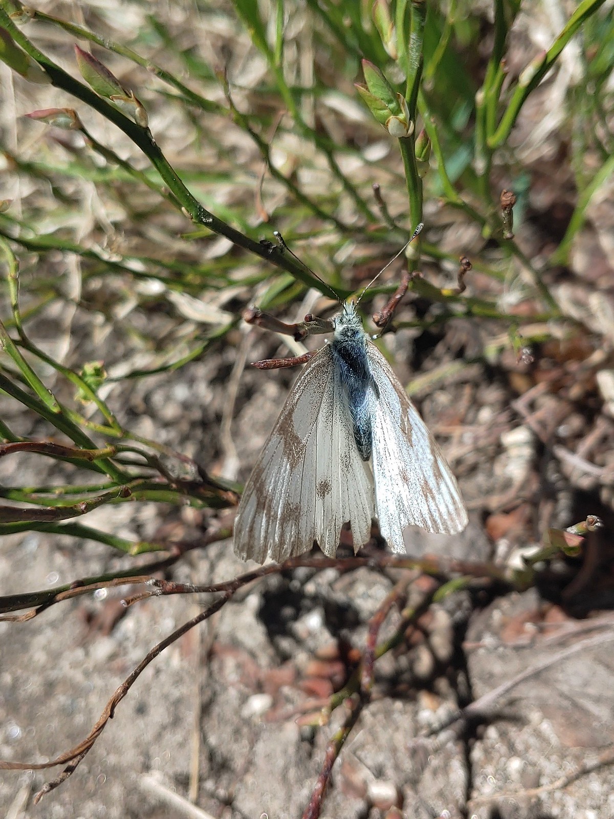 Western white? – Eagle Cap Wilderness
 Western white – Trinty Alps Wilderness
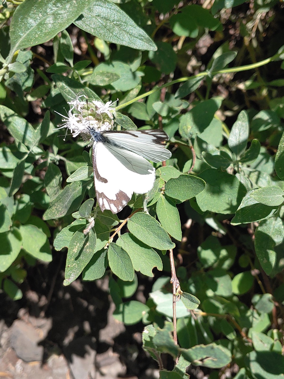 Pine white – Russian Wilderness
 Butterfly – Eagle Cap Wilderness
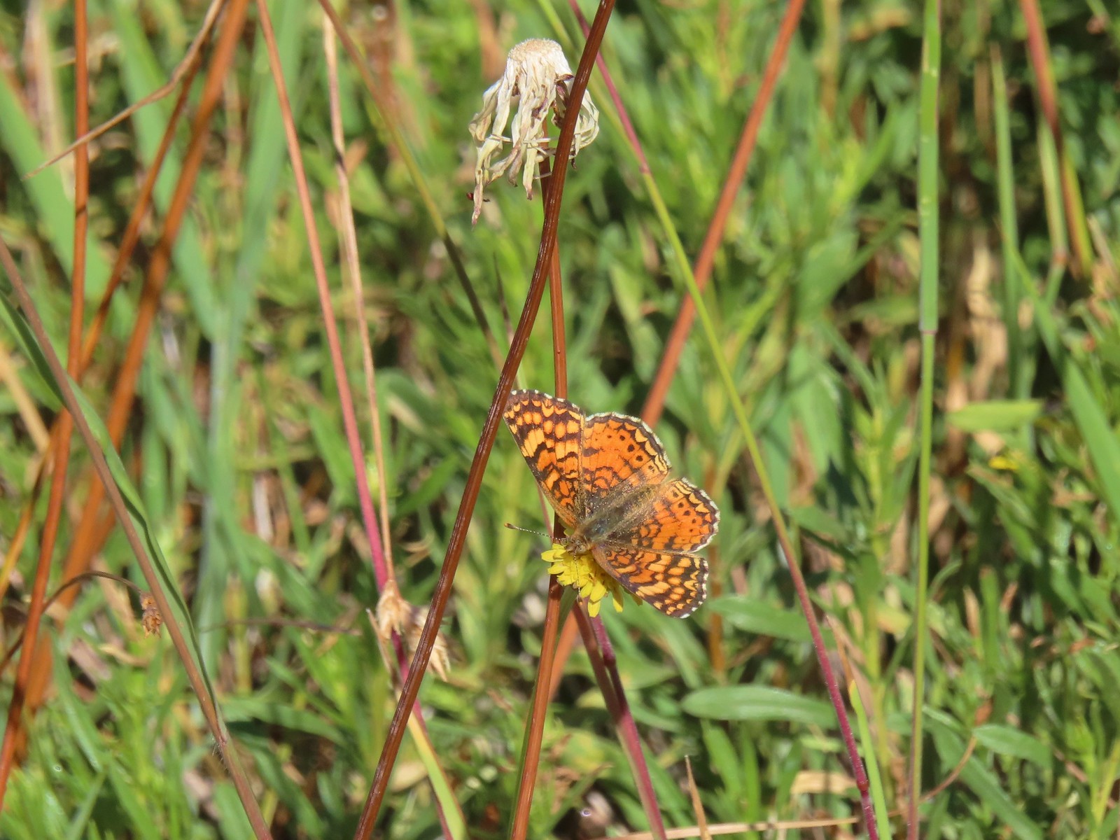 Butterfly – Russian Wilderness
 Butterfly – Mt. Adams Wilderness
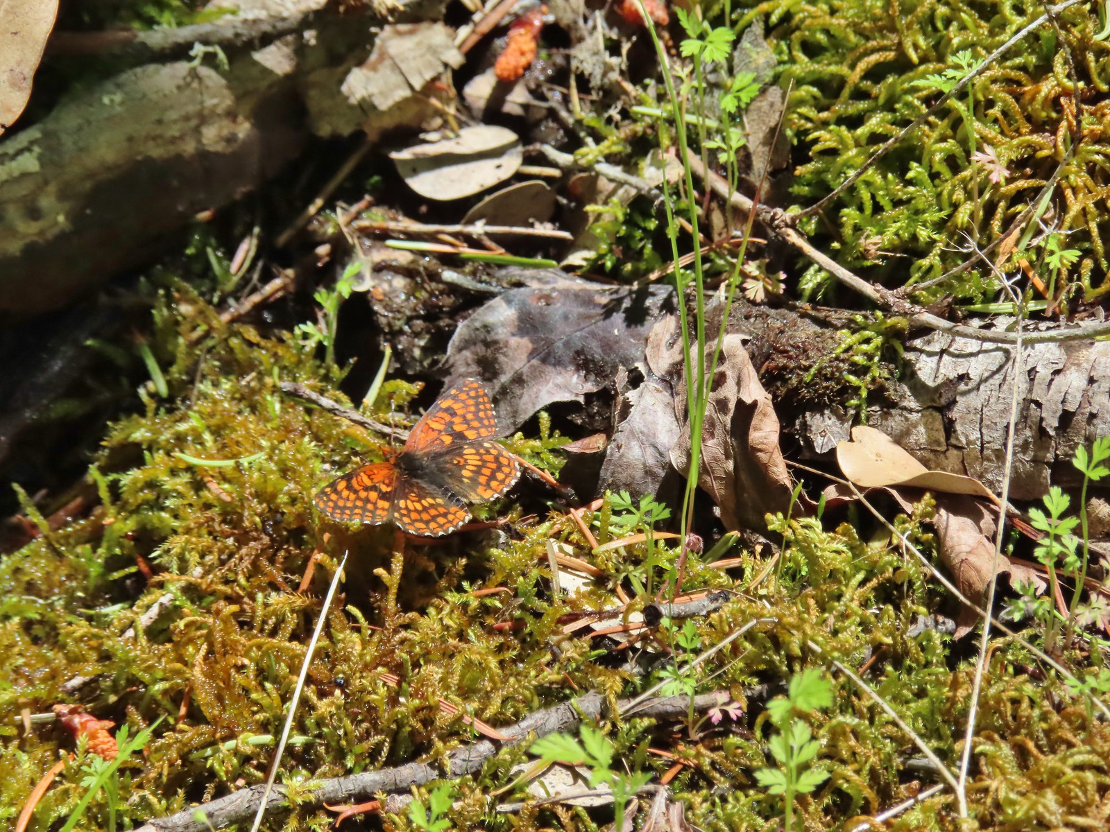 Butterfly – Mule Mountain
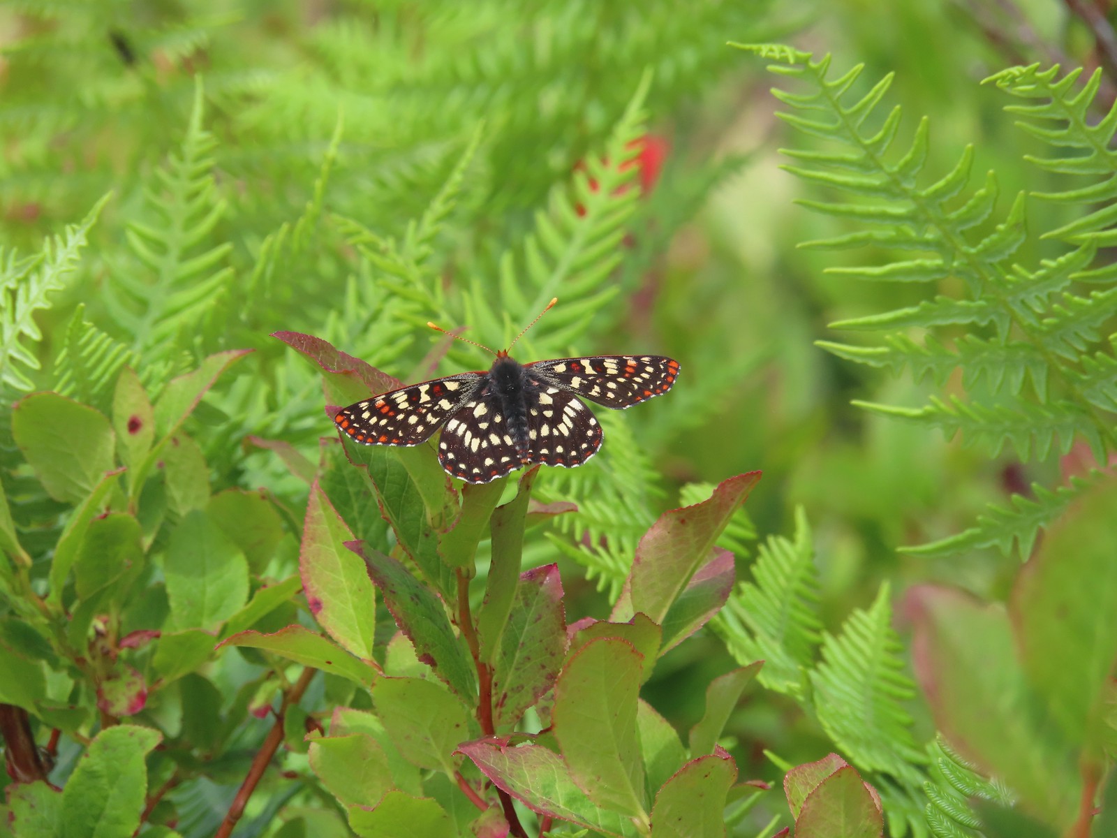 Butterfly – Silver Star Mountain
 Butterfly – Silver Star Mountain
 Butterfly – Silver Star Mountain
 Western meadow fritillary? – Silver Star Mountain
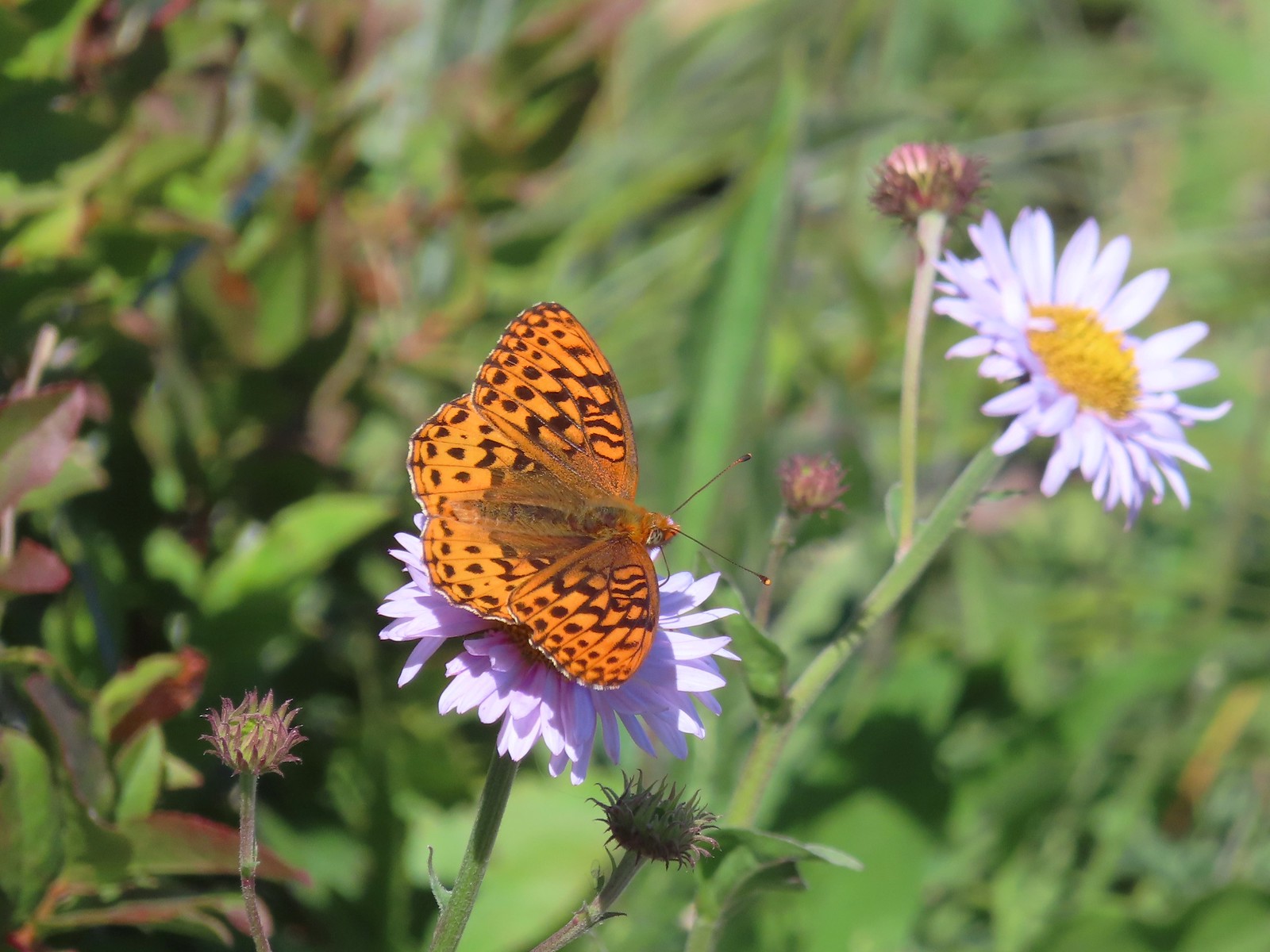 A fritillary – Silver Star Mountain
 A fritillary – Trinity Alps Wilderness
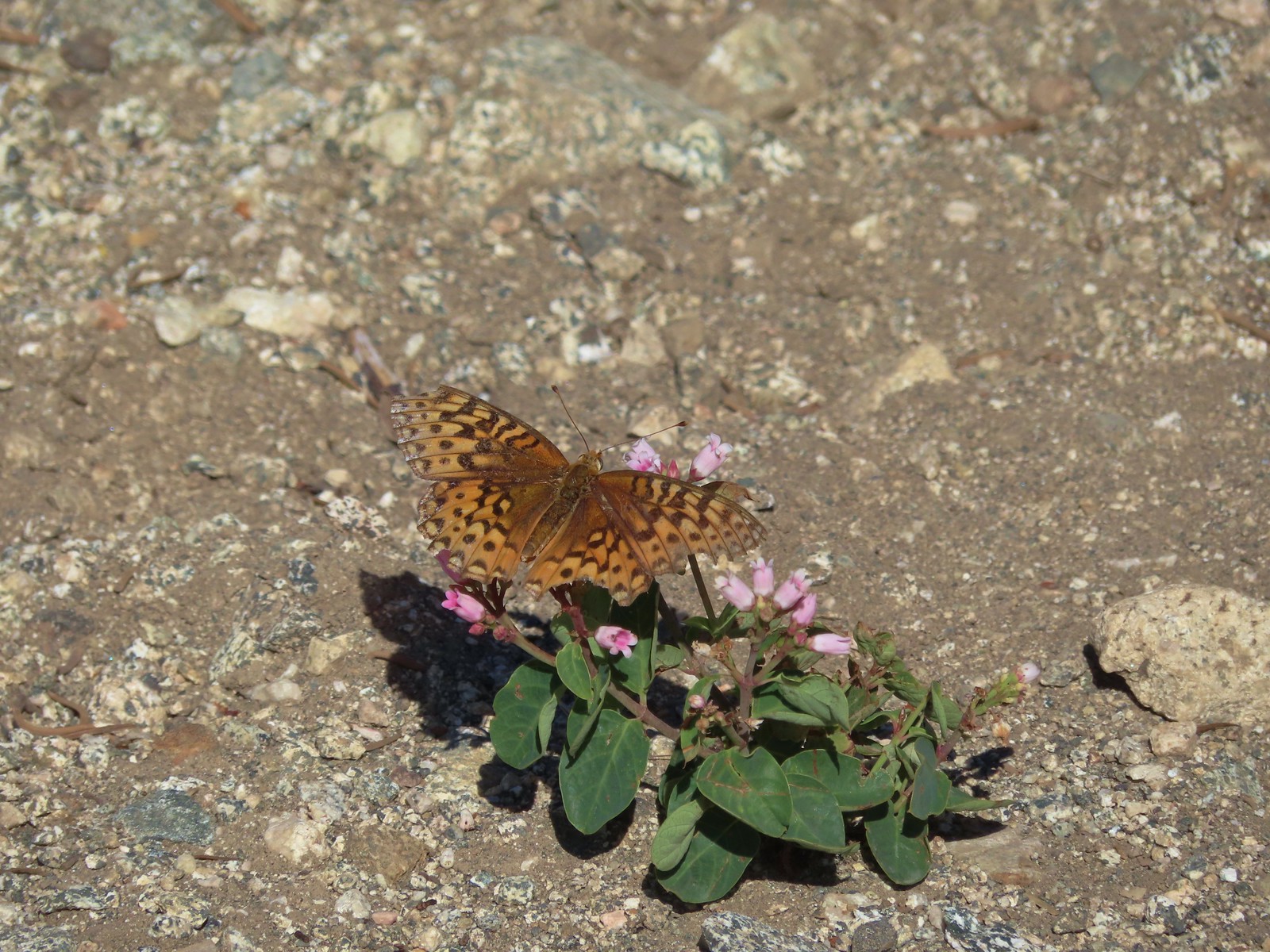 A fritillary -Russian Wilderness
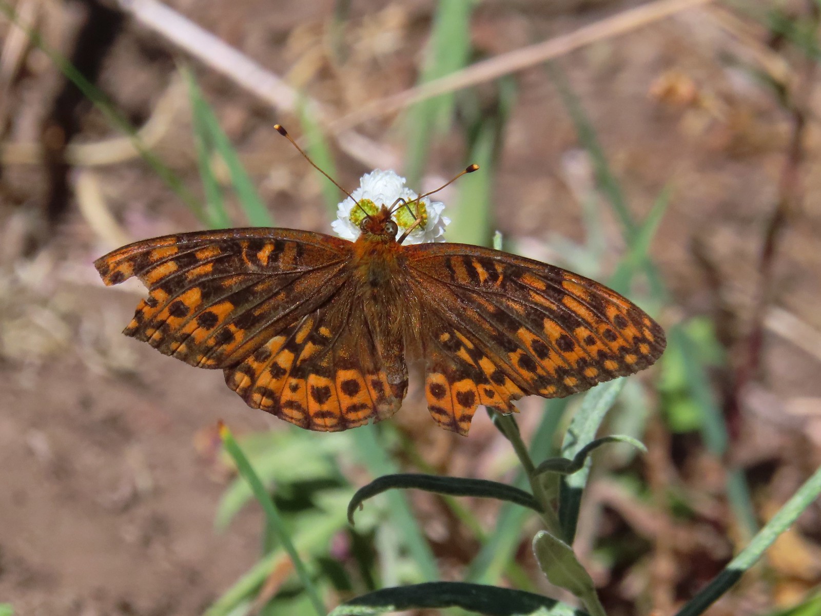 A fritillary – Rogue-Umpqua Divide Wilderness
 Mourning cloak – Klickitat Trail
 California tortoiseshell – Siskiyou Wilderness
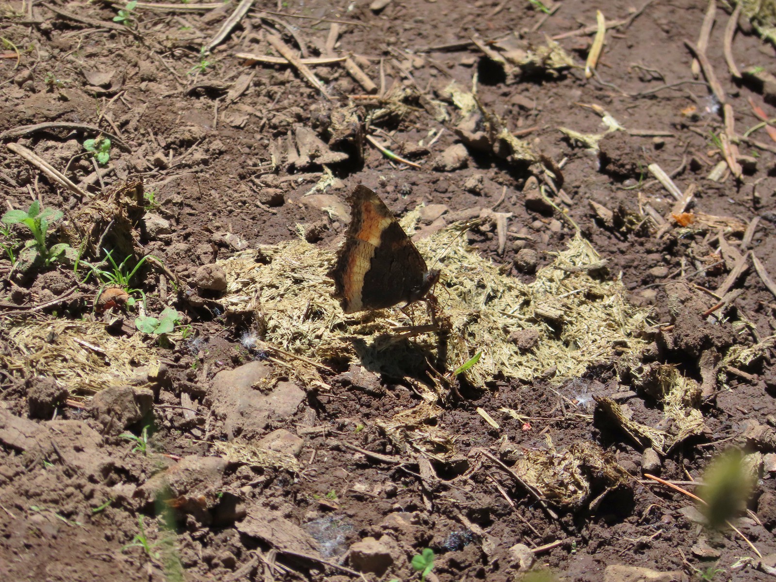 Milbert’s tortoiseshell – Eagle Cap Wilderness
 Lorquin’s admiral – Eagle Cap Wilderness
 Common buckeye – Mt. Shasta Wilderness
 Hoary comma – Sky Lakes Wilderness
 Green comma? – Eagle Cap Wilderness
 Klickitat Trail
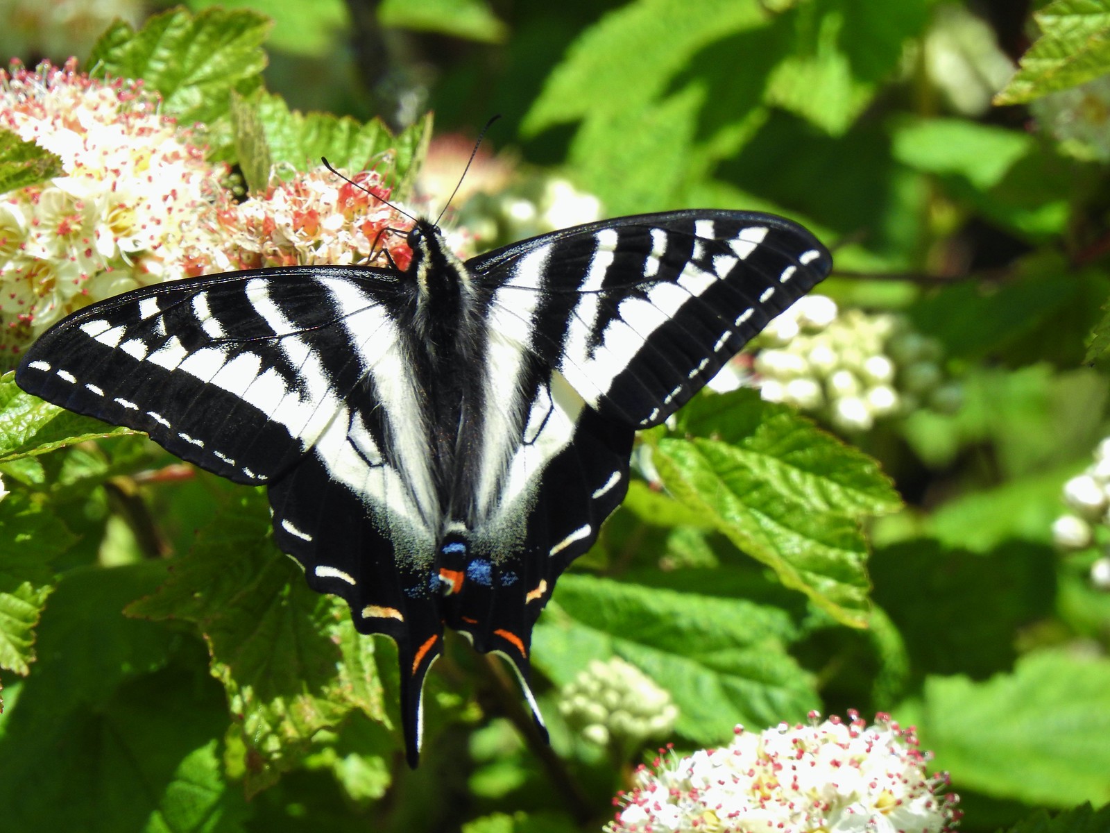 Julia Butler Hanson Wildlife Refuge
 Eagle Cap Wilderness
 Tadpoles – Russian Wilderness
 Tadpole transforming – Mt. Adams Wilderness
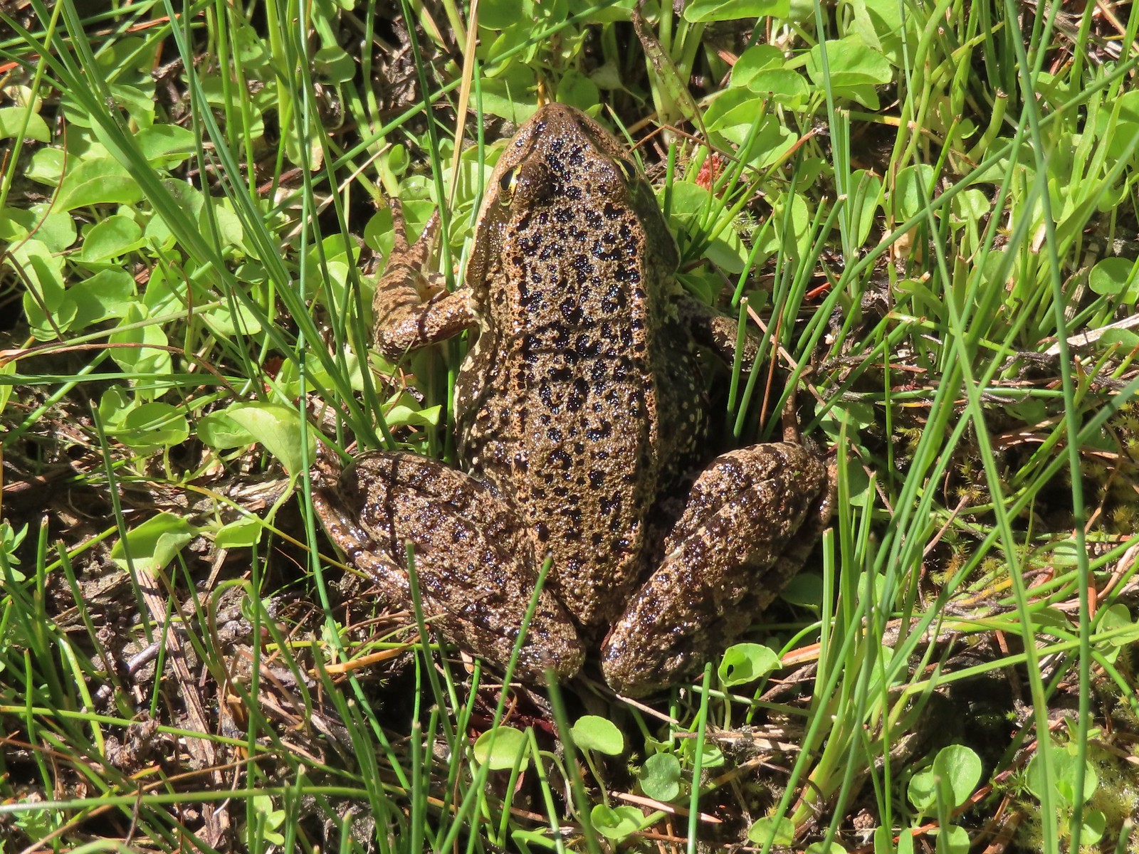 Frog – Russian Wilderness
 Frog – Goat Marsh Lake
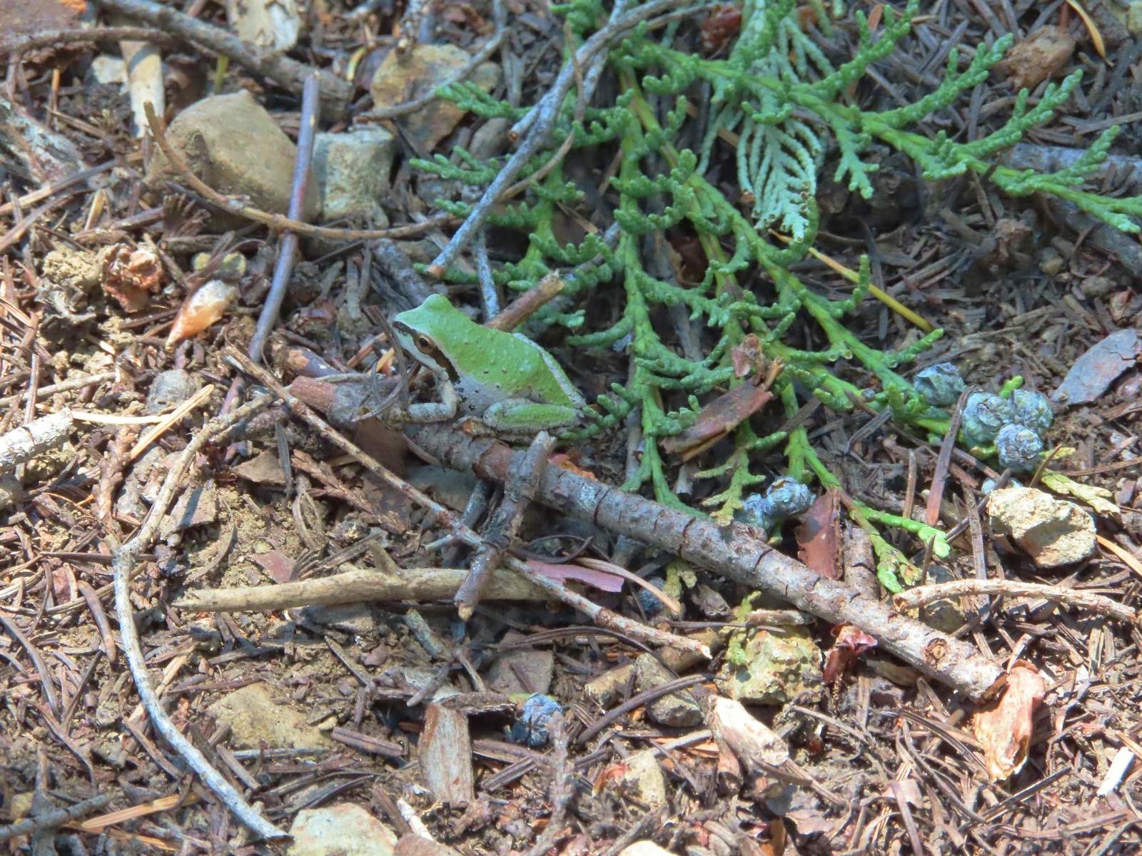 Tree frog – Siskiyou Wilderness
 Frog – Trinity Alps Wilderness
 Toad – Trinity Alps Wilderness
 Toad – Mt. Jefferson Wilderness
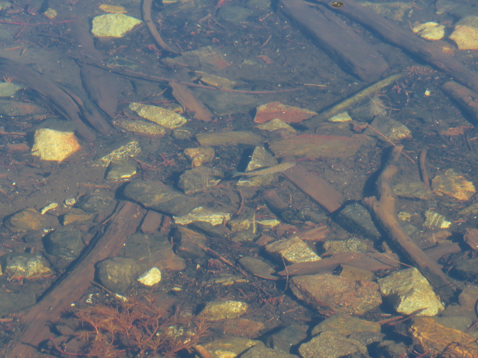 Fish – Siphon Lake
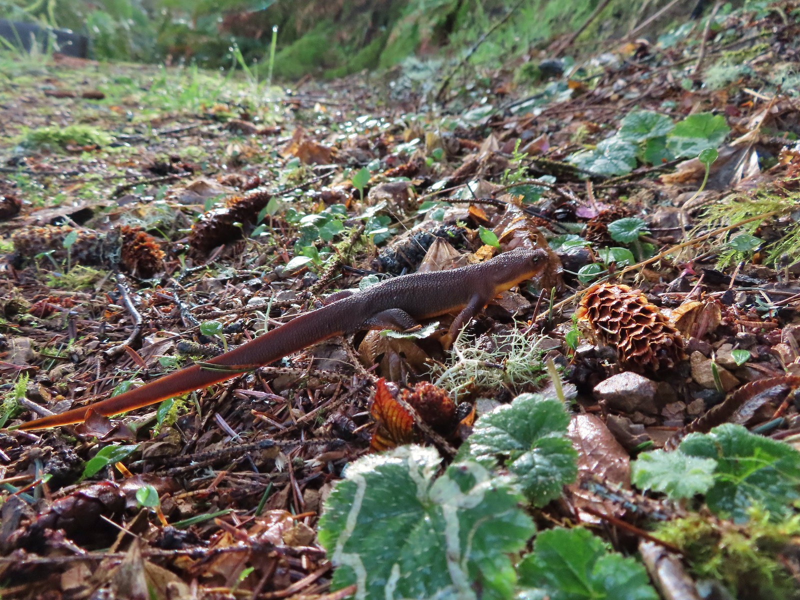 Rough skinned newt – Yakona Nature Preserve
 Western painted turtle – Julia Hansen Butler Wildlife Refuge
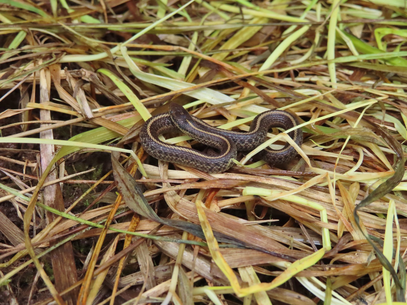 Baby snake – Miller Woods
 Garter snake – Julia Hansen Butler Wildlife Refuge
 Lizard – Mule Mountain
 Lizard – Upper Table Rock
 Lizard – Russian Wilderness
 Lizard – Siskiyou Wilderness
 Lizard – Klickitat Trail
 Lizard – Upper Table Rock
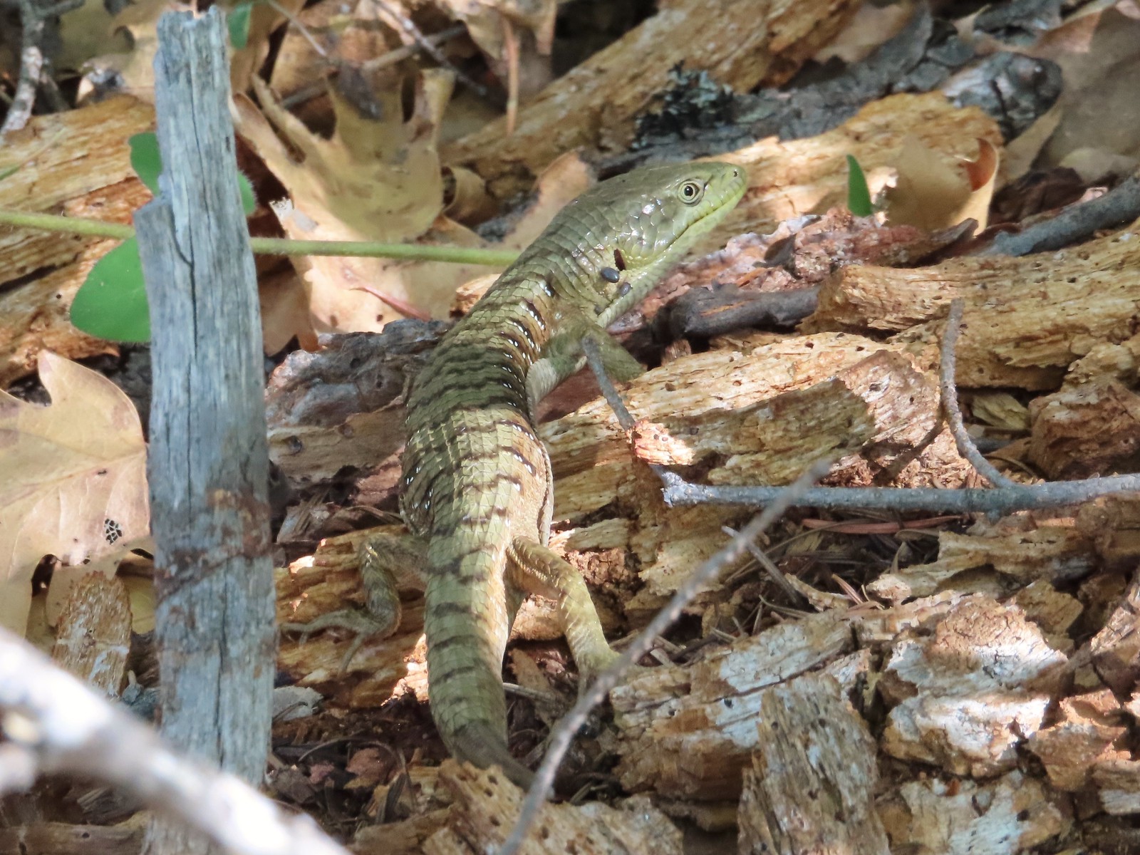 Alligator lizard – Mule Mountain
 Chipmunk – Observation Peak
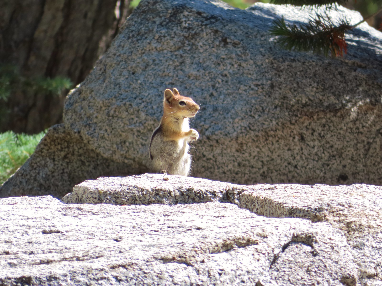 Ground squirrel – Russian Wilderness
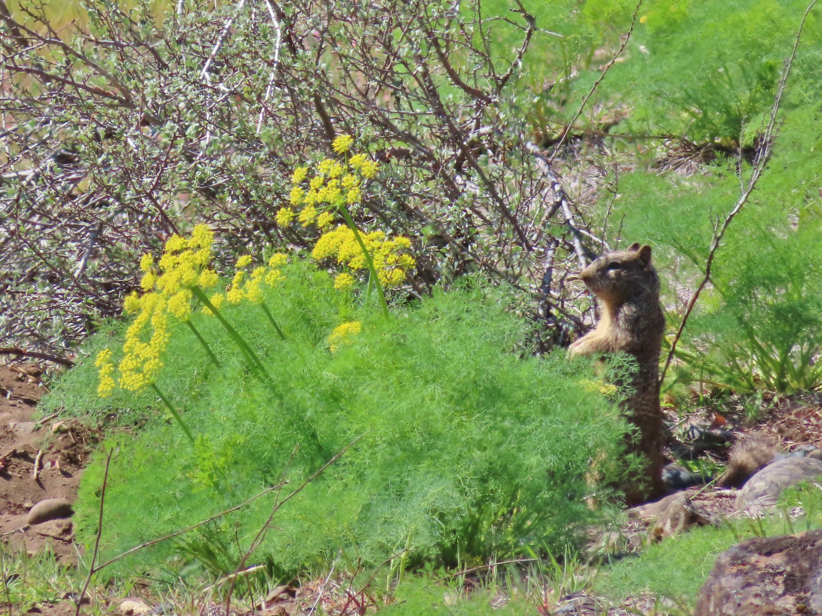 Ground squirrel – Klickitat Trail
 Ground squirrel – Eagle Cap Wilderness
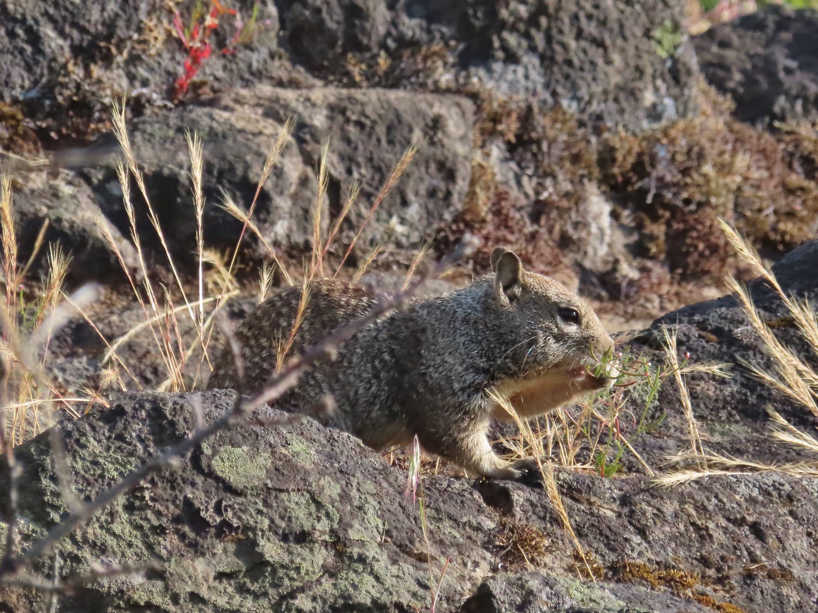 Ground squirrel – Upper Table Rock
 Squirrel – Rock Creek Trail
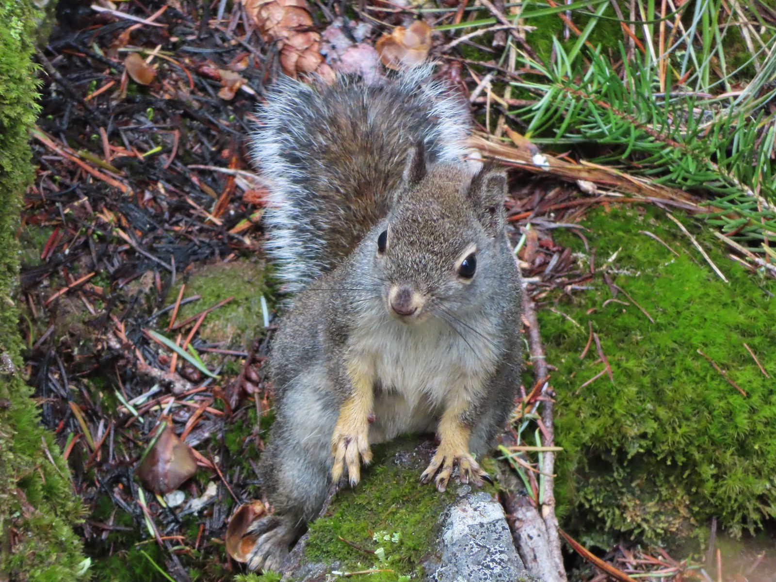 Squirrel – Twin Lakes
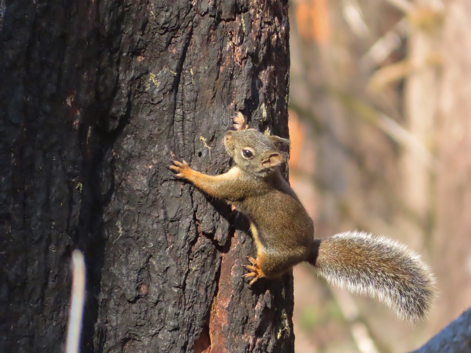 Squirrel – Larch Mountain Trail
 Marmot – Wallowa Homeland
 Jack rabbit – Denman Wildlife Area
 Rabbit – E. E. Wilson Wildlife Area
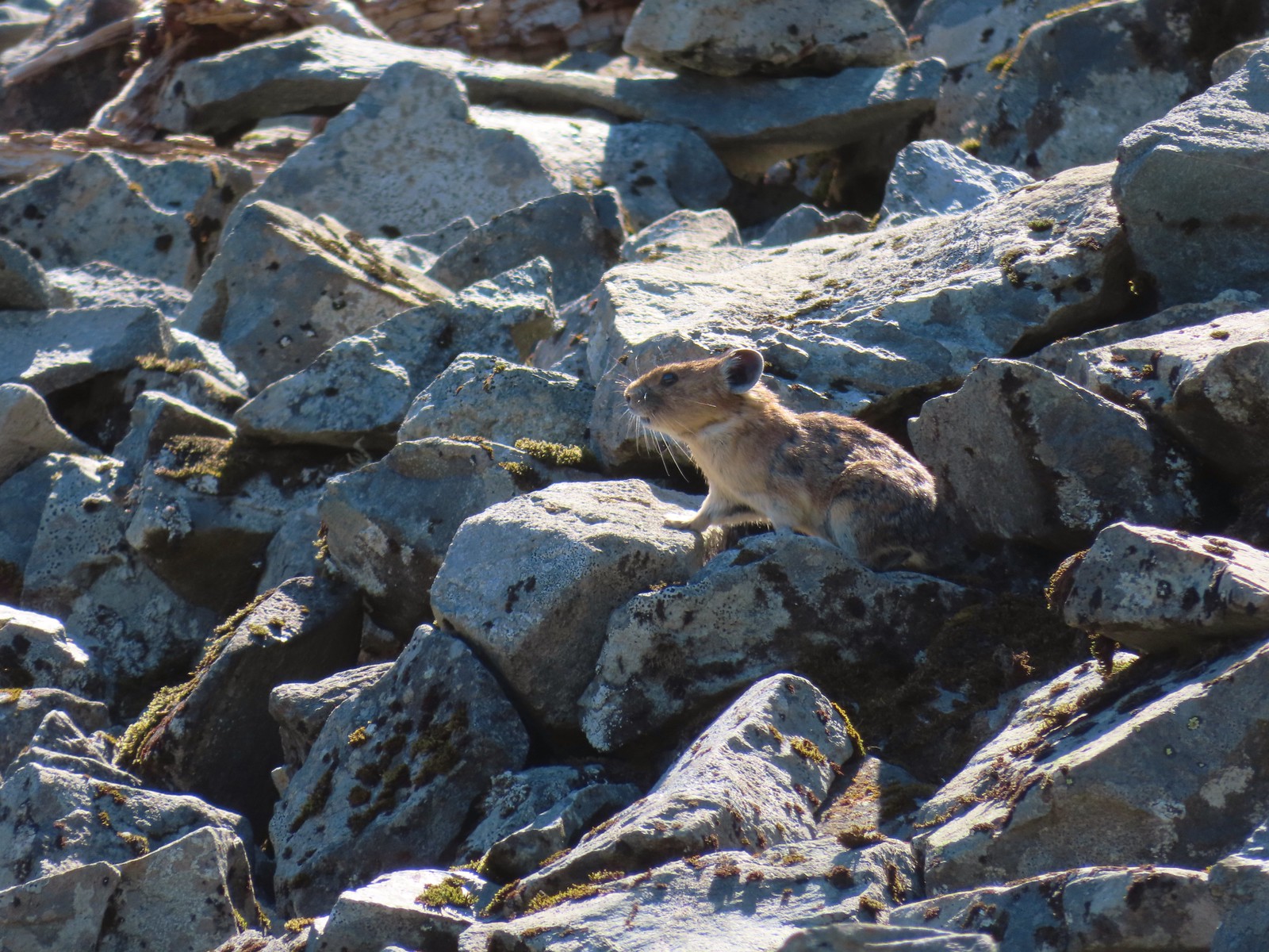 Pika – Silver Star Mountain
 Muskrat – Julia Butler Hansen – Wildlife Refuge
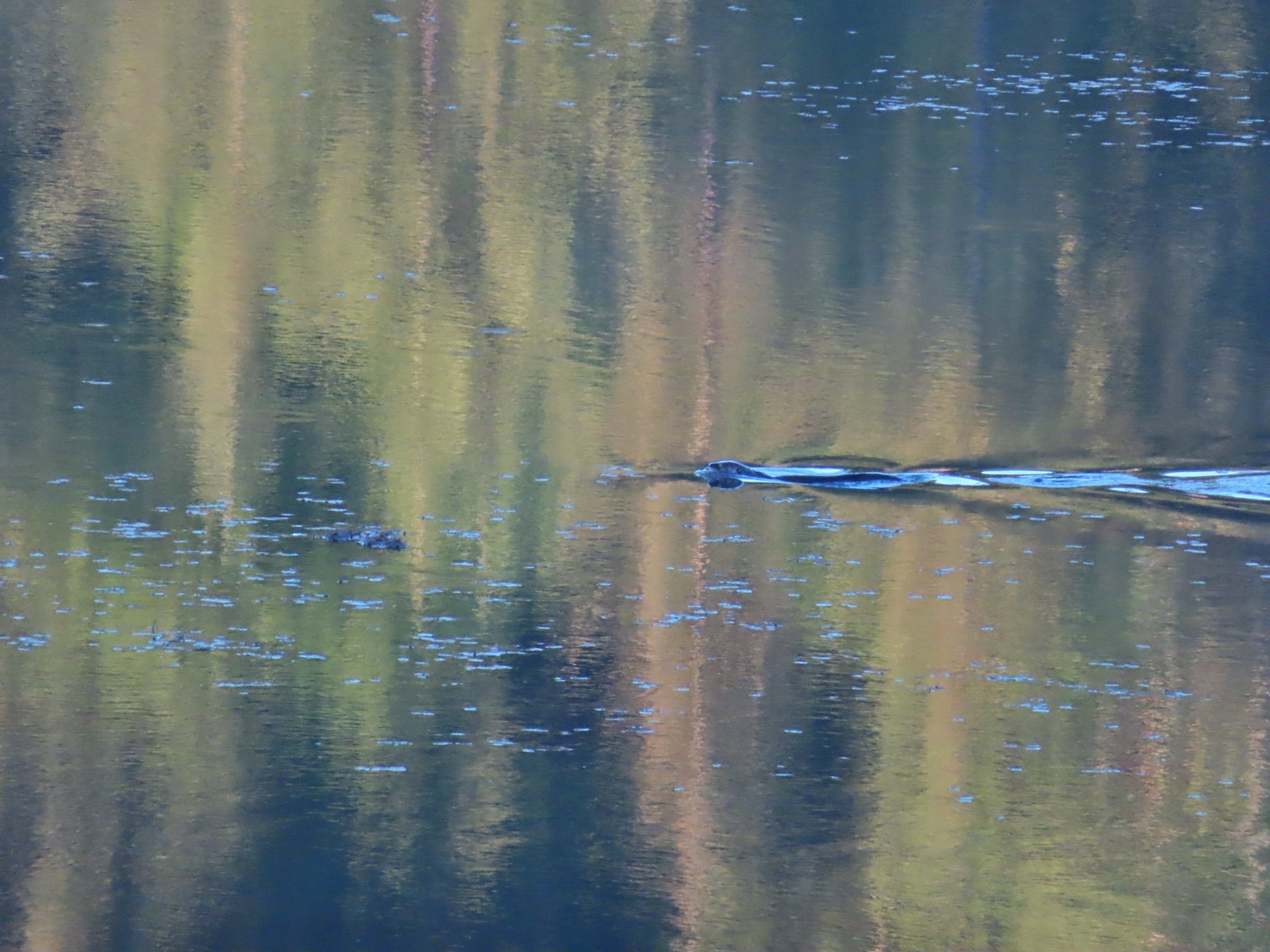 Otter – Killin Wetlands
 Sea lion – Hart’s Cove
 Deer – Memaloose Hills
 Doe – Miller Woods
 Mamma – Roxy Ann Peak
 Fawn – Roxy Ann Peak
 Columbian white-tailed buck – Julia Butler Hansen Wildlife Refuge
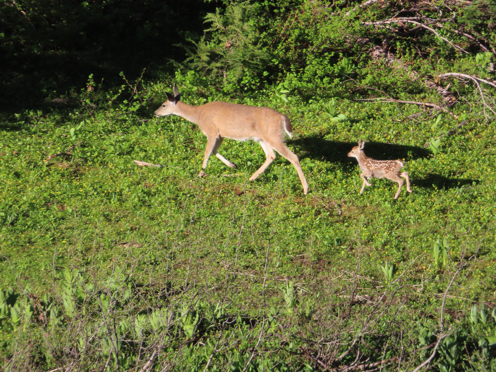 Doe & fawn – Donomore Meadows
 Three bucks – Siskiyou Wilderness
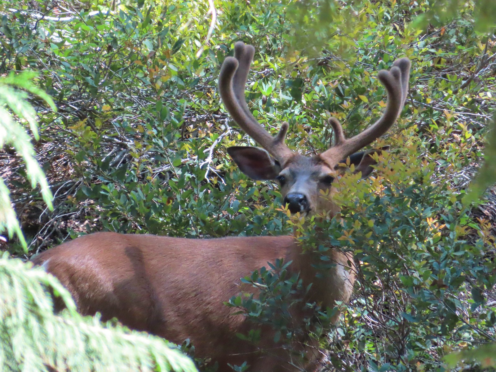 Buck – Siskiyou Wilderness
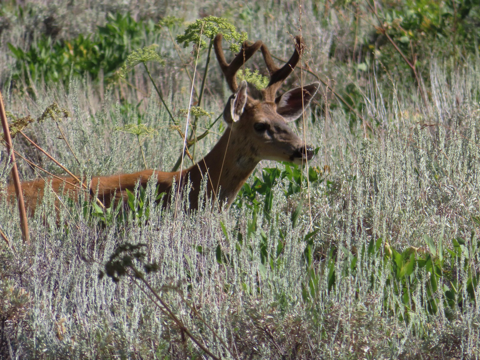 Buck – Trinity Alps Wilderness
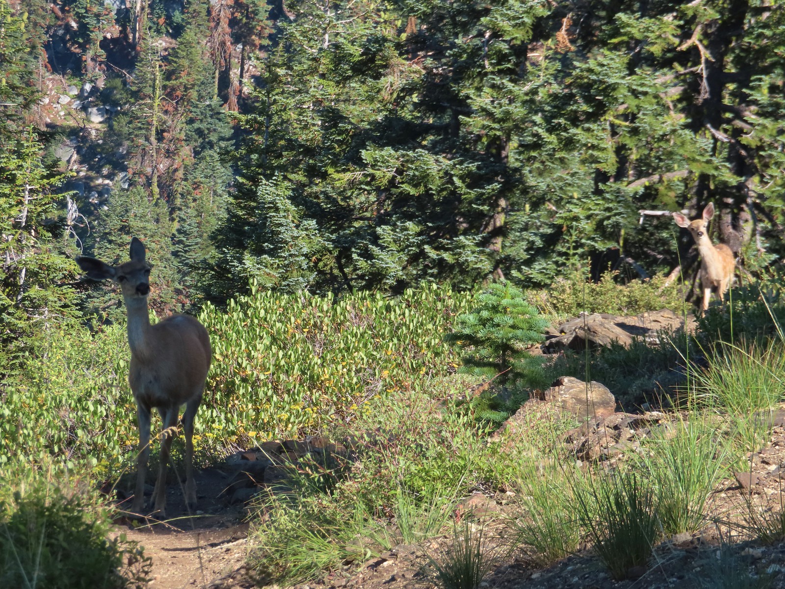 Doe & fawn – Russian Wilderness
 Buck and does – Russian Wilderness
 Two bucks – Crater Lake National Park
 Elk – Yakona Nature Preserve
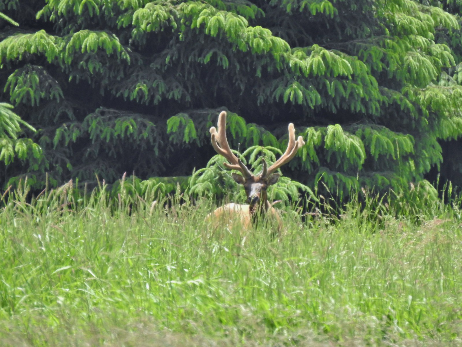 Bull elk – Julia Butler Hansen Wildlife Refuge
 Mountain goat below the Mt. Ireland Lookout – Mt. Ireland
 Domestic goat – Near the Julia Butler Hansen Wildlife Refuge
 Black bear – Siskiyou Wilderness
 The same black bear making eye contact the day before.
 Hummingbird at Memaloose Hills in May.
 Hummingbird at Upper Table Rock in May.
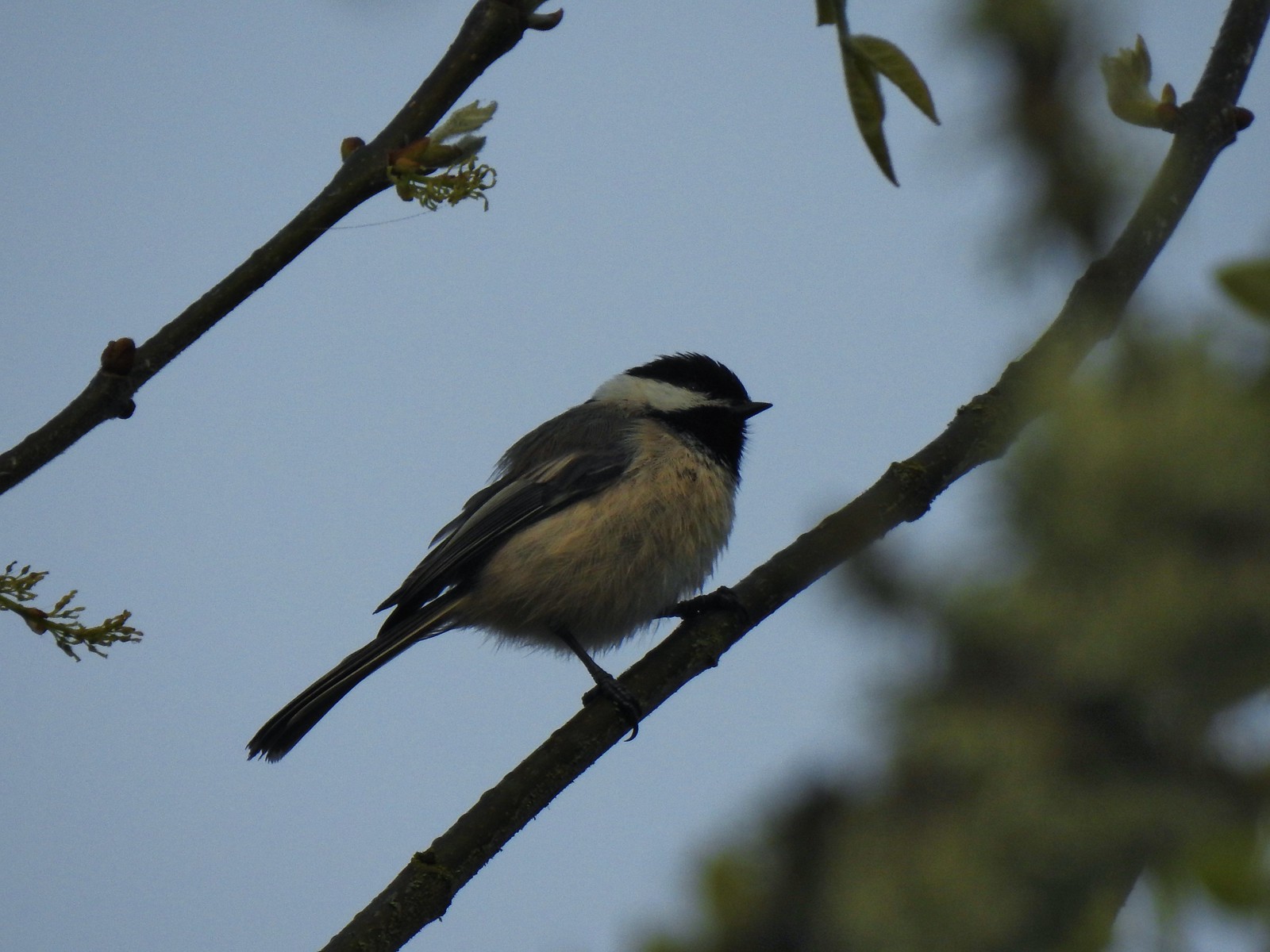 Black capped chickadee at Ankeny Wildlife Refuge in April.
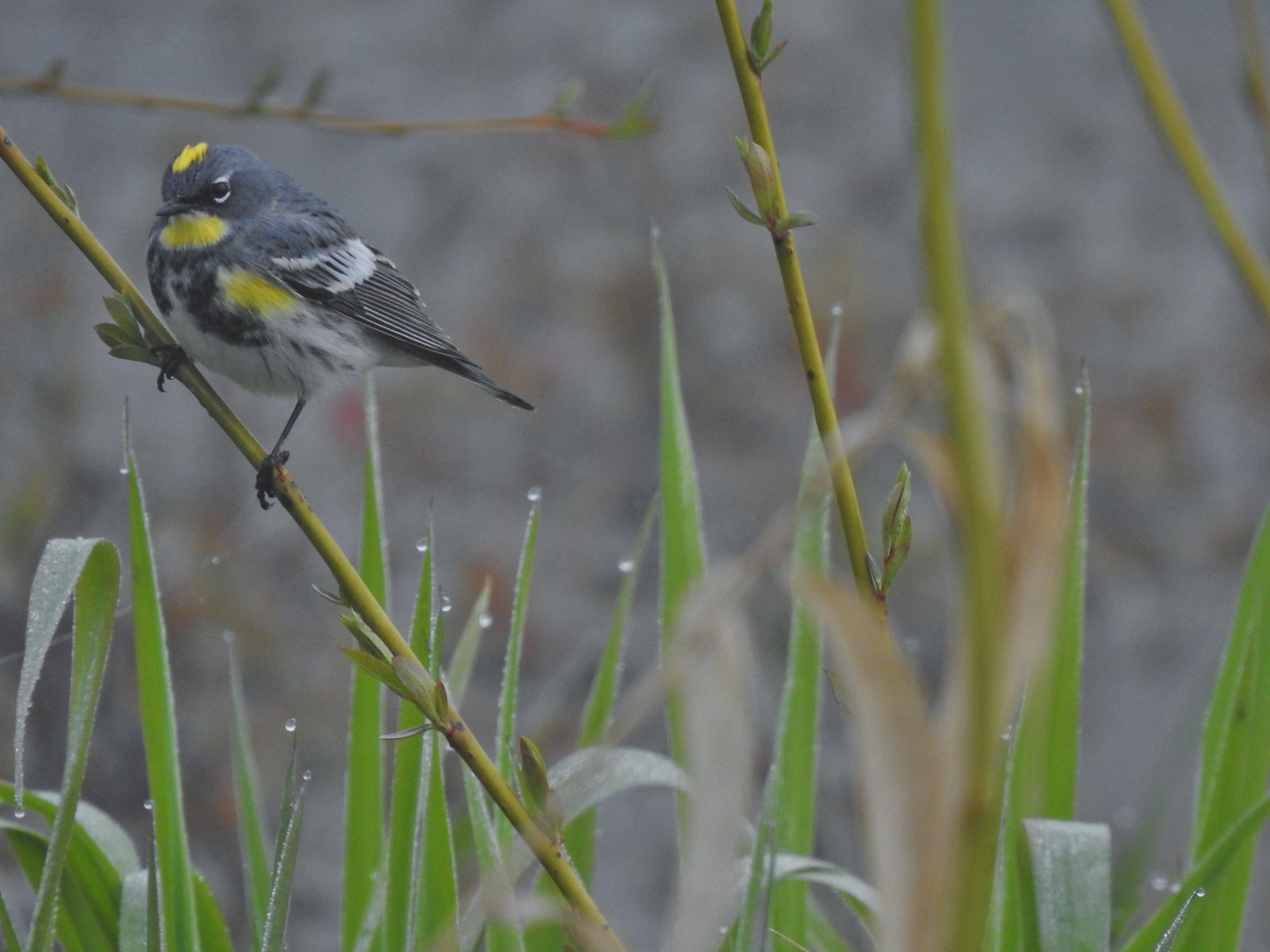 Yellow-rumped warbler (Audubon’s) at Ankeny Wildlife Refuge in April.
 Wren (marsh?) at Ankeny Wildlife Refuge in April.
 White-crowned sparrow at Ankeny Wildlife Refuge in April.
 Sparrow? at Ankeny Wildlife Refuge in April.
 Common yellow throat at Ankeny Wildlife Refuge in April.
 Yellow-rumped warbler (Myrtle) at Ankeny Wildlife Refuge in April.
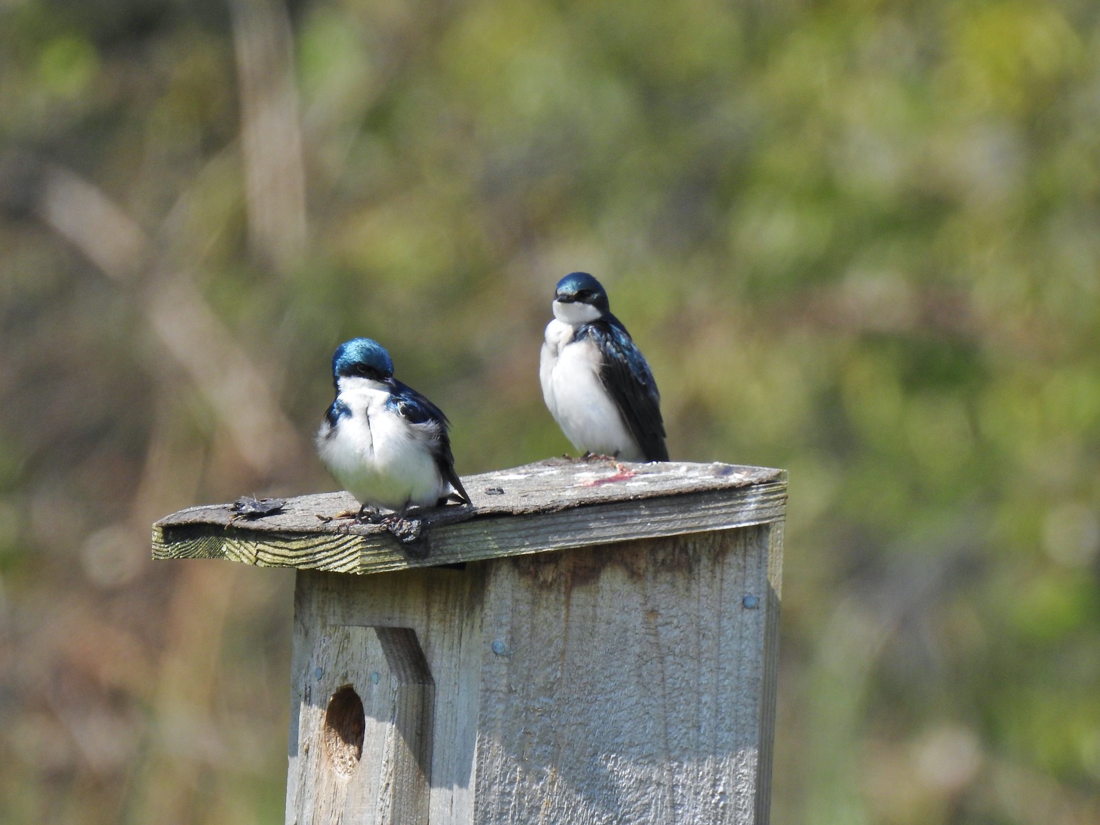 Tree swallows at Ankeny Wildlife Refuge in April.
 White-crowned sparrow and a wren at Miller Woods in May.
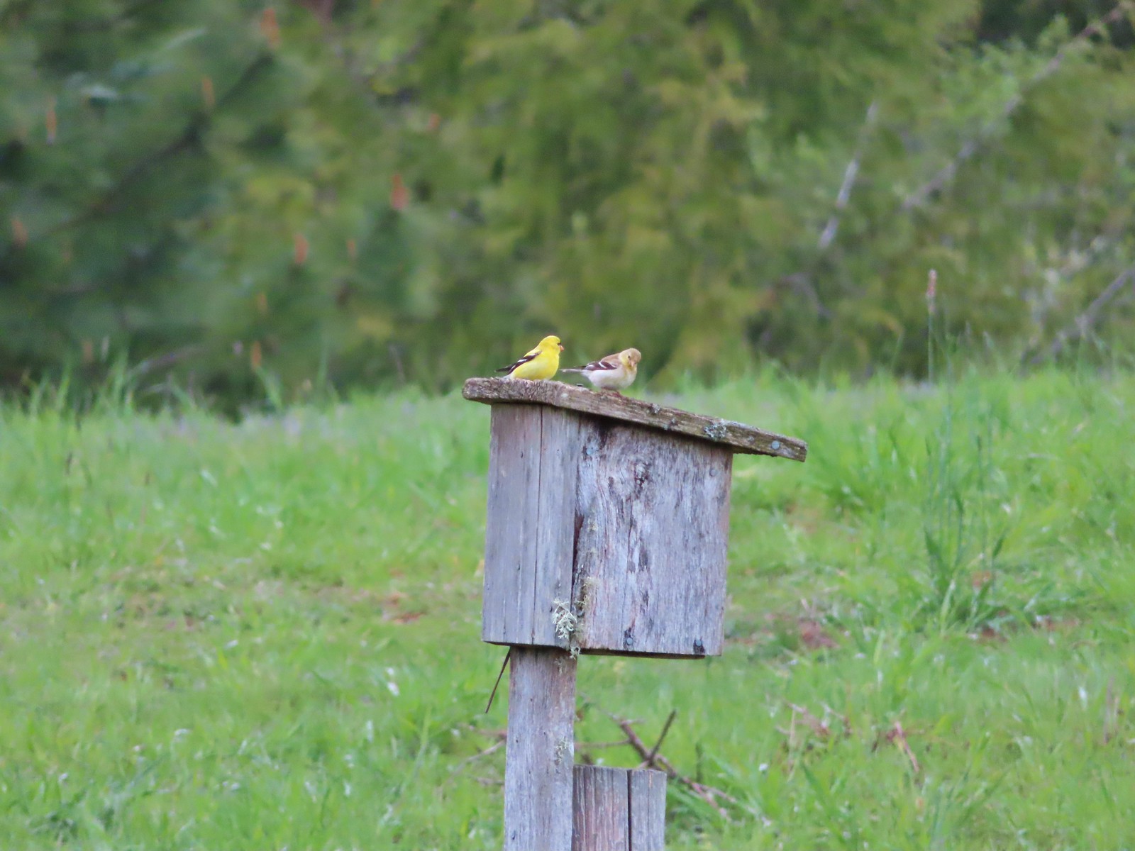 American goldfinch pair at Miller Woods in May.
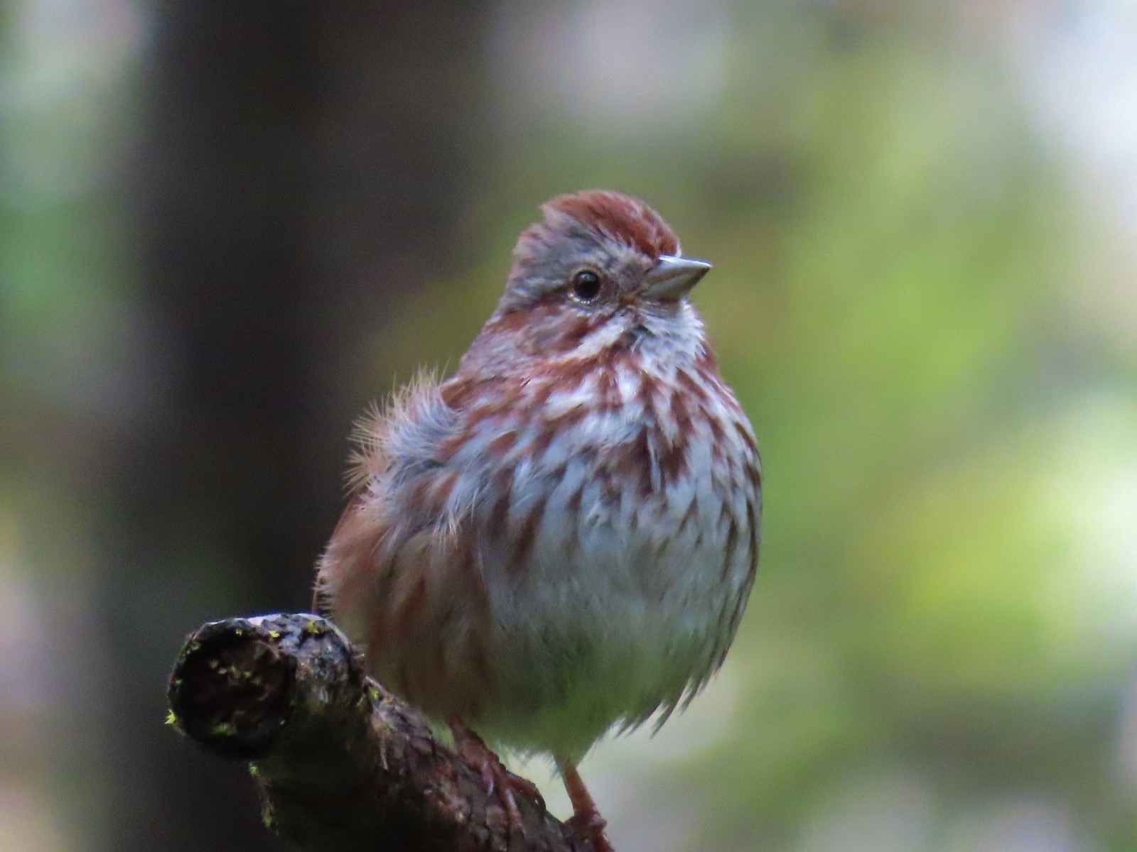 Another sparrow at Miller Woods in May.
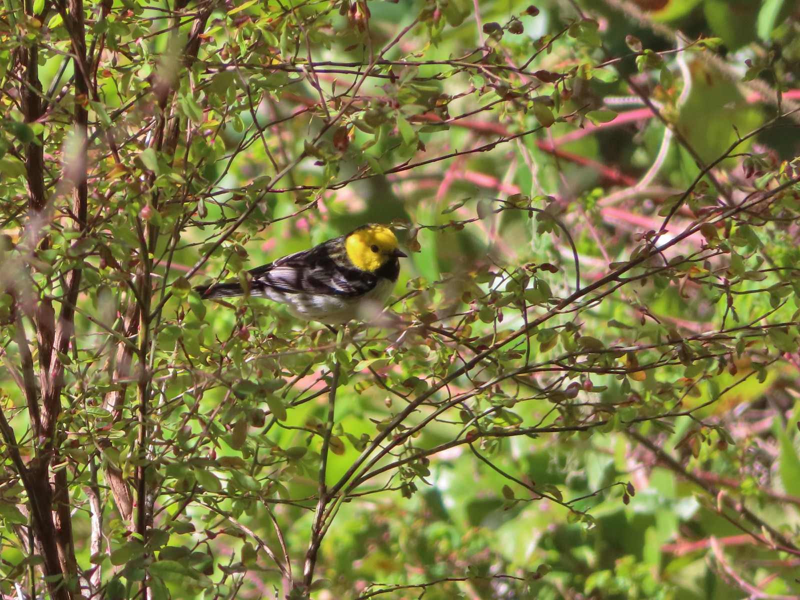 Hermit warbler? near Kings Mountain in May.
 House finch? at Upper Table Rock in May.
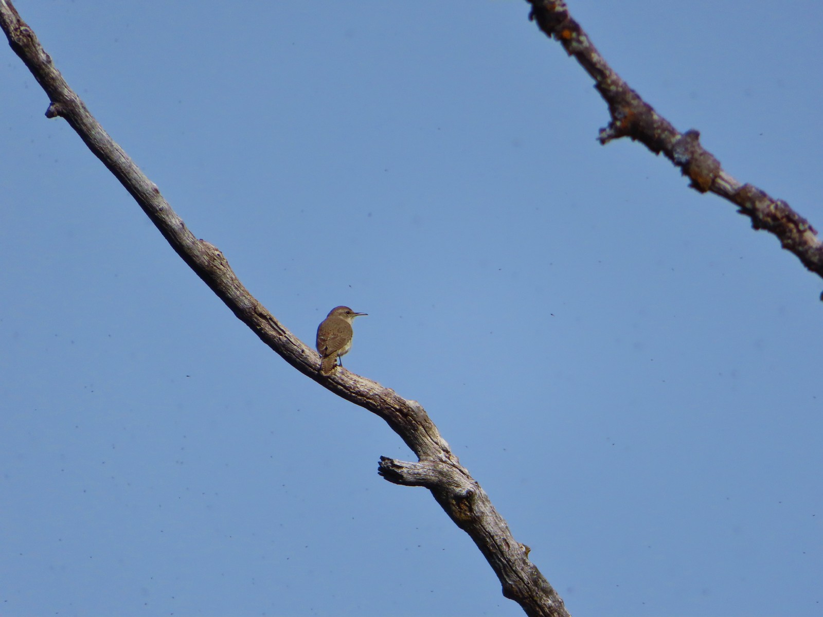 Rock wren? at Upper Table Rock in May.
 Ash-throated flycatcher at Denman Wildlife Area in May.
 Unknown at Denman Wildlife Area in May.
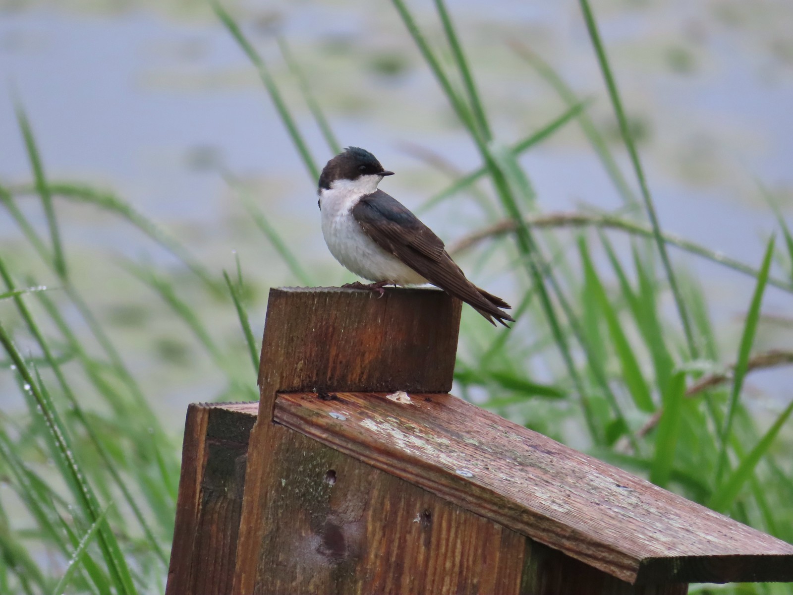 Swallow at Julia Hansen Butler Wildlife Refuge in June.
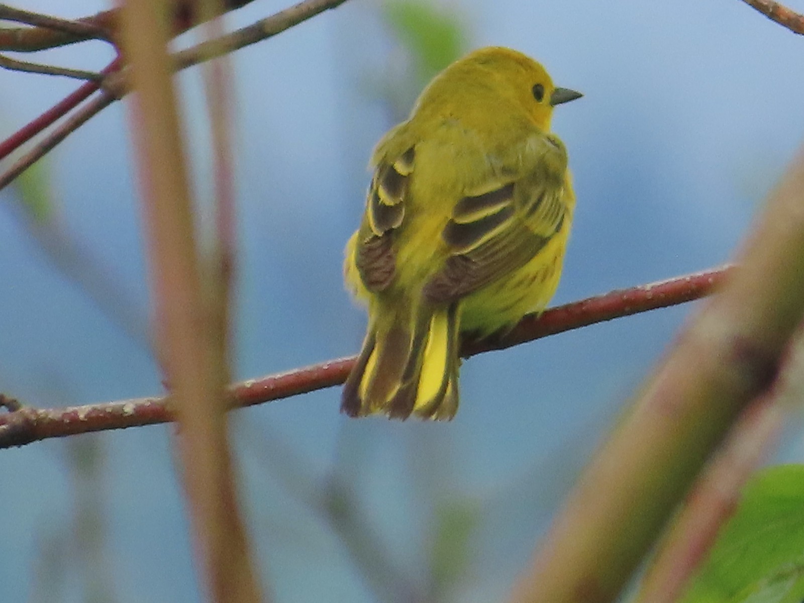 Some sort of warbler? at Julia Hansen Butler Wildlife Refuge in June.
 Purple martins at Julia Hansen Butler Wildlife Refuge in June.
 Another wren at Julia Hansen Butler Wildlife Refuge in June.
 Unknown at Julia Hansen Butler Wildlife Refuge in June.
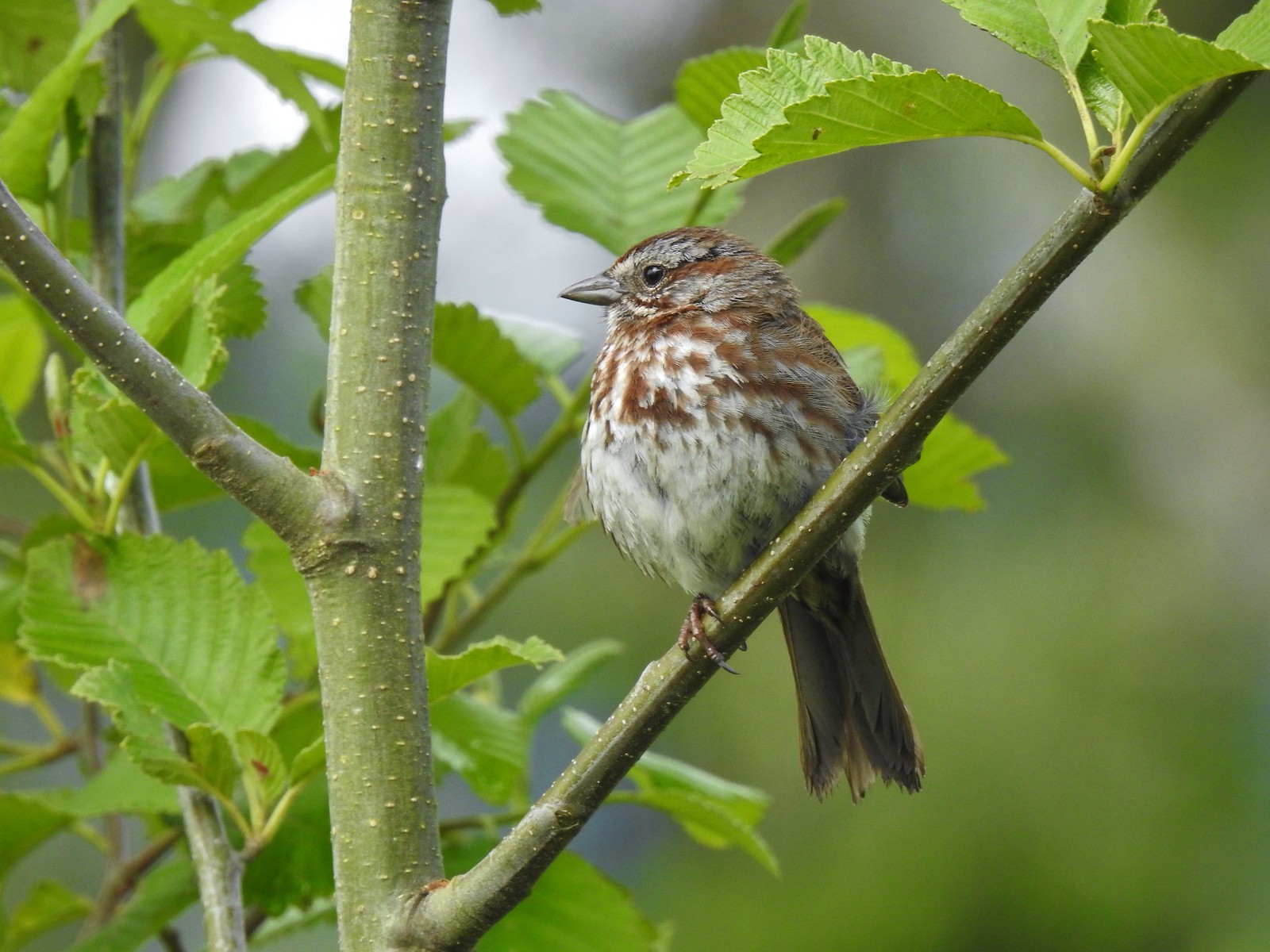 Sparrow? at Julia Hansen Butler Wildlife Refuge in June.
 Warbler? at Julia Hansen Butler Wildlife Refuge in June.
 Black phoebe? at Julia Hansen Butler Wildlife Refuge in June.
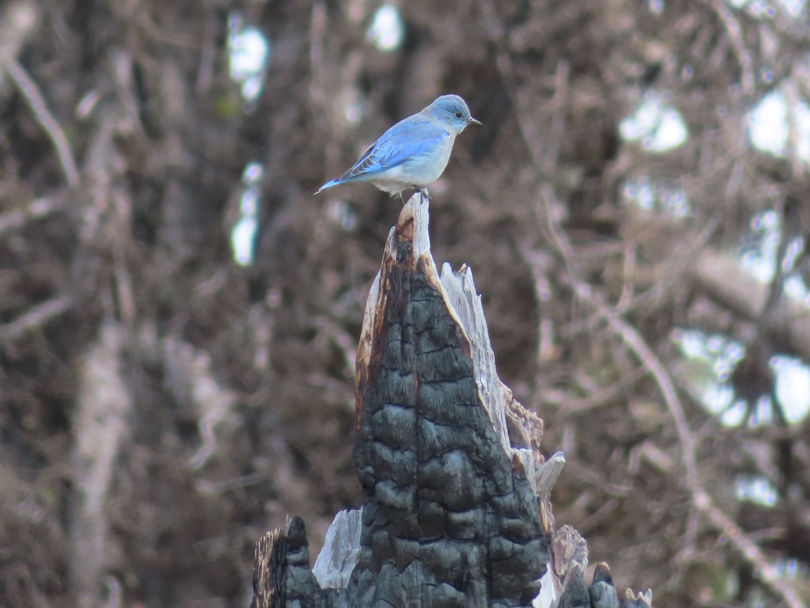 Mountain bluebird near Union Peak in September.
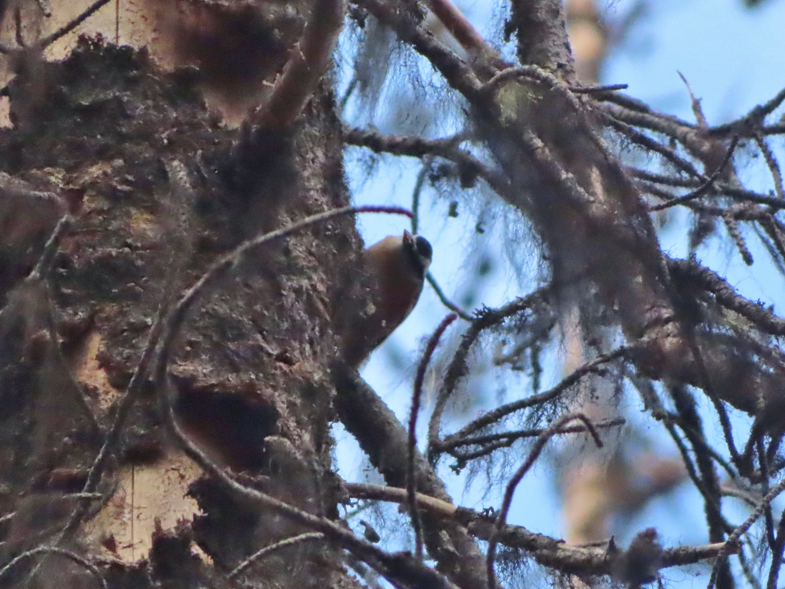 Red-breasted nuthatch (best I could get) at Crater Lake in September.
 Red crossbilss at Crater Lake in September.
 Wren on the Eagle Creek Trail in November.
 Dark eyed junco at Waverly Lake in December.
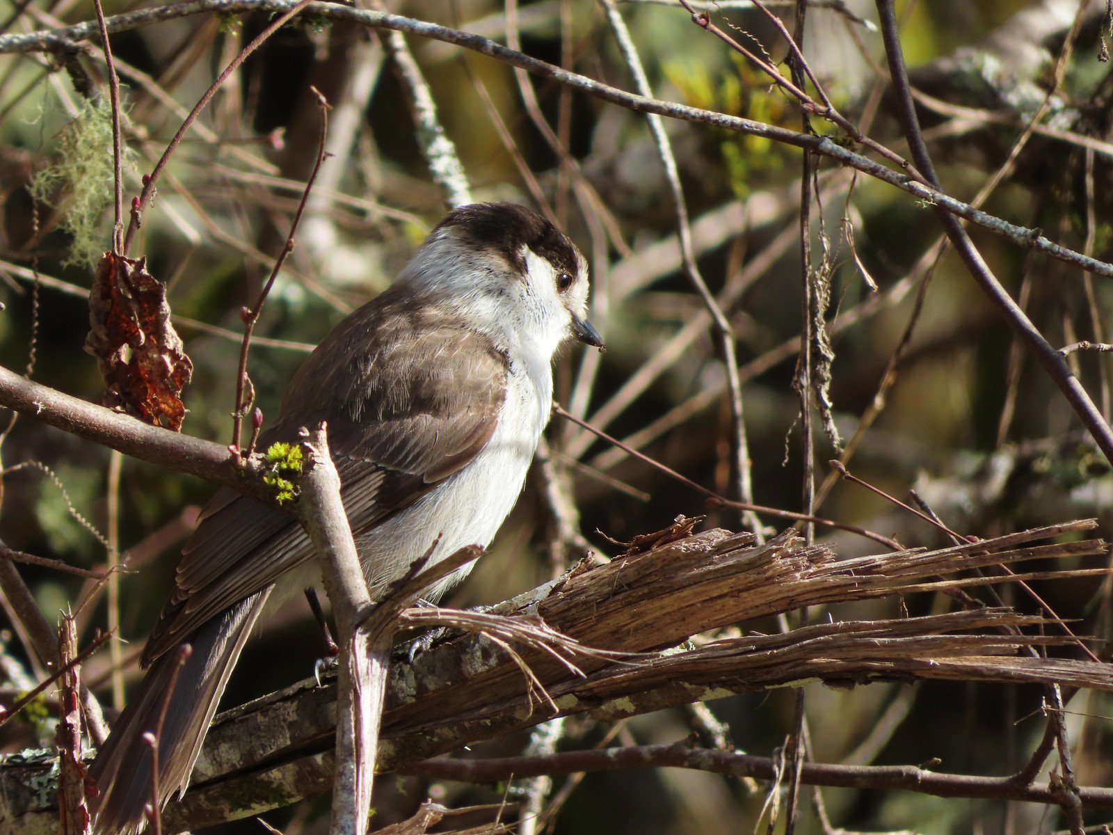 Canada jay (grey jay) along the Crown Zellerbach Trail in March.
 California scrub jay along the Balfour-Klickitat Trail in April.
 Stellar’s jay along the Hood River Pipeline Trail in May.
 Female red-winged blackbird at Ankeny Wildlife Refuge in April.
 Red-winged blackbird at Ankeny Wildlife Refuge in April.
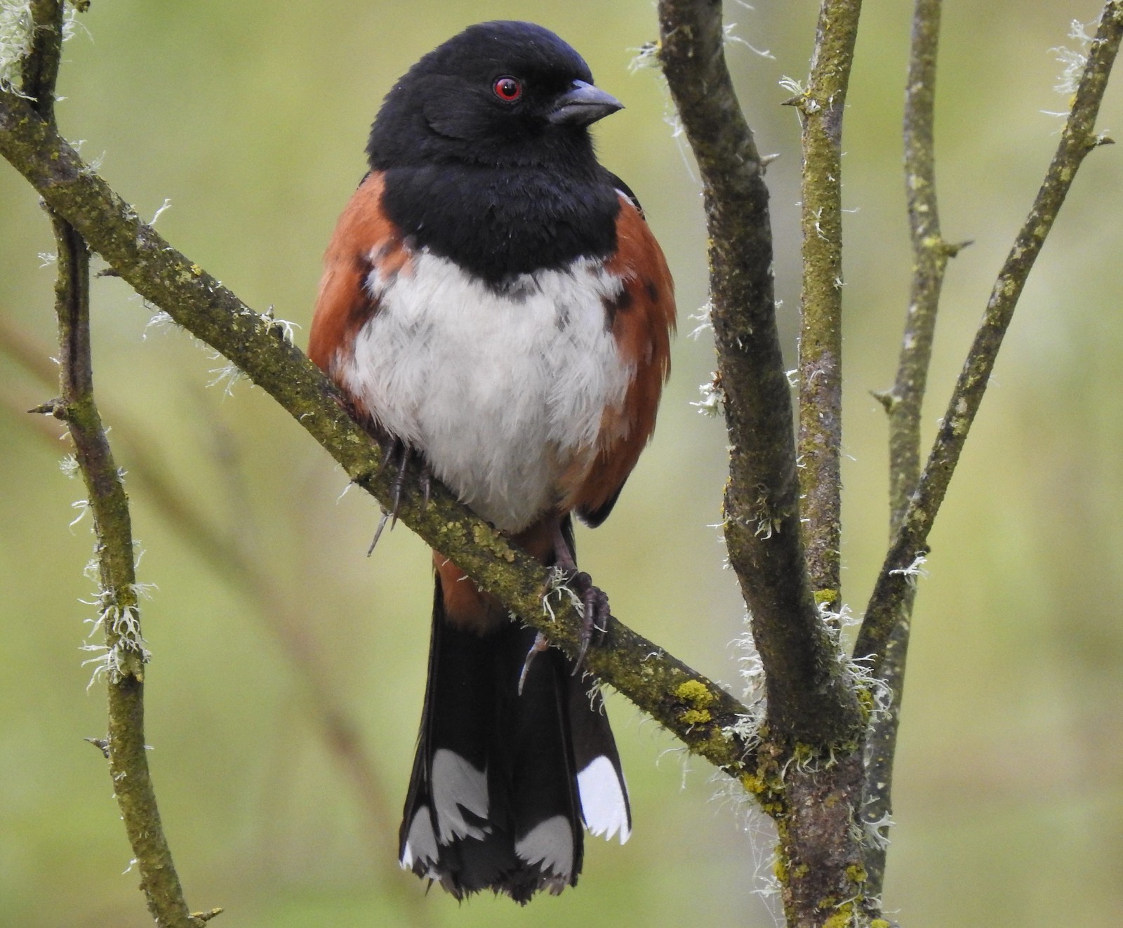 Spotted towhee at Ankeny Wildlife Refuge in April.
 Starlings along the Hood River Pipeline Trail in May.
 Brownheaded cowbird at Upper Table Rock in May.
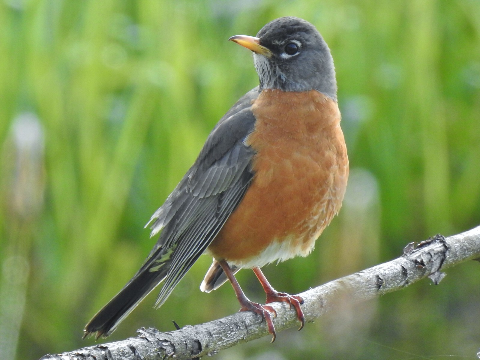 American robin at Ankeny Wildlife Refuge in April.
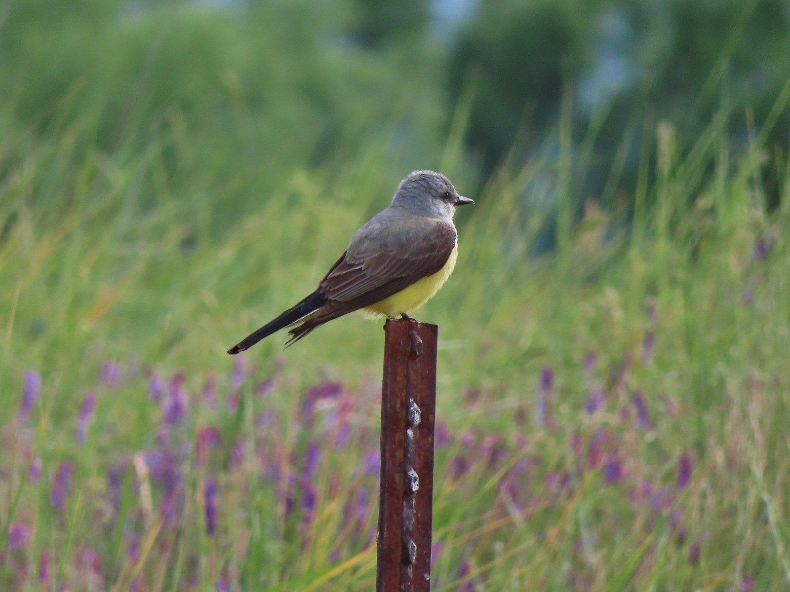 Tropical kingbird? at Denman Wildlife Area in May.
 Black-headed grosbeak (also all I could get) at Applegate Lake in May.
 Lazuli bunting at Roxy Ann Peak in May.
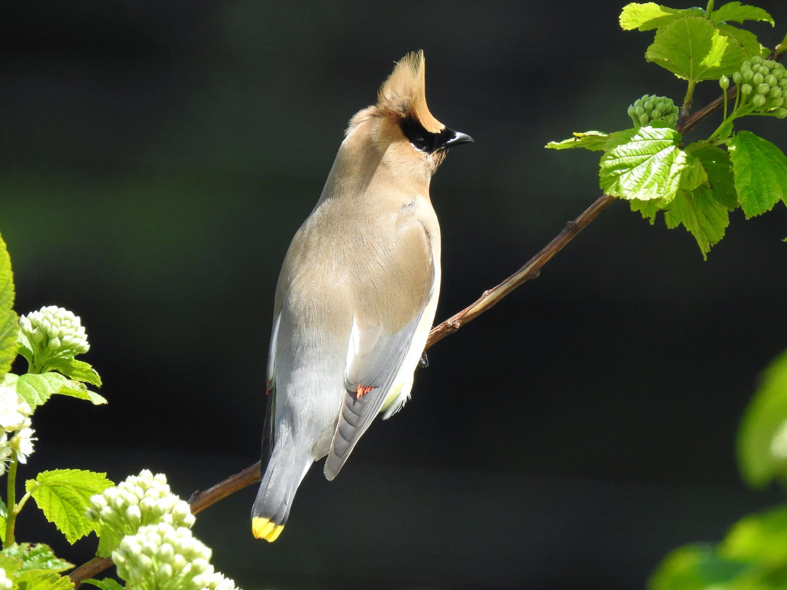 Cedar waxwing at Julia Hansen Butler Wildlife Refuge in June.
 Western tanagers, Siskiyou Wilderness in July.
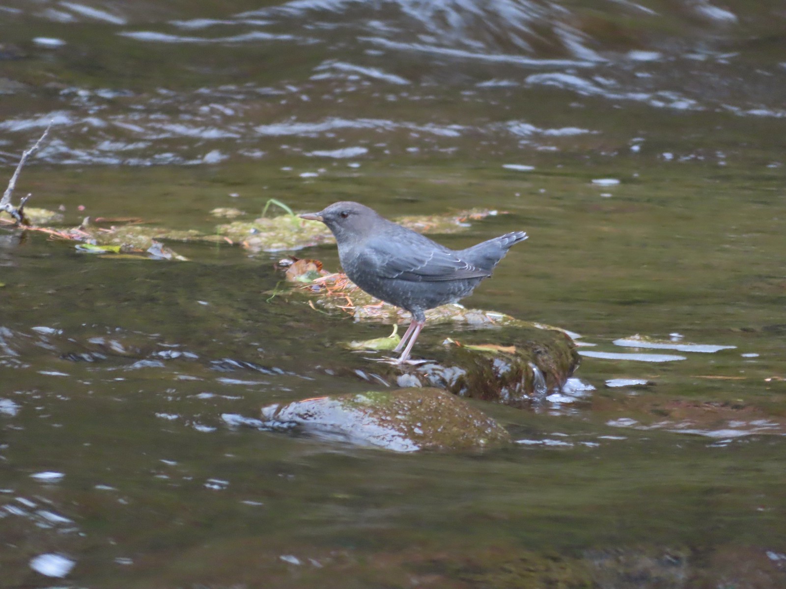 American dipper (Ouzel) near South Umpqua Falls in September.
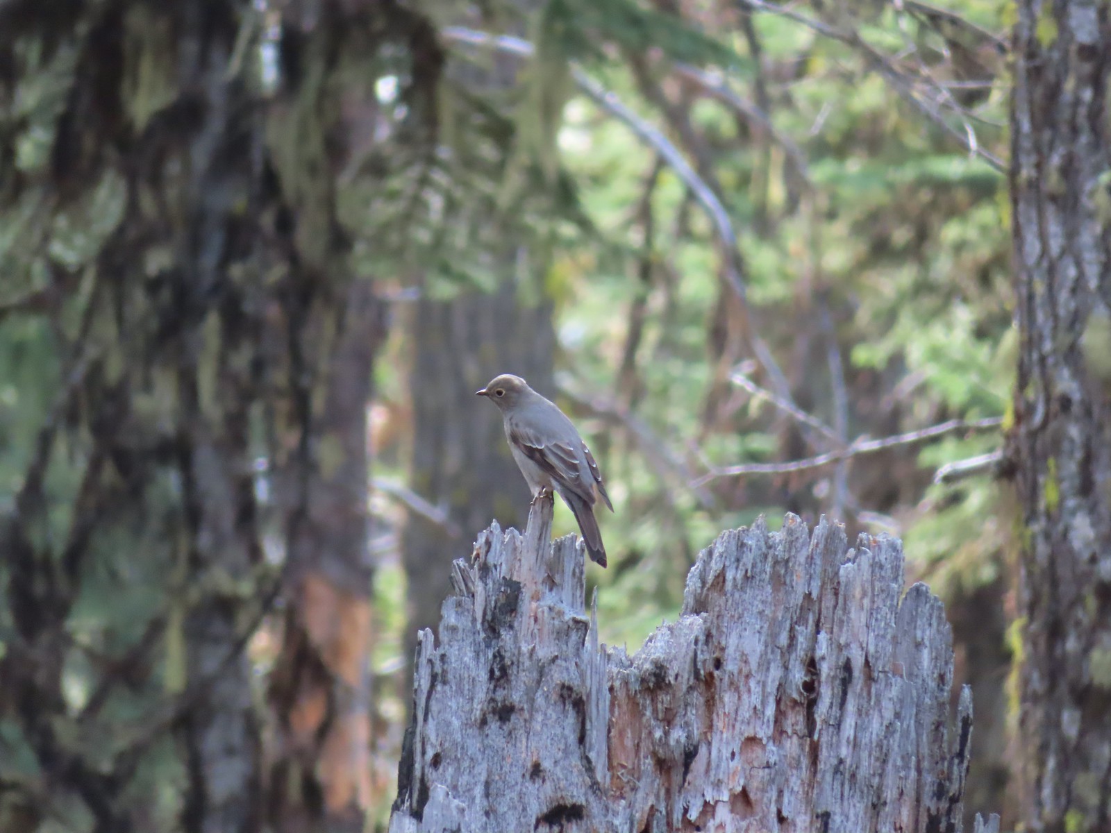 Townsends solitaire at Crater Lake National Park in September.
 Clark’s nutcracker at Crater Lake National Park in September.
 Varied thrush along the Eagle Creek Trail in November.
 Unknown at Cascade Head in October.
 Forest Park in January.
 Northern flicker at Ankeny Wildlife Refuge in April. We seem to see flickers on nearly every hike, but they don’t often sit still long enough for us to get a decent picture.
 Pileated woodpecker at Chehalem Ridge Nature Park in May. We rarely see these but like the flickers, when we do they are very difficult to get a photo of.
 Acorn woodpecker at Denman Wildlife Area in May.
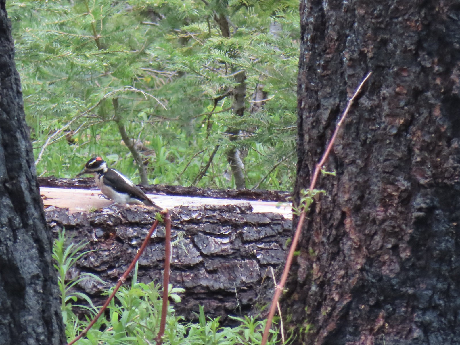 Hairy? woodpecker near Twin Lakes in the Umpqua National Forst in June.
 Red breasted sapsucker at E.E. Wilson Wildlife Area in July.
 Either a hairy or downy woodpecker along the Eagle Creek Trail in November.
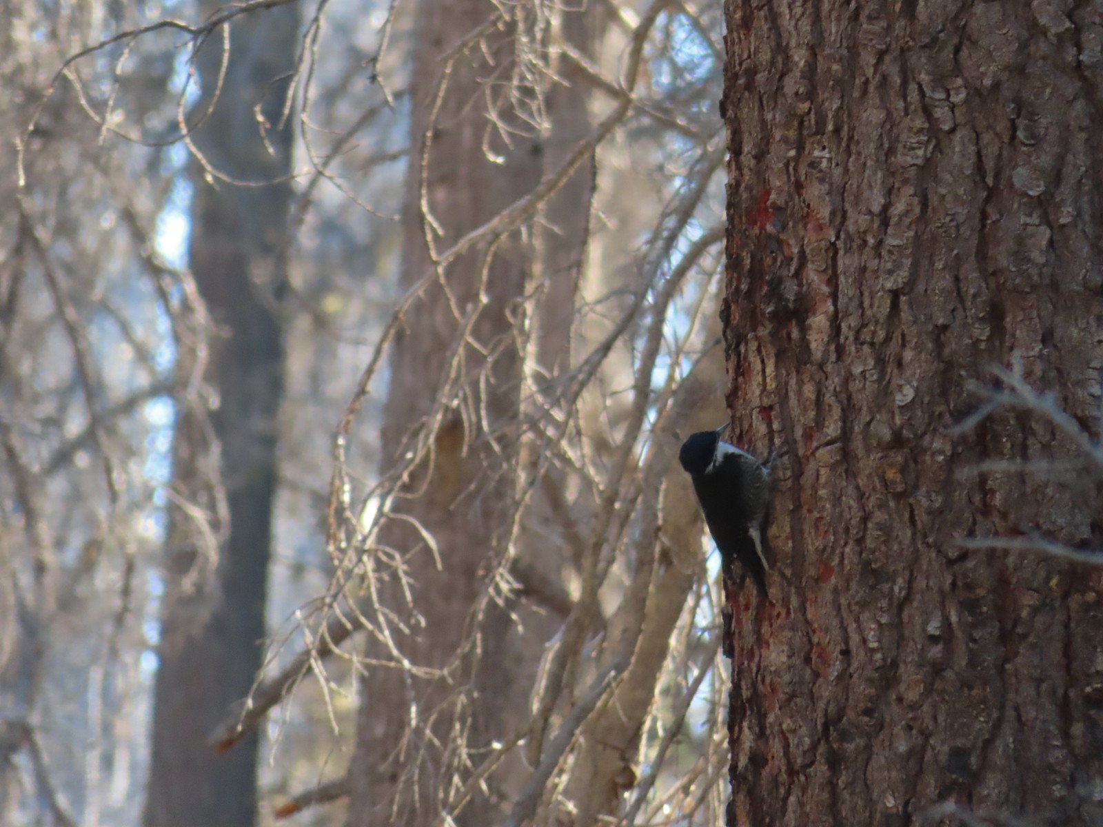 Unknown, Sky Lakes Wilderness in late September.
 Crow along the Crown Zellerbach Trail in March.
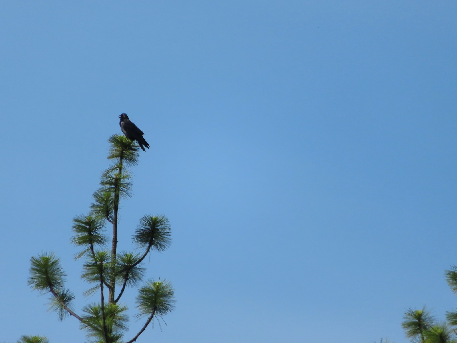 Raven at Upper Table Rock in May.
 Turkey Vulture at Julia Hansen Butler Wildlife Refuge in June.
 American kestral along the Crown Zellerbach Trail in March.
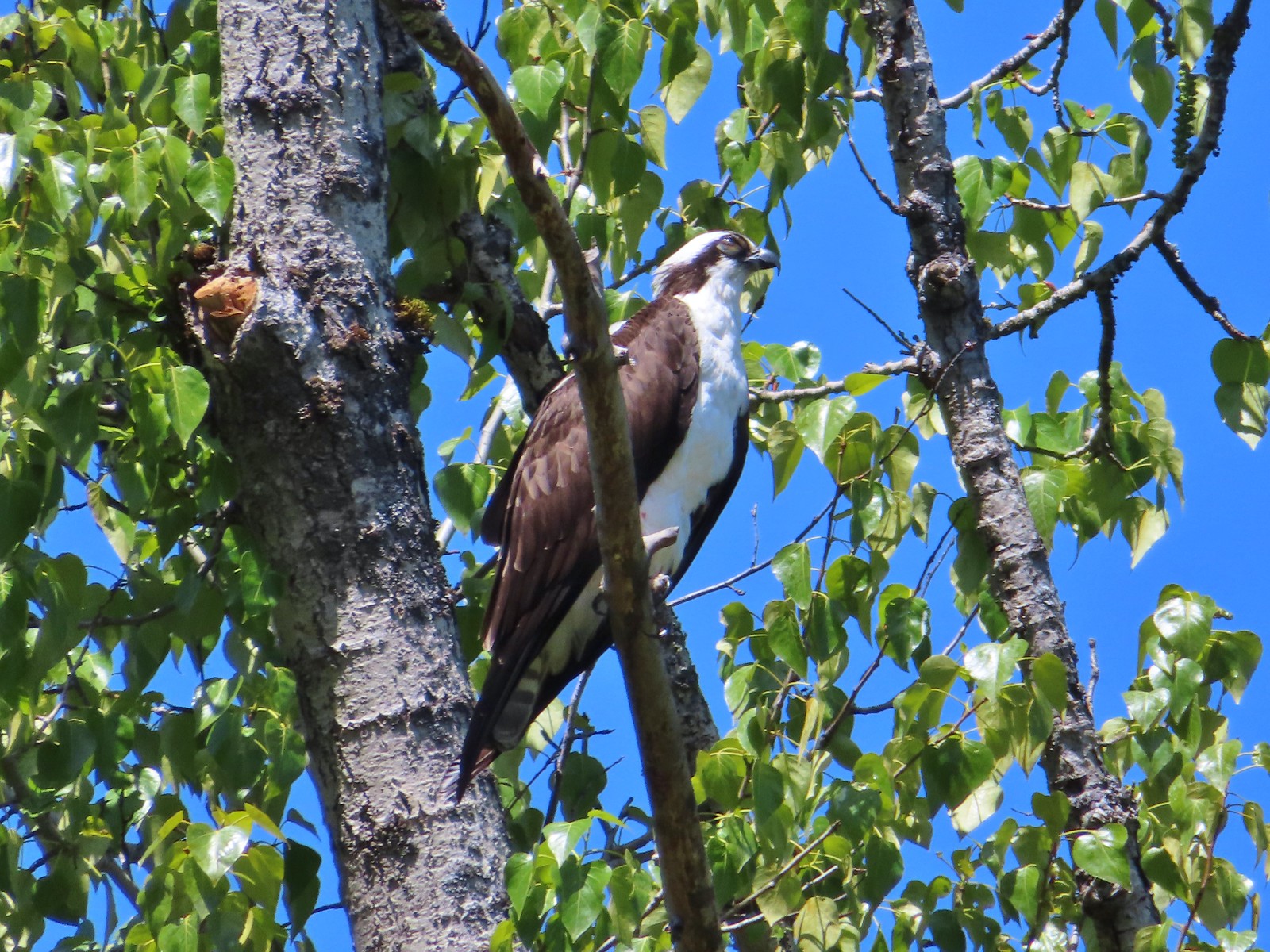 Osprey along the Hood River Pipeline Trail in May.
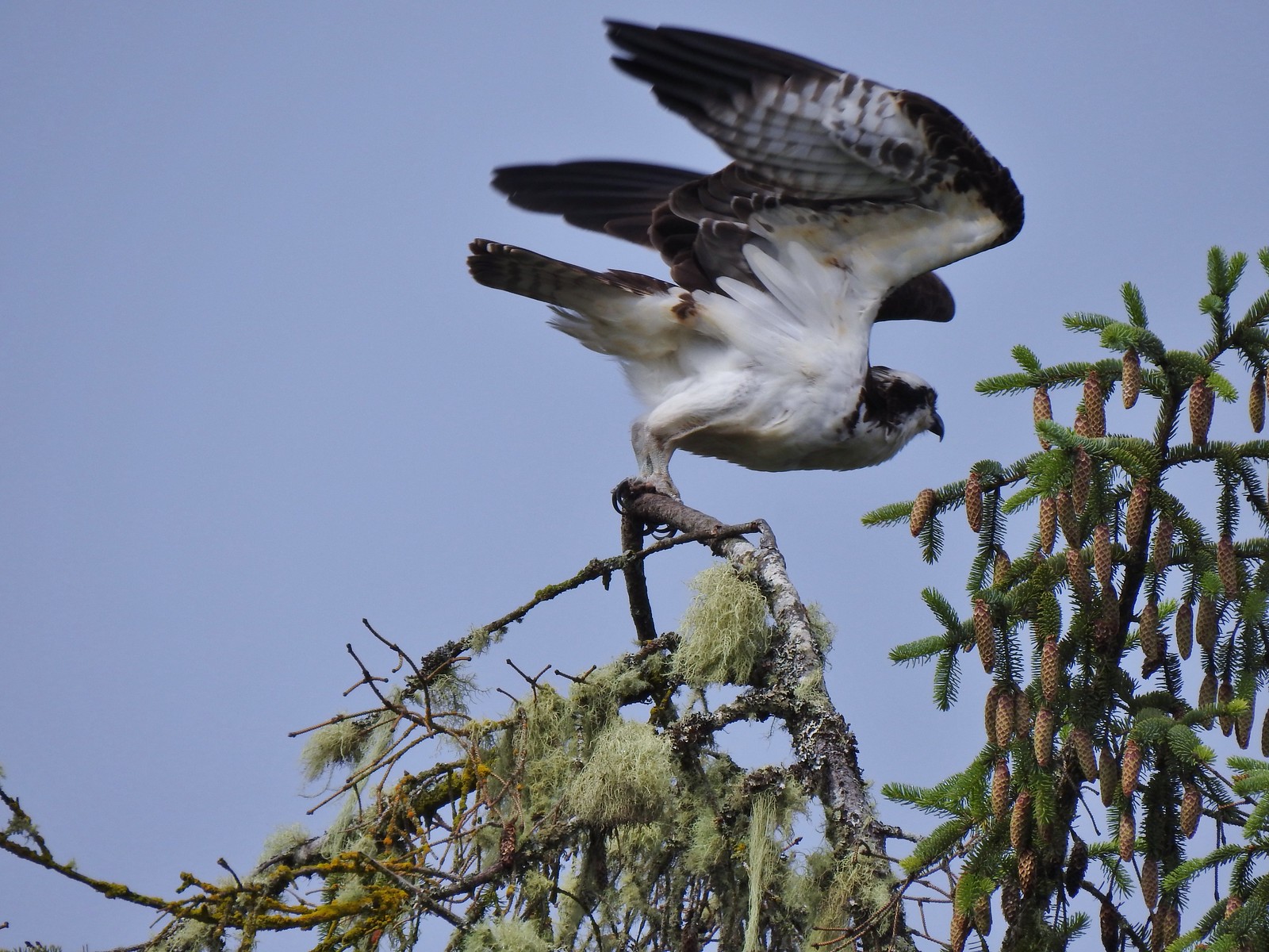 Another osprey at Julia Hansen Butler Wildlife Refuge in June.
 Bald eagle at Julia Hansen Butler Wildlife Refuge in June.
 Eagle in the Sky Lakes Wilderness in September. Not sure if it is a bald or golden.
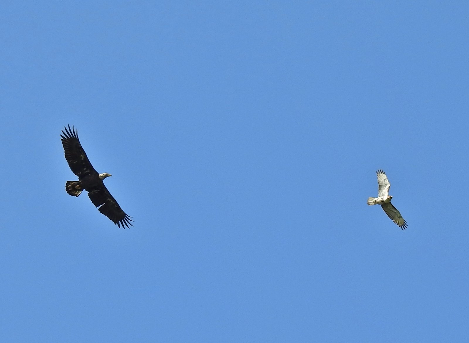 A bald eagle and hawk at Ankeny Wildlife Refuge in April.
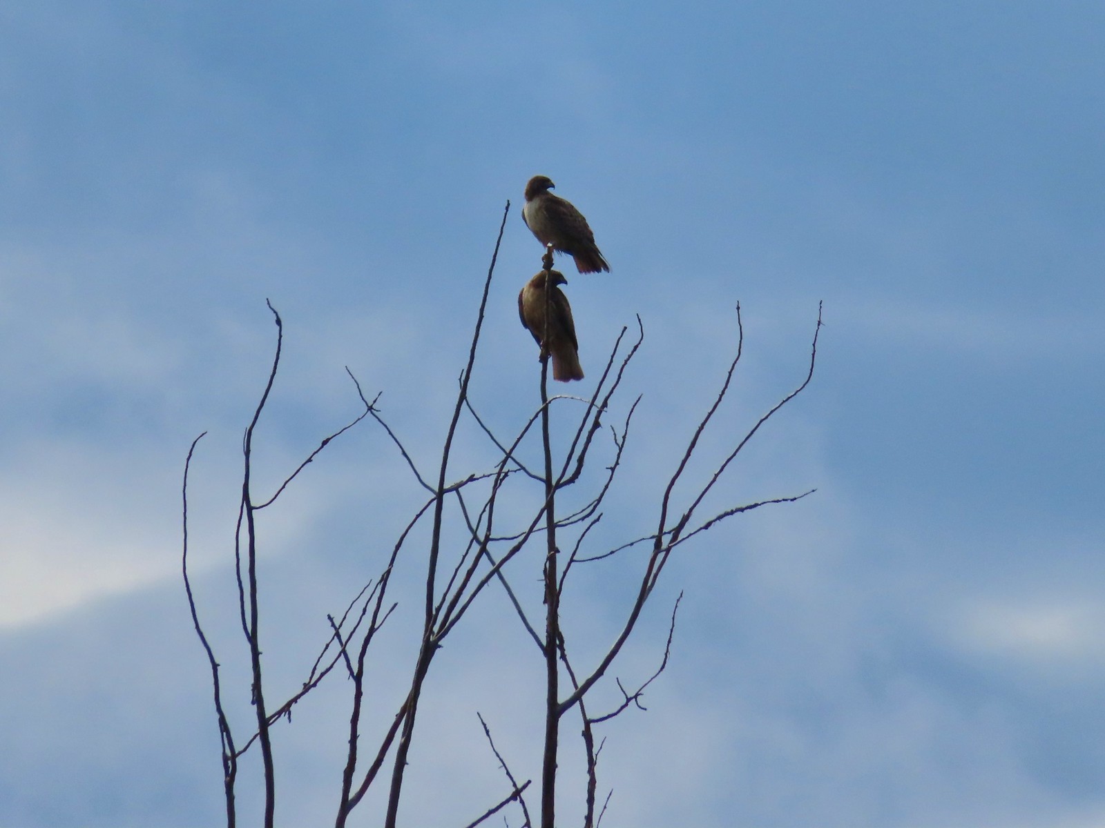 Pair of hawks at Denman Wildlife Area in May.
 Hawk at Denman Wildlife Area in May.
 Hawk at Julia Hansen Butler Wildlife Refuge in June.
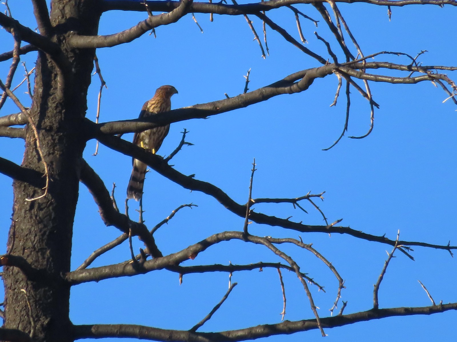 Hawk along the Pacific Crest Trail near Carter Meadows Summit in August.
 Hawk at Crater Lake National Park in September.
 Barred owl at Noble Woods in May.
 Great horned owl at Denman Wildlife Area in May.
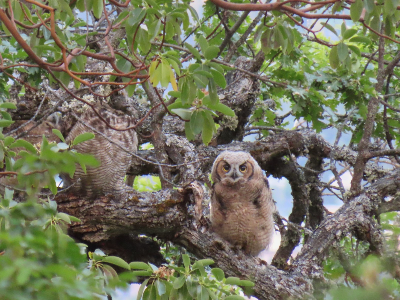 Young great horned owl at Roxy Ann Peak in May.
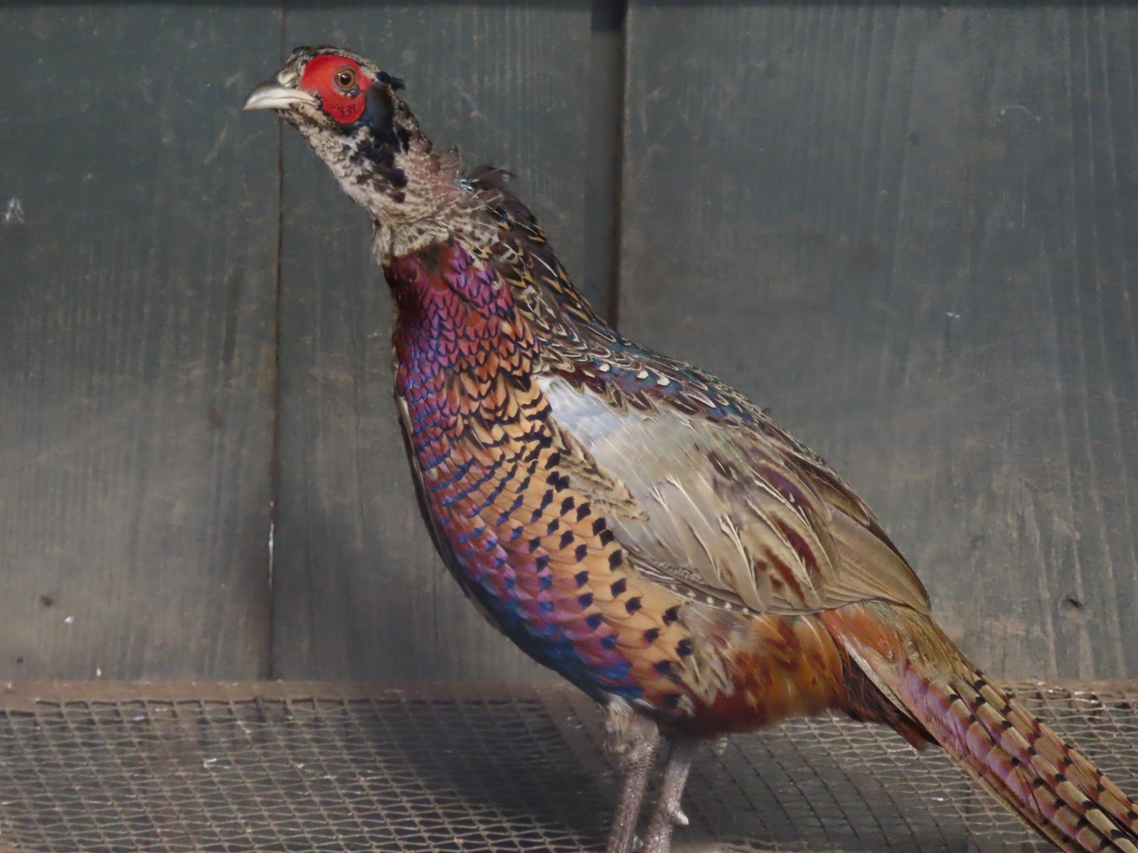 Ring-necked pheasant
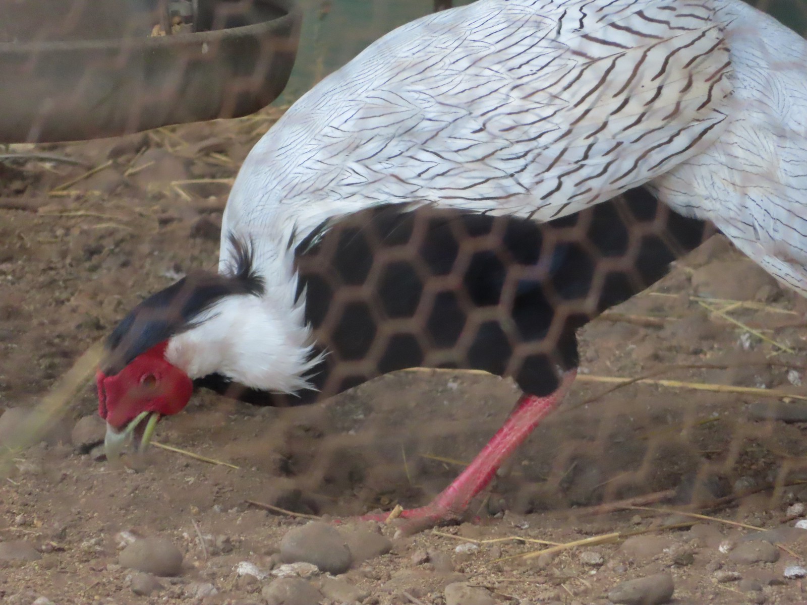 Silver pheasant
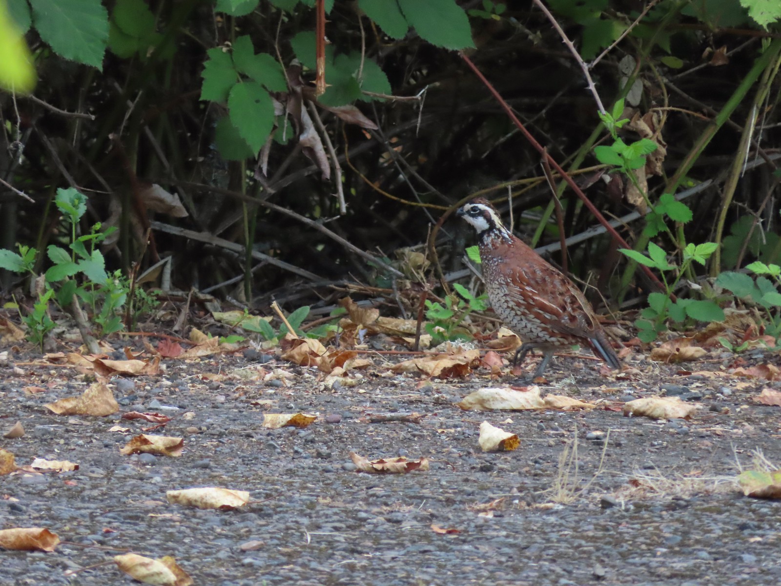 Near the breeding facility at E.E. Wilson Wildlife Area.
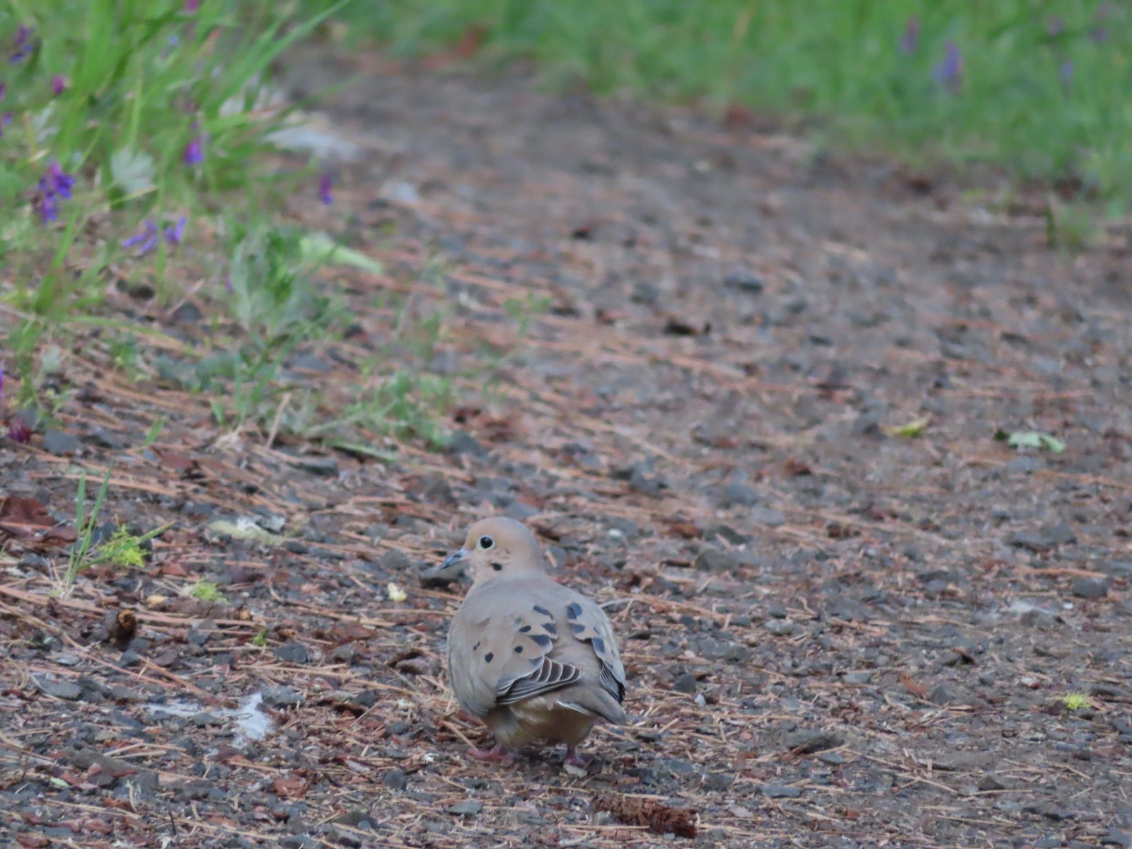 Mourning dove at Roxy Ann Peak a in May.
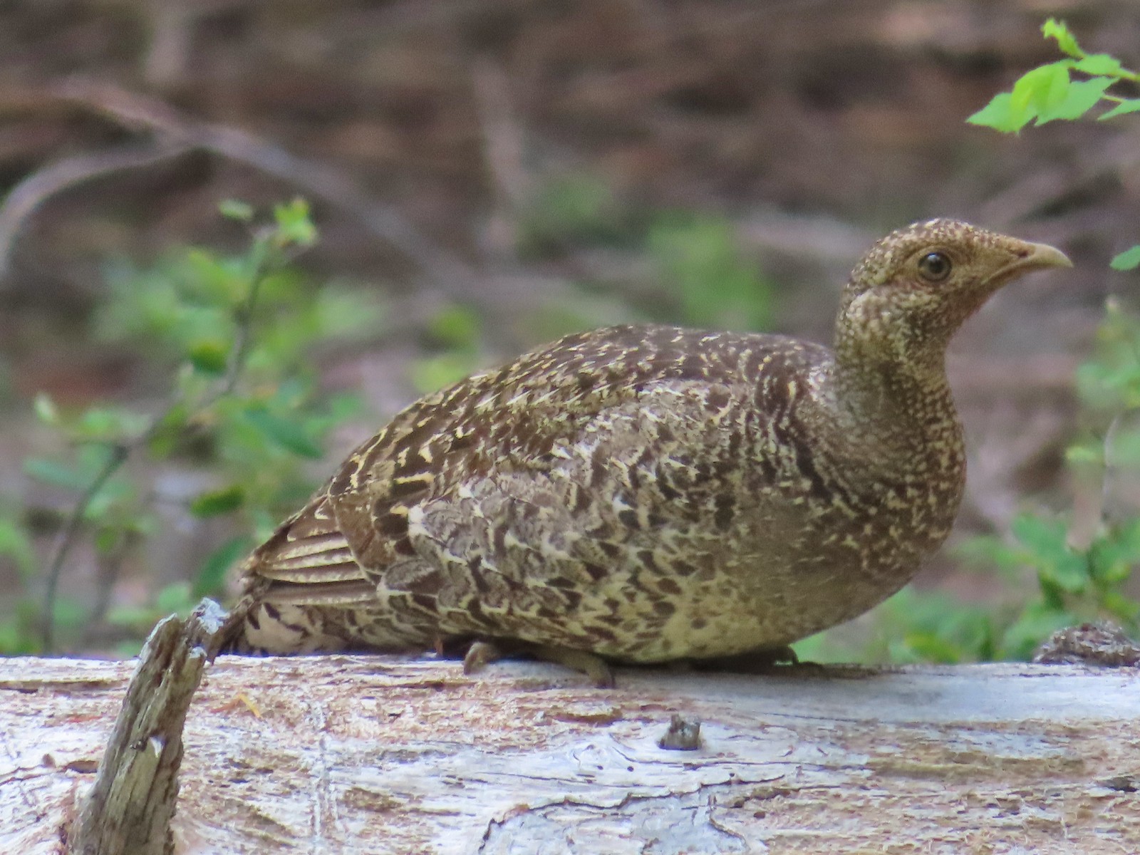 Grouse? in the Siskiyou Wilderness in July.
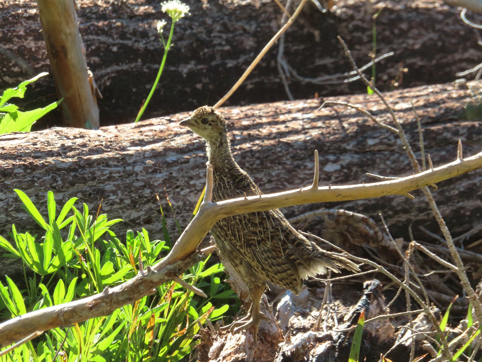 Grouse in the Mt. Adams Wilderness in August.
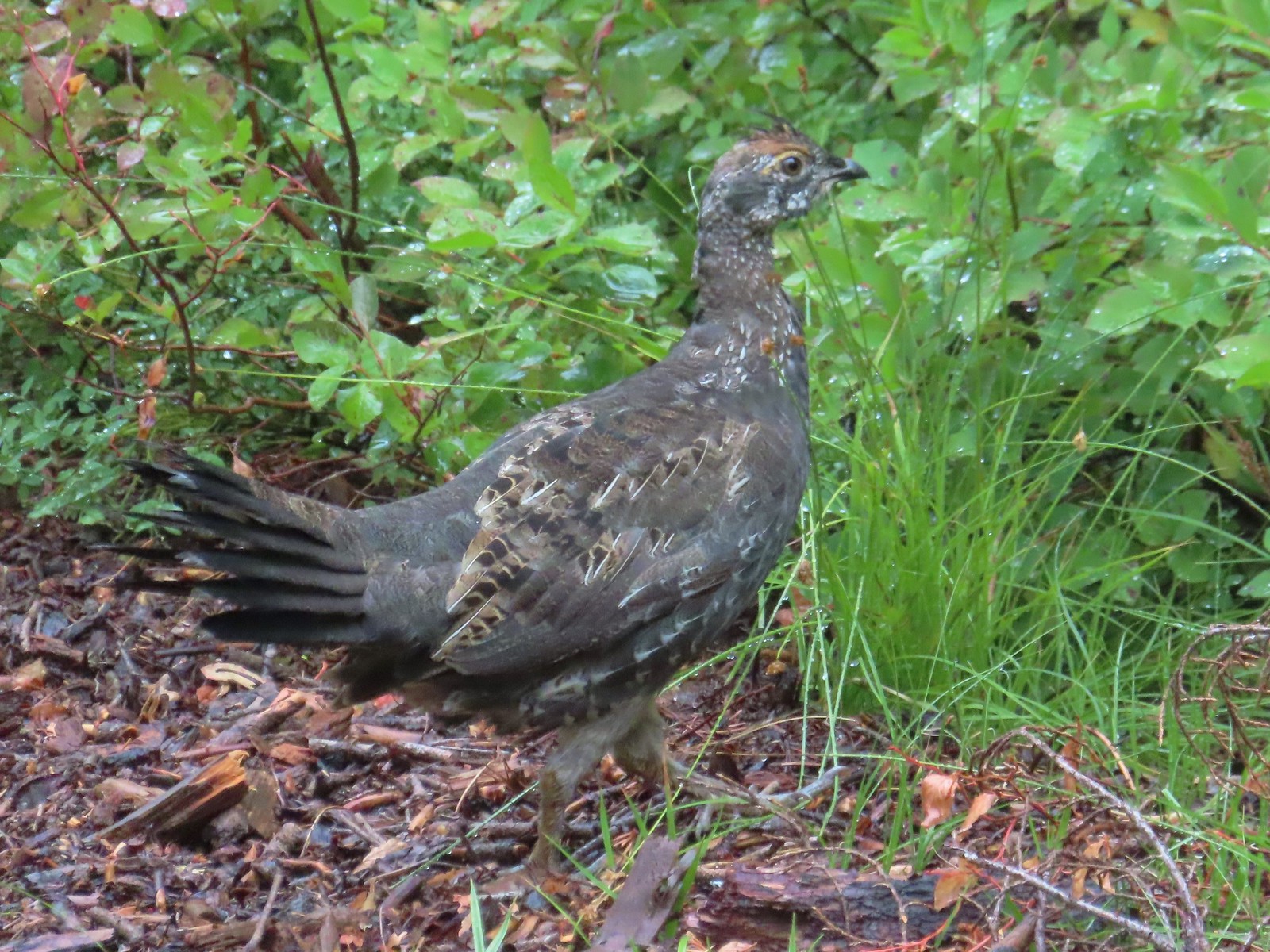 Grouse in the Sky Lakes Wilderness in September.
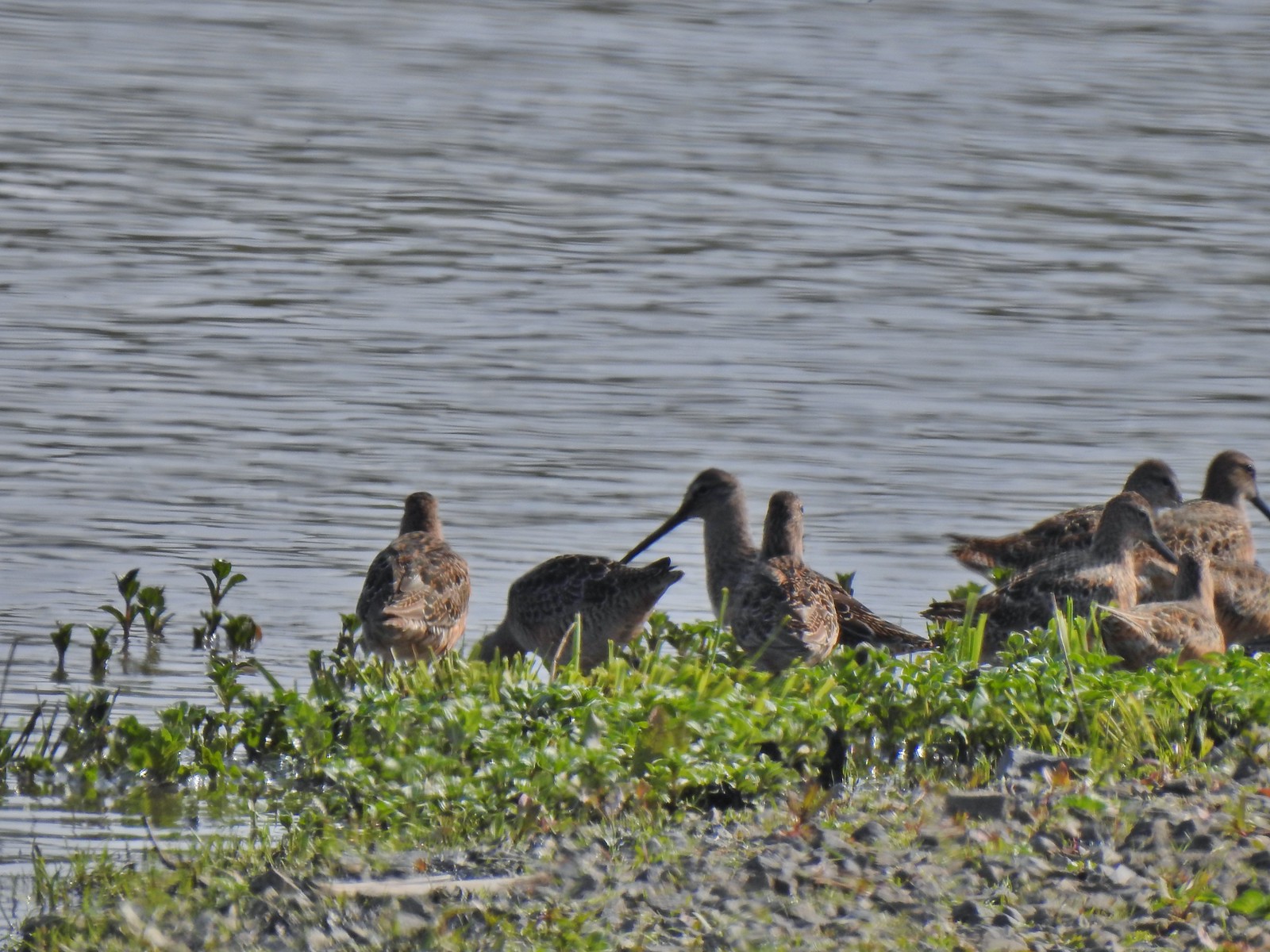 Long billed dowitchers? at Ankeny Wildlife Refuge in April.
 Killdeer at Ankeny Wildlife Refuge in April.
 Sandpiper? at Ankeny Wildlife Refuge in April.
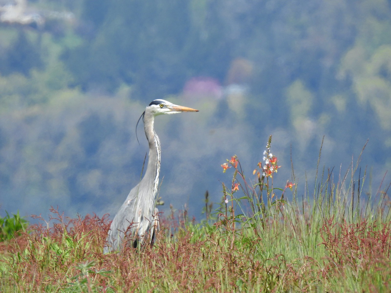 Great blue heron at Ankeny Wildlife Refuge in April.
 Kingfisher at Julia Butler Hansen Wildlife Refuge in June.
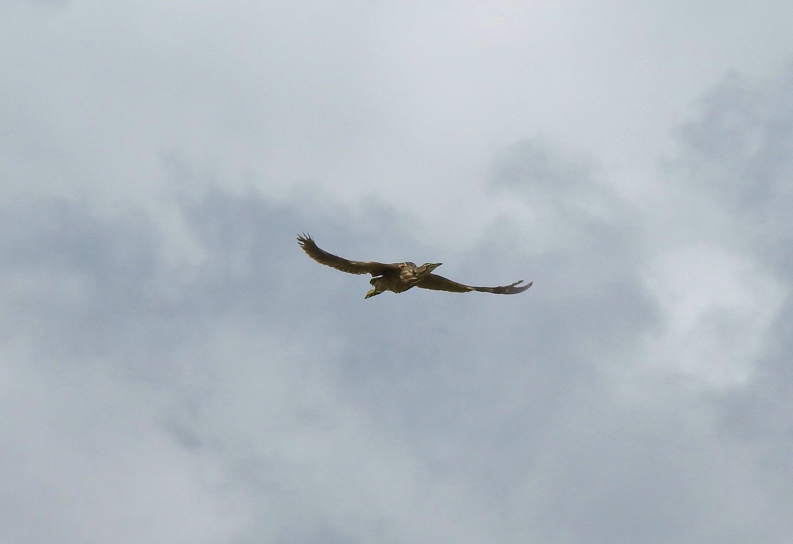 American bittern at Julia Butler Hansen Wildlife Refuge in June.
 White pelicans at Julia Butler Hansen Wildlife Refuge in June.
 Hooded mergansers at Yakona Nature Preserve in February.
 Common mergansers along the Klickitat Trail in April.
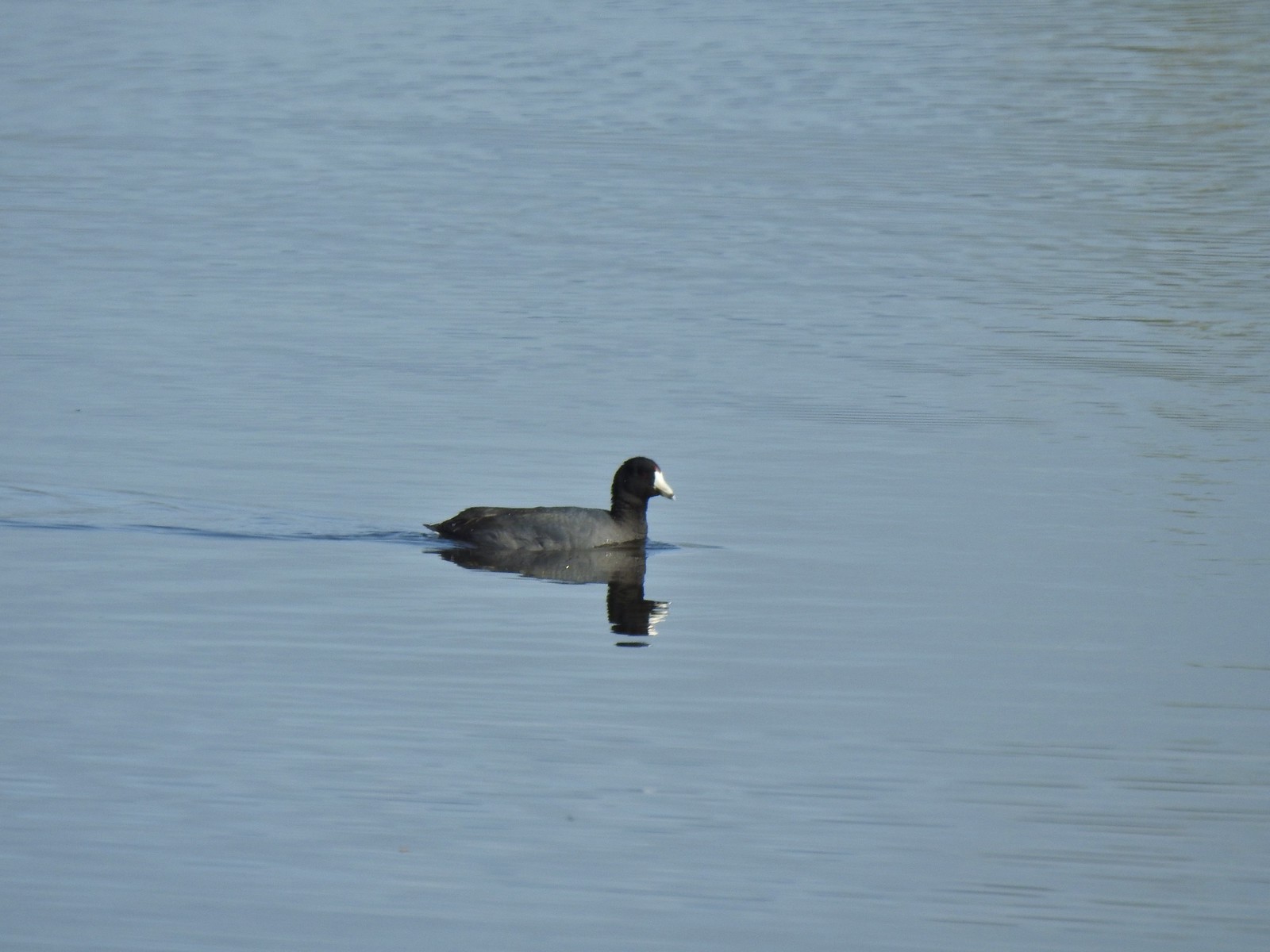 American coot at Ankeny Wildlife Refuge in April.
 Cinnamon teal at Ankeny Wildlife Refuge in April.
 Ring-necked ducks (and an American coot) at Ankeny Wildlife Refuge in April.
 Northern shoveler at Ankeny Wildlife Refuge in April.
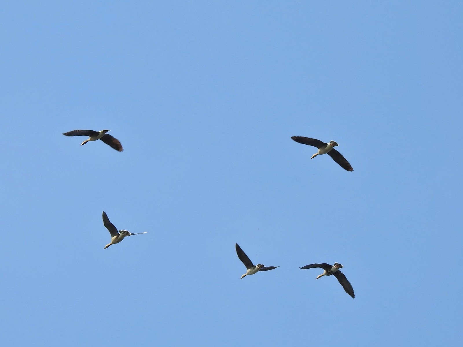 White-fronted geese at Ankeny Wildlife Refuge in April.
 Mallard along the Hood River Pipeline Trail in May.
 Wood duck at Denman Wildlife Area in May.
 Not sure if this is a ruddy duck at Waverly Lake in December.
 Mostly American widgeons with a green winged teal and a female bufflehead or two mixed in at Talking Water Gardens in December.
 Bufflehead at Talking Water Gardens in December.
 Canada geese at Applegate Lake in May.
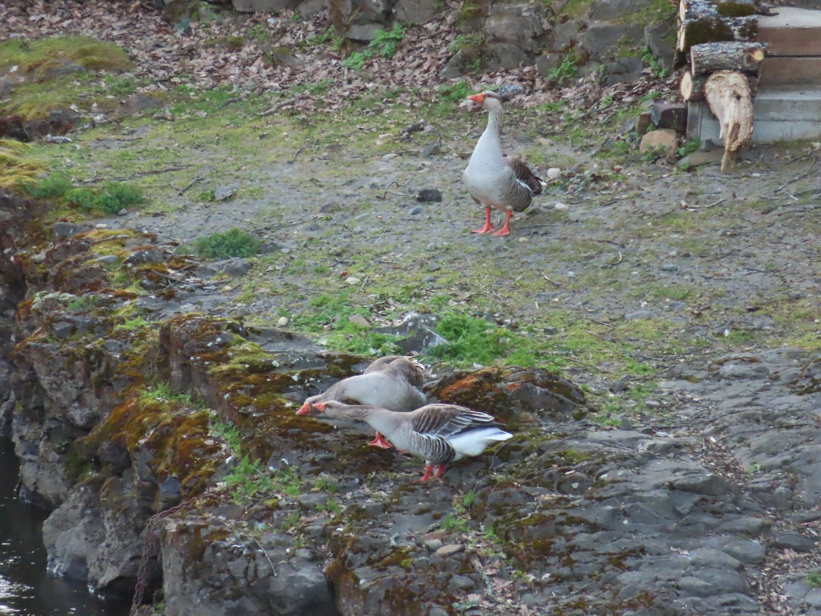 Domestic geese near the Klickitat Trail in April.
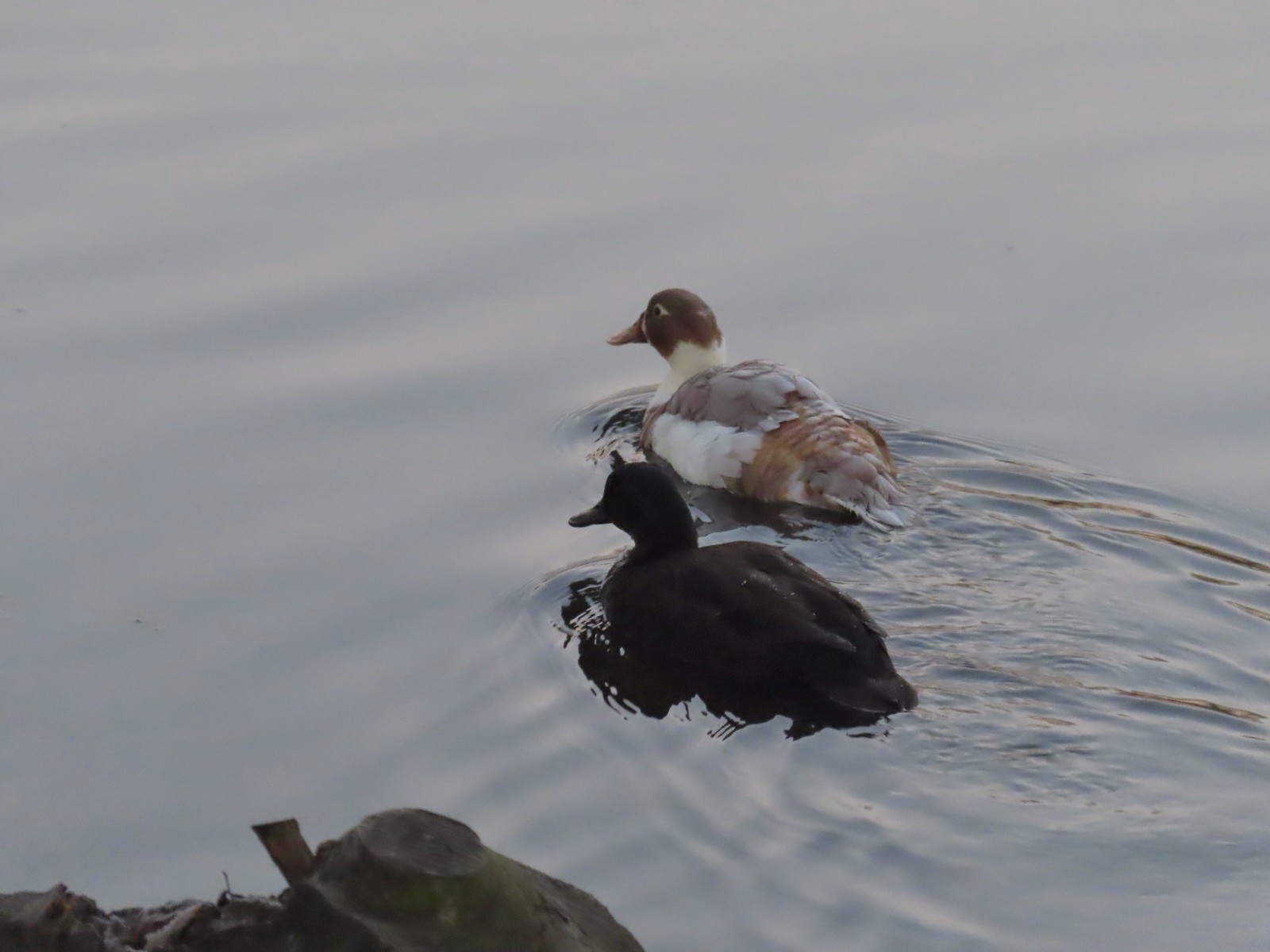 Domestic or hybrid? ducks at Waverly Lake in December.
