A bit of potentially wet weather had us looking for a hike that had the potential to be dry and not too dependent on having a view. We, of course, also preferred it to be a new hike. We turned to Matt Reeder’s 2nd edition of “Off the Beaten Trail” for inspiration. A recent addition to our collection of guidebooks, “Off the Beaten Trail” features 50 hikes plus 5 bonus hikes within a two and half hour drive of downtown Portland. While a number of the hikes are also mentioned in Sullivan’s “100 Hikes” guidebooks (our usual go-to source) they are typically additional hikes from the back of the books so they lack in-depth detail. There are also several hikes that don’t appear in Sullivan’s books.
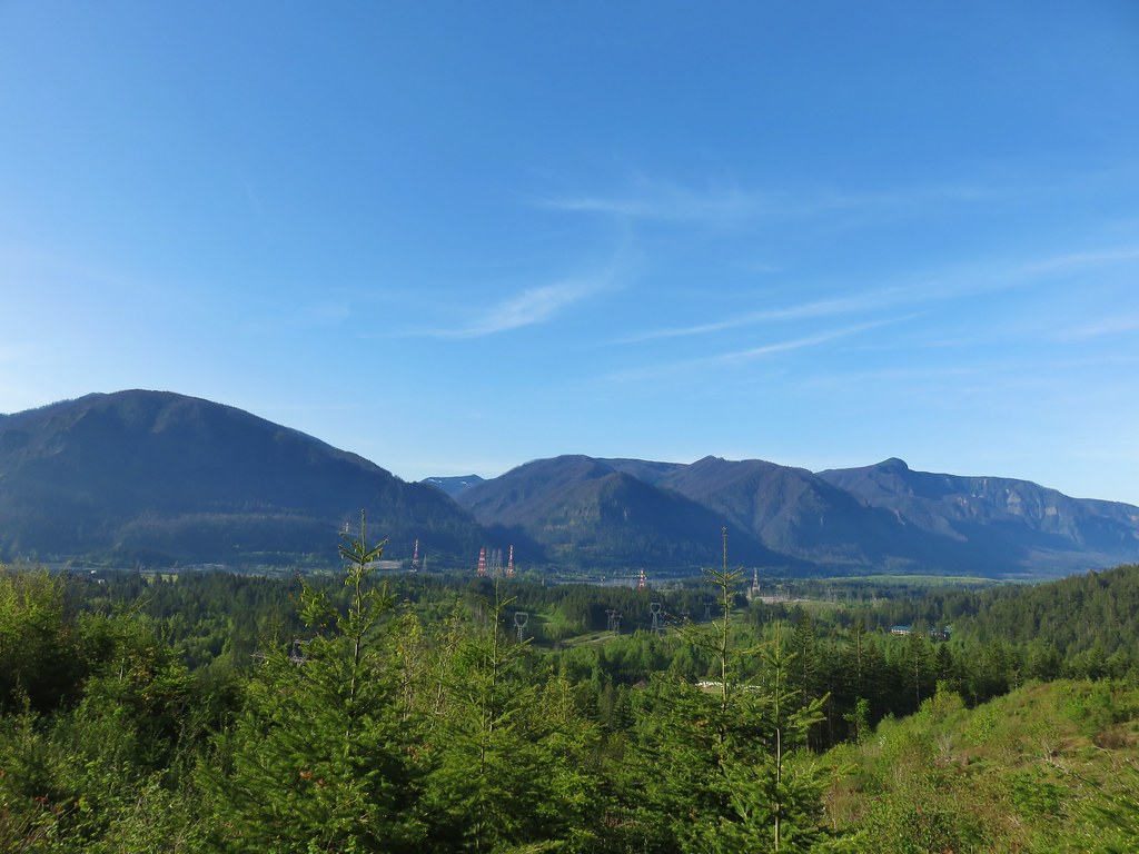
We chose the Dog River Trail (Reeder’s Hike #30) due to its location and a favorable looking forecast. According to NOAA there was a 30% chance of showers after 11am and being located on the east side of Mt. Hood often meant less cloud cover. After driving through a few showers in the Columbia Gorge we did indeed find some blue sky near Hood River and the views of Mt. Hood were perfect as we drove south on Highway 35.
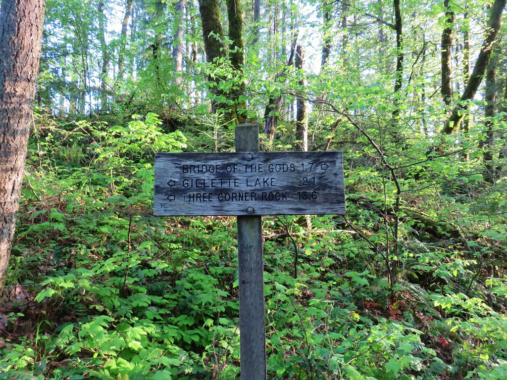
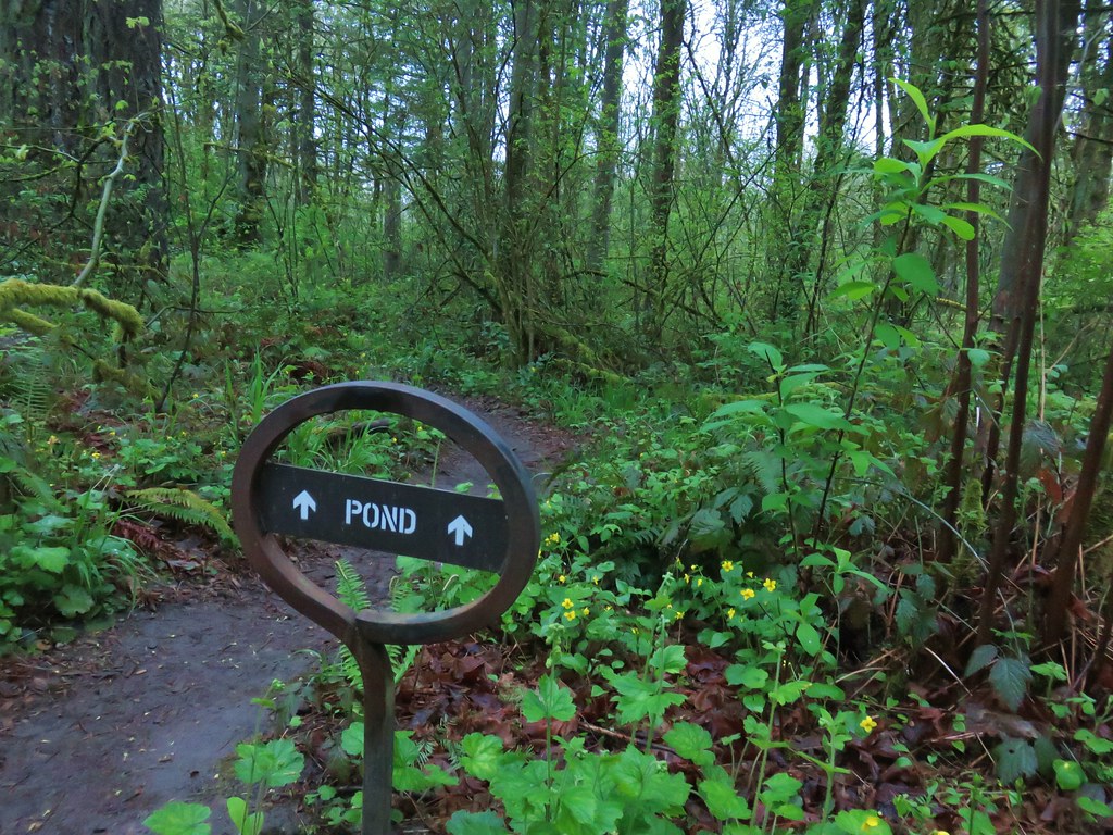
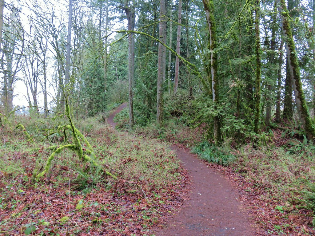
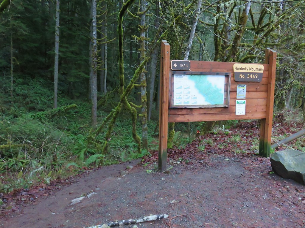
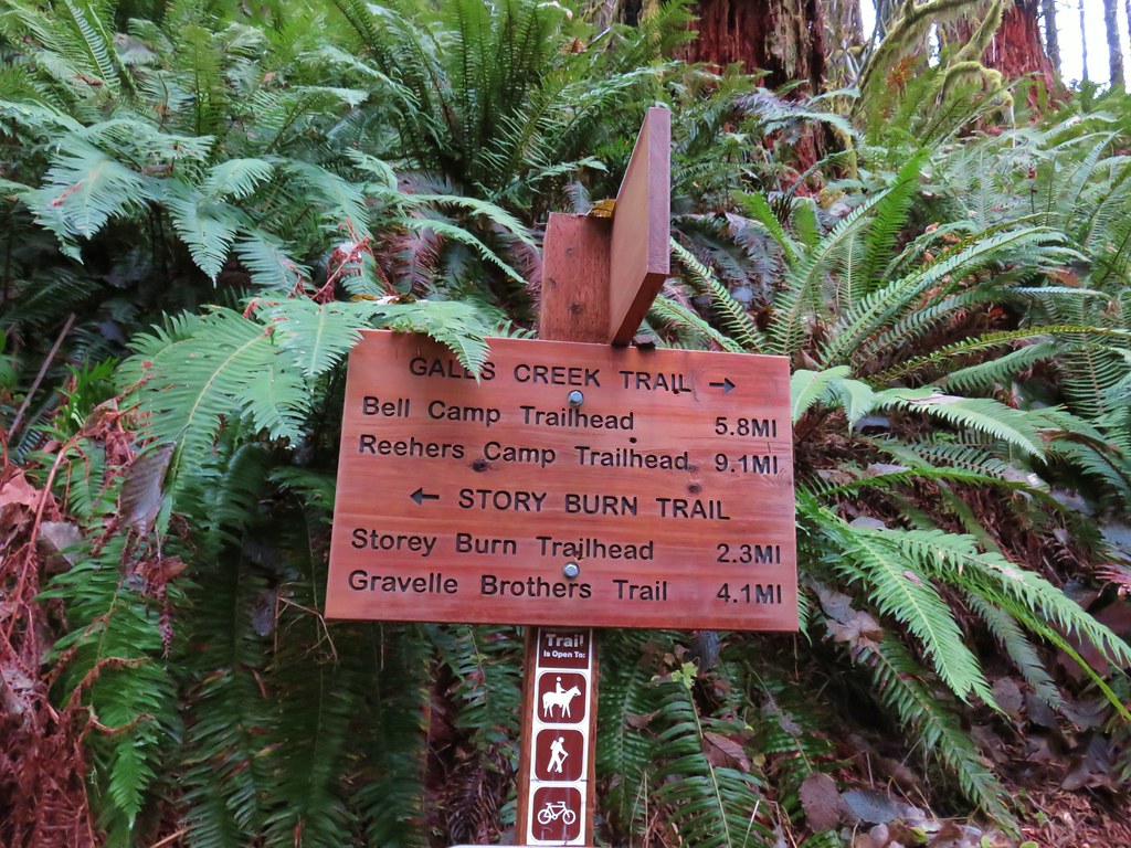
The Dog River Trail
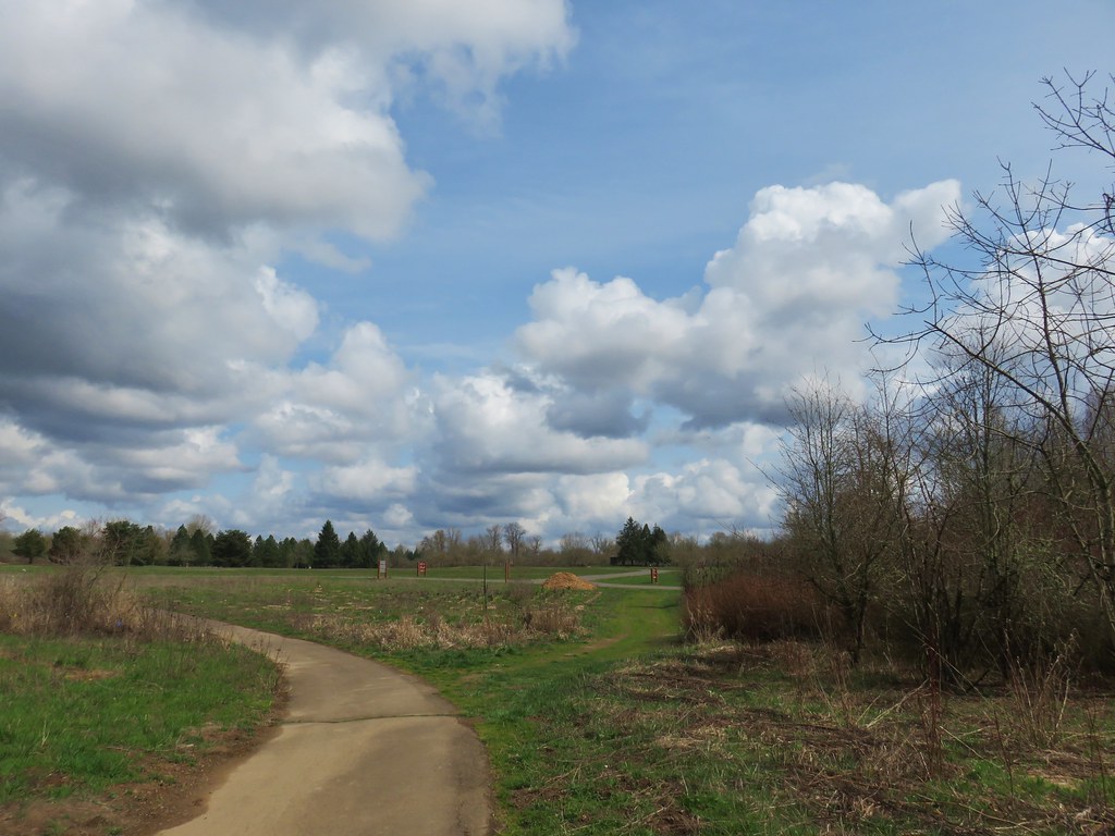
begins at the Dog River Trailhead along the eastern shoulder of Highway 35 18.2 miles south of Hood River (20 miles north of the junction with Highway 26).
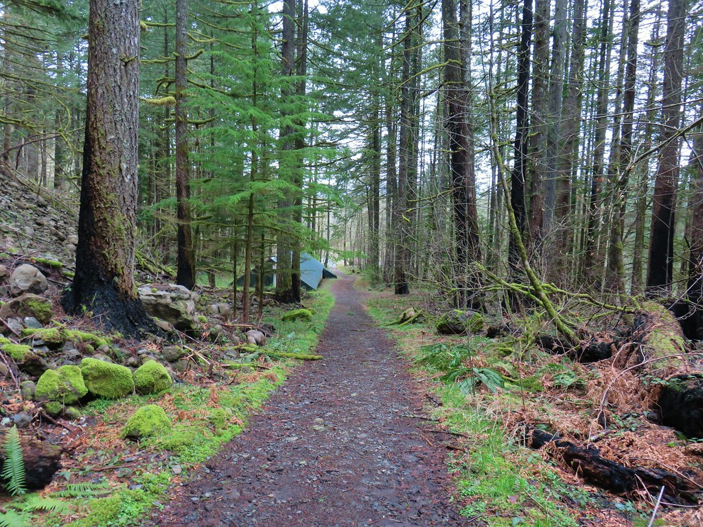
The most common users of this trail are mountain bikers, a group of which have adopted the trail.

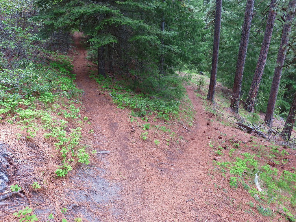
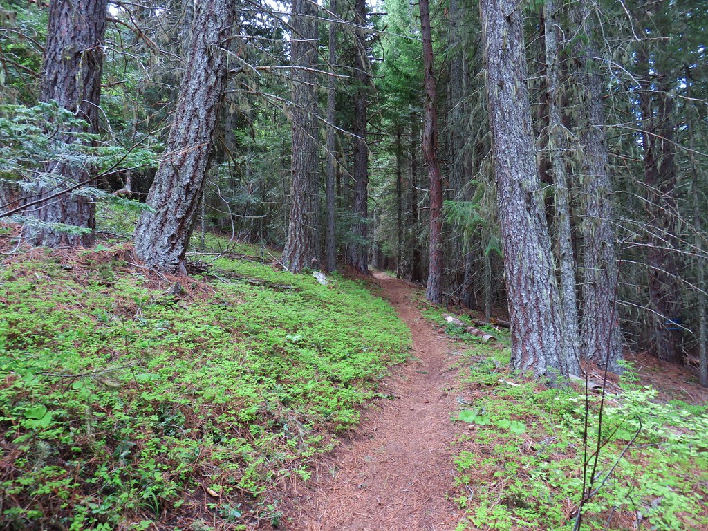
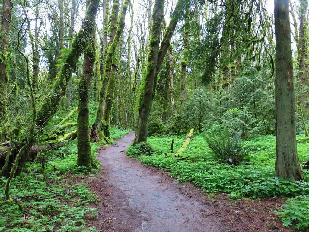
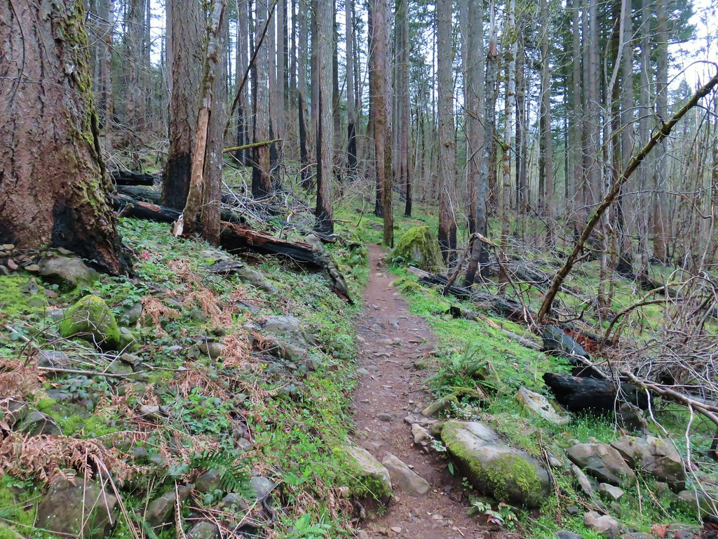
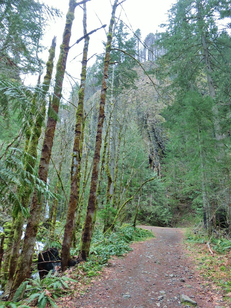
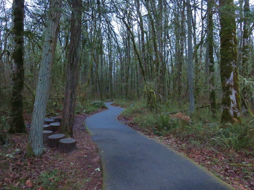
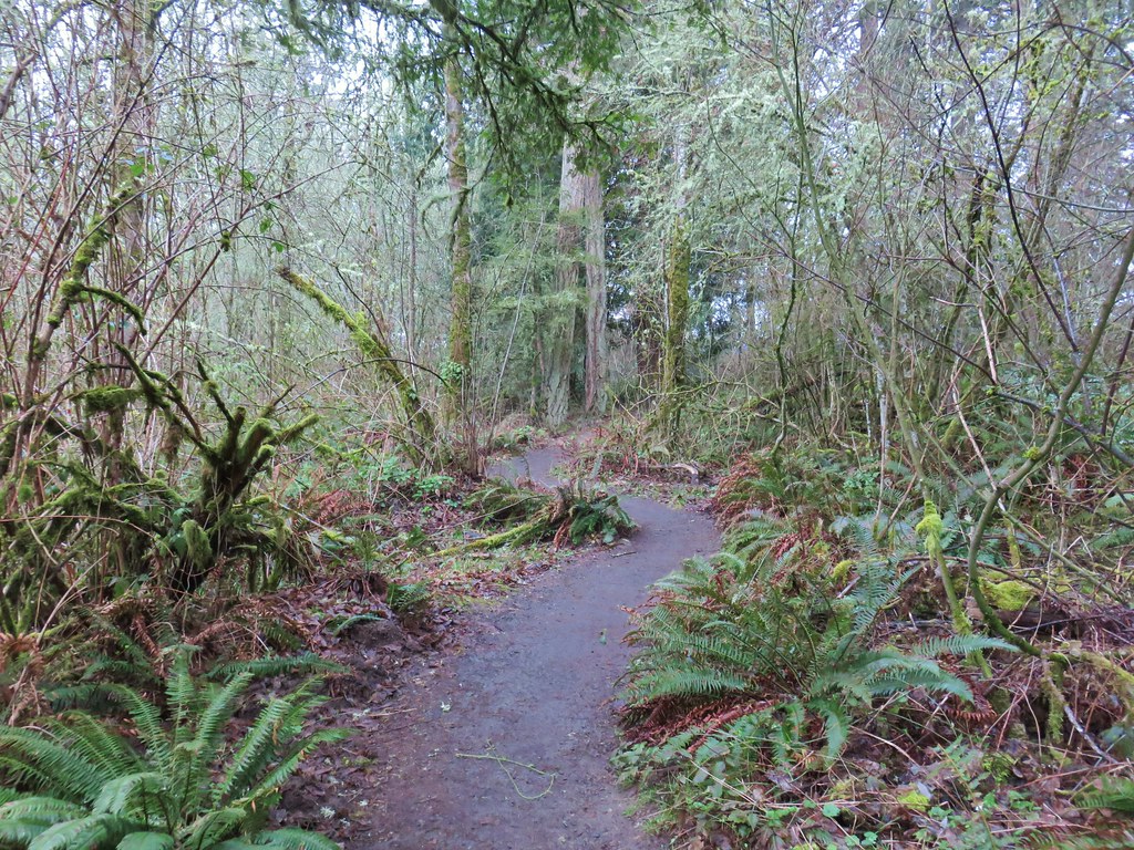
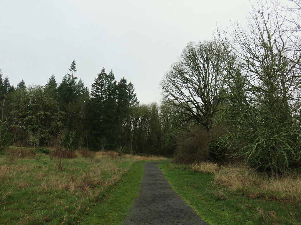
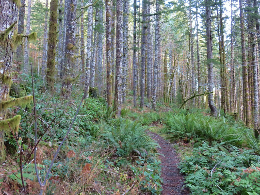
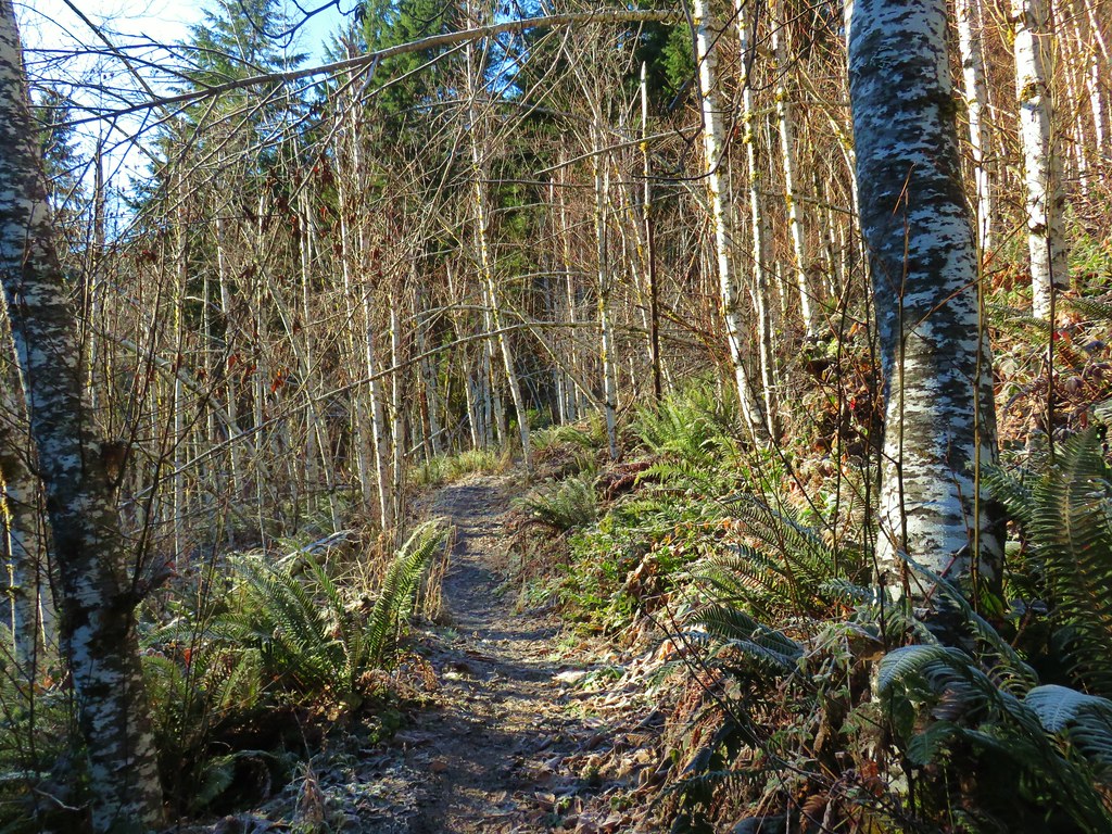
The trail starts off at an elevation just over 2100′ and climbs steadily nearly 5.5 miles to its end at a three way junction with the Zigzag and Surveyor’s Ridge Trails.
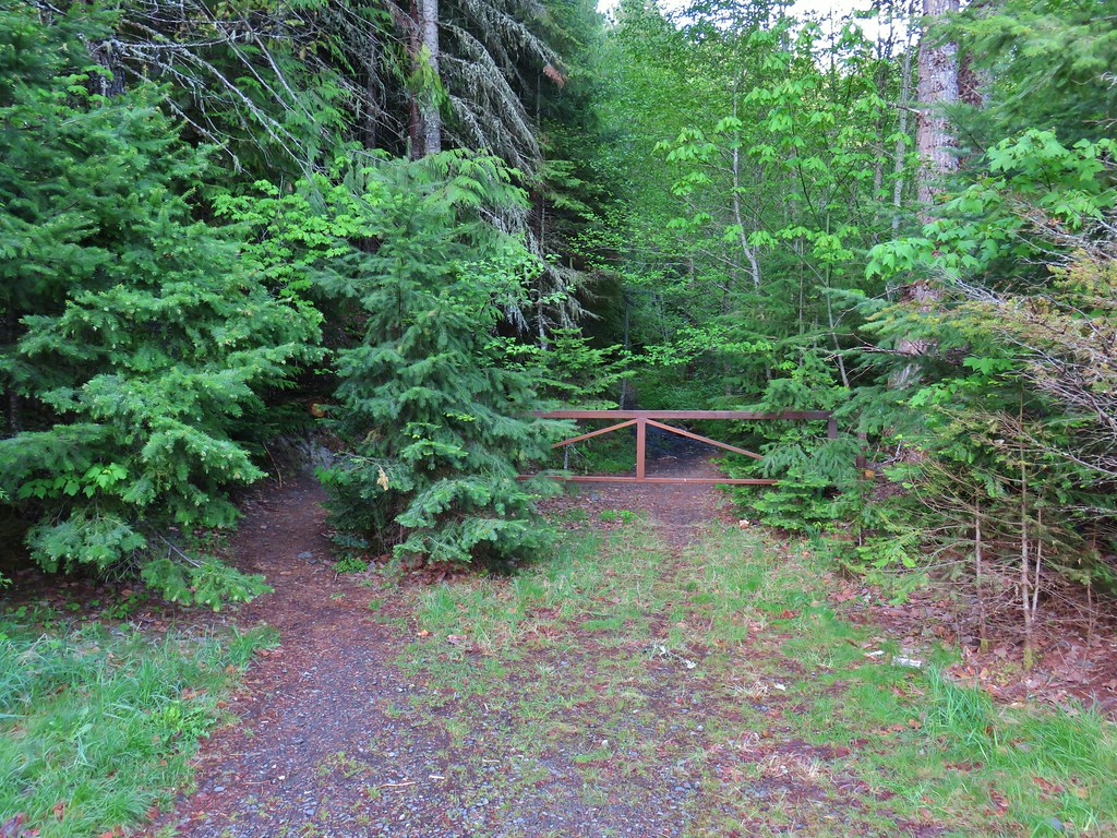
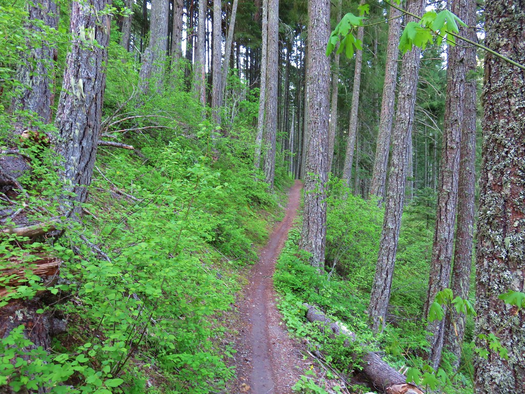
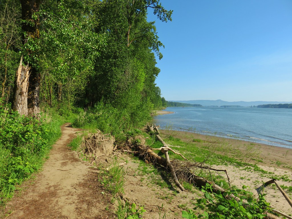
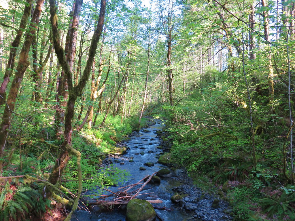
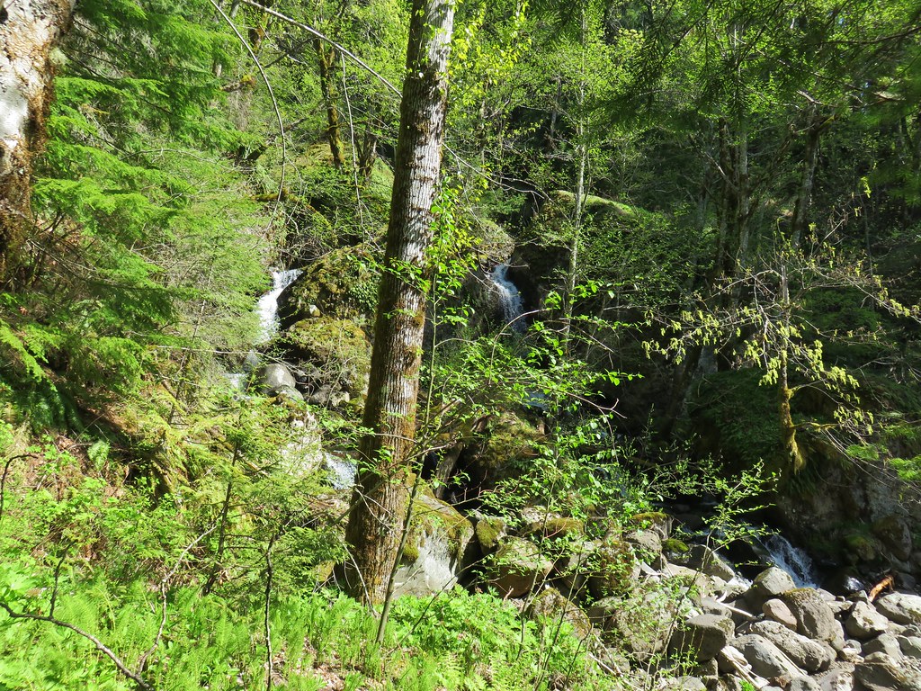
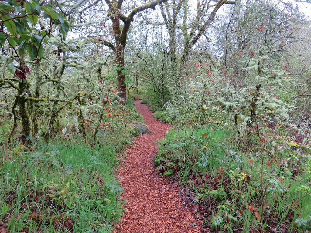
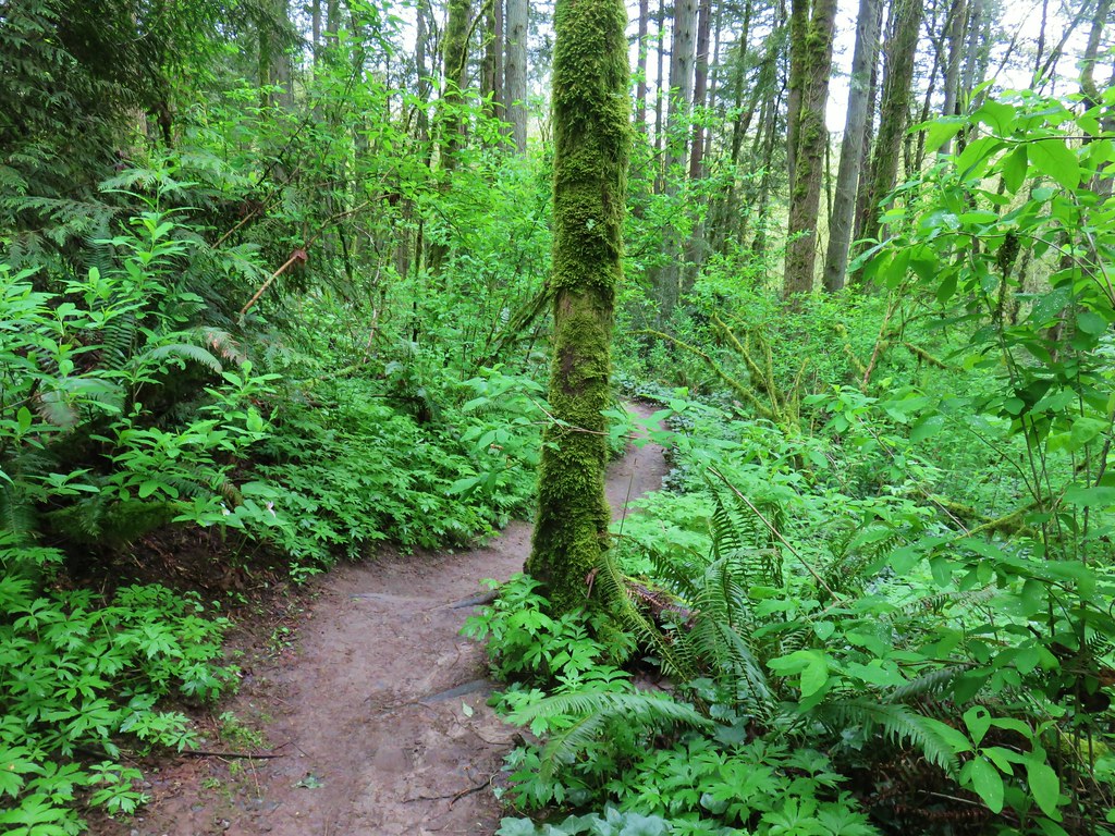
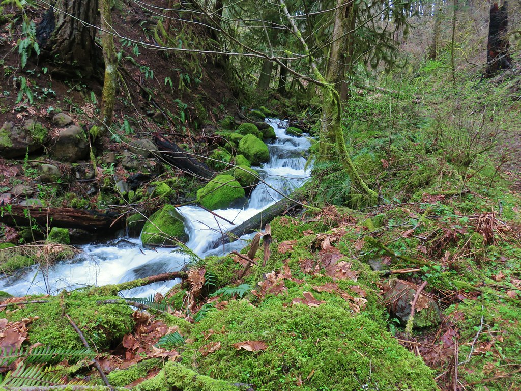
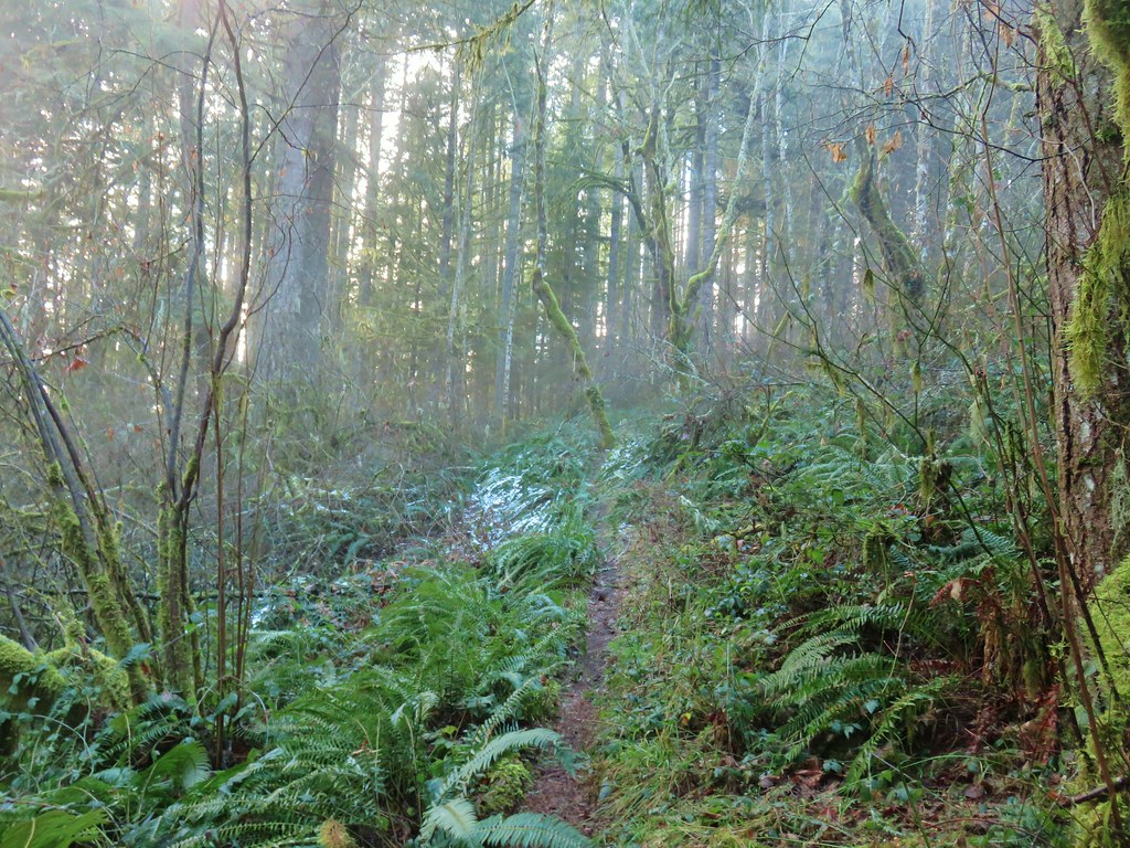
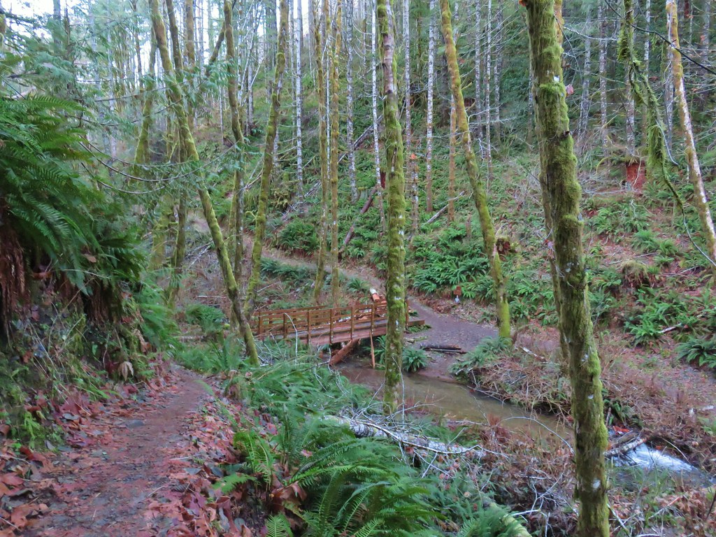
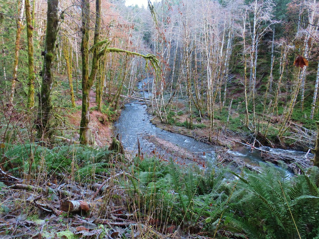
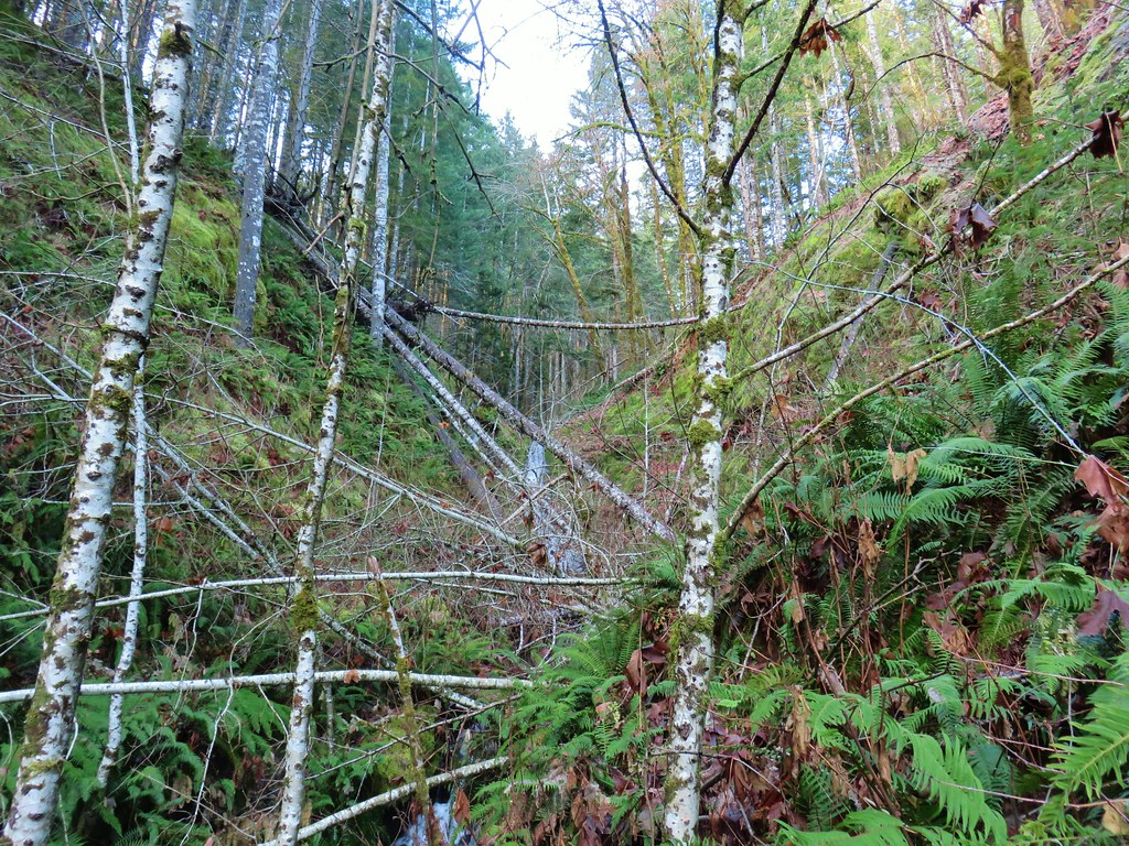
Just beyond the gate at the trailhead the trail passes very close to the Dog River.
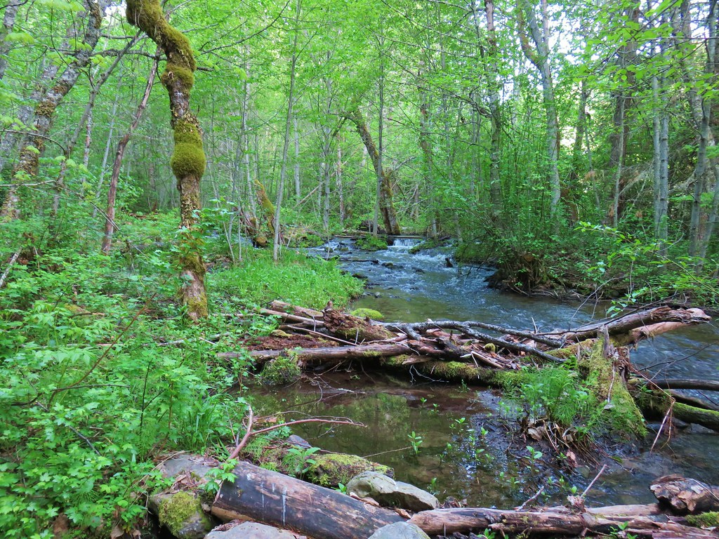
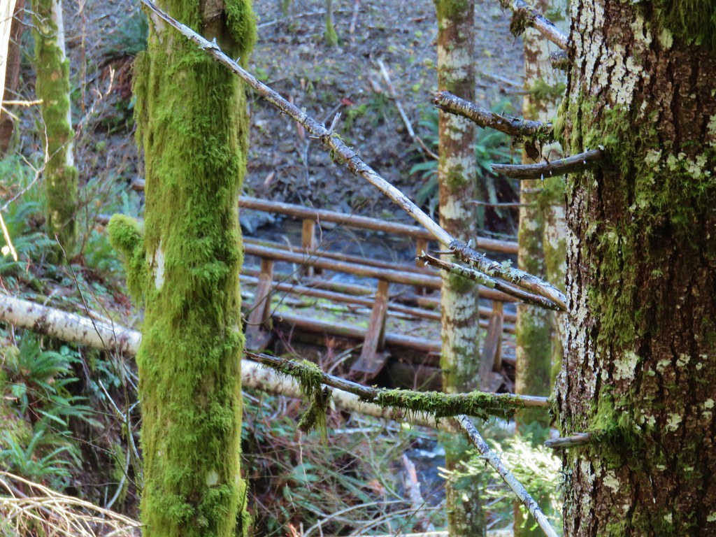
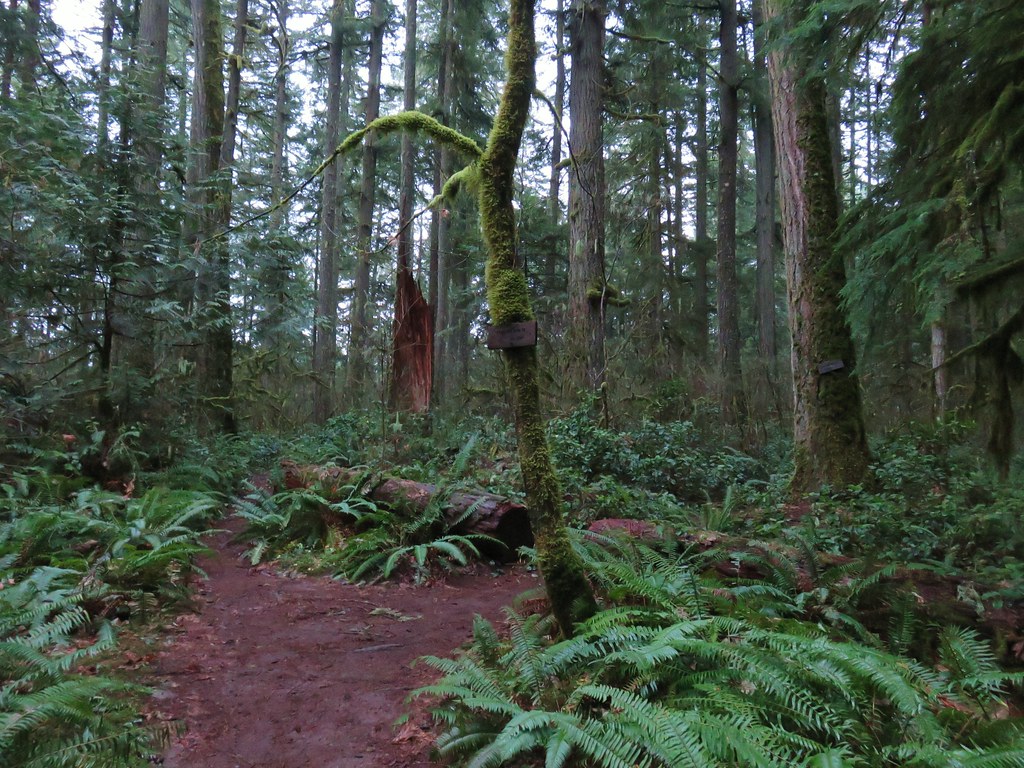
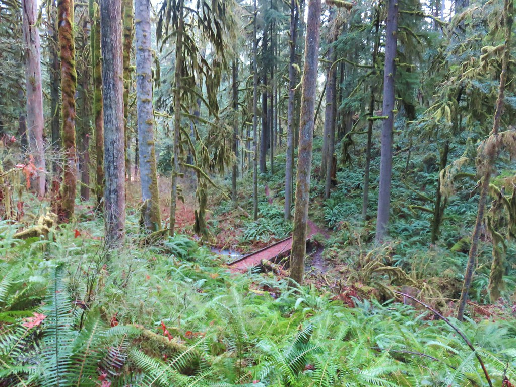
We quickly lost sight of the river as we climbed along a hillside to a footbridge over Puppy Creek.


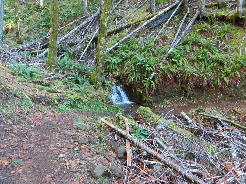
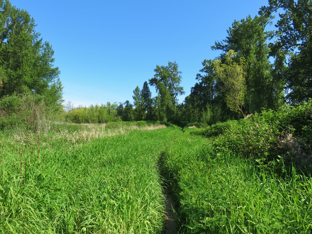
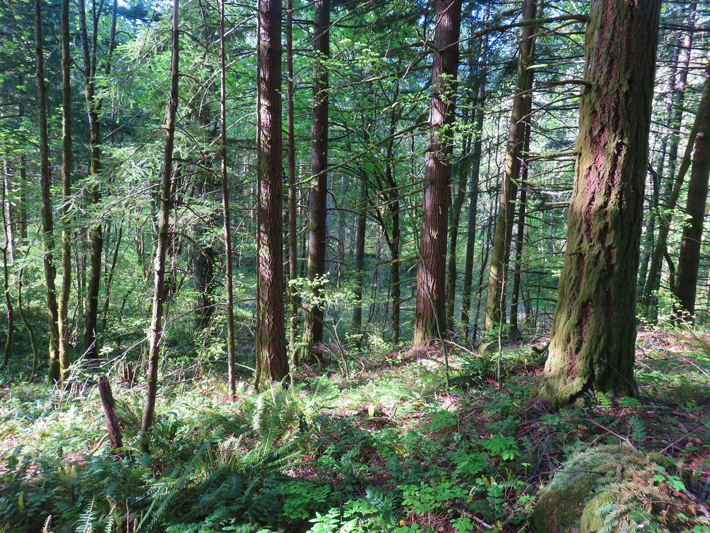
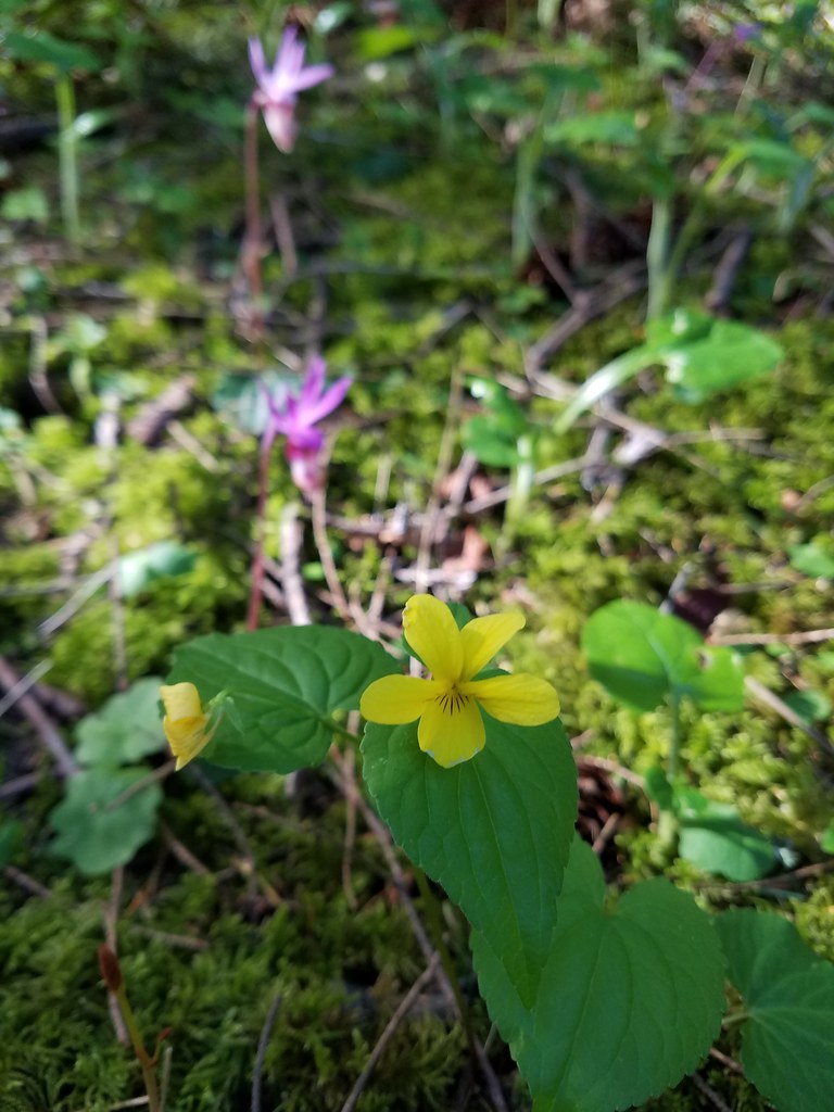
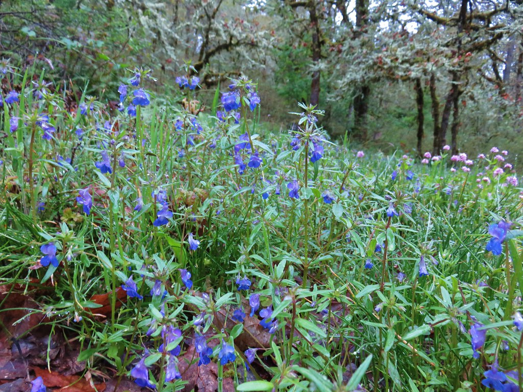
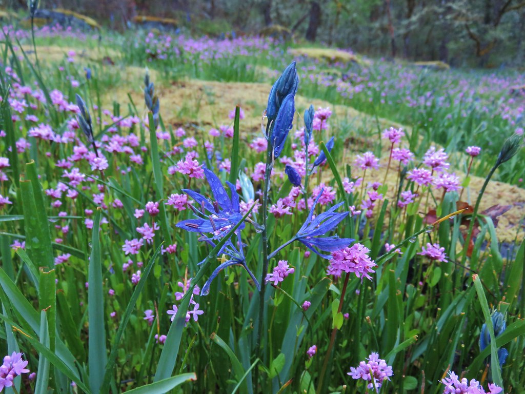
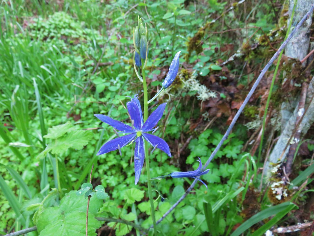
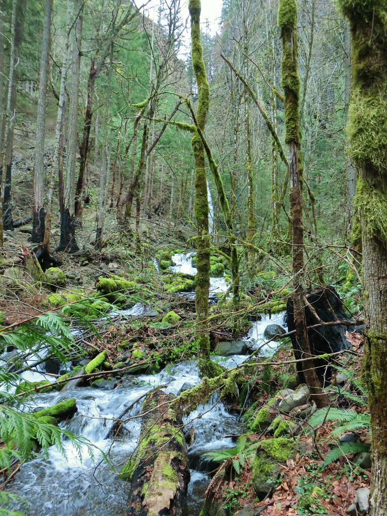
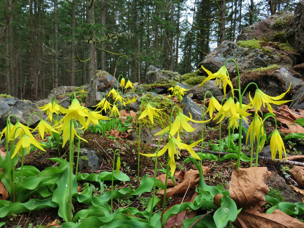
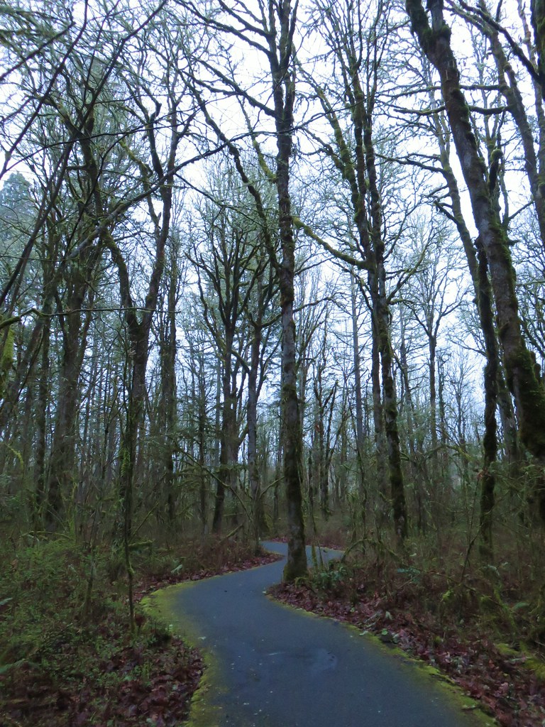
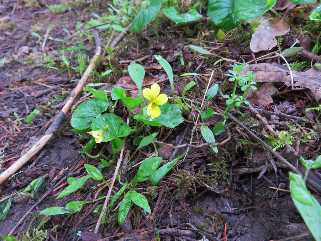
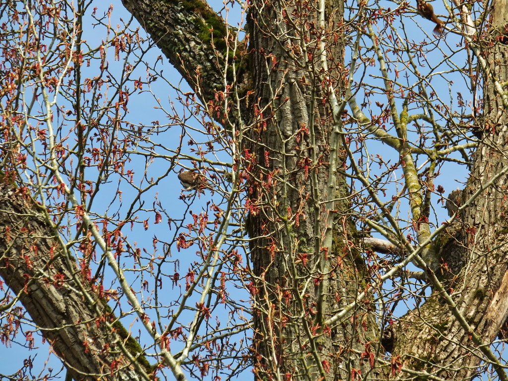
The next 1.8 miles was a gradual climb past a variety of wildflowers before dropping slightly to the Dog River.
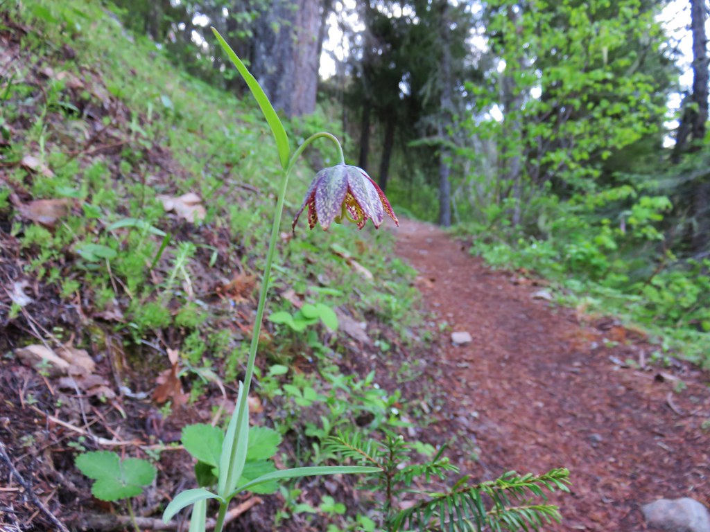 Chocolate lily
 Vanilla leaf
 Columbia windflower (anemone)
 Red flowering currant
 Ball-head waterleaf
 Dogwood (and a crab spider)
 Arnica
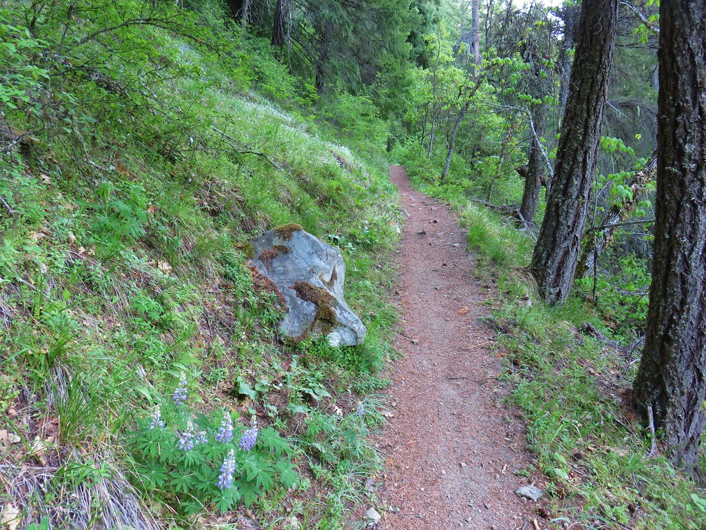
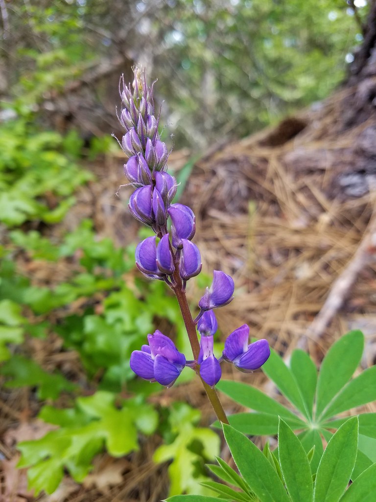 Lupine
 Lupine yet to bloom
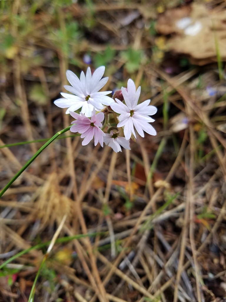 Woodland stars
 Larkspur with biscuitroot in the background
 Fairy slippers
 Indian paintbrush
 Popcorn flower
 Sandwort
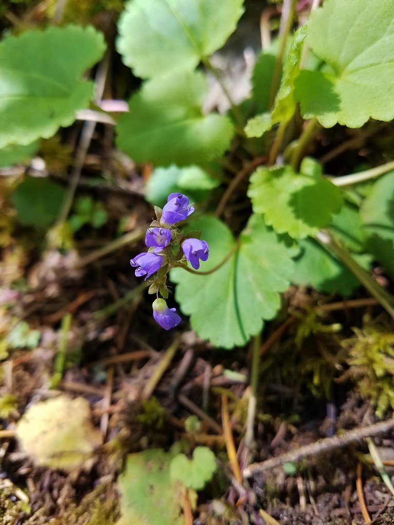
 Sticky blue-eyed mary
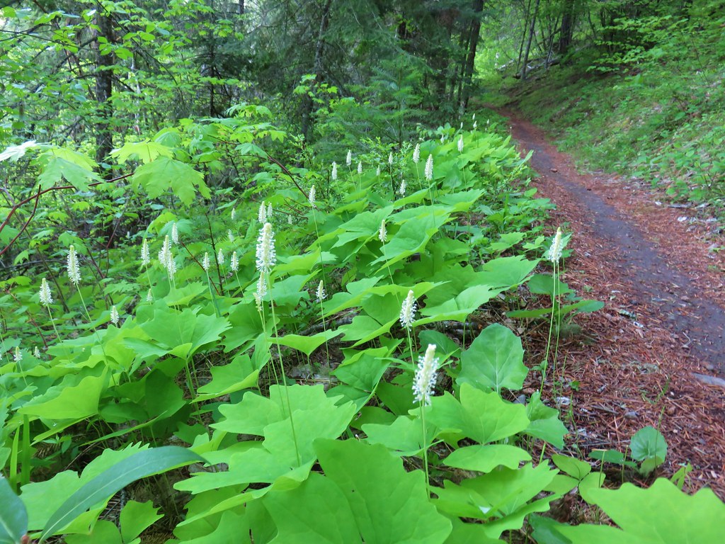
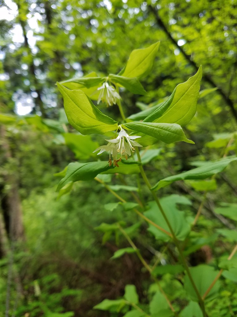 Hooker’s fairy bells
 Solomon’s seal
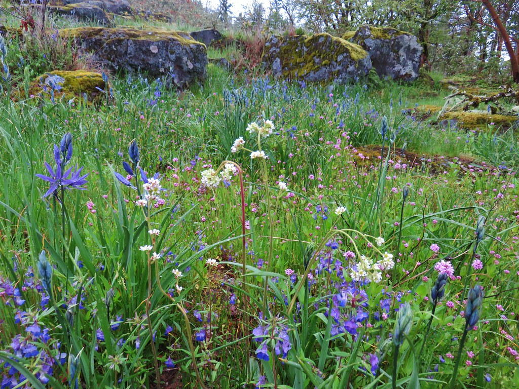
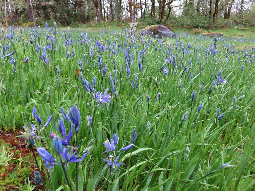
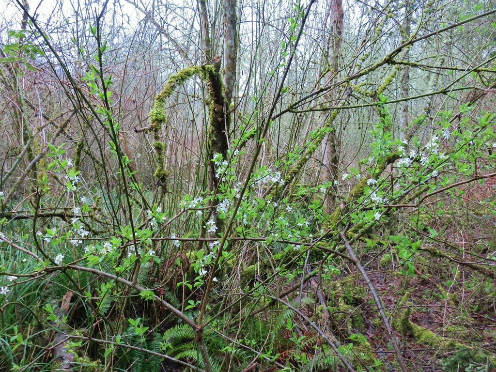
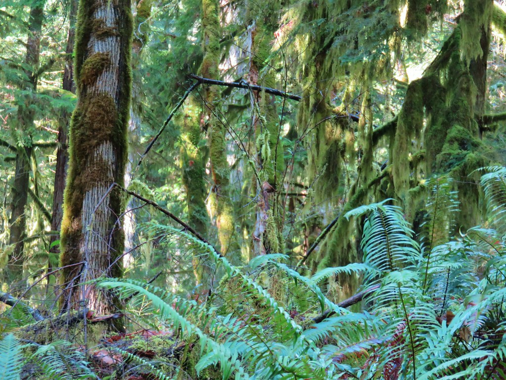
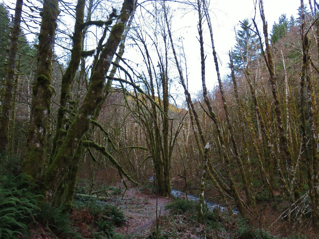
One of the reasons for the variety of flowers was the variety of forest types along this stretch.


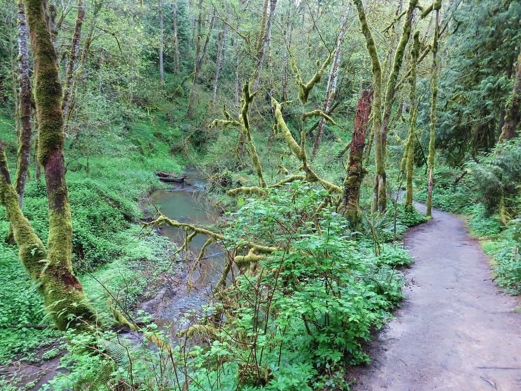
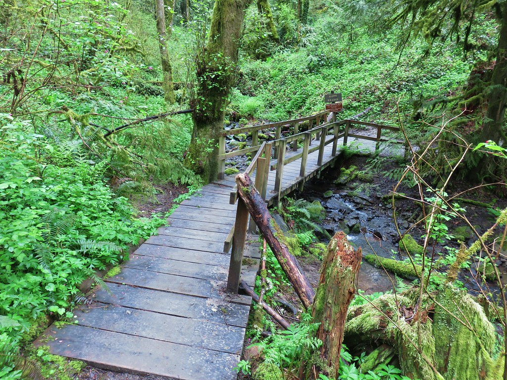
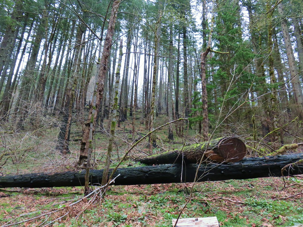
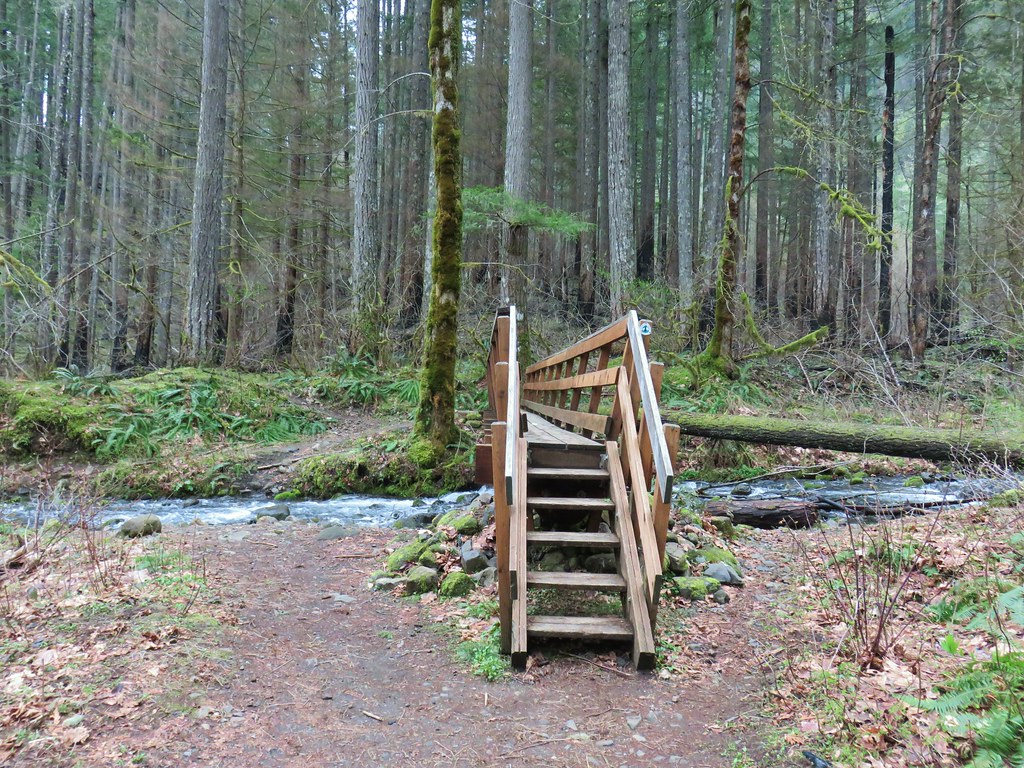
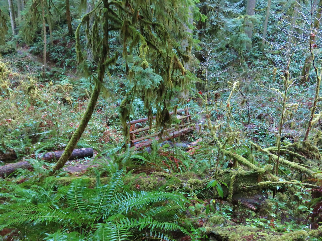
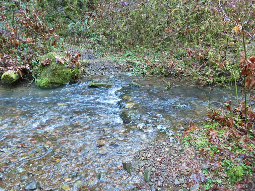
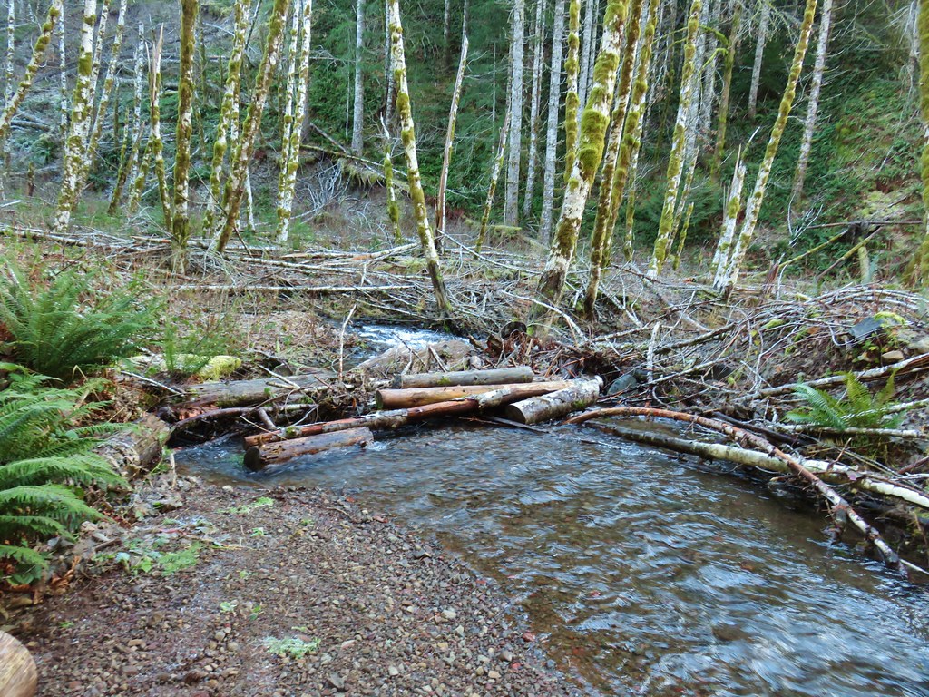
Another footbridge led us across the Dog River.
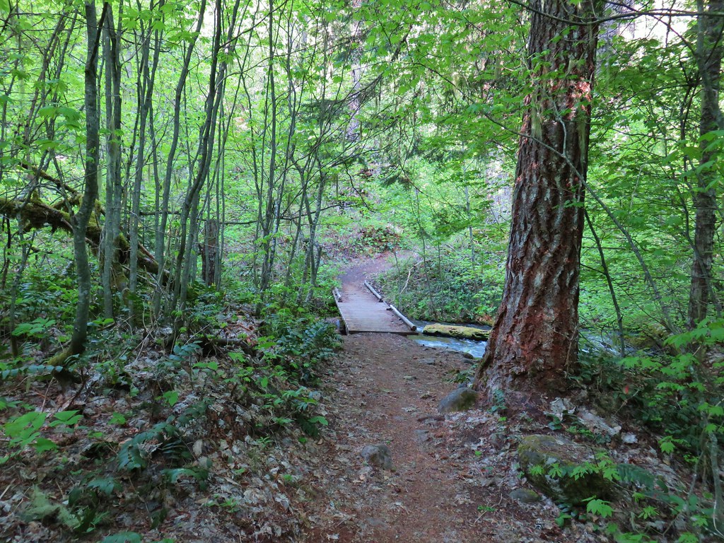

Beyond the Dog River the trail climbed to a saddle and crossed over a ridge.

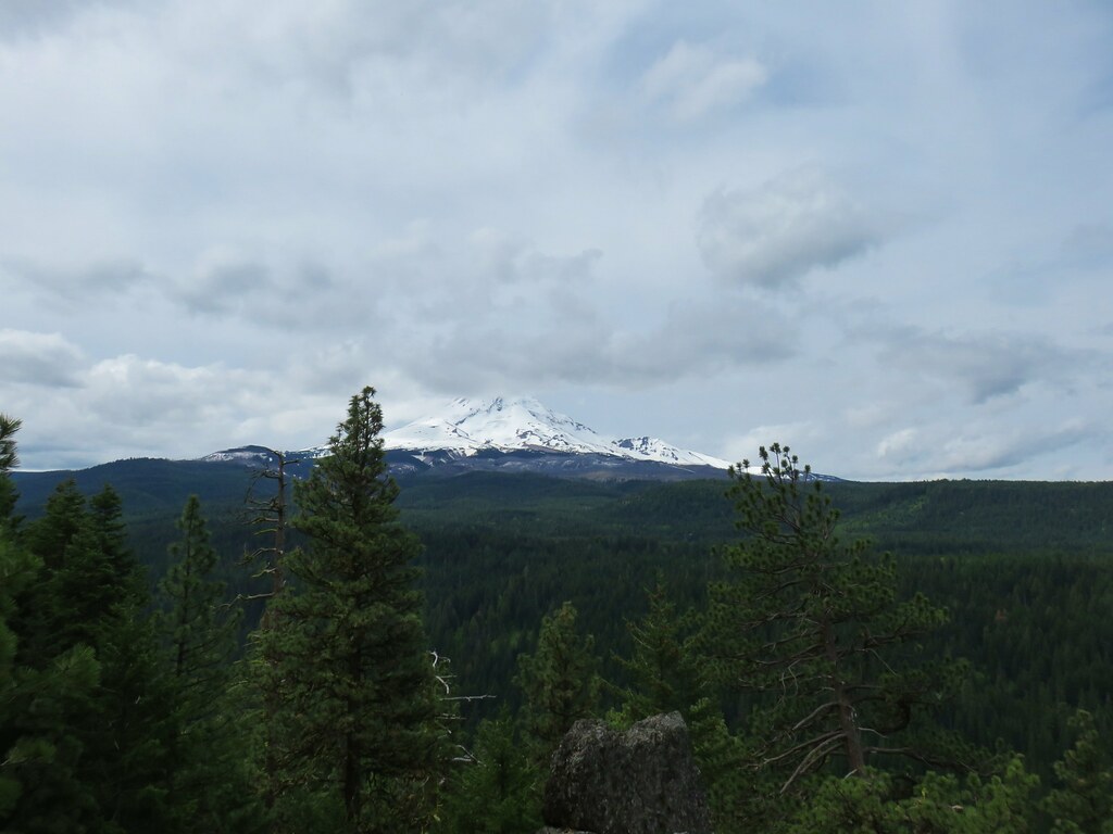
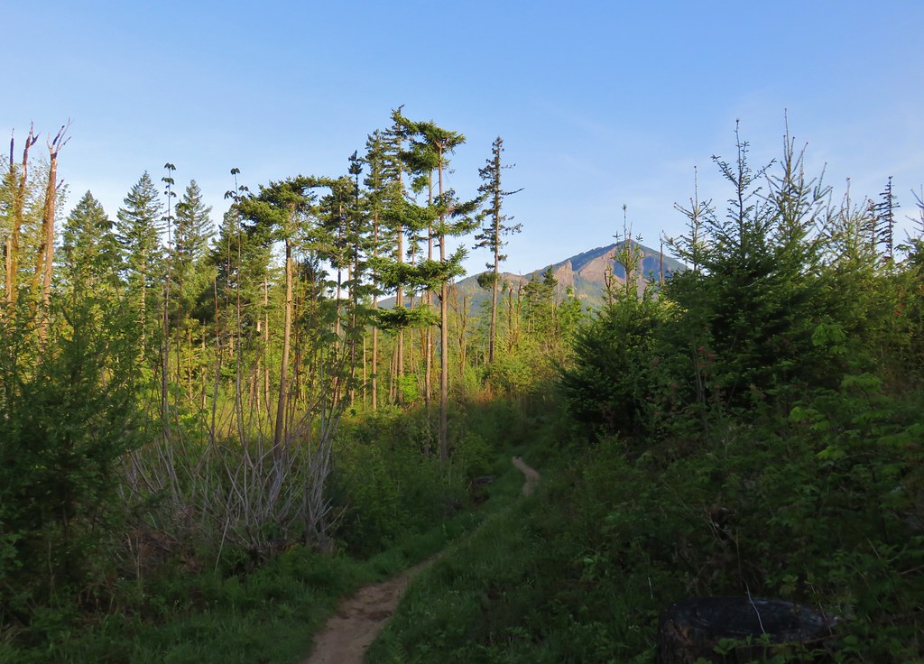
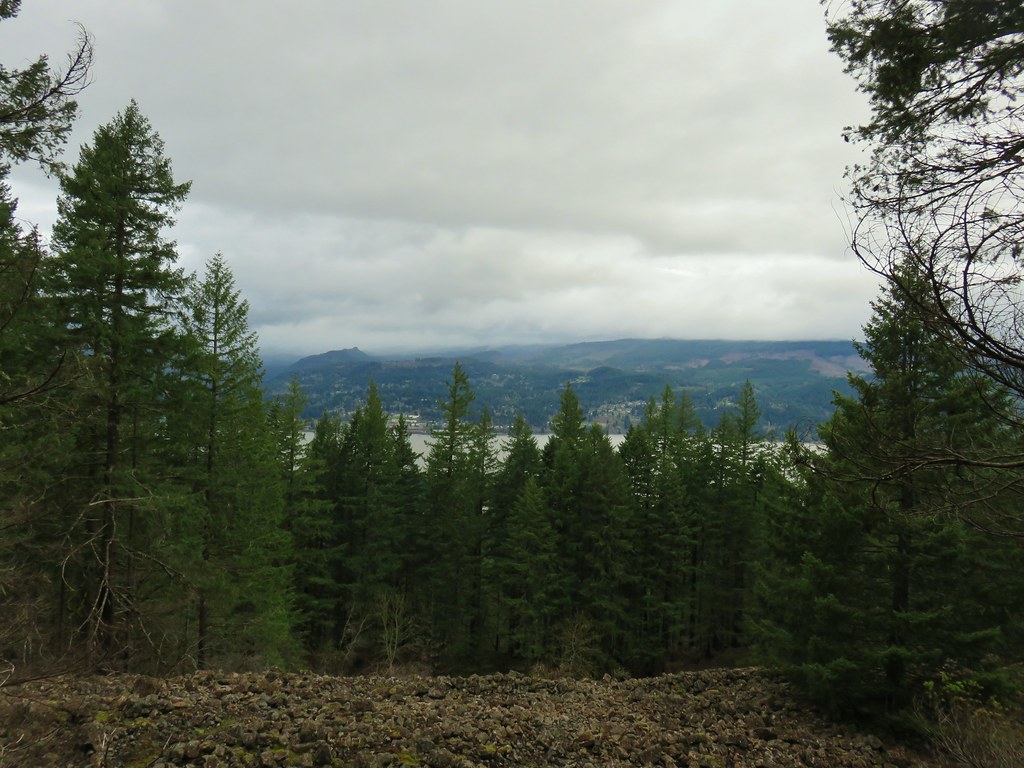
We were now on the west facing side of the ridge and had our first looks at Mt. Hood. Initially the mountain is only visible through the trees but 1.3 miles from the Dog River crossing we came to a rocky viewpoint. From the time we had last seen the mountain driving to the trailhead a line of clouds had begun to make there way in between.


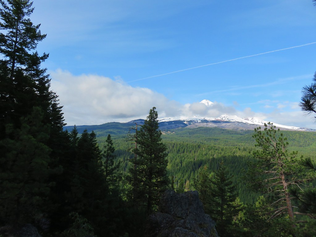

Considering we had started the day thinking we would be lucky to see even part of the mountain this was a pretty nice treat, but after having an unobstructed view during the drive the clouds were a minor disappointment. While the view was impressive it would have been spectacular minus the clouds in front.
In addition to the view there were a couple of other types of flowers to be seen at the viewpoint.
 Penstemon
 Phlox
Phlox
Reeder has this viewpoint be the turn around point in the guidebook making for a 6.6 mile out and back. He also describe a couple of options to extend the hike which of course interested us (okay mostly me). We continued on from the viewpoint promptly crossing over the ridge again. From this side we could now see Mt. Adams through the trees to the north. A bonus volcano sighting.


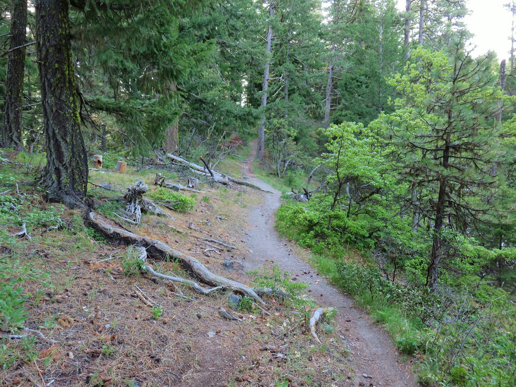
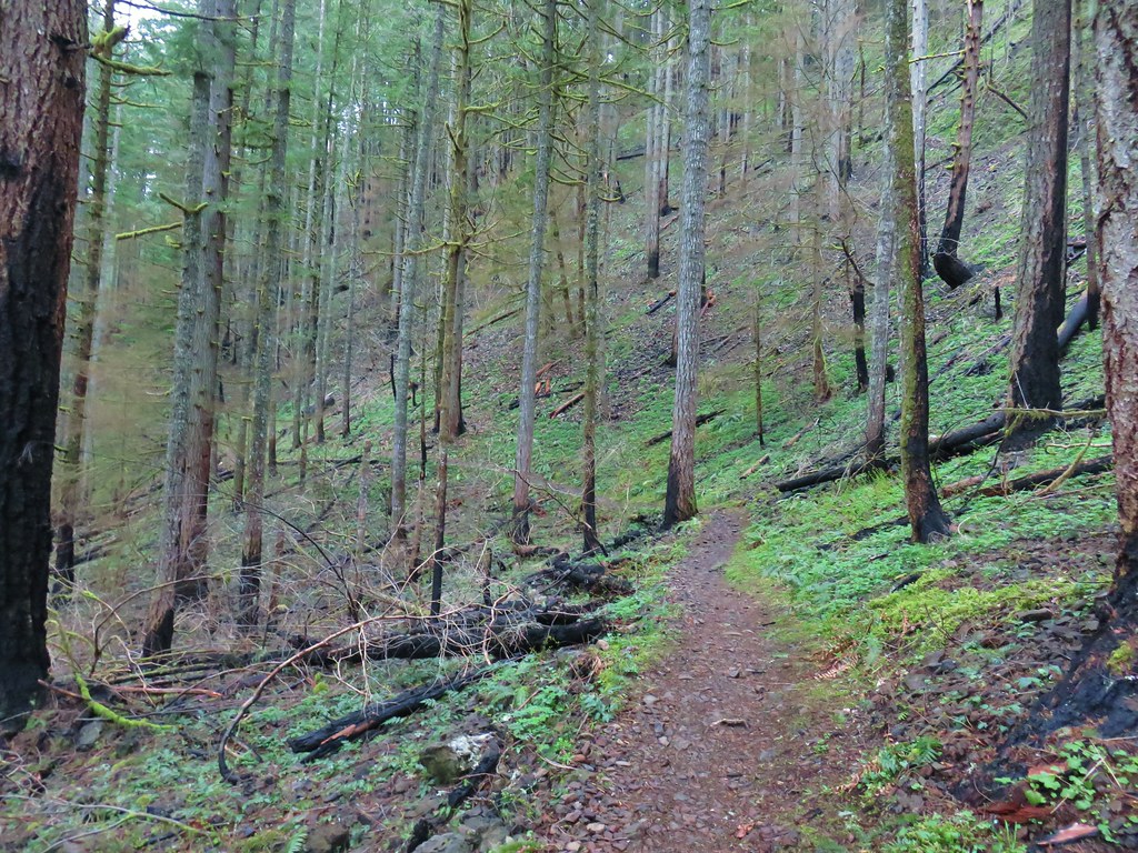
A series of switchbacks brought us back over the west facing side of the ridge and up a short, steep, rocky section of trail.
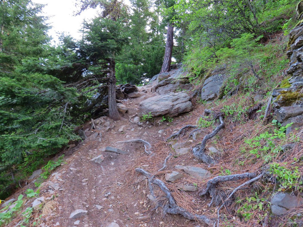
We began watching for any signs of an old road bed on top the ridge above the trail. The plan we had settled on to extend the hike was to hopefully use a forest road shown on the map to make the hike a lollipop by taking the Surveyor’s Ridge Trail to the forest service road. Approximately 100 yards from the end of the switchbacks we spotted a promising looking unmarked spur trail heading uphill to our left.
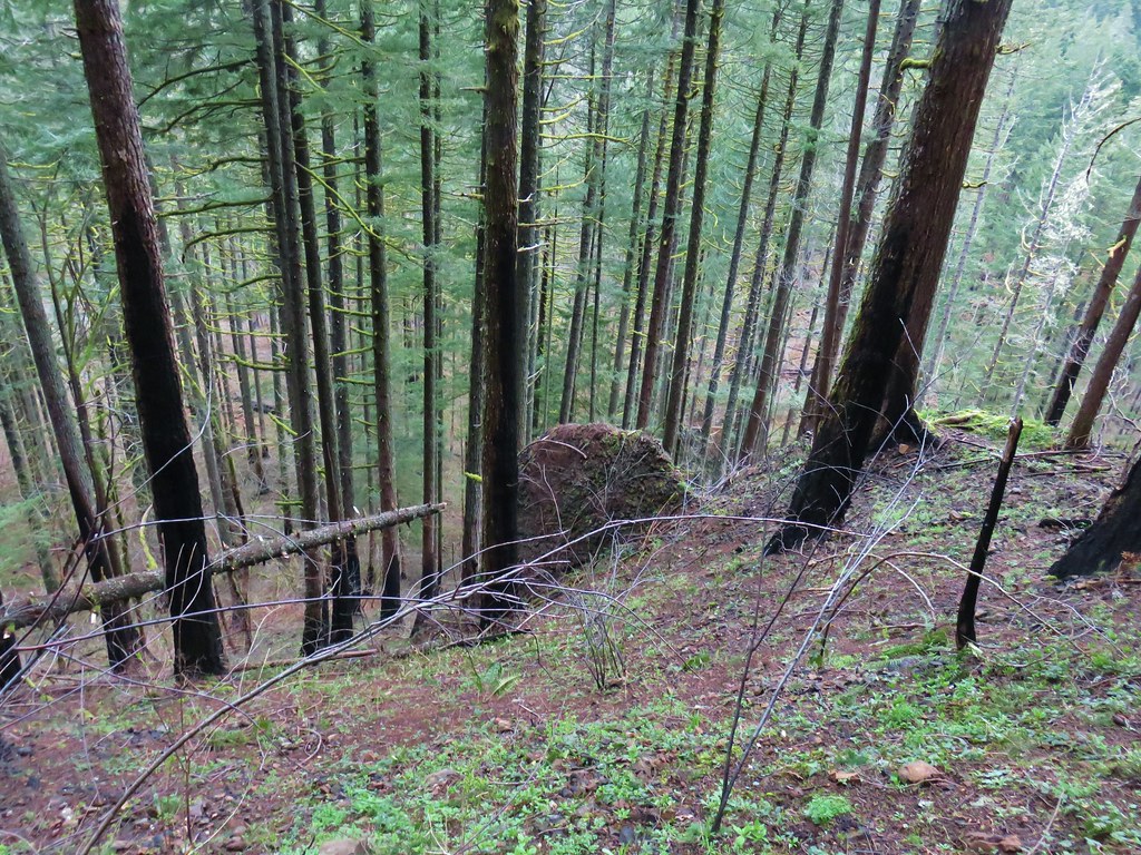
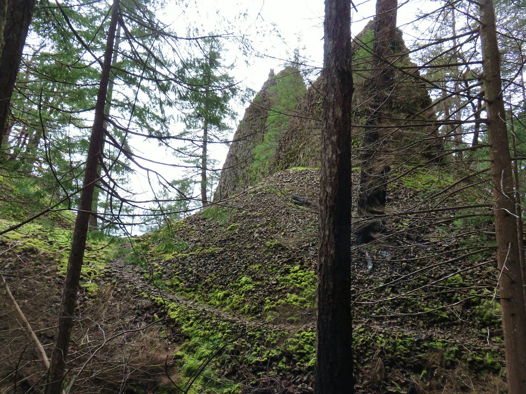
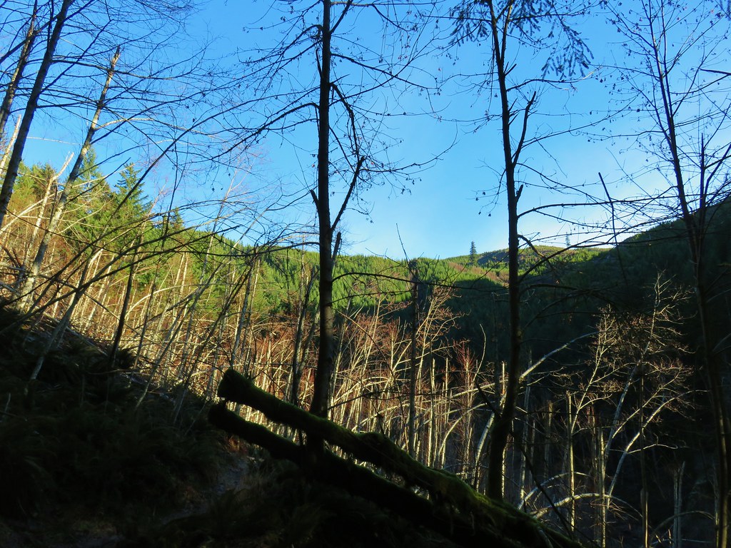
We marked that spot on our GPS and continued on the Dog River Trail which had leveled out a bit passing another viewpoint that Reeder has marked on his map as “Ponderosa Point”. The view here would have also been impressive but we arrived in conjunction with enough clouds to cover the upper 3/4ths of the mountain. A talus slope nearby was more impressive at that point and we wondered if any pika lived there.

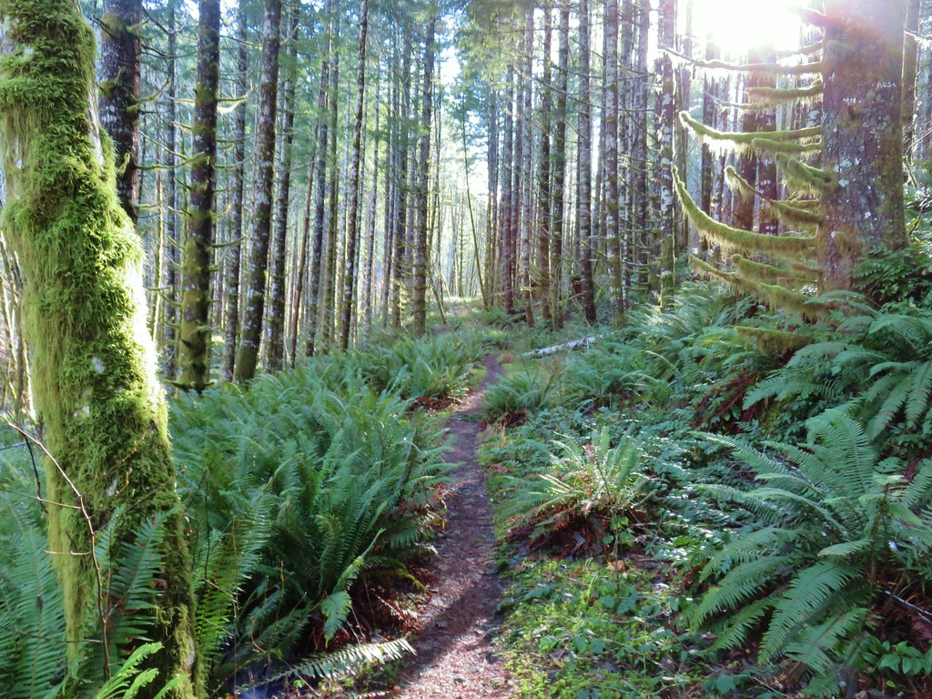
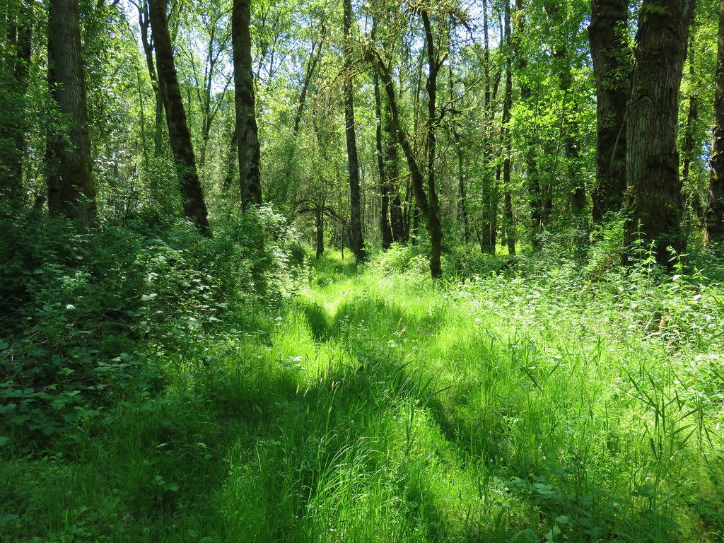
We didn’t see or hear any and continued on. The trail began to descend slightly passing through some nice forest. We kept our eyes out for flowers and any other interesting sights.

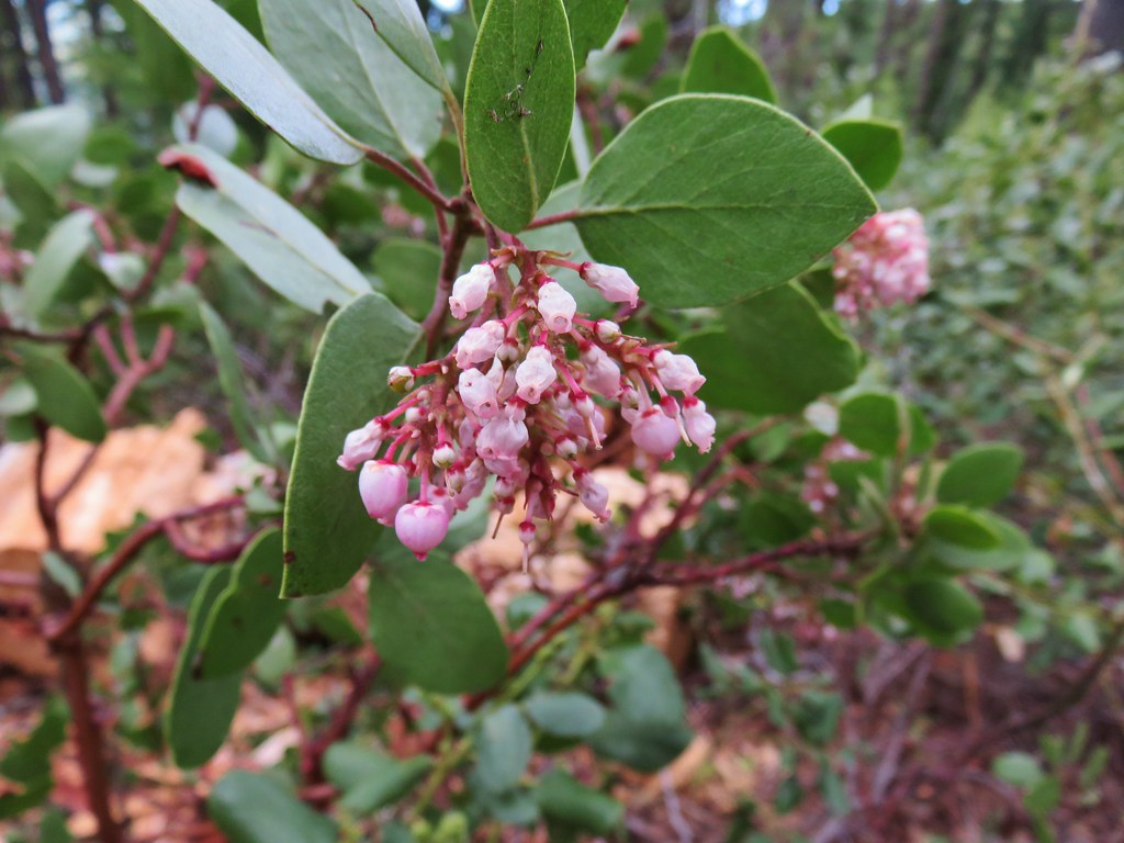 Manzanita
 A currant
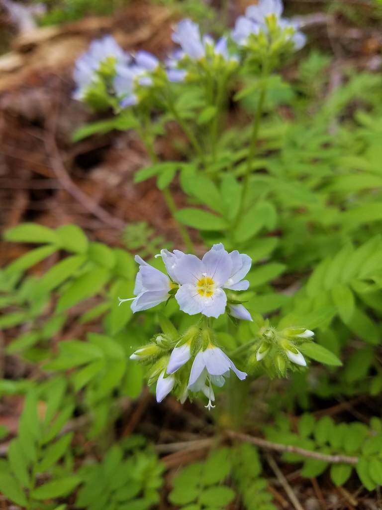 Jacob’s ladder
 Popular tree
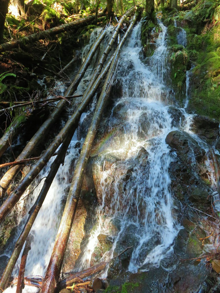
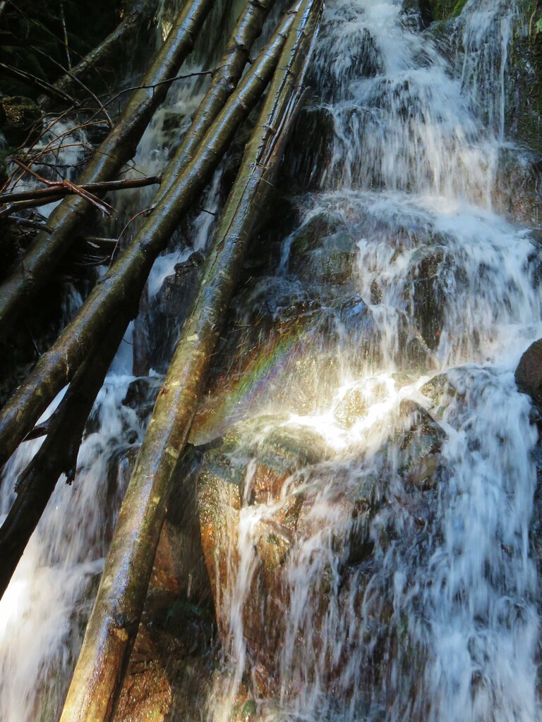
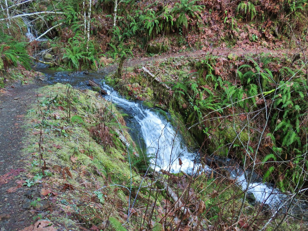
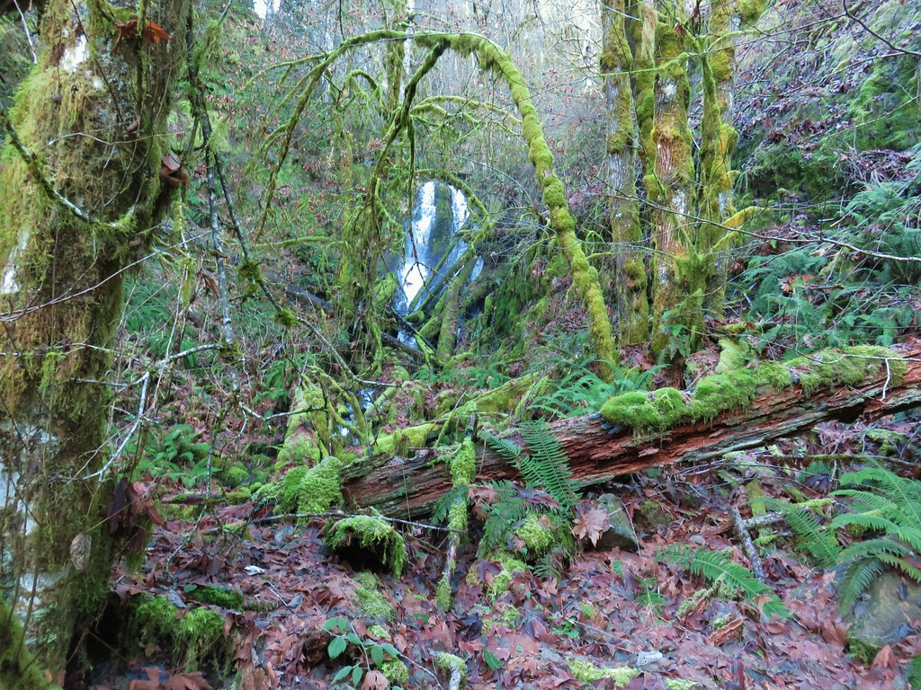
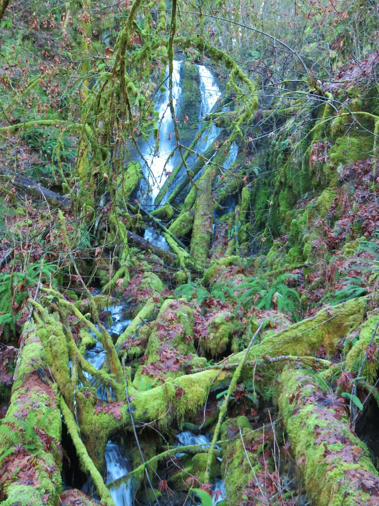
There were a few openings toward Mt. Hood but the clouds were keeping most of it covered. We did get a nice look at Polallie Creek Falls though.

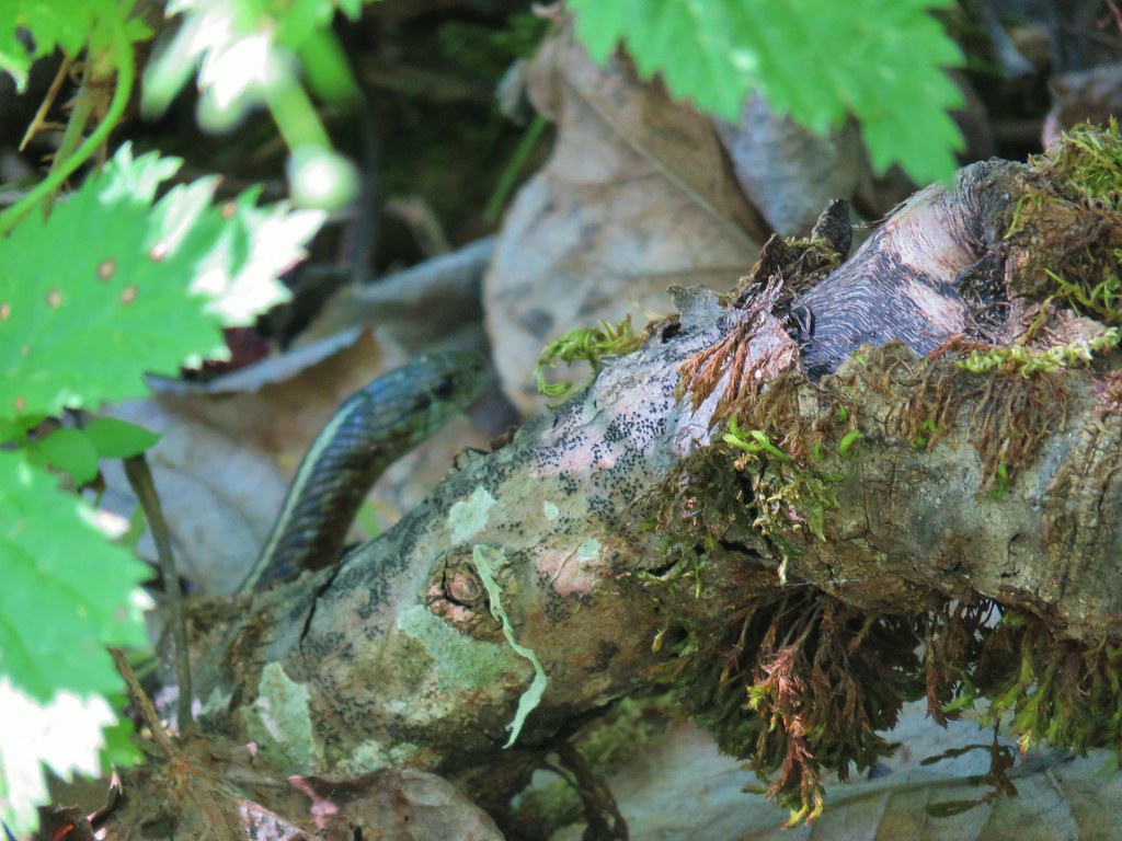
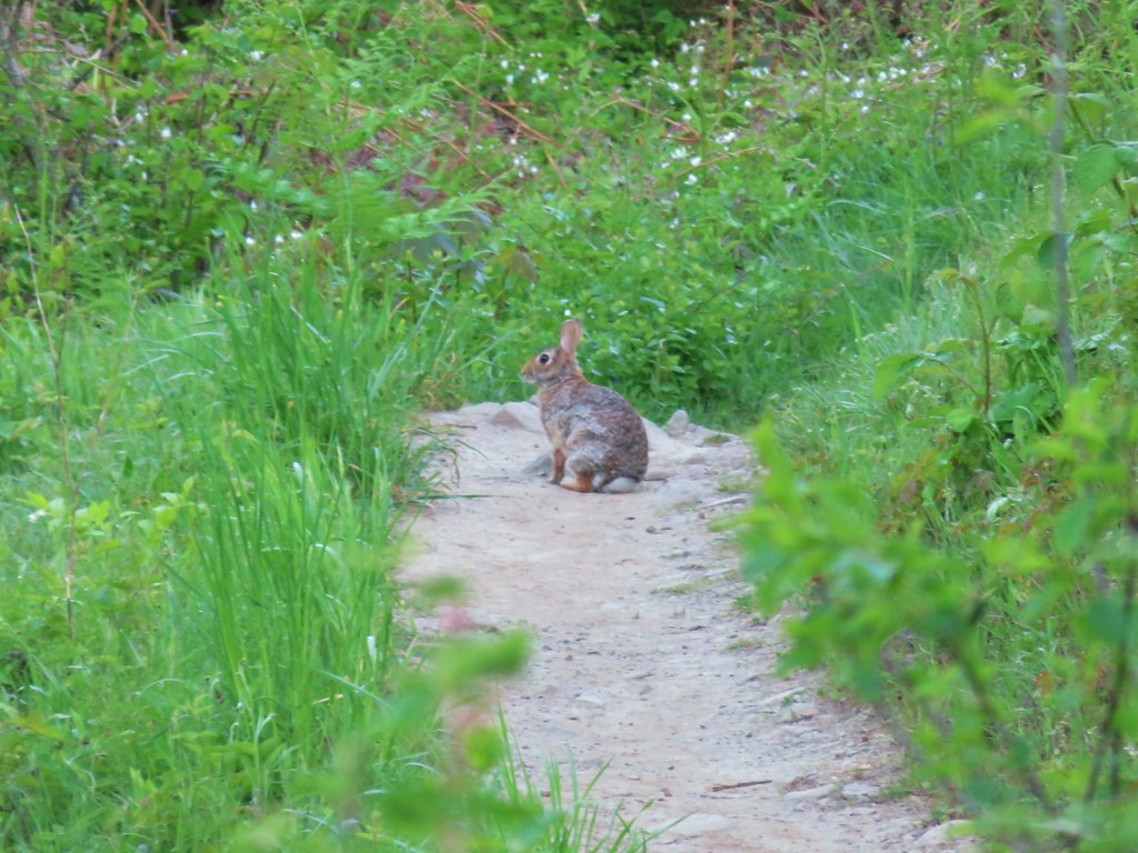
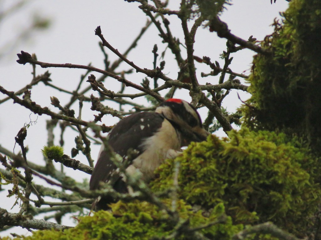
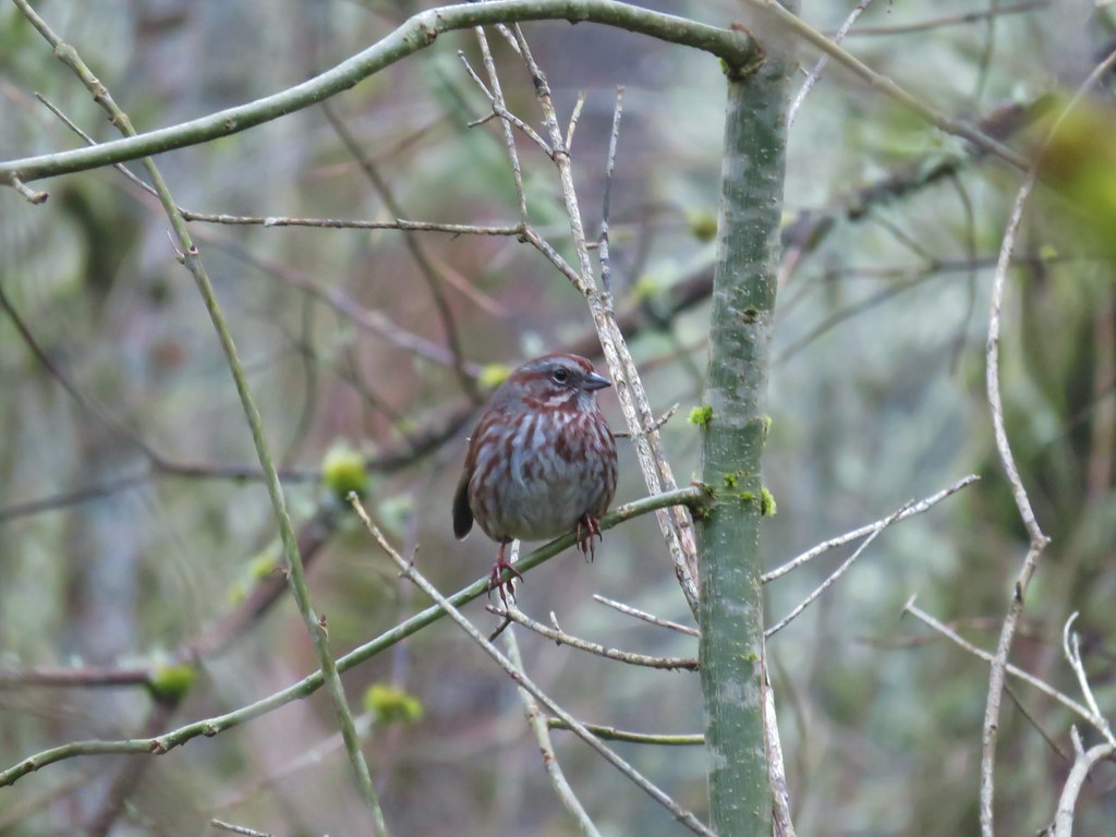
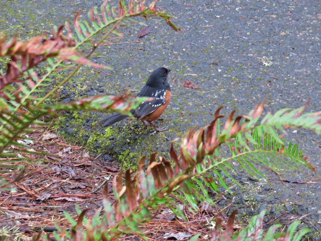
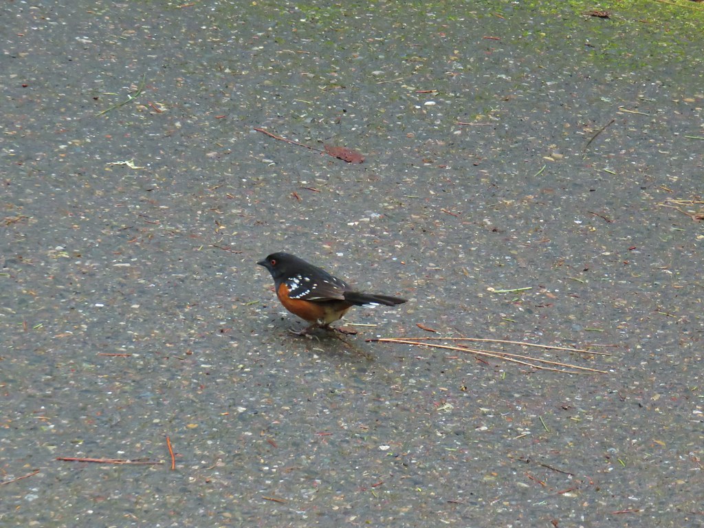
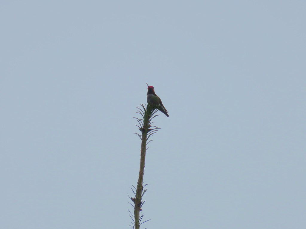
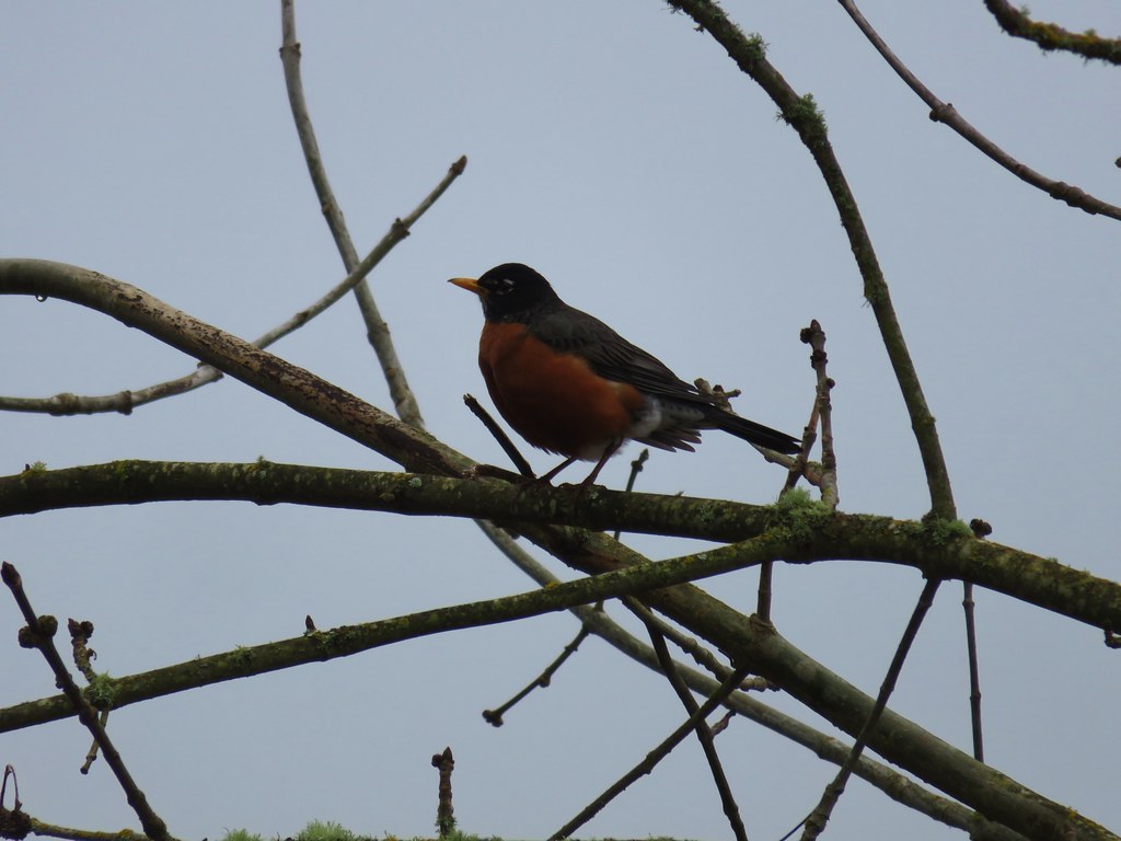
We had been watching for wildlife too but aside from a few birds and a couple of millipedes all we saw was a slug on one of several small bridges over wet spots.


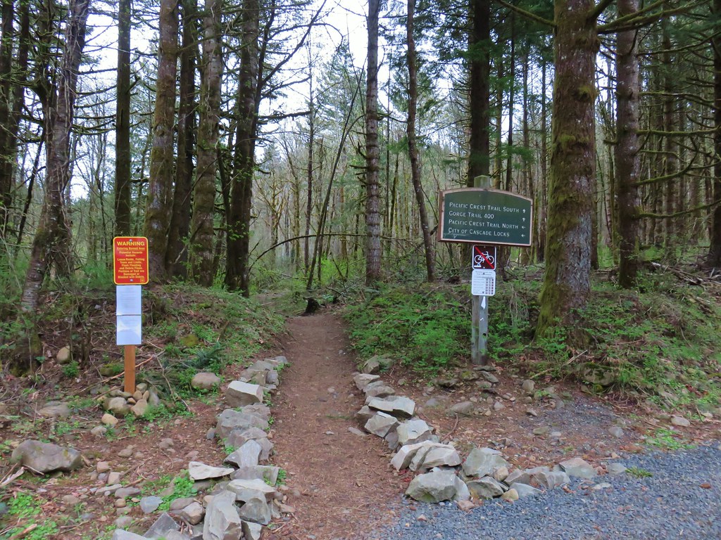
When we arrived at the junction with the Zigzag and Surveyor’s Ridge Trails we noticed a fourth trail signed “Viewpoint”.

This short trail led briefly downhill to a view north of Highway 35 and the East Fork Hood River (Mt. Hood was still hiding).

After checking out the viewpoint we returned to the junction and turned onto the Surveyor’s Ridge Trail.

The Surveryor’s Ridge Trail climbed gently through the forest for nearly a mile before arriving at Forest Road 620 and Dufur Mill Road (Forest Road 44).

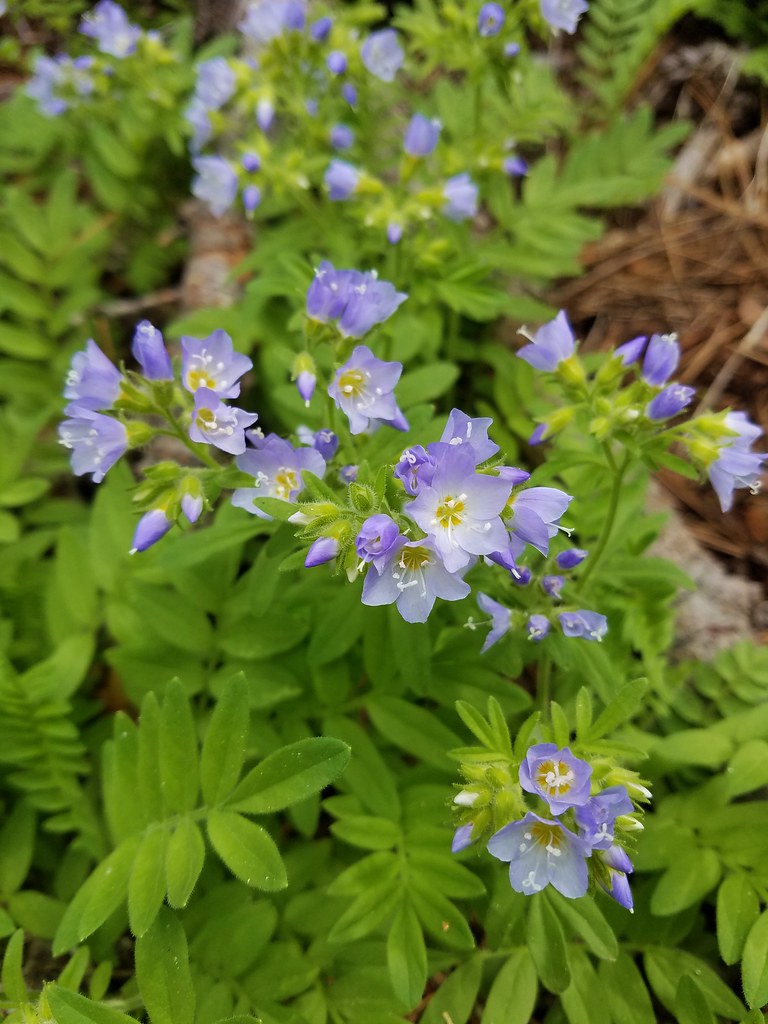 There was quite a bit of Jacob’s ladder along this stretch of trail.
 Oregon anemone
 Forest Road 620.
There was a single truck parked here and an outhouse. Along the shoulder of Dufur Mill Road there was also a small patch of snow. We had wondered if there was any remaining at this elevation (4240′). We turned left and headed north along FR 620 where we soon found a few more patches of lingering snow.


It was a pleasant but uneventful road walk. We followed the road downhill ignoring two forks to the left followed by an overgrown fork to the right.

After entering an area that had been clearcut sometime in the past Heather spotted a sign post off to our right (approximately 1.75mi along FR 620). I went to investigate.

Just in case anyone from the Wy’East Middle School 1994 8th grade class is wondering here are the trees that were near the sign.

Shortly after finding the sign the road finished bending to the west and we began heading toward the Dog River Trail. The road then turned northward again along the ridge above the Dog River Trail. There were a couple of viewpoints along this stretch including one at the top of the talus slope we had scanned for pikas earlier that day.
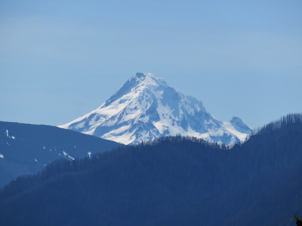
 A still cloudy Mt. Hood
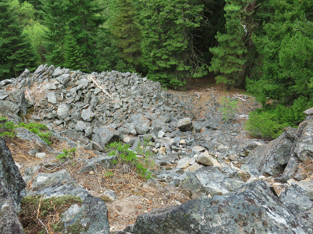 Looking down the talus slope with the Dog River Trail visible between the trees to the right.
The road bed had been steadily narrowing the further we went.

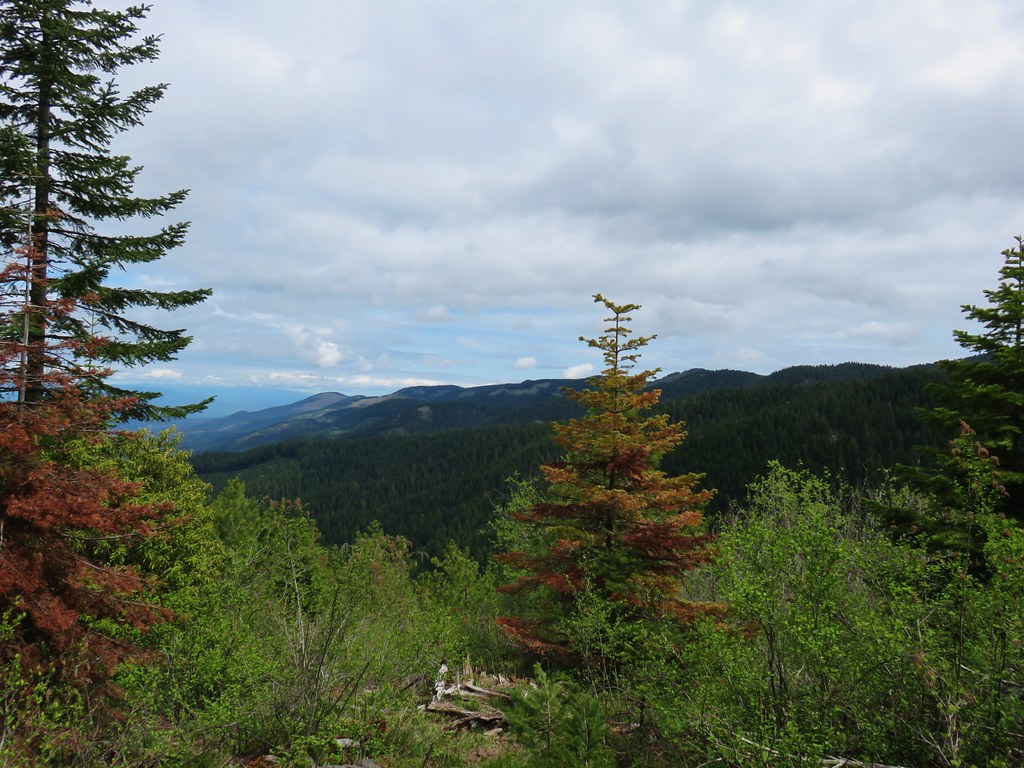
After a little over 2.5 miles on the road we passed a promising view of Mt. Adams if not for the clouds that had now overtaken it as well. We settled for a nice view of Bald Mountain which we had hiked in 2017 (post) and is accessible via the Surveyor’s Ridge Trail.

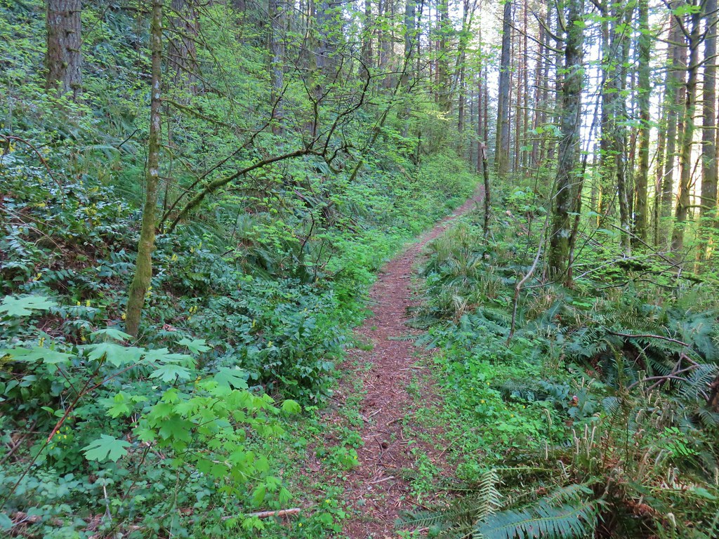
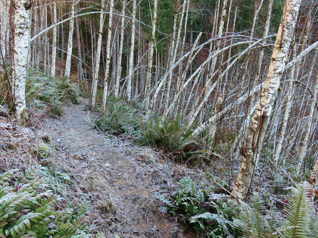
Not far from that viewpoint the old roadbed ended and we found ourselves on a short section of trail connecting us back to the Dog River Trail.

We had indeed come out via the spur trail we had marked that morning. The stretch between the Surveyor’s Ridge Trail and Dog River Trail was 2.75 miles and we were now just over 3.5 miles from the Dog River Trailhead. We had seen the first other people of the day from the viewpoint atop the talus slope when a pair of trail runners went by down on the Dog River Trail. Now that it was later we encountered a few mountain bikers on our way back but it was far from busy. We stopped at the first viewpoint again to say goodbye to the mountain. The clouds had changed again and now they were just covering the very top portion.
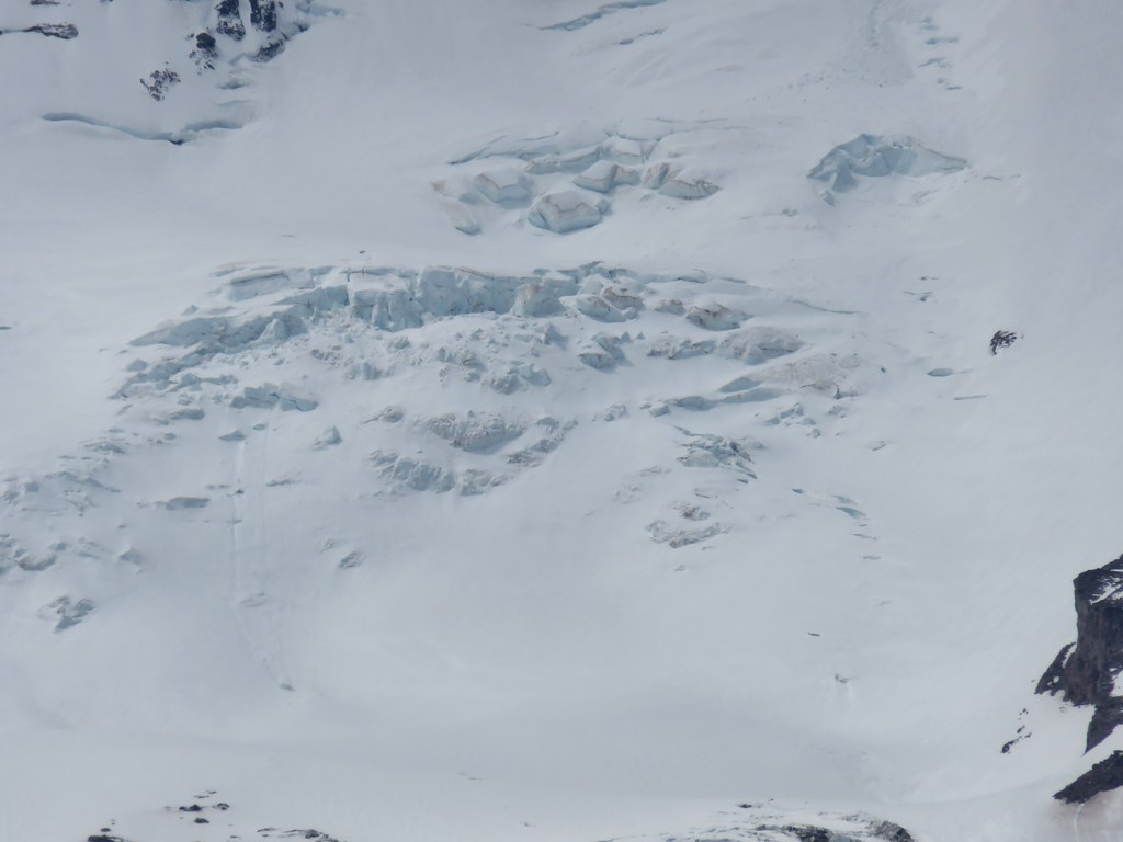
This gave us a nice look at Barrett Spur.

We also had a good view of the Eliot Glacier.
Our lollipop came in at 13.3 miles with approximately 2500′ of cumulative elevation gain. The showers never developed and we got to see a lot more of the mountains than we had honestly expected. The variety of wildflowers was good and there looked to be plenty more getting ready to bloom in the next week or two. It certainly felt off the beaten trail but it was definitely worth the visit. Happy Trails!
Flickr: Dog River Trail


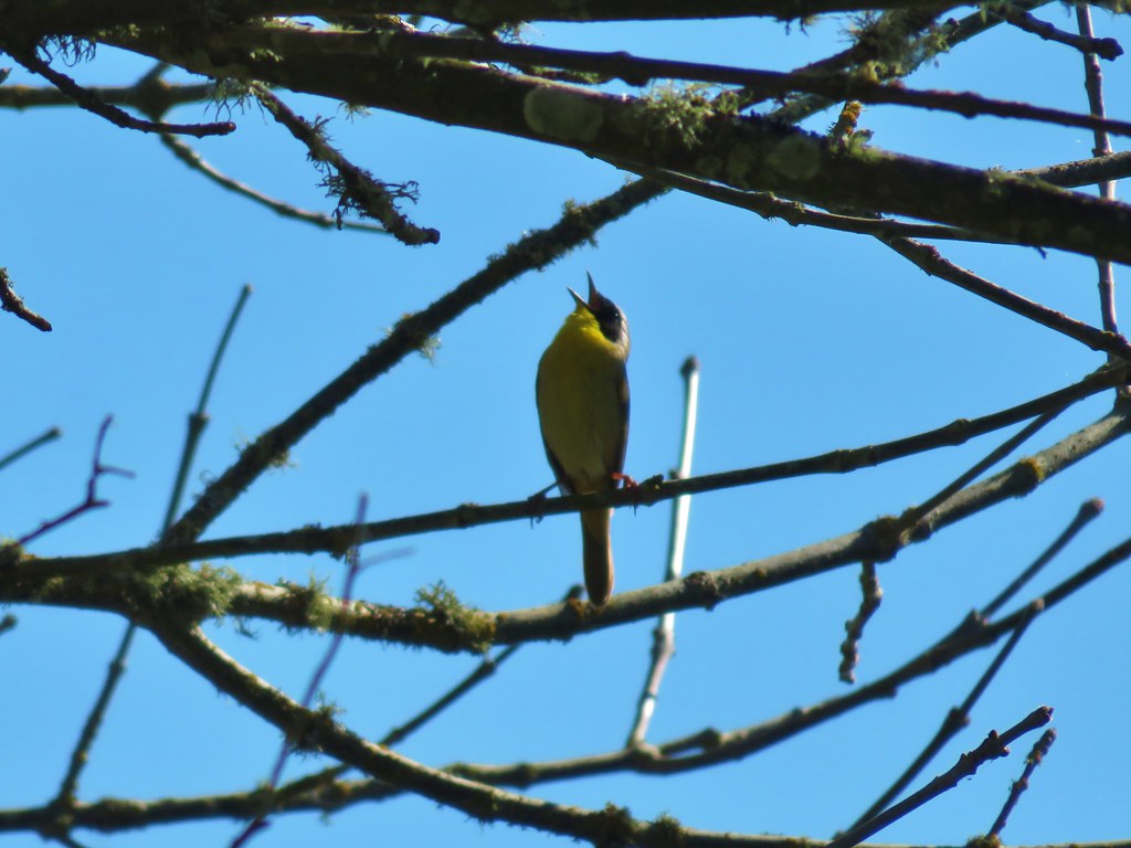
 Black-headed grosbeak


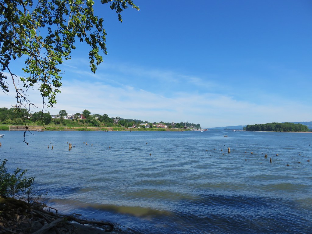
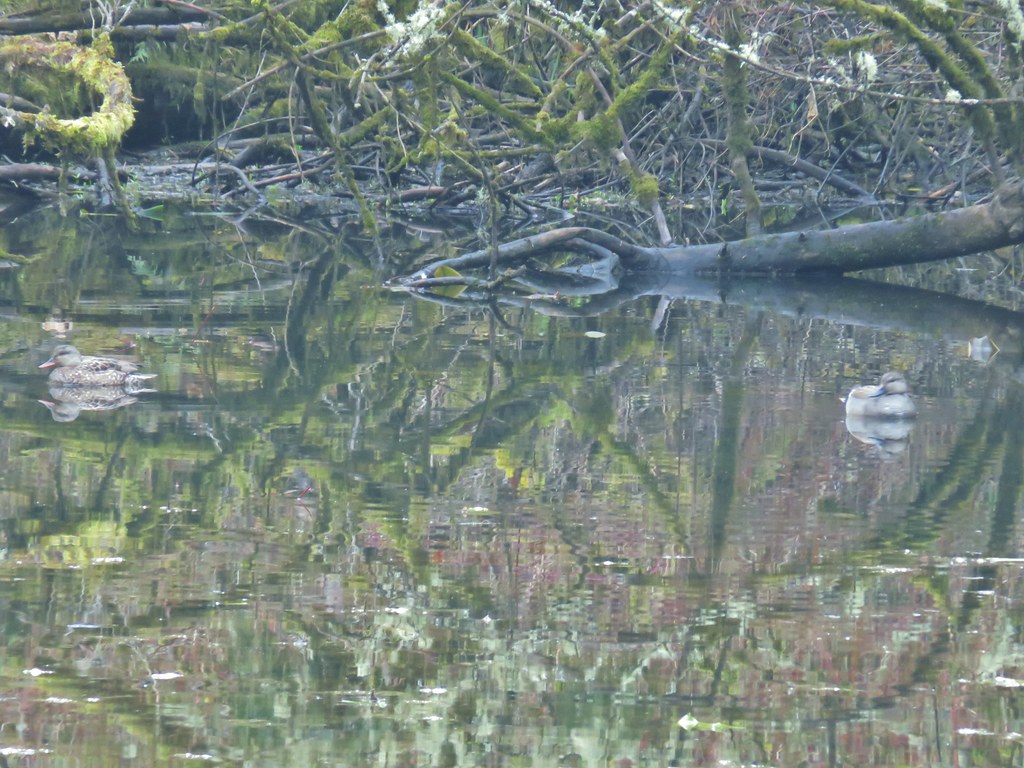
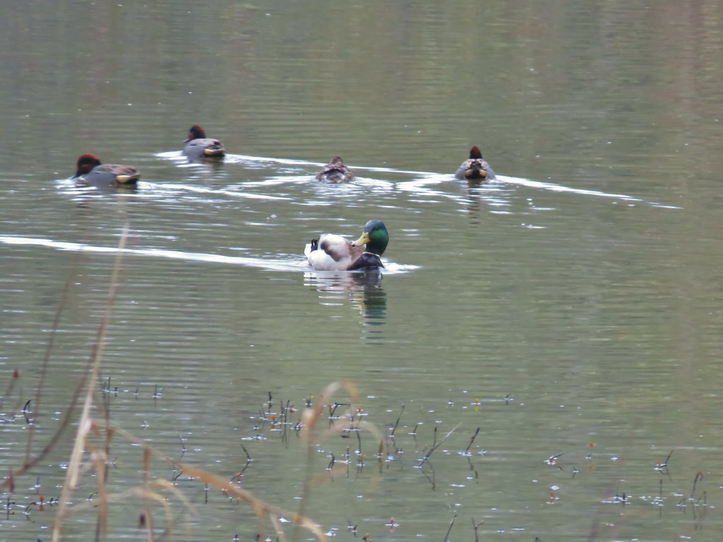
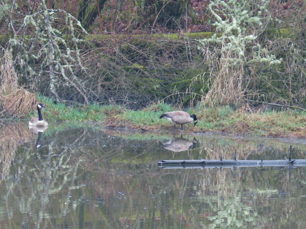
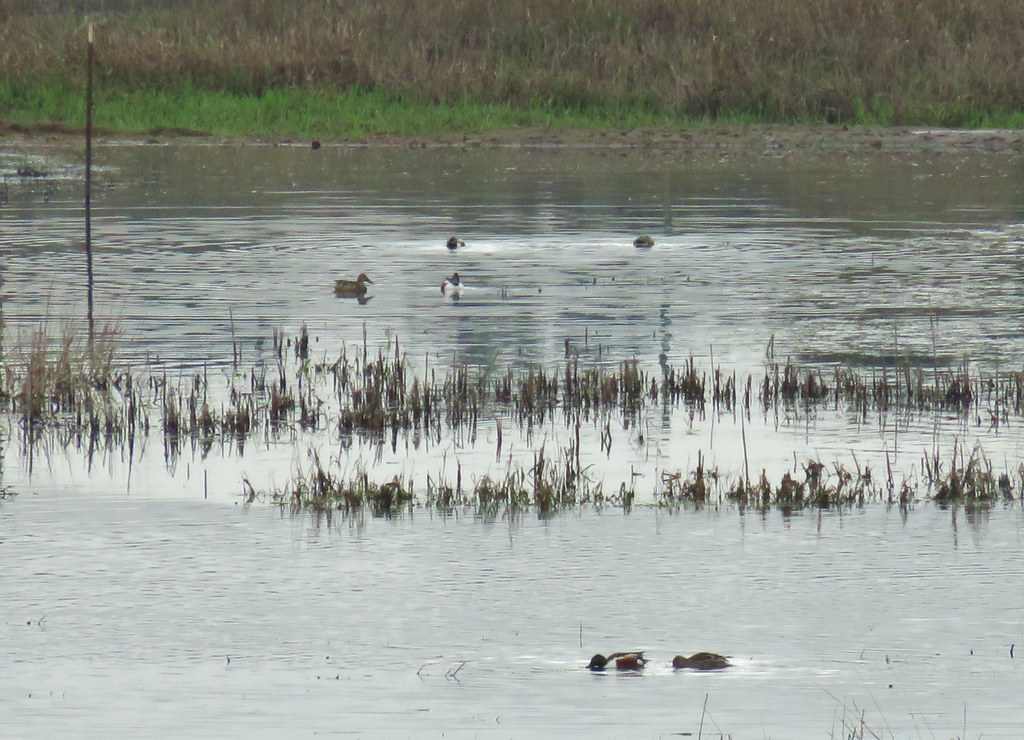
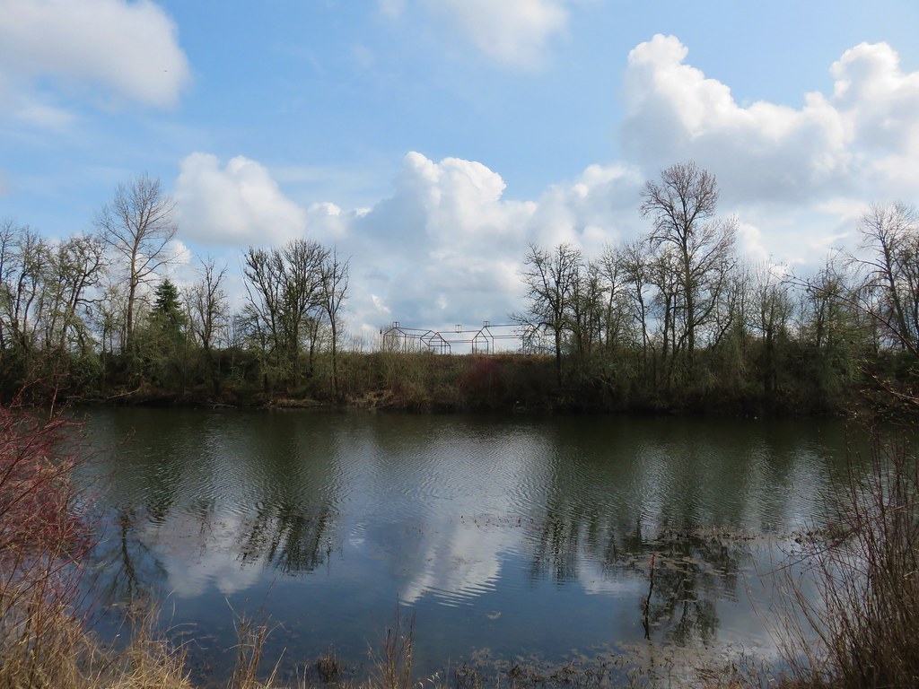
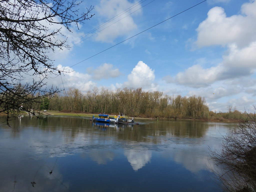
 Mallards with a great blue heron in the distance.
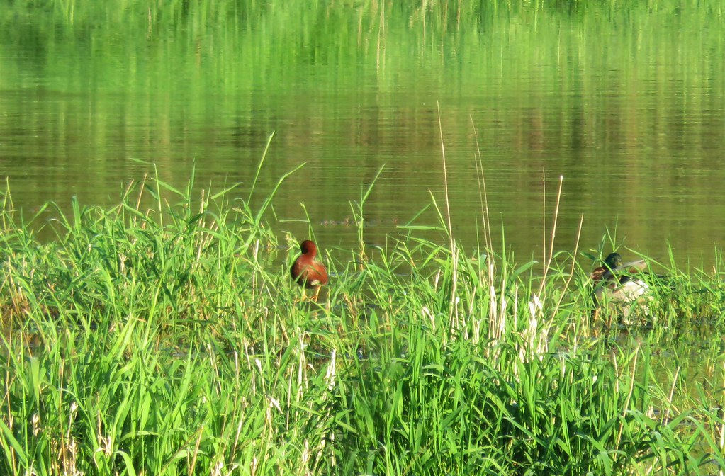 Cinnamon teal and a mallard
 Pied-billed grebe
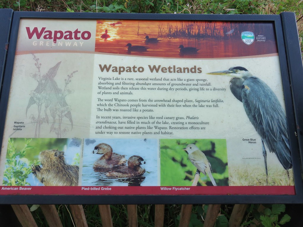


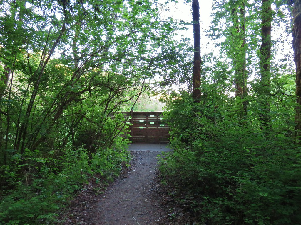
 Looking back at the gate.

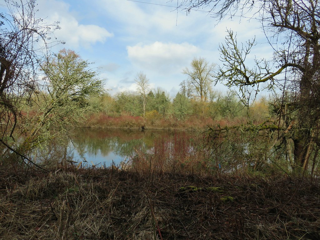
 Looking toward Steelman Lake from the Narrows.
 The Narrows. Another lake, Mud Lake, is on the other side of the trees.
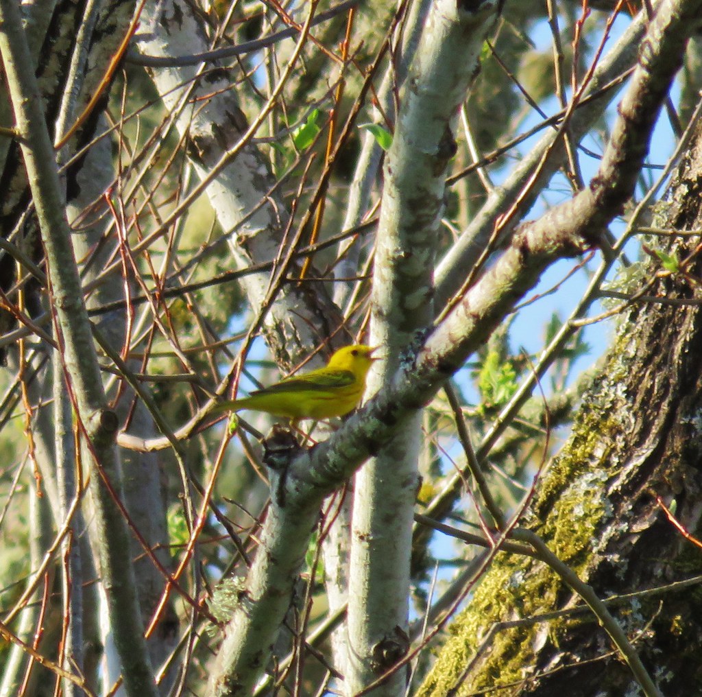
 Mt. Adams (it is really there)
 Mt. St. Helens


 Mt. St. Helens and an Osprey nest.
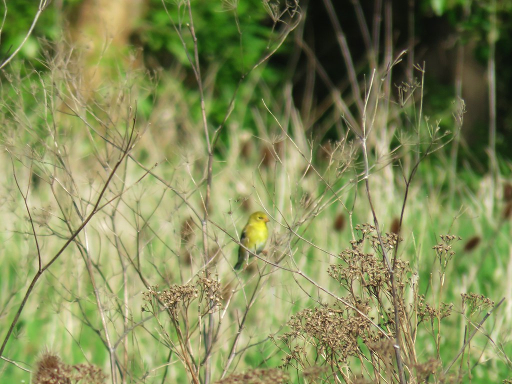 Female
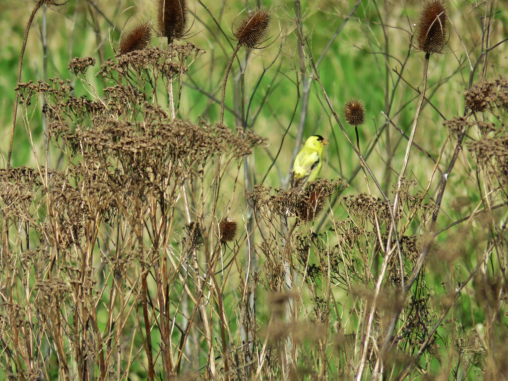 Male
Male

 Mt. St. Helens again.


 1905 Columbia County Courthouse


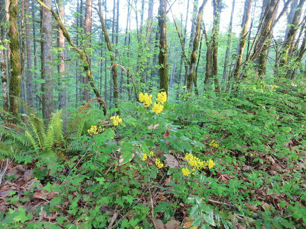 Oregon grape
 Dogwood
 Large solomonseal
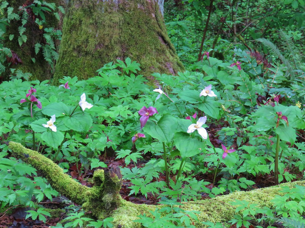
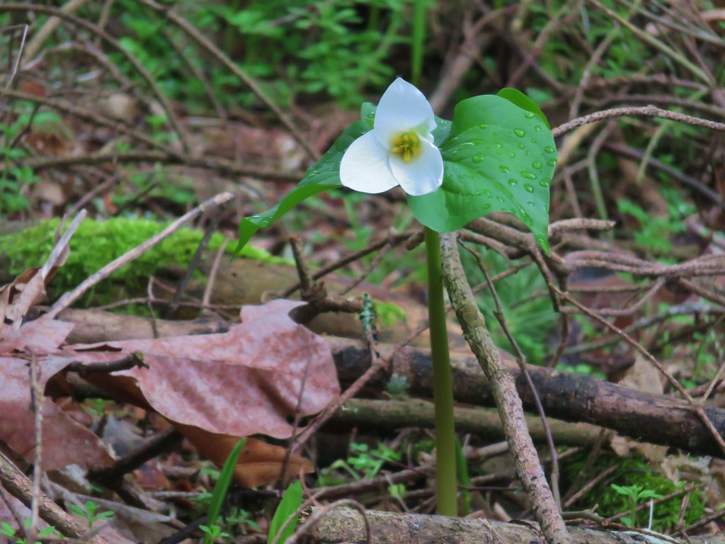
 Trillium
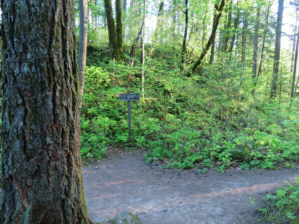


 Hamilton Mountain (
 Sacagawea and Pappose Rocks
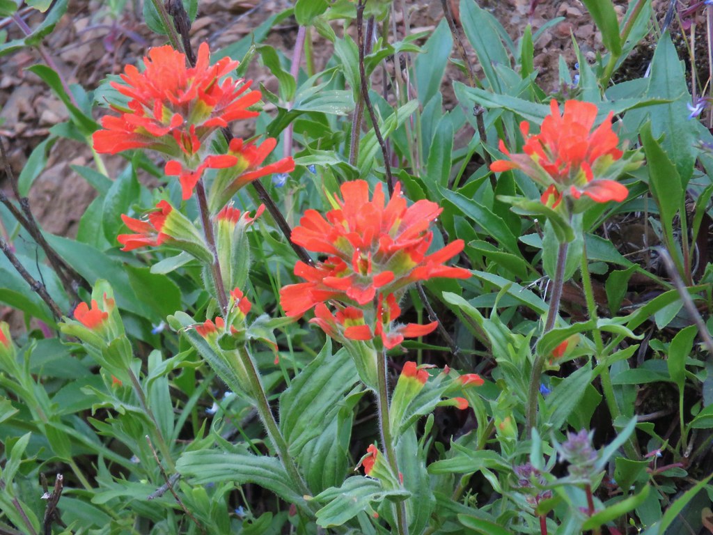 Indian paintbrush

 Bonneville Dam on the Columbia River. Nesmith Point (
 Unnamed lake through the trees.


 Bleeding heart
 Vanilla leaf

 Wood violet
 Fairy slipper
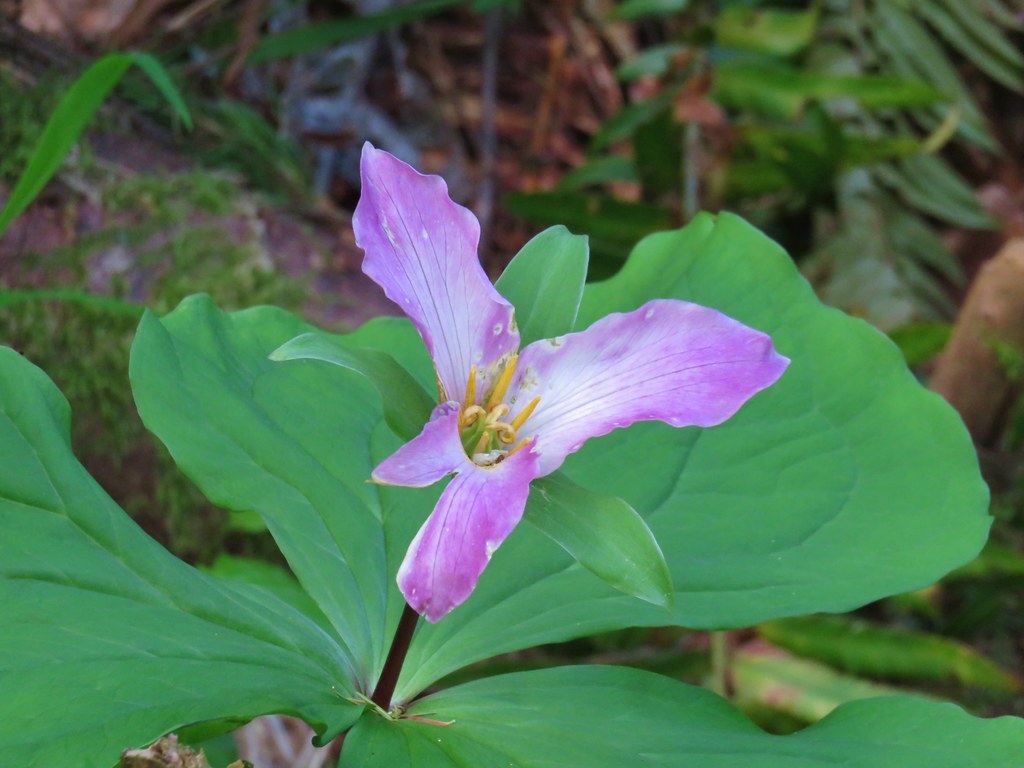 Trillium
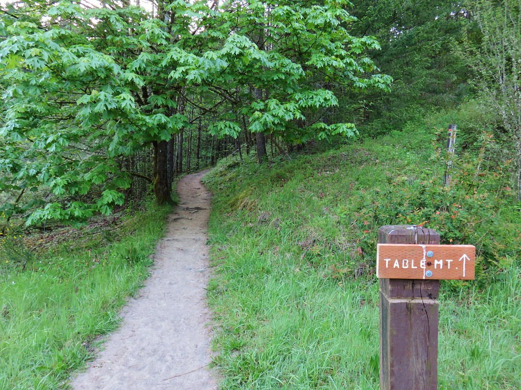
 The Two Chiefs on the left and Table Mountain on the right.
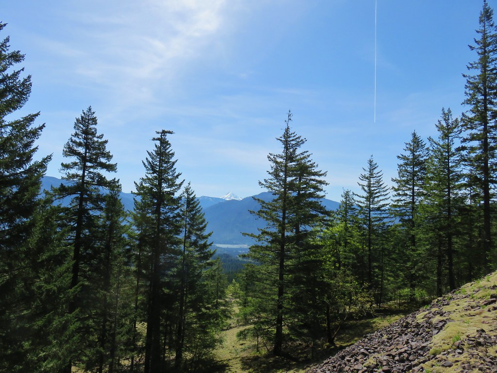

 Left side
 Right side
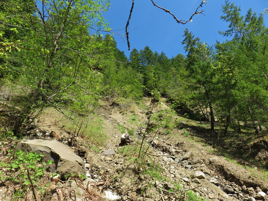
 The highest tier that I was able to see.
 A middle section of Greenleaf Falls
 Cascades along Greenleaf Falls just above the ones visible from the trail.


 Snow queen
 Wild strawberry
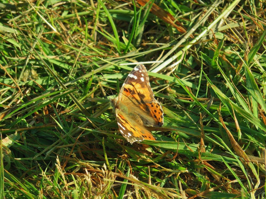
 Butterfly landing on leafy pea


 Snow queen and violets
 Trillium


 October 2015
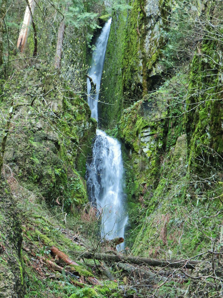 April 2019
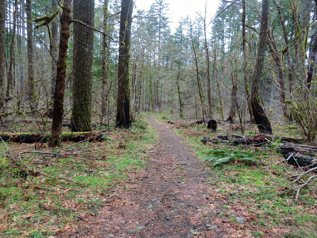


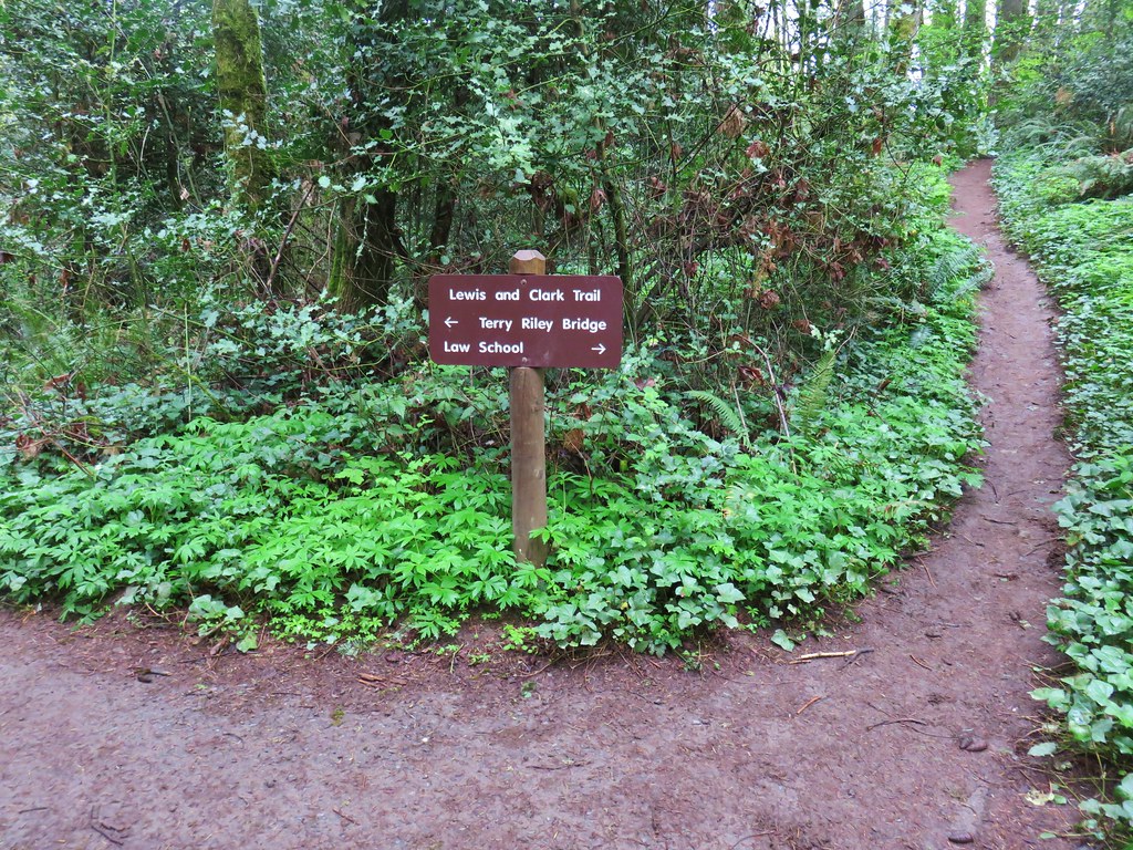
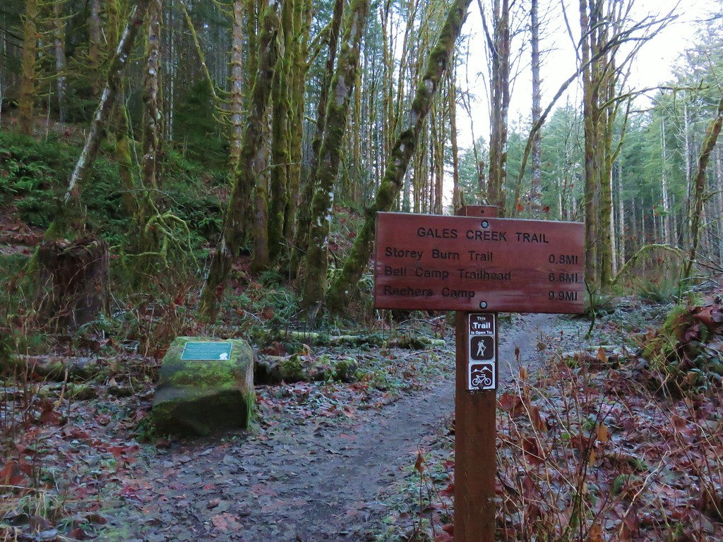
 Trail pointer at the Mink Path junction. We appreciated the fact that all of the junctions were signed and those signs were easy to read but placed in such a way that they were unobtrusive.
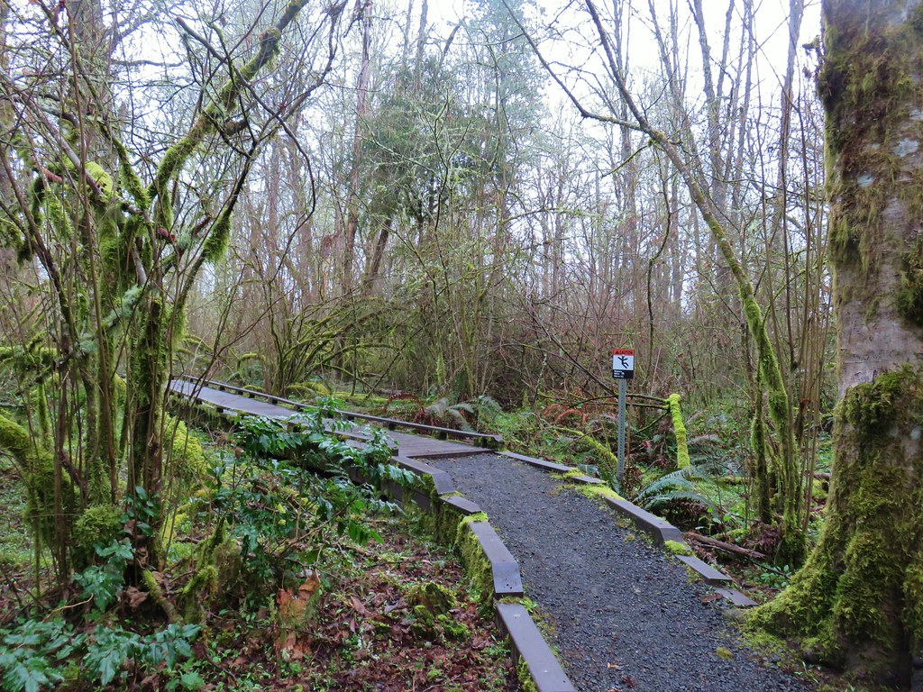 Can you see the deer?
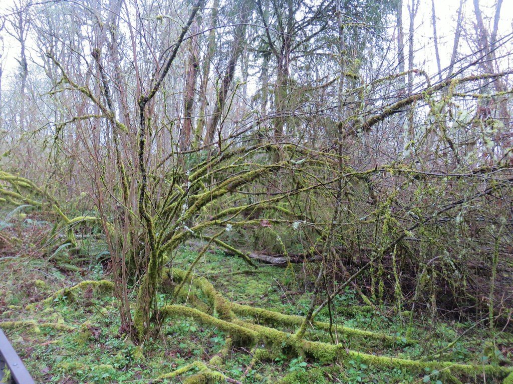 How about now?
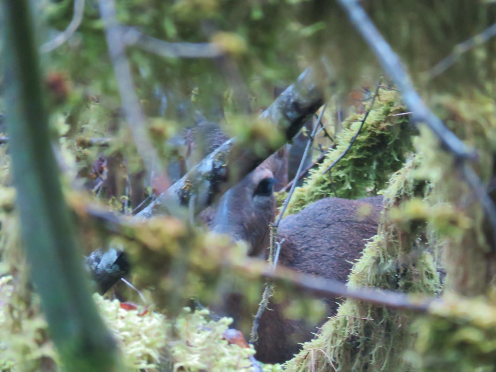


 Beaverton Creek
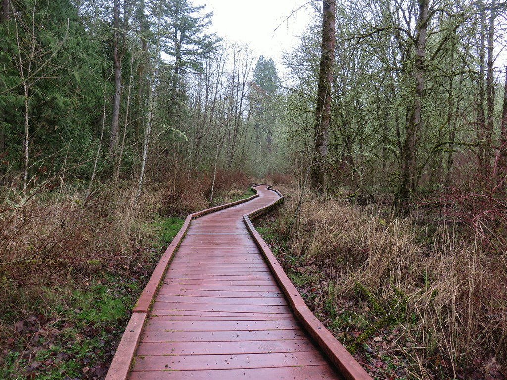


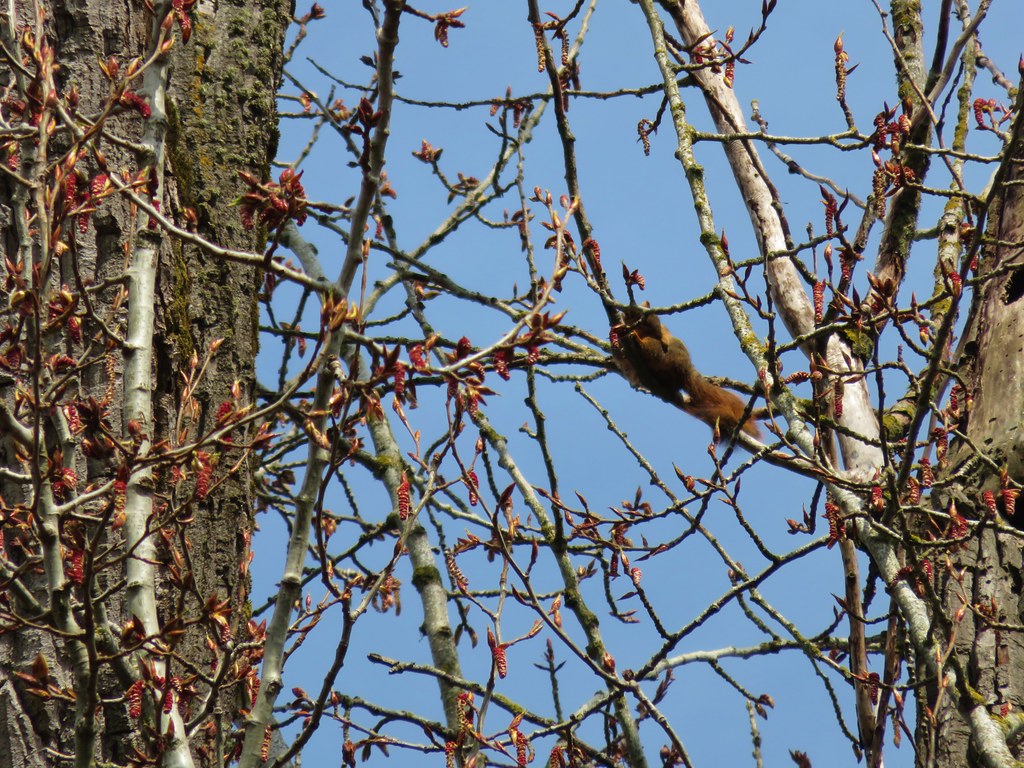
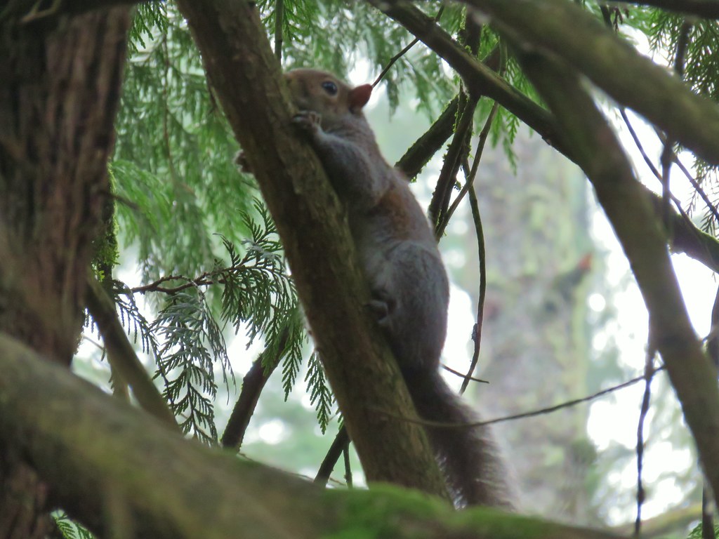
 The osprey and the squirrel (upper right hand corner).


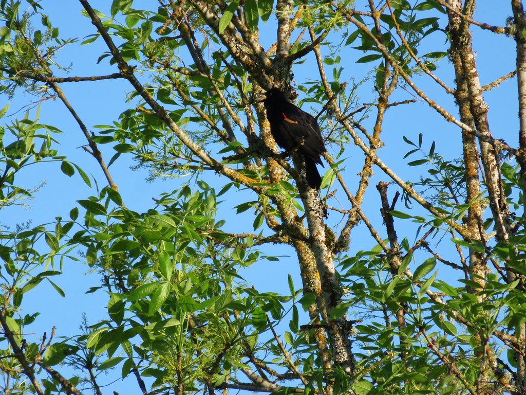
 Wren signing along the trail
 Battle Ax Creek – 2014
 Mt. Jefferson from Russell Lake – 2016
 Drift Creek – 2010
 Mt. Washington from the Pacific Crest Trail – 2015
 The Three Sisters – 2014
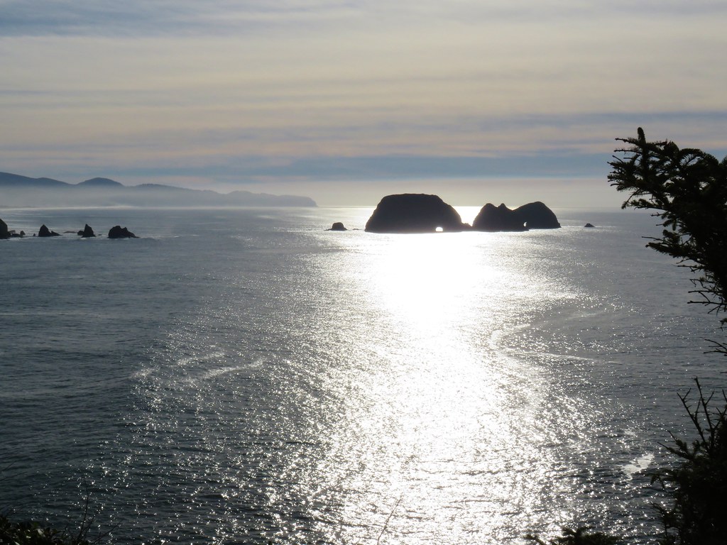 Three Arch Rocks from Cape Meares – 2018
 Triple Falls – 2012
 Mt. Hood – 2015
 Bandon Islands – 2018
 Twin Pillars – 2011
 Howlock Mountain and Mt. Thielsen – 2014
 Table Rock – 2015
 Frustration Falls – 2018
 Trapper Creek – 2014
 View from Fuji Mountain – 2013
 Serene Lake – 2013
 Badger Creek Wilderness – 2014
 Donaca Lake – 2014
 Emerald Pool – 2018
 View from Boccard Point – 2015
 Red Buttes – 2015
 Oregon Badlands Wilderness – 2016
 Vulcan Lake – 2016
 Rooster Rock – 2016
 Glacier Lake – 2016
 View from Aspen Butte – 2016
 Mt. McLoughlin from Freye Lake – 2016
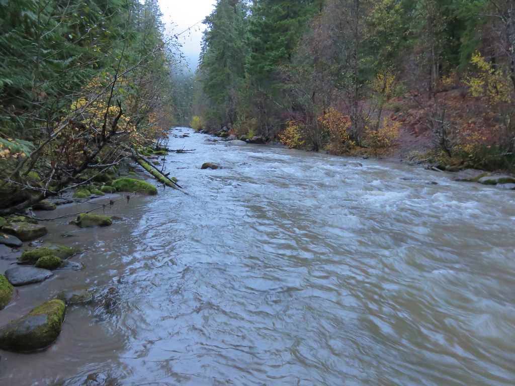 White River – 2016
 Rock Creek – 2017
 Hedgehog Cactus – 2017
 Bridge Creek Wilderness – 2017
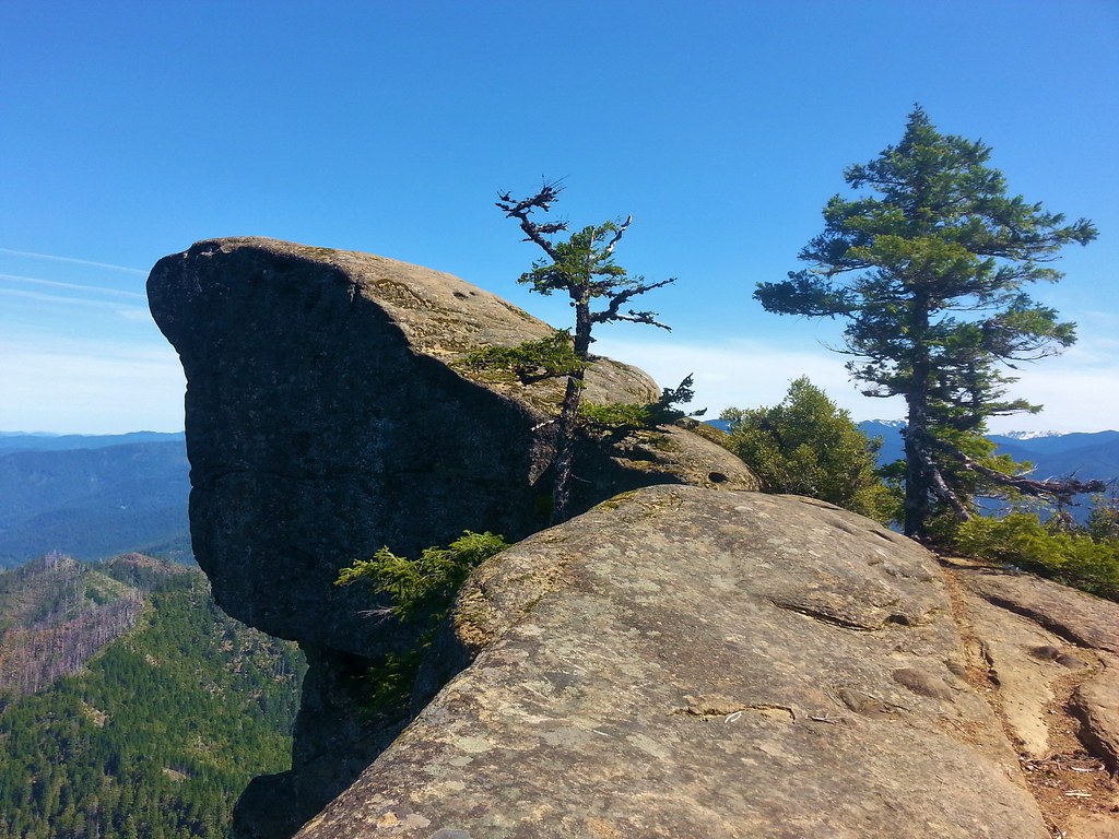 Hanging Rock – 2017
 View from Grassy Knob – 2017
 Big Bottom – 2017
 Baldy Lake – 2017
 Cummins Ridge Trail – 2017
 Hummingbird Meadows – 2018
 View along the Pine Creek Trail – 2018
 Slide Lake – 2018
 Barklow Mountain Trail – 2018
 The route we came up.
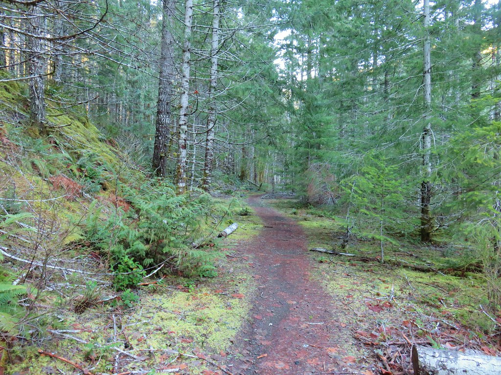 A short section of railroad grade.
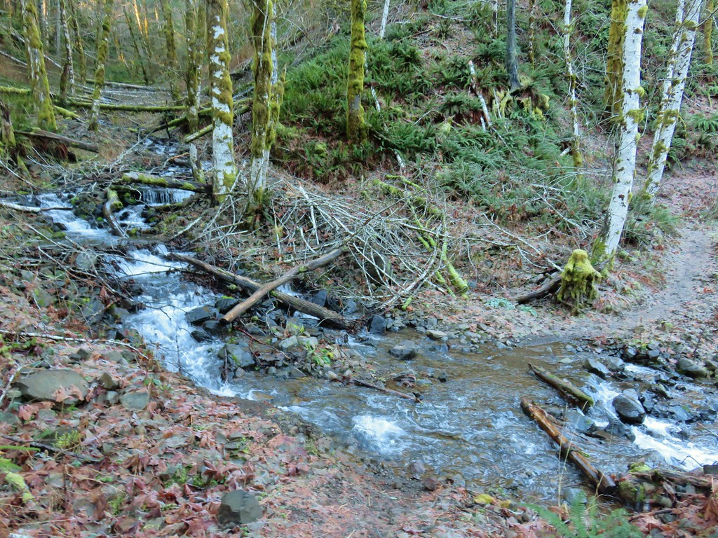
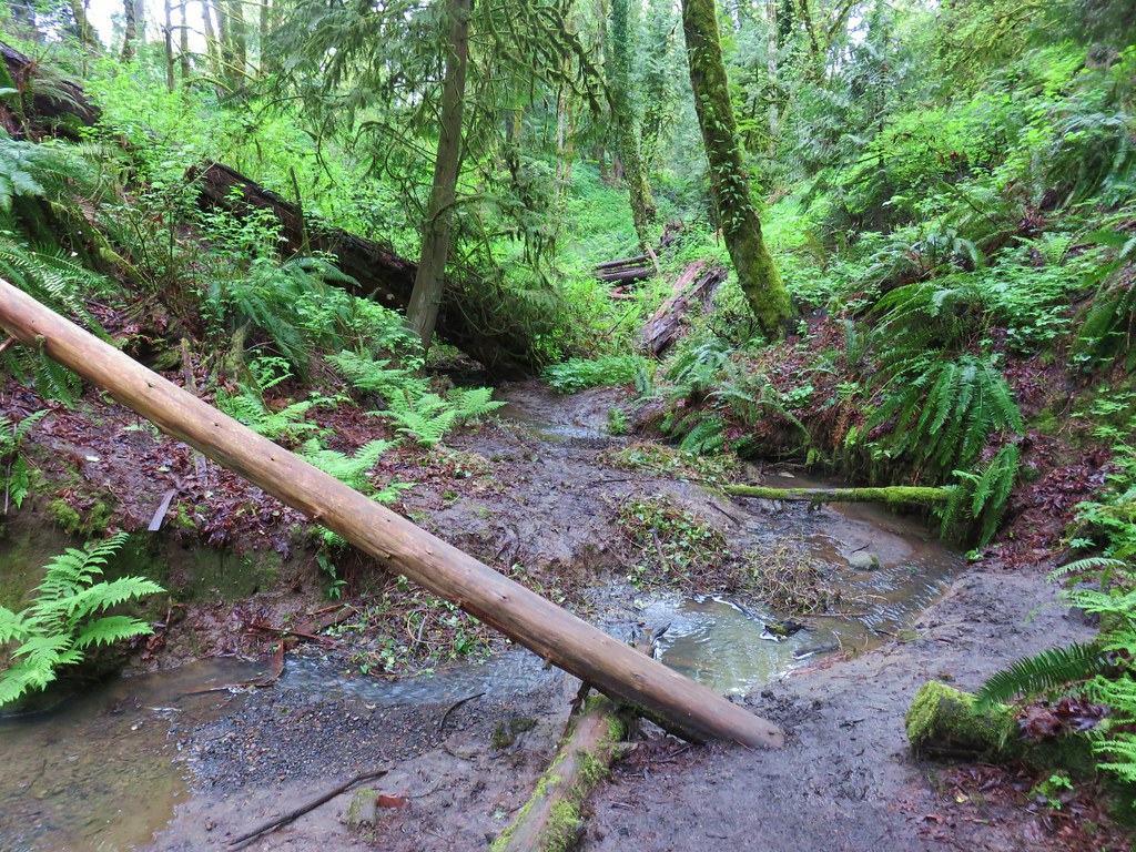
 The logs we came across.
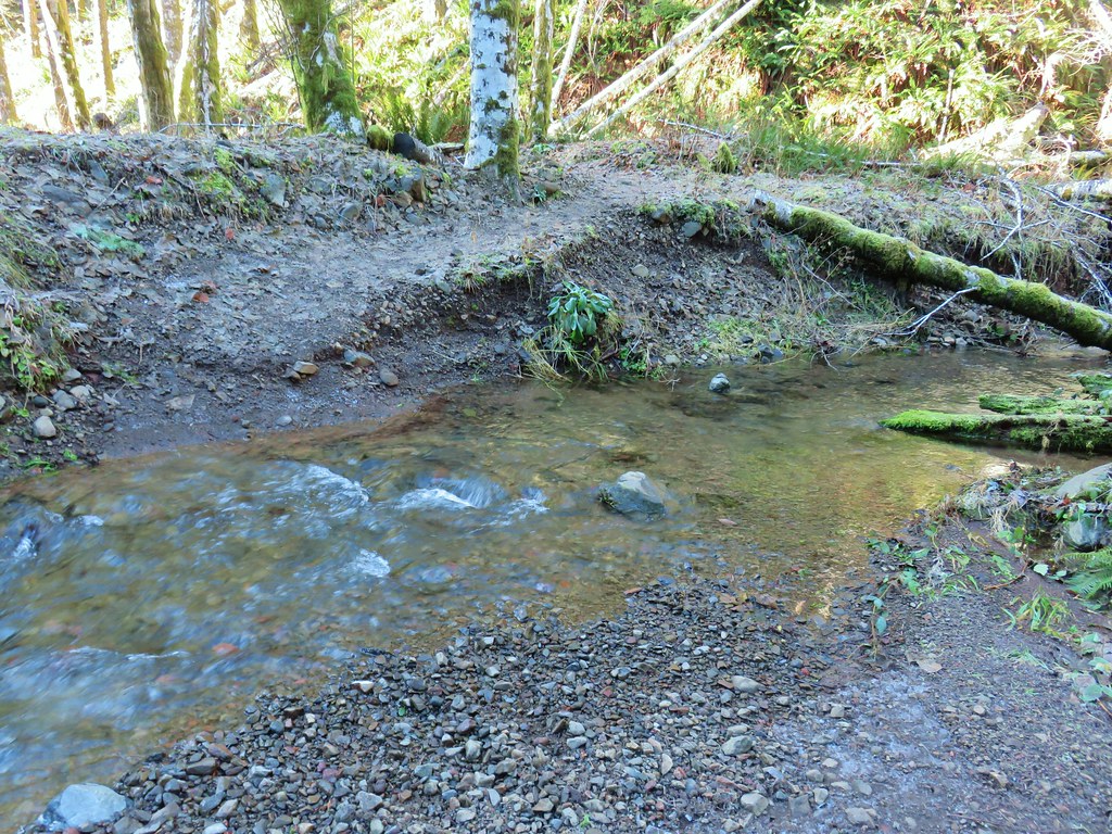 The rock after having crossed.
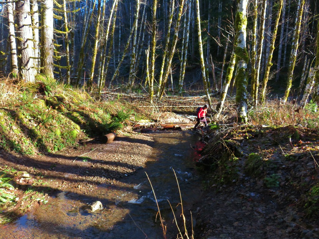 Heather finishing her crossing on the way back.