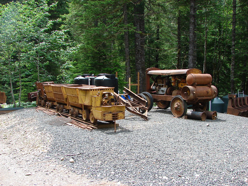
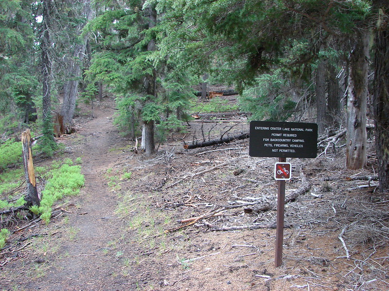
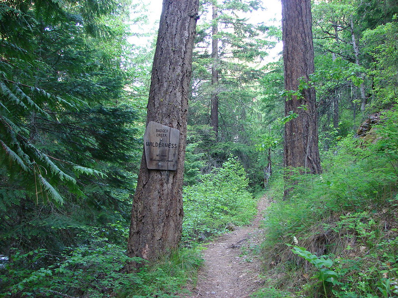
One of our biggest goals this year was to finally take some overnight backpacking trips. We spent much of the past Winter researching and acquiring the various gear we needed and then penciled in a few 2 day/1 night test outings. The first of those test runs occurred this past weekend in the Badger Creek Wilderness. Our first visit to this wilderness area happened back in late May when we hiked the Badger Creek Trail as a scouting trip for camp sites in anticipation of this trip. https://wanderingyuncks.wordpress.com/2014/05/26/badger-creek/
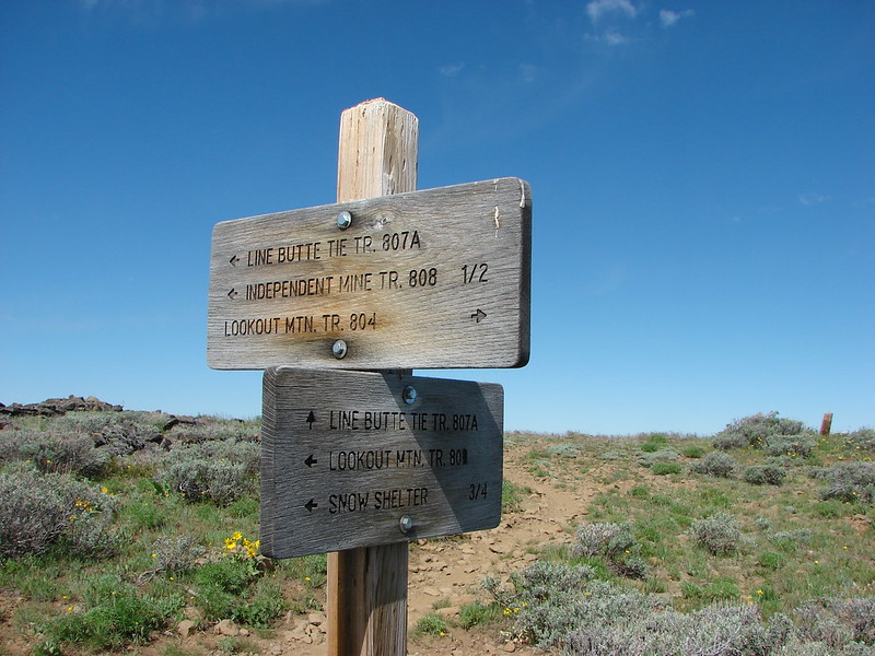
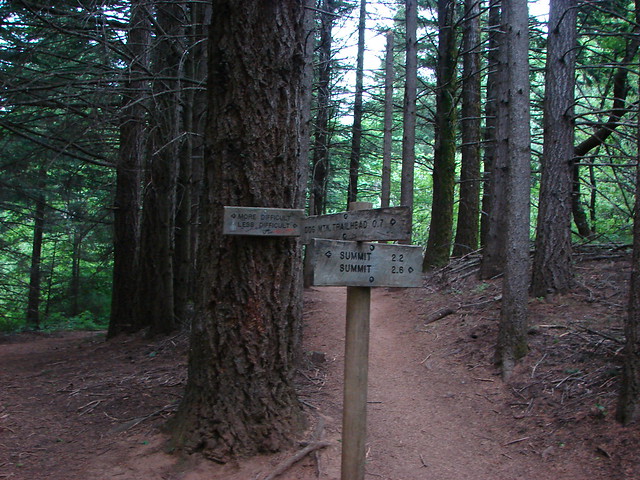
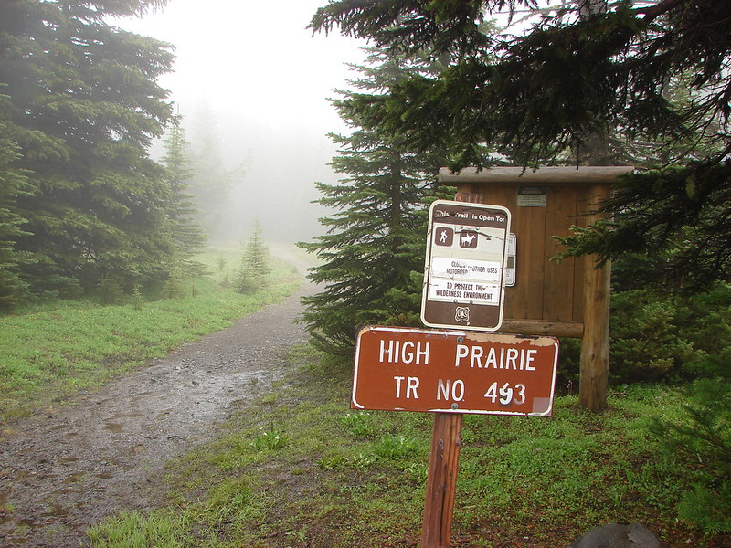
Our planned route was to start at High Prairie which is located 8.5 miles from Highway 35 on the east side of Mt. Hood. From the parking area we planned on heading up to the summit of Lookout Mountain on the High Prairie Trail, taking the Divide Trail east toward Flag Point, then dropping down to the Badger Creek Trail on the Badger Creek Cutoff Trail. On our previous visit we had pegged Post Camp as our intended camp site which we would get to by heading just over a mile east from the junction with the Badger Creek Trail. For our return trip we would follow the Badger Creek Trail to Badger Lake where we could once again pickup the Divide Trail and follow it back up out of the valley to Gumjuwac Saddle and then on to the High Prairie Loop at Lookout Mountain.
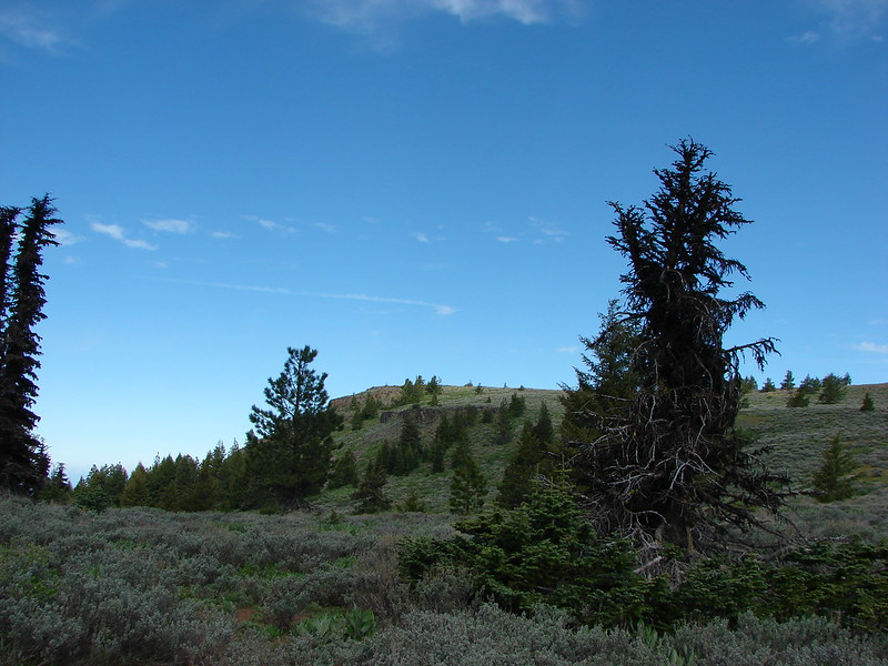
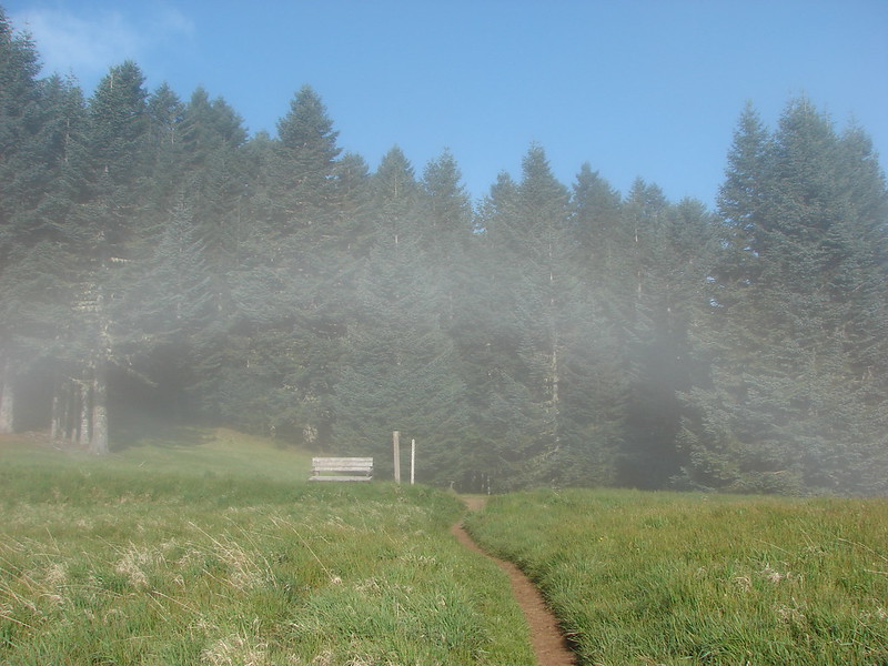
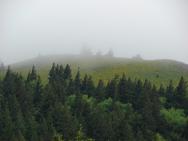
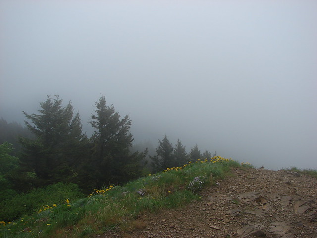
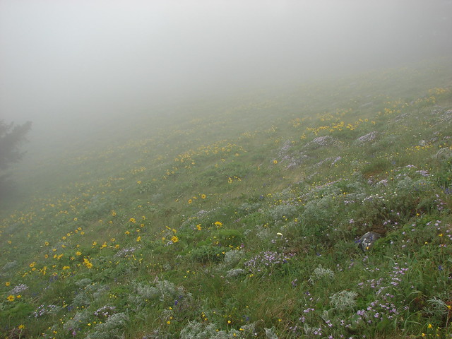
We had been watching the weather forecast intently as a series of rain showers had been threatening to carry into the weekend, but by Friday night it looked promising enough to give us the green light. The drive to High Prairie was wet but as we made our way around Mt. Hood we managed to find a pocket of blue sky. We had lost the pocket by the time we arrived at the trail head though and found High Prairie to be in the cloud bank.
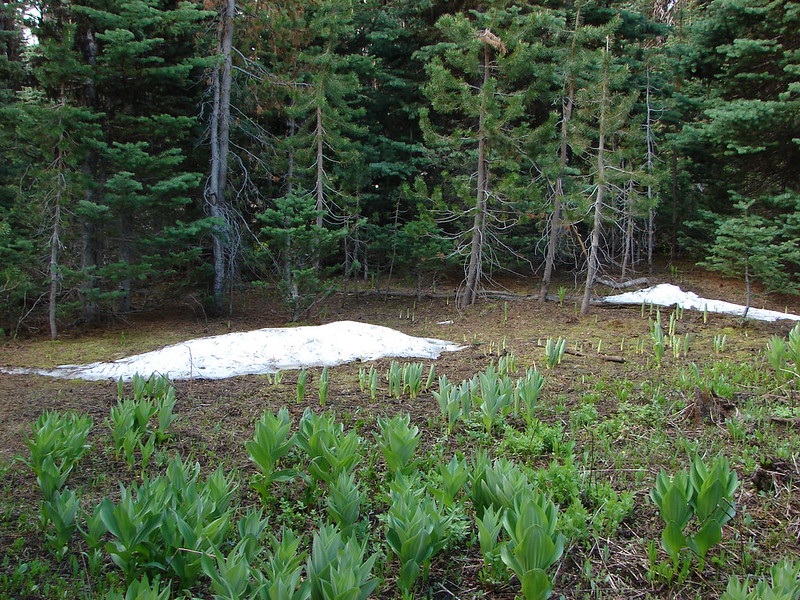
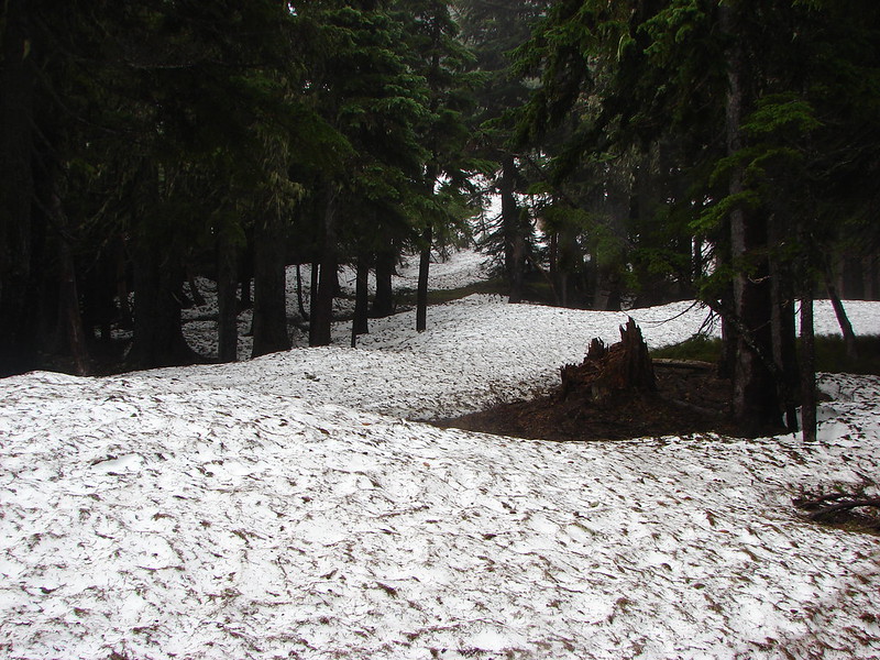
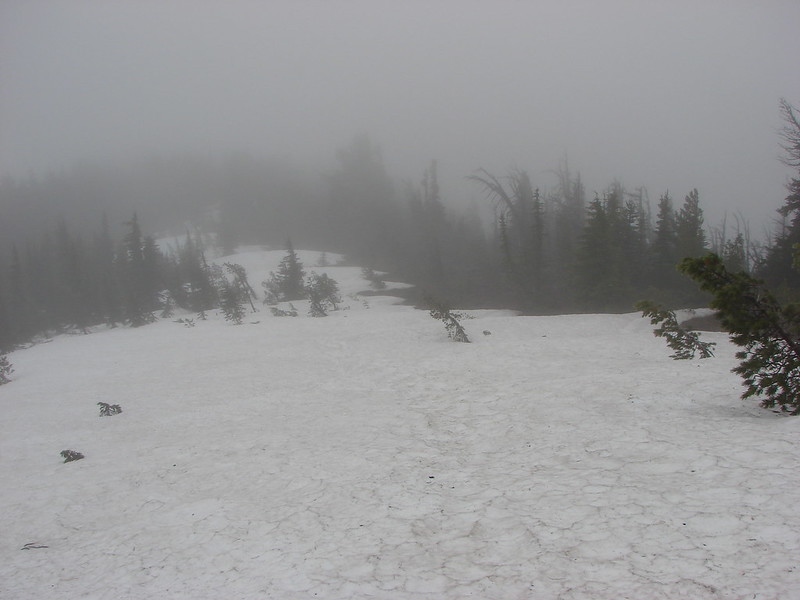
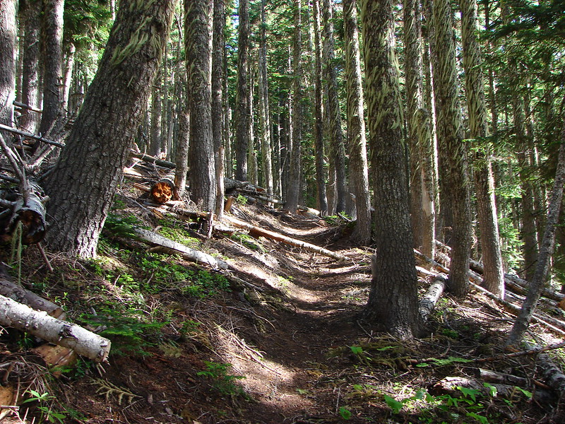
The 1.3 mile climb to Lookout Mountain was cold and cloudy but we didn’t have to deal with any rain. What we did have to contend with though was a decent amount of snow still covering parts of the trail.

As we neared the junction with the Divide Trail we ran into a large patch of snow. At first we thought the trail was underneath the snow and we’d have to climb up the ridge on top of it, but as we climbed up onto the snow we could see the snow free trail on the other side.
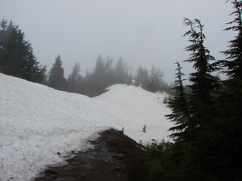
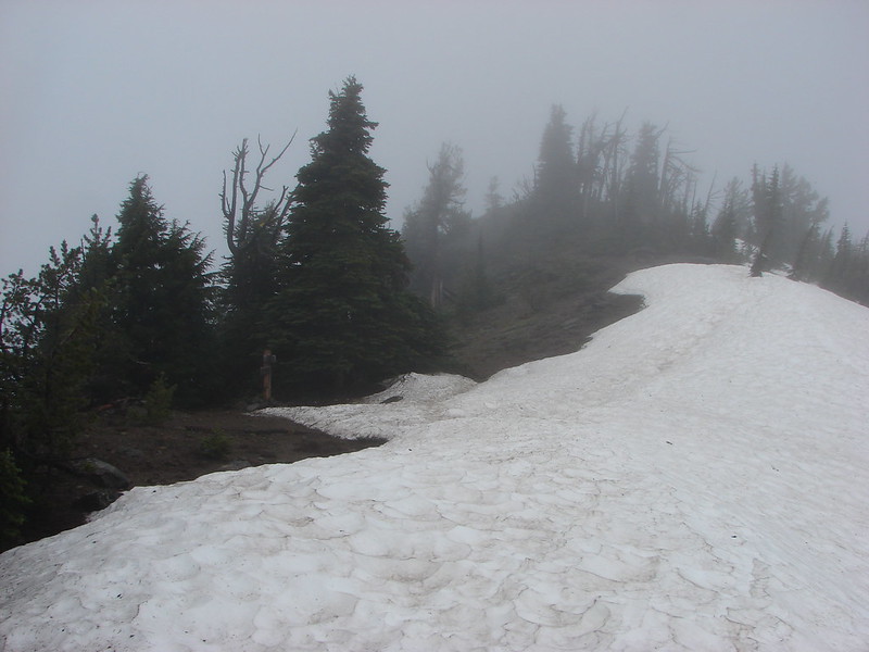
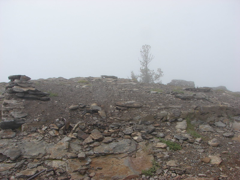
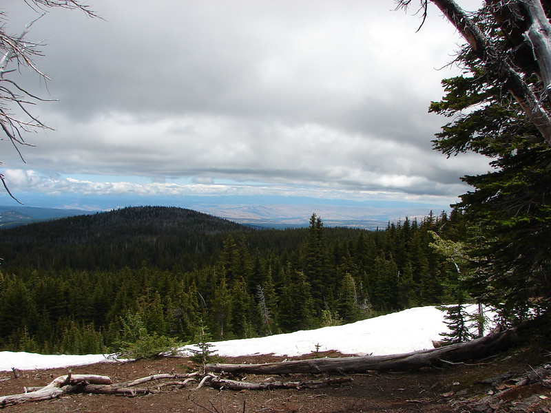
After turning east on the Divide Trail we made a brief visit to the former lookout site atop Lookout Mountain. There were no views to be had so we didn’t stay long and quickly returned to the Divide Trail to continue east toward Flag Point. The trail on this side of Lookout Mountain was buried under the snow.
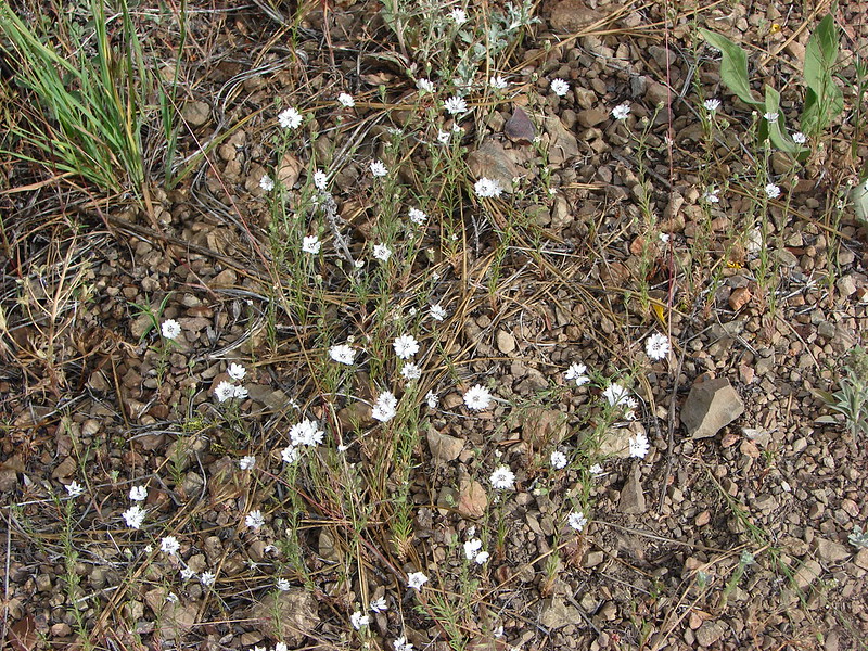
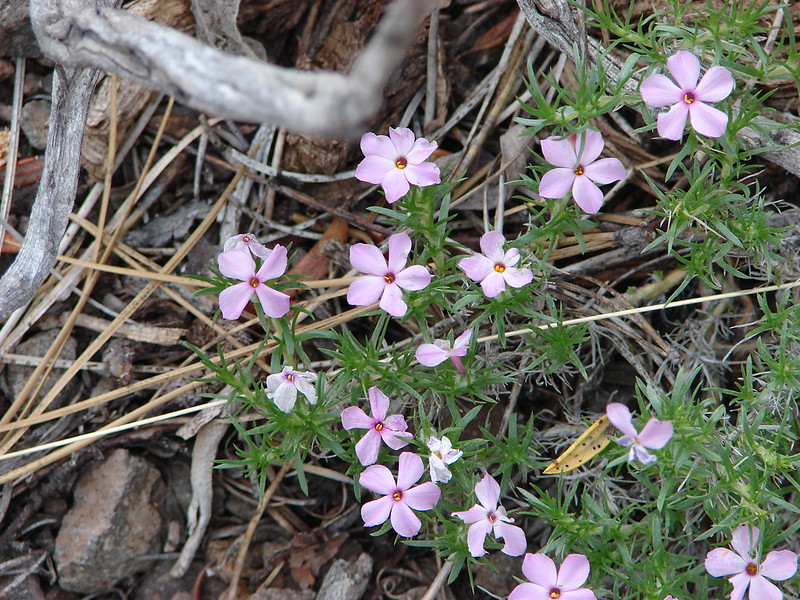
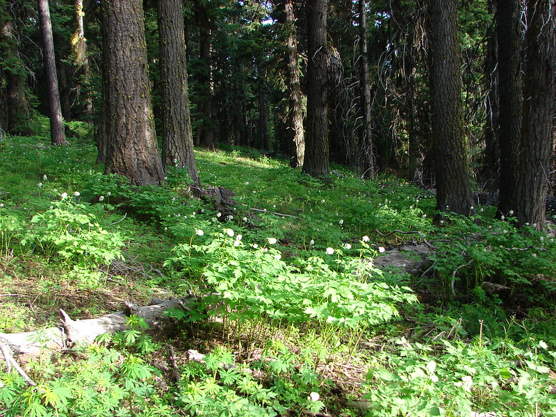
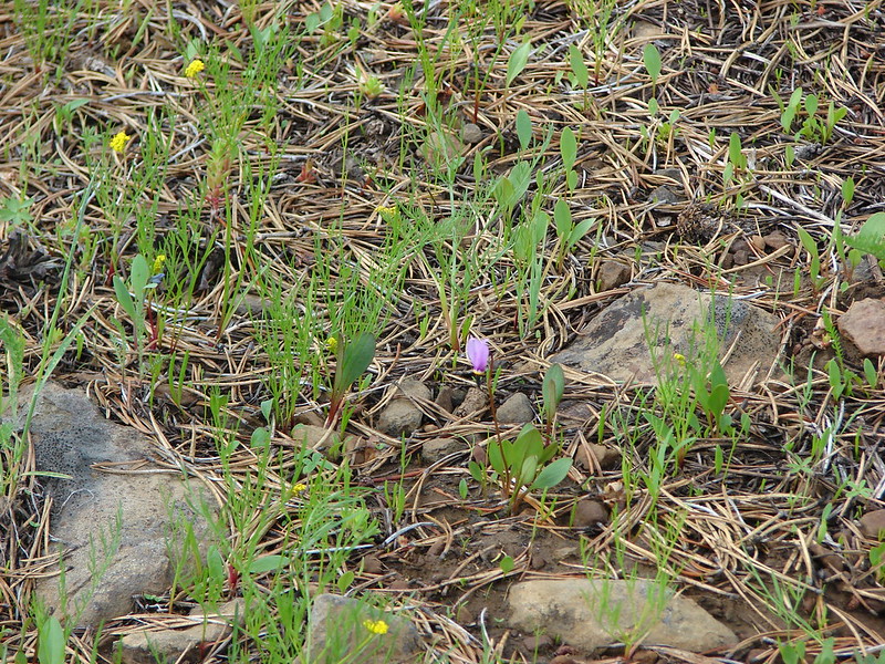
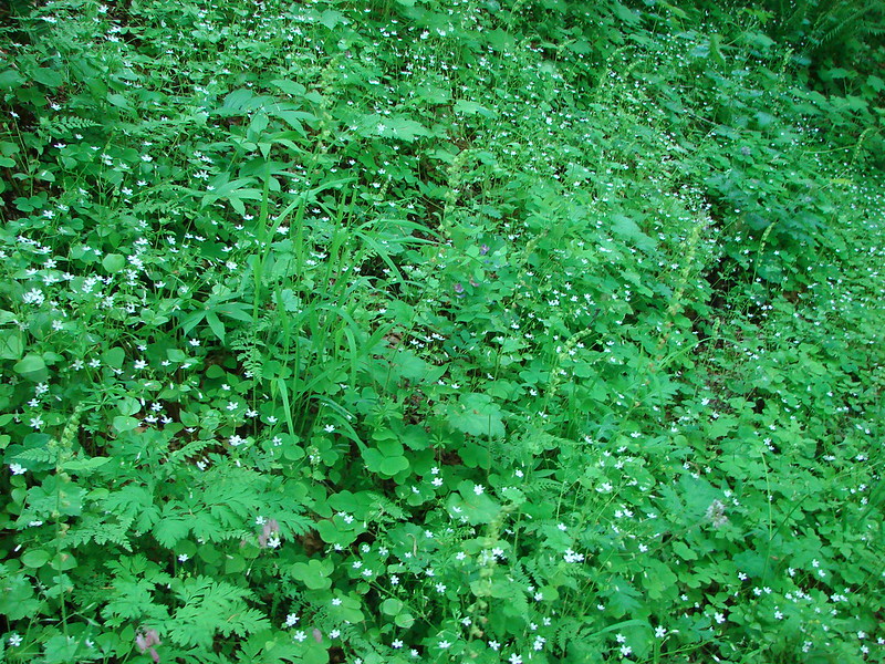
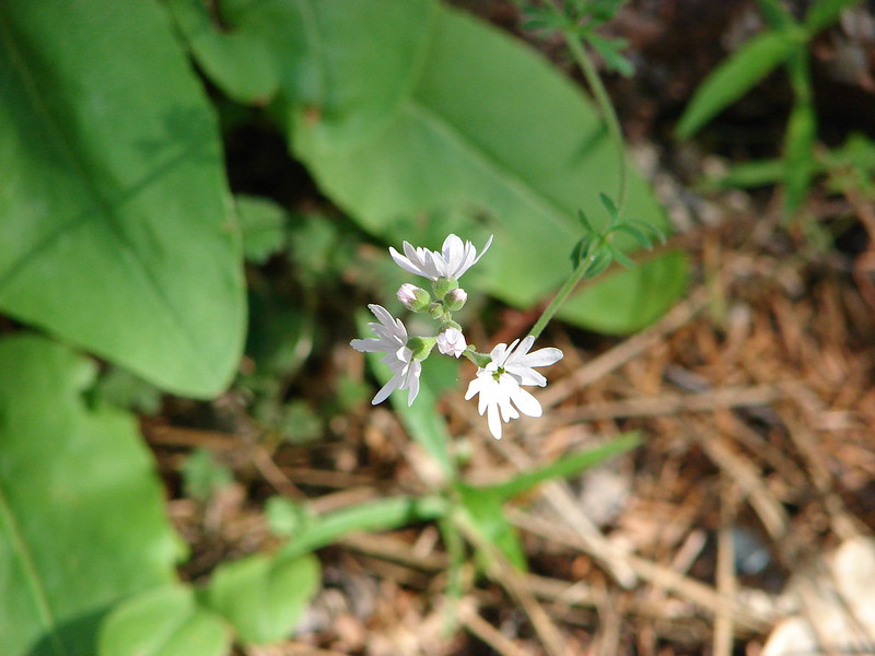
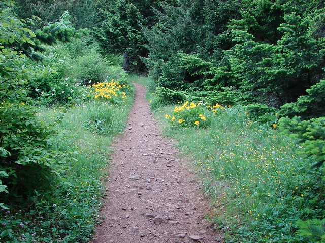
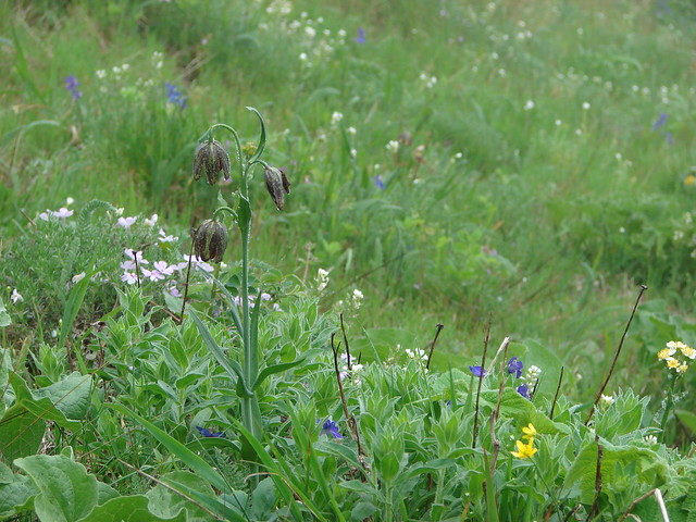
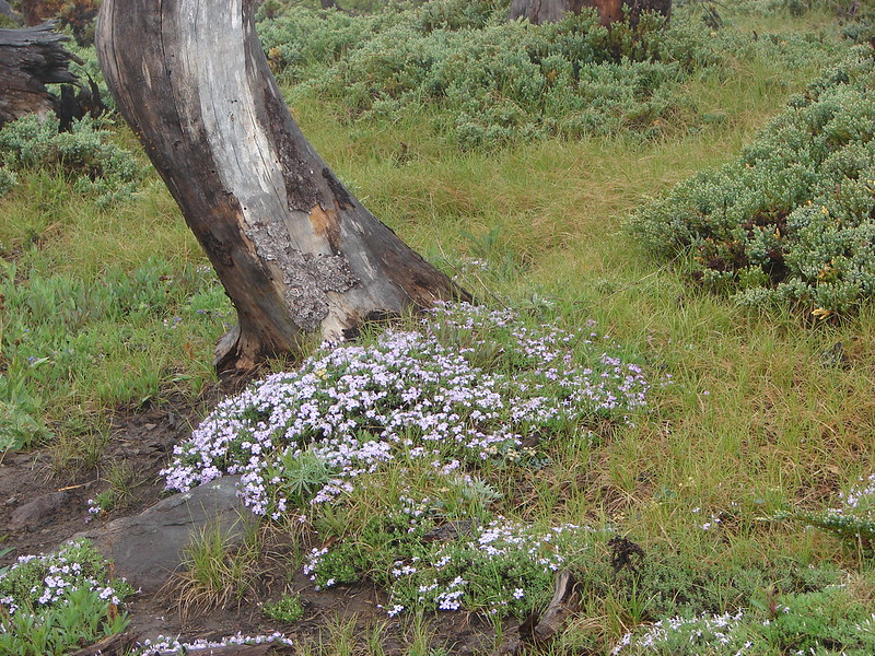
We didn’t have to go far before the trail reappeared along with some trail side flowers.
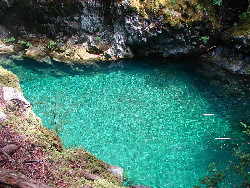
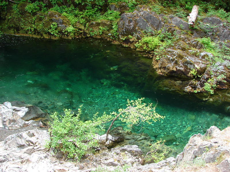
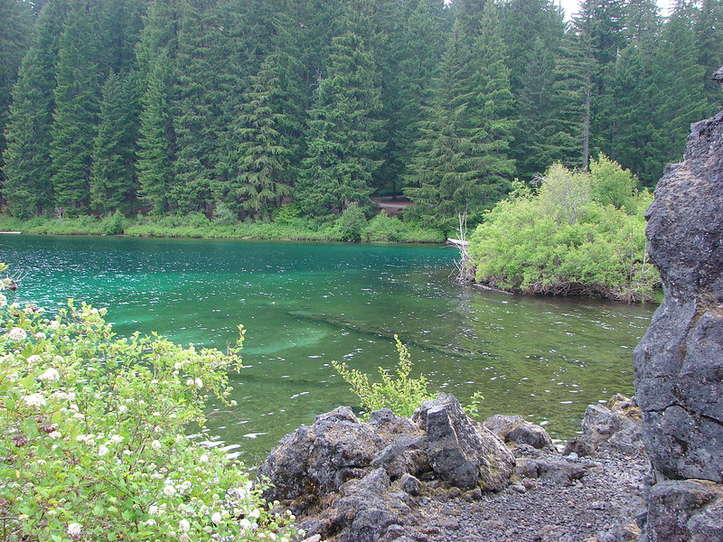
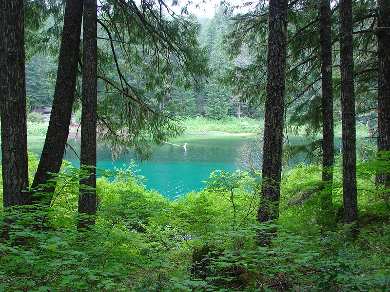
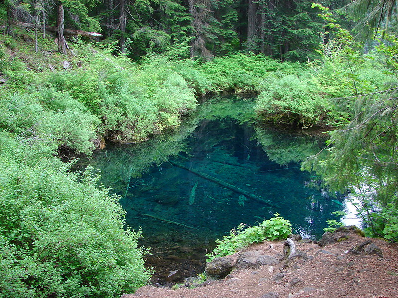
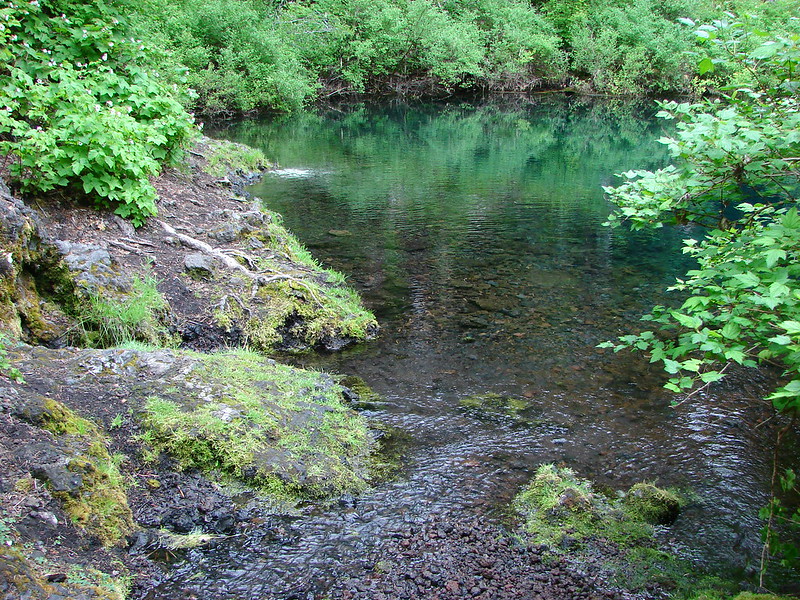
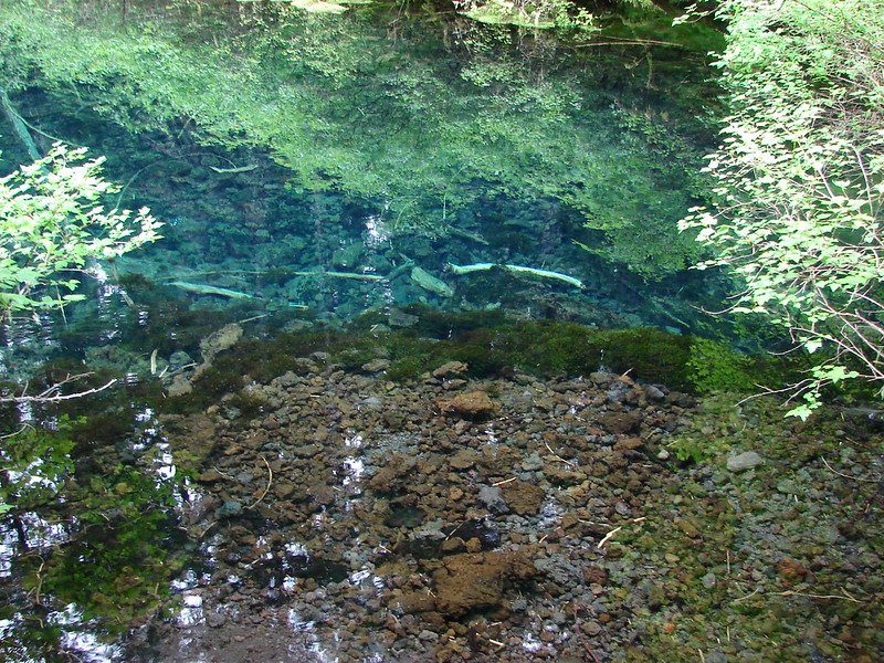
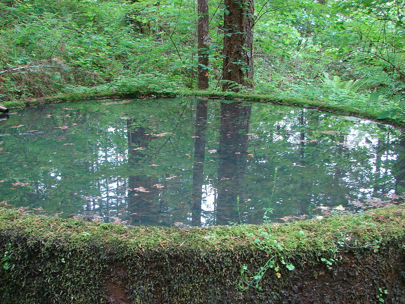
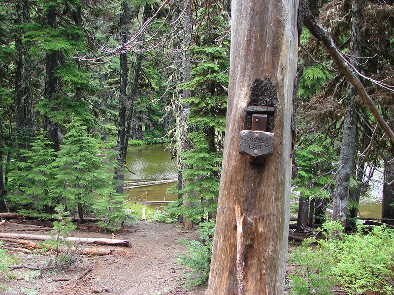
A mile and a half from Lookout Mountain the Fret Creek Trail joined up on the left. We took a quick detour here to check out Oval Lake.

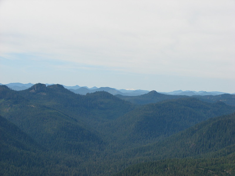
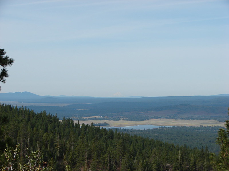
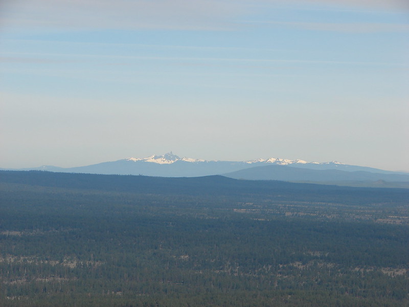
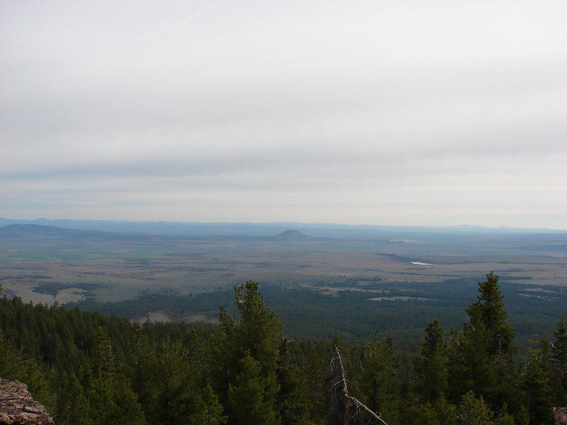
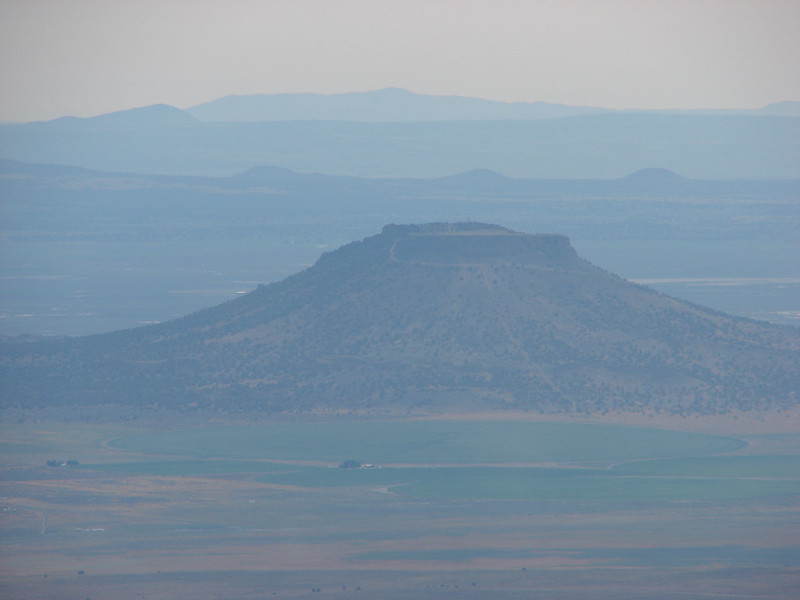
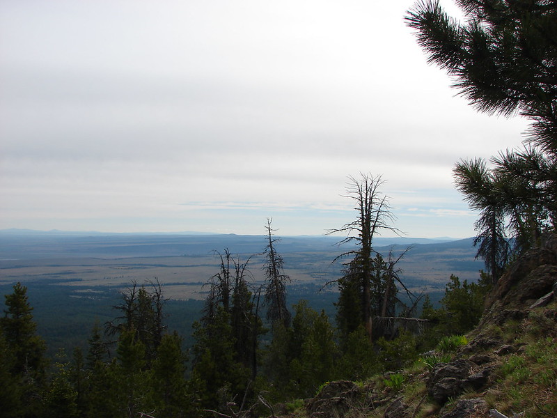
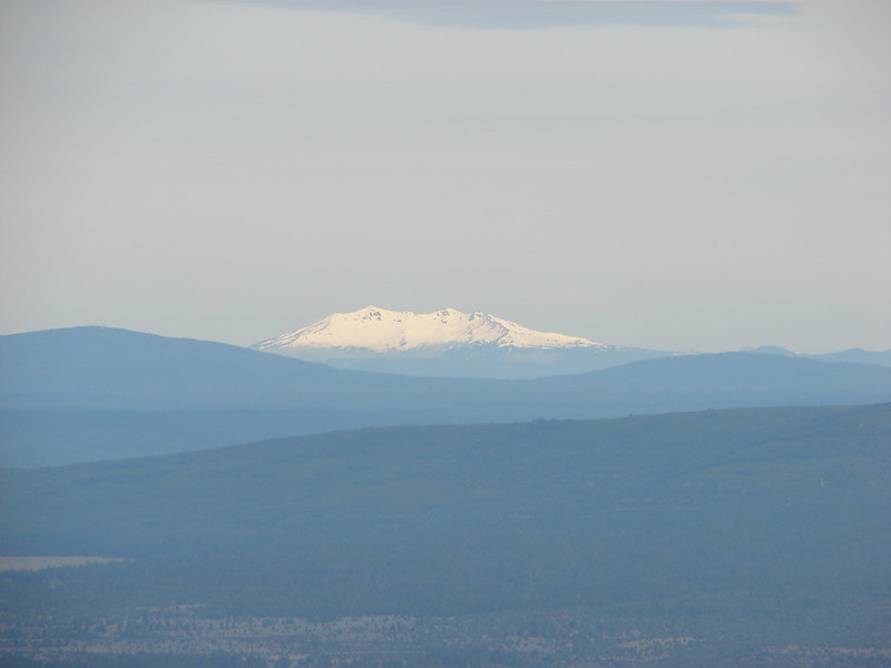
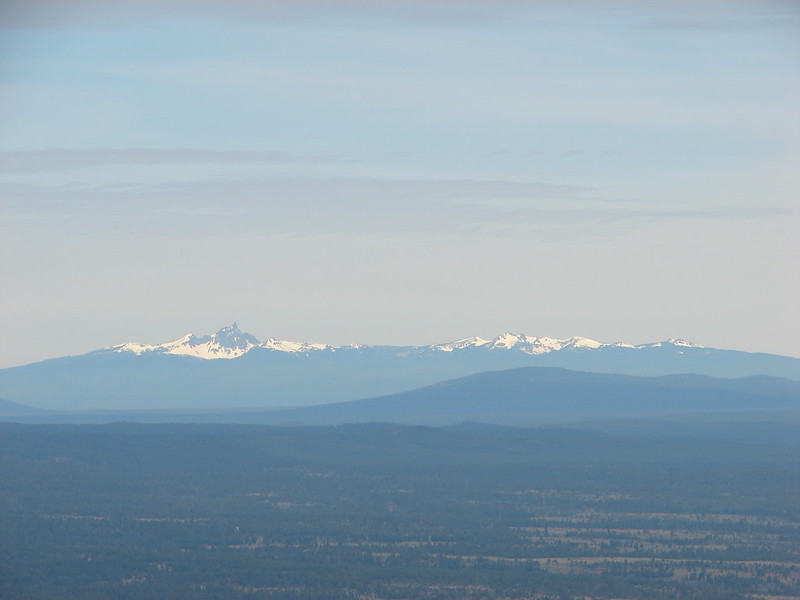
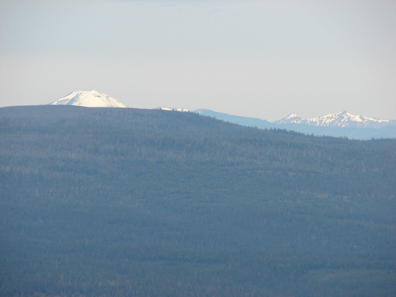
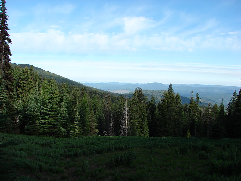
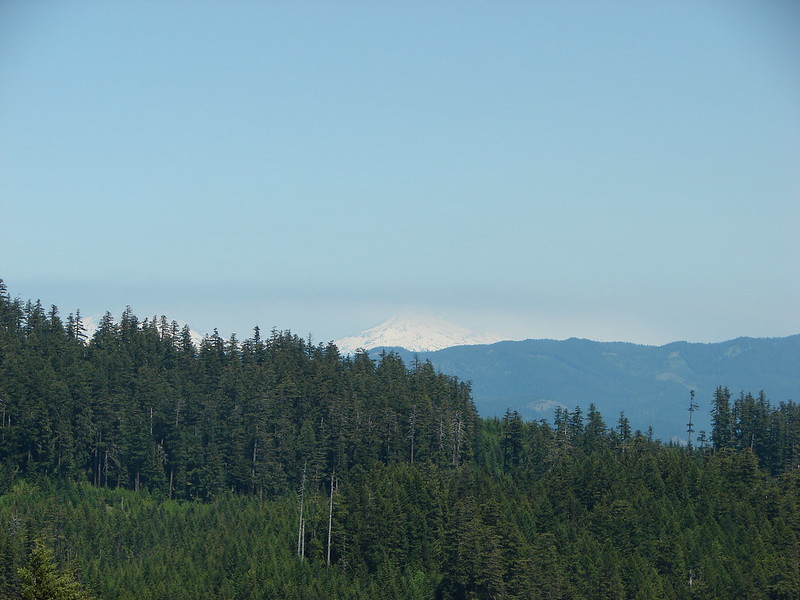
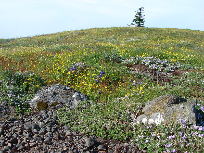
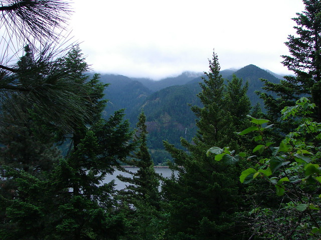
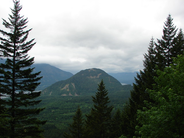
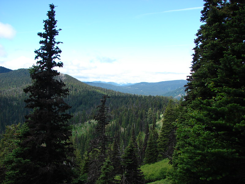
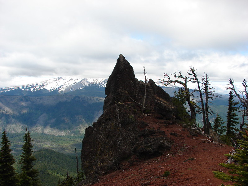
Just over a quarter mile from the Fret Creek Trail junction we reached Palisade Point and finally found some blue skies and views.
Palisade Point:
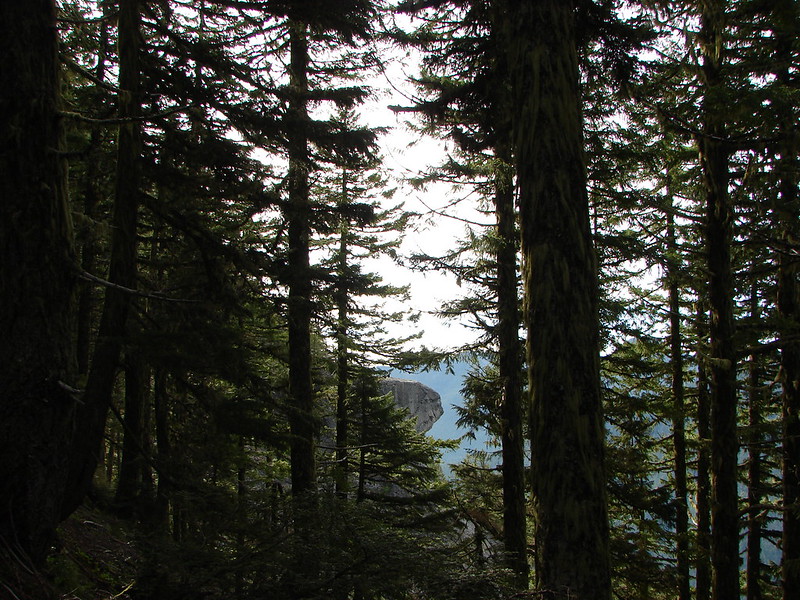
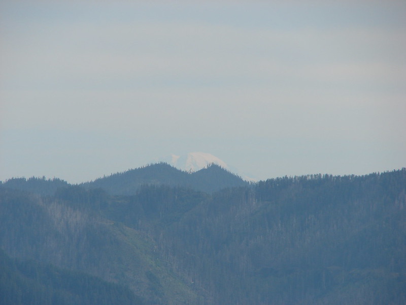
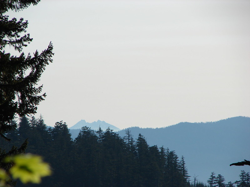
Flag Point lookout in the distance on the ridge:
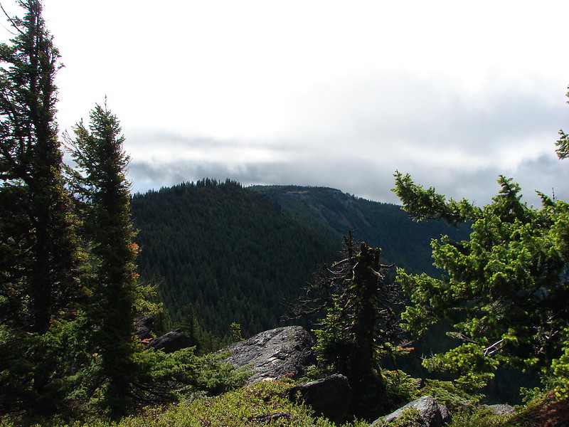
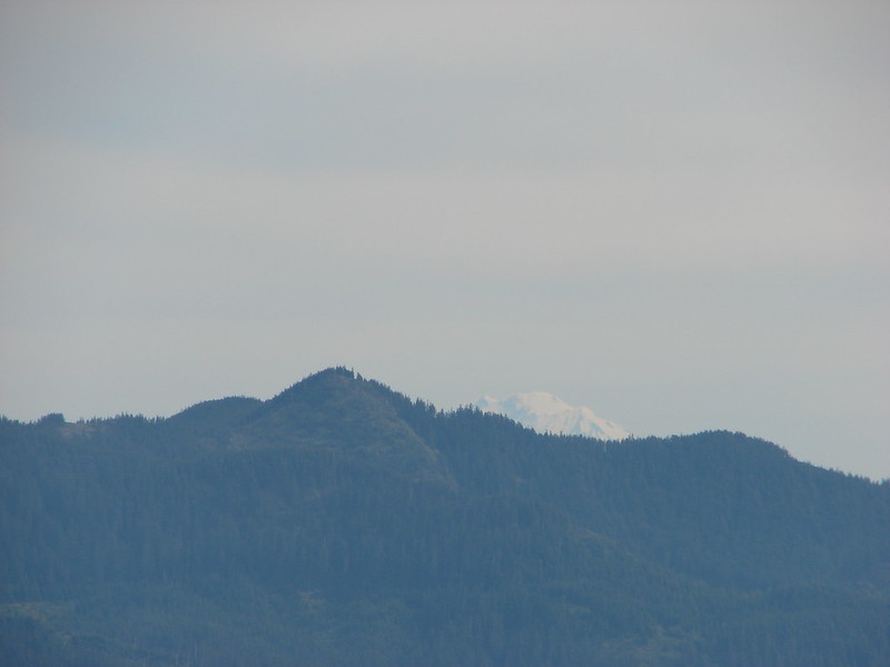
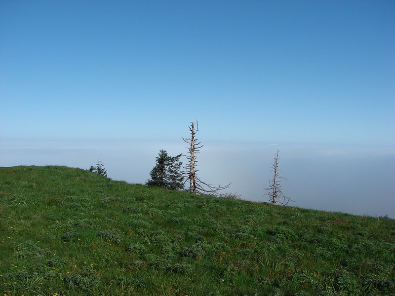
Lookout Mountain still in the clouds:
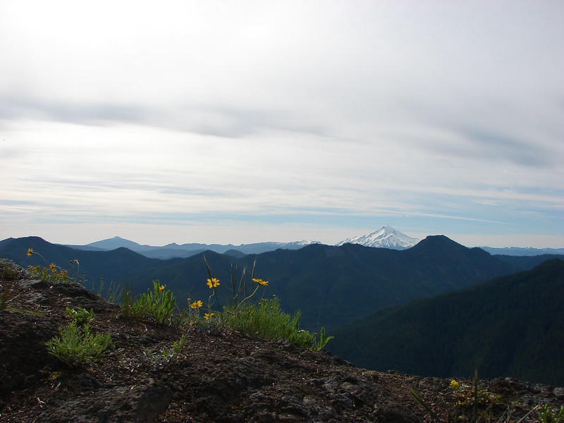
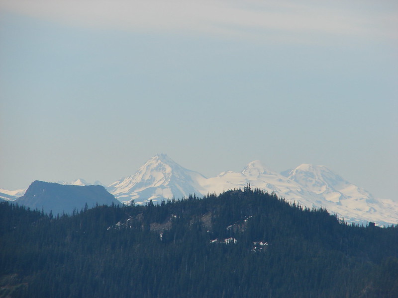
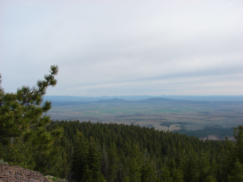
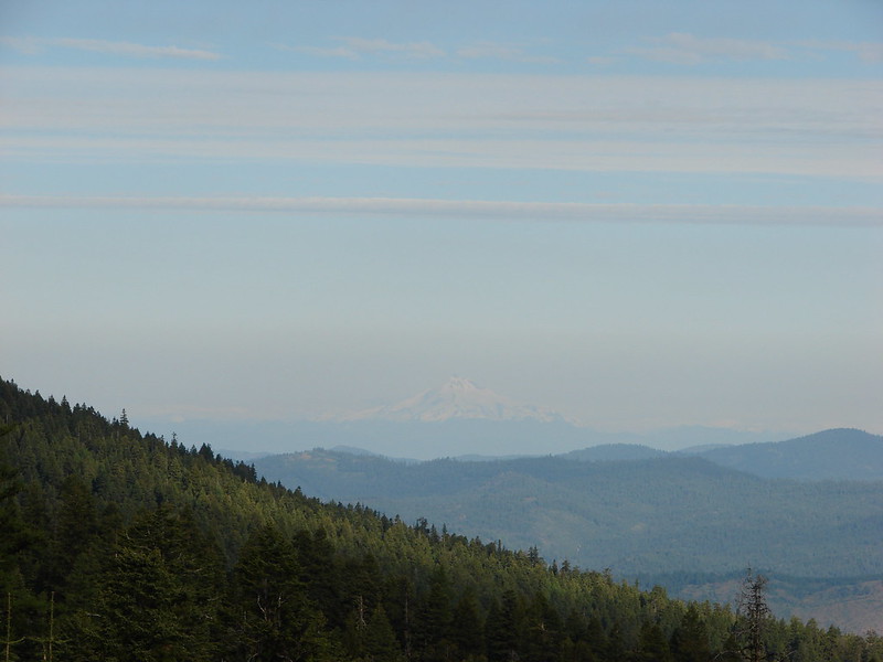
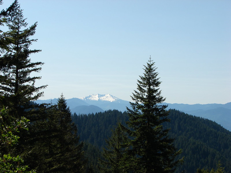
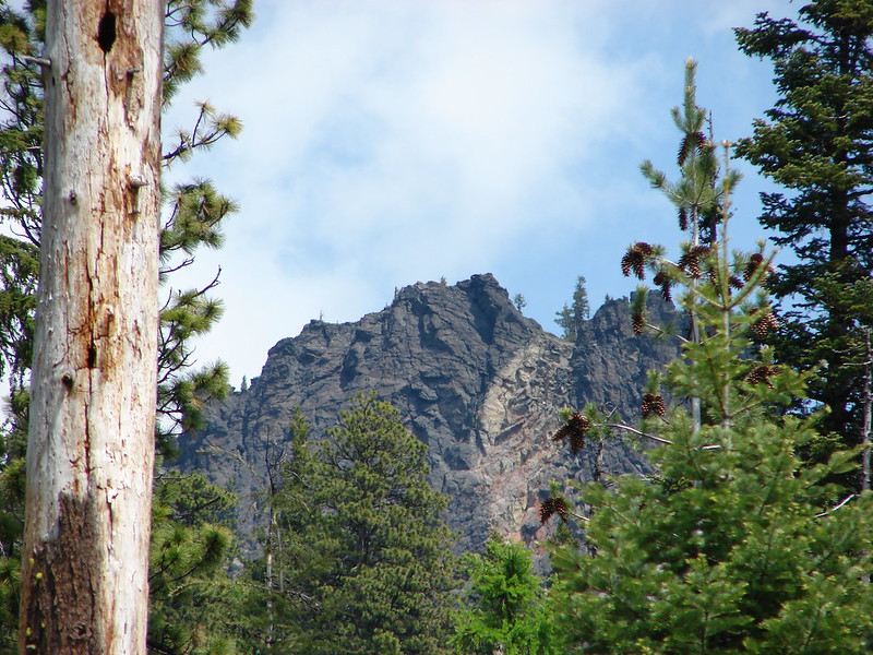
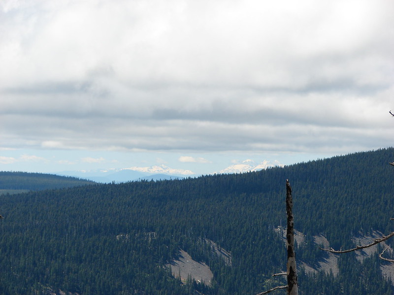
Looking SE toward Central Oregon:
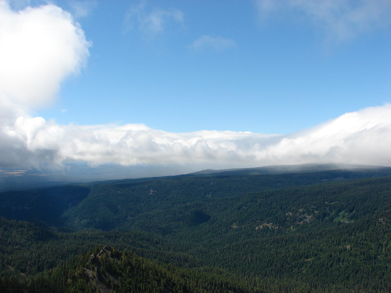
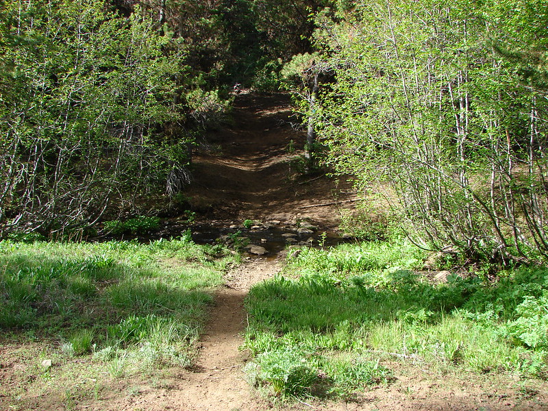
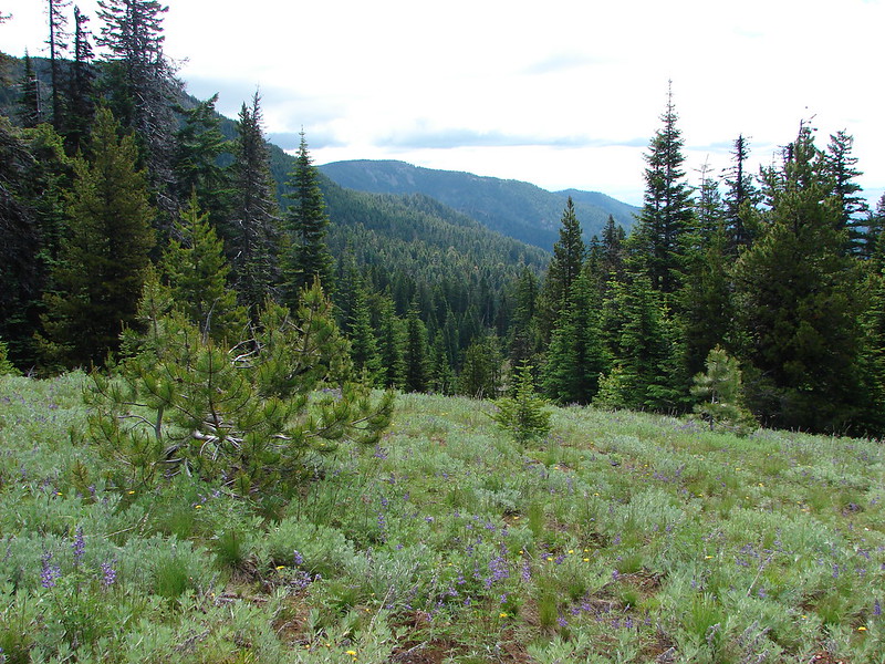
After enjoying the blue skies at Palisade Point we continued another 1.2 miles to dirt road 200 where we found the Badger Creek Cutoff Trail (sans signage).
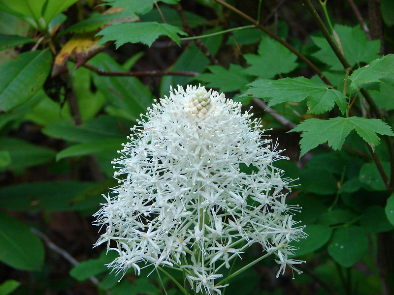
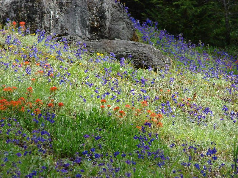
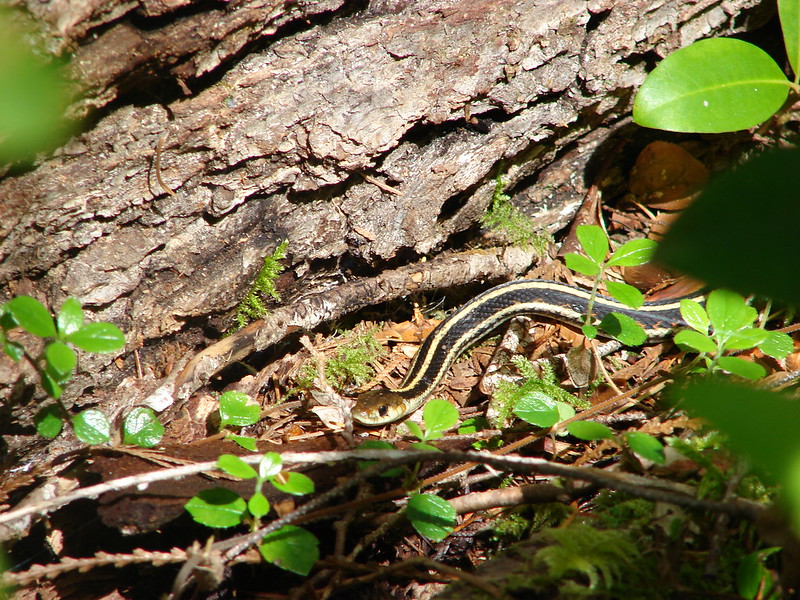
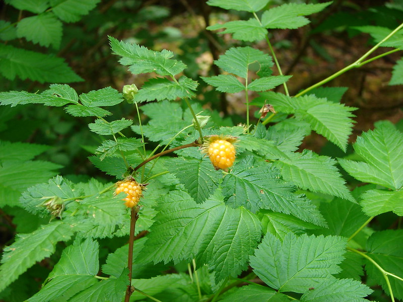
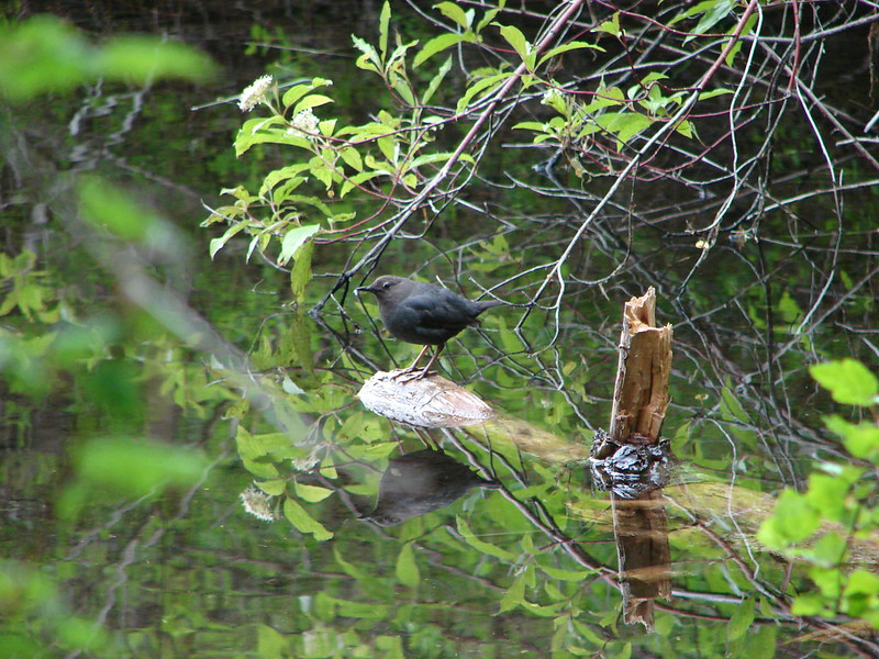
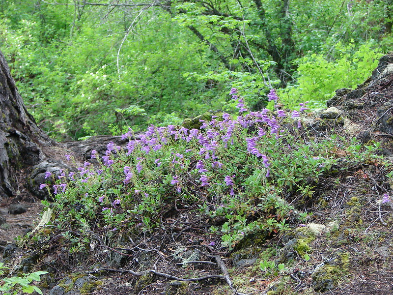
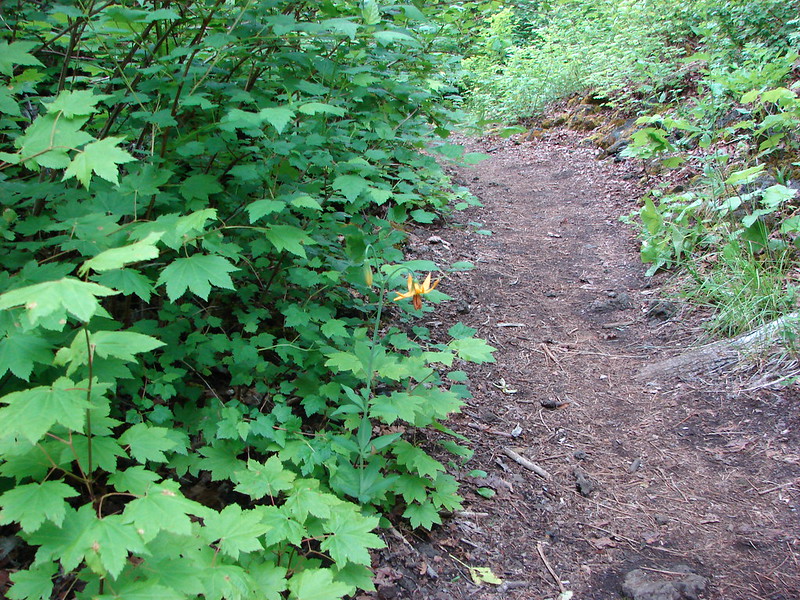
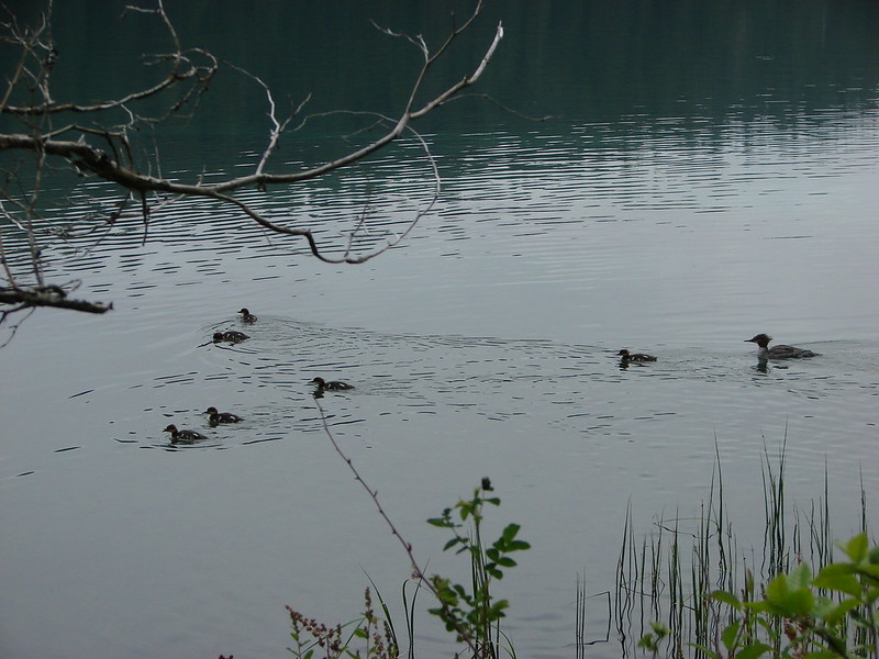
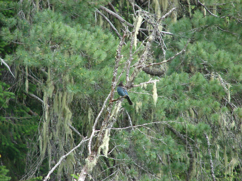
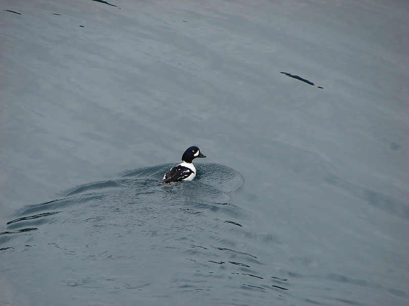
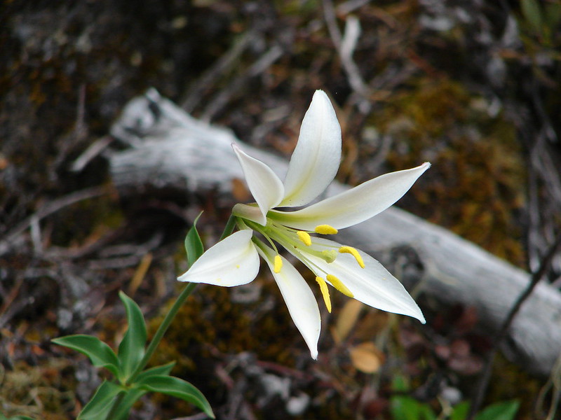
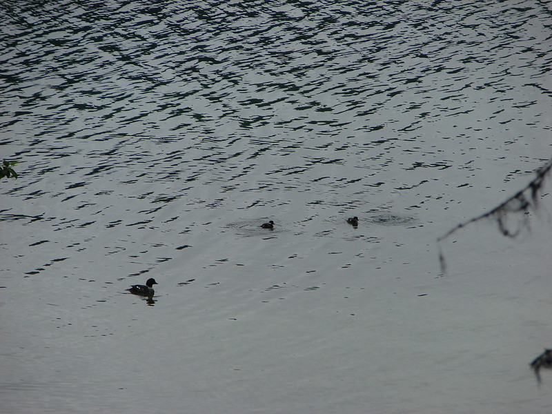
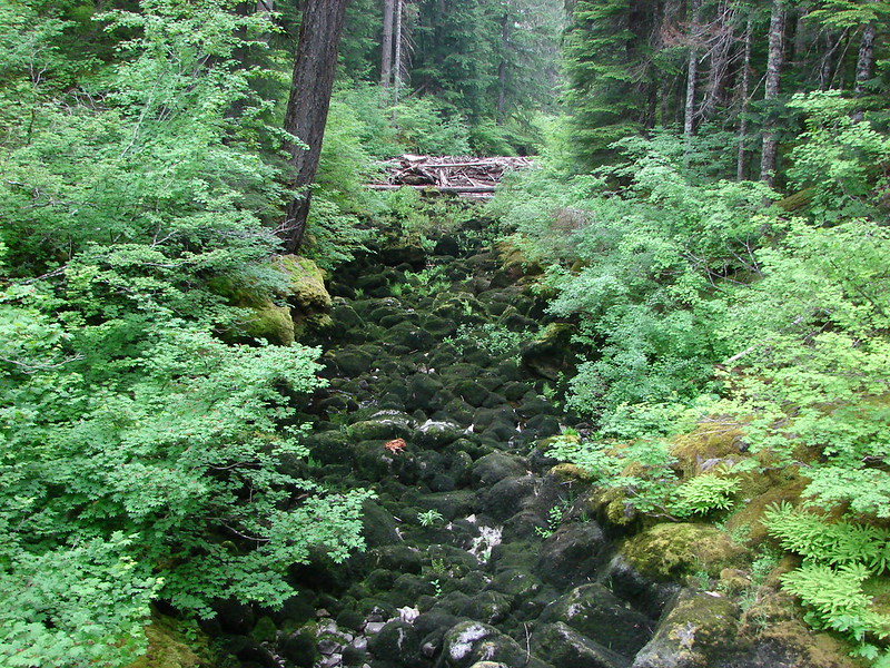
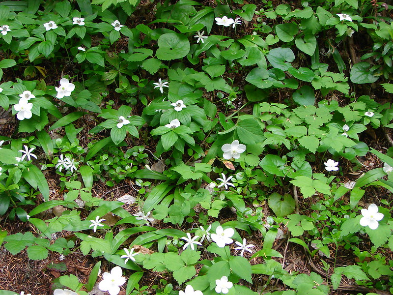
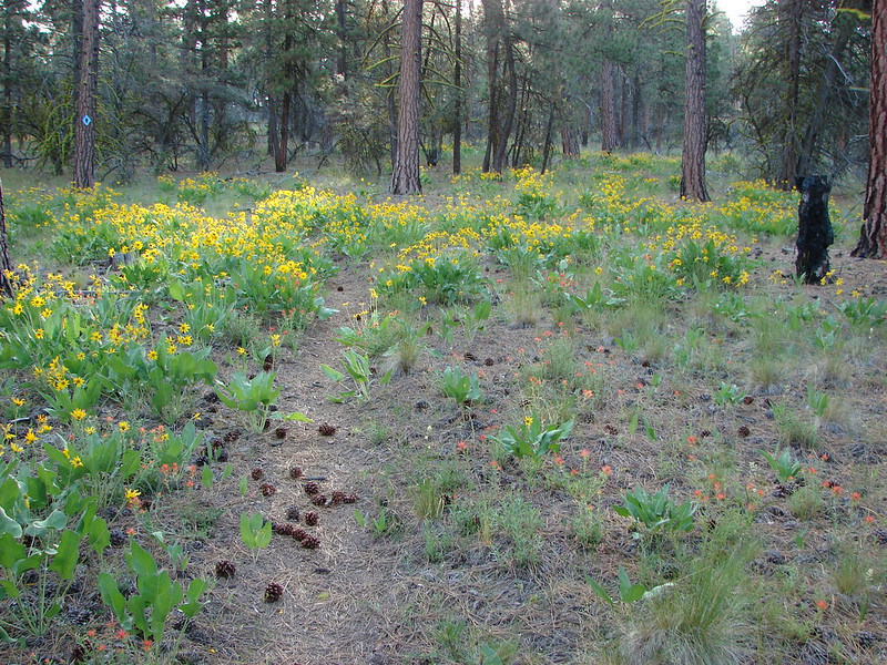
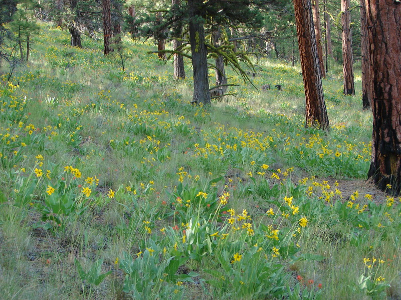
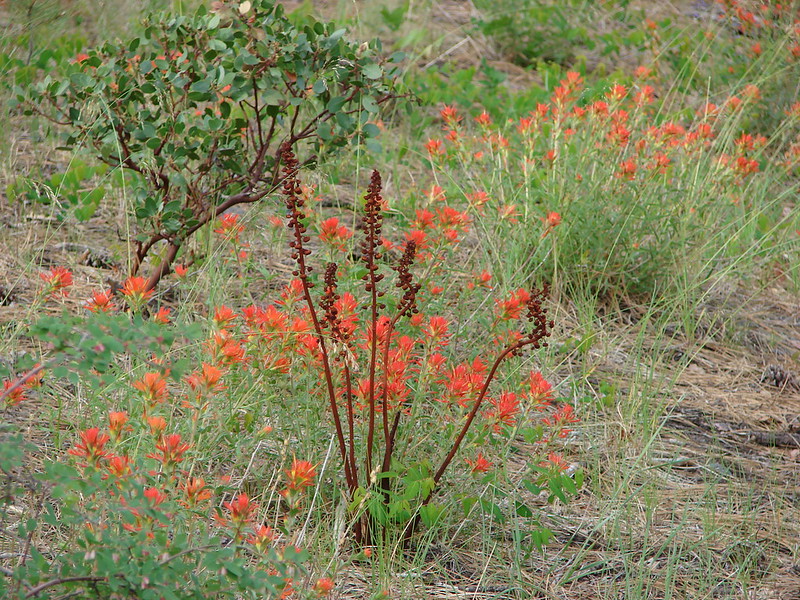
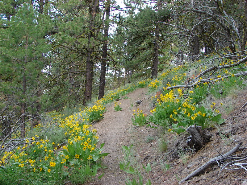
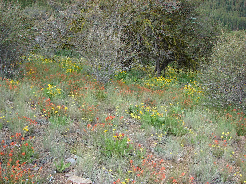
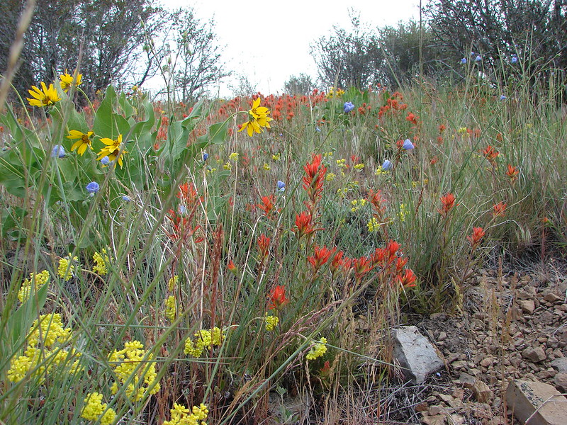
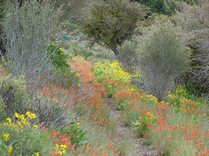
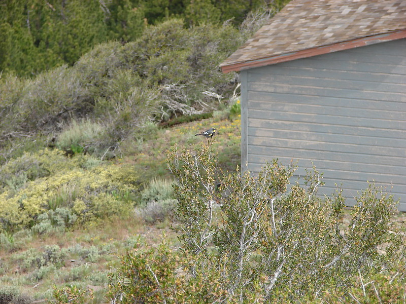
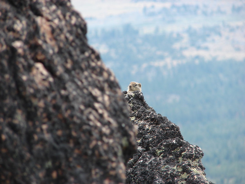
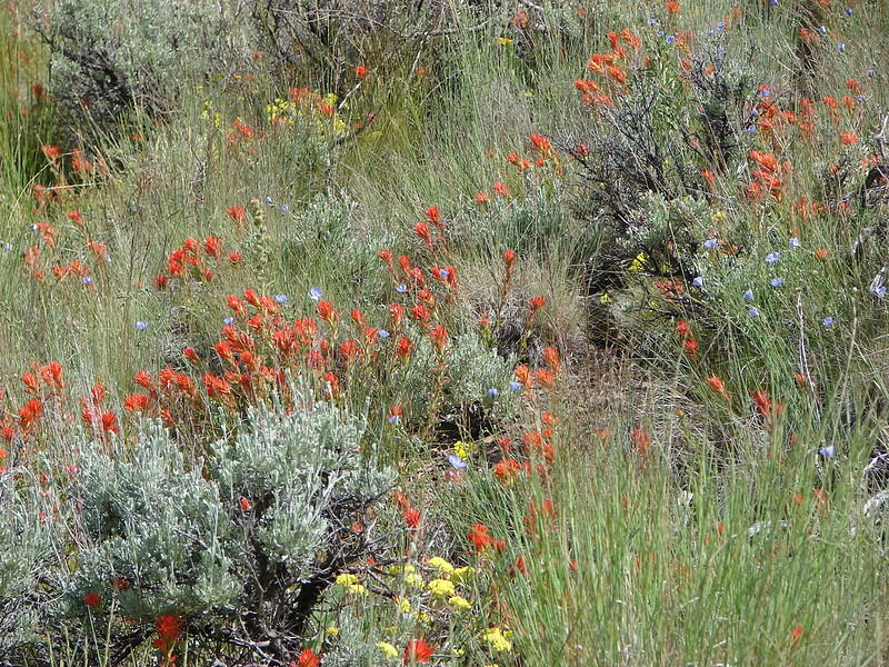
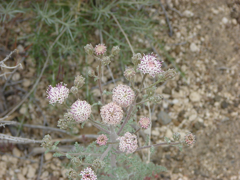
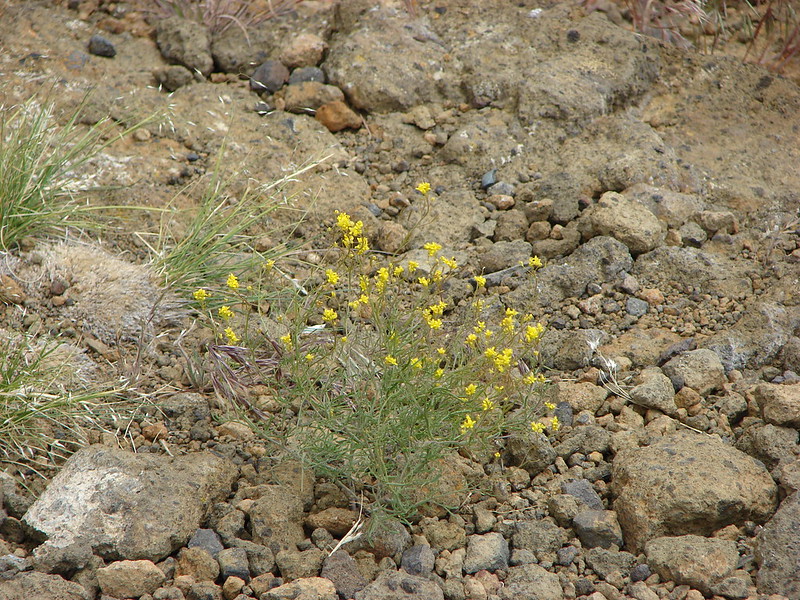
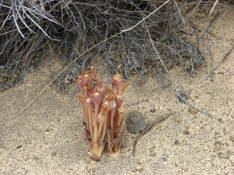
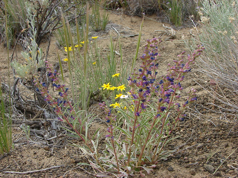
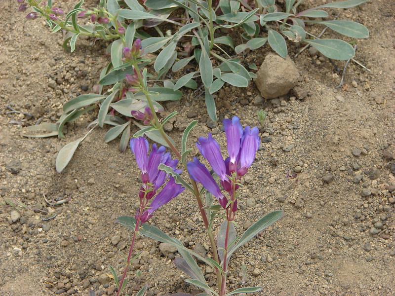
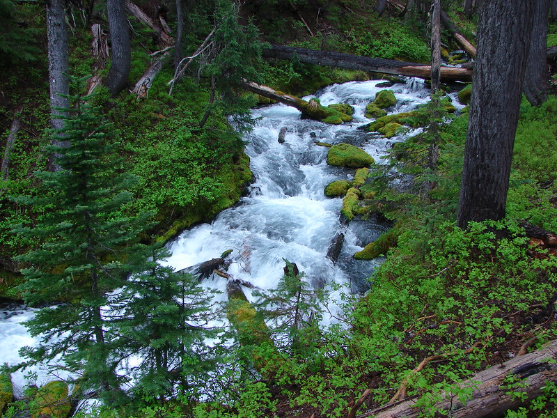
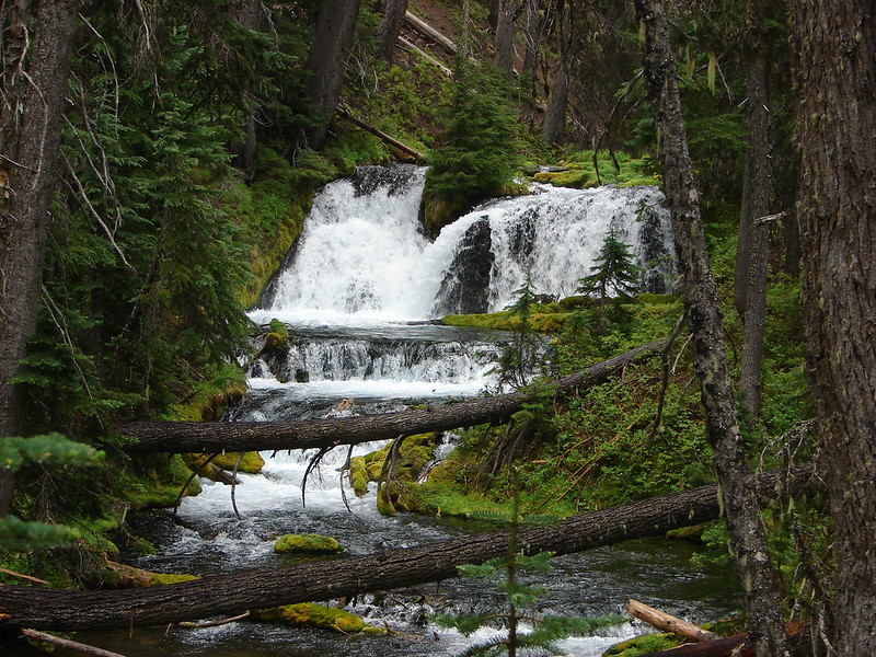
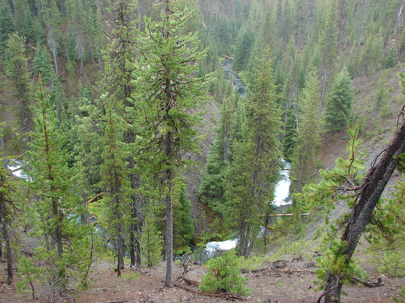
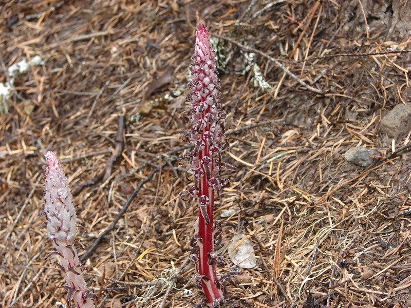
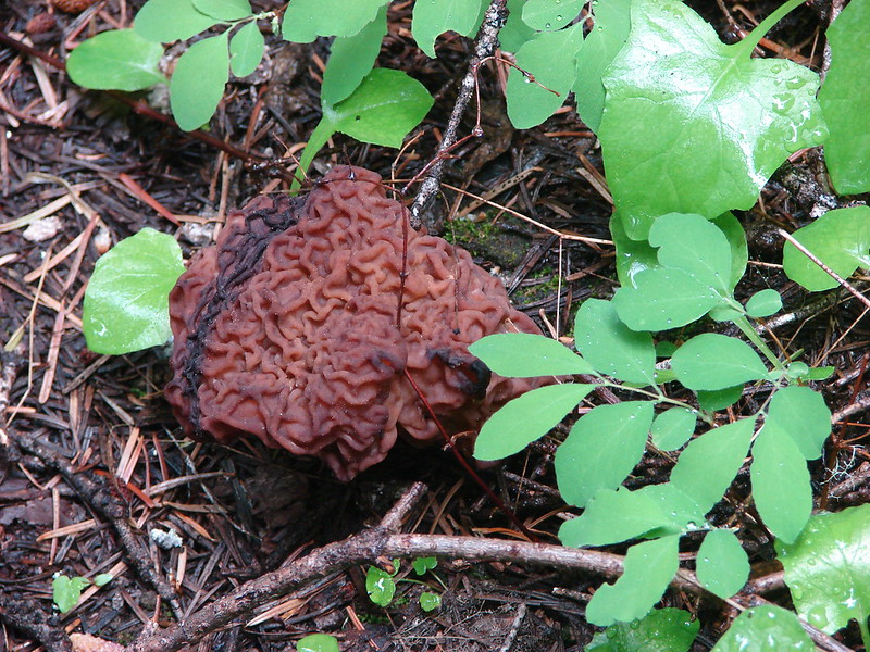
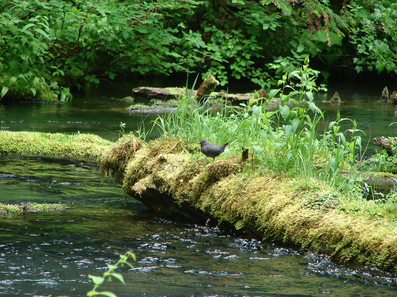
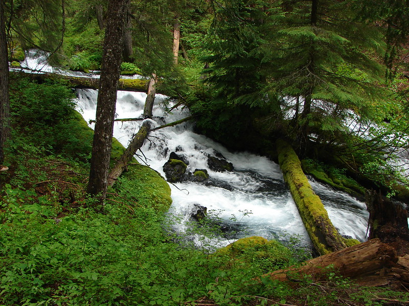
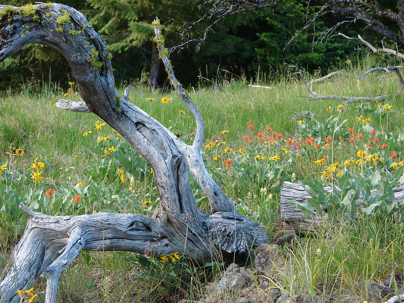
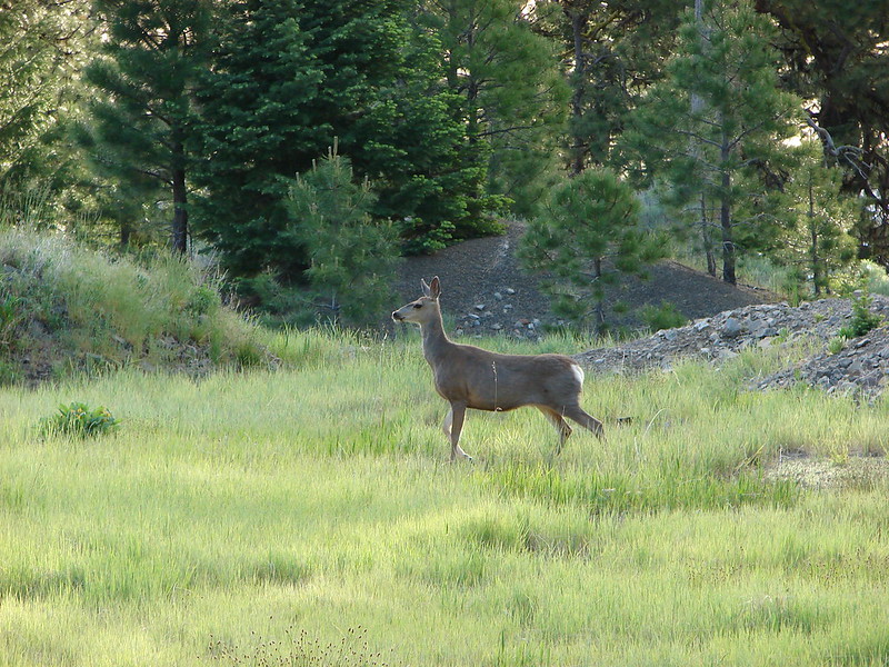
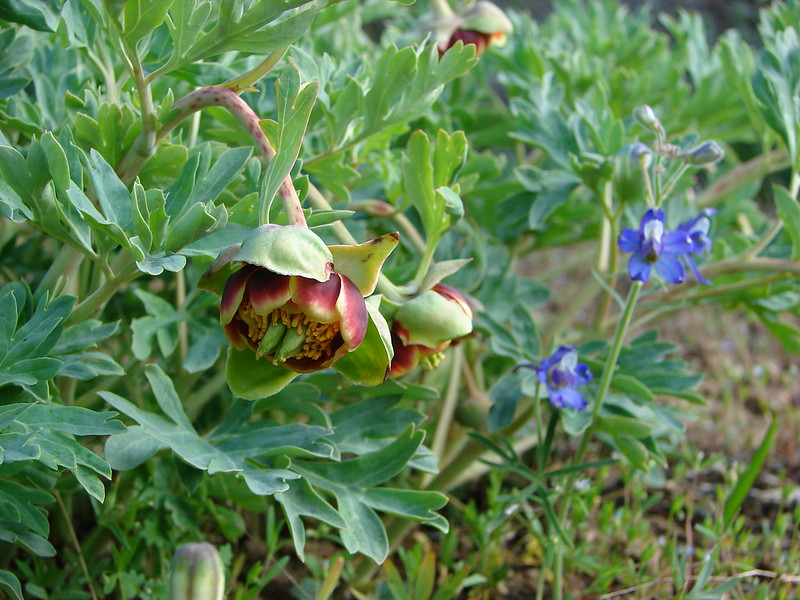
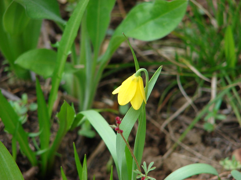
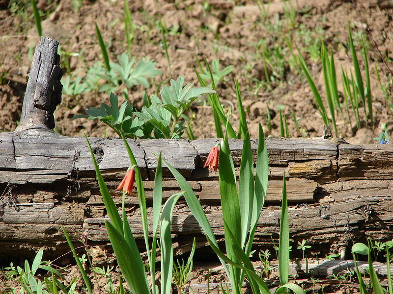
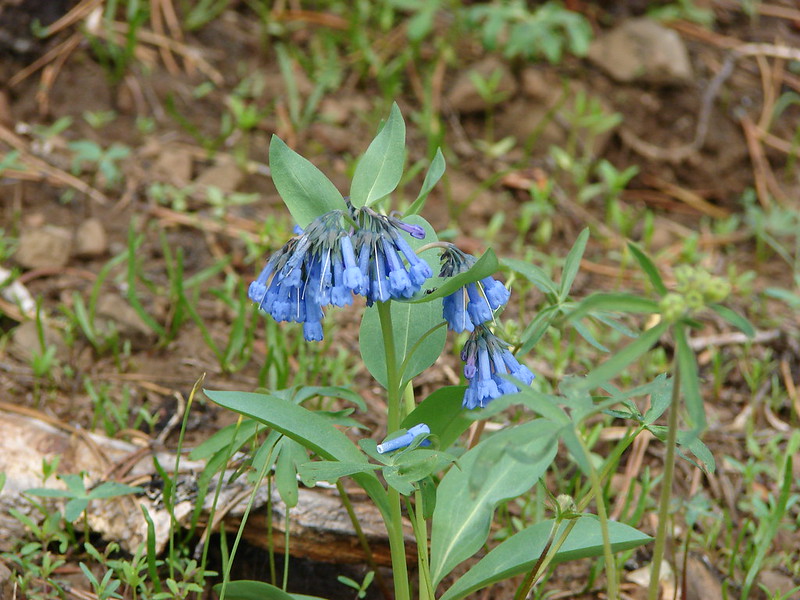
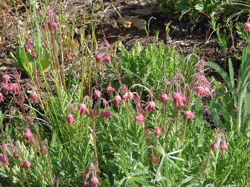
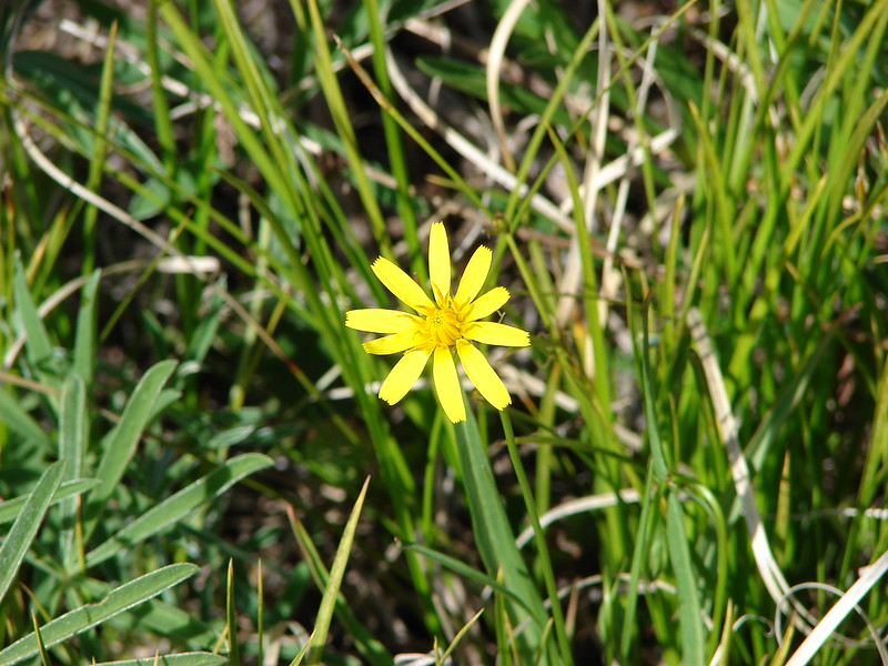
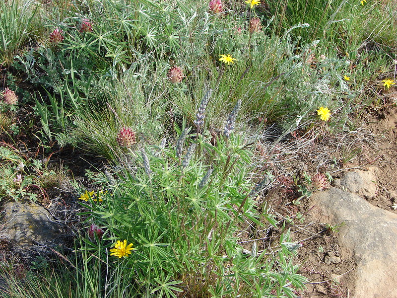
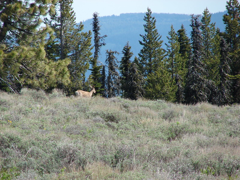
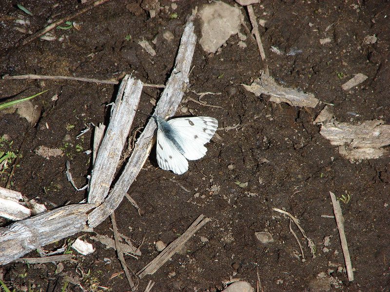
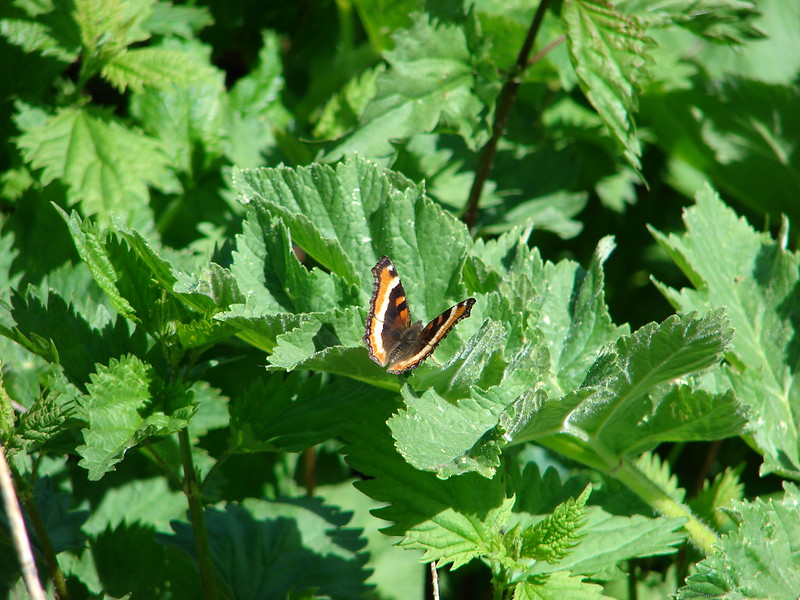
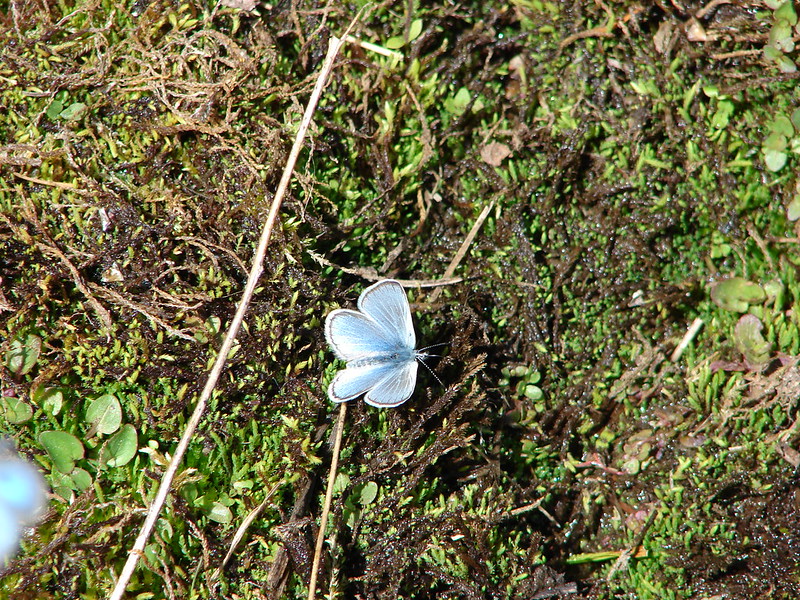
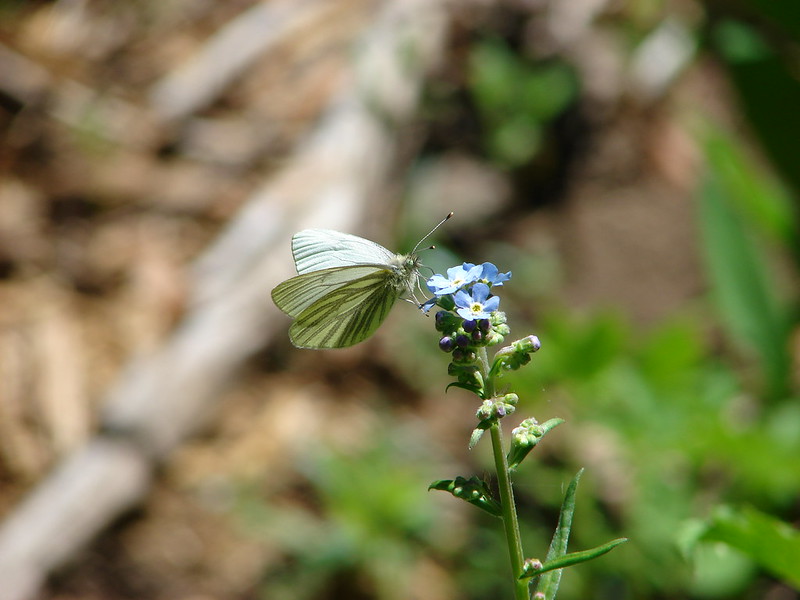
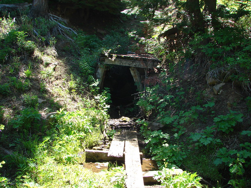
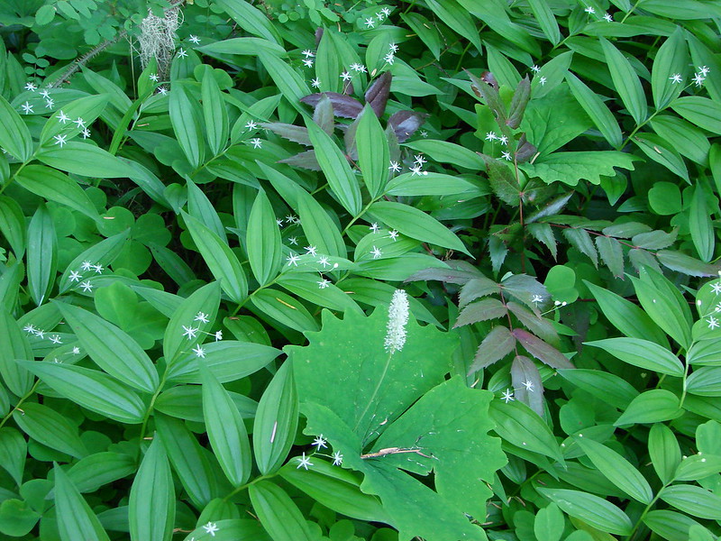
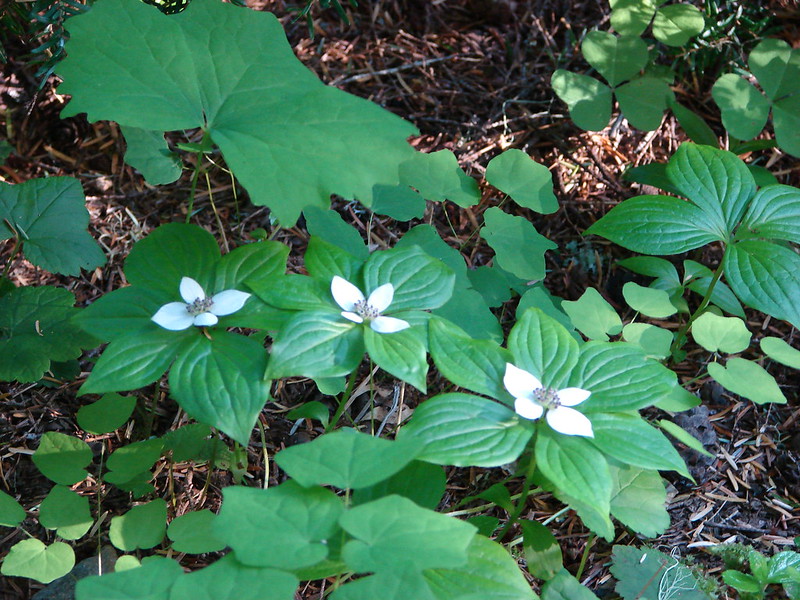
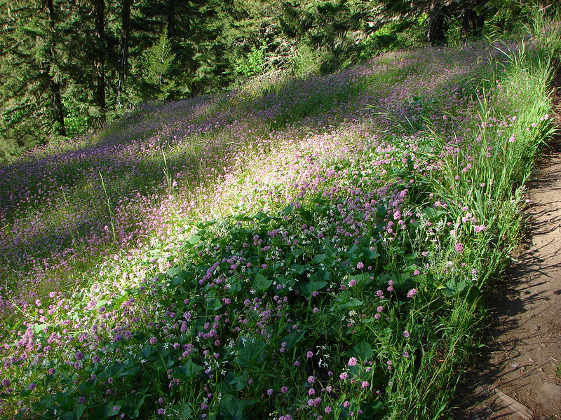
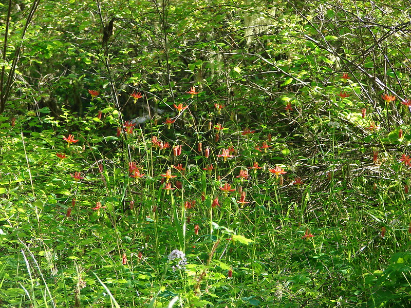
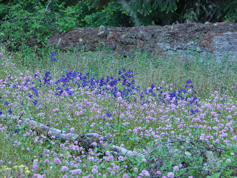
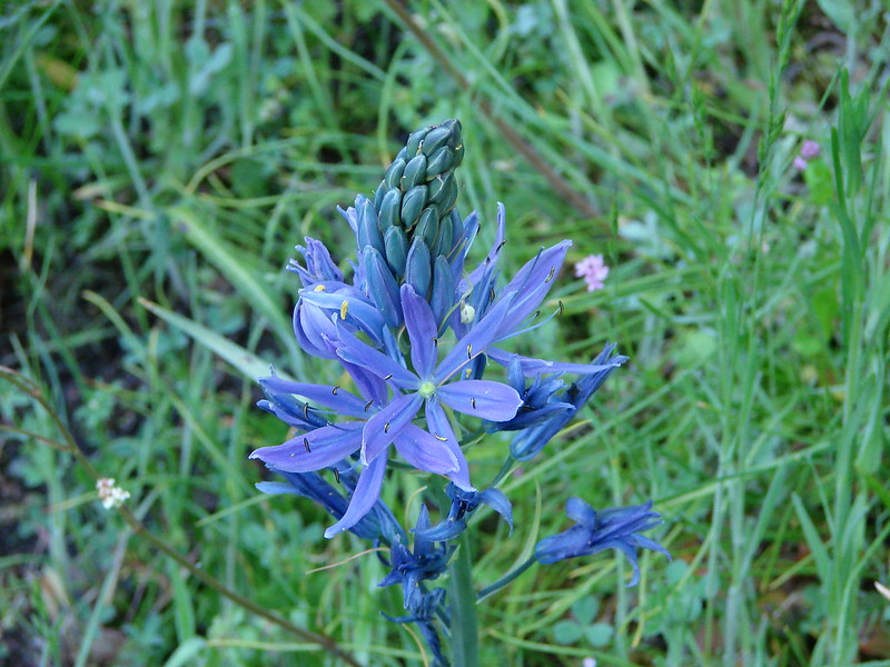
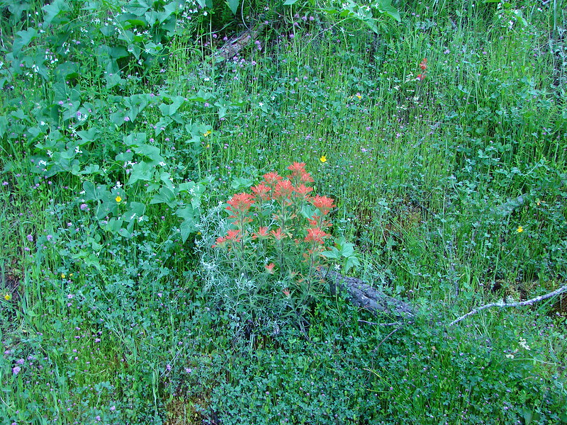
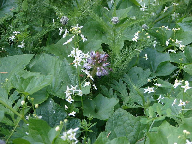
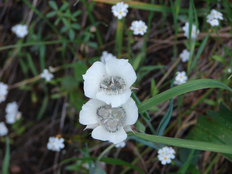
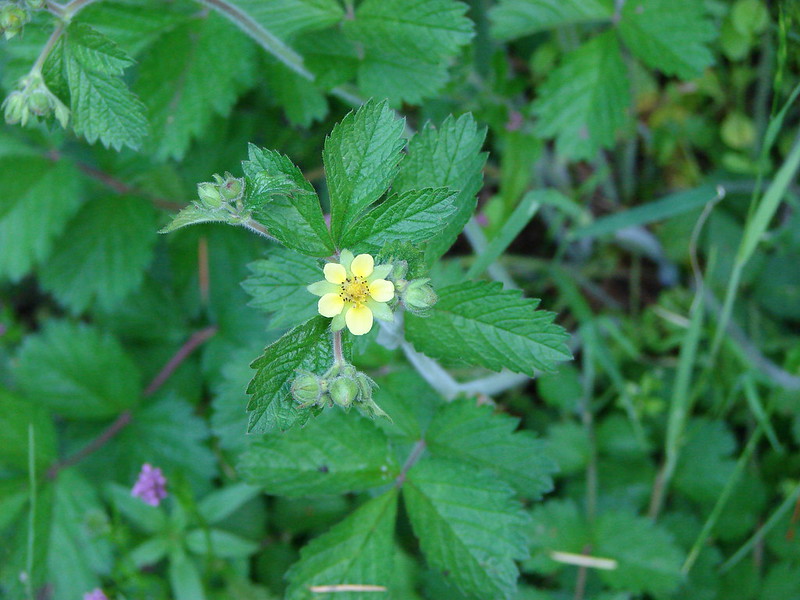
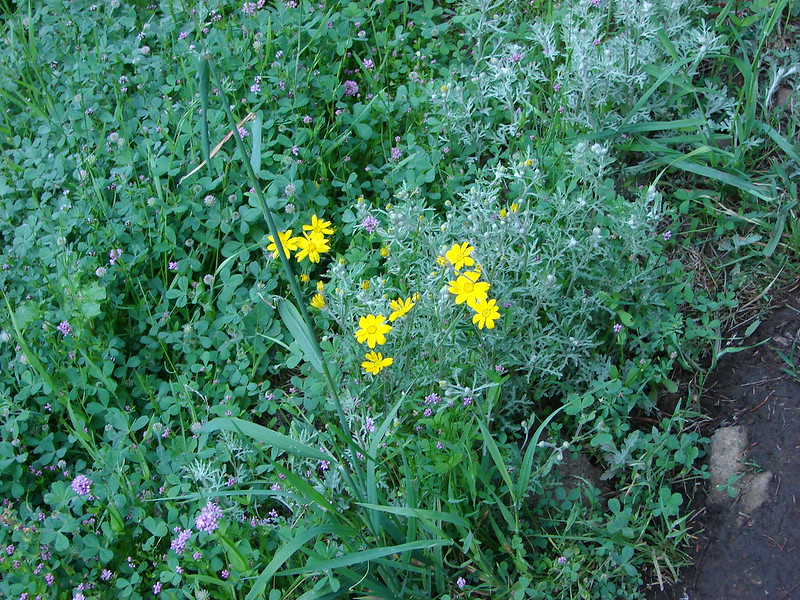
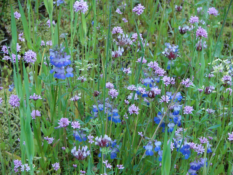
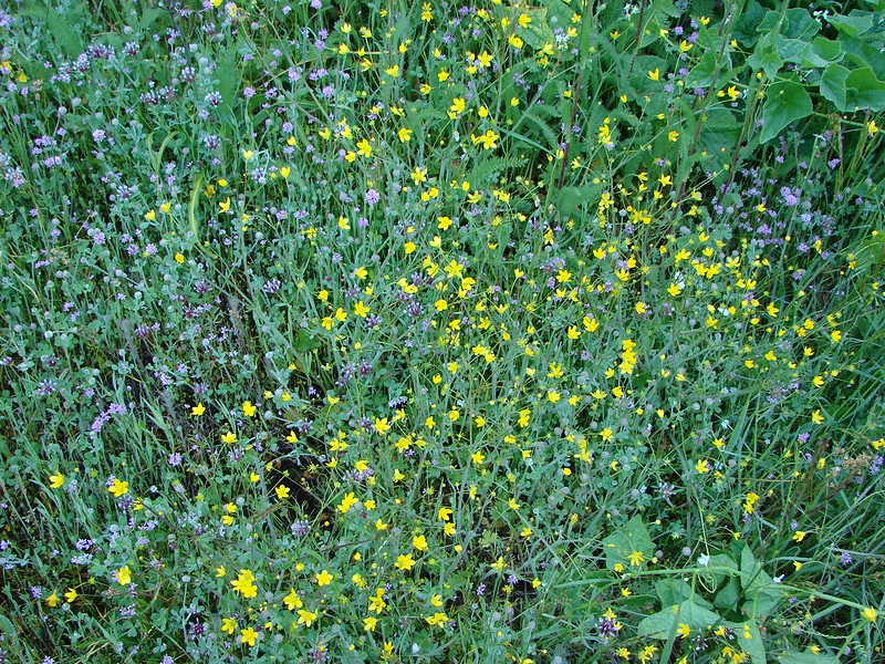
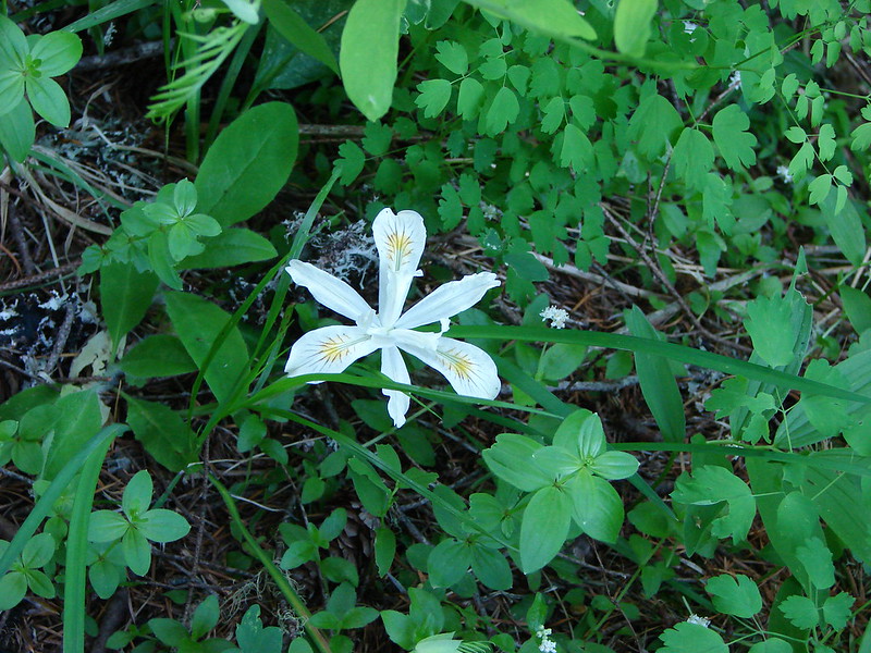
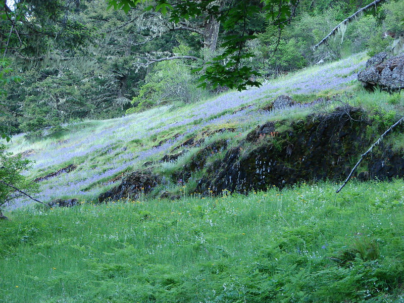
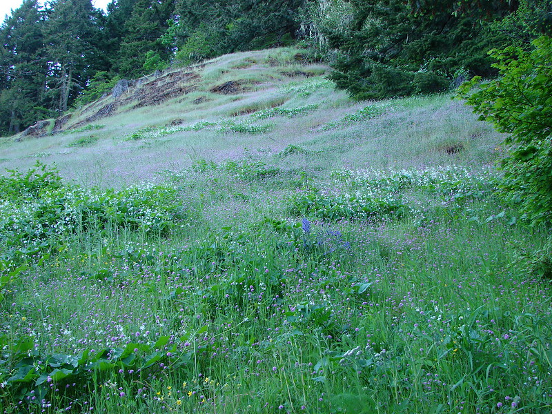
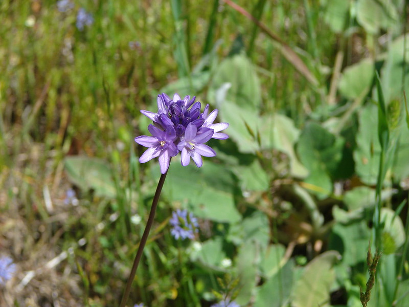
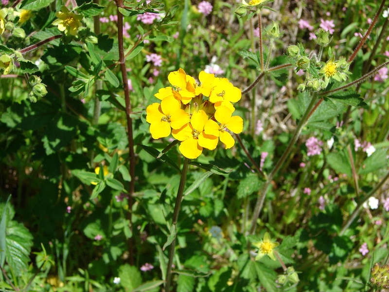
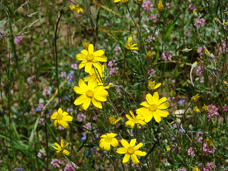
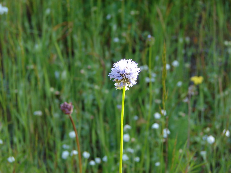
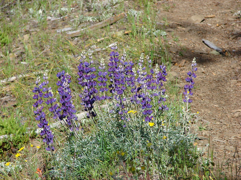
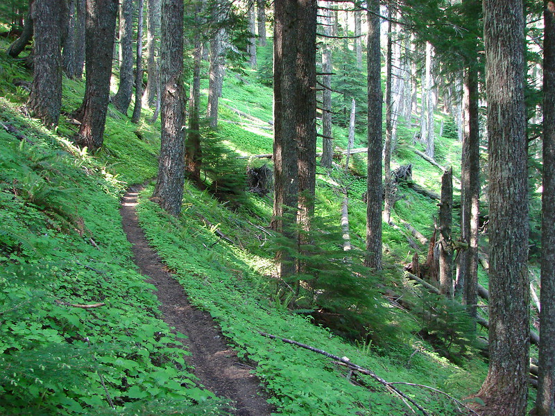
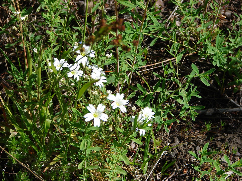
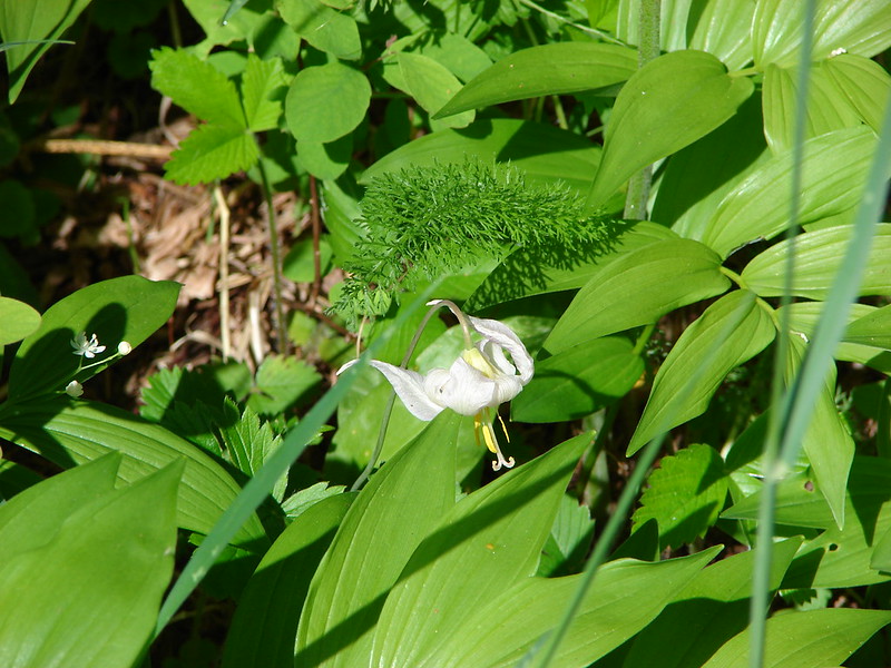
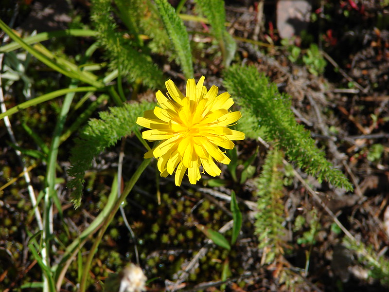
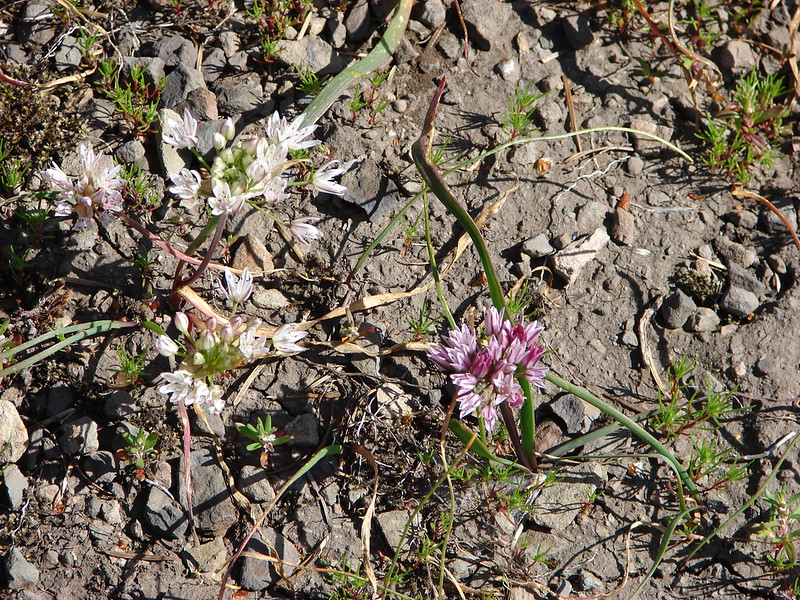
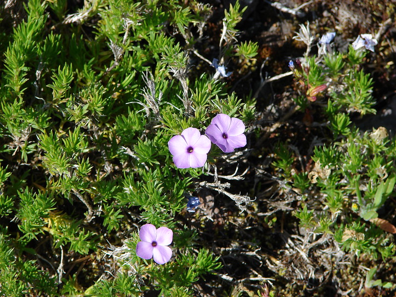
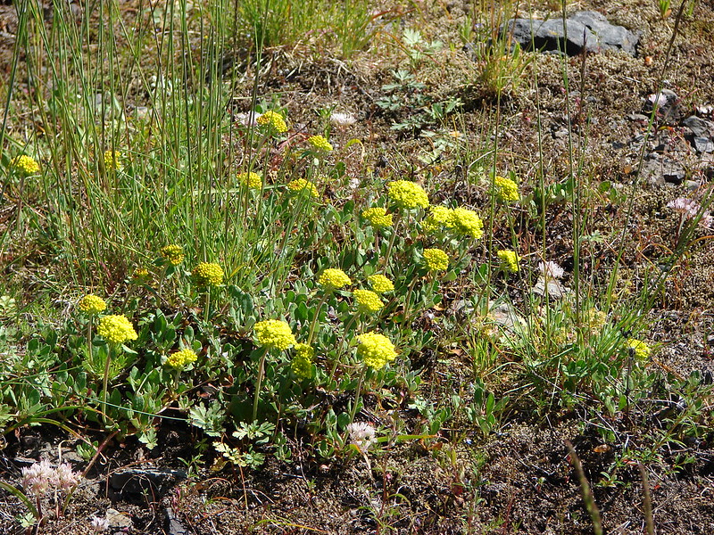
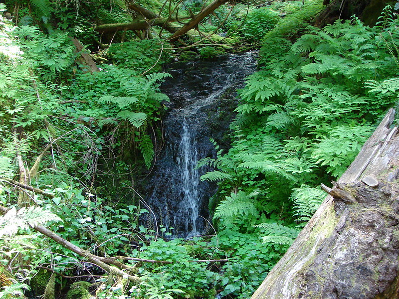
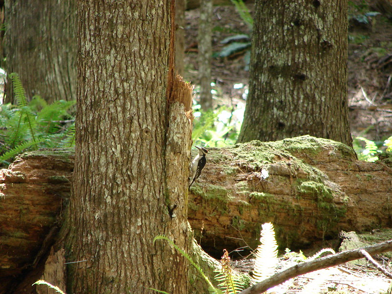
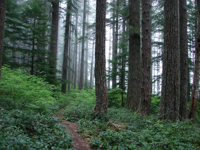
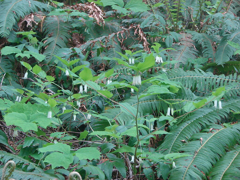
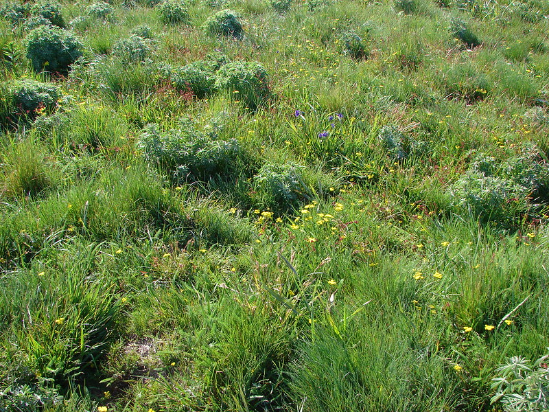
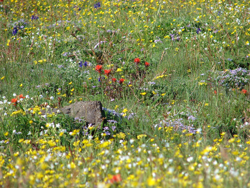
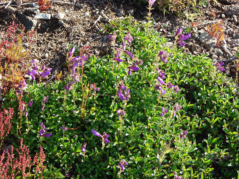
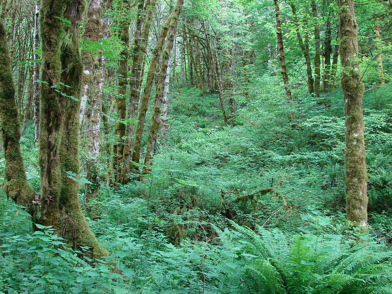
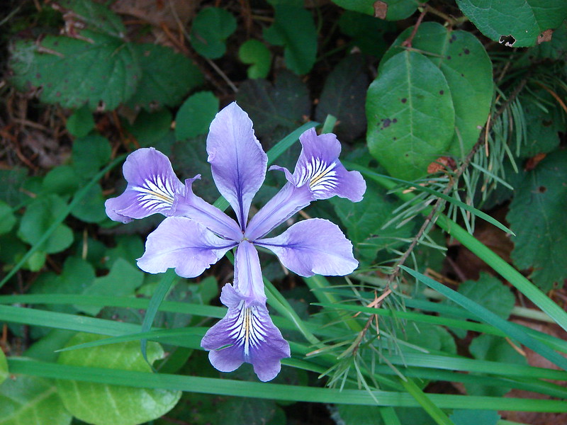
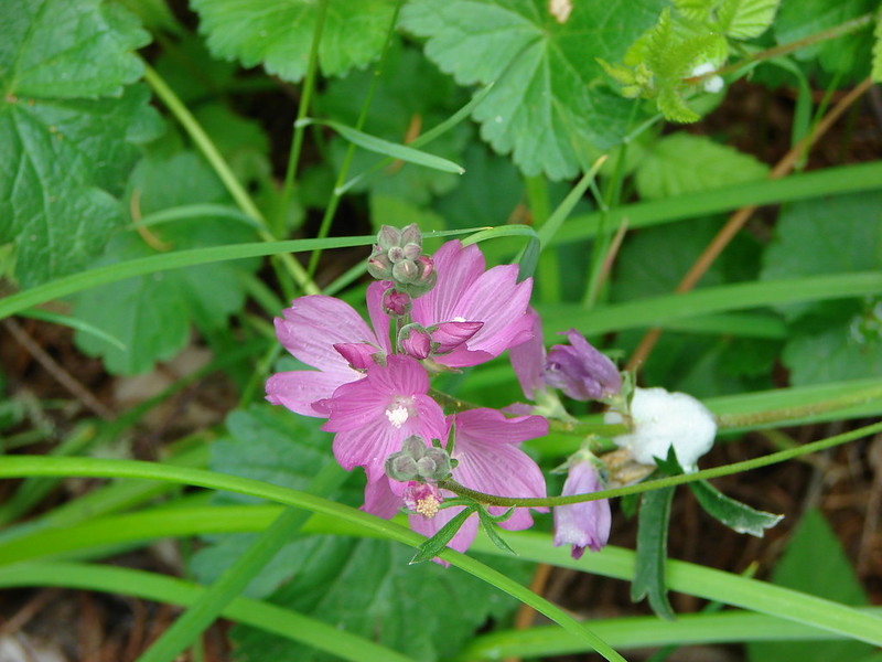
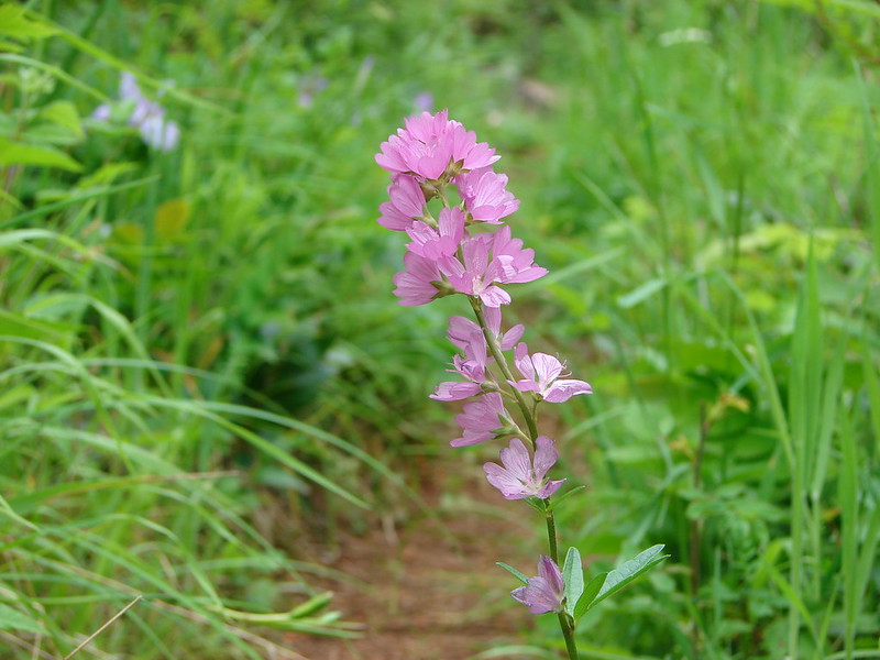
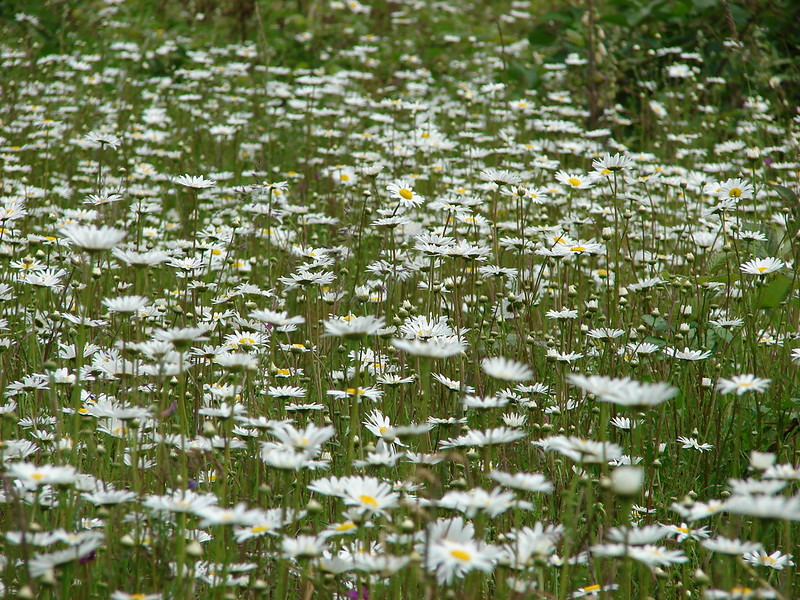
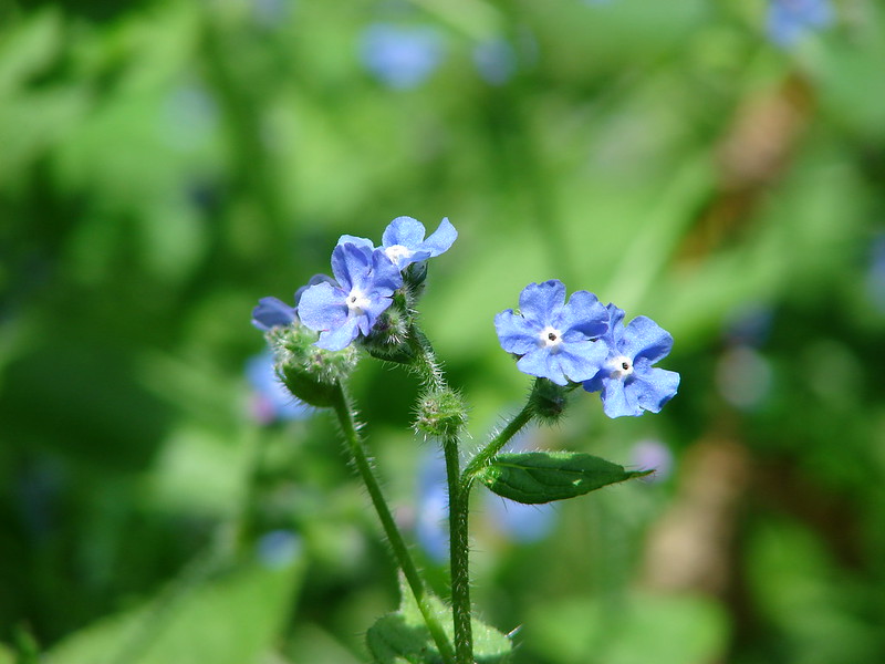
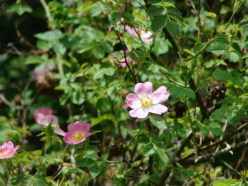
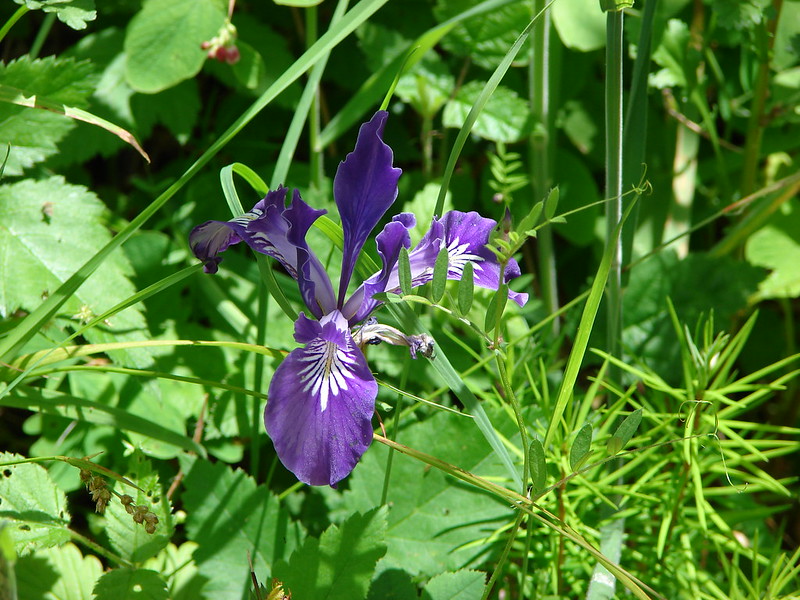
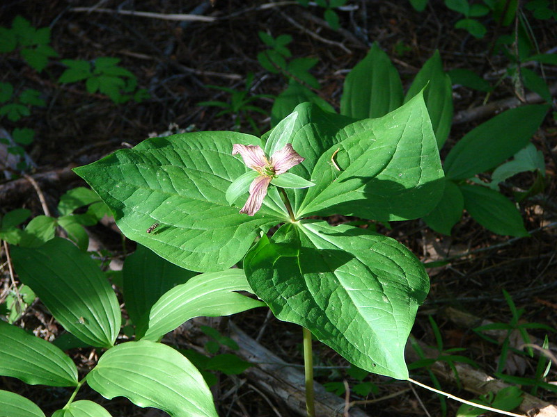
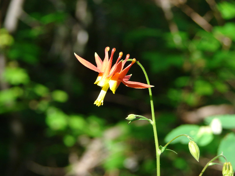
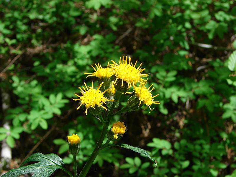
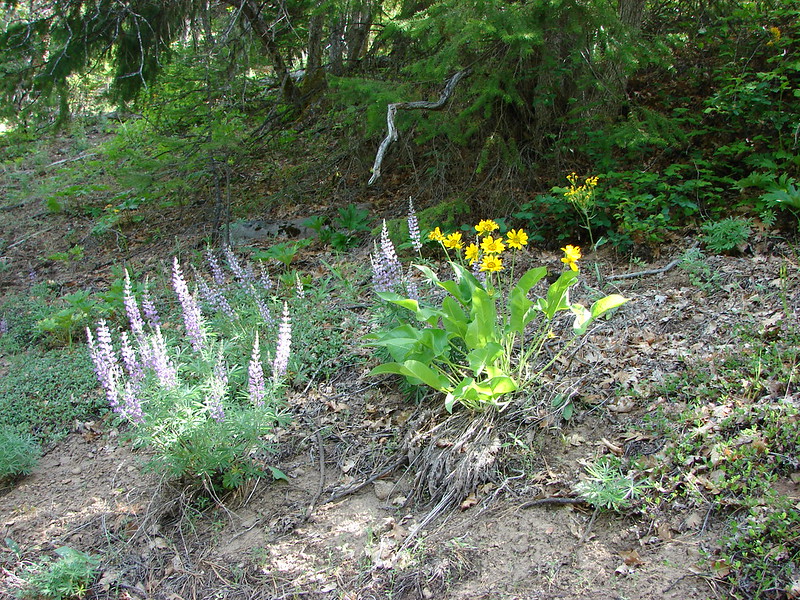
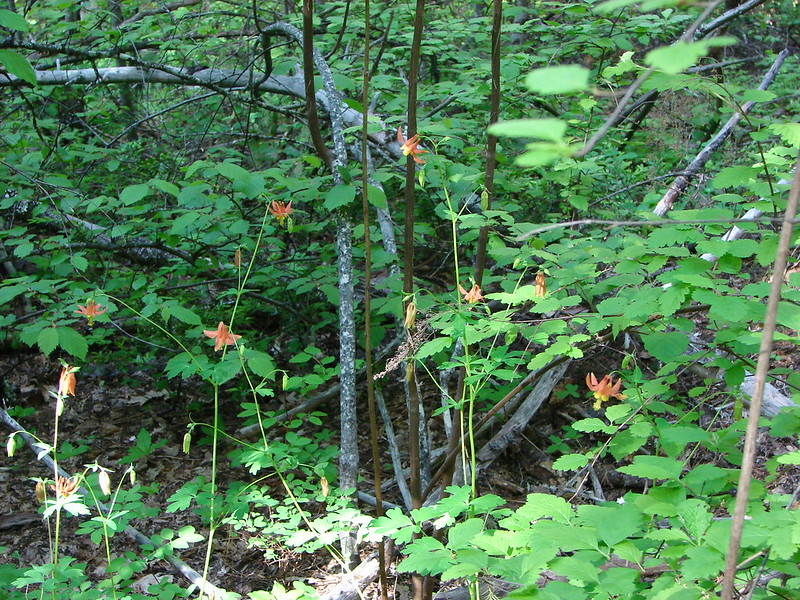
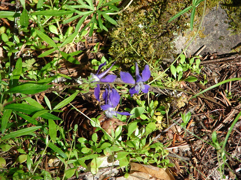
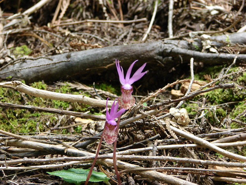
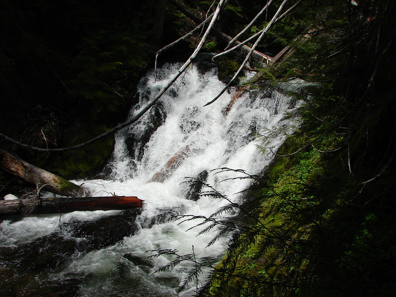
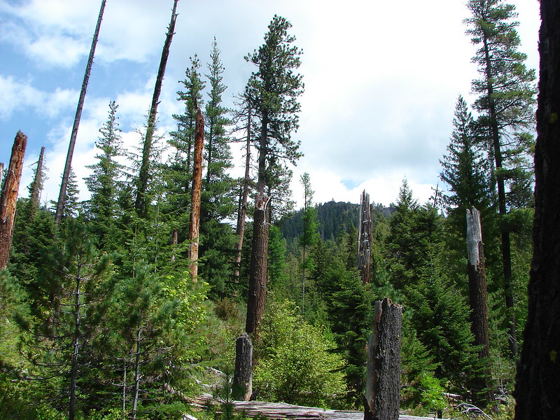
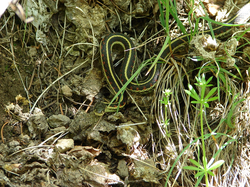
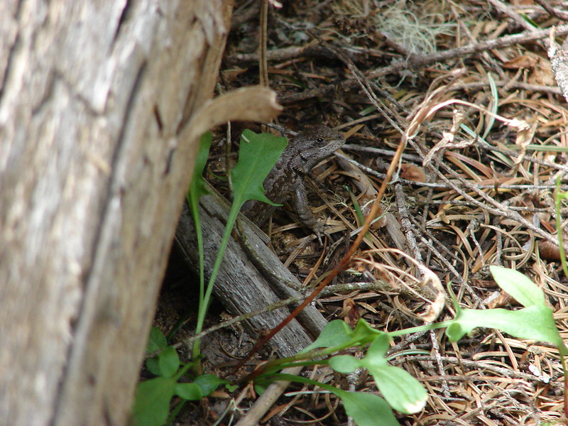
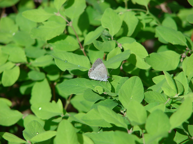
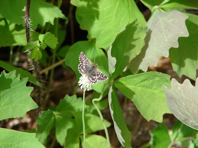
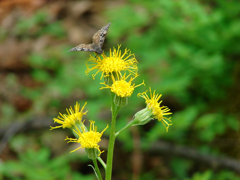
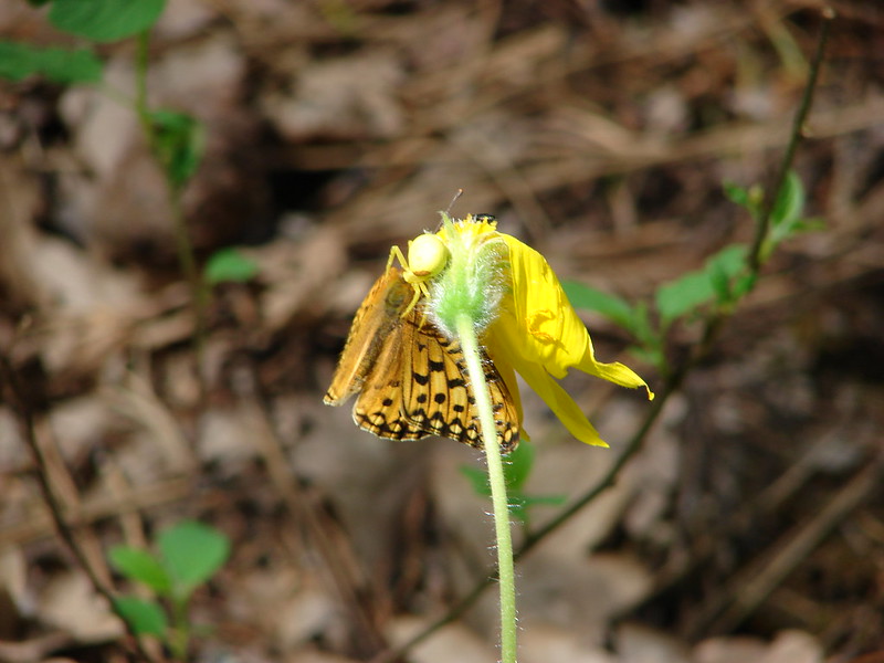
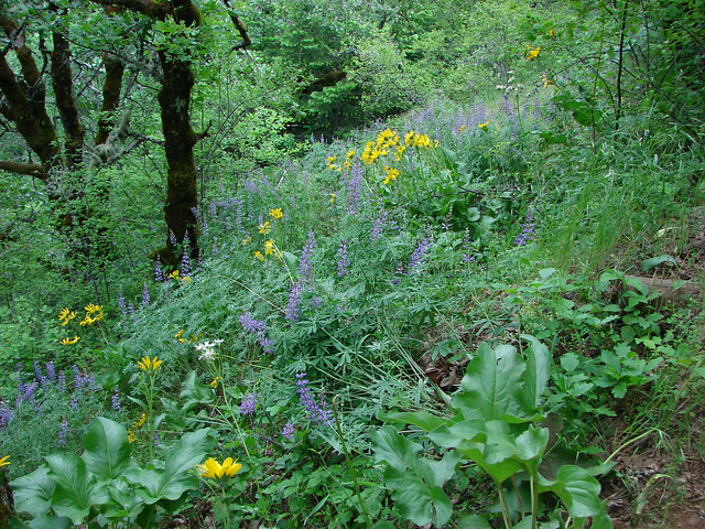
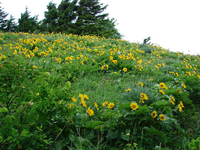
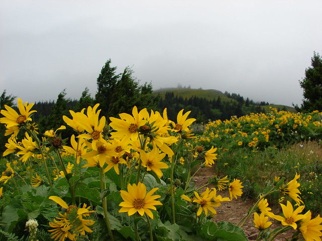
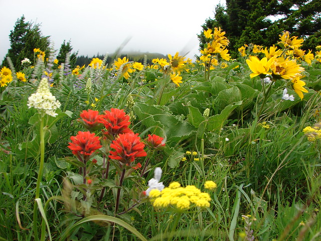
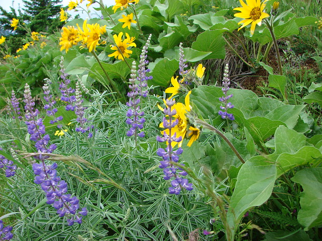
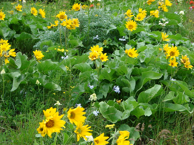
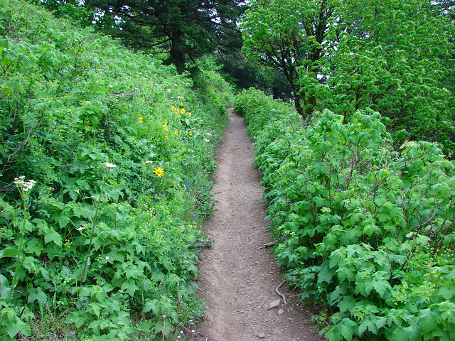
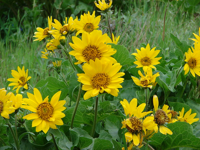
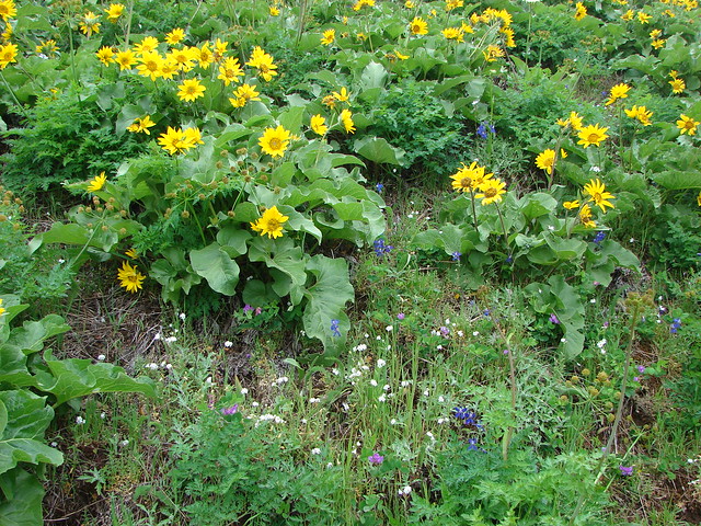
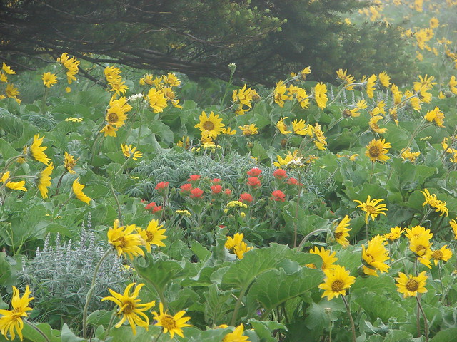
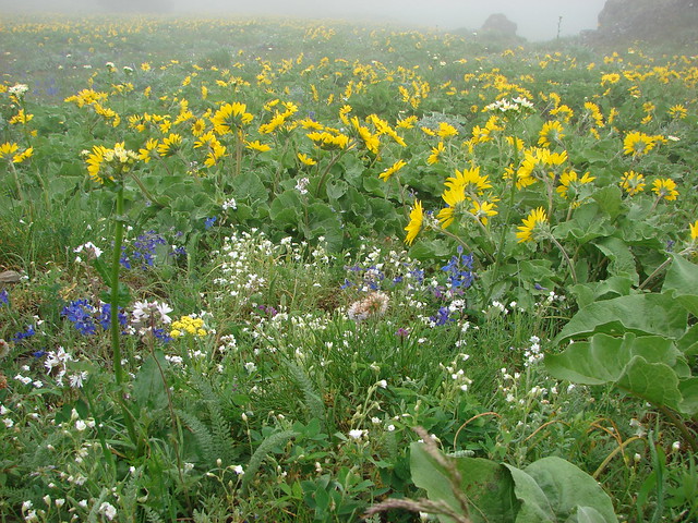
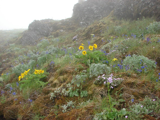
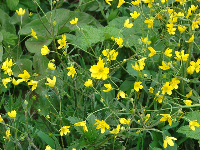
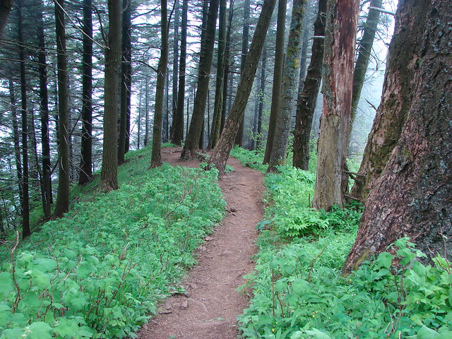
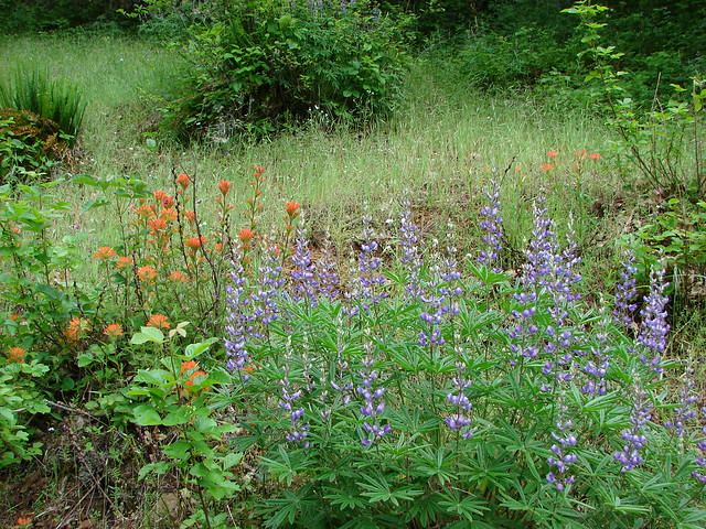
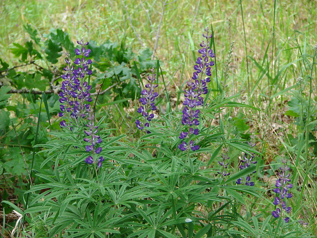
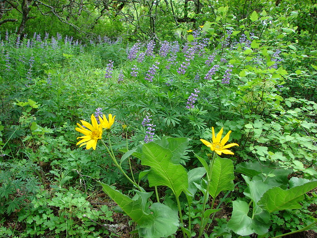
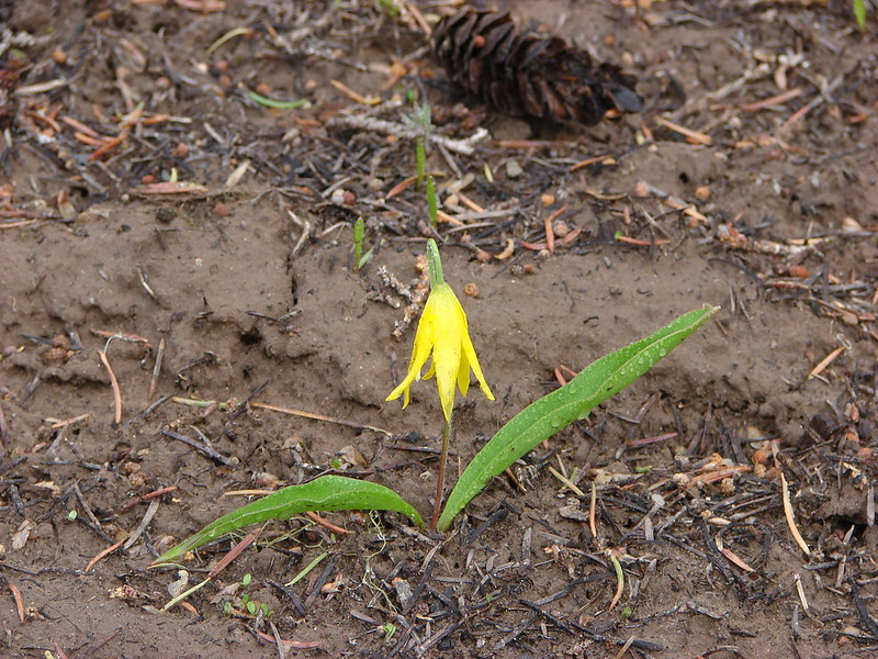
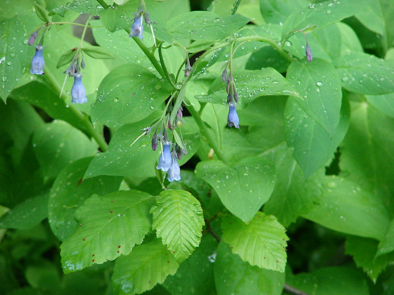
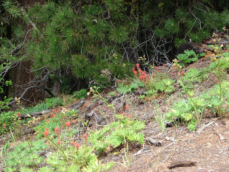
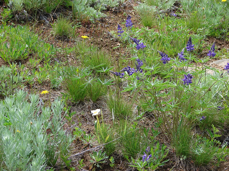
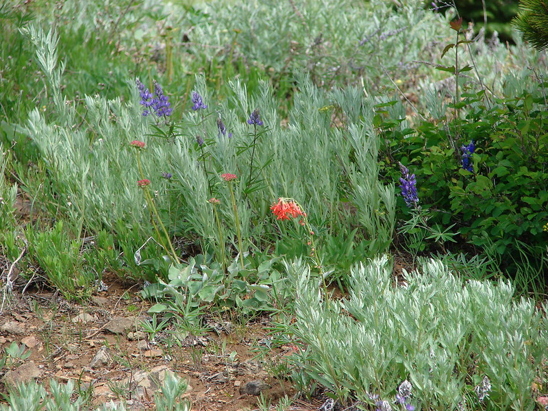
This was an interesting trail as it passed through various types of vegetation on it’s way down to Badger Creek over 3 miles and 2000′ below. We spotted a number of flower types and quite a bit of wildlife on this section.
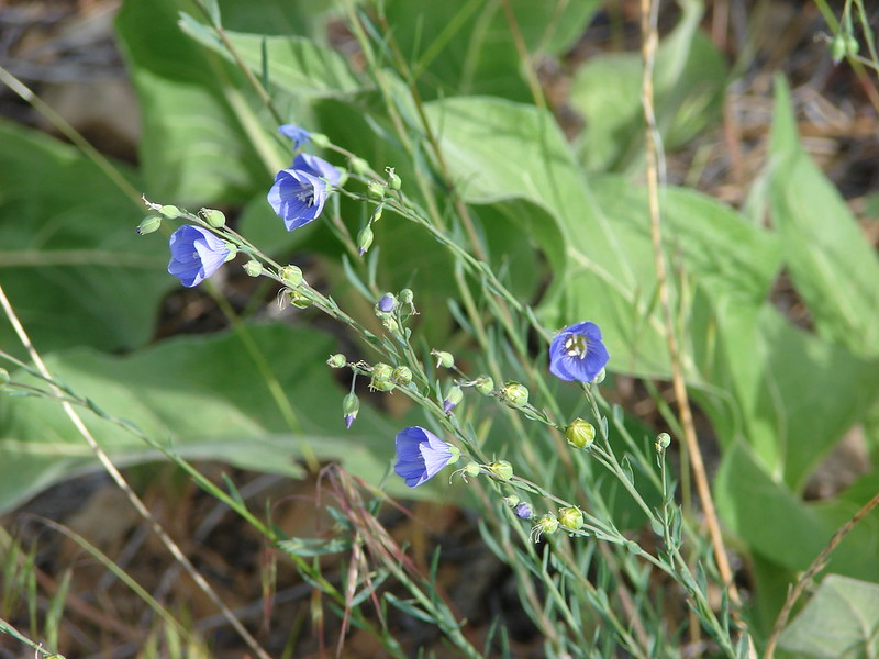
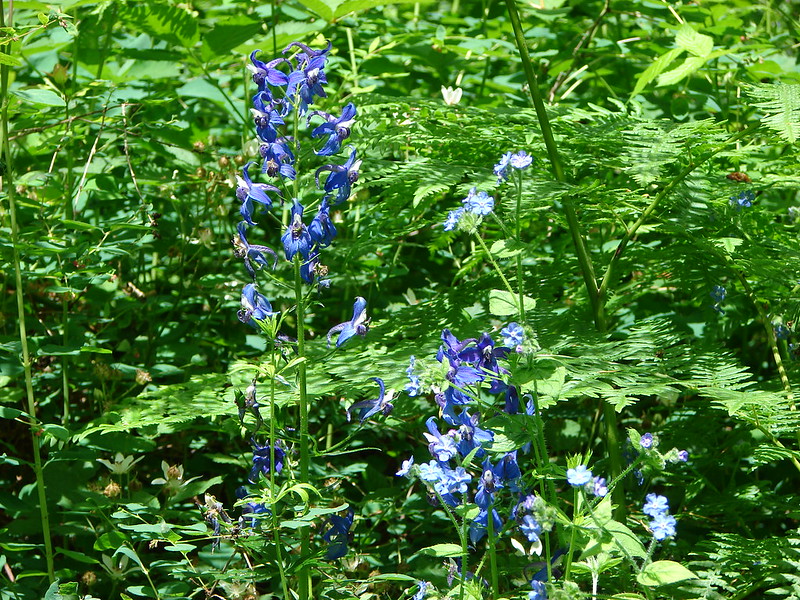
Bluebells
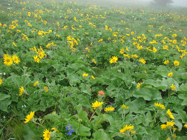
Balsamroot

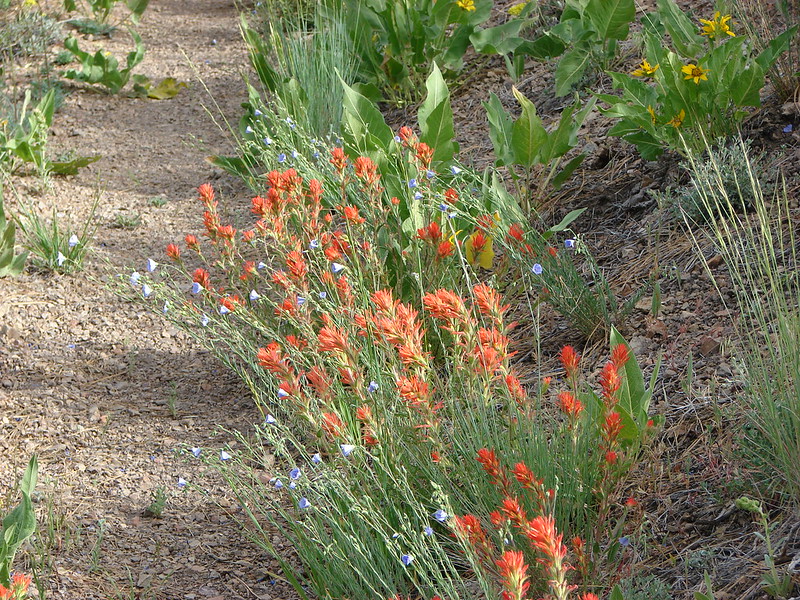
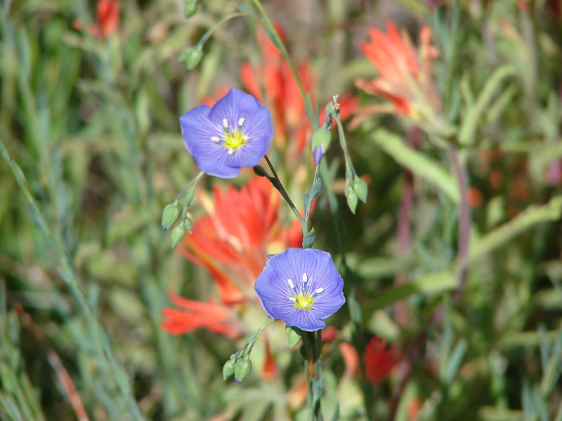
Paintbrush
Vetch
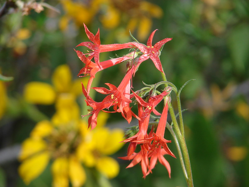
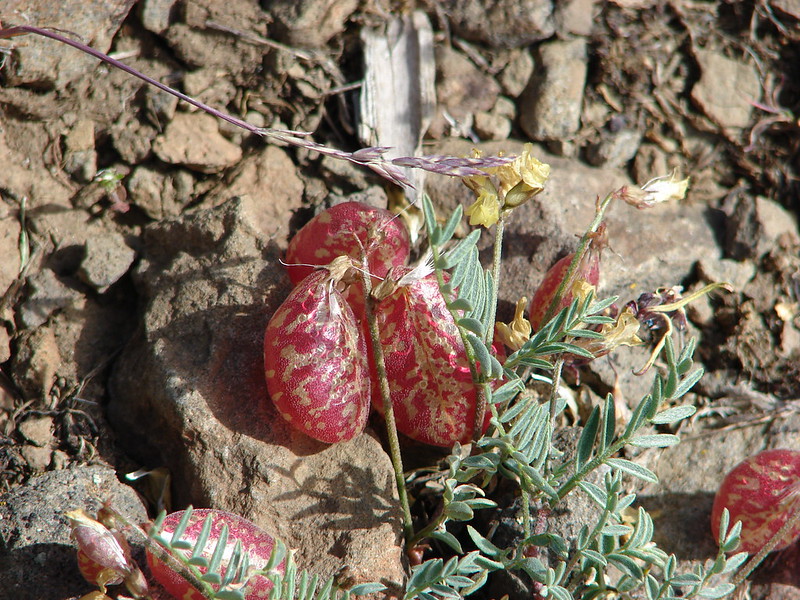
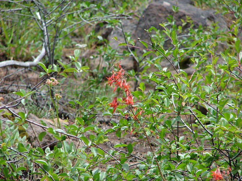
Scarlet gila
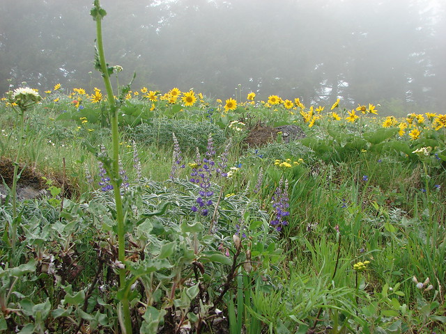
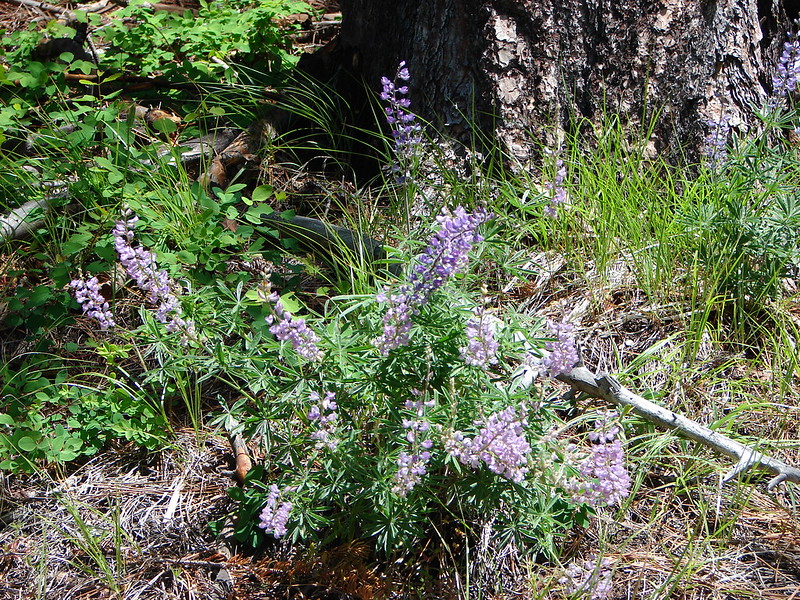
Lupine
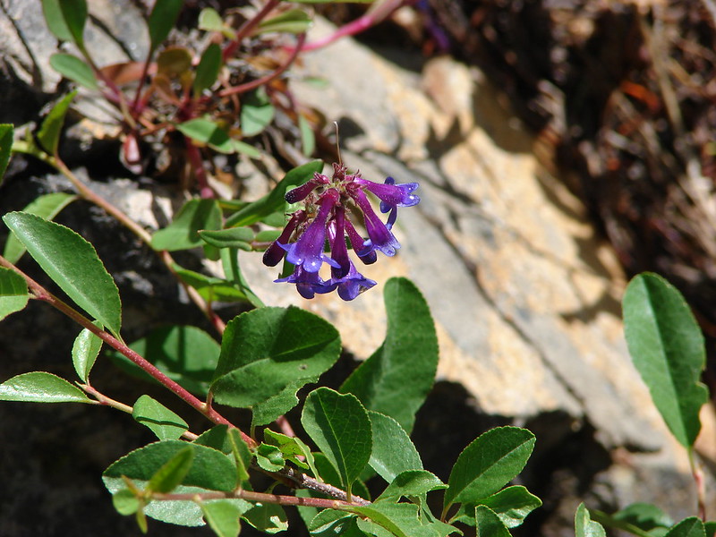
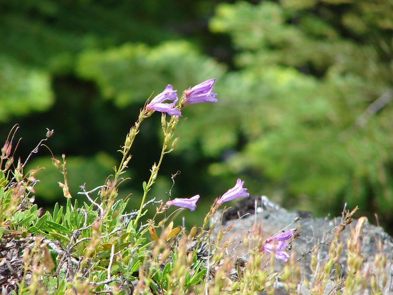
Penstemon
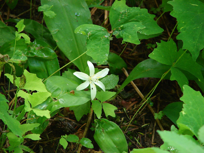
Queen Anne’s Cup
Arnica

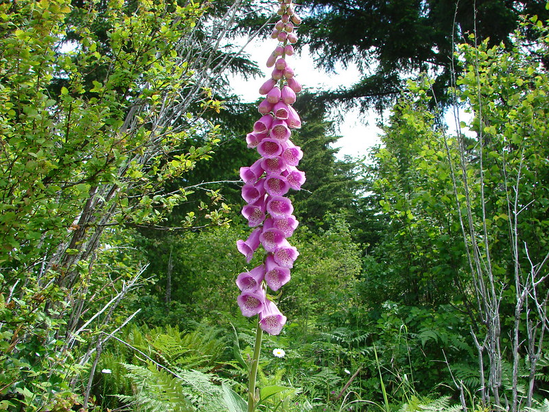
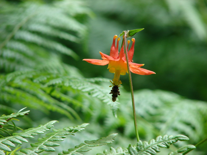
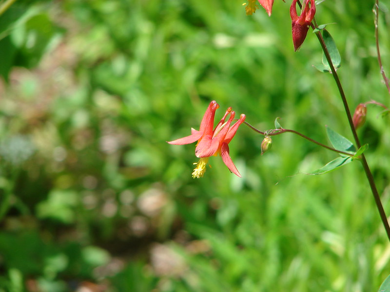
Columbine
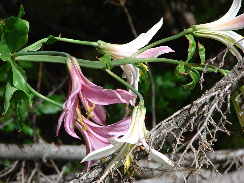
Cascade Lily
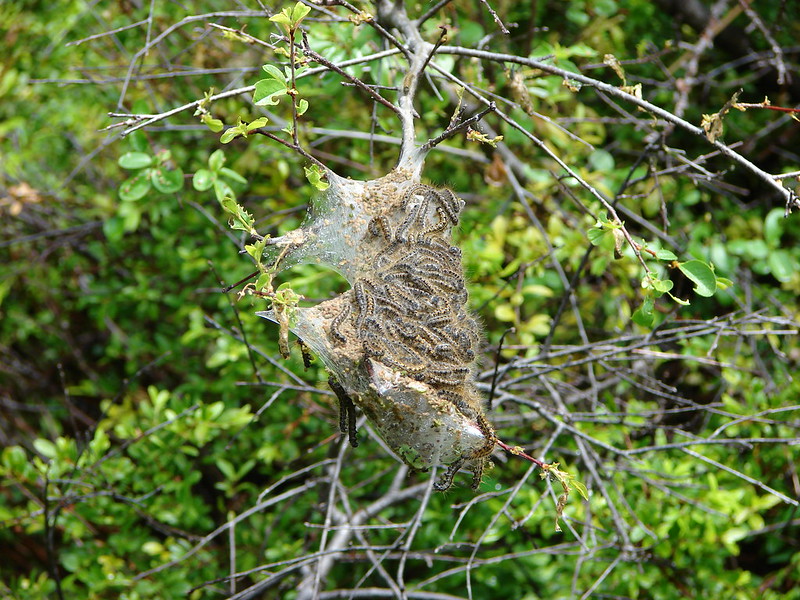
Tent worms
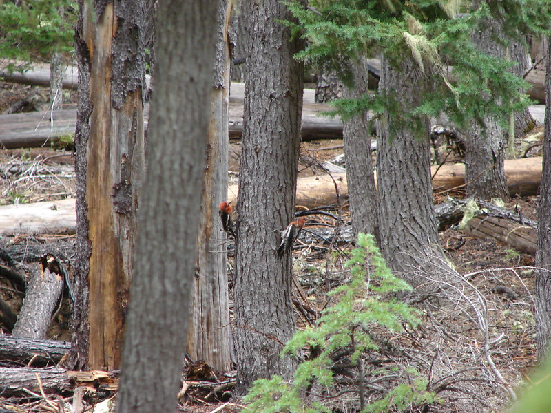
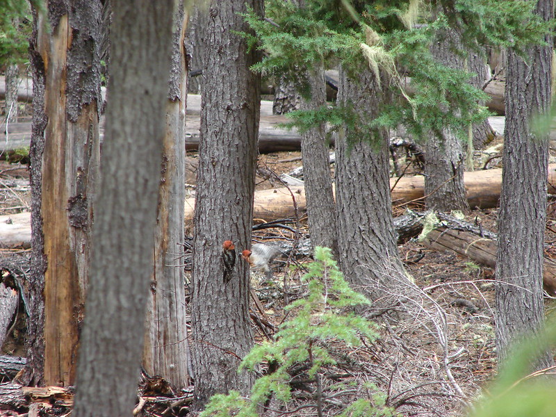
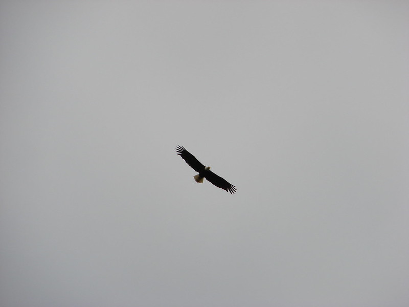
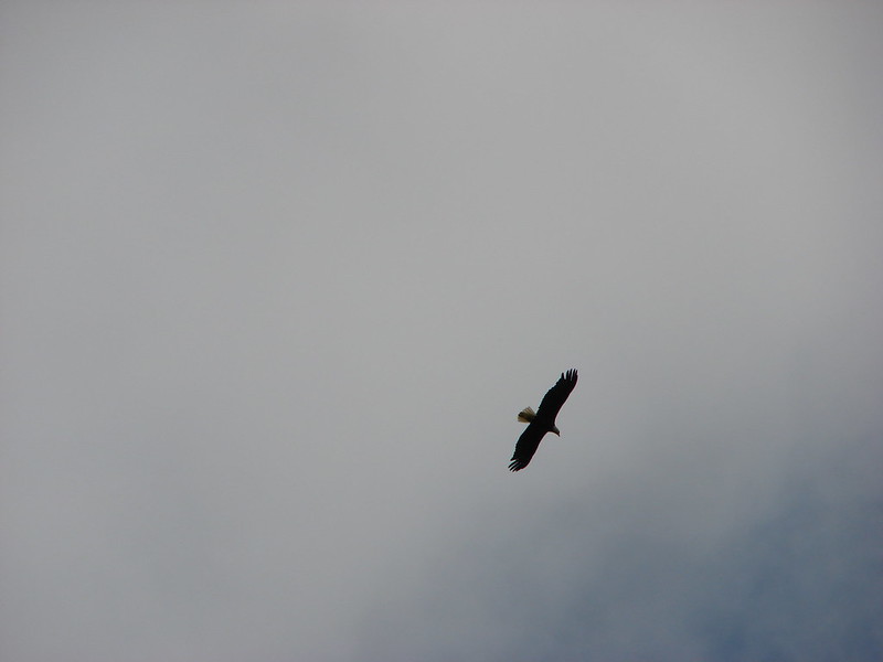
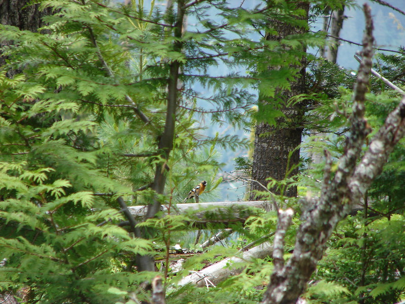
Black-headed Grossbeak
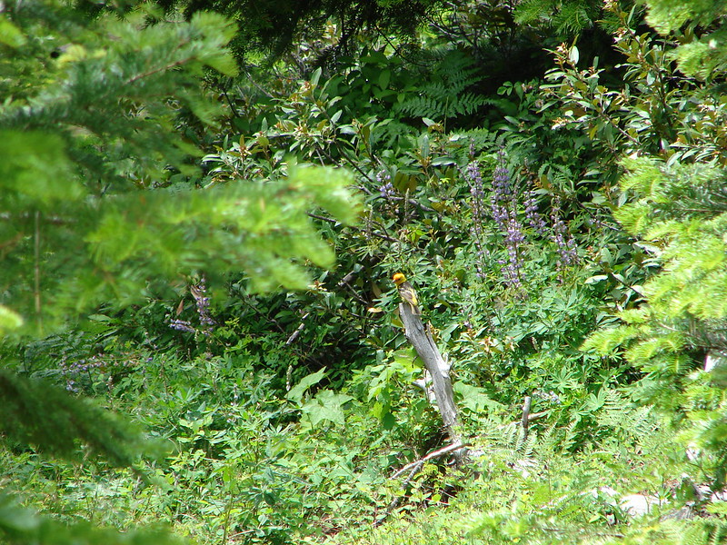
Western Tanager
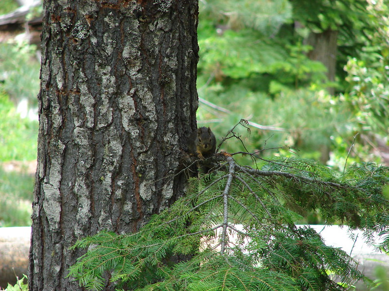
Douglas Squirrel
Unidentified bird

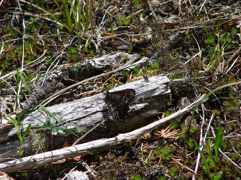
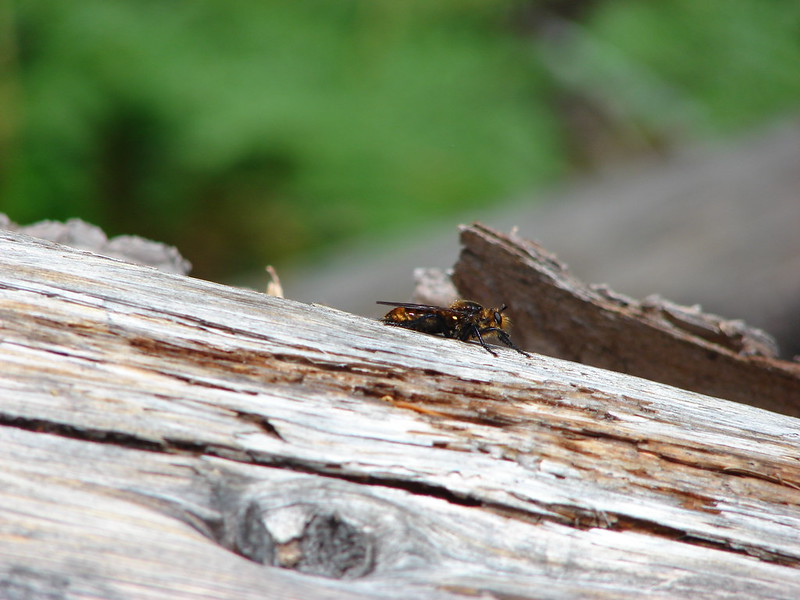
Unidentified bug
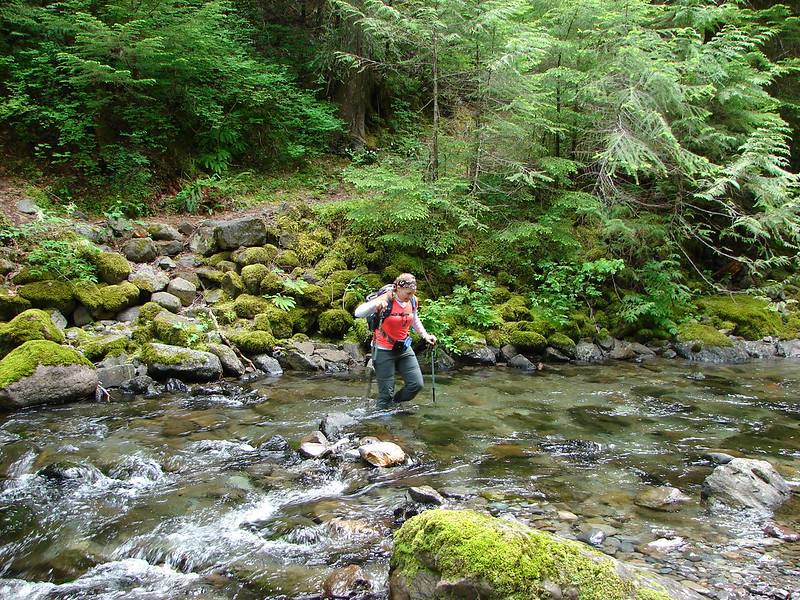
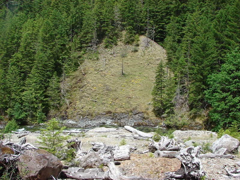
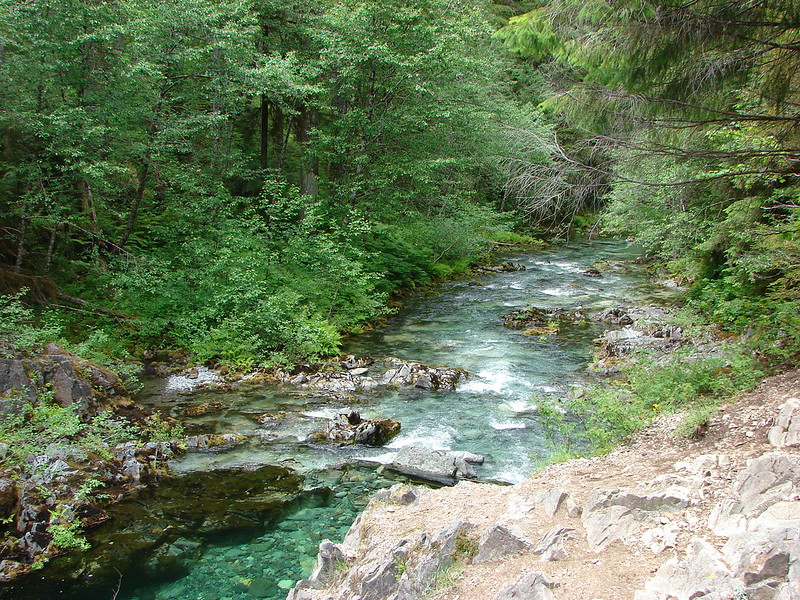
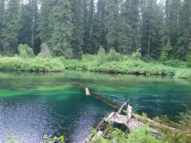
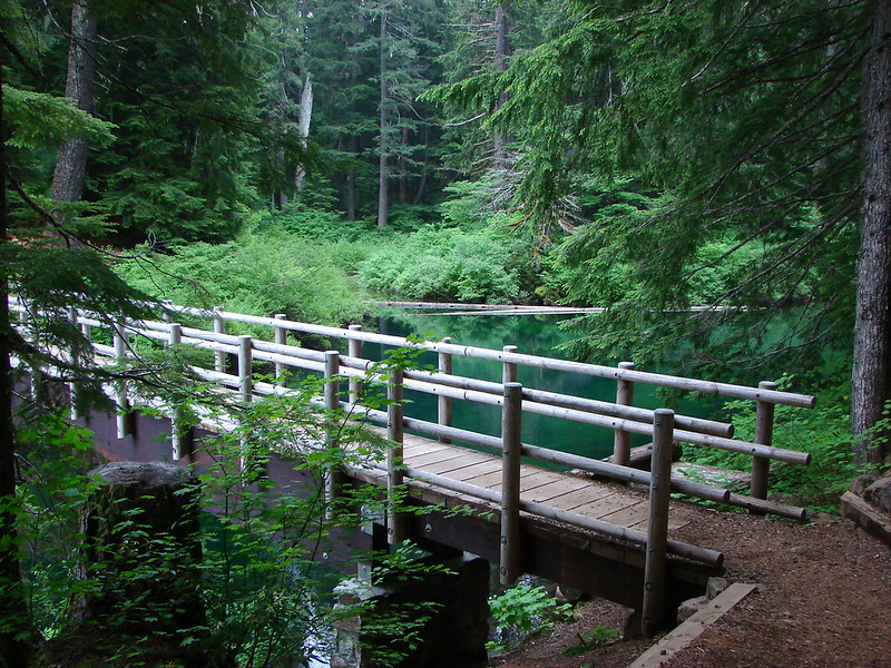
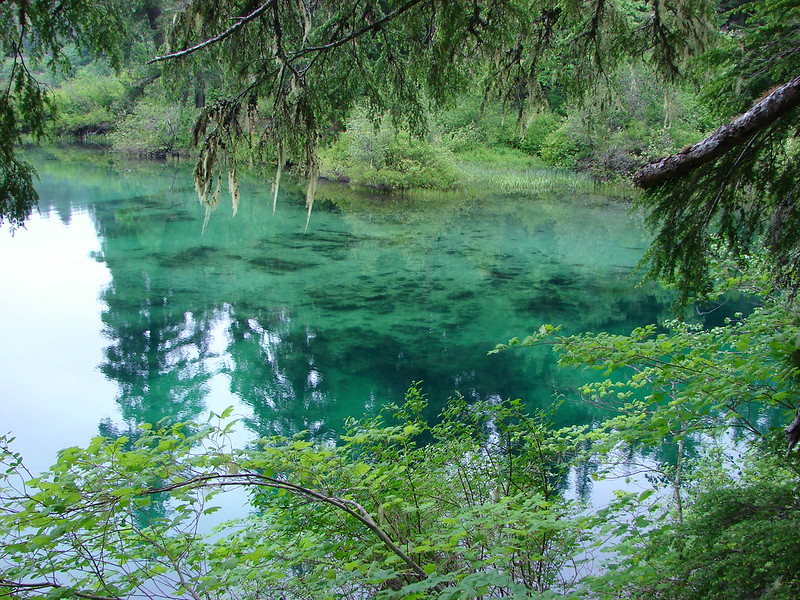
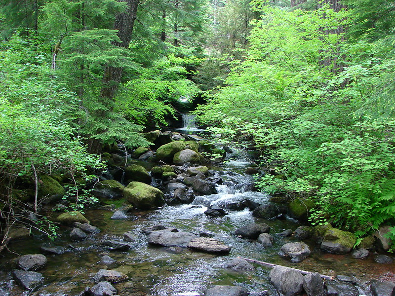
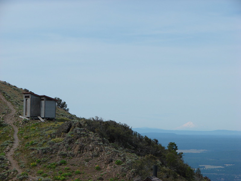
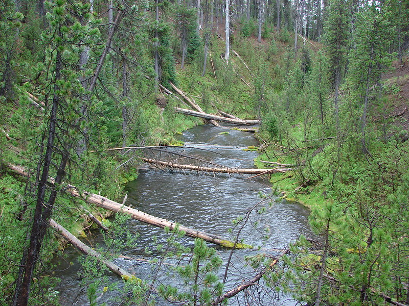
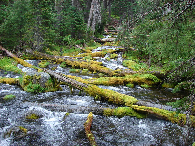
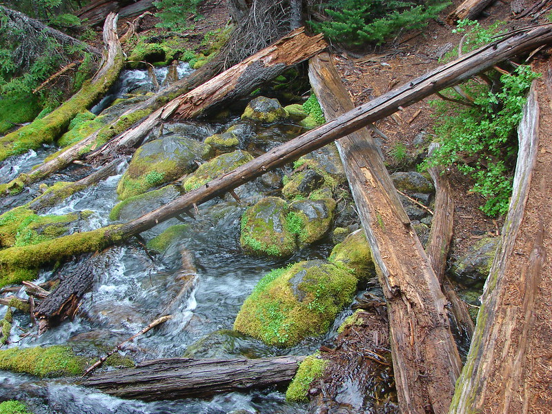
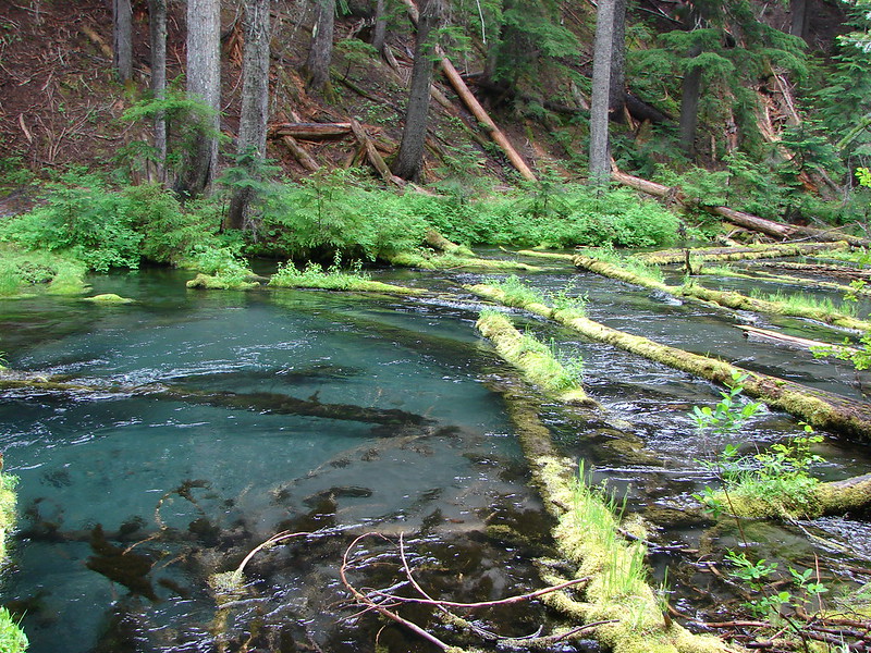
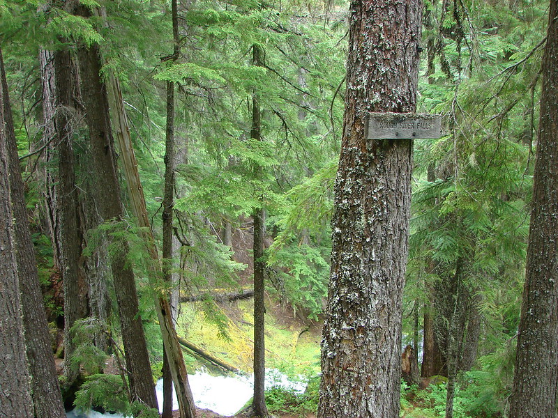
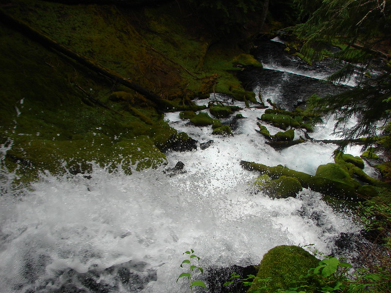
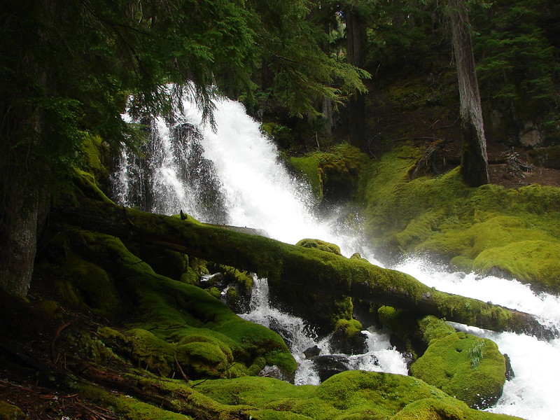
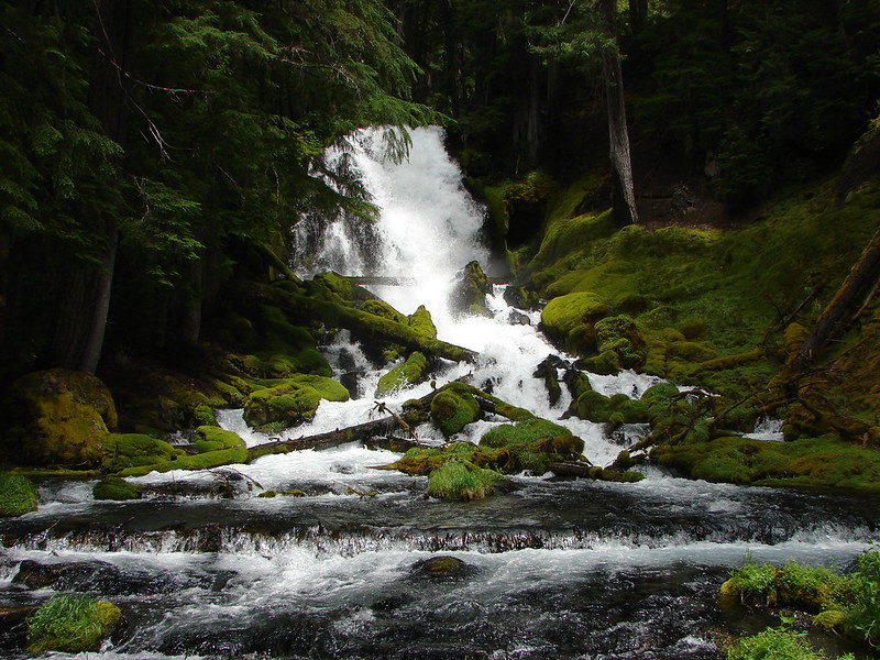
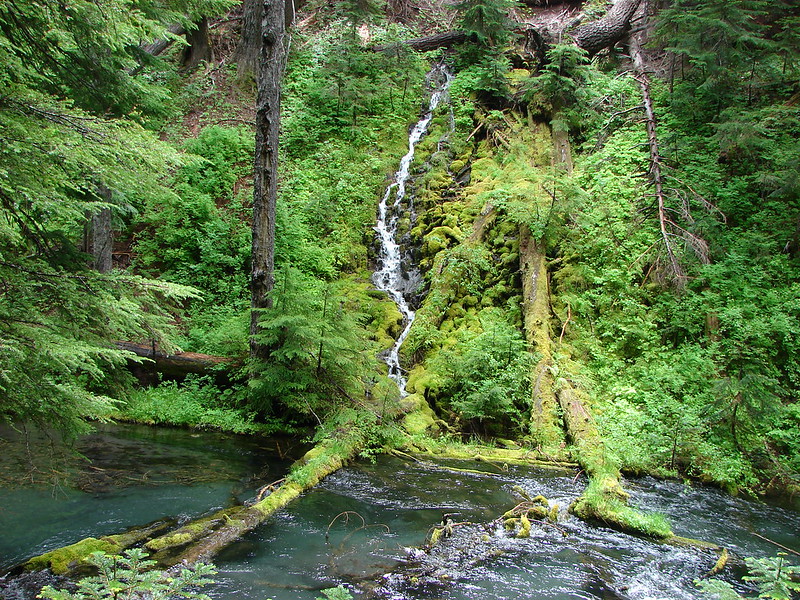
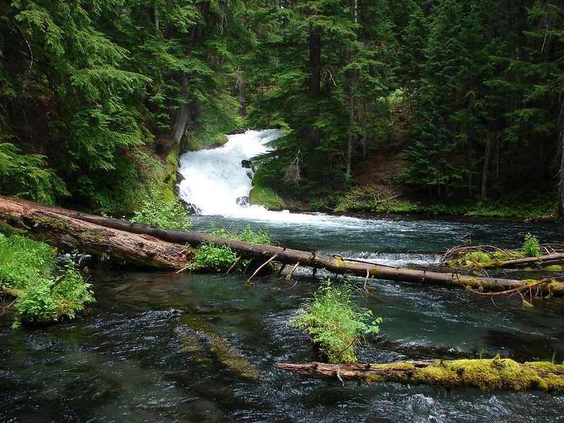
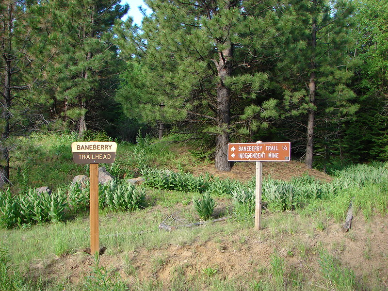
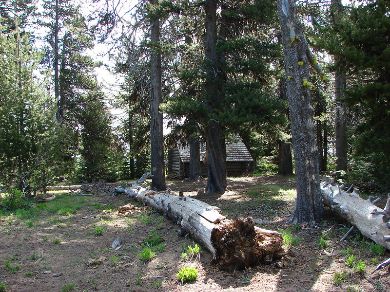
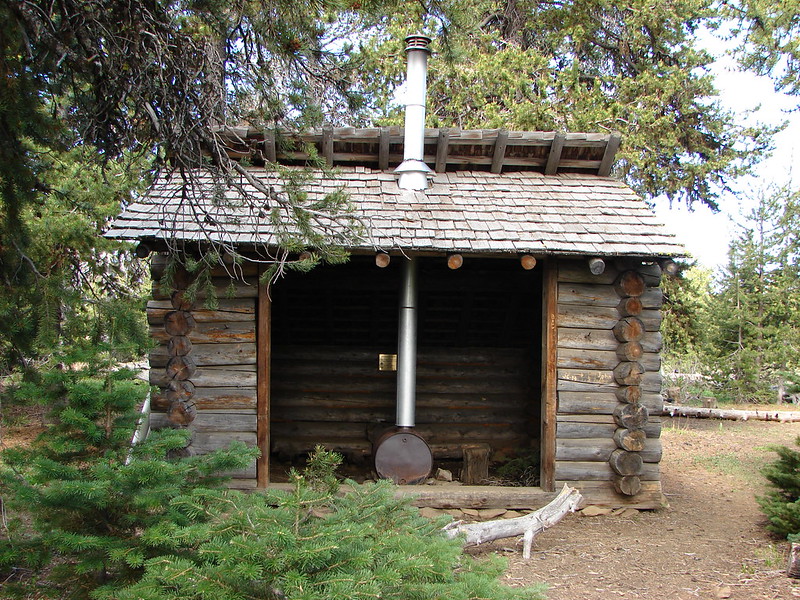
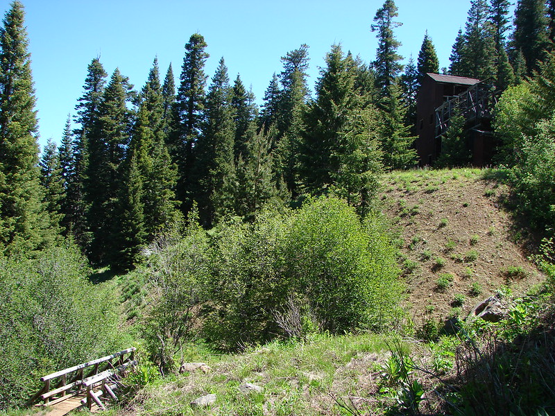
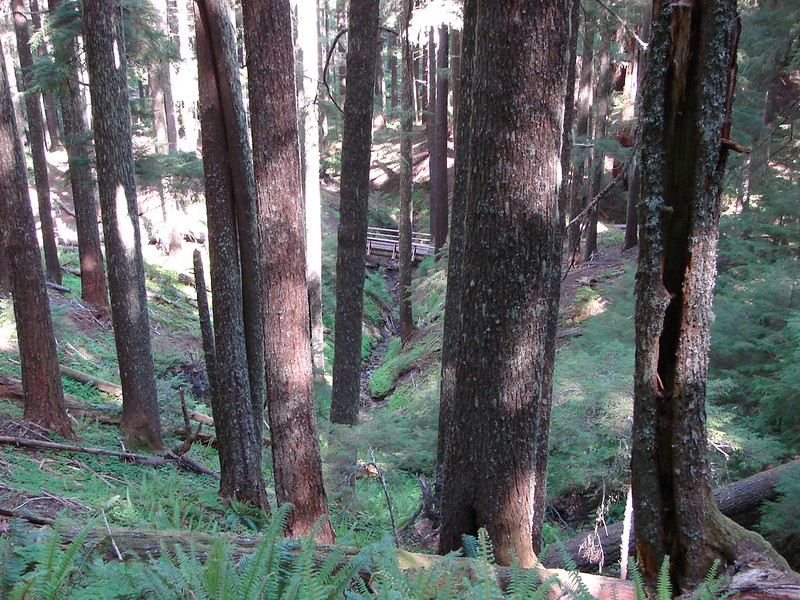
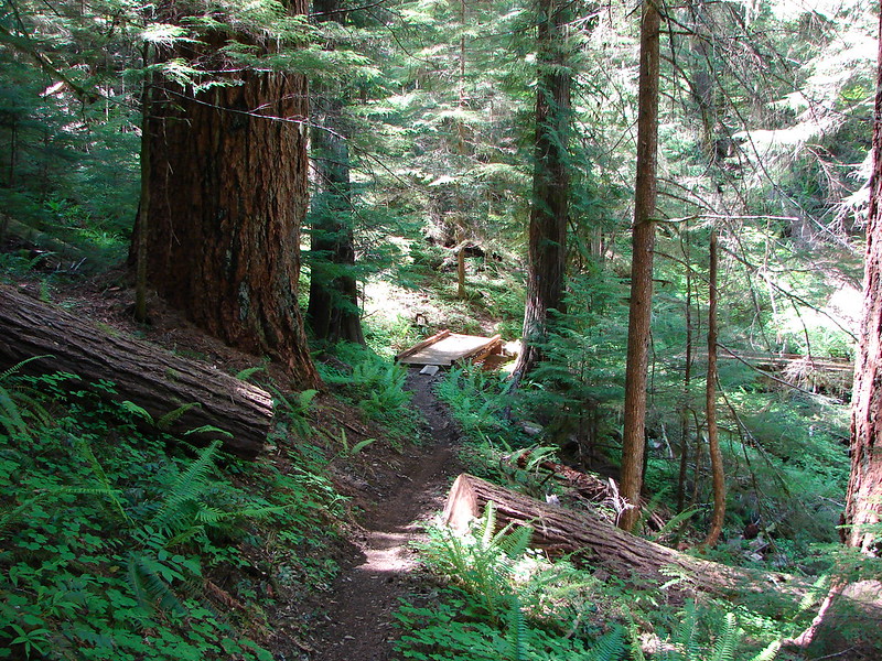
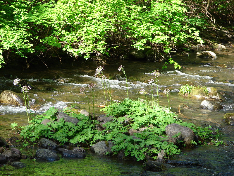
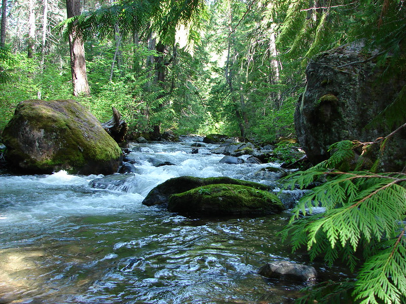
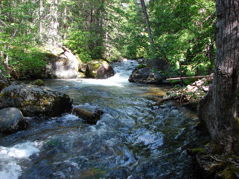
When we reached the Badger Creek Trail we turned left and made our way to Post Camp. We arrived to find it empty so we had our pick of spots. 🙂

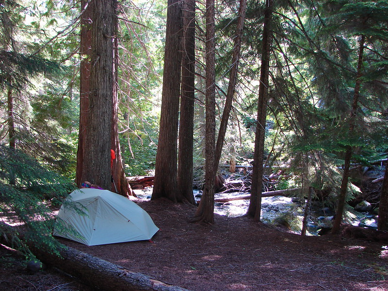
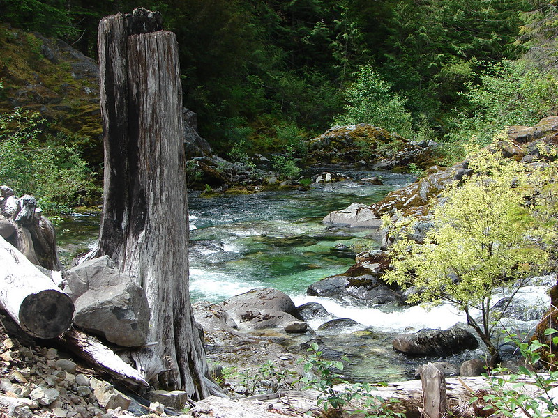
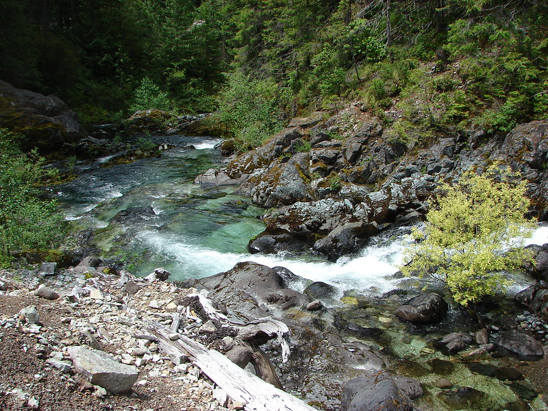
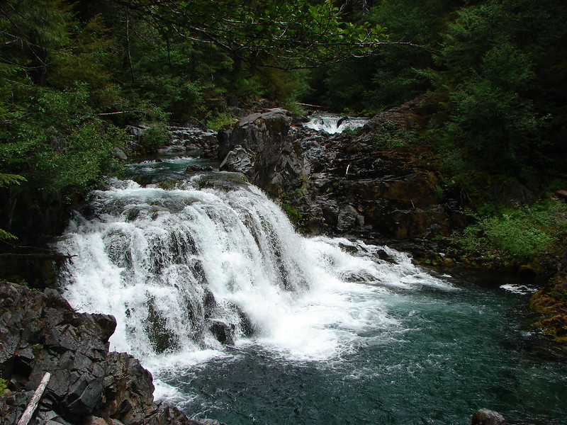
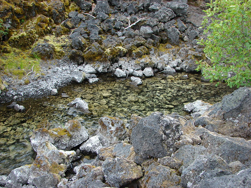
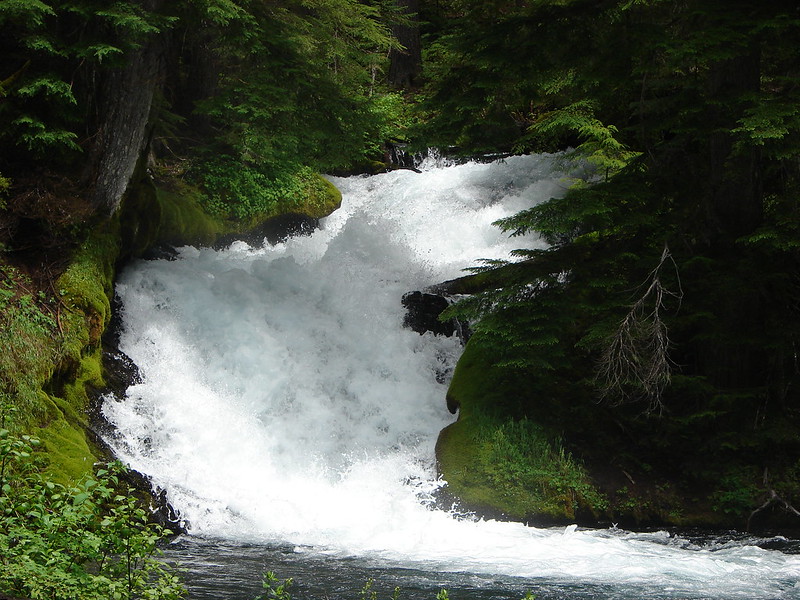
After we had gotten all set up we did a little exploring on the Post Camp Trail and then spent some time sitting by Badger Creek. We only saw a couple of groups of hikers the rest of the afternoon and no one else stopped so we wound up having the whole area to ourselves. We set about testing out all our gear which, with the exception of the matches that wouldn’t light, worked out well. By 7pm the sound of the creek and the early morning had just about put us to sleep so we ended up turning in early.
I wound up waking up to that annoying feeling that I might need to use the bathroom but wasn’t really wanting to have to deal with finding my headlamp and getting out of my cozy sleeping bag. I lay there for awhile debating whether or not I could tough it out and go back to sleep. I finally grabbed my phone to see if I could make it until morning. When I checked the time it said 10:42pm – I wasn’t going to be able to hold out that long. lol I got my light and shoes and headed out to do my business and then returned to the tent to try and go back to sleep. Just a few minutes after getting back into my bag I heard a loud snapping of wood coming from the direction of the food bag that we’d hung. My heart was pounding as I listened for any other sounds but all I could hear was the creek. I started trying to figure out what might have made that noise. A tree or branch falling would have ended with a thump as it hit the ground so I ruled that out which left me with some sort of good sized animal. I never heard another sound and the food bag appeared untouched in the morning and there was no sign of any visitors so we’ll never know what it had been.
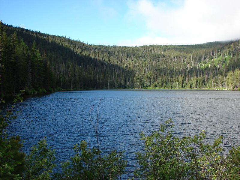
Due to the early bedtime we wound up awake at 5am and with no way to light our stove we at some Cliff bars and got ourselves packed back up. We were back on the trail by 6:15am and headed toward Badger Lake. We passed a few tents on the way but no one else appeared to be awake. We arrived at Badger Lake with some blue sky above but there were still clouds hanging around.
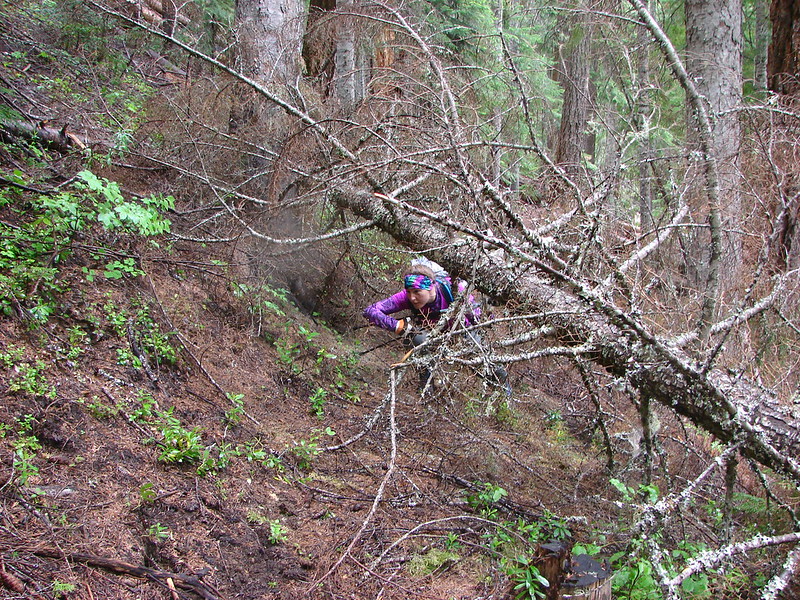
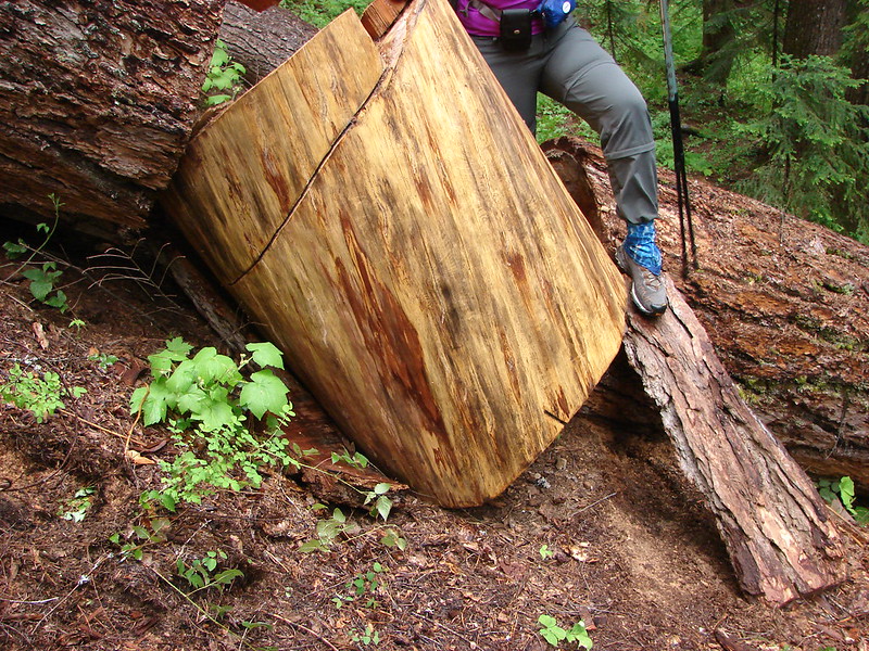
We walked along the lake and across the dam that created it to a trail junction. Here the Badger Lake Trail led along the shore while the Badger Creek Trail paralleled it further back in the forest. All the maps we had, including the Garmin, showed that the Divide Trail intersected both of these trails so we opted to take the lake trail and stay closer to the water. That turned out to be a big mistake. The trail quickly petered out and was covered with blow down. According to the Garmin we were really close to the Divide Trail so we started picking our way over, under, and around the downed logs in an attempt to find it. The next time I checked the Garmin it showed we had passed the intersection so we turned back and uphill to try and pick it up a little higher on the hillside. We couldn’t find it or any flagging or tree blazes (they were probably all lying on the ground) so we had to make our way back to the fork with the Badger Creek Trail and try that way.
That was the correct way and we easily found the clearly marked Divide Trail.

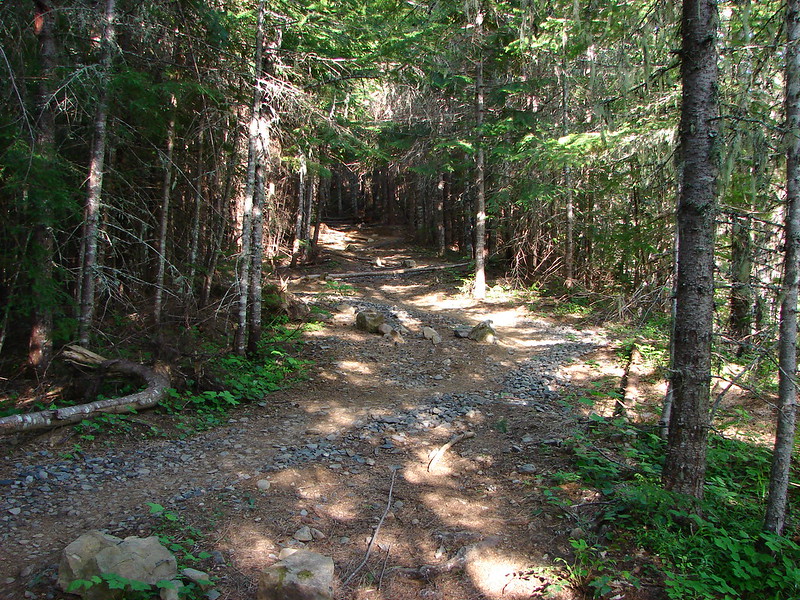
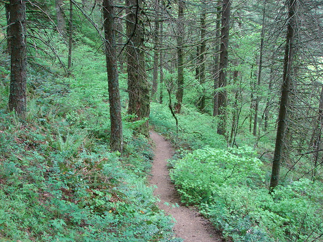
There was still some blow down on this trail but not anywhere near as bad.
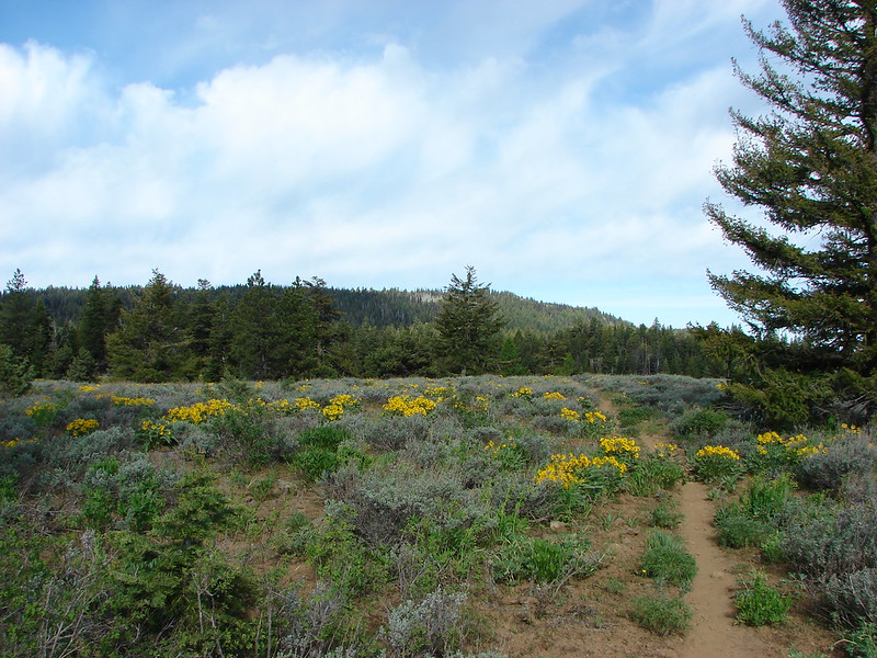
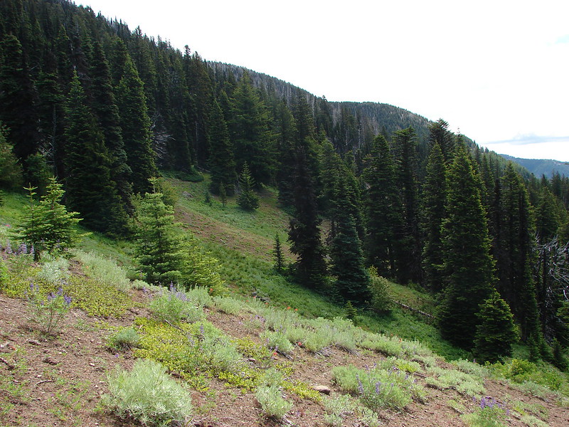
The Divide Trail climbed along the hillside for 2.5 miles to Gumjuwac Saddle where we had a choice. We could follow road 3550 back to High Prairie or stick to the Divide Trail and do some extra climbing.
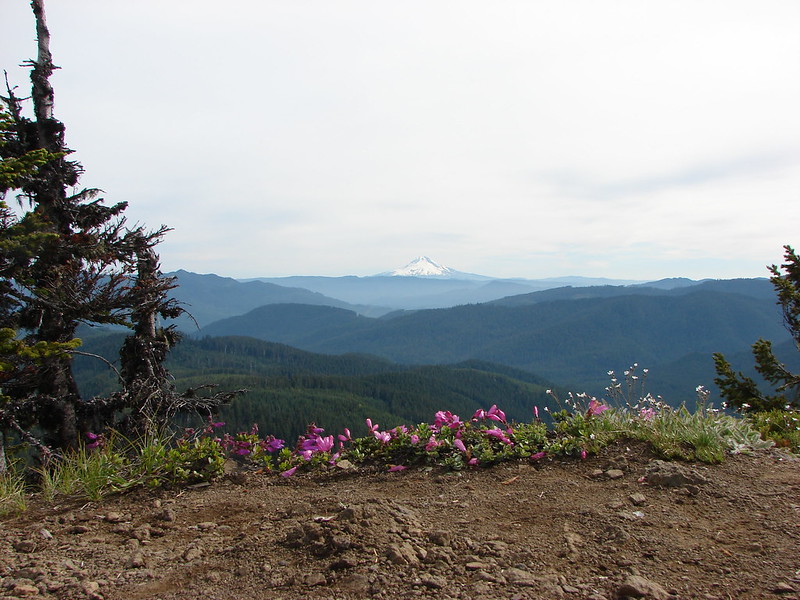
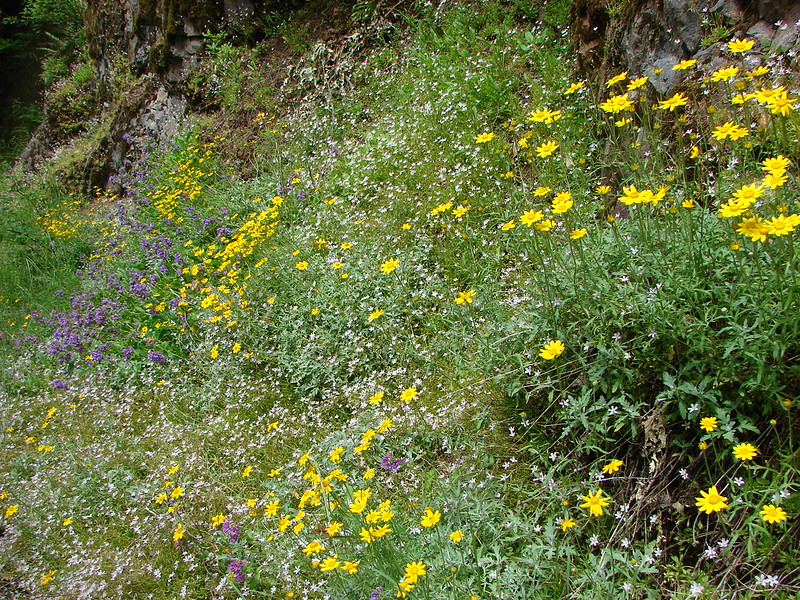
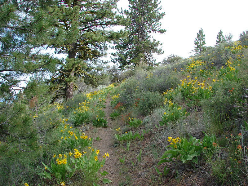
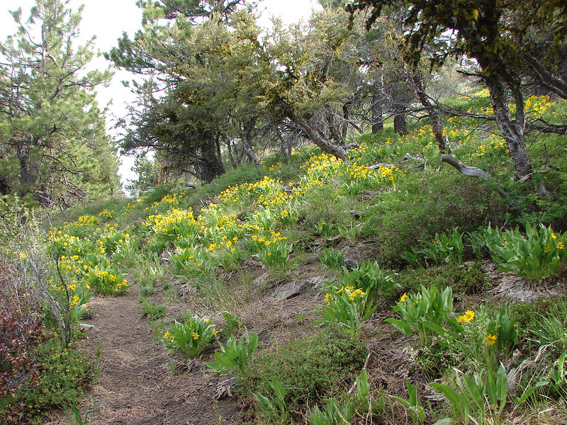
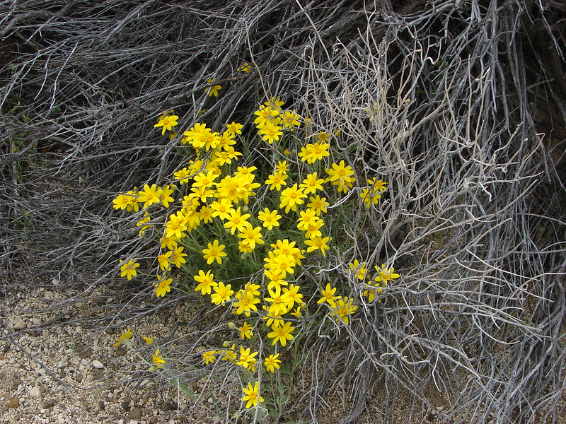
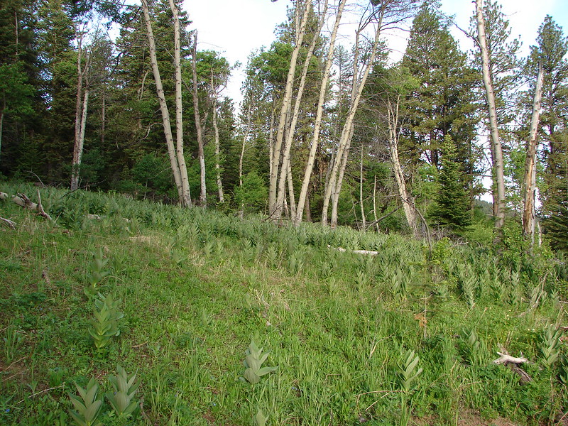
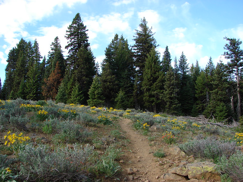
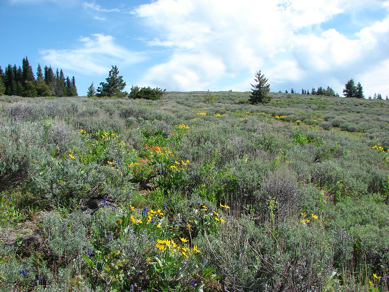
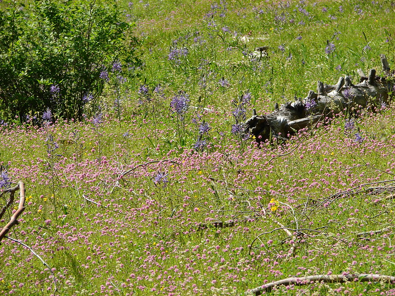
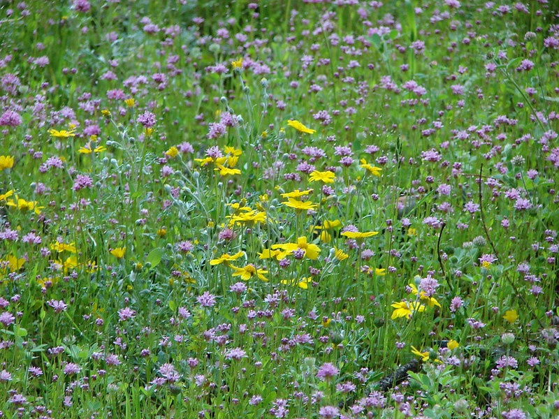
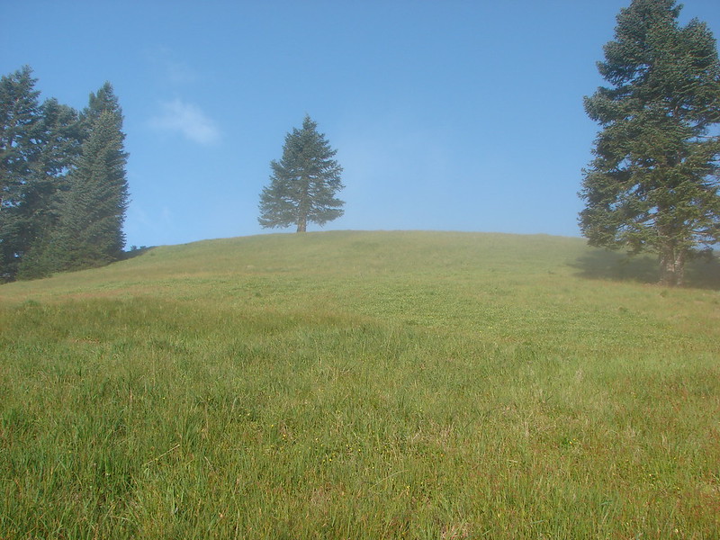
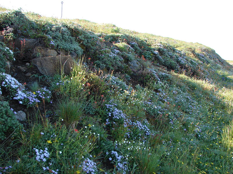
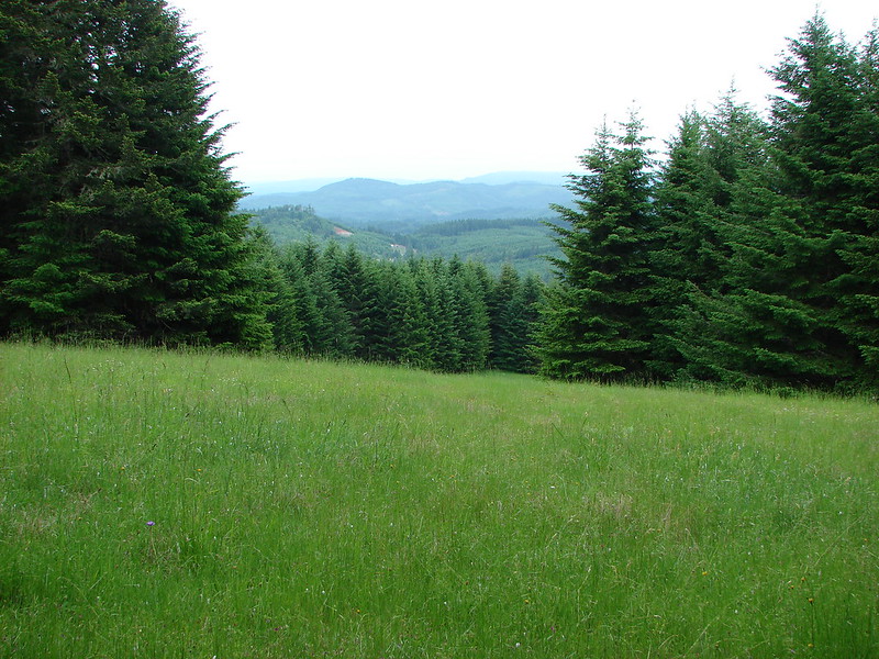
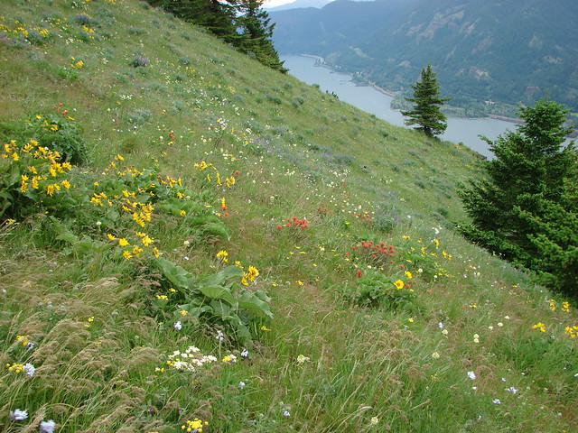
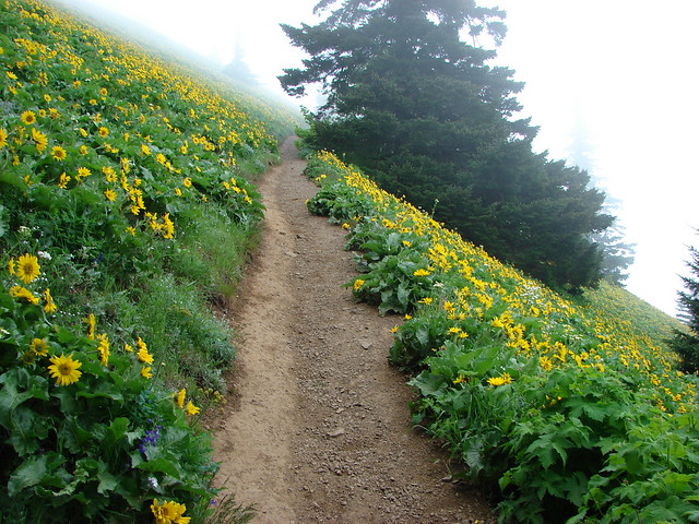
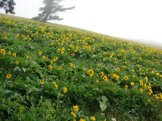
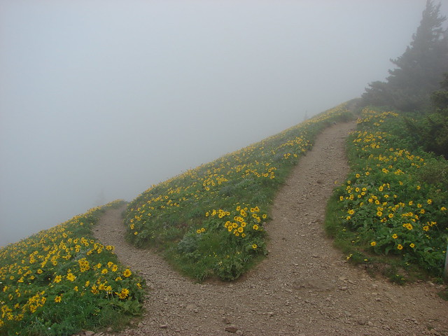
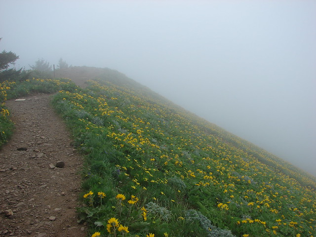
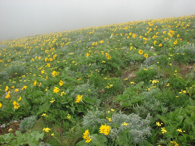
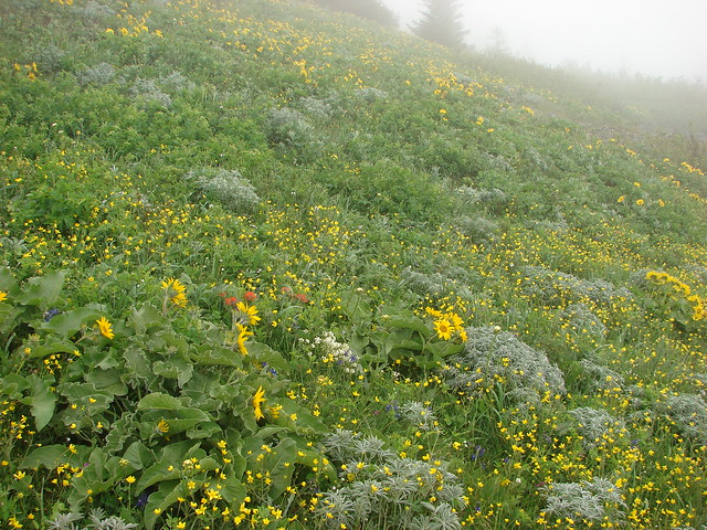
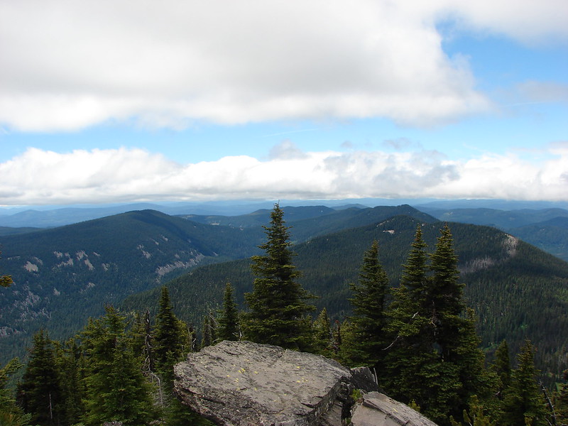
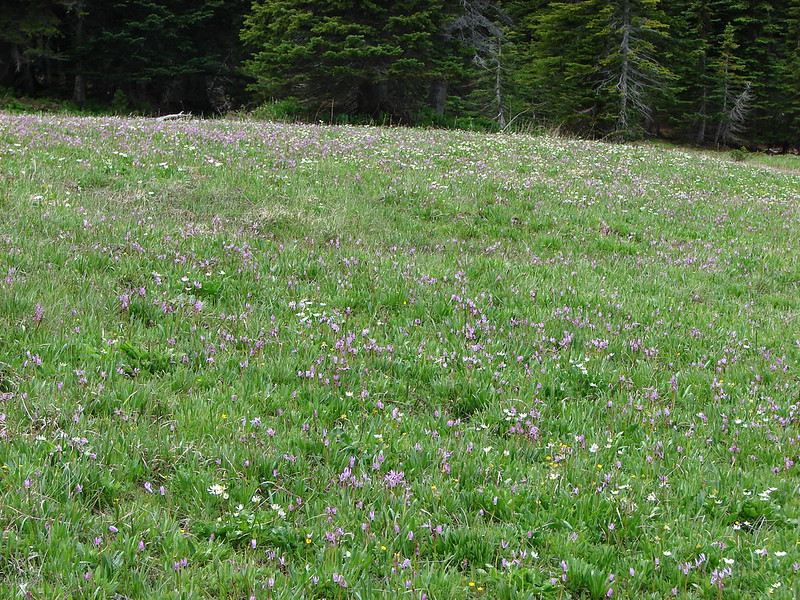
We chose the Divide Trail which proved to be a good choice. We passed through a number of meadows filled with wildflowers and views as we climbed.
The views weren’t bad either.

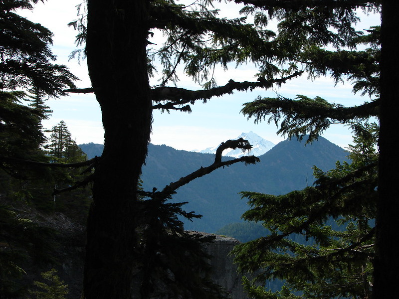
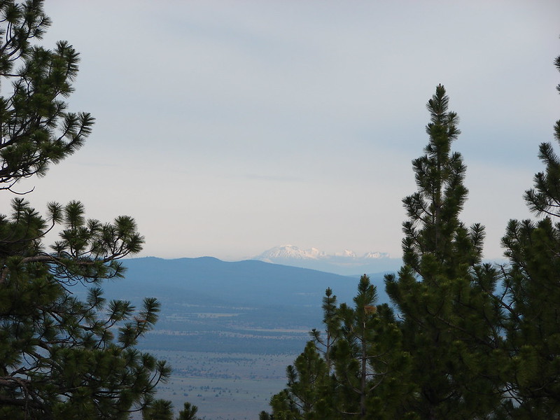
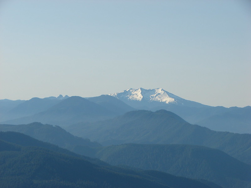
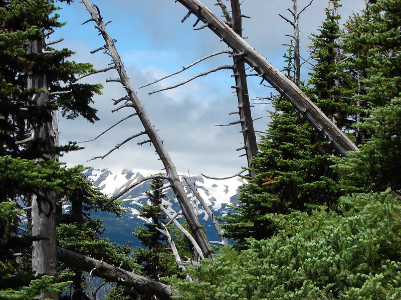
As we neared the junction with the High Prairie Loop Trail we began to get glimpses of Mt. Hood. The lower portion anyway as a pesky band of clouds veiled the top.
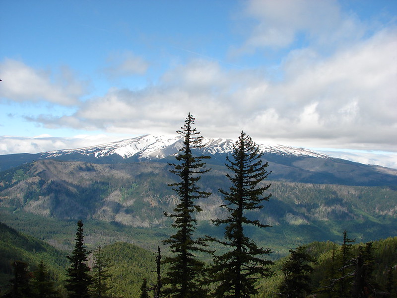
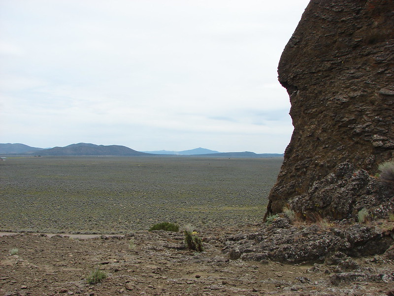
We reached the junction but continued on the Divide Trail a few hundred feet more to a viewpoint where we took a little break and took in the surrounding view.

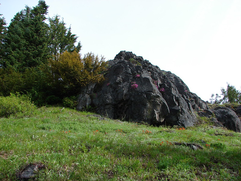
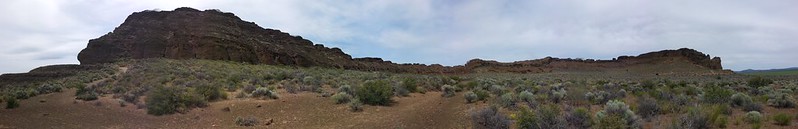
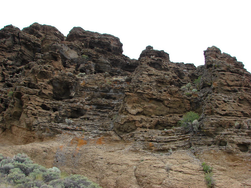
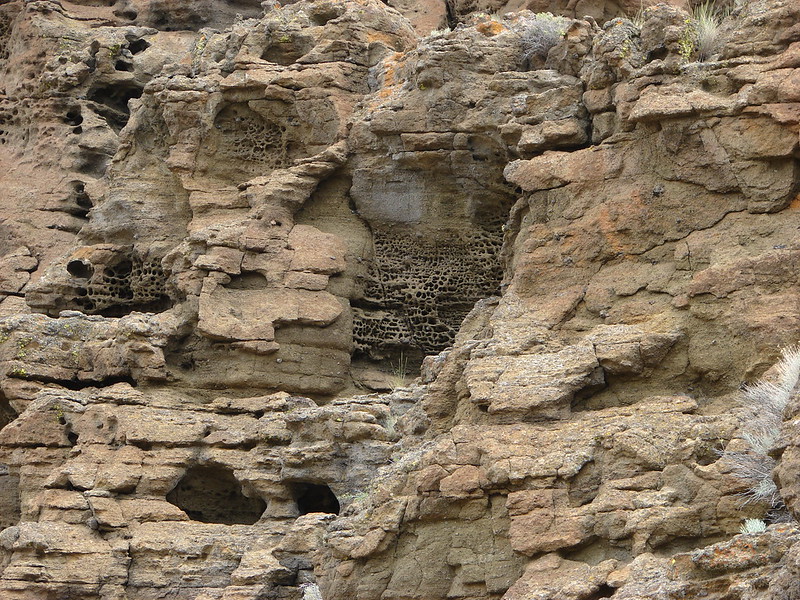
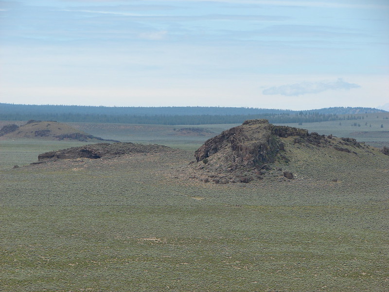
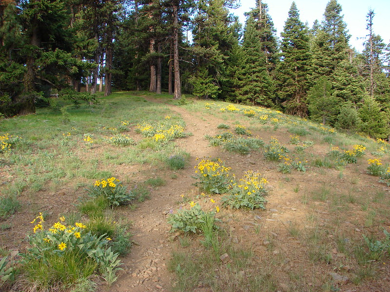
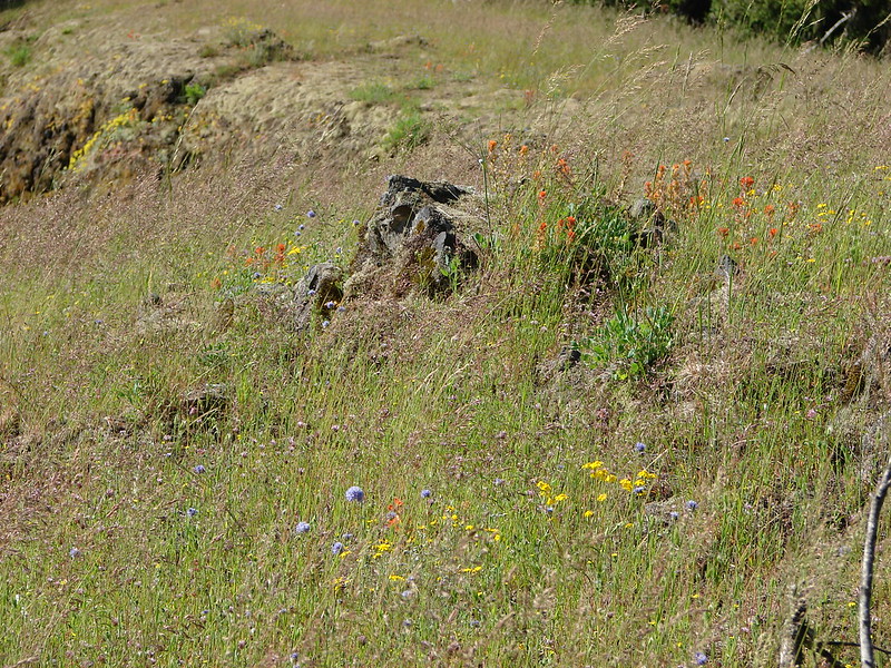
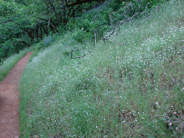
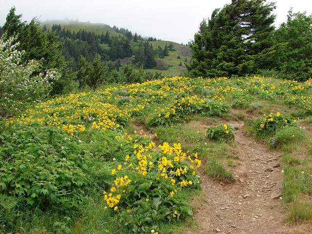
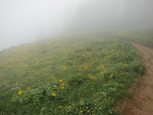
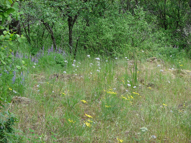
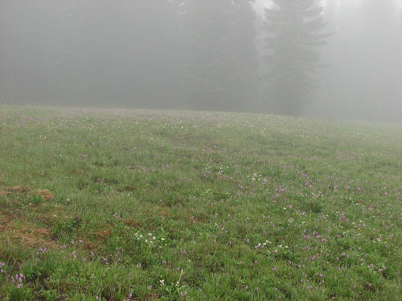
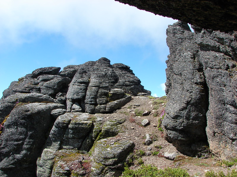
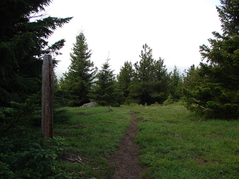
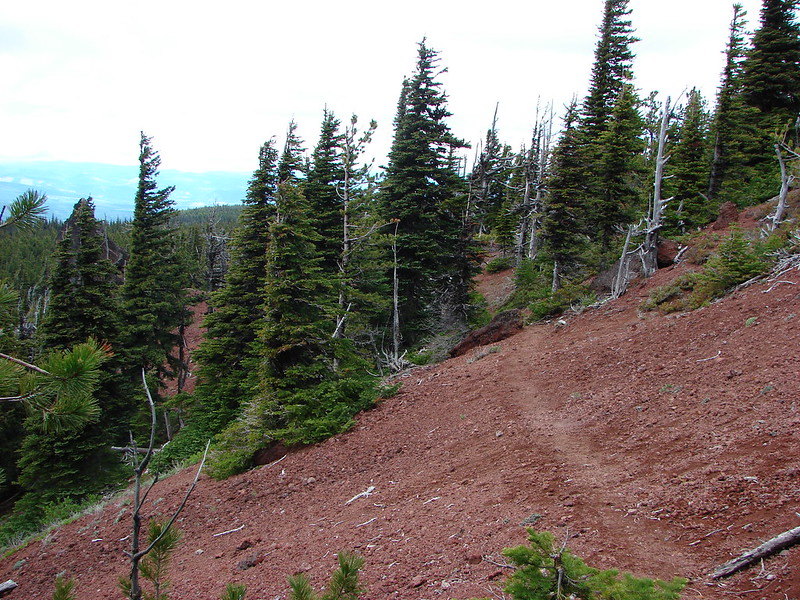
From the junction with the High Prairie Loop Trail it was just under a mile back to the parking area. In that time we crossed a cinder covered hillside, passed a scenic rock outcropping, walked through a treed forest and finally a meadow just starting to bloom with flowers.

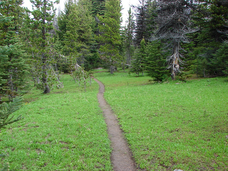

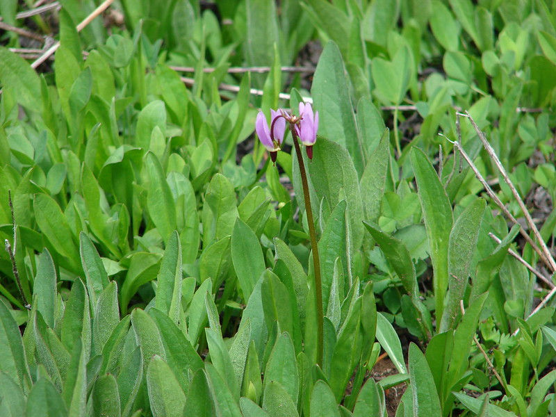
The scene was quite different at High Prairie when we returned from that of the day before. We were the only car present when we had set off but now the parking area was nearly full and the clouds had lifted giving us a better view of the wildflower meadow filled with shooting star and marsh marigolds.
We felt like it went really well for our first attempt at backpacking and are looking forward to some more trips in the future. Happy Trails!
Flickr: https://www.flickr.com/photos/9319235@N02/sets/72157645426012612/
Facebook: Day 1-https://www.facebook.com/media/set/?set=a.10204356396217193.1073741889.1448521051&type=1
Day 2-https://www.facebook.com/media/set/?set=a.10204360526800455.1073741890.1448521051&type=1