The longest planned hike of our Southern Oregon trip also promised to be the most scenic with nearly two and a half miles being along the rim of Crater Lake. After a couple of days of rain showers (and one night of thunderstorms) Monday was forecast to be partly sunny albeit with a 40% chance of showers. We were hoping for clear views of the lake with just enough clouds to make the sky interesting. We had picked up a 7-day pass on Saturday when we’d driven through Crater Lake National Park and now reentered the Park from Highway 62 to the south and parked near the Rim Village Gift Shop and Cafe.
Our plan was to hike the Discovery Point and Lightning Spring loop described by Sullivan in his “100 Hikes/Travel Guide Southern Oregon & Northern California” (edition 4.2 hike #21). He describes hiking the route counter-clockwise hiking along the rim of the caldera to Discovery Point first but we opted instead for a clockwise loop for two reasons. First was that we wanted to be hiking the rim later in the day when the Sun would hopefully be directly overhead instead of across the lake to the east. The second reason was because Sullivan described the final section of the Dutton Creek Trail as “climbing more seriously…to your car”. Our thought was that it might be more enjoyable to be going down that stretch rather than up.
Before starting the loop we passed by the Gift Shop to check out the morning view of the lake.
Mt. Scott (post) with a bit of a lenticular cloud.
Raven making a landing atop a mountain hemlock.
The Watchman (post), Hillman Peak, and Llao Rock along the western side of the rim.
The view was amazing and aside from the ravens we were about the only people around this early. We got distracted enough by the views that we didn’t catch that the Dutton Creek Trail was located a bit downhill along the West Rim Road and we set off on the Rim Trail toward the Discovery Point Trailhead.
In our defense the topo map on our GPS showed a connector trail further along the Rim Trail (that trail no longer exists) but we didn’t catch our mistake until we’d gone nearly a quarter mile. We turned around and hiked back to the entrance road to Rim Village and hiked downhill to the signed Dutton Creek Trail. It was by far the most scenic mistake we’ve made while hiking.
Wizard Island and Llao Rock
Mount Scott
We joked that views had been so good maybe we should just end the hike now.
A short distance down the Dutton Creek Trail we came face to face with a pair of bucks.
It was quite the start to the hike and we wondered how anything during the remainder of the hike could top the beginning. We followed the Dutton Creek trail a total of 2.4 miles to the Pacific Crest Trail. The upper portion had indeed been fairly steep before leveling out quite a bit. The forest along the trail was very nice and the trail was in excellent shape.
Dutton Creek was dry.
Blue sky ahead.
Not much left for flowers, this could be a Crater Lake collomia although it’s a little late in the season.
Castle Creek still had some water flowing.
We spotted several piles of hail, possibly from the severe thunderstorms that had been forecast for Saturday night?
Arriving at the PCT.
We turned right on the PCT and followed it for 4.4 fairly level miles to the Lightning Springs Trail. Sullivan described this section of trail as relatively dull but there was enough variety in the scenery to make it enjoyable if not remarkable.
The campsite at the junction was closed due to hazard trees.
Recrossing Castle Creek.
The PCT appeared to be following an old road bed through the park.
Dropping down to Trapper Creek.
PCT crossing of Trapper Creek.
We saw one other deer, a doe in the trail, and otherwise it was a lot of chipmunks and squirrels along with numerous birds. A red-breasted nuthatch that was toying with me as I tried to get a photo.
Canada jay (grey jay) Blue sky to the north ahead.
Some blue sky south too with a glimpse of Union Peak (post).
Union Peak
Entering the 2006 Bybee Complex fire scar.
The Watchman. The lookout tower on top was in a cloud after having been clearly visible from rim earlier. We wondered what that might mean for our views when we finally made it back to the rim.
Chipmunk checking us out.
Coneflower remains
Another creek crossing.
Red crossbills at the creek crossing.
There were some pretty ominous looking clouds behind us but no showers yet.
Several white crowned sparrows and at least one junco. We could also hear chickadee calls but I couldn’t find one in this capture.
Despite the ugly clouds behind us there was almost always blue sky ahead.
North Fork Castle Creek
Approaching the junction with the Lightning Springs Trail.
We turned onto the Lightning Springs Trail and headed for the clouds above The Watchman.
This trail climbed gradually along a ridge at the edge of a 2016 fire scar.
Townsend’s solitaire
Union Peak had been swallowed by clouds.
The Watchman with a cloud still hanging on.
Hawk
The base of Union Peak with lots of blue sky around.
A brief stint in full sunlight.
Robin
We were supposed to pass below a small waterfall after 2.4 miles along Lightning Creek but this late in the Summer it was dry.
The trail continued to climb beyond the dry fall arriving at Lightning Springs after another 0.8 miles. Union Peak nearly free of clouds.
The Watchman still not free.
Mountain bluebird
We detoured a short distance down the trail to Lightning Springs Camp to check out the springs which were not dry.
After visiting the springs we continued another 0.8 miles to West Rim Drive and crossed over to the Rim Trail.
Full view of Union Peak.
And finally a full view of The Watchman.
Conditions were changing quickly and now there was blue sky above The Watchman.
West Rim Drive ahead with the lower portion of Mt. McLoughlin (post) in between the trees to the right.
Mt. McLoughlin
This squirrel put its cone down in case I had something better for it, but we don’t feed the wild animals per Park rules (and Leave No Trace Principles).
We followed the Rim Trail for 2.4 miles back to Rim Village passing Discovery Point at the 1.1 mile mark. The views were spectacular resulting in many, many photos for which we don’t feel the least bit sorry about.
Wizard Island’s cone
Llao Rock
Dock along Wizard Island
The Watchman and Hillman Peak
Garfield Peak to the left with Union Peak to the far right.
Phantom Ship
Mount Scott
Clark’s nutcracker
That blue though!
Golden-mantled ground squirrel
Back to where we’d been that morning.
Including our wandering around Rim Village and going the wrong way to start our hike came to 14.4 miles with 2000′ of cumulative elevation gain.
I don’t think we could have asked for better conditions. It only sprinkled for one brief moment and the amount as well as type of clouds added to the beauty instead of hiding it. Add in temperatures that didn’t get much over 50 degrees if that and it was about a perfect day for a hike. We changed our shoes and socks then grabbed lunch in the cafe and did some shopping in the gift shop before heading back to Shady Cove. Happy Trails!
After the long hike to Devil’s Punchbowl the day before (post) we were looking forward to a shorter hike on Sunday and having time in the afternoon to relax around camp before hiking out on the 4th. Our goal on this day was Raspberry Lake which sits below Preston Peak, the highest peak in the Siskiyou Wilderness. It had started to cloud up the day before but it hadn’t rained. A layer of fog however had settled over the meadow in Youngs Valley by early morning. Fog at 5:30am
We hadn’t heard the bear overnight but we were still on high alert keeping an eye out for it. In fact I was so focused on looking for black fur that I didn’t notice a buck near where our food was hung and when he jumped it startled me half to death because I was less than 10 yards away from it. After he jumped he started to run off but quickly stopped to eat just a few yards later.
The fog was burning off quickly as we ate breakfast and we did not see the bear again that morning.
Deer in the meadow.
Snail near our breakfast spot. It’s amazing how quickly these guys can get from one place to the next.
After breakfast we secured our food and garbage and headed for the lake. We walked up the old road bed to the junction with the Raspberry Lake Trail and turned right.
We followed the trail/old roadbed past the junction with the Poker Flat Trail which we had come down on our first day (post) and continued on the road for 2.5 miles to a fork near the former Cyclone Gap chrome mine. Lupine and beargrass along the road.
Lupine
Beargrass
Waterfall on cliffs below El Capitan.
Waterleaf
Stream crossing.
At times the old roadbed looked like you could drive on it but other times it looked like this.
Small meadow along the trail.
Western azalea
The clouds burned off quickly.
Penstemon
At the 1.5 mile mark we detoured slightly to a view point overlooking Youngs Valley near a ridge end. Youngs Peak with the meadow barely visible to the right below.
Rocky Knob to the left.
As we rounded the ridge we got a good view up Clear Creek to Bear Mountain where we had been the day before visiting Devil’s Punchbowl.
We ignored a side trail for Cyclone Gap shortly after rounding the ridge but when we reached the fork at the 2.5 mile mark we did detour to the right along a level roadbed to visit some of the mine ruins.
Sign at the Cyclone Gap junction.
Back into the 2018 Natchez fire scar.
Preston Peak
Paintbrush along the trail.
Streambank bird’s-foot trefoil
Musk monkeyflower
Raspberry Lake Trail to the left.
Ruins from the chrome mine.
More mine ruins on the hillside below.
We returned to the trail and followed it uphill above the old mine where the roadbed ended. The trail became narrow and rocky as it rounded another ridge end. Here we ran into the couple that we had spoken with at Doe Creek the day before. They had hiked up the Rattlesnake Meadow Trail which they reported was quite overgrown and then followed a ridge cross-country up to Raspberry Lake which they did not recommend.
Nuttall’s sandwort
Bear Mountain and Rocky Knob.
Chipmunk
Getting closer to Preston Peak.
Ragwort
Small stream crossing.
A short steep rocky section where cairns were helpful.
Rounding another ridge with Preston Peak on the left and Bear Mountain to the right.
First view of Raspberry Lake in the trees below to the right.
A series of steep switchbacks led down to the lake.
There were a few tents set up around the lake so we didn’t do a lot of exploring. Our timing wasn’t great as the Sun was positioned slightly to the left behind the lake which still lay in the mountains shadow which made it very difficult to photograph. Big rock along the shore.
It was a nice lake but not nearly as dramatic as Devil’s Punchbowl had been. After a short break here we headed back looking forward to some extra rest and relaxation at the less crowded meadow in Youngs Valley. Bell catchfly
Douglas’ Dustymaidens
El Capitan on the right. To the left I think that is Bear Cub with Polar Bear Mountain behind.
Western azalea
This squirrel gave us a stern talking to.
Western tanager pair
Twin Peaks
We believe this is what Sullivan shows as Slow Echo Camp on his map. We wondered what the stones in the foreground had been a part of?
The waterfall we had seen was near the camp and I set off into the brush to see if I could get a better view. It partially worked.
Near the other small campsite we encountered a buck which may have been the same one that startled me back near our camp earlier based on how comfortable he was with us being there.
When we arrived back at the meadow our neighbors had moved on but we did run into a grouse.
The hike to the lake and back came in at 8 miles even with approximately 1750′ of elevation gain.
Day 3 Track in Green
After putting things away we set up our lightweight chairs near the meadow and watched the ever changing clouds. It wasn’t long before we noticed other hikers/backpackers across the meadow following the road down from the Youngs Valley Trailhead. We also spotted Buster (the name we’d given the bear) lumbering through the meadow again.
In fact Buster passed through the meadow twice going in the same direction which led us to wonder if there was more than one Buster in the area (or a glitch in the Matrix). The bear didn’t seem to care that another group had set up a tent on the opposite side of the meadow and was similarly unimpressed when another couple arrived with their dog. We heard the dog bark and wondered if it was at Buster and when the couple passed by us on their way to finding a site they confirmed that the dog was barking at the bear and that it didn’t phase it one bit. They also mentioned that a friend of theirs had stayed there the week before and seen the bear around. Fortunately it appeared that everyone had proper bear proof systems in place, i.e. bear canisters, ursacks and/or bag hanging systems. Hopefully people continue to be responsible because it only takes one careless person leaving food out or in their tent for the bear to figure out that people have food. So far even though it wasn’t nearly as wary of people as most black bears are it didn’t show any signs of equating people with having food (not being food, those are grizzly bears lol). If that happens it typically means the bear will be put down.
This butterfly did discover people=salt.
Maybe a flycatcher of some sort near camp.
Common buckeye
Turkey vulture checking out the meadow.
We did do a little exploring in the area and found a few flowers nearby that we’d missed the day before. White rush lily
Ginger
Snow plant
Both of the new groups of backpackers had dogs but aside from the initial barking at Buster we didn’t hear either of them again which we took to mean the bear kept its distance overnight. In the morning we got an extra early start for our hike out managing to have coffee and breakfast, pack up and still be on the trail by 6:15am. Another low cloud morning.
Heading out
We followed the old road bed past the Raspberry Lake Trail junction half a mile to another trail junction, this one with the Black Butte Trail. Passing around the meadow, we didn’t see Buster this morning.
Black Butte Trail junction.
We turned right onto this trail which was also an old road bed and followed it a little over half a mile to the East Fork Illinois River.
Bear Cub under the clouds.
Vanilla leaf along the trail.
Jessica sticktight
The headwaters of the East Fork Illinois River are just up from the trail so the river isn’t much more than a trickle at the trail crossing.
On the other side of the river we ignored the East Fork Illinois Trail to the left and continued on the old road bed.
The edge of the clouds to the NW.
Passing below Bear Cub.
Being an old road bed in unburt forest made for easy hiking.
Going into the weekend there had been a chance of showers both Sunday and Monday. Sunday had remained dry but today a light mist was falling and there were a couple of brief showers which were enough to prompt us to put the rain covers on our packs but not enough to don our rain gear.
When we had made it to the north side of Bear Cub (Sullivan refers to it as Polar Bear Cub) we were momentarily confused by the number of trails our GPS units were showing. Sullivan’s map only showed an unmaintained use trail heading right toward the mountain while our paper Forest Service map didn’t show any other trails, but the GPS topo showed Sullivan’s user trail and another trail heading slightly downhill to the left. What we were seeing was the old roadbed curing right toward Bear Cub and a trail with cairns on both sides heading straight.
The existence of the third trail on the GPS had us questioning whether the trail marked by cairns was the Black Butte Trail or the left most trail showing on the Garmin. After some debate we decided that it must be the Black Butte Trail and passed between the cairns. This turned out to be the right choice and we soon found ourselves climbing through the 2020 Slater fire scar.
Swtichbacking toward Bear Cub.
Black Butte
We were a bit disappointed when we realized that to reach the junction with the Black Butte Tie Trail below Black Butte we had to lose about 100′ of elevation first. Heading downhill so we could go up.
Creek crossing in the basin below Black Butte.
Looking back into the clouds where we’d come from.
Steep climb up to the junction.
We made it back to the junction! Only 1.8 more miles to go.
We turned left at the junction, now following the route that we’d come in on from the Black Butte Trailhead on the first day. We had both convinced ourselves that this stretch would be mostly downhill, but we had been deceived. Spirea
Pair of woodpeckers
Why is there more uphill?
Black Butte from the trailhead with Heather coming down the trail.
It was 5.6 miles from our camp to the trailhead but after some challenging hikes it felt harder than that. The nearly 1400′ of elevation gain didn’t help that, but it had been a great trip none the less.
Day 4 Track in blue
The most significant rain shower started as we were changing at the trailhead so the timing there was pretty good. The trip had been challenging but it was worth it to have the chance to experience a new area with such diverse plants and great scenery. The wildlife was a bonus although a little less bear would have been okay.
What wasn’t good was the low tire pressure light that came on almost immediately after starting our drive. We had the same light come on in June driving up to the Siskiyou Gap Trailhead (post) and taken the car to Les Schwab in Ashland for an air check. The two left side tires were just a little low then so they added some air and we were off. Today was the 4th though and the Les Schwab stores in Grants Pass (the closest to where we were) were closed for the holiday so we pulled into a gas station and checked the air at their self-serve station. The same two tires were again a little low so I topped them off and we drove home. The light was back Tuesday morning when I started my drive to work prompting a trip to Les Schwab in West Salem where they removed the tires and discovered a screw in the rear tire and a nail in the front. Luckily both were small leaks and repairable. Hopefully we’re done with that light for a long while now. Happy Trails!
Memorial Day marked the end of our trip to the Medford area but before we headed home we had one final hike planned at Roxy Ann Peak. Located within Prescott Park the 3670′ Roxy Ann Peak offers multiple trails and great views (on clear days) of the surrounding area. The park has two gates that according to the park brochure are “typically” open from 8 to 8 in Spring and Summer (closed at 5pm in Fall/Winter). We wanted to get an early start to our drive back to Salem so we opted to park at the 1st gate and road walk to the start of the trail that Sullivan features in his guidebook. Setting off at 5:20am from the 1st gate.
This was another hike that became a featured hike in his 4.2 edition “100 Hikes/Travel Guide Southern Oregon & Northern California” due to fire damage to several of the previously featured hikes. He suggests a 3.4 mile loop started by parking at the second gate. Like most of our other hikes this trip we’d originally planned on a longer hike utilizing more of the Park’s trails but had pulled back after the first day of our trip (post) but parking at the first, lower trailhead did add a little over 2 miles round trip. While the forecast was for a mostly sunny day the clouds from the weekend hadn’t moved on as we hiked up the road. Roxy Ann Peak from the road.
We spotted three deer and a jack rabbit during the road walk but the low light conditions made for poor picture taking opportunities. Fortunately deer were the theme for the first half of the hike and we had several more photo ops with them. Jack rabbit
Coming up on the 2nd gate.
Sunlight hitting the hillsides on the far side of Medford.
Our planned lollipop loop was to take the Madrone Trail to the Oak Trail then onto the Ponderosa Trail which would take us up to the Park Tower Road where we could visit the summit. Then we would descend via the Manzanita Trail back to the Madrone Trail to return to Roxy Ann Road and eventually our car.
It was 0.2 miles along the road from the 2nd gate to the start of the Madrone Trail where we turned right and began climbing in earnest. Roxy Ann’s shadow being cast over Medford.
For the most part the trails in the park were nice and wide giving us the feeling of plenty of space from the abundant poison oak in the area. (We’re not sure how long it takes to get used to hiking in its presence but we haven’t gotten there yet.) There was a nice variety of wildflowers along the way and, as I already mentioned, a good deal of wildlife. We also appreciated the fact that most junctions were well marked with posts identifying the various trails. Lots of purple vetch along the trails.
One of the posts used to identify trails.
Madrones along the Madrone Trail.
We turned left following the pointer for the Oak Trail.
Juvenile great horned owl along the Oak Trail. We didn’t get a good look at the second owl to the left but it looked to be an adult.
This segment of the Madrone Trail (MD3) ended at Roxy Ann Road with the Oak Trail picking up on the far side.
The Oak Trail
Lupine amid the vetch
Camas in front of poison oak.
Carrotleaf horkelia
ookow
Death camas
Blue-eyed grass
Oak along the Oak Trail.
Roxy Ann Peak
Blow wives
The Oak Trail appeared to be the least used of all the trails we would hike on this day.
Trail junction near the Challenge Course with the Oak and Ponderosa Trails.
Dove
Hopping onto the Ponderosa Trail.
Mariposa lily
Lazuli bunting. We saw quite a few of these during our trip but they proved to be very difficult to photograph.
Medford from the Ponderosa Trail.
Paintbrush
Madia
Lower Table Rock again.
A bench and Ponderosa pines along the Ponderosa Trail.
Plectritis
Two more deer above the trail.
Deer and balsamroot.
Young deer
Momma deer
Larkspur
Nearing Park Tower Road.
When we hit the road we headed uphill then took a short rocky trail to a picnic table on the summit. Unfortunately the low clouds hadn’t burned off nearly enough yet for us to get the big views of either the Cascade Mountains or the Sisikyous but it was a nice view none the less.
Serenading lazuli bunting.
A lot darker clouds toward the Cascades.
With no real views today we took a brief break then headed over to the tower on the other side of the peak just for the heck of it before heading down the road to pick up the Manzanita Trail.
Sign for the Manzanita Trail
We followed this trail back down to Roxy Ann Road and the Madrone Trail.
The lower flank of Grizzly Peak (post) to the left. Mt. Ashland (post) is hiding behind the clouds almost straight ahead.
Looking NE from the trail, still a lot of clouds.
Another bunting, we were on a roll.
The clouds were really starting to break up as we descended.
Arrow-leaf buckwheat on the hillside.
Roxy Ann Road
Back on the Madrone Trail.
Back on the road walk. The trail post here is for the Greenhorn Trail.
Spotted towhee.
The lower gate was still closed when we got back to our car around 8:20am but we’d passed a steady stream of hikers and trail runners heading up the road regardless. In the end our hike came to 5.4 miles with approximately 1475′ of elevation gain.
It had been a nice short hike to end the trip on. It was only about 15 minutes from our room so we had left our things there instead of having to leave it in the car and now had time to go back to the room, shower and then drive home. We stopped in Eugene to have lunch with our son Dominique and his friend Russell and then continued home to unpack and start getting ready for our next adventure. Happy Trails!
A wet weather system along with a small chance of thunderstorms led us to look for a plan “B” for our second outing in May. Looking ahead to the hikes on our 2023 list for April/May gave us a suitable alternative so we moved a 2022 hike to next year and moved up an outing to visit four parks, two in Hillsboro and two SE of McMinville. These hikes were all located within an hour of Salem allowing to stay relatively close to home and we figured that the less than ideal weather might make for less crowded trails. We decided to start at the northern most trailhead and work our way south.
We arrived at the Orenco Woods Trailhead (open dawn to dusk) just before 6am and headed past the restrooms to an interpretive sign in front of the McDonald House.
Beyond the house the path forked with the right hand fork leading to the Rock Creek Trail while the left fork led to the Habitat Trail which is the way we went.
Camas
Lupine
Habitat Trail
After a third of a mile we arrived at the Rock Creek Trail near NW Cornelius Pass Road where we made our first wrong turn of the morning. We initially turned right which would have led us back into Orenco Woods. We’ll blame our inability to read this sign on it still being early in the morning. We started down the path ahead before quickly questioning the direction and correcting course.
He probably knew which way he was going.
Heading the right way now.
From Orenco Woods the Rock Creek Trail follows the sidewalk along NW Cornelius Pass Road north 150 yards to a crosswalk where it crosses the road and follows NW Wilkins Street west another third of a mile. NW Wilkins
The trail crosses NW Wilkins St below some power lines at a crosswalk and resumes as a paved path.
While there are no more sidewalk stretches of the trail until the Rock Creek Trailhead at NE Rock Creek Boulevard there are three other road crossing; NE Walker, NE Cornell, and NE Evergreen Parkway. Fortunately all of these road crossings are at signaled crosswalks.
A little over a half mile from Wilkins Street we arrived at the start of a loop in Orchard Park
We stayed left planning on completing the loop on our return.
Another trail user
Two tenths of a mile from the start of the loop the trail split. We didn’t see a sign/map here and didn’t consult the maps we had on our phones and mistook the left hand fork as simply a spur trail to a parking lot in the park and we stayed right. This was our second wrong turn of the morning.
This path led downhill and crossed crossed Rock Creek without realizing that we had curved a full 180 degrees.
Fringecup
The trail split again two tenths of a mile later and here we veered left thinking it was the continuation of the Rock Creek Trail.
After a short distance the pavement ended at a circle of stone benches.
A well worn dirt path picked up here along a fence line behind some apartements
Spotted towhee
Stellar’s Jay
This dirt path ended after a tenth of a mile at what turned out to be NW John Olson Avenue but we didn’t figure that our right away. We didn’t see any signs for the trail here so we finally consulted the maps we had in our phones but even then didn’t realize our mistake. On the map there was a slight jog right coming out of Orchard Park before crossing NE Walker so we headed right to the next street corner where we read the street sign realized this was NE Walker. The full extent of our mistake still wasn’t clear though as we followed the dirt path back past the stone benches to the fork where we’d veered left. It was here that we made our third and final wrong turn of the morning. We were actually on the Orchard Park Loop and not on the Rock Creek Trail which had veered left up to the parking lot while we had gone downhill to the right. Not realizing this we took the right hand fork which recrossed Rock Creek and then climbed back up to the Rock Creek Trail at the start of the loop
We almost made our fourth mistake here as we didn’t initially realize that we had made the full loop. It wasn’t until we spotted some familiar looking camas nearby that the light bulb went off. Second time staring at this sign.
Having finally figured it out we headed north through Orchard Park again but this time hiked uphill through the parking lot to NE Walker.
Not sure exactly how to interpret this scene – mourning, a murder, or breakfast?
The slight jog right along NE Walker.
We crossed NE Walker and a tenth of a mile later crossed NE Cornelius Pass.
The next three quarters of a mile proved to be the most active for wildlife even though portions of it were between the creek and residences.
Bridge of Rock Creek
Look a pointer for John Olsen Avenue (just a lot further north).
Mallards (A pair of wood ducks flew off at the same time the mallards headed downstream.)
We had stopped while I attempted to get a photo of a small yellow bird that was bouncing around in a tree when we heard a branch/tree crack nearby. While I continued to try and get a picture Heather went over to the creek to investigate. It turned out to be a beaver which had been one of the animals left on our list that we hadn’t yet seen on a hike (or drive to one). Before she could get my attention (or a photo) it disappeared underwater so I still haven’t seen one in the wild. Here is the only photo that I could even get with the little yellow bird visible at all.
NE Evergreen Parkway
Two tenths of a mile beyond NE Evergreen the trail passed under Highway 26 and in another 400′ arrived at the Rock Creek Trailhead.
This was our turn around point so we headed back the way we’d come. We checked again for the beaver but it was no where to be found. Since we had inadvertently completed the Orchard Park Loop earlier we went straight back through the park and made our way back to Orenco Woods. At the entrance to the park we forked left staying on the Rock Creek Trail. (Retracing the short distance that we had hiked in the morning when we had made our first wrong turn.)
Two tenths of a mile into the park we came to a footbridge over Rock Creek.
After crossing the bridge we forked left and then took another left back on the Habitat Trail.
Checkermallow
The trail looped around and downhill to pass under the footbridge before arriving at small pond with a viewing platform.
Beyond the pond the trail climbed back uphill near the McDonald House. We turned left here and made our way back to the trailhead.
While it had remained cloudy all morning there had not been any noticeable precipitation during our 7.5 mile hike here.
The orange portion is the wrong turn on the Orchard Park Loop
Our plan here was to make a counterclockwise loop using the outer most trails.
From the trailhead we headed downhill to the right behind the rest rooms.
Even though we were less than a mile from Orenco Woods we spotted a few flowers that we hadn’t seen during that hike. Trillium
Solmonseal
Fawnlilies
The trail leveled out to cross Rock Creek.
Aven
A short spur trail on the other side of the creek theoretically led to Rock Creek but the recent rains had swollen it enough that the trail ended before the actual creek.
We continued on the loop climbing toward Borwick Road Trailhead but before reaching the grassy park at that trailhead we turned right leaving the paved path for a compacted gravel/dirt trail
This trail swung to the west before making a 180 degree turn and leading to the Borwick Road Trailhead. Near a viewpoint and bench Heather spotted a barred owl being harassed by a robin.
Rock Creek from the viewpoint.
The back of the owl (middle tree 2/3 of the way up)
The viewpoint was near the turn of the trail so we got some more glimpses of the owl through the trees after the turn. A second owl began hooting and this one wound up flying off to have a conversation. We hiked past the parking area at the Borwick Road Trailhead and hopped on a the trail the map called a “wood-chip” trail. In truth it was mostly mud at this point.
Violets
We stuck to the outer trail when this trail forked.
We arrived back at the paved loop near Rock Creek. We turned right onto it, crossed Rock Creek, and then climbed back up to the Baseline Road Trailhead. Swollen creek
Fairy bells
Cinquefoil
Nearing the trailhead.
The loop here was just over a mile.
We had once again been sparred any precipitation and as we drove to our next stop at Miller Woods found ourselves under blue skies and bright sunshine. Miller Woods however was under cloud cover but we were feeling pretty confident and put all our rain gear into our packs before setting off from the trailhead. While it had been our first visit to Orenco and Noble Woods we had hiked here in March, 2020 (post).
On our previous visit we had taken the yellow Outer Loop and had considered taking one of the other trails this time but a portion of the Discovery Loop was closed due to hazardous conditions (appeared to be a slide/washout) and the Oak Summit Trail didn’t look as interesting as the Outer Loop so we followed our route from 2020 except for a short section that had been rerouted.
From the kiosk we followed the yellow pointers downhill through the grass passing camas and birds along the way down.
A wren and a white-crowned sparrow
American goldfinches
Tree swallows
As we neared the tree line the precipitation finally arrived and a light rain began to fall.
We stopped in the trees to put our rain jackets on and then began descending through the forest to an unnamed stream.
Bleeding heart near the stream.
The trail then turned NNW leveling out a bit above Berry Creek as it traversed the hillside. Berry Creek down to the right.
There was a lot of wild ginger on the hillside.
Not long after donning our rain jackets the rain stopped and sunlight began to break through again.
The trail climbed as it came around the hill and we spotted a deer in the distance.
It was a young one that was munching on plants along a service road. As we made our way by on the trail Heather noticed the mother bedded down on the road.
After leaving the deer the trail soon began to descend and leave the trees.
It was here that the trail had been rerouted since our 2020 visit. In 2020 the trail veered left to a service road and made a right turn along the road back to the tree line before reaching a bridge across a creek. Now the trail simply headed downhill sticking to the treeline.
Iris
Buttercups
One of the neat features at Miller Woods is the wildlife survey covers which are liftable metal covers that could house wildlife. We had yet to lift one and see anything more than ants though until the cover near the creek. Lifting this cover revealed a small snake.
Small garter snake
We gently replaced the cover and continued on the loop which reentered the trees after crossing the creek. Approaching the bridge and creek.
Striped coralroot
It was shortly after crossing the bridge that we discovered the trail closure which ended the question of whether we would do the different, shorter loop this time or repeat our previous hike.
Doing the longer 4.5 mile loop turned out to be great as the weather stayed dry and we spotted several more deer and some birds along the way.
Sparrow
Doe just hanging out in a patch of poison oak. (It doesn’t bother deer.)
Nearing the high point of the trail at K.T. Summit
Spotted coralroot
K.T. Summit
A very cool madrone tree.
Two more deer with a third off camera.
Another neat feature that was new for us this visit were a number of signs along the trail identifying different evergreen trees in the Miller Woods Diversity Area. There was at least one identifier for each tree listed on this sign. The signs were particularly nice because many were next to younger trees which made it easier to see the needles and bark instead of just look at a trunk and having to look up to try and see other details of the trees.
A couple of examples. Western white pine
Western larch
Vanilla leaf
Fairy slippers
The trail passes above the entrance road and swings out before dropping down to what you expect to be the parking area (there is a signed short cut to it along the way) but the Outer Loop actually loops back behind the parking area and pops out of the trees near a the pond that the Discovery Loop goes around.
Frog near the pond.
Another new feature was a platform over the pond.
Red-winged blackbird
After taking a break on the platform we hiked uphill to the parking area and headed for our last stop.
2022 track in orange
The Erratic Rock State Natural Site is located just off Highway 18 between McMinville and Sheridan. There are no amenities at the site, just a quarter mile paved trail uphill to the rock from a small pullout along Oldsville Road. While it is less than 30 miles from our house that is a stretch of highway that we never find ourselves on. I realized when I was planning this outing that it would only add about 10 minutes to our drive home from Miller Woods to detour to the site so I added it to the plans.
We missed the little pullout but found a wide section of shoulder to pull off on and walk back to the signed trail.
The Erratic Rock is a 90 ton rock from the Northern Rocky Mountains that wound up over 500 hundred miles away on a hill in Oregon after being deposited here after one of Lake Missoula’s floods. Interpretive sign at the start of the trail.
We were in a pocket of mostly blue sky as we headed up the trail. Vineyard along the trail.
Although short the trail gains over 100′ in the quarter mile to the rock and we had already hiked over 13 miles, we were relieved when we saw the trail begin to crest.
Seeing the rock there and knowing how far it had to travel to wind up there made it an impressive sight. The views from the hill were also quite nice making it a worthwhile detour.
Our total for the day came to 13.8 miles with only 920′ of cumulative elevation gain. Individually each of these hikes are worth a stop and they all have things to offer young hikers. It turned out to be a fun combination with a unexpected amount of wildlife sightings and aside from the 10-15 minutes of light rain had been a surprisingly dry day. Happy Trails!
Monday was mostly a travel day as we left Bend and headed for the Steens Mountain Resort where we would be staying for the next three nights. We did however manage to get a few short hikes in along the way beginning with a trail that had intrigued us since the first time we’d stopped at the Sagehen Rest Area on Highway 20 eighteen miles west of Burns. A highway rest stop seemed like a bit of an odd place for a trail but that’s part of what piqued our interest. The Sagehen Hill Nature Trial is a short (just over half a mile) interpretive loop with 11 numbered stops. Trailhead sign at the south end of the rest stop. Brochures were located in the small box under the sign.
Map on the trailhead sign.
Smoke from fires near Lakeview, OR made for a smoke filled horizon and unlike our hike on Mt. Bachelor the previous day (post) here we could smell it in the air. Red Sun through the smoke.
Despite the lack of views (on a clear day Steens Mountain would have been visible) it was a nice hike and the interpretive stops were interesting. We didn’t see any sage grouse here but we spotted some other wildlife along the route.
The Harney Valley to the east.
This stop was for a juniper that was blown apart by a lightning strike.
The rest area from the loop.
The last stop was to discuss the relationship between the junipers and the Idaho fescue that grows underneath.
This was a neat little trail and a nice leg stretcher. After completing the loop we drove into Burns, filled up our gas tank and then headed for our next stop at the Malheur National Wildlife Refuge Headquarters. This was the one place we had previously visited (post) but we hadn’t driven the entire auto tour route that time and there were some other trails in the complex that we could check out. We started with a stop at the headquarters where we once again were treated to a variety of wildlife as we toured the complex.
Deer in the nearly dry Marshall Pond
Yellow headed blackbird
California quail
Owl
Chipmunk
More quail
The early bird
Hummingbird
Little bird on a feeder
We skipped the Overlook Trail this time due to the smoke filled horizon and started the auto tour route. Again there was plenty of wildlife to pause for along the drive and we also stopped at Benson Pond to hike the Benson Pond Trail (a short half mile out and back) where we were treated to a large number of ducks and other birds on the pond.
The auto tour route ends at the Steens Mountain Loop Road just a mile and a half from the Steens Mountain Resort. We were a bit too early to check in though so we drove past the resort another tenth of a mile to the entrance of the Page Springs Campground. We turned into the campground and parked at the day use area at its far end where two trails start. The one mile Wilderness Nature Trail and the 3.7 mile long Donner und Blitzen River Trail.
We decided to take the Donner und Blitzen Trail since the nature trail looped back into the campground and ended near one of the campsites leaving a short road walk back to the trailhead. The Donner und Blitzen Trail entered the Steens Mountain Wilderness a short distance from the trailhead and followed the river fairly closely for the first 1.2 miles which is as far as we went on this day. It was a little smokey and it was hot and enough time had passed that we would be able to check into the resort by the time we made it back to our car. The trail was a little brushy at times but a nice surprise was finding a loop option not shown on the map but clearly marked starting 0.4 miles from the trailhead and rejoining the river trail at the 0.7 mile mark. We took this route on the way back climbing up through the cliffs above the river providing some nice views despite the haze.
Bee and a butterfly
A brushy section.
A bee and a skipper
Praying mantis
The “other” trail on the hillside at the 0.7 mile mark.
A wren?
Fence crossing
Rejoining the Donner und Blitzen Trail at the 0.4 mile mark.
2.9 mile hike on the Donner und Blitzen trail
We got a total of 5.4 miles of hiking in between Sagehen Hill, the refuge headquarters, Benson Pond, and the Donner und Blitzen River. The abundant wildlife was the highlight of the day. We checked into the resort and got settled in our modular unit which had a full kitchen, shower, couch and most importantly A/C. We were hoping that the smoke would move out overnight or at least over the next day or two when the temperature was also set to drop to more reasonable levels. We spent the evening listening to the osprey that had a nest below the resort. Happy Trails!
**In 2025 the Alder Springs Fire burned over the Alder Springs Trail and the Flat Fire burned over the Whychus Canyon Preserve.**
For Memorial Day weekend this year we headed to Bend to visit Heather’s family and of course do some hiking. Having finally reached our goal of completing all 100 featured hikes in William L. Sullivan’s “100 Hikes/Travel Guide Central Oregon Cascades” 4th edition last year (post) we kicked off this trip with a stop at a the Whychus Canyon Preserve, which was a new featured hike in his 5th edition.
The 930 acre preserve is owned and managed by the Deschutes Land Trust who have established over 7 miles of hiker only (dogs on leash) trails open to the public. The focus here is conservation so respecting the rules and Leaving No Trace is imperative (as it always should be) in order to keep the access open. We arrived at the trailhead a little after 7am on Saturday morning to find the parking area empty. Kiosk and bench at the trailhead.
A map at the kiosk shows that there are a number of loops possible here and we decided to deviate slightly from the route described by Sullivan.
From the kiosk we followed a pointer for the Rim & Creek Trails onto a dirt path.
The trail led slightly downhill, through a red gate and after just 0.2 miles arrived a “T” shaped junction with the Rim Trail where Sullivan has you turn right. We opted for a slightly longer loop and turned left instead. Tent caterpillars (and the red gate)
As we followed the Rim Trail west along the canyon we began to get some good mountain views. Mt. Washington and Black Butte (post)
Broken Top, The Three Sisters, Black Crater (post), Little Belknap & Belknap Crater (post), and Mt. Washington.
After 0.4 miles the trail made a 180 degree turn dropping further into the canyon.
Whychus Creek was hidden by trees for the most part.
While there weren’t a lot of wildflowers a number of different types were present. Balsamroot
Lupine
Paintbrush
A Penstemon
Western stoneseed
Sedum leibergii -Leiberg’s Stonecrop
Spreading stickseed
Western wallflower
In addition to the various flowers we spotted some varied wildlife as well. Magpie playing hard to get.
Spotted towhee
Black-headed grossbeak
Ochre ringlet
Pair of bucks in Whychus Creek
This is a good time to mention how much I appreciate the zoom on my Canon XS740HS. While I often look at other peoples photos and wish mine were as crisp/clear the compact size and low price (compared to even low end DSLR cameras) of the little point and shoot has worked well enough. Those two bucks are a good example as we spotted them from here.
Approximately 0.6 miles from the big turn we arrived at a signed junction. Uphill led back to the trailhead (where we would have come down following Sullivan’s directions) while the Creek Trail headed downhill to the left.
We turned downhill and switchbacked downhill for 0.2 miles to Whychus Creek.
We followed along the creek on this trail for 1.5 miles, ignoring a steep trail to the right at the 0.8 mile mark. The sounds of the creek combined with the songs of birds made for a relaxing stroll through the canyon.
Chokecherry
Star-flower false solomonseal
Trail junction at the 0.8 mile mark.
Spider on a wallflower.
Lewis flax
Heuchera cylindrica -roundleaf allumroot
At the 1.5 mile mark the trail turned uphill away from the creek and made a turn back toward the trailhead.
The trail climbed for 0.4 miles before leveling out near a rock outcrop where a side trail to the right led to a viewpoint.
Oregon sunshine
Buckwheat and penstemon
Sign post for the viewpoint.
Heading for the rock outcrop/viewpoint.
Middle and North Sister with Whychus Creek below.
Two tenths of a mile beyond the viewpoint we passed the upper end of the cutoff trail coming up from the Creek Trail.
We were now on the Meadow Trail which we followed for 1.5 miles (ignoring a signed trail to the left at the 0.5 mile mark). We were still spotting different flowers and wildlife on this stretch. A monkeyflower
Sand lilies
Trail sign in the distance for spur trail to the Santiam Wagon Road.
Death camas
Sagebrush false dandelions
Pinion jay
Mountain bluebird pair
Mourning dove
unidentified little songbird.
Lizard
Second type of lizard
Showy townsendia
Just before reaching the trailhead the trail joined the Santiam Wagon Road at an interpretive sign.
This wasn’t the first time we’d been on this historic 400 mile route between the Willamette Valley and Eastern Oregon (House Rock, Iron Mountain, Fish Lake, Sand Mountain , ) but it did mark the eastern most portion we’d been on.
We turned right on the Wagon Road for a few steps and were back at the trailhead where there was now a second car. We were surprised there weren’t more considering how nice a hike it had been. We logged just a little over 5 miles on our GPS and were now ready to head to our second stop of the day at the Alder Springs Trailhead.
Whychus Canyon Track
This was another chance to visit Whychus Creek but unlike Whychus Canyon we had done the hike at Alder Springs before (post). That hike had been almost 10 years prior having taken place on 8/3/2011. Two things stand out about that first visit. Most notably we only did the Alder Springs hike because our Plan A, Benson Lake/Scott Mountain Loop, was still under too much snow (also the mosquitos were horrendous). It has been quite some time since there has been that much snow that late in the year, yes climate change is real. Secondly it was a really nice hike but August probably wasn’t the best month for it. It’s been on my list of hikes to revisit at a different (better) time of the year. The road to the trailhead is seasonally closed (typically 12/1-3/31) so April or May seemed the best time to catch wildflowers and cooler temperatures.
Another difference between Whychus Canyon and Alder Springs is the access road. While the former is almost entirely paved with a short stretch of good gravel the latter is not far removed from a 4×4 jeep track. Rocks, washouts, and dried mud holes await for most of the final 4.7 miles to the rather larger parking area which we were surprised to find nearly full at 10:15am. At first we couldn’t figure out why there were so many cars SUVs and trucks here while it was just us and one other car at the preserve then it hit us, you can camp here. That realization came from overhearing a large group saying something about having to make two trips down and “the beer”. Looking back up the dirt access road to the North Sister, Mt. Washington and Black Butte The trailhead signboard.
This time we didn’t take the side trip down the 0.4 mile Old Bridge Trail but otherwise it was the same route as we had taken nearly 10 years before. The big difference was the number of wildflowers in bloom and the number of people we encountered, mostly on the way back to the car. The scenery was stunning and the ford at the 1.5 mile mark refreshing. Buckwheat
Rough eyelashweed
Yarrow
Fiddleneck
Largeflower hawksbeard
Purple cushion fleabane
Oregon sunshine
Blue mountain prairie clover
Lewis flax
Lupine
Bearded hawksbeard
Haven’t id this one yet.
The Three Sisters, Belknap Crater and Mt. Washington with some dancing clouds.
Whychus Creek Canyon
Love the different rock formations in the canyon.
Catchfly
Balsamroot
Paintbrush
Pretty sure this side creek was dry on our previous visit.
Whychus Creek at the ford.
We’ll get into a little more of the history of Whychus Creek when we cover our Memorial Day hike but we noted that the water level seemed about the same as it had on our previous crossing and that the water was surprisingly warm given the source of the creek is the glaciers and snowfields of Broken Top and the Three Sisters. After a bit of thinking it dawned on us that higher up near Sisters water is diverted to irrigation ditches and other uses.
Alder Springs
Columbine
A clarkia, possibly Lassen
Threadleaf phacelia
Unknown
Creek dogwood and a beetle covered in pollen
Grand Colloma
Deadly nightshade
Rose with crab spider
Veatch’s blazingstar
Dragon fly
We took a break at the end of the trail along the Deschutes River before hiking back just as we had done on the previous visit.
Confluence of the Deschutes (left) and Whychus Creek (right).
Butterflies and birds were out in force on the hike back. Bald eagle
Cedar hairstreak
Turkey vulture
Mountain chickadee
The hike here came in at 6.4 miles and 650′ of elevation gain giving us a little over 11.5 miles and 1120′ of climbing so far on the day.
Track for Alder Springs
We had one more quick stop planned for the day. Our first hike had been on Deschutes Land Trust land and the second in the Crooked River National Grassland managed by the Ochoco National Forest and our final stop at the Huntington Wagon Road was on BLM land. The hike here was of particular interest to me as the trailhead is only 2 miles from where I lived from 2nd grade until leaving home for college and yet I had no idea it was there. The BLM has created a 1.2 mile long interpretive trail along a section of a route that was built to haul supplies from The Dalles to build Fort Klamath. Trailhead on McGrath Road.
There is a lot to see along the trail as far as scenery goes. It’s mostly sagebrush and juniper with some lava formations mixed in. The history is what makes this hike interesting, and the dozens of lizards scurrying about. A 300+ year old juniper named an Oregon Heritage Tree
Sagebrush, juniper and lava – my childhood 🙂
Tree blaze
Buckwheat
Ruts along the wagon road.
Skipper on Showy townsendia.
Post marking the relic fence line and turnaround point.
An old fence post and barbed wire.
Junipers are some interesting trees, they come in all shapes and sizes.
Track for the Huntington Wagon Road
In total we hiked 14 miles with 1150′ of elevation gain. We got to see two sections of Whychus Creek and Canyon as well as parts of two historic Wagon Roads. We ended the day by enjoying some homemade lasagna at Heather’s parents place. Not a bad way to start a holiday weekend. Happy Trails!
A day after visiting the Ankeny National Wildlife Refuge (post) I headed out to the William L. Finely National Wildlife Refuge for another attempt at spotting wildlife. Heather once again was working so I was on my own again. We had done two previous hikes here, one in 2017 visiting the Cabell Marsh and hiking the Woodpecker and Mill Hill Loops and the other in 2020 starting near Pigeon Butte. My plan was to combine most of those two hikes and add a few new short stretches to make a big loop through the refuge starting from the Woodpecker Loop Trailhead. One item to note is that some of the refuge is closed from November 1st through March 31st making this loop impossible during the seasonal closure.
The refuge is open from dawn to dusk and I arrived at the trailhead just as the Sun was beginning to rise behind Mt. Jefferson.
From the Woodpecker Loop Trailhead I walked down to the refuge road and followed it to the left back to the Cabell Barn then turned right on a road at a season trail sign for the Cabell Marsh Overlook. I followed the roadbed to the Cabell Lodge and past the overlook down to Cabell Marsh. Mt. Hood from the refuge road
Cabell Marsh (the marsh had been drained when we visited in 2020)
I slowly walked along the dike at the marsh using binoculars to try and identify how many different ducks were out on the water. Norther shovelers
American coots
Ring-necked ducks
Buffleheads
Black pheobe
American wigeons
Cabell Marsh
Canada geese
Wood duck, ring-necked ducks and a pied billed grebe
More northern shovelers
Ring-necked ducks
Green winged teal
Robin
At a junction on the SW end of the Marsh I stayed left following a roadbed past a huge flock of geese and some ponds to a junction with the Pigeon Butte Trail.
Killdeer
Red-winged blackbird
Junction with the Pigeon Butte Trail (grassy track heading uphill)
Originally I had planned on skipping the half mile trail to the top of Pigeon Butte but it was a beautiful morning and it had been too cloudy to see much on our hike in 2020 so I turned uphill an tagged the summit before returning to my originally planned loop. Tortoiseshell butterfly
Spotted towhee serenade
Bewick’s wren
Madrone
Mourning dove
Camas blooming near the summit
View from Pigeon Butte
Scrub jay spotted on the way down.
One of the “blue” butterflies, maybe a silvery blue
Acorn woodpecker
When I got back down to the junction I continued south on the Pigeon Butte Trail to a junction at a pond below Cheadle Barn. Looking back at Pigeon Butte, the yellow paintbrush was starting its bloom on the hillside.
Instead of heading for the barn and the Cheadle Marsh Trail which we had used on our 2020 visit I went right following a roadbed to Bruce Road across from the Field 12 Overlook. Looking back at Pigeon Butte and the Cheadle Barn
I then walked west on Bruce Road to the trailhead for the Beaver Pond and Cattail Pond Trails passing the Mitigation Wetland along the way. I paused at the wetland to watch a great blue heron and egret along with a number of ducks in. Ground squirrel on Bruce Rd.
Sparrows
Western bluebird
Mitigation Wetland
Egret
heron flying by the egret
Northern shoveler
Green winged teals
Trailhead off of Bruce Road
I turned off of Bruce Road at the trailhead and followed the grassy track to a fork where I veered left on the Beaver Pond Trail. This trail led briefly through the woods before arriving at the Beaver Pond where I startled a heron and a few ducks but an egret and a few other ducks stuck around. Ground squirrel
Entering the woods
Giant white wakerobin
Fairybells
Startled heron
Egret and a cinnamon teal pair and maybe an American wigeon
As I was watching the egret I noticed something else in the water but I wasn’t sure if it was an animal or a log/rock in disguise. Even with binoculars I could decide but after looking at the pictures it was in fact a nutria that appeared to be napping.
The egret finally flew off and I continued on to a junction just beyond the pond where I turned left heading slightly uphill toward the Refuge Headquarters and the Mill Hill Loop.
Candyflower
At a signed 4-way junction I followed a pointer for the Mill Hill Trail to the left but not before I checked out a patch of pink along the trail straight ahead.
The pink turned out to be shooting stars.
I hiked the Mill Hill Loop (which led back to the junction right past the shooting stars) and then turned left on the Intertie Trail. The Mill Hill Loop was full of surprises with a number of different wildflowers blooming and a turtle sighting. The turtle was on a log in a wetland quite a bit below a bench along the trail and I only spotted it with the help of the binoculars but that counts. Iris
Bleeding heart
One of many fairy slippers
It took some work to get the camera to stop focusing on the brush in the foreground.
Buttercups
Violets
Fawn lilies
Back at the junction and onto the Intertie Trail
I followed the Intertie Trail to the Woodpecker Loop ignoring side trails to the Refuge Headquarters.
Service berry
The Woodpecker Loop
I turned left opting to head uphill on a slightly longer route back to my car so that I could check out the view from a hilltop viewing structure. Norther flicker along the Woodpecker Loop
Amphibian pond and interpretive kiosk.
Viewing structure
Mt. Jefferson
The Three Sisters
I watched a pair of raptors chase each other around but couldn’t get a clear enough view to tell what kind they were (maybe Cooper’s hawks?).
This was the best shot I could get at 40x zoom with the sun in front of me.
After accepting that a clearer picture wasn’t possible I left the shelter and hiked downhill to my waiting car. While I only passed two other hikers on the trails there were a number of folks at the trailhead either just arriving or getting ready to leave. My loop with the mile detour up and down Pigeon Butte came in at 11.3 miles. The great thing about Finley is the diversity it offers with forest, woodlands, marshes and fields each supporting different plants and wildlife. The possibility of long, medium and short hikes is also nice. The one drawback is that there is a lot of poison oak in the area but they keep the trails wide enough that it really isn’t much of a problem.
We were hoping for some nicer weather on the Saturday before the dreaded “Spring forward” which always seems to be the harder of the two time changes to adjust to. In addition to adjusting to the struggle, adjusting to the change springing forward also meant losing an hour of light in the morning when we like to do our hiking. We got our nice weather so we headed out to Lincoln City to explore some of the nearby trails and cross off another of Sullivan’s featured hikes at Roads End Beach. The hike at Roads End (#35 in the 3rd edition “100 Hikes/Travel Guide Oregon Coast & Coast Range) was one nine remaining featured hikes in his third edition which we reverted back to this year due to not knowing when (if) the final featured hike in his 4th edition, the Salmonberry Railroad, will reopen to hikers (post).
The Roads End hike is a roughly 2.8 mile out and back along Roads End Beach at the north end of Lincoln City which gave us an opportunity to add some mileage to our day and check out two other nearby destinations. The first of which was a quick stop at the Siletz Bay National Wildlife Refuge just south of Lincoln City. With the time change not yet happening we were able to arrive early and start hiking by 6:30am and more importantly drive through Lincoln City without any traffic to speak of.
The refuge offers a single trail, a short lollipop loop (just under a mile) around Alder Island. Canoeing and kayaking is a popular activity here. It was in the mid 30’s as we set off from the small parking area so there were no human paddlers out yet but the frosty temperature didn’t dissuade others. Mallard pair
Canada geese
Goose and a mallard in the channels.
While the Sun wasn’t quite above the Coast Range great blue herons were already busy working on building a nest in some trees across a channel.
It wasn’t just the bigger birds that were busy. A ruby-crowned kinglet was busy in the brush.
Approximately .2 miles north of the parking area we made a hard right turn crossing over some water to Alder Island and the start of the short loop. Several interpretive signs were placed along the loop.
A reminder that COVID-19 is still an issue.
The trail passed through stands of alder as it followed a small branch of the Siletz River for .3 miles before reaching a bench facing the main branch of the river. There were a number of ducks a geese in the channel but the highlight came when Heather spotted something heading down to the water on the far side ahead of us. It was a river otter! This had been one of, if not the, most wanted animal sightings on our list of critters we’d yet to see while hiking (or driving to a hike). Unfortunately the otter was too quick and far enough away in the low morning light to get more than a blurry photo of it swimming across the channel. The larger muddy area along the bank ahead on the right is where Heather spotted the otter.
Alder lined trail.
Blurry photo of a non-breeding male hooded merganser.
The blurry river otter.
Another mallard
Canada geese
Siletz River
The bench might have been a nice place to sit for awhile had it been a little warmer but we needed to keep moving so we continued on the loop which led us back along the main river channel, Western grebe
Goose and a bufflehead (the duck not the post)
Bufflehead
Spring is coming!
We completed the loop and headed back to the car just as the Sun was cresting the foothills.
We then drove back through Lincoln City (still with very little traffic) and made our way to the parking lot at the Roads End Recreation Site. Sentry at the Roads End entrance.
We weren’t quite ready to head out along the beach though. Before doing the featured hike we planned on visiting the increasingly popular God’s Thumb. We were hoping that 7:30am was still early enough to avoid the crowds that were sure to show up later in the day. While there are two closer trailheads (The Villages and the Sal La Sea Trailhead), parking at Roads End meant having access to bathrooms and not having to move the car again.
God’s Thumb (arrow) from the Roads End parking Area
We followed the Oregon Hikers Field Guide directions (see link for God’s Thumb above) to make our way up through the neighborhood between Roads End and the Sal La Sea Trailhead.
There weren’t any people but the neighborhood was fairly active.
We passed a single car parked at the trailhead as we continued on by a gate across an old roadbed.
We had walked up some steep hills through the neighborhood and that theme continued on the old road bed for .4 miles before leveling out at a ridge top junction. It’s hard to tell just how much uphill this is. Fortunately it wasn’t very muddy.
A little easier to see the uphill here, this was near the top.
The junction.
We turned left at the junction following the ridge out to The Knoll, an open space overlooking Lincoln City to the south.
The Roads End parking area is the open green space in the center along the ocean.
The Pacific Ocean.
Roads End Point jutting out to the north.
The Knoll
We returned to the junction and continued straight following the ridge north.
Snow queen
More signs of Spring, salmonberry blossom and buds.
Sitka spruce and ferns along the ridge.
At the far end of the ridge (after approx 1/3 of a mile) we came to another junction with a trail coming up from the trailhead at The Villages.
Here we turned left and began a short descent that looked to be in some doubt due to several large downed trees. The downed trees ahead in the distance.
As it turned out there was just one tree to duck under while the rest looked to have been recently taken care of. The last of the tree fall.
The trail then dipped into an open meadow before rising again on the far side. Mud had begun to be a bit of an annoyance at this point.
After reaching the top of the hill the trail briefly continued north before turning left in a grassy meadow.
Busy woodpecker
The trail getting nearing the turn left.
Lone tree in the meadow.
Lone robin in the lone tree.
From the meadow there was a view of Cascade Head (post) to the north and to God’s Thumb jutting out into the Pacific to the west.
The trail to God’s Thumb crosses a narrow saddle before climbing steeply to the top of the thumb. We were thankful that it hadn’t rained for a few days which eliminated any issues that mud might have made with footing. We were also pleased that we didn’t see any other hikers in the area that we might have to pass on the way there. Heather crossing the saddle (left of the big bush)
Cascade Head from the saddle.
Final pitch up to the top.
The view of Cascade Head was great from the thumb and we were able to enjoy it by ourselves. Not quite to ourselves, we shared the space briefly with some chestnut backed chickadees.
Cascade Head and the mouth of the Salmon River.
Roads End Point and Lincoln City
Rocks below God’s Thumb
We did actually see another hiker but he wasn’t coming down the trail to God’s Thumb, he was heading down to the ocean in the cove north of us.
After enjoying the view for a bit we headed back. We finally passed some other hikers just as we started down into the valley before climbing back up to the junction at the ridge end. It was beginning to be a fairly steady stream of hikers as we reached the junction where we forked left to make a loop out of the middle of the hike. The old road bed on this side of the ridge was much muddier than what we’d come up, but we also spotted quite a few yellow violets and a single toothwort along this route. A reasonable representation of the wet/muddy conditions on this part of the hike.
Toothwort
A mile and a half from the junction we arrived at the very crowded trailhead at The Villages. Here we turned left on a little path which quickly joined another old roadbed.
Less than a half mile later we were passing another gate along Sal La Sea Drive. The gate and Sal La Sea Drive in the distance.
It’s not a hike at the coast without some skunk cabbage.
At Sal La Sea Drive I suggested turning left as it looked like the road would take us back downhill almost directly to the Roads End Recreation Site but Heather wasn’t sold on that. (She was sure there was a hidden uphill that would be worse than what we were facing to get back to the Sal La Sea Trailhead.) Never one to pass up a climb we turned right and headed up Sal La Sea Drive. It was a little over 3/4 of a mile back to that trailhead (where there were now 9 cars) and somewhere in there Heather realized she had chosen poorly. We then retraced our path from earlier back down to Roads End. Along the way we saw over a half dozen more deer among the houses which we found humorous, in the woods we saw no deer and a bunch of people and in the neighborhood we saw no people and a bunch of deer.
While our plan to avoid people had worked well at Alder Island and for our visits to The Knoll and God’s Thumb there was no chance for privacy along the beach at Roads End. While it was busy it was a nice walk along the beach for almost a mile and a half to Roads End Point where continuing is only possible during low tides.
Coltsfoot
An immature bald eagle flew overhead at one point.
Little waterfall along the beach.
Roads End Point
Not going around that today.
We headed back saying one last goodbye to God’s Thumb and The Knoll before driving back home to Salem.
God’s Thumb on the right.
Hikers on The Knoll
Our mileage for the day was right around ten with a mile coming at Alder Island, two and three quarters at Roads End and the remaining six and a quarter being The Knoll and God’s Thumb. There was 1420′ of elevation gain all of which was during the portion from Roads End to God’s Thumb and back. While we’ve had good weather for all three of our hikes thus far in 2021 this hike was the first to truly feel like Winter is coming to an end. Happy Trails!
The third day of our long weekend in Union Creek was supposed to be a single hike to Abbott Butte and Elephant Pond in the Rogue-Umpqua Divide Wilderness. The day started as planned as we drove from Union Creek to the Abbott Butte Trailhead. Union Peak and Mt. McLoughlin on our drive to the trailhead.
The peaks of Crater Lake National Park
Abbott Butte Trailhead
The Rogue-Umpqua Divide Trail begins here at Huckleberry Gap near the southern end of the wilderness. Much of the area burned in a 2017 fire and there was a profuse amount of fireweed present which had gone to seed and left the ground looking as though it had received a dusting of snow.
Just after taking the preceding photo which Heather had stepped to the side of the trail for, we resumed the hike and I immediately heard a ruckus behind me. I turned around to see Heather laying on the trail next to a log. She had gotten tangled some branches and fallen. While nothing was broken she twisted her foot awkwardly. After taking inventory she decided to continue on.
The trail spent the first mile and a half loosing approximately 300′ as it wound around Quartz Mountain before arriving at Windy Gap.
Huckleberry bushes
A section of green trees along the trail.
Quartz Mountain
Passing below Quartz Mountain
Abbott Butte from the trail.
Along the way my camera decided to malfunction giving me a lens error when trying to use the zoom function. I eventually had to give up on using the zoom and am now looking for a replacement :(.
At Windy Gap the trail entered the Rogue-Umpqua Divide Wilderness.
Prior to the fire the trail paralleled an old road bed on the hillside above it but that tread has been mostly lost so we stuck to the road bed. On the roadbed
Pearly everlasting
The road arrived at Sandy Gap .4 miles from Windy Gap.
The peaks of Crater Lake were visible from this gap.
We continued on the road bed form this gap as well. Between the gaps we had at least been able to see where the trail had been on the hillside above but at Sandy Gap the tread had all but vanished.
Approximately .7 miles from Sandy Gap we passed a trail sign for the Cougar Butte Trail. The sign was the only evidence that the trail had ever existed from what we could see.
Another tenth of a mile brought us to what in theory was a 4-way junction below Abbott Butte.
Sign indicating the non-existent trail is not suitable for horses.
We followed the old road up an open hillside switchbacking three times to the summit of Abbott Butte after a mile. Along the way we spotted a pair of deer near the tree line.
There were also some spectacular views. Mt. McLoughlin and Mt. Shasta and a whole lot of other peaks that I should know.
Mt. Thielsen
Nearing the summit.
The Abbott Butte Lookout has seen better days. While the stand is still upright the lookout was not and the old sleeping quarters beneath looked near collapse as well. The old lookout on Abbott Butte
Regardless whoever the idiot was that used wood from the lookout for their precious campfire should be ashamed.
The old outhouse?
There view south was limited by trees but there was a good view to the east. Mt. Thielsen and the peaks of Crater Lake.
After a nice break at the summit we headed back down the road. After .7 miles at the 3rd (lowest) switchback we turned right toward a post.
This was the route to the continuation of the Rogue-Umpqua Divide Trail. Our plan was to follow it another 1.3 miles to Elephant Pond. In typical Rogue-Umpqua Divide Fashion the trail alternated between good tread and non-existent as it passed through meadows, green forest and burned forest. Flagging marking the route.
A cairn along the tread ahead.
We passed another sign for the Cougar Butte Trail .4 miles from the switchback and at least this time there was a visible trail.
Just beyond this junction the Rogue-Umpqua Divide Trail crossed a cinder field, turned east and headed steeply downhill.
The trail eventually leveled out a bit passing through a series of overgrown meadows. For the first time since early in our first hike in this wilderness we nearly saw other people. We heard someone calling for Tyler but we never saw that person or Tyler.
This meadow is where we heard the voice.
Another late flower
Before we reached Elephants Pond we spotted the rock formation known as Elephants Head.
Fireweed that hadn’t gone to seed.
An owl’s clover
It’s hard to tell from the photo but this mushroom was big.
We declared victory at the pond as the trail was growing increasingly faint and entering another section of snags plus Heather’s foot was feeling a bit sore.
We returned the way we’d come only this time when we had reached Sandy Gap I decided to follow the old trail alignment above the road bed.
I rejoined Heather on the road near the wilderness boundary and we continued back to the car. Just before reaching it, near where she had fallen earlier we spotted a very pretty butterfly.
This was another enjoyable hike in the Rogue-Umpqua Divide Wilderness, even with the faint tread and our other mishaps. At 10.3 miles it was a good days worth of hiking and we drove back to Union Creek for another round of dinner and pie from Beckie’s Cafe.
During the return hike and drive we had been discussing possible scenarios for the next days hike given Heather’s tender foot. Our planned hike was an 8.2 mile out and back from the Union Creek Resort along Union Creek to Union Creek Falls. We came up with a few different options making use of the upper trailhead which was only a seven minute drive away. Unfortunately by the time we’d driven back to Union Creek and finished our late lunch/early dinner her foot had swollen and stiffened signaling an end to her hikes this weekend.
While we were waiting for our food I had been checking up on the condition of the Union Creek Trail which as of 2018 was overgrown with quite a bit of blowdown in between the resort and falls. Trip reports as recent as August 2020 confirmed this. The temperature in the morning was going to be just under 40 degrees and an overgrown trail meant wet foliage which wasn’t exactly an enticing combination so a new plan was formed. It was just after 4pm when we finished dinner so with Heather’s blessing I took my leave and drove to the upper trailhead.
It was a little after 4:30pm when I set off and I gave myself a turn around time of 1 hour (or sooner if the trail conditions warranted). The trail began by descending 100′ in the first quarter a mile to the creek near Union Creek Falls, a small but scenic cascade.
From the falls the trail continued downstream and was in relatively good shape with just a couple of small trees to step over. The creek was lively at first so I made frequent stops to check out several small cascades and chutes.
Approximately 1.7 miles from the trailhead the trail conditions really started to deteriorate. I had been encountering a little more blowdown and now I was facing nearly chest high ferns.
It was passable but I had to watch out for hidden obstacles so my pace slowed as had the creeks.
I continued another quarter mile or so before calling it good, 45 minutes into my self-imposed 1 hour turn around time. The wilder show from the creek was over as it continues to calm the closer it gets to the resort. I double timed it back to the car stopping less frequently (an ouzel caught my attention at one point). The broken zoom function didn’t let me get a good shot but the ouzel is on a rock in the middle of the creek.
I managed to get 3.9 miles in so almost half of the trail and I got to see a number of nice little cascades along the way. I was however a little damp from the vegetation so I was really glad I hadn’t tried to do the hike first thing in the morning.
I drove back to the resort and found heather sitting by the creek reading. Before turning in for the evening we picked up a cinnamon roll for us and two pieces of pie from Beckie’s to take to my parents the next day. Heather is currently on the mend and will hopefully be back out there hiking and running shortly. Until next time, Happy Trails!
We had decided to make 3/15 (Sunday) the day for our March hike to take advantage of a clear, albeit cold, forecast and to get it in before COVID-19 becomes any larger an issue. We started our day by visiting Miller Woods, a conservation area maintained by the Yamhill Soil & Water Conservation District. The 130 acre property was donated to the district in 2004 and is open from dawn to dusk for hiking (no pets). Although there is no fee, donations are welcome and can be made online (the option we used). These donations appear to be put to good use based on the amount of obvious work that has been put into the area.
As hard as it may be to believe we were the first car in the parking lot. After stopping at the information kiosk (laminated maps were available) we set off on the Outer Loop Trail planning on going counter-clockwise around the approximately 4.5 mile loop.
Part of the work being done at Miller Woods is Oak Savanna restoration, which is what most of the Willamette Valley was made up of prior to development.
After passing some of the restoration work the trail entered a forest of Douglas firs.
We had our first covering of snow at our house when we awoke on Saturday and the near freezing temperatures had our hands stinging by the time we had made it to the trees but in the forest we were reminded that Spring is on the way as we began to notice several of the early wildflower varieties. Slender toothwort
Trillium
Violets
The trail wound around a hillside above Berry Creek before looping back toward the old farm fields.
Berry Creek
Bird’s nest that Heather spotted along the trail.
After briefly passing through the edge of the field the trail reentered the forest after crossing an outlet stream from a pond.
A shorter loop was possible here by taking the green Discovery Loop back to the parking area.
We stuck to the Outer Loop though and began a gradual climb to the loop’s high point at the 600′ K.T. Summit. As we were climbing we spotted what we thought was a pair of deer (it turned out to be three). The first deer we spotted (up near the top of the hill at center).
Zoomed in shot of the second deer at upper left.
First deer again.
The trail zigzagged up the hill and wound up taking us right past the deer who seemed less than worried about us. First deer crossing the trail ahead of us.
The second and third deer watching us pass.
After passing the deer we also passed a memorial to the Miller’s who had donated the property.
The summit was marked by a sign and a bench but lacked a view.
Beyond the summit the trail began to descend back down to the fields. The forest here was a little more mature and we spotted another early wildflower getting ready for Spring when we noticed a fairy slipper emerging from some green moss.
We also noticed a little dusting of snow left on a few leaves and stumps.
The trail wound down to a crossing of the pond’s inlet creek where some skunk cabbage was putting on a nice display.
We emerged from the forest and followed the trail to the pond where the trail split. We went left passing the pond on our right and made our way back to the trailhead.
The area around the pond was popular with the birds.
Book binding, a bakery, a wine warehouse and forestry all occur at here and a gift shop sells fruitcakes and honey. Given that “social distancing” is a thing right now we opted not to enter the gift shop or any of the other buildings on this visit and walked through the courtyard to a gravel path leading between two ponds.
Larger of the two ponds
Little footbridge by the large pond
Smaller pond
Beyond the ponds we turned uphill on an old roadbed.
We followed the road as it climbed up a tree thined hillside gaining views to the west of the snow covered coastal range. We ignored the signed trails sticking to the road which was also signed as the “Guadalupe Loop”
There were quite a few birds in the remaing trees. We watched a pair of acorn woodpeckers for a bit and a spotted towhee was busy picking through some grass while stellars jays could be heard but seldom seen. Acorn woodpecker
Second acorn woodpecker
Spotted towhee
We soon left the thinned area and entered a forest where we spotted more toothwort and some sort of blooming tree.
After about a mile we came to a fork in the road where the left side was gated (and posted no hiking beyond the gate). We forked right continuing uphill for a half mile to another fork. This time we went left which led a short distance to a viewpoint overlooking vineyards and Mt. Hood in the distance. (We should have taken a fork right shortly after taking the left but missed it and ended up having to backtrack a bit.)
We returned to the fork and went straight on what was still the Guadalupe Loop for just over a quarter mile to a sign for a shrine. Snow along the Guadalupe Loop
A short spur led to the shrine and a viewpoint of the Coast Range.
Our guidebook said to turn back here and return the way we’d come. We toyed with the idea of continuing on the Guadalupe Loop and started to do just that, but we weren’t certain if it was really in fact a loop or how long it might be. We decided not to tempt fate but then instead of going back the way we’d come we turned left at a sign for St. Juan Diego Pass and followed a grassy track downhill.
A patch of purple caught our eyes on the hillside and it turned out to be an iris that was weighted down a bit with water.
This chipmunk also caught our attention.
We followed the path for a little over half a mile before popping back out on the Guadalupe Loop near the fork with the gated road where we turned left and hiked the mile back down to the parking area.
It turned out to be a beautiful day (once we thawed out from the initial frozen hands at Miller Woods) with a total of 8.2 miles of hiking (4.4 at Miller Woods and 3.8 at Trappist Abbey). There were very few folks out, we saw two trail runners at Miller Woods and passed a handful of groups at Trappist Abbey, had some wildlife encounters, and spotted a few Spring flowers along the way. Hopefully things will settle down sooner rather than later with the corona virus but until then stay safe and Happy Trails!

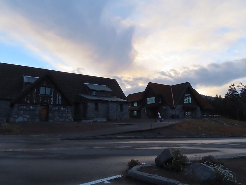

 Mt. Scott (post) with a bit of a lenticular cloud.
 Raven making a landing atop a mountain hemlock.
 The Watchman (post), Hillman Peak, and Llao Rock along the western side of the rim.
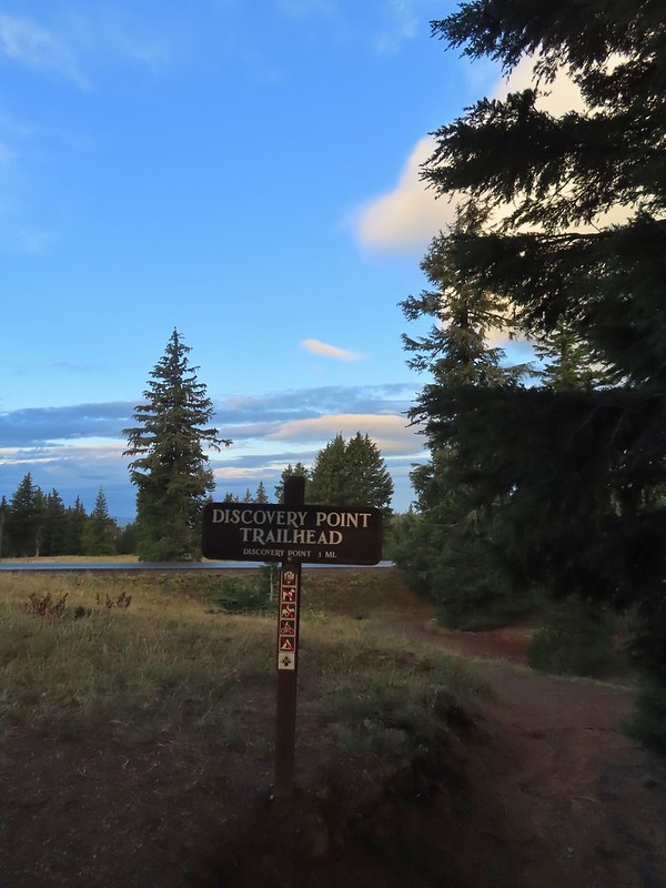
 It was by far the most scenic mistake we’ve made while hiking.
 Wizard Island and Llao Rock
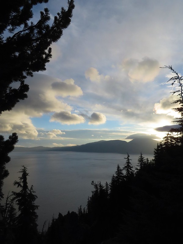 Mount Scott
 We joked that views had been so good maybe we should just end the hike now.


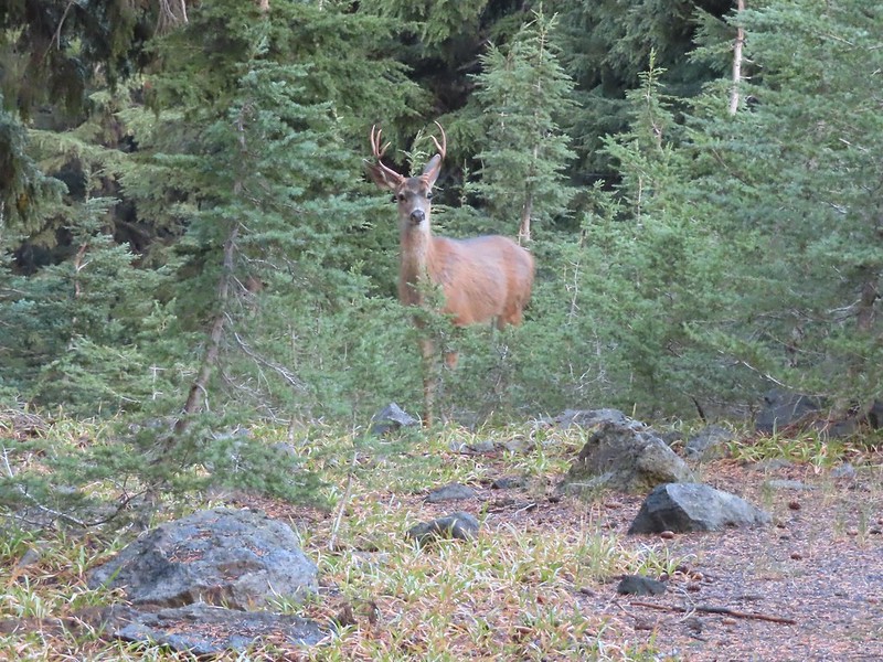
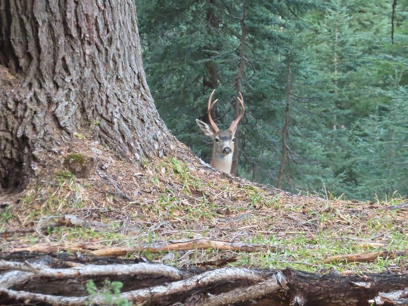


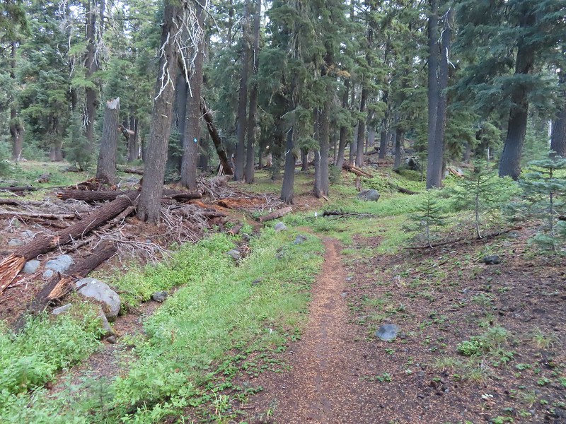 Dutton Creek was dry.
 Blue sky ahead.
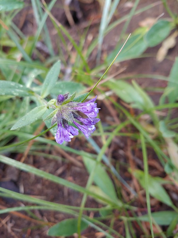 Not much left for flowers, this could be a Crater Lake collomia although it’s a little late in the season.
 Castle Creek still had some water flowing.
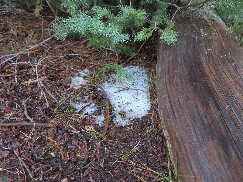 We spotted several piles of hail, possibly from the severe thunderstorms that had been forecast for Saturday night?
 Arriving at the PCT.
 The campsite at the junction was closed due to hazard trees.
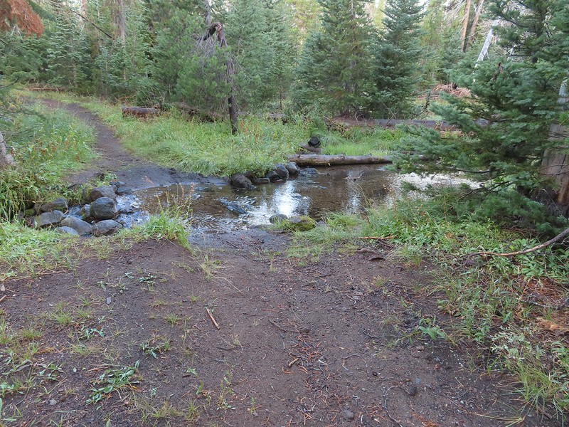 Recrossing Castle Creek.
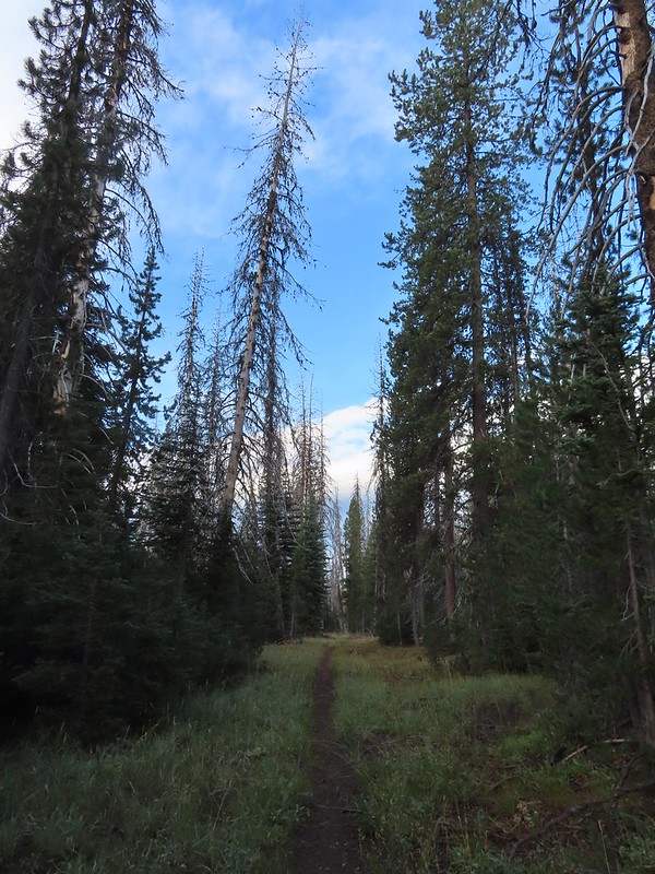 The PCT appeared to be following an old road bed through the park.
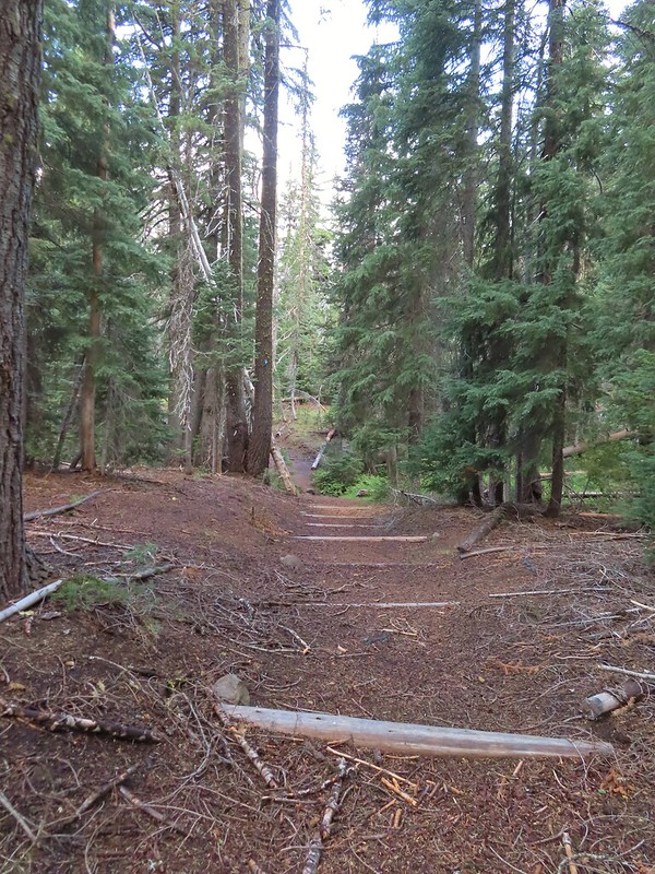 Dropping down to Trapper Creek.
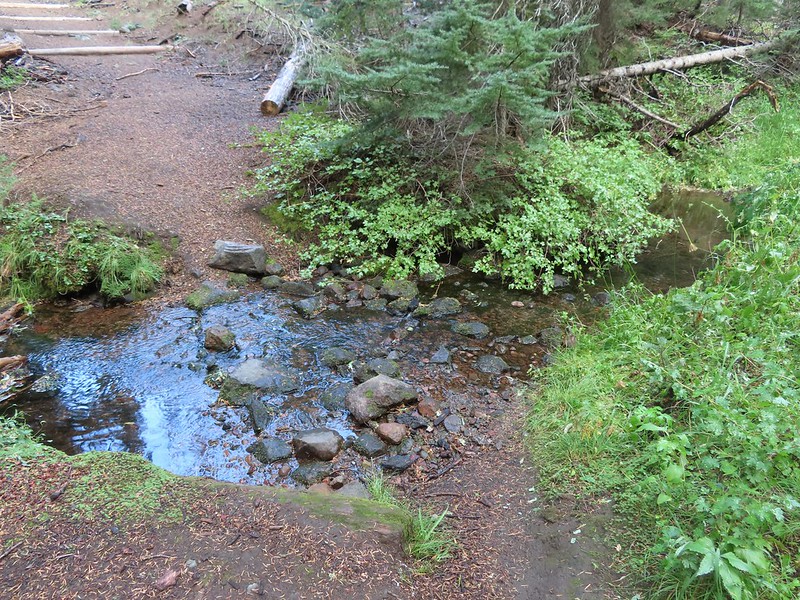 PCT crossing of Trapper Creek.
 A red-breasted nuthatch that was toying with me as I tried to get a photo.
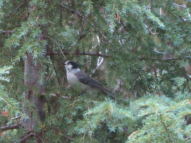 Canada jay (grey jay)
 Blue sky to the north ahead.
 Some blue sky south too with a glimpse of Union Peak (post).
 Union Peak
 Entering the 2006 Bybee Complex fire scar.
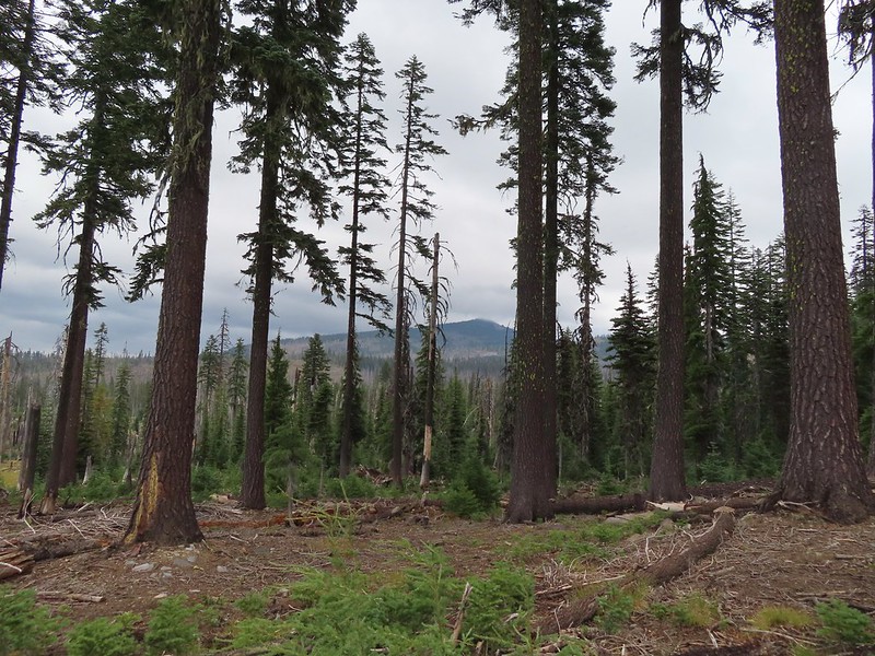 The Watchman. The lookout tower on top was in a cloud after having been clearly visible from rim earlier. We wondered what that might mean for our views when we finally made it back to the rim.
 Chipmunk checking us out.
 Coneflower remains
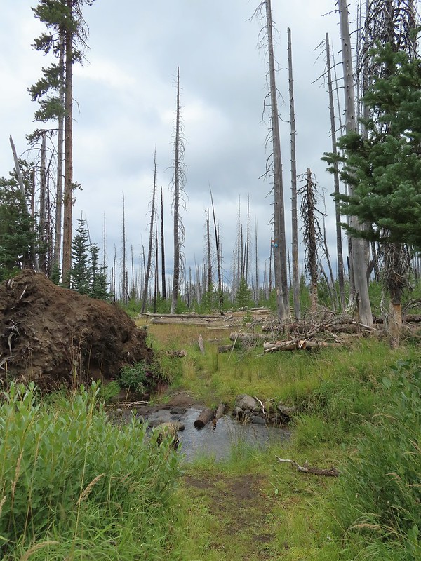 Another creek crossing.
 Red crossbills at the creek crossing.
 There were some pretty ominous looking clouds behind us but no showers yet.
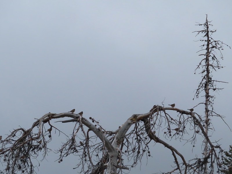 Several white crowned sparrows and at least one junco. We could also hear chickadee calls but I couldn’t find one in this capture.
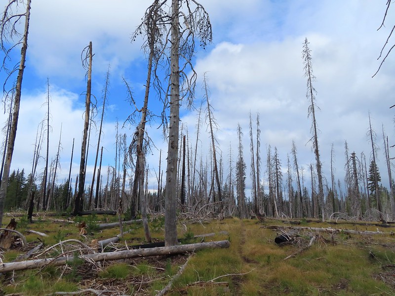 Despite the ugly clouds behind us there was almost always blue sky ahead.
 North Fork Castle Creek
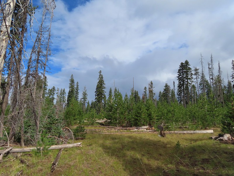 Approaching the junction with the Lightning Springs Trail.

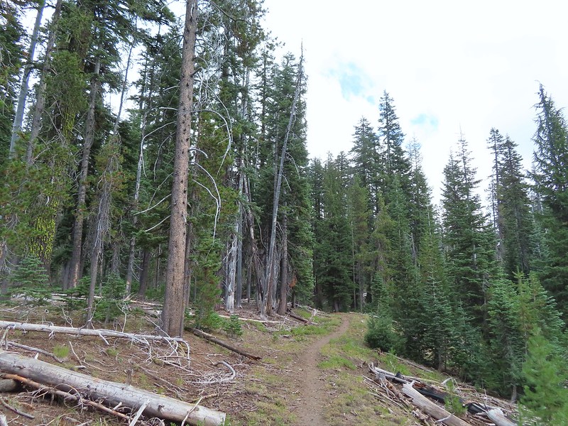
 Townsend’s solitaire
 Union Peak had been swallowed by clouds.
 The Watchman with a cloud still hanging on.
 Hawk
Hawk
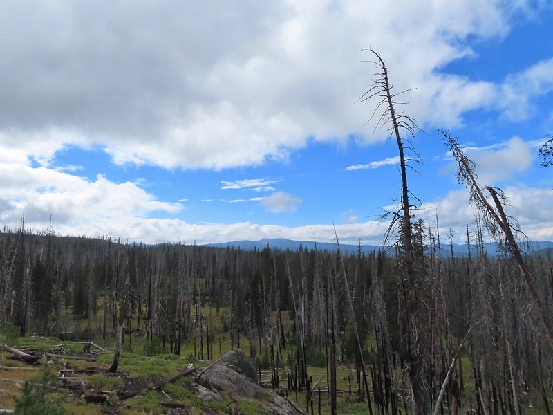 The base of Union Peak with lots of blue sky around.
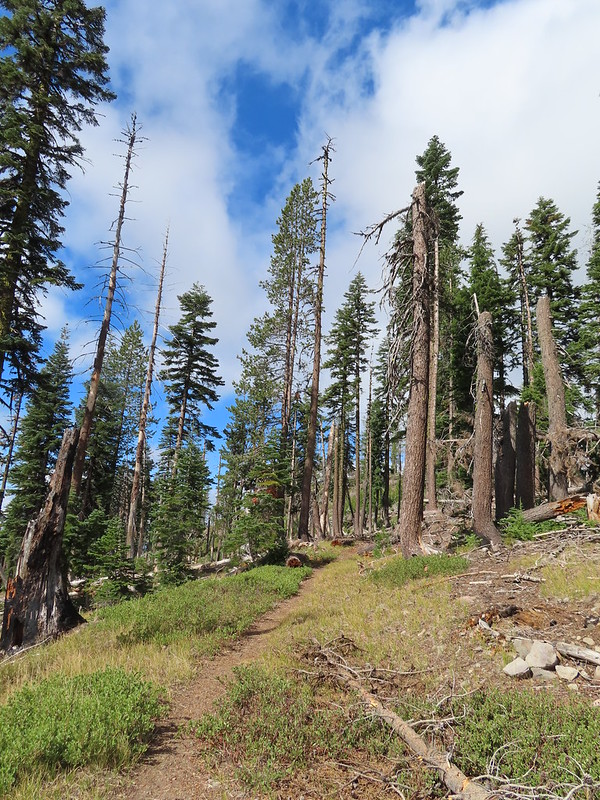 A brief stint in full sunlight.
 Robin
Robin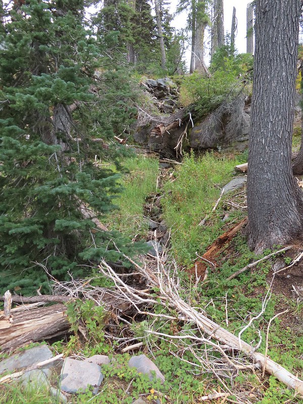
 Union Peak nearly free of clouds.
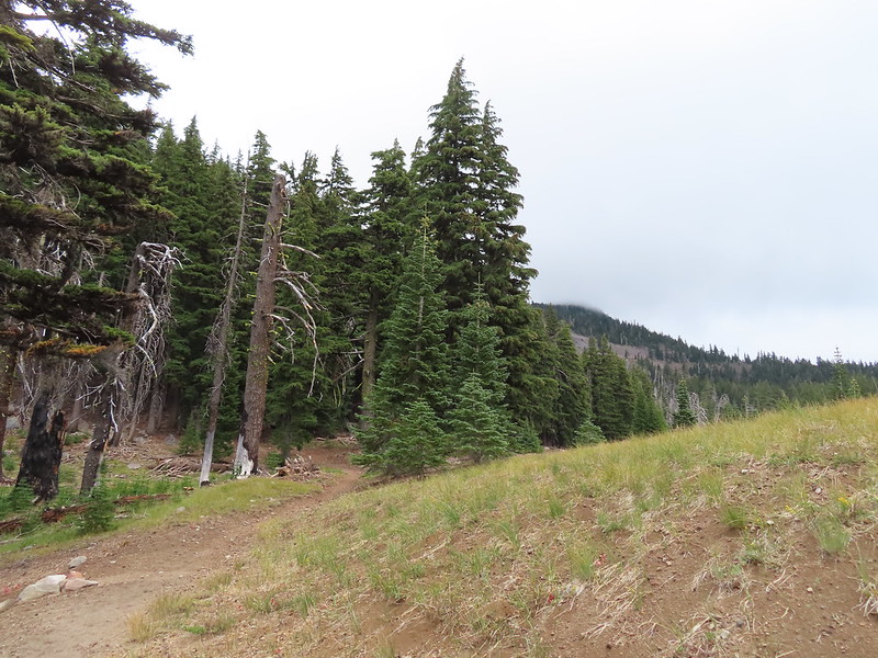 The Watchman still not free.

 Mountain bluebird

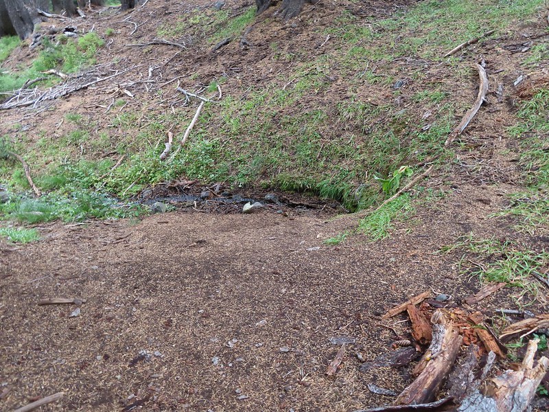
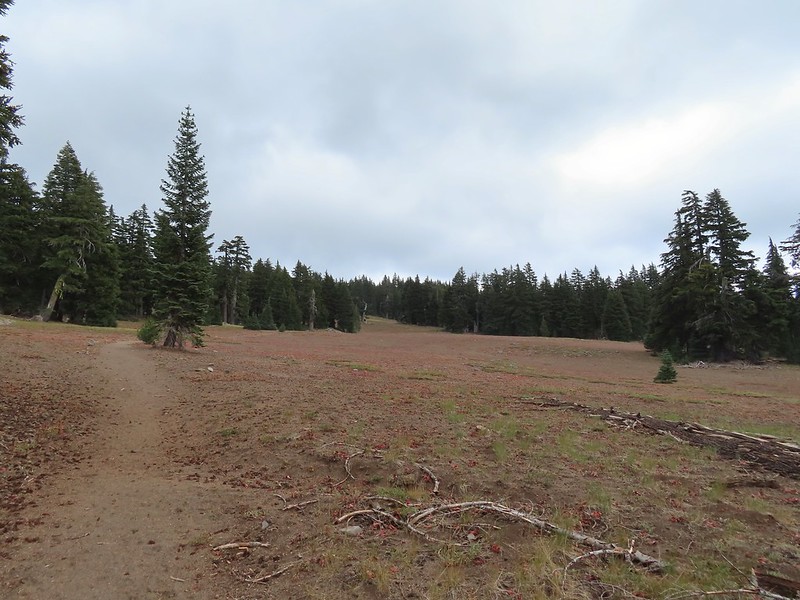
 Full view of Union Peak.
 And finally a full view of The Watchman.
 Conditions were changing quickly and now there was blue sky above The Watchman.
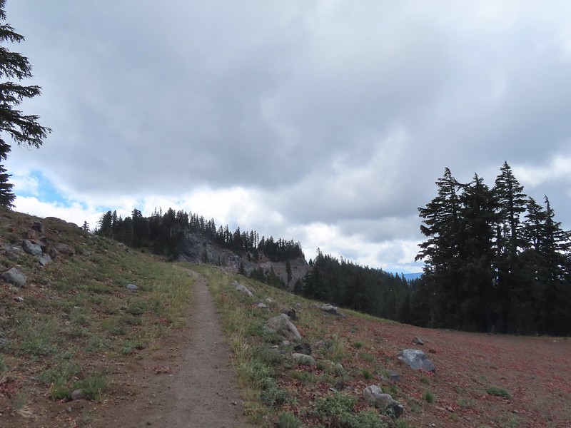 West Rim Drive ahead with the lower portion of Mt. McLoughlin (post) in between the trees to the right.
 Mt. McLoughlin
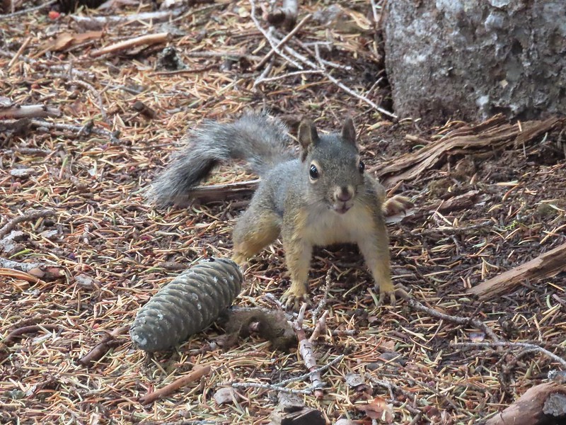 This squirrel put its cone down in case I had something better for it, but we don’t feed the wild animals per Park rules (and Leave No Trace Principles).
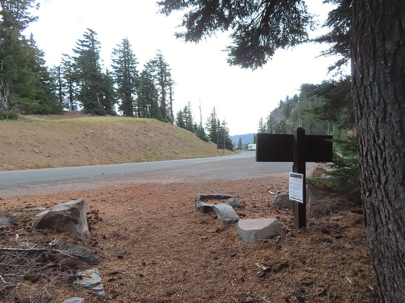


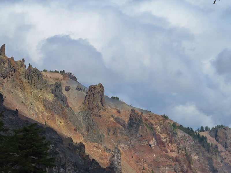
 Wizard Island’s cone
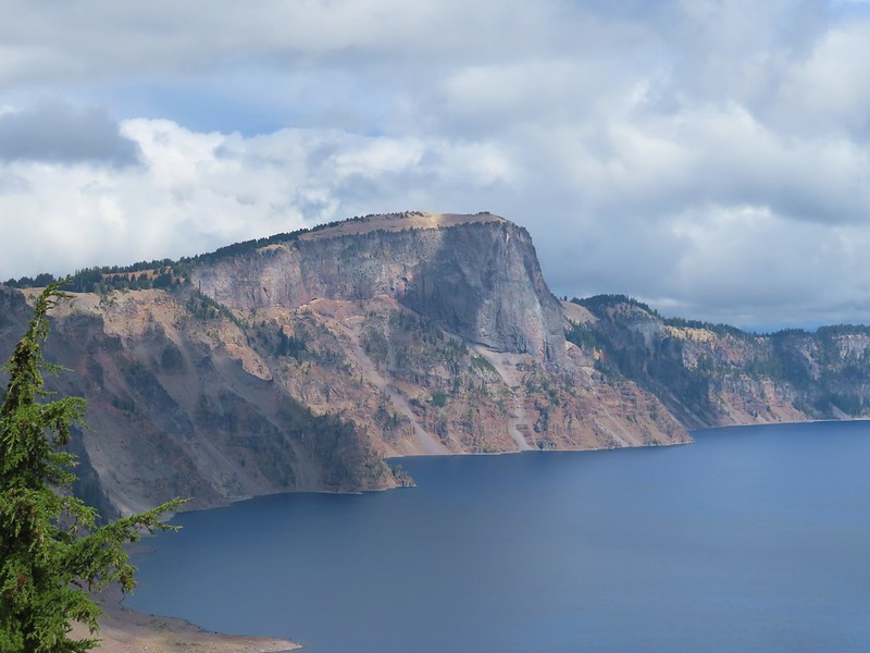 Llao Rock
 Dock along Wizard Island
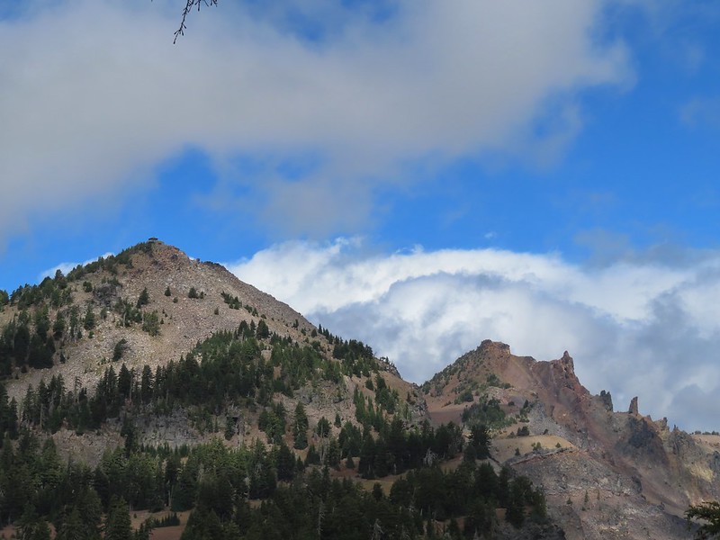 The Watchman and Hillman Peak
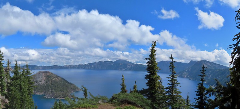
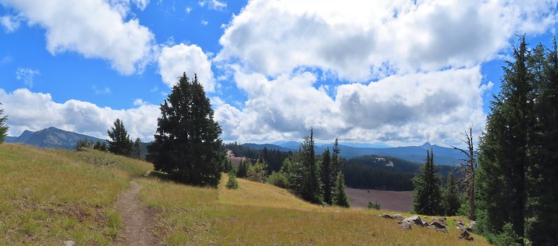 Garfield Peak to the left with Union Peak to the far right.

 Phantom Ship
 Mount Scott
 Clark’s nutcracker
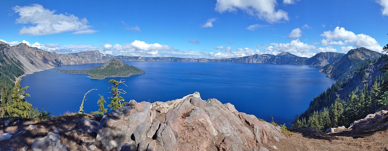
 That blue though!
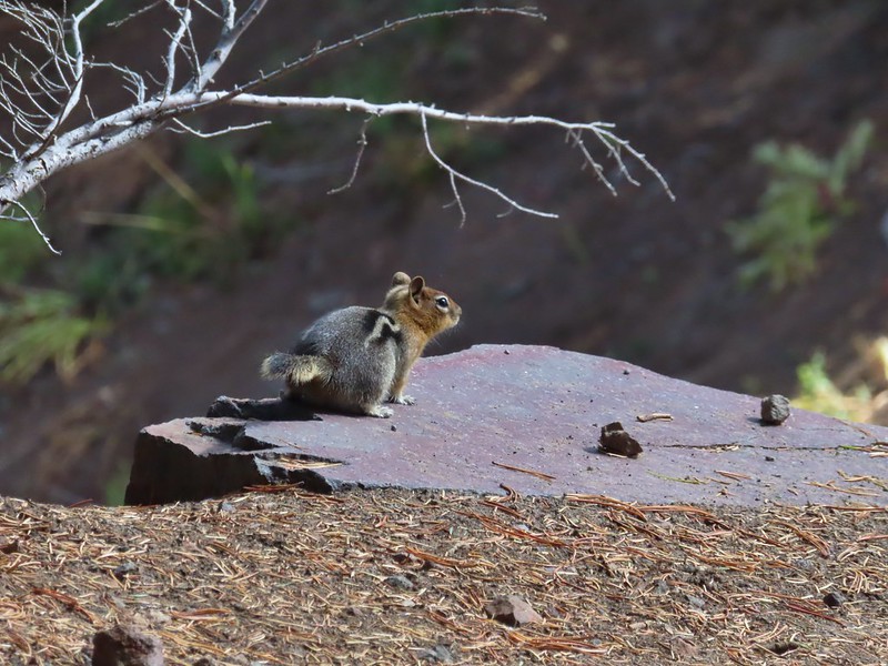 Golden-mantled ground squirrel
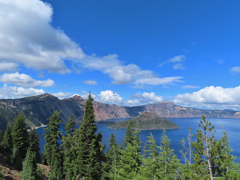 Back to where we’d been that morning.
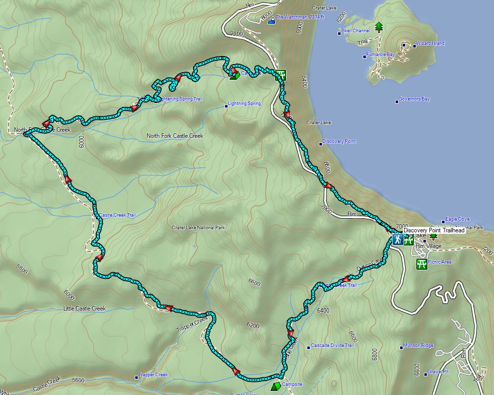

 Fog at 5:30am
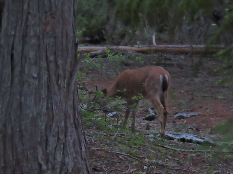 After he jumped he started to run off but quickly stopped to eat just a few yards later.
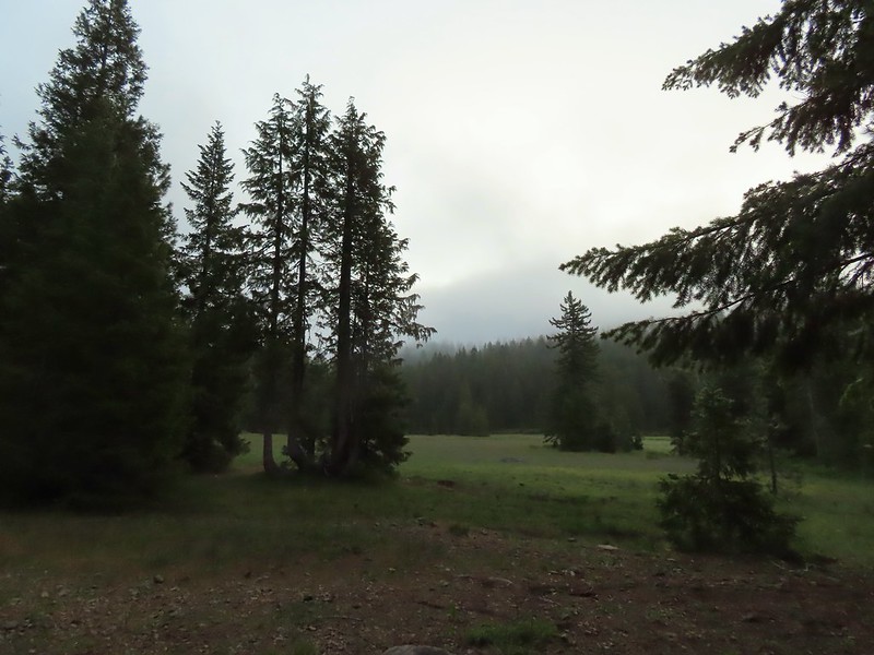
 Deer in the meadow.
 Snail near our breakfast spot. It’s amazing how quickly these guys can get from one place to the next.

 Lupine and beargrass along the road.
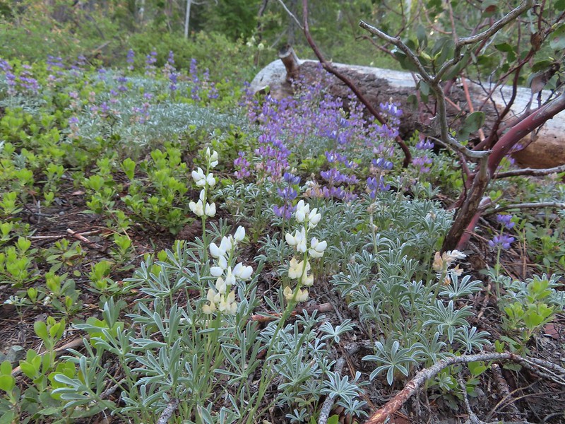 Lupine
 Beargrass
 Waterfall on cliffs below El Capitan.
 Waterleaf
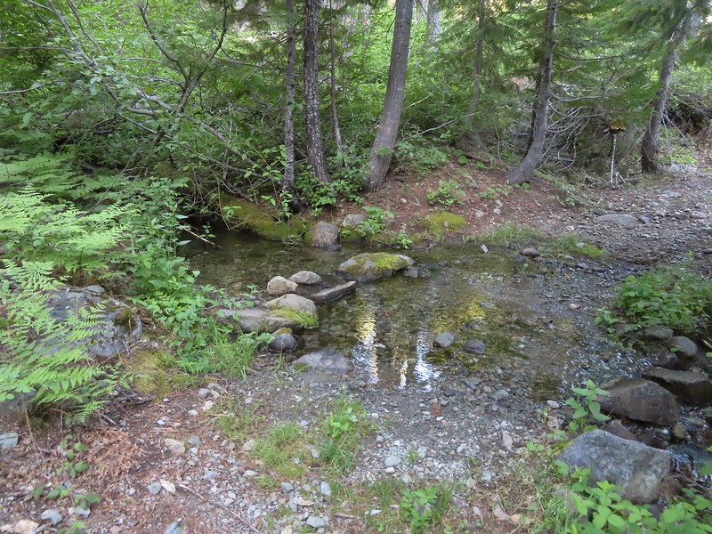 Stream crossing.
 At times the old roadbed looked like you could drive on it but other times it looked like this.
 Small meadow along the trail.
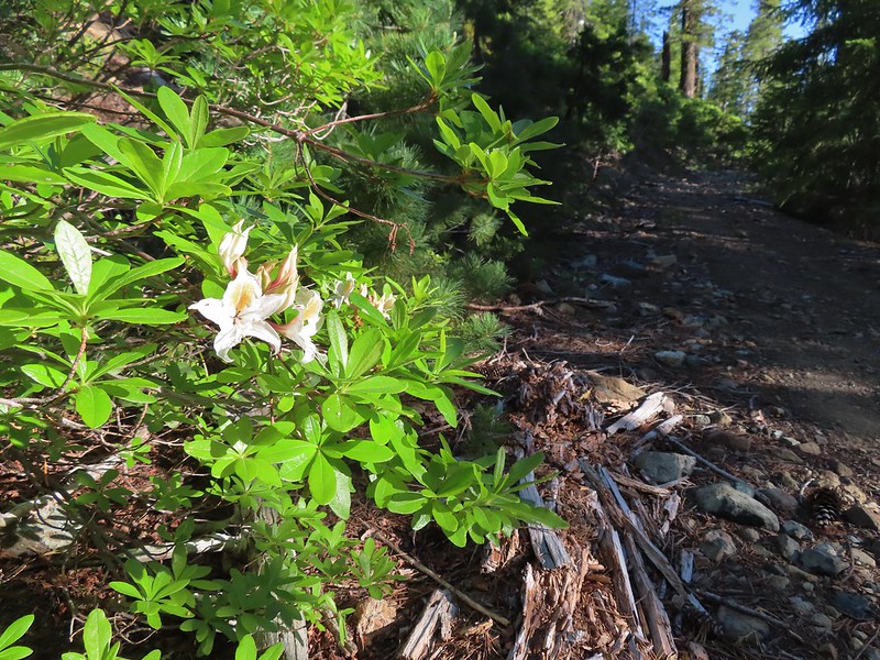 Western azalea
 The clouds burned off quickly.
 Penstemon
 Youngs Peak with the meadow barely visible to the right below.
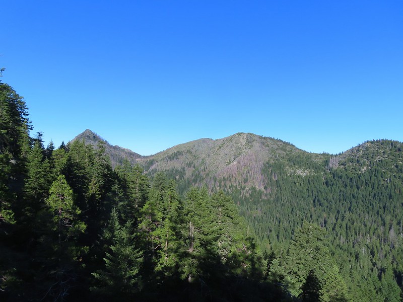 Rocky Knob to the left.
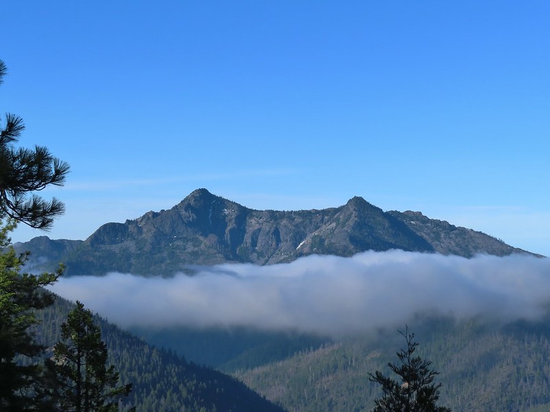
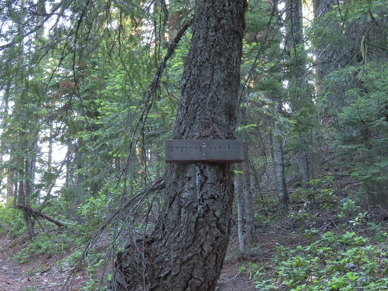
 Sign at the Cyclone Gap junction.
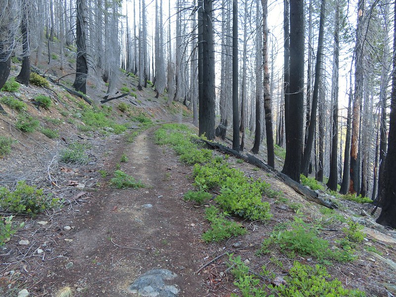 Back into the 2018 Natchez fire scar.
 Preston Peak
 Paintbrush along the trail.
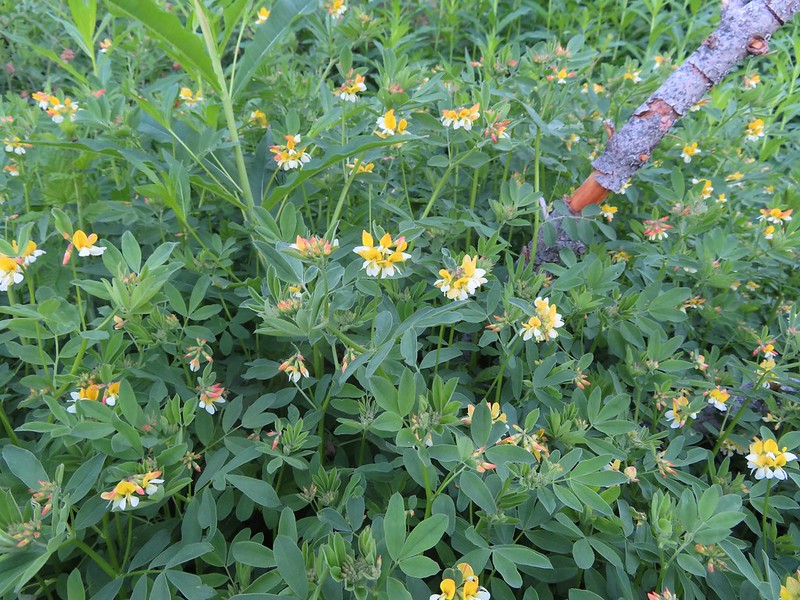 Streambank bird’s-foot trefoil
 Musk monkeyflower
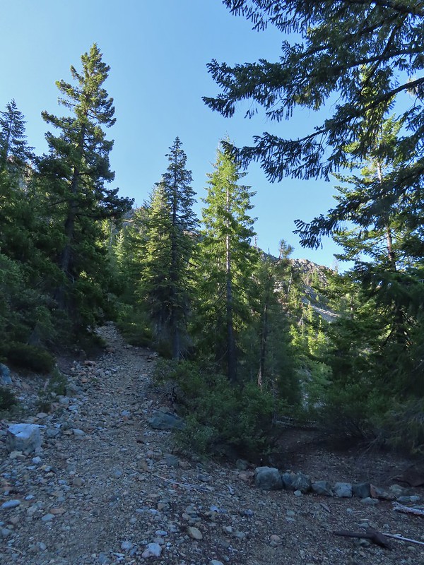 Raspberry Lake Trail to the left.
 Ruins from the chrome mine.
 More mine ruins on the hillside below.
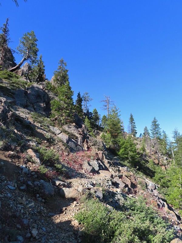
 Nuttall’s sandwort
 Bear Mountain and Rocky Knob.
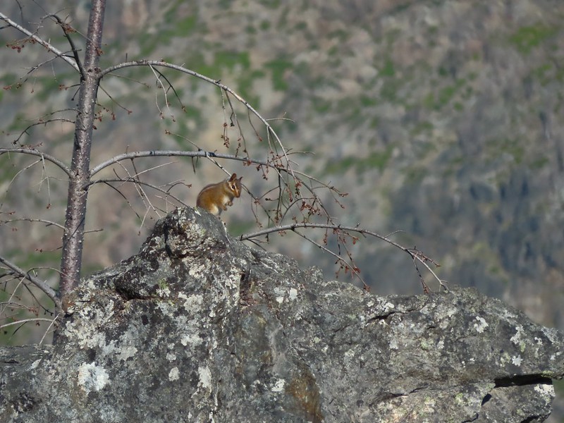 Chipmunk
 Getting closer to Preston Peak.
 Ragwort
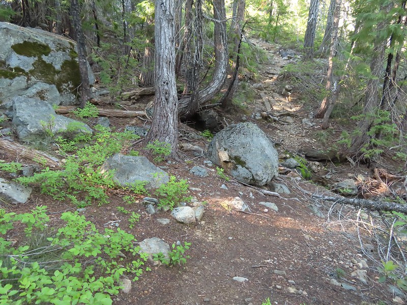 Small stream crossing.
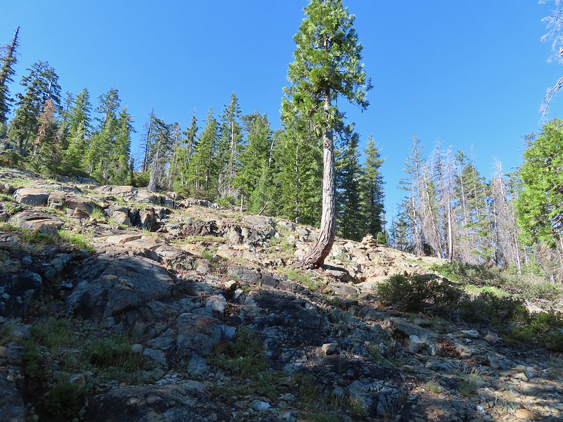 A short steep rocky section where cairns were helpful.
 Rounding another ridge with Preston Peak on the left and Bear Mountain to the right.
 First view of Raspberry Lake in the trees below to the right.

 Big rock along the shore.
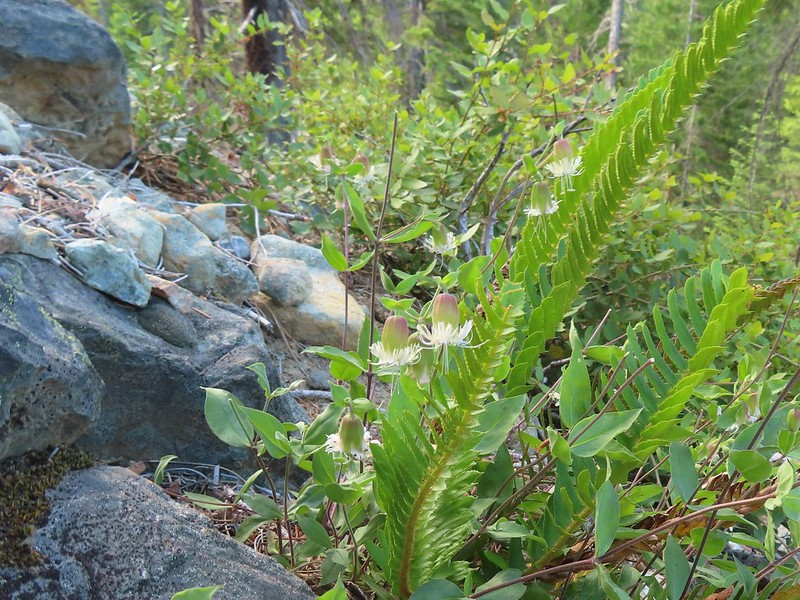 Bell catchfly
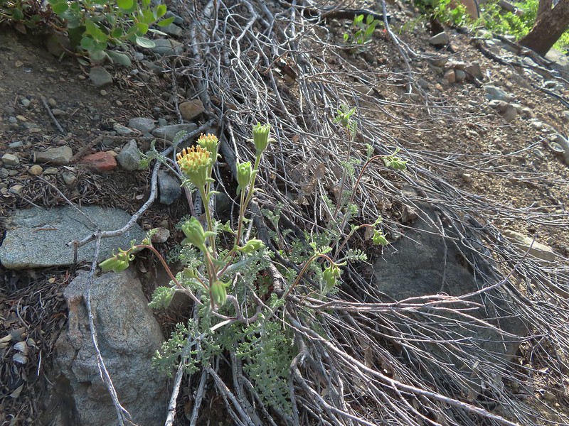 Douglas’ Dustymaidens
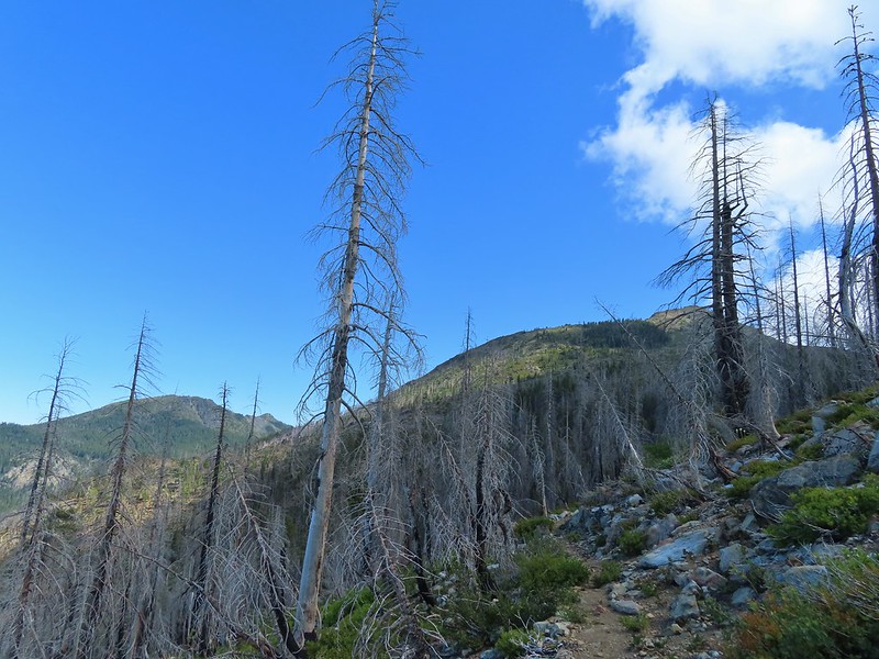 El Capitan on the right. To the left I think that is Bear Cub with Polar Bear Mountain behind.
 Western azalea
 This squirrel gave us a stern talking to.
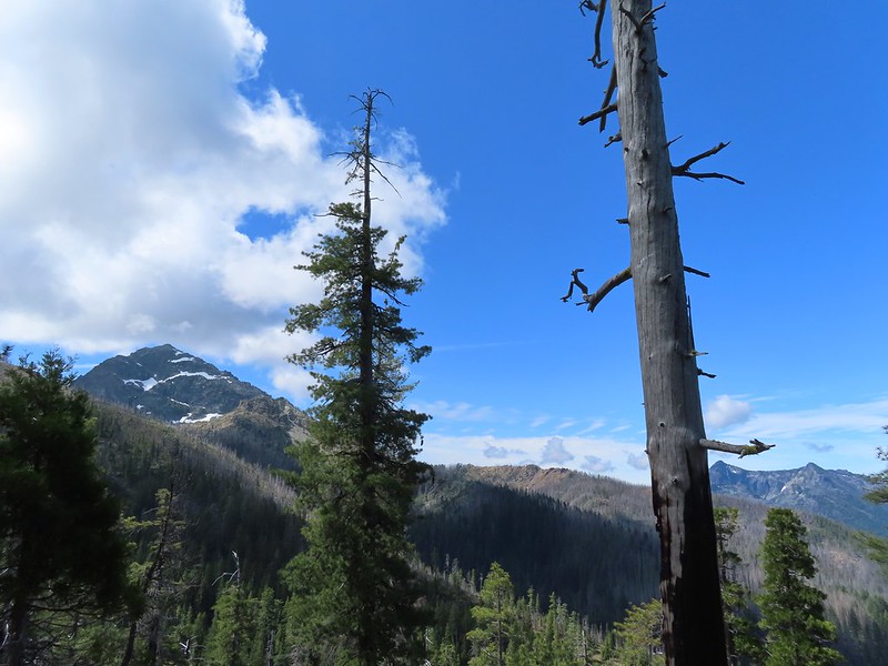
 Western tanager pair
 Twin Peaks
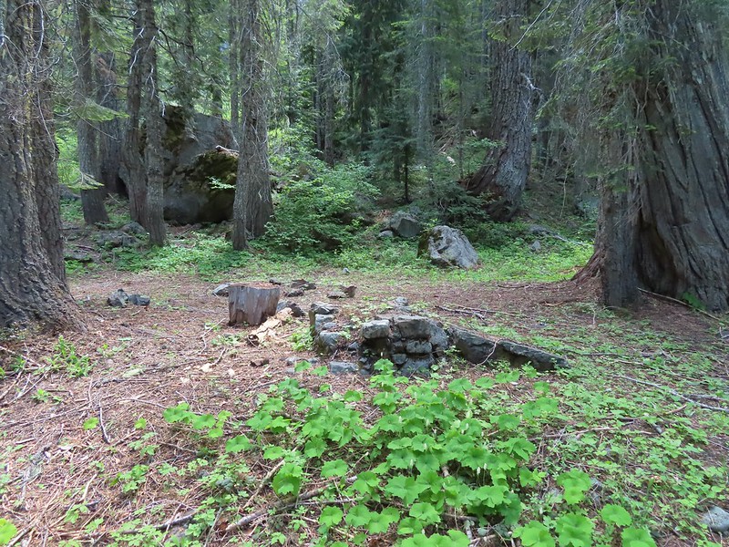 We believe this is what Sullivan shows as Slow Echo Camp on his map. We wondered what the stones in the foreground had been a part of?
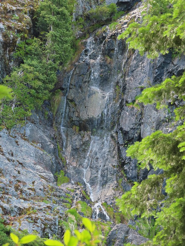


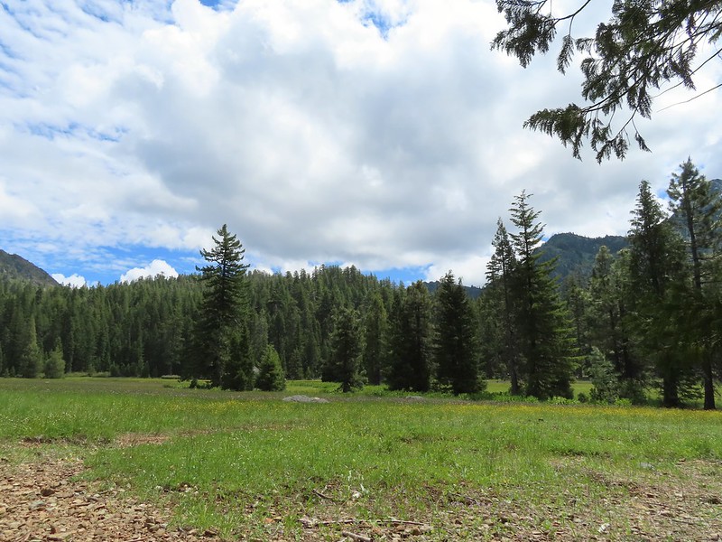
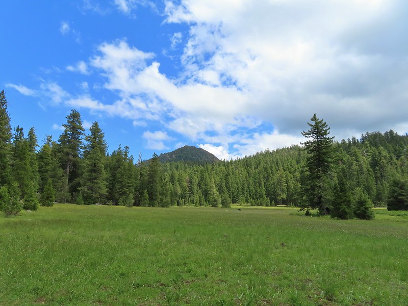
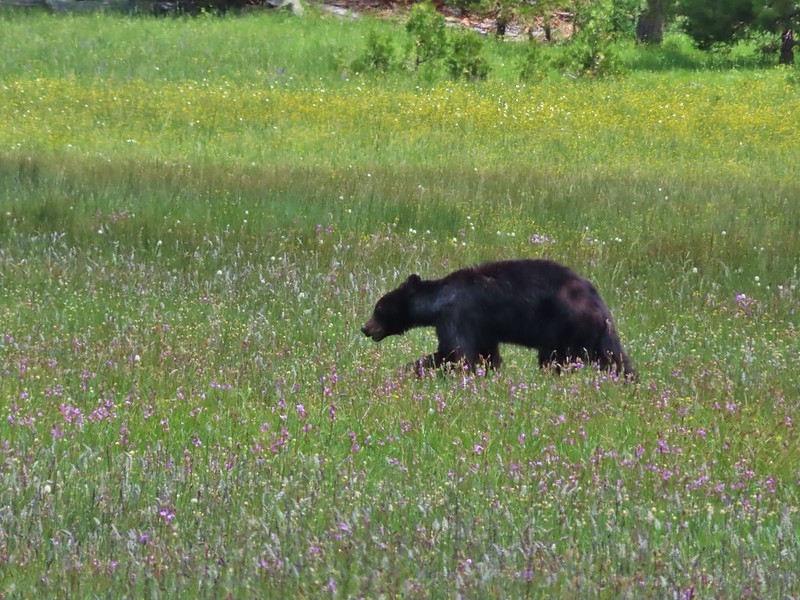

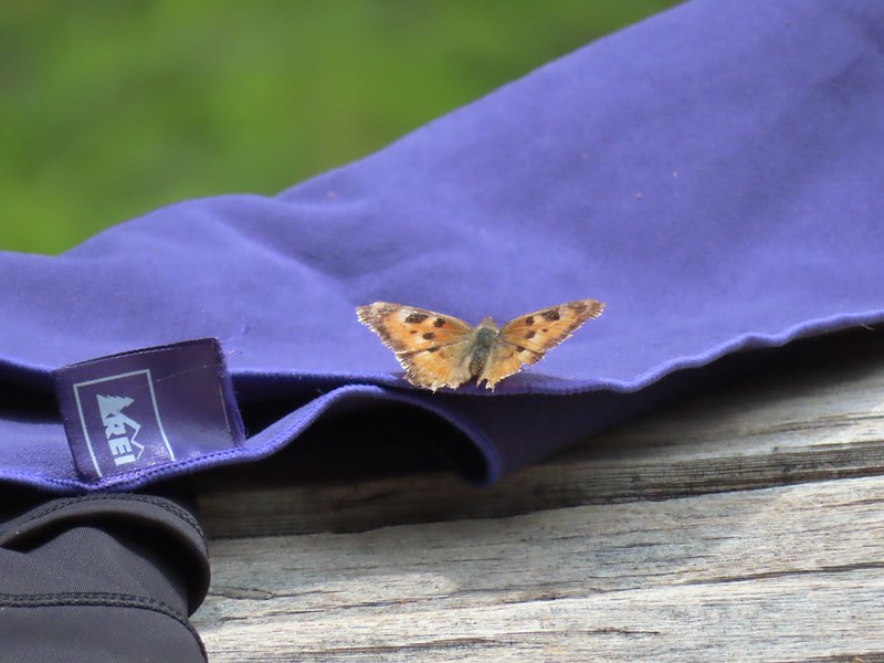 This butterfly did discover people=salt.
 Maybe a flycatcher of some sort near camp.
 Common buckeye
 Turkey vulture checking out the meadow.
 White rush lily
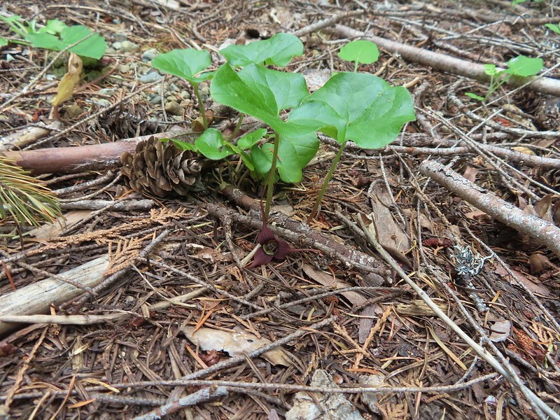 Ginger
 Snow plant
 Another low cloud morning.
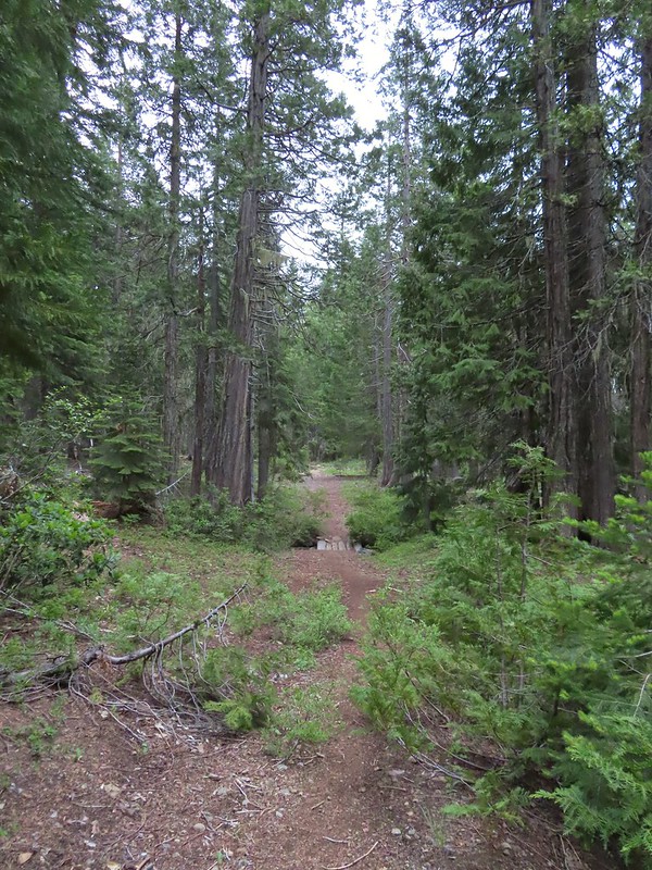 Heading out
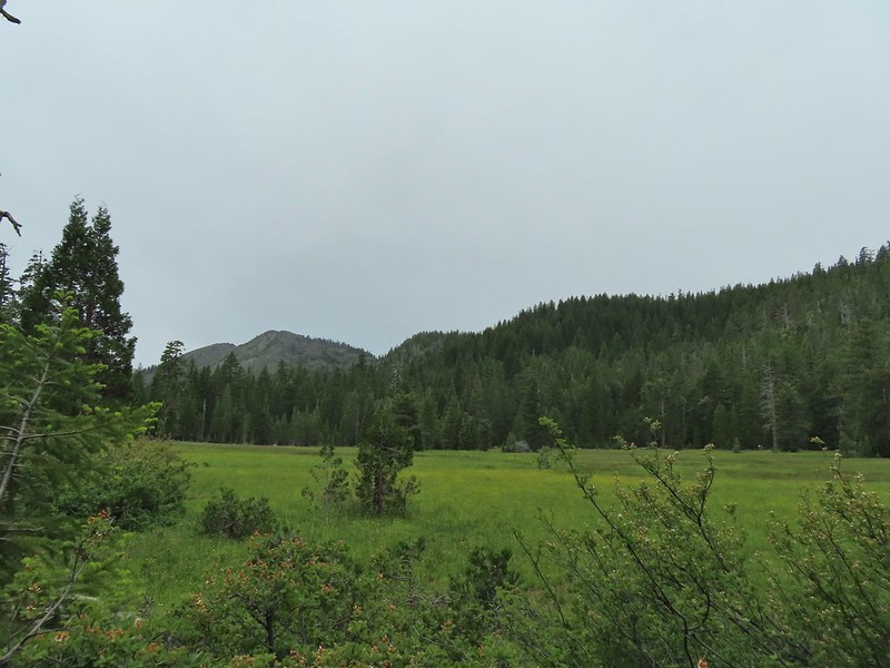 Passing around the meadow, we didn’t see Buster this morning.
 Black Butte Trail junction.
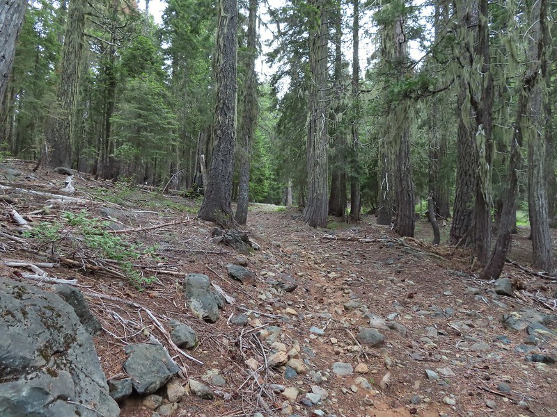
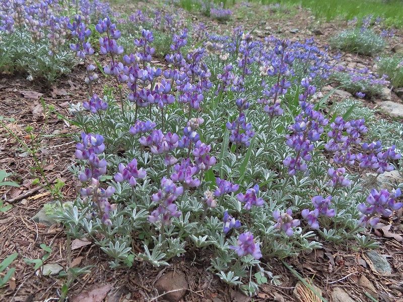
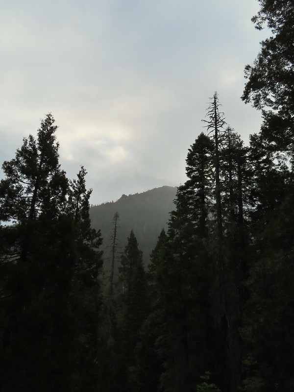 Bear Cub under the clouds.
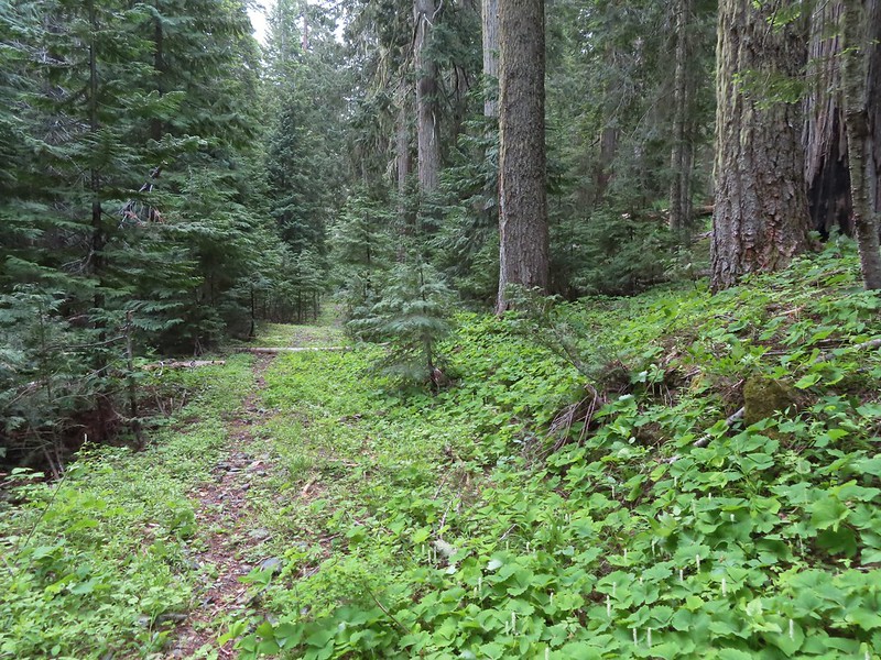 Vanilla leaf along the trail.
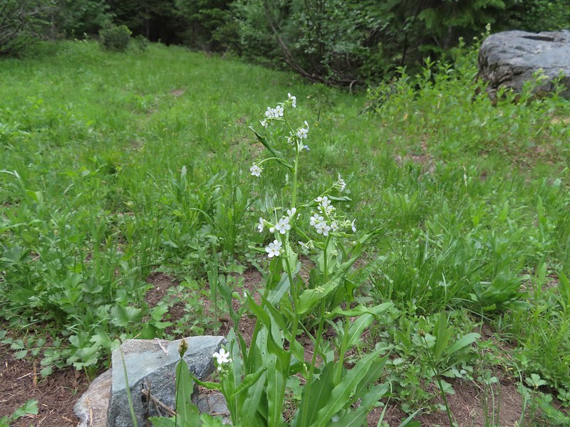 Jessica sticktight
 The headwaters of the East Fork Illinois River are just up from the trail so the river isn’t much more than a trickle at the trail crossing.
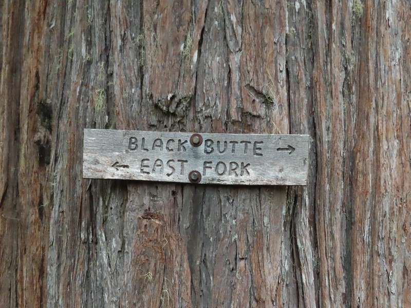
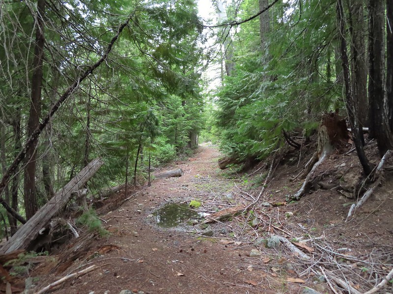
 The edge of the clouds to the NW.
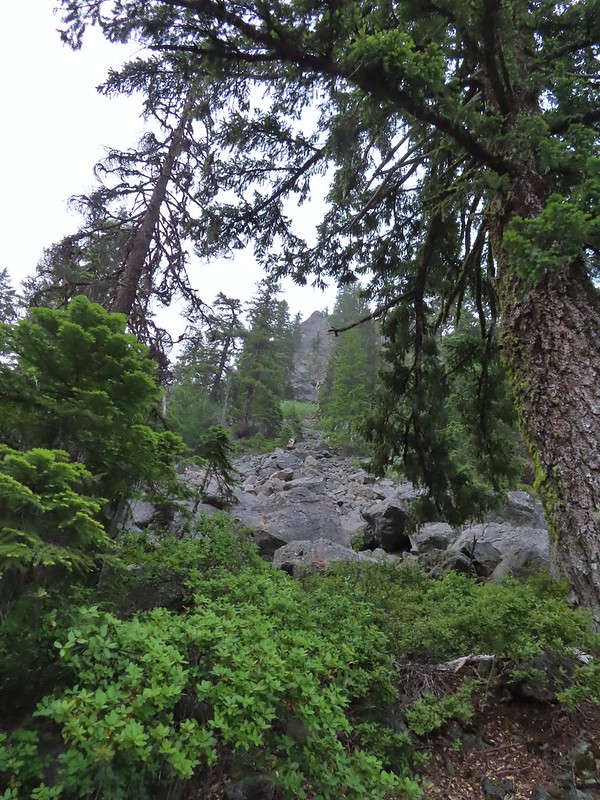 Passing below Bear Cub.
 Being an old road bed in unburt forest made for easy hiking.
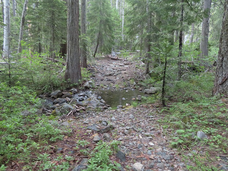
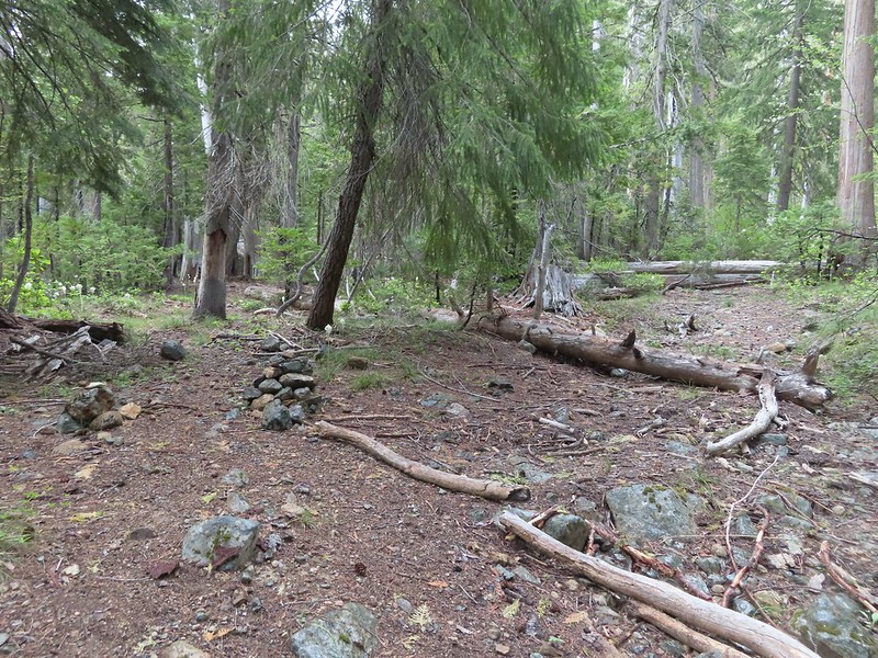

 Swtichbacking toward Bear Cub.
 Black Butte
 Heading downhill so we could go up.
 Creek crossing in the basin below Black Butte.
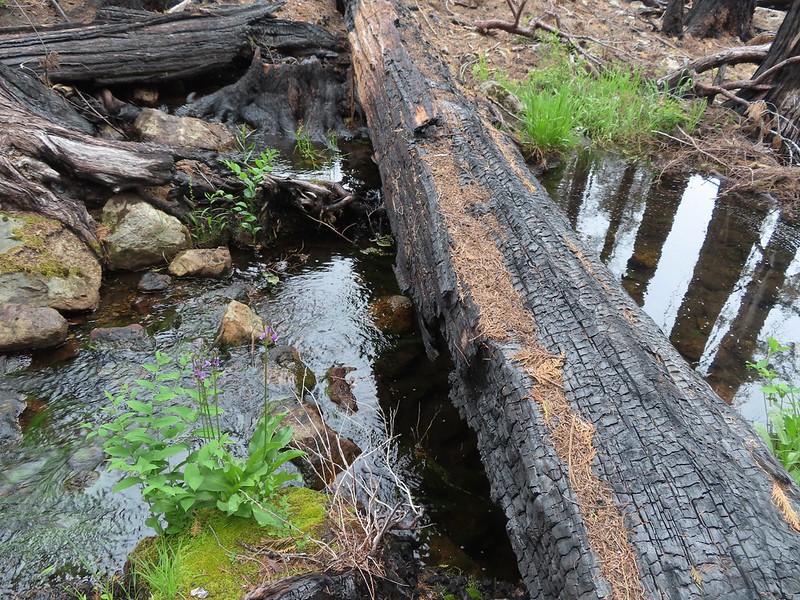
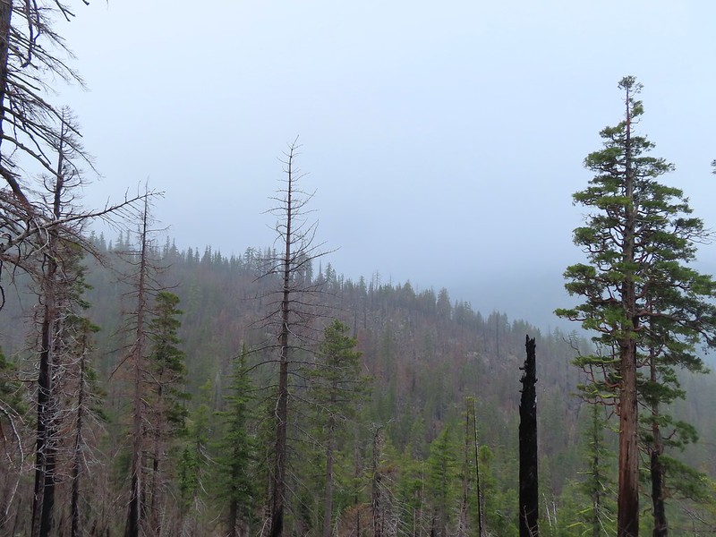 Looking back into the clouds where we’d come from.
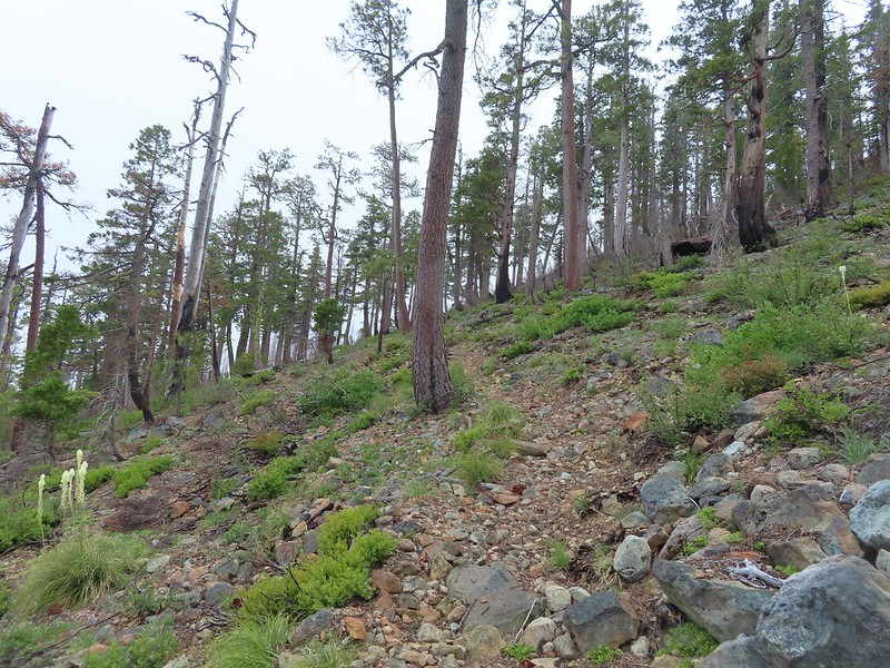 Steep climb up to the junction.
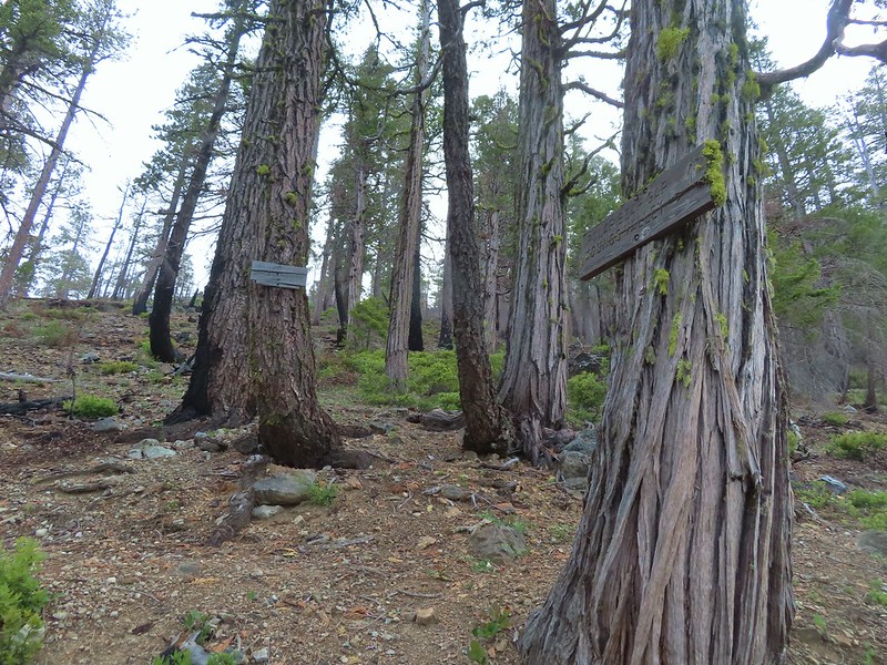 We made it back to the junction! Only 1.8 more miles to go.
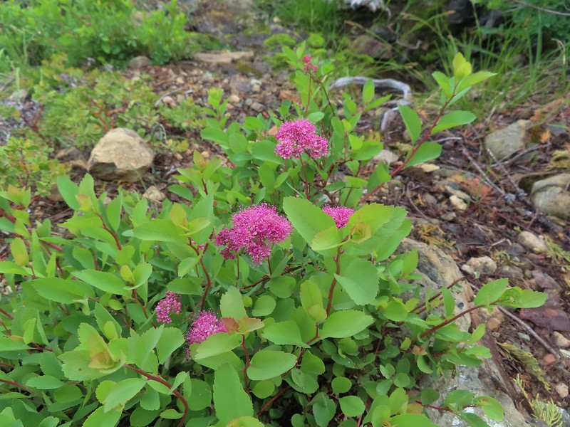 Spirea
 Pair of woodpeckers
 Why is there more uphill?
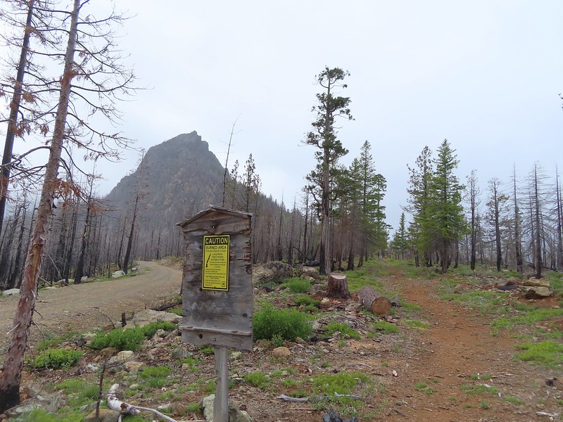 Black Butte from the trailhead with Heather coming down the trail.

 Setting off at 5:20am from the 1st gate.
 Roxy Ann Peak from the road.
 Jack rabbit
 Coming up on the 2nd gate.
 Sunlight hitting the hillsides on the far side of Medford.
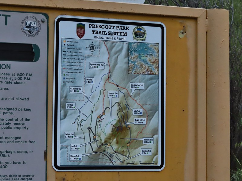
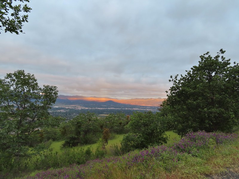 Roxy Ann’s shadow being cast over Medford.
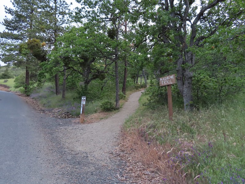
 Lots of purple vetch along the trails.
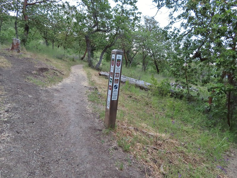 One of the posts used to identify trails.
 Madrones along the Madrone Trail.
 We turned left following the pointer for the Oak Trail.
 Juvenile great horned owl along the Oak Trail. We didn’t get a good look at the second owl to the left but it looked to be an adult.
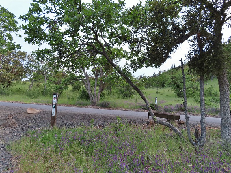 This segment of the Madrone Trail (MD3) ended at Roxy Ann Road with the Oak Trail picking up on the far side.
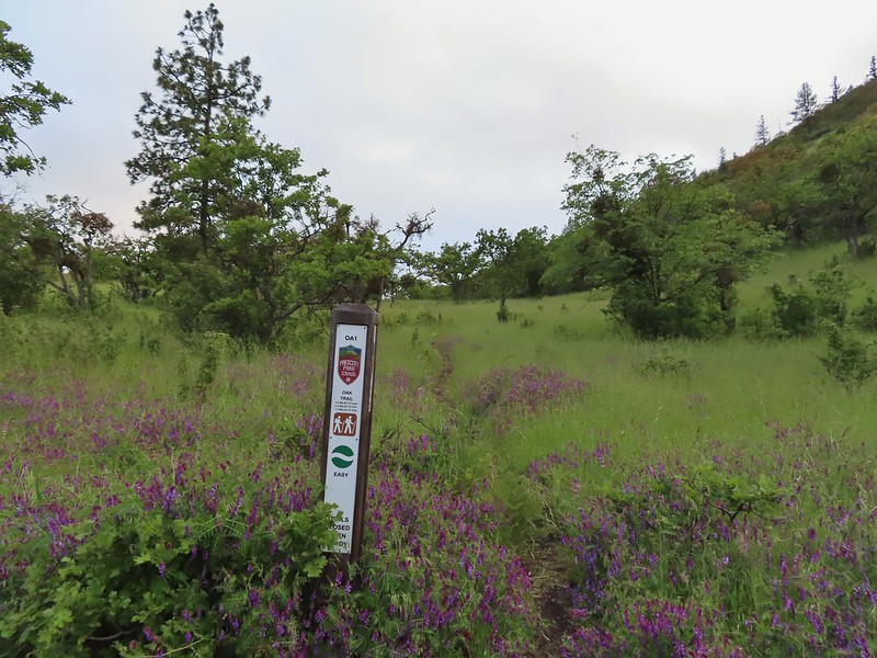 The Oak Trail
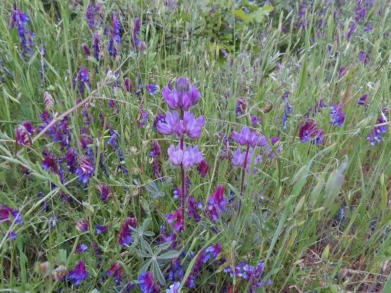 Lupine amid the vetch
 Camas in front of poison oak.
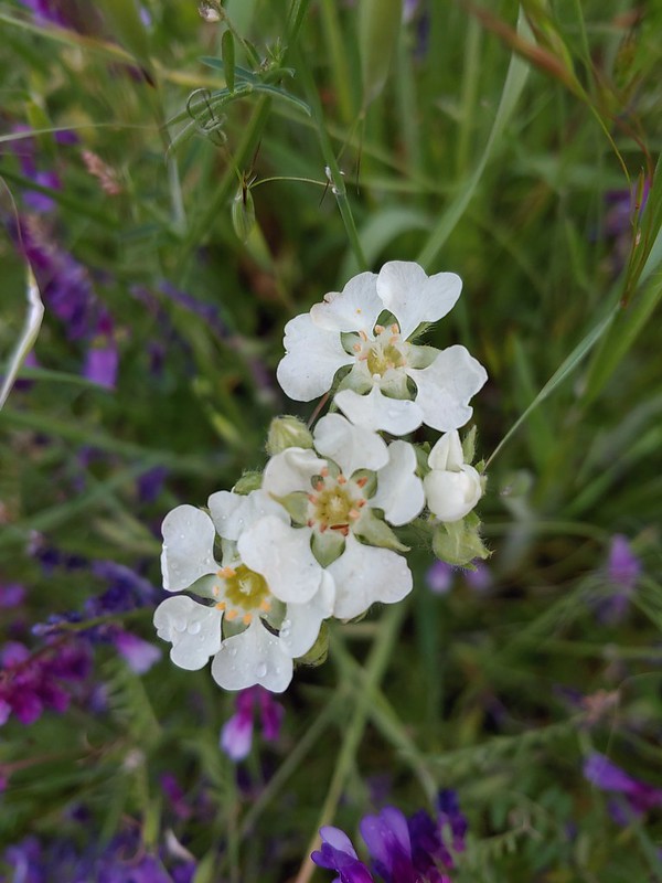 Carrotleaf horkelia
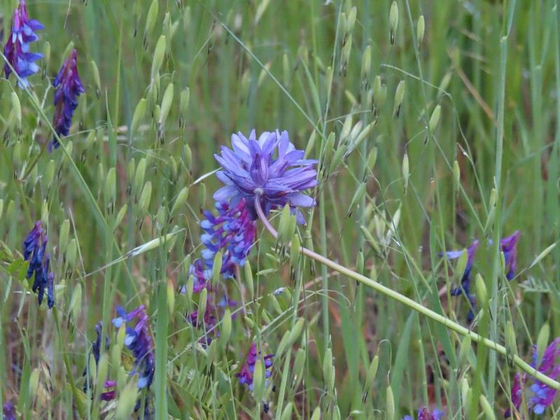 ookow
ookow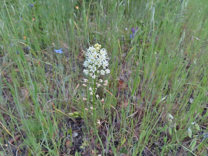 Death camas
 Blue-eyed grass
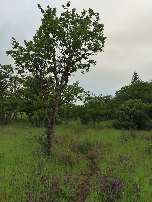 Oak along the Oak Trail.
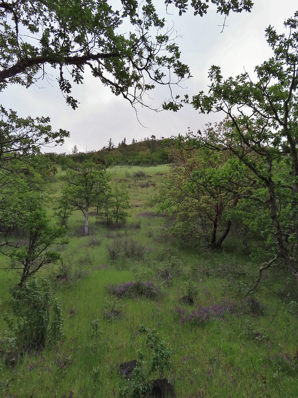 Roxy Ann Peak
 Blow wives
 The Oak Trail appeared to be the least used of all the trails we would hike on this day.
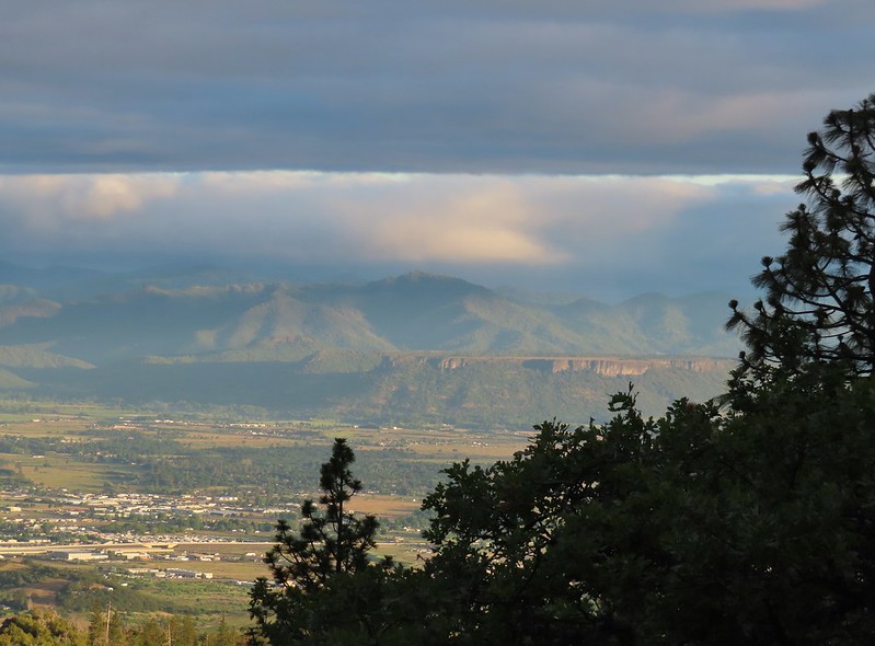 Lower Table Rock (
 The only post we saw that wasn’t helpful.
 Challenge Course just off the Oak Trail.
 Parts of the Challenge Course
 Trail junction near the Challenge Course with the Oak and Ponderosa Trails.
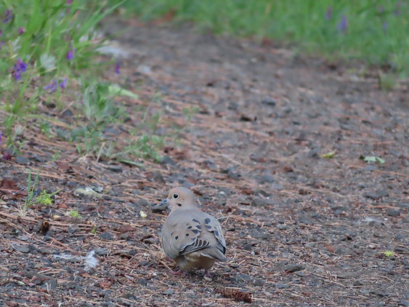 Dove
Dove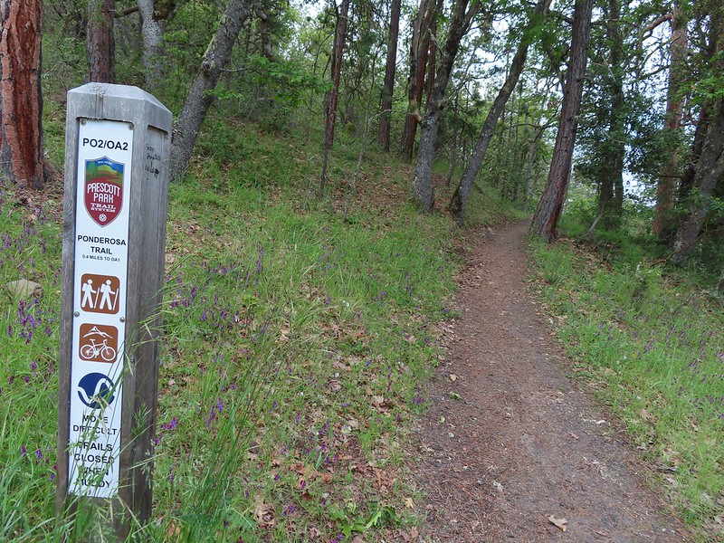 Hopping onto the Ponderosa Trail.
 Mariposa lily
 Lazuli bunting. We saw quite a few of these during our trip but they proved to be very difficult to photograph.
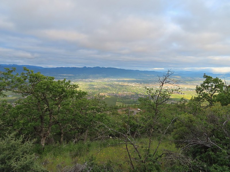 Medford from the Ponderosa Trail.
 Paintbrush
 Madia
Madia Lower Table Rock again.
 A bench and Ponderosa pines along the Ponderosa Trail.
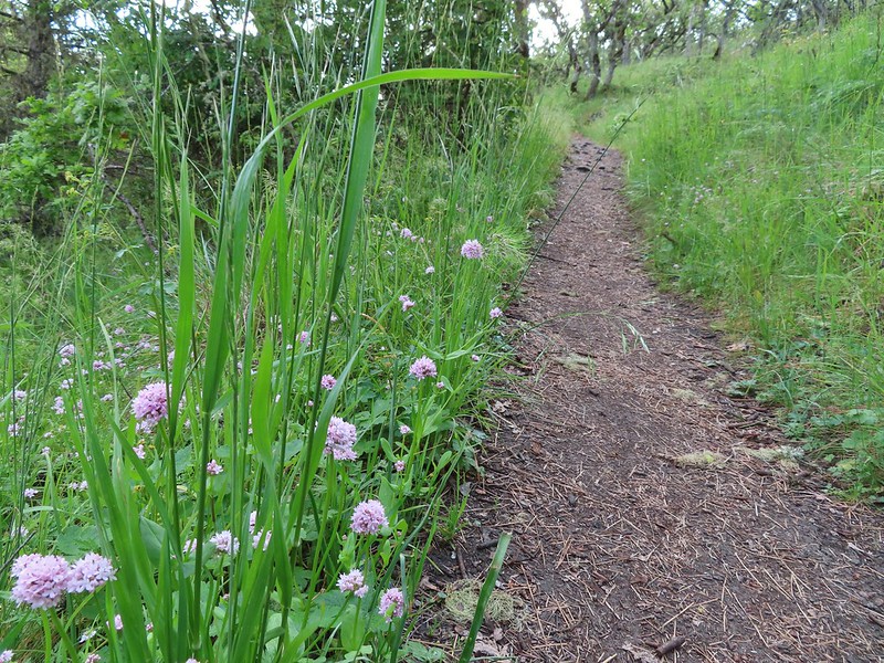 Plectritis
 Two more deer above the trail.
 Deer and balsamroot.
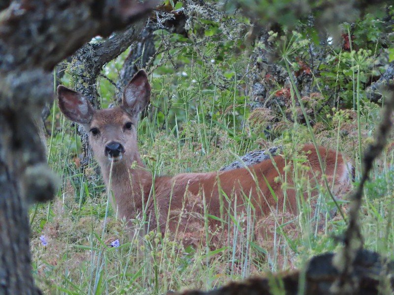 Young deer
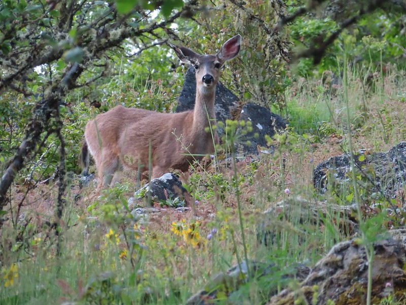 Momma deer
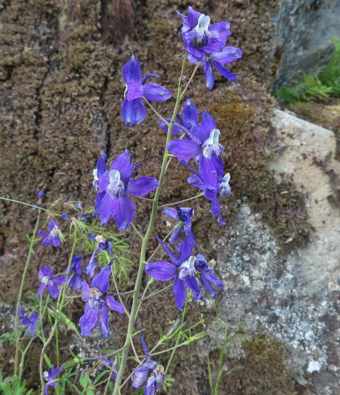 Larkspur
 Nearing Park Tower Road.
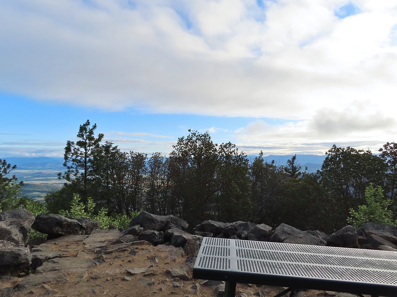

 Serenading lazuli bunting.
 A lot darker clouds toward the Cascades.
 Sign for the Manzanita Trail
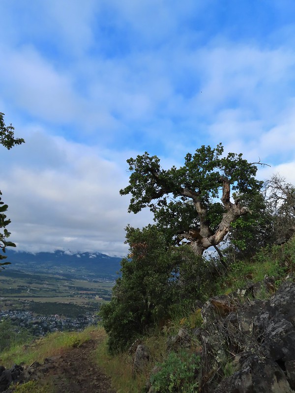
 The lower flank of Grizzly Peak (
 Looking NE from the trail, still a lot of clouds.
 Another bunting, we were on a roll.
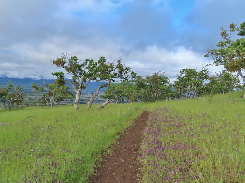
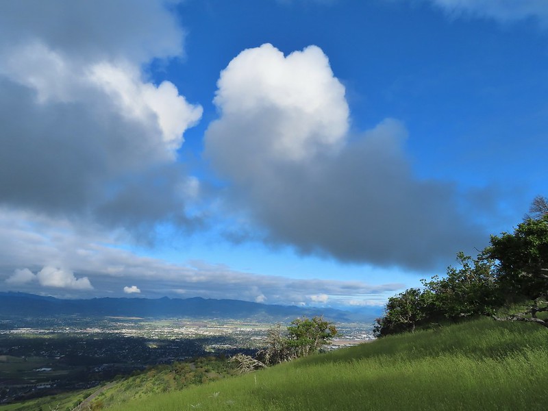 The clouds were really starting to break up as we descended.
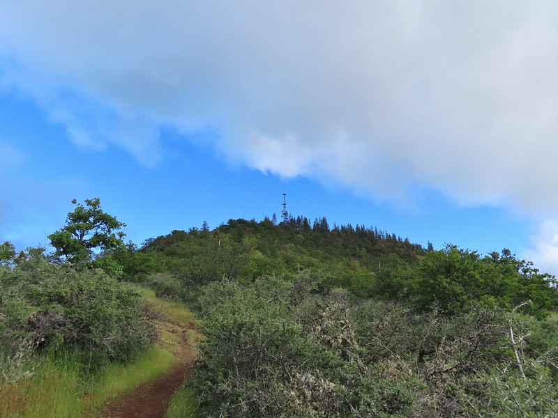
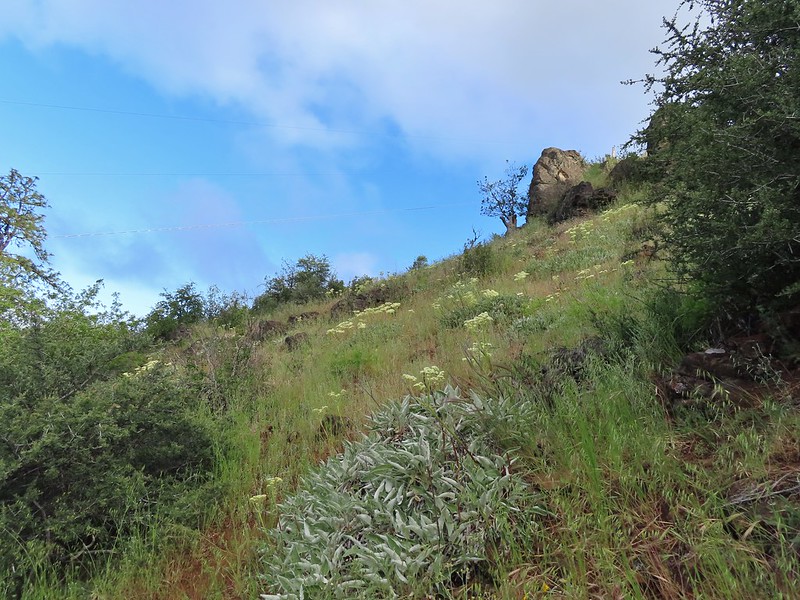 Arrow-leaf buckwheat on the hillside.
 Roxy Ann Road
 Back on the Madrone Trail.
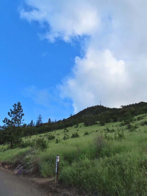 Back on the road walk. The trail post here is for the Greenhorn Trail.
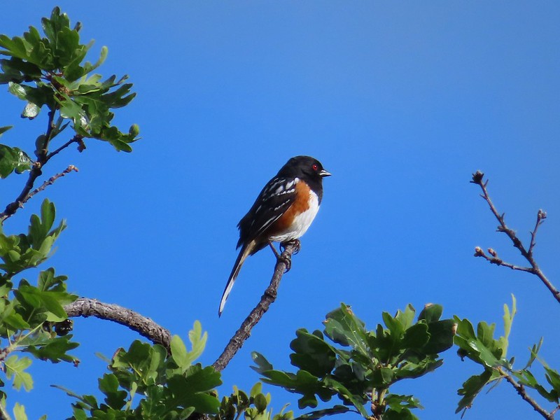 Spotted towhee.
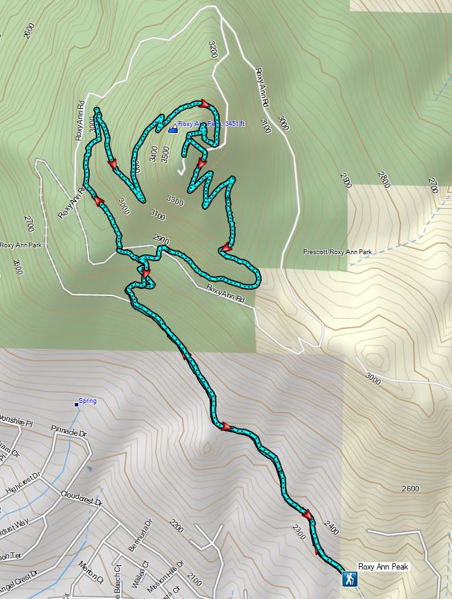


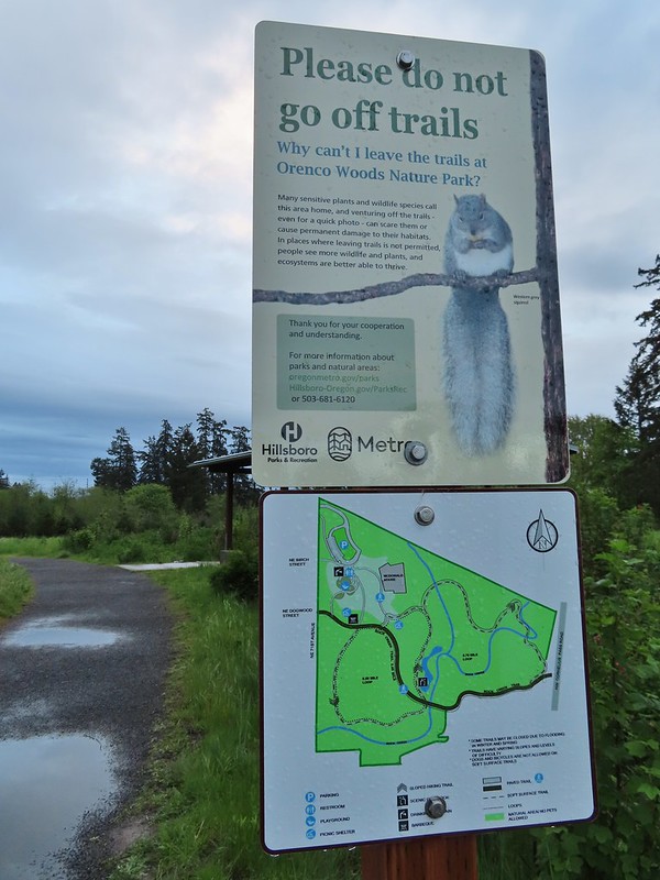
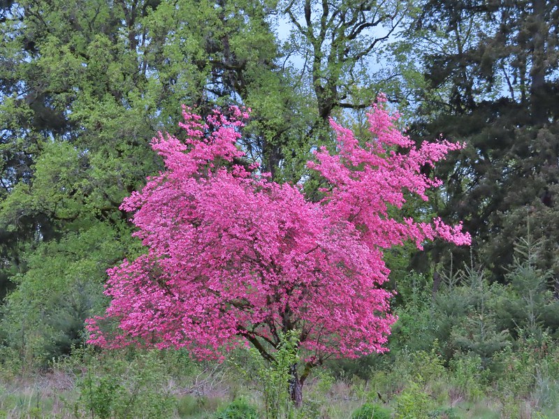
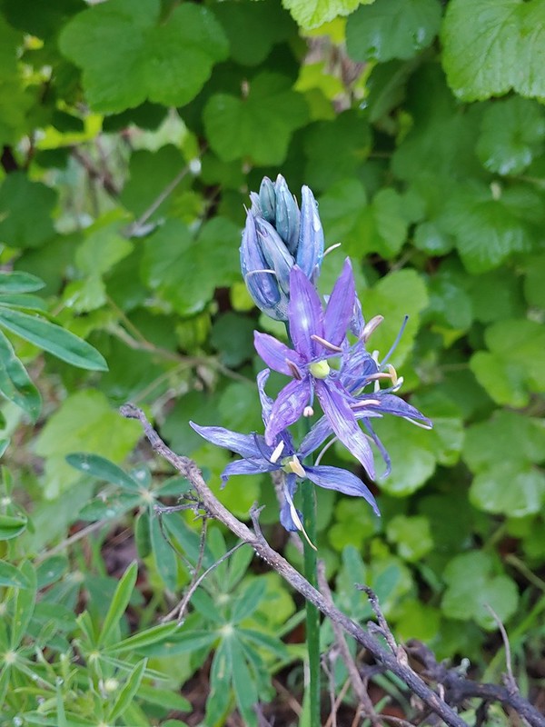 Camas
Camas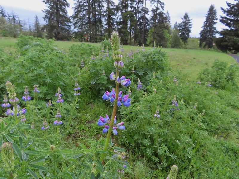 Lupine
 Habitat Trail
 We’ll blame our inability to read this sign on it still being early in the morning. We started down the path ahead before quickly questioning the direction and correcting course.
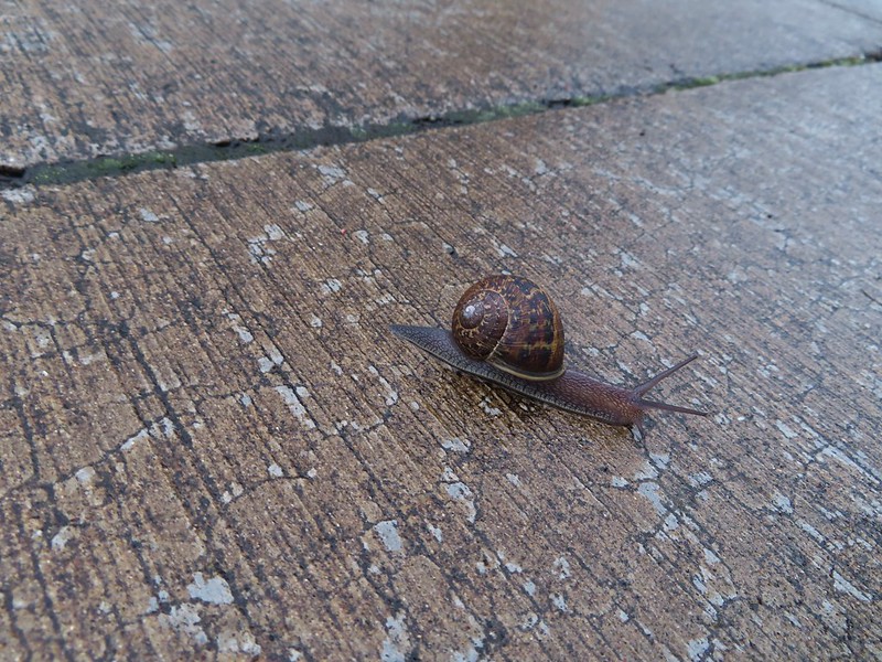 He probably knew which way he was going.
 Heading the right way now.
 NW Wilkins


 Another trail user


 Fringecup
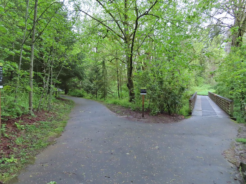
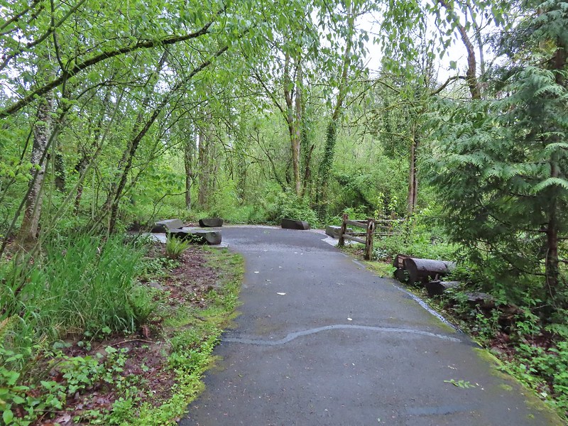

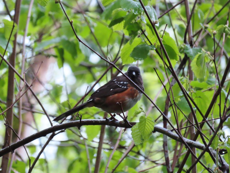 Spotted towhee
 Stellar’s Jay
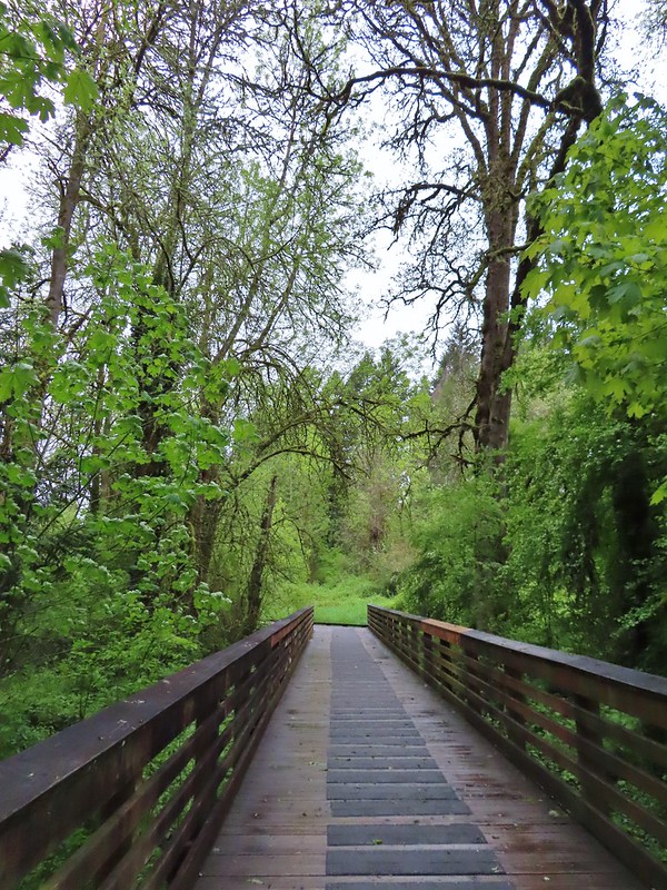
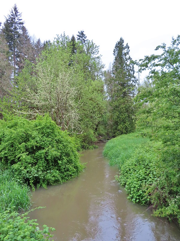
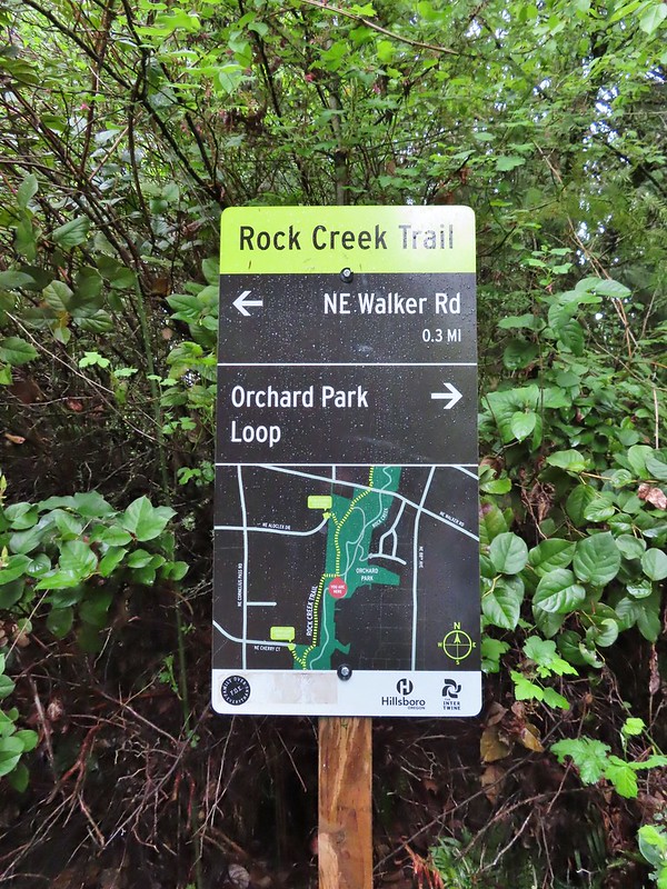 Second time staring at this sign.

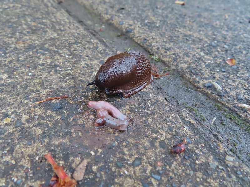 Not sure exactly how to interpret this scene – mourning, a murder, or breakfast?
 The slight jog right along NE Walker.


 Bridge of Rock Creek
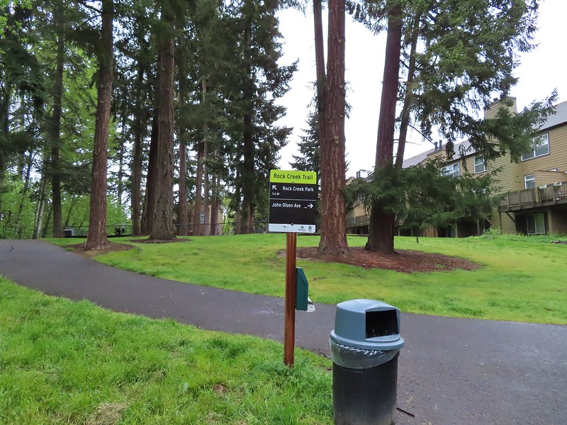 Look a pointer for John Olsen Avenue (just a lot further north).
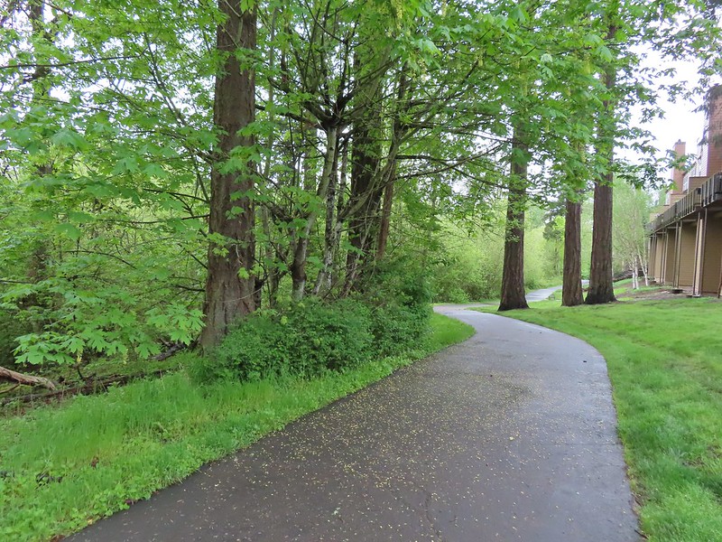
 Mallards (A pair of wood ducks flew off at the same time the mallards headed downstream.)
 Here is the only photo that I could even get with the little yellow bird visible at all.
 NE Evergreen Parkway
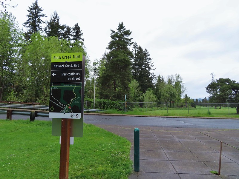
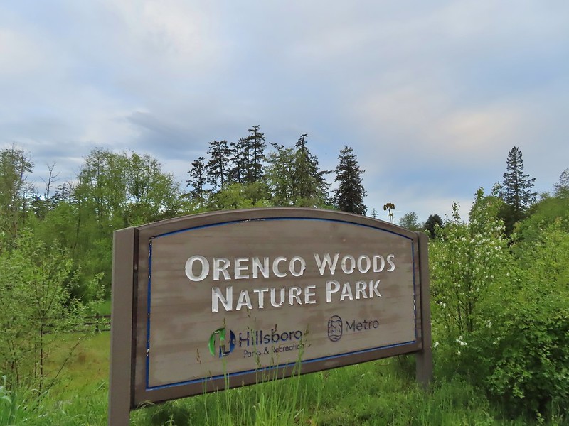
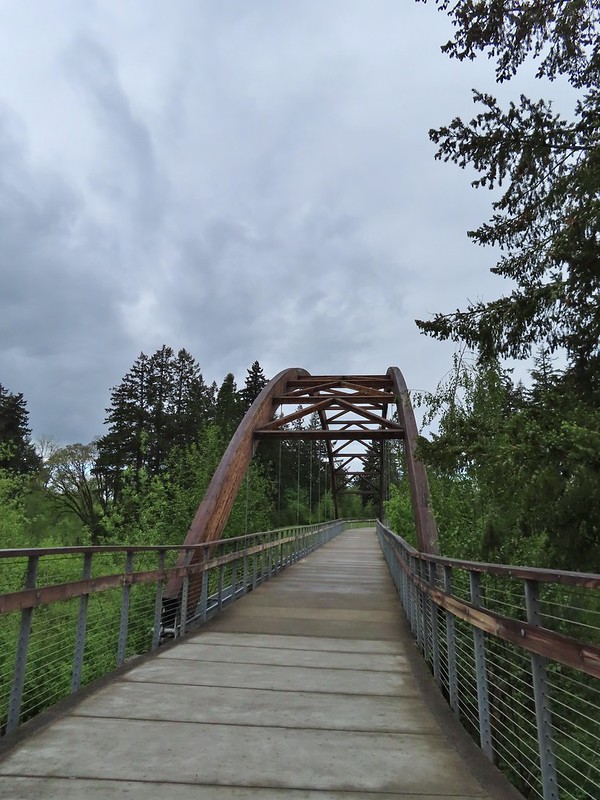

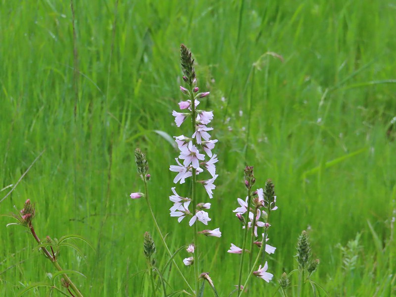 Checkermallow


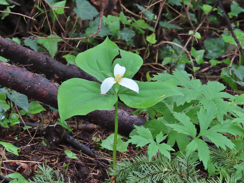 Trillium
 Solmonseal
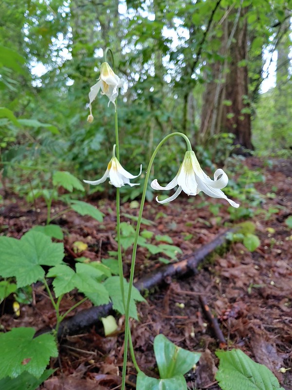 Fawnlilies
 Aven
Aven

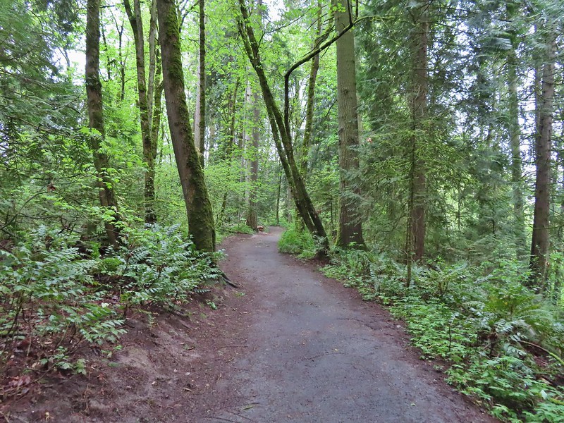


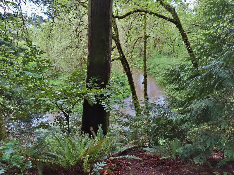 Rock Creek from the viewpoint.
 The back of the owl (middle tree 2/3 of the way up)

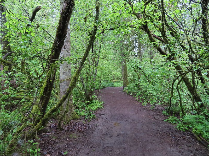
 Violets
 Swollen creek
 Fairy bells
 Cinquefoil
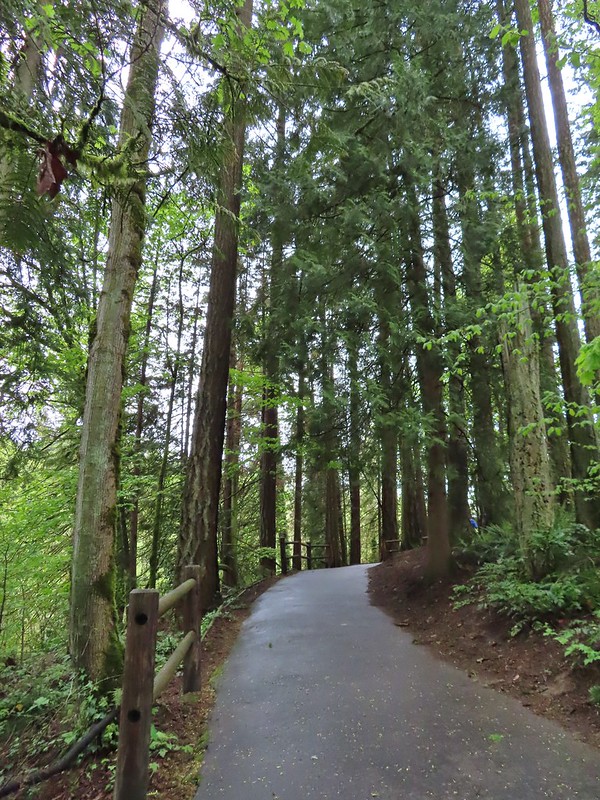 Nearing the trailhead.


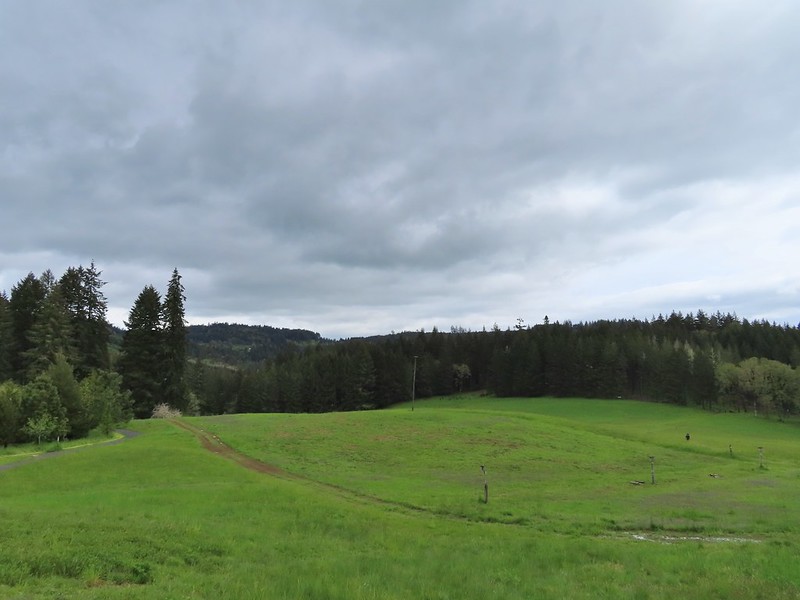
 A wren and a white-crowned sparrow
 American goldfinches
 Tree swallows
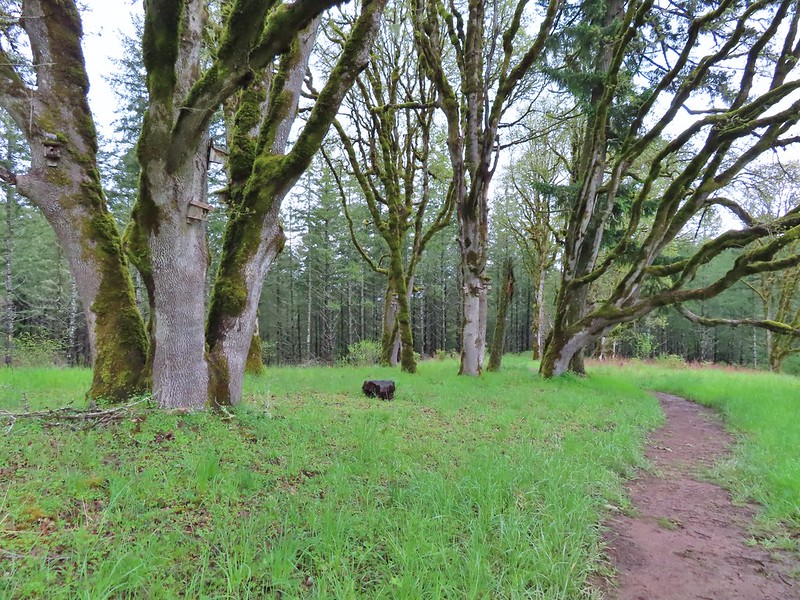

 Bleeding heart near the stream.
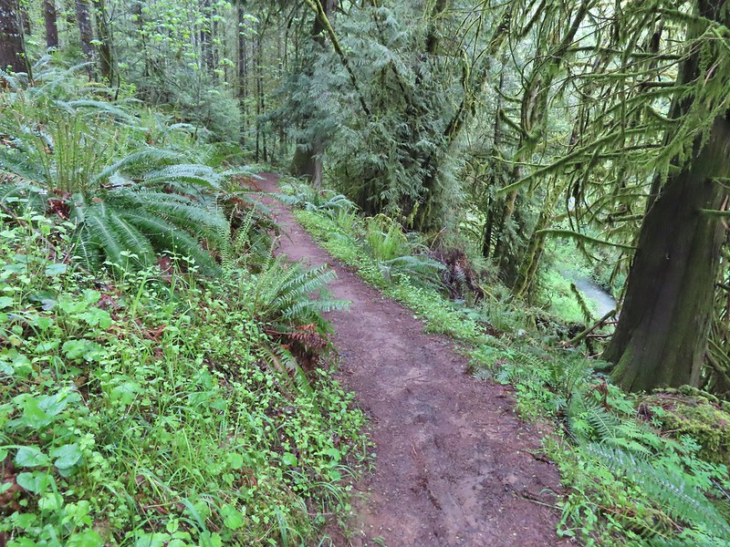 Berry Creek down to the right.
 There was a lot of wild ginger on the hillside.
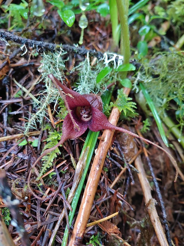
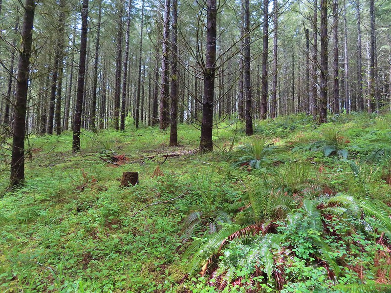
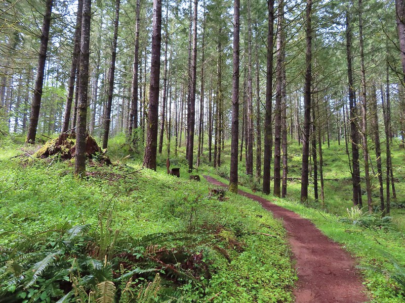


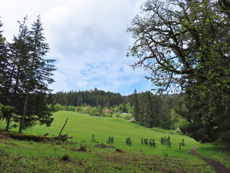
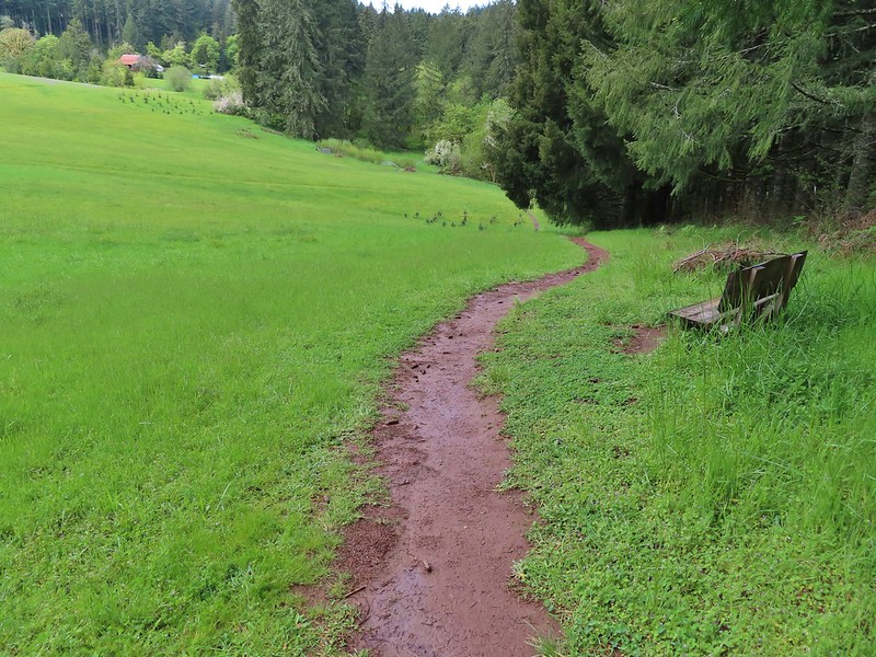
 Iris
Iris Buttercups
 Small garter snake
 Approaching the bridge and creek.
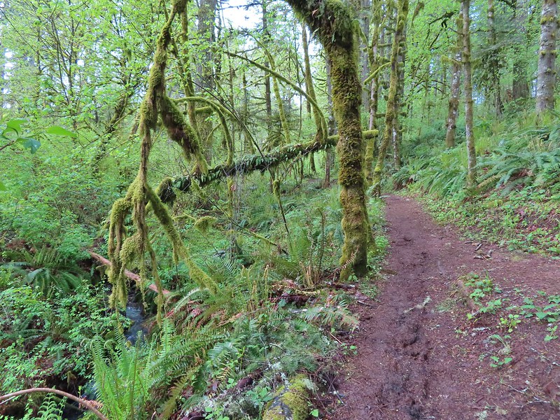
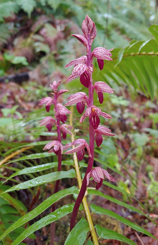

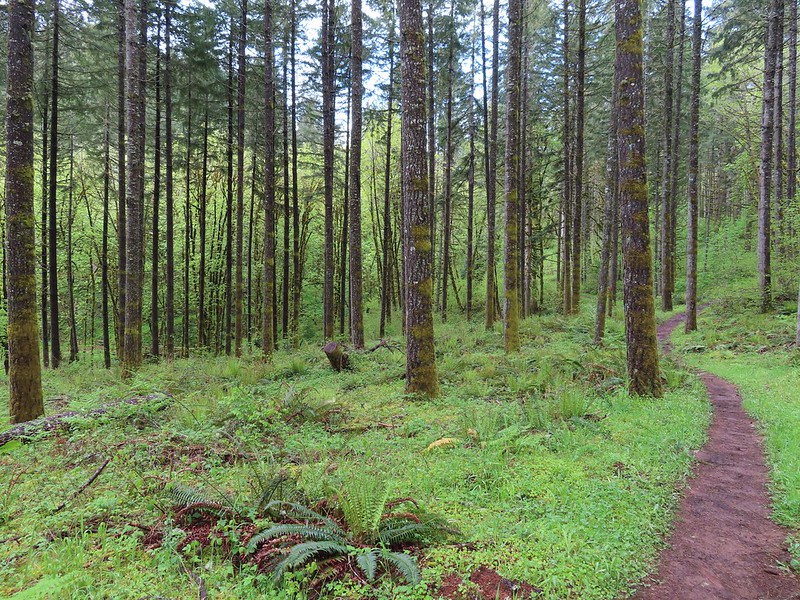
 Sparrow
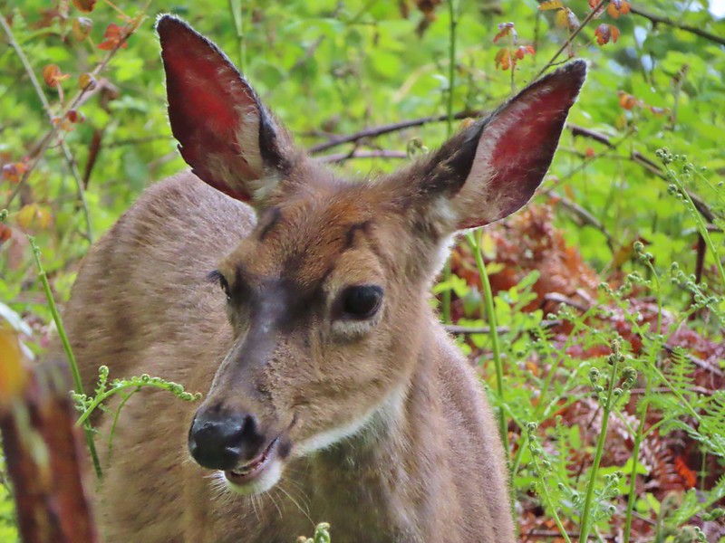 Doe just hanging out in a patch of poison oak. (It doesn’t bother deer.)
 Nearing the high point of the trail at K.T. Summit
 Spotted coralroot
 K.T. Summit
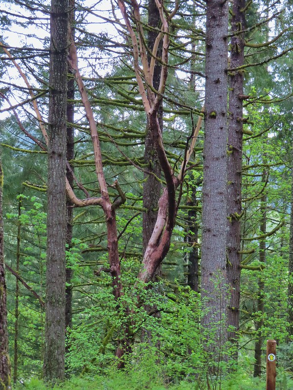 A very cool madrone tree.
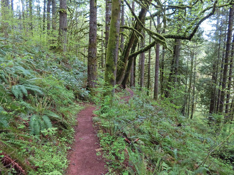
 Two more deer with a third off camera.
 There was at least one identifier for each tree listed on this sign. The signs were particularly nice because many were next to younger trees which made it easier to see the needles and bark instead of just look at a trunk and having to look up to try and see other details of the trees.
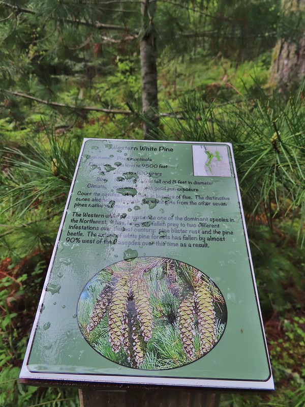 Western white pine
 Western larch
 Vanilla leaf
 Fairy slippers
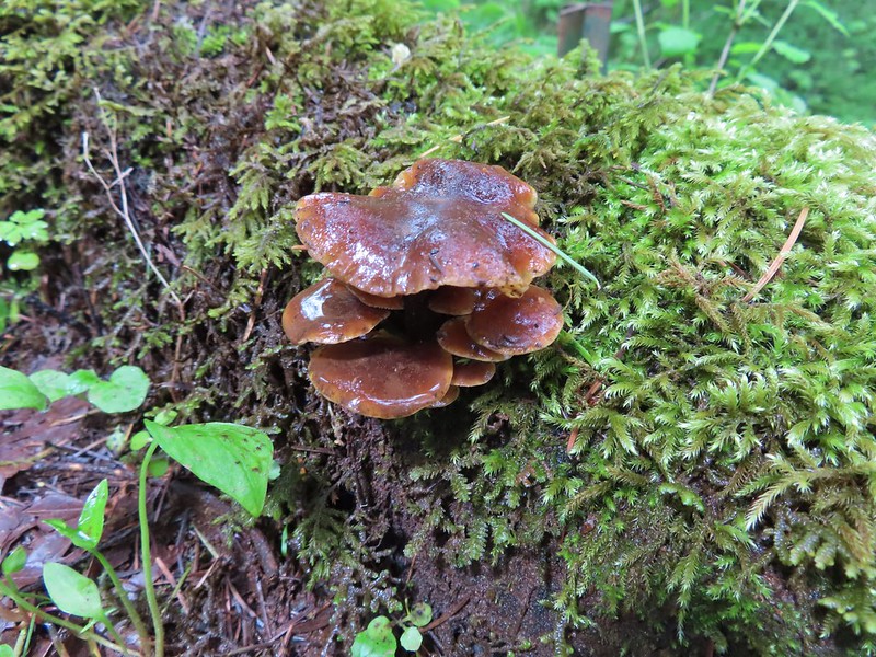


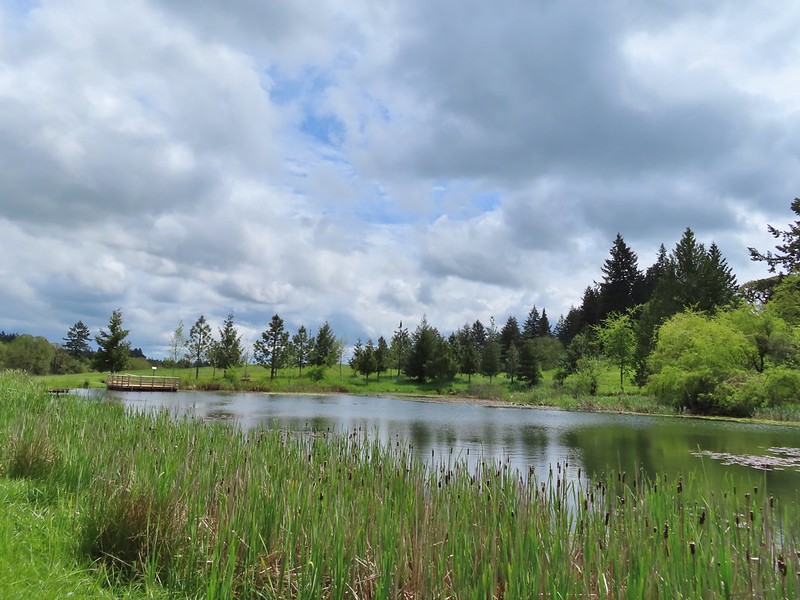
 Frog near the pond.
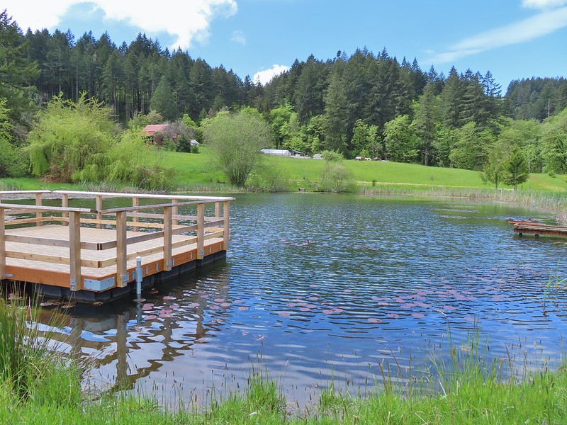
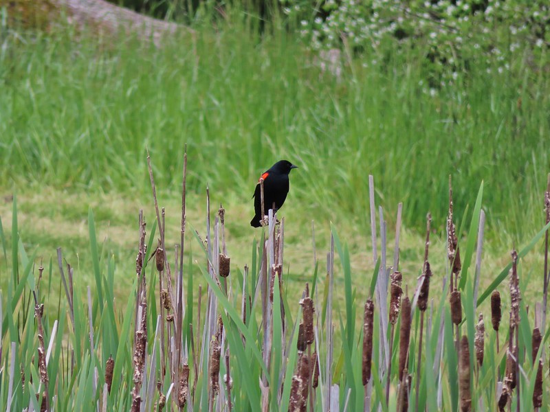 Red-winged blackbird

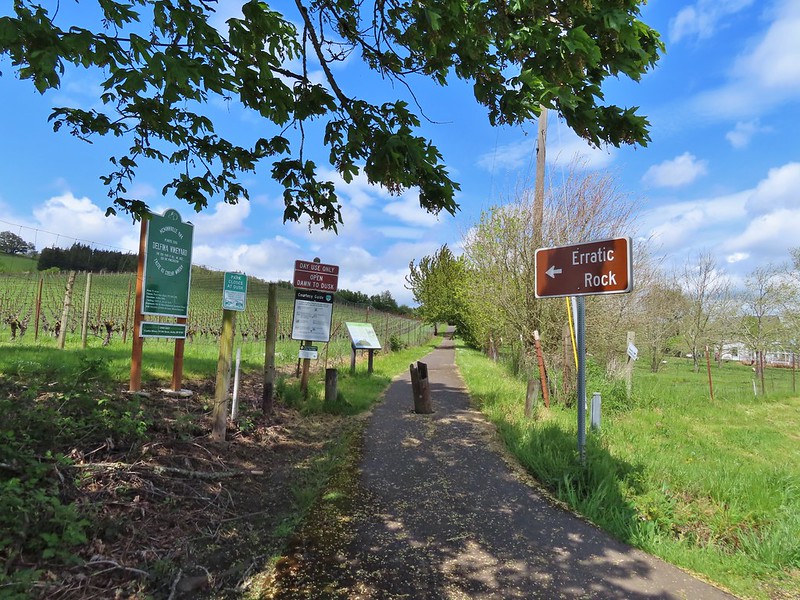
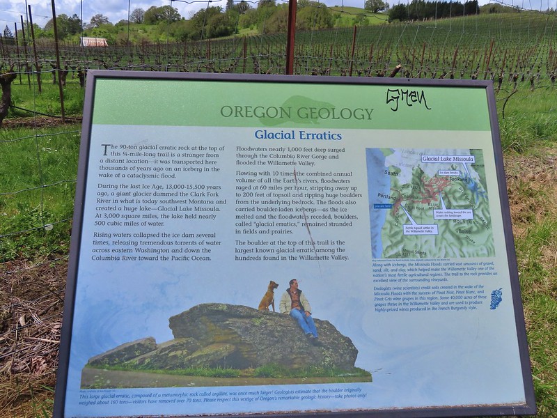 Interpretive sign at the start of the trail.
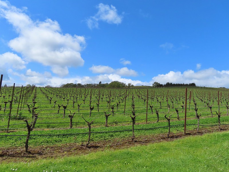 Vineyard along the trail.
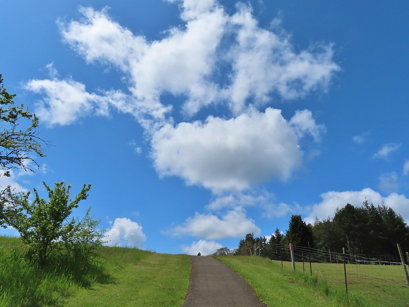

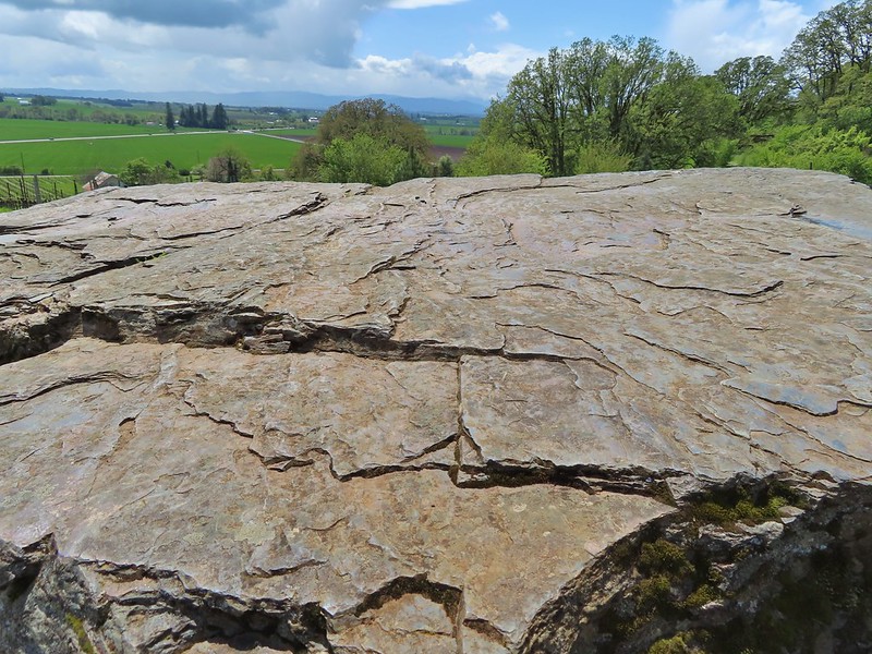
 Trailhead sign at the south end of the rest stop. Brochures were located in the small box under the sign.
 Map on the trailhead sign.
 Red Sun through the smoke.
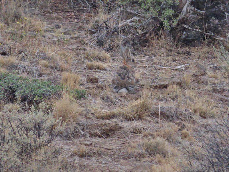

 The Harney Valley to the east.
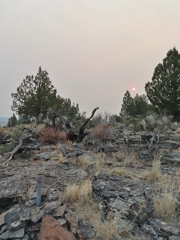 This stop was for a juniper that was blown apart by a lightning strike.
 The rest area from the loop.
 The last stop was to discuss the relationship between the junipers and the Idaho fescue that grows underneath.
 Deer in the nearly dry Marshall Pond
 Yellow headed blackbird
 California quail
 Owl
Owl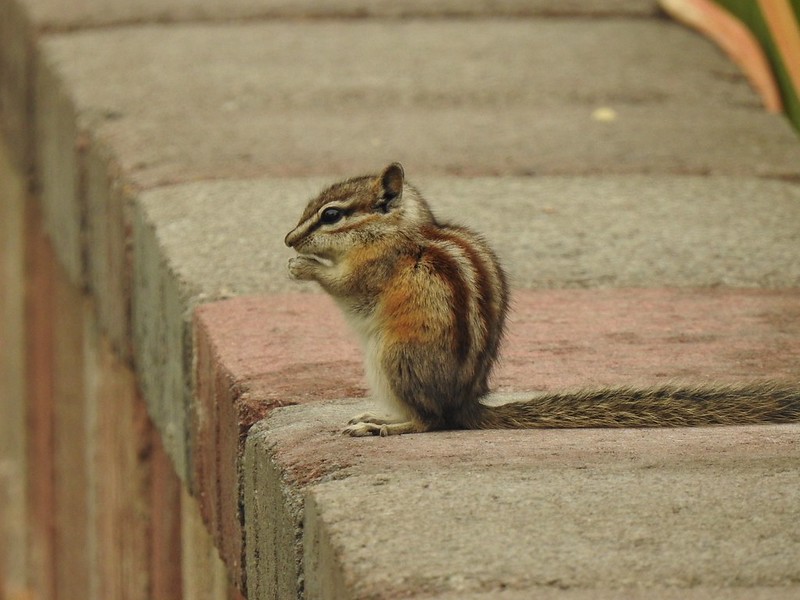 Chipmunk
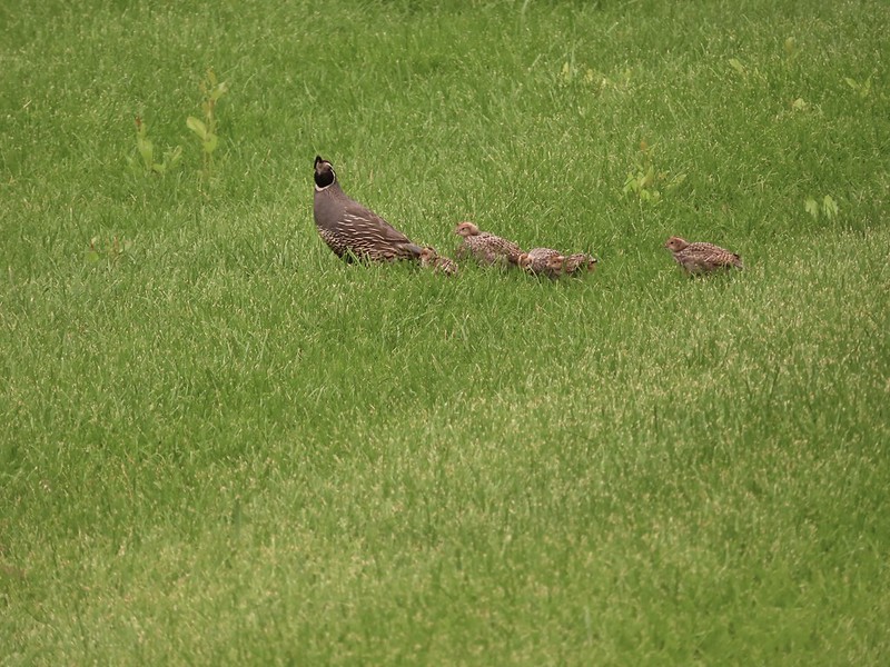 More quail
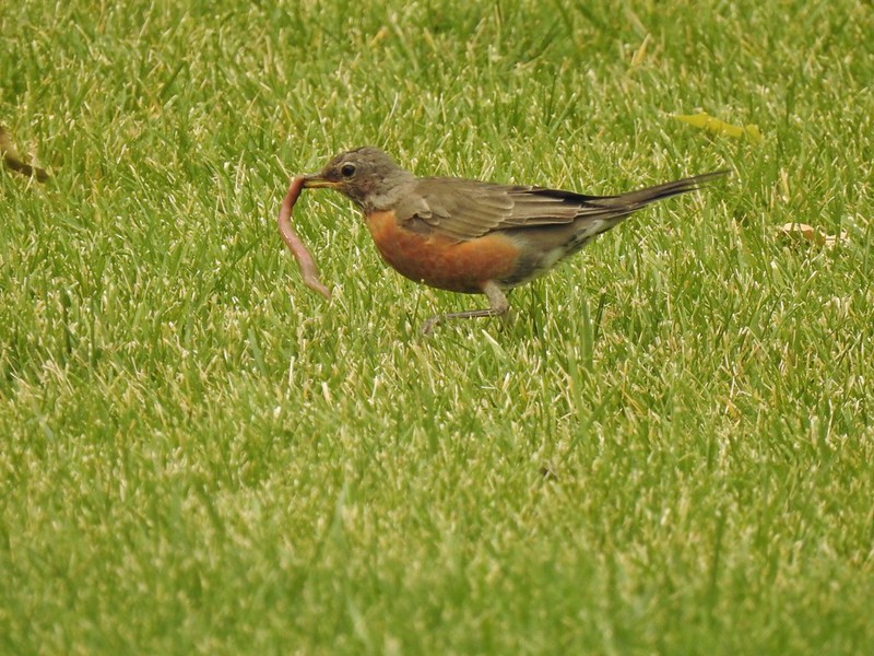 The early bird
 Hummingbird
 Little bird on a feeder
 Shrike
 Hawk and a magpie
 Osprey
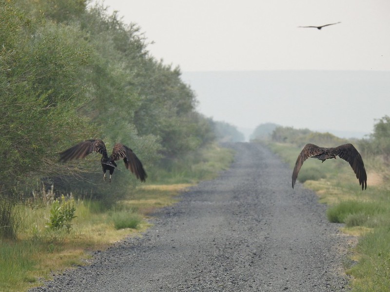 Turkey vultures
 Coyote
 Mourning doves
 Egrets and ducks at Benson Pond
 Old cabin at Benson Pond
 Another owl
 Another turkey vulture
 Grasshopper
 White faced ibis
 Great blue heron amid the ducks.
 A couple types of egrets it appears.
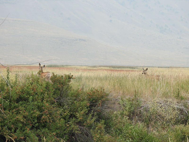 Deer that were in the Blitzen River
 Bounding fawn
 Ducks and coots at Knox Pond
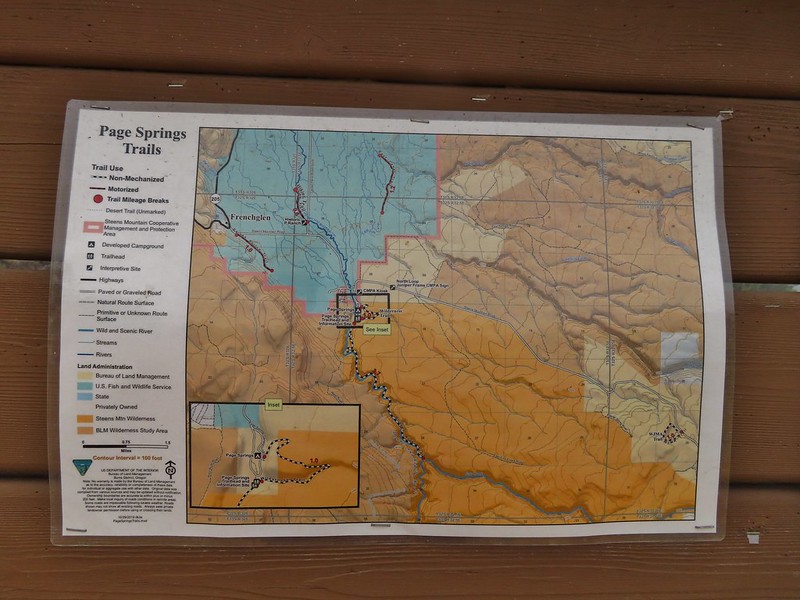

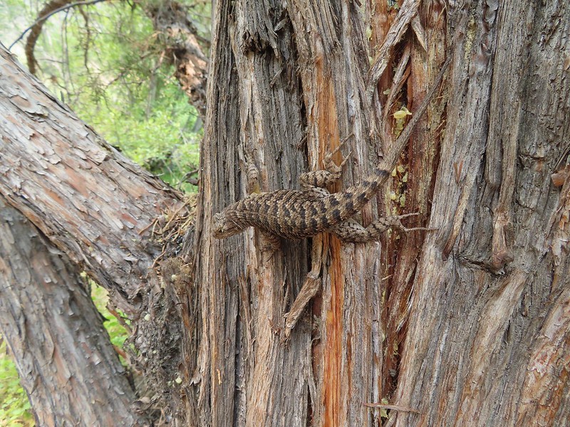
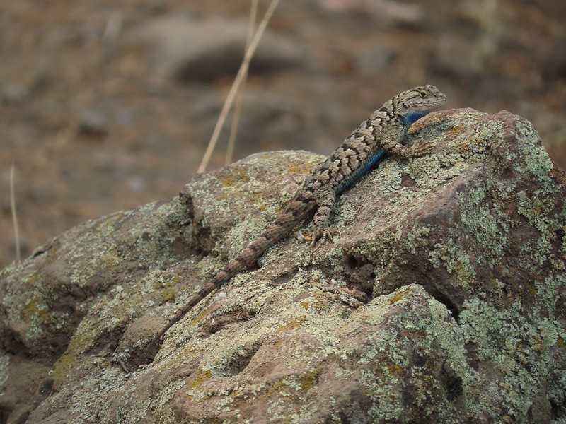

 Bee and a butterfly
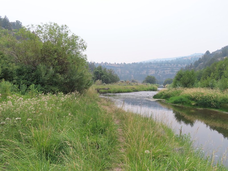
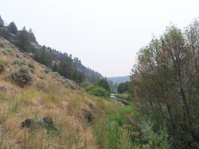 A brushy section.
 A bee and a skipper
 Praying mantis
 The “other” trail on the hillside at the 0.7 mile mark.
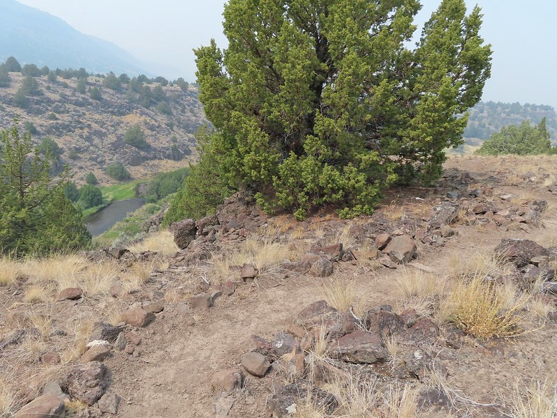
 A wren?
 Fence crossing
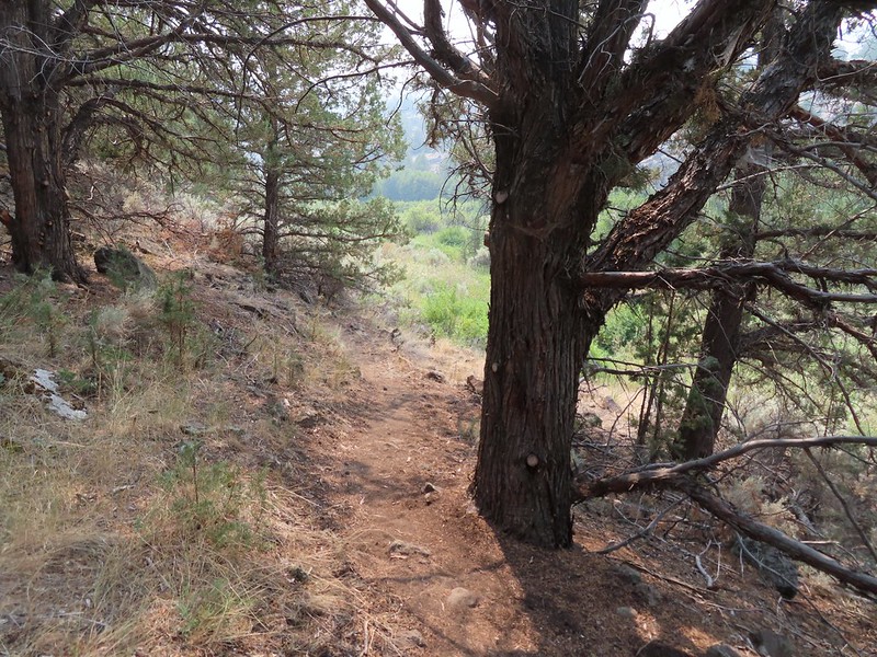 Rejoining the Donner und Blitzen Trail at the 0.4 mile mark.
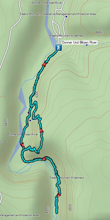


 Kiosk and bench at the trailhead.
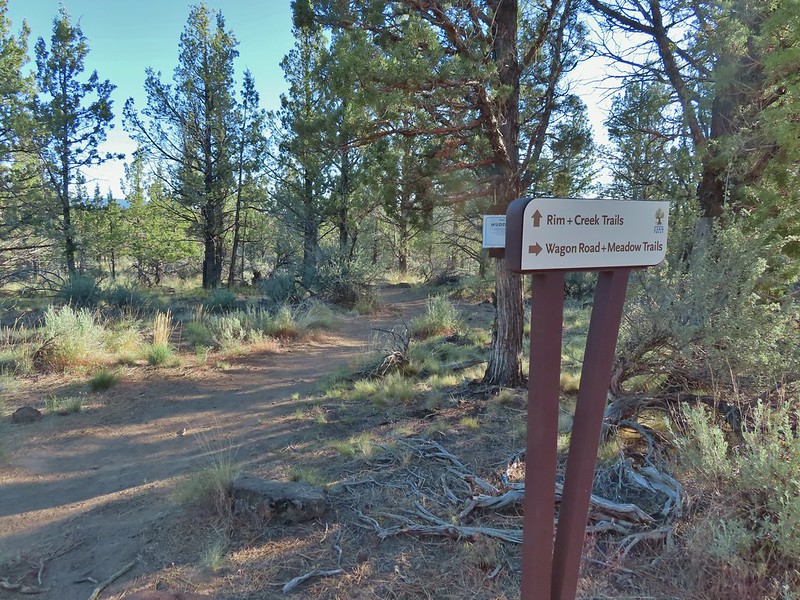
 Tent caterpillars (and the red gate)
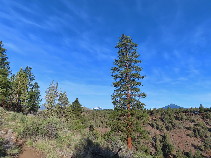 Mt. Washington and Black Butte (
 Broken Top, The Three Sisters, Black Crater (
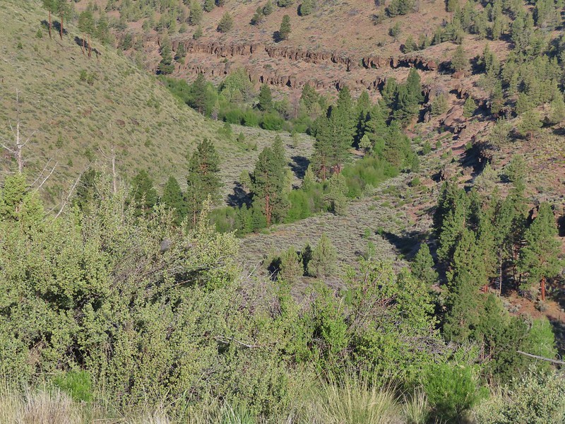 Whychus Creek was hidden by trees for the most part.
 Balsamroot
 Lupine
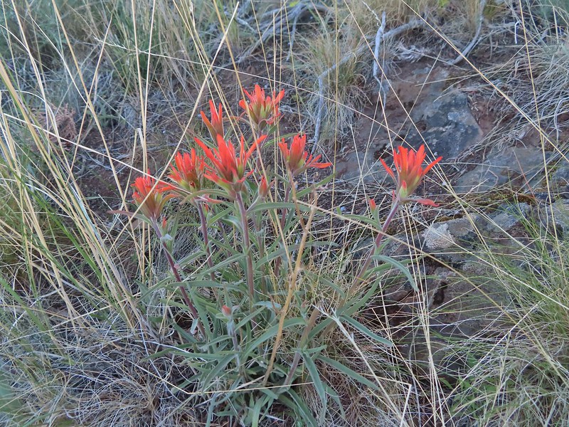 Paintbrush
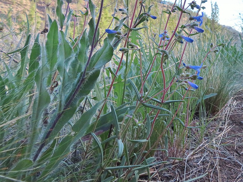 A Penstemon
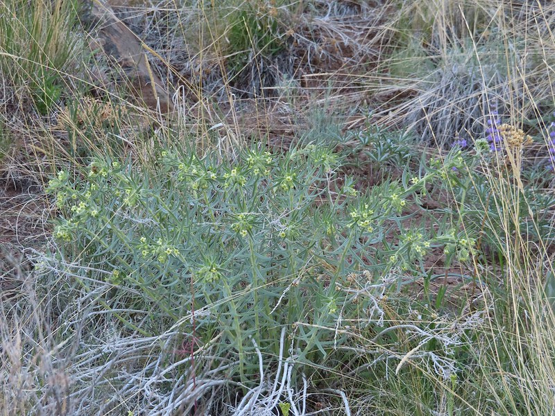 Western stoneseed
 Sedum leibergii -Leiberg’s Stonecrop
 Spreading stickseed
 Western wallflower
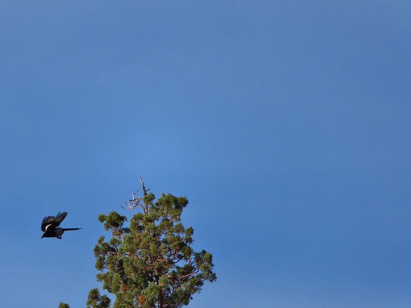 Magpie playing hard to get.
 Spotted towhee
 Black-headed grossbeak
 Ochre ringlet
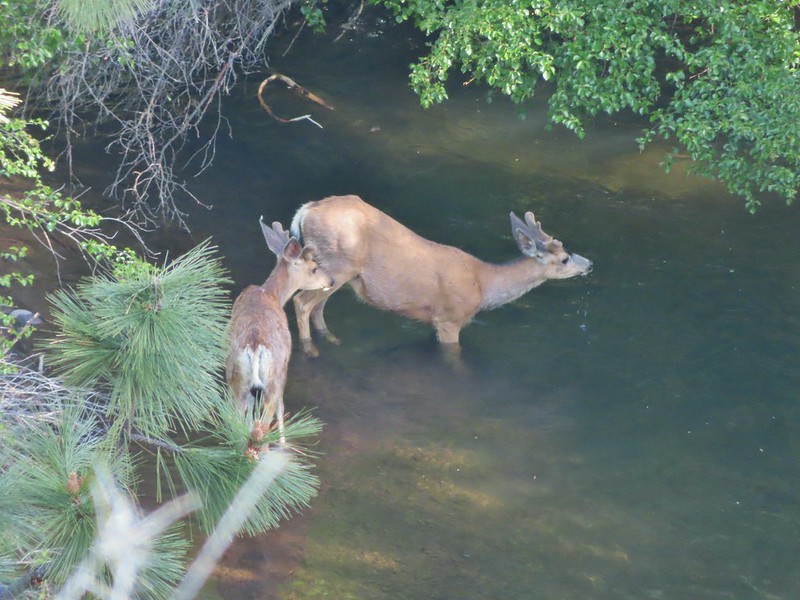 Pair of bucks in Whychus Creek
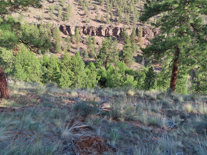
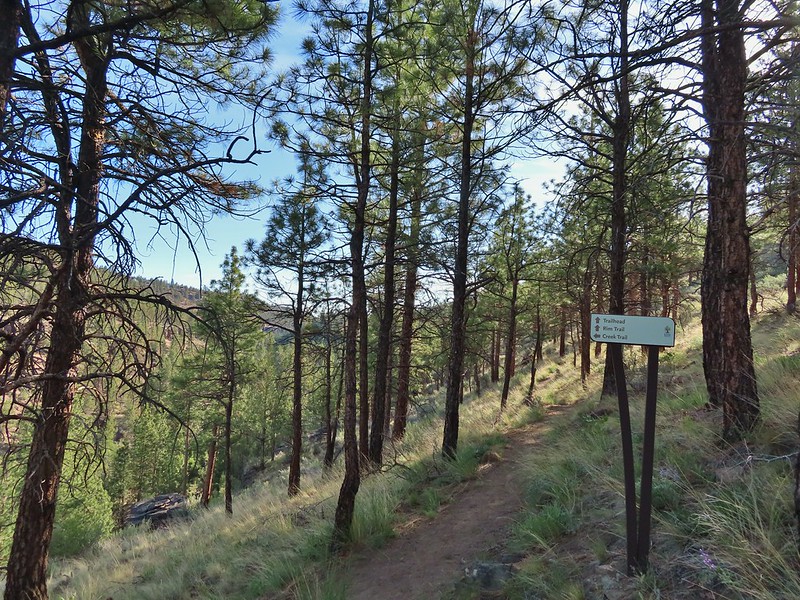
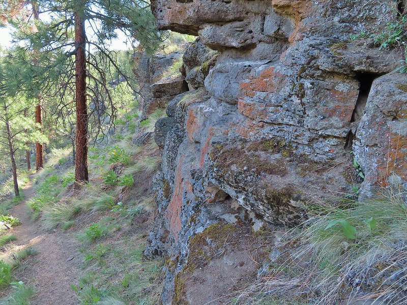

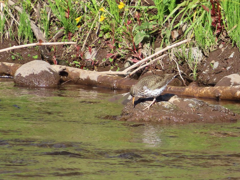

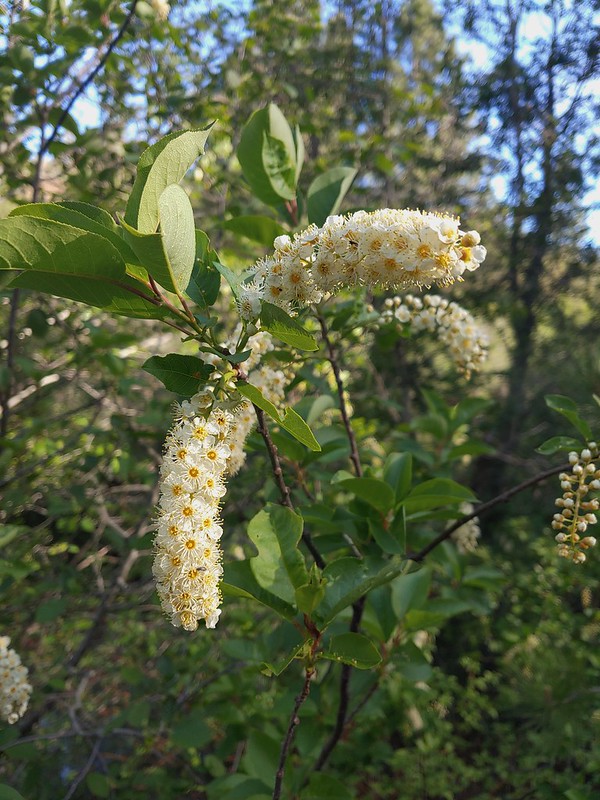 Chokecherry
 Star-flower false solomonseal
 Trail junction at the 0.8 mile mark.
 Spider on a wallflower.
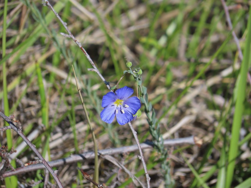 Lewis flax
 Heuchera cylindrica -roundleaf allumroot

 Oregon sunshine
 Buckwheat and penstemon
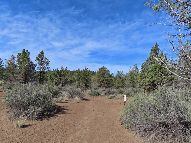 Sign post for the viewpoint.
 Heading for the rock outcrop/viewpoint.
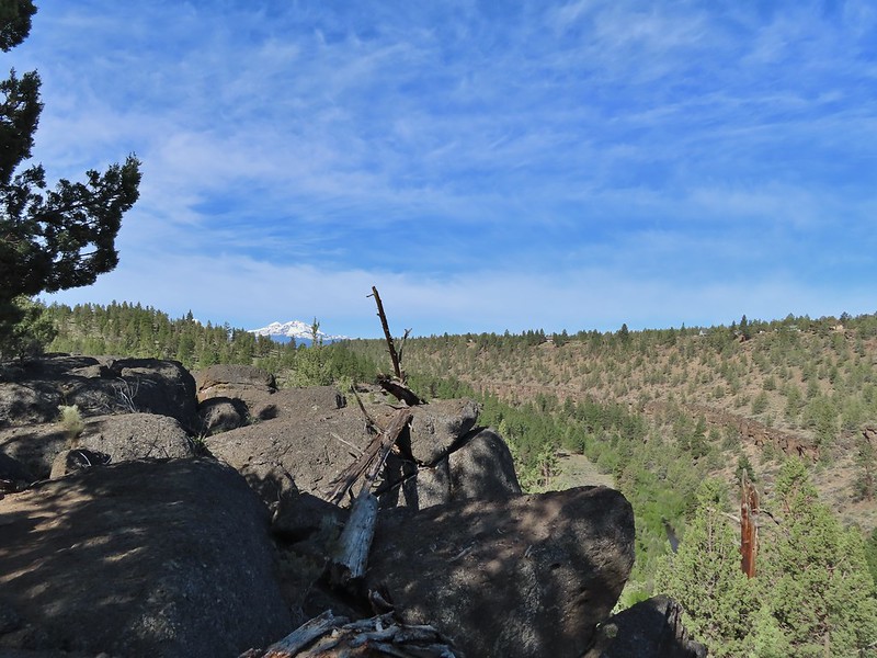 Middle and North Sister with Whychus Creek below.
 A monkeyflower
 Sand lilies
 Trail sign in the distance for spur trail to the Santiam Wagon Road.
 Death camas
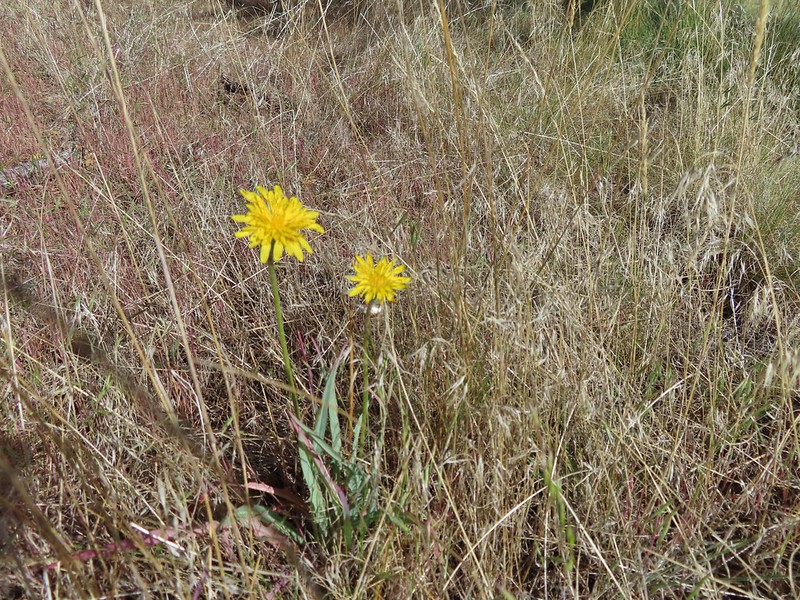 Sagebrush false dandelions
 Pinion jay
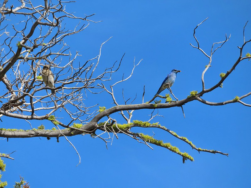 Mountain bluebird pair
 Mourning dove
 unidentified little songbird.
 Lizard
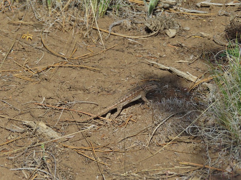 Second type of lizard
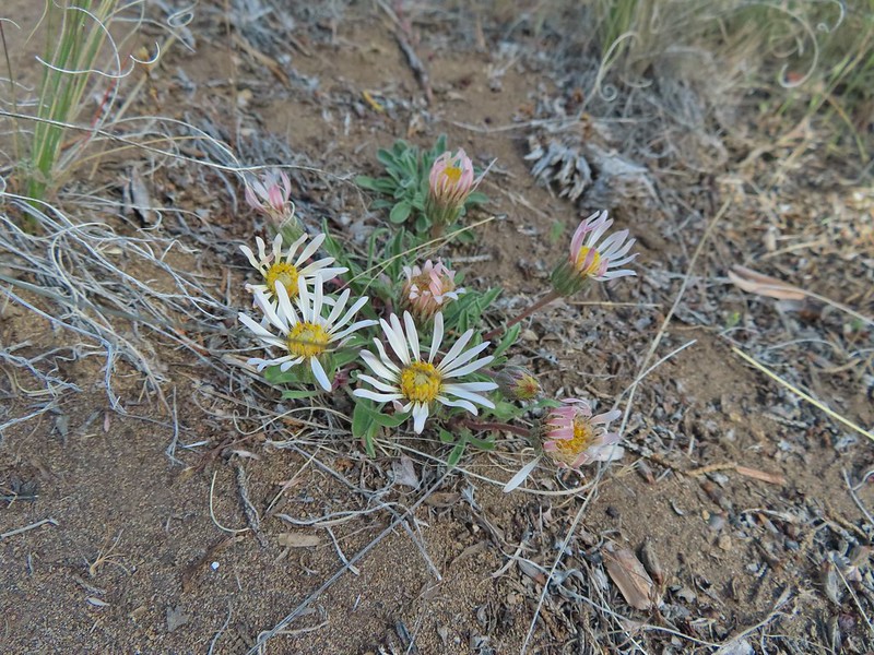 Showy townsendia

 Looking back up the dirt access road to the North Sister, Mt. Washington and Black Butte
 The trailhead signboard.
 Buckwheat
 Rough eyelashweed
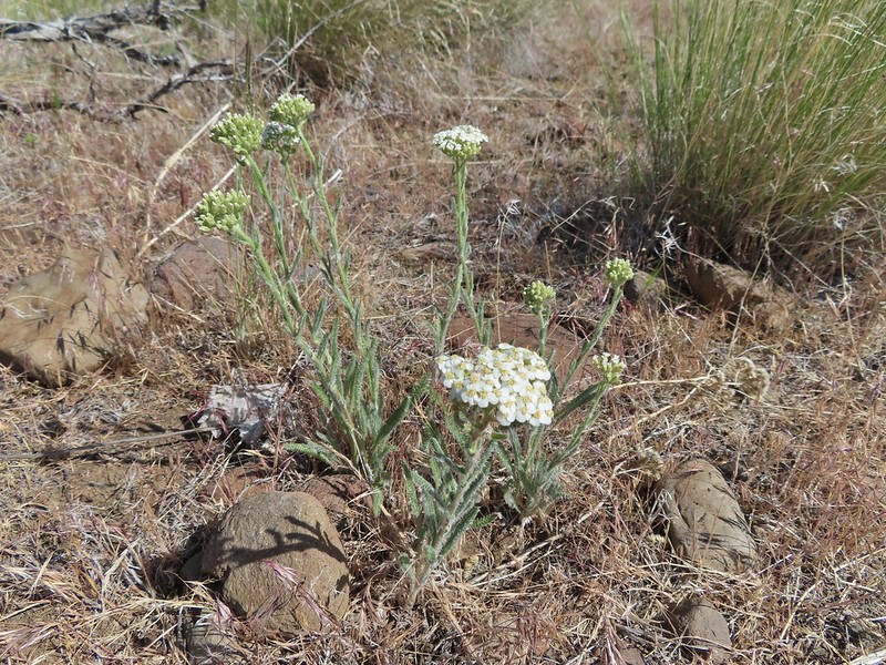 Yarrow
 Fiddleneck
 Largeflower hawksbeard
 Purple cushion fleabane
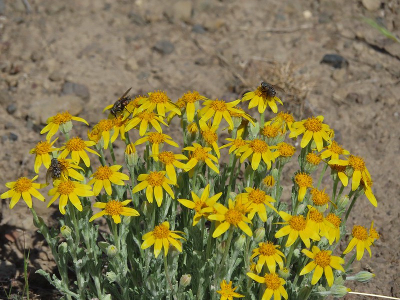 Oregon sunshine
 Blue mountain prairie clover
 Lewis flax
 Lupine
 Bearded hawksbeard
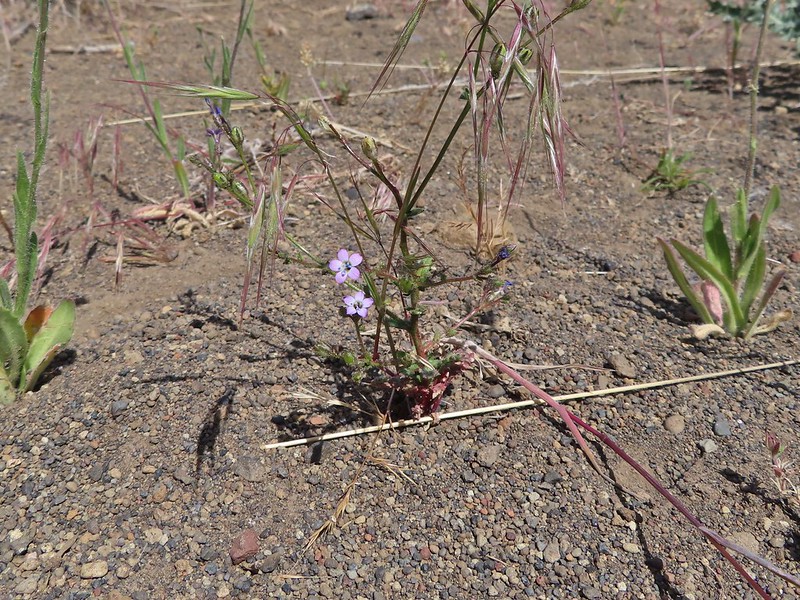 Haven’t id this one yet.
 The Three Sisters, Belknap Crater and Mt. Washington with some dancing clouds.
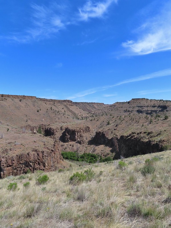 Whychus Creek Canyon
 Love the different rock formations in the canyon.
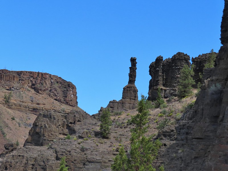
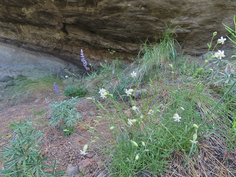 Catchfly
 Balsamroot
 Paintbrush
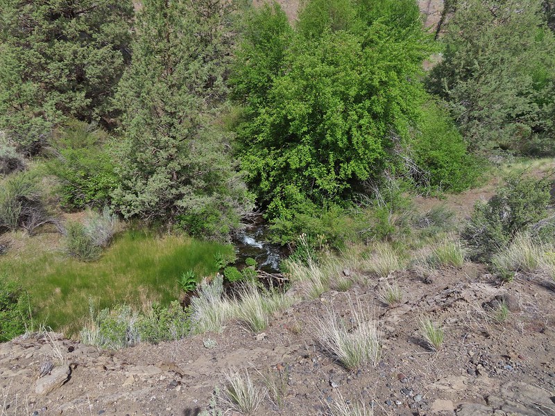 Pretty sure this side creek was dry on our previous visit.
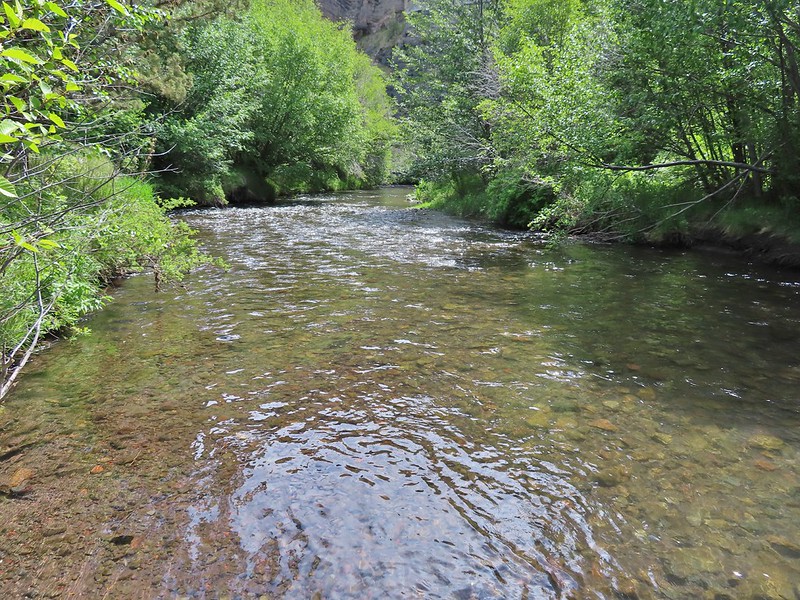 Whychus Creek at the ford.
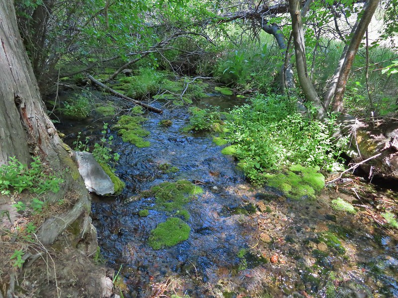 Alder Springs
 Columbine
 A clarkia, possibly Lassen
 Threadleaf phacelia
 Unknown

 Creek dogwood and a beetle covered in pollen
 Grand Colloma
 Deadly nightshade
 Rose with crab spider
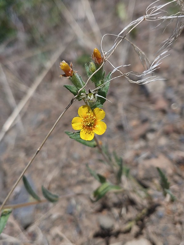


 Dragon fly
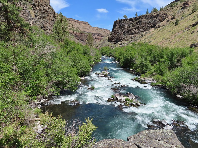
 Confluence of the Deschutes (left) and Whychus Creek (right).
 Bald eagle

 Cedar hairstreak
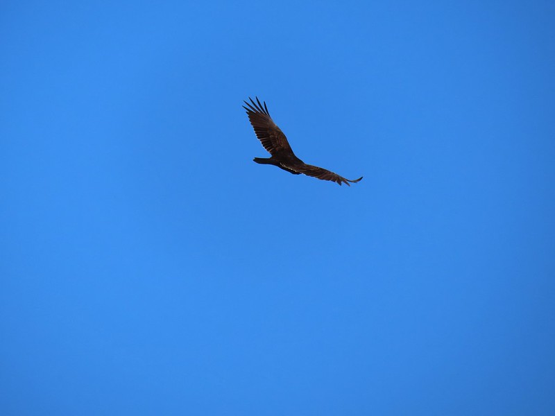 Turkey vulture
 Mountain chickadee
 Trailhead on McGrath Road.
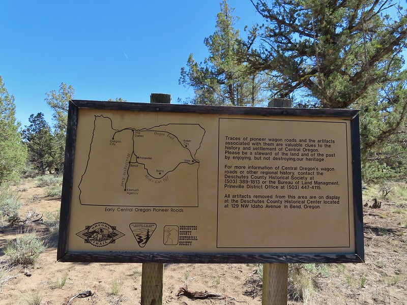
 A 300+ year old juniper named an Oregon Heritage Tree
 Sagebrush, juniper and lava – my childhood 🙂
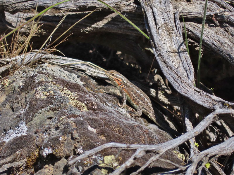
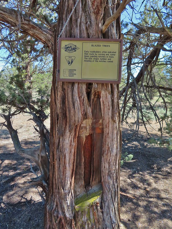 Tree blaze
 Buckwheat
 Ruts along the wagon road.
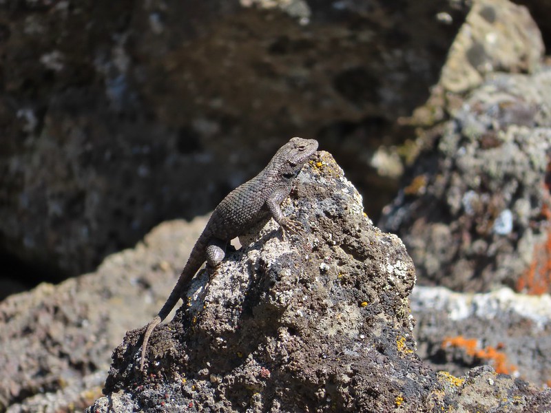
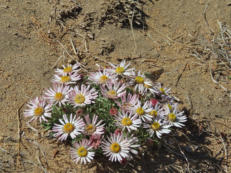 Skipper on Showy townsendia.
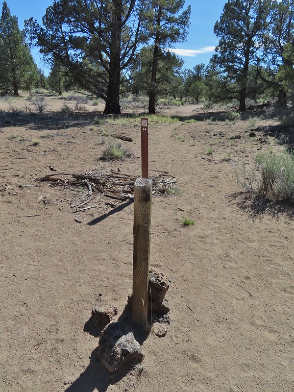 Post marking the relic fence line and turnaround point.
 An old fence post and barbed wire.
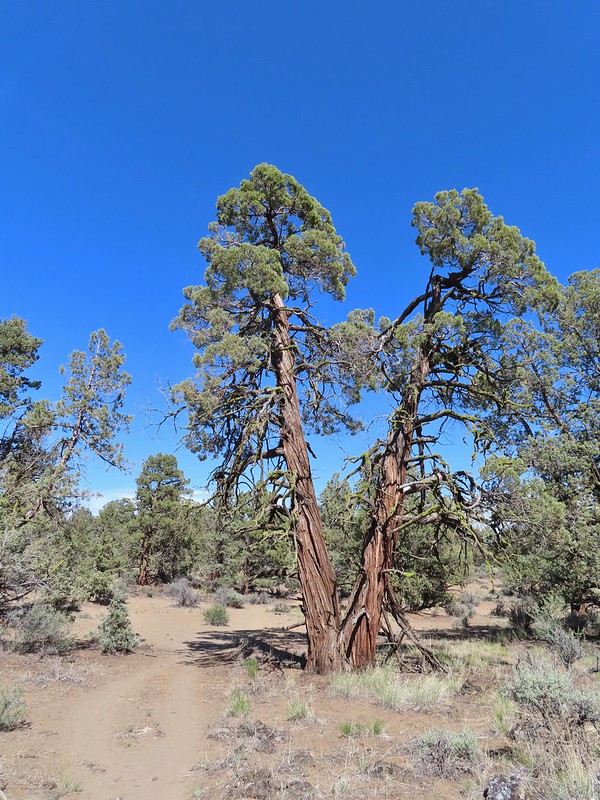 Junipers are some interesting trees, they come in all shapes and sizes.


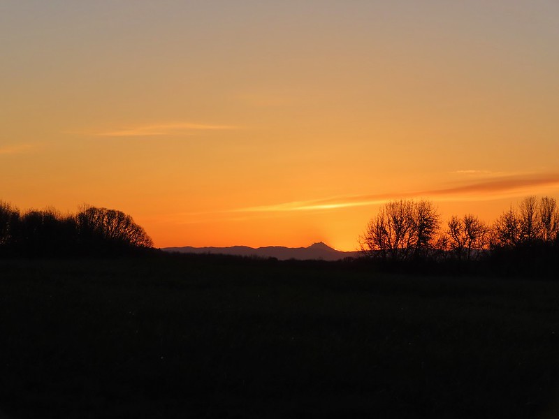
 Mt. Hood from the refuge road
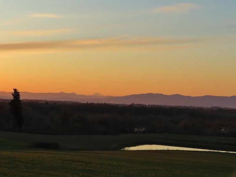 The Three Sisters from the road
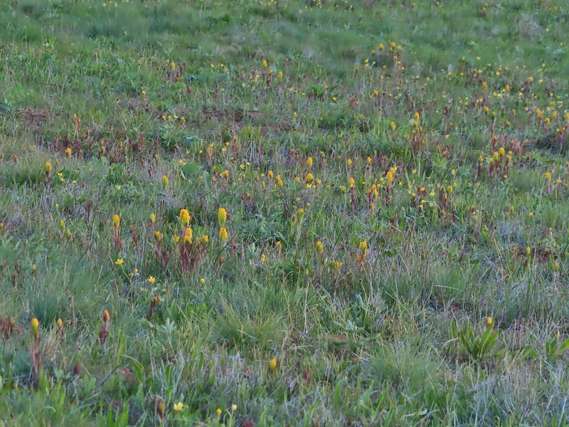 Yellow paintbrush
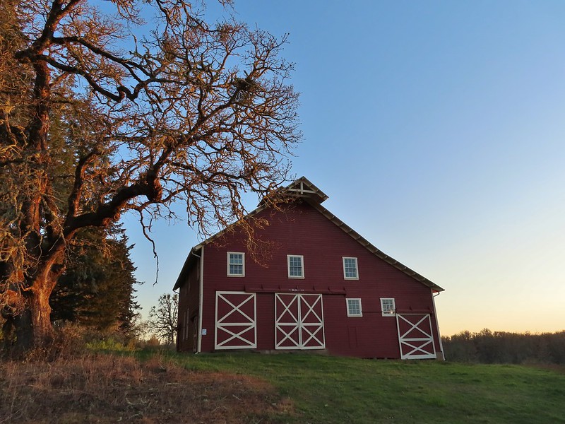 Cabell Barn
 Rabbit at the lodge
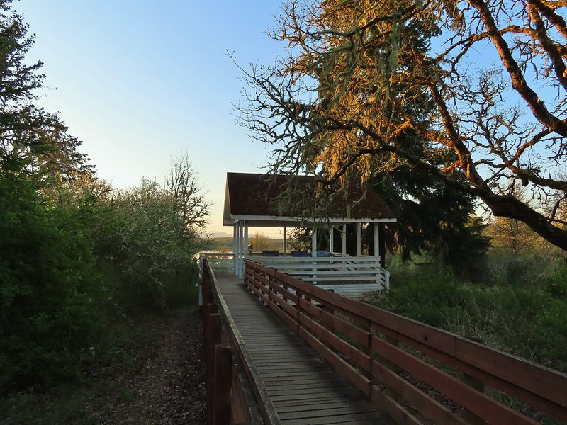 Cabell Marsh Overlook
 White crowned sparrows
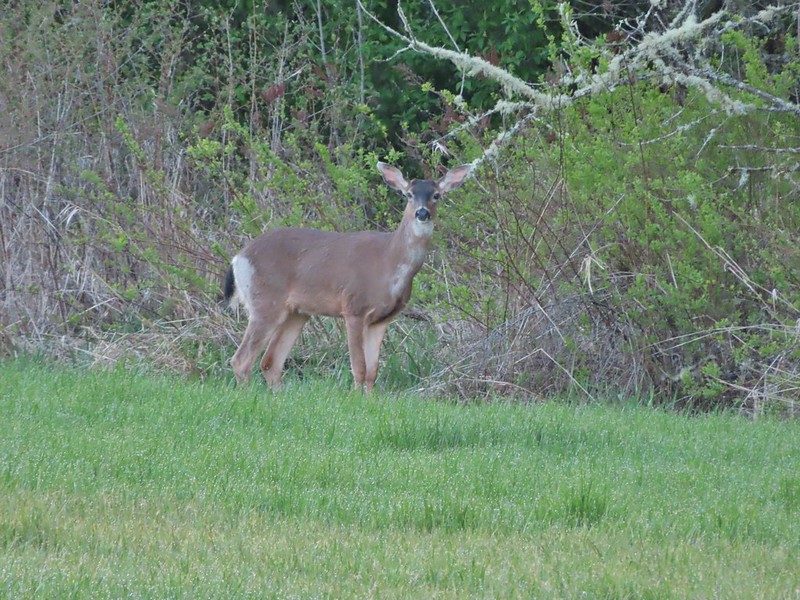 Deer in a field near Cabell Marsh
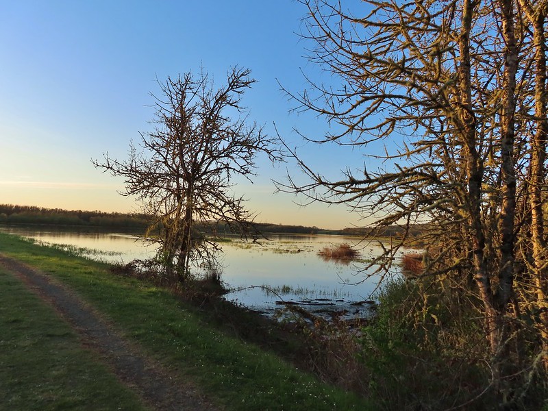 Cabell Marsh (the marsh had been drained when we visited in 2020)
 Norther shovelers
 American coots
 Ring-necked ducks
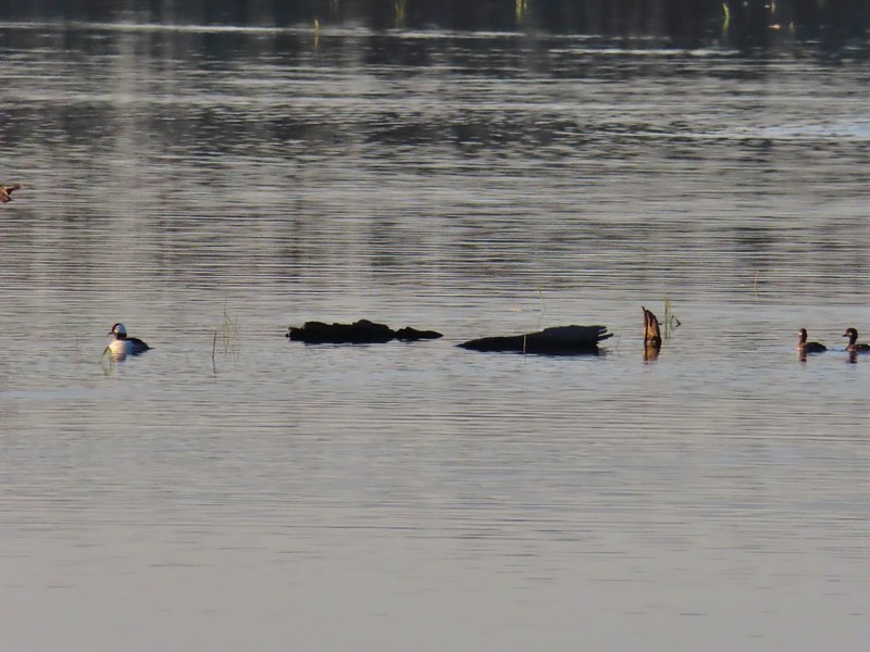 Buffleheads
 Black pheobe
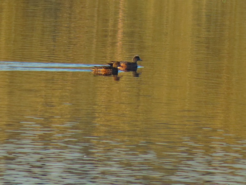 American wigeons
 Cabell Marsh
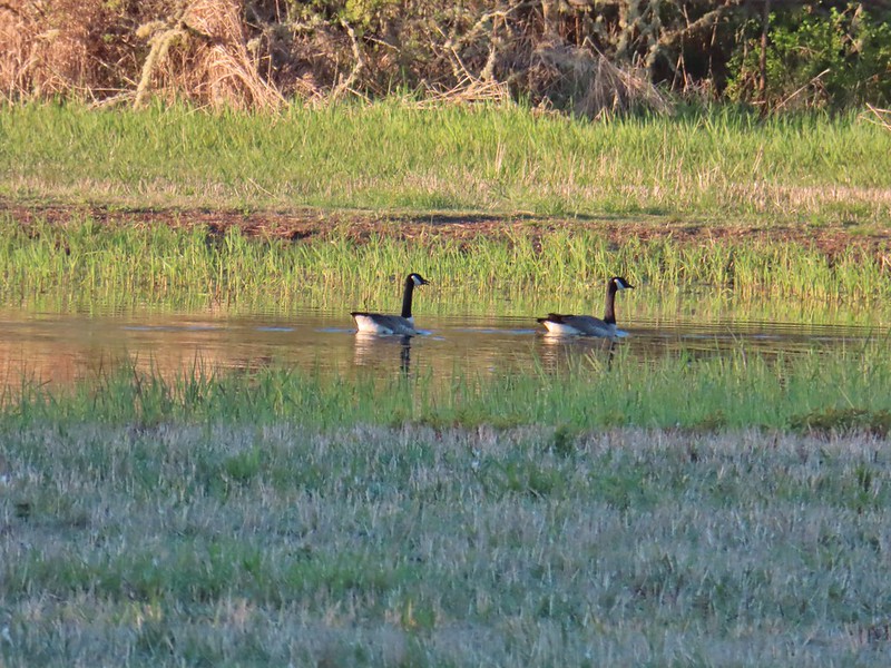 Canada geese
 Wood duck, ring-necked ducks and a pied billed grebe
 More northern shovelers
 Ring-necked ducks
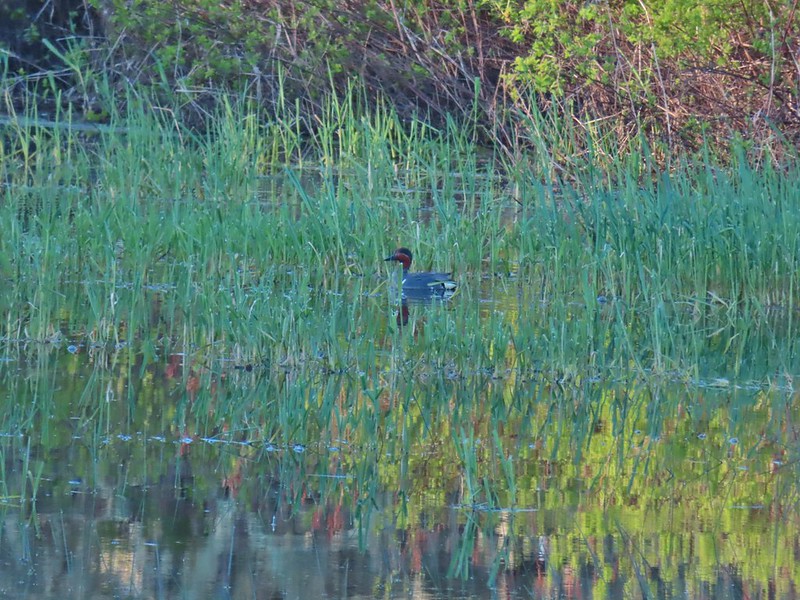 Green winged teal
 Robin
Robin
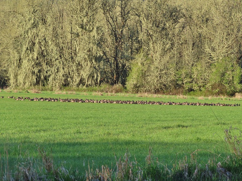

 Killdeer
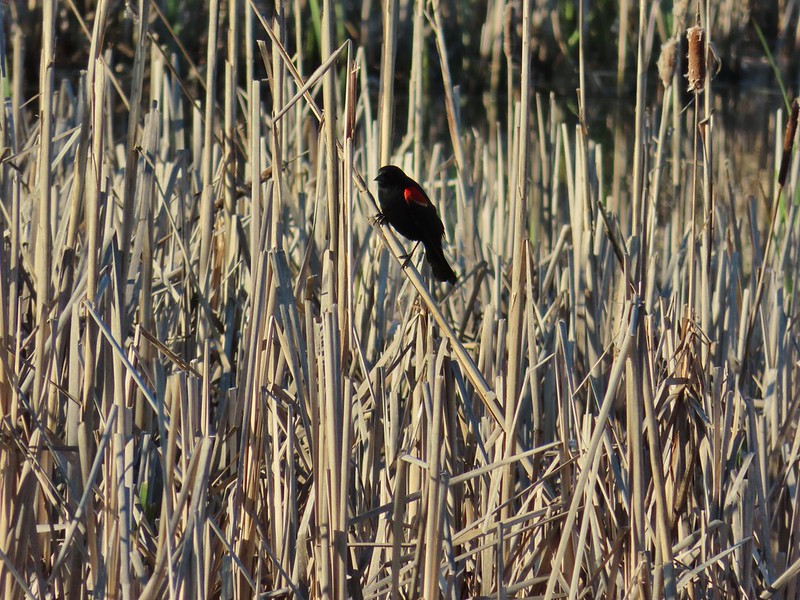 Red-winged blackbird
 Junction with the Pigeon Butte Trail (grassy track heading uphill)
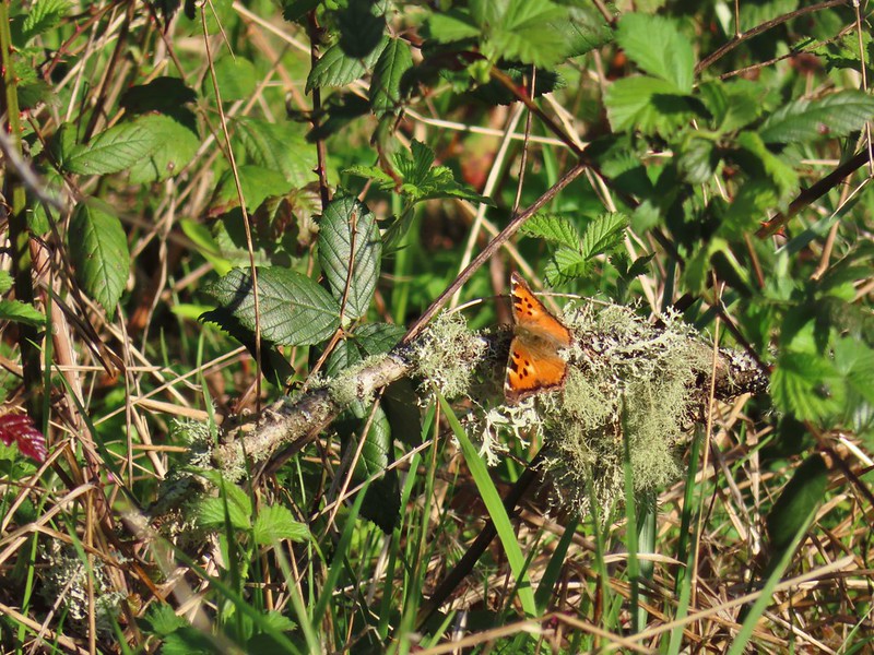 Tortoiseshell butterfly
 Spotted towhee serenade
 Bewick’s wren
 Madrone
 Mourning dove
 Camas blooming near the summit
 View from Pigeon Butte
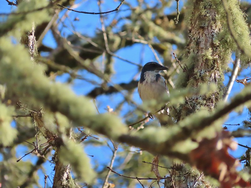 Scrub jay spotted on the way down.
 One of the “blue” butterflies, maybe a silvery blue
 Acorn woodpecker
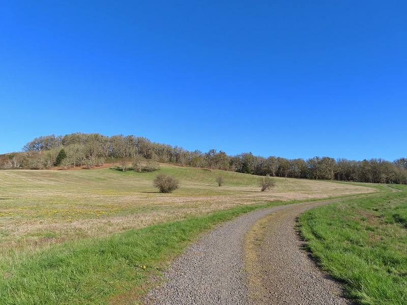 Looking back at Pigeon Butte, the yellow paintbrush was starting its bloom on the hillside.
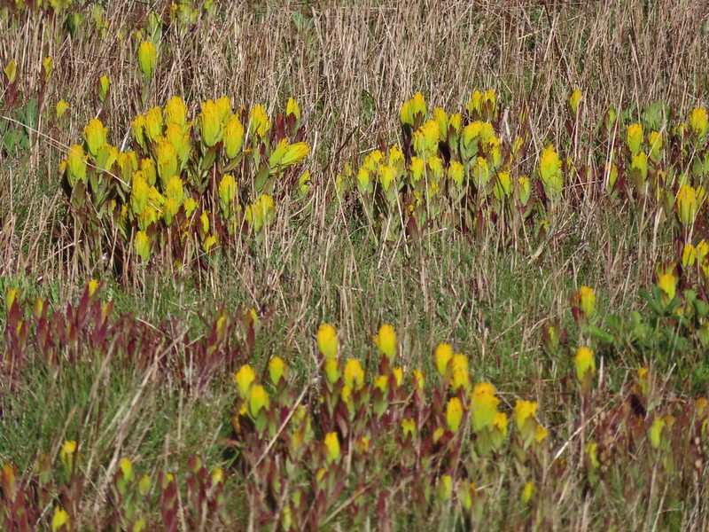

 Looking back at Pigeon Butte and the Cheadle Barn
 Western bluebird
 Bruce Rd and a sign for the overlook.
 Swallows at the overlook
 Mary’s Peak and Pigeon Butte from the overlook.
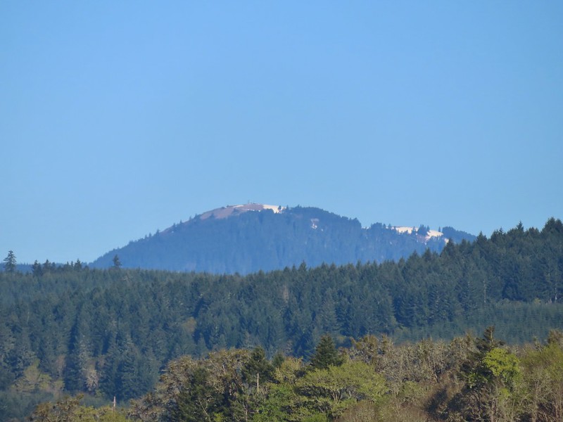 Mary’s Peak (
 Ground squirrel on Bruce Rd.
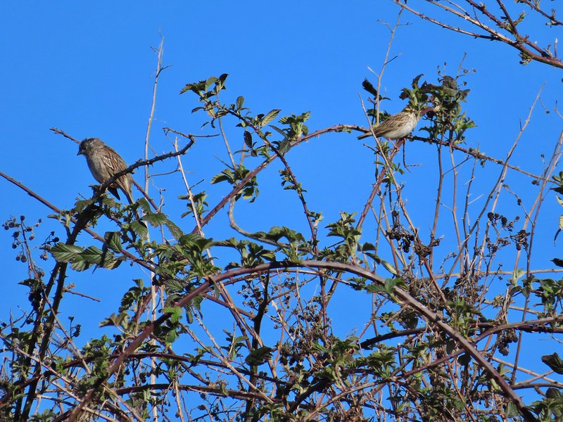 Sparrows
 Western bluebird
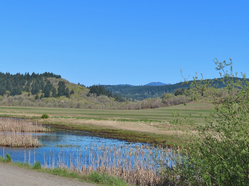 Mitigation Wetland
 Egret
Egret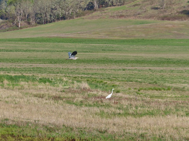 heron flying by the egret
 Northern shoveler
 Green winged teals
 Trailhead off of Bruce Road
 Ground squirrel
 Entering the woods
 Giant white wakerobin
 Fairybells
 Startled heron
 Egret and a cinnamon teal pair and maybe an American wigeon
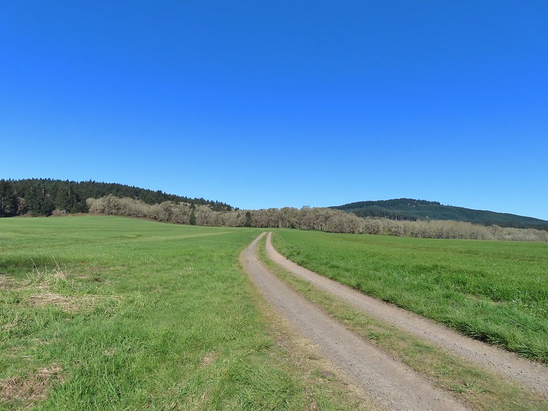
 Candyflower
 The pink turned out to be shooting stars.
 Iris
Iris Bleeding heart
 One of many fairy slippers
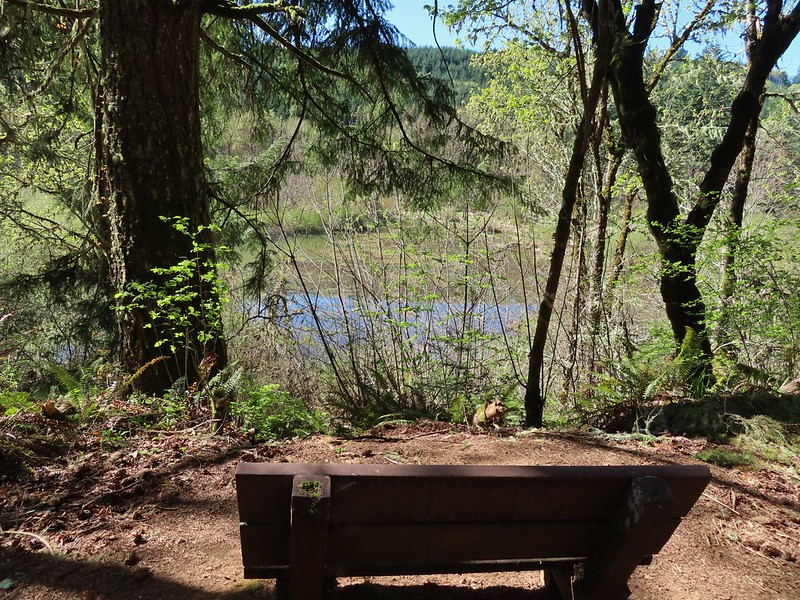
 It took some work to get the camera to stop focusing on the brush in the foreground.
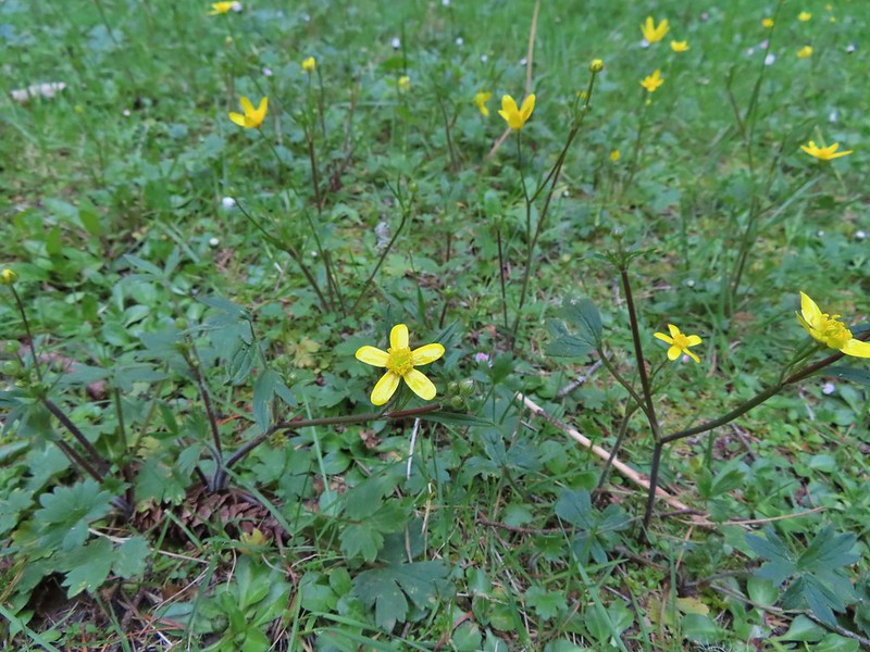 Buttercups
 Violets
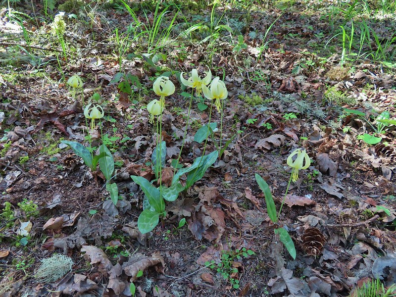 Fawn lilies
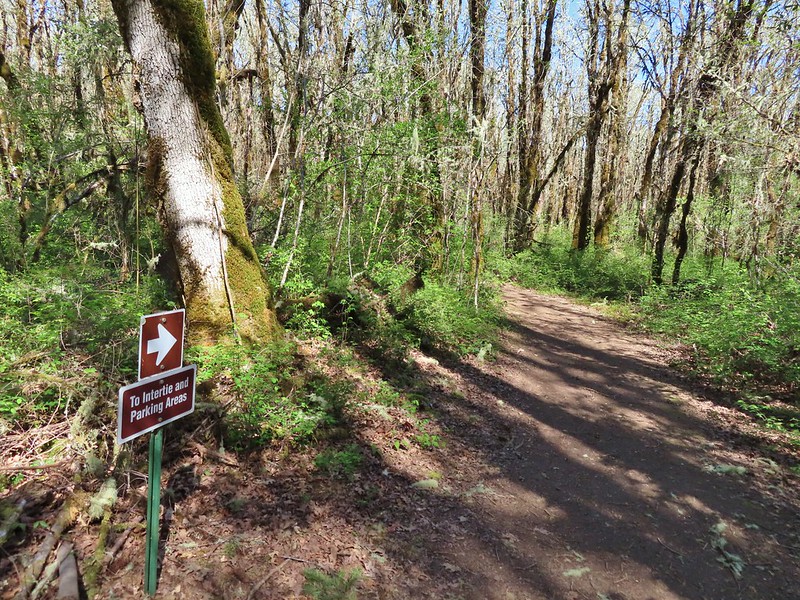 Back at the junction and onto the Intertie Trail

 Service berry
 The Woodpecker Loop
 Norther flicker along the Woodpecker Loop
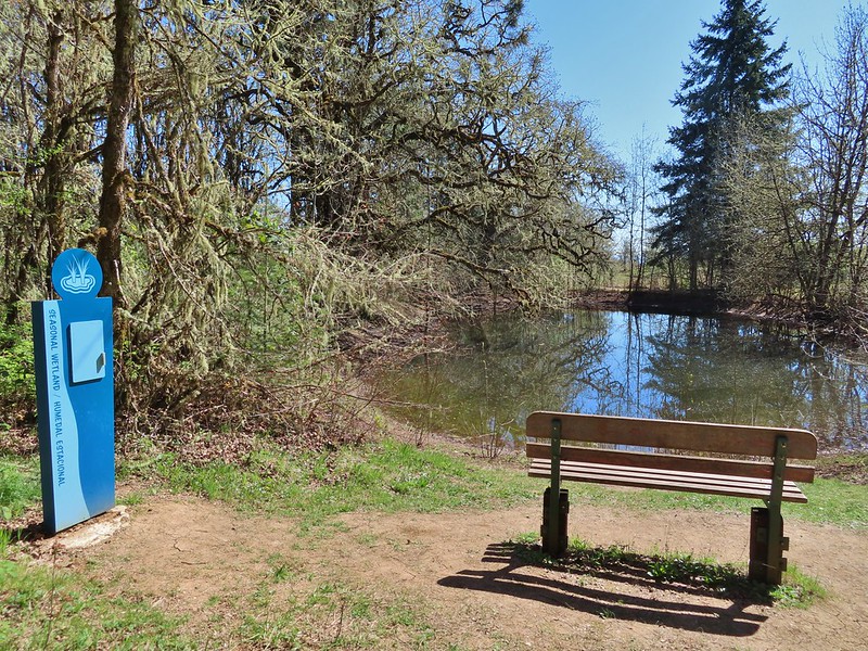 Amphibian pond and interpretive kiosk.
 Viewing structure
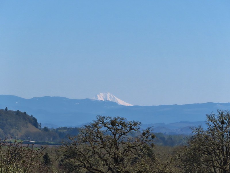 Mt. Jefferson
 The Three Sisters
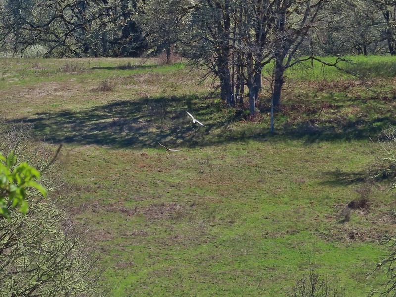
 This was the best shot I could get at 40x zoom with the sun in front of me.

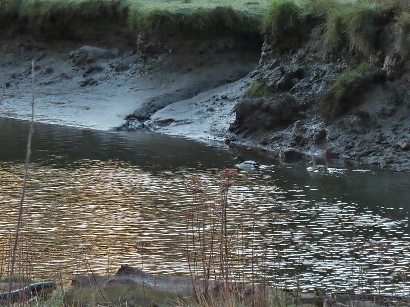 Mallard pair
 Canada geese
 Goose and a mallard in the channels.
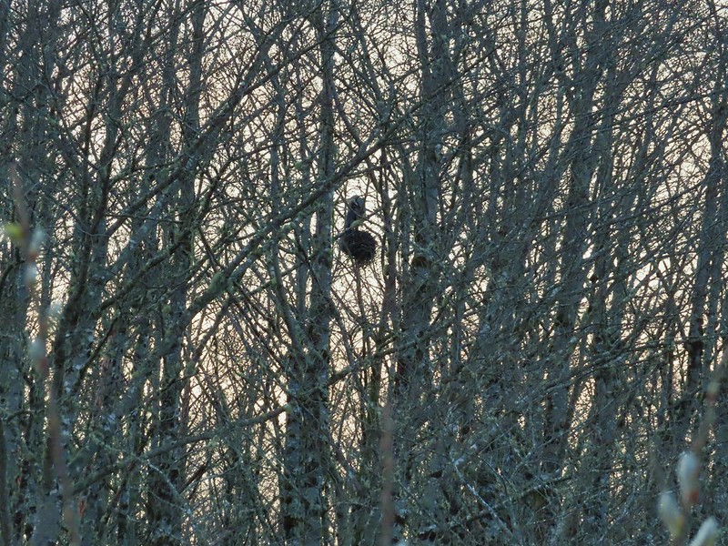


 Several interpretive signs were placed along the loop.
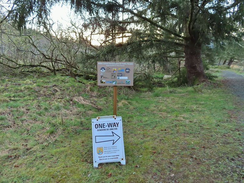 A reminder that COVID-19 is still an issue.
 The larger muddy area along the bank ahead on the right is where Heather spotted the otter.
 Alder lined trail.
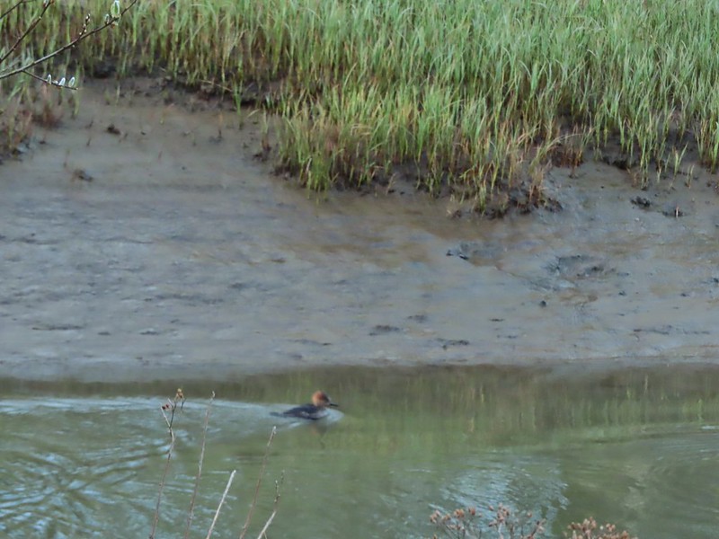 Blurry photo of a non-breeding male hooded merganser.
 The blurry river otter.
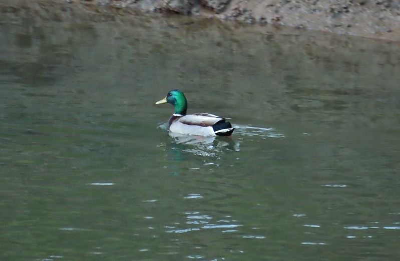 Another mallard
 Canada geese
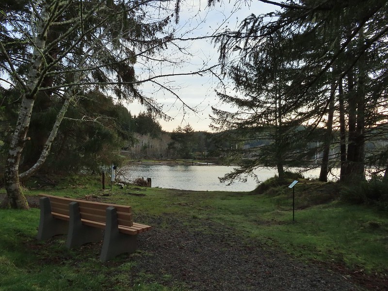
 Siletz River
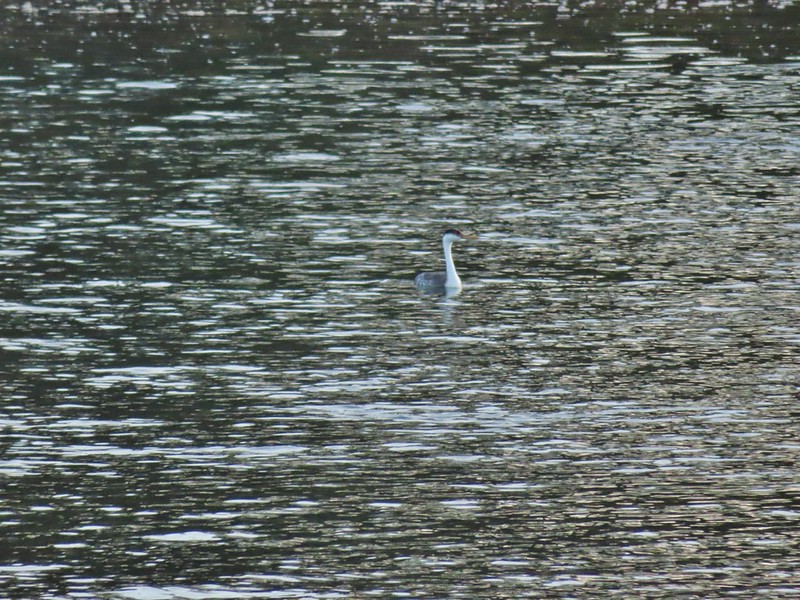 Western grebe
 Goose and a bufflehead (the duck not the post)
 Bufflehead
 Spring is coming!
 Sentry at the Roads End entrance.
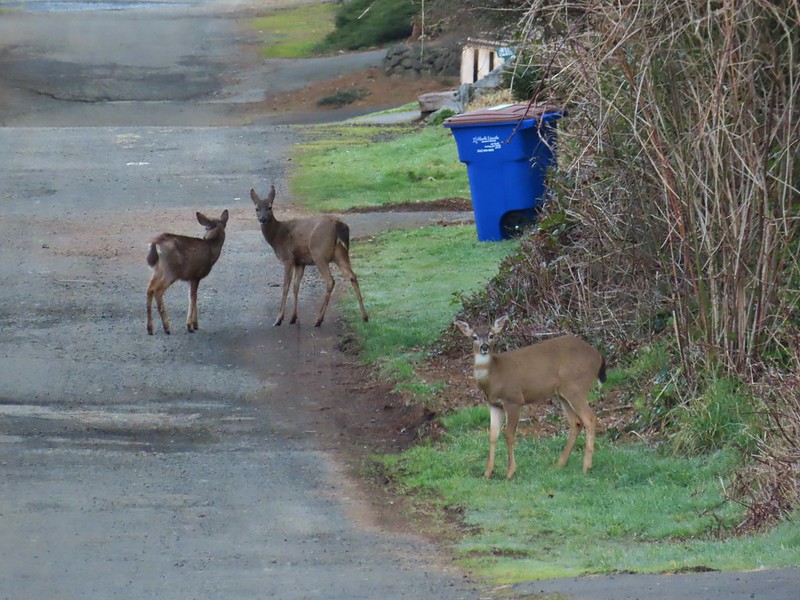
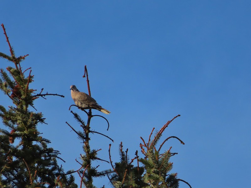
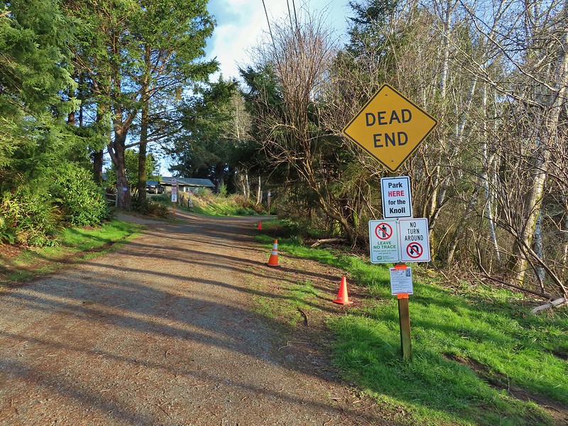
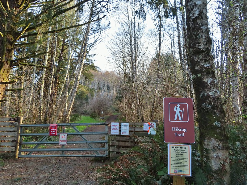
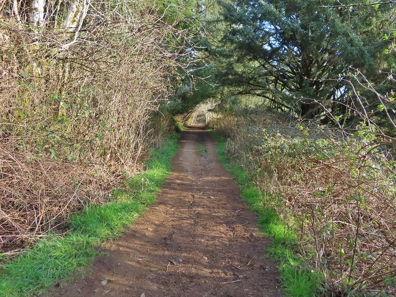 It’s hard to tell just how much uphill this is. Fortunately it wasn’t very muddy.
 A little easier to see the uphill here, this was near the top.
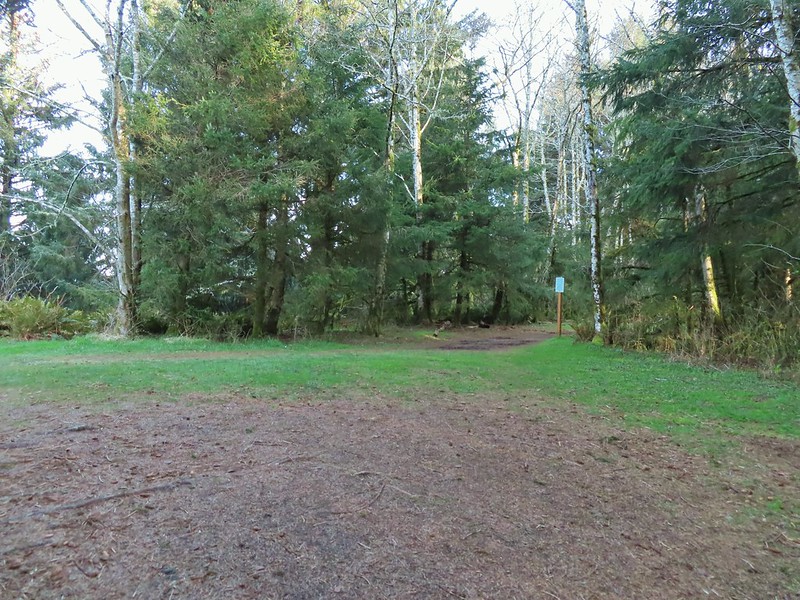 The junction.

 The Roads End parking area is the open green space in the center along the ocean.
 The Pacific Ocean.
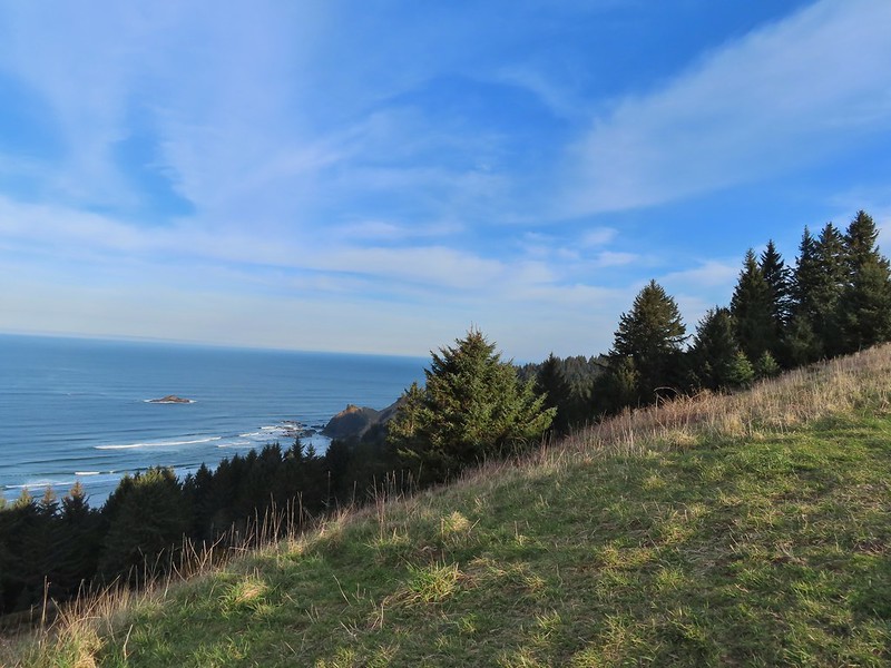 Roads End Point jutting out to the north.
 The Knoll
 Snow queen
 More signs of Spring, salmonberry blossom and buds.
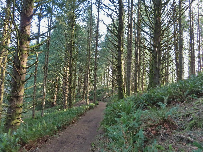 Sitka spruce and ferns along the ridge.
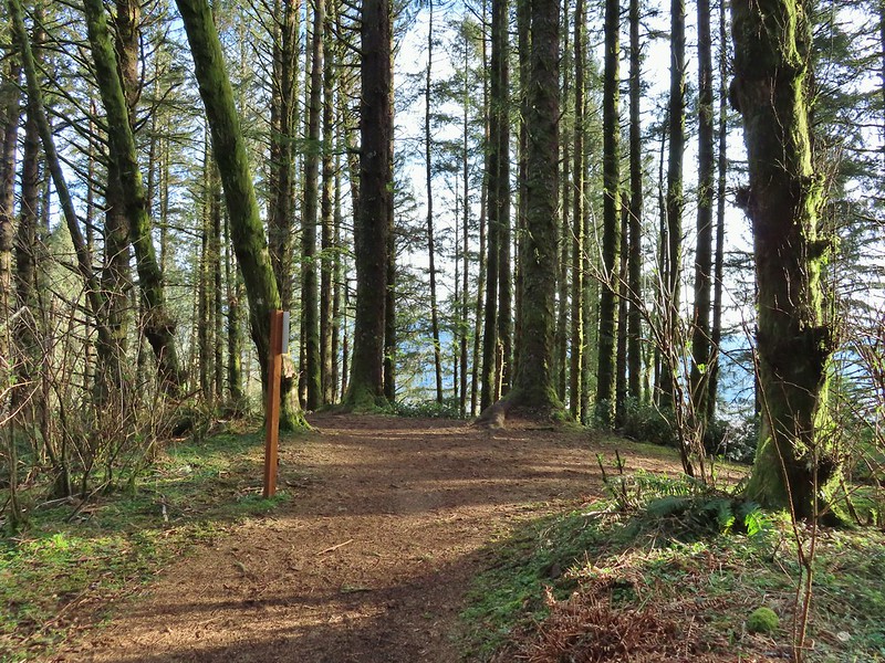
 The downed trees ahead in the distance.
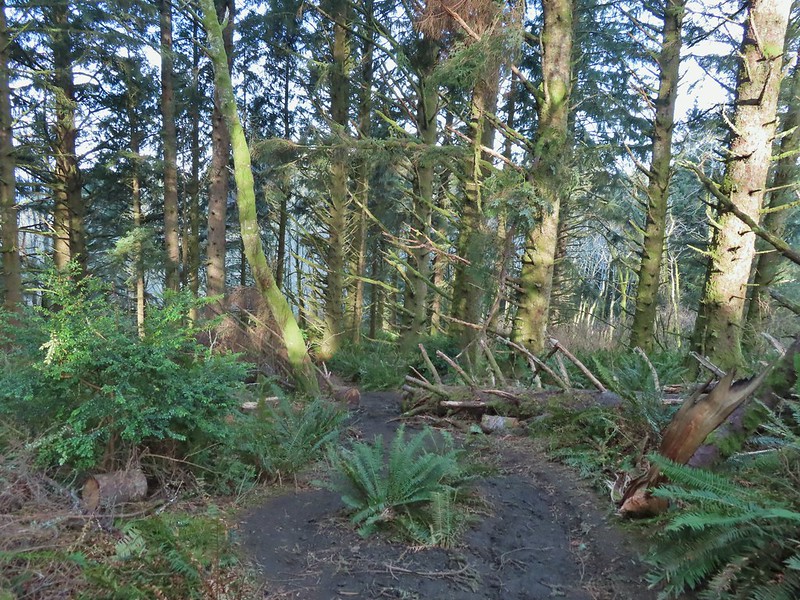 The last of the tree fall.
 Mud had begun to be a bit of an annoyance at this point.

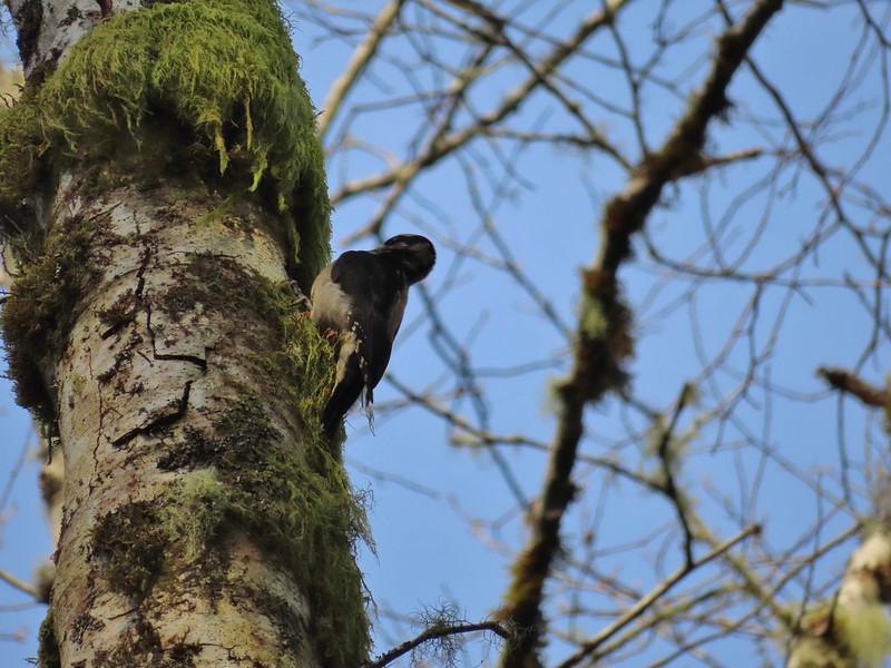 Busy woodpecker
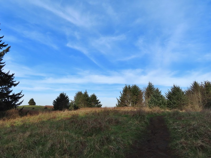 The trail getting nearing the turn left.
 Lone tree in the meadow.
 Lone robin in the lone tree.
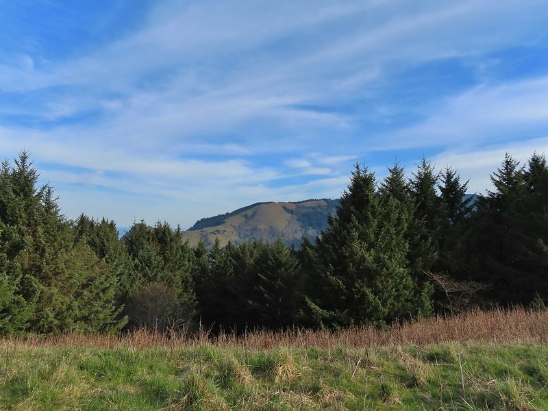


 Heather crossing the saddle (left of the big bush)
 Cascade Head from the saddle.
 Final pitch up to the top.
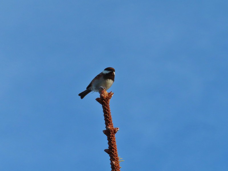 Not quite to ourselves, we shared the space briefly with some chestnut backed chickadees.
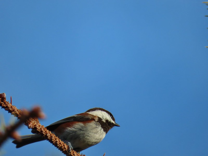
 Cascade Head and the mouth of the Salmon River.
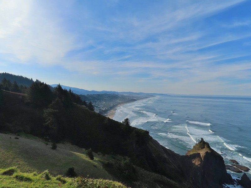 Roads End Point and Lincoln City
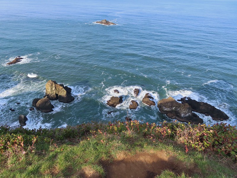 Rocks below God’s Thumb
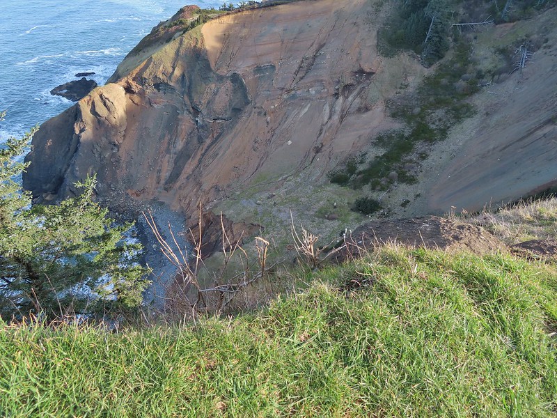
 A reasonable representation of the wet/muddy conditions on this part of the hike.
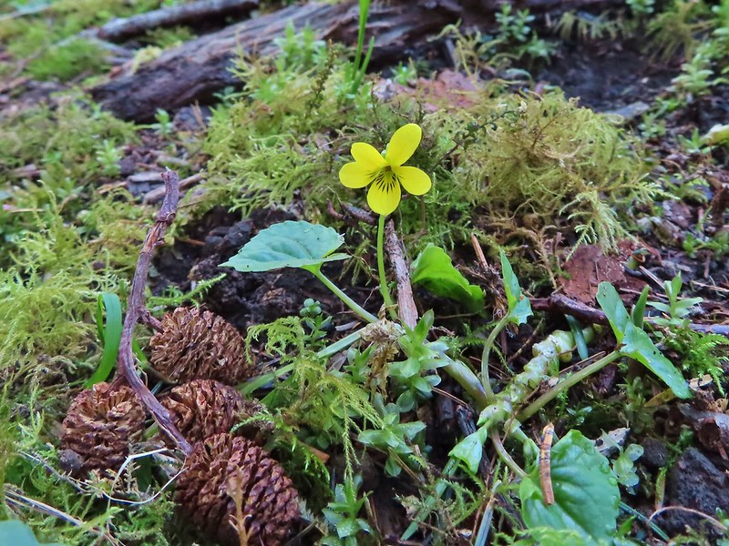
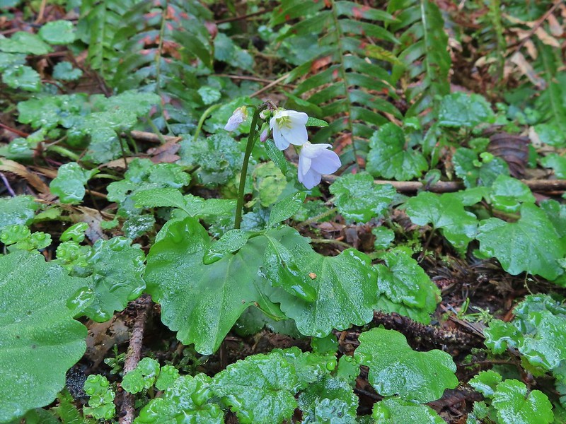 Toothwort
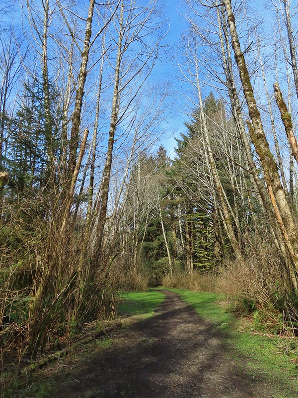
 The gate and Sal La Sea Drive in the distance.
 It’s not a hike at the coast without some skunk cabbage.
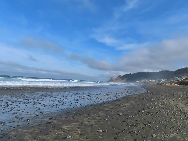

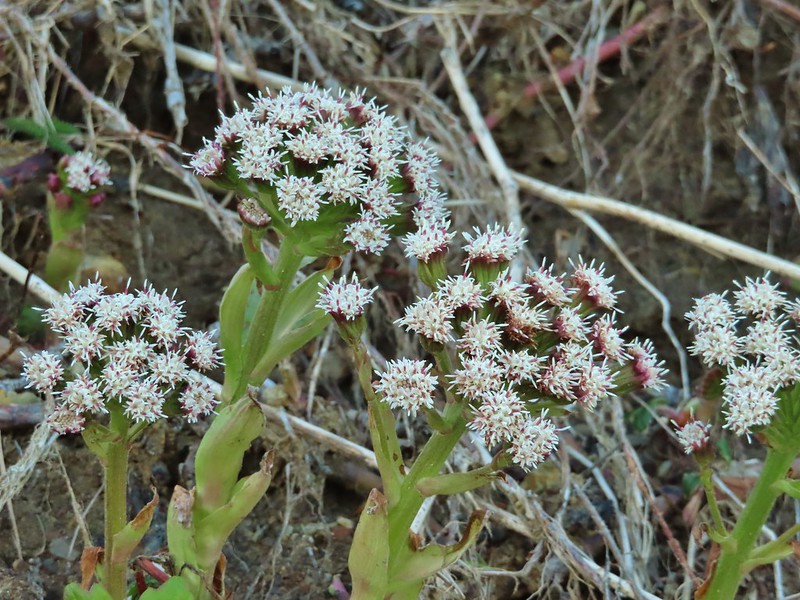 Coltsfoot
 An immature bald eagle flew overhead at one point.
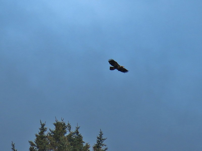
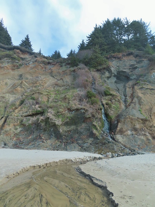 Little waterfall along the beach.
 Roads End Point
 Not going around that today.
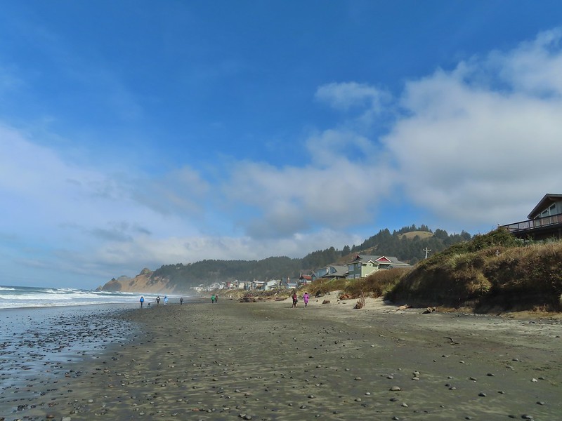
 God’s Thumb on the right.
 Hikers on The Knoll
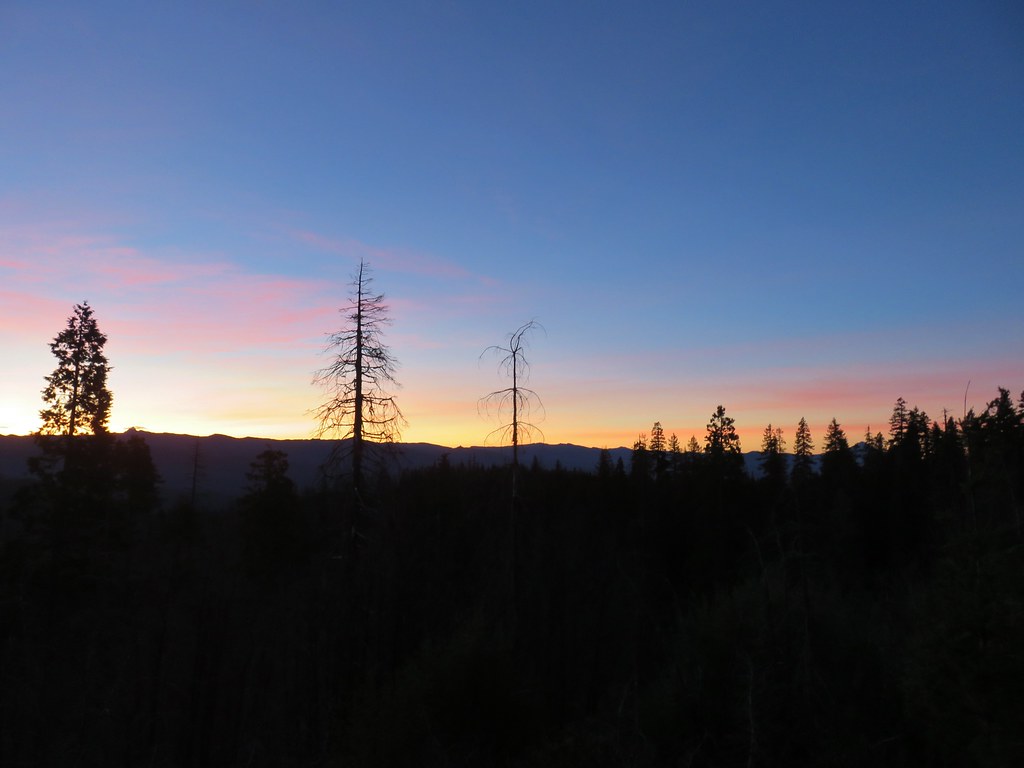 Union Peak and Mt. McLoughlin on our drive to the trailhead.
 The peaks of Crater Lake National Park
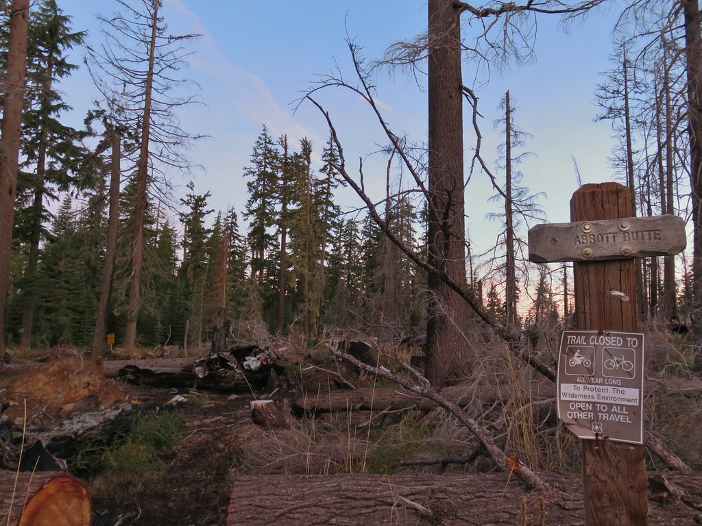 Abbott Butte Trailhead
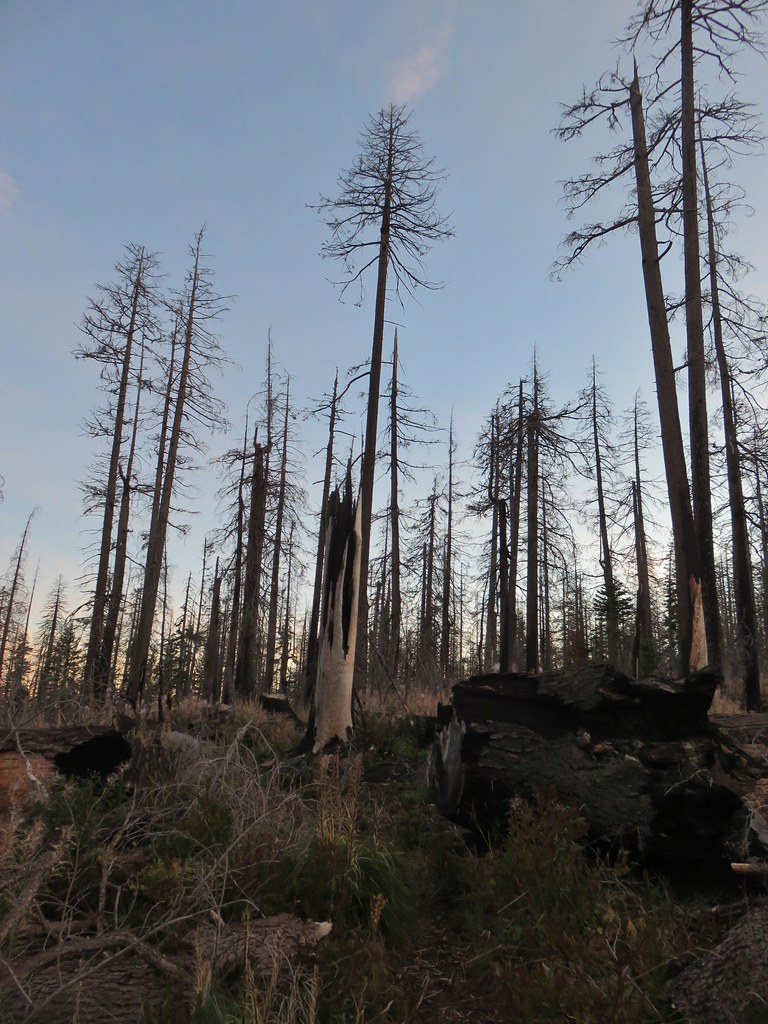
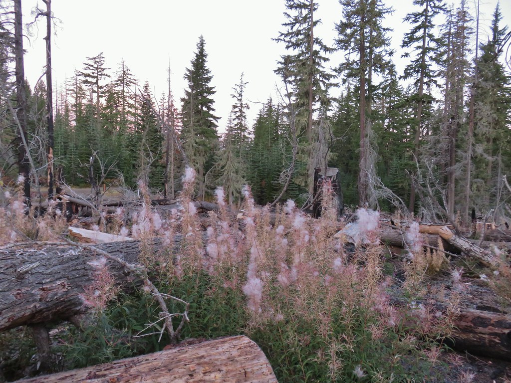
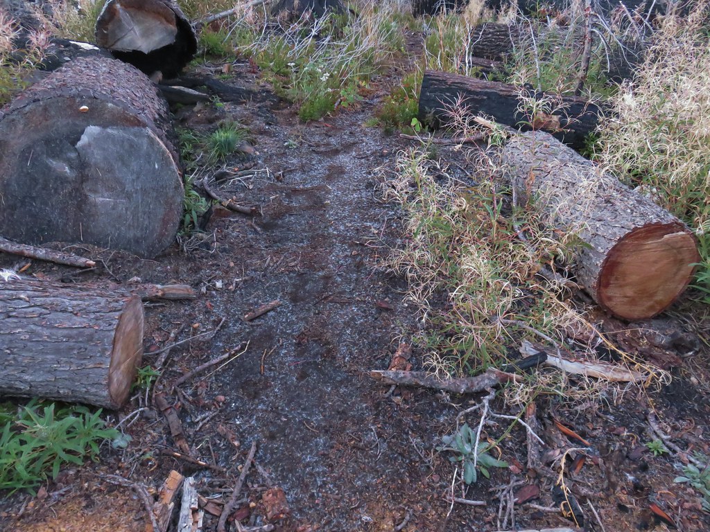
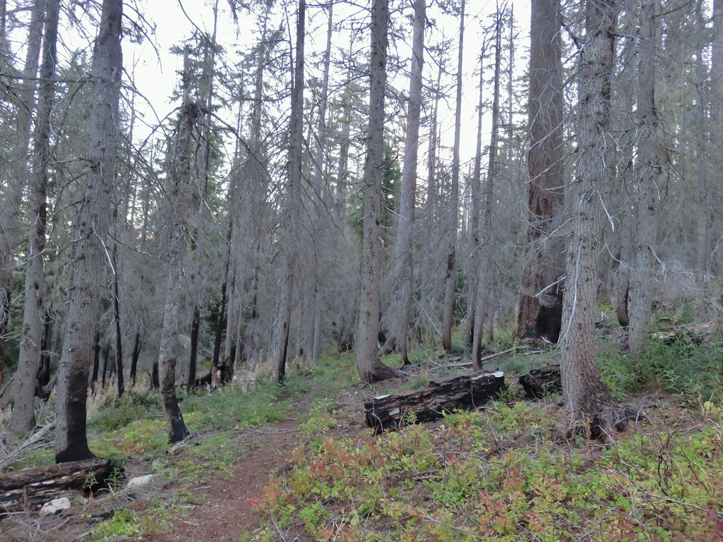
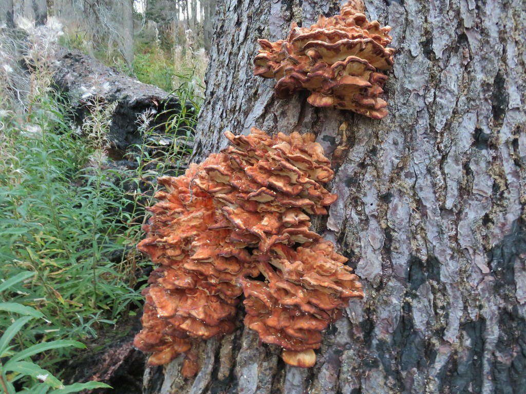
 Huckleberry bushes
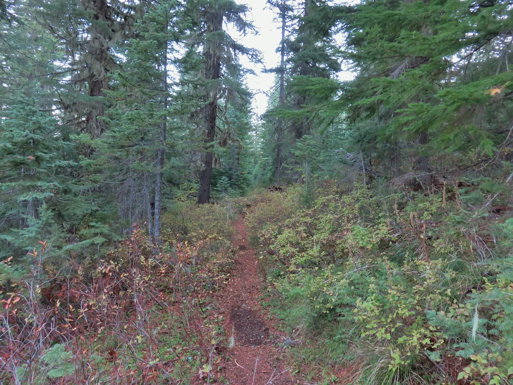 A section of green trees along the trail.
 Quartz Mountain
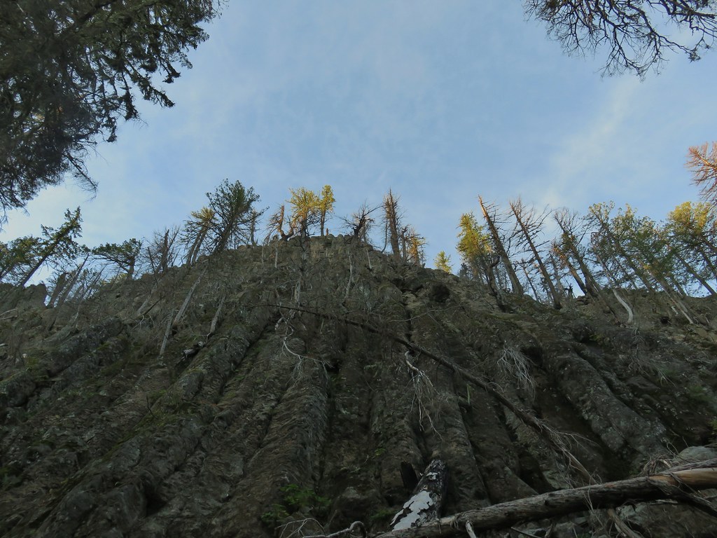 Passing below Quartz Mountain
 Abbott Butte from the trail.
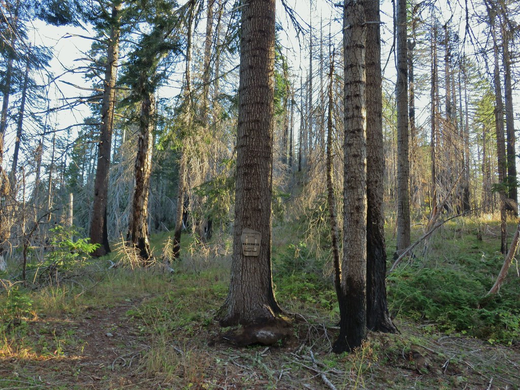
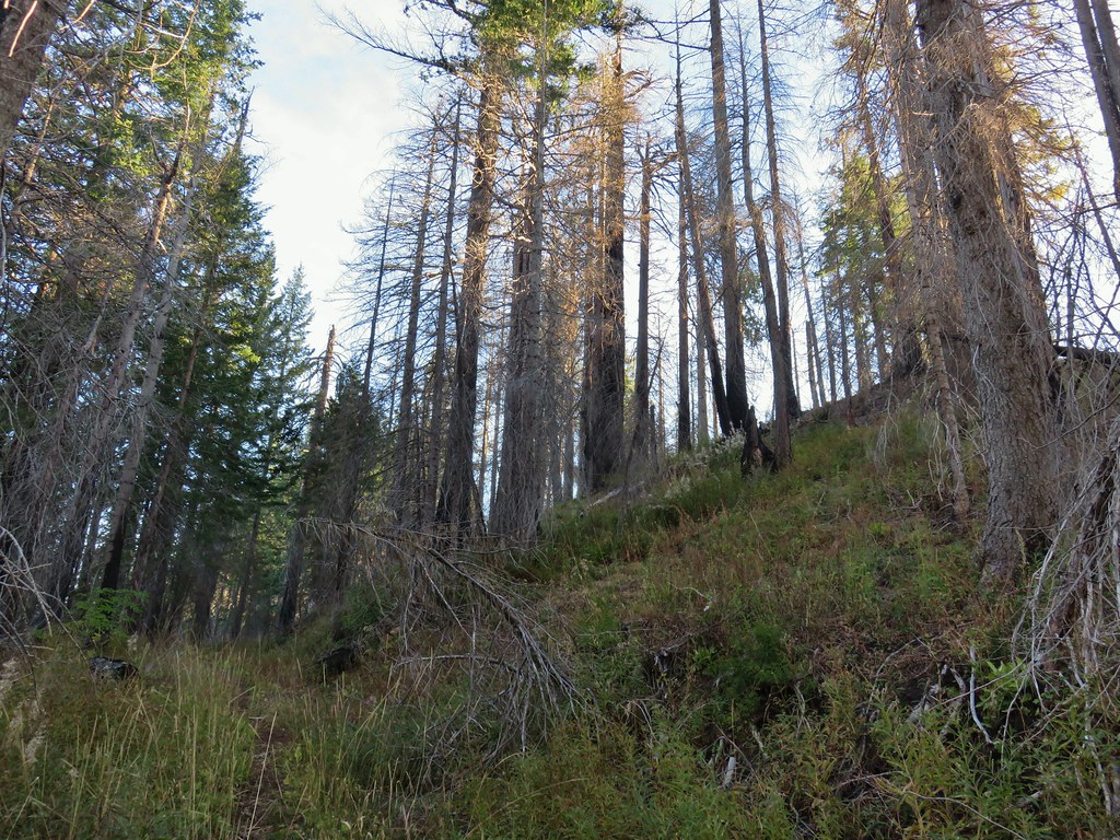 On the roadbed
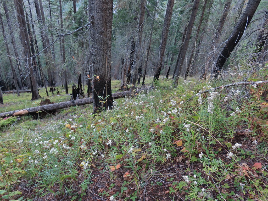 Pearly everlasting
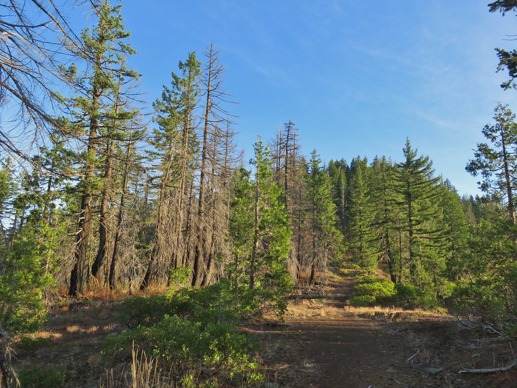
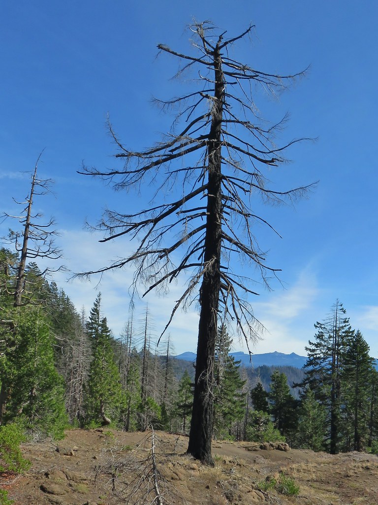
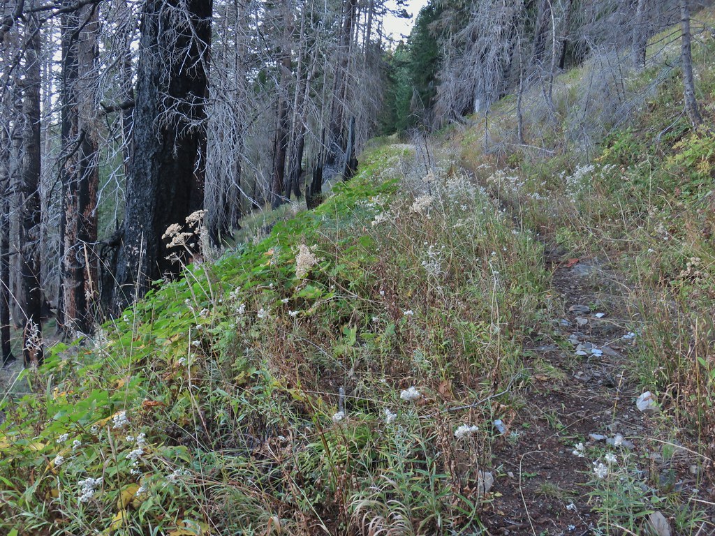
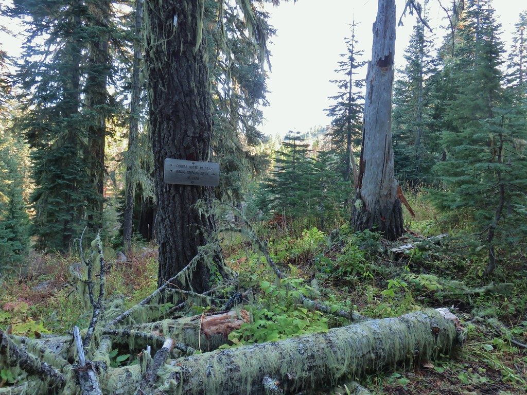
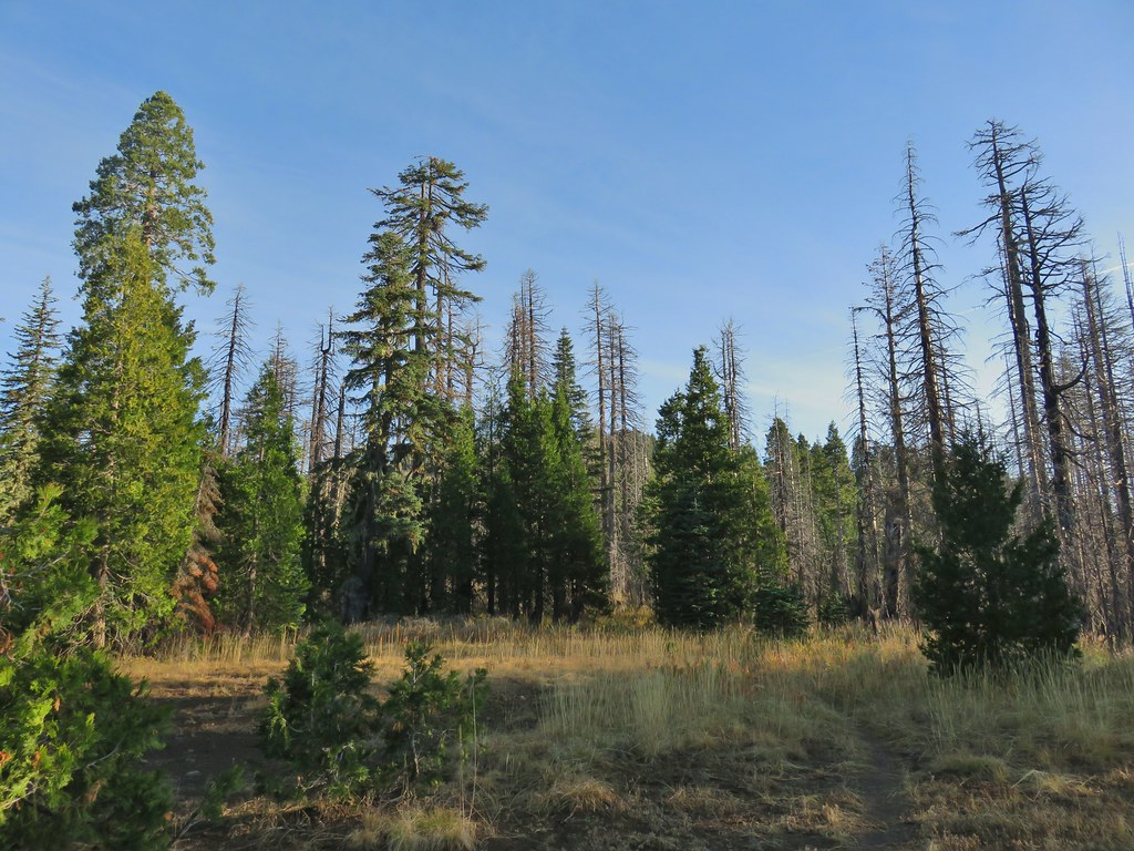
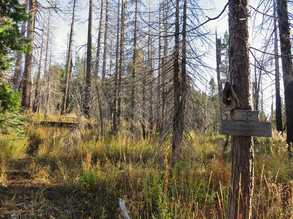
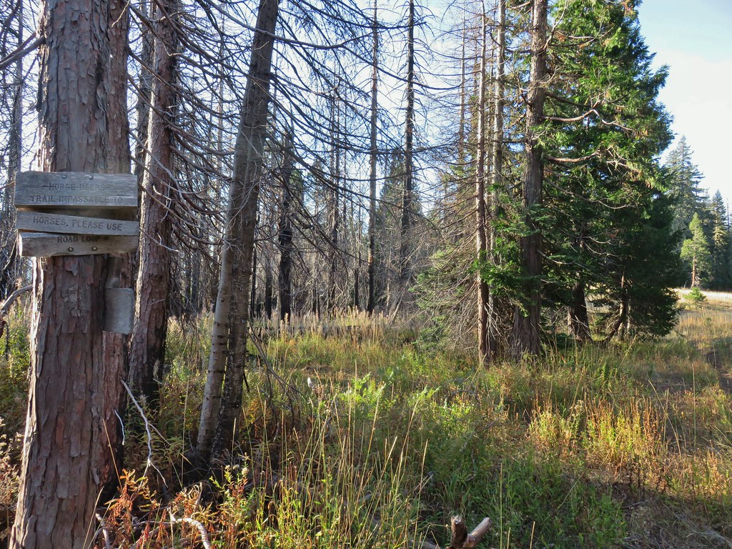 Sign indicating the non-existent trail is not suitable for horses.

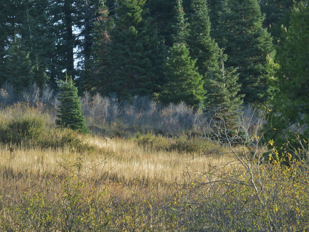
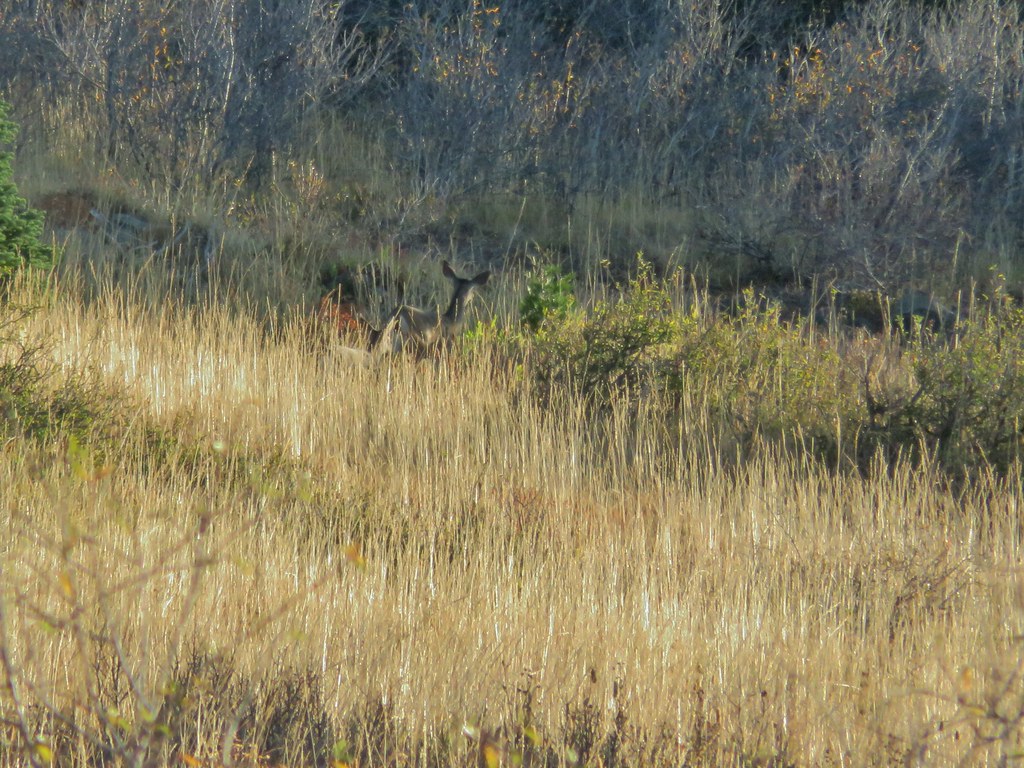
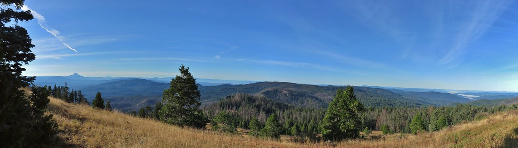 Mt. McLoughlin and Mt. Shasta and a whole lot of other peaks that I should know.
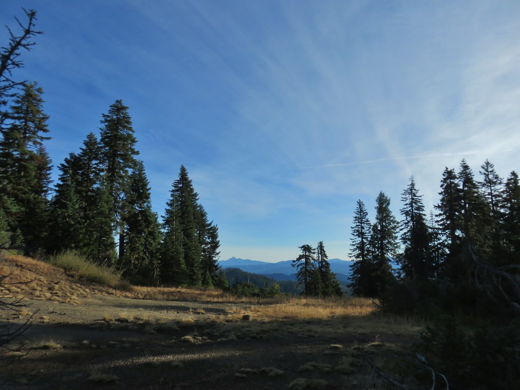 Mt. Thielsen
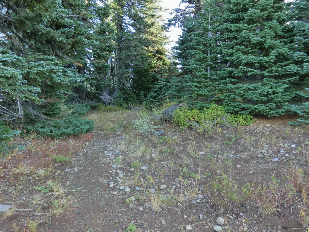 Nearing the summit.
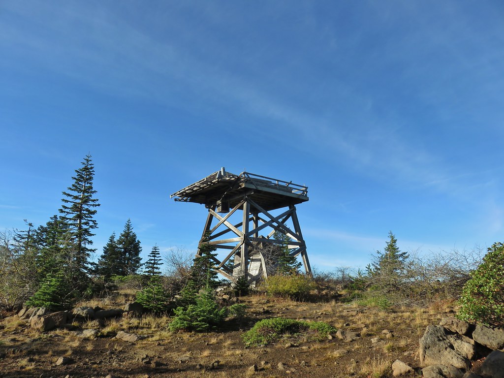 The old lookout on Abbott Butte
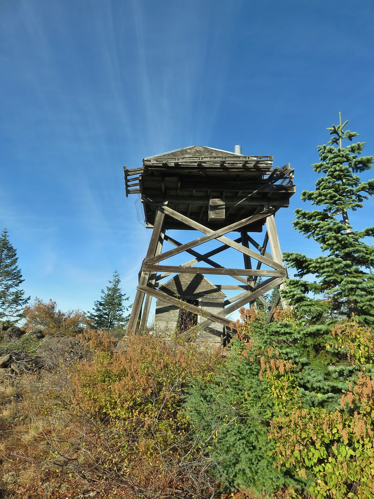
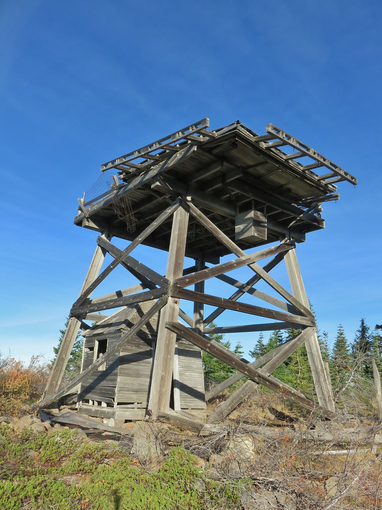
 The old outhouse?
 Mt. Thielsen and the peaks of Crater Lake.
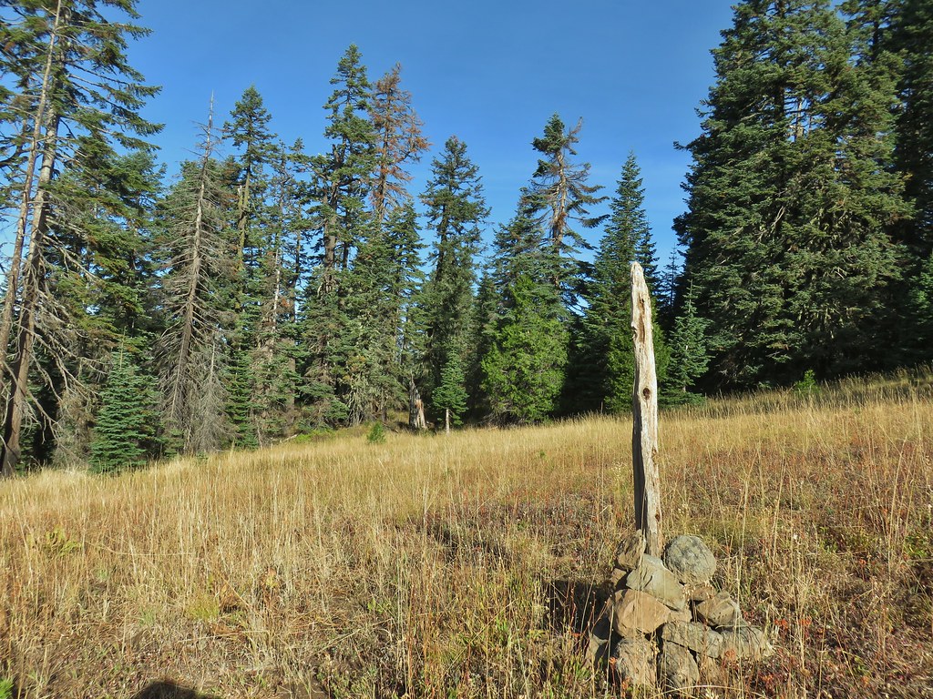
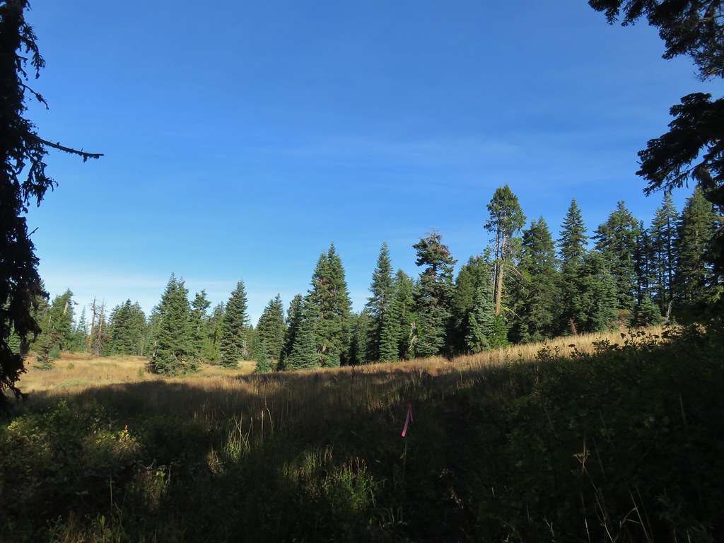 Flagging marking the route.
 A cairn along the tread ahead.
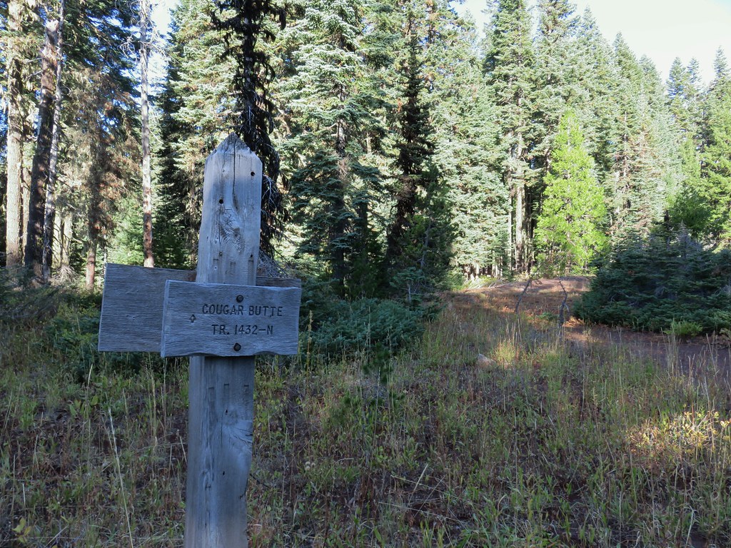
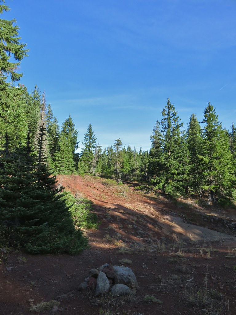
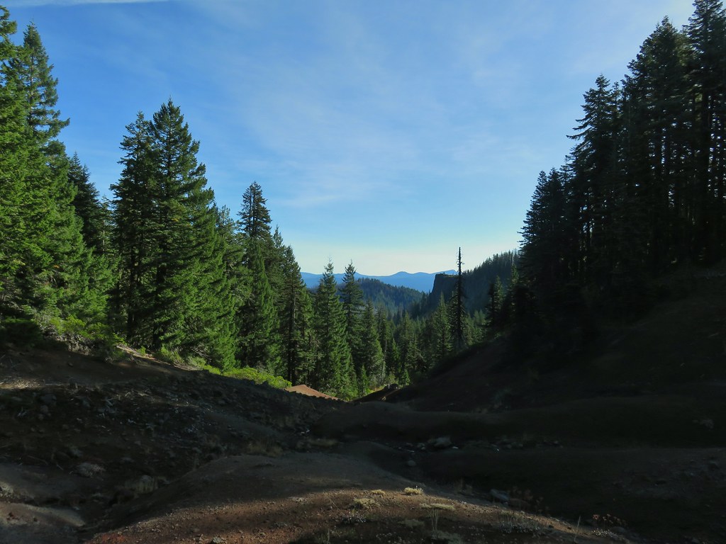
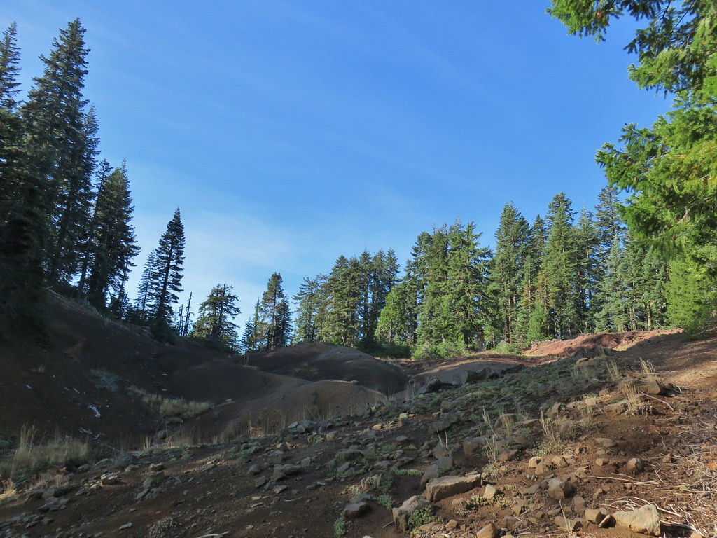
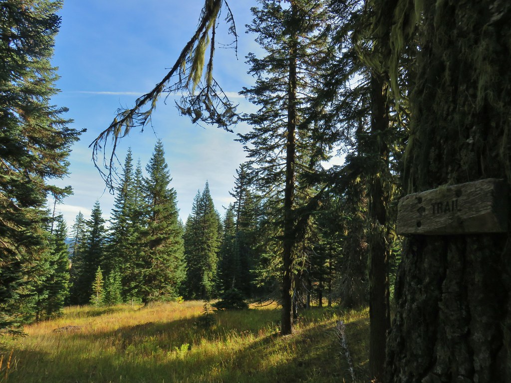
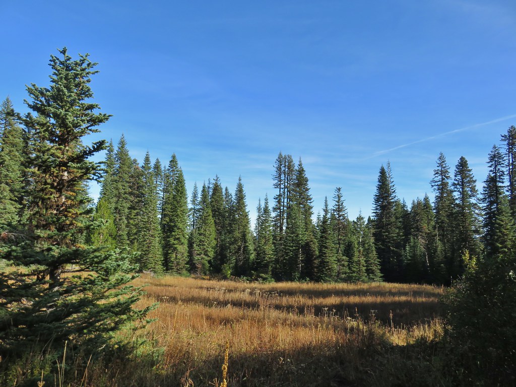
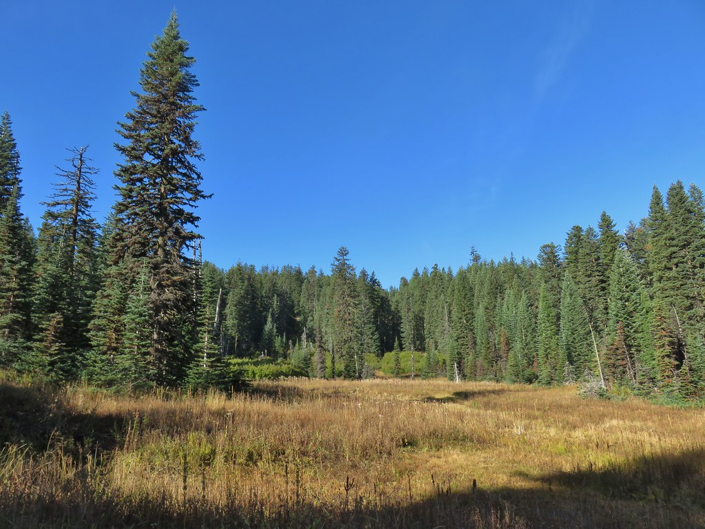 This meadow is where we heard the voice.
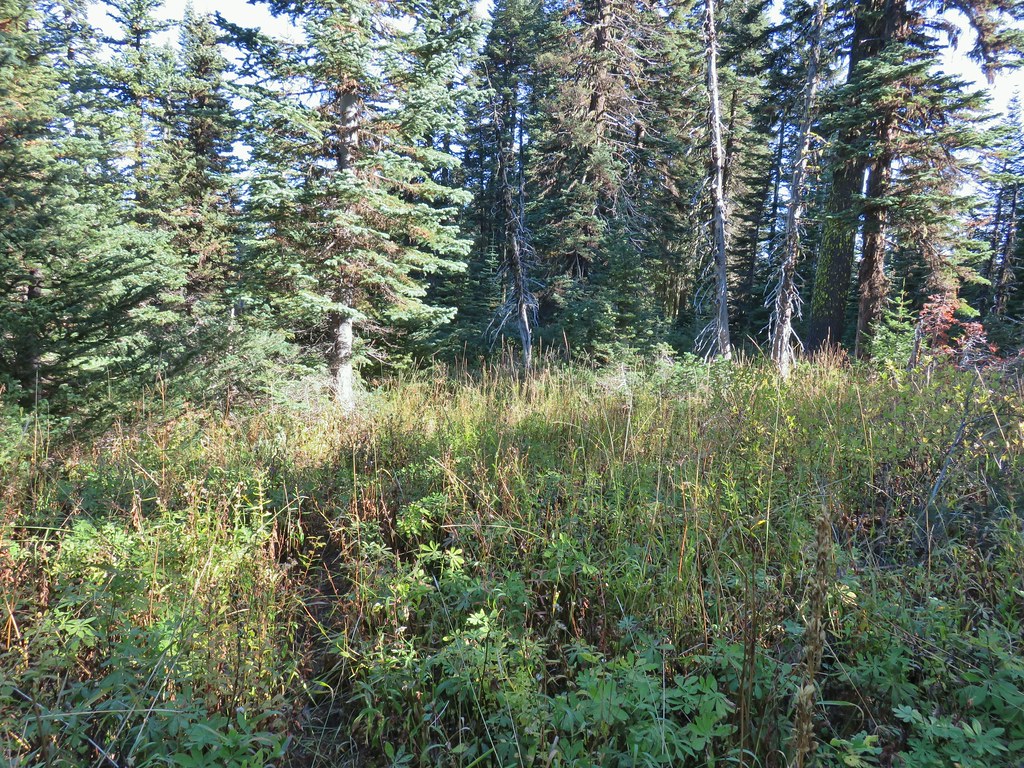
 Another late flower
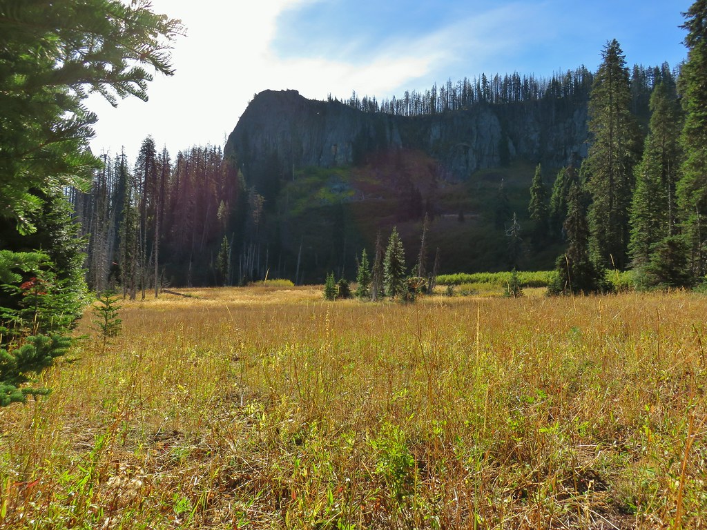
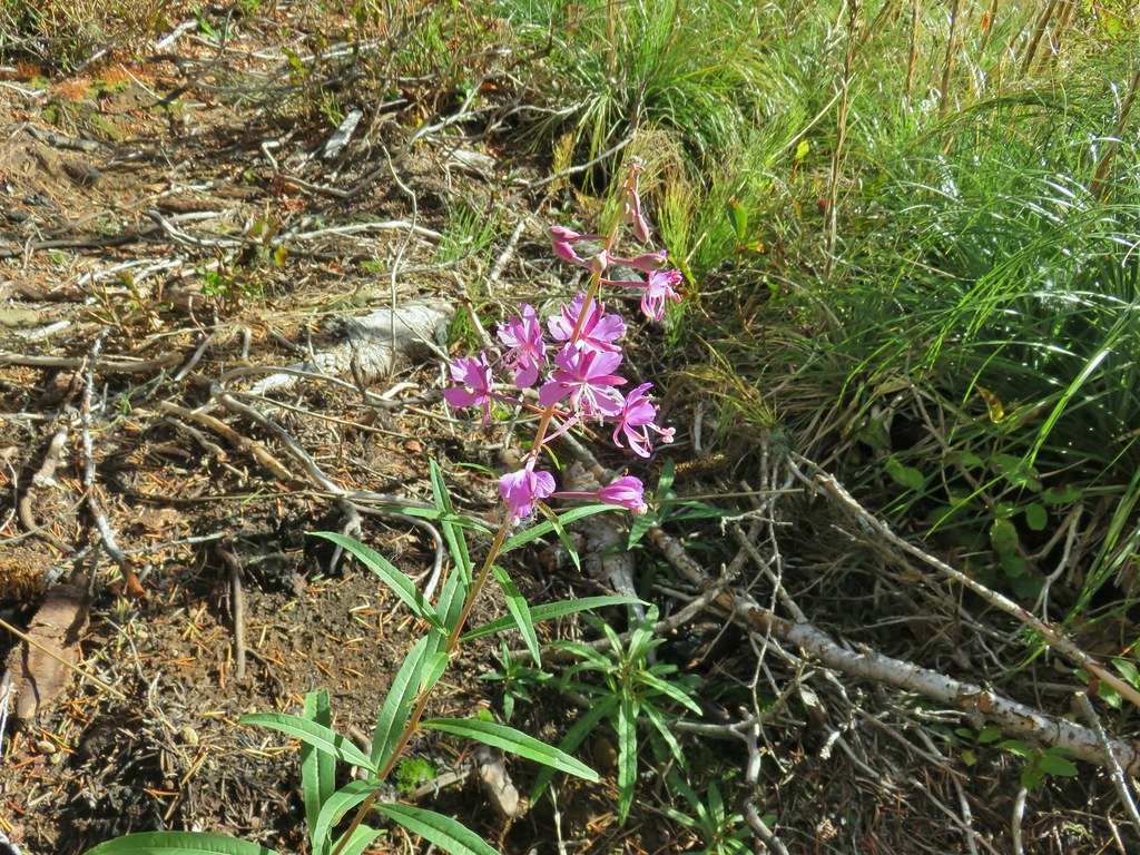 Fireweed that hadn’t gone to seed.
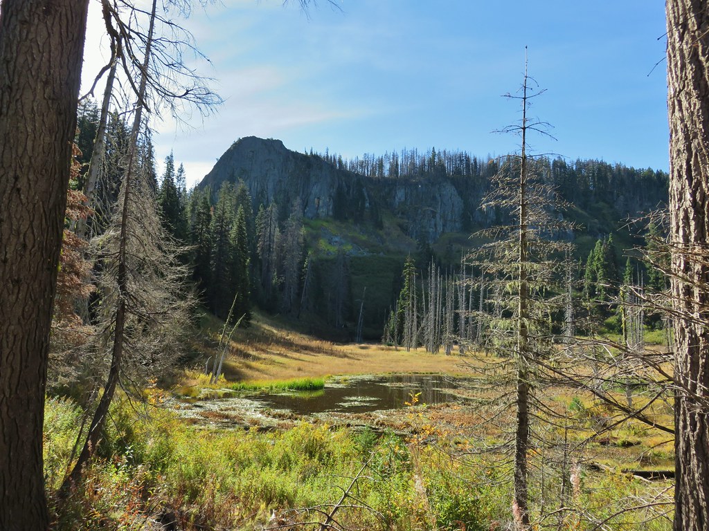
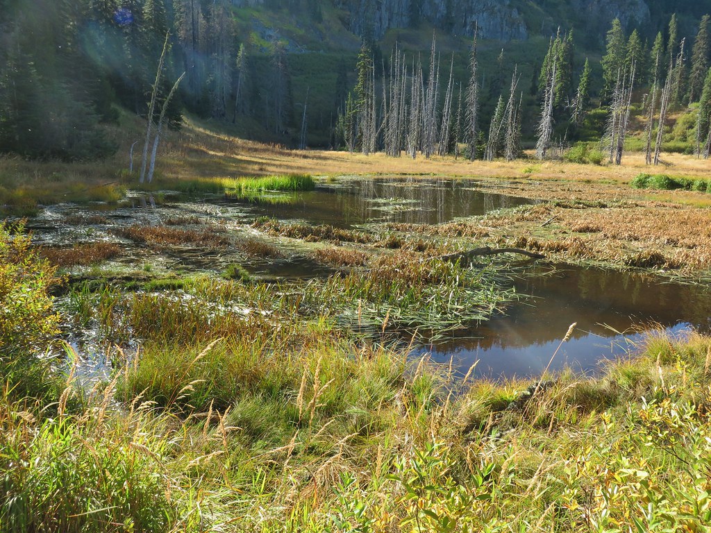
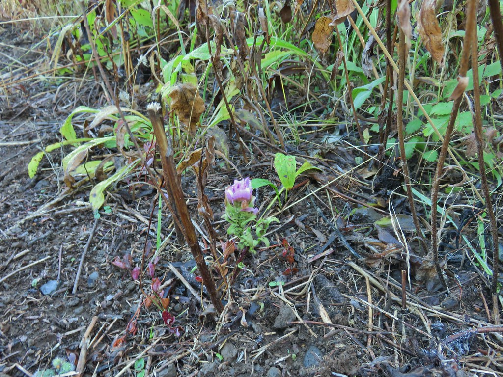 An owl’s clover
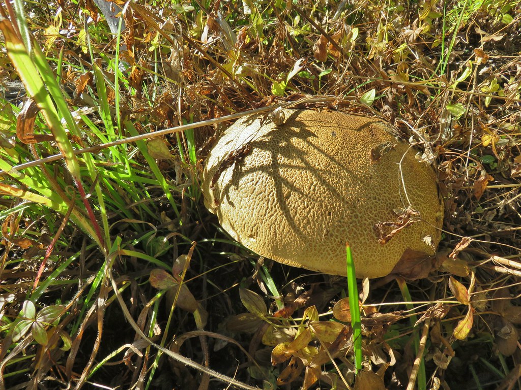 It’s hard to tell from the photo but this mushroom was big.
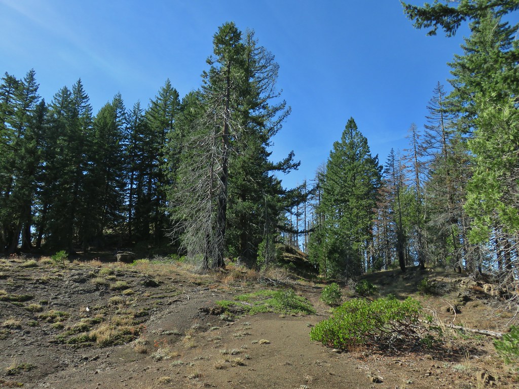


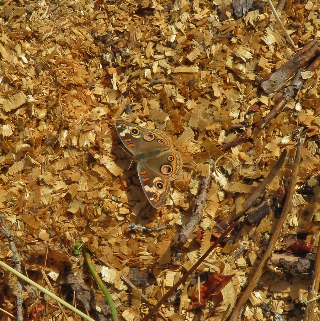
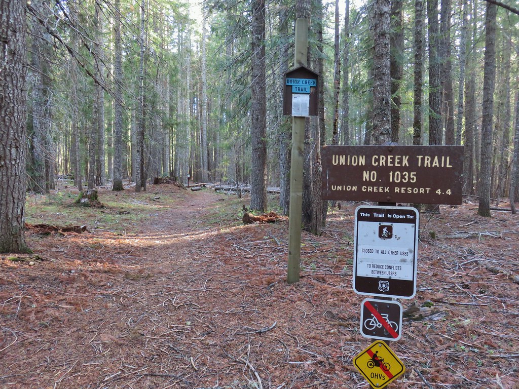


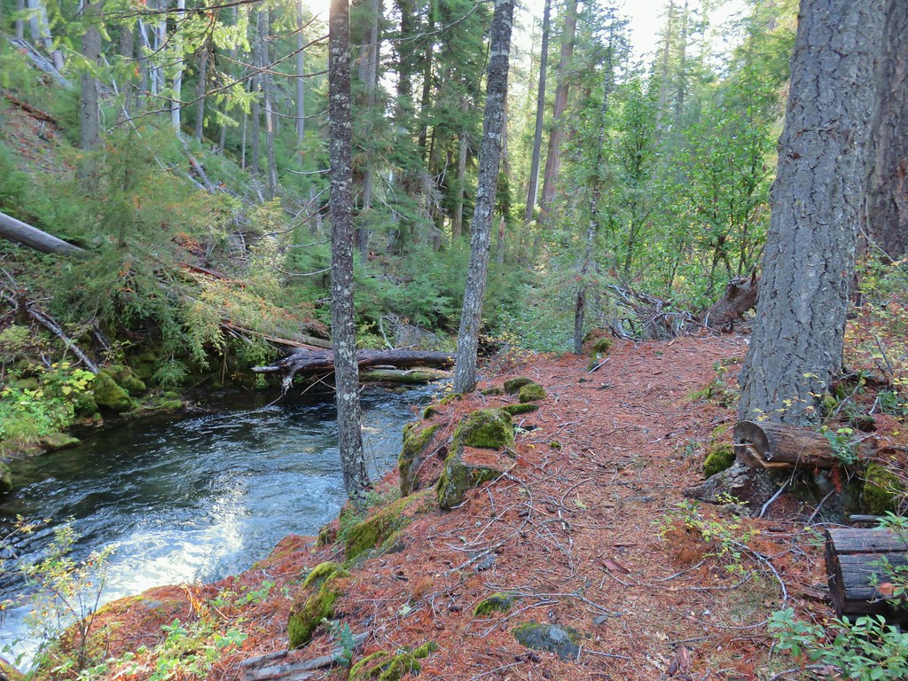
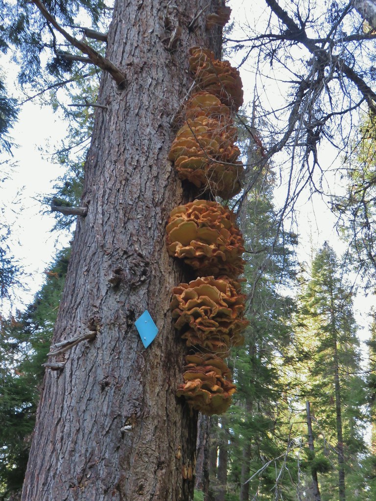
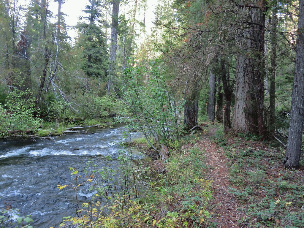
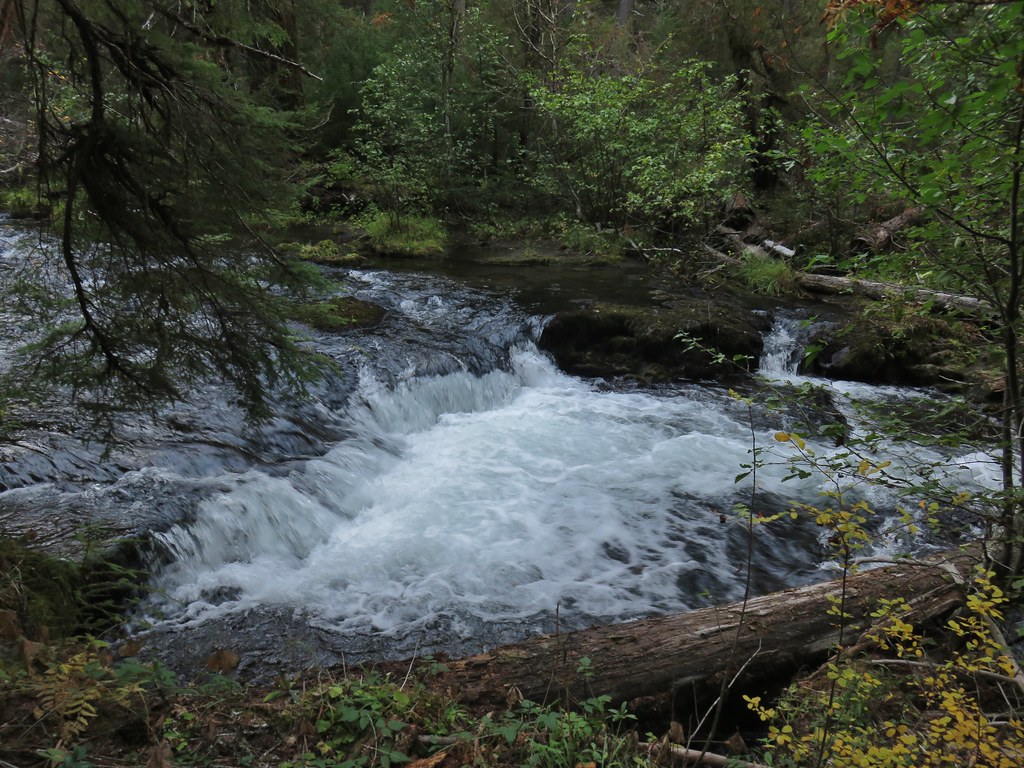
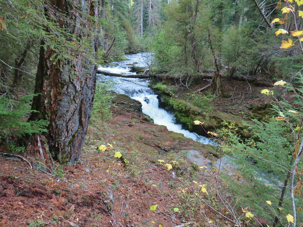
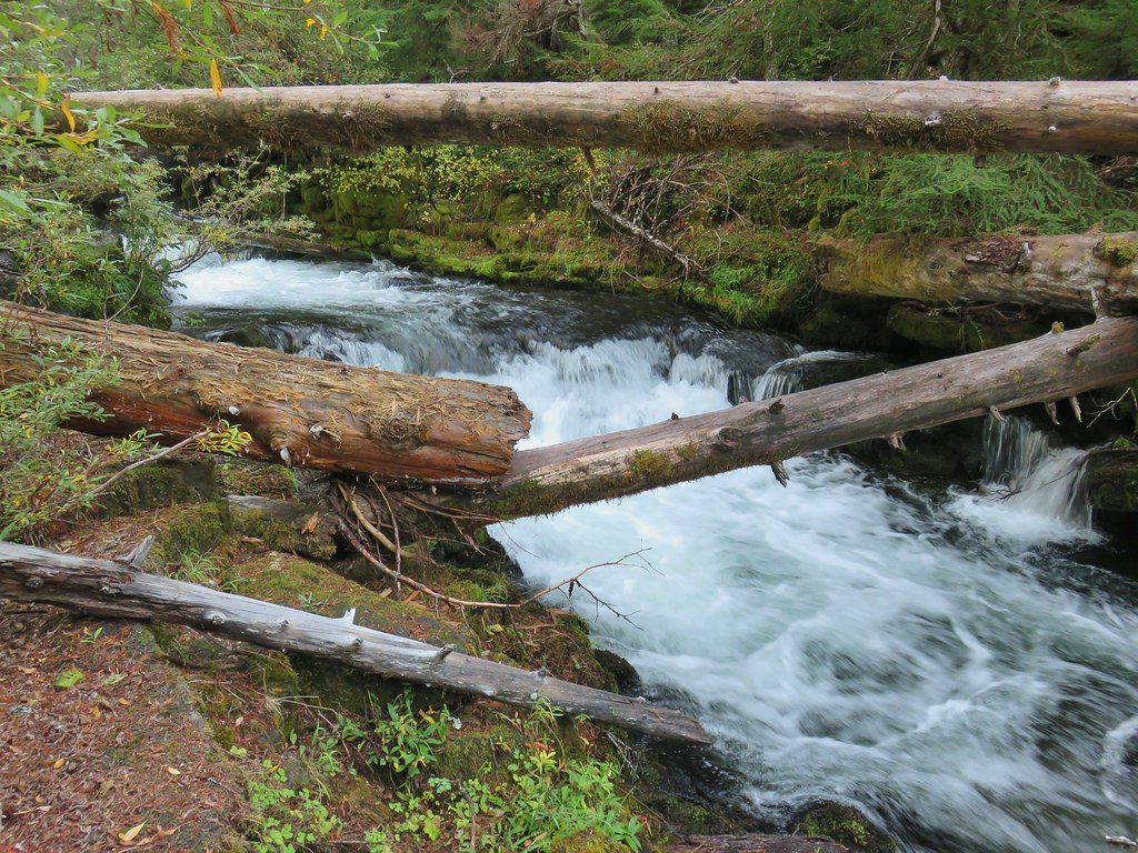

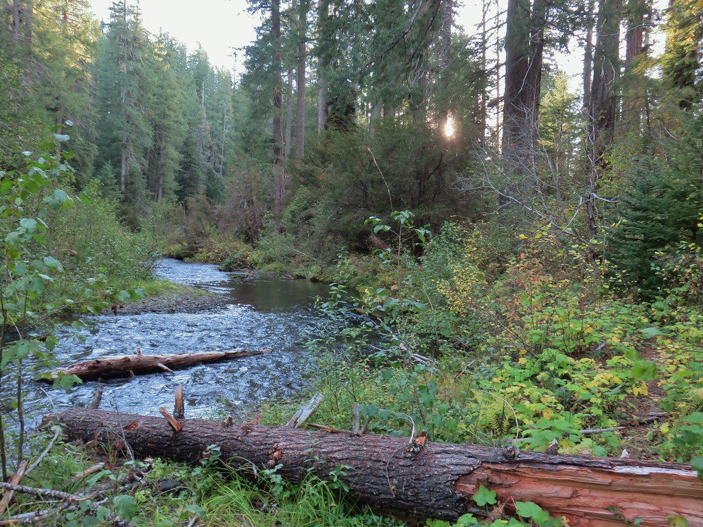
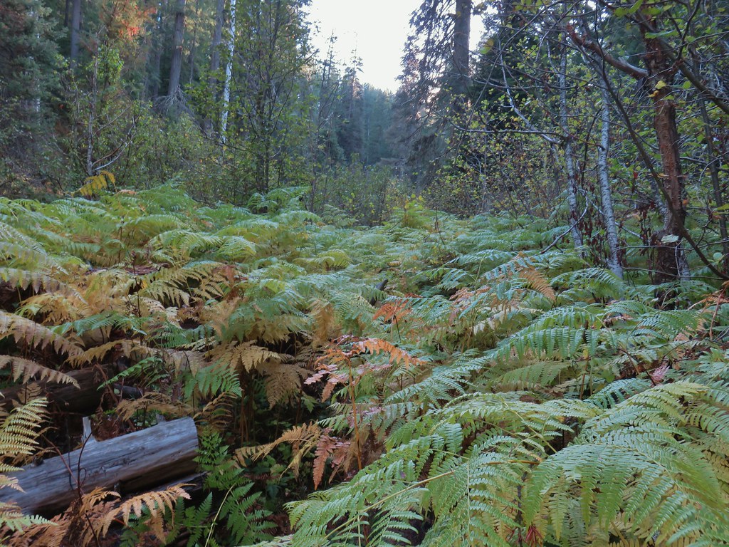


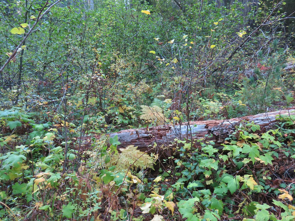
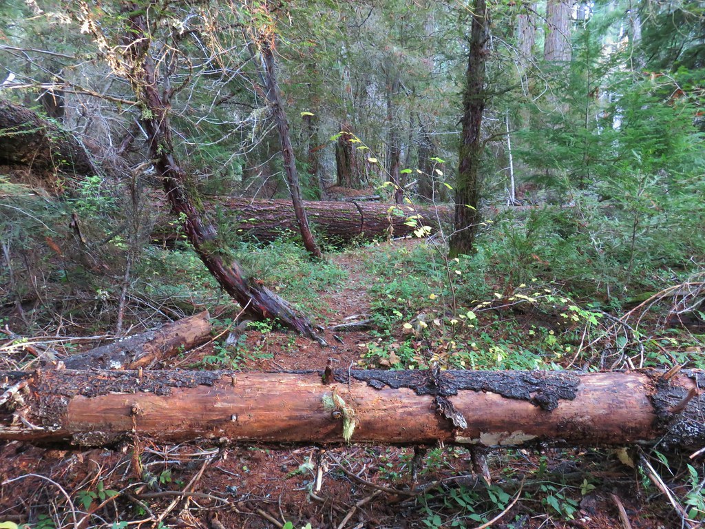
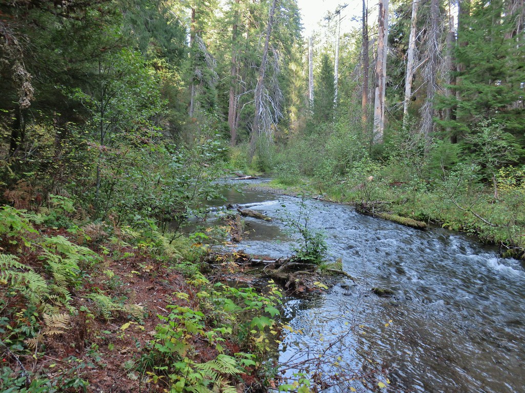 The broken zoom function didn’t let me get a good shot but the ouzel is on a rock in the middle of the creek.
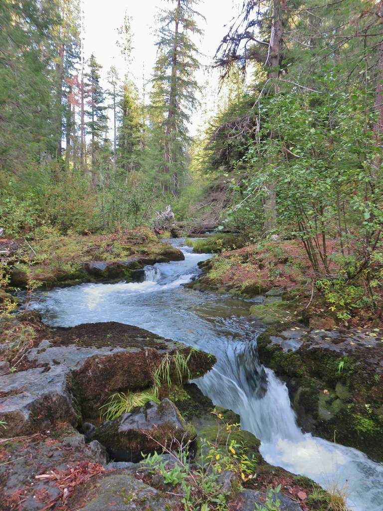

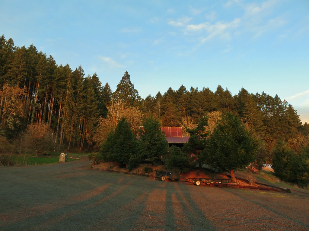
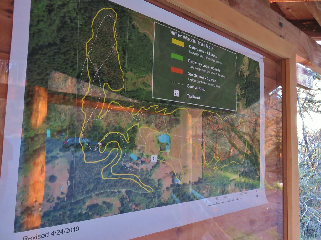


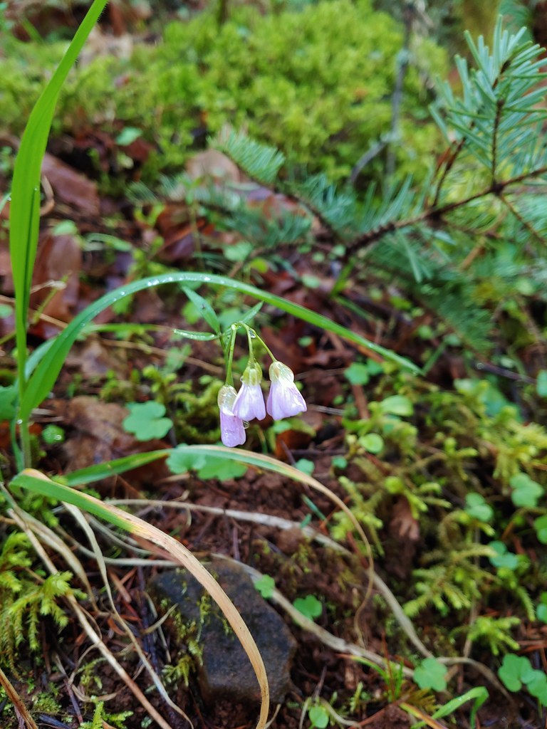 Slender toothwort
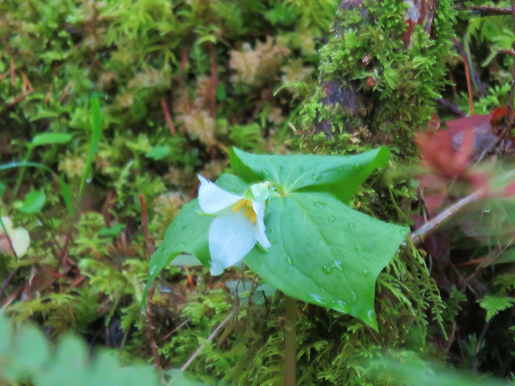 Trillium
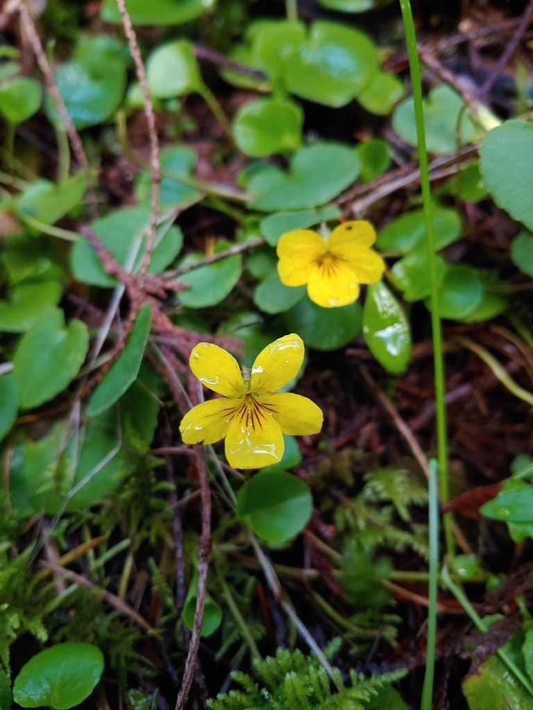 Violets
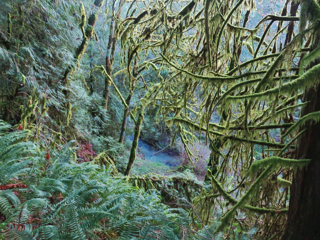 Berry Creek
 Bird’s nest that Heather spotted along the trail.
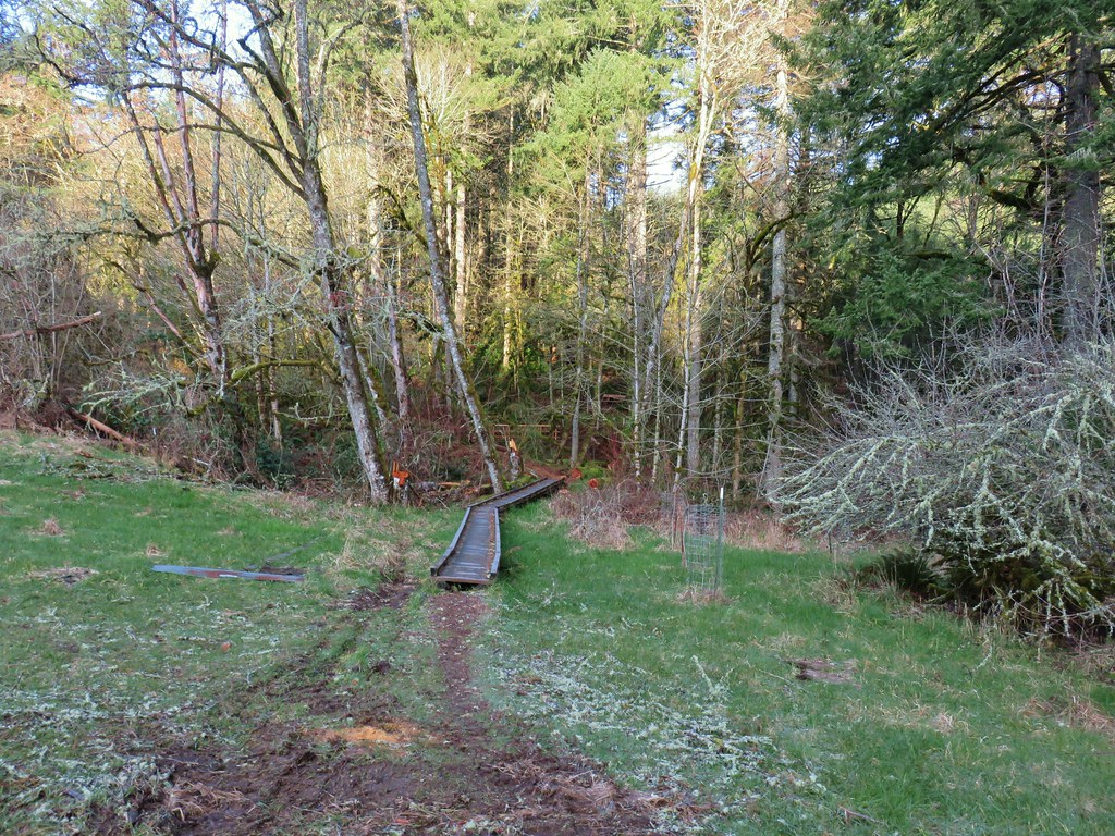


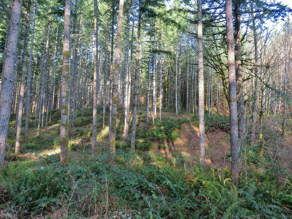 The first deer we spotted (up near the top of the hill at center).
 Zoomed in shot of the second deer at upper left.
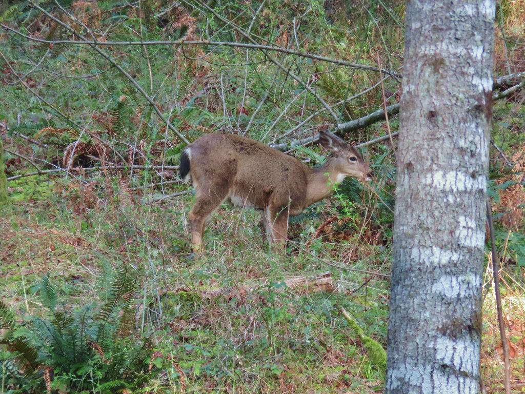 First deer again.
 First deer crossing the trail ahead of us.
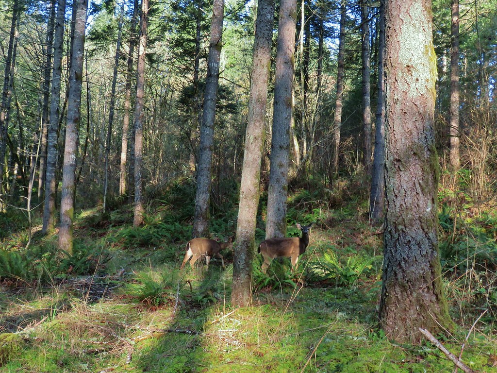 The second and third deer watching us pass.

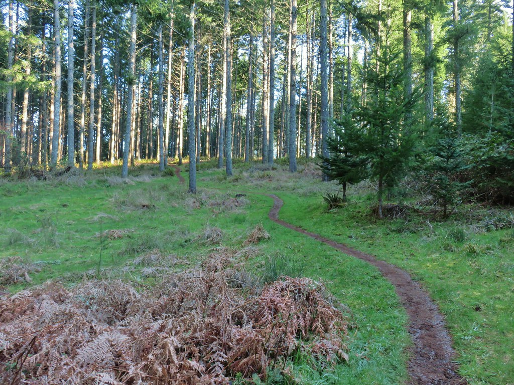

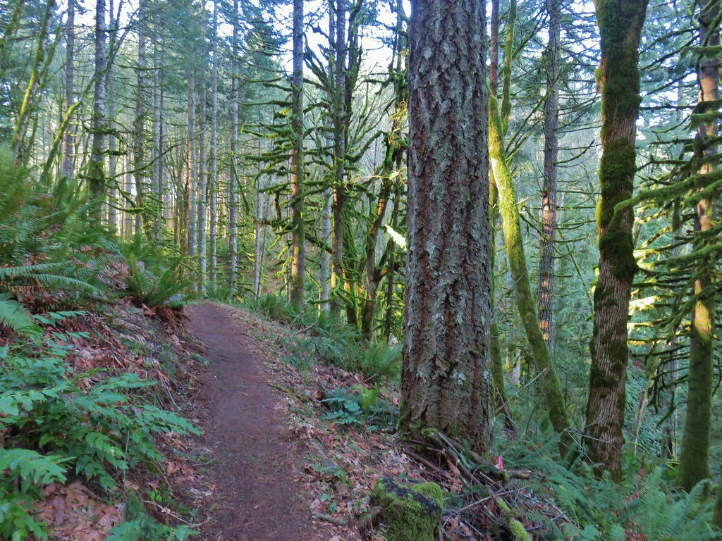
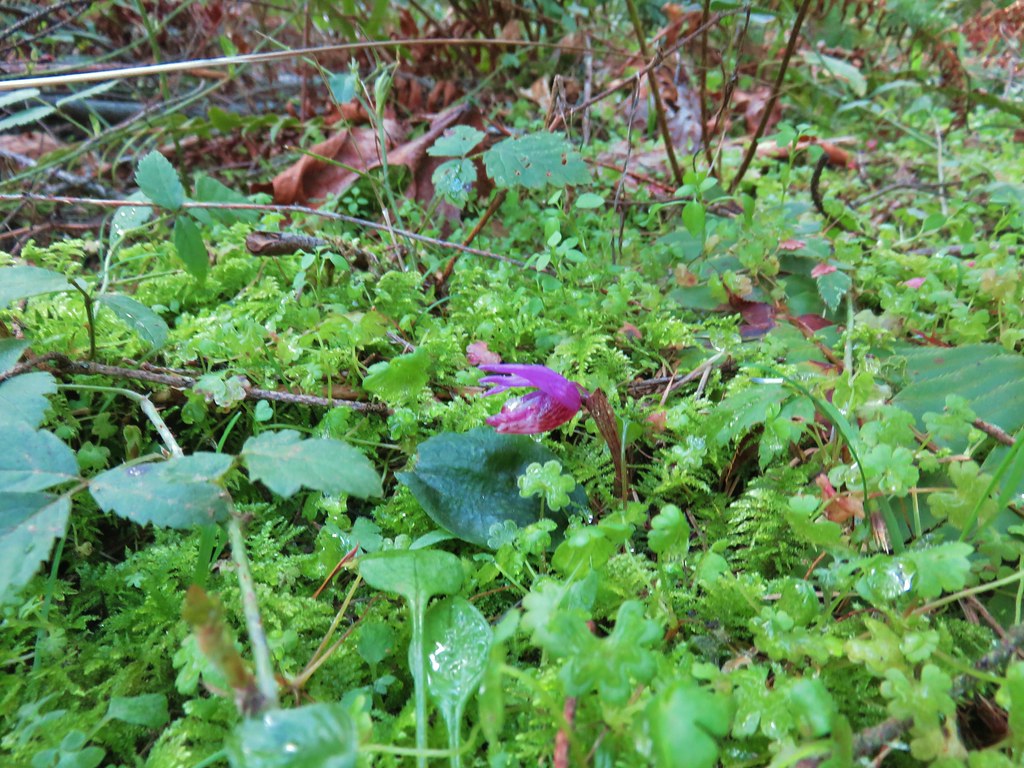


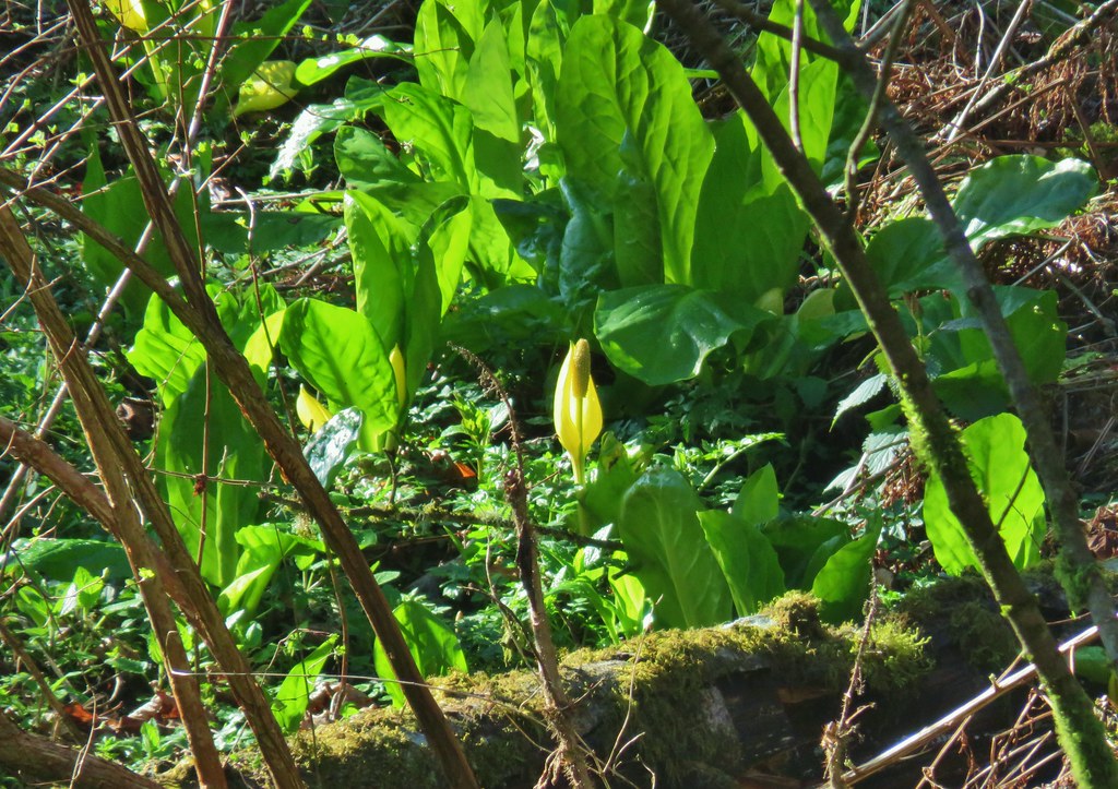

 The area around the pond was popular with the birds.
 There were quite a few robins about.
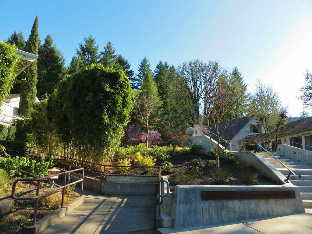
 Larger of the two ponds
 Little footbridge by the large pond
 Smaller pond
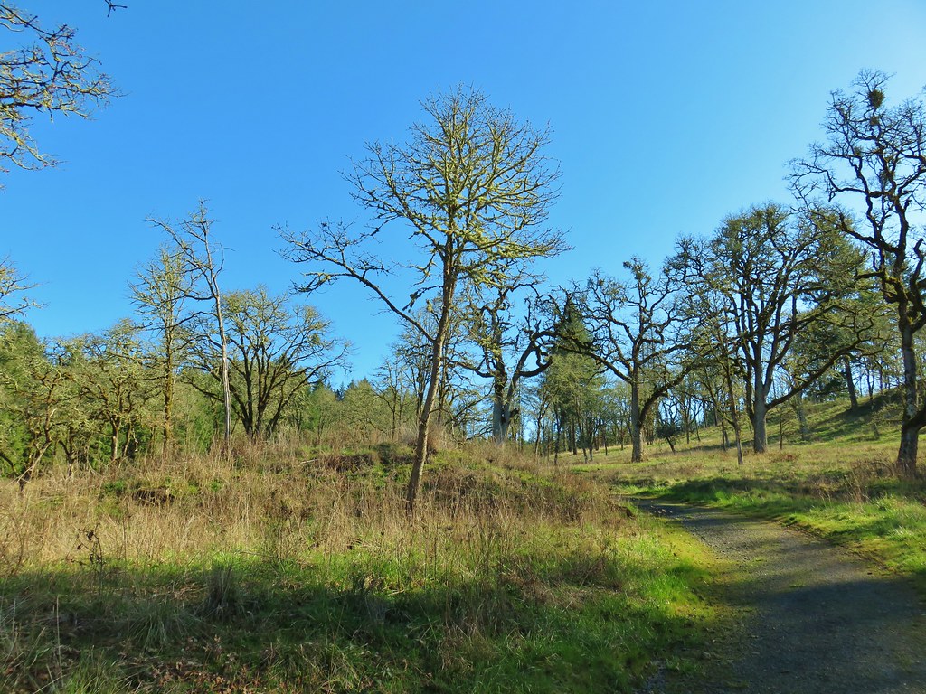
 We ignored the signed trails sticking to the road which was also signed as the “Guadalupe Loop”
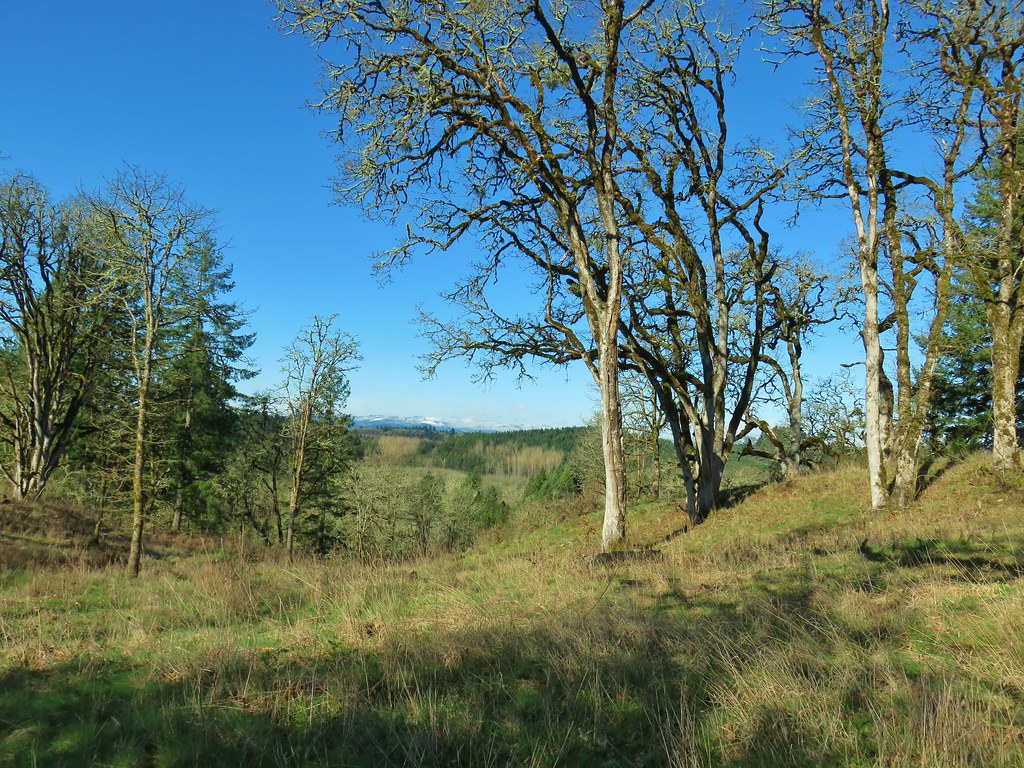

 Acorn woodpecker
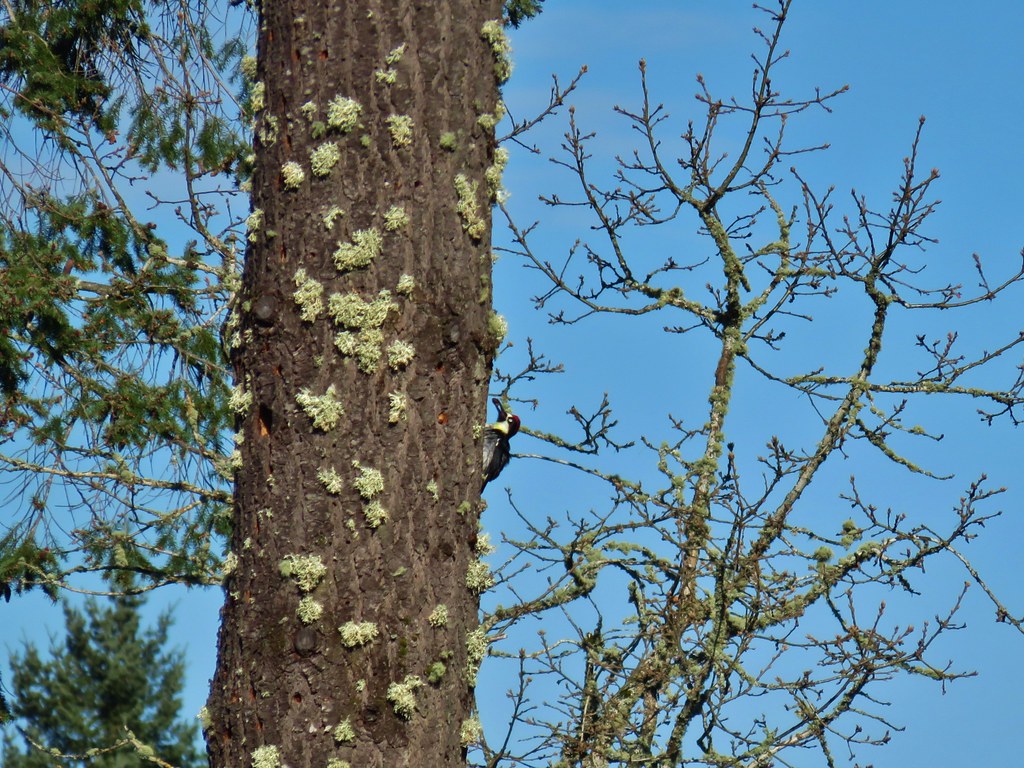 Second acorn woodpecker
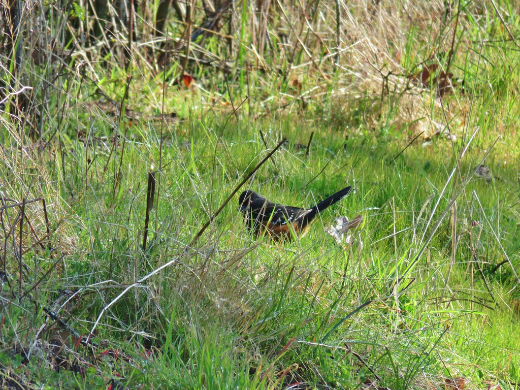 Spotted towhee
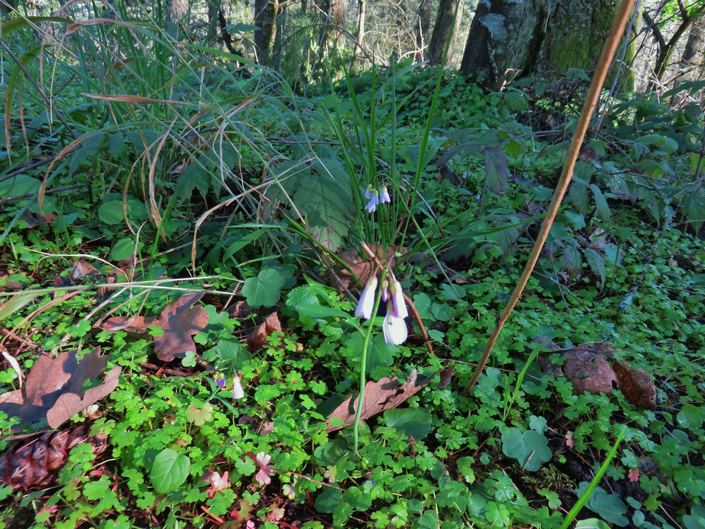


 Snow along the Guadalupe Loop


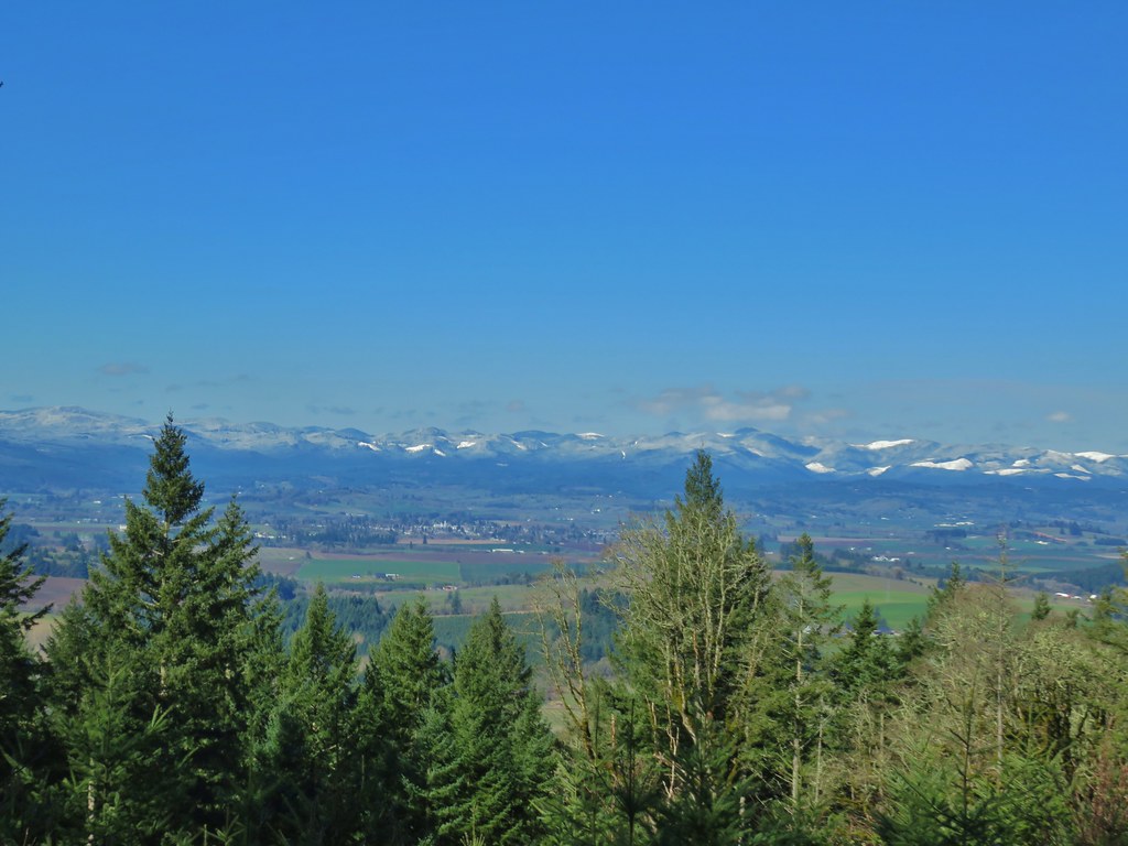

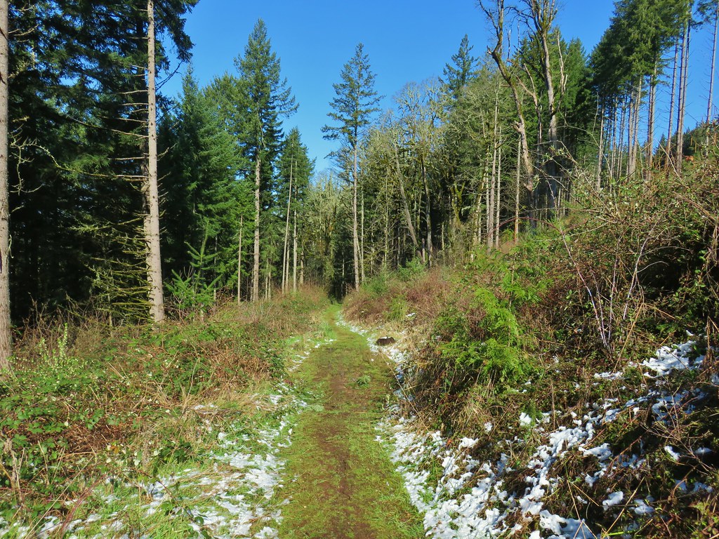
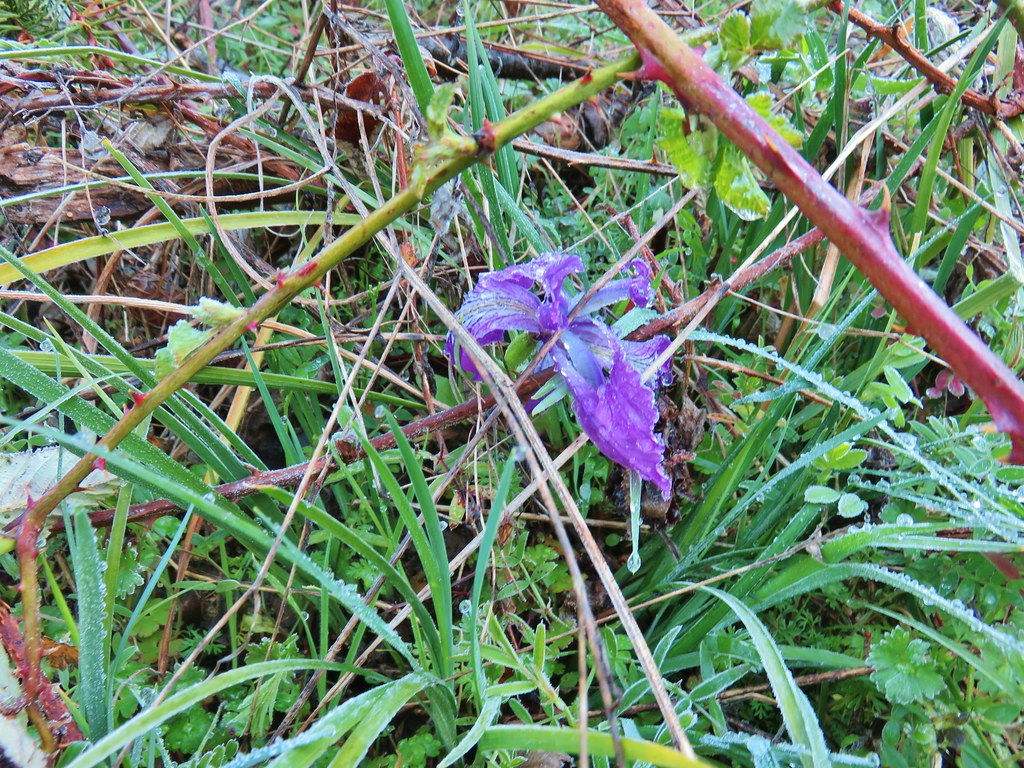
 This chipmunk also caught our attention.
