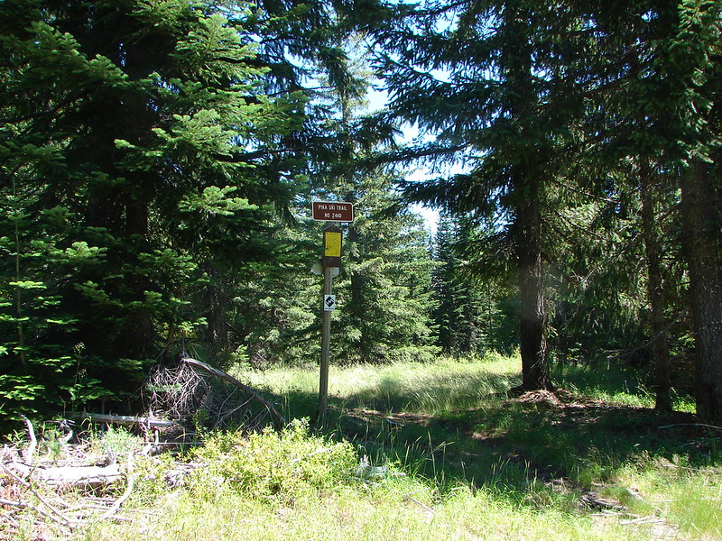
Another year of wandering the trails of the Pacific Northwest has come to an end. Since 2010 we have been on over 200 hikes covering over 2200 miles and we continually find ourselves in awe of God’s creation.
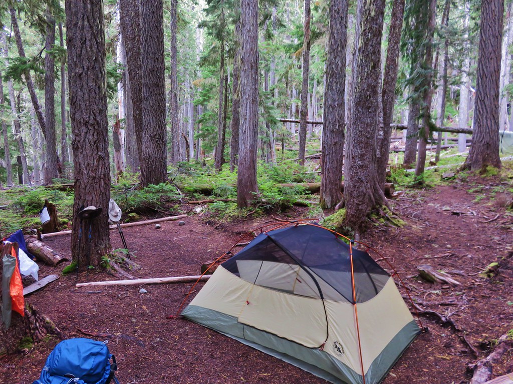
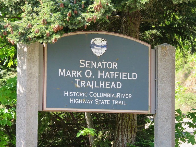
We managed to hit the trails at least once every month ending with 56 hikes for myself and 55 for Heather. I was able to sneak an extra one in by meeting my parents at Columbia Hills State Park in April while Heather was still running. These were the most hikes we’d done in a single year which also led to our highest mileage totals – 660.4 for myself and 652.6 for Heather. The hikes ranged from 2.9 miles (Butte Creek & Abiqua Falls) to 19.1 miles (Green Lakes Loop). Below is a link to a Google map showing the various trailheads and campsites (denoted by picnic tables).
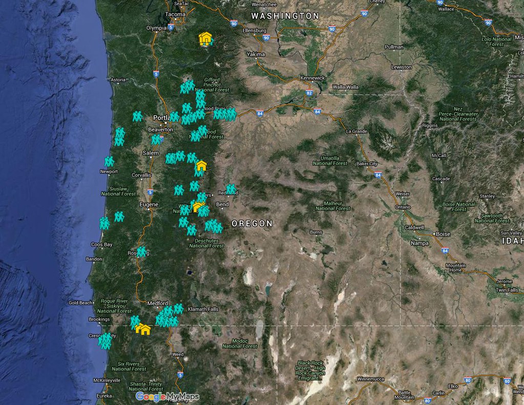
https://www.google.com/maps/d/edit?mid=zIiZZDXeDJAs.kn3sBy2gxhI8&usp=sharing
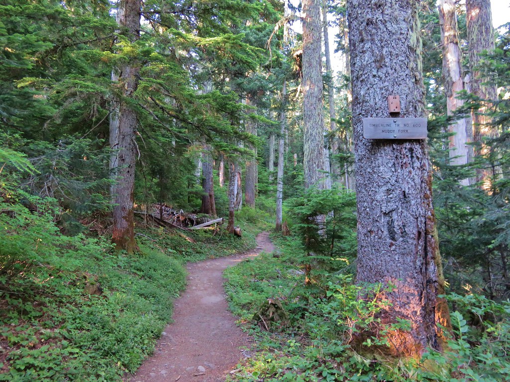
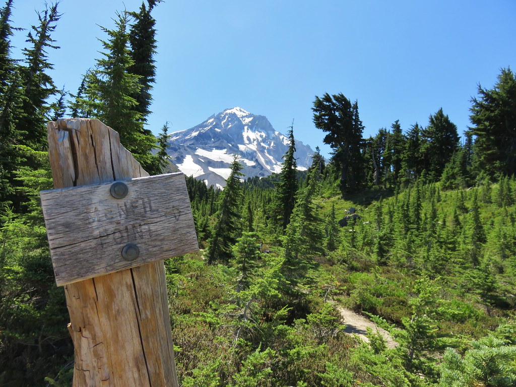
In addition to my Columbia State park hike we met my parents for hikes at McNeil Point and Jefferson Park. We also met a couple of regular contributors to Oregonhikers.org out on the trails, miah66 on Silver Star Mountain and justpeachy in Jefferson Park. In December we attended the Trail Keepers of Oregon/Oregon Hikers annual Winter Meet-n-Deet in Portland where we were able to put a few more faces to the names we’ve gotten to know on the hiking forums. It was a blast and we’re hoping to continue attending the event in future years.
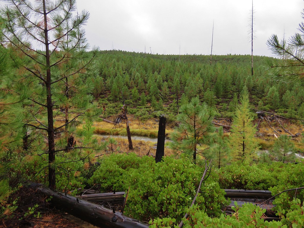
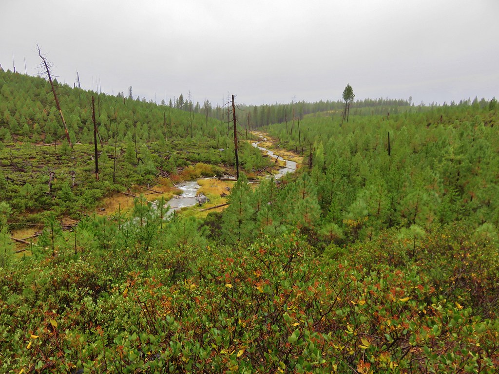
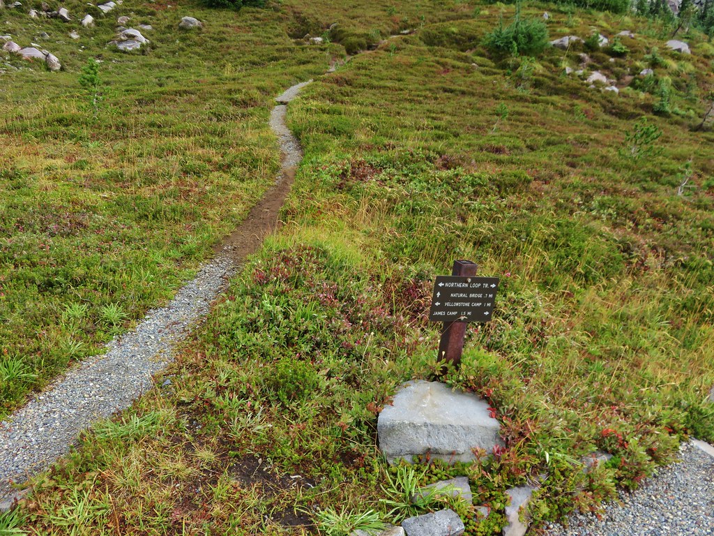
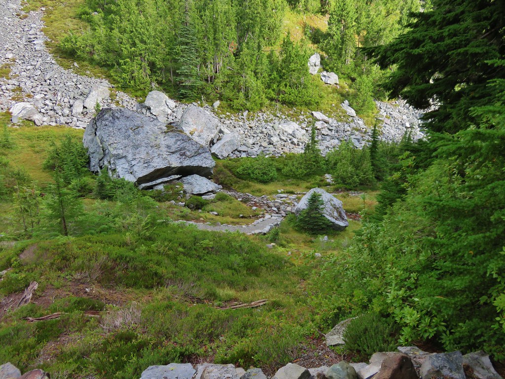
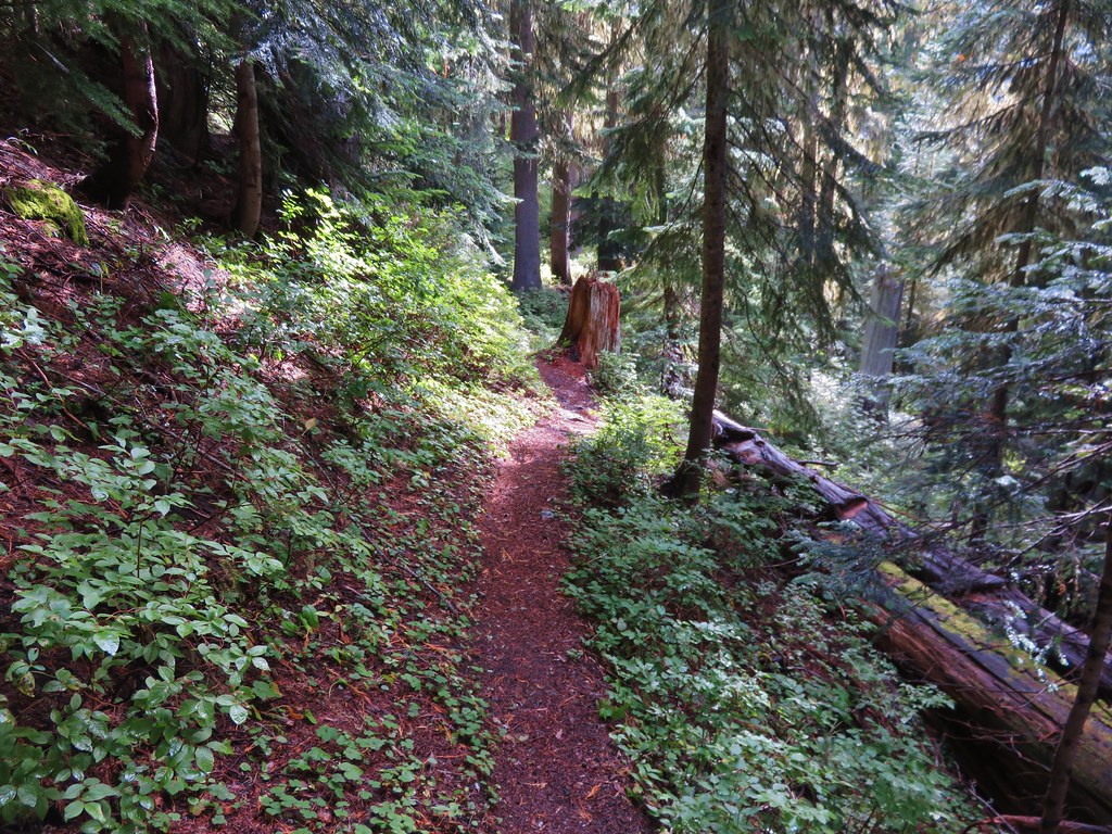
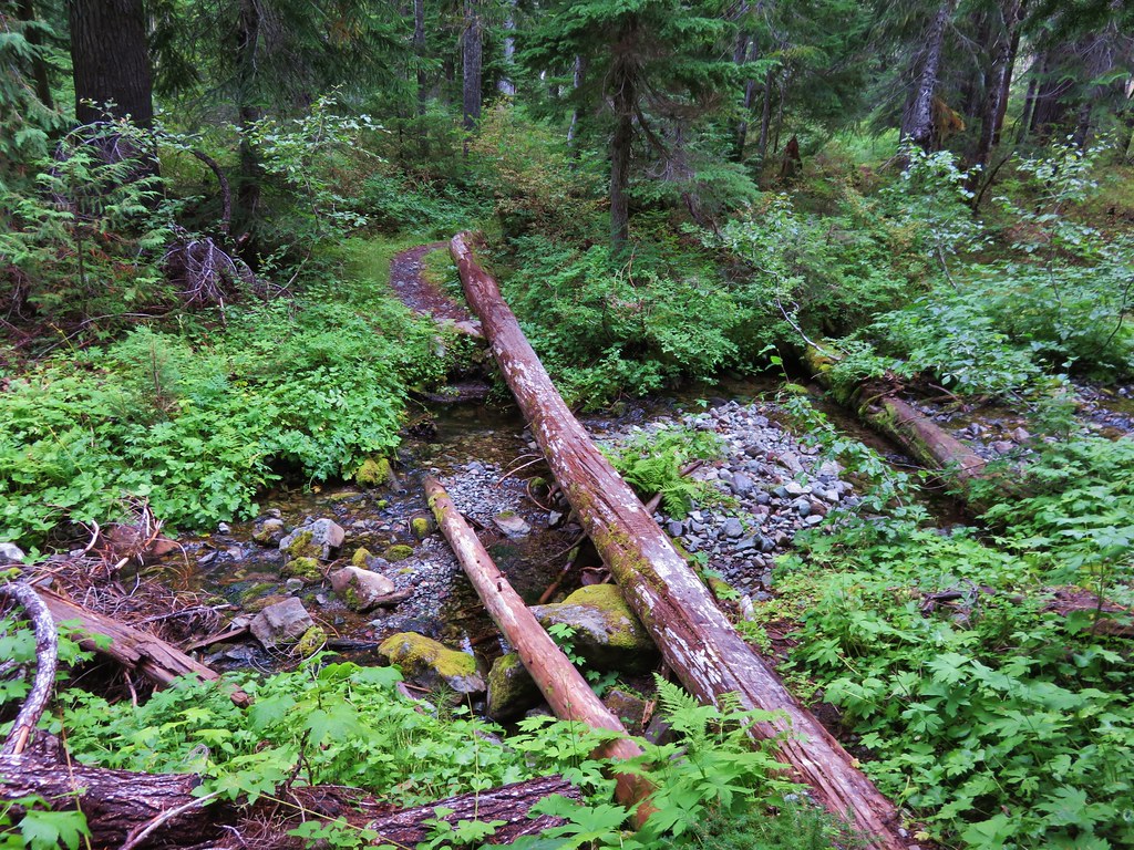
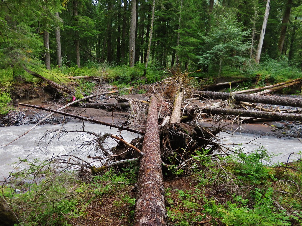
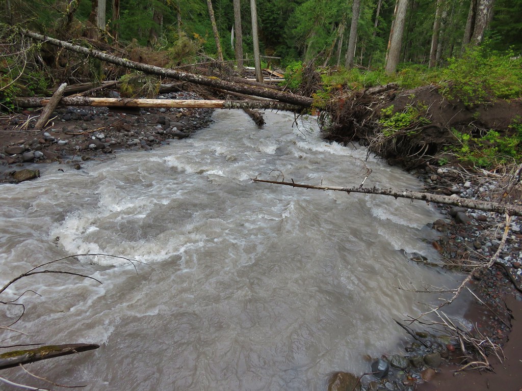
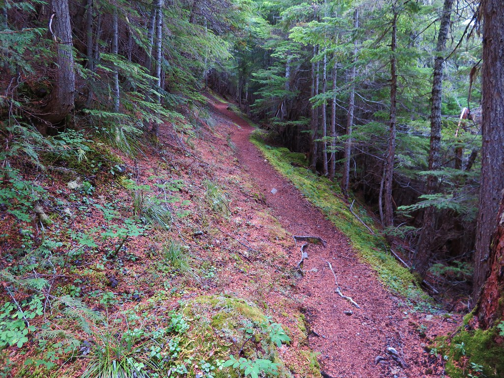
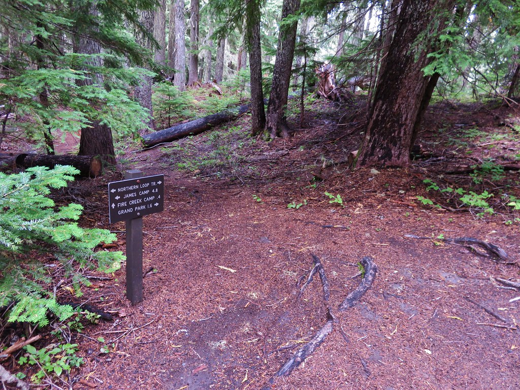
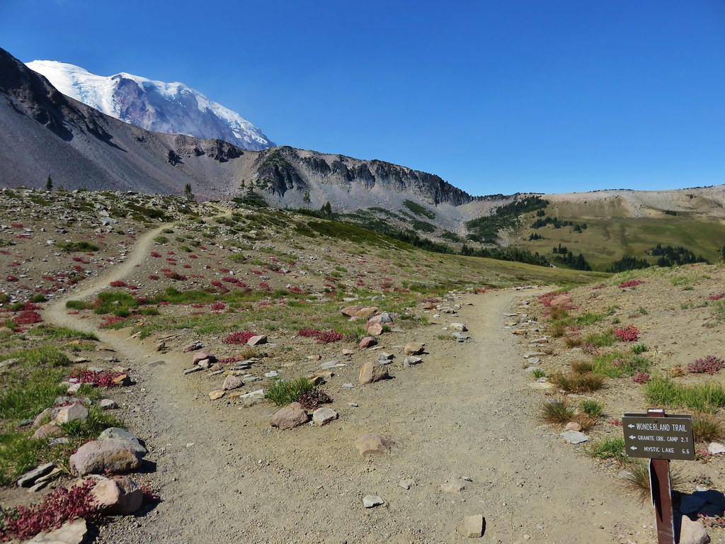
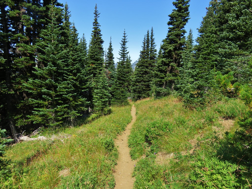
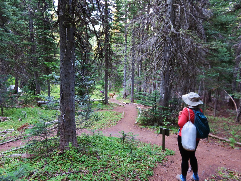
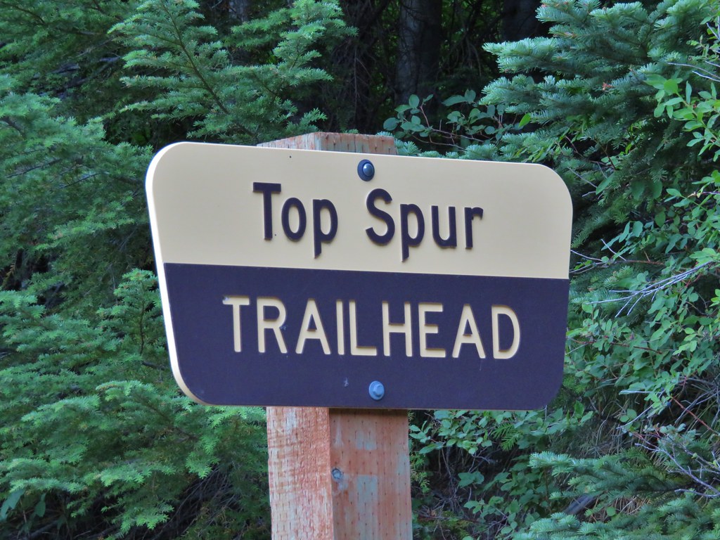
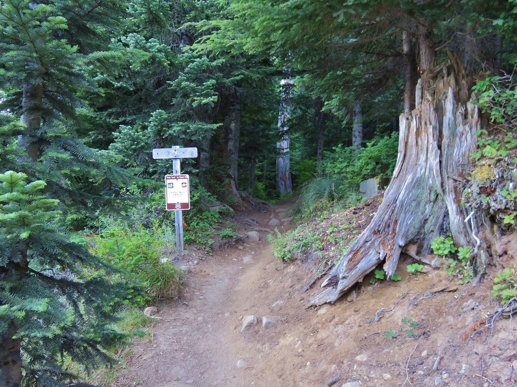
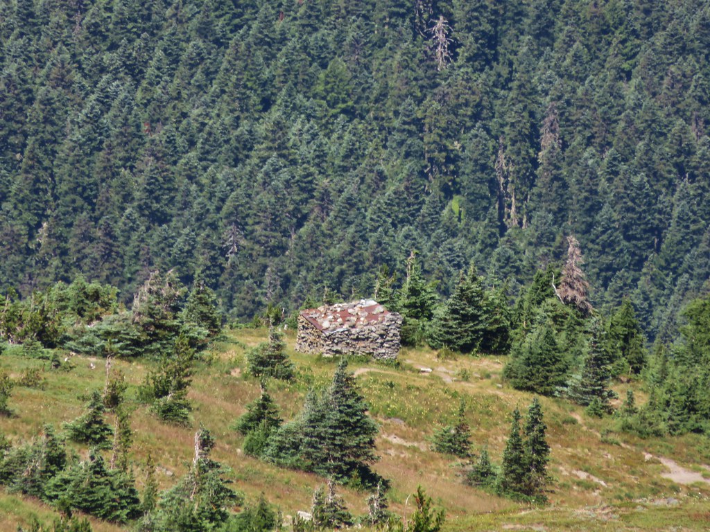
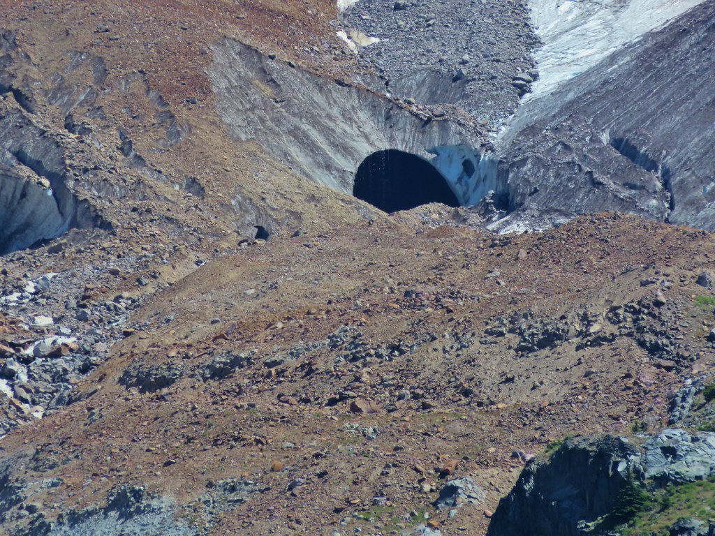
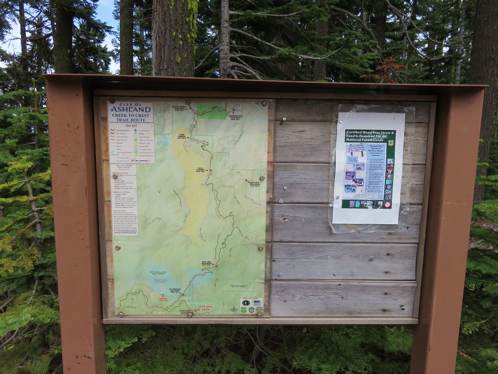
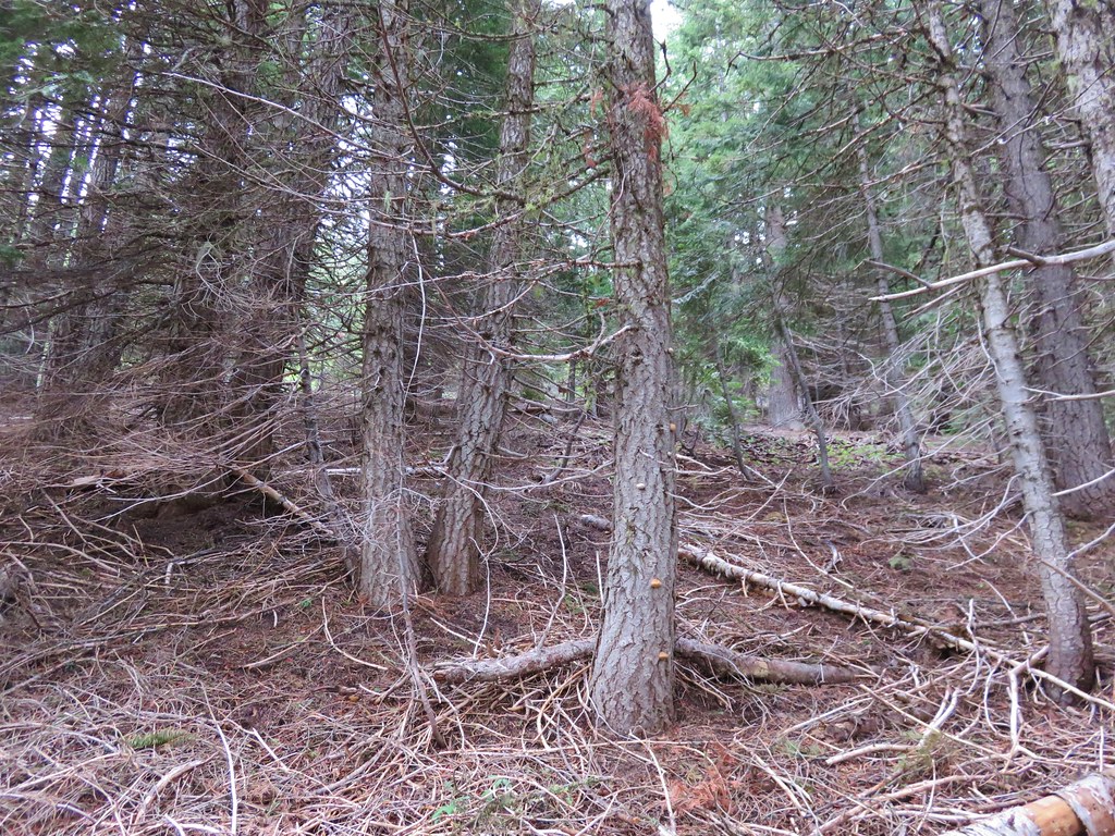
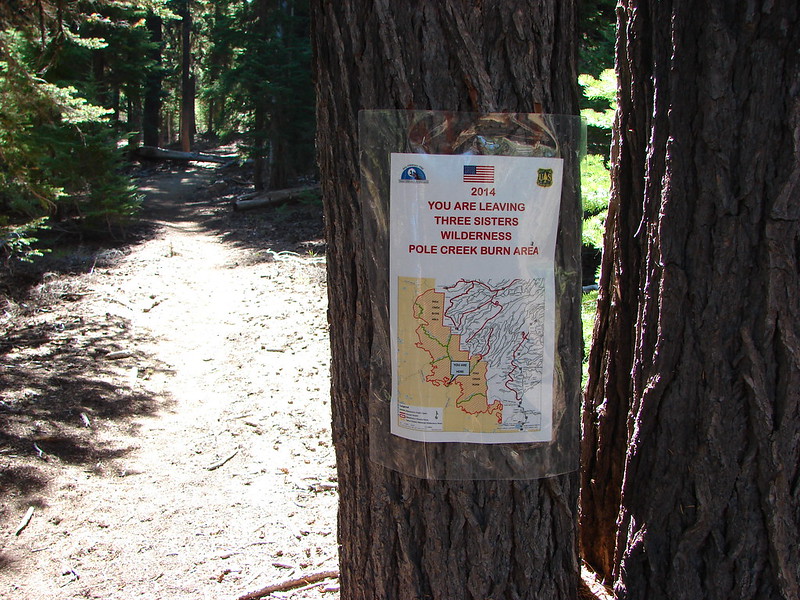
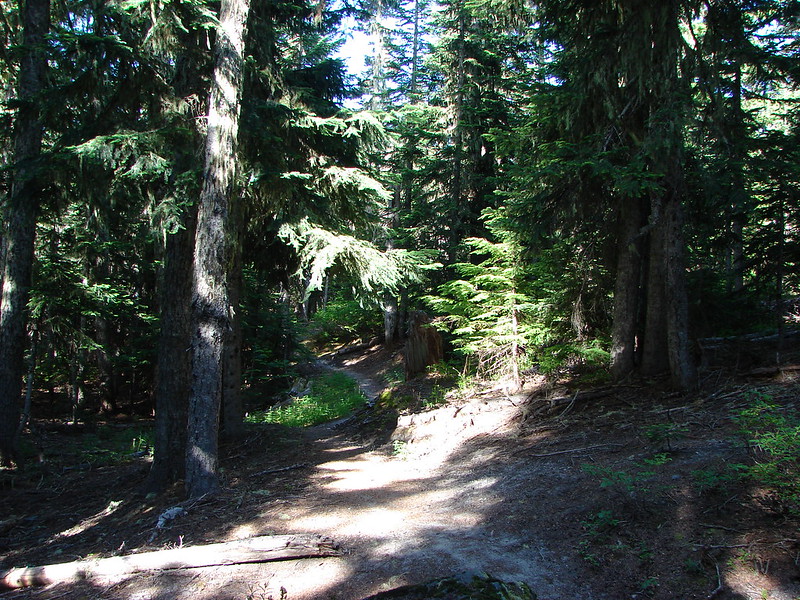
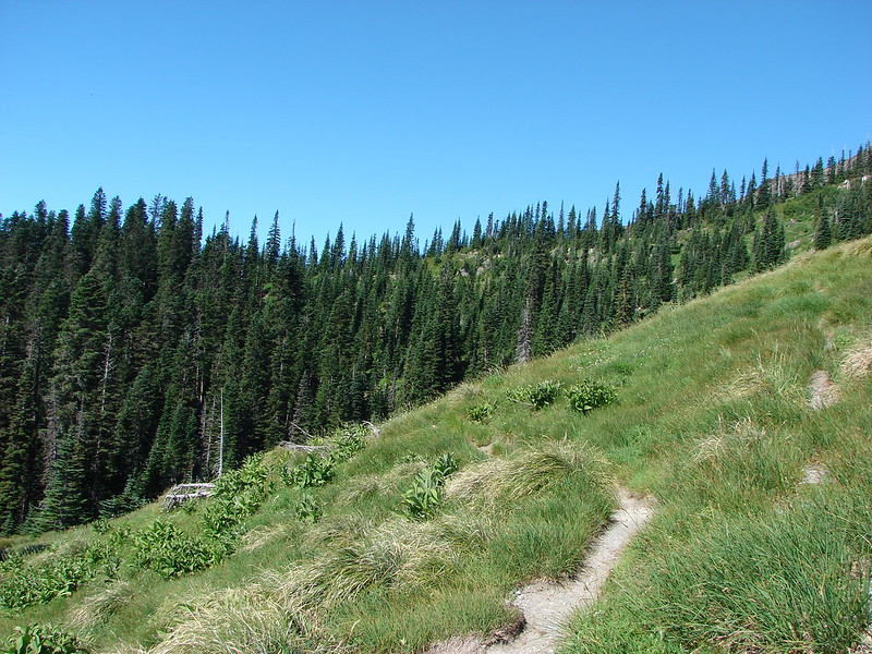
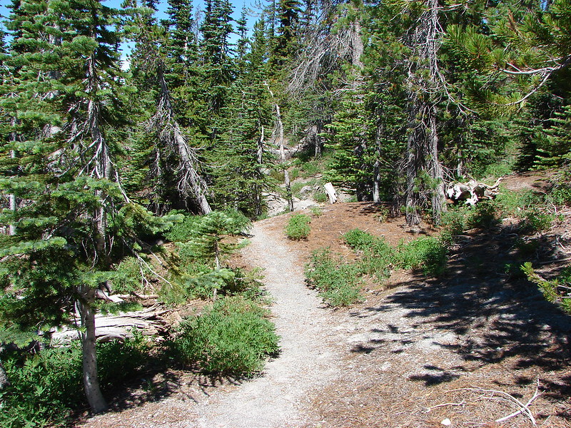
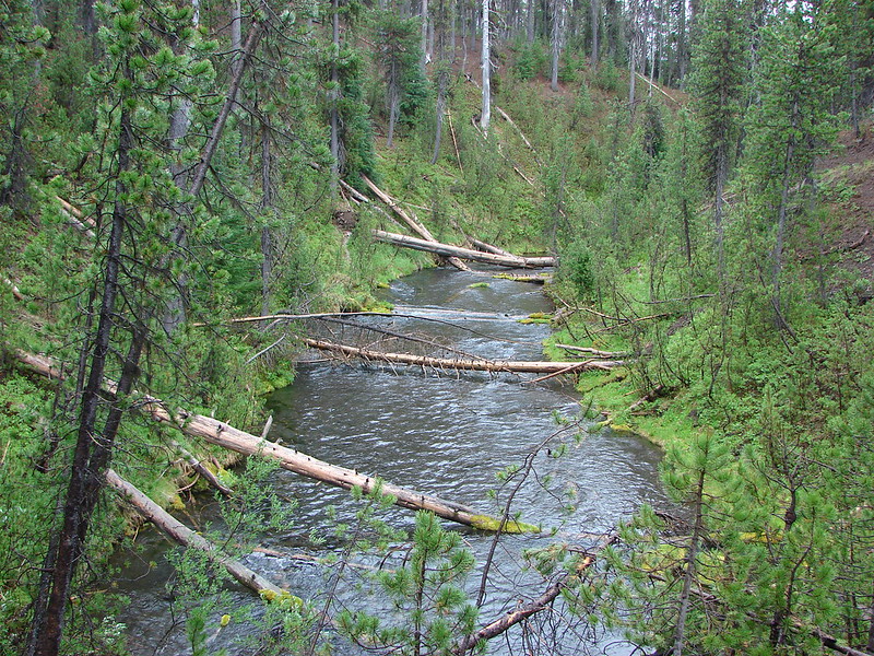
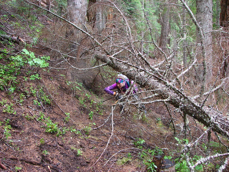
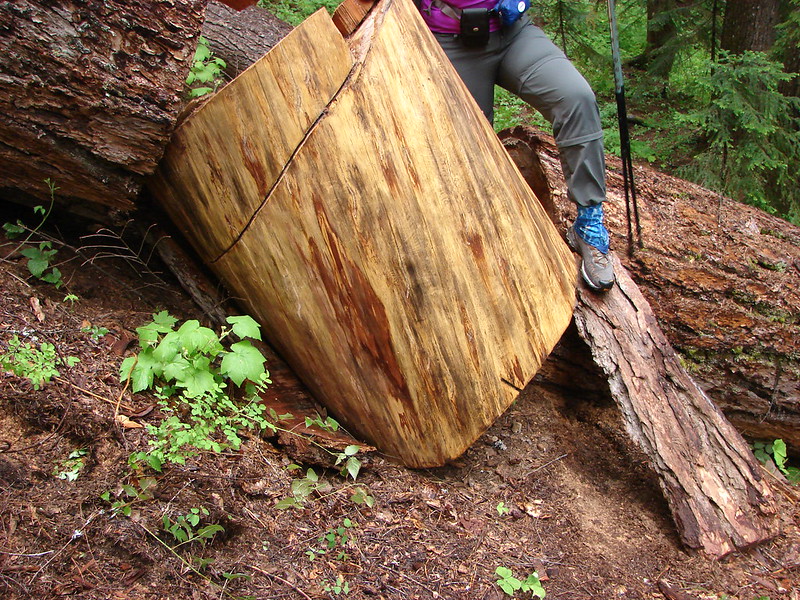
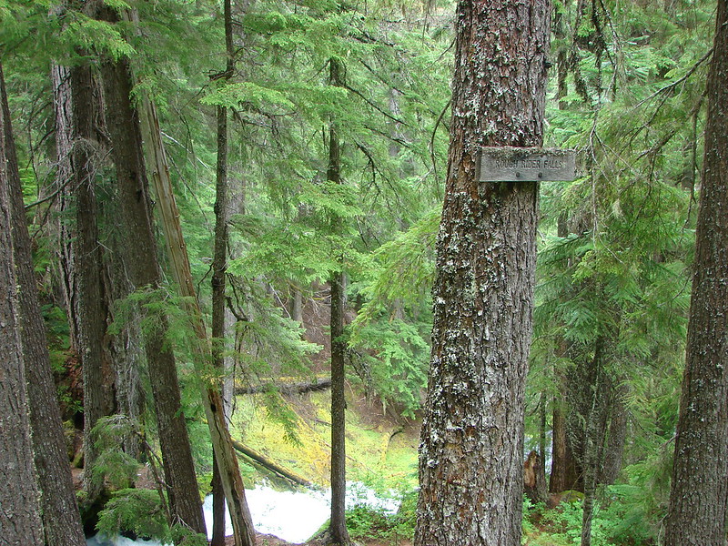
As in previous years our primary focus was to visit new places and spend time on trails we had not previously hiked. We continued to expand the area in which we’ve hiked by spending 4 days hiking the Northern Loop Trail in Mt. Rainier National Park and spending some time hiking in California around Crescent City and in the Red Buttes Wilderness. Other areas which were brand new to us included the area around Ashland, OR, Indian Heaven Wilderness, and The Oregon caves National Monument. In all 43 of our 56 days of hiking were spent on sections of trails we had never been on before. The remaining 13 days were spent on trails that we had visited in prior years, but we managed to do something different this time around on each trip allowing us to see something new every time out.
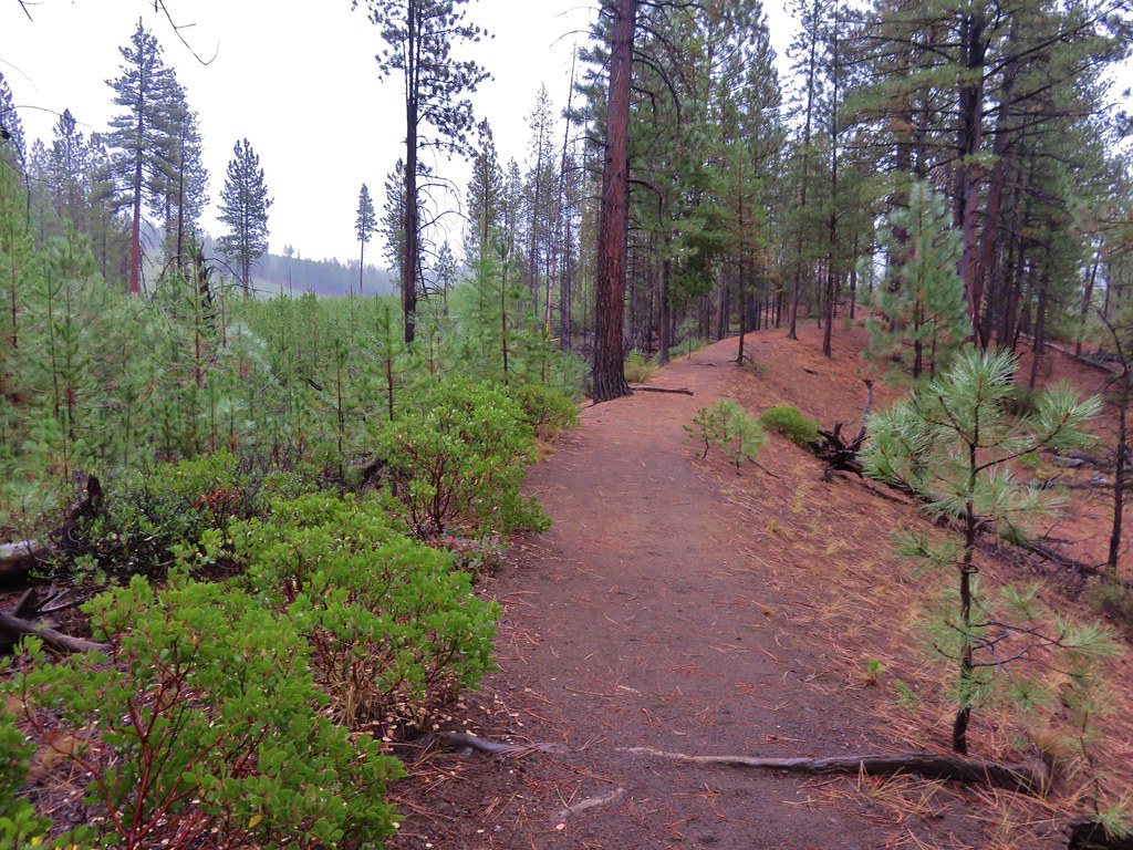
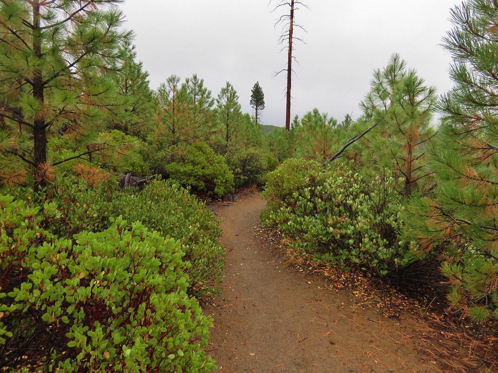
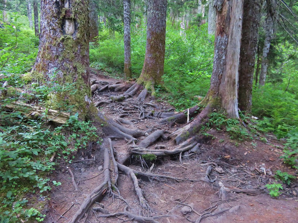
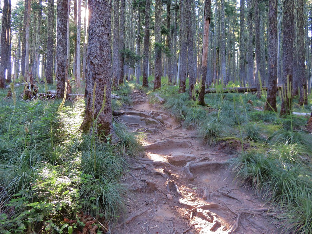
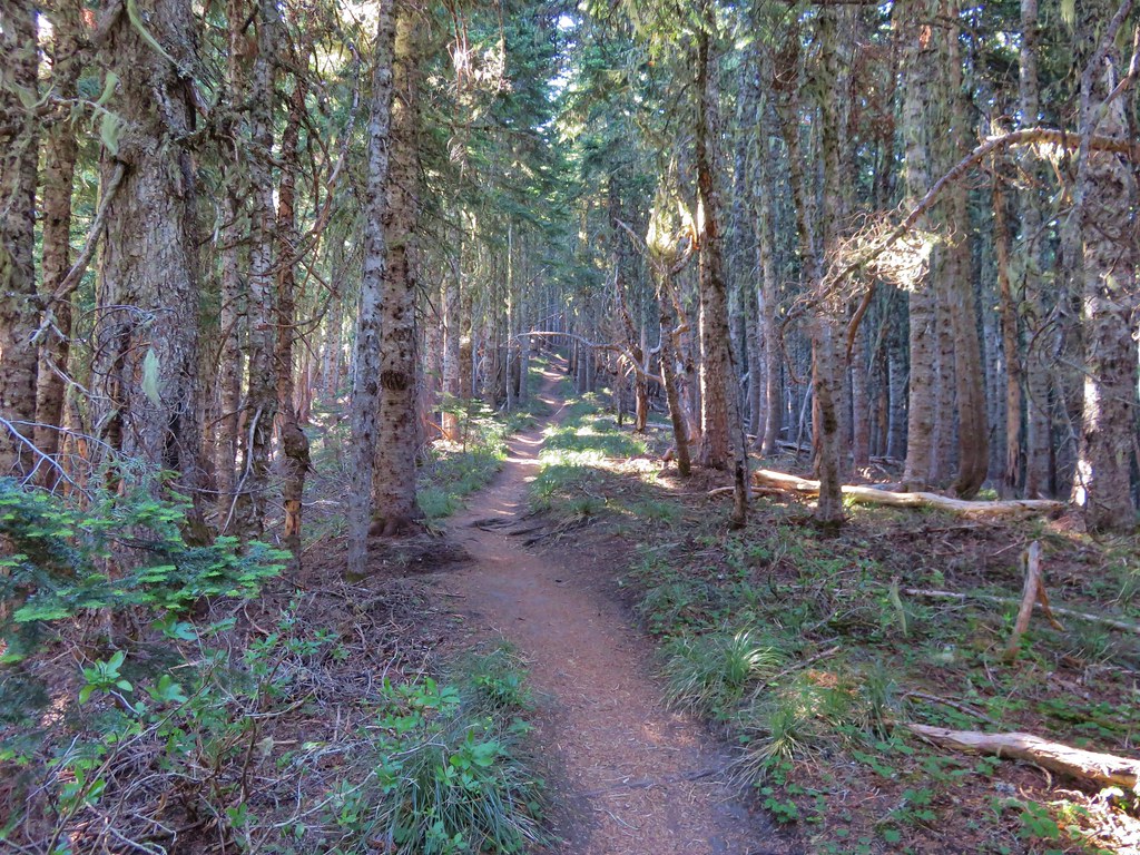
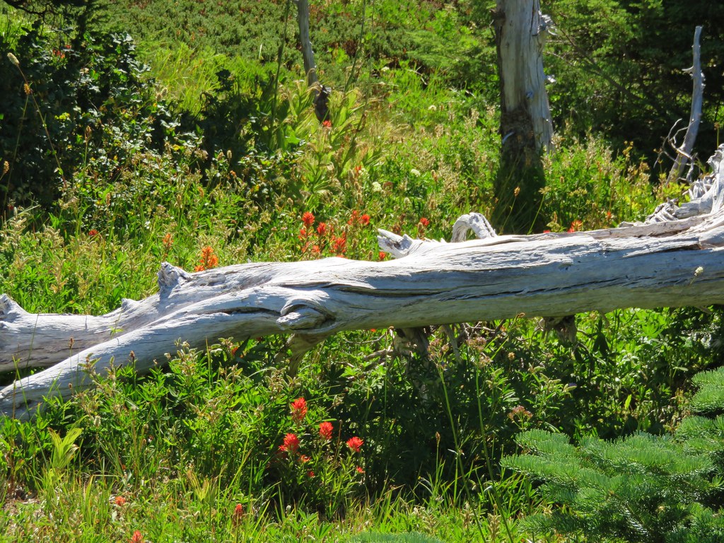
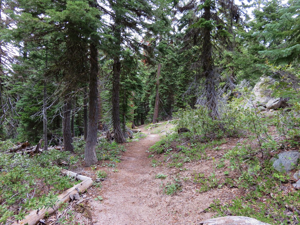
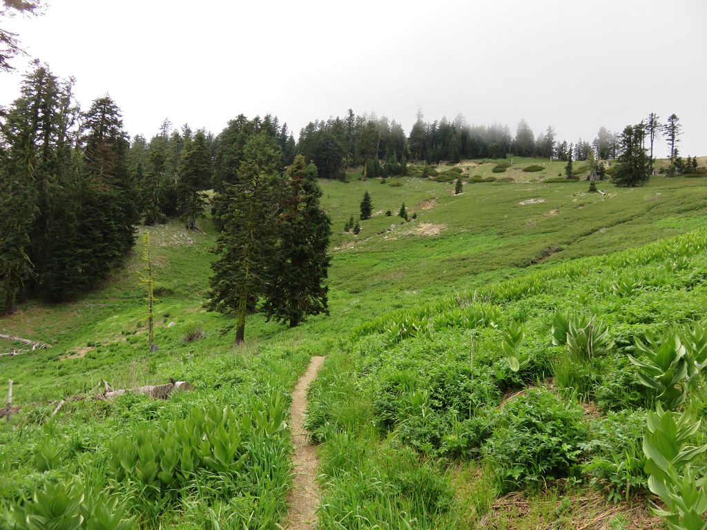
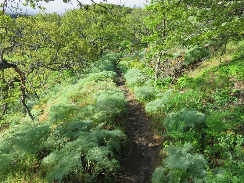
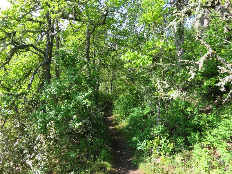
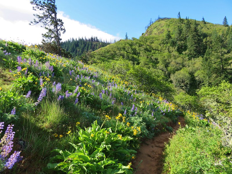
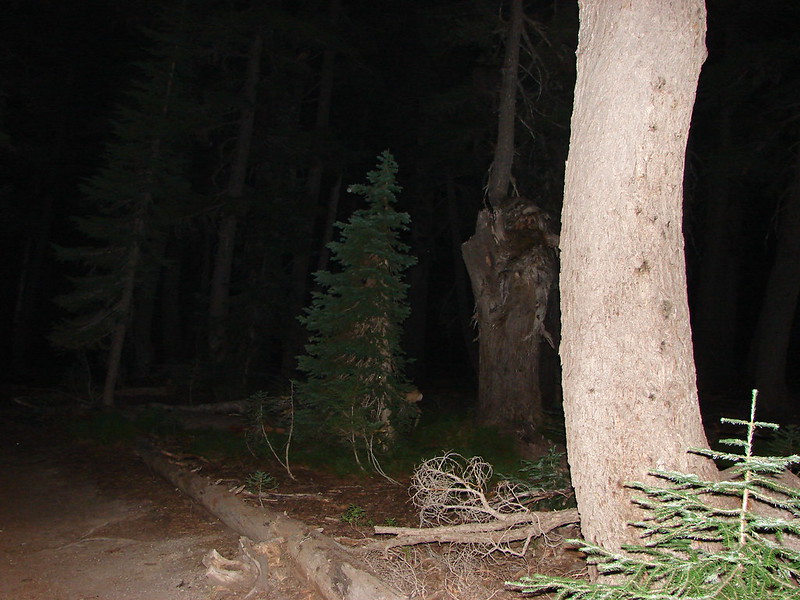
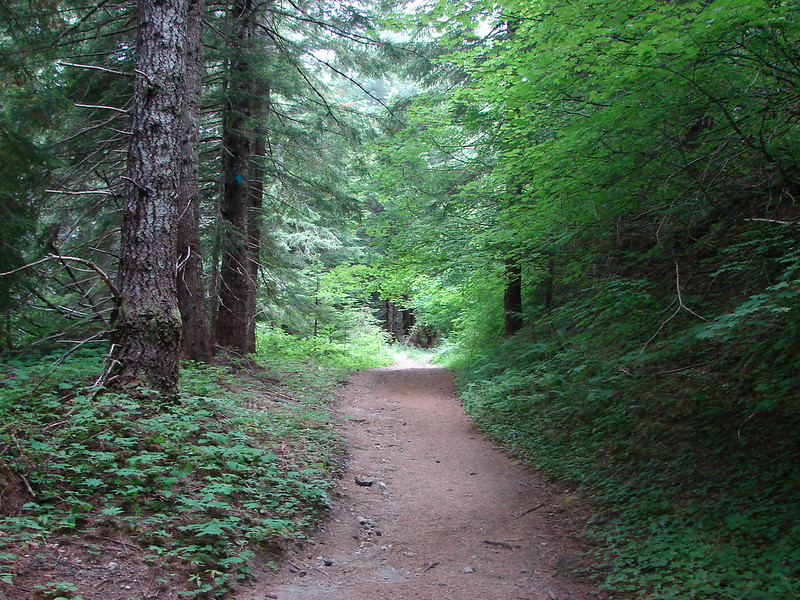
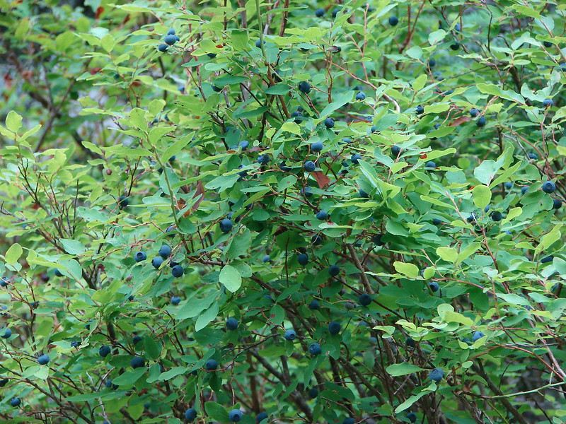
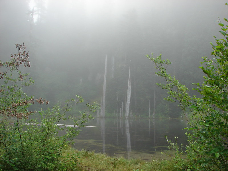
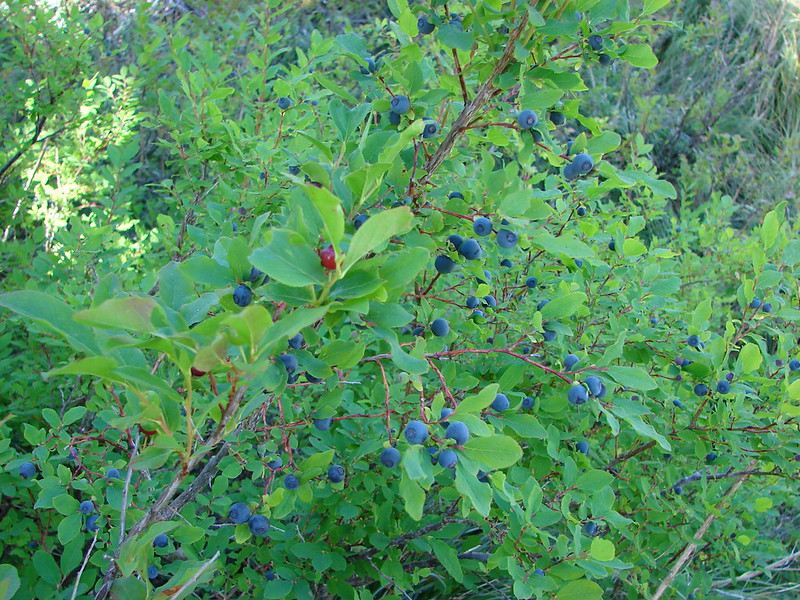
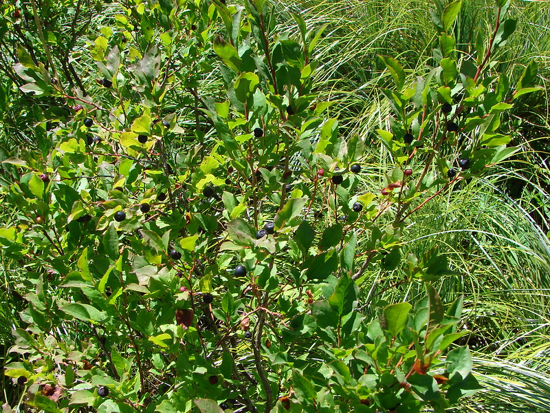
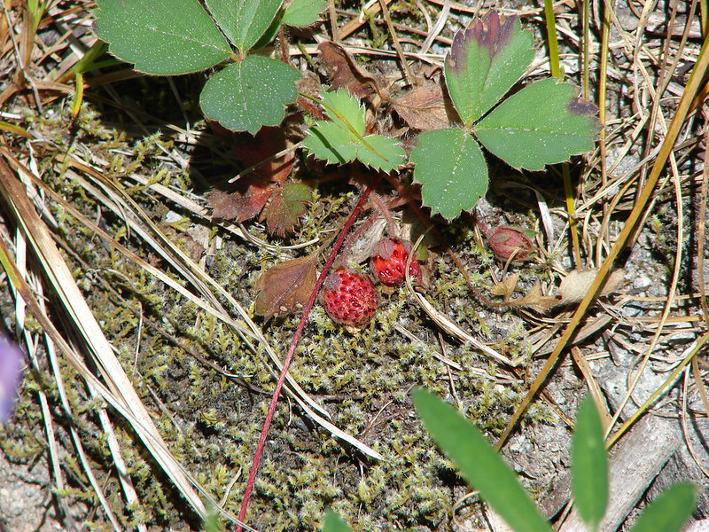
This year just reinforced what has become one of our favorite aspects of hiking, the variety. In visiting so many new trails we were able to see flowers, trees, animals, and even mountains that we had not previously encountered on our hikes. Even in the familiar areas there always seems to be something new to experience. It’s not just the sights that provide the variety though, the smells, sounds, and even the feeling of the air and the forest can change multiple times on any given hike.
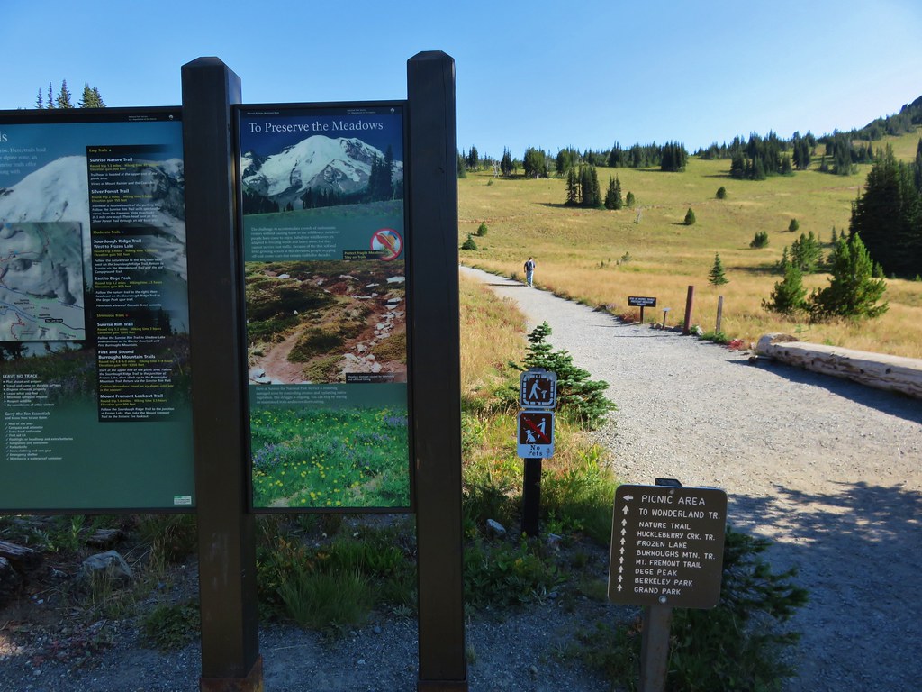
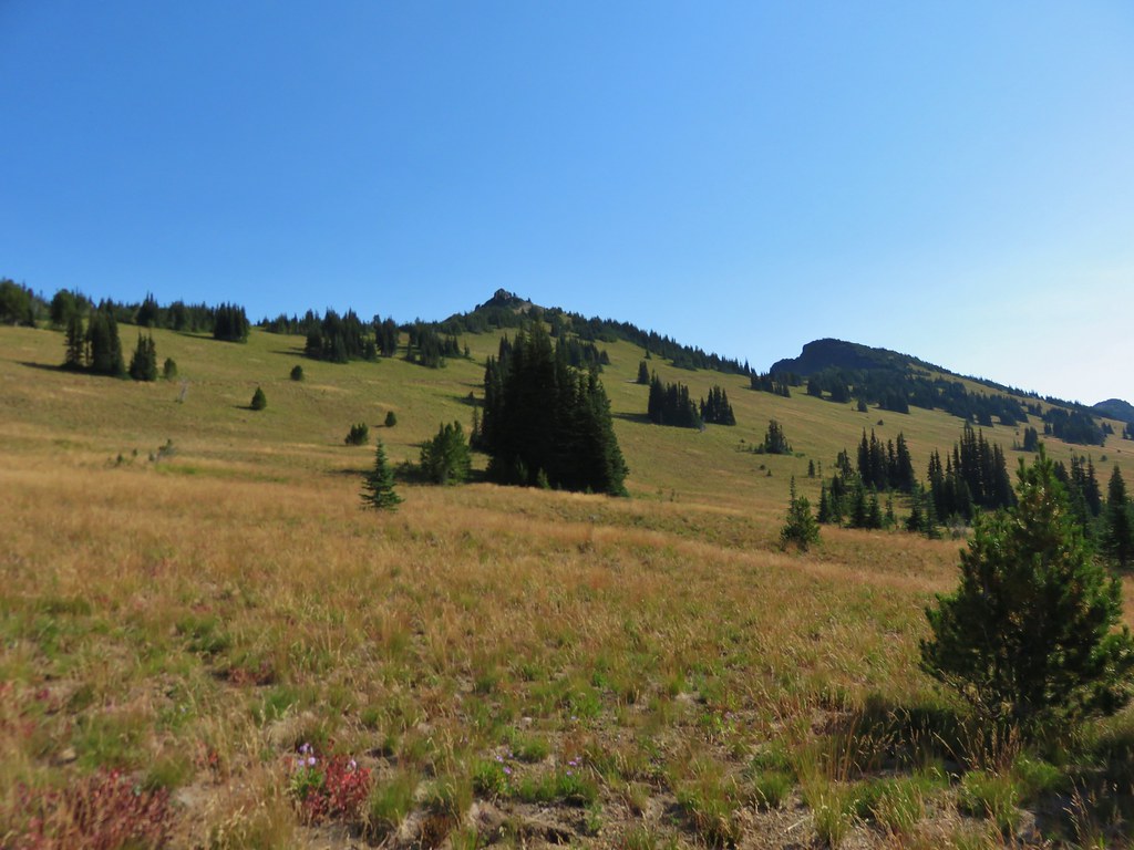
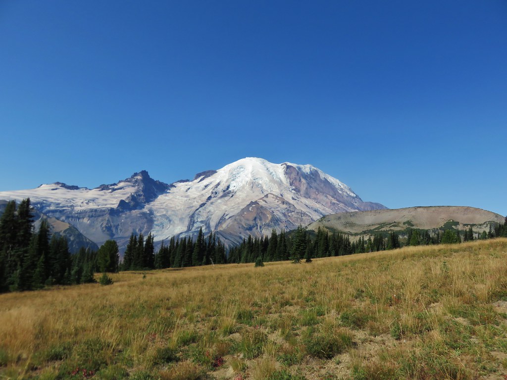
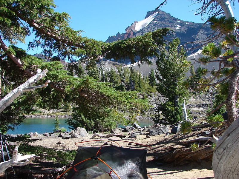
Although the camera cannot adequately capture the beauty of nature a look back at some of this year’s pictures will hopefully give some indication of the many different sights we were blessed with.
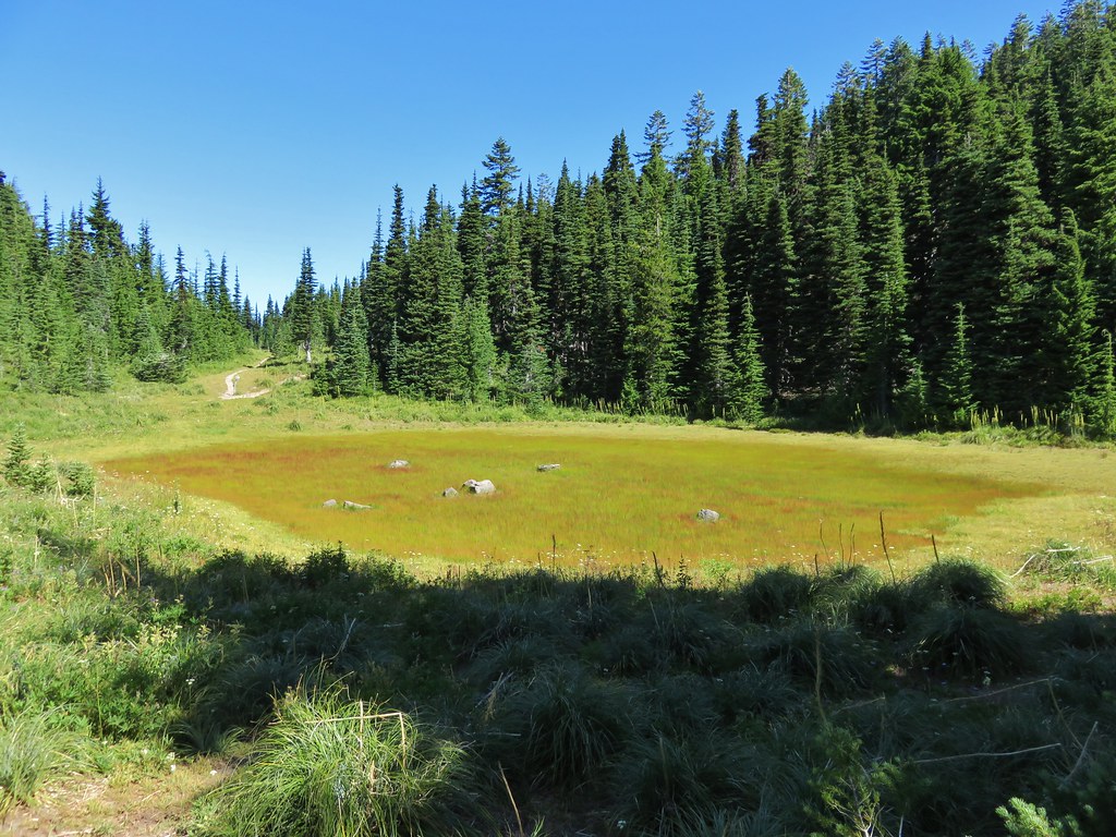
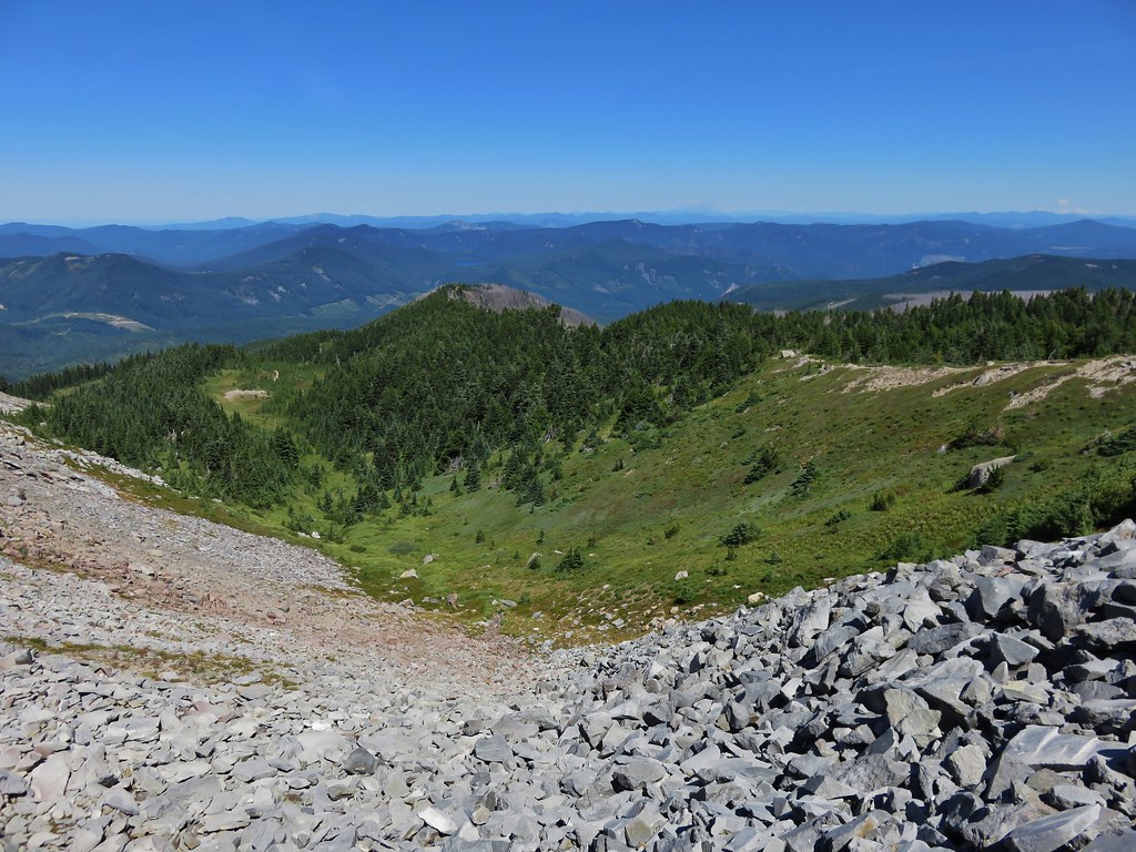
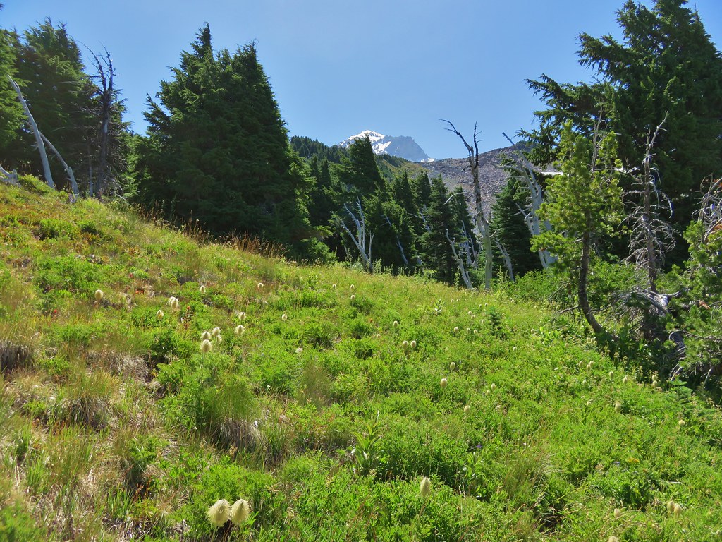
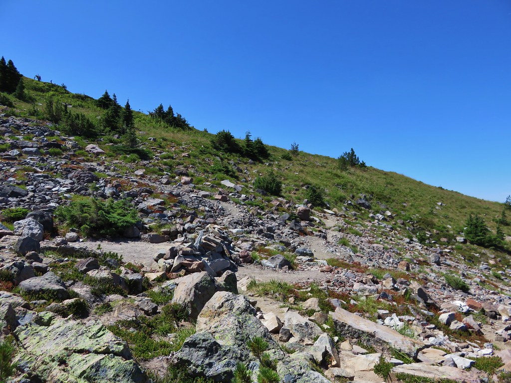
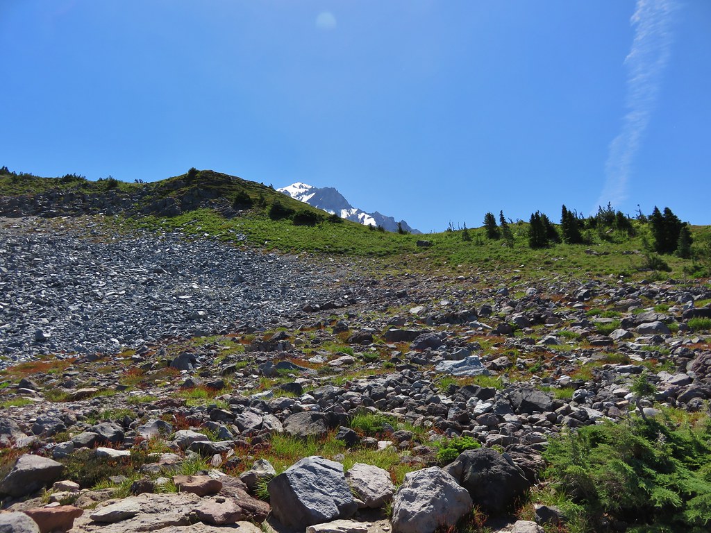
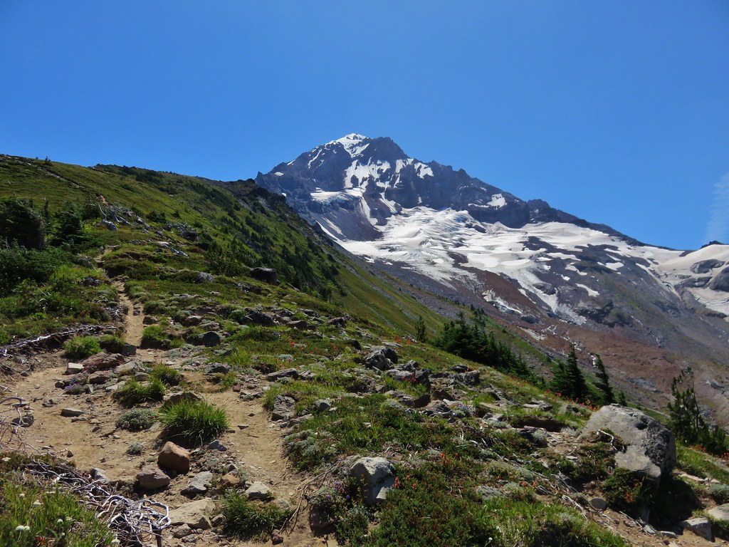
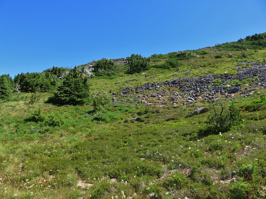
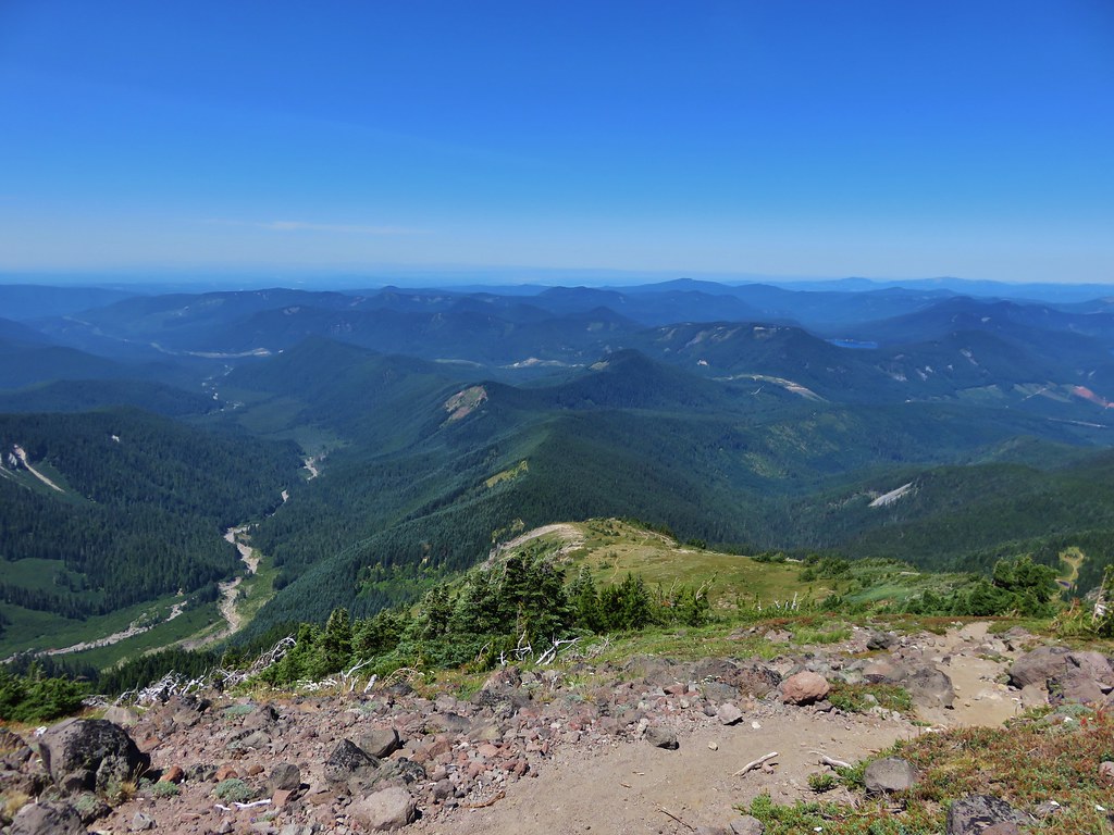
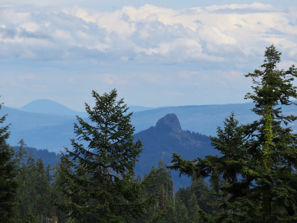
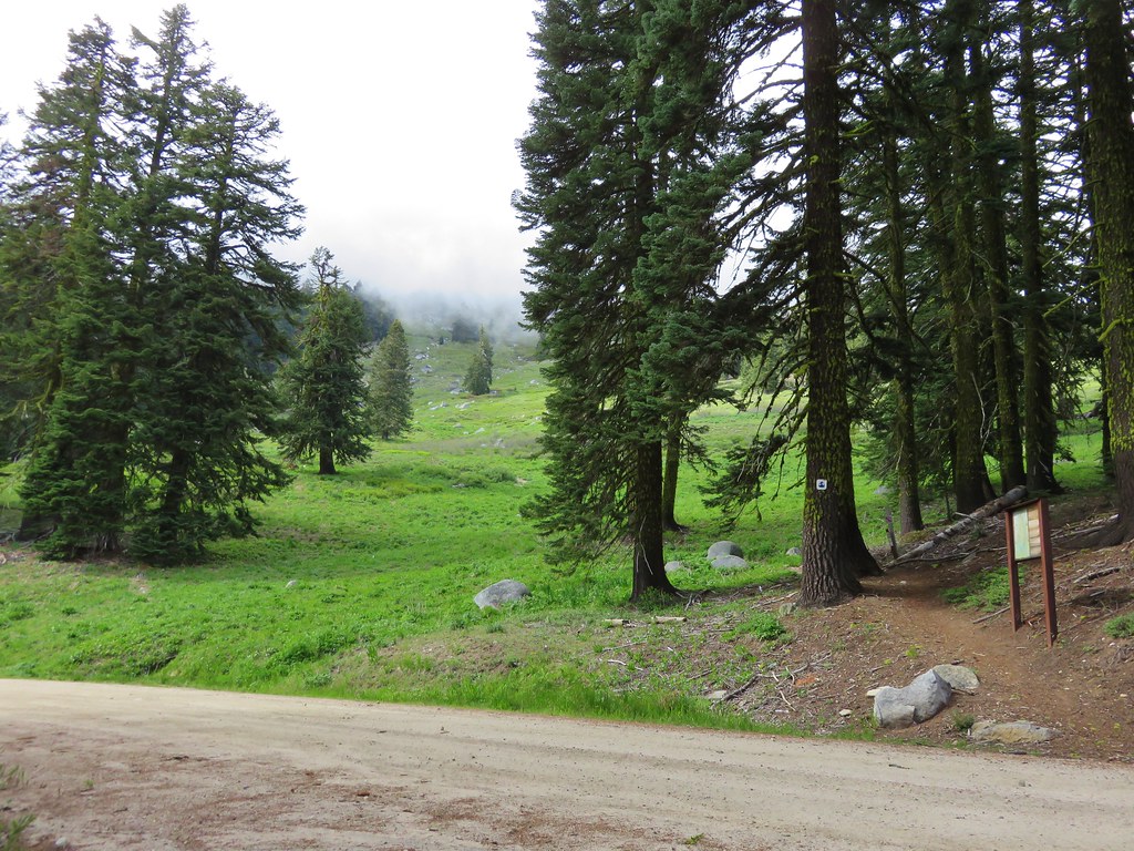
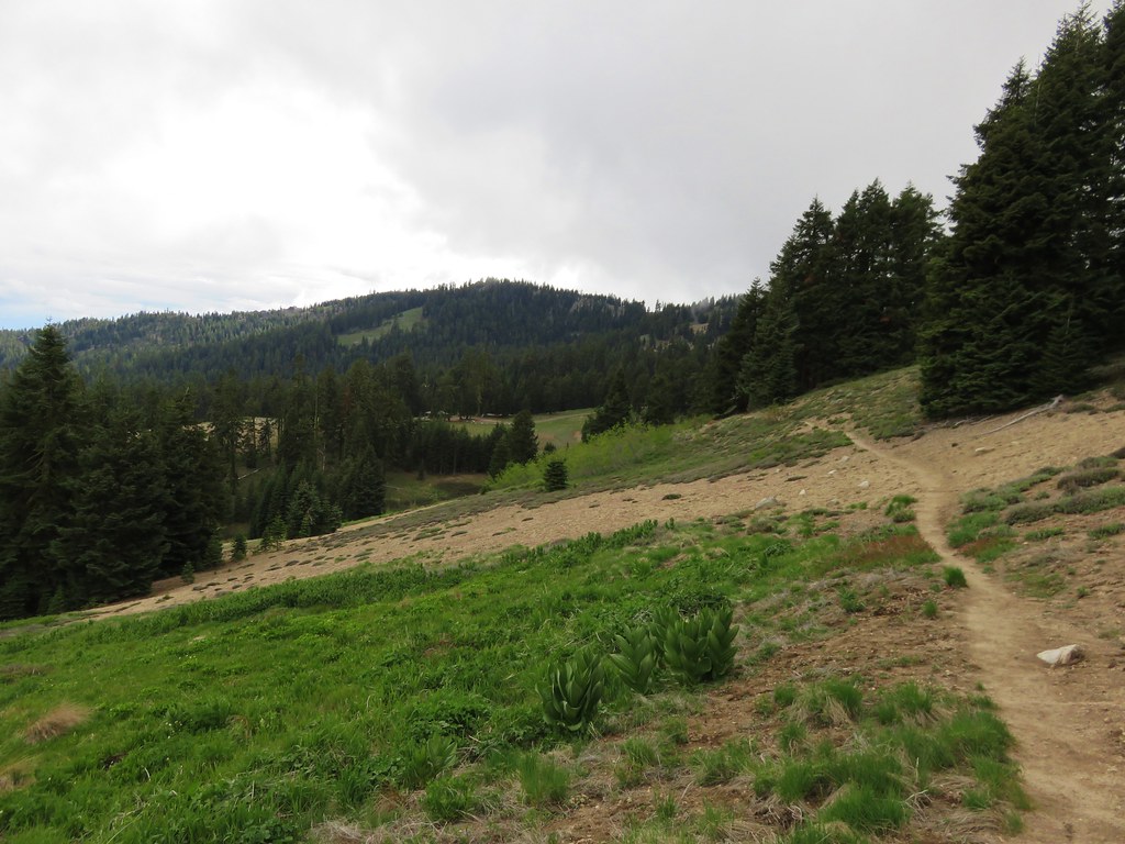
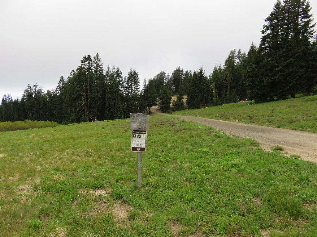
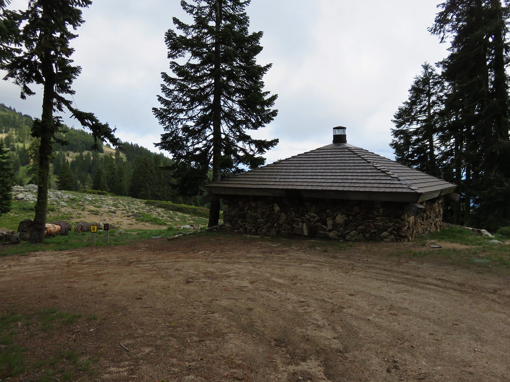
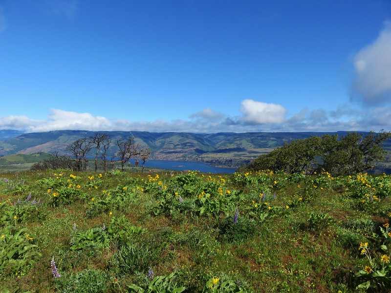
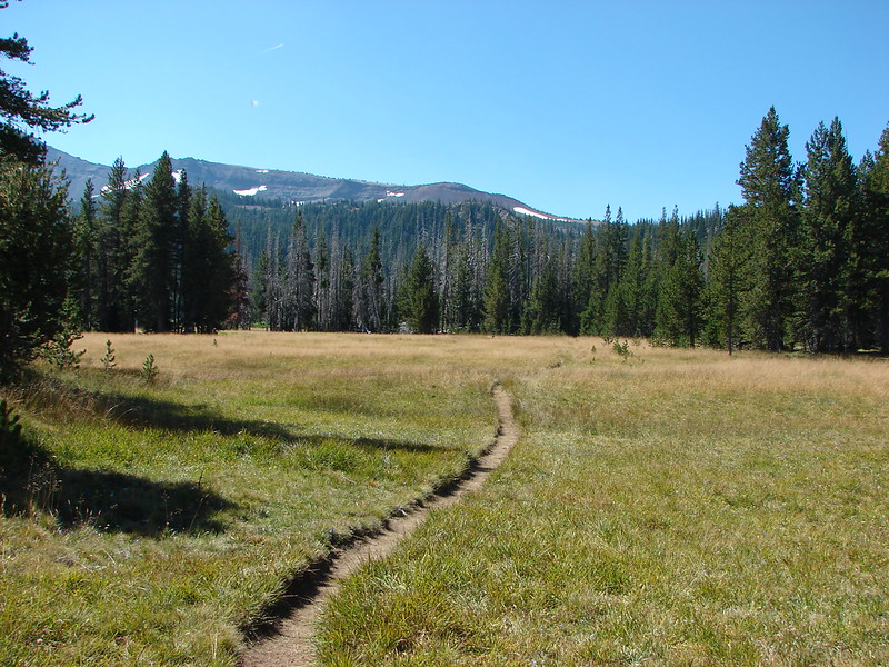
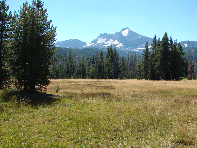
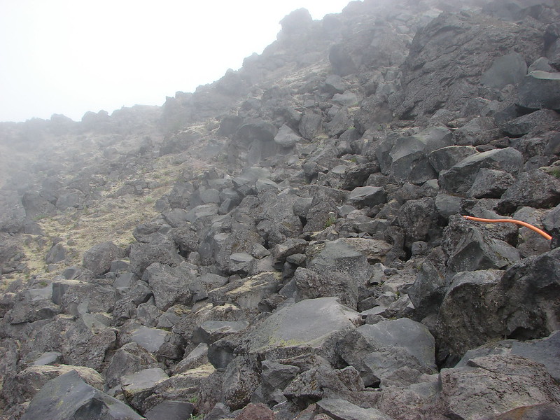
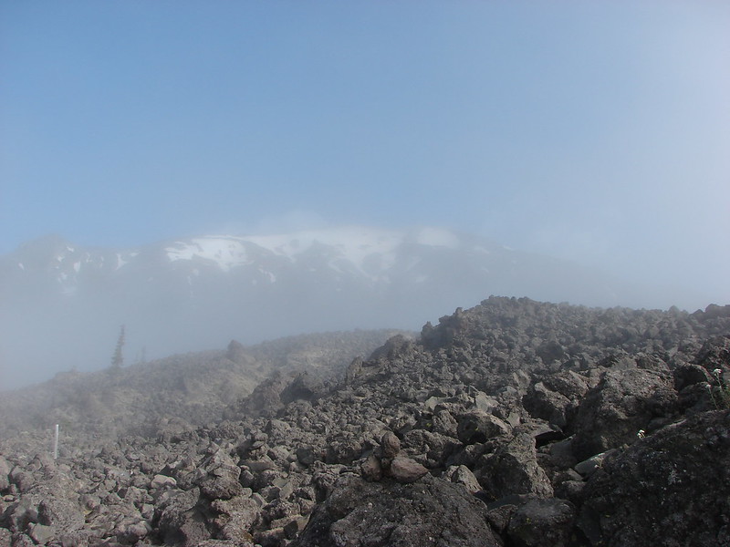
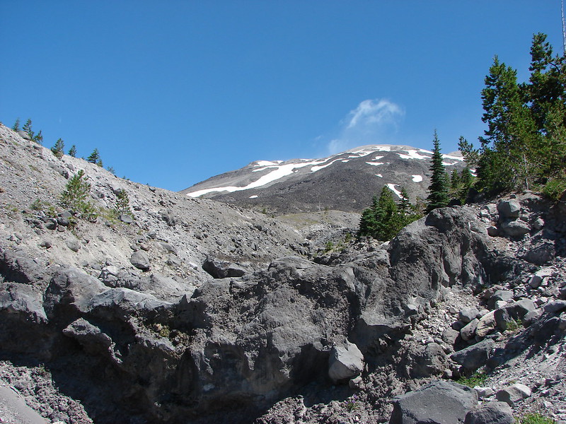
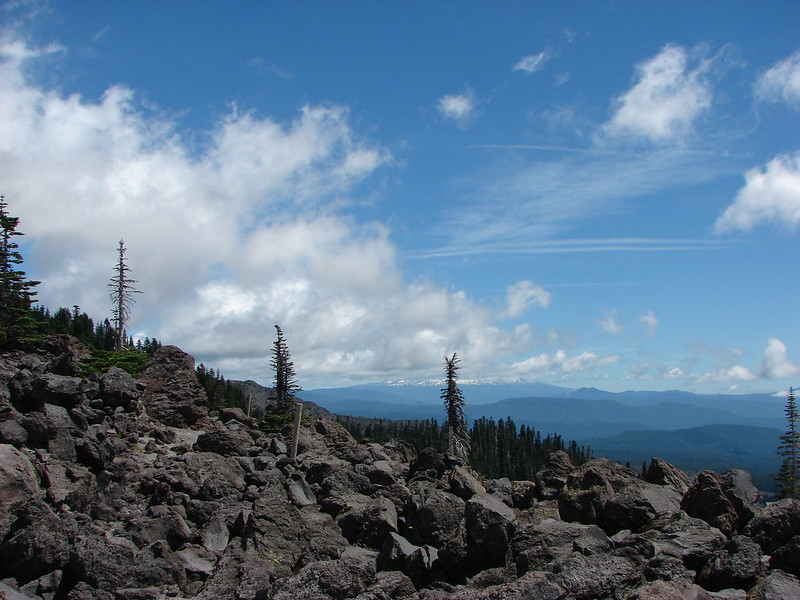
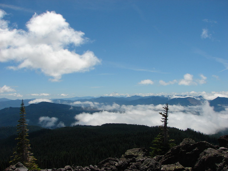
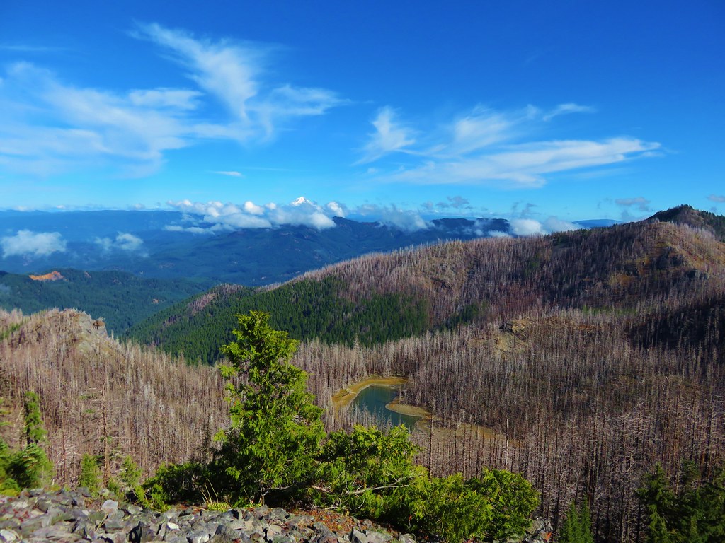
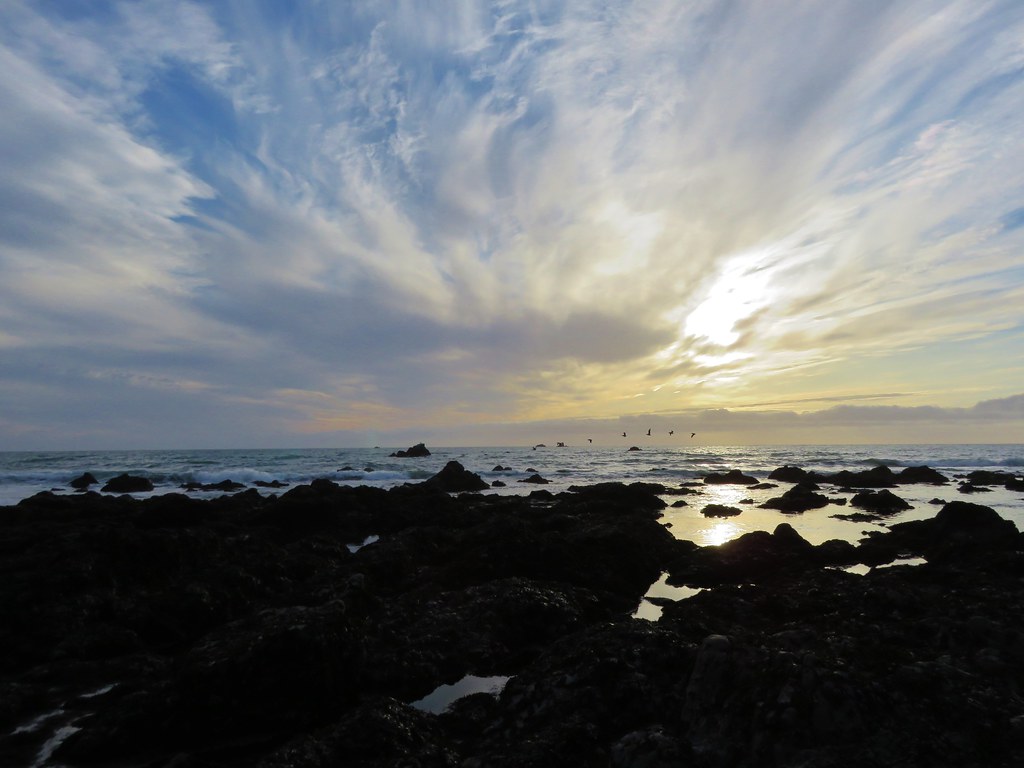
Views:
Oregon Dunes Overlook

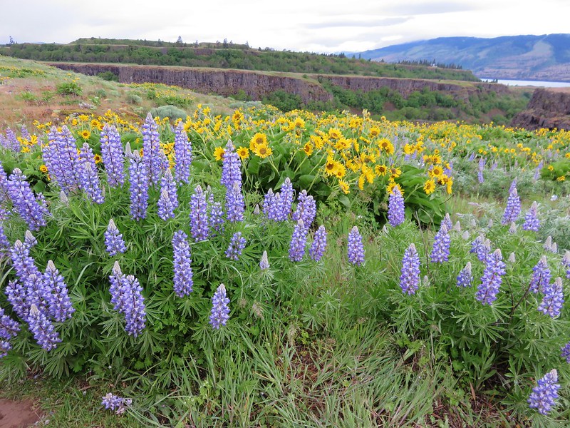
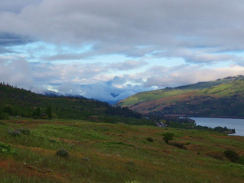
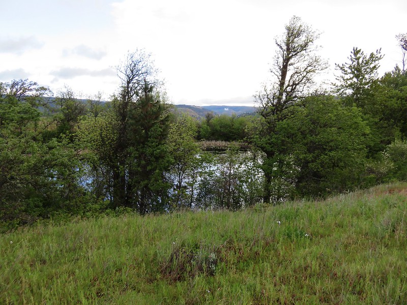
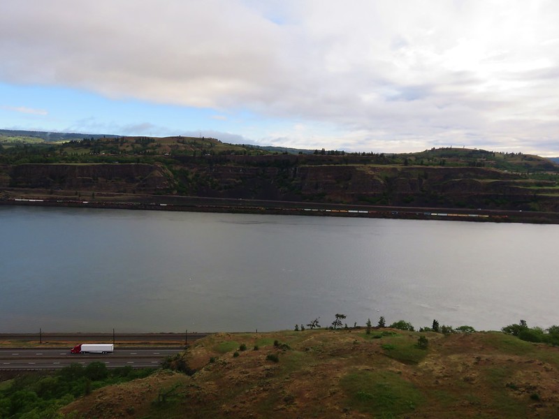
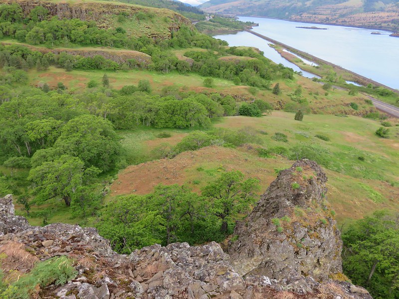
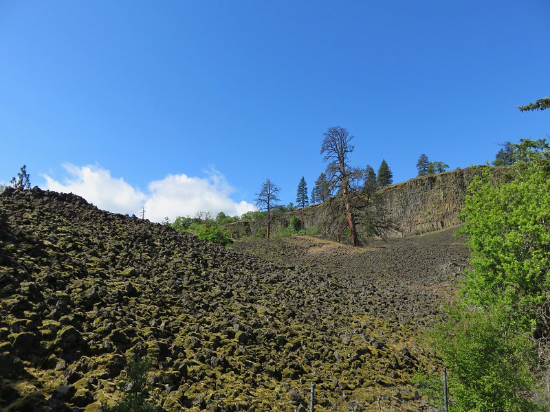
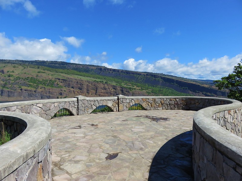
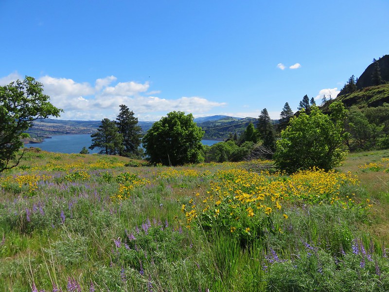
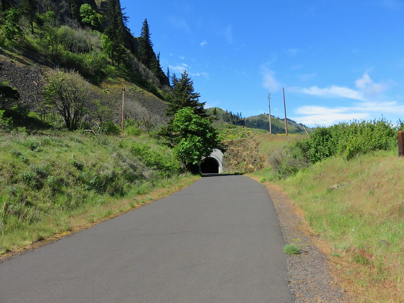
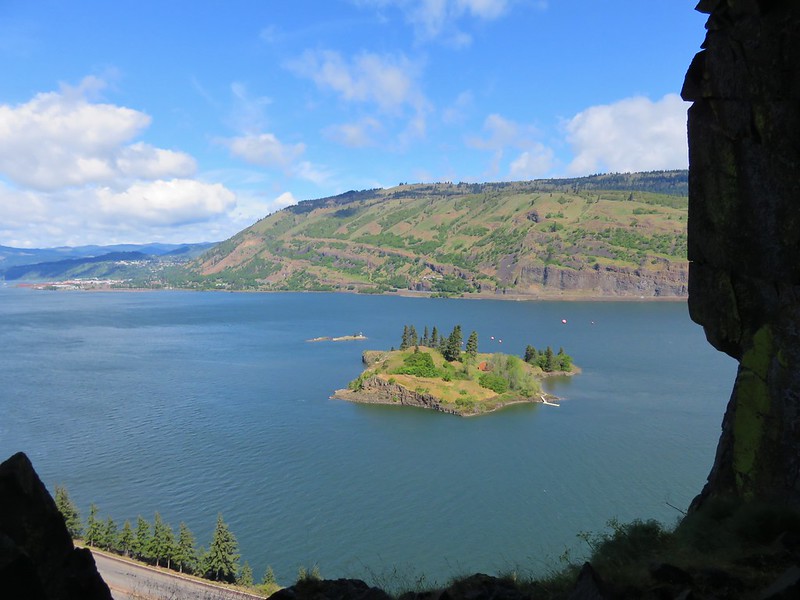
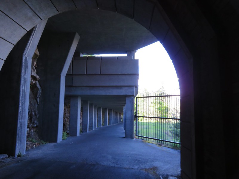
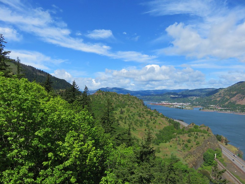
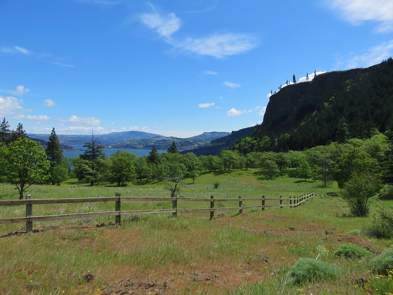
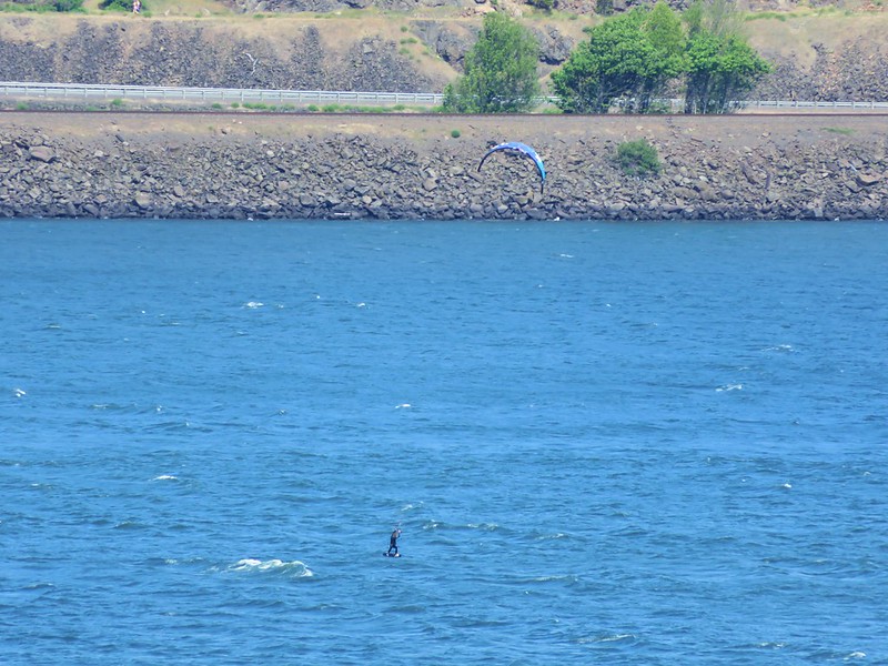
Rowena Crest

Mt. Hebo Trail

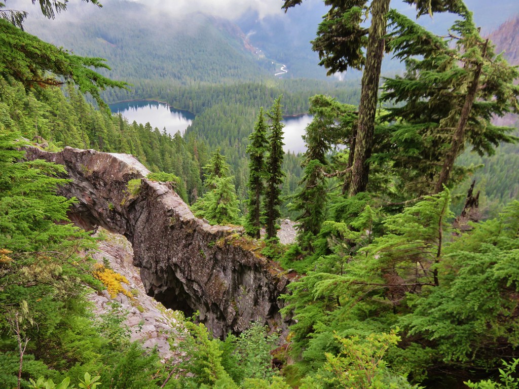
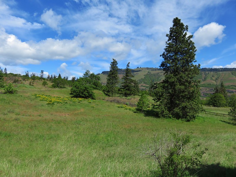
View from Boccard Point

French Pete Creek
Smith Rock State Park

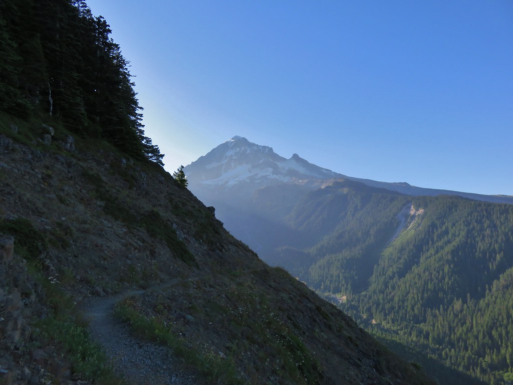
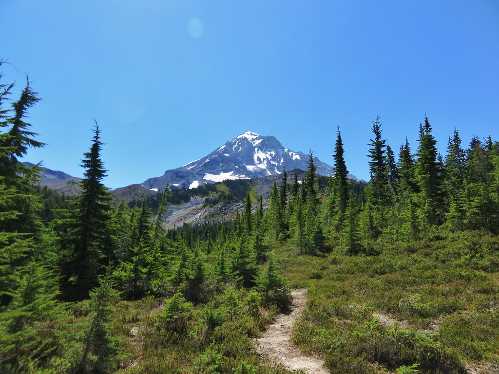
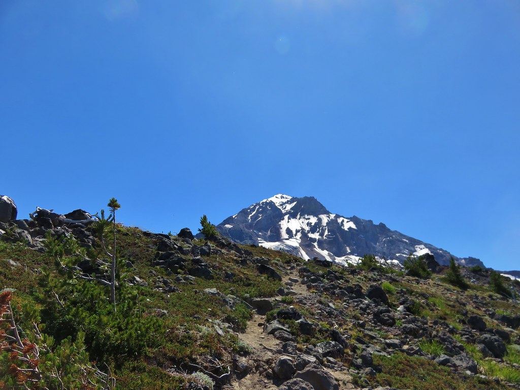
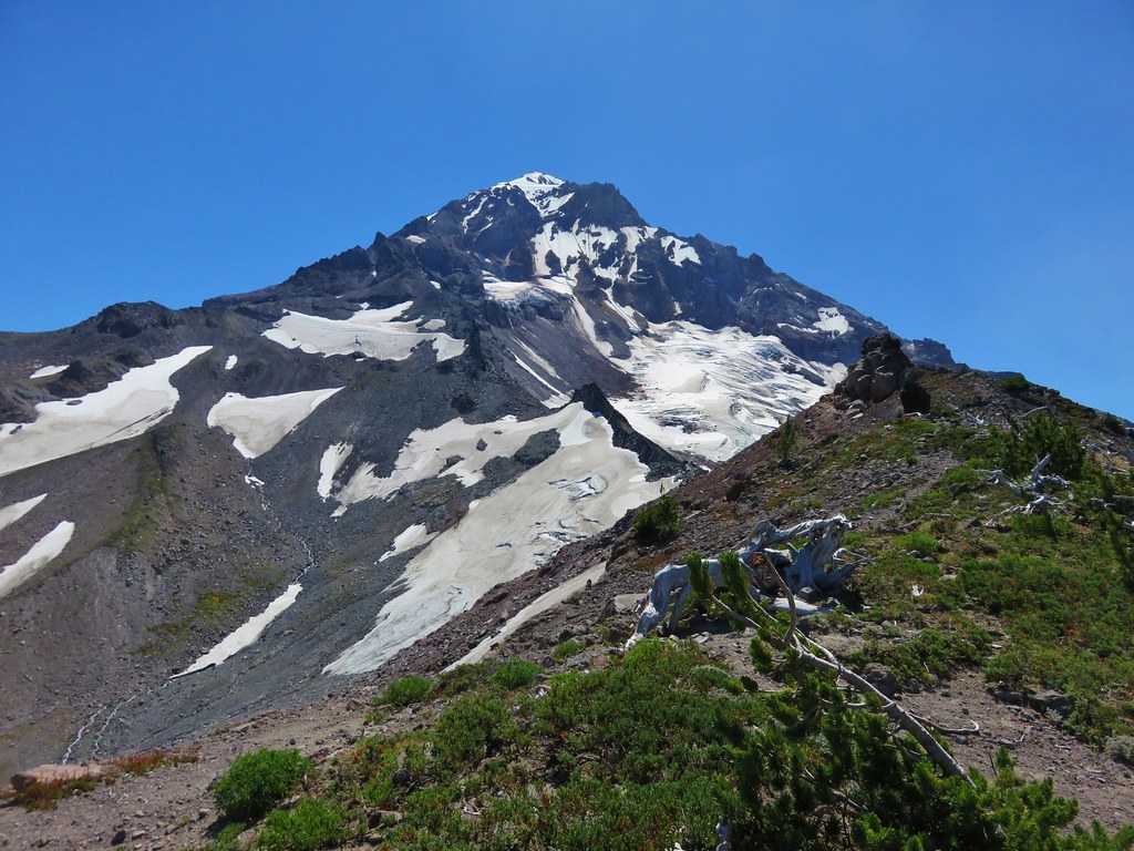
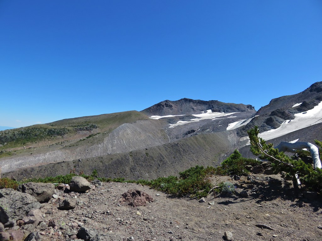
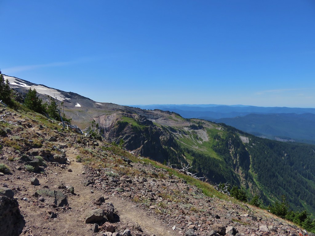
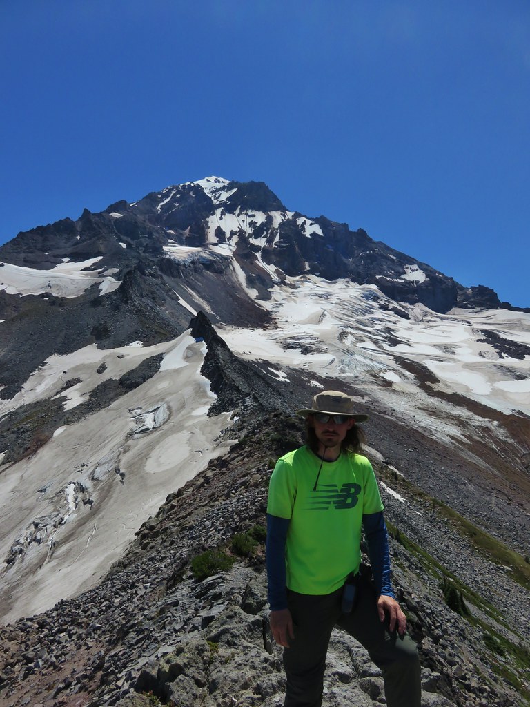
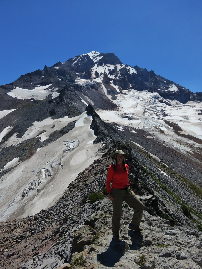
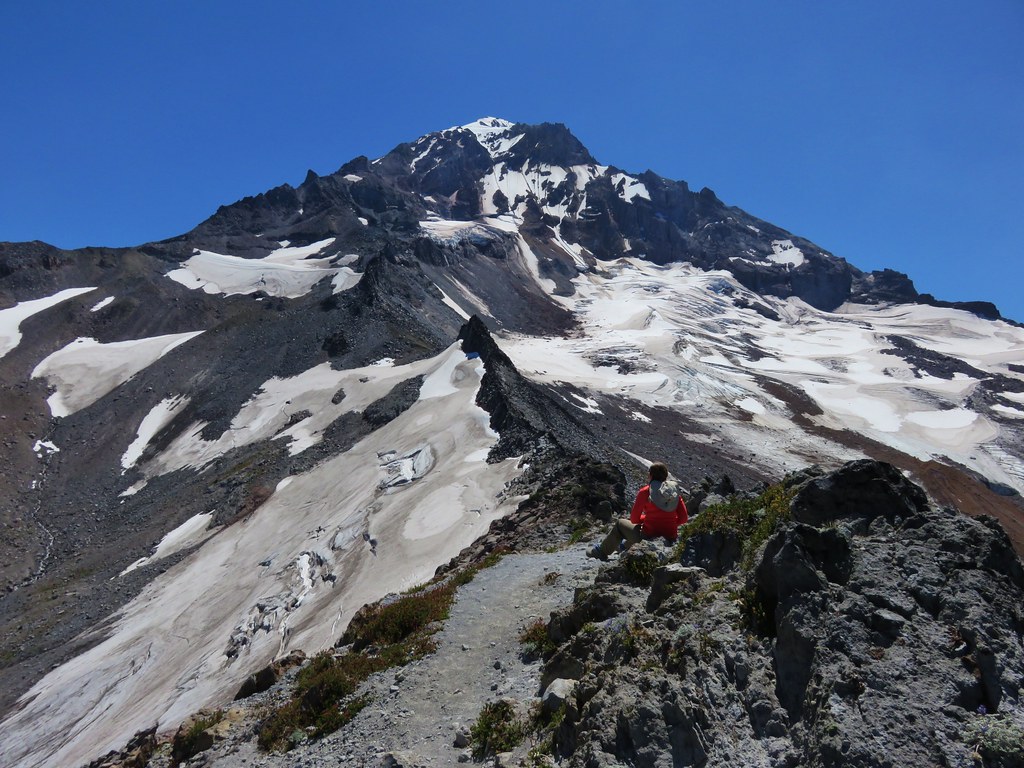
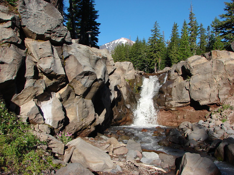
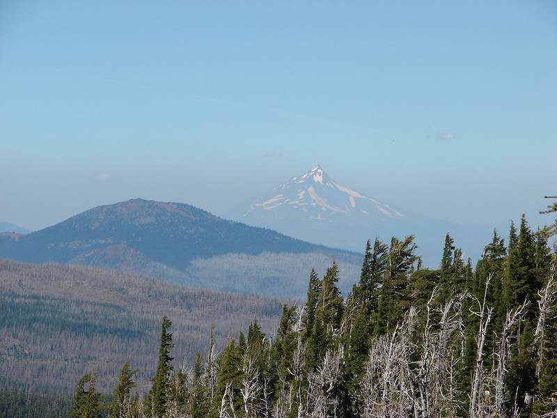
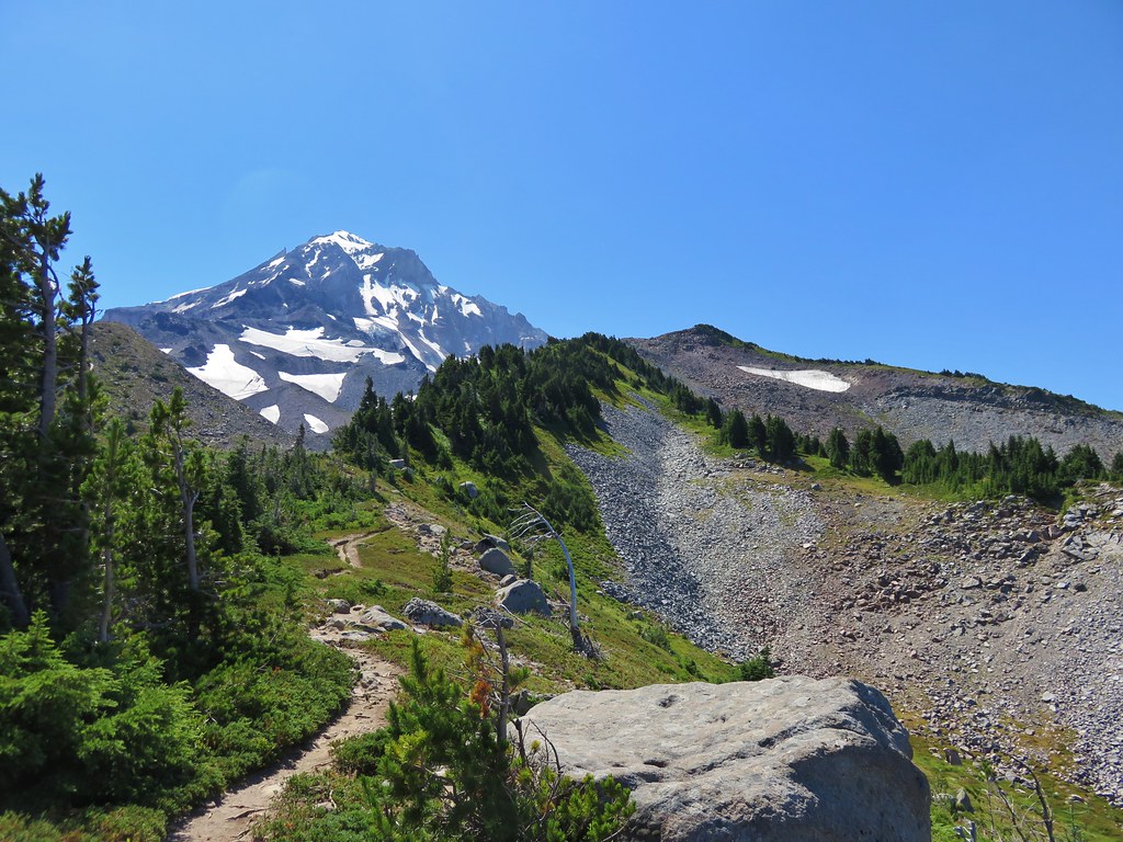
Mt. Hood from the McNeil Point Trail
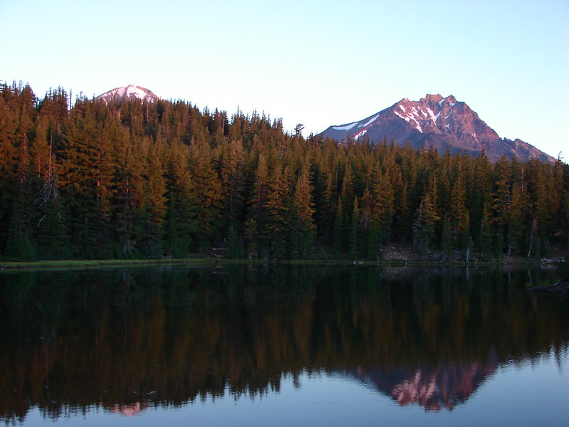
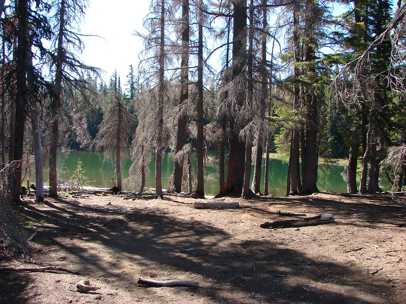
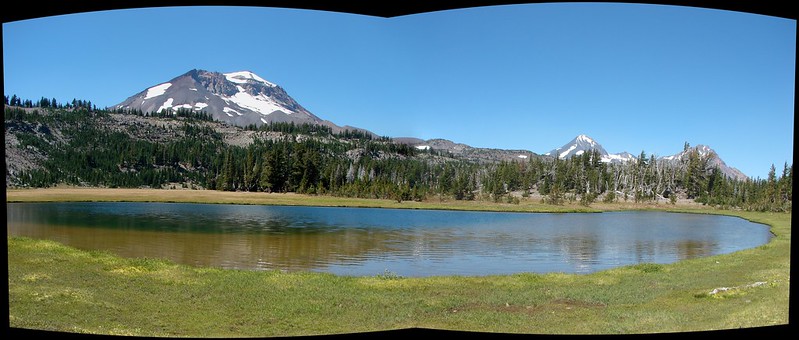
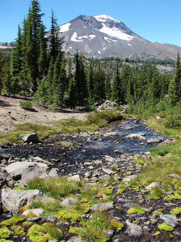
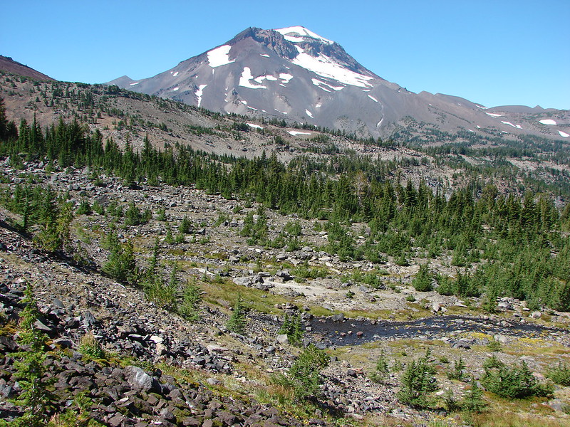
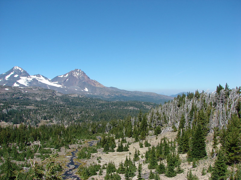
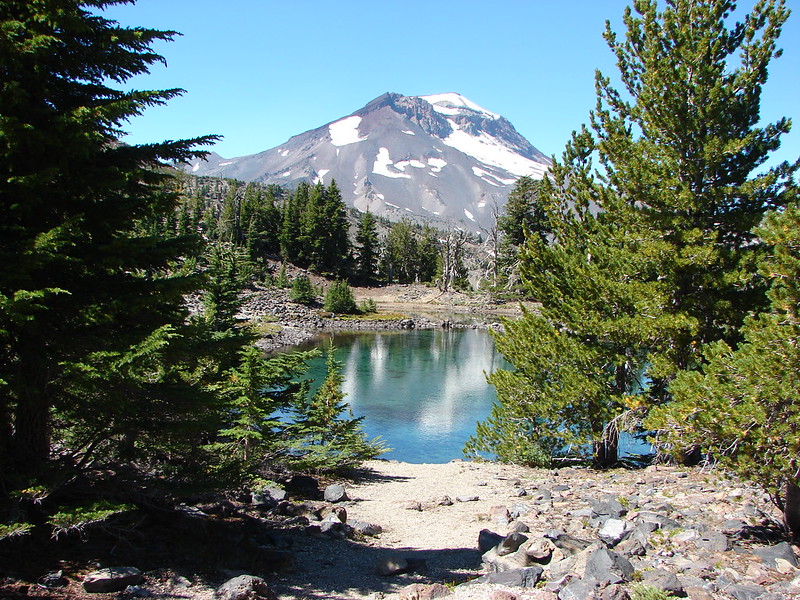
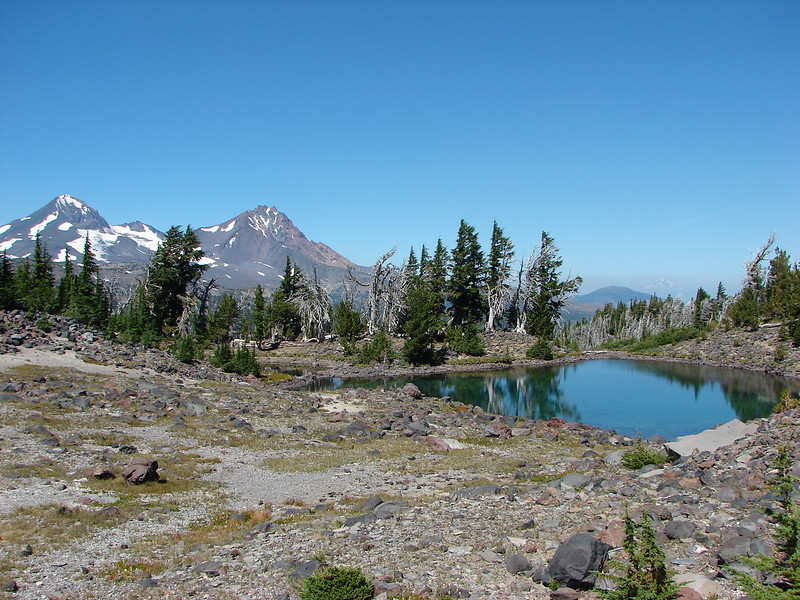
Middle & South Sister from Eileen Lake
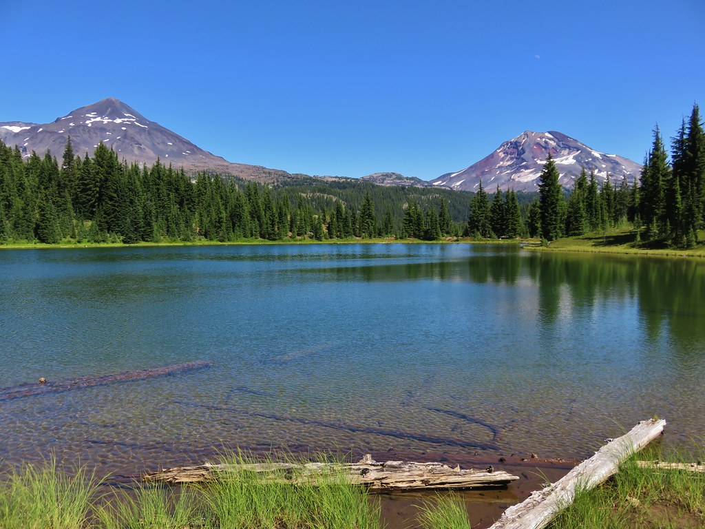
Middle & South Sister from Linton Meadows
Pacific Ocean from Salishan Spit

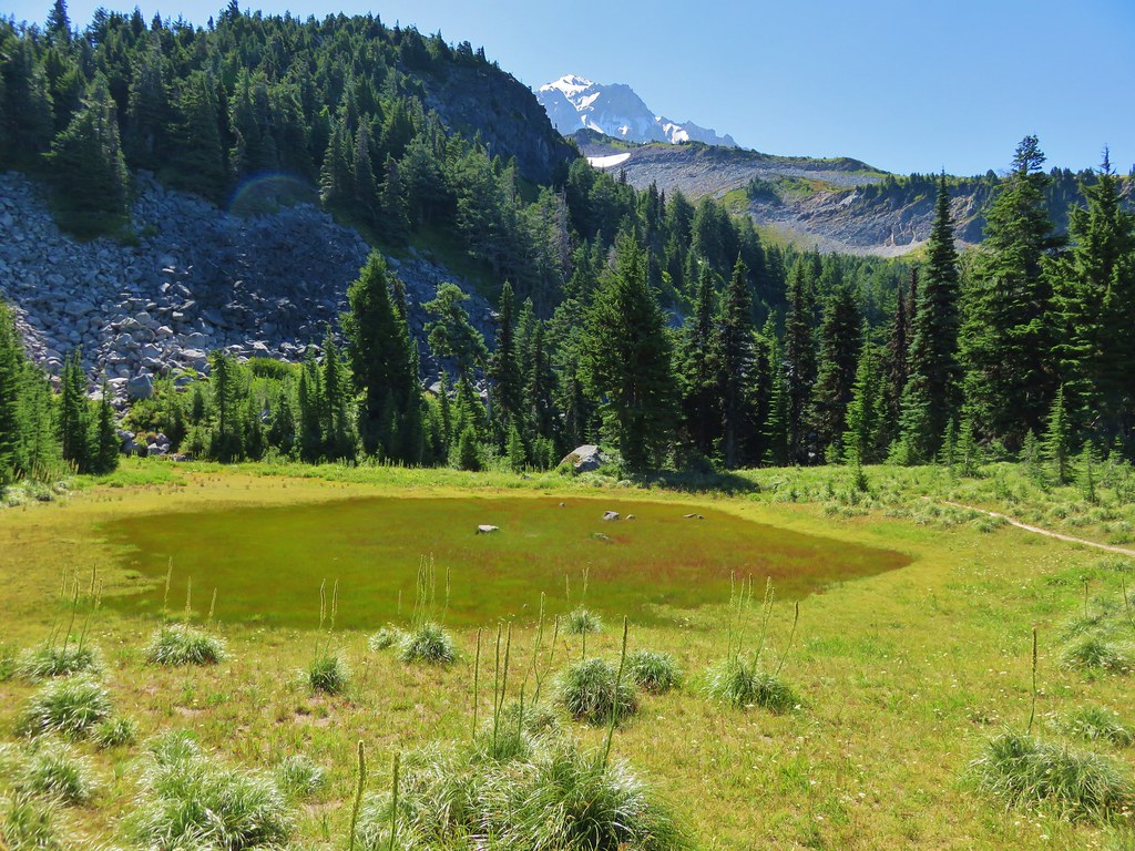
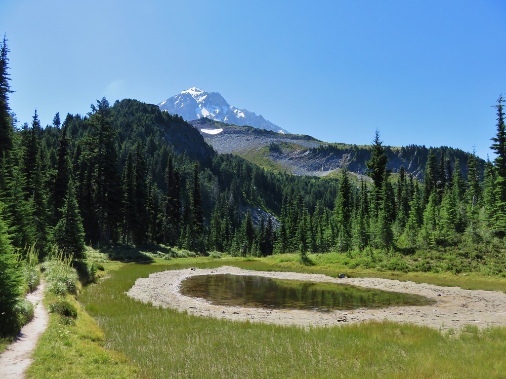
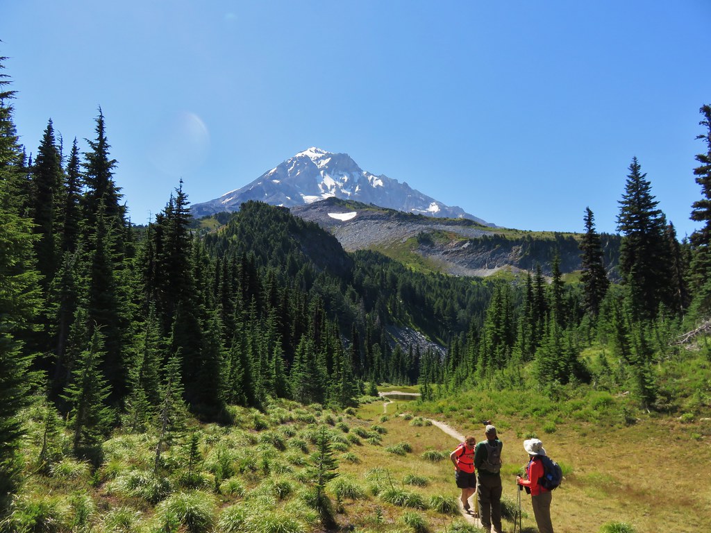
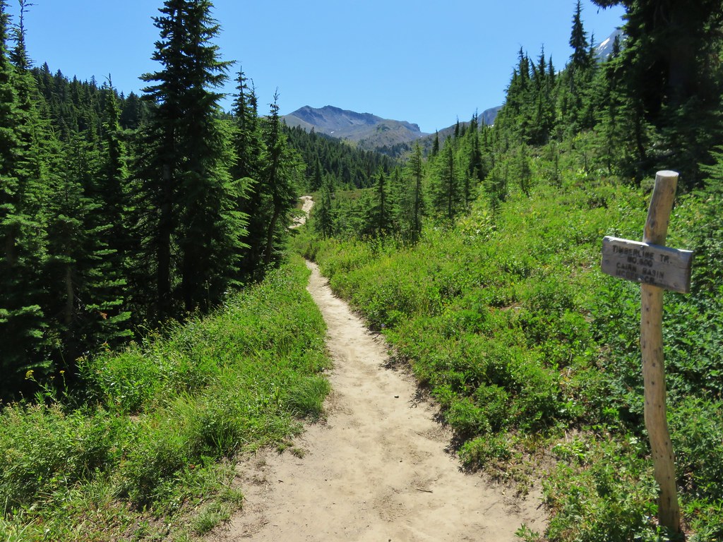
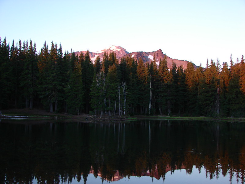
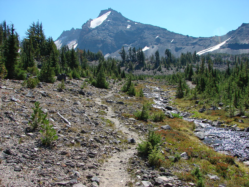
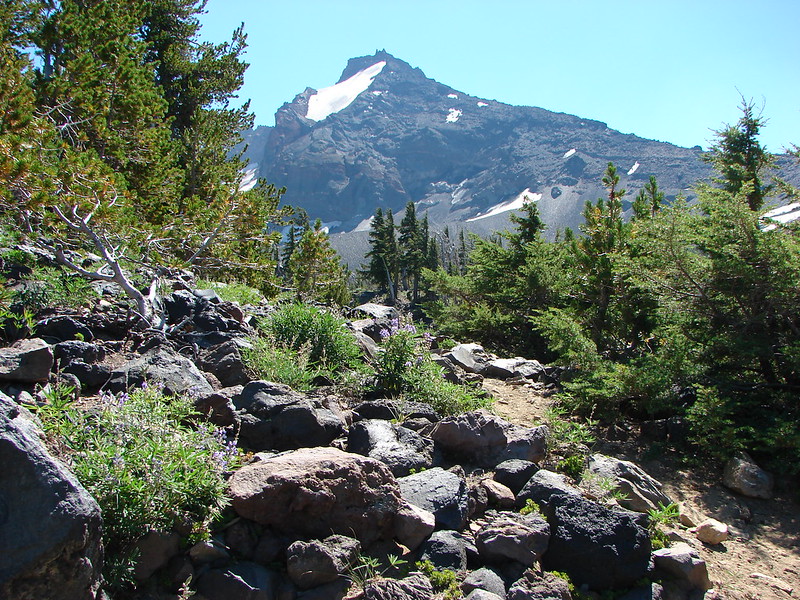
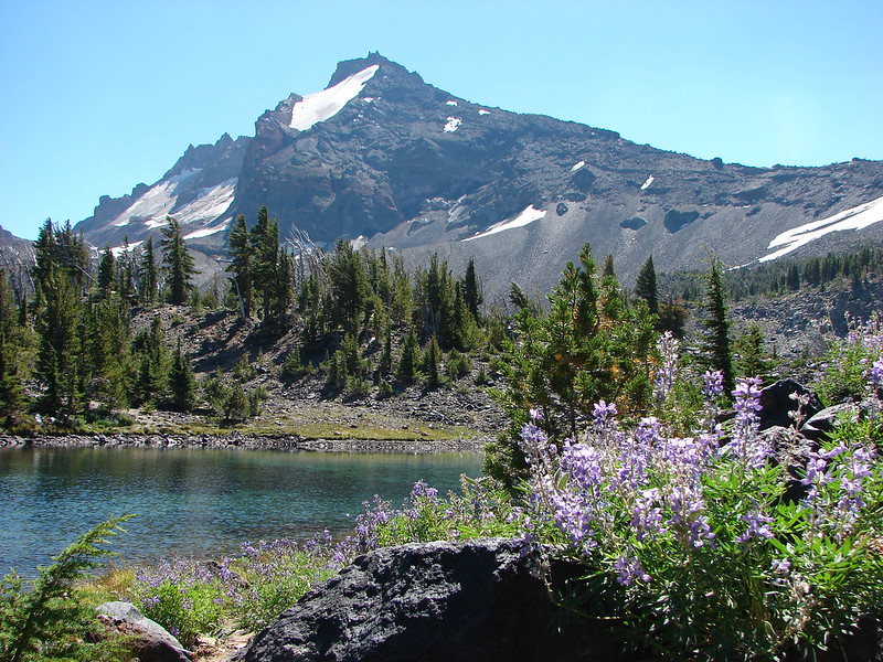
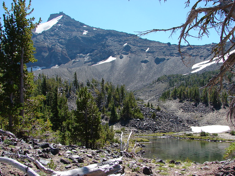
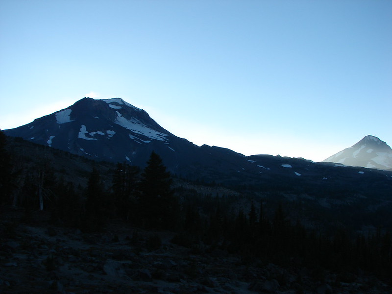
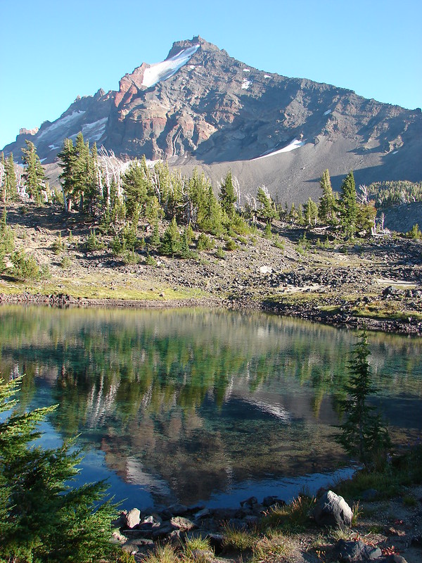
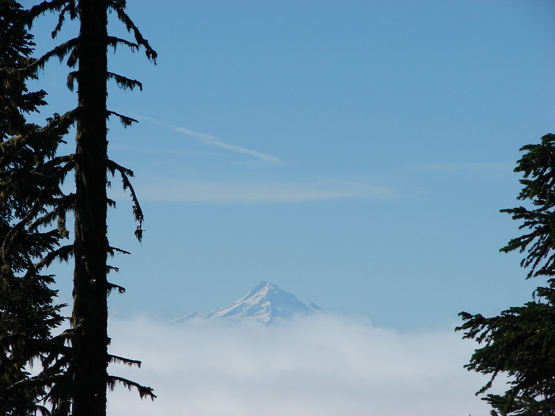
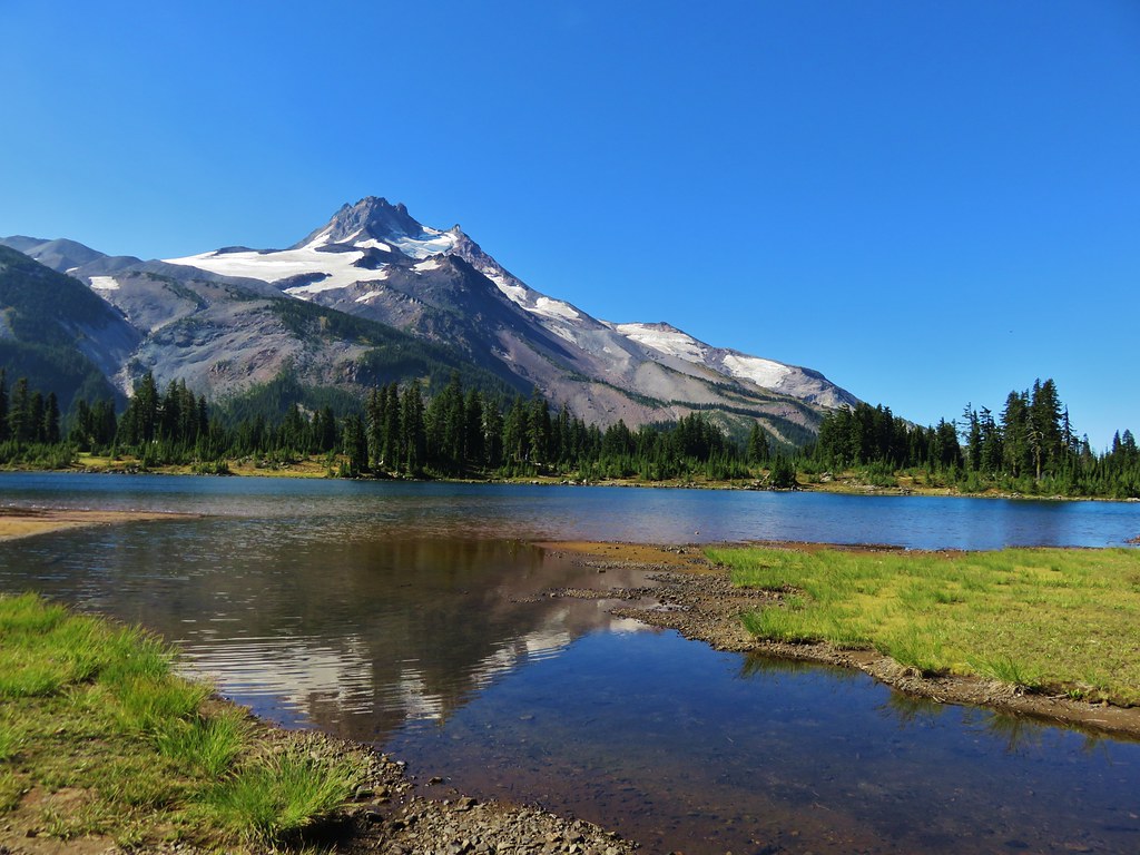
Mt. Jefferson from Russell Lake
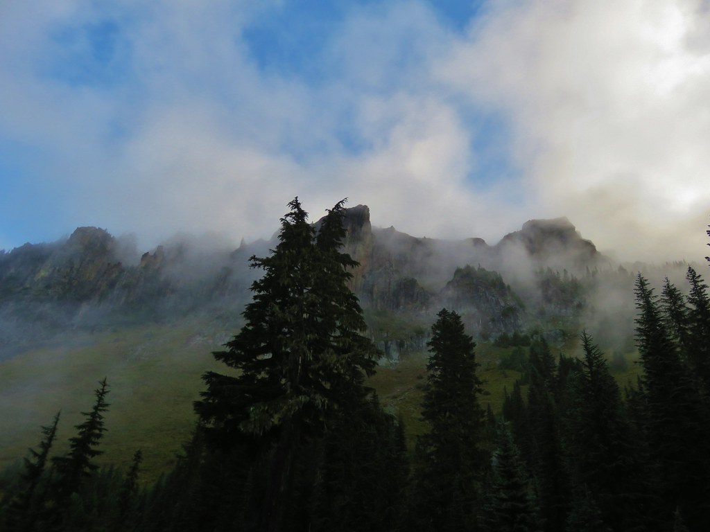
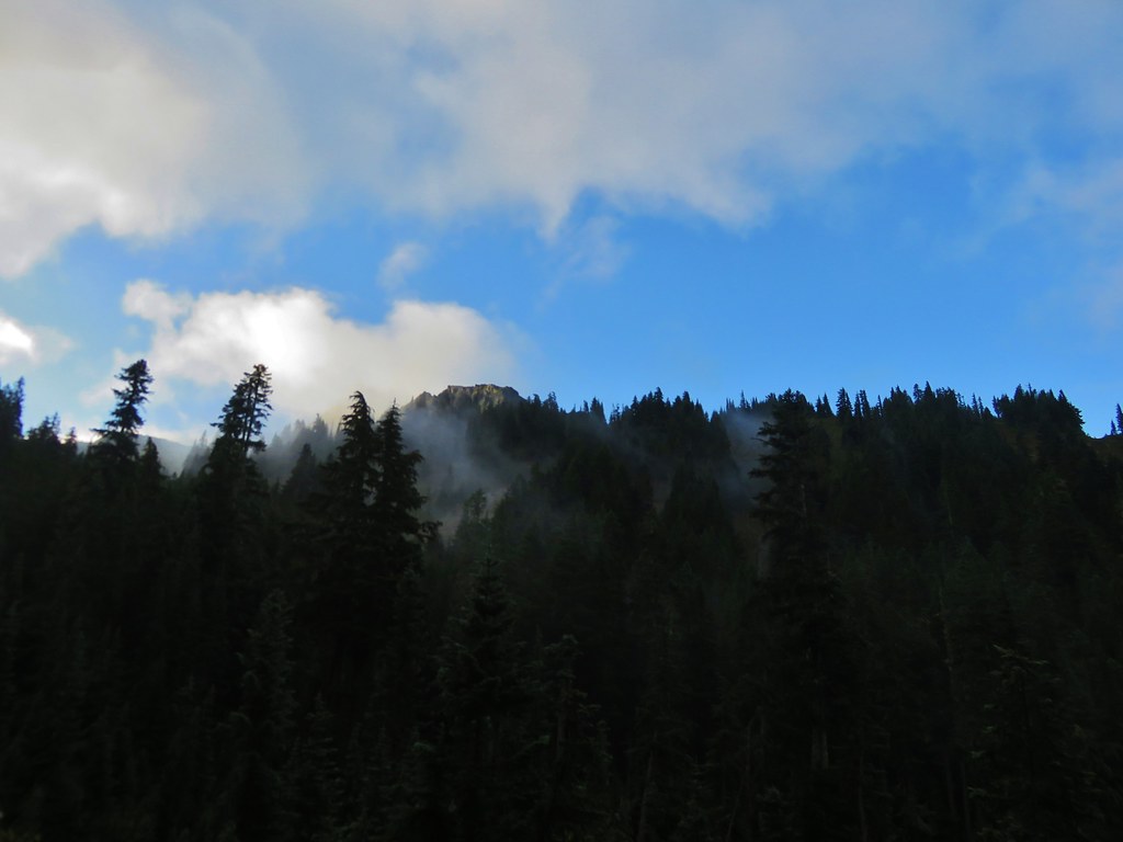
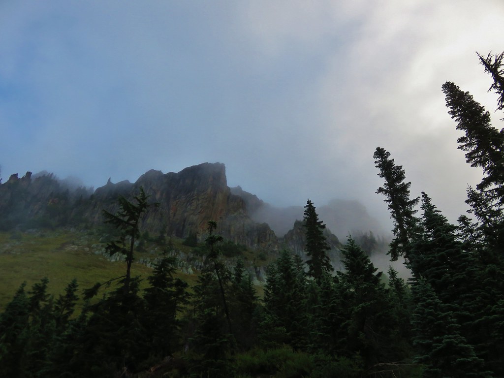
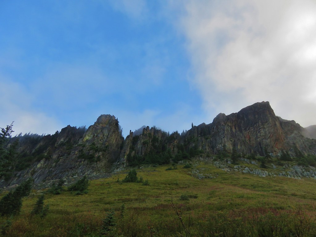
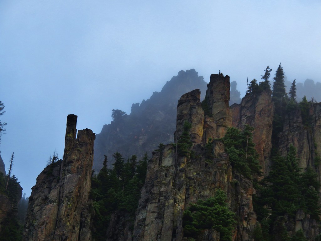
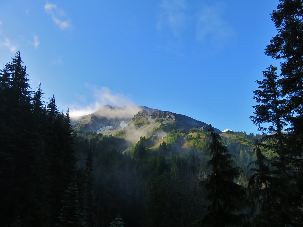
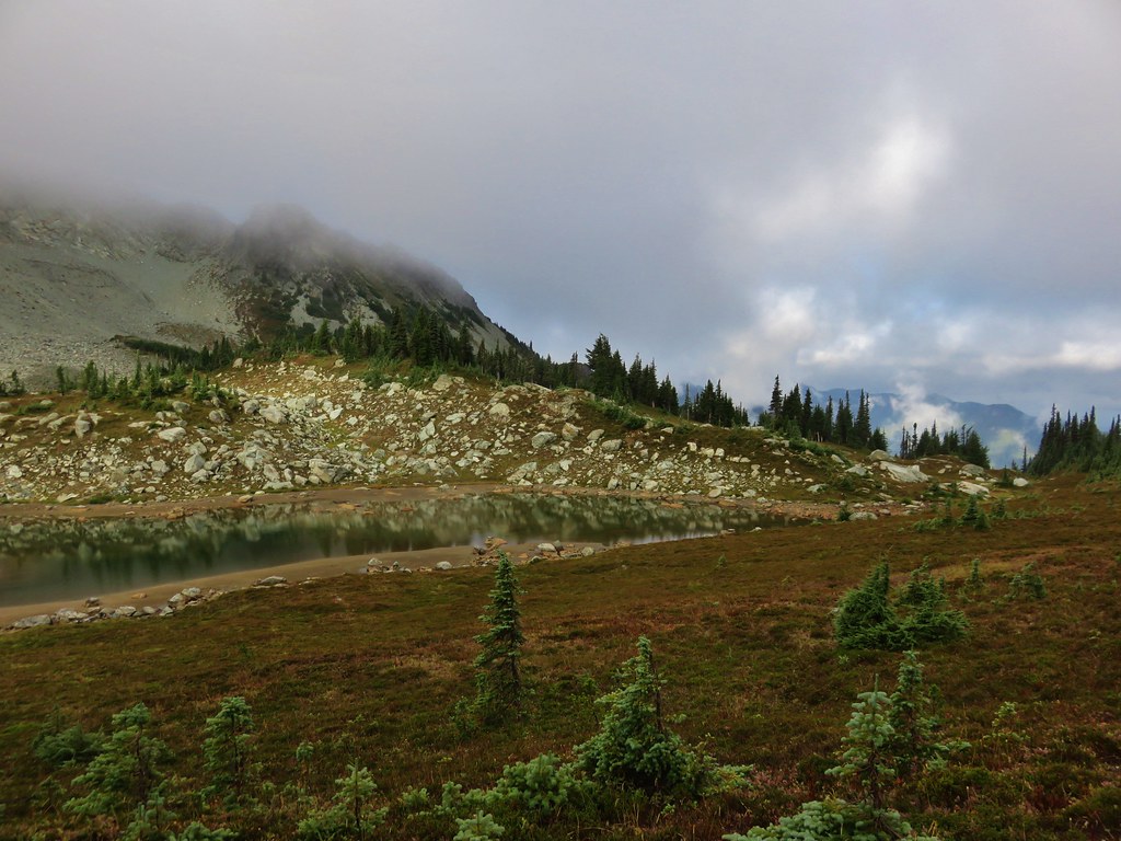
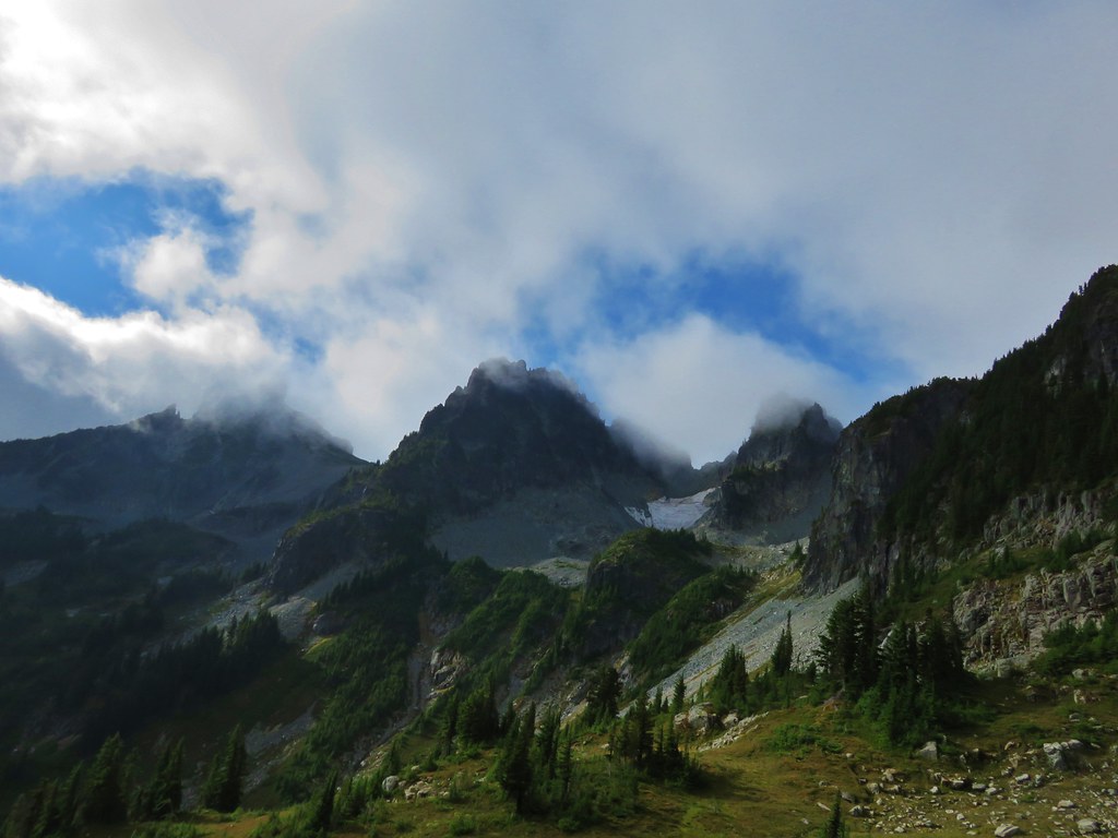
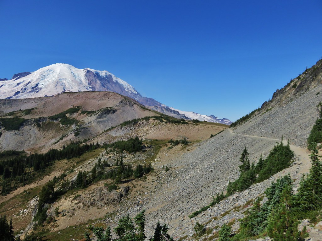
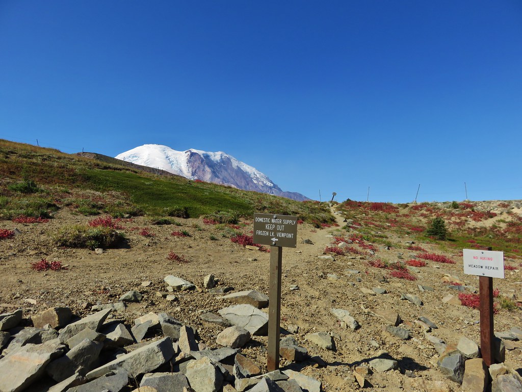
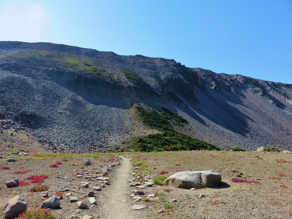
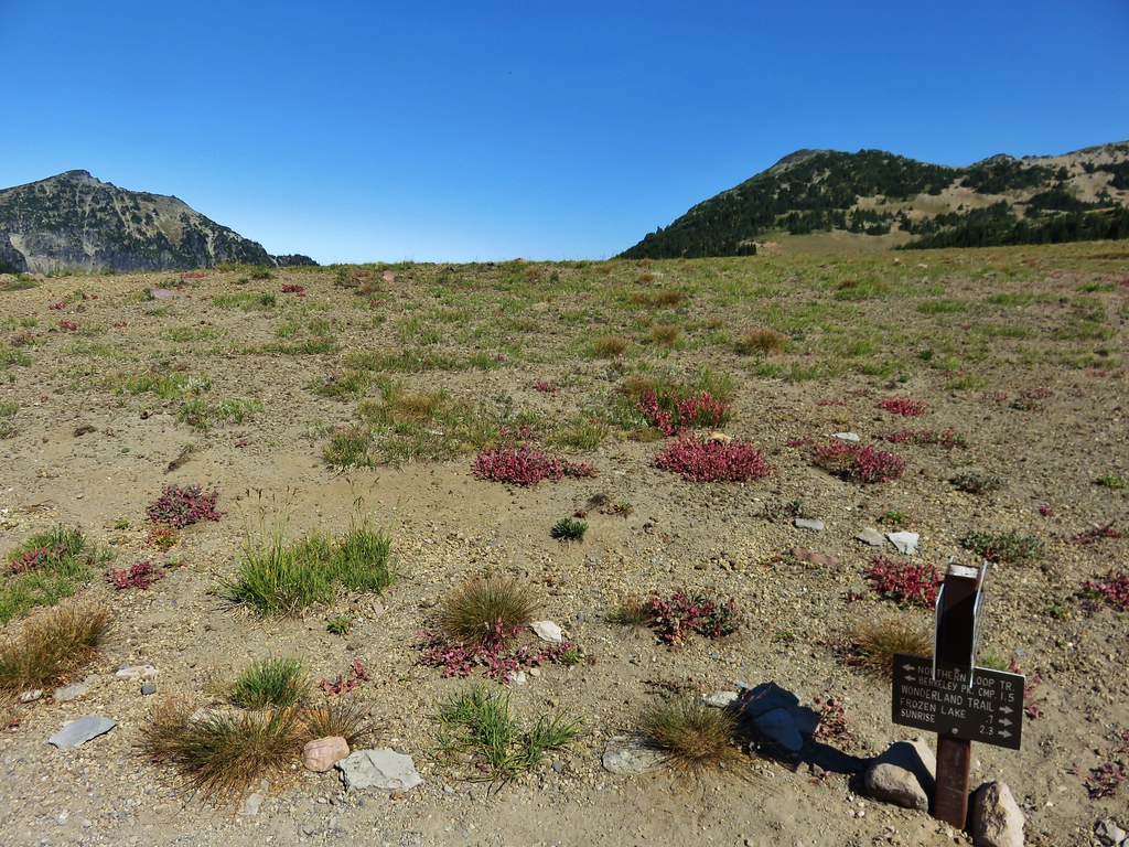
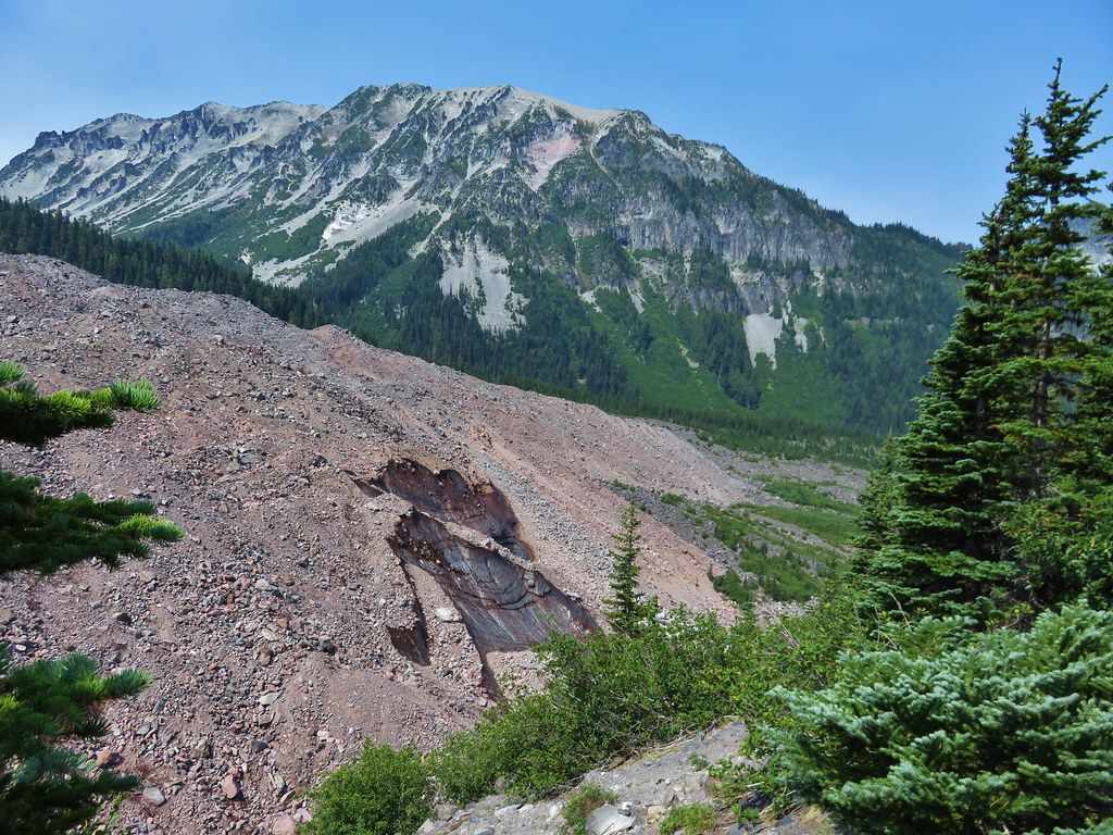
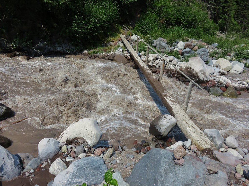
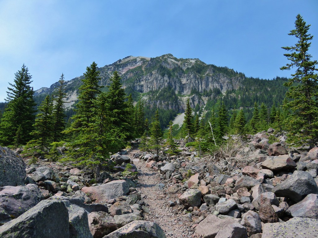
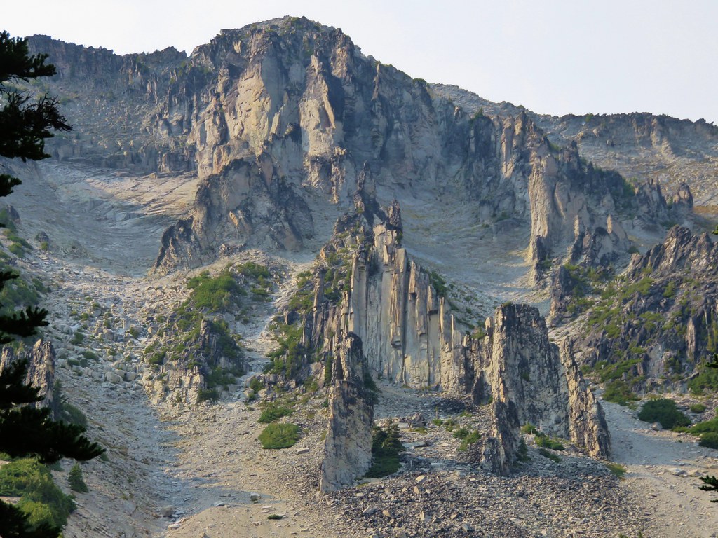
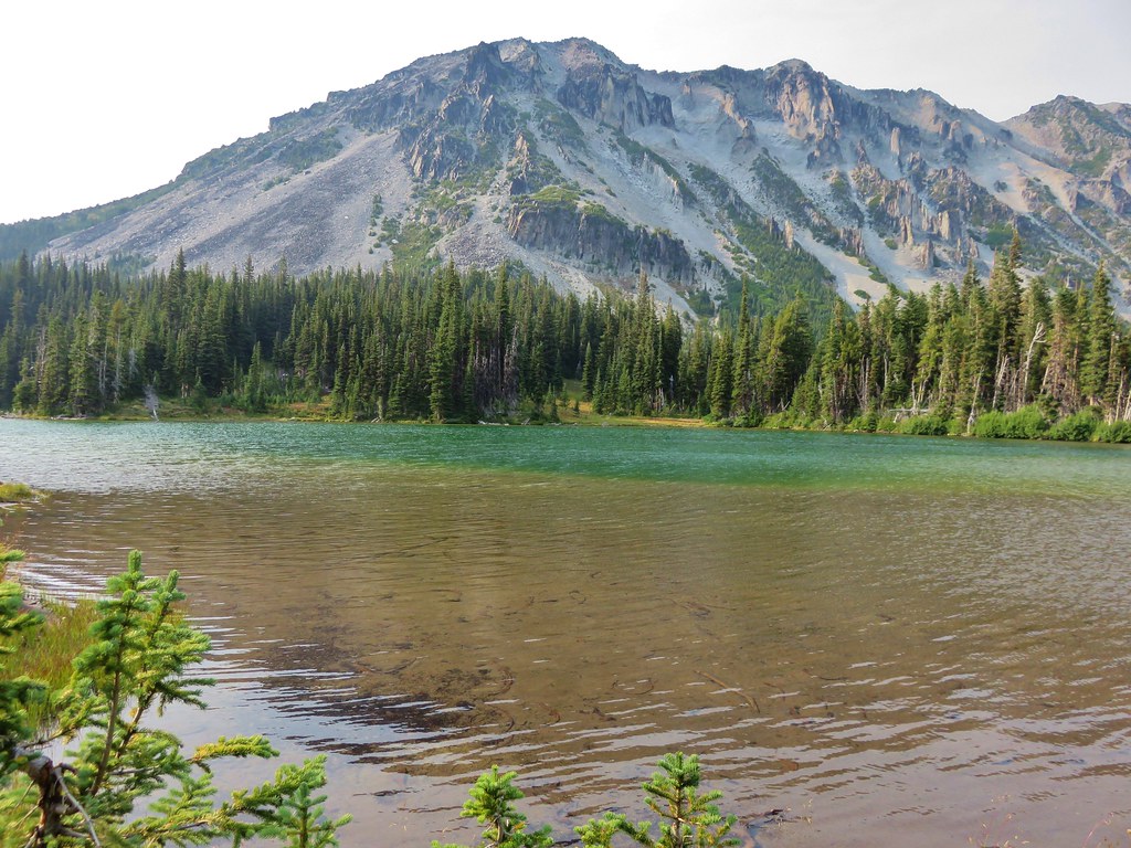
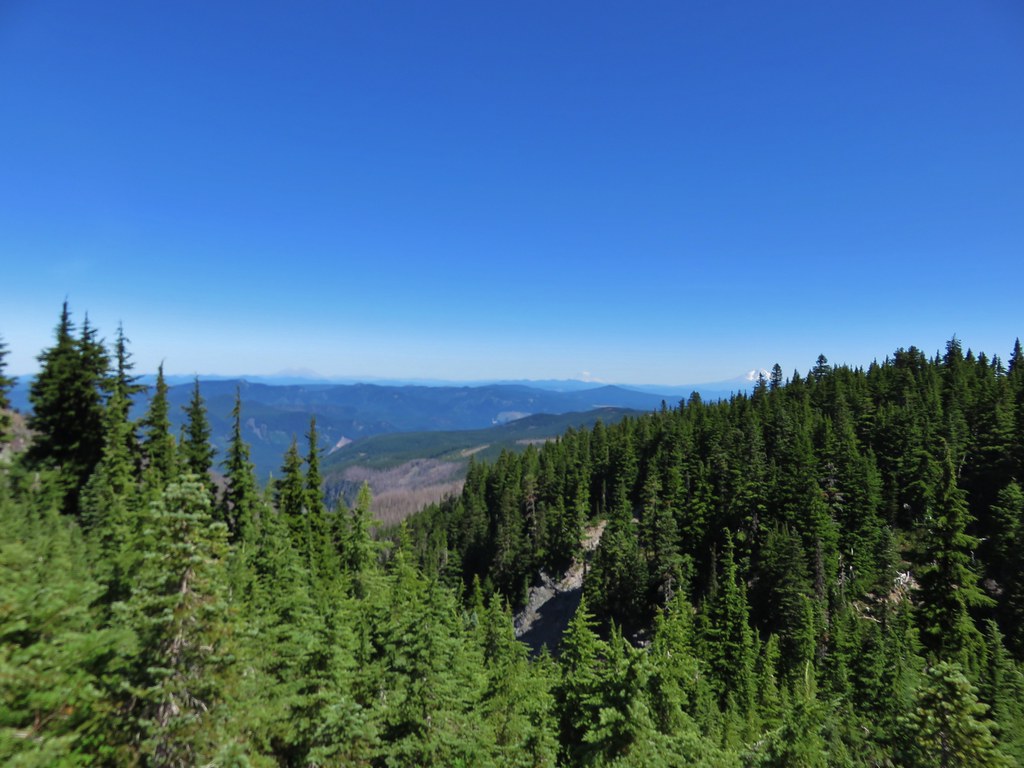
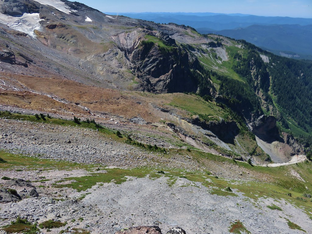
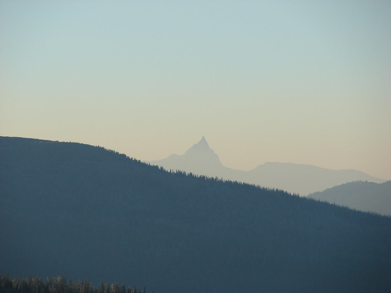
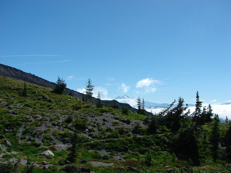
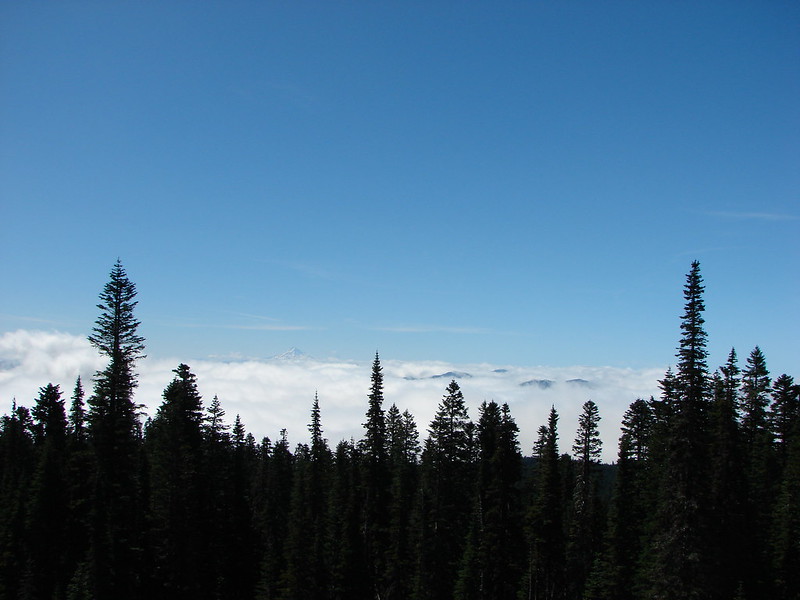
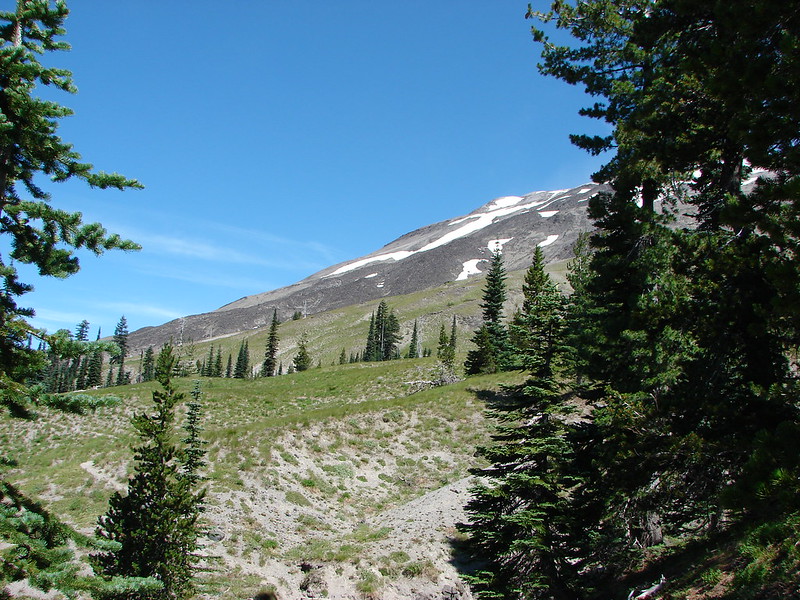
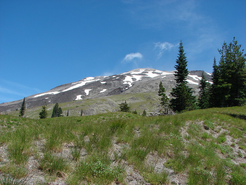
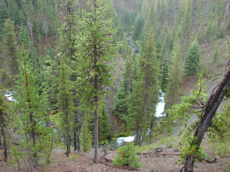
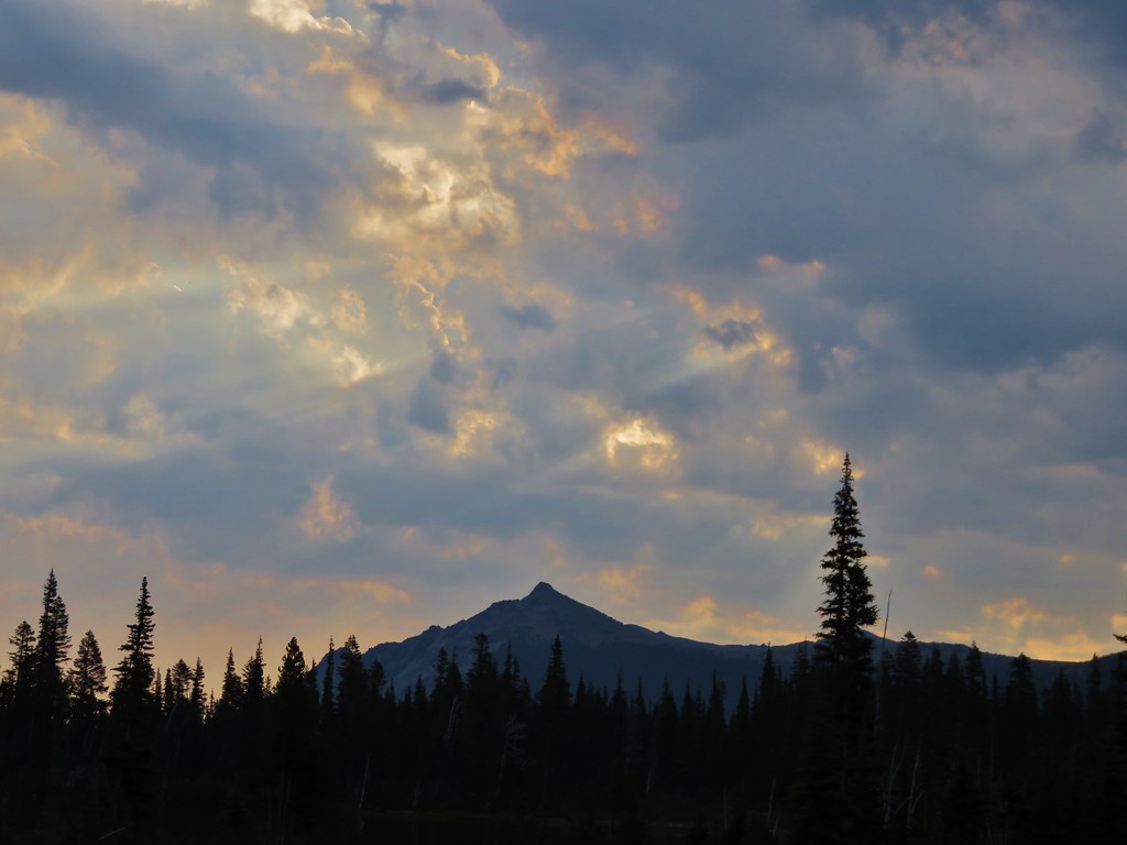
Sluiskin Mountain
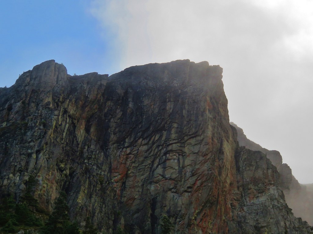
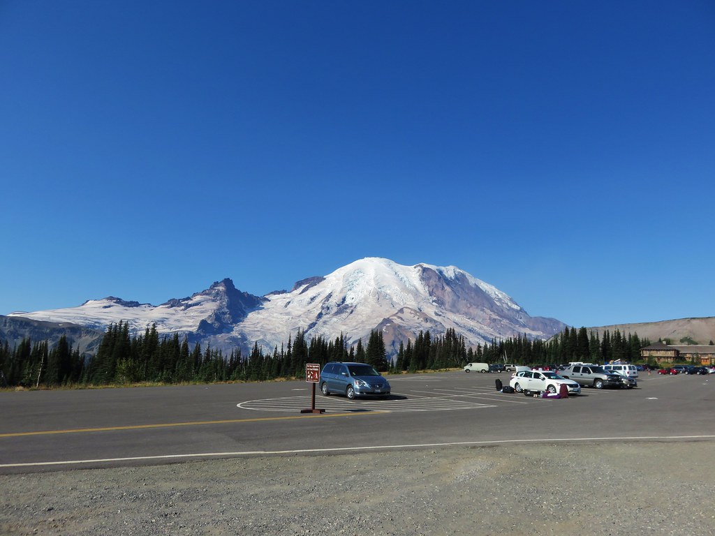
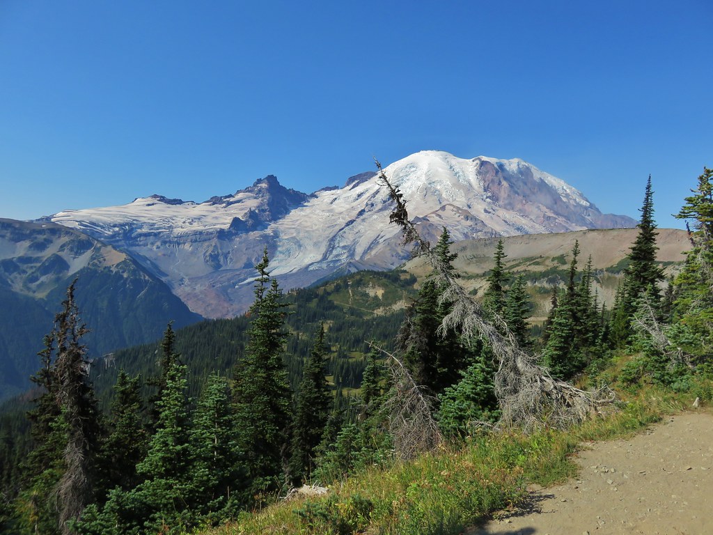
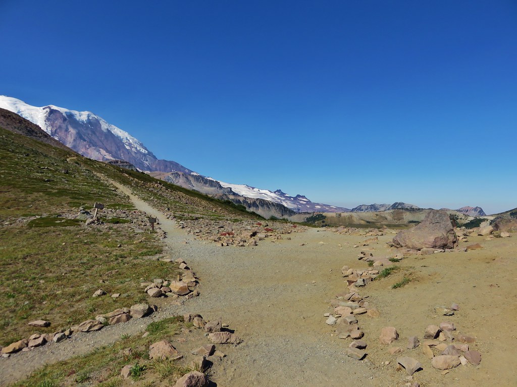
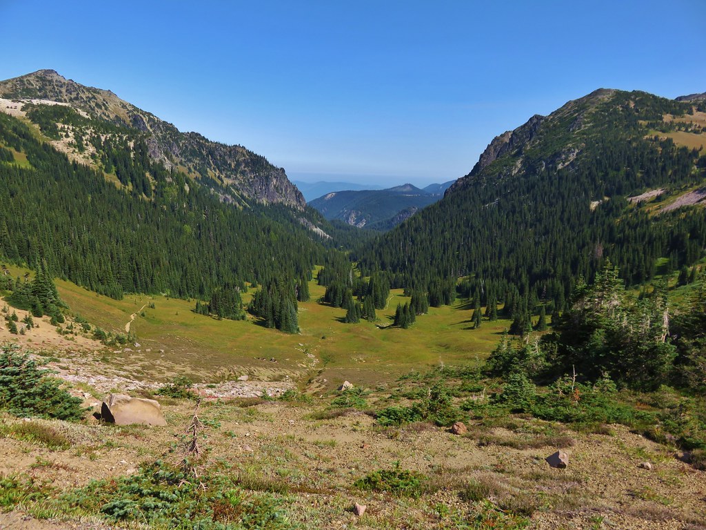
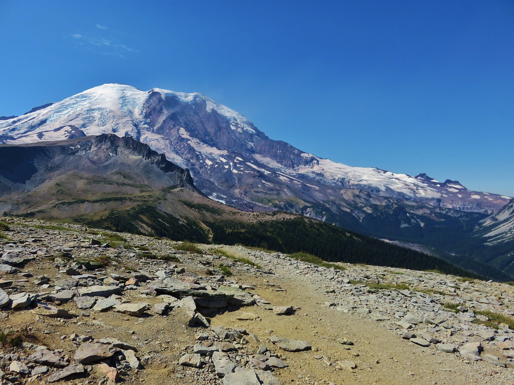
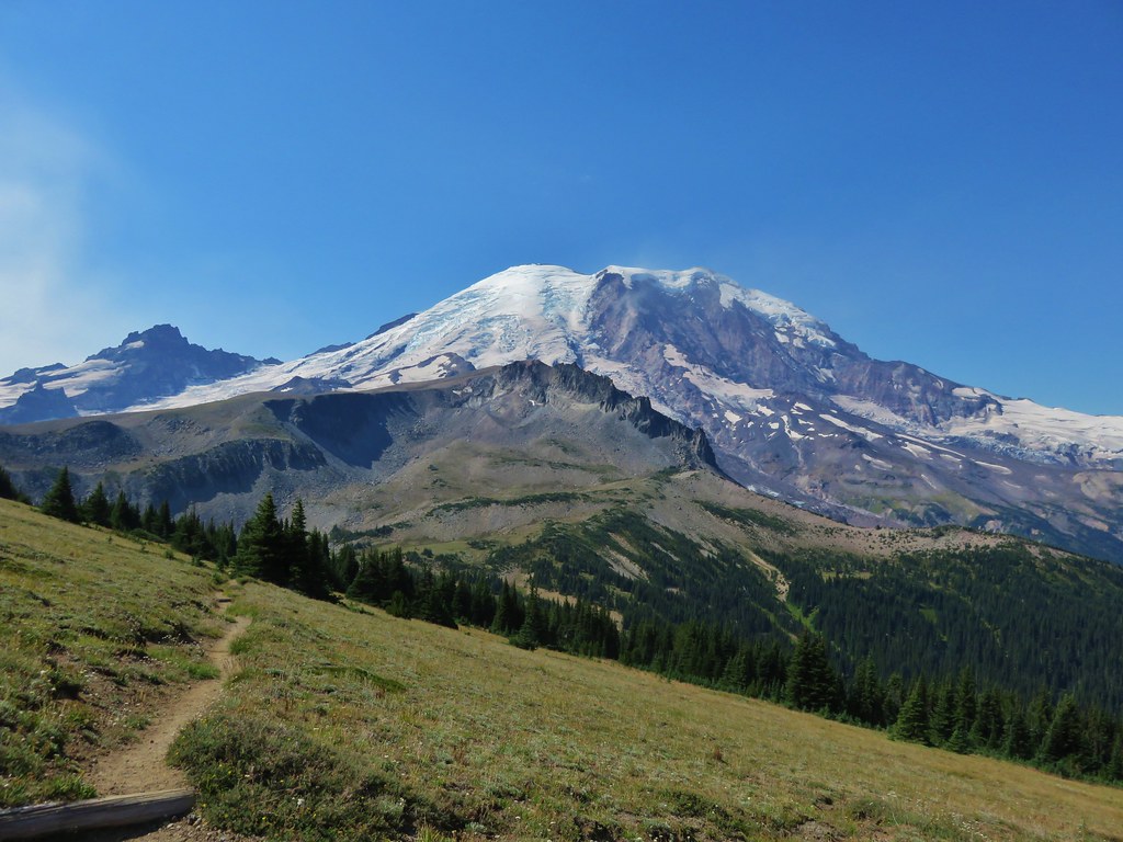
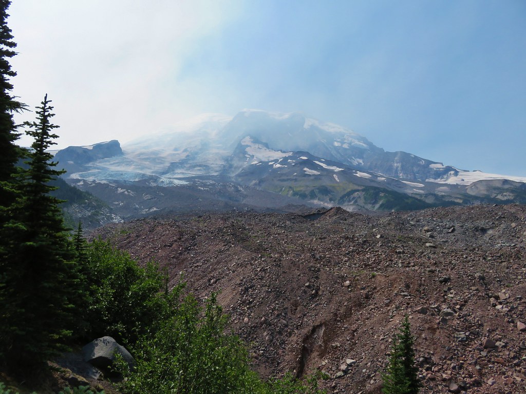
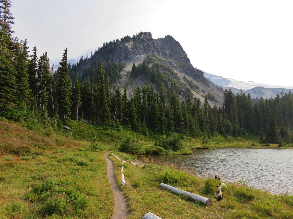
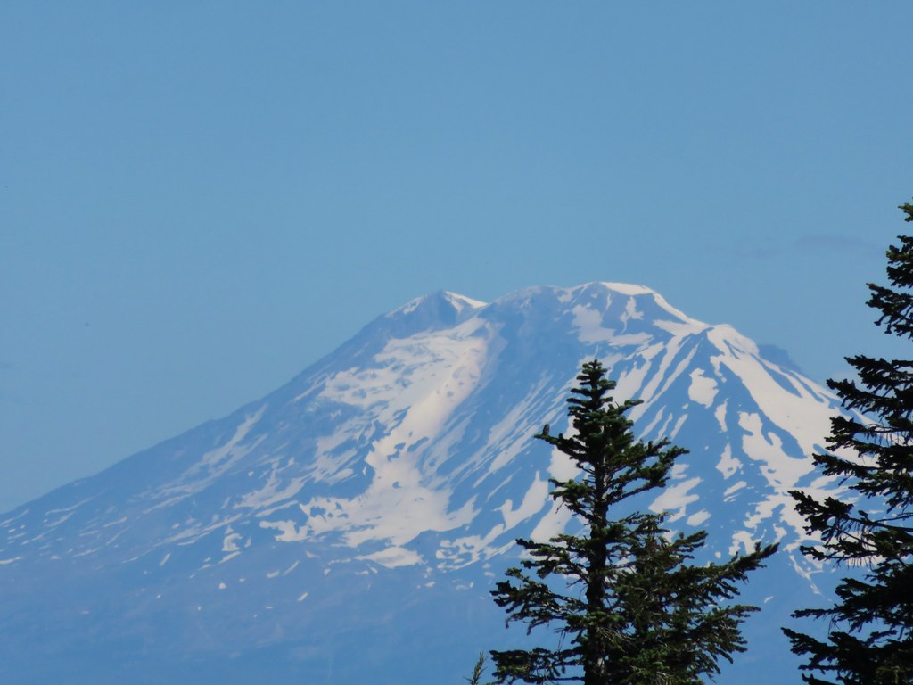
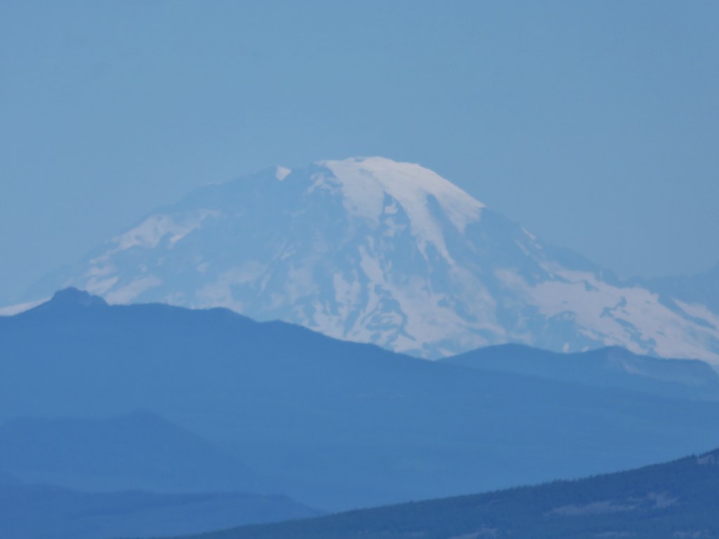
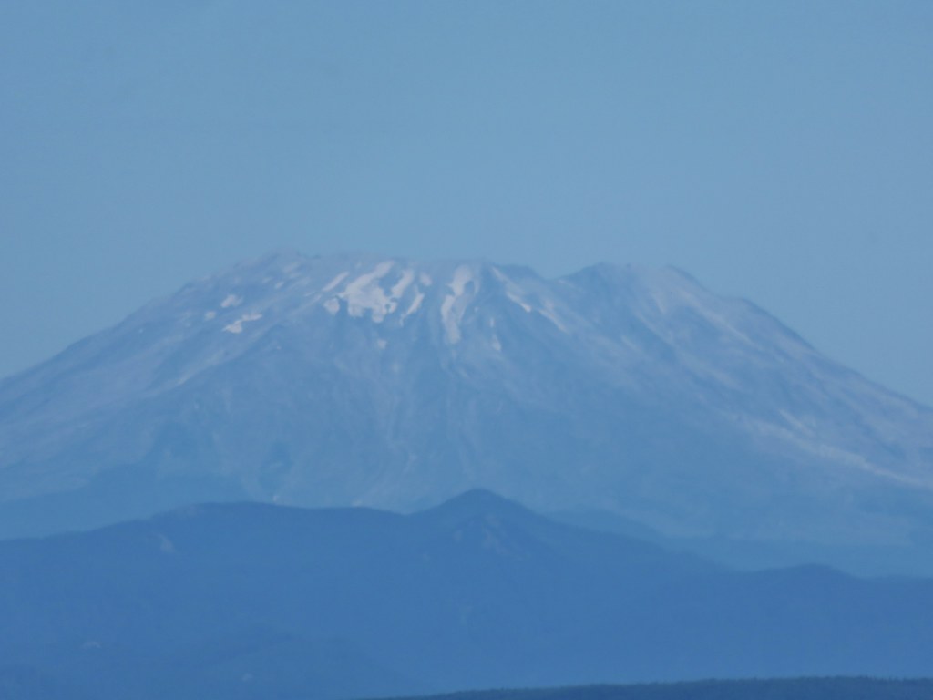
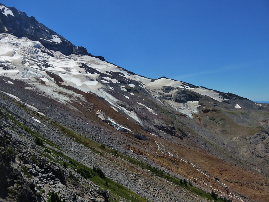
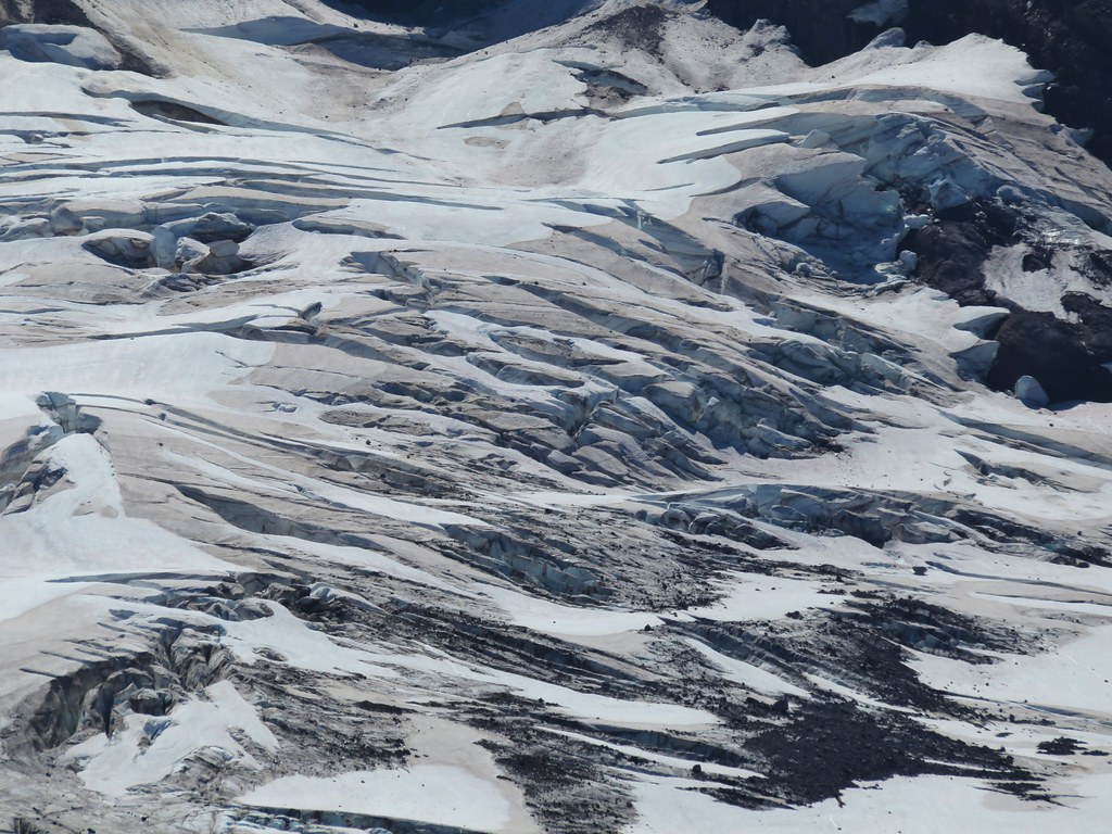
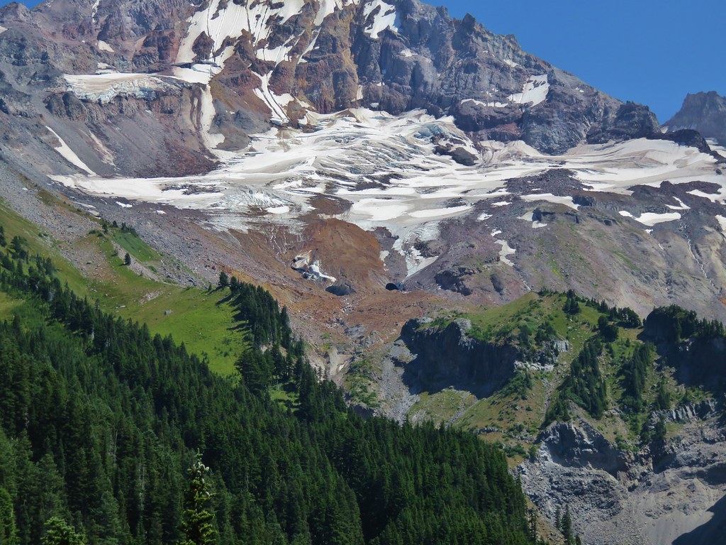
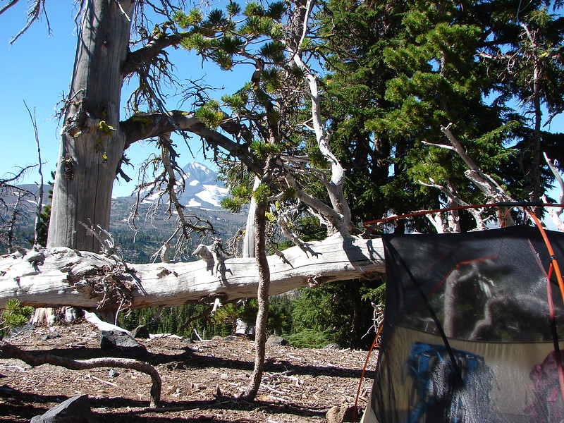
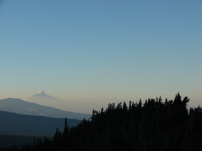
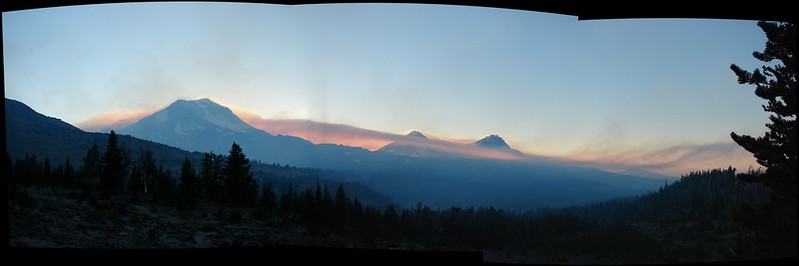
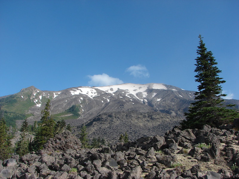
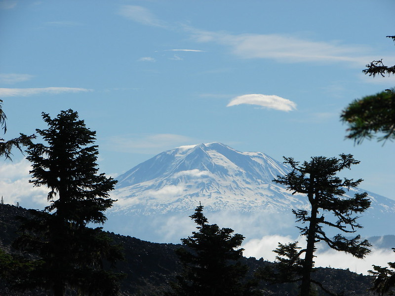
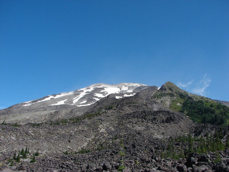
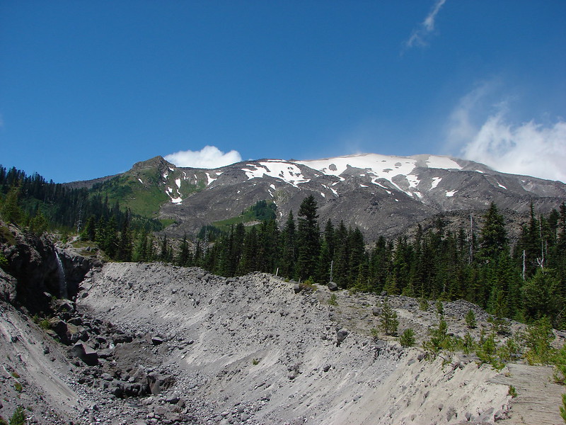
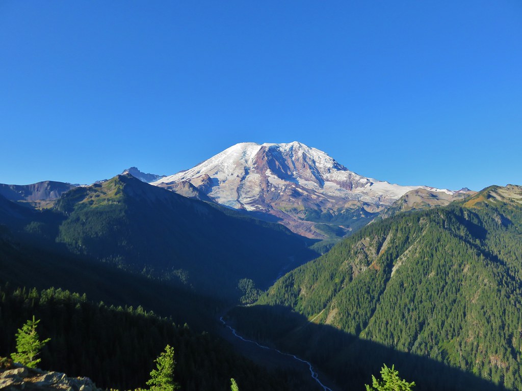
Mt. Rainier
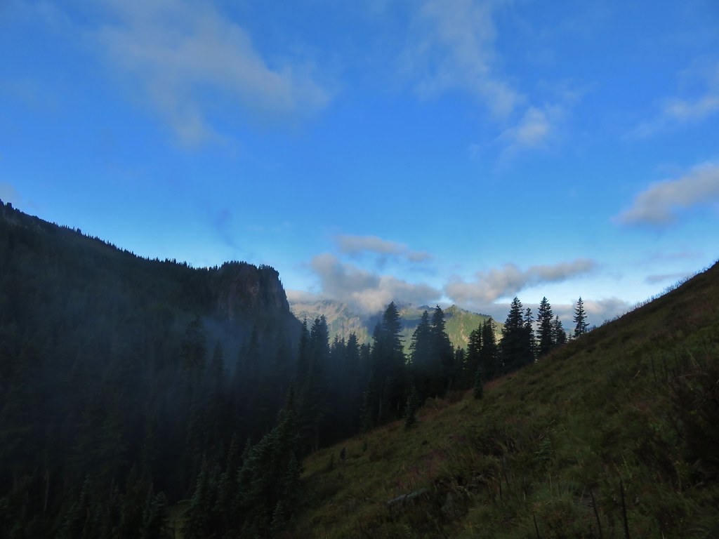
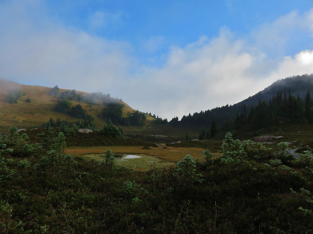
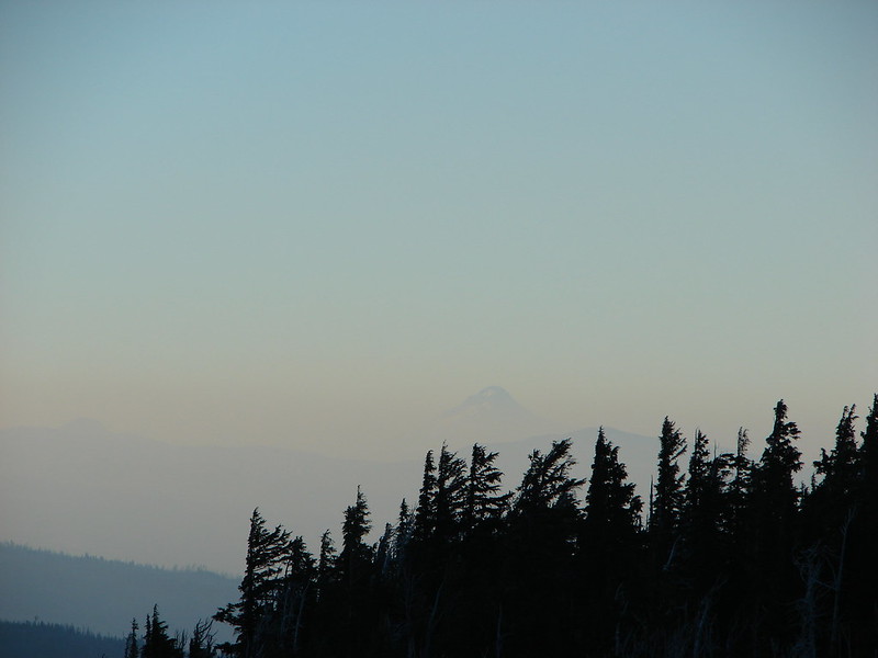
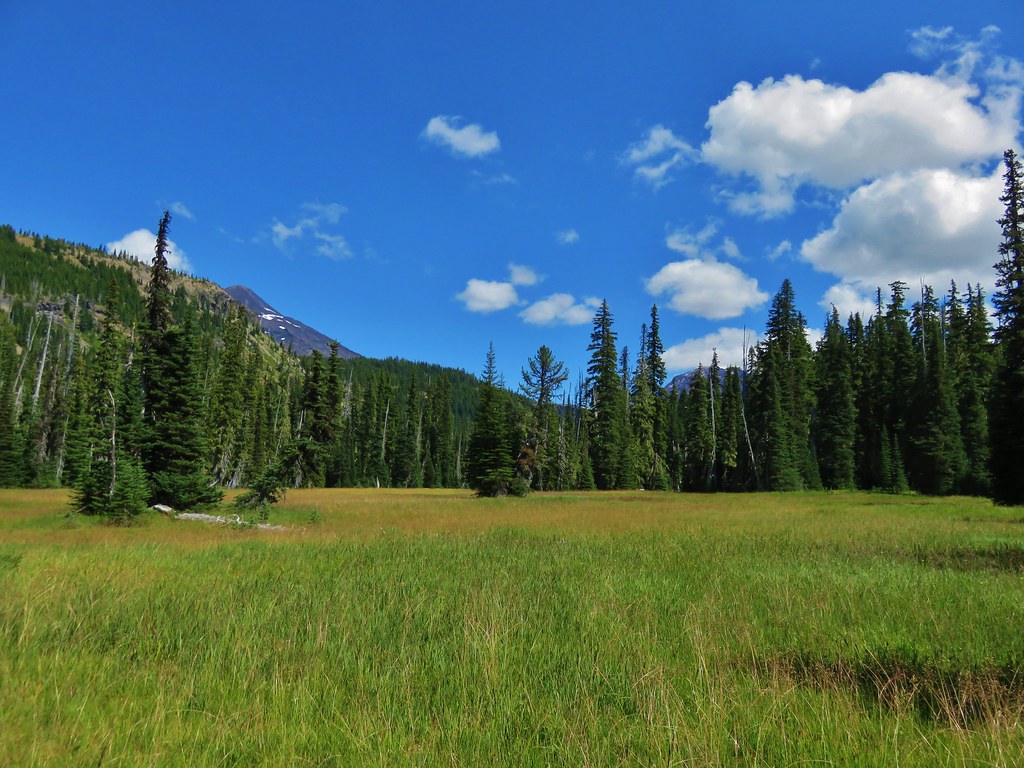
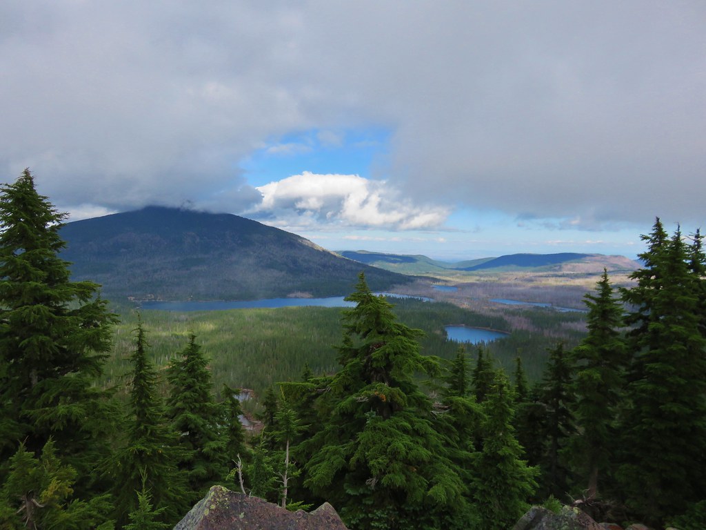
Olallie Lake Scenic Area
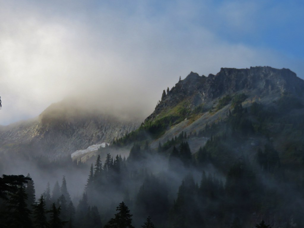
Indian Heaven Wilderness

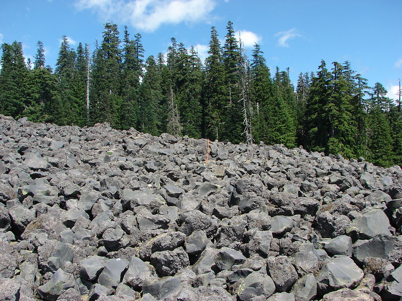
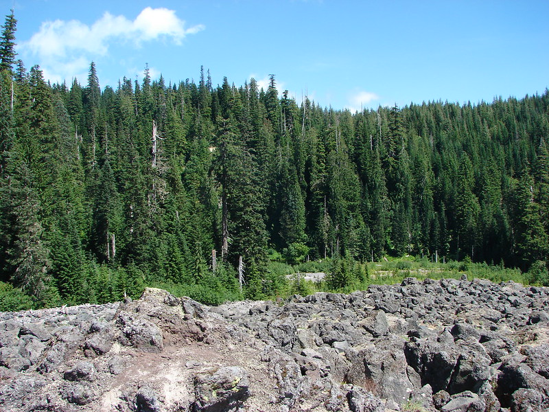
Mt. Washington Wilderness
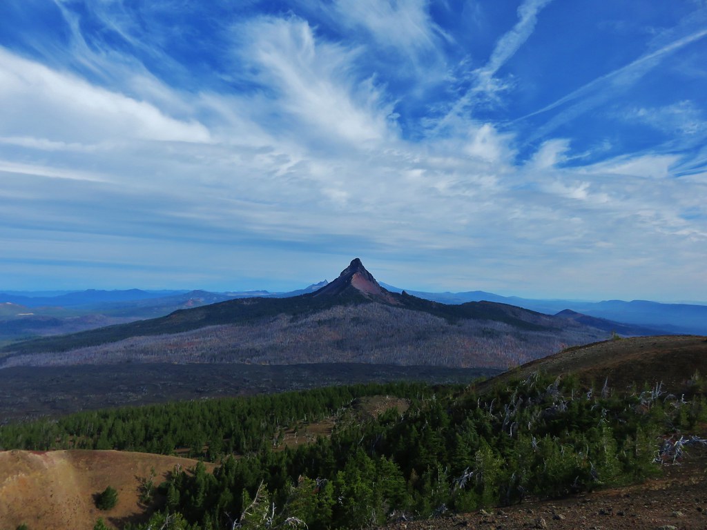
Belknap Crater

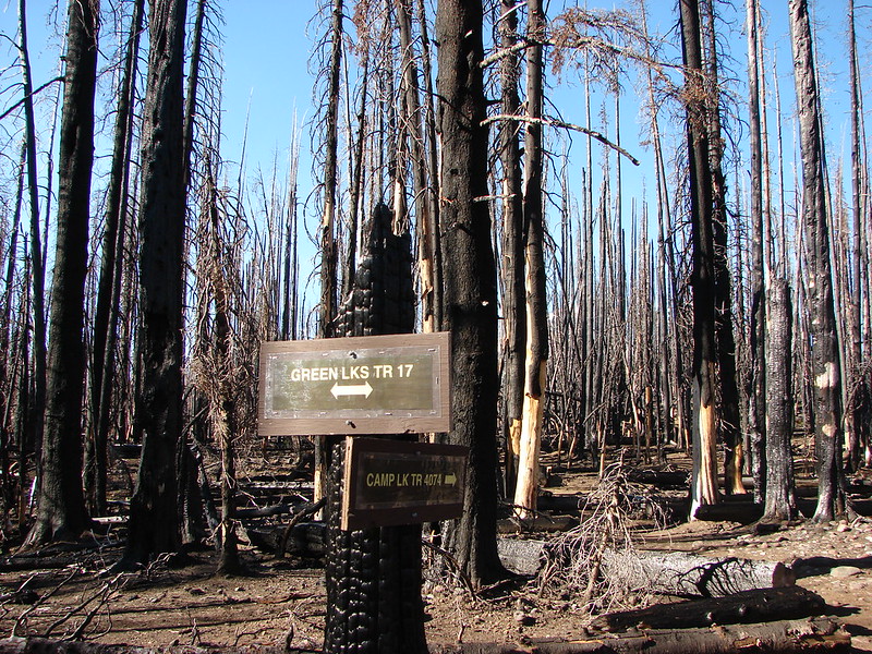
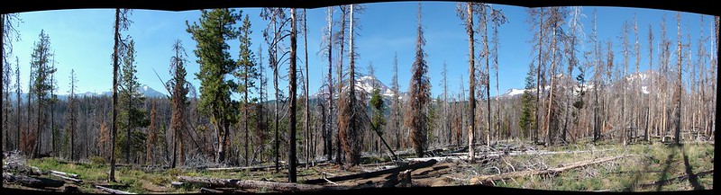
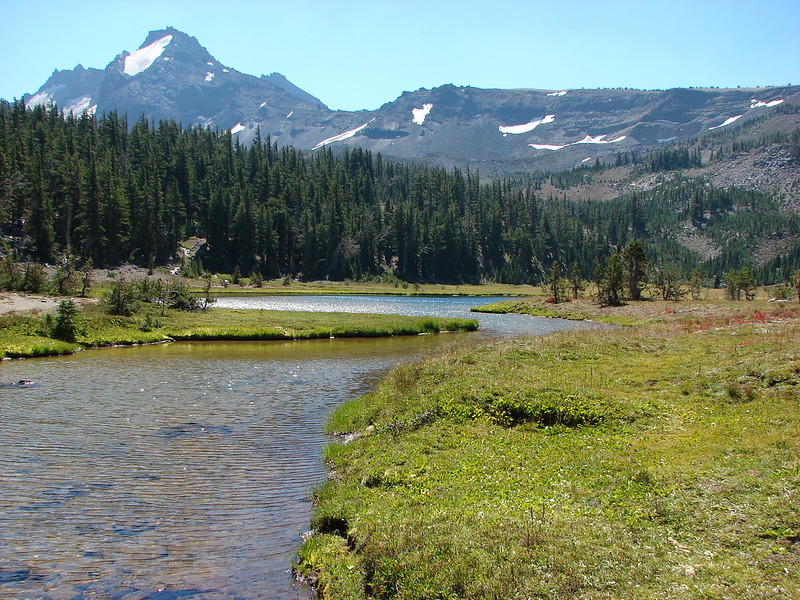
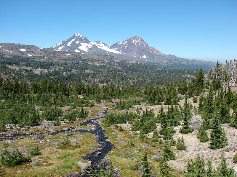
South Sister from the Green Lakes

South Sister from Denude Lake

Wind and Dog Mountain from Indian Point

Bull of the Woods Wilderness
Pacific Ocean near Damnation Creek
Redwoods in Jedediah Redwoods State Park

Red Buttes Wilderness
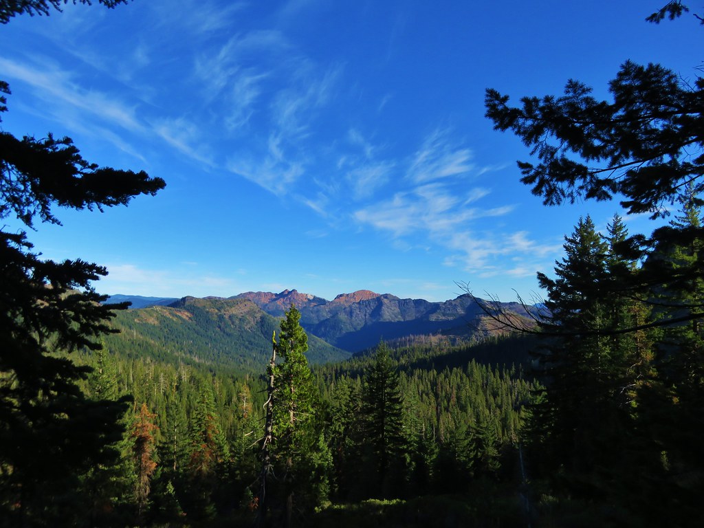
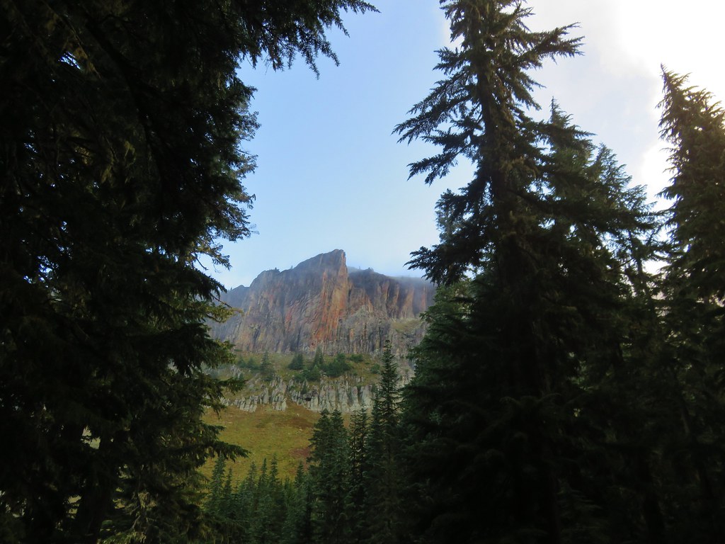
Kangaroo Mountain

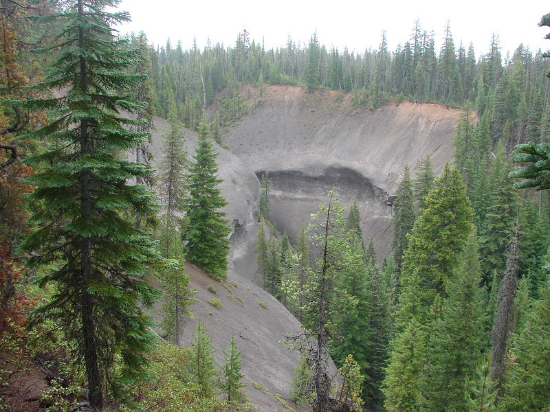
Paradise Lost, Oregon Caves National Monument

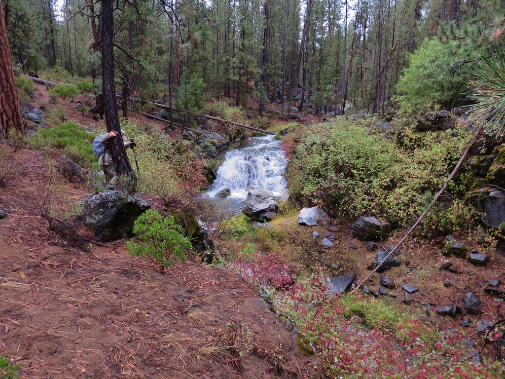
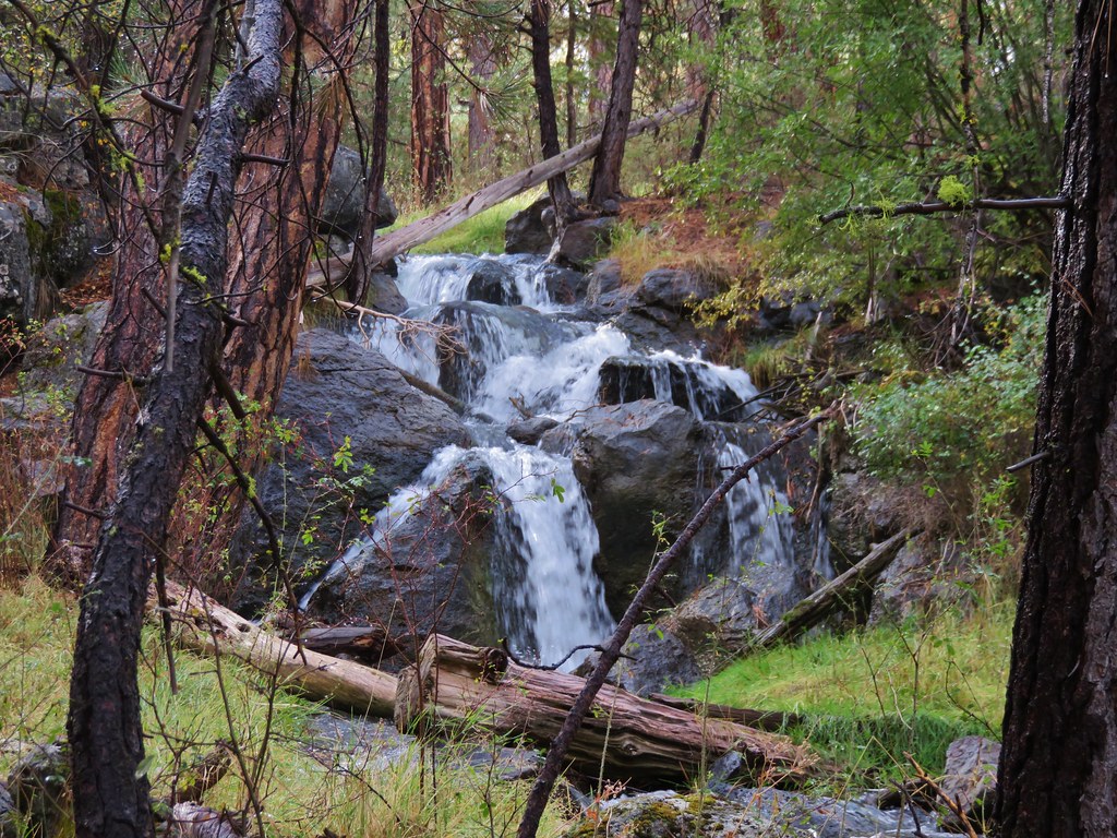
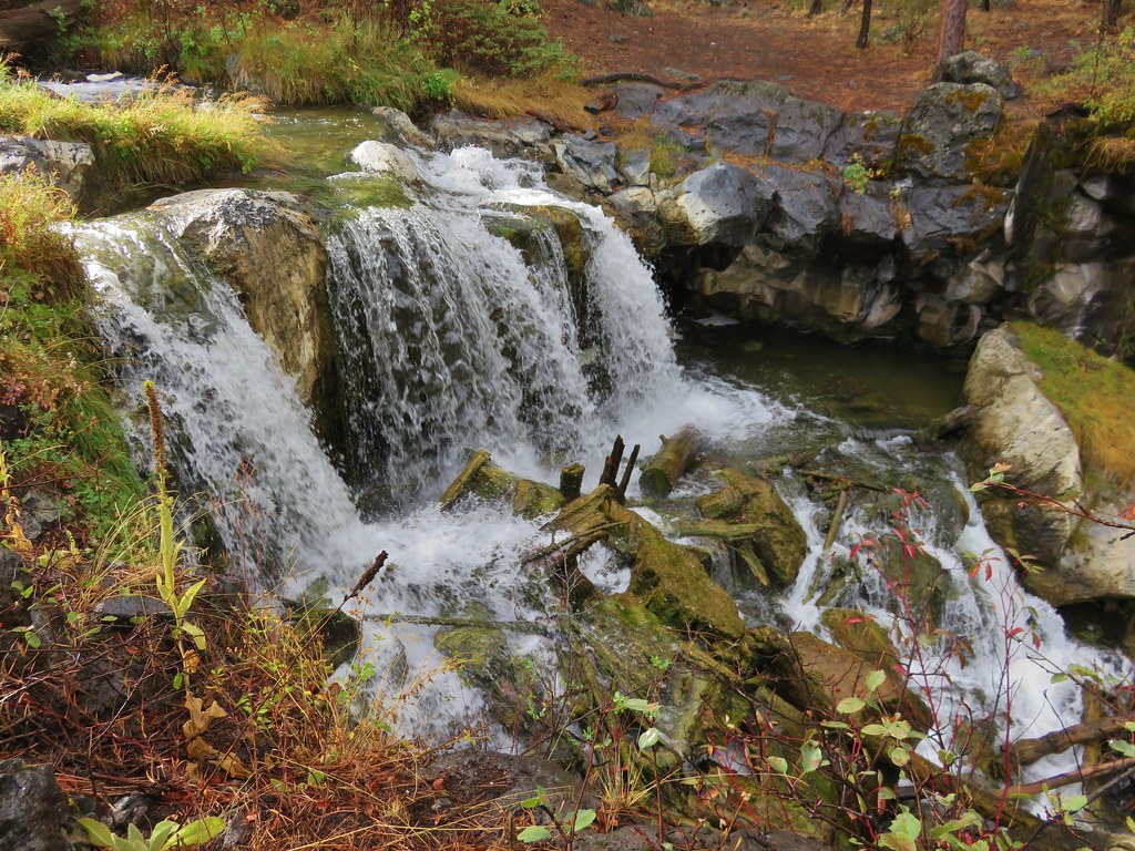
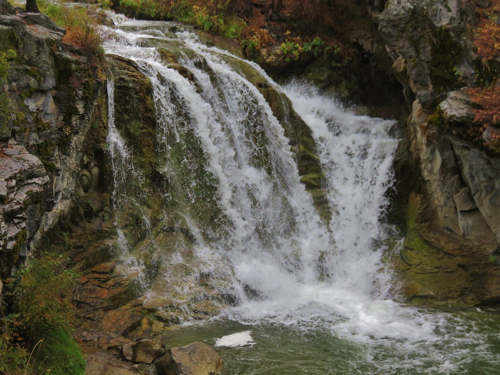
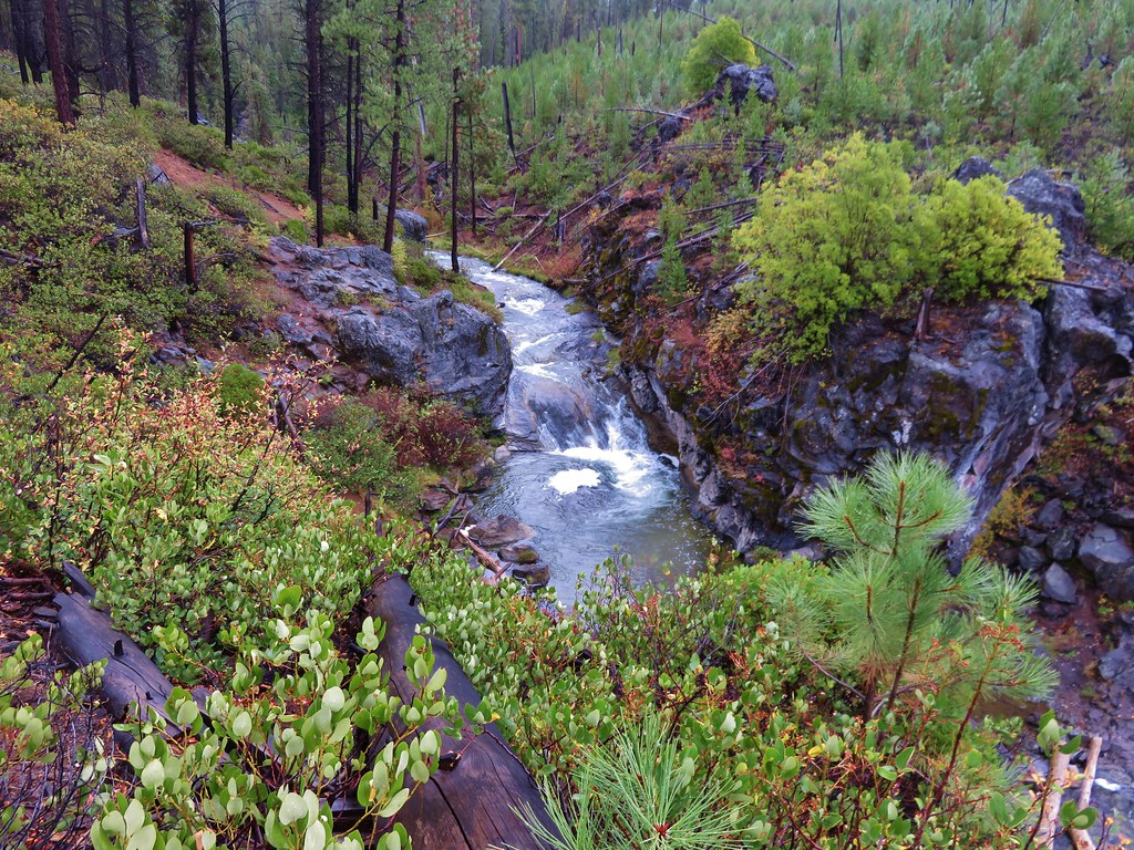
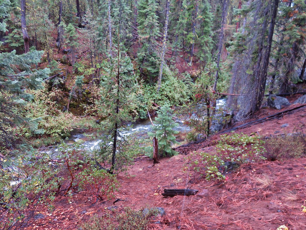
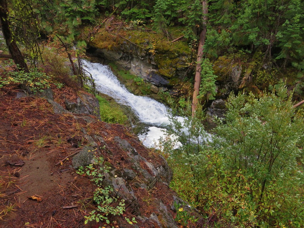
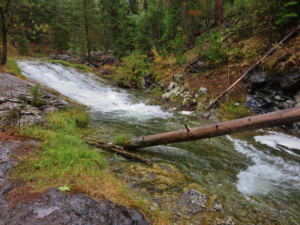
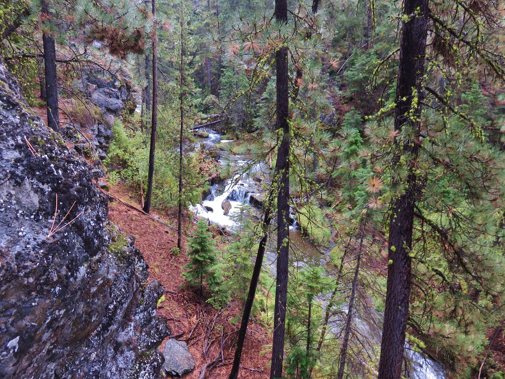
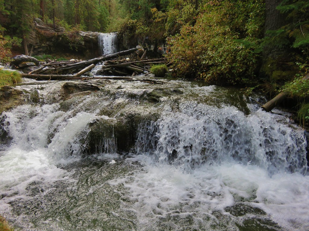
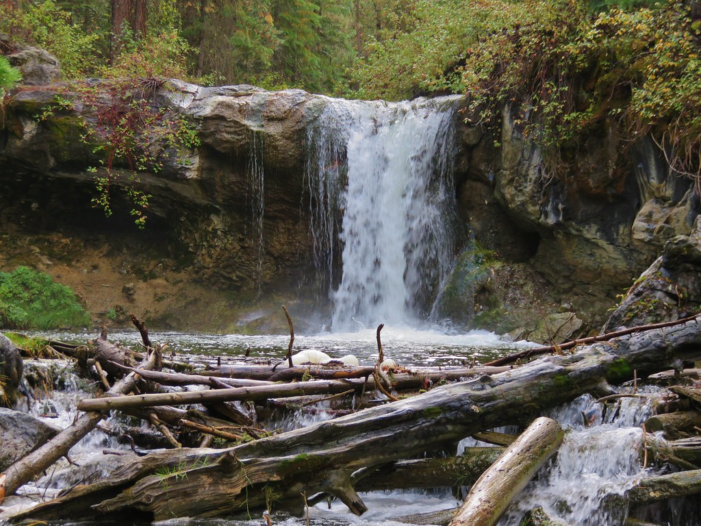
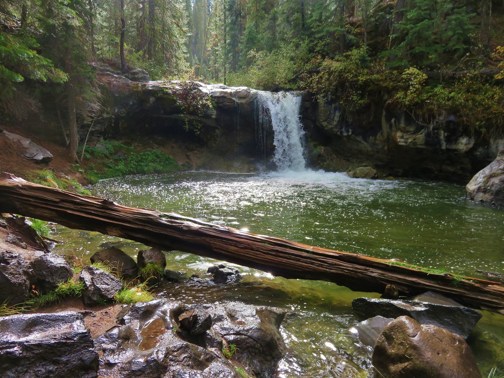
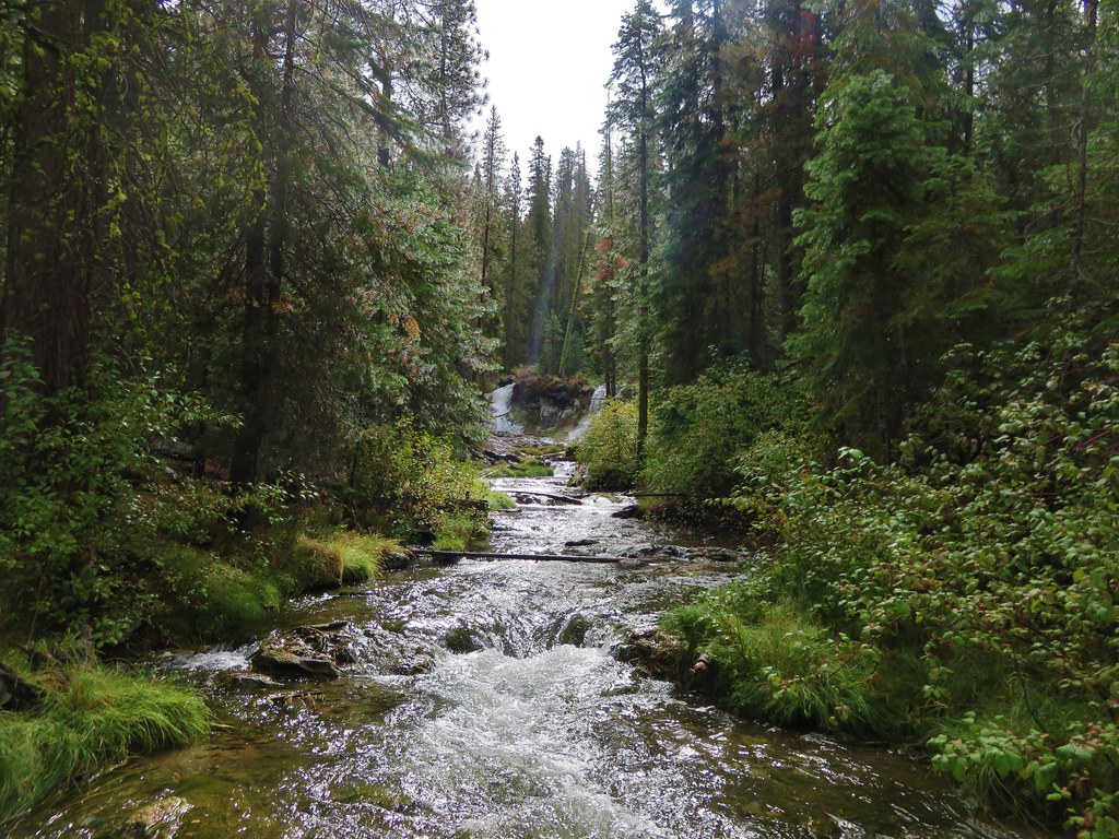
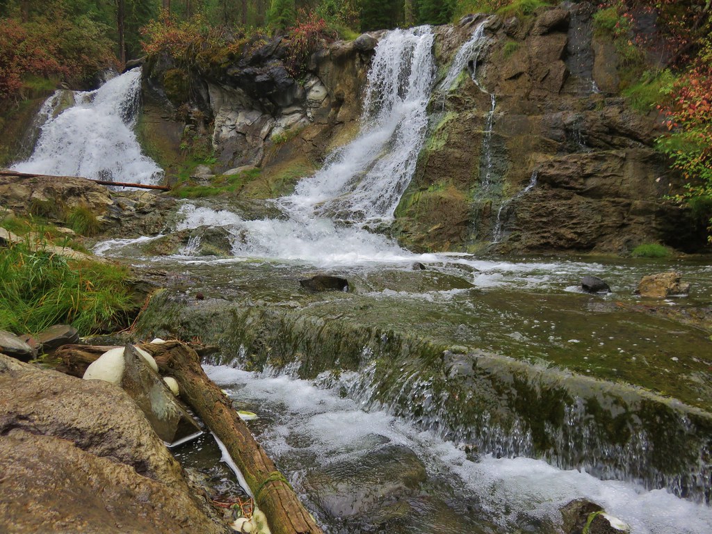
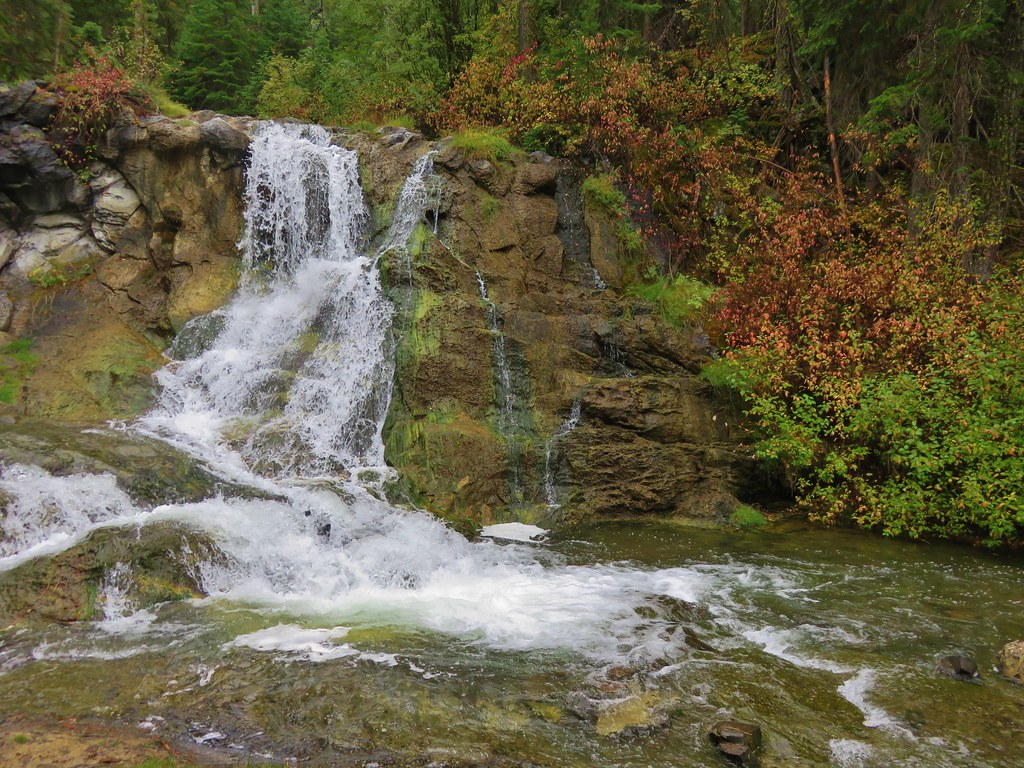
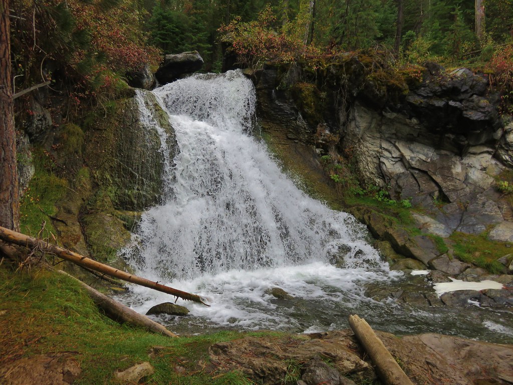
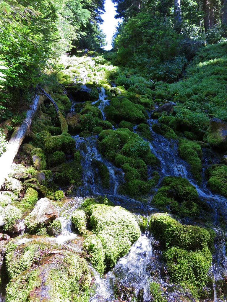
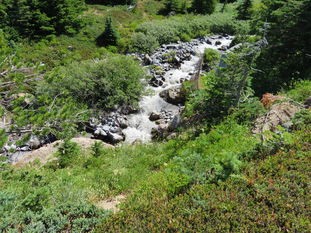
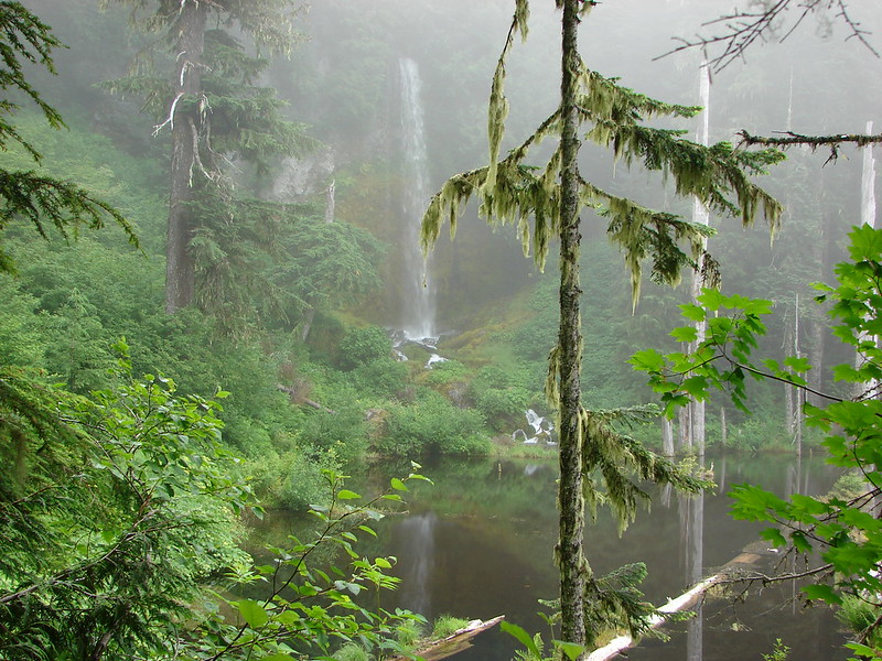
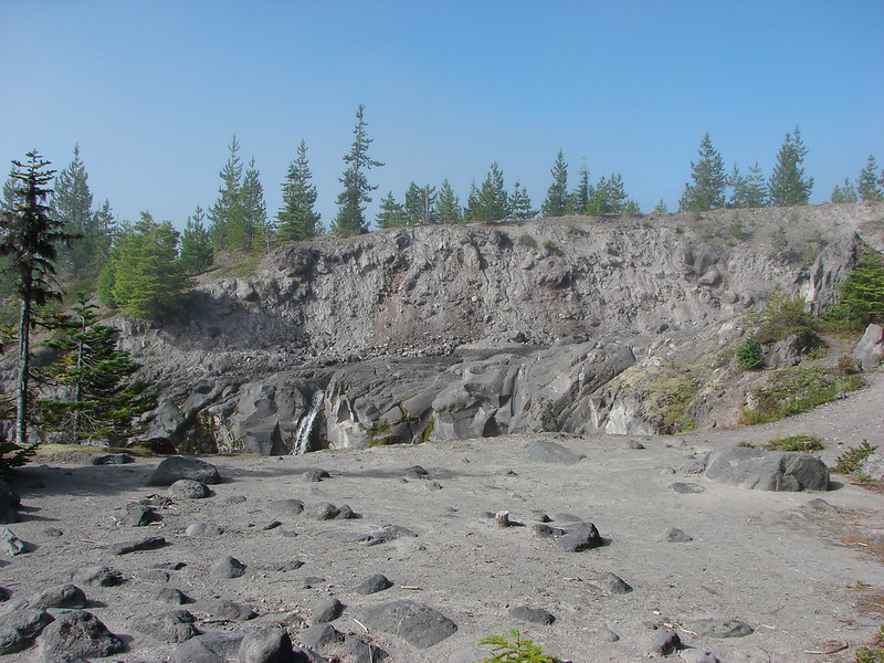
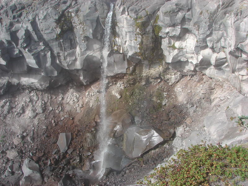
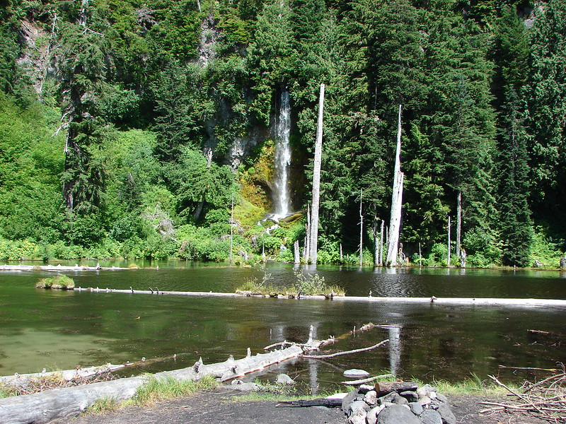
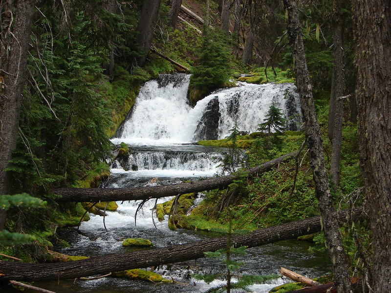
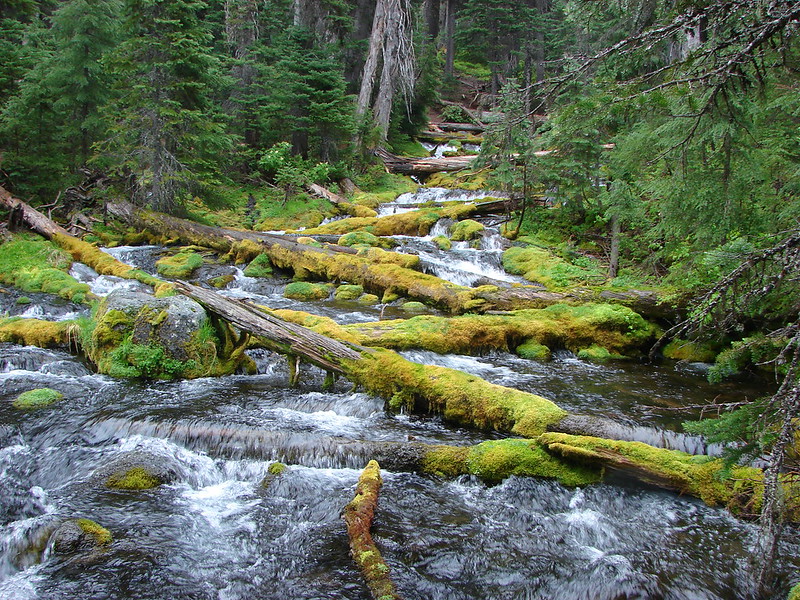
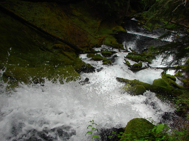
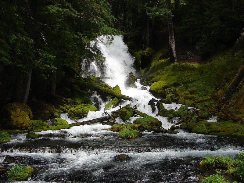
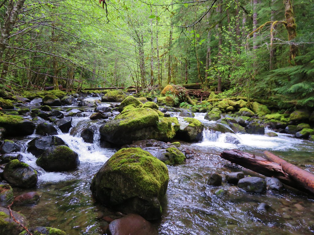
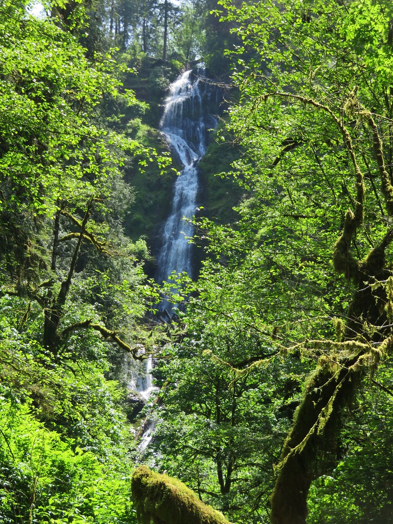
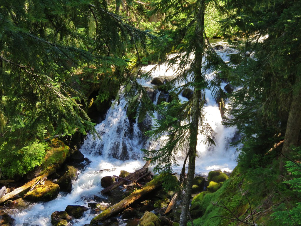
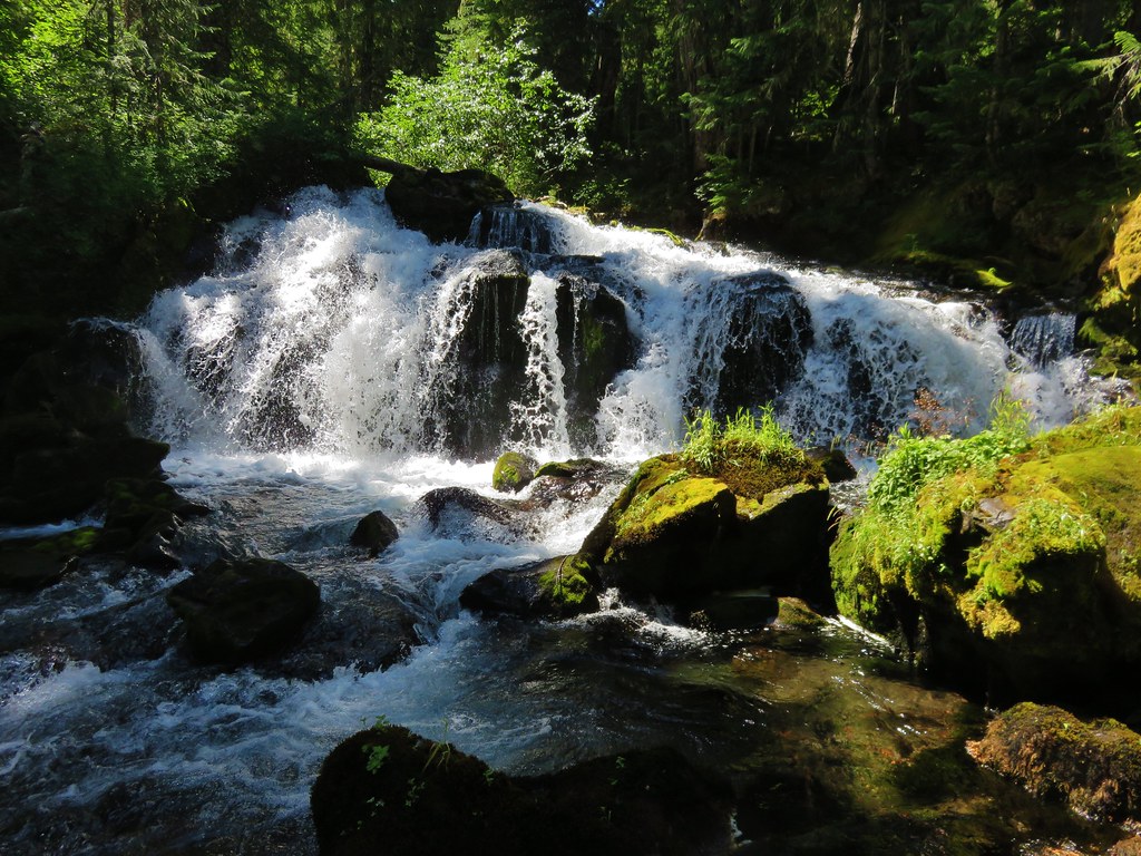
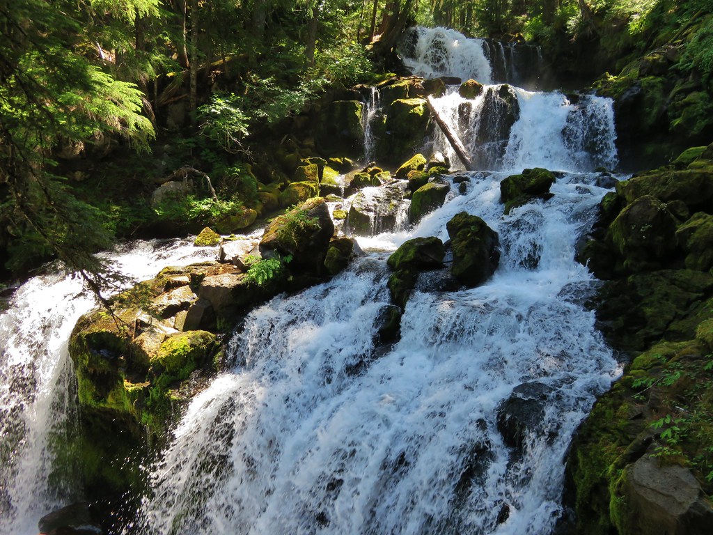
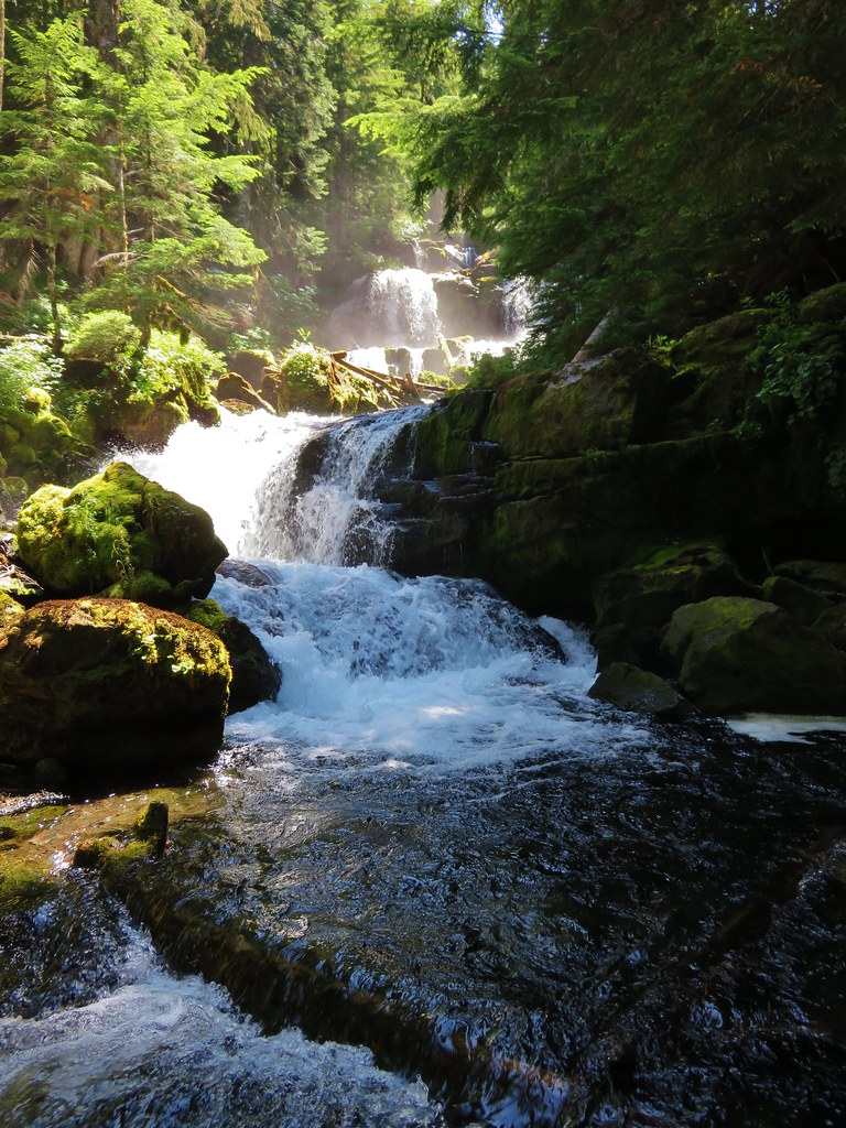
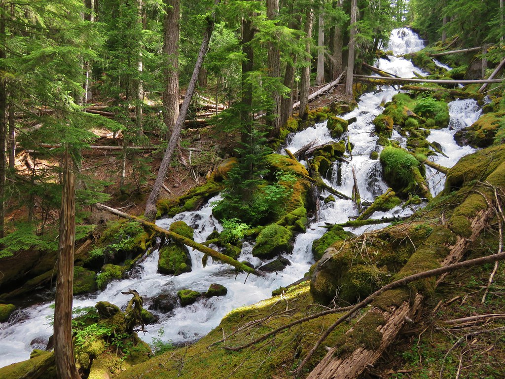
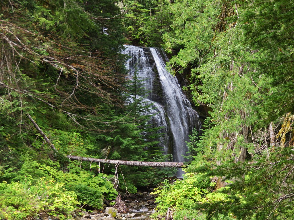
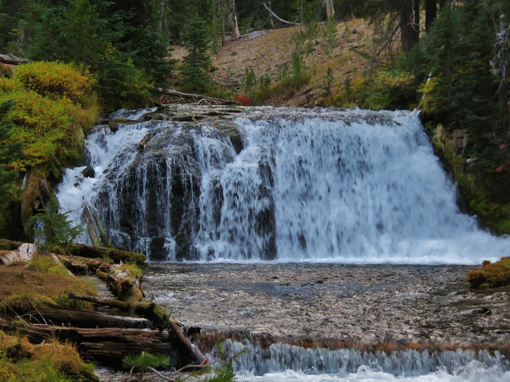
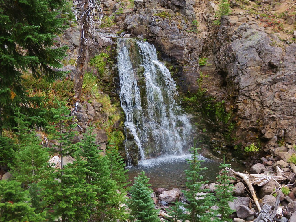
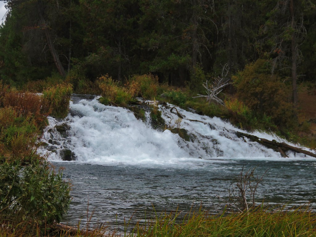
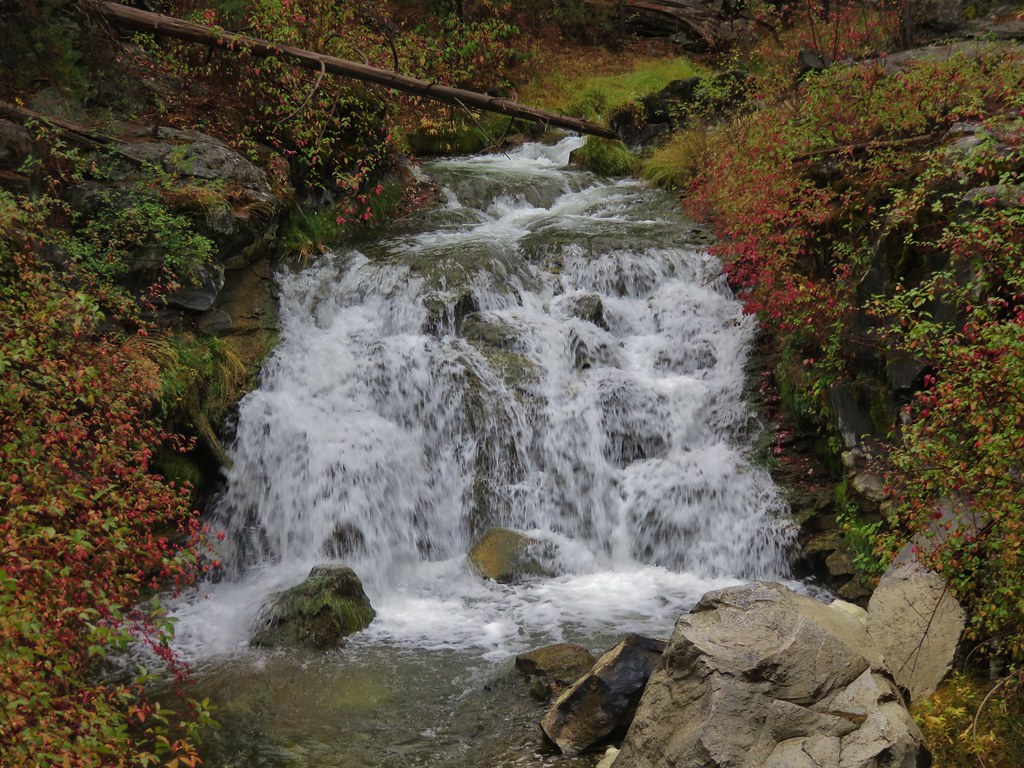
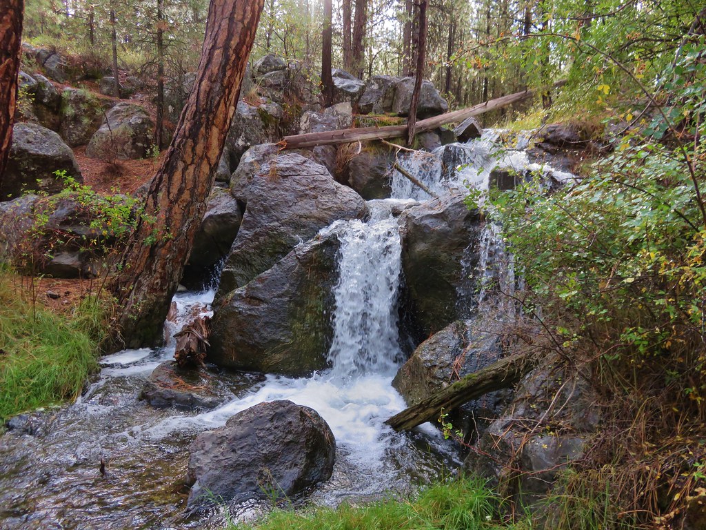
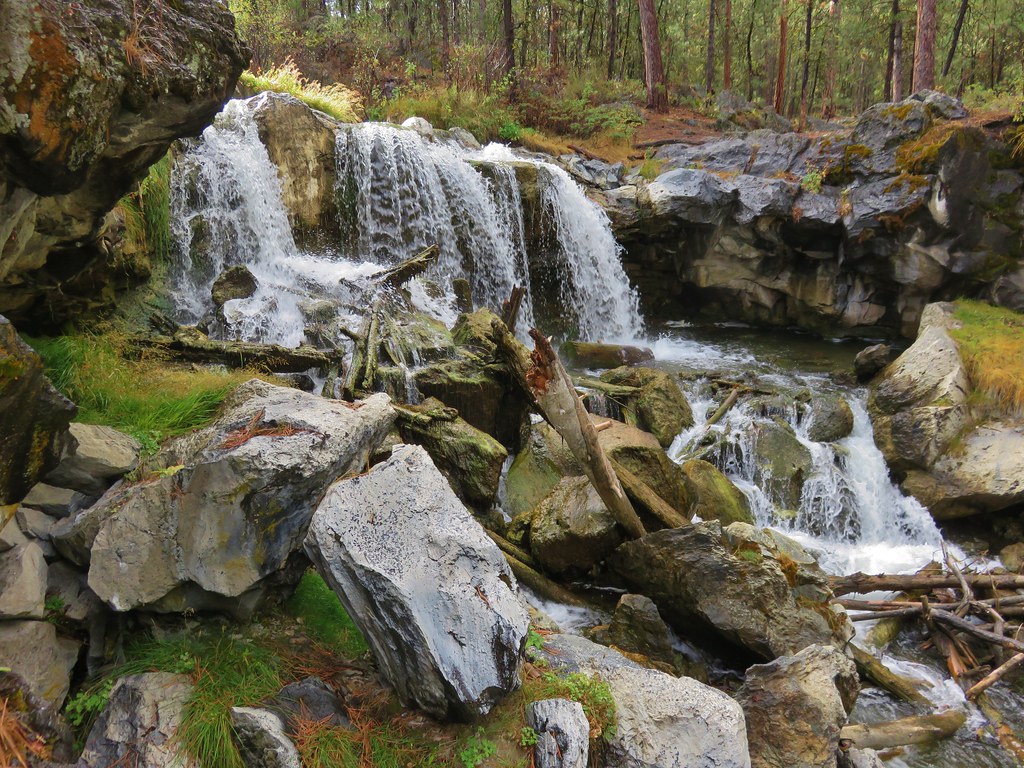
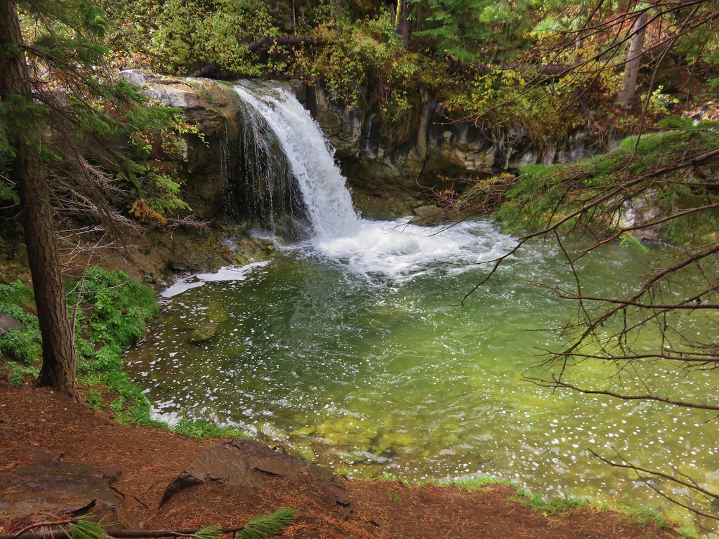
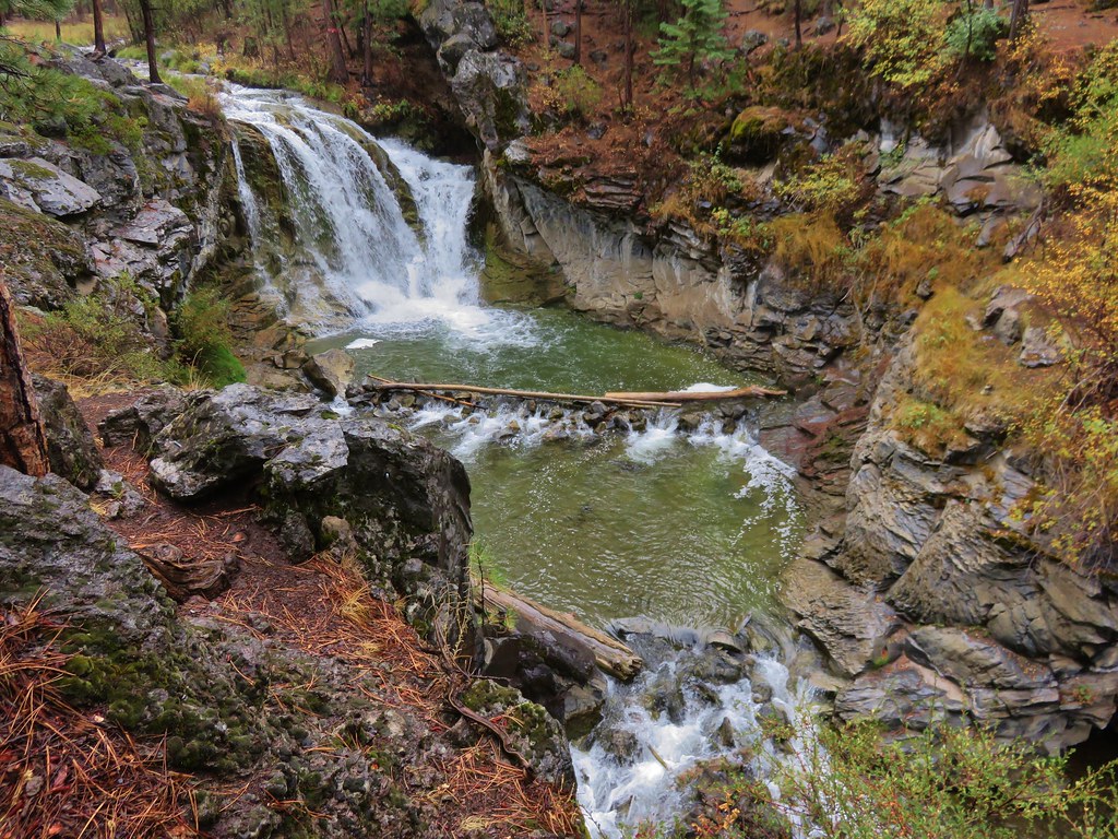
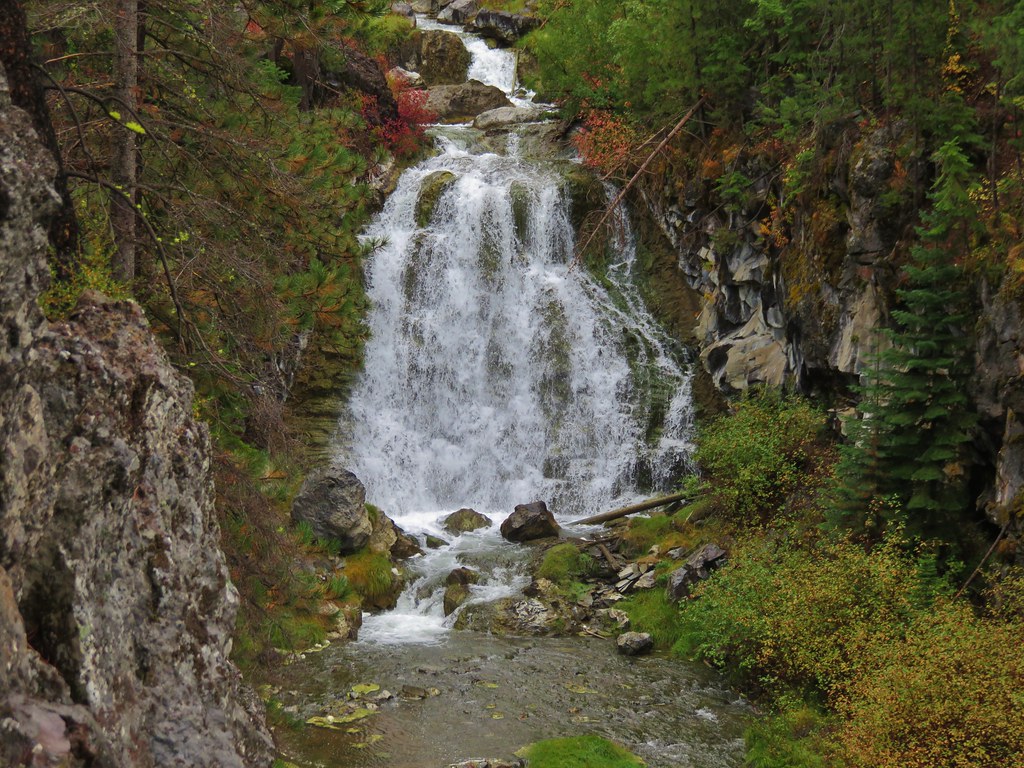
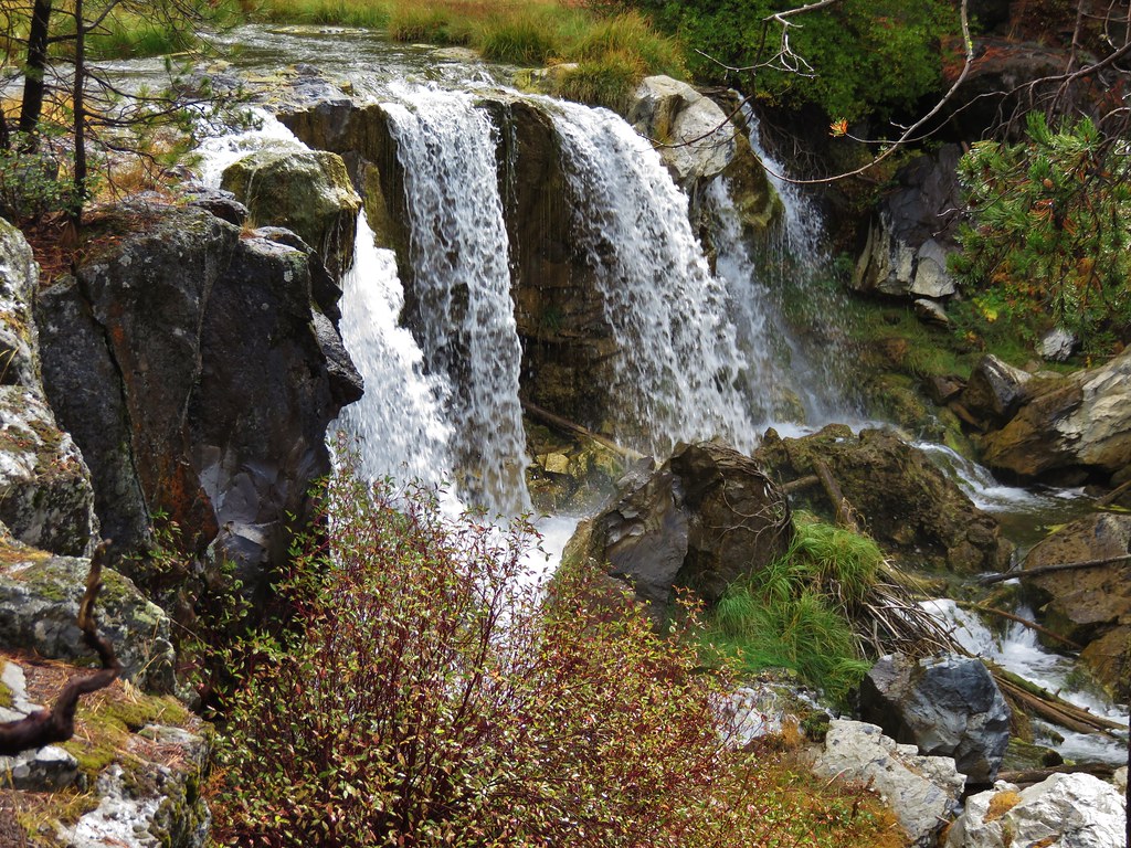
Waterfalls:
University Falls
Lower Butte Creek Falls
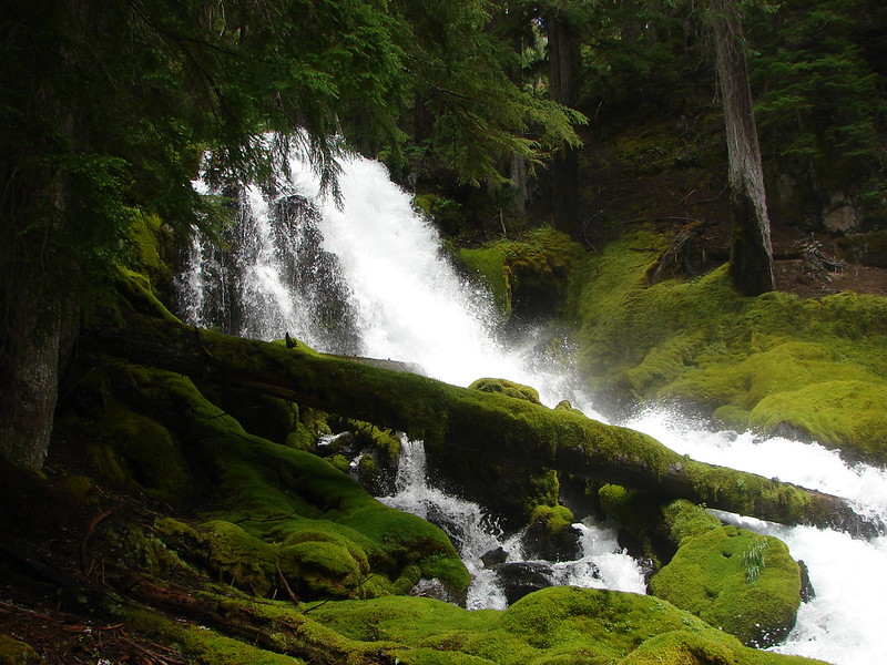
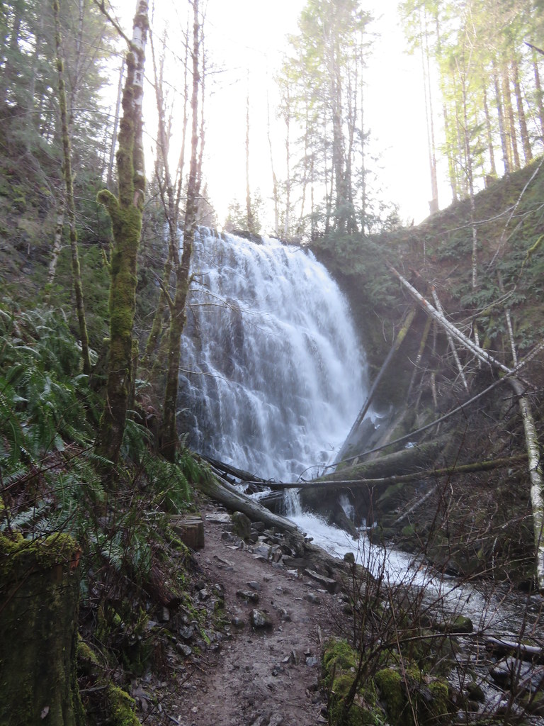
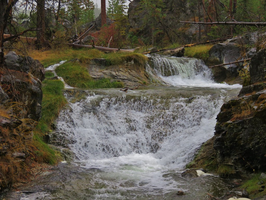
 Upper Butte Creek Falls
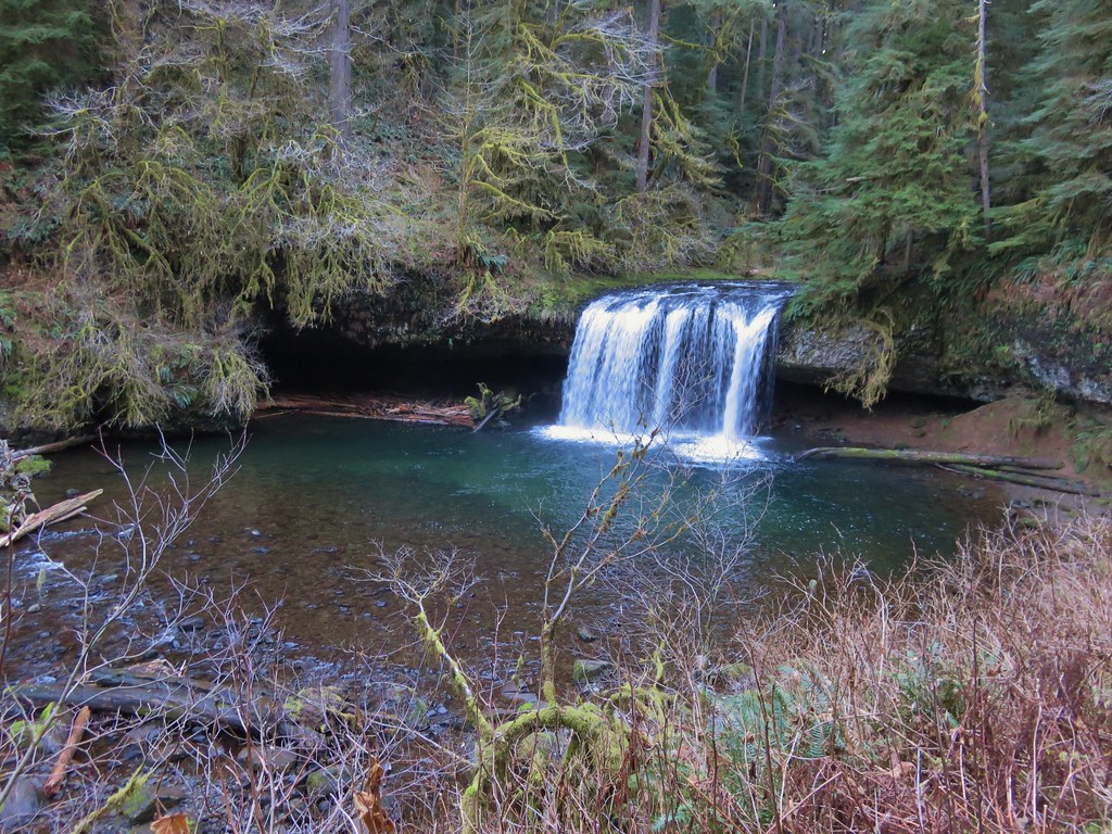
Abiqua Falls
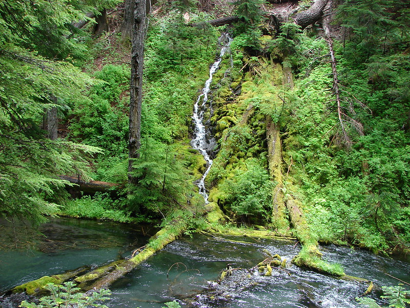
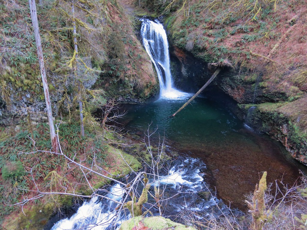
 Upper McCord Falls
Wahclella Falls
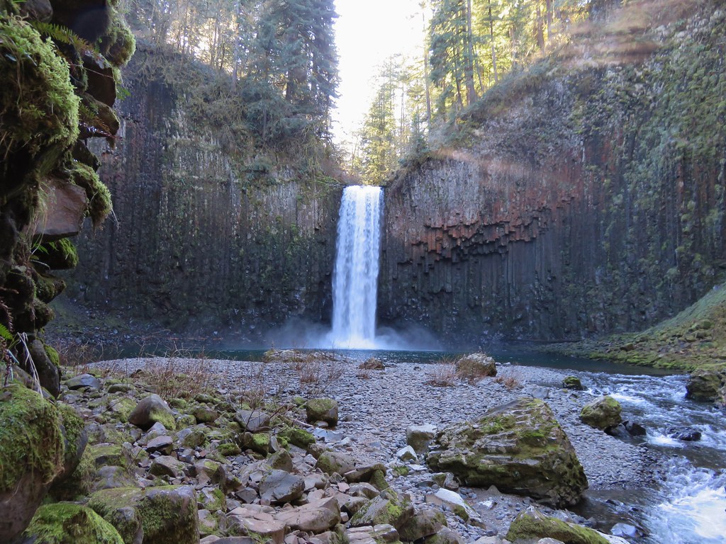
 Elowah Falls
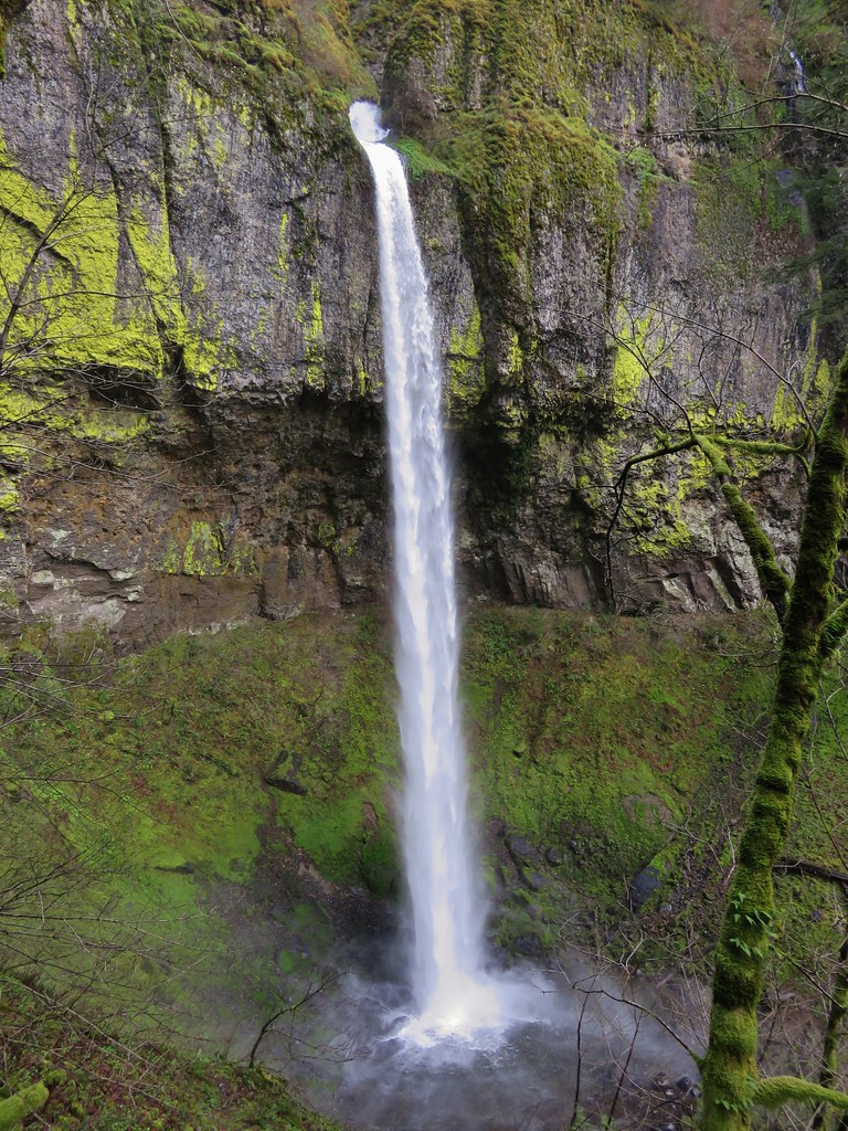
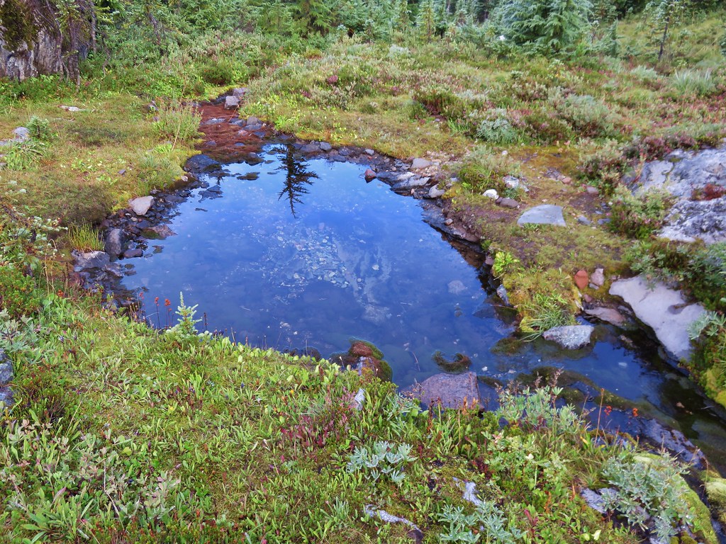
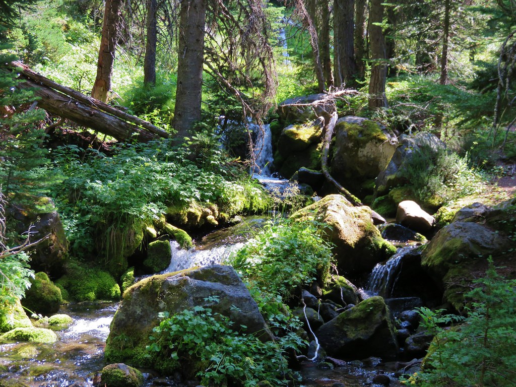
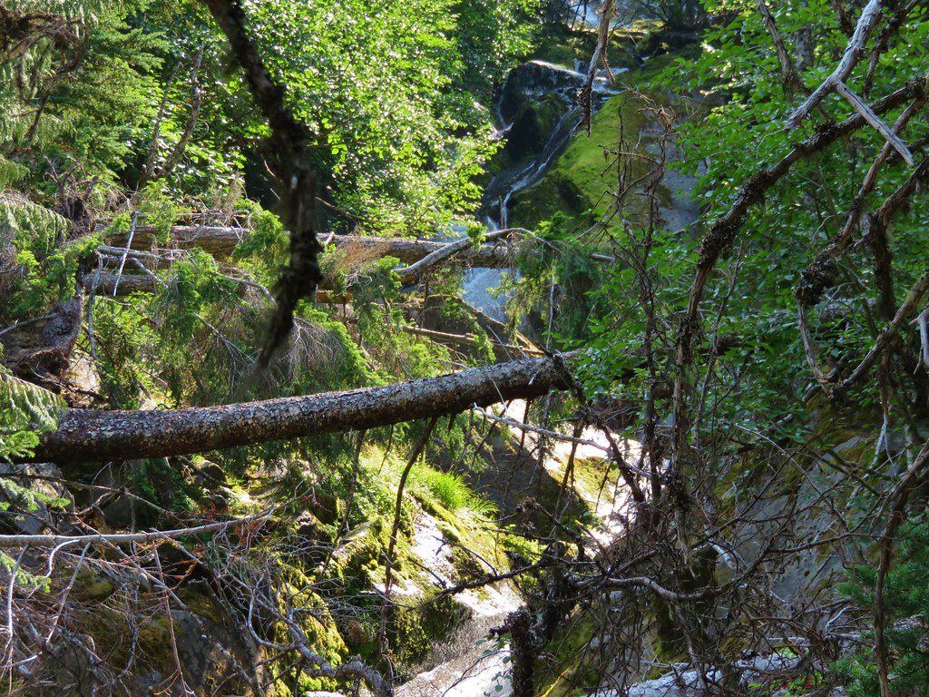
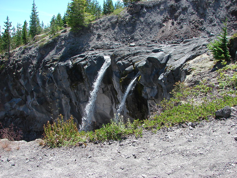
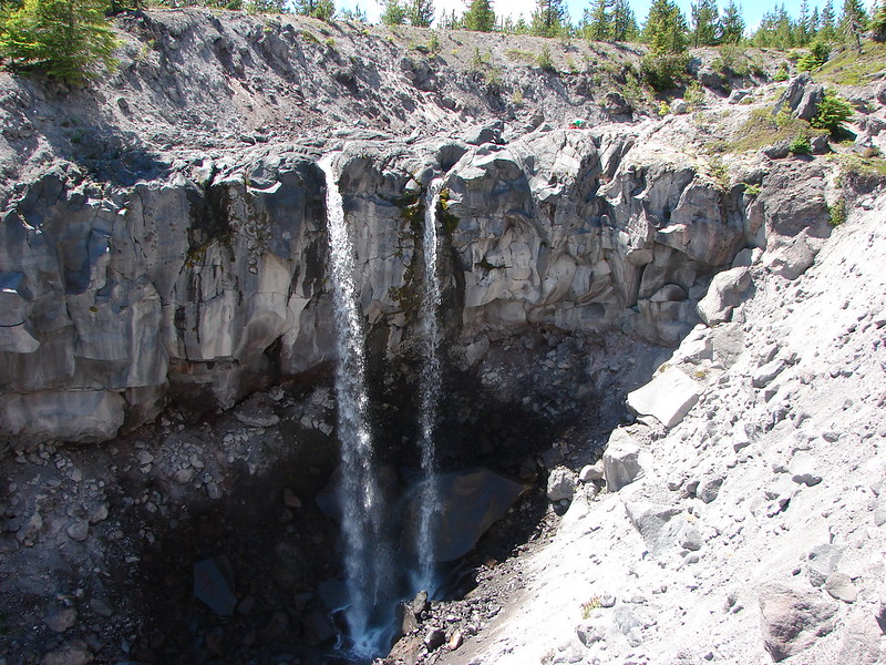
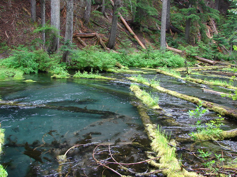
The Potholes
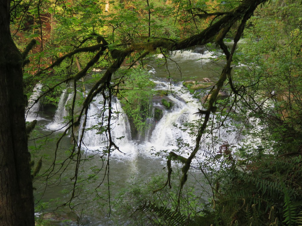 Woodburn Falls
Rodney Falls
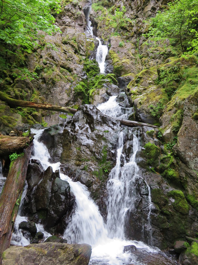 Upper Kentucky Falls
Lower Kentucky Falls
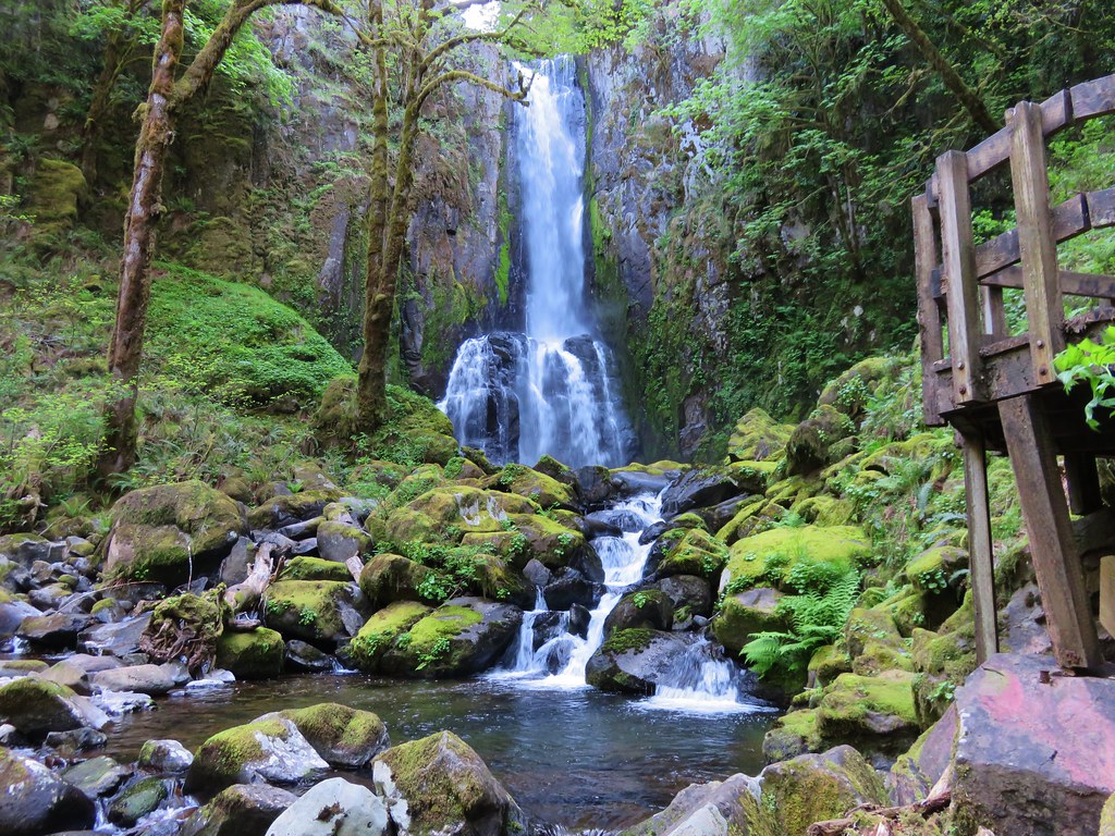 North Fork Falls
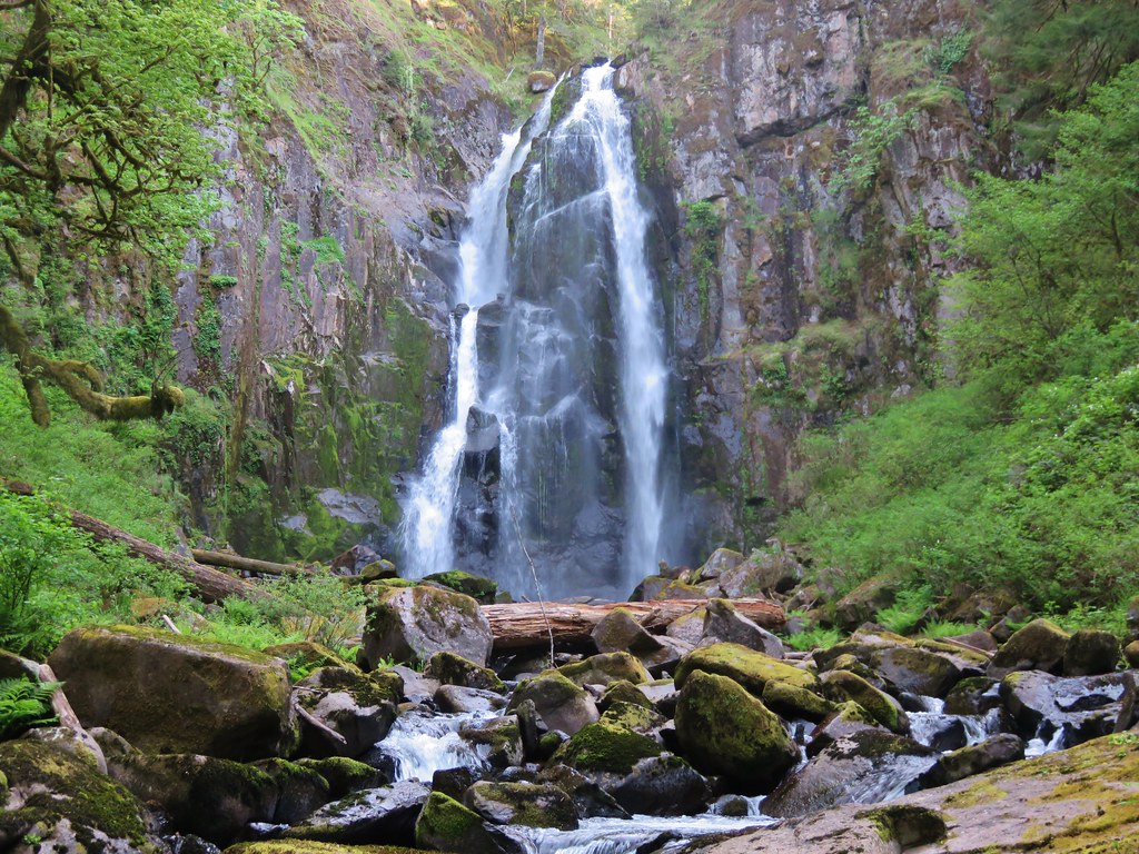
Munson Falls
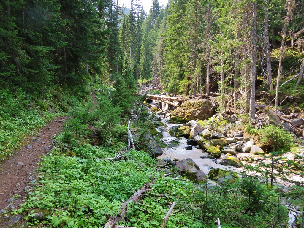
Unnamed waterfalls along Linton Creek 

Duncan Falls 
Upper Portion of Linton Falls
Indian Holes Falls
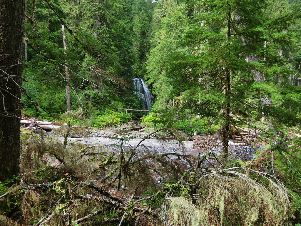
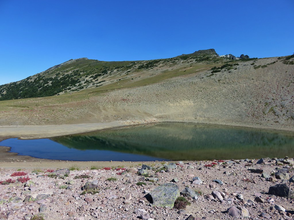
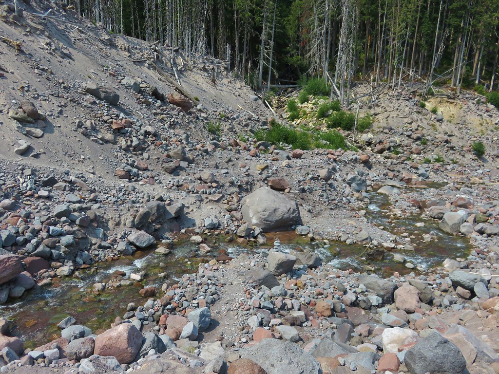
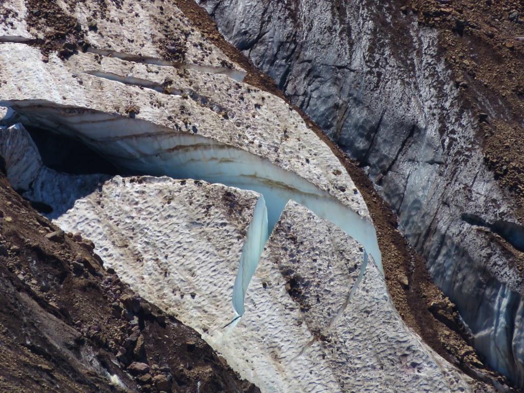
 Unnamed waterfall – Mt. Rainier National Park
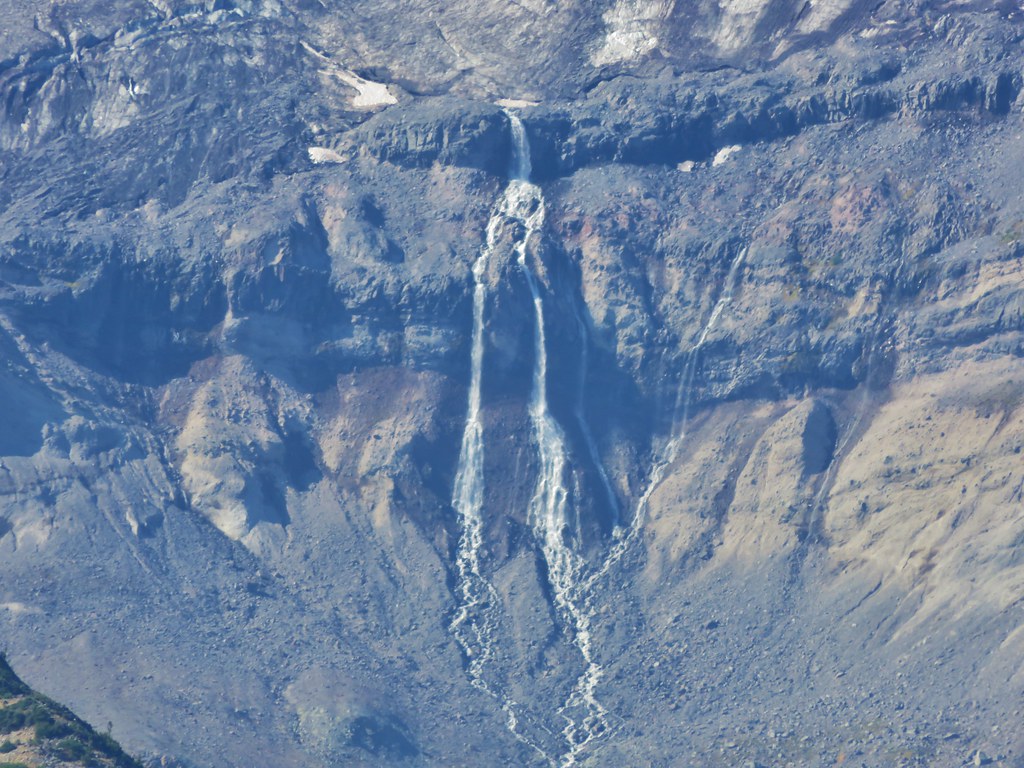
Garda Falls
 Another unnamed fall in Mt. Rainier National Park
Van Horn Falls
Waterfalls along Fall Creek 


Falls along Crater Creek


Corner Falls 
Fall River Falls
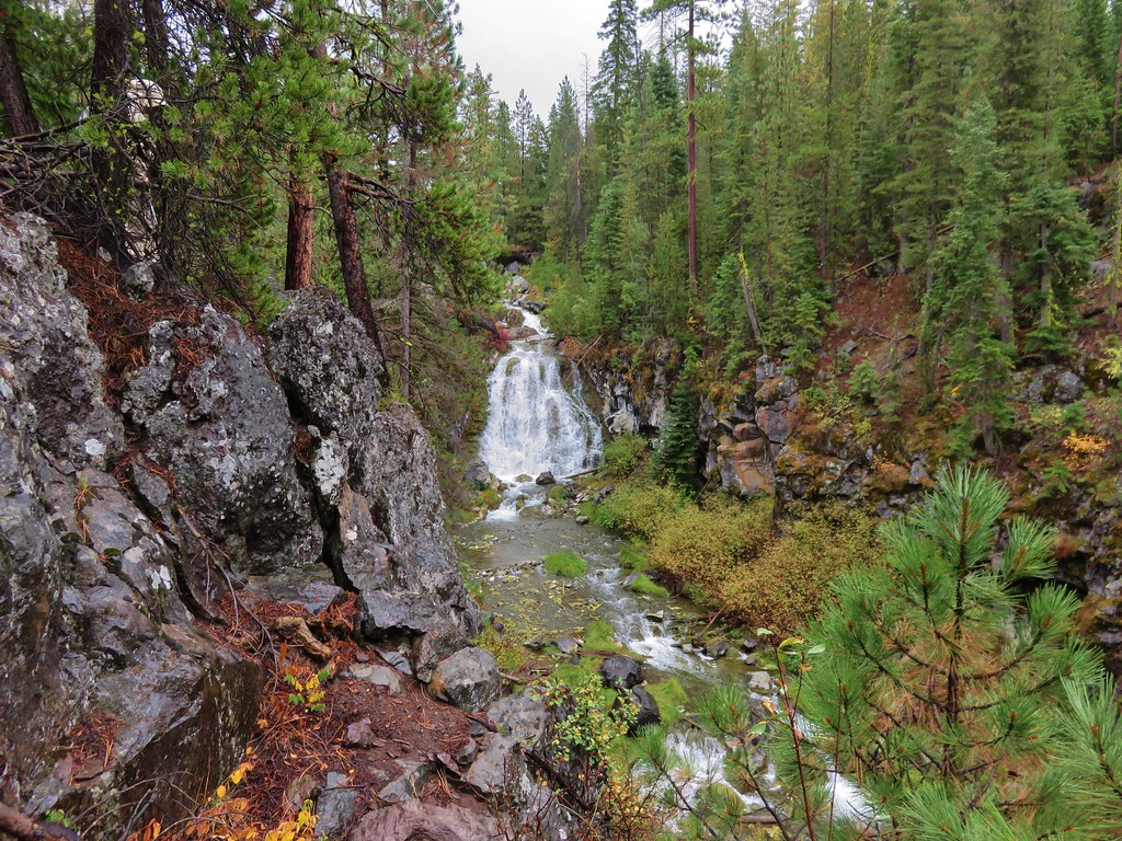
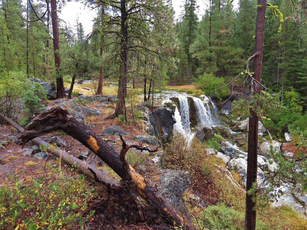
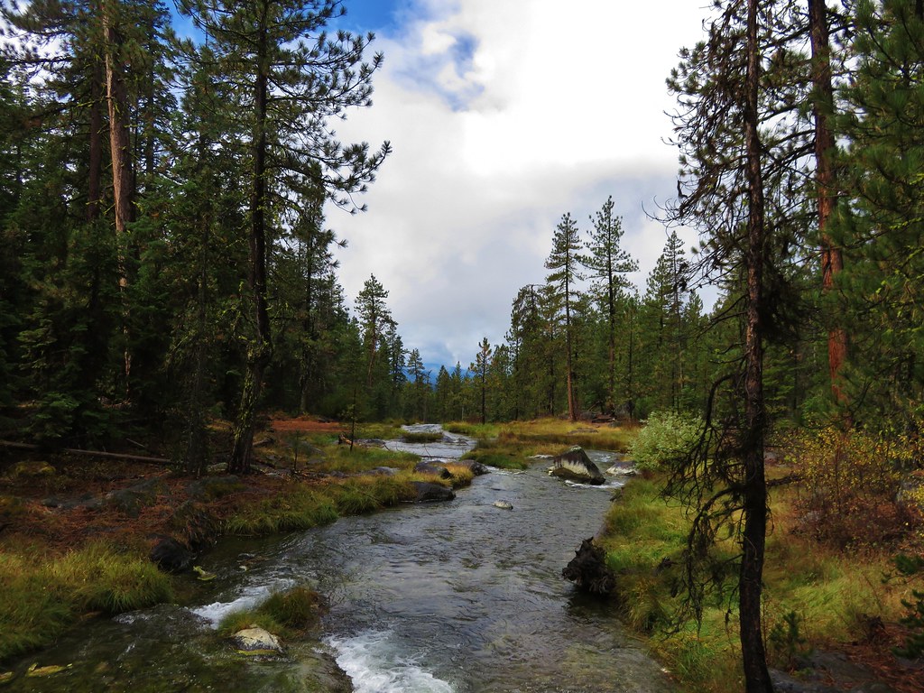
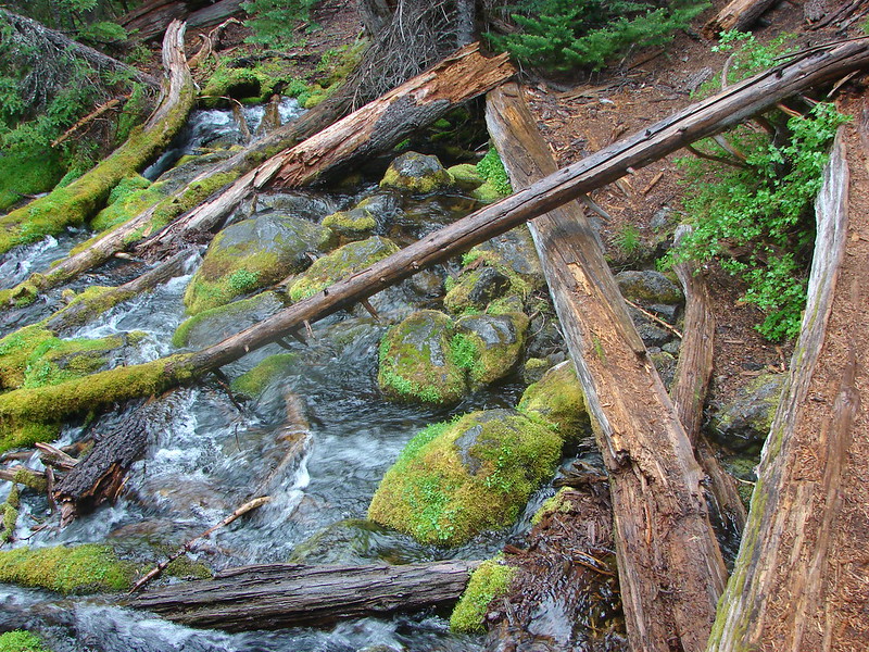
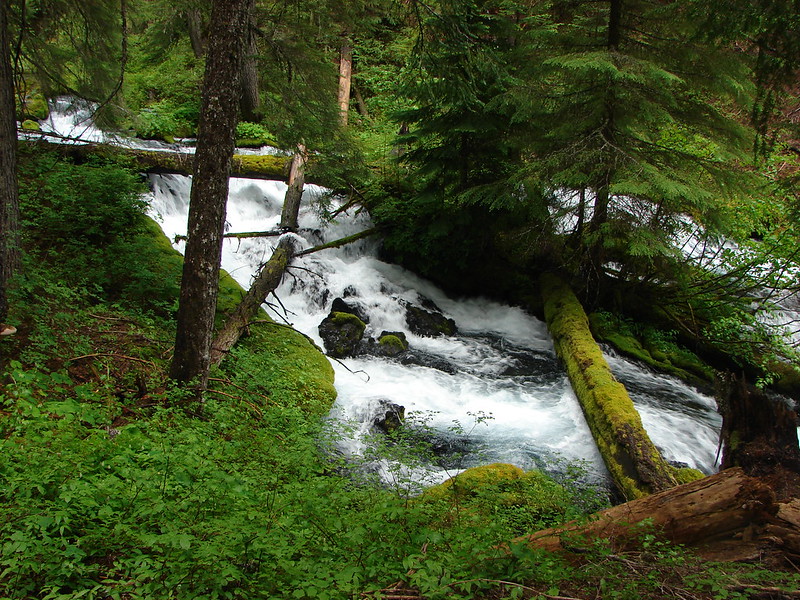
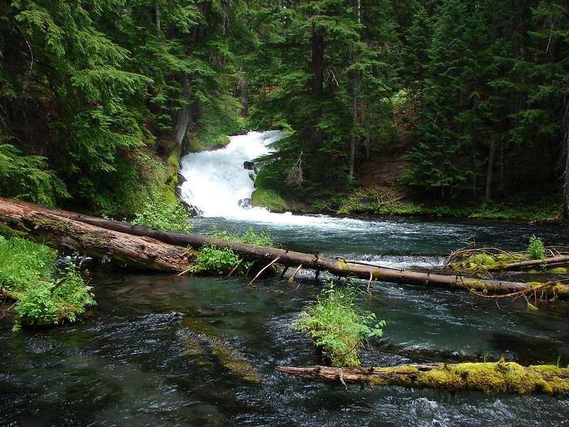
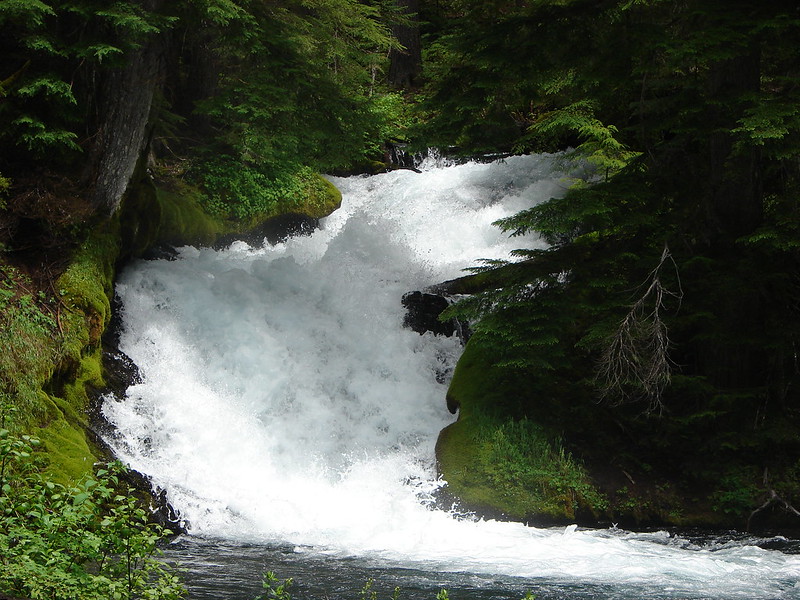
Waterfalls along Paulina Creek 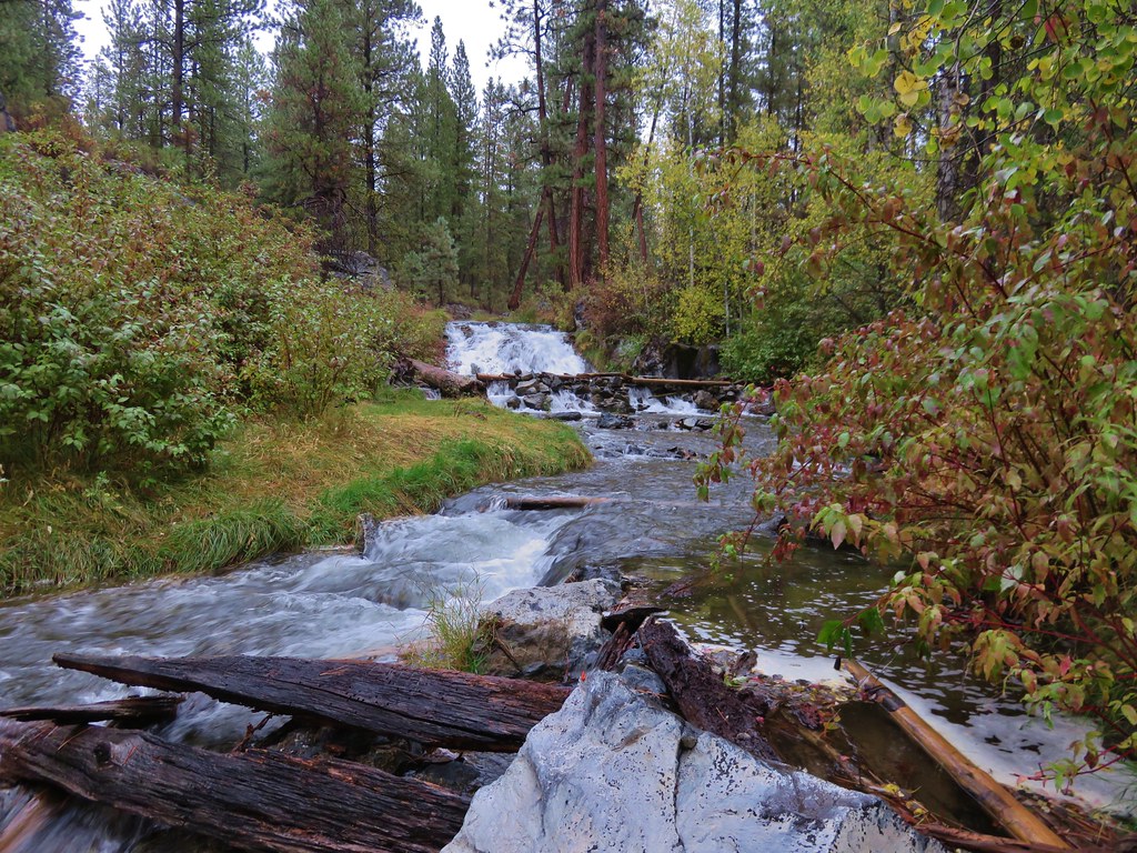

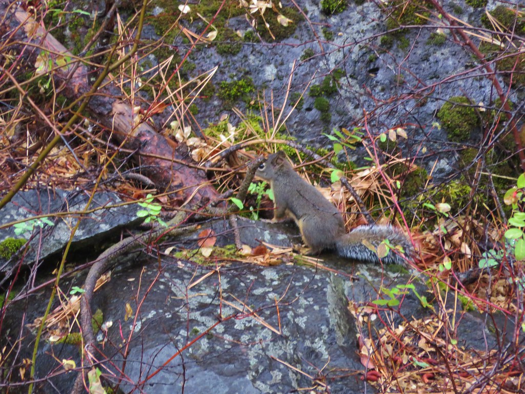
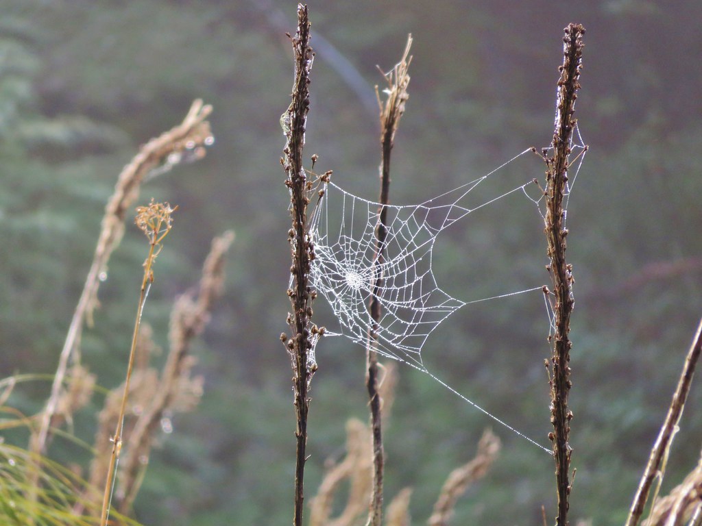
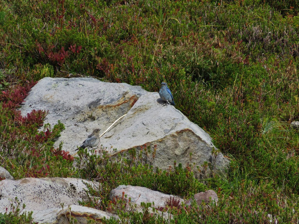
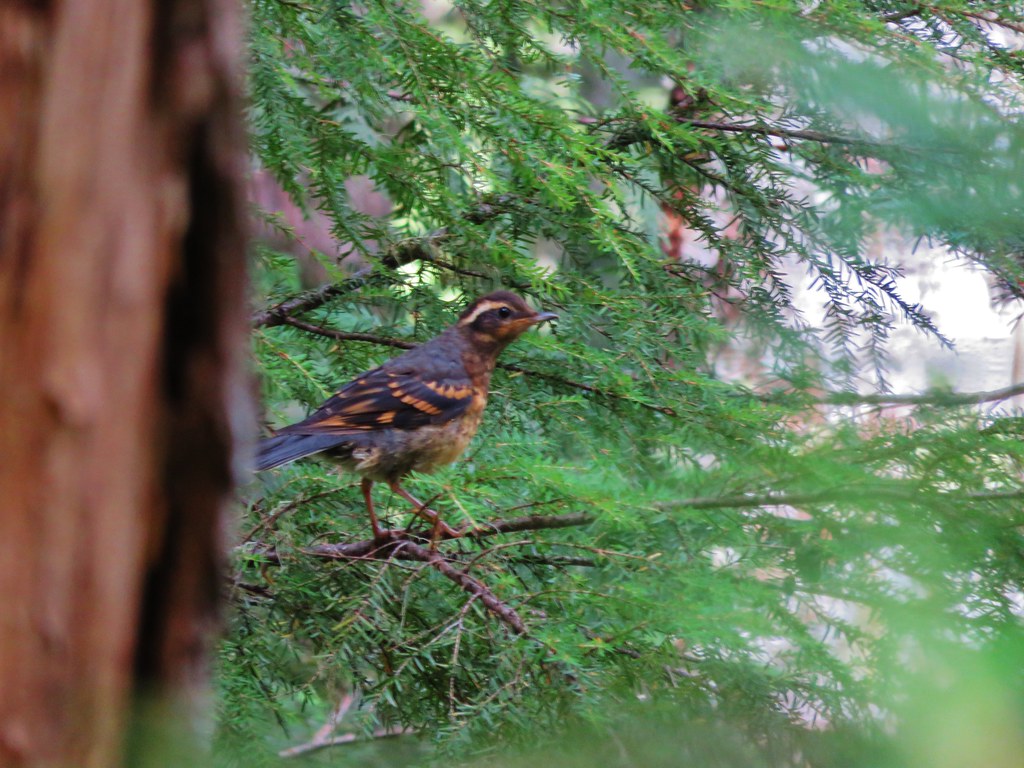
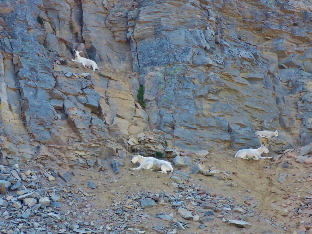
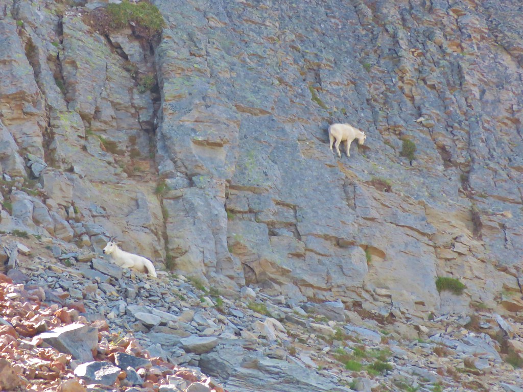
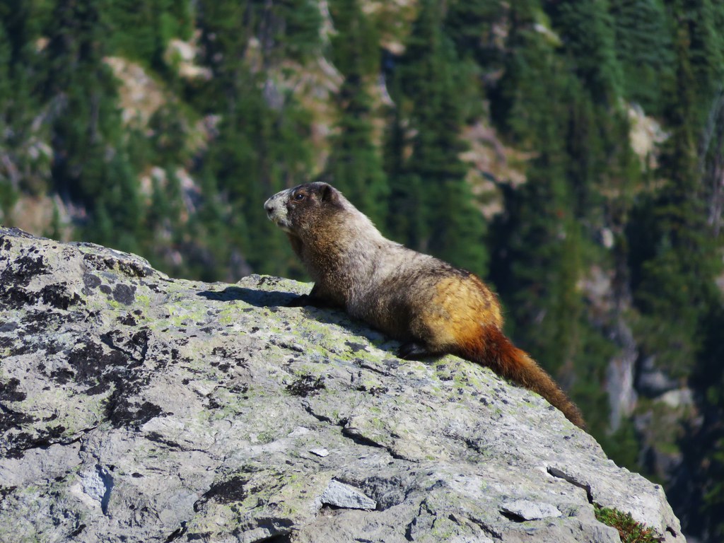
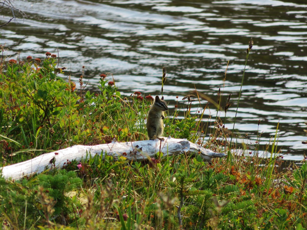
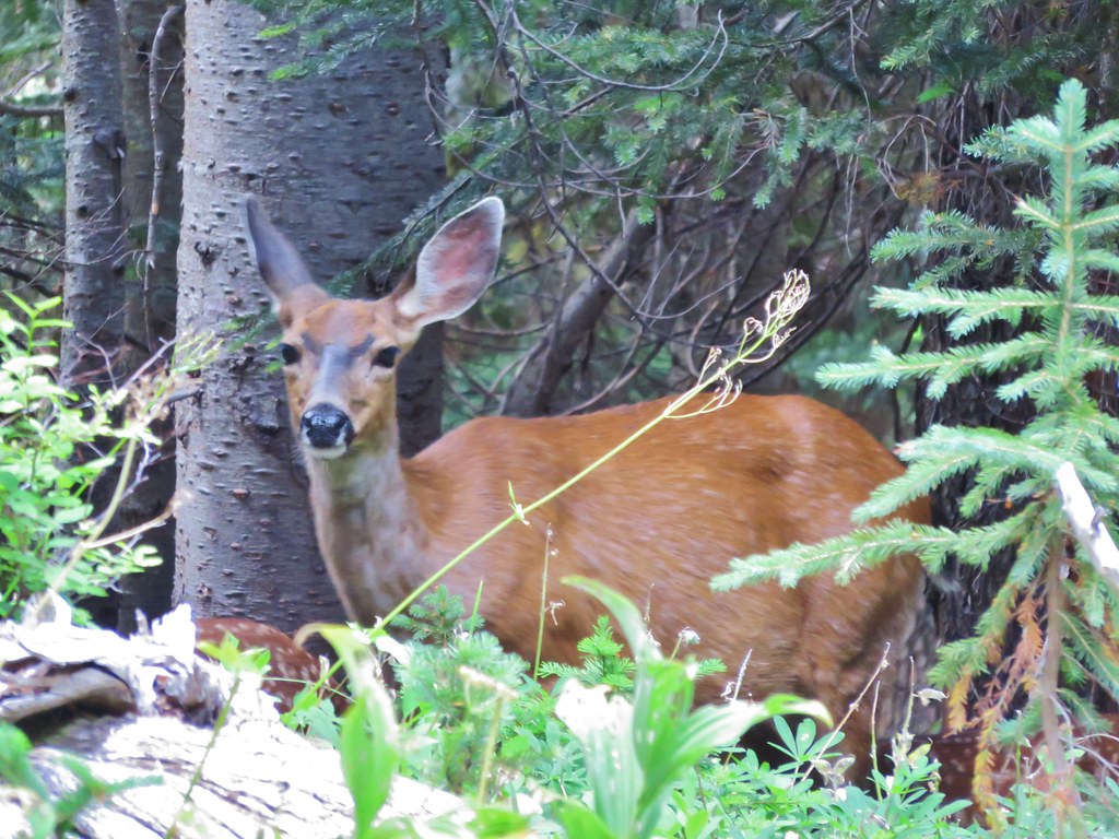
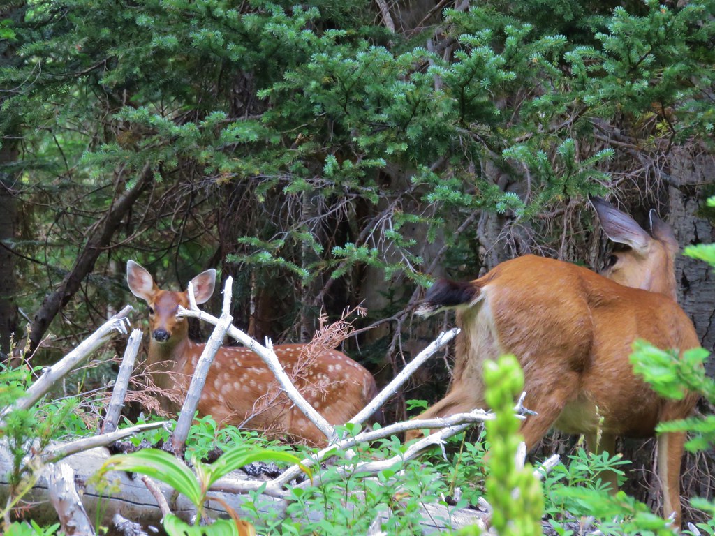
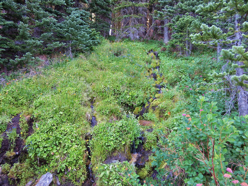
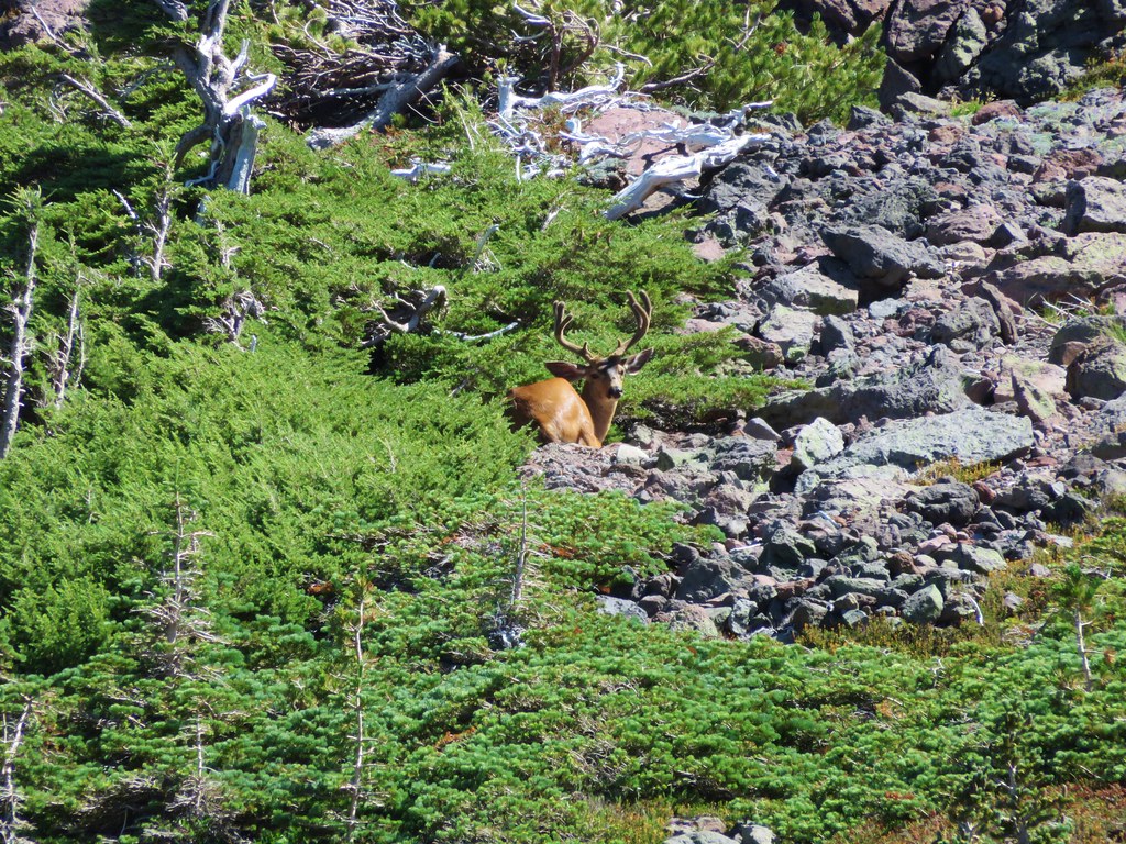
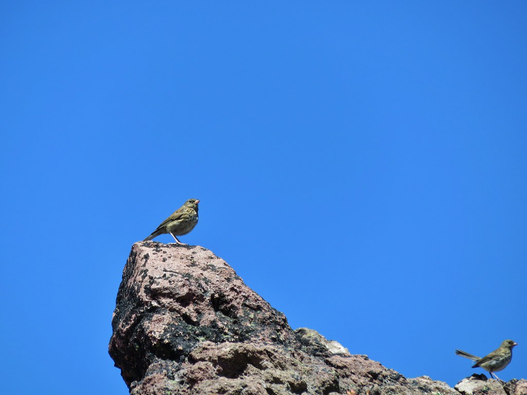
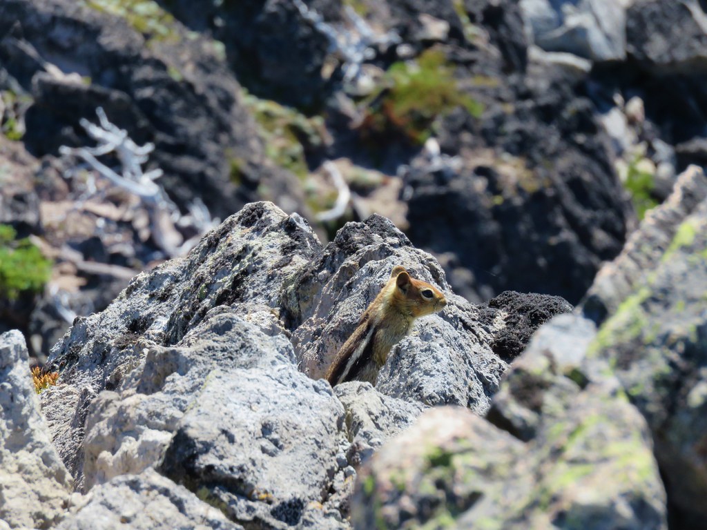
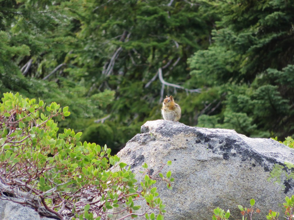
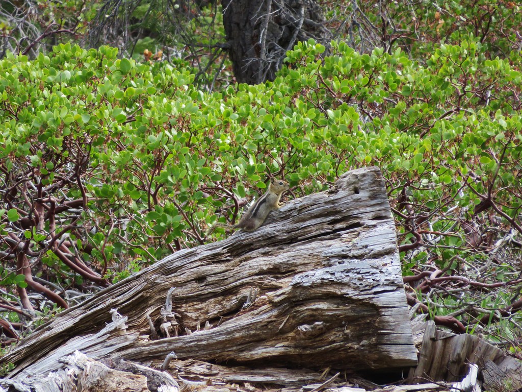
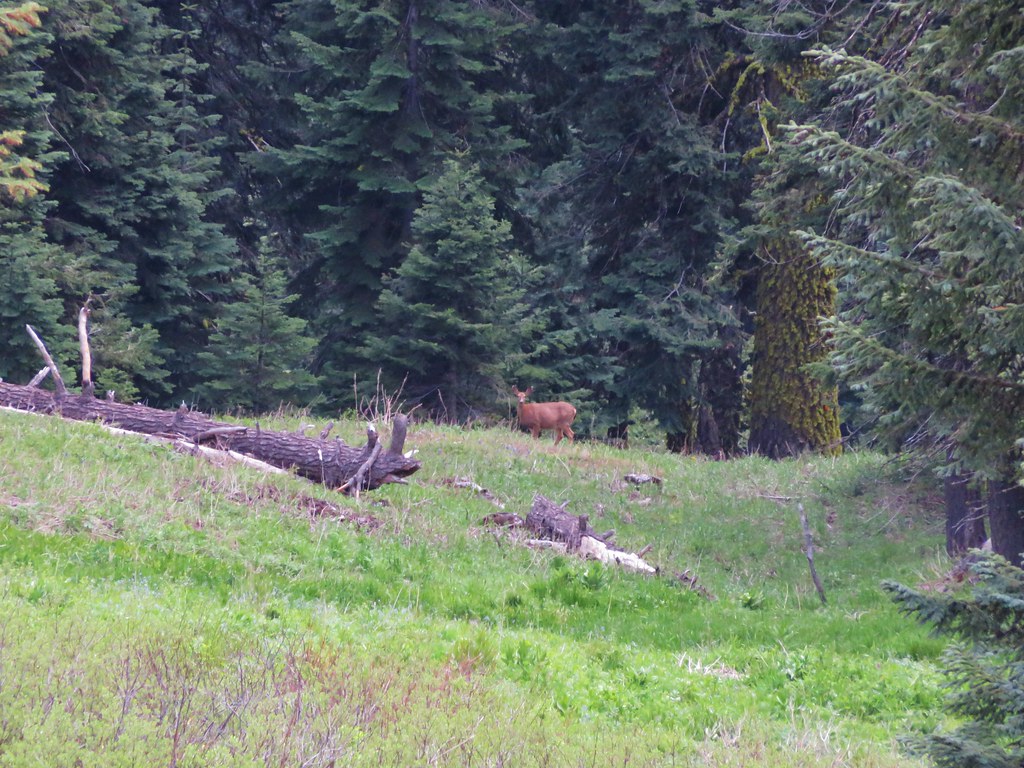
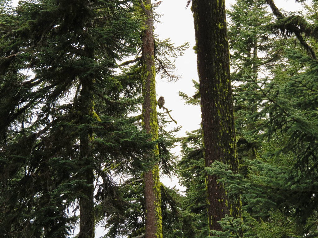
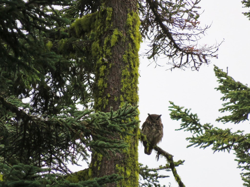
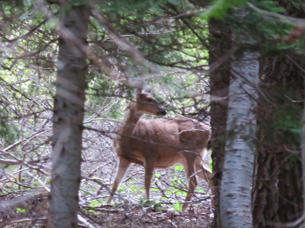
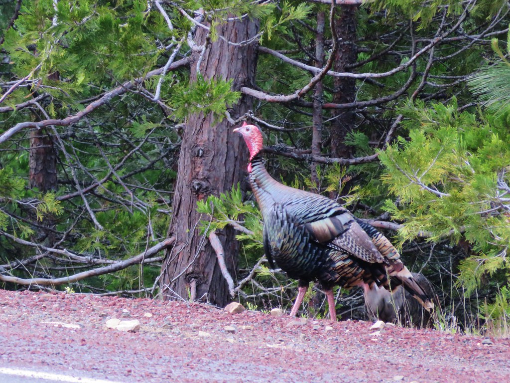
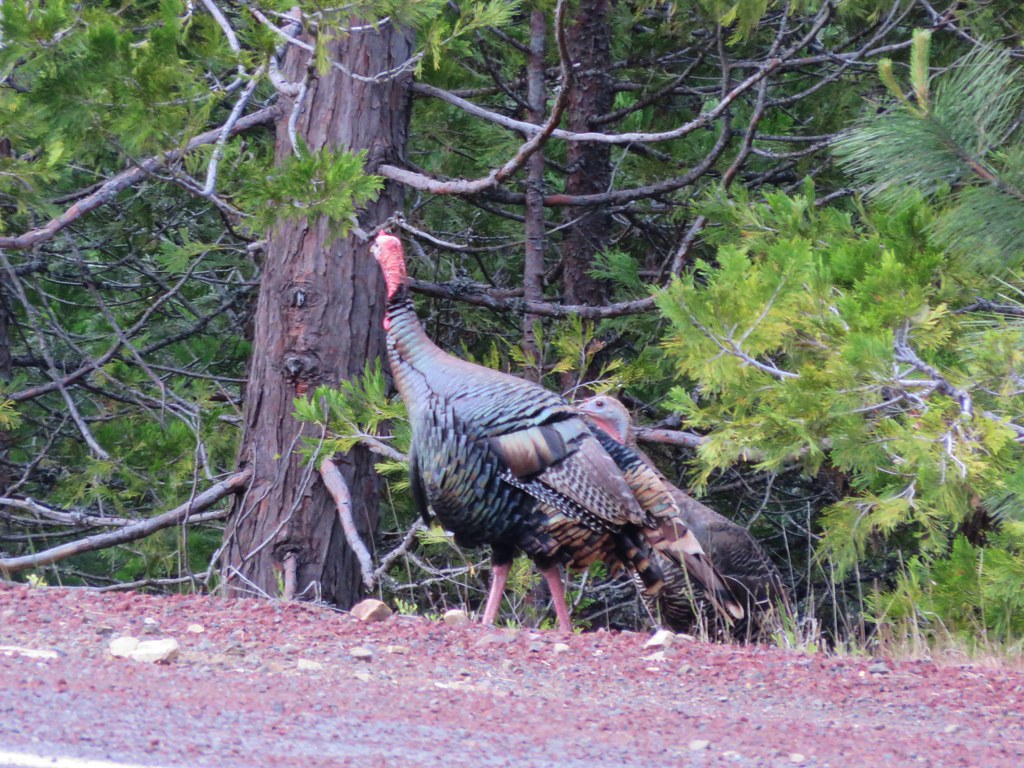
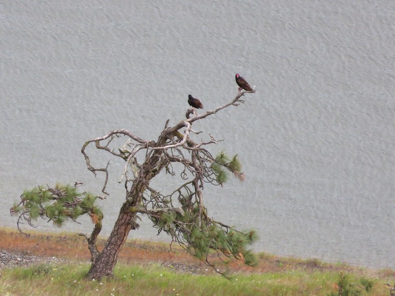
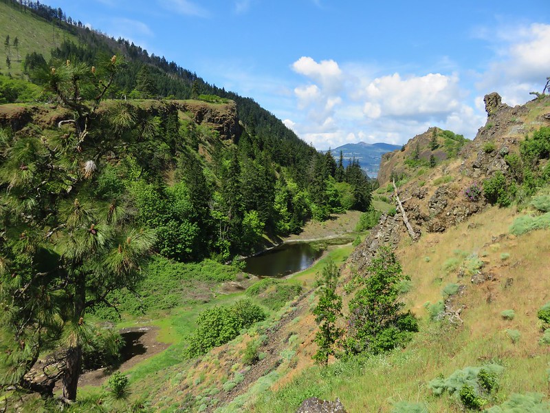
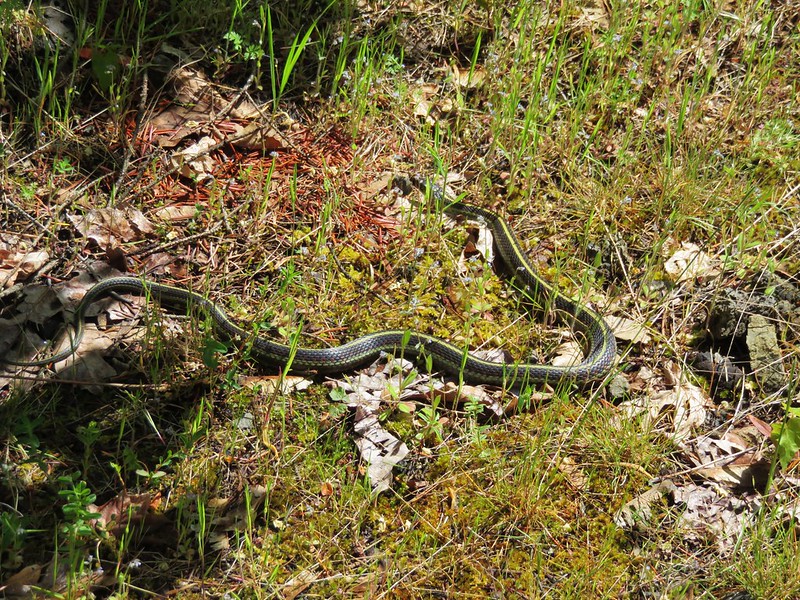
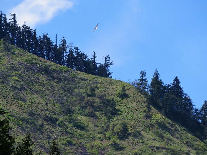
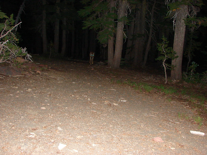
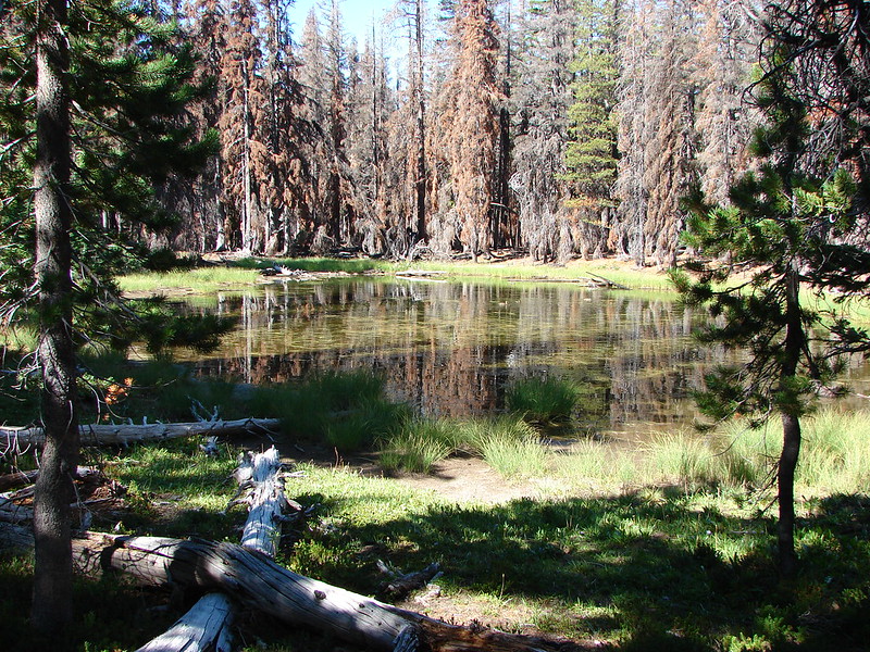
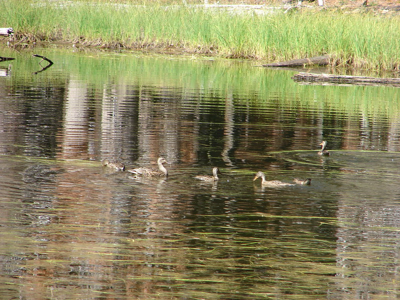
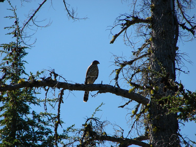
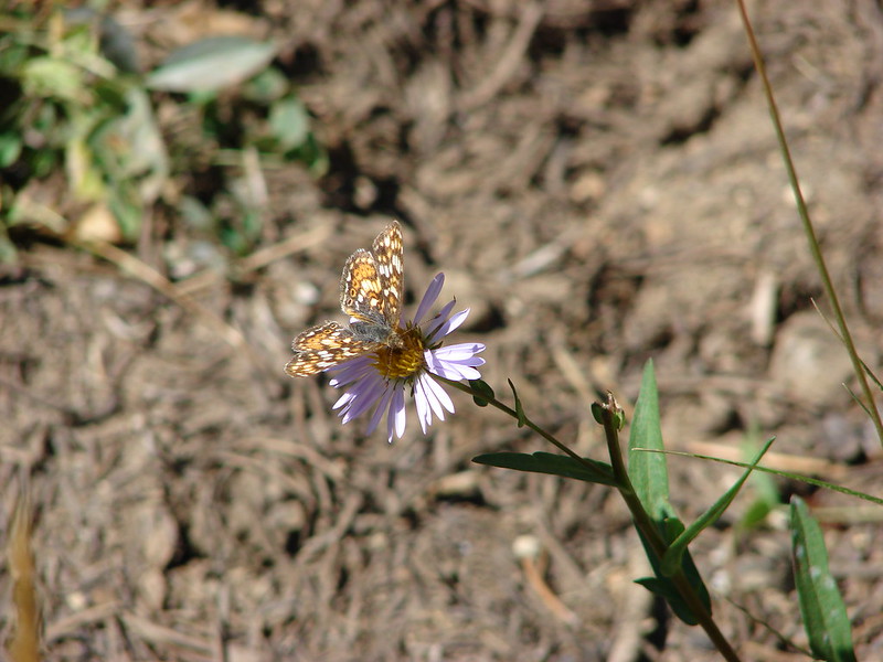
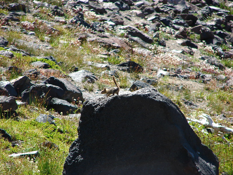
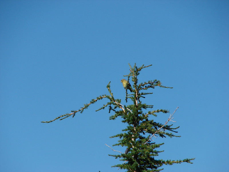
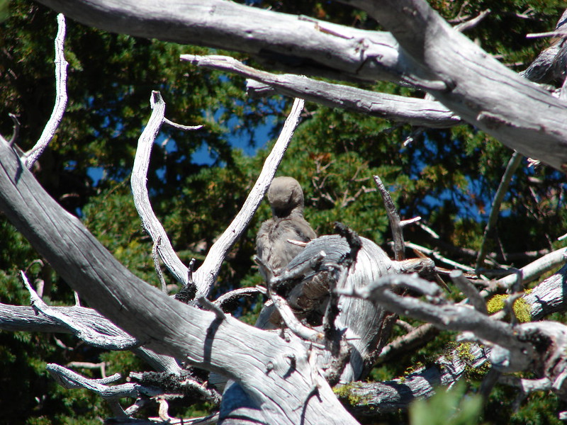
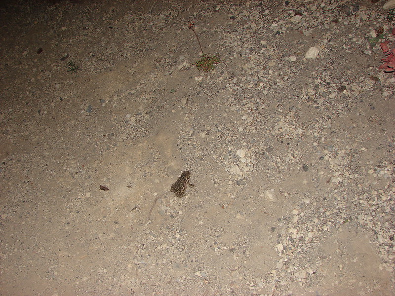
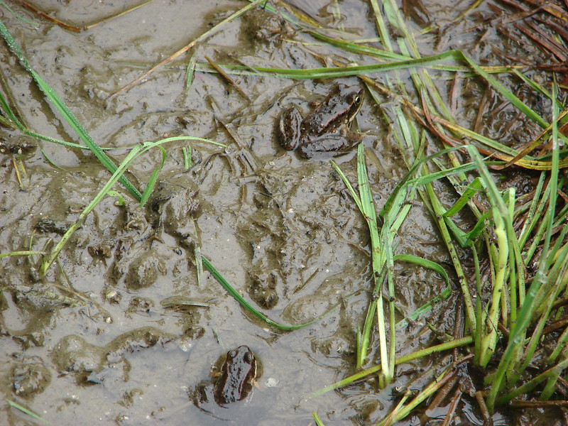
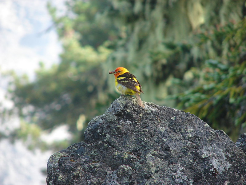
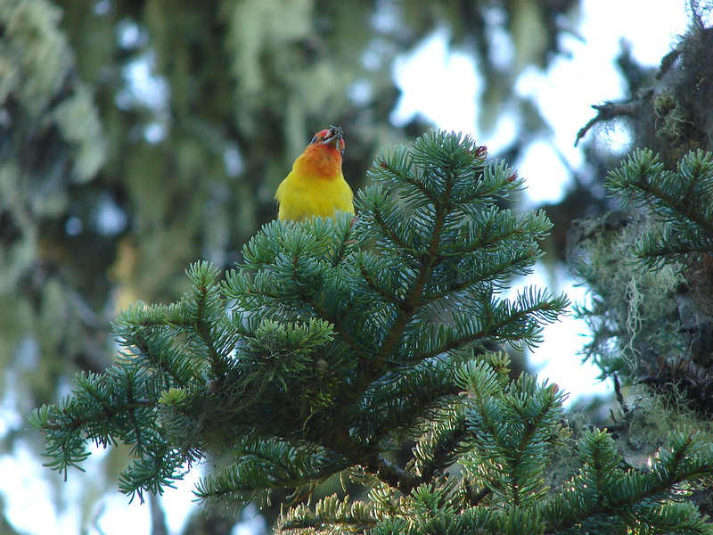
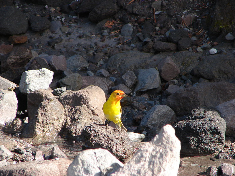
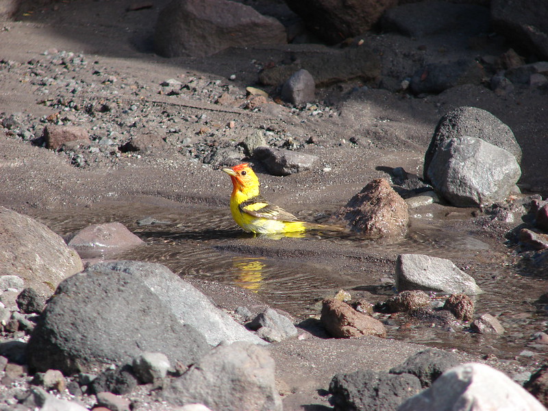
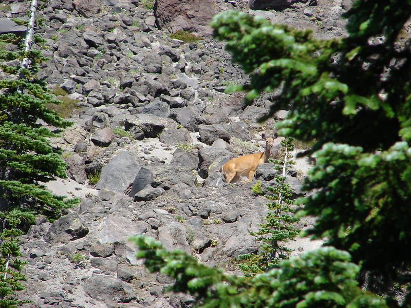
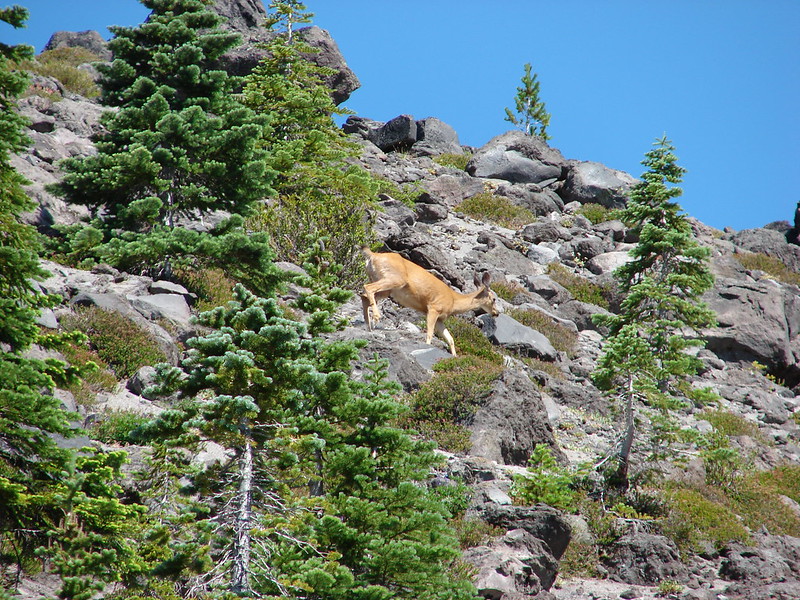
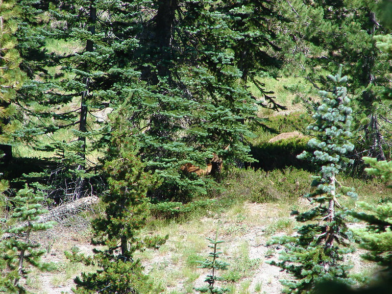
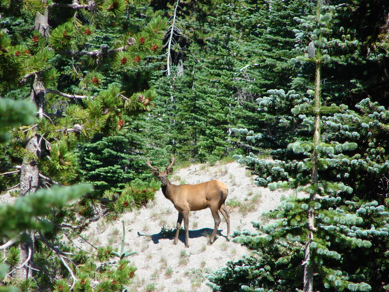
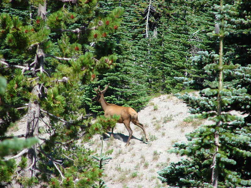
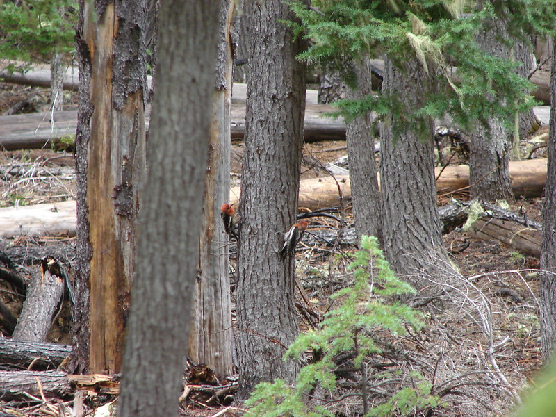
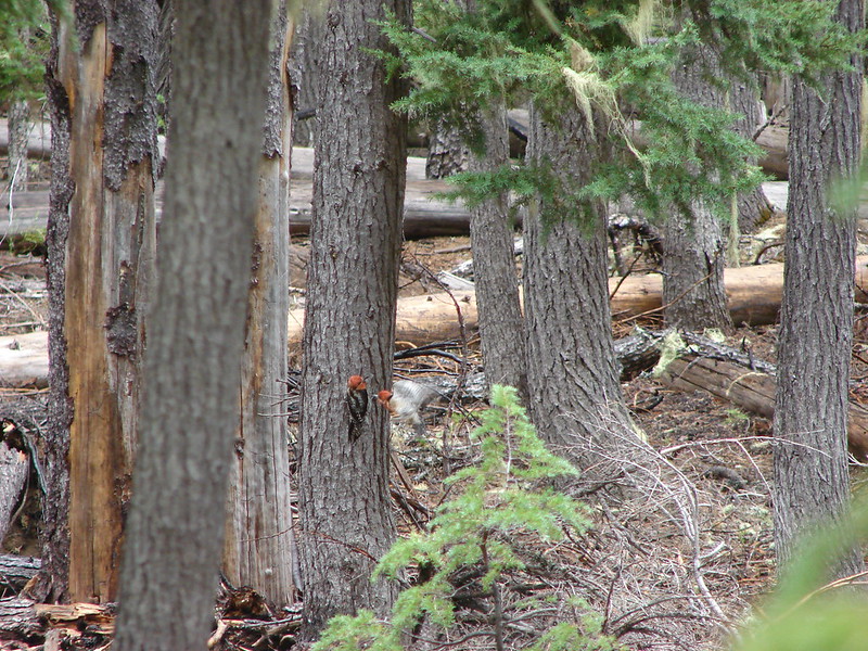
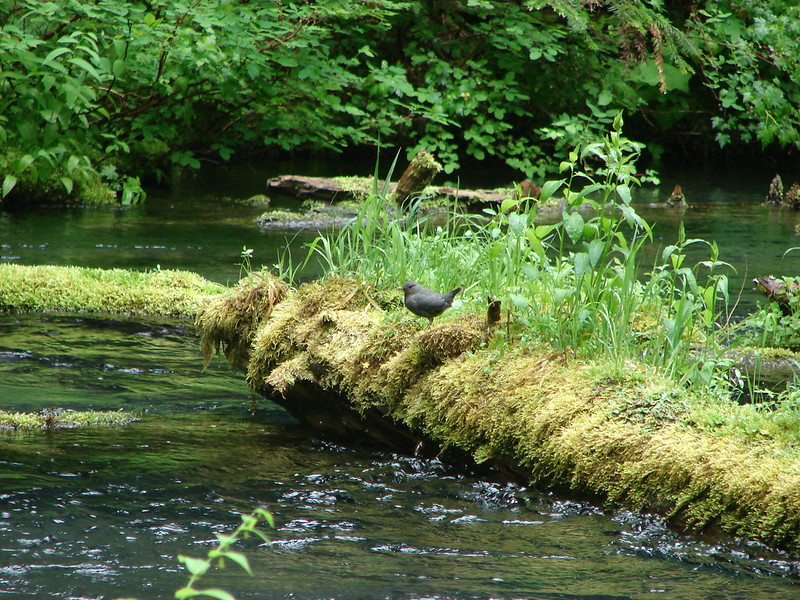
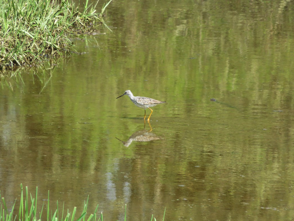
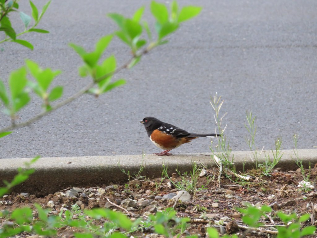
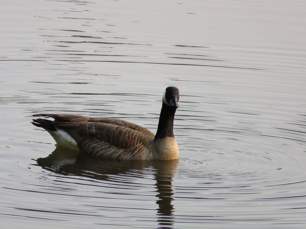
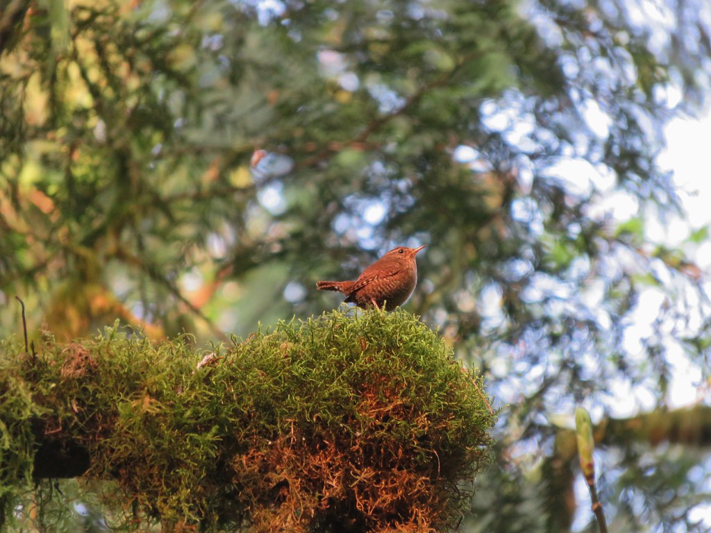
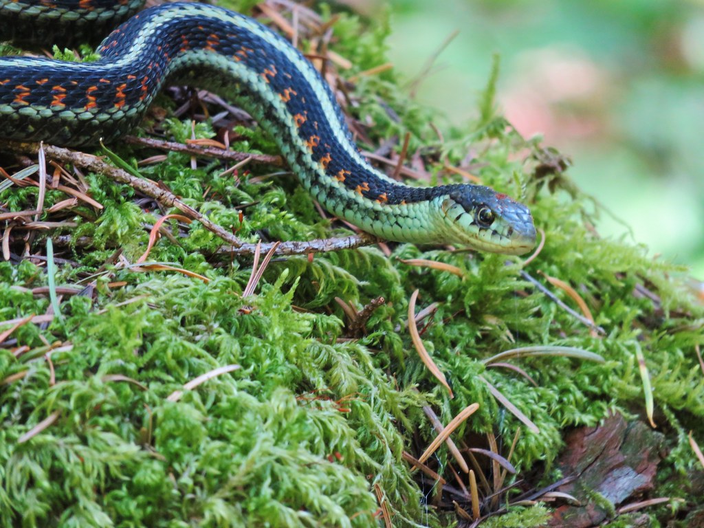
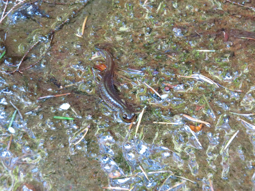
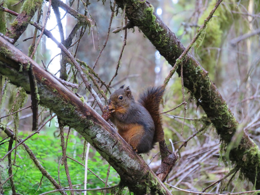
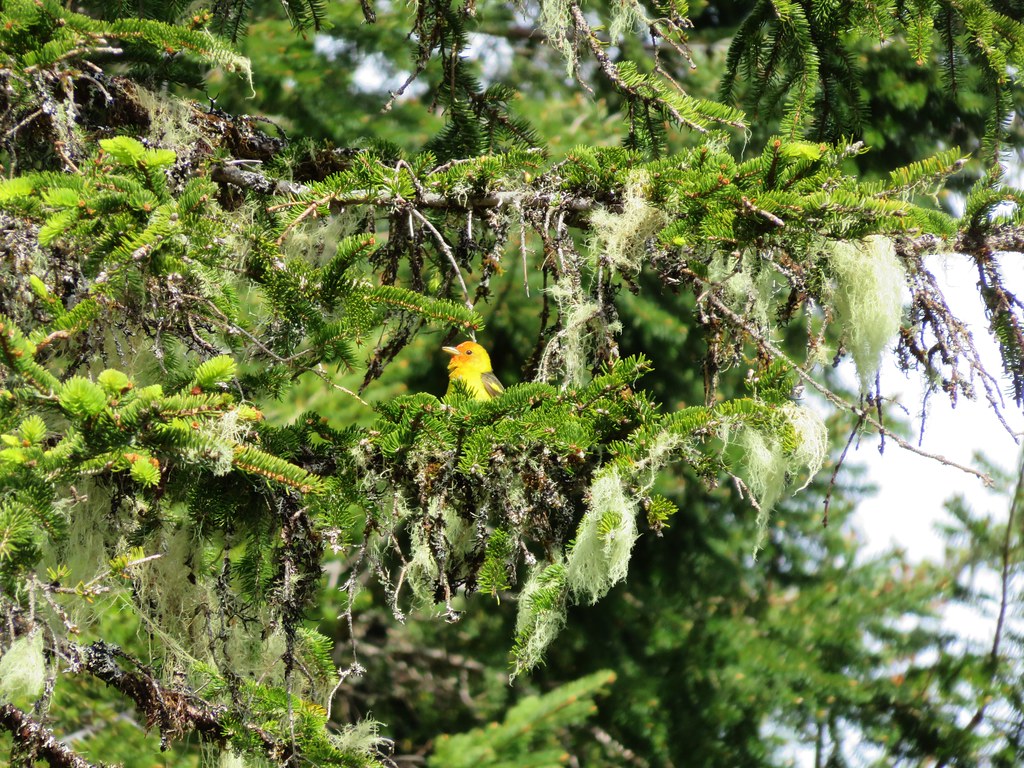
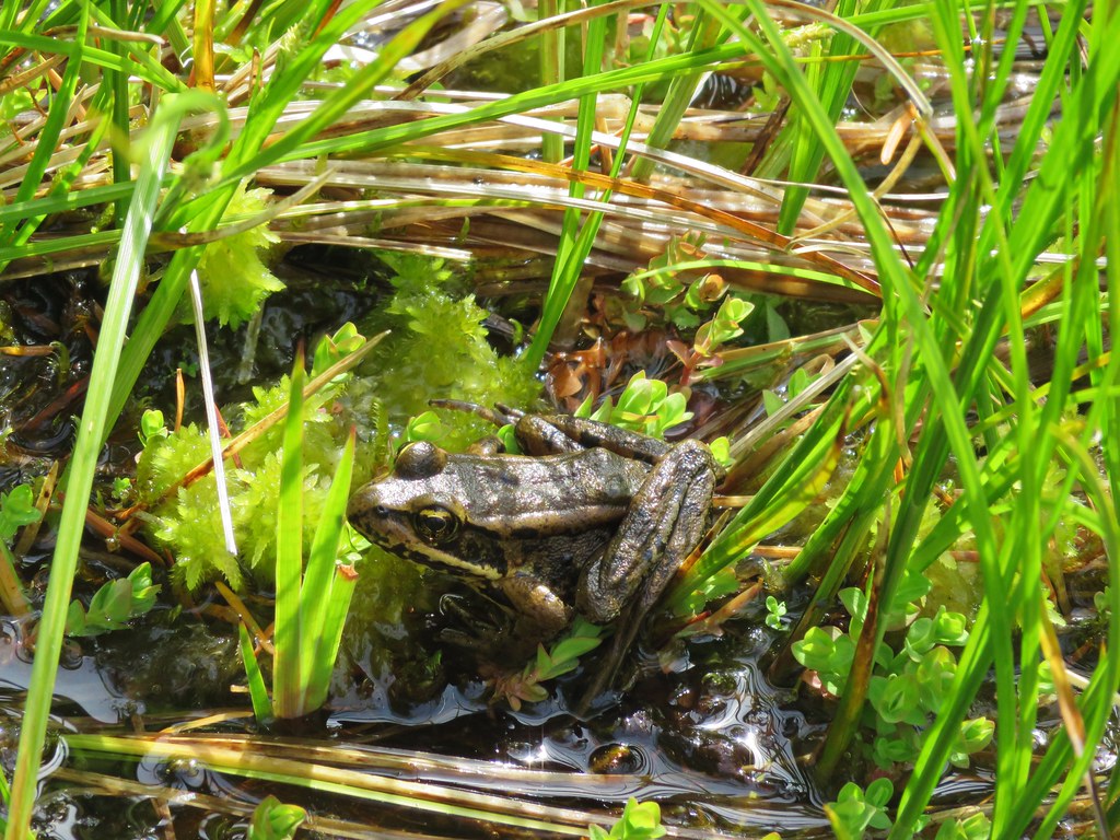
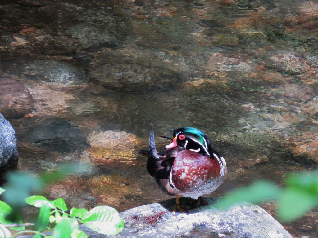
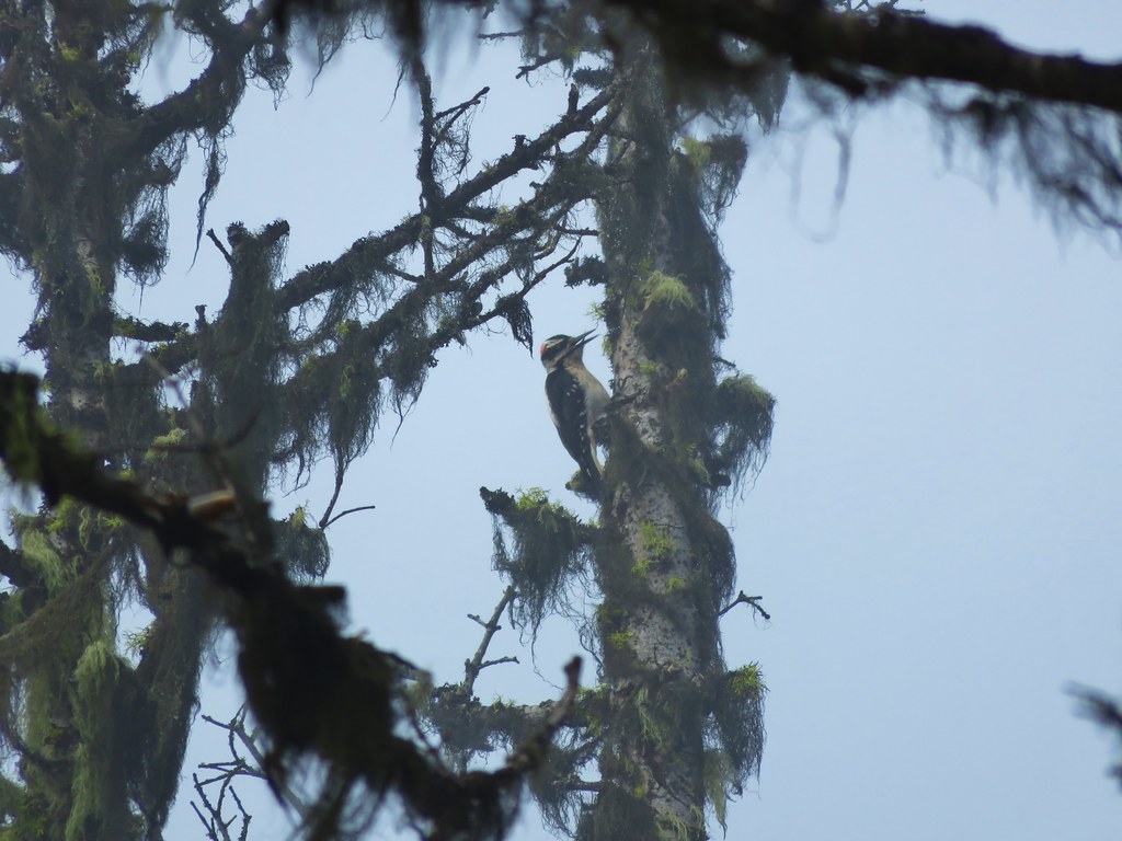
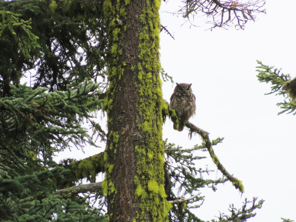
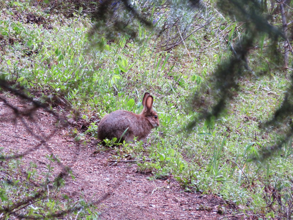
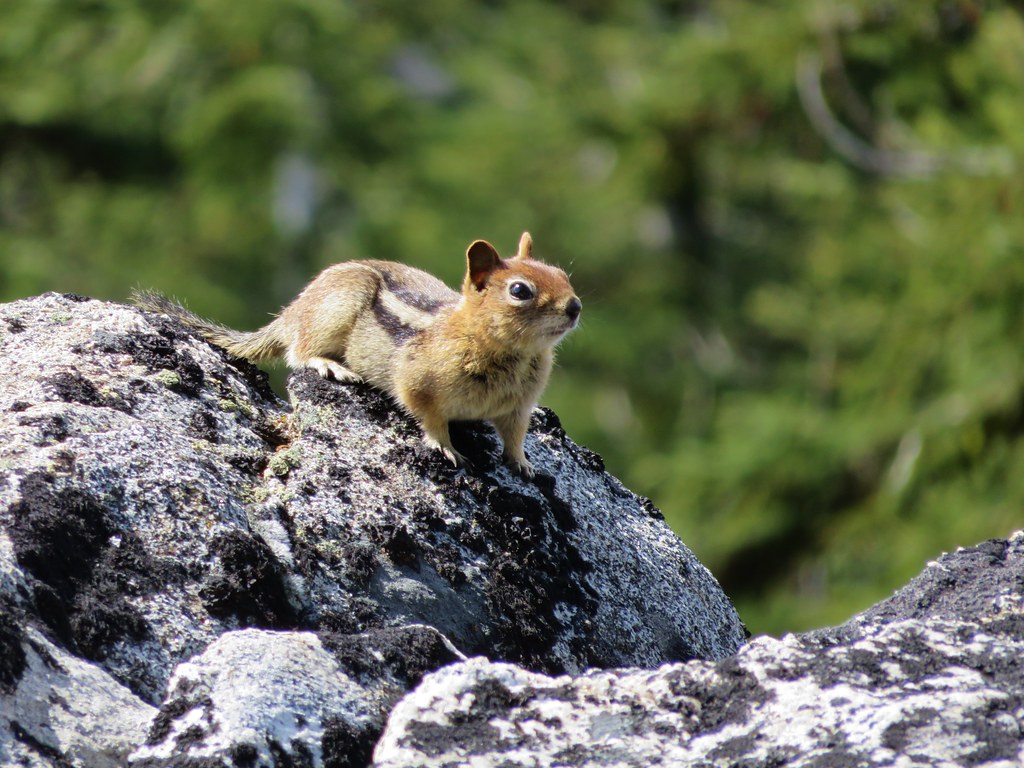
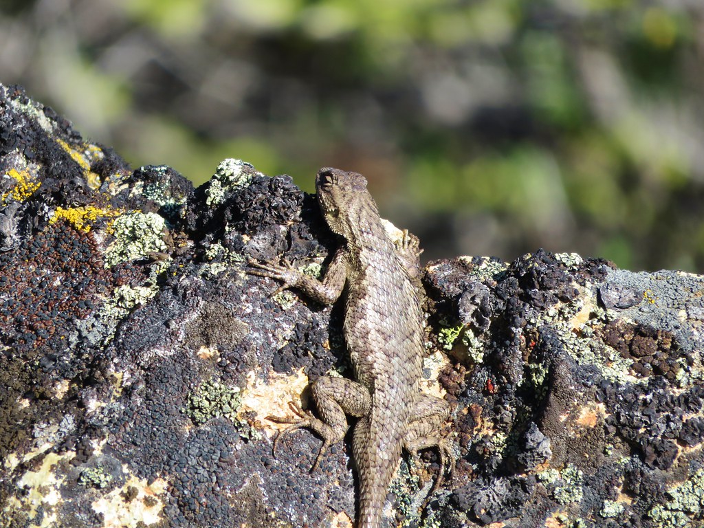
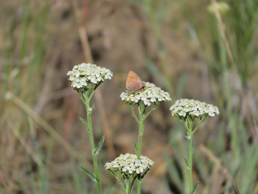
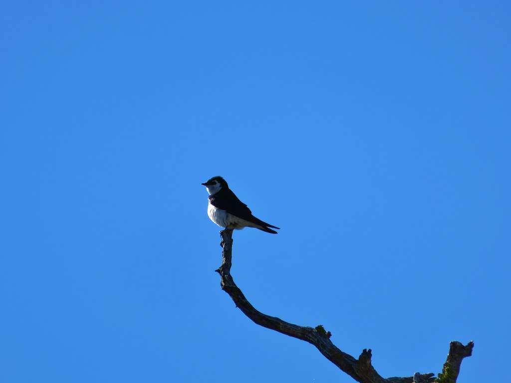
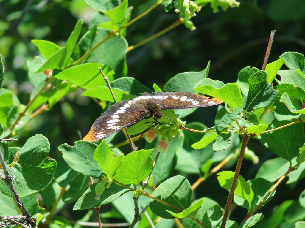
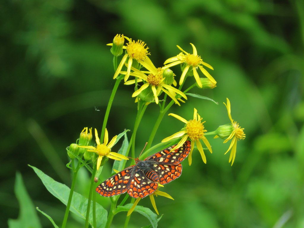
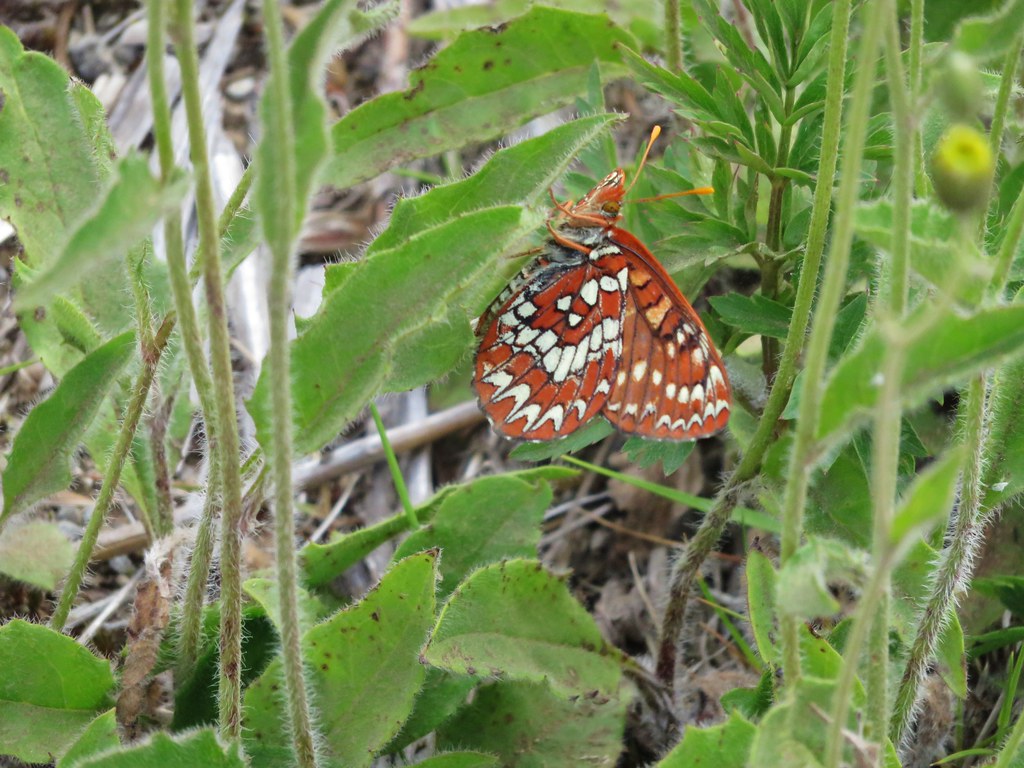
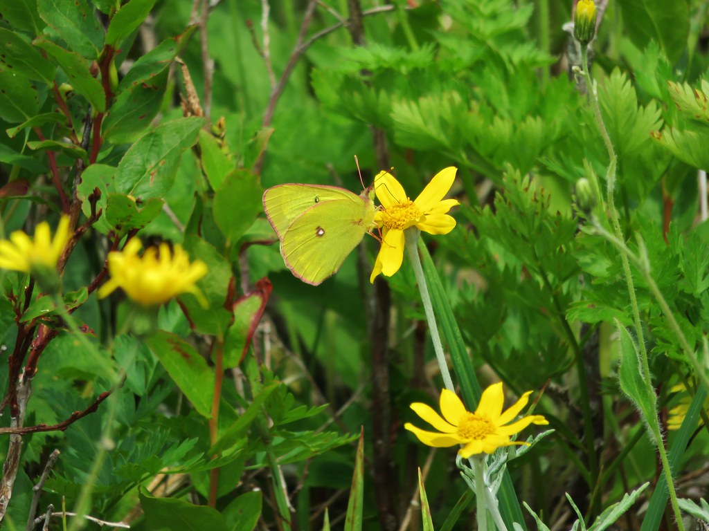
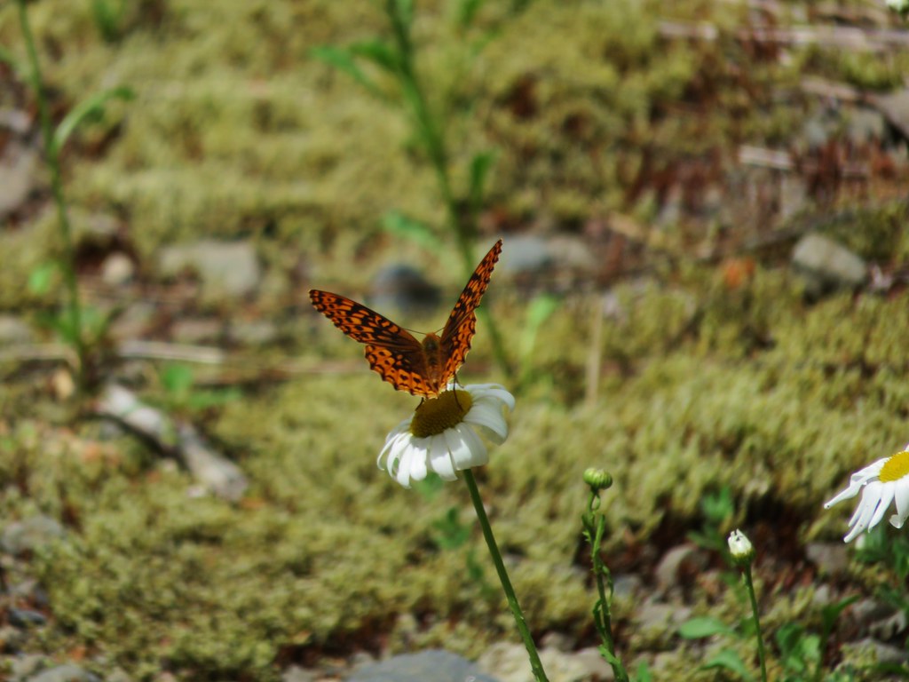
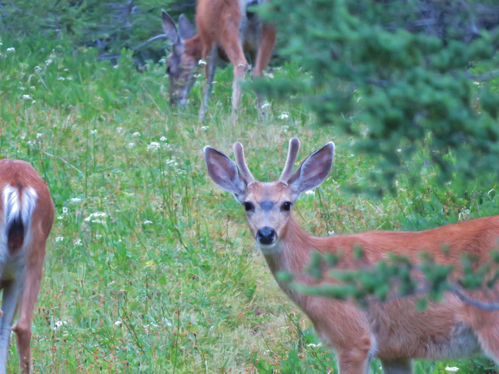
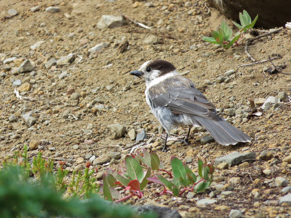
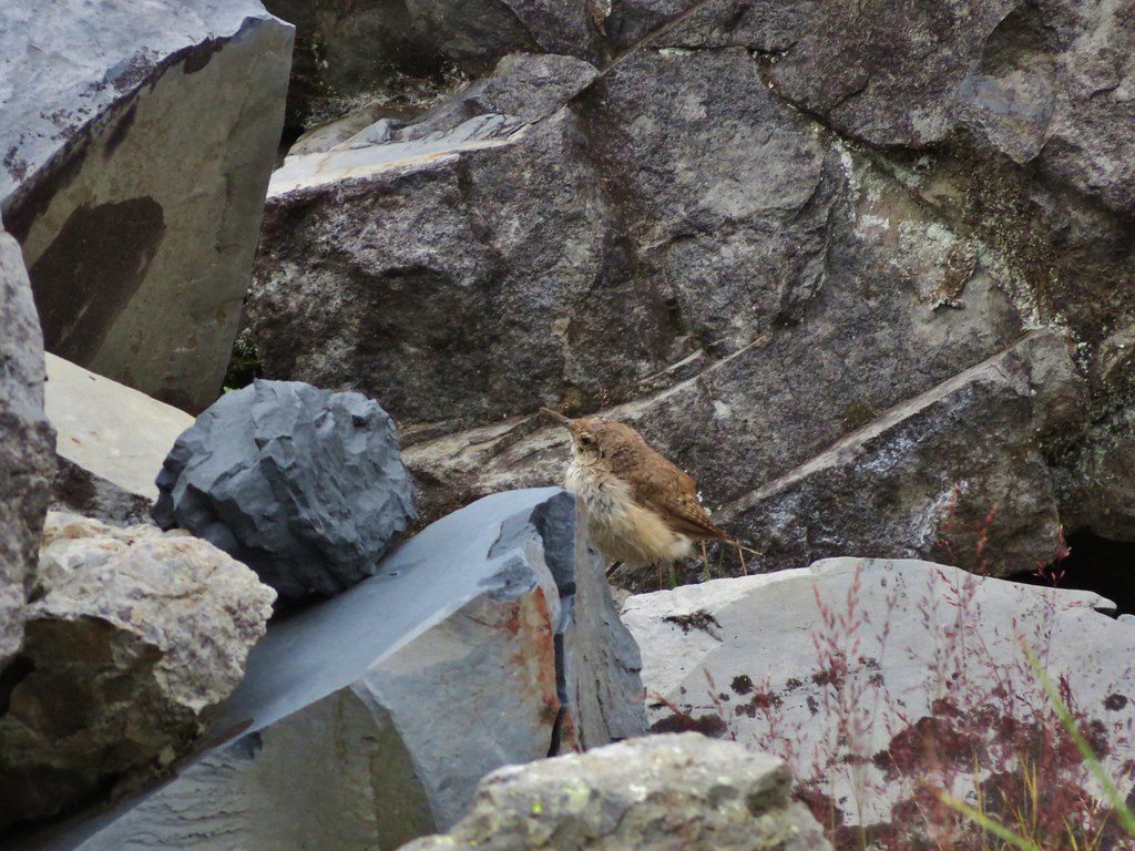
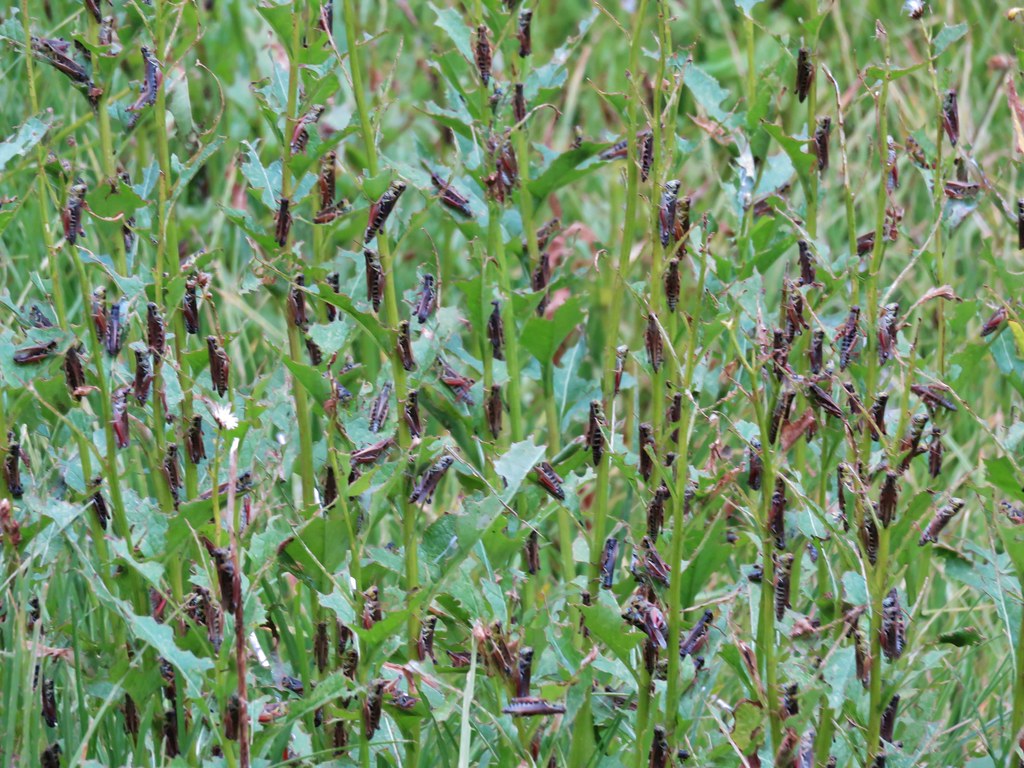
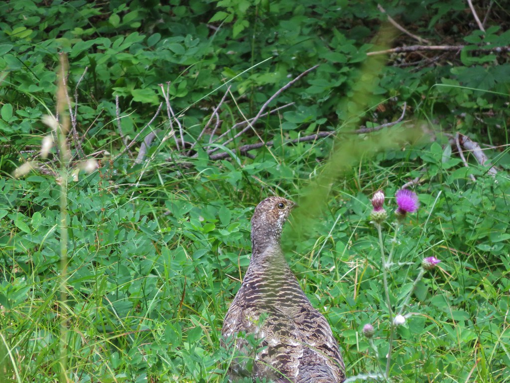
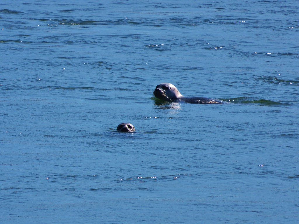
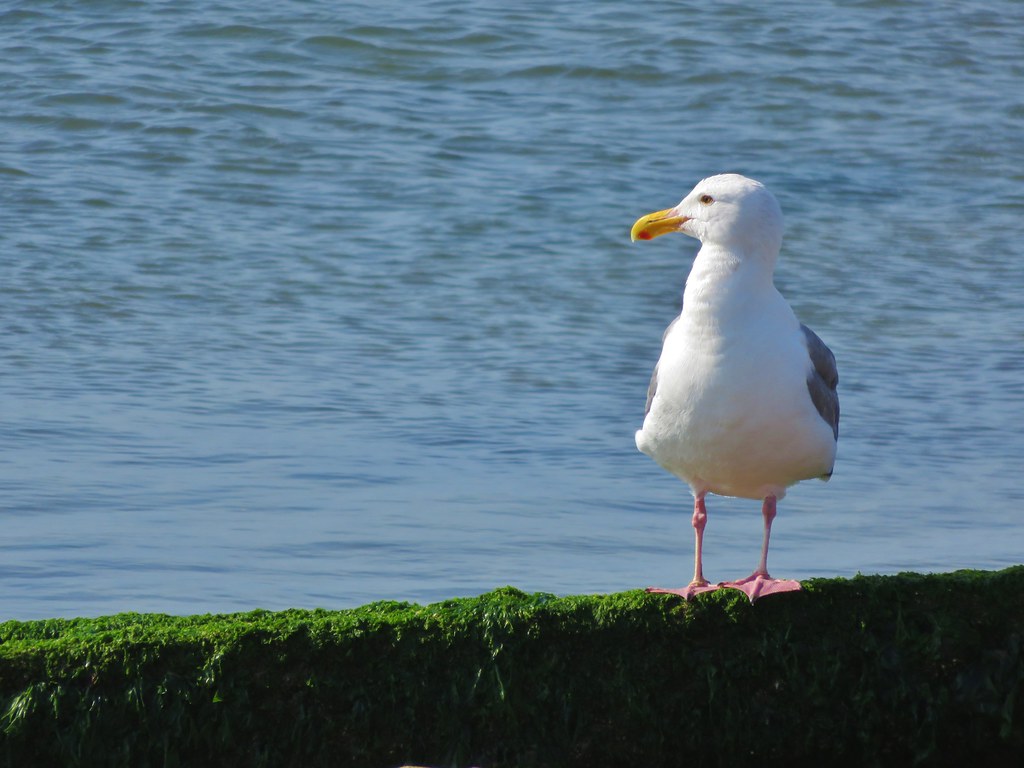
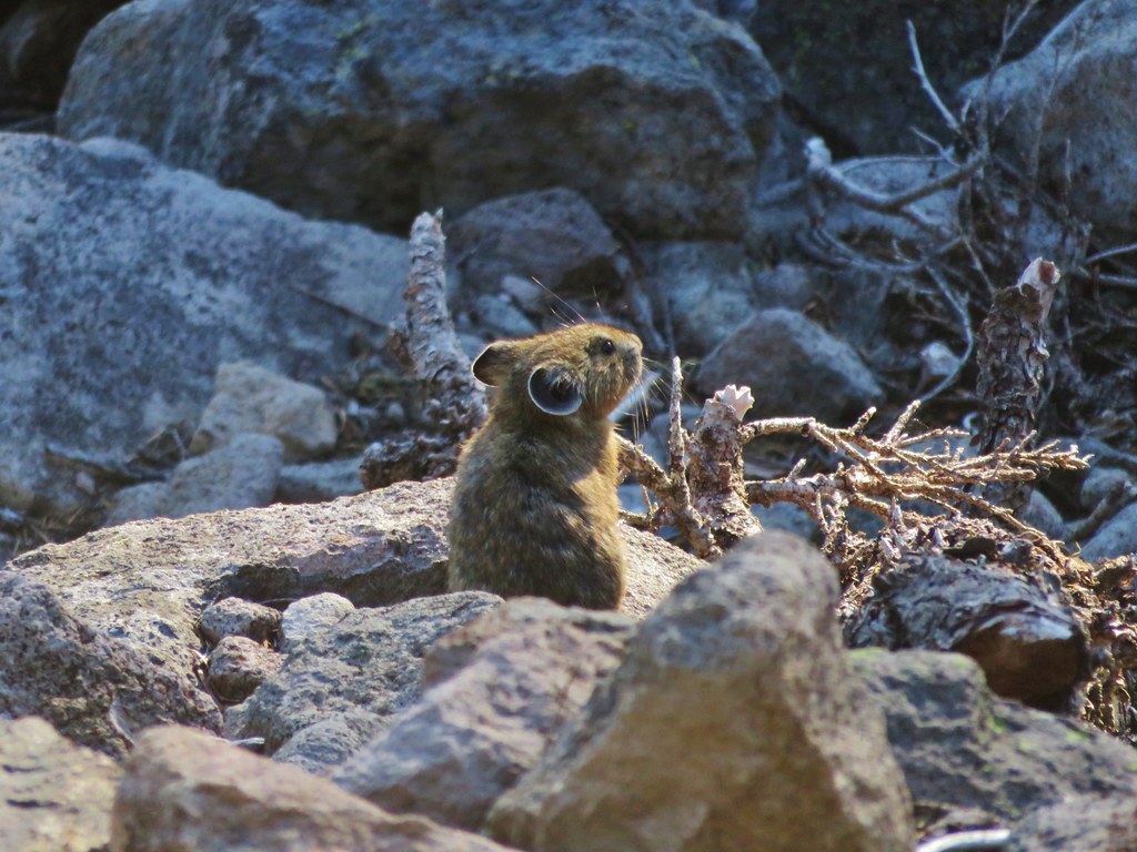
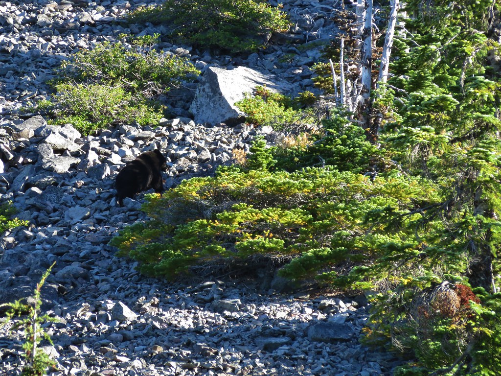
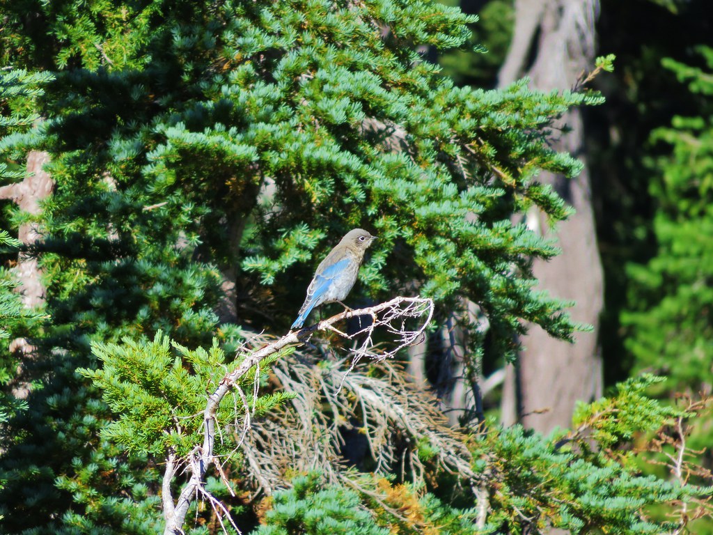
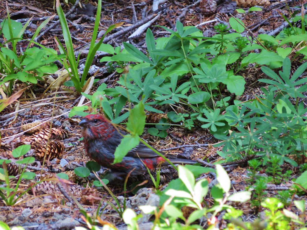
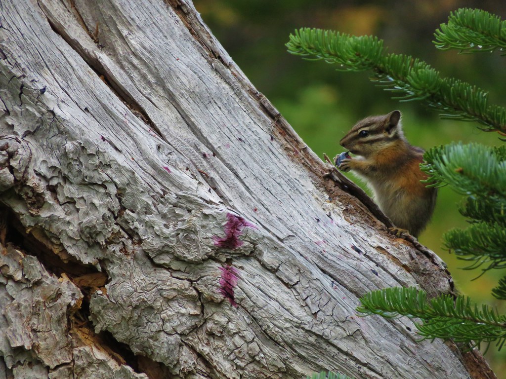
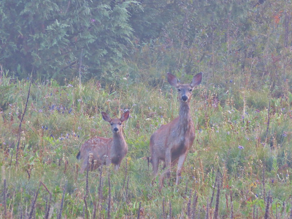
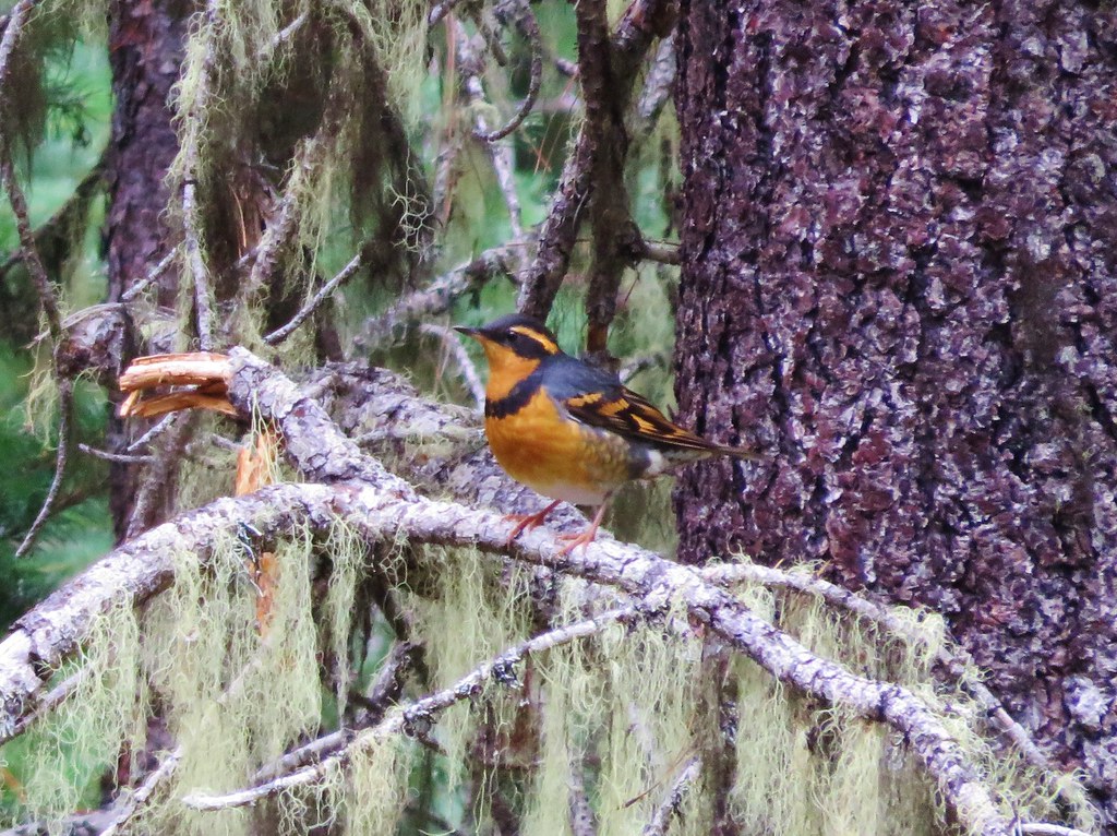
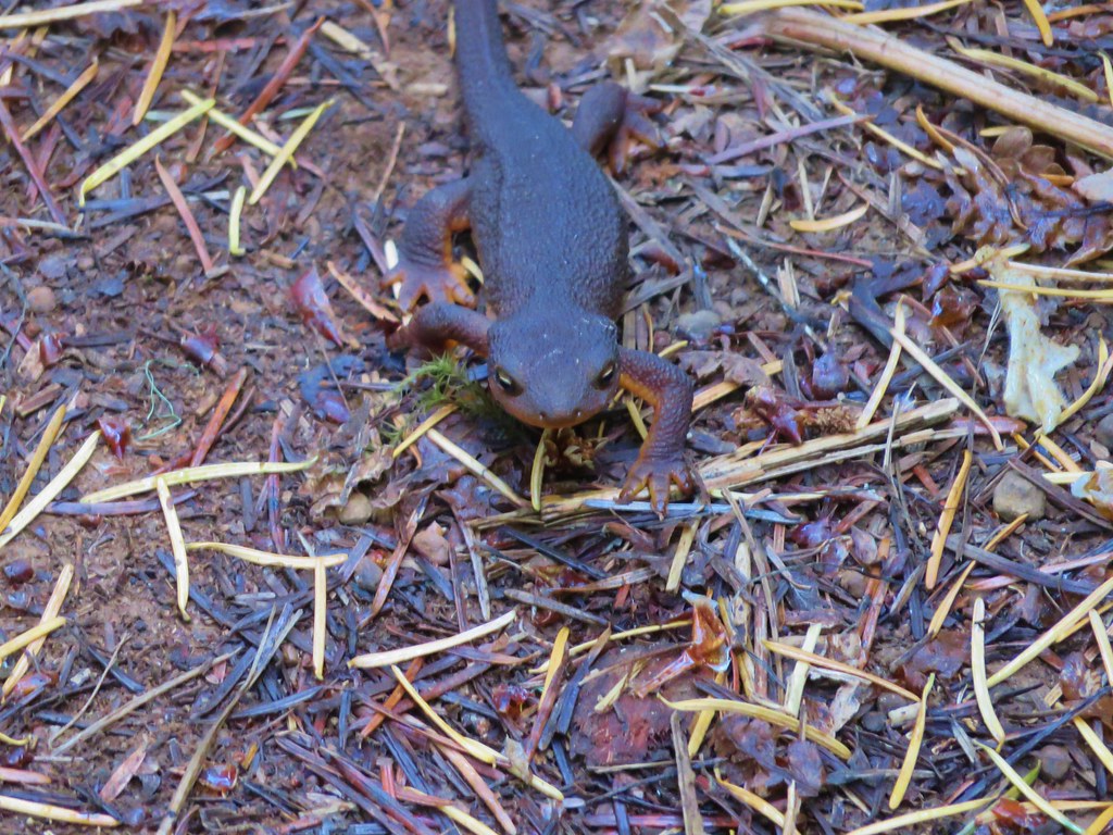
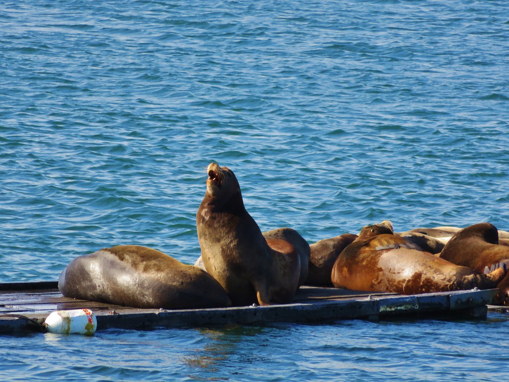
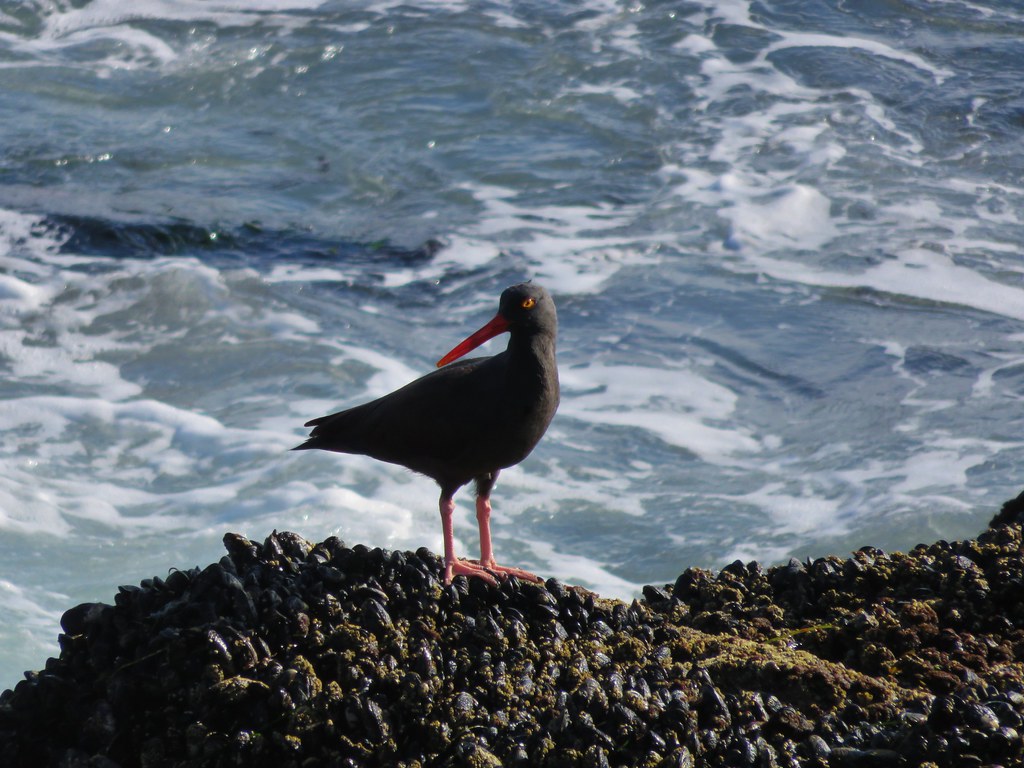
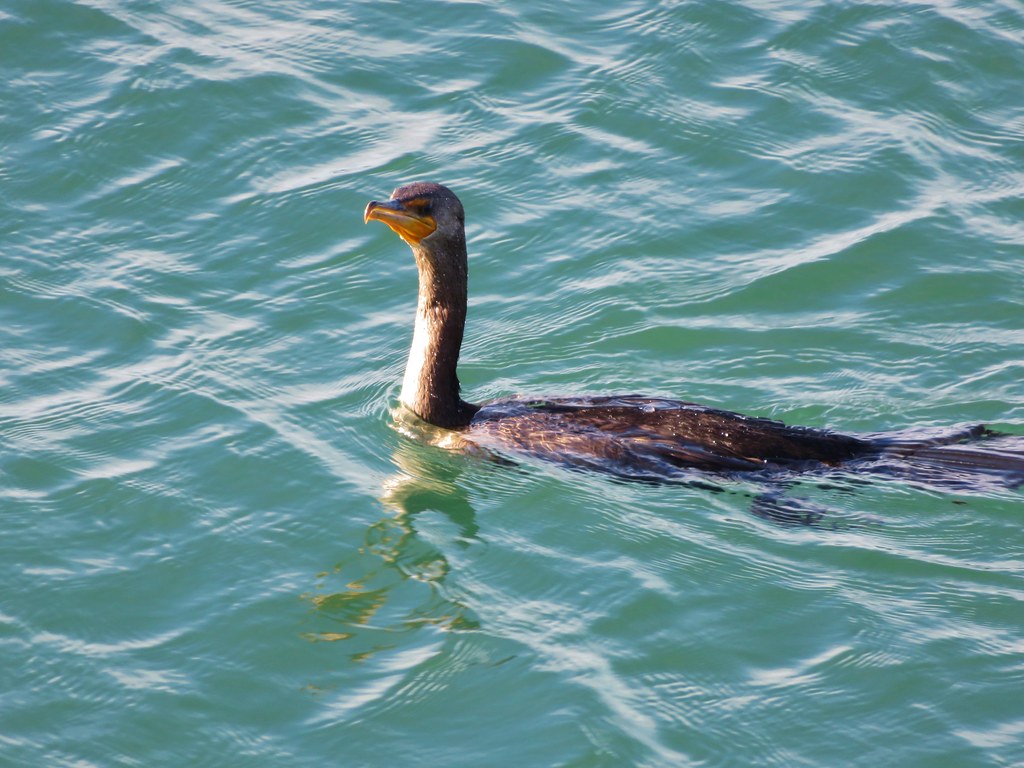
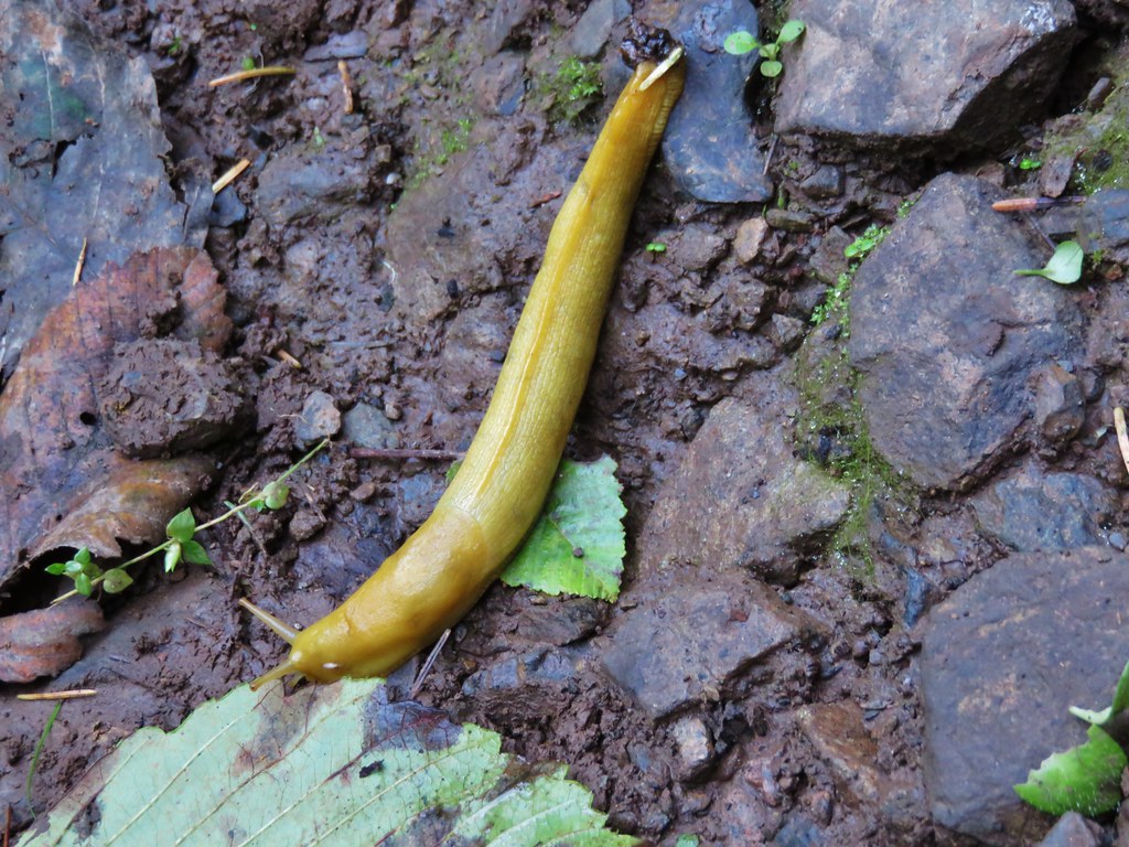
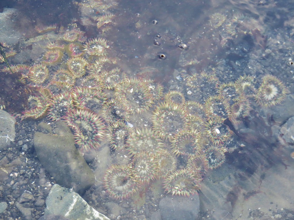
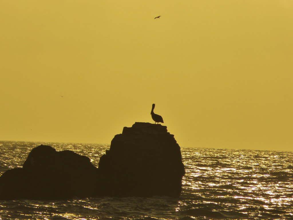
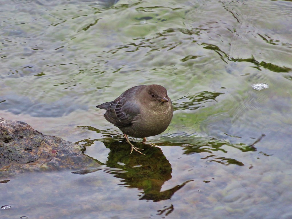
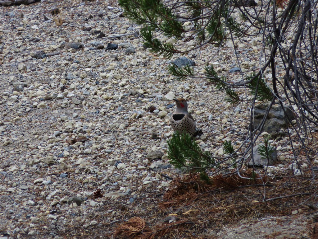
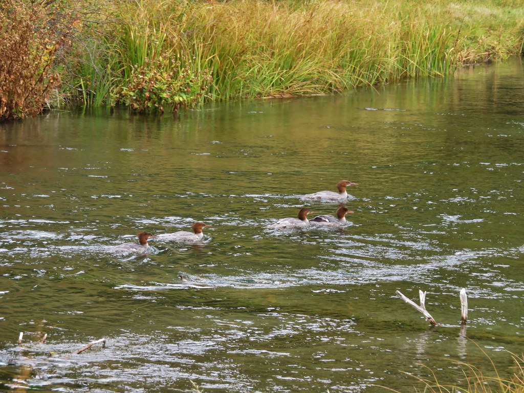
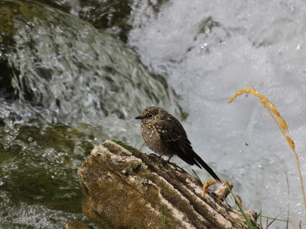
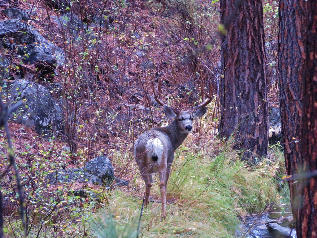
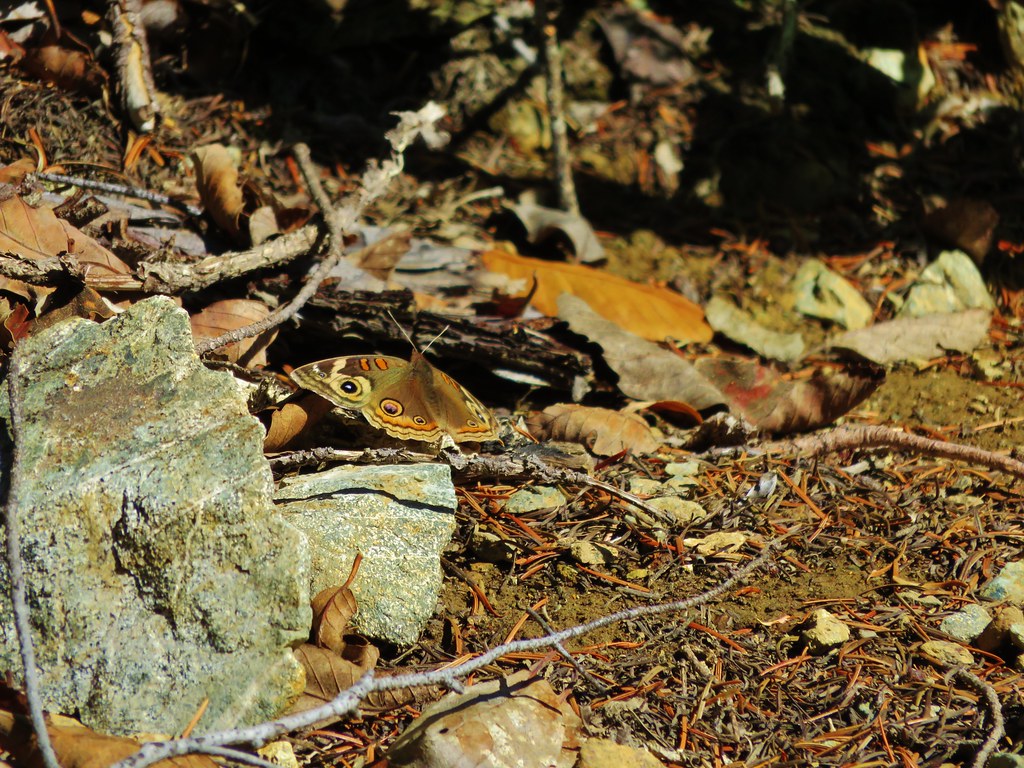
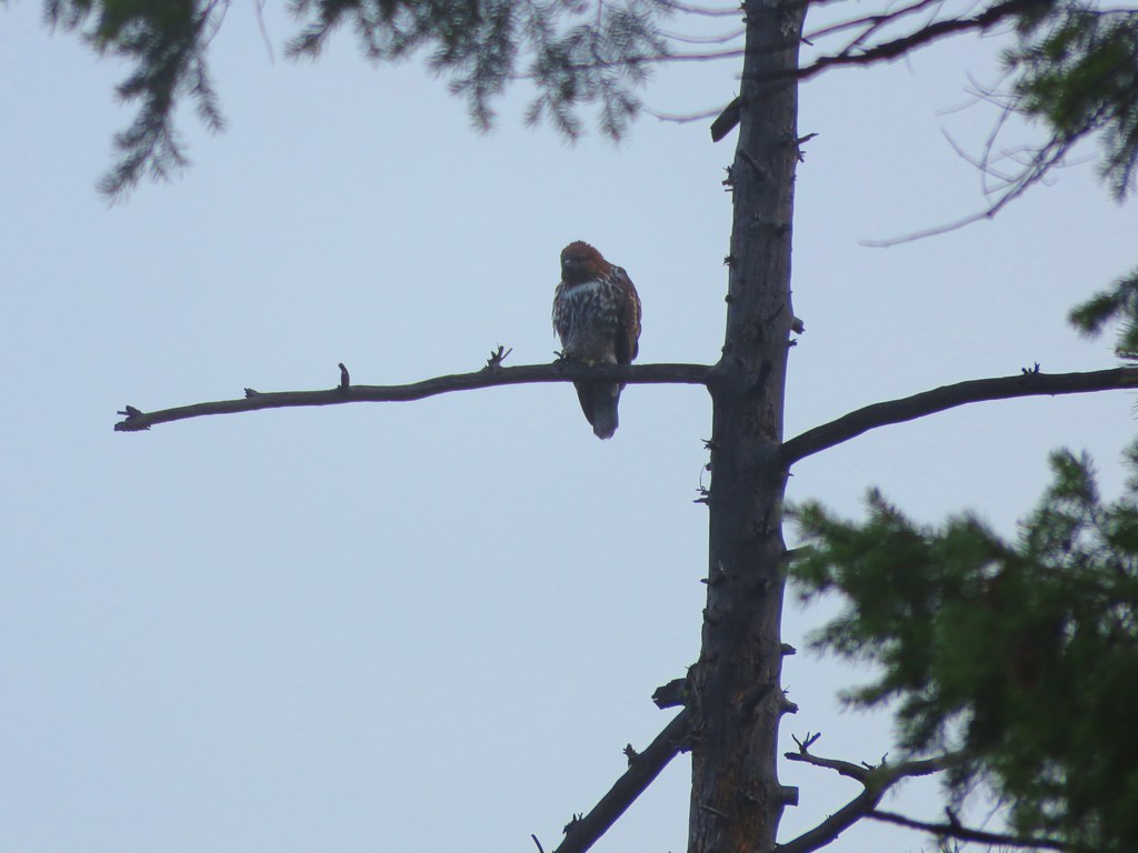
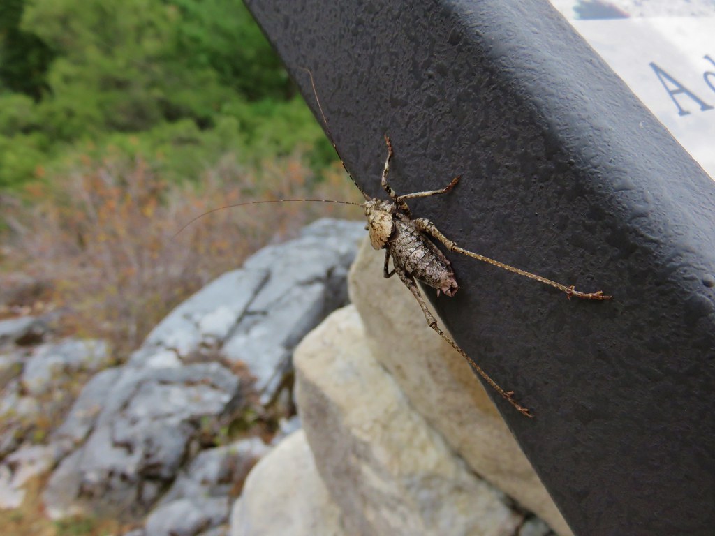
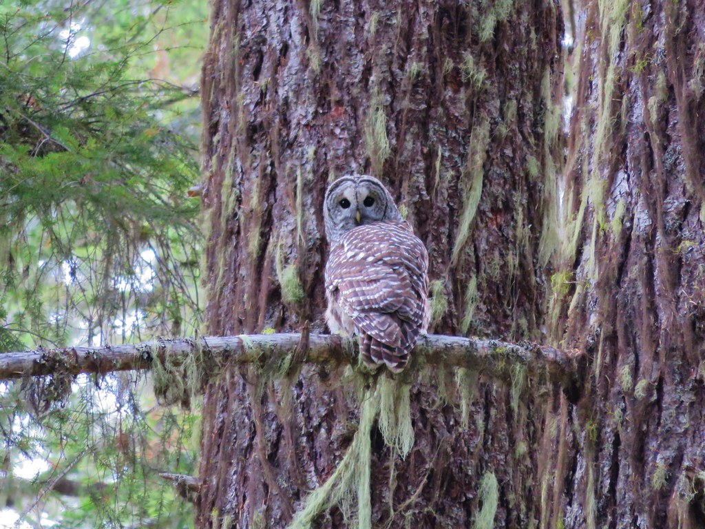
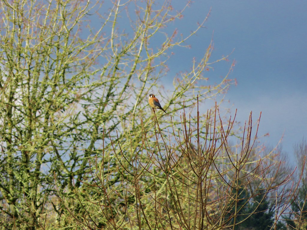
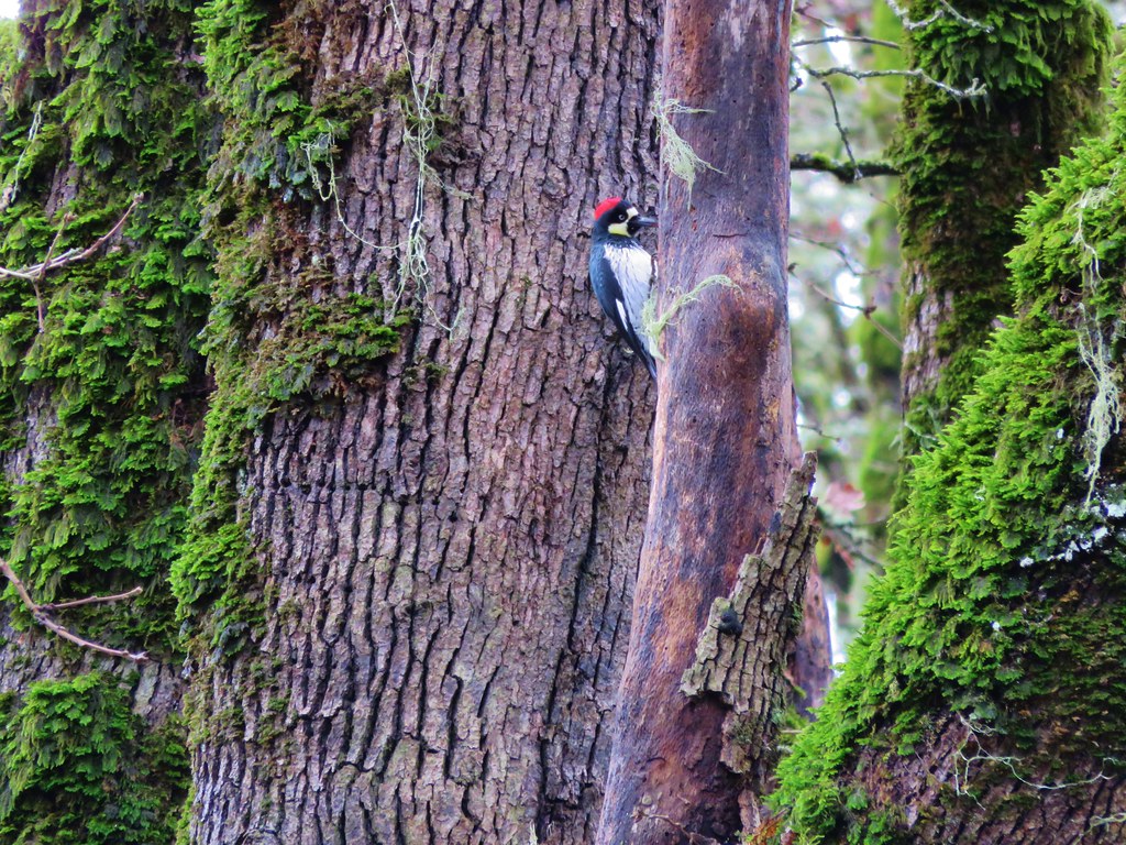
Wildlife


 //embedr.flickr.com/assets/client-code.js

 //embedr.flickr.com/assets/client-code.js


 //embedr.flickr.com/assets/client-code.js


 //embedr.flickr.com/assets/client-code.js


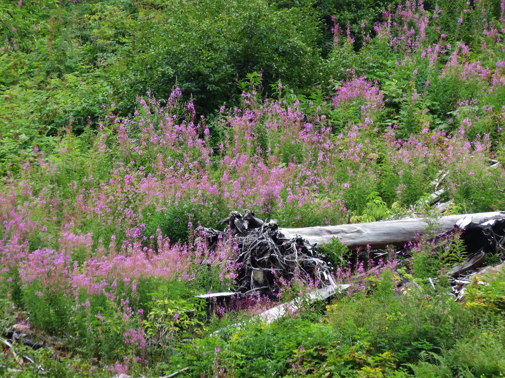
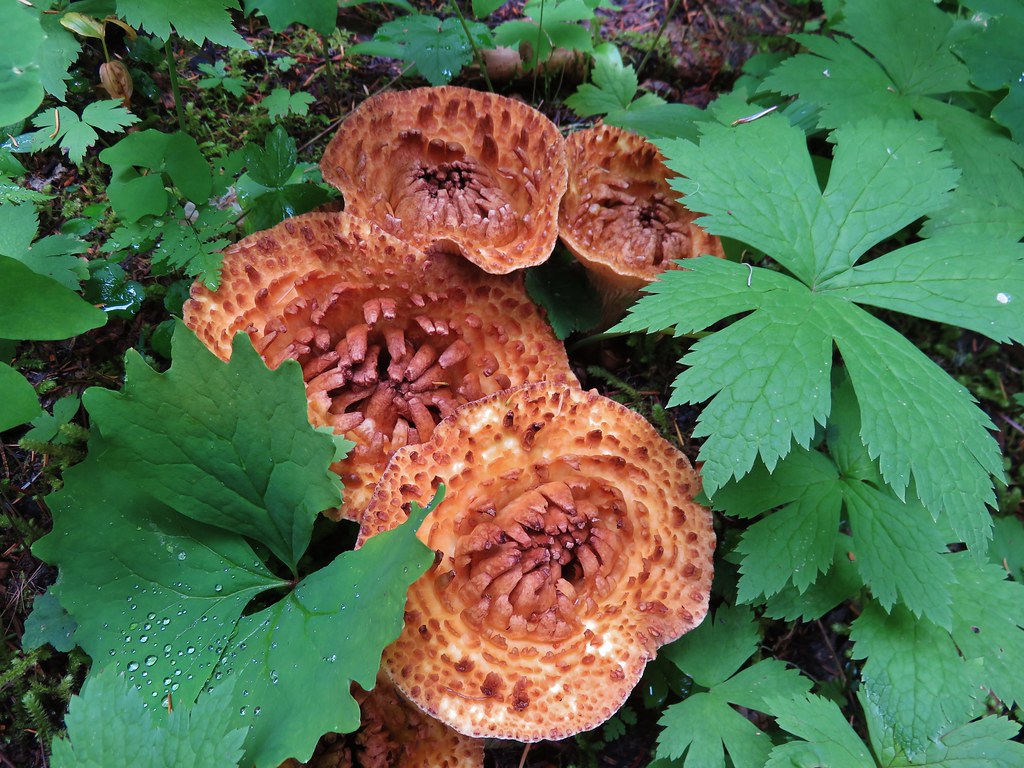
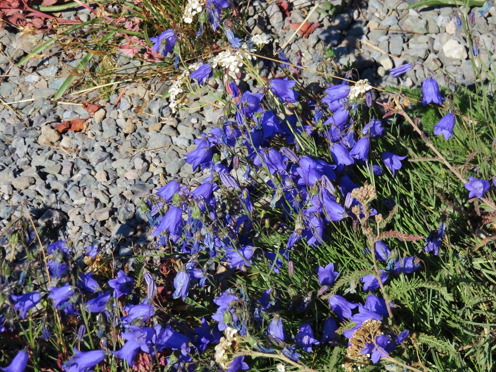
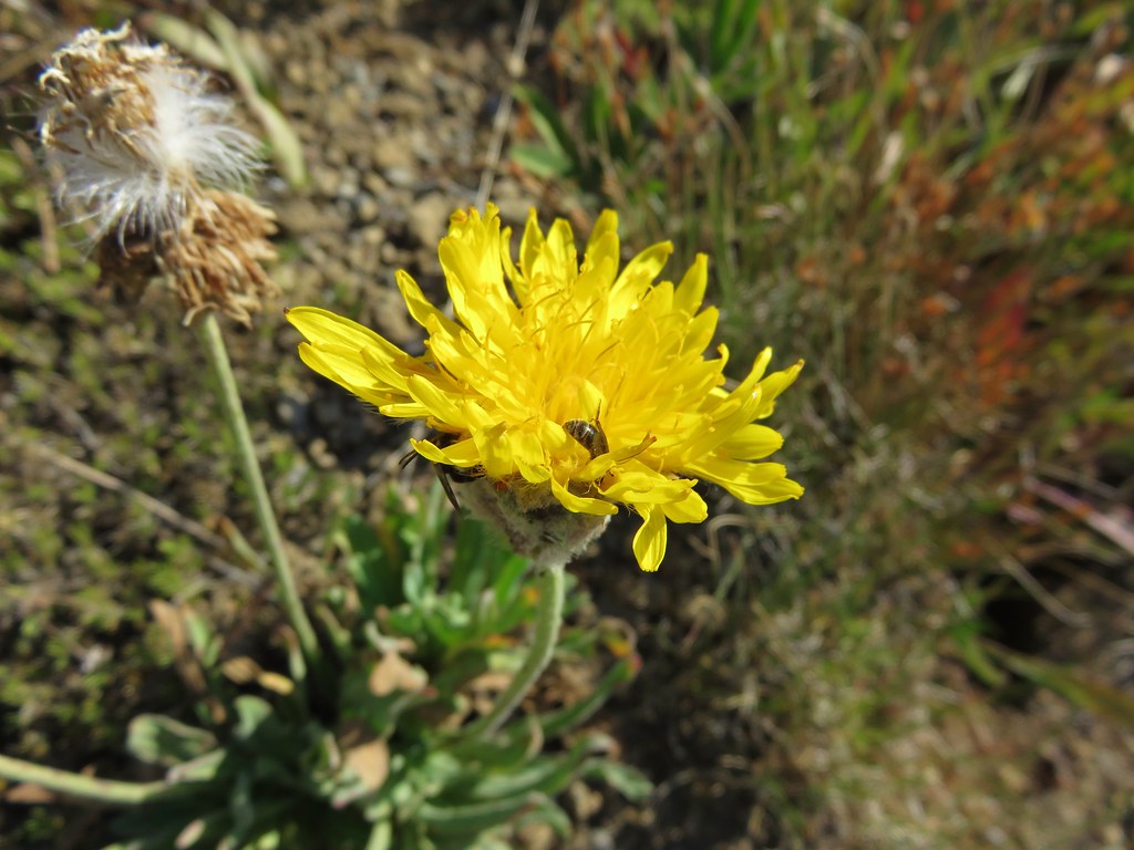
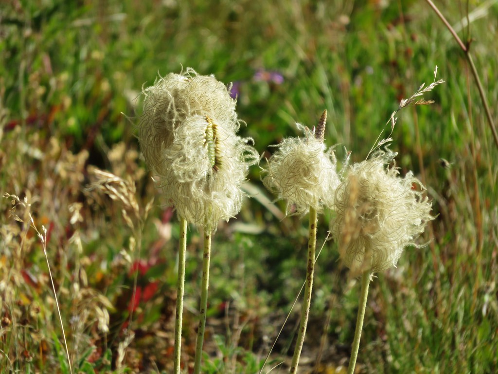
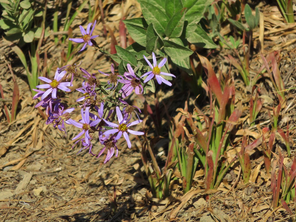
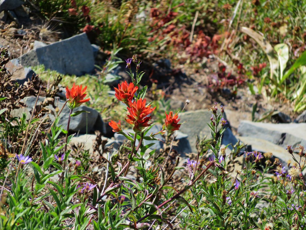
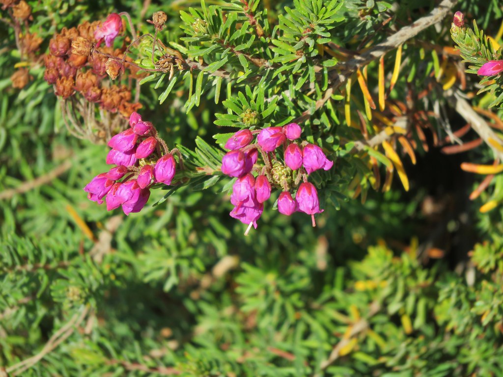
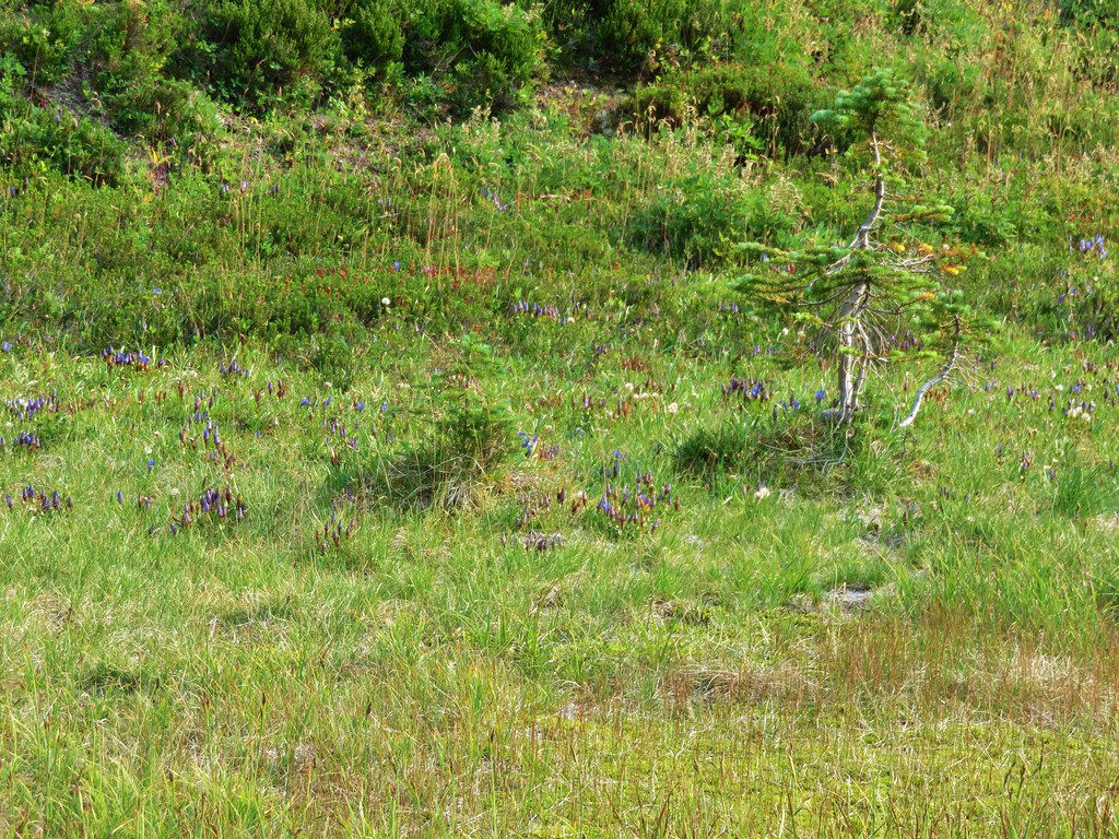
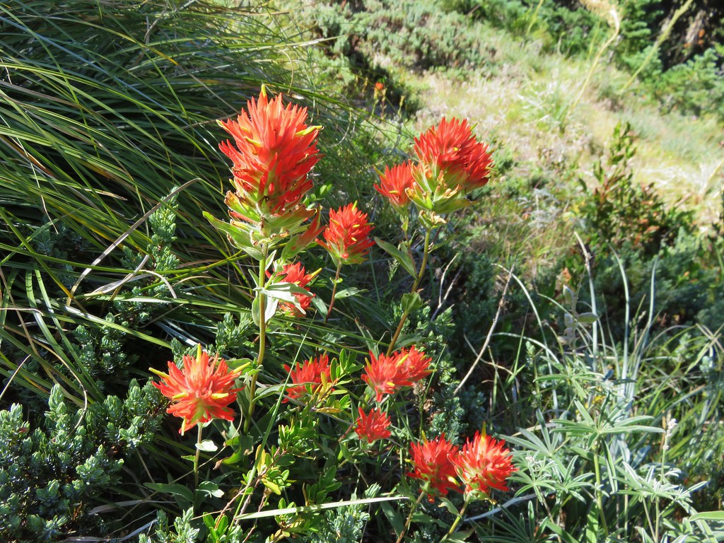
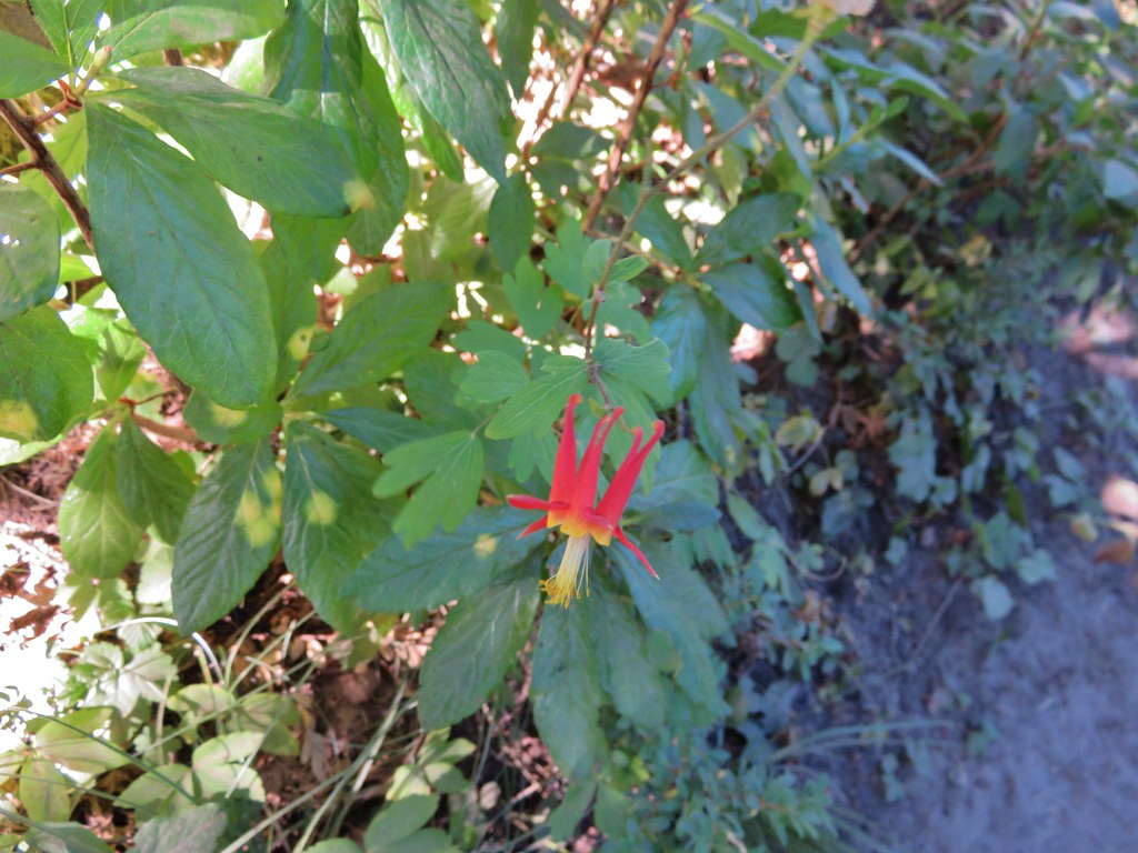
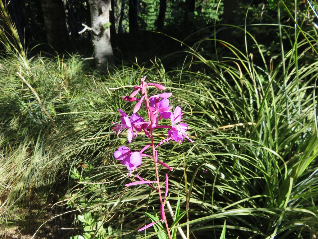
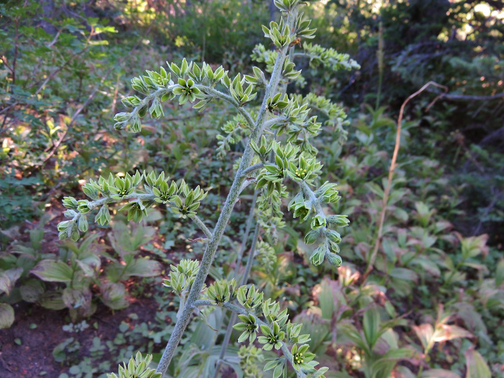
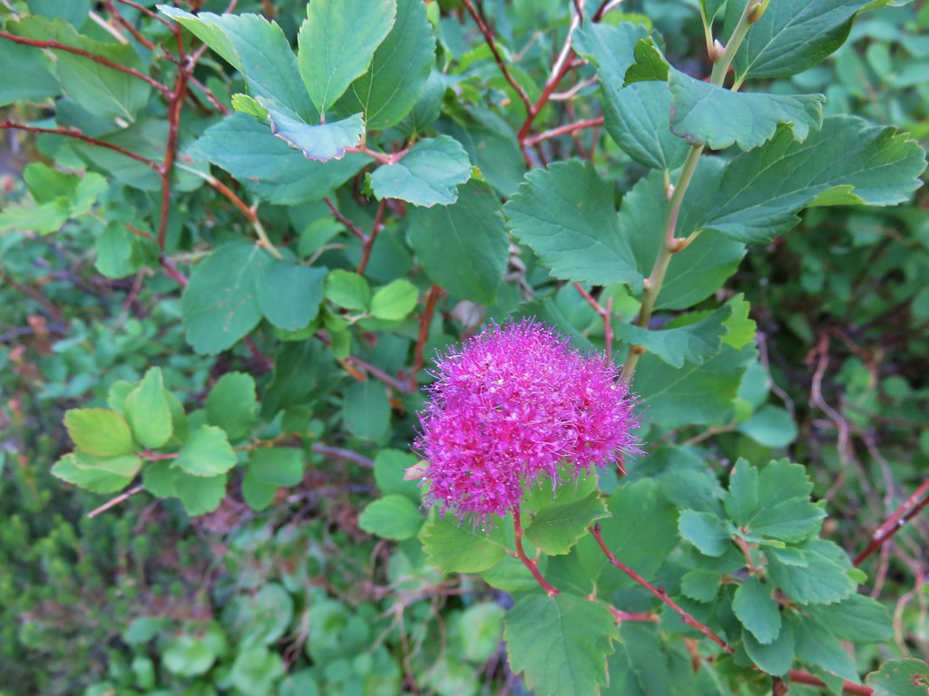
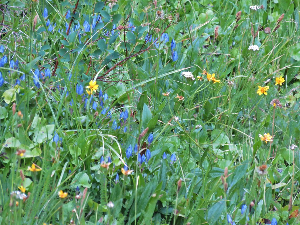
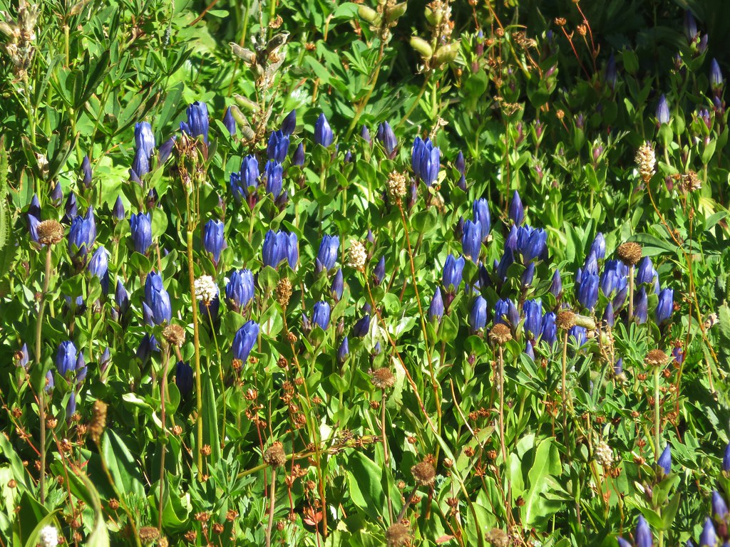
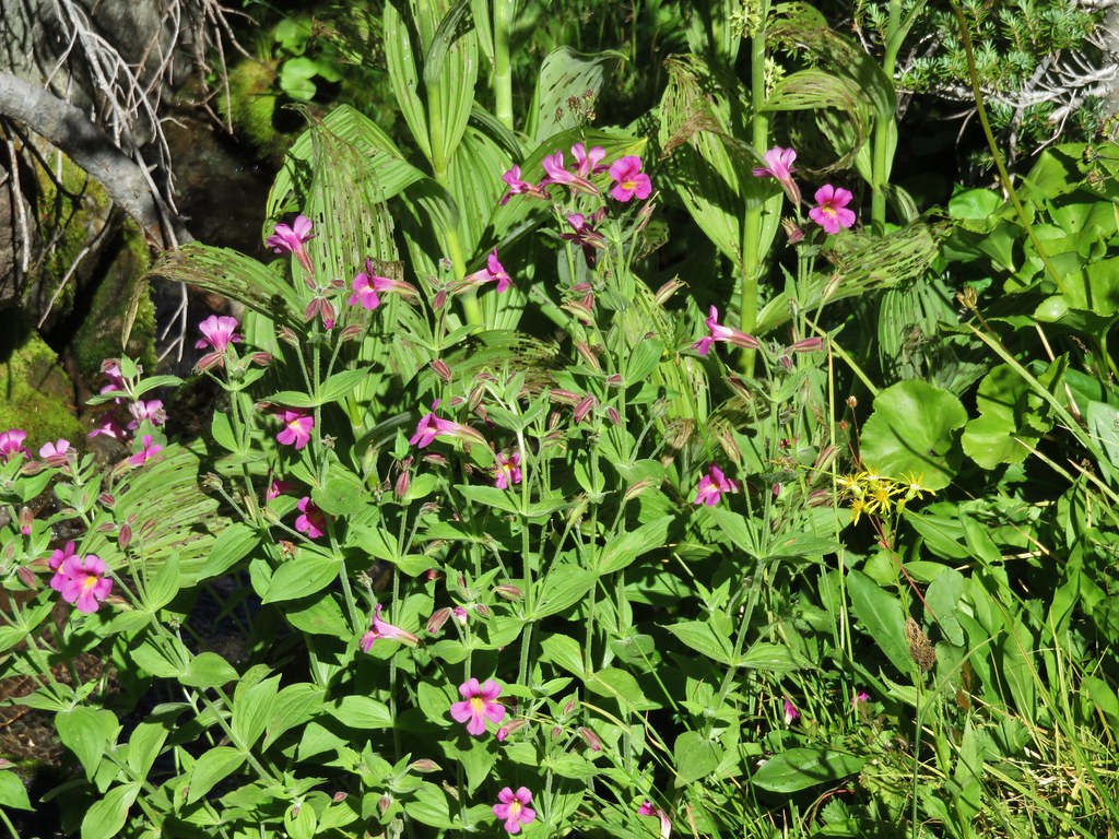
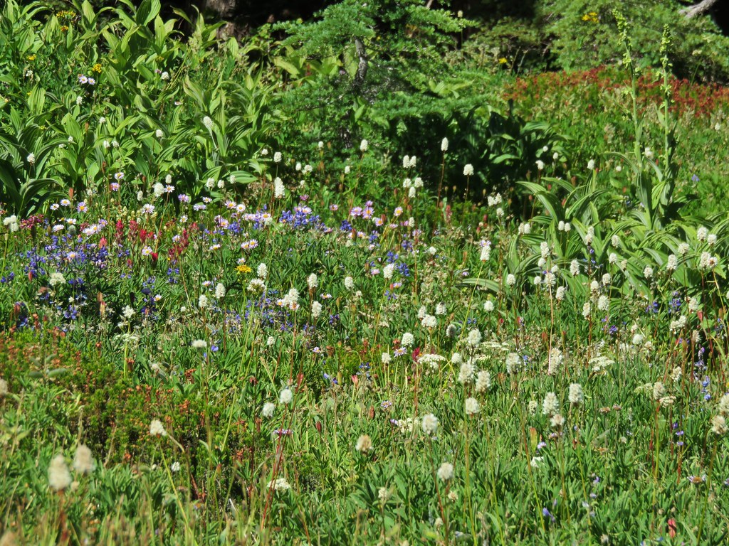
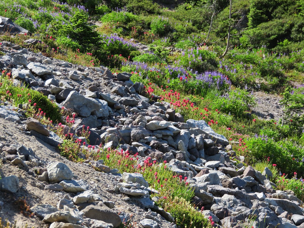
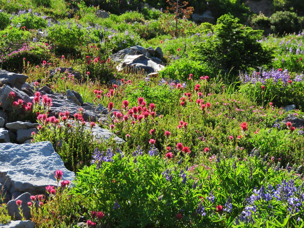
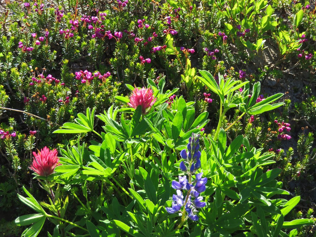
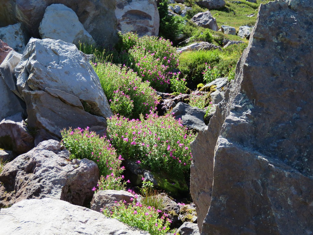
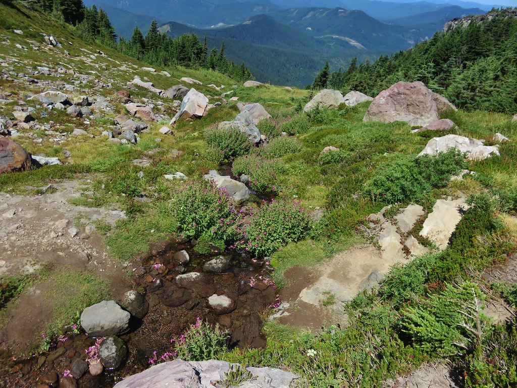
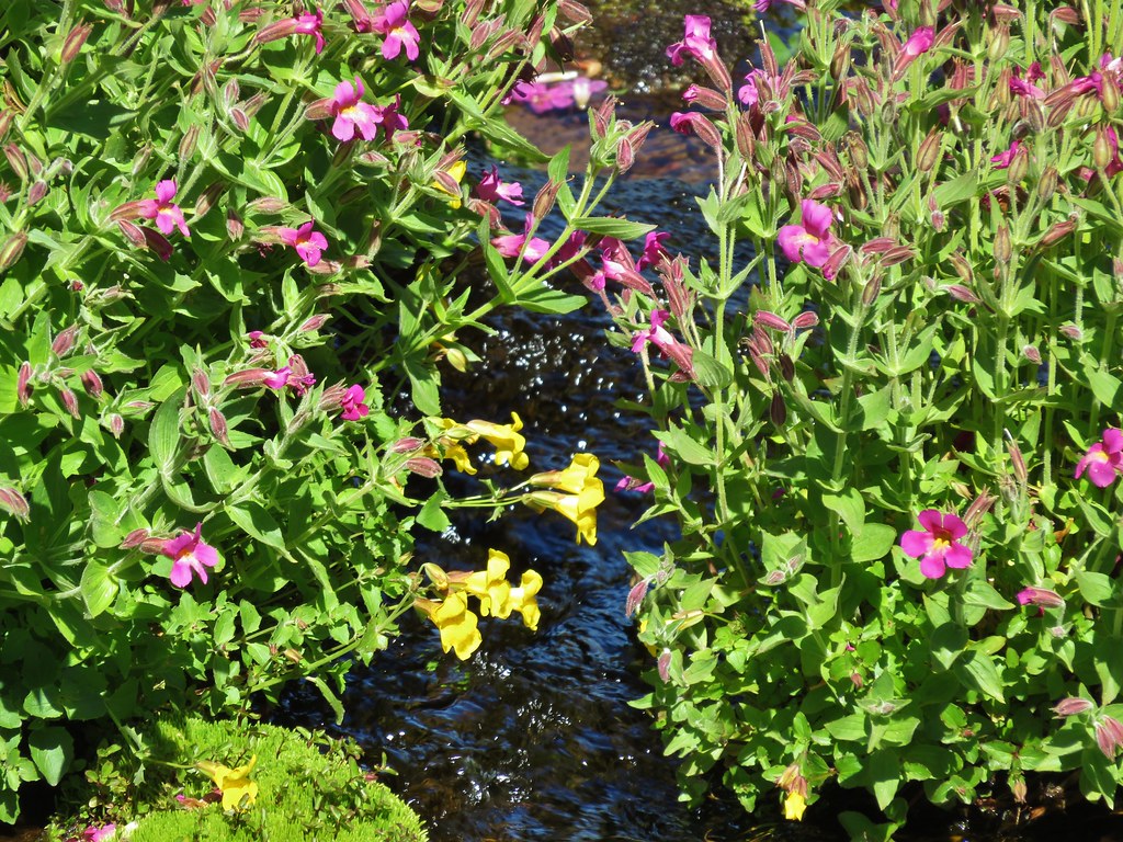
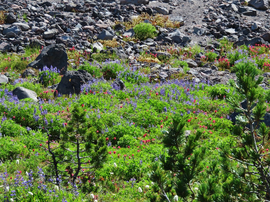
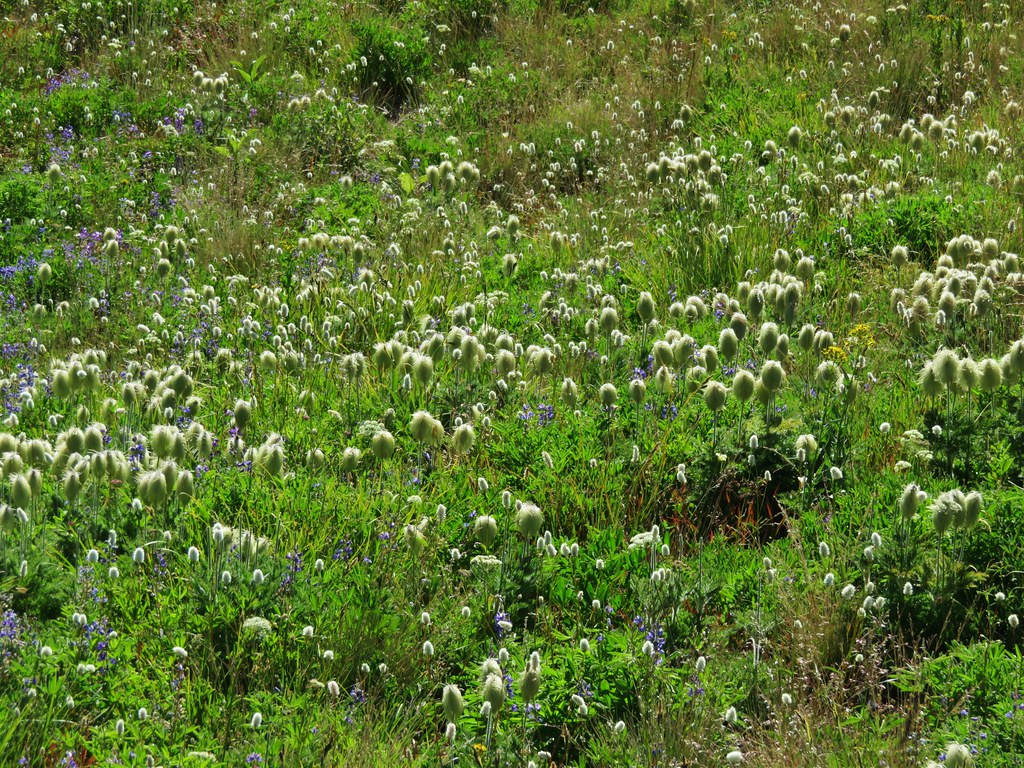
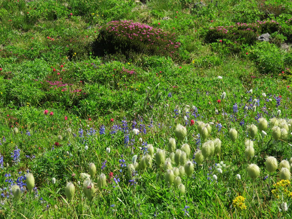
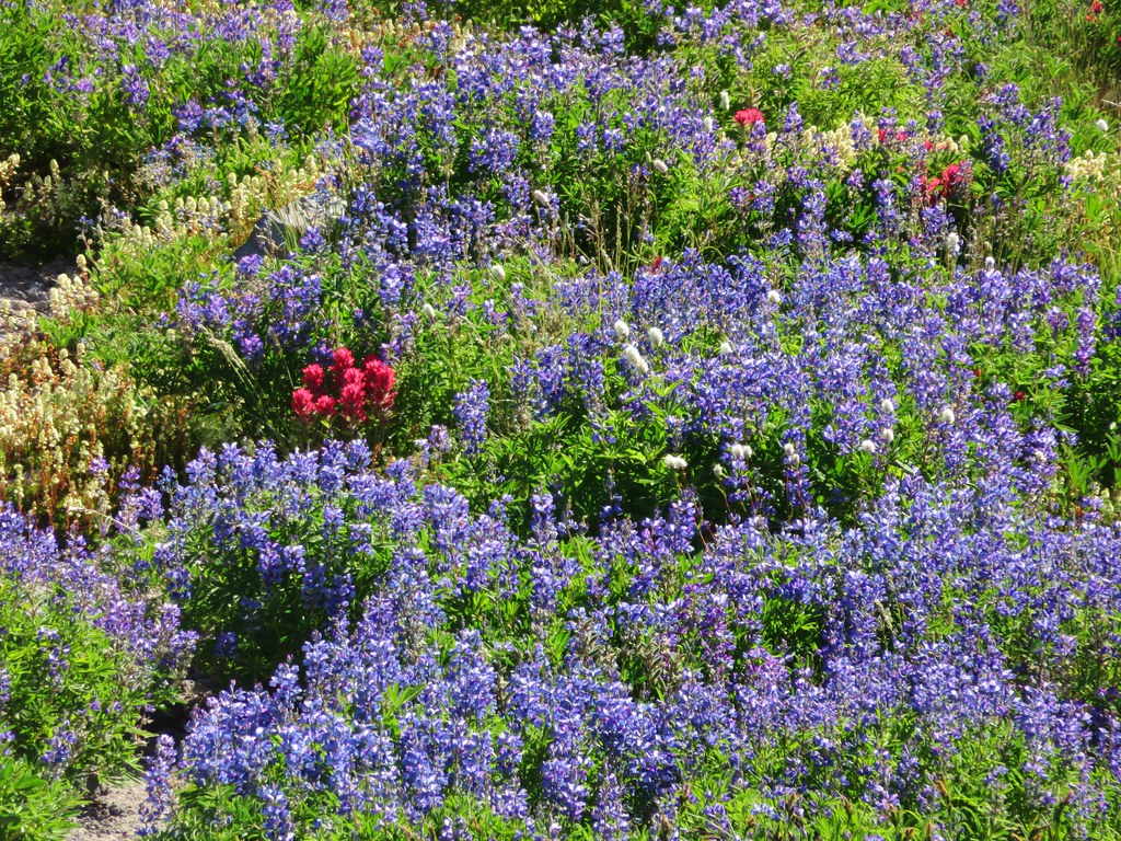
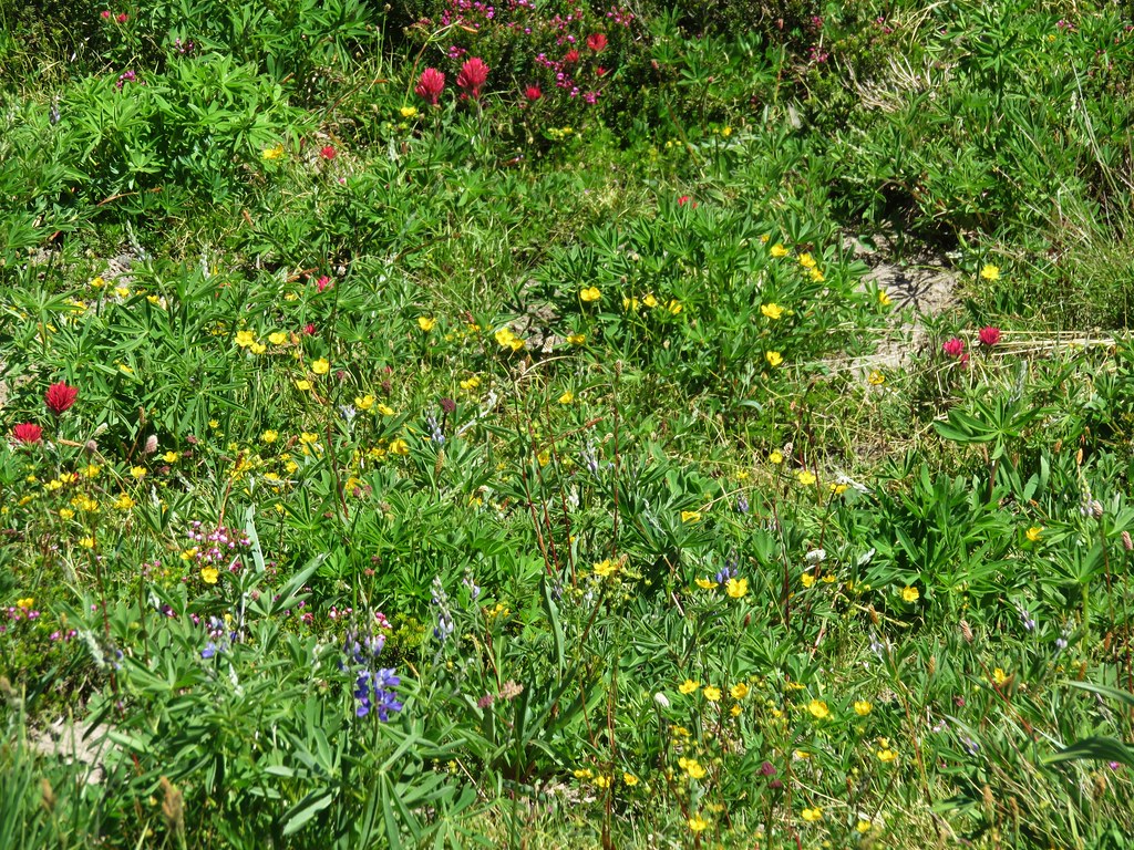
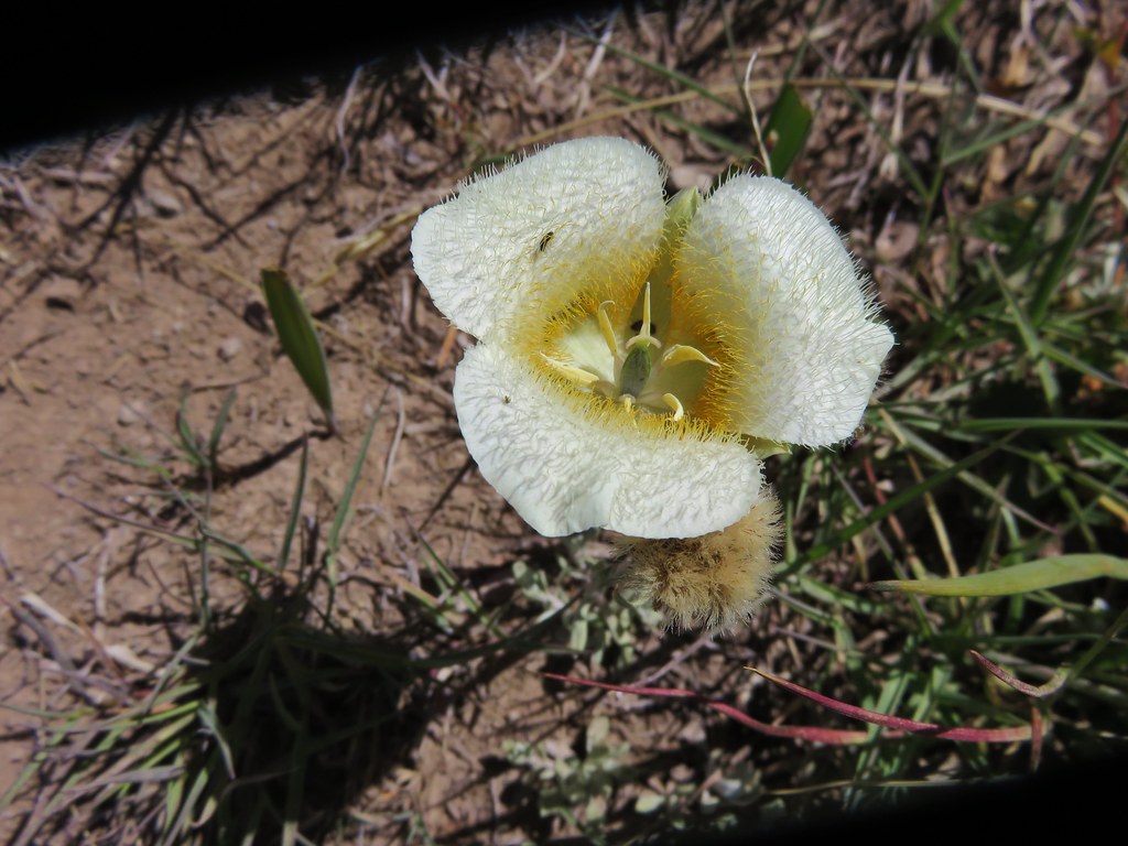
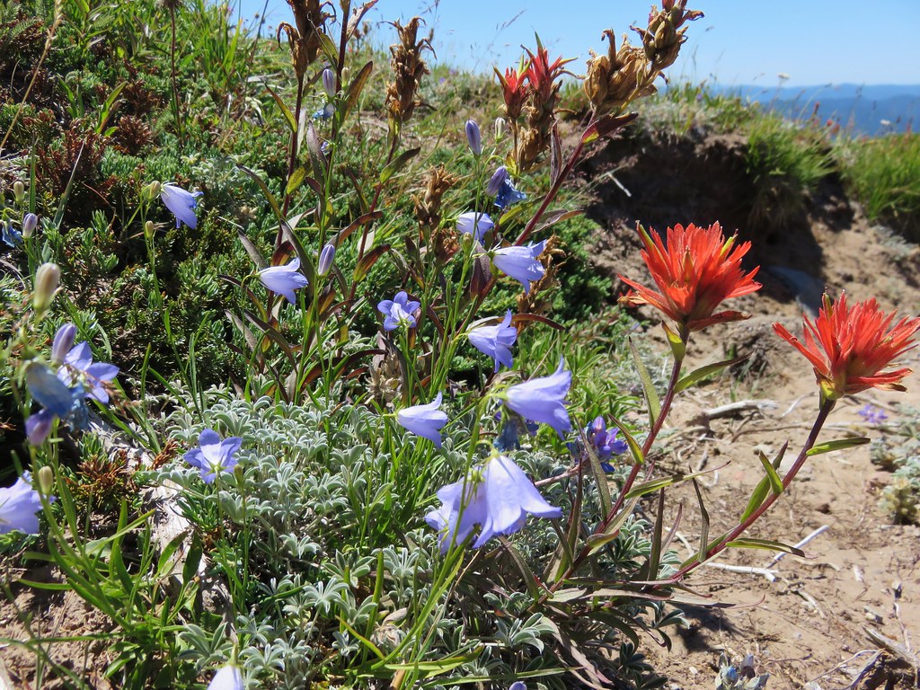
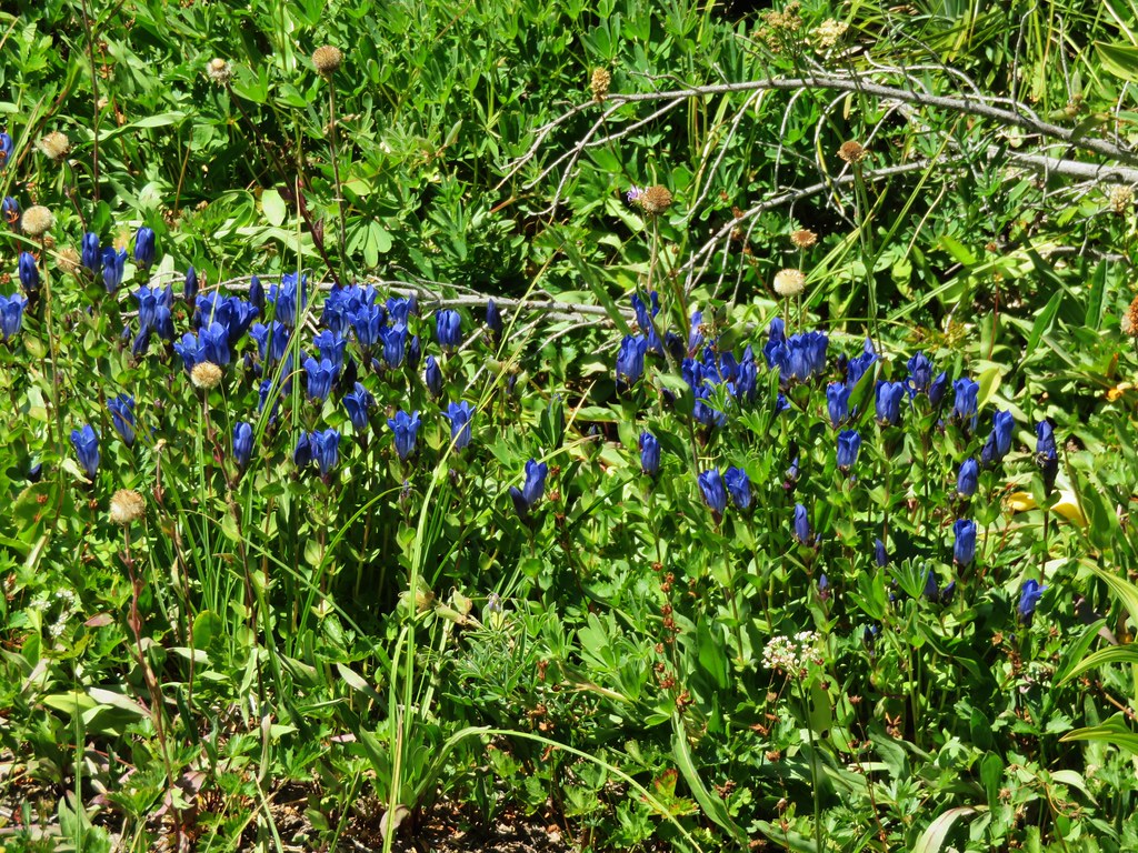
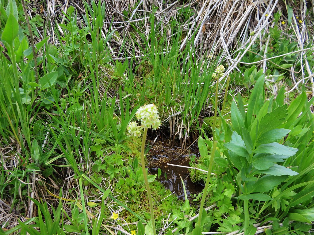
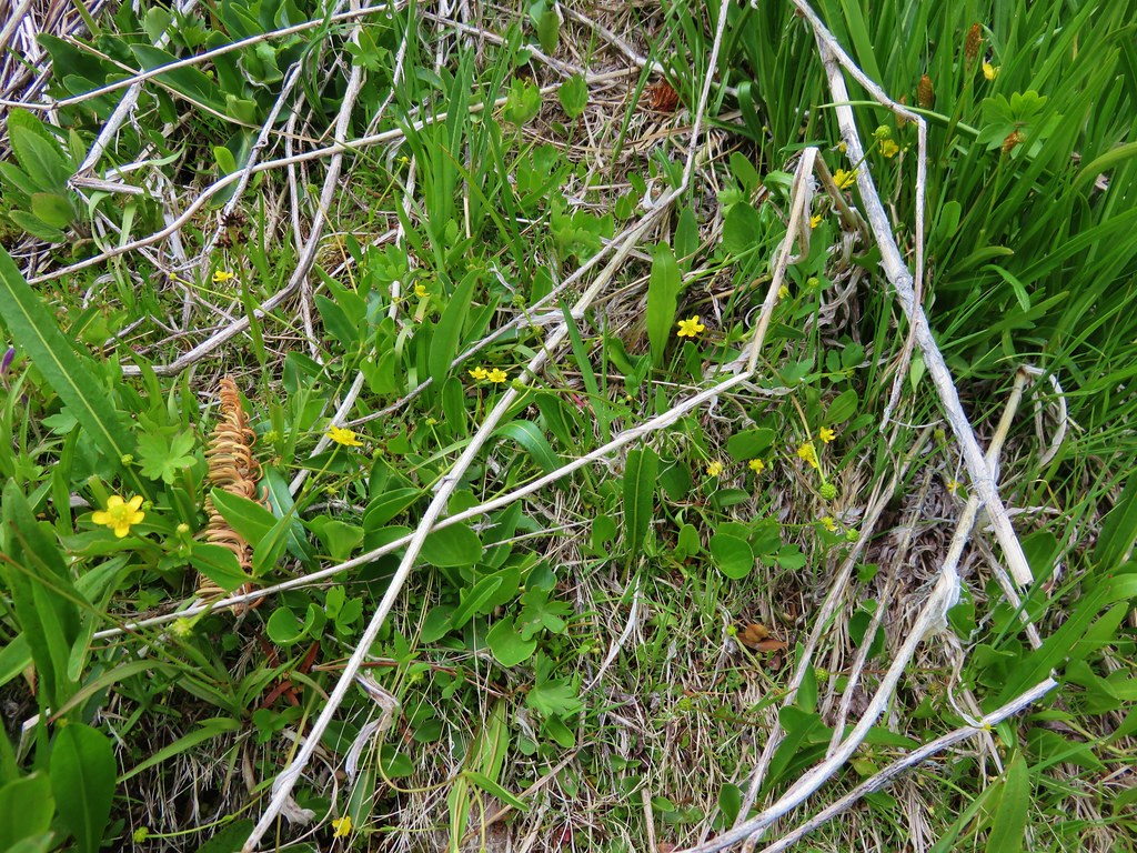
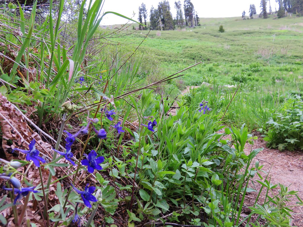
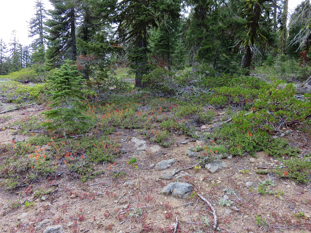
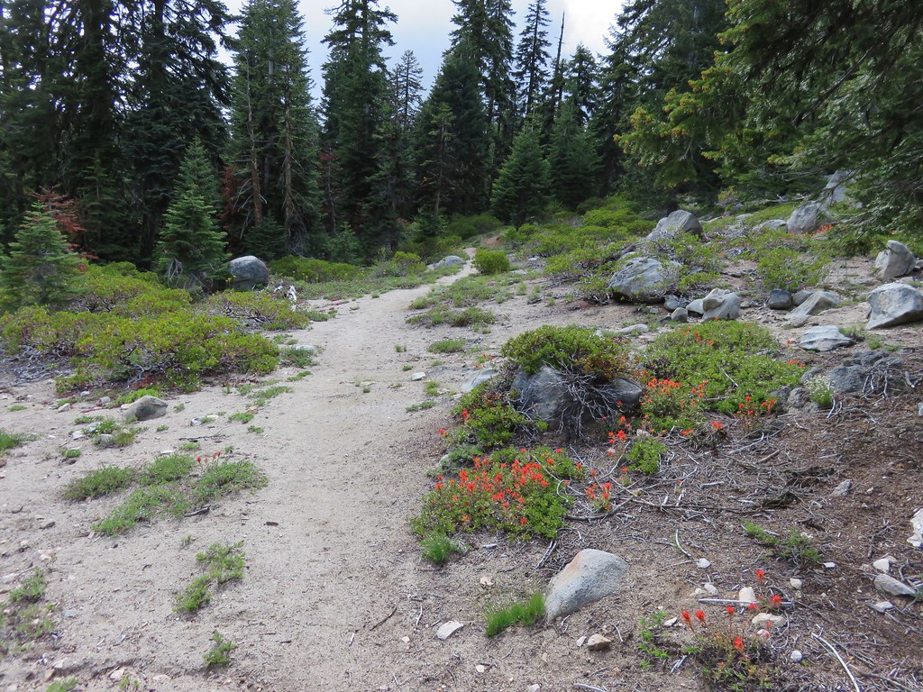
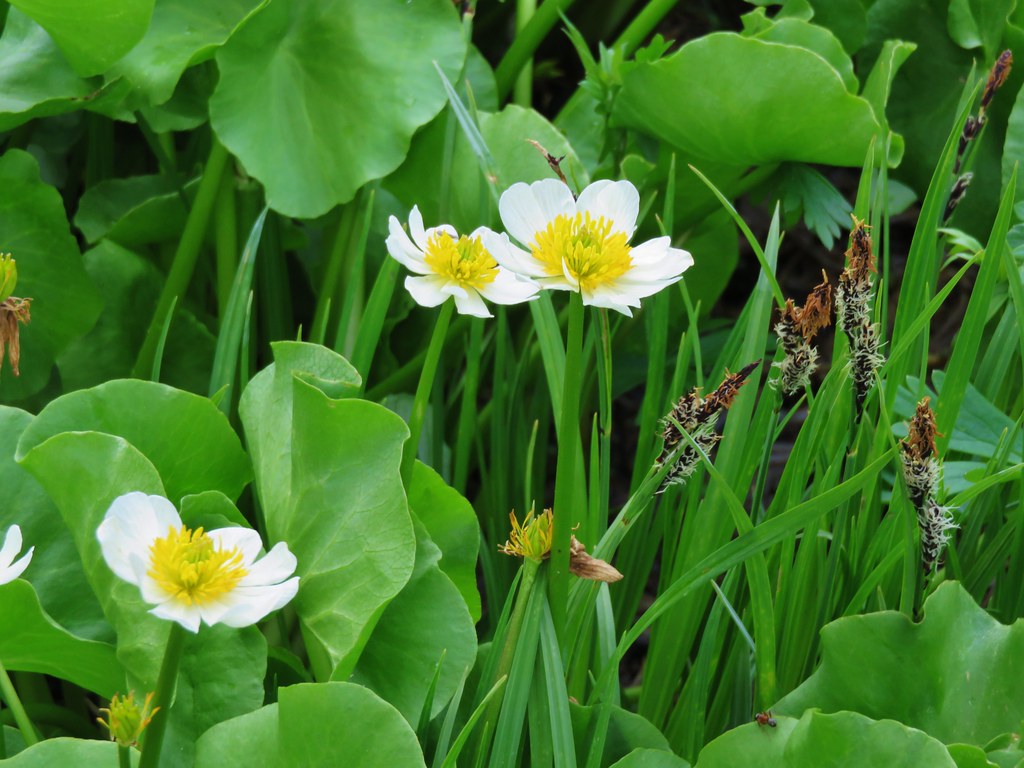
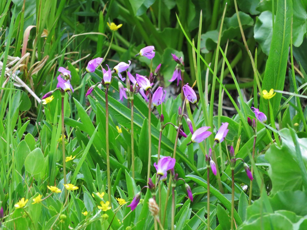
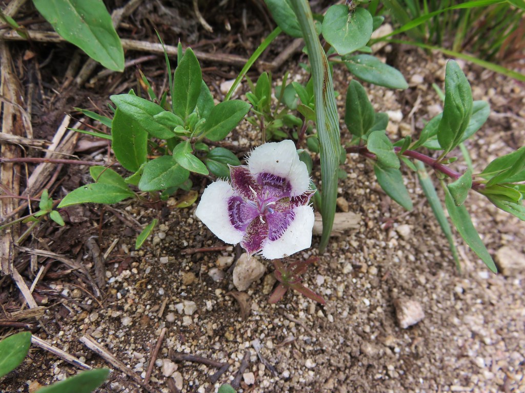
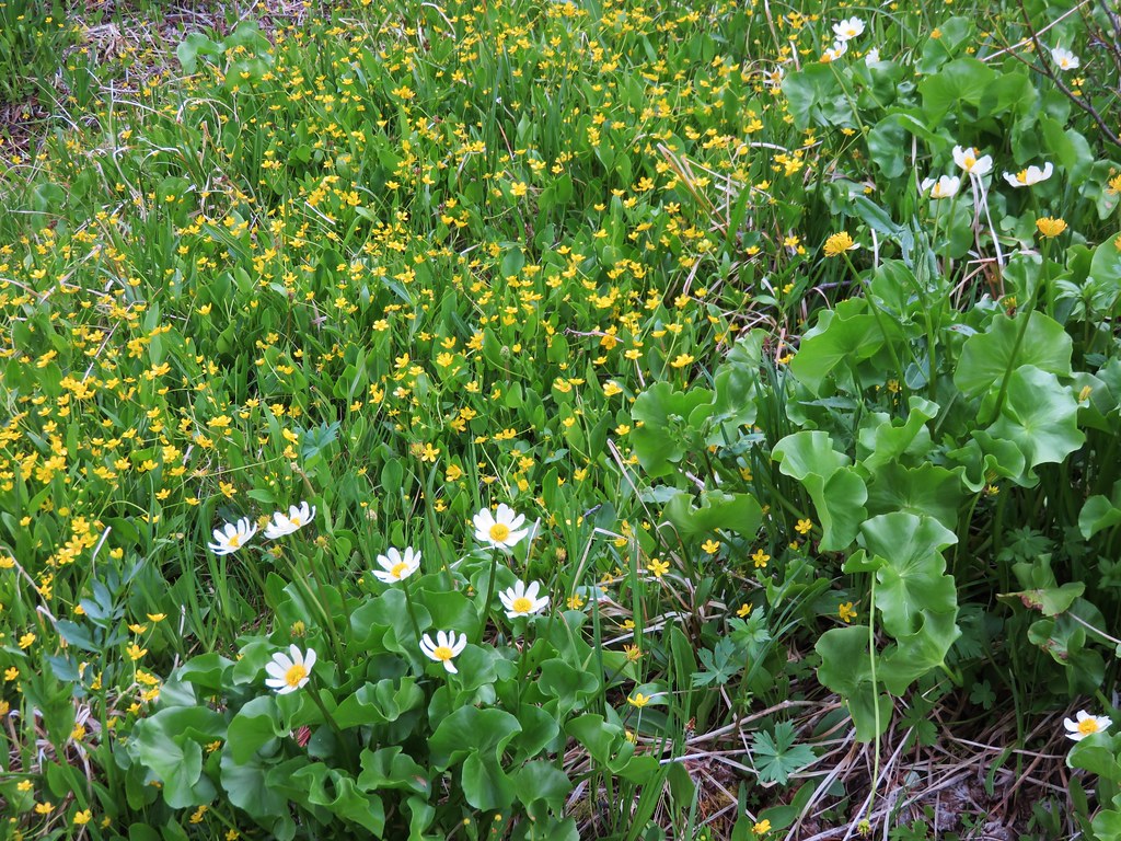
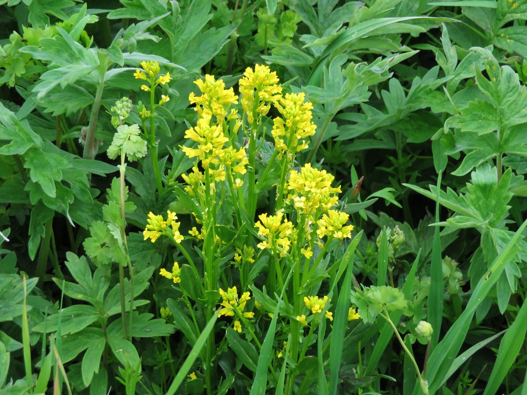
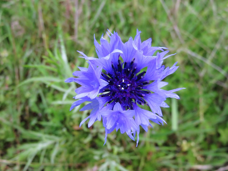
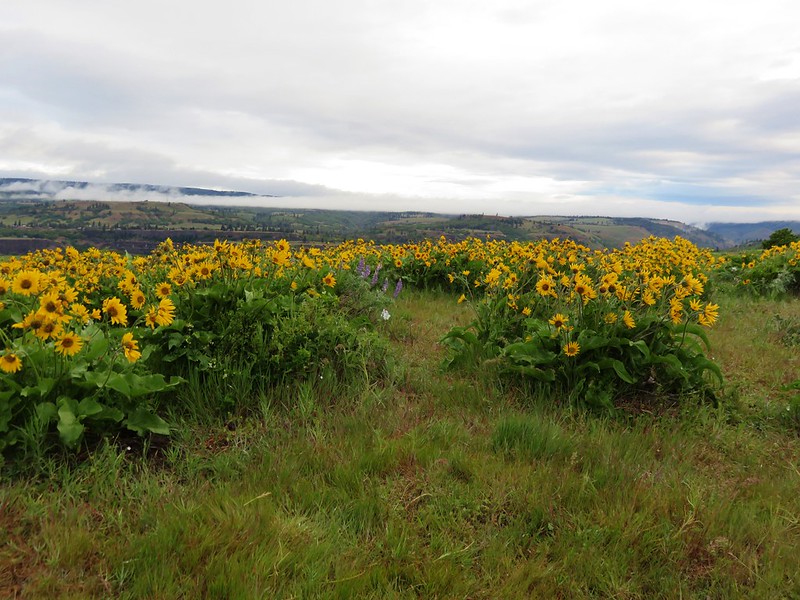
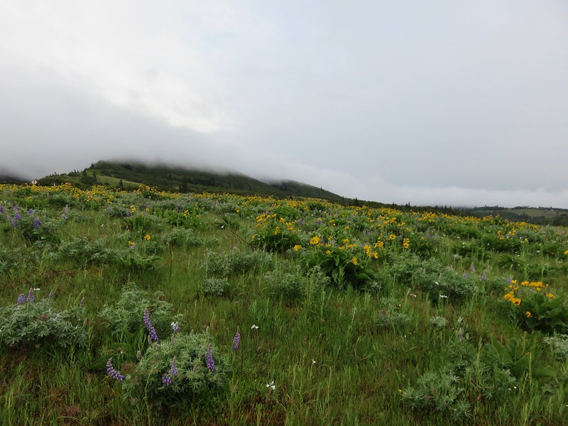
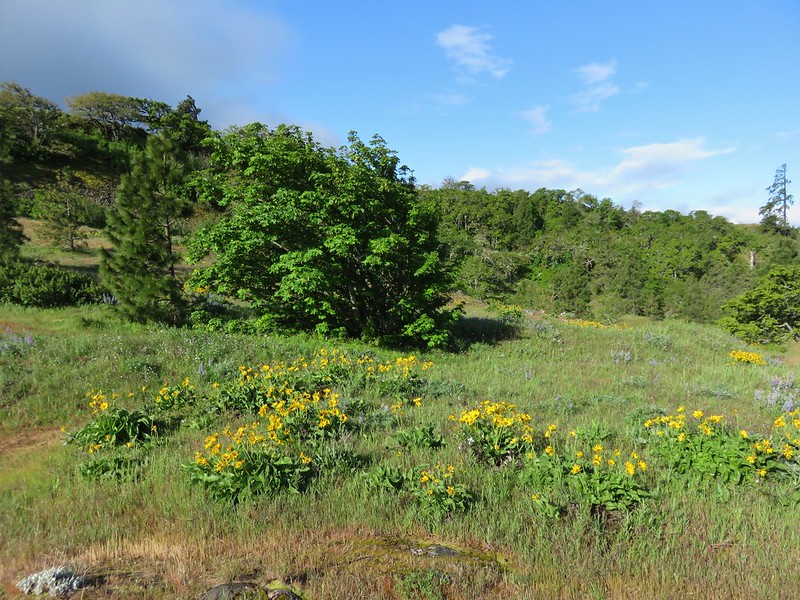
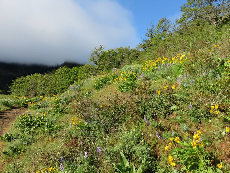
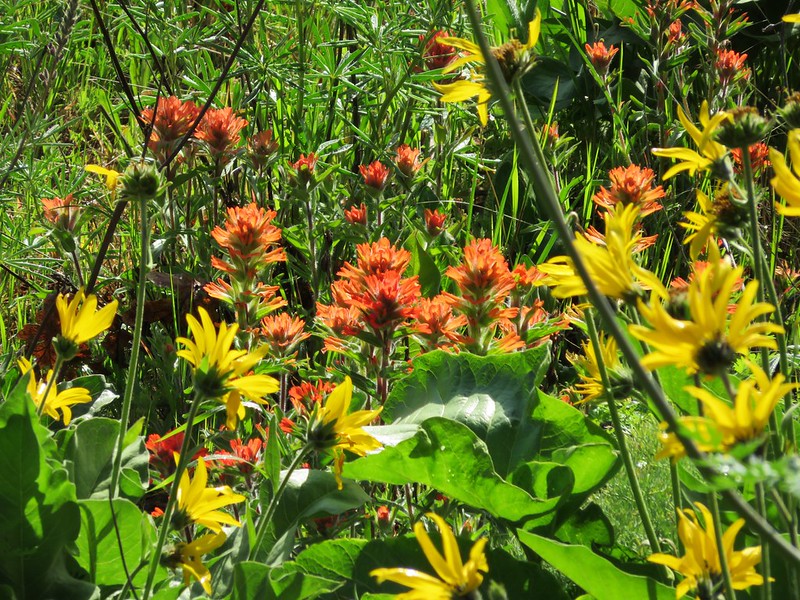
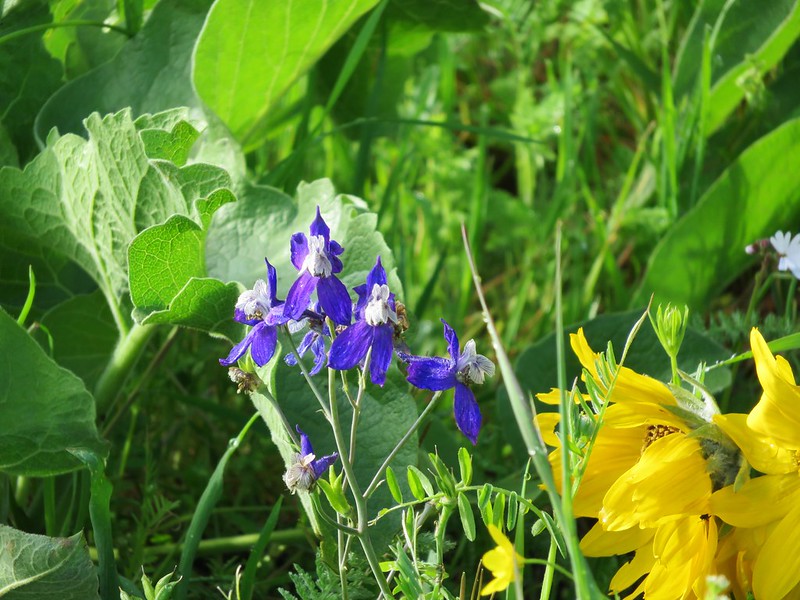
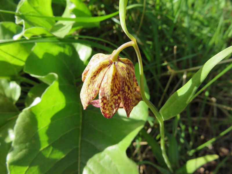
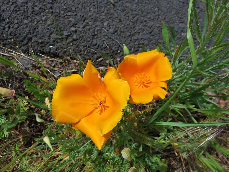
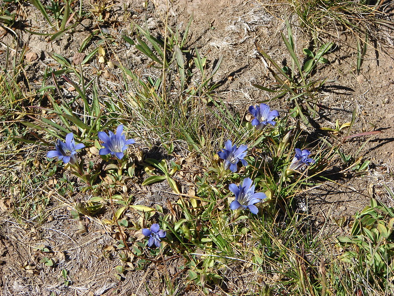
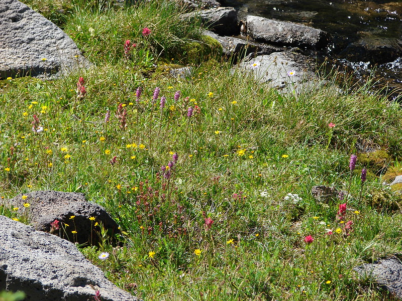
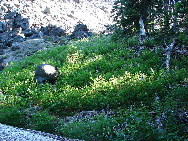
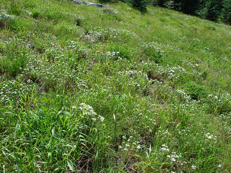
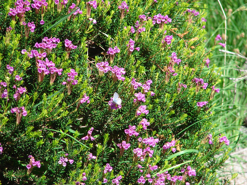
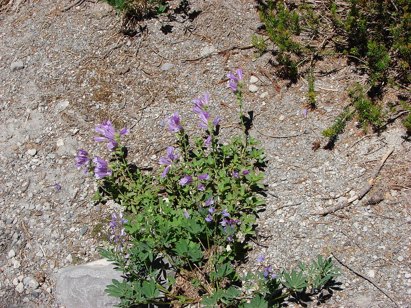
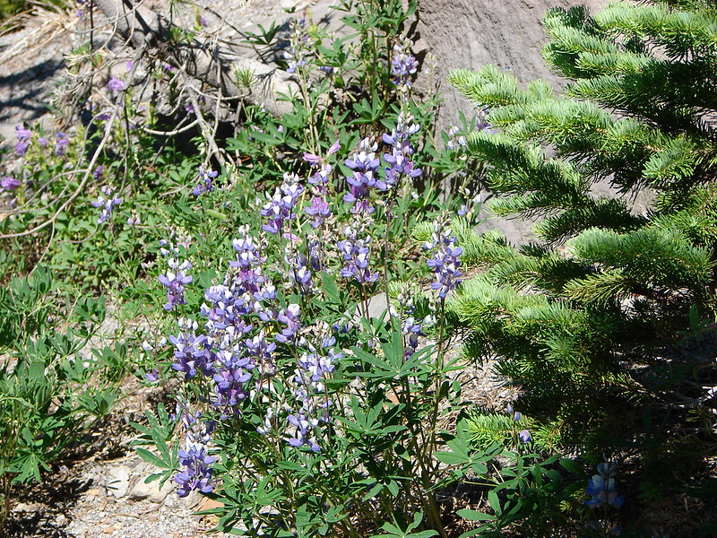
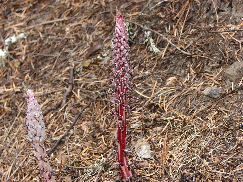
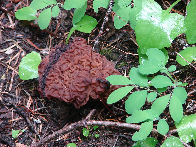
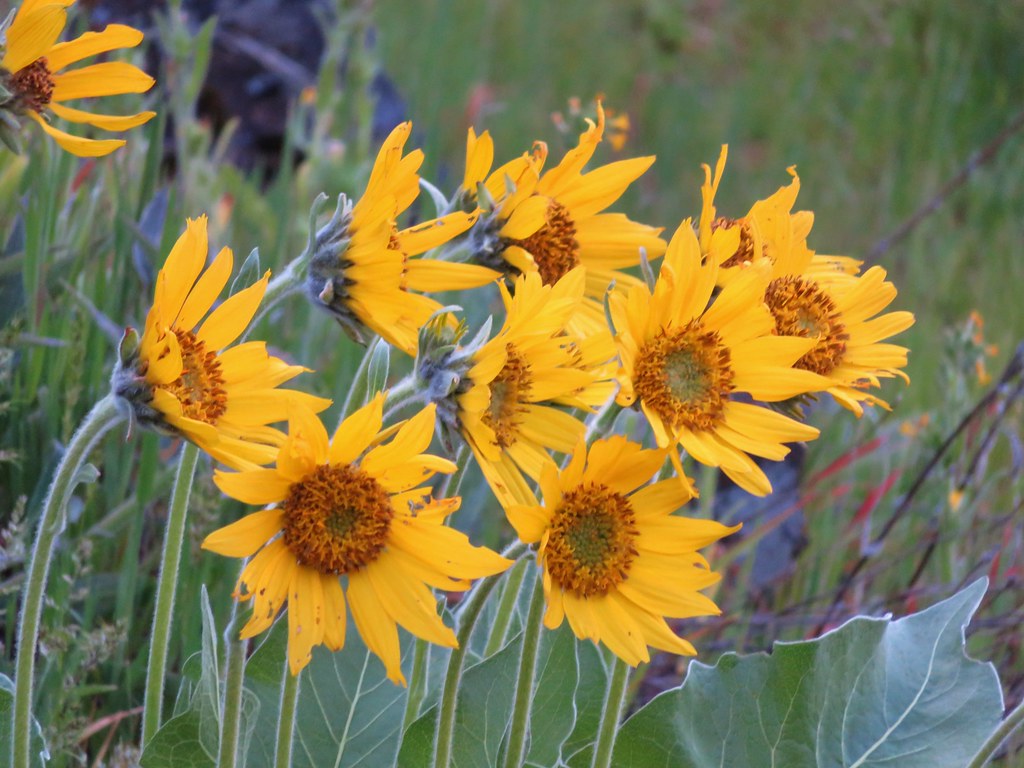
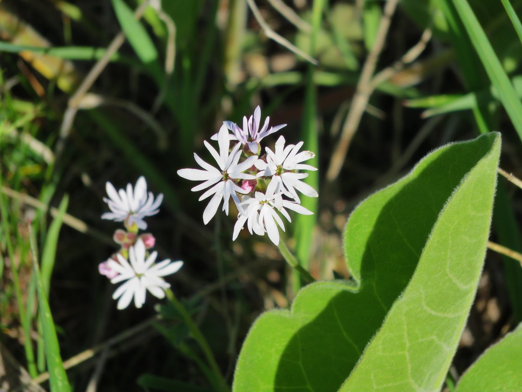
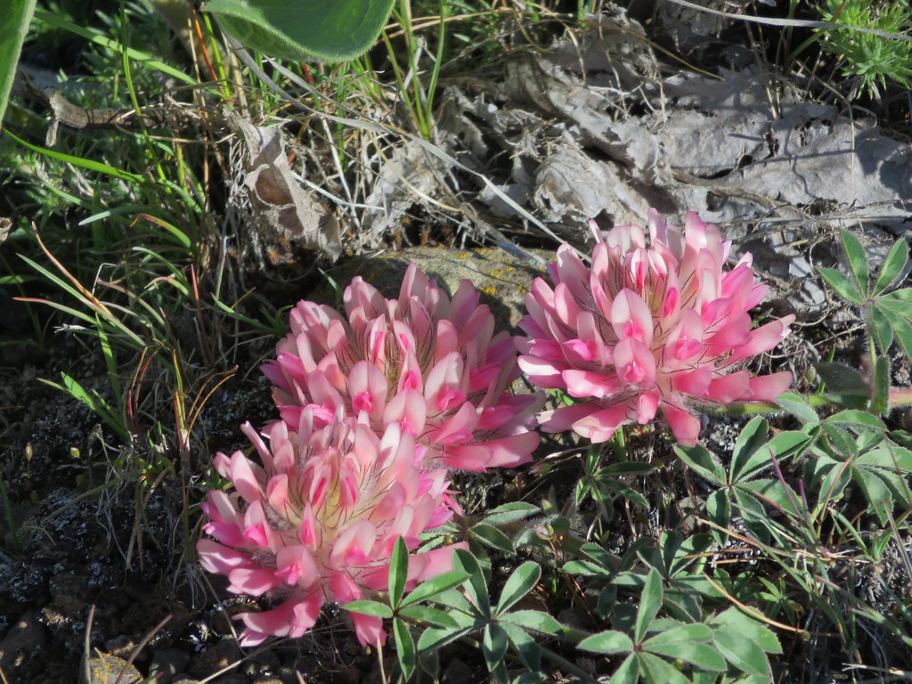
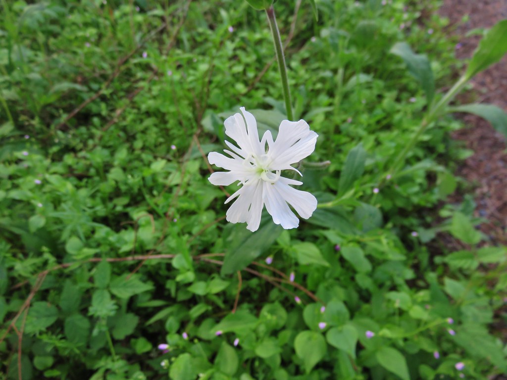
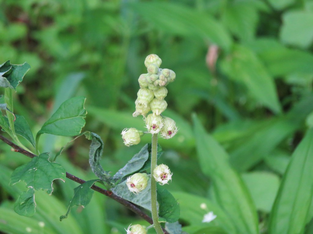
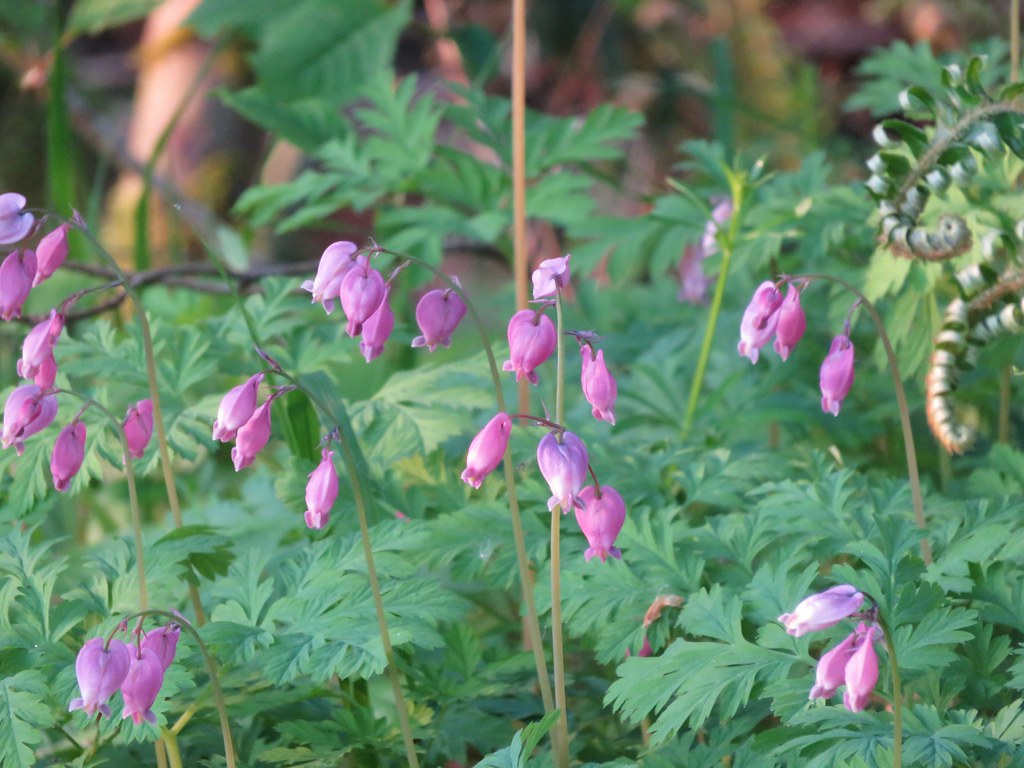
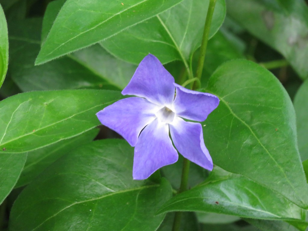
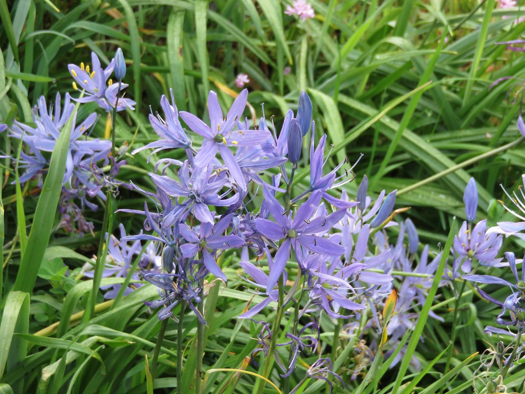
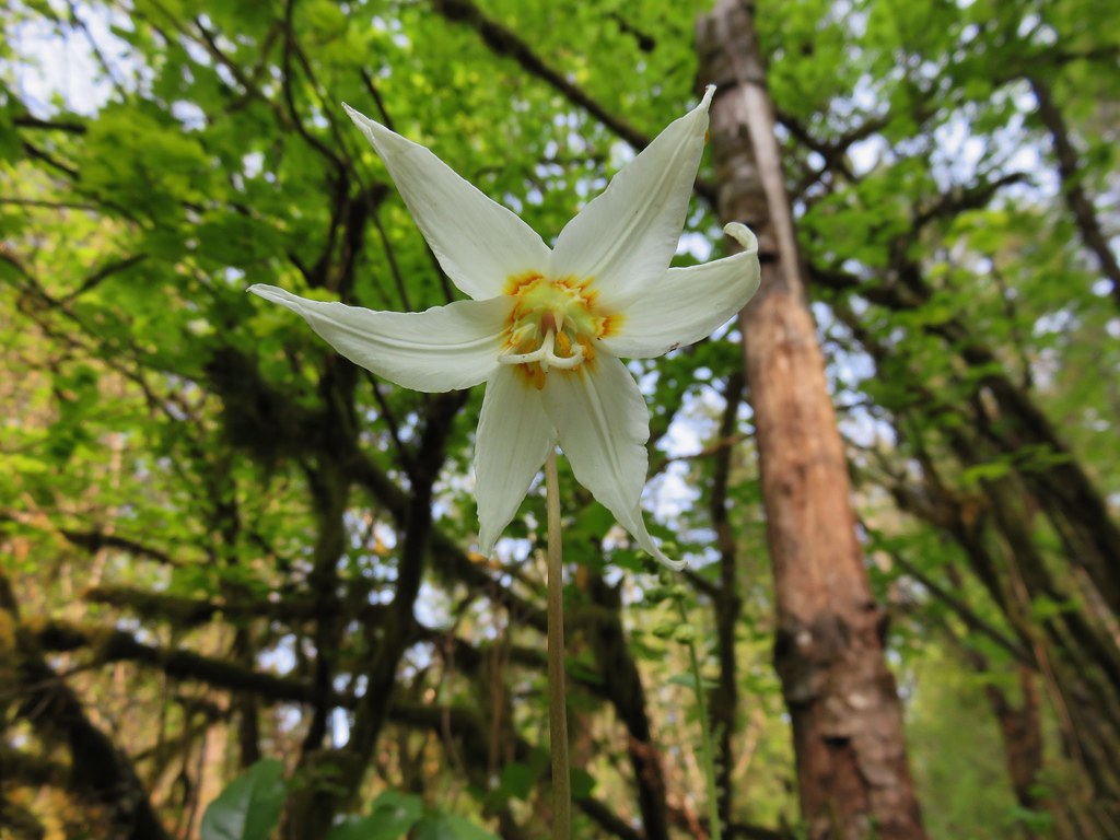
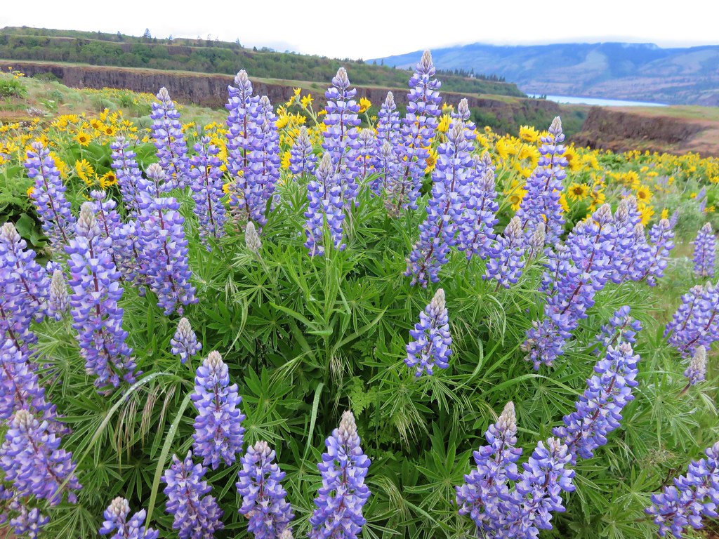
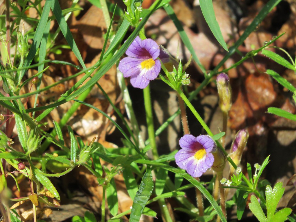
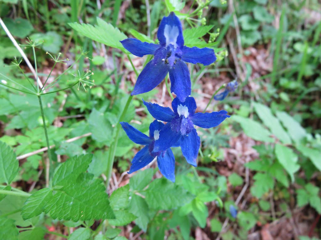
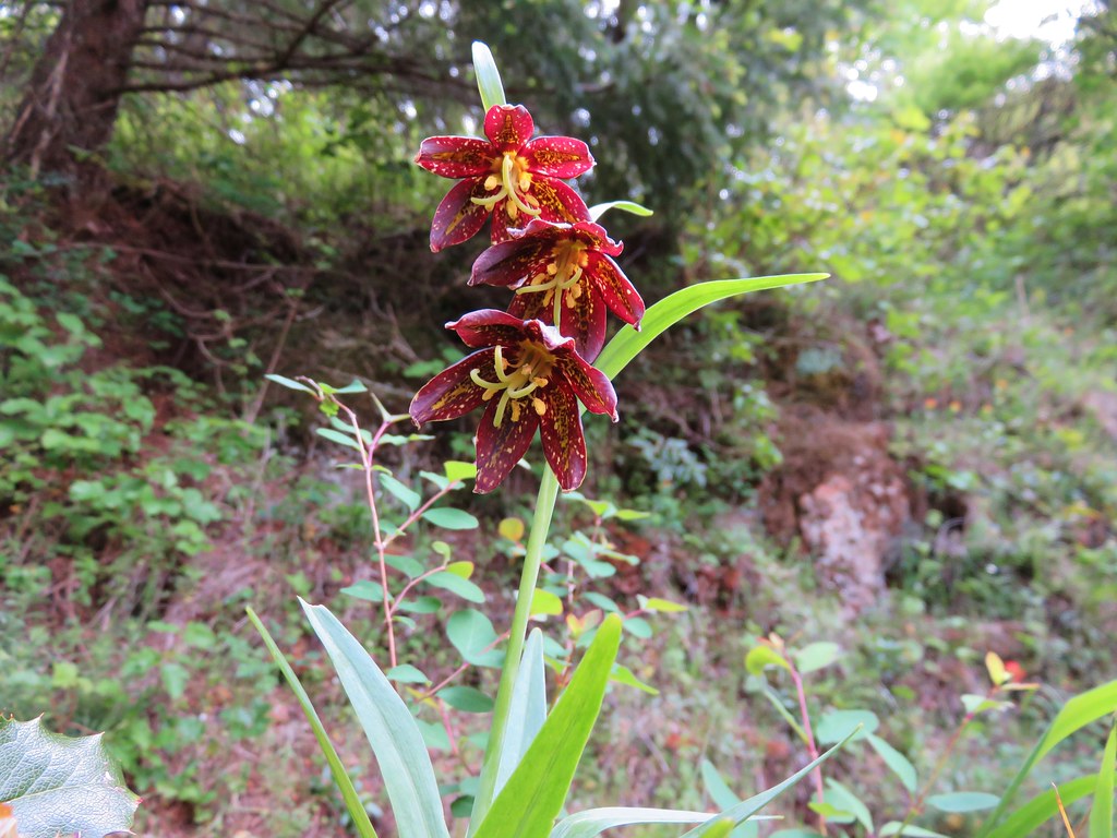
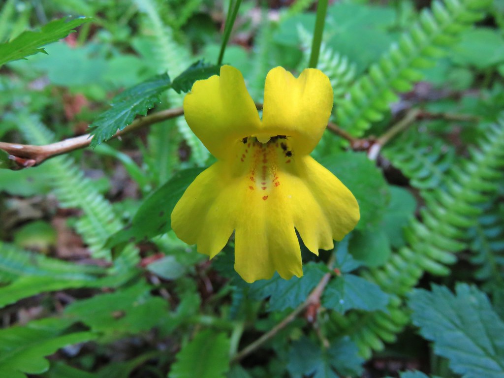
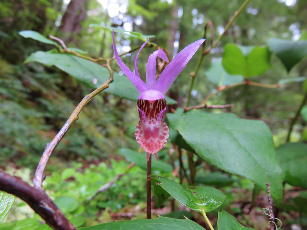
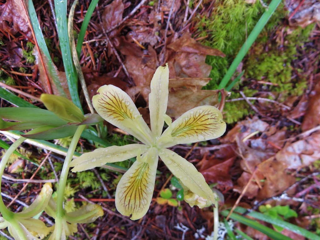
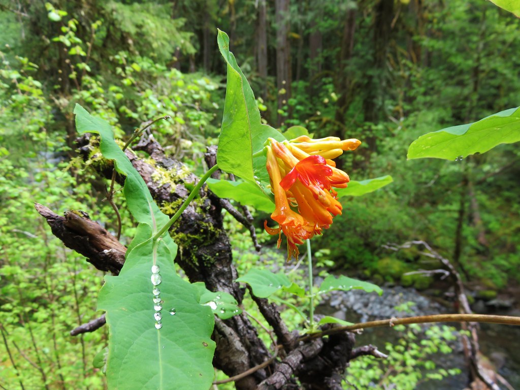
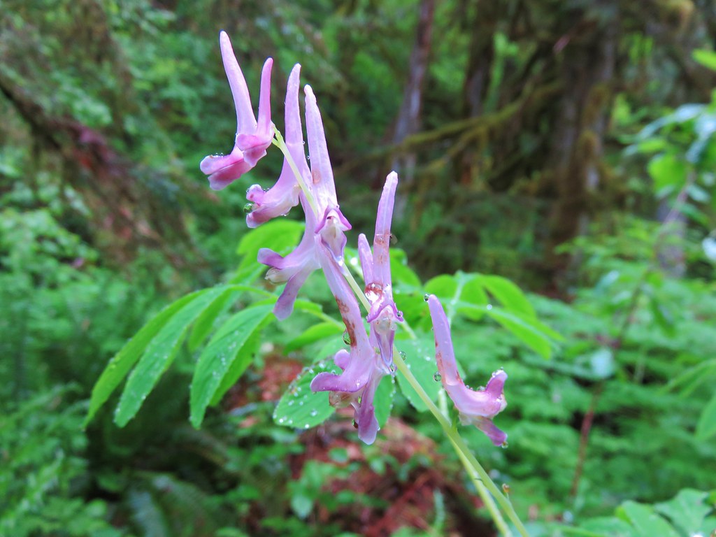
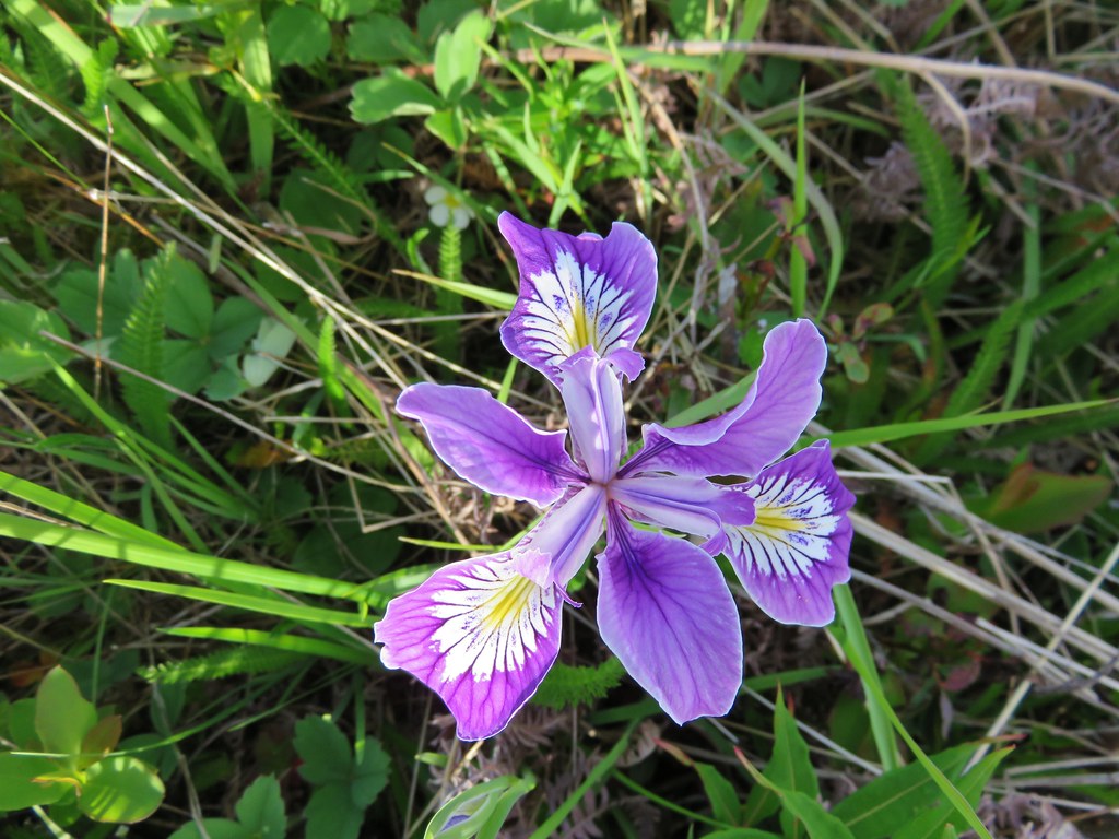
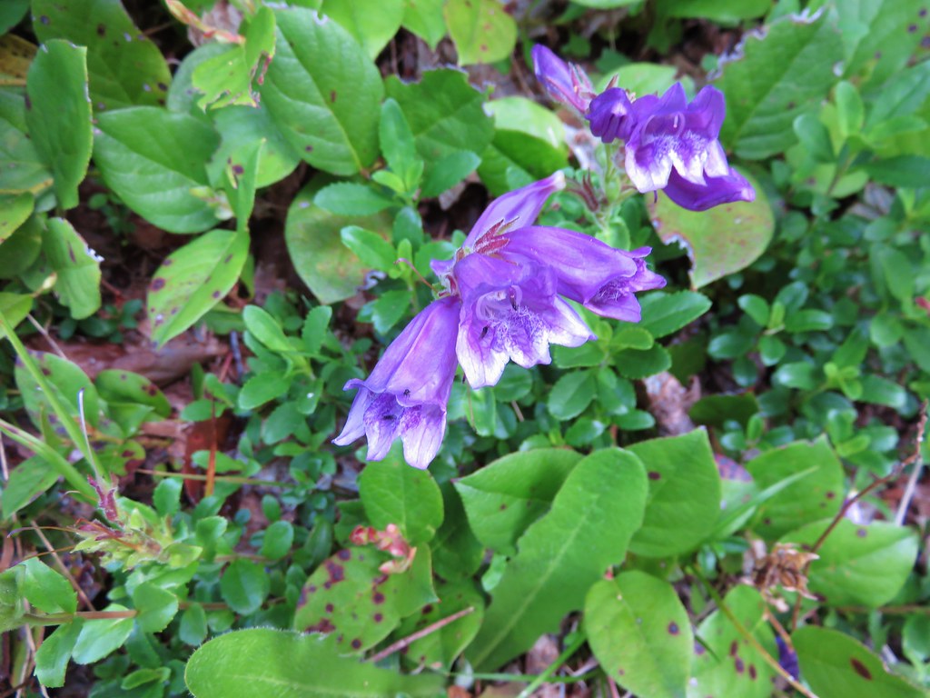
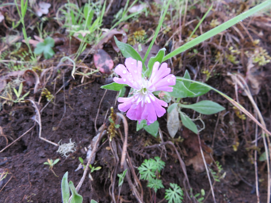
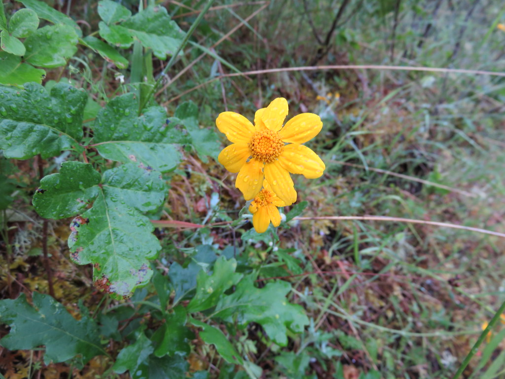
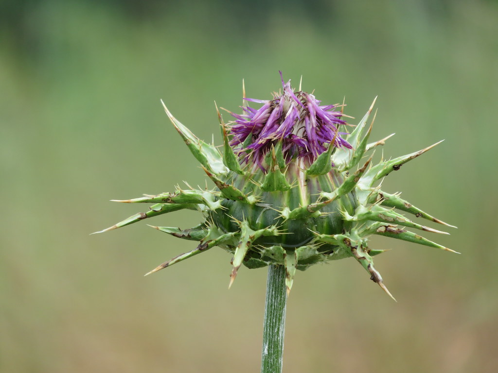
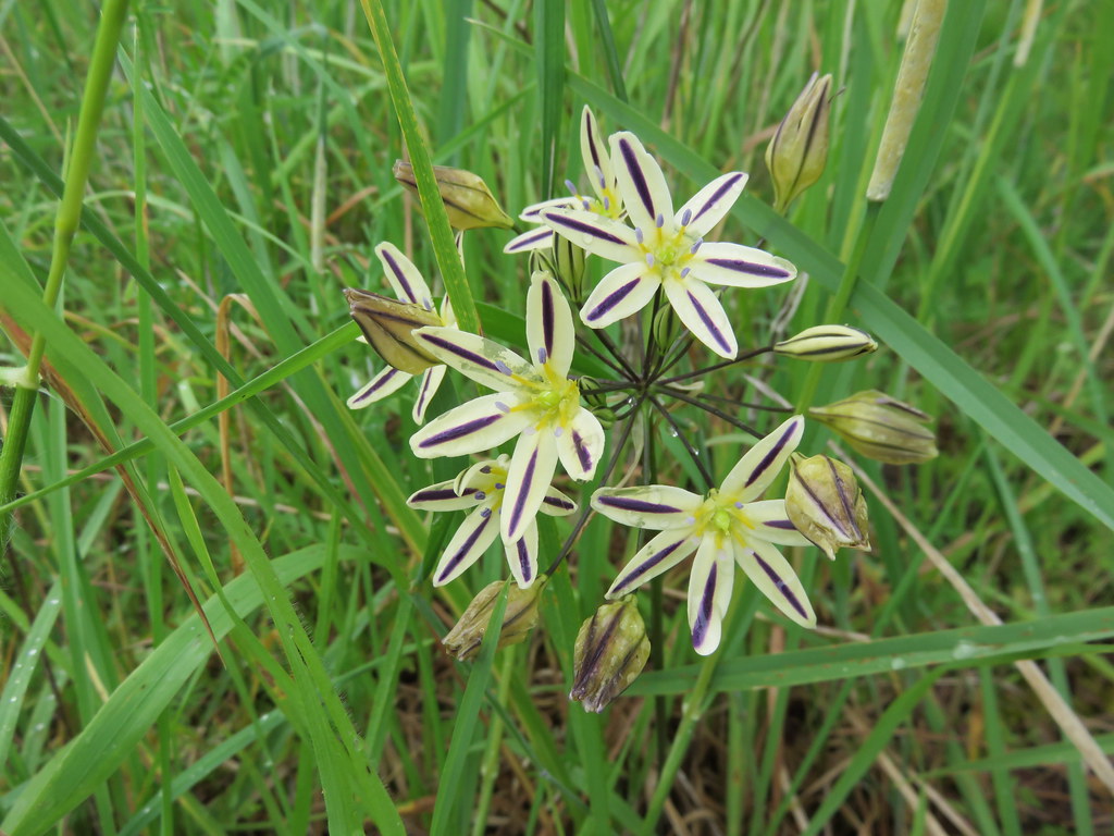
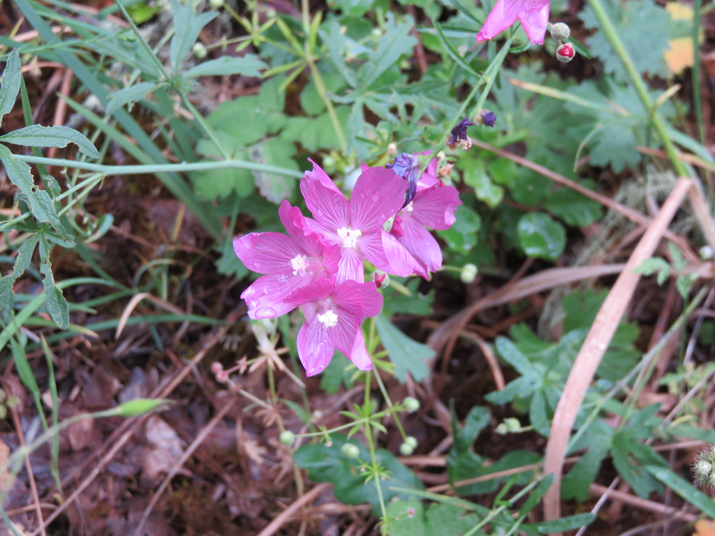
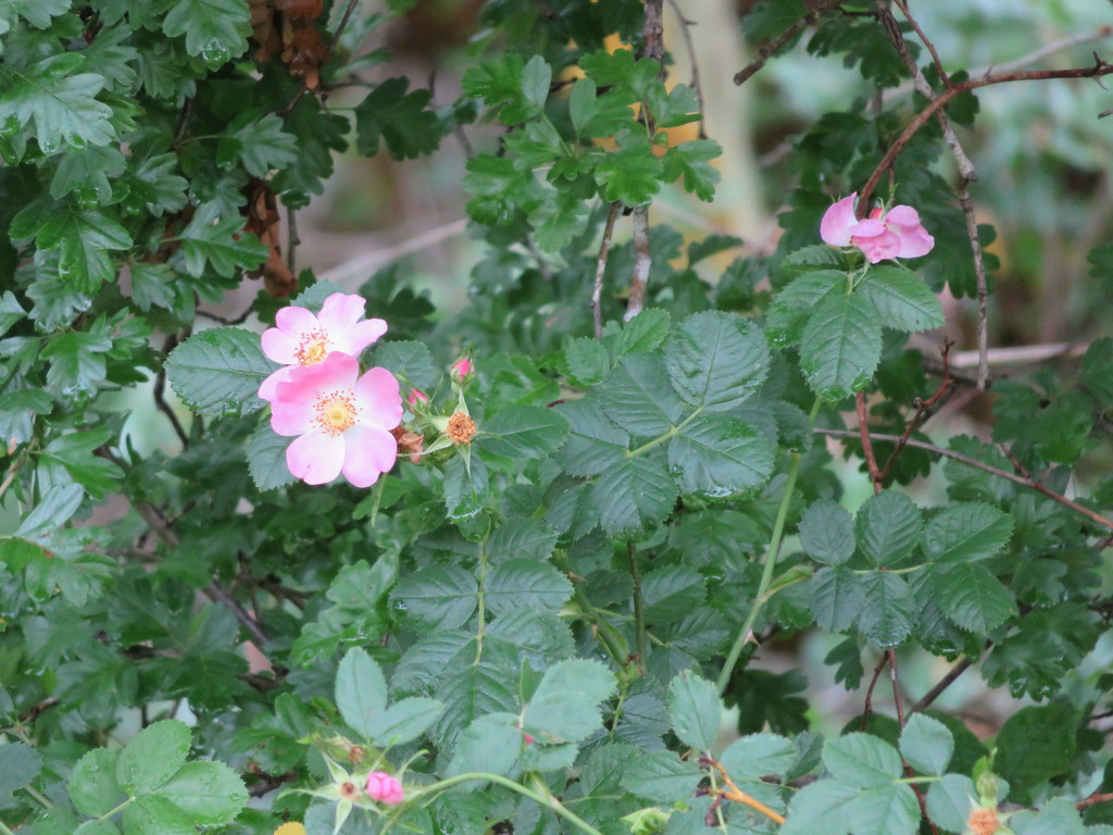
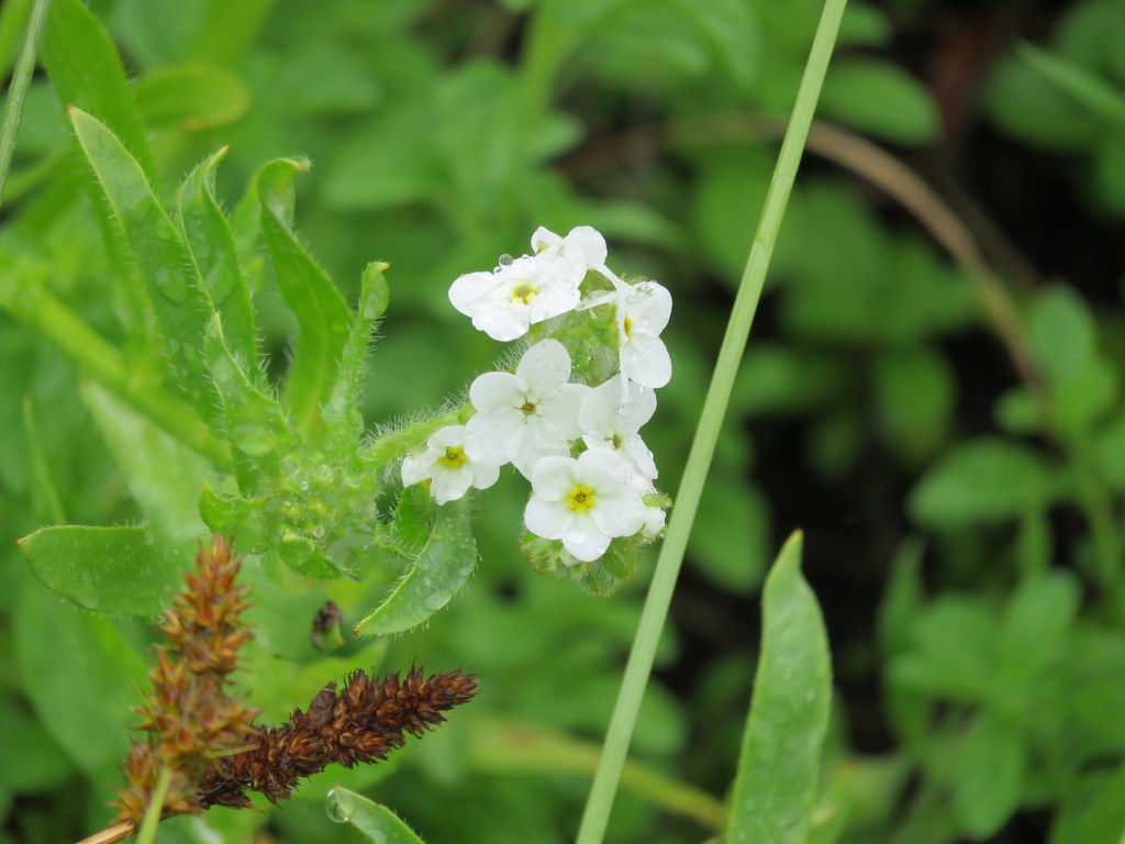
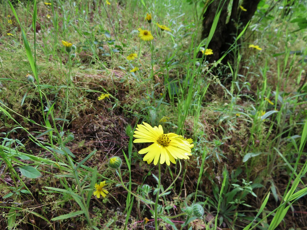
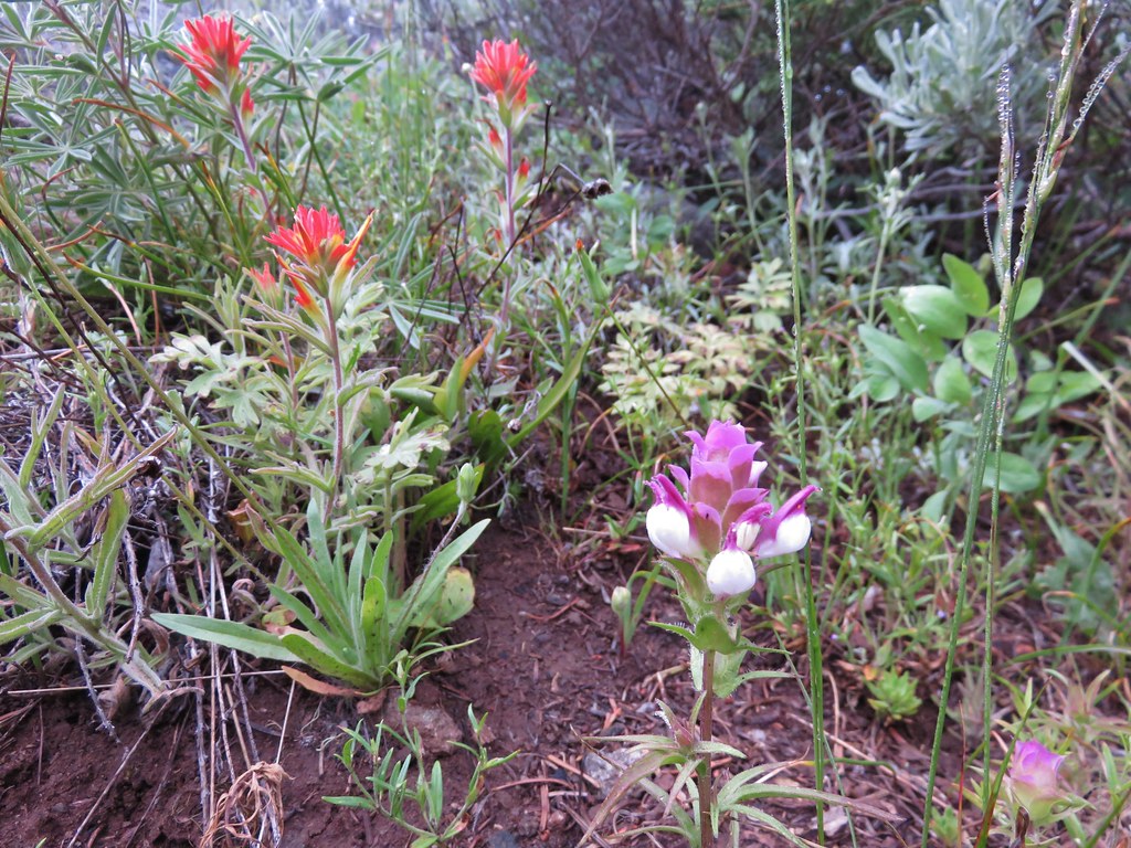
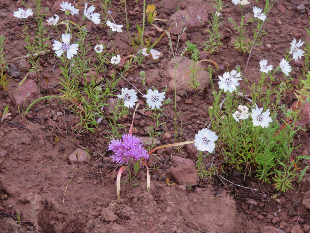
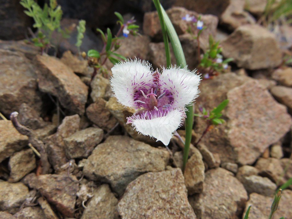
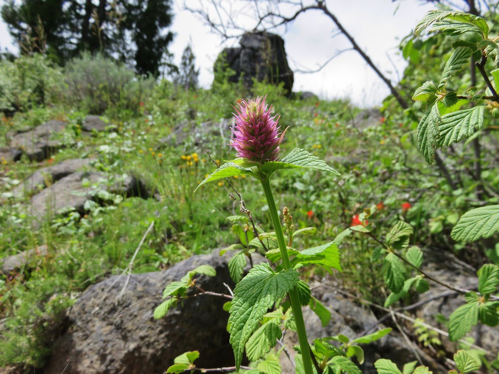
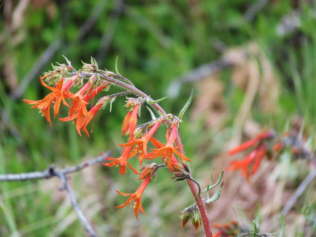
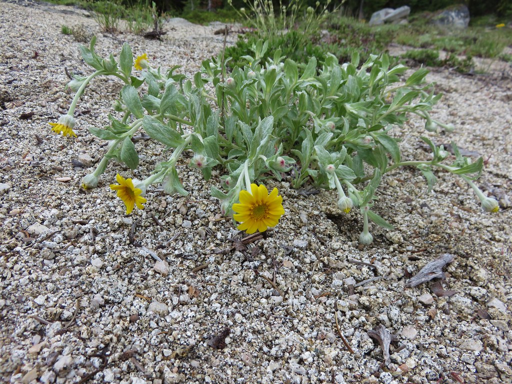
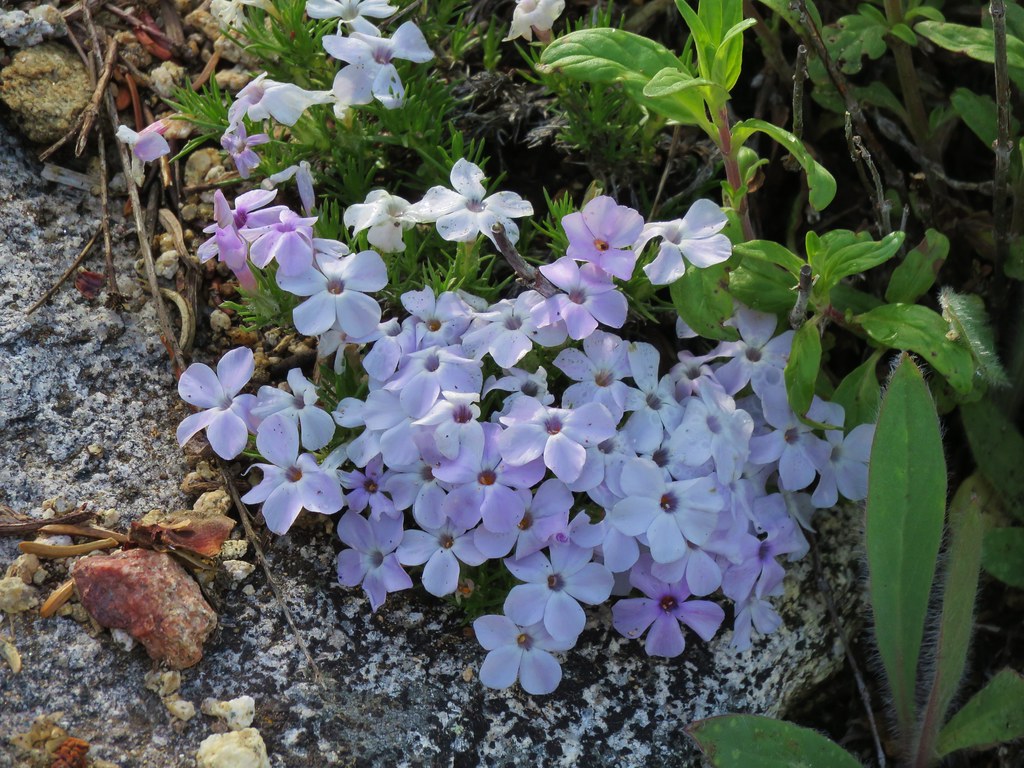
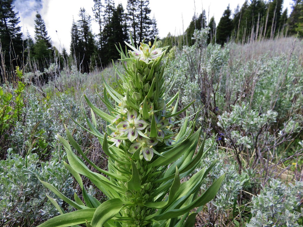
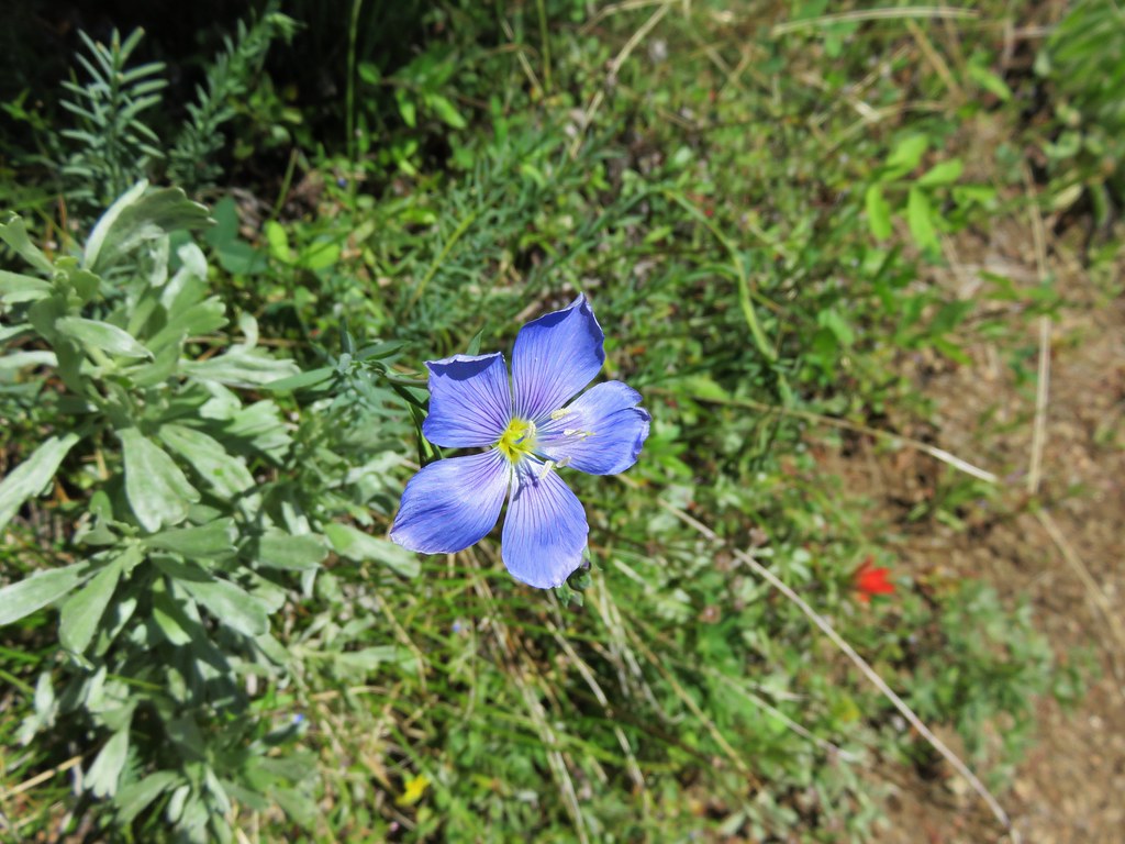
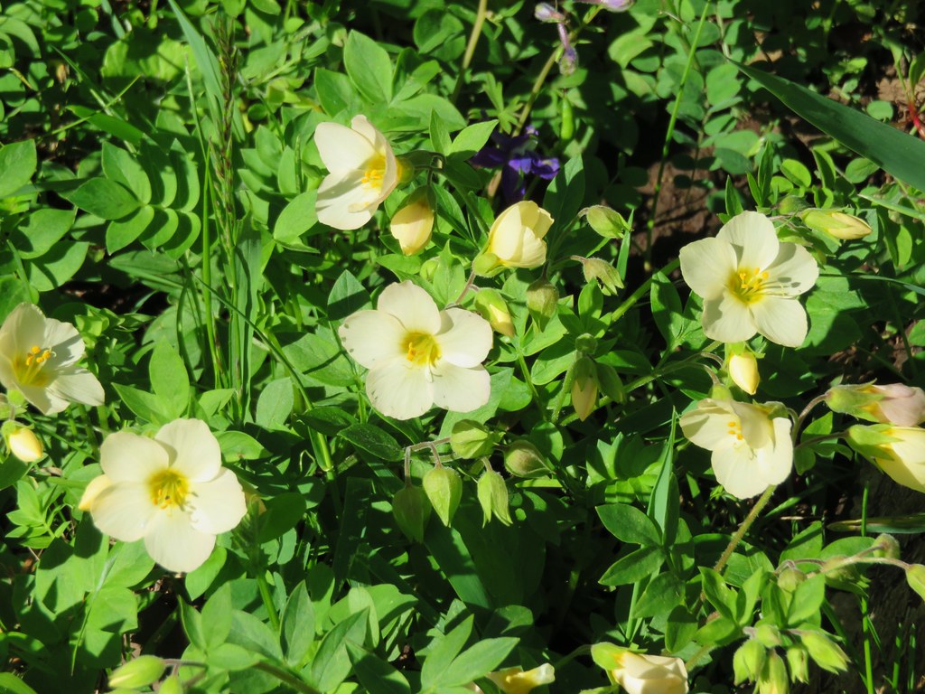
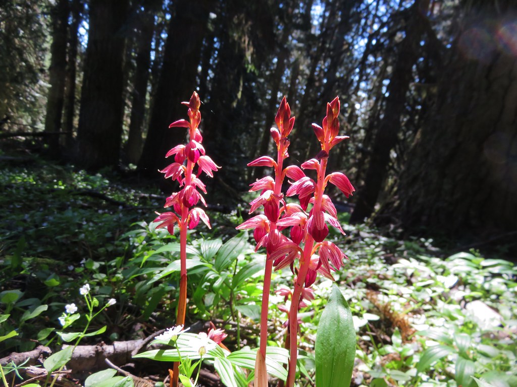
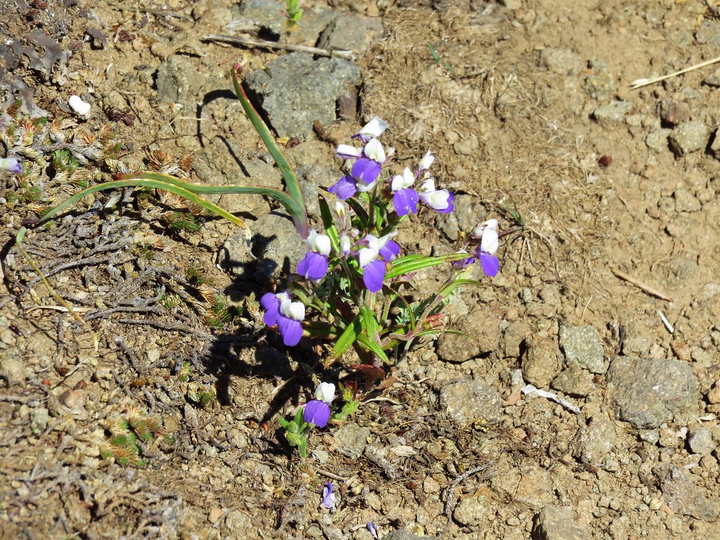
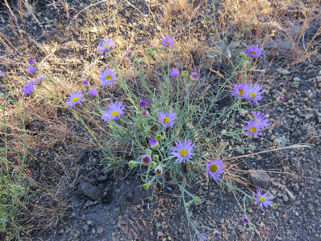
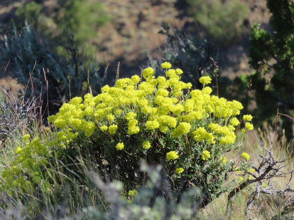
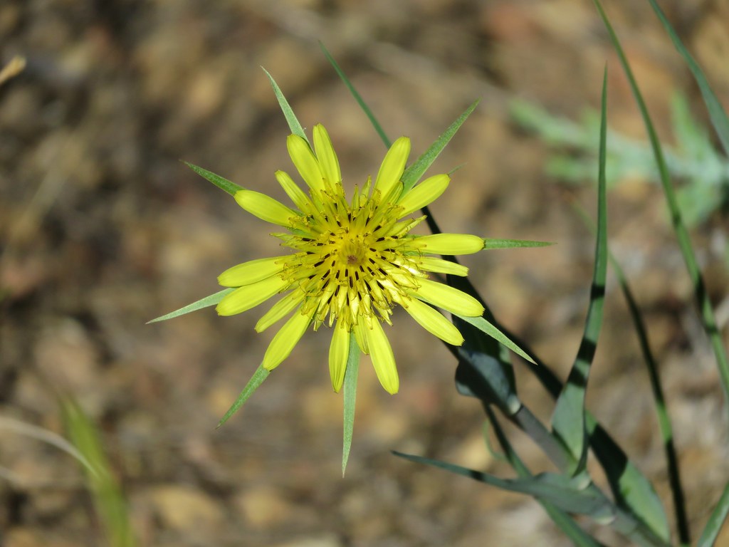
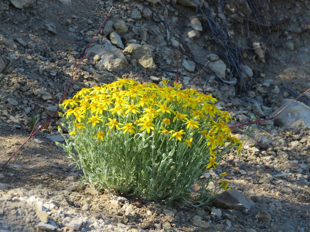
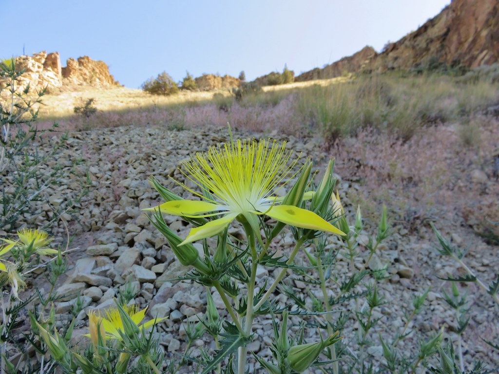
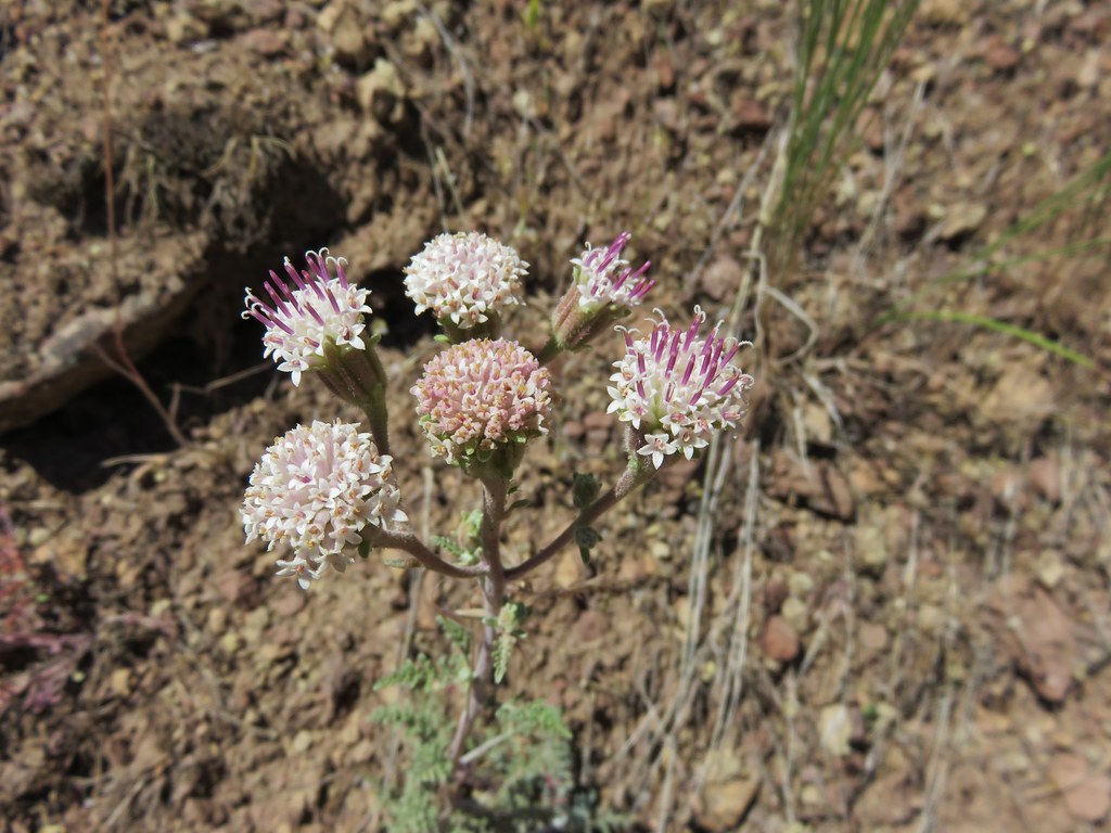
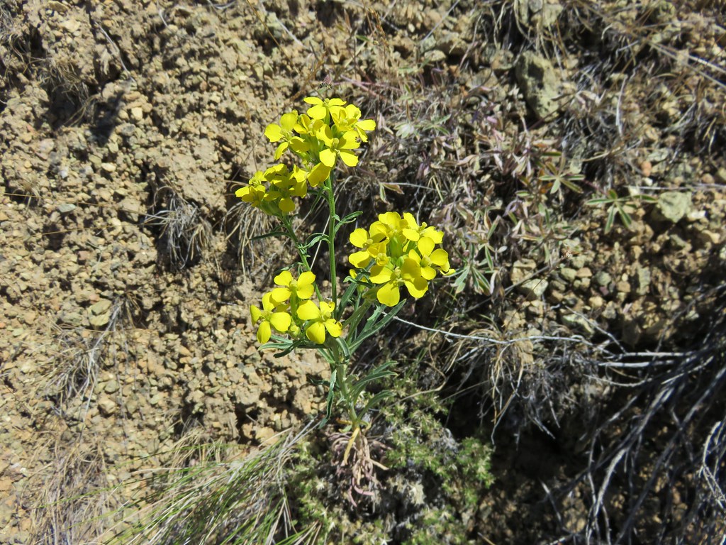
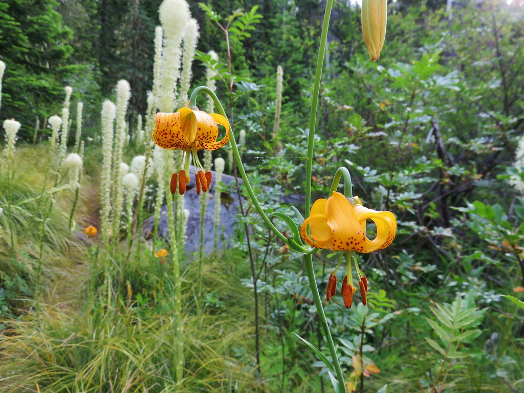
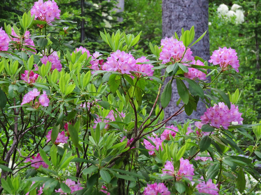
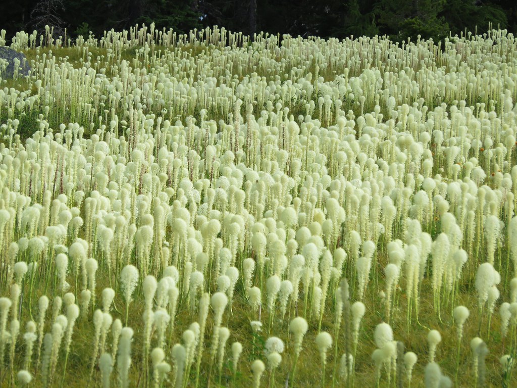
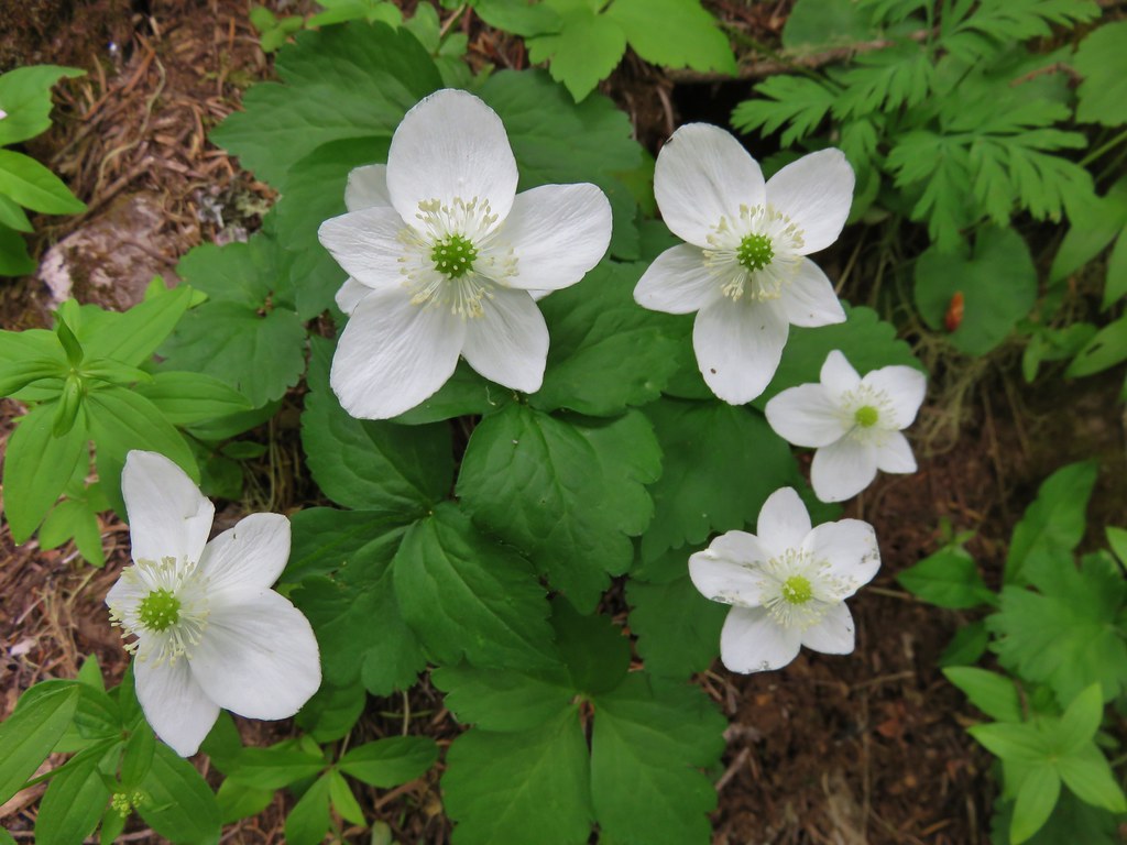
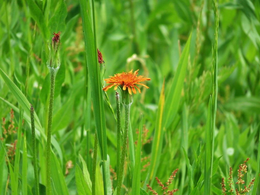
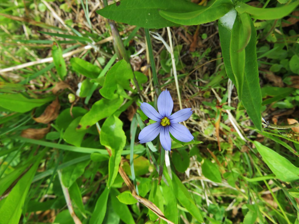
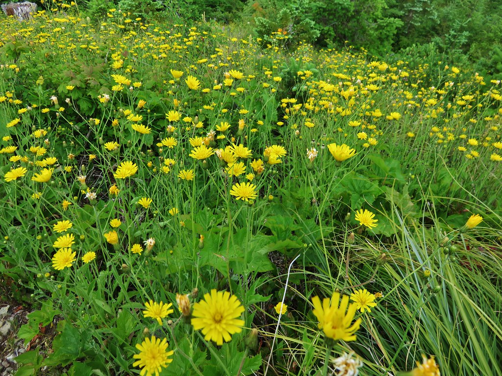
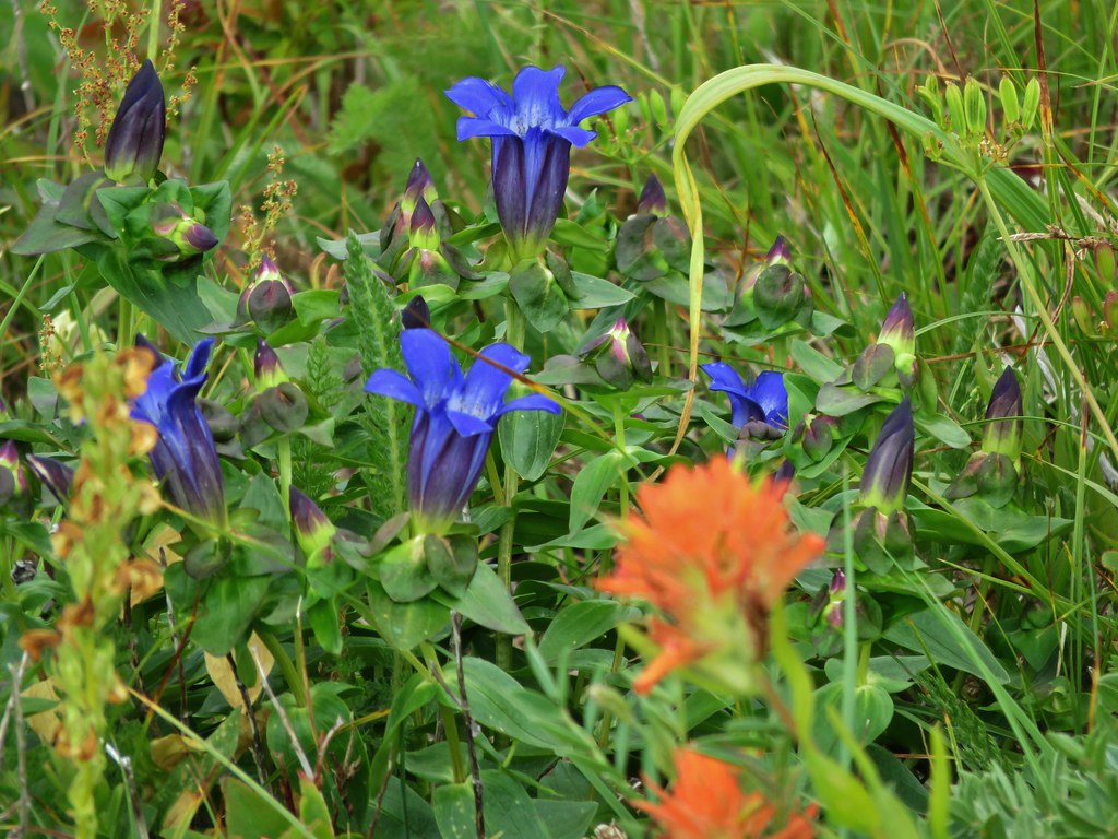
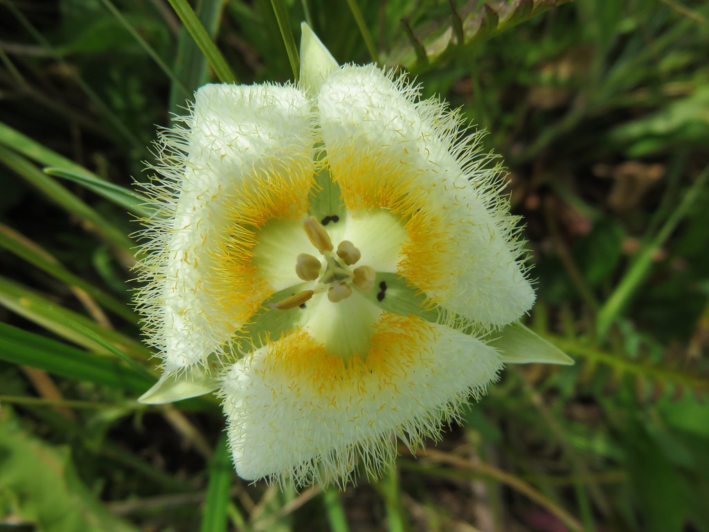
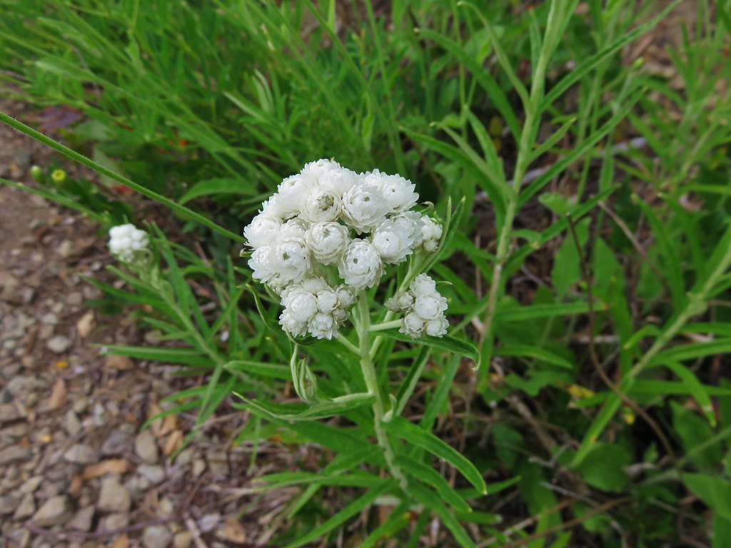
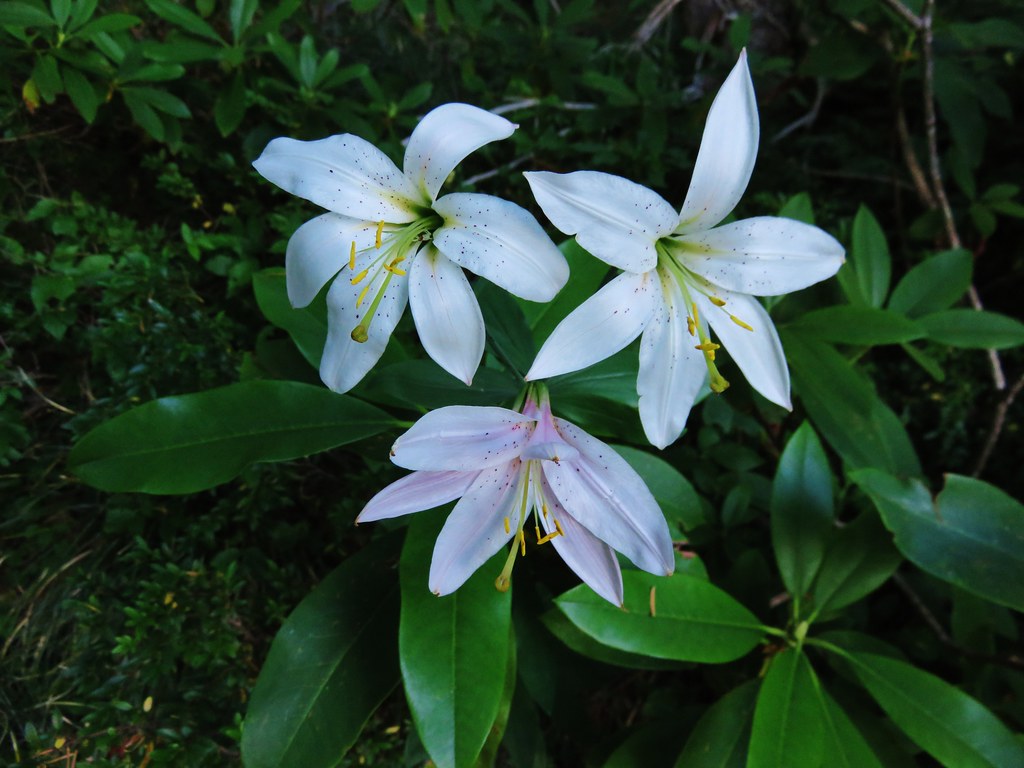
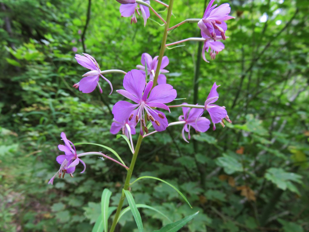
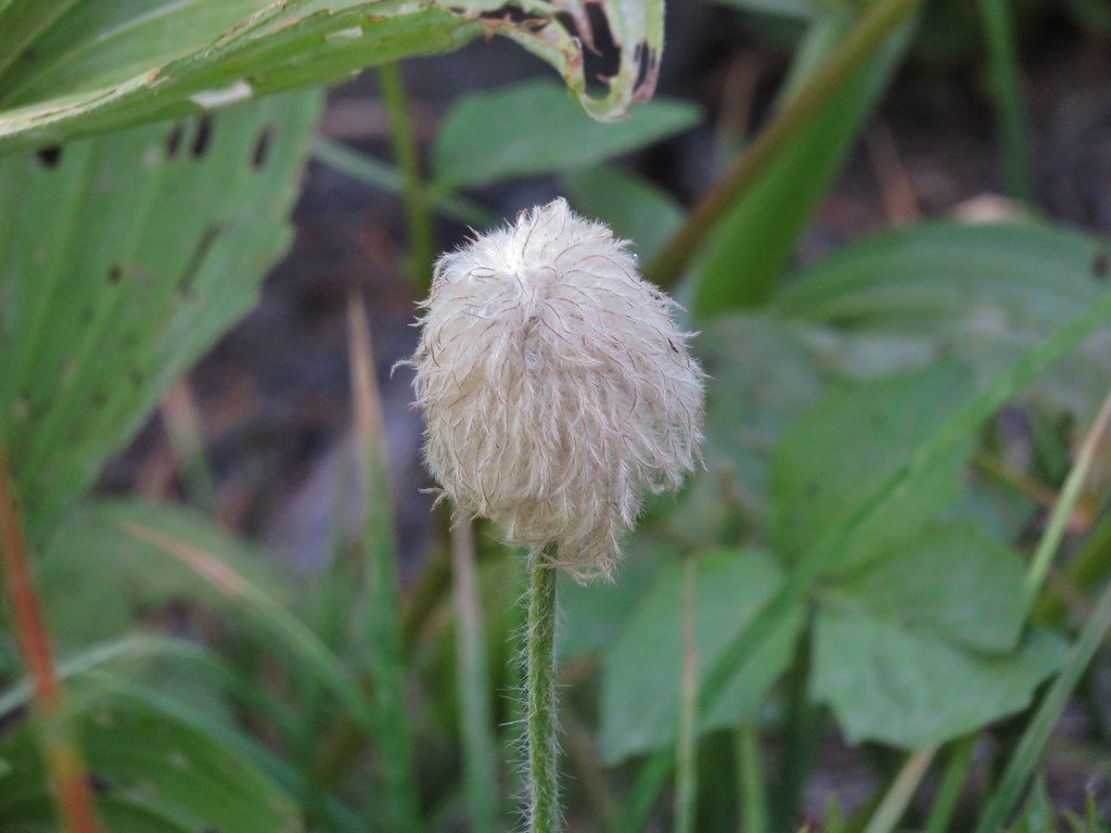
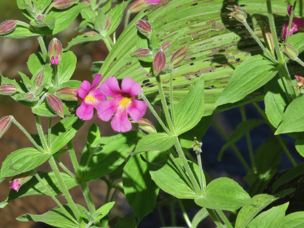
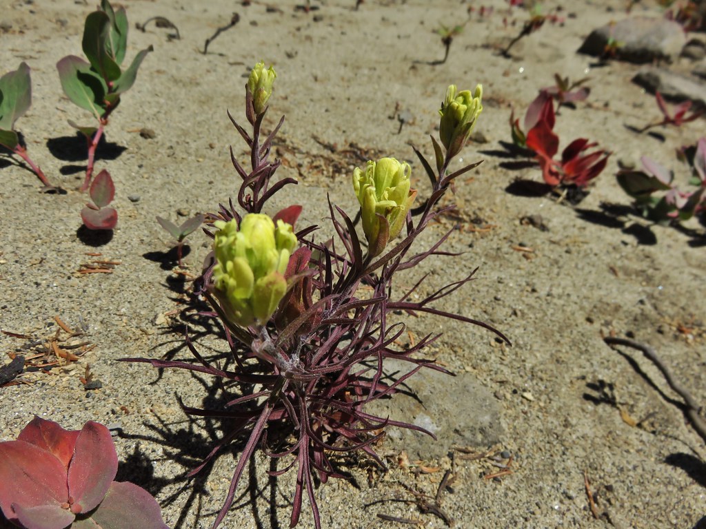
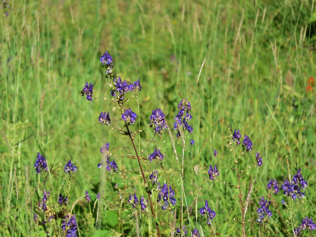
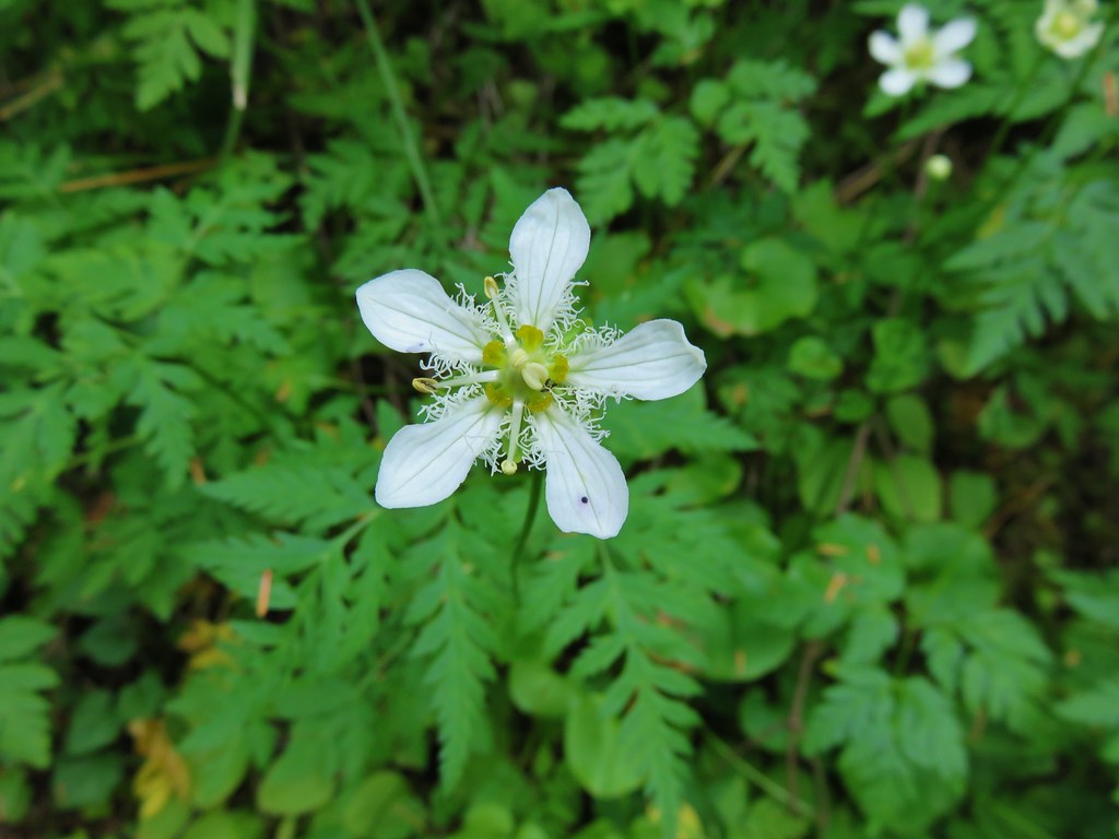
Wildflowers


We are already looking forward to next year’s hikes. I freely admit that I already have a preliminary schedule laid out (I will not admit to how far out it extends though 😉 ). As it currently stands we will be visiting 6 new wilderness areas, another national monument, and summiting three peaks over 9000′ tall. If history is any guide the list of completed hikes at this time next year will look vastly different from this preliminary one, but then that’s just part of the adventure. One thing is for sure though, we are sure to see some amazing sights along whatever trails we wander. Happy Trails!