
For our second hike of Labor Day Weekend we decided to head to Mt. Hood’s Timberline Lodge and hike up to the Silcox Hut.
The hike to the hut was one of the options Sullivan described in his Timberline Lodge Trails entry of “100 Hikes/Travel Guide Northwest Oregon & Southwest Washington”. We had done the longer options to meet our goal of hiking at least part of all 100 featured hikes in the book (post) so this was a chance to put a bow on this hike.
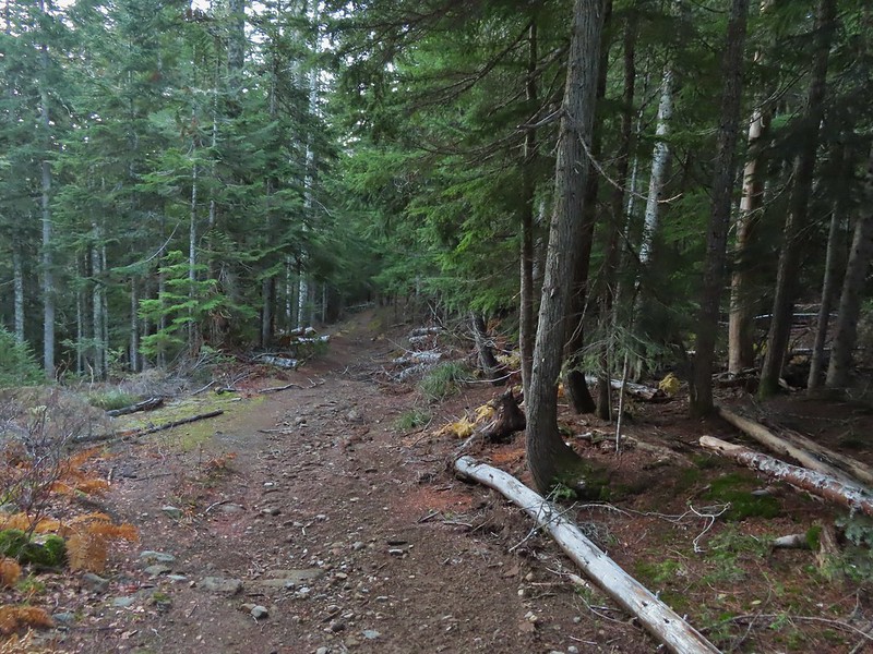
We parked at Timberline Lodge and hiked past the lodge on the Mountain Access Road.


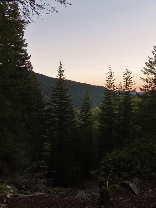
Sunrise from Timberline Lodge.

We followed the access road to a junction with the Timberline Trail/Pacific Crest Trail.


We angled to the right on a use trail looking for the Mountaineer Trail

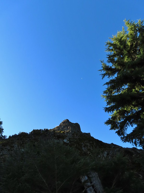
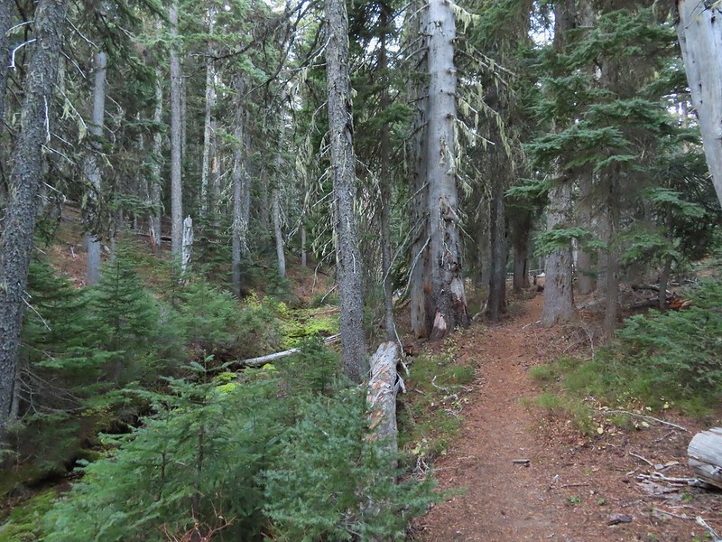
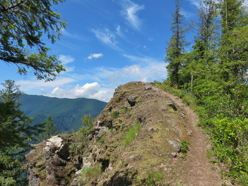
The Mountaineer Trail heads uphill along the small ridge ahead.
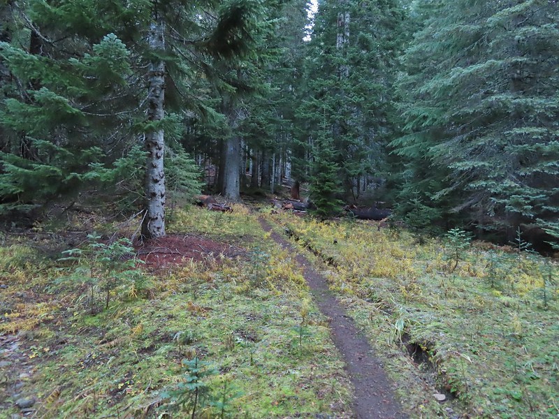
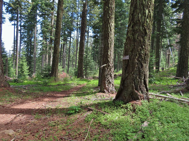
We turned left when we reached the small ridgetop and began the mile long, nearly 1000′ climb to the Silcox Hut.

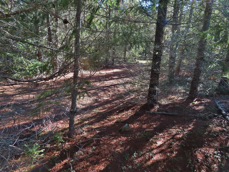
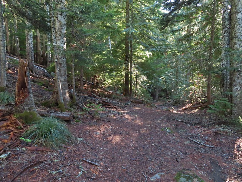
The trails are braided and there was also a dirt road that we followed for a bit, but as long as you head up along the ridge toward the buildings, you’re on track.


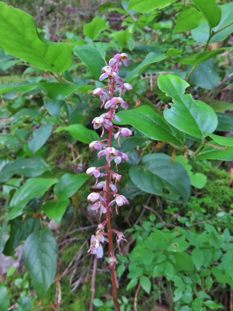
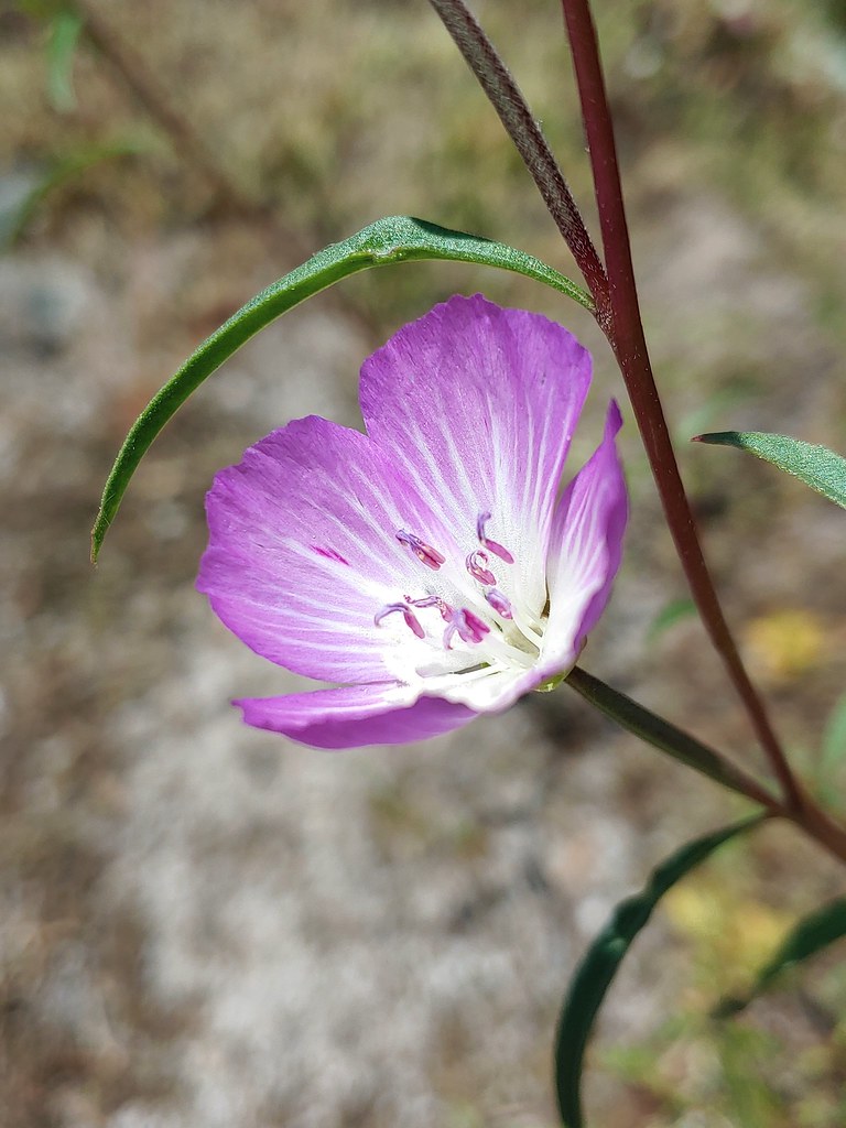
Aster

The Palmer Lift to the left of the Palmer Glacier.

The Magic Mile and Palmer Lifts to the left with the Silcox Hut to their right (a white van is parked in front).

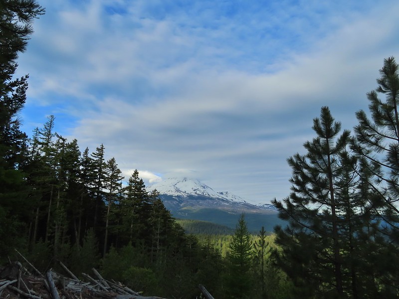
Timberline Lodge below. The haze is from the numerous wildfires currently burning.

Silcox Hut and Illumination Rock

Mountain bluebird
There was a private event going on at the hut but there was a picnic table nearby where we took a break.


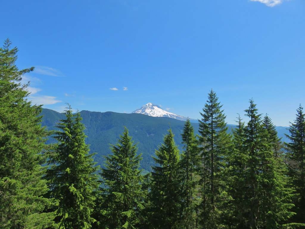
Mt. Hood from the Silcox Hut.
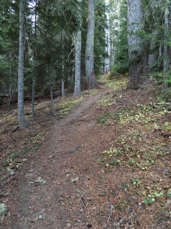
After our break we followed a road over to the ski lifts where we faced two options. Sullivan’s entry has you follow this road down below the Magic Mile Lift back to Timberline Lodge, but since we were going to head toward Paradise Park we picked up the Mountaineer Loop Trail which would drop us onto the Timberline Trail nearly three quarters of mile from the lodge.


The Magic Mile Lift runs during the summer allowing for a less strenuous climb to the Silcox Hut.
The Mountaineer Loop continues from the end of the first turn in the road below the Magic Mile Lift.

We should have stayed on the road between the two lifts but instead we went up and around them and wound up looking down at the curve where the Mountain Loop continued. We followed a use trail down to the curve.

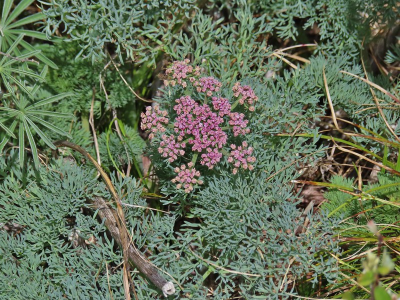
Tundra aster

Pussy paws

The large cairn ahead marks the trail.
Heather had decided that she was not going go all the way to Paradise Park and would instead turn around at the Zigzag River and return to the lodge to wait for me. Since I would be doing over 5.5 more miles than she we split up and I went ahead and reached the Timberline Trail first.


Illumination Rock

Looking down toward Timberline Lodge


Golden-mantled ground squirrel


I turned right onto the Timberline Trail and followed it for two and a half miles to the crossing of the Zigzag River.

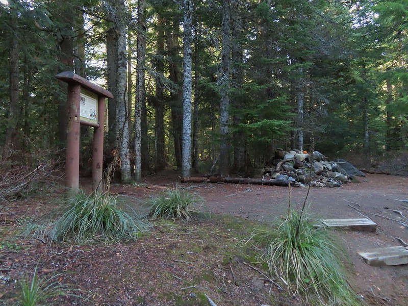
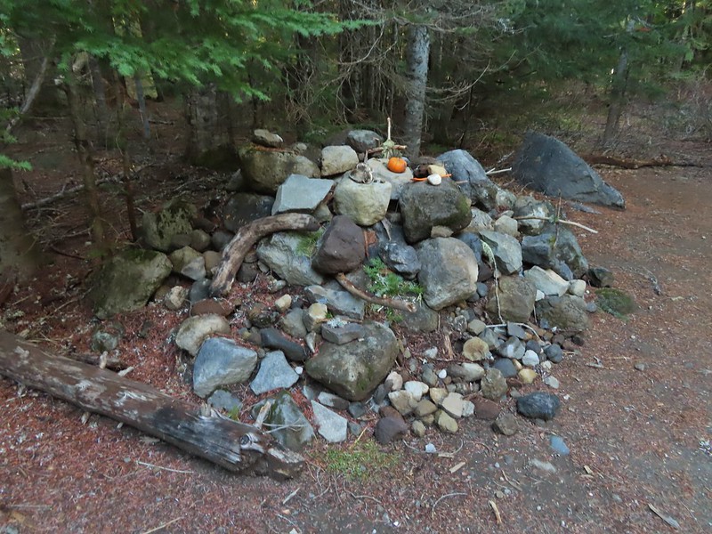
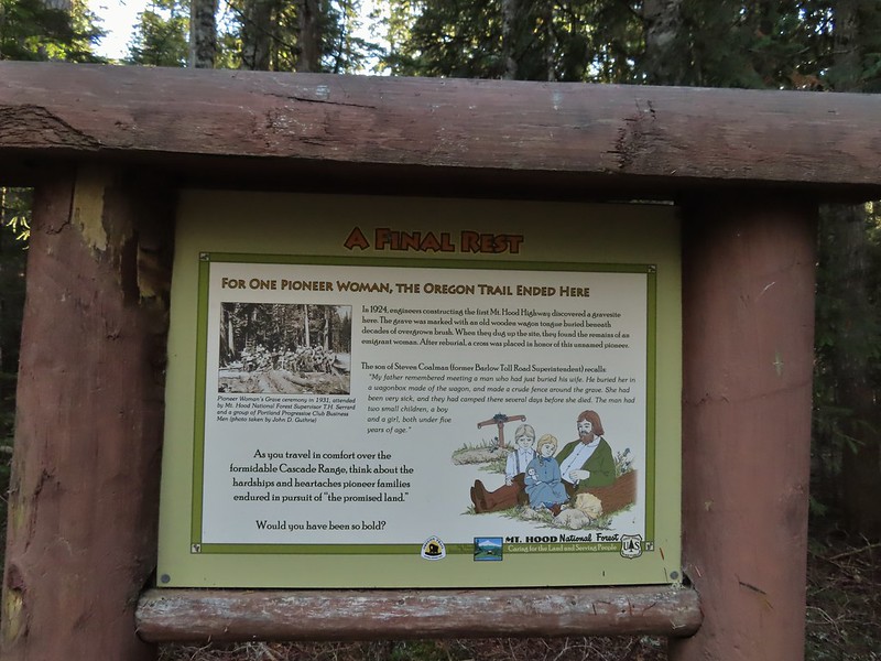
Wilderness information along the Timberline Trail.


Mt. Hood Wilderness signs at Sand Canyon West Branch.

The Timberline Trail on the far side of the Little Zigzag Canyon.

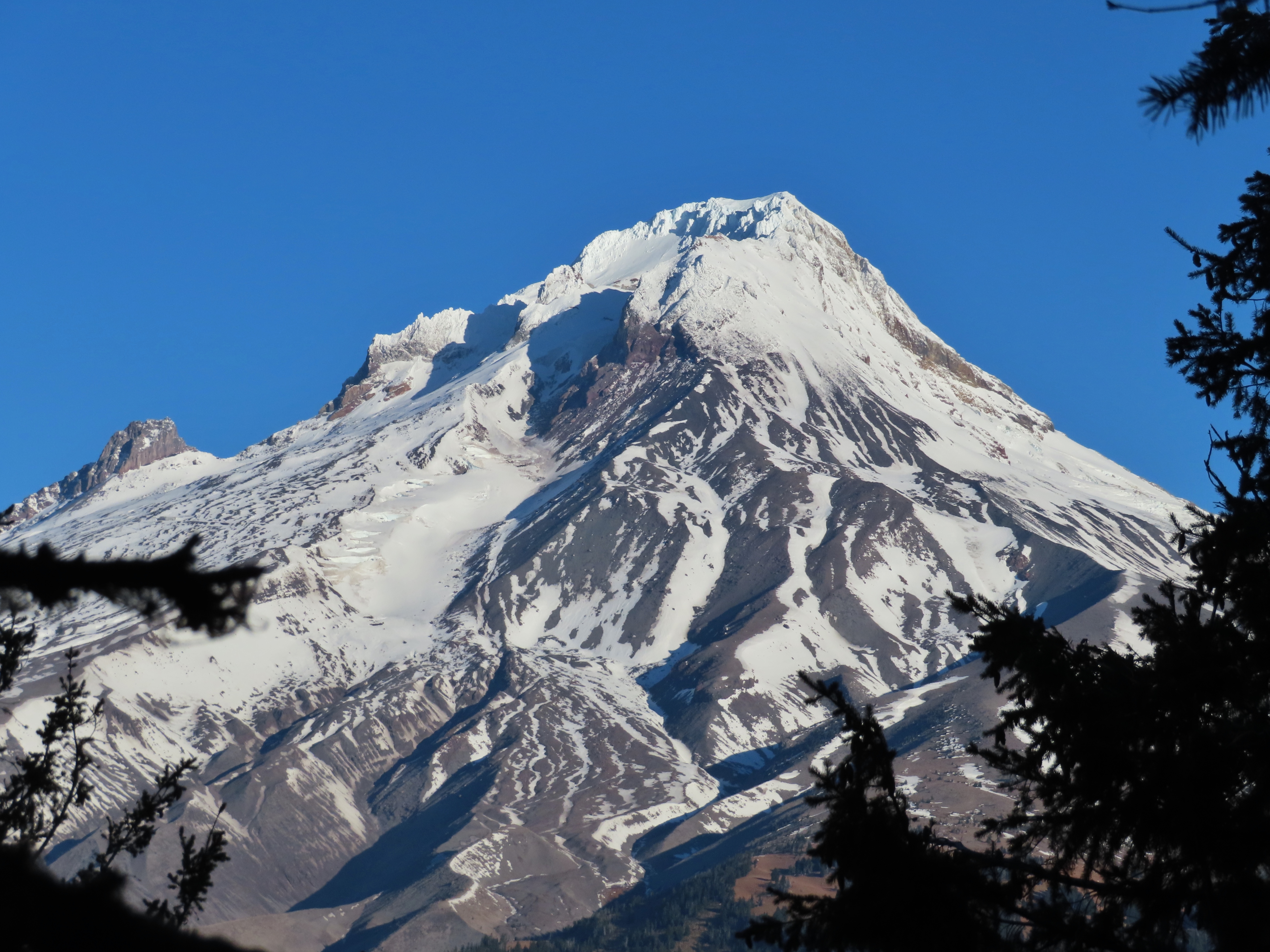
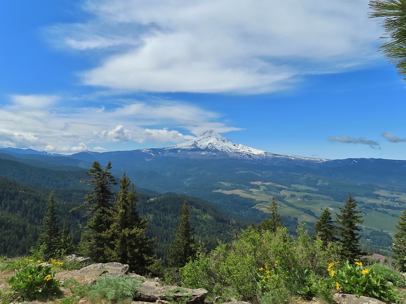
Mt. Hood from the Little Zigzag River.

Junction with the Hidden Lake Trail (post).


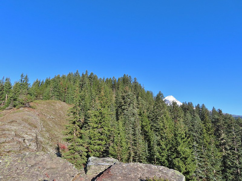
Tom, Dick, and Harry Mountain (post)

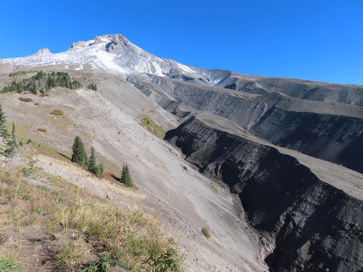
One and a half miles from the Mountaineer Trail the Timberline Trail arrives at viewpoint above the Zigzag River Canyon.

From the viewpoint it is a mile and 600′ down to the river.

There was a lot of beargrass earlier in the year.


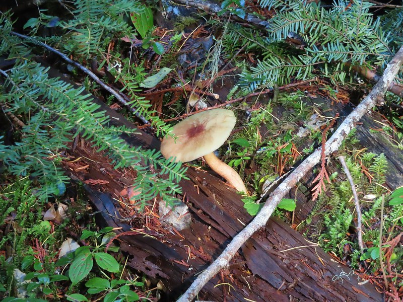
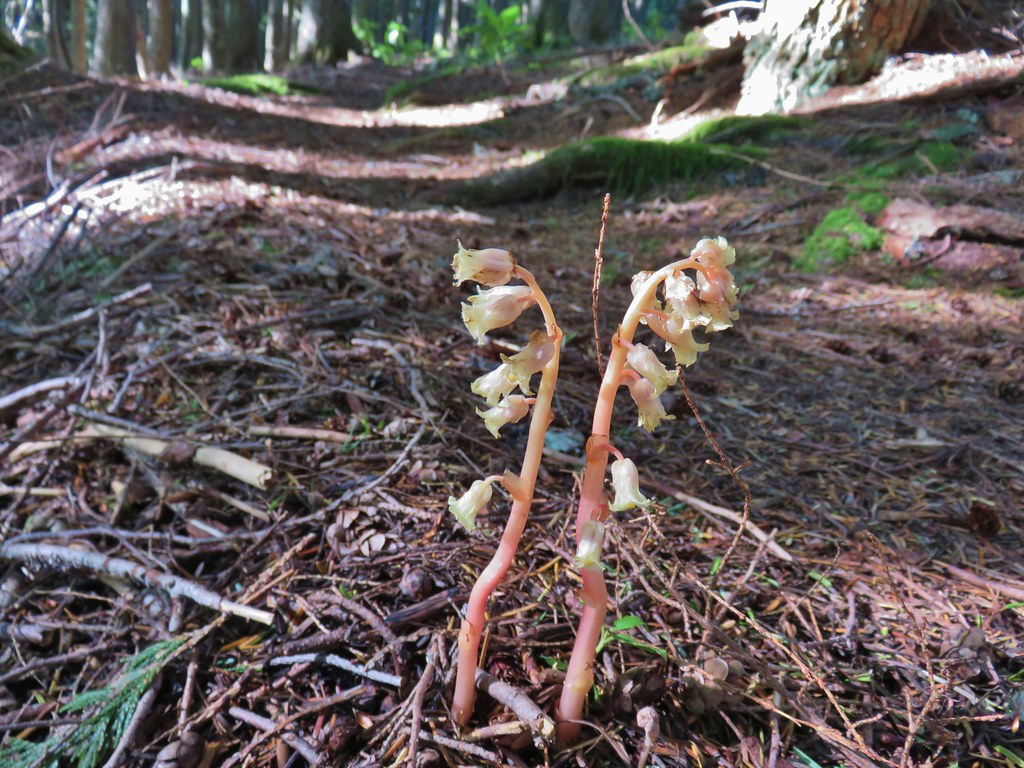
Big mushroom

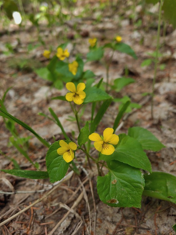
Sickletop lousewort

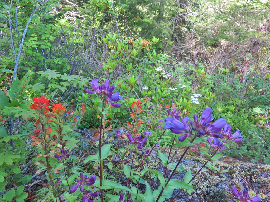
Beardtongue

Grass-of-parnassus


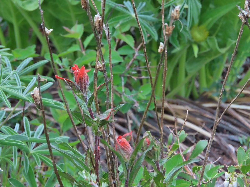
Paintbrush

Arnica

The trail crosses near the left of this photo. I was able to rock hop across and keep my feet dry.

Zigzag Falls

Zoomed in photo.

Heather went up to the falls when she got to the river.
A half mile climb gaining 250′ led up from the river to a junction with the Paradise Park Loop Trail where I turned right.


Another mile of climbing brought me to a junction with the Paradise Park Trail (post) in the middle of a wildflower meadow.


Pearly everlasting and paintbrush


Aster along the trail.


Trail sign at the junction ahead.

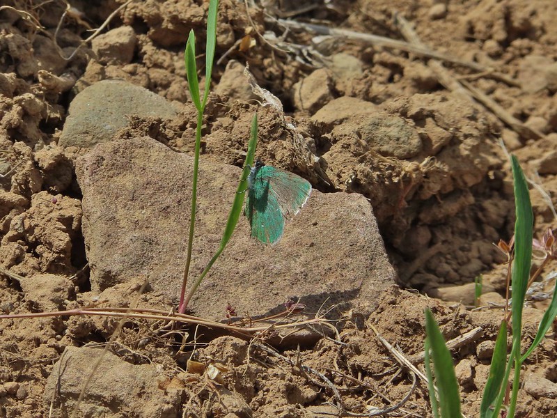
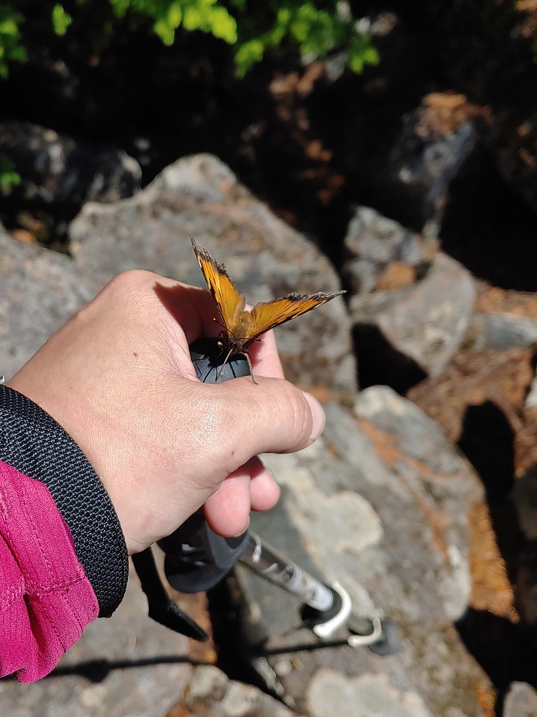
Fritillary butterfly.

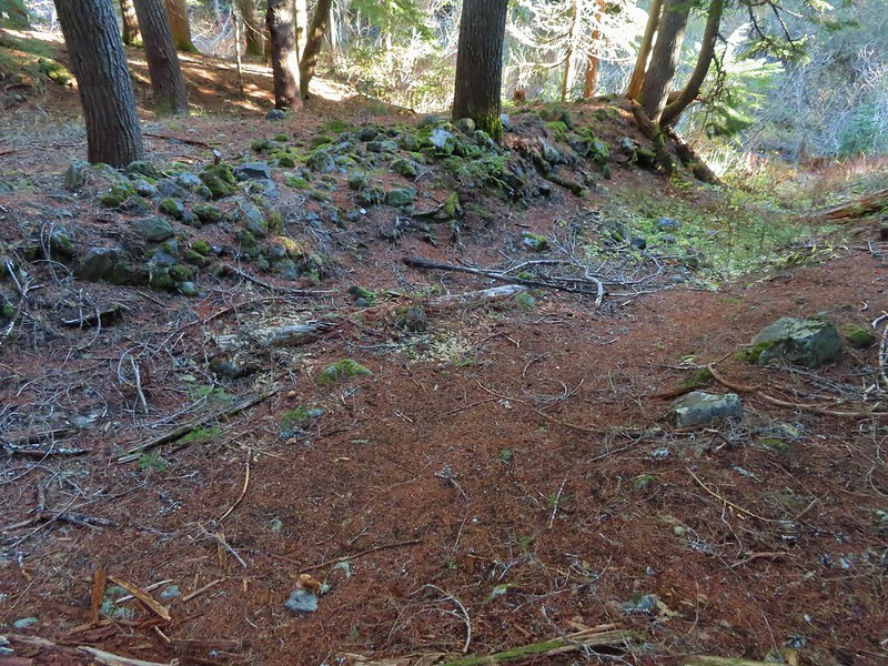
The trail leveled out as it passed through the meadow and after a quarter mile I passed the ruins of the former Paradise Park Shelter.


Western pasque flower


Valerian

Monkeyflower

Pink and yellow monkeyflower and paintbrush near Lost Creek.

The shelter ruins.
I continued along the trail crossing another branch of Lost Creek and passing through wildflower meadows with views of Mt. Hood.


Fireweed


The iconic (and crowded) split rock on the hillside to the left.

Gentians


Bistort, lupine, and groundsel


Part of the crowd at Split Rock.


Yocum Ridge (post) in the distance.
The trail eventually descended back into the forest and arrived back at the Timberline Trail a little over a mile from the shelter ruins.


The Timberline Trail/PCT junction.
I turned left on the Timberline Trail and started back toward the lodge. It was roughly 2.2-miles back to where I had turned up the Paradise Park Loop Trail and another 3.7 back to Timberline Lodge. I kept a good pace as I made my way back to the Zigzag River.


Monkeyflower

Heading down to Rushing Water Creek.

I heard several pikas in the rocks here but failed to spot any of them.

A barely flowing waterfall on Rushing Water Creek.


Looking back as I passed the Paradise Park Loop Trail.

My pace slowed considerably as I made the mile climb out of the Zigzag Canyon. In hindsight I should have stopped for water from the river, but I didn’t and wound up having to ration what I had left in order to make it back to the lodge. (The Little Zigzag River had no visible water this late in summer.)


Canada jay

Mt. Hood from the Zigzag Canyon overlook.
There was a lot of sneaky uphill on the way back to the lodge and I was dragging by the time I reached the Magic Mile chairlift which is where the last of my water was sipped.

The Palmer and Magic Mile Lifts on the hillside ahead.


The top of Timberline Lodge from beneath the Magic Mile Lift.

Heather had texted me and let me know she had gotten a table upstairs at the Ram’s Head Bar & Restaurant.

I made my way through the crowds, and after calling out a family for allowing their kids to throw rocks at a ground squirrel (sigh), I found her table. Heather got a Strawberry Spinach Salad which was refreshing, and I ordered the Maple Bourbon Bacon Meatballs. The food hit the spot and so did the couple of glasses of water I downed before we headed home.
My hike came in at 14.2-miles with approximately 3300′ of cumulative elevation gain. It was a challenging hike which I made more difficult by not stopping for water when I had the chance.

Happy Trails!
Flickr: Silcox Hut to Paradise Park


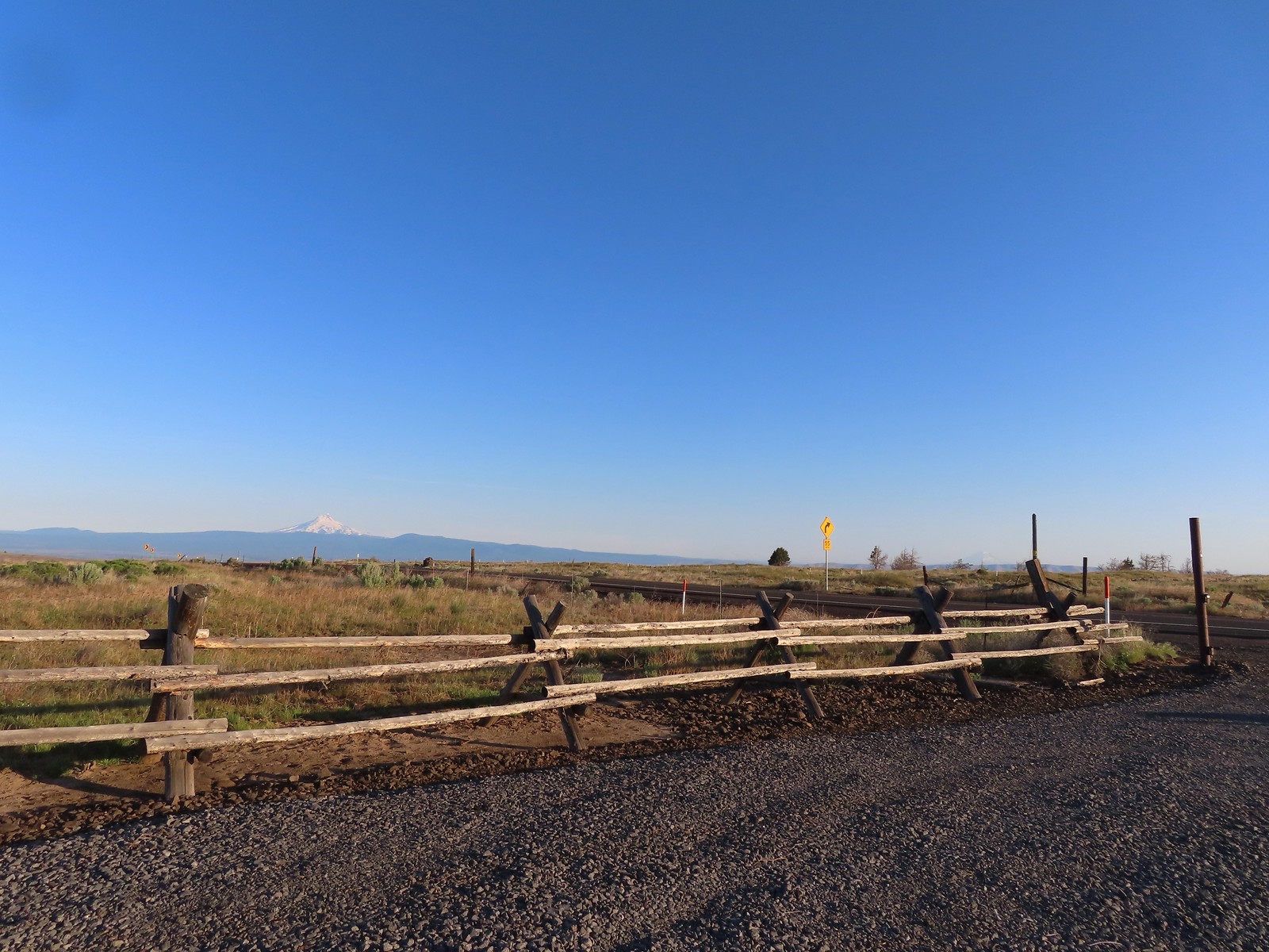
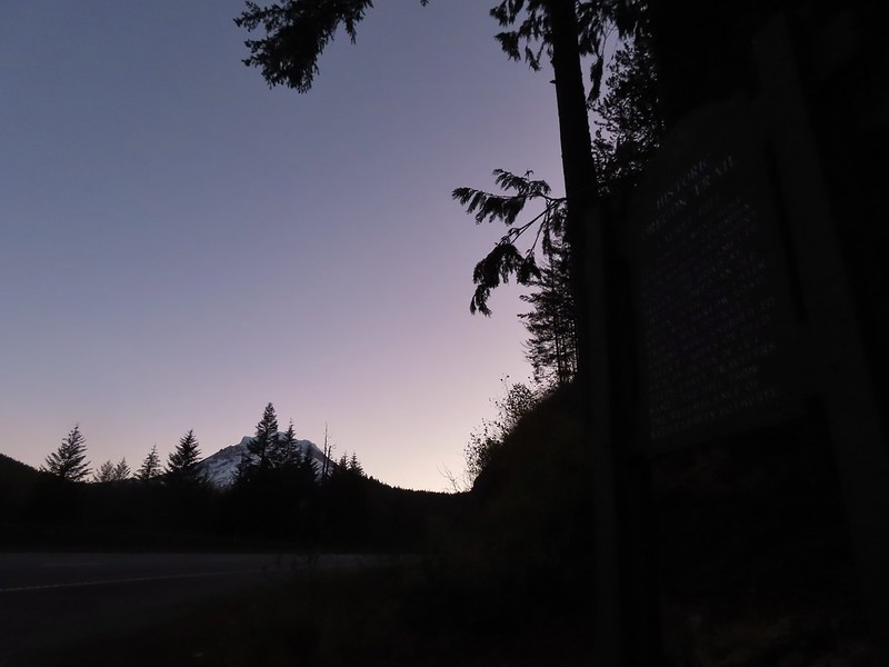
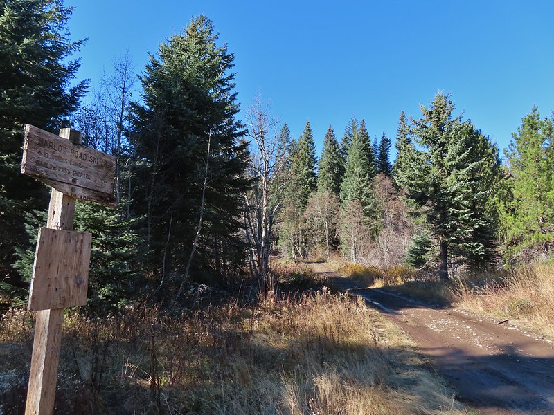
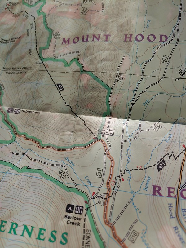
 We had also parked here in 2021 for our Barlow Butte hike (


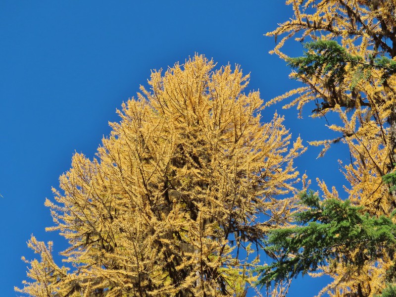
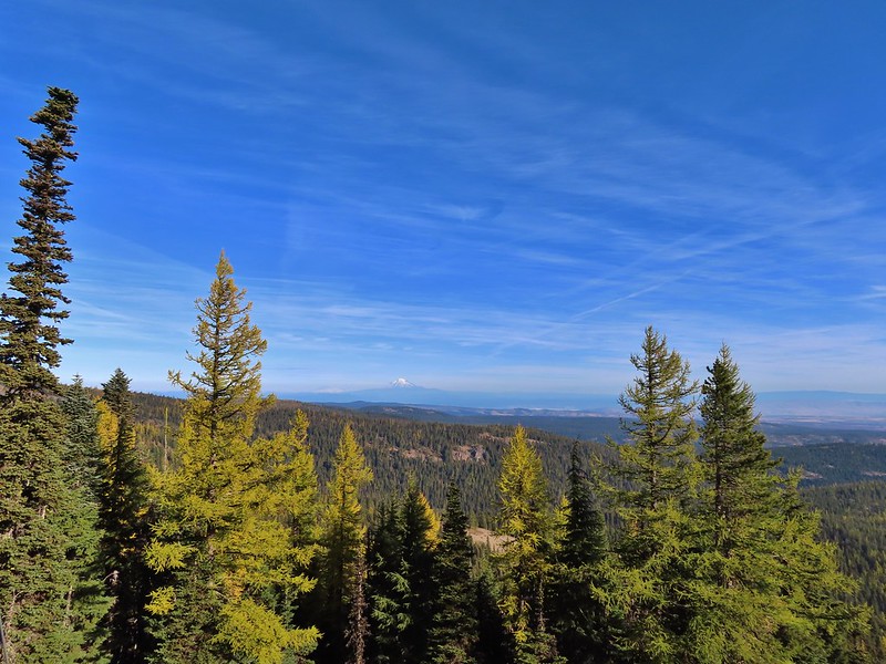
 The colors of Fall.
 Tom, Dick, and Harry Mountain (
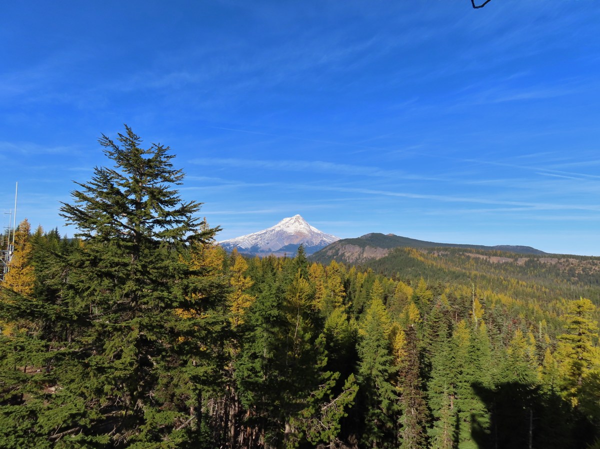
 Mt. Hood teased an appearance a couple of times along the lower portion of the PCT. It was enough to see that there was a dusting of fresh snow on the mountain.
 The signed junction with the Yellowjacket Trail.
 The wet brush had me whishing I’d worn boots.
 The Yellowjacket Trail passing a small meadow.
 Makeshift footbridge along the trail.


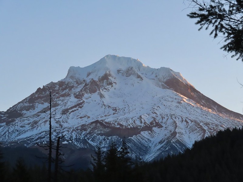
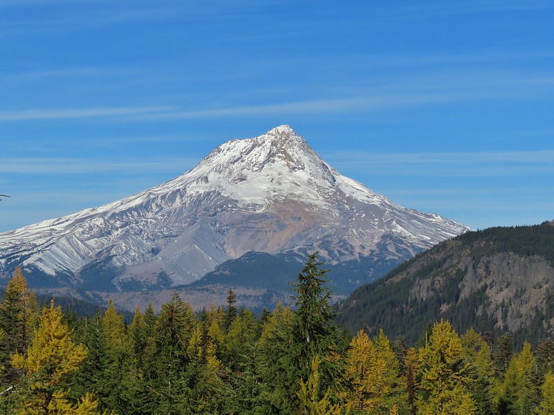
 New snow on Mt. Hood.
 The valley is the result of an eruption around 250 years ago.
 Pacific lupine
 At the end of the levee the route climbed a moraine then continued its gradual ascent to the Timberline Trail.
 Dark-eyed junco. There was a good variety of birds along the moraine, but this was the only one that sat still long enough to have its picture taken.
 Frost on a log. It was really nice to be hiking in the crisp cool air.
 Boy Scout Ridge from the moraine.
 The unsigned junction with the Timberline Trail.
 Mt. Hood from the junction.
 Sign for the PCT nearly absorbed by the tree.
 Lupine (broadleaf?)
 A few remaining blooms on the goldenrod.
 Signpost at the PCT junction ahead.


 The coyote with Mt. Hood looming behind.
 Mt. Jefferson to the south with the Three Sisters behind to the left.
 The Three Sisters and Mt. Jefferson
 The round peak along the far ridge is Gunsight Butte (
 We’d lost sight of the coyote until it ran across the trail not too far in front of us.
 More lupine
 A few remaining aster blossoms in the foreground.
 Timberline Lodge across the Salmon River Canyon.
 Looking back down the White River Valley. Barlow Ridge is the near hump on the right.
 Another look at Timberline Lodge.
 Despite all the cars at the lodge we would only encounter a half dozen other trail users until we were back at the Barlow Pass Trailhead.
 Small waterfall below the ridge.
 I turned around here where the Timberline Trail headed across the Salmon River drainage. The Silcox Hut is straight ahead on the side of the mountain.
 Looking back at the high point where Heather had stopped.
 Mt. Hood’s summit.
 The waterfall looking pretty small far below the mountain.
 It took us a moment to decide what the dark rounded peak straight ahead in the distance was. We eventually correctly identified it as Black Butte (
 Olallie Butte (
 Birds on mountain ash.
 The Timberline Trail junction.
 Beargrass meadow, there hadn’t been any blooms this year.
 Lousewort
 It was nearly 2-miles between the Timberline and Yellowjacket trail junctions.
 We were shocked to see a bunchberry that still had some petals, even if they were in sad shape.
 Mushrooms and fungi are not surprising this time of year.
 Highway 35
 Arriving at the Barlow Road.
 Our various hikes around the mountain. There are still a few areas where we could add a track or two. Happy Trails!

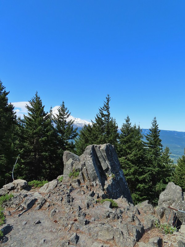
 Mt. Hood and Mt. Adams from the trailhead which is the high point of the hike.
 Mt. Hood
 Cattle sometimes graze in the area and the combination of their hooves with the unmaintained roads makes for some pretty rough surfaces.
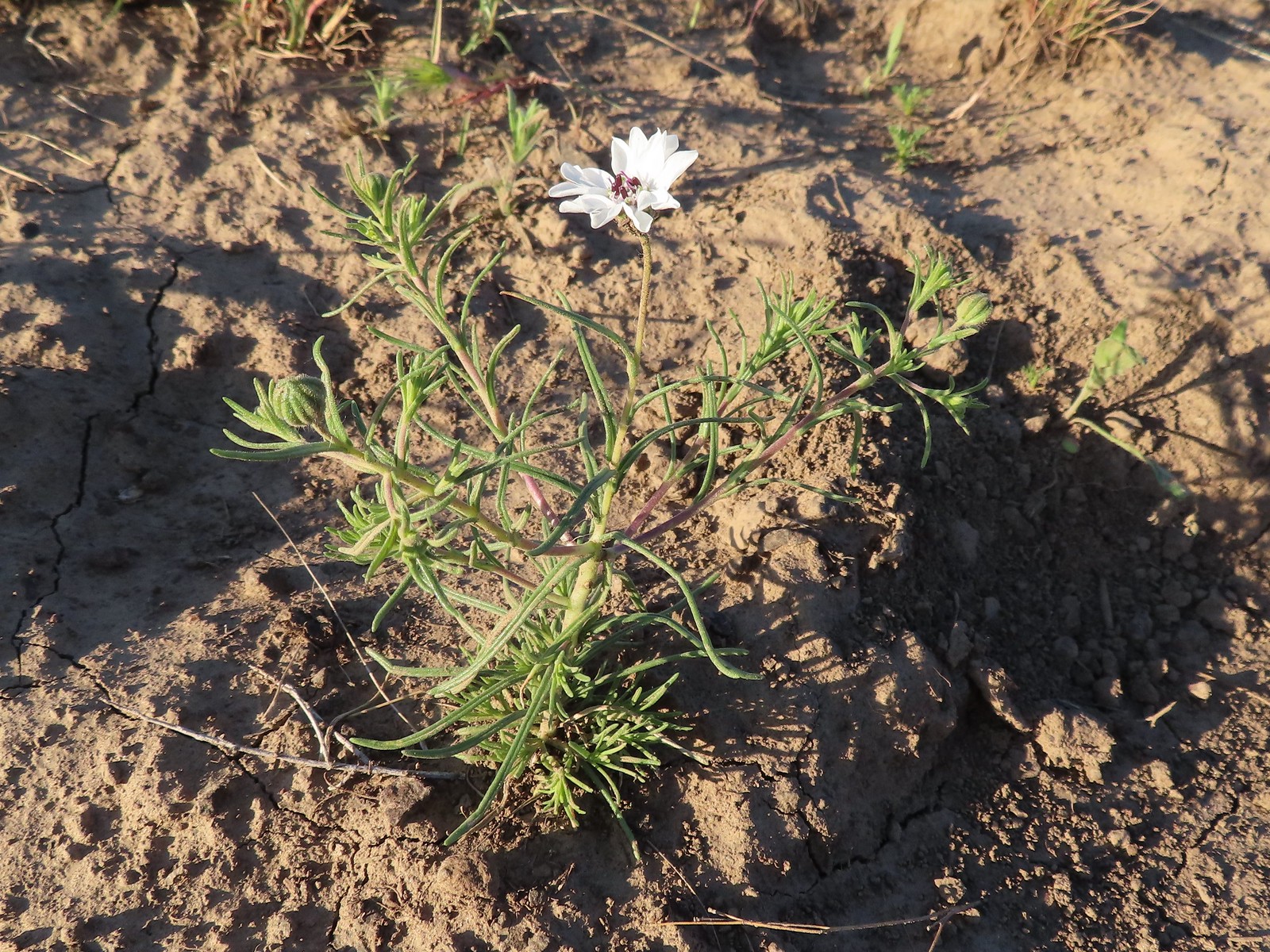 Rough-eyelashweed. There was a lot of this blooming along the road.
 A couple of lomatiums.
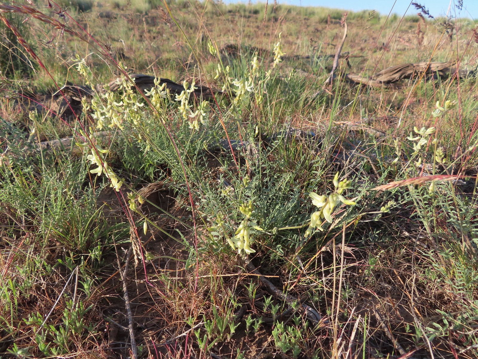 Howell’s milkvetch
 Idaho milkvetch
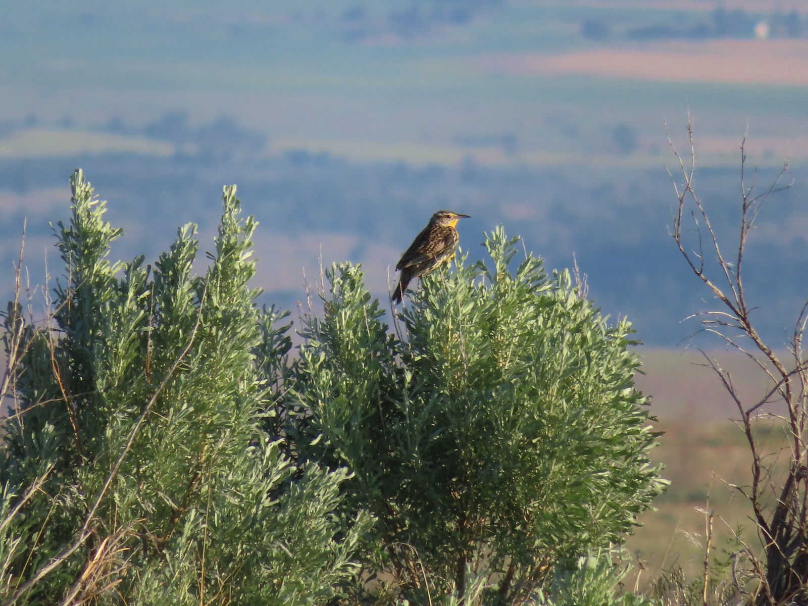 Western meadowlark
 A buckwheat
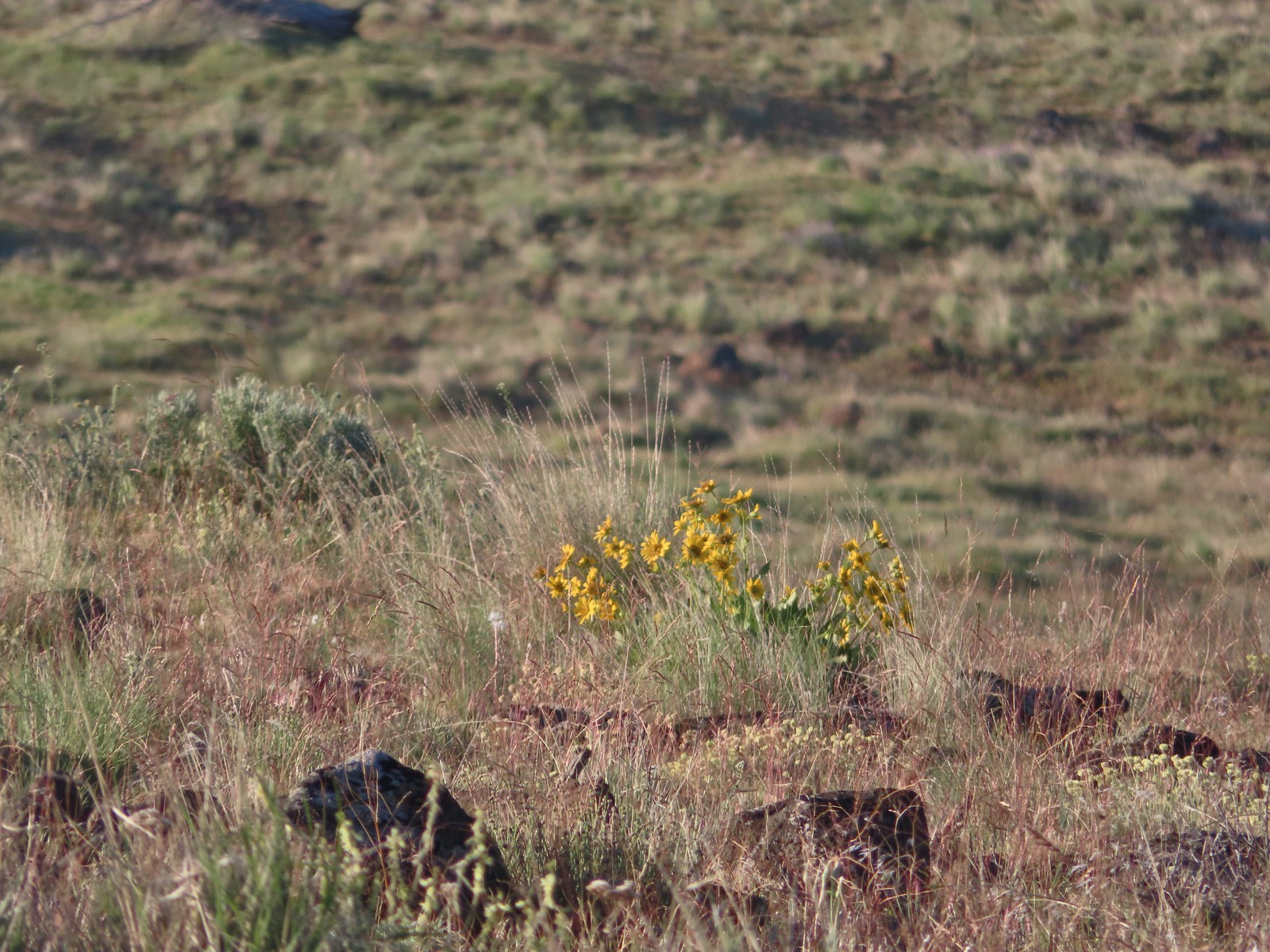 Carey’s balsamroot
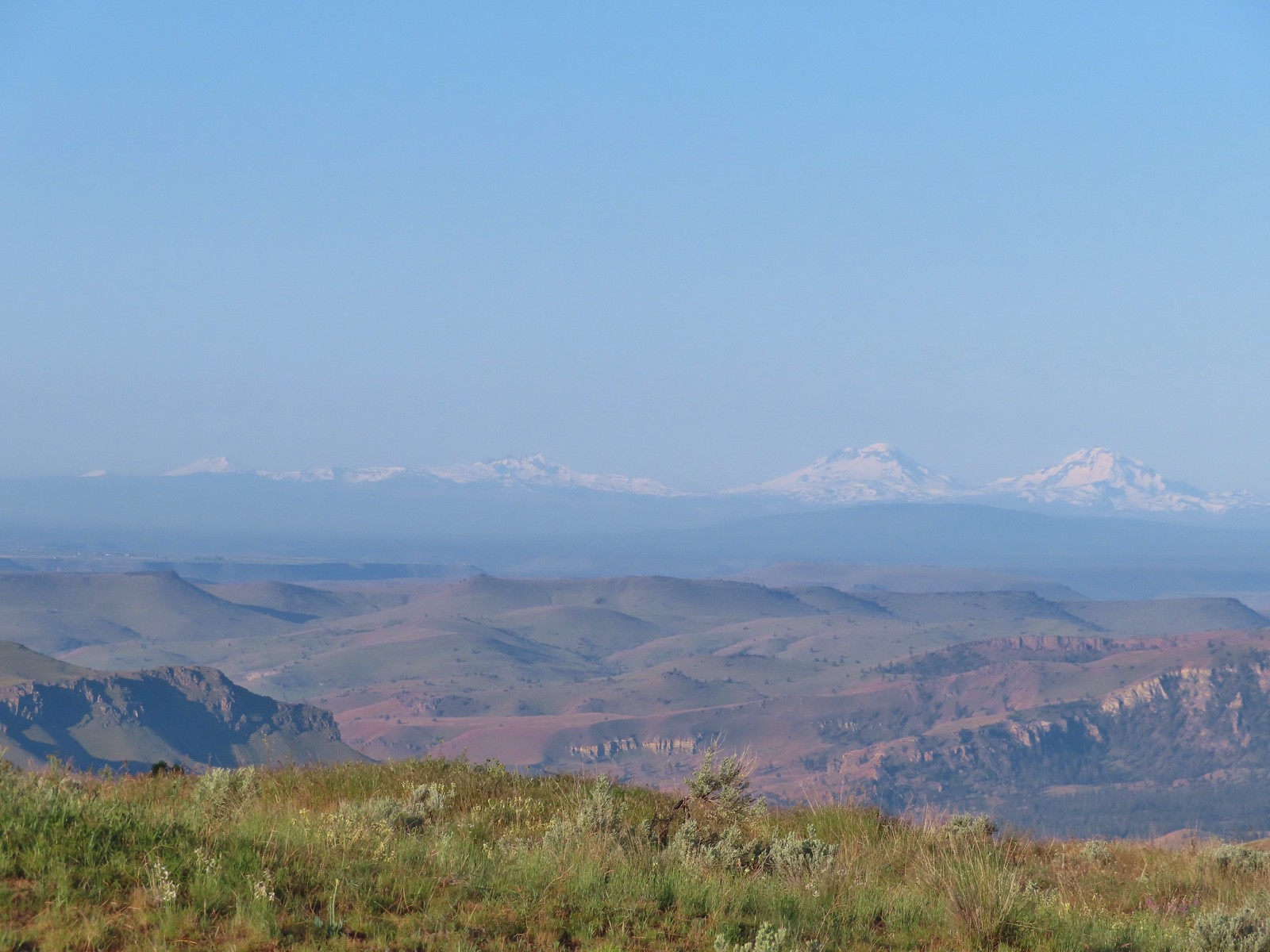 Mt. Bachelor, Broken Top and the Three Sisters
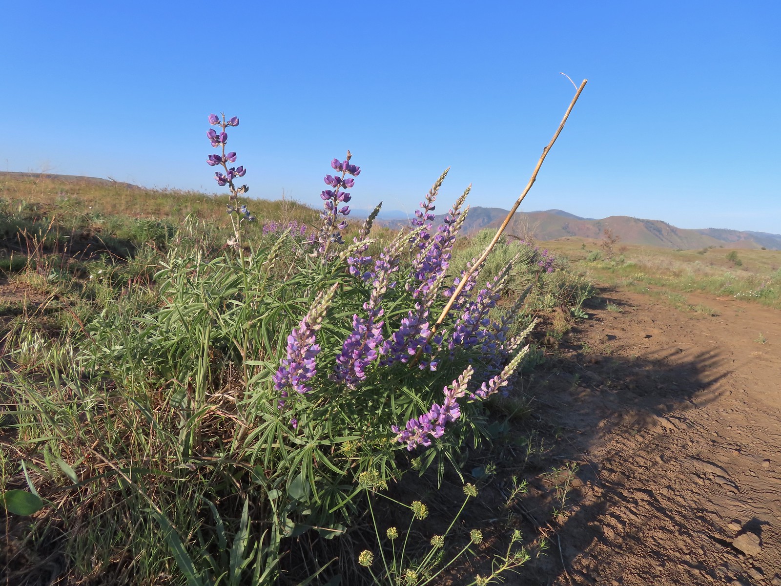 Lupine
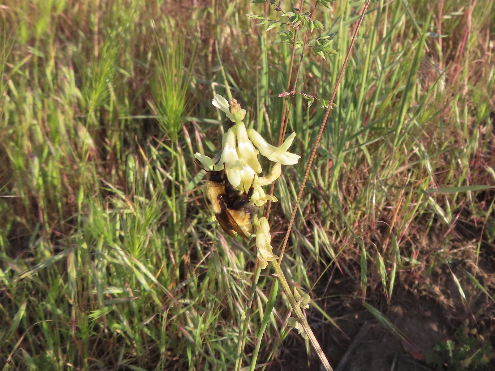 Bumble bee on Howell’s milkvetch
 Lark sparrow
 We spent a lot of time heading toward Mt. Hood.
 Sparrow?
 Mt. Adams
 Mt. Hood
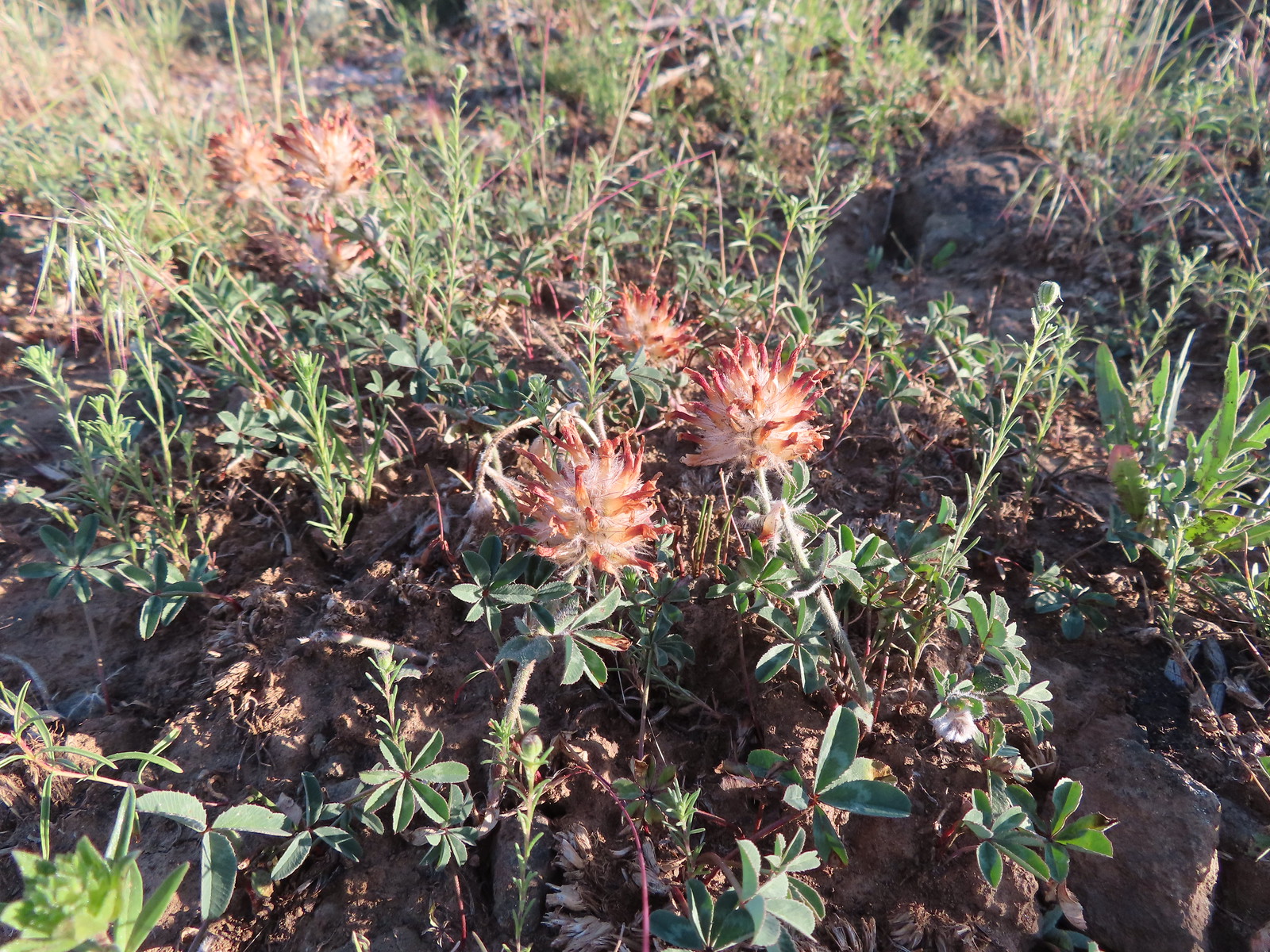 We were a little too late for the large-head clover.
 Western meadowlark giving a performance.
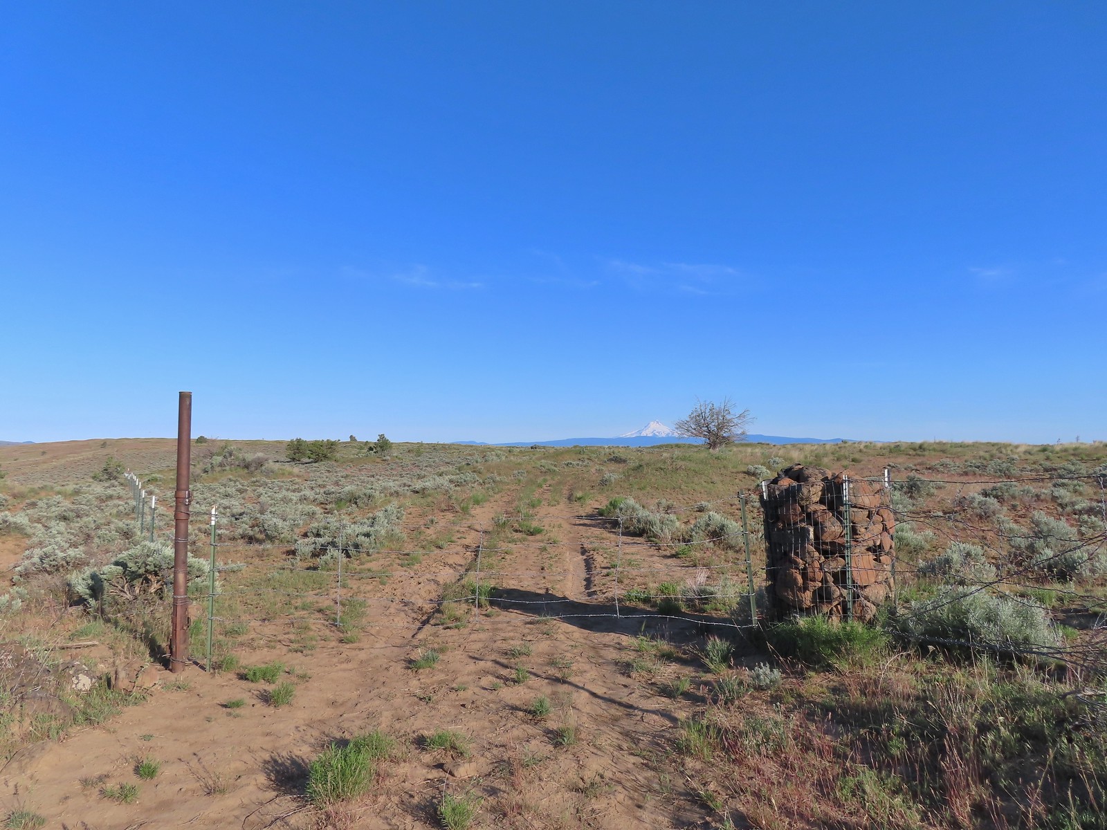 The third gate with Mt. Hood in the distance.
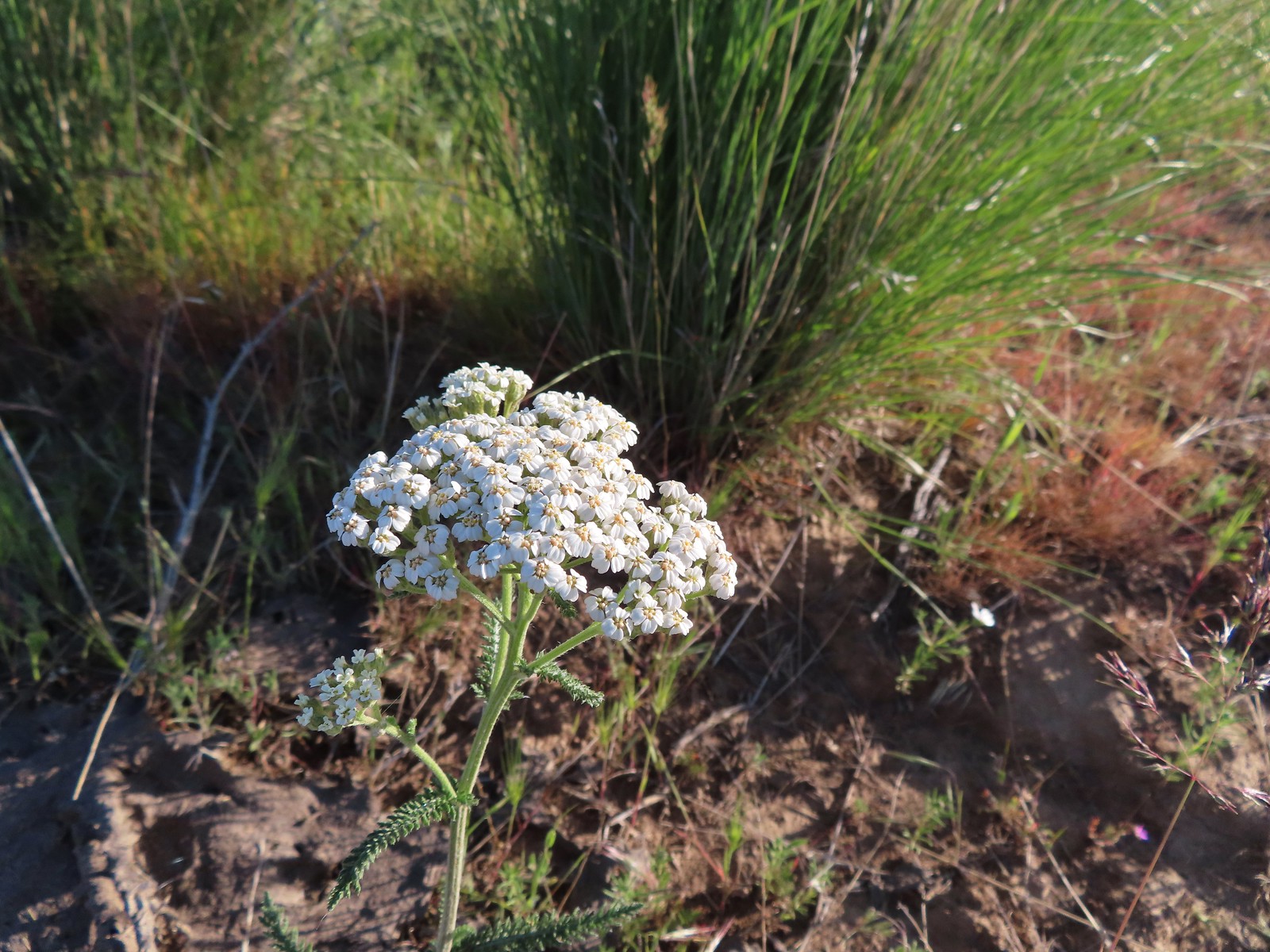 Yarrow
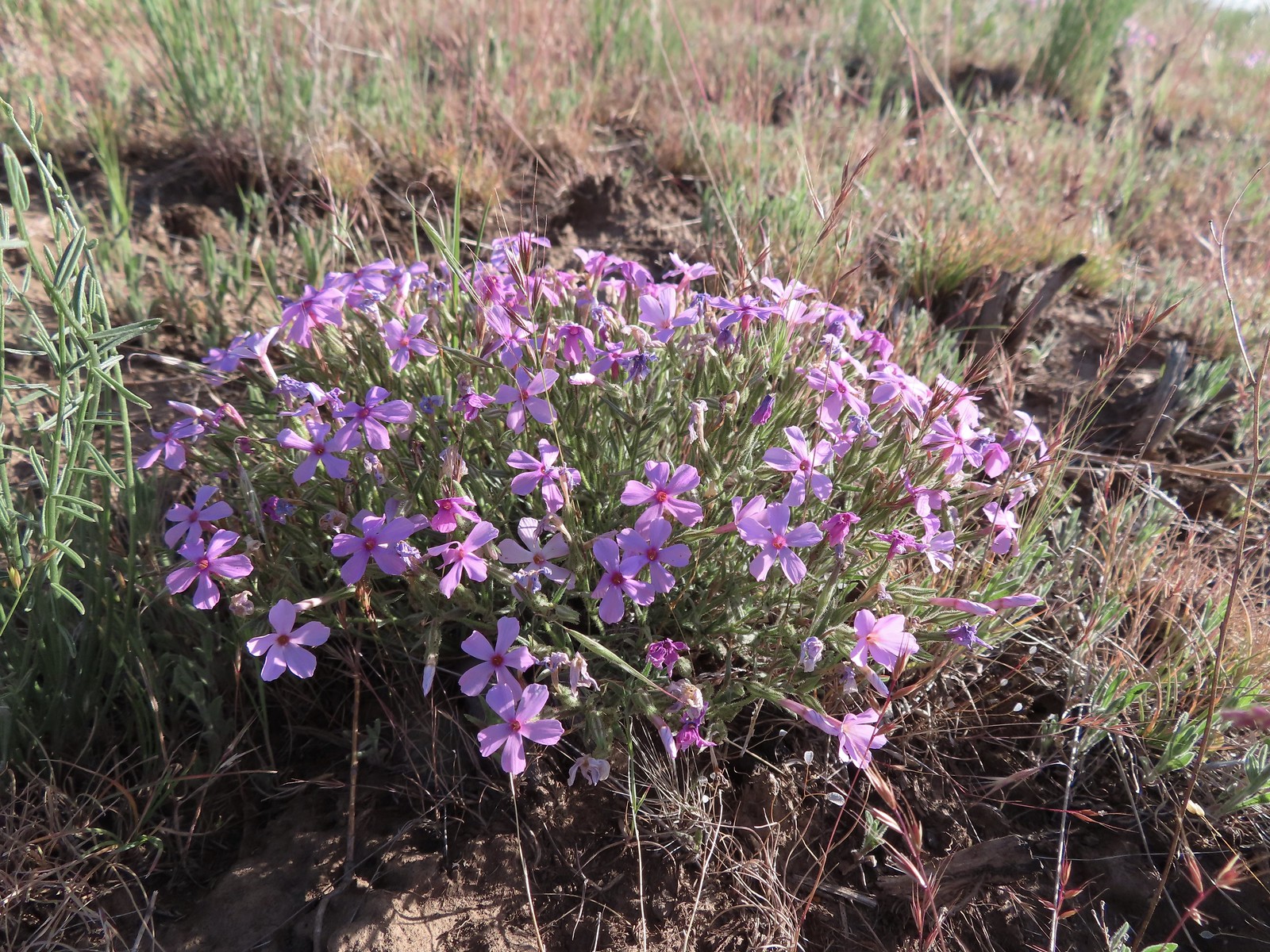 Phlox
Phlox The Deschutes River winding through the valley below.
 Rough eyelashweed and lupine with Mt. Hood behind.
 Caterpillar
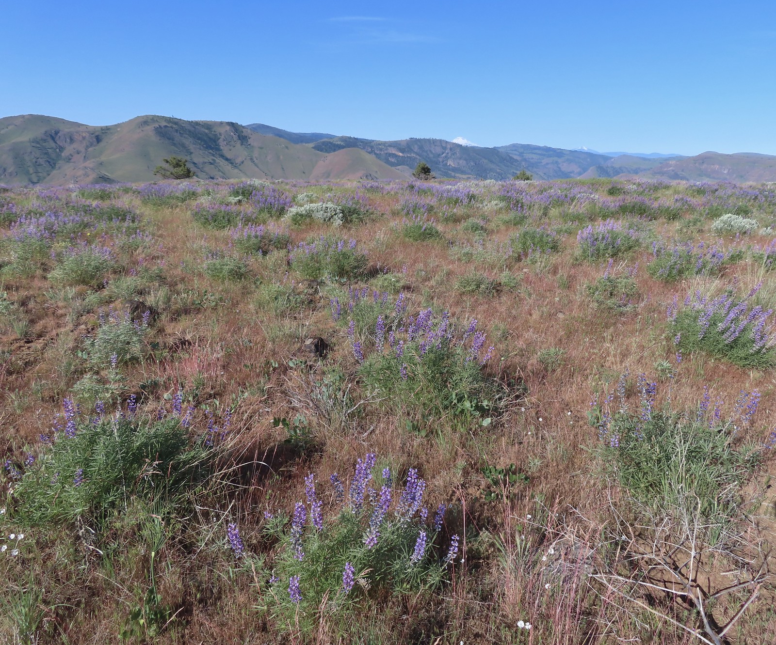 Lupine with Mt. Jefferson in the background.
 Horned lark
 Mt. Jefferson behind the abandoned trailer.
 Mt. Jefferson was hidden at times but this gap in the hills provided a nice view.
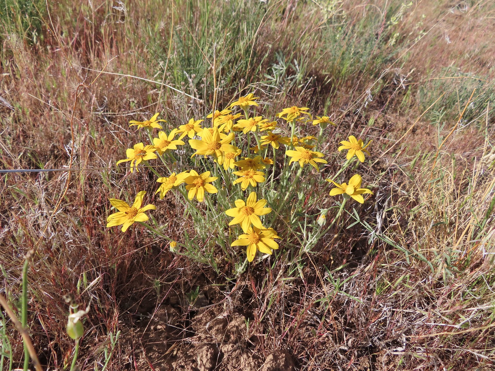 Oregon sunshine
 Skipper
 Mt. Jefferson and Olallie Butte (
 A small watering hole.
 Leaning toward an Acmon blue but not sure.
 Another in the Lycaenidae family.
 Large marble on a fiddleneck.
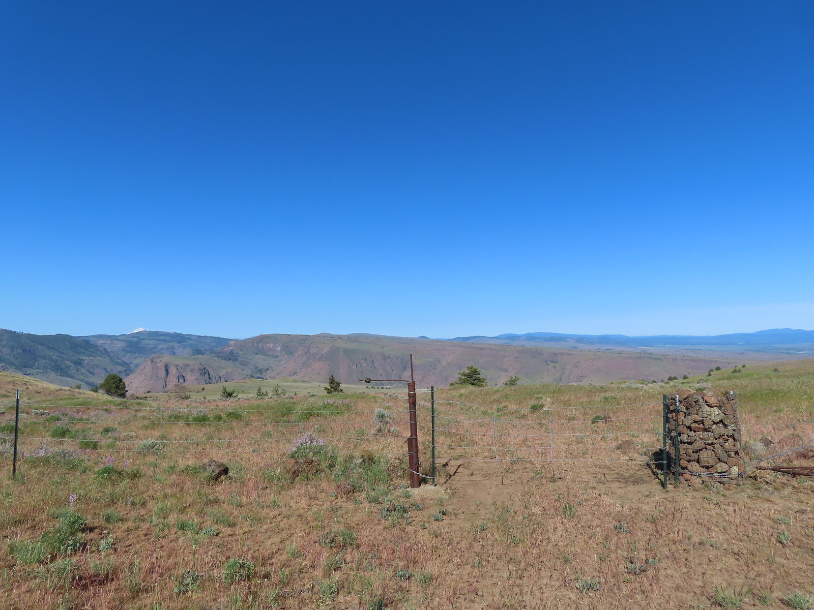 The fourth gate at the 4-way junction.
 Mourning dove
 The more “obvious” jeep track curving left.
 The fainter track angling slightly right.
 Ochre ringlet on rougheyelashweed.

 Zerene fritillary
 Zerene fritillary on salsify
 We thought we spied the post and used the camera to zoom in and confirm.
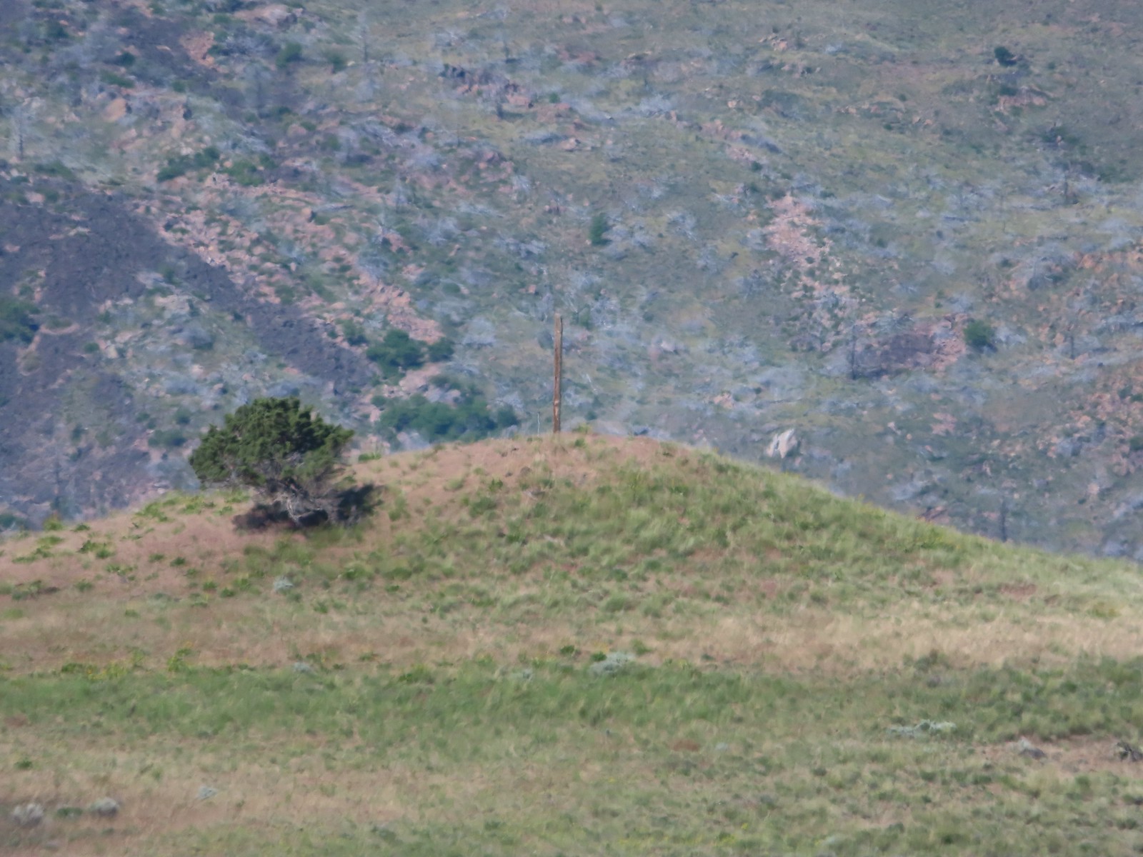 This was the only knoll with a juniper as well as the post.
 Largeflower hawksbeard
 Paintbrush
 To reach Stag Point we had to go cross country, so we looked for the most gradual looking climb.
 Mt. Hood from Stag Point.
 The Deschutes River from Stag Point.
 Mt. Hood and Mt. Adams from Stag Point.
 Looking back over the route we’d come down.
 Ladybug and an Oregon swallowtail.
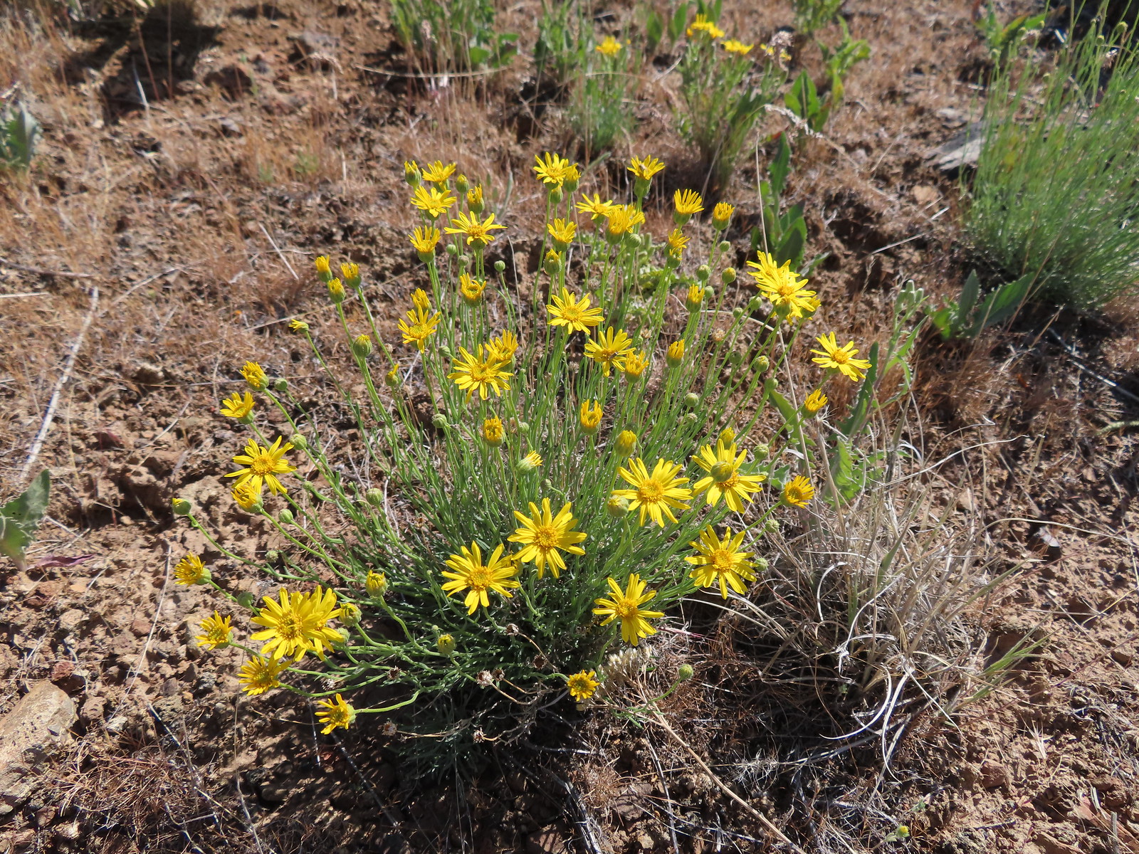 Desert yellow fleabane
 Heading out to the rock outcrop.
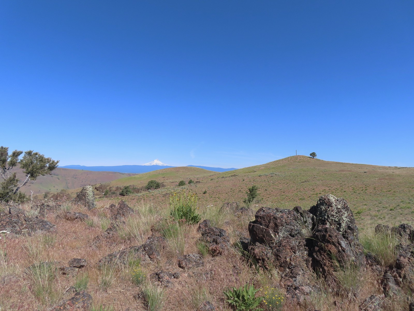 Mt. Hood and Stag Point from the outcrop.
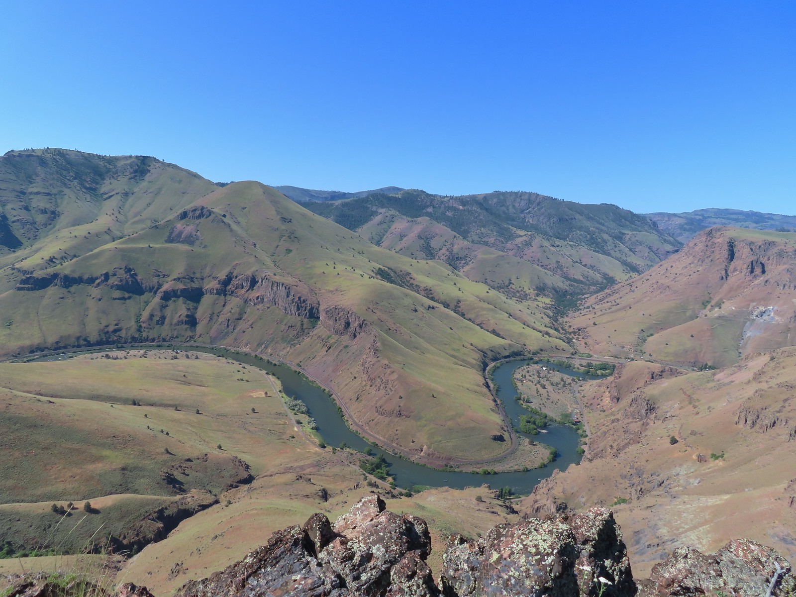 A better view of the Deschutes.
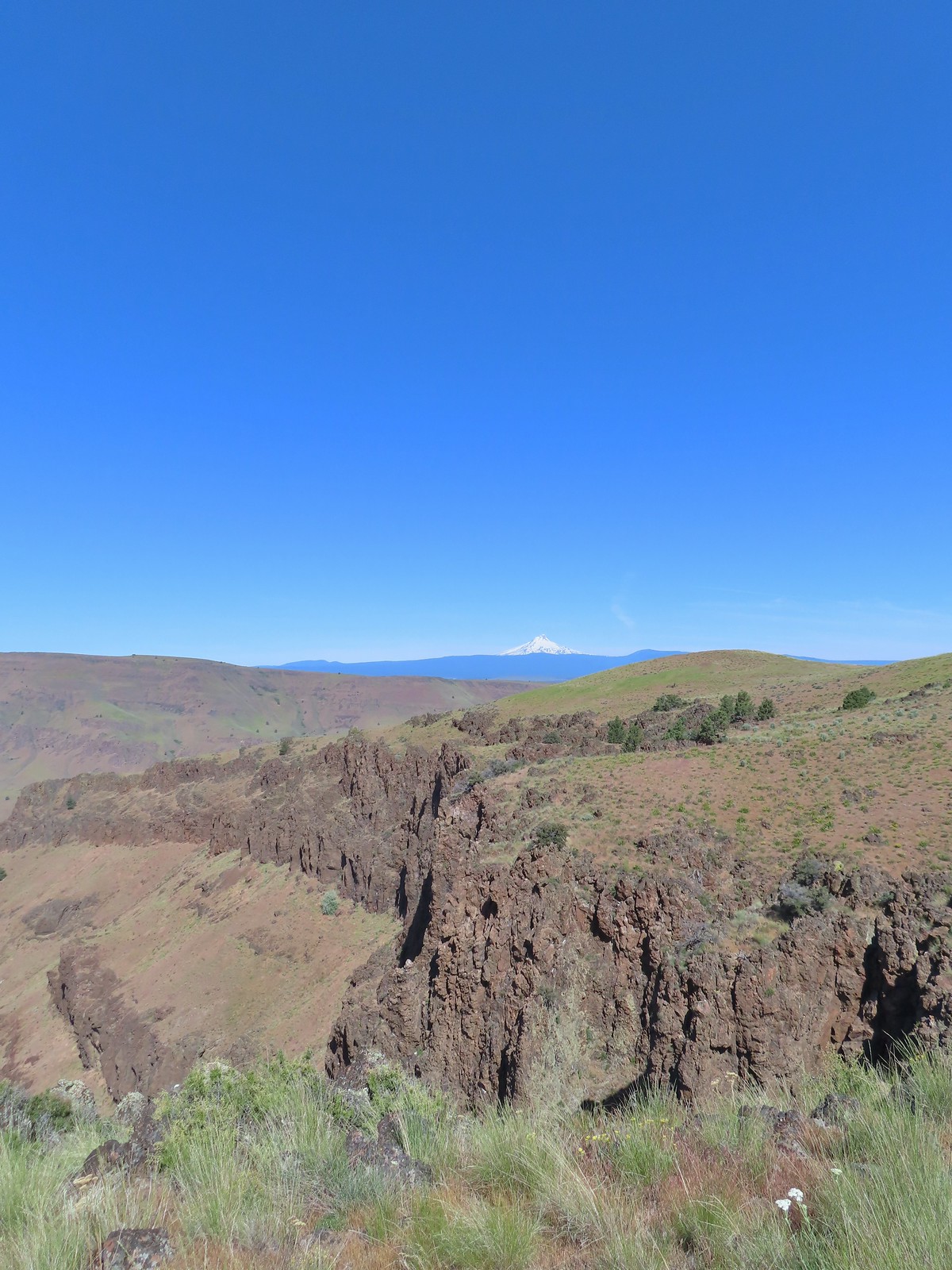 Mt. Hood beyond the cliffs.
 A buckwheat
 Stink bug
 Silverleaf phacelia
 Back on the jeep track.
 Lupine and balsamroot
 The cows had really chewed this section of the jeep track up.
 The gate ahead.
 Horned lark guarding the gate.
 Mt. Jefferson and Olallie Butte
 Grand collomia
 Time for some sun.
 A butterfly and fly.
 Three butterflies and a fly.
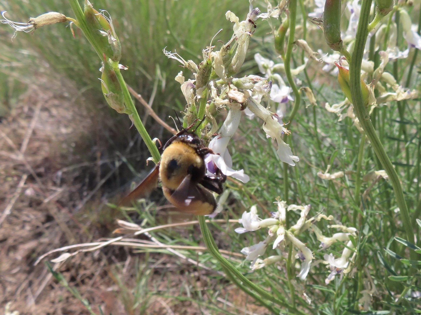 Busy bee
 This swallowtail was a little rough around the edges.
 Another horned lark on lookout.
 Nothing brings fritillary butterflies together like a good pile of scat.
 Another option for another time. We were just happy to have solved that mystery.
 The Radio Towers on the hill were right next to the trailhead.
 The Three Sisters (from this angle it looks like two)
 Three butterflies and a beetle on buckwheat.
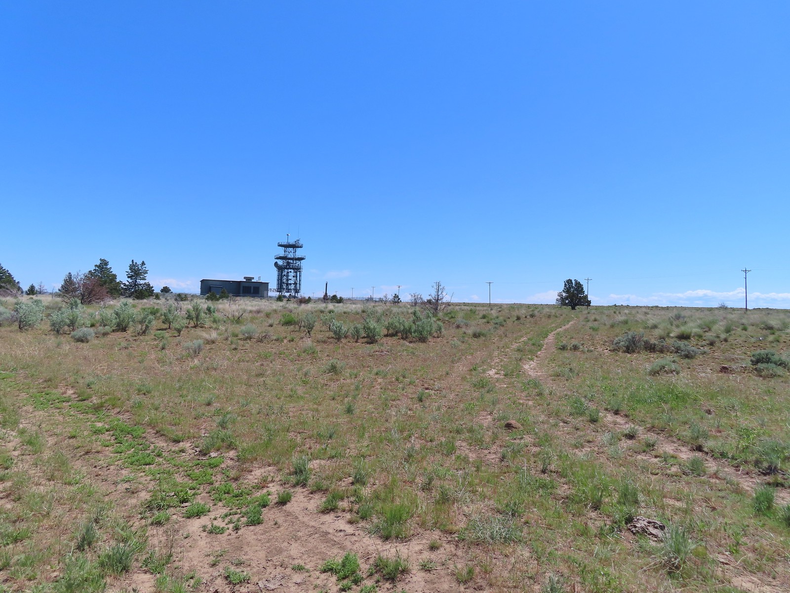 Another mystery was where did the trail from the South Trailhead (just on the other side of the radio towers) connect. We’d missed the track on the right on our first pass, another question answered.
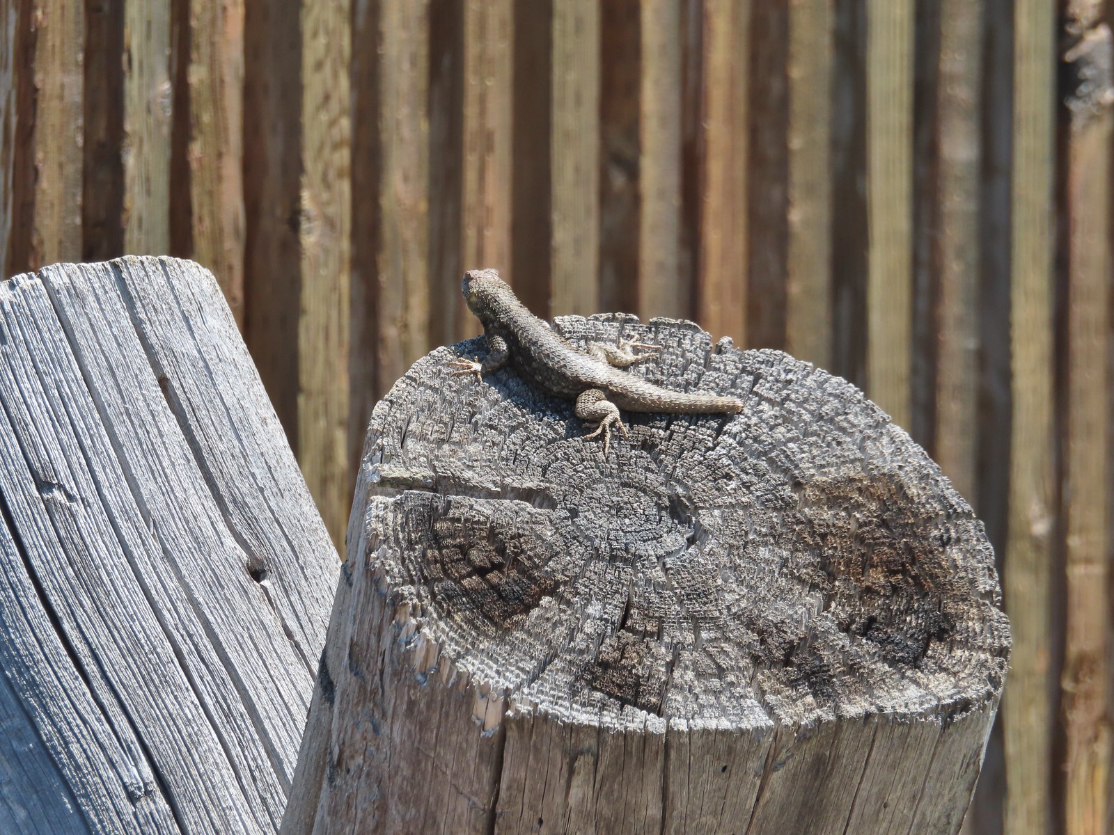 Lizard with half a tail at the trailhead.
 This mountain bluebird was acting odd when we arrived at the gate. It was flying back and forth with something in its mouth. (Mt. Adams is in the background.)


 Banks-Vernonia State Trail in January. (
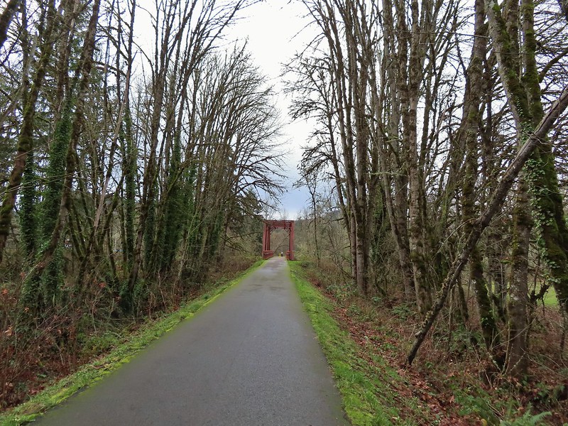 Row River Trail in December. (
 John Day River from the Lost Corral Trail
 Ninemile Ridge in the North Fork Umatilla Wilderness in June. (
 Devil’s Staircase Wilderness in July. (
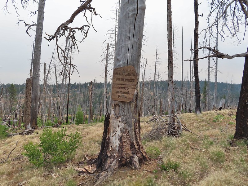 Black Canyon Wilderness in July. (
 Monument Rock Wilderness in July. (
 Ledbetter Point, the last of the hikes from the coast book. (
 Badger Lake, the last hike from the northwestern book. (
 Redwoods

 Falls Creek – February
 Cascade Head from God’s Thumb – March
 Columbia River from Mitchell Point – March
 Mt. Hood from Sevenmile Hill – March
 Dalles Mountain Ranch – April
 Mt. Adams from Grayback Mountain – May
 Navigating a downed tree along the Pawn Old Growth Trail – May
 Rogue River Trail – May
 Golden Falls – May
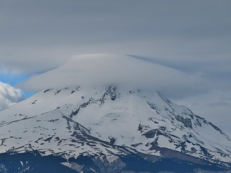
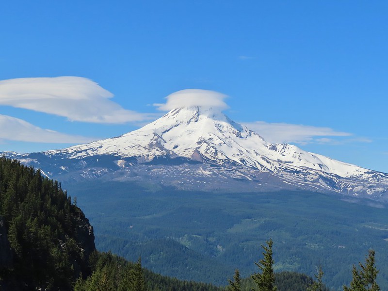 Lenticular cloud over Mt. Hood from Surveyor’s Ridge – May
 Whychus Canyon – May
 Deschutes River – May
 Whychus Creek Overlook – May
 Forest on Mary’s Peak – June
 North Fork Umatilla River – June
 Tower Mountain Lookout – June
 Malheur River – June
 Meadow on Round Mountain – June
 Santiam Lake – July
 Three Fingered Jack from Lower Berley Lake (and a butterfly photobomb) – July
 The Husband and Three Sisters from Substitute Point – July
 Ochoco
 Red Sun through wildfire smoke from the Monument Rock Wilderness – July
 Canyon Mountain Trail, Strawberry Mountain Wilderness – July
 Aldrich Mountains – July
 Mt. Mitchell summit on a rare poor weather day – August
 Mt. Bachelor – August
 Cottonwood Camp, Big Indian Gorge in the Steens Mountain Wilderness – August
 Wildhorse Lake, Steens Mountain Wilderness – August
 Evening at the Steens Mountain Resort – August
 Little Blitzen Gorge – August
 Riddle Ranch – August
 Morning in the Pueblo Mountains – August
 Oregon Desert Trail, Pueblo Mountains – August
 Mt. St. Helens and Spirit Lake – August
 Harmony Falls – August
 Loowit Falls – August
 Mt. St. Helens from Norway Pass – August
 Mt. Hood from the PCT in the Indian Heaven Wilderness – September
 Mt. Adams and Soda Peaks Lake, Trapper Creek Wilderness – September
 Jubilee Lake – September
 Rough Fork Trail, Blue Mountains – September
 Heritage Landing Trail, Deschutes River – September
 McDonald-Dunn Forest – October
 Cascade Mountains from the Mt. Jefferson Wilderness – October
 Three Fingered Jack from Round Lake – October
 Mt. Hood from the Flag Point Lookout
 Mt. Hood from Lookout Mountain – October
 Silver Falls State Park – October
 Laurel Hill Wagon Chute – October
 Barlow Ridge, Mt. Hood Wilderness – October
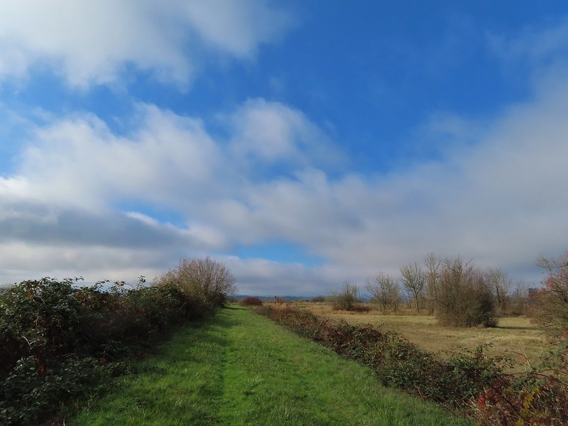 Fern Ridge Wildlife Area – November
 Mt. Hood from the trailhead.


 The left at the 4-way junction.
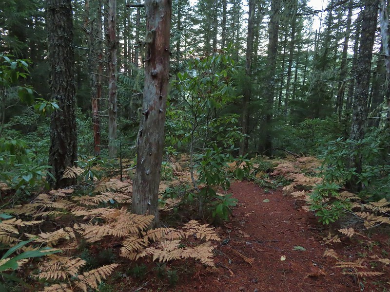
 Looking down the chute.
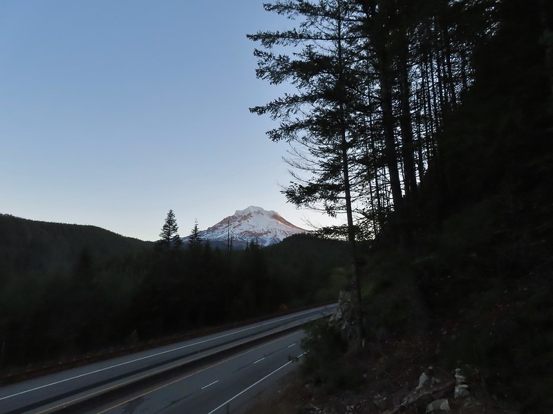
 Sunlight starting to hit the SE side of Mt. Hood.
 Ravens photo bombing a close up of the mountain.


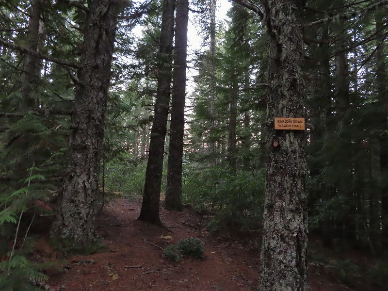
 A portion of the original Barlow Wagon Road.
 Barlow Road (FR 3530)
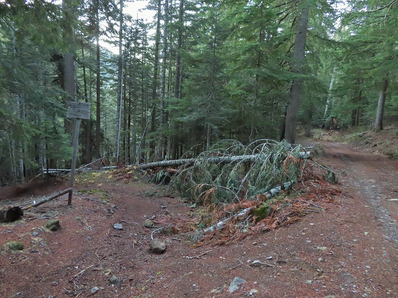


 Wilderness sign along the Barlow Butte Trail.
 Getting steeper.
 This was the worst of the blow down we had to navigate on this section.
 Nearing the junction.
 It was a little chilly with temps in the mid 30’s combined with a stiff breeze adding to the wind chill.
 On the right of the far ridge is Bonney Butte (
 Remains from the lookout.
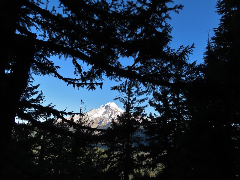
 Barlow Butte and the top of Mt. Hood.
 Frog Lake Buttes (
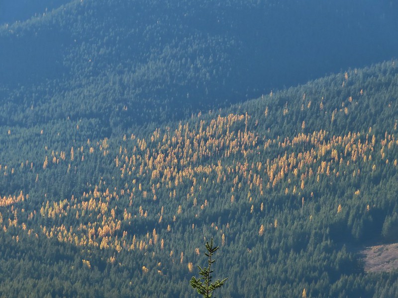 Western larches
 Mt. Jefferson behind some clouds.
 Sisi Butte (double humps) and Bachelor Mountain (


 Barlow Butte to the left of Mt. Hood.
 Mt. Jefferson still behind some clouds.
 Parts of Mt. Jefferson peaking through the clouds.
 Tom Dick and Harry Mountain (with the rock fields near the top).
 Small cairns in a meadow.
 One of the aforementioned diamonds.
 Approaching the high point.
 Clouds were starting to pass over Lookout Mountain at this point.
 Mt. Hood from the high point of Barlow Ridge.
 Carin in the trees ahead.
 Elk or deer tracks leading the way.
 Another section of frost.
 We took this as a blaze.
 That blaze led to this large cairn.
 Things were starting to get interesting here.
 Stopped here to listen for pikas, no luck though.
 This could be trail.
 Still on the right track, note the folded trail sign on the tree at center.
 The small meadow.
 Officially off-trail now.
 This looked like a place the trail would go.
 A final look at Mt. Hood from Barlow Ridge.
 This doesn’t look so bad.
 One of several big trees we encountered.
 Little orange mushrooms, how appropriate for Halloween.
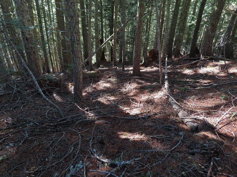 Starting to encounter more debris.
 If there had been a trail good luck finding it.
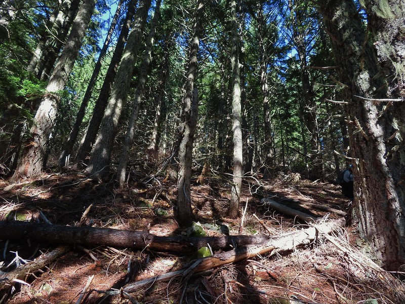 Heather coming down behind me.
 Pretty decent game trail here.
 This section was fun.
 A bigger orange mushroom.
 Uphill on this game trail.
 Thickets of brush kept us from getting all the way over to the ridge we needed so we just kept going downhill knowing that we would eventually run into one of the forest roads at the bottom.
 Look Ma a road!
 It doesn’t look that steep from down here.
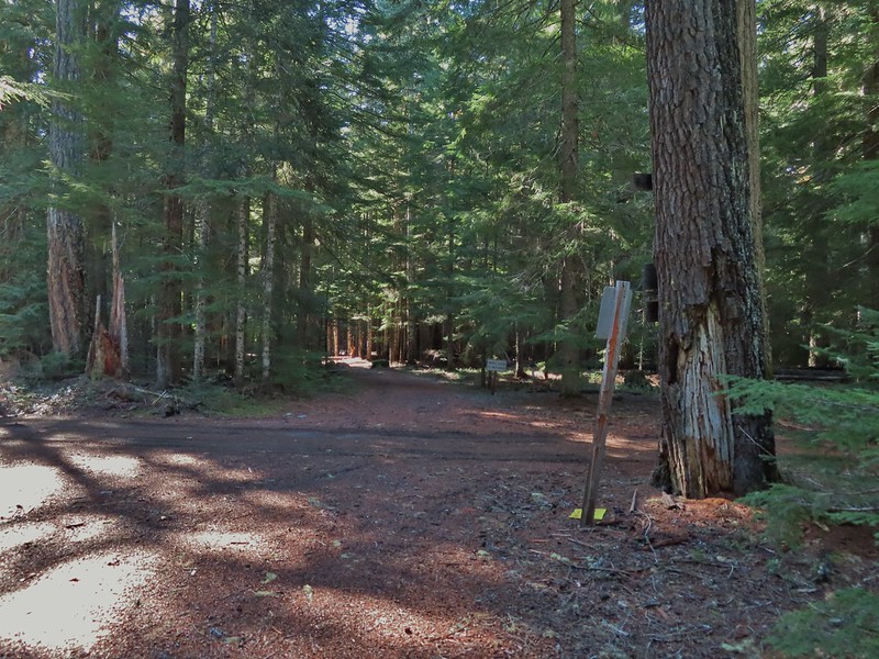 Barlow Road.
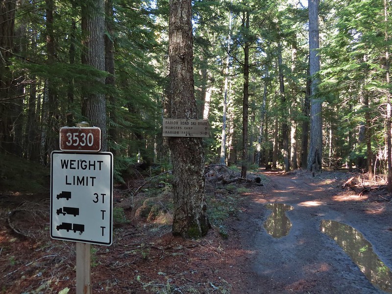


 Western larches above Barlow Road.
 Grindstone Campground
 Barlow Creek
 Crossing Barlow Creek near Devil’s Half Acre Meadow.
 Clouds on top of Mt. Hood towering over the trees.
 Barlow Road at the campground.
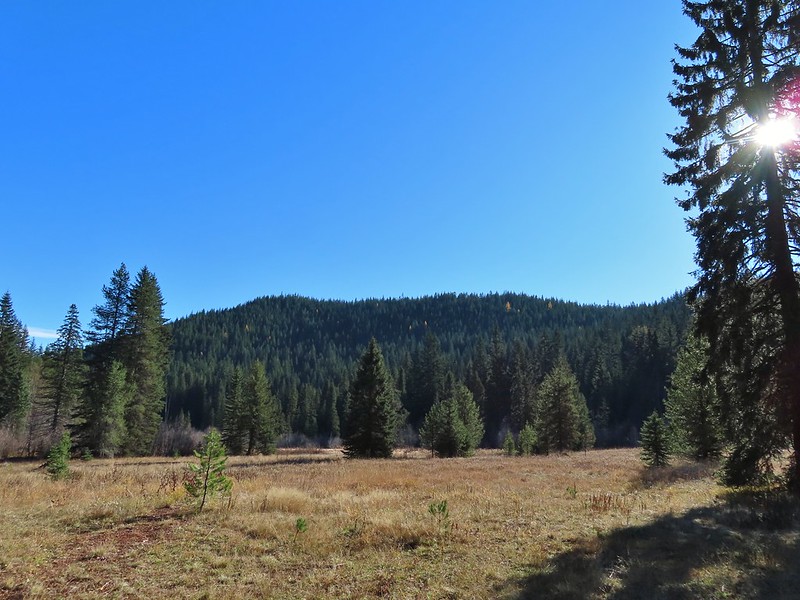 Devil’s Half Acre Meadow.
 Finally back to where we’d left the road in the morning.
 Arriving back at the Barlow Pass Trailhead
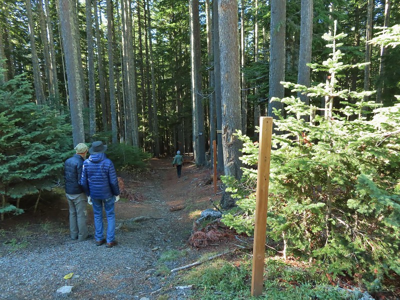 The first other people (not counting the two drivers in the pickups) that we’d seen all day.
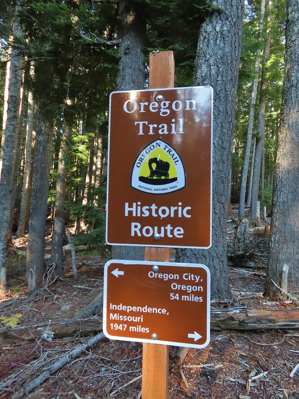


 East Fork Salmon River


 A few larches along Road 2730
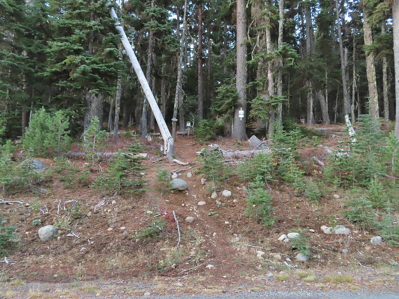 Fret Creek Trail across from the pullout.
 Entering the Badger Creek Wilderness.


 Starting to climb again.
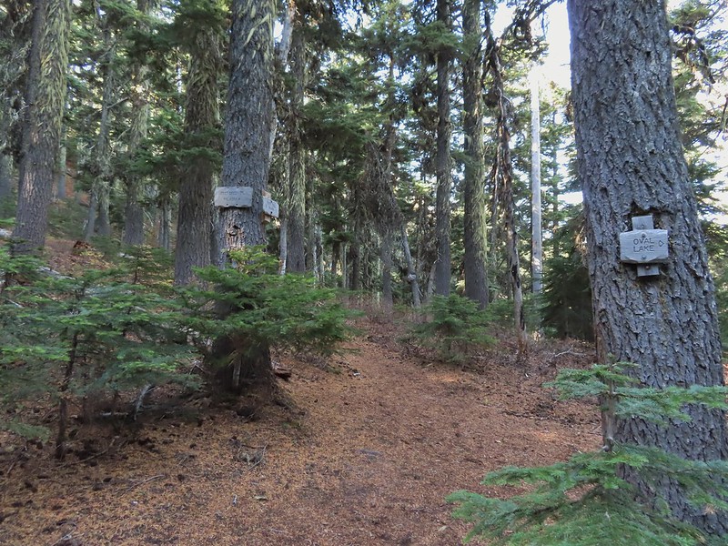
 Sign for Oval Lake.
 June 28, 2014
 A bit of snow left from the recent snowfall.
 The Divide Trail.
 Some snow near a switchback along the trail.
 Mt. Adams starting to peak over a ridge to the north.
 Mt. Adams with some larch trees in the foreground.
 Lookout Mountain from the Divide Trail (The bare peak in between the two bare snags. Just to the right of the left snag.)
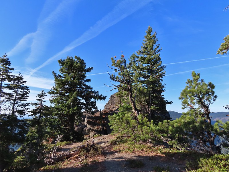 Side trail to Palisade Point.
 Broken Top, The Three Sisters, Mt. Washington, Three Fingered Jack (just the very top), Mt. Jefferson, and Olallie Butte (
 Mt. Jefferson with the tip of Three Fingered Jack to the left and Olallie Butte to the right.
 Mt. Hood peaking up over the rocks.
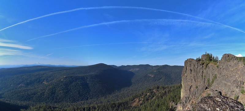 Panoramic view with Badger Creeks valley below.
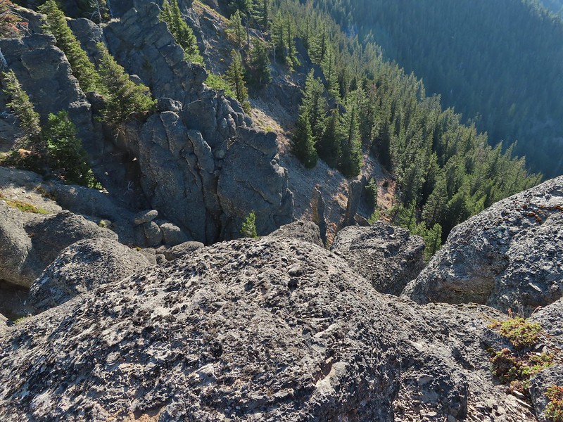 Rocks below Palisade Point.
 We ran into this jumble of downed trees shortly after leaving Palisade Point but fortunately it was the worst of the obstacles.
 Flag Point Lookout from the trail.
 A small meadow that was full of flowers a couple of months ago.
 A stand of larches.
 A better view of Mt. Hood.
 Zoomed in.
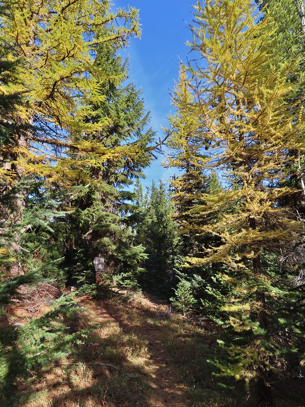 Looking back through larches at a Badger Creek Wilderness sign near Road 200.
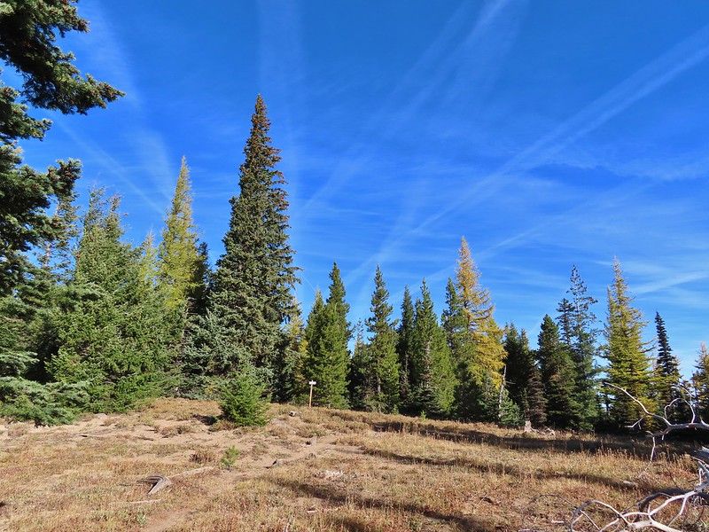 Looking back at the Divide Trail.
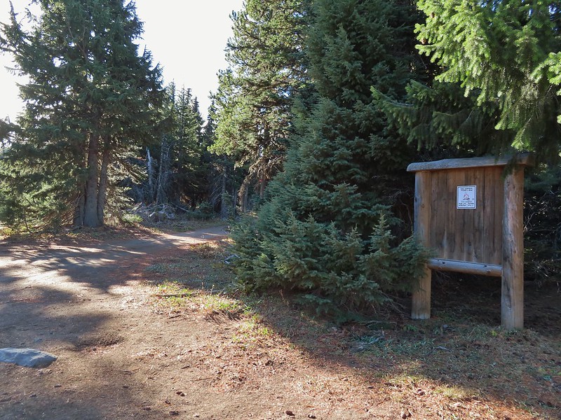 Road 200
 Chipmunk
 Nearing the lookout.
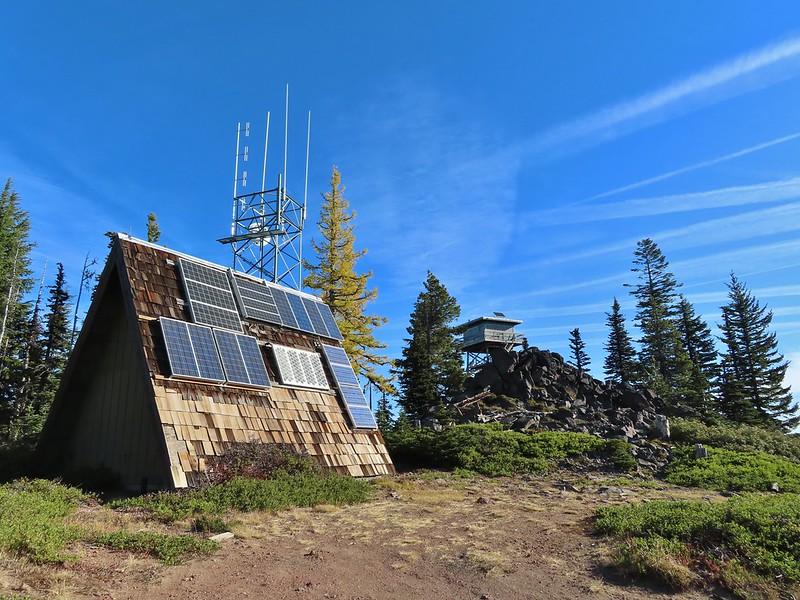

 Mt. Rainier and Mt. Adams to the north.
 Mt. Rainier and Mt. Adams
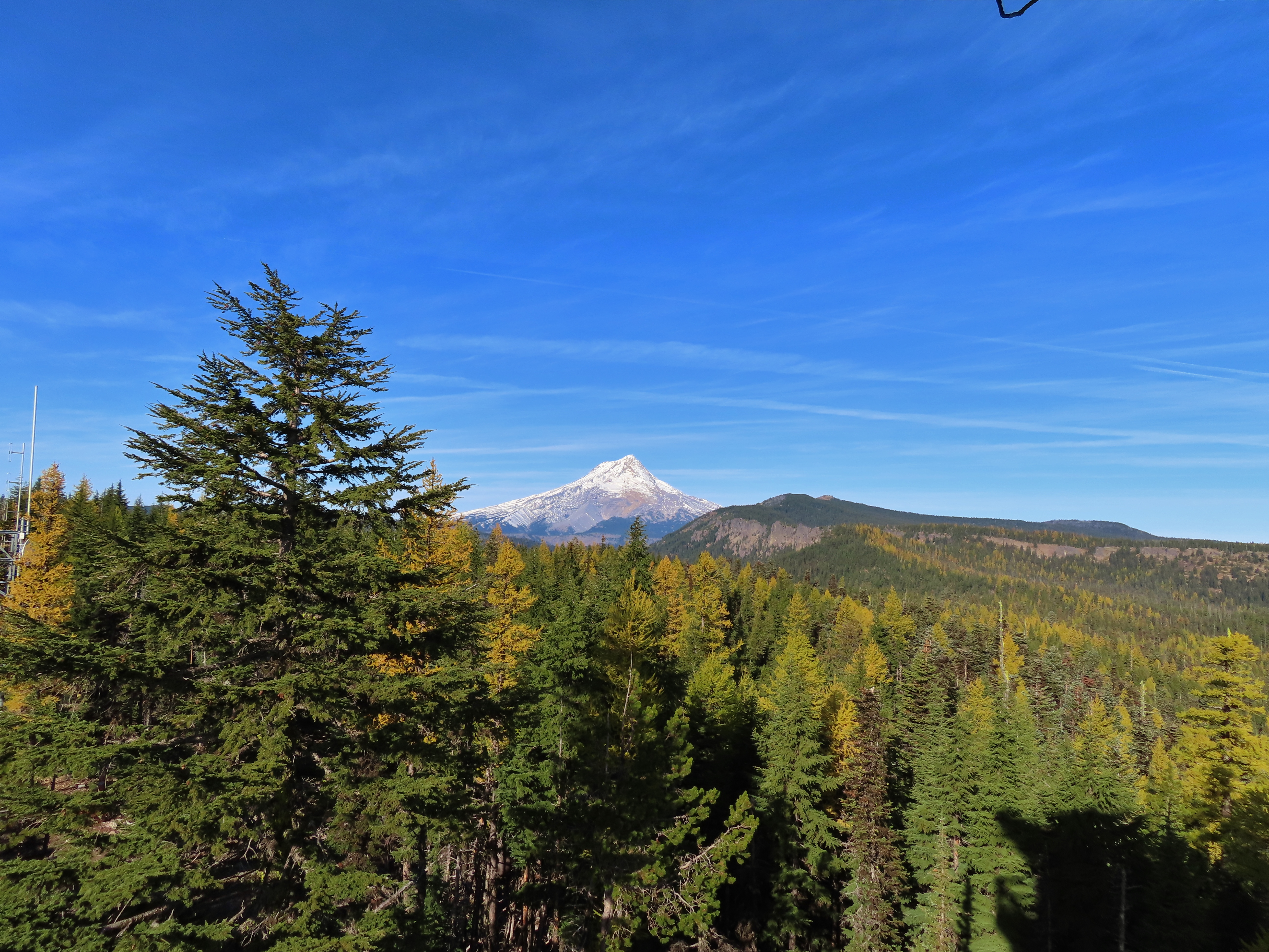

 Three Fingered Jack, Mt. Jefferson, and Olallie Butte
 View east to the hills above the Columbia River.
 Passing the Fret Creek Trail.
 We did need to gain almost 800′ of elevation to reach Lookout Mountain which at times was a fairly steep climb.
 Another viewpoint along the way where Badger Lake was visible.
 Badger Lake

 The final pitch to the summit, there is at least one hiker visible up top.
 Looking back to Flag Point.
 Looking NE toward The Dalles and the Columbia River.
 Mt. St. Helens, Mt. Rainier, and Mt. Adams
 View south past Badger Lake to Mt. Jefferson.
 Flag Point from the Helispot.
 And of course Mt. Hood again.

 Fret Creek from the road near the trailhead.
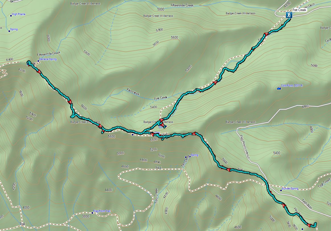

 Mt. Hood partly obscured by clouds from the parking area.

 Manzanita
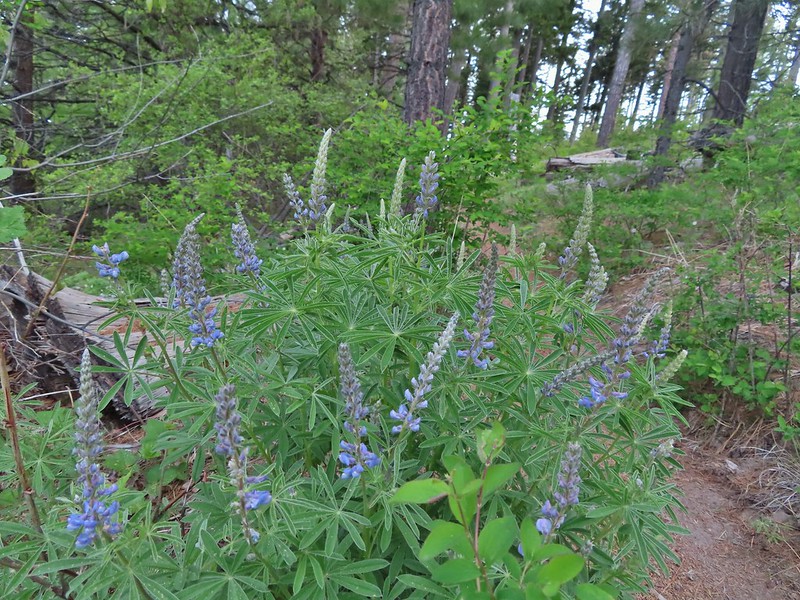 Lupine
 Mt. Hood again.
 Jacob’s ladder
 Red-flowering currant
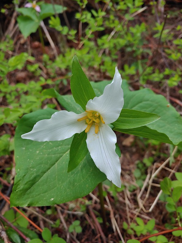 Trillium (can you spot the crab spider?)
 Sticky currant
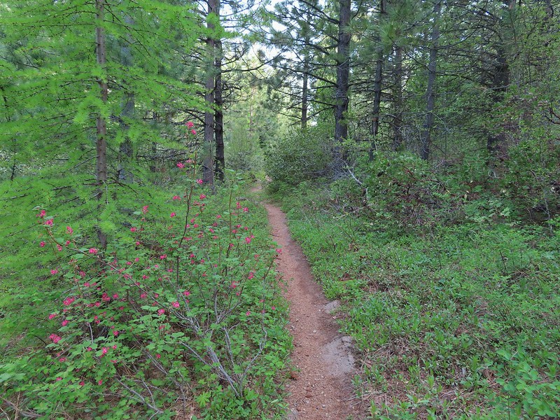 Western larch tree and red-flowering currant on the left.
 Larks spur and blue-eyed Mary
 Columbine well before blooming.
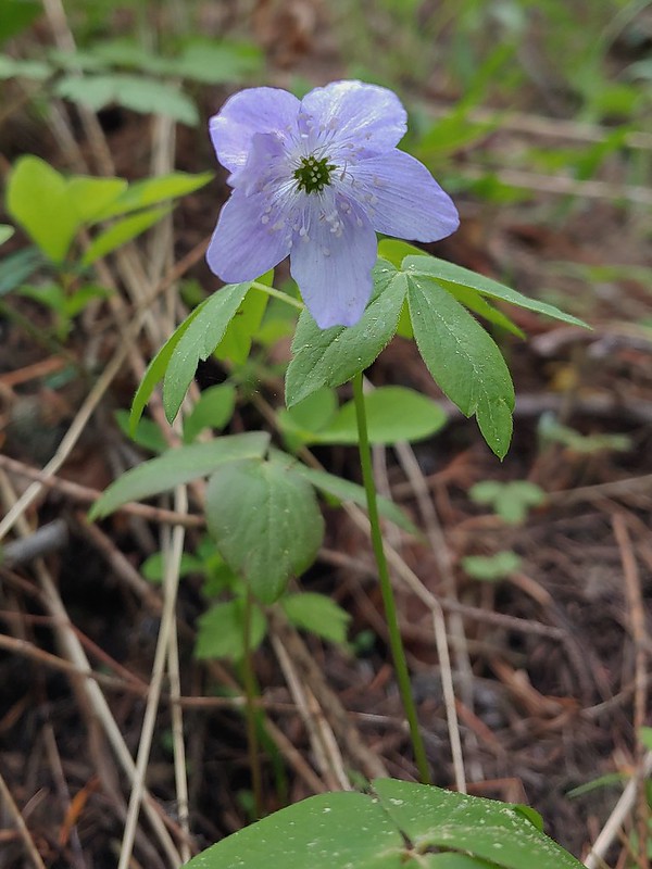 Anemone
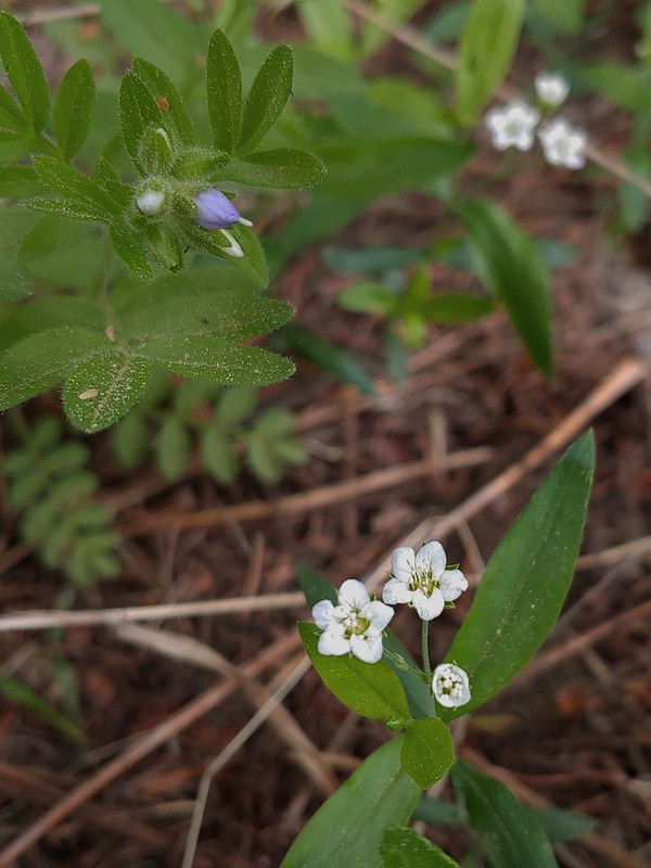 Largeleaf sandwort
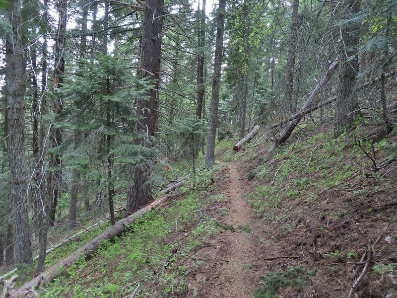
 Vanilla leaf getting ready to bloom.
 Arnica
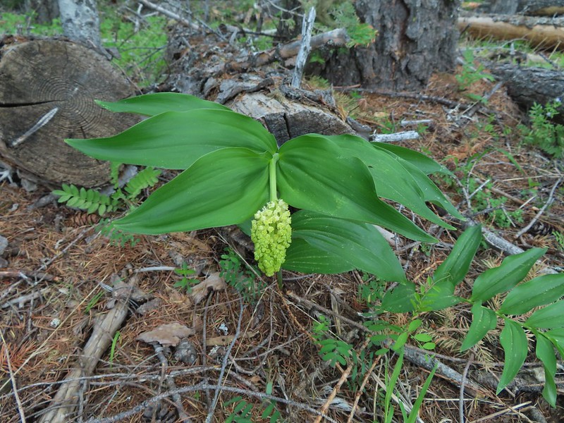 False solomons seal starting to bloom.
 Star-flower false solomons seal prior to blooming.
 Ballhead waterleaf
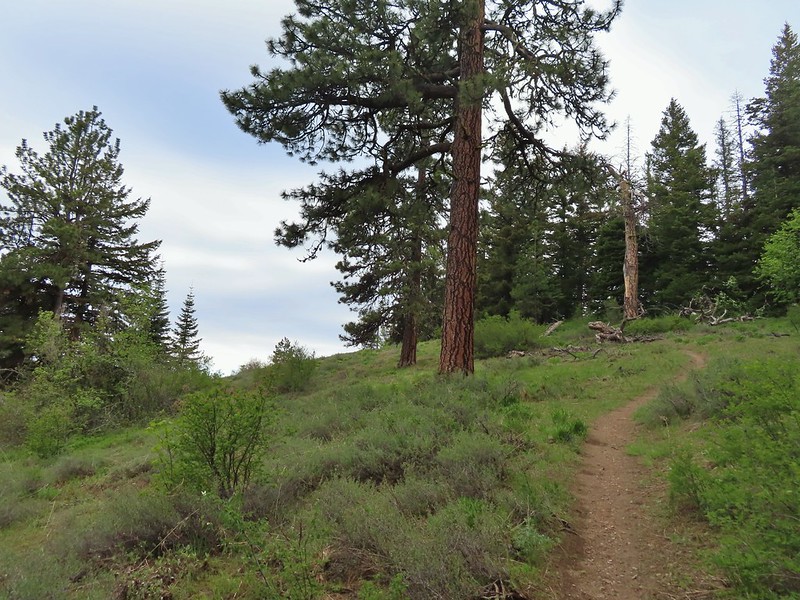 Ponderosa
 Scarlet gilia not yet in bloom.
 Balsamroot
 Hood River Valley and Mt. St. Helens
 Mt. St. Helens
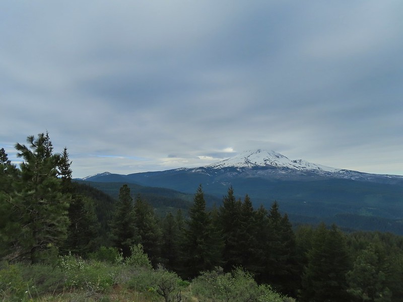 Mt. Hood
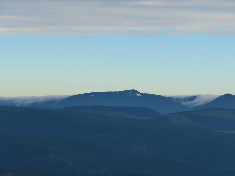 Indian Mountain (
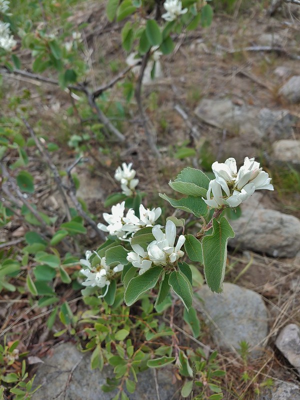 Western serviceberry
 Fairy bells
 Glacier lily
 Shellrock Mountain from the trail.

 First paintbrush of the day spotted in the little meadow.
 User trail to the left.


 Shellrock Badlands Basin, an eroded volcanic formation.
 View east into Central Oregon.
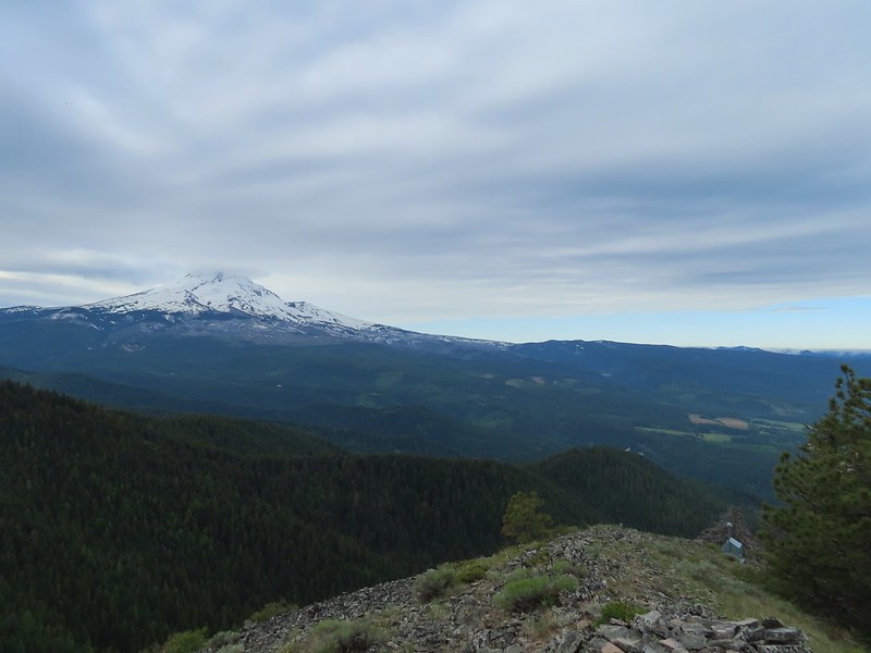 Mt. Hood
 Mill Creek Buttes with Lookout Mountain and Gunsight Butte (
 Buckwheat
 Bird below Shellrock Mountain.
 A whole lot of trillium.
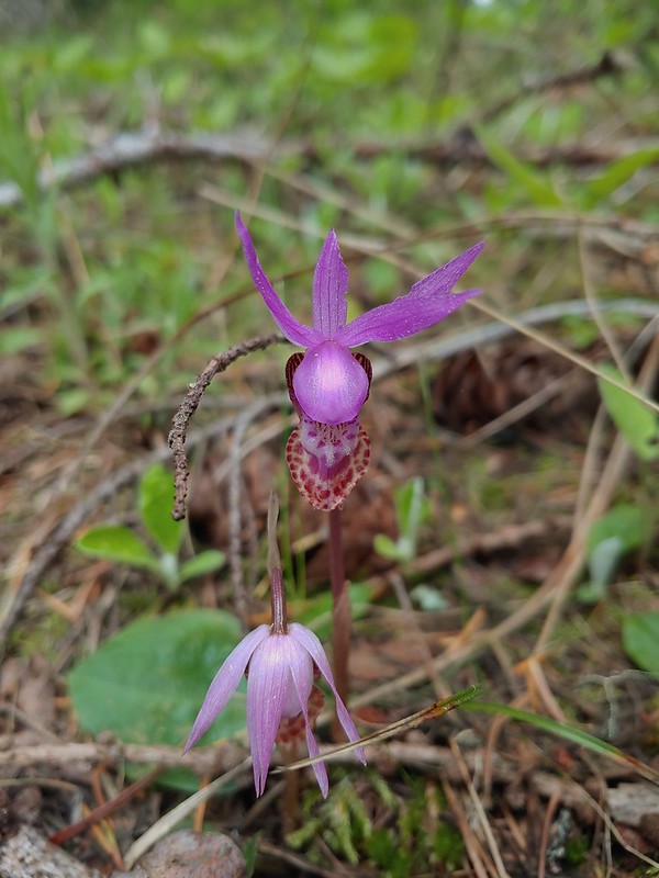 Fairy slippers
 Sign at the trailhead.


 parsley and popcorn flower.

 Lupine
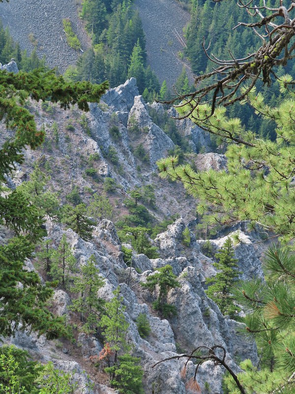


 I frequently have insects hitching rides, so often that we joke about me being an Uber for bugs.
 Rock out cropping in the Rim Rock section of trail.
 Tailed kittentails
 Western tanager female
 Western tanager male
 View from a rocky viewpoint just before crossing from the east side of the ridge back to the top.
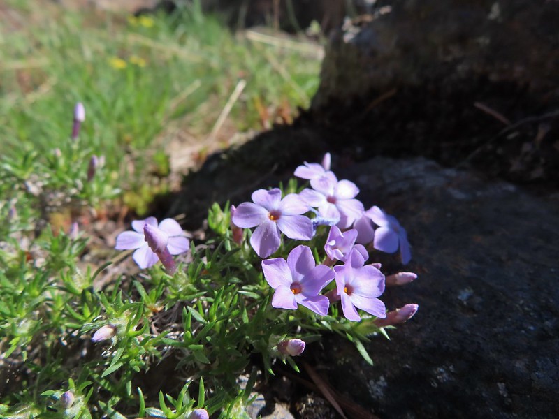 Phlox
Phlox


 Hood River Valley
 Clouds encroaching on Mt. Adams.
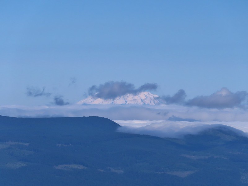 Mt. St. Helens
 The other viewpoint had a better view.
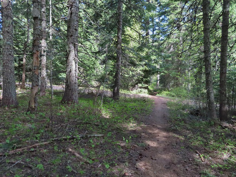 The first roadbed crossing.
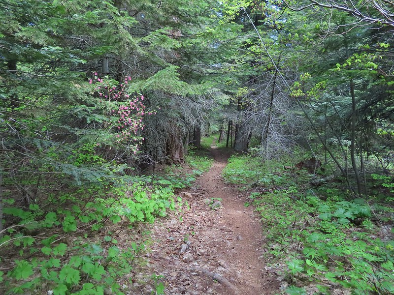
 Violets
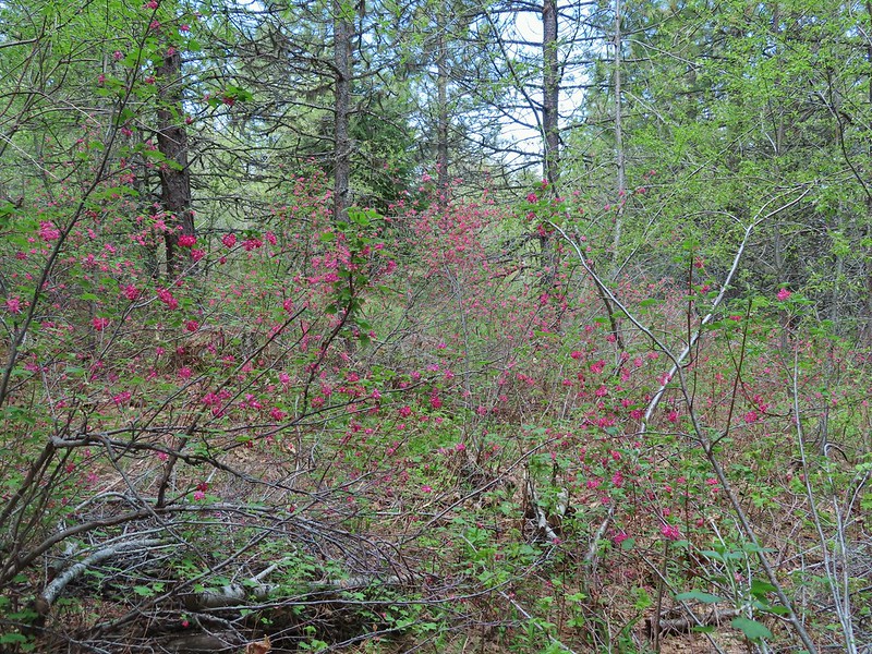
 Trail signs at the second road crossing.
 Coralroot sprouting
 Balsamroot and paintbrush
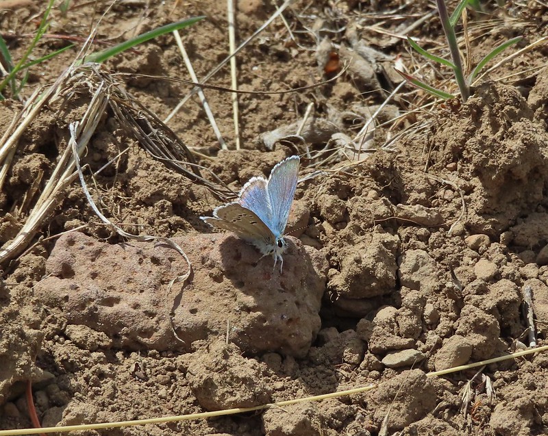

 Desert parsley
 Western stoneseed
 Wildflowers on the hillside.
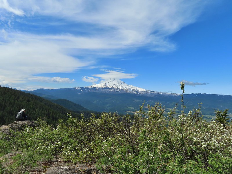
 Sign at the junction.
 Spur trail to Yellowjacket Point.
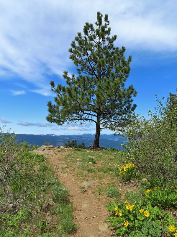
 No yellowjackets, just a robin.
 Things like this gooseberry shrub.
 Chipmunk
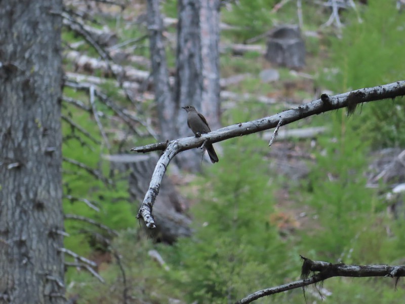 Townsend’s solitare?
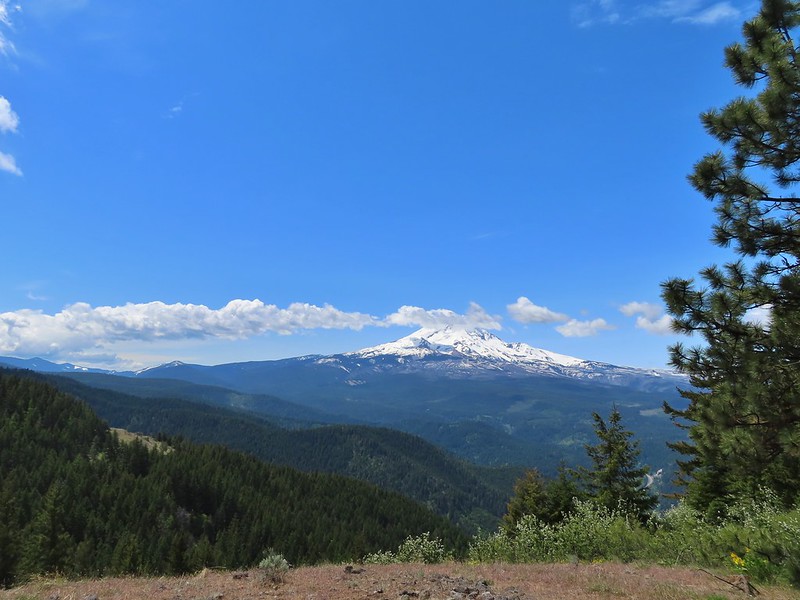 12:40pm
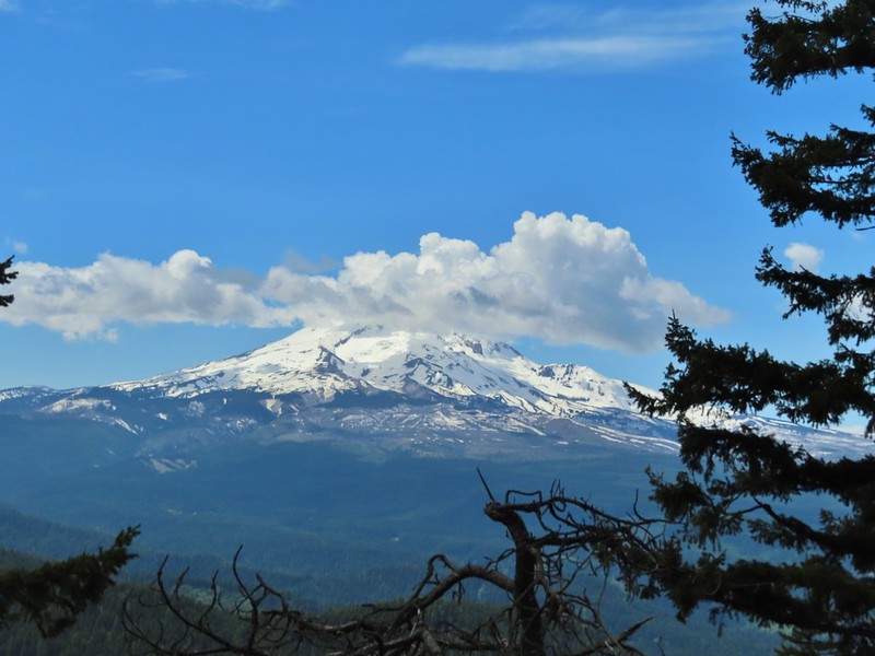 12:50pm
 1:00pm
 1:30pm
 2:04pm
 Returning to the parking area at 2:11pm


 Pink pyrola
 Switchback below a rock outcrop.
 Looking down the hillside from the trail.
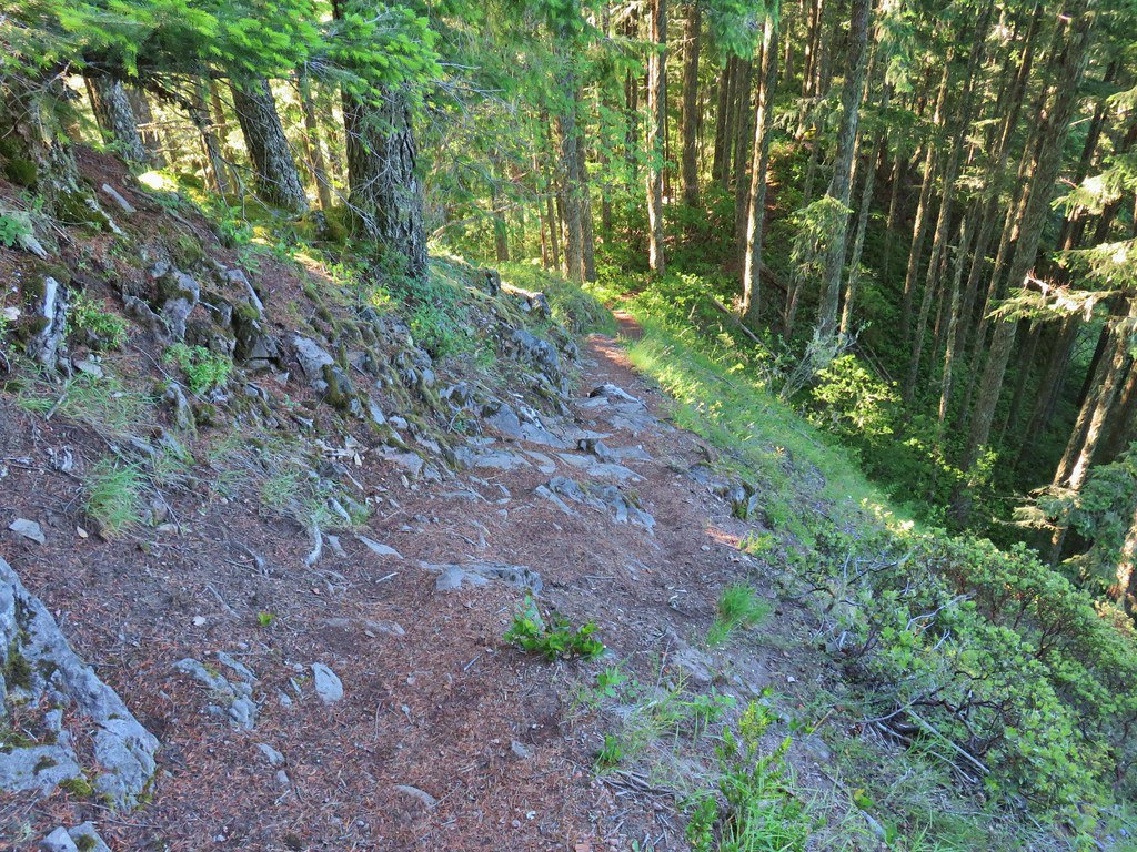 Trail dropping to a saddle.
 Looking south across the Salmon River valley. The Bonanza Trail (
 Beardstongue (penstemon)
 Washington lily
 Tiger lily
 Penstemon
 Sub-alpine mariposa lily (cat’s ear lily)
 Yarrow
 Starting the steep climb.
 Coming up to the cliffs.
 Cliffs along the trail.
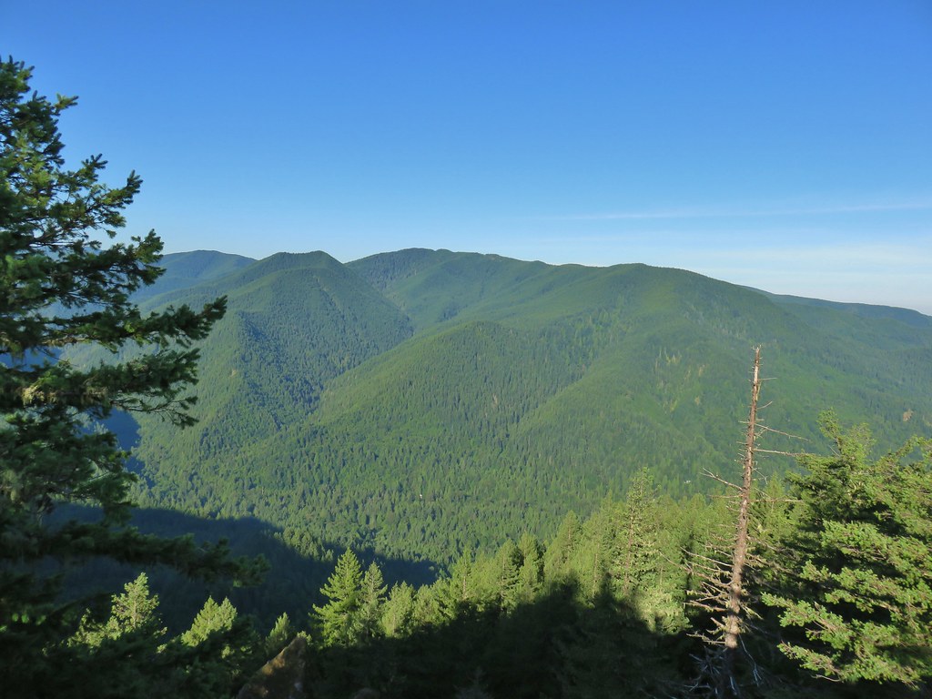 Huckleberry Mountain
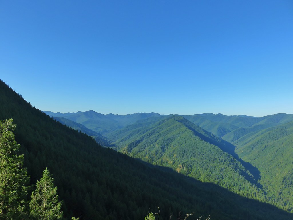 Salmon Butte (
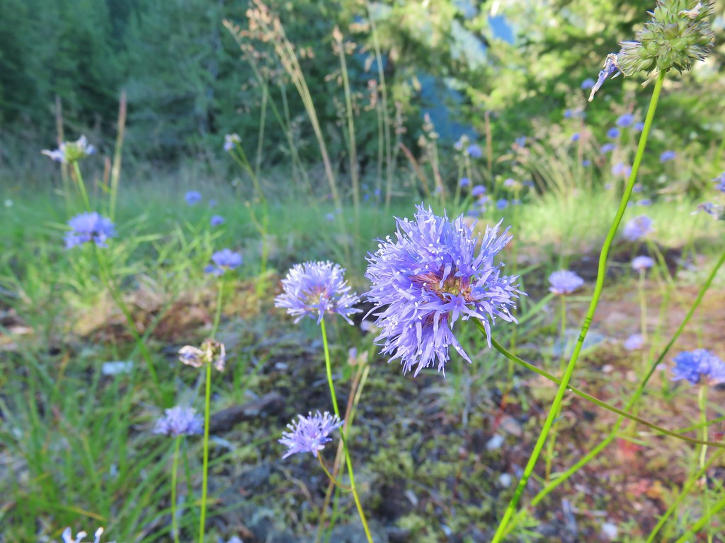 Blue-head gilia
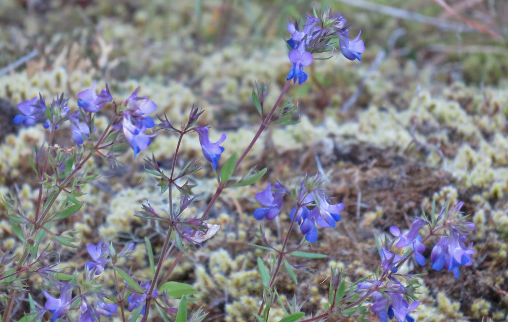 Blue-eyed Mary
 Oregon sunshine, blue-head gilia, penstemon and yarrow.
 Trail dropping toward the forest.
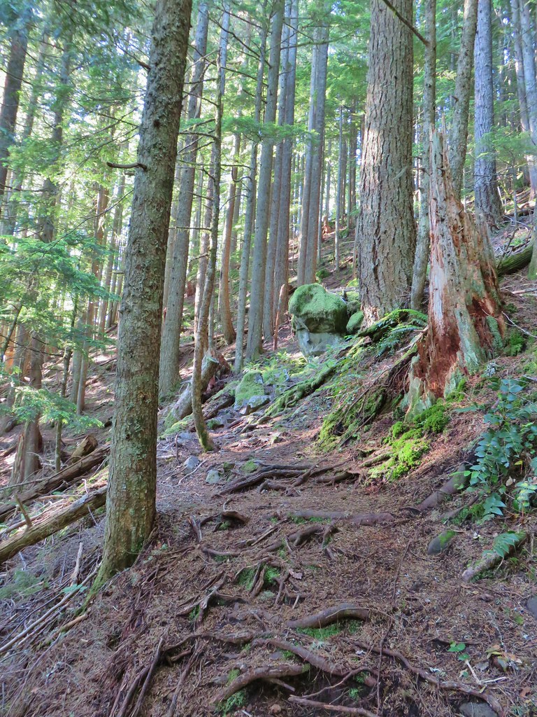 Trail starting to climb again.
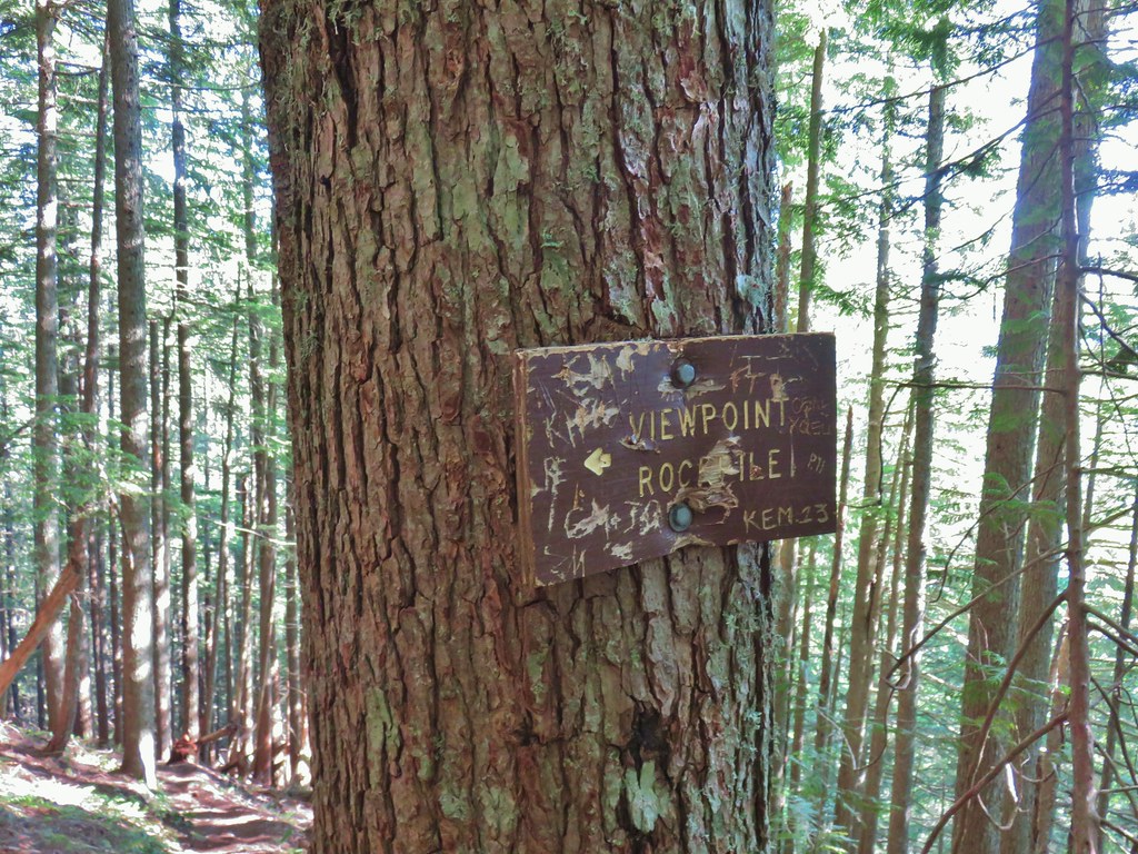 Sign for the viewpoint.
 The top of the rocks.
 Washed out view of Mt. Hood

 Pinesap
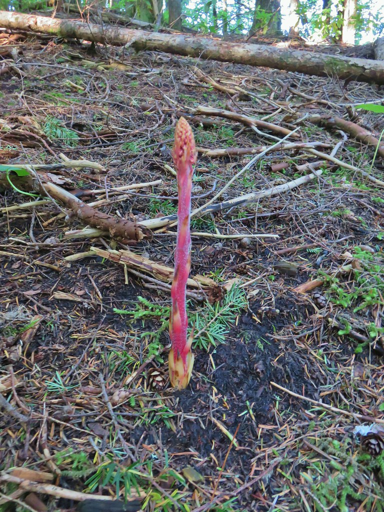 Pinedrop
 Pacific coralroot
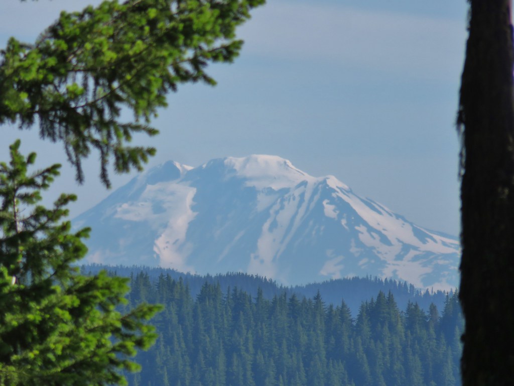


 Passing a rock outcrop on narrower tread.
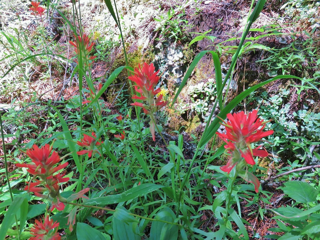 Paintbrush
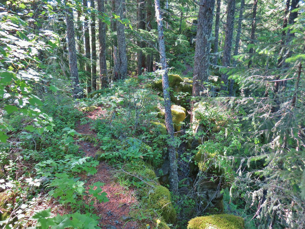 Rocky spine
 Columbine
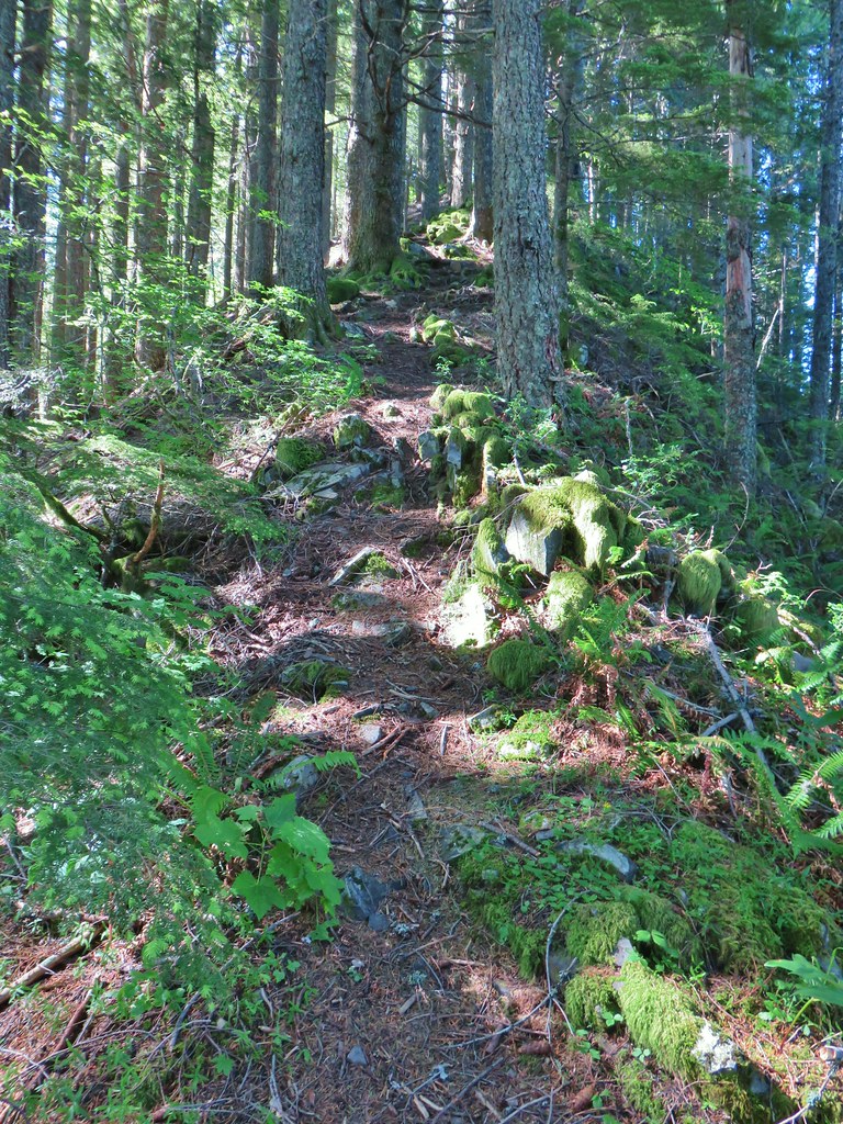 Climbing up the Hunchback Trail.
 Heather coming up the trail.
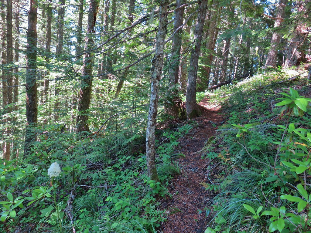 Beargrass near the 4000′ elevation.
 Heading down to the viewpoint sign.
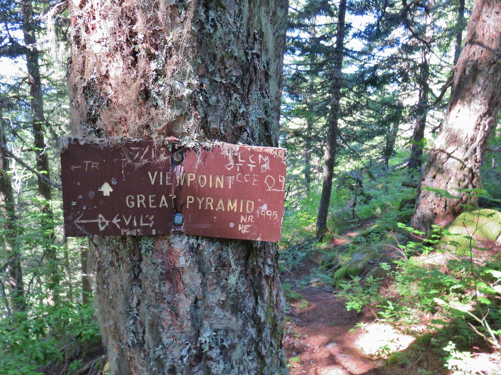 Side trail to the Great Pyramid.


 The cliffs of West Zigzag Mountain to the left of Mt. Hood where we’d been the week before (
 We weren’t entirely alone as Heather was visited by a butterfly.
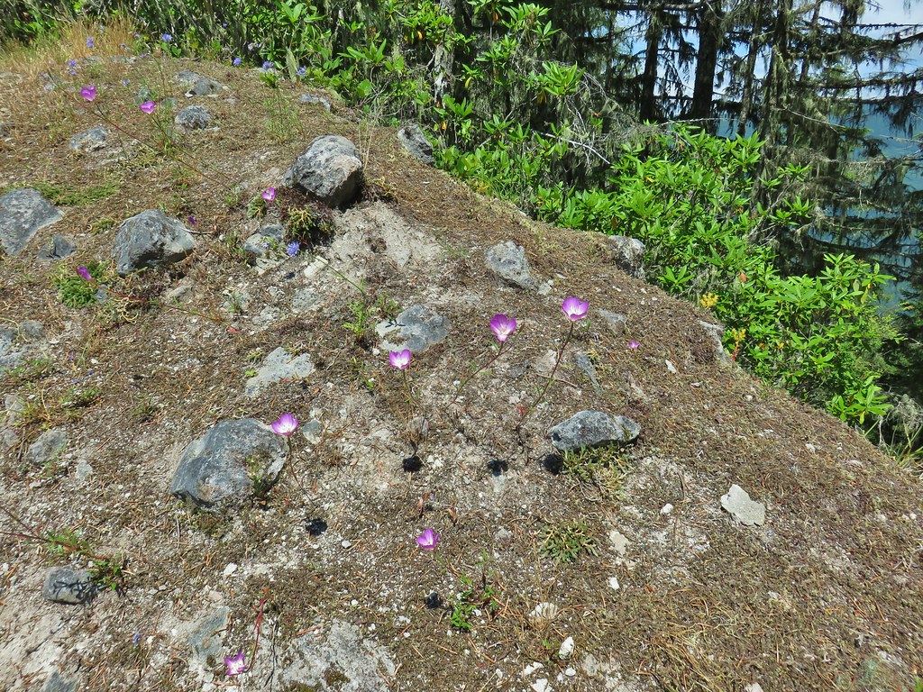
 Looking down into the Salmon River valley
 Looking west toward Highway 26
 Blue-head gilia
 Penstemon
 Tiger lilies
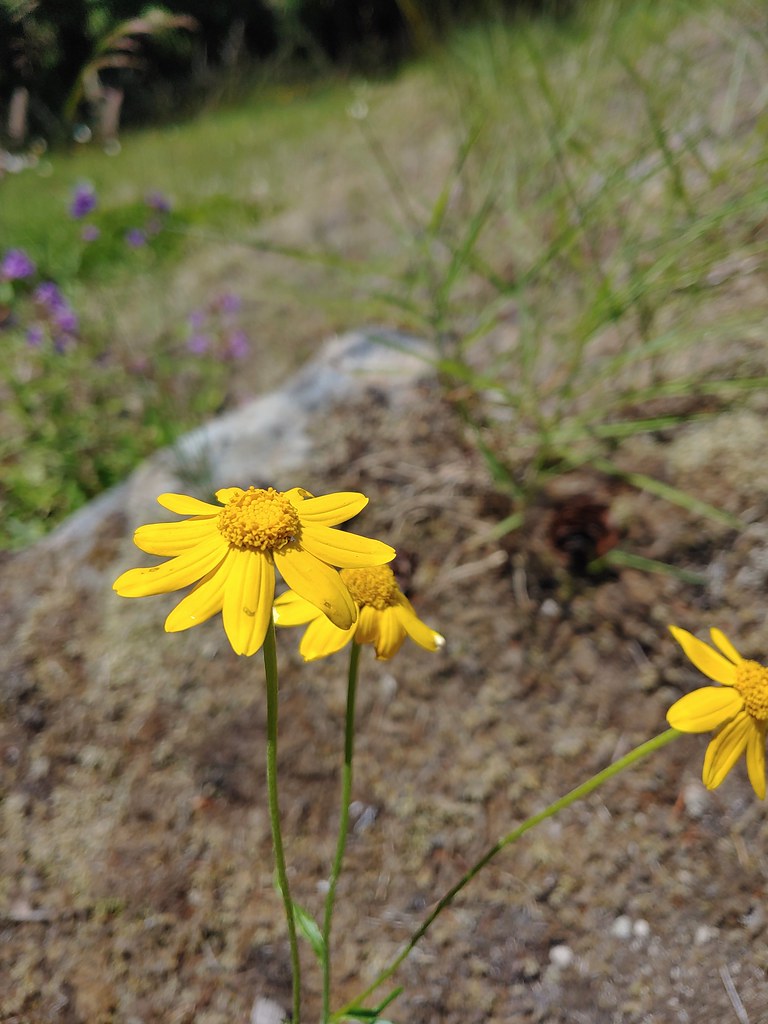 Oregon sunshine
 Cat’s ear lilies
 MCormack Slough in the Umatilla Wildlife Refuge.
 Looking towards Hells Canyon from Freezout Saddle.
 Wenaha River Canyon


 Road walk at Henry Haag Lake
 Decommissioned road to Baty Butte.
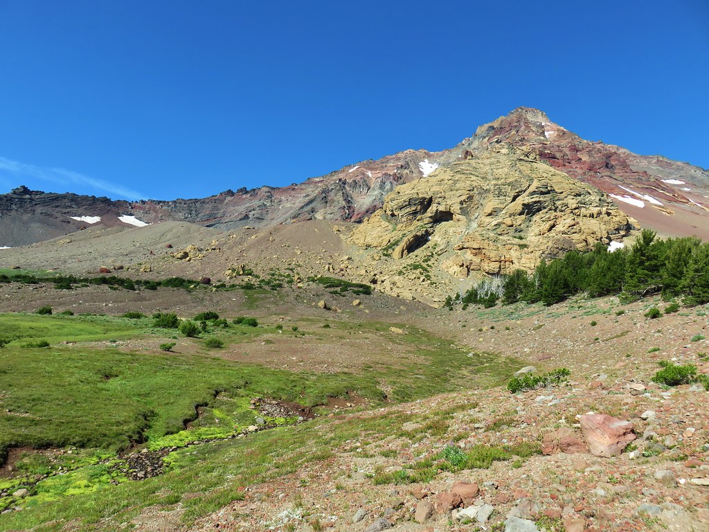 Cross country to Thayer Glacial Lake.
 Snow falling on our Freezout Saddle hike.
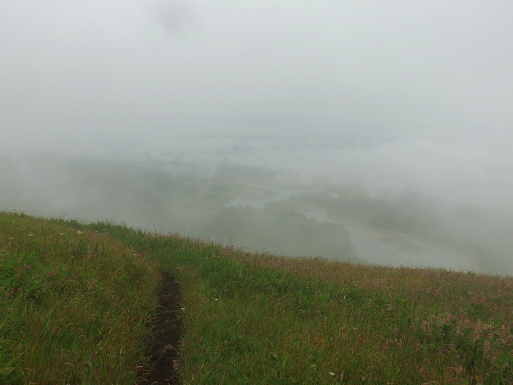 Rain shower approaching at Cascade Head.
 Taking cover under a tree in the Mollala River Recreation Area as a rain shower passes overhead.
 Rainbow framing the Wallowa Mountains from the Feezout Saddle Trail.
 View from Cascade Head after the shower.
 View from the morning across the Mollala River Canyon.
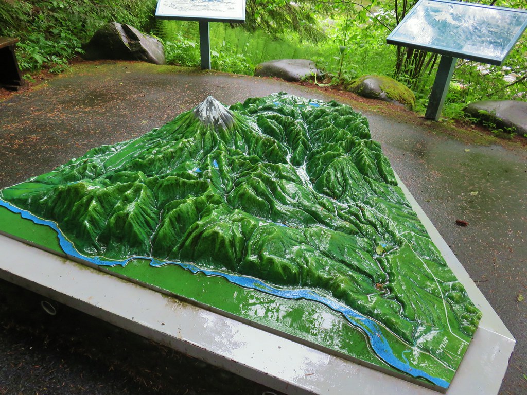 Neat 3D display at Wildwood Recreation Area.
 View atop Huckleberry Mountain.

 Gales Creek – Coast Range
 Dry Creek Falls – Columbia River Gorge, OR
 Camassia Natural Area – West Linn
 Two Chiefs and Table Mountain – Columbia River Gorge, WA
 Oak Island – Columbia River
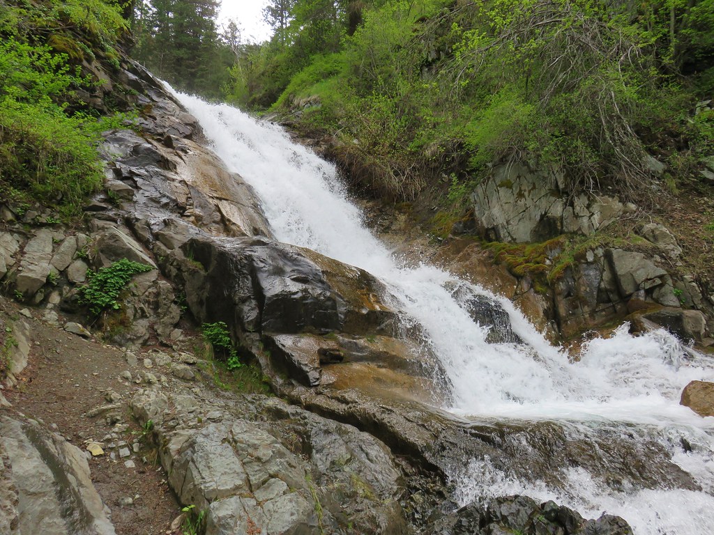 B.C. Creek Falls – Wallowa Mountains
 Wallowa Mountains
 Harsin Butte – Zumwalt Prairie
 Sardine Mountain – Willamette National Forest
 Gorton Creek Falls – Columbia River Gorge, OR
 Mt. Hood from Lost Lake
 Mt. Hood from Vista Ridge
 Sand Mountain Lookout – Willamette National Forest
 Cape Kiwanda and Haystack Rock from Sitka Sedge Beach
 High Lake – Mt. Hood National Forest
 Tidbits Mountain – Willamette National Forest
 Bunchgrass Meadow – Willamette National Forest
 Breitenbush Cascades – Willamette National Forest
 Mt. St. Helens from Cinnamon Ridge – Mt. St. Helens National Volcanic Monument
 Mt. Jefferson from Bear Point – Mt. Jefferson Wilderness
 Sawmill Falls – Little North Fork Santiam River
 Three Fingered Jack, The Three Sisters, and Mt. Washington
 Scramble route to Baty Butte – Mt. Hood National Forest
 Boulder Lake – Mt. Hood National Forest
 Drift Creek – Drift Creek Wilderness
 North Sister and Thayer Glacial Lake – Three Sisters Wilderness
 North Sister, Middle Sister, and The Husband from Four-In-One Cone – Three Sisters Wilderness
 Mt. Hood from Tumala Mountain – Mt. Hood National Forest
 Bull of the Woods Lookout – Bull of the Woods Wilderness
 Mt. Hood from Elk Cove – Mt. Hood Wilderness
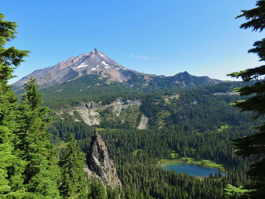 Mt. Jefferson and Hunts Cove – Mt. Jefferson Wilderness
 View from Olallie Butte – Warm Springs Indian Reservation
 Lillian Falls – Waldo Lake Wilderness
 Olallie Mountain Lookout – Three Sisters Wilderness
 King Tut – Crabtree Valley
 Mt. Jefferson from Ruddy Hill – Mt. Hood National Forest
 Henry Haag Lake – Scoggins Valley
 Waldo Lake and the Cascade Mountains from The Twins – Deschutes National Forest
 Bobby Lake – Deschutes National Forest
 Indian Henry’s Hunting Ground – Mt. Rainier National Park
 Fog over the valley from Mt. Pisgah – Eugene, OR
 Twin Peaks and Gifford Lake – Olallie Lake Scenic Area
 Mt. Adams from Lookout Mountain – Badger Creek Wilderness Area
 Mollala River Recreation Area
 View toward Washington from the Pacific Crest Trail near Indian Mountain – Mt. Hood National Forest
 Clackamas River – Mt. Hood National Forest
 Forest Park – Portland, OR
 Tilikum Crossing – Portland, OR