Our lack of rain unfortunately continued for another week allowing the numerous fires in Oregon and Washington to remain active. To top it off a warm, dry East wind arrived in time for the weekend creating a red flag warning for high fire danger and blowing the smoke from the current fires into Western Oregon. The combination of the smoke and unseasonably high temperatures had me searching for a suitable hike. My Plan A, B, and C hikes were all forecast to be in the smoke (and warmer than I’d prefer in October) then I remembered seeing that Hike Oregon had gone up Mount Washington’s North Ridge back in August using a climbers trail off of the Pacific Crest Trail. I had been interested in that trail ever since hearing about it during the Chemeketans Route Finding course we’d taken and then later passing it on our hike to Mount Washington Meadows in 2017 (post). A quick of check of the forecast there showed clear (but breezy) skies and a high below 60 at the mountain, I was sold.
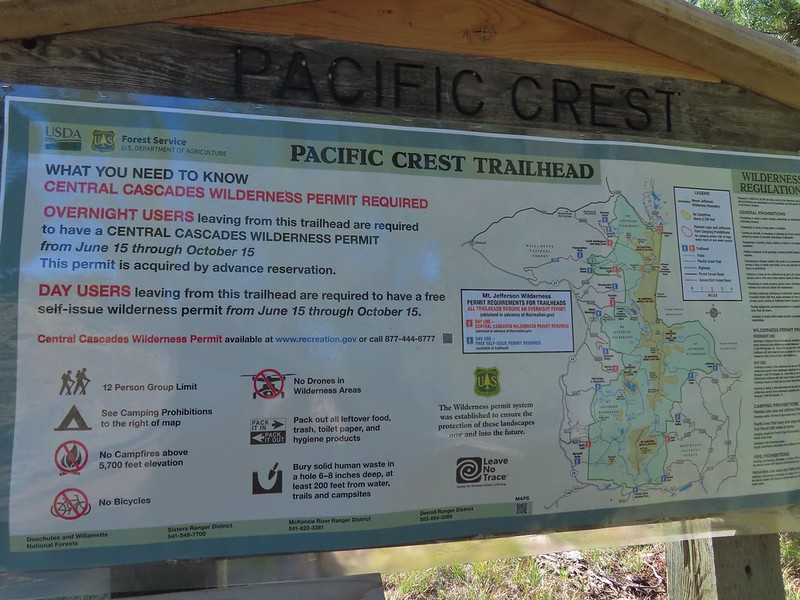
Just as we had done in 2017 I parked at the Pacific Crest Trailhead at Big Lake which at this time does not require a Cascade Wilderness Permit for day-use (one is required for overnight stays).
I set off South on the PCT shortly before sunrise and followed it for three miles to a cairn marking the obvious climbers trail.
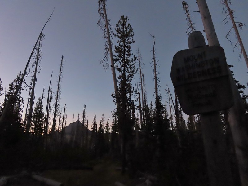 Mount Washington from the Mt. Washington Wilderness boundary just a few hundred feet from the trailhead.
 Three Fingered Jack to the North from the PCT.
 From left to right – Sand Mountain (post), Hoodoo Butte, and Hayrick Butte.
 Mount Washington
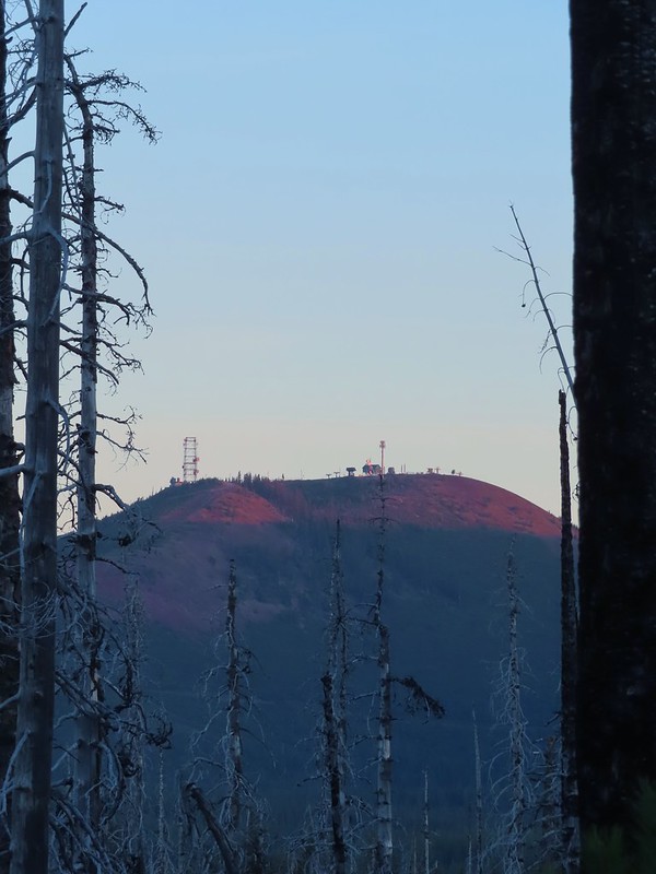 Sunrise on Hoodoo Butte.
 Sunlight hitting the spire of Mount Washington.
 Hayrick Butte and Three Fingered Jack at sunrise.
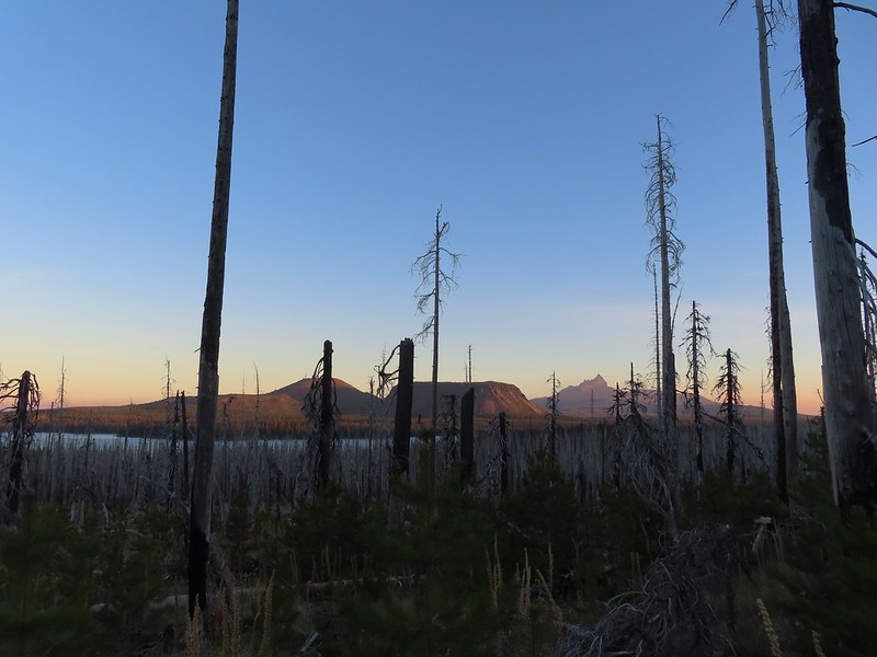 Big Lake, Hoodoo, Hayrick Butte, and Three Fingered Jack.
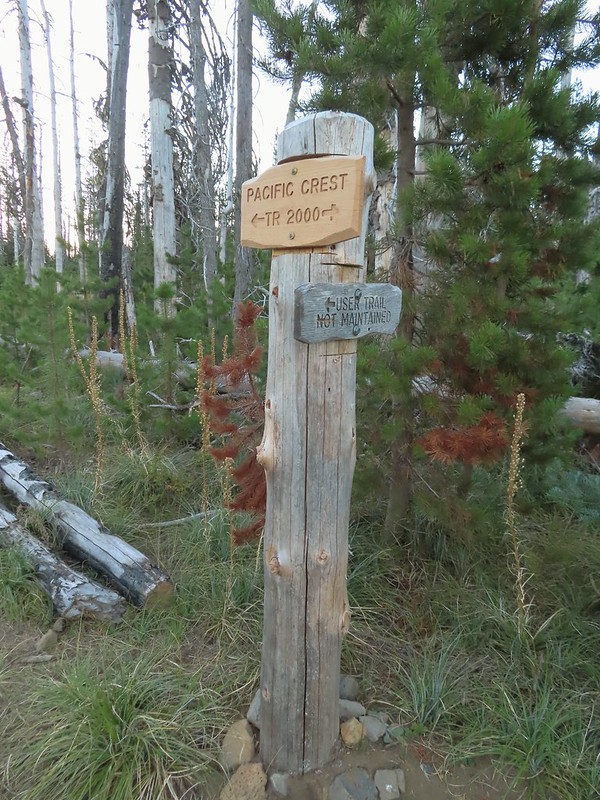 Just over two miles from the trailhead I passed a sign for the non-maintained use trail from the private Big Lake Youth Camp.
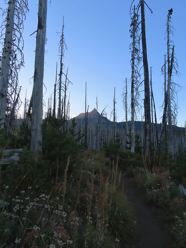
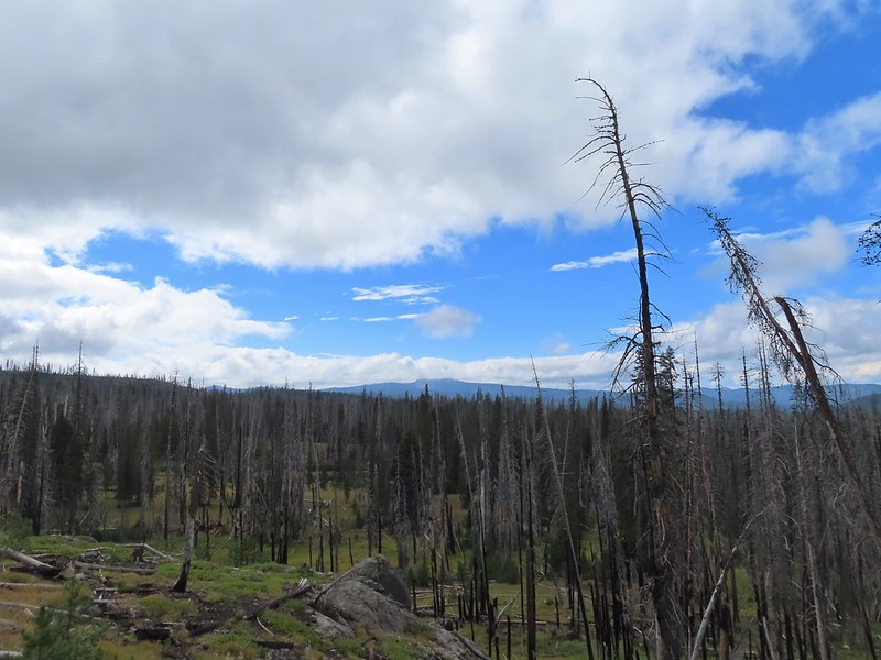
 Shortly before reaching the climbers trail the PCT left the 2011 Shadow Lake Fire scar.
 The cairn and climbers trail from the PCT.
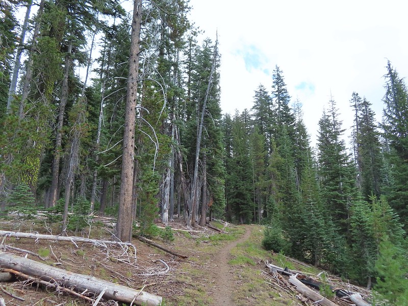
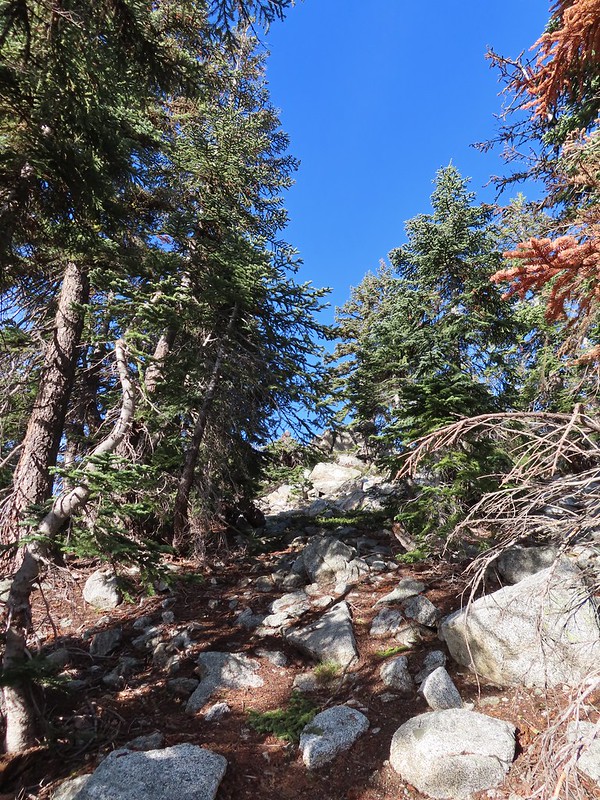
I turned left onto this trail which was fairly easy to follow through the trees.
 Huckleberry leaves turning color.


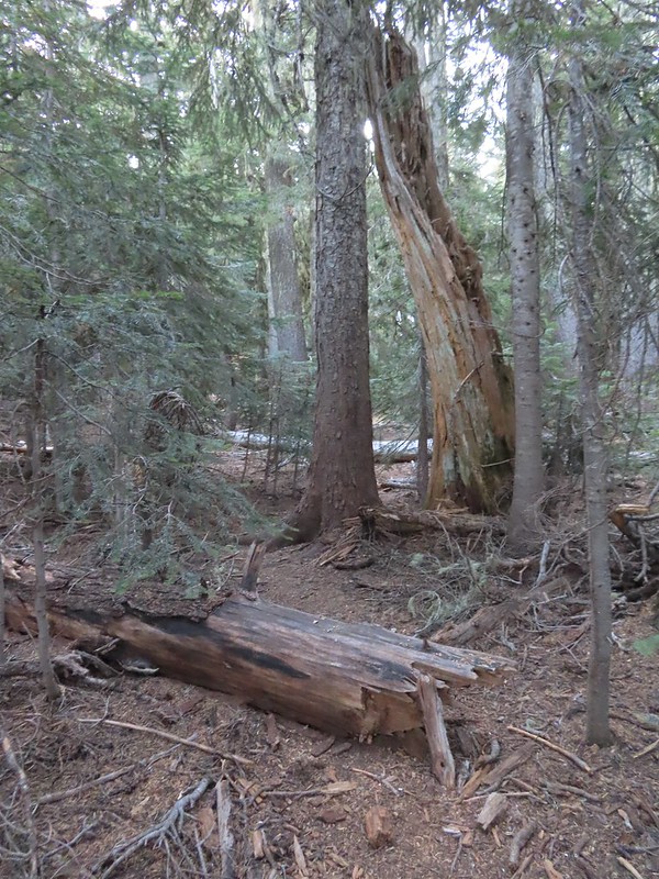 There were a few logs to navigate and keeping an eye on the tread was helpful.
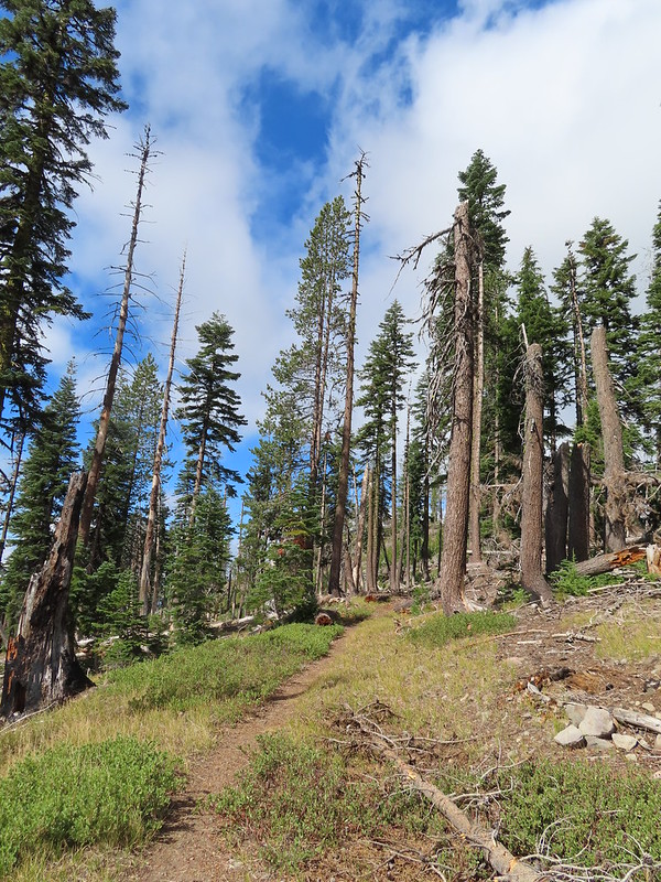
The trail climbed moderately at first then steepened as it went, with occasional flatter sections before reaching the ridge.

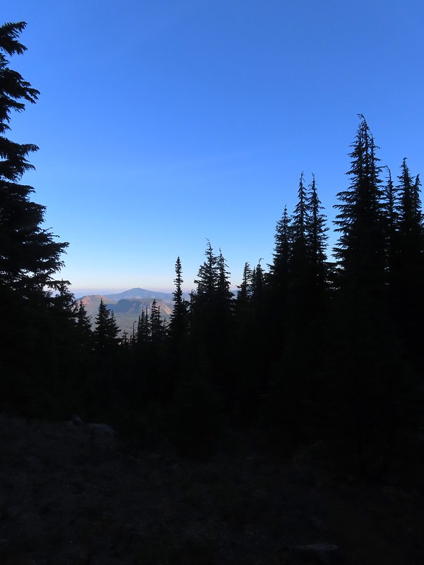 Maxwell Butte (post) behind Hoodoo and Hayrick Butte.

 Mount Washington

I stopped here for a moment to admire a raptor that was hovering high above the ridge (small black dot in the middle of the photo).
 The only movement that I could see was when it tilted its tail feathers which would catch the sunlight.
 First view of Mt. Jefferson behind Three Fingered Jack.
 Coming up on the ridge.
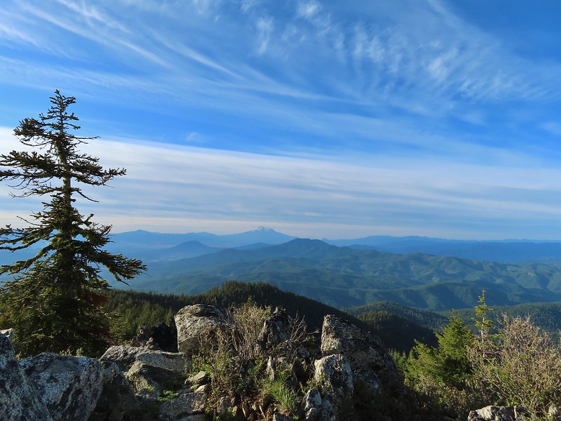
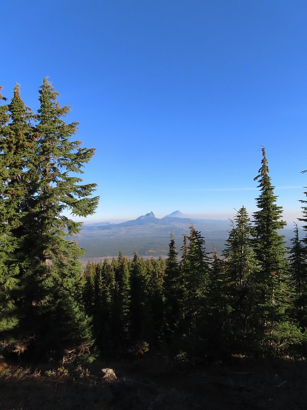 Three Fingered Jack, Mt. Jefferson, and a lot of smoke to the North.
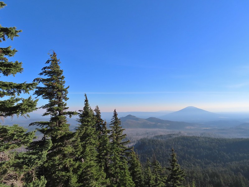 Cache Mountain and Black Butte (post) to the NE.
Approximately 1.5 miles from the PCT the climbers trail turned North along the ridge toward Mount Washington.
 View along the ridge to Mount Washington.
 That East wind was really noticeable as I made my way along the open ridge crest.
I didn’t have much trouble following the trail for the first three-quarters of mile up the ridge. It was typical Cascade volcanic rock which isn’t the most fun rock to hike through but the views were great.
 Three Fingered Jack and Mt. Jefferson to the left. Green Ridge (post) across the center, and Cache Mountain & Black Butte to the right.
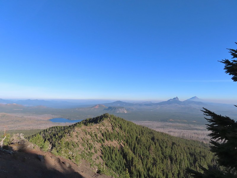 Big Lake came into view as I climbed.
 One of the steeper sections I went up. The spire is poking up on the right.
 Mount Washington’s shadow.
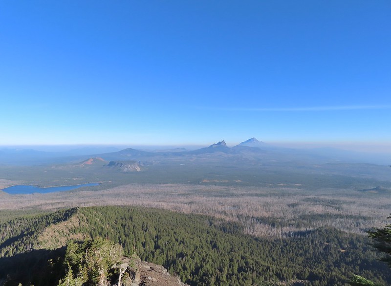 View back down the ridge.
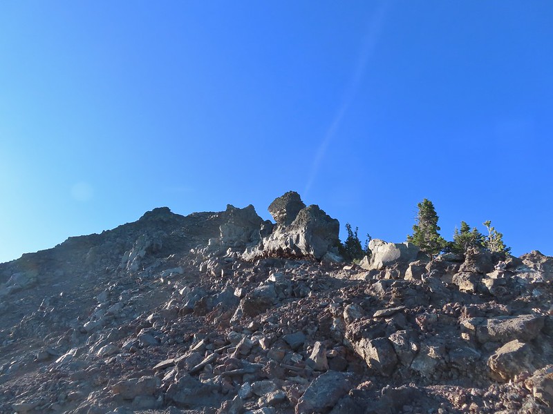 I was hoping to get up and over these rocks where the map showed a more level bench but I wound up reaching a chute where I was unsure of the correct route. The further up I’d gone the more braided the trail became and I may have been too far left. A climber had passed me way back on the PCT but if I had been able to watch him go up here I may have found a better route.
 The chute that turned me back. It’s a bit hidden by the rocks in the foreground but there was no way across that I would have been comfortable with and scrambling up looked way too sketchy for my taste (especially w/o a helmet).
I sat down here and took a brief break to catch my breath and have a snack. I was just over 7100′ in elevation and had been feeling that on the climb up.
 My shadow on the left from my break spot.
 This was the place I’d come up.
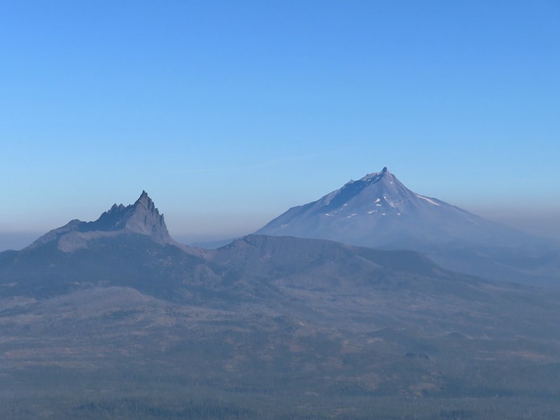 Zoom of Three Fingered Jack and Mt. Jefferson
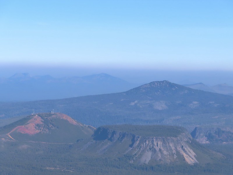 With all the smoke I hadn’t noticed Coffin (flat top) and Bachelor Mountains (post) beyond Hoodoo, Hayrick, and Maxwell Buttes.
After catching my breath I started carefully down, pausing often to admire the view.
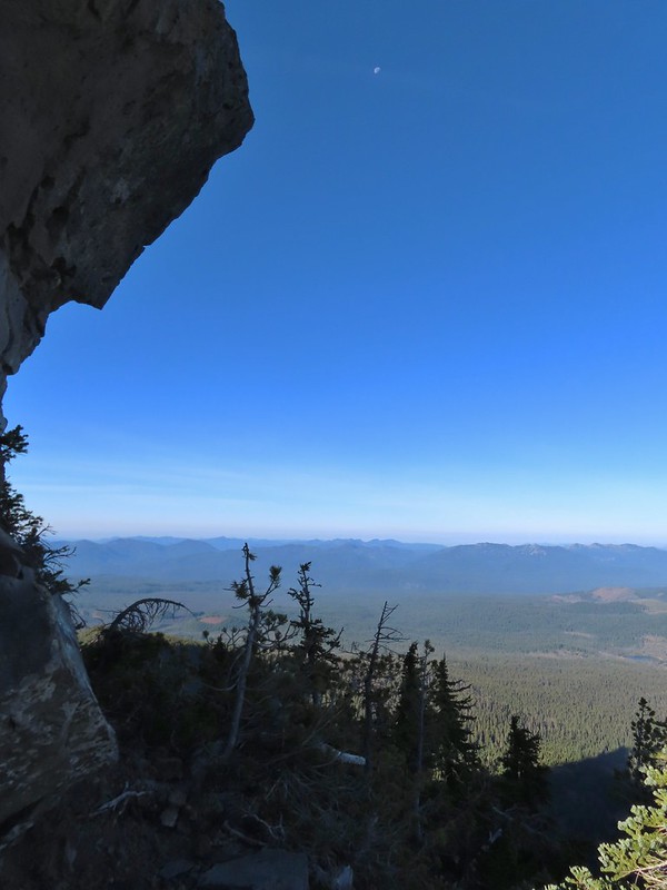 The Moon overhead to the West.
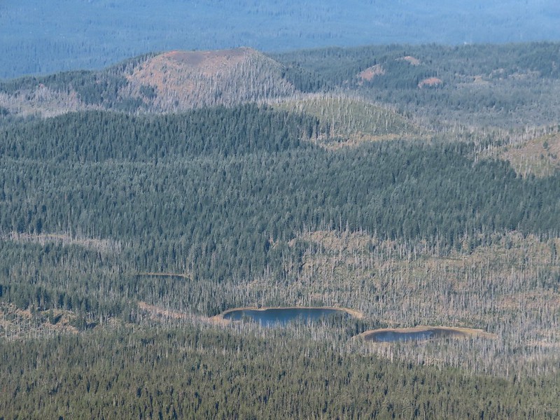 Patjens Lakes (post) in the forest below.
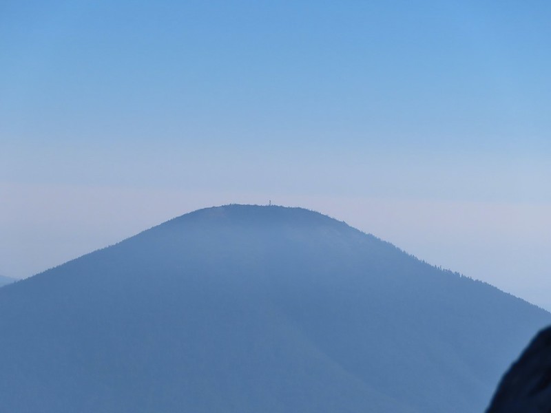 Lookout tower on Black Butte.
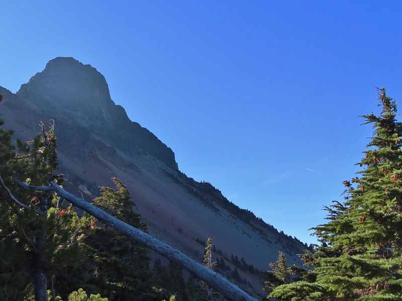 Unfortunate that my timing once again put the Sun directly in line with my view.
I passed three more hikers heading up the ridge on my way down and at one point wound up following a wrong trail too low on the ridge and had to scramble back up to the correct one.
 Using a tree to try and get a better view.
 A framed Mt. Jefferson.
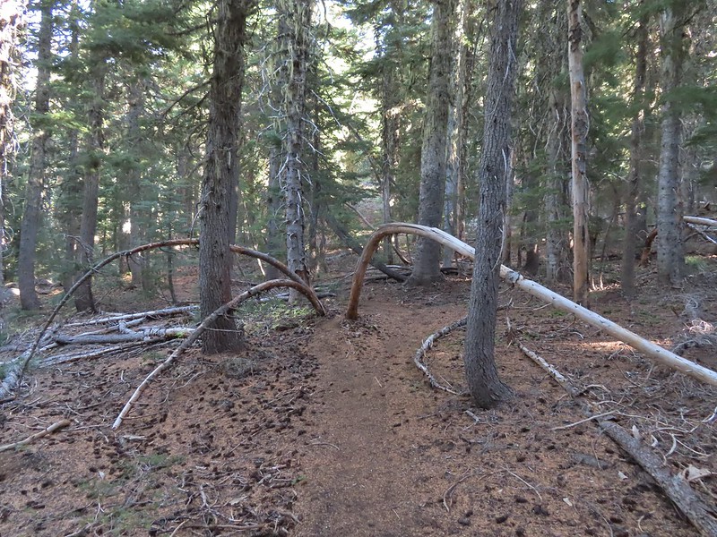 Sometimes it’s the little things, like these bent trees that I really appreciate on a hike.
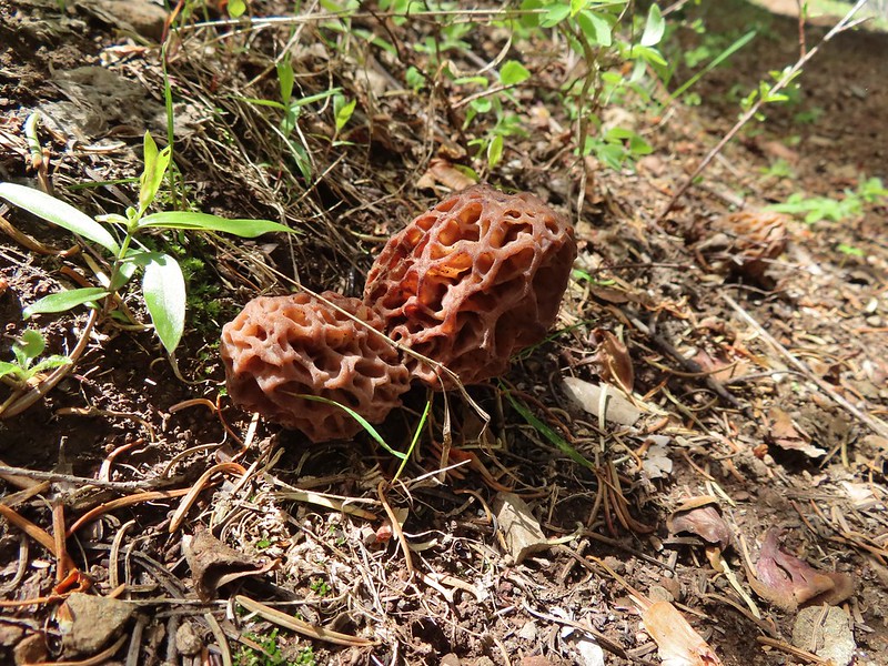
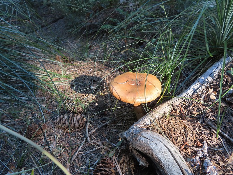 This mushroom casting a shadow was another one.

When I got back to the PCT I turned right and hiked the three miles back to the trailhead.

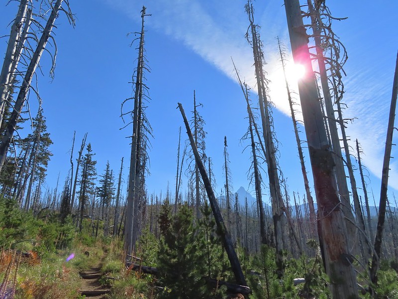 Looking back at Mount Washington from the PCT.
 Three Fingered Jack
 Hoodoo and Hayrick Buttes behind Big Lake.
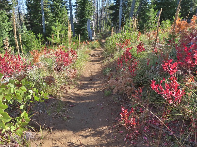 Huckleberry bushes and ferns adding some Fall colors.
 The best Fall colors were near the trailhead.

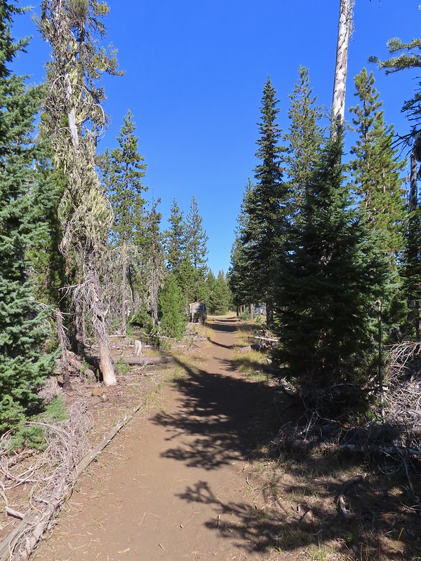 The trailhead from the wilderness boundary sign.
This hike came to 10.7 miles with a little over 2700′ of elevation gain. In total I saw 7 hunters, 4 climbers, and two fellow hikers, not bad for a sunny Saturday. It might not be one for those uncomfortable with heights or climbing/descending loose volcanic rock (for those reasons it was a good choice since Heather is still sidelined) but if you don’t mind those things this would be a worthwhile outing.

When I got back to Salem around 2pm it was 90 degrees, in mid-October! The good news is that the high pressure system causing the warm, dry weather is supposed to break up this week with rain to follow. Hopefully it will be enough to put an end to the fires. Happy Trails!
Flickr: Mount Washington North Ridge
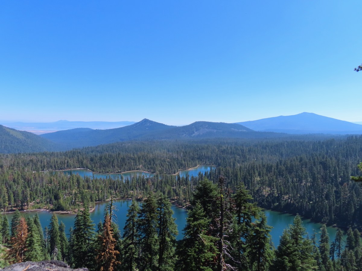

 Shelter at the trailhead.

 Aster
Aster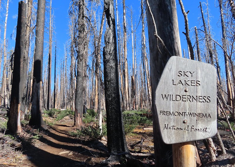
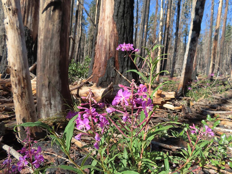 Fireweed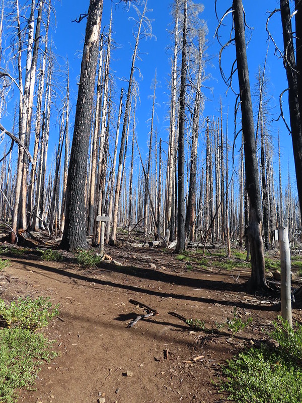

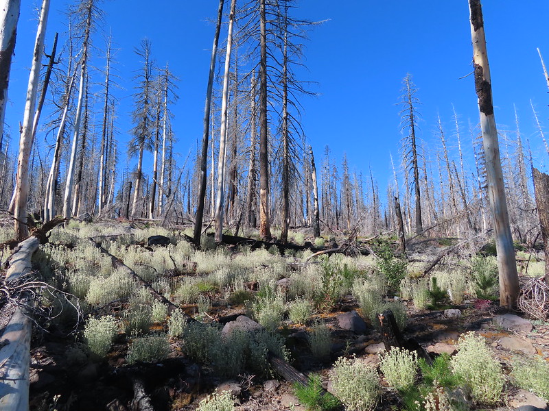
 Comma butterfly
 Exiting the fire scar.
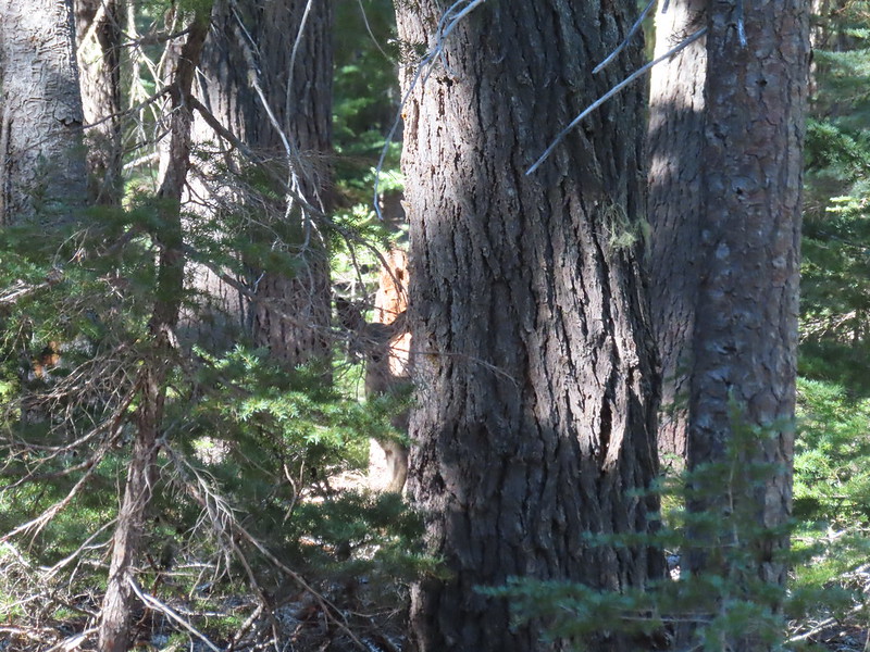 Doe watching us through the trees.


 Luther Mountain on the left and Lee Peak on the right.
 Sign for the Sky Lakes Trail.
 Isherwood Trail junction.
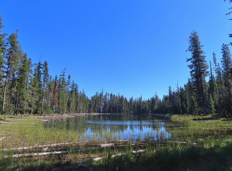 Lake Land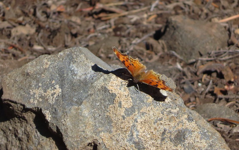

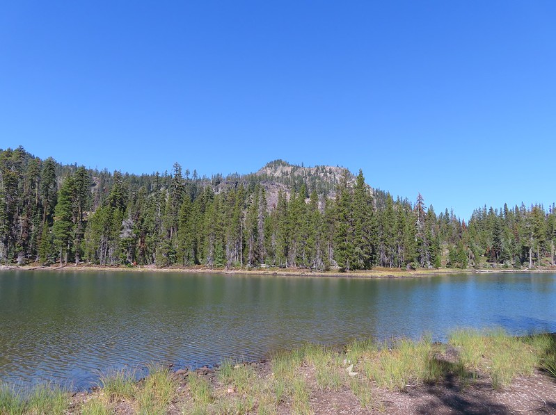 Luther Mountain from Trapper Lake.
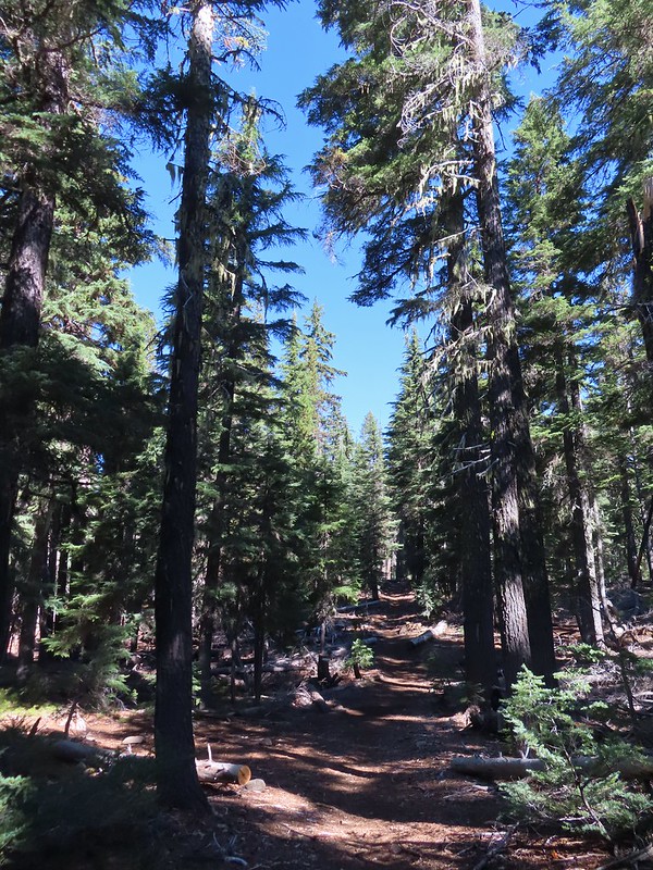
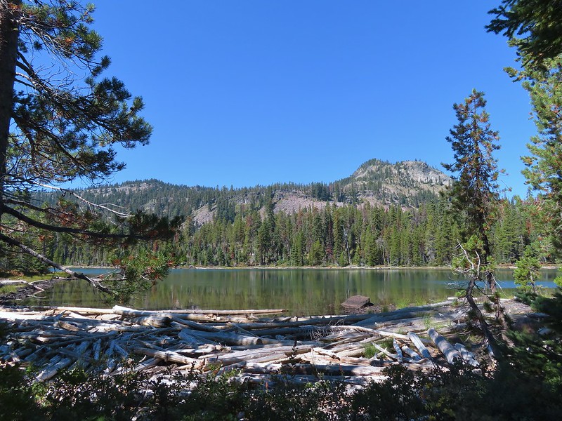 View along the trail.
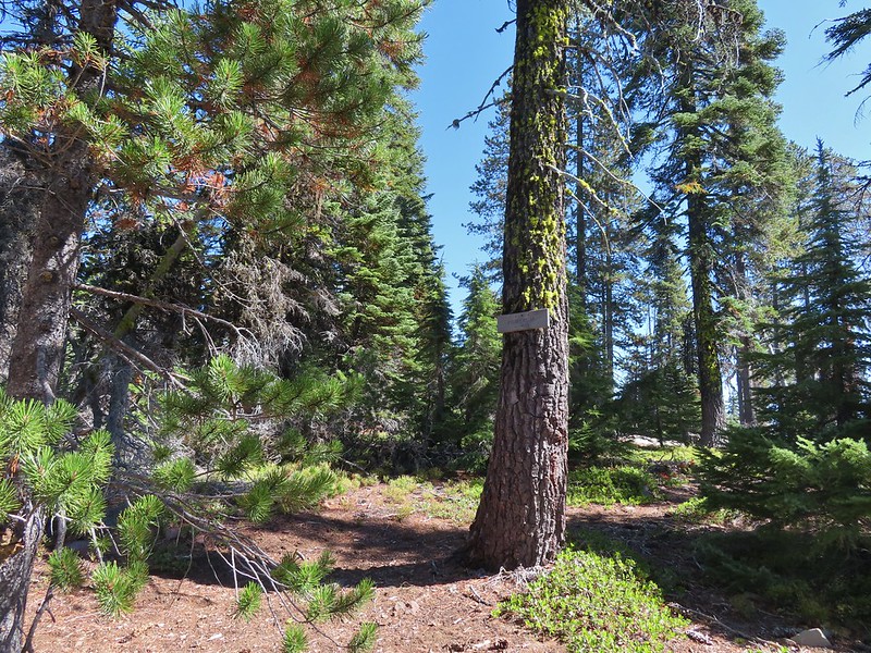 Sign for the Cherry Creek Trail.
 Sky Lakes Trail sign.
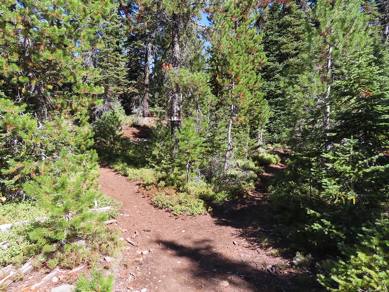 Donna Lake Trail to the right.
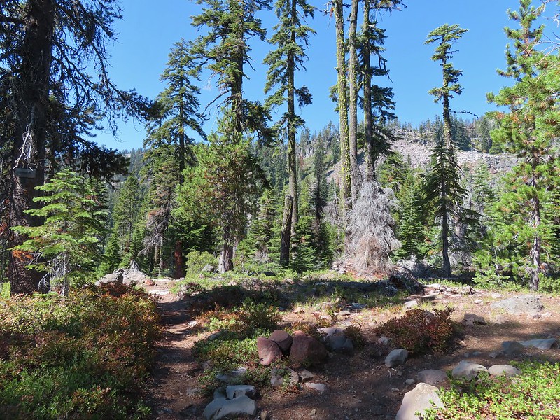 Divide Trail junction.


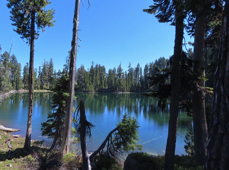
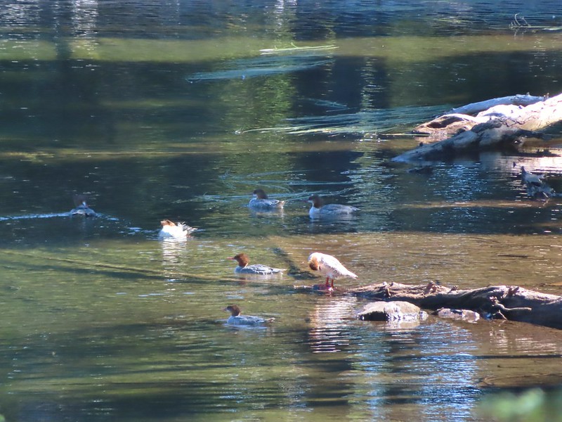
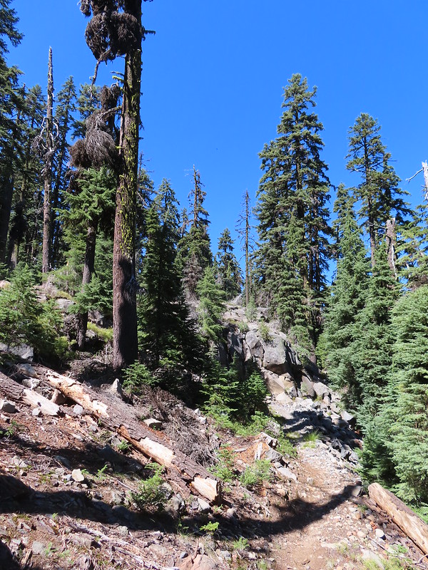

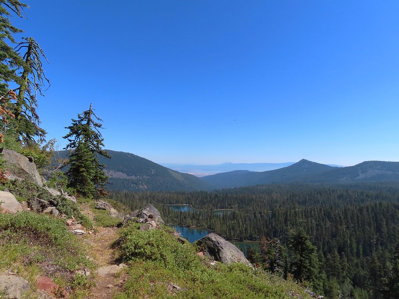 Saddle Mountain is in the distance with pointy Cherry Peak in the foreground. I believe that is Agency Lake visible in the Valley.
 Pelican Butte to the right.
 Mt. McLoughlin (
 Eagle flyby.
 Lather Peak with several more lakes below.
 In the distance to the left is Aspen Butte (
 Fall is in the air.
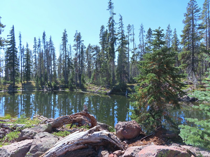 On of several small bodies of water along the shelf.
 We know there were pikas out there because we heard their “meeps” off and on all day but with so many rocks we were never able to spot one.
 Heading toward Luther Mountain.
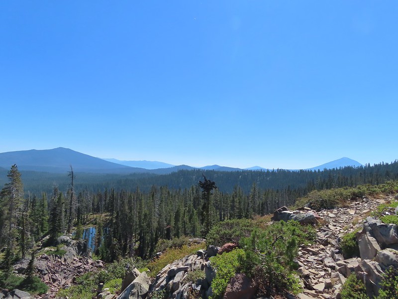 Pelican Butte on the left and Mt. McLoughlin on the right. The peaks in the Mountain Lakes Wilderness are behind and to the right of Pelican Butte then the small, closer hump is Imagination Peak. To the right of Imagination Peak and slightly further back is Lost Peak and then further to the right (left of Mt. McLoughlin) is Brown Mountain (

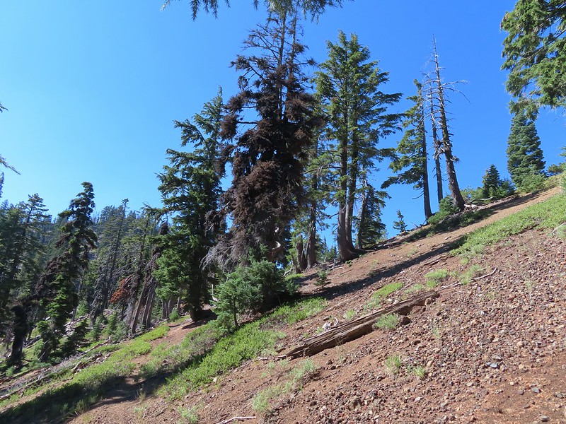
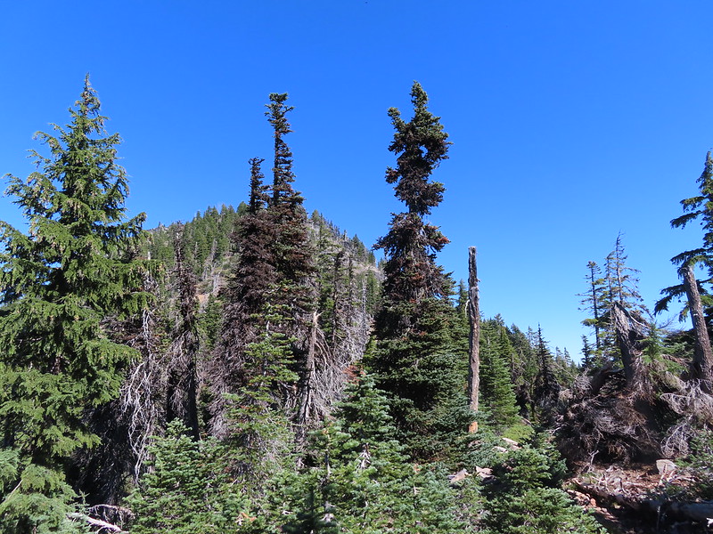 Luther Mountain from the saddle.
 The Pacific Crest Trail.
 Lucifer Peak directly behind Shale Butte.
 Lucifer Peak, Shale Butte, Devil’s Peak and Lee Peak.
 Blowdown on the PCT.
 Luther Mountain
 Luther Mountain and Mt. McLoughlin behind us.
 Lots of little birds along the ridge but most didn’t stop long enough for even a poor picture.
 Sign at the Snow Lakes Trail junction.
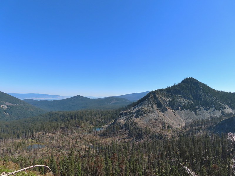 Martin, Wind and a Snow Lake from the Snow Lakes Trail.
 Hawk circling overhead.
 While I was trying to keep track of the hawk this Bald Eagle flew over.
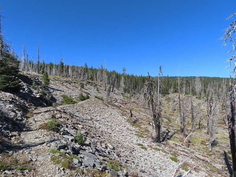 Nearing the end of the 2014 fire scar.
 Luther Mountain from one of the Snow Lakes.
 Another of the lakes.
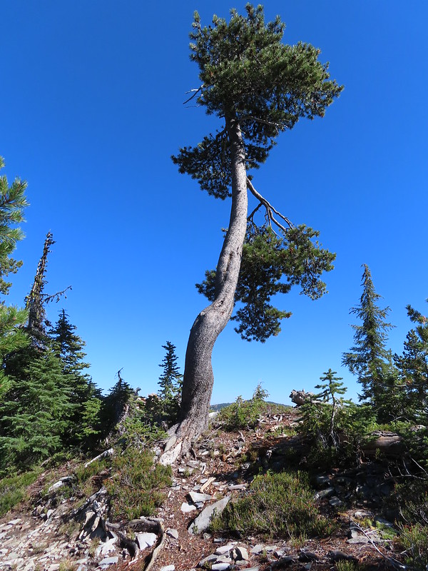 Tree on the edge of the shelf.
 View from the shelf.
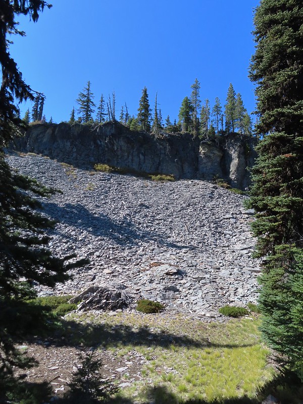 There were many cool rock features along the trail.
 Devil’s Peak
 Lee Peak and another of the Snow Lakes.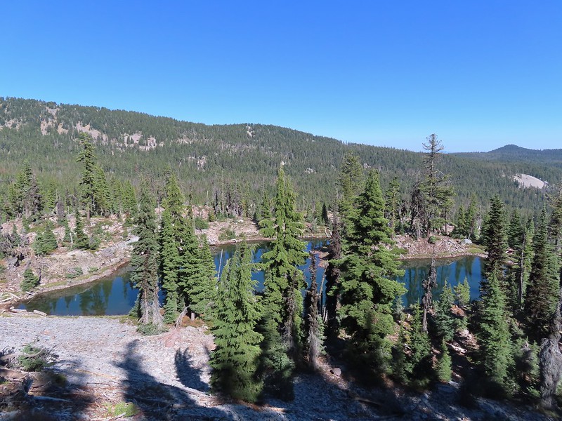
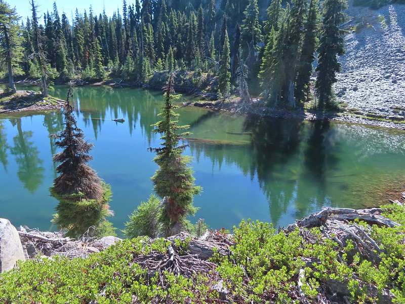 A tree had fallen over the Snow Lakes Trail hiding it right where a use trail veered off to the lake. Only seeing the use trail we followed it along the lake until it petered out. A quick look at the map showed we were off-trail so we made our way back finding the downed tree covering the actual trail.
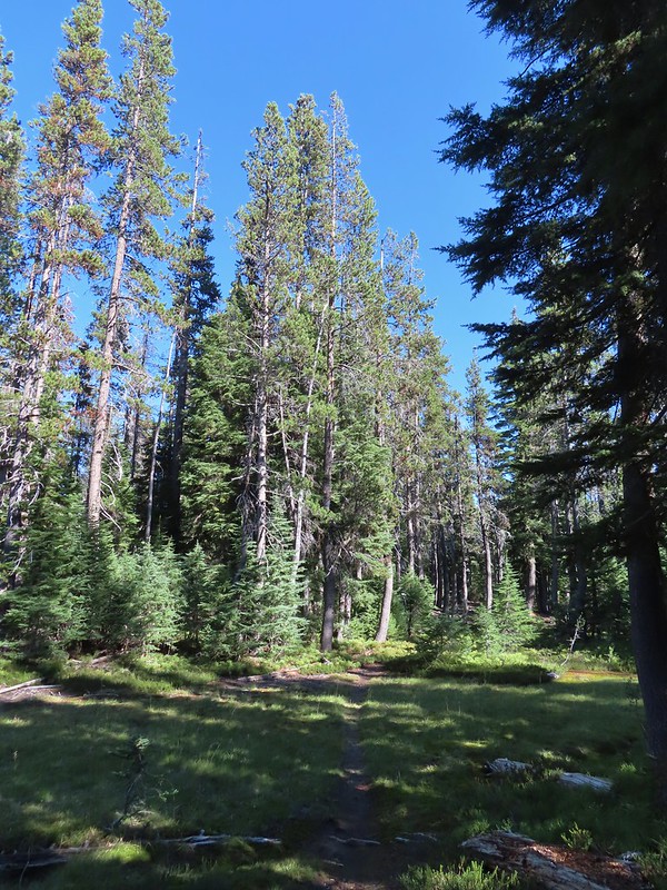
 The worst obstacle for the day.
 Pelican Butte from the trail.
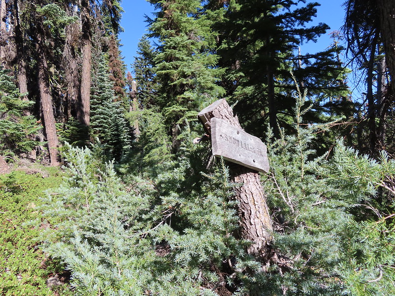 Sign at the Nannie Creek Trail junction.
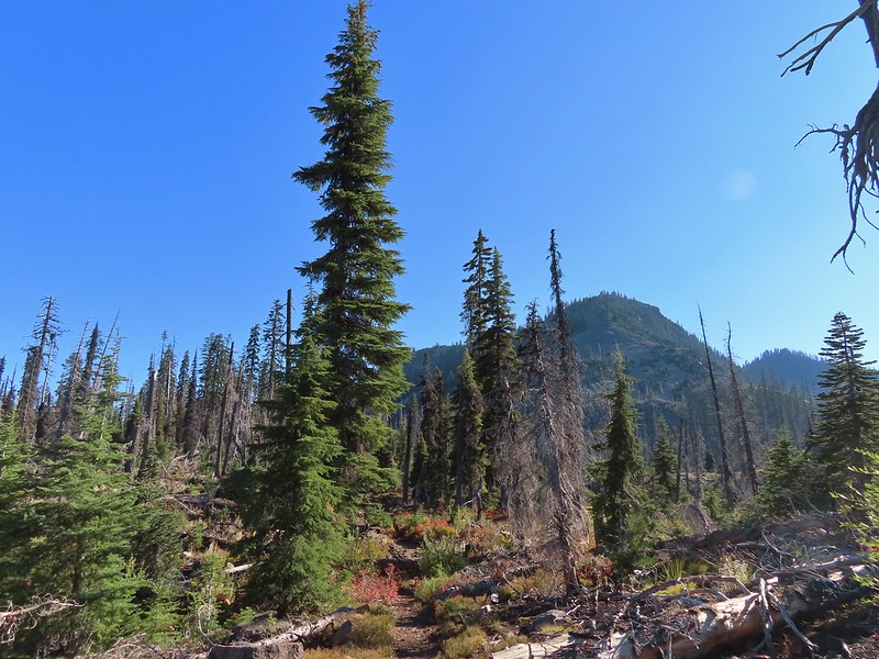 Luther Mountain as we neared Martin Lake.
 Dragon fly blending in with the huckleberry leaves.
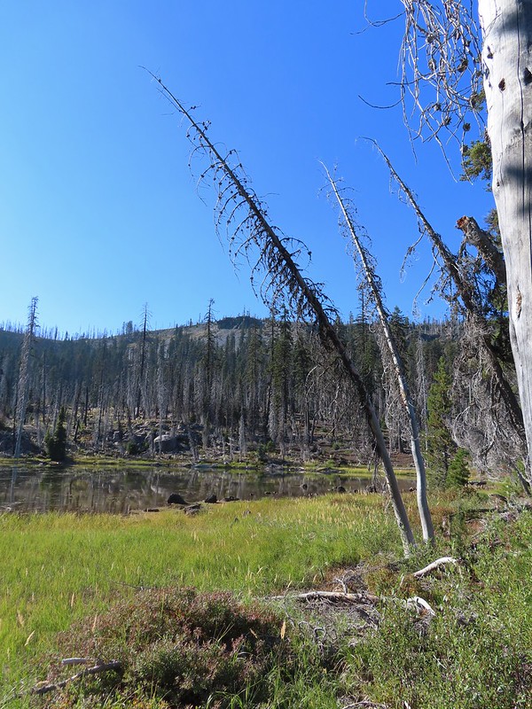 Martin Lake with a view of the shelf that we’d been on.
 Red huckleberry leaves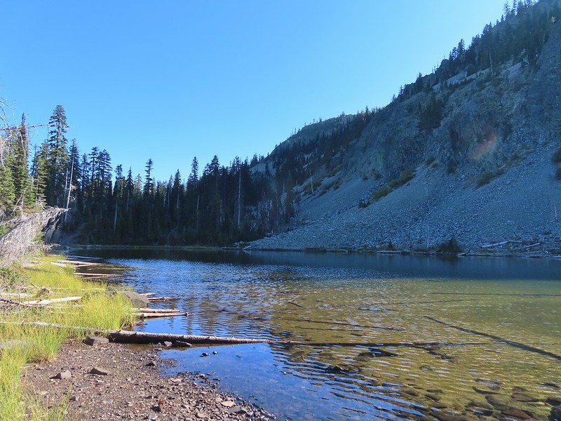


 Deep Lake was up first, just a tenth of a mile down the trail.
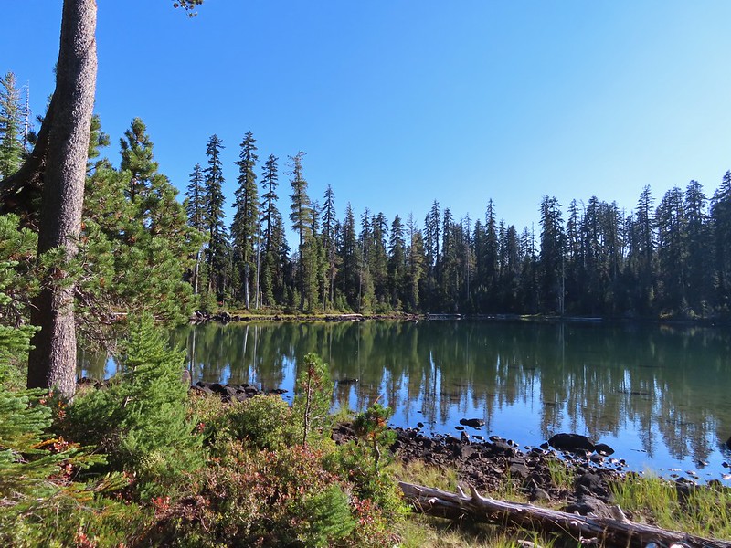
 Donna Lake was only two tenths further.
 Donna Lake Trail
 Back at Trapper Lake.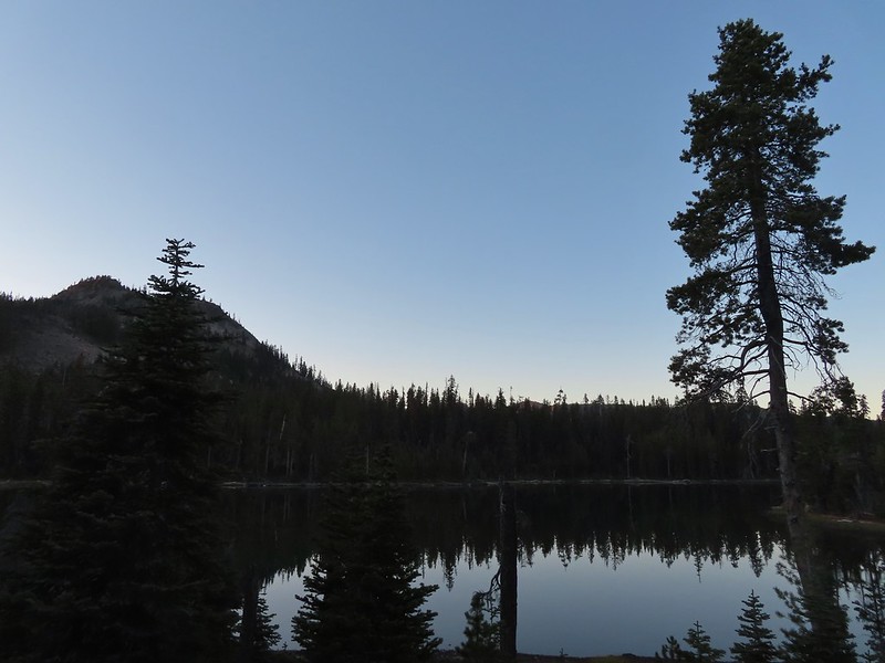


 Mt. Scott (
 Raven making a landing atop a mountain hemlock.
 The Watchman (
 It was by far the most scenic mistake we’ve made while hiking.
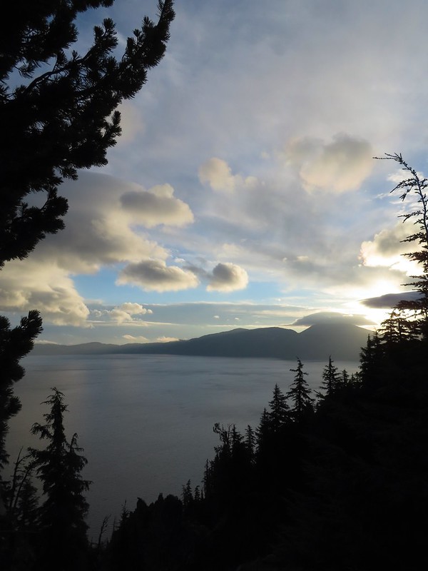
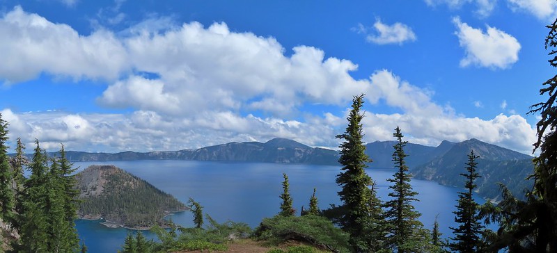
 Wizard Island and Llao Rock
 Mount Scott
 We joked that views had been so good maybe we should just end the hike now.


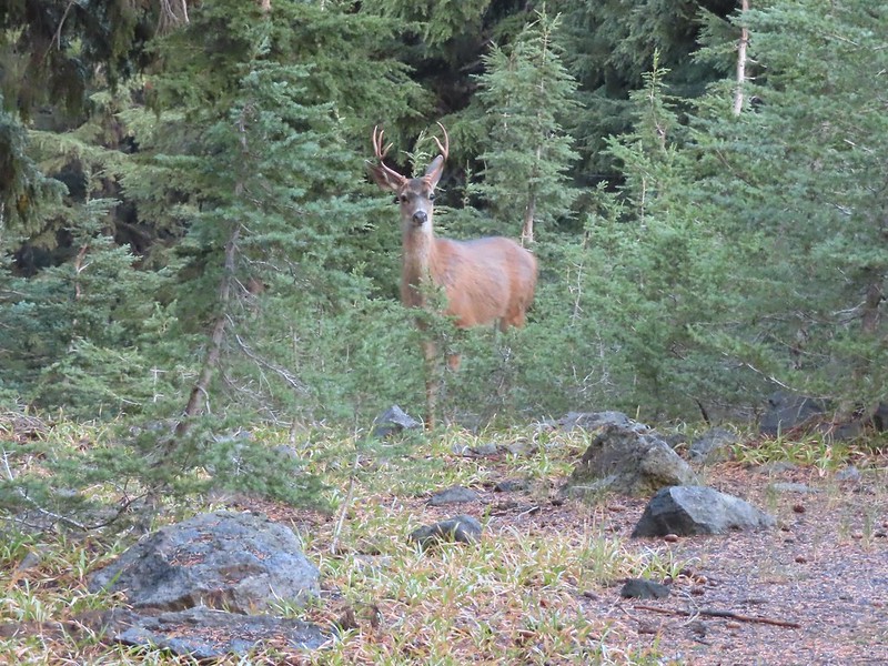
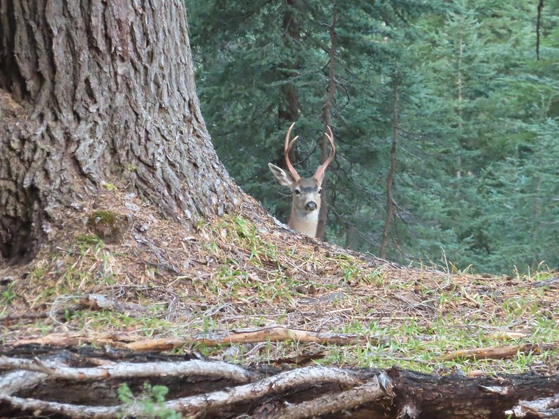


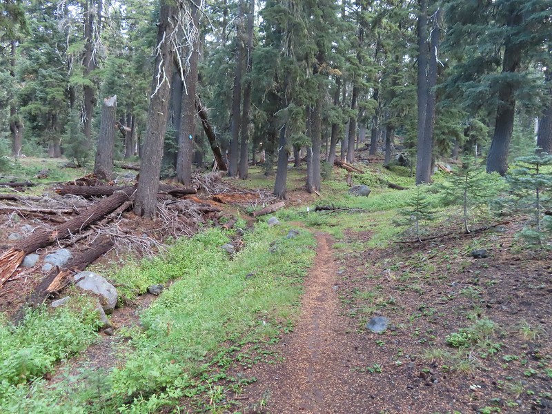 Dutton Creek was dry.
 Blue sky ahead.
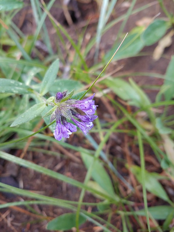 Not much left for flowers, this could be a Crater Lake collomia although it’s a little late in the season.
 Castle Creek still had some water flowing.
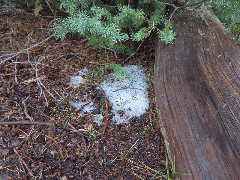 We spotted several piles of hail, possibly from the severe thunderstorms that had been forecast for Saturday night?
 Arriving at the PCT.
 The campsite at the junction was closed due to hazard trees.
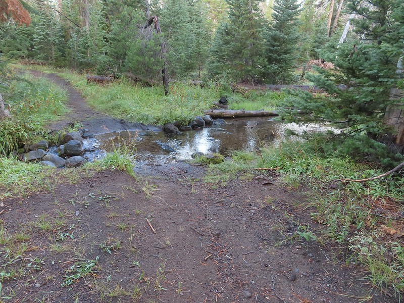 Recrossing Castle Creek.
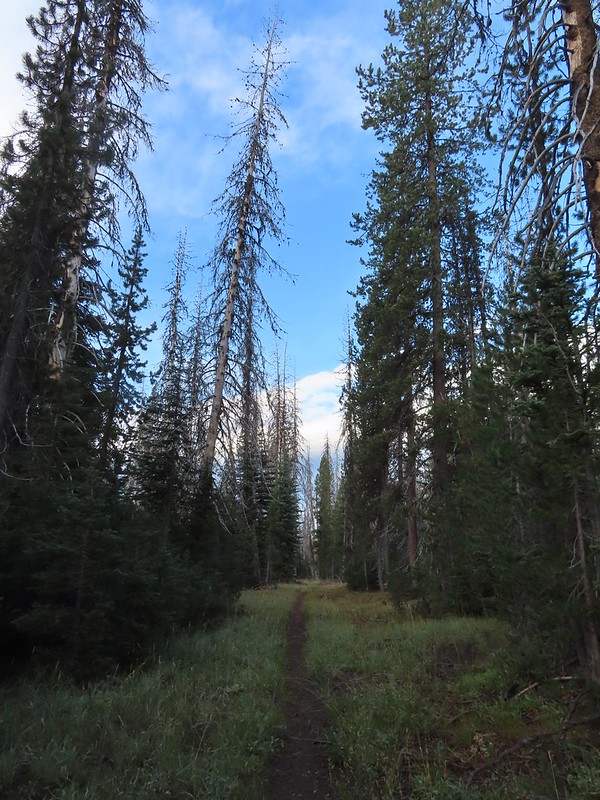 The PCT appeared to be following an old road bed through the park.
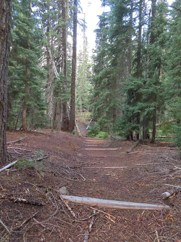 Dropping down to Trapper Creek.
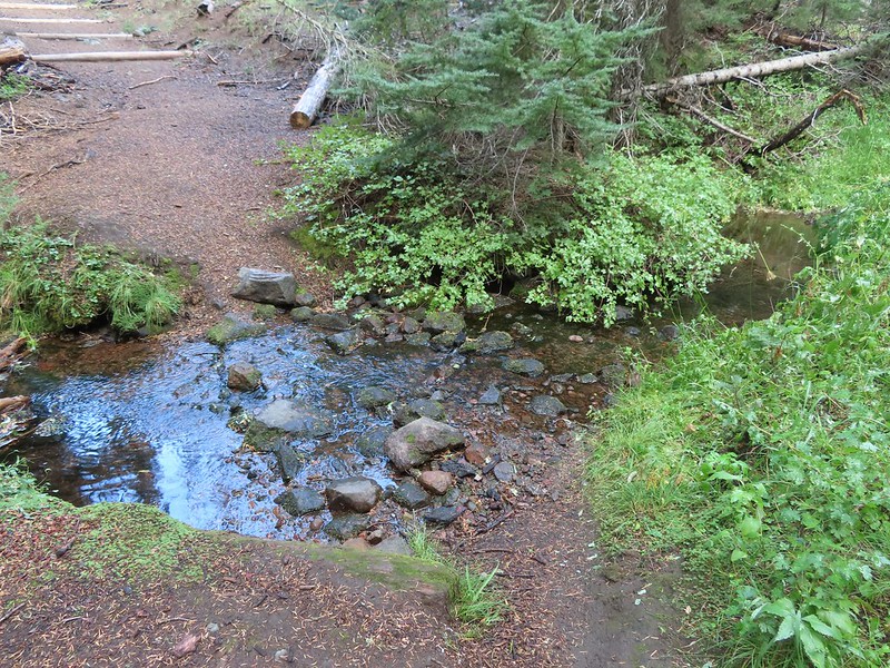 PCT crossing of Trapper Creek.
 A red-breasted nuthatch that was toying with me as I tried to get a photo.
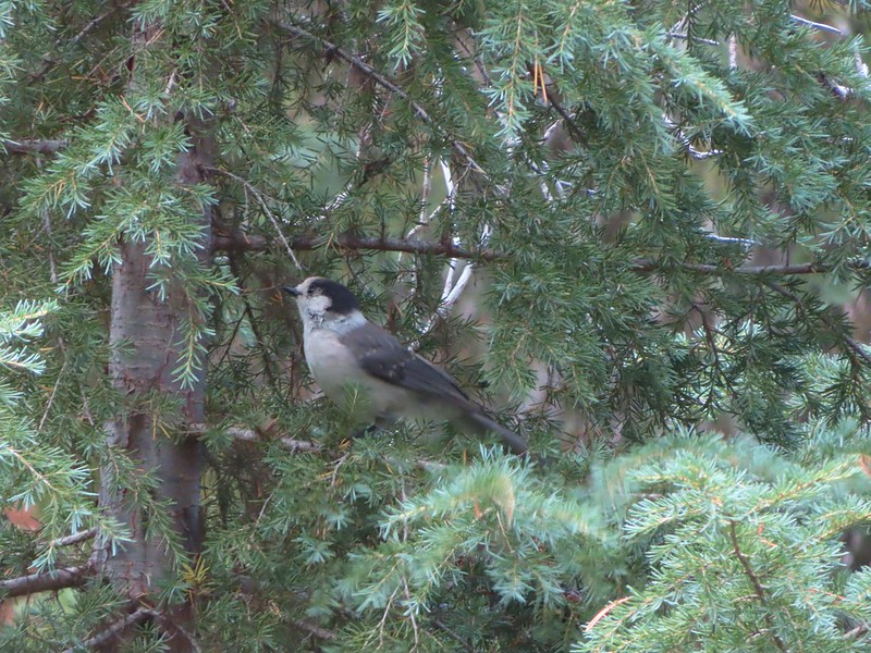 Canada jay (grey jay)
 Blue sky to the north ahead.
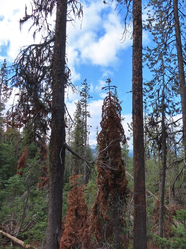 Some blue sky south too with a glimpse of Union Peak (
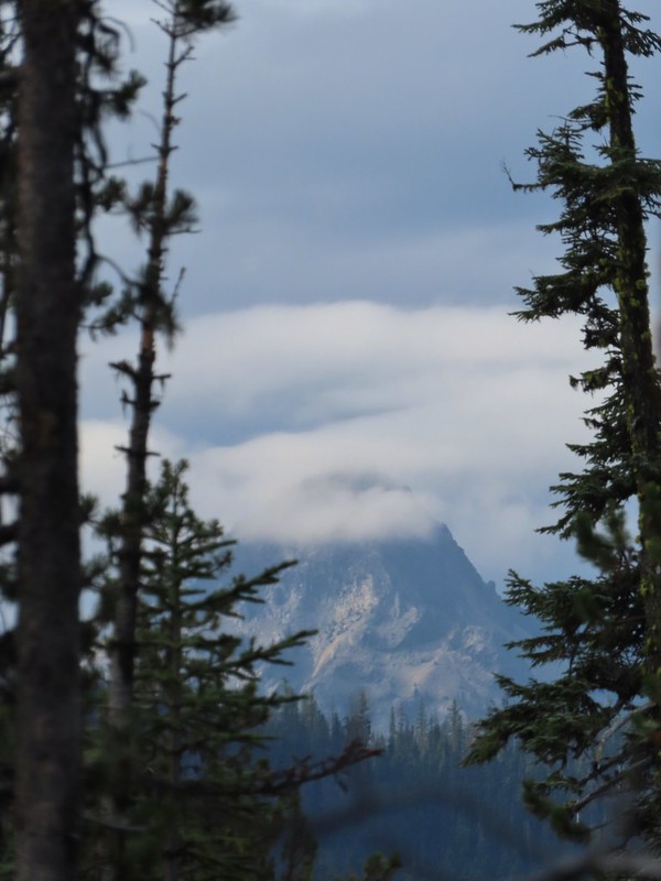 Union Peak
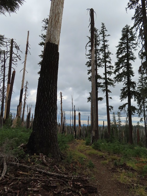 Entering the 2006 Bybee Complex fire scar.
 The Watchman. The lookout tower on top was in a cloud after having been clearly visible from rim earlier. We wondered what that might mean for our views when we finally made it back to the rim.
 Chipmunk checking us out.
 Coneflower remains
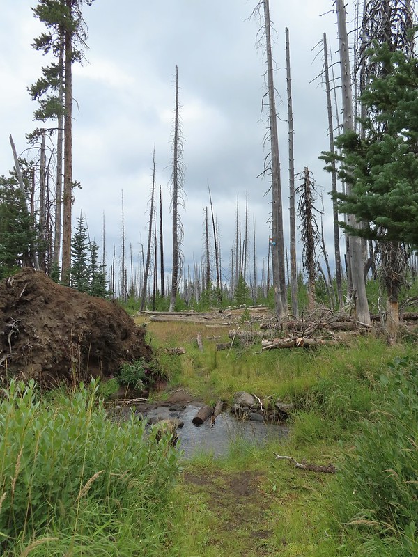 Another creek crossing.
 Red crossbills at the creek crossing.
 There were some pretty ominous looking clouds behind us but no showers yet.
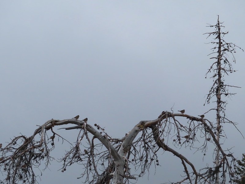 Several white crowned sparrows and at least one junco. We could also hear chickadee calls but I couldn’t find one in this capture.
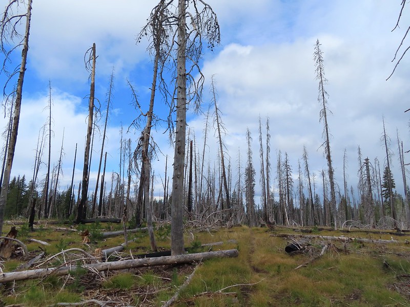 Despite the ugly clouds behind us there was almost always blue sky ahead.
 North Fork Castle Creek
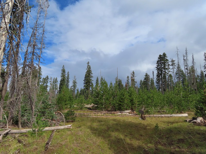 Approaching the junction with the Lightning Springs Trail.

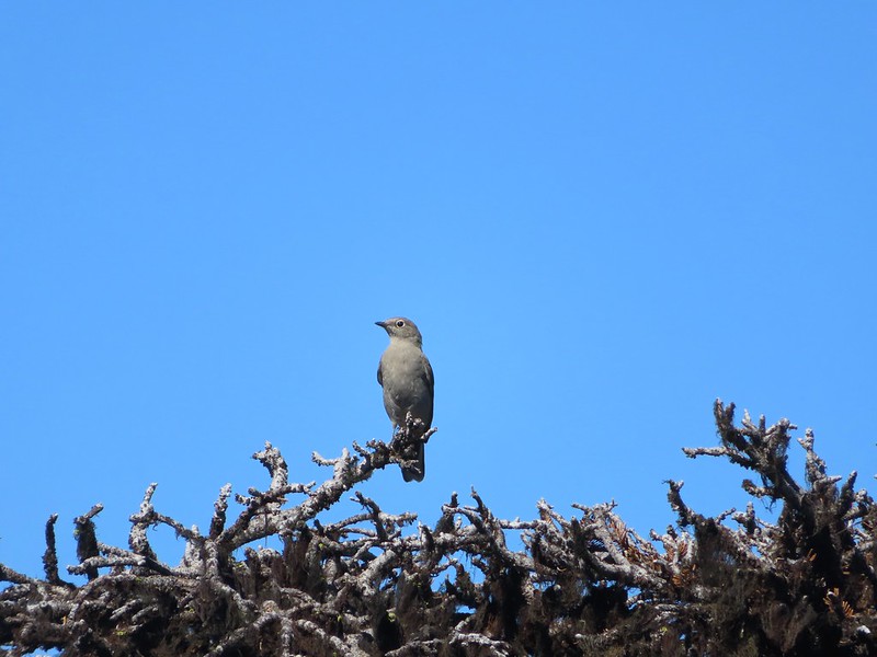
 Townsend’s solitaire
 Union Peak had been swallowed by clouds.
 The Watchman with a cloud still hanging on.
 Hawk
Hawk
 The base of Union Peak with lots of blue sky around.
 A brief stint in full sunlight.
 Robin
Robin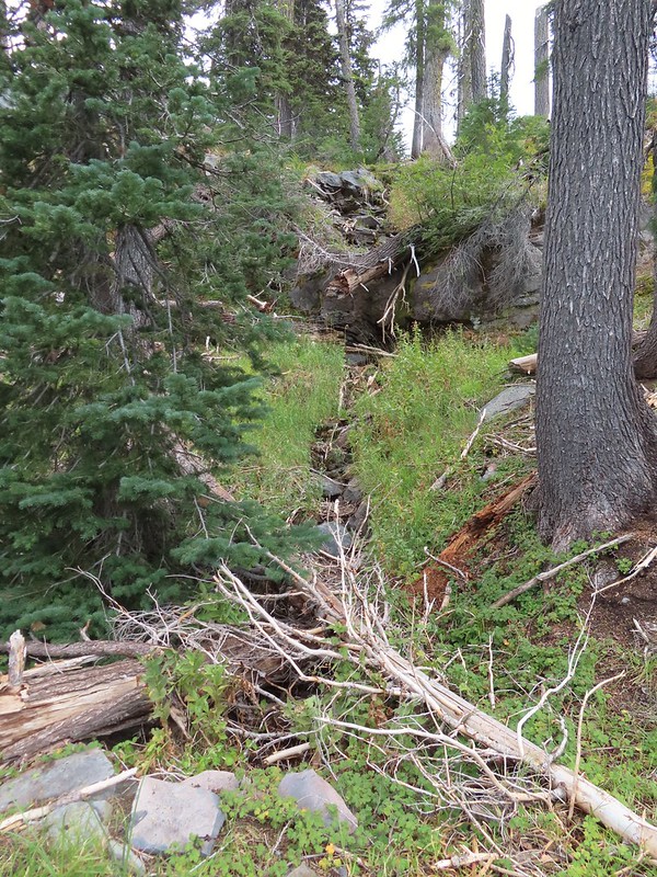
 Union Peak nearly free of clouds.
 The Watchman still not free.

 Mountain bluebird

 Full view of Union Peak.
 And finally a full view of The Watchman.
 Conditions were changing quickly and now there was blue sky above The Watchman.
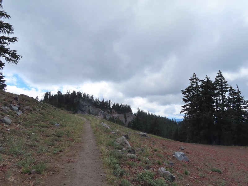 West Rim Drive ahead with the lower portion of Mt. McLoughlin (
 Mt. McLoughlin
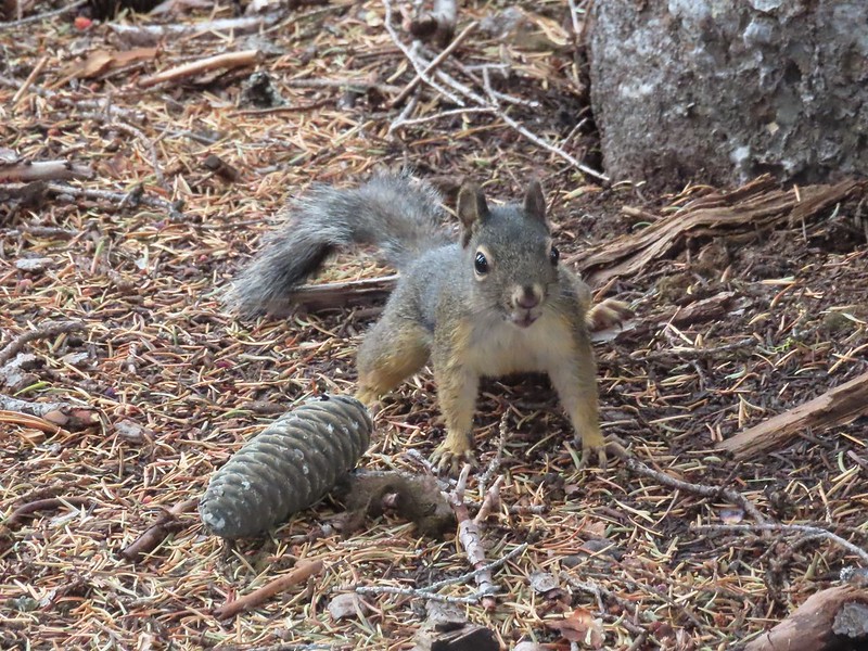 This squirrel put its cone down in case I had something better for it, but we don’t feed the wild animals per Park rules (and


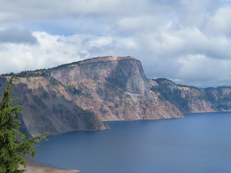
 Wizard Island’s cone
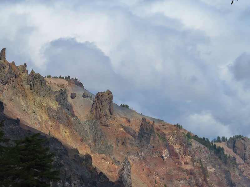
 Llao Rock
 Dock along Wizard Island
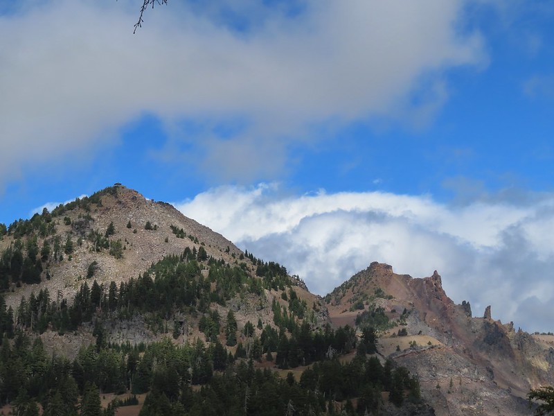 The Watchman and Hillman Peak
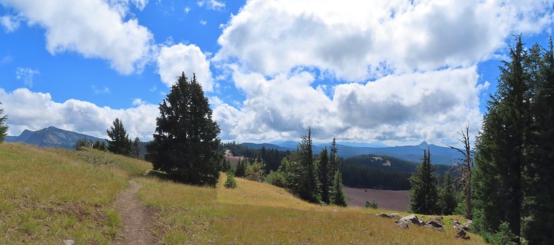 Garfield Peak to the left with Union Peak to the far right.

 Phantom Ship
 Mount Scott
 Clark’s nutcracker
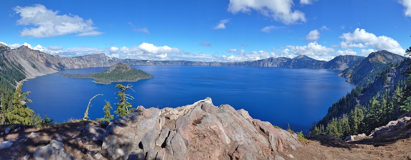
 That blue though!
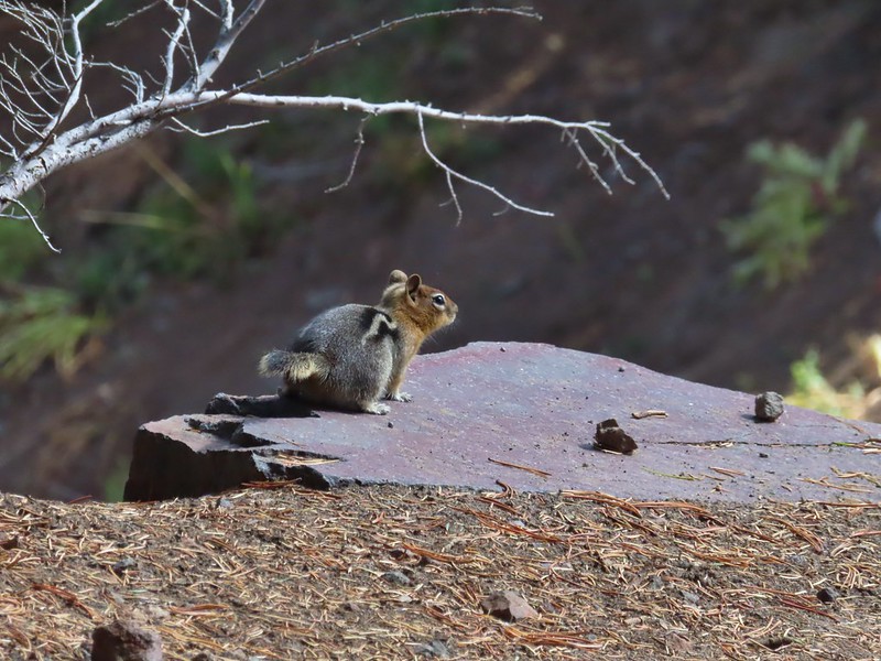 Golden-mantled ground squirrel
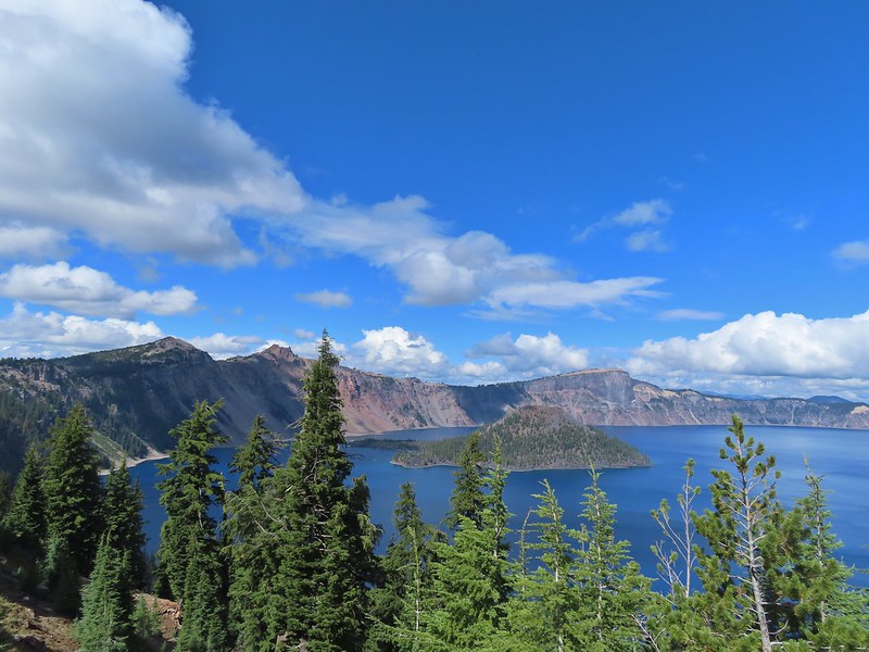 Back to where we’d been that morning.

 Wizard Island
 The Watchman (
 Hillman Peak and Llao Rock
 The sign calls this the “steepest” hike in Southern Oregon. We wondered what criteria that was based on?
 There were a large number of big mushrooms along this section of trail as seen to the lower right.
 One of the big shrooms.
 A Stellar’s jay.
 More of the big mushrooms.
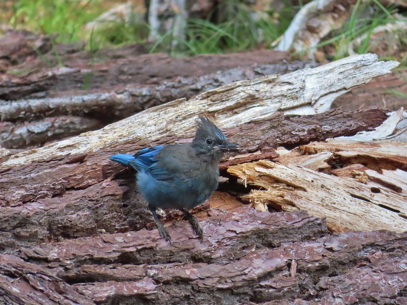 Another Stellar’s jay.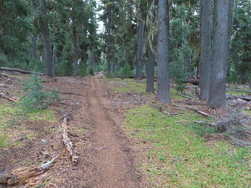
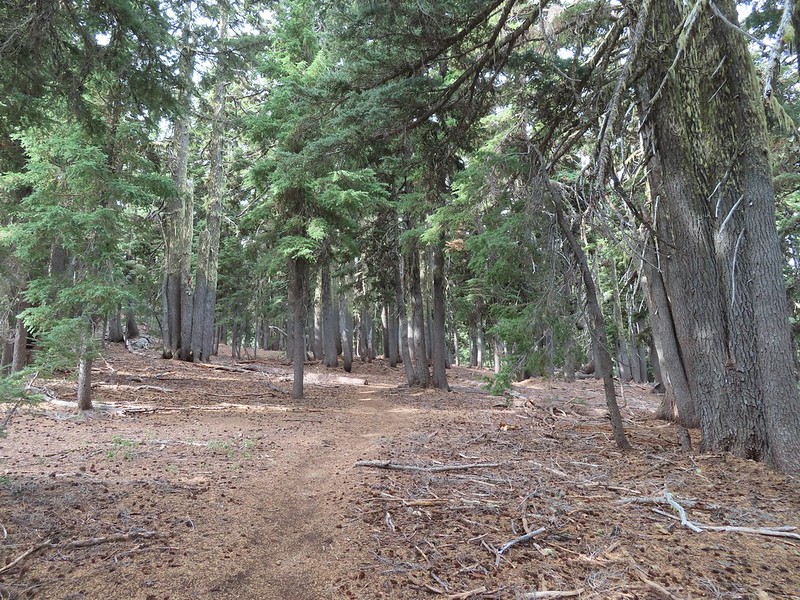
 Nearing the trail junction.
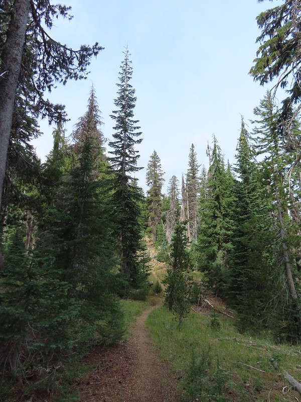
 First glimpse of Union Peak through the trees.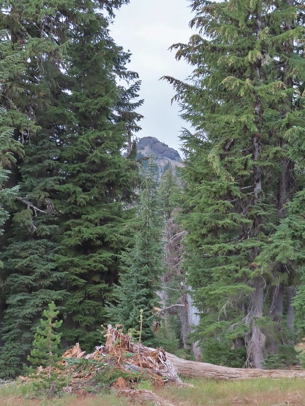
 Gardner Peak behind Goose Egg (center) to the SE.
 Fireweed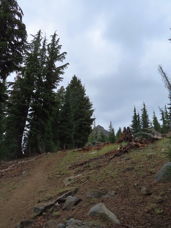
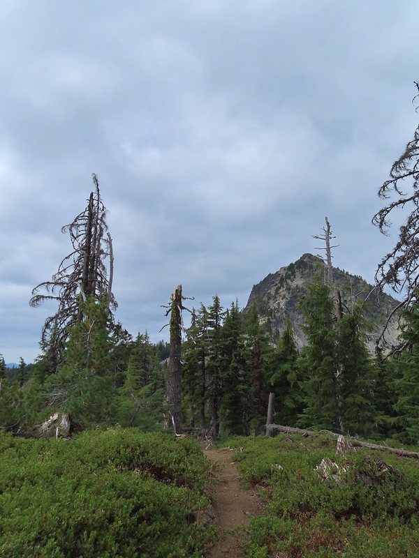 It was cloudy but no showers so far and the clouds appeared to be well above the summit.
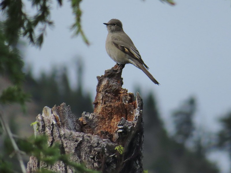 Townsend’s solitaire

 Mount Bailey in the distance to the right of the outcrop.
 The last doe keeping watch as the rest of the deer disappeared into the forest.
 Golden-mantled ground squirrel
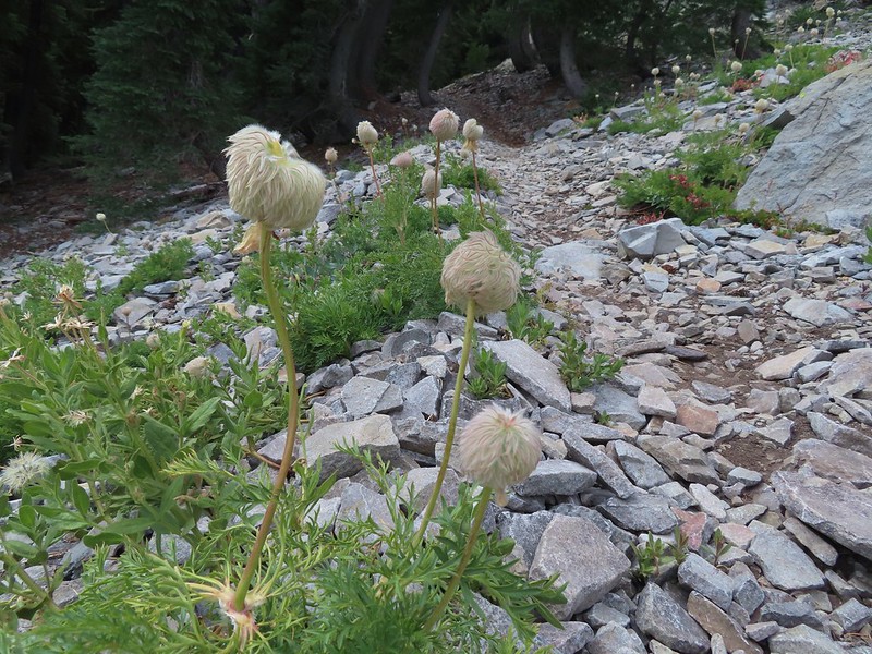 Western pasque flower seed-heads along the trail.
 Looking up at Union Peak and wondering how the trail got up there.
 Nearing the cinder field.
 Mount Scott (
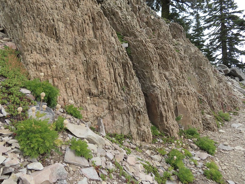 It’s always interesting to see the various rock that make up these volcanic peaks.
 The Watchman and Llao Rock with Mt. Thielsen in between in the background.
 That’s the trail on the right side of the photo.
 Looking down at the trail below.
 The trail was fairly easy to follow as it switchbacked up through the rocks. It was narrow in places which might be hard for those with a fear of heights.
 While there were no people at the summit the brush had attracted a fairly large number of yellow jackets.
 Looking west toward the Rogue-Umpqua Divide.
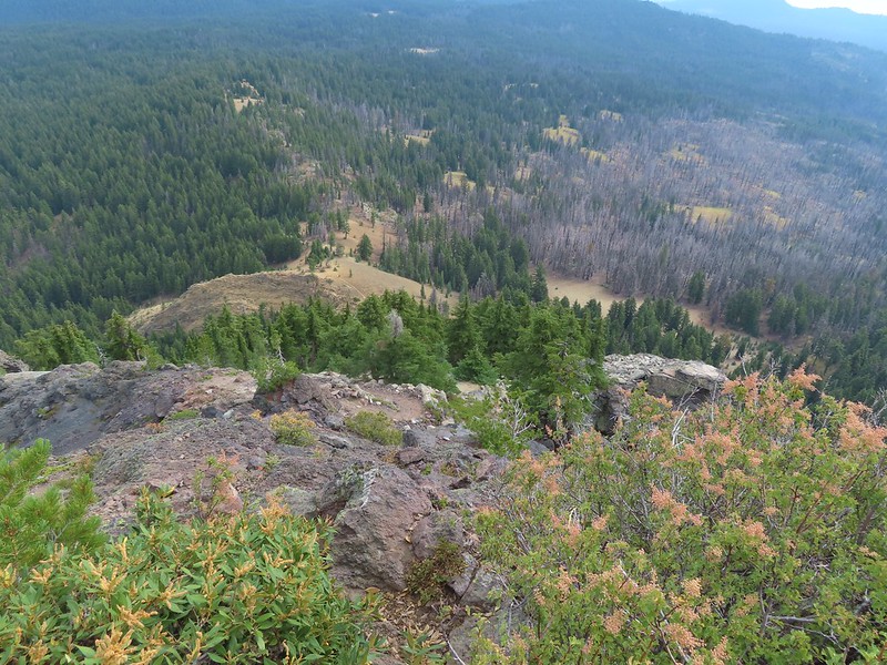 The trail along the ridge below Union Peak.
 Lost Creek Lake (
 Mount Bailey, Diamond Peak (
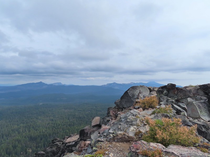 The rim of Crater Lake.
 Mt. McLoughlin is to the far right with some clouds over the top. Starting from the left is Goose Nest, Goose Egg (with Gardner Peak behind), Maude Mountain (with a faint Pelican Butte behind to the right), Lee, Devil’s, & Lucifur Peaks (Mt. Shasta is behind those three.) followed by Mt. McLoughlin.
 Mt. Bailey
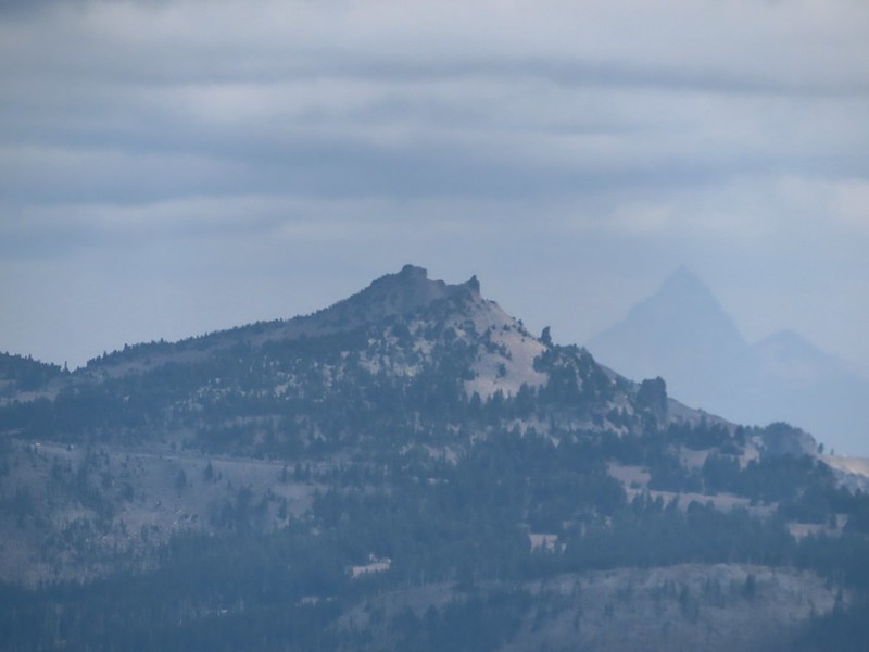 The Watchman and Hillman Peak directly behind with Mt. Thielsen further in the distance.
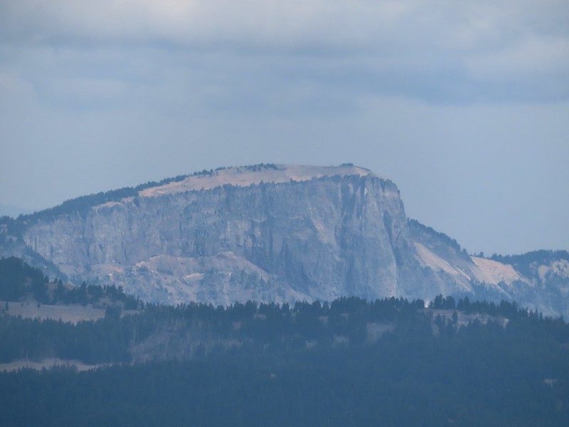 Llao Rock
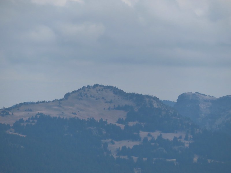 Applegate Peak
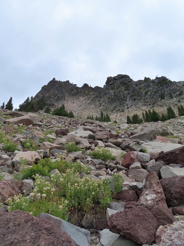 Looking back up from the rock field.
 Mount Shasta arnica
 Bleeding heart

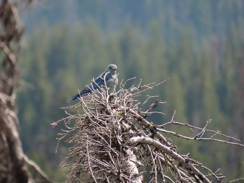 One of several mountain bluebirds we spotted.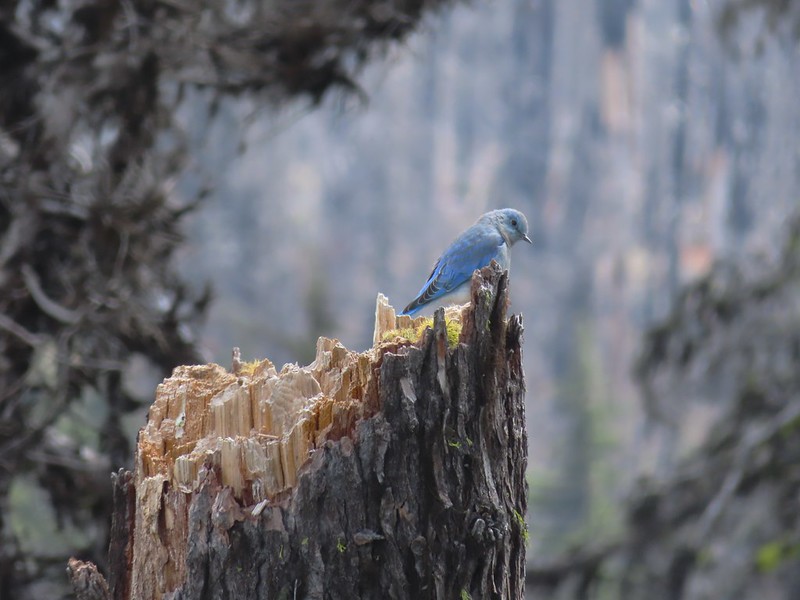
 Bumblebees on a few remaining aster.
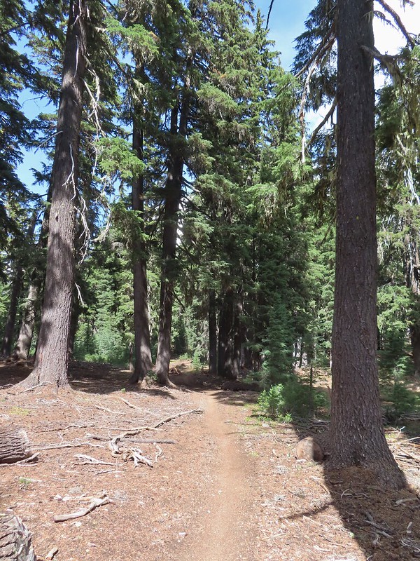 Sunshine
 A sulphur butterfly.
 Arriving back at the trailhead.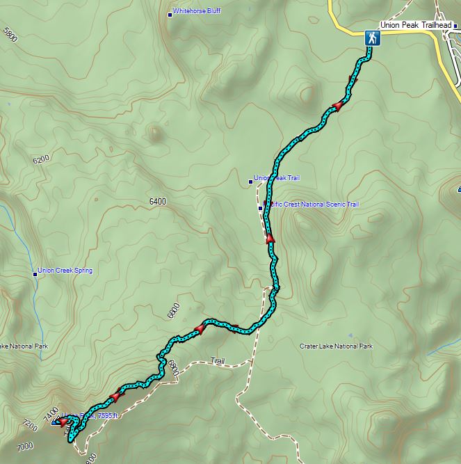


 The PCT running left to right with the Hidden Lake Trail extending straight ahead.
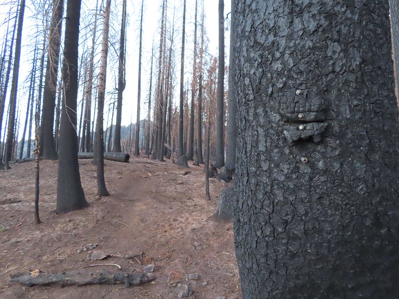 Remnants of a trail sign. The sticks across the Hidden Lake Trail are to let PCT hikers know that is not their trail.
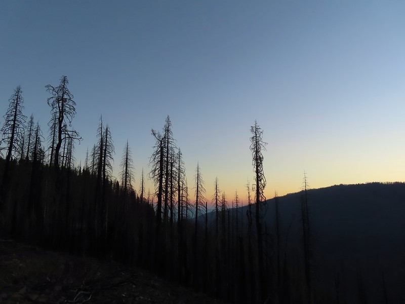 A layer of smoke over the valley on the horizon.
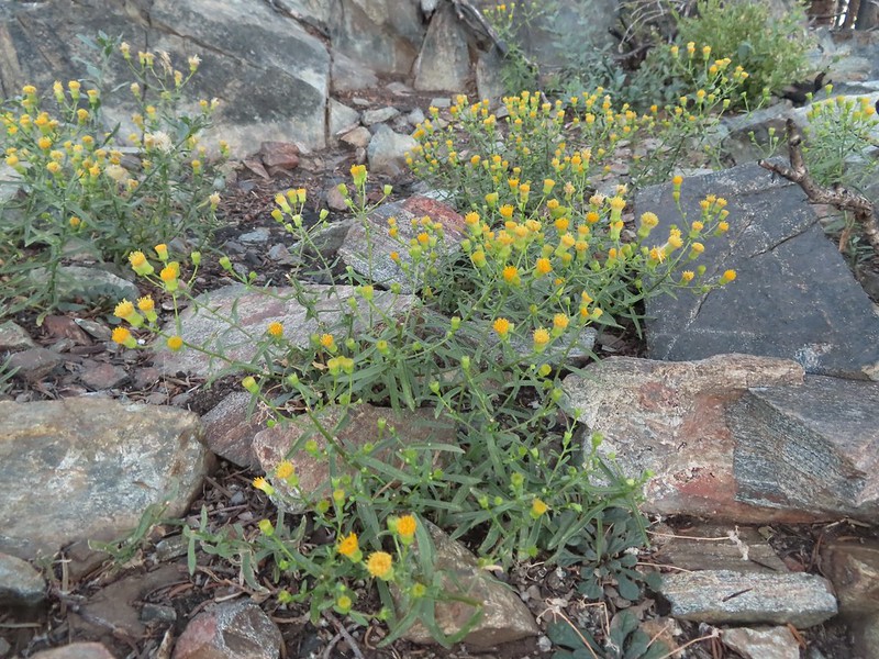 A fleabane, possibly California rayless fleabane.
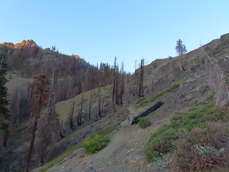 Hidden Lake Trail following the ridge.
 Dwarf purple monkeyflower
 Blue-eyed Mary
 Approaching Hidden Lake.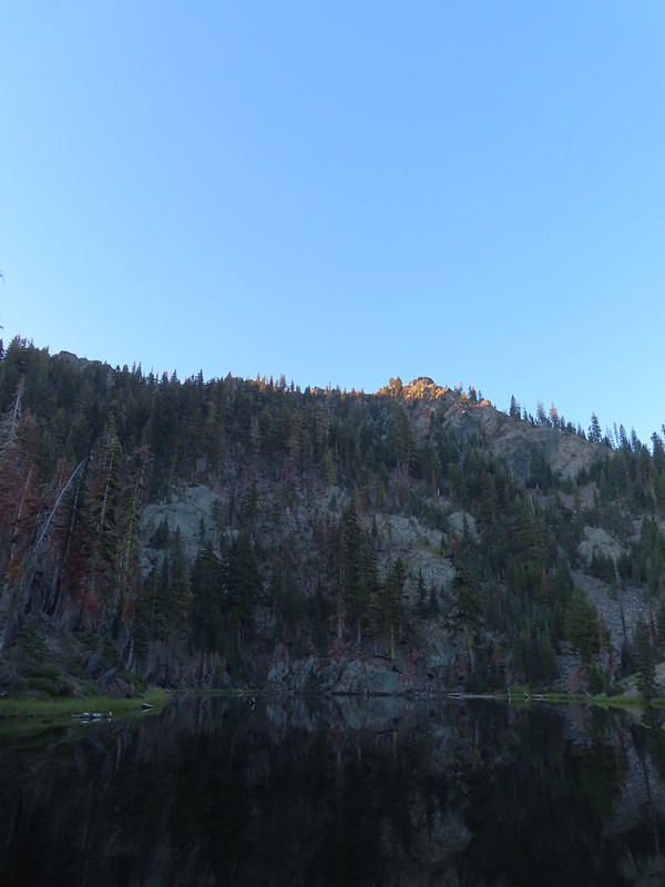


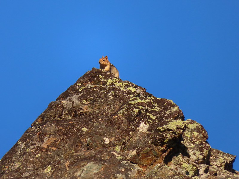 Golden-mantle watching us from atop the ridge.
 Looking back now that there was a little more sunlight.
 Diamond clarkia
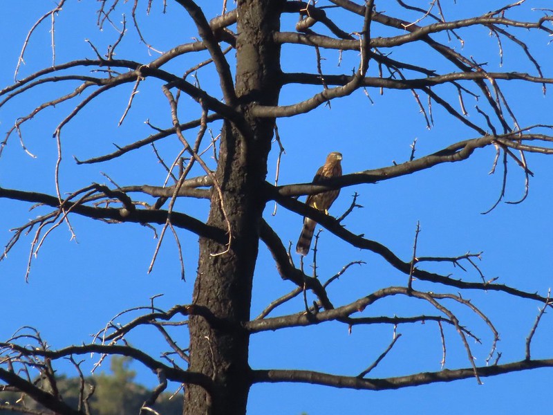 A small raptor watching from a snag.
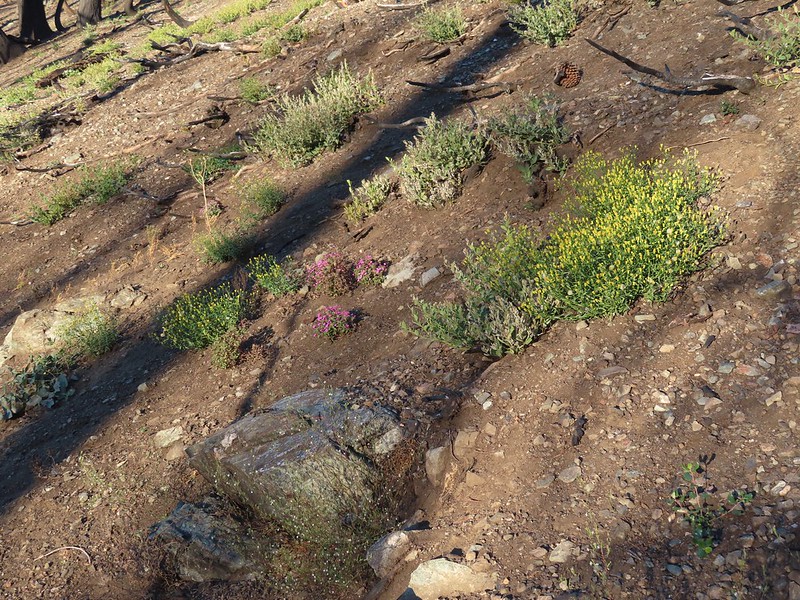 Wildflowers in the burn scar.
 Spreading dogbane
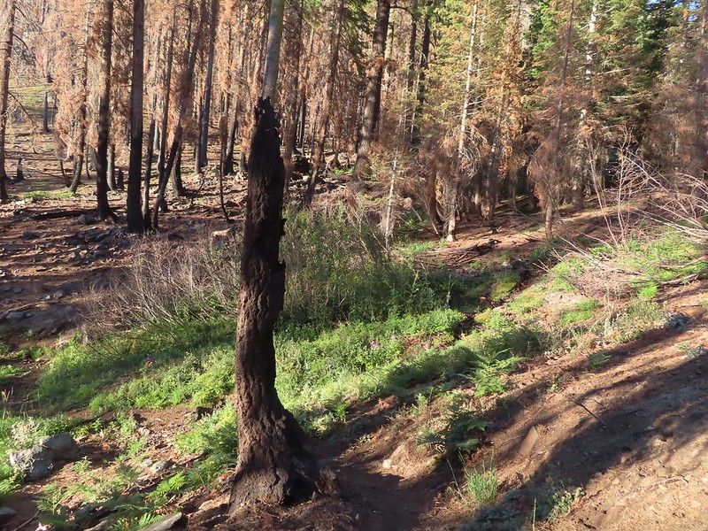 A small stream/spring providing some green.
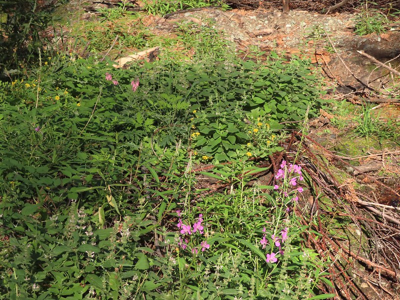 Bleeding heart, fireweed, monkeyflower, and hedge nettle along the stream.
 Yarrow and Oregon sunshine.

 California harebells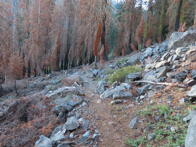
 A lot more green vegetation near the river crossing.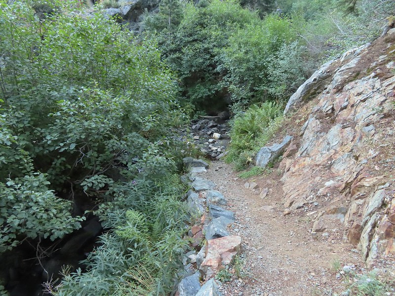
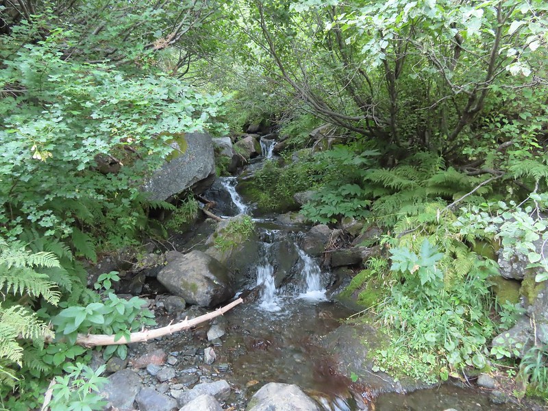 South Fork Scott River
 Mountain coyote mint
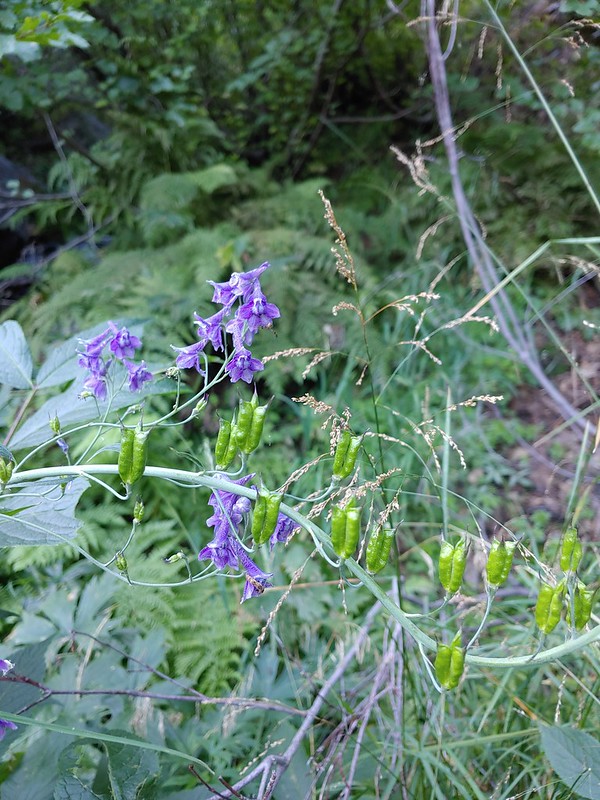 Mountain larkspur
 Mountain larkspur
 Snacks
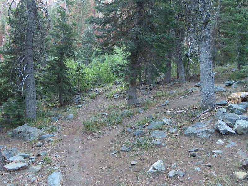 Campsites along the PCT near the river crossing.
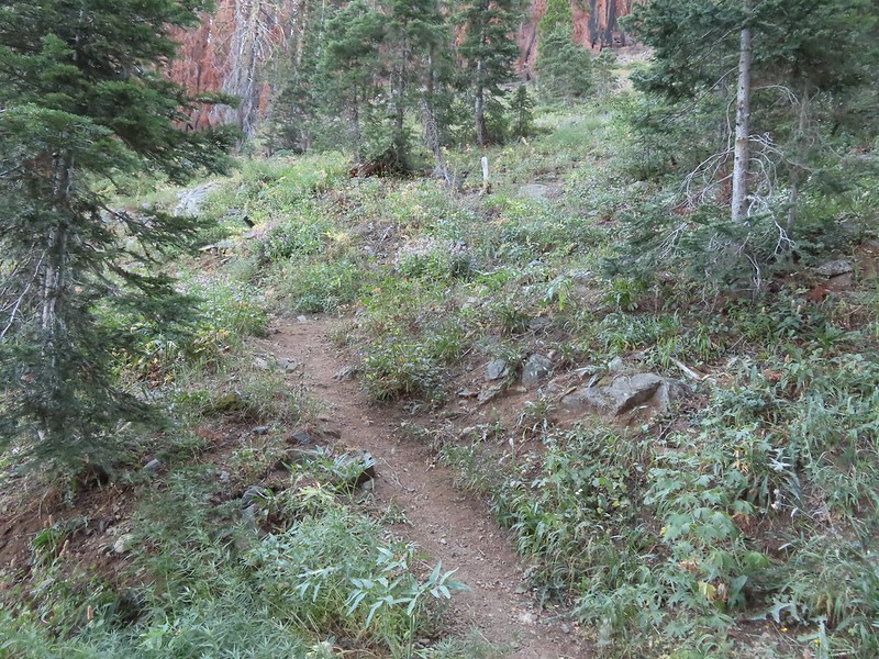 You can just make out the trail ahead heading uphill to the right.
 This trail was the most overgrown/least maintained of all the trails we’d been on this trip.
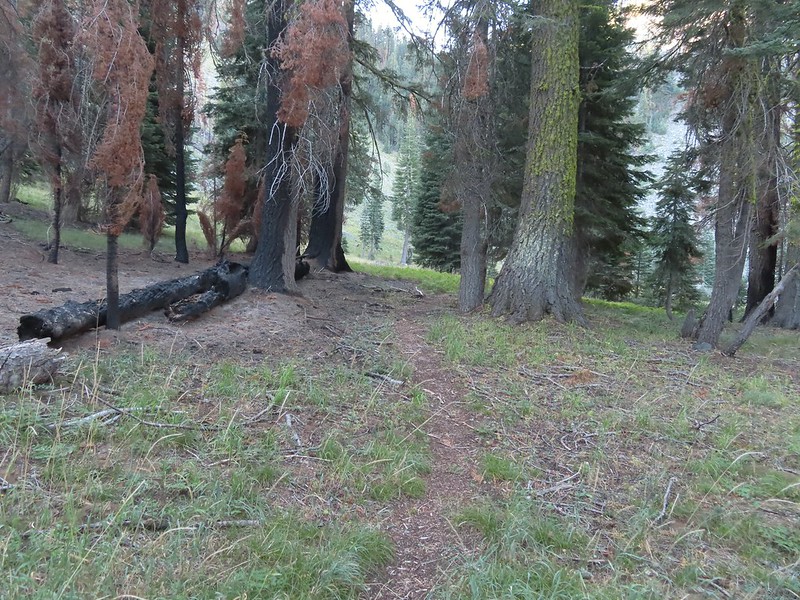 Nearing the meadow.
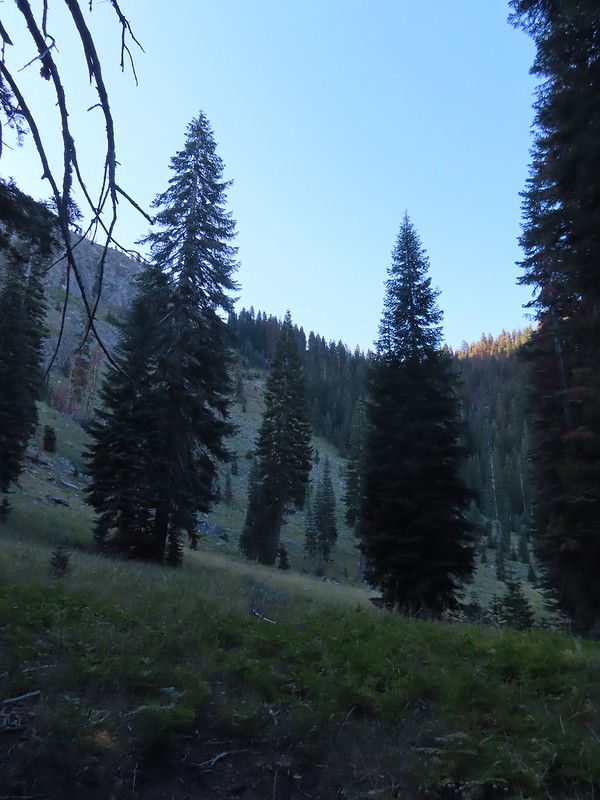 Entering the meadow and losing the trail.
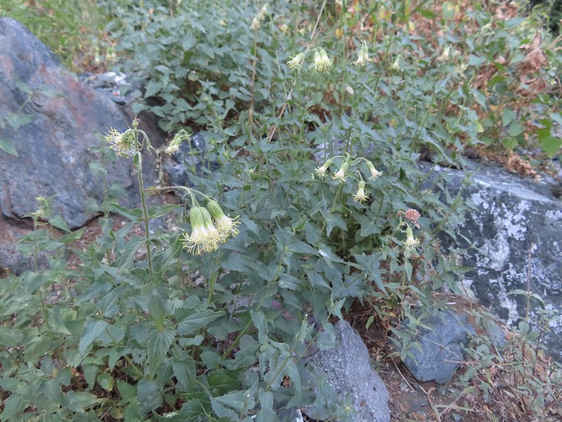 As of yet unidentified flower in the meadow.
 There was a brief pause in the climb while the trail passed a series of springs.
 Vegetation along the trail at the springs.
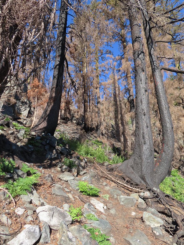 Back to climbing.
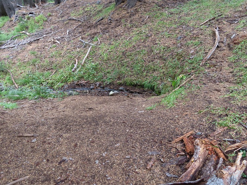
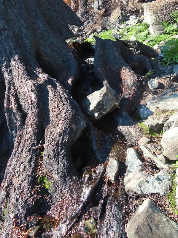 The final spring that we passed was coming out of this hollowed trunk.

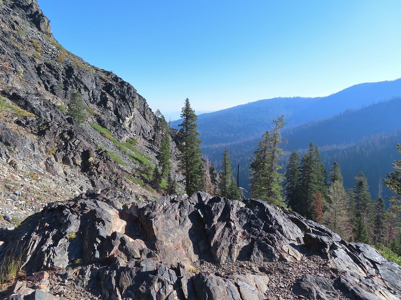
 There were several places where it looked like the trail was going to finally crest but when you got there you just found more uphill.
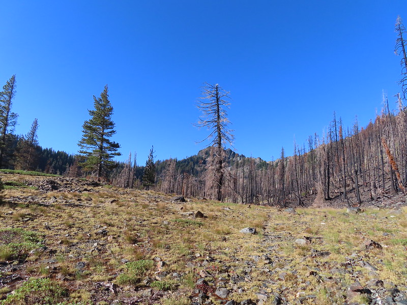 Finally the trail is leveling out.
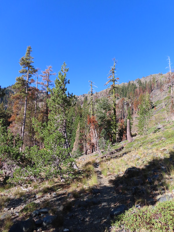
 Looking back over the lower lake.
 Heading off-trail for the upper lake.
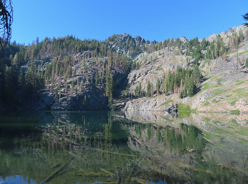
 Back to the lower lake.
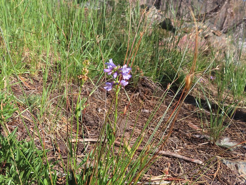 A penstemon
 Another look at the cool spring.
 Monkeyflowers along the springs.
 Butterfly on western snakeroot
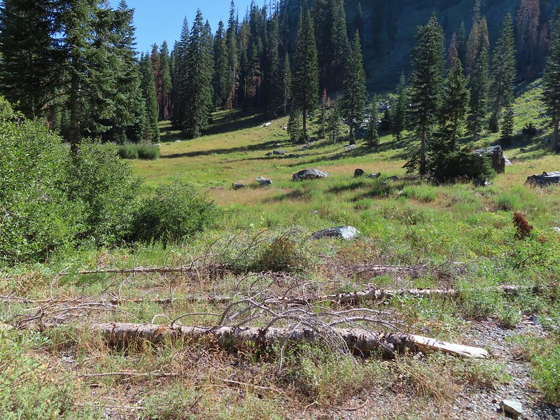 Back through the meadow.
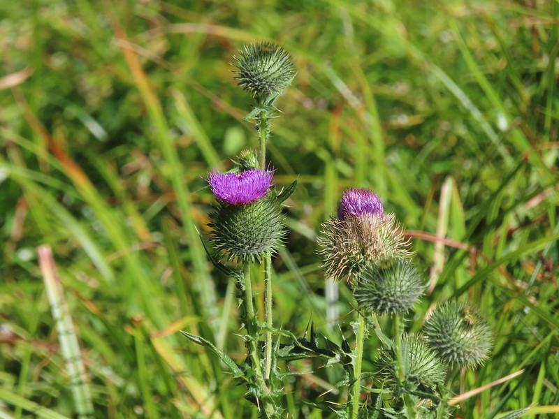 Thistle
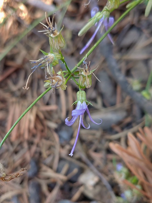 Close up of a California harebell.
 I can see a car at the trailhead.
 The helipad at the trailhead.
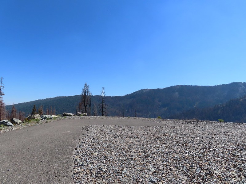 The helipad at the trailhead.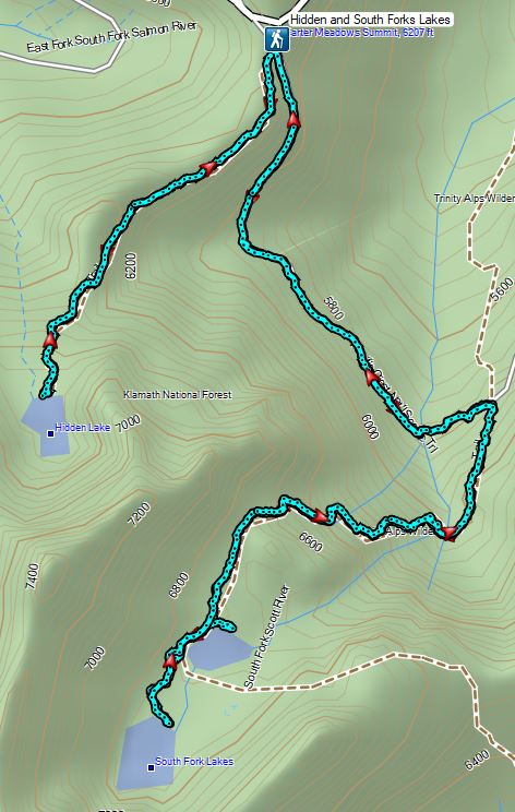

 PCT below FR 39N48.
 Tail and Long Gulches in the
  Lots of buckwheat along the ridge.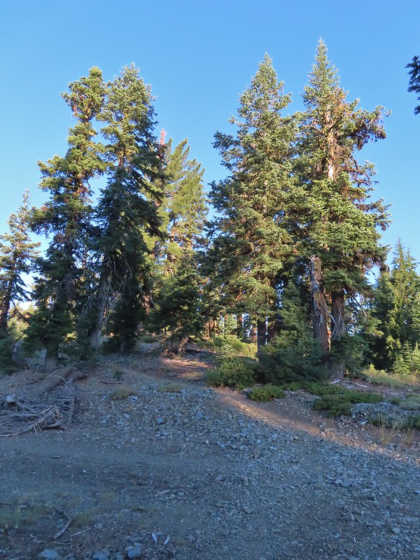

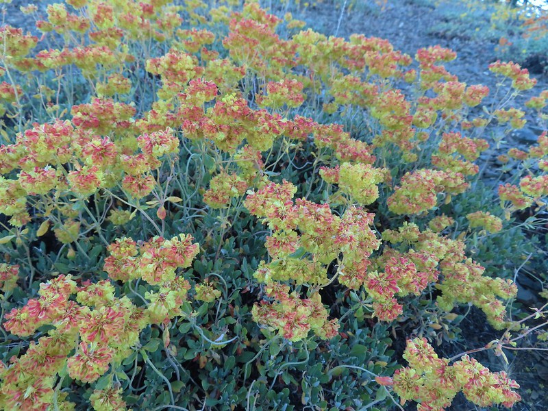 Buckwheat
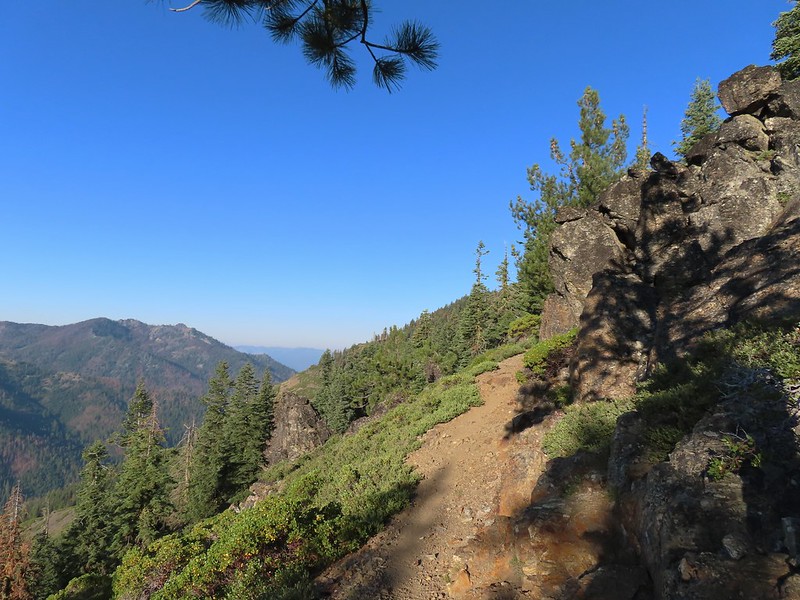

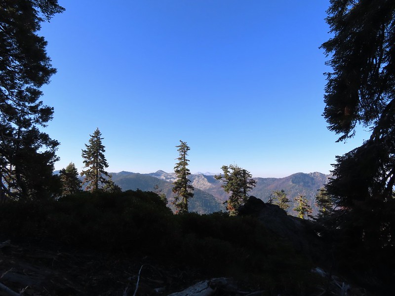 Trinity Alps Wilderness
 Caesar and Thompson Peak
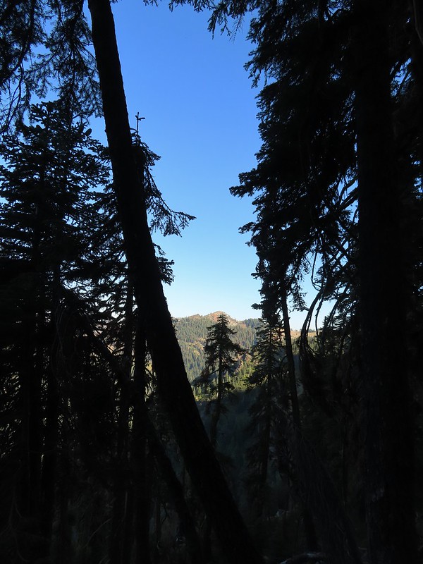 We would be passing below the peak in the distance later.
 Small buck on the hillside above the PCT.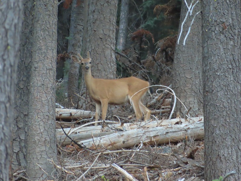
 The Deacon Lee Trail was visible crossing the opening on the far hillside.

 Checker-mallow
 Crescent butterfly
 Small spring along the PCT.
 The junction with the Deacon Lee Trail.


 Dwarf lupine

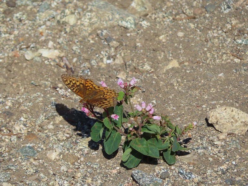 Fritillary butterfly on spreading dogbane.
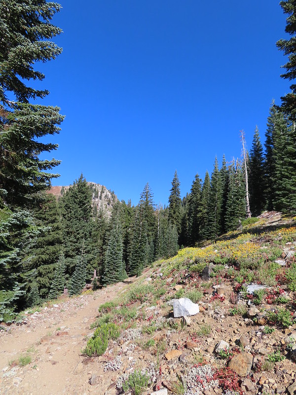 Nearing Siphon Lake.
 Siphon Lake was just under a mile from the PCT.
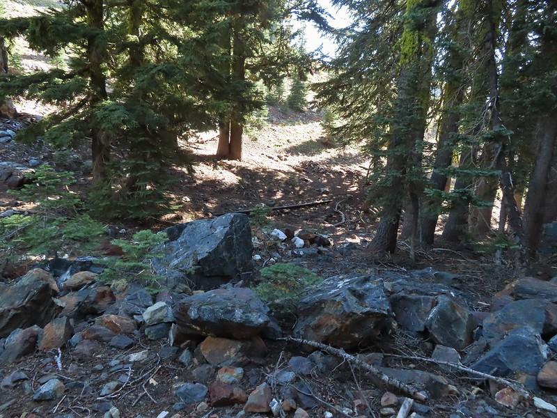 Old pipe that used to bring water down to mines lower on the hillside.
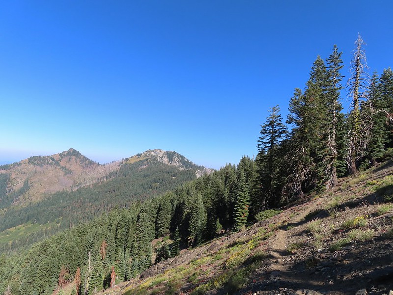


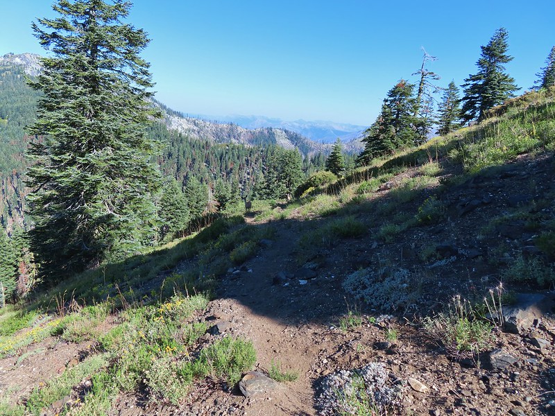
 Zoomed in on the pair.
 The curious fawn.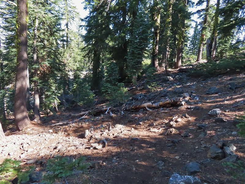


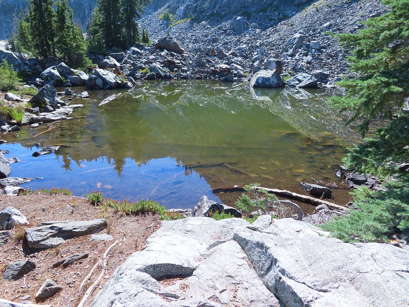
 The pond was full of tadpoles.
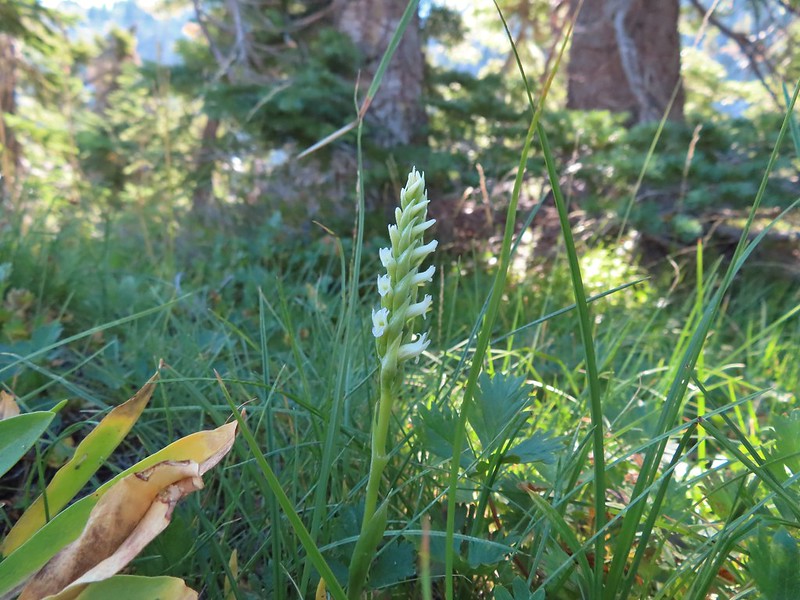 Hooded ladies tresses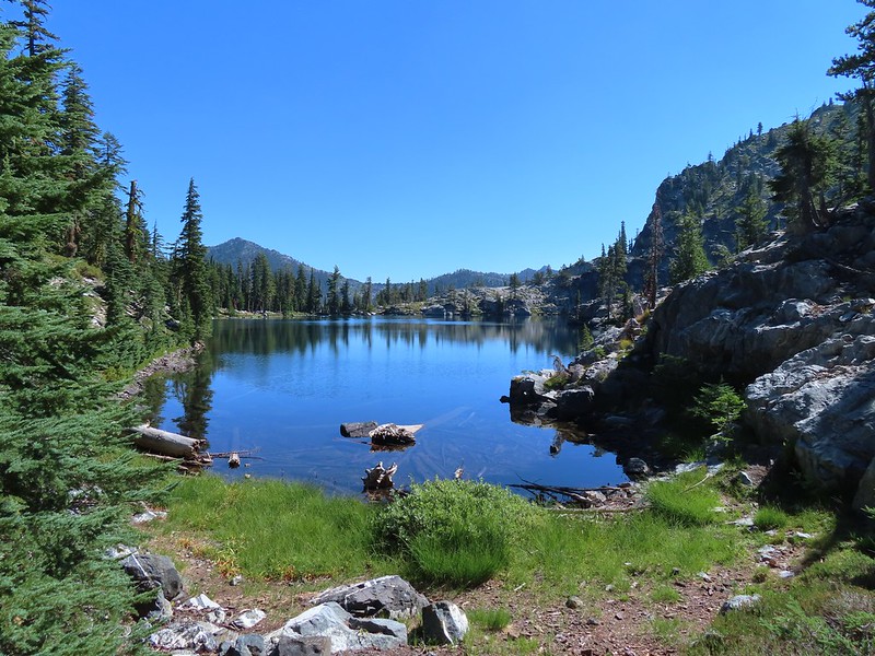
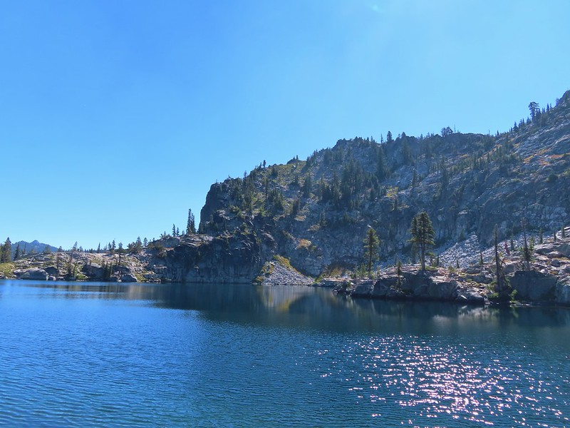
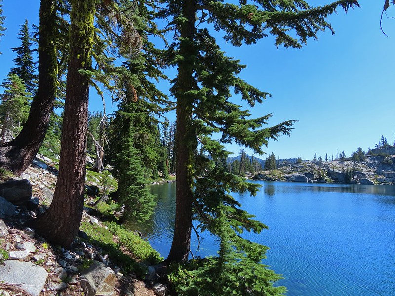
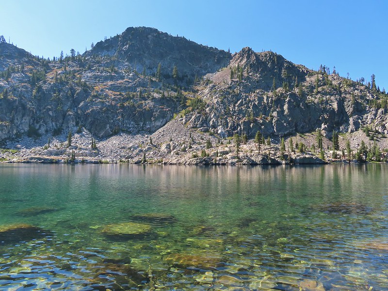
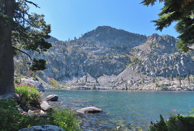 View from the outlet creek.
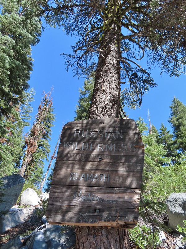
 Russian Peak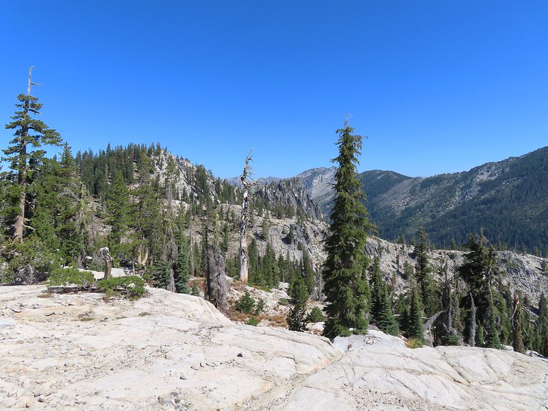


 Fireweed near the outlet.
 Large boykinia

 Saxifrage seed head
 It was a pretty good drop down to Waterdog Lake.
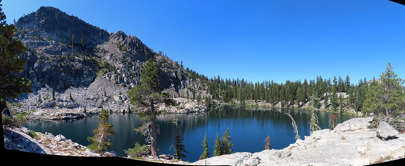
 Waterdog Lake.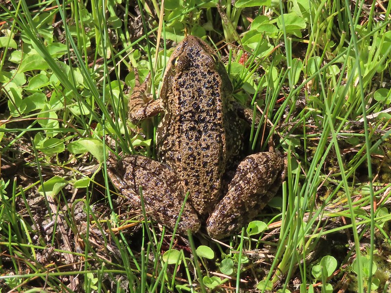

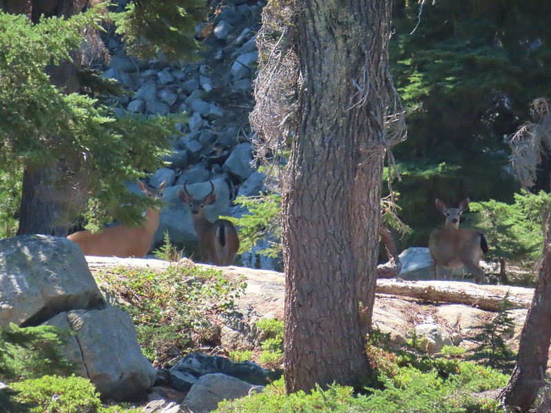
 The deer were across the lake in those trees.
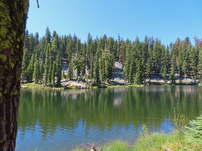
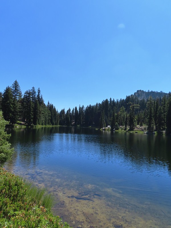 Looking back along the lake.



 Paintbrush
 There were dozens of lizards scurrying across the trails all day but not many stopped long enough for photos.
 Haven’t been able to identify this one yet.
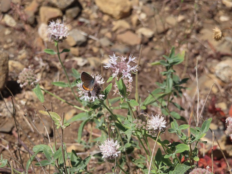 Butterfly on mountain coyote mint
 Another butterfly on mountain coyote mint.
 Grasshopper that became obsessed with Heather’s glove.
 Cricket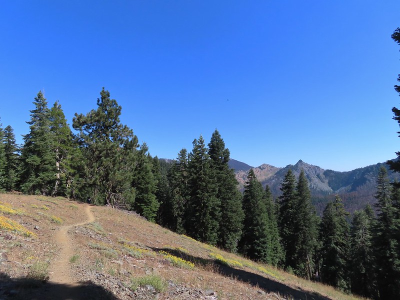
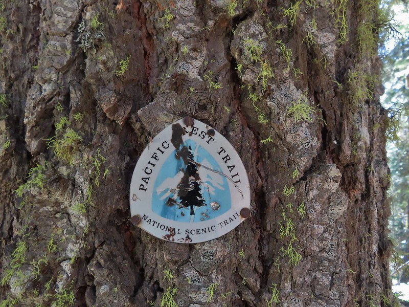
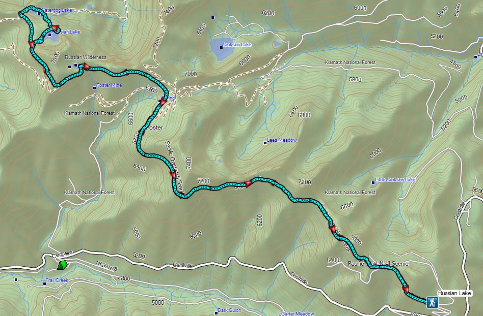


 Entering the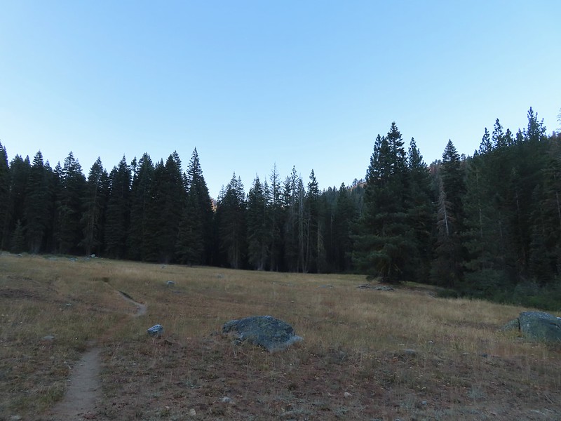

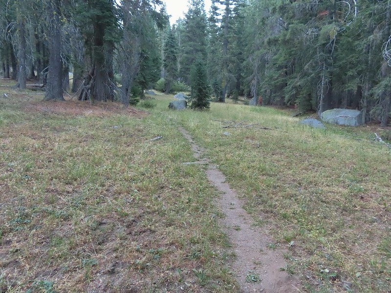
 First view of the small waterfall.
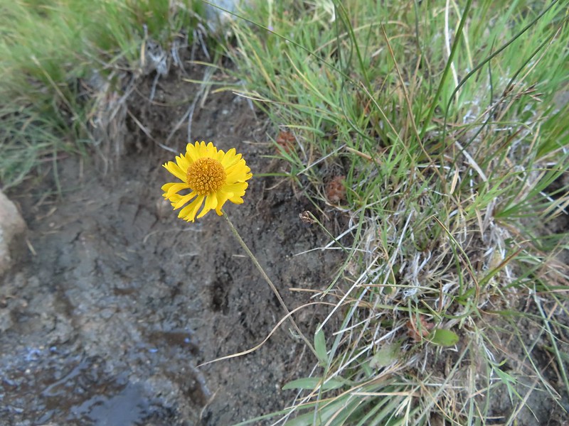 Bigelow’s sneezeweed
 Marsh grass-of-Parnassus
 Not sure what these little guys are.
 Checker-mallow
 Western snakeroot
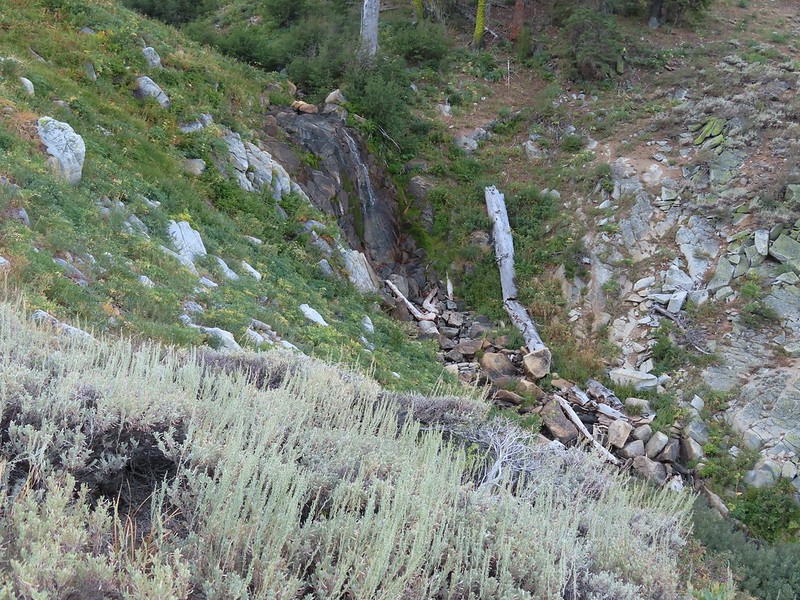 Passing the waterfall.
 Peaks in the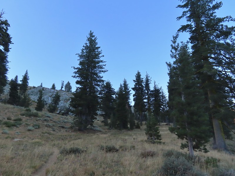
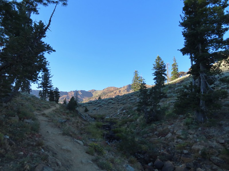
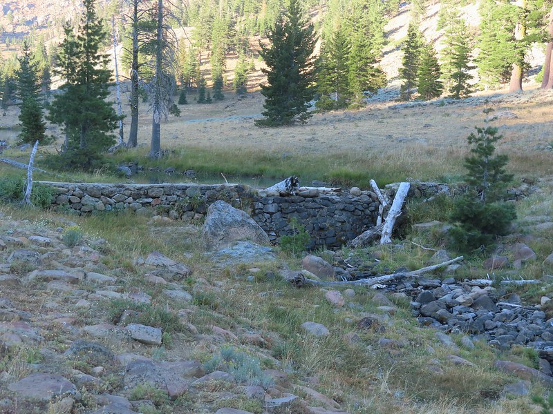 Dam near East Boulder Lake.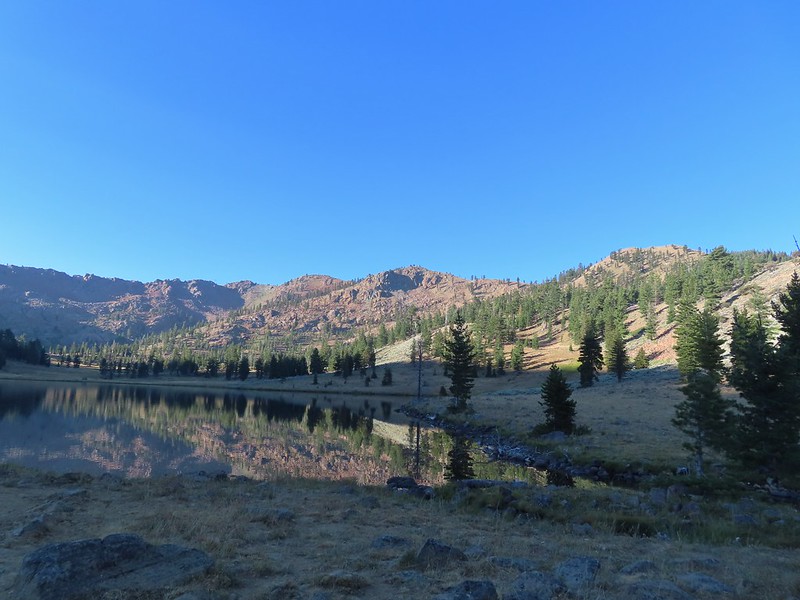


 There were cows out there somewhere but we couldn’t see them.
 View from the dam. We had to watch out for frogs here.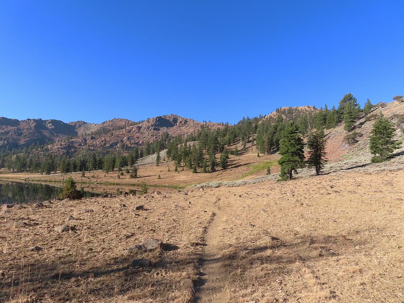

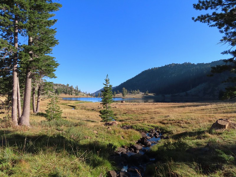 We should have stuck closer to the lake.
 Buckwheat
 Back on the trail where the cows were just leaving.
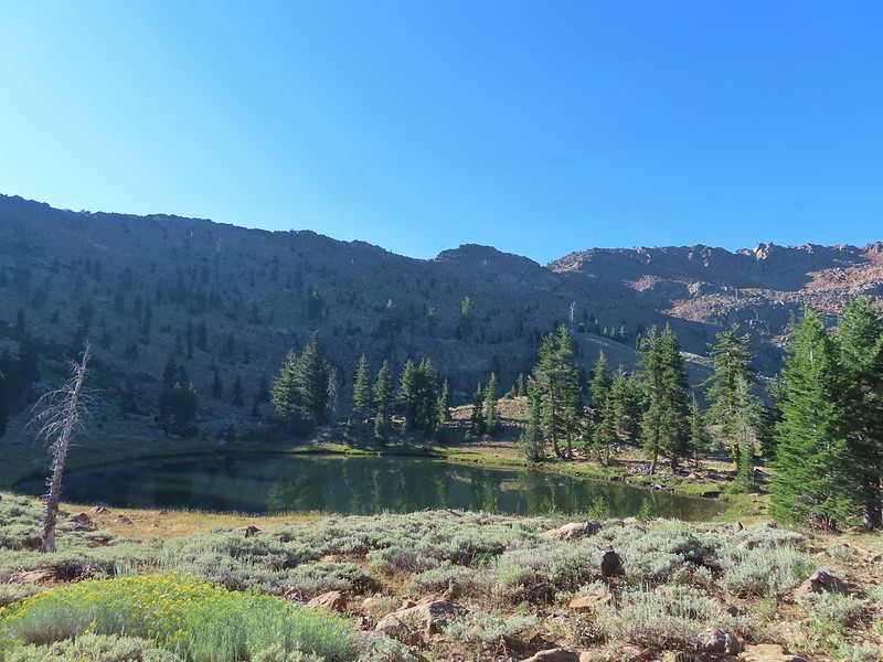
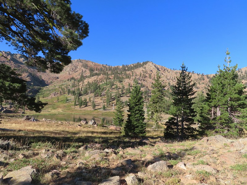 Upper Boulder Lake
 Upper Boulder Lake in the background.
 One of the cows on the far side of the lake to the left.
 Toothed owl’s clover
 Ducks on Upper Boulder Lake.
 The climb was fairly steep at times.
 All four lakes in view.
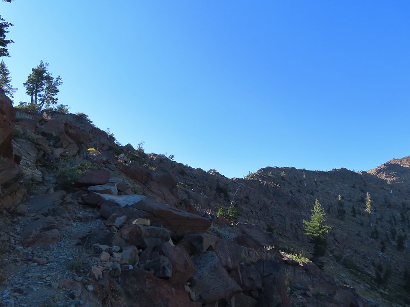 Almost to the pass.
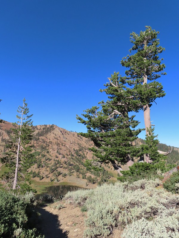 At the pass.
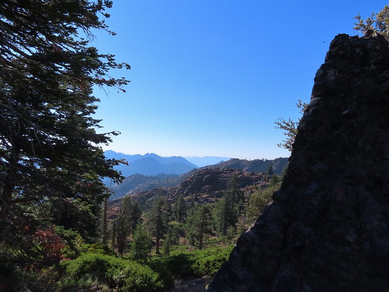 Looking south further into the Trinity Alps Wilderness.


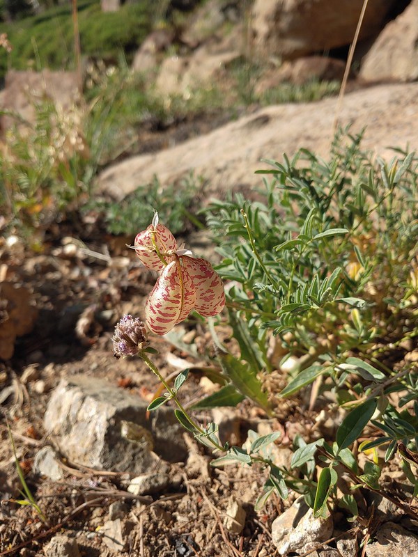 Balloon-pod milk vetch
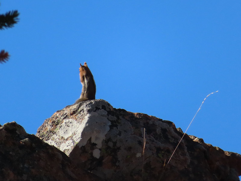 Golden-mantled ground squirrel taking in the views.
 Mt. Shasta over Mt. Eddy through the haze. I believe the lake below to the right is Big Marshy Lake.
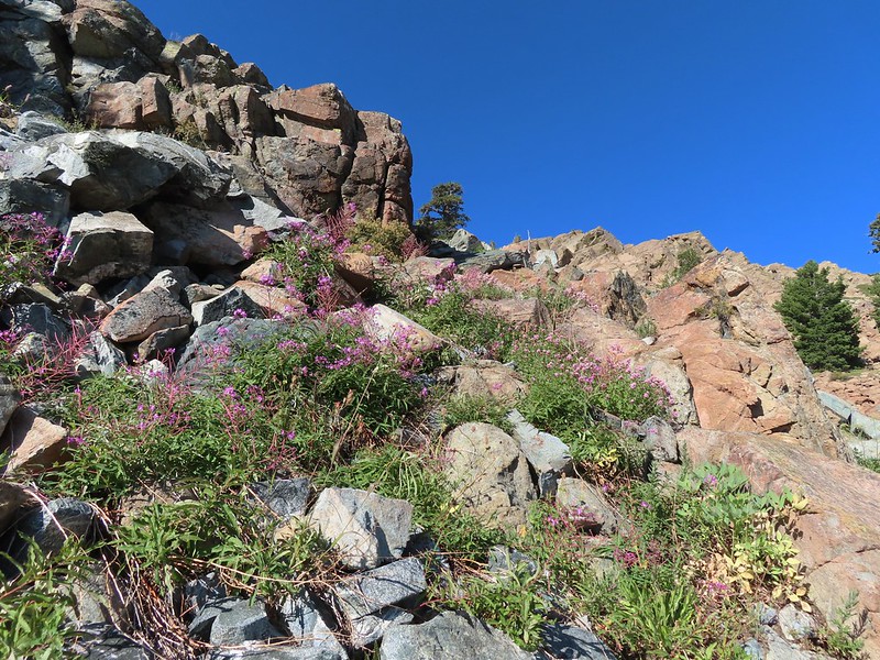 Fireweed in the rocks.
 Paintbrush
 A bit of water from a spring along the PCT.
 The water was coming from somewhere up there.
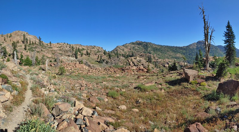 Looking back along the PCT.
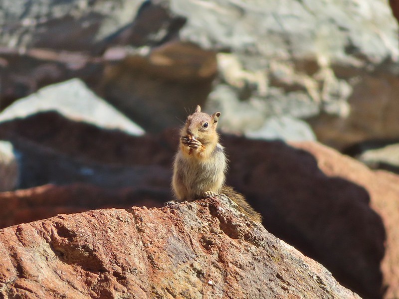 Snack time.
 Caesar and Thompson Peak
 This northern flicker looks like its head is on backwards.
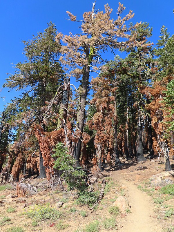 A little bit of burned forest near the pass.
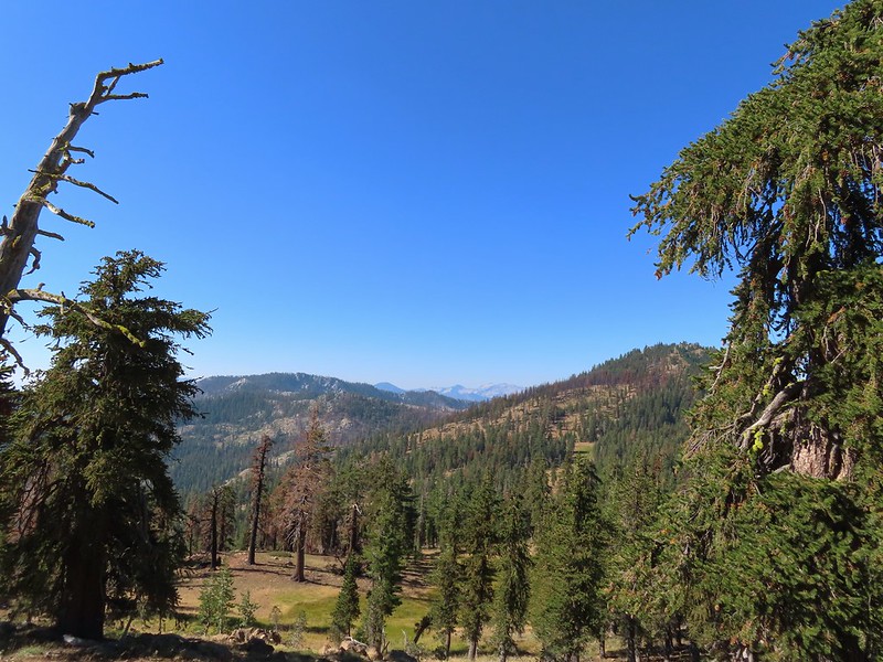 More peaks in the heart of the Trinity Alps.
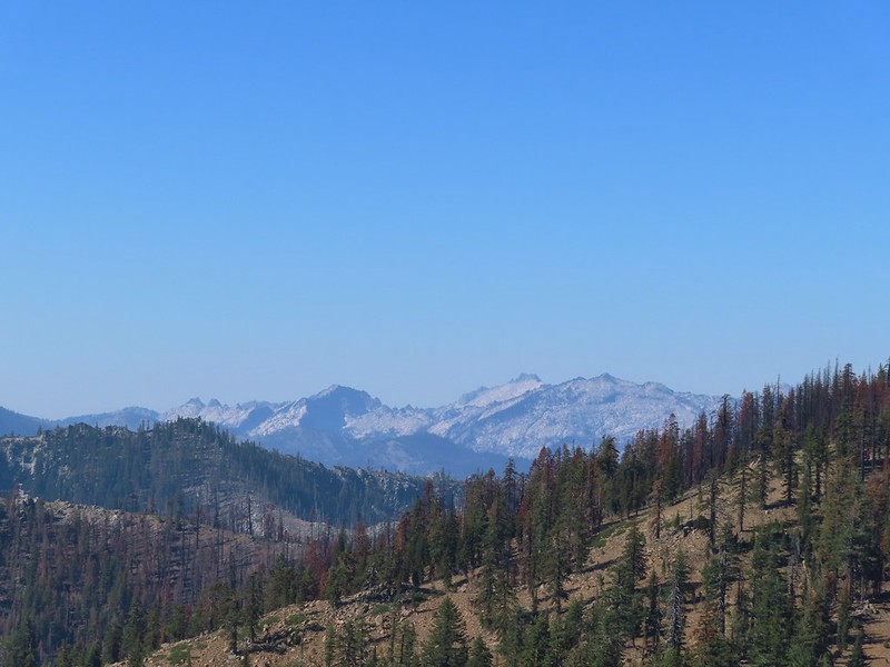 Caribou Mountain (
 The pass above Middle Boulder Lake.
 Middle Boulder Lake is just visible beyond two smaller unnamed lakes.
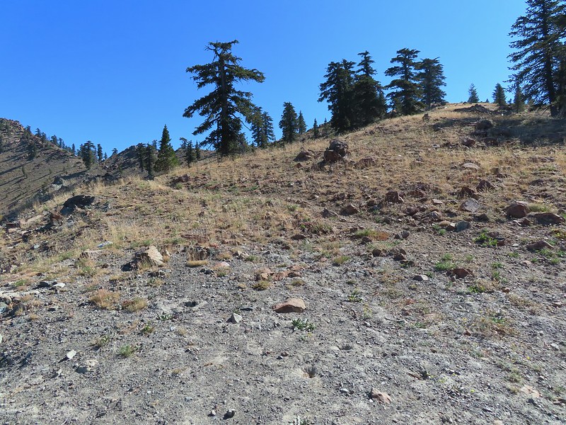 Middle Boulder Lake Trail at the pass.
 The Middle Boulder Lake Trail traversing down the hillside.
 A sulphur butterfly.
 The trail stayed above the two unnamed lakes.
 The trees on the far hillside were burned in the 2021 fire.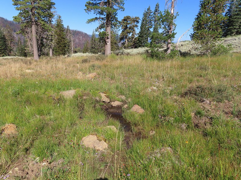


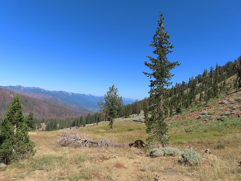 The cairn to the right of the downed tree.
 This may be Autumn dwarf gentian
 One of the more obvious cairns.
 Butterfly on a seed head.
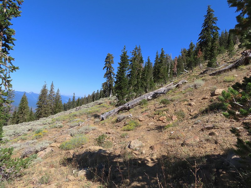 The tread getting clearer.
 Middle Boulder Lake
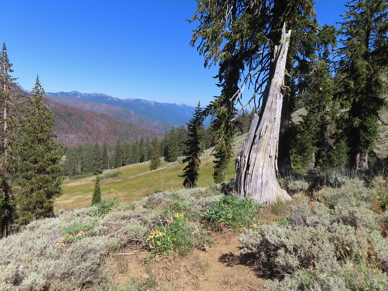 Back on good tread.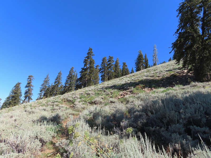
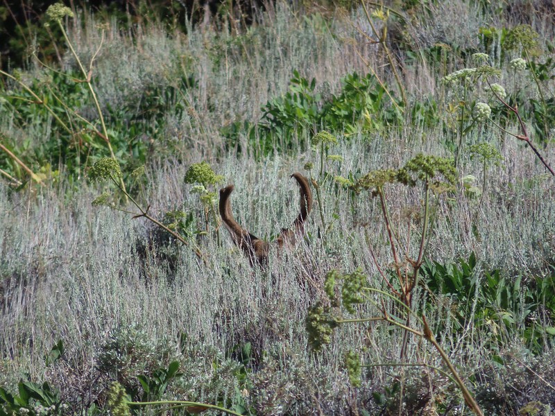


 Orange agoseris
 Passing through a bit of forest before climbing to the saddle.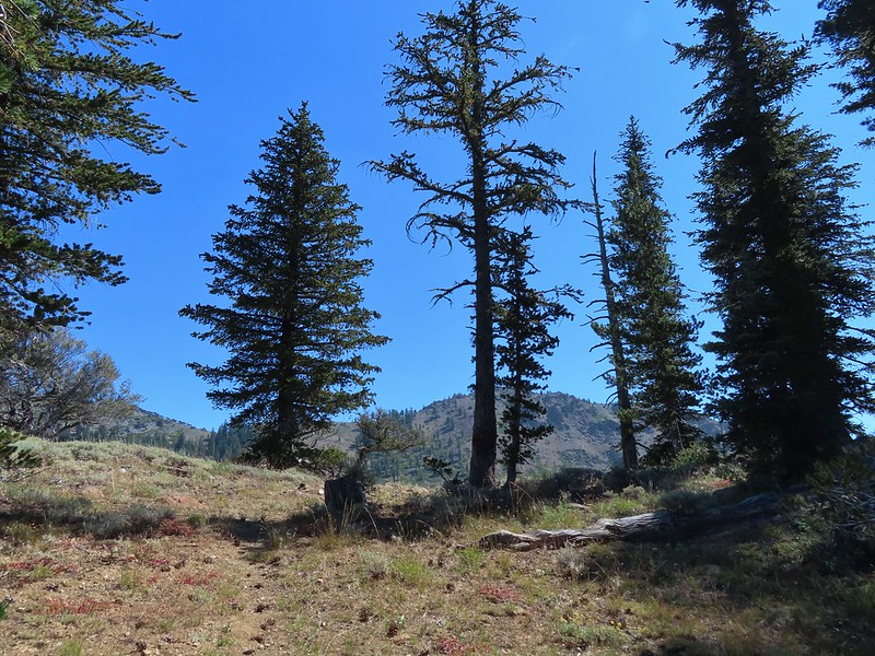

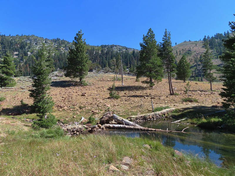 Approaching the dam.
 Fish in East Boulder Creek.
 Descending near the waterfall.
 An aster or fleabane.
 Butterfly
 Woodpecker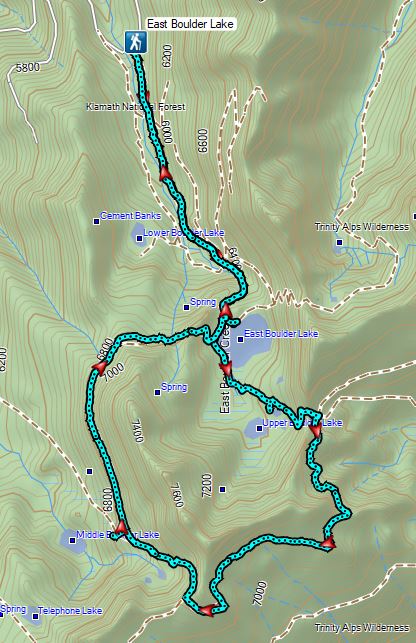

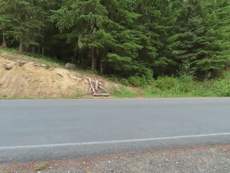 The Riley Camp Trail (Trail 64) on the opposite side of FR 23.

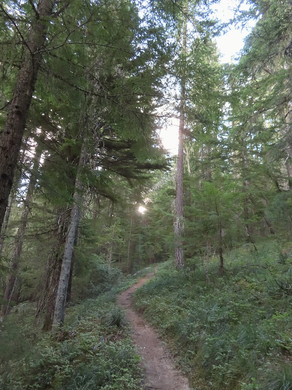


 We weren’t aware that the Forest Service was employing wilderness greeters.
 May I see your self-issued permit?
 The trail was in pretty good shape with just a few downed trees to step over/under.
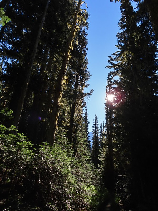 First look at Mt. Adams through the trees.


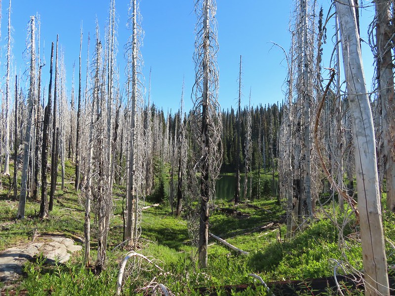 Luna Lake
 Aster
Aster

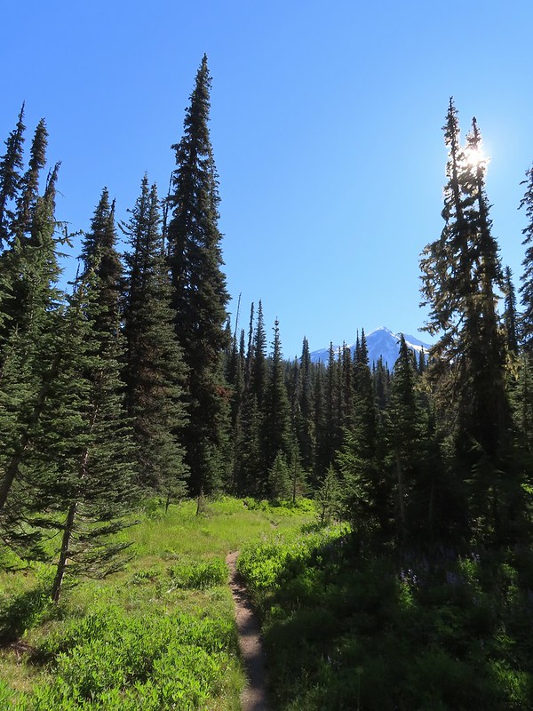 More Mt. Adams.
 Paintbrush and lupine

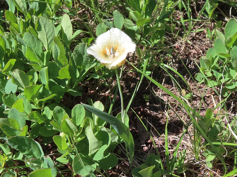 Sub-alpine mariposa lily
 Riley Creek along the trail.
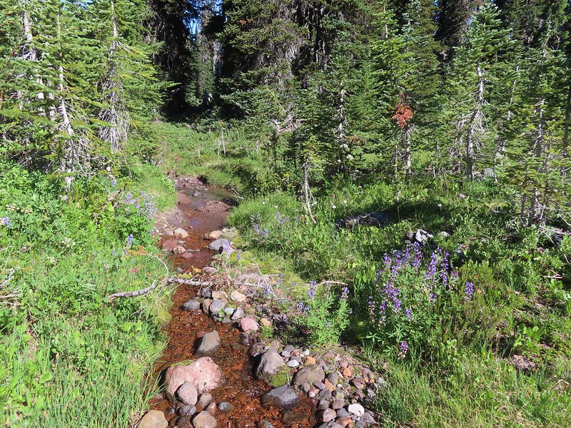 Riley Creek at the crossing.
 A trail sign up ahead at the junction.
 PCT marker on the tree.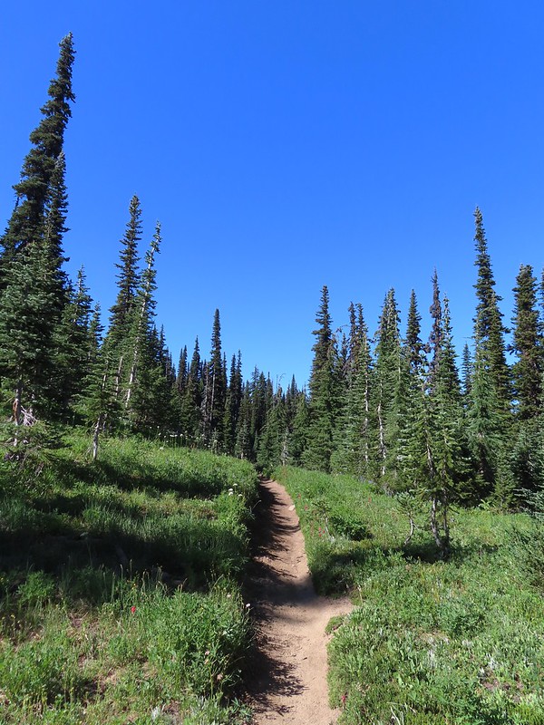
 Riley Creek below the PCT crossing.
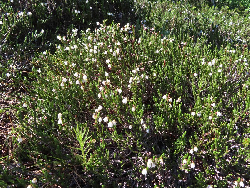 White mountain heather
 A nice paintbrush
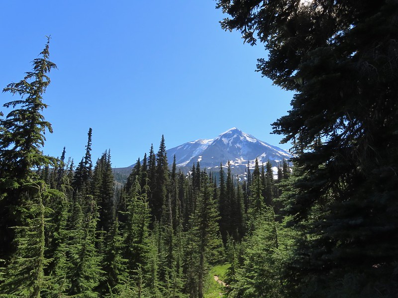 Mt. Adams behind us as we headed south.
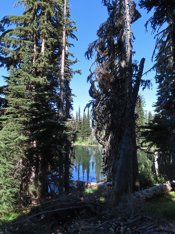 Sheep Lake
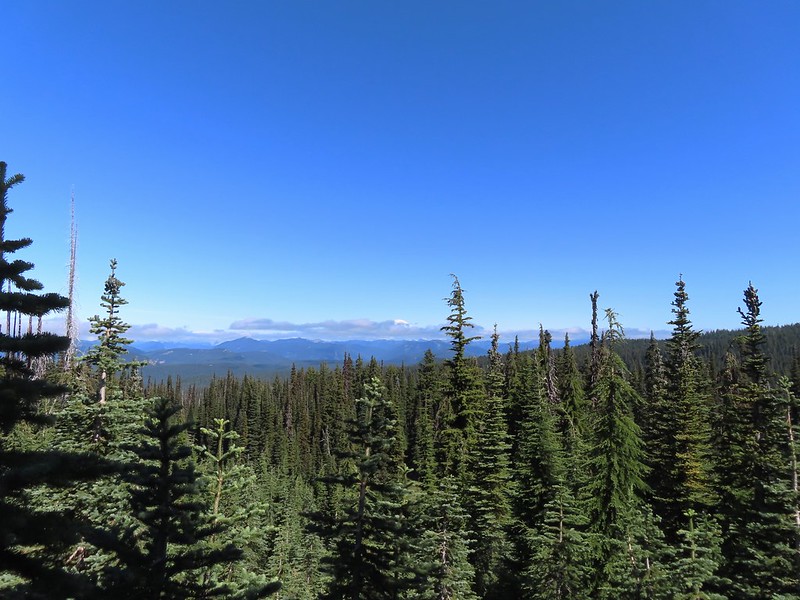 Mt. Rainier behind a line of clouds.
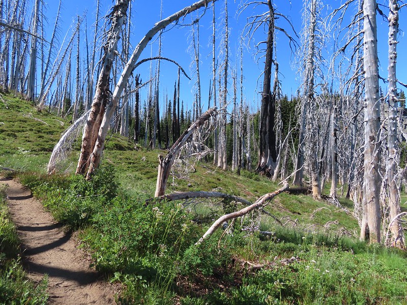 Burnt Rock behind the snags left over from the 2012 Cascade Creek Fire.
 Alpine false dandelion
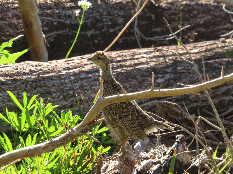 Grouse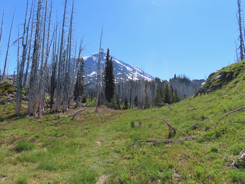

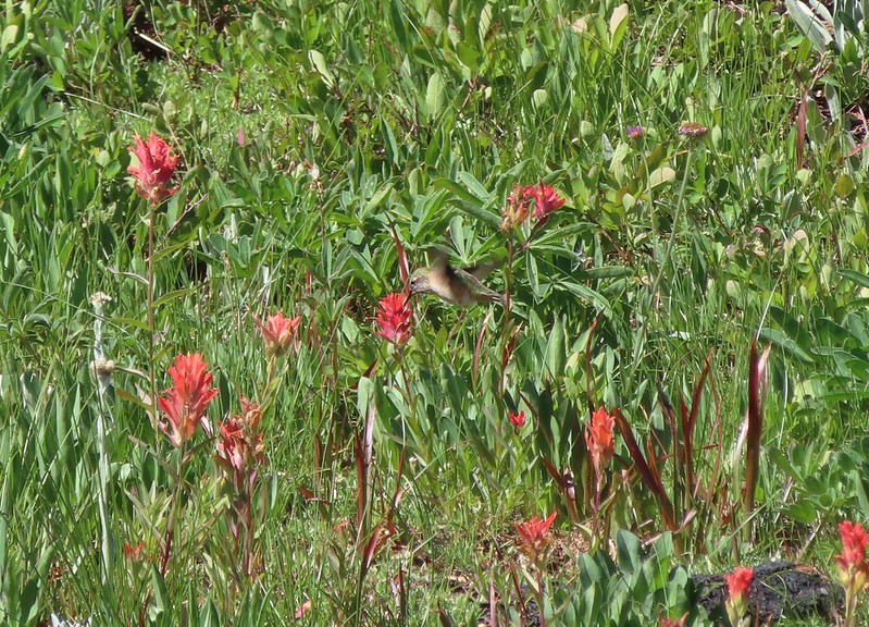 Hummingbird visiting paint.
 Mountain heather

 On the final pitch.
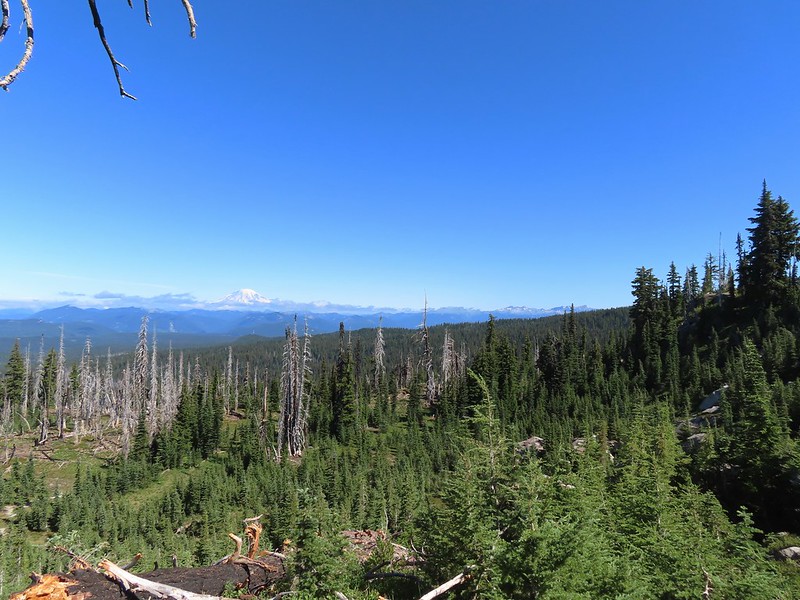 Mt. Rainier and Goat Rocks
 Phlox
Phlox Almost there.
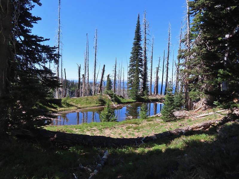 Not Crystal Lake, just a pretty little tarn nearby.
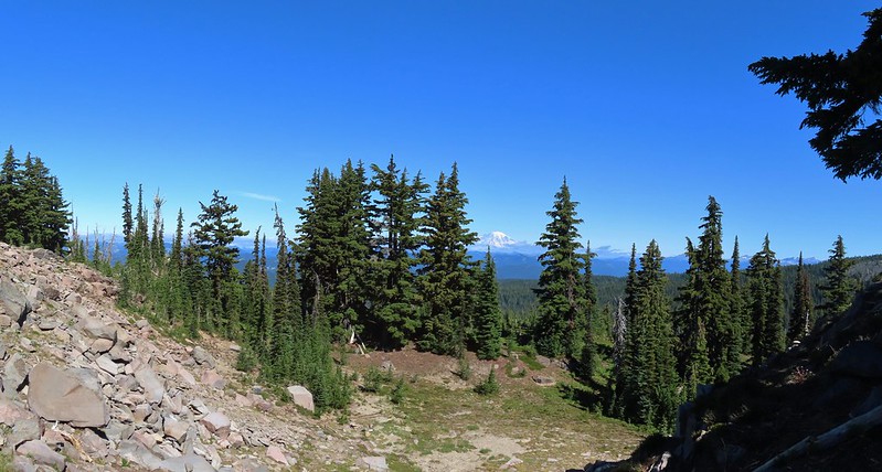 Mt. Rainier
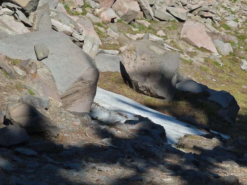 Just a bit of snow left around 6300′.
 The little tarn we’d passed.
 While not big Crystal Lake was deep.
 View down from the rocky ridge on the south side of the lake.
 The rocky ridge along the south side of the lake.
 We continued a tenth of a mile beyond the lake for a dramatic view of Mt. Adams.
 We could hear a waterfall below on Riley Creek.
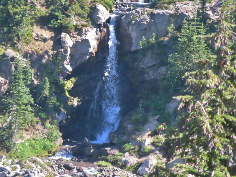 Zoomed in on the waterfall below.
 Crystal Lake from above.
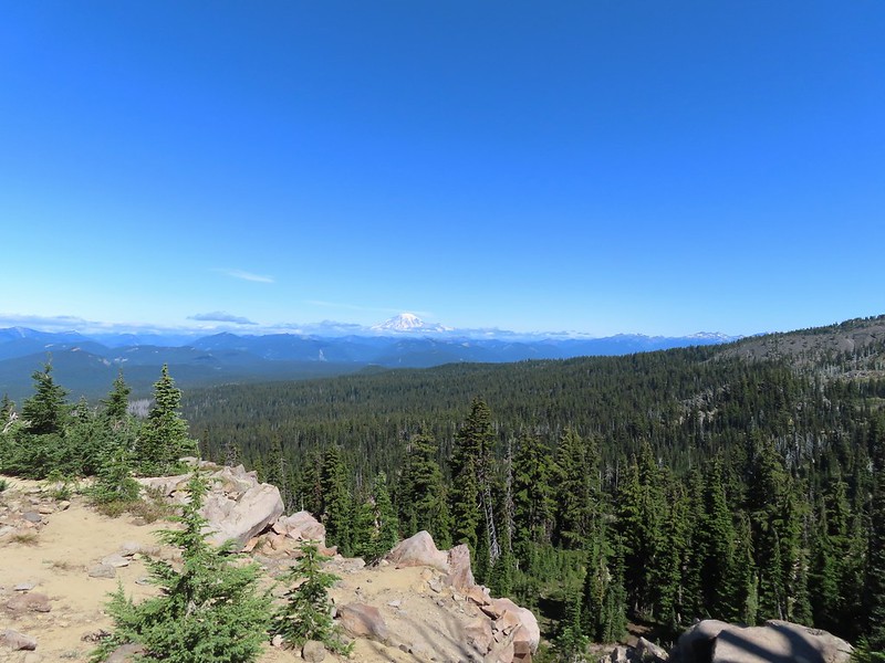 Mt. Rainier with Goat Rocks to the right.
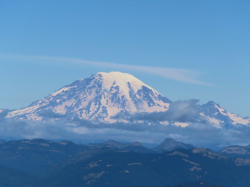 Mt. Rainier
 Some of Goat Rocks.
 Golden-mantled grounds squirrel
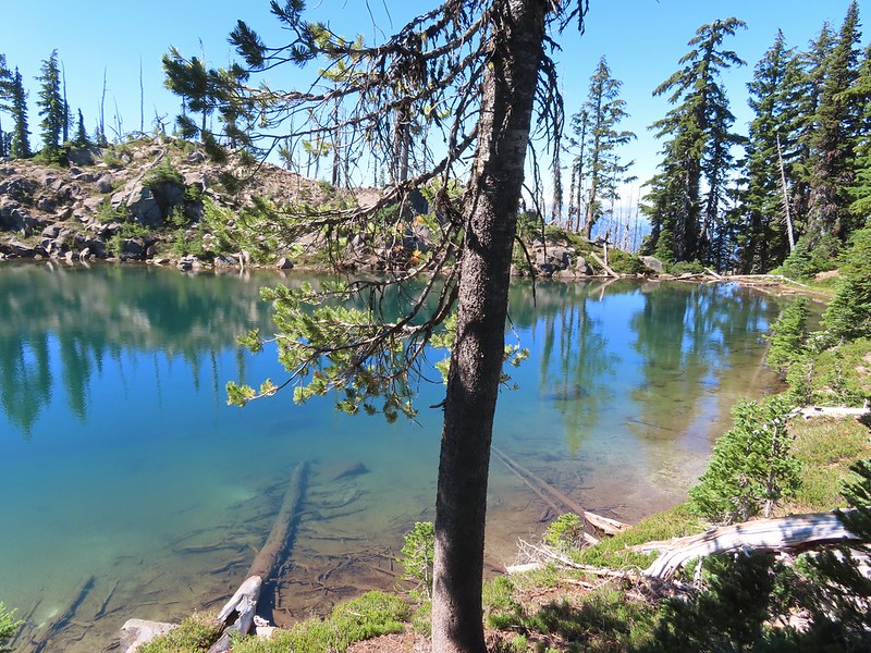


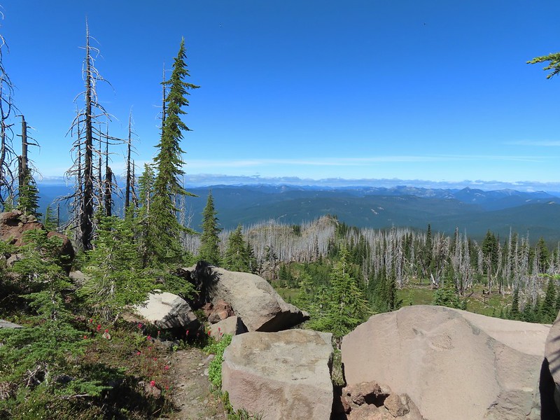 Getting ready to drop down.
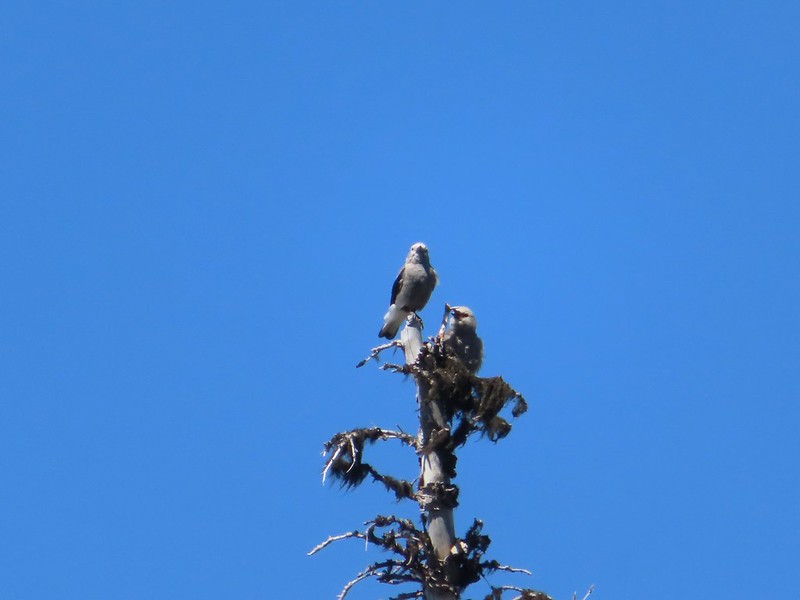 Clark’s nutcrackers
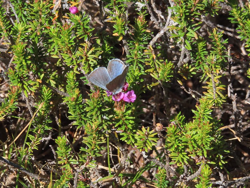 Butterfly on mountain heather.
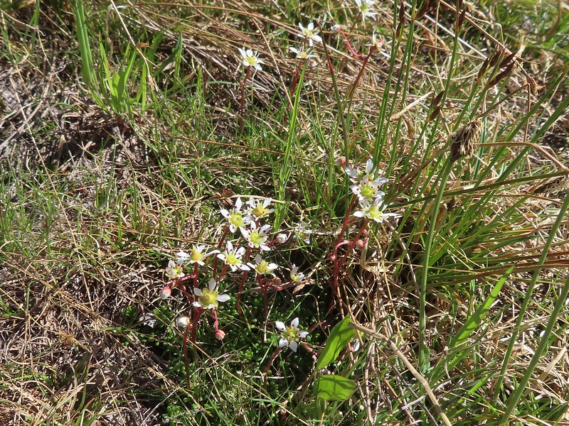 Saxifrage
 Violet
 Alpine speedwell
 A checkerspot
 A crescent
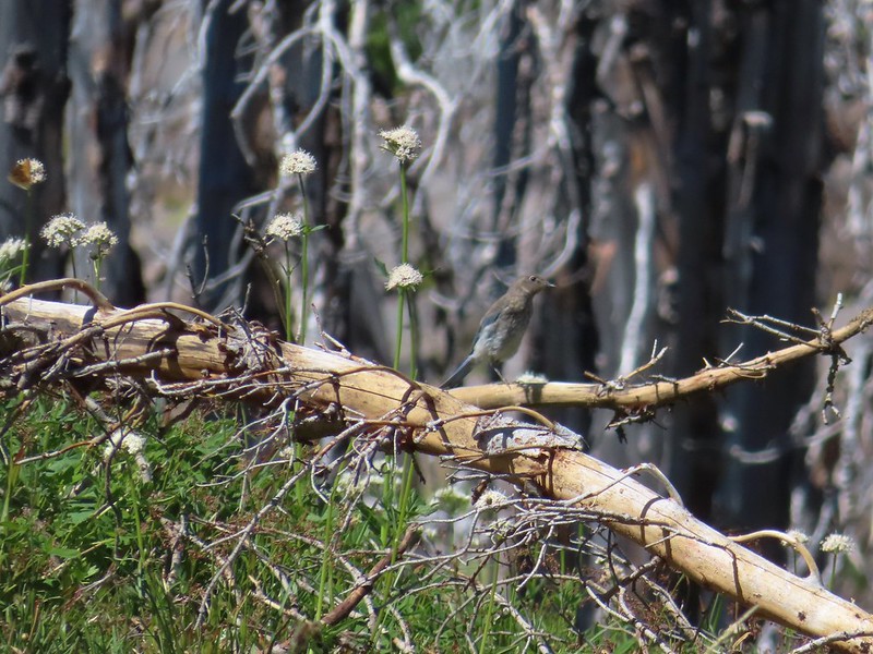 Mountain bluebird
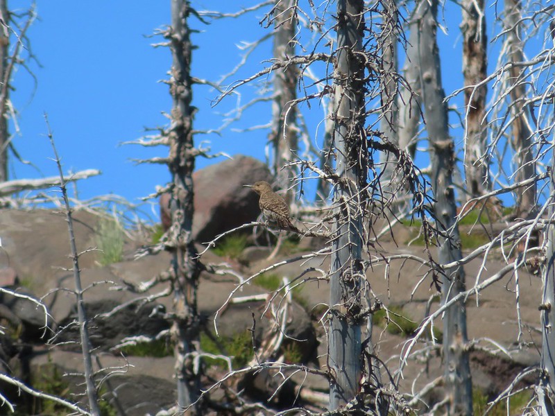 Northern flicker
 I’m guessing a warbler of some sort. We saw quite a few of these little yellow birds but had a hard time actually getting a photo.
 Mt. Adams from the PCT.
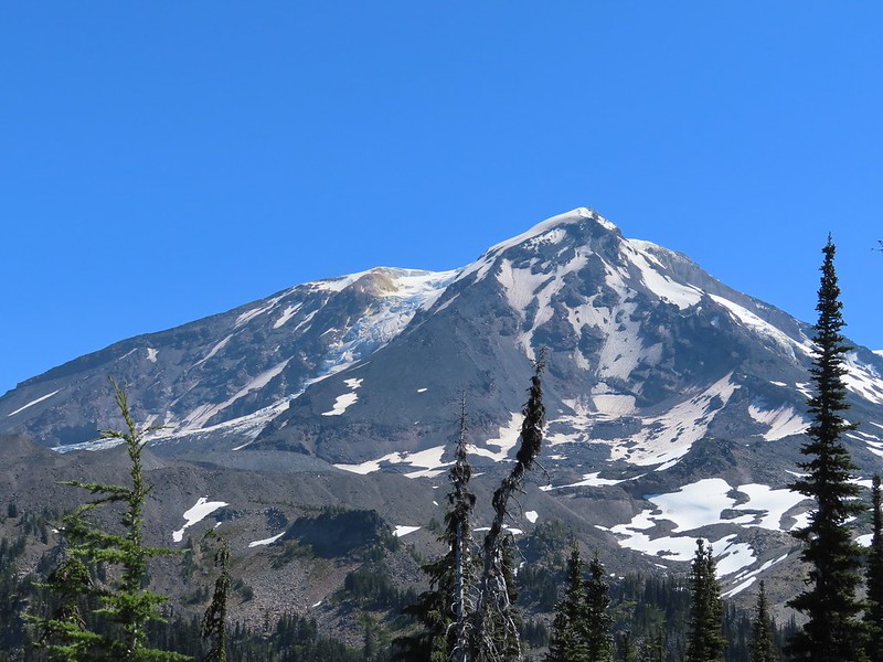
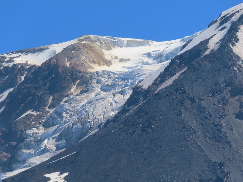 Adams Glacier
 Riley Creek at the PCT crossing.
 Wildflowers along the PCT.
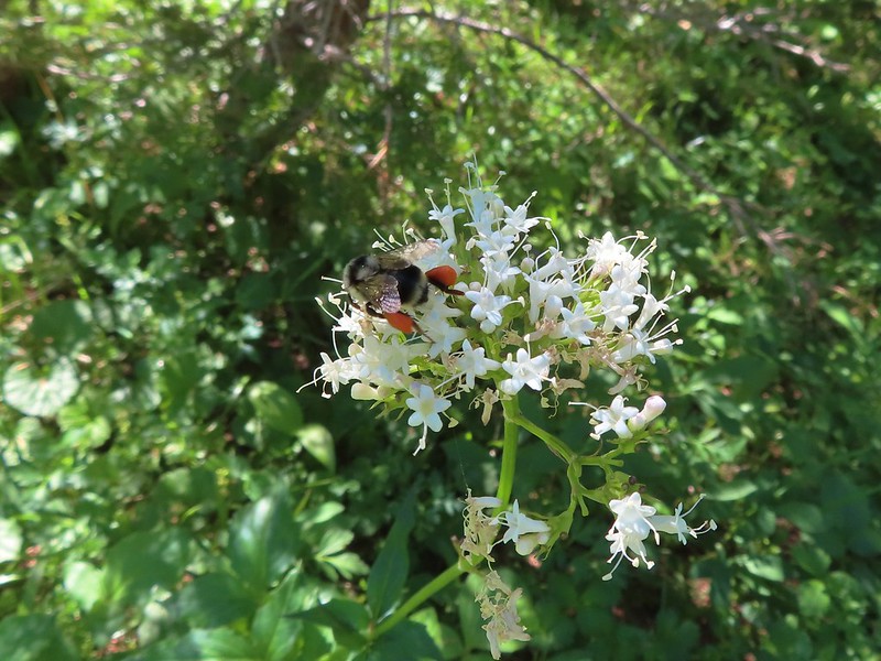 Bee on valerian
 Butterfly on valerian
 Another butterfly on valerian
 Looking back at Mt. Adams from the Riley Camp Trail.
 Passing through Riley Creek Meadows.
 Gentian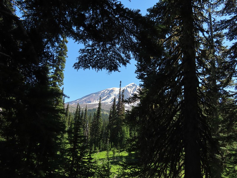
 We only saw a couple of beargrass blooms.
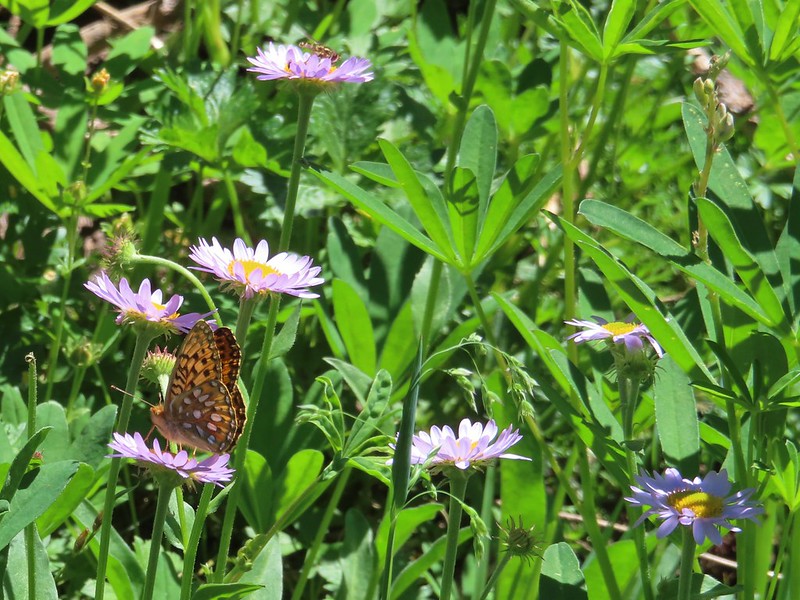 Pollinators on fleabane.
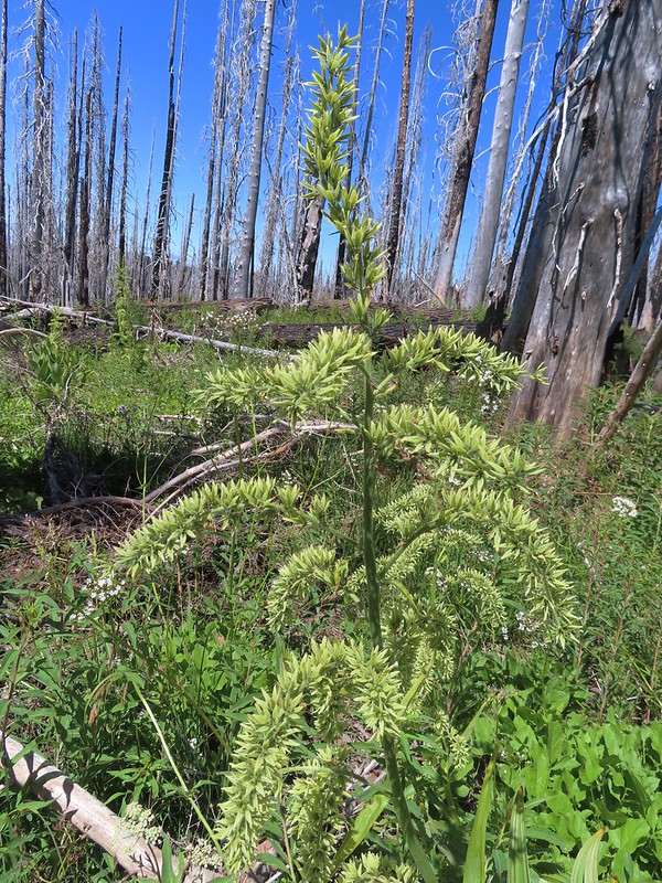 False hellebore
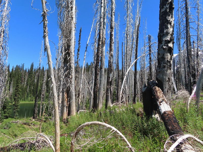 Luna Lake and Mt. Adams from the trail.

 The deepest hole, it doesn’t look too bad here.
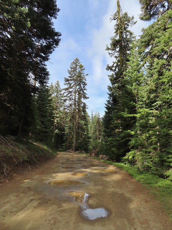 Potholes on FR 20. These turned out to be the worst of the stretch between the junction and Siskiyou Gap but we didn’t know that until we’d walked this road later in the day.
 The PCT was just a few yards into the forest from the FR 20/22 junction.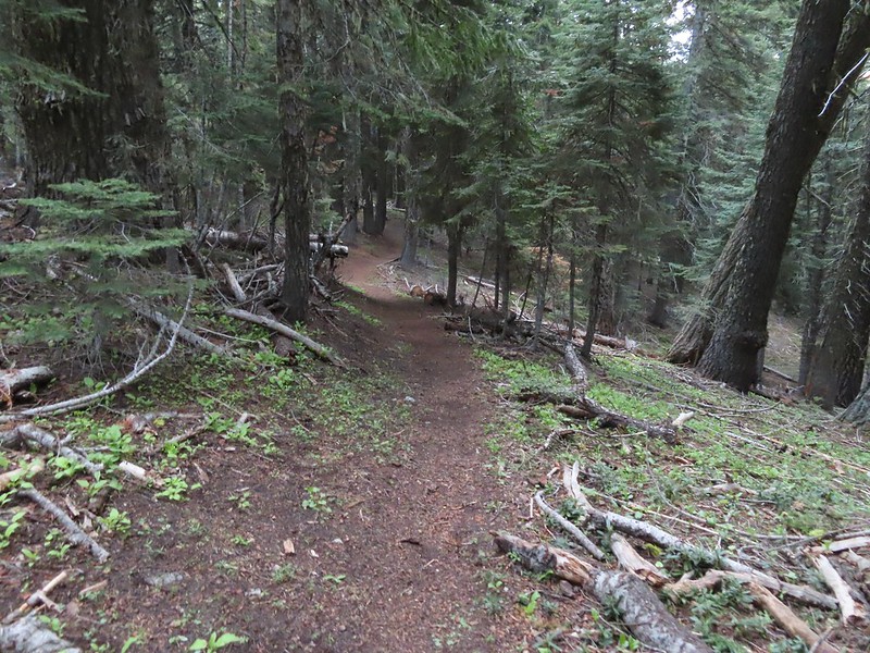
 Jessica sticktight?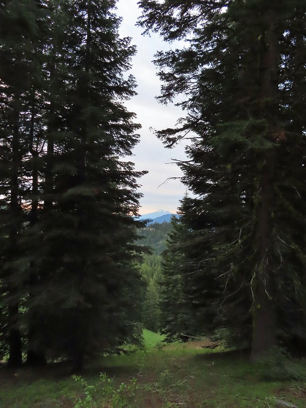
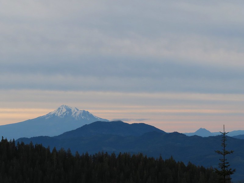 Mt. Shasta and Black Butte (
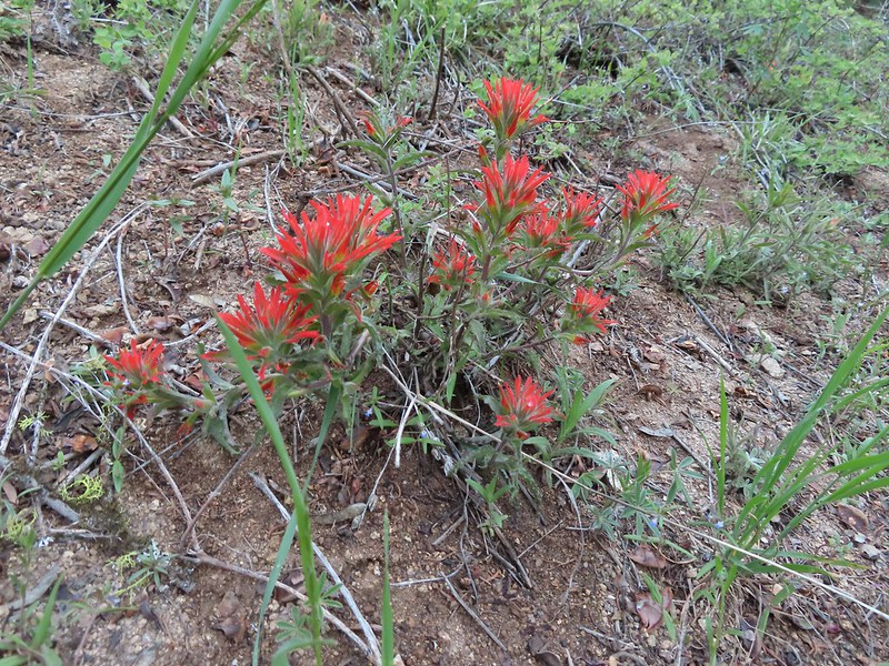 Paintbrush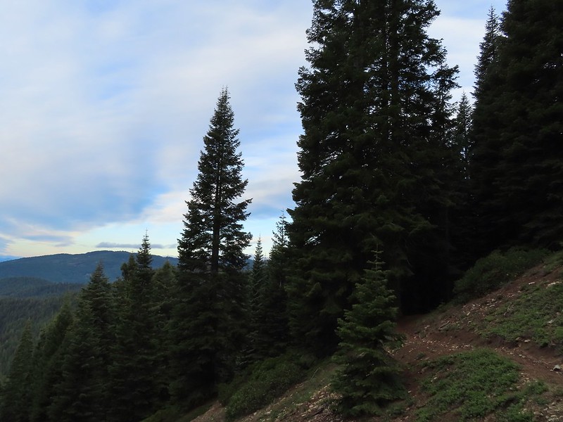
 Siskiyou Peak from the PCT.
 Lupine and pussypaws
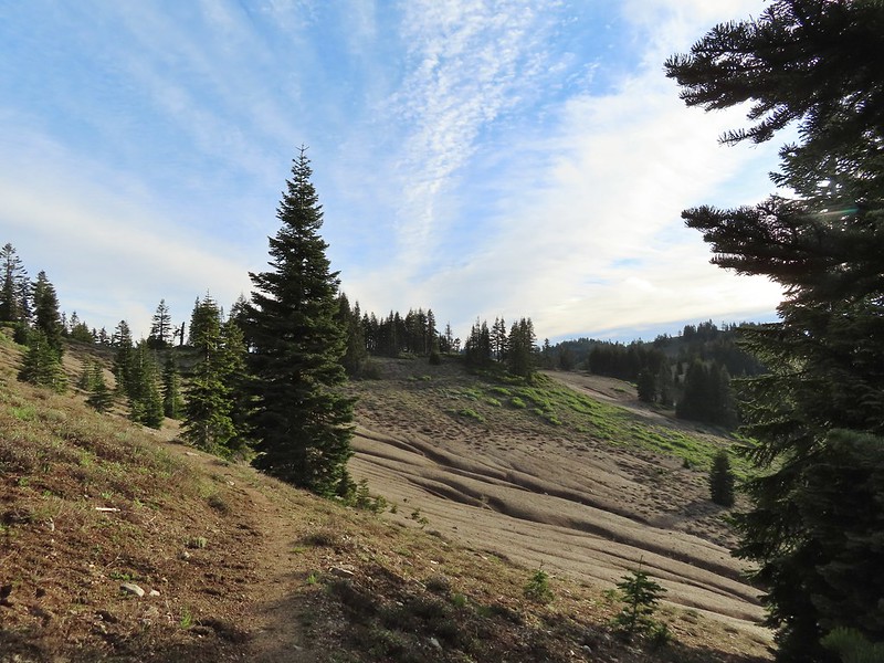 The PCT heading toward Mt. Ashland from the ridge where we left it.
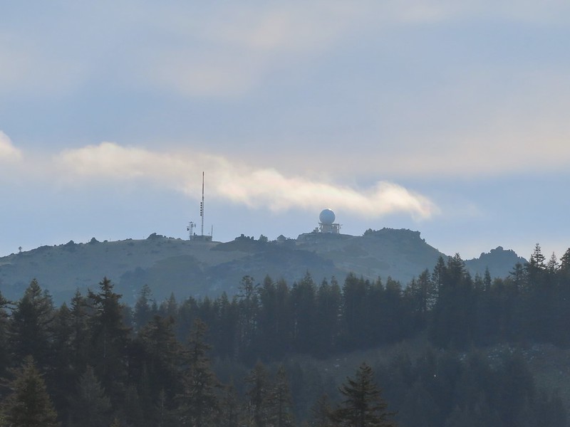 Towers on Mt. Ashland.
 The trail up Siskiyou Peak.
 Observation Peak to the left, where we had been the day before with Big Red Mountain on the right, where we were going later today.
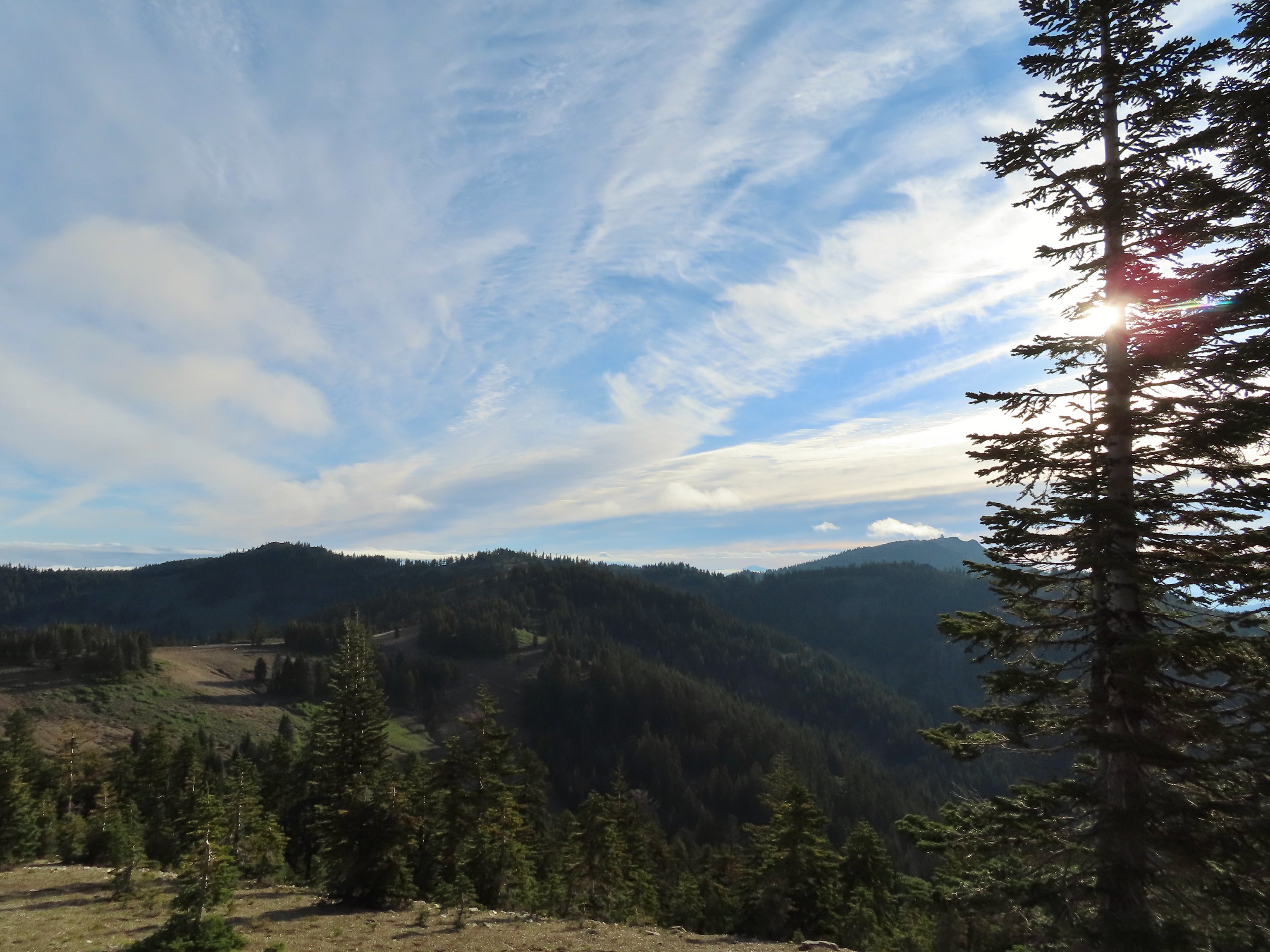 Mt. Ashland to the right.
 Mt. McLoughlin (
 The final rocky climb to the summit.
 Mt. Shasta from the summit.
 The snowy Marble Mountains (
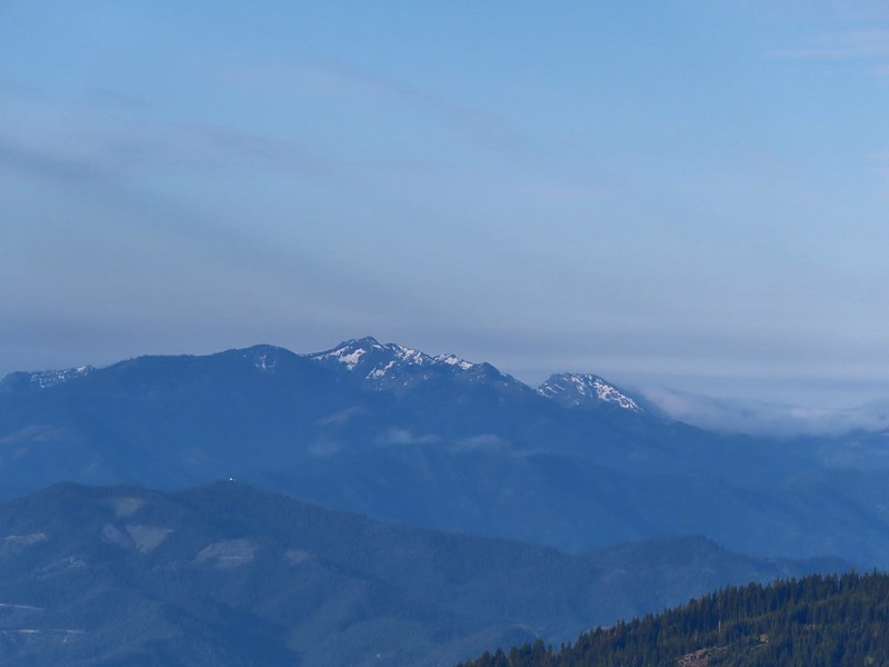 Some of the Marble Mountains.
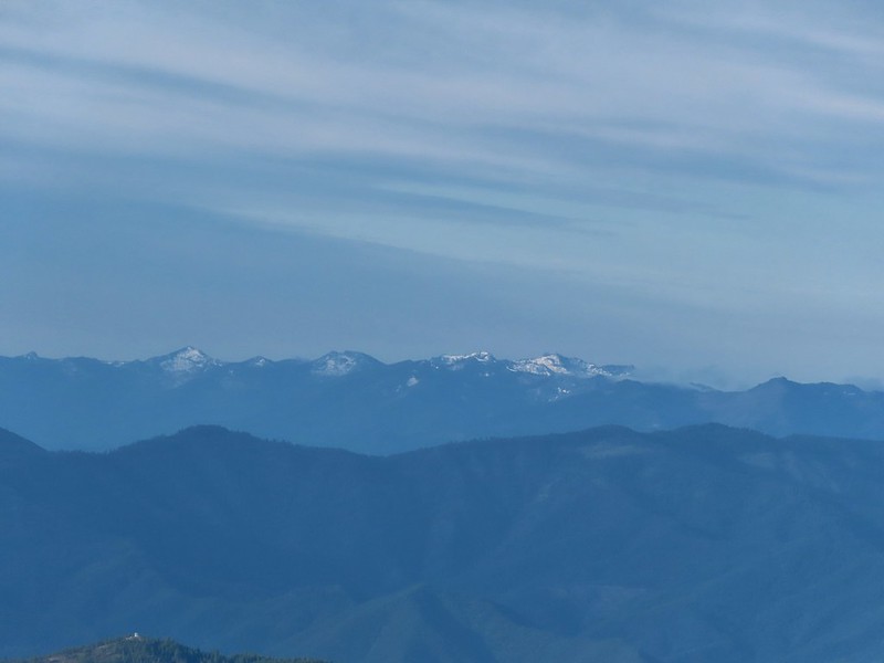 I believe these are peaks in the Russian Wilderness.
 Observation Peak and Big Red Mountain with Dutchman Peak in a cloud behind Big Red.
 Our shadows from the summit.
 Dutchman Peak emerged from the clouds to make an appearance over Big Red Mountain.
 Wagner Butte (
 Arriving at the junction.
 Trillium along FR 20.
 California Jacob’s ladder
 FR 20 looking a little better here.
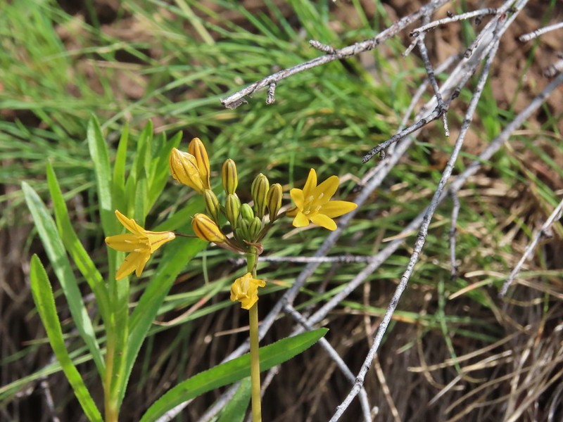 Pretty face
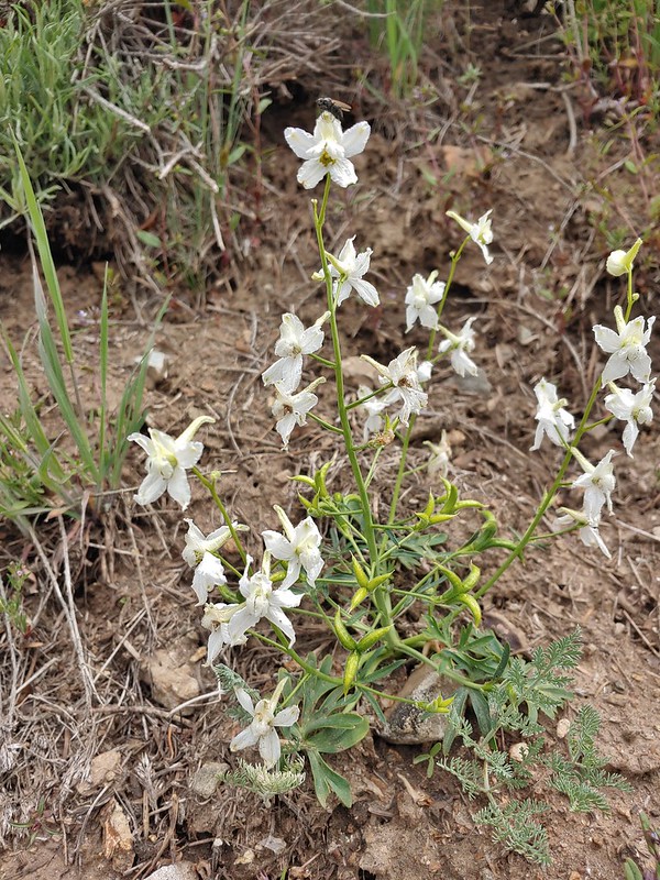 Larkspur
 Larkspur
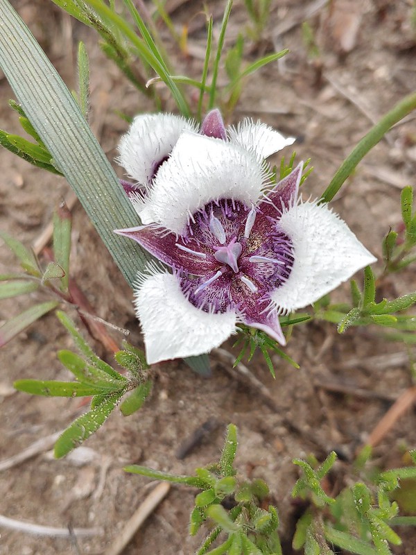 Mariposa lily
 FR 20 became a little rutted just before Siskiyou Gap.
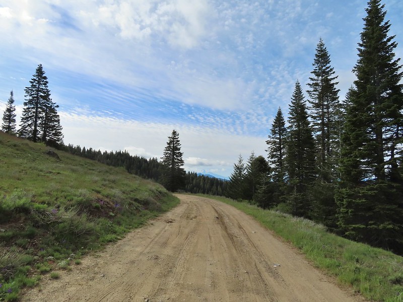 Mt. Shasta from the gap.
 Mt. Shasta
 Siskiyou Gap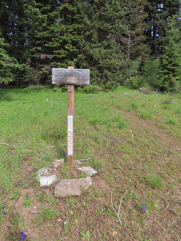

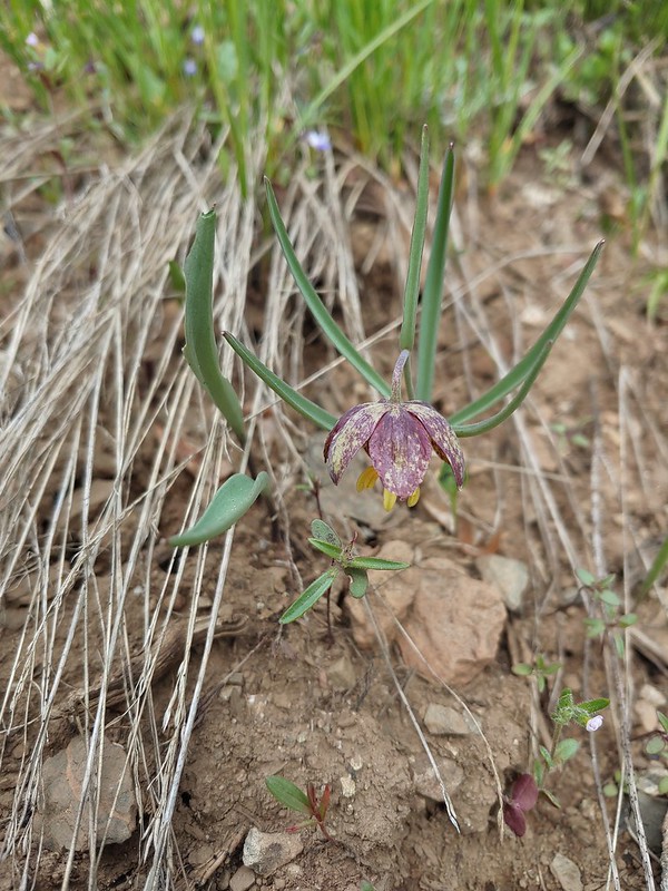 Chocolate lily
 Violets, larkspur and alpine pennycress.
 Ballhead waterleaf
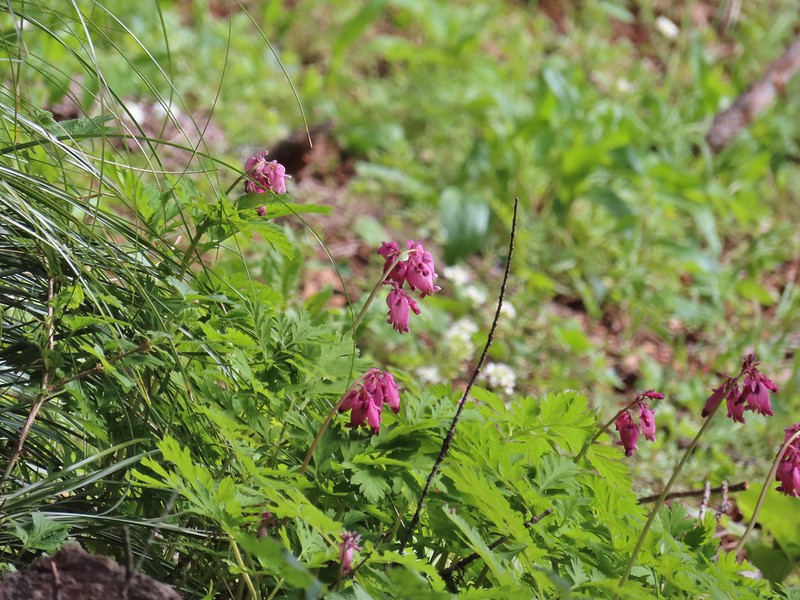 Bleeding heart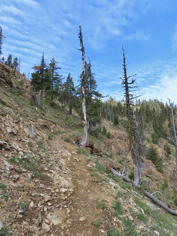

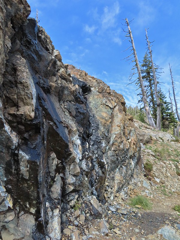 A trickle of water flowing down over the rocks along the trail.

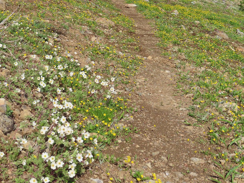 Anemones and buttercups
 It’s hard to tell just how many flowers there were from the photo but it was very impressive to the naked eye.
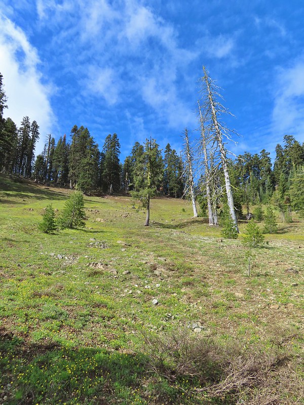
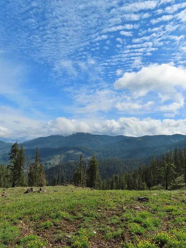 A cloud over Wagner Butte which stayed this way the rest of the day.
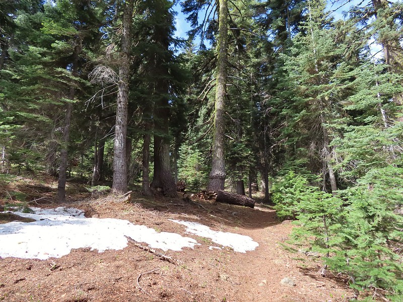 A few small patches of snow were all that was left along the PCT.
 Starting to leave the trees behind as the PCT passes below Big Red Mountain.
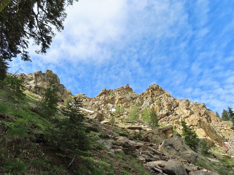
 Looking toward Medford to the NE.
 Upper Table Rock (
 You could see where this large chunk of rock used to be.
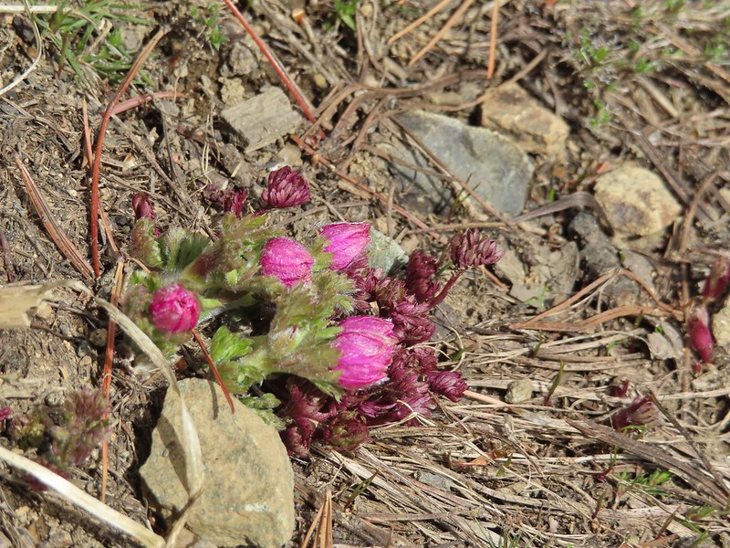 Something budding out.
 Dummond’s anemone – the blueish/purplish hue on some was quite pretty.
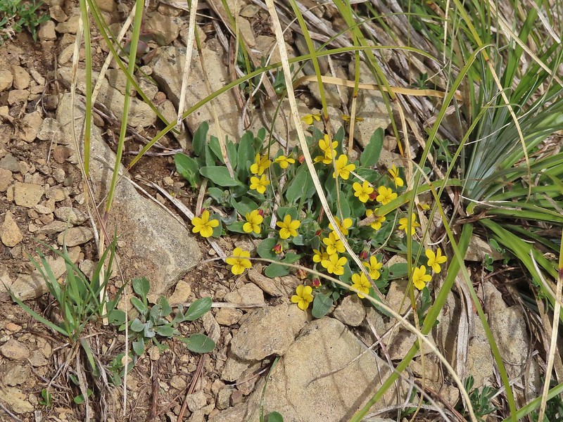 Violets
 There was a decent sized beargrass meadow along this section which appeared to have bloomed last year.
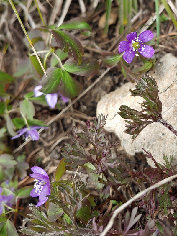 Anemones
 A saxifrage
 Siskiyou Peak from the trail.
 Splithair Indian paintbrush and a lomatium.
 Phlox
Phlox A small green pond and two of the Monogram Lakes.
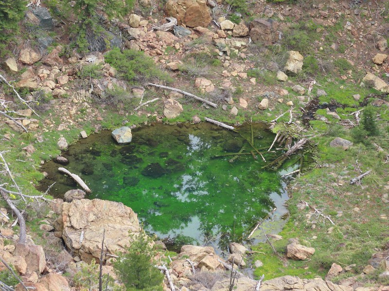 The green pond.
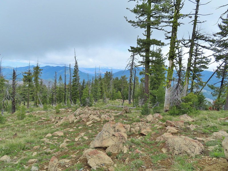 Looking down the ridge.
 Heather sitting up on the PCT while I made my way down the ridge.
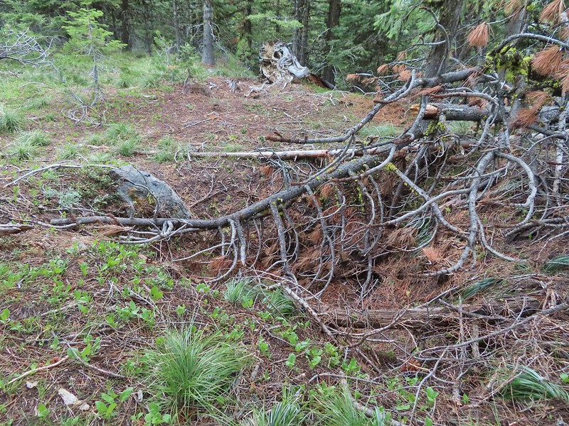 The pit with the mining trail on the far side.
 Old mining trail.
 The mining cart.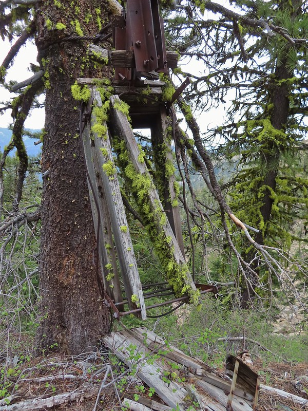
 Cable running up to the snag.


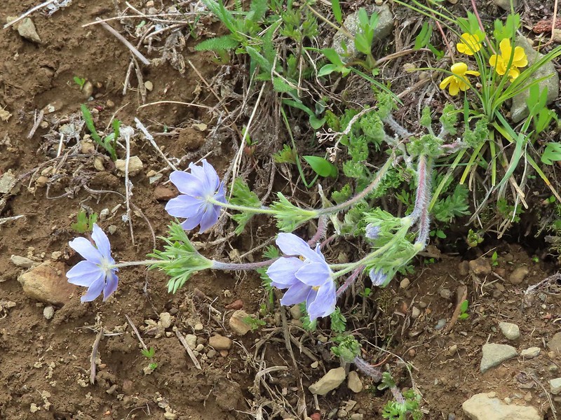
 I spotted something moving down in the meadow here.
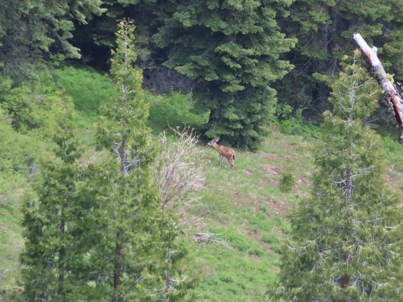 Had too use a lot of zoom to determine it was a deer.
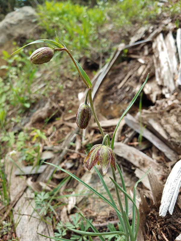 Chocolate lily
 Mt. Shasta and Black Butte from Siskiyou Gap on the way back.
 Our final view of Mt. Shasta this trip.
 Mt. Eddy (

 The PCT heading south from the Stateline Trialhead
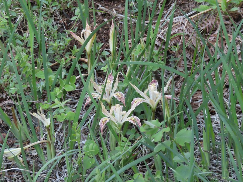 Iris
Iris
 A register is located 0.4 miles from the trailhead at the Oregon/California border.
 We were long overdue for a visit to California, our last hike in the state was way back in 2018 at the Lava Beds National Monument (
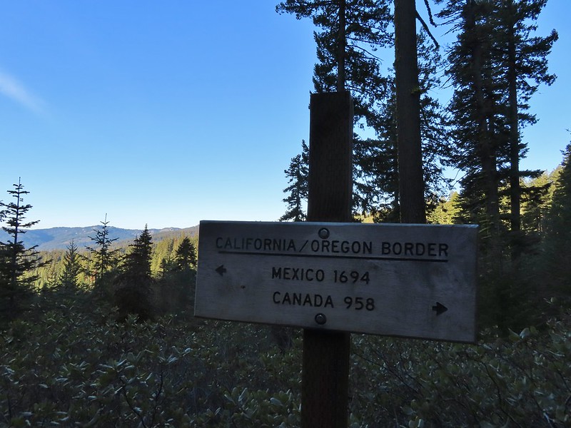 A good reminder of how much of the PCT is located in CA.
 Pussytoes
 First look at Donomore Meadows.
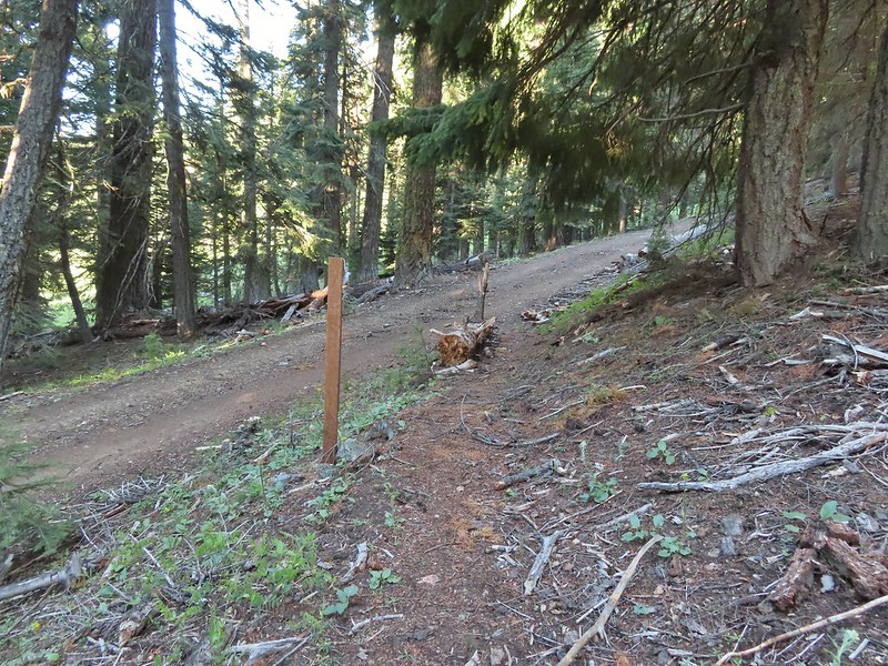 This road crossing is just over a mile from the trailhead. The Donomore Cabin is just up the road to the right.
 The cabin was built in 1935.
 The meadow below the cabin.

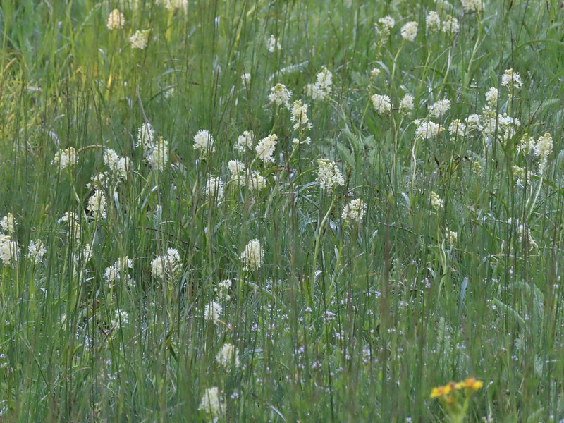 Death camas in the meadow.


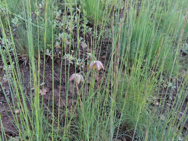
 Mariposa lily
 Chocolate lily
 Cinquefoil?
 Violets
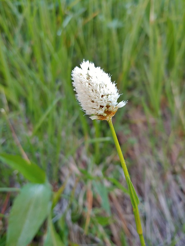 Bistort
 Heather passing through the meadow.
 There wasn’t much to the brushy creek but it made for a definitive turnaround point.
 California ground cone
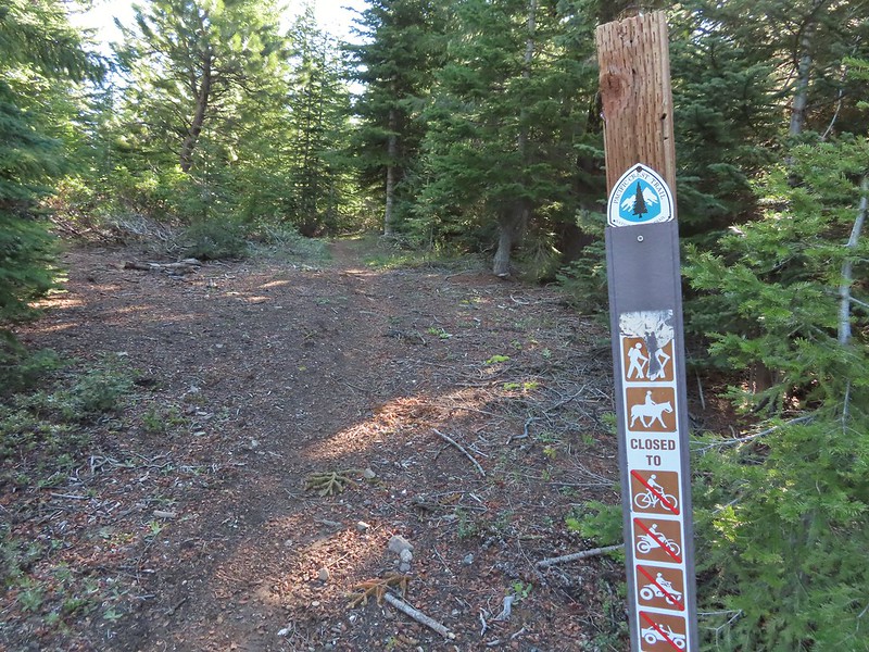 PCT heading north from the Stateline Trailhead.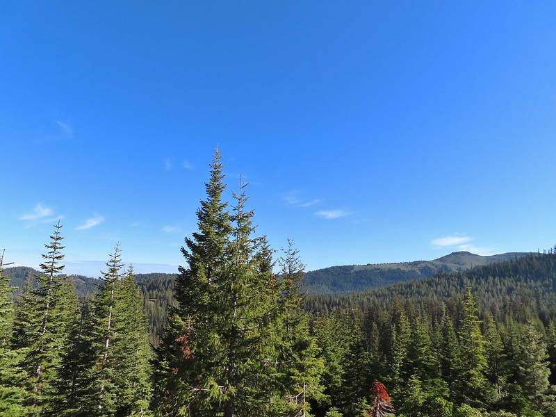
 Pasque flower
 Grayback Mountain in the distance with a small patch of snow.
 One of three springs the trail passes on the way to Observation Peak.
 Marsh marigolds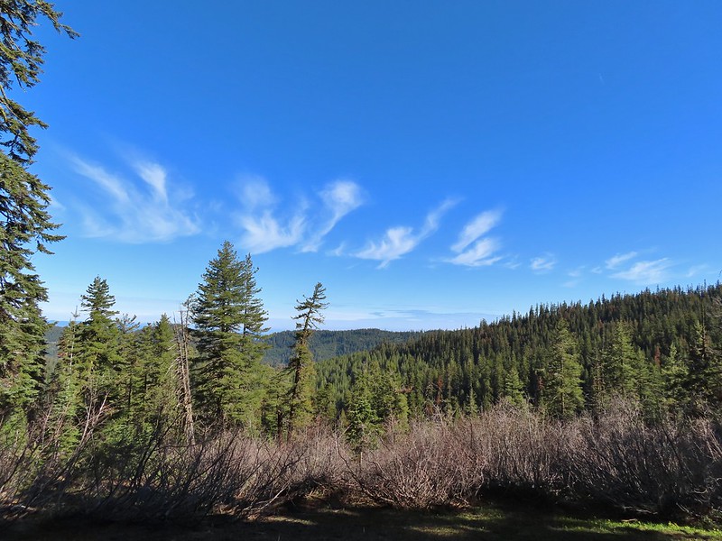
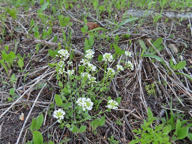 Alpine pennycress
 Another spring with marsh marigolds and glacier lilies.
 Scraggy Mountain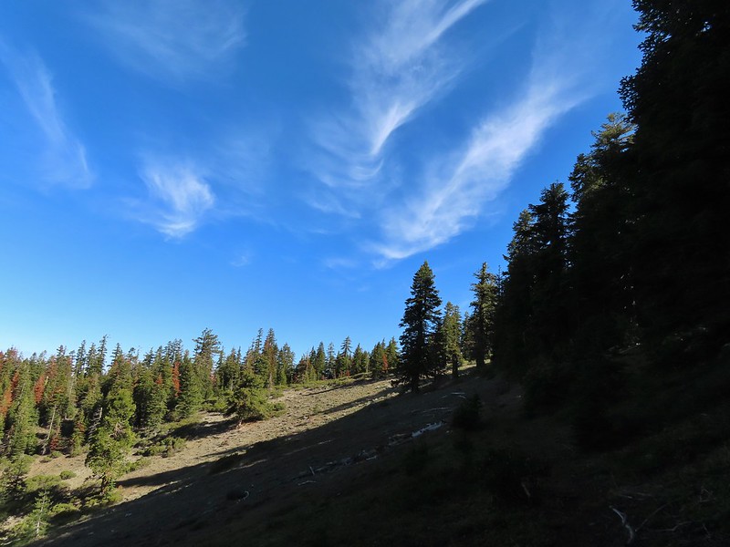
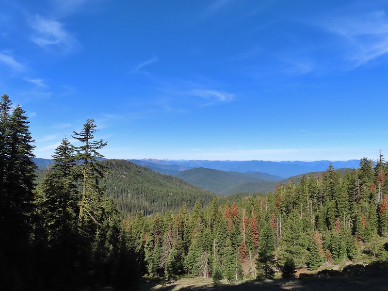 Looking SE to the Red Buttes (
 Kangaroo Mountain and Red Butte with Preston Peak, Twin Peak and El Capitan behind in the Siskiyou Wilderness.
 View south.
 Part of the Marble Mountains (
 Kettle Lake through the trees.
 Heading up to the ridge.
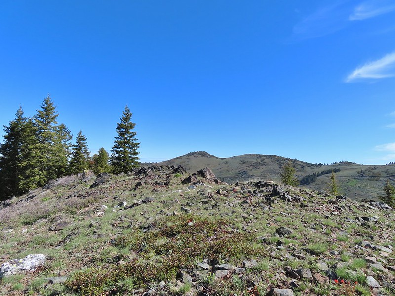 Dutchman Peak from the ridge.
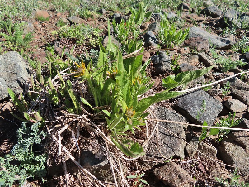 Not sure if these are mule’s ears or a balsamroot.
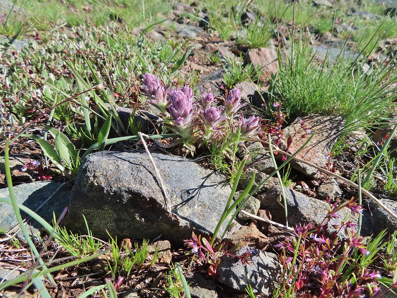 Splithair Indian Paintbrush (Castilleja schizotricha)
 Swallowtail on phlox.
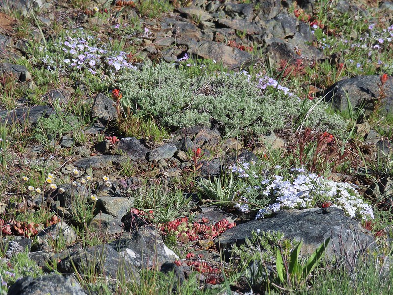 Wildflowers on the ridge.
 Cutleaf daisy?
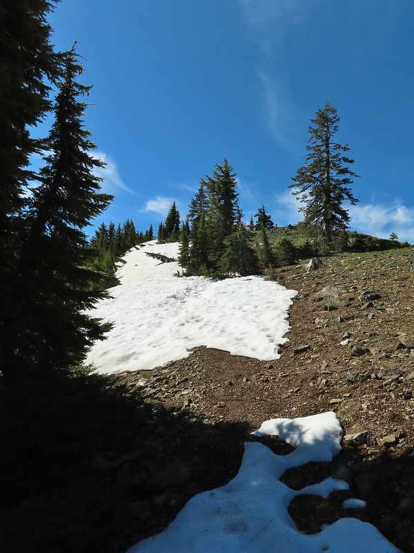 Snow drifts covering the PCT.
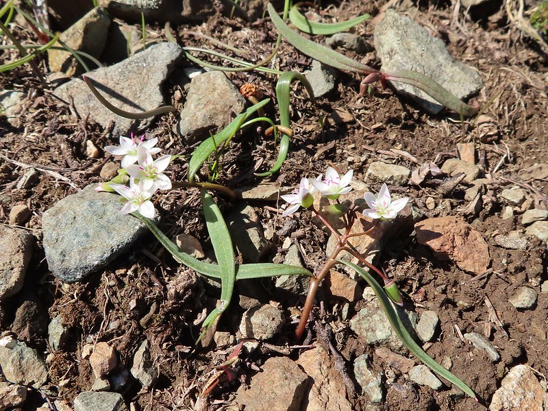 Lance-leaf Spring Beauty
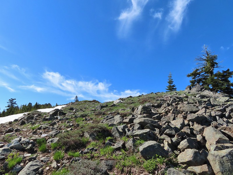 Heading for the summit.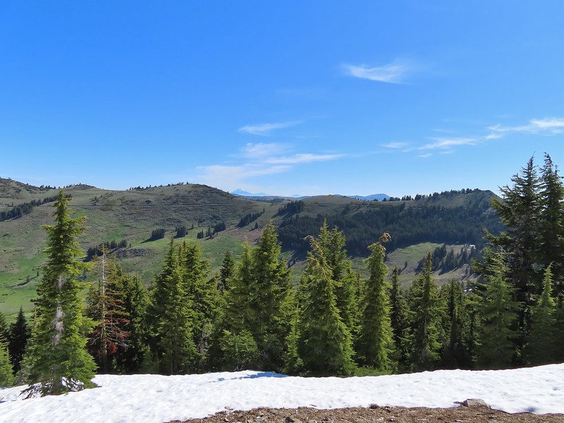

 Pilot Rock (
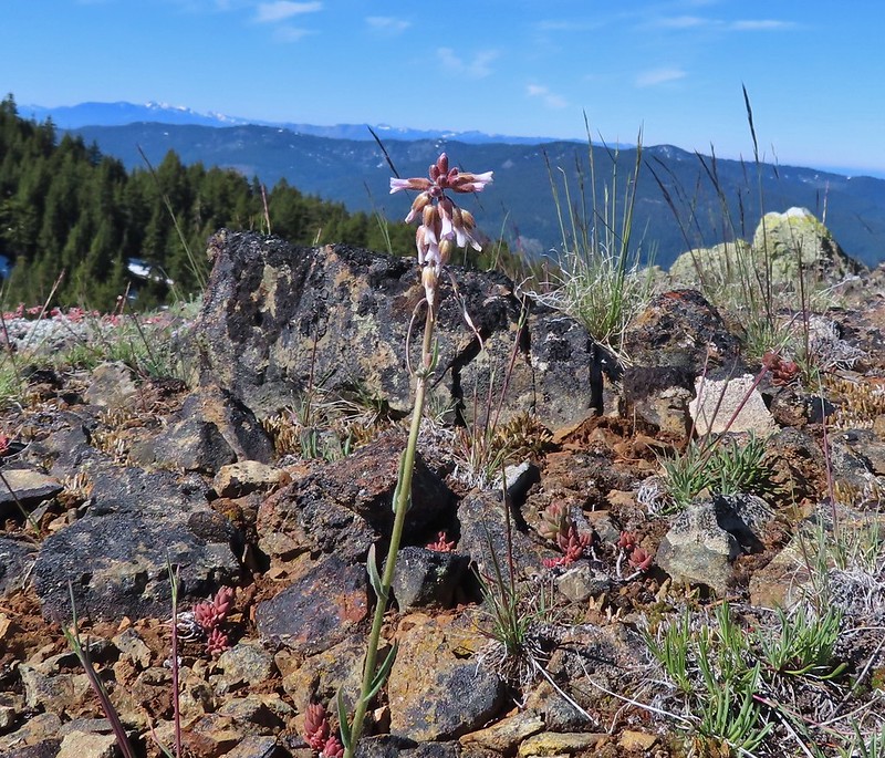 A rockcress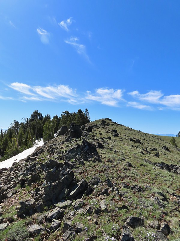

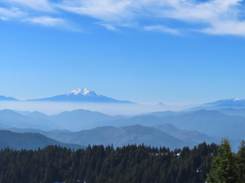 Mt. Shasta above a layer of smoke that mostly hid Black Butte (
 I think these peaks are a mix of the Russian Wilderness in the forefront and Trinity Alps behind. Bruce correct me if I am wrong on that :).
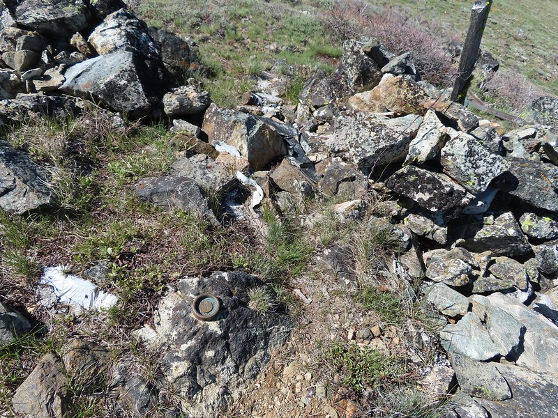 Rock pile at the summit.
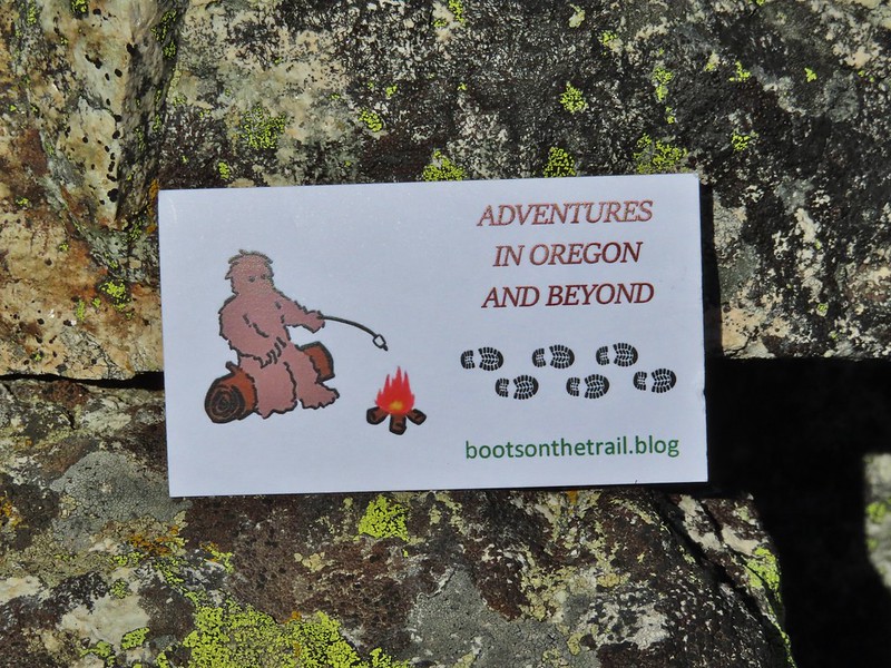 Our big find. I took a couple of pictures and put the card back for someone else to find (and added one of ours).
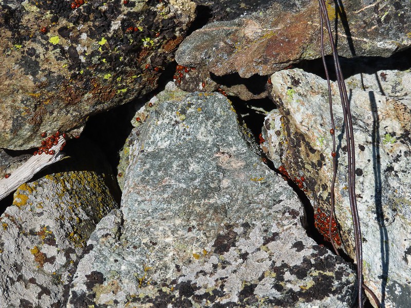 There were dozens of ladybugs in the rock pile.
 One of many photos of Mt. Shasta. We don’t get too many chances to see this Cascade Mountain.
 We could see Mt. Thielsen (
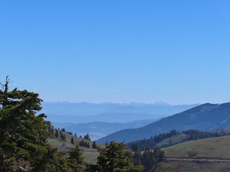 The peaks around the rim of Crater Lake.
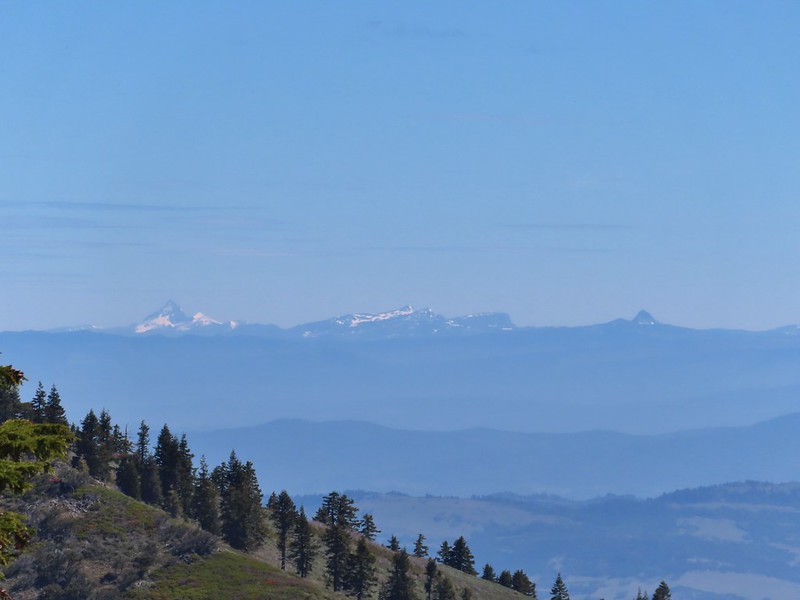 Mt. Thielsen to the left of Crater Lake.
 Mt. Bailey (
 The Red Buttes in front of Preston Peak.
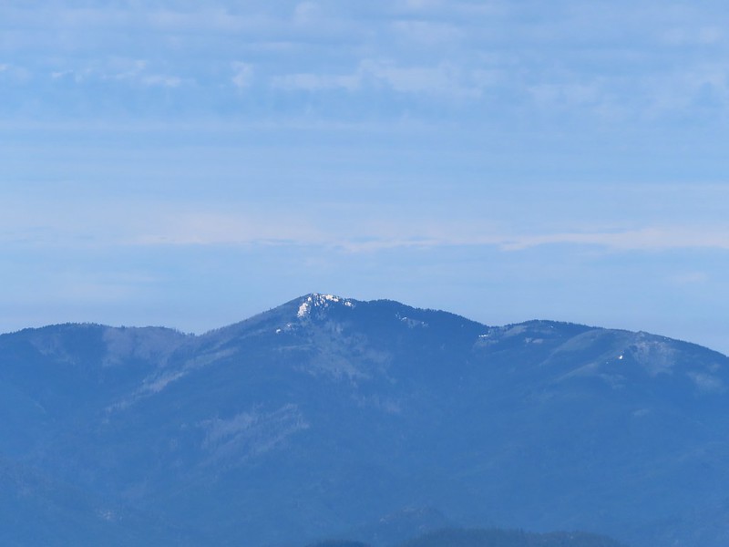 Grayback Mountain
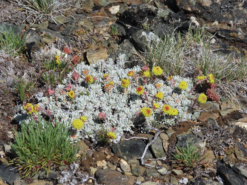 Buckwheat
 Alpine pennycress
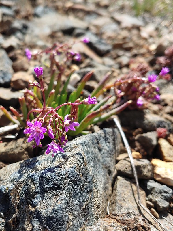 Quill-leaf Lewisia
 Larkspur
 Chipmunk having a snack.
 One of two hairstreaks we encountered on the PCT.
 The 2nd hairstreak.
 Where I left the PCT.
 Lots of this orange fungus in the forest.
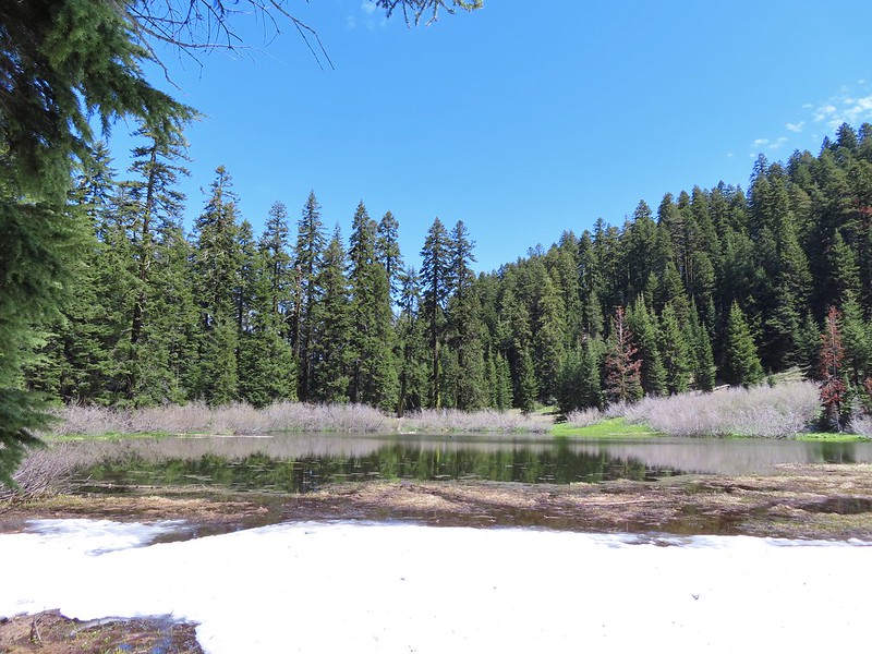

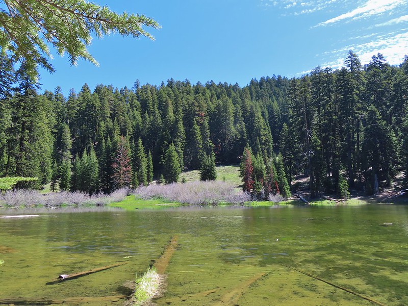
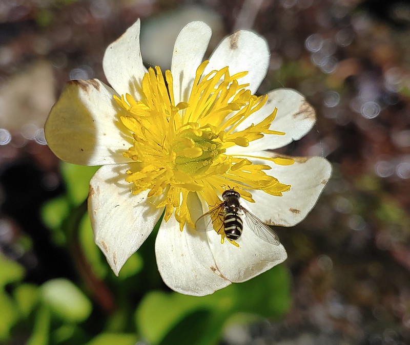 Bee on a marsh marigold.
 Glacier lily
 Trillium
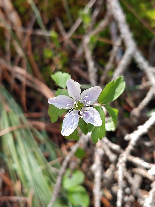 Anemone
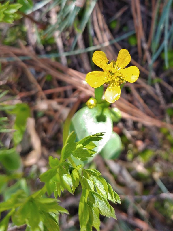 Buttercup?
 Passing through the manzanita section.