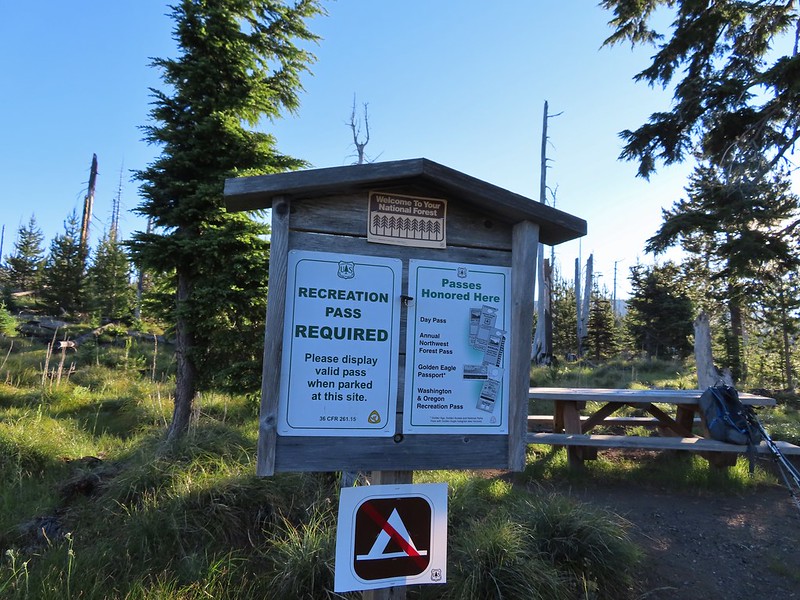
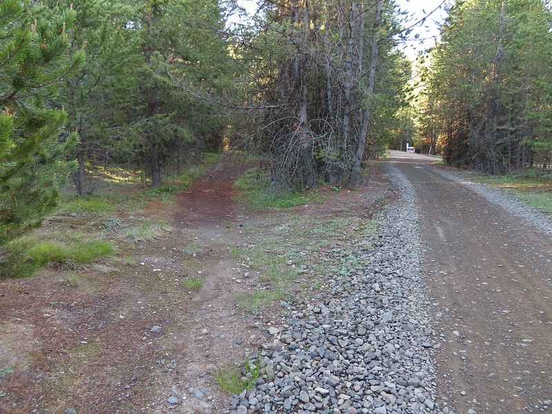
For the Fourth of July we typically pick a hike in the Old Cascades but this year we aimed higher and headed for the Three Sisters Wilderness in the High Cascades. We had two stops planned, a short hike on the Rainbow Falls Trail to the viewpoint of distant Rainbow Falls and a longer hike on the Foley Ridge Trail to Substitute Point. We stopped first at the Rainbow Falls Trailhead since it is right off Foley Ridge Road (FR 2643) on the way to the Foley Ridge Trailhead. Neither of these trailheads currently require a Central Cascades Wilderness Permit for day hikes (you are required to fill out a free self-issued permit at each TH though).

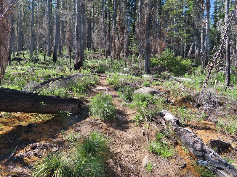
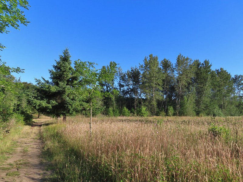
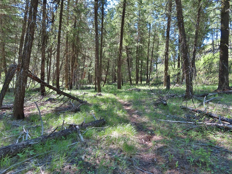
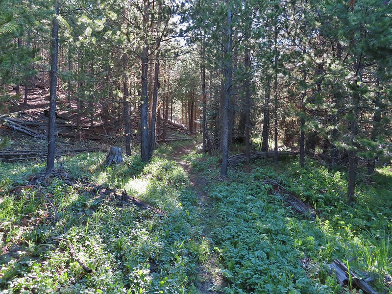
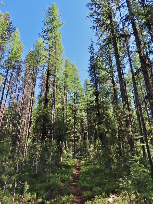
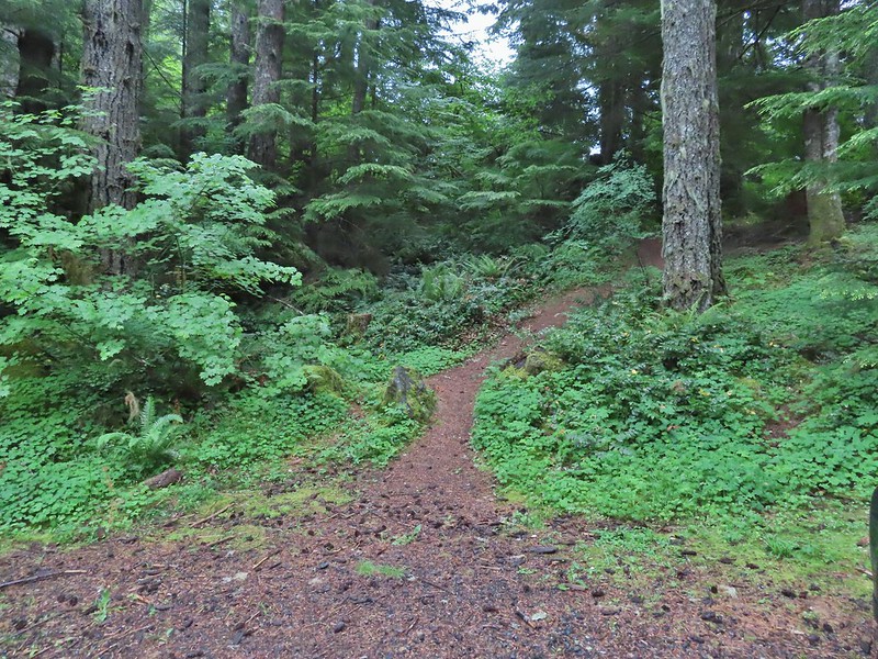
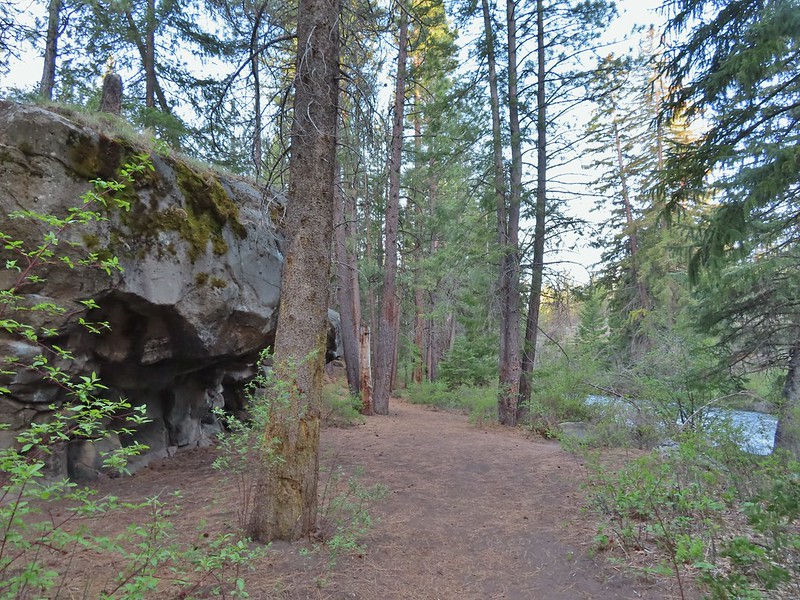
The first half mile of the trail follows an old road bed to a former trailhead.


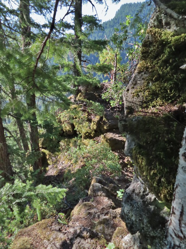
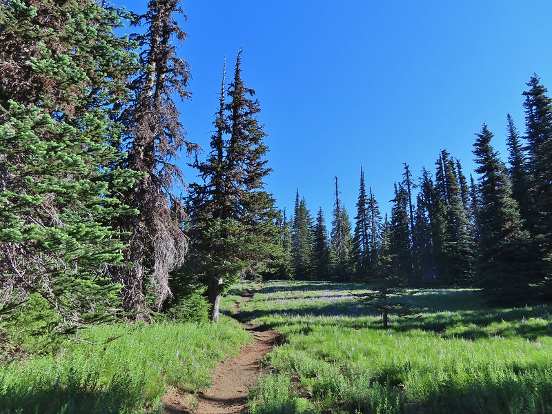
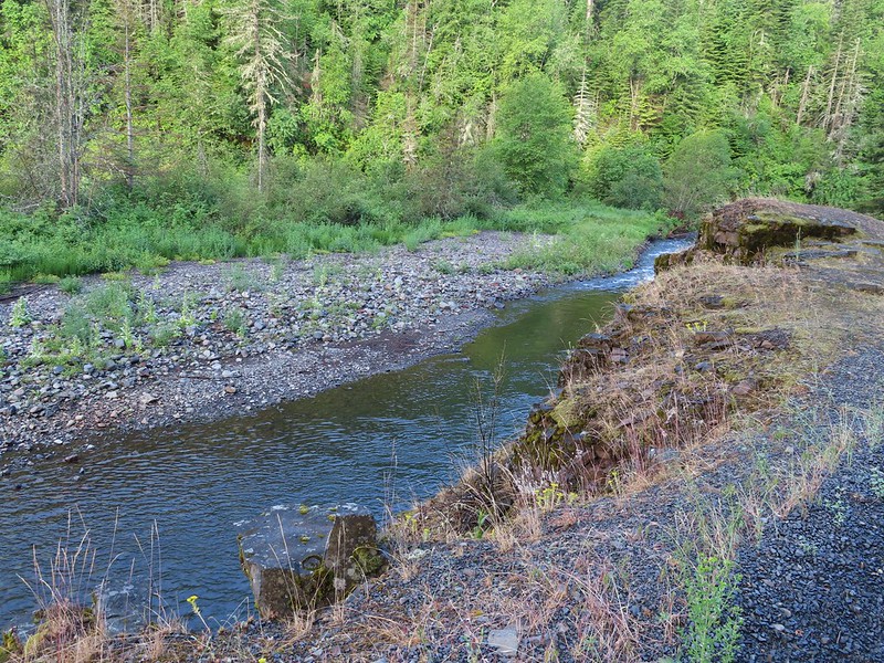
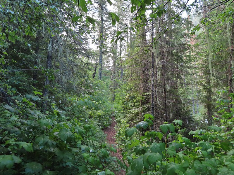
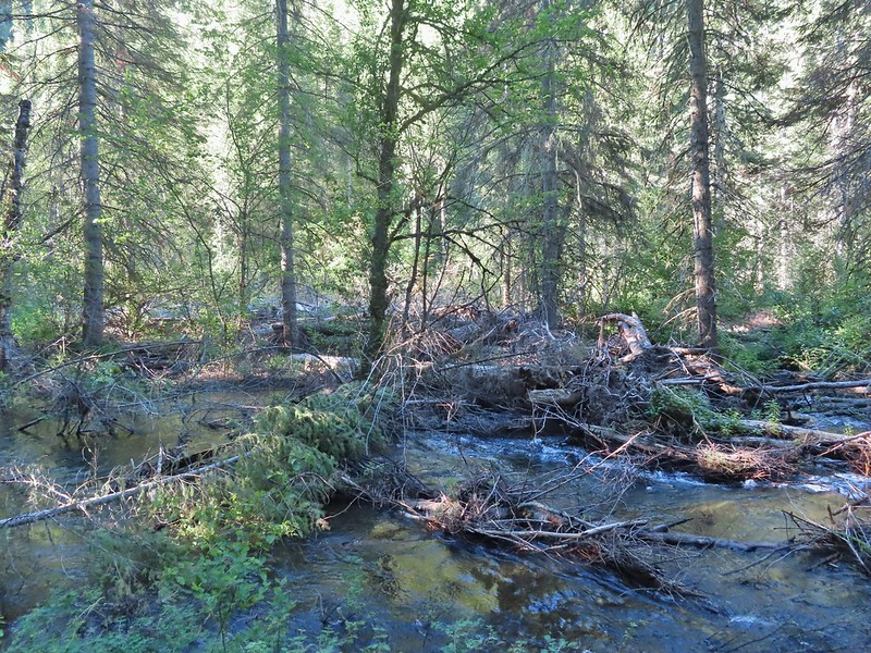
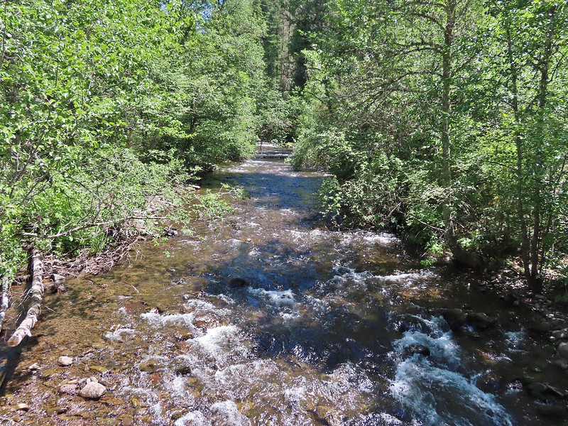
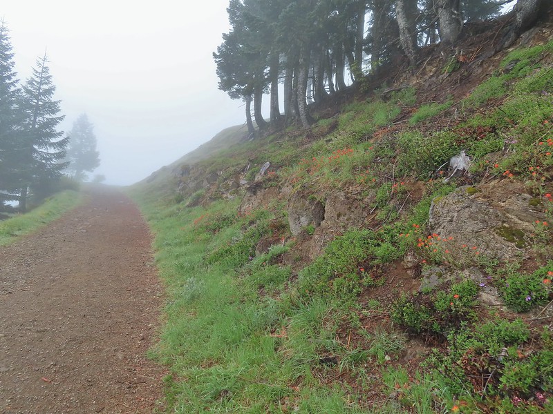
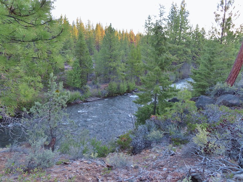
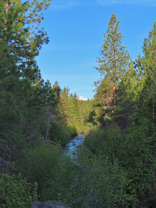
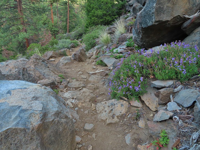
We continued along the trail entering the Three Sisters Wilderness before turning along the edge of the steep hillside high above Separation Creek (post)

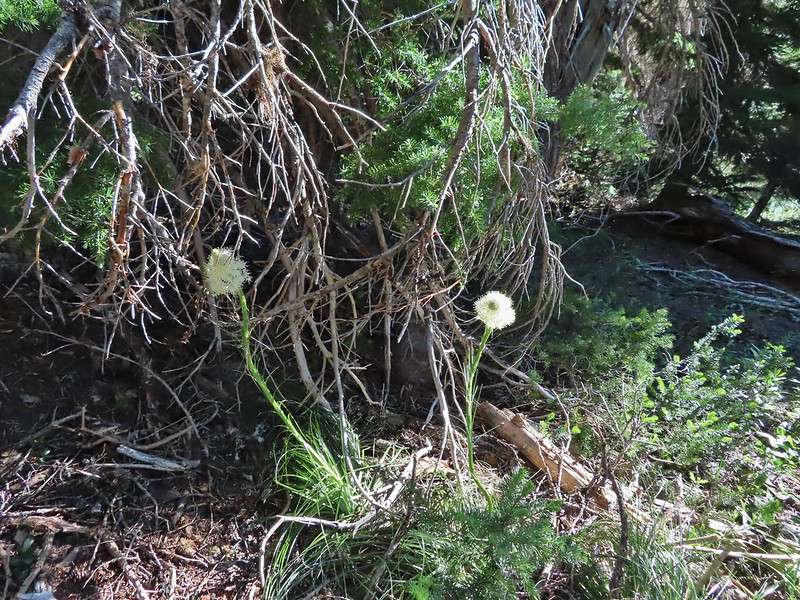
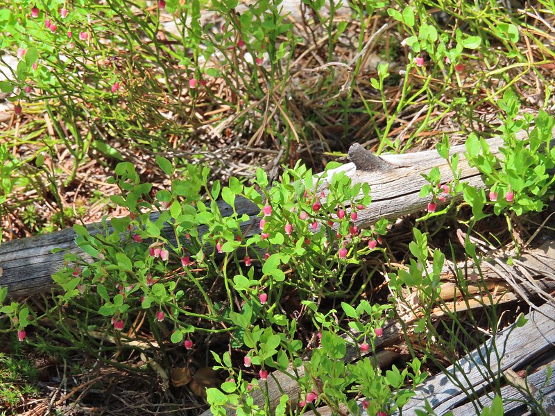
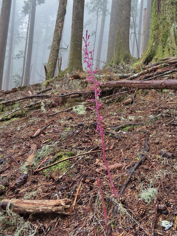
 One of two phantom orchids we saw along the trail.
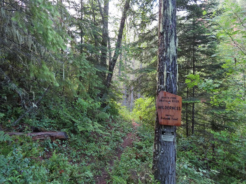
 Newish looking wilderness sign.
 Maples overhanging the trail.

 Madrone trunks
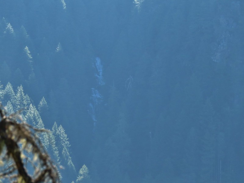
A little under 1.5 miles from the TH we arrived at a rock fin where a short scramble led to a view of distant Rainbow Falls. It was just after 8am which wasn’t an ideal time due to the falls being to the east with the Sun directly behind and still low in the sky.
 It’s a pretty narrow scramble so probably not for kids or those uncomfortable with heights.
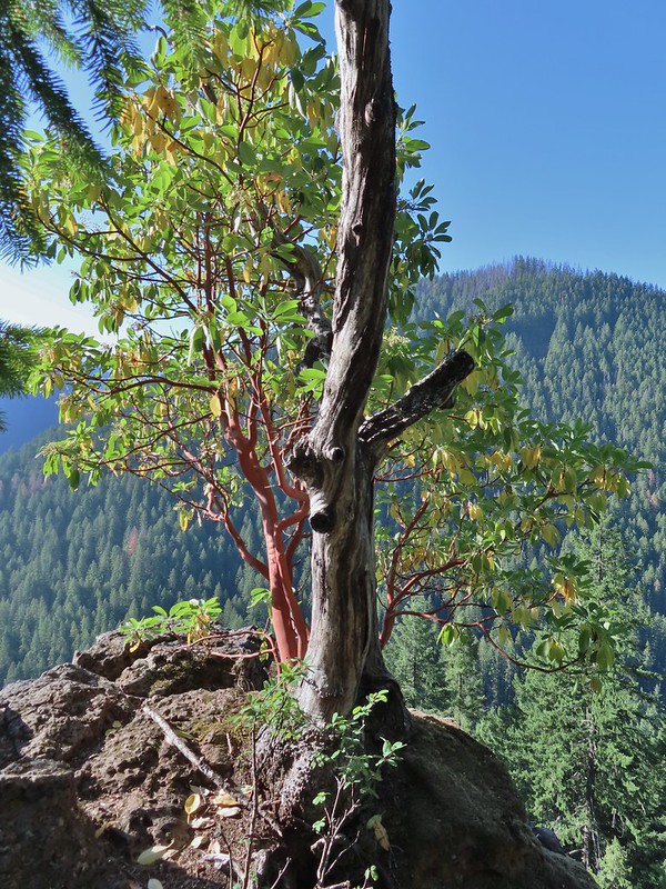 A lone madrone at the end of the fin.
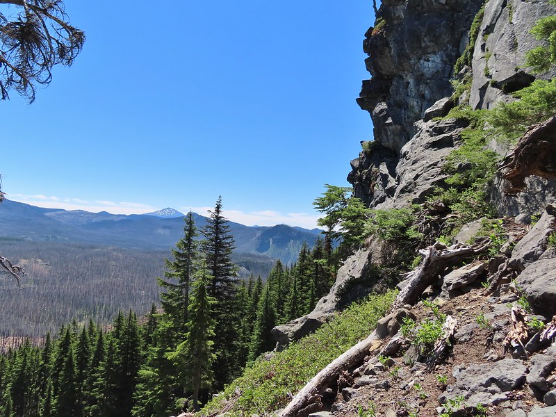
 Looking toward the falls. (The North Sister is back there too but not visible due to the lighting.)
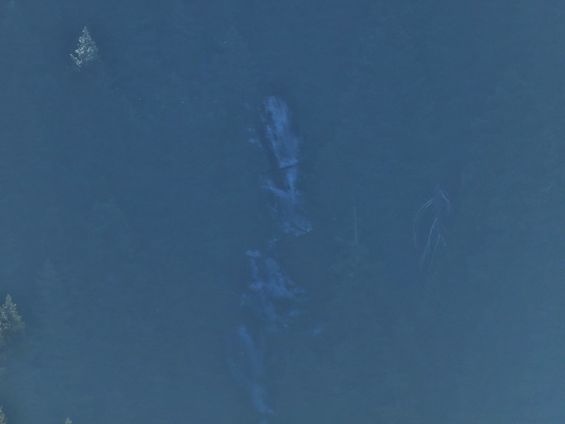
 Rainbow Falls on Rainbow Creek
 The best I could do with the lighting.
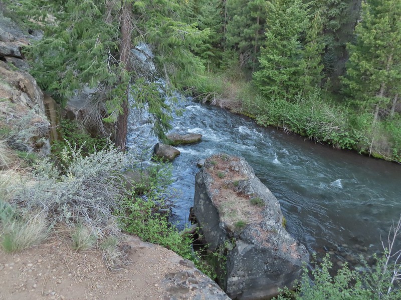
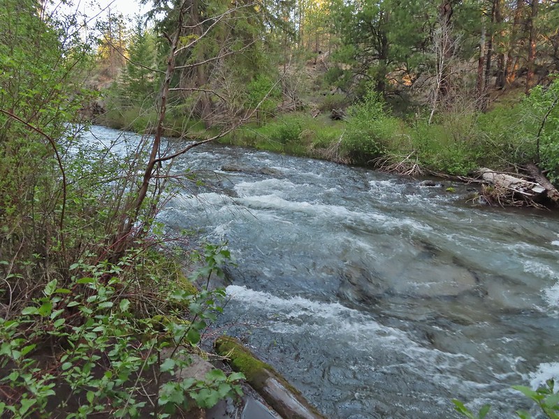
 Looking up Separation Creek.
 Looking back up along the rocks.
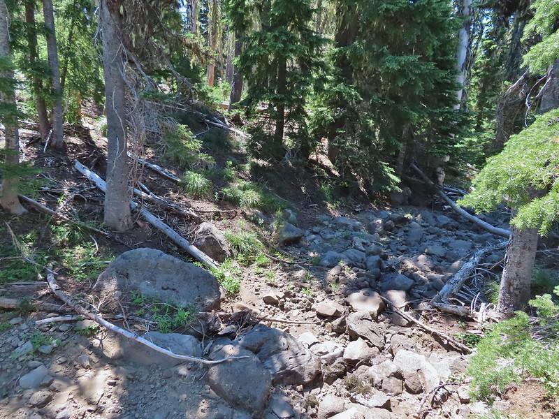
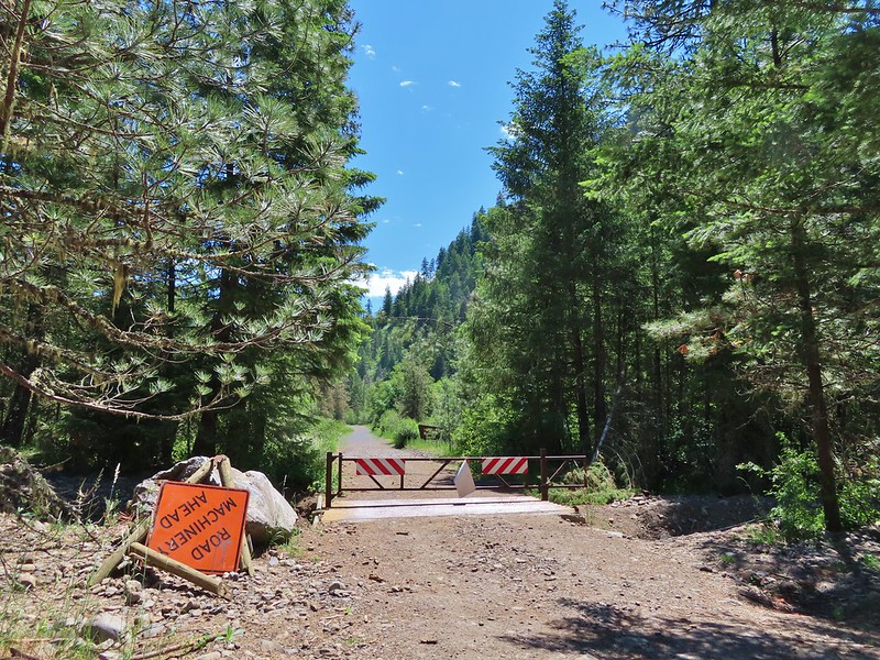
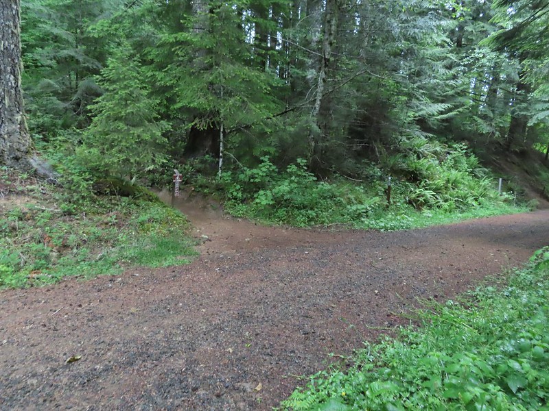
A use trail continued toward the falls, but as far as I know it’s not possible to reach them or to get a better view so we returned the way we’d come. From the Rainbow Falls Trailhead we then drove another 5 miles up FR 2643 to its end at the Foley Ridge Trailhead.

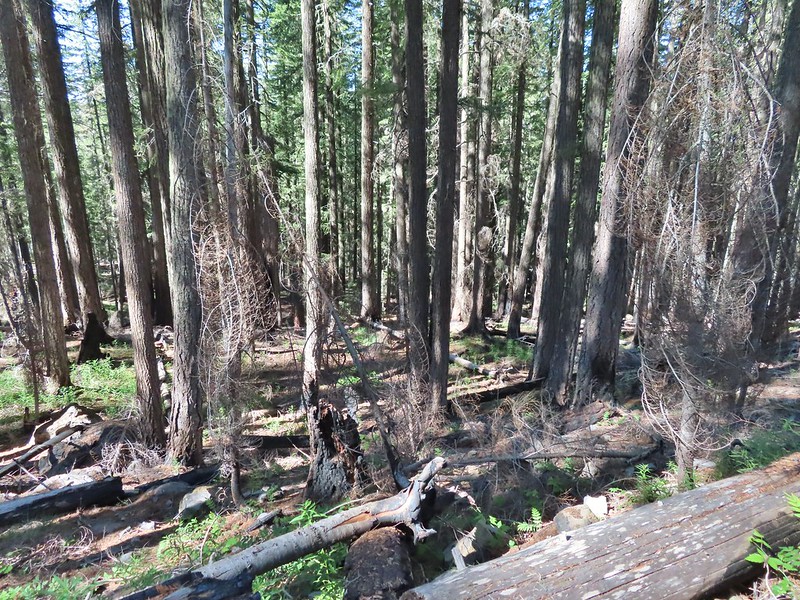
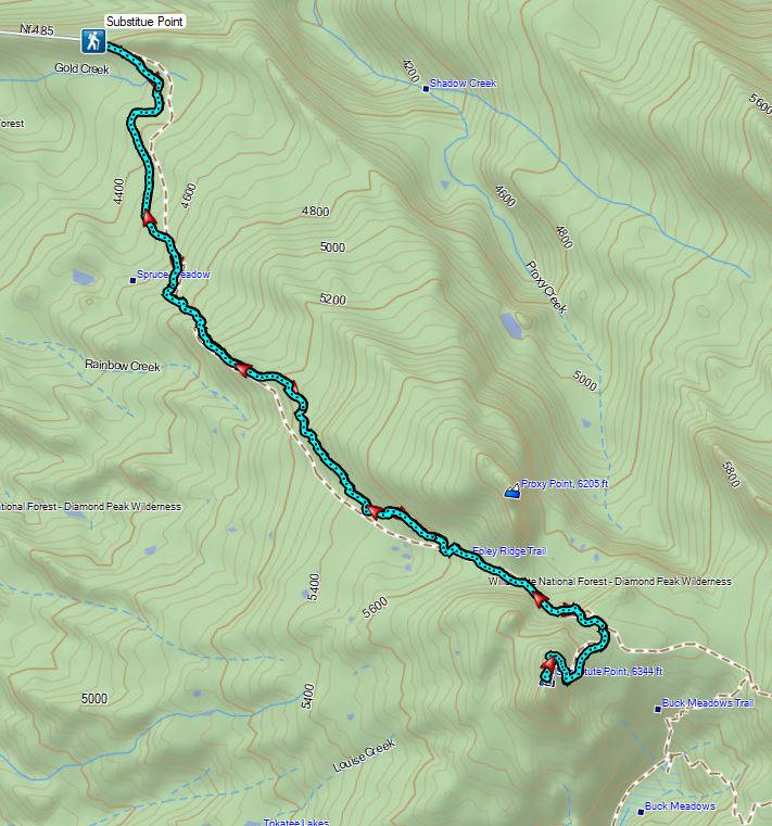
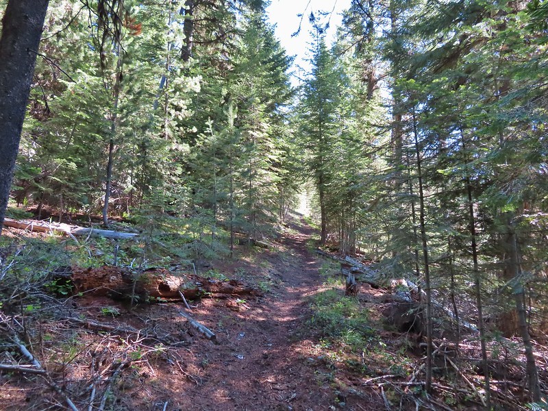
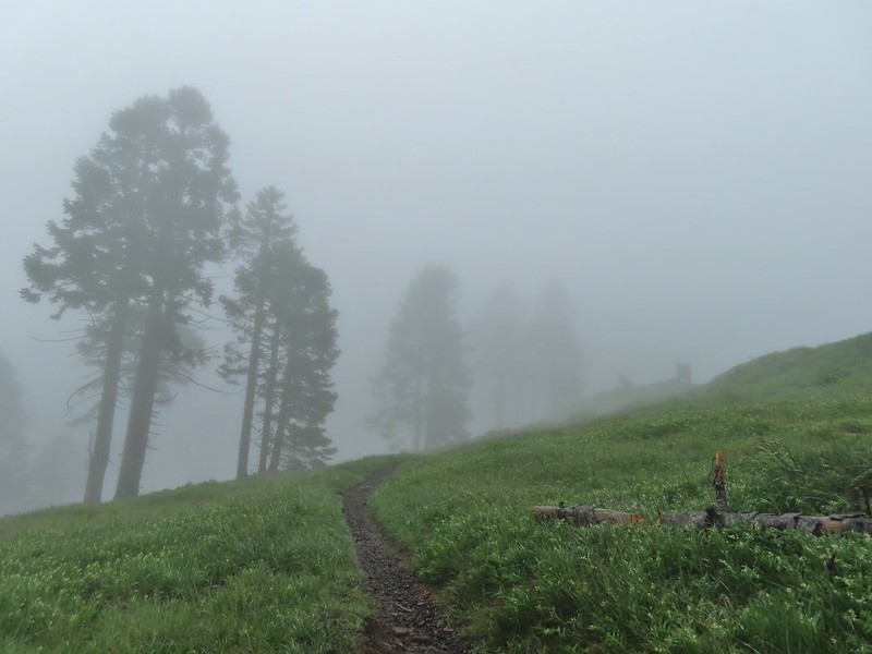
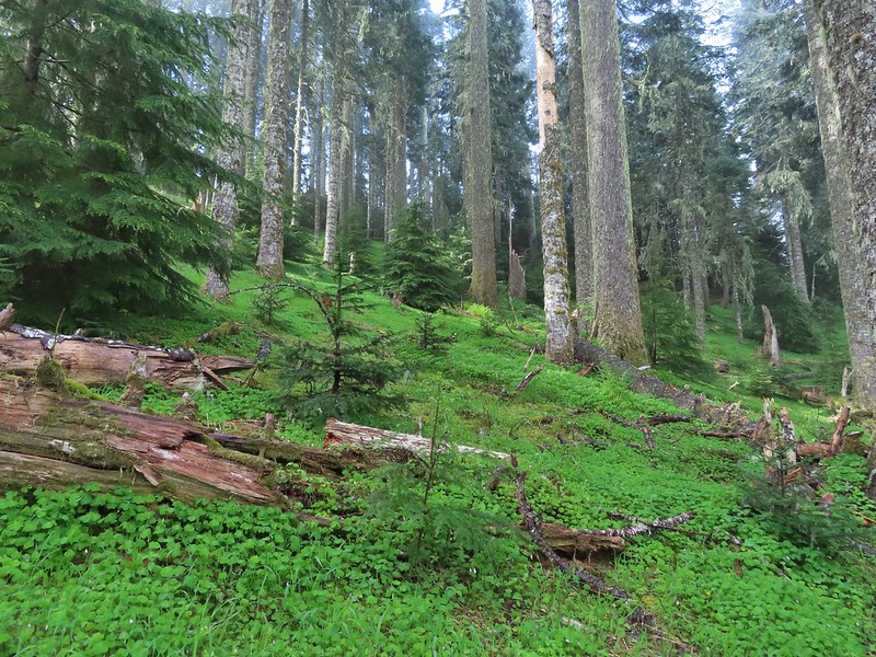
The 8 mile long Foley Ridge Trail begins at the trailhead and leads into the Three Sisters Wilderness were it eventually ends at the Pacific Crest Trail. We had been on the upper end of the trail twice, once on a backpacking trip around the South Sister (post) and the other another backpacking trip where we explored some of the areas waterfalls (post). Today’s plan was to hike the first 4.5 or so miles of the trail to the Substitute Point Trail and then follow that 0.7 mile trail to a former lookout site atop Substitute Point. We were looking forward to the view atop the point but also interested to see what the area looked like after being hit hard by wildfires in 2017.
The first mile and half of the trail was unaffected by the fire and hosted a few blooming rhododendron and other woodland flowers.

 Pink pyrola
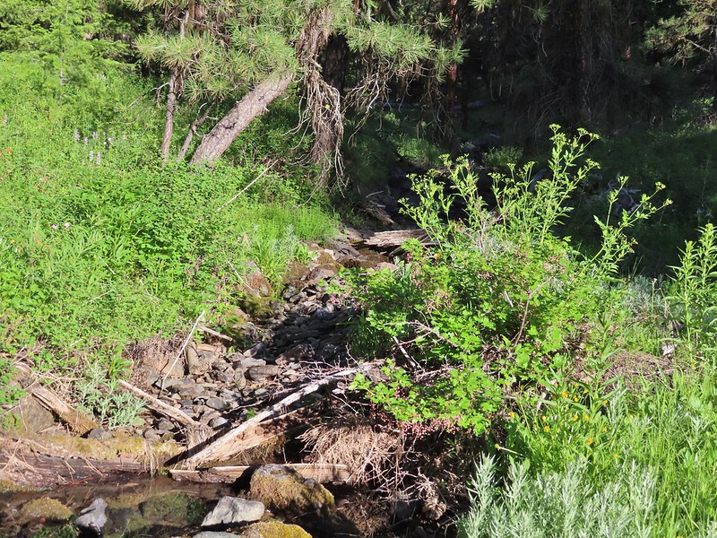
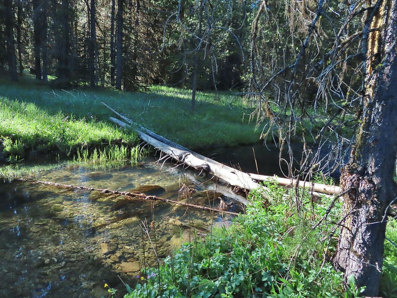
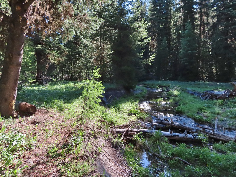
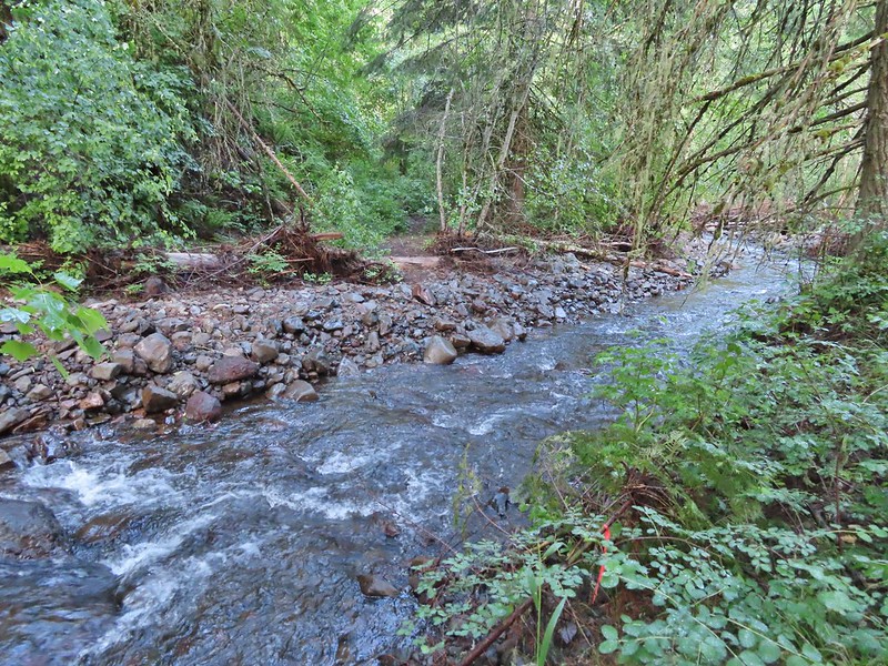
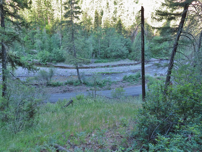
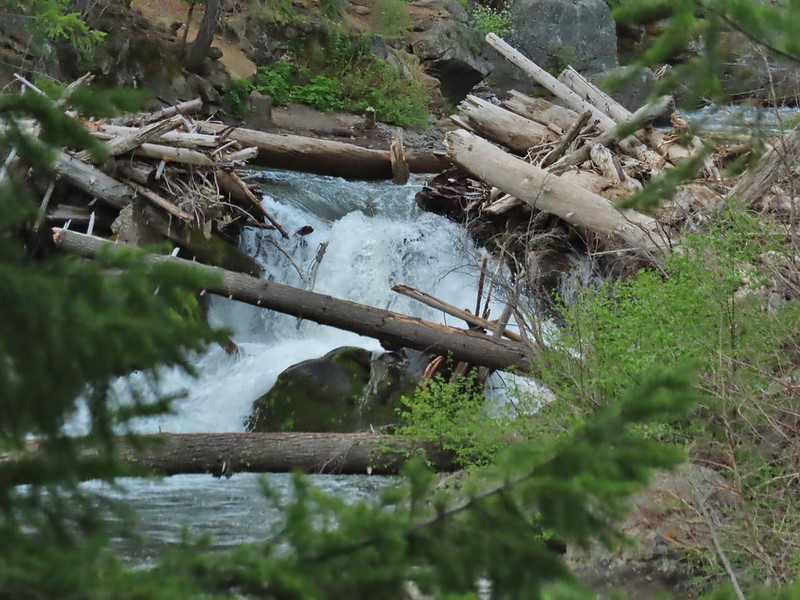
 Crossing of Gold Creek which was nearly dry but it hosted a fair number of mosquitos.
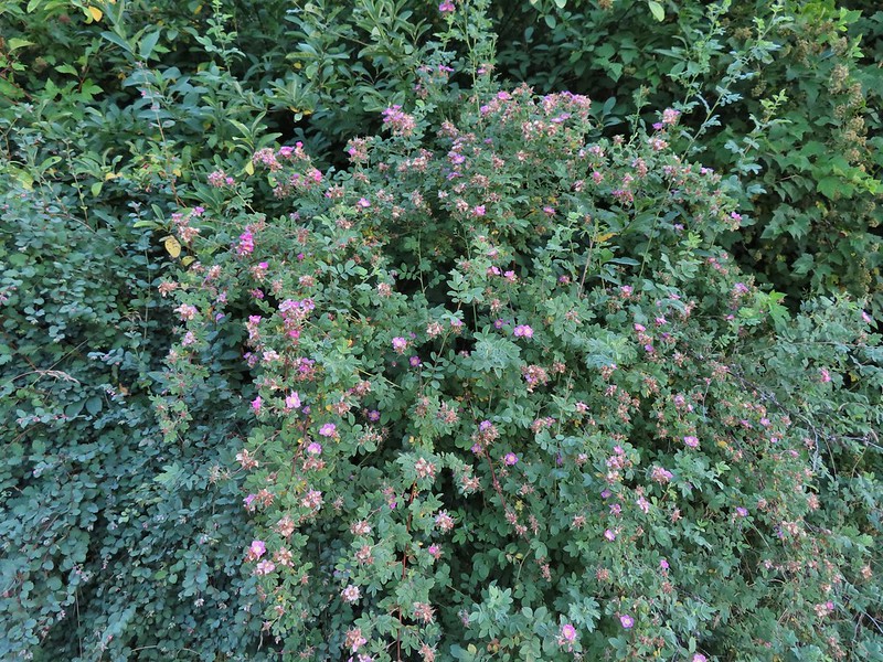
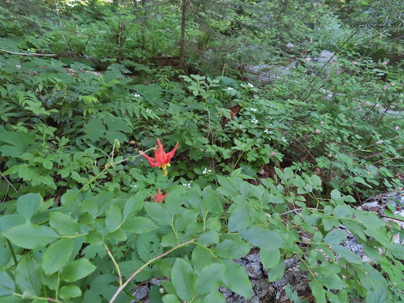 Columbine, bunchberry, and wild roses.
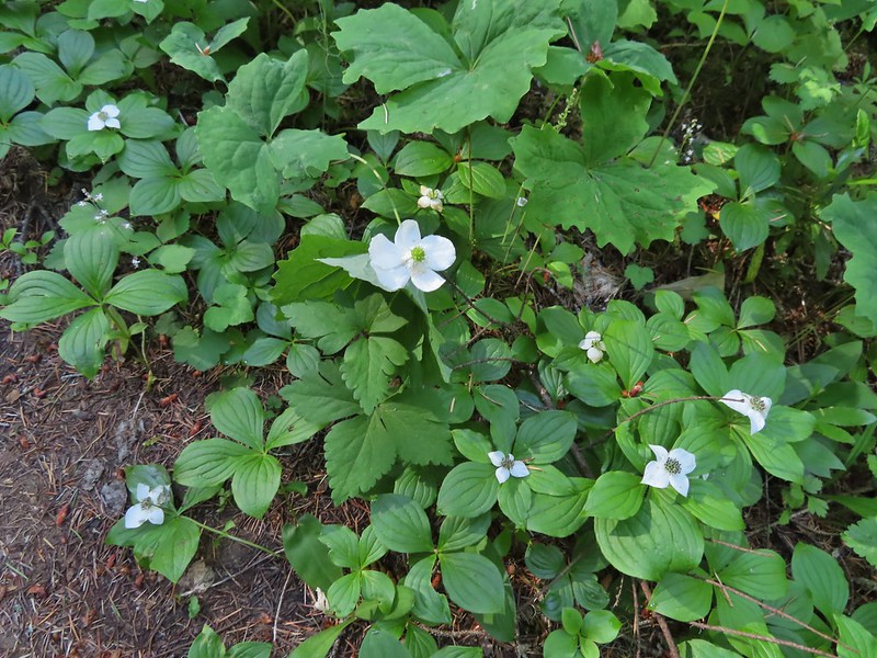 An anemone with some bunchberries
 Entering the Three Sisters Wilderness
 Queen’s cup
 Beargrass
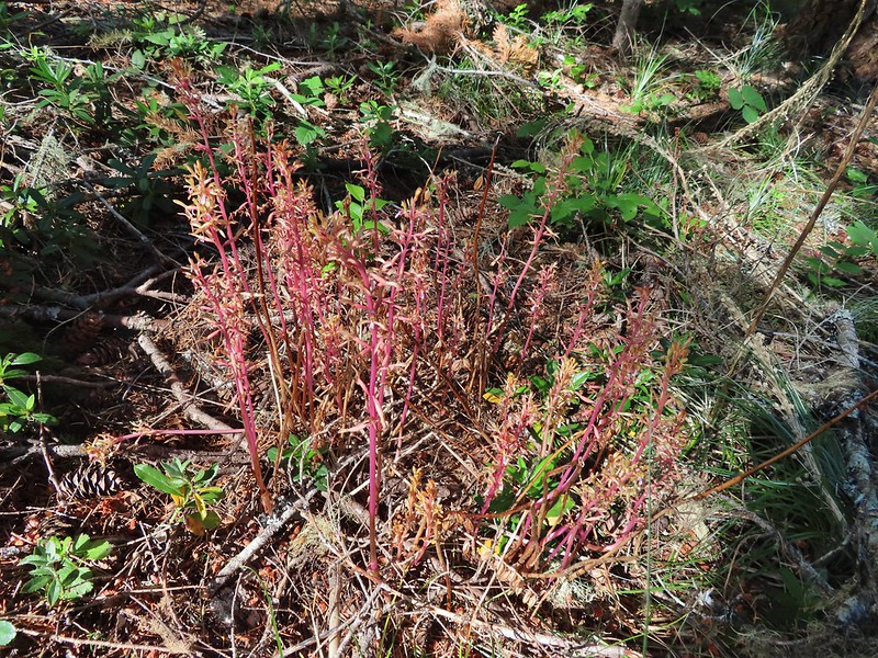
 Candy sticks
 Rhododendron
 Pacific coralroot
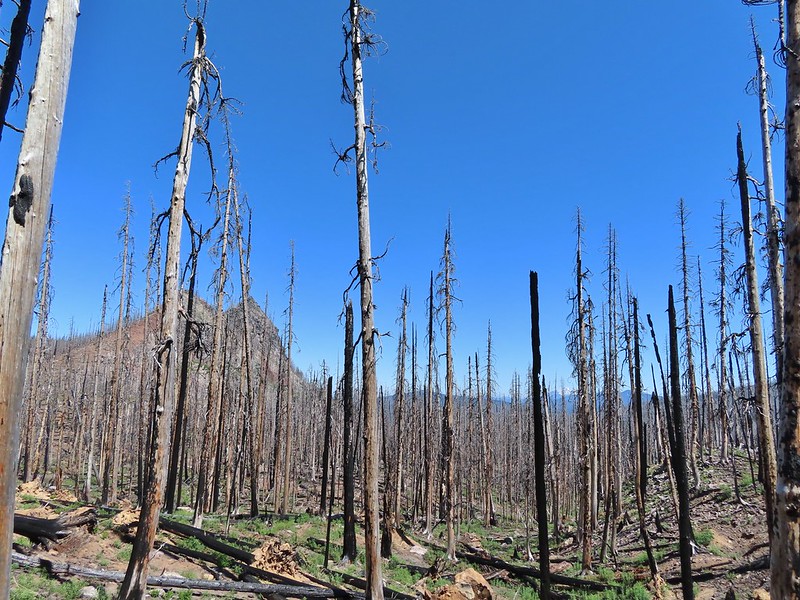
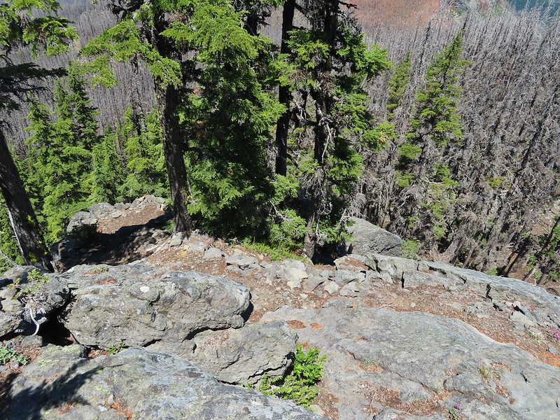
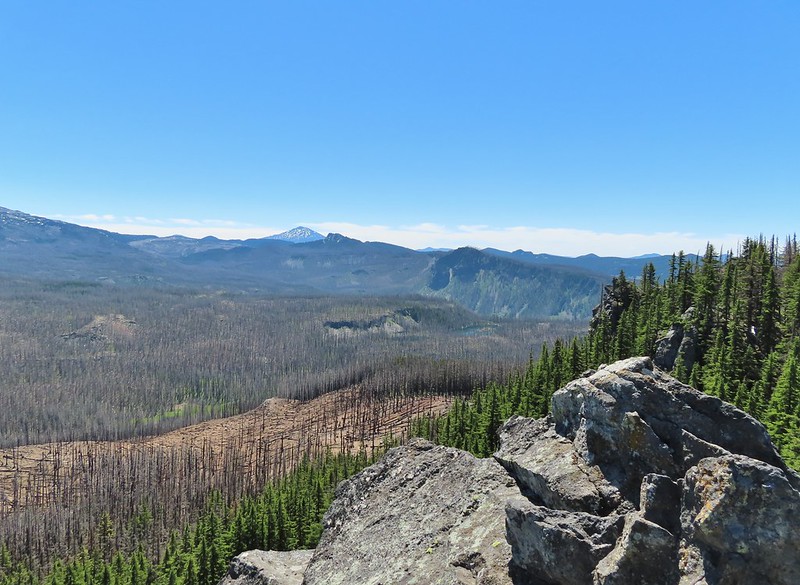
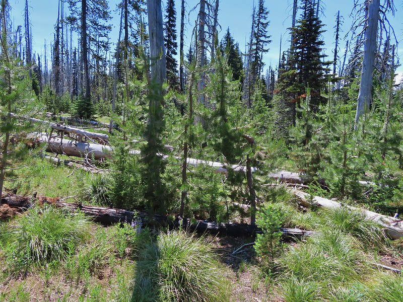
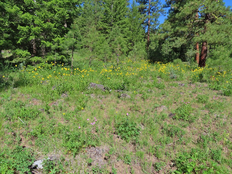
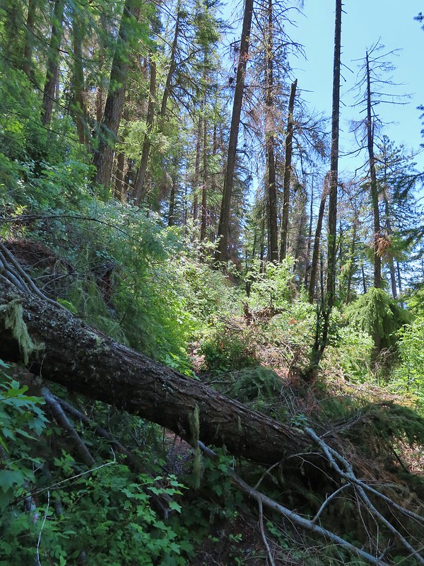
We soon found ourselves in the fire scar which at least lessened the number of mosquitos greatly.

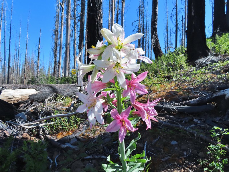
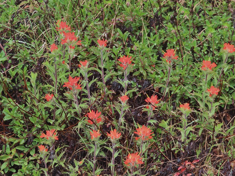
The 2017 Separation Fire was started by lighting in August along with dozens of others. The fire became part of the Horse Creek Complex which burned something in the neighborhood of 30,000 acres. It was the same year as the Eagle Creek and Whitewater fires making 2017 a really bad year for great hiking areas. Nearly four years later signs of the slow recovery could be seen in the form of wildflowers and small trees.
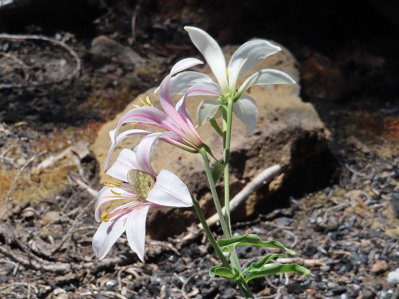
 Washington lily
 Lupine
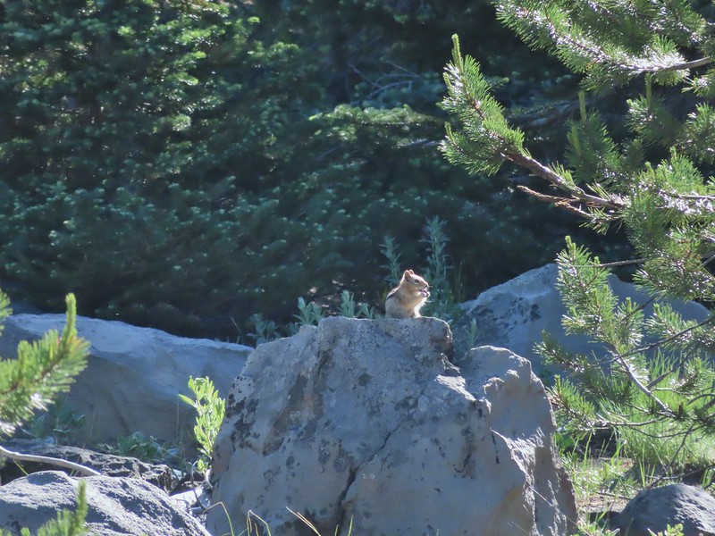
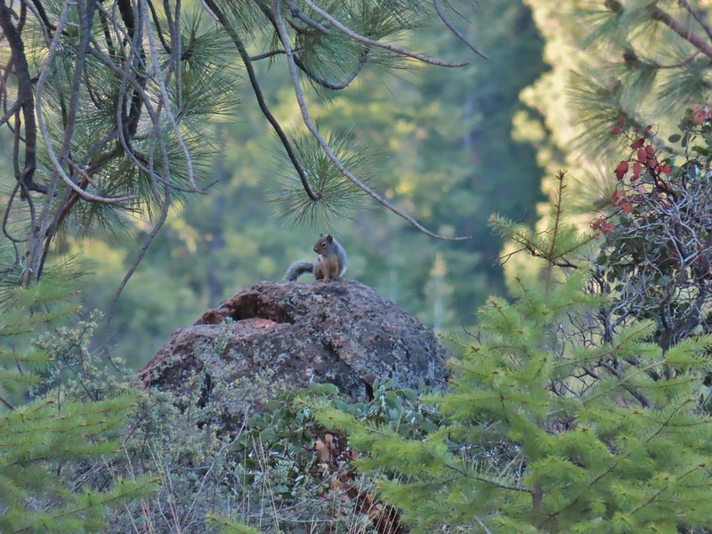
 Squirrel
 Tiger lily
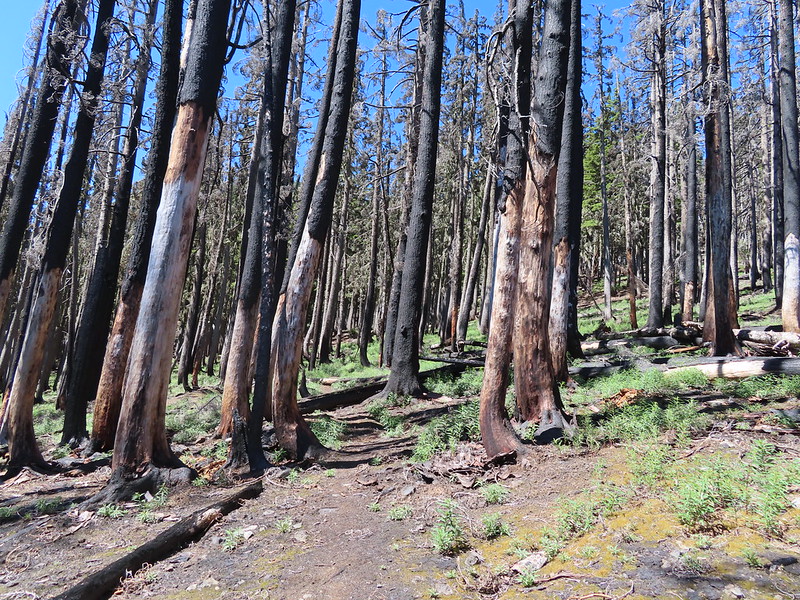
The trail briefly entered an area of older trees that had fared a little better during the fire.
 Twinflower
 Leaving the green trees behind.
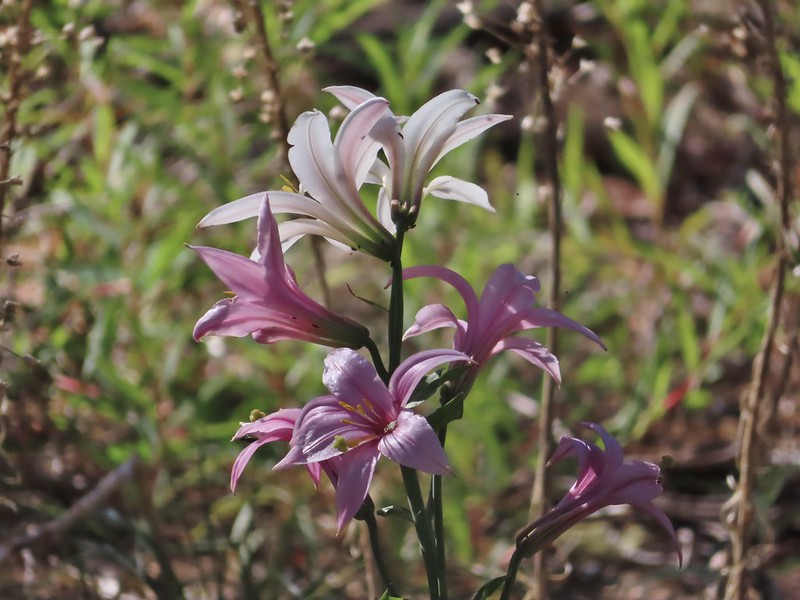
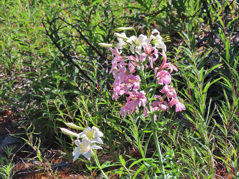
The trail climbed gently which allowed us to fully appreciate the wildlife and wildflowers, in particular some really impressive Washington lilies.
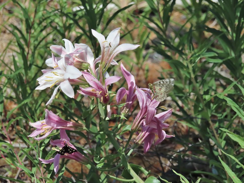
 Washington lilies

 They smell as good as they look too!
 This one was a monster.
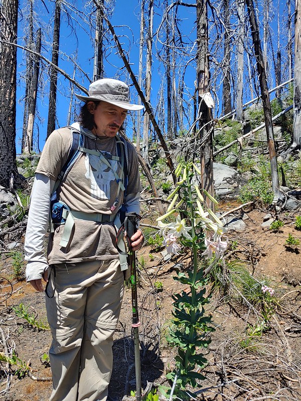 Chest high
 Crab spider on the lower left petal.
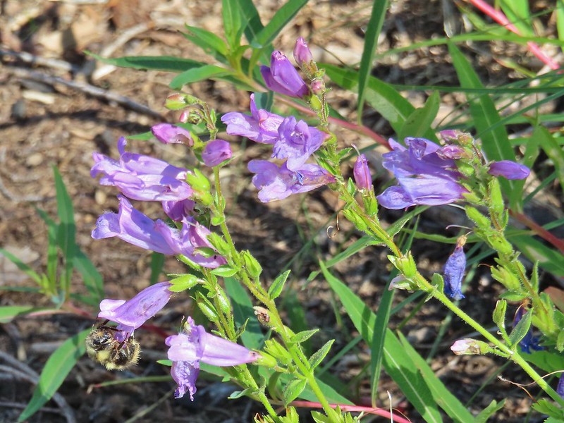
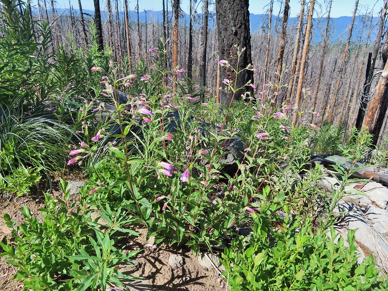 Penstemon
 Earlier in the week I had been reading that the blossoms turn pink after being pollinated.
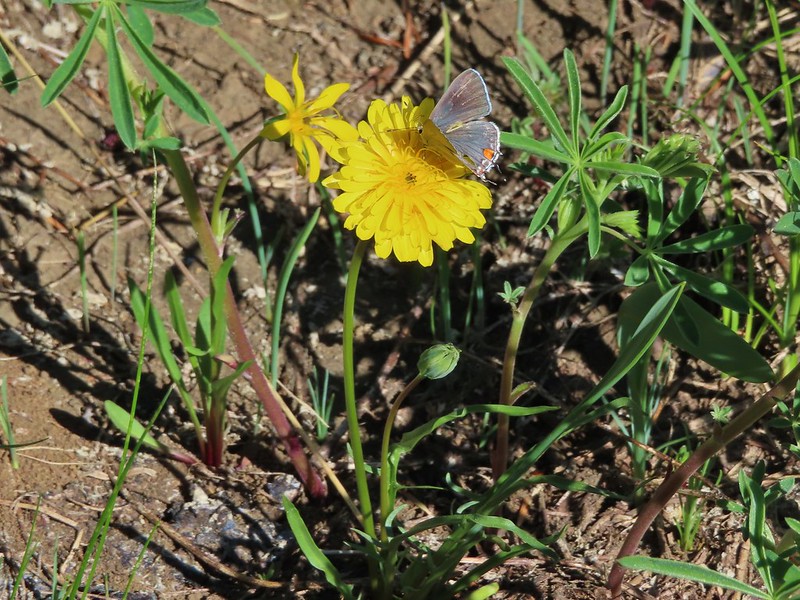
 Clodius parnassian
 Pretty moth
 Penstemon
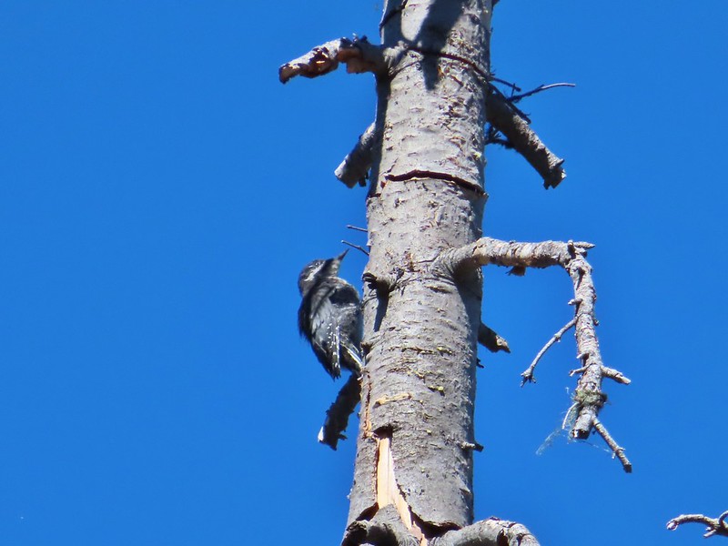 Woodpecker
 Pond along the trail.
 Water lilies
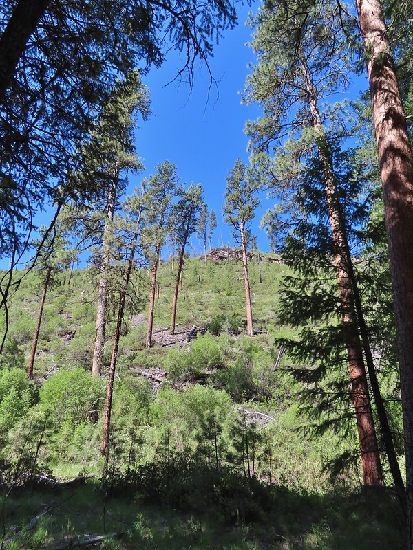
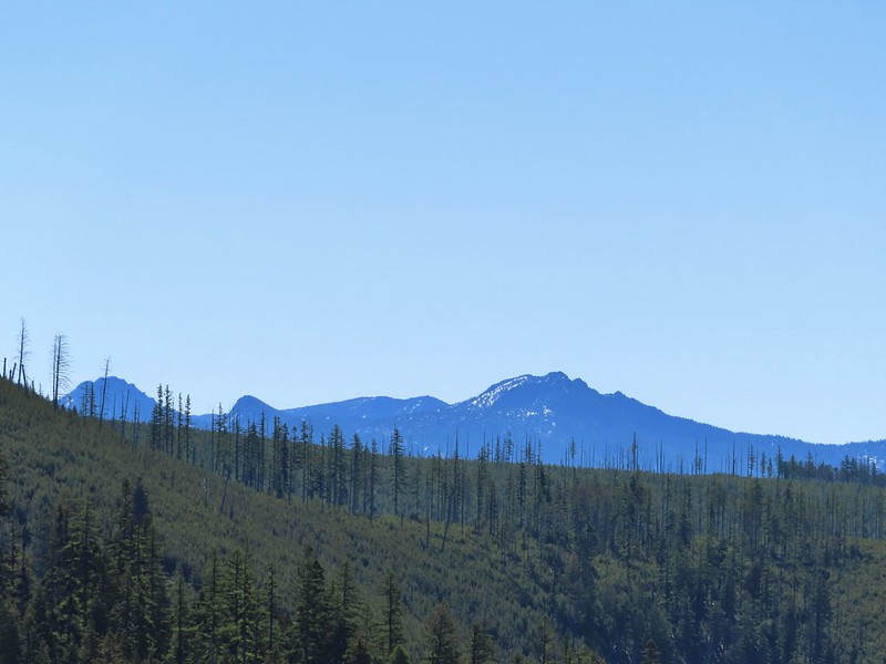
The trail began to level off as it passed between Proxy Point on the left and Substitute Point on the right. With the trees being burnt we had a good view of the rocky Proxy Point but the angle of the hillside below Substitute Point kept it hidden. Also visible was The Husband further ahead to the East.
 Looking toward Proxy Point
 The Husband, South Sister, and the shoulder of Substitute Point.
 Frog along the trail.
The trail curved around the base of Substitute Point where we got a view of Three Fingered Jack and Mt. Jefferson.
 Proxy Point, Scott Mountain (post), Three Fingered Jack and Mt. Jefferson
 Bleeding heart
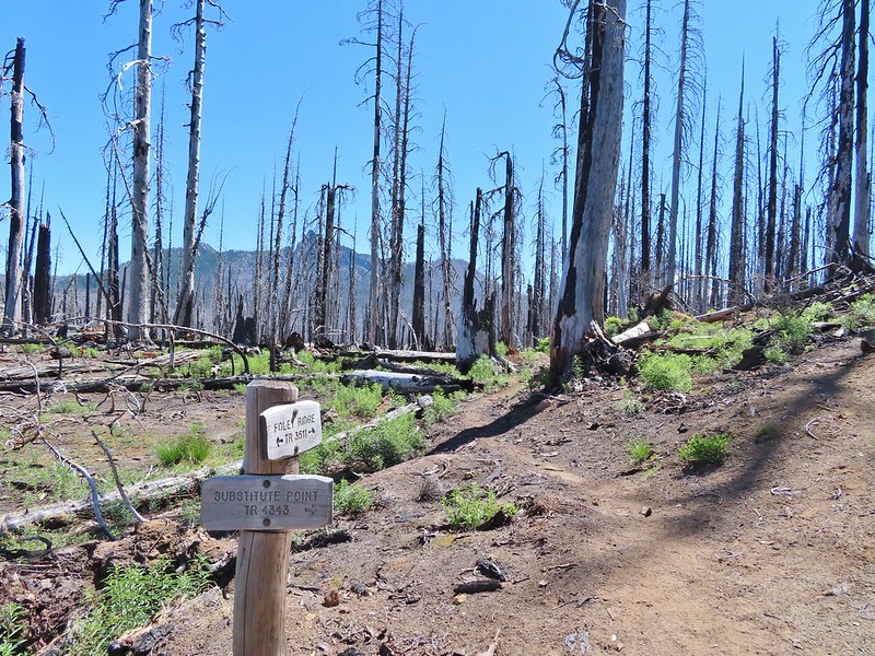
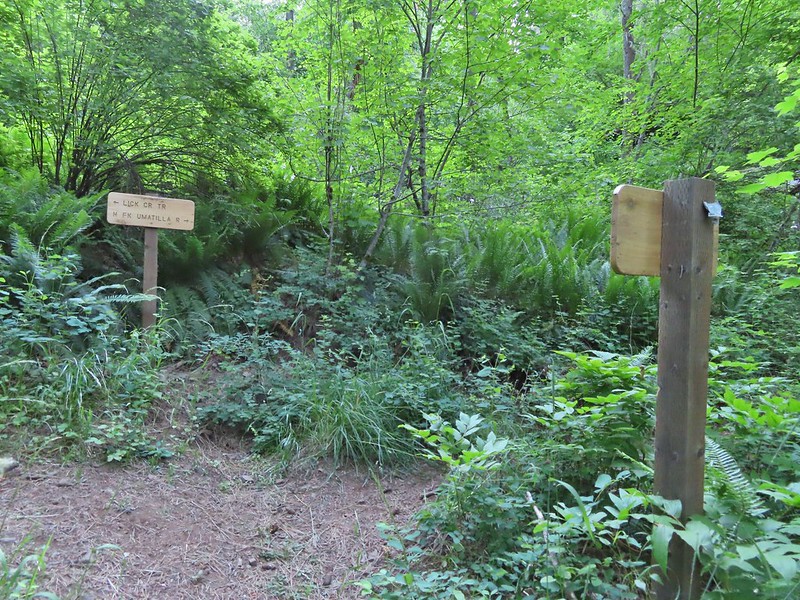
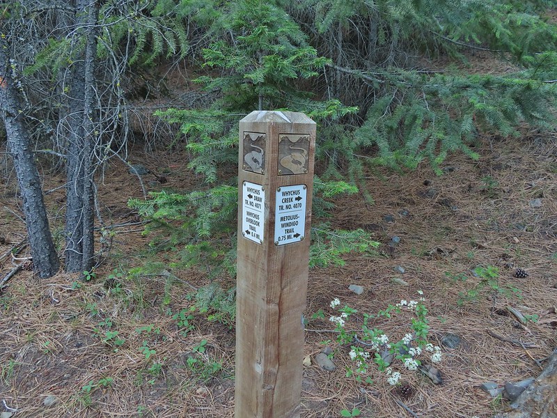
We came to the junction with the Substitute Point on its NE side.
 The Husband from the junction.
The Substitute Point Trail didn’t appear to have been maintained, possibly since the fire, but it was easy enough to follow as it headed uphill.

 This was sort of a mean trick, the trail entered these green trees then almost immediately switched back into the burn.

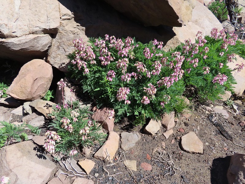
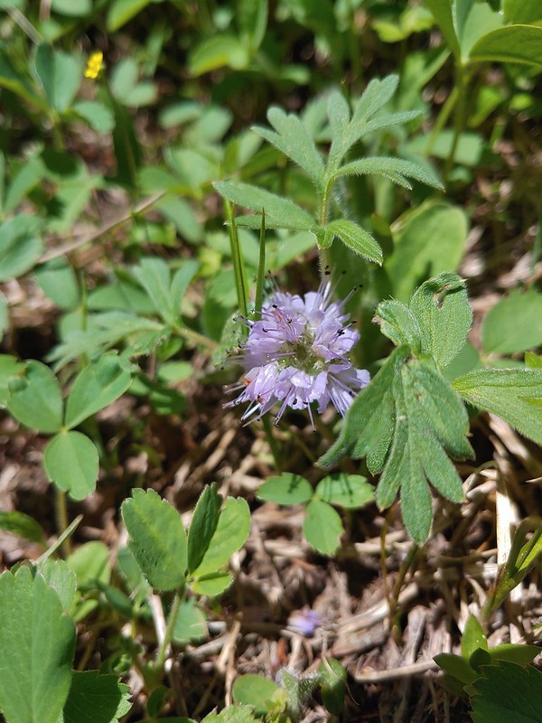
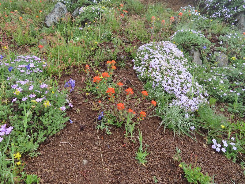
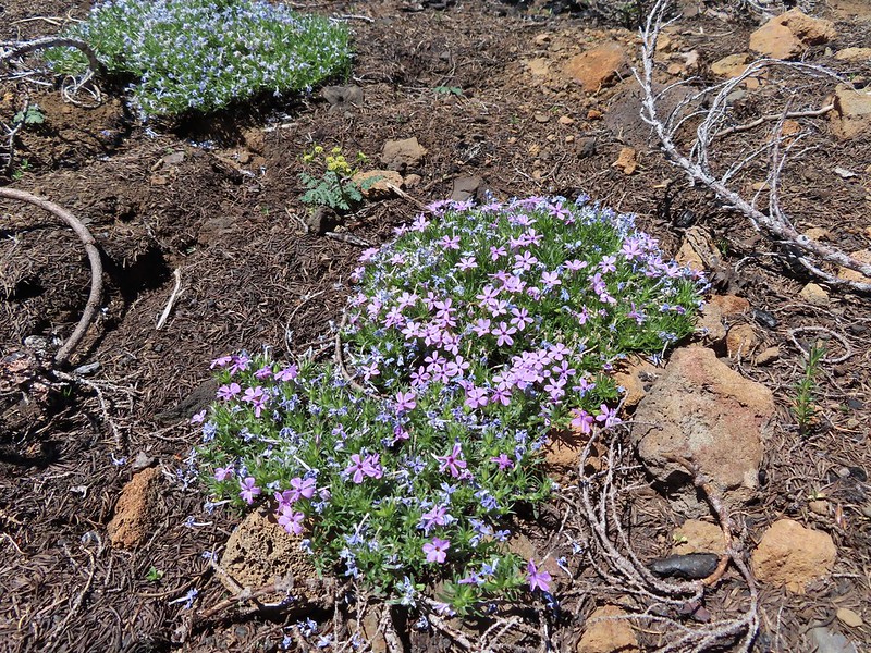 Phlox
Phlox
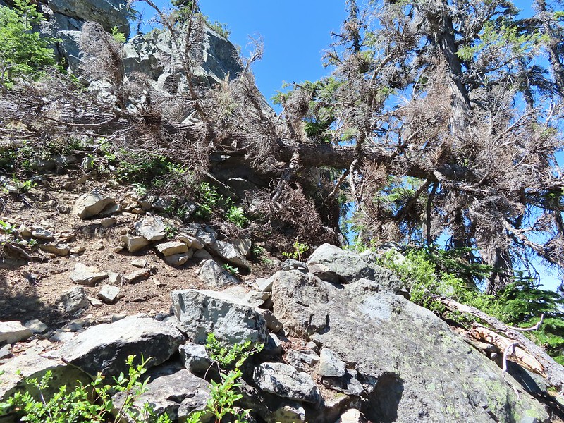
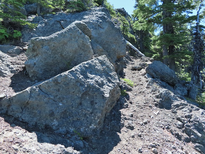
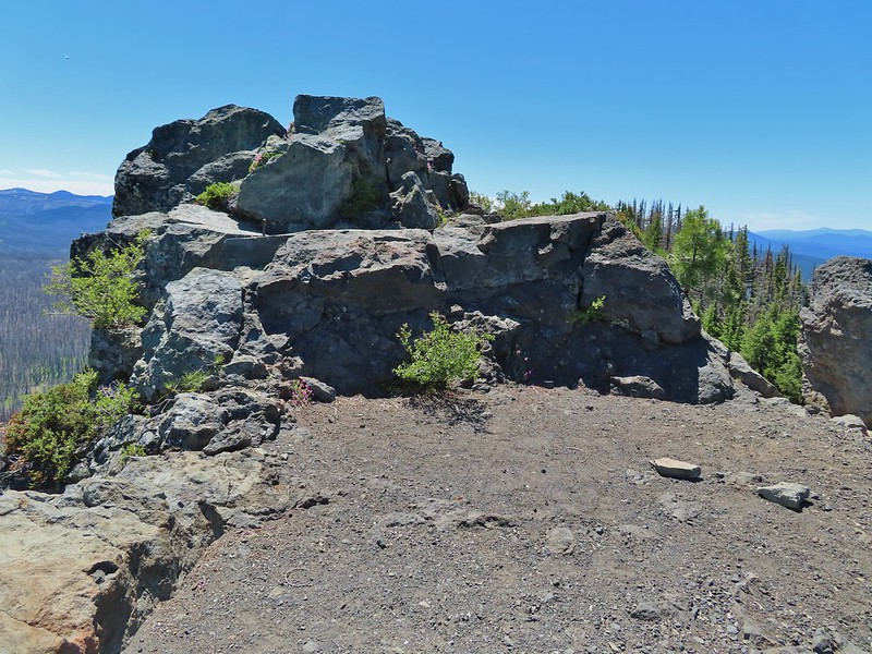
The climb wasn’t particularly steep until the end as it approached the rocky spire where a lookout once sat. As we approached it was hard to believe there was a trail to the top.

There was in fact a nice trail that wound up the west side, although a single downed tree did require a hands and knees crawl along the way.
 Mt. Bachelor from the trail.
 Proxy Point
 Some unburned forest and a view of Diamond Peak.
 Diamond Peak (post)
 The Little Brother and North & Middle Sister behind The Husband with South Sister to the right.
 The trail leading up.
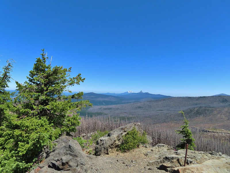
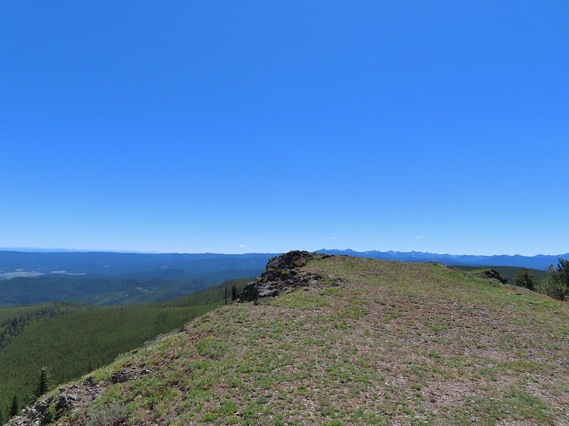
The view at the top was at the same time spectacular and sad. We could see that much of the area that we’d explored on our previous backpacking trips had been burned badly by the fires.
 The summit of Substitute Point
 Scott Mountain, Three Fingered Jack, Mt. Jefferson, Mt. Washington, and Belknap Crater (post).
 Proxy Point and Scott Mountain.
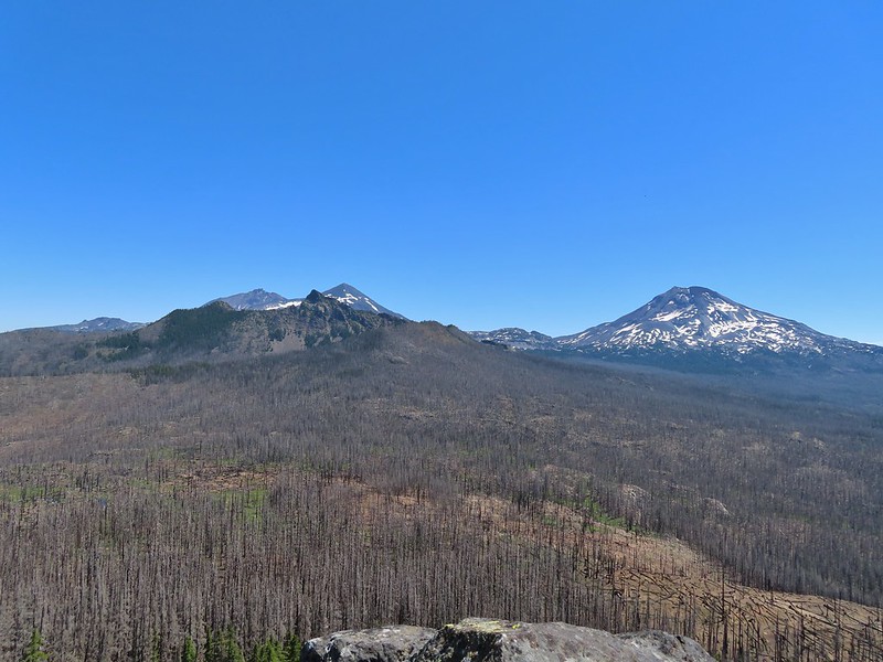 The Three Sisters, Little Brother and The Husband
 Mt. Bachelor, The Wife, and Sphinx Butte.
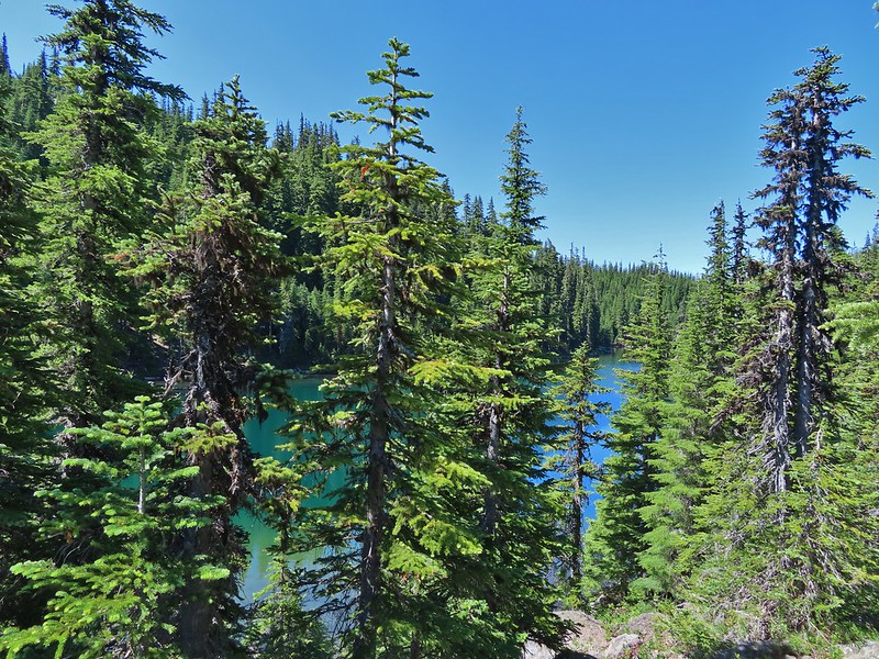
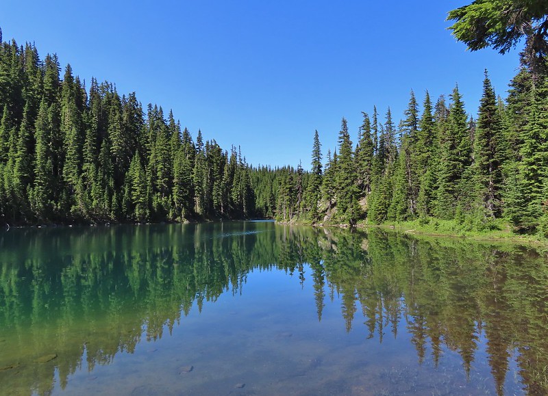
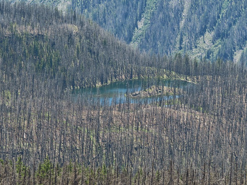 Kidney Lake
img src=”https://live.staticflickr.com/65535/51292219058_ec3f2f67bc_c.jpg” width=”800″ height=”600″ alt=”IMG_9866″>South Sister
 Mt. Bachelor and The Wife
 North and Middle Sister behind The Husband
 Three Fingered Jack, Mt. Jefferson and Mt. Washington
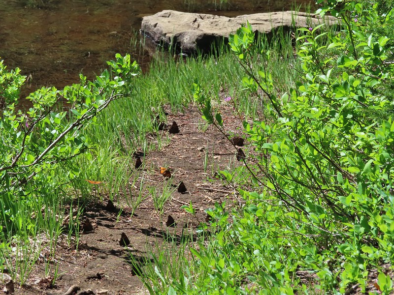
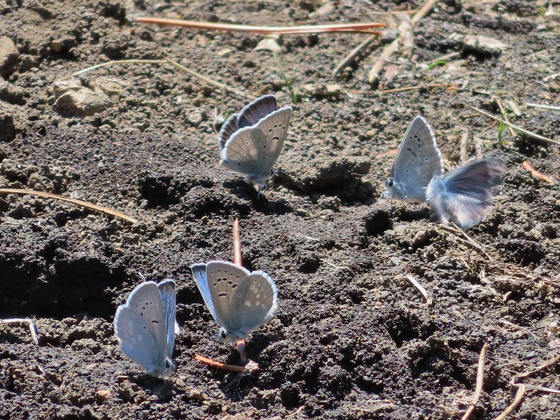
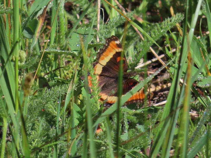
We took a nice long break at the top watching butterflies soar around us.
 A swallowtail and two whites (maybe clodius parnassians) in flight.
After our break we headed back. We’d had the hike to ourselves but were now passing a handful of hikers heading up the trail. We stopped a few times to watch butterflies (in hopes they would land) and to smell the occasional lily.
 Clodius parnassian in a blossom.
 Moth and a parnassian.
The hike here came to 10.3 miles with 2000′ of relatively gentle elevation gain. With the 2.8 miles we did at Rainbow Falls it came to a 13.1 mile day and a great way to spend the 4th of July.
While we were sorry to see how badly much of the area was burned it was encouraging to see the trails were in relatively good shape and that there was new growth coming. We fear that hiking in recently burned forest is only going to become more common in the years to come but hike we will. Happy Trails!


 Trail sign at the junction on 10/13/2012.
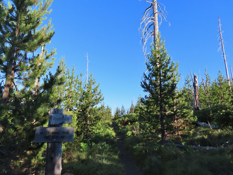 Trail sign at the junction on 07/03/2021.
 Entering the Mt. Jefferson Wilderness in 2012 (0.3 miles from the TH).
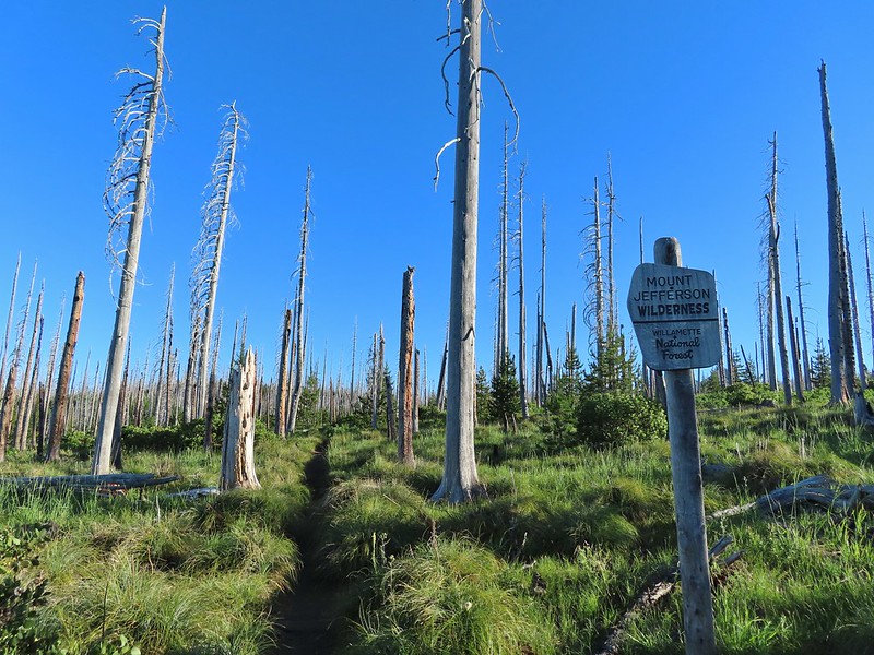 Entering the wilderness in 2021.
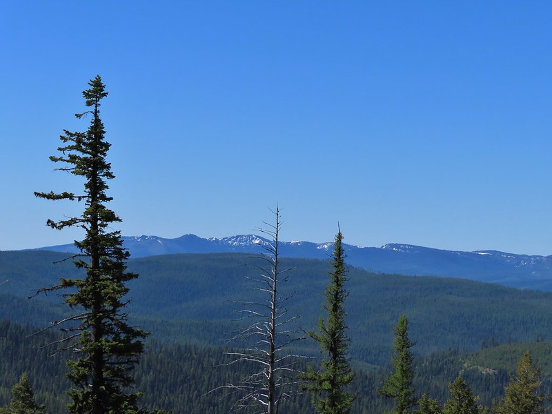
 Cache Mountain, Black Crater (post), Tam McArthur Rim & Broken Top (post), North & Middle Sister, Mt. Washington, and Hayrick Butte (flat top on the right).
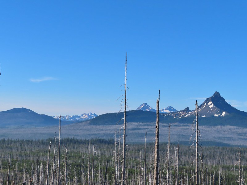

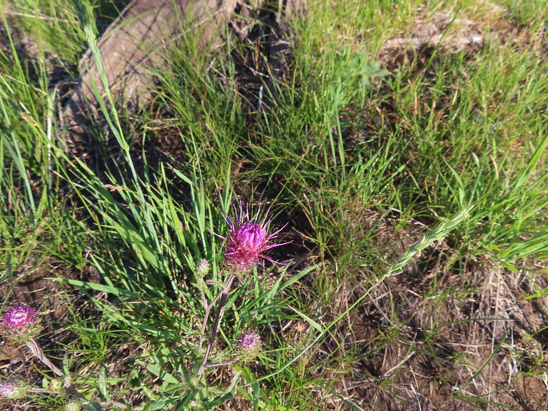 A thistle
 Penstemon
 Bleeding heart
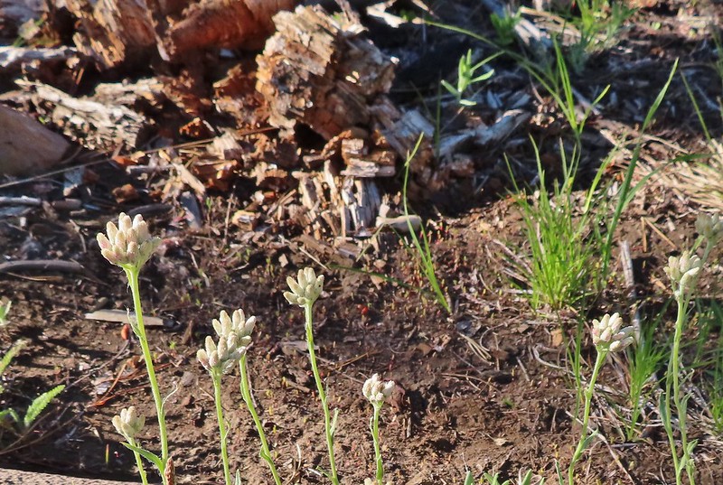 Pussytoes
 California stickseed
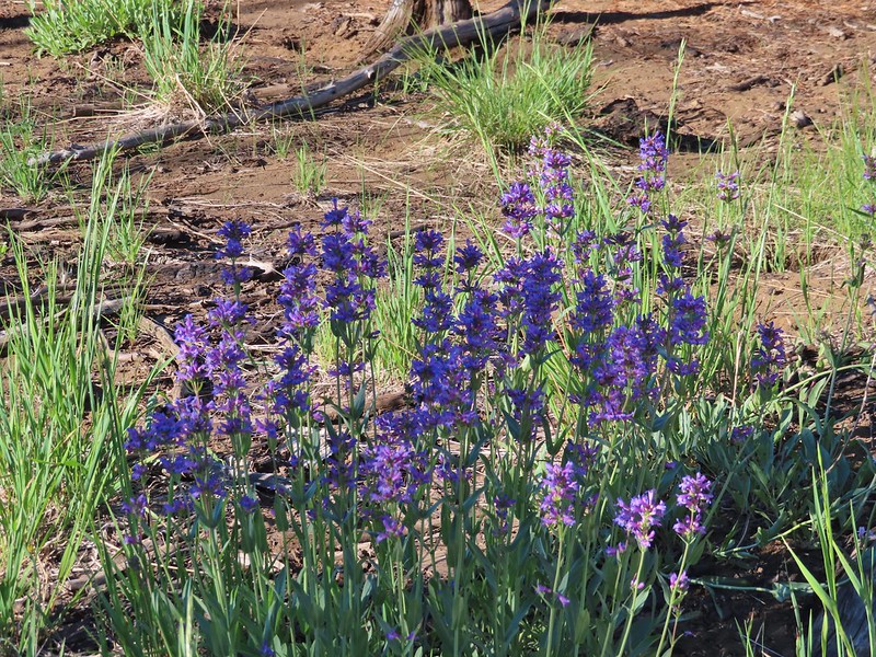 Another penstemon
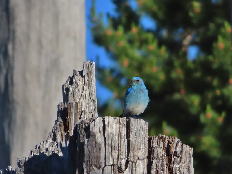 Mountain bluebird by the lake.

 There was a good amount of scarlet gilia blooming along this section of trail.
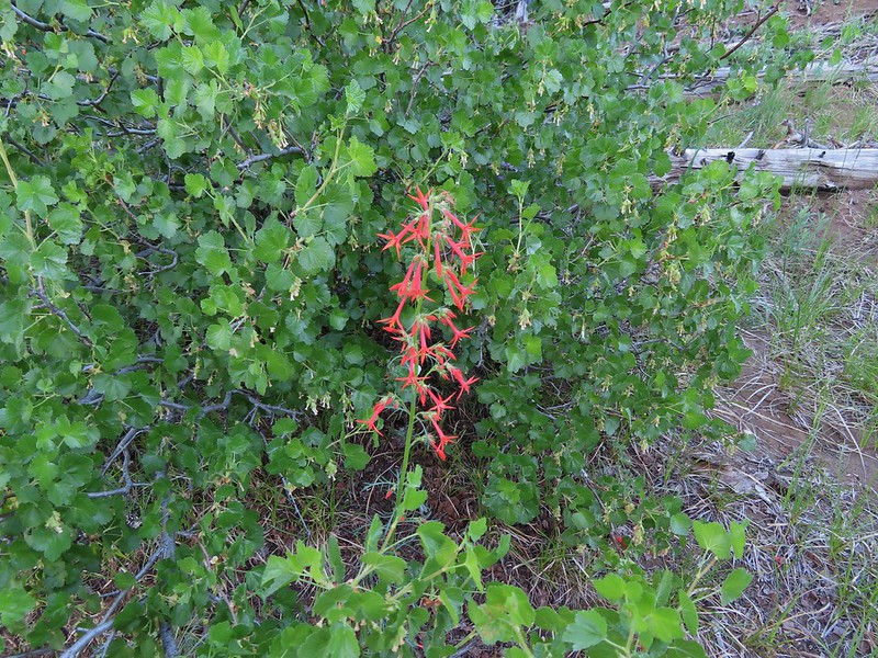
 Three Fingered Jack
 One of the ponds.
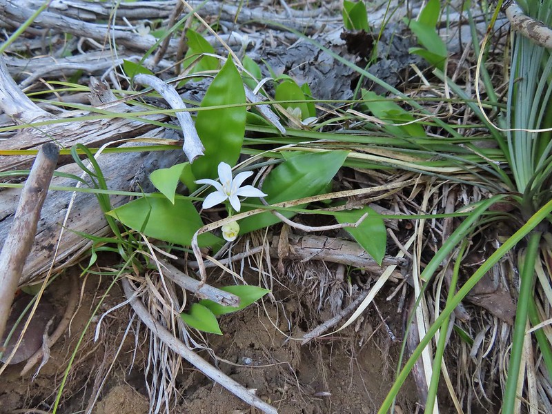 Queen’s cup
 Another pond with Maxwell Butte (
 Unnamed lake along the trail with Maxwell Butte behind.
 Lupine
 Dark-eyed junco
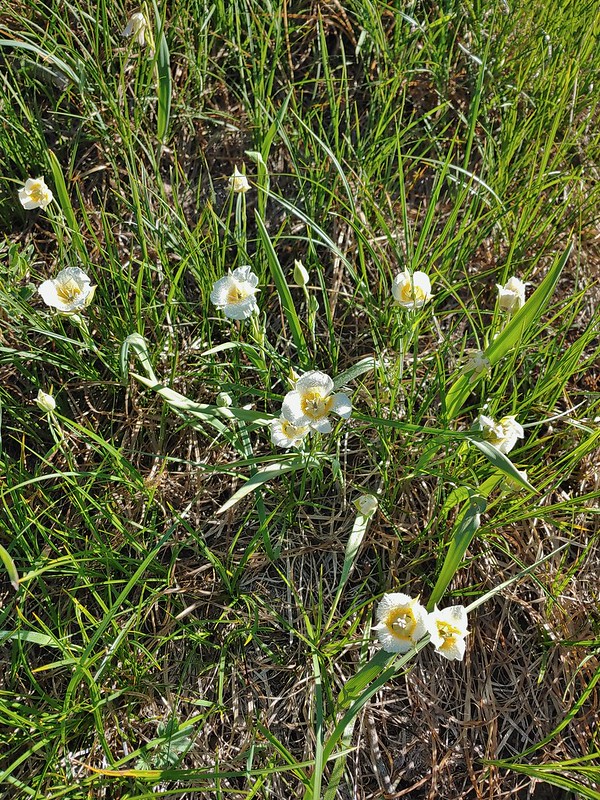 Sub-alpine mariposa lilies
 Woodpecker
 The view south.


 Beargrass
 Recent snow melt is another recipe for mosquitos.
 Another creek crossing.
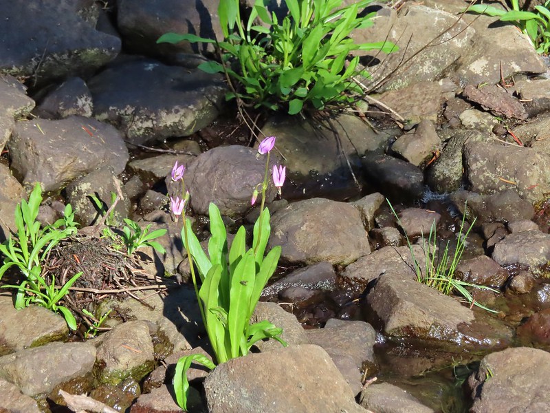 Shooting star
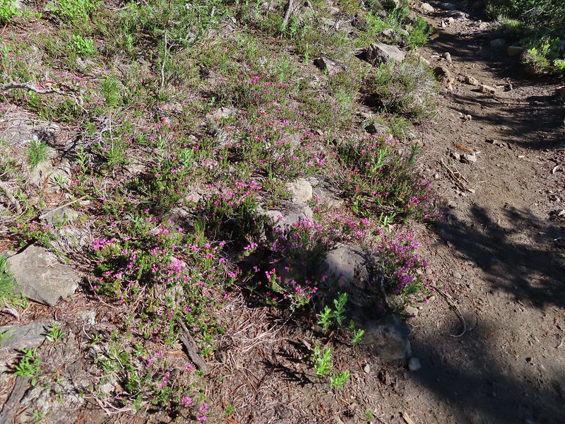 Mountain heather. Typically if we see this blooming we expect there to be mosquitos.
 A sulphur
 Alpine false dandelion
 One of several snow patches at the tree line.
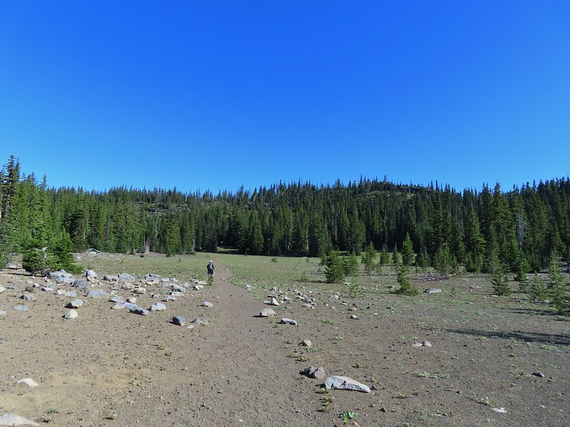 Nearing the end of the opening.
 More snow in the trees.
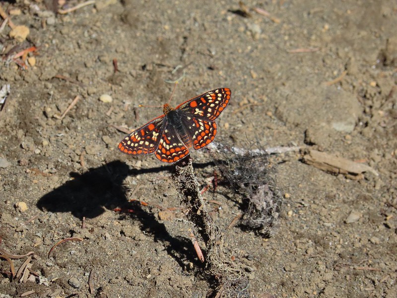
 A checkerspot
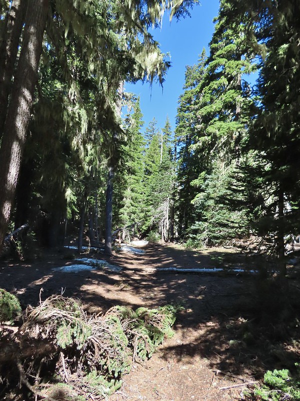
 Trees & melting snow = more mosquitos.
 Not Santiam Lake but a very pretty unnamed lake just to the left of the trail approximately 0.4 miles from Santiam Lake.
 Not sure what type this is but the orange on the wing was pretty.
 Mt. Jefferson behind Red Butte
 Duffy Butte on the left.
 Three Fingered Jack
 Paintbrush, shooting stars, and buttercups.
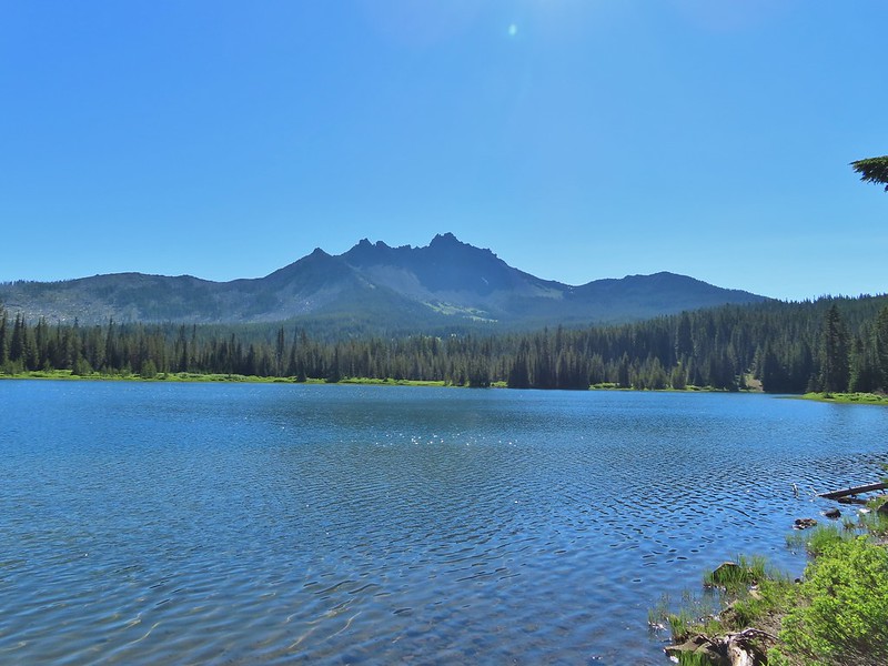
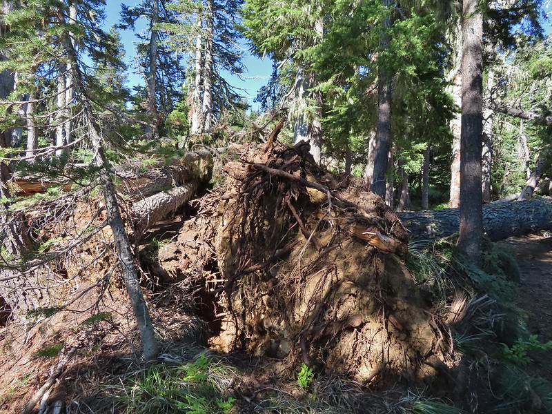 Just one of several large uprooted trees along the shore.

 The “topographic feature” ahead on the right where we planned on turning for Lower Berley Lake.
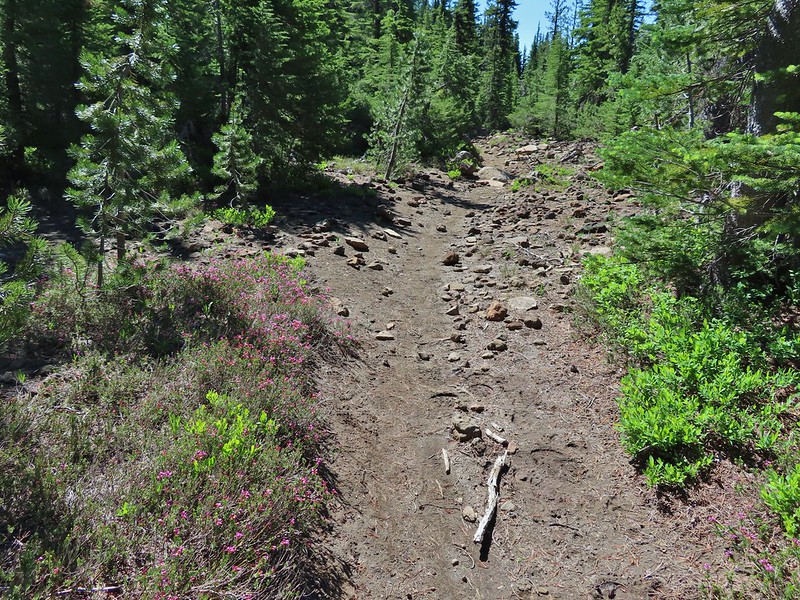 Mountain heather along the trail, it was warm and sunny enough that the mosquitos weren’t as bad this time by.
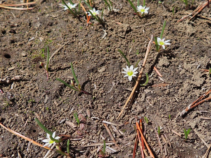 Threeleaf lewisia
 Getting closer to the hill where we planned on turning.
 California tortoiseshell butterflies in the bed of Lost Lake Creek.


 Three Fingered Jack from the rocks.
 More tortoiseshells
 A butterfly photo bomb
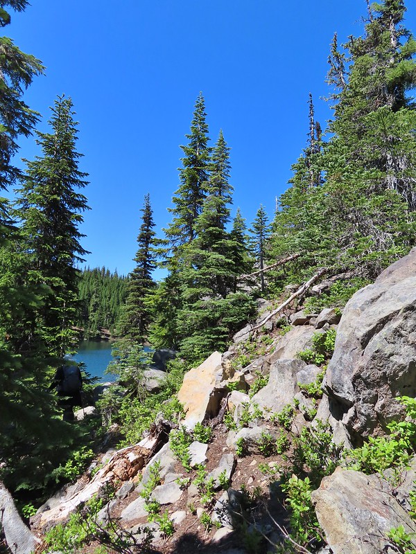


 The bed was popular with the butterflies.
 Cross country to Upper Berley Lake, the doe was in this meadow and headed in the direction of the patch of snow at the far end.
 Upper Berley Lake
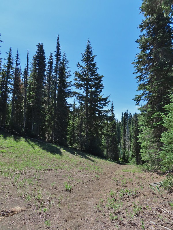 We wound up finding the same “user trail” and followed it down to the lower lake.
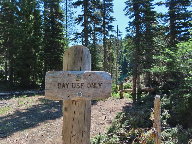
 California tortoiseshell butterflies along Lower Berley Lake.
 Three Fingered Jack and about a half dozen butterflies.
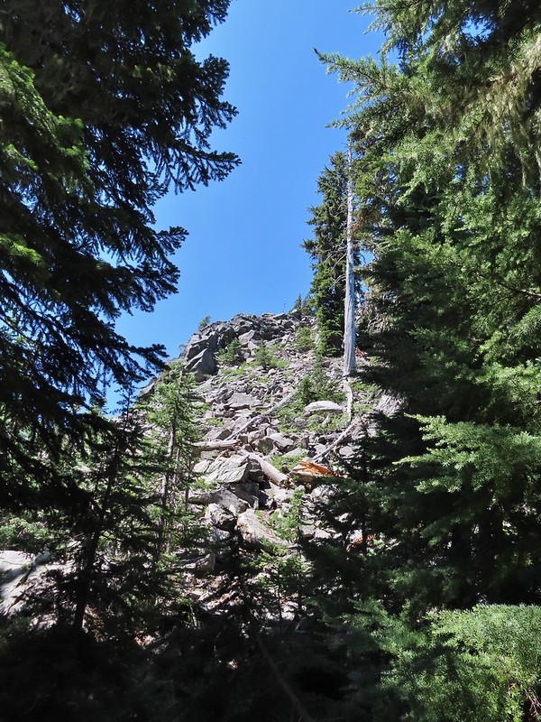 The hillside on the right was rocky.
 The trail dropping down from the saddle with Mt. Washington and the North Sister ahead.

 Found it!


 Yellow beetle on lupine.
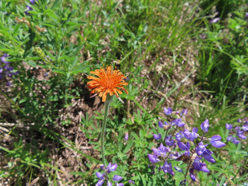 Orange agoseris
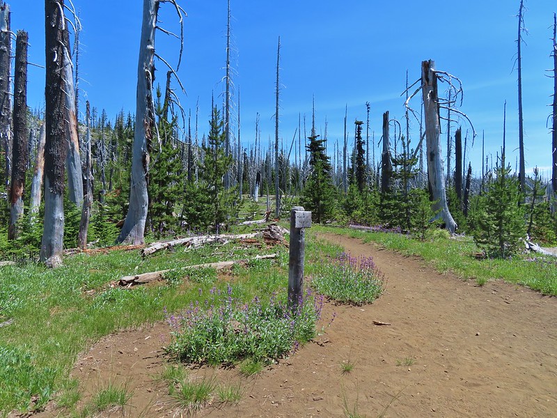 Back at the PCT.
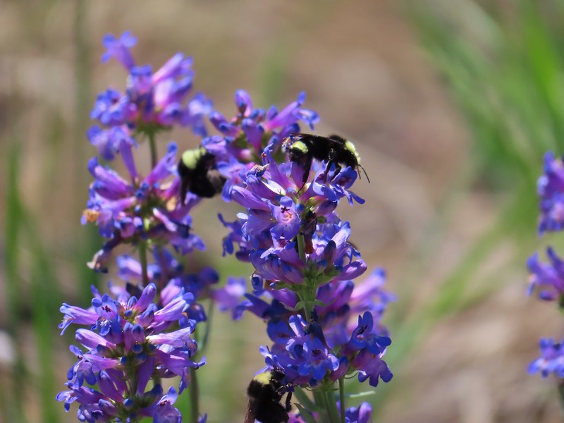 Bumble bees on penstemon.
 Cicada in the grass.
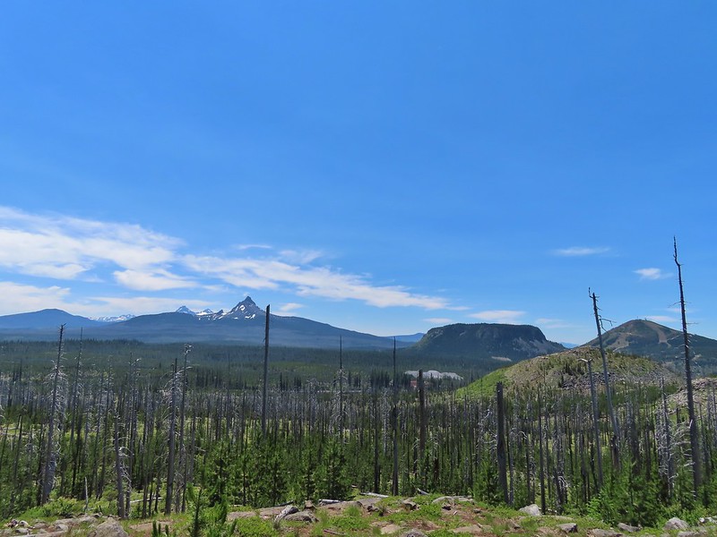 Black Crater, Broken Top, North & Middle Sister, Mt. Washington, Hayrick Butte, and Hoodoo Butte from the viewpoint.

 Private farm along the entrance road from the pullout we parked at.
 Osprey nest above the corn field.
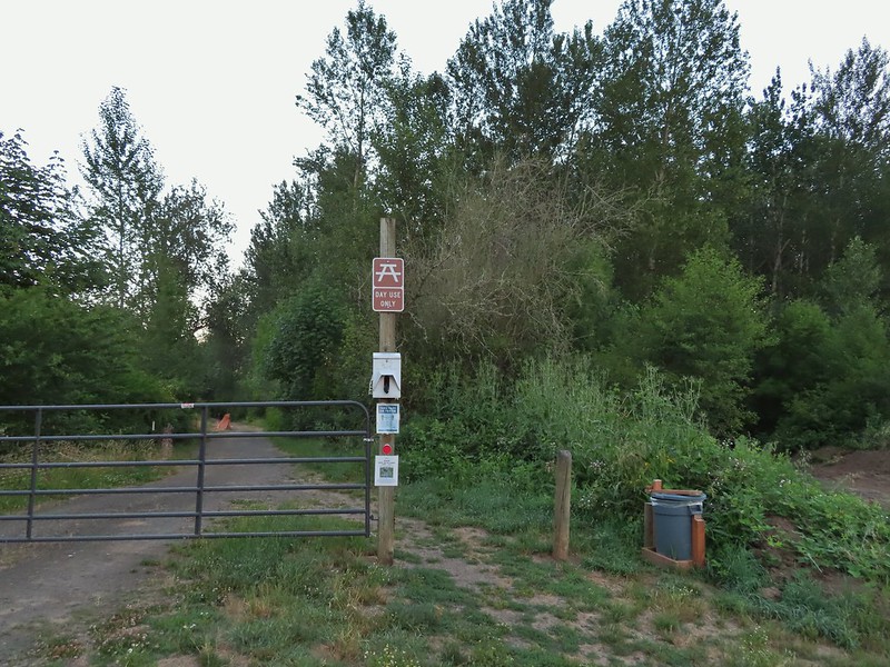 Gated road at the trailhead. There was a second gravel road to the right that was blocked with a log. The gravel road appeared to be fairly new and possibly a reroute of the gated road.

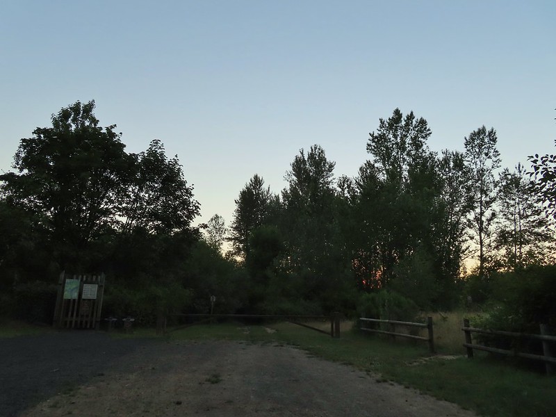 Old trailhead?
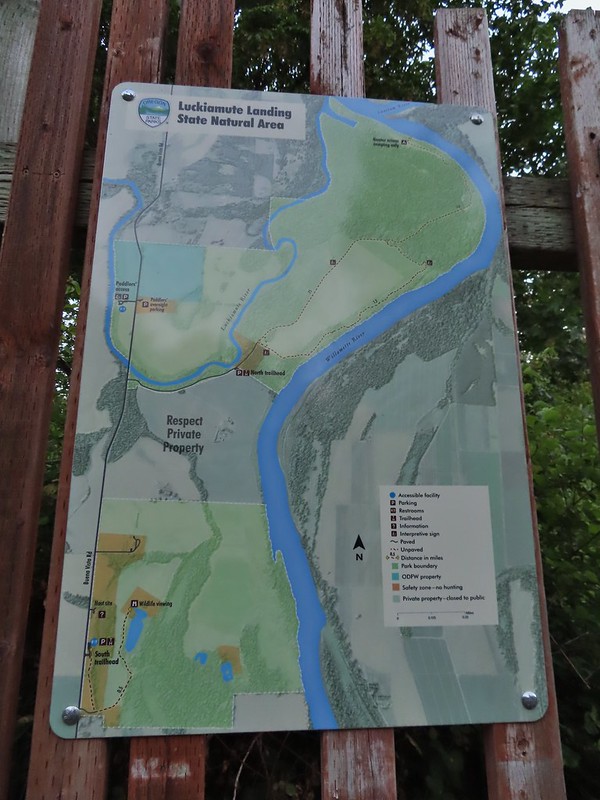

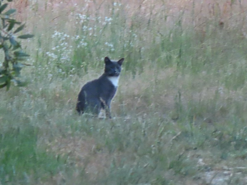 Extreme zoom on the kitty.
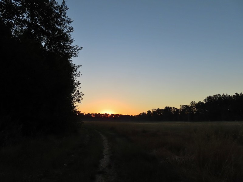


 Wild rose
 Vetch
Vetch Oregon grape
 Thimbleberry
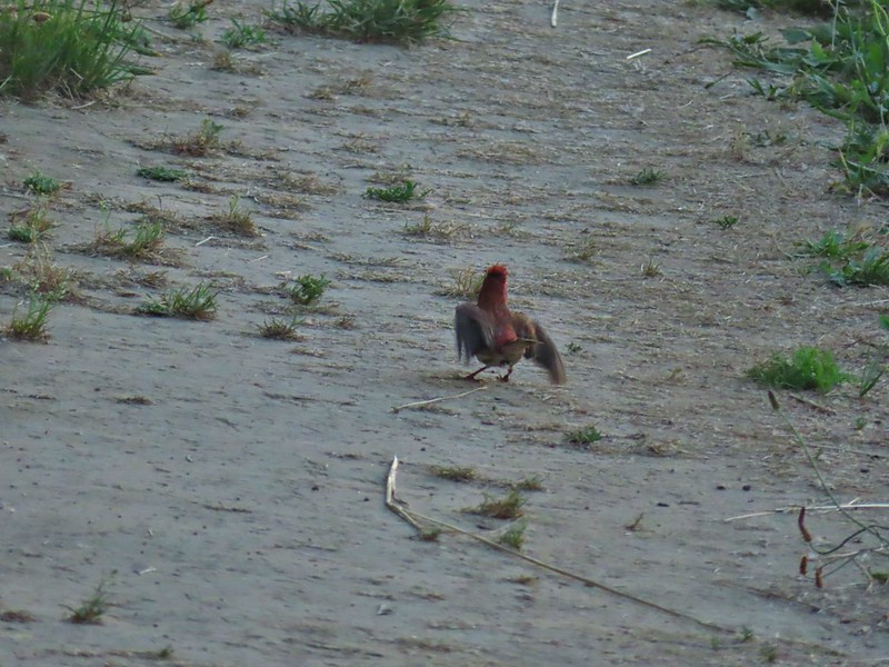


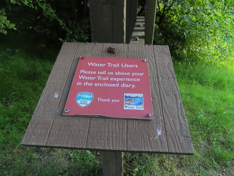
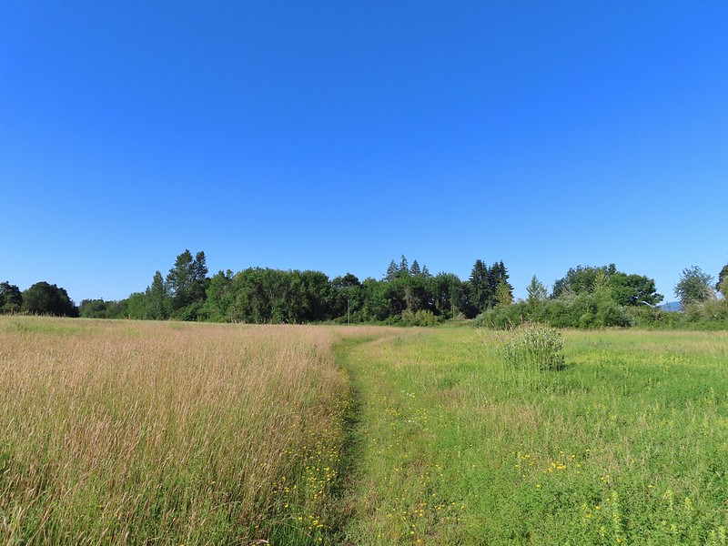
 We both initially thought that this was the start of an out and back to campsites along the Willamette River and that the loop continued around the field to the right. In fact there was a blue awning set up at the edge of the field in that direction and at least 3 vehicles (not sure why they were there or how they got through the gate). This was not the case and fortunately for us we were planning on doing the out and back which meant we didn’t make the mistake of turning here. The continuation of the loop was actually 0.2 miles further along the road in the forest.
 The correct right turn for the loop.
 Cottonwood on the road.
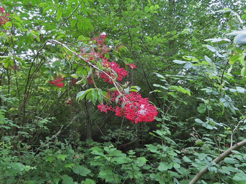 Red elderberry, a favorite of the birds.
 This wren was taking a dirt bath, perhaps an attempt to stay cool?
 A lot of invasive daisies in an opening.
 Native elegant brodiaea
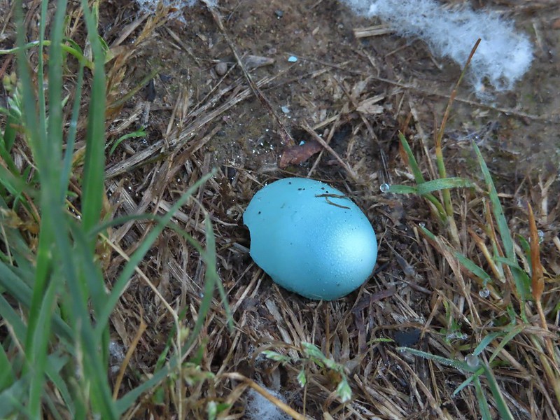 Egg shell
 More ripe berries.
 Poppies
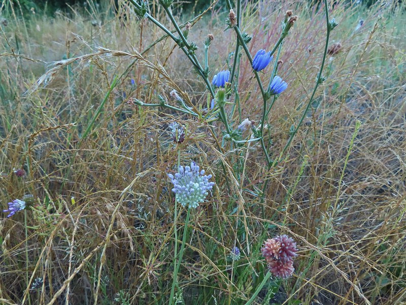 Mostly non-natives – chicory and clovers.
 More non-natives – Moth mullein and cultivated radish
 Slug
Slug Douglas spirea (native)
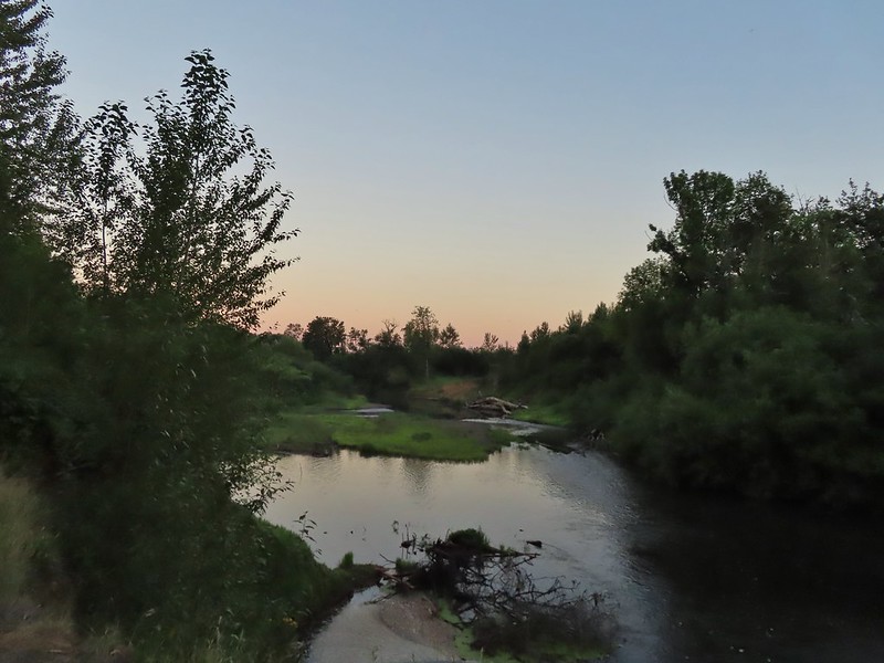
 The mouth of the Luckiamute on the left was hidden by trees.


 Willamette River at the landing.
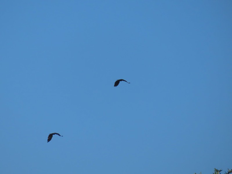 Not sure what type of birds these were.
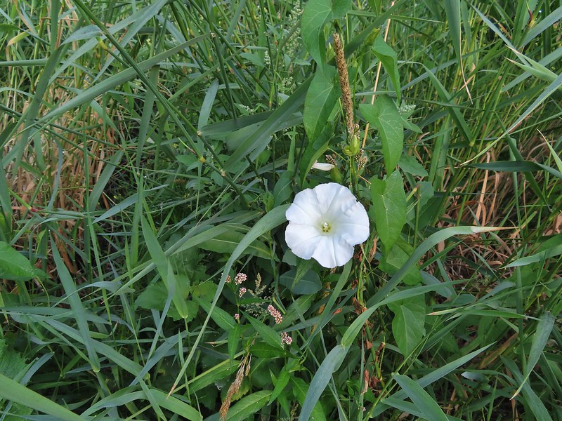 Bindweed at the landing.
 Bunny and a bird (not pictured is the chipmunk that raced across the road here).
 Slug also “racing” across the road. Speed is relative.
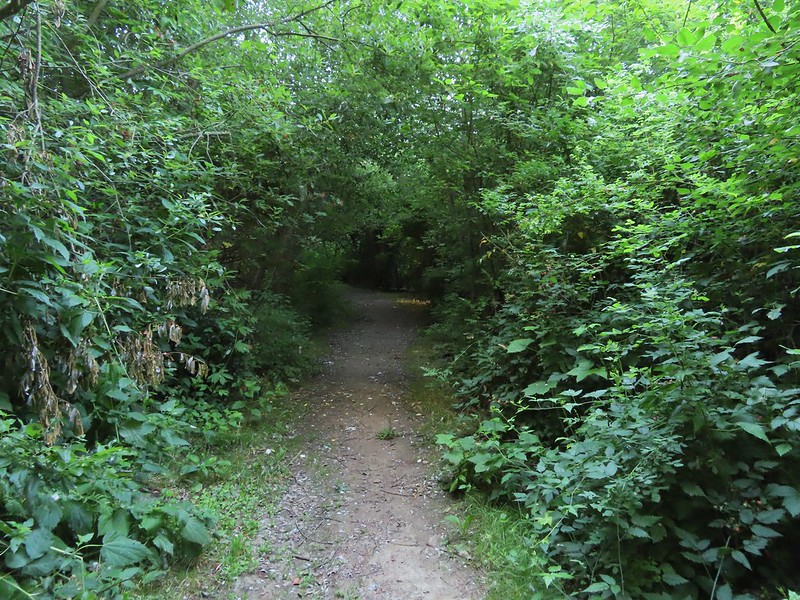 Back on the loop.


 Near the end of the loop the trail passed back along the field.
 White crowned sparrow
 Possibly nelson’s checkermallow.
 Meadow checkermallow
 Completing the loop.
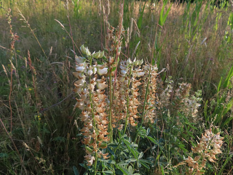 Lupine that is just about finished.
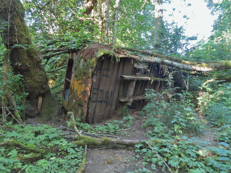 Old bus
 Tree frog
 Luckiamute River
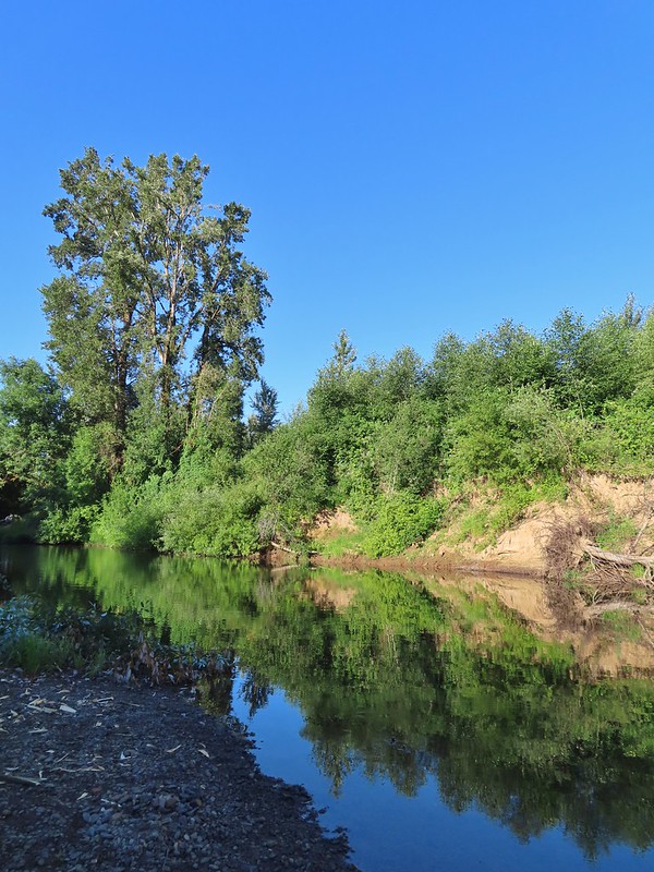
 Waiting for food.

 Old farm equipment with poison oak in the background.
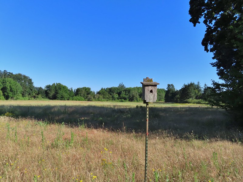 One of several birdhouses along the road.
 North end of the pond.

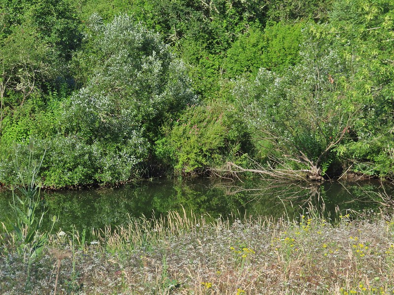 We are both pretty sure a turtle swam off from this area when we came into view.
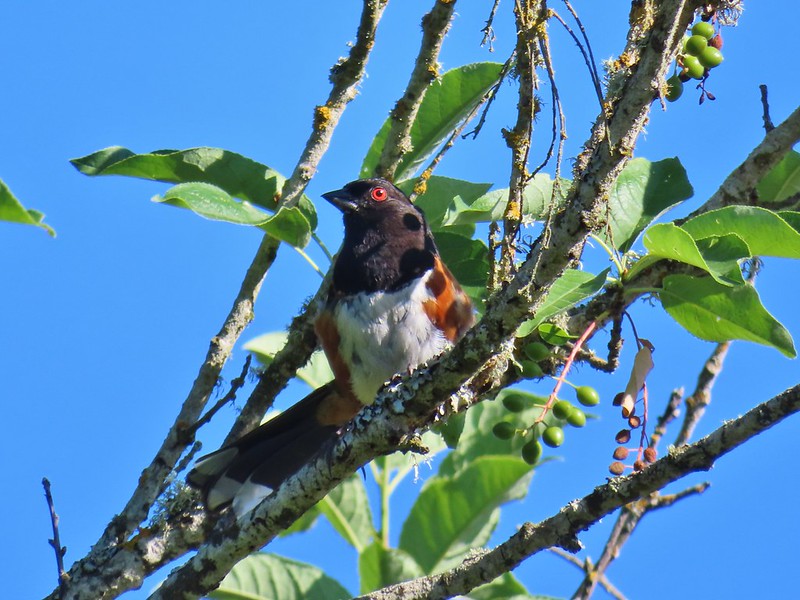 Spotted towhee
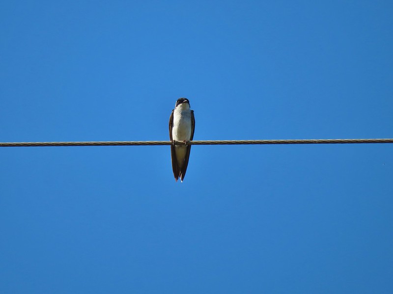 Swallow
 European centaury

 Oyster plant
 Creeping jenny
 Arrowleaf clover
 Scrub jay
 Corn Chamomile
 Northern flicker
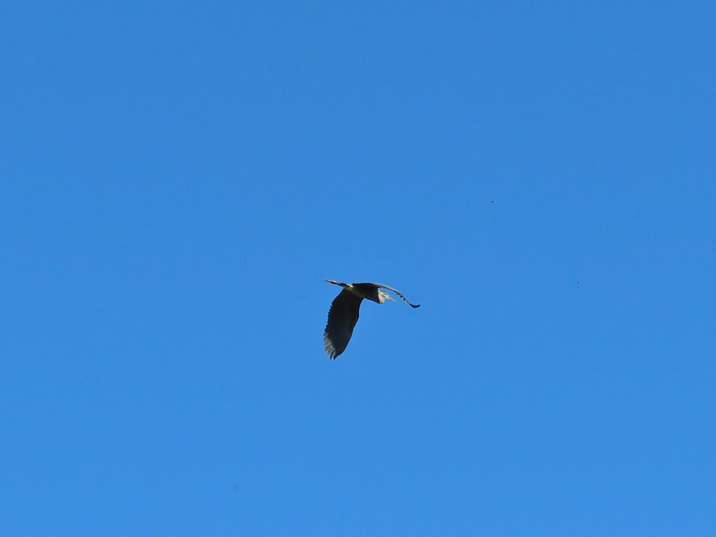 Great blue heron
 American kestral
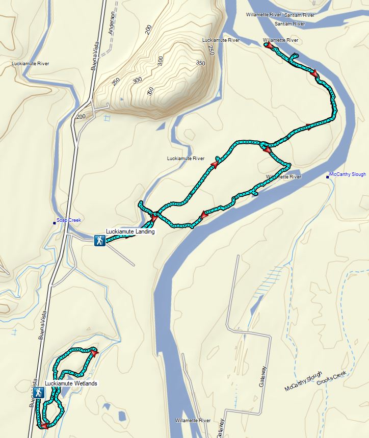

 Bench near the trailhead.
 Lupine along the trail.
 There was plenty of river access along the way.
 Currant
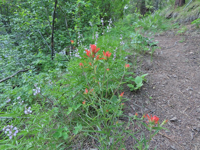 Paintbrush and lupine along the trail.
 Geraniums
 Ponderosa pines
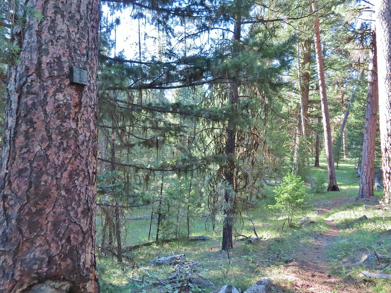 First 1
 Second 1
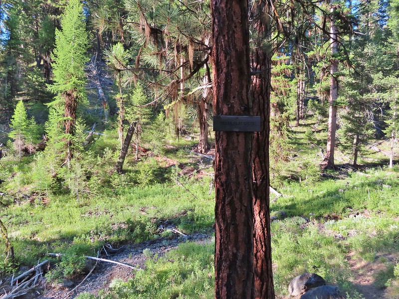
 Camas
Camas Balsamroot, columbine, geraniums and paintbrush.
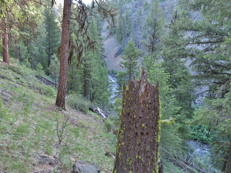
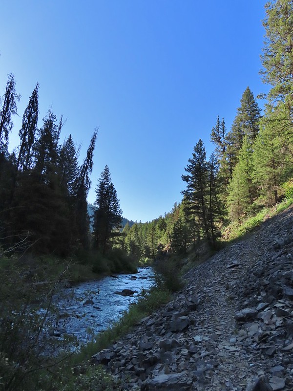
 Photo from the afternoon on the way back.
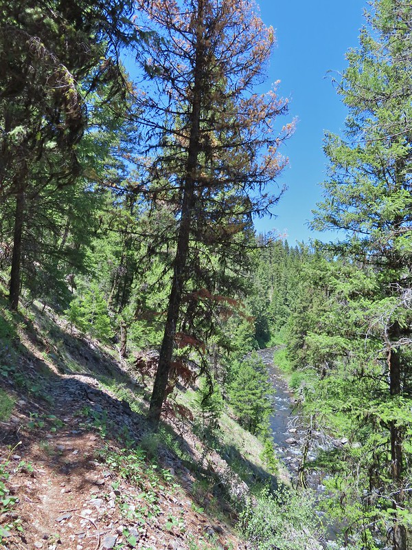 Photo from the afternoon on the way back.
 Tree marking mile 2.
 Typical “obstacles” that were present along the trail.
 Columbine
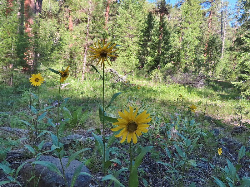 Cusick’s sunflower?
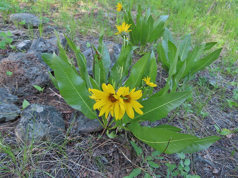 Balsamroot or mule’s ears?
 Woodland stars
 Mile 4
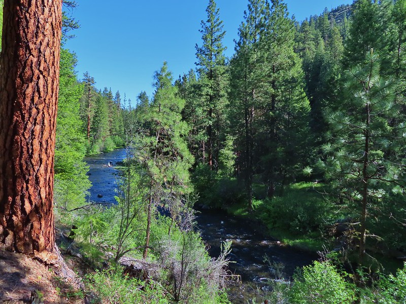

 Salsify and geraniums
 Sticky cinquefoil
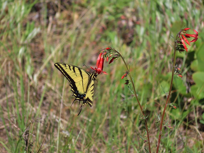 Swallowtail on scarlet gilia
 Geranium
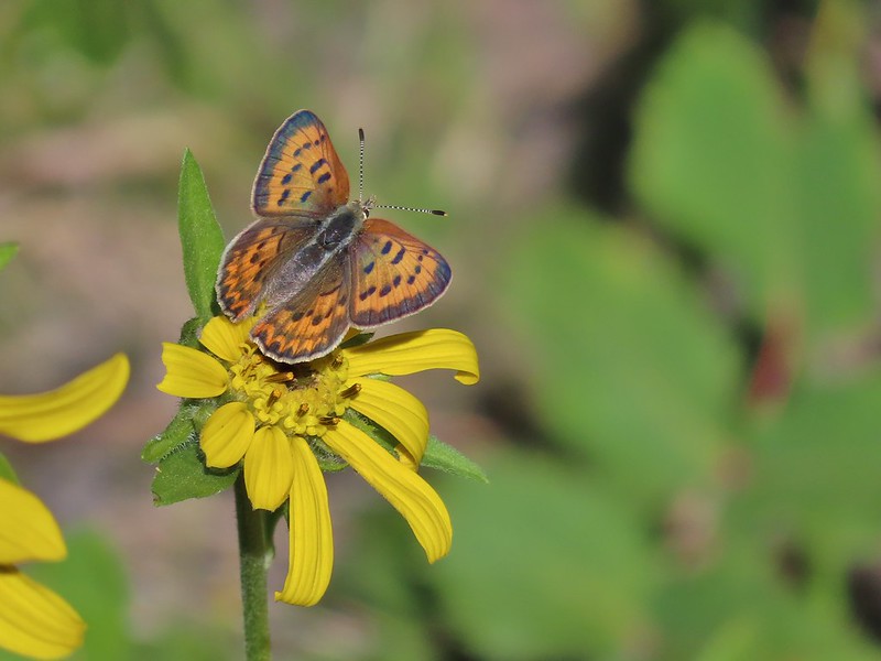 Some sort of copper butterfly
 A checkerspot
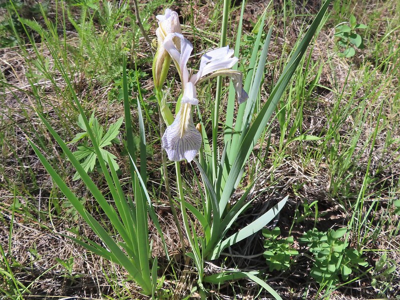 Iris
Iris Balsamroot (or mule’s ears)
 A fleabane
 A different type of fleabane.
 Larkspur
 Rosy pussytoes
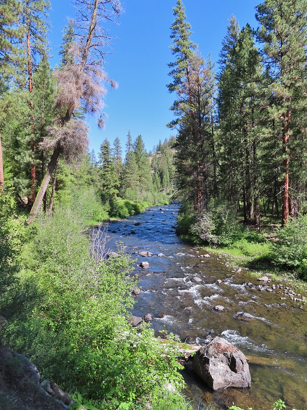
 Hog Flat is up on top of the hillside.
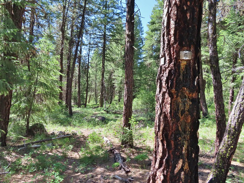 Mile 6 markers.
 Cracked egg in the trail.
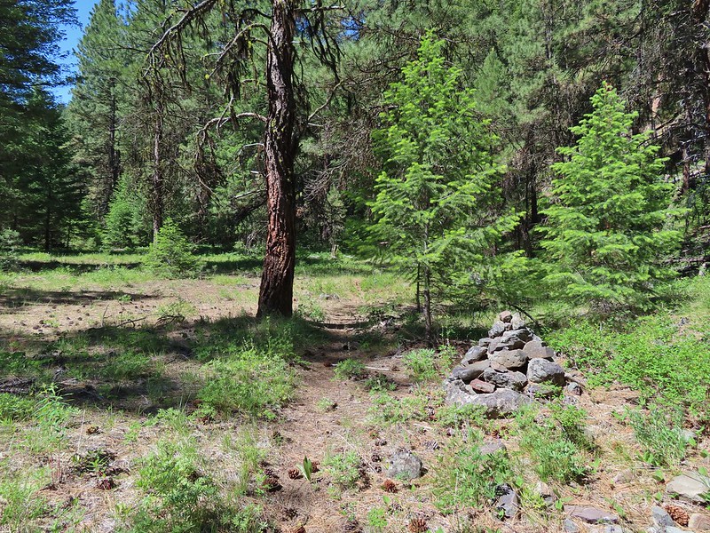 We passed this cairn around the 6.5 mile mark.
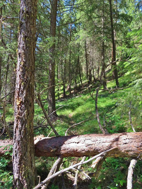 We turned around here shortly after passing the cairn. It appeared the trail was beginning it’s climb and we took the cairn and downed tree as signs that it was time to turn around. We did just that and headed back keeping our eyes open for the mile 3 and 5 markers.
 A fritillary butterfly on an iris.
 Found 5
 This was a particularly tricky little muddy spot to stay dry crossing.
 And there’s “3”.
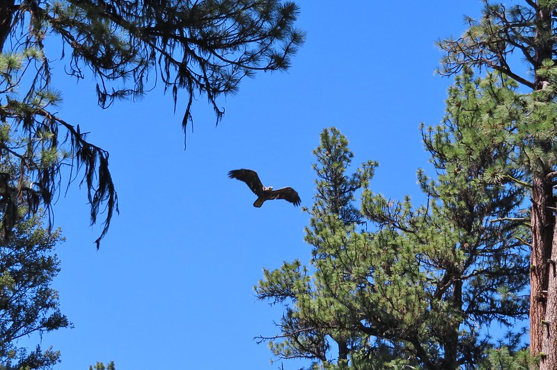 Immature bald eagle. We saw it on the way out in the same area but couldn’t get a photo. This time it flew right by me, and I think it was giving me the stink eye.
 Back at the trailhead.

 Frosty penstemon
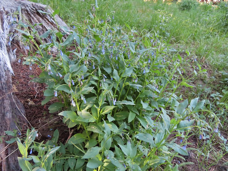 Tall mountain bluebells
 Big Creek
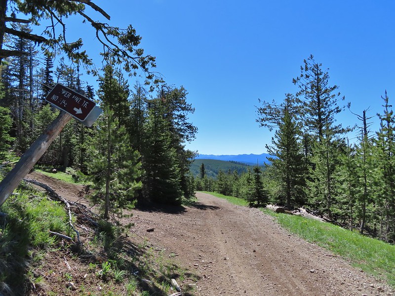
 Sign for the Tower Mountain Trail across NF-52.
 Buttercups
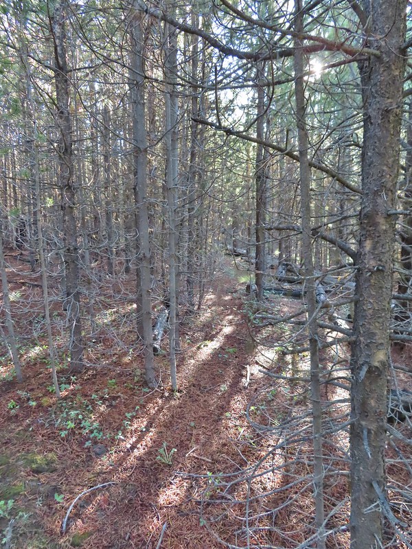 The trail passed through a stand of young lodgepole pine where it was easier to see but there wasn’t much room to maneuver. Our theory on why the Forest Service hadn’t widened this was to deter OHV riders from using the trail as there is a large network of OHV approved roads/trails in the area.
 Back to the faint tread.
 Elk had chewed up this section of trail.
 Snowshoe hare
 The hare wasn’t too concerned about us and even stopped to munch on some grass just a few feet away from us as we passed.
 The only sign/marker for the trail through the meadows.


 Elephants head


 Milberts tortoiseshell
 Fleabane along the trail.
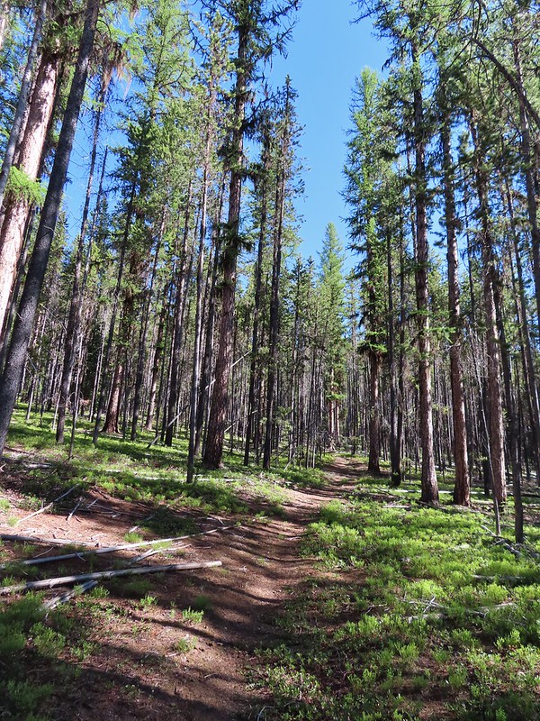


 Either a cinquefoil or an aven.
 Arnica
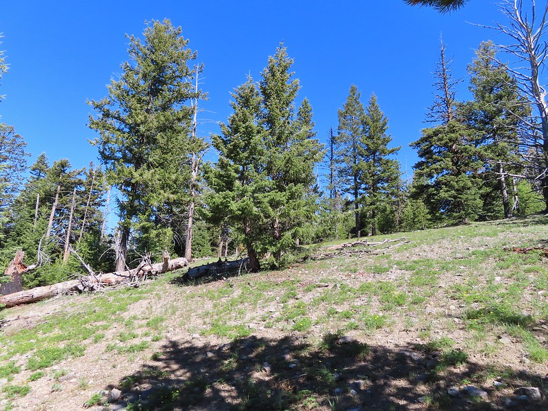
 Parsley
 Woodland stars
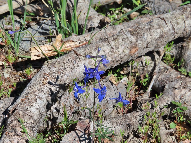 Larkspur
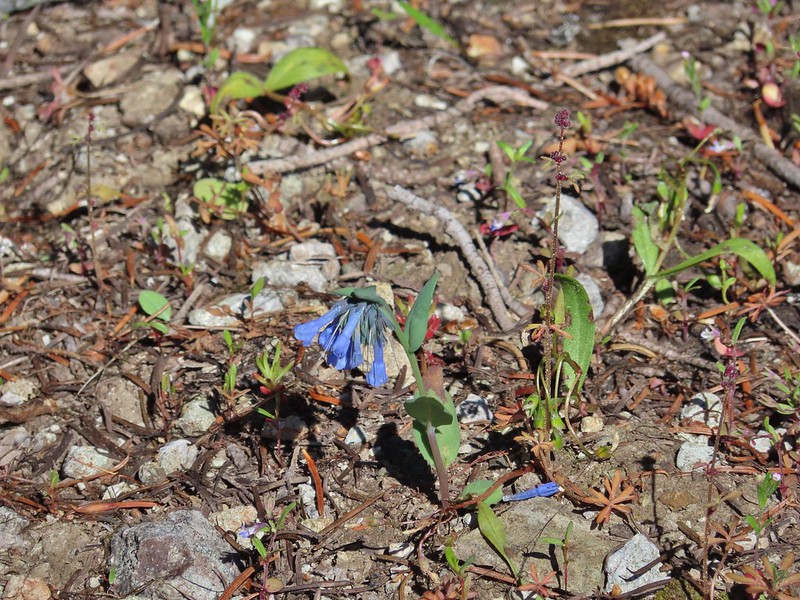 Mountain bluebells
 Violet
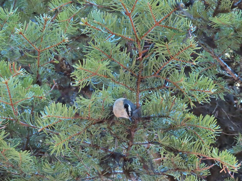 Nuthatch
 Vinegar Hill is in the center with Ben Harrison to the right of the green tree in the foreground.
 Back in forest burned in 1996.
 Glacier lilies
 Dropping to the saddle with Tower Mountain in the distance.
 Valerian
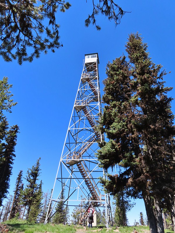
 The lookout tower on Tower Mountain.
 Huckleberry blossoms
 Arriving at the wilderness boundary.
 Looking back into the North Fork John Day Wilderness.

 The Elkhorns from NF-5226.
 Western bluebird


 Wallowas on the left and the Elkhorns on the right.
 Wallowa Mountains including Eagle Cap
 Elkhorns
 Balloon pod milk vetch
 A patch of snow clinging to Tower Mountain.
 Lupine
 A penstemon
 Paintbrush
 Old man’s whiskers
 Ball head waterleaf
 Violets and ?
 Tortoiseshell on a cone.
 Shooting star
 Fish in Big Creek.
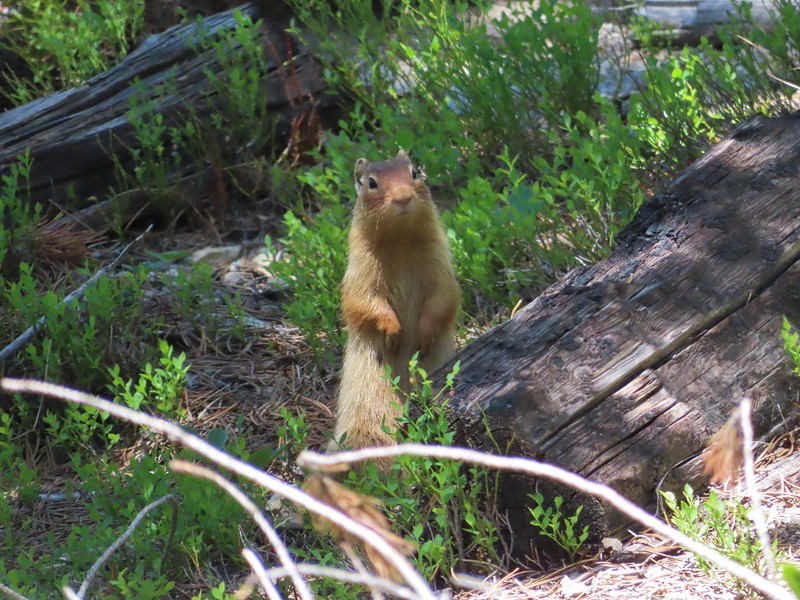 I believe this is a columbian ground squirrel.
 California tortoiseshell butterflies
 Diffuseflower Evening-primrose
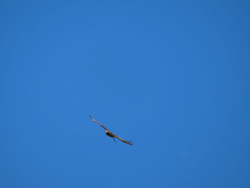 Red tailed hawk
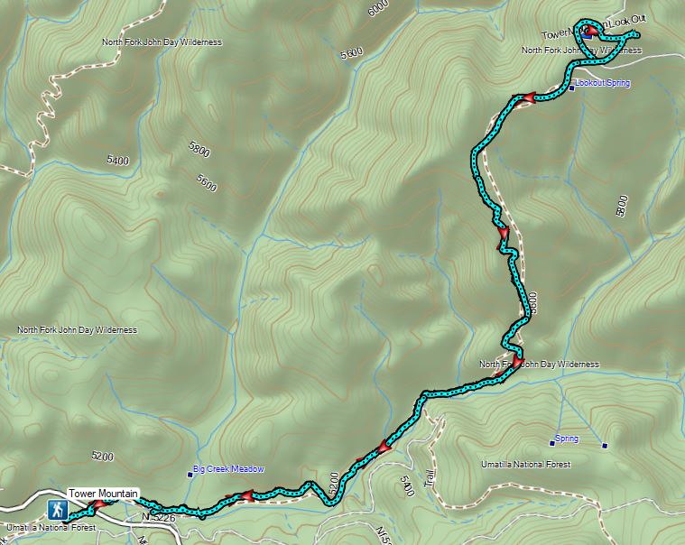


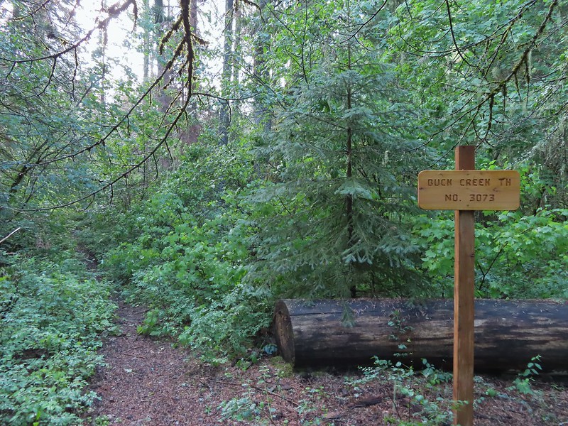
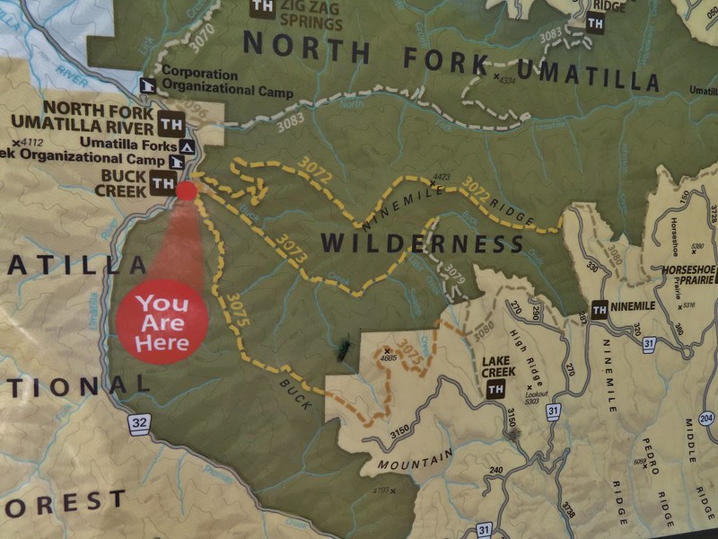
 Buck Creek Trailhead
 Buck Creek Trail straight ahead with the Buck Mountain Trail to the right. Notice that the Buck Mountain Trail didn’t receive a nice new sign. (Not pictured is the Ninemile Ridge Trail to the left.)
 Nice new wilderness sign along the trail.
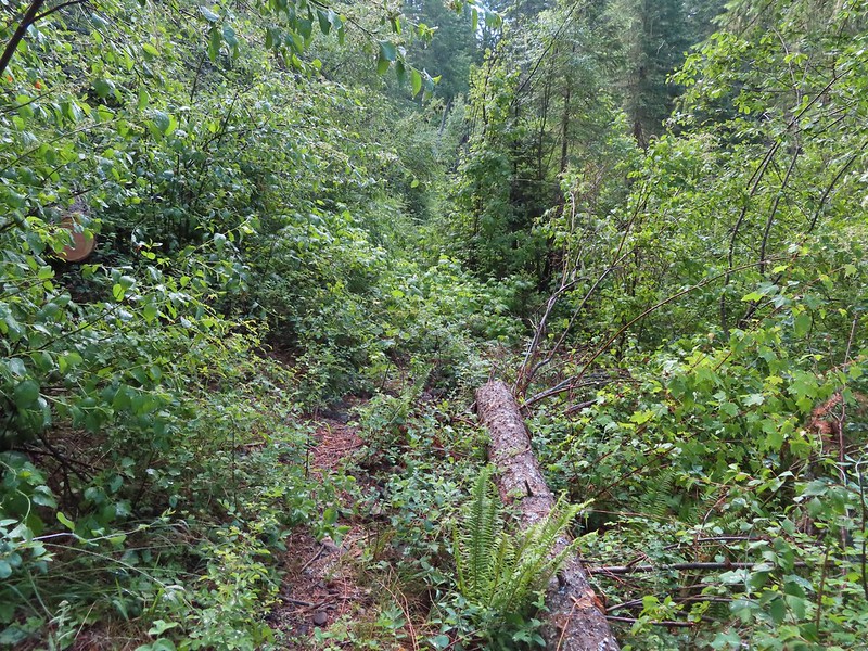
 Signs of the flooding.
 Blue sky
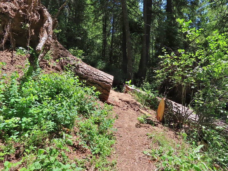
 Washed out section of trail.
 Recent trail repair here.
 Slugs didn’t mind the damp conditions.
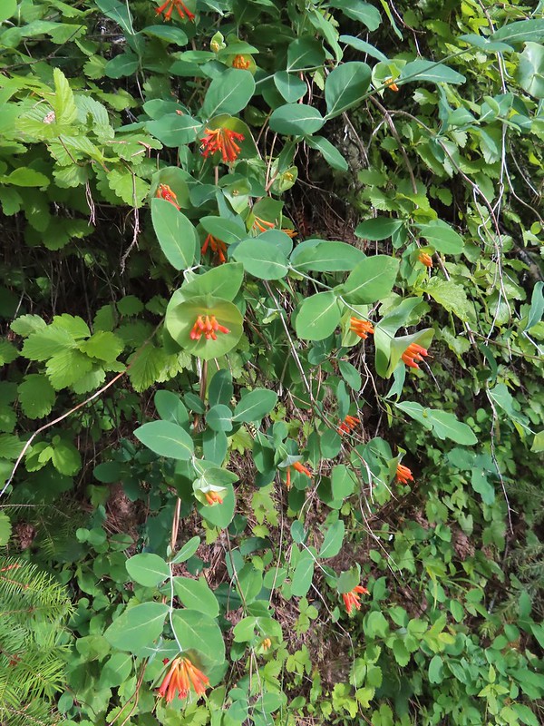
 Honeysuckle was everywhere in this wilderness, on all three hikes.
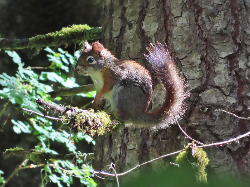 Squirrel!


 Closed portion of Bingham Springs Road (NF 32).
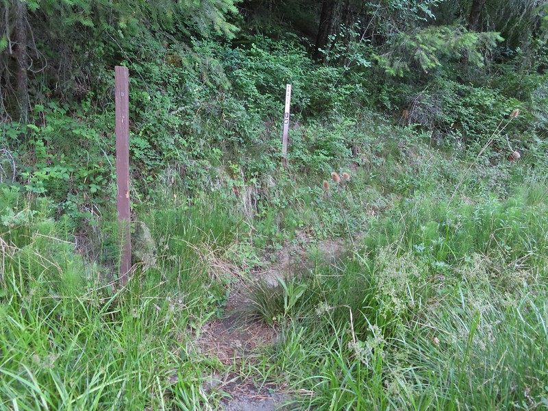 We had completely missed this trail along NF-32 the day before having been distracted by the large number of butterflies in the area.

 We stayed right at this junction to head down to the North Fork Umatilla Trail.
 Spreading dogbane
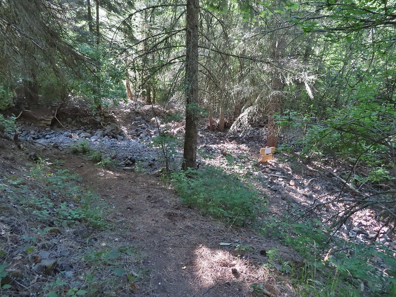 Evidence of the February 2020 flooding covering the North Fork Umatilla Trail, also there is a squirrel on the base of the tree at center.
 Some signs of recent maintenance.
 North Fork Umatilla River


 Debris from the flood in what appeared to be a new route for the river.
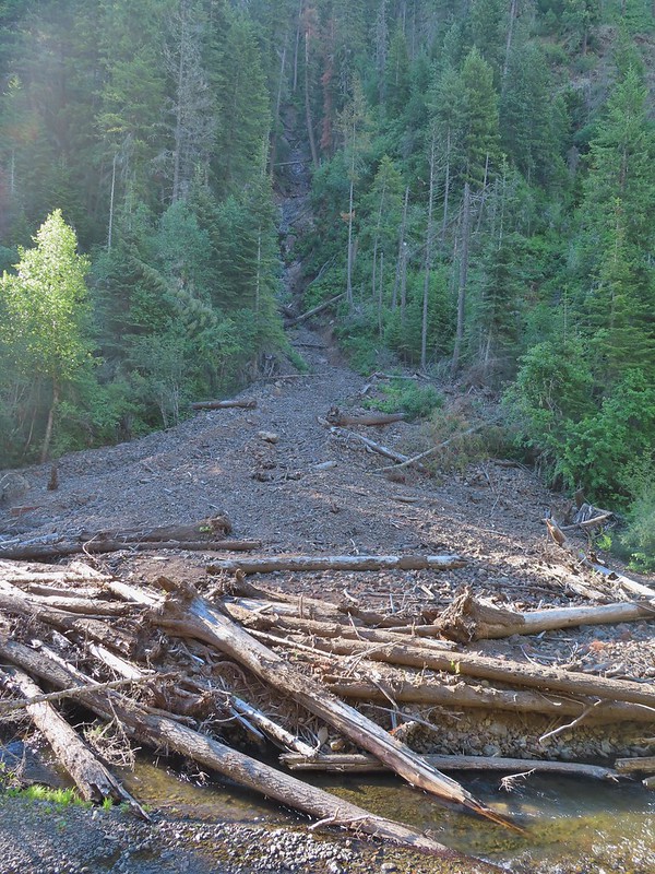 This big slide was across the river.
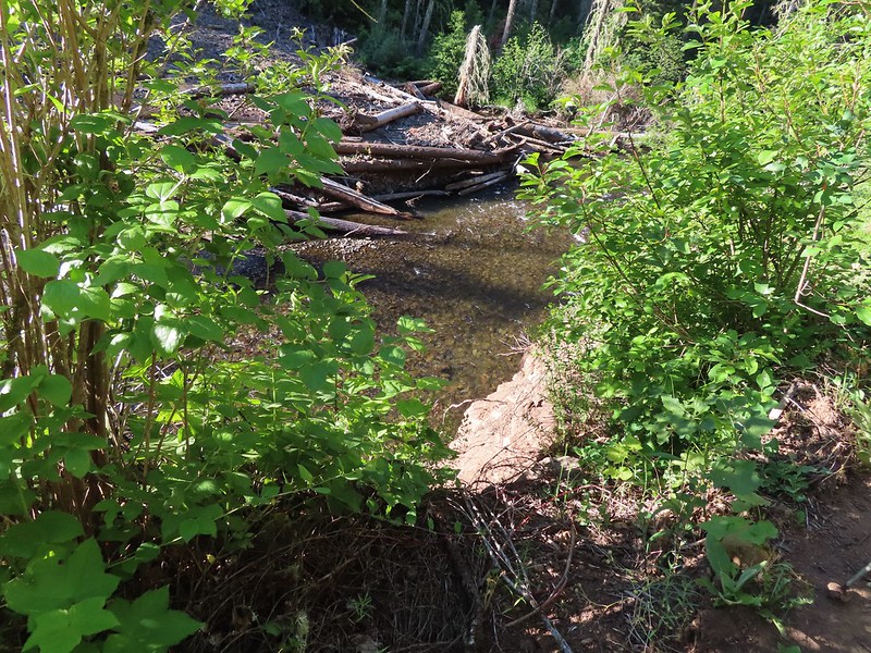 Some of the trail side was also lost.
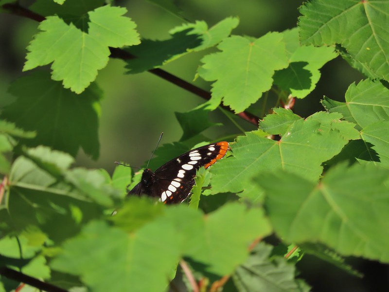 Lorquin’s admiral
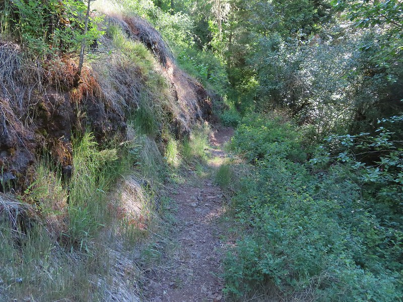 A section of trail that survived intact.
 Looking down another small slide.
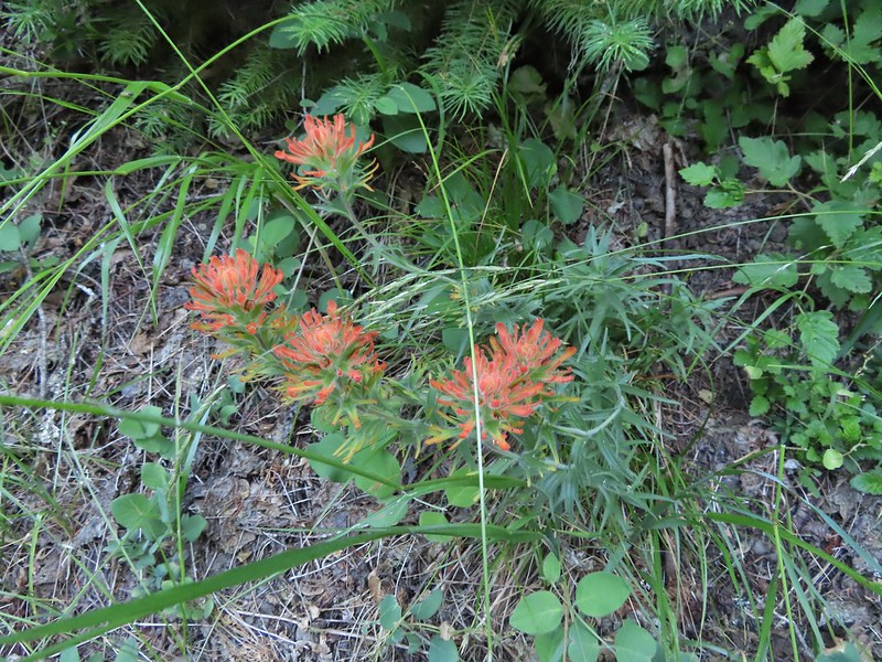 Paintbrush
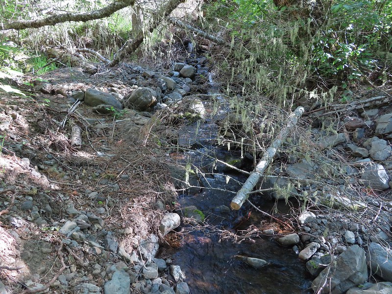 More maintenance along another washout.
 Arnica
 A number of slugs on the trail, Heather counted at least two dozen in just a few feet.
 Clover
 Monkeyflower
 Alpine pennycress
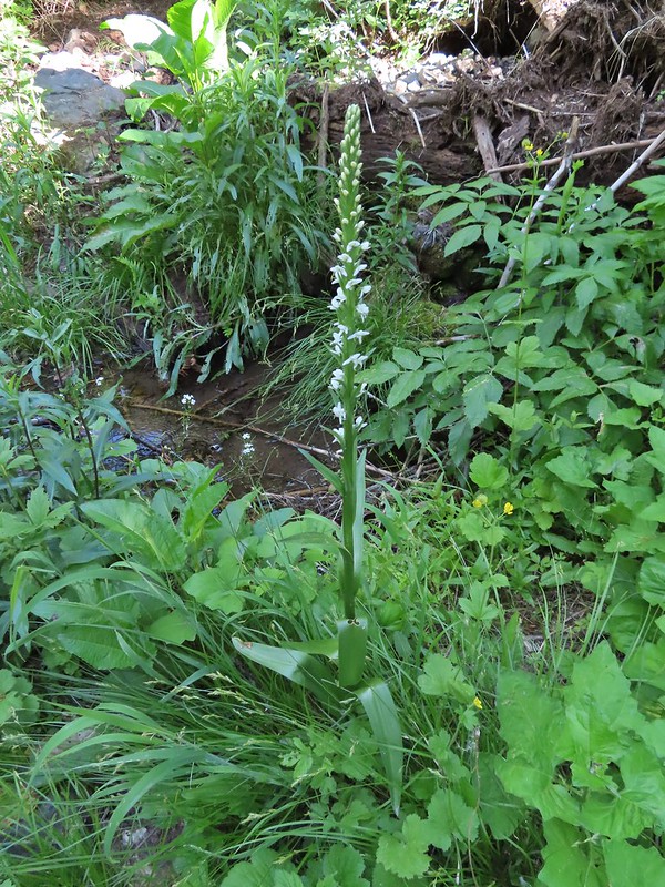 Bog orchid
 Stonecrop along an exposed section.
 Ragged robin in the exposed area.
 At one point this guy was hitching a ride on my pant leg.
 View from the trail.
 This section was a little overgrown.
 I believe this is Sabin’s lupine.
 Spur trail to a large campsite near Coyote Creek and the North Fork Umatilla River.
 Missing a footbridge.
 I crossed on that log.
 Found the footbridge.
 Flagging for the scramble route.
 Flagging for the North Fork Umatilla Trail
 Butterfly on a cinquefoil?
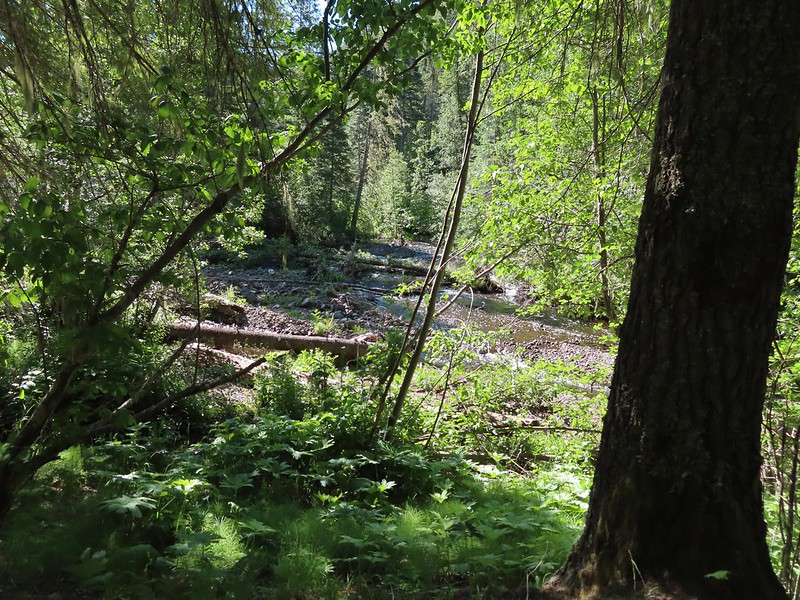 Confluence of Coyote Creek and the North Fork Umatilla River.
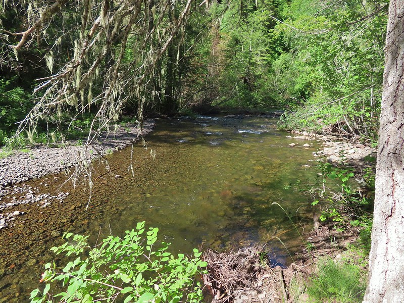 Deep hole below the campsites along the North Fork Umatilla
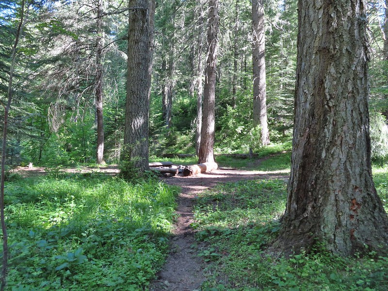 Campsite near Coyote Creek.
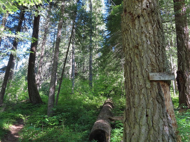 Heading back on the trail.
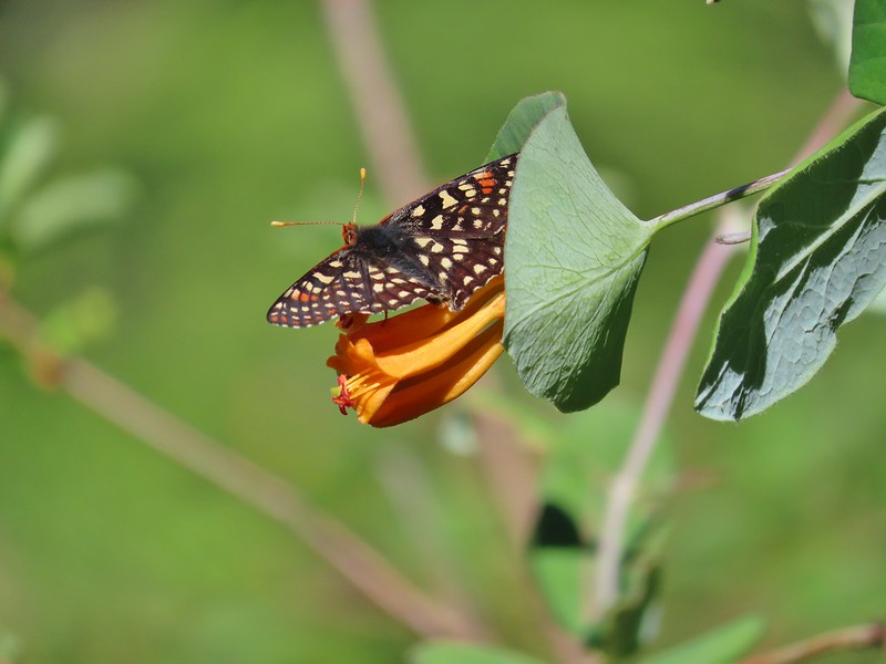 Checkerspot on honeysuckle
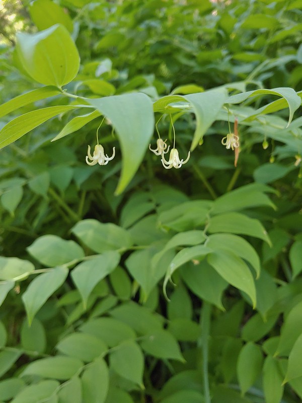 Twisted stalk
 Spotted coralroot
 Phantom orchid
 Houndstongue
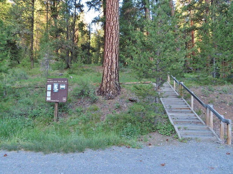
 Signboard at the trailhead.
 Sign for the
  Not swallowtails but these lorquin’s admirals sure liked this scat.
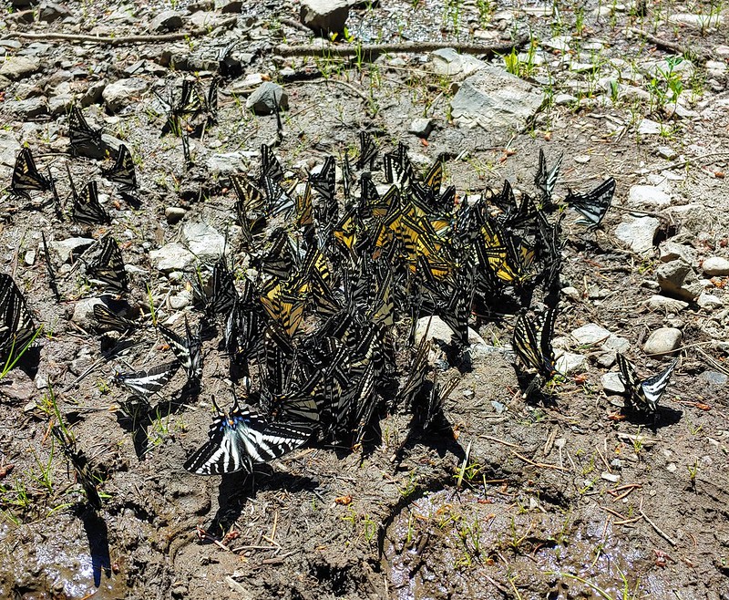
 The first mass of swallowtails was on the far side of the river along this stretch.
 The second and larger group was at this wet spot along the road.


 Yarrow
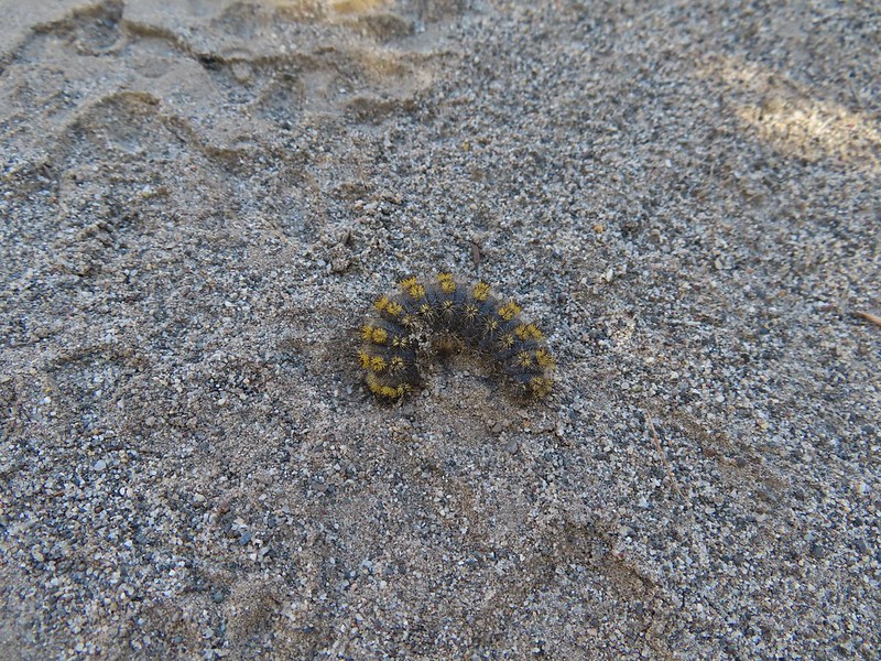 Caterpillar
 Looking right down the roadbed which would lead back to the parking area.
 Ducks in the Lower Pond
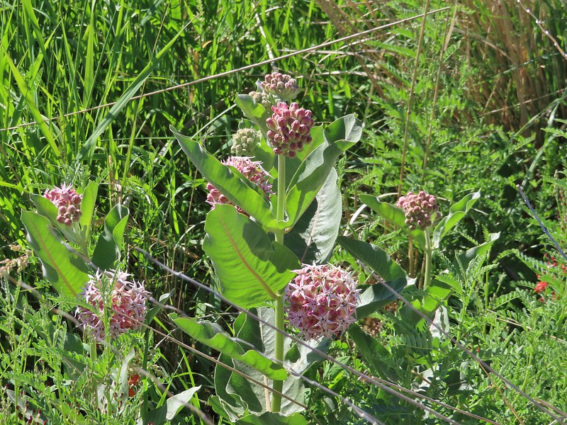 Showy milkweed
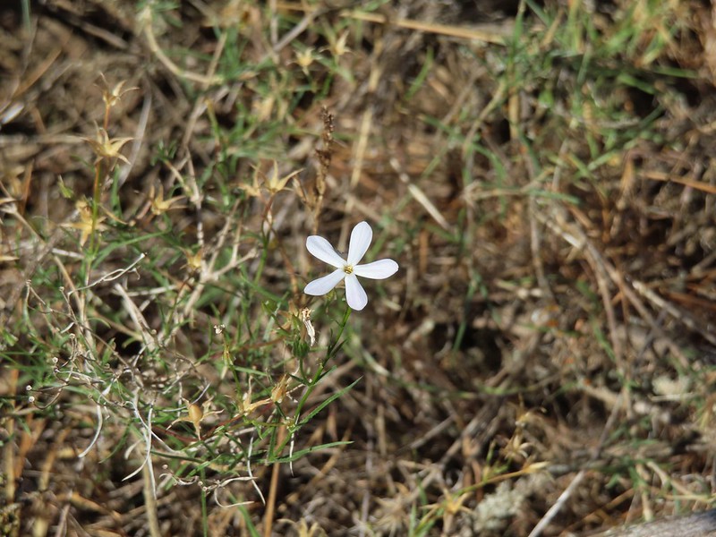 A lone phlox blossom
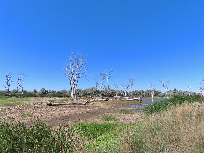
 Female red-winged blackbirds
 Blue-winged teal and a black-necked stilt.
 Black-necked stilt
 Red-winged blackbird
 White pelican
 Cinnamon teal

 Middle Pond
 Spur road to hunting blind 5. The blinds were well signed but not marked on the brochure map. The laminated map at the trailhead though did show the blinds which would have also been very helpful.
 Upper Pond
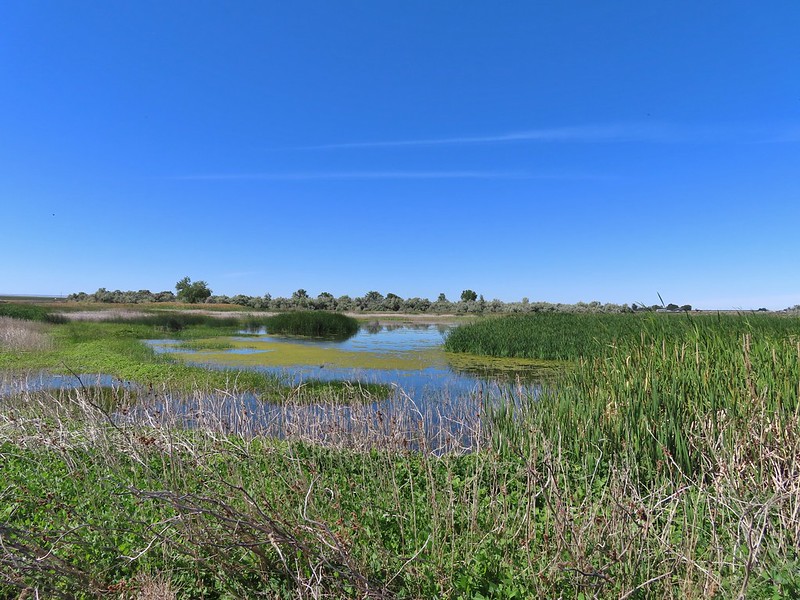 Upper Pond
 Yellow headed blackbirds
 Not going to be making a loop around the Upper Pond.
 Killdeer
 Great blue heron
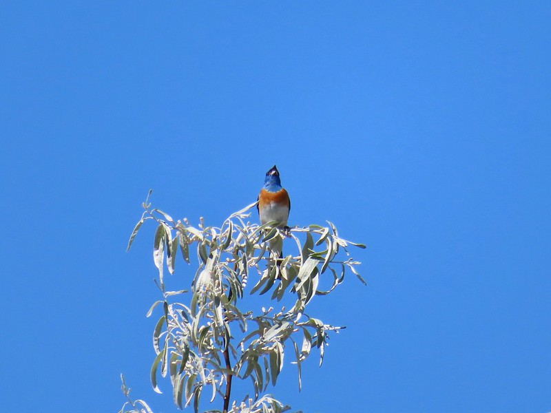 Lazuli bunting


 The road walk wasn’t all that bad as it followed the Umatilla River the whole way.
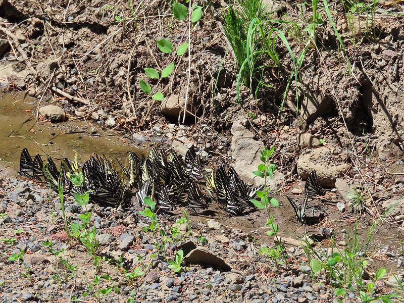
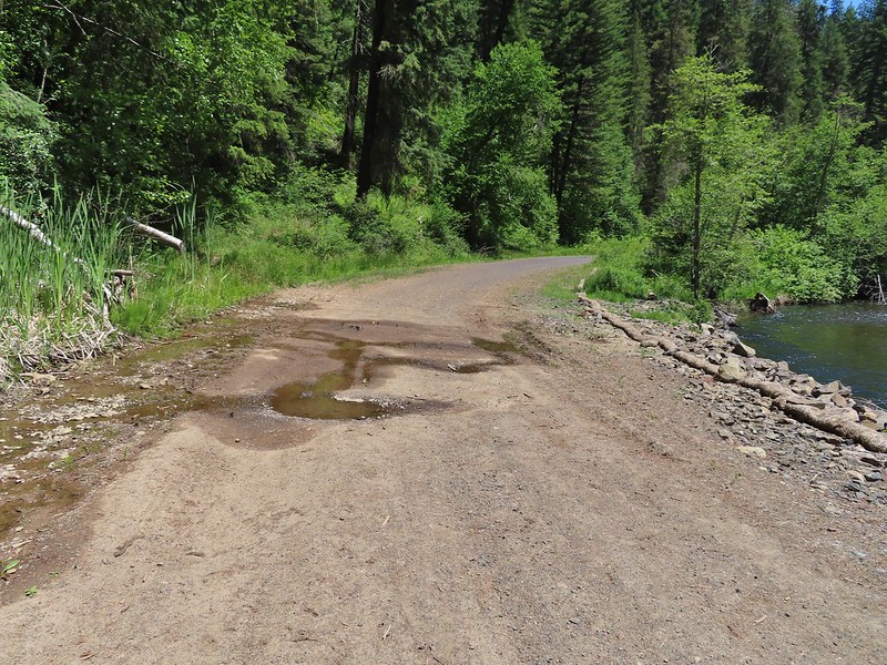 This was a popular spot with the butterflies, particularly swallowtails.
 Swallowtails
 Swallowtails
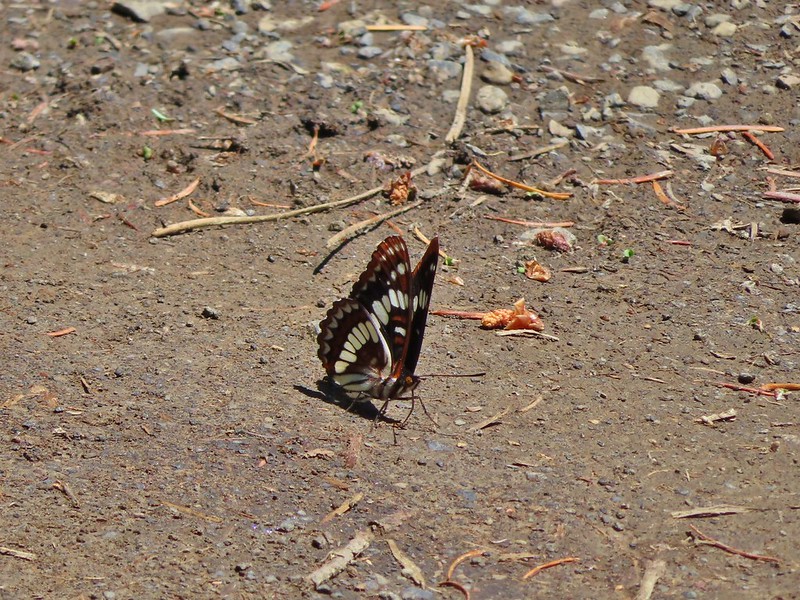 Lorquin’s admiral
 A tortoiseshell
 Dragon fly watching the butterflies
 Just beyond the sign we crossed the North Fork Umatilla River.
 Ouzel
Ouzel FR 045 on the left.
 Another gathering of butterflies


 Grouse
 Buckwheat
 Ragged robin (Clarkia pulchella)
 Lingering snow in the distance.
 Ragged robins
 Paintbrush
 Yarrow
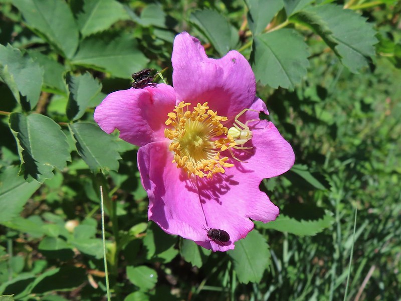 Bettles and a crab spider on rose
 Arnica
 You might be able to make out the trail continuing up the far hillside.
 Now on the far hillside heading for that small tree on the ridge end.
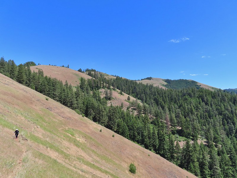 Looking back along the trail and at Ninemile Ridge.
 South Fork Umatilla River from near the ridge end.
 Heading up to the ridge top.
 Gaining the ridge and a view ahead of what’s to come.
 Balsamroot
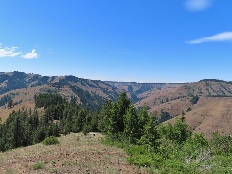
 Large-flower triteleia
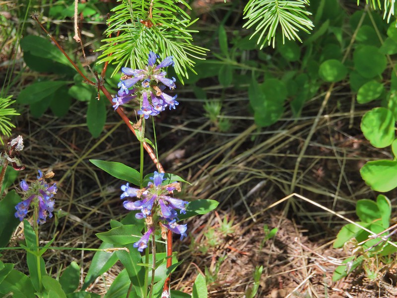 A penstemon
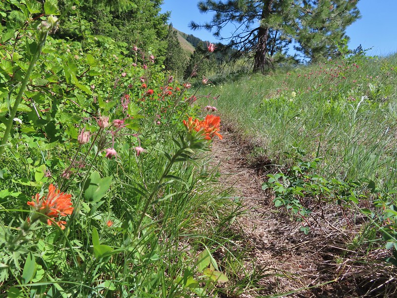 Paintbrush and prairie smoke
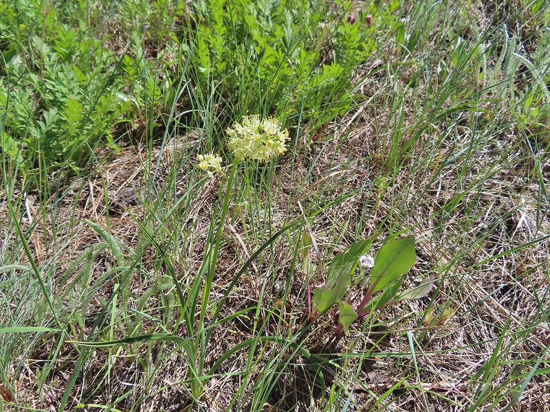 Death camas
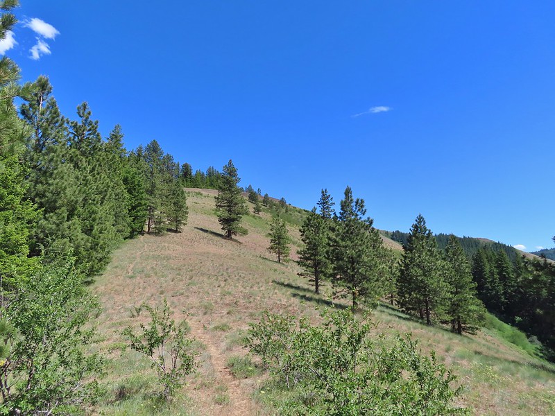
 Turkey vulture checking to see if we were dead yet.
 Ravens also interested in our carcasses.
 An allium
 There was a 20% chance of showers according to NOAA so these clouds forming weren’t a surprise.
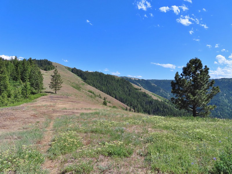 A flat stretch along the ridge before another steep climb.
 Buckwheat and Large-flower triteleia
 Bush penstemon
 The trail was actually down to the left but the ridge seemed like it would take less climbing.
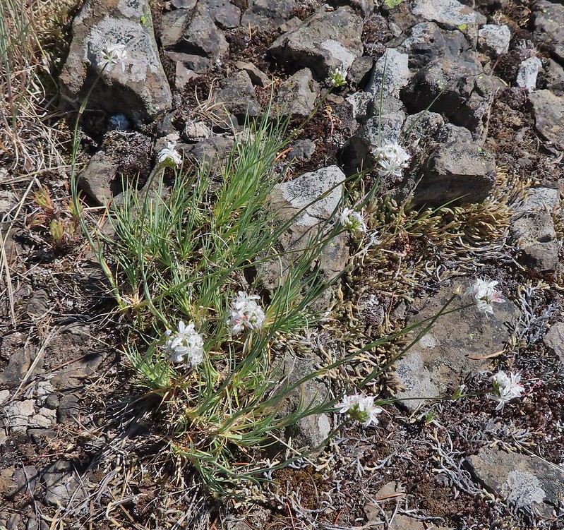 Ball head sandwort?
 Lupine
 Paintbrush along the final climb.
 A parsley and naked broomrape
 Larkspur
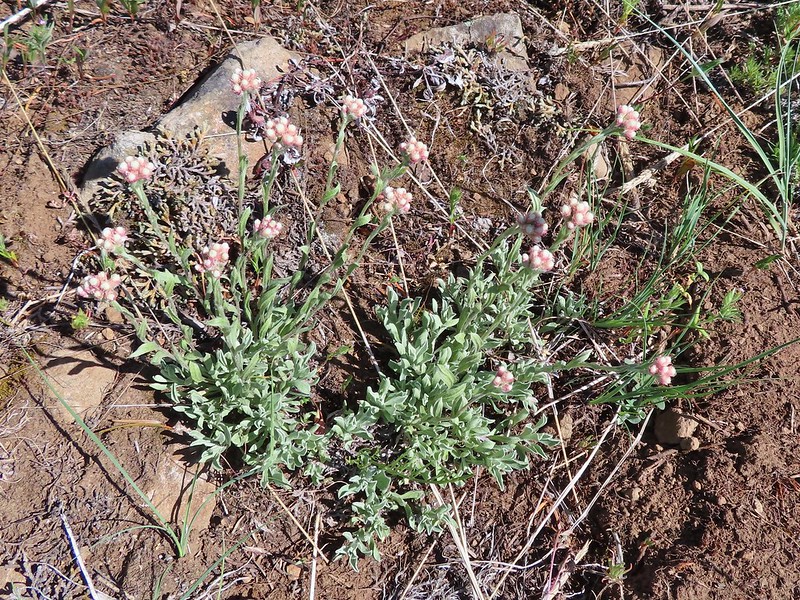 Rosy pussytoes
 Cairn on the right.
 Clouds starting to pass over.
 High Ridge Lookout to the left
 High Ridge Lookout
 Looking back down Ninemile Ridge
 Heather making her way up.
 Blue-eyed Mary and elegant mariposa lily
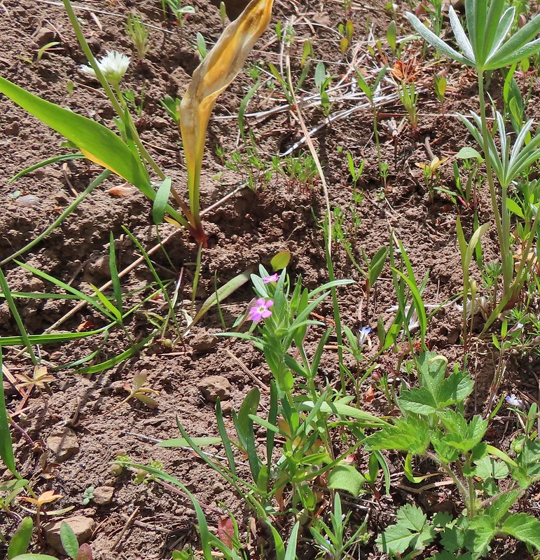 Slender phlox
 A phacelia
 Hoary balsamroot (most of it was way past)
 Phlox
Phlox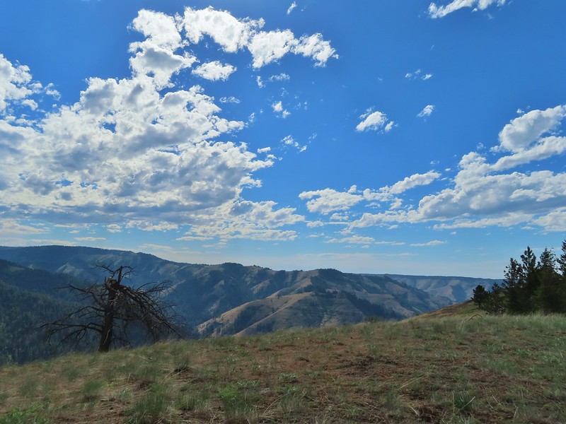

 Spotted coralroot
 Honeysuckle
 Arnica and small flower miterwort
 Twinflower

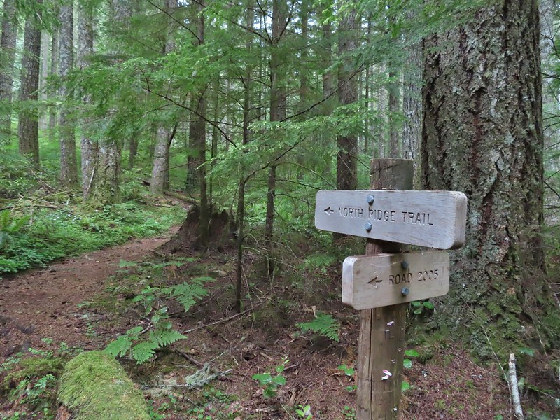
 We took this trail from the parking area to the North Ridge Trail where we turned right at a signboard.
 Signboard along the North Ridge Trail at Woods Creek Road.
 Iris
Iris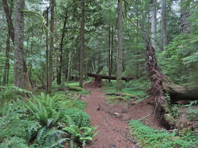
 Near the half mile mark we ignored this pointer to the left. Looking at the map there are roads looping back to Woods Creek Road and also to Conner’s Camp but what their conditions are we don’t know.
 Monkeyflower

 Wren
Wren Thimbleberry
 Pacific coralroot
 Anemones
 Vanilla leaf along the trail.
 Lots of vanilla leaf.
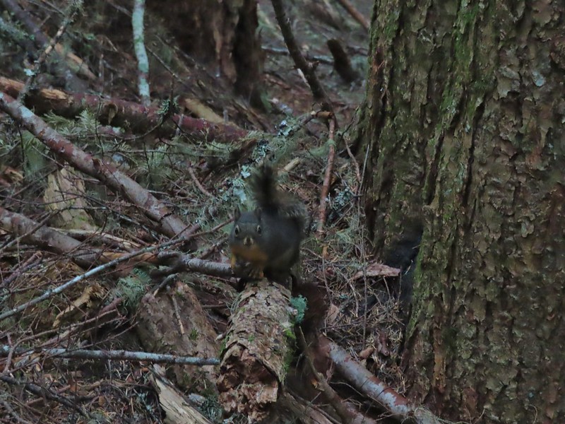 Douglas squirrel.
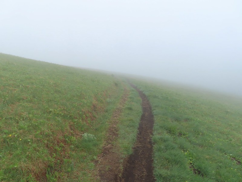
 The higher we went the foggier it got.
 Bench at the junction with the tie trail.
 Some of the trillium still had petals.
 Signboard for the overlook on the hillside to the right.
 The junction from later in the morning with the Summit Trail heading uphill to the right and the East Ridge Trail down to the left.
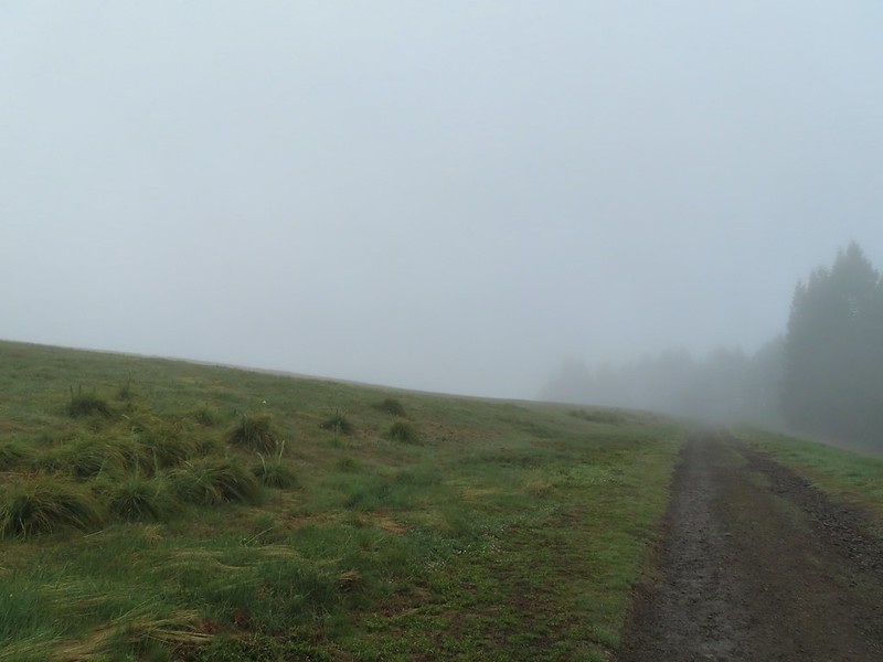
 Going to be a beargrass year.
 Beargrass
 Larkspur in the wet grass.
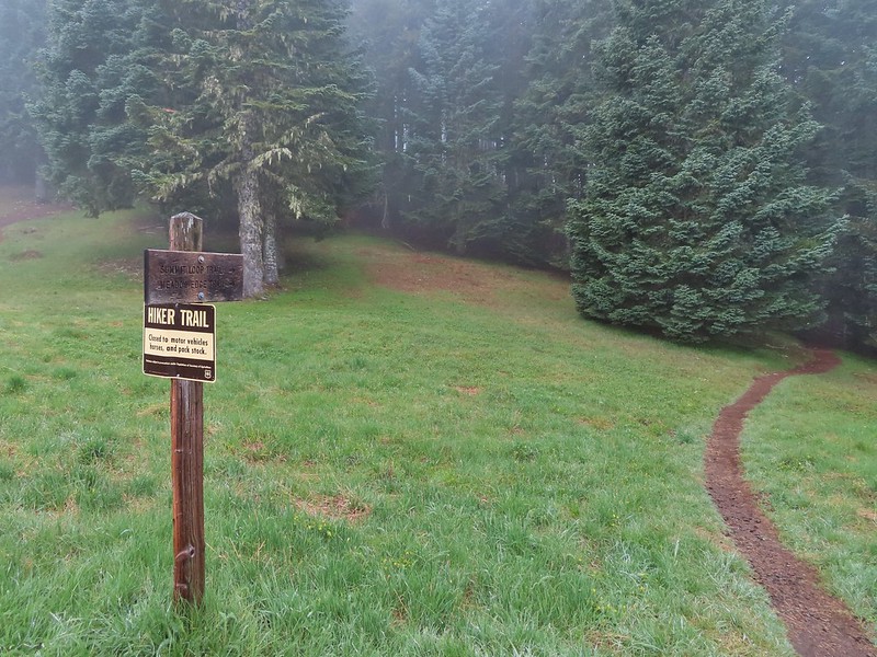
 Paintbrush
 Penstemon
 Field chickweed
 Parsley
 Blue-eyed Mary
 Ragwort in front of lupine that had yet to bloom.
 Phlox
Phlox
 Lupine
 Buttercups and larkspur
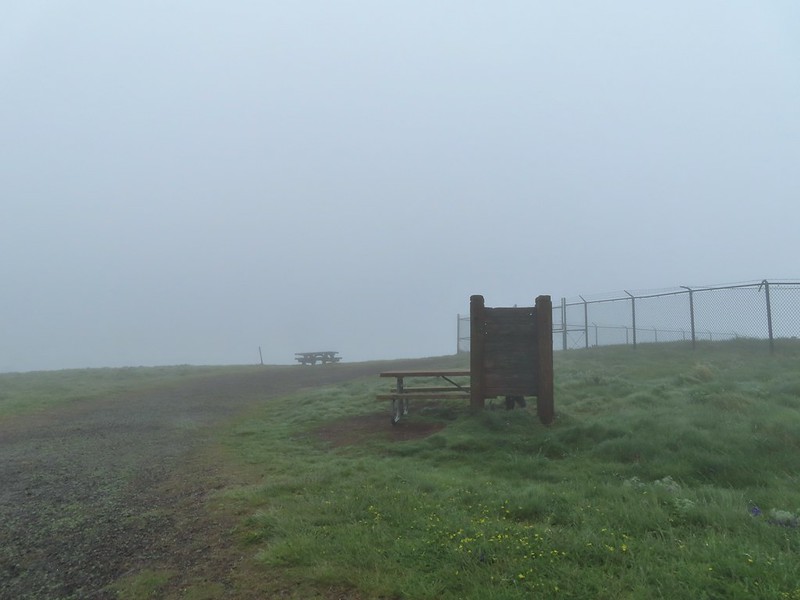 Heather hiding behind the summit signboard to try and keep out of the wind.
 Lots of lupine yet to bloom.

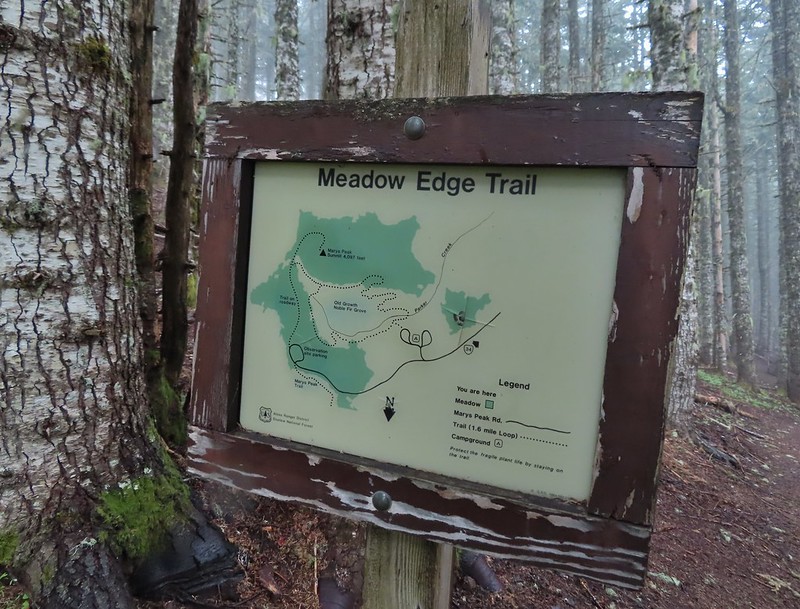
 As the name implies the Meadows Edge Trail occasionally entered the meadows before returning to the forest.
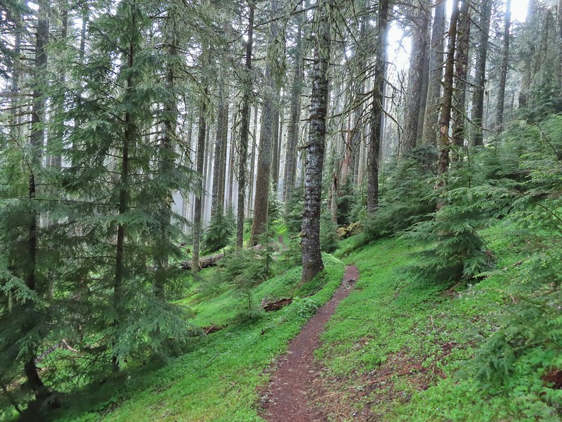
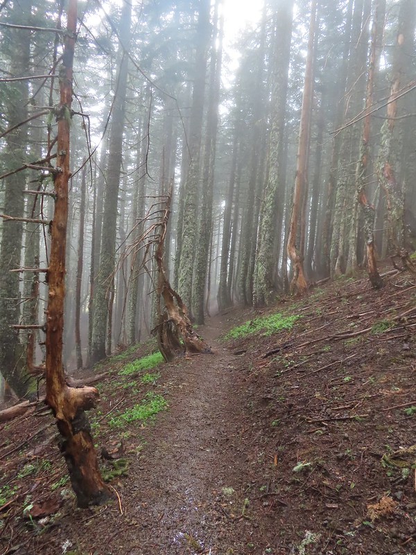
 For a brief moment a bit of sunlight hit the forest and we thought maybe the sky would clear up.
 Salmonberry bushes near Parker Creek.
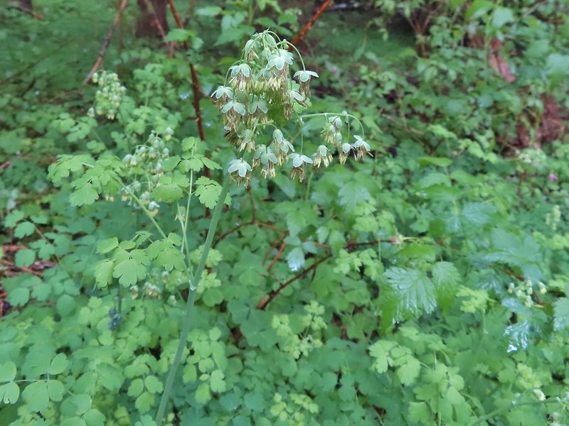 Western meadowrue
 Spur trail to the Mary’s Peak Campground.
 Fairybells and star flower solomonseal
 The sky was in fact not clearing up.
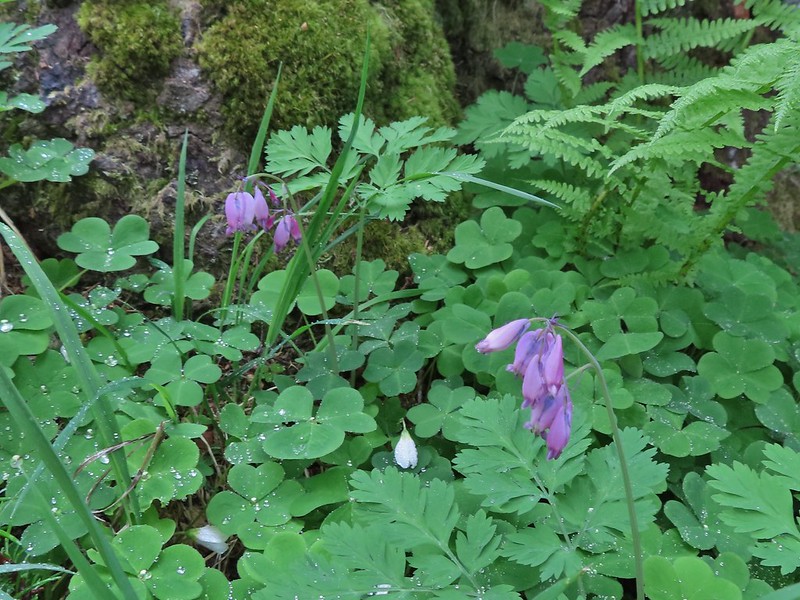 Bleeding heart and sourgrass.
 Fawn lilies in the meadow.
 Signs at the road junction.
 The wet conditions were starting to really hinder picture taking at this point.


 Striped coralroot
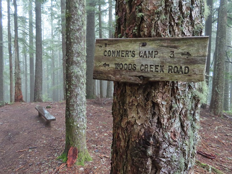 North Ridge Trail junction
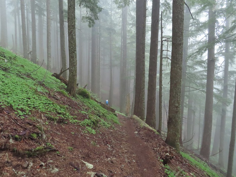 Heather descending in the fog.
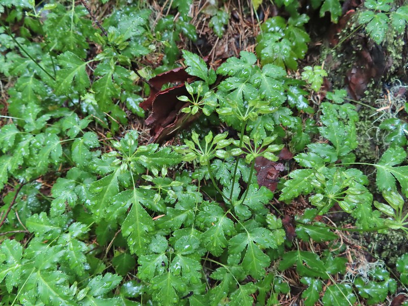 Cutleaf goldthread
 Millipede
 Is that some blue sky out there?
 Not much but it is blue.


 North Sister in the distance.
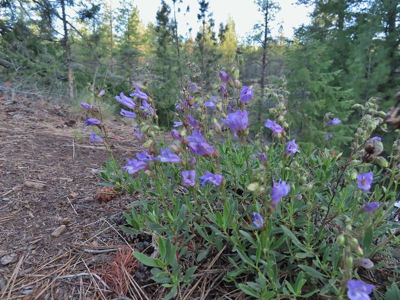 Penstemon
 Chocolate lily
 Sand lily
 Paintbrush
 Balsamroot
 A Penstemon
 Squirrel!

 The penstemon really liked the cliff area.


 Mt. Hood sighting.
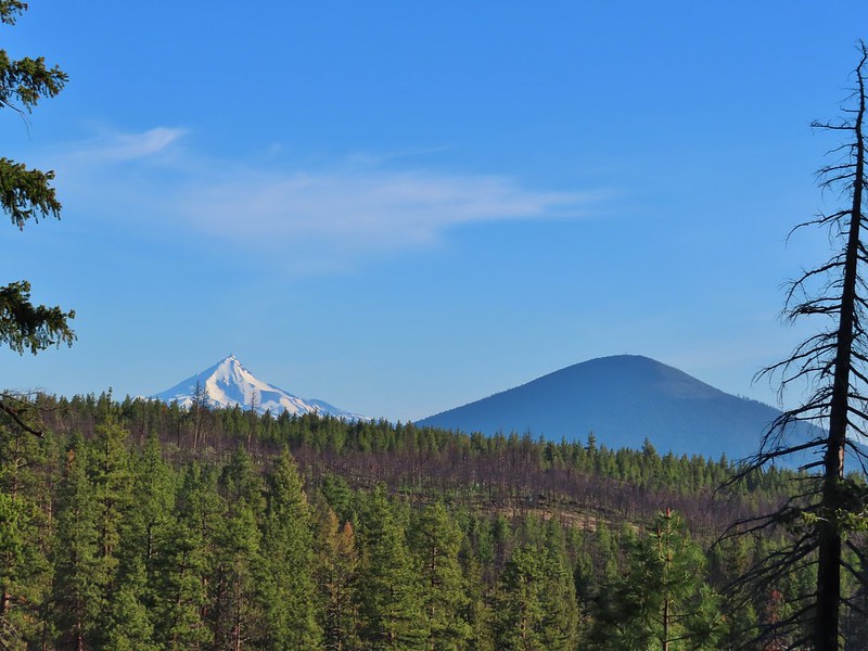 Mt. Jefferson and Black Butte
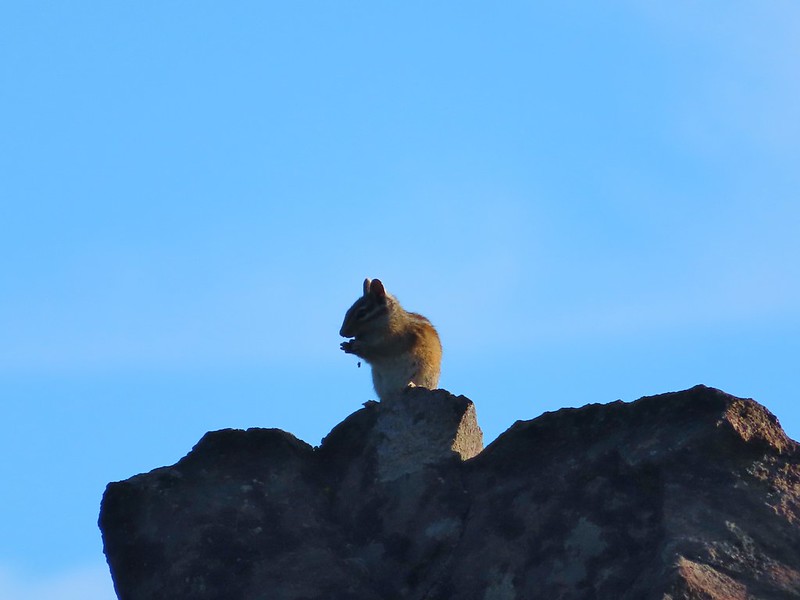 Chipmunk
 White breasted nuthatch
 Golden mantled ground squirrel
 Broken Top and the Three Sisters (bonus points for spotting the golden mantled ground squirrel)
 Lewis flax at the overlook.
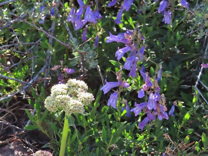 Buckwheat and penstemon
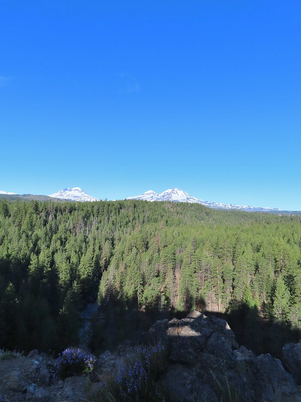 Whychus Creek below with the Three Sisters on the horizon.
 Tam McArthur Rim (
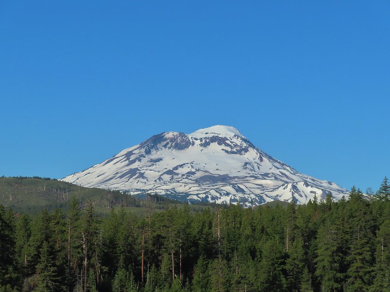 South Sister
 Middle and North Sister
 Mt. Washington
 Three Fingered Jack
 Mt. Jefferson
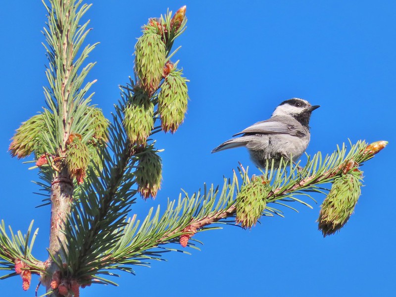 Chickadee

 Interpretive sign along the trail.
 Mt. Washington, Three Fingered Jack, Mt. Jefferson, and Black Butte
