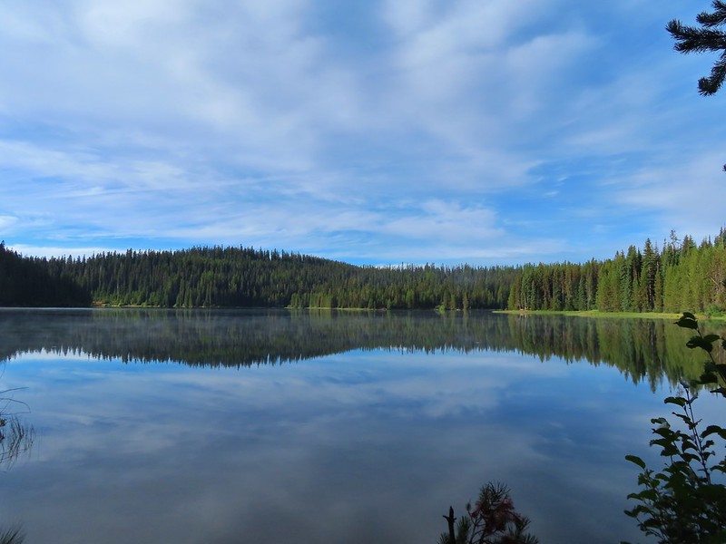
Sometimes the main purpose of a hike isn’t to see a sight but rather to step away from things and find a peaceful place in nature to reflect. My Grandmother turned 97 on 9/30/21, her last birthday after suffering a massive stroke just days earlier. We were able to drive up to her home in Portland on her birthday to visit and while she couldn’t speak she was able to respond and interact with her family that had gathered. We would be returning on Saturday afternoon to visit again when my Brother and his family arrived from Missouri but that morning we felt like getting outside and taking a nice long walk would be good. Since we were heading to Portland later we wanted a hike that was close to home to cut down on driving time so we decided to revisit the McDonald-Dunn Research Forest near Corvallis, OR.
This would be our fourth hike in McDonald Forest having previously hiked to McCulloch Peak (post), Dimple Hill (post) and Peavy Arboretum (post). Each of those three hike had been entirely unique with no steps retracing an earlier path. They had also mostly avoided the center and northwestern portions of the forest. For this hike we planned on visiting those two areas and had originally hoped to connect all three of our previous hikes. We were only able to connect two of the three though due to an active logging operation which closed a portion of the loop we’d planned.
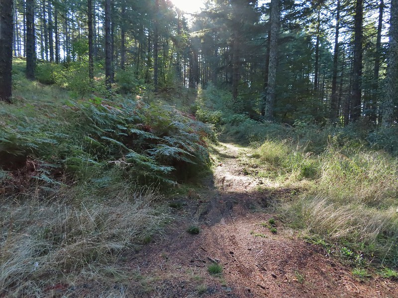
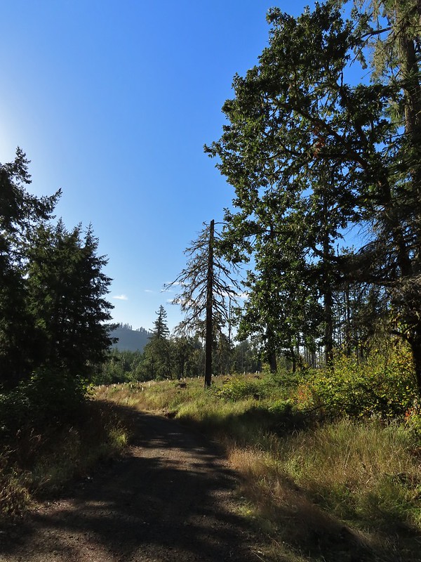
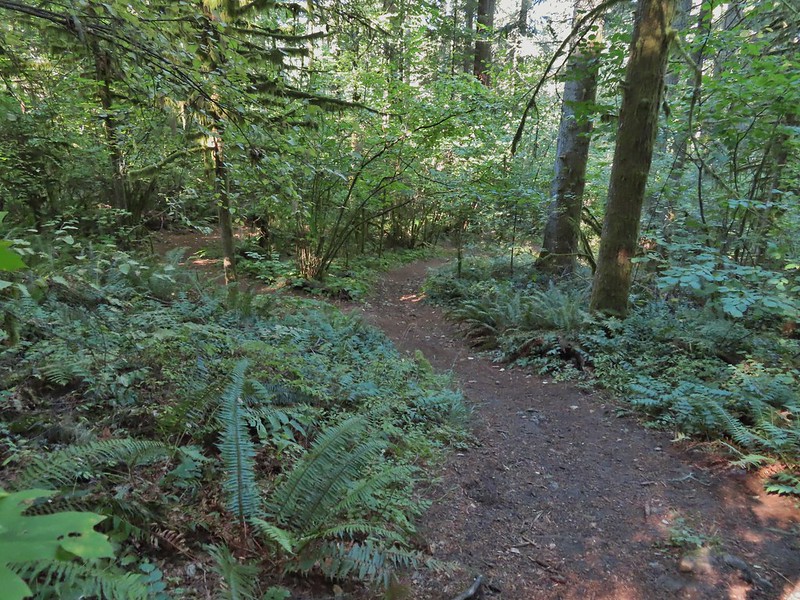
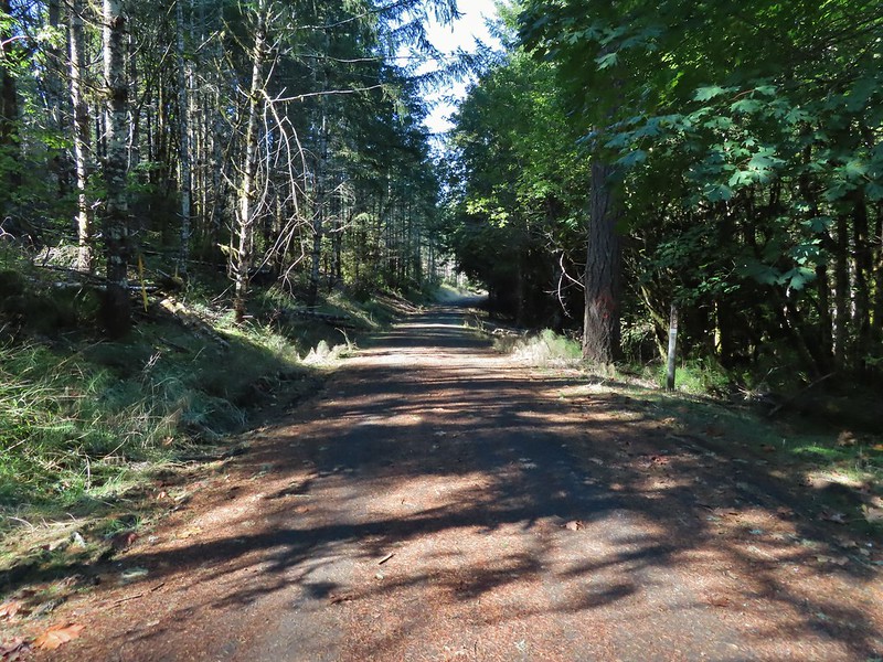
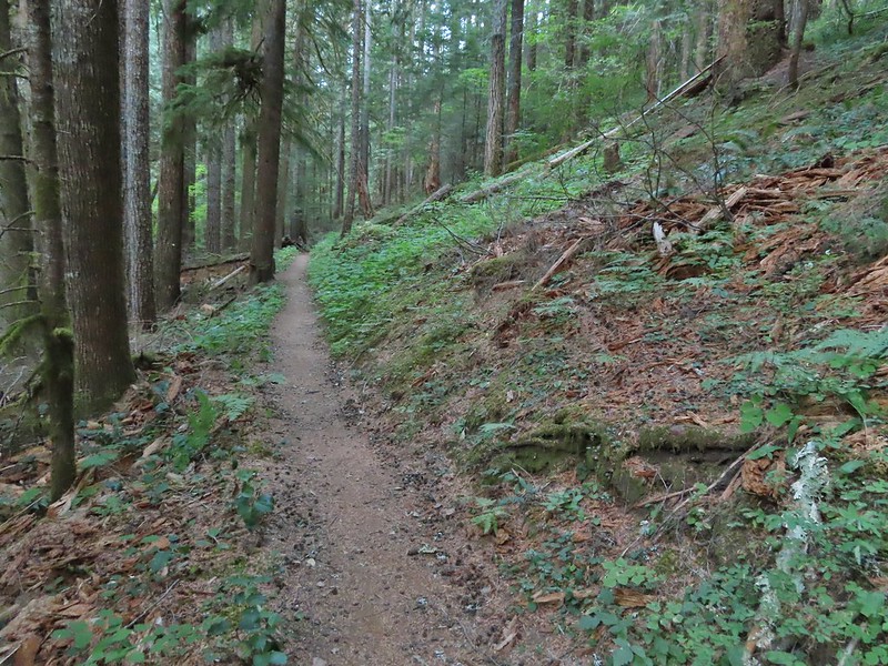
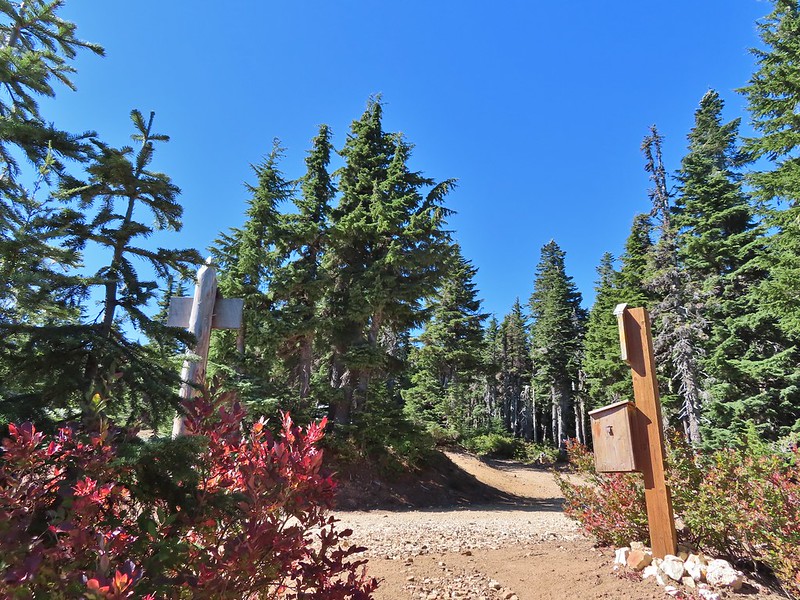
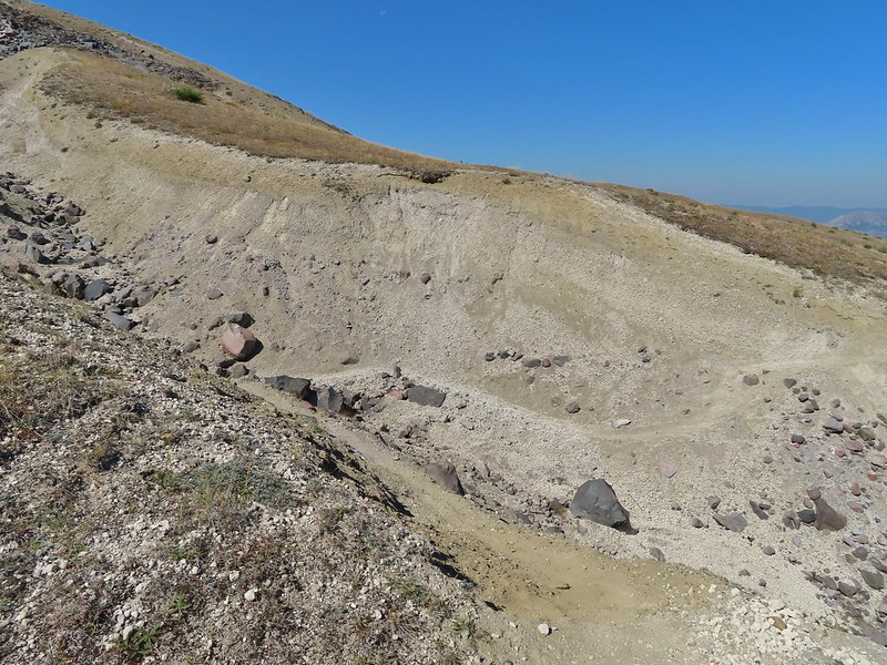
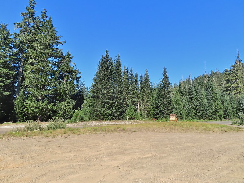
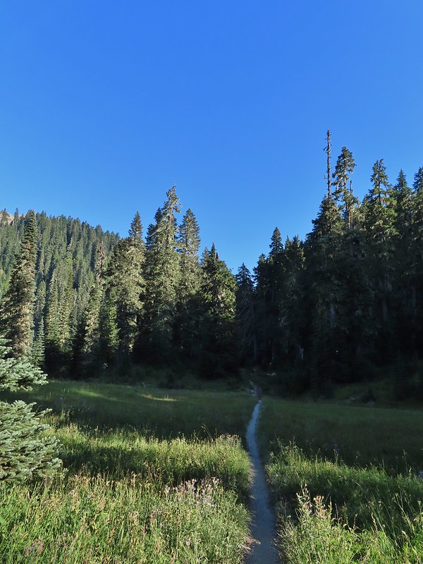
We started our hike at a pullout by the Sulphur Springs Trail along Sulphur Springs Road.
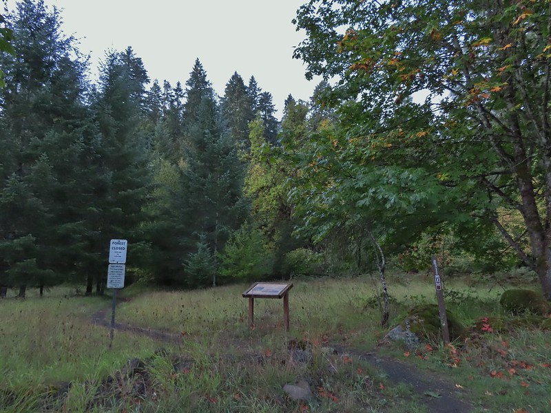
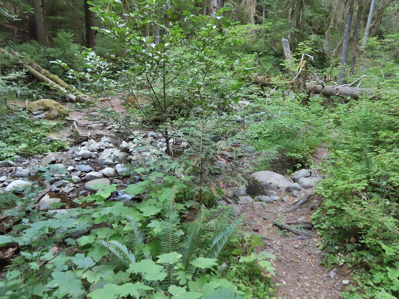
We visited the springs first by following the Sulphur Springs Trail for a tenth of a mile.


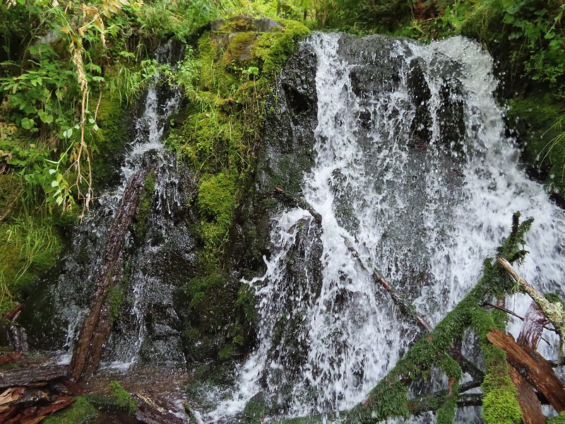
 Sulphur Springs
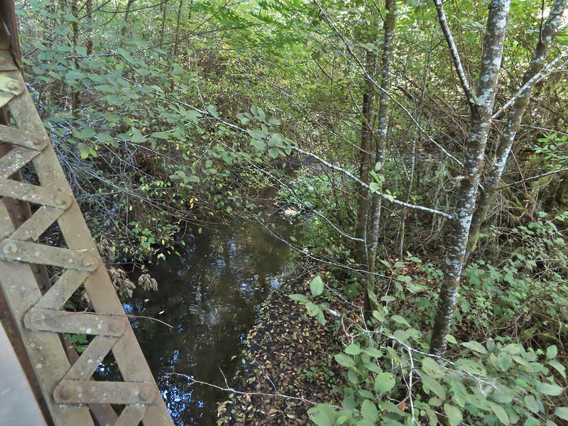
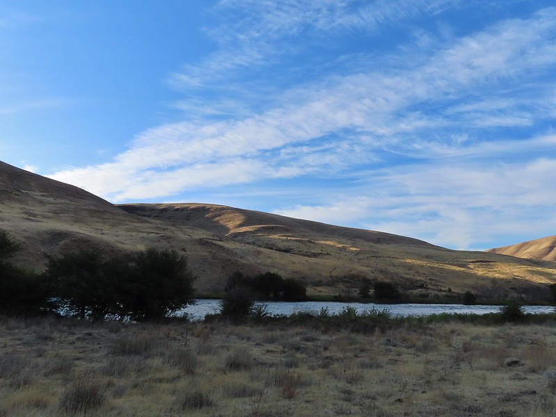
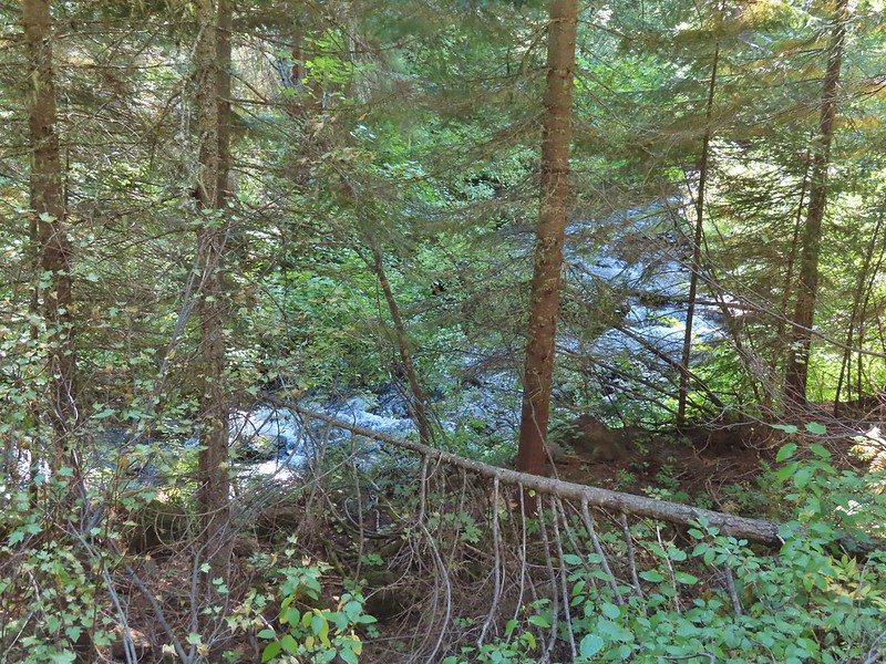
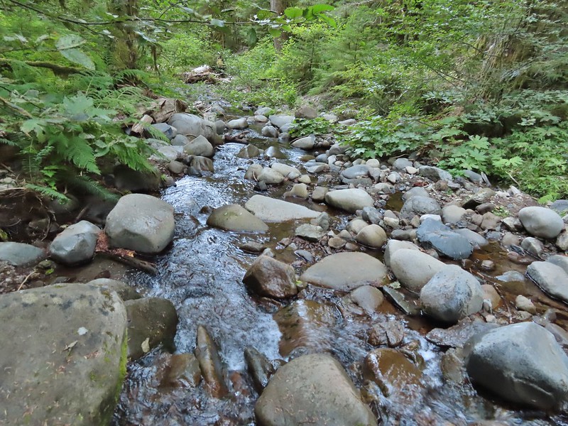
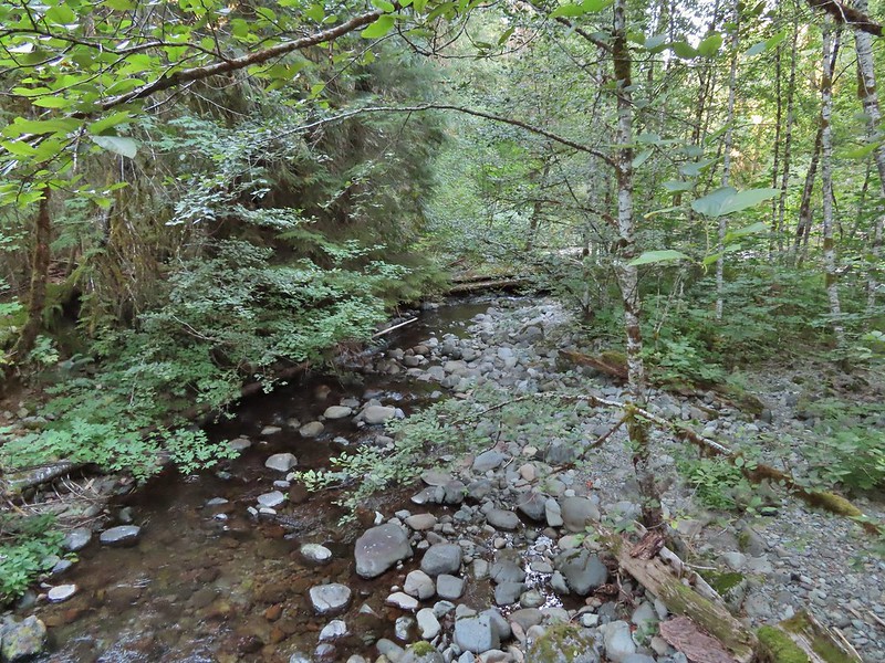
 Soap Creek near Sulphur Springs.
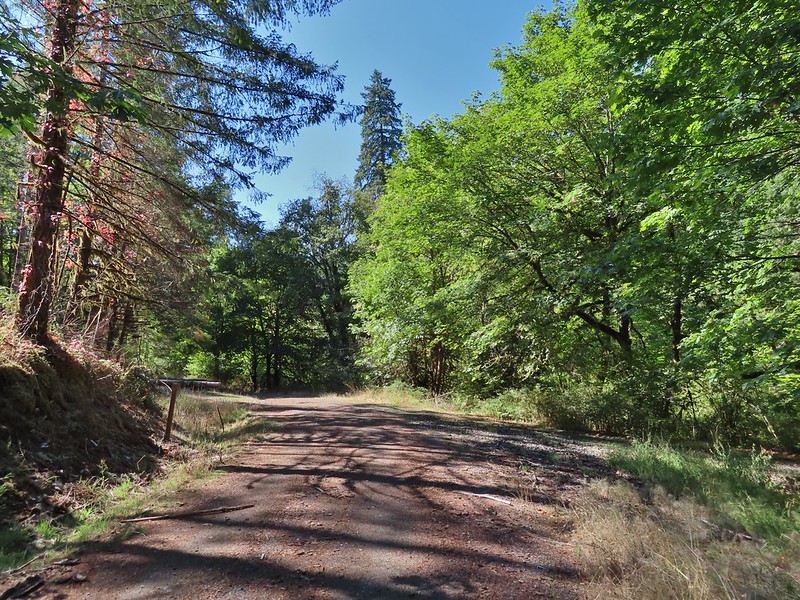
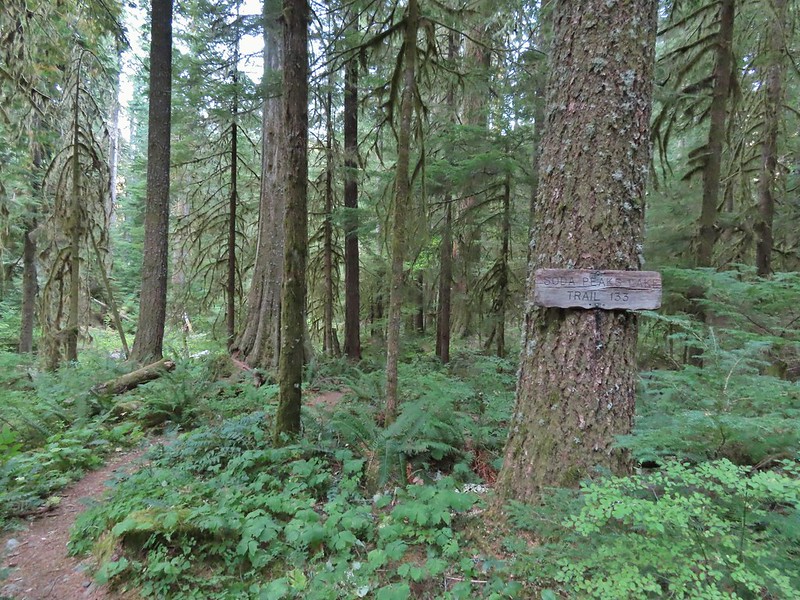
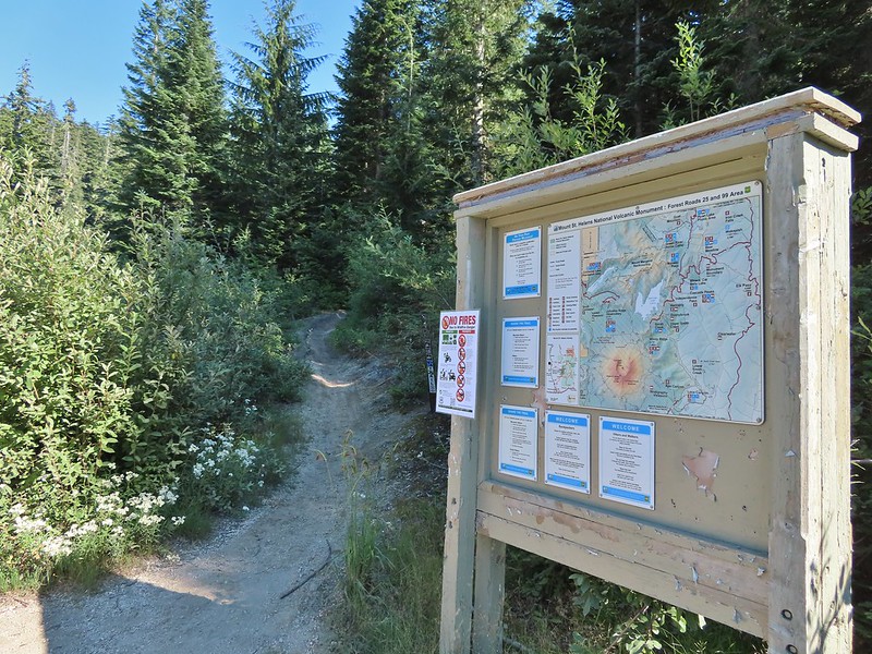
We then returned to Sulphur Springs Road and turned left (west) following it for 0.4 miles through some residences to the Sulphur Springs Road Trailhead.
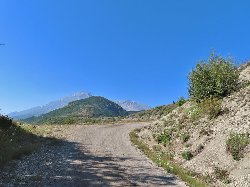
 Sulphur Springs Road from the pullout.

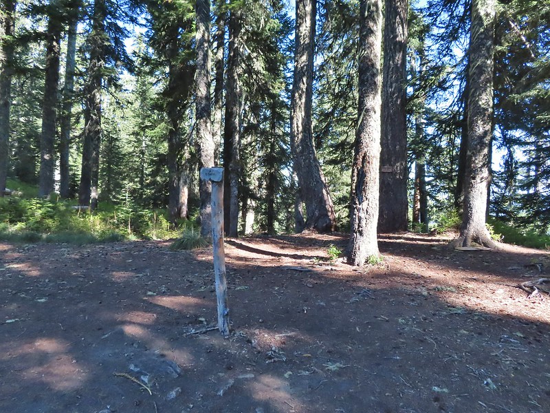
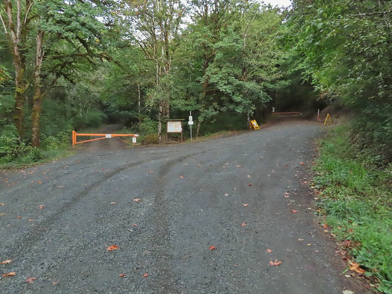 Sulphur Springs Road Trailhead.
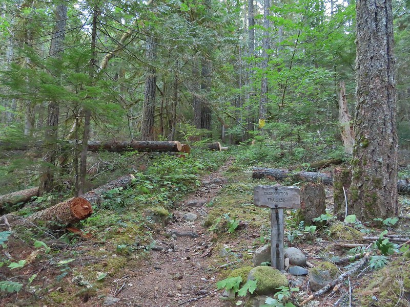
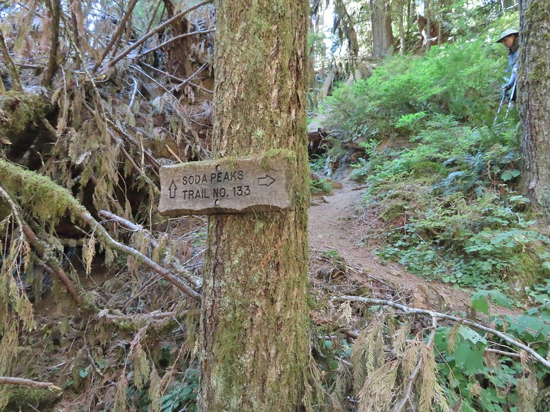
Our plan had been to combine a pair of hikes described in the Oregonhikers.org field guide, the McCulloch Peak Loop Hike and the Sulphur Springs via Alpha Trail Hike by connecting them using the gravel roads in the forest.

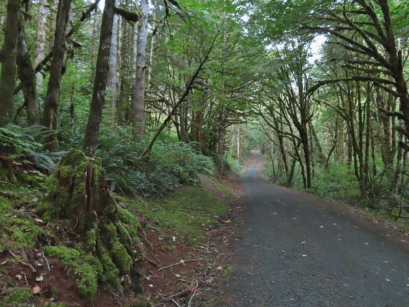
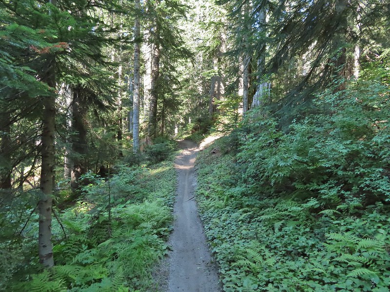
We continued on Sulphur Springs Road (Road 700) past an orange gate to the left of the signboard.
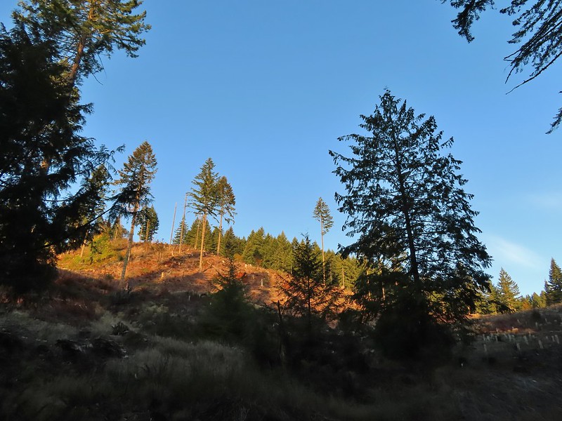
Approximately 1.5 miles beyond the gate we came to an intersection below a clearcut where pointers in both directions were labeled McCulloch Peak.

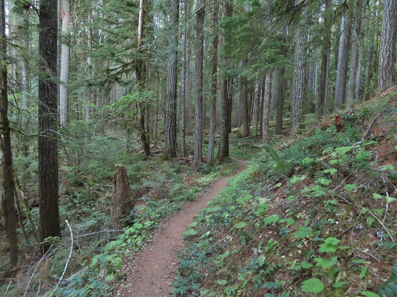
We followed the Oregonhikers guide and went right on Road 760. We followed this road for 0.4 miles to an the unmarked, unofficial Rocky Road Trail.
 We stayed right at this junction with Road 761.
 The Rocky Road Trail.
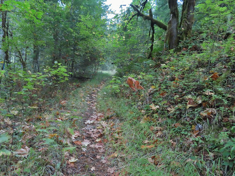
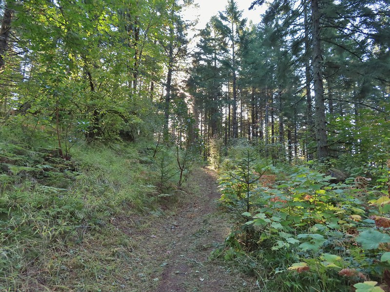
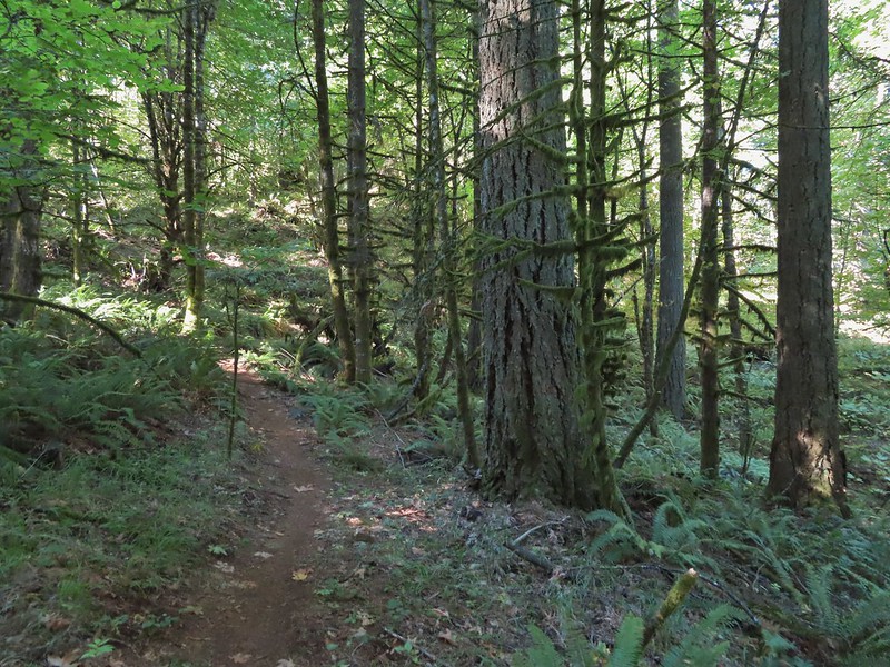
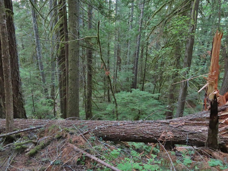
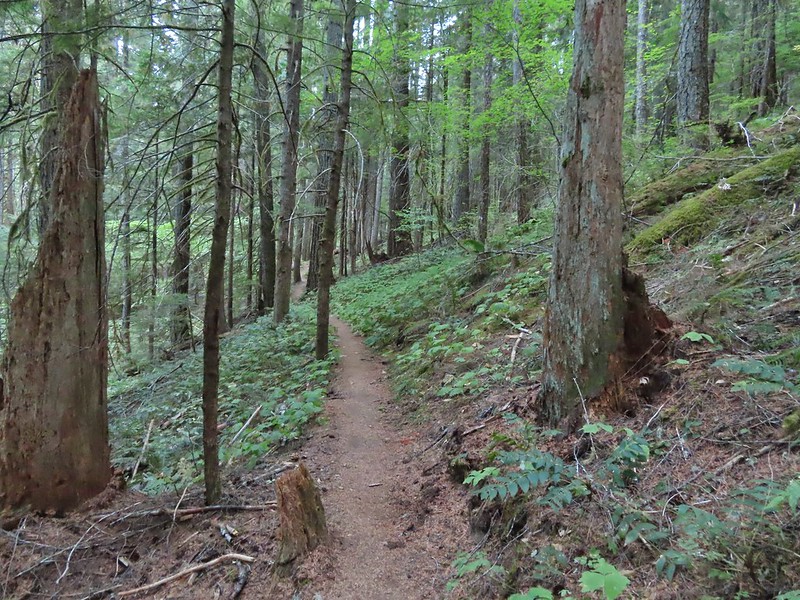
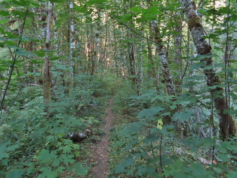
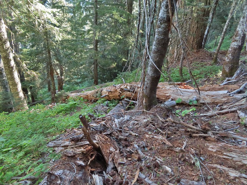
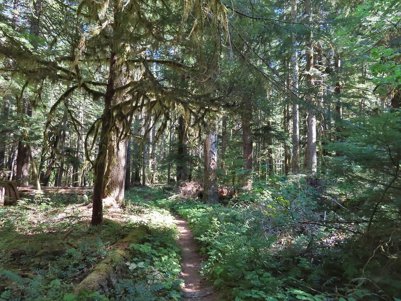
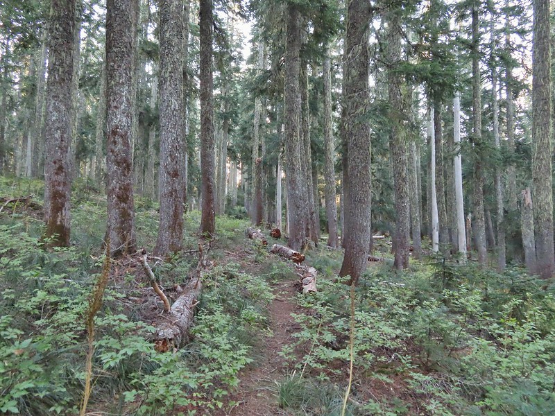
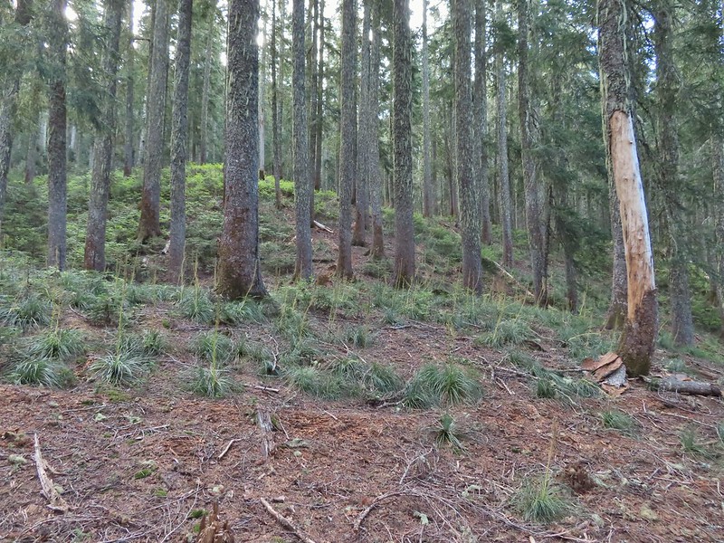
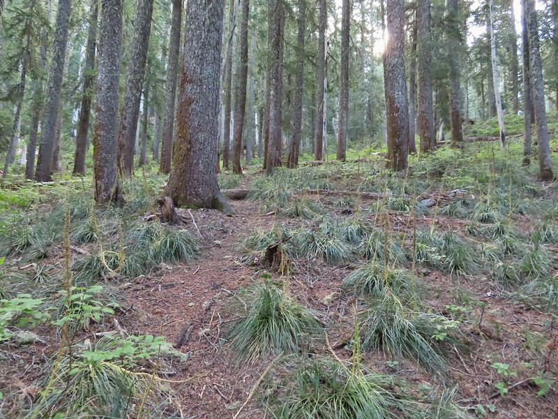
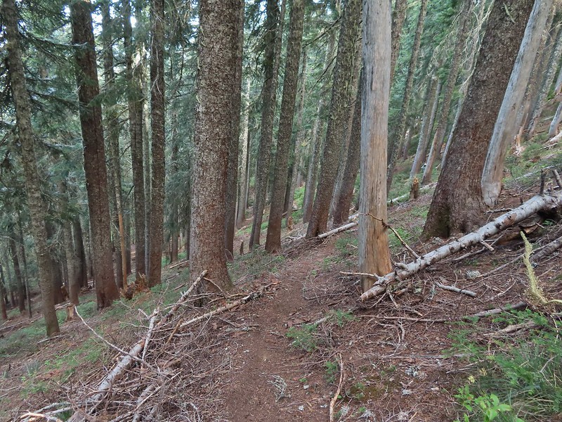
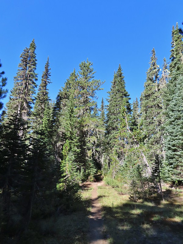
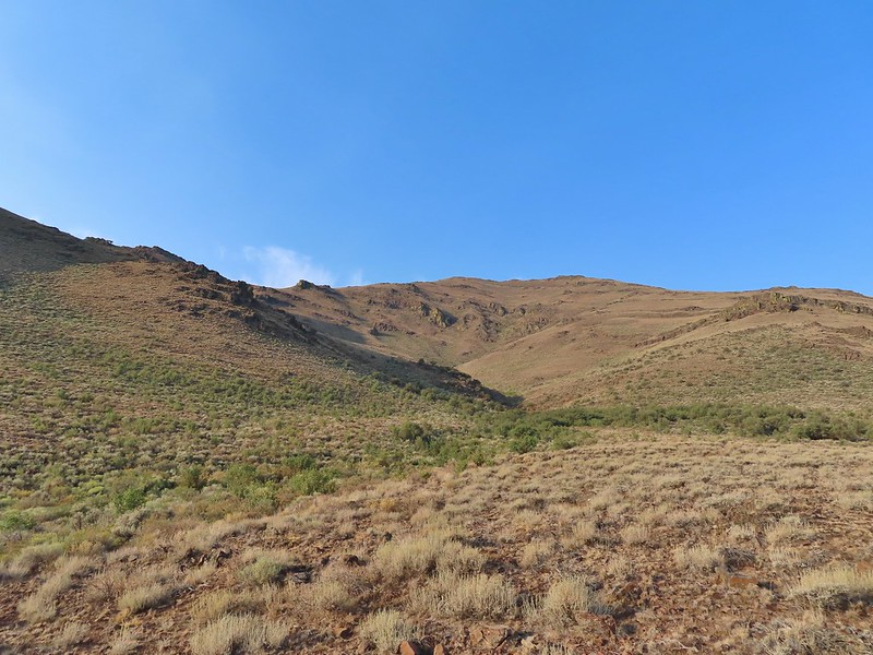
The sheer number of roads and trails (both official and unofficial) makes it really easy to get turned around in the forest so having plenty of maps and a plan handy helps. Roads and trails come and go as the forest is used for research purposes by Oregon State University. The Rocky Road Trail is an unofficial trail that follows an old road bed half a mile uphill before rejoining Road 760.
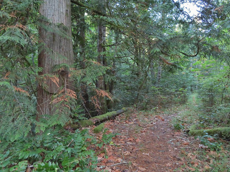 A good sized cedar along the trail.
 Road 760 ahead.
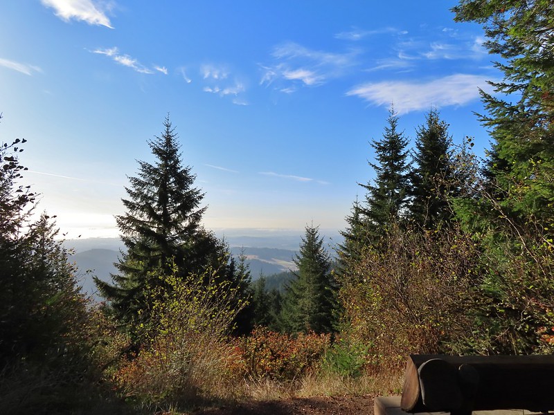
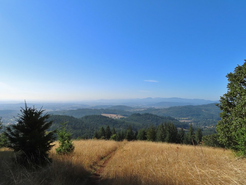
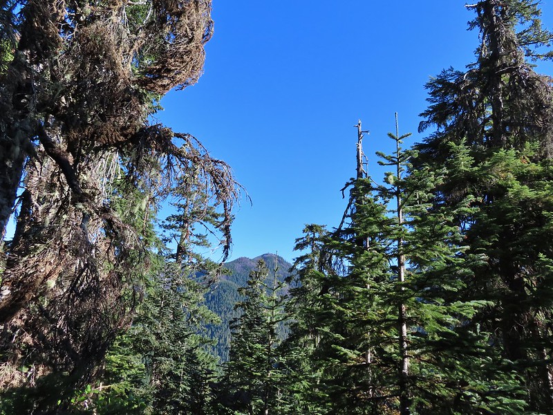
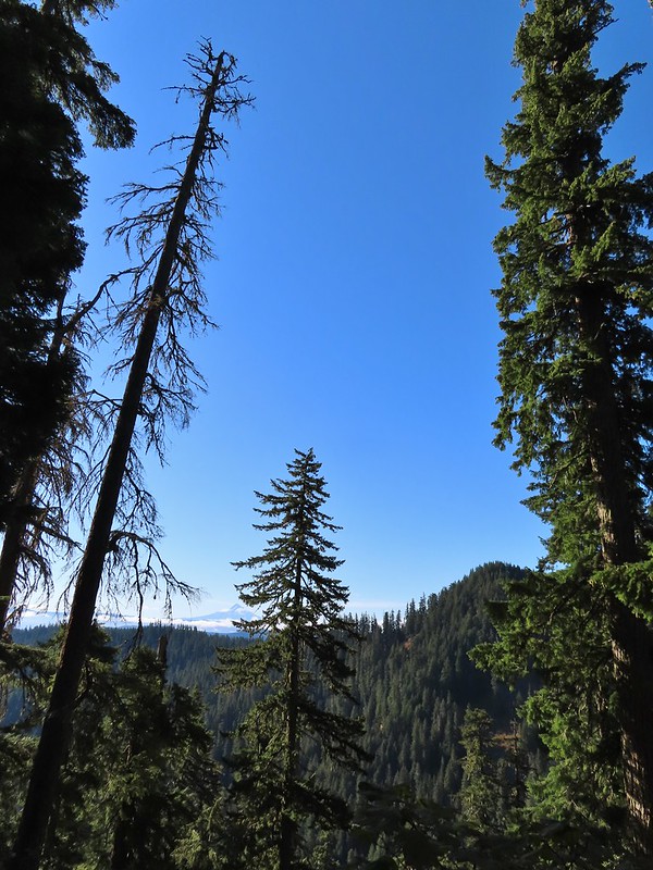
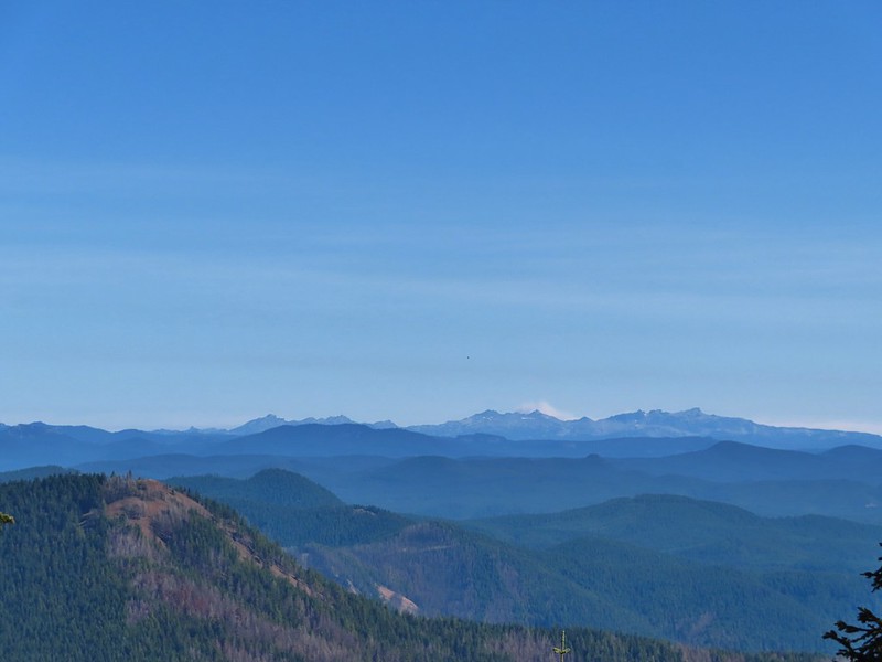
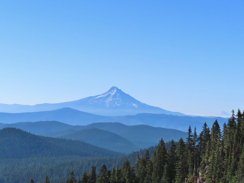
We turned left on Road 760 and followed it for another quarter mile to a junction with Road 700 where we again turned left. Road 700 followed a ridge briefly providing views of the surrounding area then wrapped around a hillside and arriving at a junction with Road 7040 which was the first familiar sight to us.

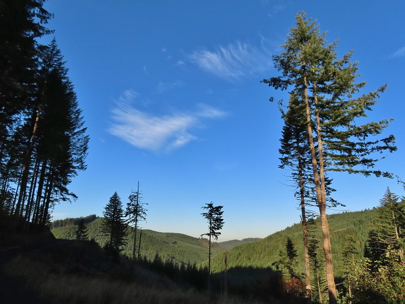
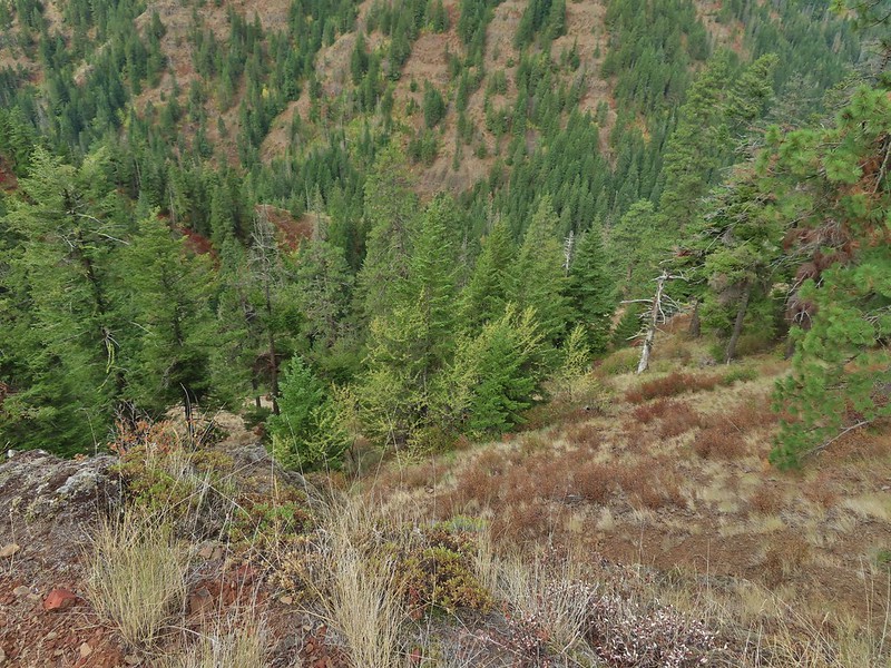
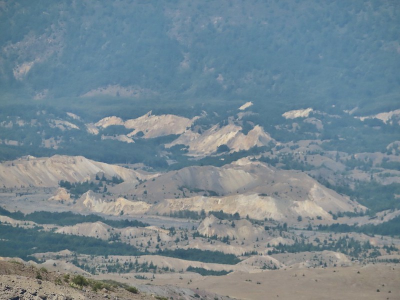
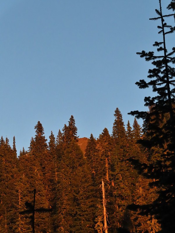
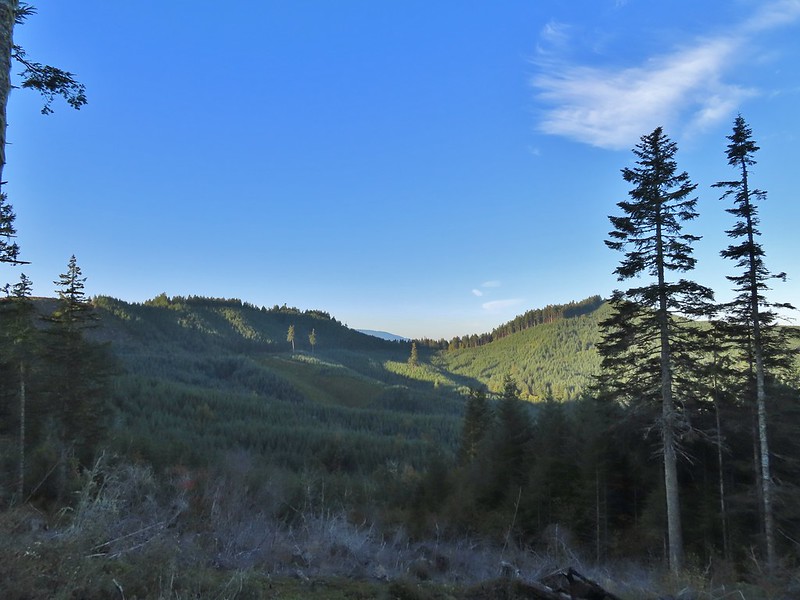 Interesting patchwork of trees. We would have liked to have been able to see when each section had been harvested and replanted.
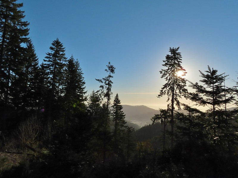 We couldn’t see much to the east due to the Sun’s position.
 Mary’s Peak (post)
 Road 7040 on the left.
We had returned down Road 7040 as part of our previous hike to McCulloch Peak but now we stuck to Road 700 for another quarter mile to a 4-way junction where we turned right on Raod 790.
 Pointer for McCulloch Peak at the junction. We had come up from Road 700 on the right.
 The rest of the 4-way junction. After visiting the peak we would head downhill following the pointer for Oak Creek.
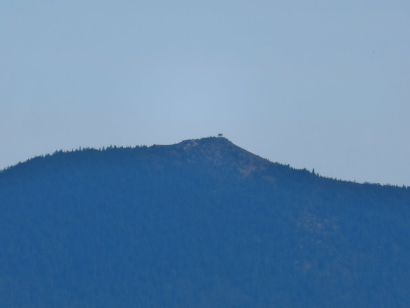
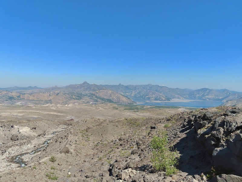
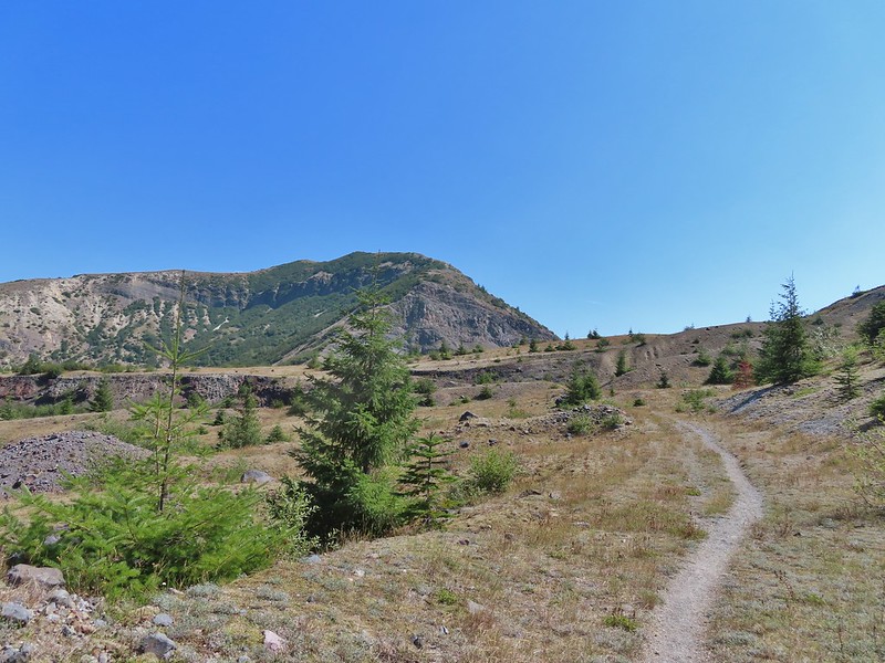
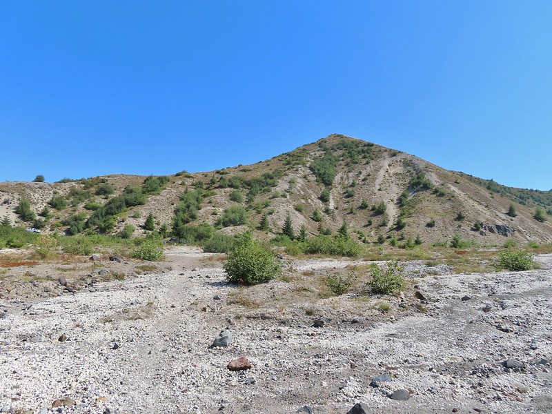
We followed Road 790 a half mile to its end at the peak.

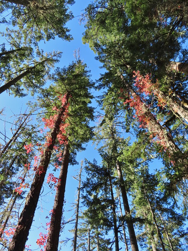
It was just a little hazy to get much of a view from the peak so we headed back by following an unofficial trail down from the summit to a spur road not shown on the maps which connected to Road 790 a tenth of a mile from the summit.
 Trail to the spur road.
At the 4-way junction we followed Road 700 downhill for a little over three quarters of a mile to a junction with Road 680.


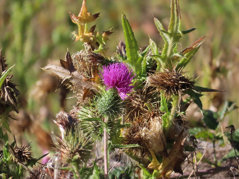
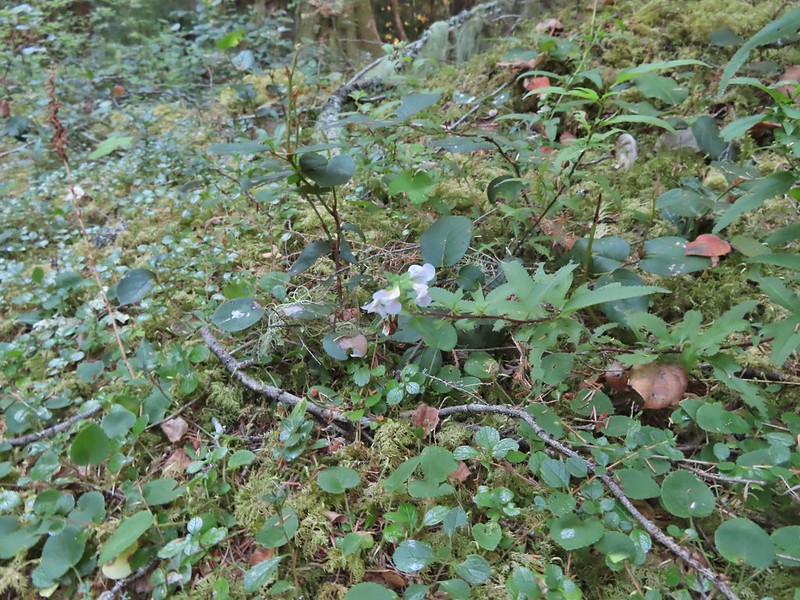
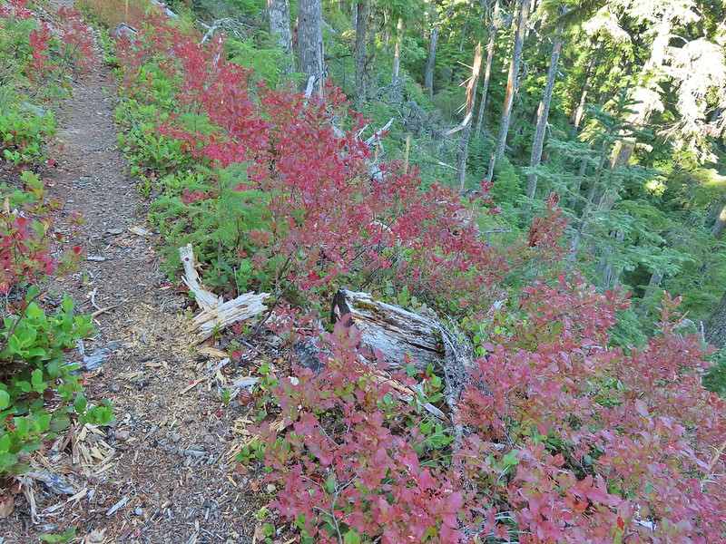
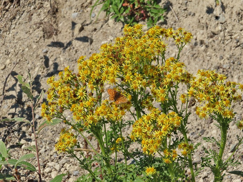
 Fading pearly everlasting.
 We stayed left here which was the shorter route.
 Madrone
 Tree island at the junction with Road 680.
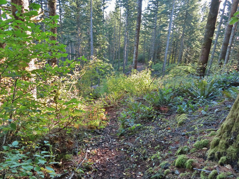
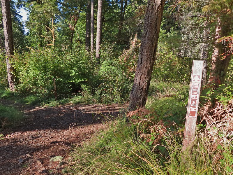
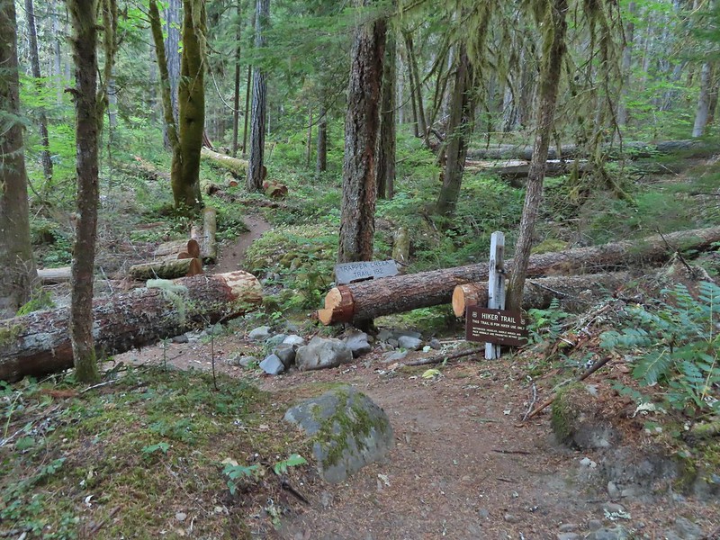
We had originally planned on taking Road 680 from the junction but a short distance up that road there was an unofficial trail showing on the Oregonhikers Field Guide Map which looked like it would cut some distance off our hike. The trail was obvious and had even been recently brushed.
This trail began with a short climb then headed downhill reaching a junction with the Uproute and Extendo Trail near Road 680.


 Nearing the trail junction.
 Poison oak climbing trees.
 Signs for the Uproute and Extendo Trails.
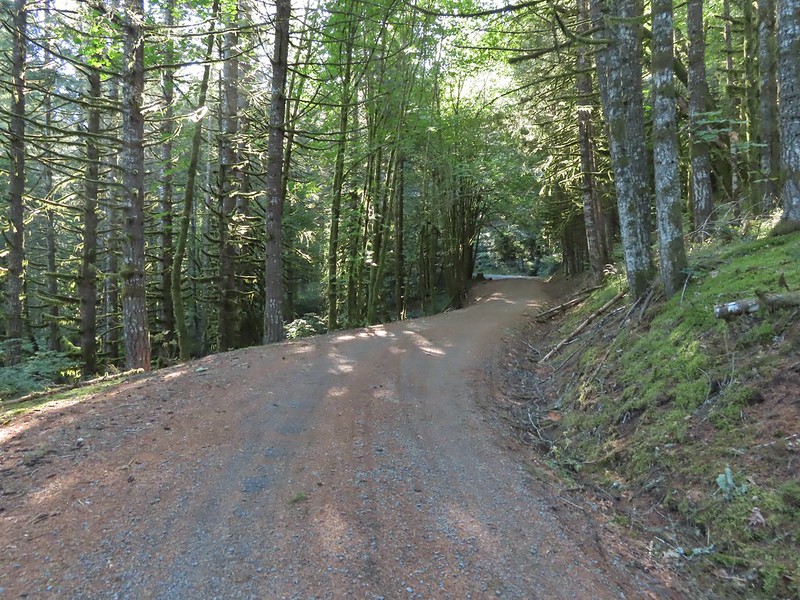
 Road 680
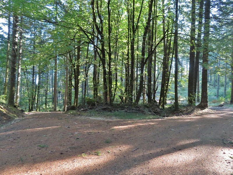
We turned right onto Road 680 and followed it a half mile to a signboard at Road 600.


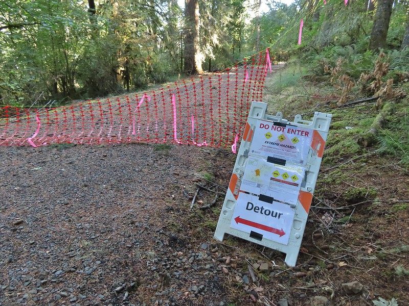
At this signboard was a notice that a portion of Road 600 was closed so we spent some time reviewing the map to come up with an alternate route.

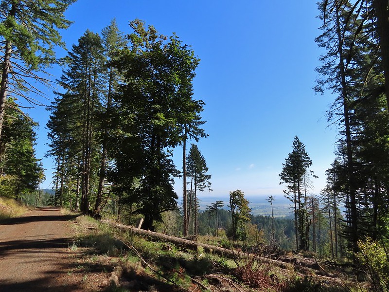
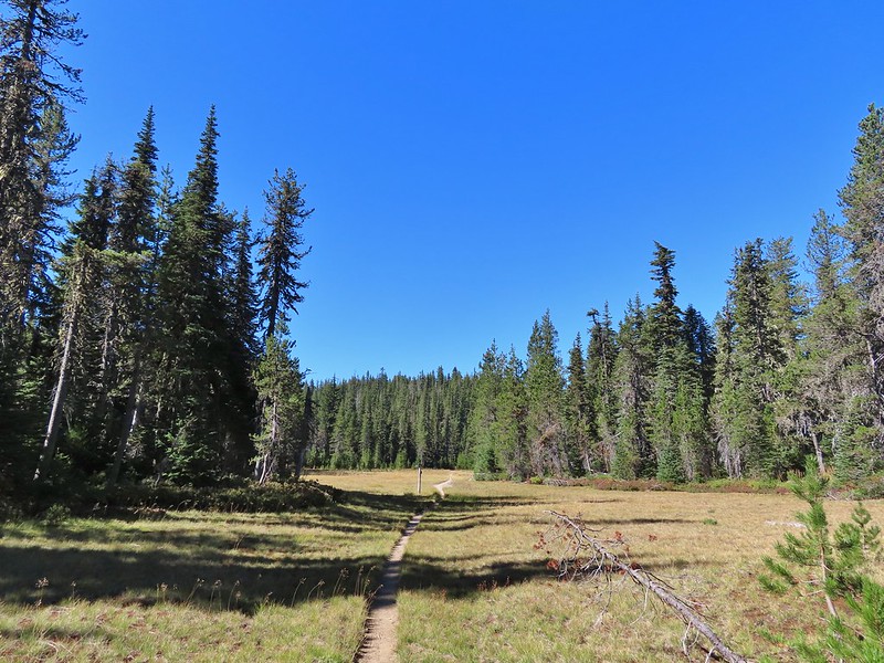
We had planned on following Road 600 all the way to the Ridge Trail at Lewisberg Saddle which we had visited on our Peavy Arboretum hike but the closure was going to force us onto the Bombs Away Trail which would hook up with the Ridge Trail half a mile from Lewisberg Saddle. We didn’t feel like adding another mile to our hike so we would only be connecting two of our three previous hikes this time. We followed Road 600 uphill for a mile and a half to yet another 4-way junction.
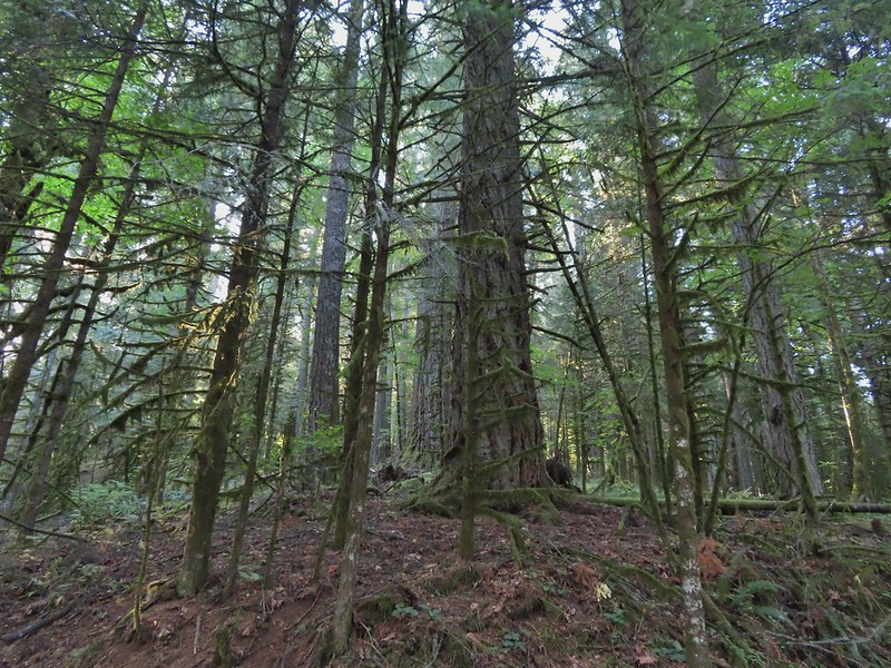 A few larger trees in the forest.
 A sea of green grass.
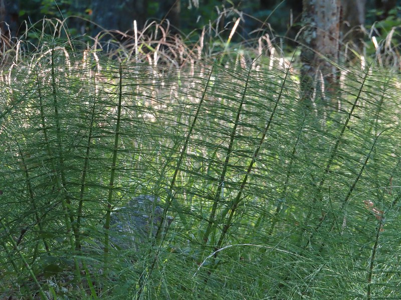 Horsetails
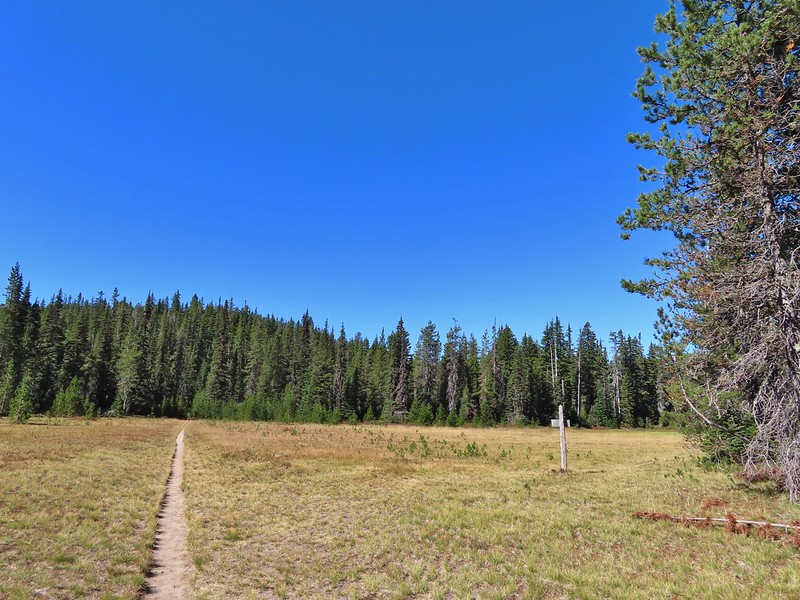
 The 4-way junction.
We had been to this junction during our hike to Dimple Hill and hadn’t originally planned on making the 0.4 mile side trip to that viewpoint but with the upcoming detour and a couple of shortcuts we’d already taken we decided to revisit the hill. We turned right on Road 650.


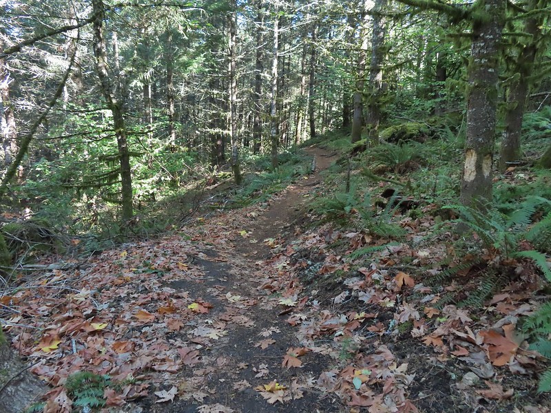
After two tenths of a mile we left the road and followed a pointer for Upper Dan’s Trail.

 Summit of Dimple Hill.

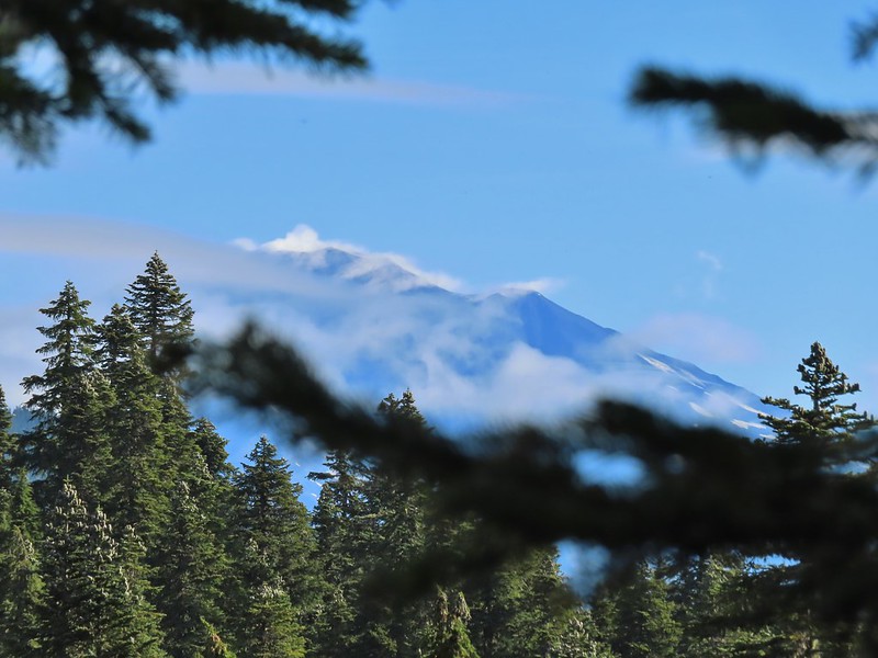
The view here was a bit better than it had been at McCulloch Peak. We could at least see Mary’s Peak by walking just a bit downhill.
 Mary’s Peak
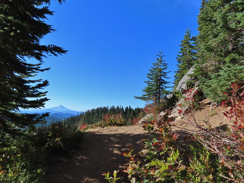
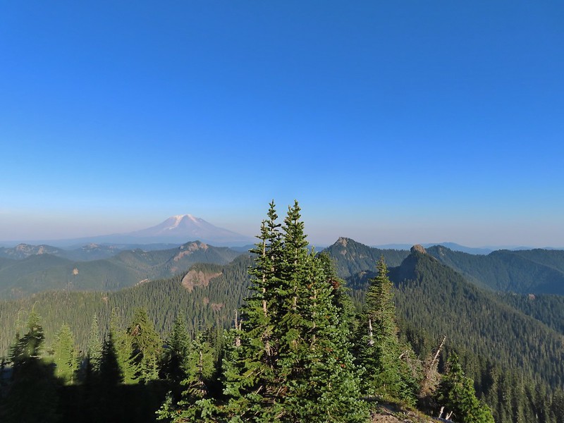
After a short break we followed Road 650 back to the 4-way junction and turned right back onto Road 600. Three quarters of a mile later we arrived at the closure. Along the way the road passed through a clearcut where we could just make out the tops of Mt. Hood, Mt. Jefferson and the Three Sisters.
 Approaching the junction on Road 650.
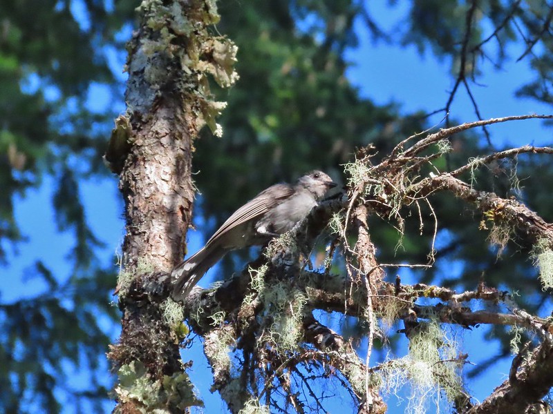
 Junco
Junco
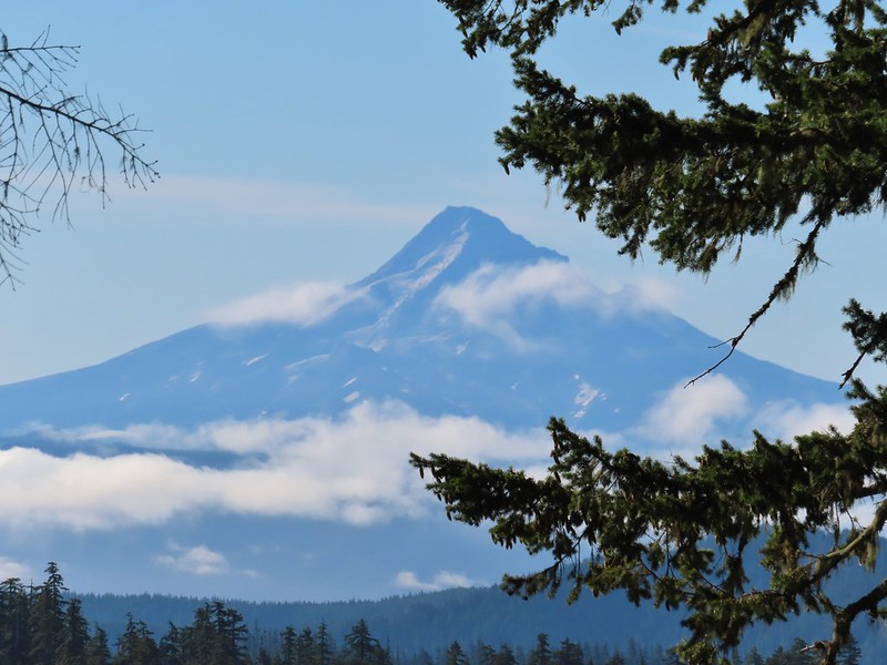
 Mt. Hood
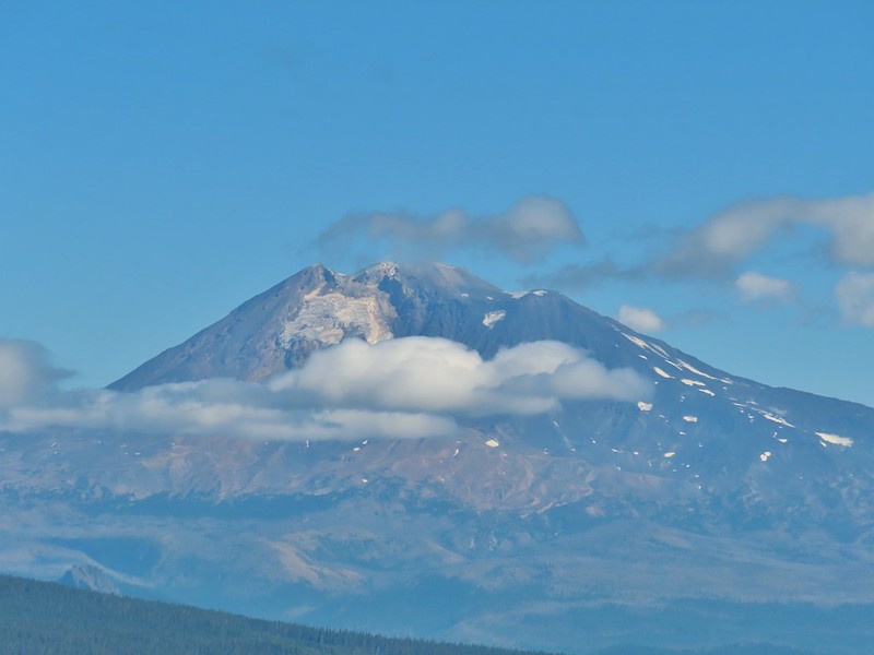
 Mt. Jefferson
 The Three Sisters

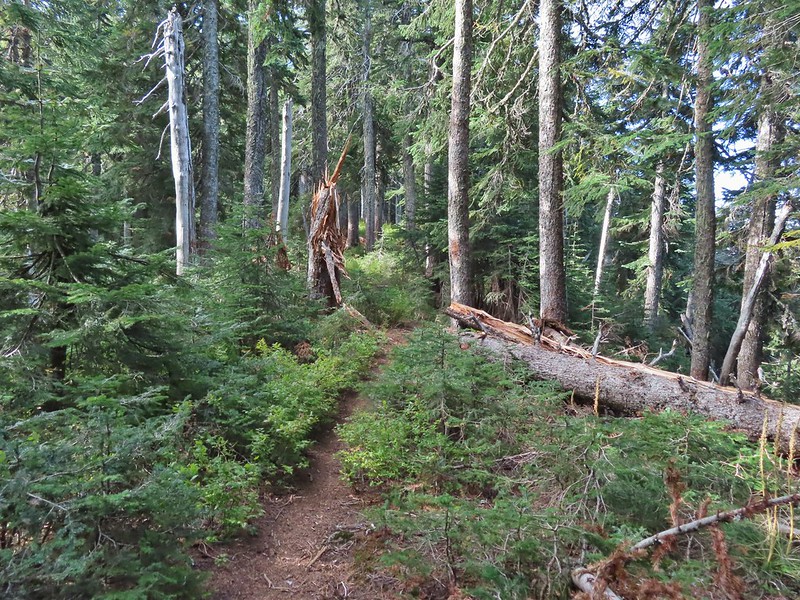
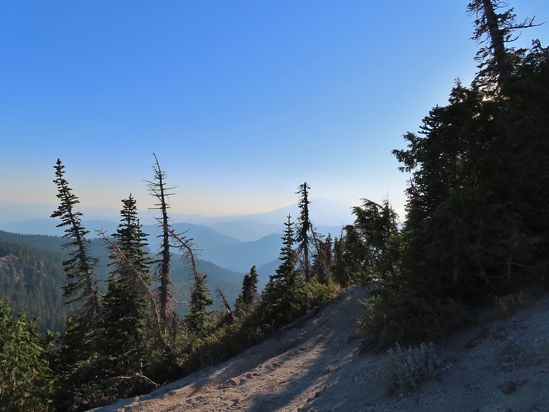
We made a hairpin turn at the closure onto the unsigned High Horse Trail.

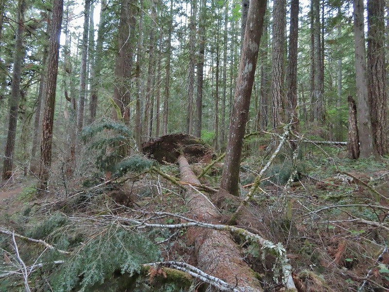
Things got a little confusing at this point. The maps on the signboards (we had taken photos with our phones) showed the Bombs Away Trail as a planned trail for 2020. From the placement on the map it appeared that it split off of the High Horse Trail very close to Road 600 but we wound up climbing a series of switchbacks for half a mile before arriving at an unsigned 4-way junction.

 The High Horse Trail and another trail heading uphill at the 4-way junction.
 What we assume is the Bombs Away Trail on the left and the High Horse Trail on the right at the 4-way junction.
We took the first trail on the right since it was headed in the correct direction hoping it was indeed the Bombs Away Trail. What we found was a braided mess of trails coming and going on each side. We relied on our GPS to make sure we stayed headed in the right direction and after a confusing 0.6 miles we arrived at Road 640.

 Left or right? More often than not both ended up in the same spot.
 Road 640
The trail continued on the far side of the road. This stretch was more straight forward ending at Road 620 after 0.4 miles.


On the far side of Road 620 we found the Ridge Trail which we followed for a tenth of a mile to a junction with the Alpha Trail.

 Junction with the Alpha Trail.
We turned left here onto the Alpha Trail.

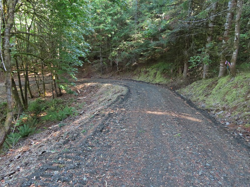
After 0.4 mile the Alpha Trail dropped us out onto Road 810 which we followed downhill 0.6 miles to Road 800.


 Looking back at the Alpha Trail from Road 810.

 Road 800 below Road 810.
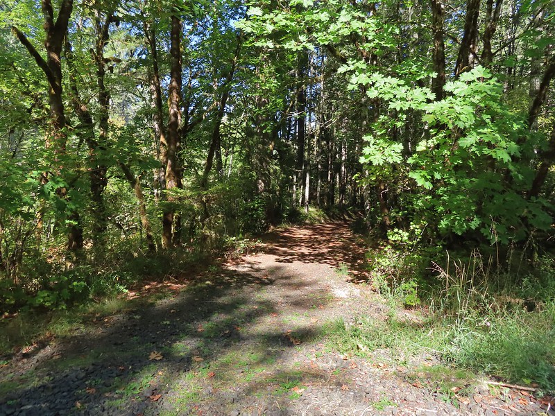
We turned left on Road 800 for three tenths of mile then turned right onto the Baker Creek Trail.
 Baker Creek Trail ahead on the right.
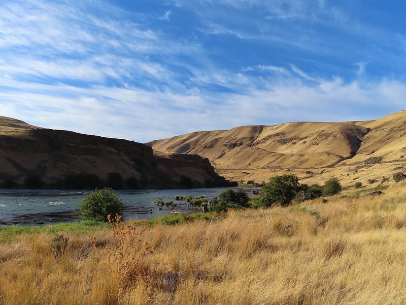
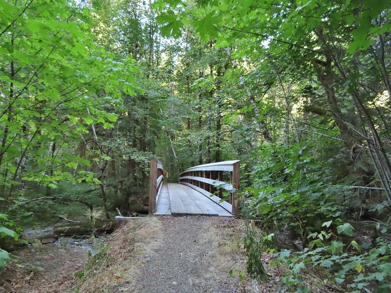
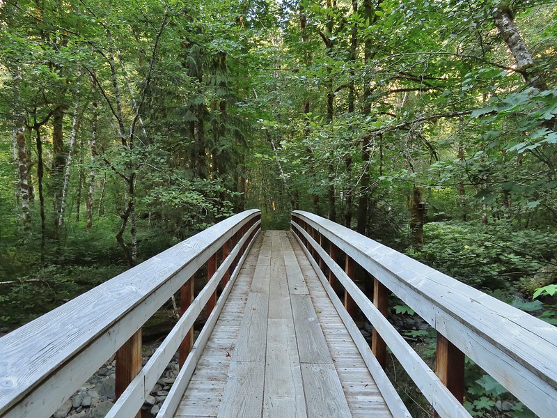
The Baker Creek Trail followed Baker Creek (heard but not seen) for two tenths of mile before crossing Soap Creek on a 1923 Pony Truss Bridge.
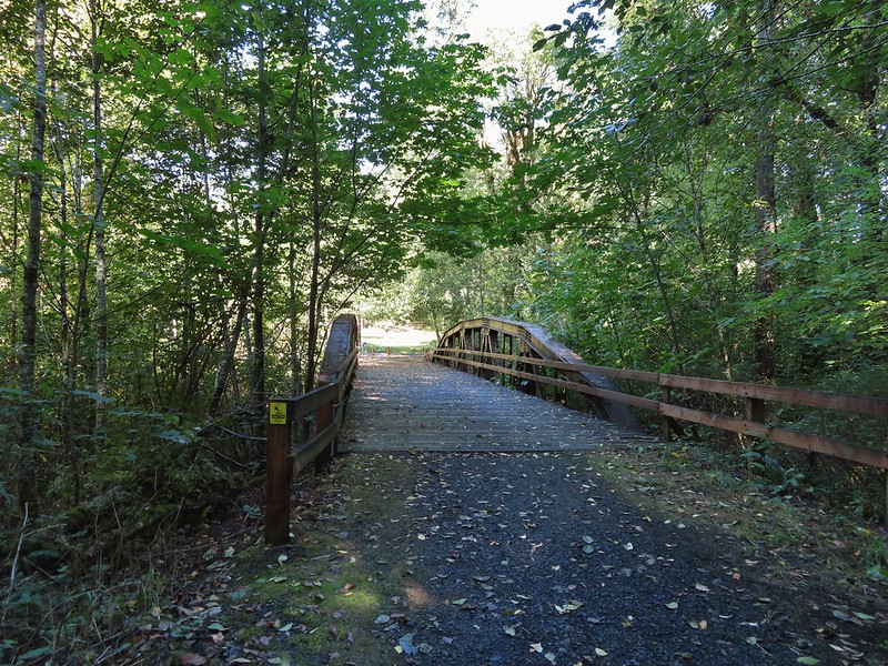
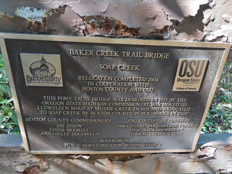
The Baker Creek Trailhead was just on the other side of the bridge as was Sulphur Springs Road. We turned left and walked 100 yards up the road back to our car.

After a brief stop at home to clean up we headed to Portland to say our last goodbyes to Grandma. She always enjoyed hearing about our hikes and looking at the pictures, and she eagerly anticipated the calendar we made each year with them. She passed the following Monday night and is with the Lord now. We’ll think of her often when we’re out exploring. Happy Trails Grandma!


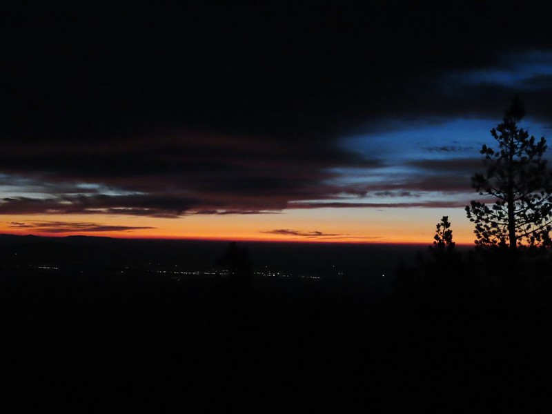
 Mt. Bachelor
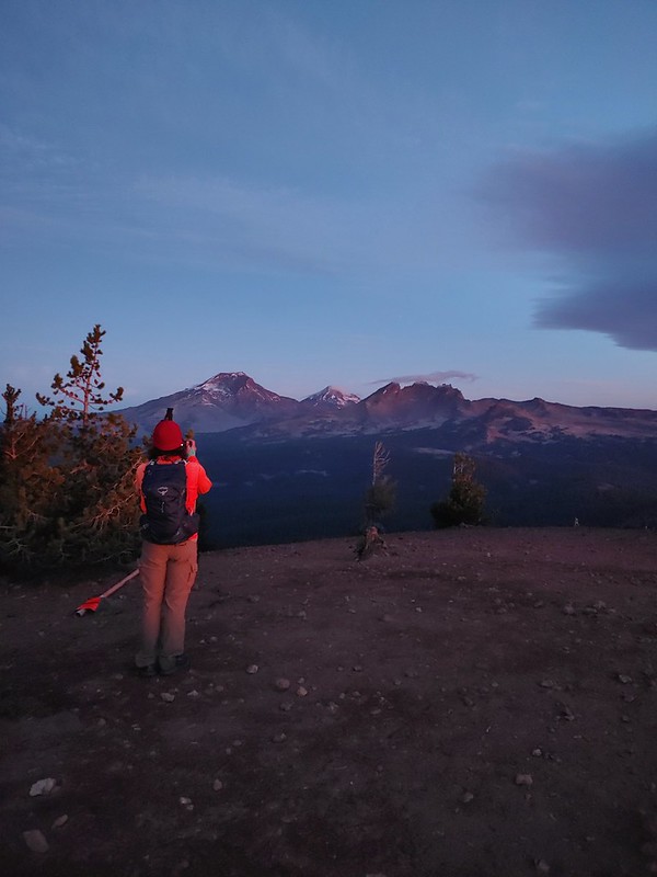 The Three Sisters and Broken Top
 Mt. Bachelor via the Nikon.
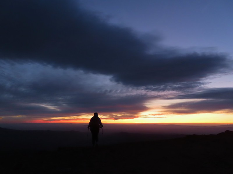 Heather watching the show taken with the Canon.
 The Three Sisters with the Canon.
 Canon
Canon Nikon
Nikon Mt. Bachelor (
 Canon shortly before the Sun became visible.
 Canon shortly before the Sun became visible.
 The Three Sister just before sunrise with the Nikon.
 The Three Sister just before sunrise with Heather’s phone.
 Canon moments before sunrise. A line of wildfire smoke on the horizon gave it a red tint.
 Canon
Canon Canon catching the Sun.
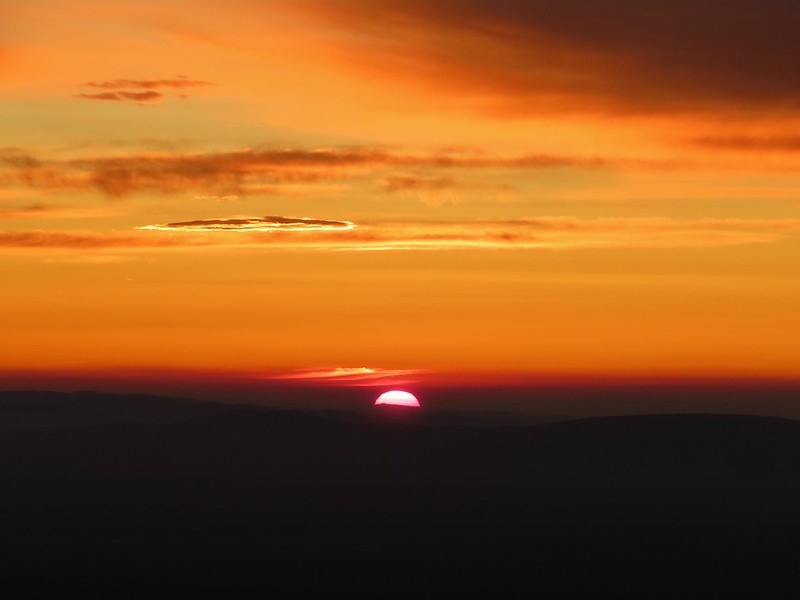 Canon
Canon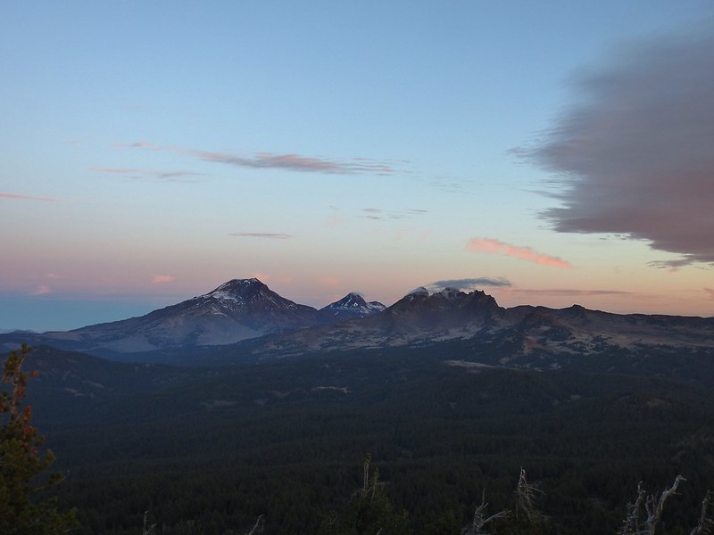 The Three Sisters and Broken Top (Nikon)
 South Sister (
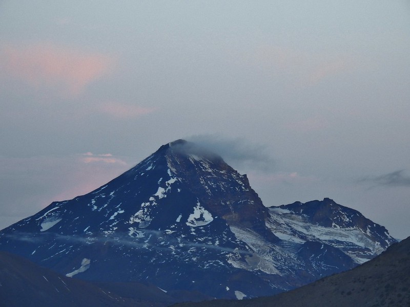 Middle and North Sister (Nikon)
 Broken Top (
 Aline glow hitting the mountains. (Canon)
 South Sister (Canon)
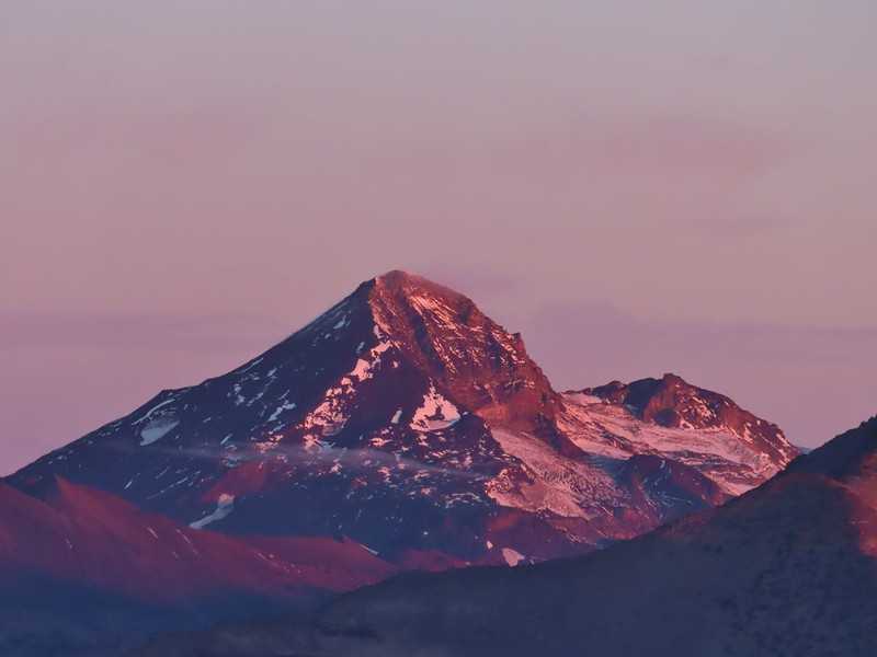 Middle and North Sister (Canon)
 Broken Top (Canon)
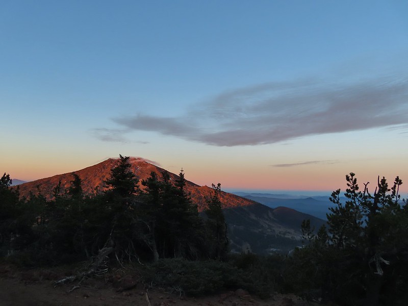 Mt. Bachelor (Canon)

 Mt. Scott to the left and Mt. Thielsen to the right.
 Grouse
 Chipmunk
 Mt. Bachelor as we arrived back at the snow-park.


 Sunlight on Haystack Butte in Washington.
 Part of Moody Rapids.
 Gum weed
 The last petals on a blanket flower.
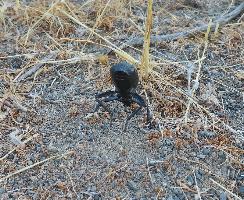 We saw several of these large beetles, all prepared to defend themselves.
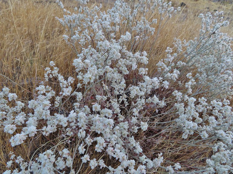 Snow buckwheat
 Chicory
 Seagull
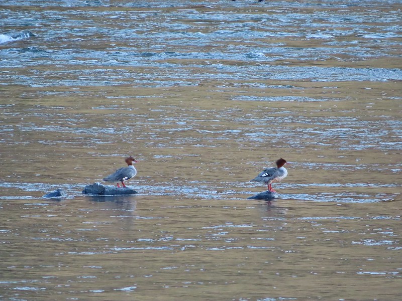 Mergansers
 Sparrow
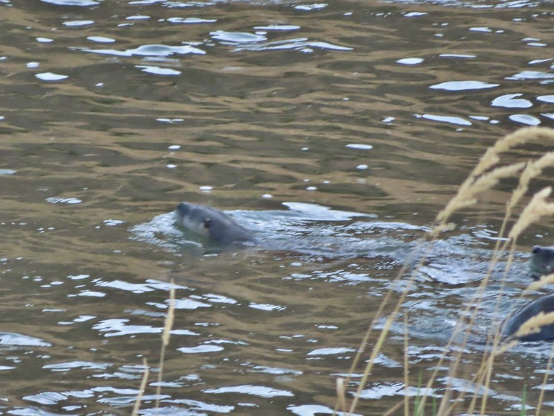 One blurry otter head and another partial otter on the right.
 A bunch of tree branches, oh and an otter in the water.

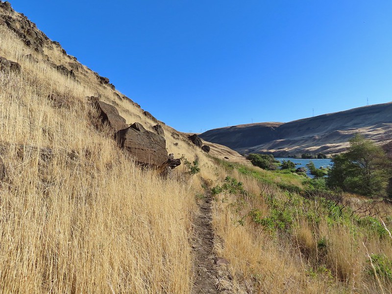
 At times there were multiple trails to choose from.
 Rattlesnake Bend is up ahead but we stopped here for a bit to watch a heron getting breakfast.

 A sparrow, possibly a Savannah sparrow.
 The trail climbed higher on the hillside for a bit to avoid some thick vegetation below.
 Rattlesnake Bend
 Railroad tracks above the trail.
 Looking back from Rattlesnake Bend near where we turned around.
 Rattlesnake Rapids
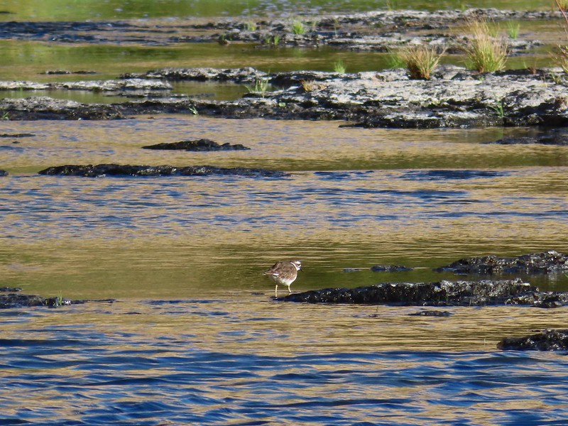 Killdeer
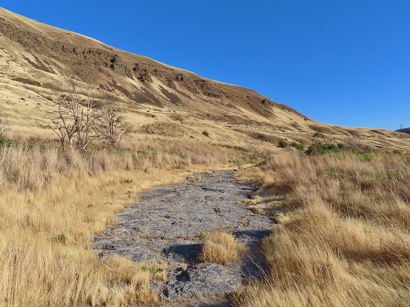 An older channel?
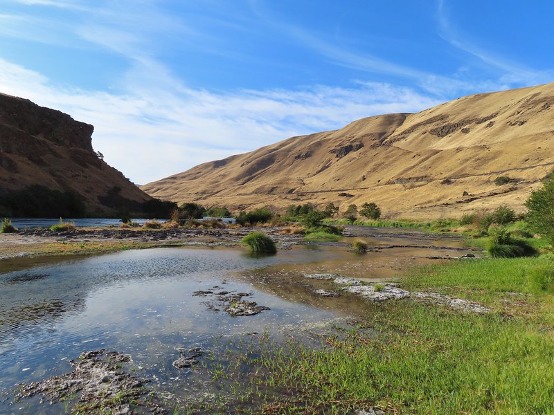

 Had to go back up to avoid the vegetation here.
 Ground squirrel
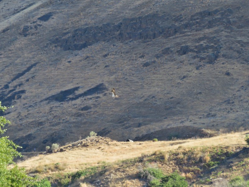
 Heron flying up river.
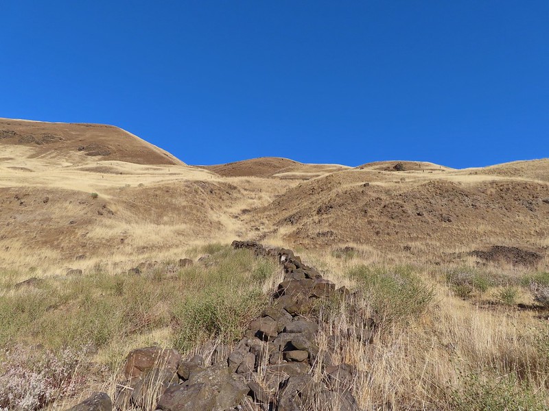 Old rock wall along the way.
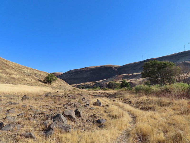 Typical use trail.
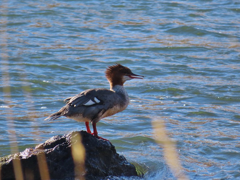 Merganser
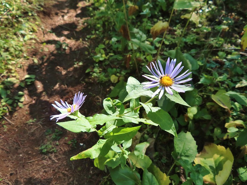
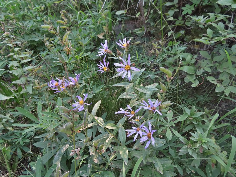
 Aster
Aster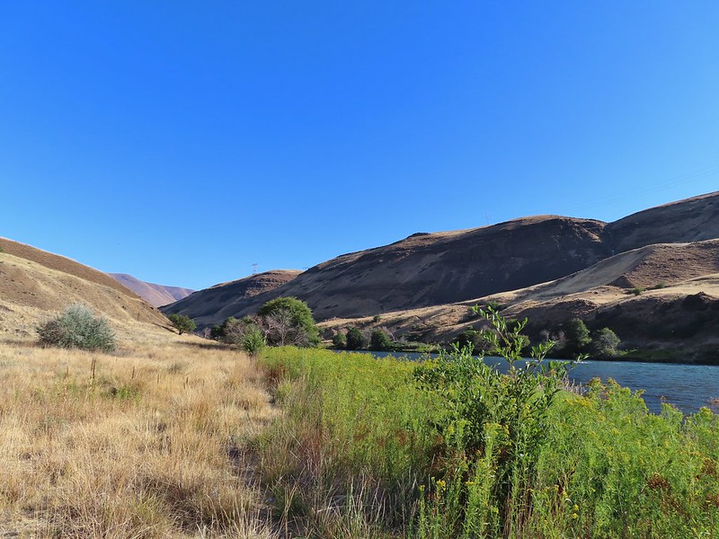
 Osprey showing up the fishermen.
 Finch
Finch More birds near the spring.
 Little yellow birds, maybe warblers?
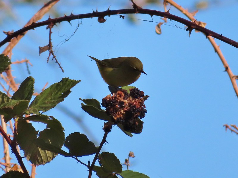 One of the yellow birds on a blackberry plant.
 Moody Rapids
 Haystack Butte
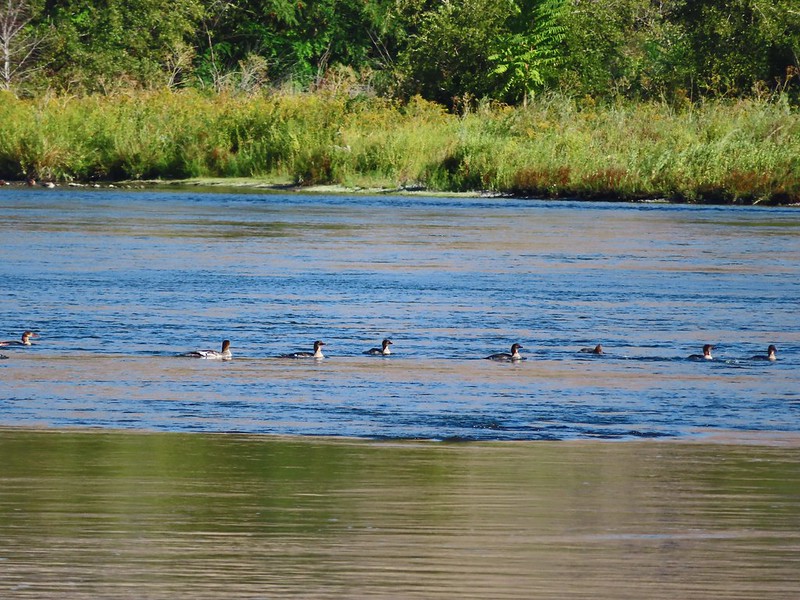 A line of mergansers.


 This squirrel was making an impressive amount of noise with its mouth full.
 Passing around one of the lake’s arms.
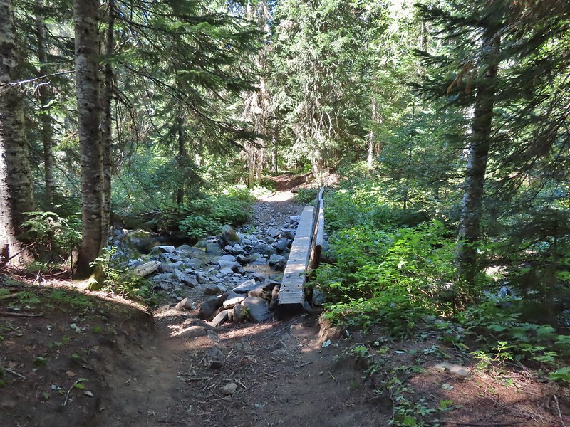
 One of several bridges over creeks.
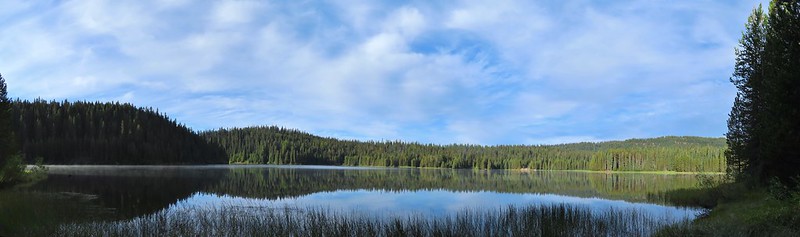
 Mergansers
 The view next to the bench.
 The view from the bench.
 Going around another arm.
 A checker-mallow
 Aster
Aster Forest as we neared the campground again.
 Arriving back at the ramp.

 The first part of the trail passed through a stand of trees.
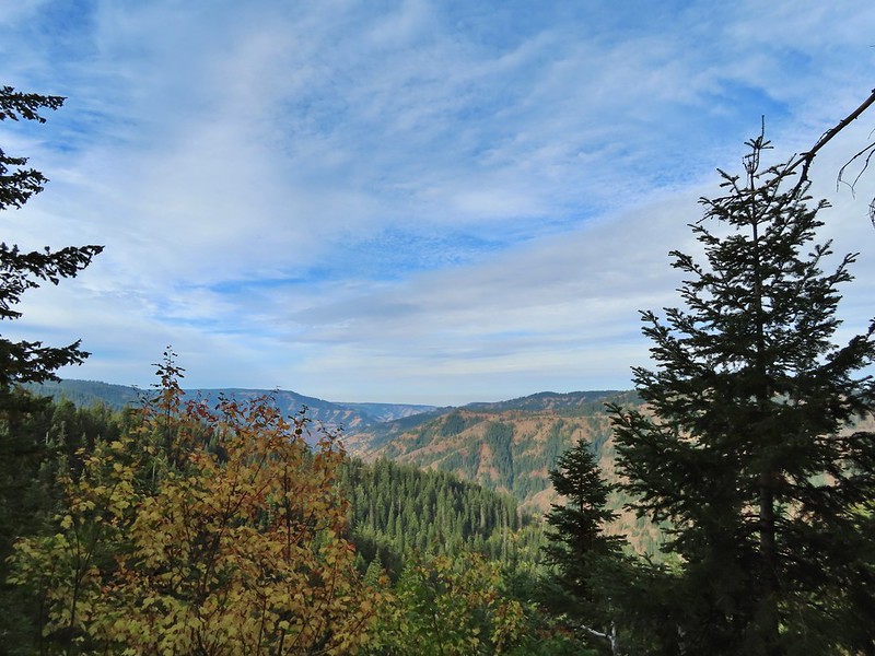 View to the west along the South Fork Walla Walla River canyon.
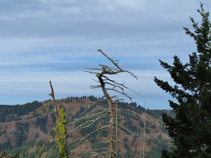 Loved the top of this tree.
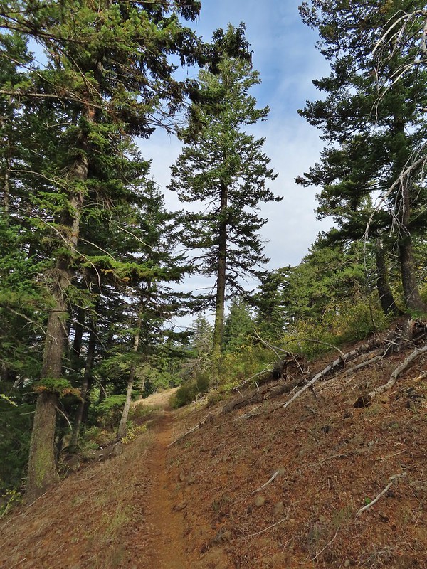
 Another view, there was just a hint of smoke in the air giving the hillsides a blue tint which is where the name “Blue Mountains” comes from. Apparently smoke has been a common occurrence here for a long time.
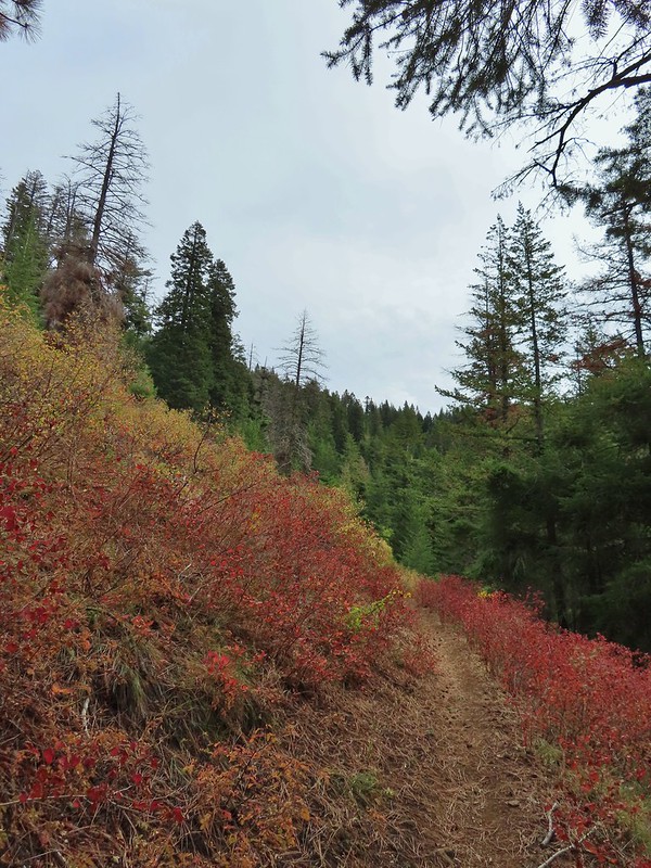
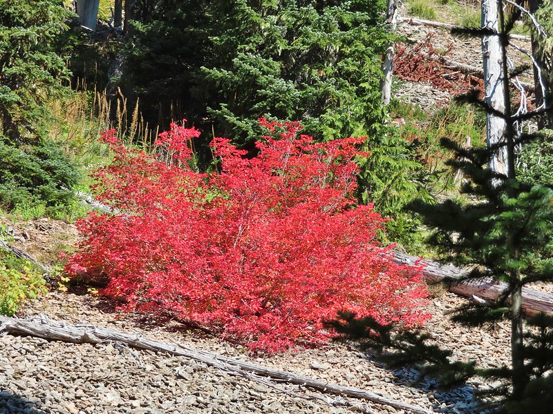
 There was a lot more Fall color along this trail.
 Paintbrush
 Cone flower
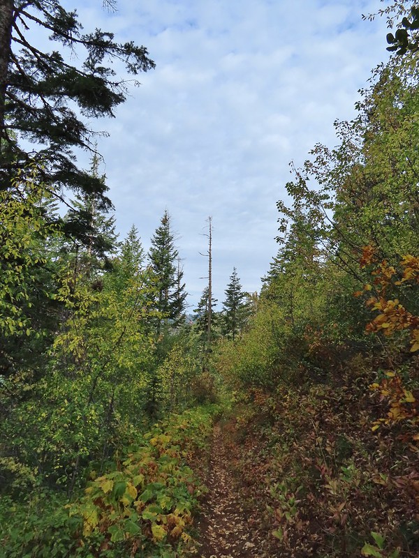
 Aster amid some thimbleberry leaves.
 Vine maple


 Looking down toward the Sheep Creek.
 Finally found the river.
 There was a 6 to 8′ waterfall along Sheep Creek but no way to get a clear view of it through the thick vegetation on a steep hillside.

 Two types of clover.
 Footbridge over the South Fork Walla Walla River.


 Reser Creek on the left joining the South Fork Walla Walla River just upstream from the bridge.
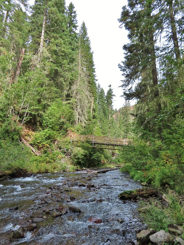 There were just enough exposed rocks for me to work my way downstream from the bridge to Sheep Creek.
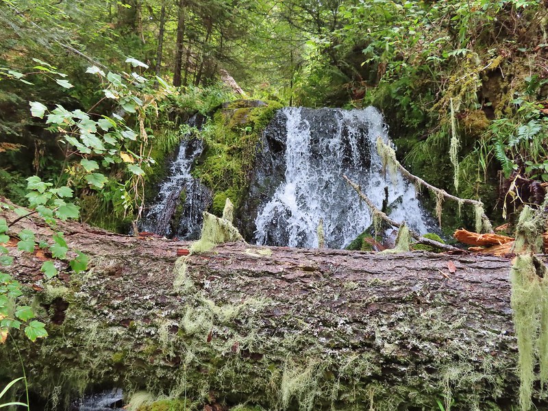

 A couple of the larch trees were just starting to turn color for the fall.
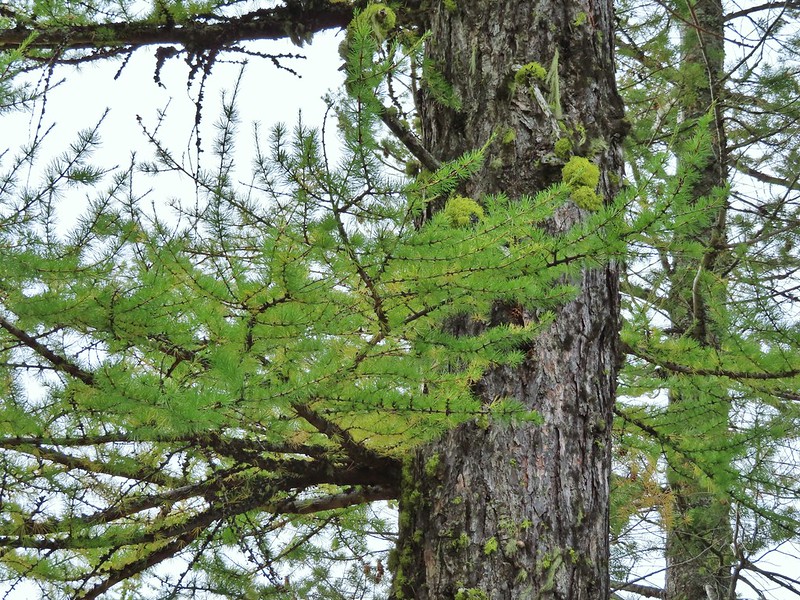

 A scarlet gilia blossom waiting to fall off.
 A final view back over the canyon with the crooked tree.
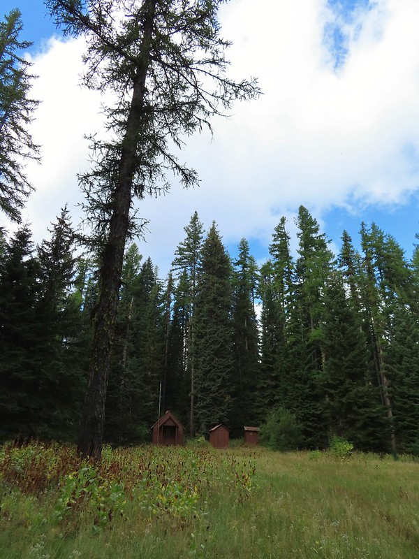 The guard station.
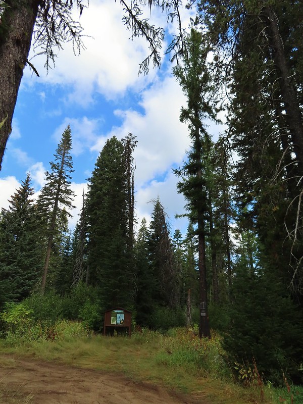 The only “parking spot” open near the actual trailhead.

 There was a lot of cone flower along the trail.
 It had rained the night before but most of the moisture had already dried up or evaporated.
 There were just a few flowers hanging on.
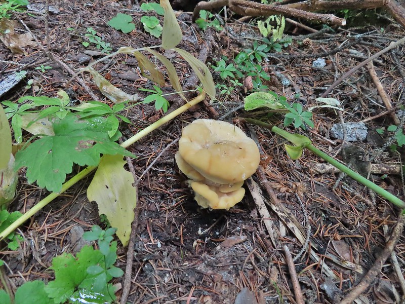
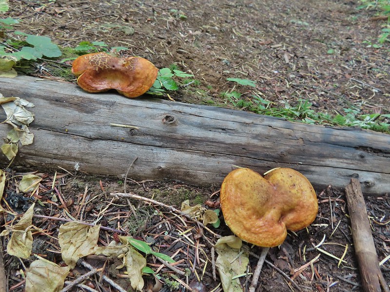 There was also a nice variety of mushrooms.
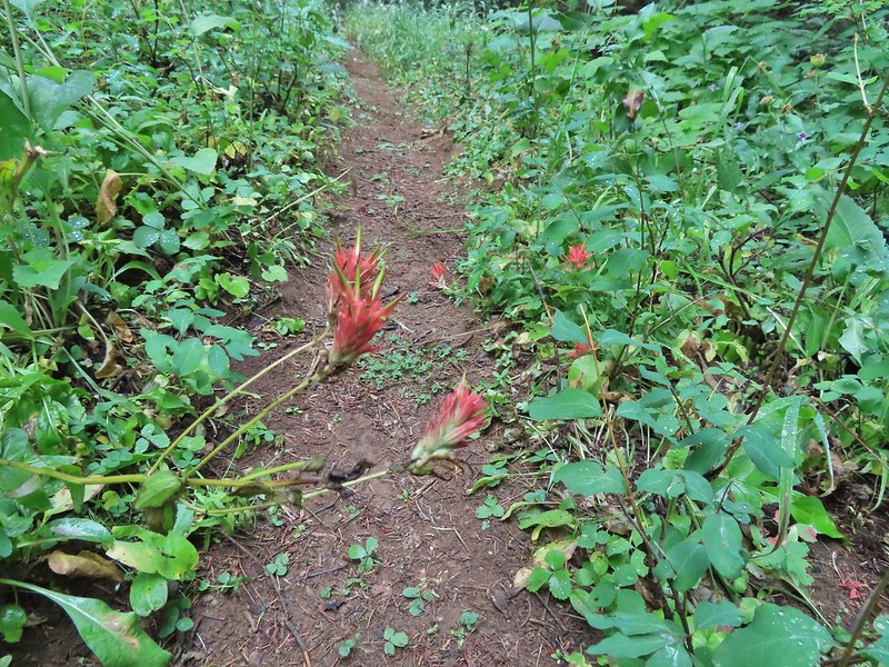 Paintbrush

 One of the small streams.
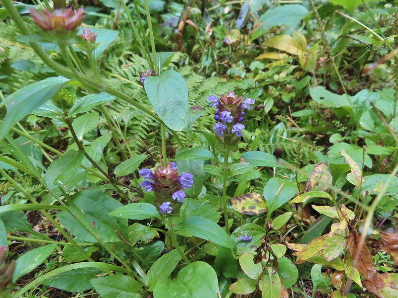 Self-heal
 There weren’t many views along the trail but this one was nice.
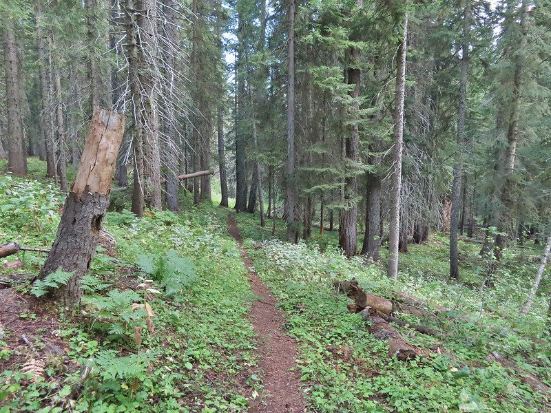
 Pearly everlasting
 Ghost pipe
 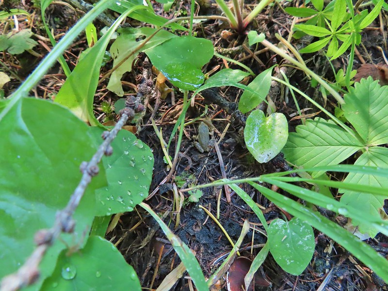 This was one of the smallest frogs we’ve seen. When I first saw it jump I mistook it for a grasshopper.

 South Fork Wenaha River


 One of two snakes we came across, both the harmless types.
 South Fork Wenaha River
 Fall colors along the trail.
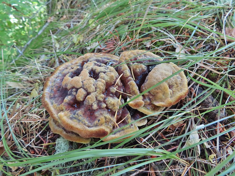

 Milk Creek with the Wenaha River Trail continuing on the far side.
 Milk Creek joining the South Fork Wenaha River.
 Elderberry near Milk Creek
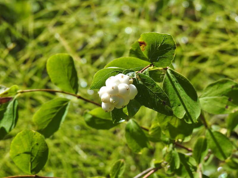 Snowberry
 Might be an aven?
 Coral fungus

 Aster
Aster
 A lone arnica still blooming.


 There were no signs for the obvious trail.

 Entering the


 Typical vegetation and trees on the ridge.
 We rediscovered tread as we dropped to a saddle near Janet Lake.
 Sign at the saddle between Peggy and Janet Lakes.


 Sleepy ducks
 I believe Oregon Hikers calls this one “Cindy Lake”.
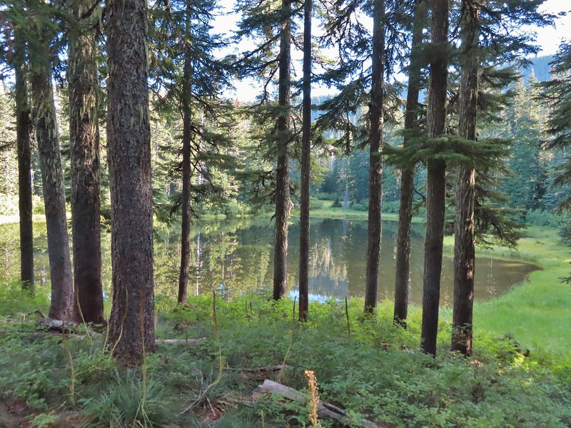

 The small saddle we’d been aiming for.

 Heather down to the right between a couple of trees.
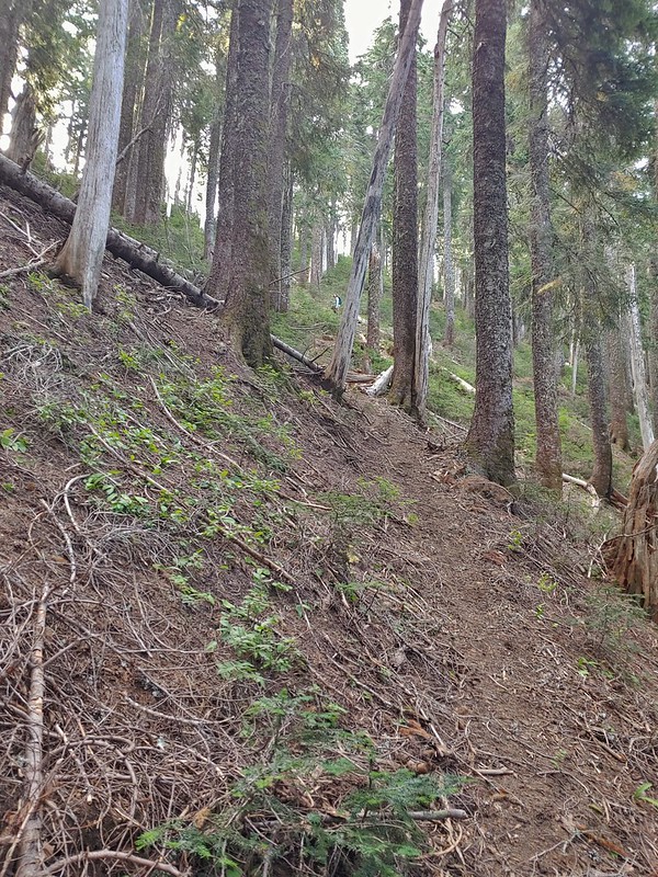 Me getting close to the top.
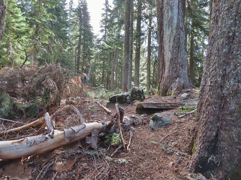 The top of the ridge.
 Mt. Adams in some clouds.
 Mt. St. Helens behind a line of clouds.
 Gifford Peak (
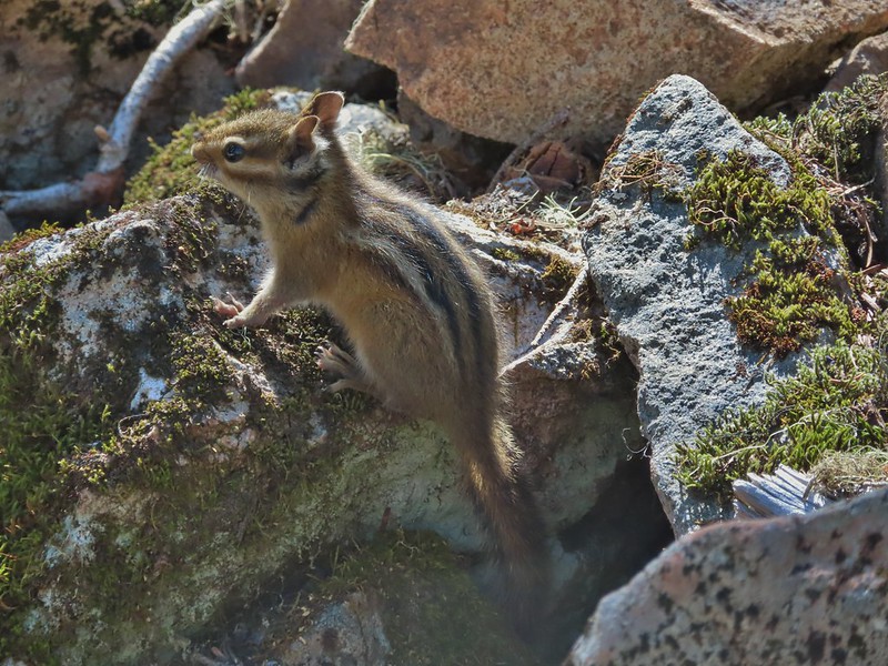
 Chipmunk

 Mt. Jefferson was also visible to the right of Mt. Hood. Unfortunately so was the smoke being produced by the Bull Complex Fire which destroyed the historic Bull of the Woods Lookout (
 Autumn is on the way, bring on the rain please.
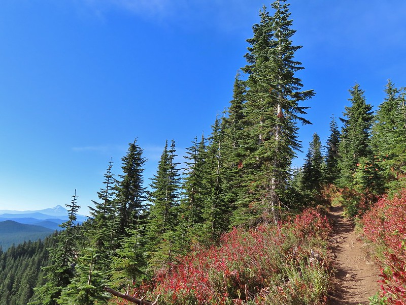
 Mt. Adams
 Looking toward Mt. St. Helens
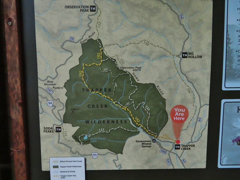
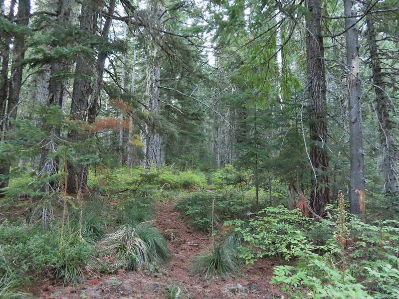
 The peaks in the Trapper Creek Wilderness (
 Cliffs on Berry Mountain
 Mt. Hood as we headed downhill.
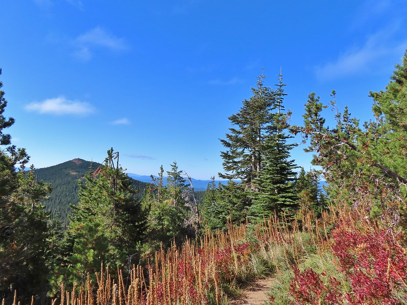 Red Mountain and its lookout tower.
 This beargrass is way off schedule.


 Mt. Adams from a viewpoint along the way.


 Not sure if someone forced the door open too or not.
 View of Mt. Adams beyond Indian Heaven.
 Photo taken from the doorway, it looked like nothing had been vandalized.
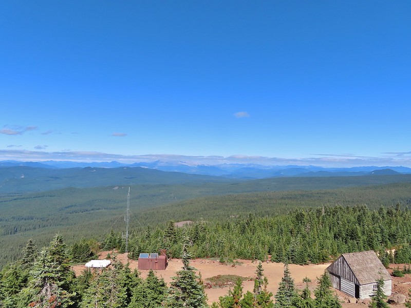 Mt. St. Helens still hiding behind that line of clouds.
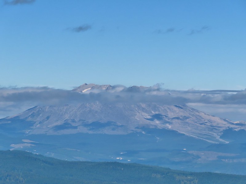
 Mt. Adams with a few clouds passing by.
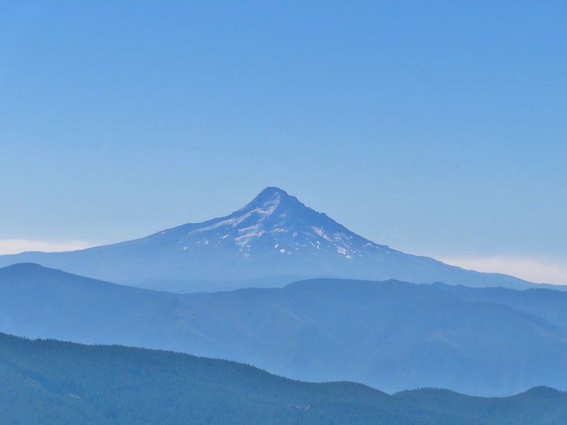 Mt. Hood with smoke from the Bull Complex behind.
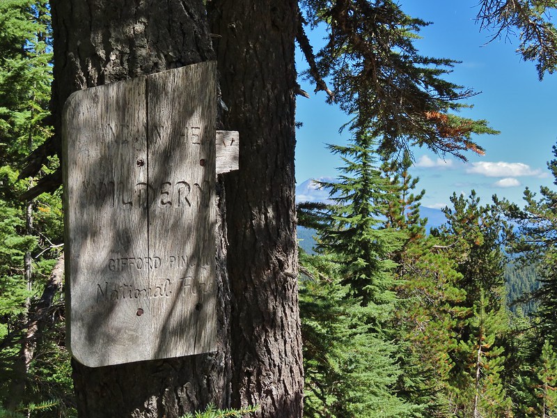 Indian Heaven Wilderness sign on Red Mountain with Mt. Adams in the background.
 Race Track Lake on the left.

 Hardhack
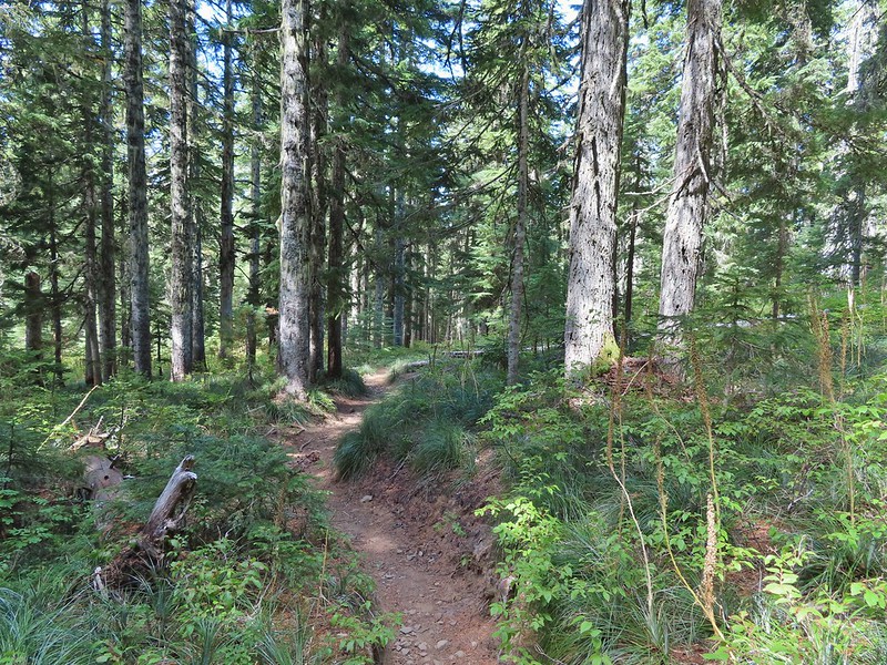
 Footbridge over Falls Creek.
 Falls Creek
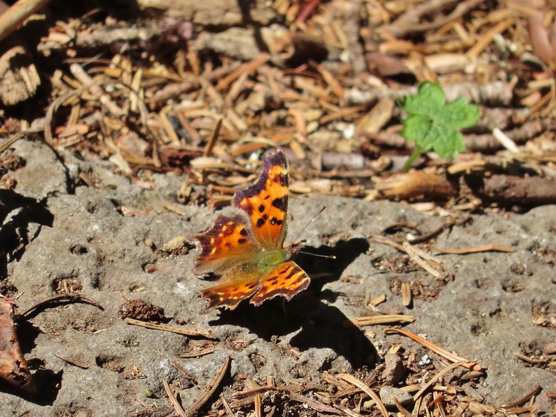 Butterfly near Falls Creek.
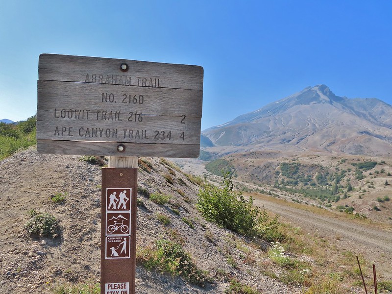
 Sign at the final trail junction near FR 65.
 The view from the trees surrounding our campsite as we prepared to leave.
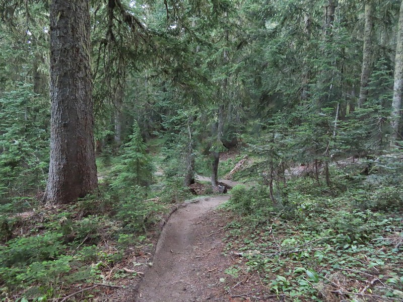
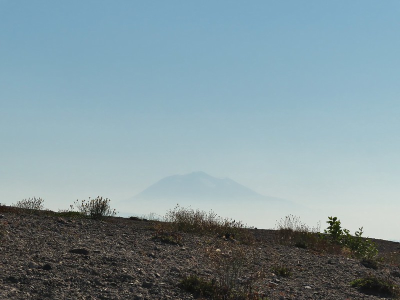
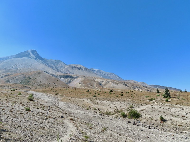
 Mt. St. Helens catching some morning light.
 Mt. Rainier without a whole bunch of smoke.
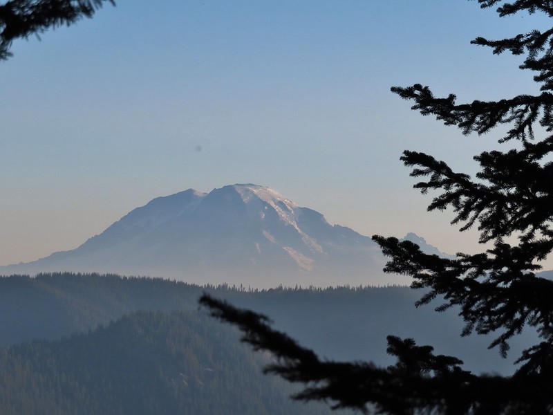
 We snagged a few black caps along the road to as a post breakfast snack.
 FR 2551
 The very top of Mt. St. Helens from FR 2551.
 Sullivan had labeled this stretch with the word slide which had caused a little apprehension in deciding to try this return route but despite the obvious slide(s) that had occurred here the road was in decent shape.
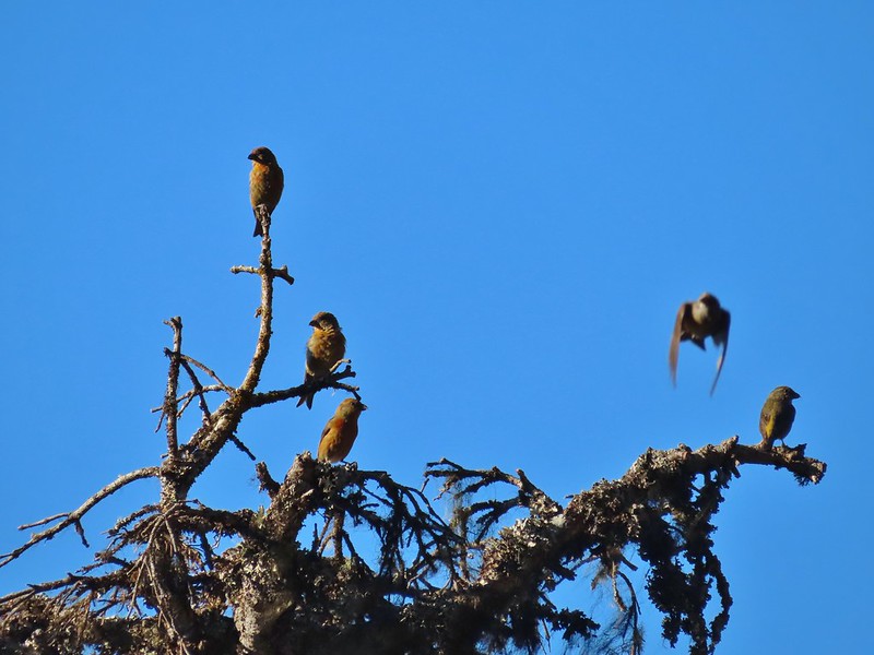 Not sure what kinds of birds were in this tree but there were a lot of them.
 FR 25 at the end of a long straight away.
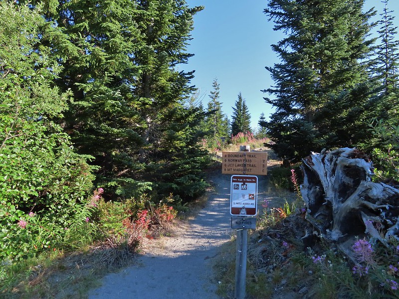
 The Boundary Trail crosses FR 25 near the road sign ahead. The picture was taken from FR 2551 at FR 25.

 Paintbrush
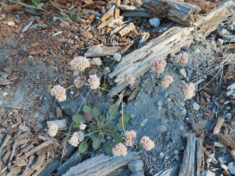 Buckwheat

 We could hear a waterfall in the valley below.
 The top of the waterfall.
 Penstemon and pearly everlasting.
 Looking back over our shoulders to Meta Lake.
 Mt. Adams also from over our shoulders.
 Aster
Aster
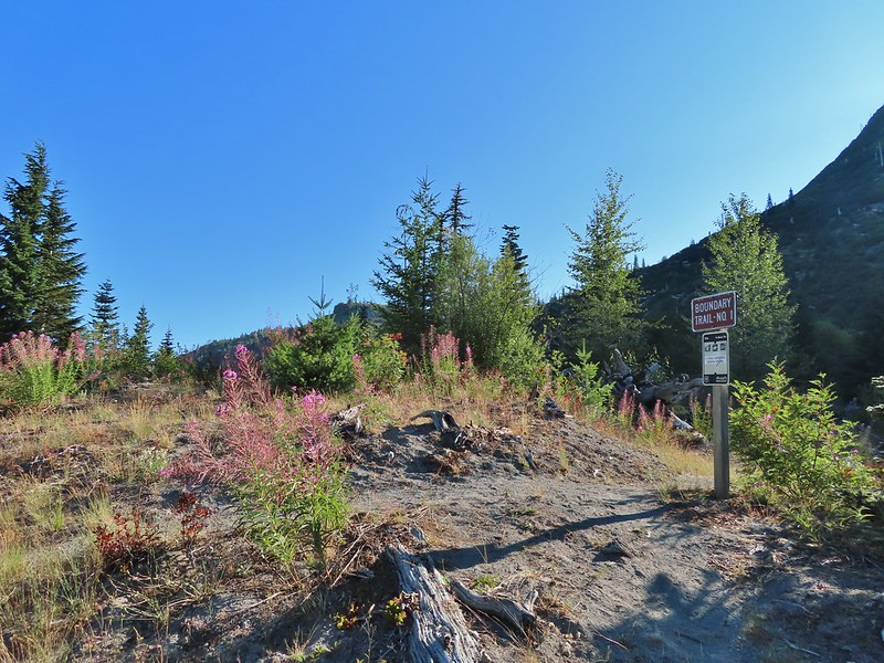
 Switchback at the Independence Ridge Trail junction.
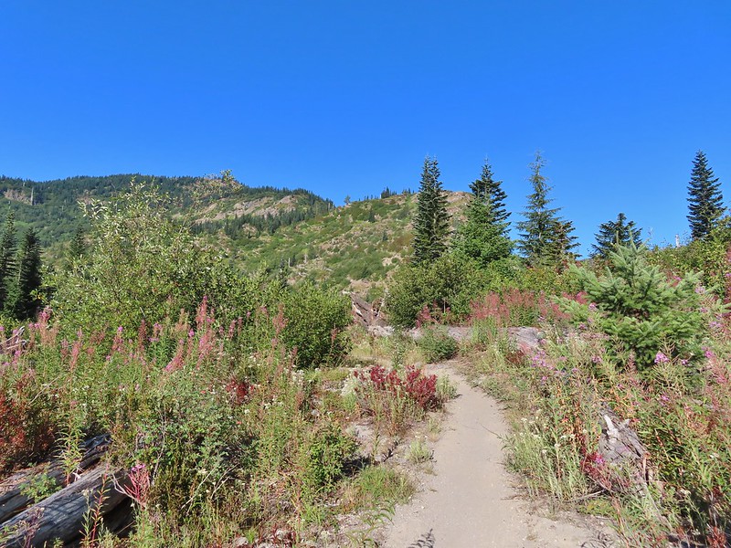
 Heading down to the stream bed.
 Penstemon
 Monkeyflower

 Norway Pass (the low saddle to the right) from the trail.
 Orange agoseris
 Approaching the pass.


 Mt. Adams and Meta Lake from the trail.


 Mt. St. Helens from the viewpoint.

 Pearly everlasting
 Penstemon
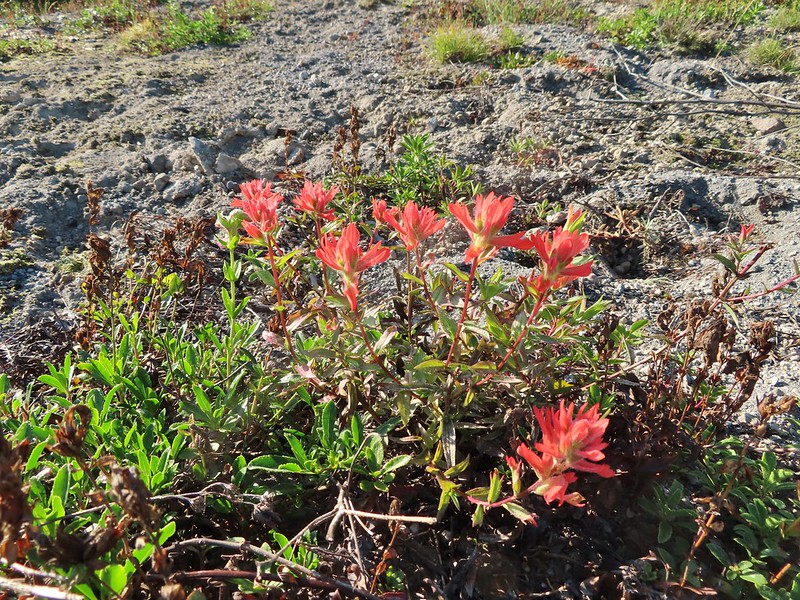 Paintbrush
 Mt. St. Helens


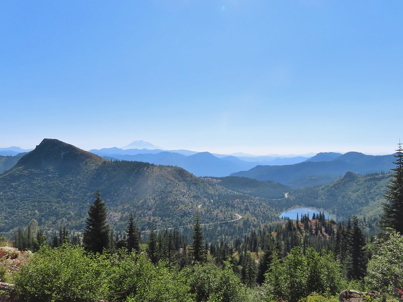
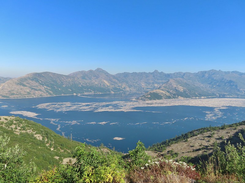
 Mt. St. Helens and Spirit Lake from the end of the trail.
 Coldwater Peak (
 The Dome
 Mt. Margaret
 Mount Teragram
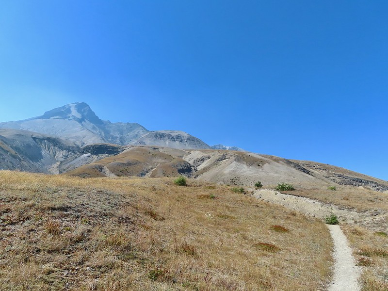
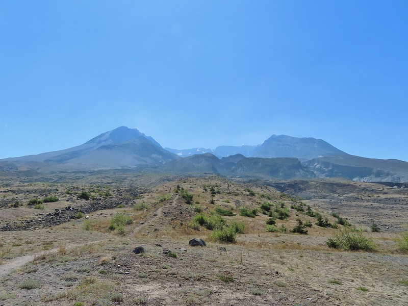
 Mt. St. Helens.

 Mt. Adams
 Mt. Rainier

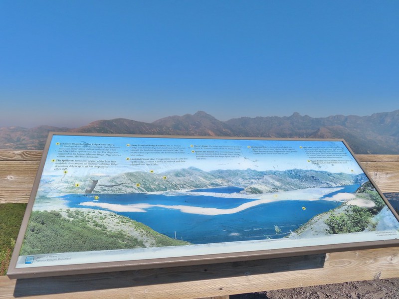
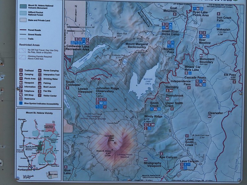
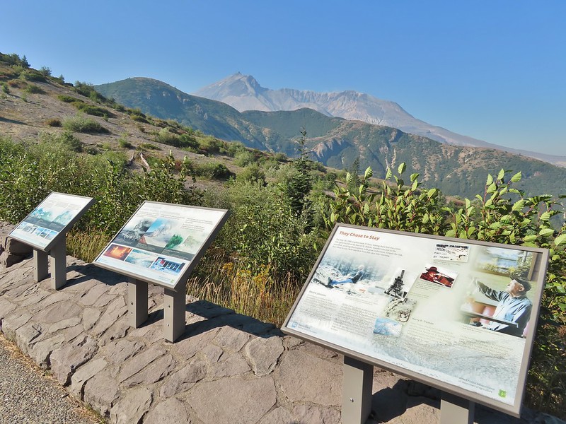
 The Johnston Ridge Observatory was visible across Spirit Lake on a far hillside.
 It’s often hard to tell if you’re seeing dust from rockfall or steam from one of the vents.

 Butterfly on ragwort
 Butterfly on pearly everlasting
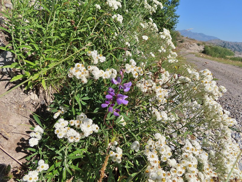 Lupine in the pearly everlasting
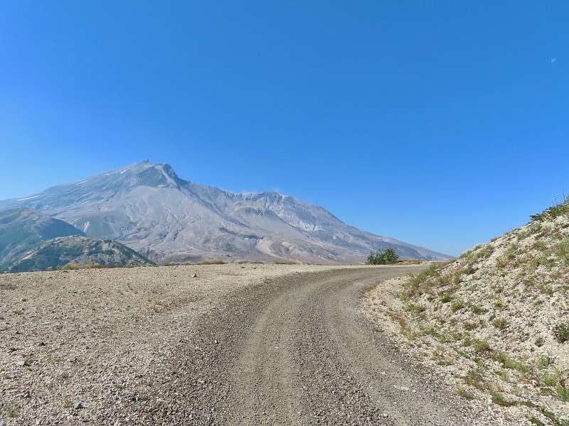
 Golden-mantled ground squirrel
 Might be Oregon sunshine
 Penstemon
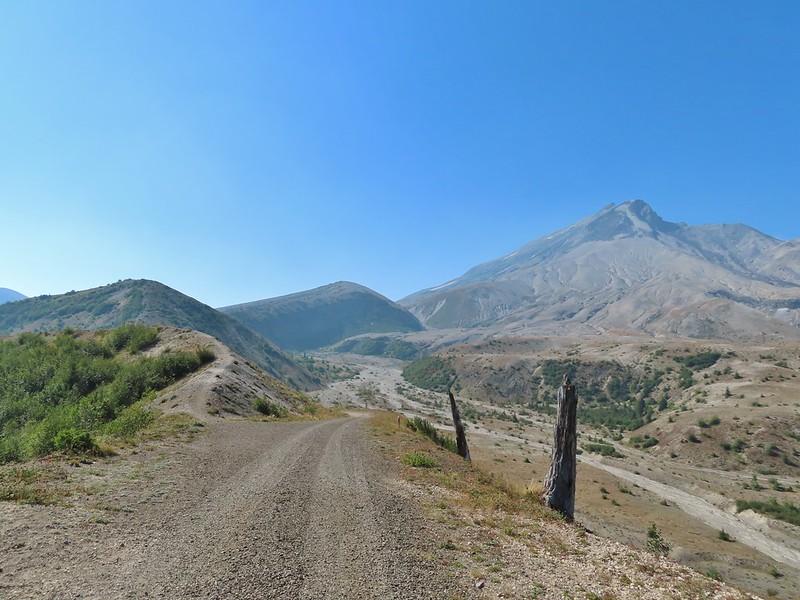


 Paintbrush and dwarf lupine
 Pearly everlasting
 The Loowit Trail junction.
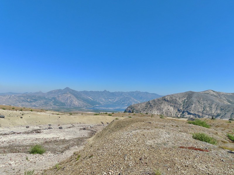 Spirit Lake from the junction.
 In the gully.
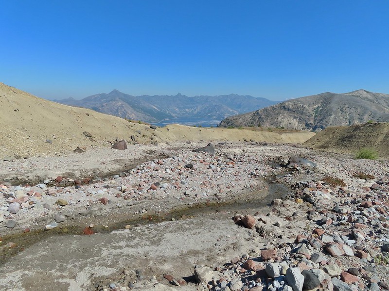
 Another gully to cross.
 Big Spring is in the willow thicket.
 The stream flowing over the Loowit Trail.
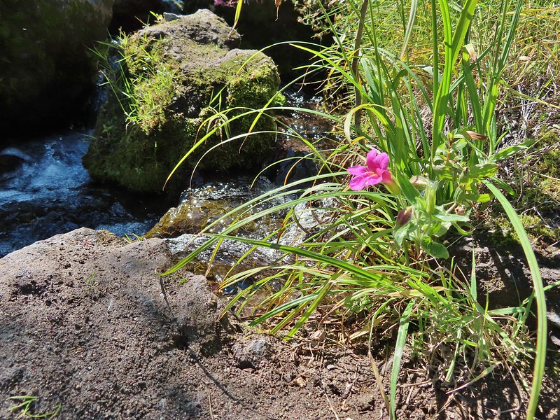 A pink monkeyflower at the spring.
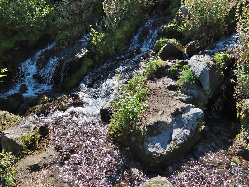
 Looking back at the willows and Big Spring.
 Coldwater Peak to the right.
 The Sugar Bowl lava dome.
 Spirit Lake from the trail.
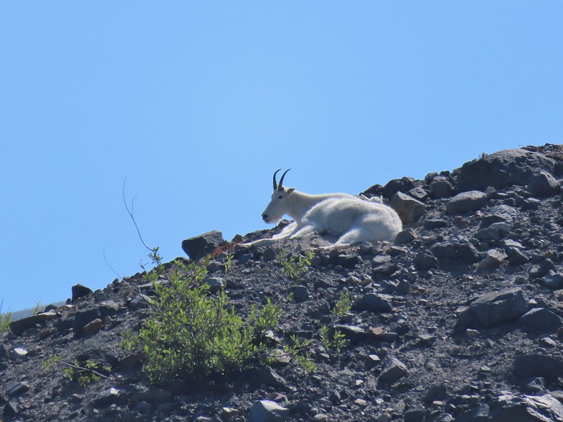
 The first goats we spotted are on this ridge above the lone tree.
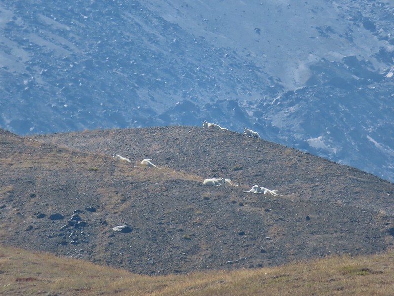
 The Loowit Trail crossing two gullies in a short stretch, one red one black.
 Dropping into the second gully.
 From the second gully we could see quite a few more goats on the ridge.
 Approaching the junction with the side trail to Loowit Falls.
 Sign for Loowit Falls.
 Loowit Falls (right side of the photo) was visible for much of the half mile.
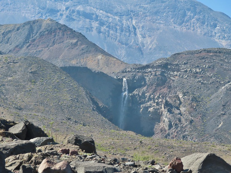
 Looking back at Coldwater Peak and Spirit Lake. (The top of Mt. Rainier is barely visible peaking over the top of the ridges.)


 Spirit Lake from the viewpoint.
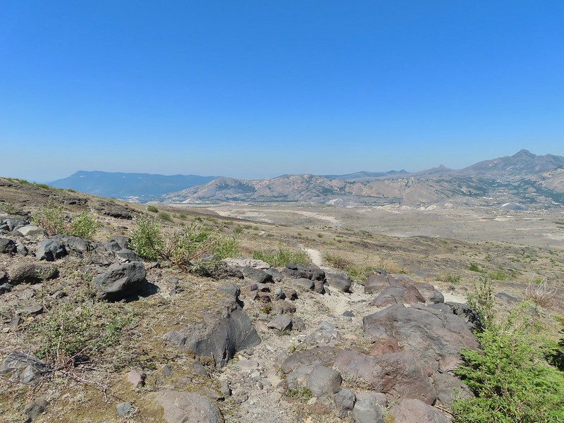

 Paintbrush
 Dwarf lupine
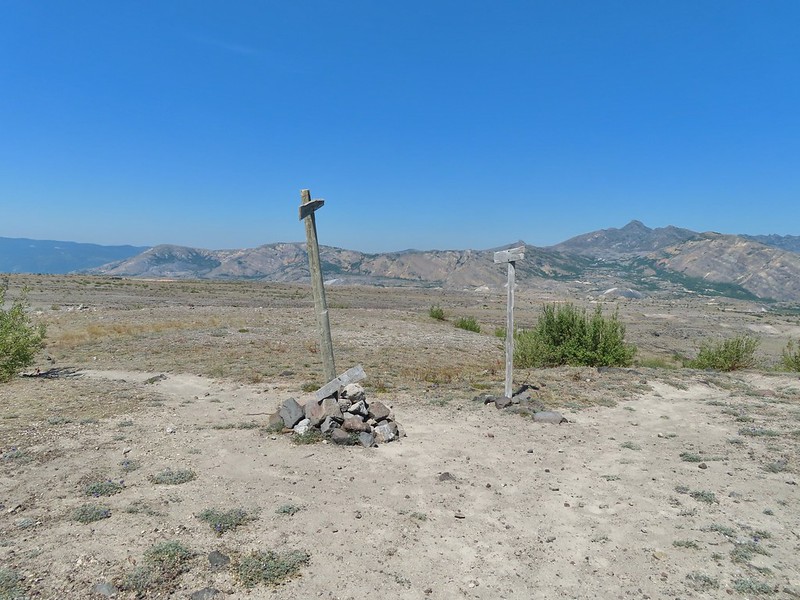
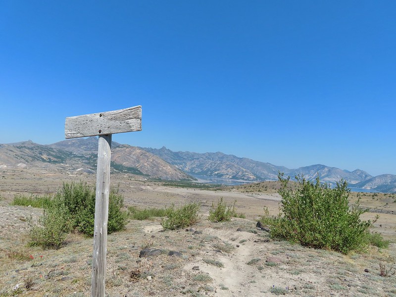
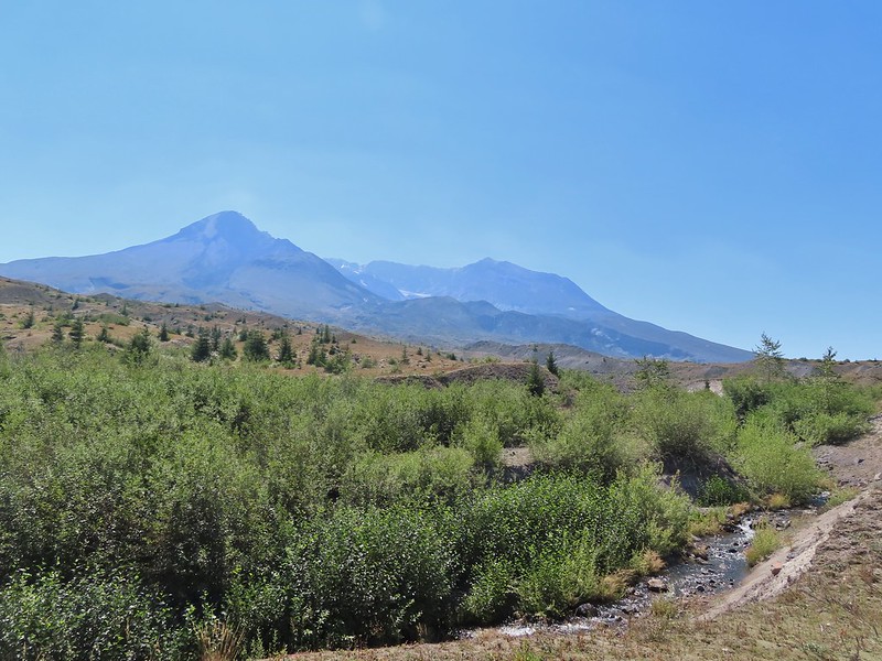
 Mt. St. Helens from the Willow Springs Trail.
 Heading toward Spirit Lake.
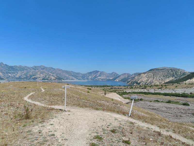


 The Dome above Spirit Lake

 Vehicles ahead in the research parking area.
 Mt. Adams to the left.
 Mt. Adams
 Look out for snakes, not the poisonous kind just don’t want to step on them.
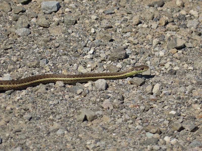
 Some sort of sulphur butterfly on pearly everalsting.


 Salmonberries
 Blueberries
 Huckleberries
 Mushrooms (the flowers of Fall)
 I was really surprised to still be able to make out the remains of the petals on these trillium.
 These bunchberries with a few petals left were near the trillium above.
 Candyflower

 These thimbleberries weren’t ripe but a short distance further were a lot of ripe ones. I thought I might have to hike back and retrieve Heather from them.
 A brief glimpse of Mt. Rainier from the ridge the trail was following, it looked like a lot of the smoke had blown away.

 Aster
Aster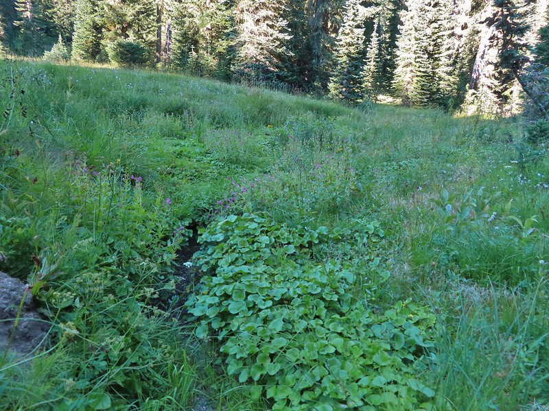 Elk Creek
 Pink monkeyflower along Elk Creek
 Lupine
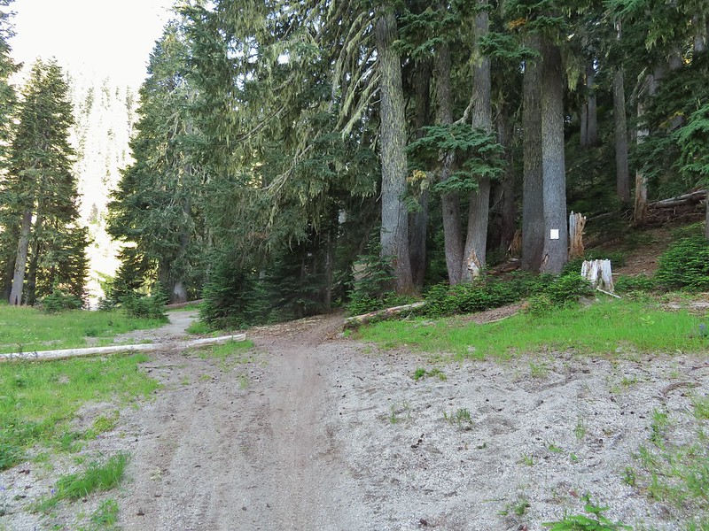 The trail near Badger Lake was particularly torn up and there were several signs posted admonishing motorcyclists to stop driving off trail.
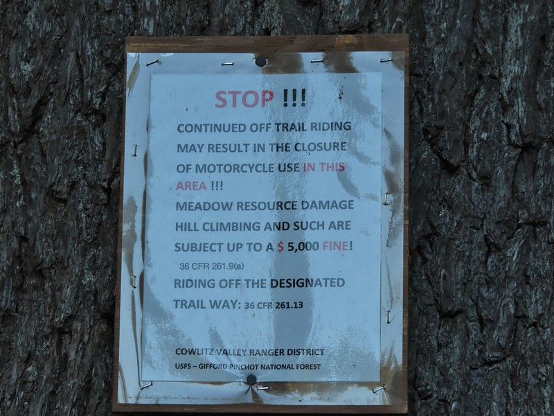
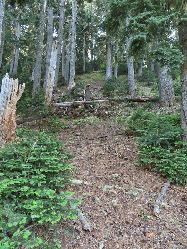 Torn up hillside near the lake, it only takes one or two idiots to cause a lot of damage (the same goes for hikers/mountain bikers).
 The little puddle in the foreground is not the lake, it is further back.
 This mushrooms was at least as wide as a salad plate.


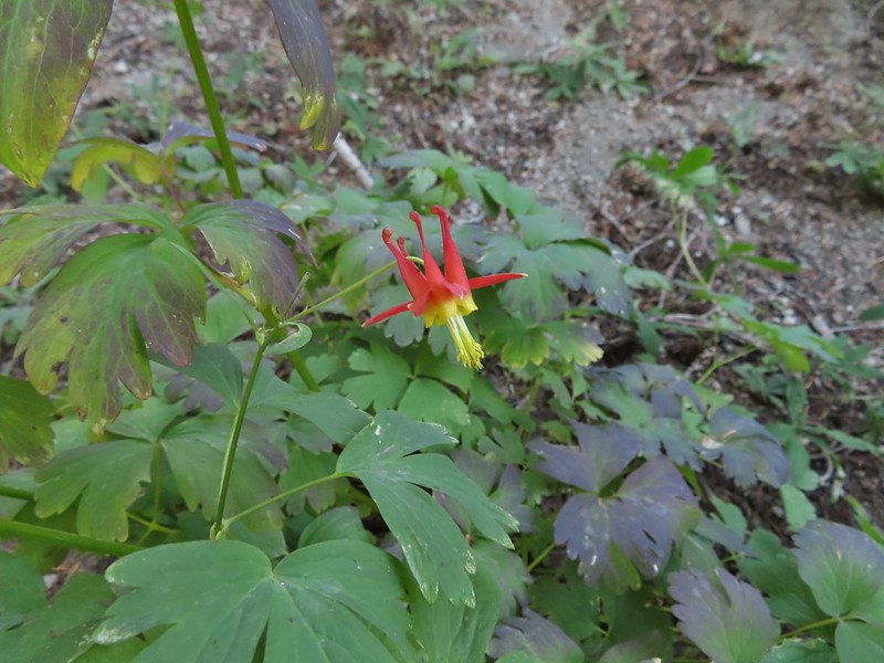 A columbine
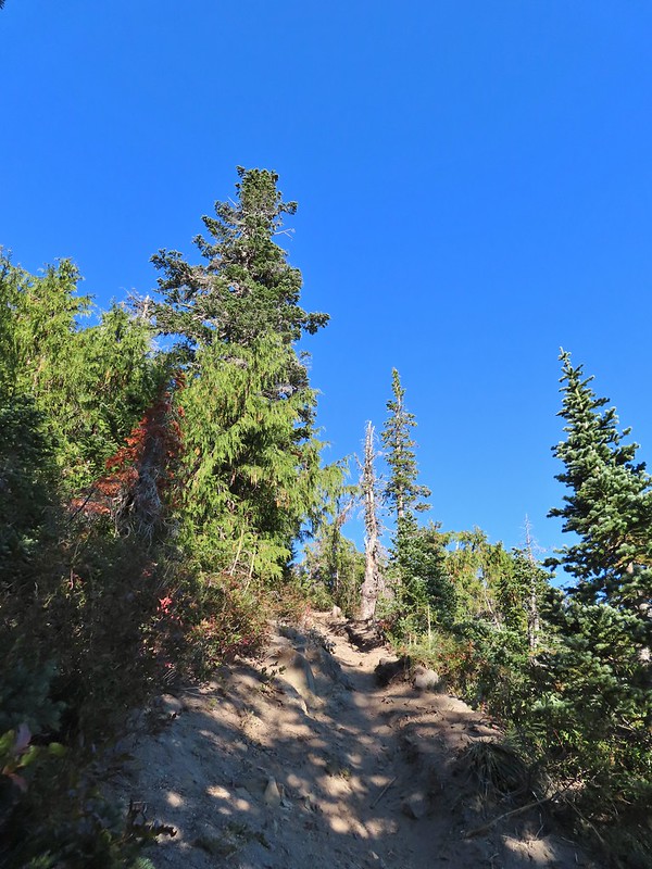
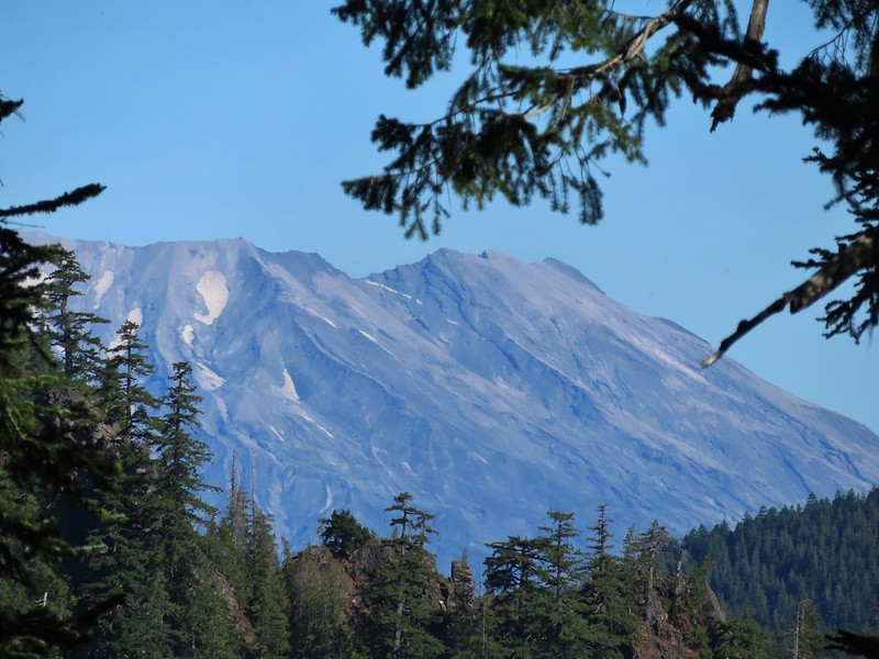
 Mt. St. Helens was hard to make out with the combination of haze and Sun position.
 Looking south toward Mt. Hood (I could make it out with the naked eye.)
 Mt. Hood in the haze.
 Mt. Rainier
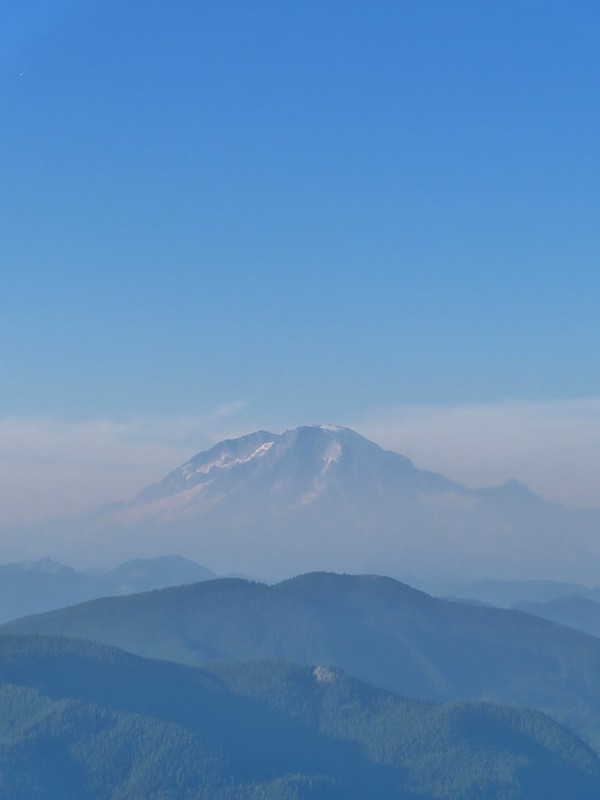 Mt. Rainier
 Mt. Adams
 The Goat Rocks were also hard to make out due to the smoke.
 Western pasque flowers, aka hippies on a stick, below the summit.


 The last of the sunlight hitting Badger Peak.

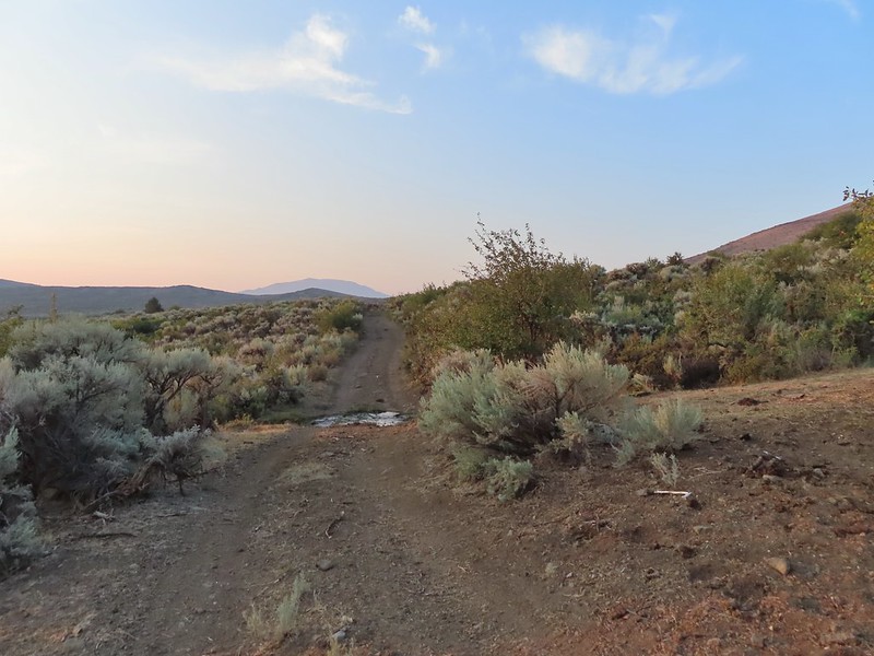
 The view back along the road to the fork.
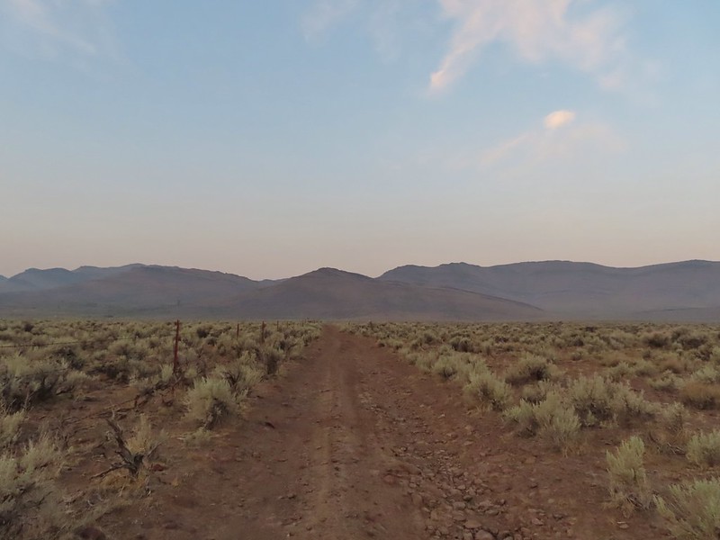 Road walk
 Rabbit


 A hawk in a dead tree above the springs feeding Sesena Creek.
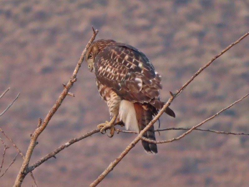
 This was the only water we’d see all day.
 The first cairn from later in the day.


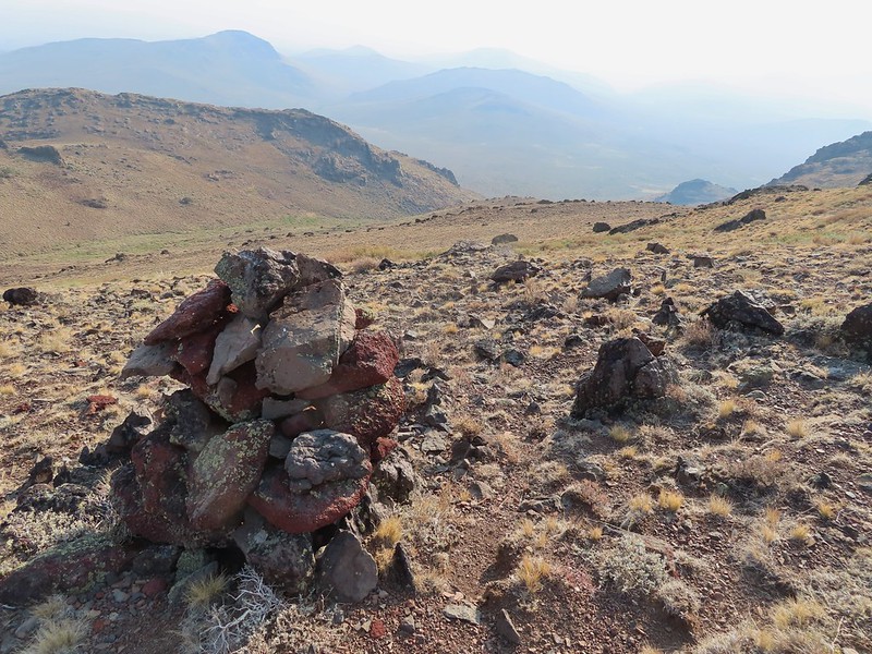
 View from cairn #3.
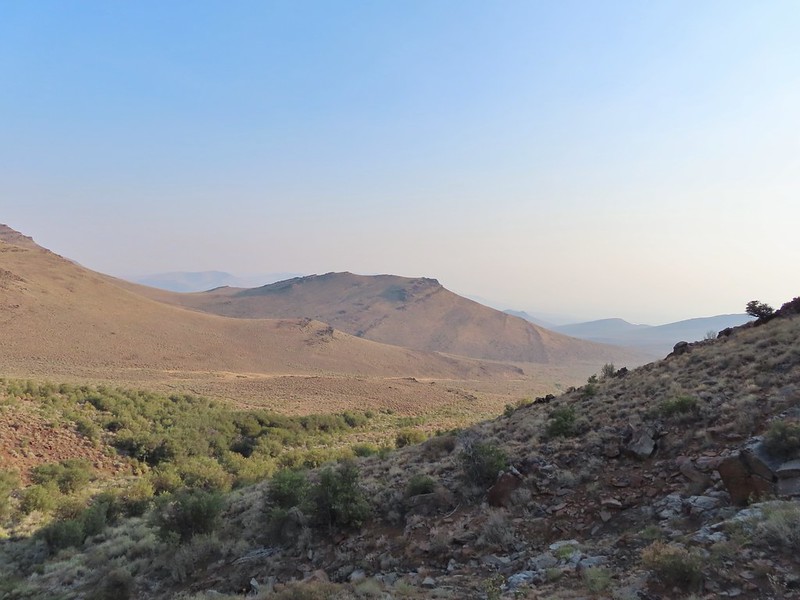 Looking back over the mahogany trees, the rise with cairn #2 and the cow lick.
 Looking up the steep hillside.
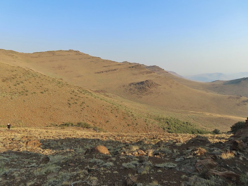 On the climb up to #5.

 The view from the saddle.
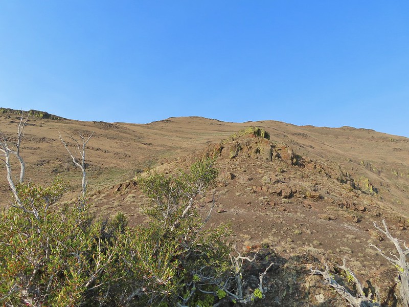


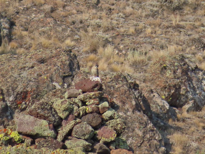 A kestral on a cairn.
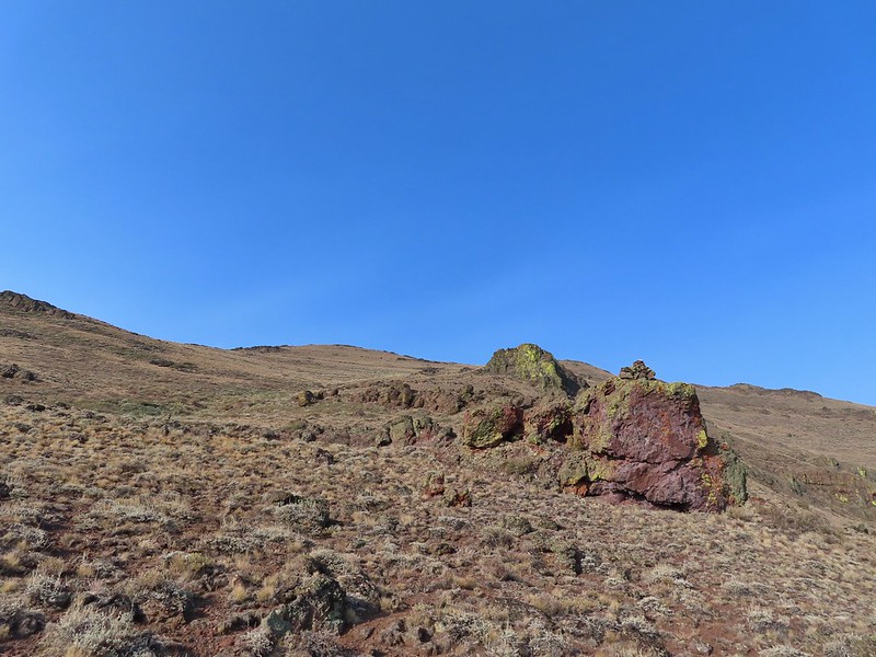

 You can see Heather following me up on this “less” steep section.
 Looking down into the haze in the east.
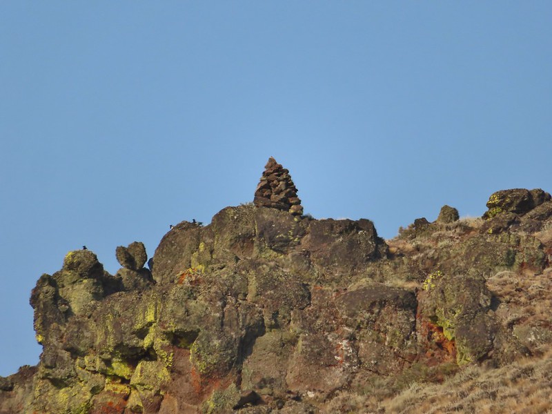 Cairn #7 was being guarded by magpies.
 View south over the Pueblo Mountains.
 Passing below cairn #7 (upper right corner).
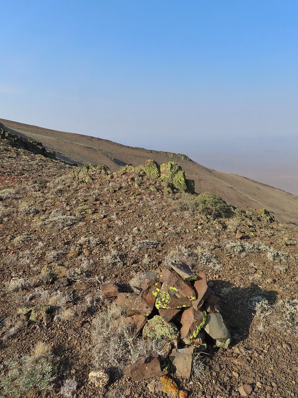
 View to the NW from the pass.
 Pueblo Mountain (the large rounded peak) from the pass.
 We climbed this rise on the ridge and continued on the top for a bit.
 Looking at the rocky cliffs that would force us to the west.
 It’s not a desert trail without bones.
 Looking back
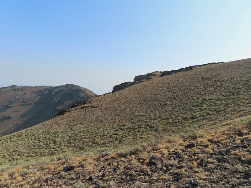 The sagebrush draw below (Heather is traversing the hillside.)
 Cairn #9 and the view west.
 The next ridge is where the high point we were planning to turn around at was.
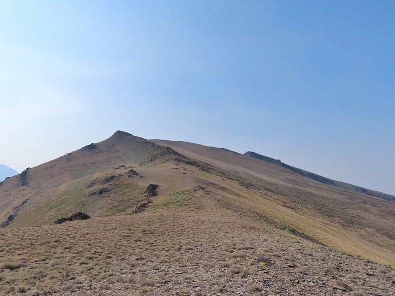 Cairn #11 in the saddle along the ridge.
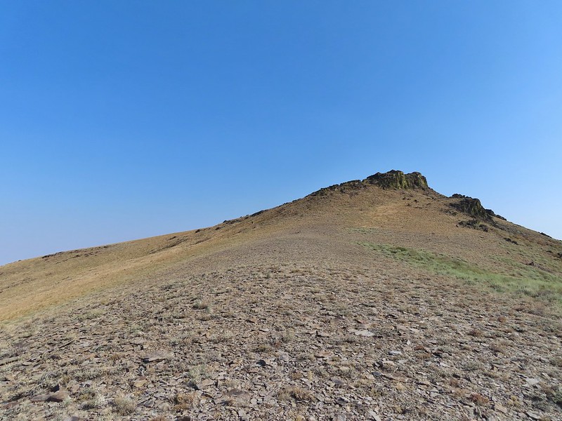 Heather dropping down to the saddle, cairn #10 was out of frame to the left here.
 View to the west from the saddle.
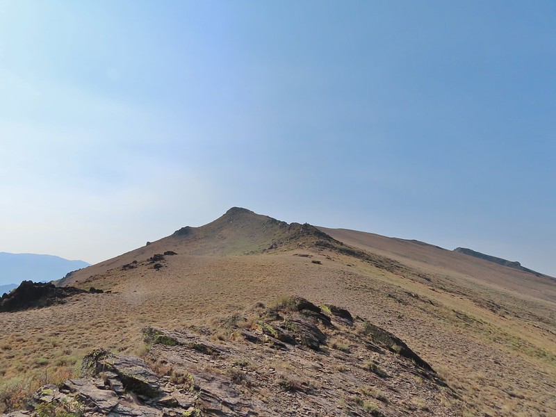
 Sculpted rock along the ridge.
 Heather making her way up to #12.
 Thought this might be an arrowhead or at least something that was used for a tool of some sort.
 Heather resting by cairn #12 while I scouted the route.
 A hazy Pueblo Mountain (and more of the Pueblo Mts.) from the high point.
 Cairn #15 is on a small rock outcrop near the saddle at center.
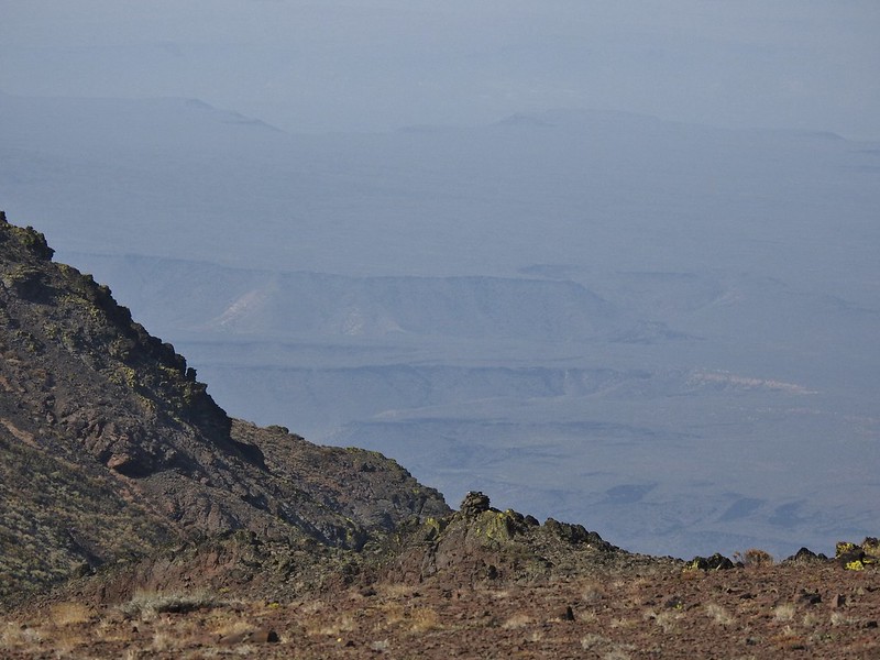 Cairn #15 (at least we think).
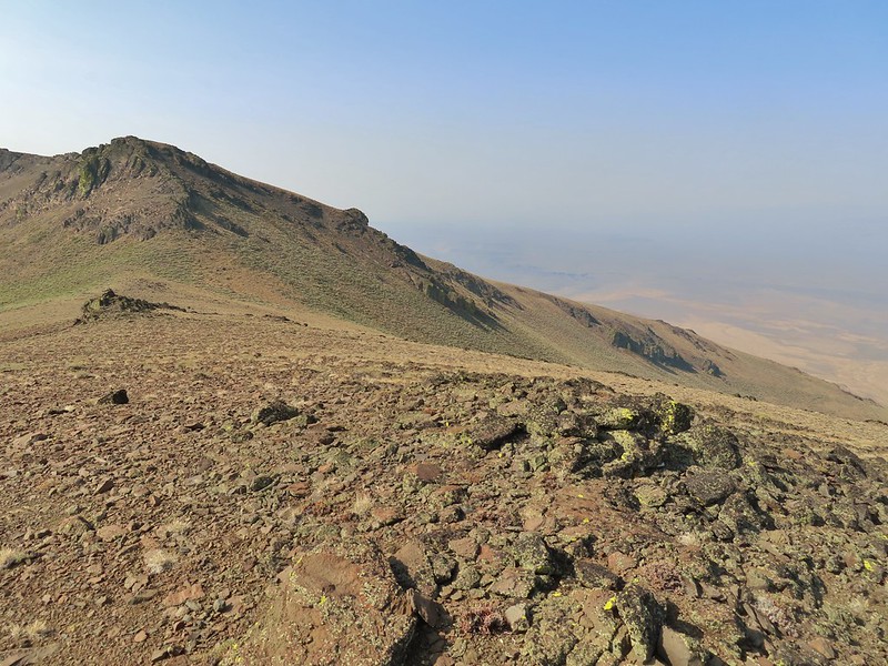 Cairn #15 below from the cairn #14 coordinates, it appears that cairn #14 may have been at least partially dismantled.
 Oh great, more uphill.
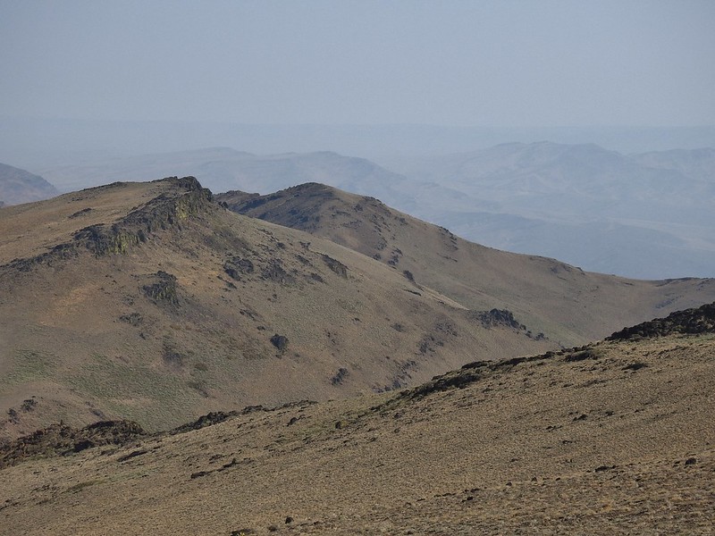
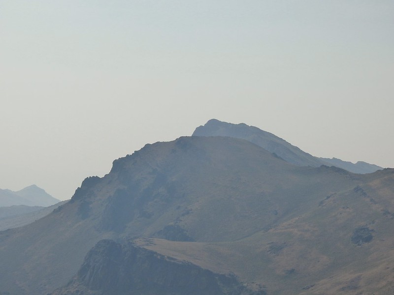 Peaks in the Pueblo Mts. near the Nevada border.
 Cairn #12 and the saddle zoomed in.
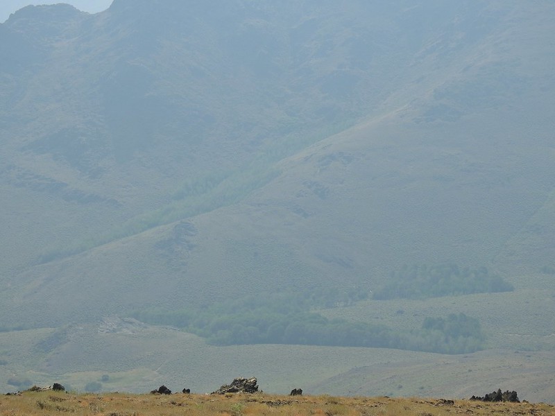 Van Horn Creek is down there somewhere as is Ten Cent Meadows.
 A lupine with a few blossoms left.
 Lots of colored lichen on the rocks along the way.
 Vertical rocks.
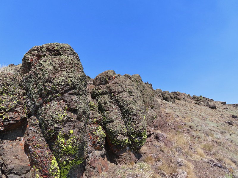 Rounded rocks.
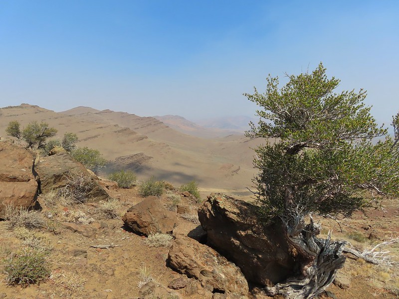 Back to the mahogany trees.
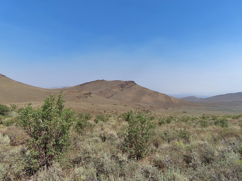 Cairn #2 dead ahead.
 Found the cow lick again.
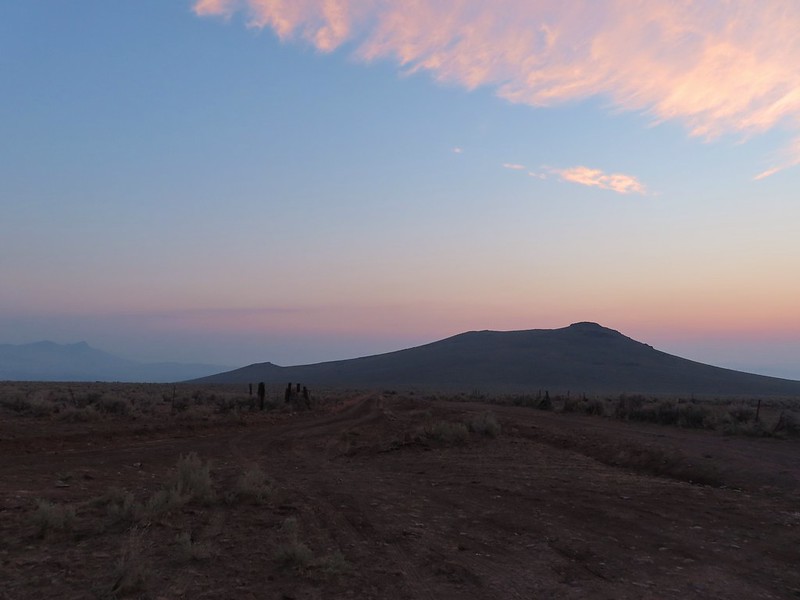
 Looking back at the Pueblo Mountains from the road walk.
 Trees marking the spring and Sesena Creek.
 The southern end of Steens Mountain from the road walk.
 Sage grouse hen


