**Note the 2024 Rail Ridge Fire burned over the Black Canyon Wilderness.**
Every year we pick our vacation time in January/February (due to work) so we never know what the conditions will be when we choose. We had a week scheduled in July for a trip to the John Day area in hopes to make further headway on the 100 featured hikes in Sullivan’s “100 Hikes/Travel Guide Eastern Oregon” (post) and to complete our goal of visiting all of Oregon’s designated wilderness areas (minus the two that are closed to human visitors) (post).
With severe drought conditions present all of the West and multiple wildfires burning in Oregon we kept an eye on the forecast and made daily checks with the relevant National Forests to make sure the hikes that we had planned remained open. While all of the trails were open a red flag warning for possible scattered thunderstorms Monday and Tuesday for the Blue Mountains had us a little concerned. The forecast also called for “wide spread haze” every day but fortunately not for “smoke” which meant we’d probably not have much in the way of views on the trip. We could deal with the haze, it was the possibility of new lightning caused fires that could quickly end our trip and our two days of hiking (Monday & Tuesday) involved our first overnight backpacking trip of the year.
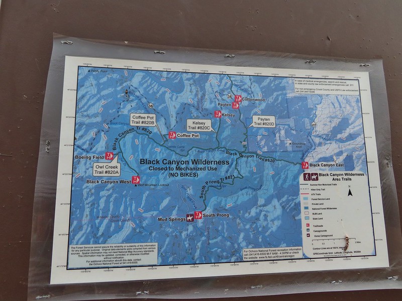
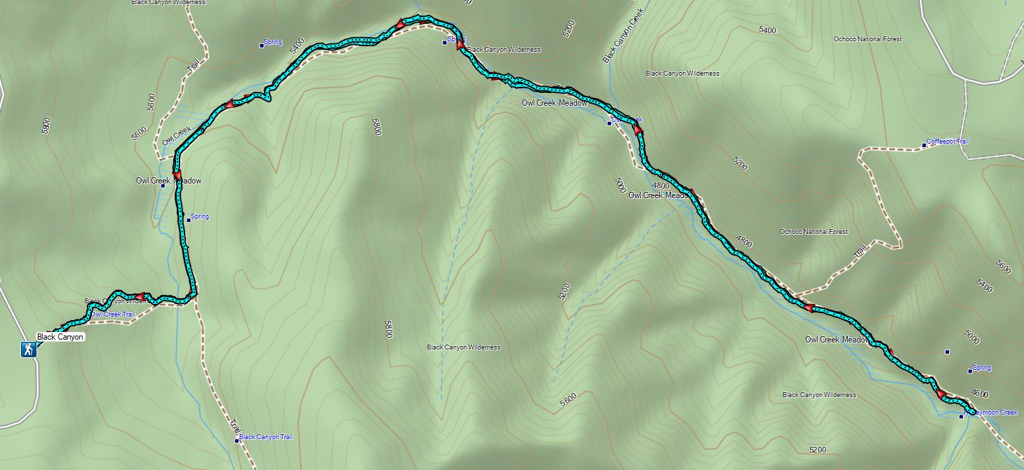
Monday we left Salem and drove to the Boeing Field Trailhead, the first of two stops in the eastern portion of the Ochoco Mountains.
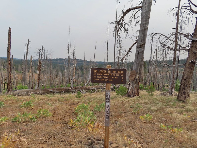
This trailhead, named in honor of a B-18 bomber that crashed nearby during a WWII training flight killing all four crew members, provides access to the Black Canyon Wilderness via the Owl Creek Trail.
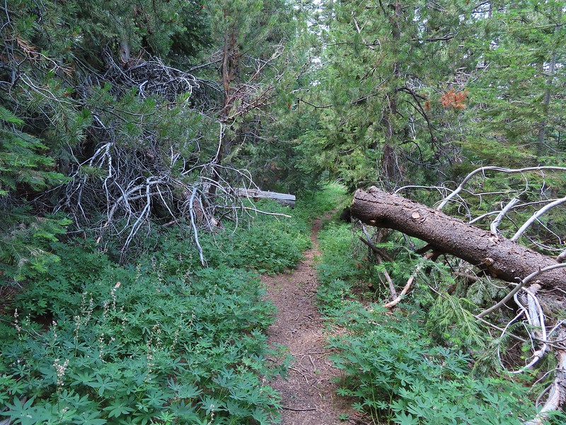
We headed down the Owl Creek Trail and quickly entered our 45th Oregon wilderness area.
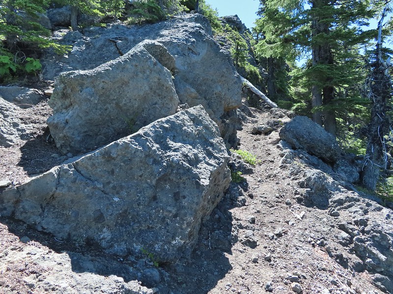
We descended to the nearly dry bed of Owl Creek in the scar of a 2008 wildfire and in a half mile reached the Black Canyon Trail.
Aster, paintbrush, and fireweed.
Fireweed, aster, and pearly everlasting.
Clouds and smoke mixing in the sky made it hard to tell if any thunderstorms might be developing.
We never heard any thunder but we did briefly get sprinkled on.
Ground squirrel.
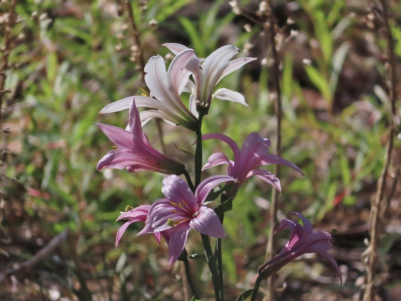
Columbine
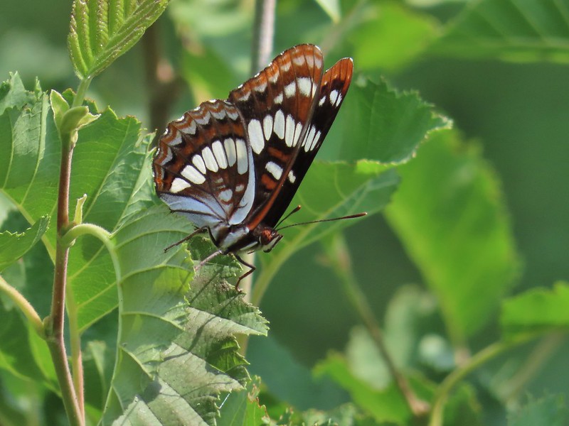
Fritillary butterfly
Black Canyon Trail junction.
We turned left onto the Black Canyon Trail and followed it down into Black Canyon along Owl Creek soon leaving the fire scar behind.
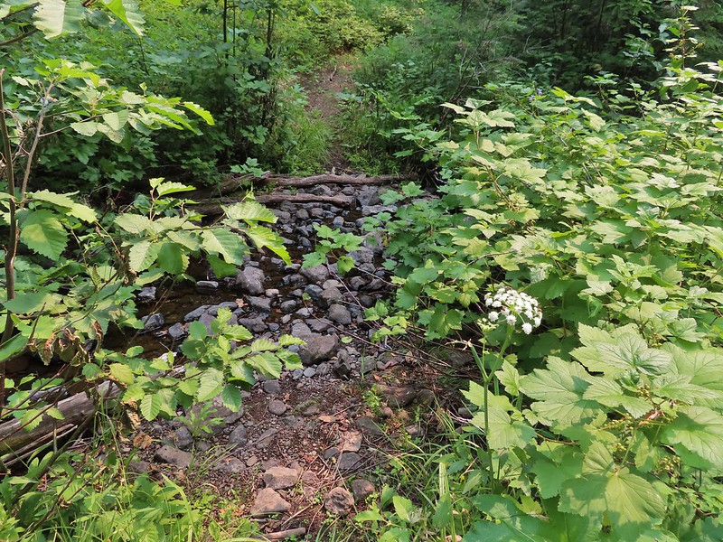
Owl Creek crossing approximately 1.5 miles from the junction.
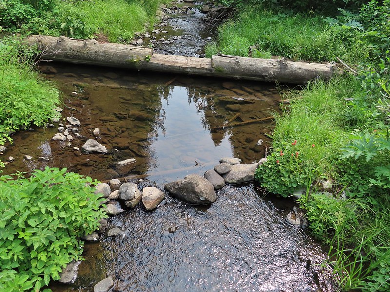
In another half mile we arrived at Black Canyon Creek which we easily crossed on small logs.
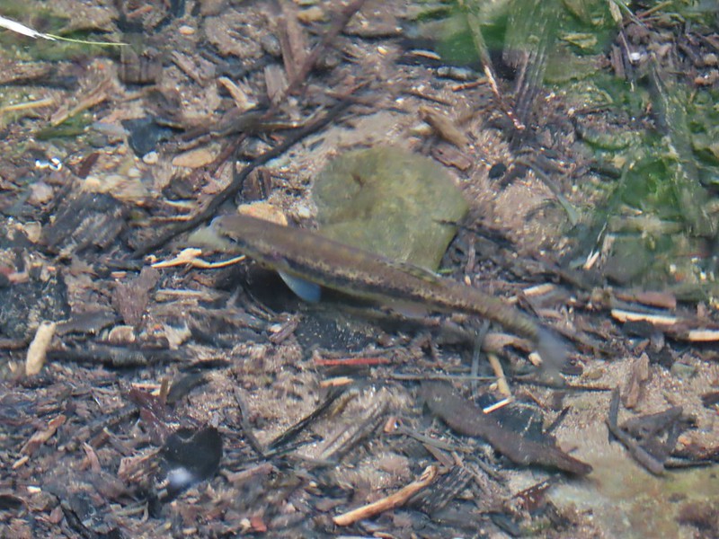
Fish in Black Canyon Creek
We were seeing a lot of mountain lady slipper orchids but unfortunately they were all past.
Three quarters of a mile after crossing Black Canyon Creek we passed the Coffee Pot Trail and soon entered another fire scar, this one from 2002.
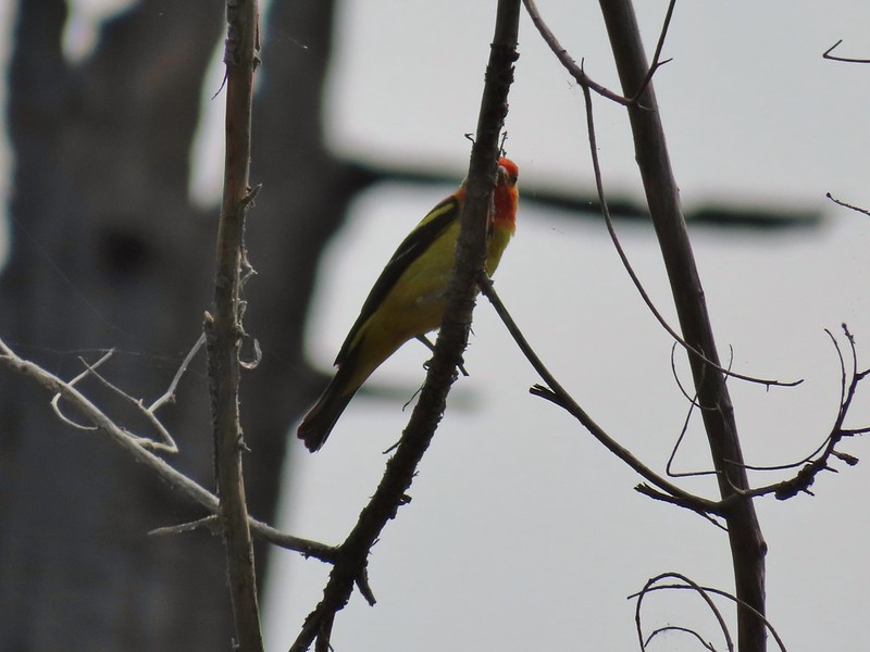
Western Tanager
Just under 4 miles into the hike we came to the second crossing of Black Canyon Creek and our turnaround point for the day.
California tortioseshell
Western Jacob’s ladder
Black Canyon Creek
After a short break on a log spanning the creek we headed back to the car stopping occasionally along the way to watch pollinators busy at work.
This was an eight mile out and back with almost 1600′ of elevation gain, mostly on the way back.
Black Canyon Track
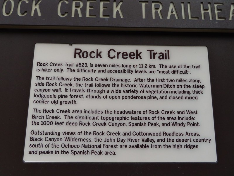
From Boeing Field we drove back the way we’d come 4.3 miles to the Rock Creek Trailhead.
Here we threw on our full backpacks as our plan was to camp somewhere along Rock Creek and then return on a loop the next day by hiking up to Spanish Peak the next day following the route of the Ochoco Mountain Trail and Mascall Corral Trail.
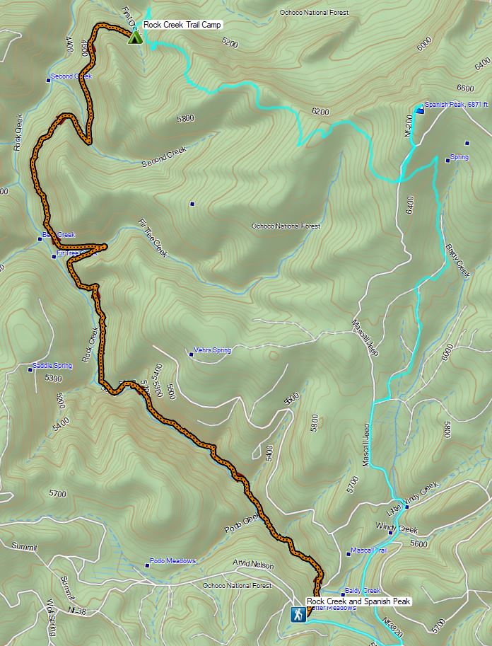
Forest Service Map
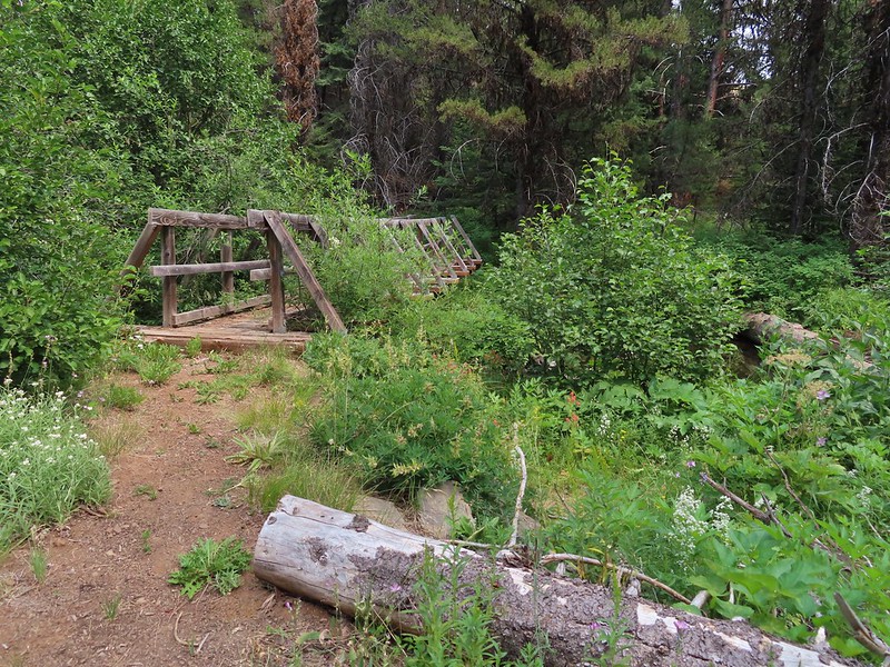
From the trailhead the trail descended to Rock Creek crossing it on a nice footbridge.
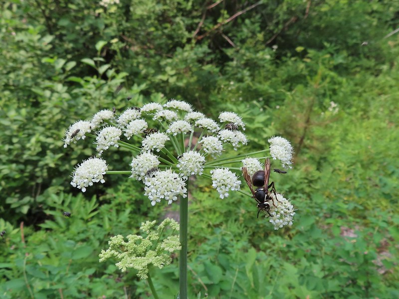
The number of insects on the blossoms and their size differences were fascinating.
The trail then followed along Rock Creek for a bit before the creek began descending more steeply than the trail. At the 2.4 mile mark we arrived at a sign announcing the Waterman Ditch.
Snacks
Lorquin’s adrmiral
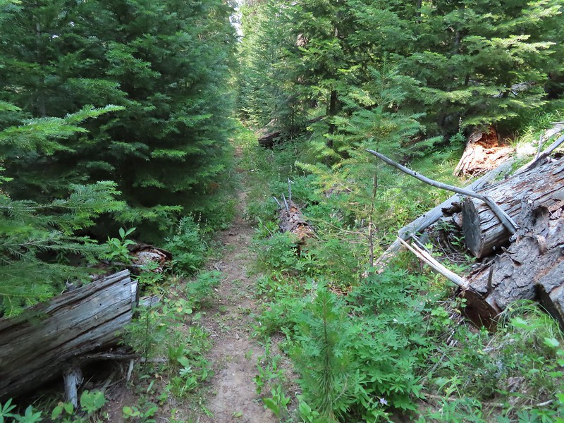
A little light on the tread in this section.
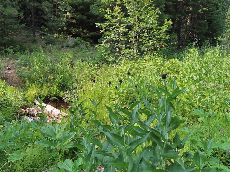
The trail then followed the old ditch passing the remains of a cabin next to Fir Tree Creek in 1.4 miles.
Fir Tree Creek
Butterflies on coneflower
The cabin ruins.
We continued on heading for Second Creek which was just over 1.5 miles beyond Fir Tree Creek where we hoped we might find a spot to camp or at least refill our water supply.
Coming around a ridge end toward Second Creek.
Monkshood at Second Creek
This little guy oversaw our water pumping.
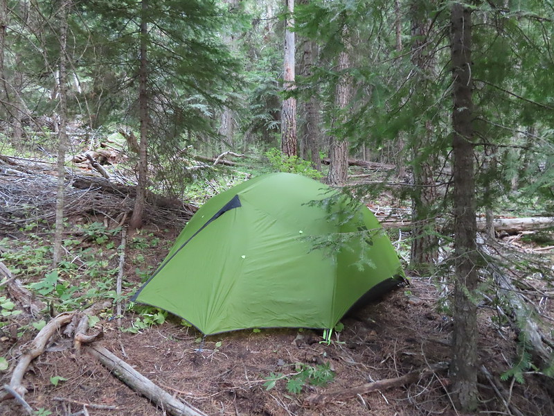
There wasn’t a lot of water in Second Creek and the crossing where the most obvious spot to get water was had a whole lot of yellow jackets flying around. We had to do a little hunting up and down the creek in thick vegetation to find a pool deep enough for our pump but finally managed to. What we couldn’t find was a place for our tent or a spot to cook dinner away from the yellow jackets and mosquitos so after getting water we reluctantly continued hiking. After nearly 1.5 more miles we arrived at First Creek where there was almost no water but there was a suitable spot for a tent.
It had been a long day with this hike coming in a little over 7 miles making it a 15+ mile day for us.
Rock Creek Track (orange)
It was also a warm evening and we had the rainfly on due to the slight chance of rain which made it even warmer. It did finally cool off enough overnight to warrant pulling our sleeping bag/quilt over us and we managed to get some sleep. I woke up once when something fairly big cracked it’s way through the trees below our camp and a couple more times when a pair of nearby owls were trading hoots. It was a more difficult start to our trip then we had anticipated but a good day none the less. Happy Trails!
For the Fourth of July we typically pick a hike in the Old Cascades but this year we aimed higher and headed for the Three Sisters Wilderness in the High Cascades. We had two stops planned, a short hike on the Rainbow Falls Trail to the viewpoint of distant Rainbow Falls and a longer hike on the Foley Ridge Trail to Substitute Point. We stopped first at the Rainbow Falls Trailhead since it is right off Foley Ridge Road (FR 2643) on the way to the Foley Ridge Trailhead. Neither of these trailheads currently require a Central Cascades Wilderness Permit for day hikes (you are required to fill out a free self-issued permit at each TH though).
The first half mile of the trail follows an old road bed to a former trailhead.
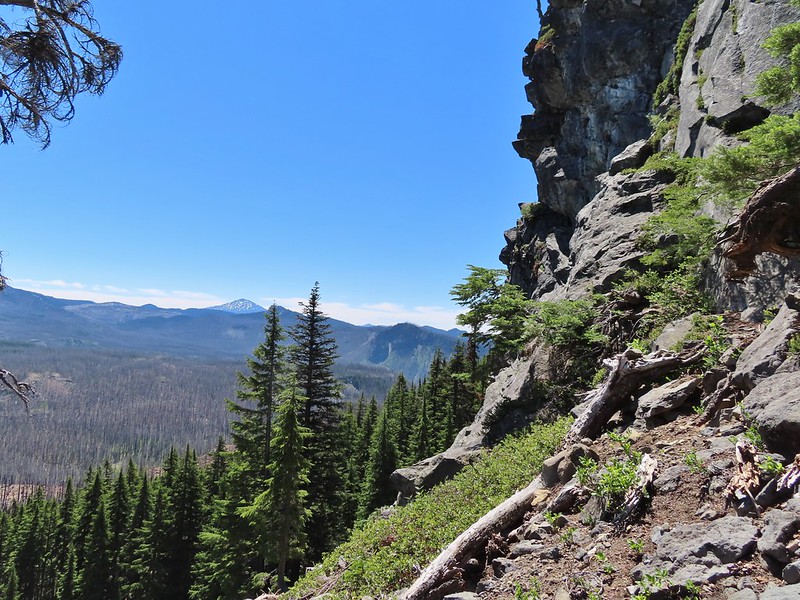
We continued along the trail entering the Three Sisters Wilderness before turning along the edge of the steep hillside high above Separation Creek (post)
One of two phantom orchids we saw along the trail.
Newish looking wilderness sign.
Maples overhanging the trail.
Madrone trunks
A little under 1.5 miles from the TH we arrived at a rock fin where a short scramble led to a view of distant Rainbow Falls. It was just after 8am which wasn’t an ideal time due to the falls being to the east with the Sun directly behind and still low in the sky. It’s a pretty narrow scramble so probably not for kids or those uncomfortable with heights.
A lone madrone at the end of the fin.
Looking toward the falls. (The North Sister is back there too but not visible due to the lighting.)
Rainbow Falls on Rainbow Creek
The best I could do with the lighting.
Looking up Separation Creek.
Looking back up along the rocks.
A use trail continued toward the falls, but as far as I know it’s not possible to reach them or to get a better view so we returned the way we’d come. From the Rainbow Falls Trailhead we then drove another 5 miles up FR 2643 to its end at the Foley Ridge Trailhead.
The 8 mile long Foley Ridge Trail begins at the trailhead and leads into the Three Sisters Wilderness were it eventually ends at the Pacific Crest Trail. We had been on the upper end of the trail twice, once on a backpacking trip around the South Sister (post) and the other another backpacking trip where we explored some of the areas waterfalls (post). Today’s plan was to hike the first 4.5 or so miles of the trail to the Substitute Point Trail and then follow that 0.7 mile trail to a former lookout site atop Substitute Point. We were looking forward to the view atop the point but also interested to see what the area looked like after being hit hard by wildfires in 2017.
The first mile and half of the trail was unaffected by the fire and hosted a few blooming rhododendron and other woodland flowers.
Pink pyrola
Crossing of Gold Creek which was nearly dry but it hosted a fair number of mosquitos.
Columbine, bunchberry, and wild roses.
An anemone with some bunchberries
Entering the Three Sisters Wilderness
Queen’s cup
Beargrass
Candy sticks
Rhododendron
Pacific coralroot
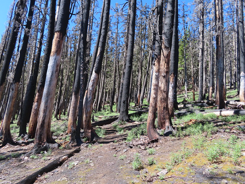
We soon found ourselves in the fire scar which at least lessened the number of mosquitos greatly.
The 2017 Separation Fire was started by lighting in August along with dozens of others. The fire became part of the Horse Creek Complex which burned something in the neighborhood of 30,000 acres. It was the same year as the Eagle Creek and Whitewater fires making 2017 a really bad year for great hiking areas. Nearly four years later signs of the slow recovery could be seen in the form of wildflowers and small trees. Washington lily
Lupine
Squirrel
Tiger lily
The trail briefly entered an area of older trees that had fared a little better during the fire.
Twinflower
Leaving the green trees behind.
The trail climbed gently which allowed us to fully appreciate the wildlife and wildflowers, in particular some really impressive Washington lilies. Washington lilies
They smell as good as they look too!
This one was a monster.
Chest high
Crab spider on the lower left petal.
Penstemon
Earlier in the week I had been reading that the blossoms turn pink after being pollinated.
Clodius parnassian
Pretty moth
Penstemon
Woodpecker
Pond along the trail.
Water lilies
The trail began to level off as it passed between Proxy Point on the left and Substitute Point on the right. With the trees being burnt we had a good view of the rocky Proxy Point but the angle of the hillside below Substitute Point kept it hidden. Also visible was The Husband further ahead to the East. Looking toward Proxy Point
The Husband, South Sister, and the shoulder of Substitute Point.
Frog along the trail.
The trail curved around the base of Substitute Point where we got a view of Three Fingered Jack and Mt. Jefferson. Proxy Point, Scott Mountain (post), Three Fingered Jack and Mt. Jefferson
Bleeding heart
We came to the junction with the Substitute Point on its NE side. The Husband from the junction.
The Substitute Point Trail didn’t appear to have been maintained, possibly since the fire, but it was easy enough to follow as it headed uphill.
This was sort of a mean trick, the trail entered these green trees then almost immediately switched back into the burn.
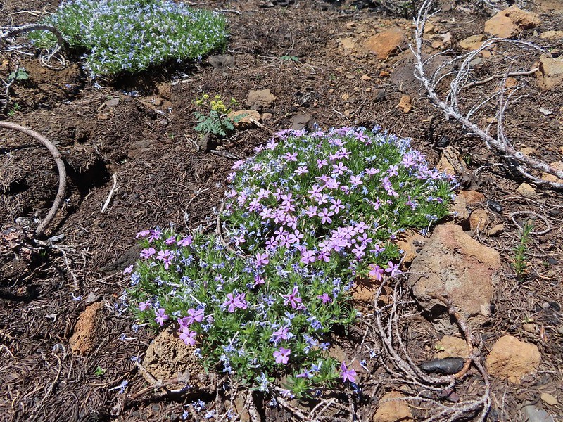
Phlox
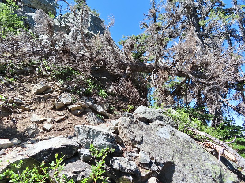
The climb wasn’t particularly steep until the end as it approached the rocky spire where a lookout once sat. As we approached it was hard to believe there was a trail to the top.
There was in fact a nice trail that wound up the west side, although a single downed tree did require a hands and knees crawl along the way.
The Little Brother and North & Middle Sister behind The Husband with South Sister to the right.
The trail leading up.
The view at the top was at the same time spectacular and sad. We could see that much of the area that we’d explored on our previous backpacking trips had been burned badly by the fires. The summit of Substitute Point
Scott Mountain, Three Fingered Jack, Mt. Jefferson, Mt. Washington, and Belknap Crater (post).
Three Fingered Jack, Mt. Jefferson and Mt. Washington
We took a nice long break at the top watching butterflies soar around us. A swallowtail and two whites (maybe clodius parnassians) in flight.
After our break we headed back. We’d had the hike to ourselves but were now passing a handful of hikers heading up the trail. We stopped a few times to watch butterflies (in hopes they would land) and to smell the occasional lily. Clodius parnassian in a blossom.
Moth and a parnassian.
The hike here came to 10.3 miles with 2000′ of relatively gentle elevation gain. With the 2.8 miles we did at Rainbow Falls it came to a 13.1 mile day and a great way to spend the 4th of July.
Track for Substitute Point
While we were sorry to see how badly much of the area was burned it was encouraging to see the trails were in relatively good shape and that there was new growth coming. We fear that hiking in recently burned forest is only going to become more common in the years to come but hike we will. Happy Trails!
For the Fourth of July weekend we had originally planned on a trip to Central Oregon but the drought conditions that were exasperated by the recent heat wave had us reconsidering not being home to guard against rogue illegal fireworks (a house in our neighborhood lost a fence and tree last year on the 4th). Our decision was made final when, following the heat wave, mostly dry thunder storms passed over the Ochoco Mountains where some of our hikes were planned. Lighting caused fires have kept firefighters busy since then as the race to contain the fires that are still cropping up from that storm system. We turned to Plan B, which was in part a modified Plan A, and spent the weekend hiking in the Central Cascades. On Saturday we stuck to our originally planned hike to Berley and Santiam Lakes but instead of continuing on to Bend afterward we drove back home.
This hike is covered in Matt Reeder’s “101 Hikes in the Majestic Mount Jefferson Region” and provided us an opportunity to revisit some places as well as discover some new ones. The hike starts at the Pacific Crest Trailhead along Highway 20 at Santiam Pass.
For now this is one of the trailheads where a Central Cascade Wilderness Day Use Permit is not required but a NW Forest Pass ($5/day or $30/annual) is, as well as completing a free self-issue permit. Note that for overnight trips a Central Cascade Wilderness Permit is needed for any visits to the Mt. Jefferson, Three Sisters or Mt. Washington Wilderness areas.
We had started another hike here in October of 2012 when we hiked to the base of Three Fingered Jack then returned on a loop past Martin, Booth, and Square Lakes (post). We were interested to not only see the area during a different season but also to see what had changed in nearly 9 years. This was particularly interesting to us due to the area having been burned badly in the 2003 B&B Complex and this would give us an idea of how the forest was recovering. Given the huge swaths that were burned in the September 2020 wildfires this might give us a small frame of reference for what to expect for some of the areas. The first thing that we noticed was that post fire trees seemed larger than we remembered which was confirmed by comparing some pictures of the Pacific Crest Trail junction with the Old Summit Trail 0.2 miles from the trailhead. Trail sign at the junction on 10/13/2012.
Trail sign at the junction on 07/03/2021.
What we didn’t really notice though was just how many of the snags were now missing. Entering the Mt. Jefferson Wilderness in 2012 (0.3 miles from the TH).
Entering the wilderness in 2021.
We followed the PCT a total of 1.2 miles to a junction with the Santiam Lake Trail. The view to the south was as spectacular as we had remembered with several Cascade Mountains in view along with several distinctive lesser peaks. Cache Mountain, Black Crater (post), Tam McArthur Rim & Broken Top (post), North & Middle Sister, Mt. Washington, and Hayrick Butte (flat top on the right).
To the north the top of Three Fingered Jack was occasionally visible.
There were a few more flowers in bloom now than there had been in October. A thistle
Penstemon
Bleeding heart
Pussytoes
California stickseed
Another penstemon
Shortly after passing a small unnamed lake we arrived at the junction.
Mountain bluebird by the lake.
We turned left onto the Santiam Lake Trail at the junction striking off on new to us trail. The Santiam Lake Trail headed slightly downhill to the north passing a series of small ponds/lakes before making a sweeping turn to the west then meeting up with the now abandoned Santiam Lodge Trail (coming uphill on the left) one mile from the PCT.
There was a good amount of scarlet gilia blooming along this section of trail.
Three Fingered Jack
One of the ponds.
Queen’s cup
Another pond with Maxwell Butte (post) behind to the right.
Unnamed lake along the trail with Maxwell Butte behind.
Lupine
Dark-eyed junco
Sub-alpine mariposa lilies
Woodpecker
The view south.
Seasonal pond
A half mile beyond the abandoned trail (there was part of a sign still hanging, partially hidden on a tree) we came to an unsigned fork.
We admittedly hadn’t read Matt’s hike description recently and had conveniently forgotten that there were no maintained trails to the Berley Lakes and this unmarked fork was where he would have had us turn. It wasn’t shown on the GPS map and since we hadn’t bothered to re-familiarize ourselves with the hike we continued on the Santiam Lake Trail but were still looking for the trail to Berley Lakes.
We crossed the nearly dry bed of Lost Lake Creek (There was enough water around to host a healthy population of mosquitos though.) and continued through a meadow filled with lupine into some unburned forest.
Beargrass
The combined presence of the trees and more water in Lost Lake Creek (which the trail was now following) was a perfect recipe for even more mosquitos. We hustled along as quickly a possible to try and keep as much of our own blood as possible.
Recent snow melt is another recipe for mosquitos.
Another creek crossing.
Shooting star
Mountain heather. Typically if we see this blooming we expect there to be mosquitos.
Fortunately the creek soon faded out in an open rocky landscape where the heat of the sun kept the buggers away and we were able to slow down a bit.
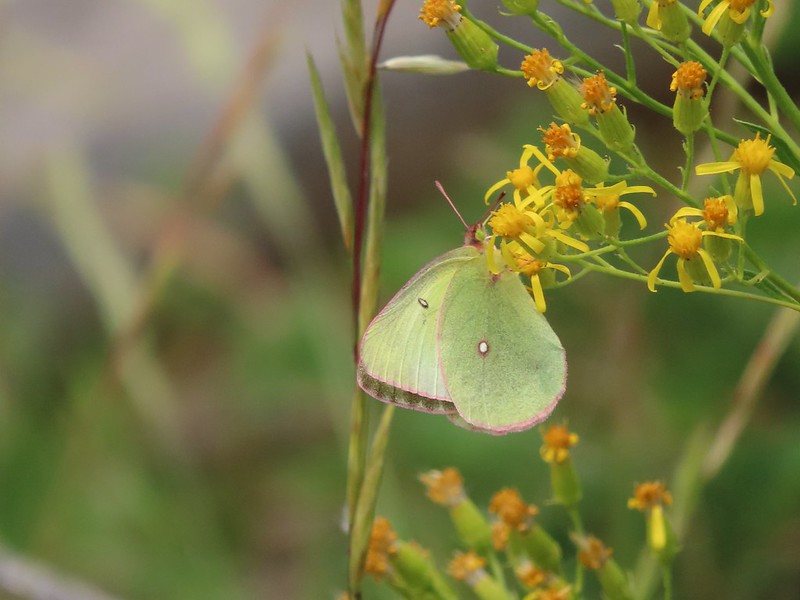
A sulphur
Alpine false dandelion
One of several snow patches at the tree line.
Nearing the end of the opening.
More snow in the trees.
A checkerspot
By the time we’d reached the open area it was obvious we had missed our turn and should have taken the fork we’d seen since we were now past the Berley Lakes. That was fine though as the original plan had been to visit those lakes first and hook up with the Santiam Lake Trail beyond Lower Berley Lake then continue on to Santiam Lake and return via the Santiam Lake Trail. Our new plan was to visit Santiam Lake then find the route to Lower Berley Lake, visit it, then check out Upper Berley Lake and return to the Santiam Lake Trail at the fork. Beyond the open plain the trail began a 250′ descent through more unburned forest to Santiam Lake.
Trees & melting snow = more mosquitos.
Not Santiam Lake but a very pretty unnamed lake just to the left of the trail approximately 0.4 miles from Santiam Lake.
Not sure what type this is but the orange on the wing was pretty.
We turned off the Santiam Lake Trail at a “No Campfires” sign and followed a familiar path down to the lake.
It had been almost 11 years since we visited this lake. On our previous visit we had come up the Santiam Lake Trail from the Duffy Lake Trail (post).
Mt. Jefferson behind Red Butte
Duffy Butte on the left.
Three Fingered Jack
Paintbrush, shooting stars, and buttercups.
We set off to hike around the west side of the lake but we encountered quite a bit of recent blowdown and decided it was a little more trouble than it was worth.
Just one of several large uprooted trees along the shore.
Taking a break along the shore and enjoying the view would have been nice but the mosquitos weren’t interested in letting us sit peacefully so when we came to the third bunch of downed trees we called it good and headed back for the Santiam Lake Trail. We followed it back to the open plain where the mosquitos hadn’t been bad and stopped to study the map in Reeder’s book (still weren’t smart enough to take the time to re-read it though) and we could see that from this end his track showed him heading for Lower Berley Lake just before a topographic feature. We made our way across the plain where butterflies were busy flying from plant to plant.
The “topographic feature” ahead on the right where we planned on turning for Lower Berley Lake.
Mountain heather along the trail, it was warm and sunny enough that the mosquitos weren’t as bad this time by.
Threeleaf lewisia
Getting closer to the hill where we planned on turning.
California tortoiseshell butterflies in the bed of Lost Lake Creek.
Later when we finally did read the hike description Reeder mentioned a cairn marking a user trail but we didn’t notice any cairn (and admittedly may have turned too soon) but we spotted what appeared to be faint tread along a hillside above a dry stream bed and took a right onto it.
The track on the map showed the route on the south side of the lake but this trail was leading to the south side of Lower Berley Lake. It led past a couple of campsites to some rocks above the lake.
Three Fingered Jack from the rocks.
We picked our way down through the rocks to the lake shore and followed a user trail west until more downed tress forced us to climb back up above the rocks.
More tortoiseshells
A butterfly photo bomb
Once we were back above the lake we came across what looked like another user trail leading away from it.
We thought it might be a side trail to Upper Berley Lake so we turned right on it but soon realized that we were following a dry bed instead of a trail.
The bed was popular with the butterflies.
A GPS check showed we were heading too much to the NNE and needed to be NNW so we left the bed and used the GPS units to find Upper Berley Lake, but not before startling a doe. Cross country to Upper Berley Lake, the doe was in this meadow and headed in the direction of the patch of snow at the far end.
Upper Berley Lake
Reeder mentions a view of Three Fingered Jack from this lake as well but we were on the wrong side of it for that. The lake shore where we were was pretty thick with small trees so we would have needed to back track to make our way around for a view but we decided to save that for another time. We took a slightly more direct route back toward Lower Berley Lake and found what seemed to us a bit of a random Day Use Only sign. We wound up finding the same “user trail” and followed it down to the lower lake.
What we could see was a clear trail heading south past the lake. We went down to the lake shore to see if we could pick something up since the track in the book showed it at the SW edge of the lake. We couldn’t make out any clear trail but that could have been because it was covered in butterflies. California tortoiseshell butterflies along Lower Berley Lake.
Three Fingered Jack and about a half dozen butterflies.
We did another comparison of the track in the guidebook and the topographic map on our GPS units and came to the conclusion that we were in the right spot and just needed to hike over a saddle between two hillsides. As we made our way up we found an obvious trail. The hillside on the right was rocky.
The trail dropping down from the saddle with Mt. Washington and the North Sister ahead.
This trail was at times easy to follow and at others non-existent.
Just under three quarters of a mile from Lower Berley Lake we ran into three hikers heading for the lake which we took as a good sign. Just a short distance later we came to the dry channel of Lost Lake Creek.
It was hard to tell where the “trail” crossed or where it was on the far side. Reeder’s track showed the alignment converging with the Santiam Lake Trail at an gradual angle but we could see that we were only about a tenth of a mile from that trail as the crow flies so we abandoned all attempts at following the user trail. We headed straight for the Santiam Lake Trail and found it without much difficulty. Found it!
We were a tenth or two of a mile from the actual junction which wound up working in our favor. We had rejoined the Santiam Lake Trail just north of the seasonal pond where there were now dozens of butterflies hanging out and this time they weren’t all the same types.
We made our way back to the PCT then followed it south back to the trailhead but not before stopping at a viewpoint for one last look at the mountains. Yellow beetle on lupine.
Orange agoseris
Back at the PCT.
Bumble bees on penstemon.
Cicada in the grass.
Black Crater, Broken Top, North & Middle Sister, Mt. Washington, Hayrick Butte, and Hoodoo Butte from the viewpoint.
Three Fingered Jack from the viewpoint.
Track for our 12.9 mile, 1300′ elevation gain hike
After a great day of hiking we spent the evening with my Grandma and parents. It was a great start to the holiday weekend. Happy Trails!
After spending three nights in Pendleton and two John Day it was time for us to head back to Salem on Friday. We planned on stopping at Walton Lake in the Ochoco National Forest along the way to visit the man made lake where I had spent some time in my childhood. We also planned to hike from the lake to the summit of Round Mountain which we had done from the opposite side back in 2017 (post). After our hike we were meeting Heather’s parents for a late lunch/early dinner in Redmond at Madeline’s before continuing home to Salem.
We left John Day a little before 5am and arrived at Walton Lake shortly after 6:30am. There were already several folks our fishing and we were met by the camp greeters.
A paved/gravel 0.8 mile trail encircles the lake with the Walton Lake Trail splitting off on the south side of Walton Lake. We decided to hike around the lake clockwise passing the small dam that created the lake and a number of campsites before arriving at the unsigned Walton Lake Trail after 0.6 miles. Along with the people fishing there were a number of ducks (including ducklings), geese and coots around the lake. American coot and a duck family.
Spotted sandpiper
Pied billed grebe
Mountain bluebird
The spur of the Walton Lake Trail that leads to the Round Mountain Trail.
We turned up the spur trail which climbed through a meadow where several families of geese were hanging out.
After 0.2 miles the spur trail crosses the campground road.
It was about this time that we realized that we hadn’t put our NW Forest Pass out. We headed back down to the lake and completed to the 0.8 mile loop to put our pass out. We later realized that it wasn’t good at Walton Lake anyway and paid the $5 day use fee.
A saxifrage.
This is also a good time mention that a 0.3 mile segment of the spur trail between Forest Road 2220 and Forest Road 22 is by Forest Order 06-07-01-21-02 closed from 5/18/21 to 10/31/21 (or until rescinded). There were no signs present at the start of the spur trail nor at the crossing of FR 2220, the notice was however posted at the FR 22 crossing (along with a warning about sheep dogs). The order also states that the closure area will be signed along with pink flagging along all boundaries on the ground (we didn’t see any pink flagging at FR 2220).
Fortunately the Round Mountain North Trailhead is just on the other side of FR 22 from the Walton Lake entrance if you don’t want to road walk around the closure. Assuming you are coming from the FR 22 crossing though the Walton Lake Trail continues 1/2 mile to its end at the Round Mountain Trail (0.2 miles from the North Trailhead).
Larkspur
Approximately 0.4 miles from FR 22 the trail passes a snow survey site in a small meadow where we spotted several does.
A short distance beyond the meadow we arrived at the Round Mountain Trail where we turned left. (Ignore the sign, it was the only one present and it was facing the wrong way.)
The trail climbed to a dry, rocky plateau but not before first passing a nice display of lupine.
Chocolate lily
The rocky plateau with Round Mountain to the right.
Death camas
A wild onion
Yarrow
The trail dipped off the plateau and lost a little elevation on its way to a saddle below Round Mountain. Just over 2 miles from the Walton Lake Trail we passed Scissors Spring in a meadow on our right. Paintbrush
Valerian along the trail.
California tortoiseshell on valerian.
Mt. Jefferson from the trail.
Maybe a miterwort?
Milbert’s tortoiseshell
Scissors Spring
A fleabane
Geranium
Beyond the spring the trail began to climb through a series of hellebore filled meadows.
Woodpecker
Another doe
A comma butterfly of some sort.
Possibly some sort of phlox?
Another wild onion
Mountain bluebells
Threeleaf lewisia
Butterfly on Jessica stickseed
A larkspur, Jessica stickseed, and hyssop
Robin
Mountain view from a meadow.
Mt. Jefferson
Mt. Hood
Just over a mile from the spring the trail made a switchback at which point it steepened noticeably. The next 1/3 of a mile consisted of steep switchbacks through a hellebore meadow to Round Mountain Road 0.2 miles from the summit.
Viewpoint at one of the switchbacks. Cascade Mountains from Diamond Peak to Mt. Jefferson. Diamond Peak
Mt. Bachelor
Ball Butte and Broken Top
Three Sisters
Mt. Washington
Three Fingered Jack
Mt. Jefferson
The trail sign along Round Mountain Road up the hill.
Fritillary butterfly
Silky phacelia
Prairie smoke
Balsamroot
Butterfly on an onion
Ladybug on lupine
Round Mountain summit
We sat on the cool concrete in the shade cast by the radio tower while we watched butterflies swirl through the air.
After the break we returned the way we’d come with a slight delay caused by a Sara’s orangetip butterfly that refused to land despite repeatedly looking like it was going to as it flew in the same loop over and over again.
Not too horrible of a photo of the orangetip on one of its many passes.
We retrieved our car from the now packed Walton Lake but not before checking out some of the wildlife one more time.
A coot, a spotted sandpiper and ducks.
Osprey with a recently caught fish (we got to see the dive)
Ducklings
From Walton Lake we drove to Redmond where we were a bit early so we stopped at the Spud Bowl and watched some dogs playing in the sprinklers before meeting up with Heather’s parents at Madelines. We had a great meal then continued home to Salem. When a section of the trail isn’t closed (and you don’t have to go back to your car to after starting your hike) this would be about a 12 mile hike with approximately 1900′ of elevation gain while the 0.8 mile loop around Walton Lake would be great for kids. Happy Trails!
After a night in John Day we headed south for a day hike on the Malheur River Trail. The trail starts at Malheur Ford Trailhead where Forest Road 1651 actually does ford the river.
The Malheur, a designated Wild and Scenic River, is fed from the Strawberry Mountain Wilderness (post). The trail is 7.6 miles long running from the ford to another trailhead at Hog Flat. For our hike we planned on hiking around 6.5 miles of the trail at which point the trail would be starting the steep climb away from the river to Hog Flat. It was a pleasantly cool morning as we set off on the trail. Despite the Forest Service indicating that the trail had not been maintained it was in good shape with just a couple of trees to step over/around. Bench near the trailhead.
Lupine along the trail.
There was plenty of river access along the way.
Currant
Paintbrush and lupine along the trail.
Geraniums
Ponderosa pines
Mile markers were present (at least to mile 6) although we missed 3 & 5 on the way out. We managed to spot them on the way back though. There did seem to be a bit of a discrepancy regarding the first mile as there were two trees sporting “1”s. First 1
Second 1
A little past the mile 1 markers the trail descended to Miller Creek where just a little water was present but it was enough to host a number of flowers.
Camas
Balsamroot, columbine, geraniums and paintbrush.
The trail did several more ups and downs sometimes rising above the river and other times dropping down to flats along it. A rocky viewpoint just before the 2 mile mark was fairly impressive.
Photo from the afternoon on the way back.
Photo from the afternoon on the way back.
Tree marking mile 2.
Typical “obstacles” that were present along the trail.
Columbine
Cusick’s sunflower?
Balsamroot or mule’s ears?
Woodland stars
Mile 4
Right around mile five (which we missed the marker for) was a riverside meadow of wildflowers.
Salsify and geraniums
Sticky cinquefoil
Swallowtail on scarlet gilia
Geranium
Some sort of copper butterfly
A checkerspot
Iris
Balsamroot (or mule’s ears)
A fleabane
A different type of fleabane.
Larkspur
Rosy pussytoes
After hanging out in the meadow watching the butterflies for awhile we continued on.
Hog Flat is up on top of the hillside.
Mile 6 markers.
Cracked egg in the trail.
We passed this cairn around the 6.5 mile mark.
We turned around here shortly after passing the cairn. It appeared the trail was beginning it’s climb and we took the cairn and downed tree as signs that it was time to turn around. We did just that and headed back keeping our eyes open for the mile 3 and 5 markers. A fritillary butterfly on an iris.
Found 5
This was a particularly tricky little muddy spot to stay dry crossing.
And there’s “3”.
Immature bald eagle. We saw it on the way out in the same area but couldn’t get a photo. This time it flew right by me, and I think it was giving me the stink eye.
Back at the trailhead.
This was a 13.5 mile out and back with a few hundred feet of elevation gain spread over the various ups and downs along the way. There were plenty of views of the river and a nice variety of wildflowers and wildlife making this a nice river hike. Happy Trails!
After three days of hiking in the North Fork Umatilla Wilderness we headed south from Pendleton planning on spending the next two nights in John Day. While I was planning this vacation I began looking for possible hikes between the two towns. Sullivan had a pair of hikes in the back of his Eastern Oregon guidebook starting from the Winom Creek Campground including a hike to Tower Mountain, the highest point in Umatilla County. A 92′-tall Aermotor steel lookout tower stands atop the mountain and is still in operation during the fire season. Sullivan’s description used the Upper Winom Creek and Cable Creek Trails to reach the summit road for a 16.4 mile out and back or a 16 mile loop by descending the Tower Mountain Trail to Big Creek Meadows and following a tie trail from there to the Winom Creek Campground. Nearly all of the area was impacted by the 2019 Tower Complex Fire. There wasn’t a lot of information online regarding the trails here which pass through the North Fork John Day Wilderness but from what I could find online it appeared that our best bet was to simply start at Big Creek Meadows Campground and do an out and back hike using the Tower Mountain Trail.
We parked at the trailhead for the Tower Loop Trail at Big Creek Meadows Campground.
Instead of heading off on the Tower Loop Trail though we backtracked along the road to Big Creek and turned left following it to NF-52 (Blue Mountain Scenic Byway).
Frosty penstemon
Tall mountain bluebells
Big Creek
Sign for the Tower Mountain Trail across NF-52.
The tread for the Tower Mountain Trail was faint to say the least as it started in meadows along Big Creek.
Buttercups
The trail passed through a stand of young lodgepole pine where it was easier to see but there wasn’t much room to maneuver. Our theory on why the Forest Service hadn’t widened this was to deter OHV riders from using the trail as there is a large network of OHV approved roads/trails in the area.
Back to the faint tread.
Elk had chewed up this section of trail.
Snowshoe hare
The hare wasn’t too concerned about us and even stopped to munch on some grass just a few feet away from us as we passed.
The only sign/marker for the trail through the meadows.
On the map the trail appeared to cross a branch of Big Creek which it did.
We were surprised to find a second crossing (of the same creek) just a few moments later.
The trail became clearer as we continued on. It followed Big Creek for a little over 3.25 miles, sometimes climbing above the meadows along forested hillsides and other times passing through wet meadows with wildflowers. Some of other sections had avoided at least the worst of the 1996 fire.
Elephants head
Milberts tortoiseshell
Fleabane along the trail.
When the trail turned away from Big Creek it began to climb through an open lodgepole pine forest with some western larch mixed in.
Soon the lodgepole forest gave way to other conifers.
We began to have views of the Elkhorns (post) to the east.
Either a cinquefoil or an aven.
Arnica
The trail grew a bit faint as we passed through an open meadow with a variety of wildflowers.
Parsley
Woodland stars
Larkspur
Mountain bluebells
Violet
Nuthatch
There was also a nice view south of the Greenhorn Mountains including Ben Harrison and Vinegar Hill (post)
Vinegar Hill is in the center with Ben Harrison to the right of the green tree in the foreground.
The trail began to climb more gradually and actually dropped a bit to a saddle below Tower Mountain before again climbing steadily to an old roadbed at the wilderness boundary. Back in forest burned in 1996.
Glacier lilies
Dropping to the saddle with Tower Mountain in the distance.
Valerian
The lookout tower on Tower Mountain.
Huckleberry blossoms
Arriving at the wilderness boundary.
Looking back into the North Fork John Day Wilderness.
A short distance later the trail ended at Forest Road 5226.
The Elkhorns from NF-5226.
The road loops around the summit of the mountain so either left or right would have led us to the lookout tower. We decided to go clockwise and headed left up the road.
We arrived at the summit after a 0.4 mile climb. Western bluebird
We sat at on a bench facing the Elkhorns to rest and have a snack.
After the break we walked over to the tower to check it out. It wasn’t clear if it was okay to climb the stairs, there was no signage either way. We decided to admire it from the ground though.
After admiring the tower we continued on the road loop. When we came to a fork in the road we detoured left to a ridge end meadow with a view that included the Wallowa Mountains (post).
Wallowas on the left and the Elkhorns on the right.
Wallowa Mountains including Eagle Cap
Elkhorns
Balloon pod milk vetch
A patch of snow clinging to Tower Mountain.
Lupine
A penstemon
Paintbrush
Old man’s whiskers
We completed the road loop and then headed back down the Tower Mountain Trail. We retraced our steps looking for flowers and wildlife along the way.
Ball head waterleaf
Violets and ?
Tortoiseshell on a cone.
Shooting star
Fish in Big Creek.
I believe this is a columbian ground squirrel.
California tortoiseshell butterflies
Diffuseflower Evening-primrose
Red tailed hawk
Our hike came in at 12.7 miles with a little under 2000′ of elevation gain. The climb never felt very steep and the scenery along the trail was great.
We were both very impressed with this hike and it wound up being our favorite of the whole trip. Having a map for the lower faint portion of trail was necessary but the trail itself was in really good shape. We then drove to John Day and after checking into our motel had a wonderful dinner at 1188 Brewing. Happy Trails!
For our third and final hike in the North Fork Umatilla Wilderness we had originally planned on a 13.9 mile loop using the Buck Creek, Lake Creek, and Buck Mountain Trails. That plan had been scrapped due to the damage caused by the February 2020 flooding in the area which left the roads and trails damaged. We parked as we had the two previous days at a gate along Bingham Springs Road (NF-32). Unlike the previous two days though it had rained overnight and the clouds were still breaking up as we set off on the 1.4 mile road walk to the Buck Creek Trailhead
There were no masses of swallowtails along the road this morning (post) but we did see a merganser across the Umatilla where some of the butterflies had been.
While the first two hikes in this wilderness had been featured hikes in Sullivan’s guidebook the Buck Creek/Buck Mountain Trails were back of the book entries. The Forest Service again had listed them both as open but the latest update (late May 2021) indicated that only the first 2 miles of the Buck Creek Trail had been cleared since the flooding and just the first 1/2 mile of the Buck Mountain Trail had received any maintenance. We were prepared to turn around when the maintenance petered out on both of these trails and we decided to start with the Buck Mountain Trail since it was said to be steep. We figured climbing first thing in the morning was better than later in the day. Buck Creek Trailhead
Buck Creek Trail straight ahead with the Buck Mountain Trail to the right. Notice that the Buck Mountain Trail didn’t receive a nice new sign. (Not pictured is the Ninemile Ridge Trail to the left.)
Just a few hundred feet down the Buck Mountain Trail we arrived at Buck Creek where there was no bridge nor any way to cross dry footed.
It would have been an easy enough ford but starting the morning of with soaked feet didn’t sound appealing to either of us, especially to simply climb for 1/2 a mile and turn around assuming no further maintenance had been done on the trail. Since we weren’t willing to get wet we decided to return to the trail junction and head up the Buck Creek Trail.
It didn’t take long to realize that fording the creek or not we were not going to have dry feet today. The Buck Creek Trail had been maintained but not brushed out. The overnight rain transferred easily from the vegetation to our clothing and soon not only were our feet wet but so were our pants and at least the lower half of our shirts.
Nice new wilderness sign along the trail.
Signs of the flooding.
Blue sky
Washed out section of trail.
Recent trail repair here.
Slugs didn’t mind the damp conditions.
We made it a little over 1.75 miles before stopping at a deep washout.
There was no visible tread entering or leaving this deep ditch and we had spent the previous tenth of a mile or so pushing our way through the wet vegetation so we assumed the maintenance hadn’t gotten any further. We turned back and did our best to pick up any water that we’d missed on the first pass.
Honeysuckle was everywhere in this wilderness, on all three hikes.
Squirrel!
We took a short detour when we reached NF-32 to check out some damage to the bridge over the South Fork Umatilla River.
There were no swallowtails today, and the merganser was no longer where we’d seen it but now there was a spotted sandpiper on the rocks where the swallowtails and merganser had been.
Apparently that is a popular spot for wildlife. We returned to car and drove back to Pendleton for the last time on this trip. For dinner we walked from the Rugged Country Lodge to Hal’s Hamburgers, in business since 1952. It was a nice ending to our stay in Pendleton. A brief but wet 6.5 mile hike with only a couple of hundred feet of elevation gain and a good old fashioned hamburger. Happy Trails!
For the second hike in the North Fork Umatilla Wilderness we chose the North Fork Umatilla River Trail (Hike #40 in Sullivan’s “100 Hikes/Travel Guide Eastern Oregon” 3rd edition). We began our hike as we had the prior days for Ninemile Ridge (post) by hiking up the closed portion of Bingham Springs Road but this time after 0.3 miles we noticed a sign post for what apparently is the Lick Creek Trail which connects to the North Fork Umatilla Trail in 0.6 miles near the North Fork Umatilla Trailhead located at the Umatilla Forks Day-Use Area. Closed portion of Bingham Springs Road (NF 32).
We had completely missed this trail along NF-32 the day before having been distracted by the large number of butterflies in the area.
Slugs were everywhere on this trail and became a theme for the day.
The trail climbed up from the road and traversed the hillside above the Umatilla River before dropping down to the North Fork Umatilla Trail.
We stayed right at this junction to head down to the North Fork Umatilla Trail.
Spreading dogbane
Evidence of the February 2020 flooding covering the North Fork Umatilla Trail, also there is a squirrel on the base of the tree at center.
There was a warning on the trail sign regarding the flood damage. The Forest Service website had been updated in late May to say that the trail had been maintained as far as Coyote Creek (approx 2.7 miles from the trailhead) though so we figured that we would be able to get at least that far. The Ninemile Ridge Trail had received more maintenance than the Forest Service page had said so we thought there might be a chance that more of this trail had been cleared since the last update too. Some signs of recent maintenance.
North Fork Umatilla River
We were excited to see that there was an actual wilderness sign on this trail. We hadn’t seen one along the Ninemile Ridge Trail, just a small metal sign plate.
It was evident that a lot of work had been put into restoring the trail given the number of slides we crossed and cut trees we encountered.
Debris from the flood in what appeared to be a new route for the river.
This big slide was across the river.
Some of the trail side was also lost.
Lorquin’s admiral
A section of trail that survived intact.
Looking down another small slide.
Paintbrush
More maintenance along another washout.
Arnica
Queen’s cup
A number of slugs on the trail, Heather counted at least two dozen in just a few feet.
Clover
Monkeyflower
Alpine pennycress
Bog orchid
Stonecrop along an exposed section.
Ragged robin in the exposed area.
At one point this guy was hitching a ride on my pant leg.
View from the trail.
This section was a little overgrown.
I believe this is Sabin’s lupine.
Spur trail to a large campsite near Coyote Creek and the North Fork Umatilla River.
The footbridge at Coyote Creek was washed out in the flood and now lay broken on the far side of the creek. I crossed over on some nearby downed trees to scout out the trail ahead. Sullivan had shown a rough 0.9 mile scramble route leading up to the left on the far side of the creek while the North Fork Umatilla Trail continued 1.6 miles up river to more campsites before turning away and begin a climb up Coyote Ridge. In 1.2 miles the trail met the scramble route at a viewpoint then climbs another 1.6 miles to a fork at the tip of Coyote Ridge. Originally our plan had been to hike to that fork for an 11 mile out and back (from the Umatilla Forks Day-Use Area). Having to park at the gate would have made it closer to a 13 mile hike but after crossing the creek it was apparent that the Forest Service website was still up to date and the trail had only been cleared to Coyote Creek. Pink flagging marked both the scramble route and official trail but it appeared that was as far as anyone had gotten. Missing a footbridge.
I crossed on that log.
Found the footbridge.
Flagging for the scramble route.
Flagging for the North Fork Umatilla Trail
We took a short break at Coyote Creek then explored the nearby campsites before heading back. Butterfly on a cinquefoil?
Confluence of Coyote Creek and the North Fork Umatilla River.
Deep hole below the campsites along the North Fork Umatilla
River.
Campsite near Coyote Creek.
Heading back on the trail.
Checkerspot on honeysuckle
Twisted stalk
Spotted coralroot
Phantom orchid
Houndstongue
As we neared the junction with the tie trail to the Lick Creek Trail we met a three person trail crew heading for Coyote Creek. They were going to be working on the trail beyond and added that a larger crew was coming in to camp at Coyote Creek and continue restoring the trail. We thanked them for their efforts and briefly discussed the Ninemile Ridge Trail which they were happy to hear was passable to the cairn at the high point. Instead of taking the tie trail back we hiked out via the day-use area and followed NF-32 back to the car. Signboard at the trailhead.
Sign for the Blues Crew at the trailhead. These volunteer organizations are so vital to keeping the trails open.
We were delayed twice along the way by swarms of swallowtail butterflies. Not swallowtails but these lorquin’s admirals sure liked this scat.
The first mass of swallowtails was on the far side of the river along this stretch.
The second and larger group was at this wet spot along the road.
In addition to all of them on the ground dozens more were swirling around our heads. It was one of those moments on the trail (even if it was a road) that we wont forget.
Our hike came in at a reasonable 8.5 miles round trip with a little under 500′ of elevation gain. A much more manageable day than the one before. While it was a bit disappointing not to reach Coyote Ridge it was probably for the best for our bodies in the long run. It helped that we had gotten plenty of views of the area on Ninemile Ridge too so we didn’t feel like we missed out much there.
Tack for the North Fork Umatilla Trail
We drove back to Pendleton and after cleaning up had dinner at Moe Pho before turning in for the night. Happy Trails!
As we continue to explore the trails in the Pacific Northwest we are working on completing a number of “goals”, one of which is having hiked in each of Oregon’s 36 counties. We began the year missing just two, Gilliam and Umatilla. We checked Gilliam off our list over Memorial Day weekend with a hike at Cottonwood Canyon State Park (post) leaving just Umatilla County. One of our other goals is to hike in the 46 Oregon wilderness areas open to visitors (post). (Oregon Islands and Three Arch Rocks off the Oregon Coast are off limits.) We began the year with just four wilderness areas left to visit; Black Canyon, Devil’s Staircase, Monument Rock, and North Fork Umatilla. We used a week of vacation to finish the county hikes, visit the North Fork Umatilla Wilderness, and check off three more featured hikes in one of William L. Sullivan’s guidebooks, this time his “100 Hikes/Travel Guide Eastern Oregon” (3rd edition). Our long term goal is to complete the 100 featured hikes from at least one edition of each of Sullivan’s five guidebooks; Oregon Coast, NW Oregon & SW Washington, Southern Oregon & Northern California, Central Oregon Cascades, and Eastern Oregon (post).
We started our week off by driving to Pendleton stopping along the way at the Cold Springs Wildlife Refuge near Hermiston, OR. This stop came about while I was looking for hikes in areas around Oregon where we hadn’t hiked yet. At four hours from Salem the short Memorial Marsh Trail system looked like a good leg stretcher on our way to Pendleton and it would be our first hike in Umatilla County. We parked at the trailhead for the Memorial Marsh Unit at the east end of an access road.
Map from the refuge brochure. We parked at the arrow.
The brochure, which is available online and at the trailhead, is dated 2014. We didn’t realize that when we grabbed one to use as our map. What we should have done is paid more attention to the laminated map posted on the trailhead signboard.
The brochure map shows a total of three loops (see above). There is a triangular loop from the parking area, and two loops around marshes. The laminated map however only shows the triangular loop. While the brochure indicates that there are loops around both the Lower Pond and the Upper Pond the other map did not. Having missed that detail we set off with a plan of staying left at junctions to complete the non-existent loops. The trail led us through a sagebrush landscape similar to what we had seen at the nearby Umatilla Wildlife Refuge (not in Umatilla County) in 2019 (post).
Yarrow
Caterpillar
After .3 miles the dirt trail met a gravel roadbed at the Lower Pond.
Looking right down the roadbed which would lead back to the parking area.
We weren’t off to a great start as we were already confused at the roadbed. We weren’t sure exactly where we were on the brochure map and spent some time debating on which direction we should go. Before we figured that out though Heather realized that we’d left her GPS unit sitting on top of the car so she headed back to retrieve that and I wandered to the right up the road a ways where it became clear that it was going to lead back to the trailhead which let me know that it was part of the triangular loop. Ducks in the Lower Pond
Showy milkweed
A lone phlox blossom
Having retrieved the Garmin and figured out where we were we headed left from the dirt trail along the gravel road which curved around the Lower Pond.
Female red-winged blackbirds
Blue-winged teal and a black-necked stilt.
Black-necked stilt
Red-winged blackbird
White pelican
Cinnamon teal
When we came to a “Y” junction in the road we went left.
This road led between the hidden Cold Springs Reservoir on the left and the Middle Pond on the right. We spooked a couple of deer along this stretch but they both vanished in the sagebrush before I had time to retrieve the camera.
Middle Pond
We ignored a side road on the left for hunting blind 5 and then again forked left when the road split at the Upper Pond. Spur road to hunting blind 5. The blinds were well signed but not marked on the brochure map. The laminated map at the trailhead though did show the blinds which would have also been very helpful.
Upper Pond
Upper Pond
Yellow headed blackbirds
We wrapped around the pond to the edge of the refuge where we were carefully watched by a herd of cows on the other side of a barbed wire fence. The gravel road eventually gave way to a cut grassy track near blind 1b and then vanished altogether. Not going to be making a loop around the Upper Pond.
A little confused we turned around and passed the equally confused looking cows. We backtracked to the fork between the Middle and Upper Ponds and went left thinking that maybe we had misread the map and this was the loop.
Killdeer
This roadbed began to loop around the Upper Pond before petering out near blind 8 (again all of this would have been clear had we used the laminated map). The saving grace here was we got to see an owl fly out of the trees along the pond (no time for a photo though) and we saw another deer which I did manage to get a picture of.
Once again we found ourselves back tracking. Having not yet learned our lesson when we made it back to the split between the Middle and Lower Ponds we once again attempted a loop and headed between them. Great blue heron
Lazuli bunting
The road had turned into a grassy track before ending in some sagebrush where a faint trail? could be seen.
We did pass at least one sign facing the other direction which indicated that at least at one time this had been a loop but it was now very overgrown.
We passed blinds 7 and 7b which were also quite overgrown and in the process I manged to pick up at least a half dozen unwelcome guests in the form of ticks.
When we finally made it back to the gravel road we stopped for a tick check to try and make sure there were no stowaways left and then followed the roadbed .3 miles back to the trailhead. I wound up doing 4.4 miles here (Heather wound up with ) which was quite a bit more than we had planned due to the backtracking for the GPS unit and the non-existent loop around the Upper Pond.
We almost managed a loop around the Upper Pond
Before we started our drive to Pendleton we did attempted another full tick check. Despite stripping and attempting to look under any flap on our clothing we somehow missed two of the little blood suckers. One we spotted crawling up my pant leg before we started driving which we quickly dispatched of but the second appeared on my knee while we were on Interstate 84. Heather attempted to get it into a container since there was nowhere for me to pull over at that moment but instead of going into the container it wound up on the floor and vanished (at least for the time being). For the rest of the drive we were on high alert watching for it to reappear.
We still had a second hike to do so after filling our gas tank (and searching in vain for the missing tick) we drove past Pendleton to a temporary trailhead along Bingham Springs Road (National Forest Road 32).
Severe flooding in February of 2020 washed out roads and trails in the area and work is still being done to repair the damage. We had actually planned on doing this trip in 2020 before the flooding (and COVID) and at that time were planning on camping at the Umatilla Forks Campground since our next three hikes all began within a half mile of the campground. Since that option was off the table staying in Pendleton (just 31 miles from the temporary trailhead) made the most sense.
After searching again for our missing tick we set off on the closed road which we followed for 1.2 miles to a fork at the far end of the campground where we turned up FR 045 for another 0.2 miles to a trailhead sign. The road walk wasn’t all that bad as it followed the Umatilla River the whole way.
This was a popular spot with the butterflies, particularly swallowtails.
Swallowtails
Swallowtails
Lorquin’s admiral
A tortoiseshell
Dragon fly watching the butterflies
Approximately 3/4 of a mile from the gate we passed a sign for the North Fork Umatilla Trail which was our destination for the next day.
Just beyond the sign we crossed the North Fork Umatilla River.
Ouzel
FR 045 on the left.
Another gathering of butterflies
Three trails start at this trailhead, the Ninemile Ridge, Buck Creek, and Buck Mountain Trails.
Today’s plan was the Ninemile Ridge Trail. In the original plan this was the shortest of the three hikes with Sullivan listing it as a 7.2 mile out and back. Adding the road walk was going to add close to 3 miles round trip but the road walk was necessary for the other two hikes as well. We weren’t sure though how much of the trail we were going to be able to hike. While the Umatilla Forest Service listed all the trails in the area as open the most recent updates from late May 2021 indicated that only parts of the trails had been maintained since the flood damage. In the case of the Ninemile Ridge Trail the webpage stated that as of 5/20/21 the trail had not been logged out.
We headed uphill from the signboard a tenth of a mile to a 4-way junction.
Here the Ninemile Ridge Trail headed uphill to the left while the Buck Creek Trail was straight ahead and the Buck Mountain Trail was to the right. We turned uphill onto the Ninemile Ridge Trail and soon entered the North Fork Umatilla Wilderness for the first time.
It was evident fairly early on that some maintenance had been done since the last update on the webpage.
The trail climbed steeply through the forest at first but soon the trees gave way to open hillsides.
Grouse
Buckwheat
Ragged robin (Clarkia pulchella)
Lingering snow in the distance.
While manny of the flowers were well past there were quite a few ragged robins blooming and few other flowers at the lower elevations. Ragged robins
Paintbrush
Yarrow
Bettles and a crab spider on rose
As the trail traversed up the hillside it passed through some forested gullies where some maintenance had been done to remove the worst obstacles while those that were more easily navigable were left for later.
Arnica
As we climbed the views kept getting better.
You might be able to make out the trail continuing up the far hillside. Now on the far hillside heading for that small tree on the ridge end.
Looking back along the trail and at Ninemile Ridge.
Near the 2.25 mile mark from the trailhead signboard (3.6 from the temporary trailhead) we reached the ridge end and turned up Ninemile Ridge. South Fork Umatilla River from near the ridge end.
Heading up to the ridge top.
Gaining the ridge and a view ahead of what’s to come.
From the turn at the ridge end it was another 1.8 miles to a cairn at the high point of Ninemile Ridge. The trail gained over 950′ in this stretch, often times in very steep sections. The steepness combined with the heat (it was a warm day) made for a challenging climb.
Balsamroot
Large-flower triteleia
A penstemon
Paintbrush and prairie smoke
Death camas
Turkey vulture checking to see if we were dead yet.
Ravens also interested in our carcasses.
An allium
There was a 20% chance of showers according to NOAA so these clouds forming weren’t a surprise.
A flat stretch along the ridge before another steep climb.
Buckwheat and Large-flower triteleia
Bush penstemon
The trail was actually down to the left but the ridge seemed like it would take less climbing.
Ball head sandwort?
Lupine
Paintbrush along the final climb.
A parsley and naked broomrape
Larkspur
Rosy pussytoes
The trail became suddenly overgrown near the high point and I left the trail and headed uphill cross-country to a cairn near the top. Cairn on the right.
Heather had stopped a couple of climbs back under a tree unsure if she was going to attempt reaching the top or not. I wasn’t alone at the cairn though as I made friends with a local lizard.
Clouds starting to pass over.
High Ridge Lookout to the left
High Ridge Lookout
Looking back down Ninemile Ridge
I spotted Heather making her way up the trail again so I waited at the cairn for a while. Heather making her way up.
I had just started down thinking that she may have balked at the final steep climb when I met her just below the start of the off trail climb to the cairn so back up we went. I was looking for more flowers to document. Blue-eyed Mary and elegant mariposa lily
Slender phlox
A phacelia
Hoary balsamroot (most of it was way past)
Phlox
After a nice rest at the cairn we headed down under increasingly cloudy skies.
Spotted coralroot
Honeysuckle
A welcome. albeit brief, shower passed overhead as we were in one of the small forested sections of the trail.
Arnica and small flower miterwort
Twinflower
We were nearly out of water by the time we reached the road walk and wound up getting more from the Umatilla River before continuing on to our car. We had originally planned on a 9 to 10 mile day which we then had bumped up to 11 to 12 due to the road walk but the hike at Ninemile Ridge came in at 10.9 miles for me (I added a 1/4 mile coming down from the cairn to find Heather and go back up).
My track at Ninemile Ridge
Add the 4.4 miles from the Cold Springs Wildlife Refuge and it came to a 15.3 mile day with 2200′ of elevation gain. It was also a lot later than we’d expected. We didn’t get back to the car until after 6:30pm (having left Salem at 5:00am) and it was close to 7:30pm when we finally checked into the Rugged Country Lodge in Pendleton. We did however finally find that missing tick. At some point, despite all our searching, it managed to get onto Heather’s back. I used our tick key to remove it and we kept it in a plastic container just in case but it couldn’t have been on there too long given the number of times we checked for it.
Despite that and a couple of other misadventures it was a good but tiring start to six straight days of hiking. Happy Trails!
After a week of 90 degree temperatures much needed rain arrived just in time for the weekend. Most of the west is in the midst of a drought so the the rain is welcome but it meant looking for a plan B for our hike. We decided to stick relatively close to home and revisit Mary’s Peak (previous post), this time via the North Ridge Trail. In addition to only being about an hour away the forecast for the area was better than any of the other alternatives that I had looked at with NOAA calling for a 30% chance of showers and partly sunny skies over the Woods Creek Trailhead. We figured that gave us the best chance for a dry hike (lol) and if the weather wasn’t great at least we had been there before when it was better.
While we were encouraged by a good sized patch of blue sky between Monmouth and Philomath the trailhead was under the cover of low clouds.
A couple of trails led into the trees from the parking area on Woods Creek Road. The trails led to what was the Old Peak Trail which was abandoned for a time but appeared to be in good shape now. The Siuslaw National Forest page for the trailhead indicates that this is now part of the North Ridge Trail extending downhill (northeast) 2.2 miles to Peak Road although they do not show said trail on their map.
We took this trail from the parking area to the North Ridge Trail where we turned right at a signboard.
We followed the trail for approximately 100 yards before popping out onto Woods Creek Road just uphill of the gate near the parking area (on our return we simply followed the road down to the car).
The North Ridge Trail continued on the other side of the road and began a 3.5 mile climb to a junction with a tie trail connecting the North and East Ridge Trails. On our last visit in 2014 we had come down the North Ridge Trail to the junction and taken the tie trail to get back to the East Ridge Trail and our car at Conner’s Camp. The North Ridge Trail gained 1400′ over the 3.5 miles using a number of switchbacks to keep the grade from ever being very steep. The green forest was filled with fog which was depositing moisture on the trees that was then falling to the forest floor so even though it wasn’t “raining” it may as well have been. Signboard along the North Ridge Trail at Woods Creek Road.
Iris
Near the half mile mark we ignored this pointer to the left. Looking at the map there are roads looping back to Woods Creek Road and also to Conner’s Camp but what their conditions are we don’t know.
Monkeyflower
Wren
Thimbleberry
Pacific coralroot
Anemones
Vanilla leaf along the trail.
Lots of vanilla leaf.
Douglas squirrel.
The higher we went the foggier it got.
Bench at the junction with the tie trail.
We stayed right at the junction continuing uphill on the North Ridge Trail for another 0.7 miles to the Mary’s Peak Overlook parking area. We were starting to get pretty wet, and so was the trail, by this point.
Some of the trillium still had petals.
Signboard for the overlook on the hillside to the right.
When we exited the trees below the overlook we were able to confirm that it wasn’t raining despite all the water falling from the trees. It was however windy and that wind combined with damp skin/clothes and upper 40 degree temperatures made it cold at the overlook.
We quickly dropped downhill on the East Ridge Trail, which also ended at the overlook and were going to then head uphill on Summit Trail but we forgot what that junction looked like and when we came to a set of old steps after just 500′ we got confused. The steps led uphill into a jumble of downed trees. This was apparently an older route and the actual Summit Trail junction was just another 100 feet or so away. The junction from later in the morning with the Summit Trail heading uphill to the right and the East Ridge Trail down to the left.
Since we were unsure we headed back to the overlook and took the gated road uphill.
Going to be a beargrass year.
Beargrass
Larkspur in the wet grass.
After 0.3 miles on the road we came to the Summit Trail/Summit Loop Trail junction. We stuck to the road opting to do the loop clockwise.
The road cut between the junction and the summit host a nice display of flowers including large patches of paintbrush, larkspur, phlox, and penstemon. Lupine, parsley, field chickweed, blue eyed mary, buttercups and ragwort were also present. Paintbrush
Penstemon
Field chickweed
Parsley
Blue-eyed Mary
Ragwort in front of lupine that had yet to bloom.
Phlox
Lupine
Buttercups and larkspur
The wind was once again an issue at the summit (the highest peak in the Oregon Coast Range at 4097′). Heather hiding behind the summit signboard to try and keep out of the wind.
Needless to say there was no break taken at the picnic table here and instead we headed downhill on the Summit Loop Trail. Lots of lupine yet to bloom.
At an unsigned fork we went left descending further through the meadows then reentering the forest before coming to a junction with the Meadows Edge Trail after 0.2 miles.
We turned left here to take the Meadows Edge Trail which we had not been on before. The 1.6 mile trail makes a loop around a grove of old growth noble fir losing and regaining 450′ in elevation along the way.
As the name implies the Meadows Edge Trail occasionally entered the meadows before returning to the forest.
For a brief moment a bit of sunlight hit the forest and we thought maybe the sky would clear up.
Salmonberry bushes near Parker Creek.
Western meadowrue
Spur trail to the Mary’s Peak Campground.
Fairybells and star flower solomonseal
The sky was in fact not clearing up.
Bleeding heart and sourgrass.
Fawn lilies in the meadow.
When we had finished this lovely loop we returned to the Summit Trail and followed it for 100 yards to the 4-way junction on the gated road. Signs at the road junction.
We could have crossed the road and followed the Summit Trail down to the East Ridge Trail but we still were under the mistaken impression that the trail might be impassable so we returned to the Overlook via the road and picked up the East Ridge Trail there. Shortly after having turned onto that trail we passed the actual Summit Trail junction and realized that we could have indeed taken it from the road. We followed the East Ridge Trail beyond the Summit Trail junction for 1.2 miles where signs and a bench marked the junction with the tie trail. The wet conditions were starting to really hinder picture taking at this point.
We turned left onto the tie trail and followed it another 1.2 miles to the North Ridge Trail junction.
Striped coralroot
North Ridge Trail junction
It was 3.5 miles back downhill to the car and the gentle grade made for a pleasant return trip. The clouds also began to finally lift and we finally did see some patches of blue sky. Heather descending in the fog.
Cutleaf goldthread
Millipede
Is that some blue sky out there?
Not much but it is blue.
Our hike came in at 13.1 miles with around 2500′ of elevation gain. We could have shaved a tenth of a mile or two off by taking the Summit Trail down to the East Ridge Trail and skipping the Meadows Edge Loop would have saved another 1.6 (but that was a really nice loop).
Track for Mary’s Peak via the North Ridge Trail
Despite the wet conditions and lack of “partly sunny skies” it was a nice hike and the conditions kept the popular trails from being too busy, although we did see a couple dozen other users. Hopefully we won’t have to do too much more shuffling of our planned hikes but if we do I always have a few options standing by. Happy Trails!


 Aster, paintbrush, and fireweed.
 Fireweed, aster, and pearly everlasting.
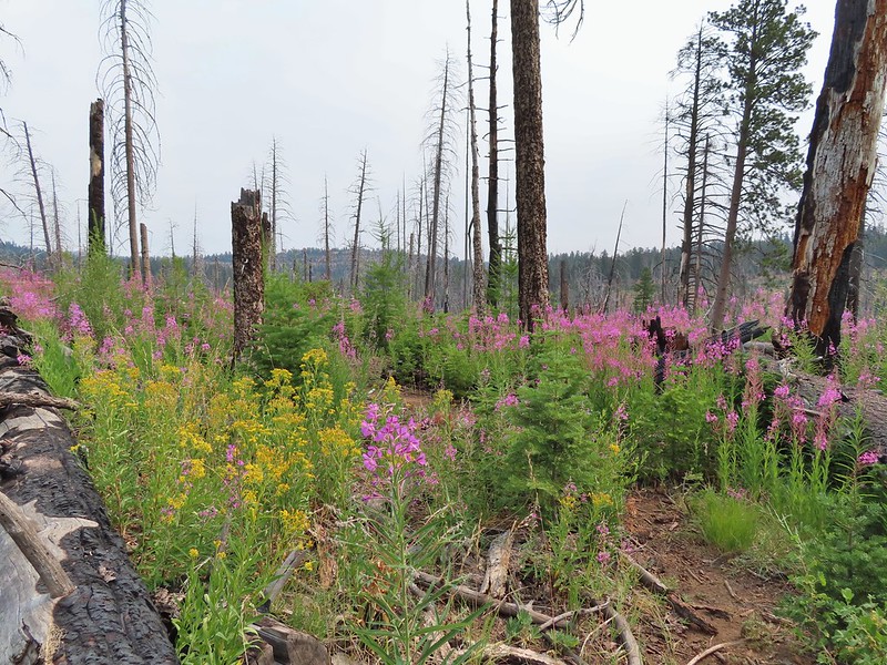
 Clouds and smoke mixing in the sky made it hard to tell if any thunderstorms might be developing.
 We never heard any thunder but we did briefly get sprinkled on.
 Ground squirrel.
 Columbine
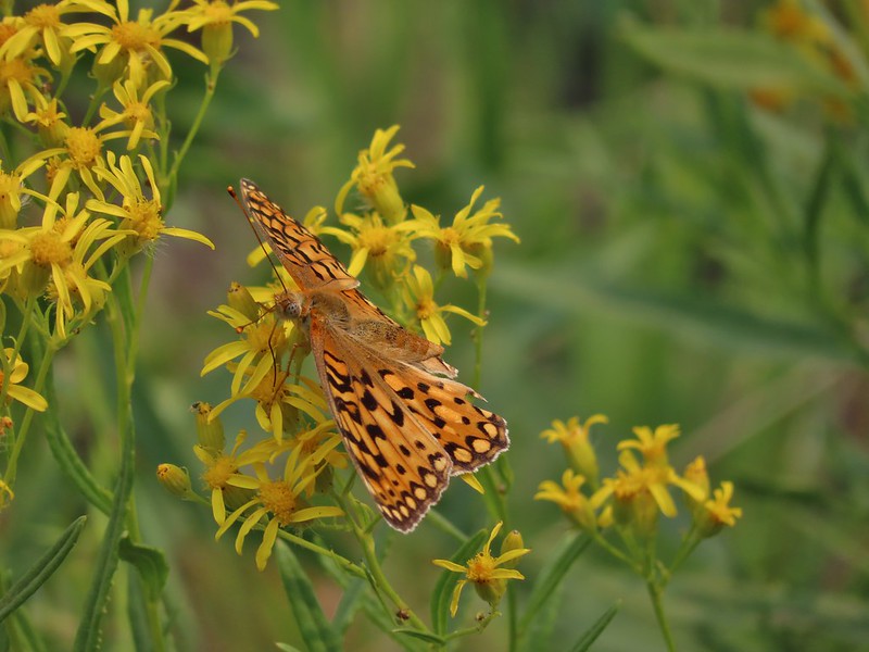 Fritillary butterfly
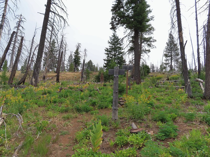 Black Canyon Trail junction.


 Owl Creek crossing approximately 1.5 miles from the junction.


 Fish in Black Canyon Creek
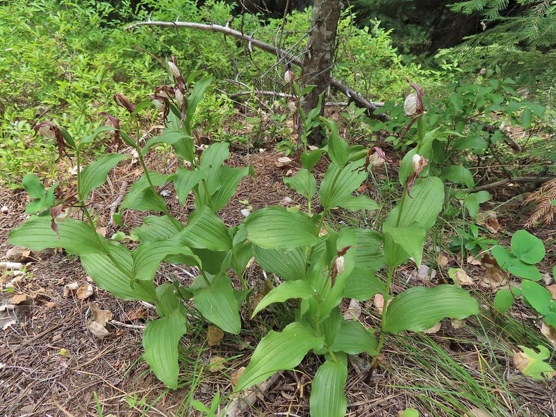


 Western Tanager

 California tortioseshell
 Western Jacob’s ladder
 Black Canyon Creek


 The number of insects on the blossoms and their size differences were fascinating.
 Snacks

 Lorquin’s adrmiral

 A little light on the tread in this section.
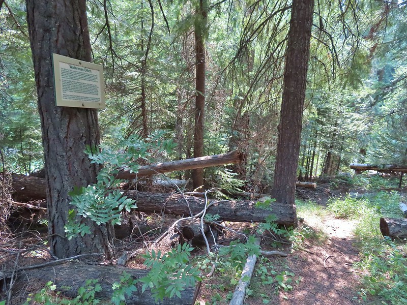


 Fir Tree Creek
 Butterflies on coneflower
 The cabin ruins.
 Coming around a ridge end toward Second Creek.
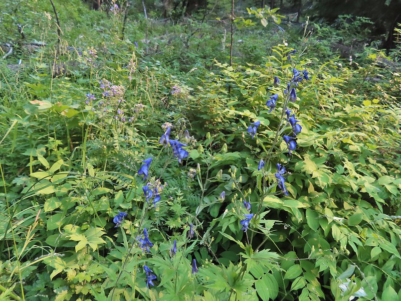 Monkshood at Second Creek
 This little guy oversaw our water pumping.
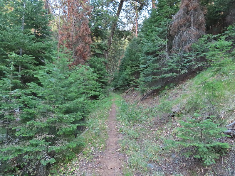


 One of two phantom orchids we saw along the trail.
 Newish looking wilderness sign.
 Maples overhanging the trail.
 Madrone trunks
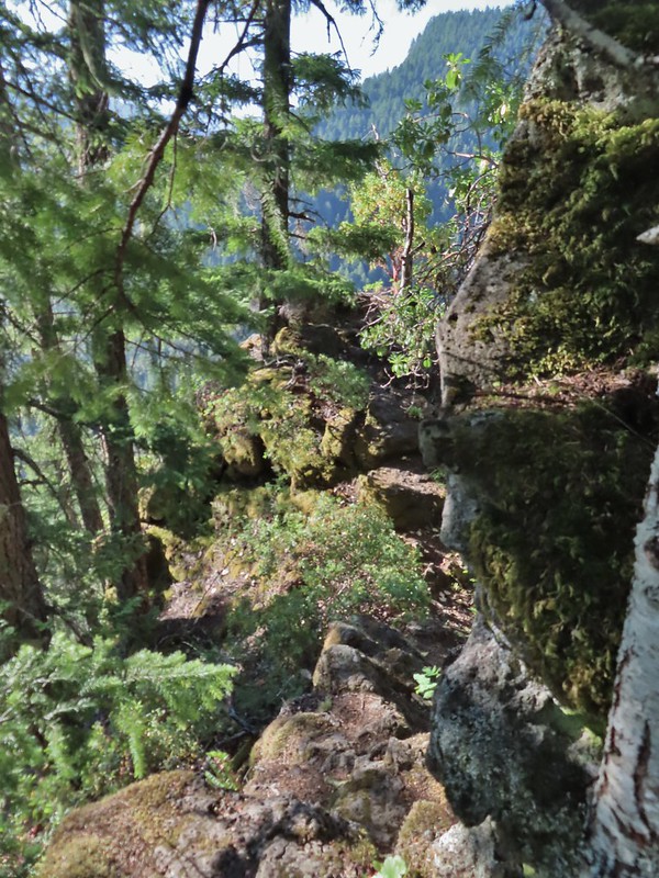 It’s a pretty narrow scramble so probably not for kids or those uncomfortable with heights.
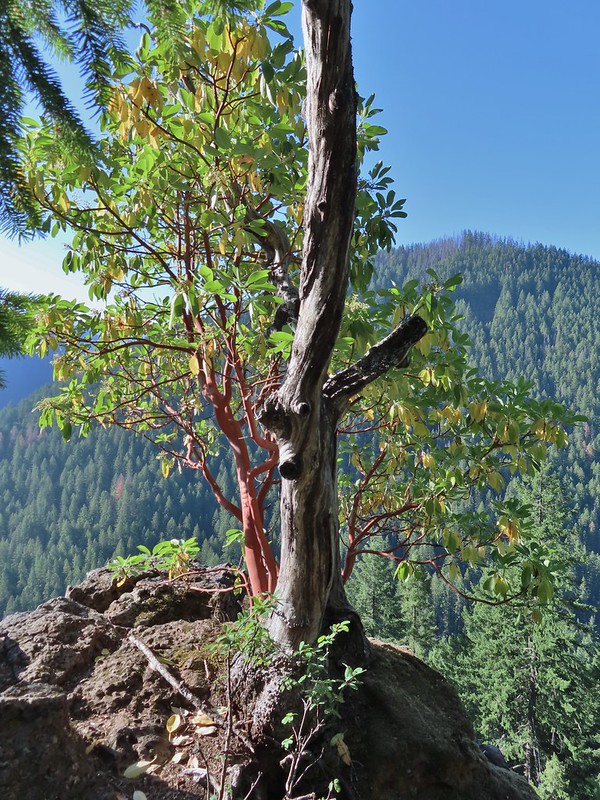 A lone madrone at the end of the fin.
 Looking toward the falls. (The North Sister is back there too but not visible due to the lighting.)
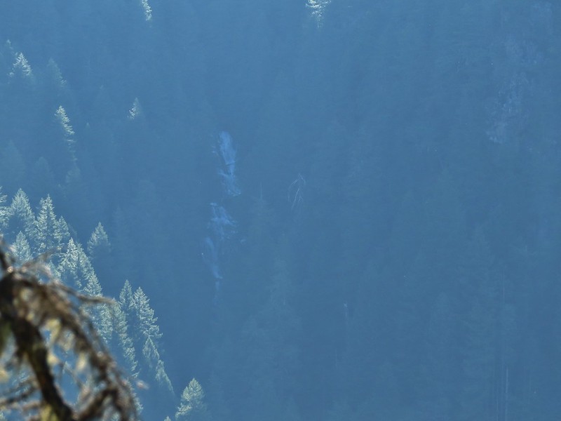 Rainbow Falls on Rainbow Creek
 The best I could do with the lighting.
 Looking up Separation Creek.
 Looking back up along the rocks.

 Pink pyrola
 Crossing of Gold Creek which was nearly dry but it hosted a fair number of mosquitos.
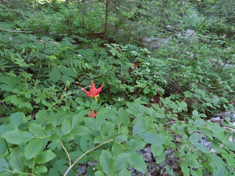 Columbine, bunchberry, and wild roses.
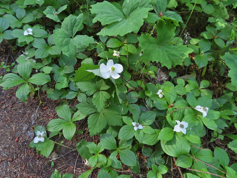 An anemone with some bunchberries
 Entering the Three Sisters Wilderness
 Queen’s cup
 Beargrass
 Candy sticks
 Rhododendron
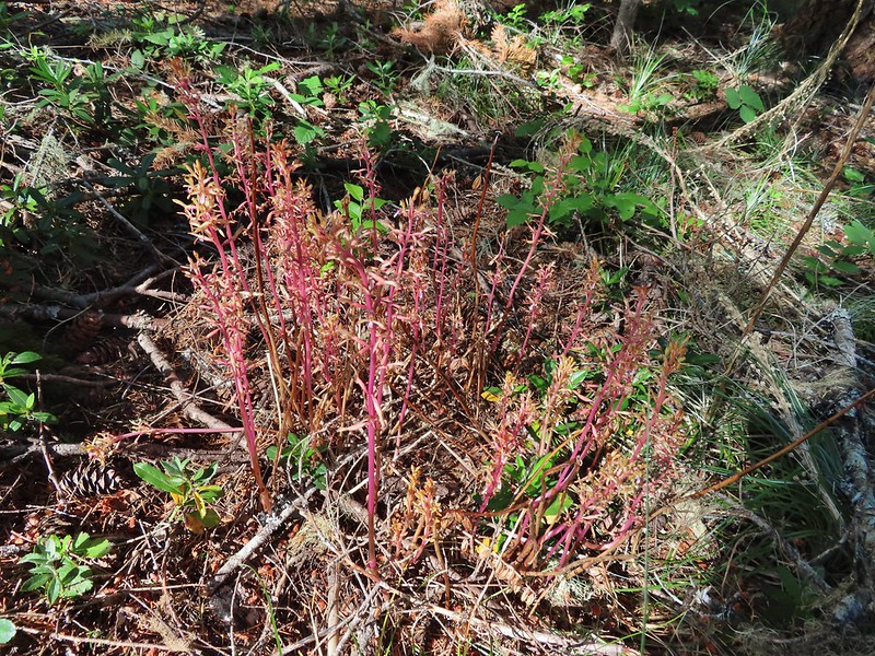 Pacific coralroot
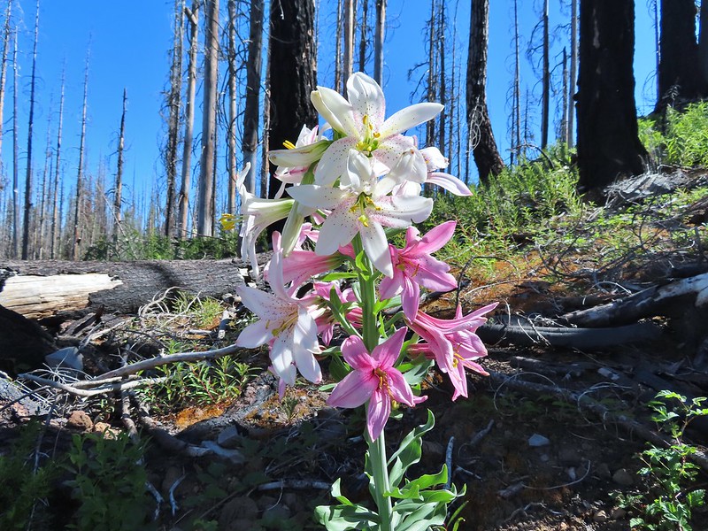
 Washington lily
 Lupine
 Squirrel
 Tiger lily
 Twinflower
 Leaving the green trees behind.
 Washington lilies
 They smell as good as they look too!
 This one was a monster.
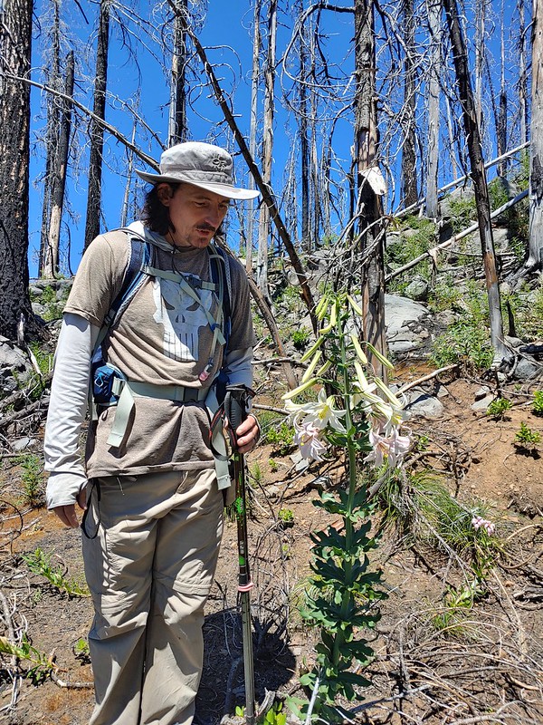 Chest high
 Crab spider on the lower left petal.
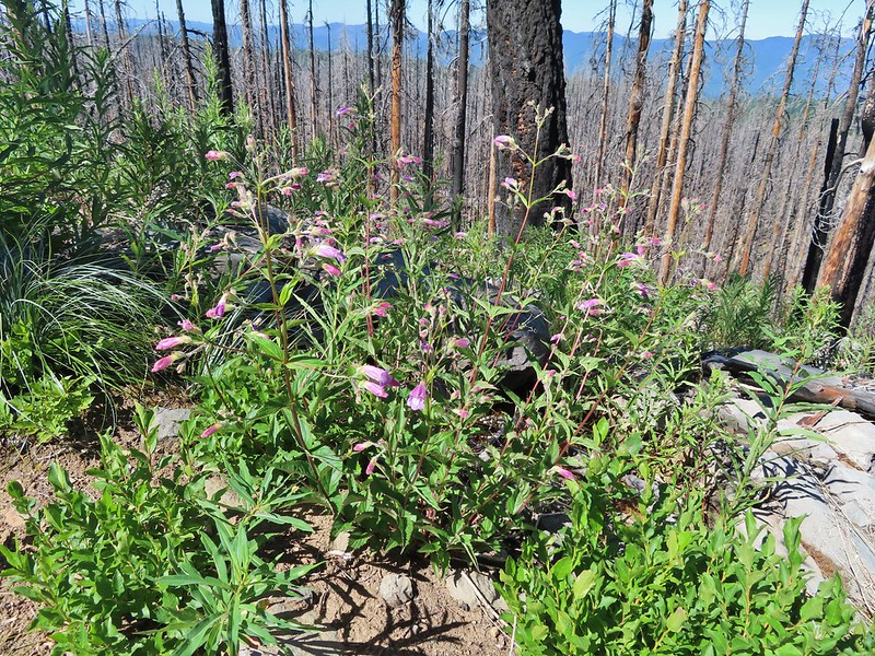 Penstemon
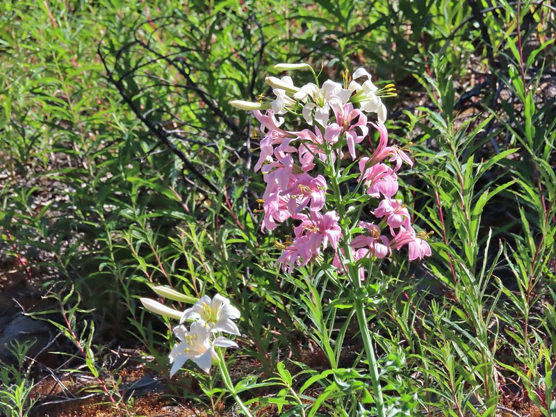 Earlier in the week I had been reading that the blossoms turn pink after being pollinated.
 Clodius parnassian
 Pretty moth
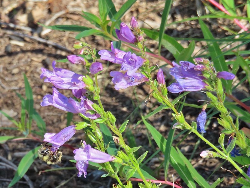 Penstemon
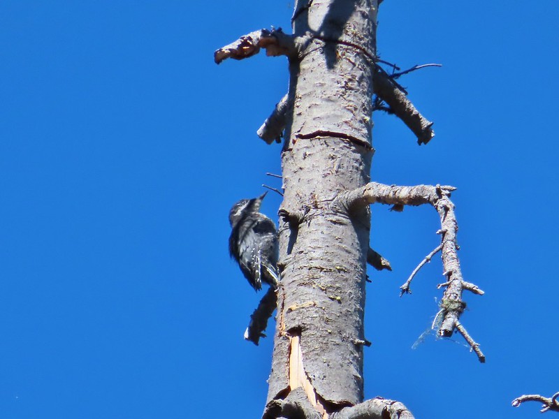 Woodpecker
 Pond along the trail.
 Water lilies
 Looking toward Proxy Point
 The Husband, South Sister, and the shoulder of Substitute Point.
 Frog along the trail.
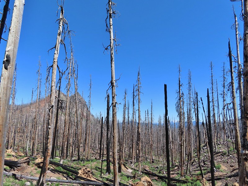 Proxy Point, Scott Mountain (
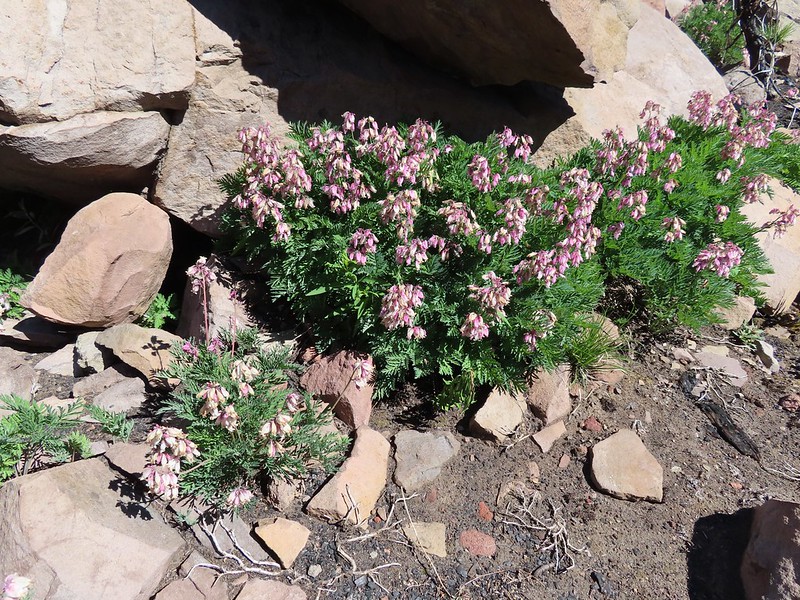 Bleeding heart
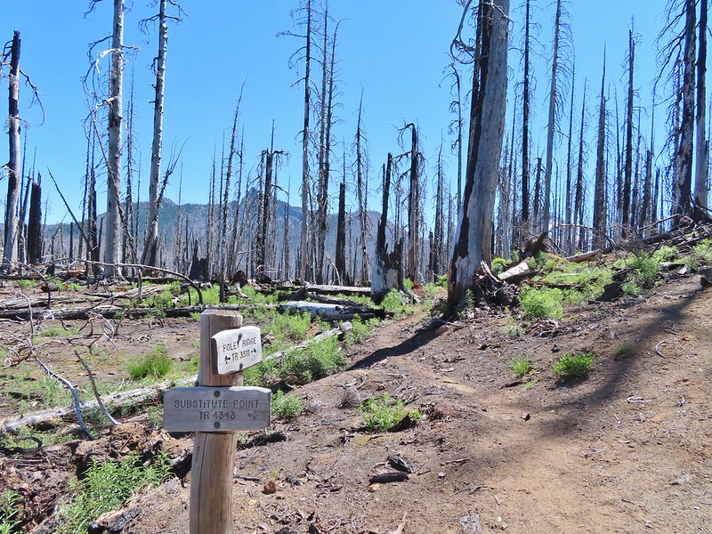 The Husband from the junction.
 This was sort of a mean trick, the trail entered these green trees then almost immediately switched back into the burn.
 Phlox
Phlox
 Mt. Bachelor from the trail.
 Proxy Point
 Some unburned forest and a view of Diamond Peak.
 Diamond Peak (
 The Little Brother and North & Middle Sister behind The Husband with South Sister to the right.
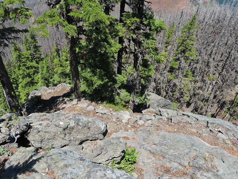 The trail leading up.
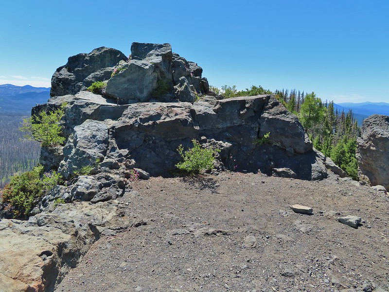 The summit of Substitute Point
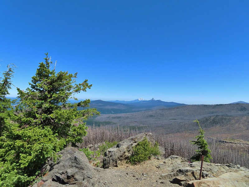 Scott Mountain, Three Fingered Jack, Mt. Jefferson, Mt. Washington, and Belknap Crater (
 Proxy Point and Scott Mountain.
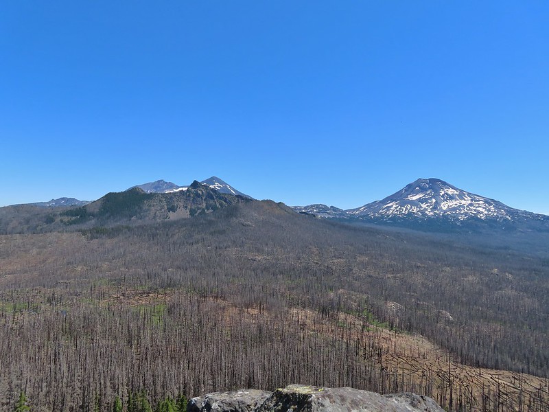 The Three Sisters, Little Brother and The Husband
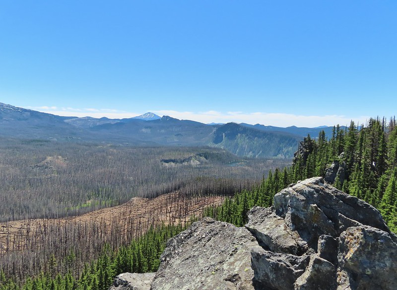 Mt. Bachelor, The Wife, and Sphinx Butte.
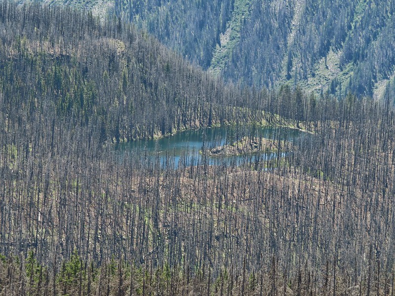 Kidney Lake
 Mt. Bachelor and The Wife
 North and Middle Sister behind The Husband
 Three Fingered Jack, Mt. Jefferson and Mt. Washington
 A swallowtail and two whites (maybe clodius parnassians) in flight.
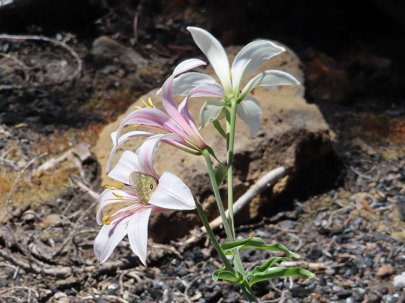 Clodius parnassian in a blossom.
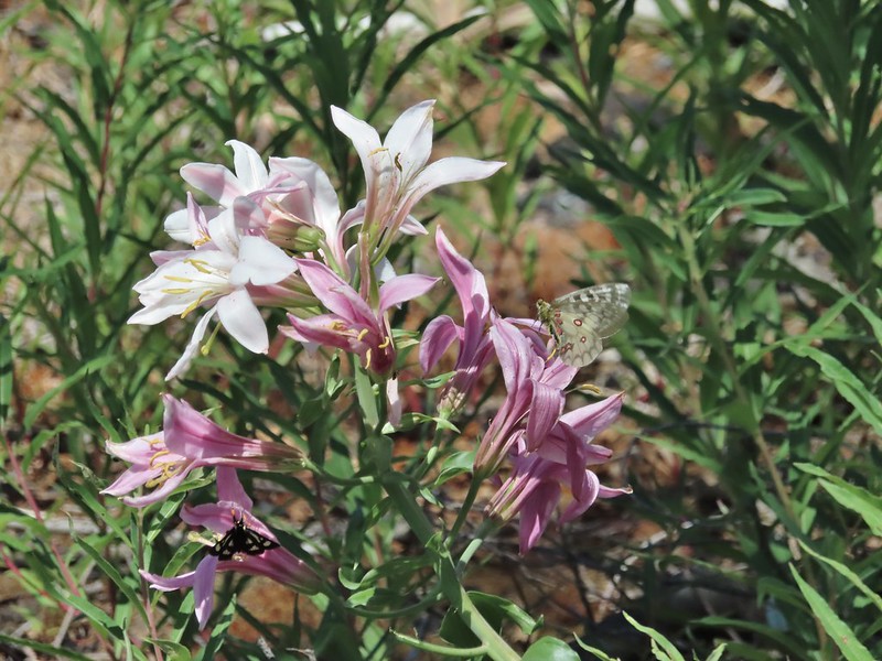 Moth and a parnassian.
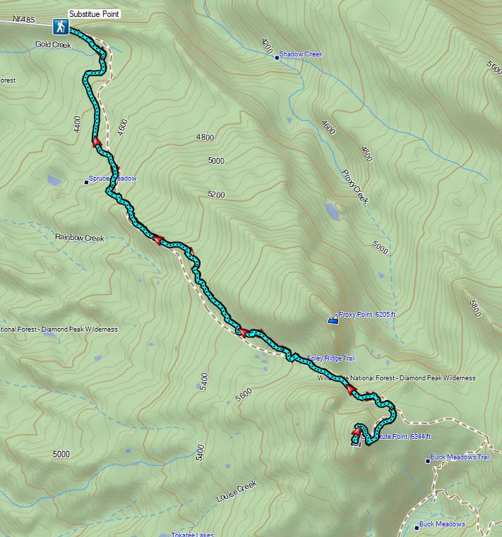


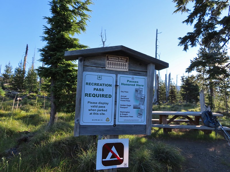
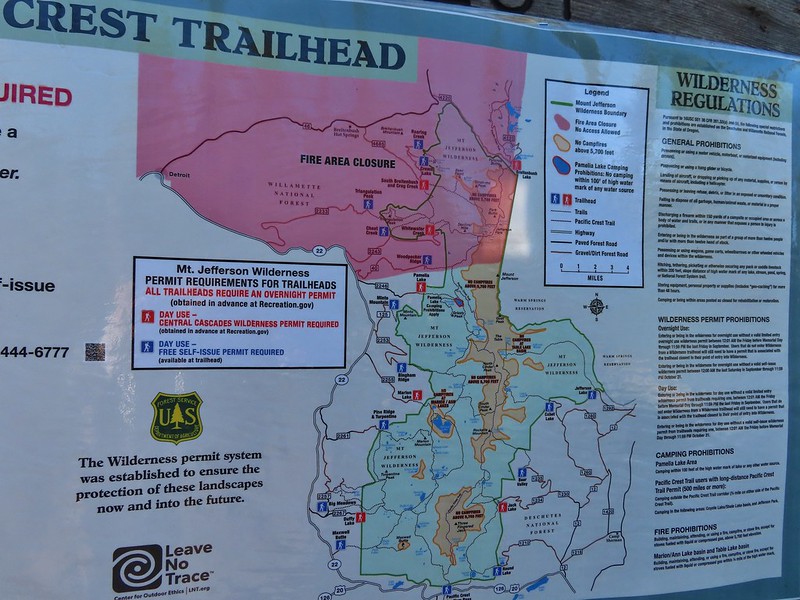
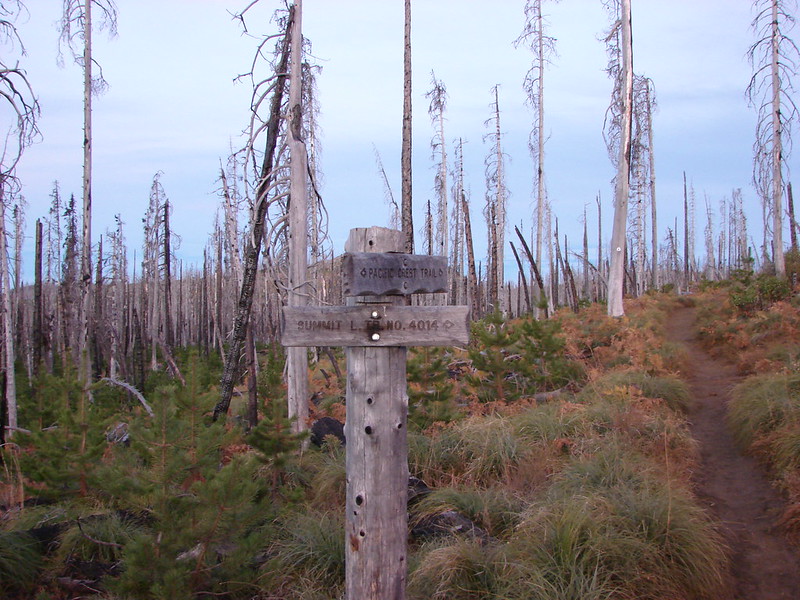 Trail sign at the junction on 10/13/2012.
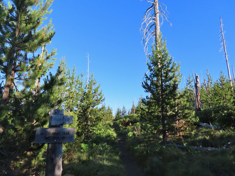 Trail sign at the junction on 07/03/2021.
 Entering the Mt. Jefferson Wilderness in 2012 (0.3 miles from the TH).
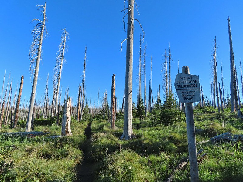 Entering the wilderness in 2021.
 Cache Mountain, Black Crater (post), Tam McArthur Rim & Broken Top (post), North & Middle Sister, Mt. Washington, and Hayrick Butte (flat top on the right).
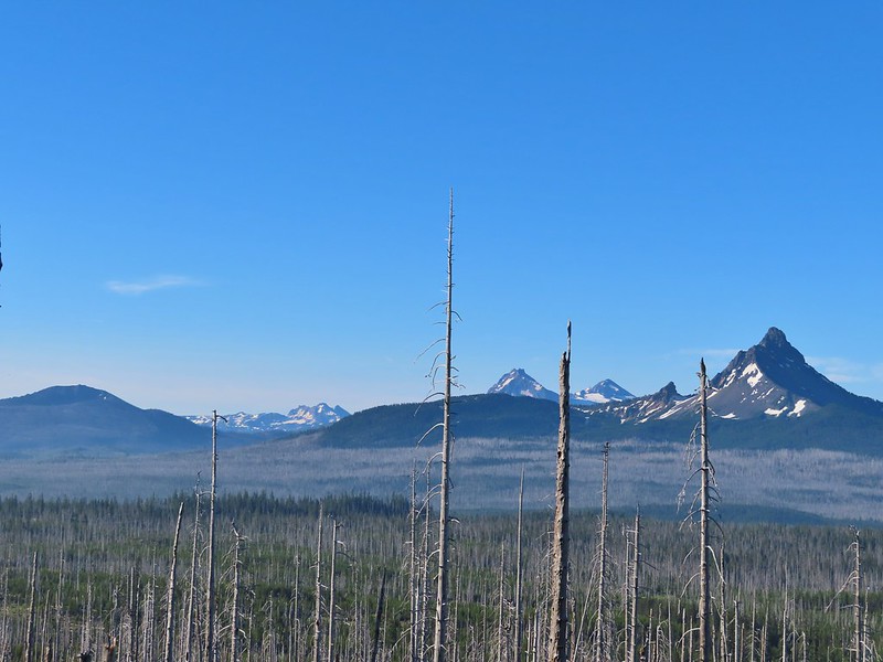

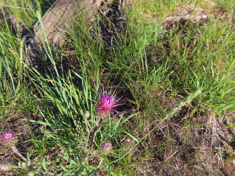 A thistle
 Penstemon
 Bleeding heart
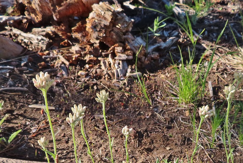 Pussytoes
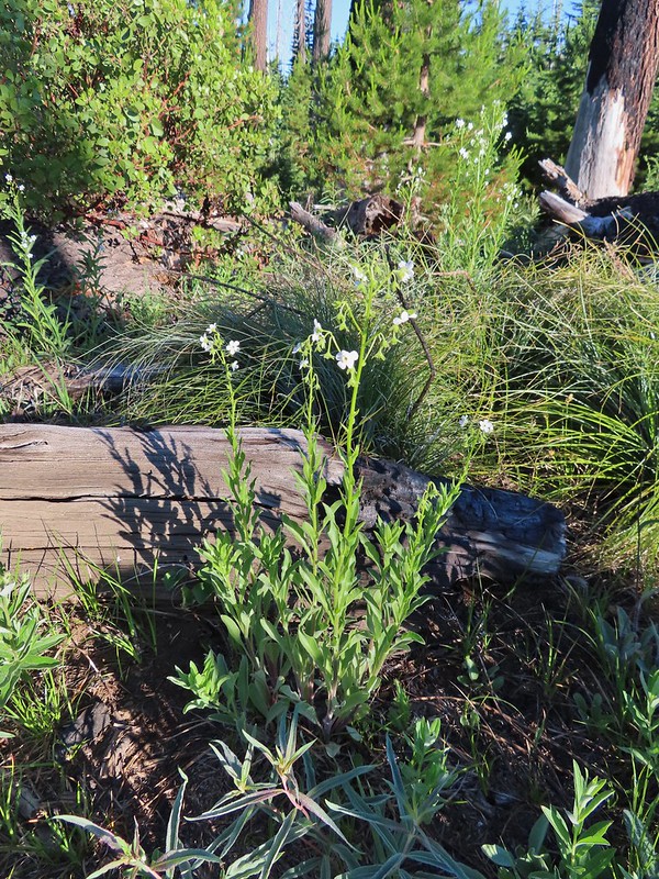 California stickseed
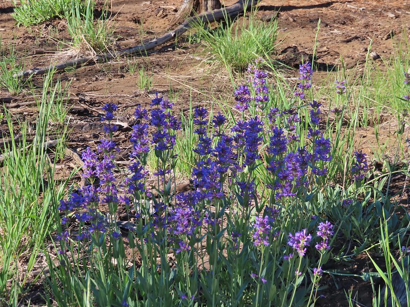 Another penstemon
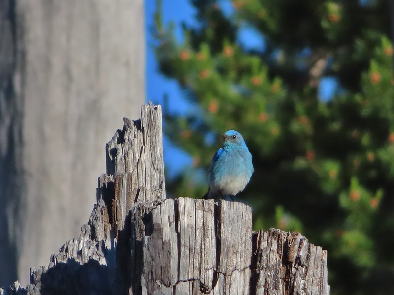 Mountain bluebird by the lake.

 There was a good amount of scarlet gilia blooming along this section of trail.
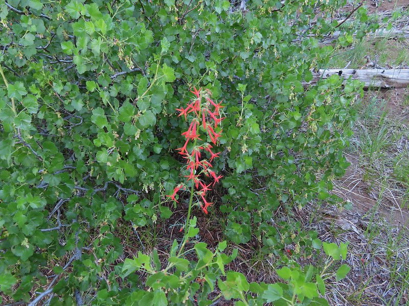
 Three Fingered Jack
 One of the ponds.
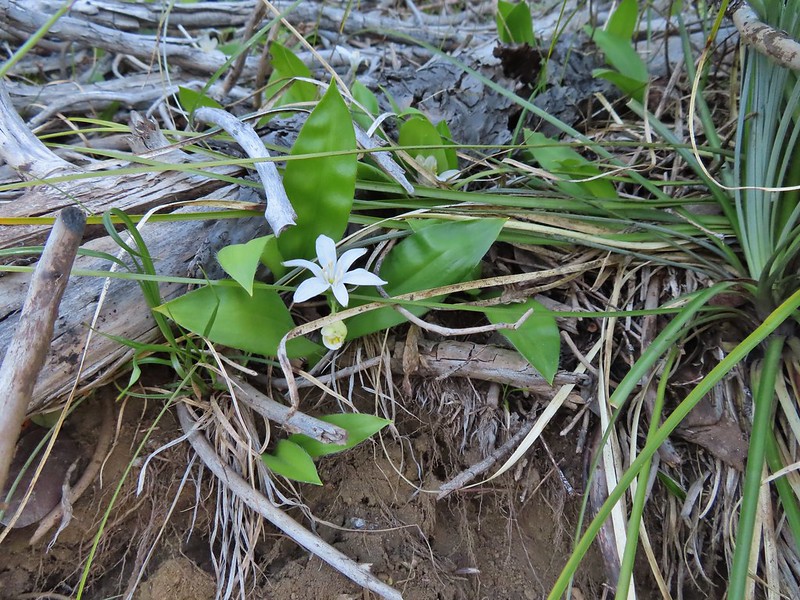 Queen’s cup
 Another pond with Maxwell Butte (
 Unnamed lake along the trail with Maxwell Butte behind.
 Lupine
 Dark-eyed junco
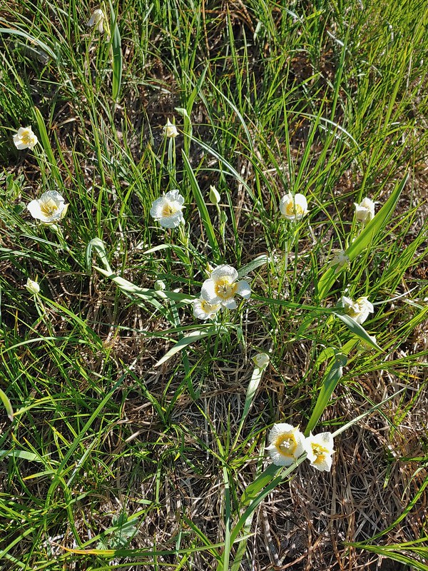 Sub-alpine mariposa lilies
 Woodpecker
 The view south.

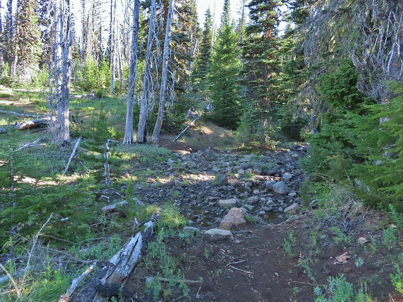
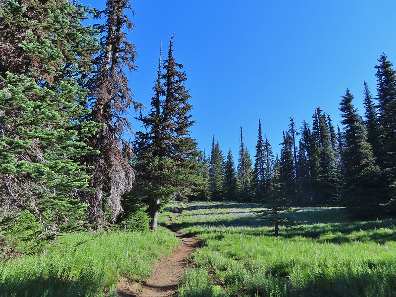


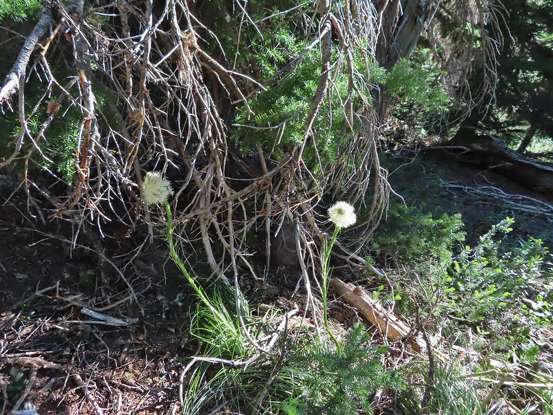 Beargrass
 Recent snow melt is another recipe for mosquitos.
 Another creek crossing.
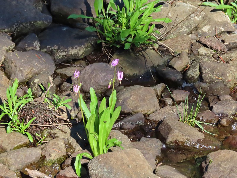 Shooting star
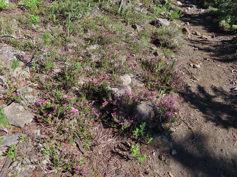 Mountain heather. Typically if we see this blooming we expect there to be mosquitos.
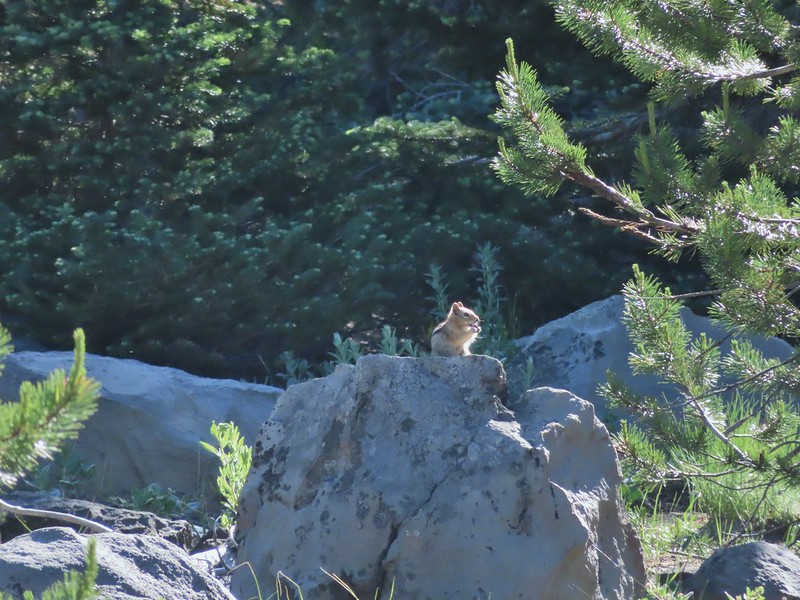
 A sulphur
 Alpine false dandelion
 One of several snow patches at the tree line.
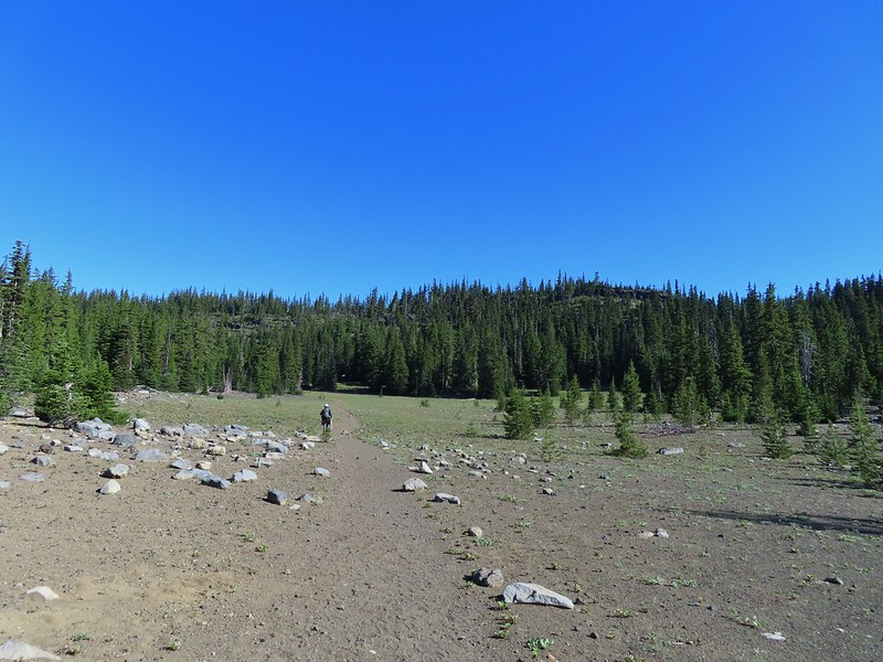 Nearing the end of the opening.
 More snow in the trees.
 A checkerspot
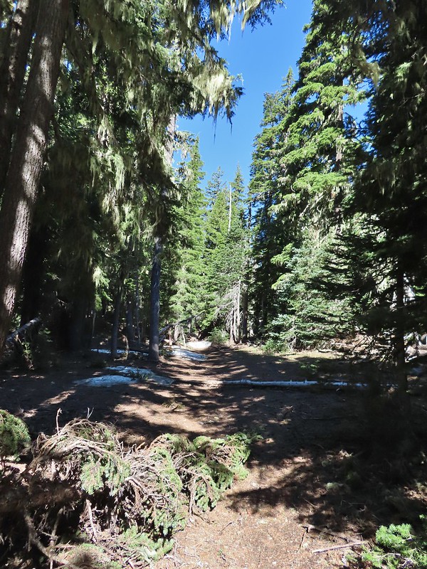
 Trees & melting snow = more mosquitos.
 Not Santiam Lake but a very pretty unnamed lake just to the left of the trail approximately 0.4 miles from Santiam Lake.
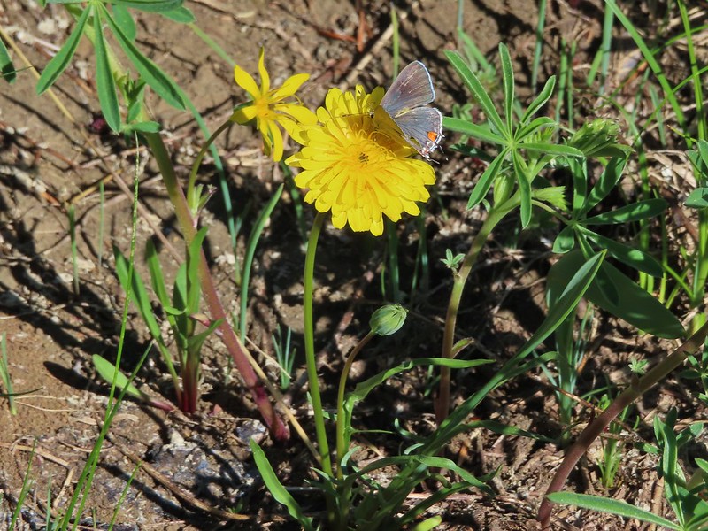 Not sure what type this is but the orange on the wing was pretty.
 Mt. Jefferson behind Red Butte
 Duffy Butte on the left.
 Three Fingered Jack
 Paintbrush, shooting stars, and buttercups.
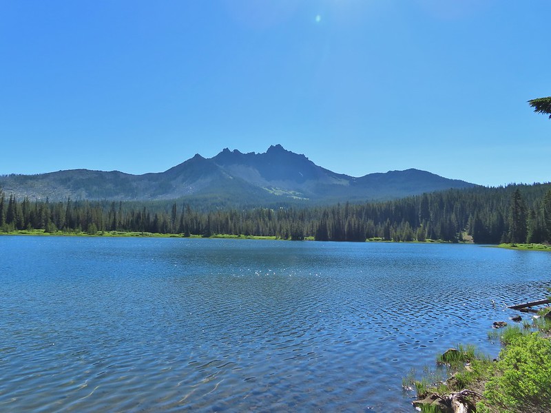
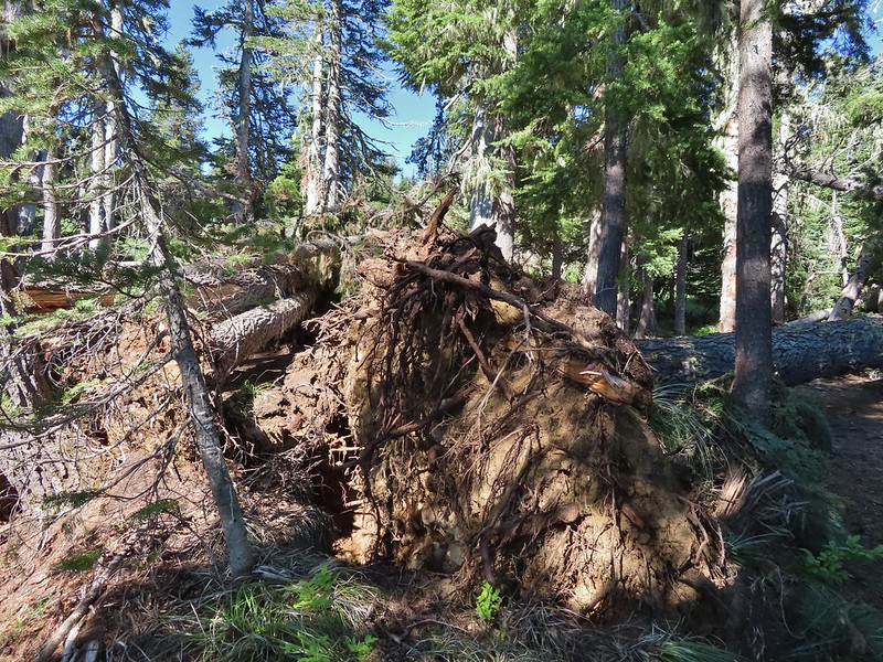 Just one of several large uprooted trees along the shore.
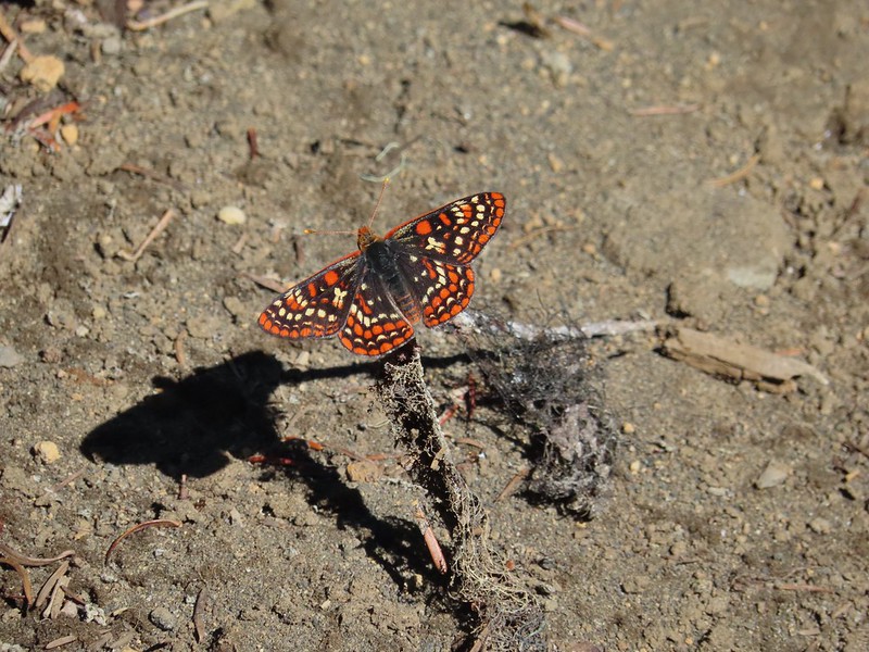

 The “topographic feature” ahead on the right where we planned on turning for Lower Berley Lake.
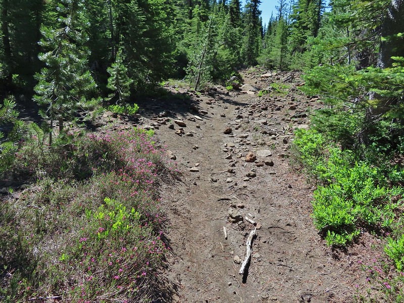 Mountain heather along the trail, it was warm and sunny enough that the mosquitos weren’t as bad this time by.
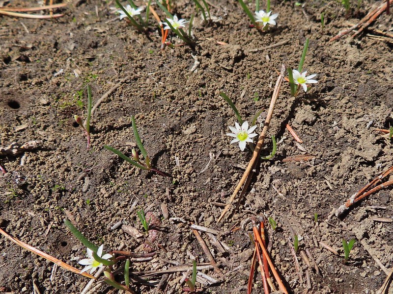 Threeleaf lewisia
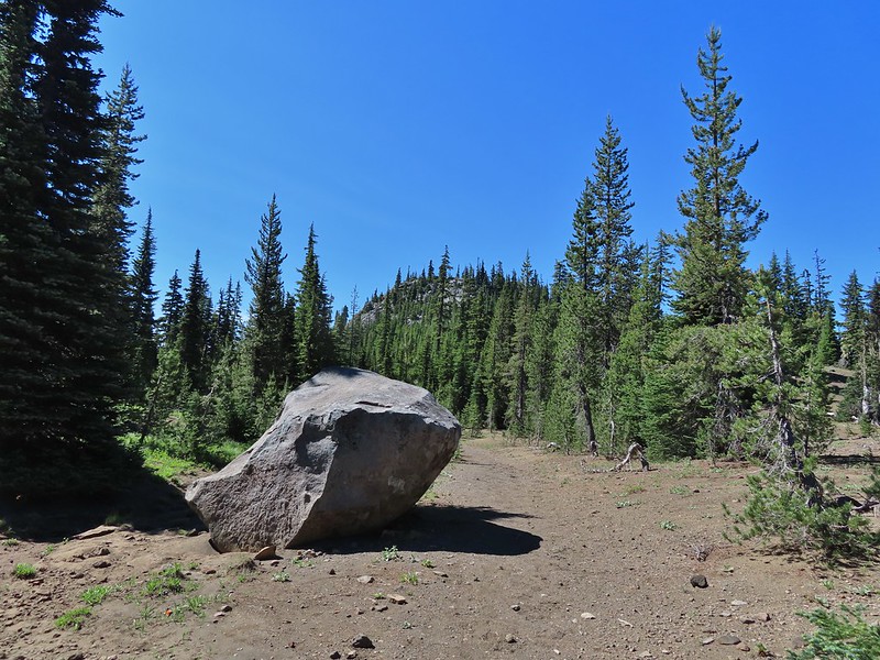 Getting closer to the hill where we planned on turning.
 California tortoiseshell butterflies in the bed of Lost Lake Creek.
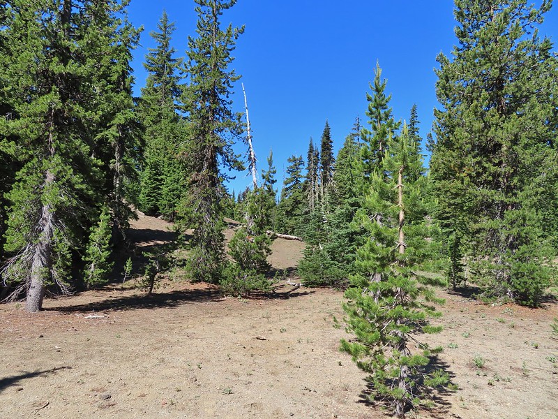


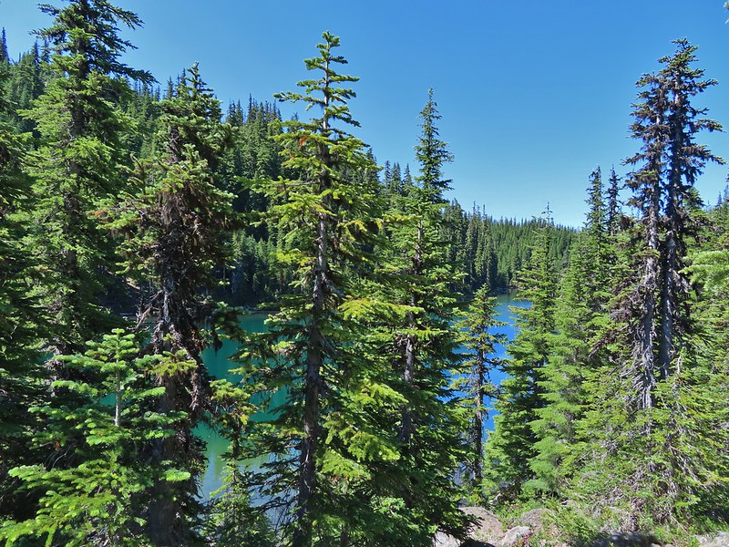
 Three Fingered Jack from the rocks.
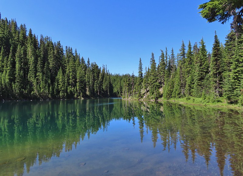
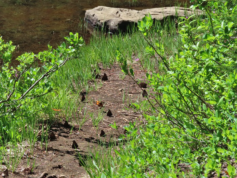 More tortoiseshells
 A butterfly photo bomb
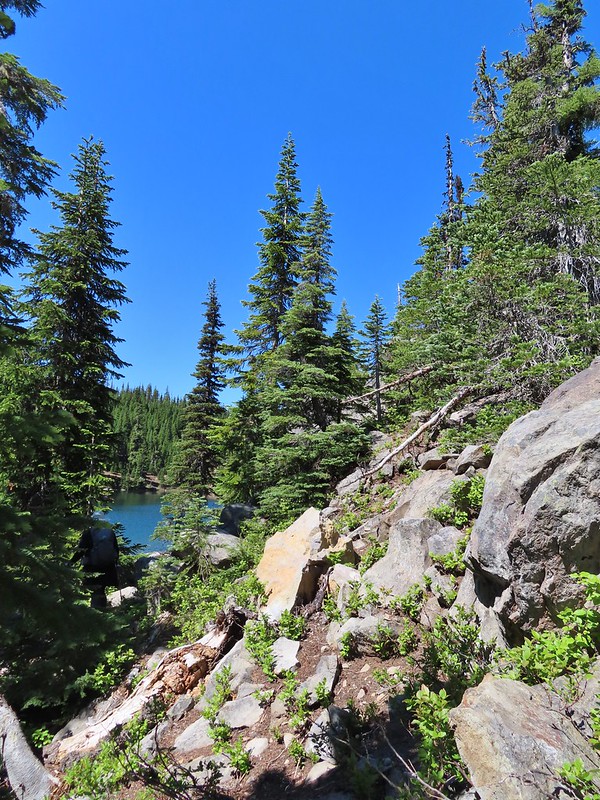


 The bed was popular with the butterflies.
 Cross country to Upper Berley Lake, the doe was in this meadow and headed in the direction of the patch of snow at the far end.
 Upper Berley Lake
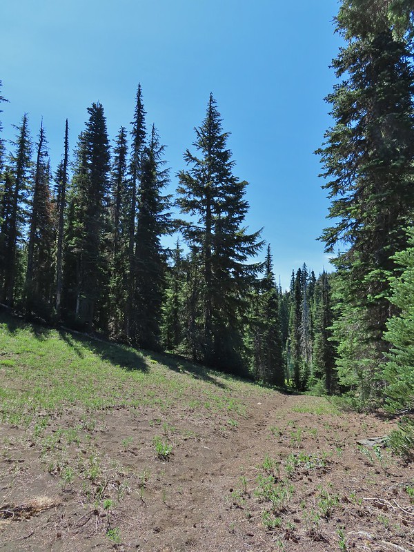 We wound up finding the same “user trail” and followed it down to the lower lake.
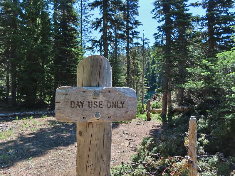
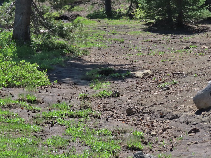 California tortoiseshell butterflies along Lower Berley Lake.
 Three Fingered Jack and about a half dozen butterflies.
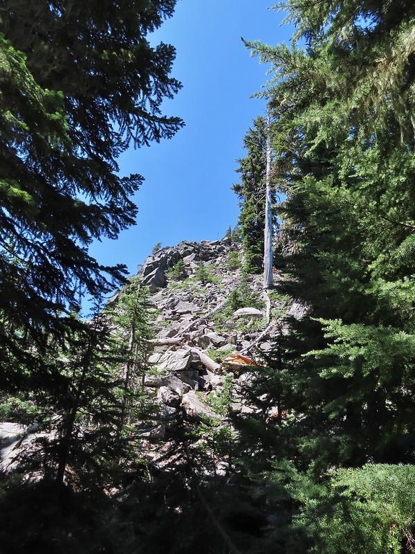 The hillside on the right was rocky.
 The trail dropping down from the saddle with Mt. Washington and the North Sister ahead.

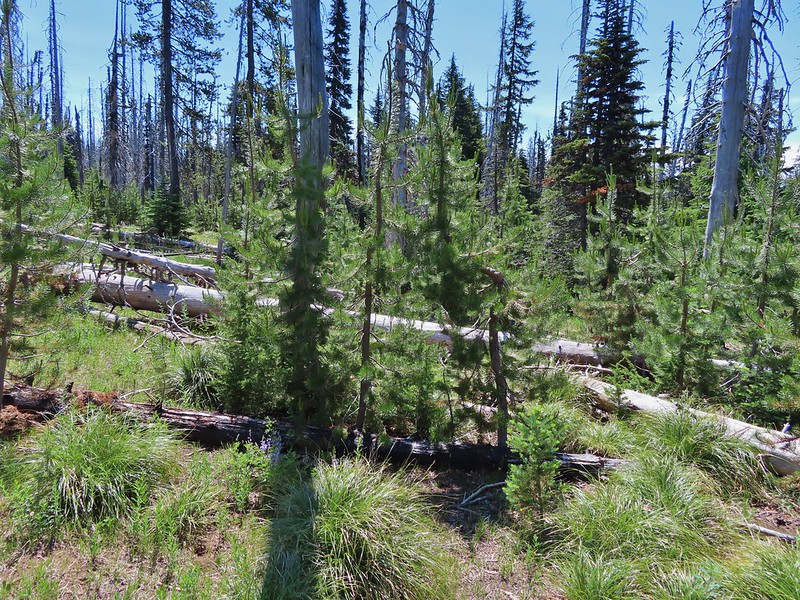
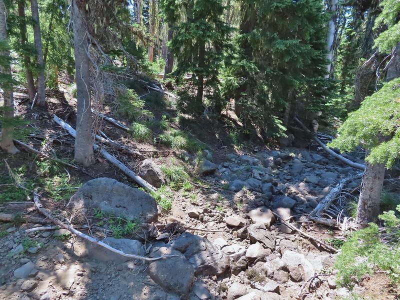
 Found it!


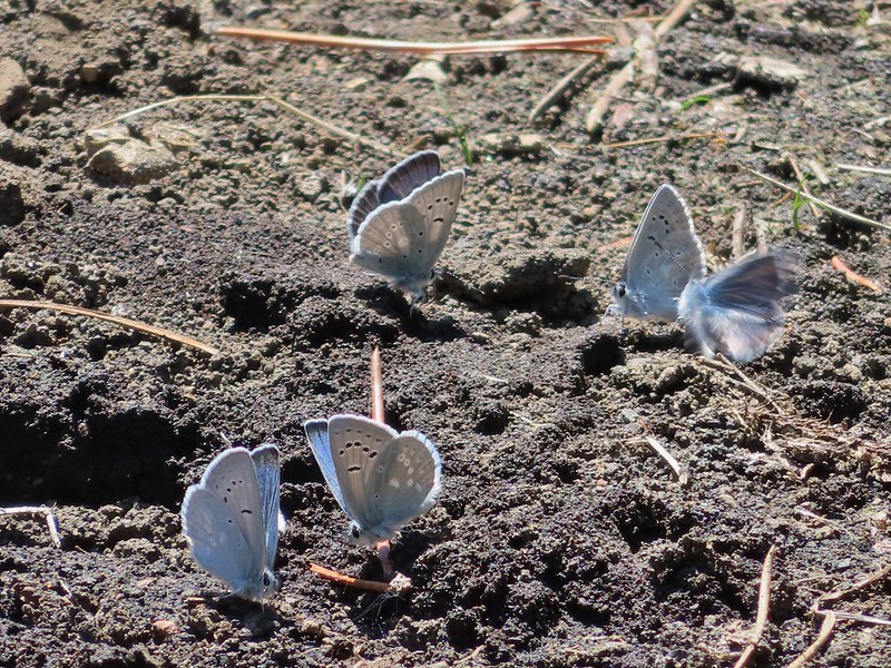
 Yellow beetle on lupine.
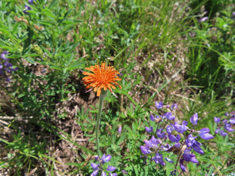 Orange agoseris
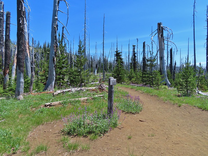 Back at the PCT.
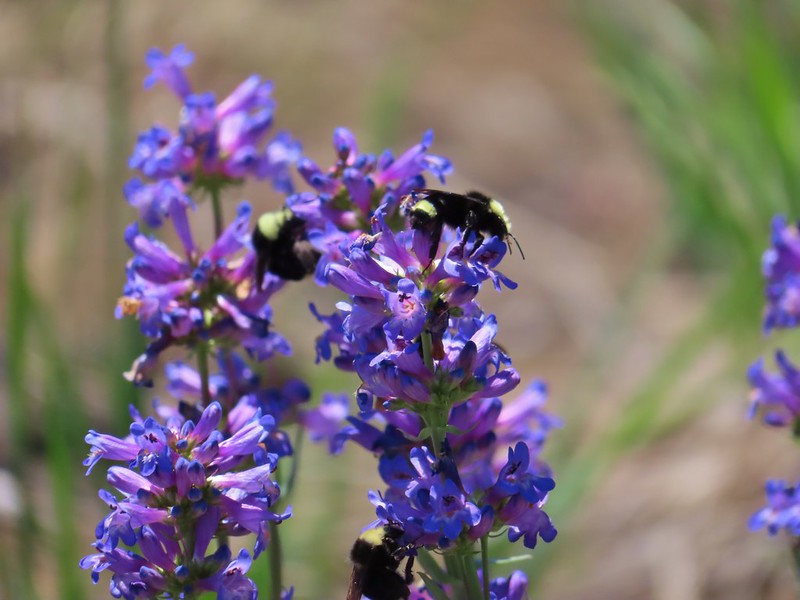 Bumble bees on penstemon.
 Cicada in the grass.
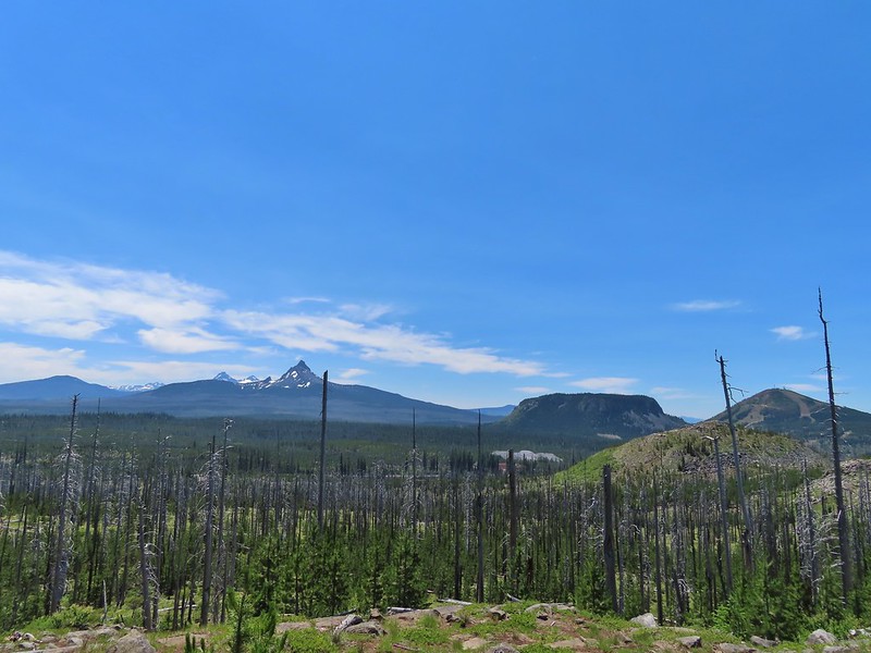 Black Crater, Broken Top, North & Middle Sister, Mt. Washington, Hayrick Butte, and Hoodoo Butte from the viewpoint.


 American coot and a duck family.
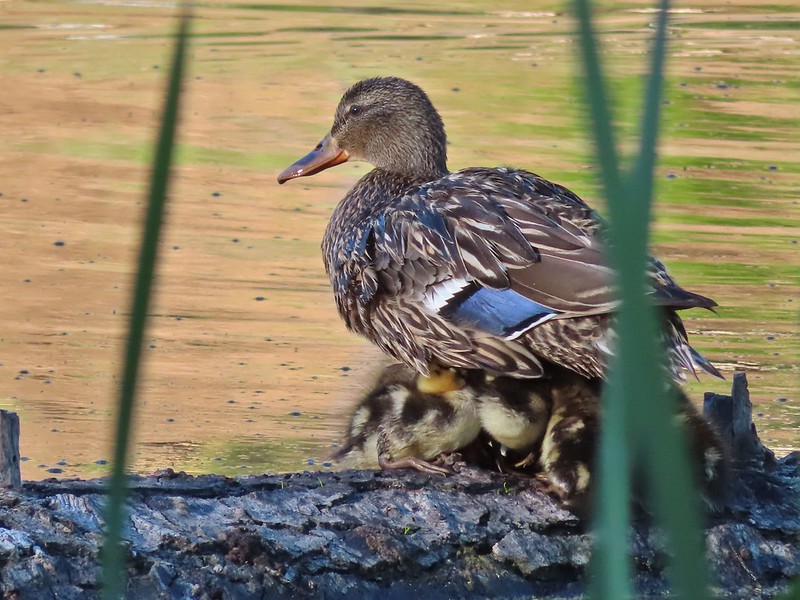
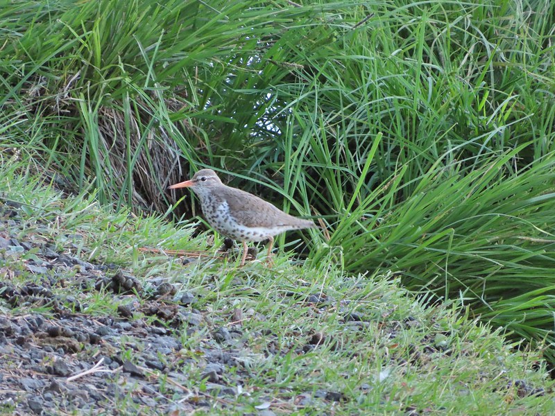 Spotted sandpiper
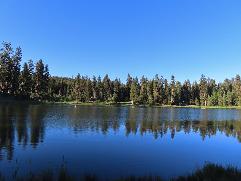
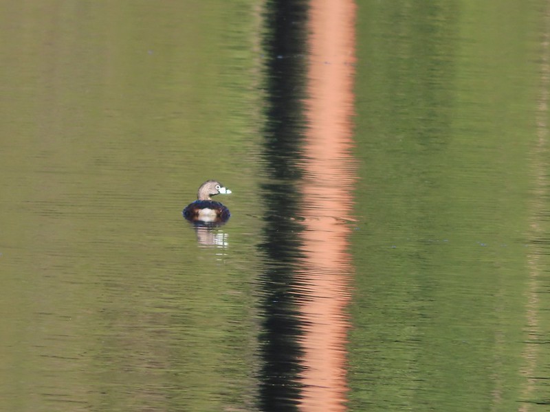 Pied billed grebe


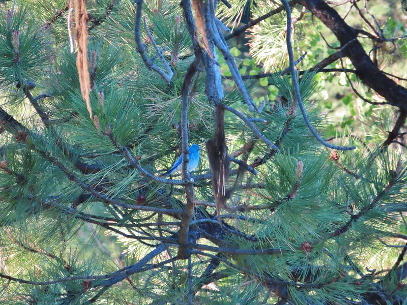 Mountain bluebird
 The spur of the Walton Lake Trail that leads to the Round Mountain Trail.


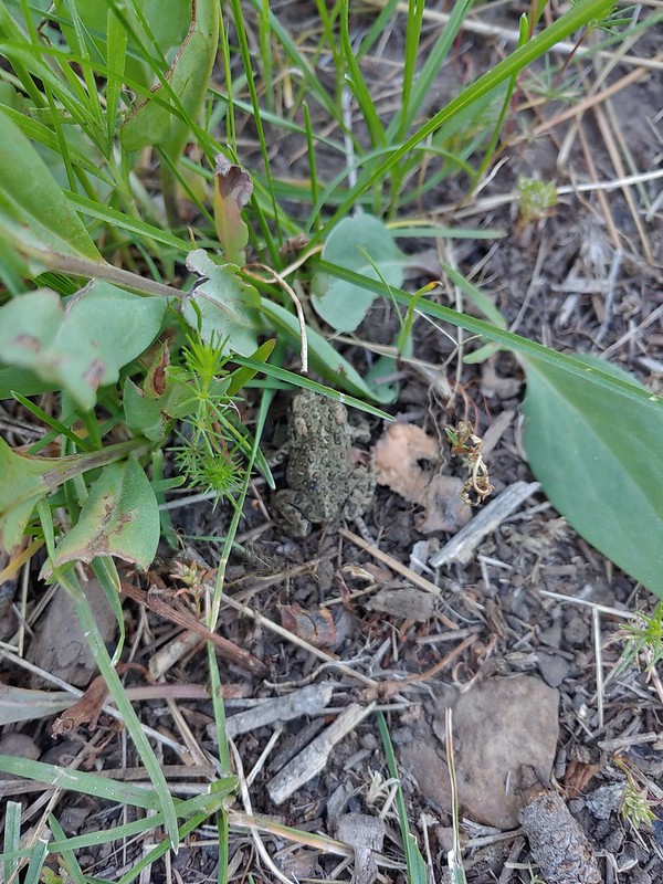
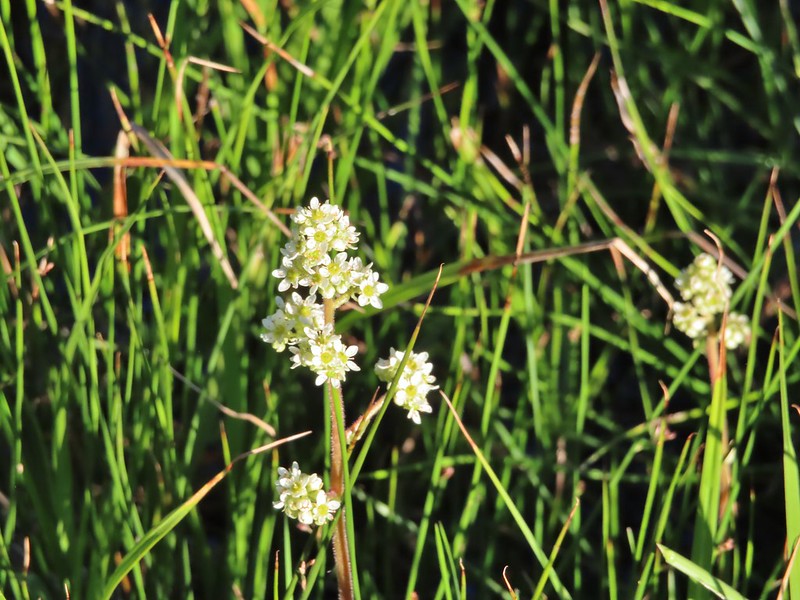 A saxifrage.


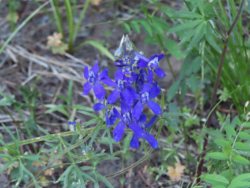 Larkspur


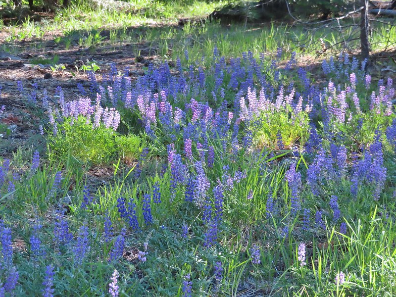

 Chocolate lily
 The rocky plateau with Round Mountain to the right.
 Death camas
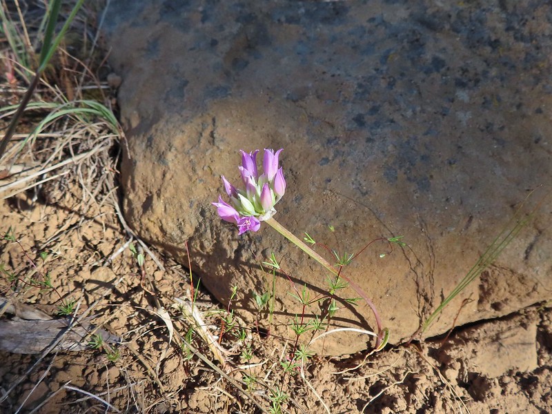 A wild onion
 Yarrow
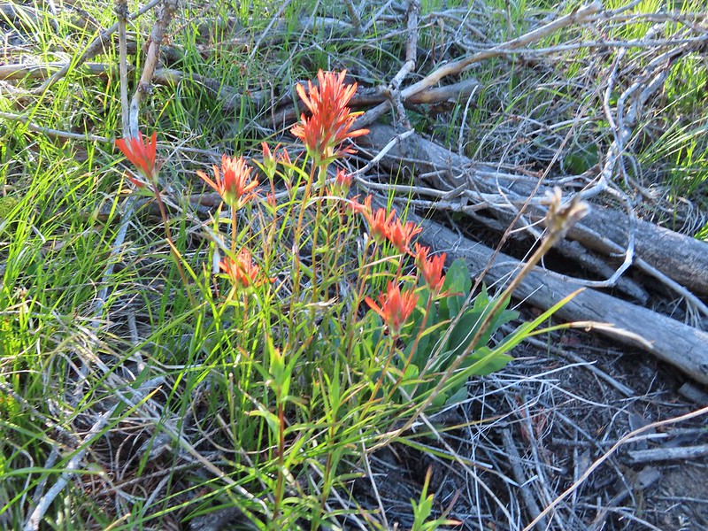 Paintbrush
 Valerian along the trail.
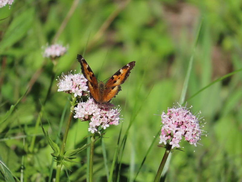 California tortoiseshell on valerian.
 Mt. Jefferson from the trail.
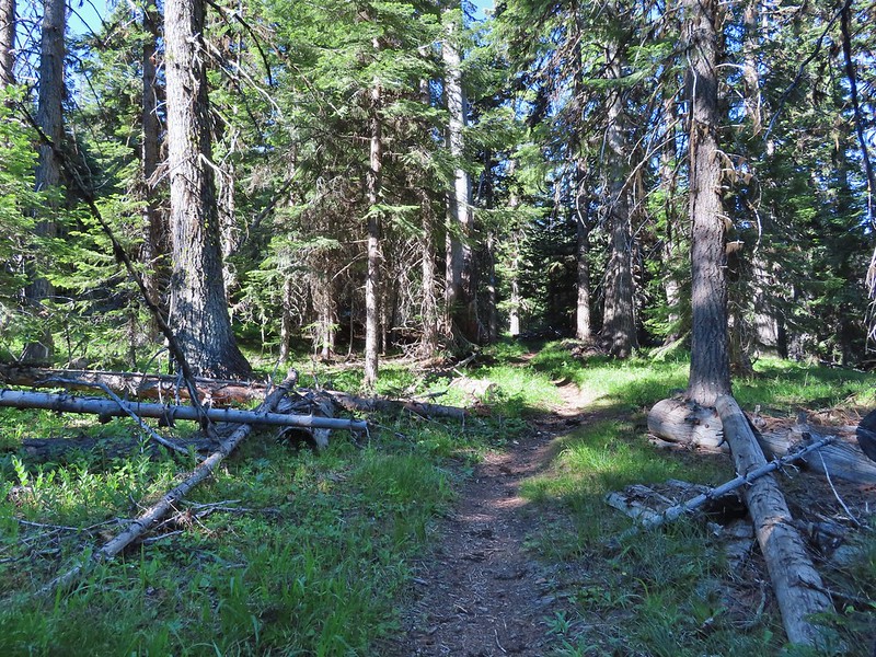
 Maybe a miterwort?
 Milbert’s tortoiseshell
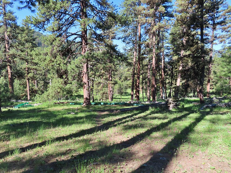 Scissors Spring
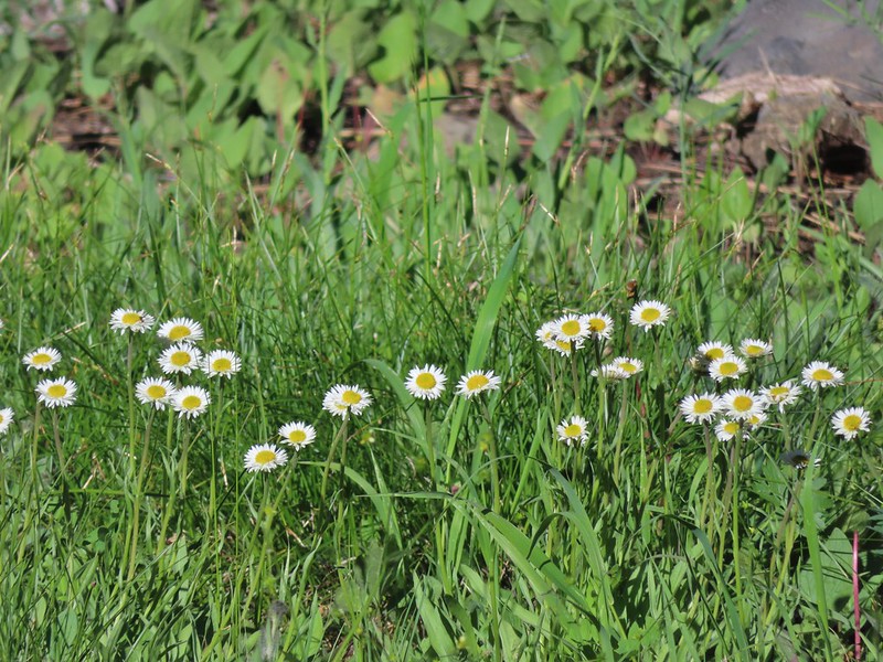 A fleabane
 Geranium
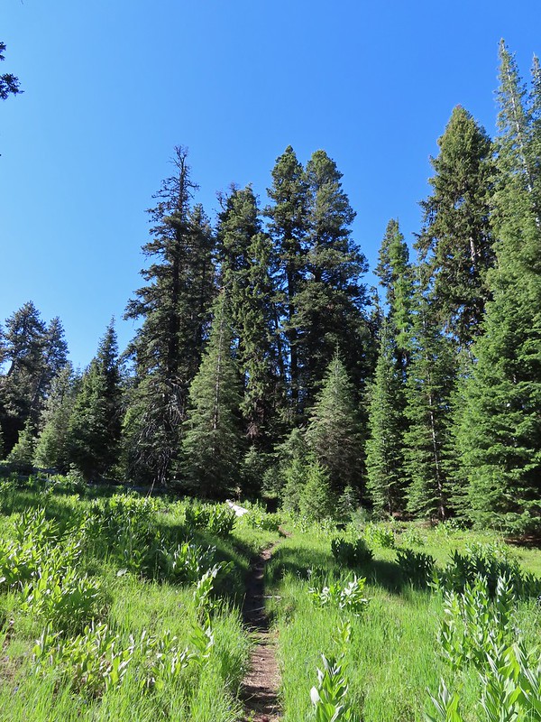

 Woodpecker
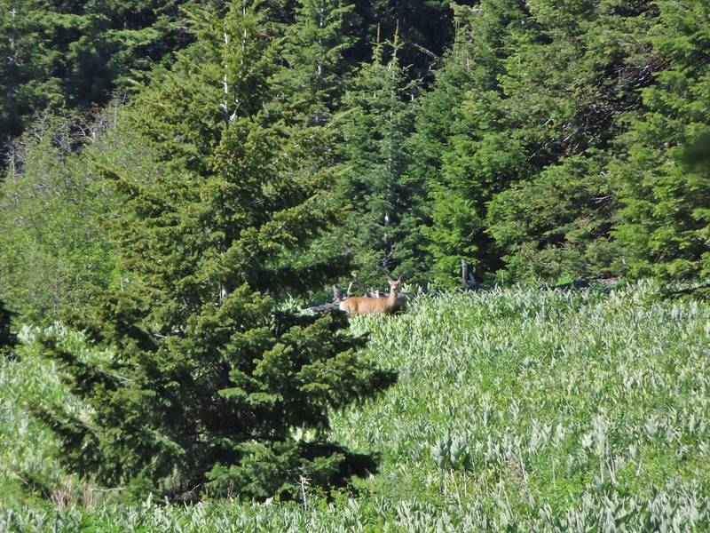 Another doe
 A comma butterfly of some sort.
 Possibly some sort of phlox?
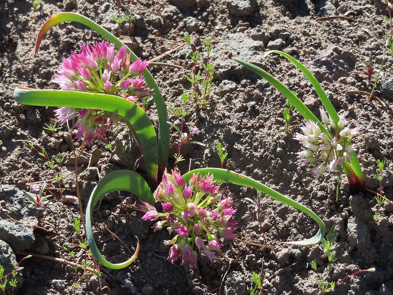 Another wild onion
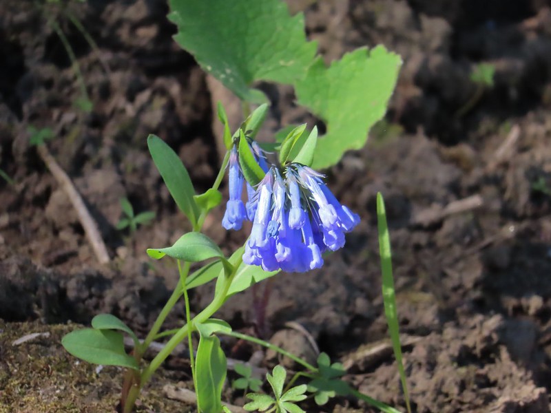 Mountain bluebells
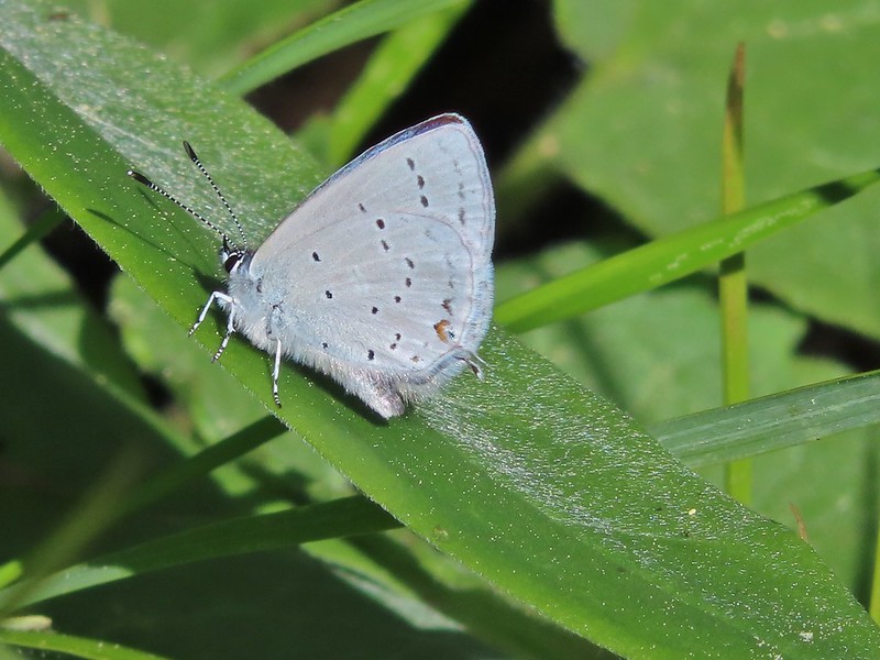
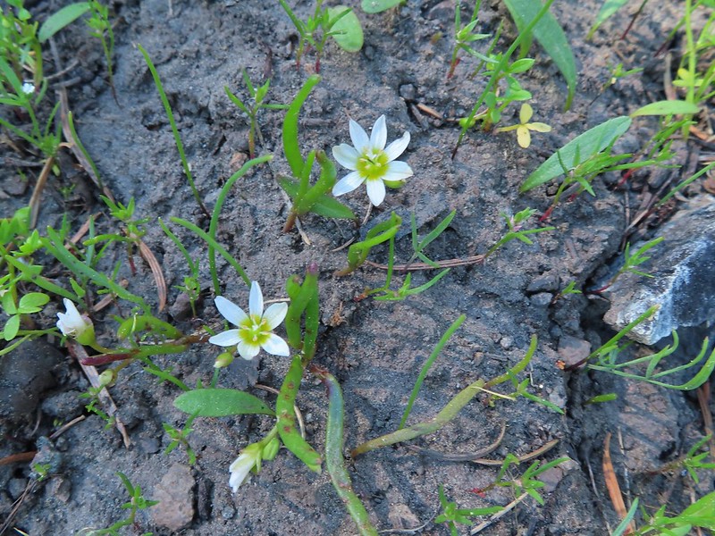 Threeleaf lewisia
 Butterfly on Jessica stickseed
 A larkspur, Jessica stickseed, and hyssop
 Robin
Robin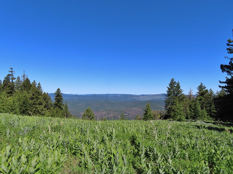 Mountain view from a meadow.
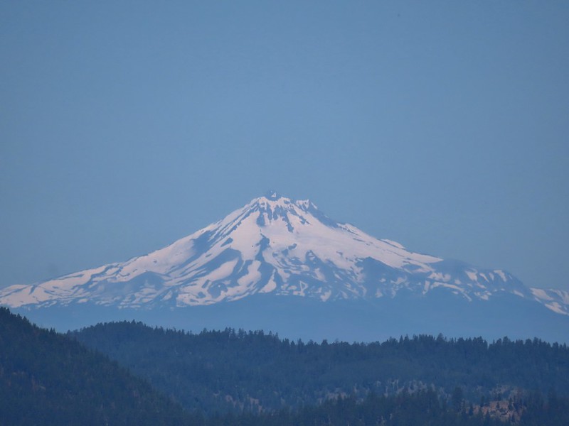 Mt. Jefferson
 Mt. Hood
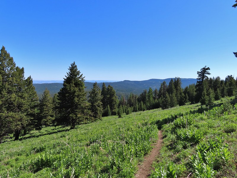
 Viewpoint at one of the switchbacks. Cascade Mountains from Diamond Peak to Mt. Jefferson.
 Diamond Peak
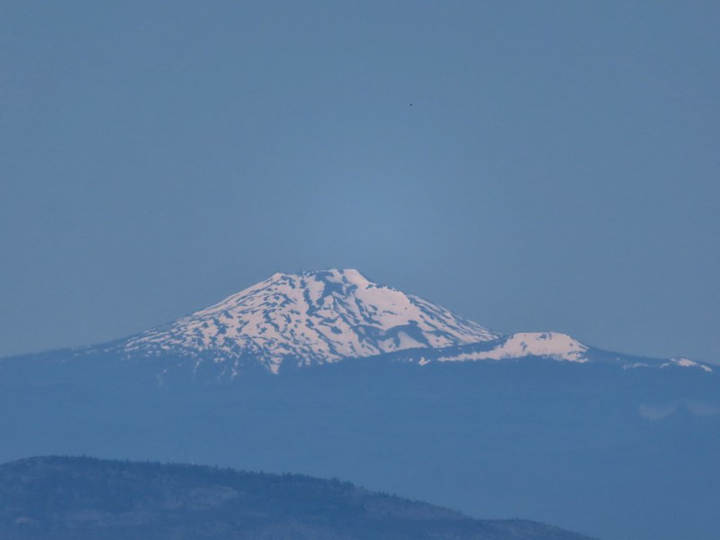 Mt. Bachelor
 Ball Butte and Broken Top
 Three Sisters
 Mt. Washington
 Three Fingered Jack
 Mt. Jefferson
 The trail sign along Round Mountain Road up the hill.
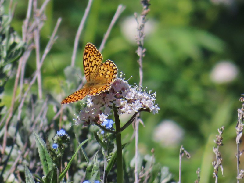 Fritillary butterfly
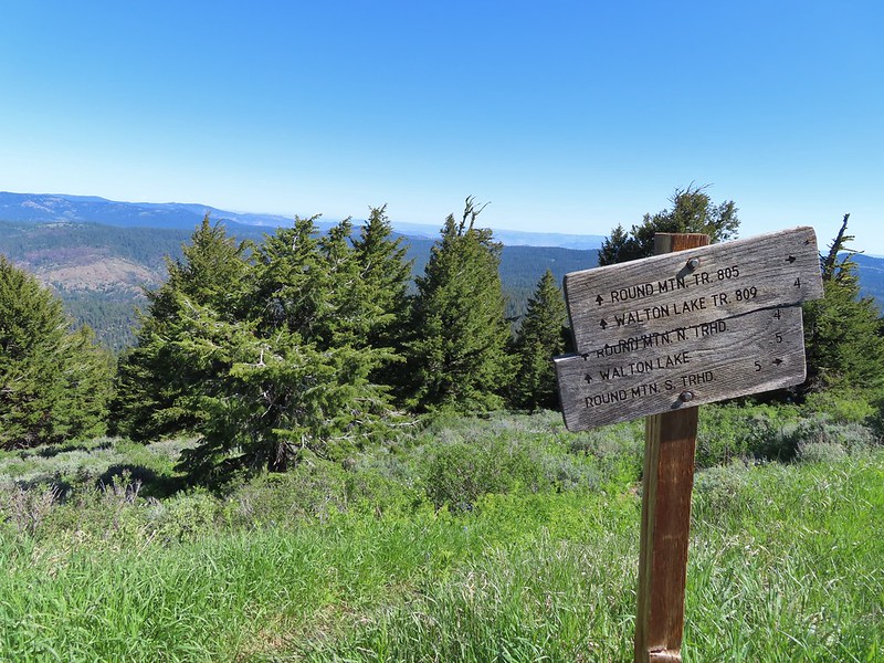
 Silky phacelia
 Prairie smoke
 Balsamroot
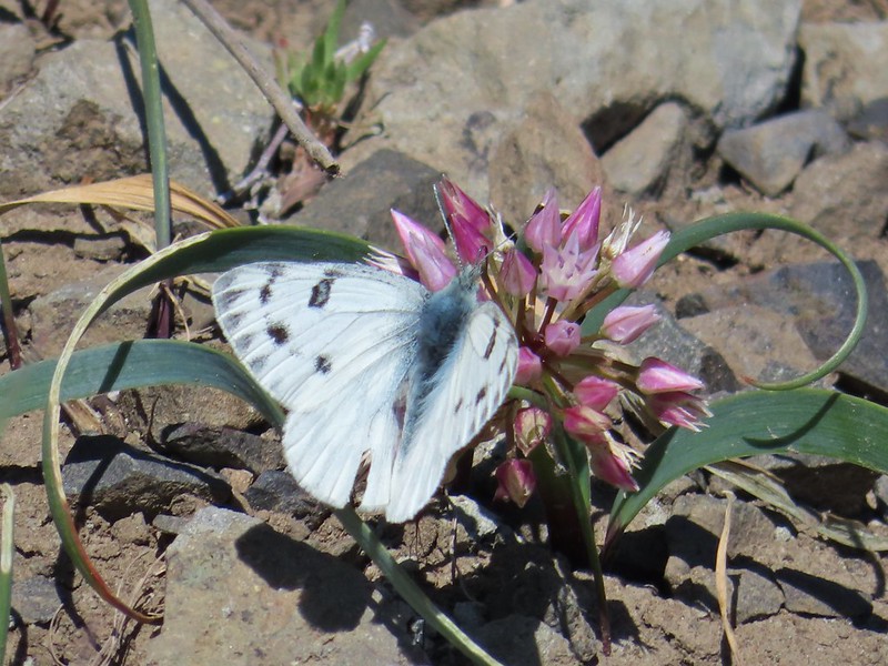 Butterfly on an onion
 Ladybug on lupine
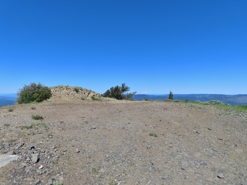 Round Mountain summit
 And occasionally land.
 Big Summit Prairie
 Lookout Mountain (
 Mt. Hood
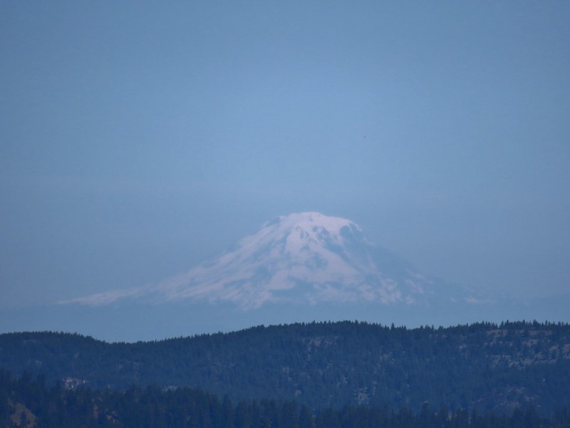 Mt. Adams
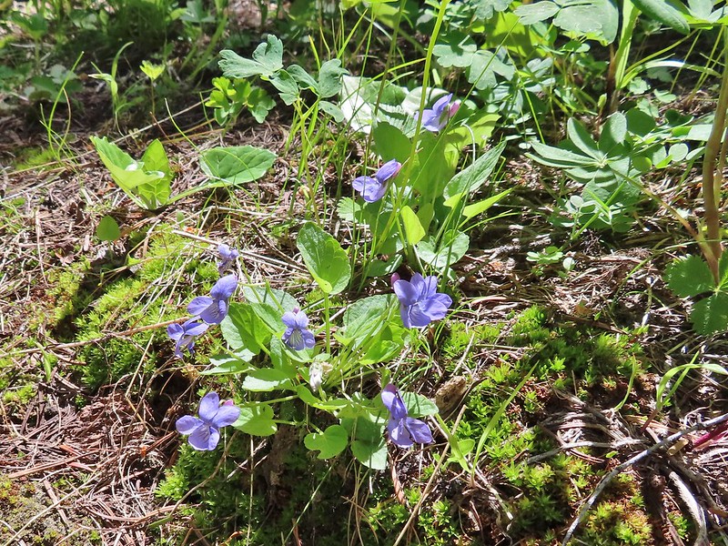
 Not too horrible of a photo of the orangetip on one of its many passes.
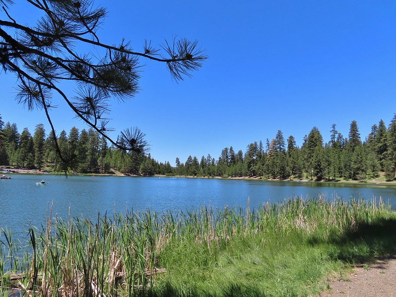
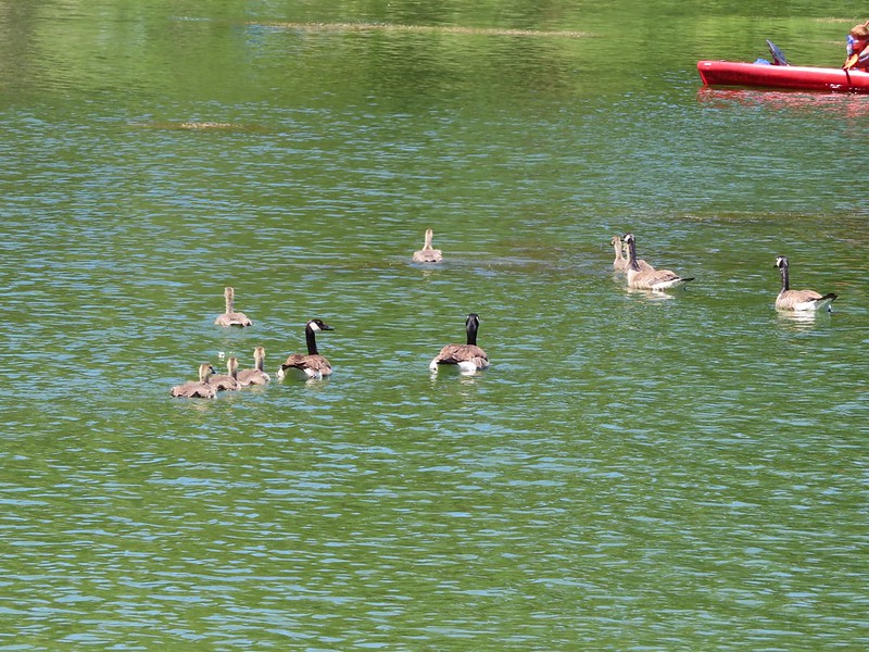
 A coot, a spotted sandpiper and ducks.
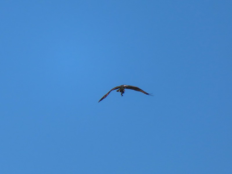 Osprey with a recently caught fish (we got to see the dive)
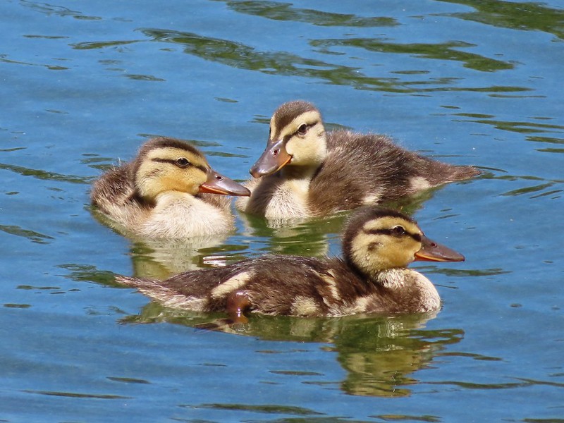 Ducklings
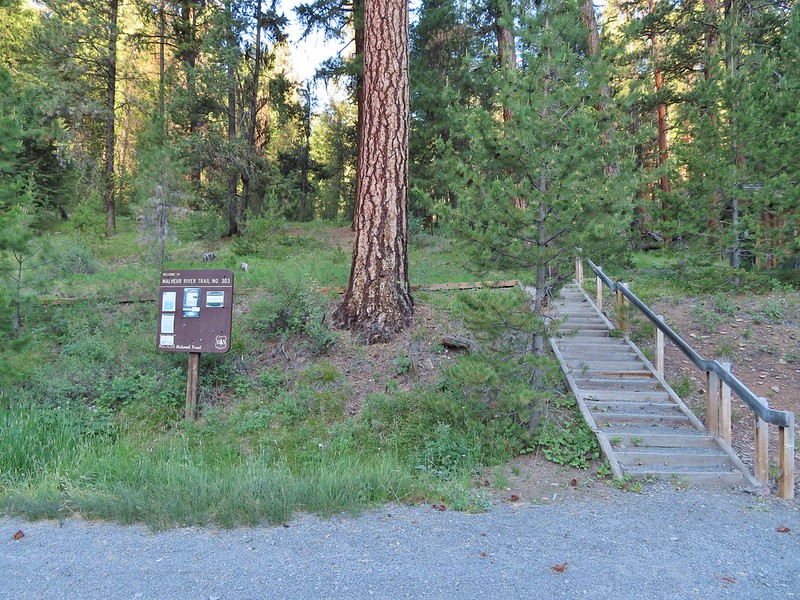
 Bench near the trailhead.
 Lupine along the trail.
 There was plenty of river access along the way.
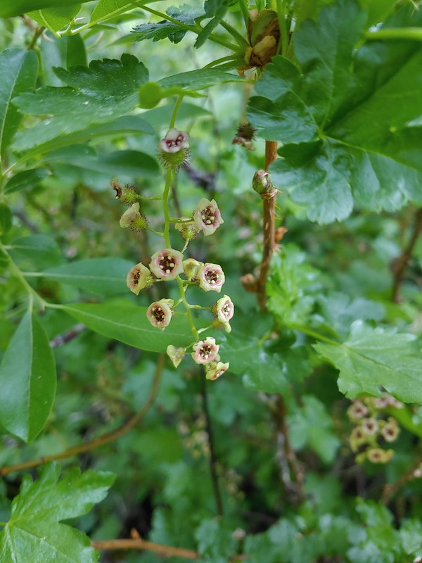 Currant
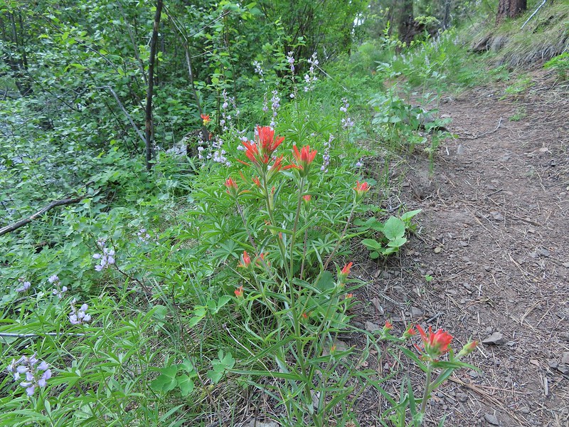 Paintbrush and lupine along the trail.
 Geraniums
 Ponderosa pines
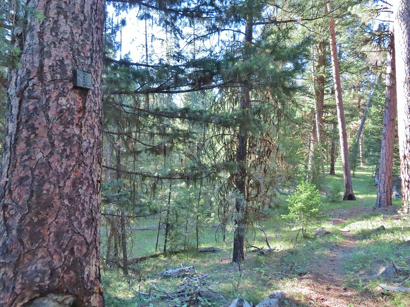 First 1
 Second 1
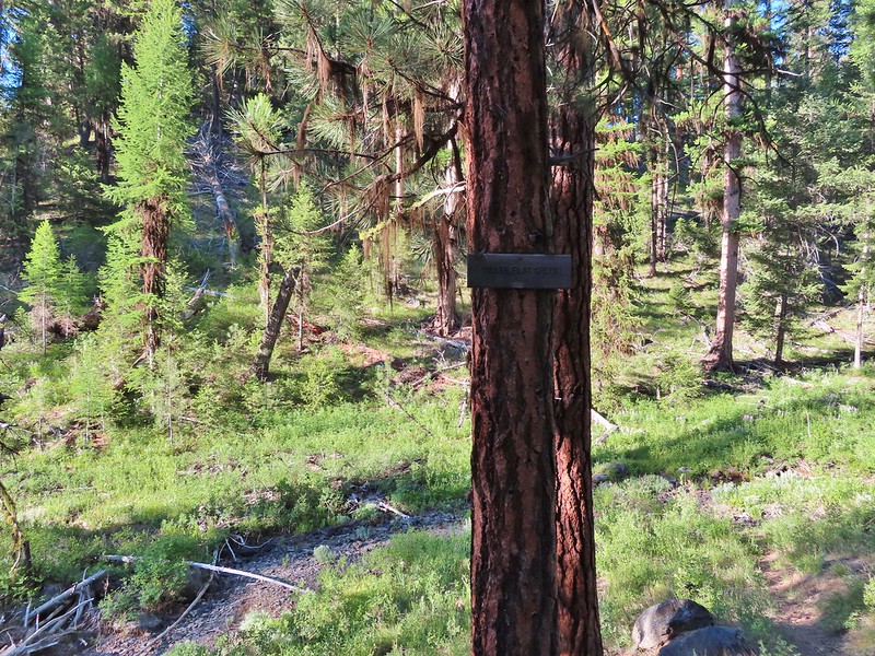
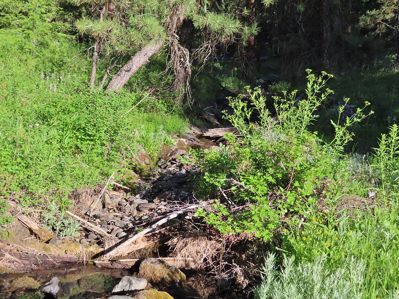
 Camas
Camas Balsamroot, columbine, geraniums and paintbrush.
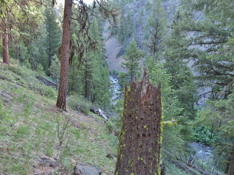
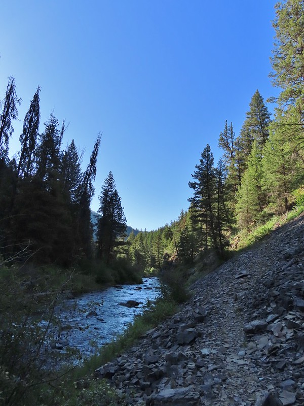
 Photo from the afternoon on the way back.
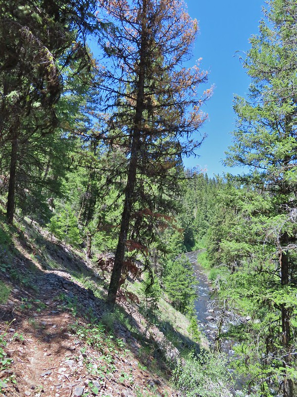 Photo from the afternoon on the way back.
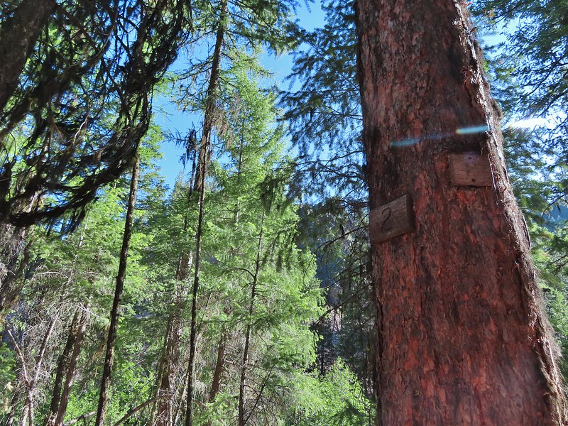 Tree marking mile 2.
 Typical “obstacles” that were present along the trail.
 Columbine
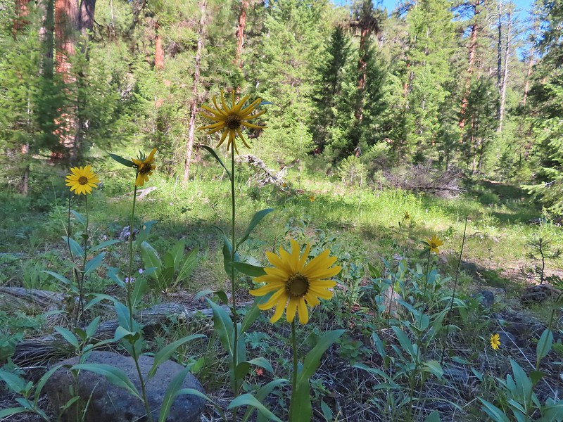 Cusick’s sunflower?
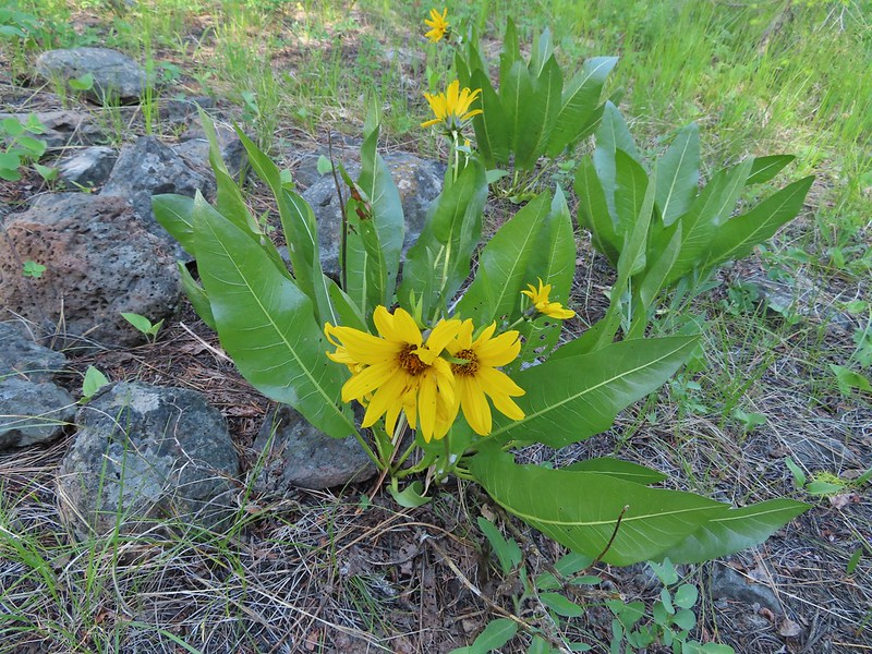 Balsamroot or mule’s ears?
 Woodland stars
 Mile 4
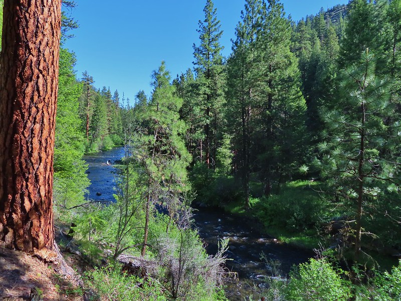

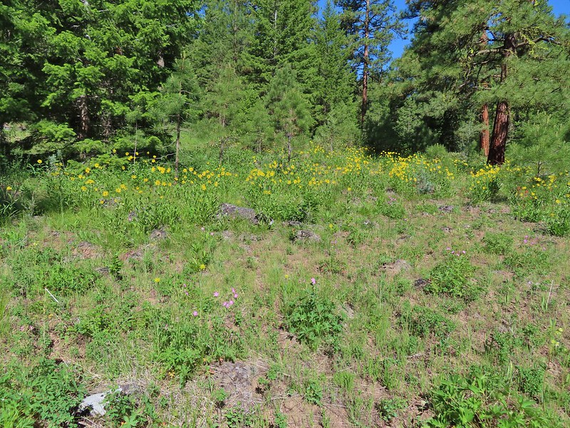
 Salsify and geraniums
 Sticky cinquefoil
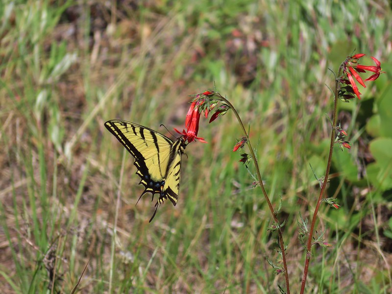 Swallowtail on scarlet gilia
 Geranium
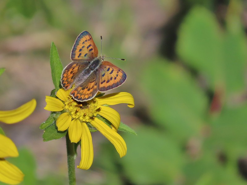 Some sort of copper butterfly
 A checkerspot
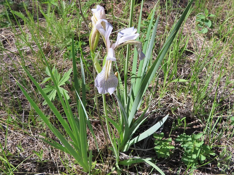 Iris
Iris Balsamroot (or mule’s ears)
 A fleabane
 A different type of fleabane.
 Larkspur
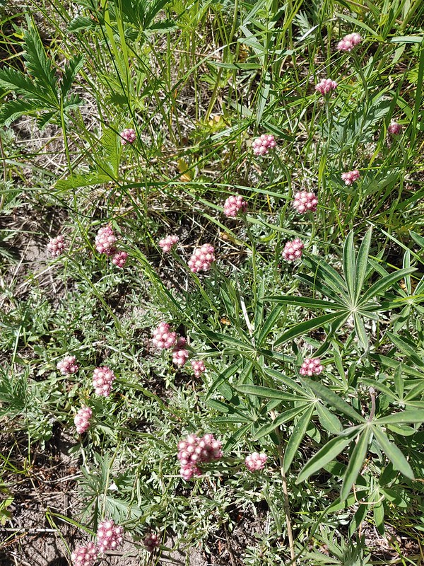 Rosy pussytoes
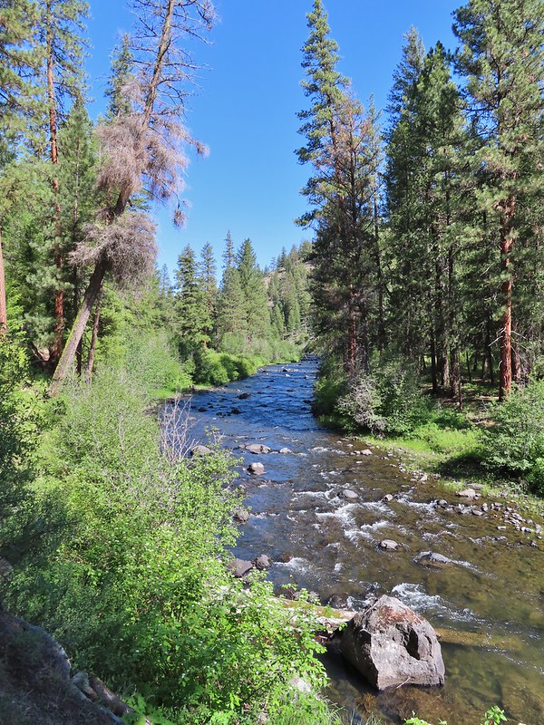
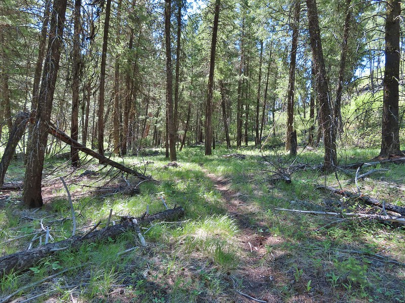
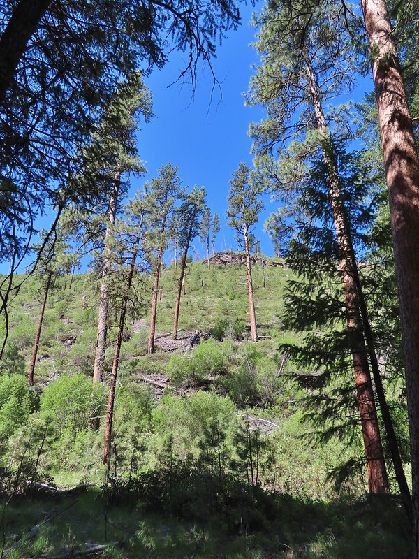 Hog Flat is up on top of the hillside.
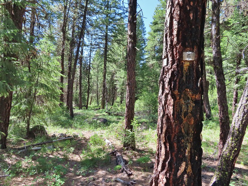 Mile 6 markers.
 Cracked egg in the trail.
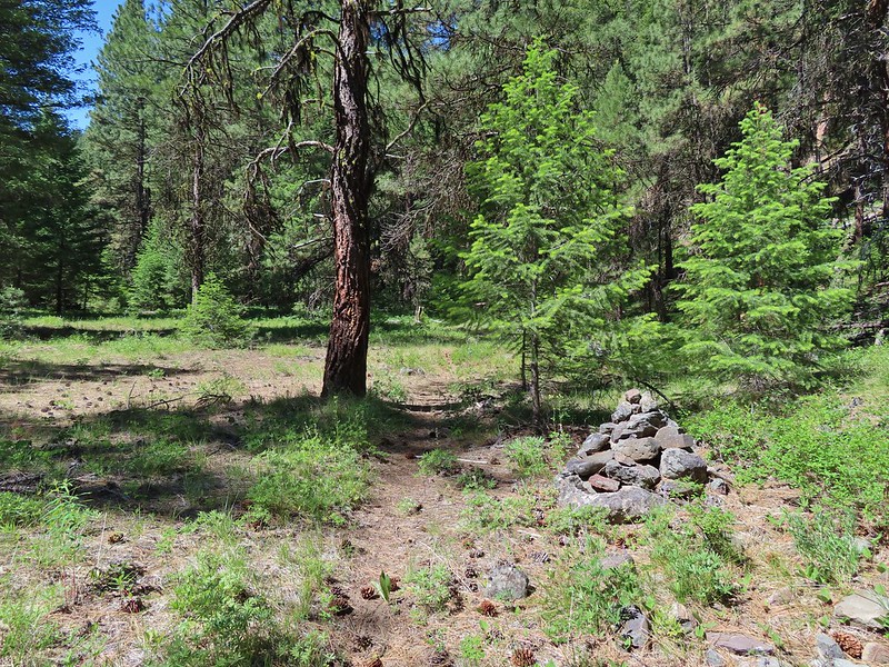 We passed this cairn around the 6.5 mile mark.
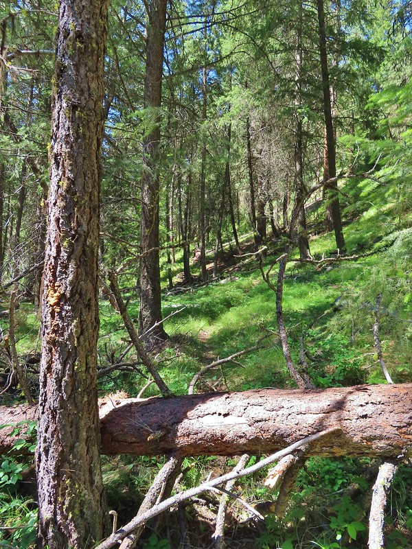 We turned around here shortly after passing the cairn. It appeared the trail was beginning it’s climb and we took the cairn and downed tree as signs that it was time to turn around. We did just that and headed back keeping our eyes open for the mile 3 and 5 markers.
 A fritillary butterfly on an iris.
 Found 5
 This was a particularly tricky little muddy spot to stay dry crossing.
 And there’s “3”.
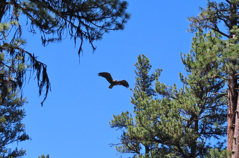 Immature bald eagle. We saw it on the way out in the same area but couldn’t get a photo. This time it flew right by me, and I think it was giving me the stink eye.
 Back at the trailhead.
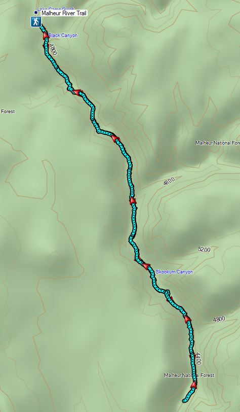

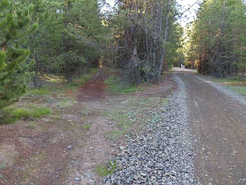
 Frosty penstemon
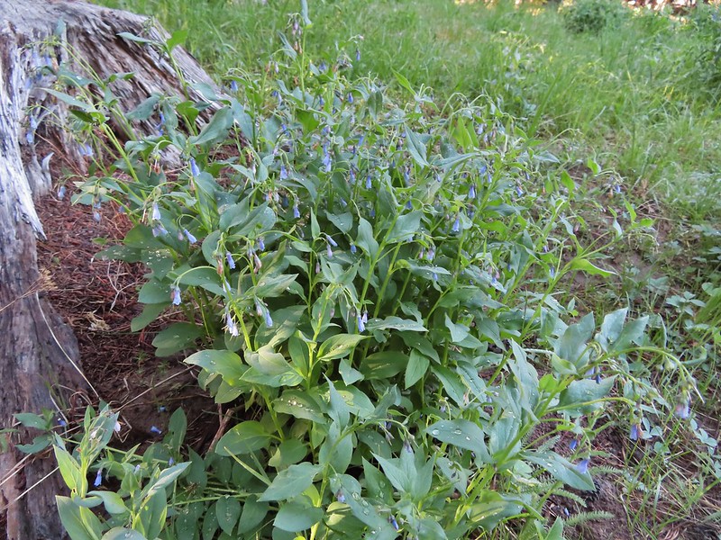 Tall mountain bluebells
 Big Creek
 Sign for the Tower Mountain Trail across NF-52.
 Buttercups
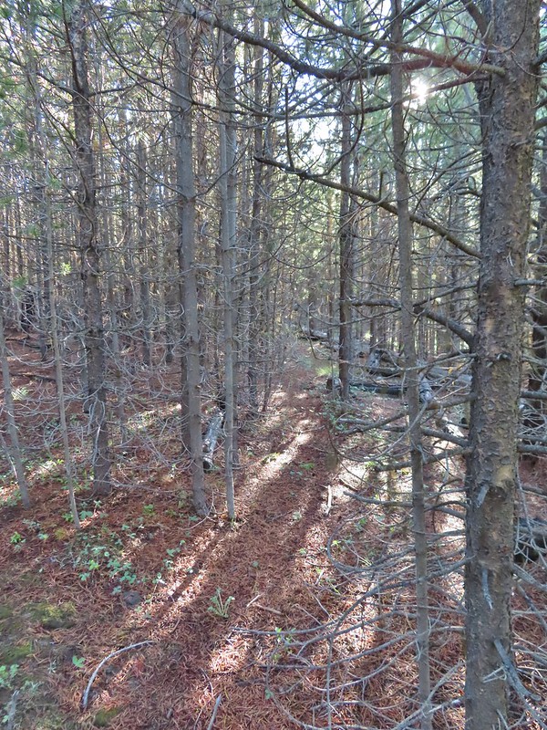 The trail passed through a stand of young lodgepole pine where it was easier to see but there wasn’t much room to maneuver. Our theory on why the Forest Service hadn’t widened this was to deter OHV riders from using the trail as there is a large network of OHV approved roads/trails in the area.
 Back to the faint tread.
 Elk had chewed up this section of trail.
 Snowshoe hare
 The hare wasn’t too concerned about us and even stopped to munch on some grass just a few feet away from us as we passed.
 The only sign/marker for the trail through the meadows.
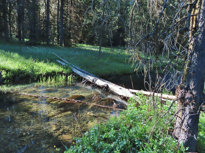

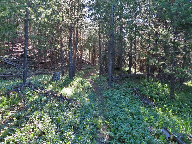


 Elephants head

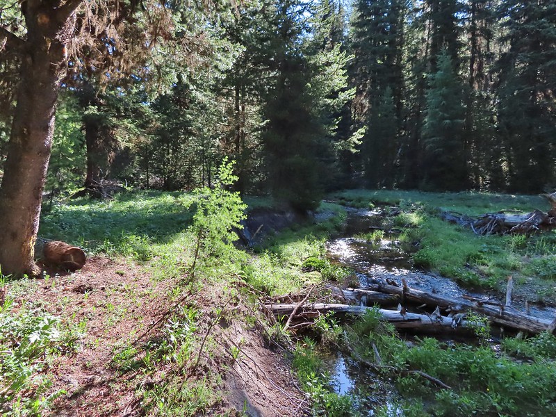

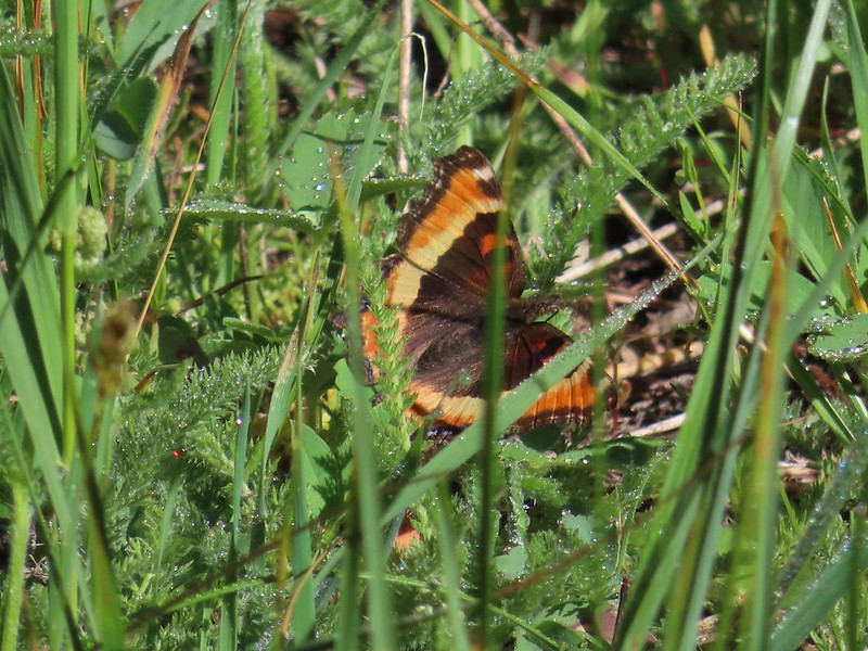 Milberts tortoiseshell
 Fleabane along the trail.
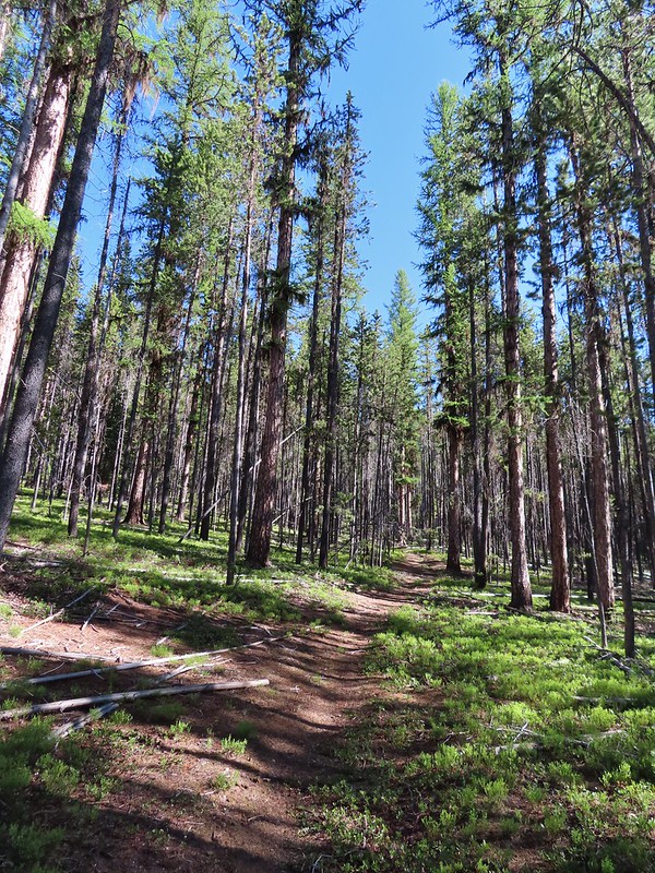
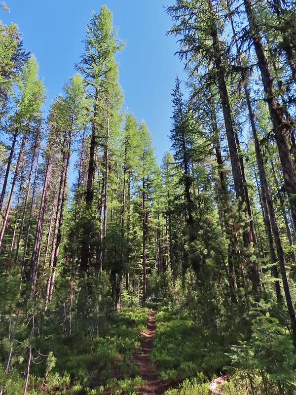

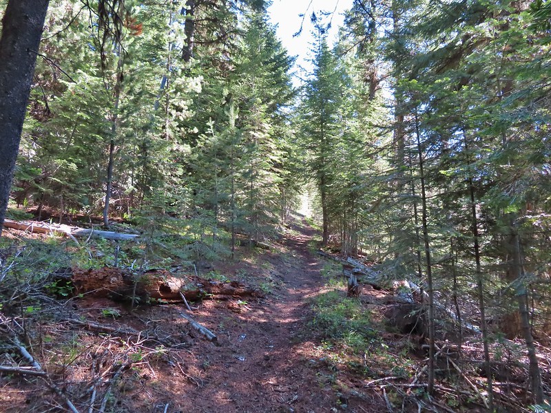


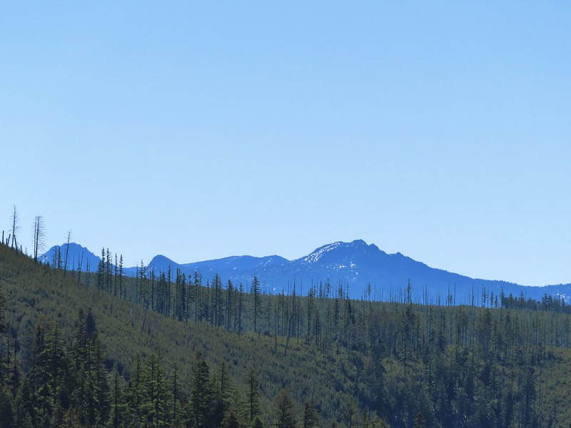
 Either a cinquefoil or an aven.
 Arnica
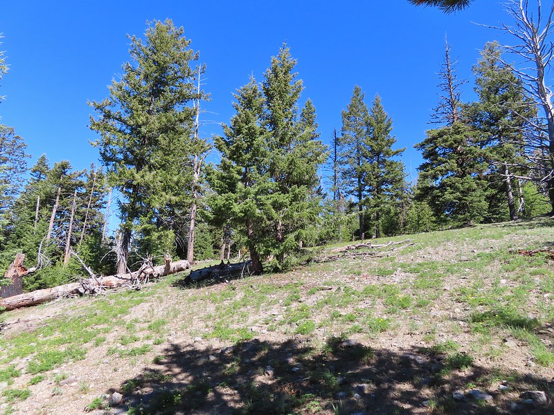
 Parsley
 Woodland stars
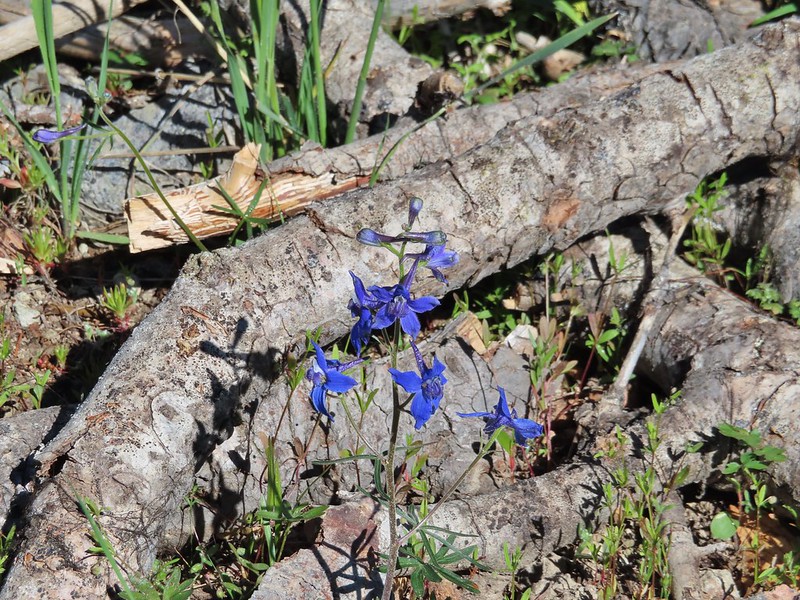 Larkspur
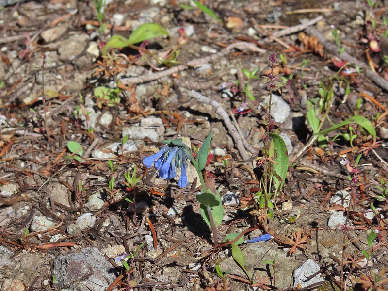 Mountain bluebells
 Violet
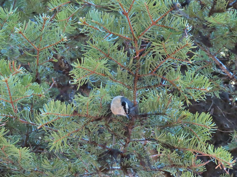 Nuthatch
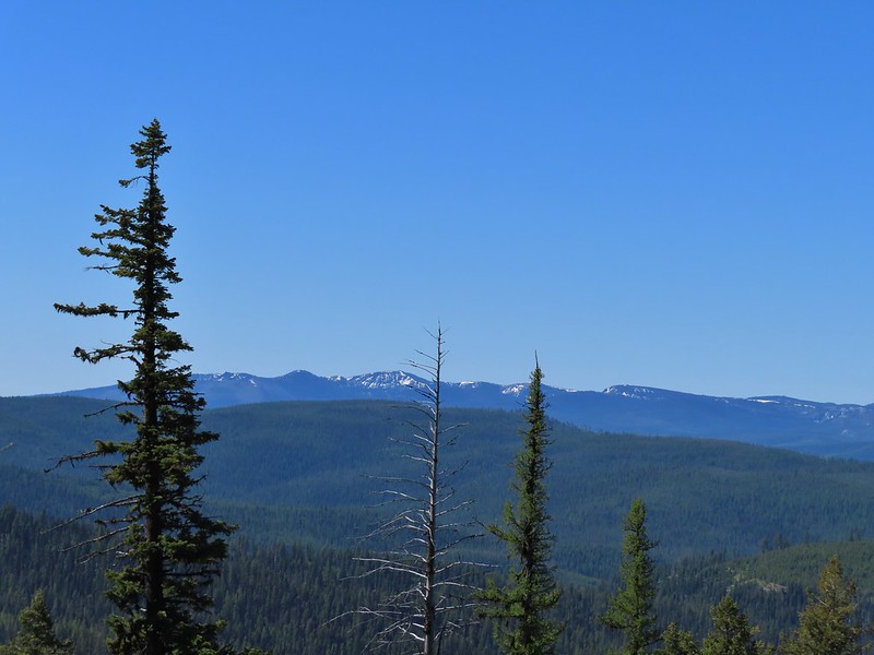 Vinegar Hill is in the center with Ben Harrison to the right of the green tree in the foreground.
 Back in forest burned in 1996.
 Glacier lilies
 Dropping to the saddle with Tower Mountain in the distance.
 Valerian
 The lookout tower on Tower Mountain.
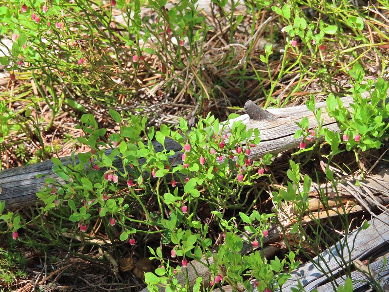 Huckleberry blossoms
 Arriving at the wilderness boundary.
 Looking back into the North Fork John Day Wilderness.

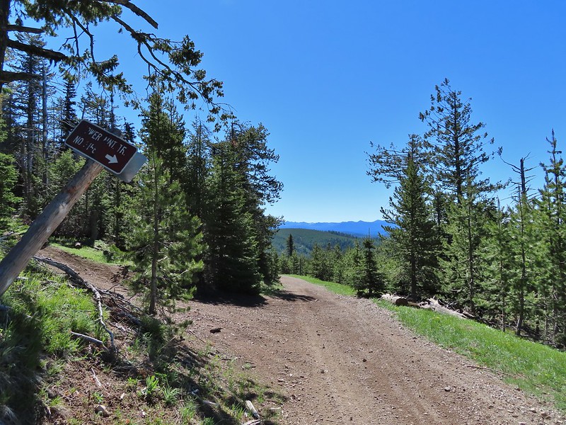
 The Elkhorns from NF-5226.
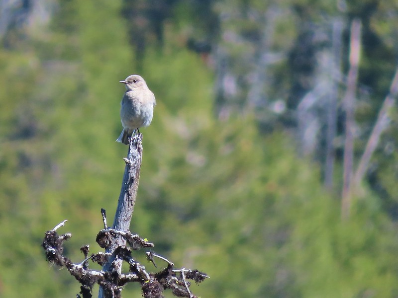 Western bluebird


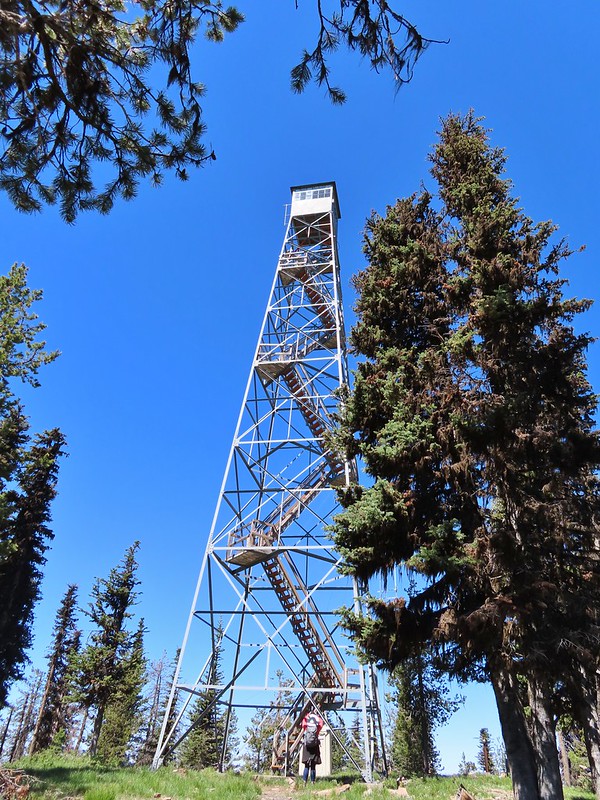


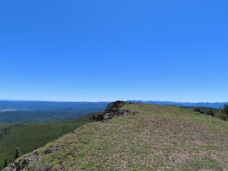 Wallowas on the left and the Elkhorns on the right.
 Wallowa Mountains including Eagle Cap
 Elkhorns
 Balloon pod milk vetch
 A patch of snow clinging to Tower Mountain.
 Lupine
 A penstemon
 Paintbrush
 Old man’s whiskers
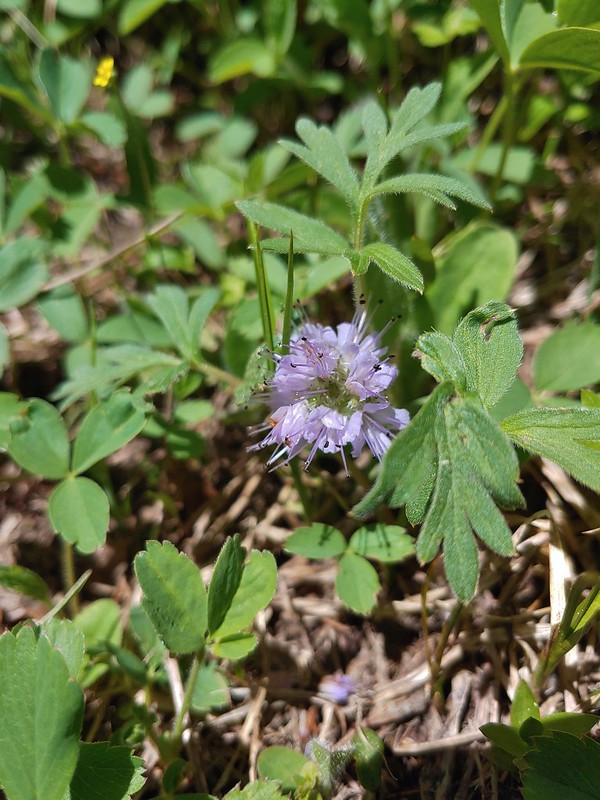 Ball head waterleaf
 Violets and ?
 Tortoiseshell on a cone.
 Shooting star
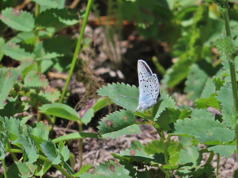
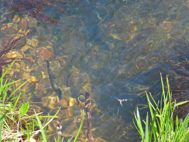 Fish in Big Creek.
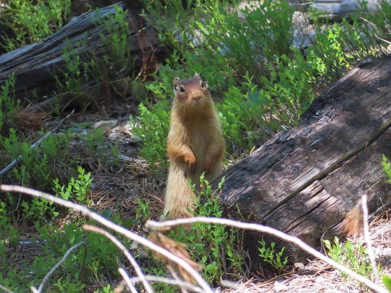 I believe this is a columbian ground squirrel.
 California tortoiseshell butterflies
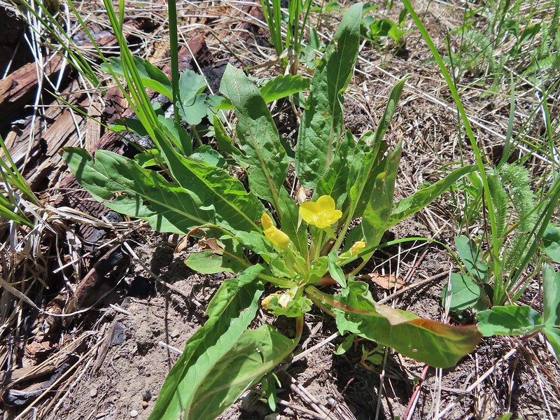 Diffuseflower Evening-primrose
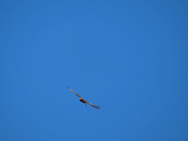 Red tailed hawk
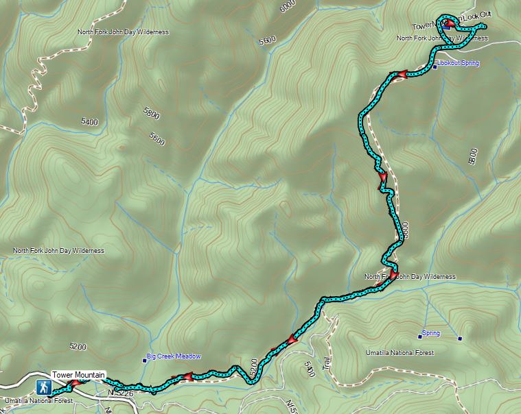


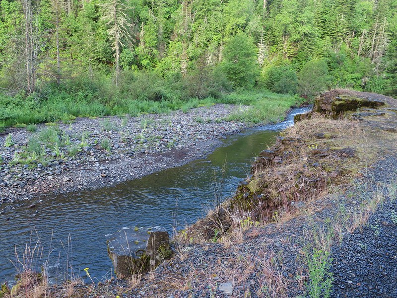
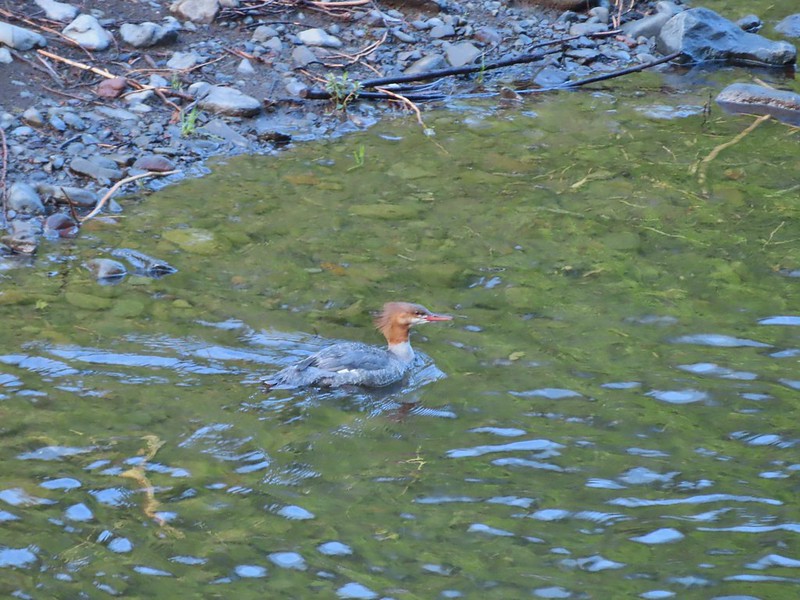
 Buck Creek Trailhead
 Buck Creek Trail straight ahead with the Buck Mountain Trail to the right. Notice that the Buck Mountain Trail didn’t receive a nice new sign. (Not pictured is the Ninemile Ridge Trail to the left.)
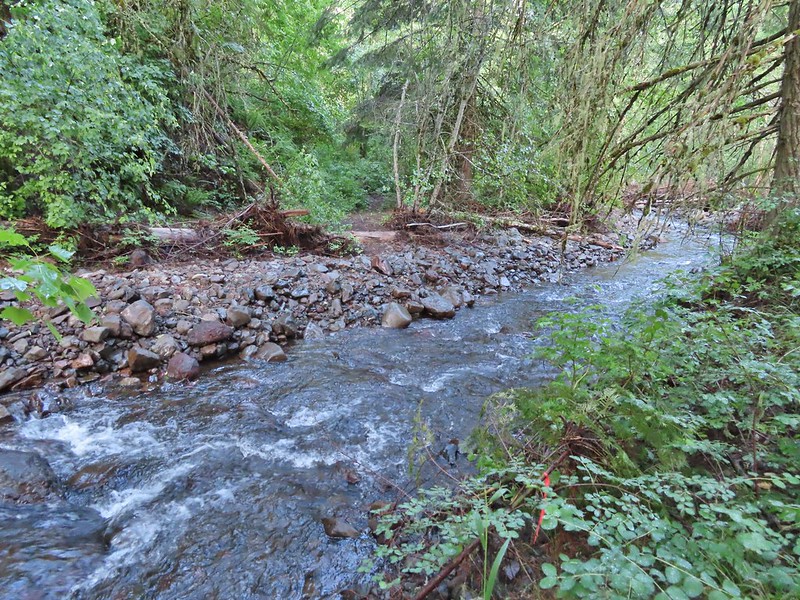
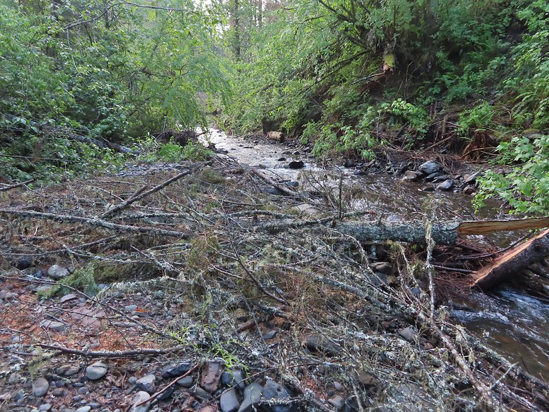
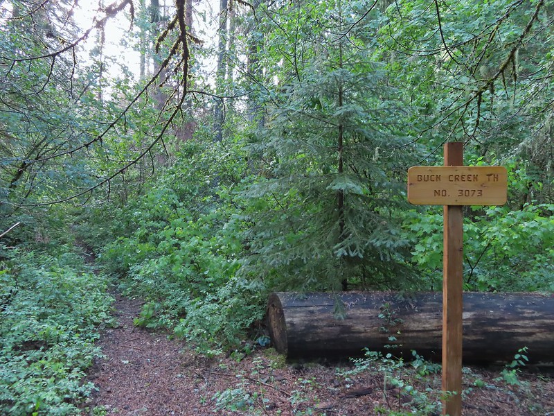
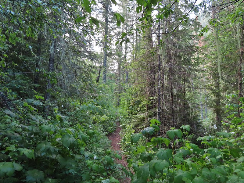
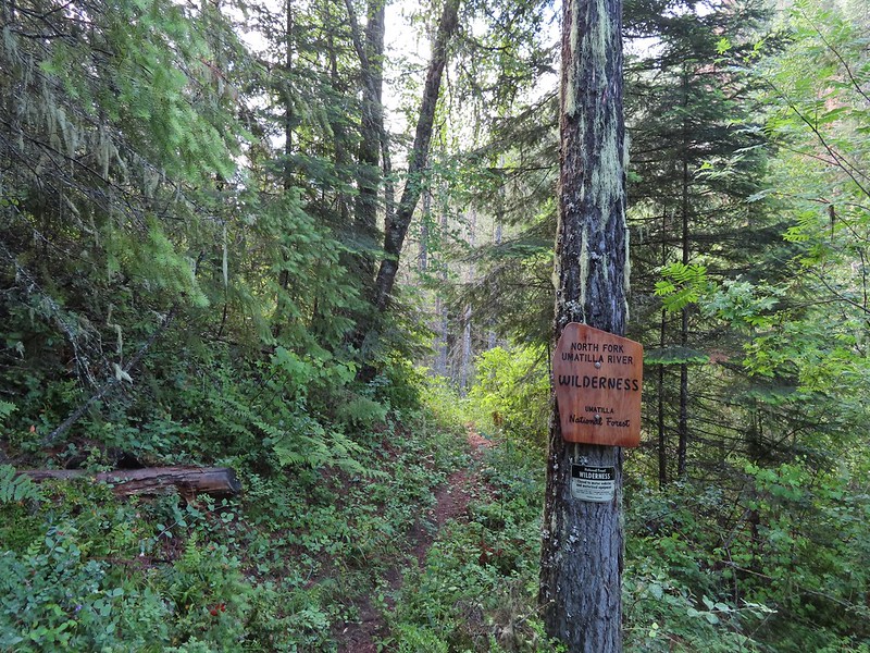 Nice new wilderness sign along the trail.
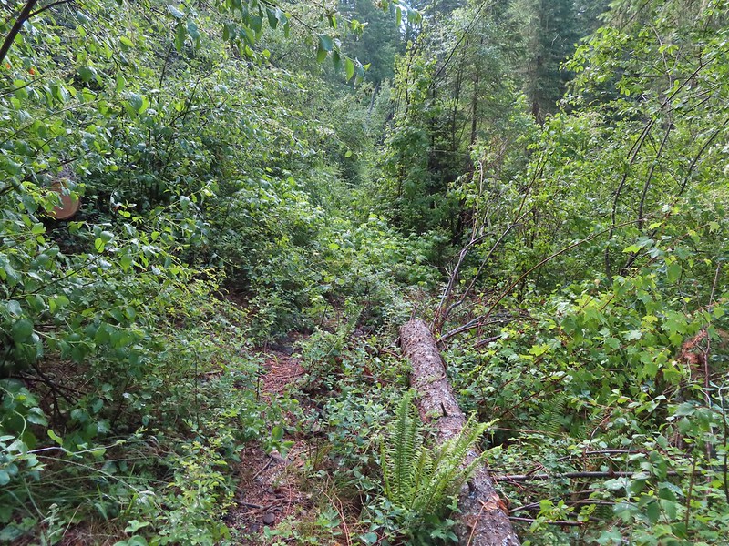
 Signs of the flooding.
 Blue sky
 Washed out section of trail.
 Recent trail repair here.
 Slugs didn’t mind the damp conditions.
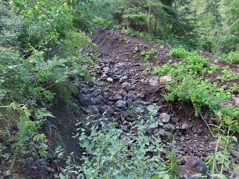
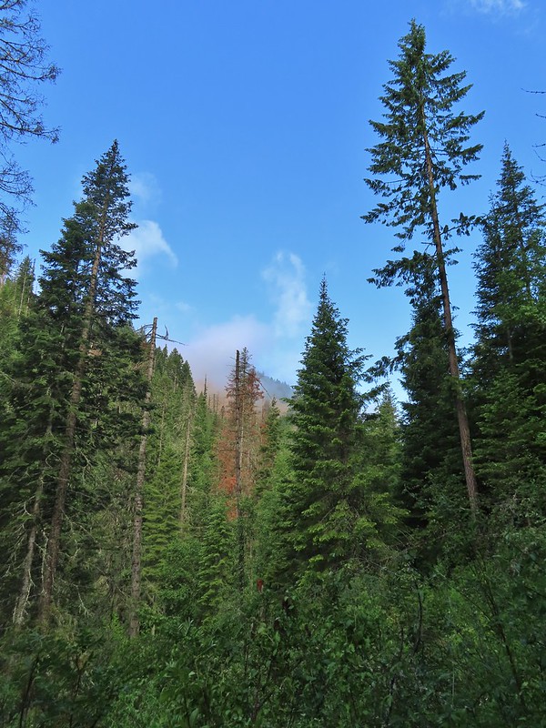
 Honeysuckle was everywhere in this wilderness, on all three hikes.
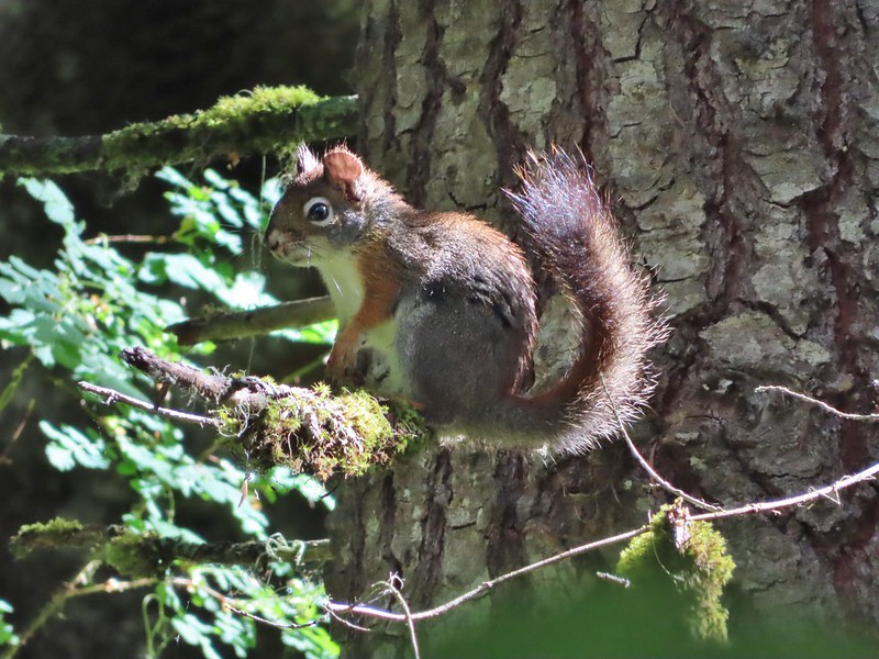 Squirrel!


 Closed portion of Bingham Springs Road (NF 32).
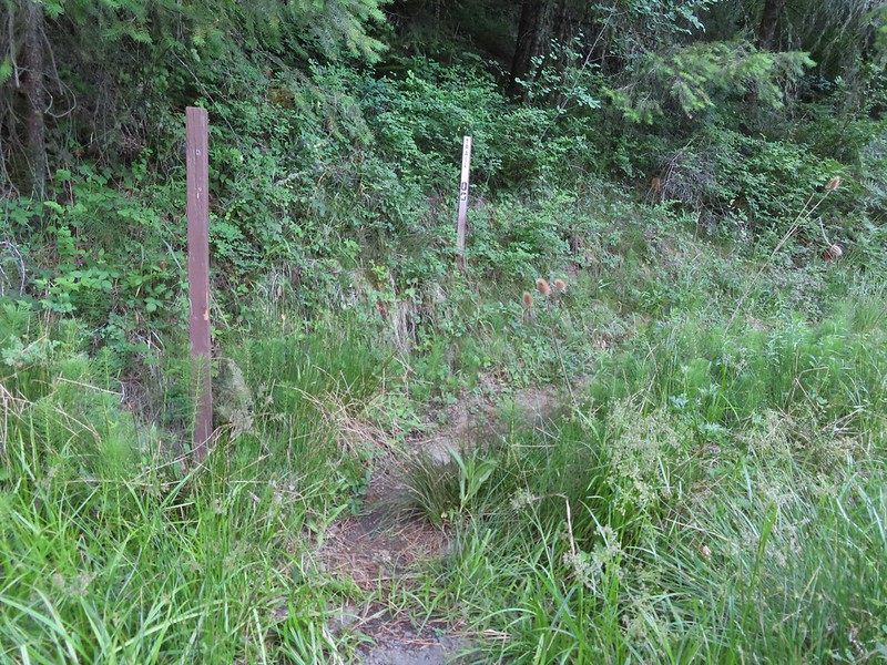 We had completely missed this trail along NF-32 the day before having been distracted by the large number of butterflies in the area.

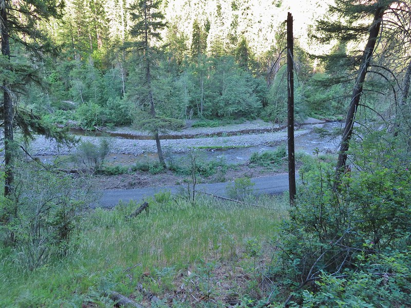
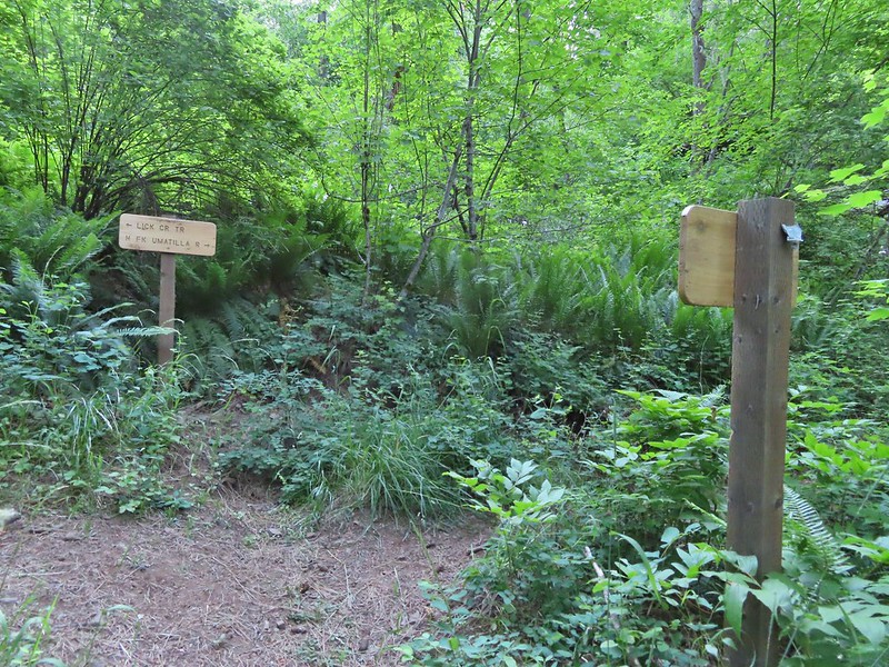 We stayed right at this junction to head down to the North Fork Umatilla Trail.
 Spreading dogbane
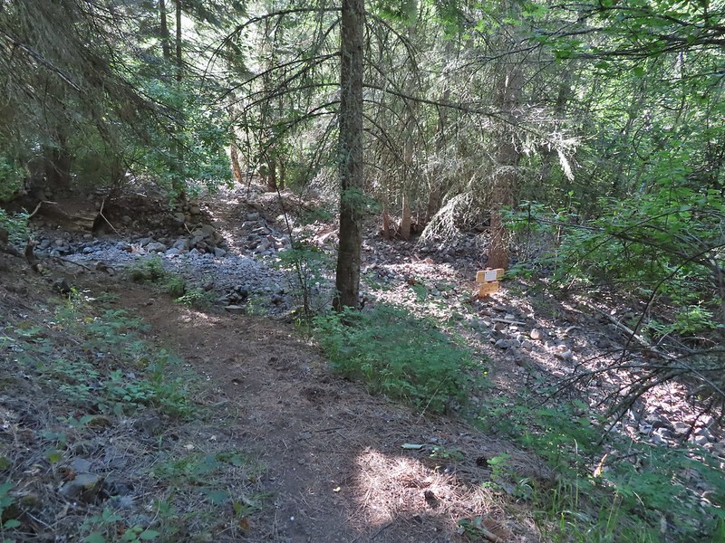 Evidence of the February 2020 flooding covering the North Fork Umatilla Trail, also there is a squirrel on the base of the tree at center.
 Some signs of recent maintenance.
 North Fork Umatilla River


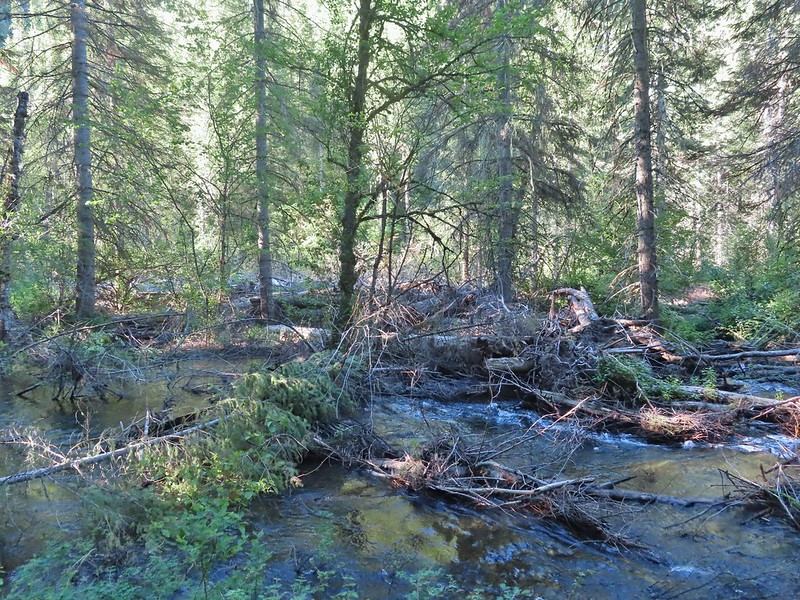 Debris from the flood in what appeared to be a new route for the river.
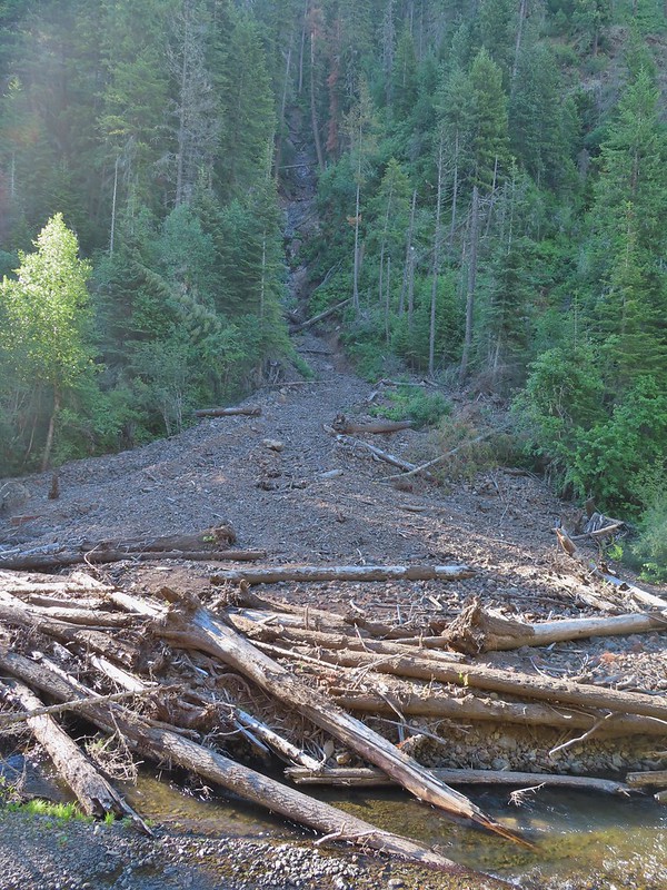 This big slide was across the river.
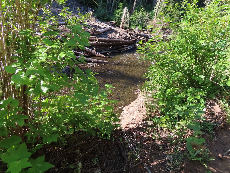 Some of the trail side was also lost.
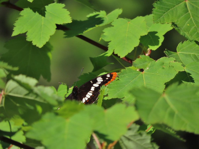 Lorquin’s admiral
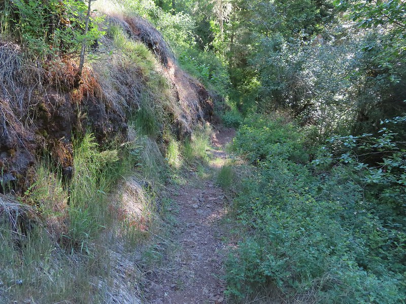 A section of trail that survived intact.
 Looking down another small slide.
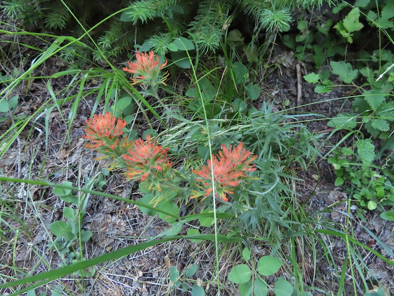 Paintbrush
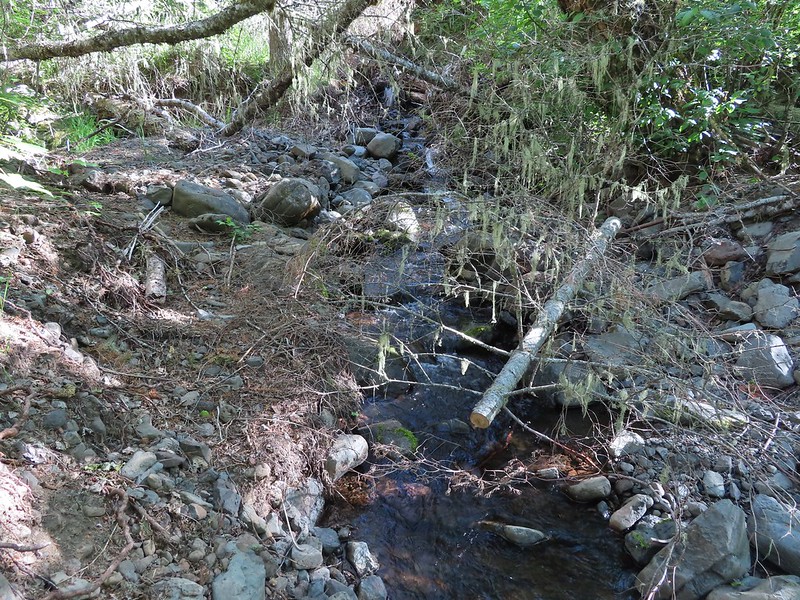 More maintenance along another washout.
 Arnica
 A number of slugs on the trail, Heather counted at least two dozen in just a few feet.
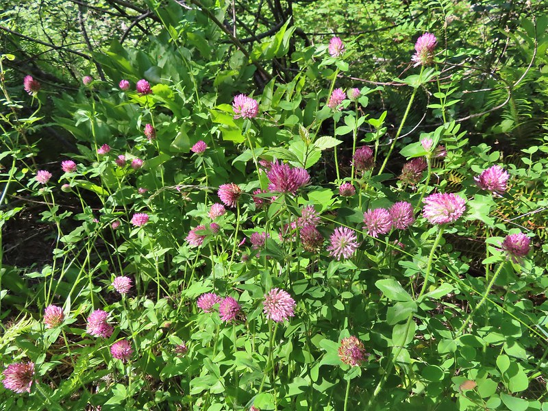 Clover
 Monkeyflower
 Alpine pennycress
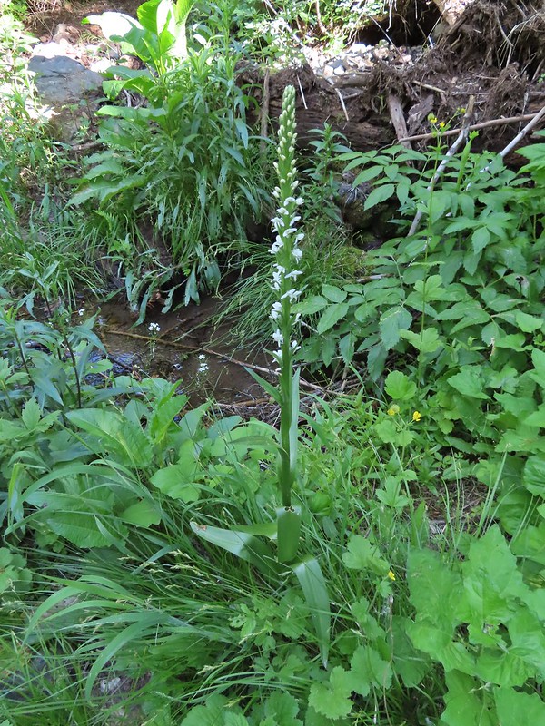 Bog orchid
 Stonecrop along an exposed section.
 Ragged robin in the exposed area.
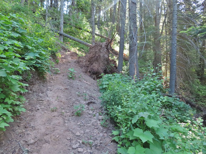
 At one point this guy was hitching a ride on my pant leg.
 View from the trail.
 This section was a little overgrown.
 I believe this is Sabin’s lupine.
 Spur trail to a large campsite near Coyote Creek and the North Fork Umatilla River.
 Missing a footbridge.
 I crossed on that log.
 Found the footbridge.
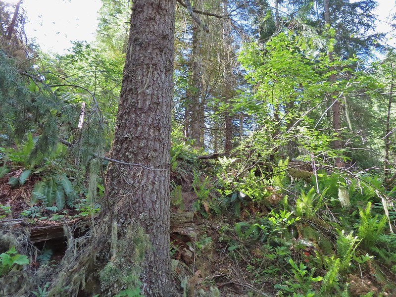 Flagging for the scramble route.
 Flagging for the North Fork Umatilla Trail
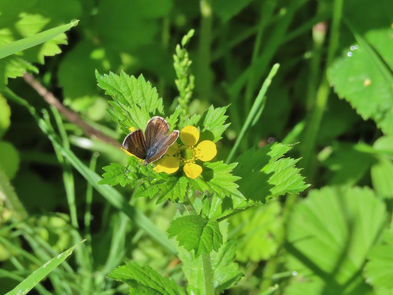 Butterfly on a cinquefoil?
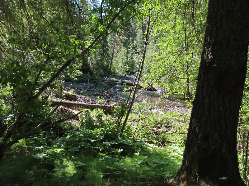 Confluence of Coyote Creek and the North Fork Umatilla River.
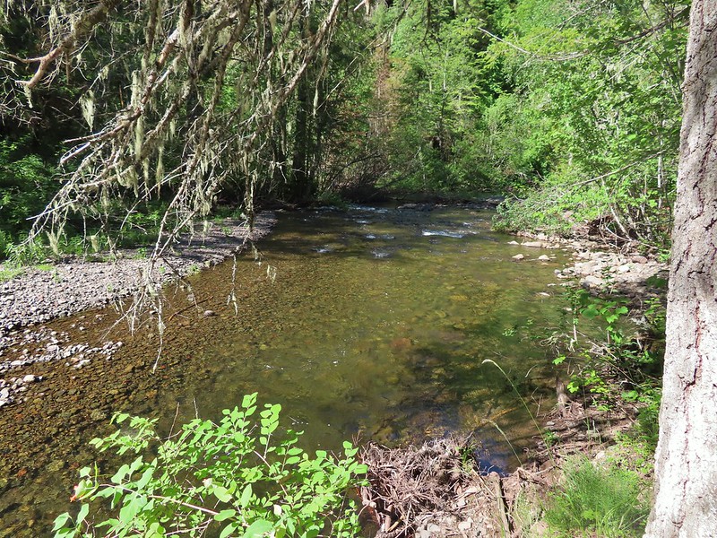 Deep hole below the campsites along the North Fork Umatilla
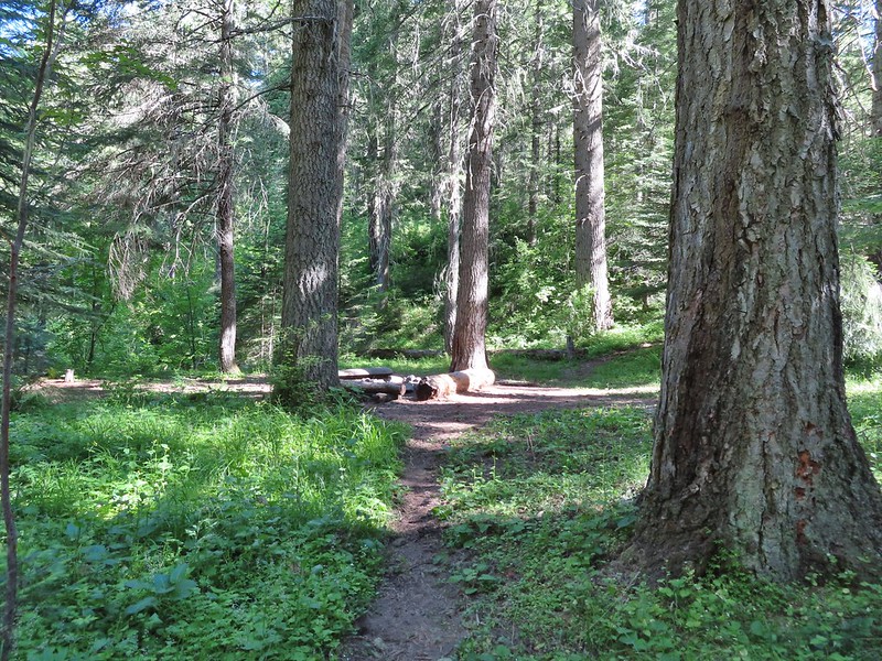 Campsite near Coyote Creek.
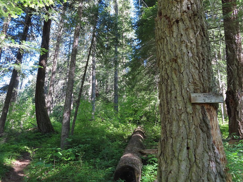 Heading back on the trail.
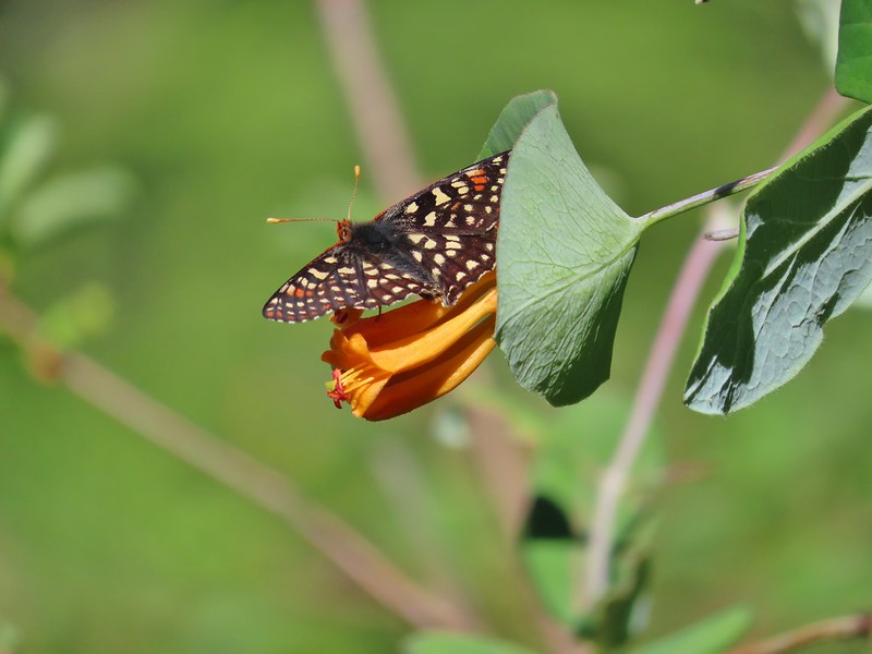 Checkerspot on honeysuckle
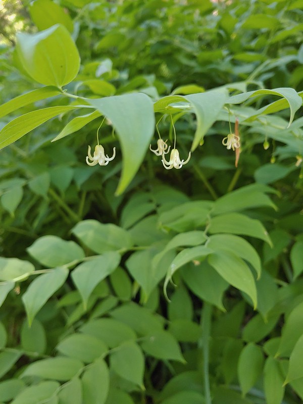 Twisted stalk
 Spotted coralroot
 Phantom orchid
 Houndstongue
 Signboard at the trailhead.
 Sign for the
  Not swallowtails but these lorquin’s admirals sure liked this scat.
 The first mass of swallowtails was on the far side of the river along this stretch.
 The second and larger group was at this wet spot along the road.
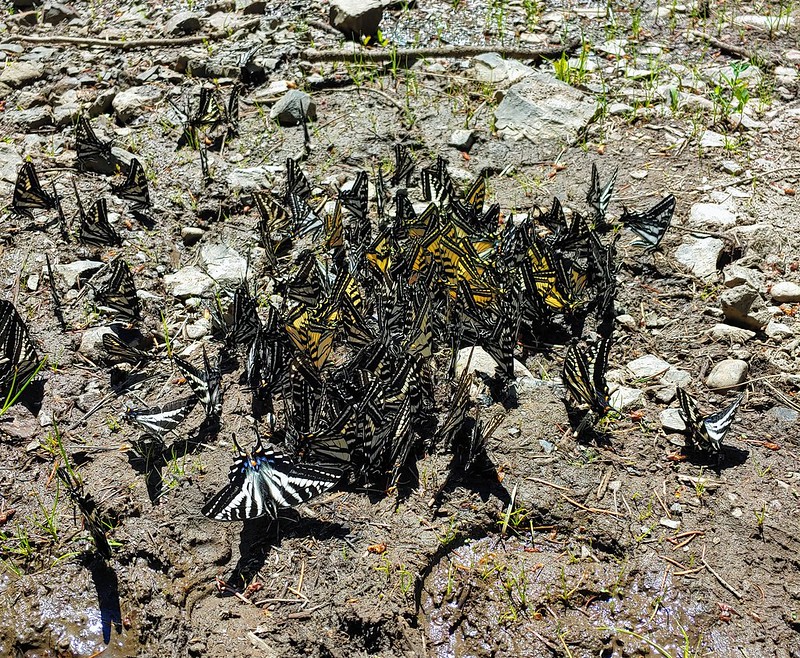
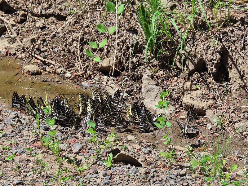


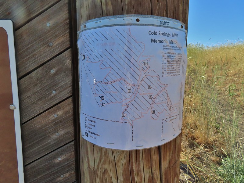

 Yarrow
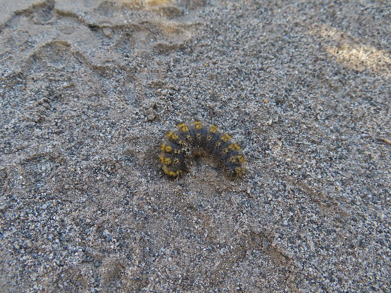 Caterpillar
 Looking right down the roadbed which would lead back to the parking area.
 Ducks in the Lower Pond
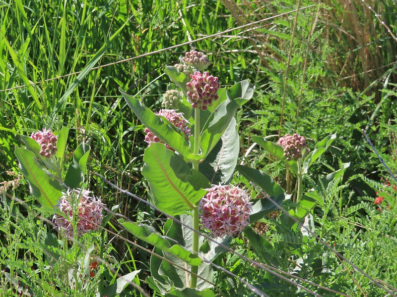 Showy milkweed
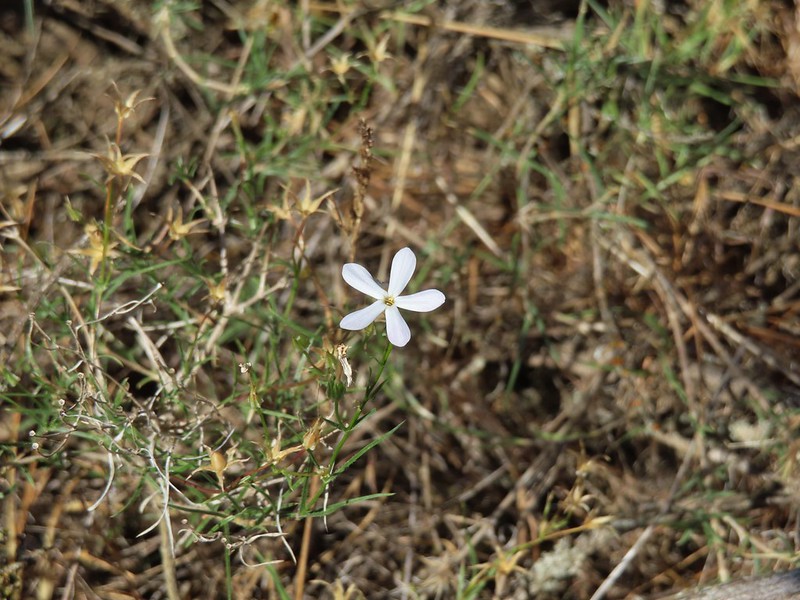 A lone phlox blossom
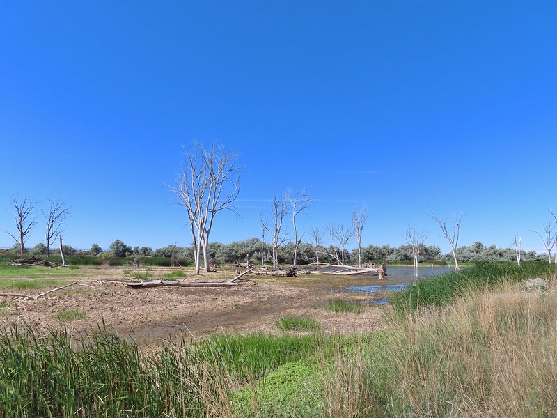
 Female red-winged blackbirds
 Blue-winged teal and a black-necked stilt.
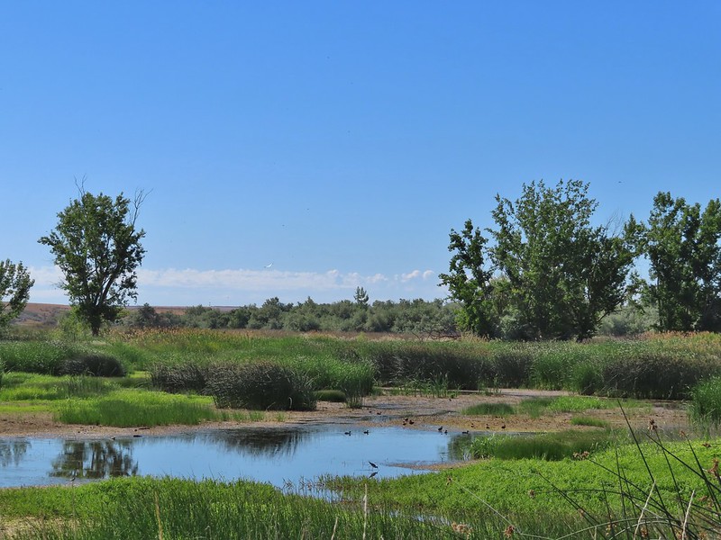
 Black-necked stilt
 Red-winged blackbird
 White pelican
 Cinnamon teal

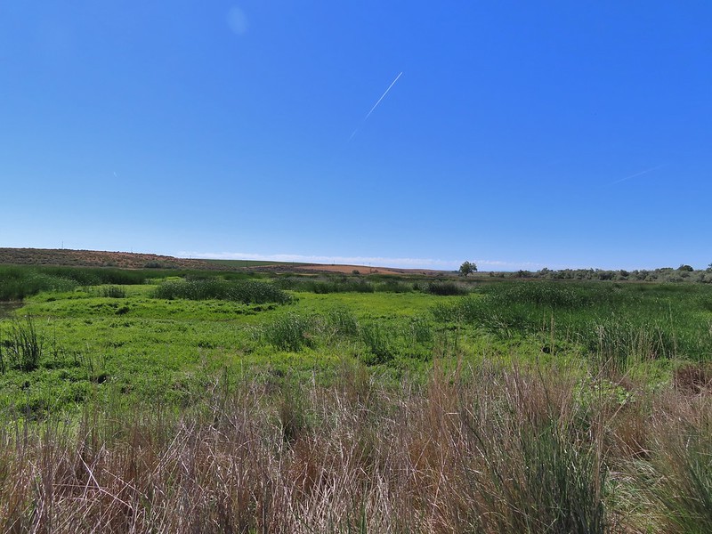 Middle Pond
 Spur road to hunting blind 5. The blinds were well signed but not marked on the brochure map. The laminated map at the trailhead though did show the blinds which would have also been very helpful.
 Upper Pond
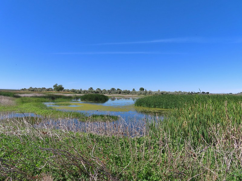 Upper Pond
 Yellow headed blackbirds
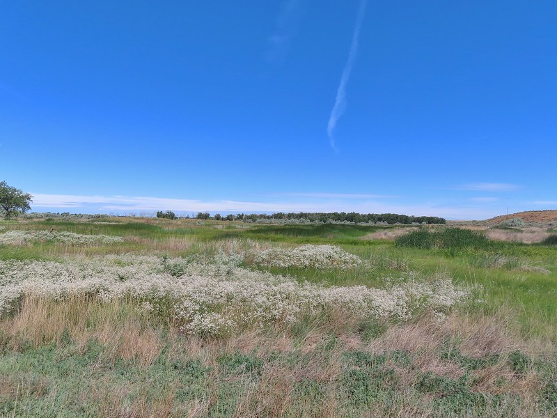 Not going to be making a loop around the Upper Pond.
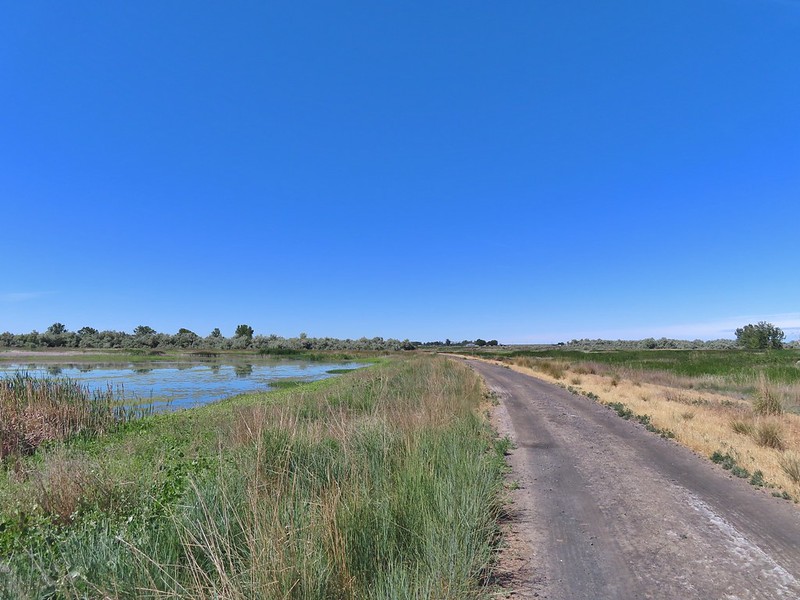
 Killdeer
 Great blue heron
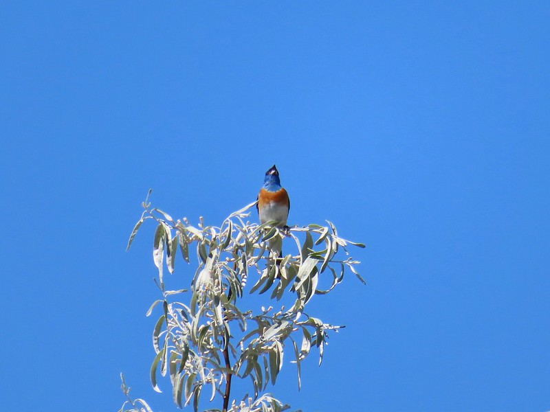 Lazuli bunting


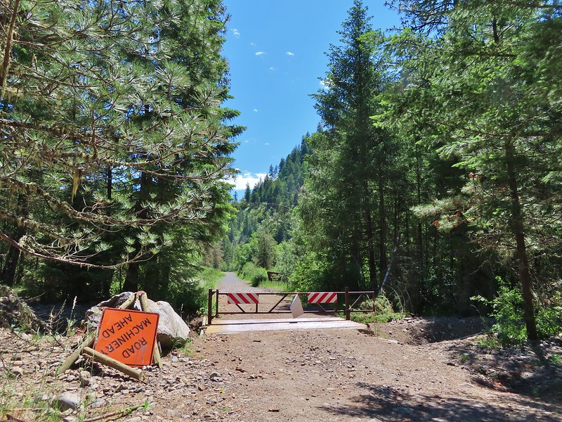
 The road walk wasn’t all that bad as it followed the Umatilla River the whole way.
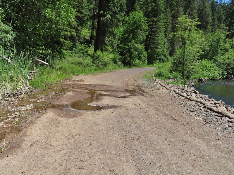 This was a popular spot with the butterflies, particularly swallowtails.
 Swallowtails
 Swallowtails
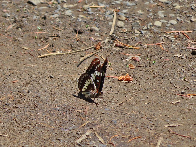 Lorquin’s admiral
 A tortoiseshell
 Dragon fly watching the butterflies
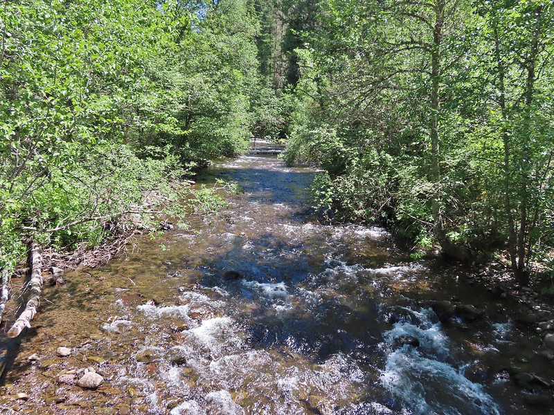 Just beyond the sign we crossed the North Fork Umatilla River.
 Ouzel
Ouzel FR 045 on the left.
 Another gathering of butterflies
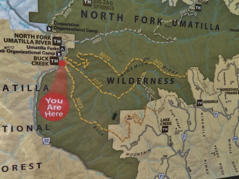


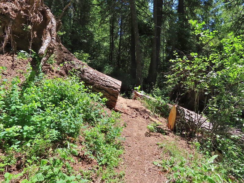


 Grouse
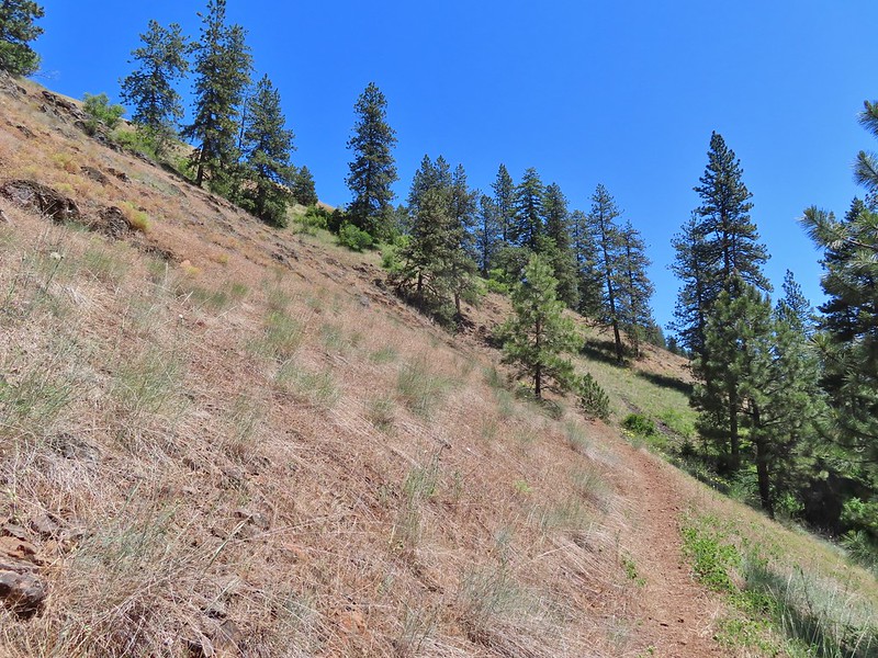
 Buckwheat
 Ragged robin (Clarkia pulchella)
 Lingering snow in the distance.
 Ragged robins
 Paintbrush
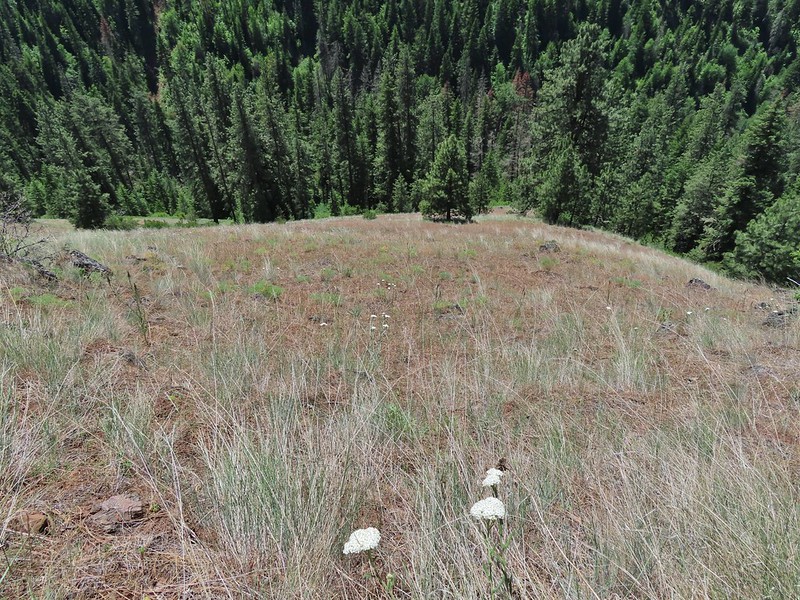 Yarrow
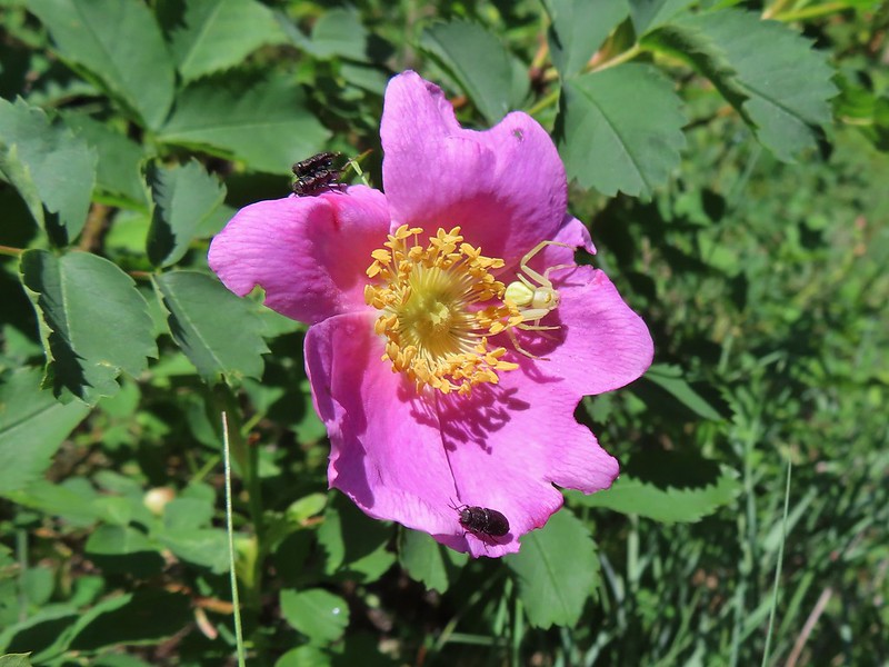 Bettles and a crab spider on rose
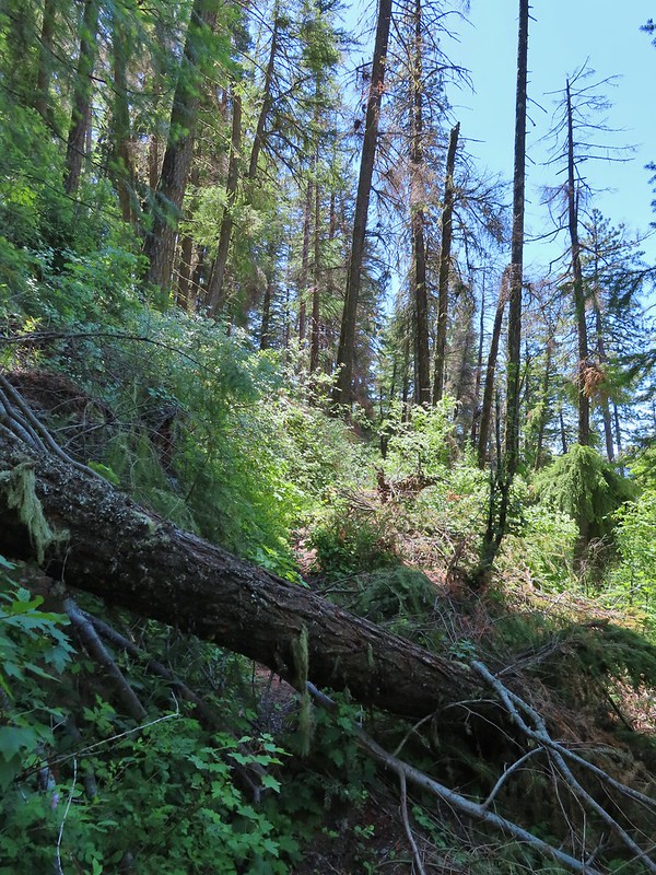
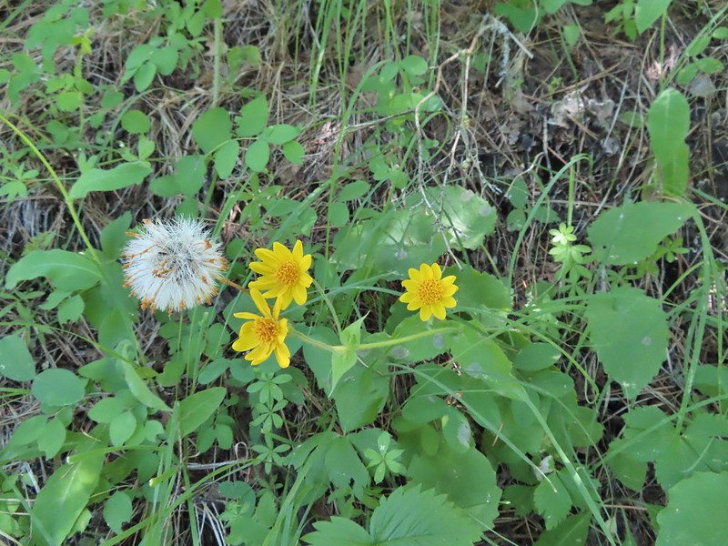 Arnica
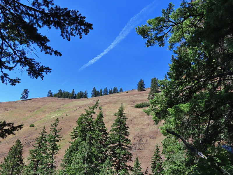 You might be able to make out the trail continuing up the far hillside.
 Now on the far hillside heading for that small tree on the ridge end.
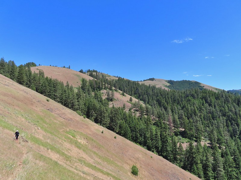 Looking back along the trail and at Ninemile Ridge.
 South Fork Umatilla River from near the ridge end.
 Heading up to the ridge top.
 Gaining the ridge and a view ahead of what’s to come.
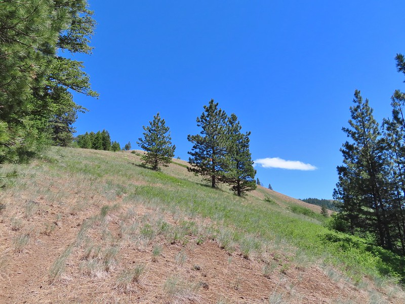
 Balsamroot
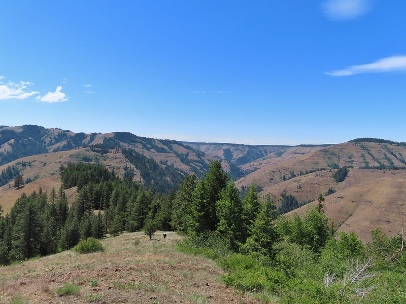
 Large-flower triteleia
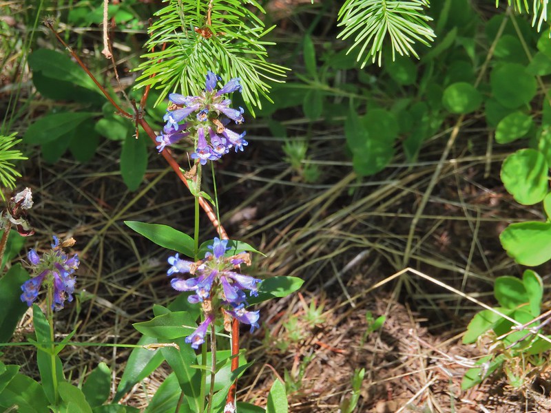 A penstemon
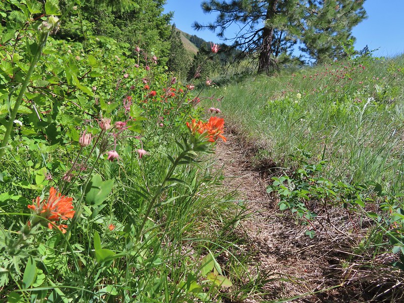 Paintbrush and prairie smoke
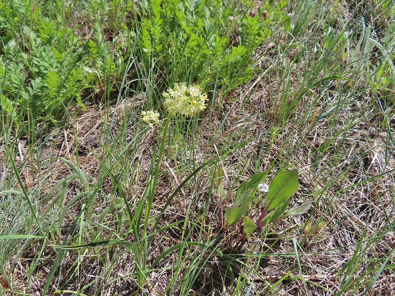 Death camas
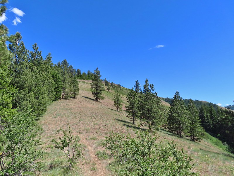
 Turkey vulture checking to see if we were dead yet.
 Ravens also interested in our carcasses.
 An allium
 There was a 20% chance of showers according to NOAA so these clouds forming weren’t a surprise.
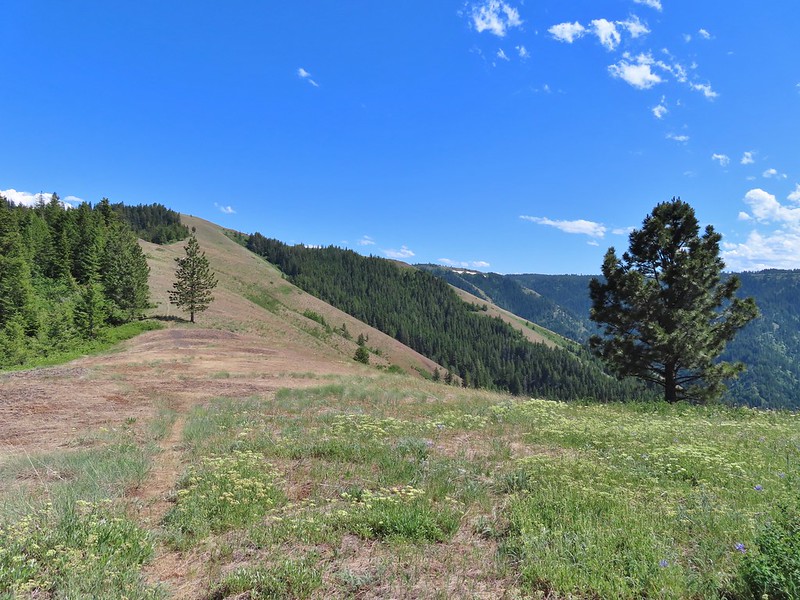 A flat stretch along the ridge before another steep climb.
 Buckwheat and Large-flower triteleia
 Bush penstemon
 The trail was actually down to the left but the ridge seemed like it would take less climbing.
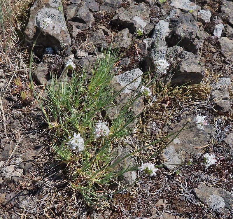 Ball head sandwort?
 Lupine
 Paintbrush along the final climb.
 A parsley and naked broomrape
 Larkspur
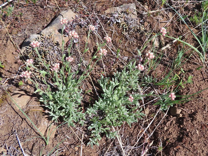 Rosy pussytoes
 Cairn on the right.
 Clouds starting to pass over.
 High Ridge Lookout to the left
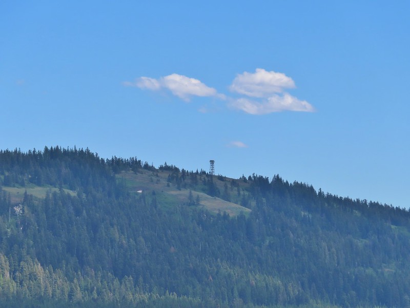 High Ridge Lookout
 Looking back down Ninemile Ridge
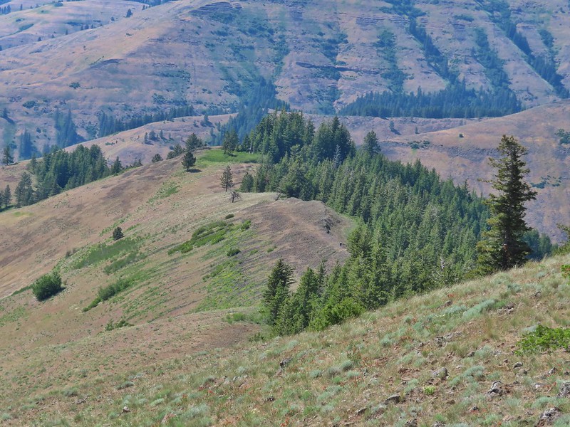 Heather making her way up.
 Blue-eyed Mary and elegant mariposa lily
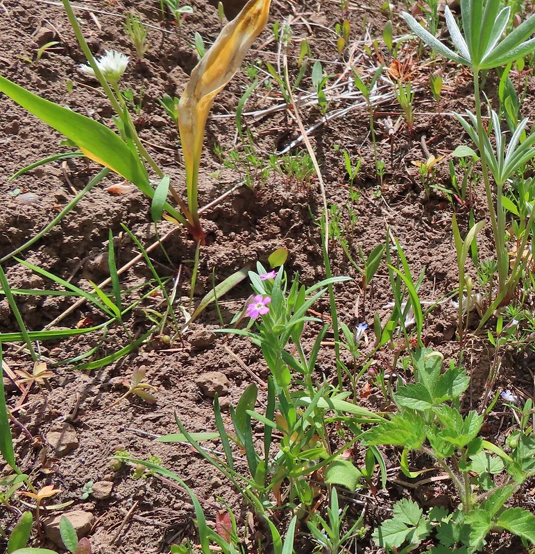 Slender phlox
 A phacelia
 Hoary balsamroot (most of it was way past)
 Phlox
Phlox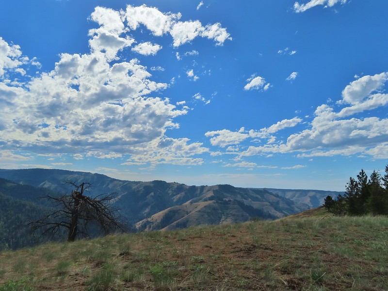

 Spotted coralroot
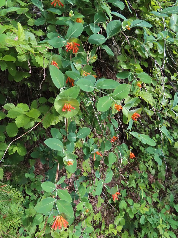 Honeysuckle
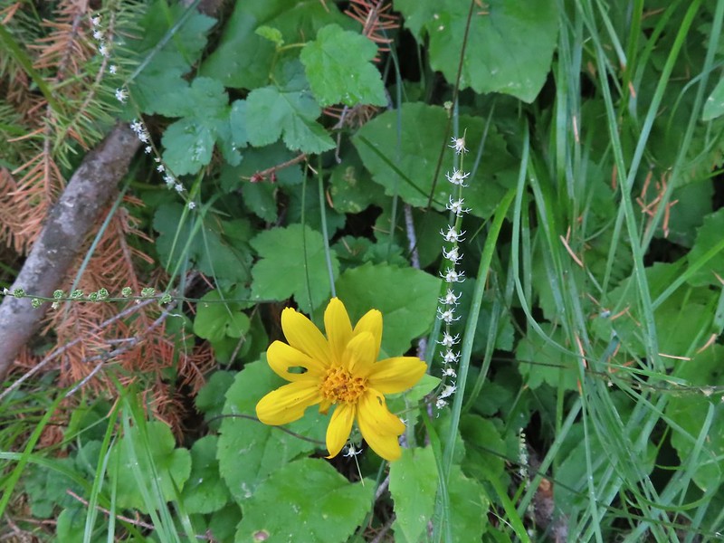 Arnica and small flower miterwort
 Twinflower

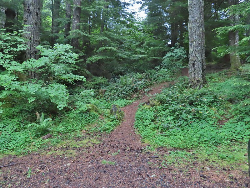 We took this trail from the parking area to the North Ridge Trail where we turned right at a signboard.
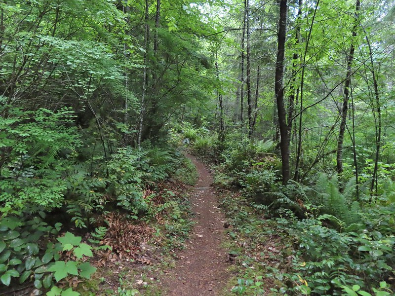
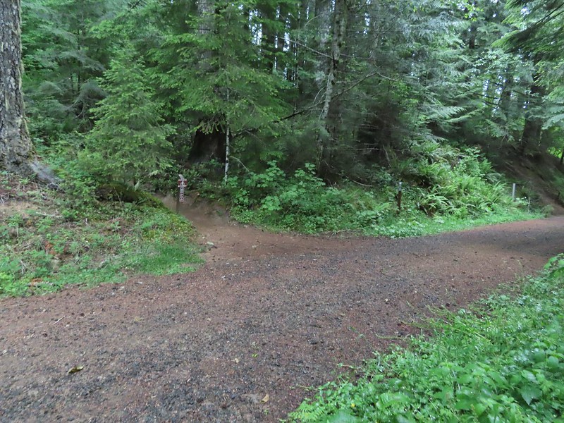
 Signboard along the North Ridge Trail at Woods Creek Road.
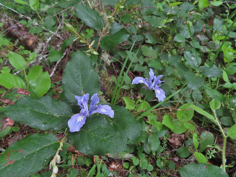 Iris
Iris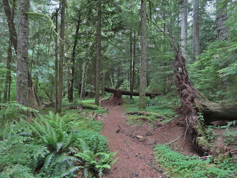
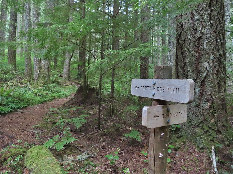 Near the half mile mark we ignored this pointer to the left. Looking at the map there are roads looping back to Woods Creek Road and also to Conner’s Camp but what their conditions are we don’t know.
 Monkeyflower

 Wren
Wren Thimbleberry
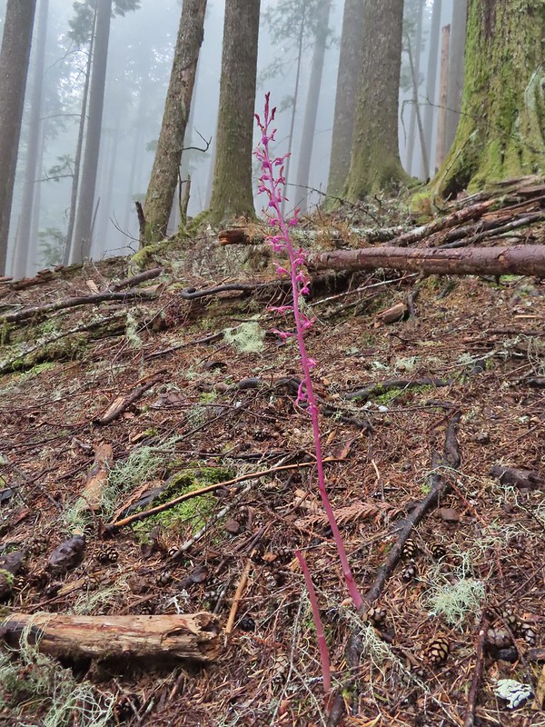 Pacific coralroot
 Anemones
 Vanilla leaf along the trail.
 Lots of vanilla leaf.
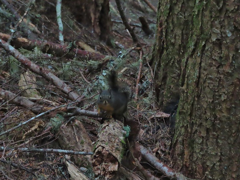 Douglas squirrel.
 The higher we went the foggier it got.
 Bench at the junction with the tie trail.
 Some of the trillium still had petals.
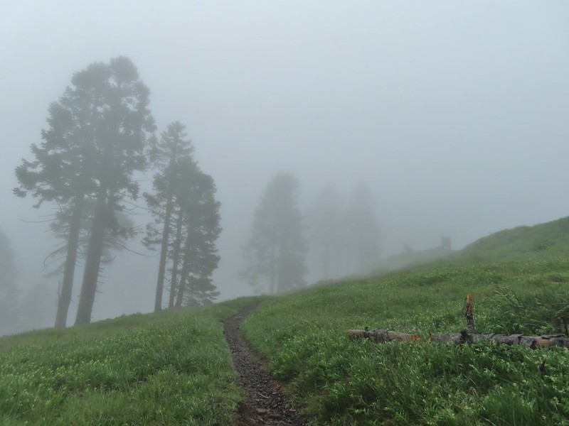 Signboard for the overlook on the hillside to the right.
 The junction from later in the morning with the Summit Trail heading uphill to the right and the East Ridge Trail down to the left.
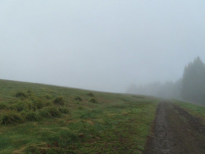
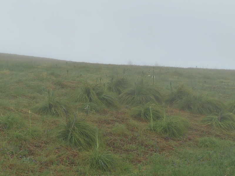 Going to be a beargrass year.
 Beargrass
 Larkspur in the wet grass.
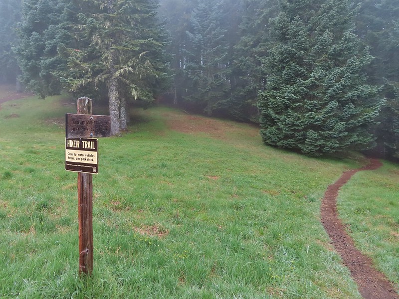
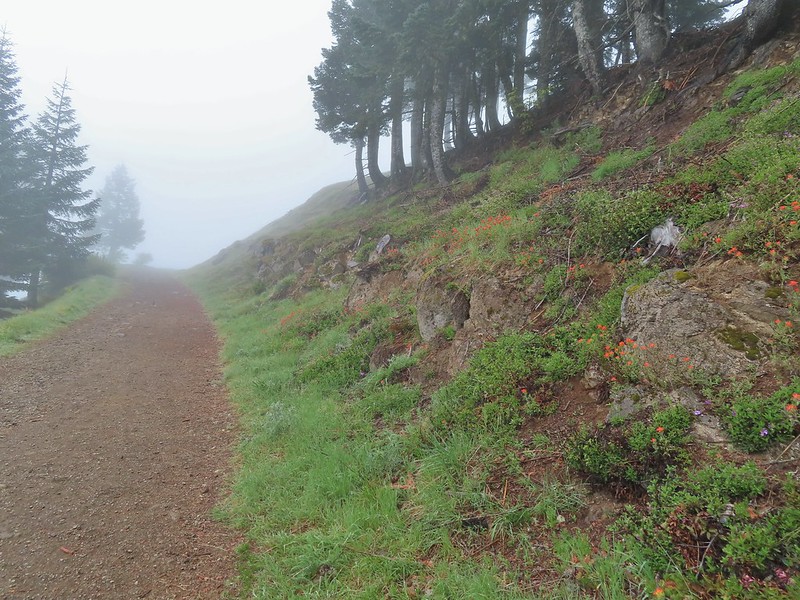
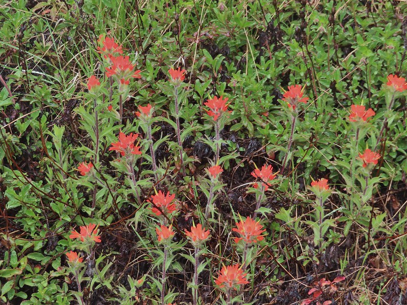 Paintbrush
 Penstemon
 Field chickweed
 Parsley
 Blue-eyed Mary
 Ragwort in front of lupine that had yet to bloom.
 Phlox
Phlox
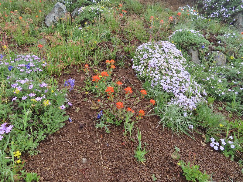
 Lupine
 Buttercups and larkspur
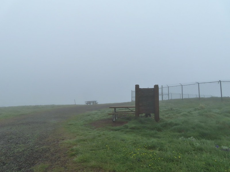 Heather hiding behind the summit signboard to try and keep out of the wind.
 Lots of lupine yet to bloom.
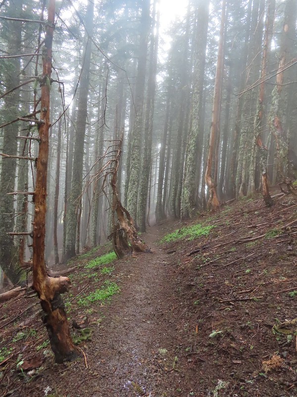

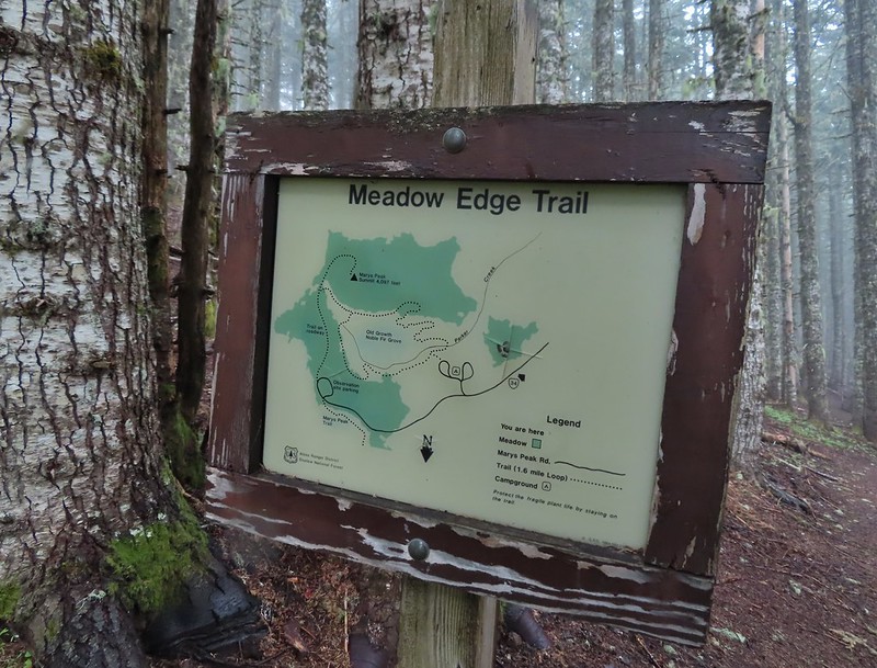
 As the name implies the Meadows Edge Trail occasionally entered the meadows before returning to the forest.
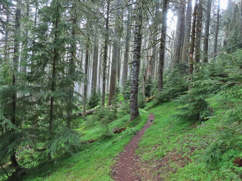
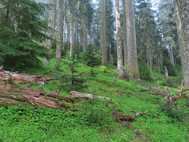 For a brief moment a bit of sunlight hit the forest and we thought maybe the sky would clear up.
 Salmonberry bushes near Parker Creek.
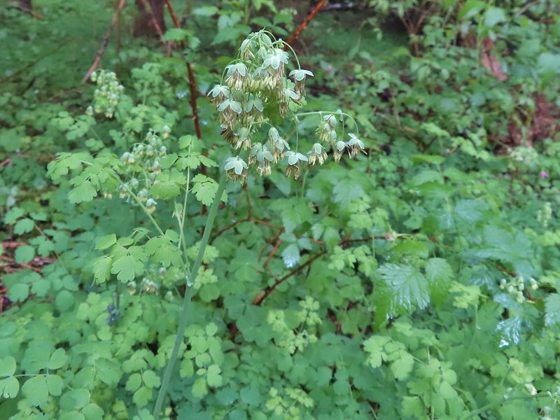 Western meadowrue
 Spur trail to the Mary’s Peak Campground.
 Fairybells and star flower solomonseal
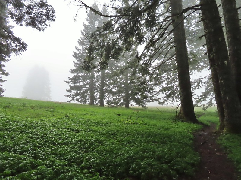 The sky was in fact not clearing up.
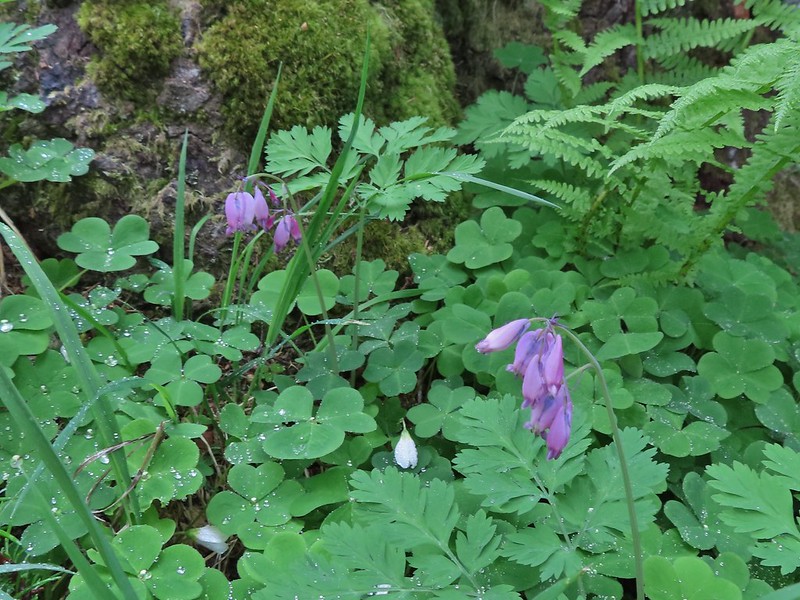 Bleeding heart and sourgrass.
 Fawn lilies in the meadow.
 Signs at the road junction.
 The wet conditions were starting to really hinder picture taking at this point.


 Striped coralroot
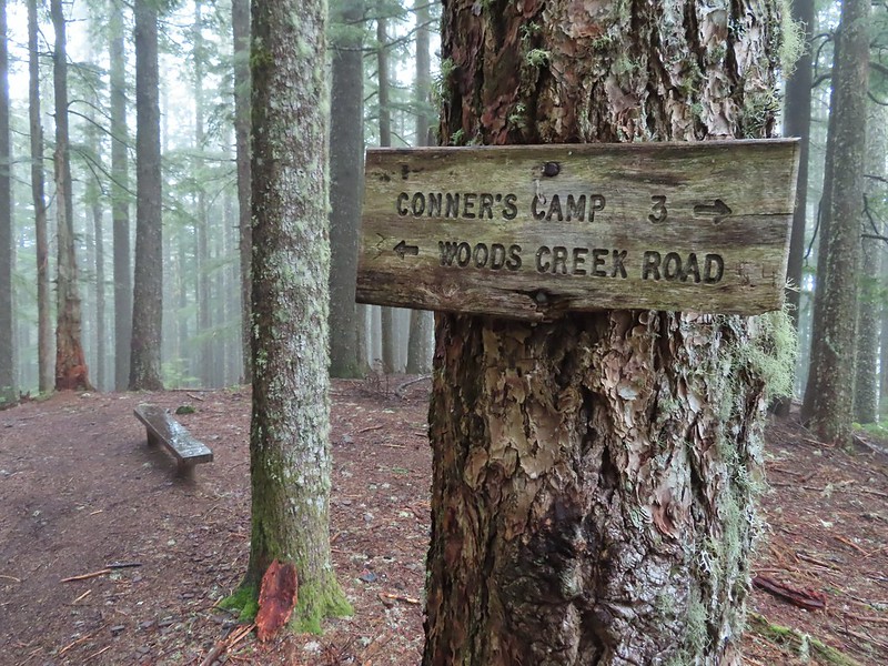 North Ridge Trail junction
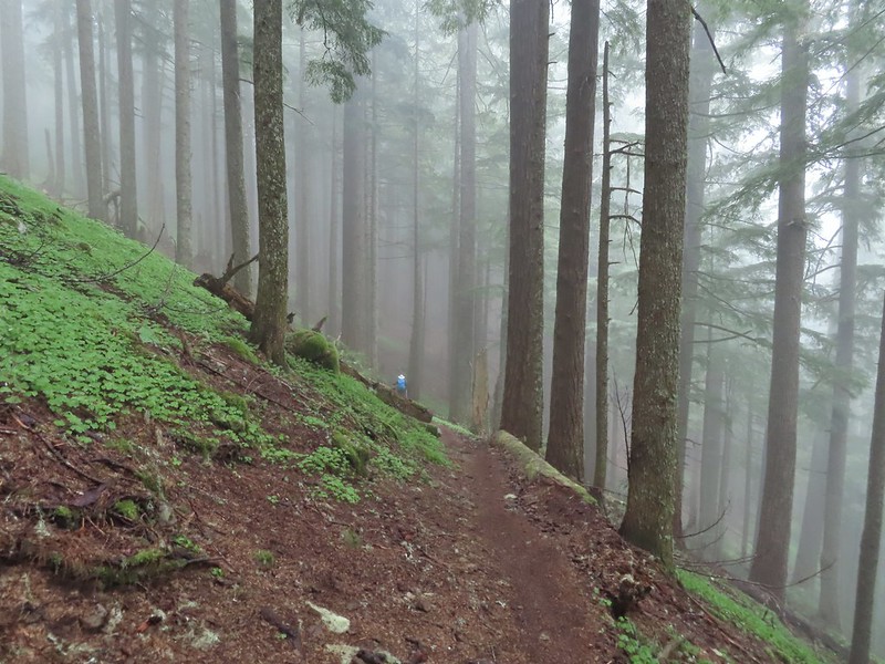 Heather descending in the fog.
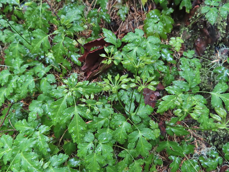 Cutleaf goldthread
 Millipede
 Is that some blue sky out there?
 Not much but it is blue.
