Categories
High Cascades Hiking Oregon Trip report Waldo Lake Area

Maiden Peak

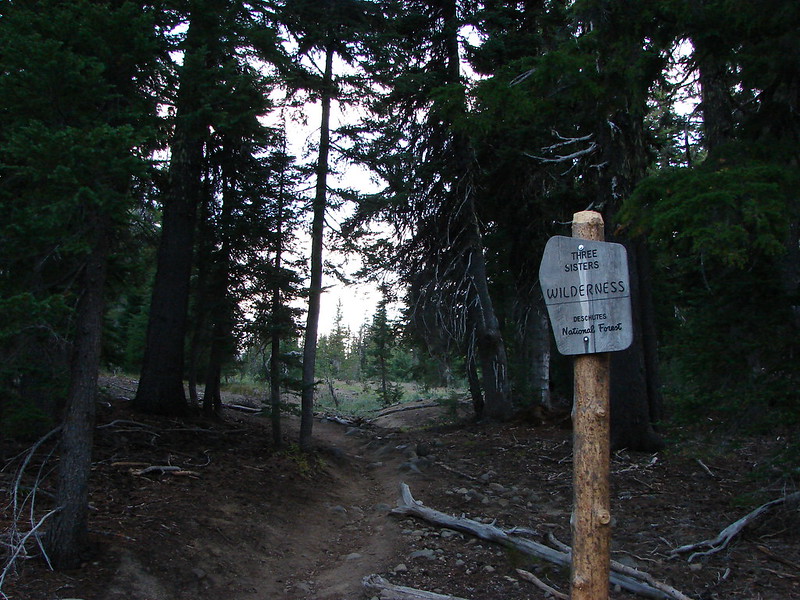
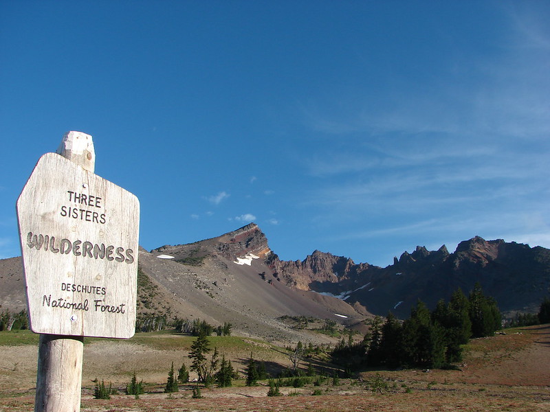
Labor Day weekend finally brought some cooler temperatures to the Cascades. We had planned an overnight trip for Sat/Sun in the Maiden Peak area. Located to the NE of Willamette Pass Maiden Peak is the tallest point between Mt. Bachelor and Diamond Peak. The 7818′ shield volcano is also Oregon’s 29th most prominent peak(Prominence is how far you must drop before you start going up a higher peak).

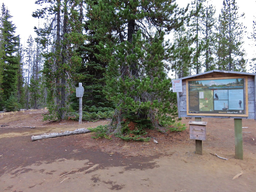
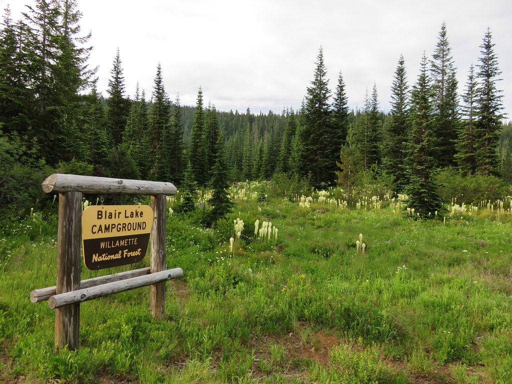
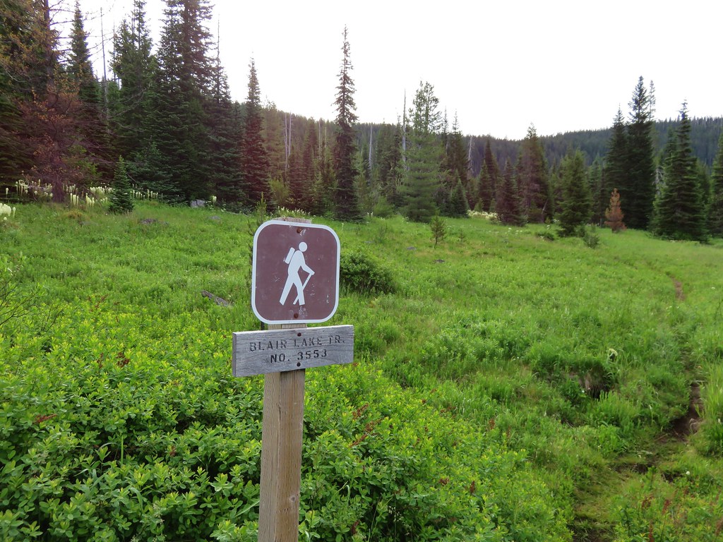
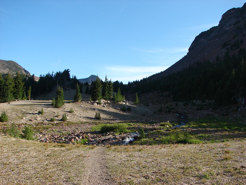
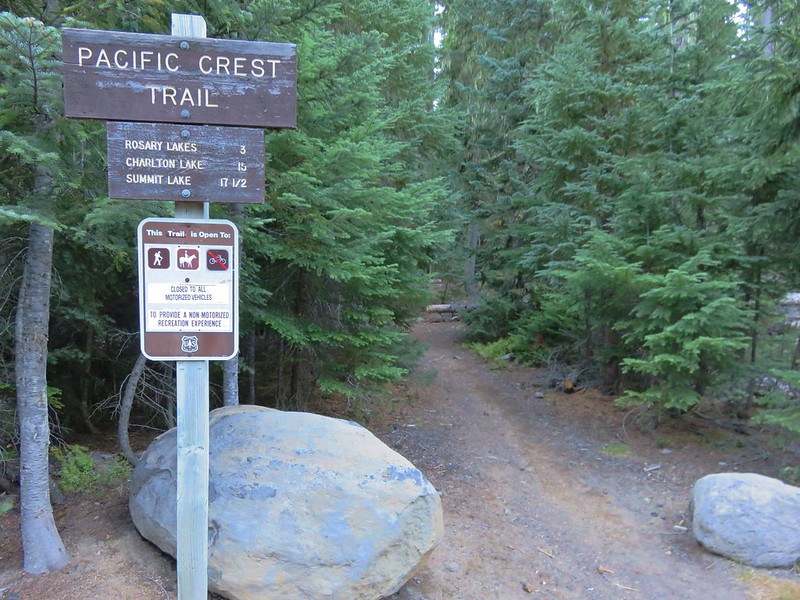
Our plan for the visit was to park at the Pacific Crest Trailhead .3 miles east of the Willamette Pass Ski Area and take the PCT past the Rosary Lakes then take the Maiden Lake Trail to Maiden Lake where we would hopefully find a campsite. After setting up camp we’d hike up Maiden Peak before spending the night at the lake. The weather forecast called for a chance of isolated showers and an overnight low of 34 degrees so we had to remember to bring a few extra items that we hadn’t needed yet this year.

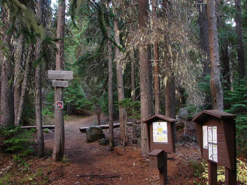
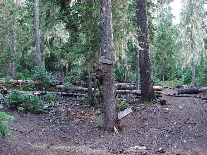
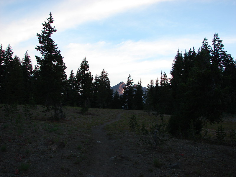
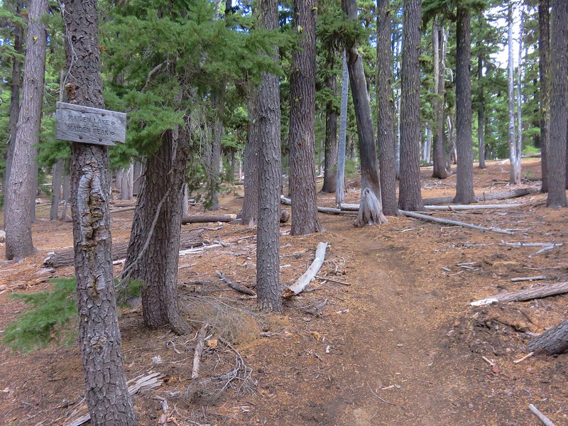
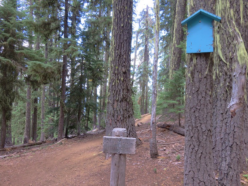
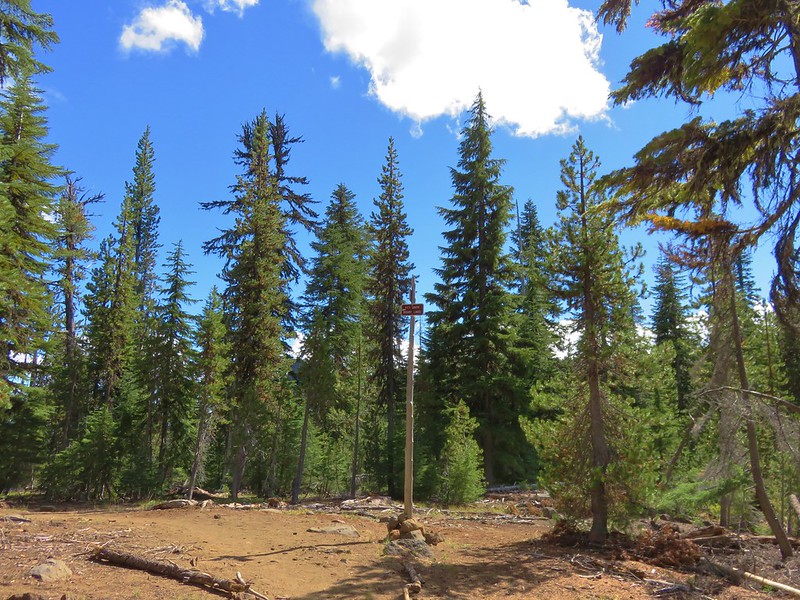
We arrived at the trailhead just after 7am.
IMG_5389

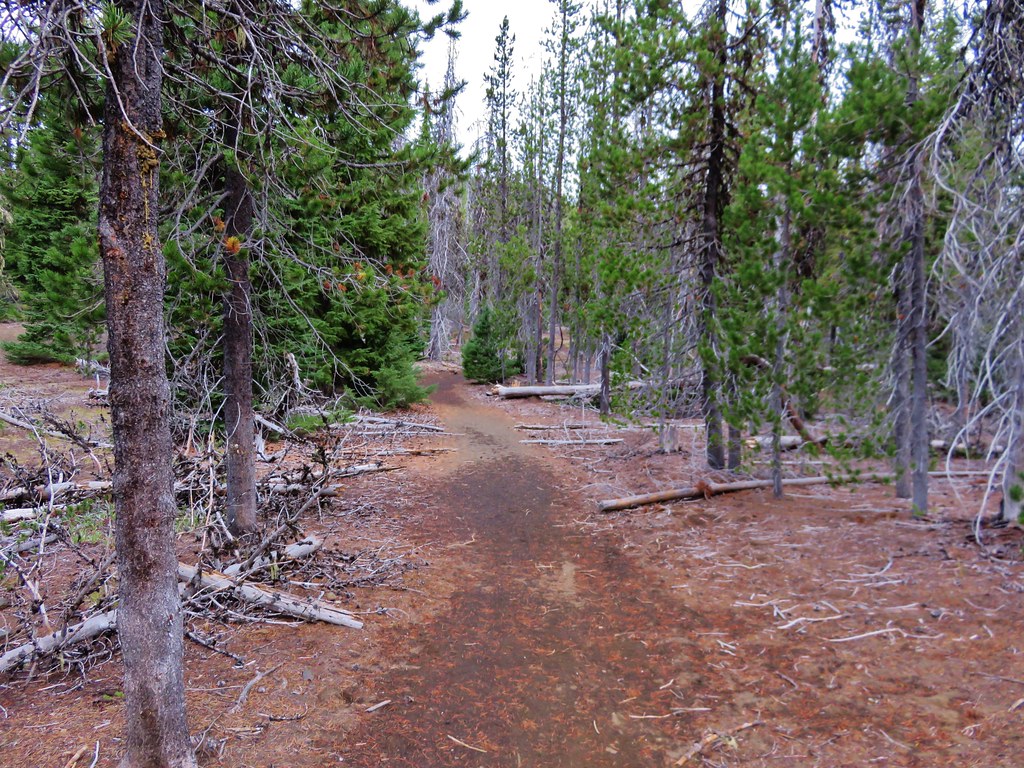
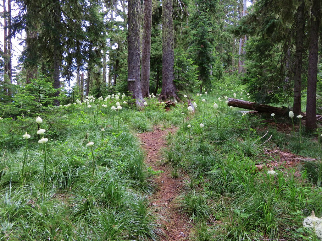
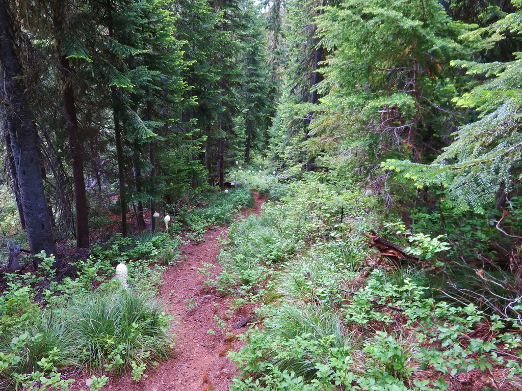
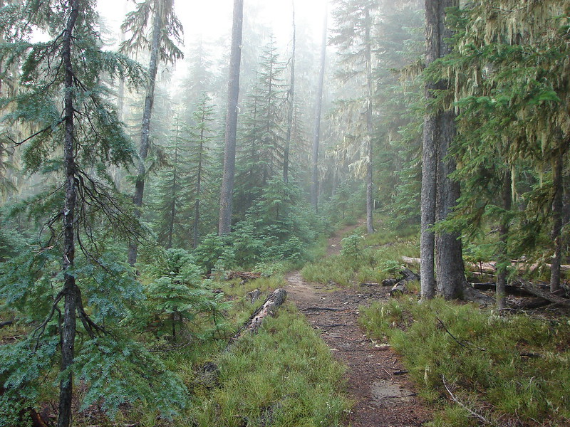
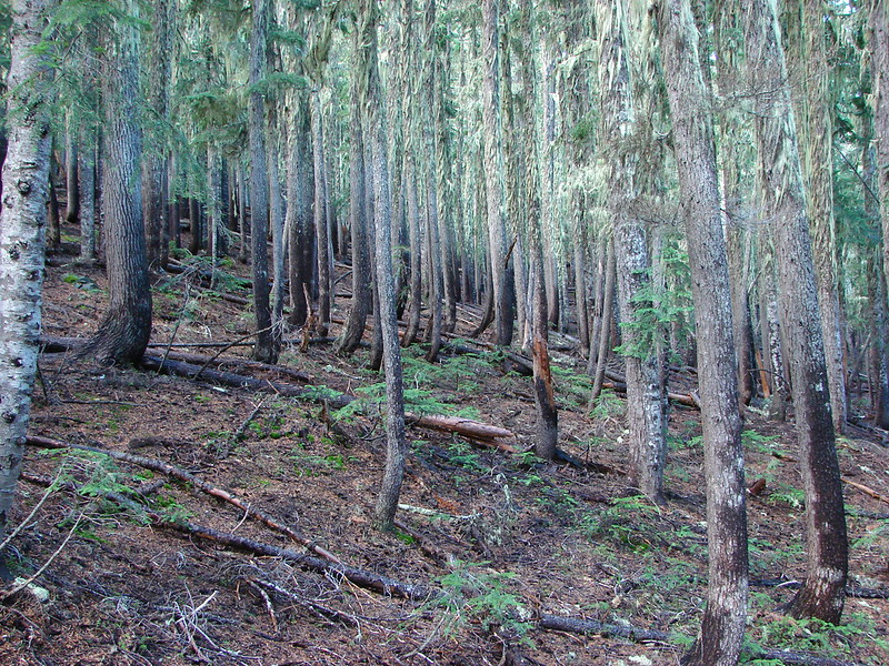
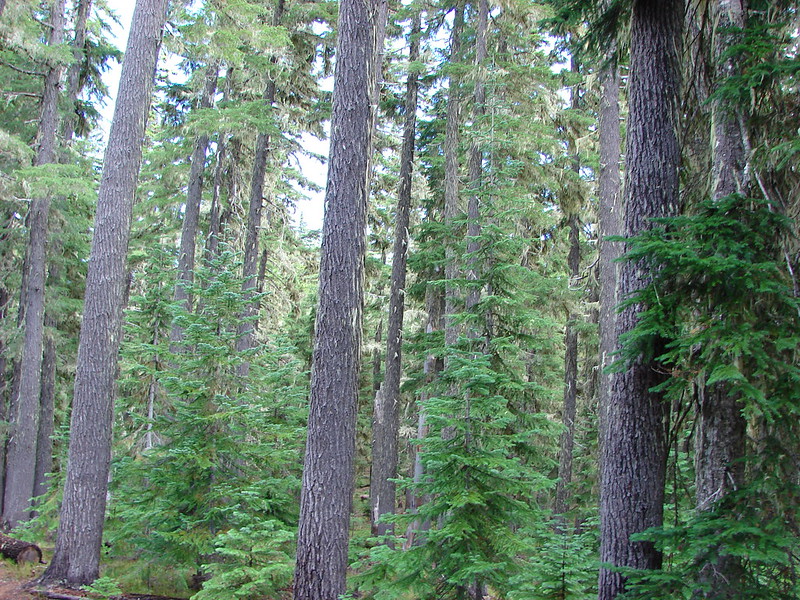
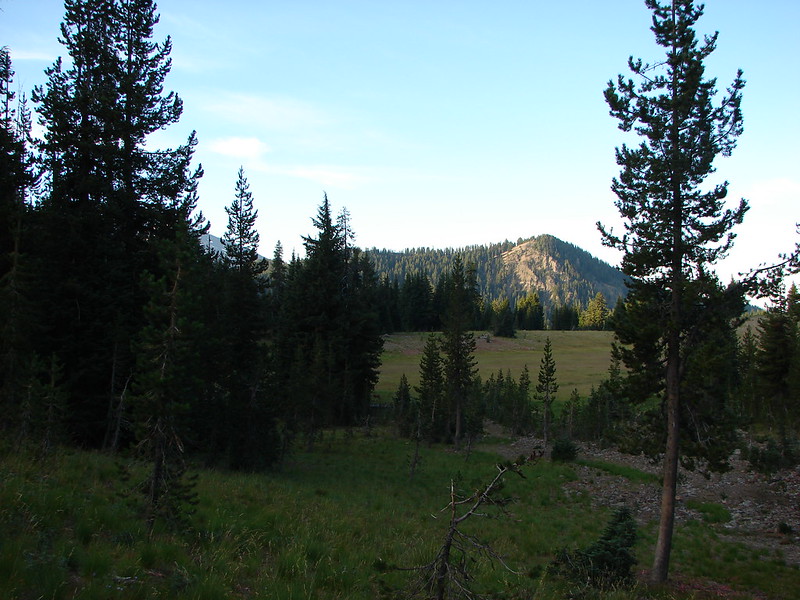
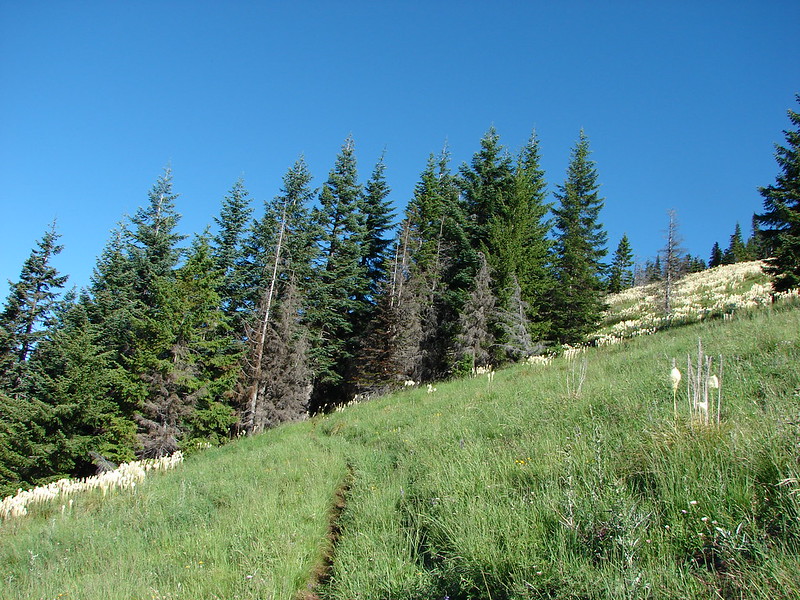
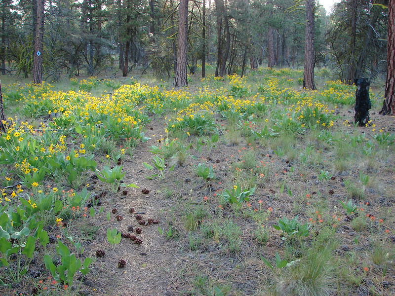
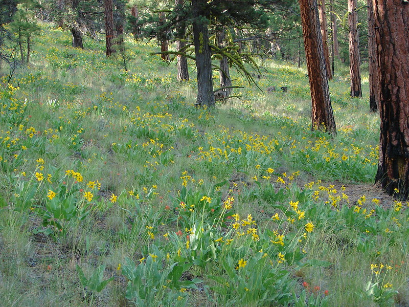
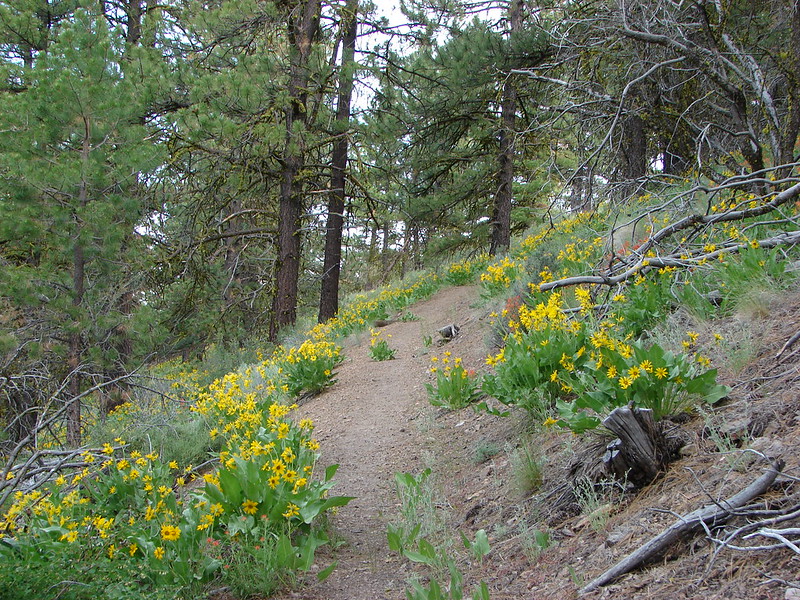
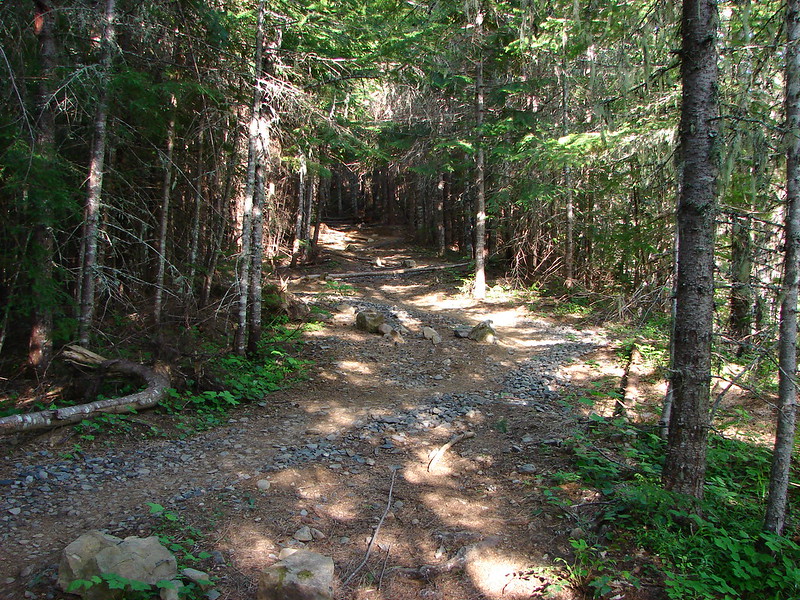
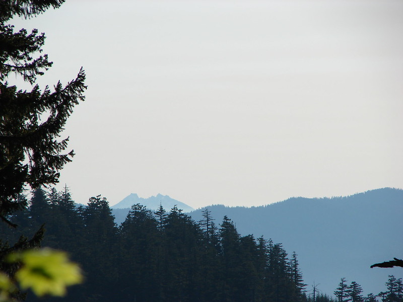
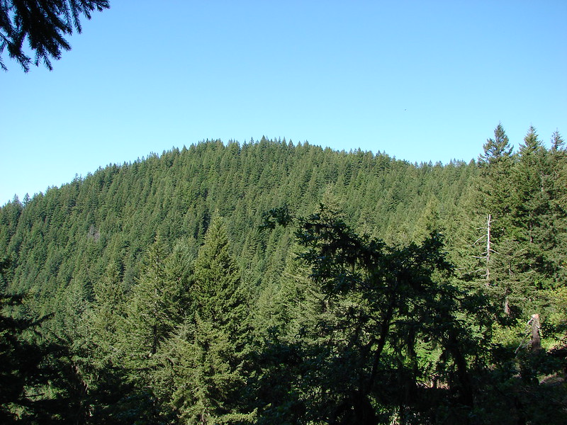
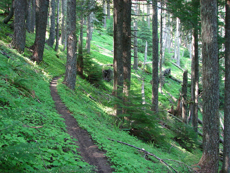
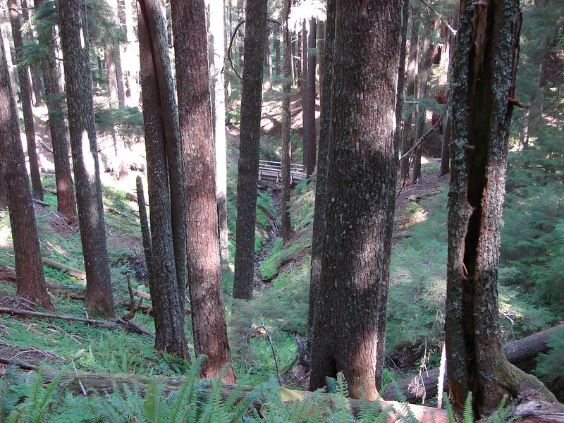
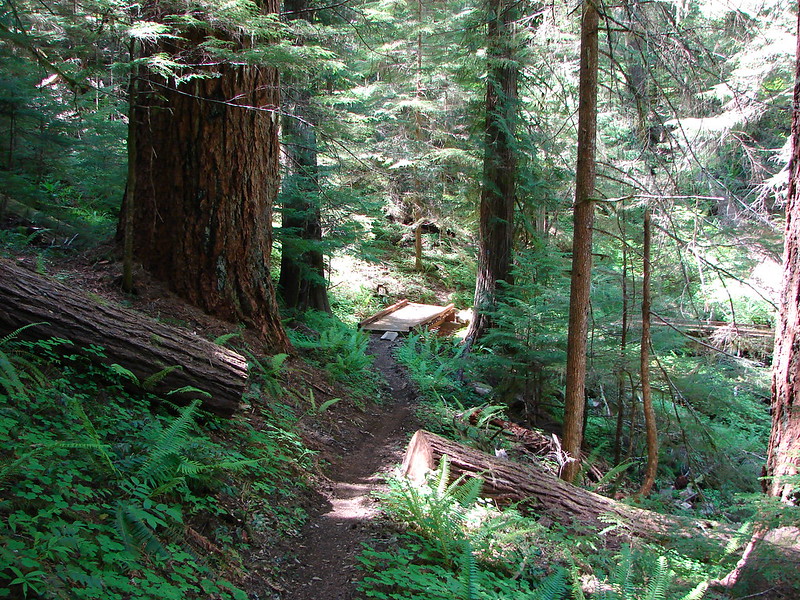
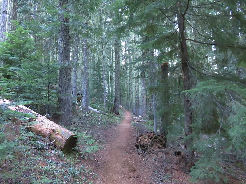
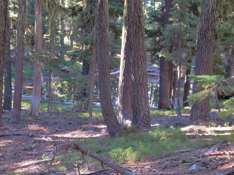
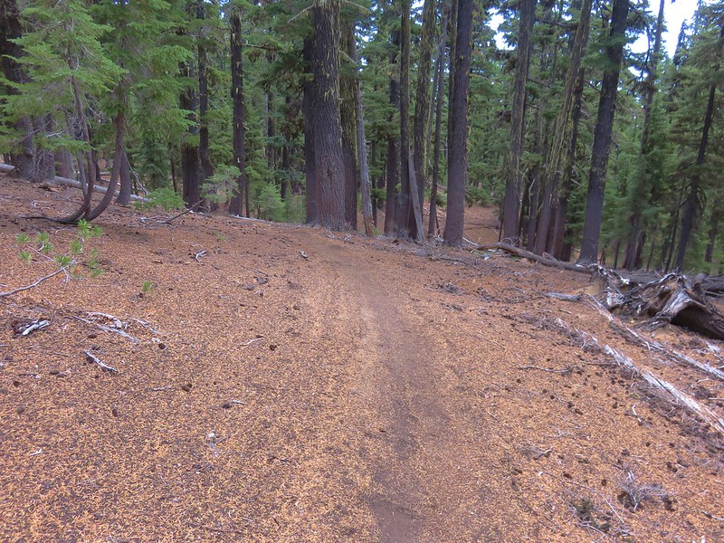
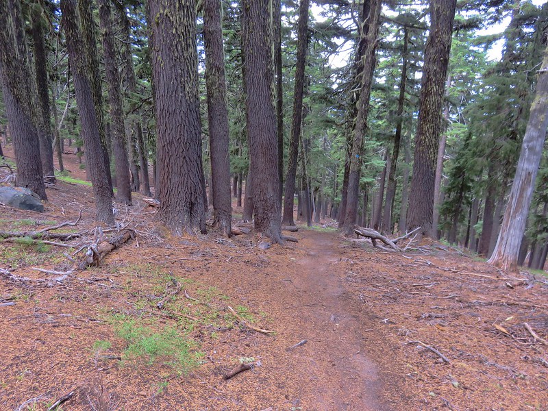
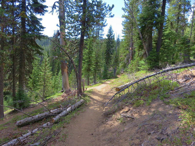
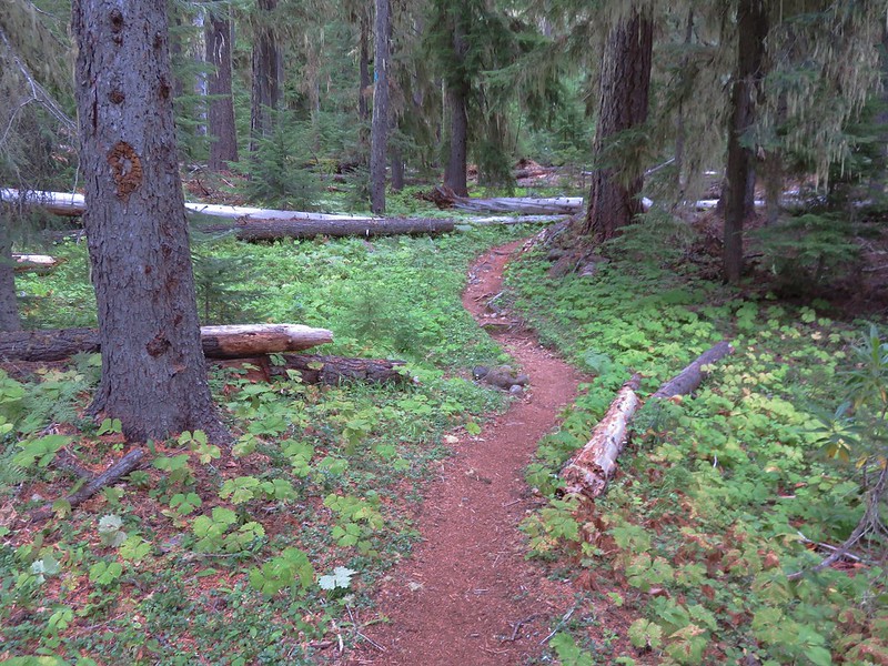
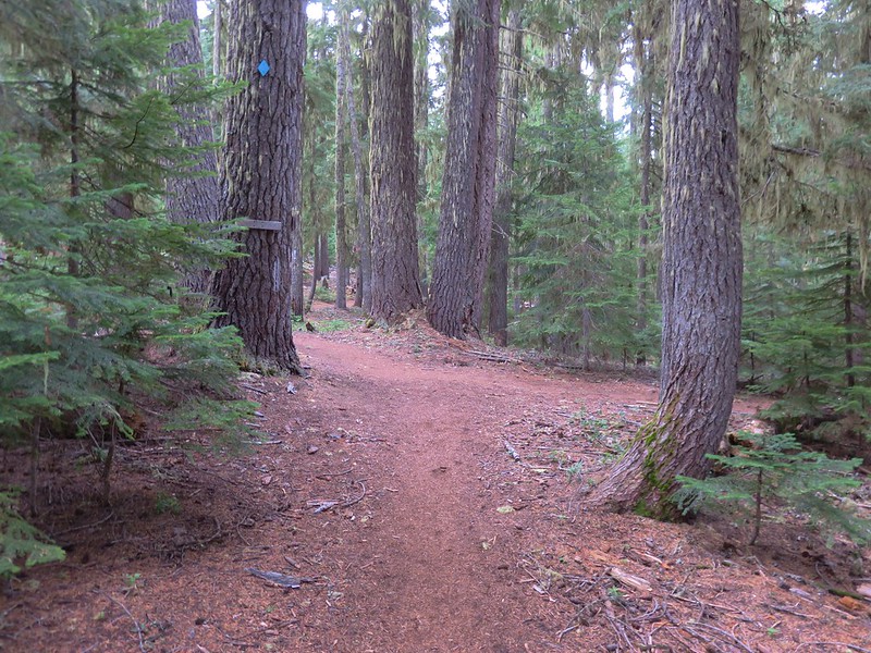
From the trailhead a short connector path brought us to the Pacific Crest Trail which slowly climbed for about 2 miles through a nice forest with no clear views of the surrounding area.
IMG_5391

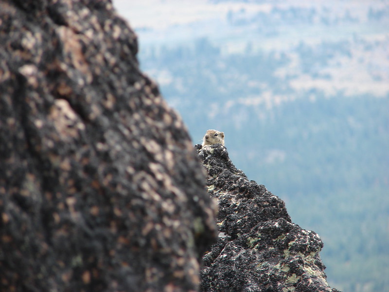
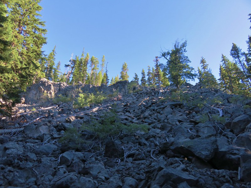
The trail passed a rockslide at the 2.25 mile mark where we had hoped to see a pika but had to settle for hearing their warning “meeps” instead.
IMG_5393

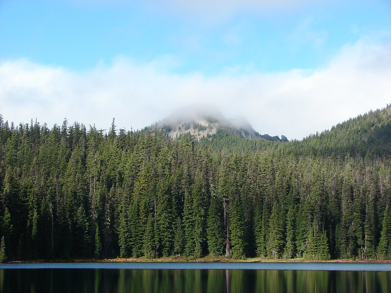
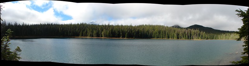
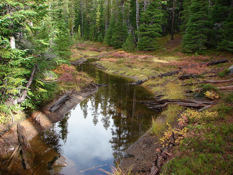
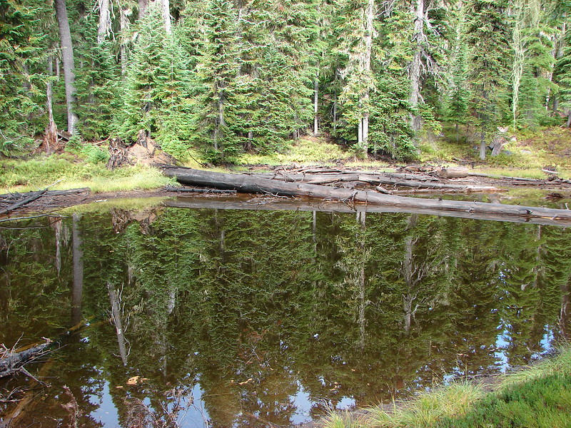
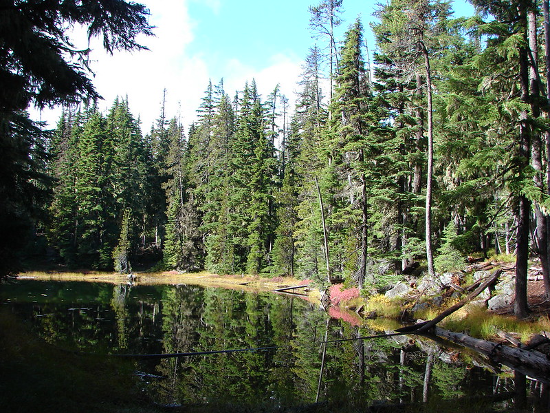
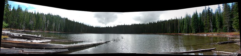
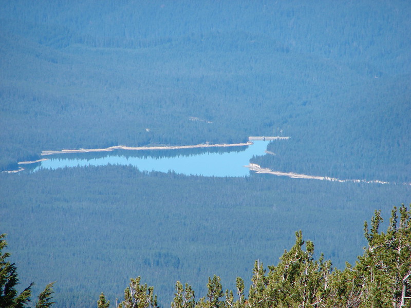
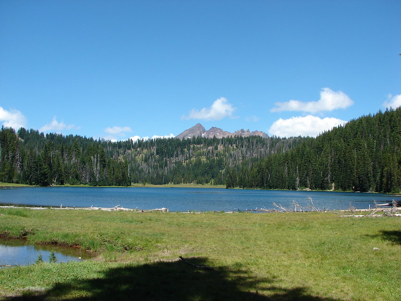
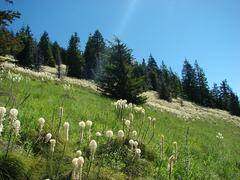
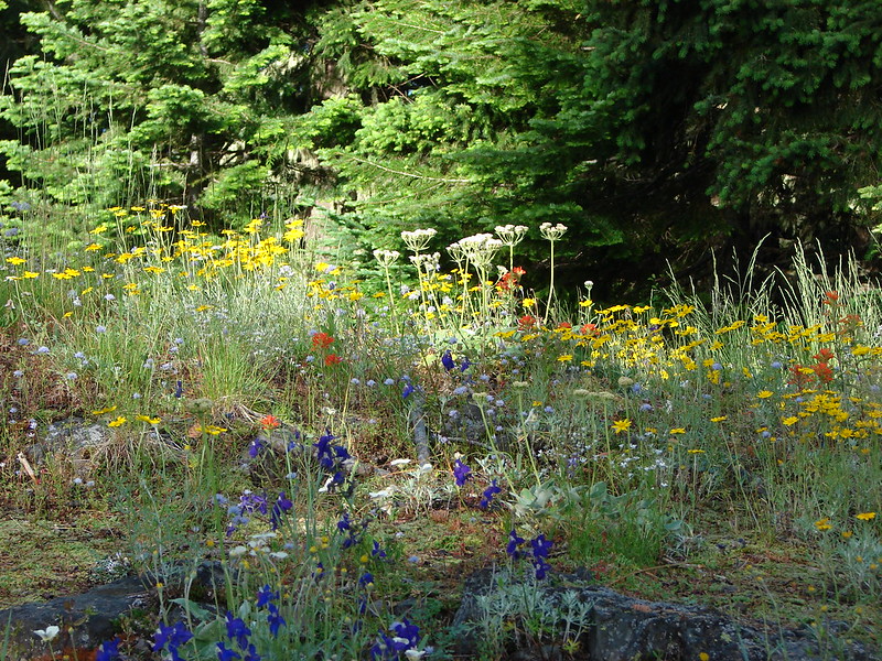
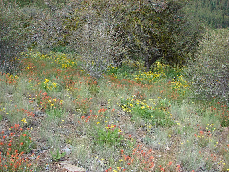
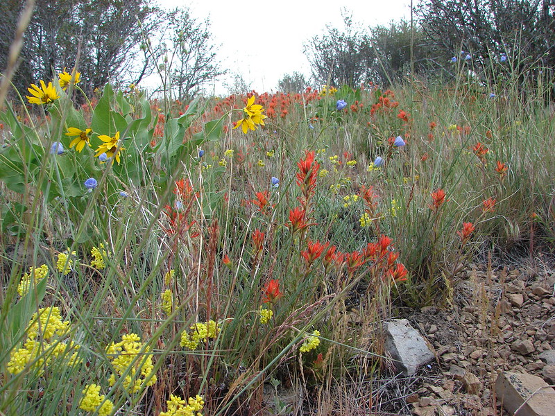
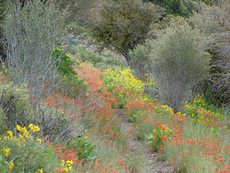
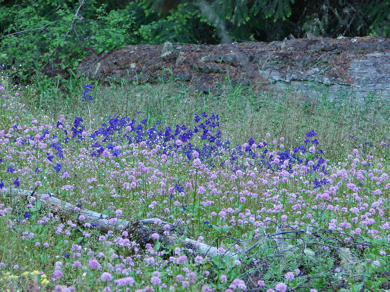
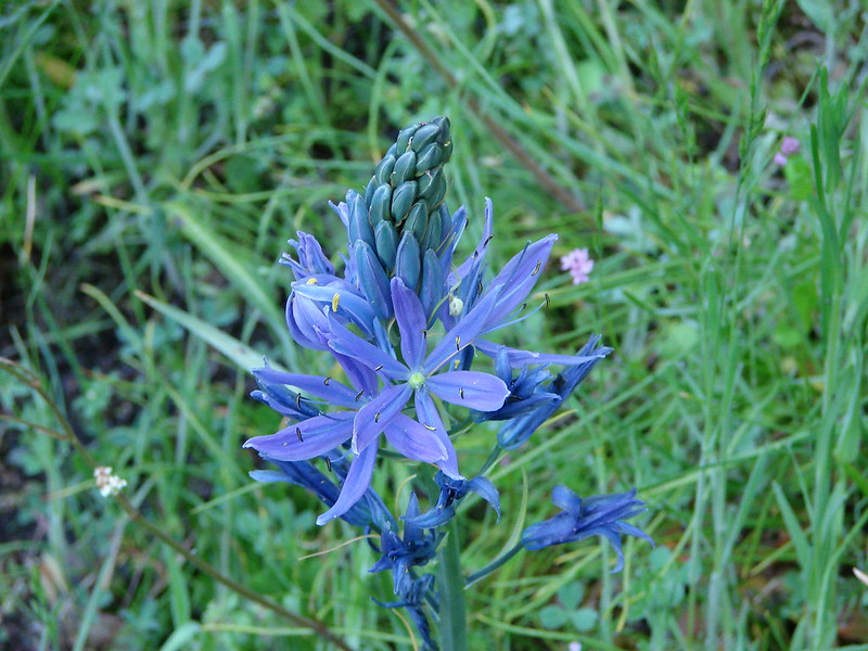
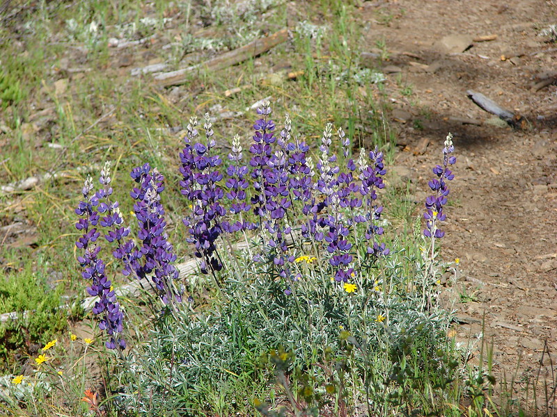
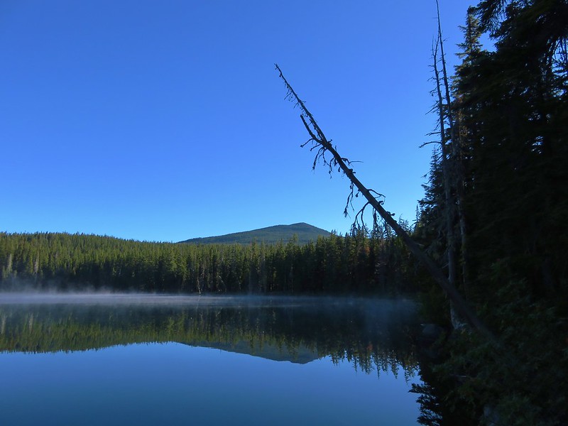
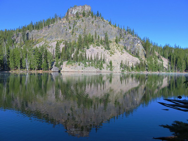
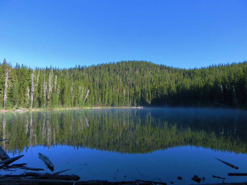
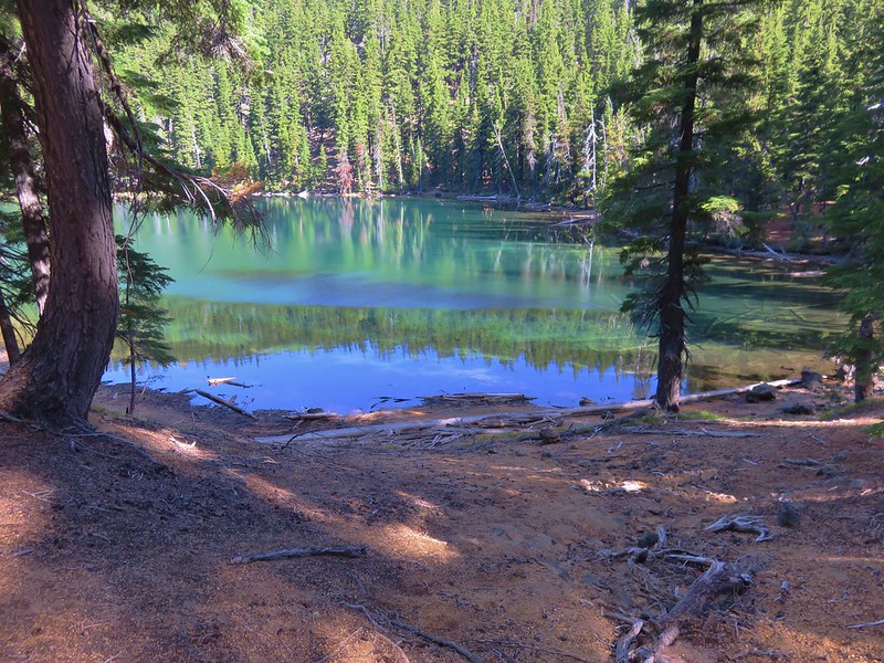
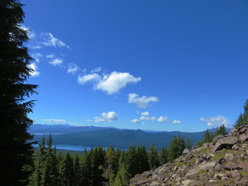
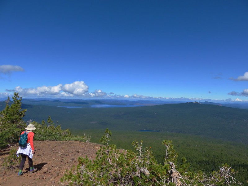
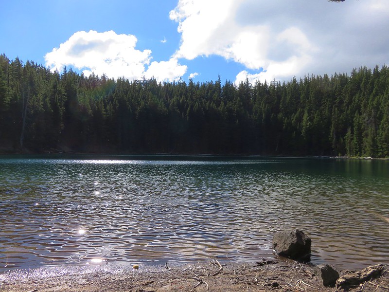
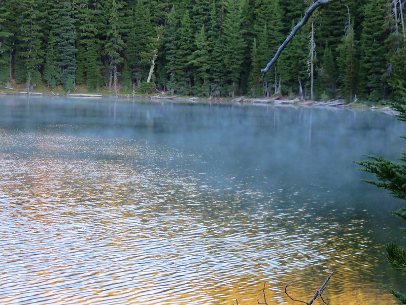
About a half mile from the rockslide we arrived at Lower Rosary Lake. This is the largest of the three lakes and there were a couple of tents in the area. Despite the forecast we had beautiful bluebird skies overhead and no breeze whatsoever leading to some great reflections in the lake.
IMG_5399

IMG_5400

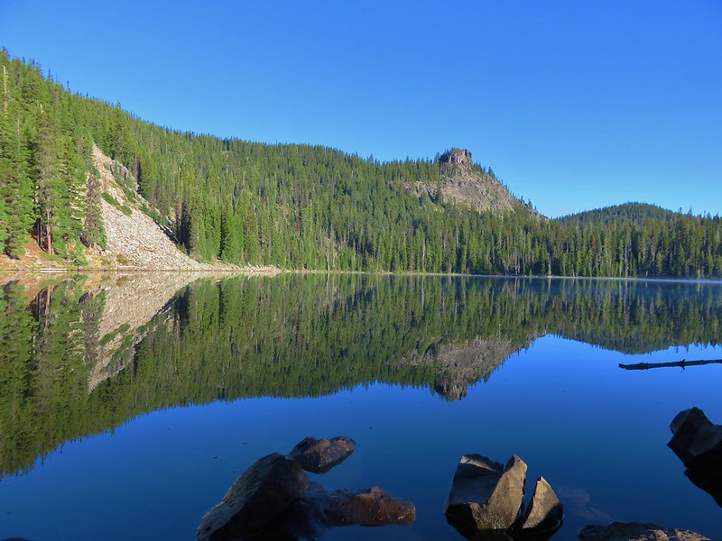
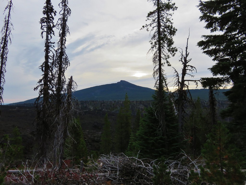
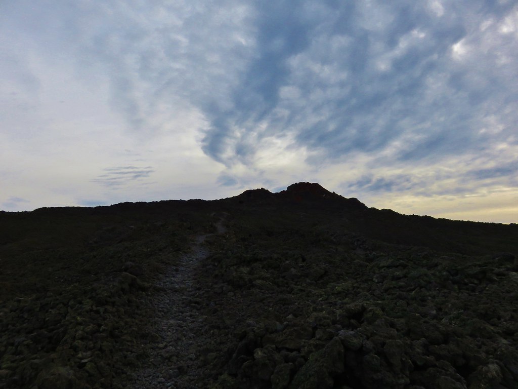
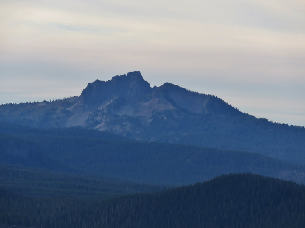
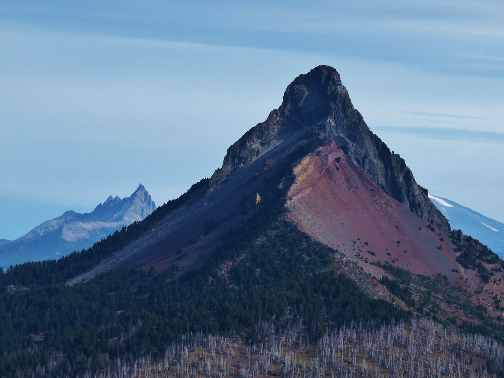
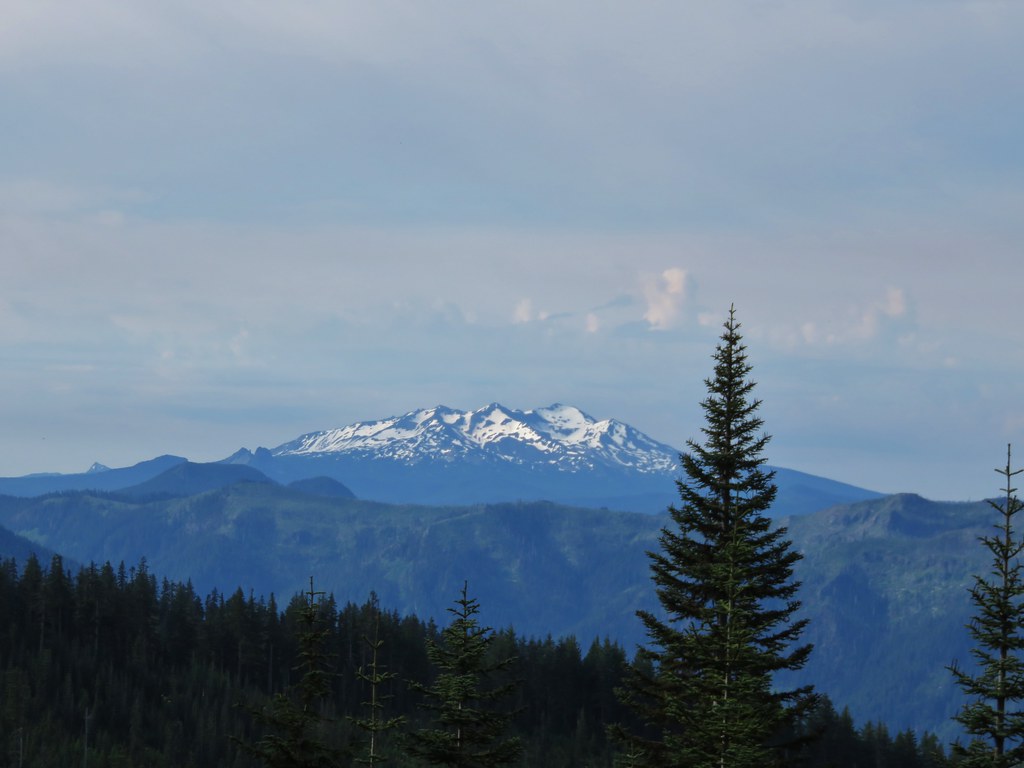
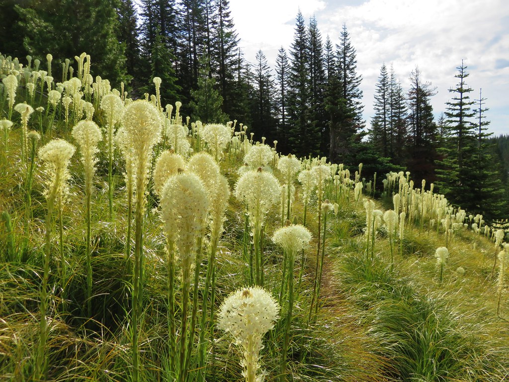
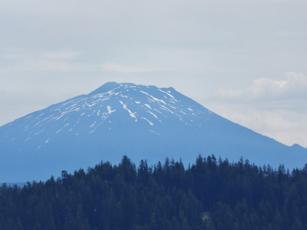
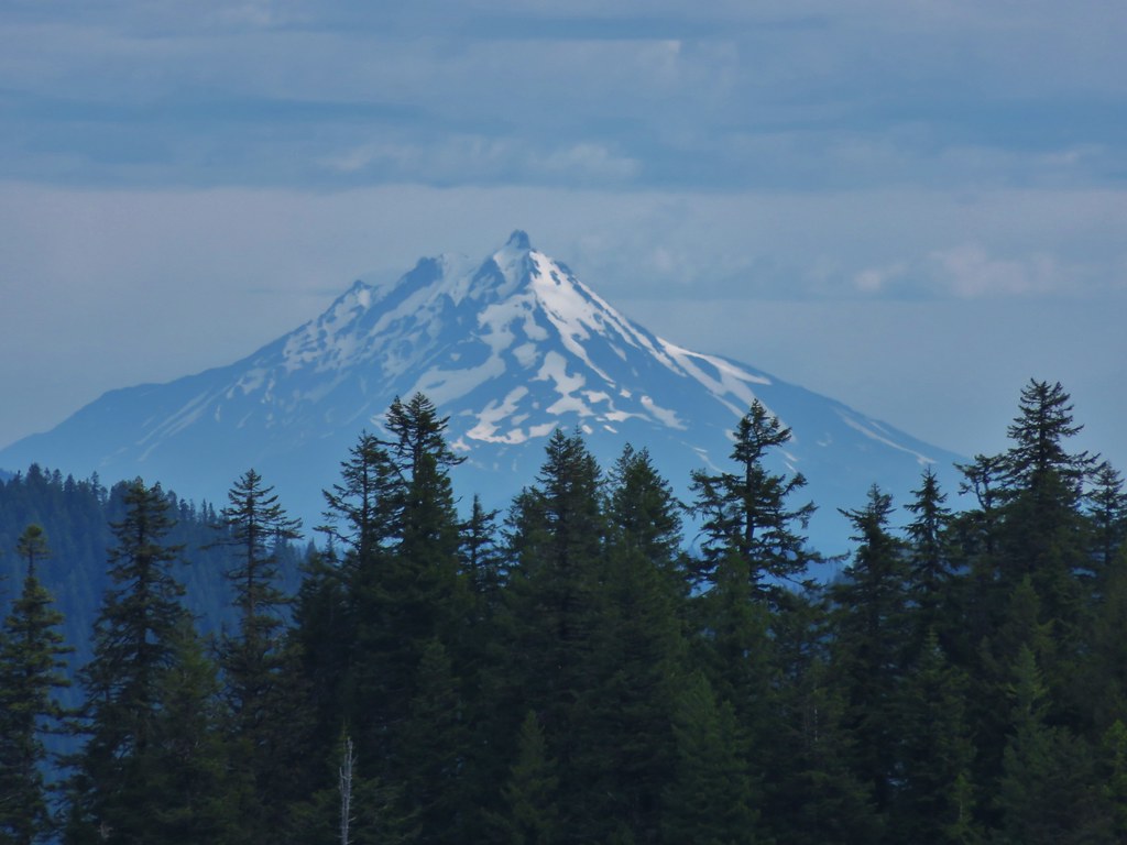
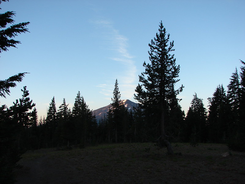
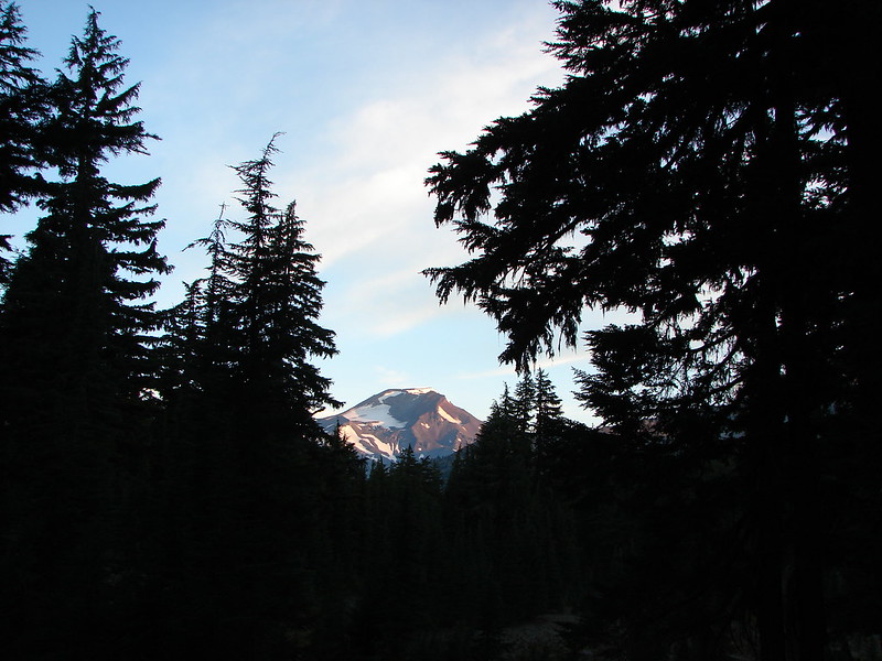
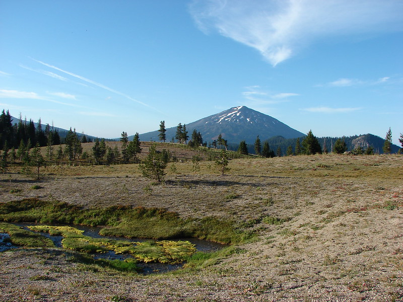
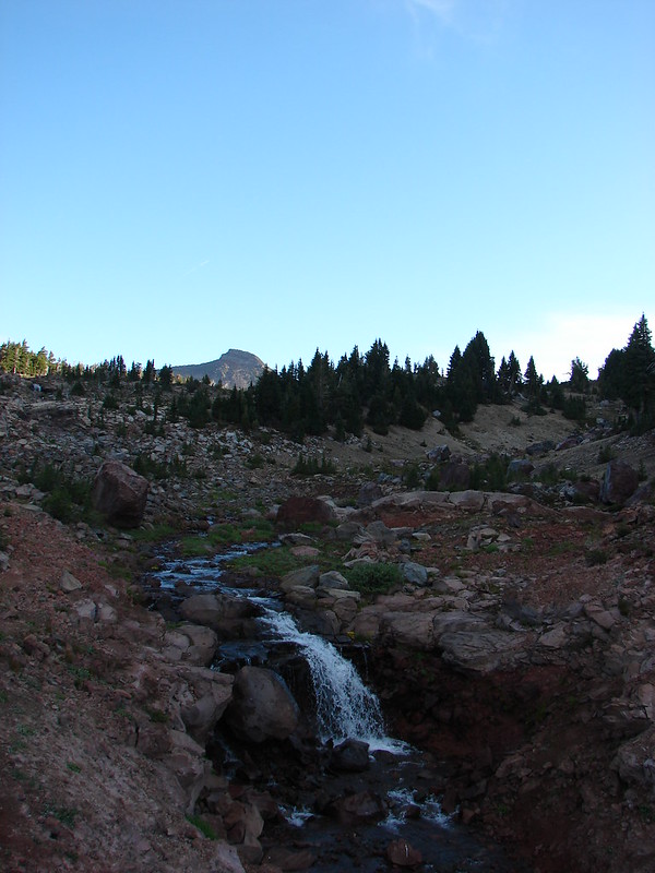
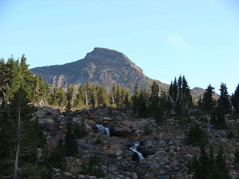
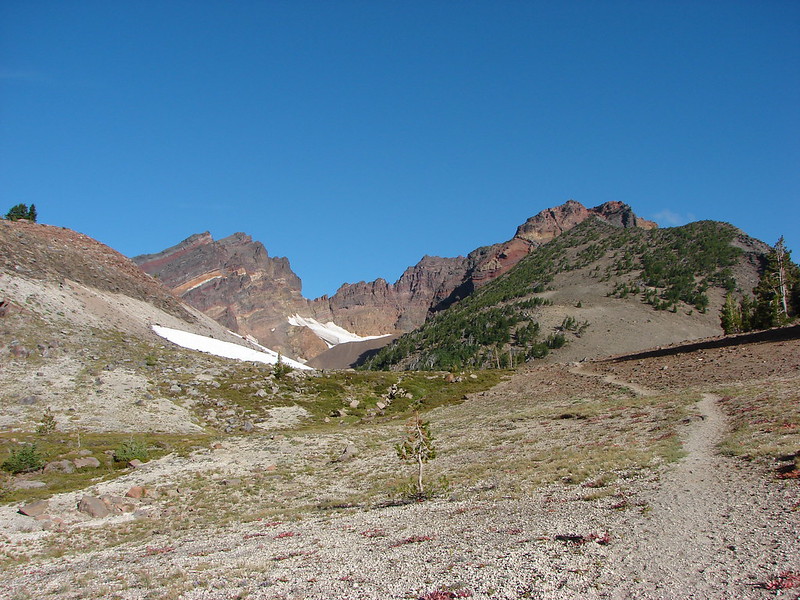
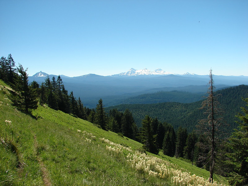
To the north Maiden Peak rose above the forest.
IMG_5402

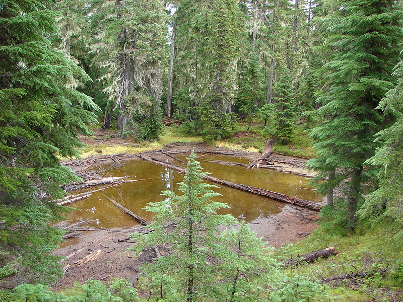
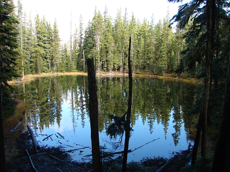
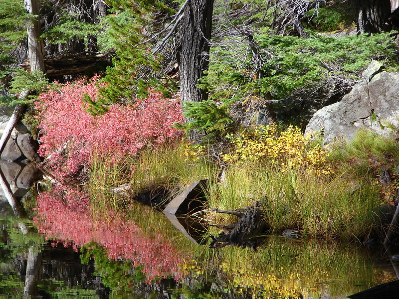
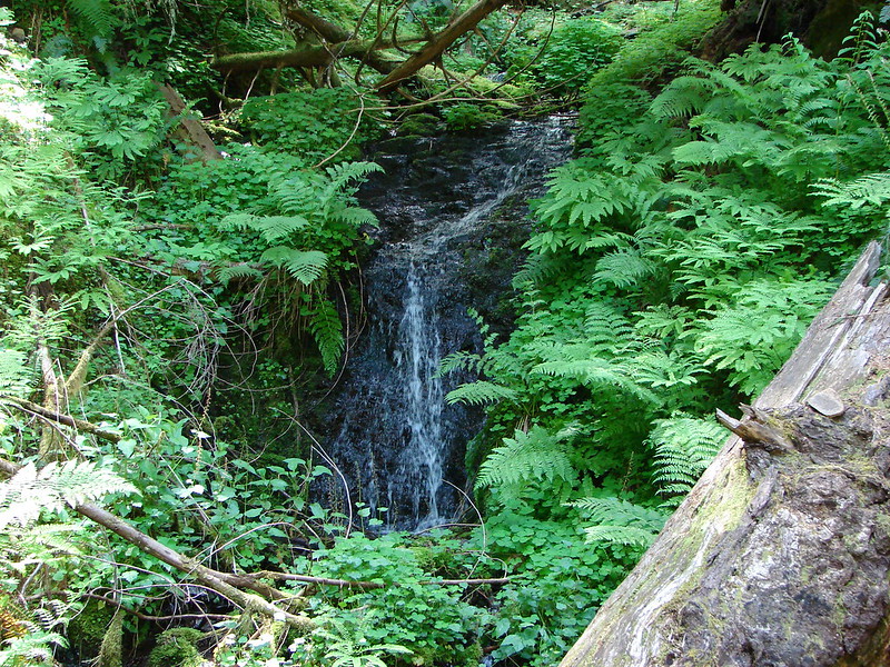
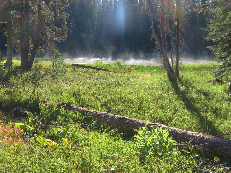
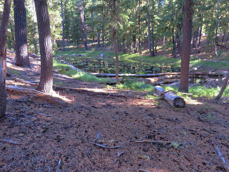
On the opposite side of the trail was a small steaming pond.
IMG_5404

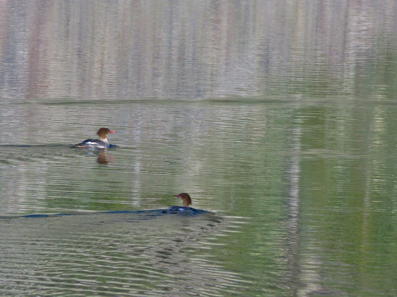
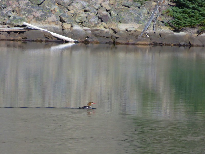
A short climb from Lower Rosary Lake brought us to Middle Rosary Lake where we spotted some mergansers paddling away.
IMG_5411

IMG_5414

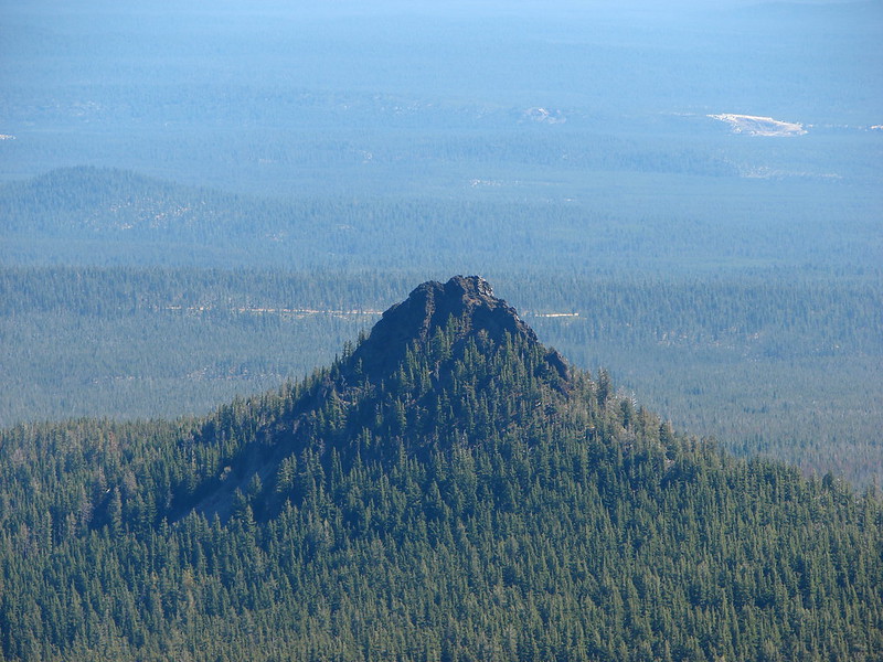
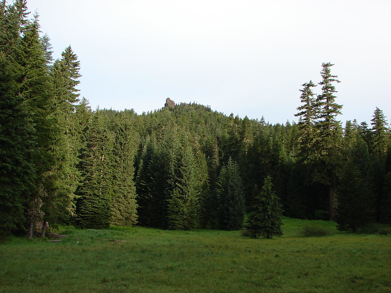
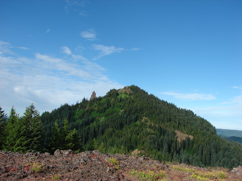
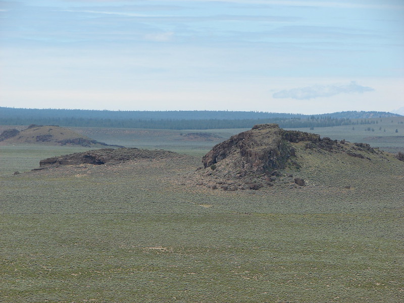
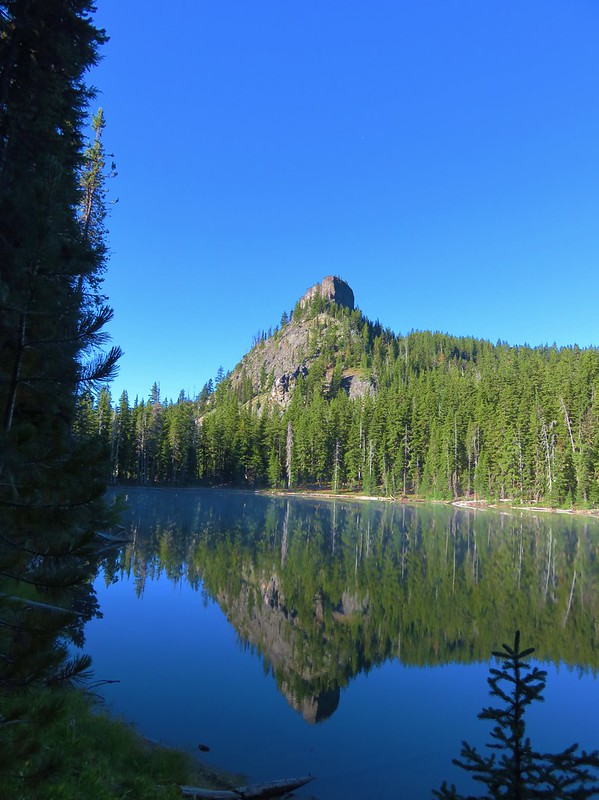
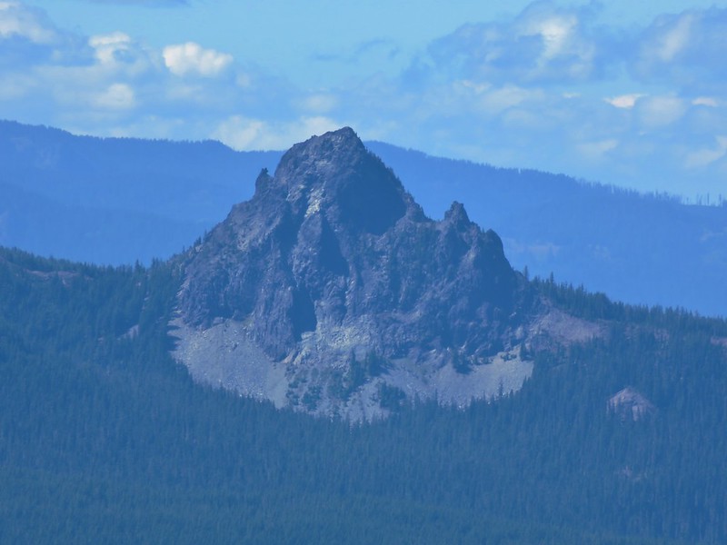
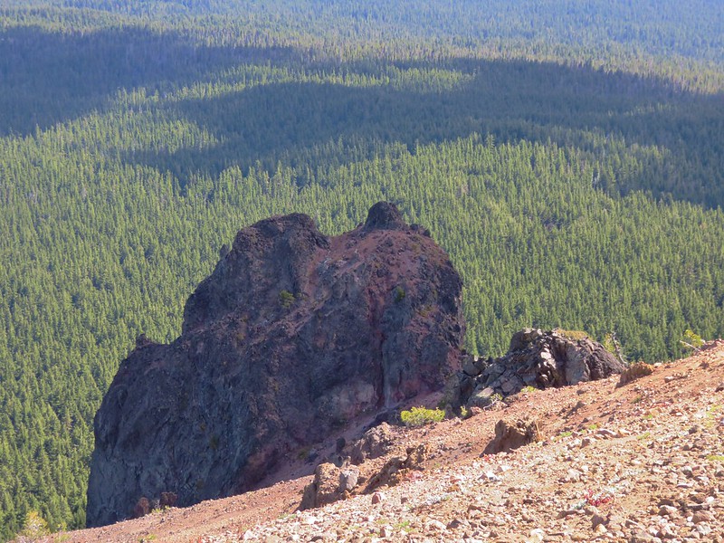
Pulpit Rock loomed above this lake making for a dramatic scene.
IMG_5412

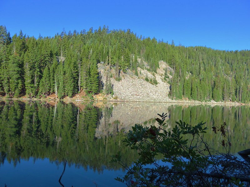
A narrow strip of land separated Middle Rosary Lake from North Rosary Lake.
IMG_5417

IMG_5419

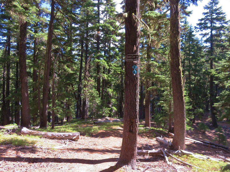
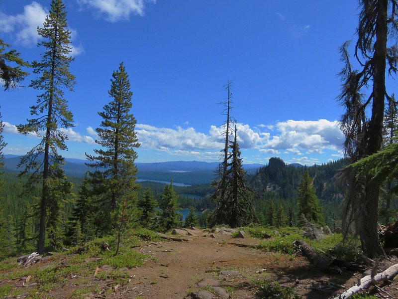
Beyond North Rosary Lake the PCT began to climb up toward Maiden Saddle. Just under 1.5 miles from the first view of Lower Rosary Lake, and .4 miles short of Maiden Saddle, we reached the junction with the Maiden Lake Trail.
IMG_5427

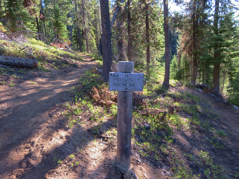
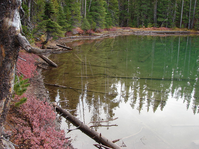
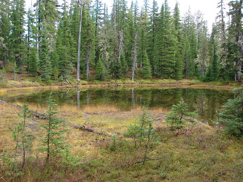
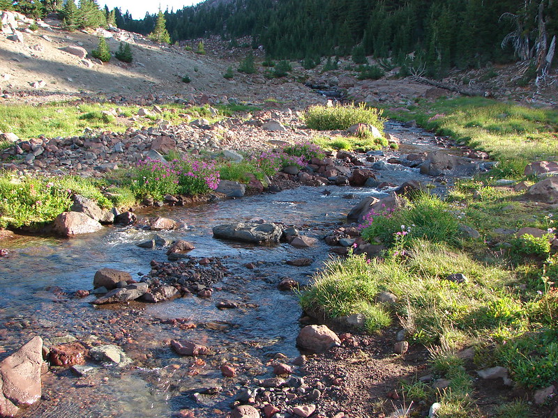
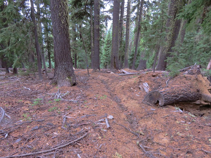
We left the PCT here and headed toward Maiden Lake. This trail traversed the side of Maiden Peak passing a couple of small ponds as it climbed to the lake.
IMG_5428

IMG_5430

It was approximately 2.3 miles from the junction to Maiden Lake with an elevation gain of around 500′ which isn’t a lot, but the elevation gains came in short steep chunks. We were starting to get a little tired so we were relieved when we crested a hill and spotted a sign for Maiden Lake.
IMG_5432

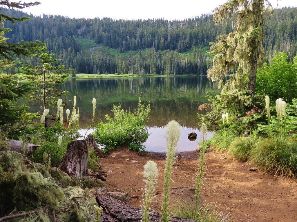
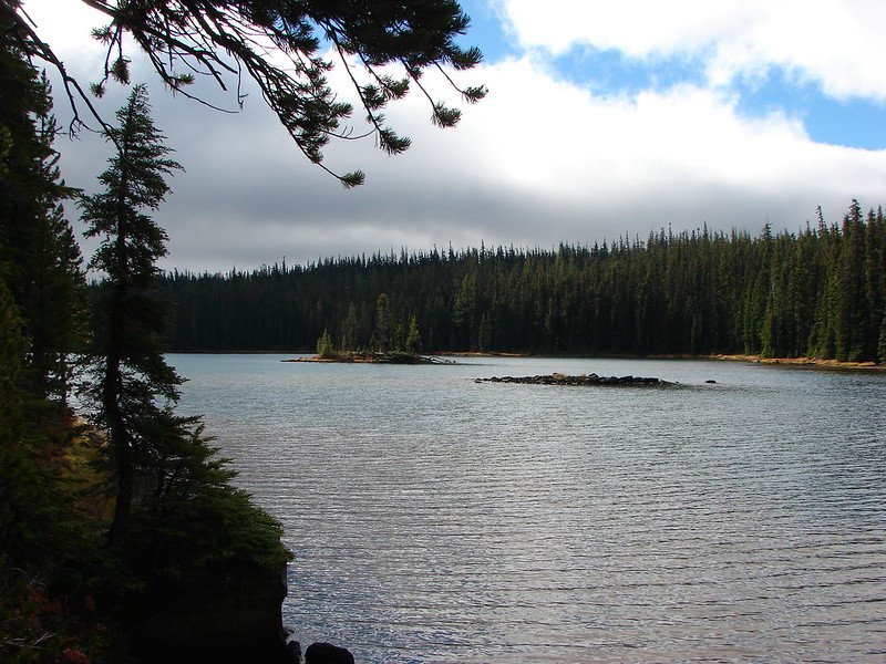
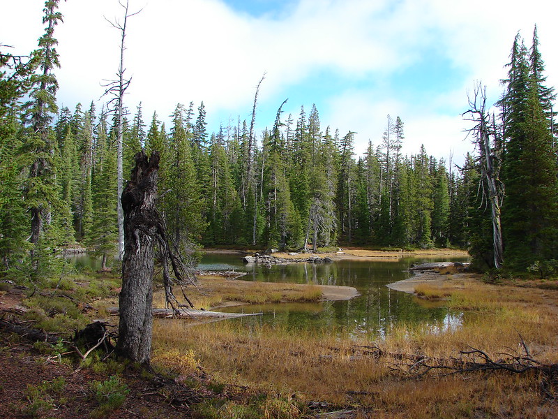
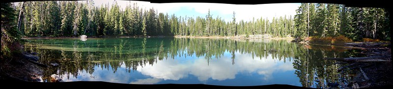
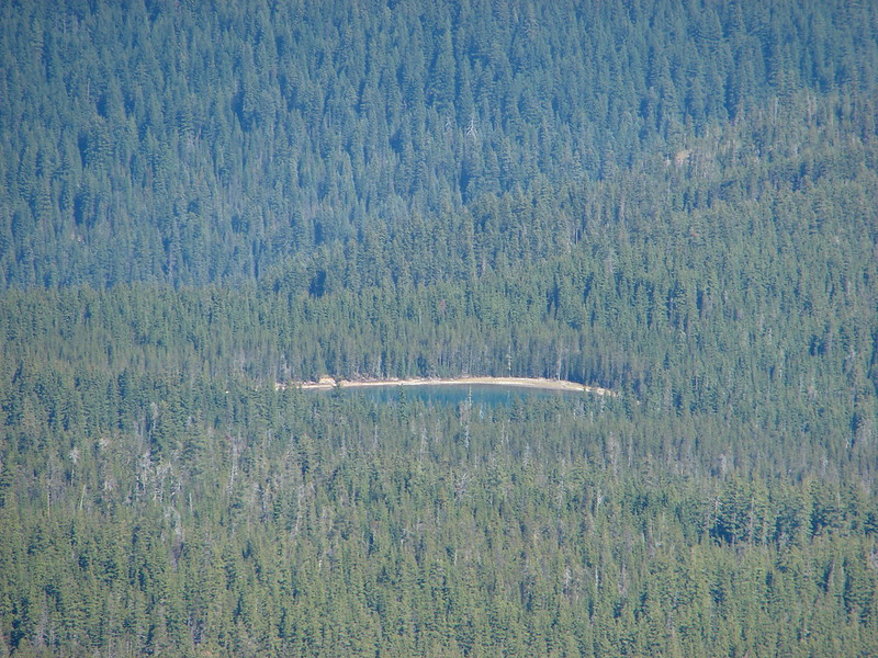
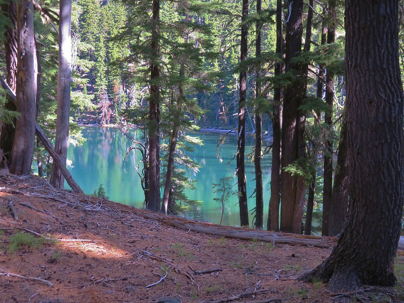
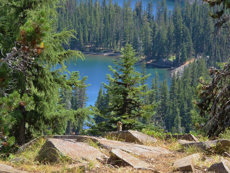
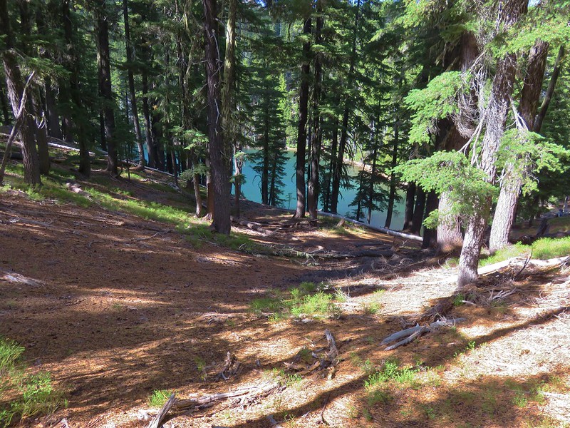
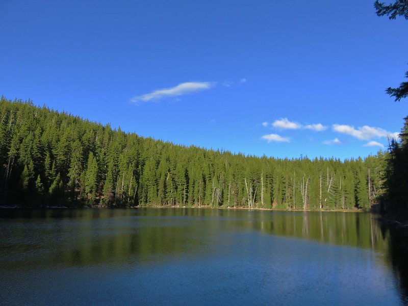
We spotted the beautiful green of Maiden Lake from above and quickly made our way down to the lake.
IMG_5434

IMG_5435

IMG_5436

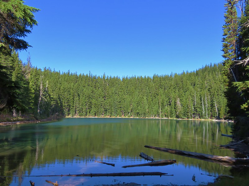
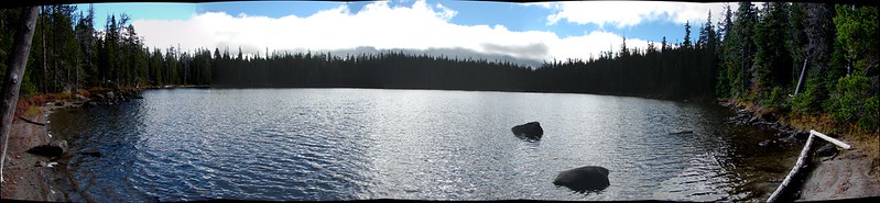
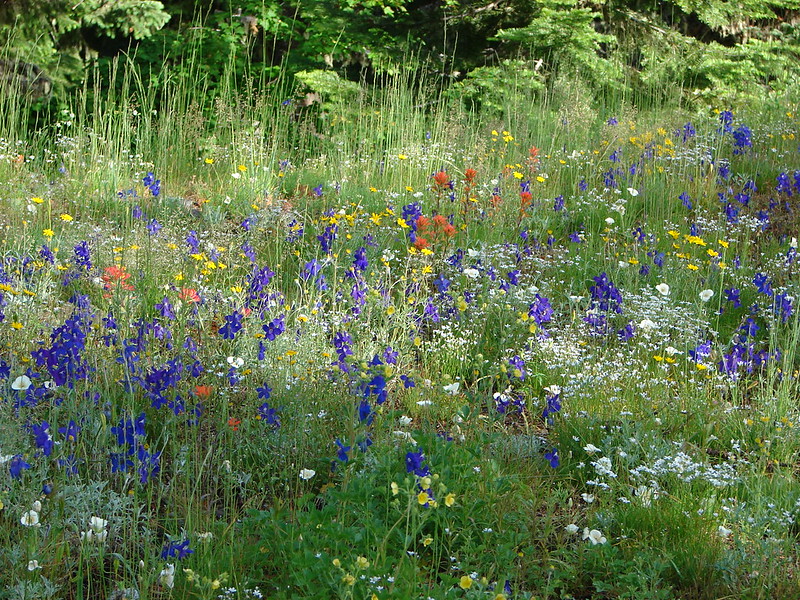
It was smaller than the Rosary Lakes and lacked the dramatic views that Pulpit Rock had provided those lakes, but it had it’s own peaceful charm. There weren’t any other tents at the lake so we had our pick of spots.  Following Leave No Trace principles we chose a spot back in the trees away from the lake.
IMG_5439

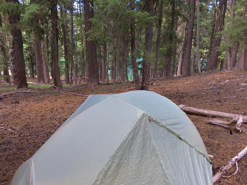
After getting our camp set up we switched to our daypacks and returned to the Maiden Lake Trail.
IMG_5441

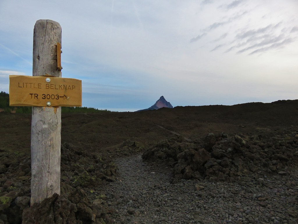
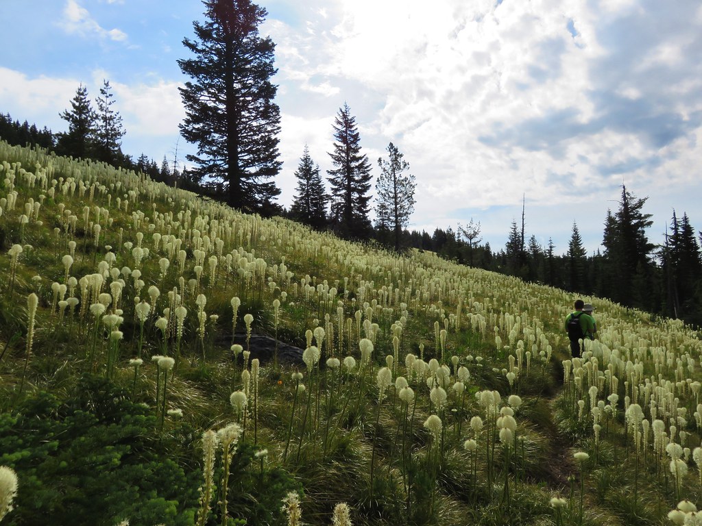
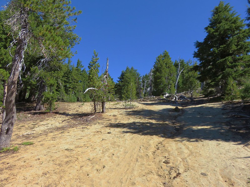
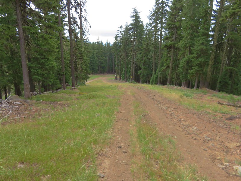
A fairly level .6 miles brought us to another trail junction. From here the Maiden Lake Trail continues 2.5 miles to Forest Road 4664-100, but we turned uphill following a pointer for Maiden Peak.
IMG_5447

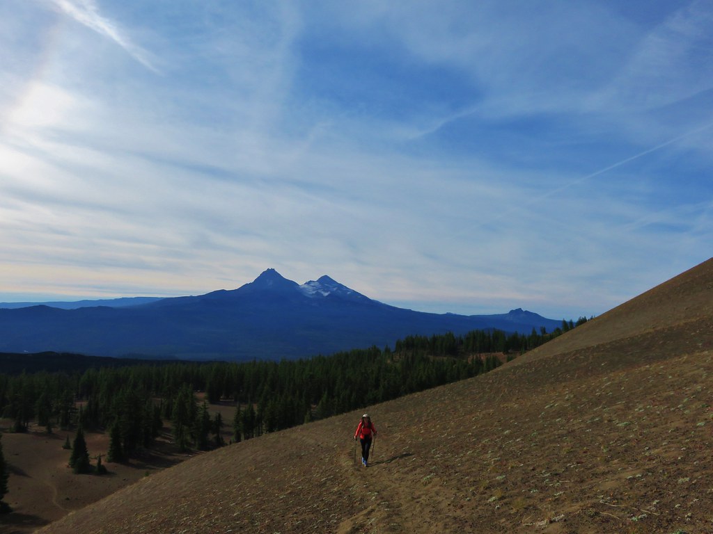
The trail toward Maiden Peak gained almost 1200′ in 1.7 miles with some very steep sections. Our original plan had been to return from the peak this way and then come back up and around on a loop using the PCT on our way back to the trailhead on the second day. We had already changed our minds and were planning on continuing on the loop after climbing up Maiden Peak and then just hiking straight back out on the second day. As we climbed these steep sections of trail that decision seemed justified.

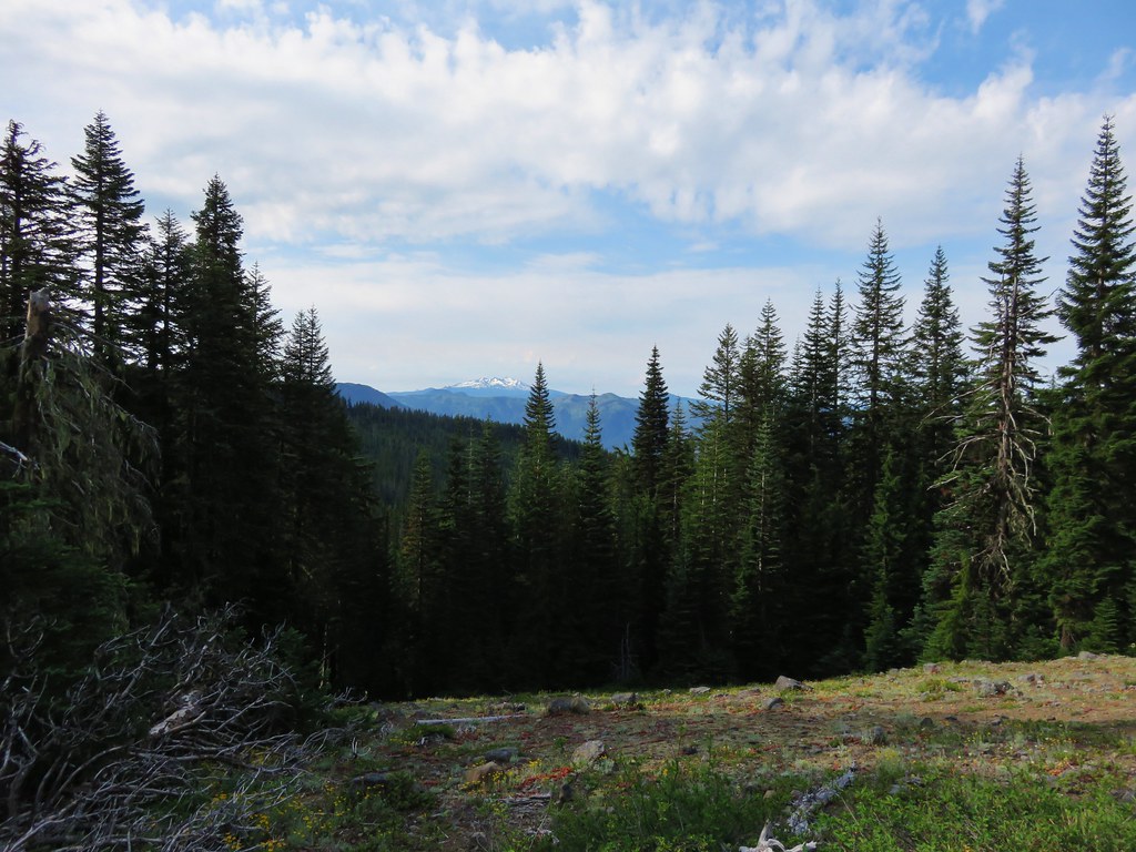
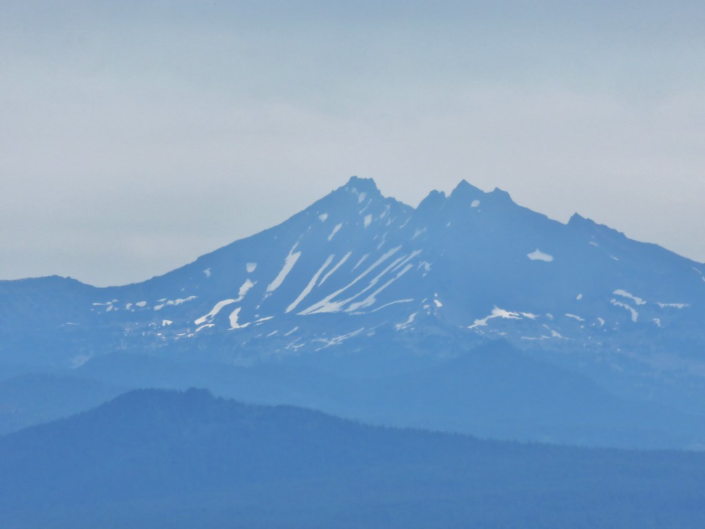
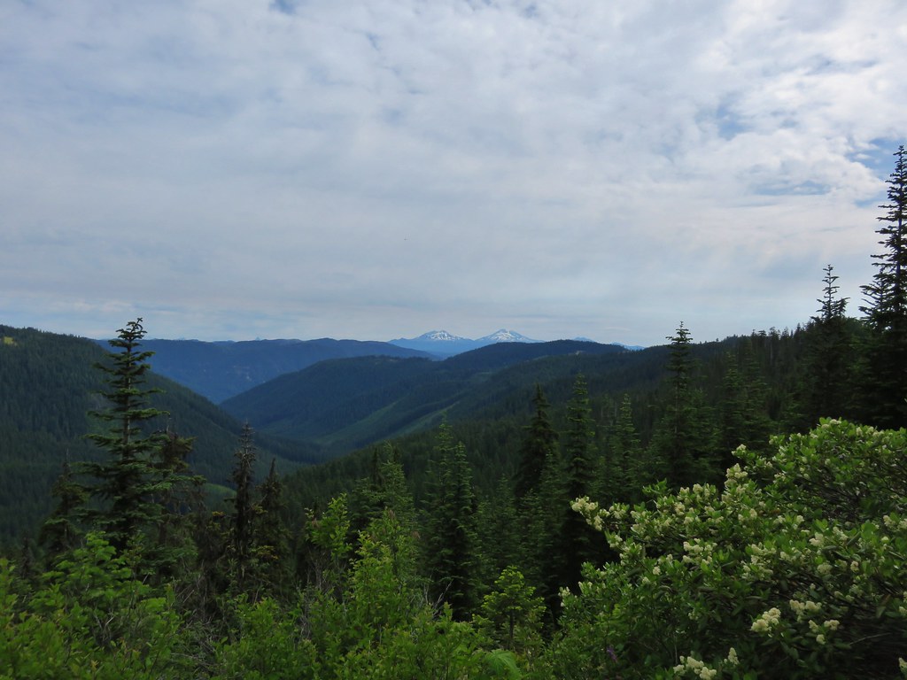
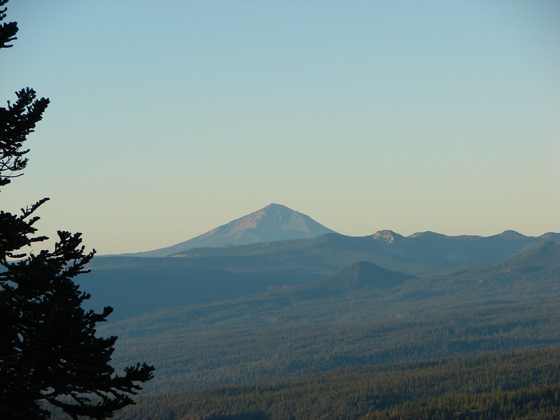
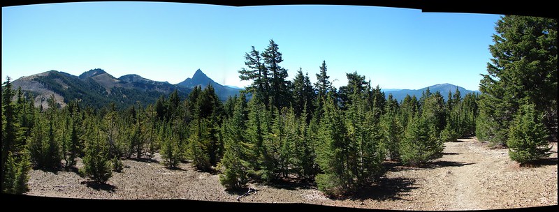
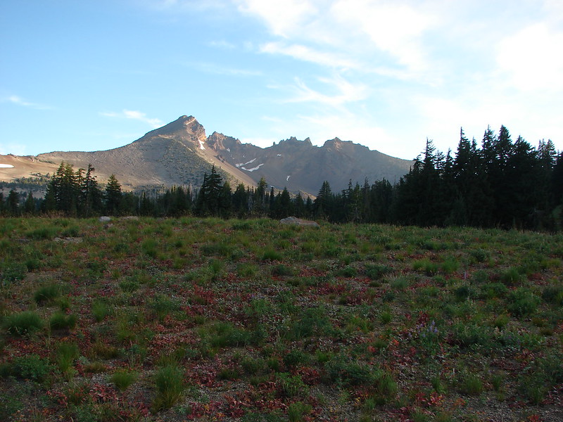
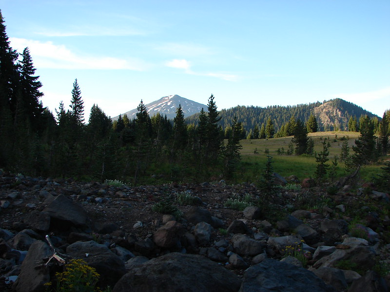
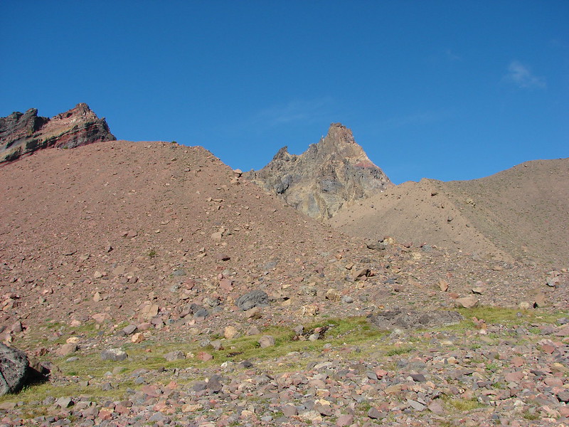
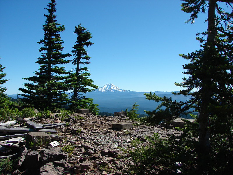
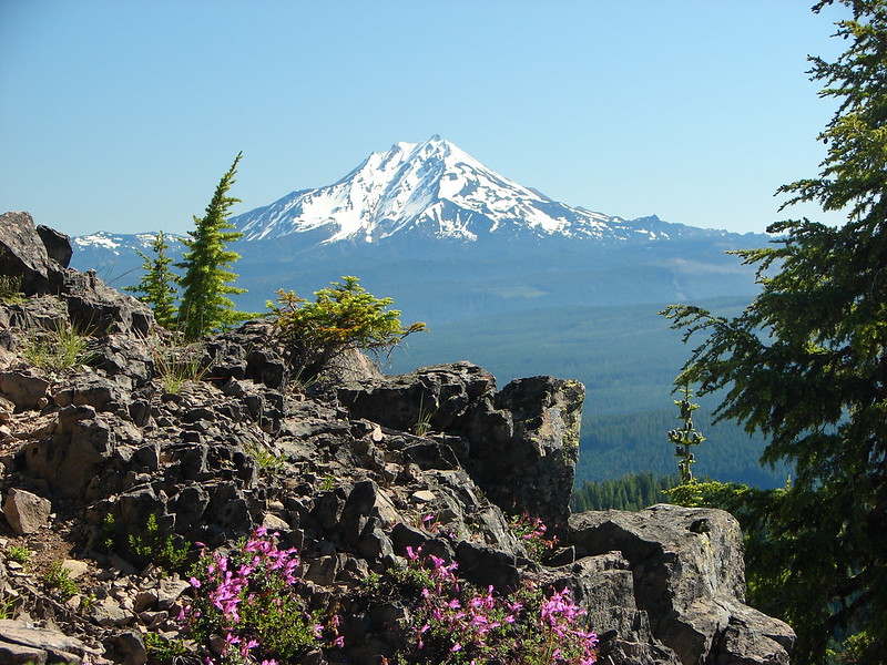
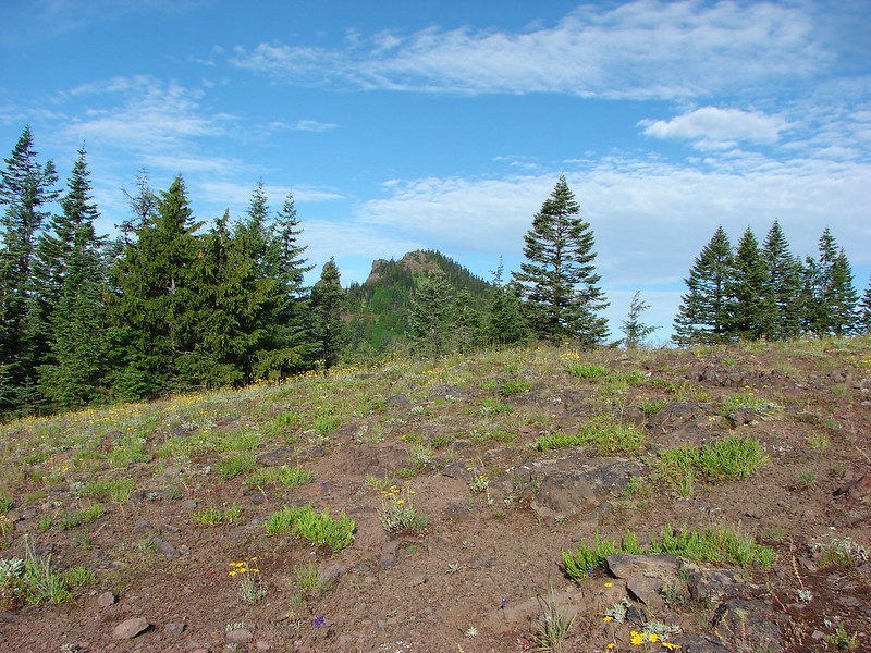
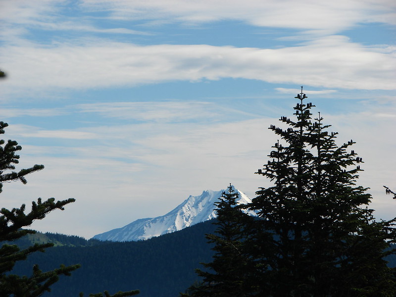
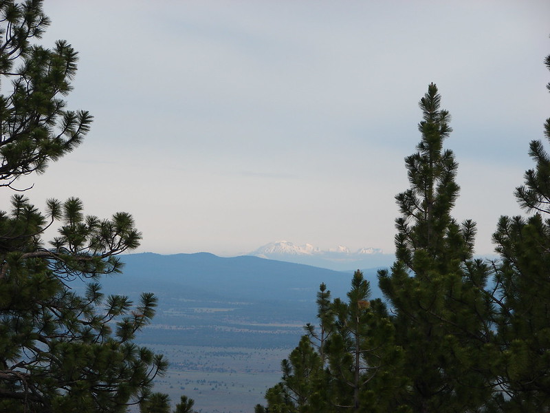
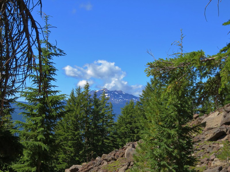
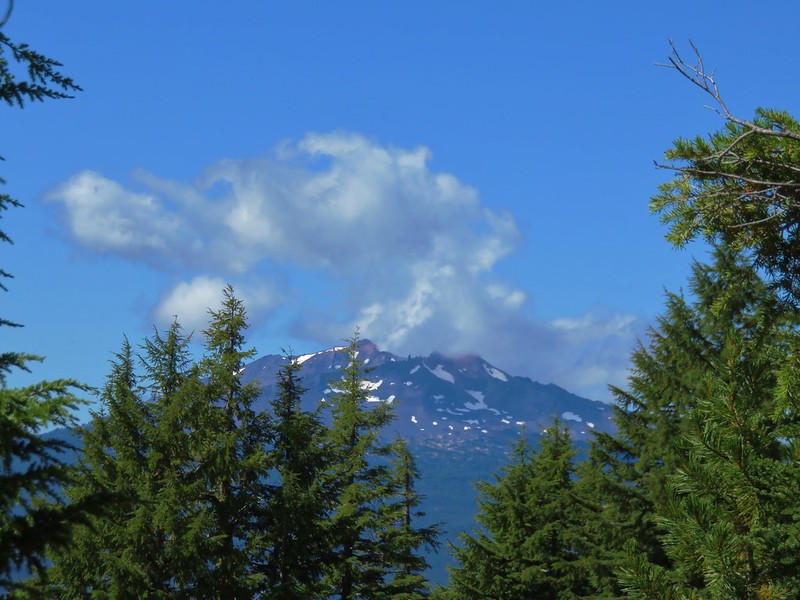
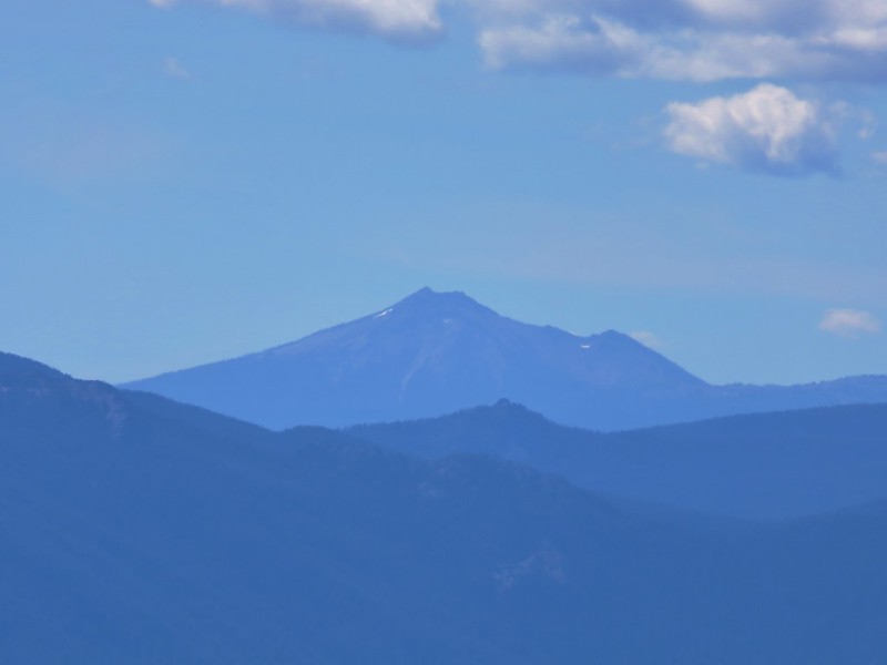
As we approached a rock outcropping, views finally opened up to the south and we were able to get a good look at Diamond Peak.
IMG_5460

IMG_5455

IMG_5457

The trail was quite steep as it passed along the rock outcrop but the views continued to open up which sort of made up for the effort.
IMG_5463

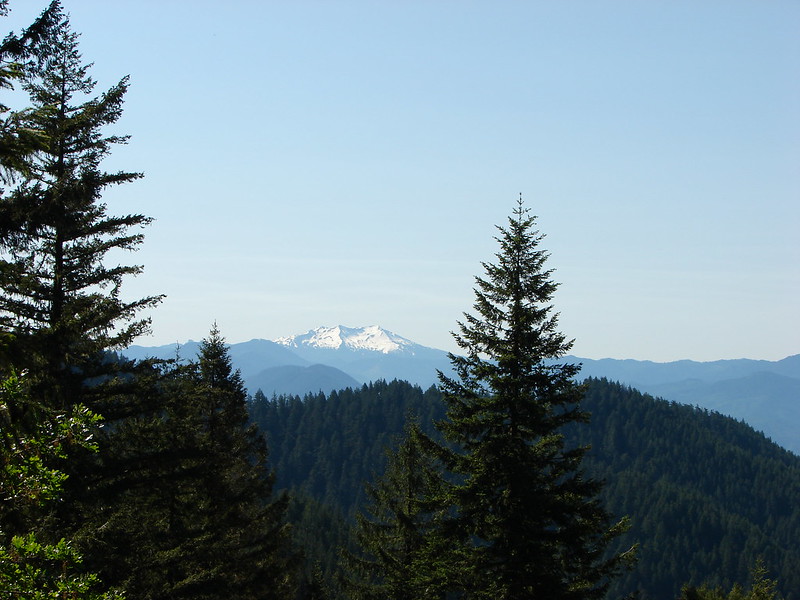
Mt. Thielsen beyond Crescent Lake
IMG_5468

Mt. Bailey
IMG_5469

In addition to the steepness of the trail the tread along the upper portion was pretty loose making it even more challenging.
IMG_5472

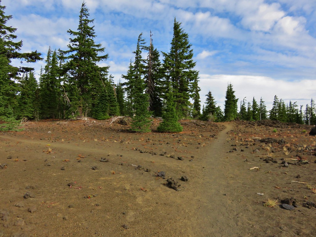
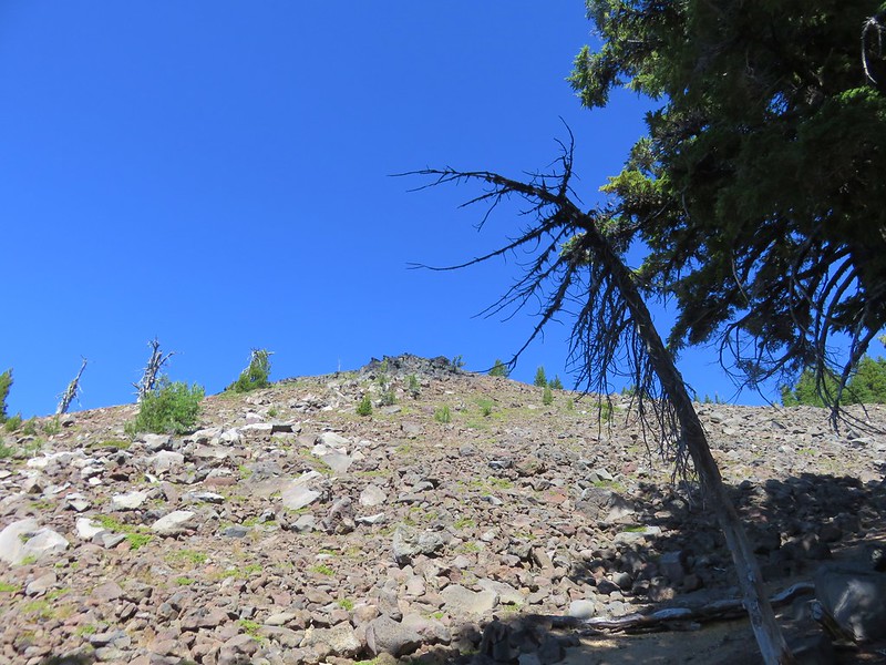
There was a trail junction a quarter mile from the summit of Maiden Peak marked by several rock cairns.
IMG_5525

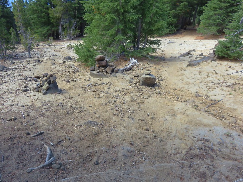
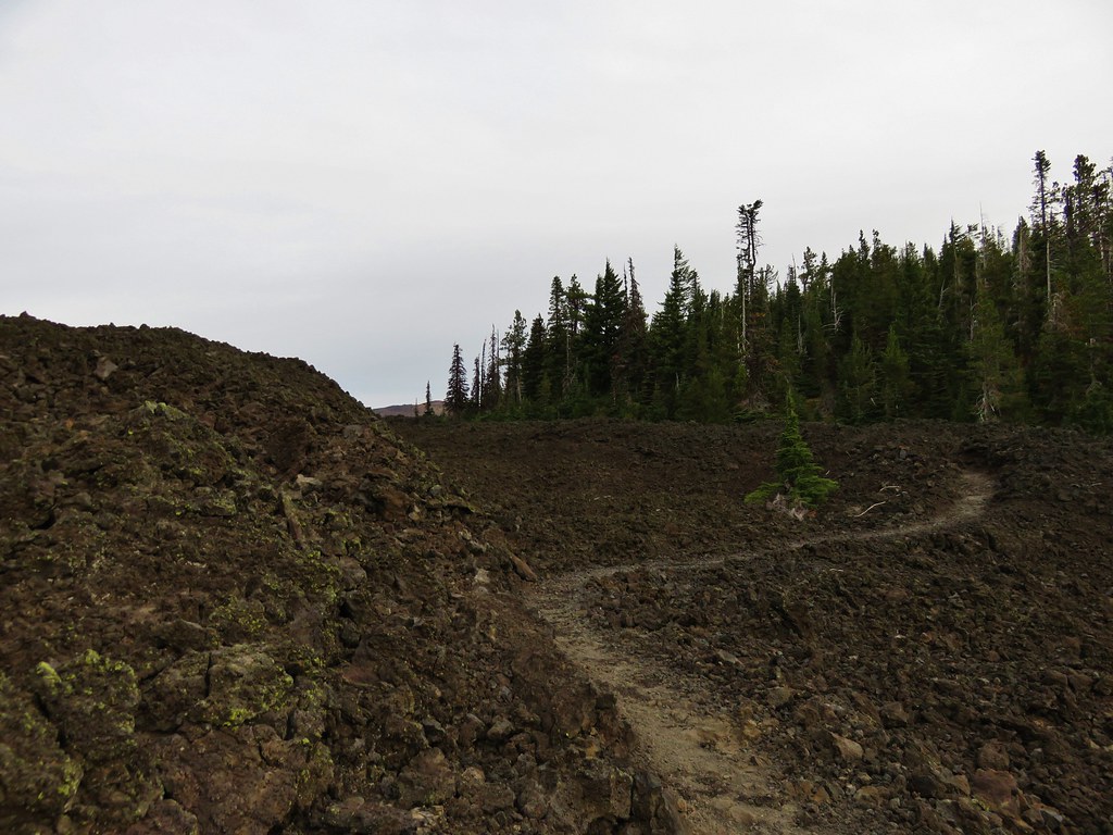
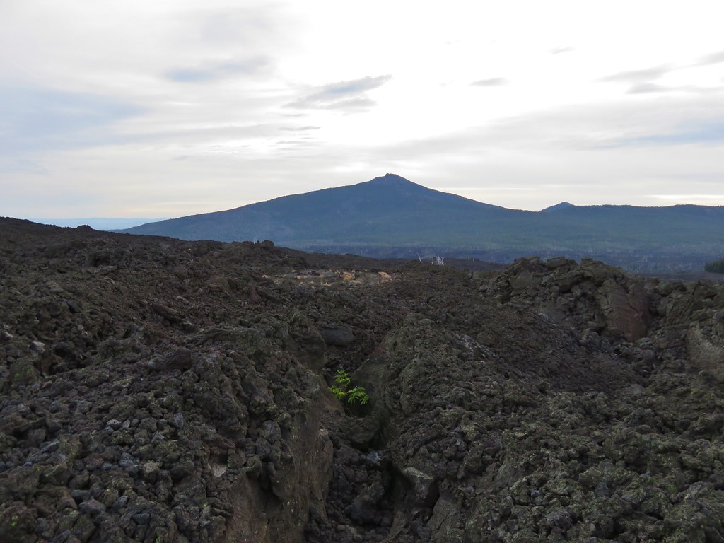
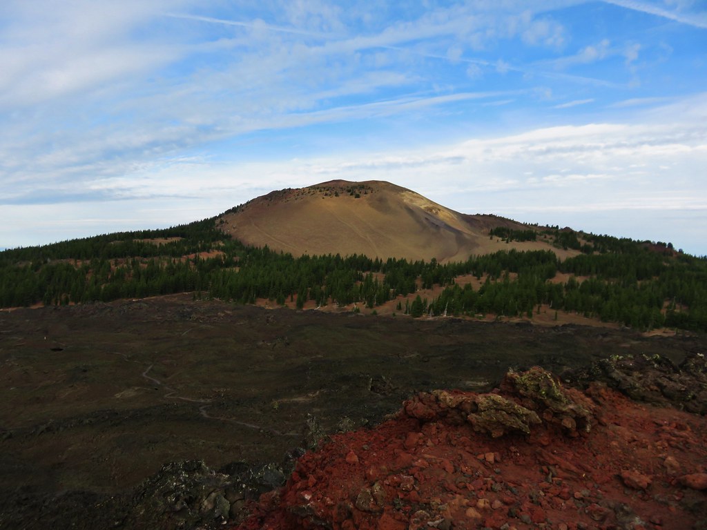
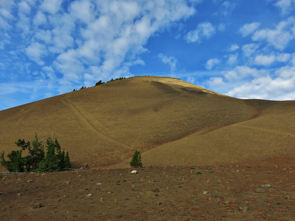
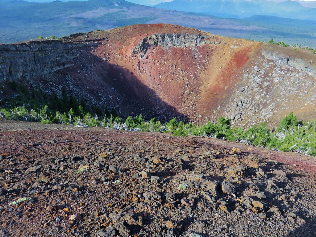
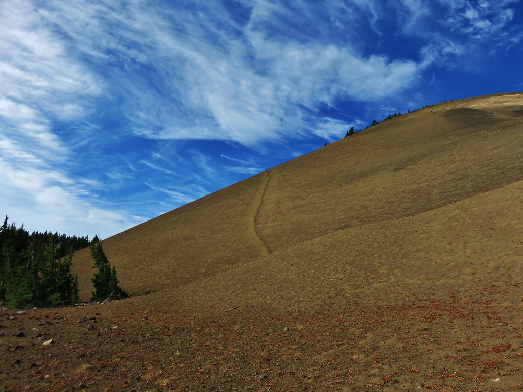
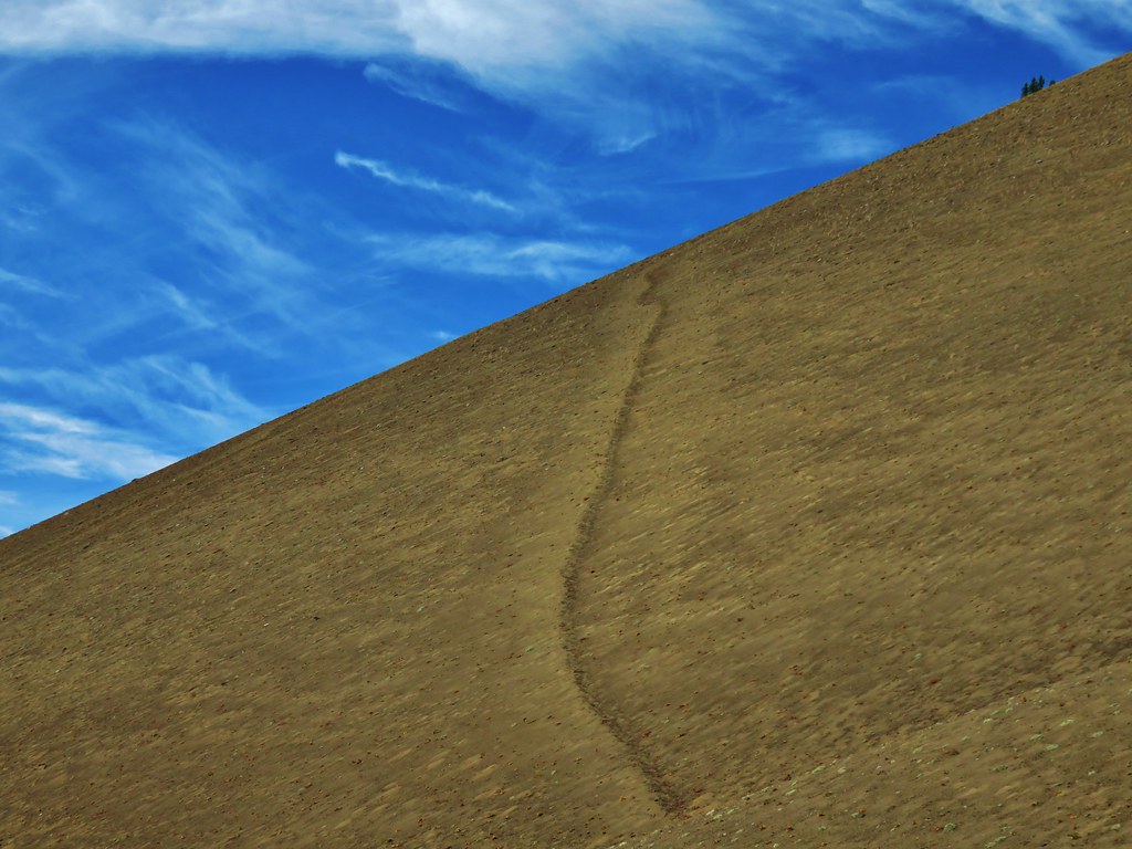
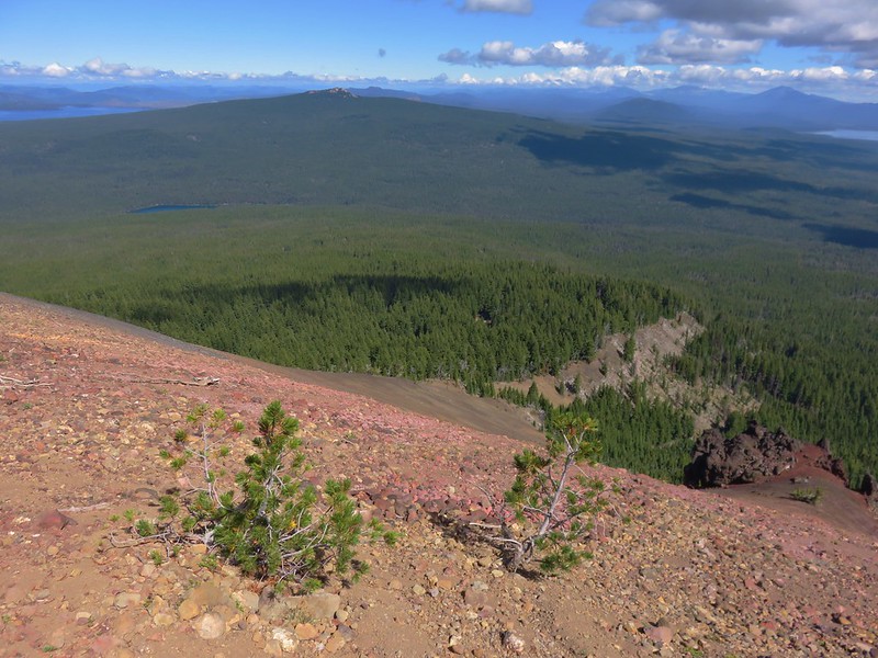
The loop we were planning on doing made a hairpin turn around a small stand of trees while the summit trail lay straight ahead. The summit trail passed a small crater as it wound its way up.
IMG_5483

IMG_5484

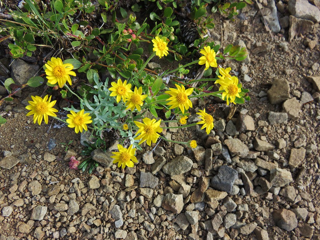
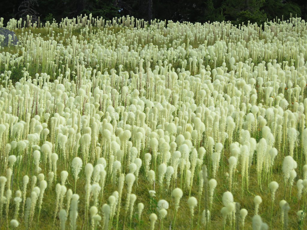
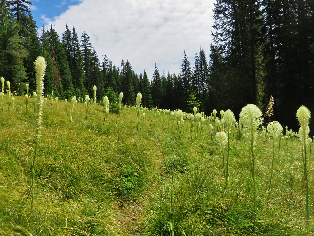
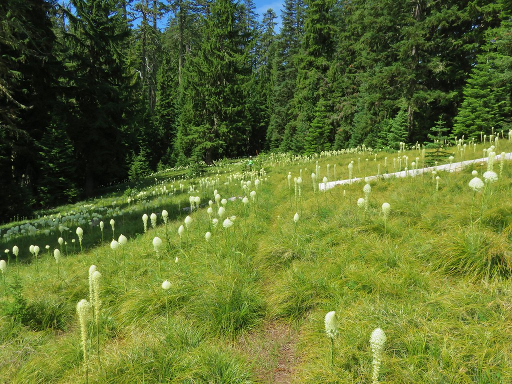
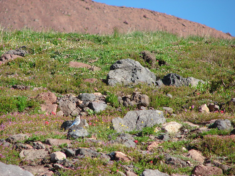
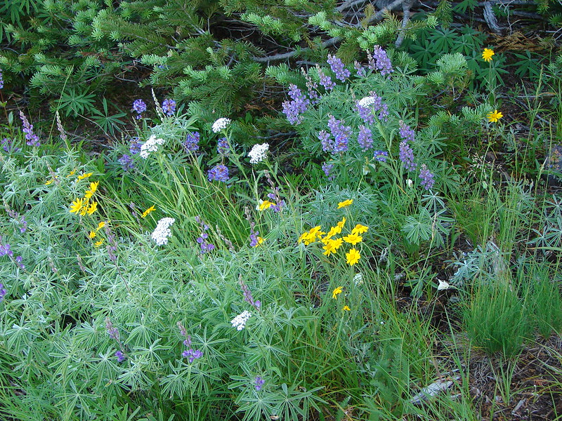
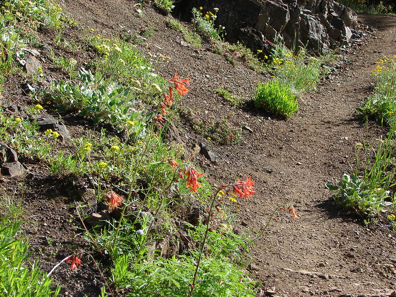
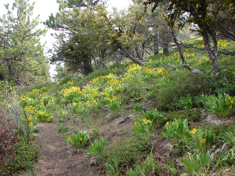
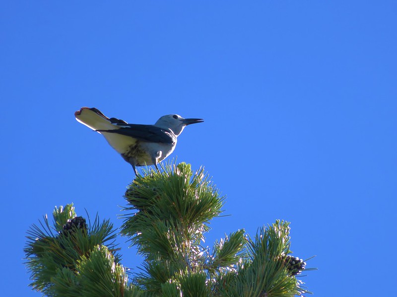
Numerous Clark’s nutcrackers were noisily flying among the whitebark pines gracing the peaks slopes.
IMG_5488

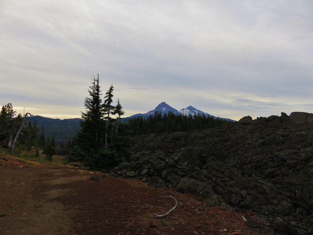
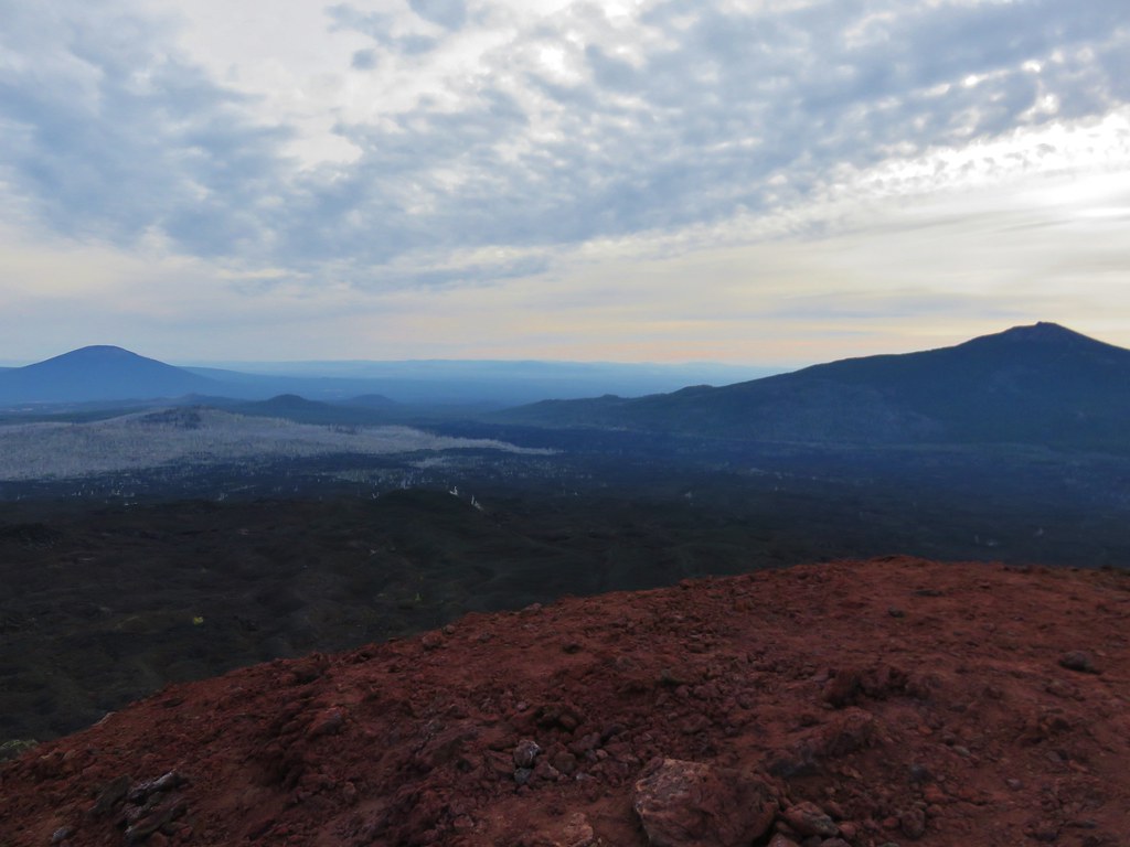
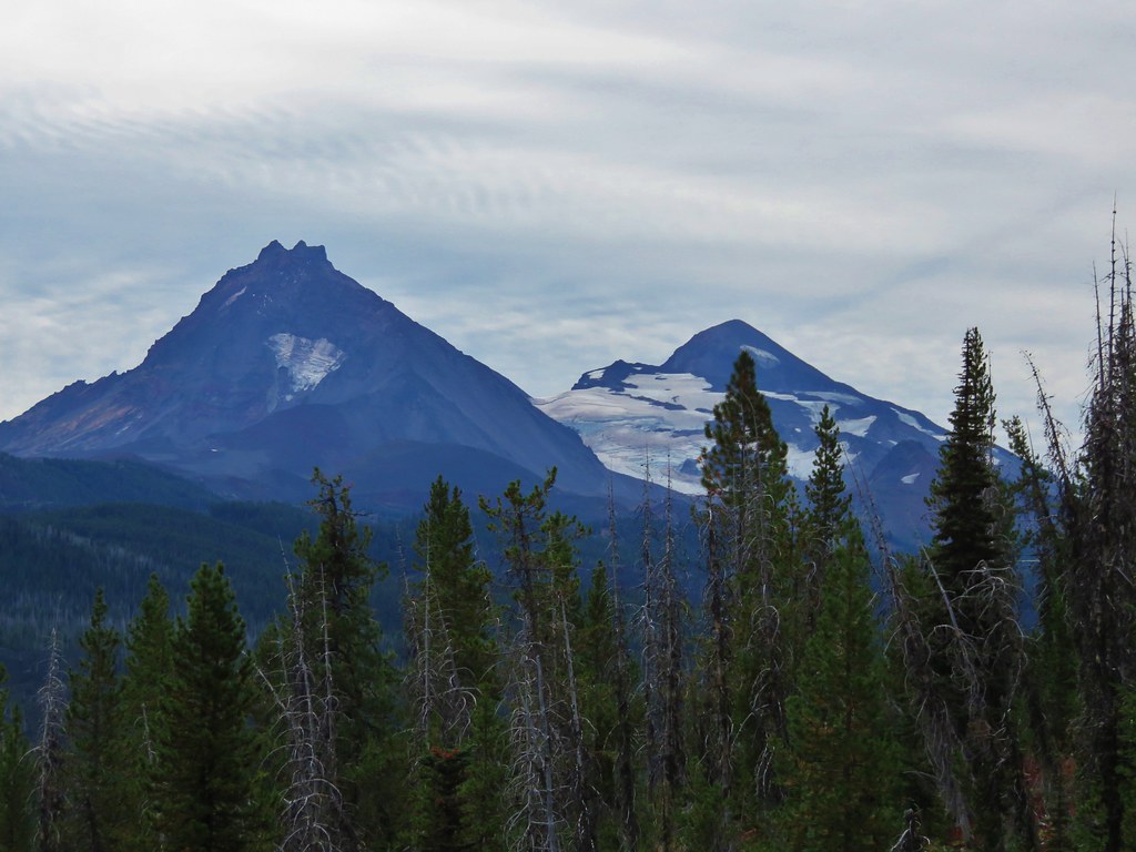
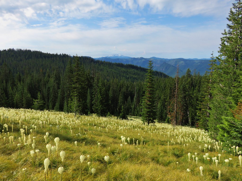
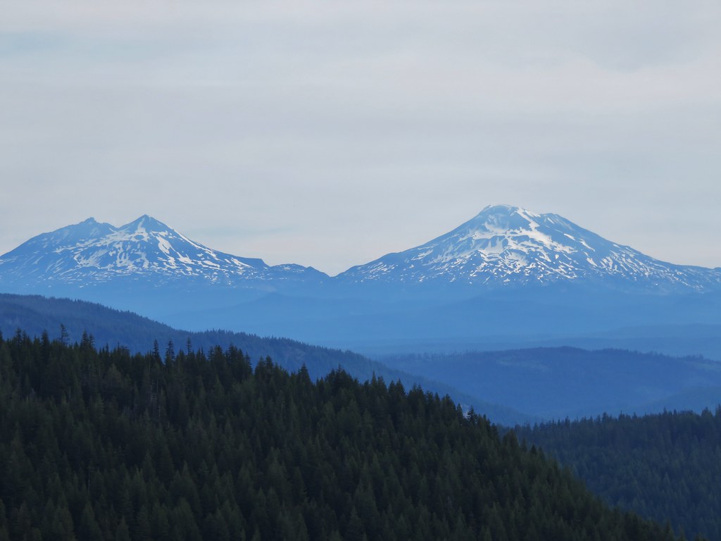
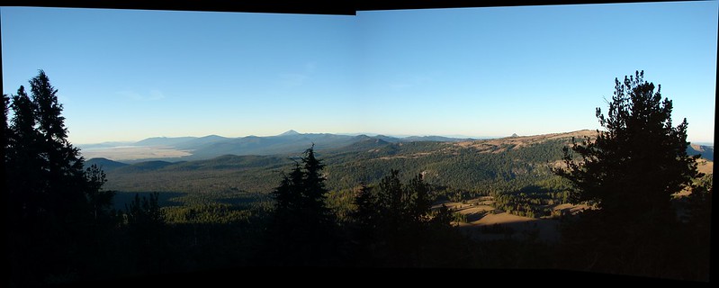
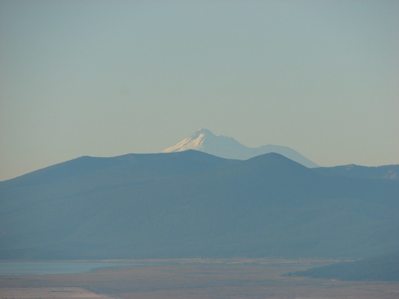
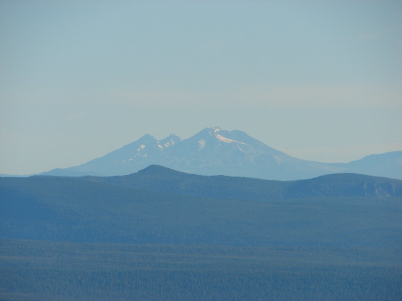
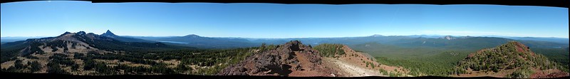
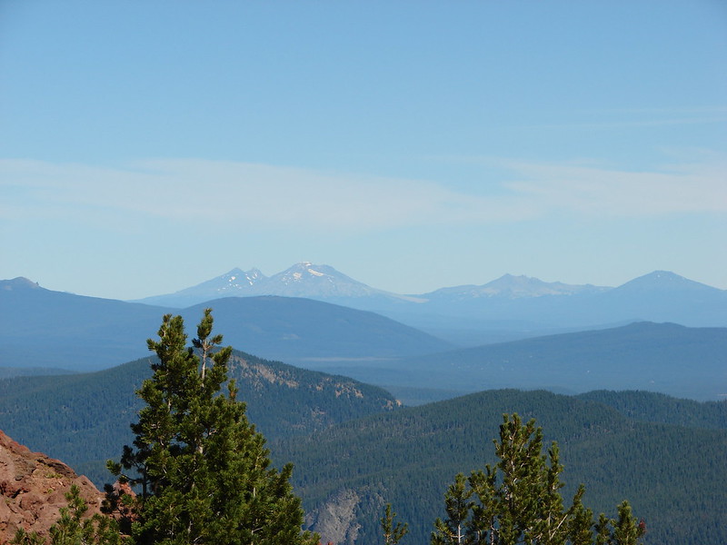
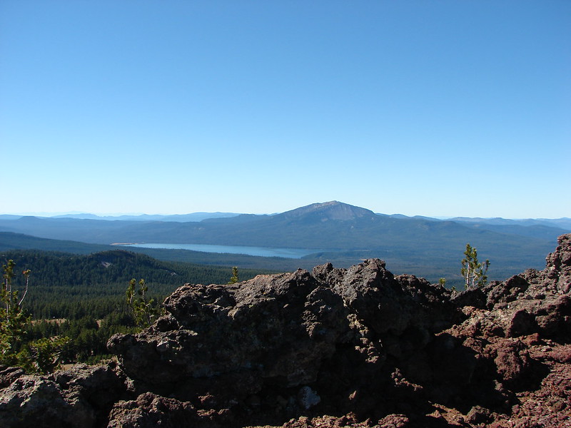
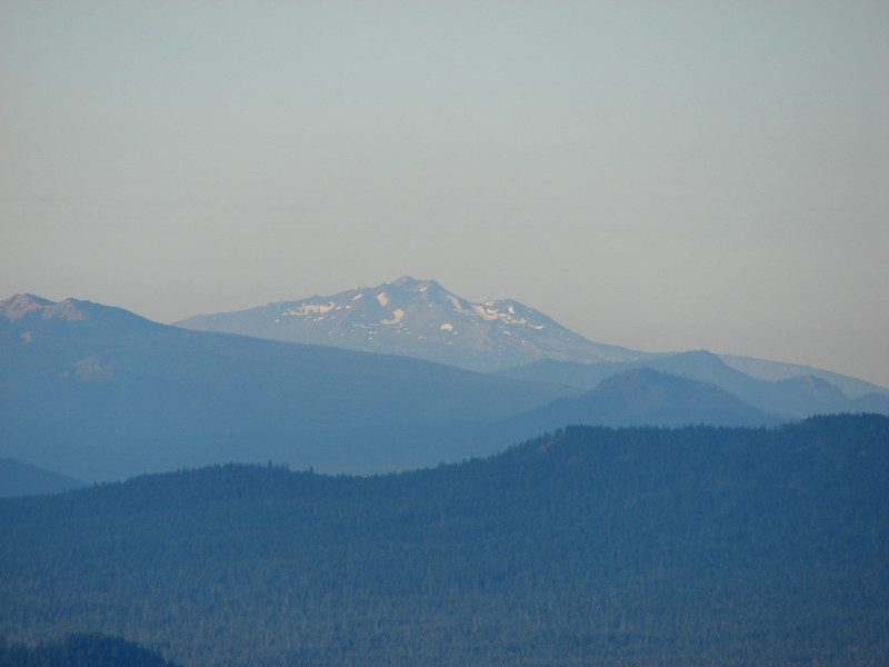
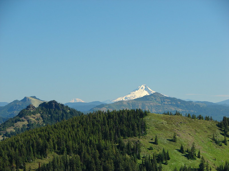
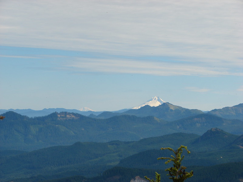
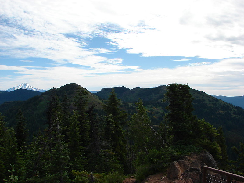
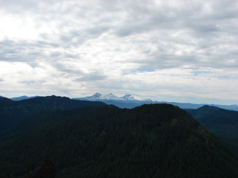
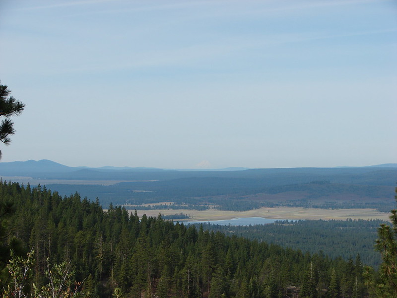
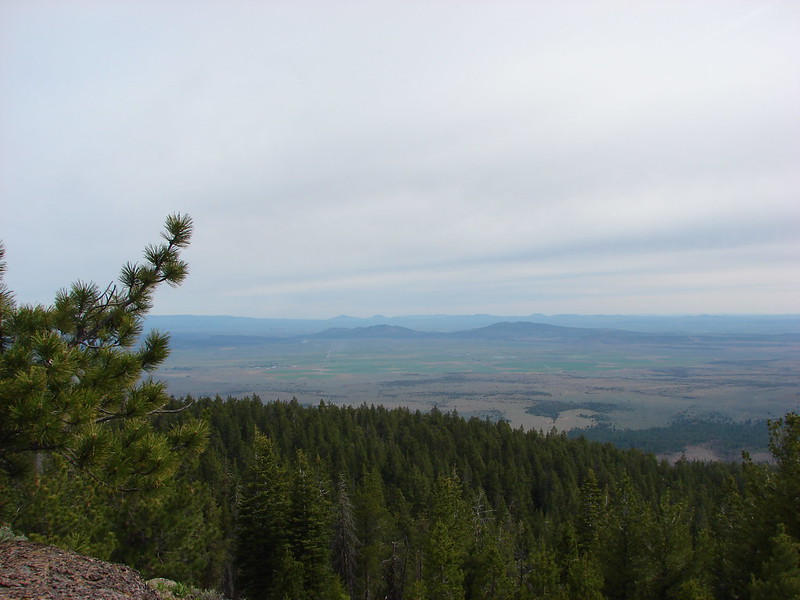
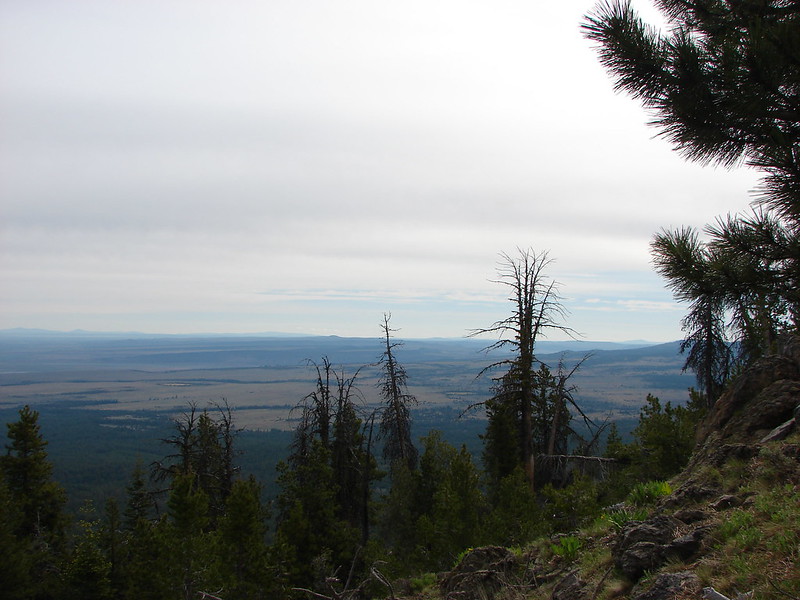
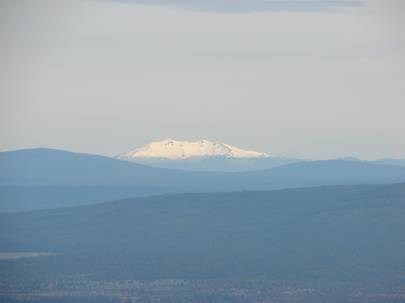
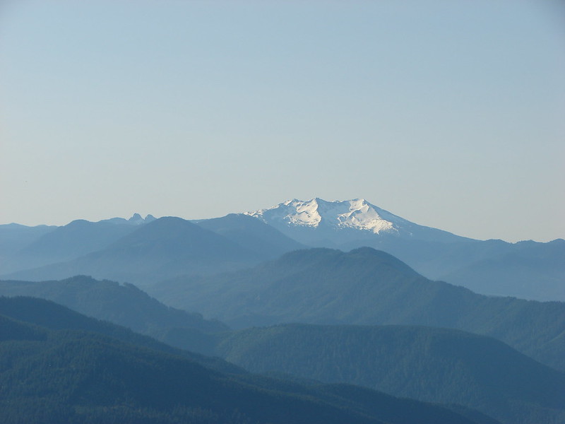
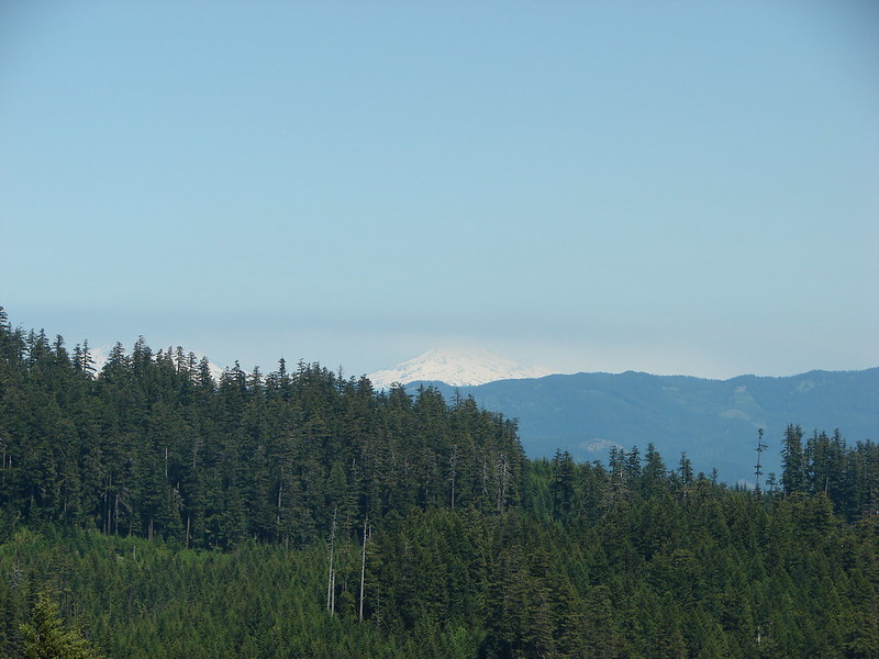
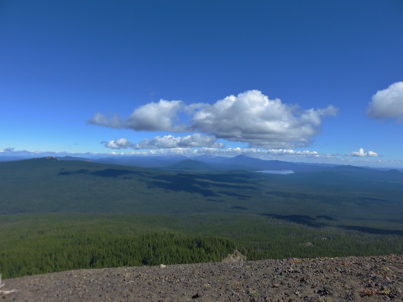
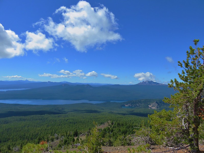
The views from Maiden Peak were great. The weather was cooperating, with the exception of the Three Sisters and Mt. Jefferson, the clouds that were present were adding to views and not obstructing them. The view north included Broken Top and Mt. Bachelor beyond Crane Prairie Reservoir.
IMG_5489

IMG_5491

IMG_5493

IMG_5492

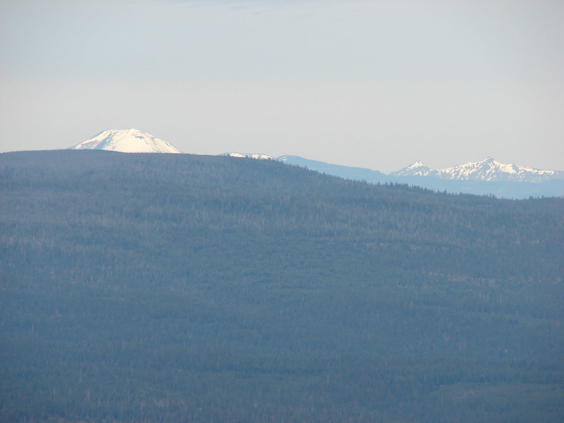
The NW view included little Bobby Lake below the Twins and Waldo Lake.
IMG_5517

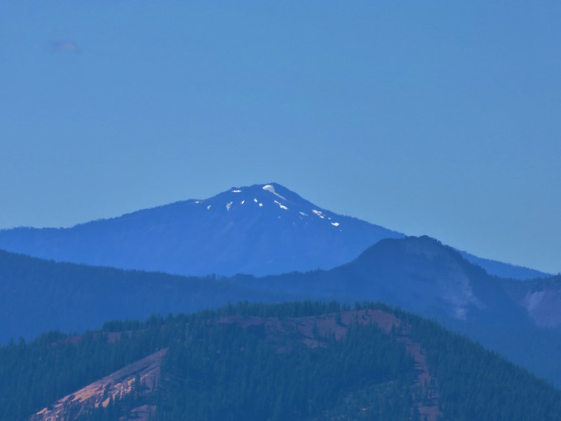
To the west was Fuji Mountain, Mt. Ray, and Waldo Lake.
IMG_5495

Fuji Mountain
IMG_5496

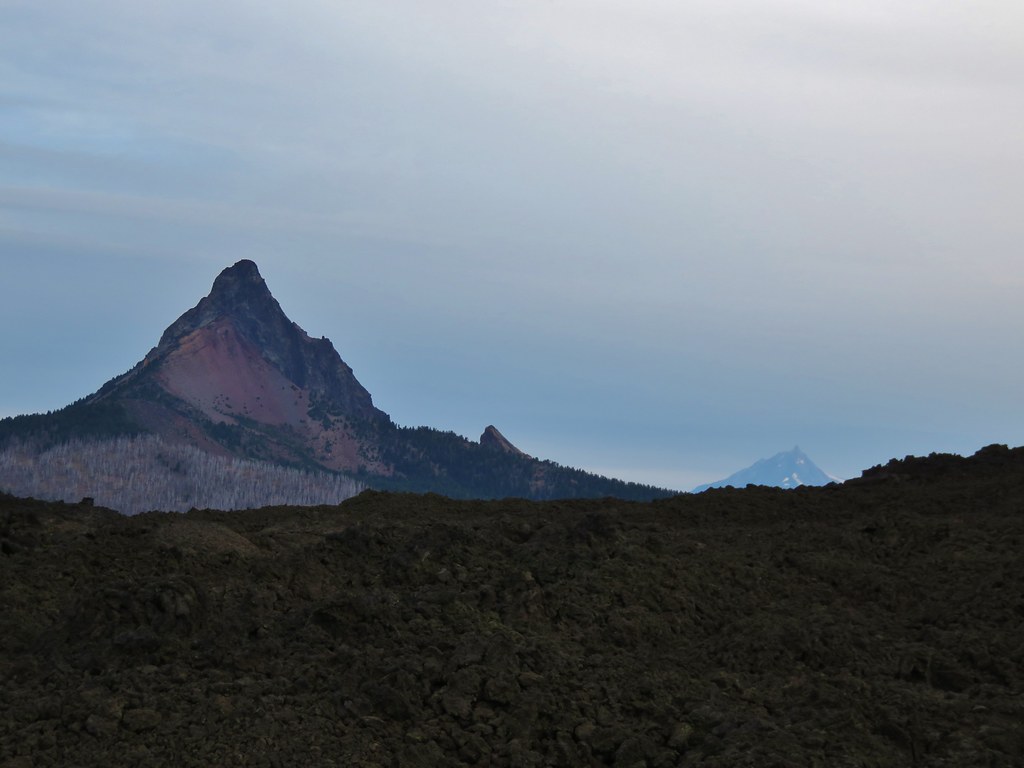
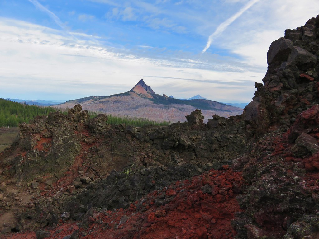
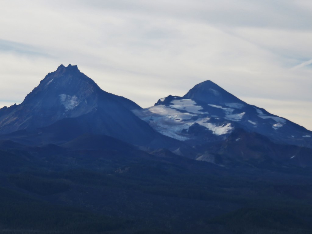
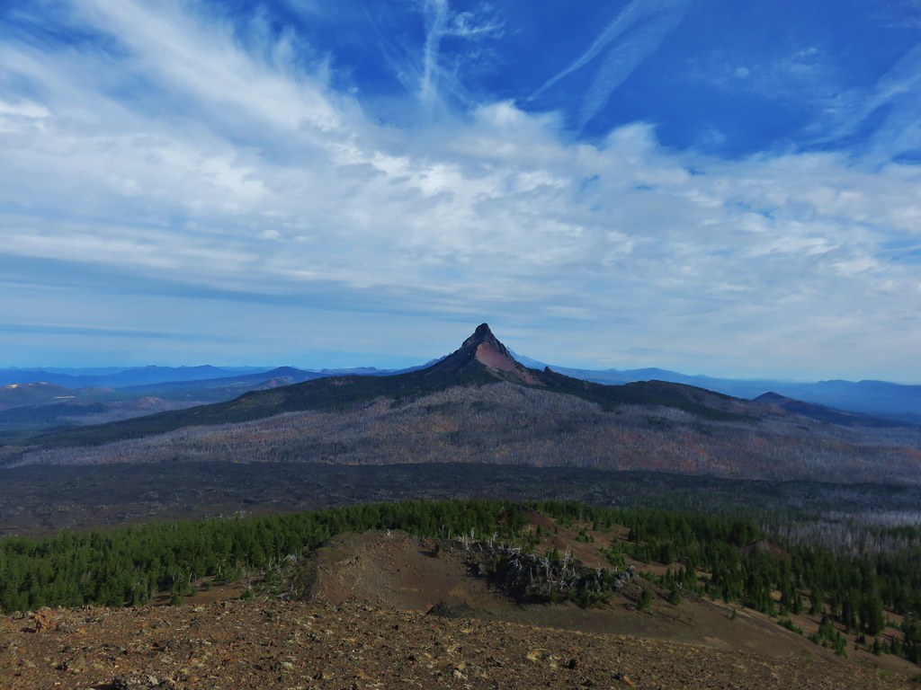
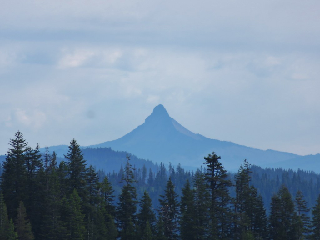
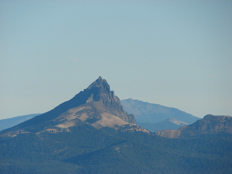
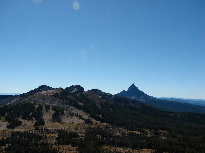
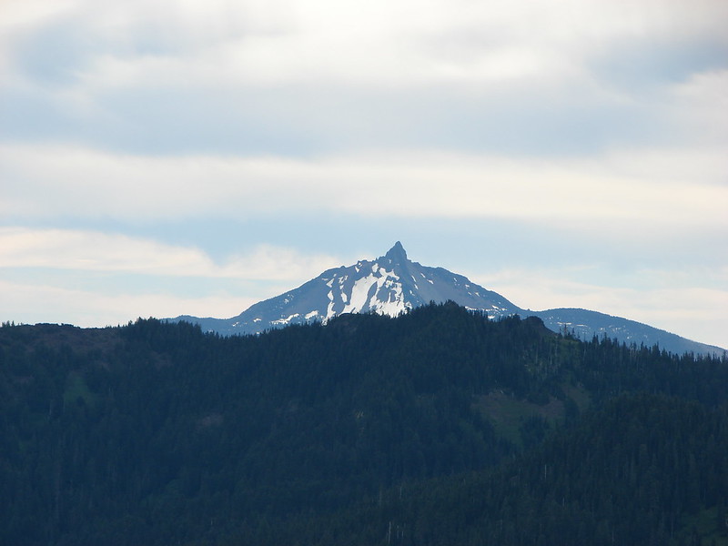
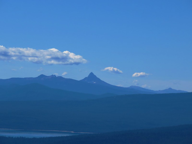
SW was the Willamette Pass Ski Area on Eagle Peak, pointy Mt. Yoran and Diamond Peak.
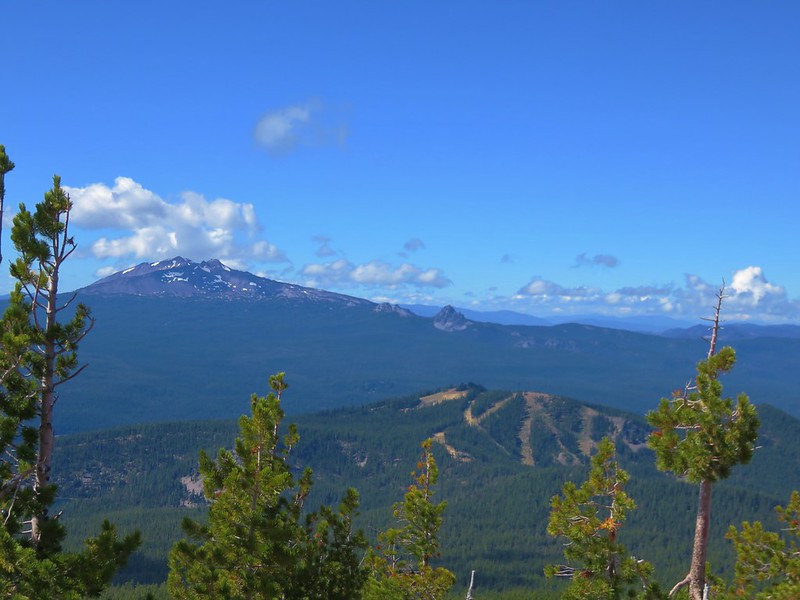
IMG_5511

Mt. Yoran
IMG_5522

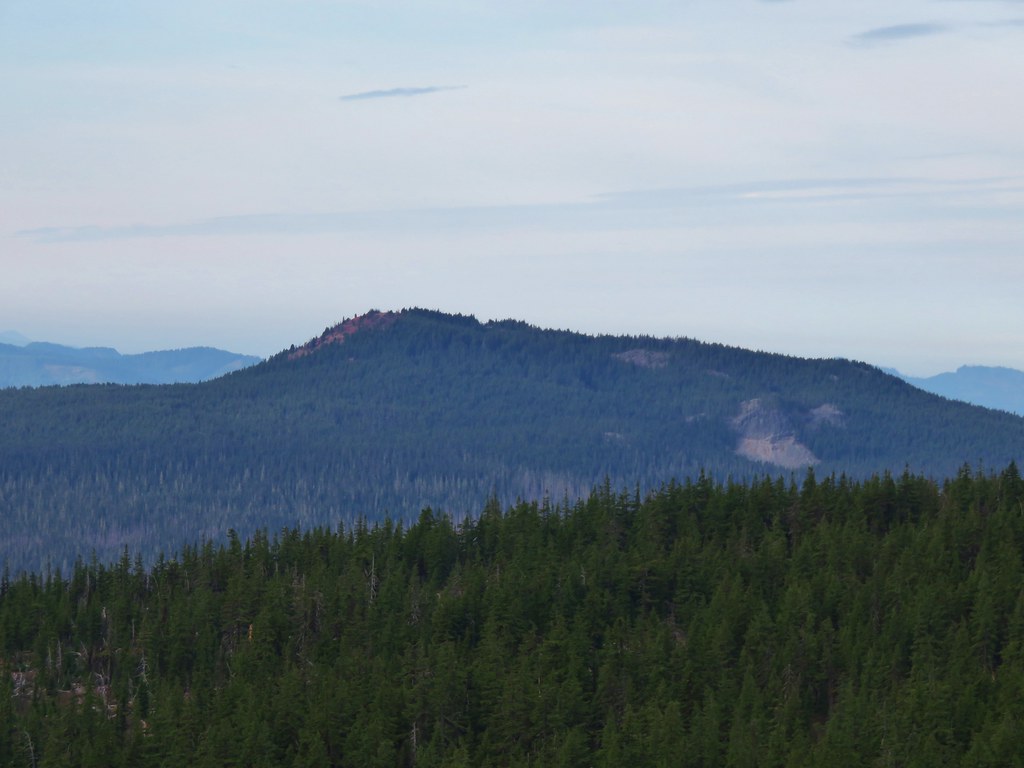
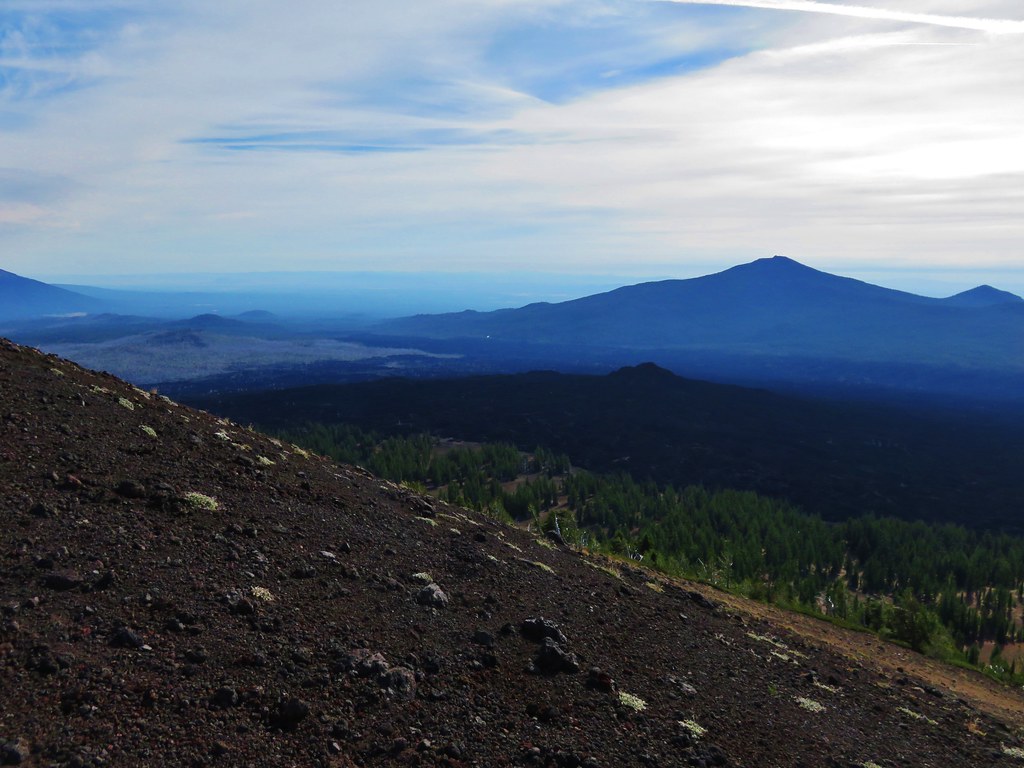
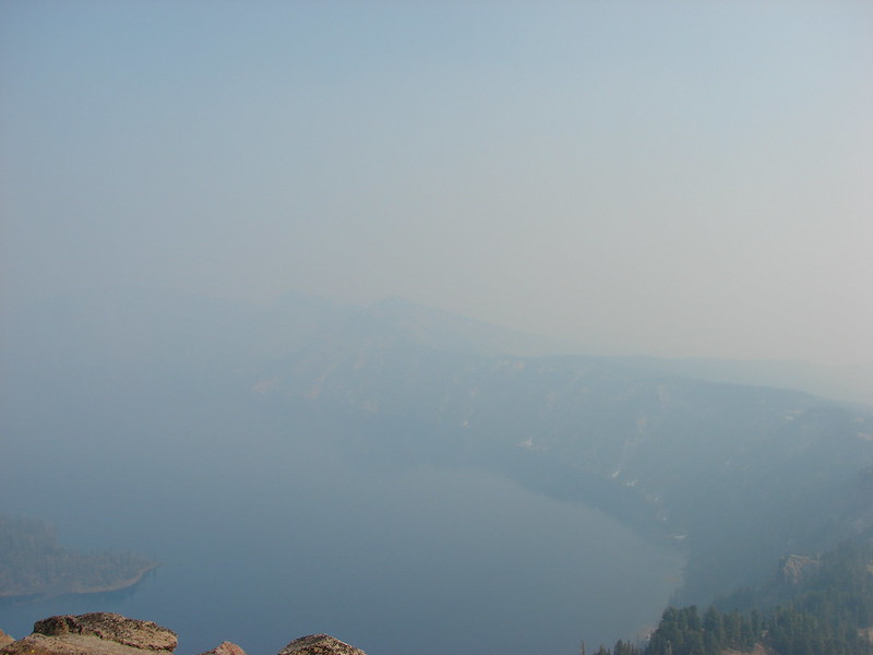
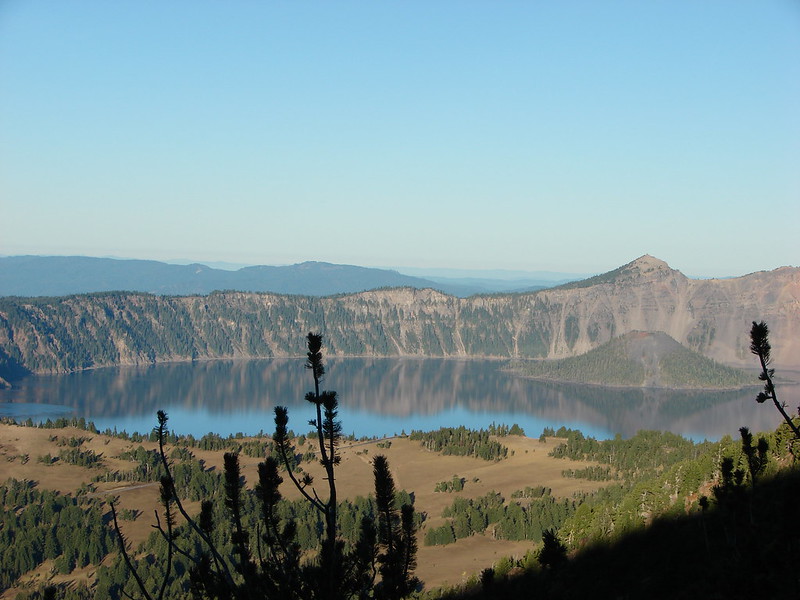
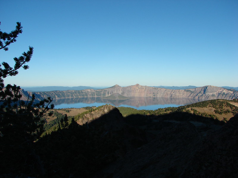
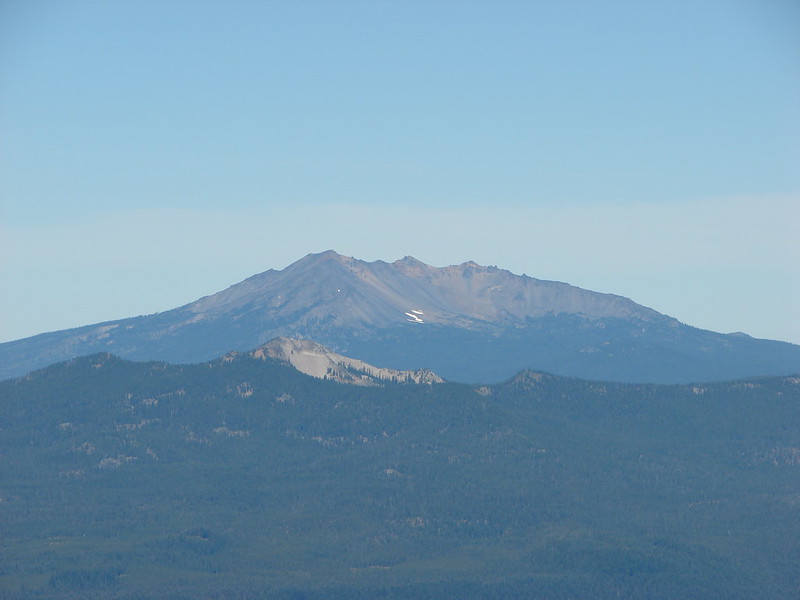
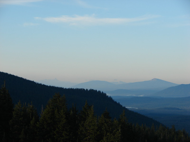
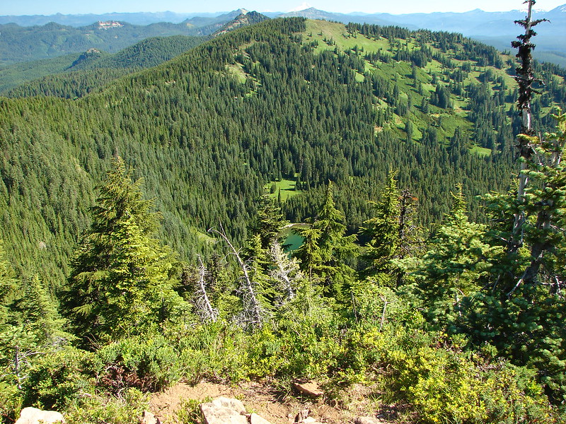
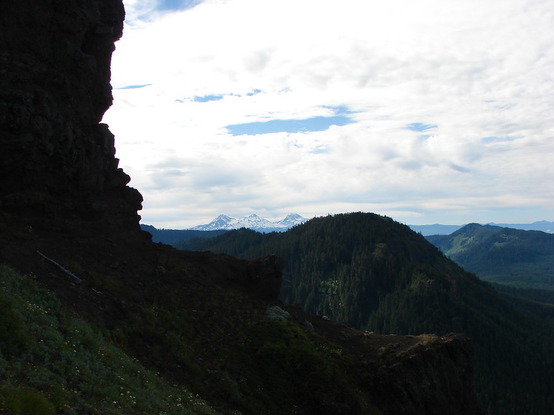
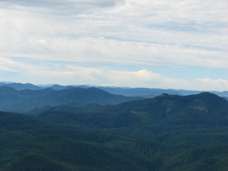
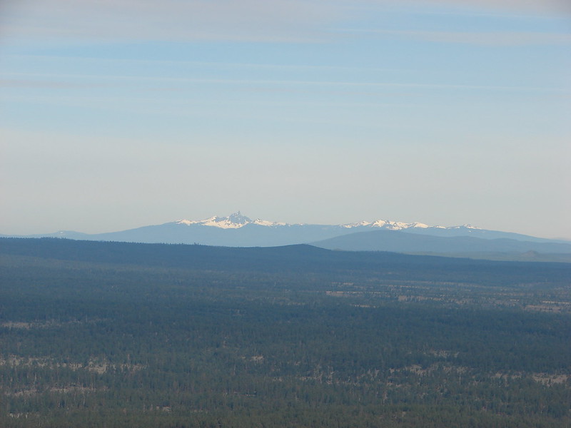
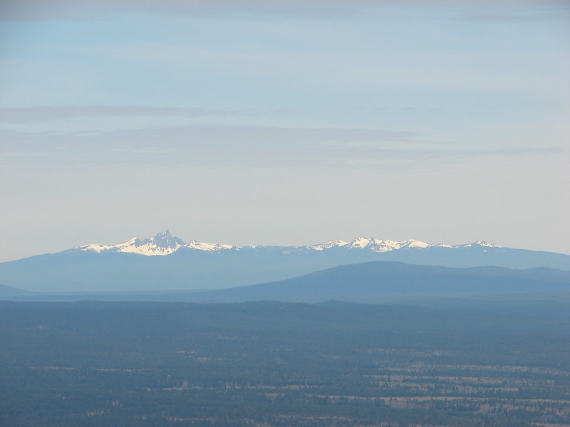
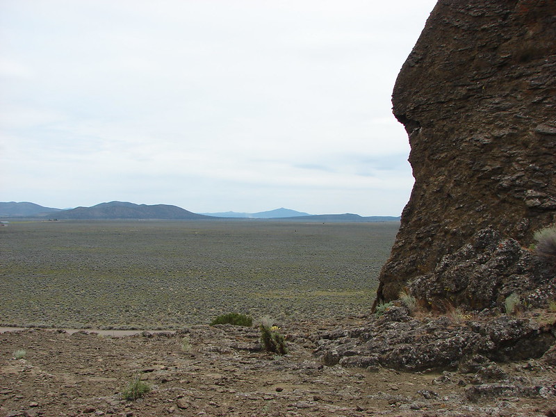
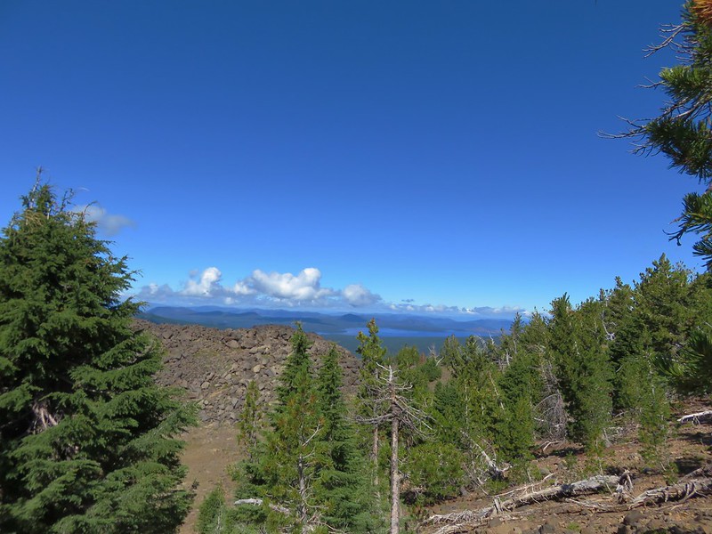
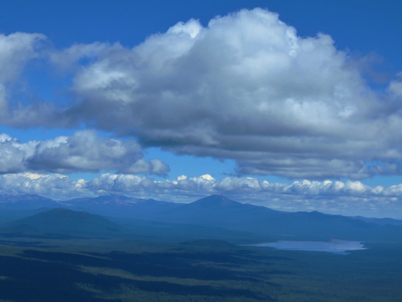
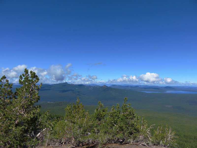
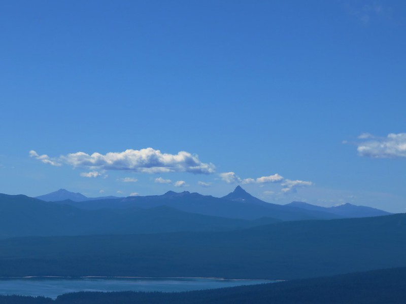
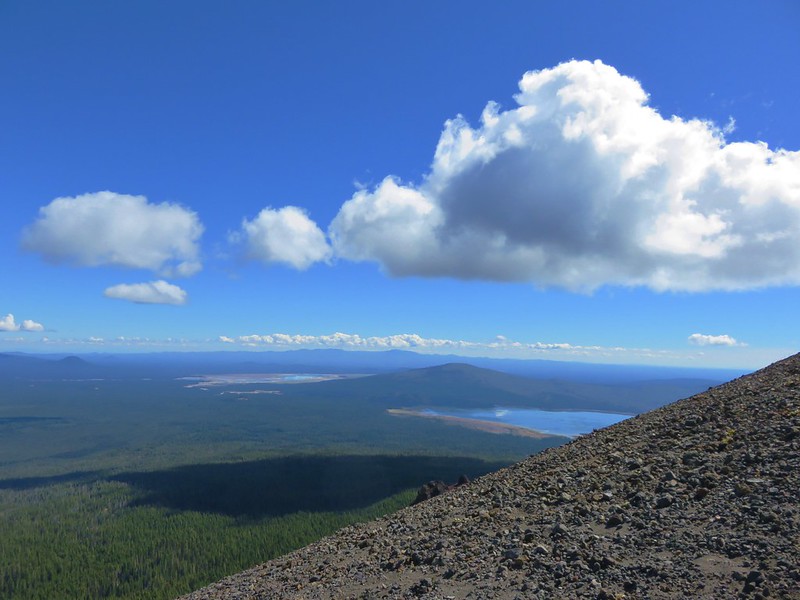
To the south Lower Rosary Lake and Pulpit Rock were visible along with Odell and Crescent Lakes and a number of Cascade Peaks.
IMG_5505

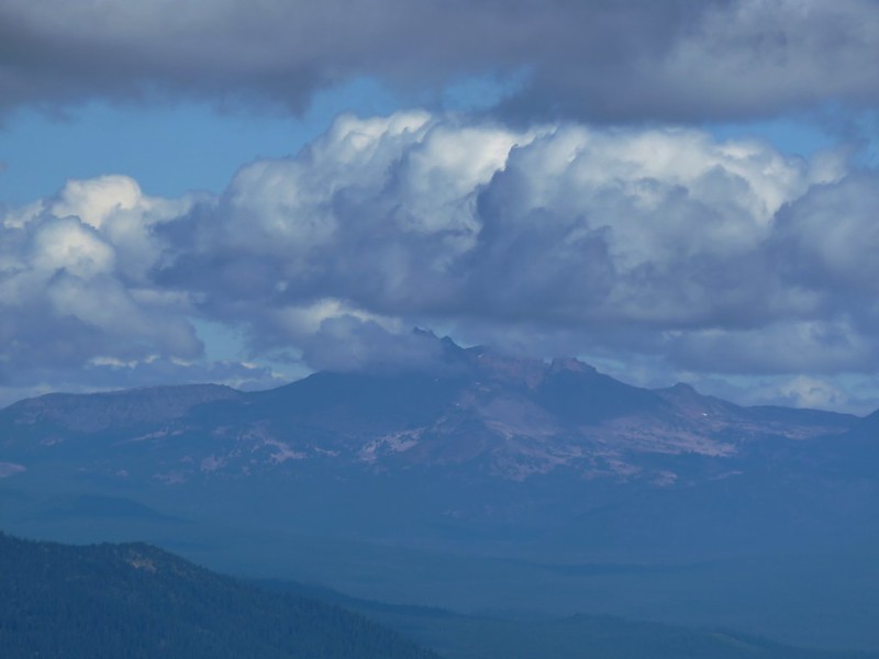
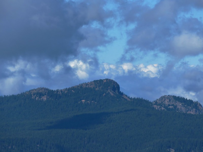
Mount Scott, Tipsoo Butte & Howlock Mountain, Llao Rock, and Hillman Peak
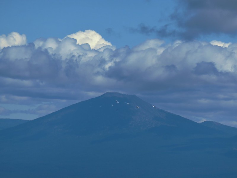
IMG_5501

Mt. Scott
IMG_5507

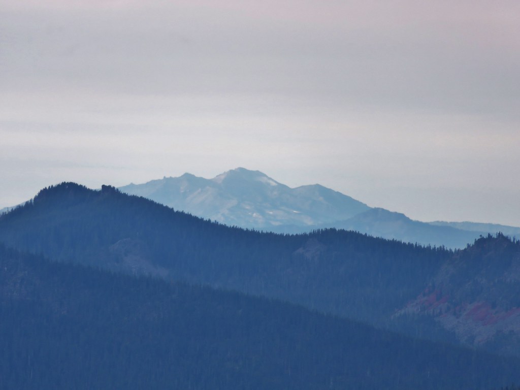
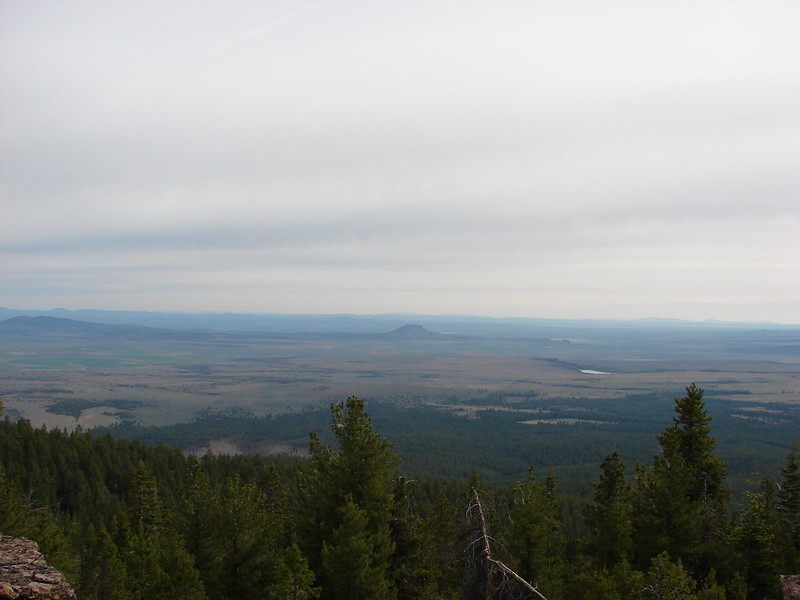
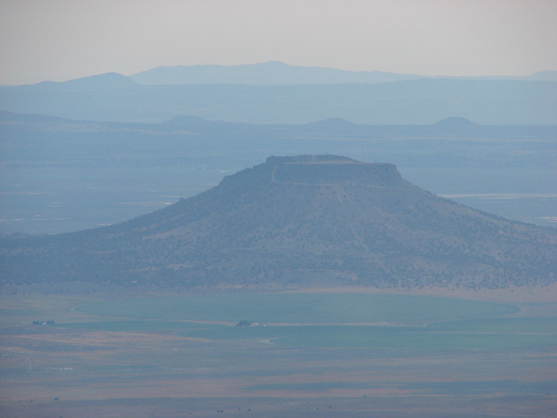
To the east Paulina Peak was the highest point on the horizon beyond Wickiup Reservoir, Davis Mountain, and Davis Lake.
IMG_5494

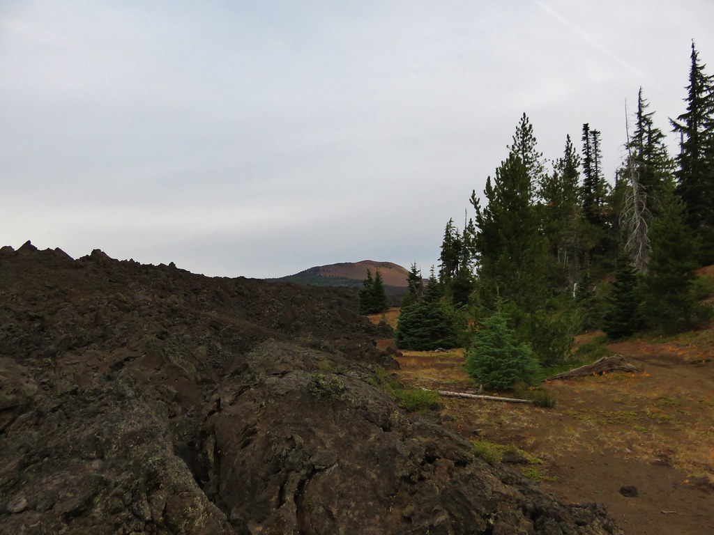
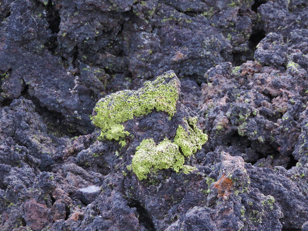
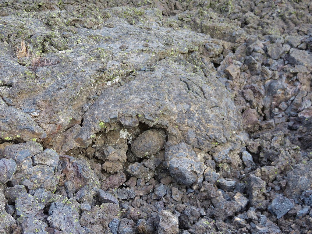
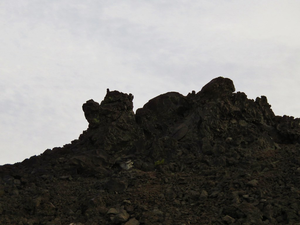
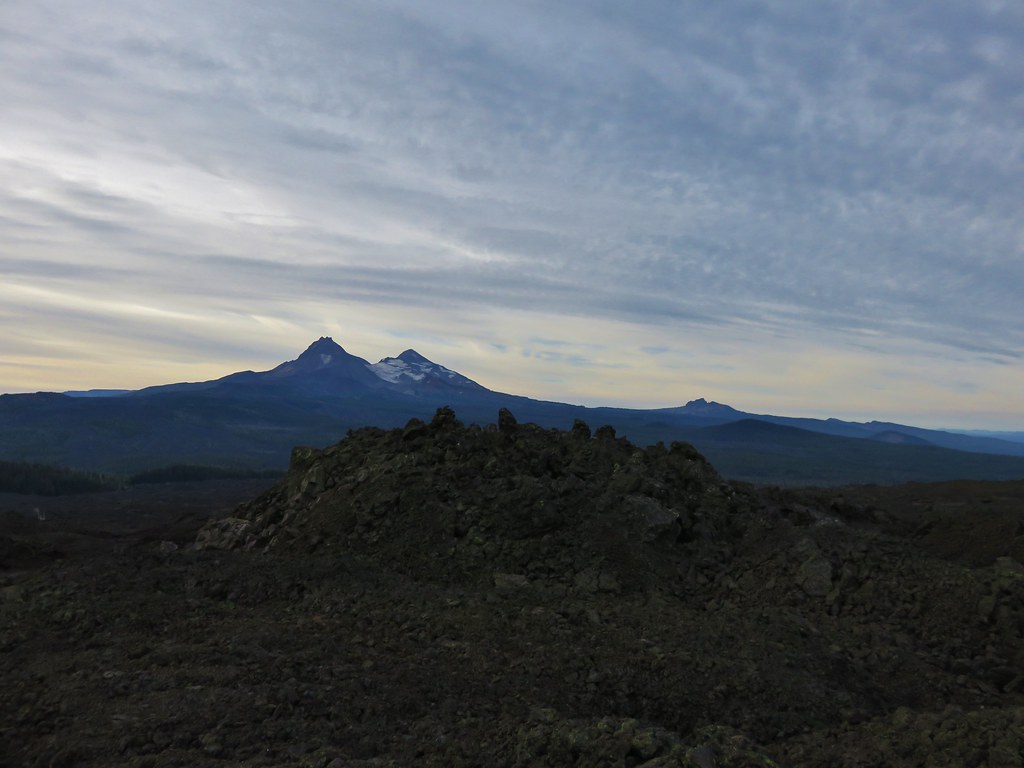
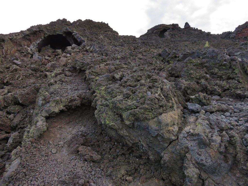
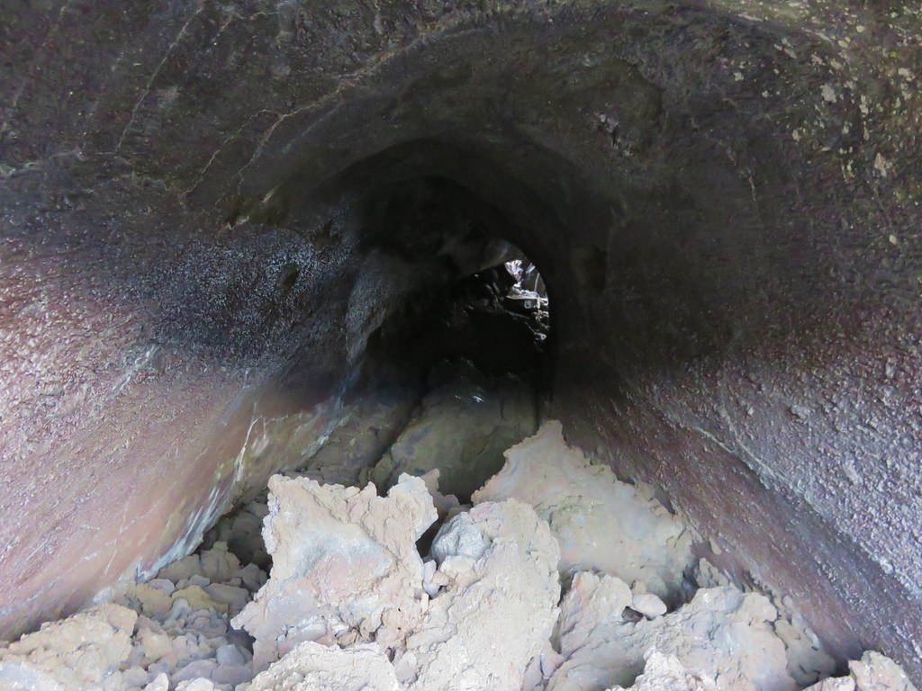
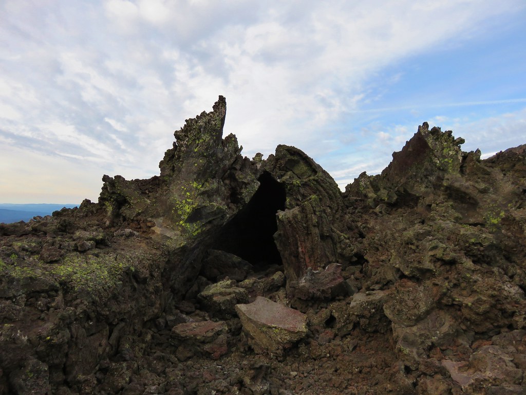
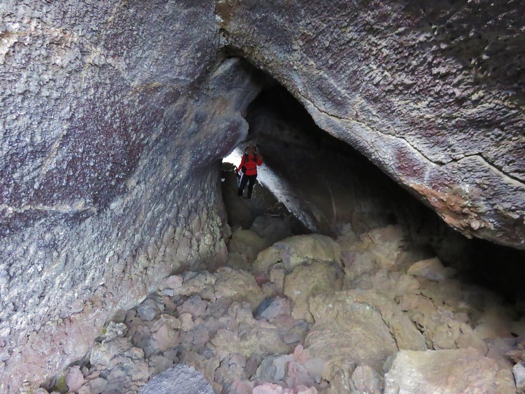
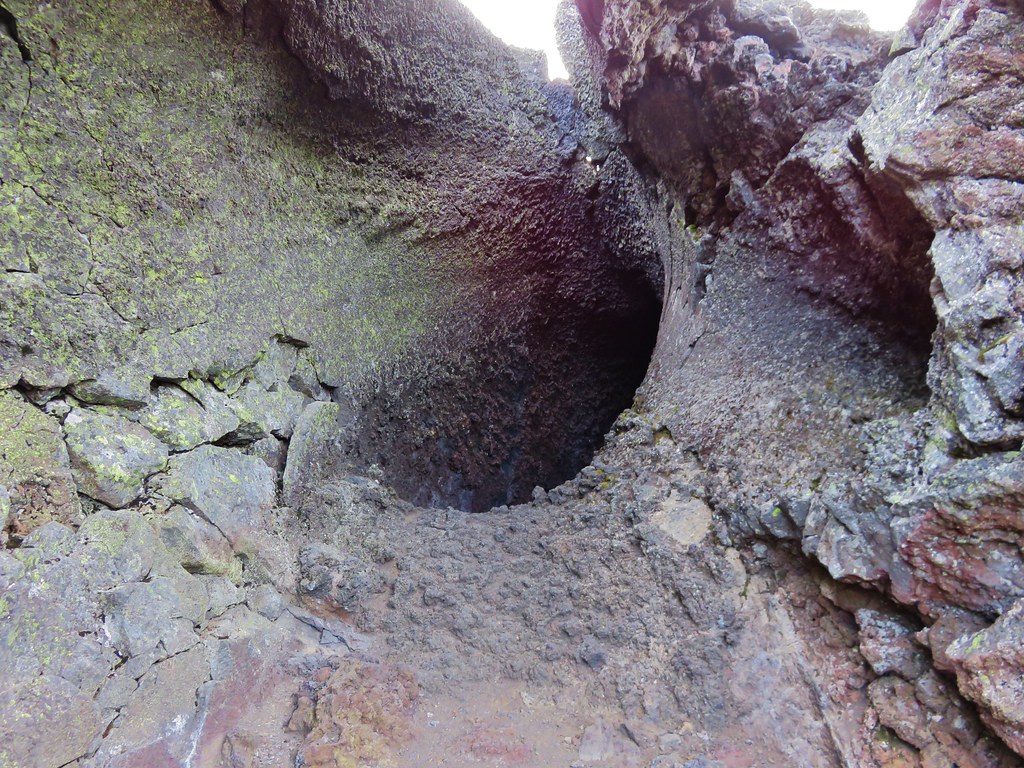
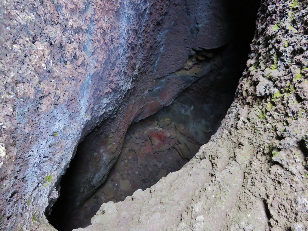
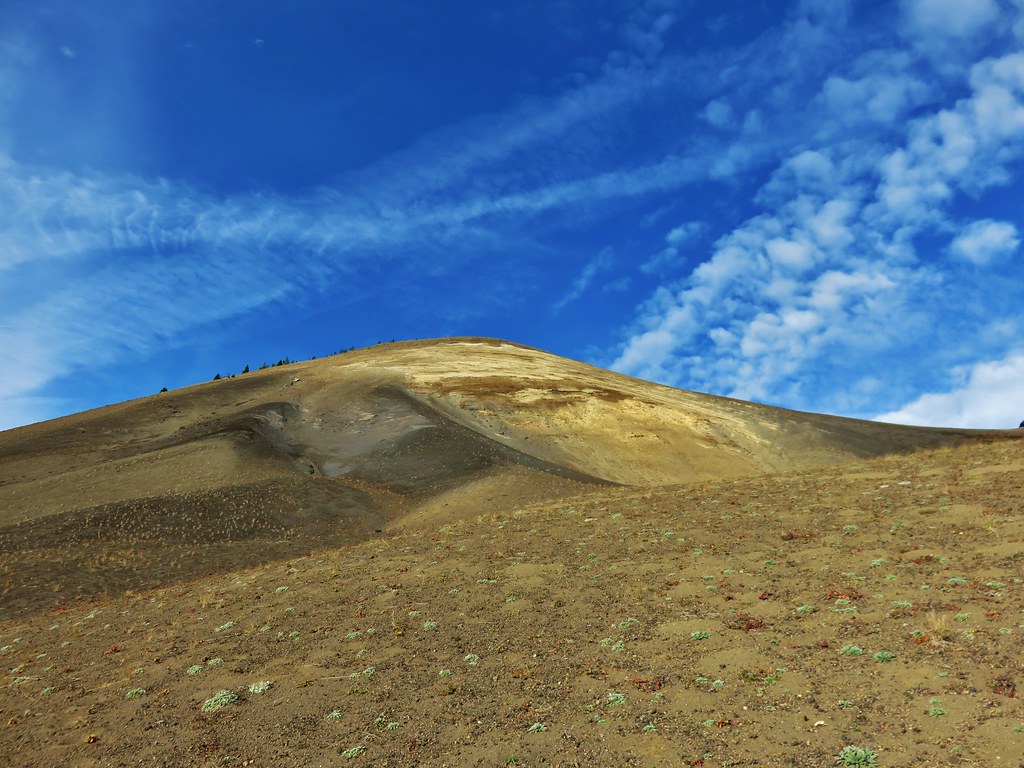
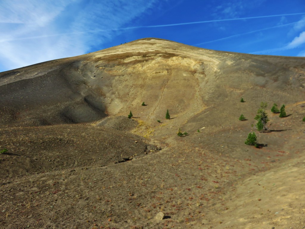
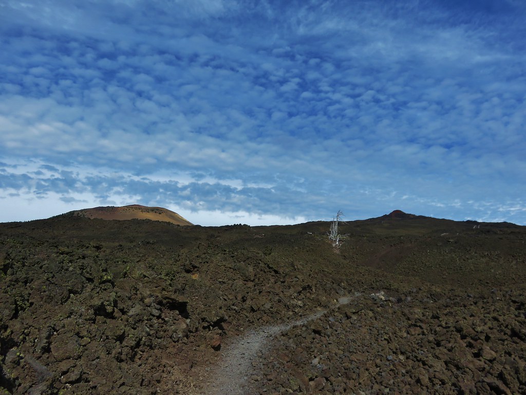
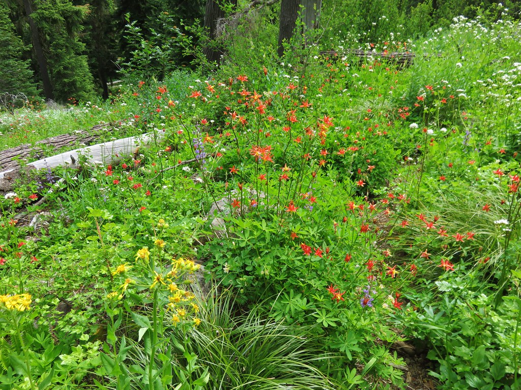
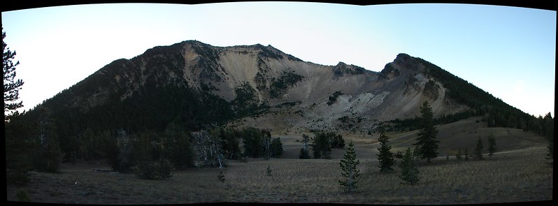
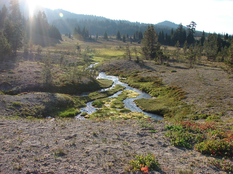
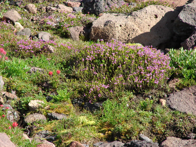
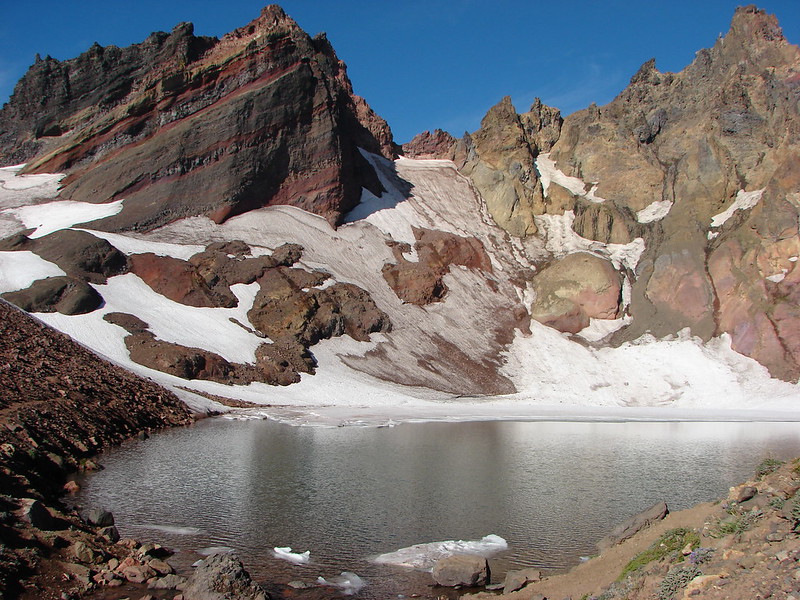
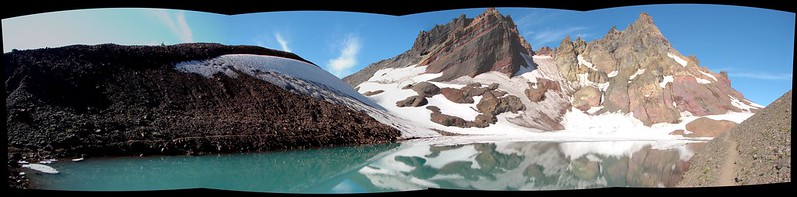
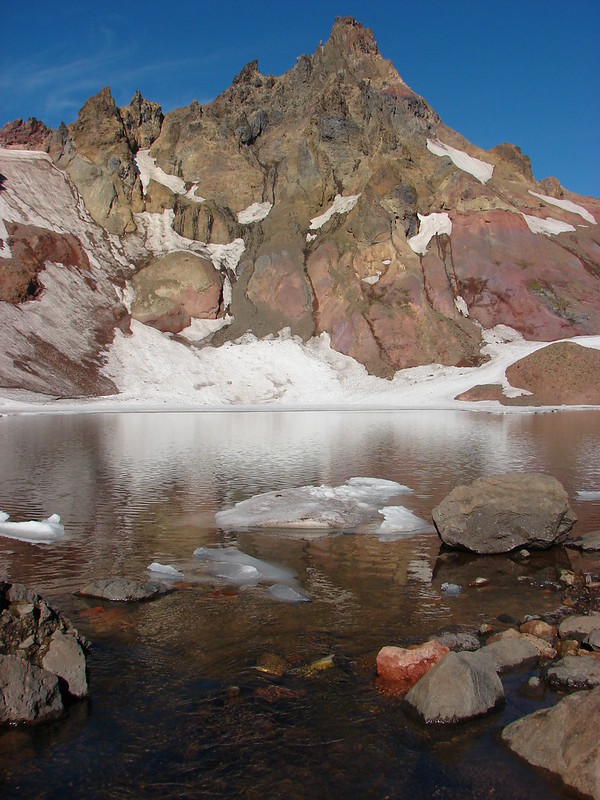
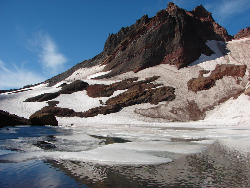
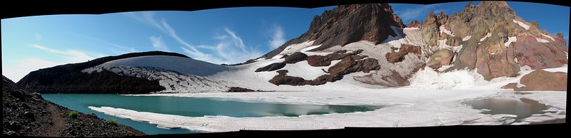
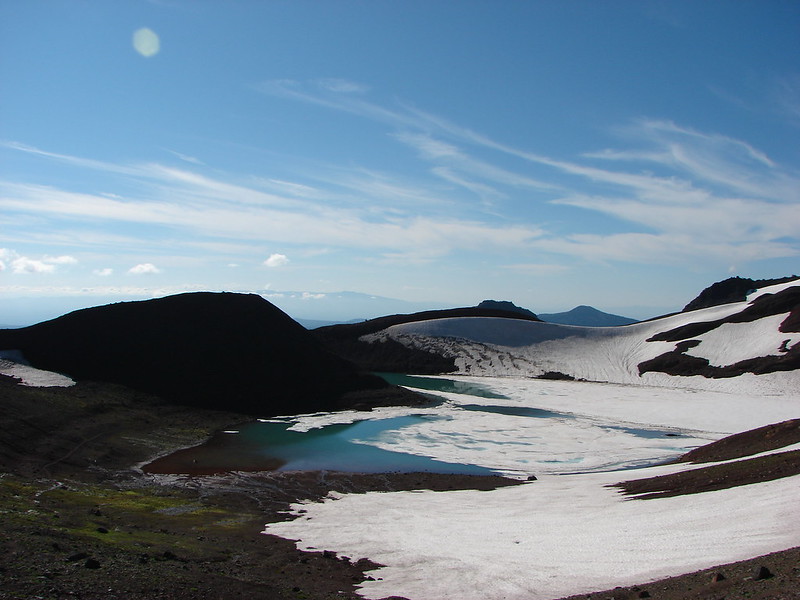
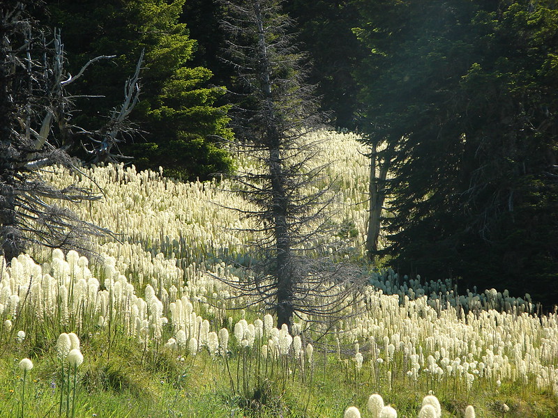
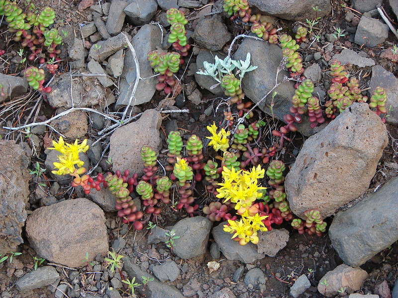
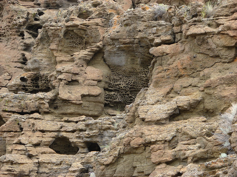
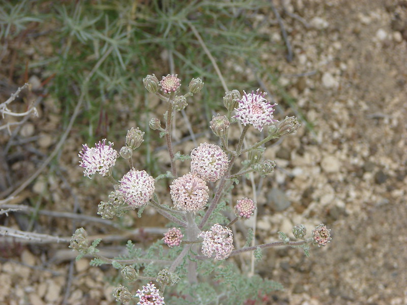
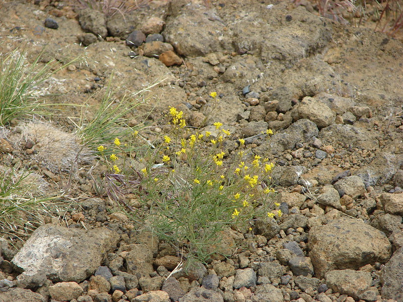
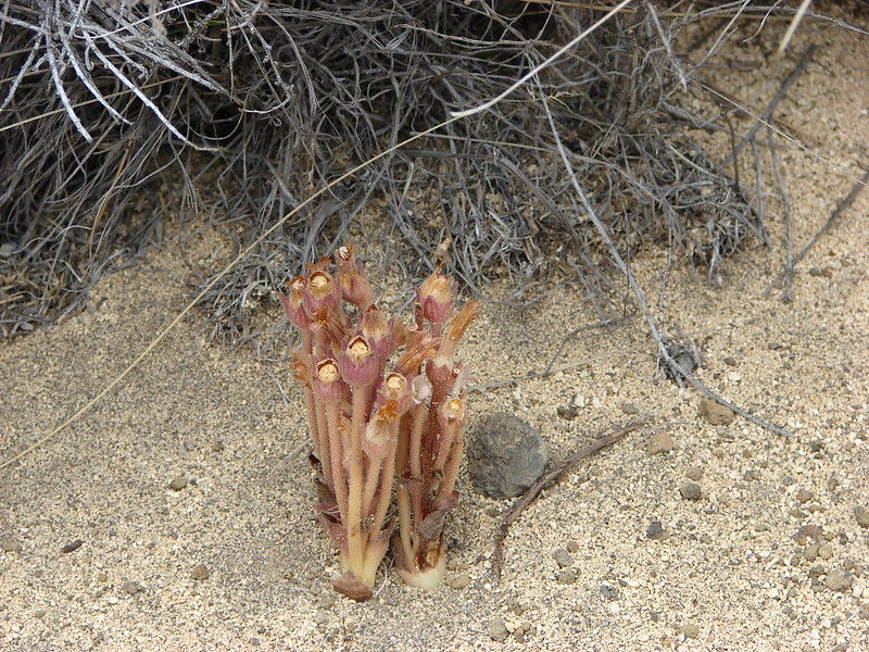
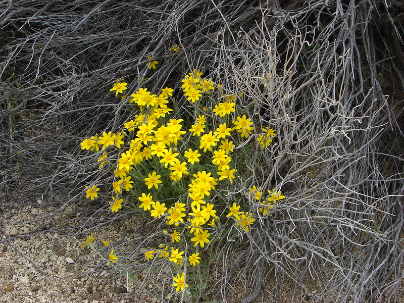
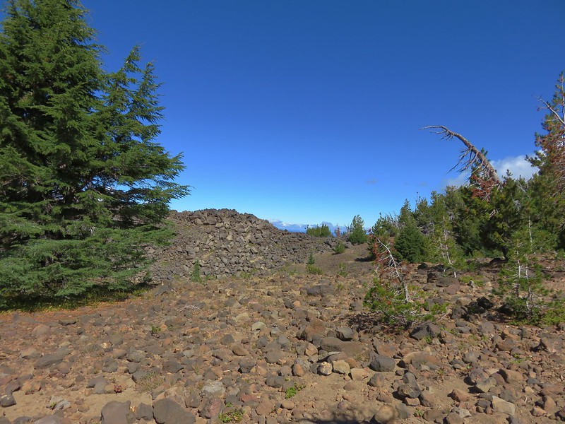
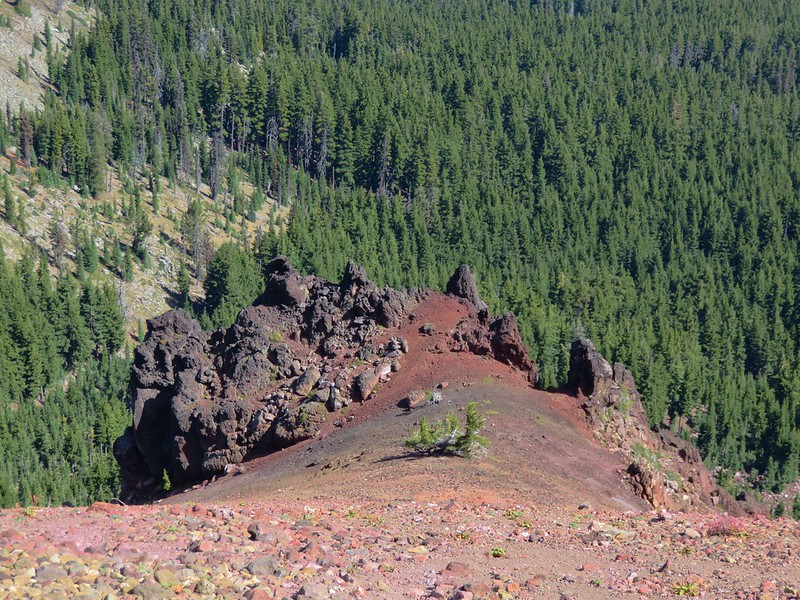
The NE side of Maiden Peak was home to several volcanic features.
IMG_5514

IMG_5516

IMG_5515

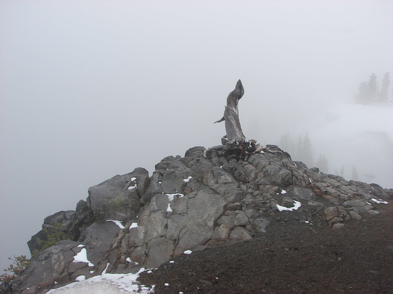
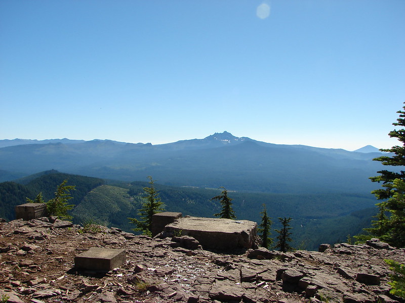
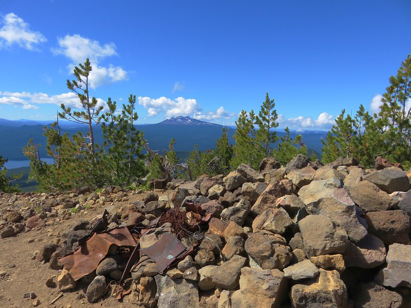
Remains of the former lookout tower could be seen at the summit.
IMG_5519

We spent awhile exploring the broad summit and taking the opportunity to eat a little lunch before continuing on our planned loop. At the unsigned junction we turned right and headed downhill toward the Pacific Crest Trail which was 2.7 miles away. While the hike up had been steep this section of trail had it beat. We passed five mountain bikers headed uphill, the first two had been resigned to walking their bikes up, the second pair was struggling and looking for an inhaler, and the final rider was also struggling greatly.
IMG_5529

Another option I had considered when planning the trip was to come up this way to Maiden Peak with our backpacks before heading down the other side to Maiden Lake. Once again we were glad we had settled on our current plan.

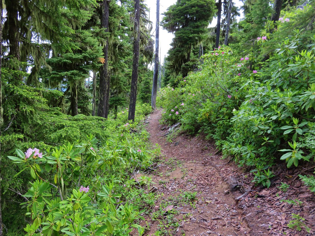
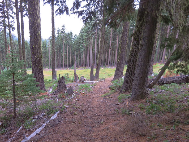
The trail began to level out near the junction with the Pacific Crest Trail.
IMG_5534

IMG_5539

Mountain bikes are banned on the PCT so they come up using the Maiden Peak Trail. We however turned left on PCT and continued downhill toward Maiden Saddle.
IMG_5540

IMG_5542

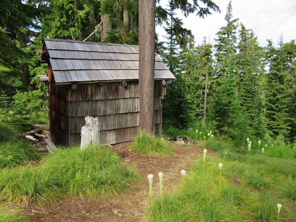
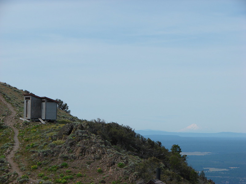
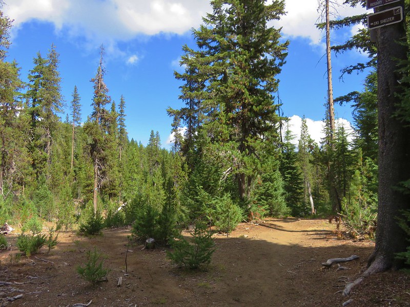
The PCT was a more gradual descent and it was a fairly easy walk for the next .7 miles where we took a side trail to the Maiden Peak Shelter.
IMG_5543

IMG_5546

IMG_5559

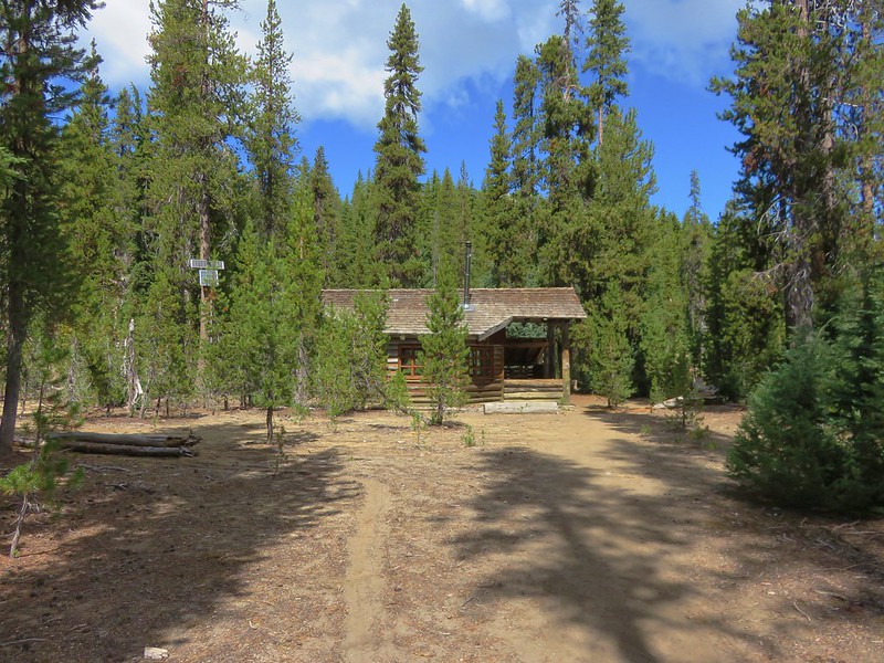
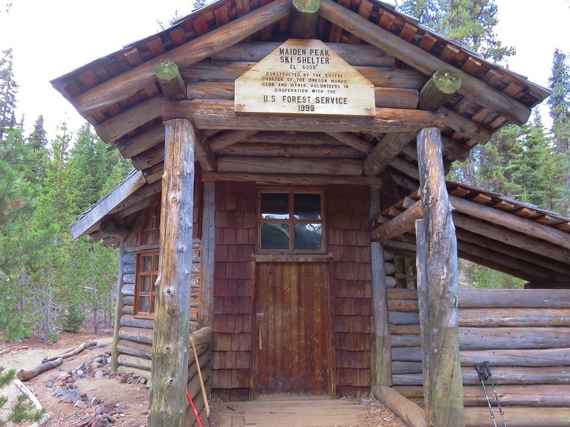
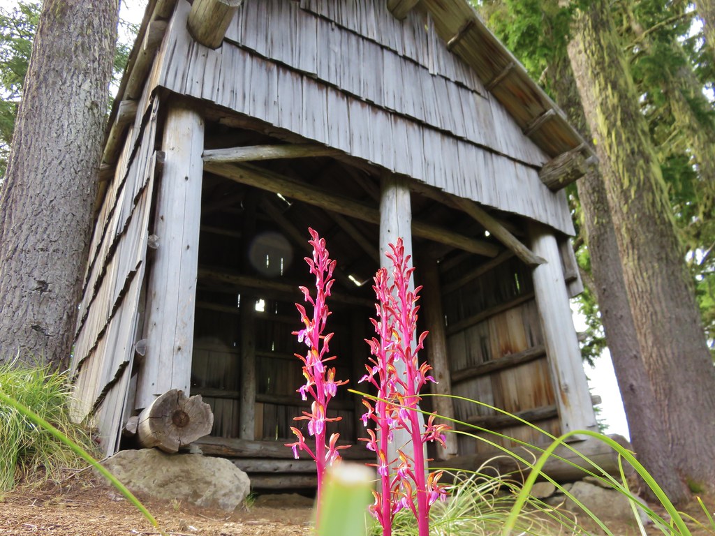
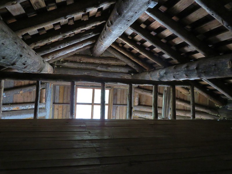
The shelter was only about a hundred yards off the PCT and it was by far the nicest shelter we’ve visited while on a trail. Solar powered, the shelter can sleep up to 15 and includes a wood stove, tables, and chairs.
IMG_5547

IMG_5548

IMG_5551

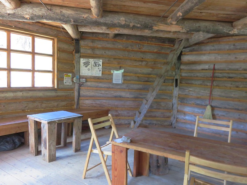
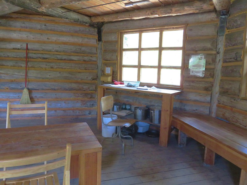
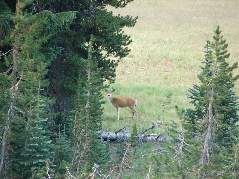
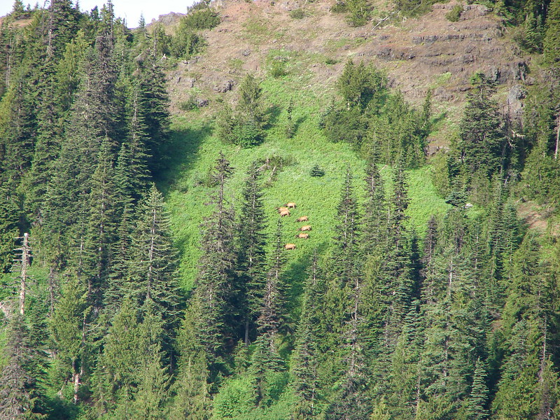
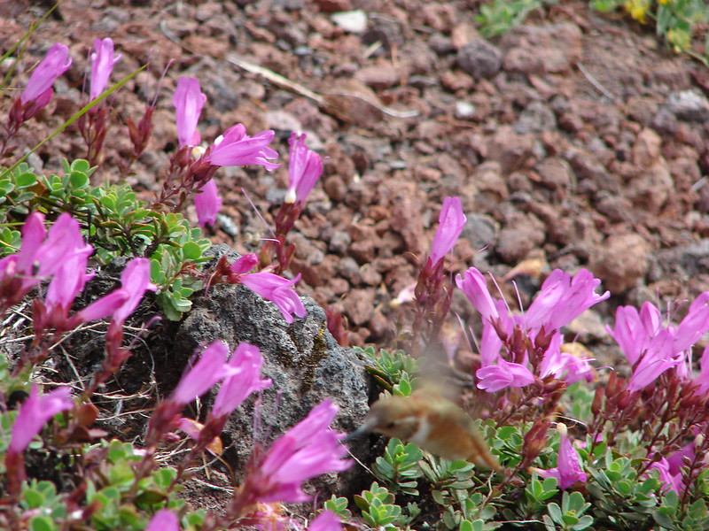
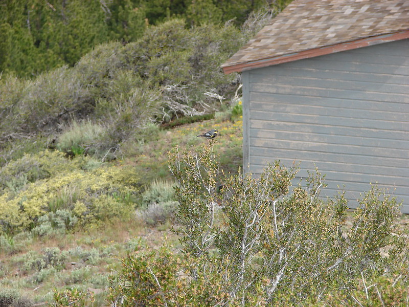
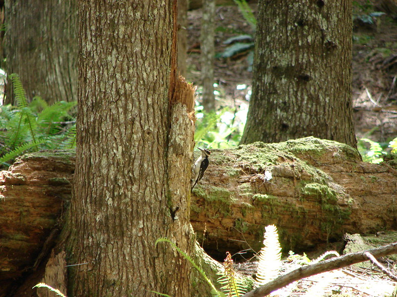
We were the only hikers at the shelter although entries in the guest book showed that other hikers had visited earlier in the morning. Several of the locals were out, possibly part of the neighborhood watch.
IMG_5555

IMG_5561

From the shelter it was just under two miles to Maiden Saddle and another .4 miles back to the Maiden Lake Trail. Heather had brought the bags of Doritos that she had left over from handing them out to thru-hikers on the PCT in the Sky Lakes Wilderness since we would be spending more time on trail during this trip. We ran into our first thru-hiker between the shelter and Maiden Saddle. His name was Horse Whistler (a.k.a. James) and this was his first time in Oregon. It was nice to hear he was really enjoying the state so far and he couldn’t believe how much trail magic he’d encountered since entering Oregon. He was really looking forward to getting to the Three Sisters area and spending a day in Bend. After a nice conversation he was off to check out the shelter and we were on the look out for a view of the Rosary Lakes that he had good things to say about.

The viewpoint was above but not far from Maiden Saddle and exactly as Forest Whistler had described. The Rosary Lakes were lined up with Odell and Crescent Lakes.
IMG_5569

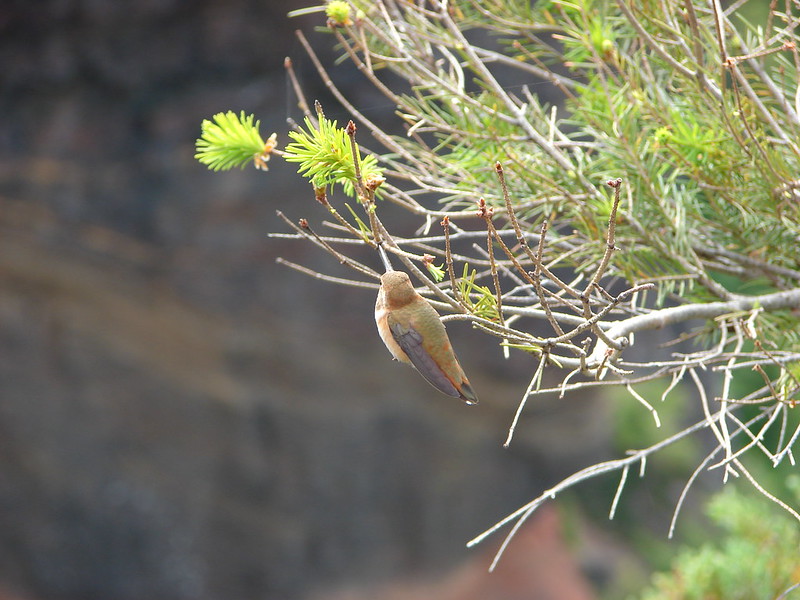
One of the locals was already there enjoying the view when we arrived.
IMG_5568

From the viewpoint the trail descended to Maiden Saddle via a couple of switchbacks.
IMG_5571

Another couple of switchbacks brought us down to the Maiden Lake Trail where we turned left and retraced our steps from earlier in the day.
IMG_5574

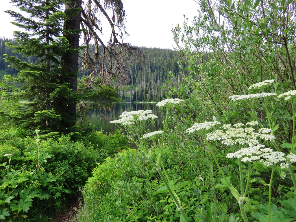
Heather handed out one final bag of chips to a gracious hiker who said they were going to go perfectly with his dinner before we’d turned onto the Maiden Lake Trail. The lake was just as pretty this time around.
IMG_5579

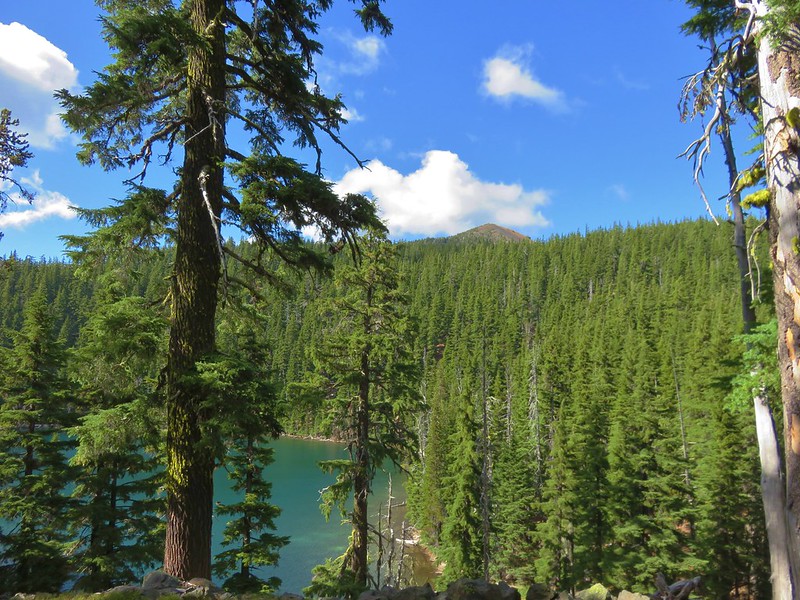
Instead of heading down to the lake on the trail we had taken earlier we stayed on the trail above the lake where there was a nice view of Maiden Peak with the lake below.
IMG_5586

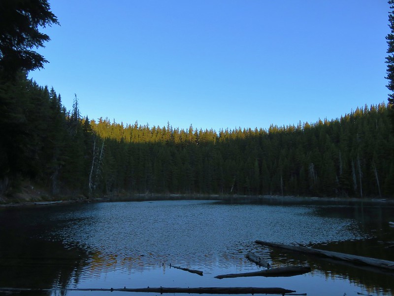
This time we just headed down to our campsite where we grabbed our dinner, stove, and camp chairs before making our way to the lake. Where we once again were the only ones at the lake and we set up our chairs on a little sandy beach.
IMG_5588

It was already getting a little chilly, especially whenever a passing cloud would block the Sun and/or the breeze kicked up.
IMG_5590

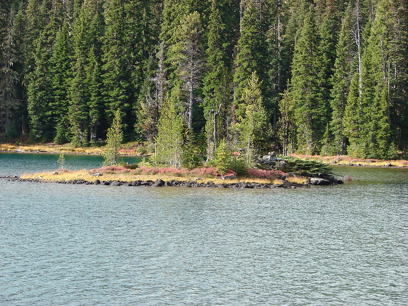
When the Sun was out and the wind calm it was just about as perfect as it gets though. After a nice break at the lake we had dinner then decided to see if we could hike around the lake while we looked for a good place to filter water. We headed around counter-clockwise following a faint path to another campsite that was closer to the lake than it probably should have been. The lake was deeper along the shore here and we refilled our water supply before continuing on. The hillside grew steeper along the north side of the lake and we were forced to sidehill over and around some blowdown before being able to drop down to the sandy lakeshore on the southern end of the lake. Along the way we had a nice view back across the lake to our dinner spot.
IMG_5591

It was a little after 6:15 when we completed our loop and we tried sitting by the lake a little longer, but between the breeze and the vanishing sunlight it was a little too chilly without pulling out some of our warmer gear. Instead of retrieving some of our warmer clothing and going back down to the lake we decided to turn in for the evening. We had had a long day, waking up at 3:30am and then hiking a total of 19.4 (according to the GPS). I was asleep by eight and Heather thought she nodded off shortly after, about 8:30.

We were interested in seeing how well we would be able to stay warm overnight in near freezing temperatures. We both slept well and were able to sleep until almost 6am. It had definitely gotten a lot colder overnight than it had on any of our other overnight trips this year. We made good use of our down jackets as we packed up camp and ate breakfast down by the lake.
IMG_5592

IMG_5595

We were headed back to our car by 7:15 planning on returning the way we’d come past the Rosary Lakes. One of the things we try and do is familiarize ourselves with the distances of the different sections of trail we’re hiking to break up the distances. As we were headed back to the PCT we stopped to look at our map from William Sullivan’s book to do just that when the idea of returning via the Willamette Pass Ski Area came up. It appeared more direct and I failed to pay attention to the fact that the section from the top of Eagle Peak down to the ski area did not have a distance noted leading me to believe it would be almost 2 miles shorter. Heather caught that but it was too early in the morning for me to comprehend what she was attempting to point out. Either way she was game for taking a different route though so when we got back to the PCT we turned right and climbed back up to Maiden Saddle.
IMG_5599

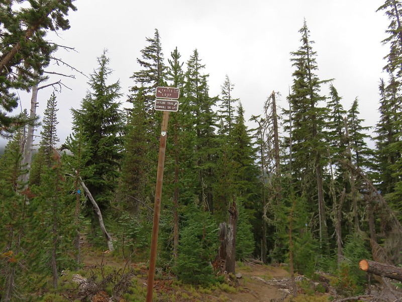
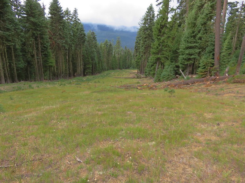
We followed the pointer for the Taits Loop sticking to the main trail until we could see what looked like a roadbed above and to our right.
IMG_5600

IMG_5601

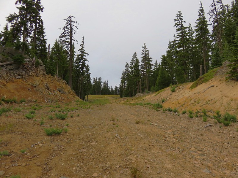
This was actually the Boundary Pass ski run which we began to follow uphill.
IMG_5603

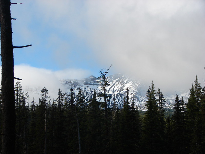
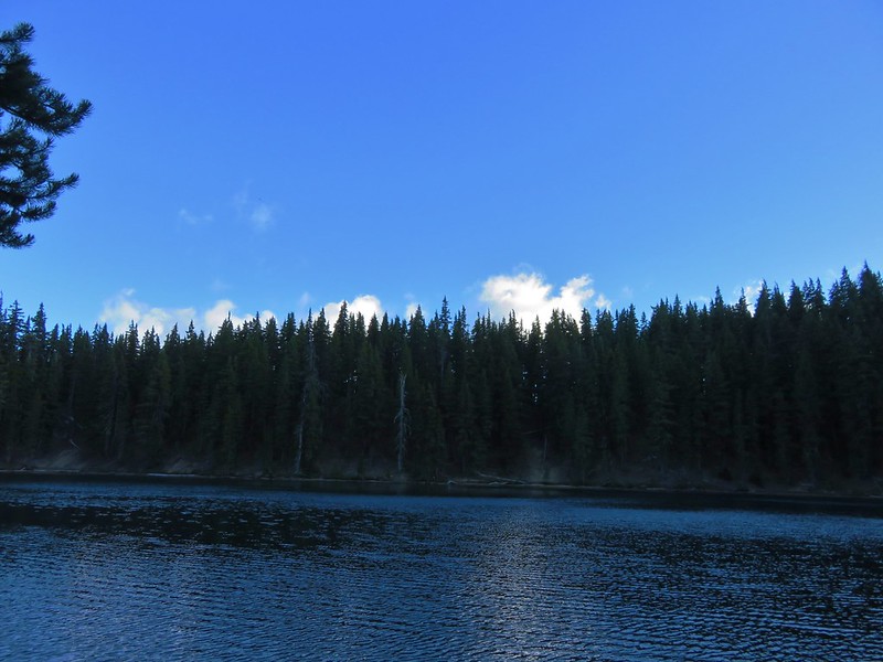
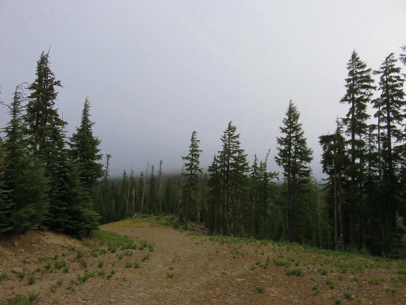
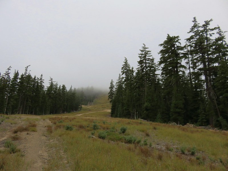
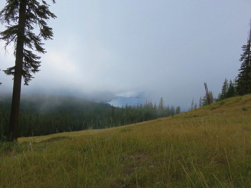
The sky had been blue at Maiden Lake but by the time we had reached the saddle low clouds were passing overhead and now Maiden Peak was completely socked in.
IMG_5606

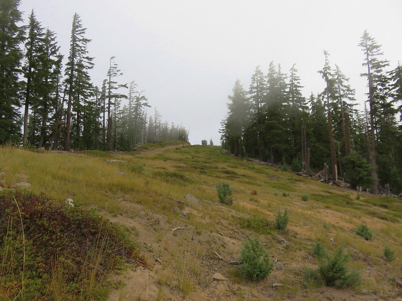
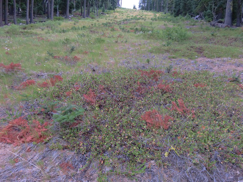
The Boundary Pass run headed steeply uphill toward Peak 2 which we did not need to climb so we stuck to the cat/road bed which turned into the Kris Kross run.
IMG_5608

This run crossed the Southbound run coming from the Peak 2 Lift and continued on to the summit of Eagle Peak.
IMG_5609

IMG_5611

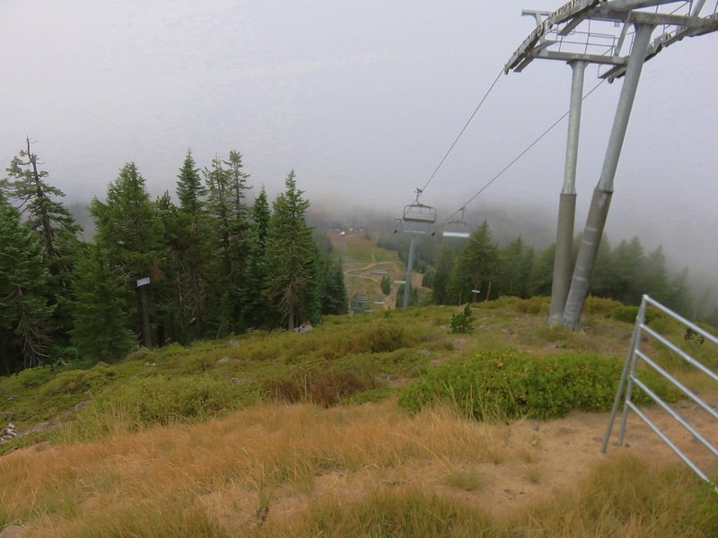
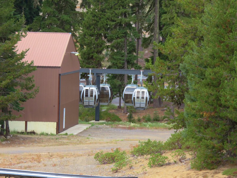
In previous years a gondola has operated from the Willamette Pass Ski Area during the Summer months allowing mountain bikers and hikers to catch a lift to the top of Eagle Peak for a fee, but it apparently never opened in 2016. The only views we had were down to part of Odell Lake across Highway 58 and straight down the Eagle Peak Accelerator Lift to the ski area.
IMG_5612

IMG_5613

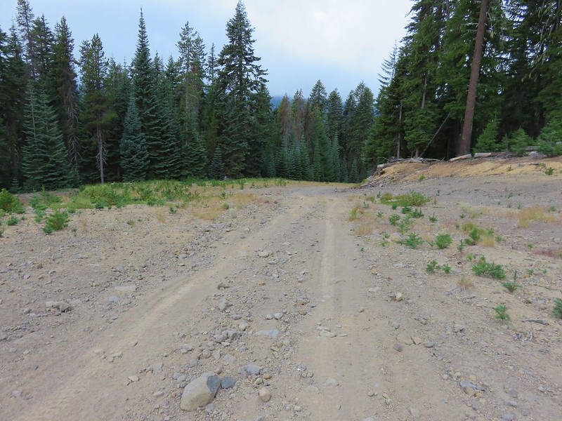
It looked too steep and brushy for us to attempt to go straight downhill from the lift so we turned down the Kaleidoscope run which headed SE at a more gentle grade.
IMG_5618

It was an easier walk but it was swinging us out wider than we really wanted and the first two ski runs we passed that would have headed us more in the direction we wanted, Good Time Charlie and Eagle’s Flight, both looked too steep. We finally spotted what looked like a good option marked by a sign that simply read “Sport”.
IMG_5620

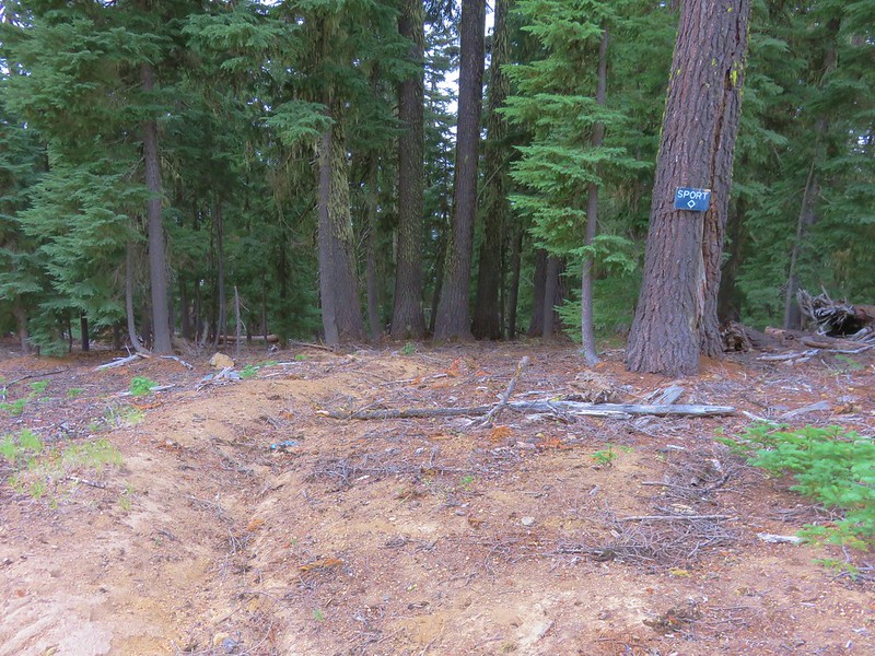
This path traversed back along the hillside through the trees recrossing Eagle’s Flight and Good Time Charlie below their steeper sections.
IMG_5622

IMG_5625

Looking up Eagle’s Flight
IMG_5626

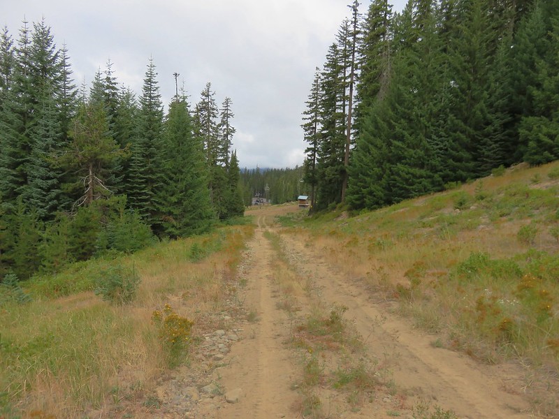
Even though we were headed back in the direction we wanted we weren’t losing much elevation so when we reached Good Time Charlie we turned downhill.
IMG_5628

This run ended when it joined the Perseverance run which led straight to the ski area.
IMG_5632

IMG_5637

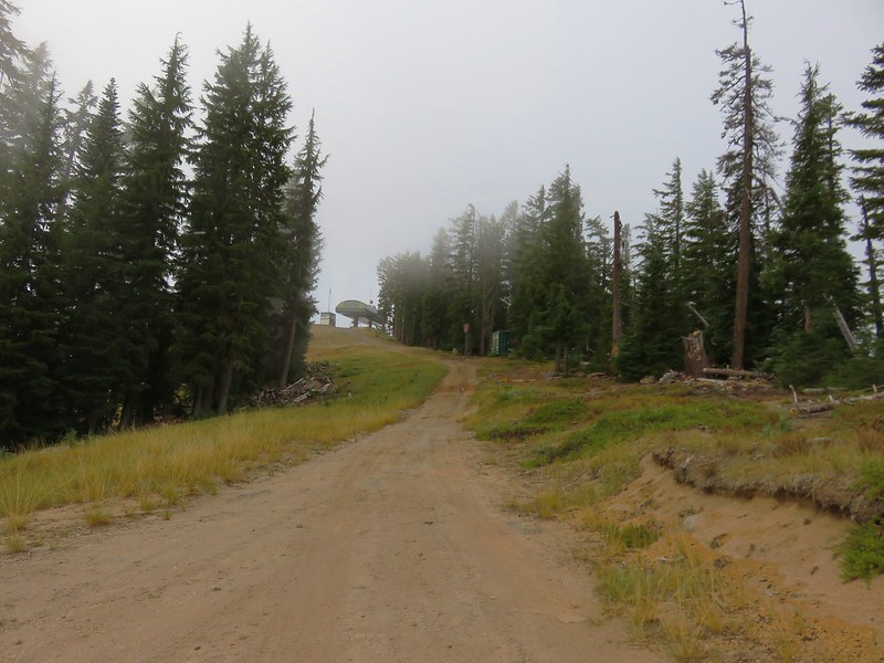
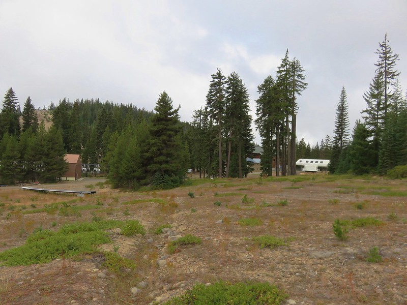
The trailhead was actually .3 miles east of the ski area so we didn’t need to get all the way there so when we spotted the Sleepy Hollow chair lift to our left we began looking for a path down to it.
IMG_5636

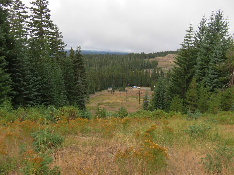
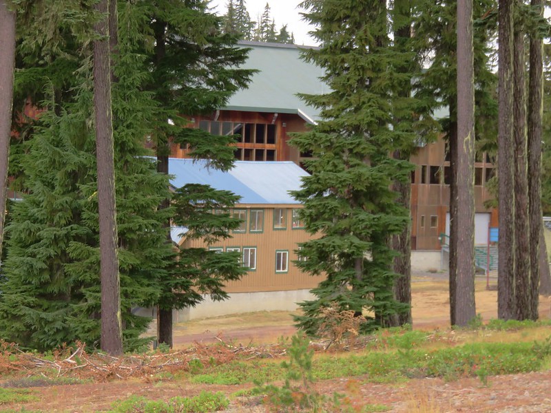
We found a path through the trees and headed for the lift. The ski lodge and the unused gondolas where off to our right.
IMG_5639

IMG_5640

IMG_5641

From the Sleepy Hollow lift a nordic trail followed an old road bed to the Pacifc Crest Trail near the highway maintenance shed.
IMG_5643

IMG_5645

It was just a few hundred feet along the PCT to the junction with the trail from the Willamette Pass Trailhead and an even short distance to our waiting car.
IMG_5646

In the end our route back turned out to be about .3 miles shorter (6.1 vs 6.4) than it would have been if we’d gone back by the Rosary Lakes, but it gained over 500 more feet of elevation. It was worth it though just to check out the ski area and made for a nice variety on the way back to the car. Happy Trails!

Flickr: https://www.flickr.com/photos/9319235@N02/albums/72157672347862022

Categories
High Cascades Hiking Mt. Washington Area Oregon Trip report

Belknap Crater

We had originally planned on backpacking around Mt. Hood on the Timberline Trail on our recent vacation but the weather had a different idea. The forecast called for rain and snow showers for most of the week so we started searching for a Plan B. Between active fires and less than encouraging weather forecasts we decided that a backpacking trip wasn’t in the cards. My parents provided a solution though and we were able to pay them a visit in Central Oregon and do some day hikes from there. We stopped on our way over to Bend to take our first hike visiting Little Belknap and Belknap Crater in the Mt. Washington Wilderness.

The hike started off at the Pacific Crest Trail crossing of the McKenzie Pass Highway.
001//embedr.flickr.com/assets/client-code.js

We followed the PCT through a forest on a small hill surrounded by a lava flow produced by Little Belknap.
003//embedr.flickr.com/assets/client-code.js

006//embedr.flickr.com/assets/client-code.js

010//embedr.flickr.com/assets/client-code.js

Black Crater rose above the lava flow to the NE.
012//embedr.flickr.com/assets/client-code.js

The trail left the forested hill and briefly entered the lava flow before reaching a second forested hill.
016//embedr.flickr.com/assets/client-code.js

Belknap Crater and Little Belknap were visible ahead while the North and Middle Sister loomed on the horizon behind.
019//embedr.flickr.com/assets/client-code.js

023//embedr.flickr.com/assets/client-code.js

The closer we got to Little Belknap the more detail we could make out of the colors and textures of this geologic feature.
022//embedr.flickr.com/assets/client-code.js

The lava flow offered many interesting features and it was interesting to see the few plants that had managed to find a foothold in the rocky landscape.
Lichen on the lava
037//embedr.flickr.com/assets/client-code.js

Turtle
041//embedr.flickr.com/assets/client-code.js

043//embedr.flickr.com/assets/client-code.js

Little tree
045//embedr.flickr.com/assets/client-code.js

Ewok waving
046//embedr.flickr.com/assets/client-code.js

Rock hill
047//embedr.flickr.com/assets/client-code.js

057//embedr.flickr.com/assets/client-code.js

Just under 2.5 miles from the highway we reached the Little Belknap Trail with a view of Mt. Washington and distant Mt. Jefferson.
059//embedr.flickr.com/assets/client-code.js

063//embedr.flickr.com/assets/client-code.js

The Little Belknap Trail climbed to the summit of Little Belknap.
060//embedr.flickr.com/assets/client-code.js

Along the way the trail passes three caves.

Lower cave
071//embedr.flickr.com/assets/client-code.js

Middle & Upper caves
072//embedr.flickr.com/assets/client-code.js

Middle cave
073//embedr.flickr.com/assets/client-code.js

076//embedr.flickr.com/assets/client-code.js

078//embedr.flickr.com/assets/client-code.js

Upper cave (beware it drops about 40′ right near the opening.
084//embedr.flickr.com/assets/client-code.js

085//embedr.flickr.com/assets/client-code.js

The final pitch to the summit is on a dark red cinder path.
093//embedr.flickr.com/assets/client-code.js

The 360 degree view includes several Cascade Mountains as well as some lower peaks.
Mt. Washington, Three Fingered Jack, and Mt. Jefferson
113//embedr.flickr.com/assets/client-code.js

Belknap Crater
112//embedr.flickr.com/assets/client-code.js

North and Middle Sister
115//embedr.flickr.com/assets/client-code.js

Broken Top
107//embedr.flickr.com/assets/client-code.js

Diamond Peak
067//embedr.flickr.com/assets/client-code.js

Black Butte & Black Crater
100//embedr.flickr.com/assets/client-code.js

The Husband
108//embedr.flickr.com/assets/client-code.js

Scott Mountain
109//embedr.flickr.com/assets/client-code.js

After visiting Little Belknap we continued on the PCT until it left the lava flow. Shortly thereafter the trail split at an unsigned junction.
121//embedr.flickr.com/assets/client-code.js

The PCT continued straight but we forked left on the unofficial trail toward Belknap Crater. The trail climbed gradually through a sparse forest to the base of the crater. The views here were great. The blue sky was dotted with white clouds high above the summit.
124//embedr.flickr.com/assets/client-code.js

We were surprised by the various colors and different features on Belknap Crater now that we had gotten close.
129//embedr.flickr.com/assets/client-code.js

The trail skirted up around the north side of the crater before launching more steeply up toward the summit.
132//embedr.flickr.com/assets/client-code.js

134//embedr.flickr.com/assets/client-code.js

140//embedr.flickr.com/assets/client-code.js

The views were excellent from the long summit ridge, especially of Mt. Washington.
168//embedr.flickr.com/assets/client-code.js

151//embedr.flickr.com/assets/client-code.js

171//embedr.flickr.com/assets/client-code.js

155//embedr.flickr.com/assets/client-code.js

181//embedr.flickr.com/assets/client-code.js

There was a large crater on the SE side of the summit which consisted of various colored rocks.
183//embedr.flickr.com/assets/client-code.js

After checking out the summit and crater we began descending down the west side of Belknap Crater toward a smaller crater on the NW flank.
190//embedr.flickr.com/assets/client-code.js

This crater wasn’t as colorful as it was made up of darker lava rocks. At the bottom we could see lots of tracks in the sand.
191//embedr.flickr.com/assets/client-code.js

193//embedr.flickr.com/assets/client-code.js

There was an interesting line going up along the east side of Belknap Crater. We couldn’t tell if it was a game trail or just some odd feature but it didn’t appear to be a trail used by people.
206//embedr.flickr.com/assets/client-code.js

207//embedr.flickr.com/assets/client-code.js

We took a final break on a downed tree near the PCT junction with a great view of Belknap Crater.
208//embedr.flickr.com/assets/client-code.js

The sky was becoming increasingly cloudy as we headed back to the car. It was a sign of things to come. On this day though the weather had been nearly perfect, and we were looking forward to the rest of the weeks hikes.
251//embedr.flickr.com/assets/client-code.js

267//embedr.flickr.com/assets/client-code.js
Happy Trails!

Flickr: https://www.flickr.com/photos/9319235@N02/albums/72157658844385675

Categories
Hiking Oakridge Area Old Cascades Oregon Trip report

Blair Lake Trail

**Note a portion of this hike burned in the 2022 Cedar Creek Fire.**

On Fathers day we headed to Blair Lake outside of Oakridge, OR hoping to see some wildflowers. My parents had done this hike two years before on June 11th. In 2013 there were still patches of snow in the area and the majority of flowers were still a few weeks away. With the low snow pack we had this year we were hoping that we weren’t going to be too late. As it turned out the beargrass was spectacular and there were quite a few other flowers along the way. We encountered a few mosquitoes (most of them found Heather), but they were not too bad. There were a few people camped at Blair Lake Campground and another group set near the meadow at Spring Prairie but we didn’t see any other hikers on the trail.

We parked at the campground and took the short trail to Blair Lake first then walked back .4 miles along roads to the start of the Blair Lake Trail.
IMG_4434

IMG_4418

IMG_4419

IMG_4427

The trail starts in a damp meadow where we spotted a large variety of flowers.
IMG_4454

IMG_4451

IMG_4458

IMG_4459

IMG_4469

IMG_4479

IMG_4476

IMG_4487

IMG_4484

IMG_4494

IMG_4495

IMG_4497

IMG_4853

IMG_4856

IMG_4850

IMG_4833

IMG_4859

Additional flowers appeared as we left the meadow and entered the forest.
IMG_4500

IMG_4505

IMG_4510

IMG_4523

IMG_4826

After climbing for about a mile and a half we arrived at a rocky viewpoint and our first good look at Diamond Peak for the day.
IMG_4532

IMG_4533

IMG_4819

IMG_4529

IMG_4537

IMG_4820

Just after the rocky viewpoint the trail entered one of the best beargrass meadows we’d seen. Beargrass blooms in cycles so it could be several years before the meadow looks like this again, but we seemed to have chosen the right year and right time as most of the stalks were either in full bloom or nearly there.
IMG_4545

IMG_4546

IMG_4559

IMG_4565

IMG_4567

IMG_4576

We came out of the meadow with a light coating of pollen.
IMG_4590

IMG_4591

After the amazing beargrass display we climbed another mile to road 730 at Spring Prairie and the old Mule Mountain Shelter. We could have driven here just like the group camping had, but then we wouldn’t have passed through either wildflower meadow.
IMG_4600

IMG_4602

The views from Spring Prairie included a string of Cascade peaks from Diamond Peak to Mt. Jefferson and more beargrass.
IMG_4608

IMG_4612

IMG_4614

Mt. Bachelor
IMG_4615

Broken Top
IMG_4616

The Three Sisters
IMG_4617

Mt. Washington
IMG_4618

Three Fingered Jack
IMG_4619

Mt. Jefferson
IMG_4620

There were a few more flowers here and as we were looking around I spotted a lizard that scurried into a clump of beargrass. It was one we had not seen before, a northwestern alligator lizard. He was hiding in the grass which made it difficult to get a decent picture but still a neat find.
IMG_4636

IMG_4640

Northwestern Alligator Lizard

We continued past Spring Prairie on Road 730 to the continuation of the Blair Lake Trail then at a fork headed right to visit the site of the former lookout which was .6 miles away.
IMG_4754

We found some different flowers along this path including bleeding heart and yellowleaf iris, but the views were inferior to those at Spring Prairie.
IMG_4648

IMG_4649

IMG_4650

IMG_4660

IMG_4652

When we got back to the fork we decided to continue on the Blair Lake Trail for another couple of miles just to see what it was like. The trail itself continues all the way into the Waldo Lake Wilderness and connects with trails near the Eddeeleo Lakes. The trail lost quite a bit of elevation in the first 3/4mi before leveling out somewhat. We were now in a rhododendron filled forest.
IMG_4667

IMG_4669

IMG_4672

IMG_4674

IMG_4677

IMG_4676

IMG_4679

IMG_4685

We went about 2 miles along this portion of trail before deciding to turn around. The trail was beginning to descend a bit to another road crossing and we didn’t want to have anymore elevation to gain. The highlight of the 2 mile extension was another beargrass meadow. This one was much smaller but still very nice.
IMG_4692

IMG_4693

On our way back the butterflies and other insects were out giving us something new to look for as we returned to the trailhead.
IMG_4727

IMG_4736

IMG_4746

IMG_4750

IMG_4757

IMG_4758

IMG_4760

IMG_4784

IMG_4800

IMG_4804

IMG_4809

IMG_4858

IMG_4844

We wound up covering 12.6 miles but shorter hikes would still yield plenty of flowers and longer hikes could lead to backpacking trips into the Waldo Lake Wilderness. The variety of flowers in the first meadow make this a worthy wildflower hike and if you happen to hit a beargrass year as we did then it’s like hitting the jackpot. Happy Trails!

Categories
Diamond Peak Area High Cascades Hiking Oregon Trip report

Midnight & Yoran Lakes – Diamond Peak Wilderness

Our final October hike brought us to the Diamond Peak Wilderness for our second ever visit. This 52,611 acre wilderness is home to numerous lakes and 8,744′ Diamond Peak. Our plan for this visit was to start at the Trapper Creek Trailhead and take the Yoran Lake Trail to Yoran Lake then head cross-country to the Pacific Crest Trail returning on a loop past Midnight Lake. It was a rainy drive for most of the morning but we arrived at the West Odell lake Access off Highway 58 under clouds that were beginning to break up. Parking for the trail is located across from the Shelter Cove Resort next to some railroad tracks.
DSC07839

DSC07841

DSC07842

The actual trail started on the far side of the tacks and quickly entered the wilderness.
DSC07845

DSC07846

Just a short while after entering the wilderness the trail split. The left fork led to Diamond View Lake and the right to the Yoran Lake Trail.
DSC07847

We took the right hand fork which briefly followed Trapper Creek passing a small waterfall just before crossing the creek on a footbridge.
Small waterfall on Trapper Creek

DSC07853

The trail split again at the Yoran Lake Trail which headed uphill to the left while the path on the right led to Pengra Pass and the PCT. We began the steady climb up to Yoran Lake as a little fog rolled through the forest.
DSC07854

DSC07859

Yoran and Midnight Lakes were only two of several lakes we were going to be visiting on the hike as well as a number of smaller ponds. We came to the first small lake after 3 miles on the Yoran Lake Trail.
Unnamed Lake along the Yoran Lake Trail

DSC07870

In another mile we arrived at Karen Lake.
Karen Lake

On a clearer day we would have had a great view of Diamond Peak but we had to settle for some briefs peeks of the peak.
DSC07887

Just to the NW of Karen Lake we found Yoran Lake at the end of the Yoran Lake Trail. Diamond Peak was again hidden by the clouds, but we had a little better view of Mt. Yoran.
Yoran Lake

DSC07898

Yoran Lake

We made our way around the lake to the northern end where there was a pair of small islands.
DSC07929

DSC07926

We left the lake shore when we passed the second island, crossing a pretty little inlet creek, and headed true north toward the PCT.
DSC07930

At first we were following a faint path but we lost the tread as we passed by a pair of small ponds.
DSC07931

DSC07932

A couple of quick checks of the GPS showed we were on course to arrive at Liles Lake which lies next to the PCT. Our guidebook said to go around the left side of the lake but we arrived closer to the right side. We picked up a trail going around the lake and decided to just follow it around that side.
Lils Lake

DSC07941

It looked like the right side might be difficult to go around earlier in the year when the water level would have been higher but we had no problem following the path and hooking up with the PCT on the north side of the lake. We turned right and started downhill passing some small ponds and passing through some interesting forest.
DSC07950

DSC07953

The next lake we came to was Hidden Lake.
Hidden Lake

We passed several more pretty little ponds between Hidden Lake and the next named lake which was Arrowhead Lake. It was pretty clear why this forest is full of mosquitoes most of July and August with ponds and lakes seemingly everywhere.
DSC07961

DSC07963

DSC07965

We almost passed by Arrowhead Lake waiting for a clear path to it, but when we didn’t find one we made our own. We were glad we did because this lake had some of the prettiest water we had seen that day.
Arrowhead Lake

Continuing down the PCT from Arrowhead Lake we passed a rock that Heather dubbed Gorilla Rock due to it’s interesting shape. She thought it looked like a gorillas head and arm.
Gorrilla Rock - named by Heather

Shortly after passing the rock we spotted movement through the trees further down the trail. I thought we’d seen another person or dog coming up the trail and then we saw a second flash of color which we could tell was an elk. A total of four elk cows had crossed the trail and passed in virtual silence through the forest and over a small ridge. I was snapping pictures every time one appeared through the trees but I never got more than the back half of one.
DSC07978

The final named lake we visited was Midnight Lake.
Midnight Lake

We stopped at one final unnamed lake/pond before arriving at Pengra Pass.
Small lake/pond along the PCT in the Diamond Peak Wilderness

We left the PCT at Pengra Pass and followed an old road right .4 miles where a trail split off from the right hand shoulder.
DSC07997

It was only another .6 miles back to the Yoran Lake Trail and .7 more back to our car. On our way home we made a pit stop at Salt Creek Falls, the previous hike we’d taken in the Diamond Peak Wilderness. https://wanderingyuncks.wordpress.com/2013/07/07/salt-creek-falls/
Salt Creek Falls

All the lakes were very nice and we are hoping to do some backpacking in the area sometime. Diamond Peak is a non-technical climb and there are trails all the way around the mountain making for numerous possible destinations. More ideas for future trips 🙂 Happy Trails!

flickr: https://www.flickr.com/photos/9319235@N02/sets/72157648430549439/
facebook: https://www.facebook.com/media/set/?set=a.10205280662043261.1073741917.1448521051&type=1

Categories
Crater Lake Area High Cascades Hiking Mt. Theilsen/Mt. Bailey Area Oregon Trip report

Mt. Scott (Crater Lake National Park) & Tipsoo Peak (Mt. Thielsen Wilderness)

After a semi-rest day (Sparks Lake) we headed to Crater Lake National Park for our third visit hoping this time to actually be able to see the lake. In 2012 smoke had made it nearly invisible and earlier this year clouds had completely blocked the view. This time we were not disappointed.

August 2012
371

June 2014
DSC08352

October 2014
Crater Lake in the morning

Our plan was to hike to the former lookout tower on Mt. Scott, the highest point in the park at 8938′ and then head north on Hwy 138 to the Tipsoo Peak Trail and also summit that 8034′ peak. The two hikes combined would be just over 11 miles with a combined 3000′ of elevation gain making them very doable in a single day.

The Mt. Scott Trail sets off along a broad plain at the base of the mountain giving a clear view of the entire peak as well as the lookout tower on it’s northern end.
Mt. Scott

The trail climbs around to the south side of the mountain and then up to the long ridge along Mt. Scotts summit. Not only were the skies clear above Crater Lake but we were able to see mountain peaks from Mt. Shasta in the south to Mt. Jefferson up north along the way. The views started early along the trail and just improved was we climbed.

Mt. Shasta, Mt. McLoughlin, and Union Peak to the south.
DSC07238 Stitch

DSC07249

DSC07234

DSC07327

Crater Lake
DSC07252

DSC07256

Crater Lake from Mt. Scott

Mt. Bailey
DSC07310

Mt. Thielsen and Diamond Peak
DSC07309

The Three Sisters
DSC07323

Mt. Jefferson and Three Fingered Jack
DSC07327

While we were traversing the ridge over to the lookout tower we spotted a hawk soaring high above the park.
Hawk soaring over Crater Lake National Park

DSC07288

After checking out the tower we headed back down to the car to start the drive to the Tipsoo Peak Trail. We had to make a couple of stops just to take in the beauty of Crater Lake.
Crater Lake

DSC07401

We left the park and drove up to the Tipsoo Trail where we were surprised to find a much nicer forest than we had expected. Our previous trips in the Mt. Thielsen Wilderness had been through lodgepole pine forests which are not exactly eye candy.
Tipsoo Peak Trailhead

DSC07405

We were also surprised by the number of mushrooms we spotted.
DSC07406

DSC07414

DSC07415

DSC07416

DSC07418

DSC07419

DSC07424

The climb was very gradual making it fairly easy going as we approached the summit. Near the top the trail passed by the edge of pumice filled Howlock Meadows where Howlock Mountain, Mt. Thielsen, and Mt. Bailey were visible.
DSC07432 Stitch

Red cinder covered the top of Tipsoo Peak and the 360 degree view revealed several mountains and lakes.
View from Tipsoo Peak

Red Cone
DSC07468

Howlock Mountain and Mt. Thielsen
DSC07466

Diamond Peak
DSC07444

The Three Sisters, Broken Top, and Mt. Bachelor
DSC07439

Mt. Bailey and Diamond Lake
DSC07446

Lemolo Lake
DSC07467

Miller Lake
DSC07469

Madieu Lake
DSC07470

Lucille Lake
DSC07471

These were a couple of really nice hikes if you are looking for big views without a long or steep hike. Both hikes were on the shorter end (4.6 & 6.5 miles) and both trails climbed very gradually making them very nice options. The access road for the Tipsoo Peak trail was a bit rough and would probably require a high clearance vehicle though. Happy Trails!

flickr: https://www.flickr.com/photos/9319235@N02/sets/72157647888703099/
facebook: https://www.facebook.com/media/set/?set=a.10205149429002517.1073741914.1448521051&type=1

Categories
High Cascades Hiking Oregon Three Sisters Area Trip report

Broken Top – No Name Lake

We’re a little behind on our trip reports due to spending too much time hiking 🙂 (If that is possible). After being in Washington for our last couple of trips we headed over to Central Oregon to spend some time in the Three Sisters area. We started off with a day hike to a lake we had really been wanting to visit, a lake with no name but a spectacular view located at 8000′ on the east side of Broken Top.

We set off from Todd Lake as the Sun was rising hoping to beat the crowds up to this increasingly popular spot.
DSC04655

The trail from Todd Lake entered the Three Sisters Wilderness shortly after leaving the lake.
DSC04666

Then Broken Top made an appearance.
DSC04667

It wasn’t the only Cascade Peak visible from the trail.
Mt. Bachelor:
DSC04669
South Sister:
DSC04673

The trail climbed gently as it left the forest and gained better and better views as it passed by and through open meadows.
DSC04690
DSC04695
DSC04694

And across wildflower lined streams.
DSC04710
DSC04707
DSC04701
DSC04702

We spotted several deer grazing in the meadows near the junction with the Green Lakes Trail.
DSC04722
DSC04727
DSC04735

As we gained elevation the views to the south opened up and we could see Diamond Peak, Mt. Thielsen, and Mt. Bailey beyond Mt. Bachelor.
DSC04744
DSC04743
DSC04746

As we worked our way around Broken Top we passed several springs which were the sources of many of the green meadows we’d passed.
DSC04758
DSC04759

It was interesting to note a small section of land that was not included in the Three Sisters Wilderness surrounding Crater Ditch. The ditch channels water from glacial melt-off down into Central Oregon for irrigation purposes and predates the wilderness designation thus remaining outside of the boundary.
DSC04764
DSC04776

After crossing Crater Ditch the trail headed toward Ball Butte and the end of the Green Lakes Trail at road 380.
DSC04779

Shortly after crossing a creek an unofficial trail forked to the left heading between Ball Butte and Broken Top with Broken Hand dead ahead.
DSC04784

We then recrossed the monkeyflower lined creek and followed it up toward the no name lake passing several small but scenic falls.
DSC04786
DSC04797
DSC04803

The trail turned toward Broken Top and continued to climb toward the east side of the mountain. An increasing variety of wildflowers could be seen as we got closer to the lake and many birds were flying about chirping happily.
DSC04809
DSC04820
DSC04825
DSC04834
DSC04835

Finally the path reached a snowfield between two moraines. We climbed the snowfield to find no name lake waiting at the base of Broken Top.
DSC04851
DSC04854
DSC04853
DSC04856

The lake was as beautiful as advertised. The colors of the water and of Broken Top were spectacular.
DSC04880 Stitch
DSC04869
DSC04912
DSC04902 Stitch

We were surprised by several things. The lake was larger than we had expected and there was a surprising number of flowers growing on the moraines surrounding the lake.
DSC04940
DSC04926
DSC04898
DSC04908

A path around the right side of the lake led to yet more amazing views. Climbing to a viewpoint revealed mountains from Broken Top to a faint Mt. Hood on the horizon with the lake below behind us.
DSC04961 Stitch
DSC04944

There was a single tent high up on the rim overlooking the lake but we didn’t see the owner and had had the lake all to ourselves for awhile before another pair of hikers arrived. On our hike out we passed a number of people heading up the trail and were once again glad we chose to get an early start. There is a shorter route to the lake but it involves what has been described as a terrible access road and it would have meant missing out on some great scenery. When we got back to Todd Lake the parking lot was full but the lake and Broken Top remained a peaceful sight and a great way to kick off a vacation.
DSC05068

Happy Trails!

Flickr: https://www.flickr.com/photos/9319235@N02/sets/72157646779105332/
Facebook: https://www.facebook.com/media/set/?set=a.10204792879248996.1073741902.1448521051&type=1

Categories
Hiking Middle Santiam Old Cascades Oregon Trip report

Crescent Mountain

Our wildflower adventure in the Old Cascades continued on our way home from Bend on July 6th. The hike we’d chosen was Crescent Mountain which is less than five miles from Iron Mountain as the crow flies. A 4.5 mile trail climbs up the SE ridge of this crescent shaped mountain through a series of meadows to another former lookout site.

The first 2.5 miles climbed through a nice forest with a crossing of Maude Creek at the 1.3 mile mark.
DSC00434

The trail then entered the first meadow which was full of bracken fern and some wildflowers.
DSC00480
DSC00496
DSC00498
DSC00502
DSC00504

The ferns gave way to more wildflowers as the trail continued to climb. Then we spotted a field of beargrass ahead. It turned out to be the most densely packed we’d ever seen.
DSC00539
DSC00719
DSC00720

Butterflies and birds could be seen flying about in all directions. Behind us a view of Mt. Washington and The Three Sisters opened up across the open hillside.
DSC00551
DSC00555
DSC00557
DSC00560
DSC00718
DSC00724
DSC00564
DSC00721

There was a nice variety of flowers in bloom.
DSC00727
DSC00744
DSC00741
DSC00714
DSC00694
DSC00693
DSC00559
DSC00574
DSC00579

The meadows lasted for about a mile before the trail reentered the forest and climbed a ridge to a trail junction. Taking the uphill fork to the right we quickly popped out on the rocky summit where the former lookout had stood. The view here was better than Iron Mountain with Three Fingered Jack unobstructed and Crescent Lake below nestled in the curve of the mountain.
Mt. Jefferson
DSC00591
Mt. Washington and The Three Sisters
DSC00592
Three Fingered Jack and Black Butte
DSC00593
Diamond Peak
DSC00594
Mt. Hood & Mt. Adams
DSC00619
Crescent Lake
DSC00634

There were more flowers, butterflies and birds up at the summit and despite a brief encounter with mosquitoes when we left the meadows we were left alone to enjoy the scenery.
DSC00651
DSC00645
DSC00653
Hummingbird enjoying the paint
DSC00672
DSC00642
DSC00652
DSC00658

Coming down we ran into a pair of hikers passing through the meadow who were equally impressed with the flowers. We agreed that we’d probably timed it as well as could be hoped. It was a great way to end the holiday weekend. Happy Trails!

Flickr: https://www.flickr.com/photos/9319235@N02/sets/72157645550800815/
Facebook: https://www.facebook.com/media/set/?set=a.10204403365071385.1073741892.1448521051&type=1

Categories
Hiking Middle Santiam Old Cascades Oregon Trip report

Iron Mountain and the Meadows of Cone Peak

July means wildflowers in the Old Cascades, the eroded peaks that are now the western foothills of the Cascade Mountains. We were headed over to Bend, OR for the 4th of July weekend so we seized the opportunity to check out a couple of the hikes on the way over and back. On the way over to Bend we decided to revisit Iron Mountain, a hike we had done in 2010 during the final week of July. We missed the wildflower peak that year by a couple of weeks so we hoped we would be hitting the area at a better time this visit.

On our previous visit we did the loop clockwise by starting at the trailhead located on road 15 and heading up Iron Mountain first then through the meadows on Cone Peak. This time around we parked at Tombstone Pass and headed counter-clockwise in order to hopefully have the meadows to ourselves before the trail got crowded.
DSC00001
We took a short detour on the Tombstone Nature Trail that circled around a meadow with flowers and a view of Iron Mountain.
DSC00010
DSC00013
DSC00017
DSC00034

After finishing the nature trail we crossed Highway 20 and started climbing up the Cone Peak Trail. We started seeing flowers almost immediately. It seemed every open area had an assortment of different flowers.
Lupine, Columbine & Thimbleberry
DSC00053
Wild Rose
DSC00055
Columbine
DSC00049
Larkspur
DSC00056
Penstemon & Blue Gilia
DSC00061
Cat’s Ear Lily
DSC00067
Woolly Sunflower
DSC00079
Flower variety
DSC00085
DSC00103
Columbia Windflower
DSC00046
Wallflower
DSC00132
Paintbrush & Larkspur
DSC00136
More variety packs
DSC00137
DSC00138
DSC00195
DSC00214
DSC00234

We’d already lost count of the number of different flower types we’d seen by the time we got to the main meadow 1.2 miles from the highway crossing. In the meadow we found even more types of flowers as well as views of Cone Peak and Iron Mountain.
DSC00150
Cone Peak
DSC00151
DSC00156
DSC00172
DSC00173
DSC00175
DSC00180
Cone Flower
DSC00182
Giant Blue-eyed Mary
DSC00187
DSC00191
Iron Mountain
DSC00158
Scarlet Gilia
DSC00250

We’d been hearing some elk off and on while we were in the meadow and as we were exploring a rocky outcrop Dominique noticed some brown spots in a meadow up on Iron Mountain. There were 7 elk moving through the brush grazing on the vegetation as they went.
DSC00220
DSC00221

We left the meadow and reentered the forest as we wound our way around Iron Mountain to the junction with the Iron Mountain Lookout Trail. There were still flowers everywhere and now we were starting to get views of the snowy Cascade Mountains.
DSC00300
DSC00312
Mt. Hood
DSC00313
Mt. Jefferson
DSC00314
The Three Sisters
DSC00319
DSC00321
DSC00331

At the site of the former lookout is a railed observation deck and bench which allowed for a relaxing rest as we took in the 360 degree view which spanned from Mt. Adams to Diamond Peak.
Mt. Adams & Mt. Hood
DSC00379
Mt. Jefferson beyond Cone Peak and the top of Three Fingered Jack behind Crescent Mountain
DSC00388
Mt. Washington
DSC00377
The Three Sisters, Mt. Bachelor & The Husband
DSC00382
Diamond Peak
DSC00375

The view was so good even a hummingbird took a break from the penstemon to take it in.
DSC00361
DSC00367

We headed back down to the trail junction and continued on our loop passing more flowers, recrossing Highway 20, and returning to Tombstone Pass on the Old Santiam Wagon Road.
Beargrass
DSC00409
Bunchberry & Queens Cup
DSC00414
DSC00416
DSC00422

The flowers had certainly been better than on our previous visit and it looked like they would be pristine for another week or two. It was a great way to start a holiday weekend. Happy Trails!

flickr:https://www.flickr.com/photos/9319235@N02/sets/72157645515763015/
Facebook:https://www.facebook.com/deryl.yunck/media_set?set=a.10204403291949557.1073741891.1448521051&type=3

Categories
Central Oregon Fort Rock Hiking Oregon Trip report

Hager Mountain Part Deux & Fort Rock

The third day of our Central Oregon visit had us returning to a hike we had done last July 31st – Hager Mountian. https://wanderingyuncks.wordpress.com/2013/07/31/hager-mountain/
Smoke from a wildfire had prevented us from having any views from the 7185′ summit that day but we had enjoyed the hike and seen signs of what seemed like it might be a decent amount of flowers if we had visited a bit earlier. We were hoping to get the views and to see some more flowers this time around and we also planned to stop at Fort Rock State Park on the way back to Bend, OR.

As we did on our previous visit we started at the lowest trail head located on road 28 just over 9 miles south of Silver Lake, OR. It wasn’t long before we began seeing wildflowers. Paint, lupine, death camas, and some balsamroot was scattered amid the ponderosa pines. We were thinking it was pretty good and then we looked ahead and saw a completely unexpected sight. The amount of paint and blasamroot that covered the forest floor was beyond anything we’d imagined. The flowers were spread out in every direction.
DSC08412
DSC08432
DSC08434

By the 1.5 mile mark the trail had left the ponderosa forest. The flowers had decreased here but there were still some to be found.
DSC08470
DSC08465

We passed Hager Spring which was as dry as it was on our last visit and began climbing to the lower meadow. We weren’t sure what to expect for flowers in the meadow. We had gotten a couple of glimpses of it from the lower trail and we thought we could see some yellow which we assumed was balsamroot. As we got closer to the meadow our suspicions were confirmed. The balsamroot was back with a vengeance along with paint and some additional flowers.
DSC08478
Scarlet Gilia
DSC08529
DSC08502
Lewis Flax
DSC08519
DSC08521
Prairie Star
DSC08538

Not only were the flowers amazing but we had a view as we passed through the meadow. For the first time on a hike we could see Mt. Shasta in California beyond Thompson Reservoir.
DSC08531
Along with Mt. Thielsen, Howlock Mt. & Tipsoo Peak
DSC08523
and Mt. Bachelor, The Three Sisters, & Broken Top
DSC08562

We made a switchback in the meadow and could see the summit as we continued up through the meadow. The flowers remained the star of the show.
DSC08581
DSC08585
DSC08589
DSC08598
DSC08600

We left the lower meadow and entered another section of forest. The flowers decreased in this section but there were some arnica starting to bloom and a lot of fireweed just starting to grow. The trail climbed stiffly through the trees making this the most difficult section of the trail before leveling out briefly and then launching up again into the upper meadow. Here we found some more balsamroot and some phlox.
DSC08616
DSC08620
It was in this section that we were looking for the rare green paintbrush that grows on Hager Mountain. We had seen some on our previous visit but it was drying out that day. Now we found some lush versions growing near the trail.
DSC08654

It was exciting to reach the summit to see what views we had missed on the previous hike. The day wasn’t entirely clear but it was a monumental improvement over the last time. We spent about 45 minutes studying the horizon and taking pictures. There are some very interesting geologic formation in that part of Oregon and we were intrigued by some of the odd features.
DSC08644
DSC08646
DSC08648

Warner Peak in the distance to the right:
DSC08649
Gearhart Mountain with a bit of snow:
Gearhart Mountain from Hager Mountain
Fort Rock in the center of the flat area with Paulina Peak, China Hat & East Butte behind from left to right.
DSC08701
From the northwest to the southwest the horizon was dotted with snowy Cascade peaks. It was too cloudy to see Mt. Hood and Mt. Jefferson appeared like a ghost in the clouds but we had good views starting with the Broken Top, Three Sisters and Mt. Bachelor:
DSC08699
Followed by Diamond Peak to their south:
DSC08698
Then Mt. Thielsen, Howlock Mt. & Tipsoo Peak:
DSC08695
Crater Lake had emerged from the previous days clouds as we could easily make out Mt. Scott, The Watchman, and Hillman Peak:
DSC08756
Mt. McGloughlin barely rose above the broad shoulder of Yamsay Mountain:
DSC08757
And finally Mt. Shasta looming large far to the south:
Mt. Shasta fro m Hager Mountain

We were joined on the summit by some of the local wildlife.
DSC08789
DSC08831
DSC08815
DSC08839

By the time we were on our way back down the flower display had actually gotten better. The lewis flax was opening to the sunlight.
DSC08855
DSC08875
DSC08866

We passed four other hikers on our way back to the car as well as a noisy nuthatch and a couple of sagebrush lizards.
DSC08938
DSC08956

Once we were back on the road we returned to Highway 31 and headed north to Fort Rock State Park. Neither of us had been there before but it had piqued our interest on the way past the year before. The rocks are said to be the remainder of an ancient volcanic crater that was worn down by an ice age lake. Whatever the origin the result was an interesting crescent formation full of textured rocks angled this way and that.
2014-06-14 13.45.55
DSC09004
DSC09014
DSC09012

Inside the crescent the ground appeared to be covered in sagebrush, but as we hiked along the loop inside the rocks we noticed a good number of wildflowers that had sprung up amongst the sage.
DSC08987
DSC09003
DSC09032
DSC09034
DSC09049
DSC09085
DSC09110
DSC09115

A short side path led to a notch in the rocks where you could see the Fort Rock Cave:
DSC09060
To the south we could see Hager Mountain where we had been just a couple hours earlier:
DSC09088

It had been a great day of hiking with some really interesting and beautiful scenery. One note of caution though. We both had to knock ticks off, Heather during the Hager Mountain hike and myself back at the car after being on the Fort Rock trails. Happy Trails!

flickr: https://www.flickr.com/photos/9319235@N02/sets/72157644765557647/
Facebook – Hager Mt.: https://www.facebook.com/media/set/?set=a.10204238532710679.1073741885.1448521051&type=1
Fprt Rock: https://www.facebook.com/media/set/?set=a.10204238985722004.1073741886.1448521051&type=1

Categories
Hiking Oakridge Area Old Cascades Oregon Trip report

Tire Mountain

**Note the 2024 Tire Mountain Fire burned over a small portion of this hike.**

June wildflowers and a “possible” waterfall were are goal for our recent trip to Tire Mountain near Oakridge, OR. Our guidebook showed a 7.6 mile hike starting from the Alpine Trailhead, linking up to the Tire Mountain trail, and turning around after reaching the summit of Tire Mountain. Looking at the forest service maps of the area I noticed that the Tire Mountain trail continued west beyond the junction with the summit trail to a trailhead on road 5824. Along that portion of the trail was a creek crossing where it appeared there might be a waterfall. Thinking that a 7.6 mile hike was a little short for a 2 1/2 hour drive I thought we could investigate the possible waterfall for a little extra exercise.

The Alpine trail started off uphill on a forested ridge where the path was lined with small rocks. The usual woodland flowers were present including vanilla leaf, solomonseal, candyflower, and bunchberry. We also spotted some wild ginger.
DSC07135
DSC07137
DSC07688
DSC07136
DSC07729

Just a bit over half a mile in the trail entered the first of the meadows. The flowers did not disappoint and as an added bonus several cascade peaks were visible from this meadow.
DSC07156
DSC07149
Diamond Peak
DSC07165
Mt. Bachelor
DSC07158
Broken Top
DSC07160

The flower show continued as we passed through more meadows on the way to the junction with the Tire Mountain trail. Along the way The Three Sisters joined the view.
DSC07191
DSC07204
DSC07179
DSC07190

At the 1.2 mile mark we found the Tire Mountain trail and turned right. We passed through several smaller meadows which were home to a variety of different flowers, some of which were unknown to us.
Columbine
DSC07233
Plectritis & Larkspur
DSC07235
Plectritis & Yellow Monkeyflower
DSC07236
Camas
DSC07249
Paintbrush
DSC07261
Coastal Manroot & ?
DSC07263
Cat’s Ear Lily
DSC07265
Another unknown
DSC07267
Possibly Oregon Sunshine
DSC07270
Giant Blue-Eyed Mary, Plectritis & unknown
DSC07306
Buttercups
DSC07296
Wild Iris
DSC07241

We were amazed at the number of flowers and we could see that there were even more higher up on the hillsides.
DSC07253
DSC07291

After the series of smaller meadows the trail entered the largest meadow of the day. Here balsamroot joined the flower bonanza.
DSC07649
Ookow
DSC07647
Wallflower
DSC07655
Unknown
DSC07613
Blue Gilia
DSC07362

When we left the meadow I remarked that we hadn’t seen any lupine at all. As soon as we hit the next small meadow that was no longer the case.
DSC07468
From this meadow we also got a good view of Tire Mountain and Diamond Peak again.
DSC07462
DSC07498

The trail then entered the forest before splitting. To the left was the 1/2mi path to the summit while the right fork headed down toward road 5824. We headed up to the summit to check out the former lookout site. The trail was nice despite there being a few downed trees to maneuver around.
DSC07504
When we reached the brushy summit we found a number of additional flower types.
DSC07509
Unknown
DSC07507
Fawn Lily
DSC07514
Unknown
DSC07518
Wild onion
DSC07519
Phlox
DSC07521
Buscuitroot
DSC07522

Despite being a former lookout site there was no view from the summit. In fact the lookout had been placed up in a tree in order to have a view of the surrounding area. We explored a bit before heading back down to the trail split and starting our search for the waterfall.

From the split, the Tire Mountain trail descended fairly quickly through a series of switchbacks. Several bridges crossed seasonal streams amid the large trees.
DSC07529
DSC07536

It was a lot further down to the creek I was looking for than I had anticipated and we were all dreading the climb back up. We finally rounded a ridge end and spotted the bridge that crossed the creek I was looking for. There was indeed a waterfall but after seeing it we knew why the guidebook doesn’t mention continuing on to it. It was a pretty sad display lol.
DSC07546

After soaking in the torrent we started our climb. We did our best to focus on the ever present bird song as we trudged along. Grey jays, varied thrushes, and at least one woodpecker flew from tree to tree. The woodpecker was the only one that stayed still long enough for me to get a picture.
DSC07549

The meadows were just as impressive on the return trip. The only real bummer for the day was seeing a layer of smoke over the Three Sisters and Mt. Bachelor. Alas the fire season started early this year with the Two Bulls Fire burning near Bend, OR. 😦
DSC07717
Hopefully it isn’t a sign of things to come. Happy (and fire free) trails!

flickr:https://www.flickr.com/photos/9319235@N02/sets/72157644669235877/
Facebook:https://www.facebook.com/media/set/?set=a.10204185599747388.1073741882.1448521051&type=3