
I began my final solo vacation of the year with a visit to the Columbia River Gorge National Recreation Area and the Mark O. Hatfield Wilderness. My plan was based on an entry in Matt Reeder’s “PDX Hiking 365” (1st edition) guidebook.
He describes a 14-mile out and back hike to the Plateau starting at the Herman Creek Trailhead with a cumulative elevation gain of 3800′. Most of the hike passes through the 2017 Eagle Creek Fire scar using the Herman Creek, Herman Creek Bridge, and Pacific Crest Trails.
I arrived at the trailhead before sunrise due to wanting to get through Portland traffic before 6am.

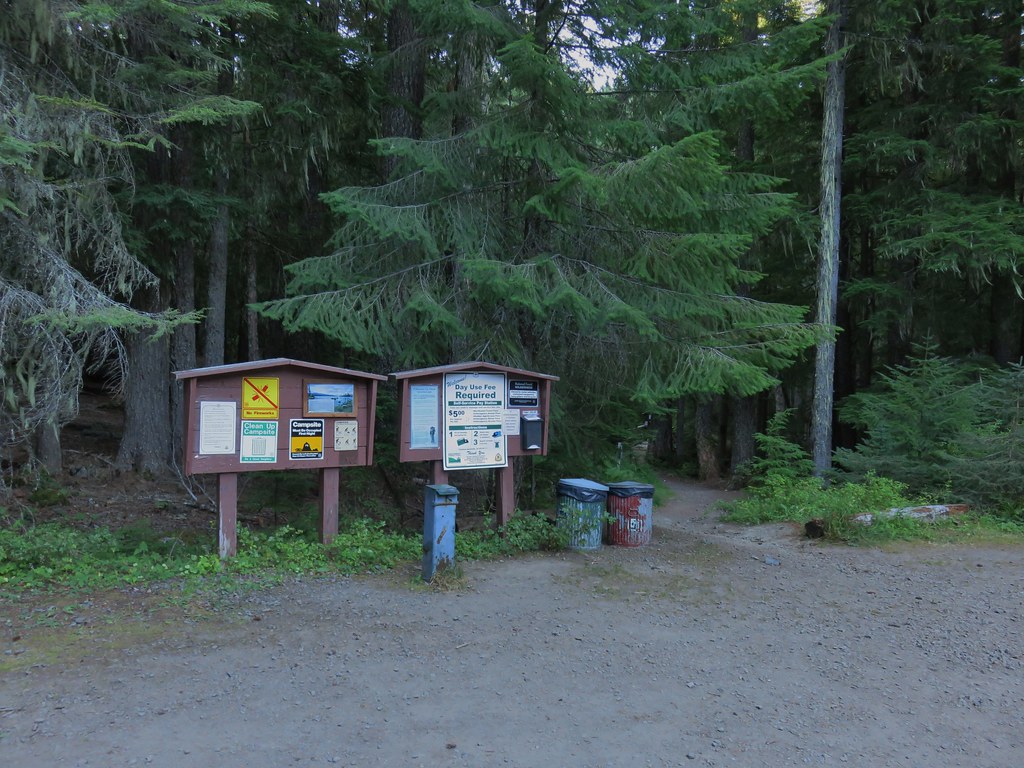
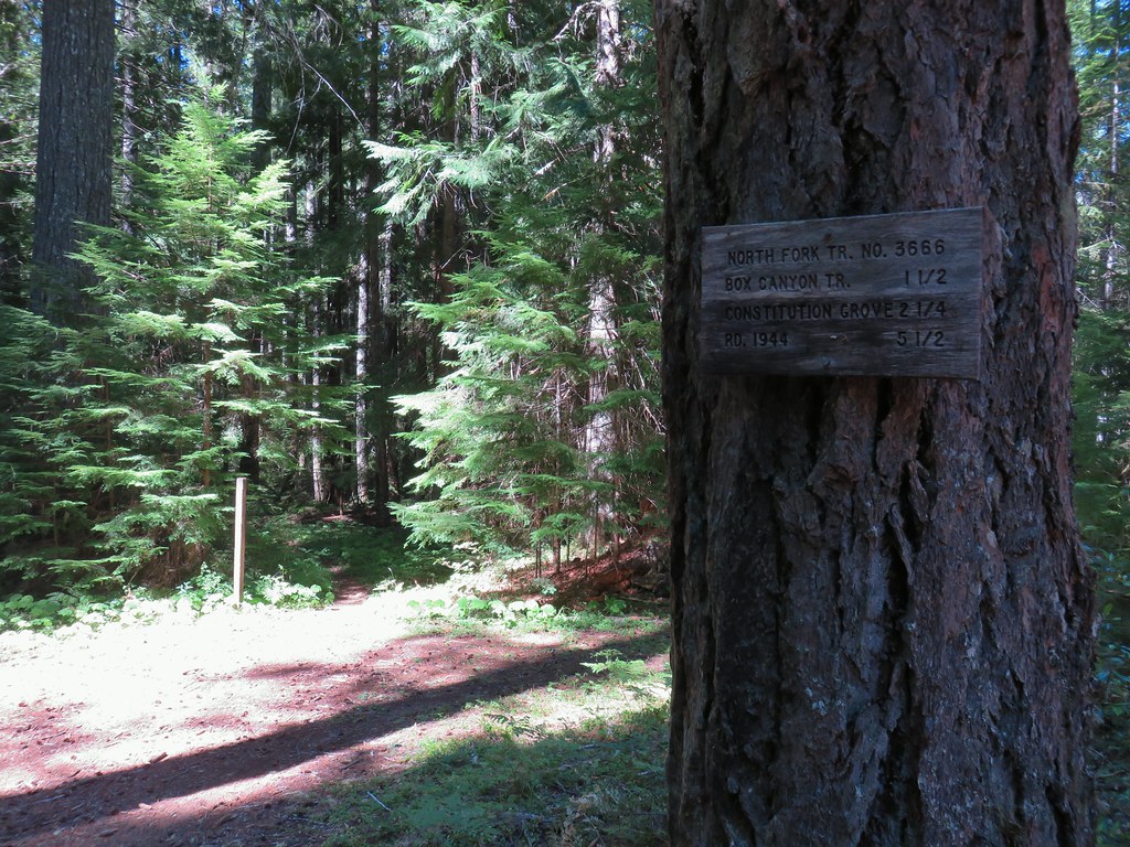
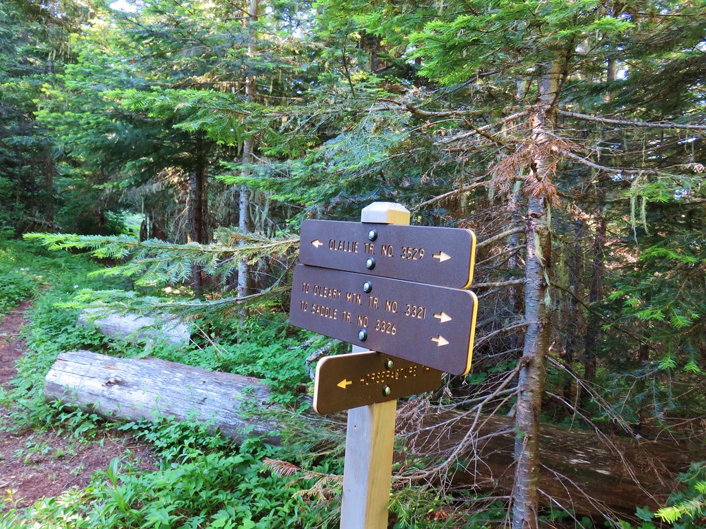
There were a few important pieces of information at the trailhead signboard.

Important information included the need of a NW Forest Pass to park at the trailhead, that there is currently a campfire ban, and no fireworks are allowed (illegal use of fireworks started the Eagle Creek Fire).
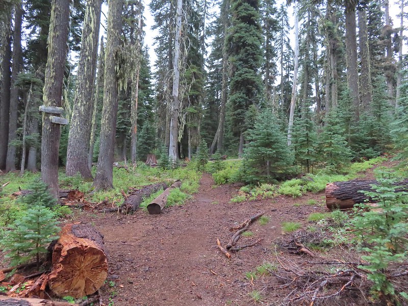
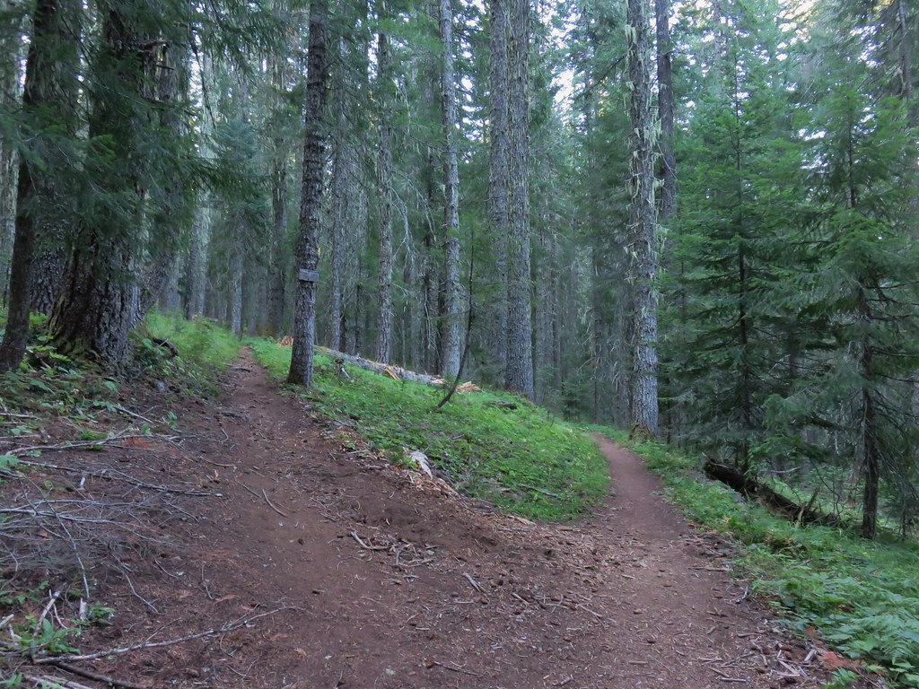
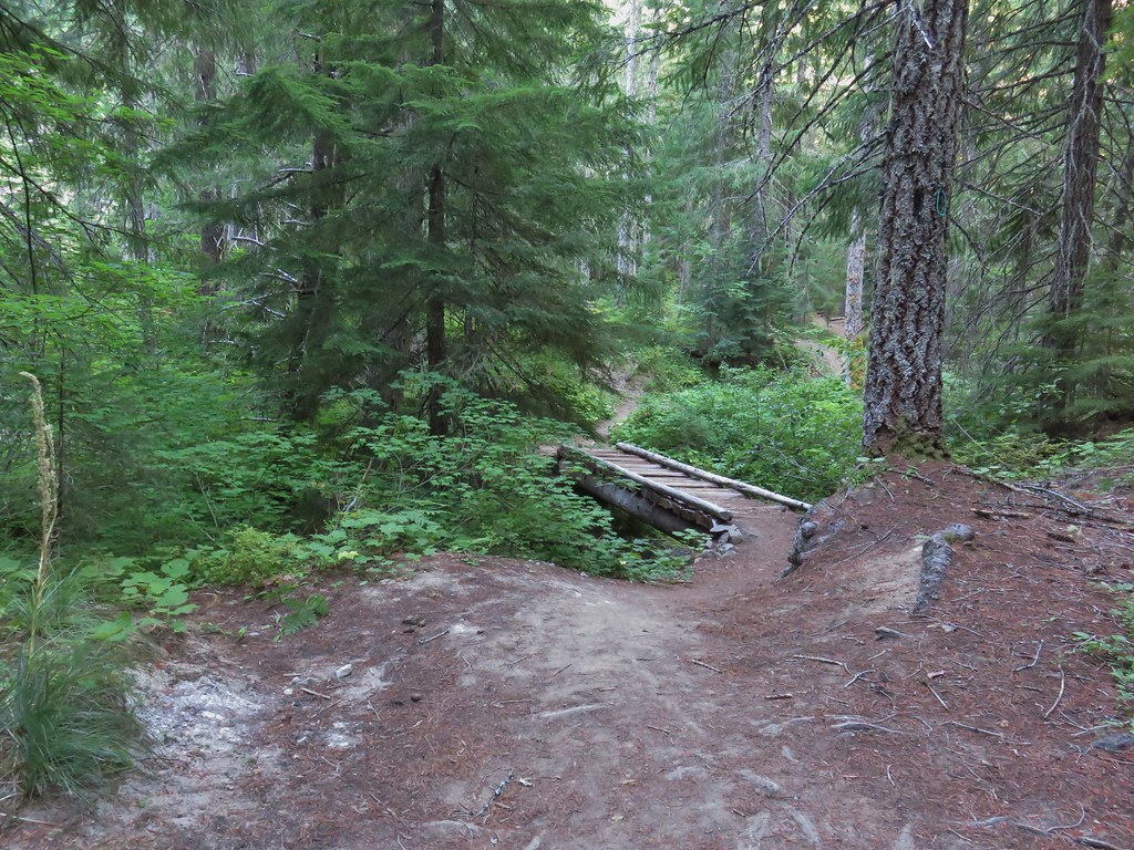
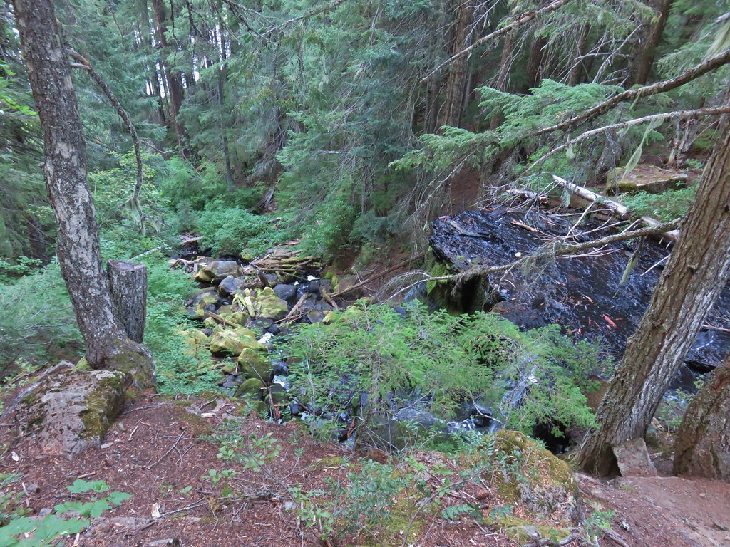
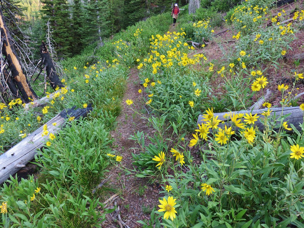
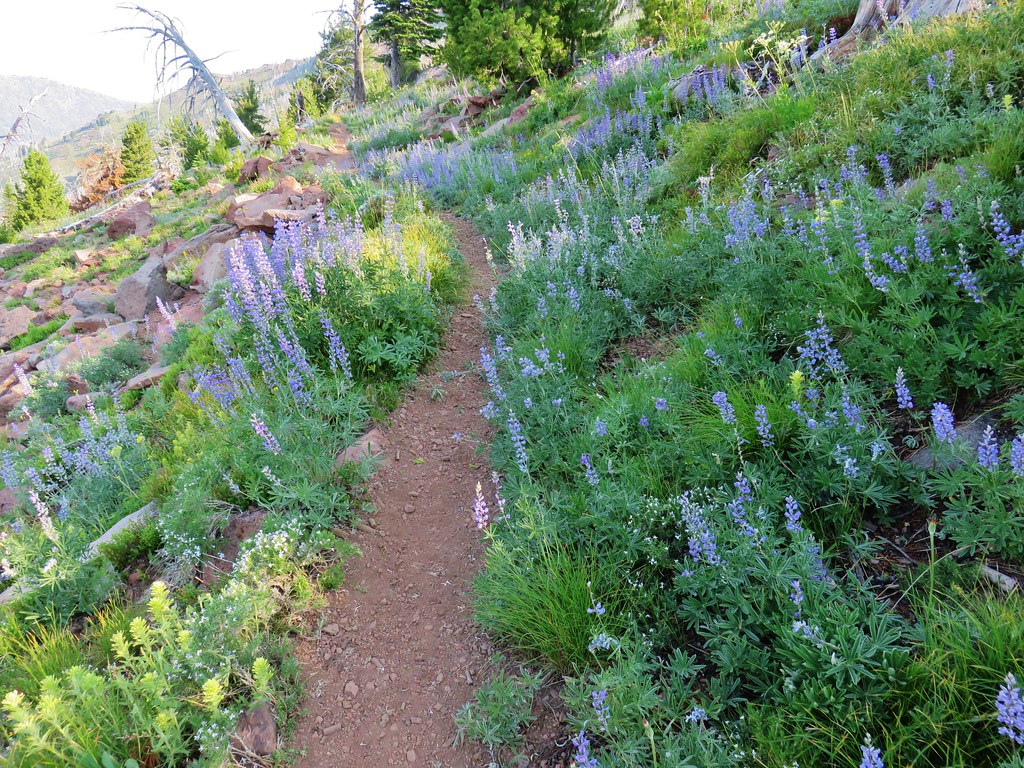
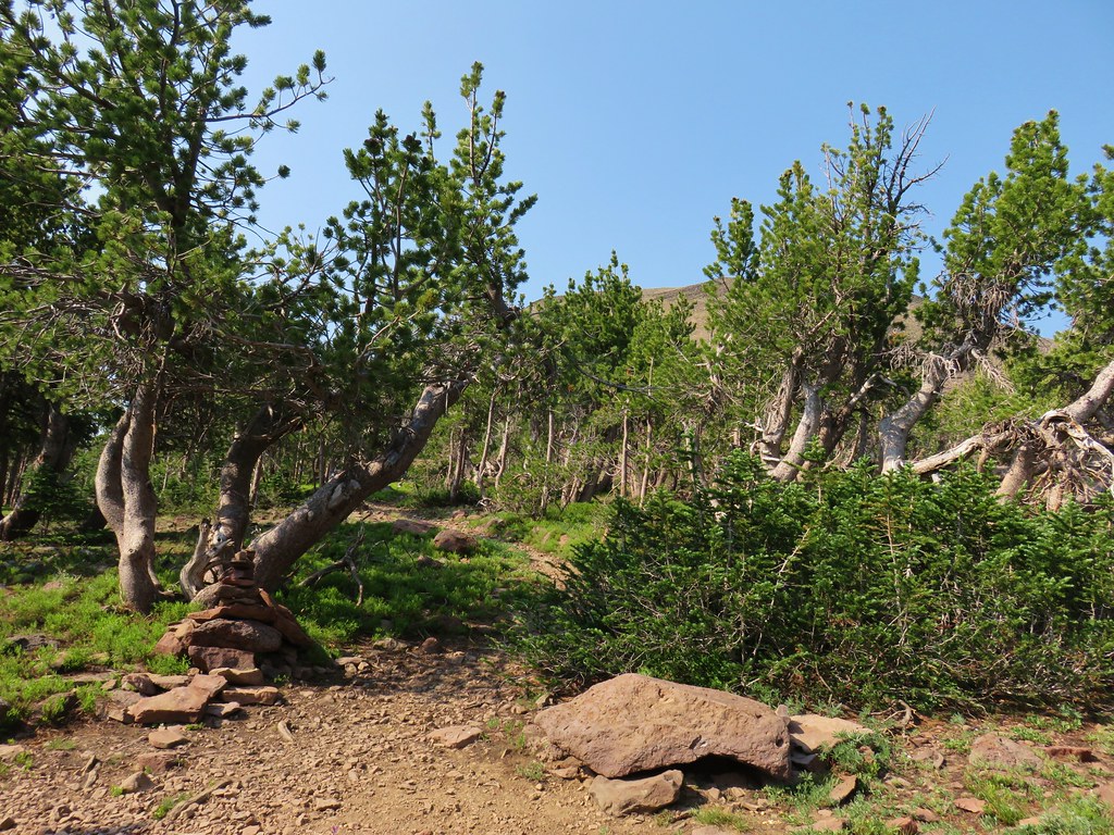
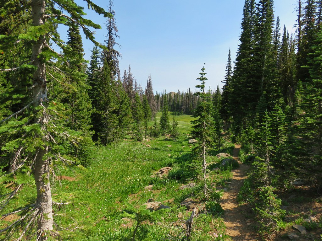
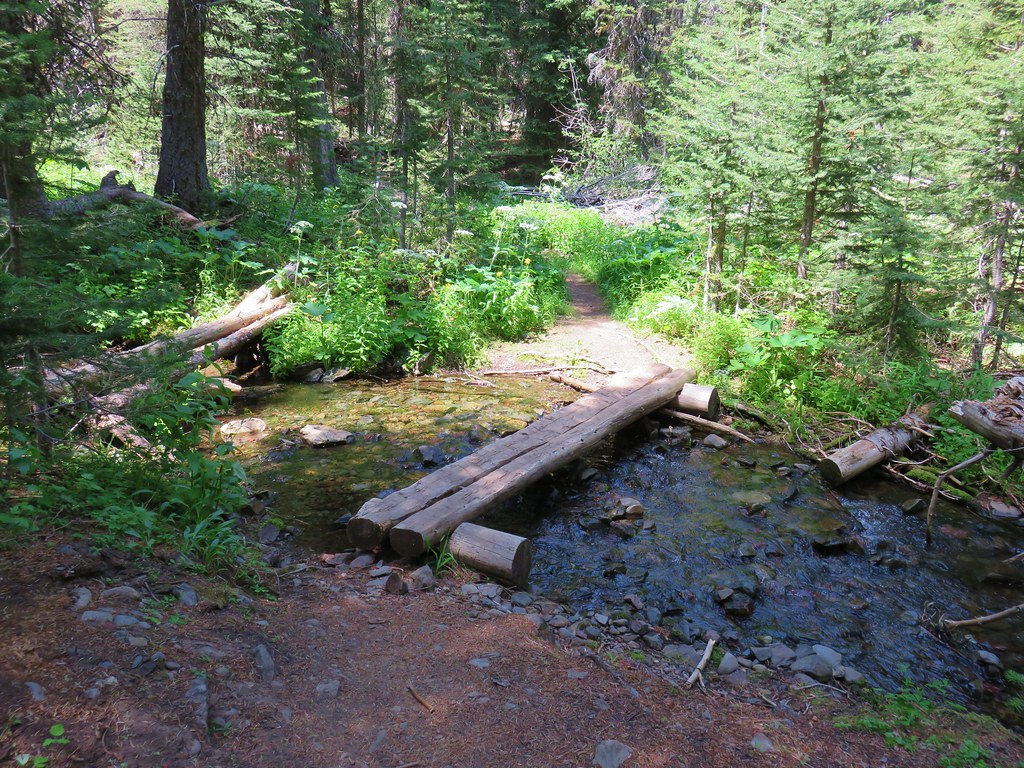
I set off on the Herman Creek Trail and followed it uphill passing under a powerline corridor to a junction with the Herman Creek Bridge Trail at the 0.6-mile mark.


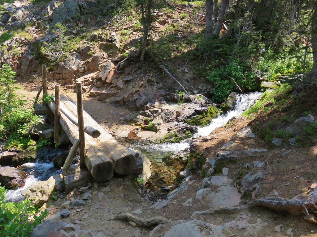
I forked right onto the 1.1-mile-long Herman Creek Bridge Trail which descended to the Herman Creek Bridge then climbed to a junction with the Pacific Crest Trail (PCT).


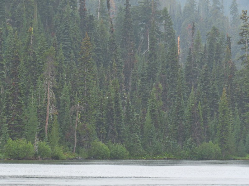
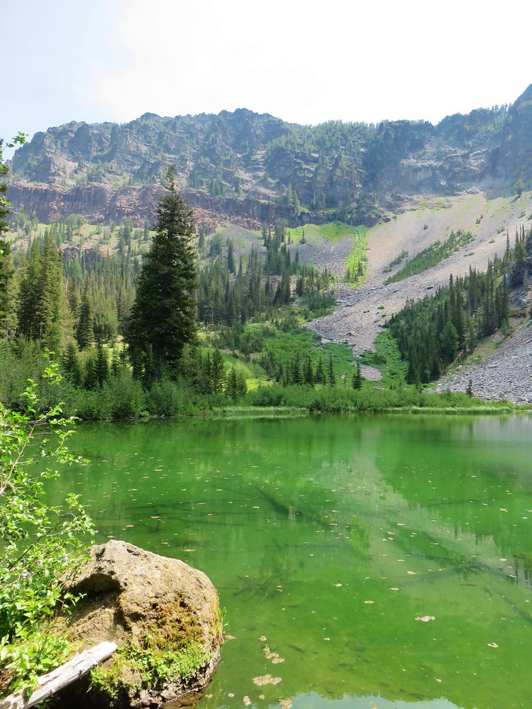
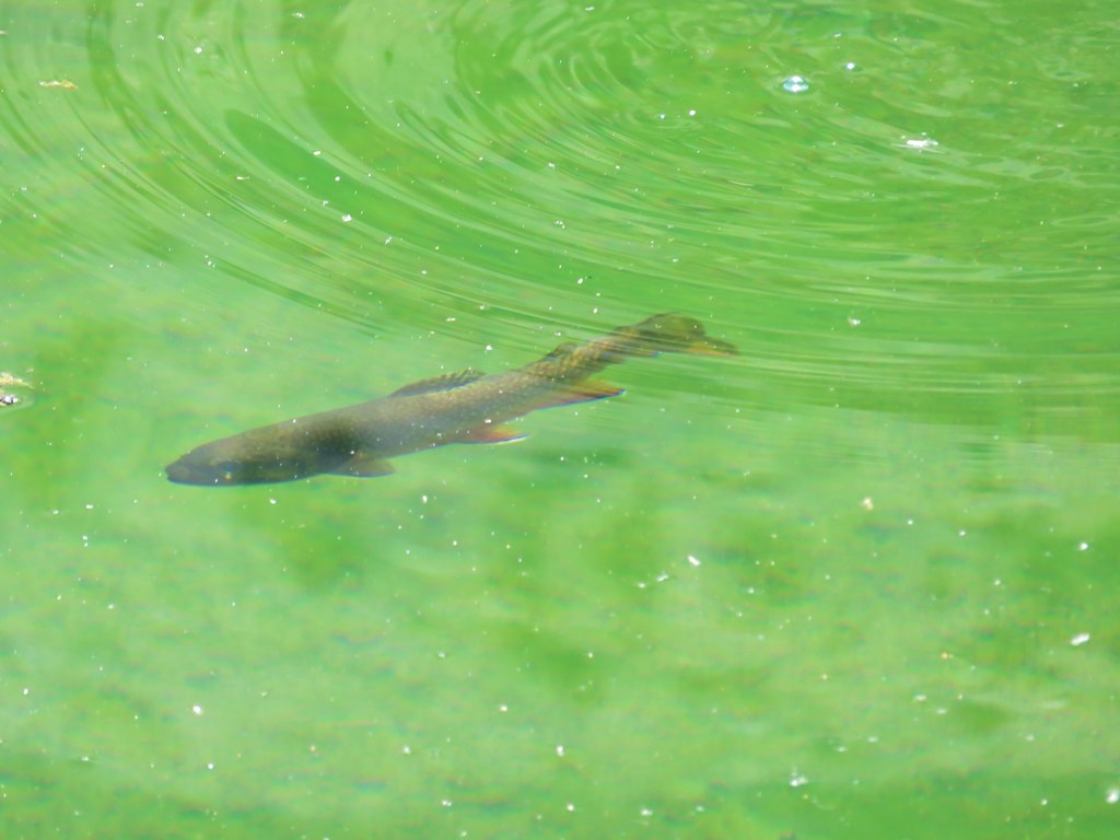
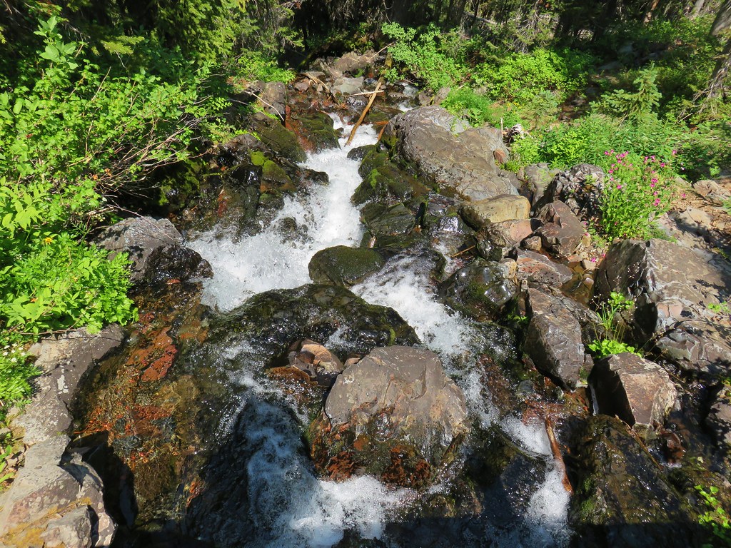
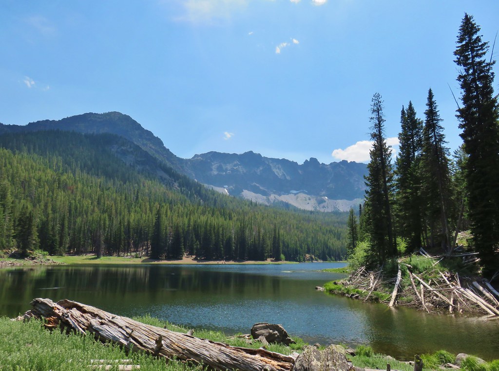
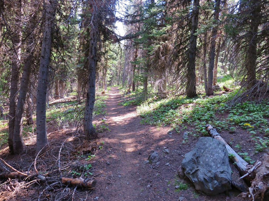
Herman Creek

Climbing toward the PCT. Note the red leaves on the left which is poison oak. There was a fair amount of poison oak along the lower portion of this hike. There were a couple of spots where I had to get small to squeeze between some of it, but I was able to avoid it by staying alert.

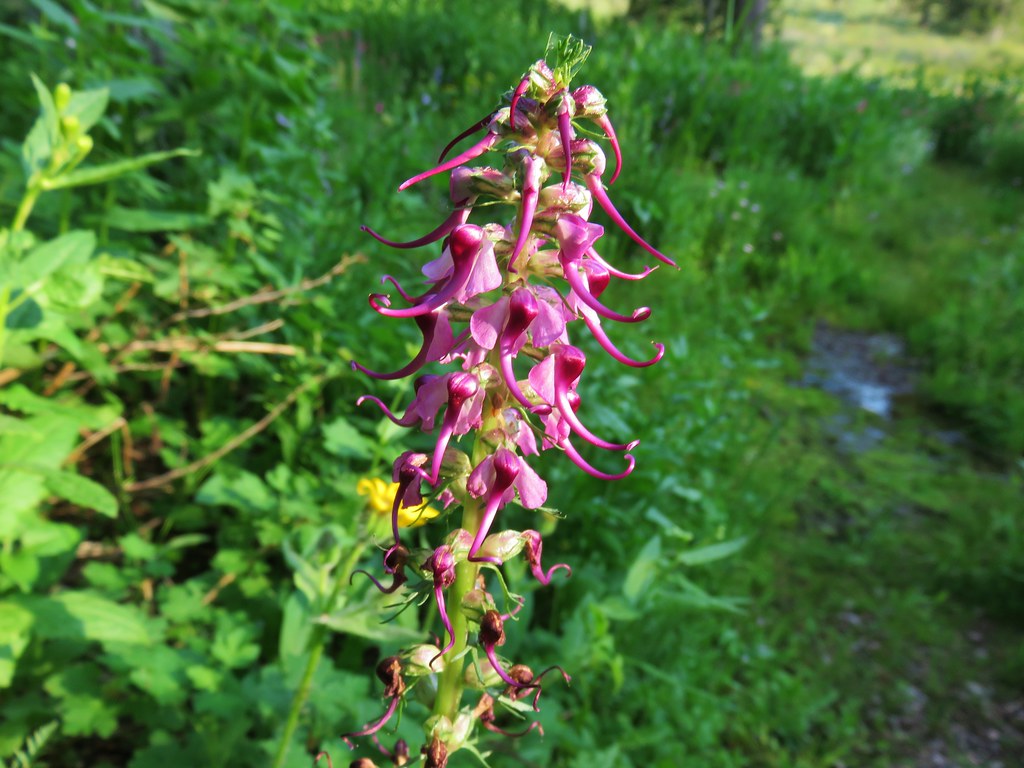
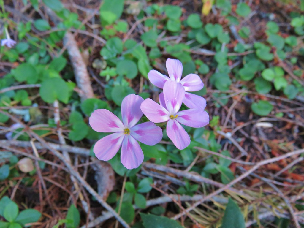
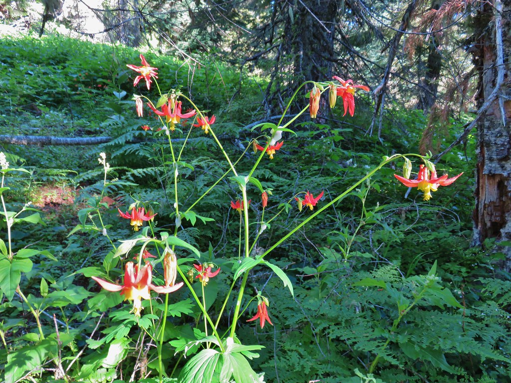
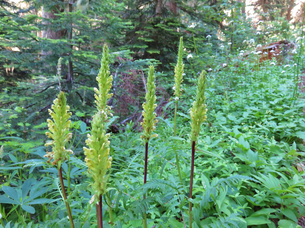
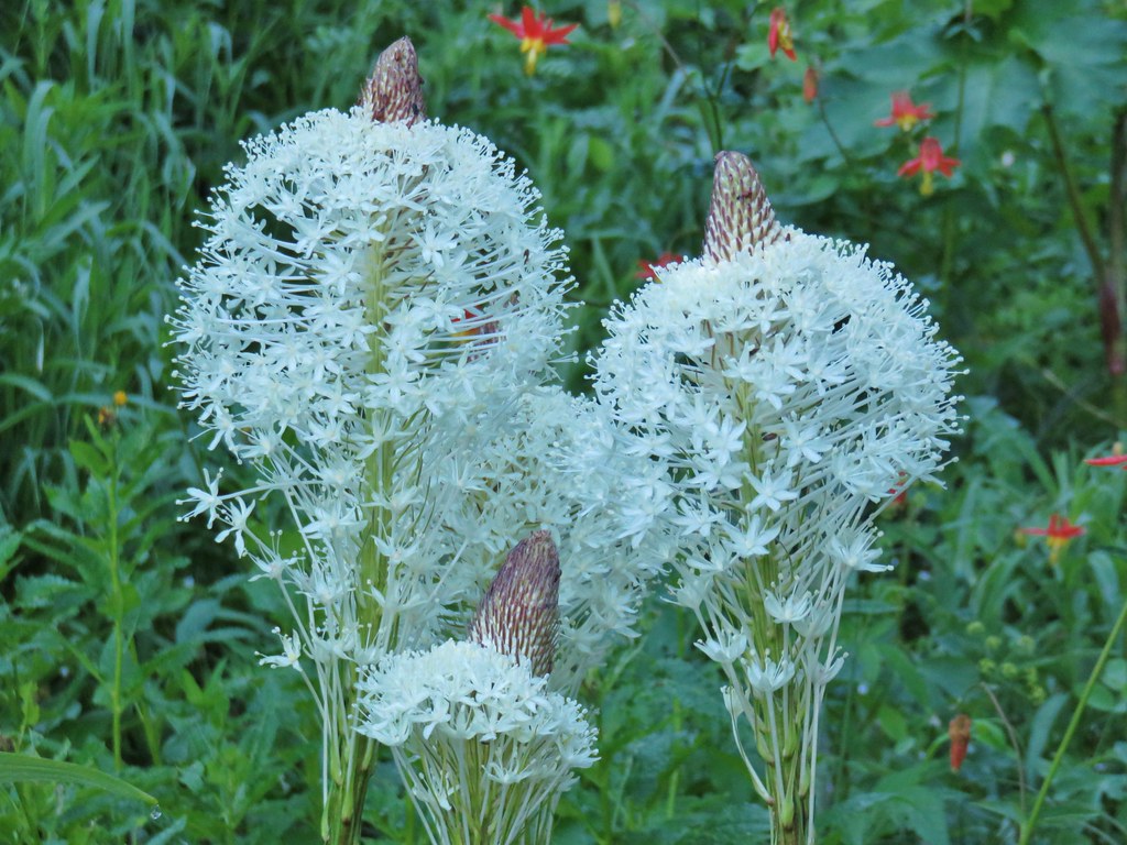
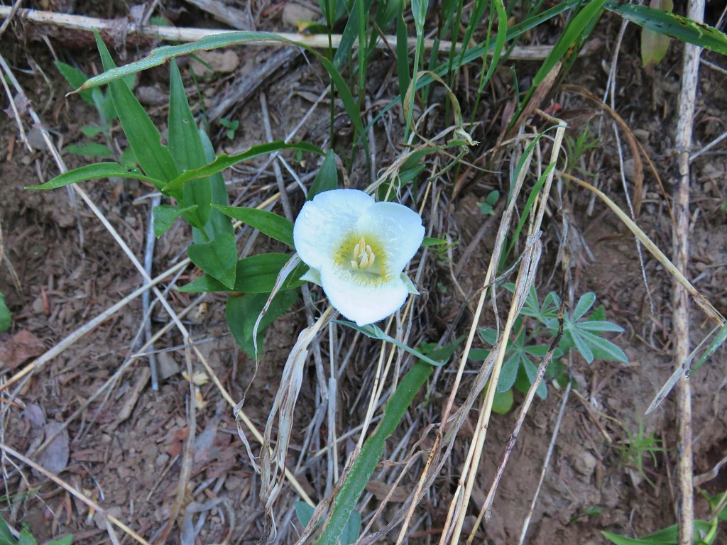
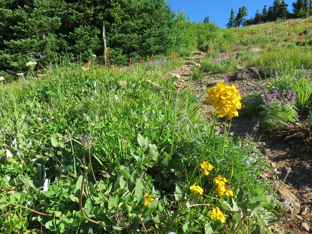
Beardtongue

More poison oak. With it turning red for the Fall most of it was easy to spot.

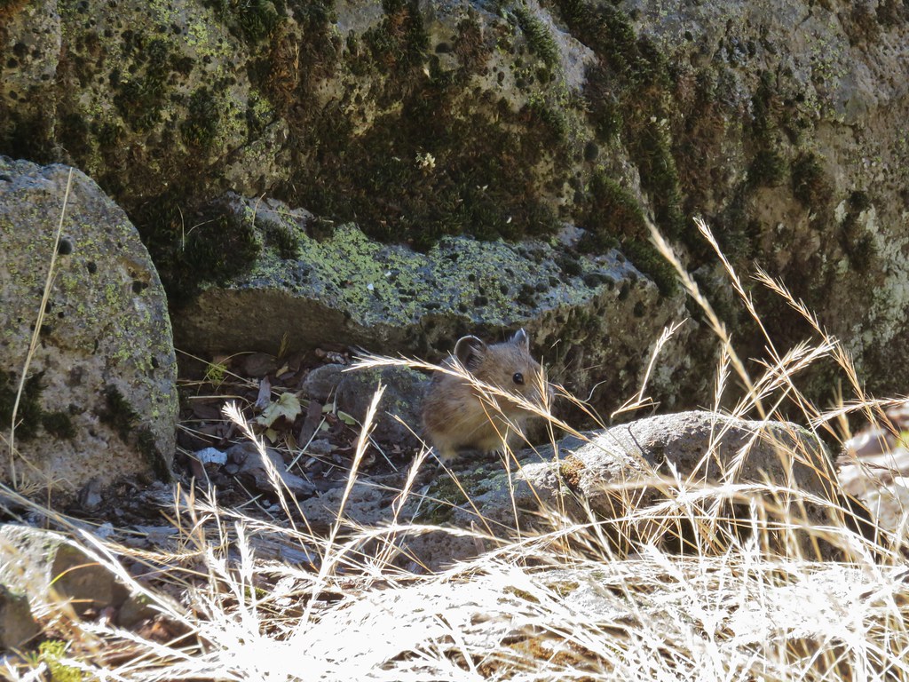
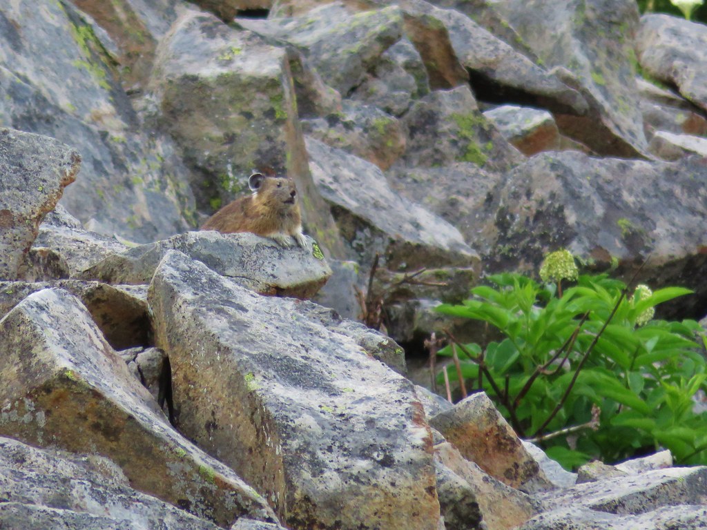
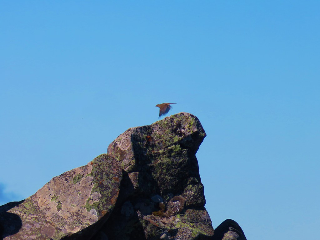
First pika sighting of the day. (Can you spot it?)

The Columbia River Gorge is the lowest elevation at which pikas live. These members of the rabbit family require temperatures below 78 degrees and primarily live at higher elevations with longer snowy seasons during which they live underground surviving on greens collected during summer months.

The Moon above cliffs.

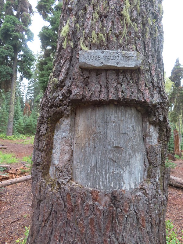
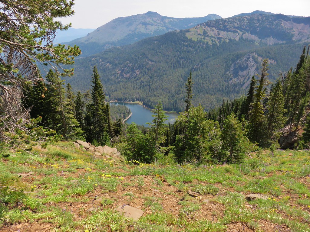
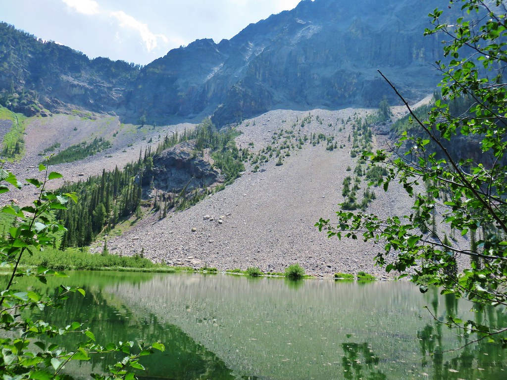
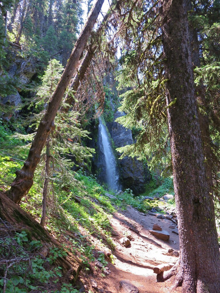
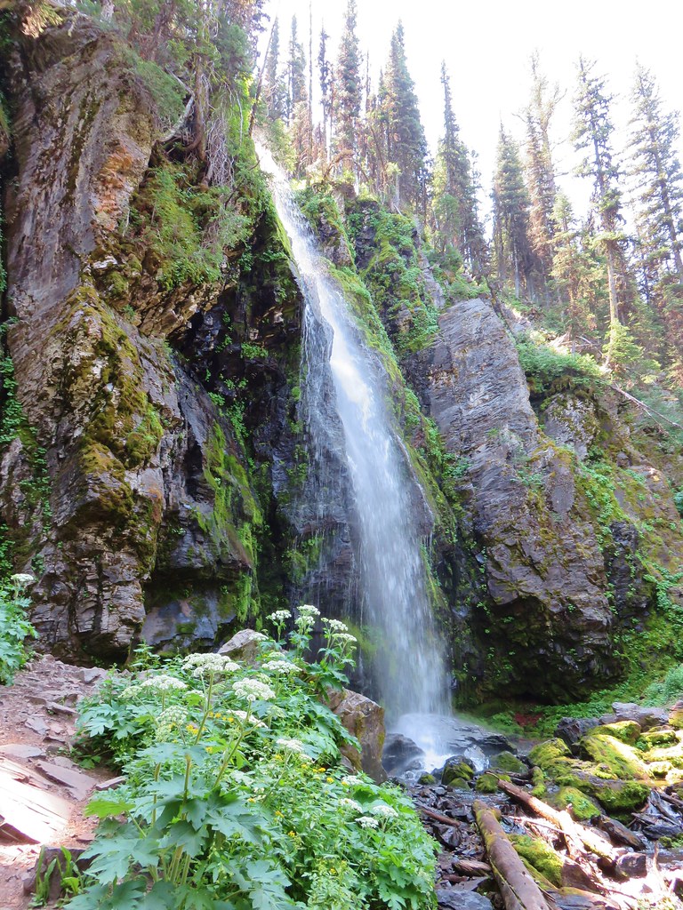
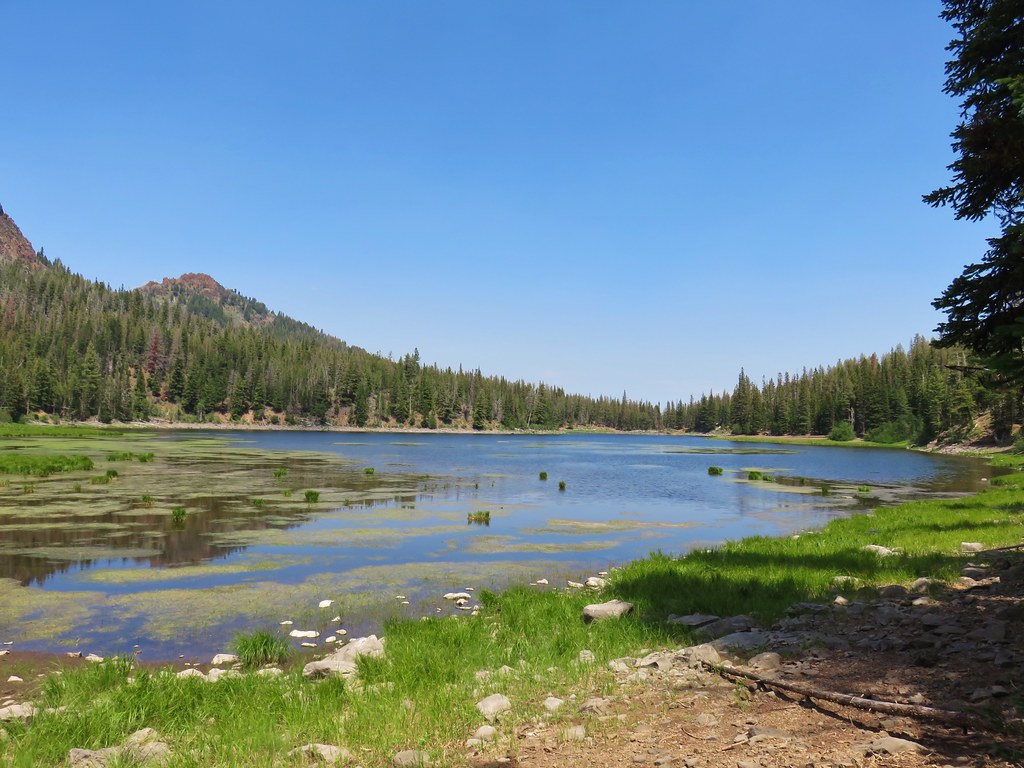
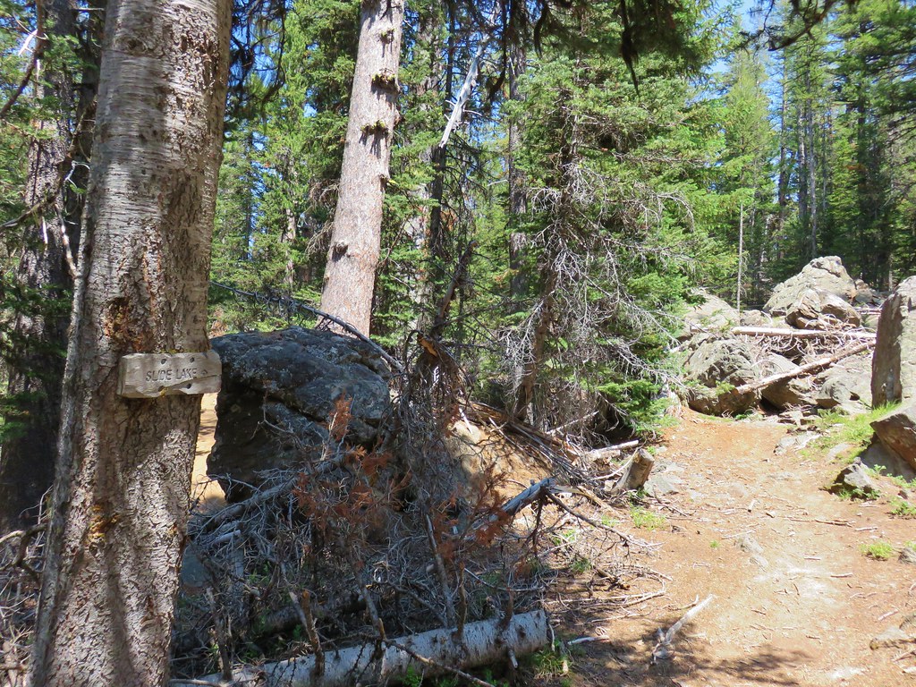
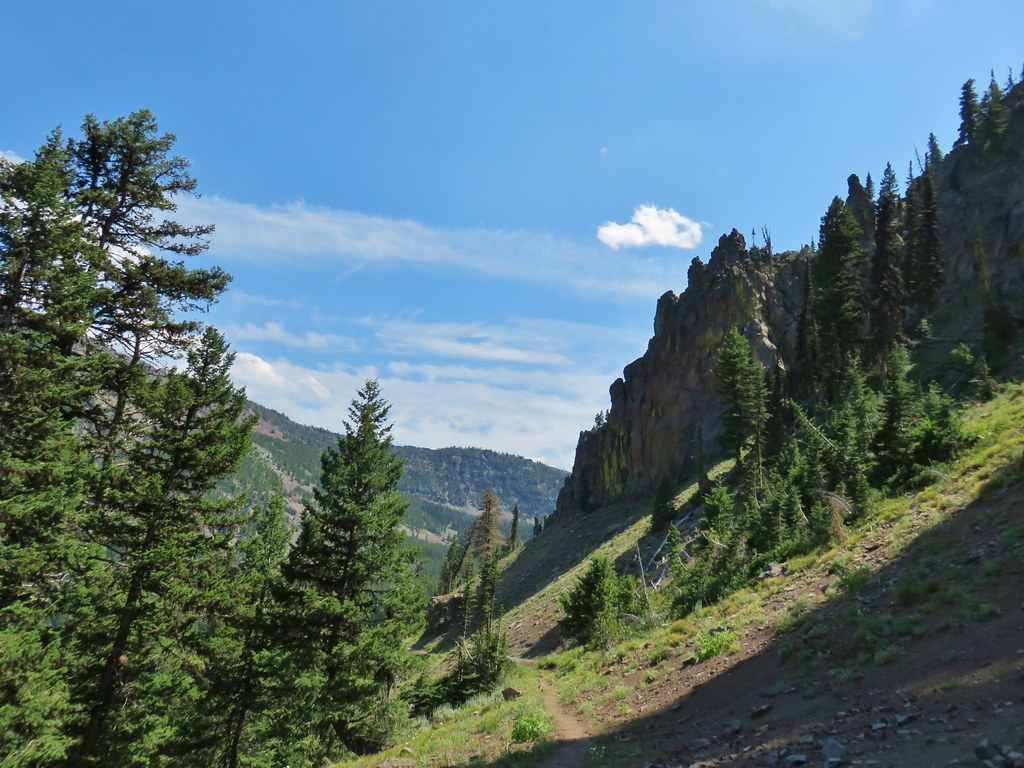
The junction with the PCT. The hike up to this point had retraced part of our 2015 to Pacific Crest Falls (post).
In 2015 we had gone right to visit the waterfall, but this time I turned left on the PCT which quickly entered the Mark O. Hatfield Wilderness.

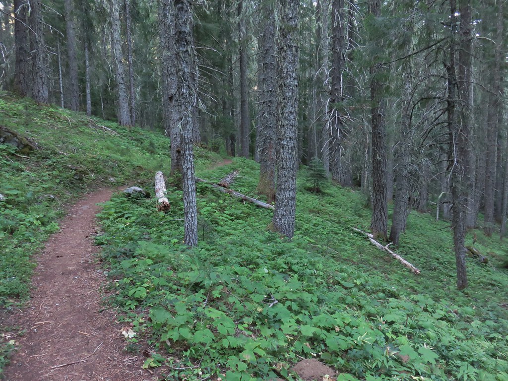
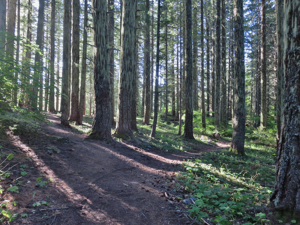
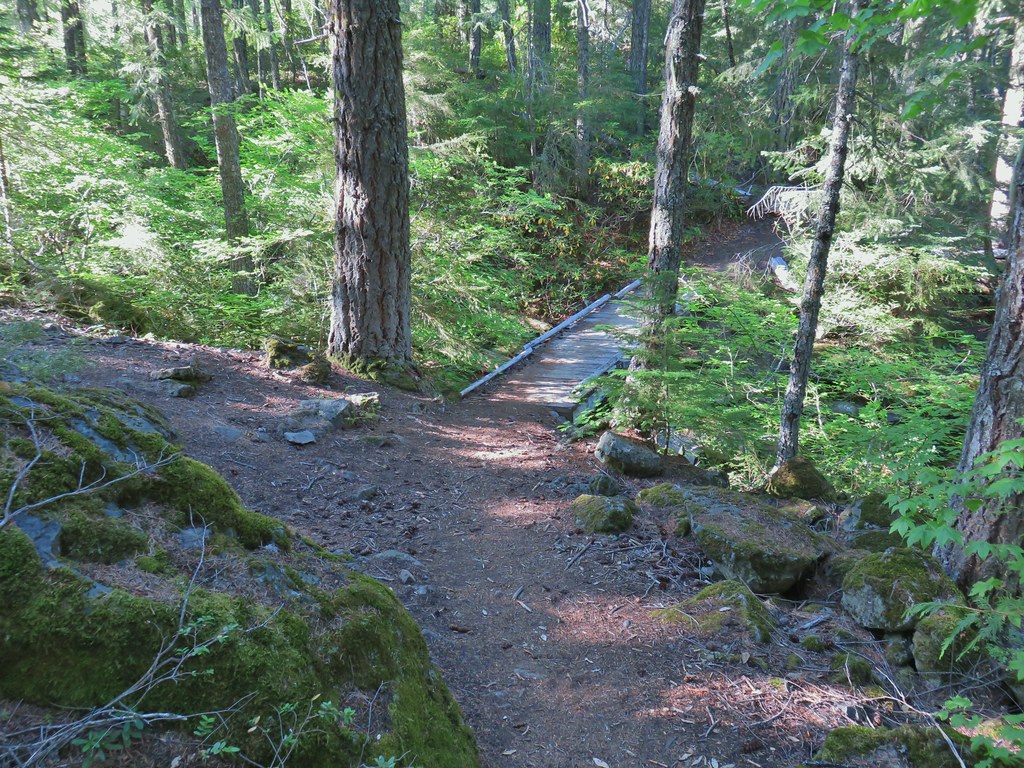
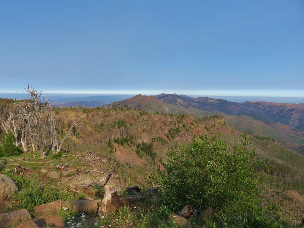
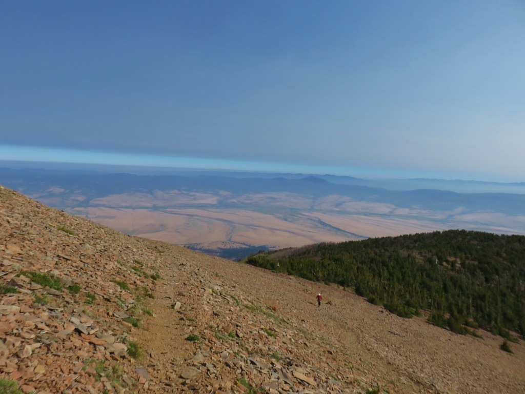
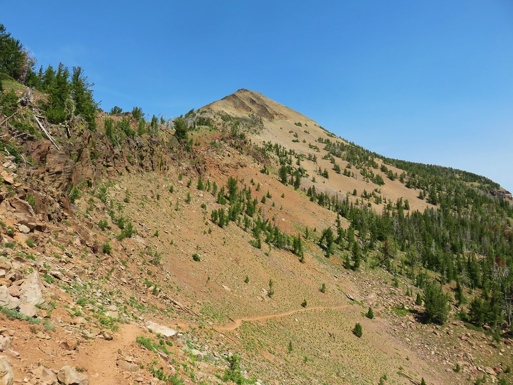
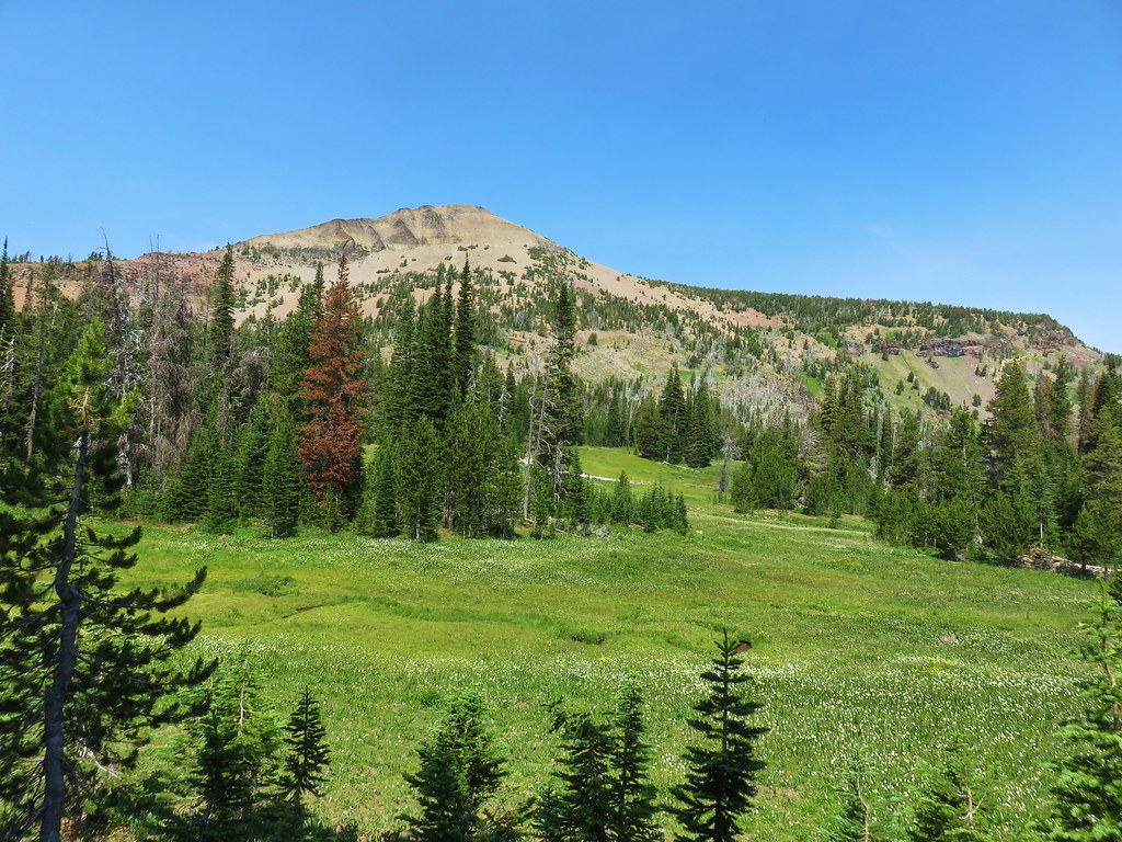
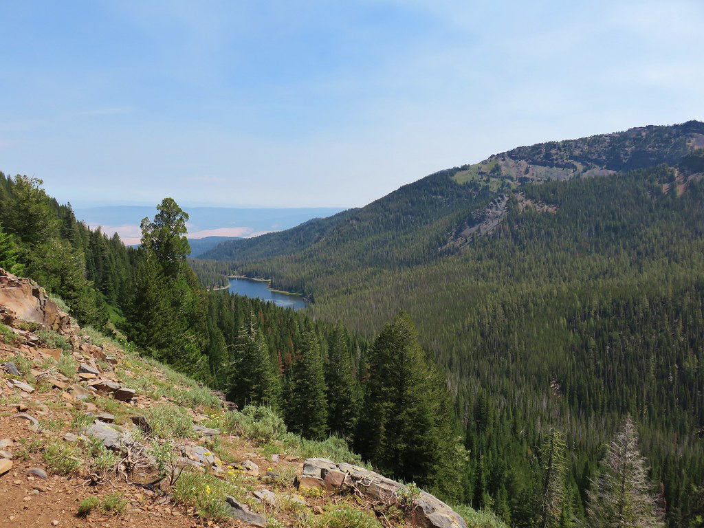
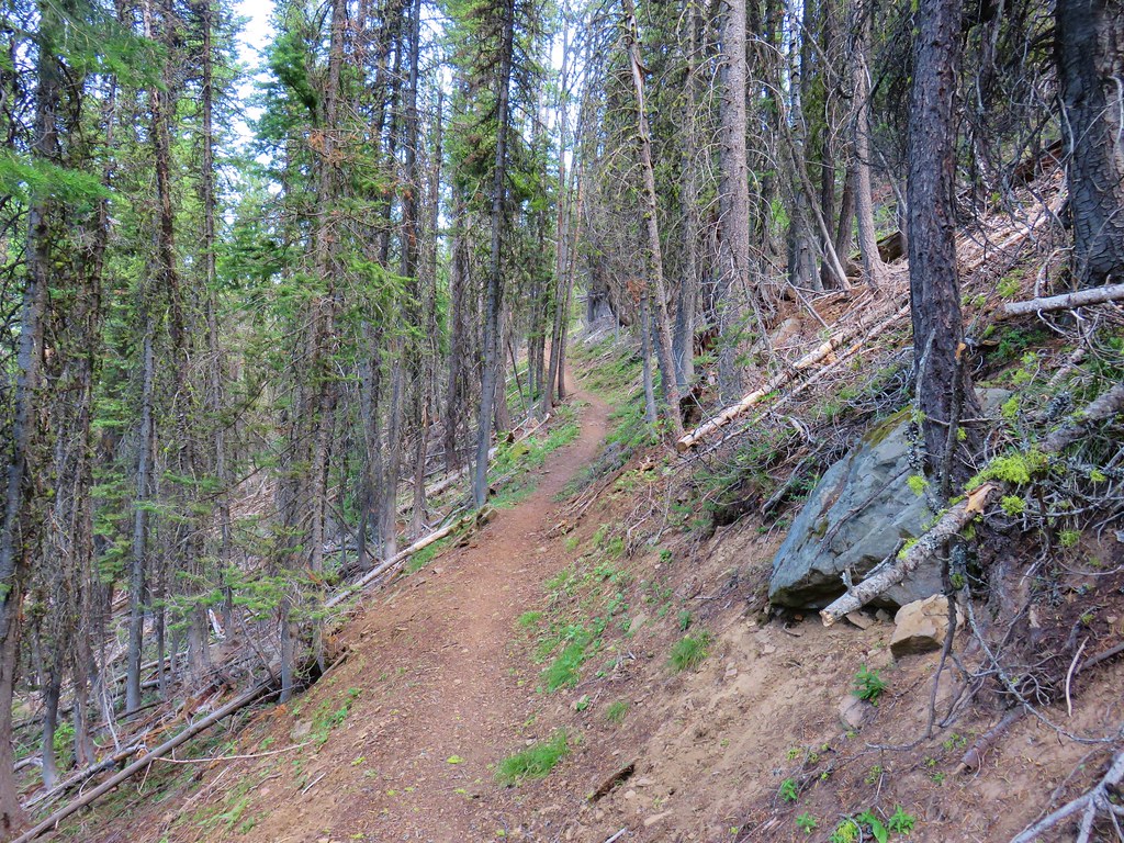
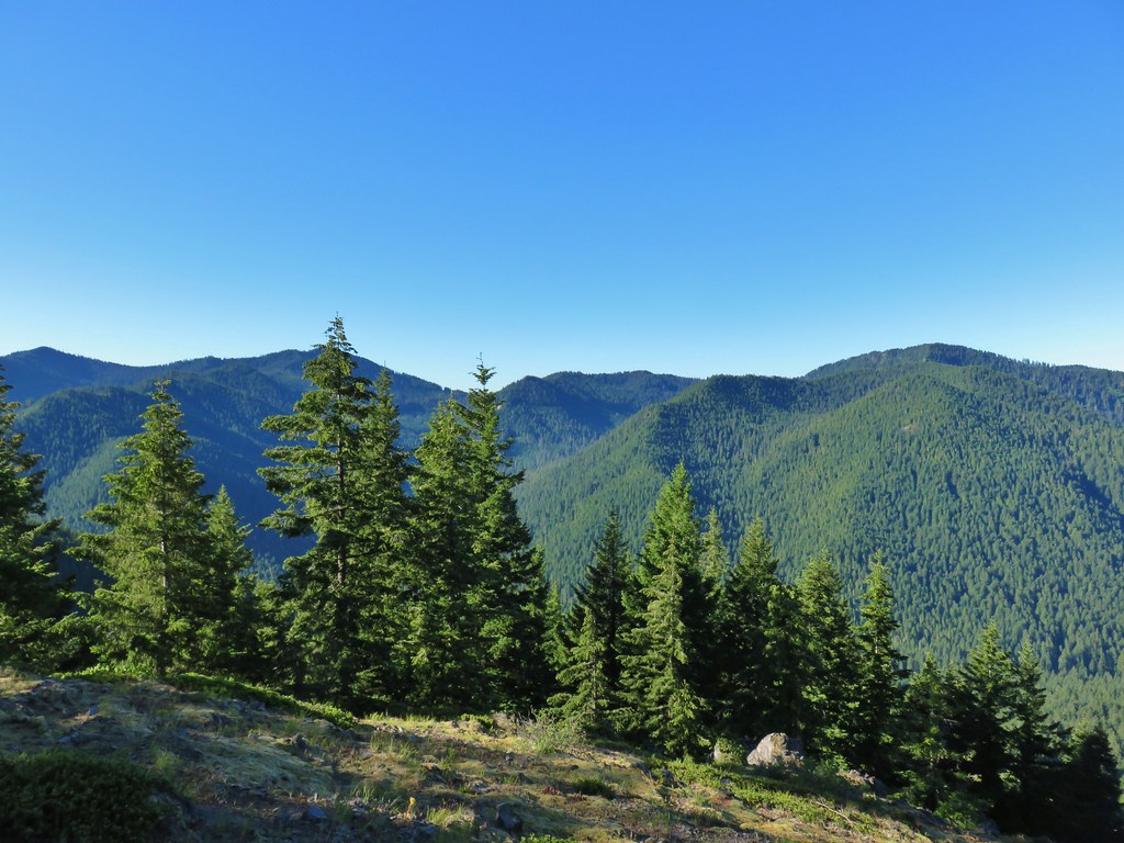
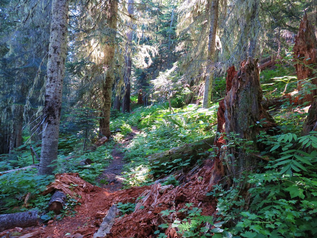
From the junction it was a nearly constant 5-mile climb to Benson Plateau. There were a couple of small saddles that provided a little up and down near the plateau but otherwise it was a steady but never steep climb.

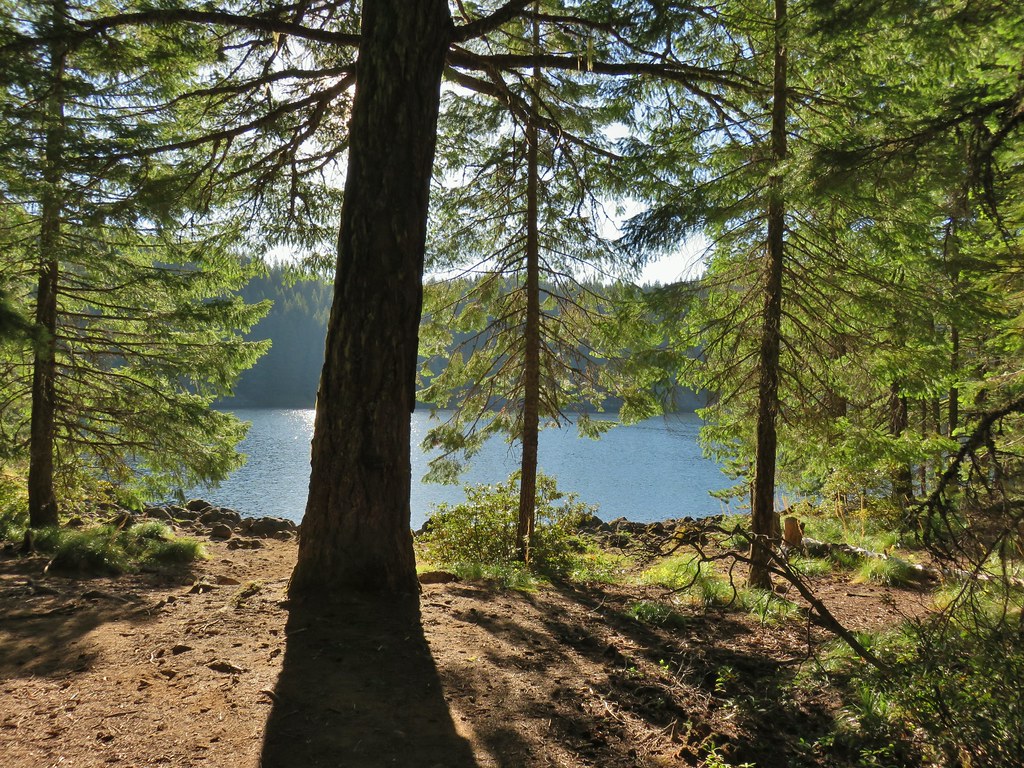
First good viewpoint across the Columbia River.

Another pika. I heard several but only spotted three or four.

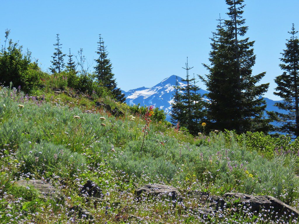
The summit of Mt. Adams peaking over the ridge across the river.

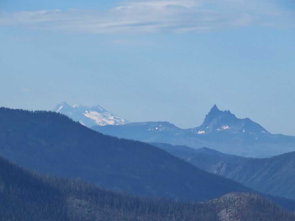
Table Mountain (post) on the left and Greenleaf Peak (post) on the right.

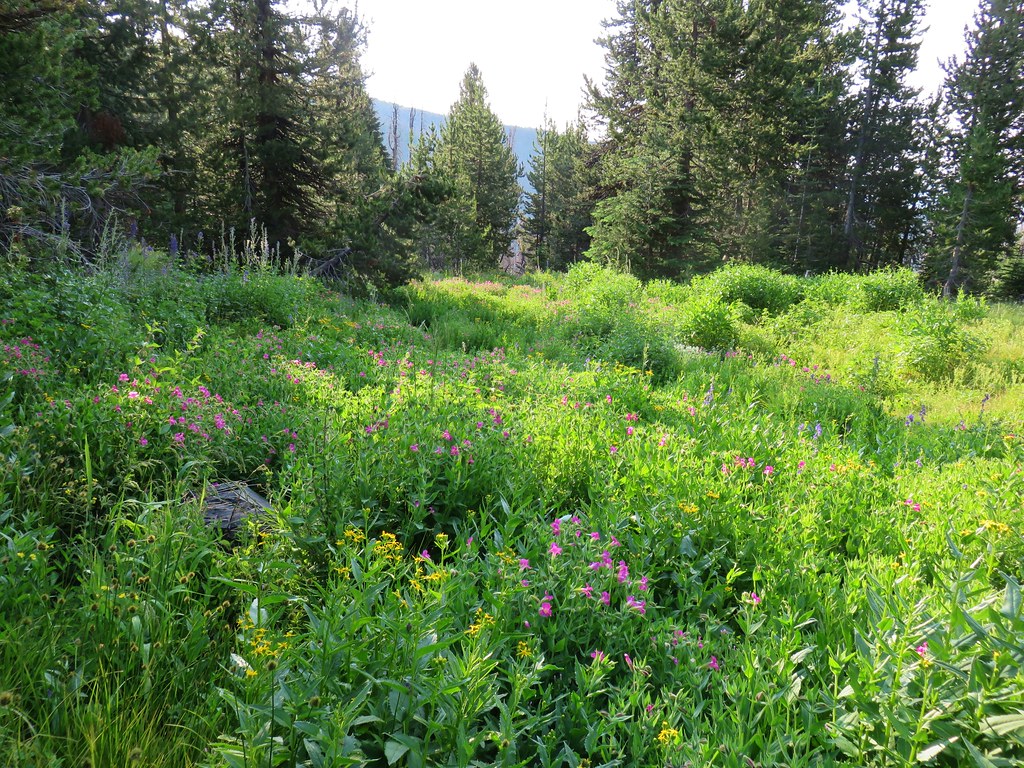
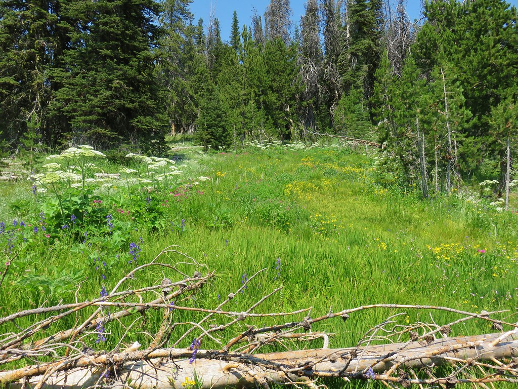
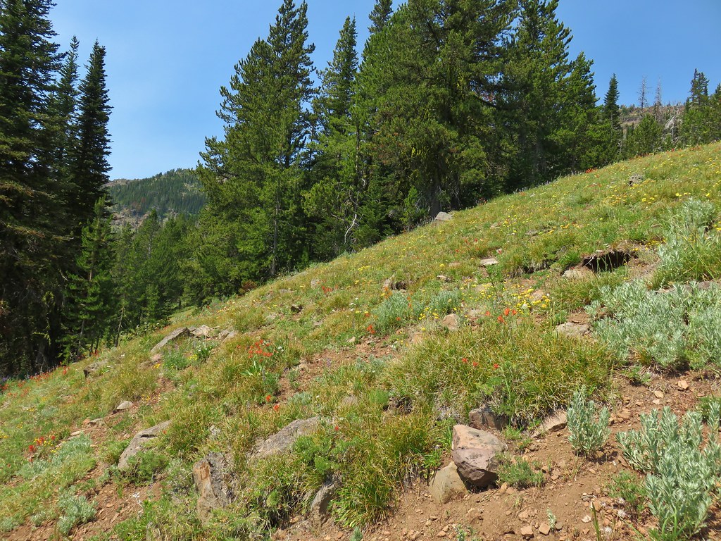
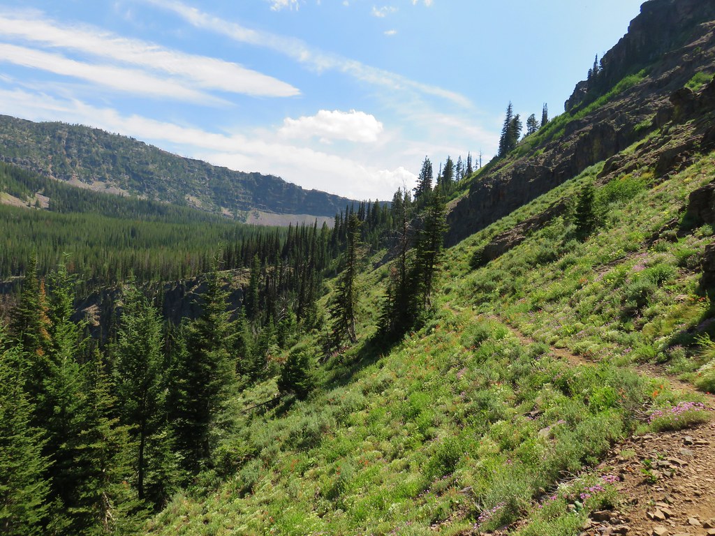
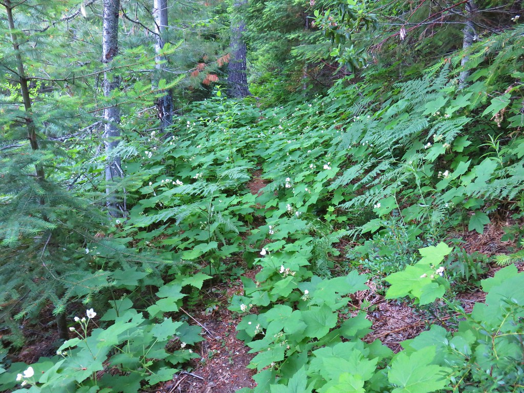
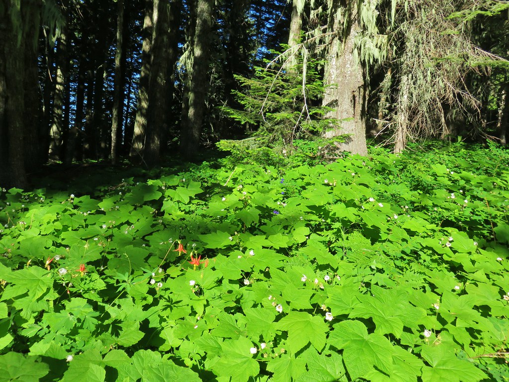
The amount of poison oak lessened as the trail climbed giving way to friendlier greenery.

One of two large trees over the trail. This one required the removal of my pack so that I could crawl under. The other one was just enough smaller that it could be climbed over.

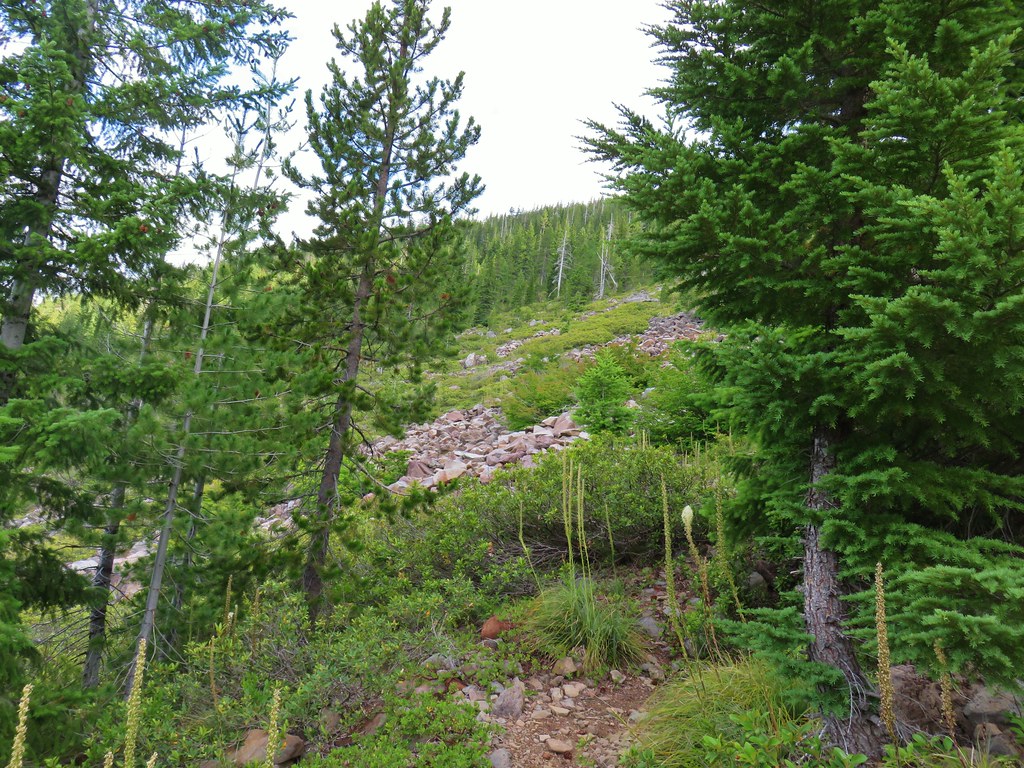
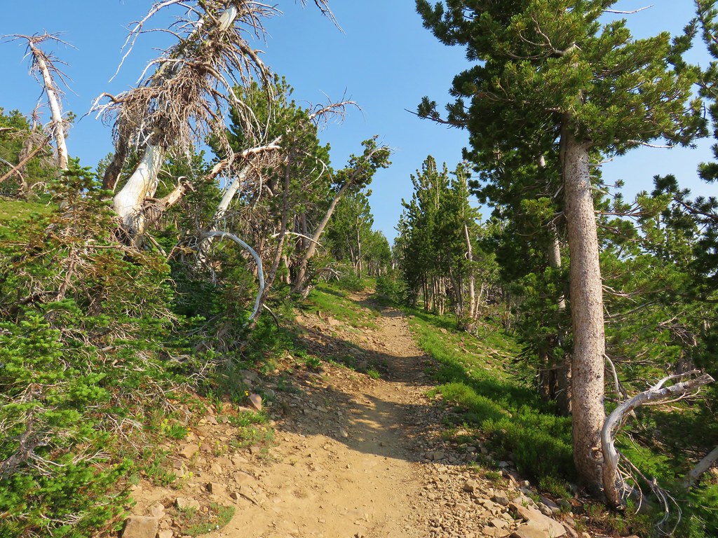
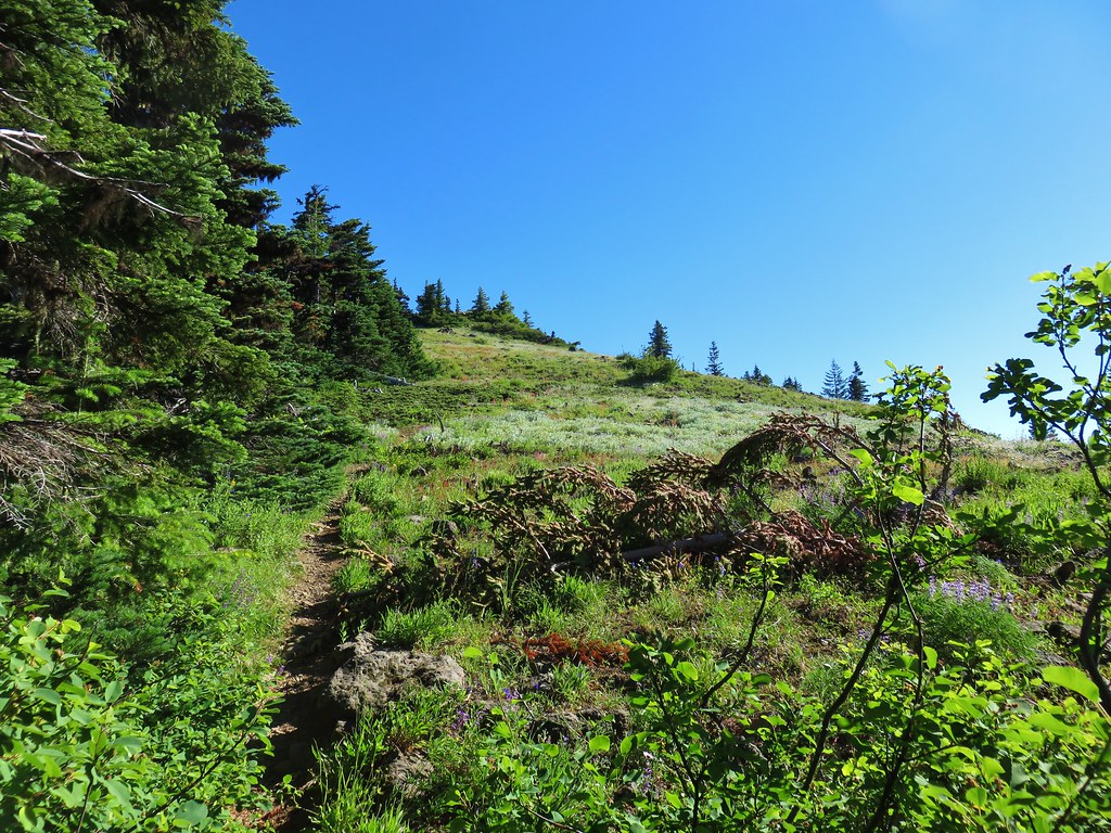
View along the trail.


A little more of Mt. Adams showing.

Heading into the sunlight.

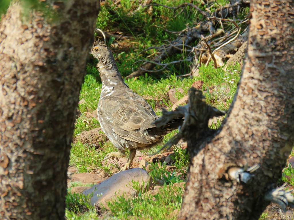
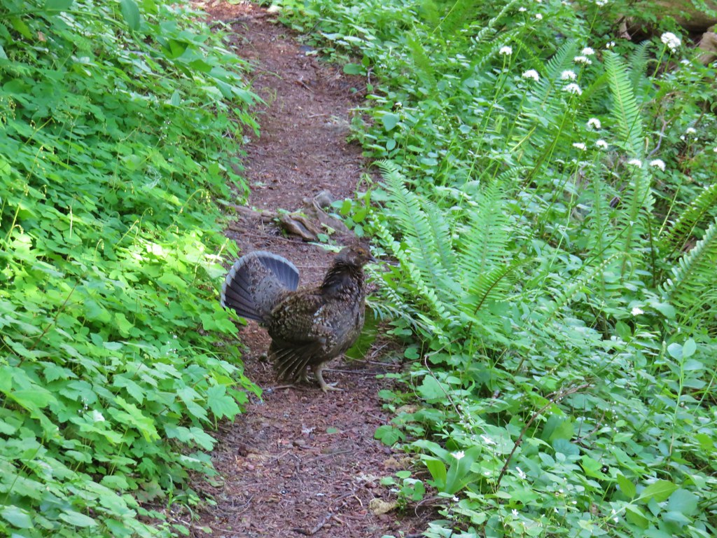
Grouse on the PCT. There wound up being at least 5 or 6 grouse nearby.

Grouse in a tree.

The tree I climbed over.

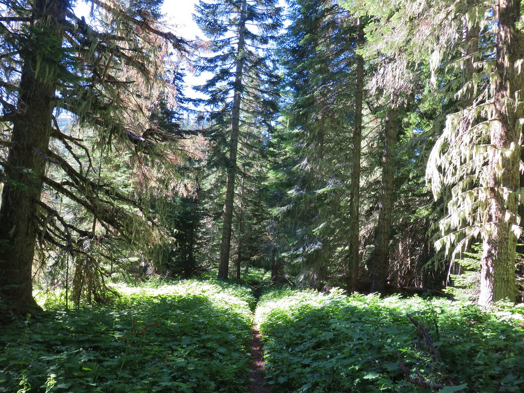
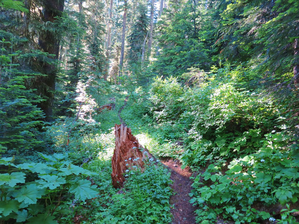
There were a few overgrown sections, but fortunately they were high enough up that the poison oak was no longer an issue.

Up, up, up through the forest.

Strategic use of switchbacks helped keep the trail from being too steep.
Near the switchback above I caught a strong whiff of fire. Not smoke in the air, but the unmistakable smell of fire. It made me a little uneasy because there weren’t any nearby fires showing on the online maps I’d checked before leaving. After climbing another switchback the trail gained a ridgetop, and I discovered the source of the smell. A pair of bow hunters had set up a fire ring and built a fire right next to the trail and a tree. They had their tent, sleeping bags and gear strewn about and when they spotted me they explained they were trying to “dry out” their gear. It was obvious from their need to quickly explain why they had a fire that they knew it wasn’t okay. I didn’t feel comfortable calling them out on it so I made my way around their gear and continued on.

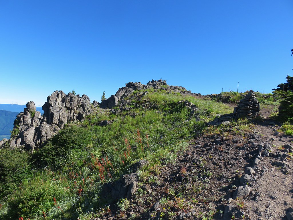
The ridgetop. The bow hunters were about 100 yards behind me at this point.
I continued on getting a view of Mt. St. Helens through the snags.


Another grouse. This was one of 8 to 10 that were in this area.

The cliffy Hamilton Mountain (post) on the Washington side of the gorge.

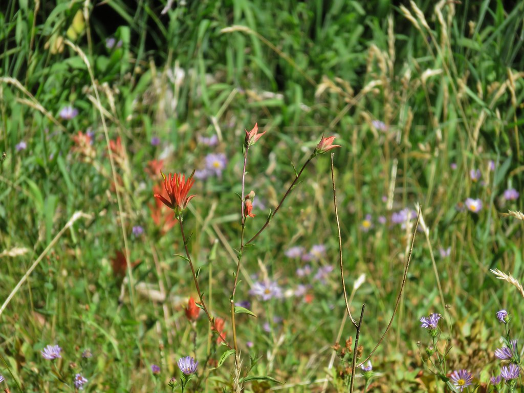
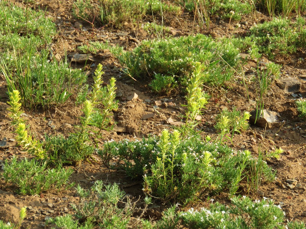
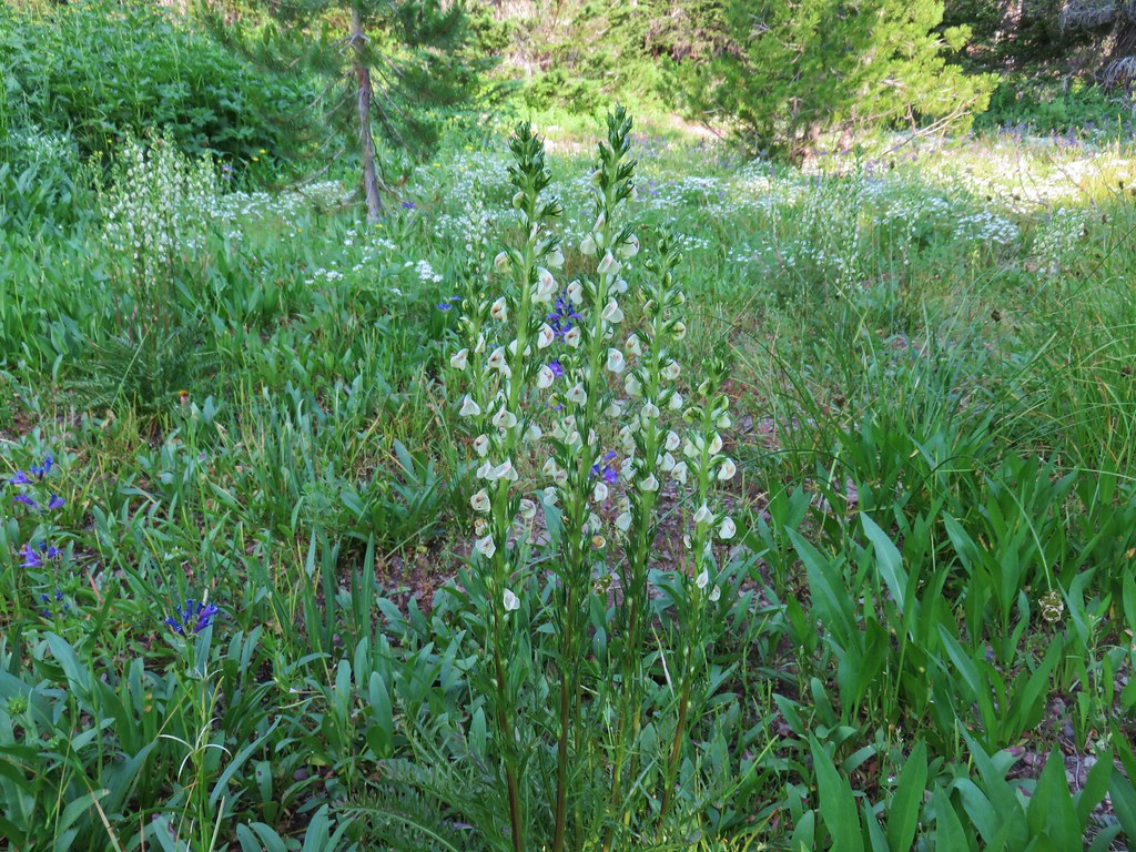
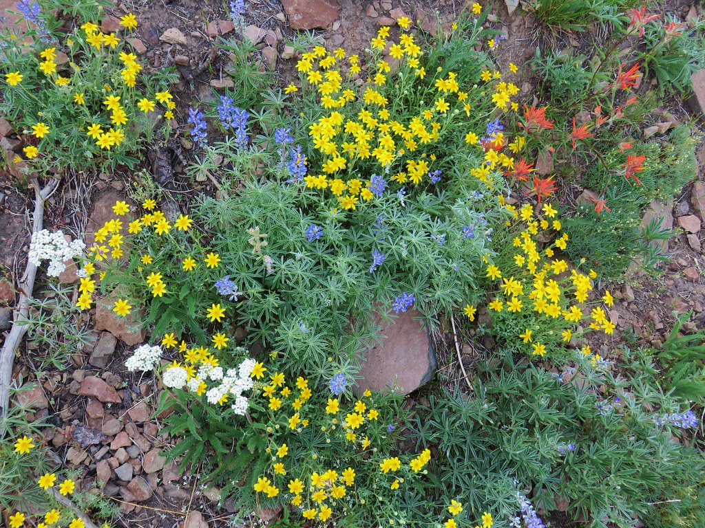
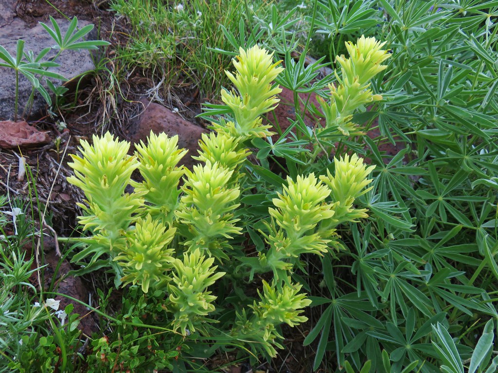
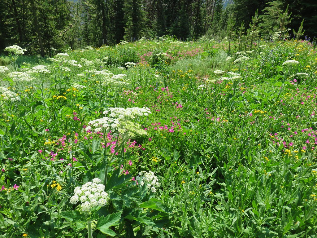
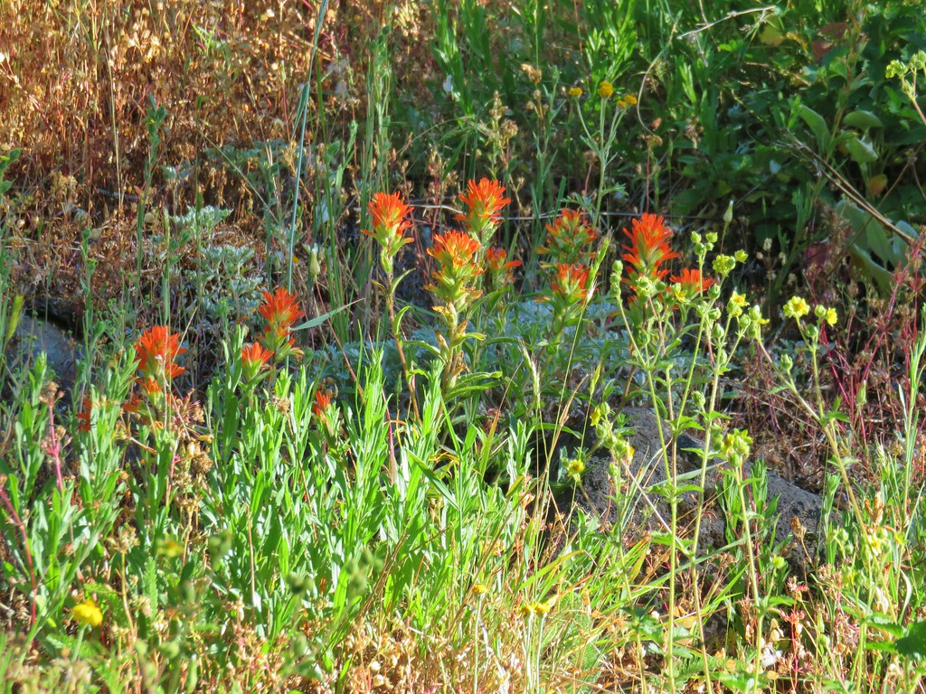
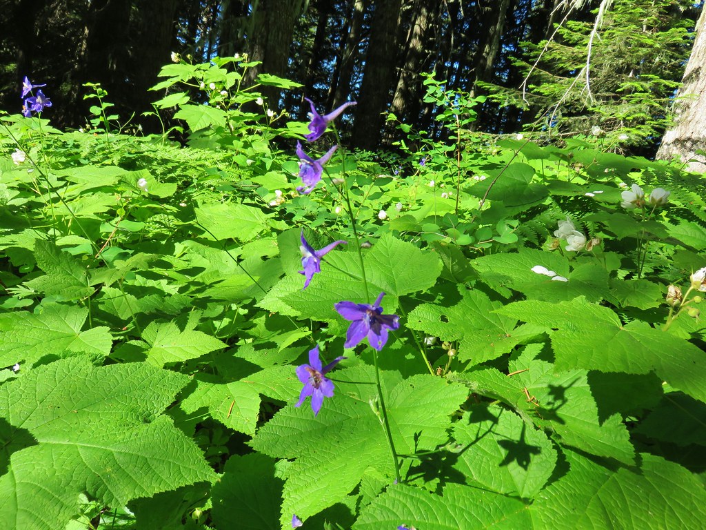
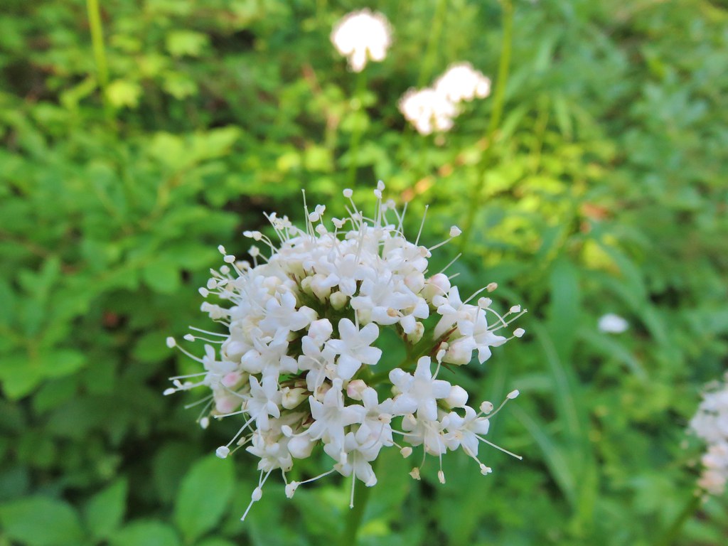
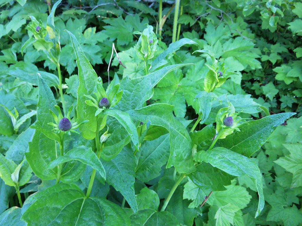
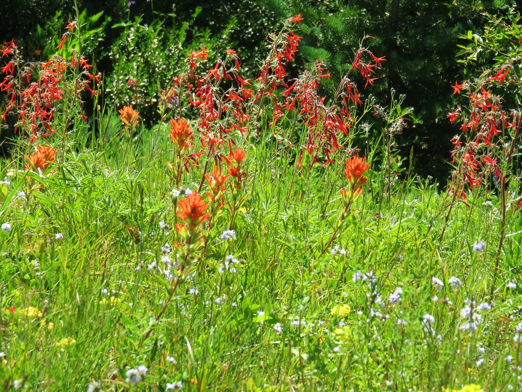
Explorer’s gentian
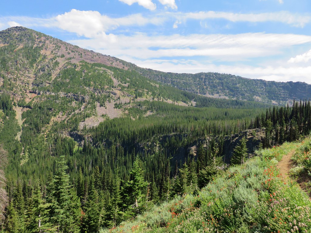
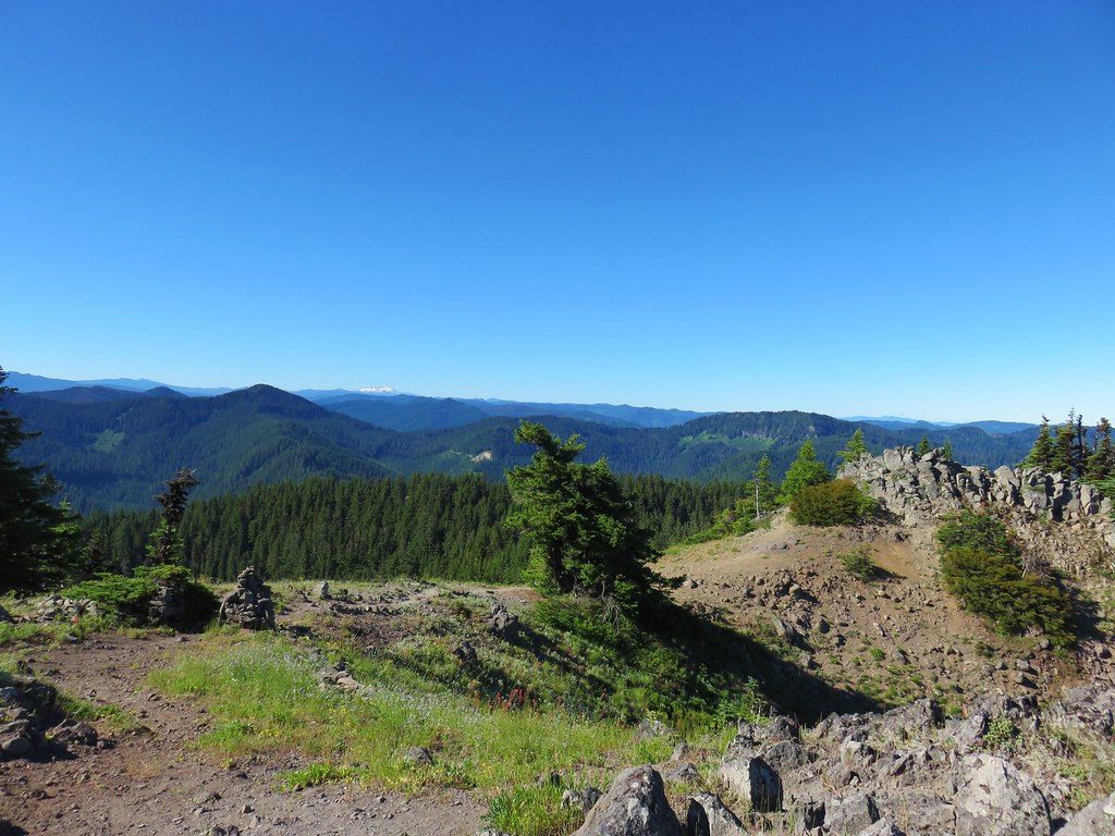
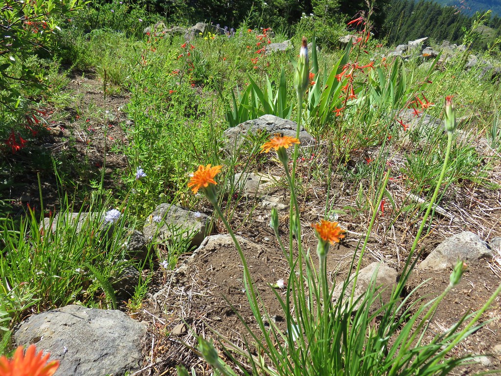
After another switchback the trail arrived at an open viewpoint.

The PCT continuing uphill.

Mt. Adams

Closer look at Mt. Adams

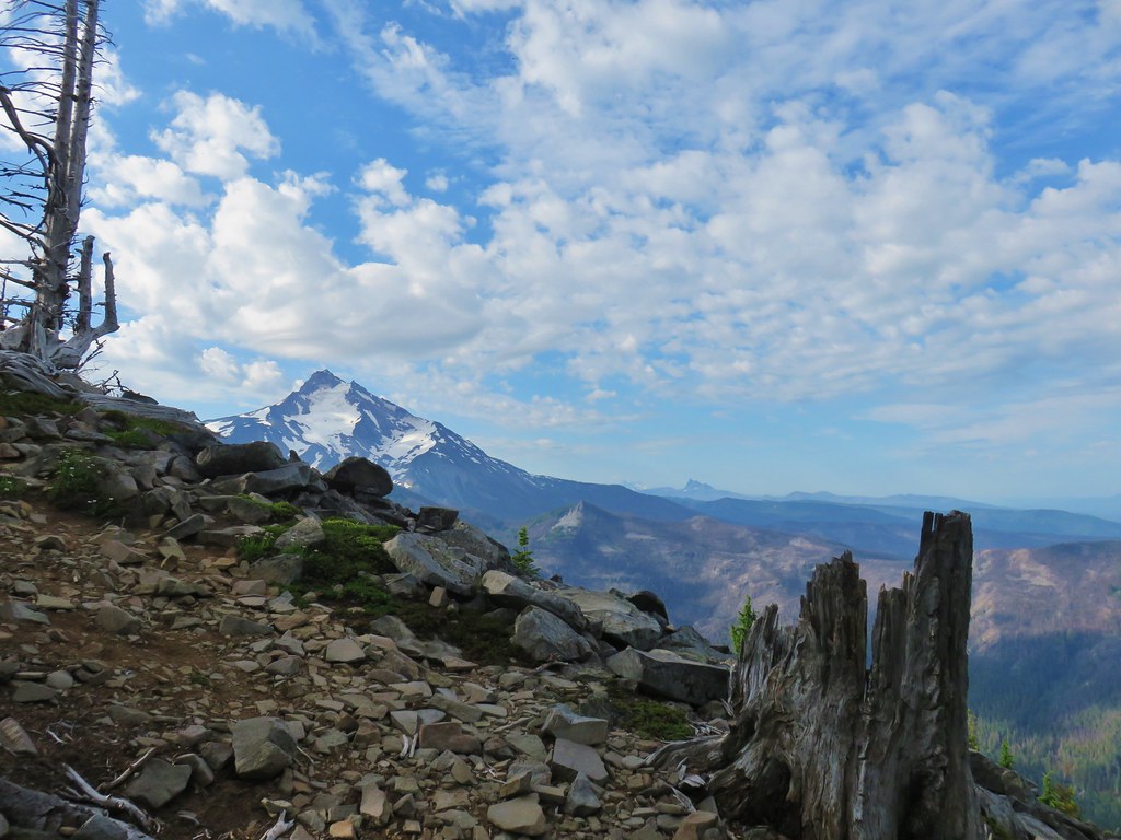
Mt. Hood partially hidden by trees.

Mt. Hood


Approximately a half mile from the illegal campfire I arrived at Teakettle Spring.


It was good to know that there was water available here as the only other source I’d passed was Herman Creek. I was carrying an extra Hydroflask full of water just in case, and after seeing the campfire I came up with another use for it. I decided that I would add that water to my pack bladder when I reached the plateau and then refill the Hydroflask from the spring on the way down to use on the fire pit if necessary.
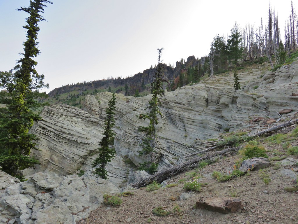
The trail continued to climb beyond the spring before crossing two saddles along a ridge. In the second saddle the Benson Way Trail arrived on the right.

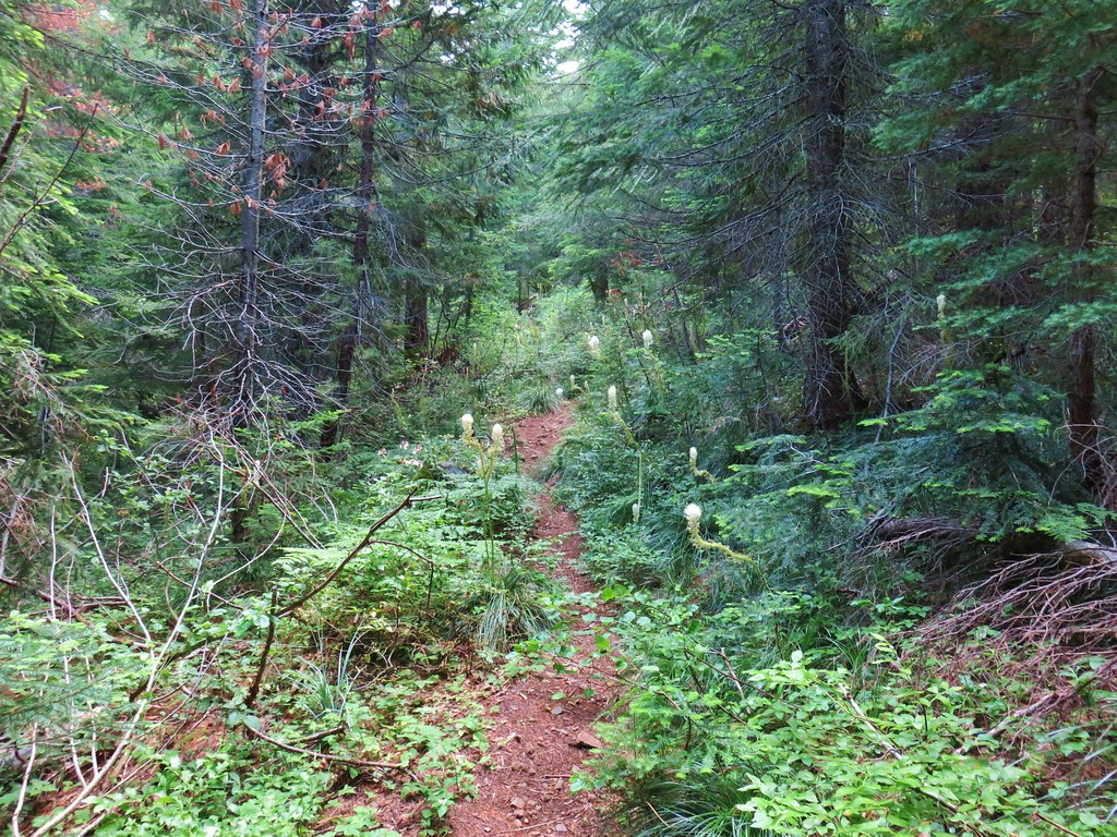
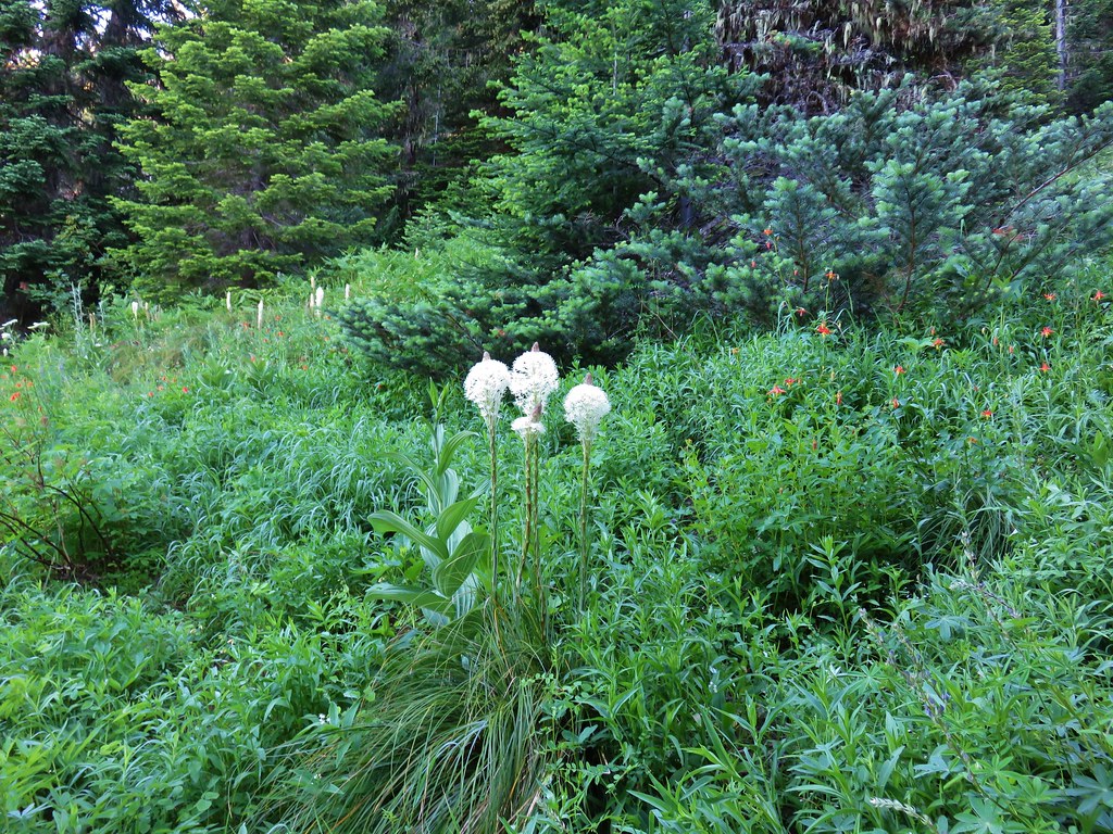
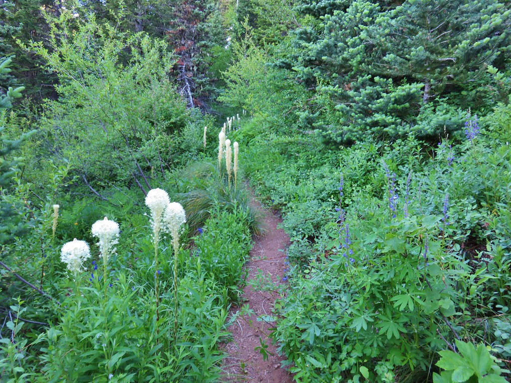
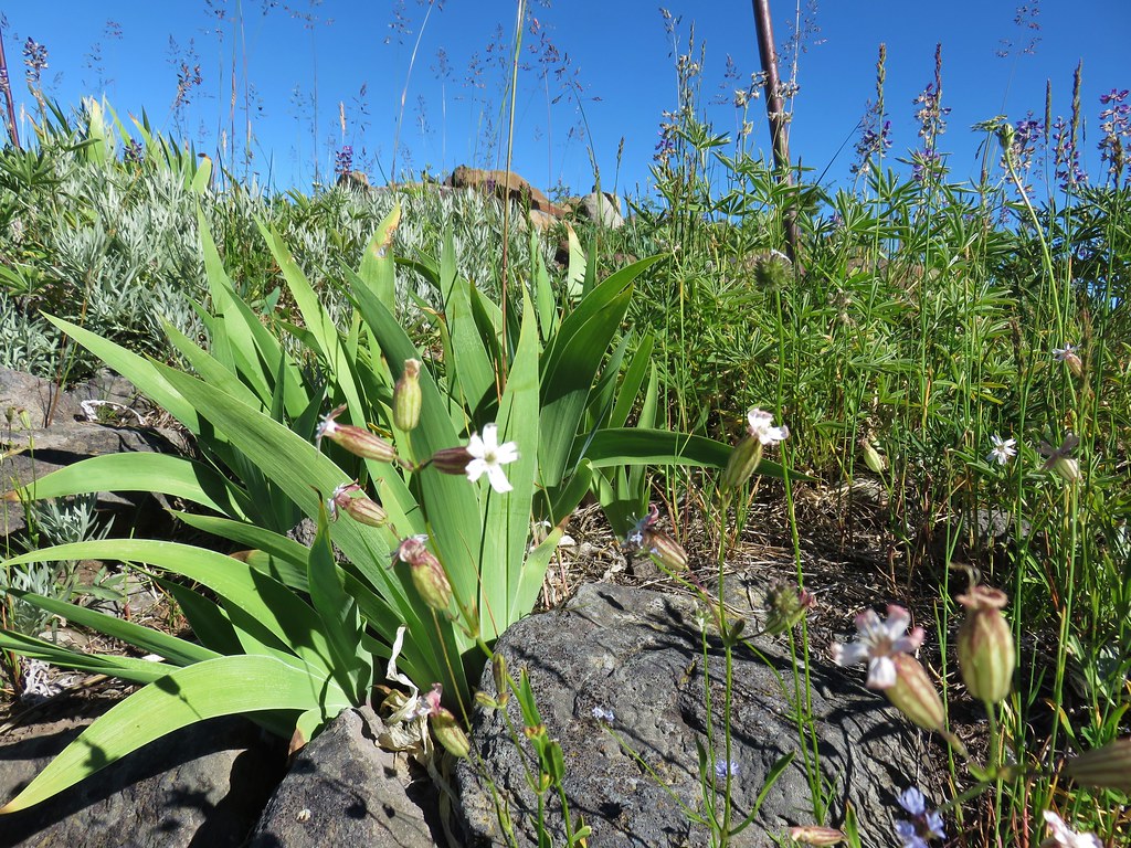
Beargrass along the trail is much better than poison oak.

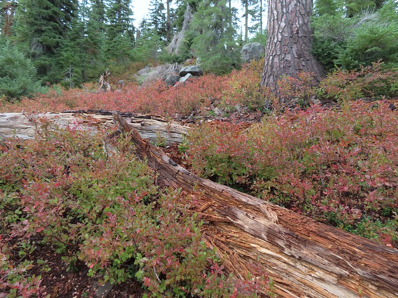
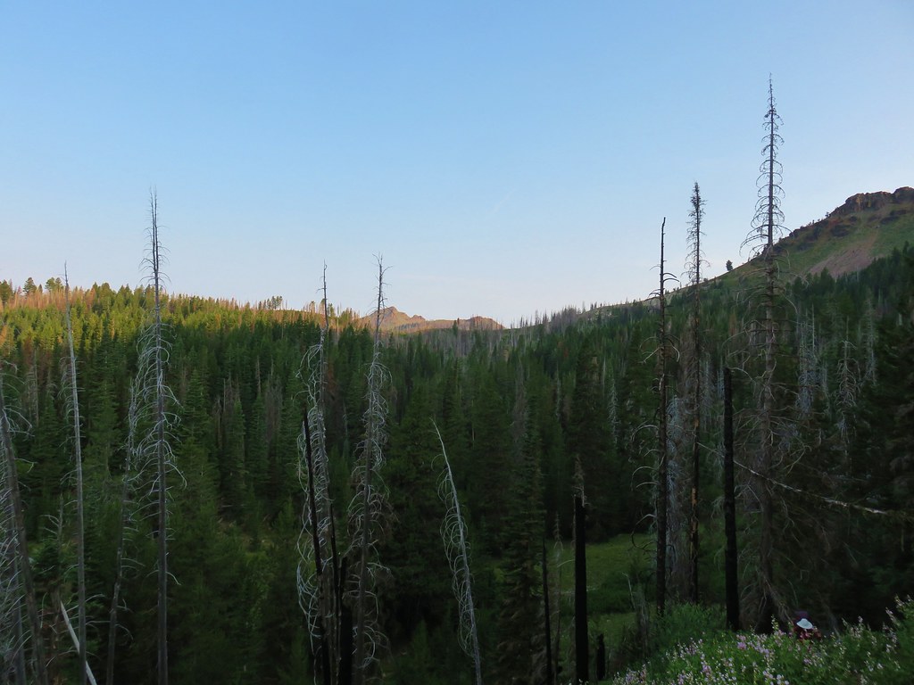
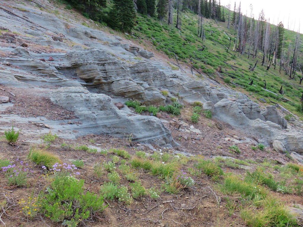
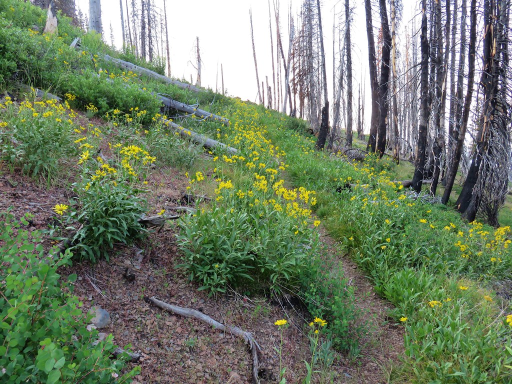
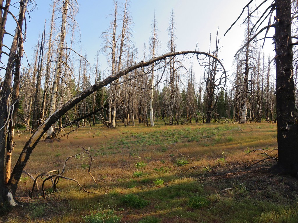
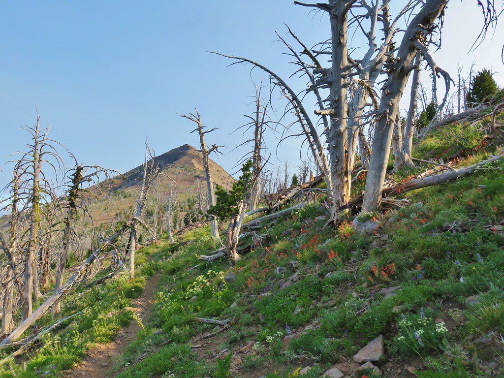
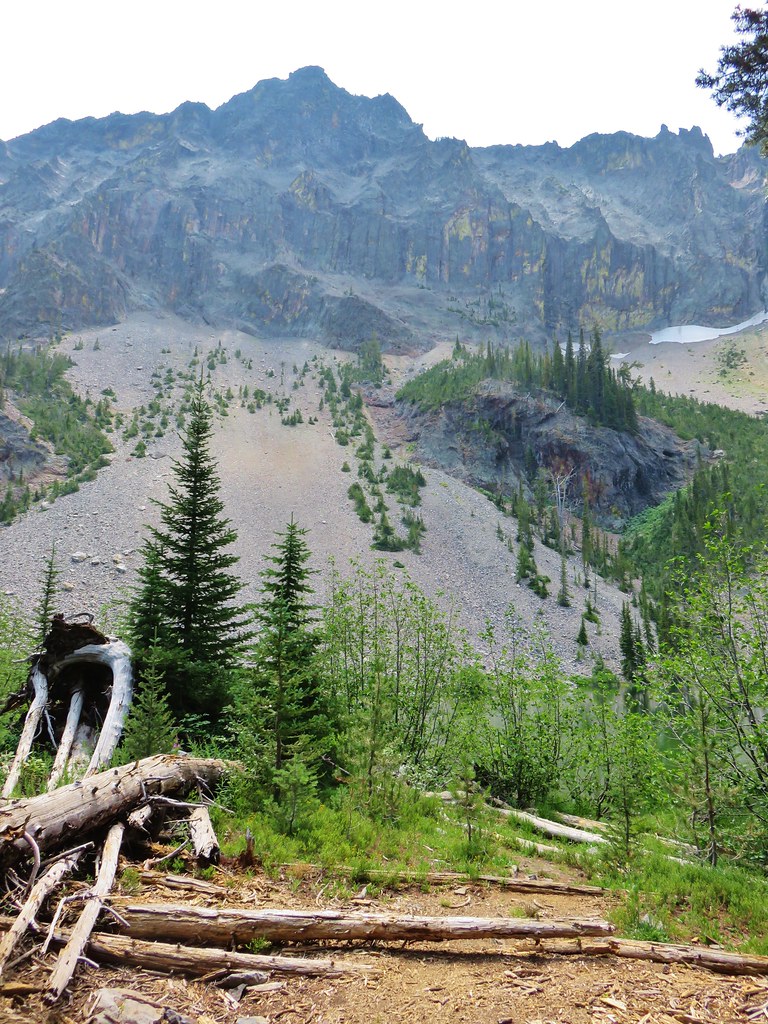
Sections of the ridge burned intensely in 2017.

Near the second saddle the trail left the 2017 fire scar, although a very small section did burn in the 2024 Whiskey Creek Fire.

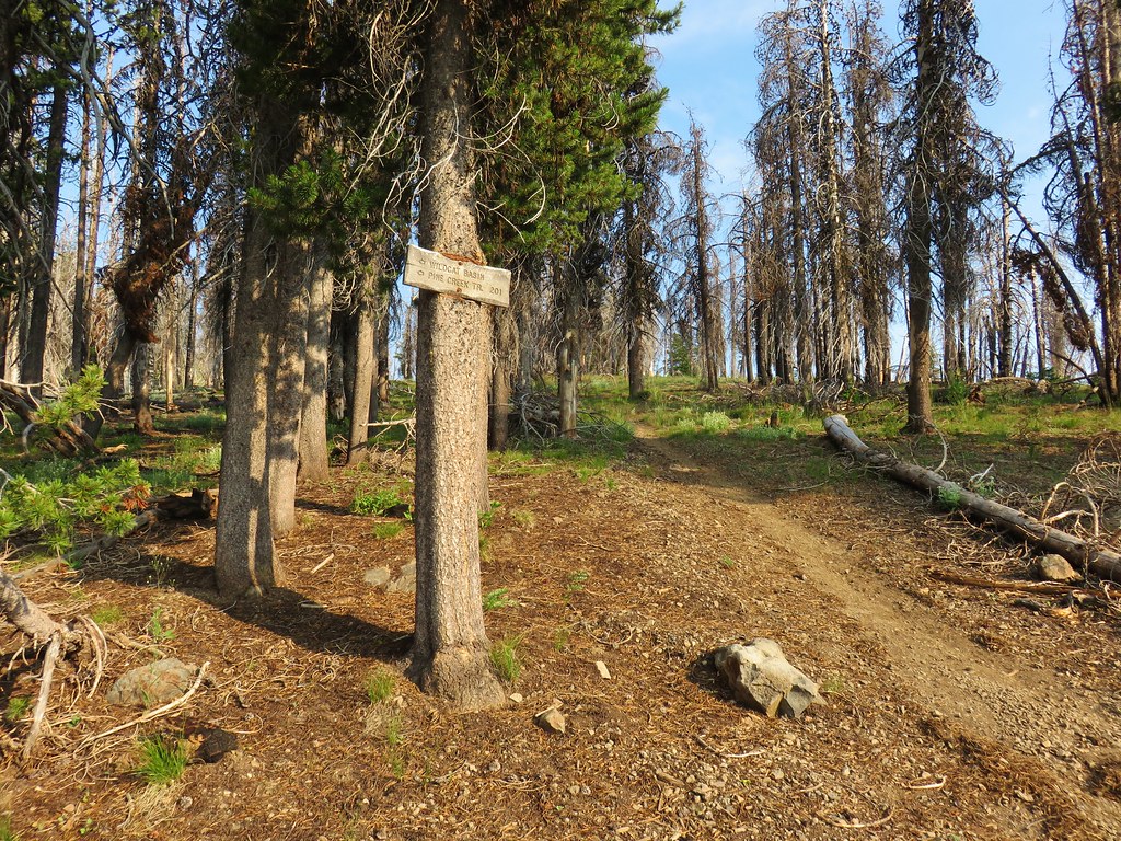
The Benson Way Trail on the right.

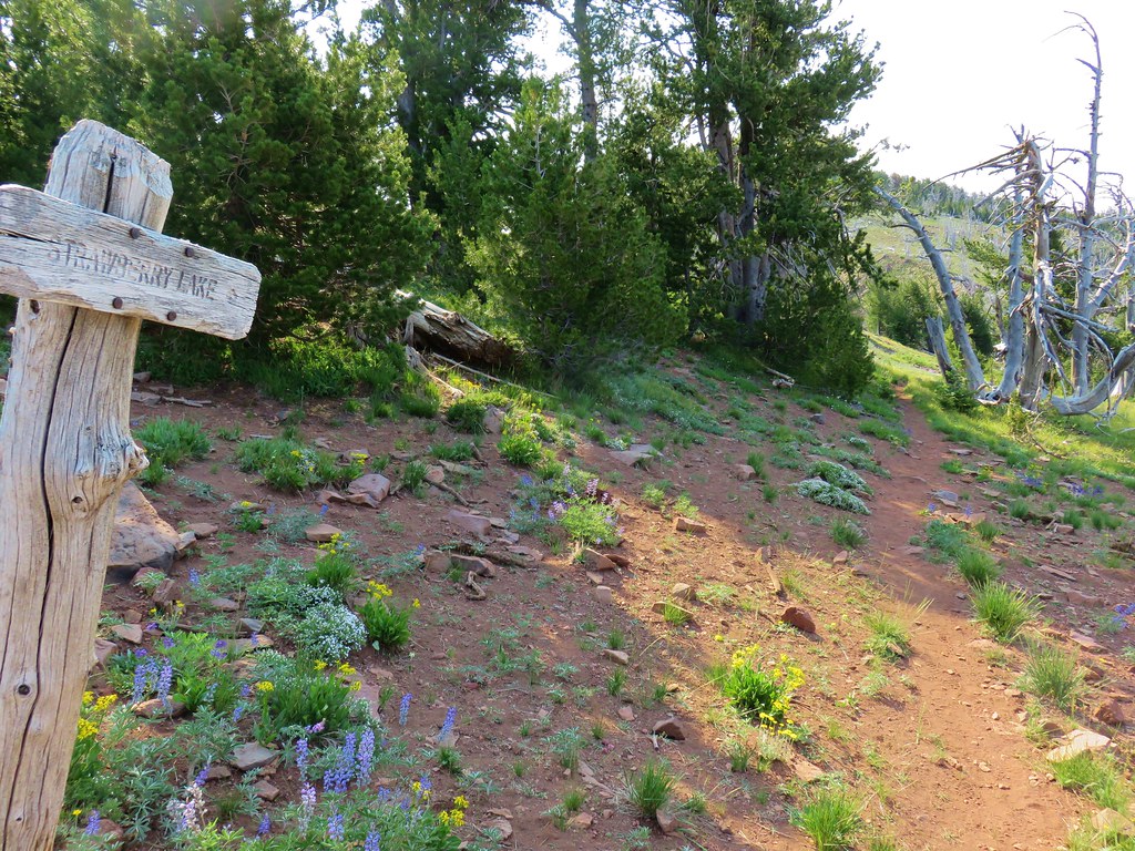
The final climb to the Benson Plateau.
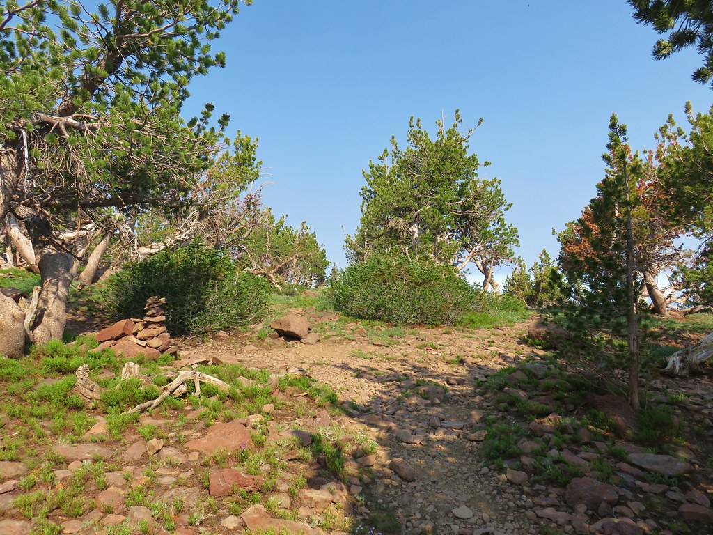
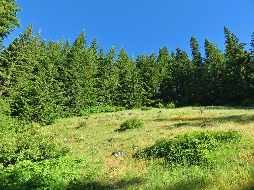
The trail eventually leveled out on the plateau.


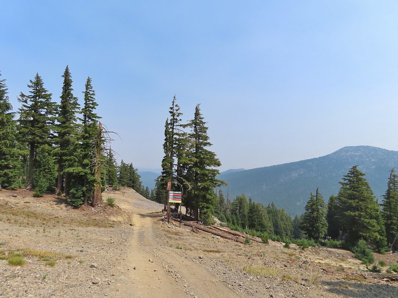
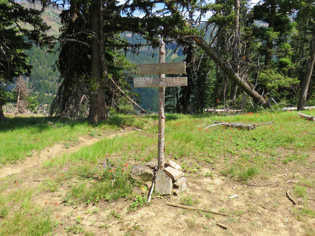
Approximately three quarters of a mile from the Benson Way junction I passed the Benson-Ruckle Trail, again on the right.
 Trail signs for the Benson-Ruckle Trail.
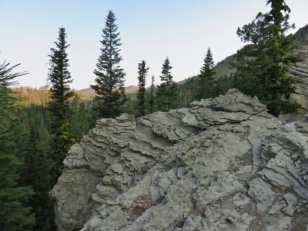
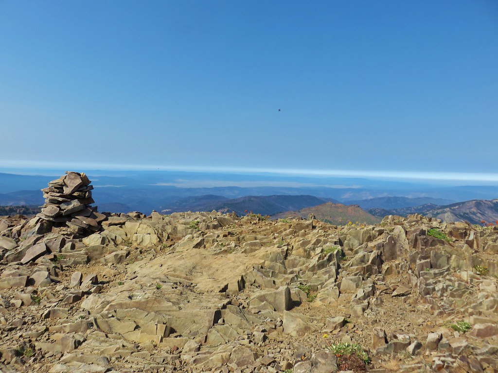
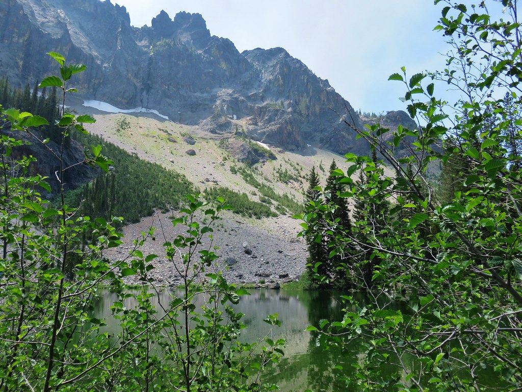
Reeder mentioned a campsite near the junction, but I didn’t see an obvious one. I continued on looking for the campsite but after a tenth of a mile I instead spotted a short use trail to a rocky viewpoint. I decided that would make for a good spot for a break.

It wasn’t a huge view, but it was nice and the rocks made for a great spot to sit down, have a snack, add the remaining Hydroflask water to my pack, and then change into dry socks.
After the break I headed back the way I’d come. It would have been possible to use the network of trail on the plateau to make a loop around it, but 14-miles was enough for me today.
I made my way back down to Teakettle Spring and refilled the Hydroflask as planned.


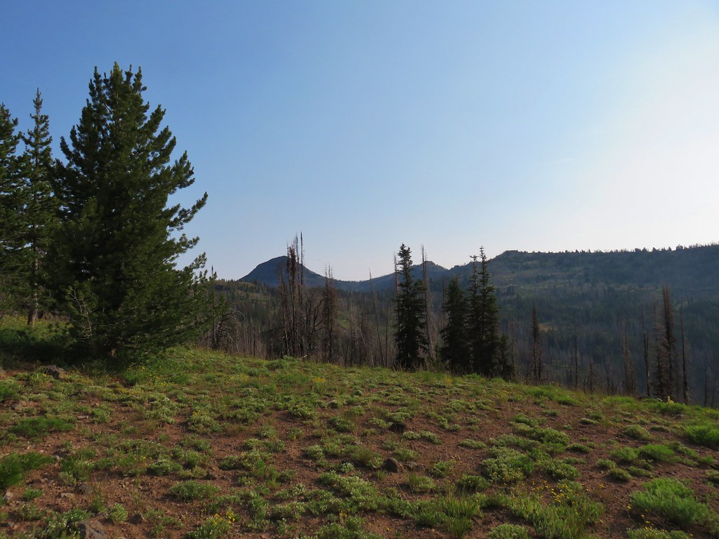
The hump with radio towers behind the ridge is Mt. Defiance (post).
Not long after leaving the springs I encountered the bow hunters who were standing in the trail looking at their phone. They asked me if I knew where the spring was because they were “plumb out of water”. I informed them it was about 100 yards further up the trail and continued on now wondering if they were out of water due to dousing the campfire or if they had had enough water to do that in the first place.

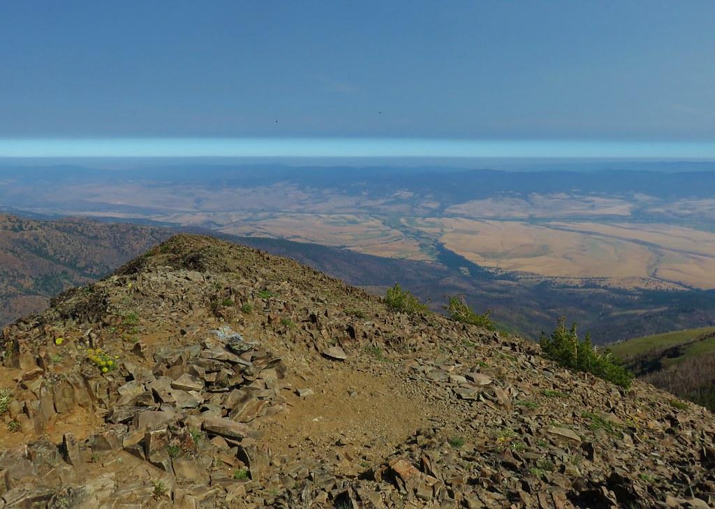
Approaching the best viewpoint.

Not only was Mt. Adams a little clearer but I realized the top of Mt. Rainier was visible from the viewpoint as well.

Mt. Rainier behind Red Mountain (post).

Huckleberry leaves.

Vine maple
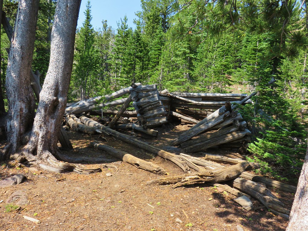
When I arrived at the site of the fire pit I could tell that they had at least attempt to extinguish the fire.

The fire pit. In no way is this acceptable, even if fires weren’t currently banned. If it is legal to have a fire and you feel you must please follow Leave No Trace Principles.
Even though there was no visible smoke I knew that fires can easily burn underground, sometimes for days until they reach a tree or stump at which point they can reemerge above ground causing a full-on wildfire. I felt the dirt over the fire and sure enough it was still putting off heat so I exposed some of the coals and poured the Hydroflask out over them. This produced a lot of hissing so I did a little stirring and added more water from my bladder attempting to make “campfire soup”. After doing what I could with what I was carrying I marked the location with the GPS so I could report it to the Forest Service when I had the chance which I did later.
I continued down the trail and when I neared the tree that required crawling under met a pair of backpackers heading up to the plateau. I described the fire pit to them, and they indicated that they were carrying extra water and would add some if necessary.
Other than that it was an uneventful downhill until I reached the rocky hillsides where I once again had some luck spotting pikas.

This one was more than happy to pose for me for a bit.

At the end of the day my GPS read 14.2-miles with the 3800′ of elevation gain as advertised.

Despite the issue with the illegal fire this was a nice, challenging hike. There really isn’t anything that will blow you away scenery wise, but there is enough of a mix to keep it interesting. While the upper portion of the trails can get pretty snowy from November through late April/early May this would be a great training hike while waiting for the higher elevations to become snow free. Happy Trails!
Flickr: Benson Plateau


 Hummingbird at Memaloose Hills in May.
 Hummingbird at Upper Table Rock in May.
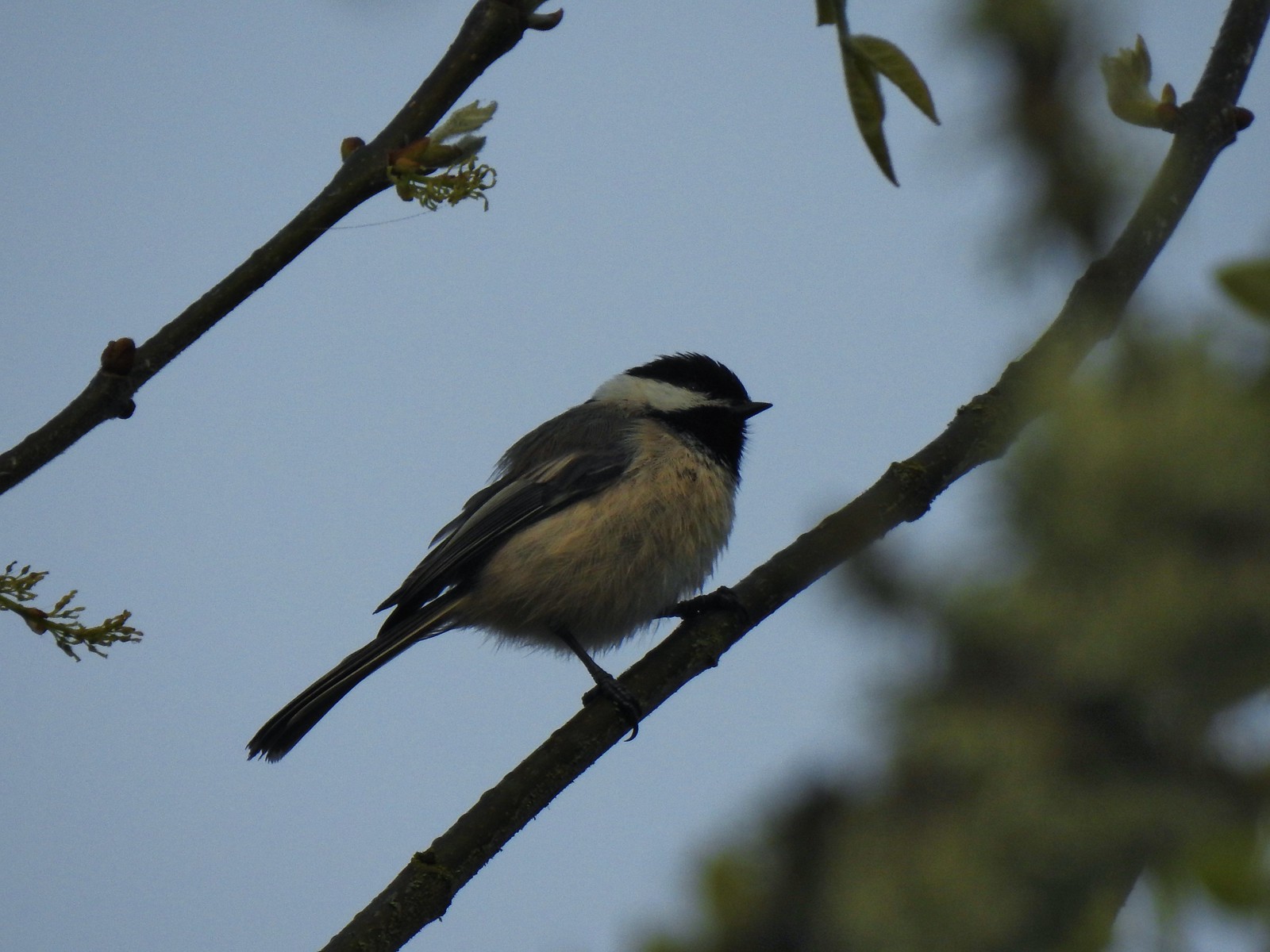 Black capped chickadee at Ankeny Wildlife Refuge in April.
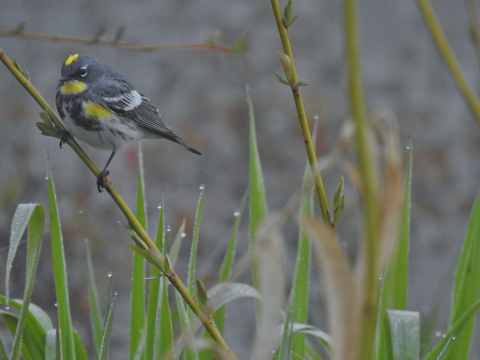 Yellow-rumped warbler (Audubon’s) at Ankeny Wildlife Refuge in April.
 Wren (marsh?) at Ankeny Wildlife Refuge in April.
 White-crowned sparrow at Ankeny Wildlife Refuge in April.
 Sparrow? at Ankeny Wildlife Refuge in April.
 Common yellow throat at Ankeny Wildlife Refuge in April.
 Yellow-rumped warbler (Myrtle) at Ankeny Wildlife Refuge in April.
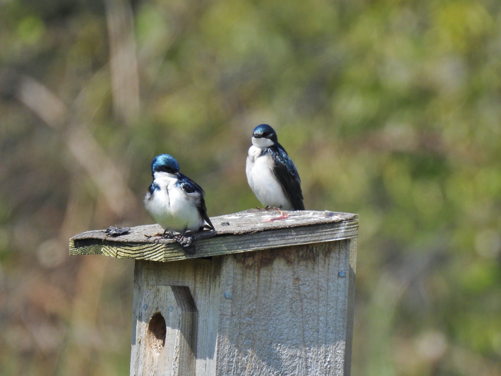 Tree swallows at Ankeny Wildlife Refuge in April.
 White-crowned sparrow and a wren at Miller Woods in May.
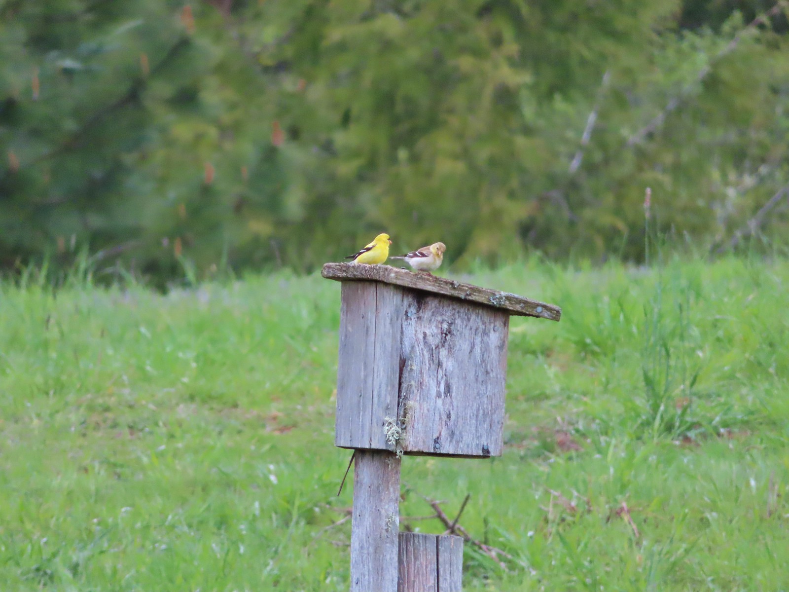 American goldfinch pair at Miller Woods in May.
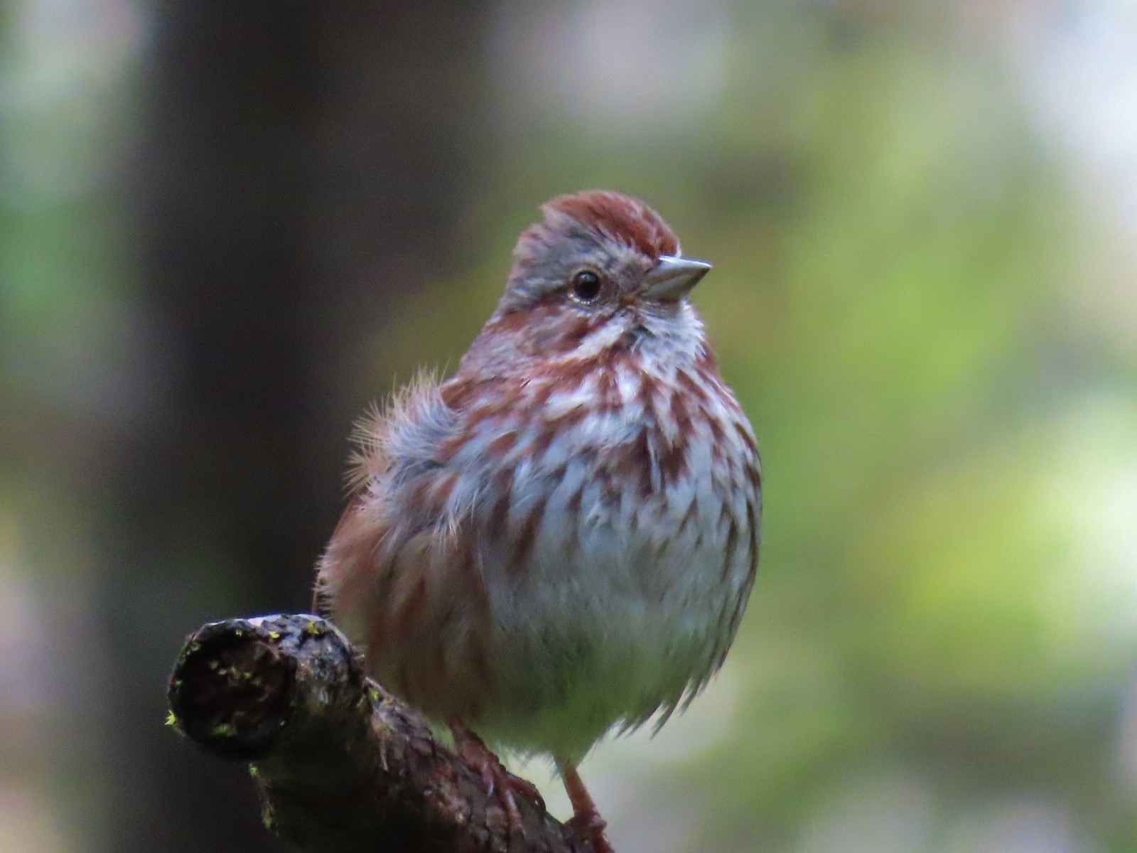 Another sparrow at Miller Woods in May.
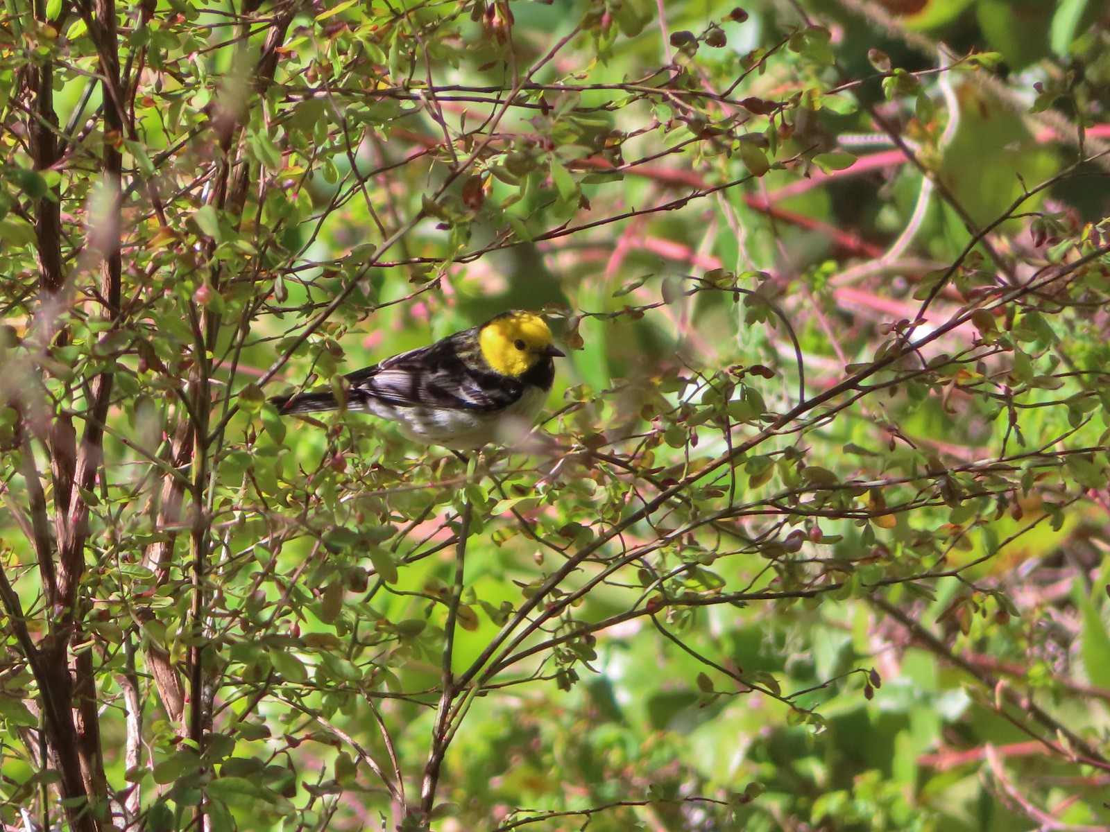 Hermit warbler? near Kings Mountain in May.
 House finch? at Upper Table Rock in May.
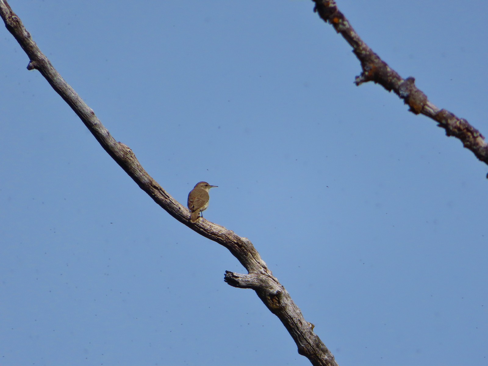 Rock wren? at Upper Table Rock in May.
 Ash-throated flycatcher at Denman Wildlife Area in May.
 Unknown at Denman Wildlife Area in May.
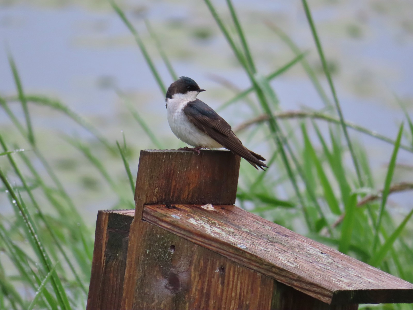 Swallow at Julia Hansen Butler Wildlife Refuge in June.
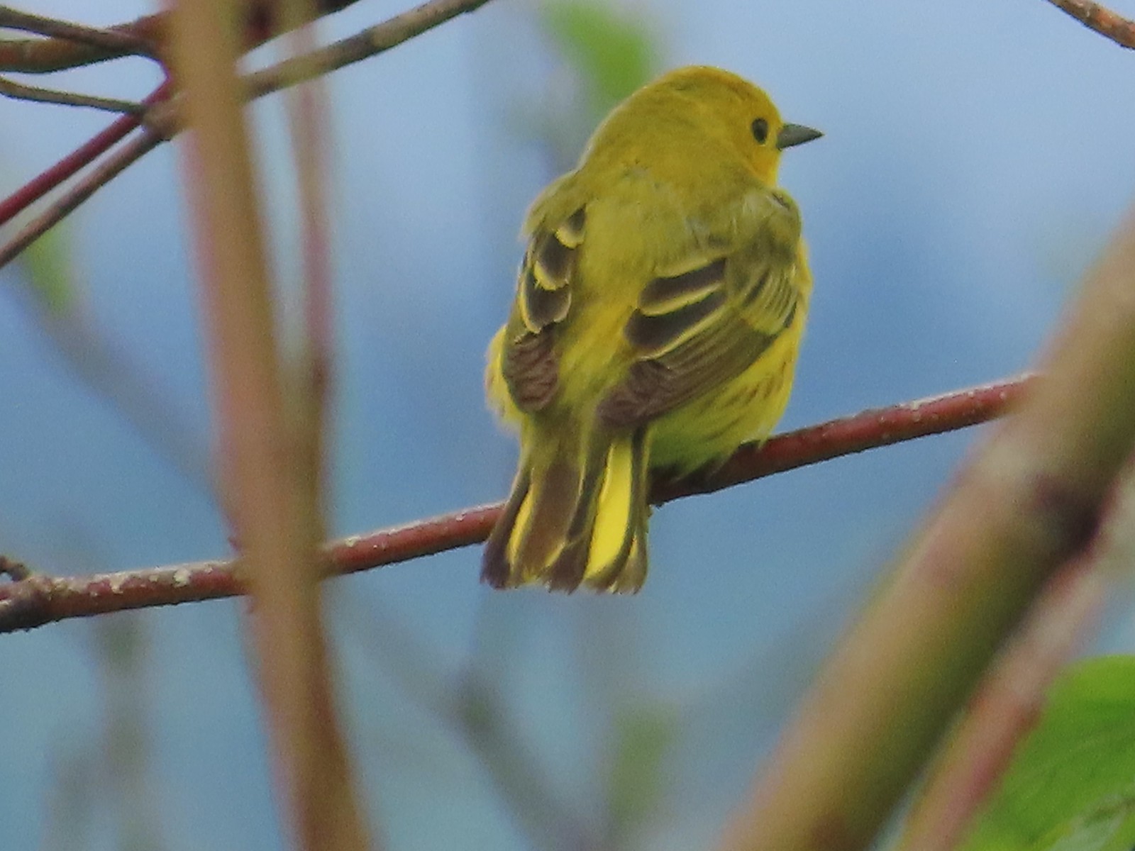 Some sort of warbler? at Julia Hansen Butler Wildlife Refuge in June.
 Purple martins at Julia Hansen Butler Wildlife Refuge in June.
 Another wren at Julia Hansen Butler Wildlife Refuge in June.
 Unknown at Julia Hansen Butler Wildlife Refuge in June.
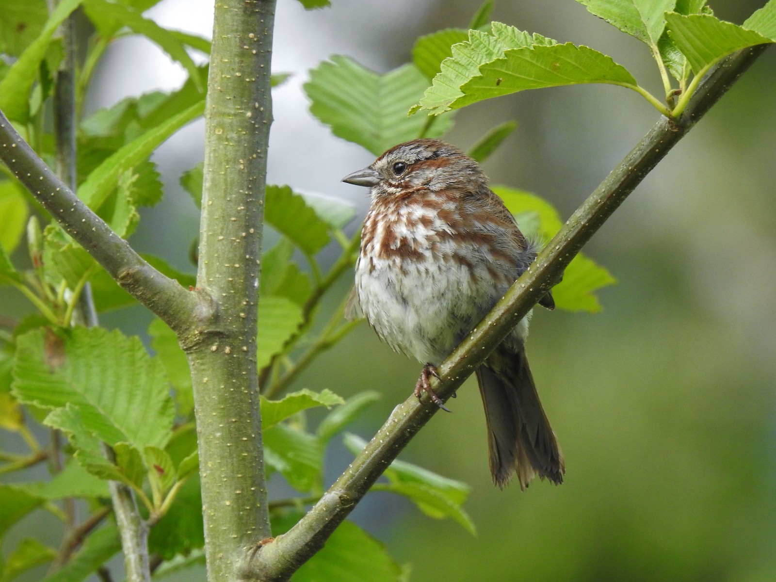 Sparrow? at Julia Hansen Butler Wildlife Refuge in June.
 Warbler? at Julia Hansen Butler Wildlife Refuge in June.
 Black phoebe? at Julia Hansen Butler Wildlife Refuge in June.
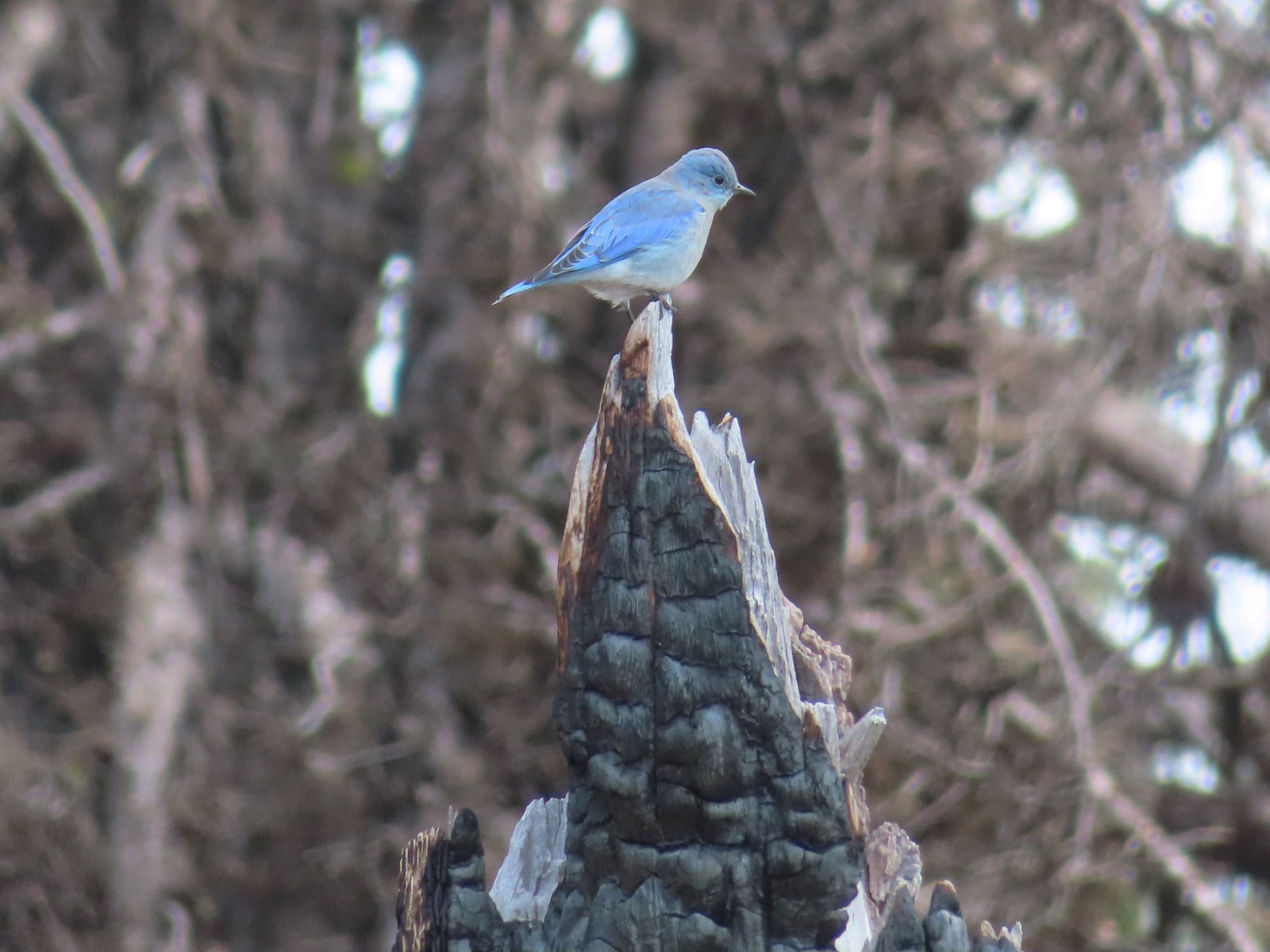 Mountain bluebird near Union Peak in September.
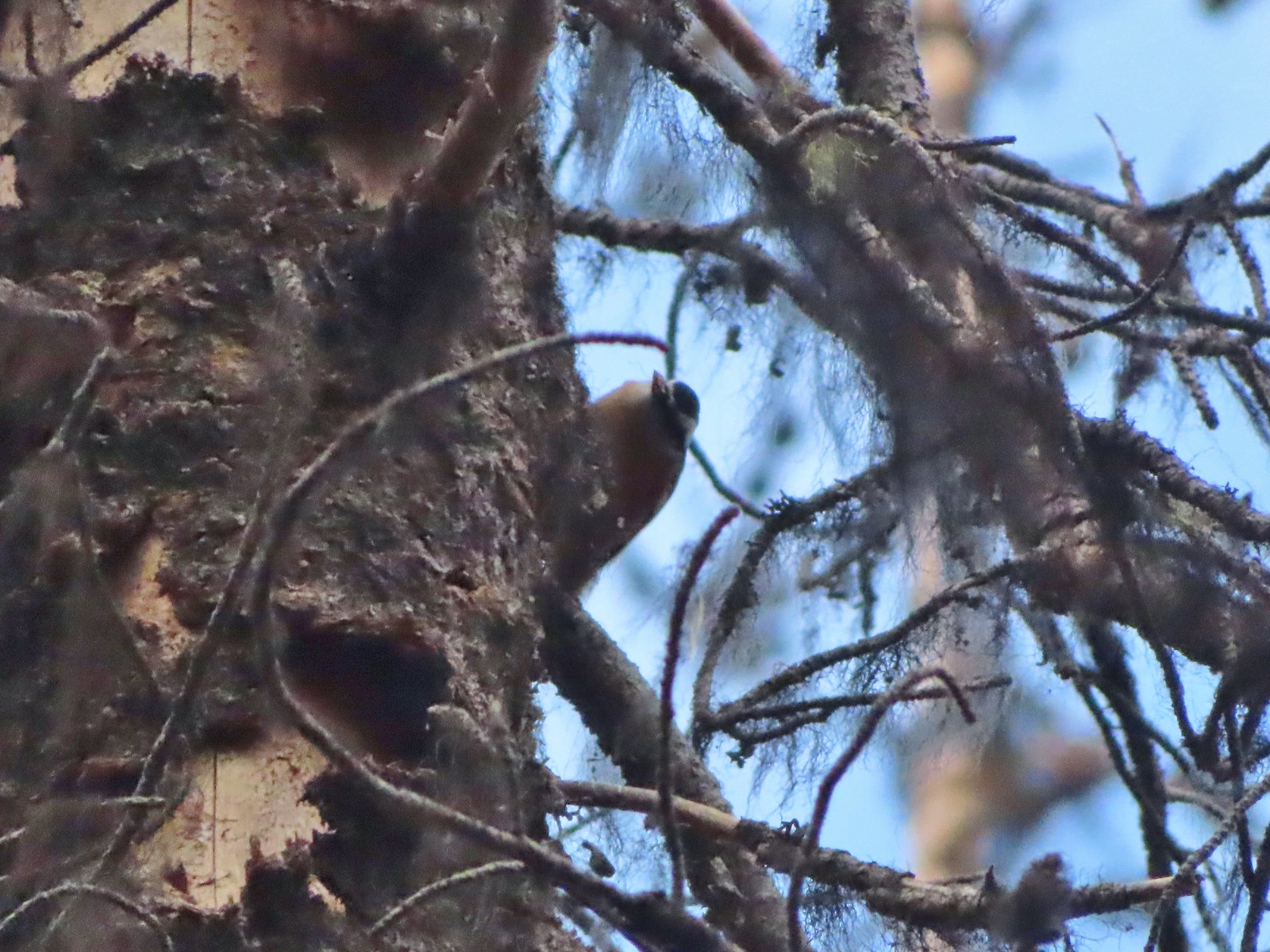 Red-breasted nuthatch (best I could get) at Crater Lake in September.
 Red crossbilss at Crater Lake in September.
 Wren on the Eagle Creek Trail in November.
 Dark eyed junco at Waverly Lake in December.
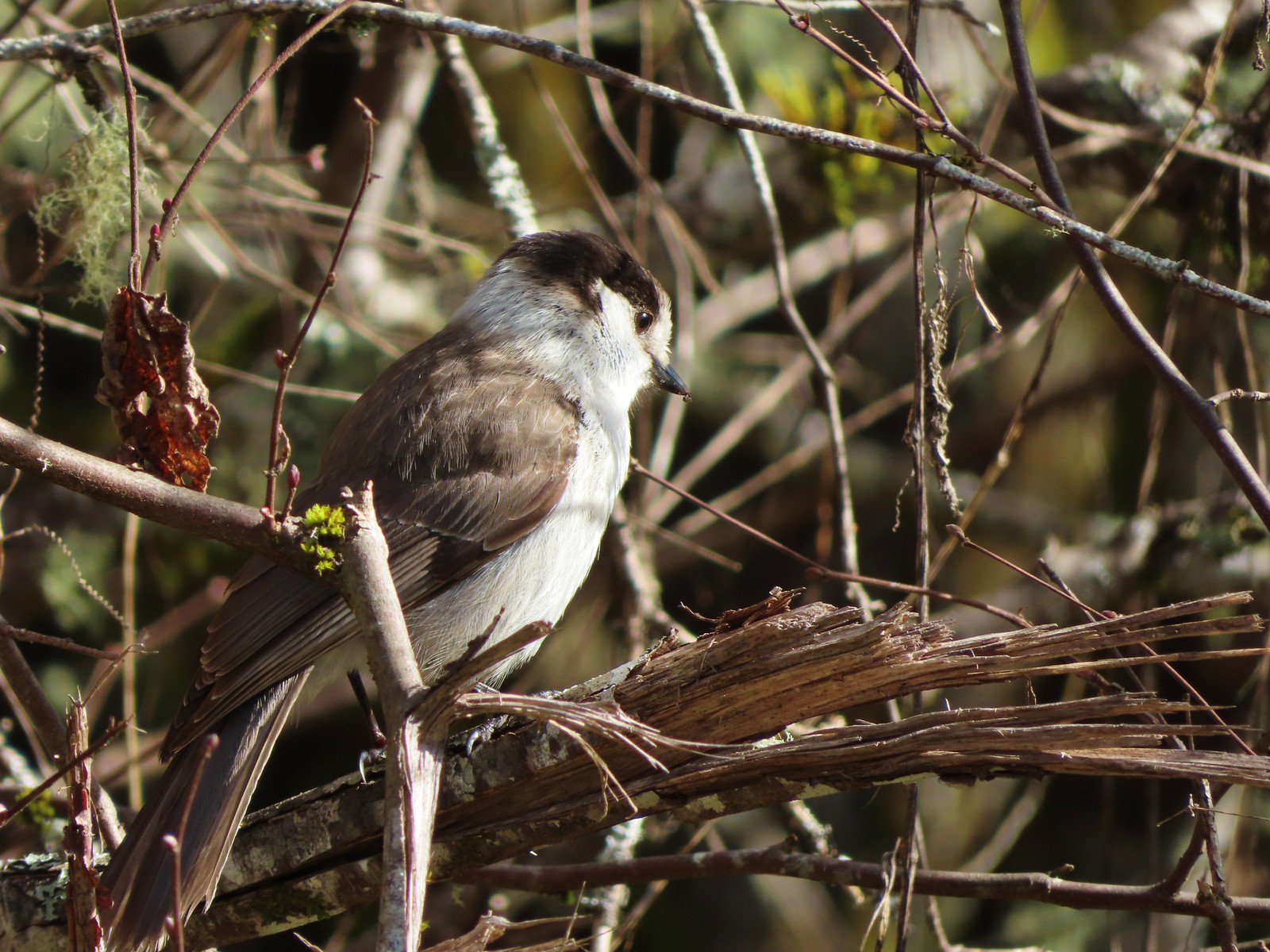 Canada jay (grey jay) along the Crown Zellerbach Trail in March.
 California scrub jay along the Balfour-Klickitat Trail in April.
 Stellar’s jay along the Hood River Pipeline Trail in May.
 Female red-winged blackbird at Ankeny Wildlife Refuge in April.
 Red-winged blackbird at Ankeny Wildlife Refuge in April.
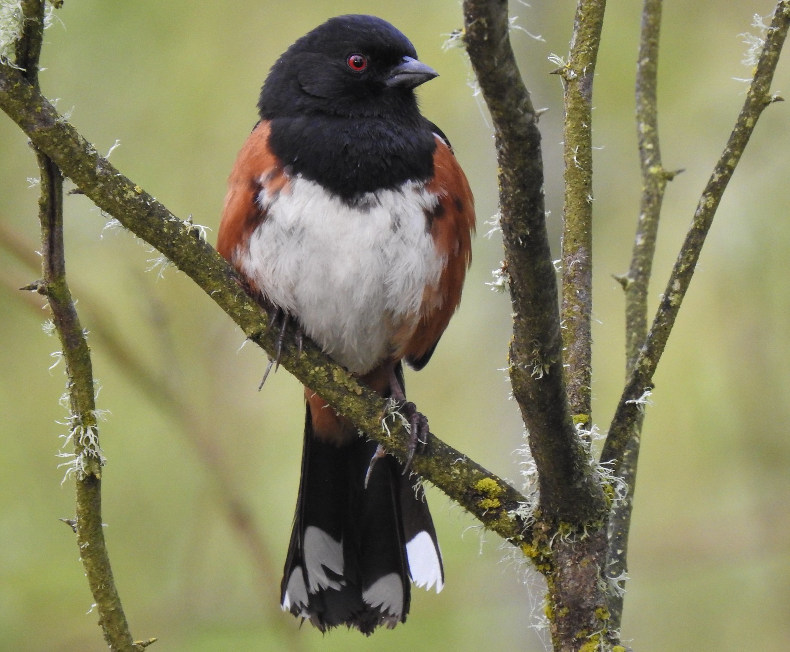 Spotted towhee at Ankeny Wildlife Refuge in April.
 Starlings along the Hood River Pipeline Trail in May.
 Brownheaded cowbird at Upper Table Rock in May.
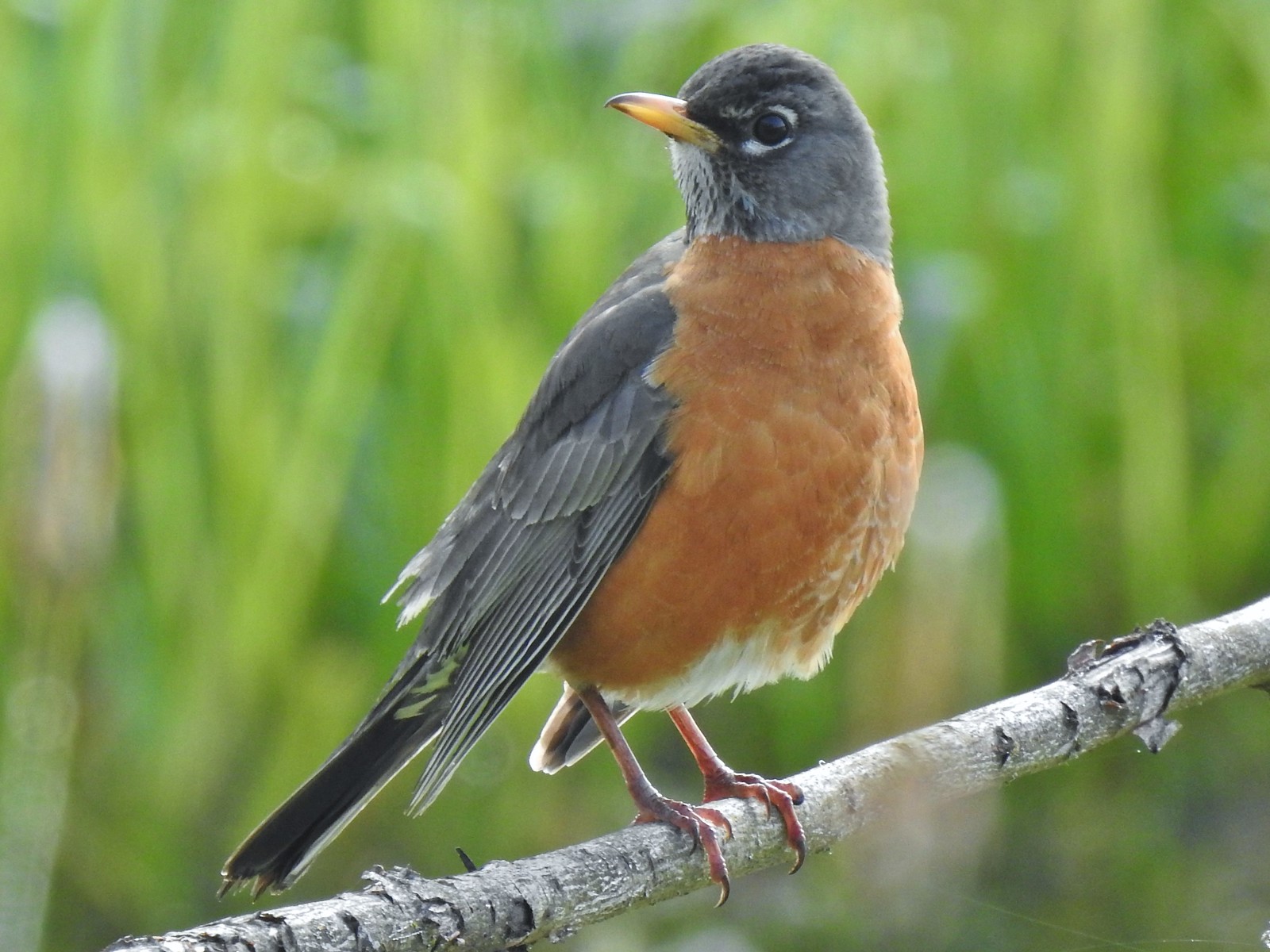 American robin at Ankeny Wildlife Refuge in April.
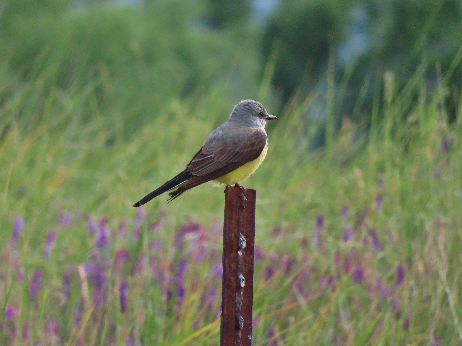 Tropical kingbird? at Denman Wildlife Area in May.
 Black-headed grosbeak (also all I could get) at Applegate Lake in May.
 Lazuli bunting at Roxy Ann Peak in May.
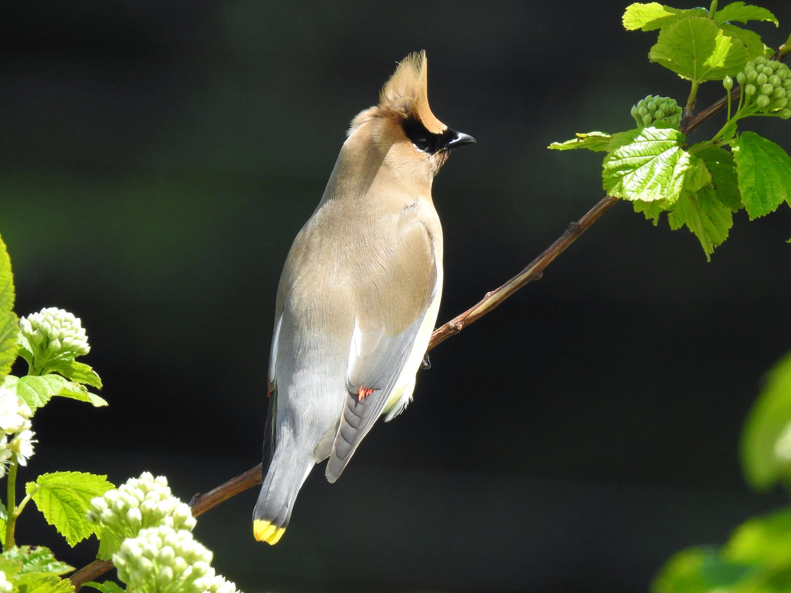 Cedar waxwing at Julia Hansen Butler Wildlife Refuge in June.
 Western tanagers, Siskiyou Wilderness in July.
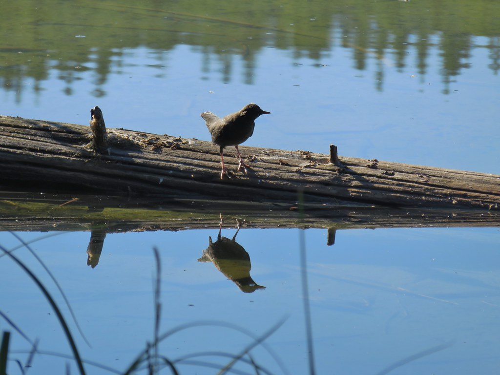
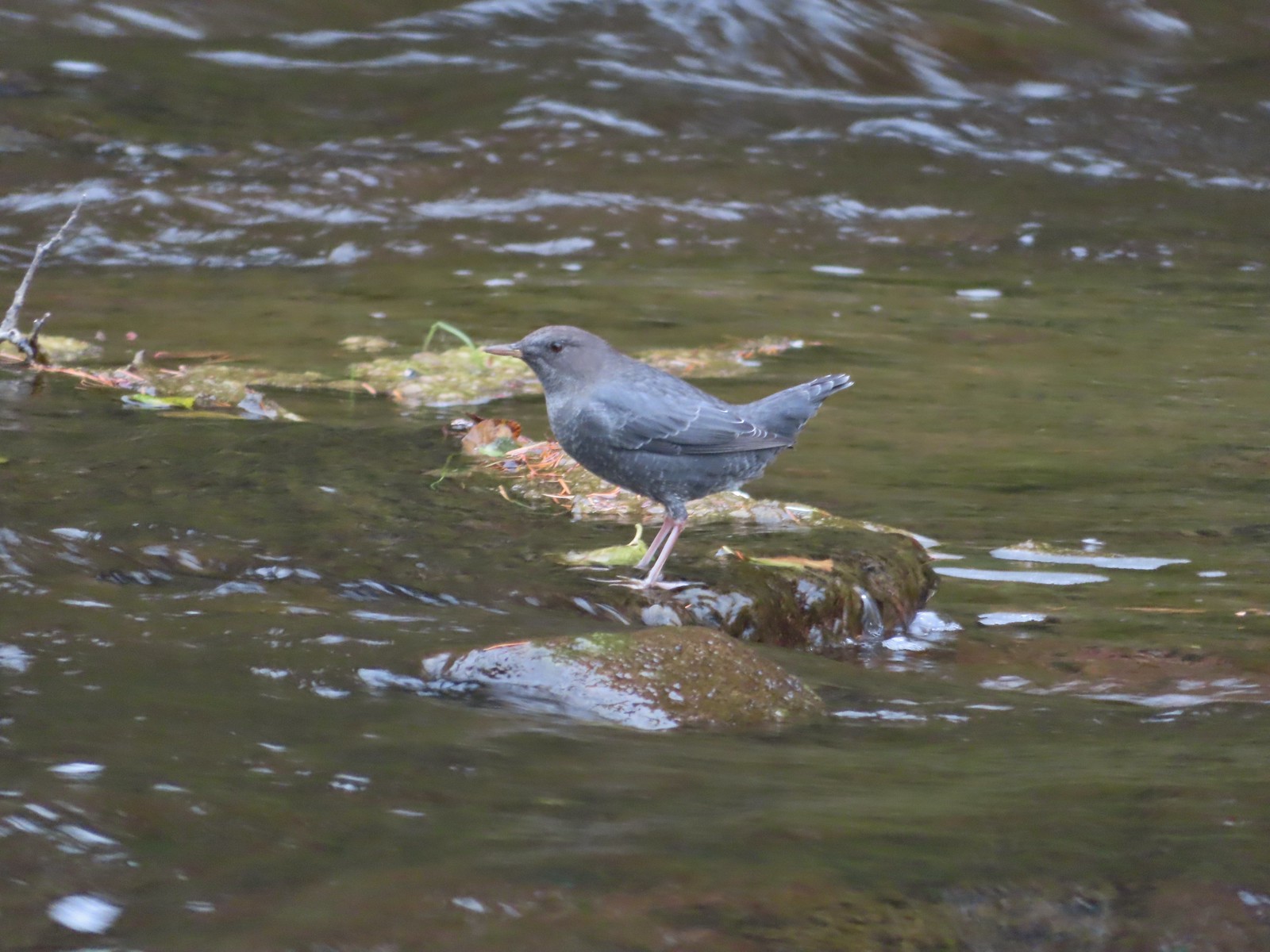 American dipper (Ouzel) near South Umpqua Falls in September.
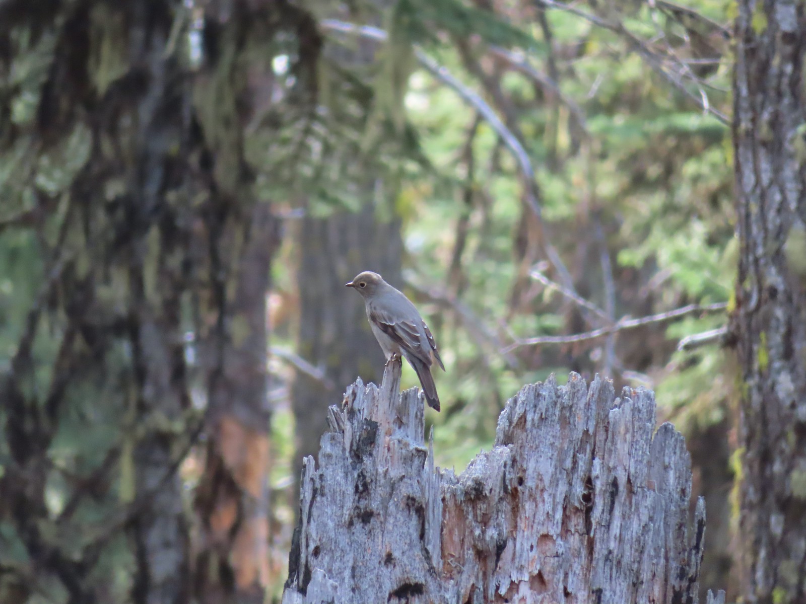 Townsends solitaire at Crater Lake National Park in September.
 Clark’s nutcracker at Crater Lake National Park in September.
 Varied thrush along the Eagle Creek Trail in November.
 Unknown at Cascade Head in October.
 Forest Park in January.
 Northern flicker at Ankeny Wildlife Refuge in April. We seem to see flickers on nearly every hike, but they don’t often sit still long enough for us to get a decent picture.
 Pileated woodpecker at Chehalem Ridge Nature Park in May. We rarely see these but like the flickers, when we do they are very difficult to get a photo of.
 Acorn woodpecker at Denman Wildlife Area in May.
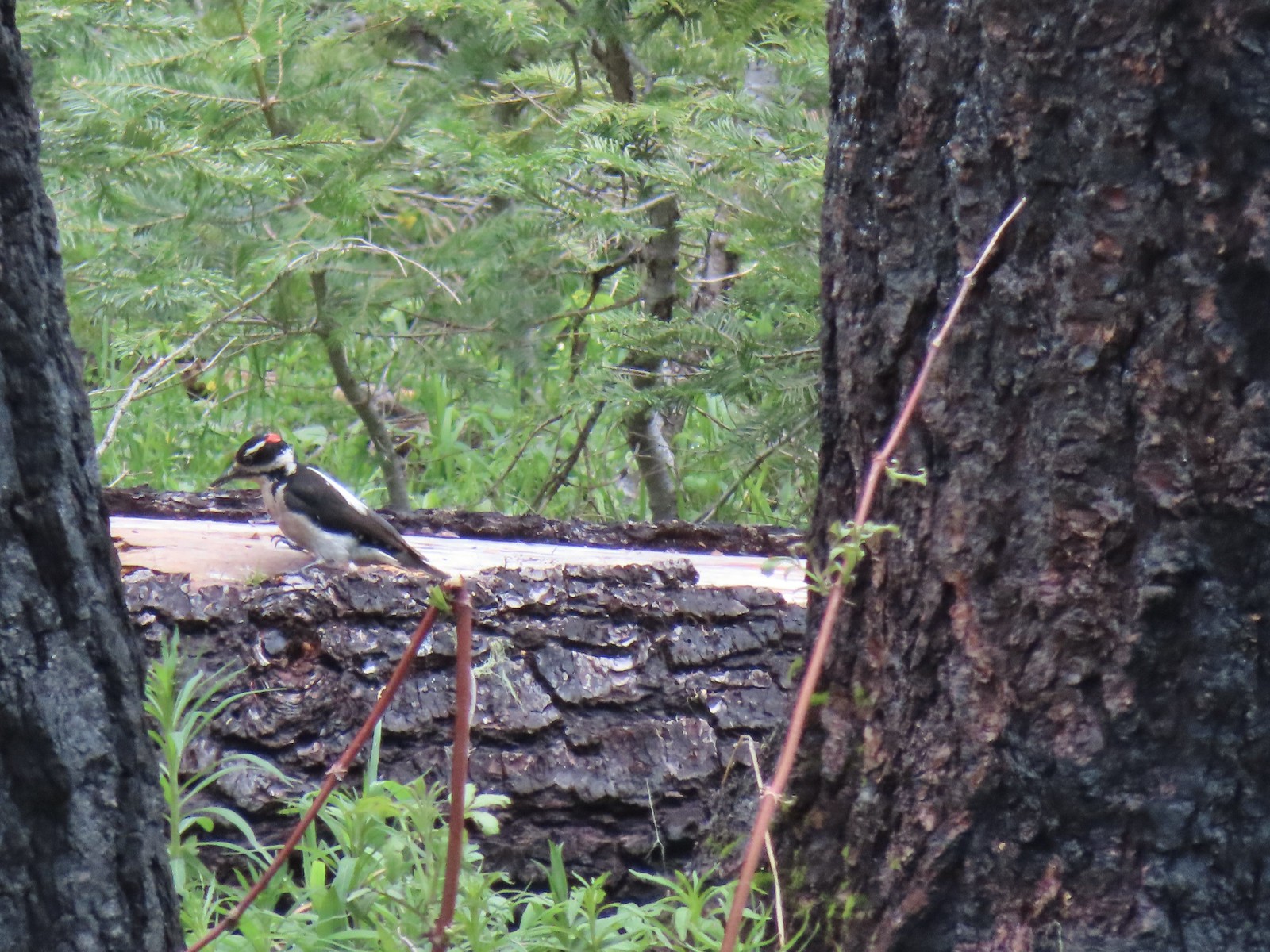 Hairy? woodpecker near Twin Lakes in the Umpqua National Forst in June.
 Red breasted sapsucker at E.E. Wilson Wildlife Area in July.
 Either a hairy or downy woodpecker along the Eagle Creek Trail in November.
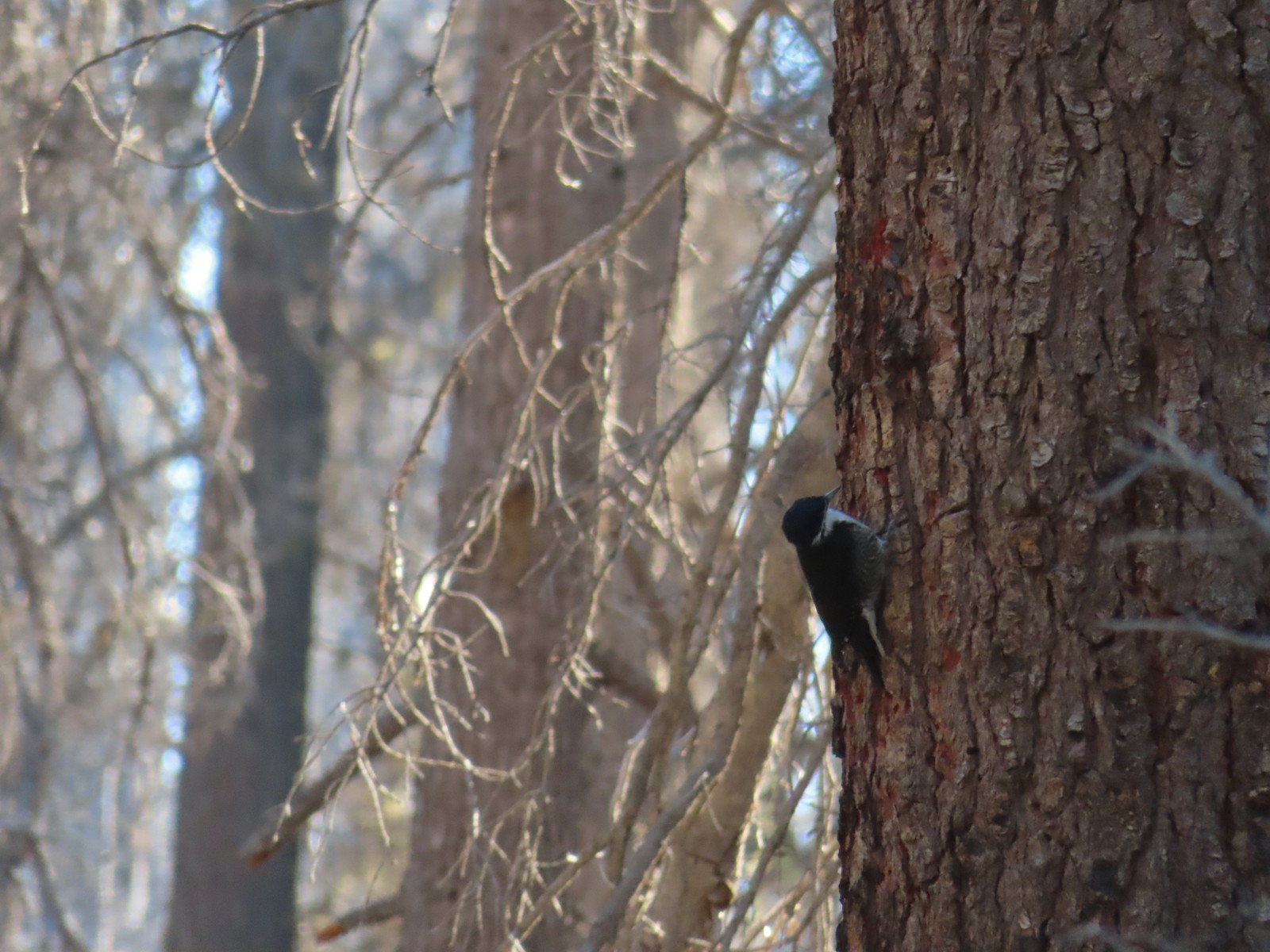 Unknown, Sky Lakes Wilderness in late September.
 Crow along the Crown Zellerbach Trail in March.
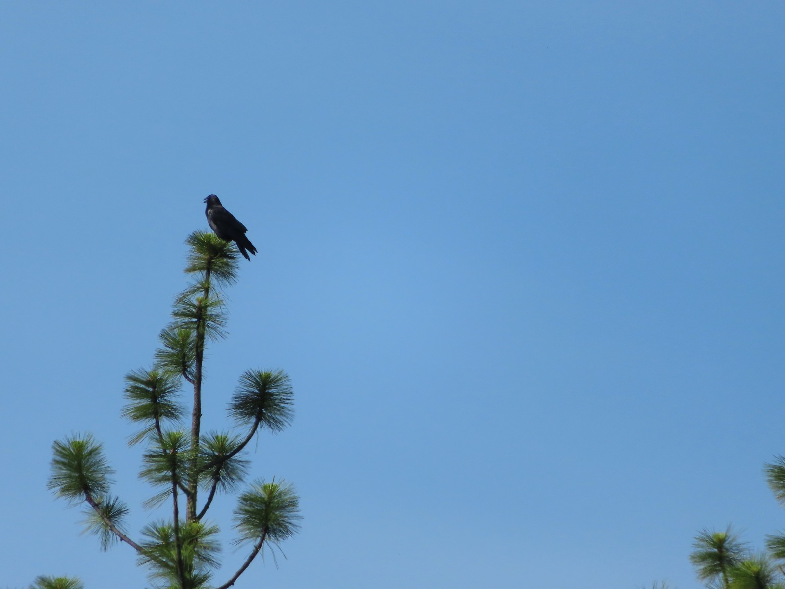 Raven at Upper Table Rock in May.
 Turkey Vulture at Julia Hansen Butler Wildlife Refuge in June.
 American kestral along the Crown Zellerbach Trail in March.
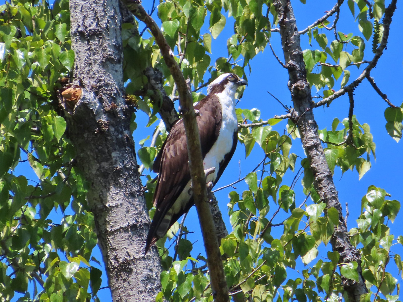 Osprey along the Hood River Pipeline Trail in May.
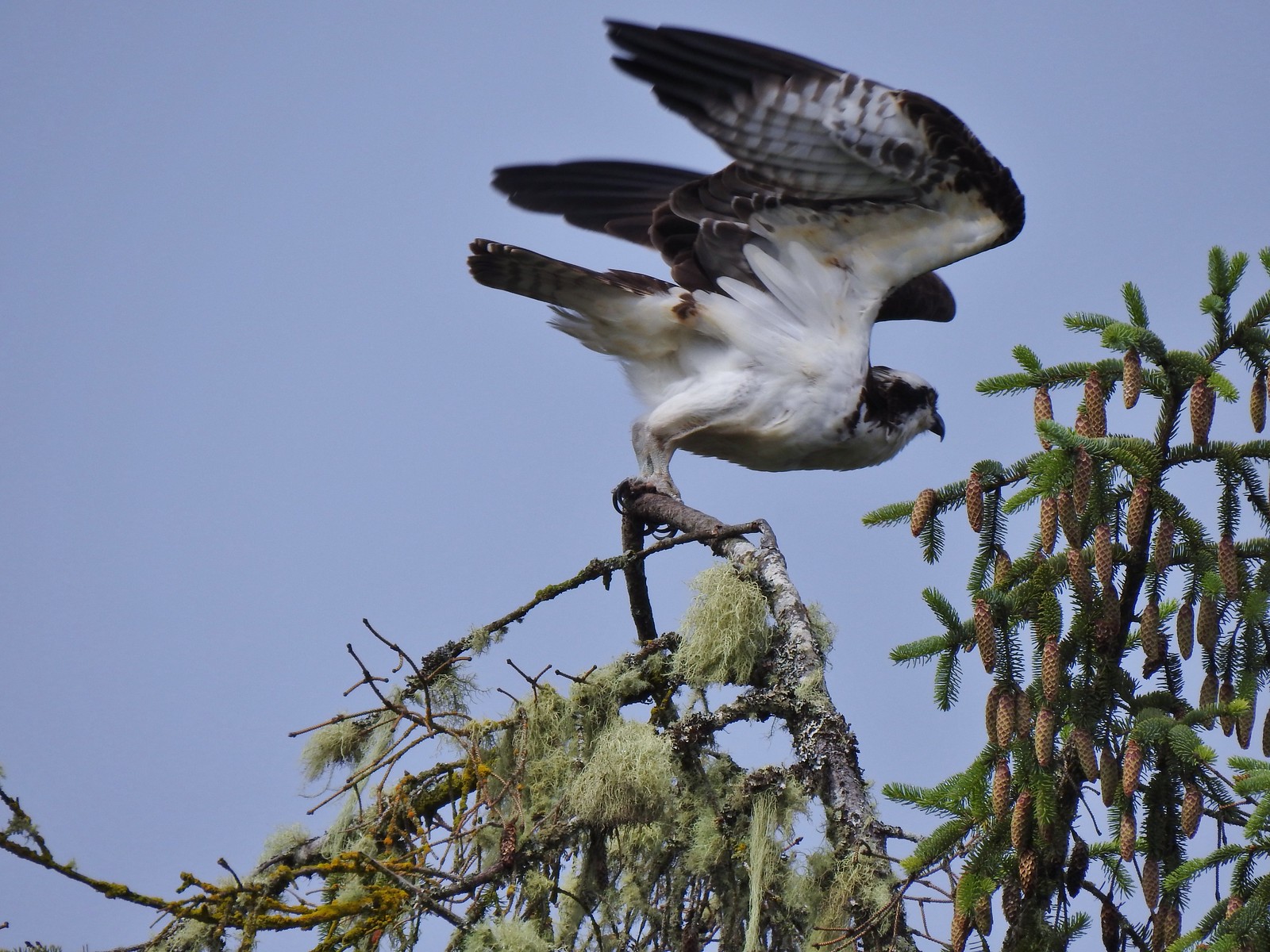 Another osprey at Julia Hansen Butler Wildlife Refuge in June.
 Bald eagle at Julia Hansen Butler Wildlife Refuge in June.
 Eagle in the Sky Lakes Wilderness in September. Not sure if it is a bald or golden.
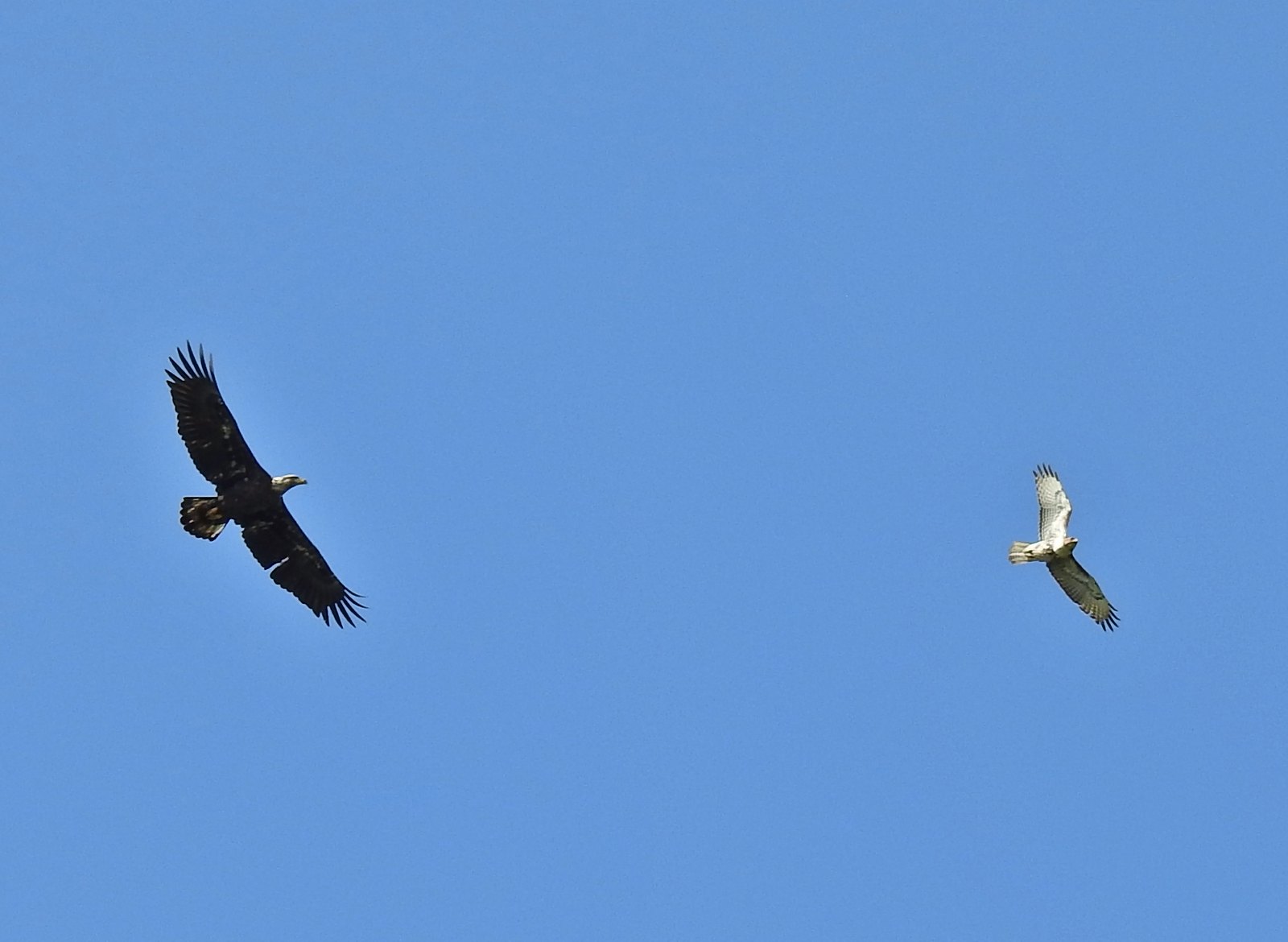 A bald eagle and hawk at Ankeny Wildlife Refuge in April.
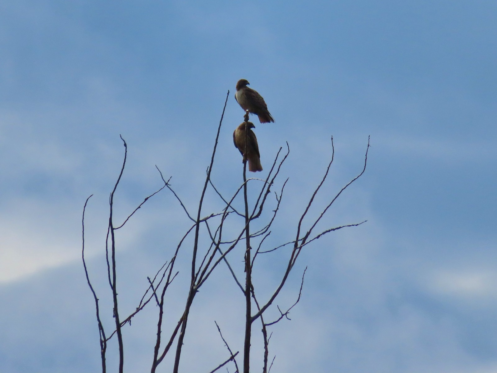 Pair of hawks at Denman Wildlife Area in May.
 Hawk at Denman Wildlife Area in May.
 Hawk at Julia Hansen Butler Wildlife Refuge in June.
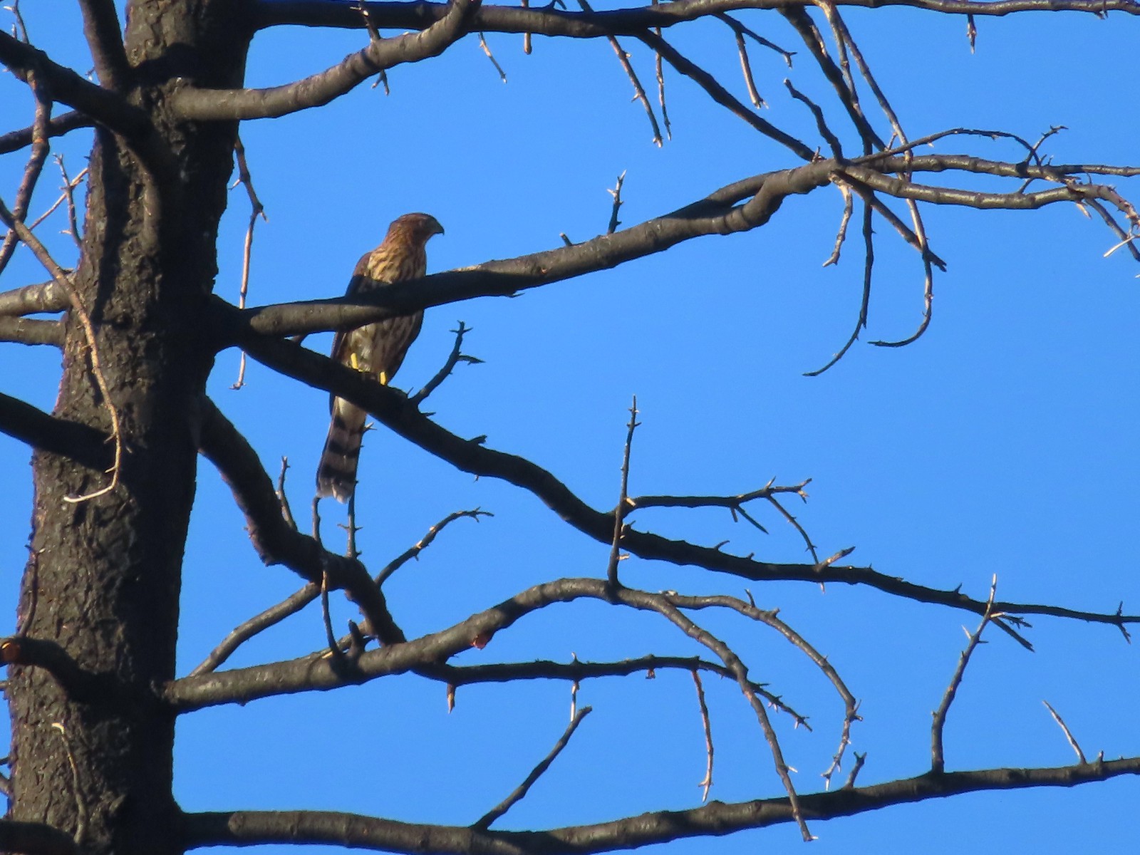 Hawk along the Pacific Crest Trail near Carter Meadows Summit in August.
 Hawk at Crater Lake National Park in September.
 Barred owl at Noble Woods in May.
 Great horned owl at Denman Wildlife Area in May.
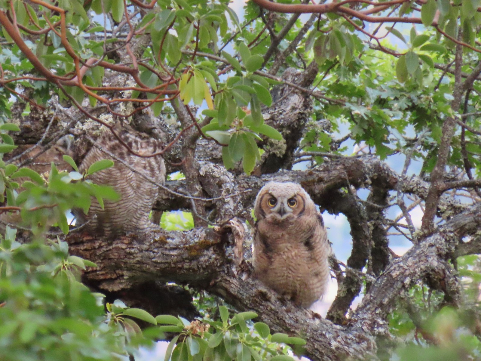 Young great horned owl at Roxy Ann Peak in May.
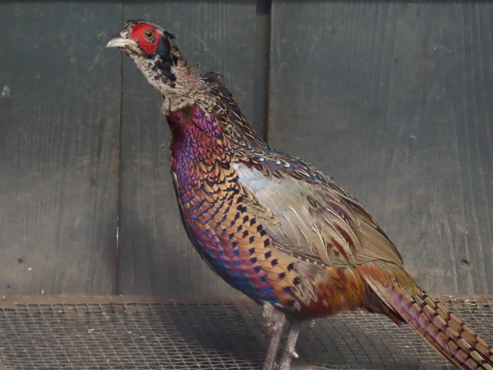 Ring-necked pheasant
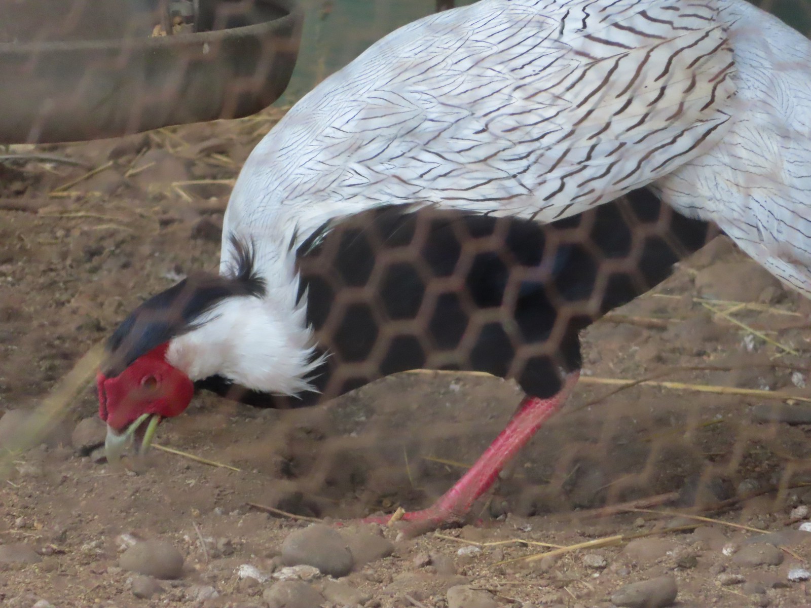 Silver pheasant
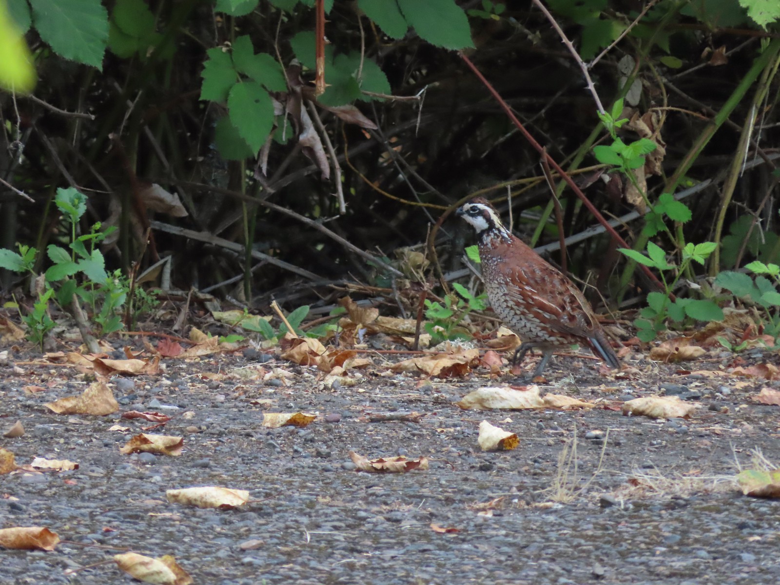 Near the breeding facility at E.E. Wilson Wildlife Area.
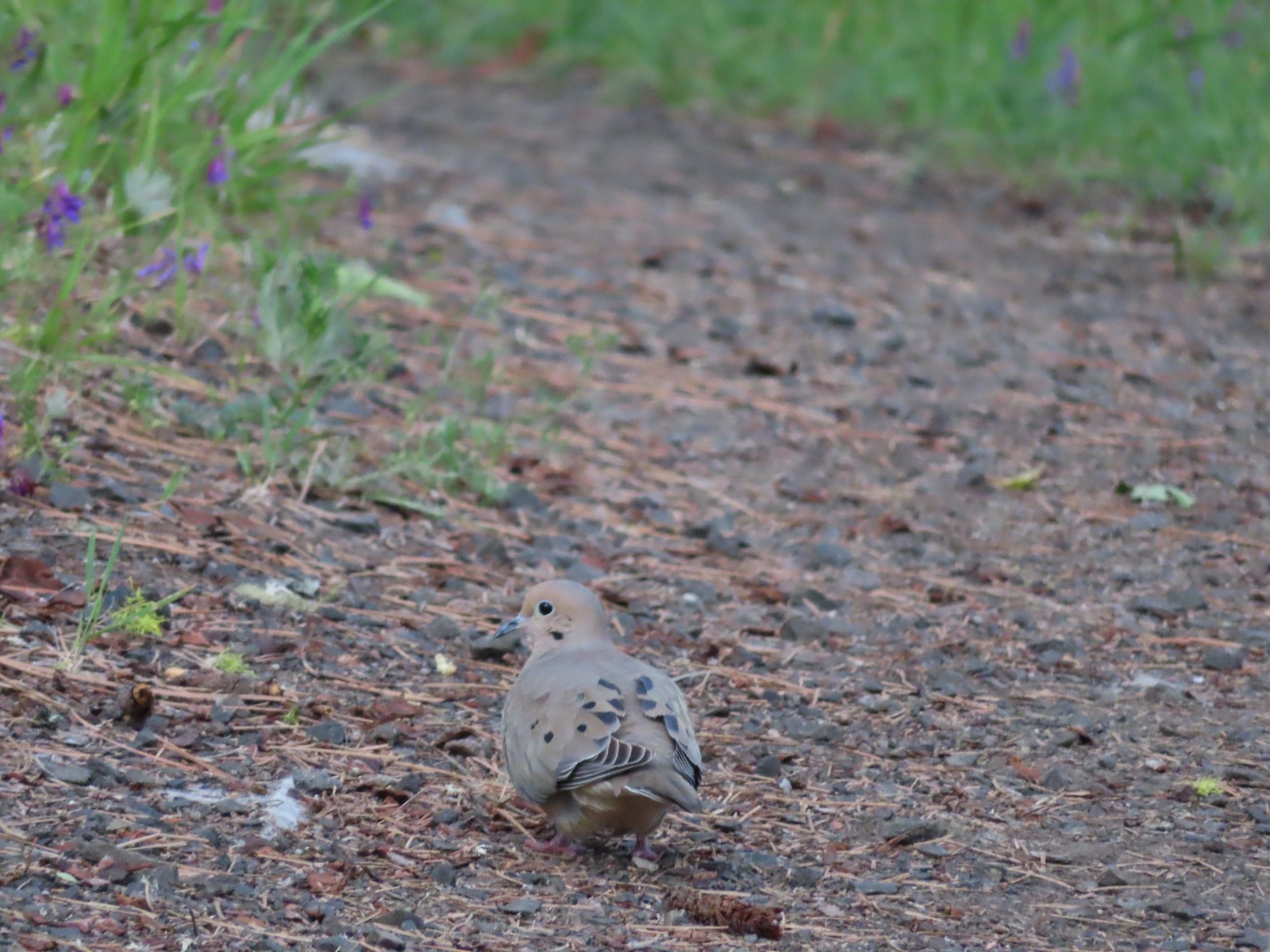 Mourning dove at Roxy Ann Peak a in May.
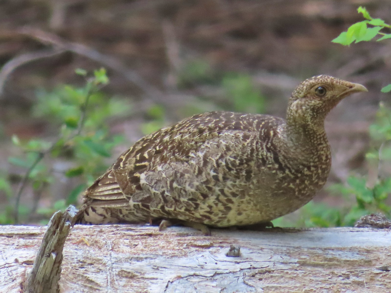 Grouse? in the Siskiyou Wilderness in July.
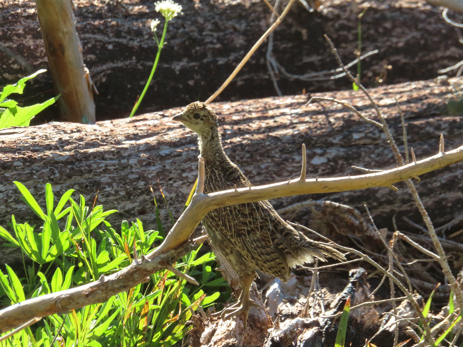 Grouse in the Mt. Adams Wilderness in August.
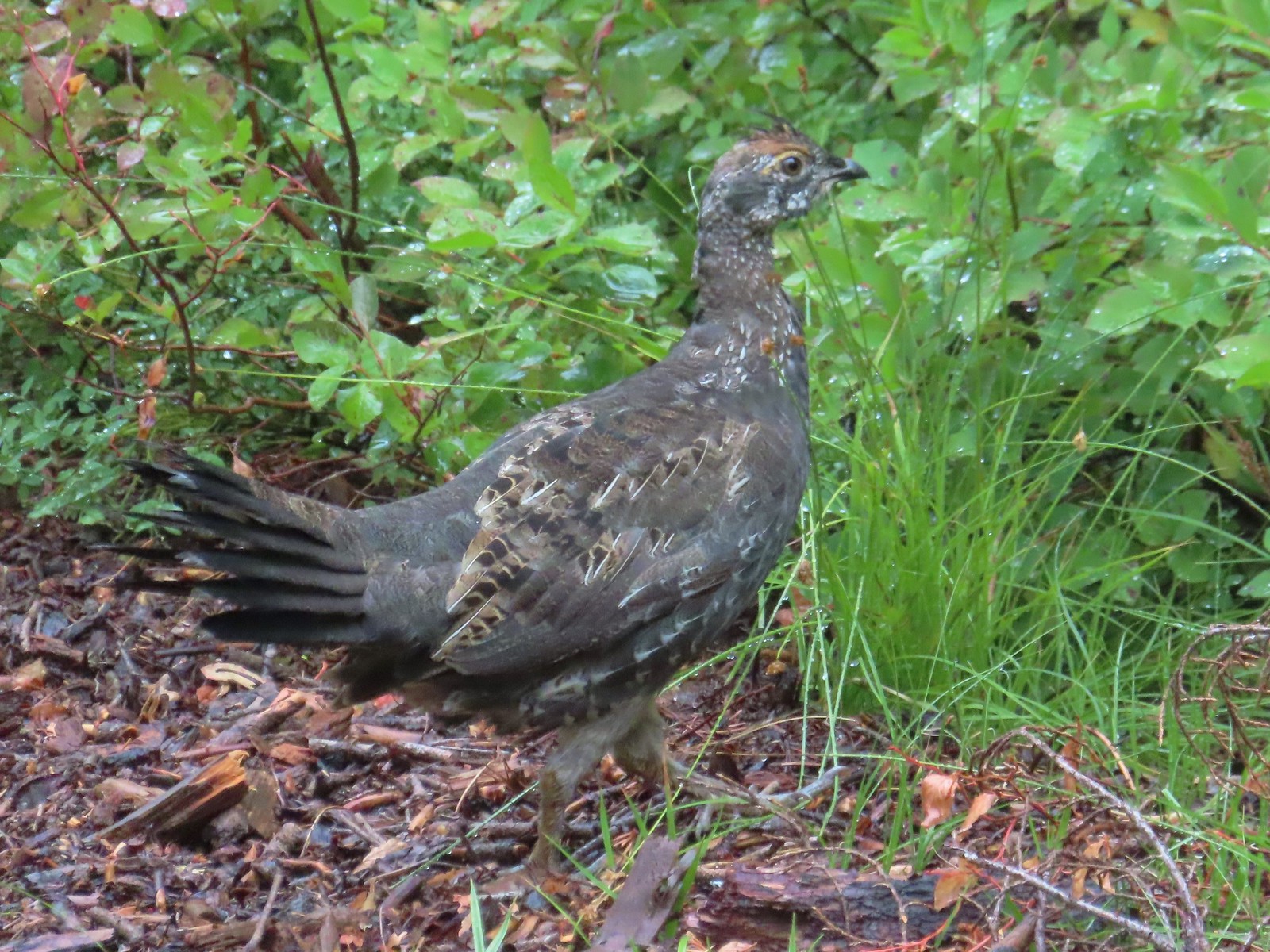 Grouse in the Sky Lakes Wilderness in September.
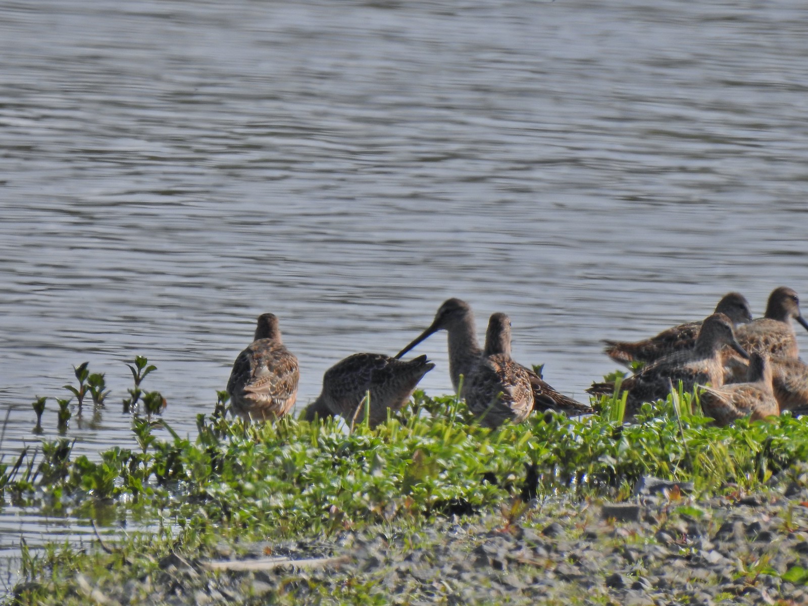 Long billed dowitchers? at Ankeny Wildlife Refuge in April.
 Killdeer at Ankeny Wildlife Refuge in April.
 Sandpiper? at Ankeny Wildlife Refuge in April.
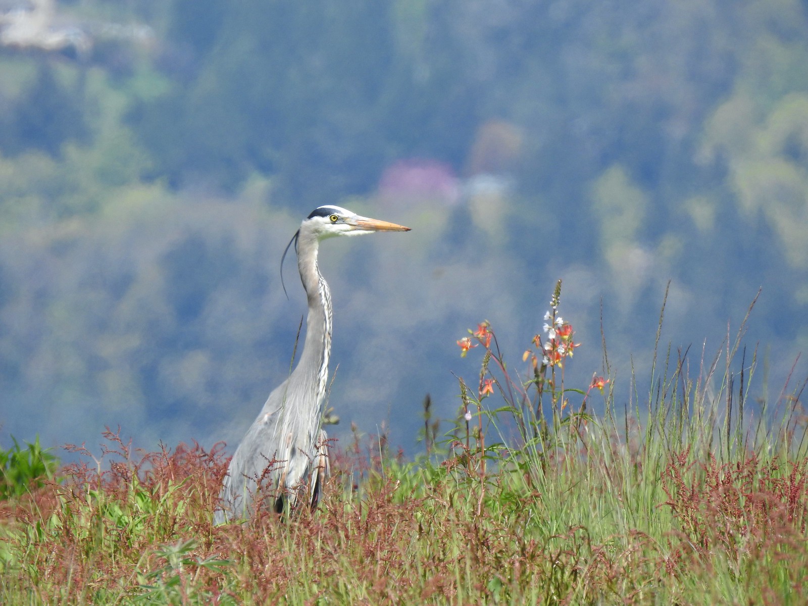 Great blue heron at Ankeny Wildlife Refuge in April.
 Kingfisher at Julia Butler Hansen Wildlife Refuge in June.
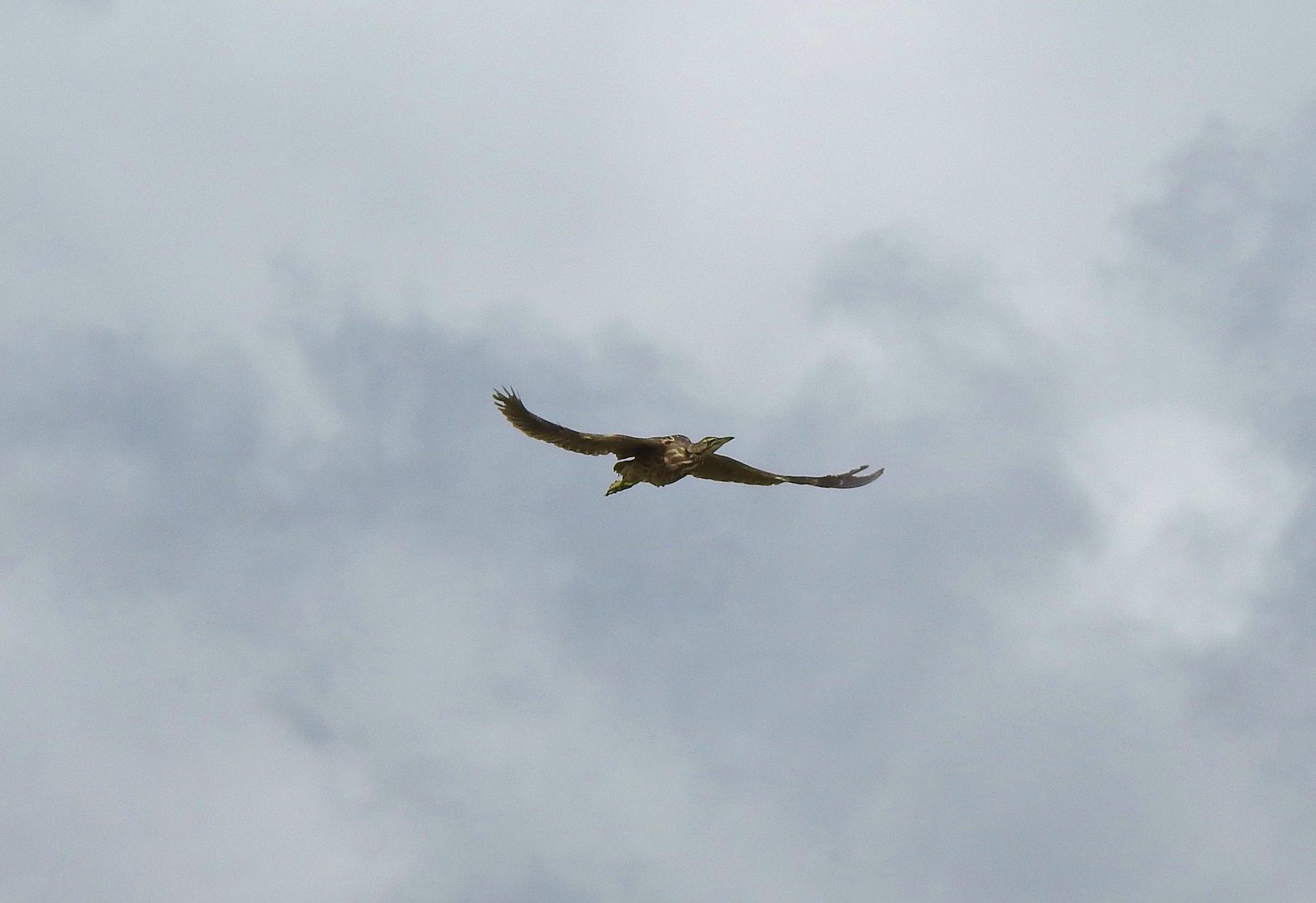 American bittern at Julia Butler Hansen Wildlife Refuge in June.
 White pelicans at Julia Butler Hansen Wildlife Refuge in June.
 Hooded mergansers at Yakona Nature Preserve in February.
 Common mergansers along the Klickitat Trail in April.
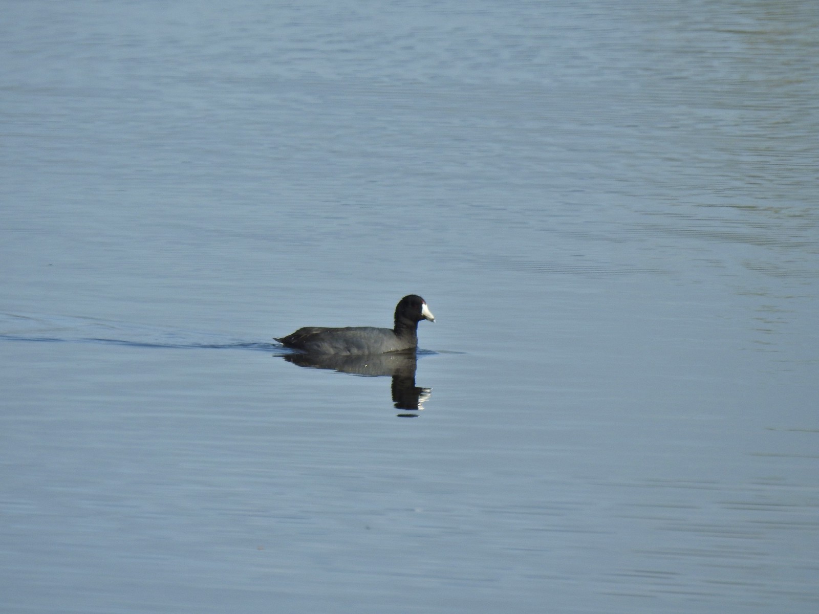 American coot at Ankeny Wildlife Refuge in April.
 Cinnamon teal at Ankeny Wildlife Refuge in April.
 Ring-necked ducks (and an American coot) at Ankeny Wildlife Refuge in April.
 Northern shoveler at Ankeny Wildlife Refuge in April.
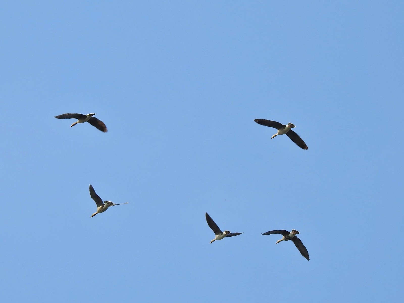 White-fronted geese at Ankeny Wildlife Refuge in April.
 Mallard along the Hood River Pipeline Trail in May.
 Wood duck at Denman Wildlife Area in May.
 Not sure if this is a ruddy duck at Waverly Lake in December.
 Mostly American widgeons with a green winged teal and a female bufflehead or two mixed in at Talking Water Gardens in December.
 Bufflehead at Talking Water Gardens in December.
 Canada geese at Applegate Lake in May.
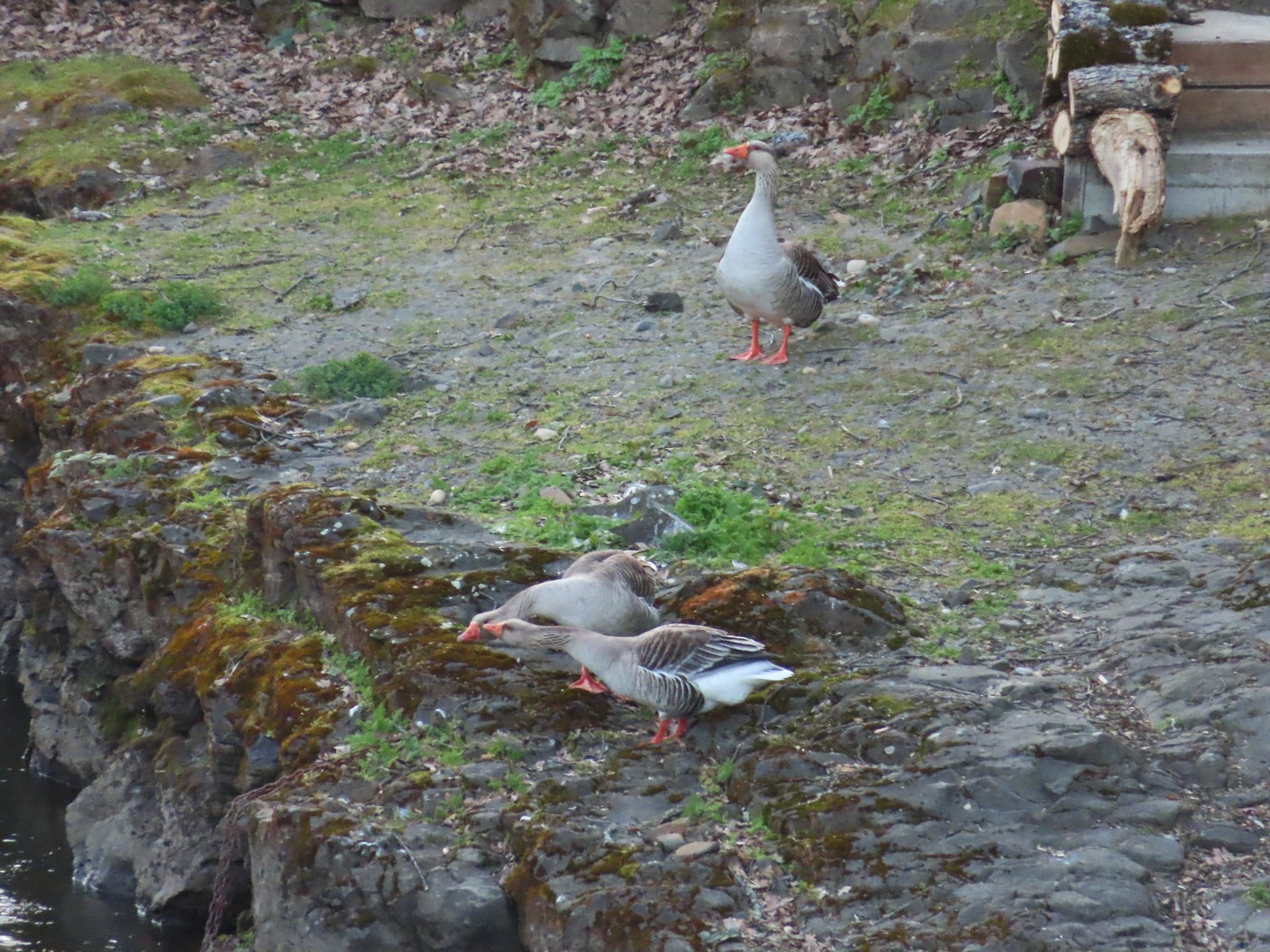 Domestic geese near the Klickitat Trail in April.
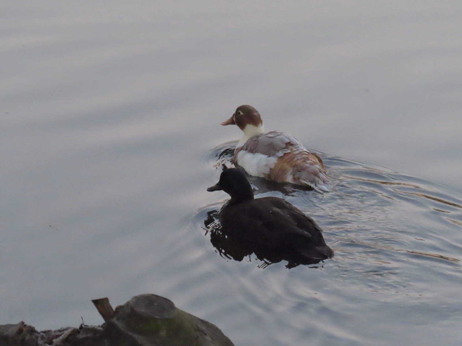 Domestic or hybrid? ducks at Waverly Lake in December.

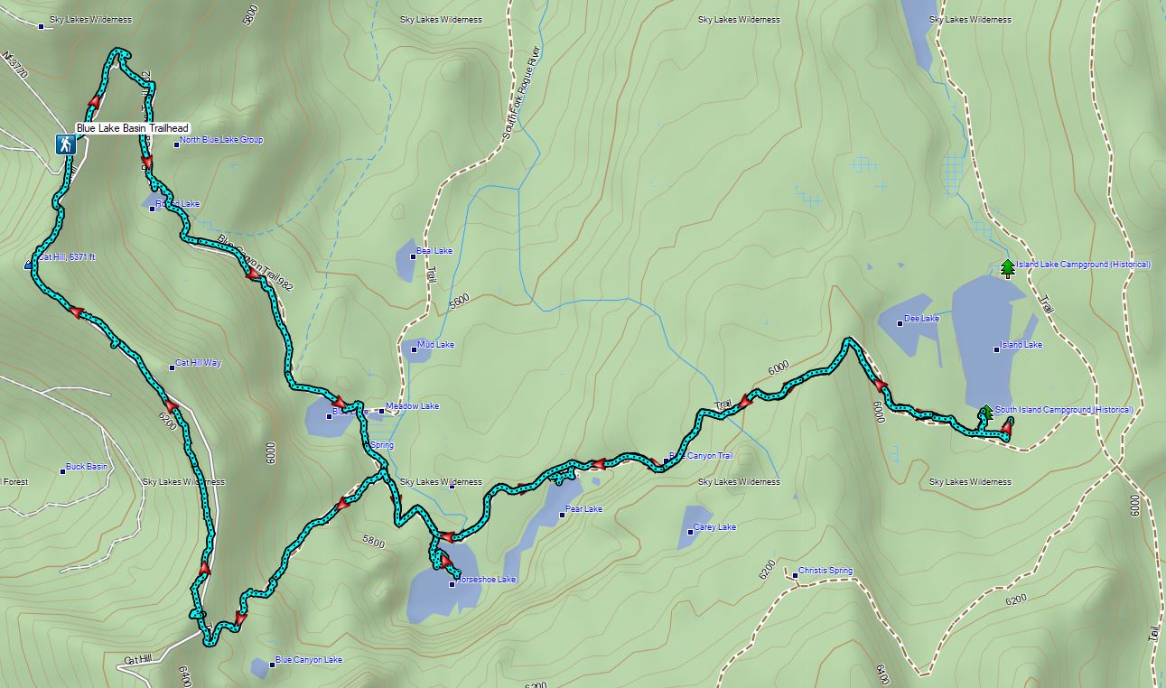
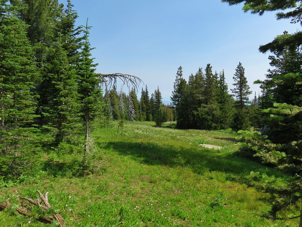
 An old fence in the meadow.
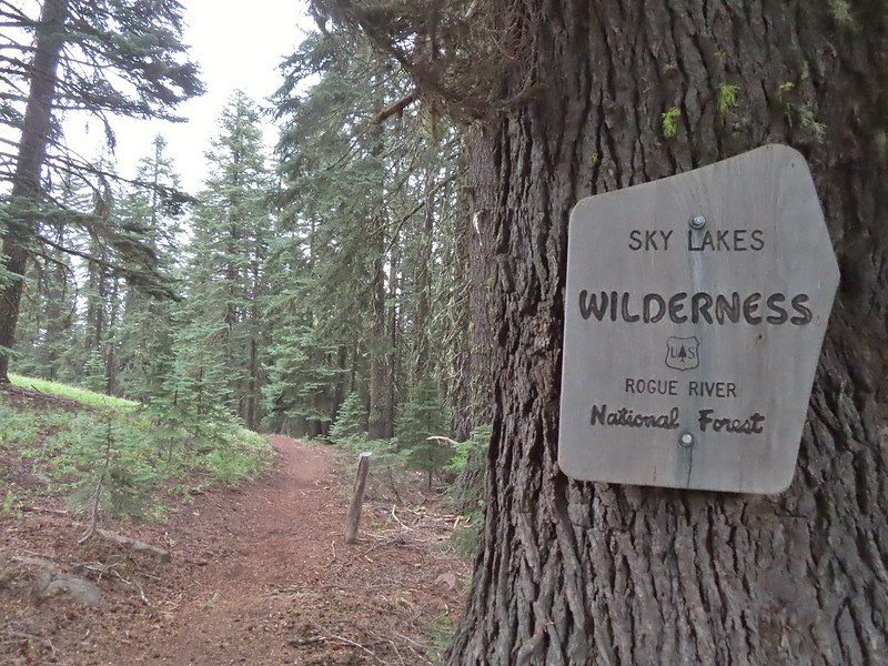 Entering the Sky Lakes Wilderness.
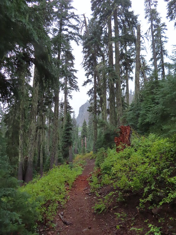
 Into the trees we go.


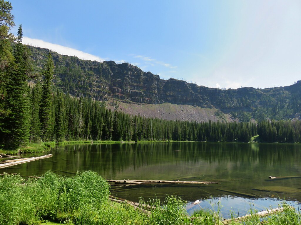
 The cliff face above Blue Lake ahead from the trail.
 Hiking along Blue Lake.
 Blue Lake
 The bald eagle across the lake after startling me.
 The South Fork Trail went to the left past Meadow Lake and the Mud Lake before following the South Fork Rogue River to Road 720.
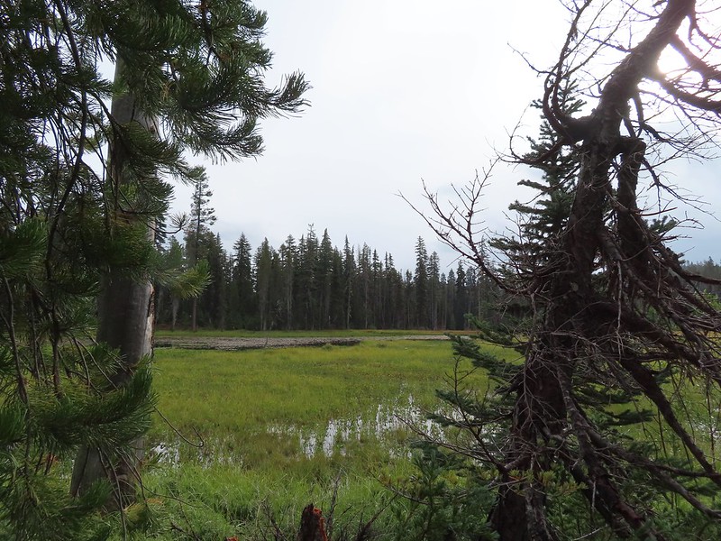 Meadow Lake
 Meadow Lake Trail junction.
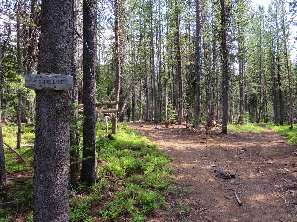
 Just beyond this small pond south of the trail we turned right on a use trail which led out onto Horseshoe Lake’s peninsula.
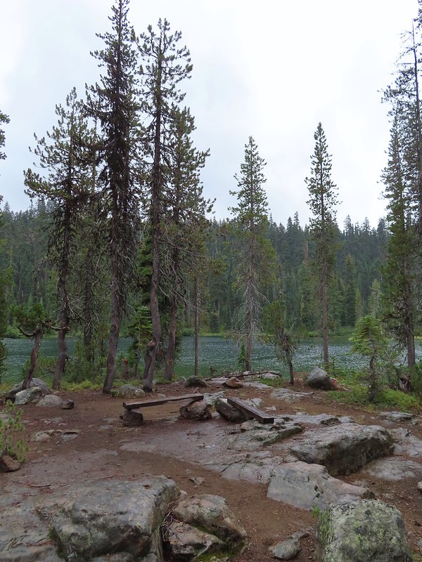 Camping is prohibited on the peninsula which is signed in multiple places.


 Ducks flying further down the lake.
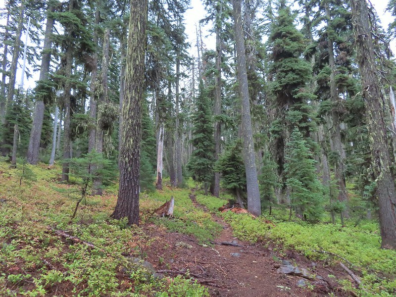
 Grouse
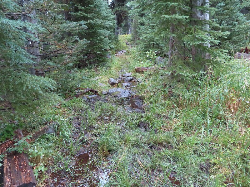 The only flowing water we’d encounter on this day after not crossing any streams the day before at Union Peak (
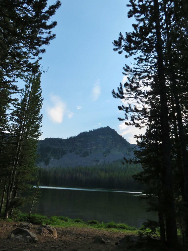
 Dee Lake barely visible through the trees.
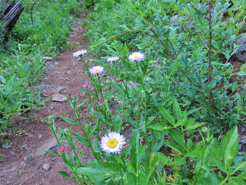
 Bigelow’s sneezeweed
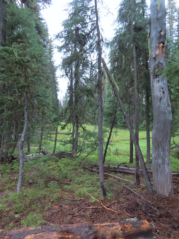 Meadow near Island Lake.
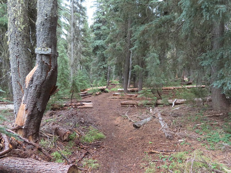 A Horse Camp sign.
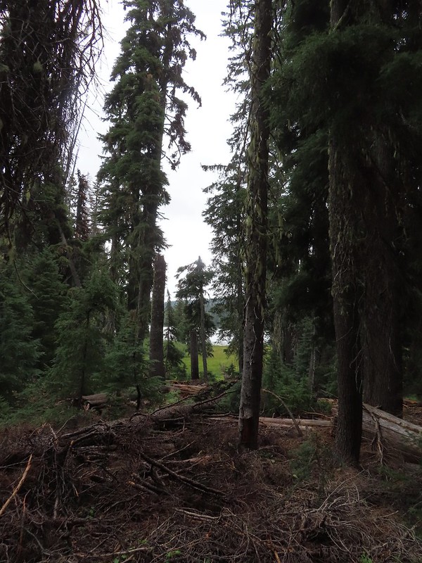 Island Lake through the trees.
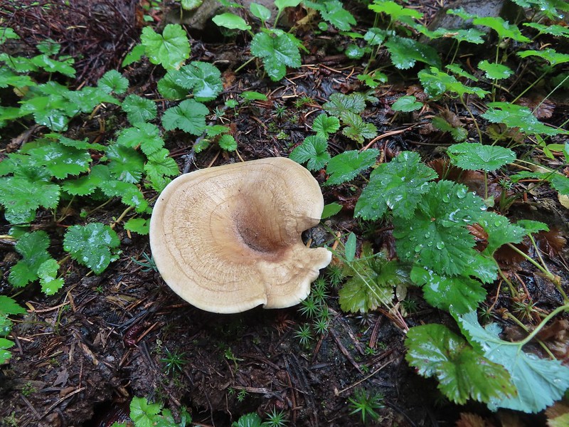


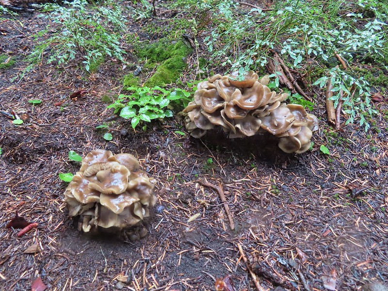
 There were a lot of mushrooms down by the water though.
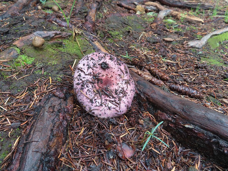


 For those interested the 1888 inscription reads:
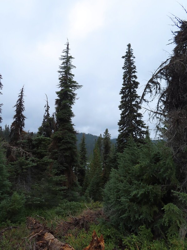 Pear Lake from the Blue Canyon Trail.
 Back at the Meadow Lake junction.
 Heading up the Meadow Lake Trail.
 The huckleberries don’t lie, Autumn was right around the corner.
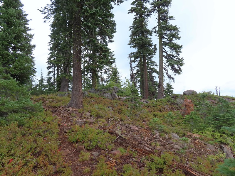 Approaching the ridge top.
 Not sure what we missed here but imagine it was some of the peaks in the Sky Lakes Wilderness.


 Colorful fungus
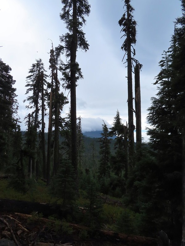 Mt. McLoughlin
 A little fresh snow, a welcome sight.
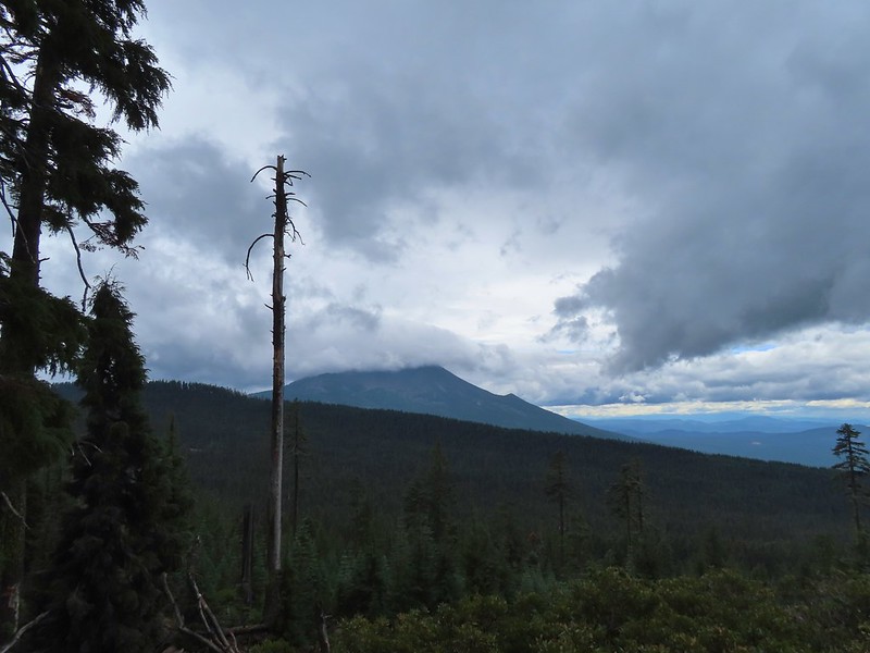 A nice little viewpoint just off the trail.
 Passing below Cat Hill.
 Back to the trailhead.
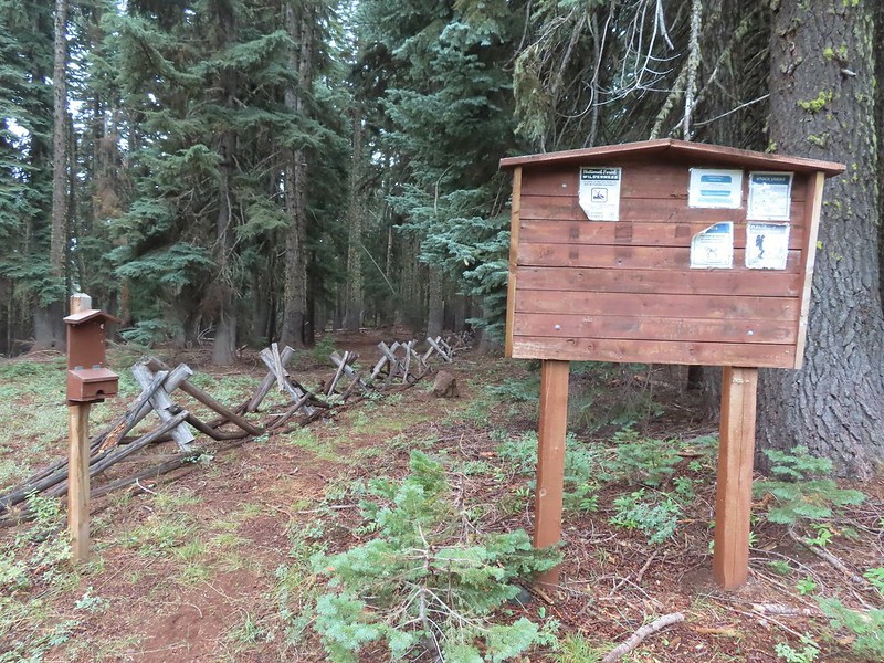


 Mt. Bachelor
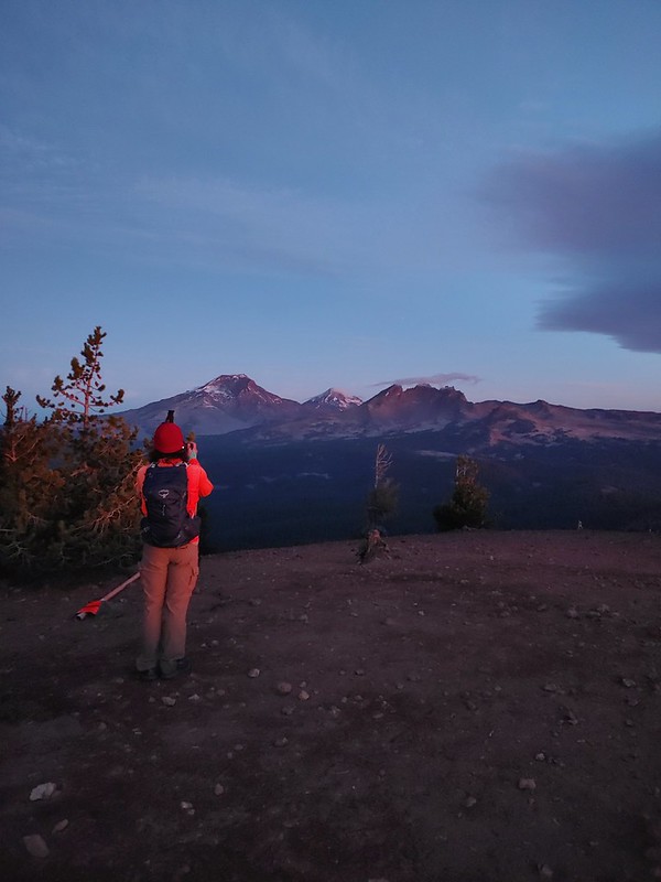 The Three Sisters and Broken Top
 Mt. Bachelor via the Nikon.
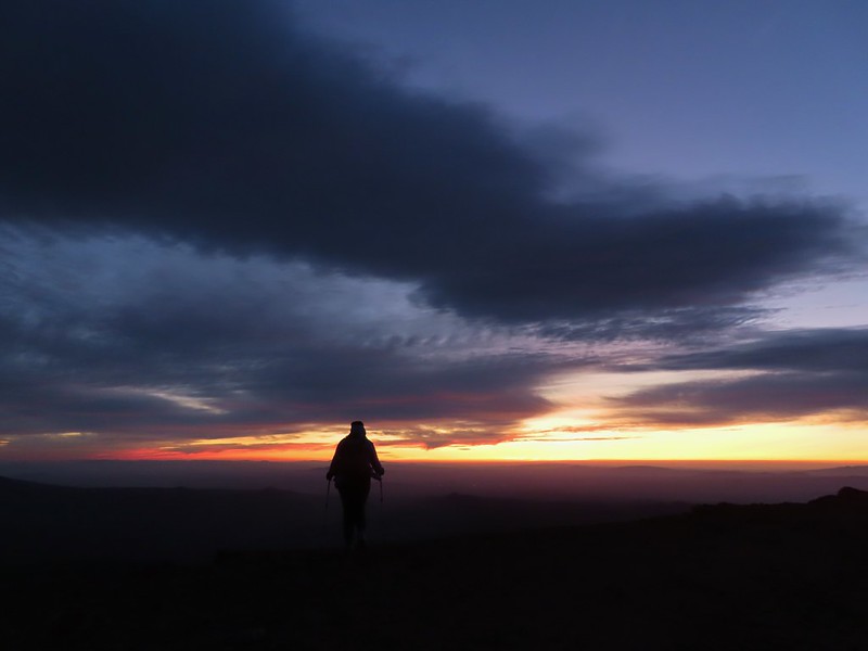 Heather watching the show taken with the Canon.
 The Three Sisters with the Canon.
 Canon
Canon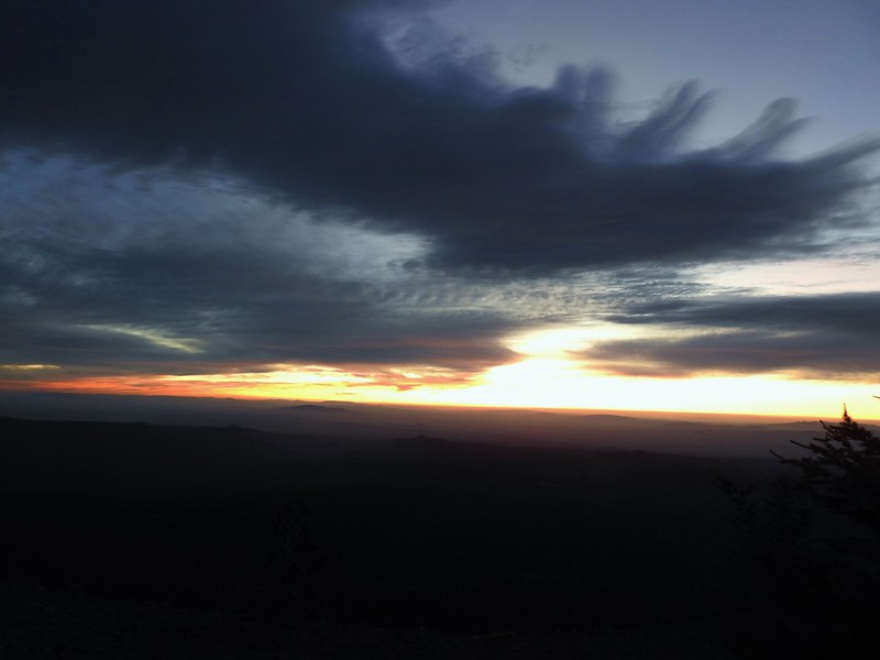 Nikon
Nikon Mt. Bachelor (
 Canon shortly before the Sun became visible.
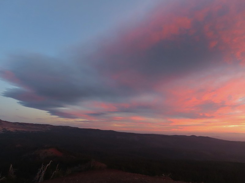 Canon shortly before the Sun became visible.
 The Three Sister just before sunrise with the Nikon.
 The Three Sister just before sunrise with Heather’s phone.
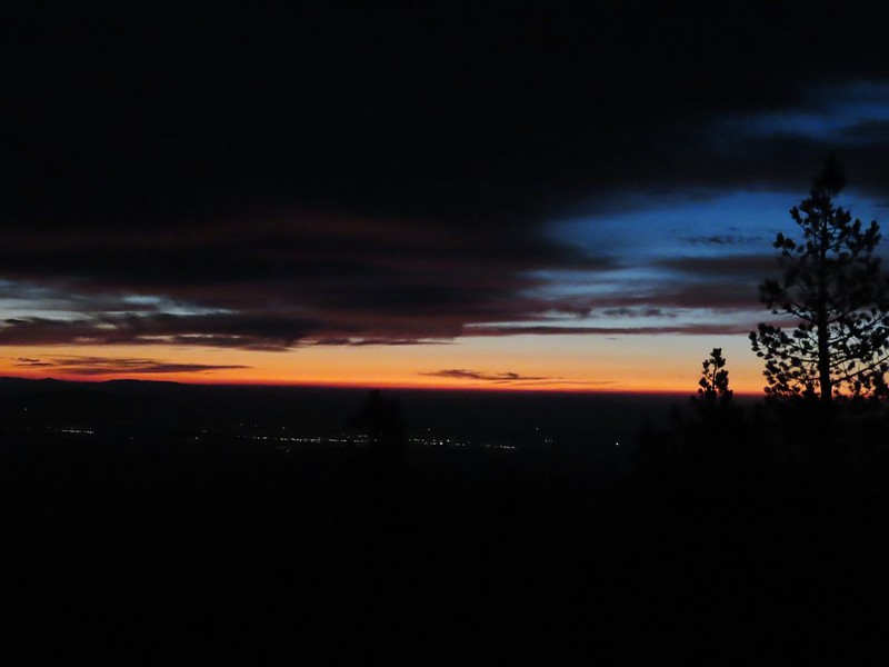
 Canon moments before sunrise. A line of wildfire smoke on the horizon gave it a red tint.
 Canon
Canon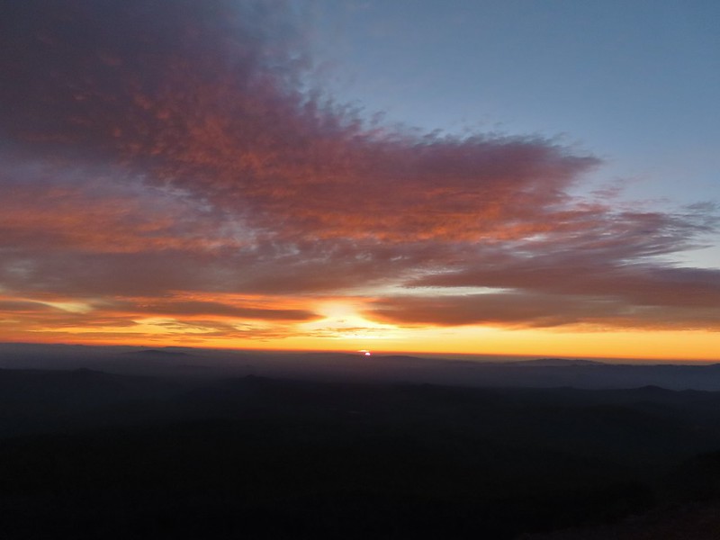 Canon catching the Sun.
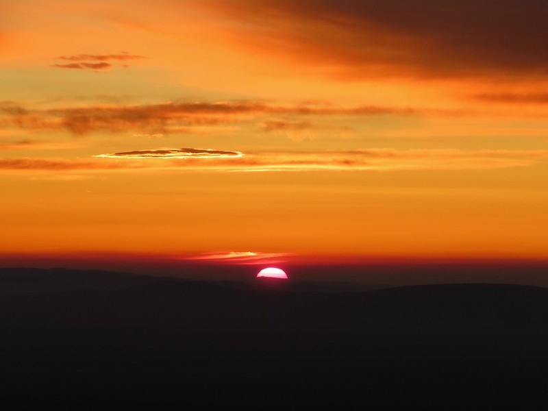 Canon
Canon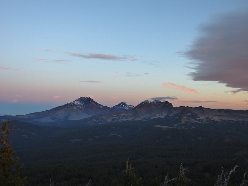 The Three Sisters and Broken Top (Nikon)
 South Sister (
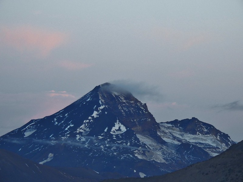 Middle and North Sister (Nikon)
 Broken Top (
 Aline glow hitting the mountains. (Canon)
 South Sister (Canon)
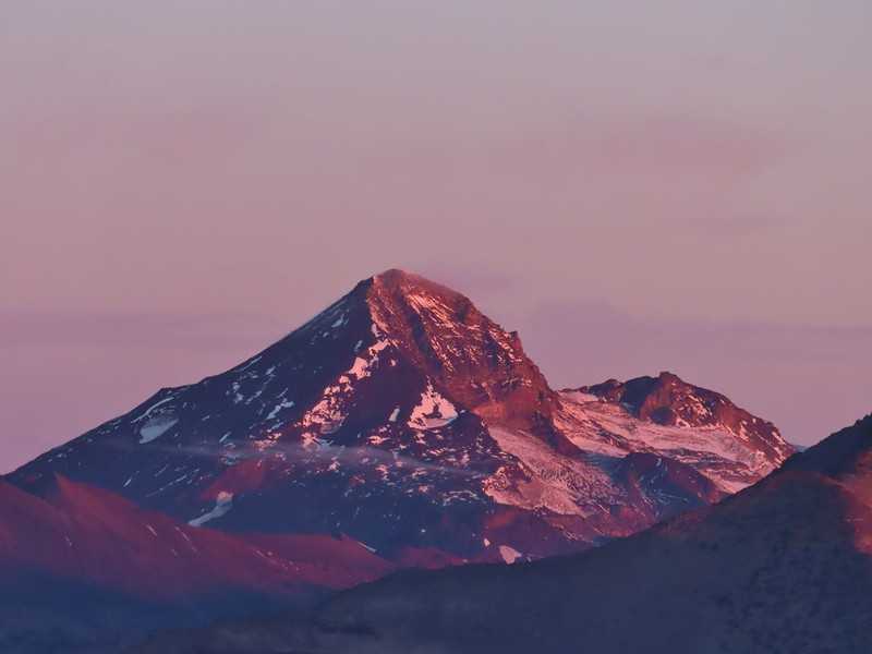 Middle and North Sister (Canon)
 Broken Top (Canon)
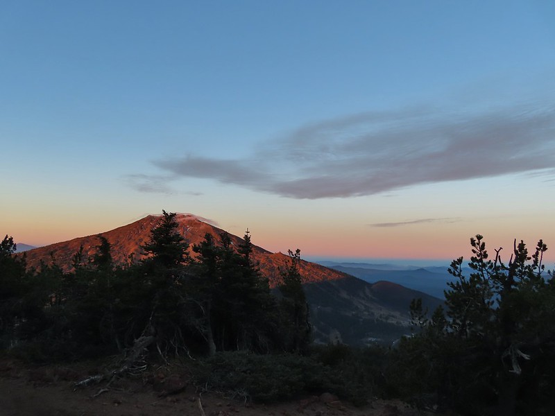 Mt. Bachelor (Canon)
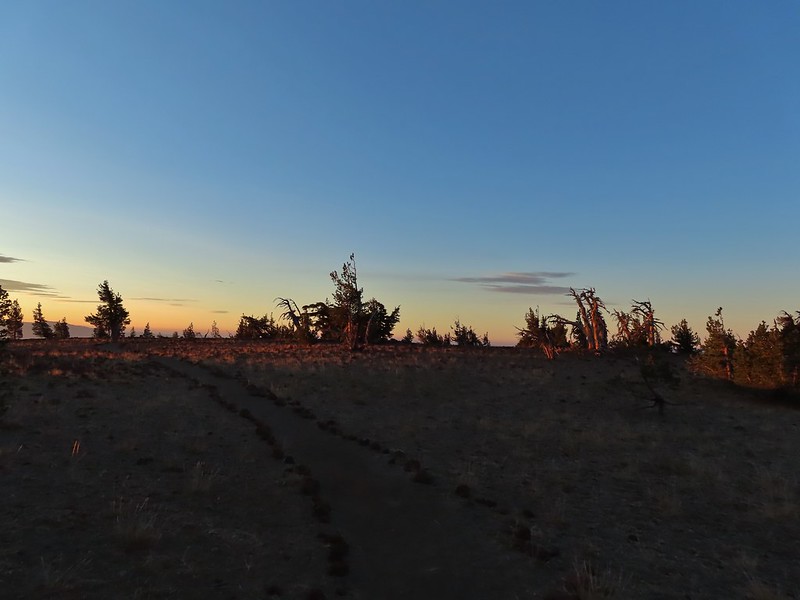

 Mt. Scott to the left and Mt. Thielsen to the right.
 Grouse
 Chipmunk
 Mt. Bachelor as we arrived back at the snow-park.

 A hazy look at the South Sister and Broken Top.

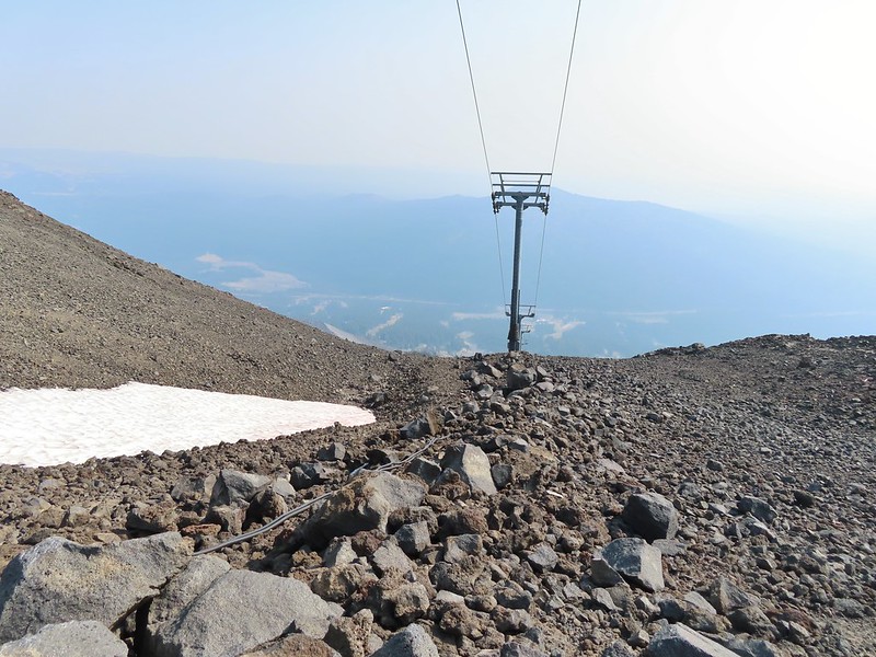
 Passing under the Skyliner Express
 The ski runs gave us a good look at the top of the mountain.
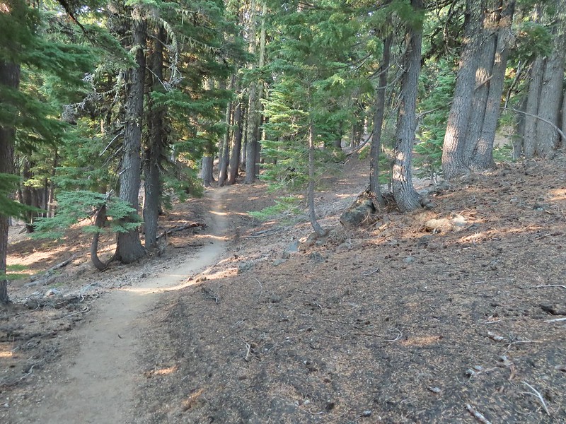

 Turning uphill
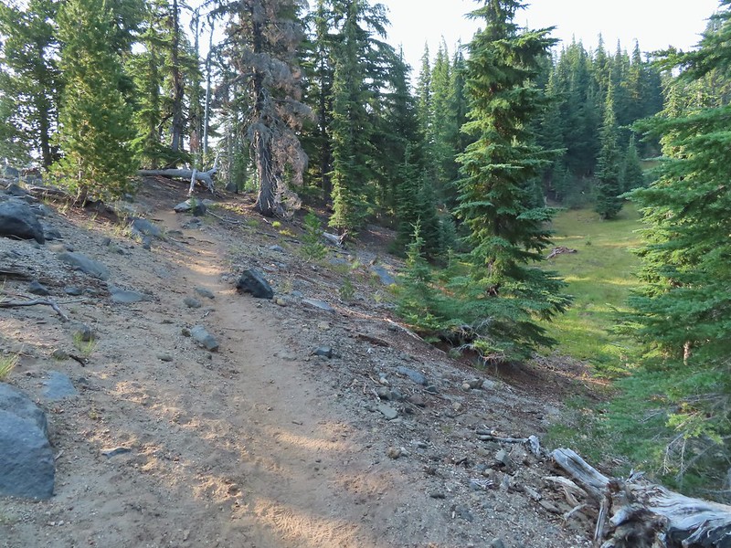 Spotted a grouse hen and her chicks in this little meadow.
 Two of the chicks.
 Passing under the Sunrise lift.
 Nearing the top of the Sunrise lift.
 Another hazy look at the nearby mountains.
 South and Middle Sister through the haze.
 The top of Sunrise and the bottom of the Summit lifts.
 Looking up from the top of Sunrise.
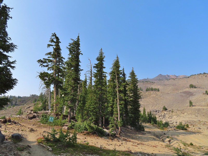


 A few saxifrage blossoms still left.
 Alpine buckwheat and paintbrush
 The first patch of snow we passed.
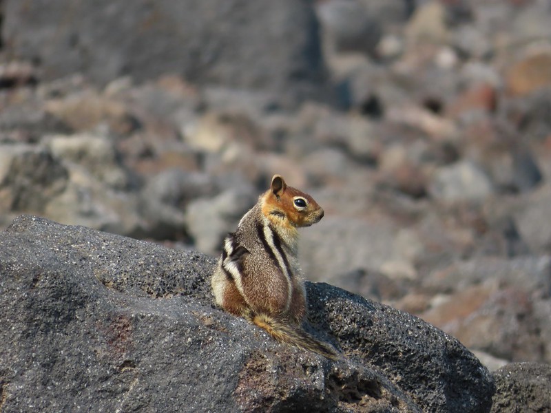 Golden mantled ground squirrel
 Tumalo Mountain (
 Looking down from beneath the Summit Express.
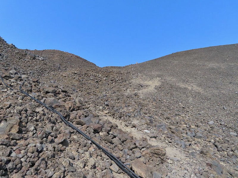 We could really feel the elevation affecting our breathing and by this point we were both sucking wind.
 Dwarf alpinegold
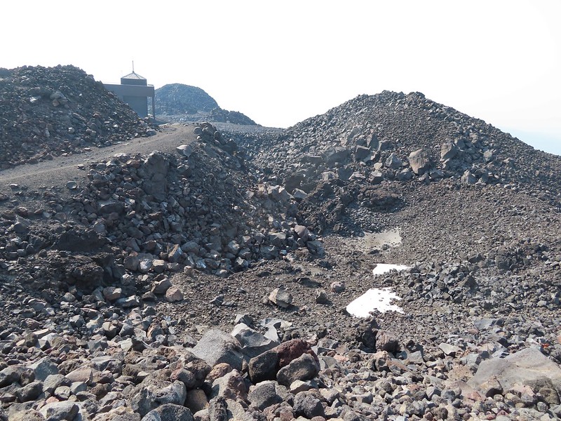 Looking back at the Summit Express.
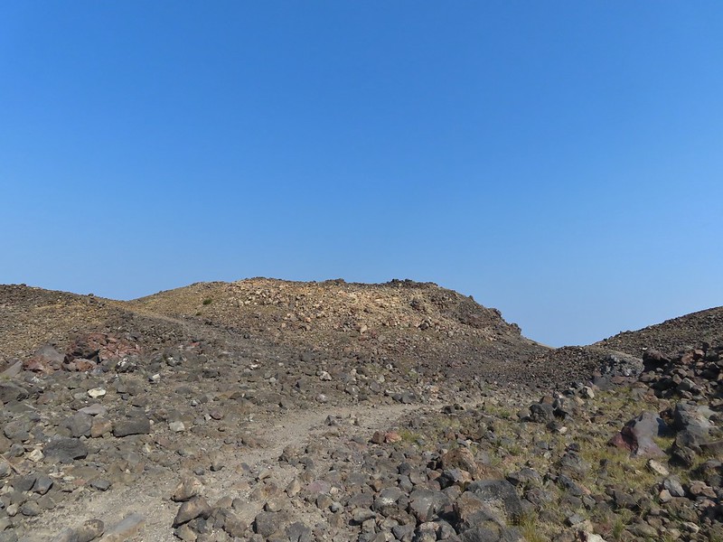 Heading for the high point.
 A mountain bluebird near the summit.
 South Sister and Broken Top with Sparks Lake (

 It’s our rule not to feed the wildlife but it was obvious that many don’t adhere to that LNT principle. I had to put my pack back on to avoid having a hole chewed through my pocket.
 View of the summit.
 Broken Top, the Pine Marten Lodge halfway up the mountain, the West Village Lodge and parking area below and Tumalo Mountain across the Cascade Lakes Highway.

 A little better view of Broken Top and Tumalo Mountain on the way down.
 Clark’s nutcracker

 Left leads up to the Pine Marten Lodge atop the Pine Marten Express, right to the West Village Lodge.
 A decent look at Tumalo Mountain
 Warning sign for a bike crossing.
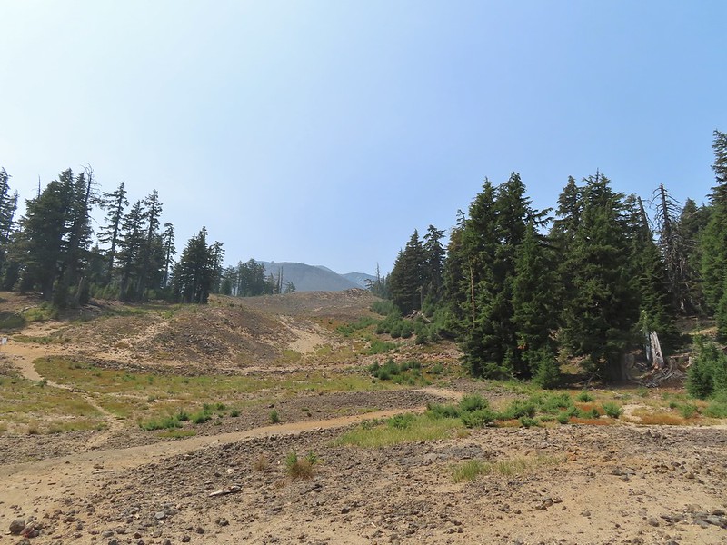 A look at some of the mountain bike trails and some haze moving in overhead.
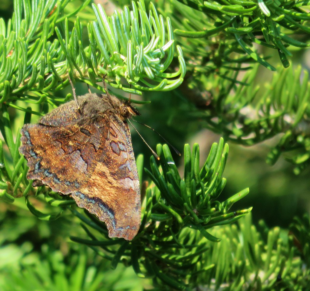
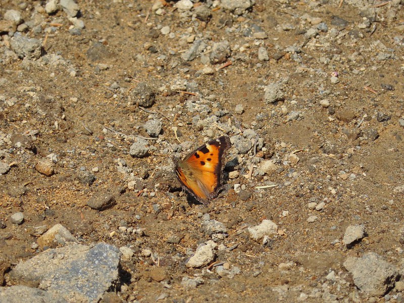 A tortoiseshell butterfly on the road.

 At least we could see the mountains a little better from here.


 Lower Erma Bell Lake from the climb.
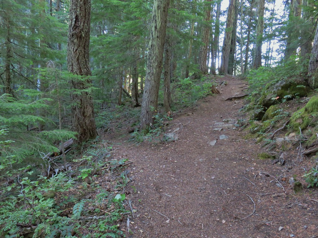
 Above the falls.
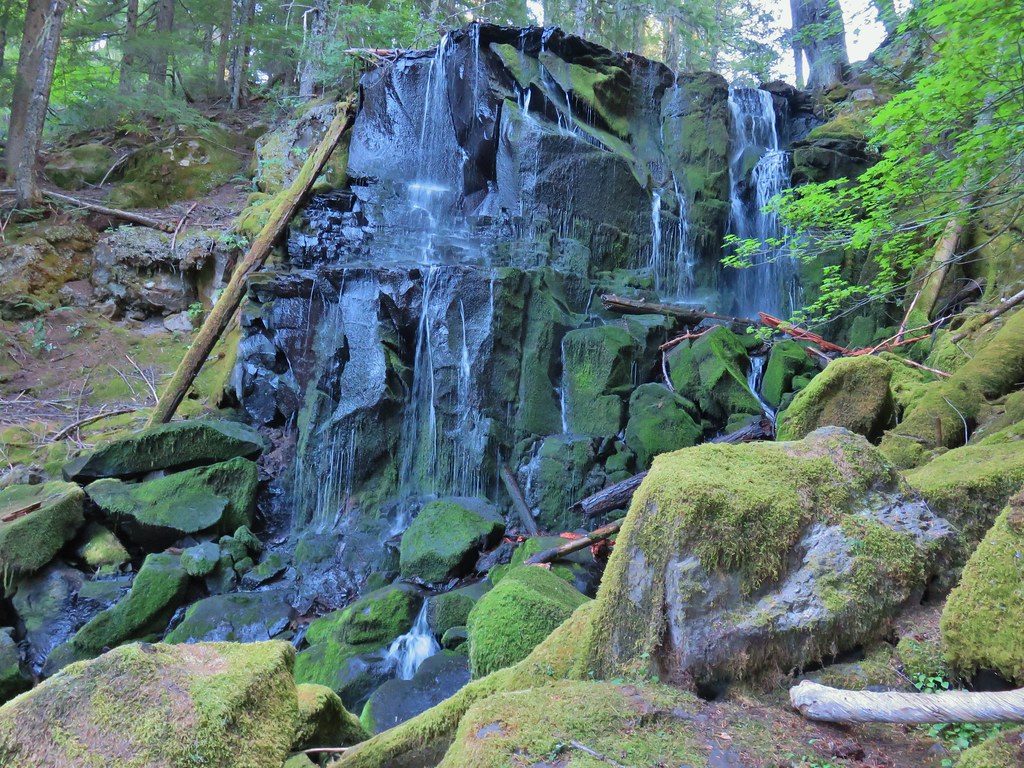

 Ouzel
Ouzel Ducks
Ducks Pond along the trail.
 Spur trail on the right to Upper Erma Bell Lakes.
 Paintbrush and aster along the lake shore.
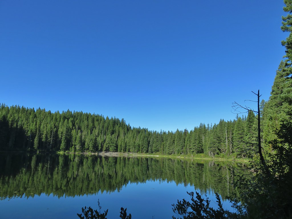 Upper Erma Bell Lake
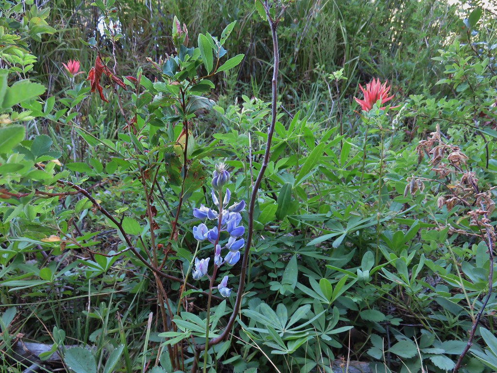 Lupine and paintrbush
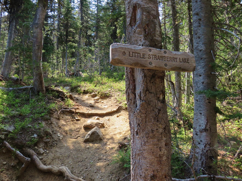
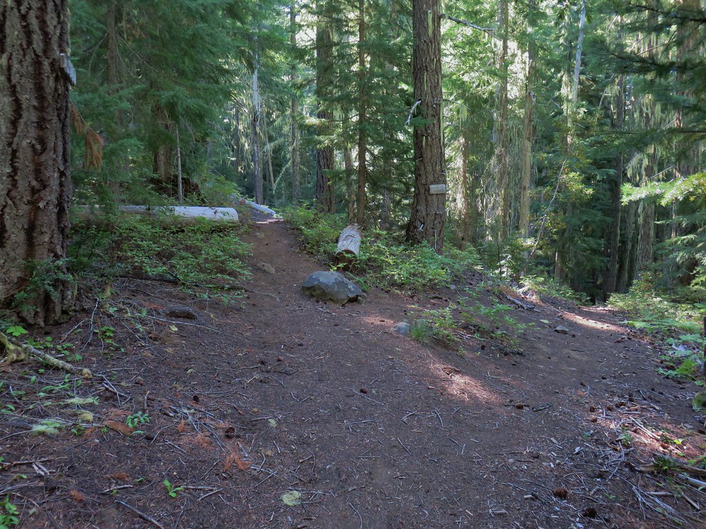 Judy Lake Trail on the right.
 Williams Lake Trail joining from the right.
 Grouse giving us the what for from a tree.
 Williams Lake
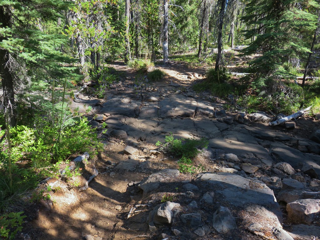 Dry creek bed near Williams Lake.

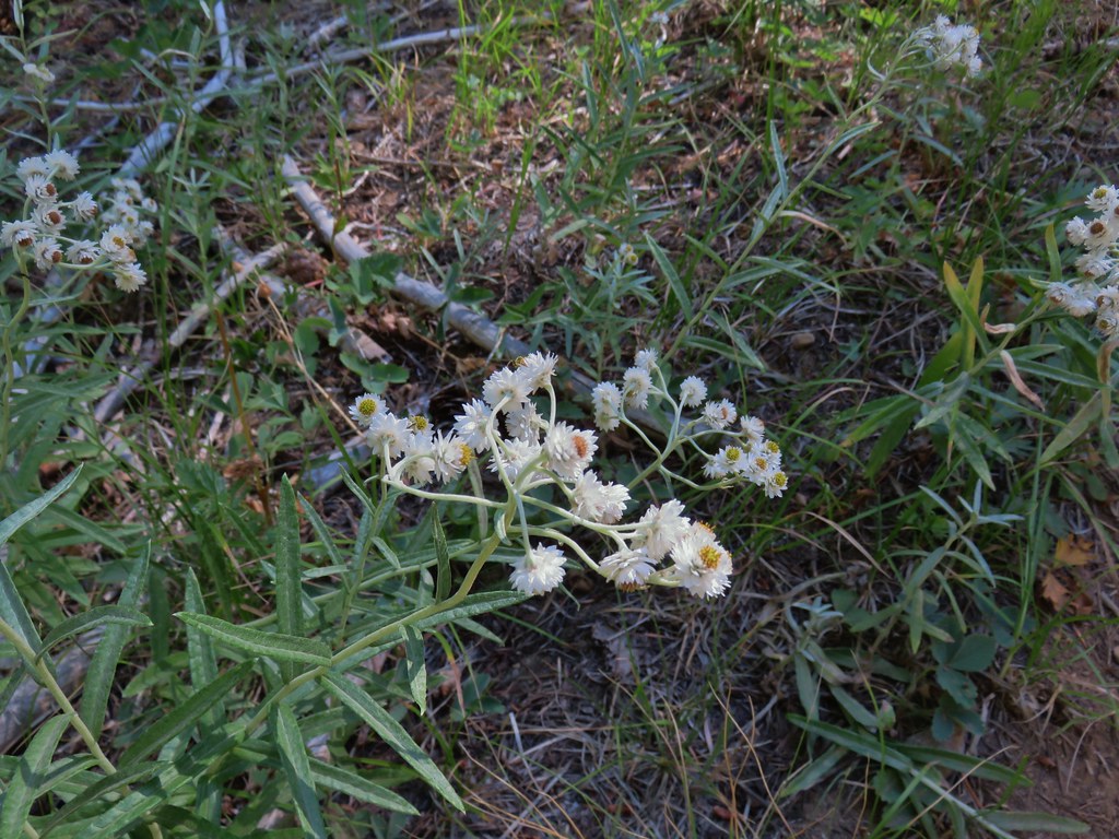 Pearly everlasting
 Fleabane
 Prince’s pine
 Mushroom
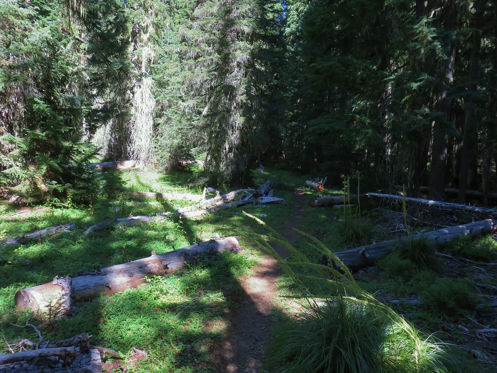
 Aster
Aster
 Coneflower
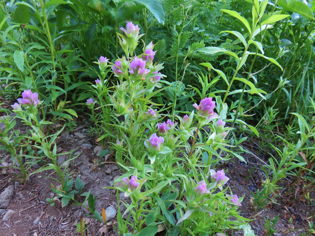
 Paintbrush
 Paintbrush
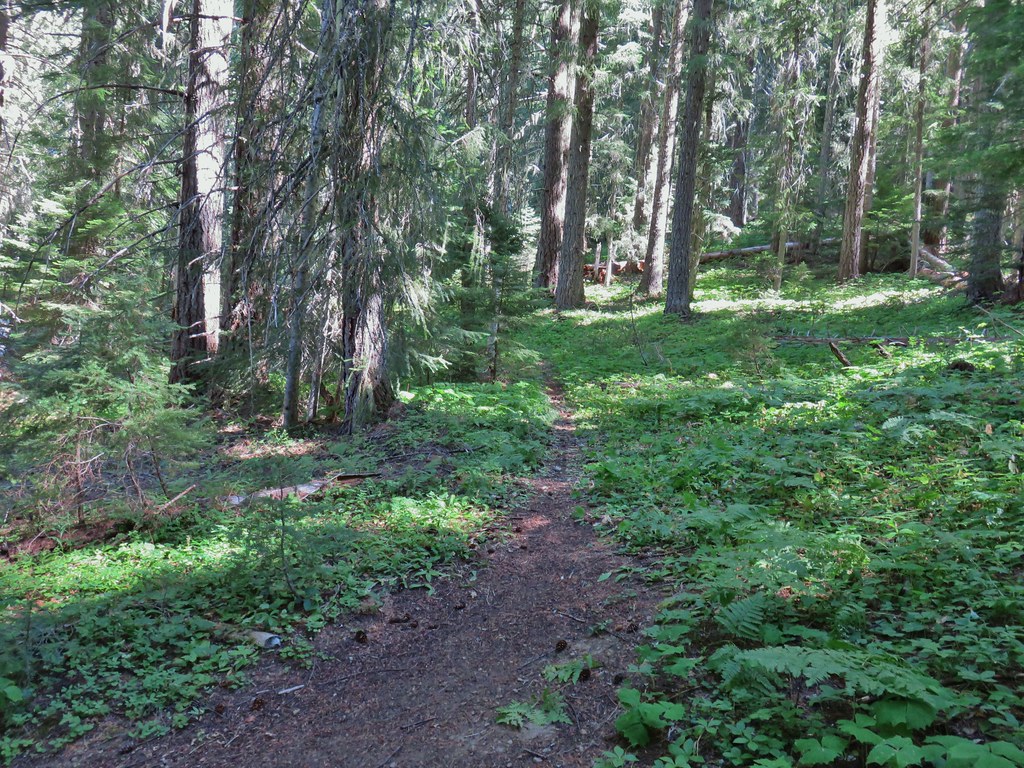

 Curious dragonfly
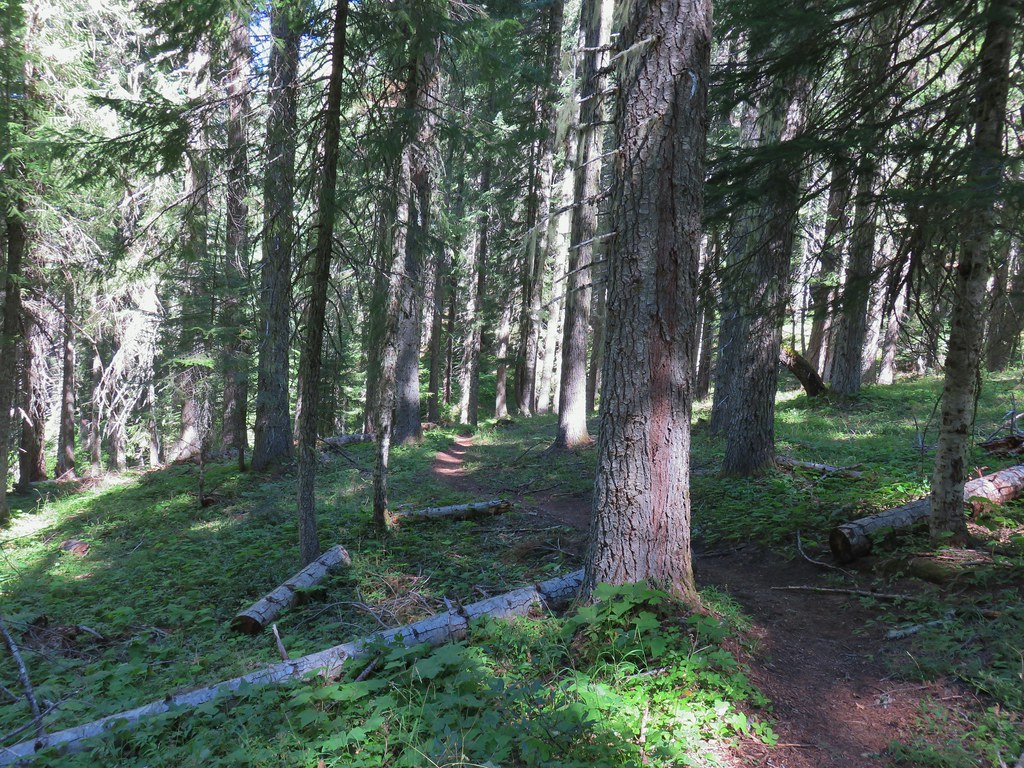


 Ghost Pipe aka Indian Pipe


 Arriving at Cedar Bog.
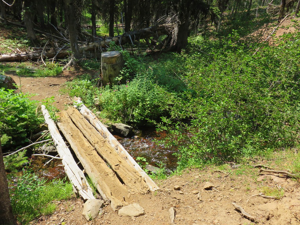
 One of a couple dry channels.
 North Fork Middle Fork
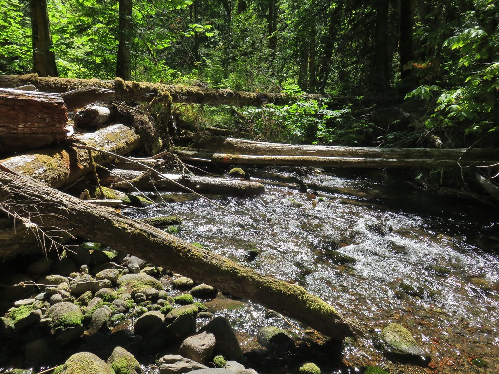 Flagging on a downed tree marking the continuation of the Shale Ridge Trail.
 North Fork Middle Fork at Cedar Bog
 Orange flagging on the far side of the river.
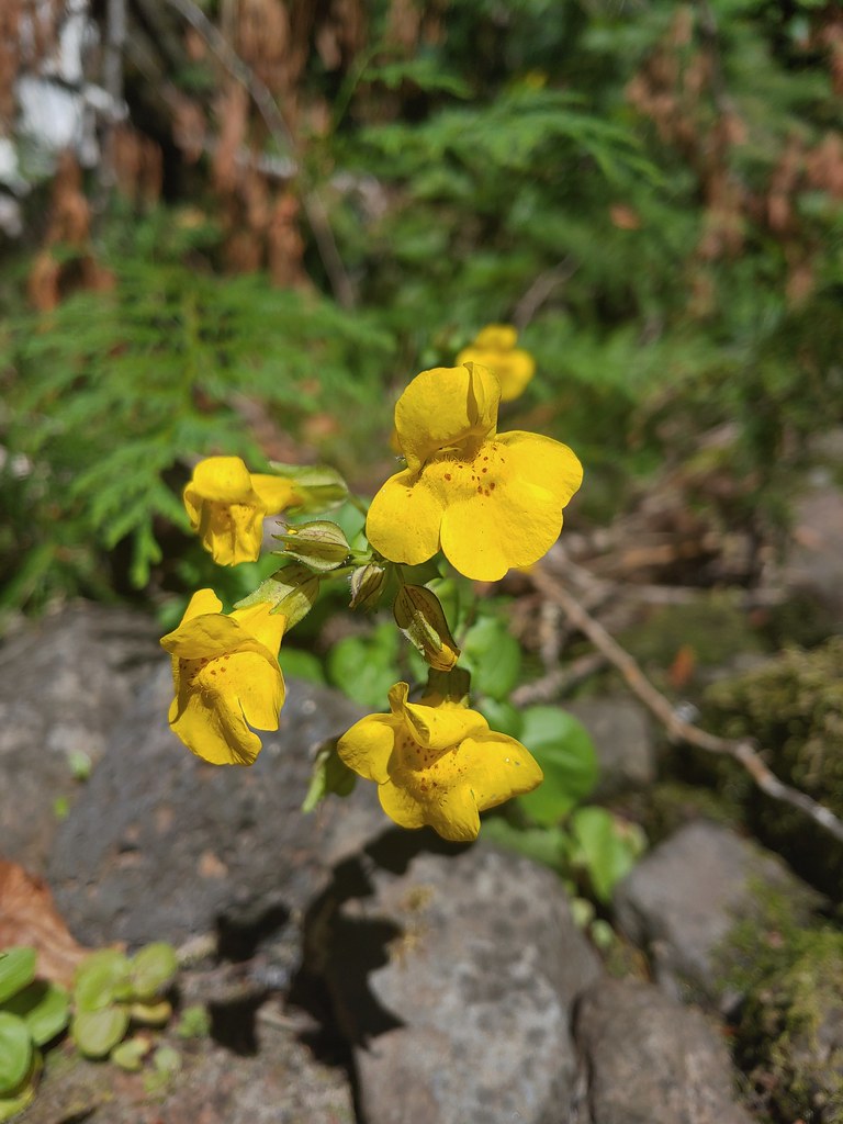 Monkeyflower at Cedar Bog
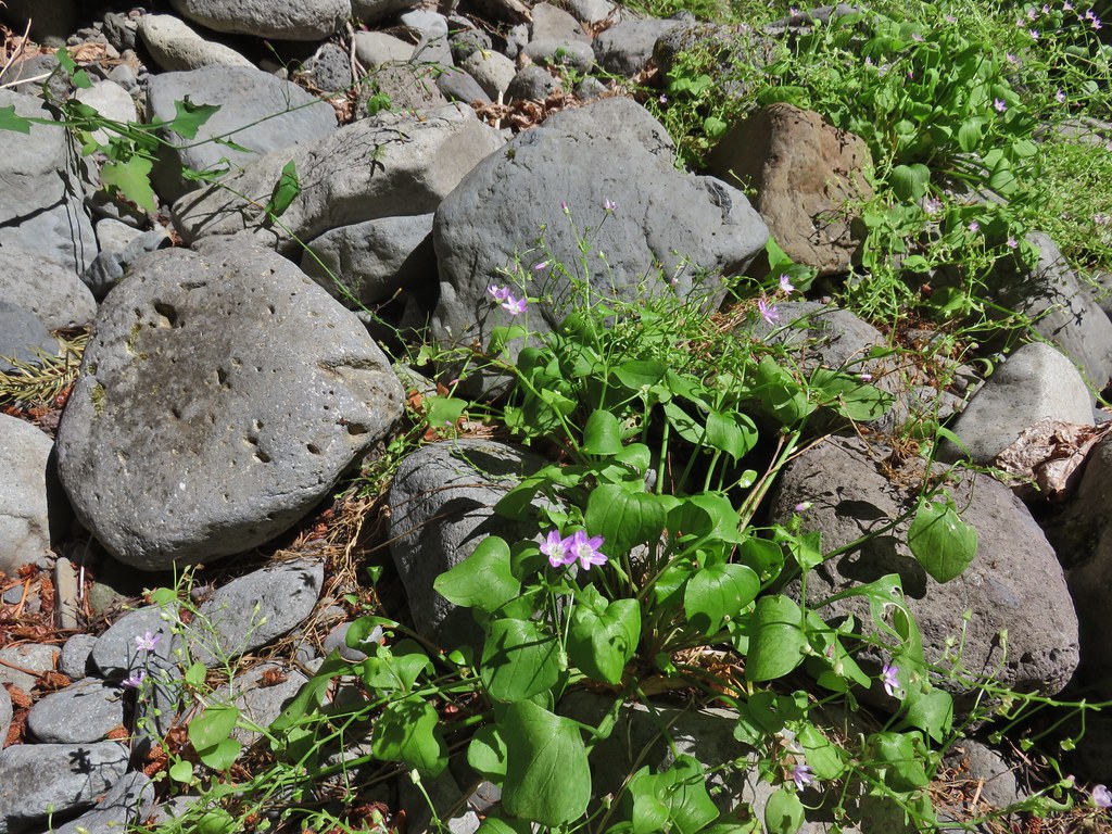 Candy flower
 Lots of spent beargrass along the trail.

 Thimbleberry bushes near the spring.
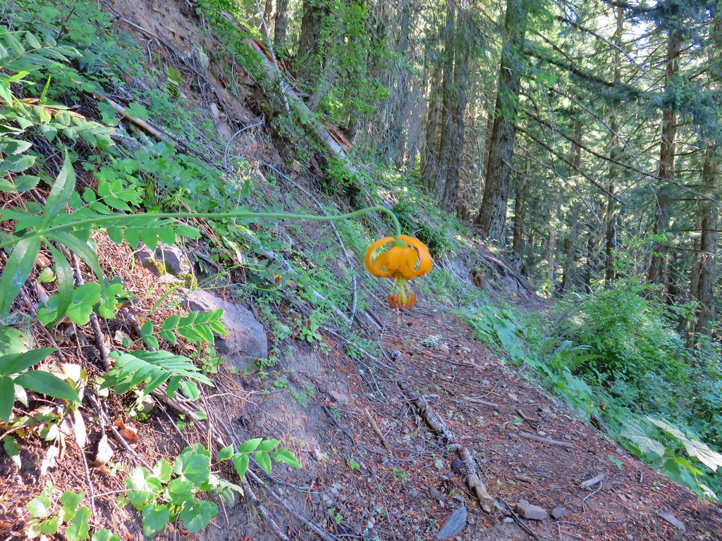
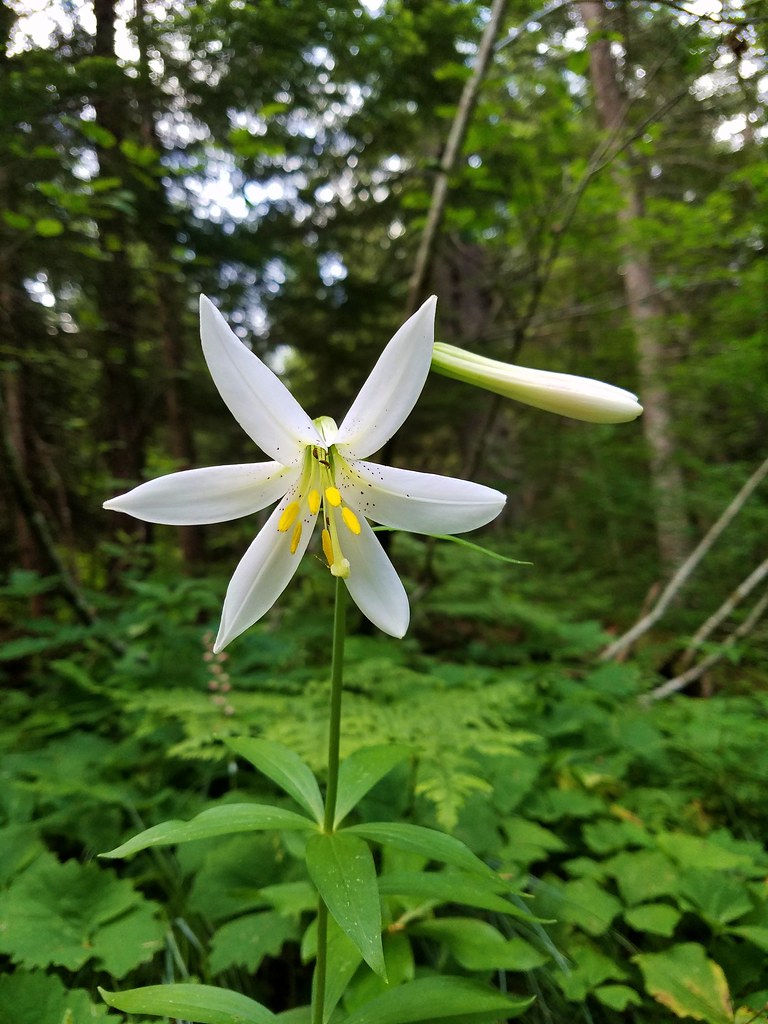 Washington lily
 Spring near the trail.

 Spotted the first pika of the day at this switchback (it’s on one of the red rocks)
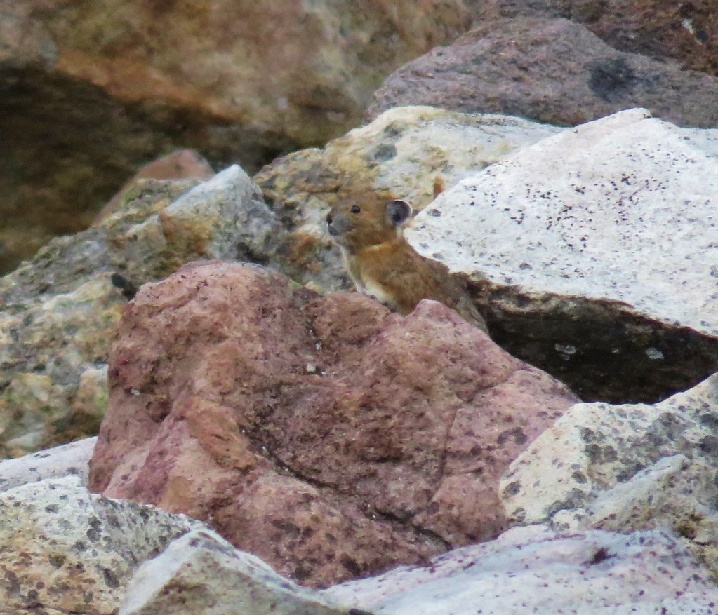


 The Three Pyramids, Bachelor Mountain, and Coffin Mountain in the distance with Triangulation Peak in a cloud shadow along the near ridge to the right.
 Mt. Jefferson with Three Fingered Jack now fully visible.
 Three Fingered Jack
 Grouse in the brush to the left of the trail.
 Grouse
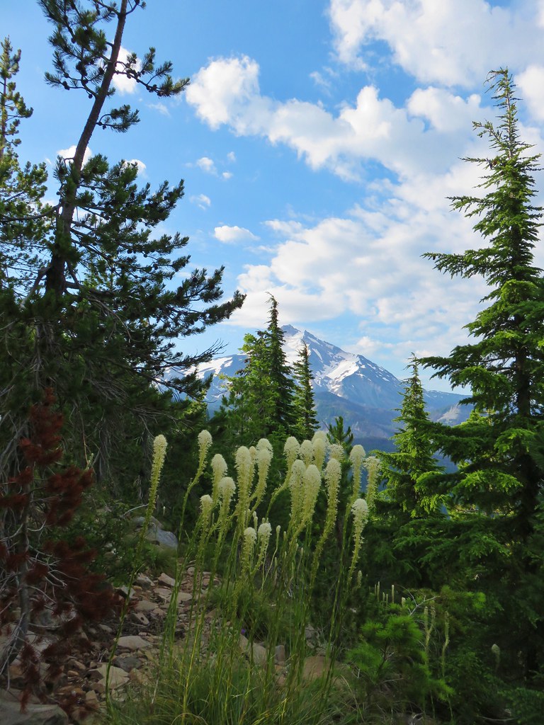


 Almost to the top.
 Bear Point summit.
 The Three Sisters and Three Fingered Jack
 Mt.Jefferson
 Park Ridge (
 Bear Lake, Dinah-Mo Peak, and Park Ridge
 Triangulation Peak and Devils Peak
 Boca Cave below Triangulation Peak (
 Devils Peak (high point to the right of the ridge), which we had just hiked to a couple of weeks earlier (
 Mt. Hood and Olallie Butte (The Breitenbush Cascades are also out there amid the trees.)
 Mt. Hood with Slideout and Mildred Lakes in the forest below.
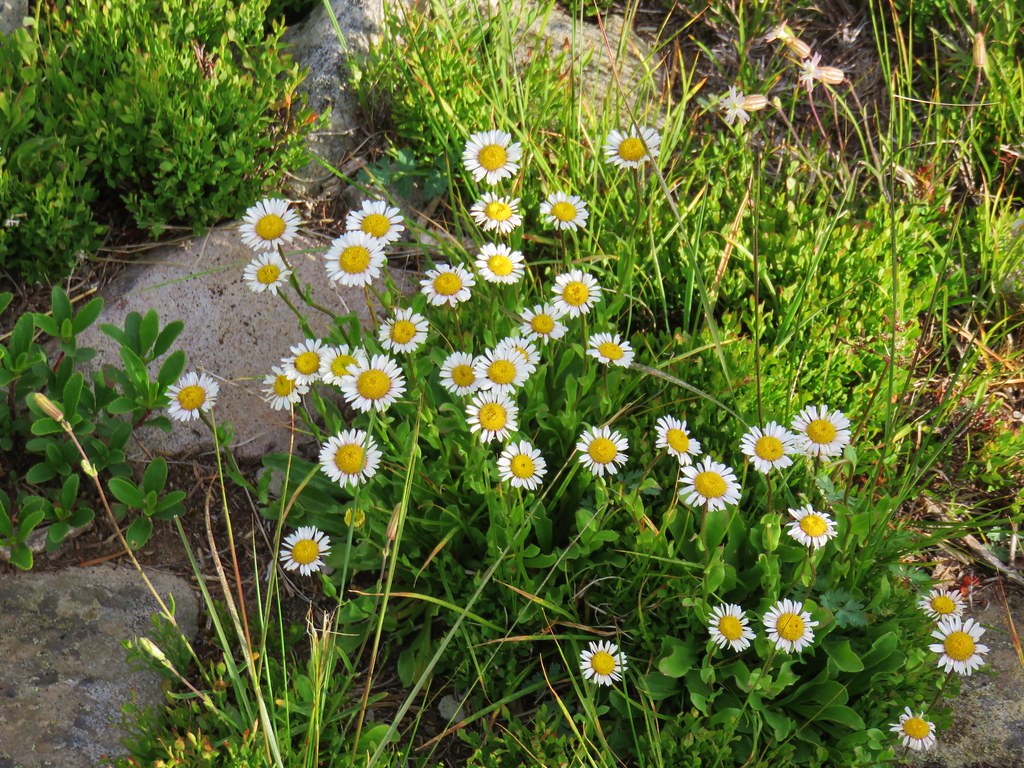 Fleabane
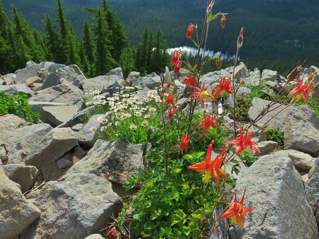 Columbine and fleabane with Bear Lake in the background.
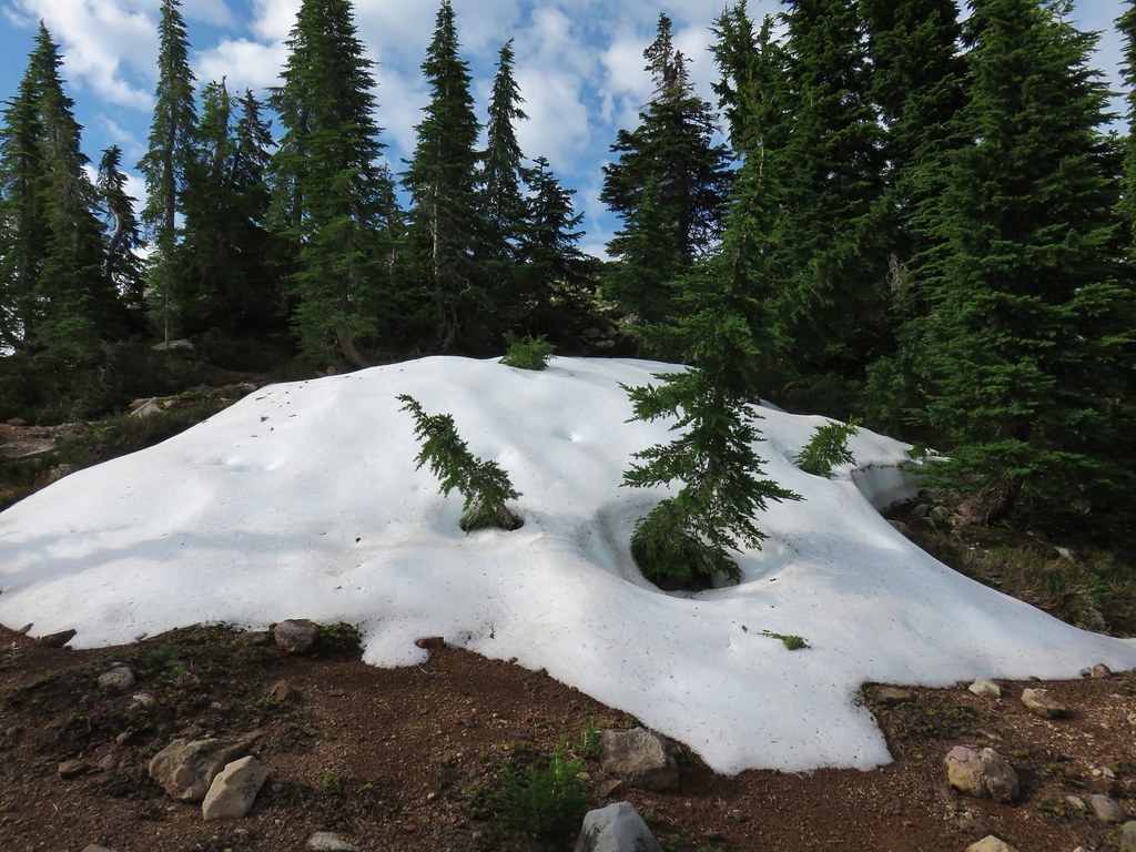 Snow patch near the summit.
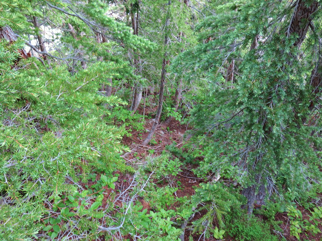 Typical terrain, it’s hard to tell here but this was a steep hillside.
 There were tons of these butterflies around.
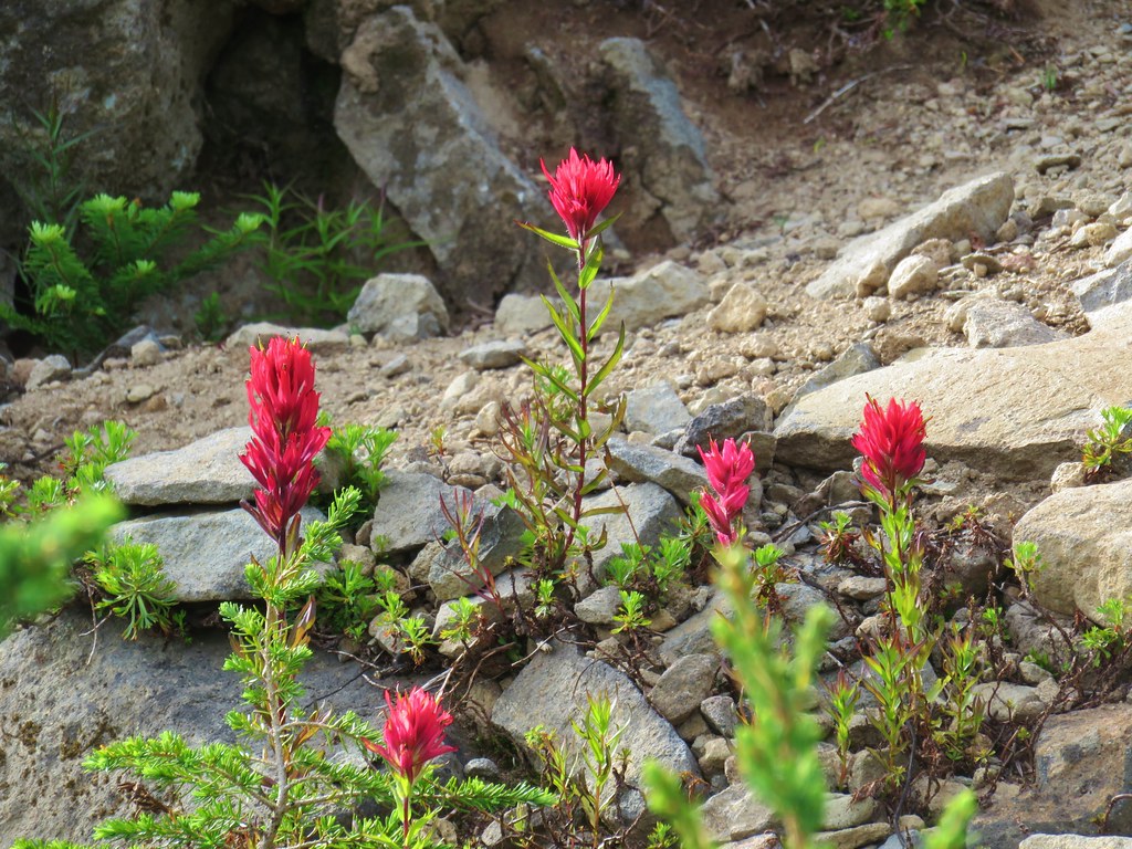 Paintnbrush
 Crossing a talus slope.
 More typical conditions.
 Pond near the lake.
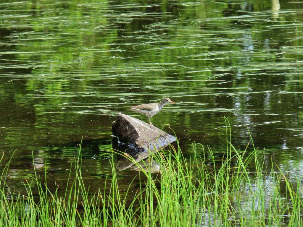 Bird at the pond.
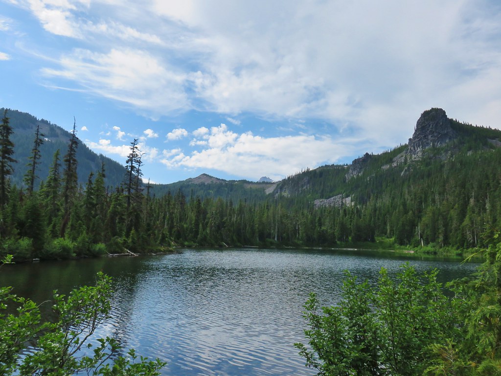 The lake
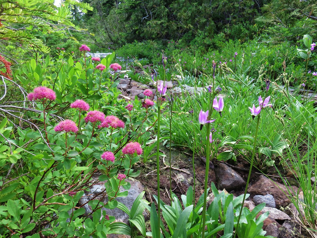 Spirea and shooting stars
 Crab spider with a bee
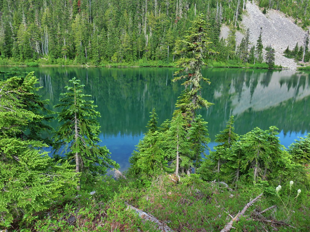 The lake
 Aster
Aster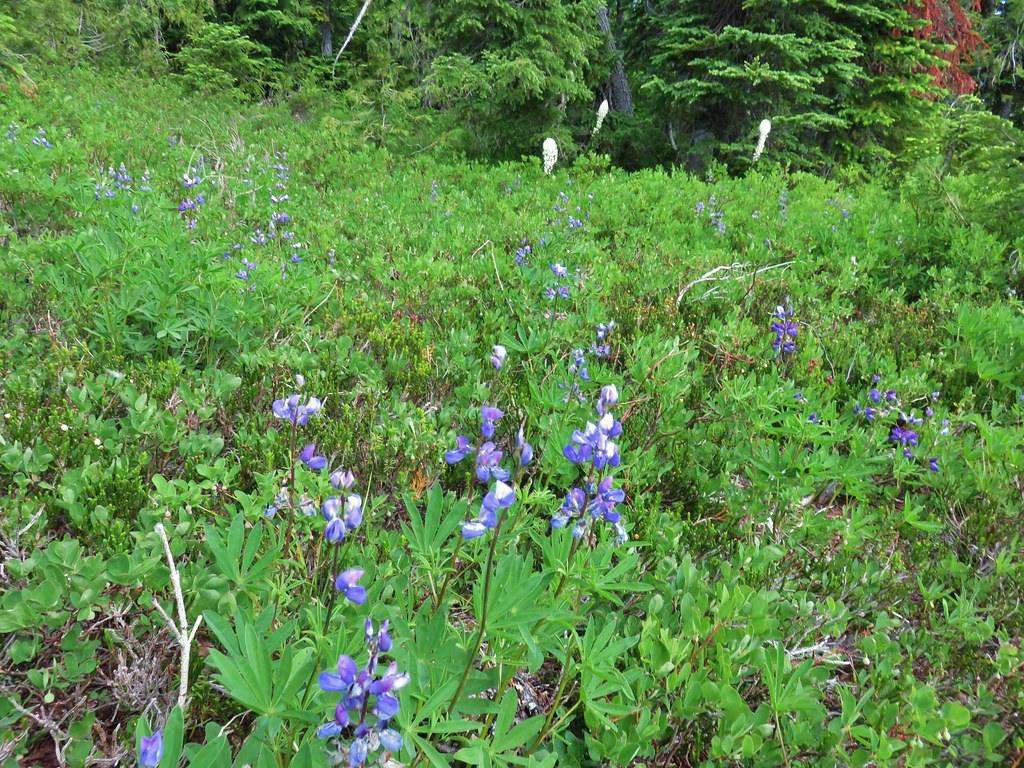 Lupine and beargrass
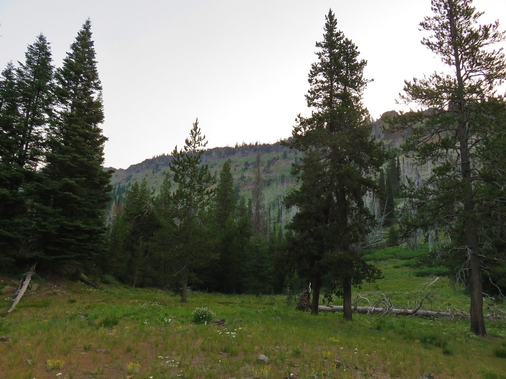


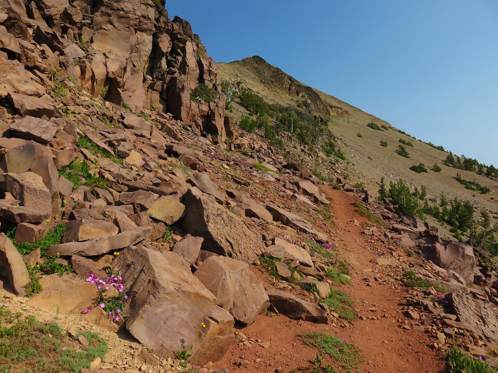
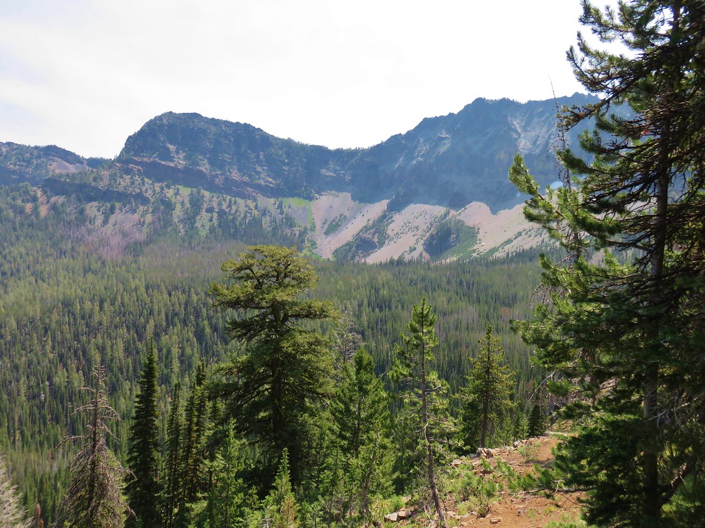
 Indian Creek Butte
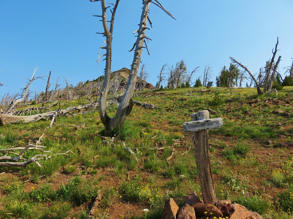
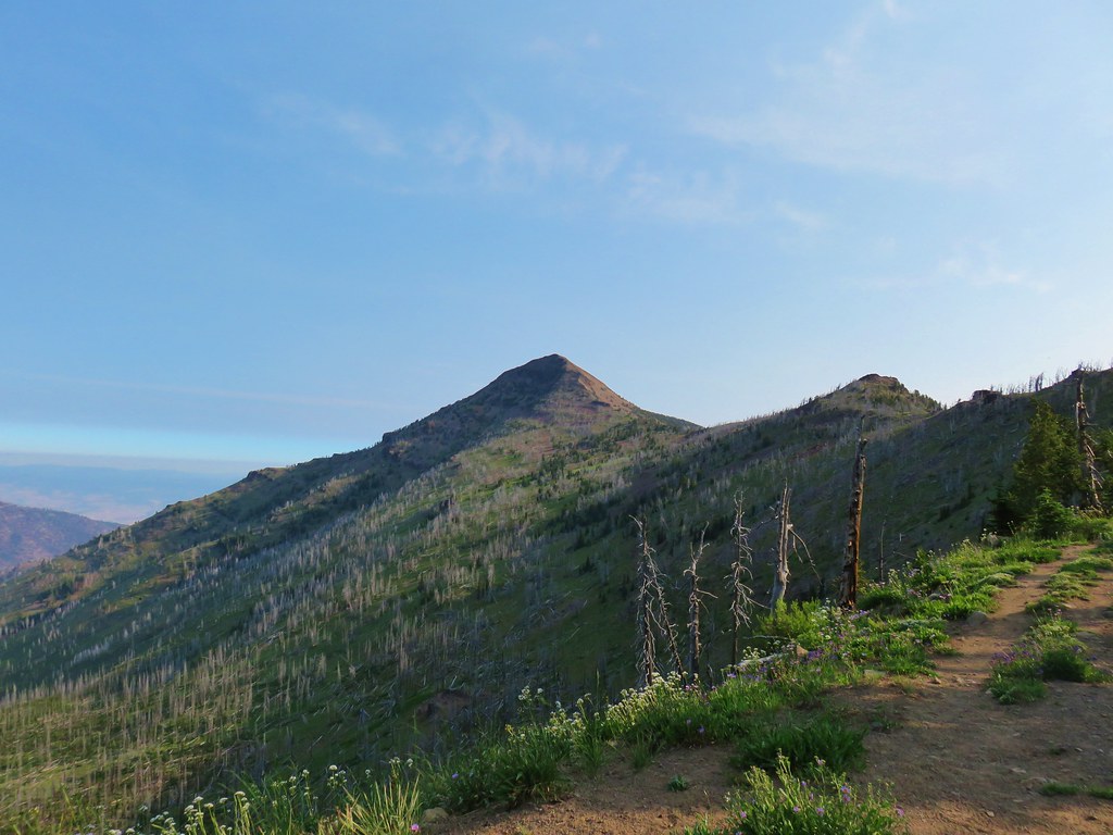 Strawberry Mountain
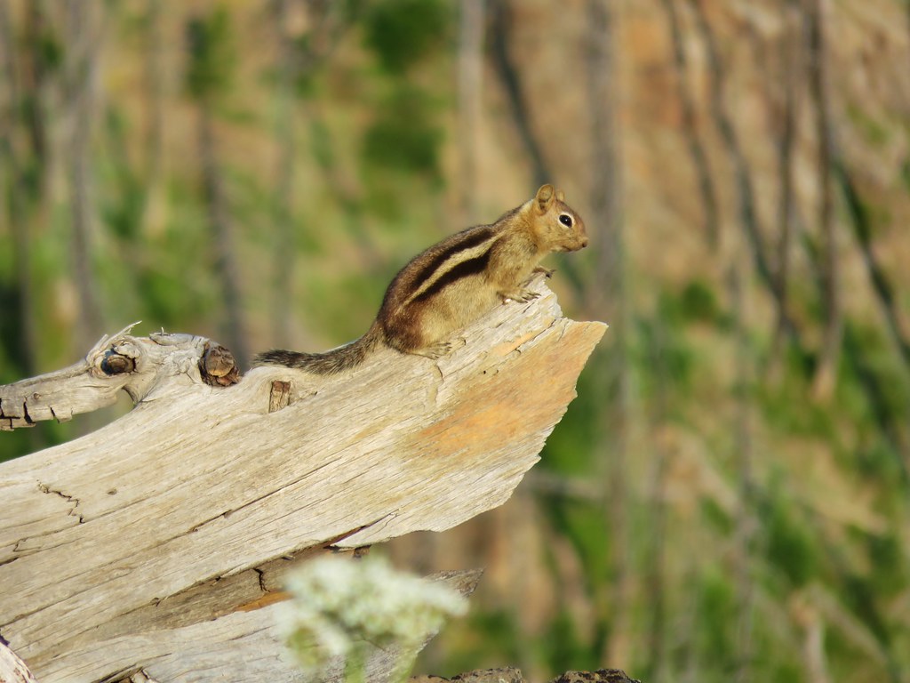

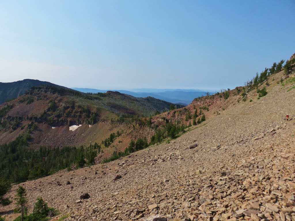
 Looking north toward the John Day Valley
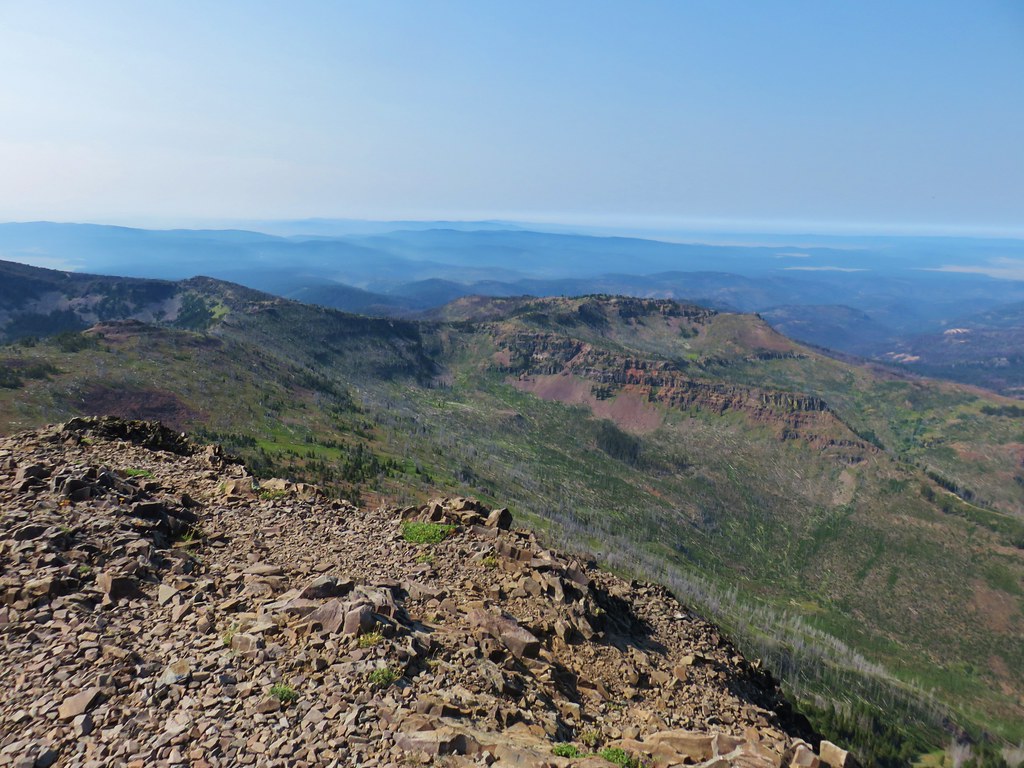 Looking SW toward Wildcat Basin
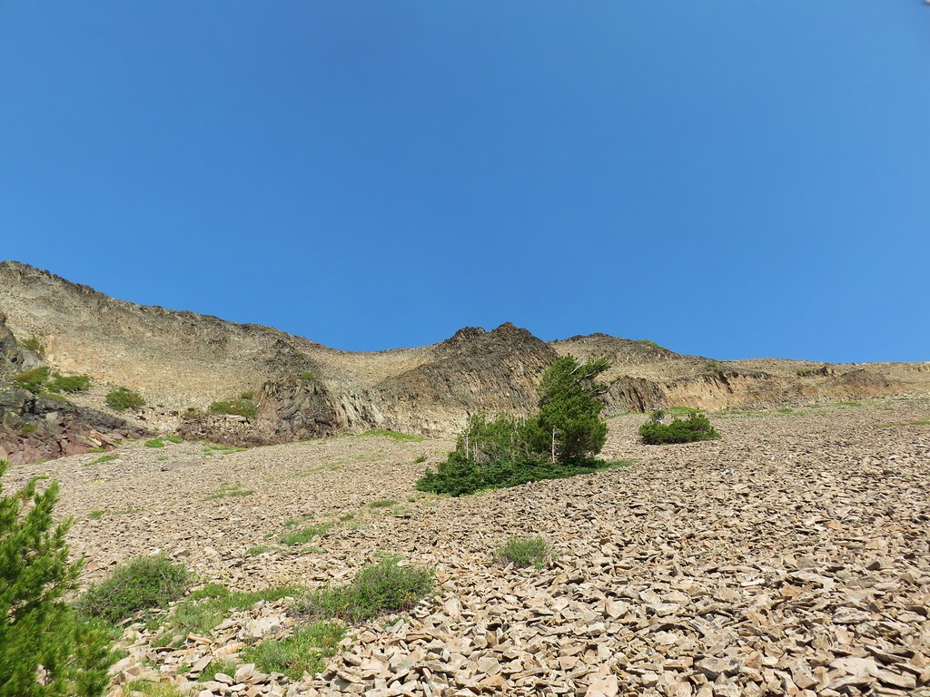
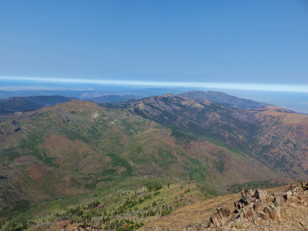 View west toward Indian Creek Butte and Canyon Mountain
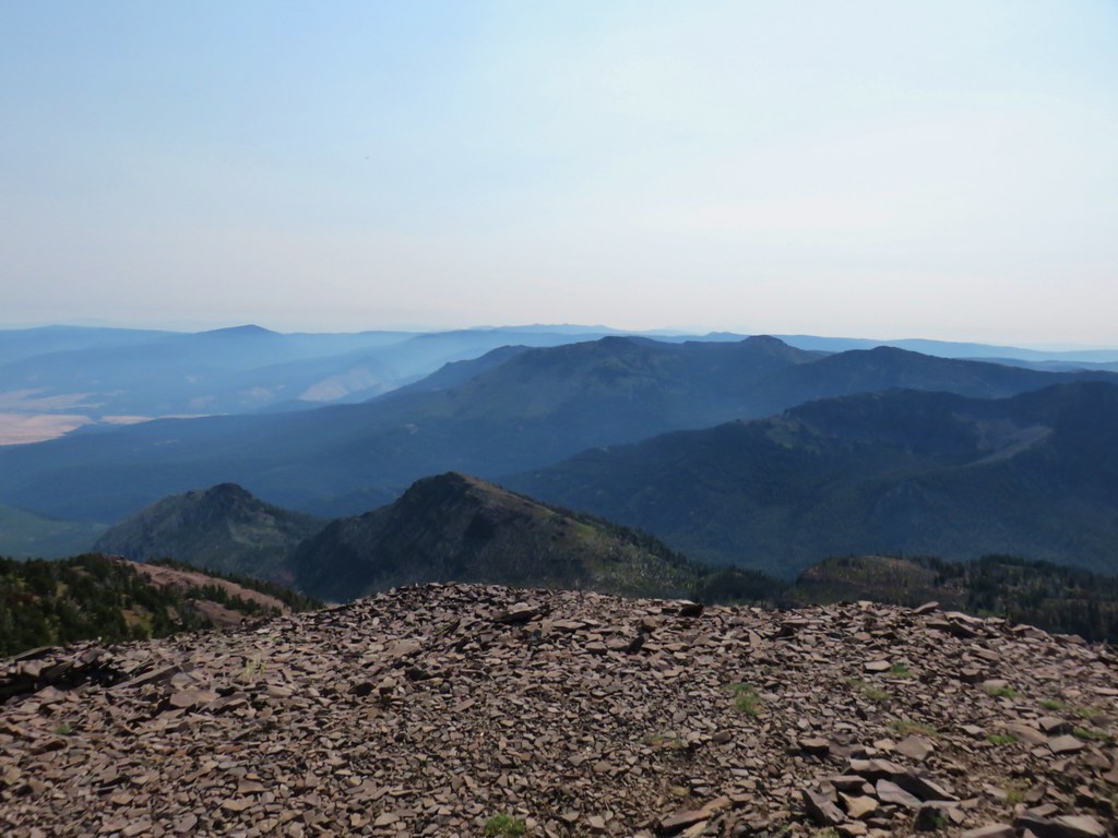 Looking NE
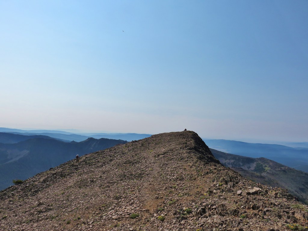 View east


 View from the chair.
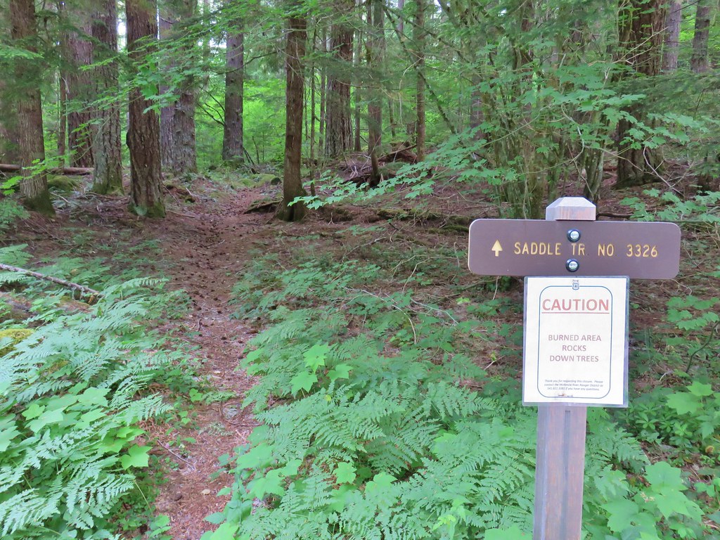


 Middle Sister
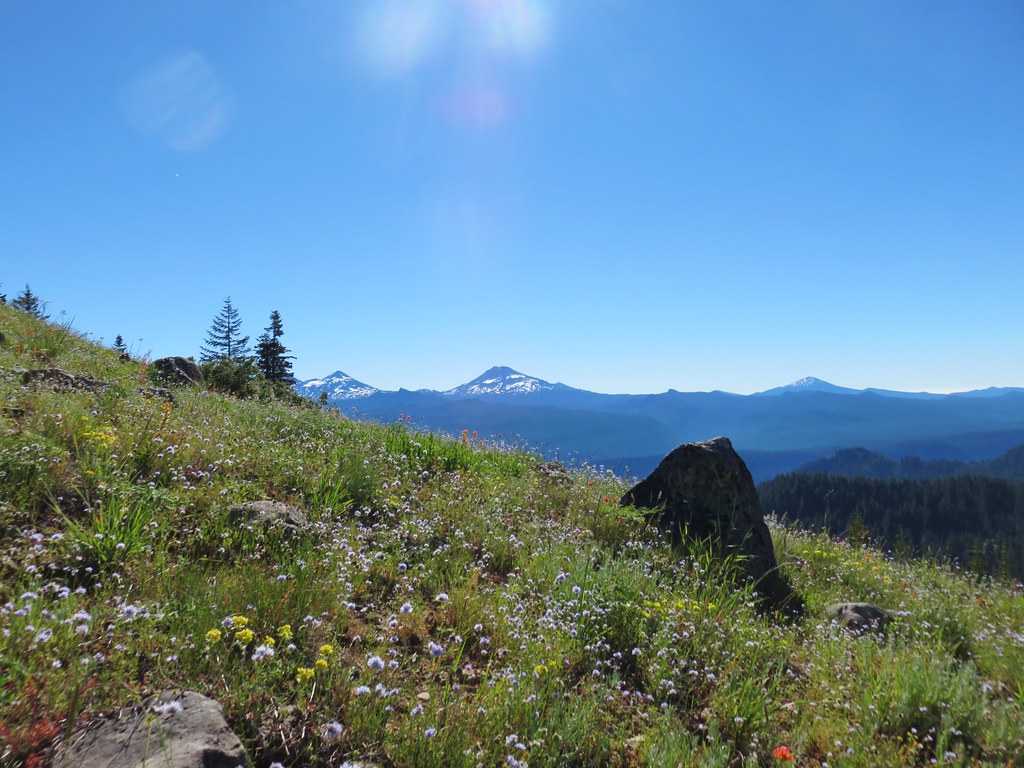 Three Sisters and Mt. Bachelor
 Diamond Peak
 Mt. Hood, Mt. Jefferson, Three Fingered Jack, and Mt. Washington.
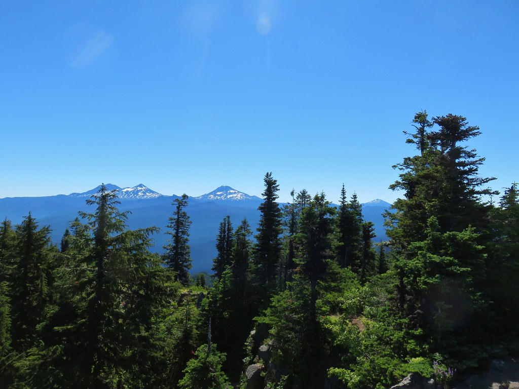
 Diamond Peak(Mt. Thielsen is out there too)
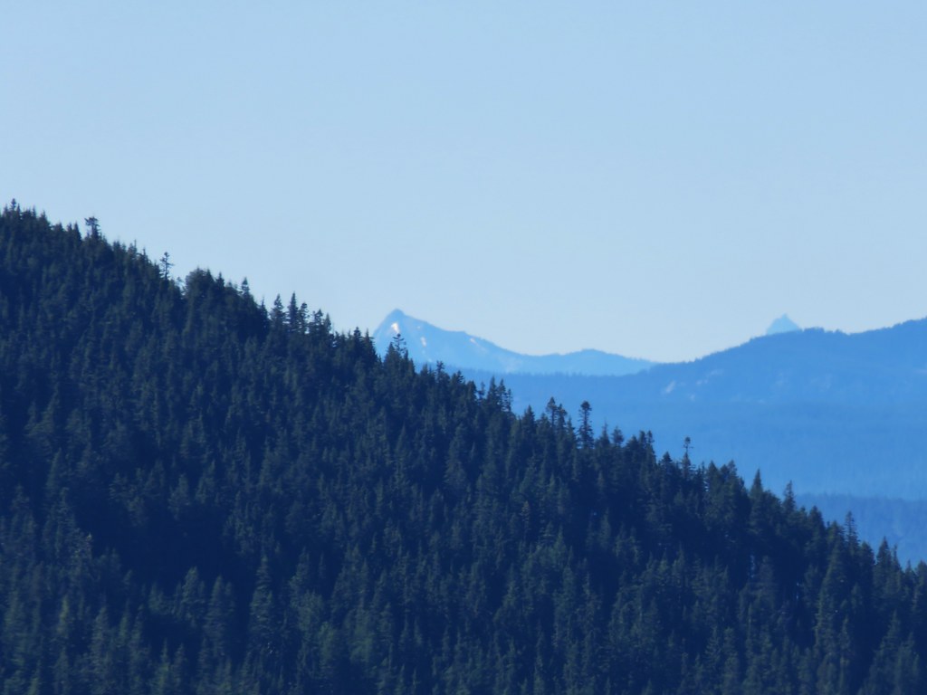 Cowhorn Mountain on the left and the tip of Mt. Thielsen to the right.
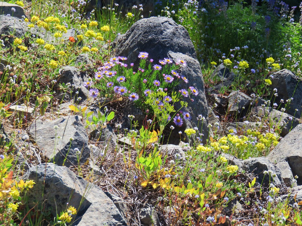


