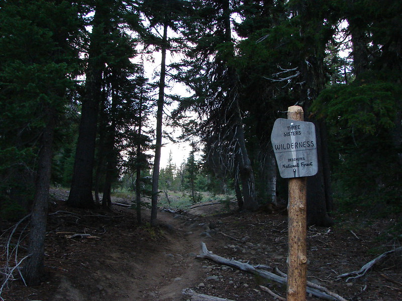
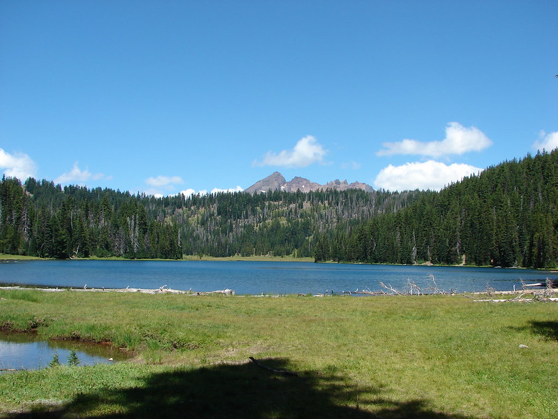
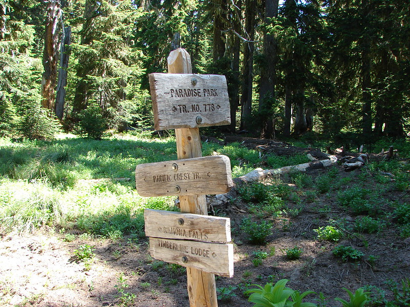
Our latest overnight trip brought us to the Mt. Hood Wilderness where we planned to continue honing our backpacking skills. We plotted out a trip that would bring us to some new places as well as some previous favorites. The plan was to start at the northern trail head of the Burnt Lake Trail, pass Burnt Lake and climb up to East Zig Zag Mountain where we would take the Zig Zag Mountain Trail up to the Paradise Park Trail. From there we would head up to Paradise Park and camp somewhere along the Paradise Park Loop Trail near Split Rock. We’d been to East Zig Zag Mountain and Paradise Park in 2012 on separate hikes, but we had come in on different trails for those trips.
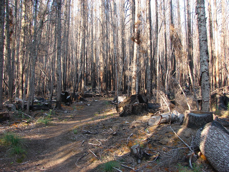
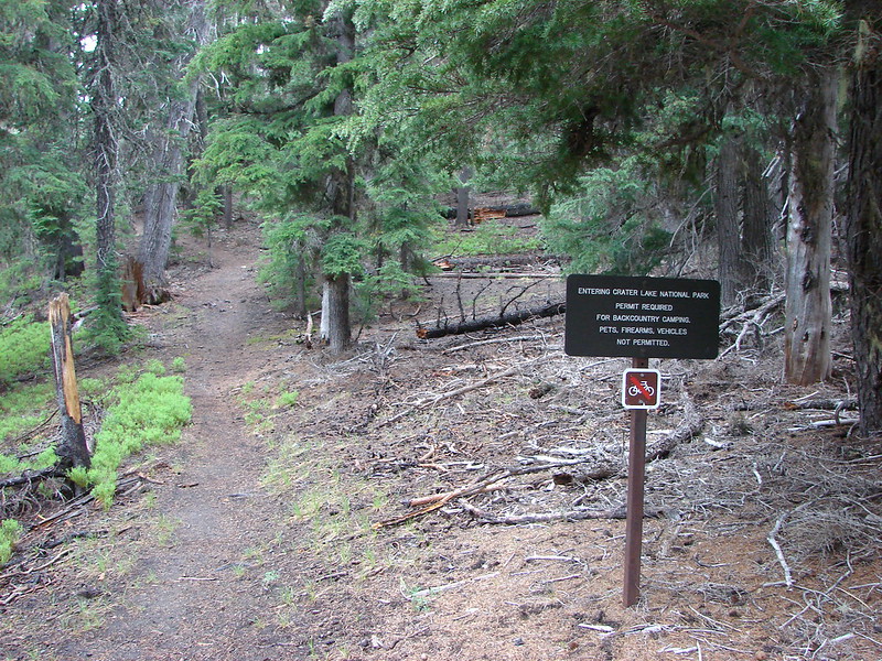
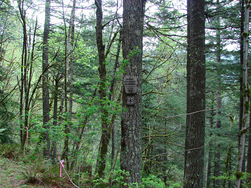
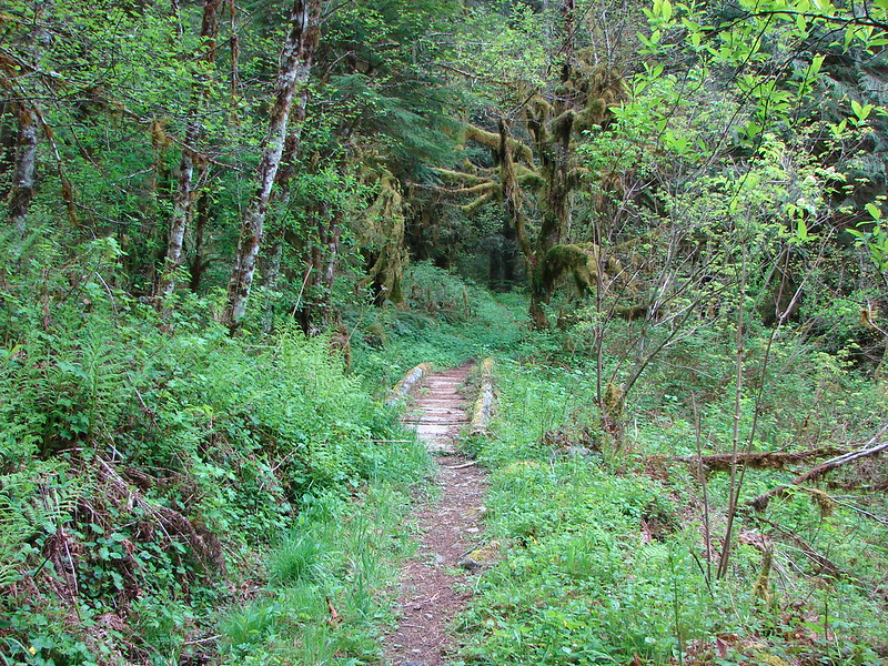
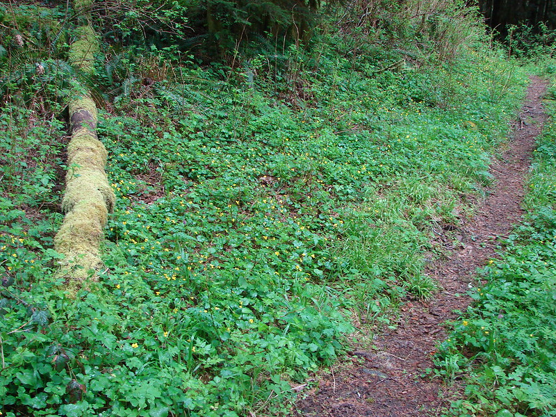
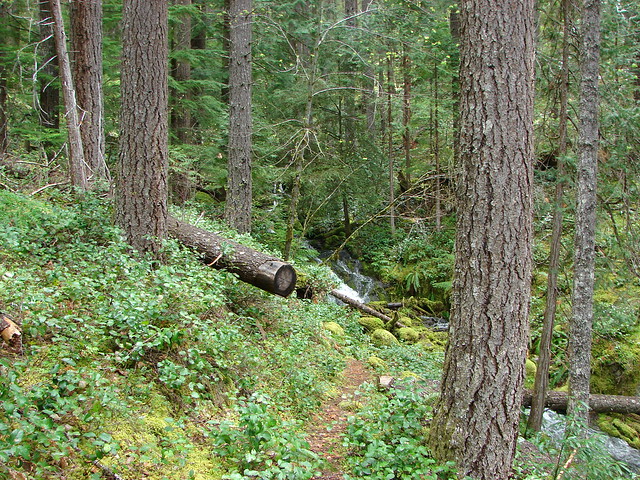
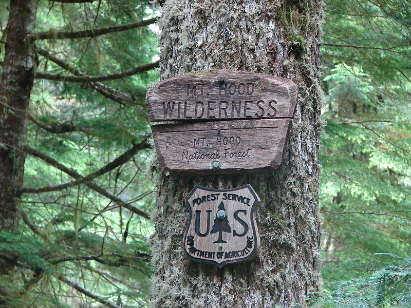
We set off from the Burnt Lake trail head shortly before 7am and quickly entered the Mt. Hood Wilderness.
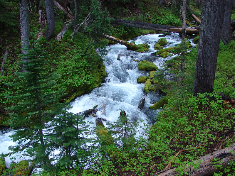
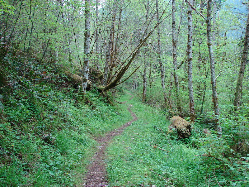
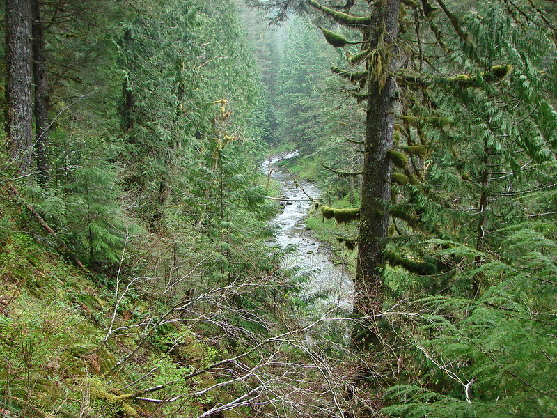
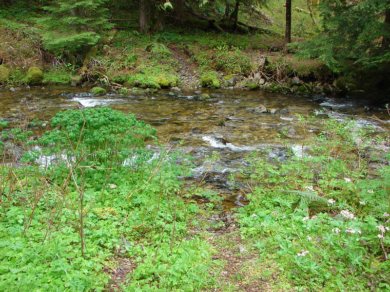
The trail climbed between Burnt Lake Creek and Lost Creek for 1.9 miles before crossing and then recrossing Burnt Lake Creek. Near the 2.5 mile mark an unmarked side trail to the left led downhill to Lost Creek Falls. (Waterfalls on Lost Creek became a theme for this trip.)
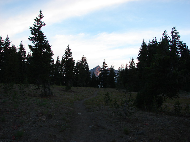
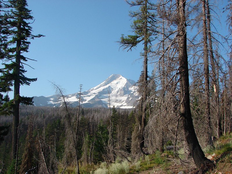
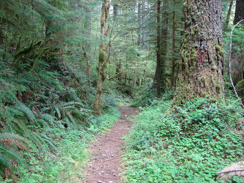
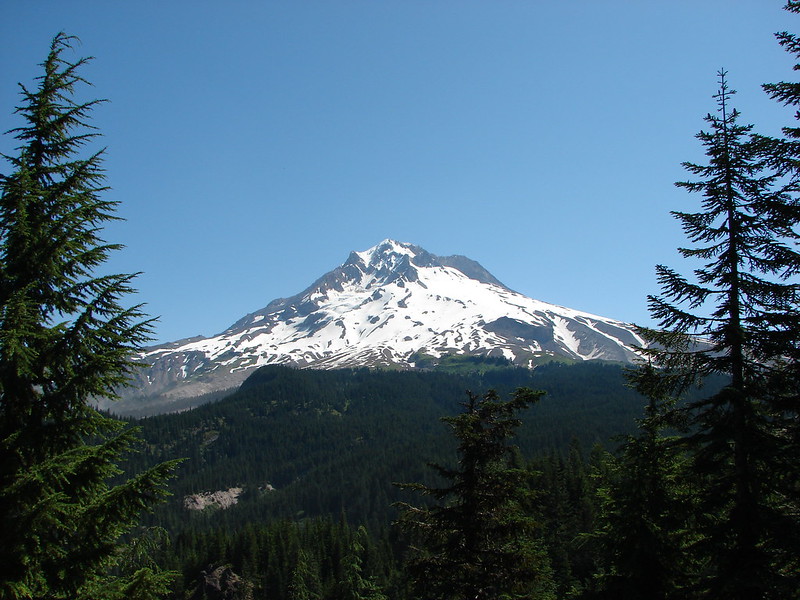
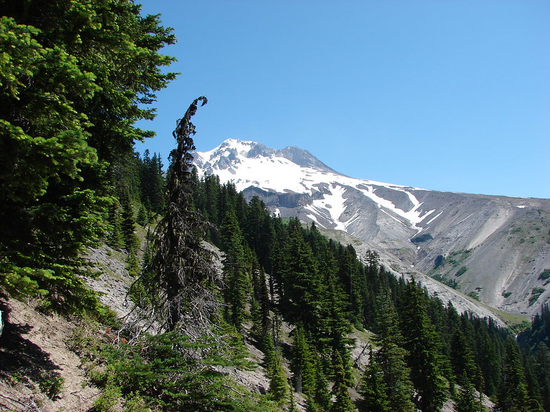
The trail then veered away from Lost Creek and climbed for a mile up to Burnt Lake. Along the way we got our first glimpses of Mt. Hood.
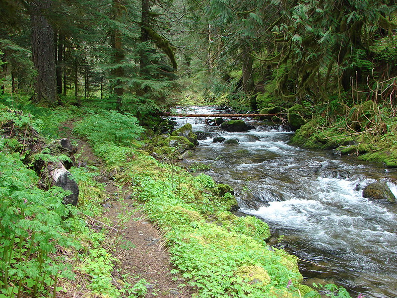
We stopped briefly to check out Burnt Lake but decided to wait until the return trip to locate the best viewpoint of Mt. Hood from the lake shore.
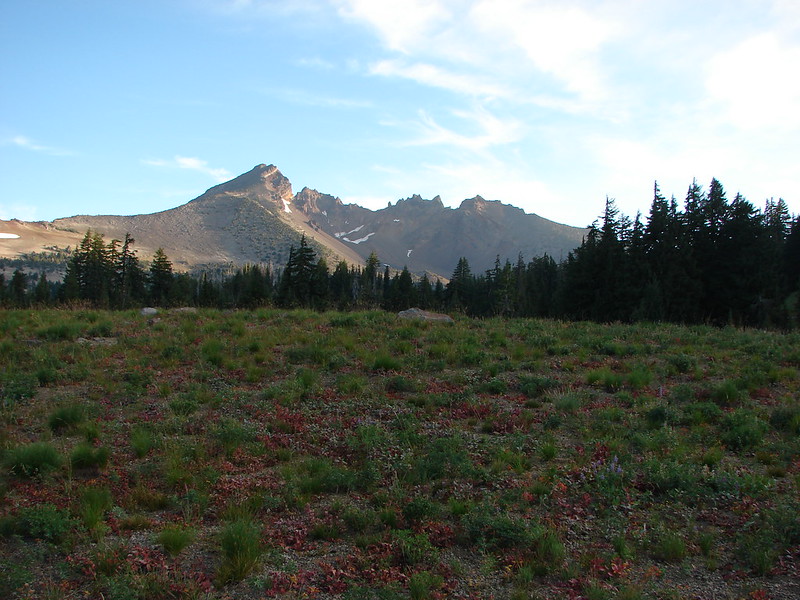
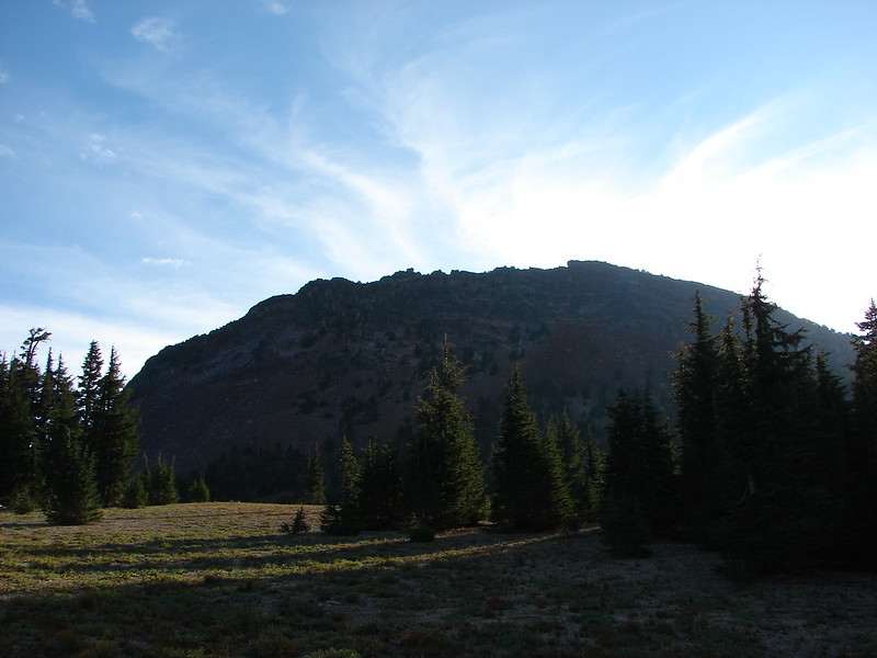
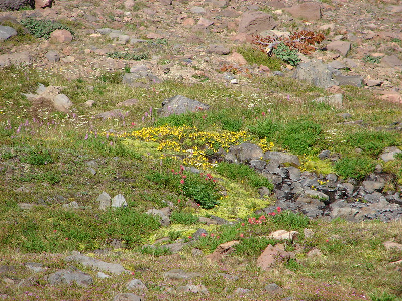
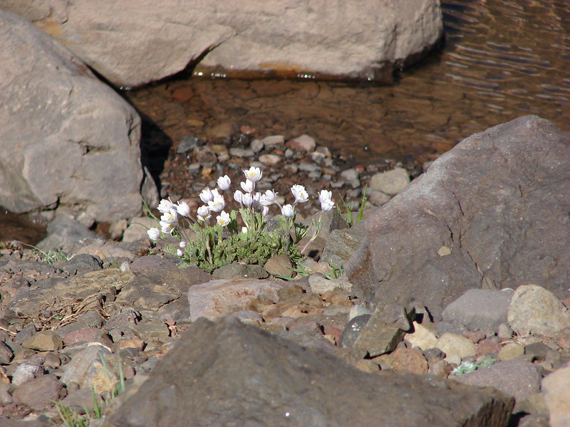
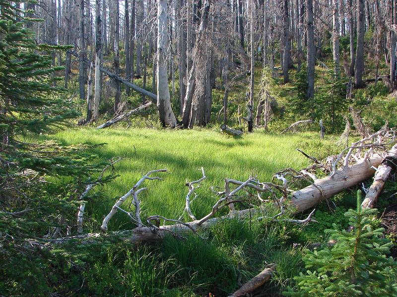
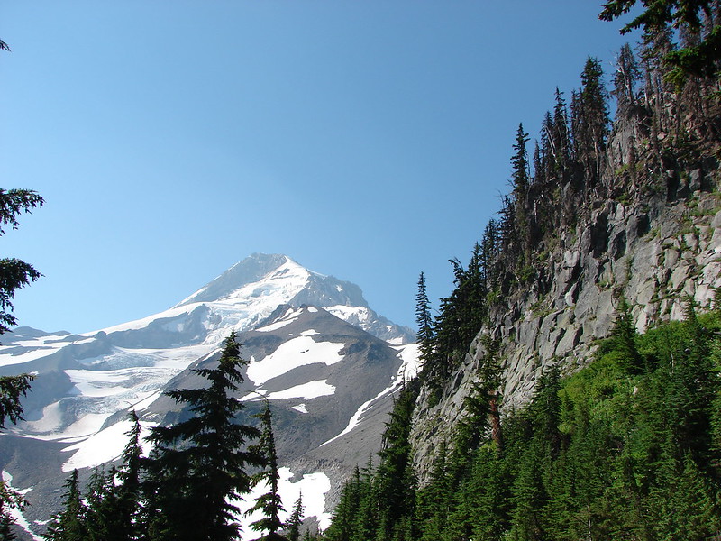
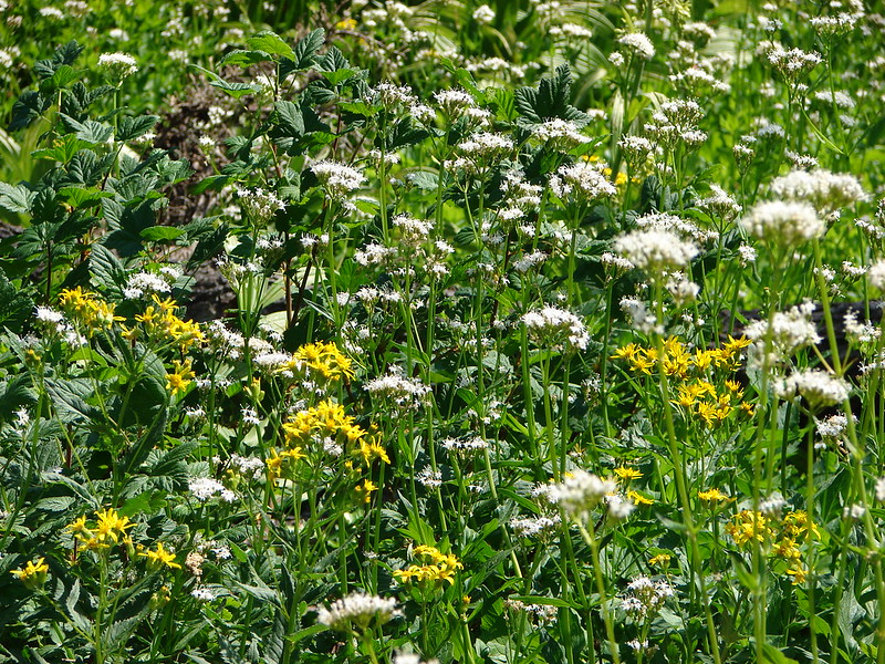
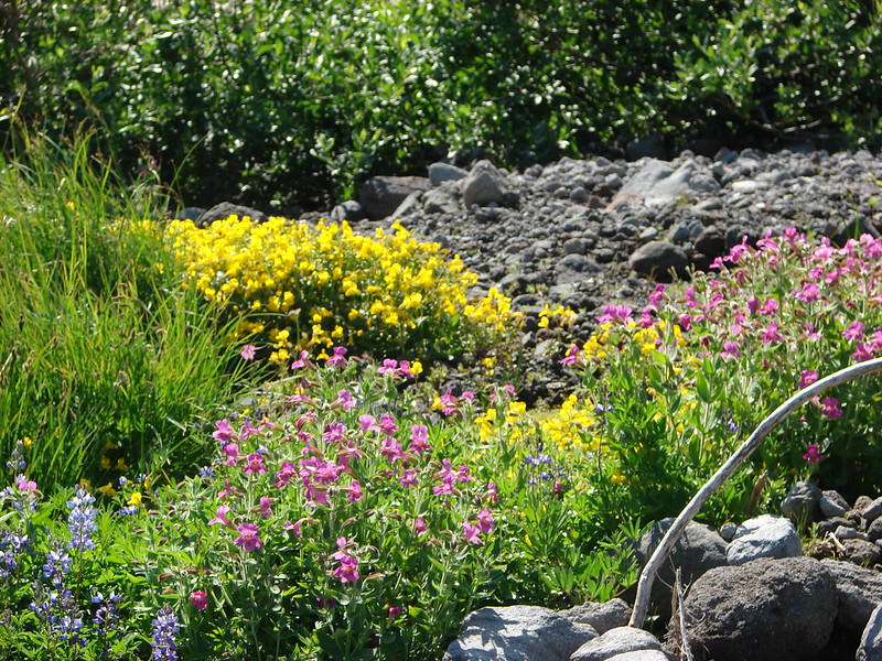
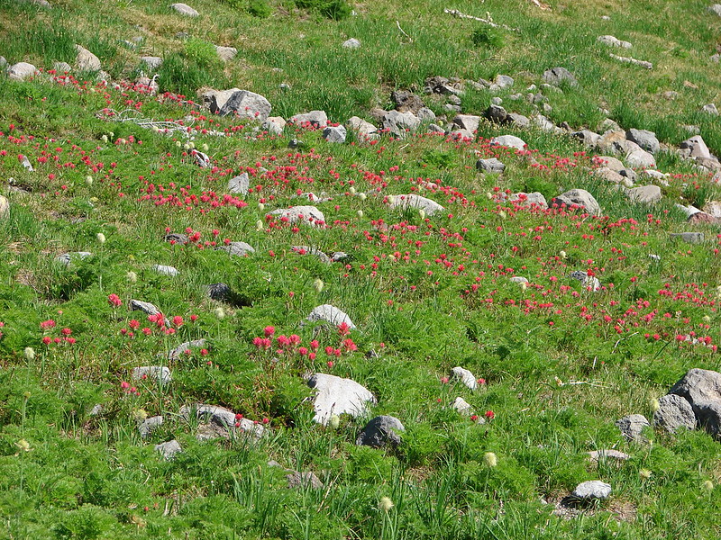
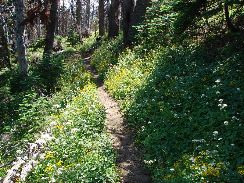
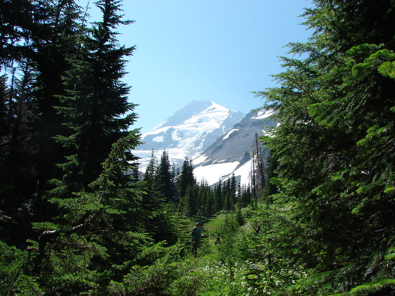
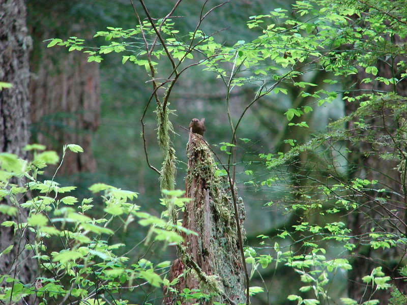
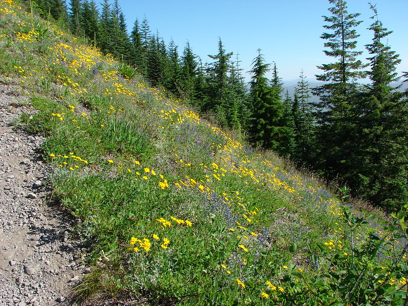
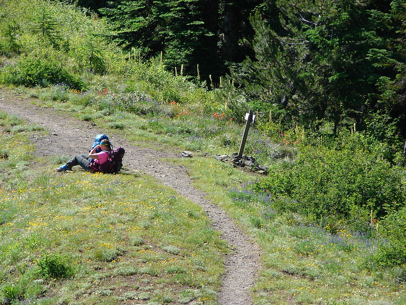
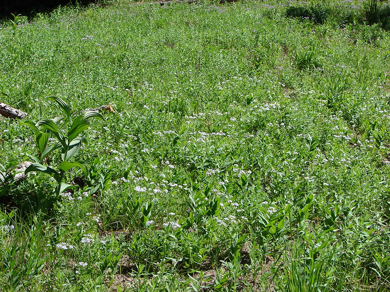
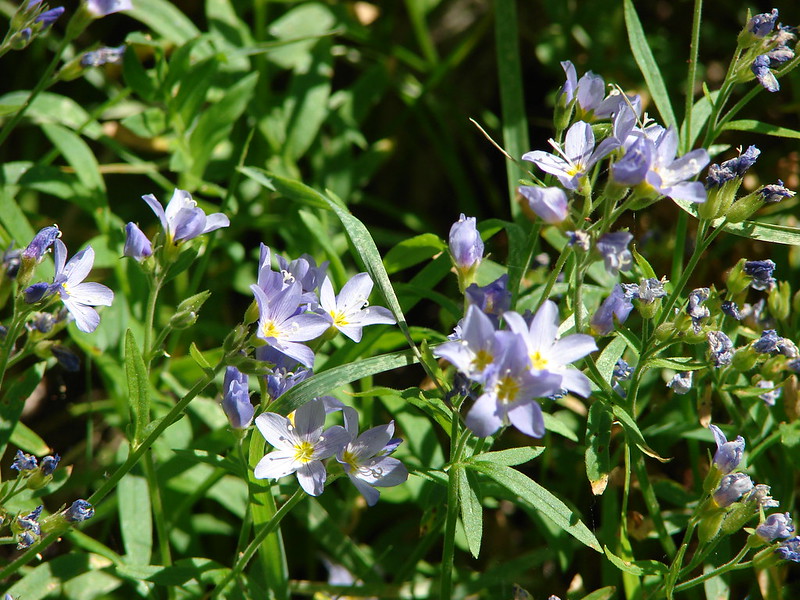
From Burnt Lake the trail climbed up to the Zig Zag Mountain Trail where we took a brief detour to visit the summit of East Zig Zag Mountain. Heather decided to remain amid the wildflowers at the junction with the southern portion of the Burnt Lake Trail while I climbed up to the former lookout site.
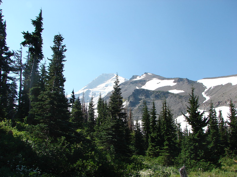
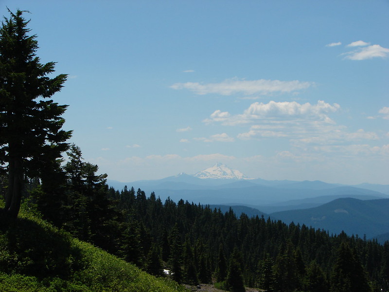
Mt. Hood and Burnt Lake from the south trail junction:
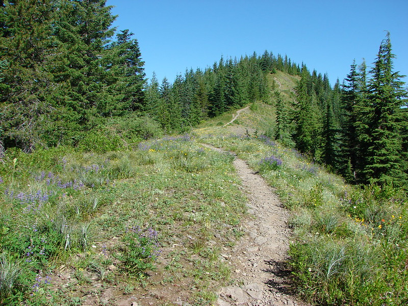
Trail heading up East Zig Zag Mountain:
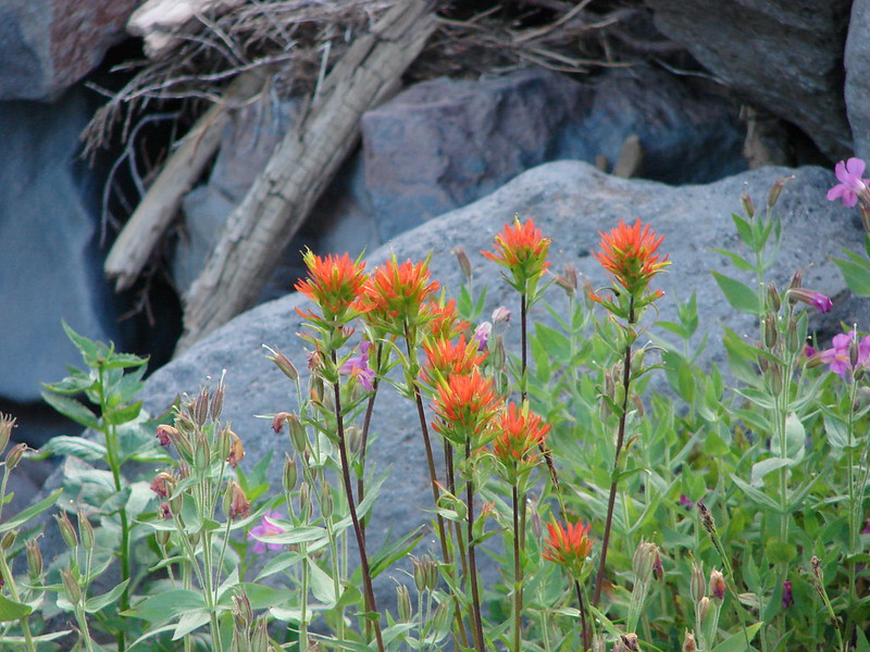
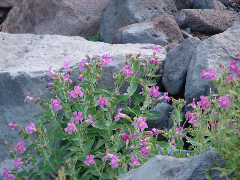
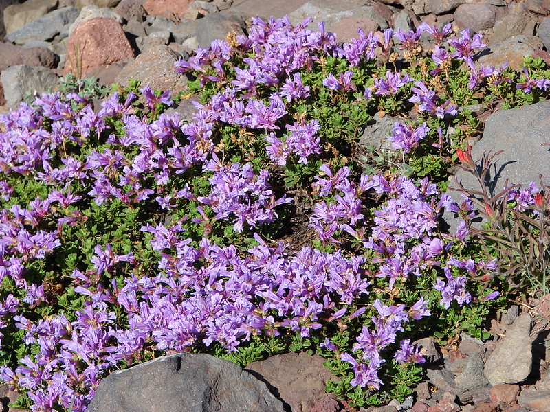
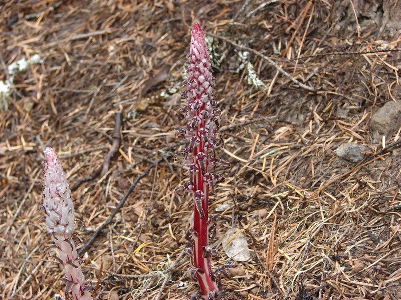
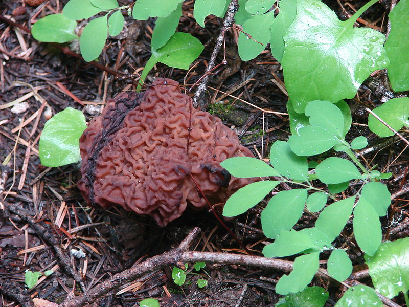
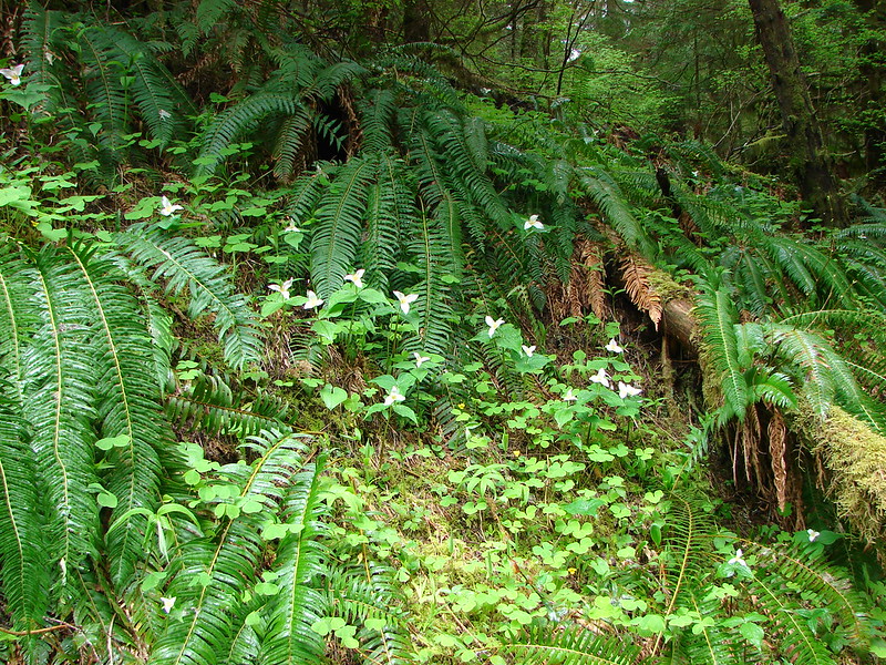
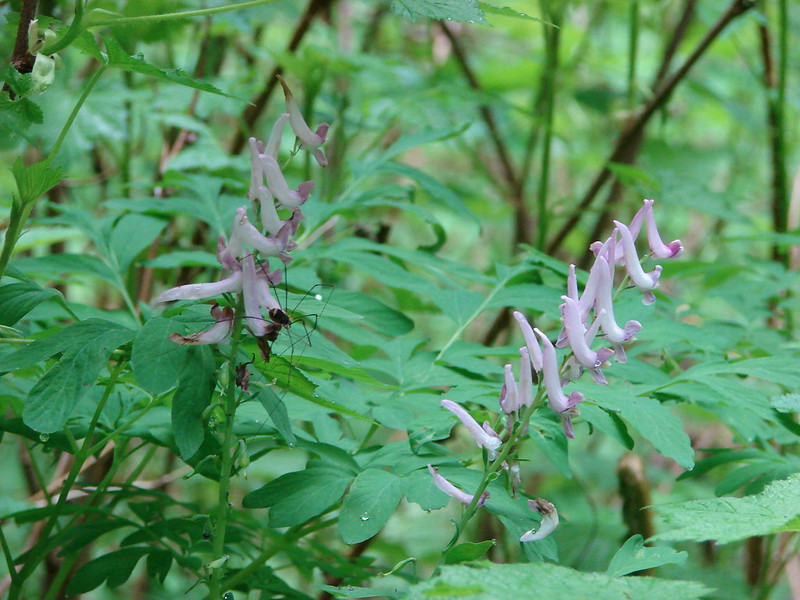
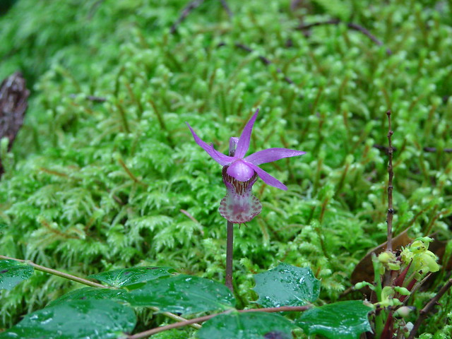
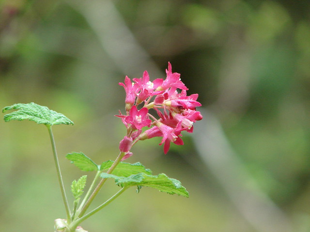
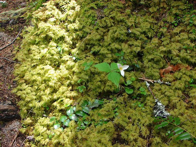
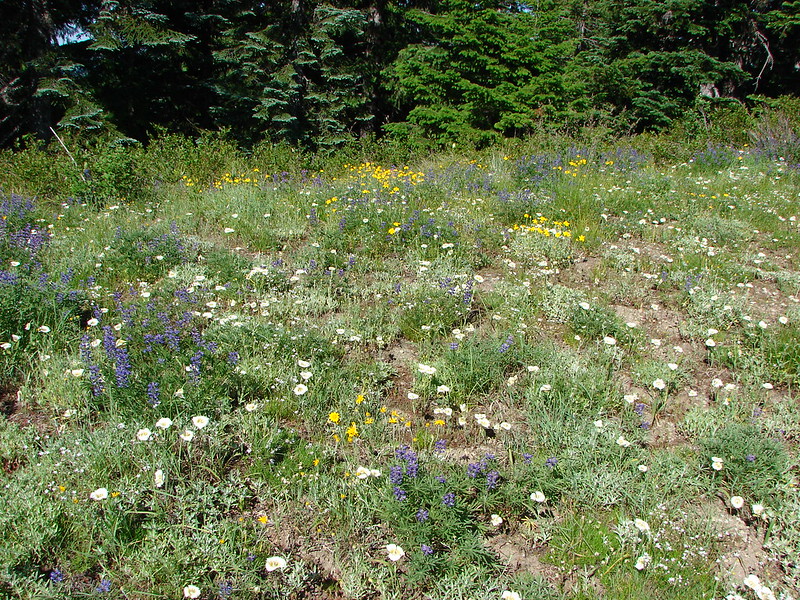
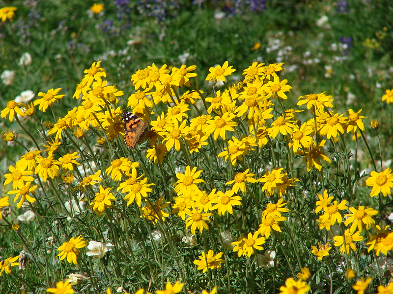
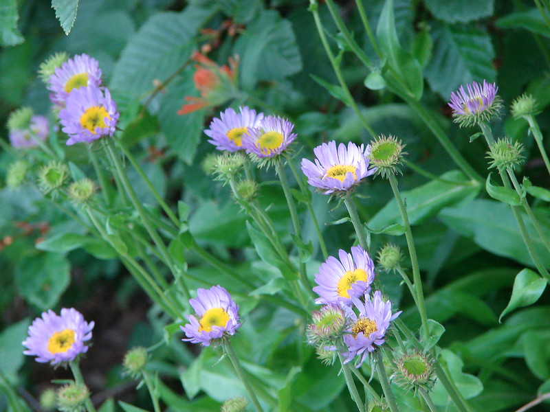
Wildflowers:
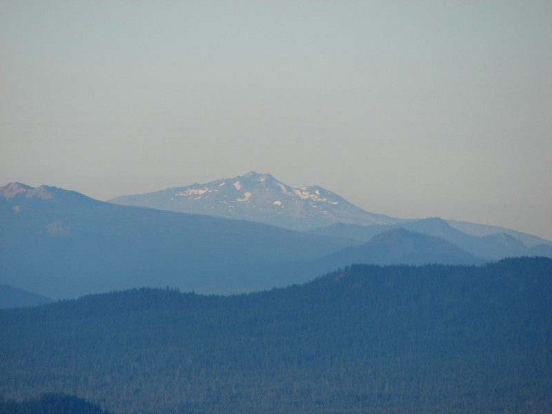
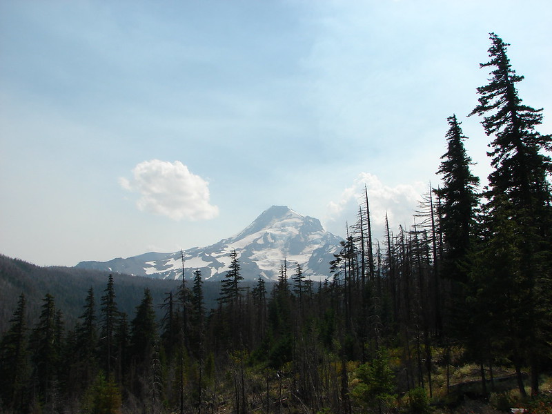
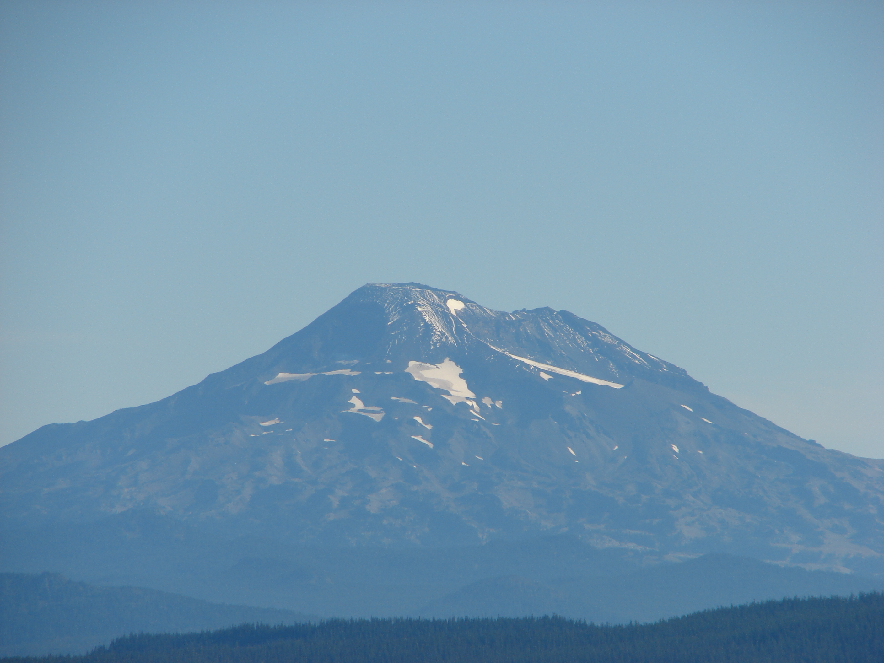
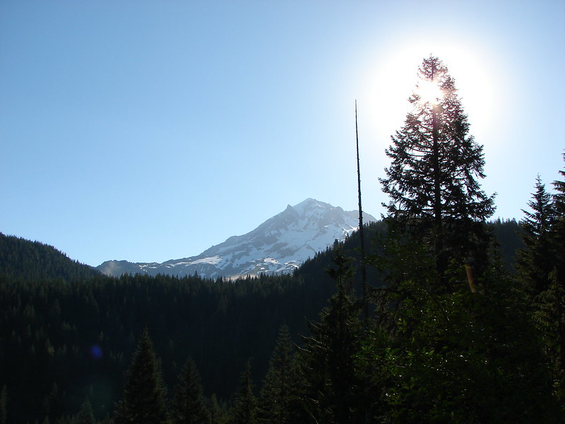
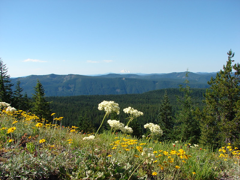
Mt. Jefferson:
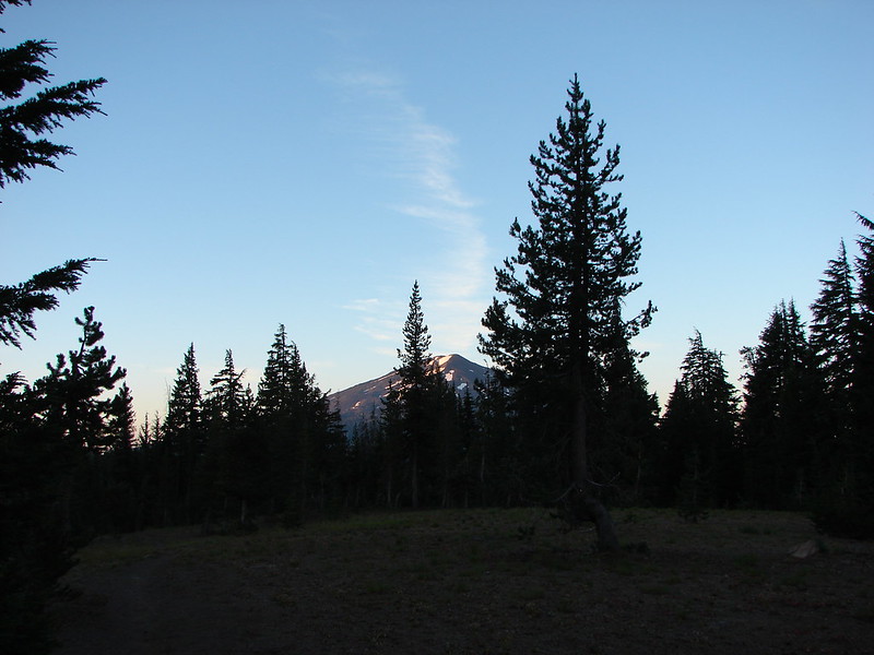
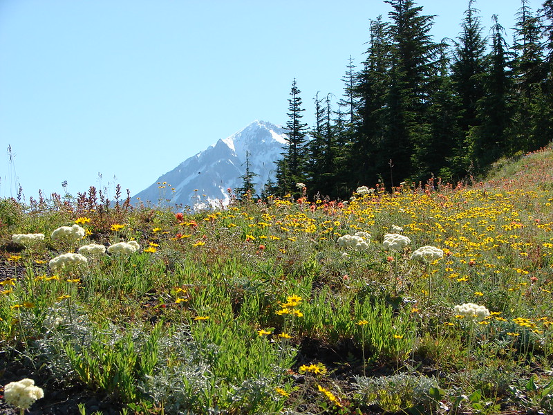
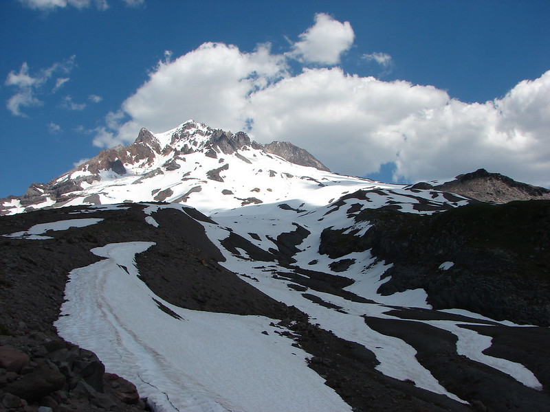
Mt. Hood:
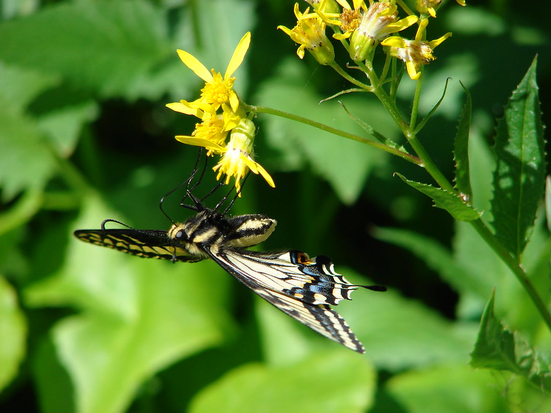
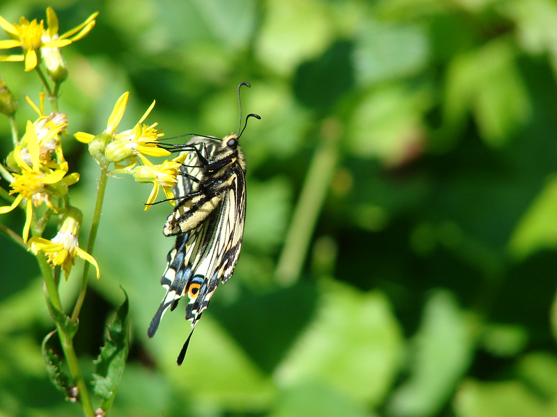
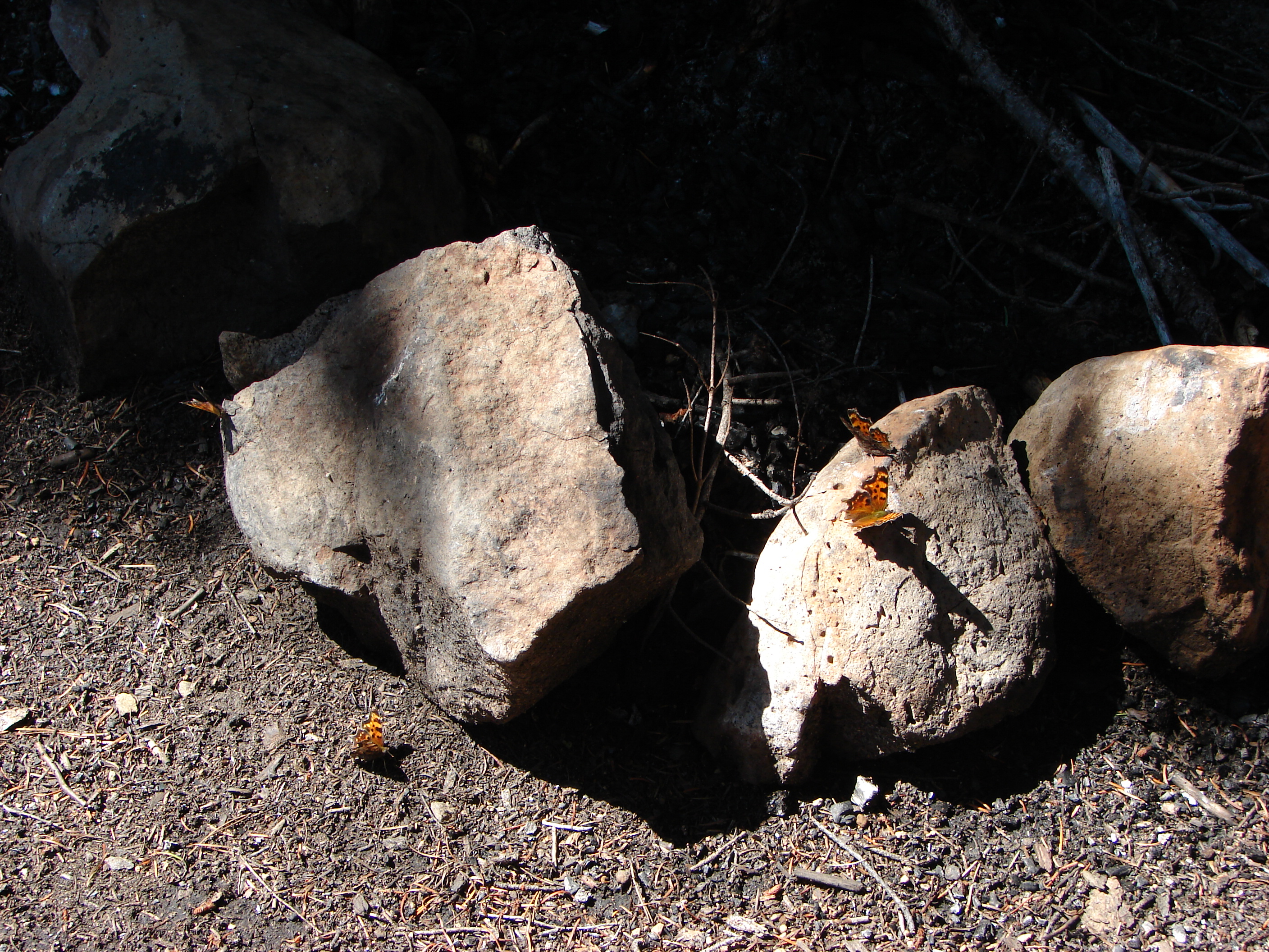
Butterfly:
Heather waiting at the junction:
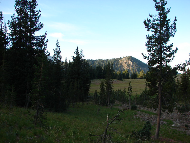
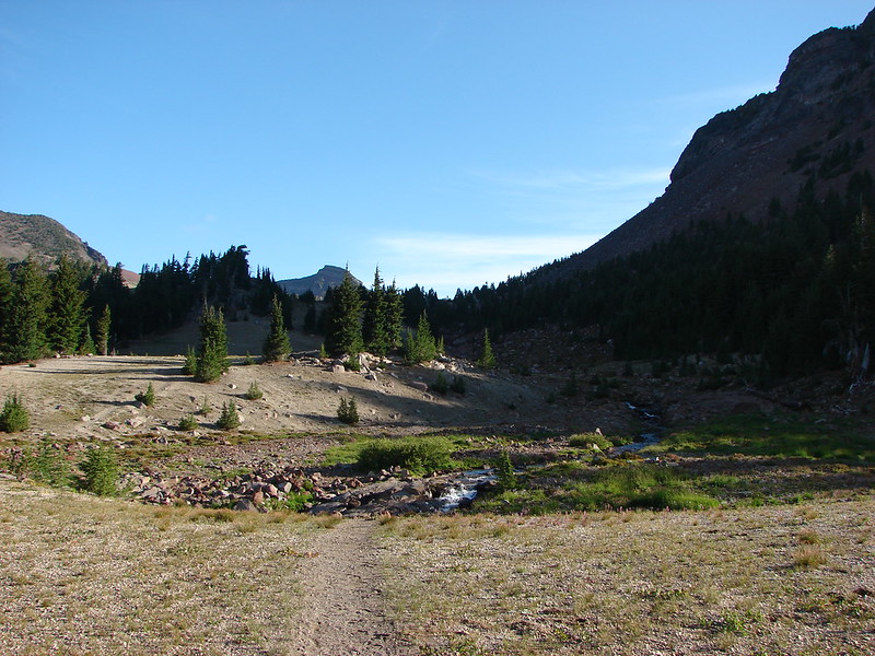
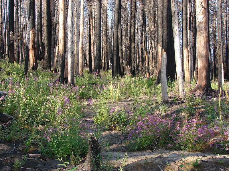
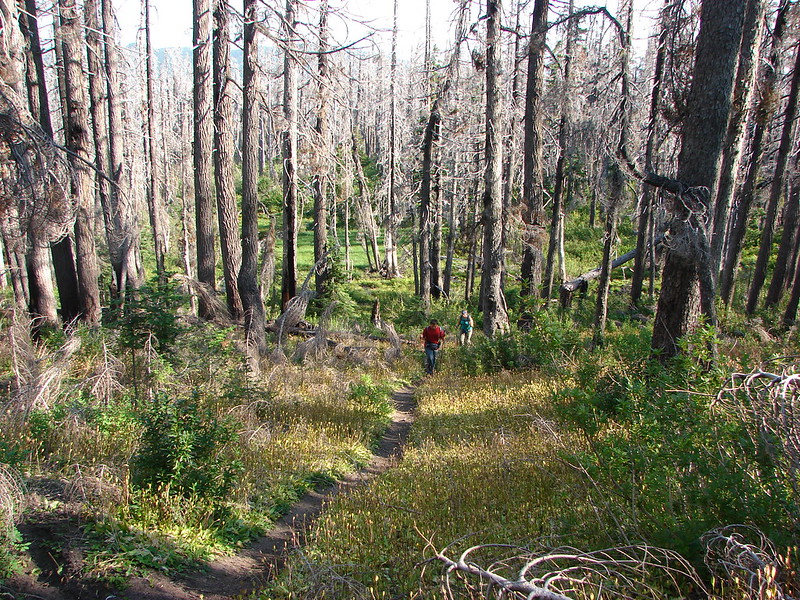
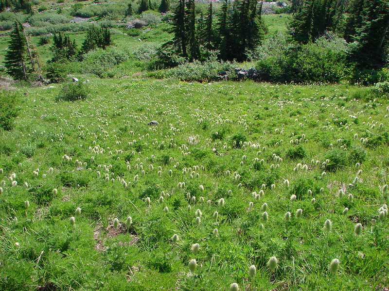
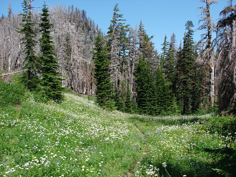
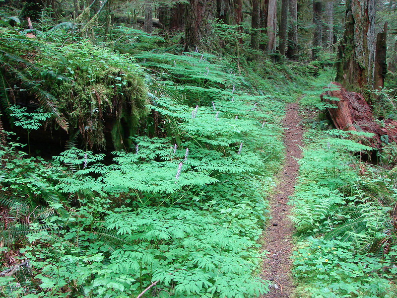
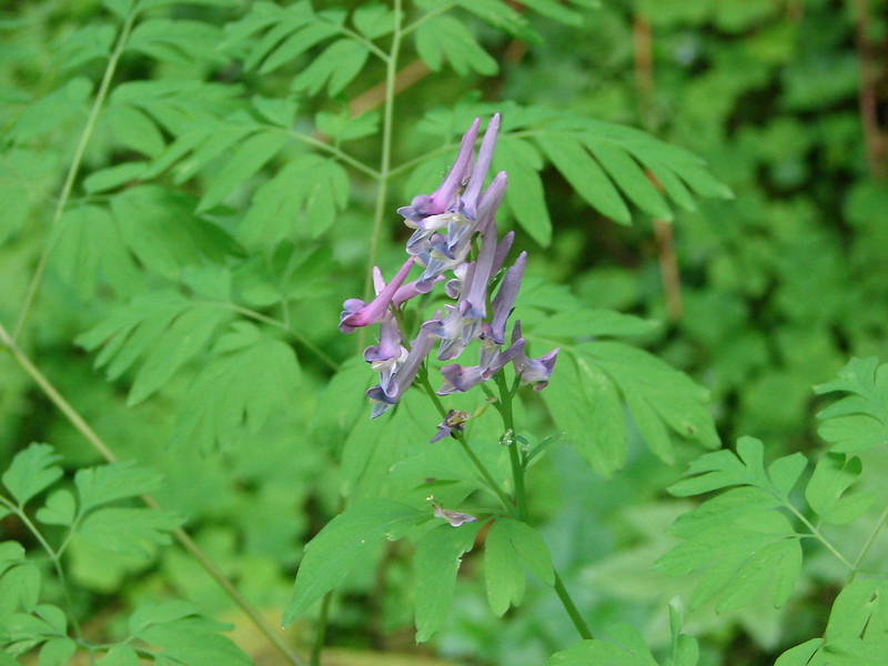
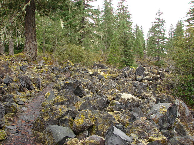
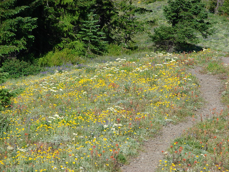
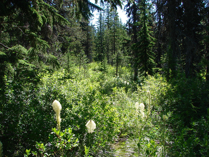
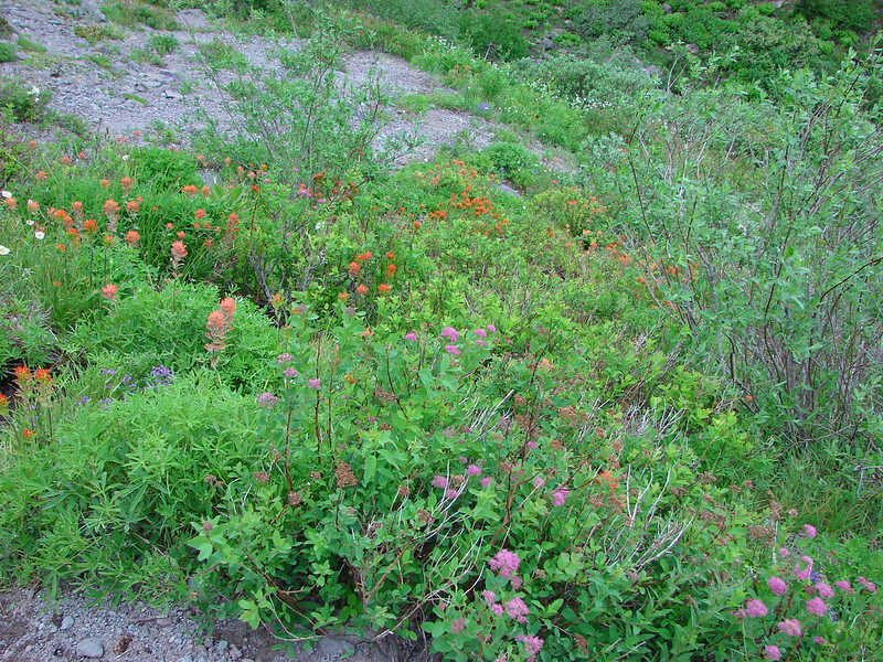
After getting my wildflower fix we headed East on the Zig Zag Mountain Trail and began climbing towards Paradise Park. The trail began with a nice gradual ascent through open meadows of beargrass, huckleberry, and other bushes. It was fairly overgrown but easy enough to follow.
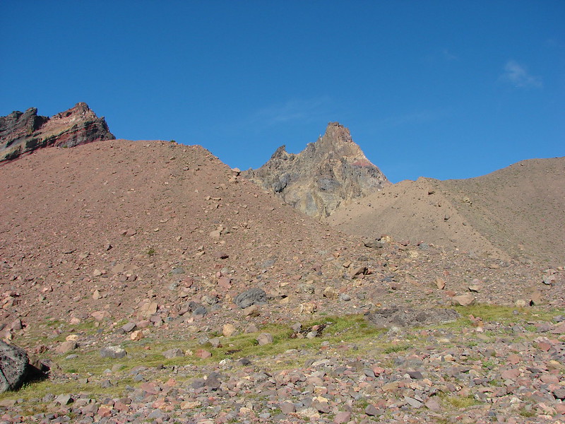
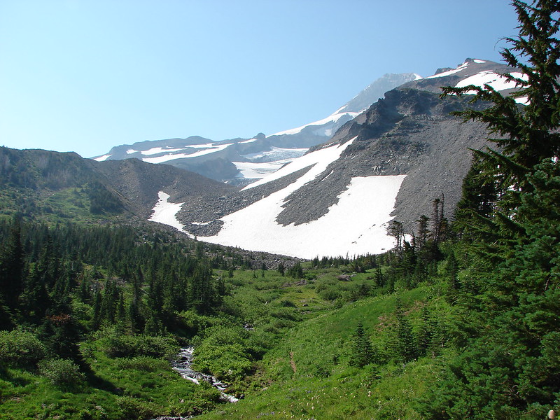
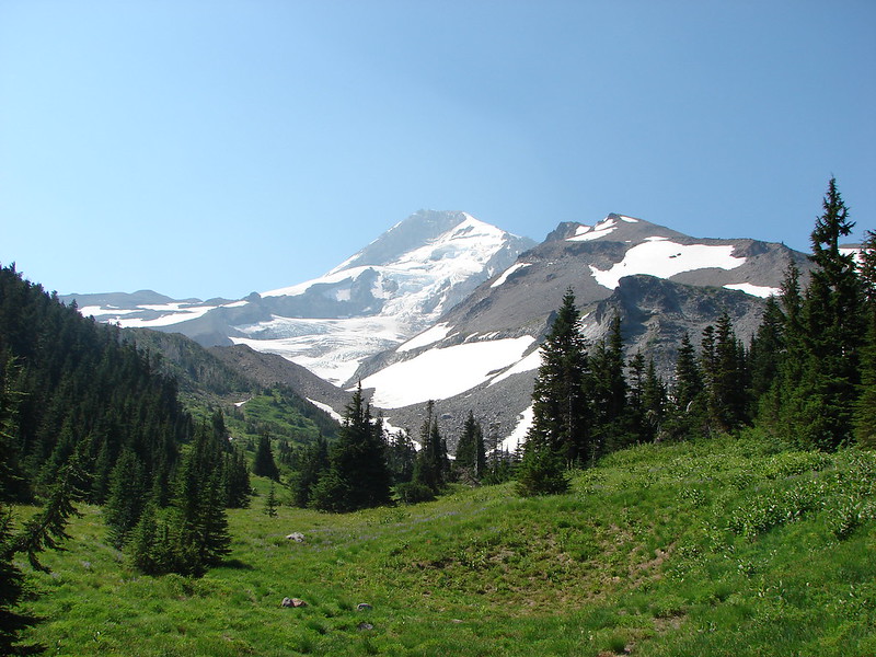
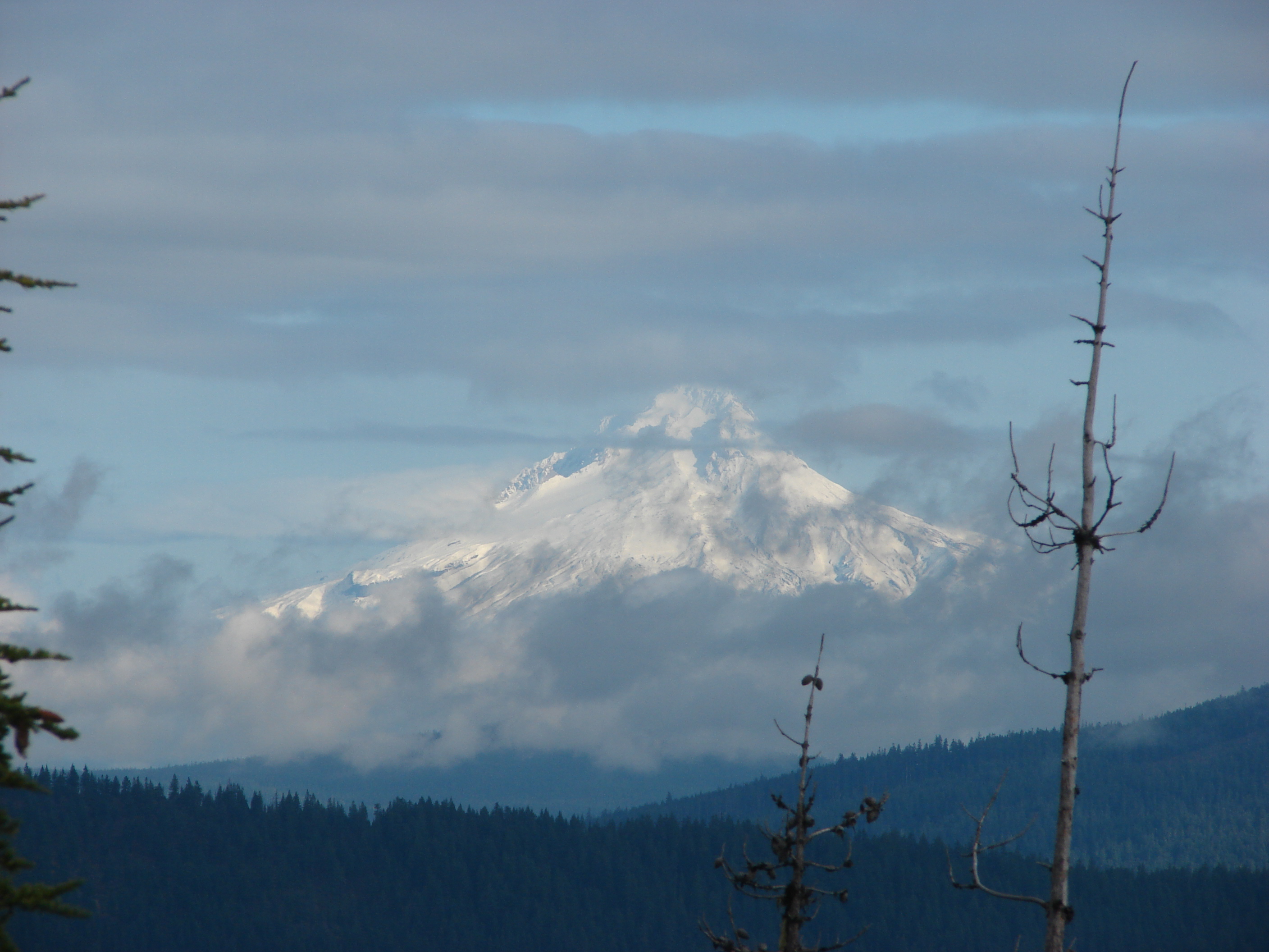
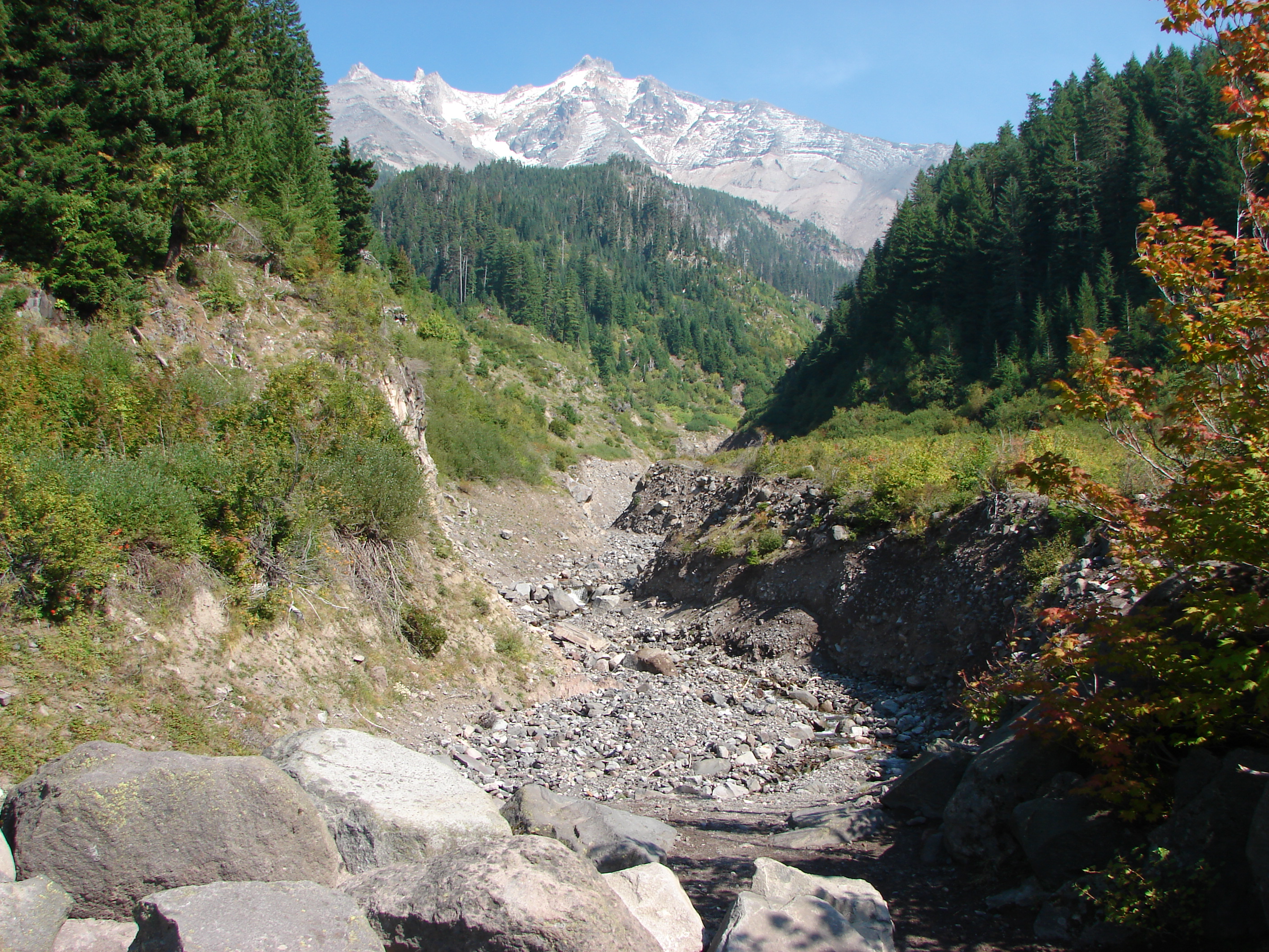
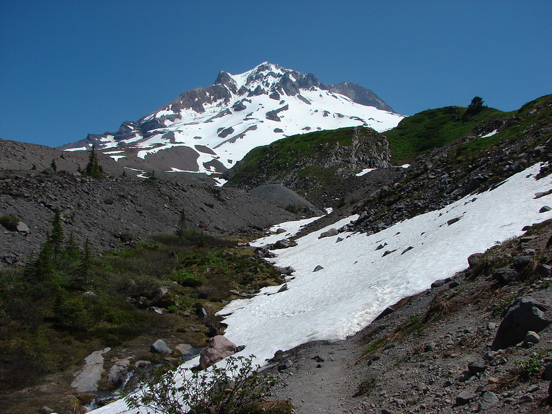
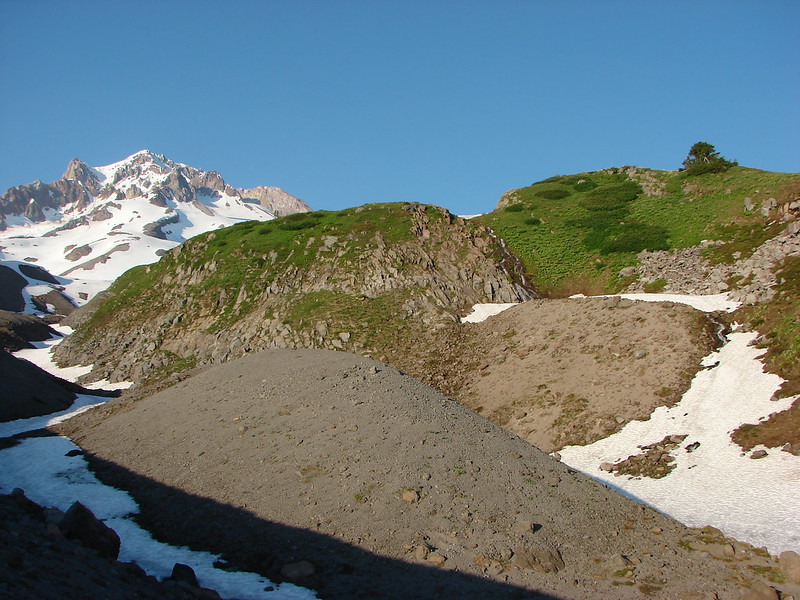
We then came to a forested ridge where the trail suddenly steepened – downhill! We had been at 4600′ when we joined the Zig Zag Mountain Trail and needed to get up to 5800′ in 3.7 miles to reach Paradise Park. Going down meant more climbing on the way up as well as having to climb up on the way back down the following day. There were at least 4 fairly brief but steep descents before we began climbing again. At least were some nice views of the mountain ahead of us and a view of our goal.
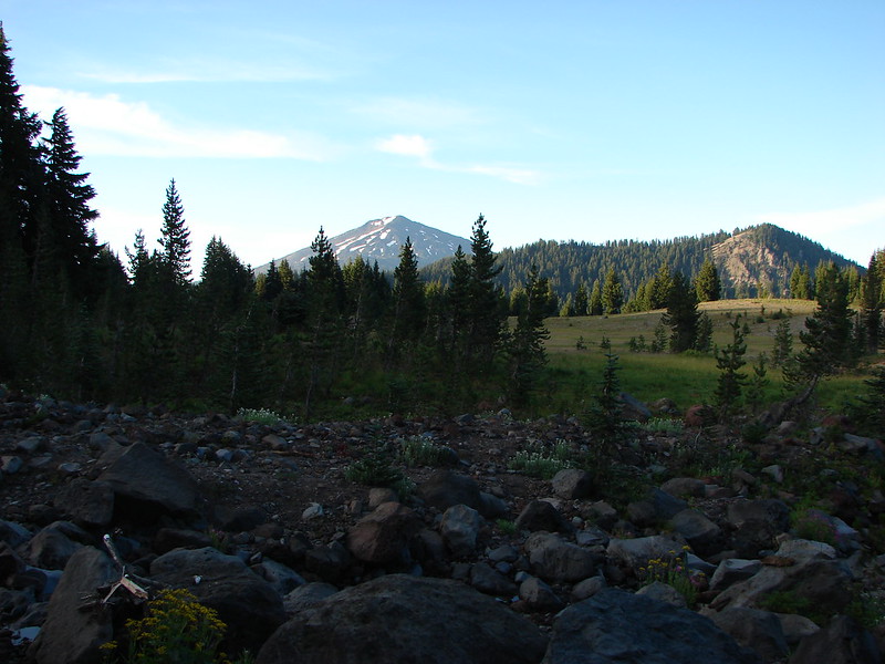
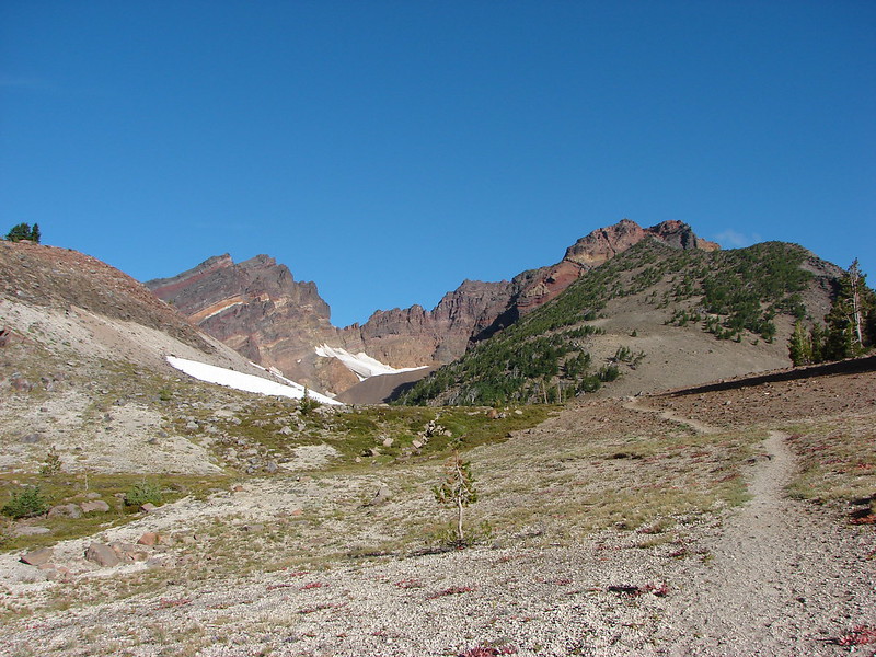
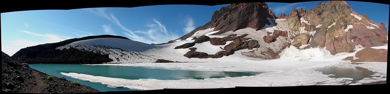
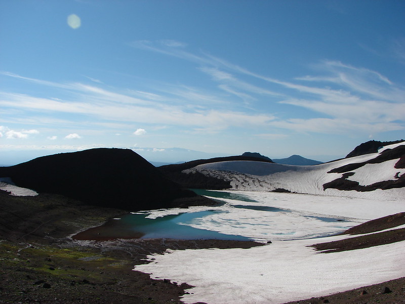
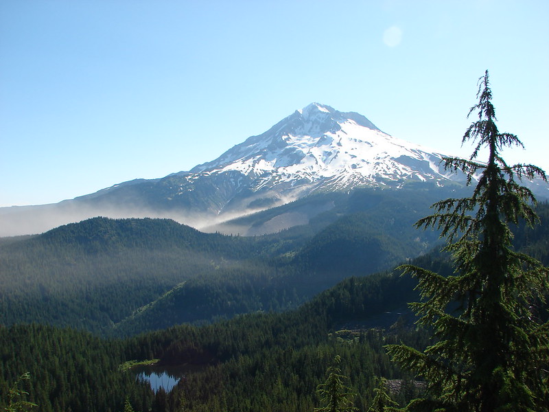
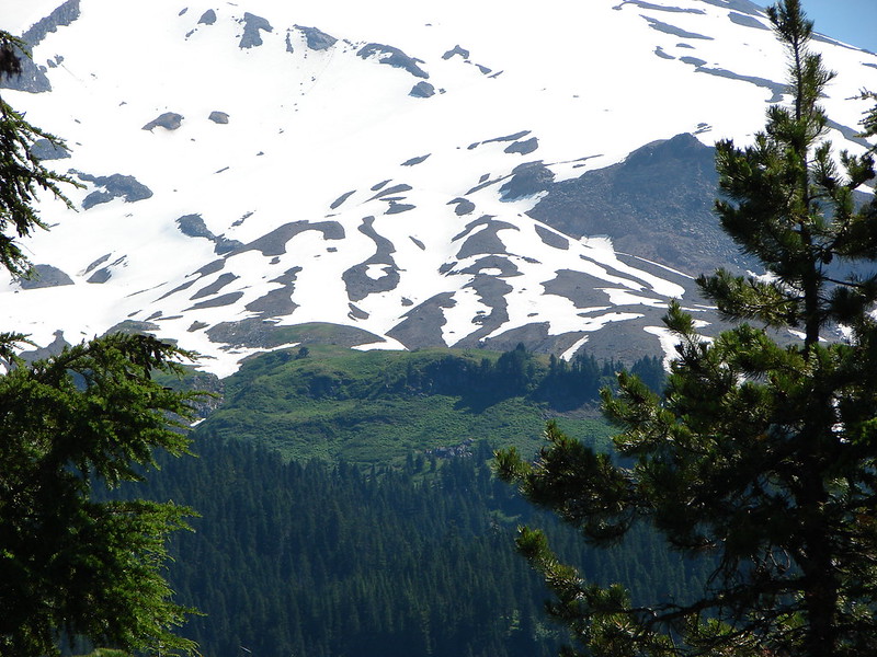
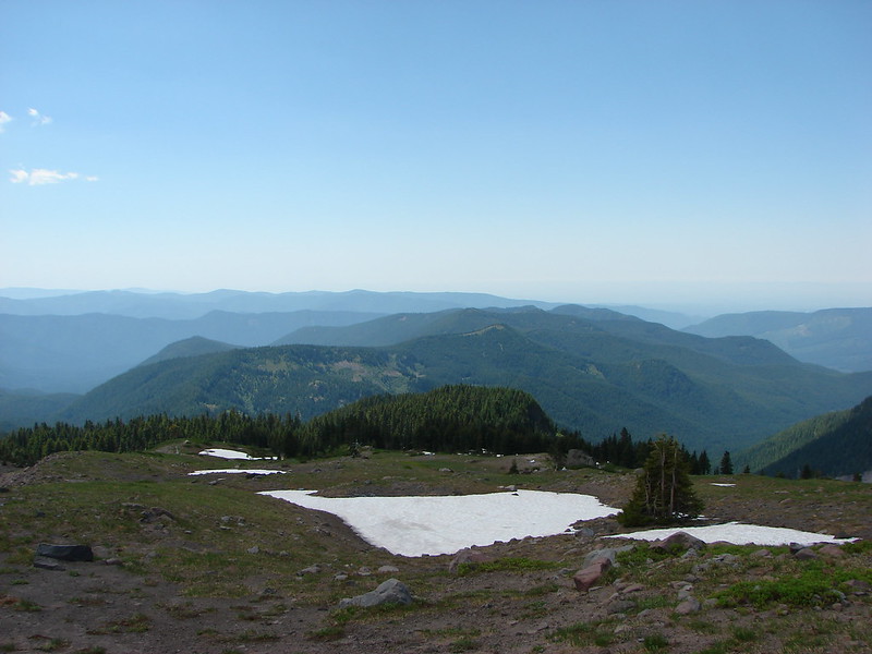
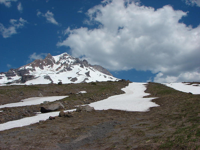
Paradise Park is the light green areas just above the tree line:
The Paradise Park Loop Trail passed just below the pile of boulders:
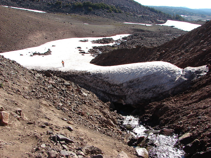
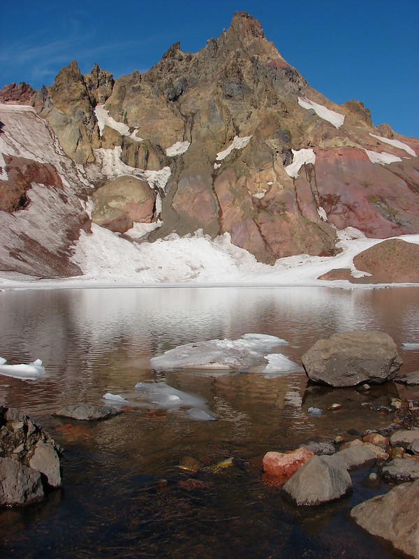
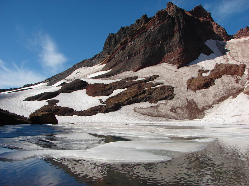
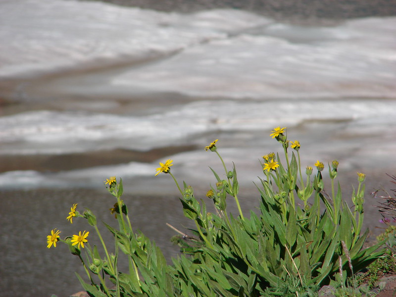
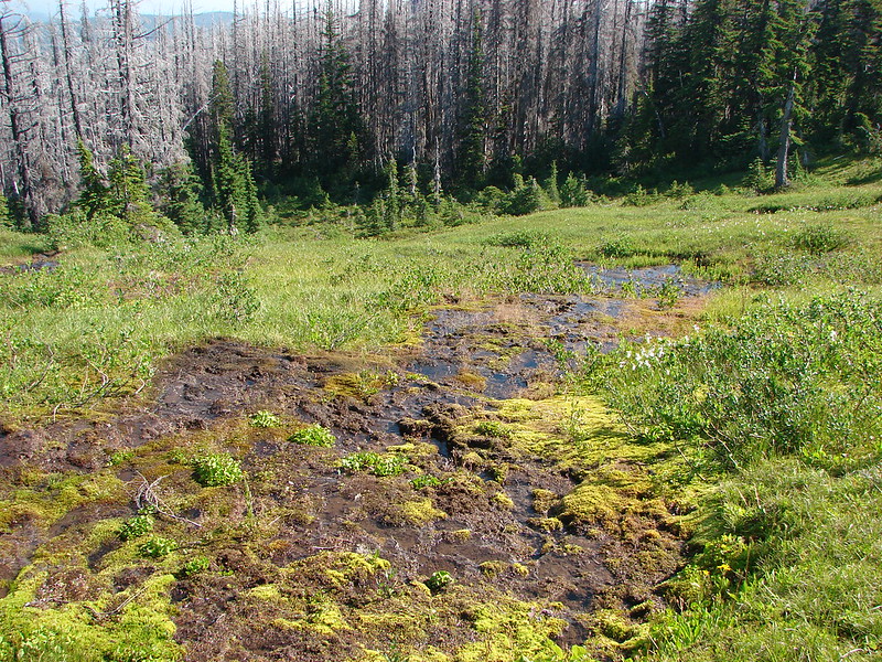
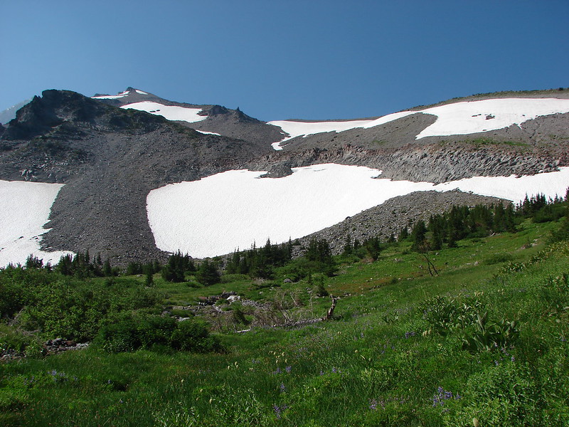
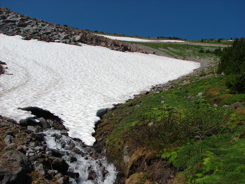
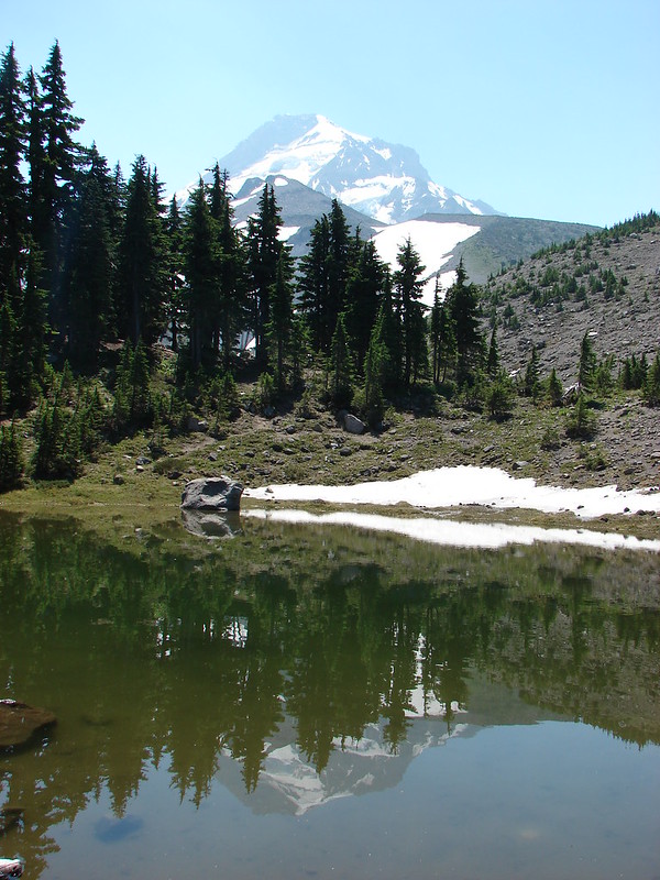
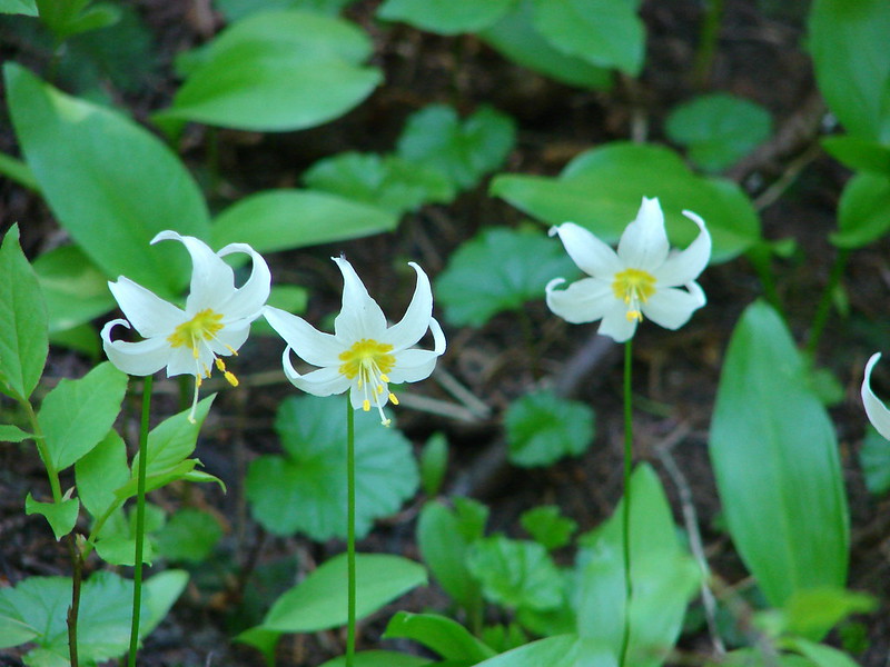
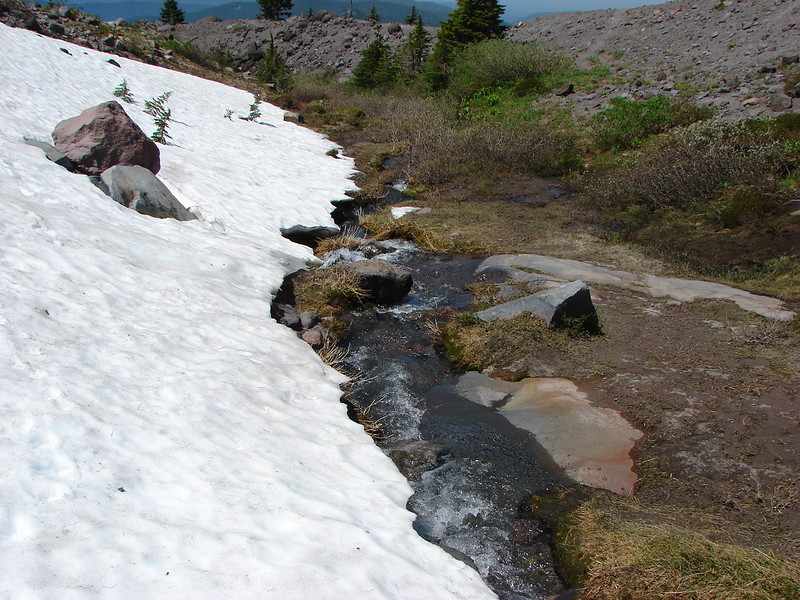
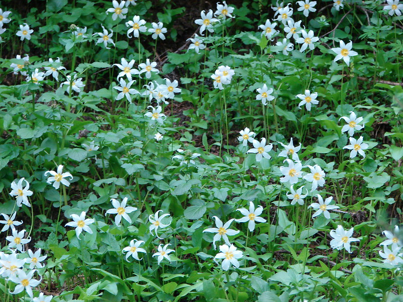
As we neared the Paradise Park Trail Junction we began to see lots of avalanche lilies, a telling sign of recent snow melt, and a few patches of snow still hanging on.
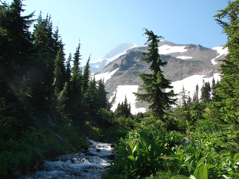
After joining the Paradise Park Trail we passed through several meadows and a nice viewpoint of the Zig Zag River before arriving at the Pacific Crest Trail in a mere .2 miles.
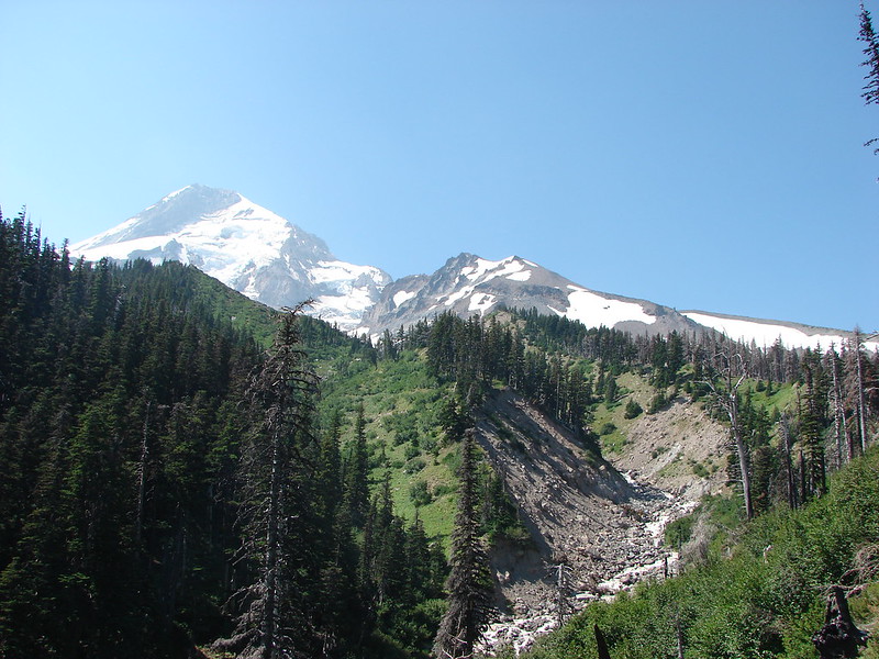
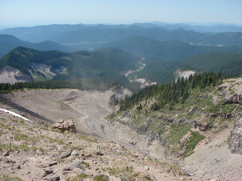
Zig Zag River Canyon and Mississippi Head (the rock outcropping at the center of Mt. Hood):
Oh the choices!
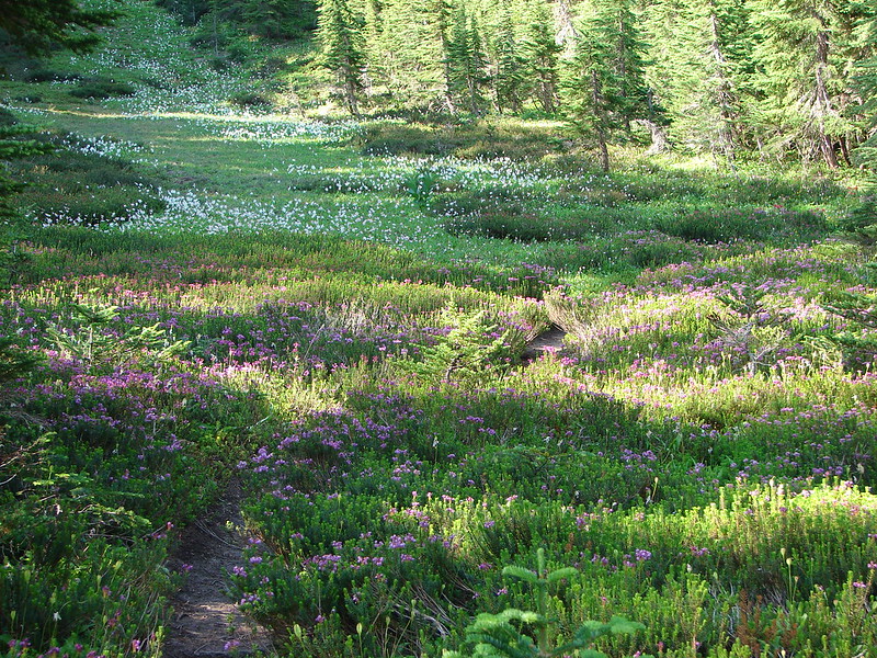
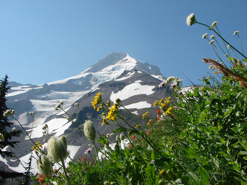
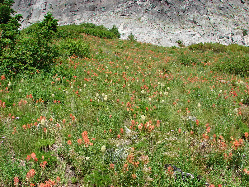
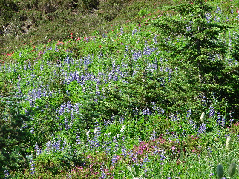
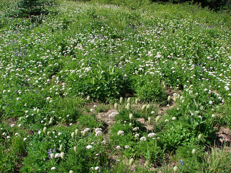
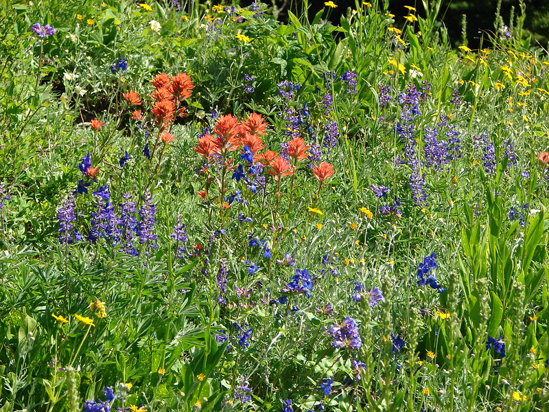
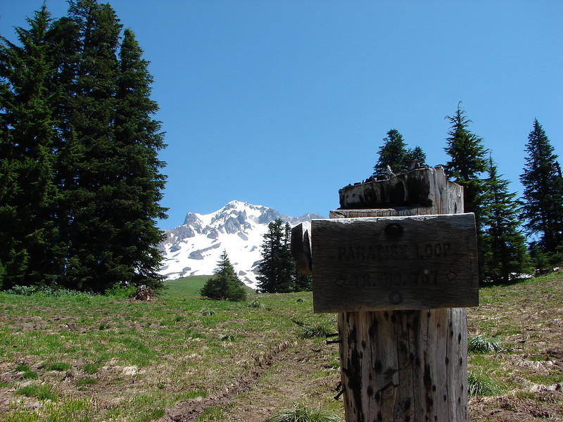
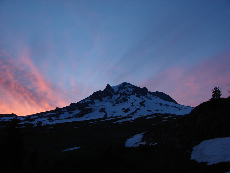
We crossed over the the PCT and climbed up to the Paradise Park Loop Trail which was a fairly steep .5 miles and 400′ above us. It was late August when we visited in 2012 and to this day the wildflowers in the meadow at the junction of these two trails remains the best display we’ve seen. There was little indication of the scene to come this trip as the snow was still melting off and only a few early flowers could be found. The view of Mt. Hood was still top notch though.
Late August 2012
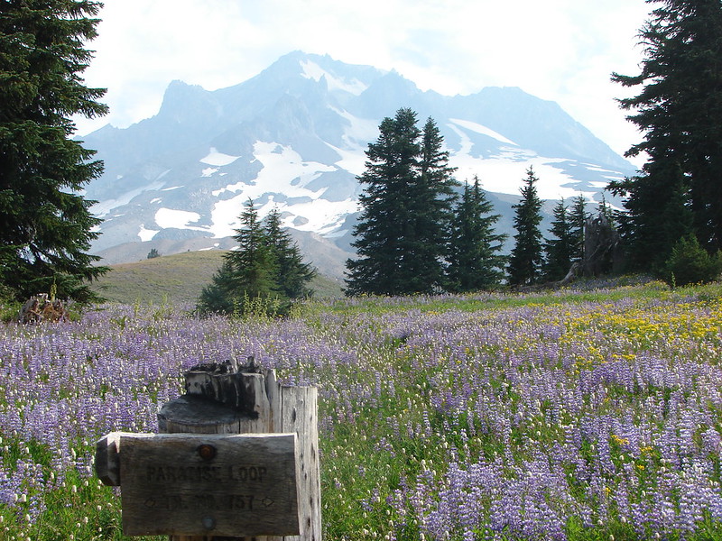
Mid July 2014
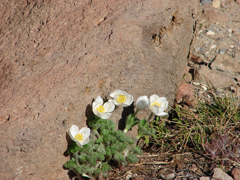
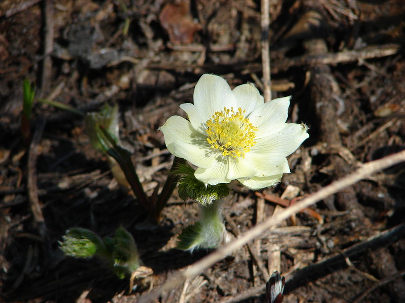
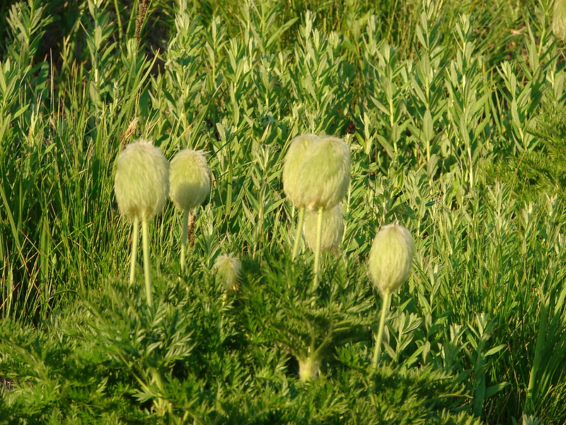
Western Pasque Flower
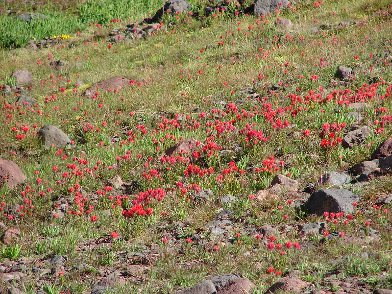
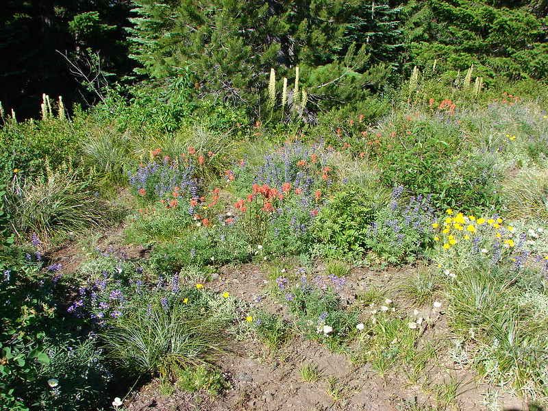
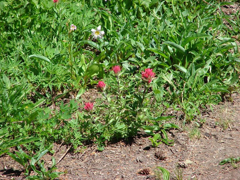
Avalanche lilies and paint
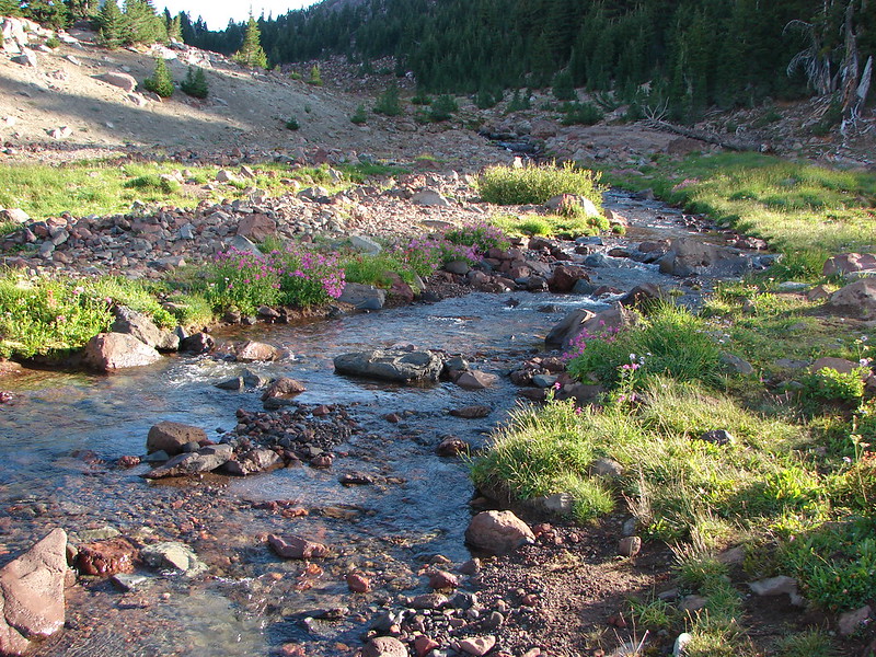
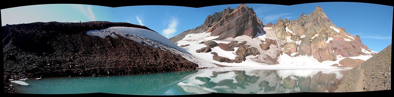
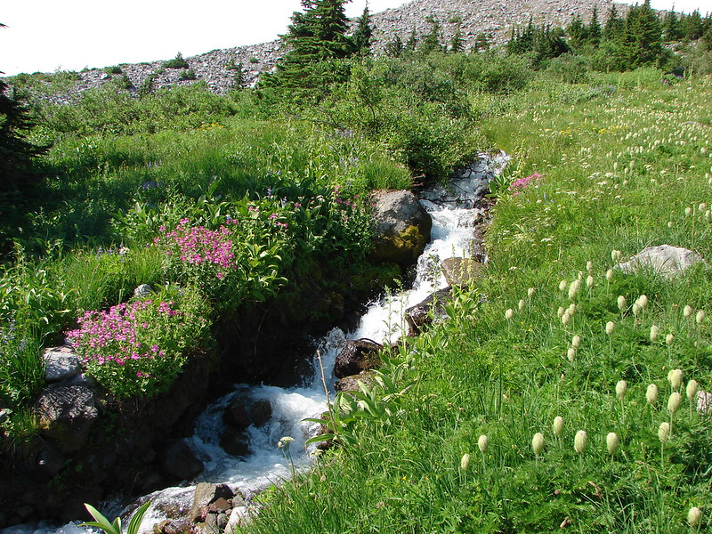
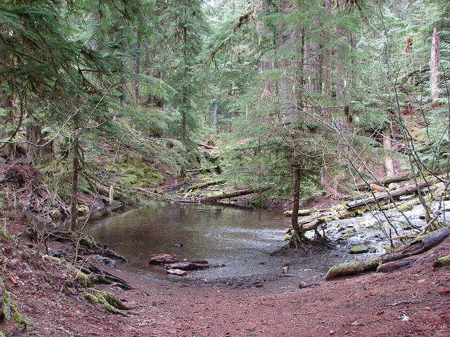
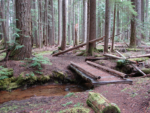
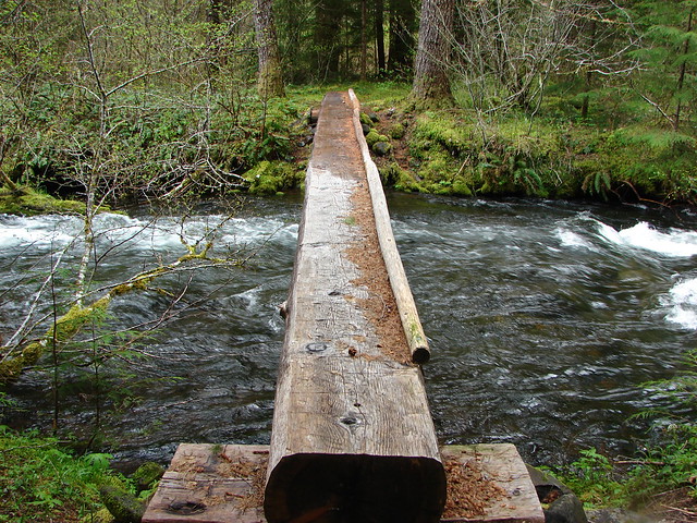
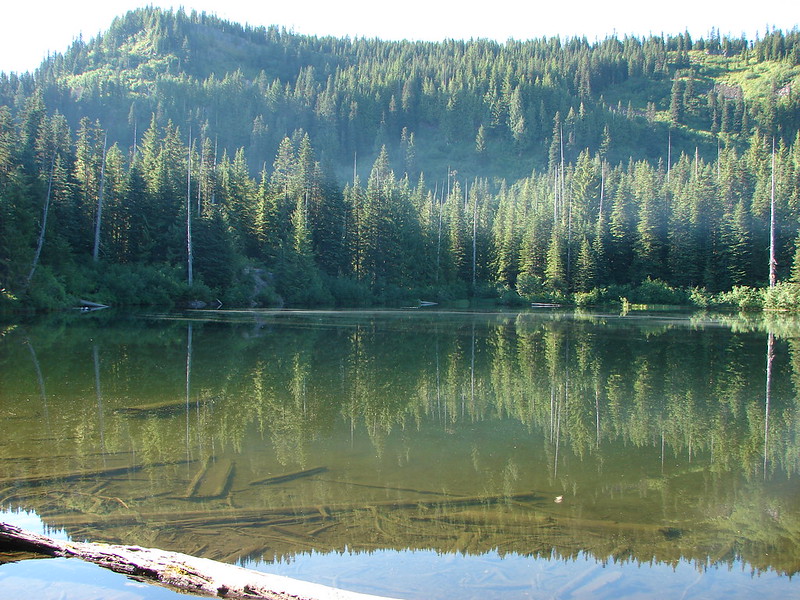
We headed left at the junction and started looking for our tent site. We passed several good locations but had something specific in mind. We were looking for a site close to a water source, with a good view, but also with some shade as it was quite warm. We made our way North passing the remains of the Paradise Park Shelter, crossing both branches of Lost Creek, and passing Split Rock before we found what we had been looking for.
South Branch Lost Creek crossing
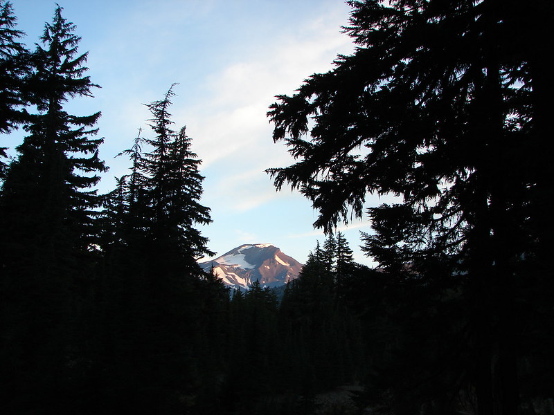
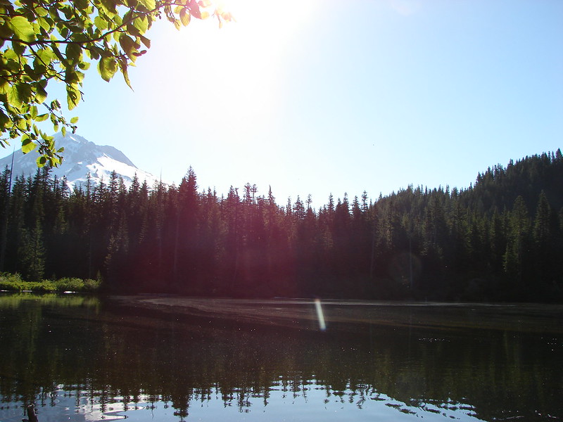
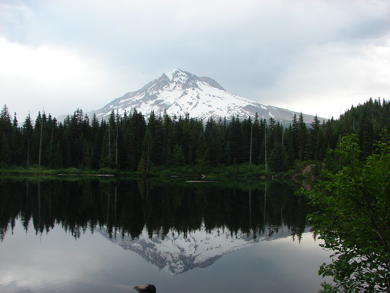
Mt. Hood from the crossing
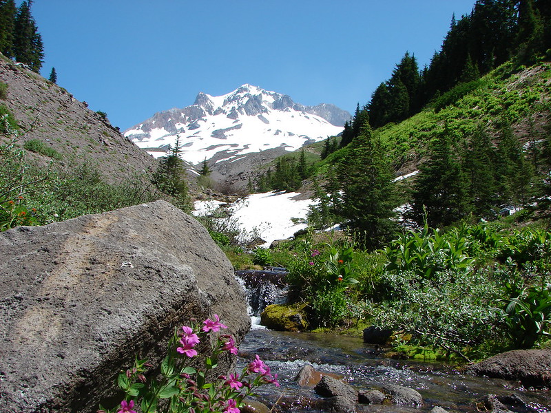
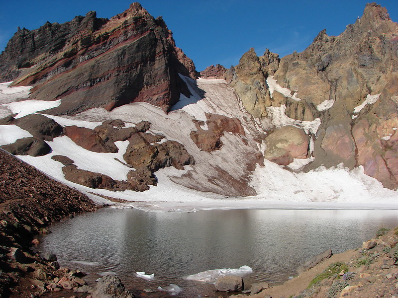
North Branch Lost Creek crossing – The snow shelf made this one tricky as the creek was flowing under the edge of the snow.
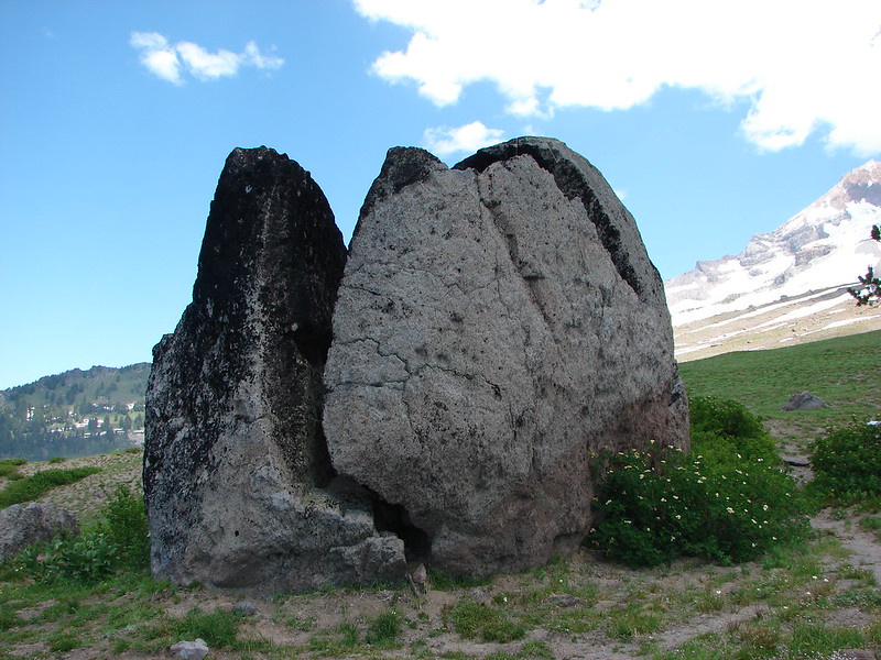
Split Rock
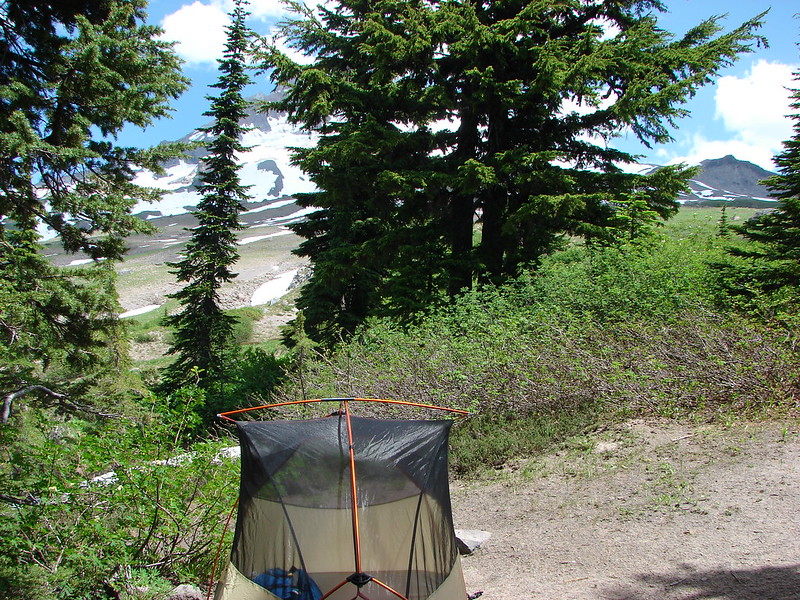
Camp
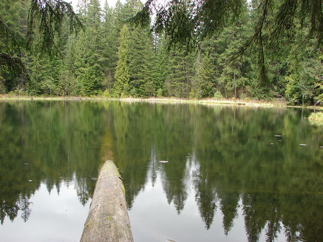
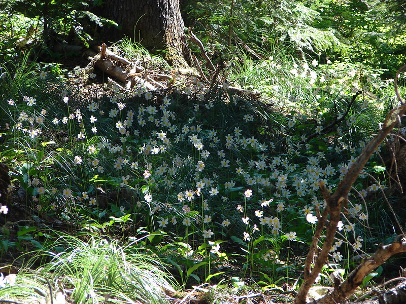
After setting up camp we spent the rest of the afternoon and evening alternating between exploring the area and relaxing as we waited for sunset.
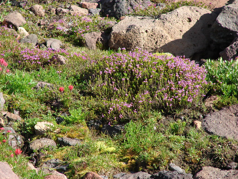
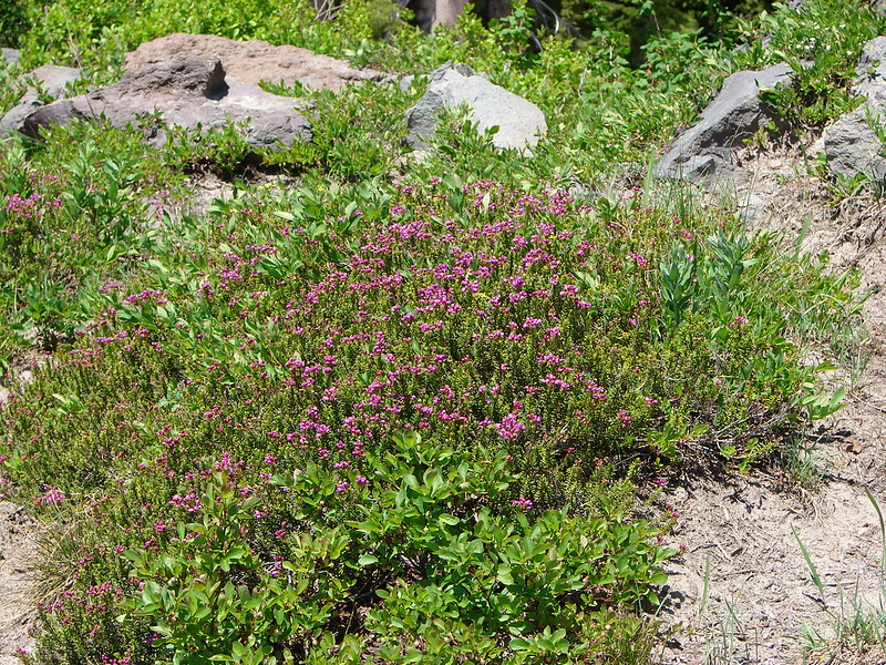
Mountain heather beginning to bloom
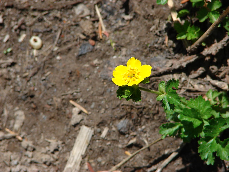
Cinquefoil
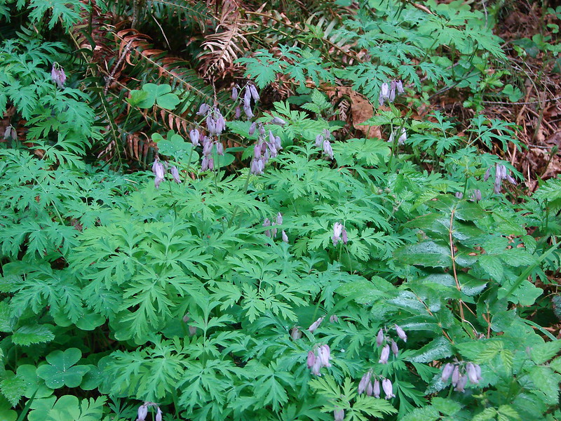
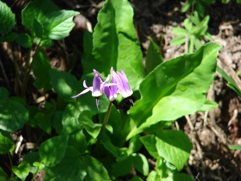
Shooting Star
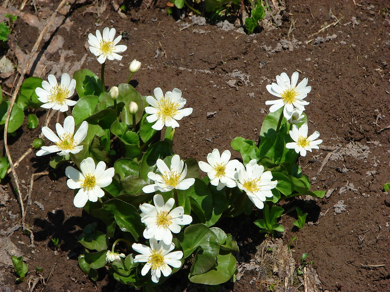
Marsh marigolds
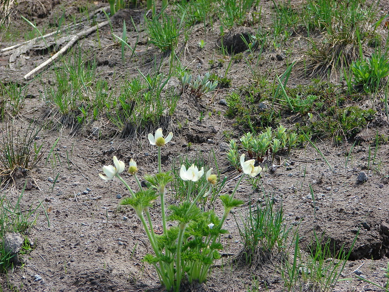
Western pasque flowers
Mt. Jefferson
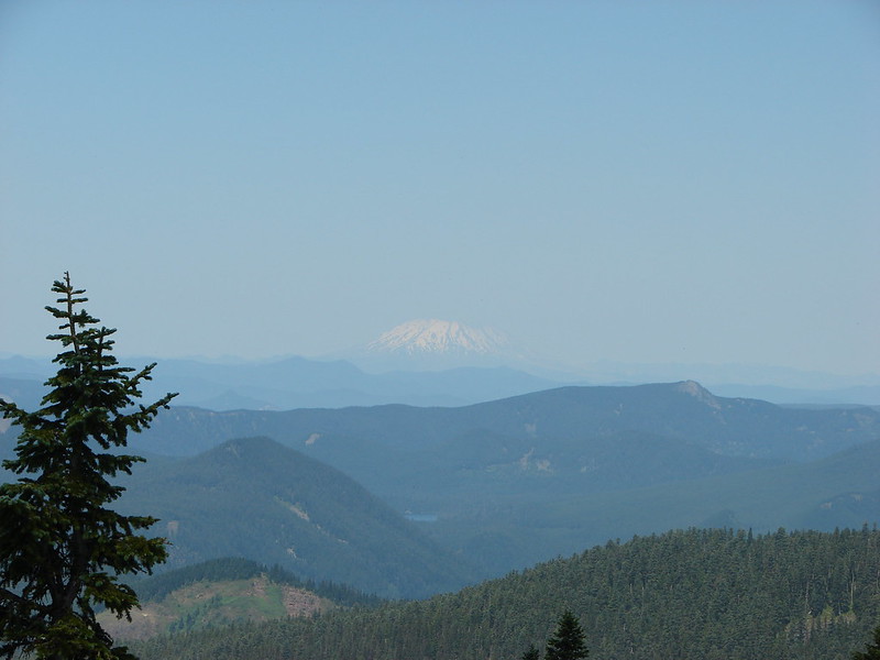
Mt. St. Helens
East Zig Zag Mountain and some of our route from earlier in the day
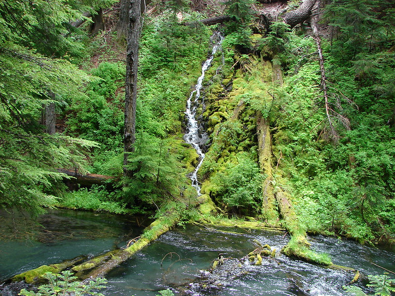
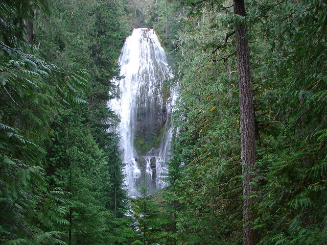
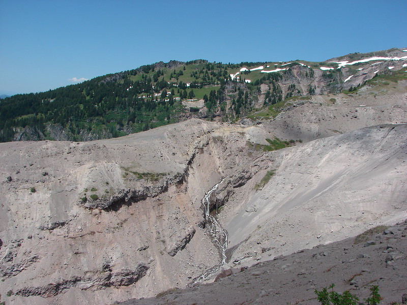
Yocum Ridge on the other side of the Sandy River. The waterfall is on what appears to be an unnamed fork of the Sandy River but I’ve seen it referred to as Paradise Park Creek.
The Sandy River
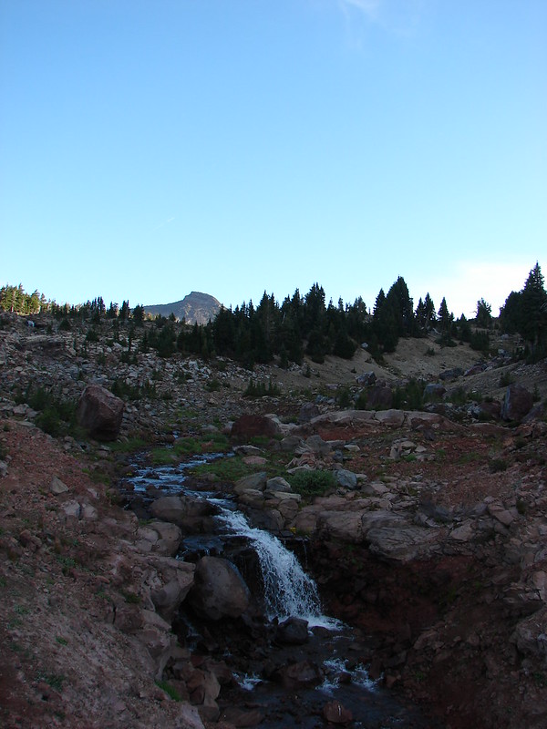
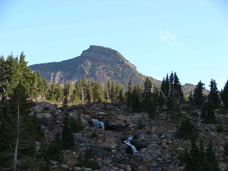
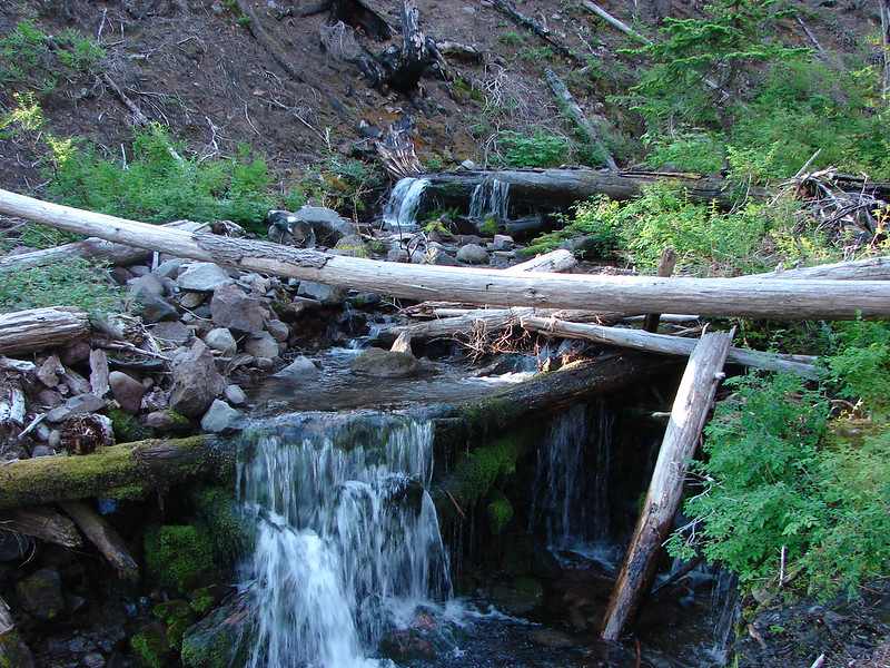
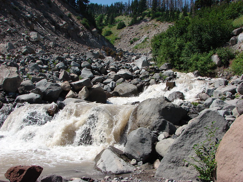
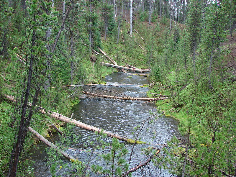
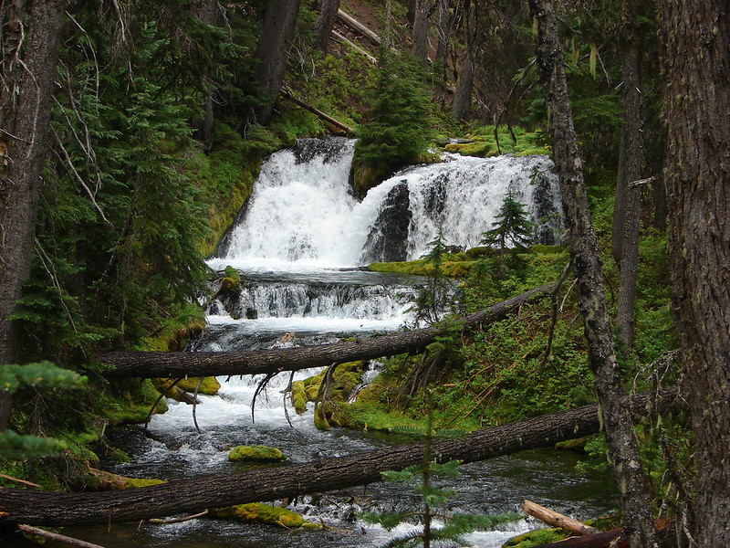
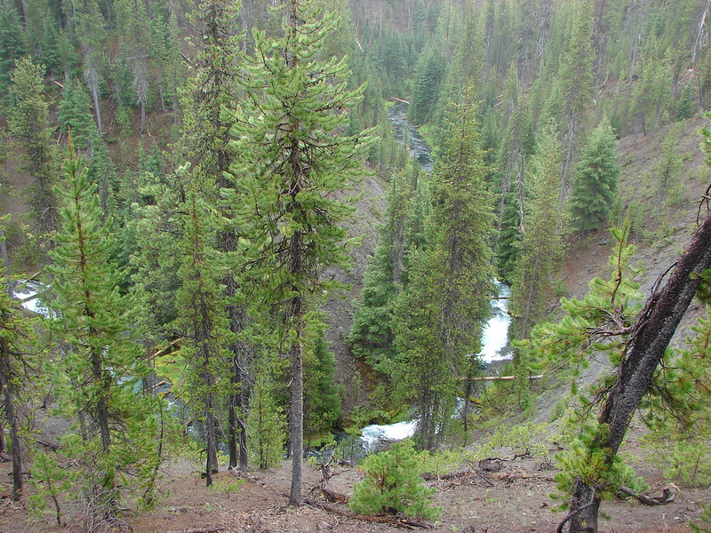
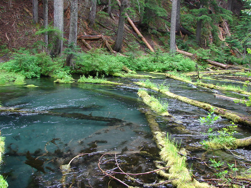
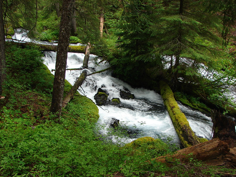
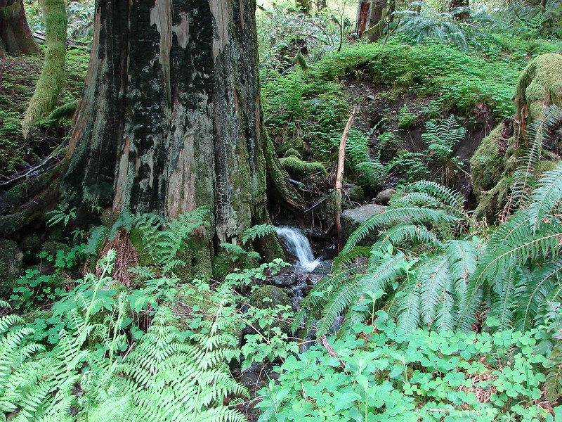
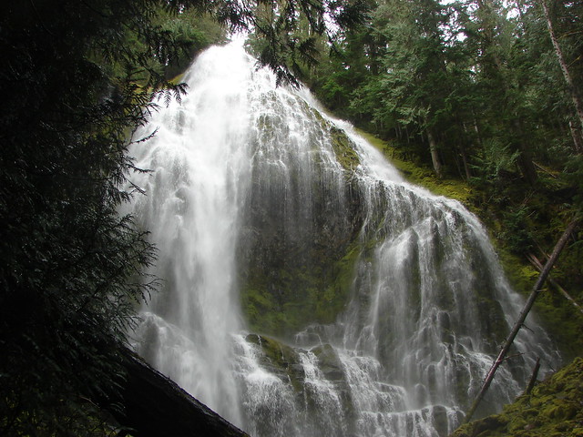
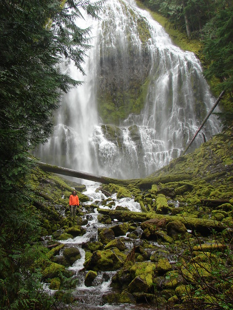
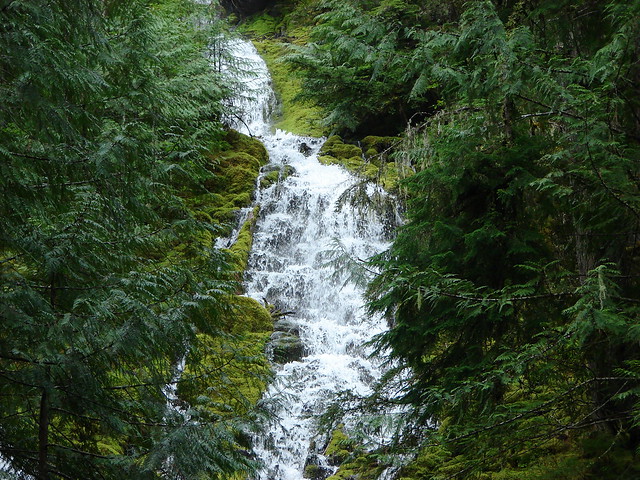
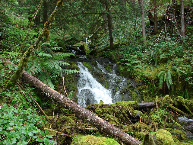
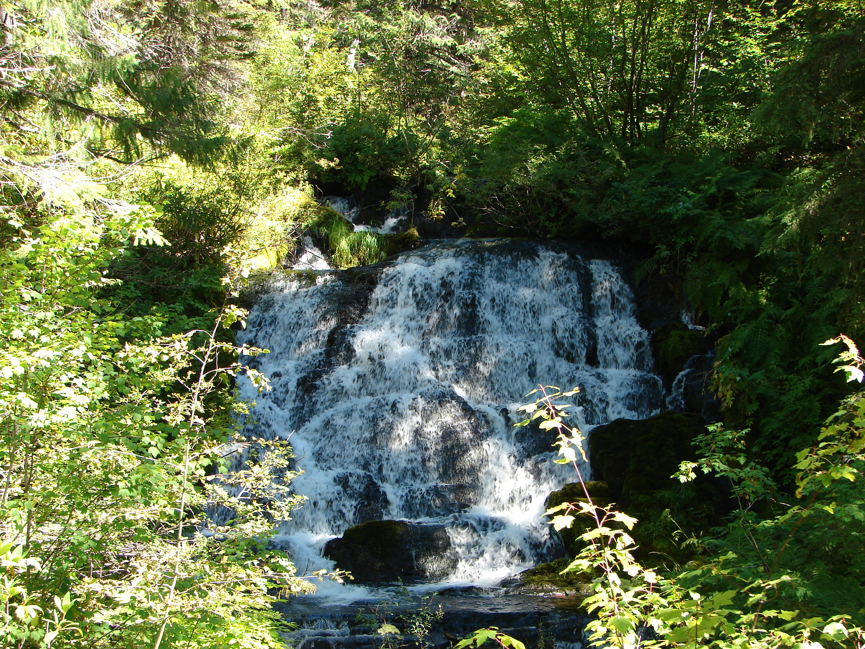
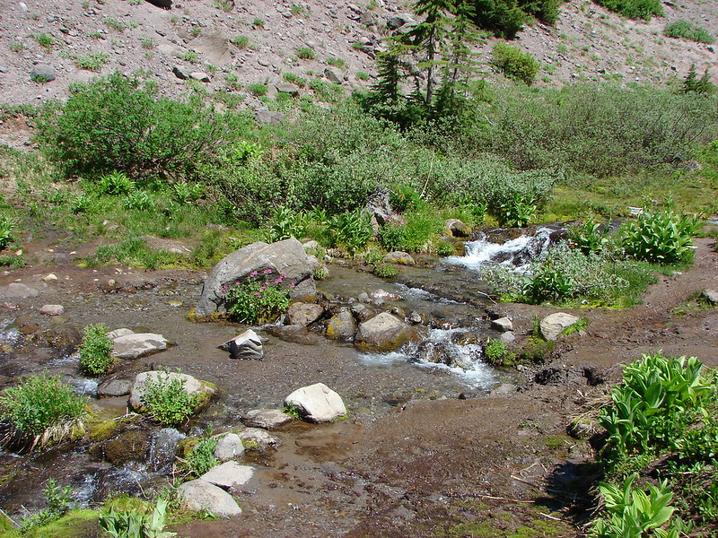
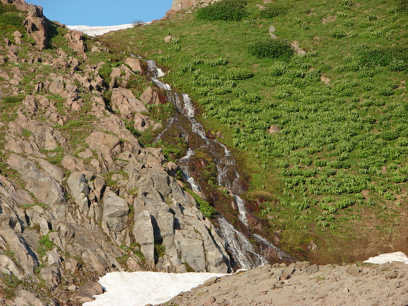
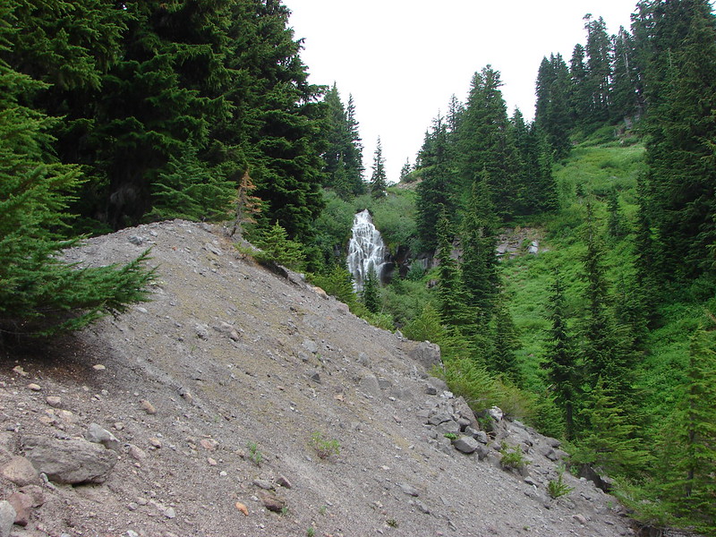
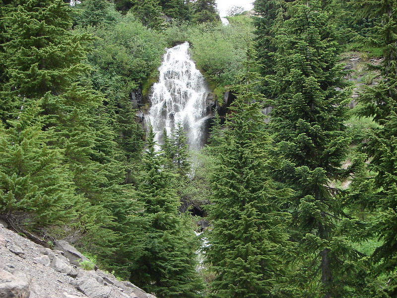
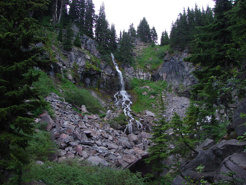
Waterfall flowing down into Lost Creek
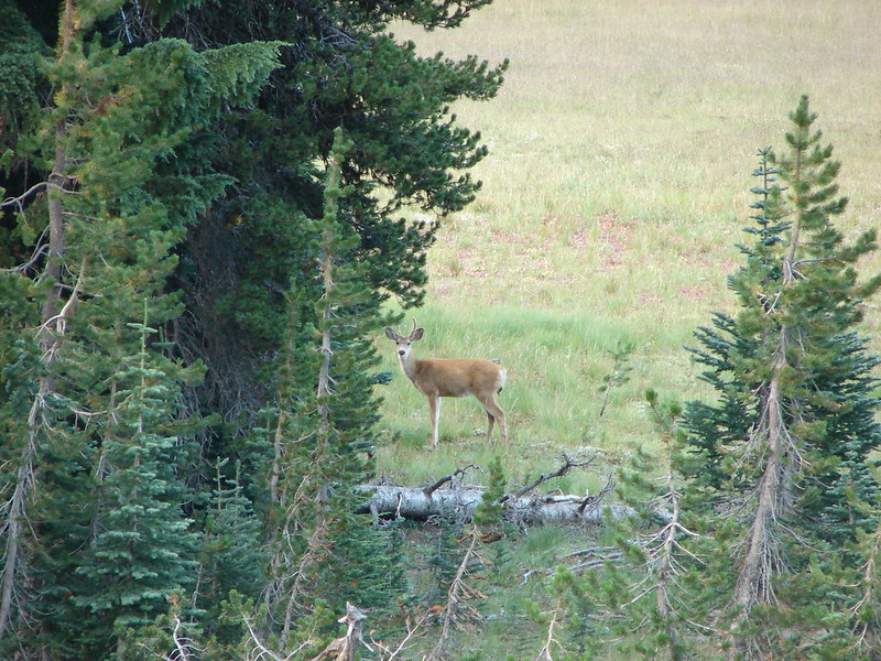
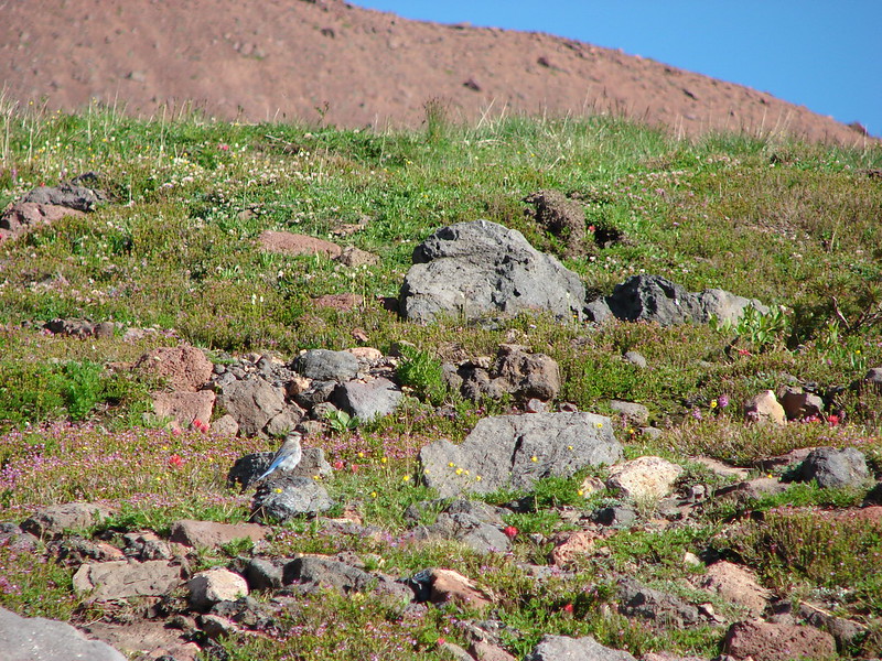
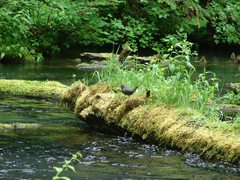
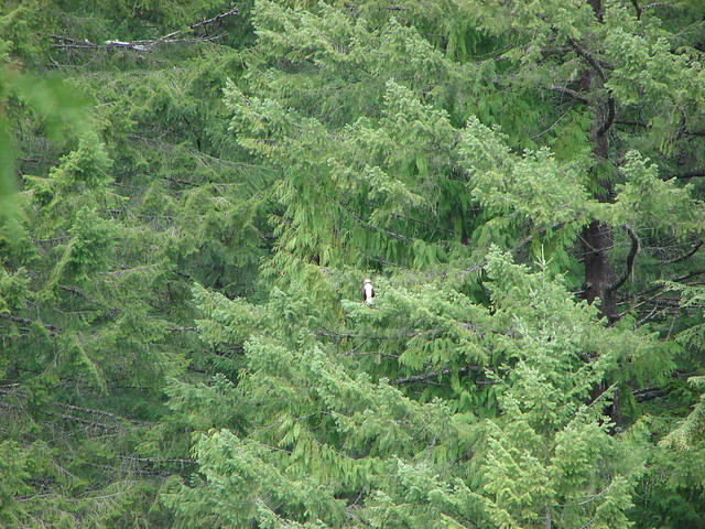
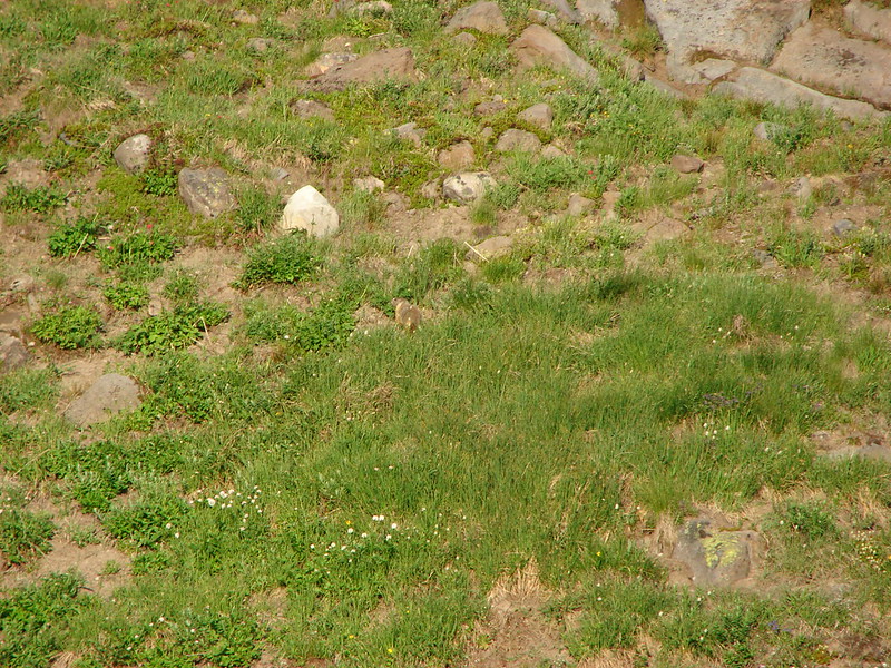
Marmot in the grass near the falls
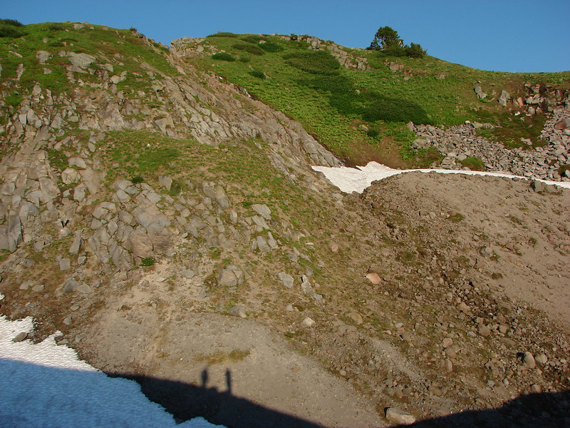
Our shadows as the Sun was getting lower
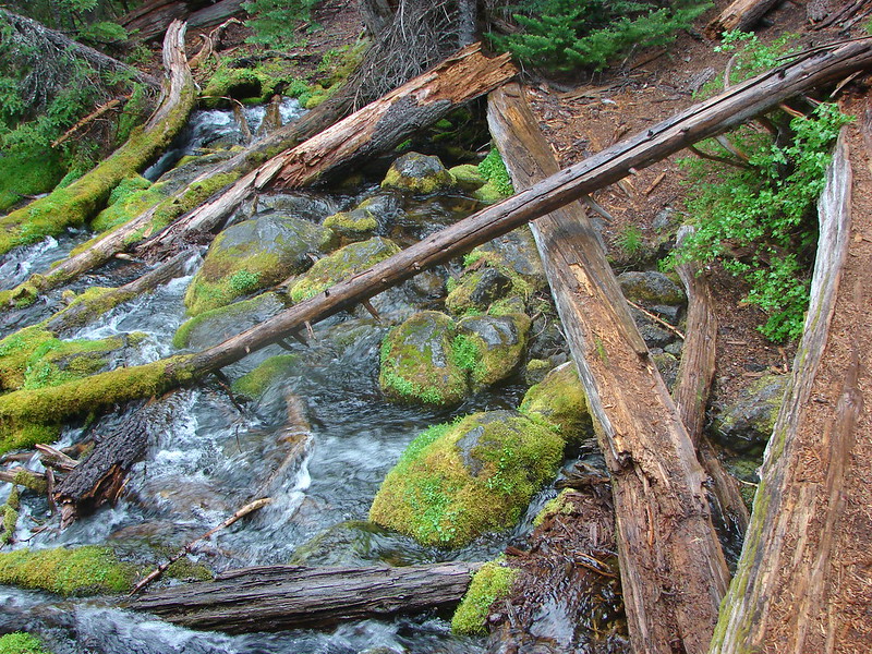
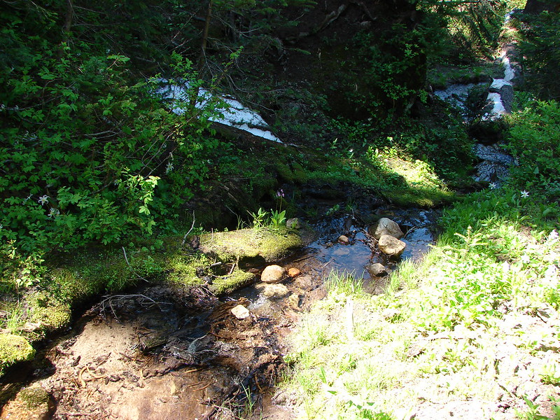
Small waterfall on Lost Creek
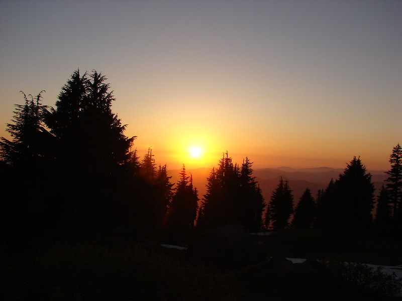
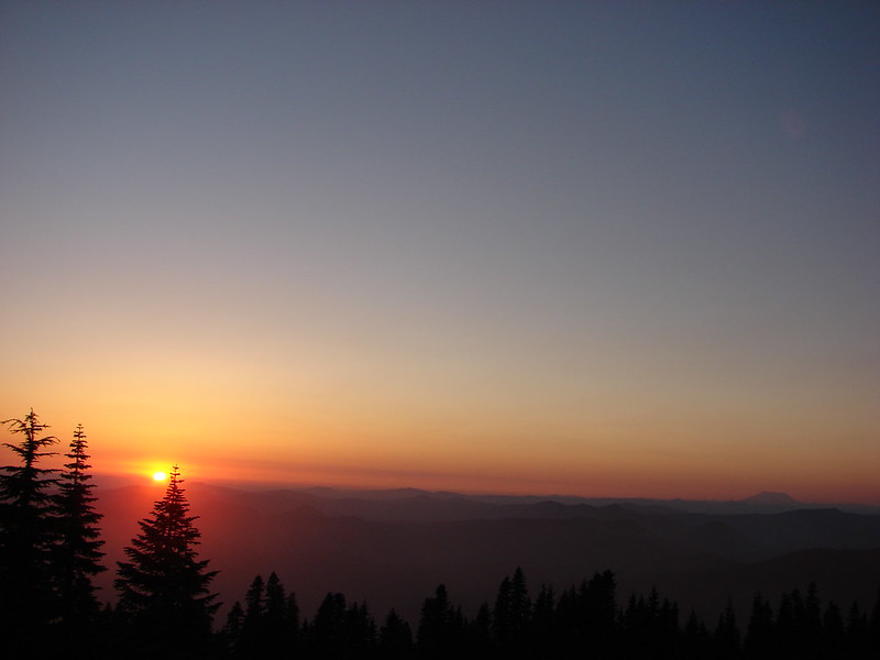
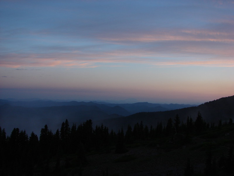
Sunset
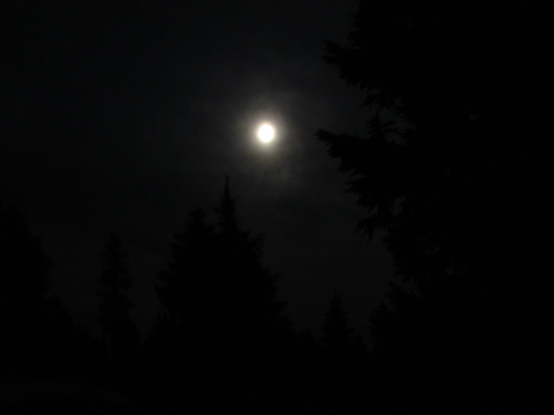
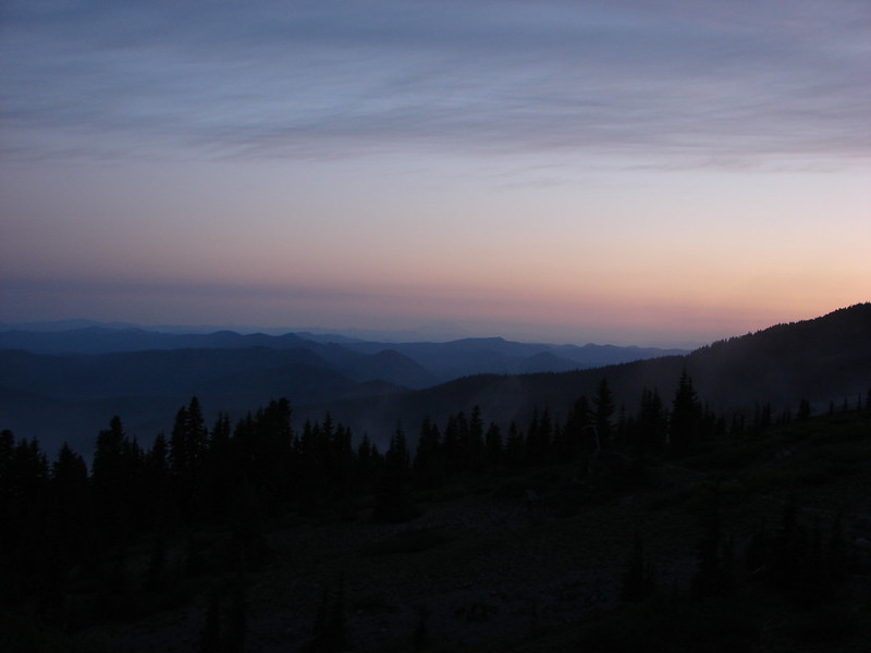
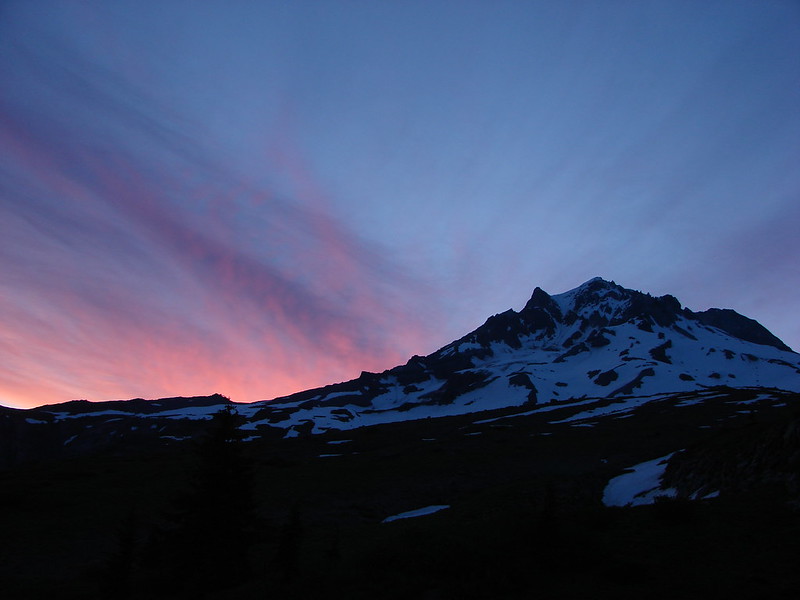
After watching the Sun go down we turned in. For some reason I wound up awake shortly after 4am so I grabbed the camera again and waited for the sunrise.
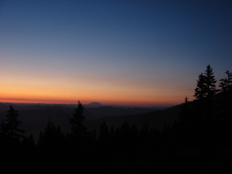
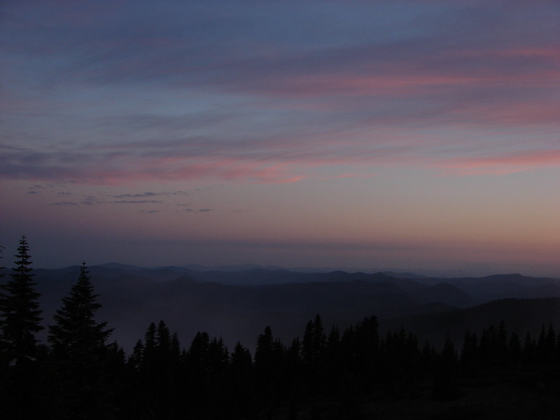
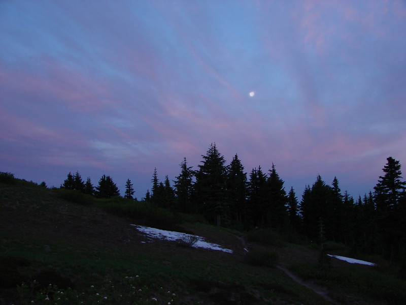
The Moon was super bright all night and a few clouds had moved in to the South by the morning
Starting to get some sunlight
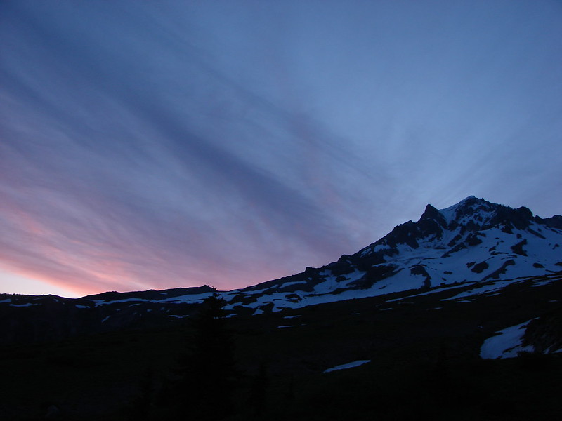
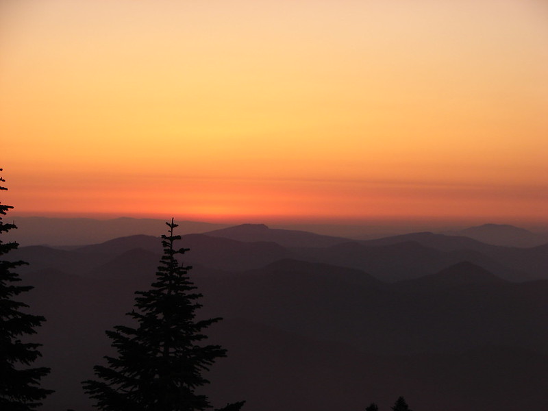
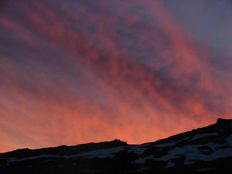
Then came the colors
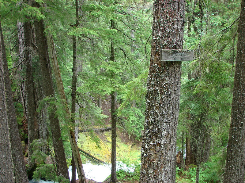
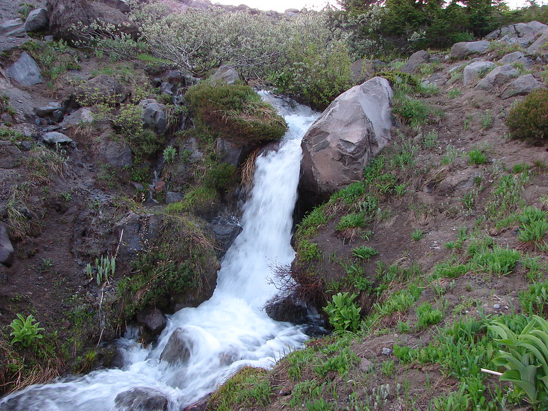
After a breakfast of Mountain House freeze dried scrambled eggs and bacon (yes we managed to use our stove this trip 🙂 ) we packed up camp and began our return trip. We decided to continue on the loop which would bring us back to the PCT which we could then take South back to the Paradise Park Trail junction. This would allow us to visit a few waterfalls on the way back. The first of the falls is on Rushing Water Creek as it comes down from Paradise Park. There was a nice display of wildflowers just before the falls here.
There was a trail crew from the Pacific Crest Trail Association gathered at the base of the falls that was out doing some trail maintenance.

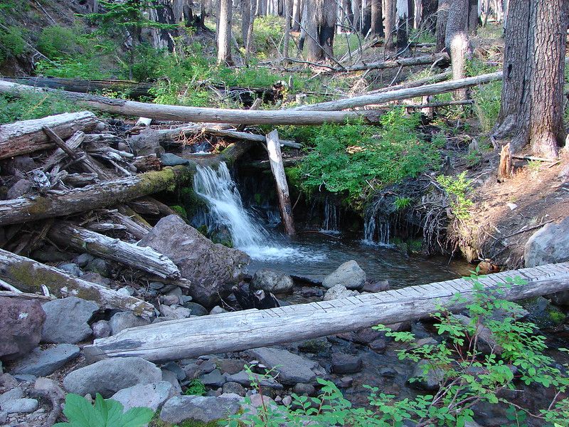
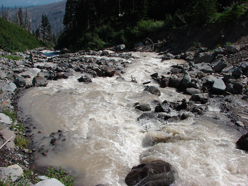
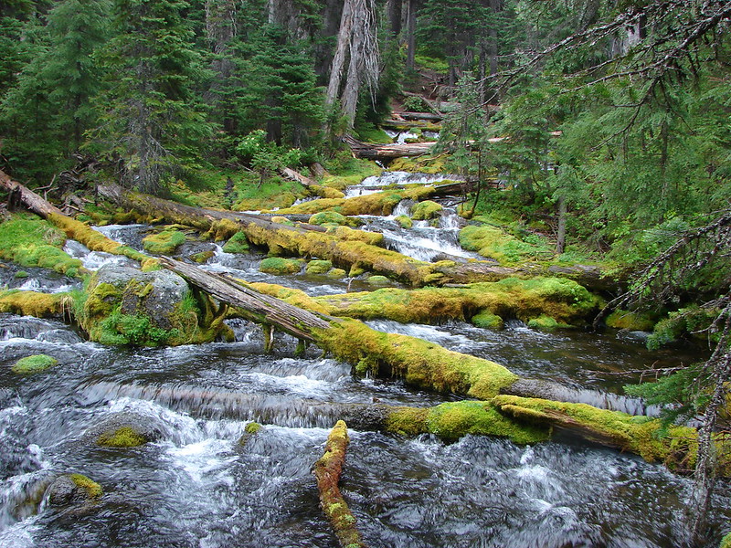
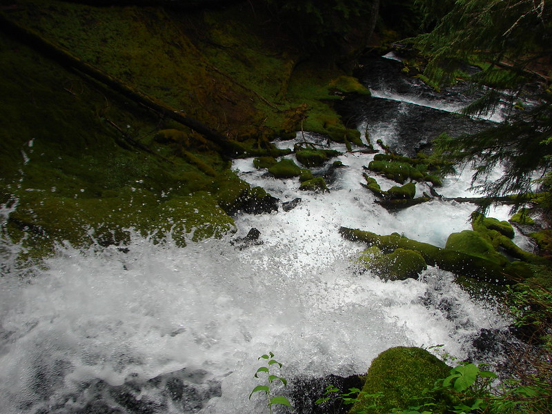
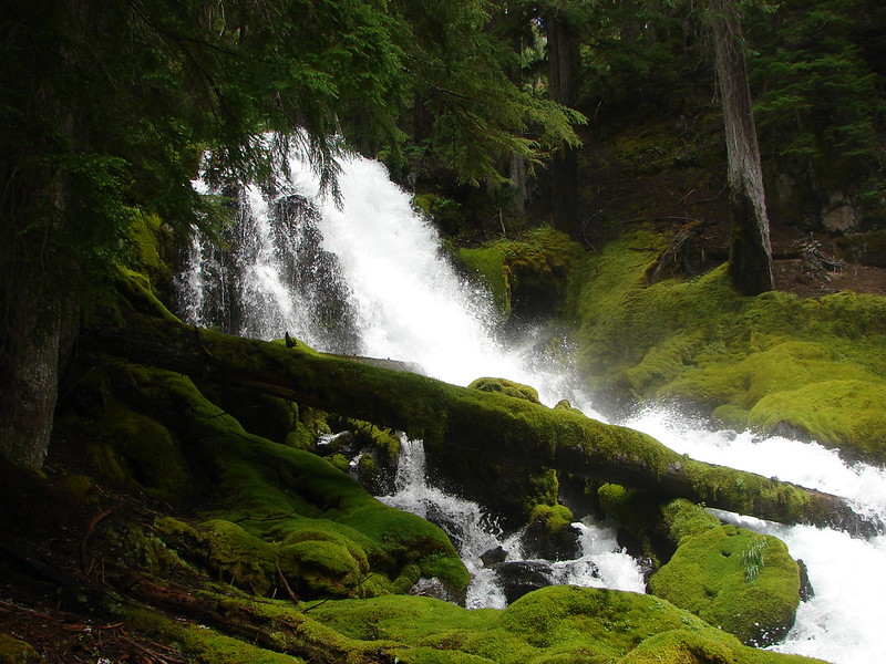
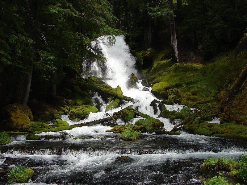
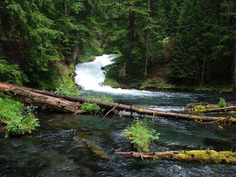
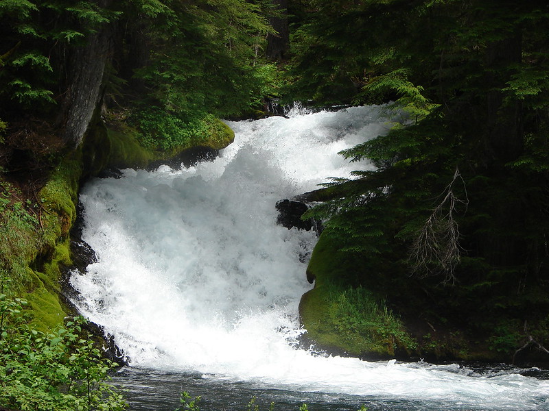
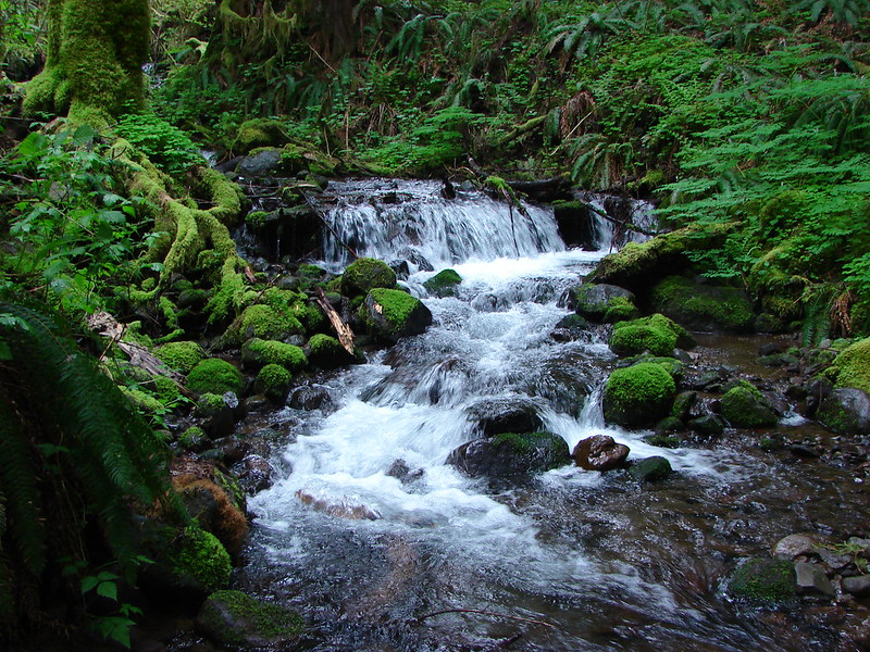
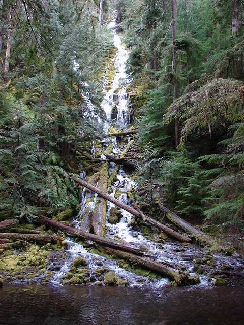
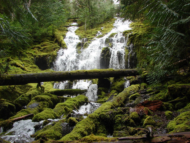
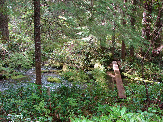
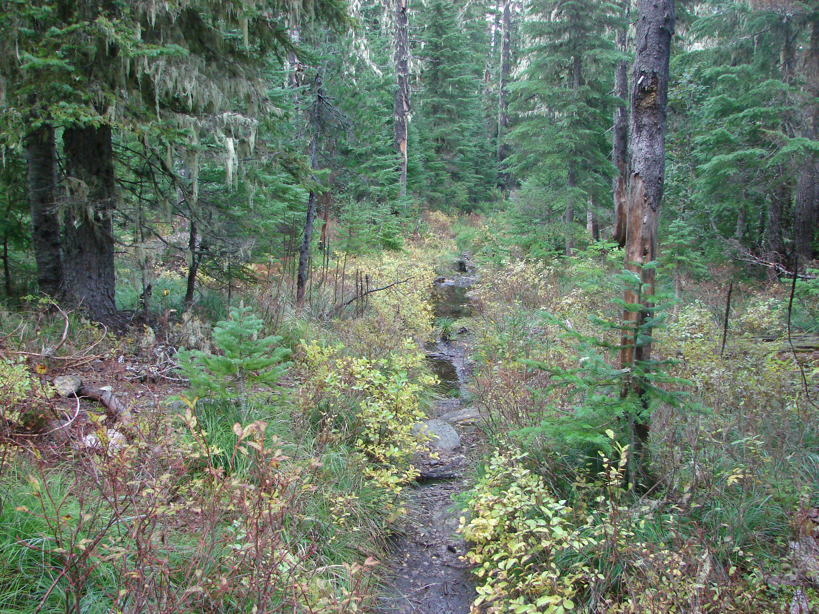
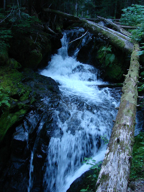
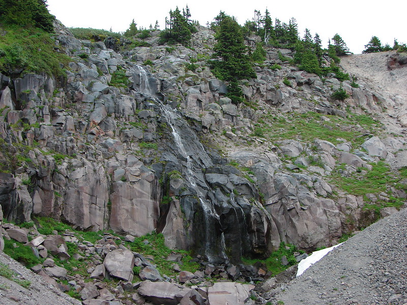
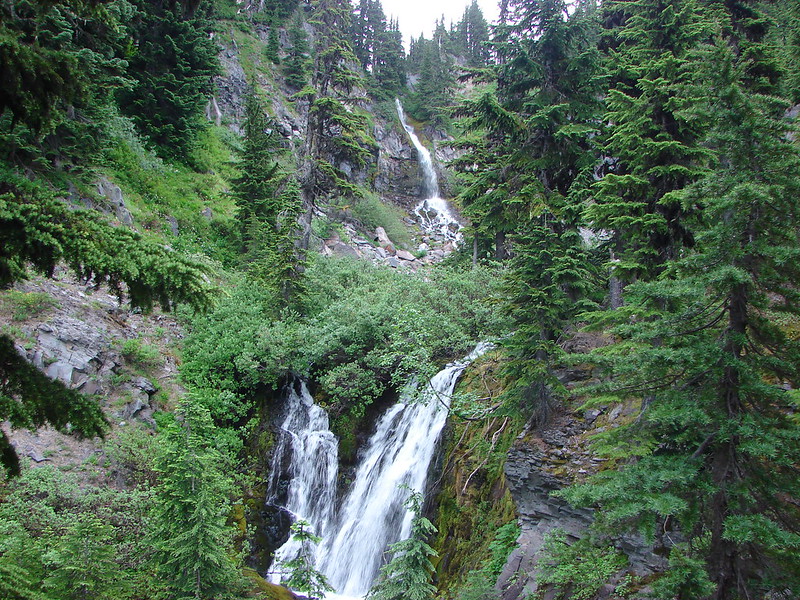
It had clouded up and as we were passing the falls rain began to fall lightly. We decided to stop at the next set of falls to waterproof our sleeping bags just in case it started to rain harder. The next set of falls were on Lost Creek. Both branches come down within a short distance of each other and both in scenic waterfalls.
North Branch Lost Creek
South Branch Lost Creek
It was raining off and on but not very hard but then we began to hear thunder. We picked up our pace as best we could as the thunder became steadier and we started to see the flashes of lighting. We had made it to the Paradise Park Trail and were back on the Zig Zag Mountain Trail when the hike got really interesting. We came around a bend in the trail and less than 20 yards ahead of us was a black bear. We all instantly froze, even the bear for a split second before it turned in bolted back into the forest. All I’d had time to do was say “bear” before it had vanished. I had just put the lens cap back on the camera and tucked it under my shirt to keep the rain off of it so I had no chance at getting a picture. Heather went for the bear spray just to be safe but it was long gone.
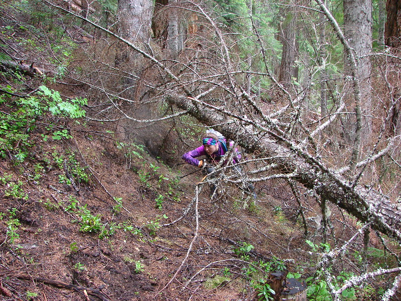
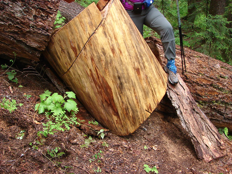
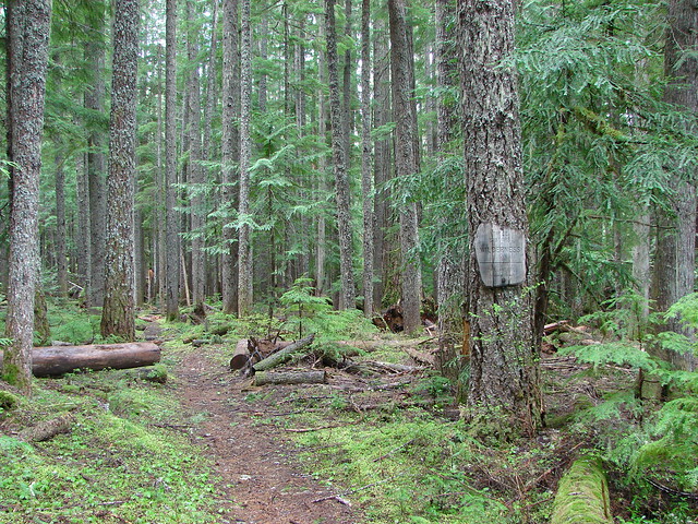
We made it back to the steep sections that we were dreading without further incidents. The climb was pretty much as ugly as we’d expected but the rain had let up without ever getting too heavy so we were dry at least. Dry until we reached the overgrown section of trail that is. By the time we emerged from that section we looked and felt like we’d forded a thigh-high creek. 🙂
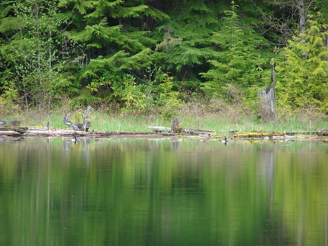
When we got back to Burnt Lake we headed down past campsite C where there is a great view of Mt. Hood from the lake shore.
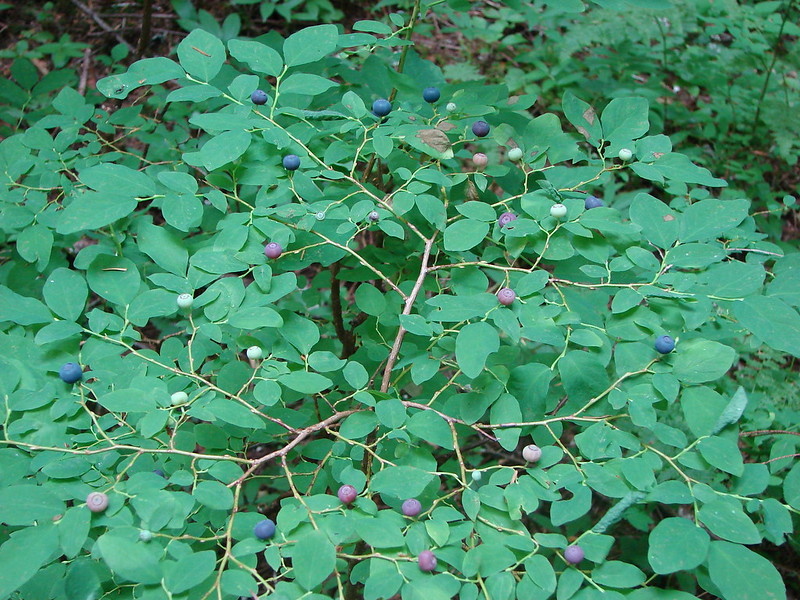
We ticked off the remaining 3.5 miles at a brisk pace pausing occasionally to sample the salmon and blueberries that were ripening nicely along the trail.
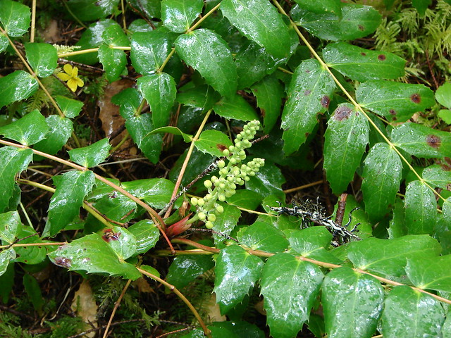
Oval-leaf blueberries
Mt. Hood had delivered another amazing adventure. Happy Trails!
flickr: https://www.flickr.com/photos/9319235@N02/sets/72157645261769389/
Facebook: https://www.facebook.com/media/set/?set=a.10204454188061928.1073741893.1448521051&type=1