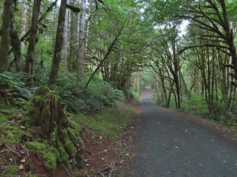
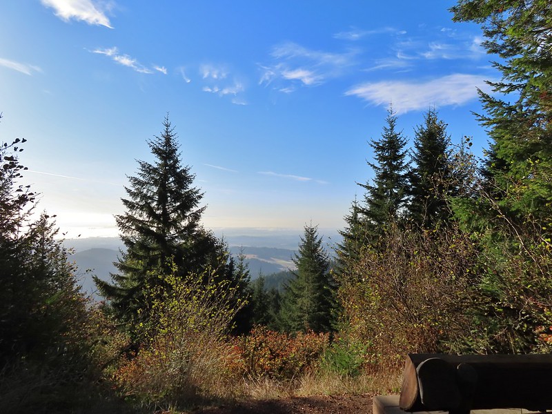
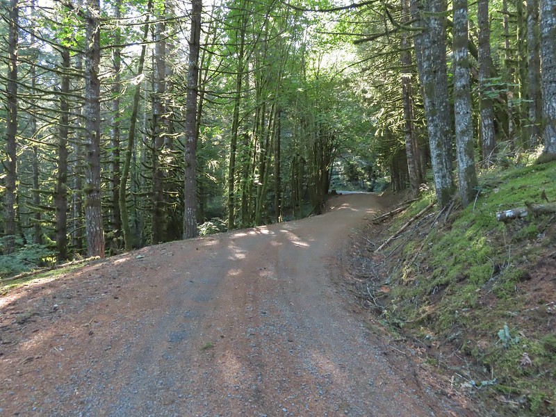
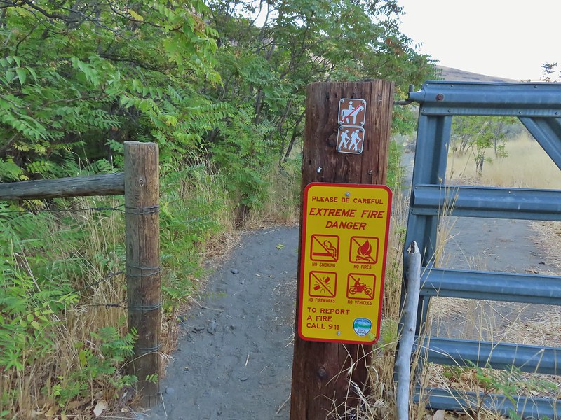
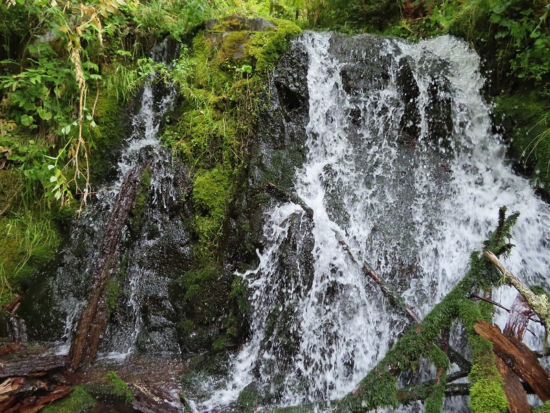
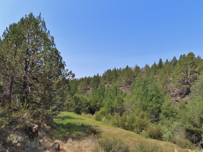
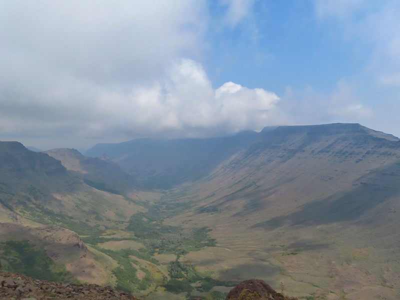
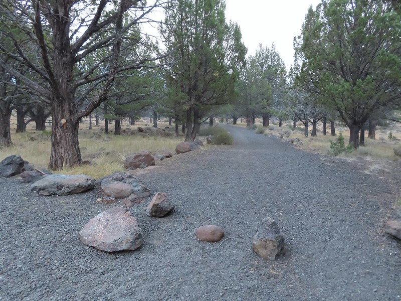
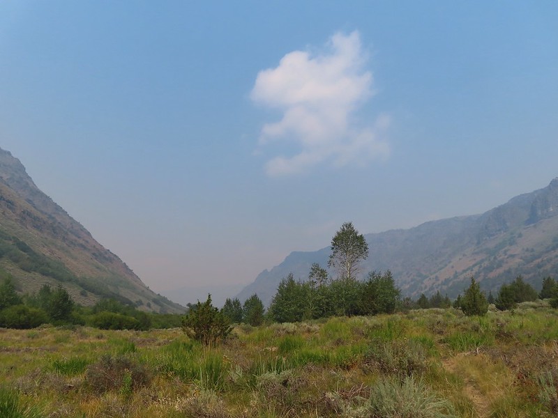
We were hoping to get a backpacking trip in over the holiday weekend but the forecast called for rain/snow in the mountains starting Saturday night through the rest of the weekend so we opted instead for a day hike instead. The good news was that the forecast for Saturday was for partly to mostly sunny skies so we were hoping for some nice views. We’d chosen a hike to Round and Square Lakes near Three Fingered Jack and the Mt. Jefferson Wilderness which was the shortest of the drives (a little over 1 1/2 hours from Salem) that we had been considering. While we hadn’t been to Round Lake yet we had passed by Square Lake on a loop hike in 2012 (post). Earlier this year on our hike to Santiam Lake (post) we had retraced some the beginning of that loop. For this hike we would also be starting at the Pacific Crest Trailhead at Santiam Pass but would be retracing the final 4.5 miles of the 2012 loop between Booth Lake and the trailhead.
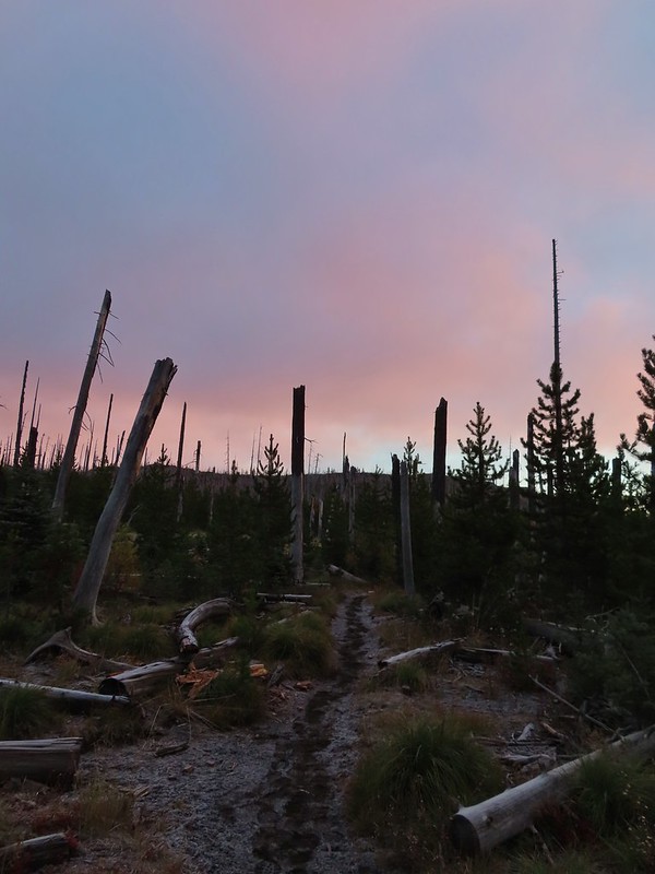
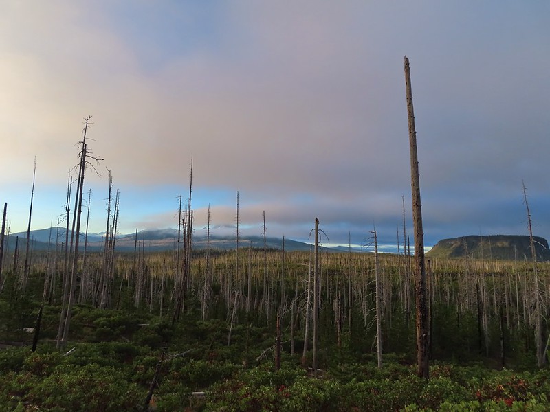
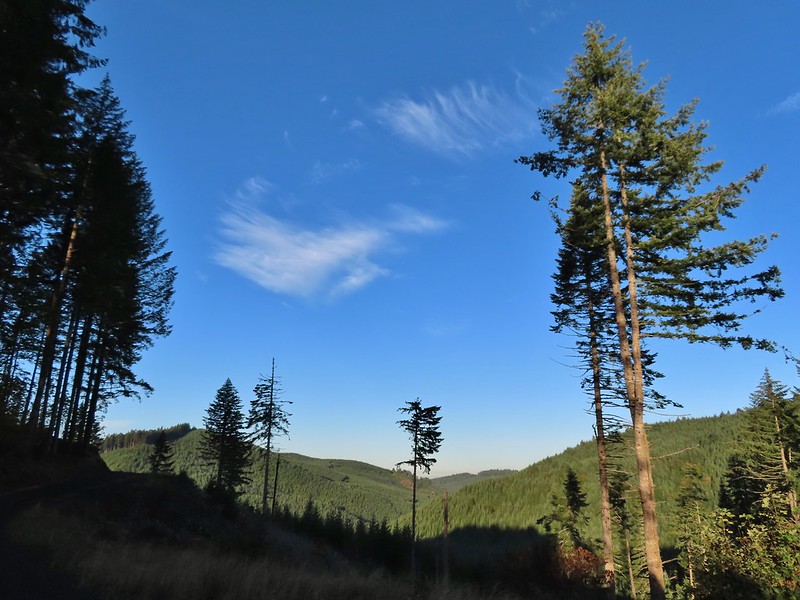
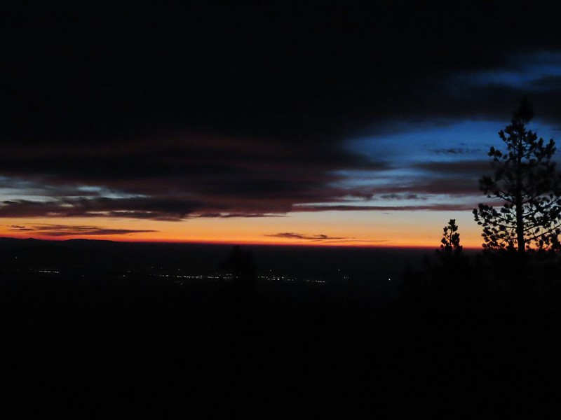
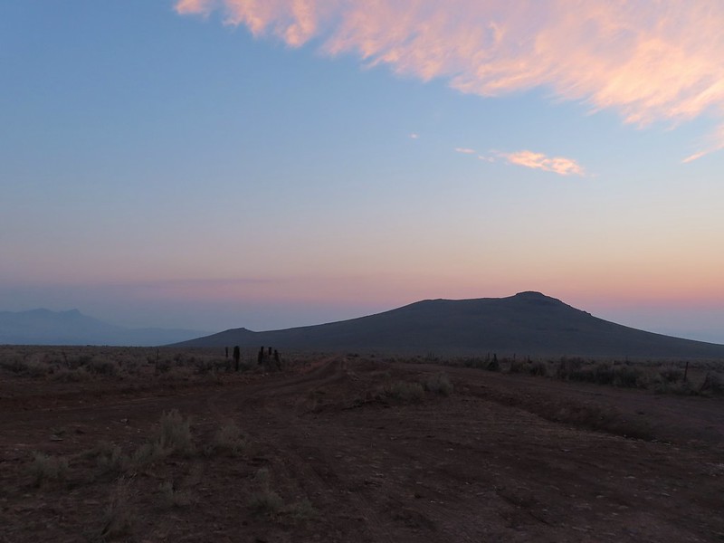
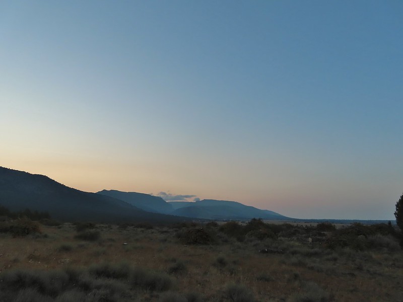
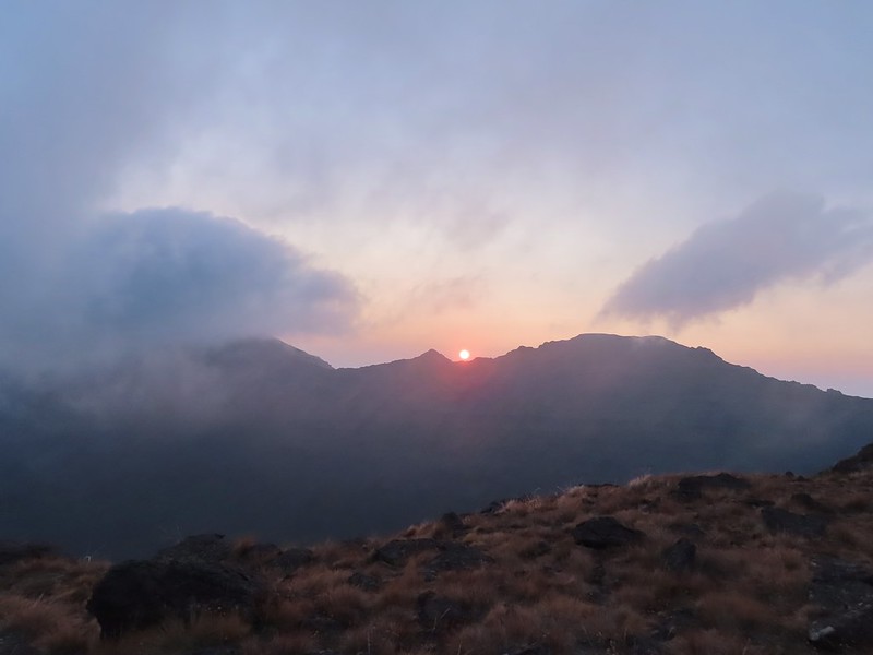
Both Reeder and Sullivan describe hikes to Round and Square Lakes but each of their descriptions are for out and back hikes starting at the Round Lake Trailhead which is closer to the Sisters/Bend area. Starting at Santiam Pass cut off some driving but it did add approximately 5 miles of hiking to our days total. We arrived at the trailhead just in time to catch a bit of color from the sunrise.

 Black Crater (post)
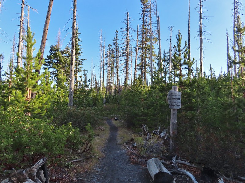
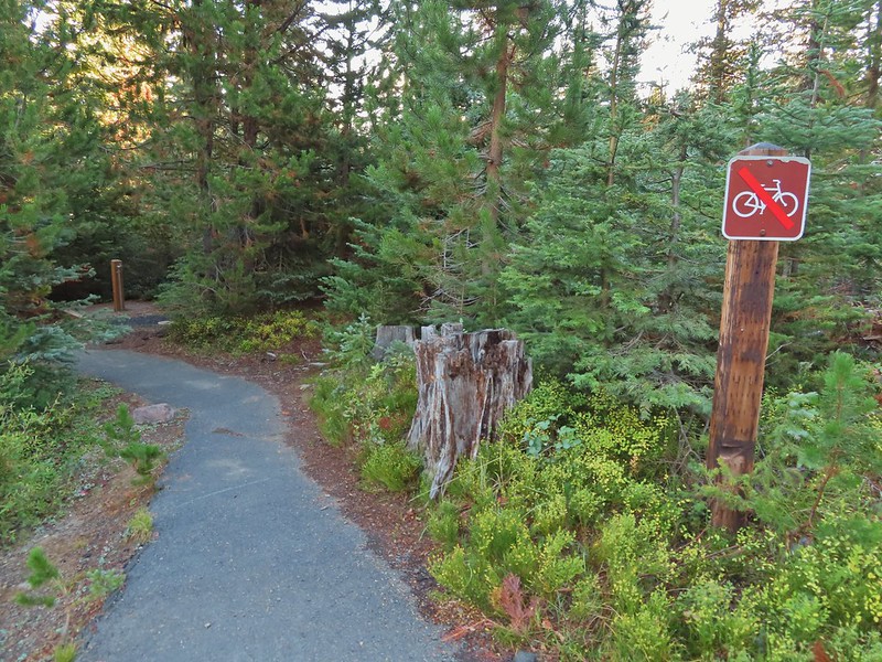
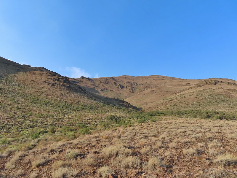
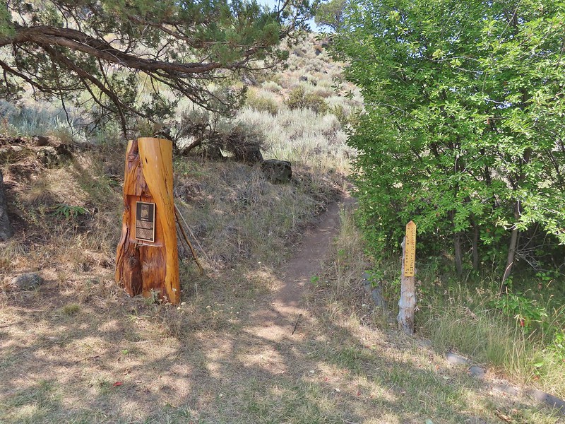
After 0.2 miles we turned right at the junction with the Old Summit Trail.
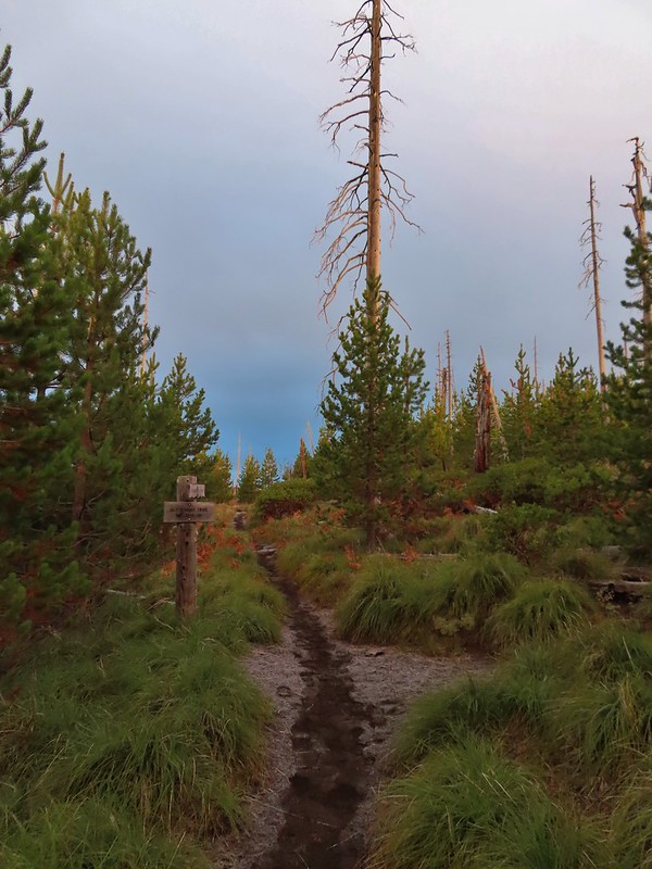

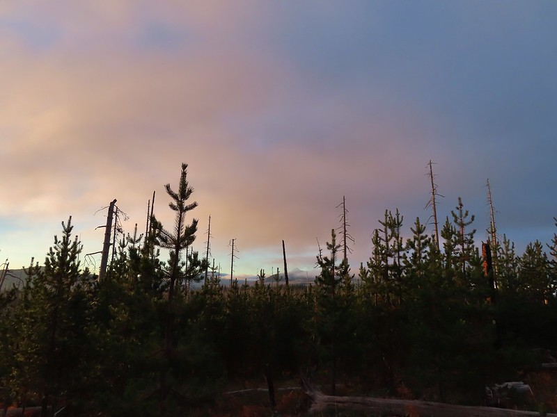
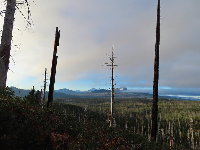
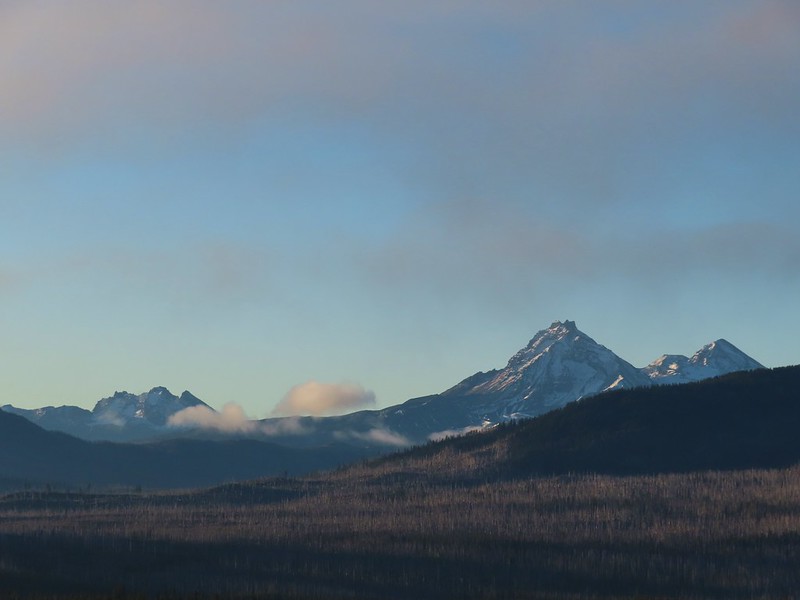
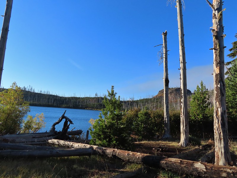
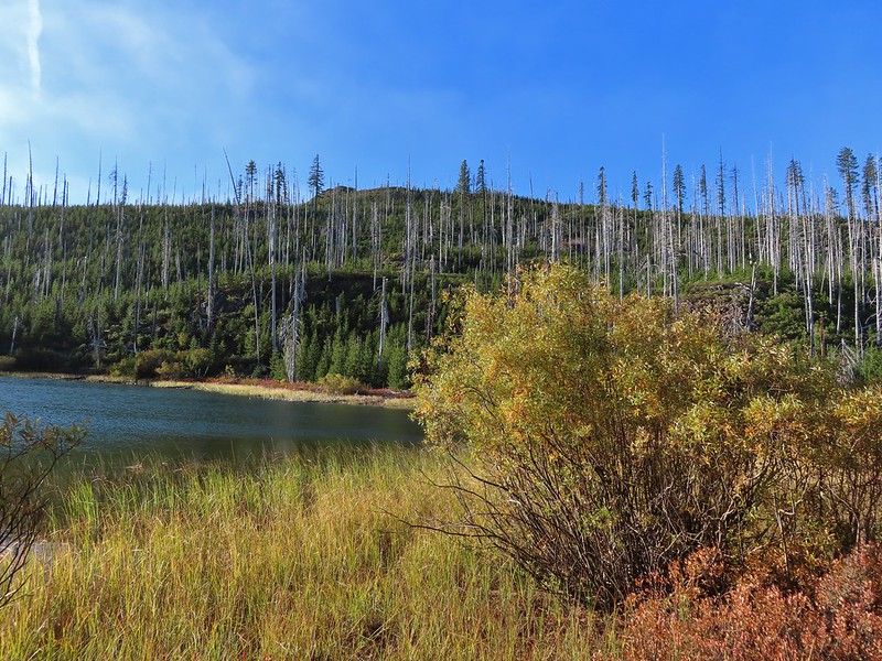
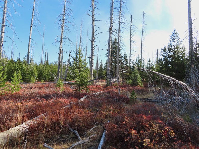
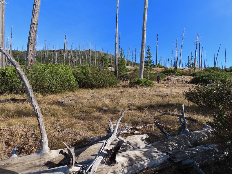
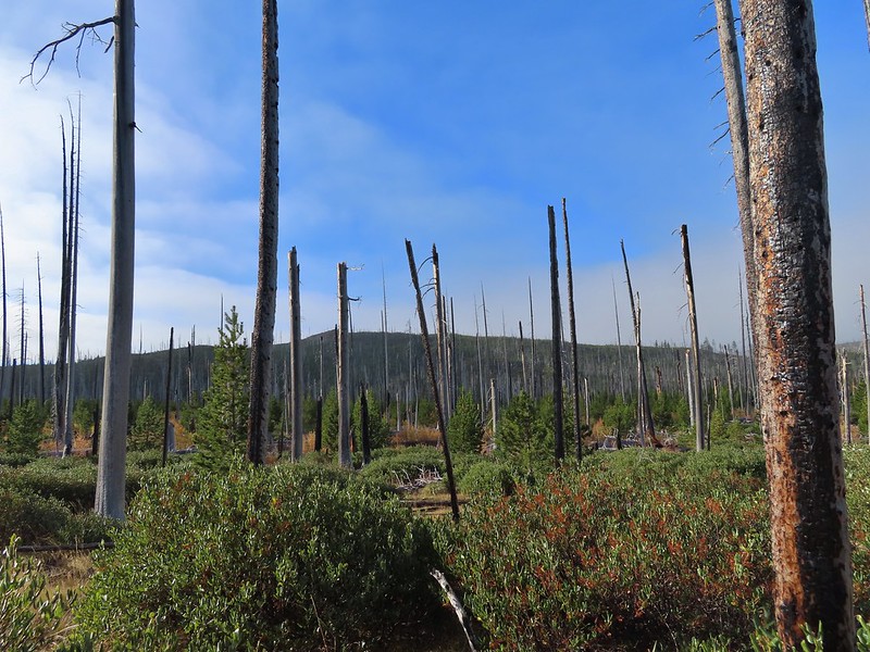
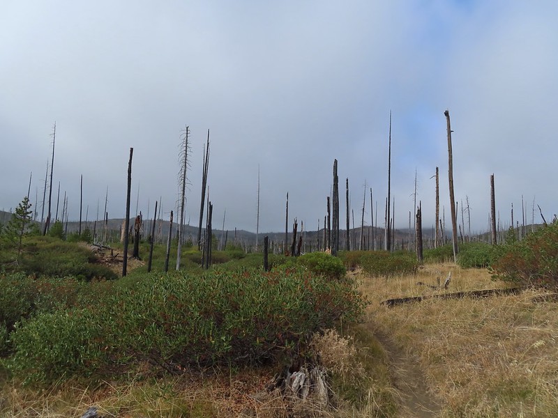
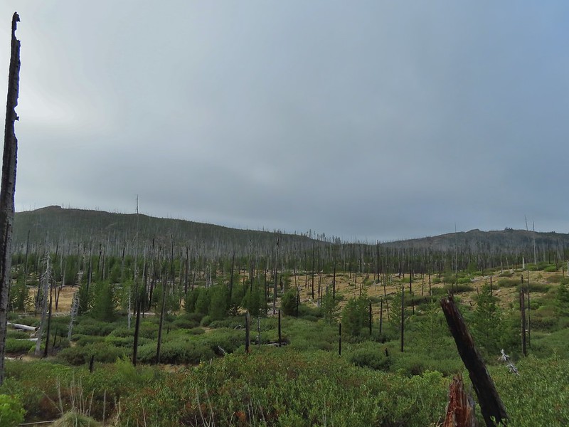
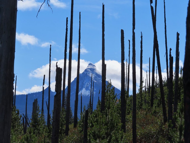
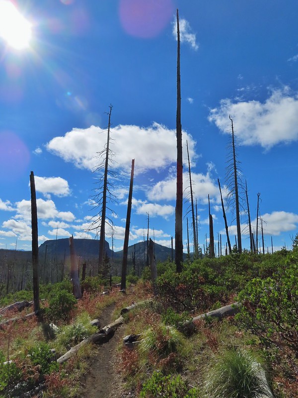
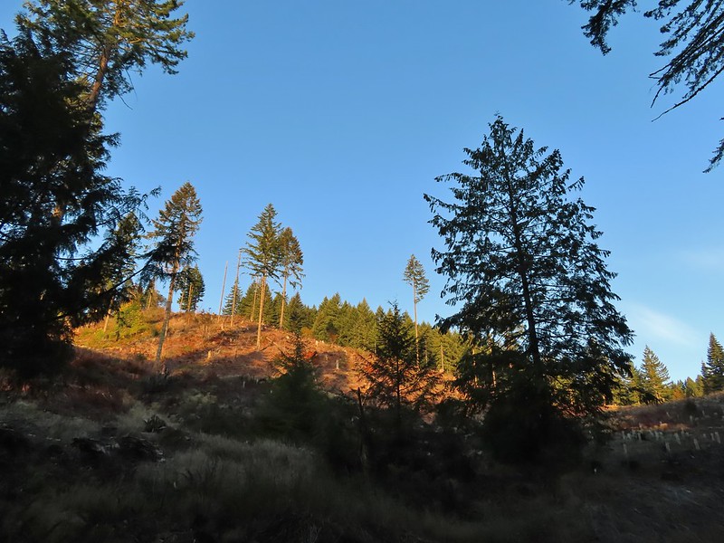
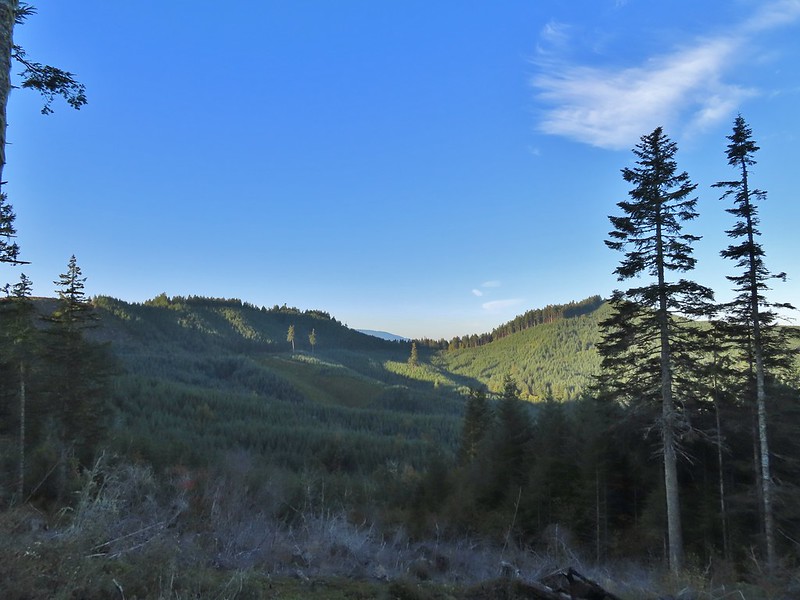
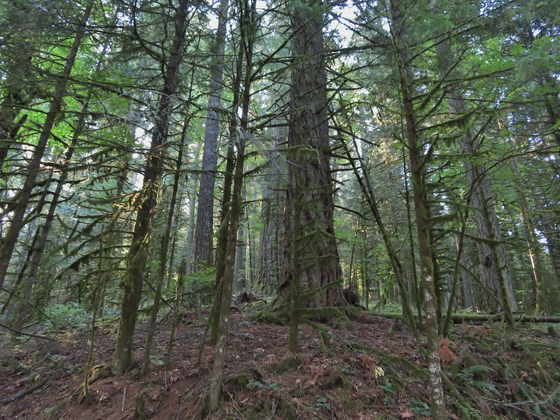
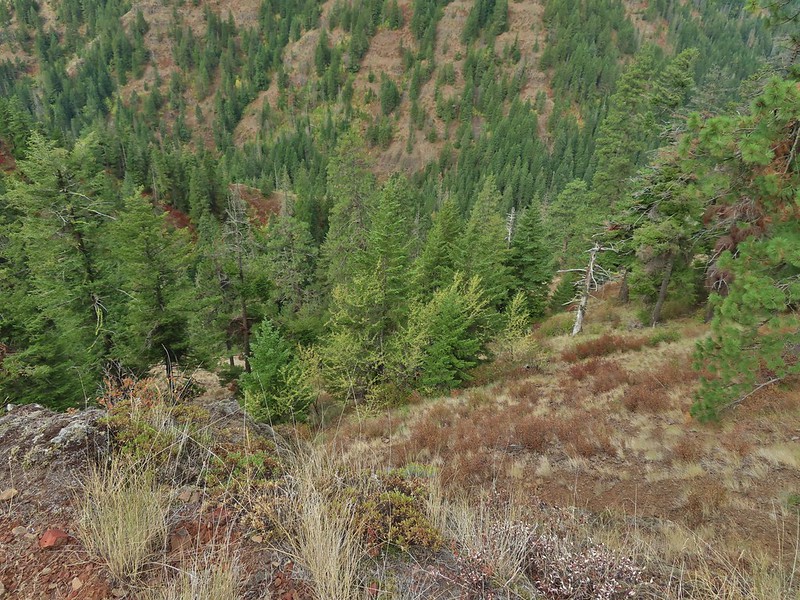
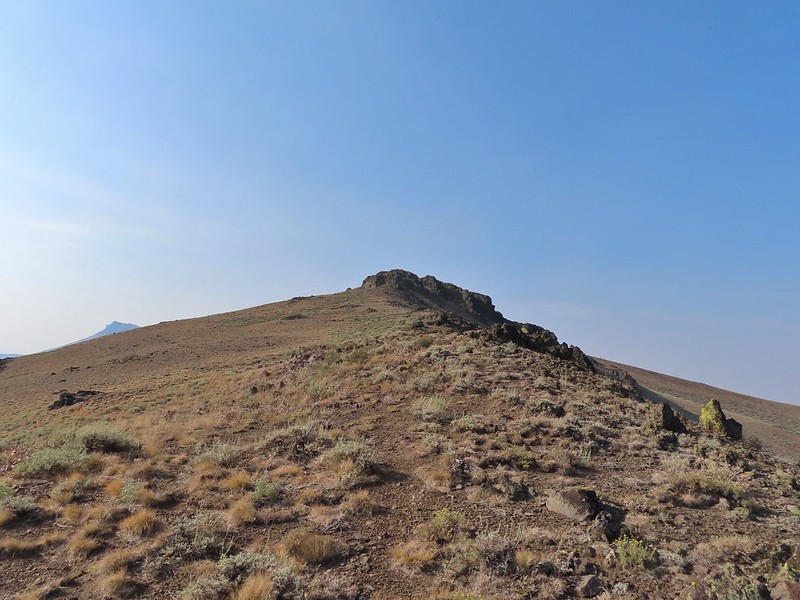
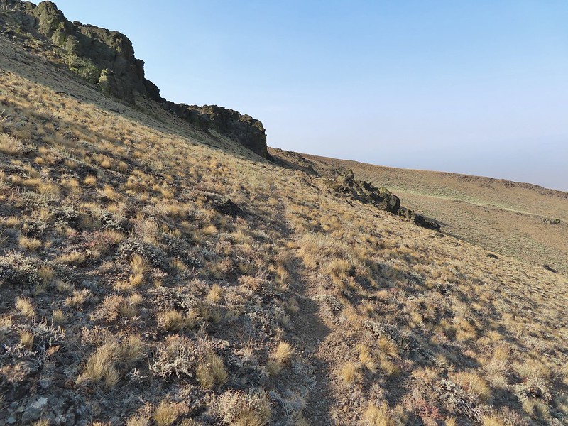
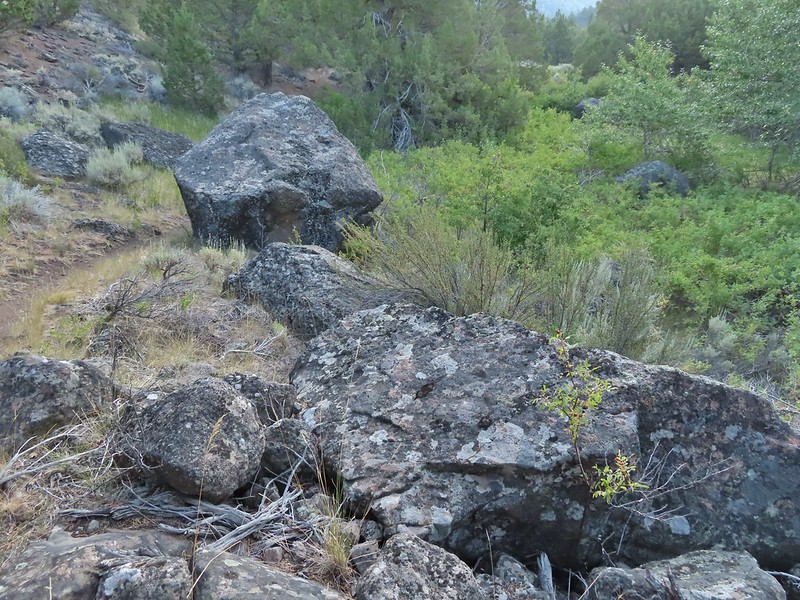
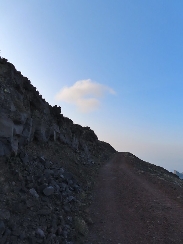
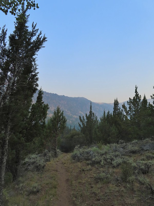
The Old Summit Trail traverses a hillside above Highway 20 through snags left over from the 2003 B & B Complex (Bear and Booth Fires). The lack of larger trees provides plenty of views south to Black Crater, Broken Top, the Three Sisters, Mt. Washington, Hayrick Butte and Hoodoo Butte. The over night clouds were quickly breaking up as we hiked revealing more and more of the mountains.
 Black Crater and North Sister
 Black Crater, the top of Broken Top, some of the Sisters, and part of Mt. Washington.
 Hayrick and Hoodoo
 Between Mt. Washington and Hayrick Butte is Scott Mountain (post).
 Cache Mountain is the high point furthest to the left.
 Broken Top and the Three Sisters

 Mt. Washington
 The Three Sisters. The summit of South Sister is between North and Middle Sister behind 9321′ Prouty Point.

 Black Butte (post)
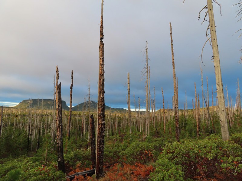
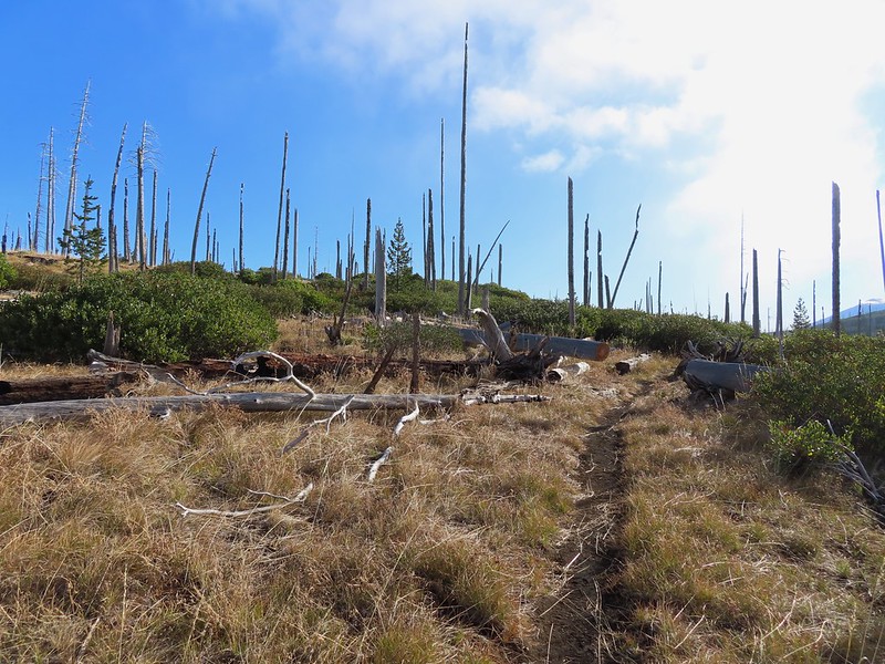
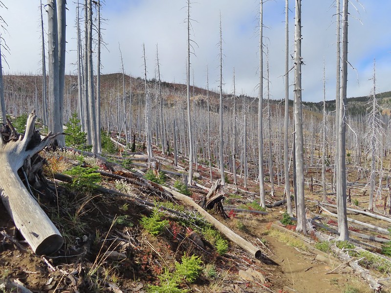
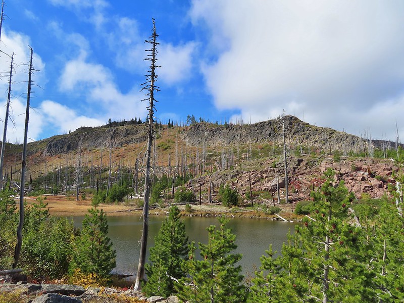
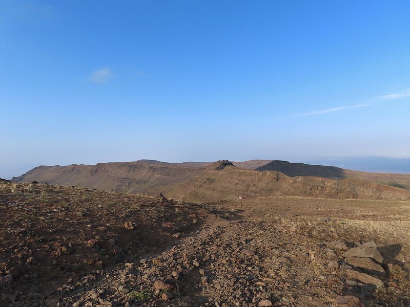
Near the 2 mile mark we entered the Mt. Jefferson Wilderness. The wilderness sign provided a good reference for comparing how much taller the trees were this time versus in 2012.
 A different angle from 2012.

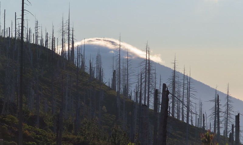
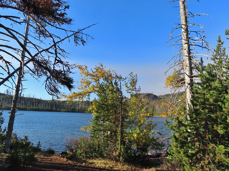
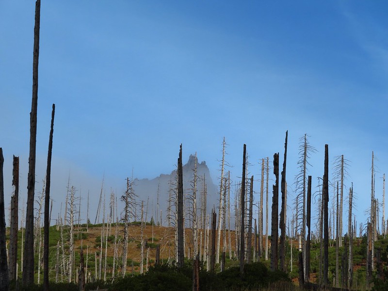
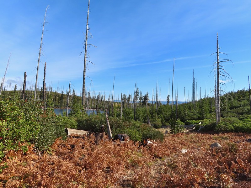
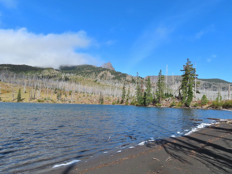
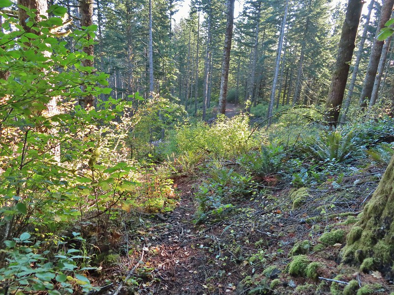
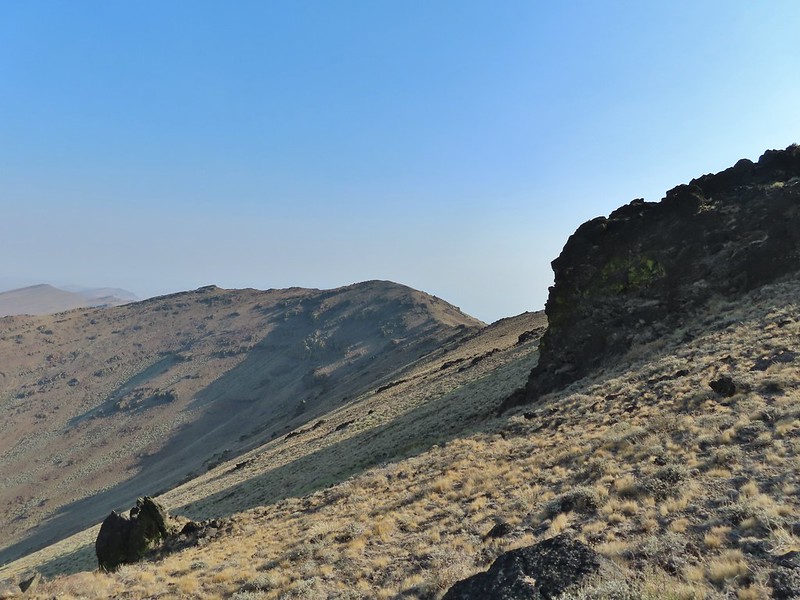
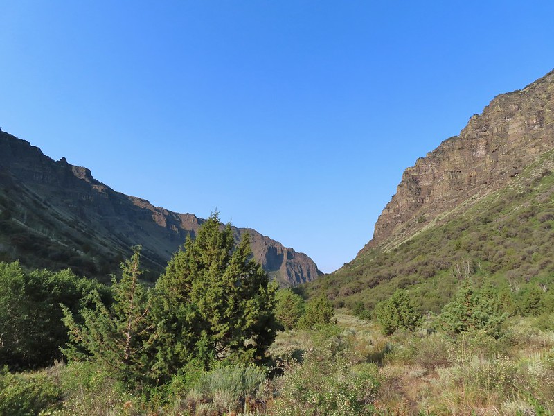
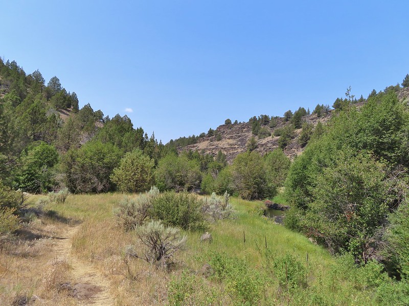
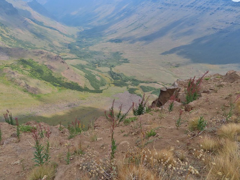
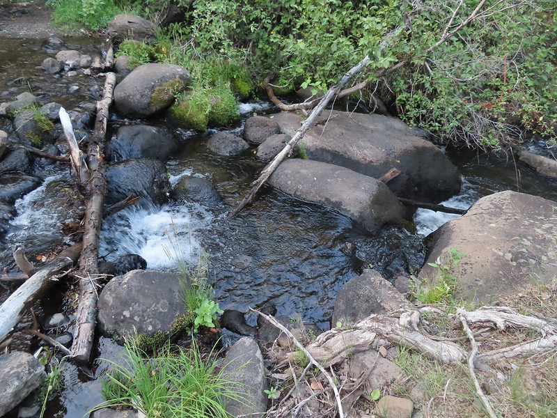
Shortly after entering the wilderness we began descending toward Square Lake. Three Fingered Jack was somewhat hidden behind a cloud further to the north.

The only deer we spotted during the hike popped out of some brush below the trail for just a moment before disappearing back into it. As has been the case more often than not this year I did not have my camera at the ready so all I got was one of their white rumps.
 One white rump with a black tail amid the ferns near the center of the photo (good luck).
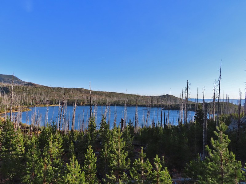
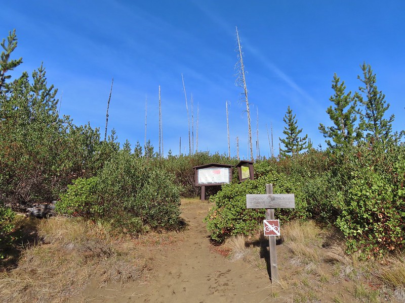
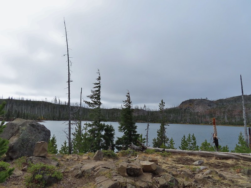
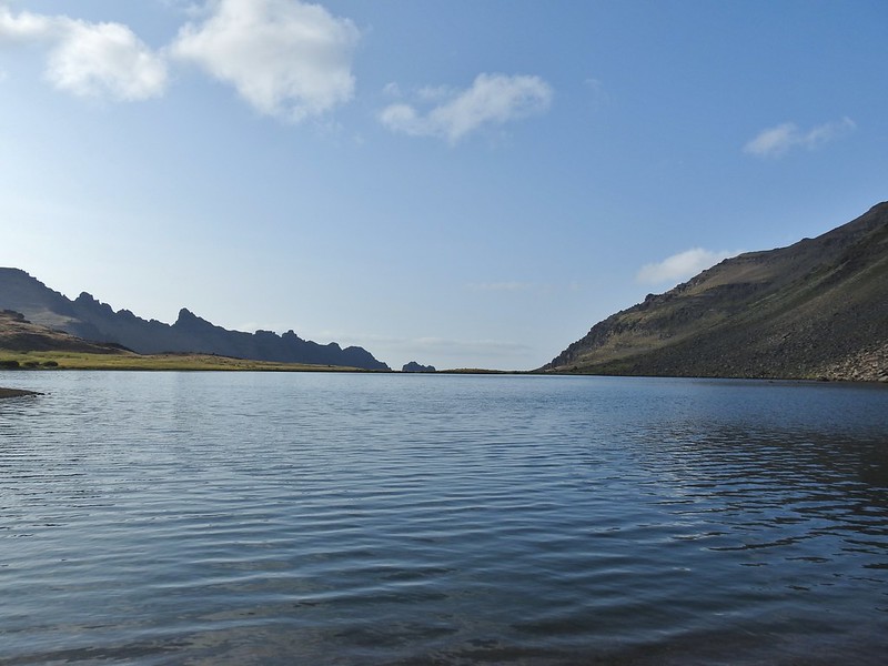
The trail wrapped around the lake past a large campsite to a junction with the Round Lake trail approximately 2.5 miles from the trailhead.

 The only paintbrush we would see all day.
 The top of Mt. Washington is just visible on the other side of Square Lake.

At the junction we followed the pointer for the Round Lake Trail and continued along Square Lake.

 Mt. Washington’s spire again.
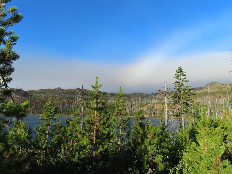 A rainbow was trying to form to the west.
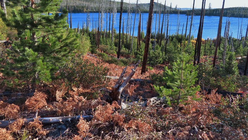
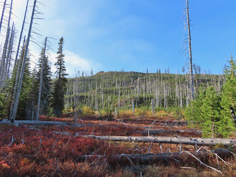
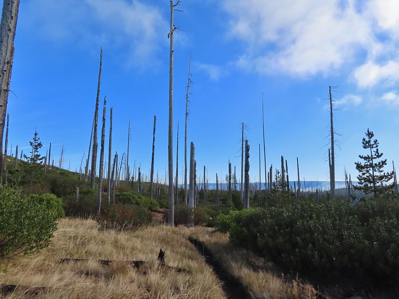
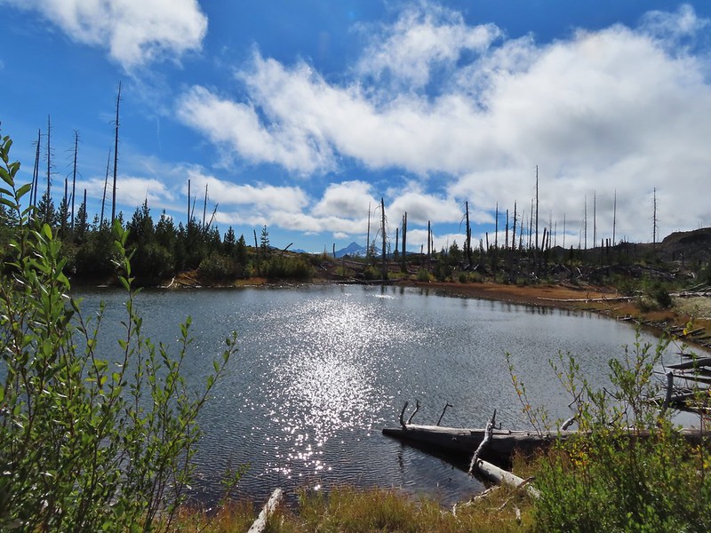
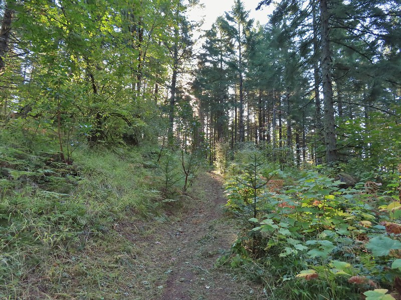
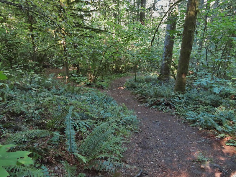
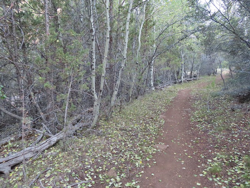
We soon left Square Lake and continued through the recovering forest.


 Lodgepole pine seeds require fire in order to be released from their tight cones.
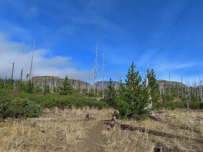
The Round Lake Trail is just about 2 miles long running between the junction and the Round Lake Trailhead to the east. Several maps show the trail passing near Long Lake Lake along the way. It does not but rather veers away form that lake. It may have been an older pre-fire alignment but Reeder mentions this discrepancy in the map and warns “don’t even bother trying to find it unless you’ve got lots of time and patience”. I’ll be honest and say this sounded like a little bit of a challenge so when we were able to spot the western end of Long Lake we decided to make an attempt for it.
 Our first sighting of Long Lake (zoomed in).
Using our GPS and a paper map as backup we angled cross country toward the lake which quickly was hidden from sight. There were plenty of downed trees to climb over or around and one line of snowbrush to push through but we also were able to follow some game trails which helped us find ways through the obstacles. It was also evident that the area around the lake can be pretty wet and probably muddy meaning getting as close as we did probably wouldn’t be possible at other times.
We reached the western end of the lake after three tenths of a mile. It took less than 15 minutes but without a map and some route finding skills we wouldn’t advise it.

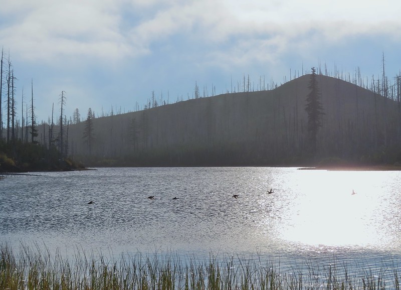 Ducks taking off from Long Lake.
Any thoughts of walking around the north side of the lake quickly vanished when we saw how dense the vegetation and downed trees were.

We did however return to the Round Lake Trail by bearing NE. It took a little over 21 minutes to find the trail just over a half mile from the lake.
 This is one of the areas that we could see getting pretty muddy/wet.

 Rainbow
 The Round Lake Trail just on the other side of the downed tree.
 Long Lake is back down that way somewhere.
We turned right and continued east on the Round Lake Trail.
 Back on the Round Lake Trail.
 Black Butte shedding the morning clouds.
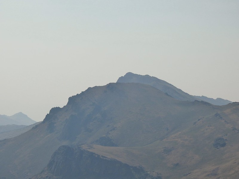
 The top of Three Fingered Jack behind some thin clouds.
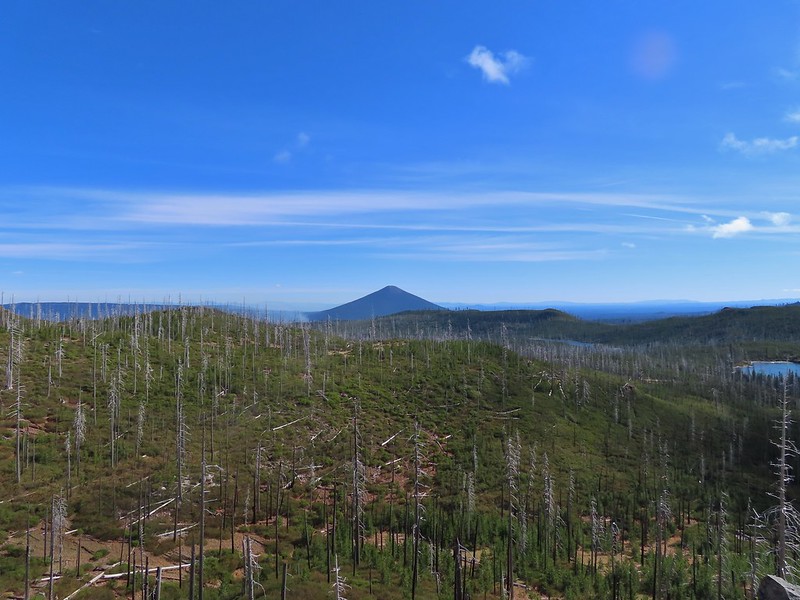
 Green Ridge (post) in the distance with a little smoke rising from the Metolious Basin where the Forest Service had ignited a prescribed burn over the preceding two days.
 A better look at Three Fingered Jack.
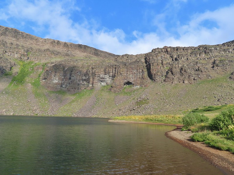
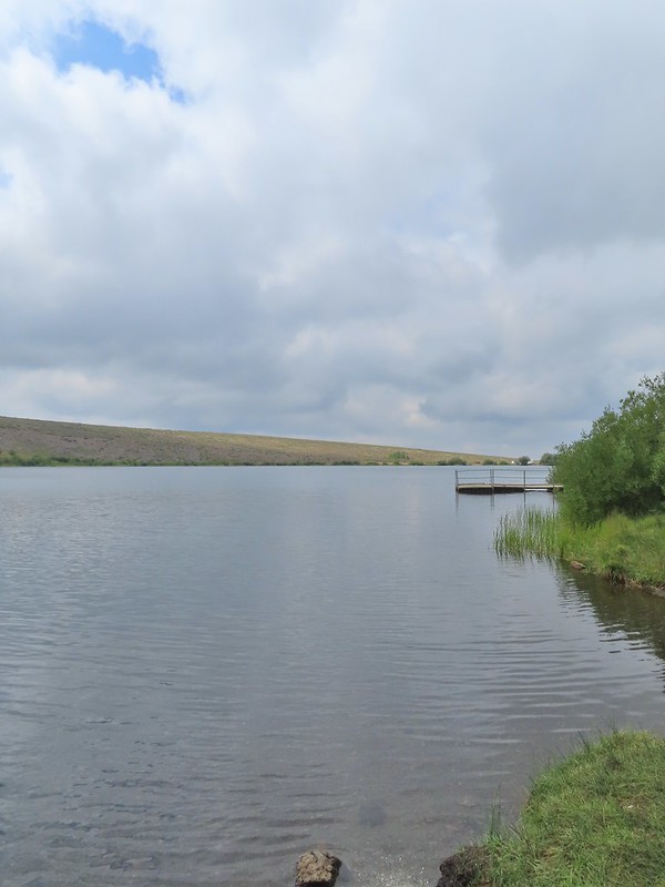
 First glimpse of Round Lake.
The trail descended to a small parking area at the trailhead next to the Wilderness Lakes Retreat.

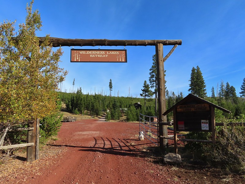
We’d seen some maps showing a trail around the north side of the lake through the retreat to some camp sites on the eastern end but we weren’t sure if the retreat was private property or if it was okay to hike through so we opted to follow Forest Road 600 from the trailhead around the south side of the lake.

When we spotted a path heading down off the road we took it and made our way down to the lake shore.

The partial rainbow returned as we took a break at the lake.


We eventually pulled ourselves away from Round Lake and headed back toward Square Lake. We were feeling a little moisture in the air and based on the clouds ahead we were expecting to find ourselves in some misty fog at best by the time we made it back to the Old Summit Trail.
 Starting to look kind of grey.
 A mountain bluebird adding a splash of blue to the green backdrop.
 Clouds over Square Lake.
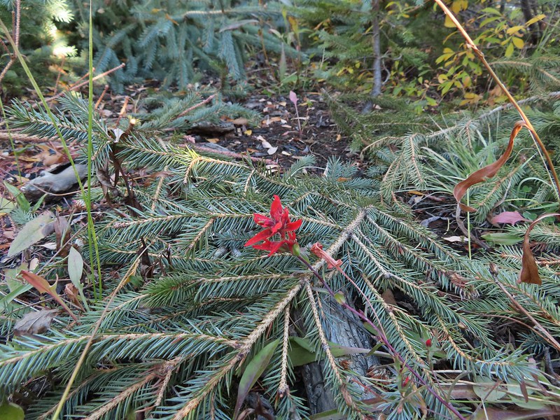
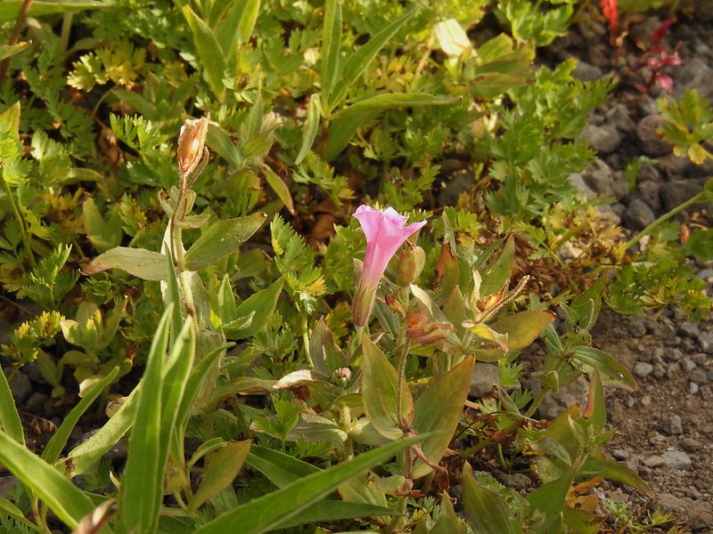
 A few scarlet gilia blossoms.
Instead of heading straight back onto the Old Summit Trail we turned right in order to revisit Booth Lake. From Square Lake the Old Summit Trail switchbacked uphill gaining 400′ in the next mile to a gap between a rock outcrop and a rocky hill. We remembered seeing a small lake amid the rocks over on the opposite hill and as we climbed this time we began thinking that it might be possible to get to the unnamed lake.
 The unnamed lake is about halfway up the far hillside.
 Black Butte and Long Lake from the trail.
 Heading toward Three Fingered Jack we got back under blue skies.
 Square Lake still under a clouds,
 The unnamed lake that drew our attention.
 Similar view from 2012.
We stopped momentarily at the gap discussing what route we would take if we did try and reach the lake. I was pretty certain I wanted to give it a shot but I decided to wait until we were headed back in case I changed my mind after reaching Booth Lake.
 The trail at the gap. It was grey and cloudy to the west.
 Still at the gap, it was blue skies to the east.
Beyond the gap the trail climbed just a bit arriving at its high point above Booth Lake in 0.3 miles.
 There is Three Fingered Jack.
 A good look at Green Ridge.
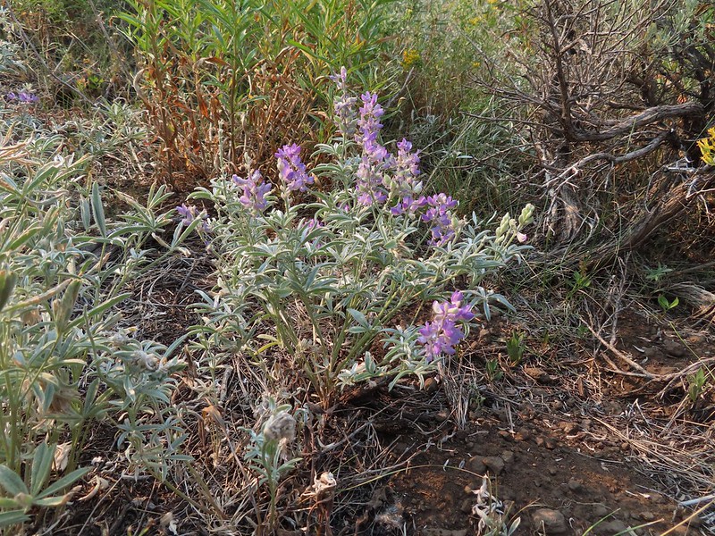
 A lupine that was late to the party.
 Booth Lake
Heather opted to stay at the high point instead of visiting the lake which was roughly 0.4 miles away and 150′ below. I shuffled down the trail and made my way to the familiar sandy lake shore.

It didn’t look that much different than it had in 2012.

I returned to Heather and we started back toward the gap. I was still planning on trying to reach the off trail lake but Heather was not. She had decided that she would only attempt it if the Three Sisters had been uncovered from the clouds. I went ahead of her and left the trail at the gap working my way up around rocks and over downed trees while climbing up a semi-steep slope. I trusted the deer tracks that I was trying to follow and sure enough made it to the little lake.

 The trail cut on the far hillside.
The rock cliffs holding the water on the eastern side made for some easy walking and great views down to Square Lake.
 Black Butte, Long Lake, and part of Square Lake.
 Square Lake along with Broken Top and the Three Sisters (Mt. Washington was hiding in the clouds still).
 Part of the rock ledge.
 Three Fingered Jack had once again disappeared.
As I was admiring the view I thought was hearing things but as I was making my way back along the ledge I spotted Heather on a small hill on the opposite side of the lake. The Three Sisters had been visible so she stuck to her word and had followed me up.
 Where’s Heather.
After satisfying our desire for adventure we returned to the trail and headed back to Square Lake where we made a quick stop at the campsite.


We spent the return hike watching the clouds almost clear from Mt. Washington just to reform over around its top.
 View climbing away from Square Lake.
 Similar view in 2012.
 2012
2012


 Finally clear!
 Hayrick Butte and Hoodo as we neared the trailhead.
This hike was a lot of fun with some new sights and some familiar but different sights. I wound up doing 14.8 miles according to the GPS and although no climbs were particularly long the up and down nature of the hike provided approximately 2000′ of cumulative elevation gain. 


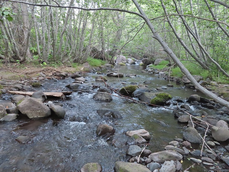
 Sulphur Springs
 Soap Creek near Sulphur Springs.
 Sulphur Springs Road from the pullout.
 Sulphur Springs Road Trailhead.

 We stayed right at this junction with Road 761.
 The Rocky Road Trail.
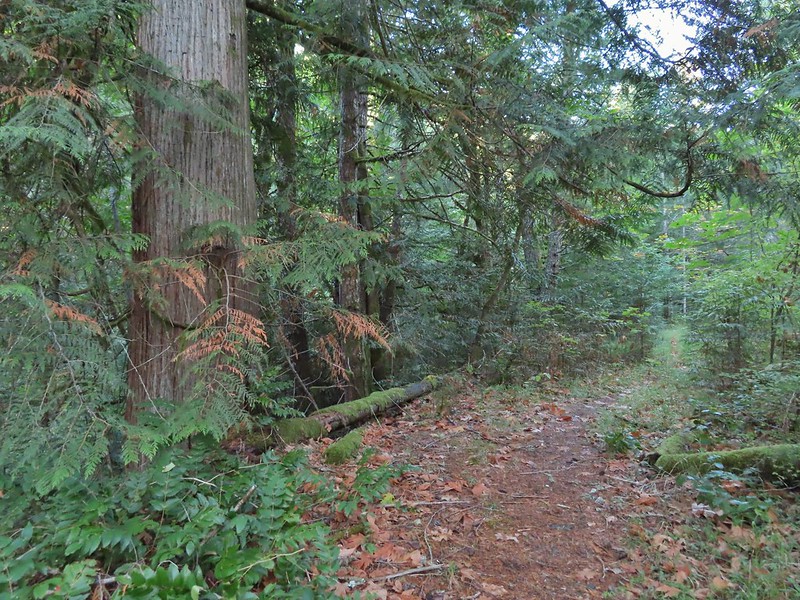 A good sized cedar along the trail.
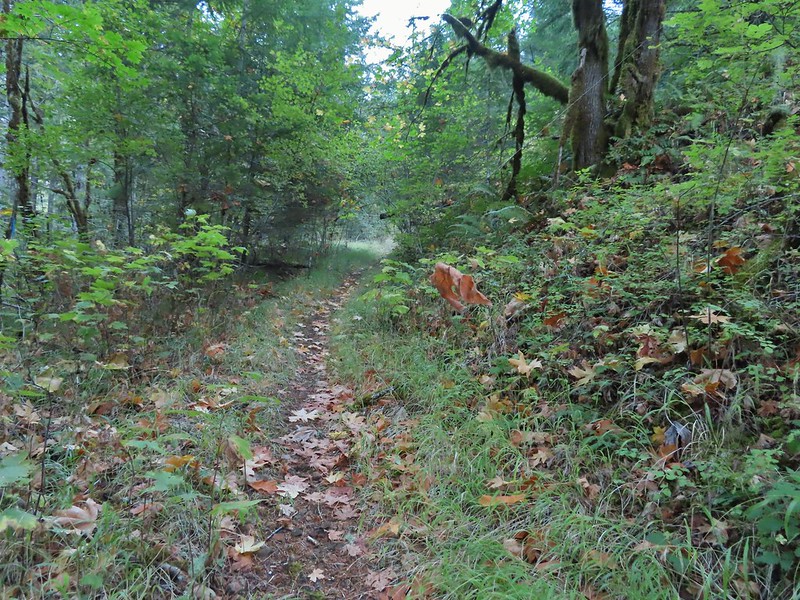
 Road 760 ahead.
 Interesting patchwork of trees. We would have liked to have been able to see when each section had been harvested and replanted.
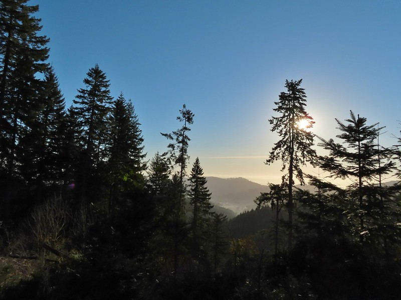 We couldn’t see much to the east due to the Sun’s position.
 Mary’s Peak (
 Road 7040 on the left.
 Pointer for McCulloch Peak at the junction. We had come up from Road 700 on the right.
 The rest of the 4-way junction. After visiting the peak we would head downhill following the pointer for Oak Creek.
 Trail to the spur road.

 Fading pearly everlasting.
 We stayed left here which was the shorter route.
 Madrone
 Tree island at the junction with Road 680.
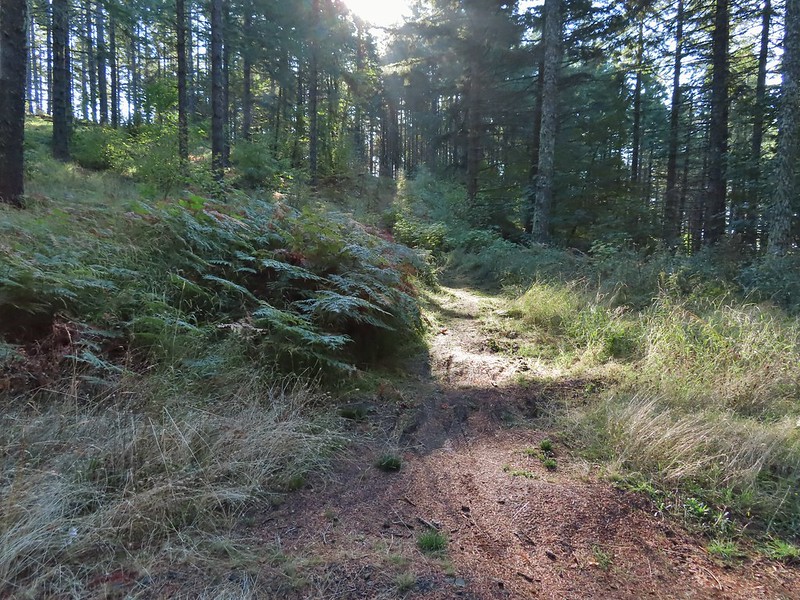


 Nearing the trail junction.
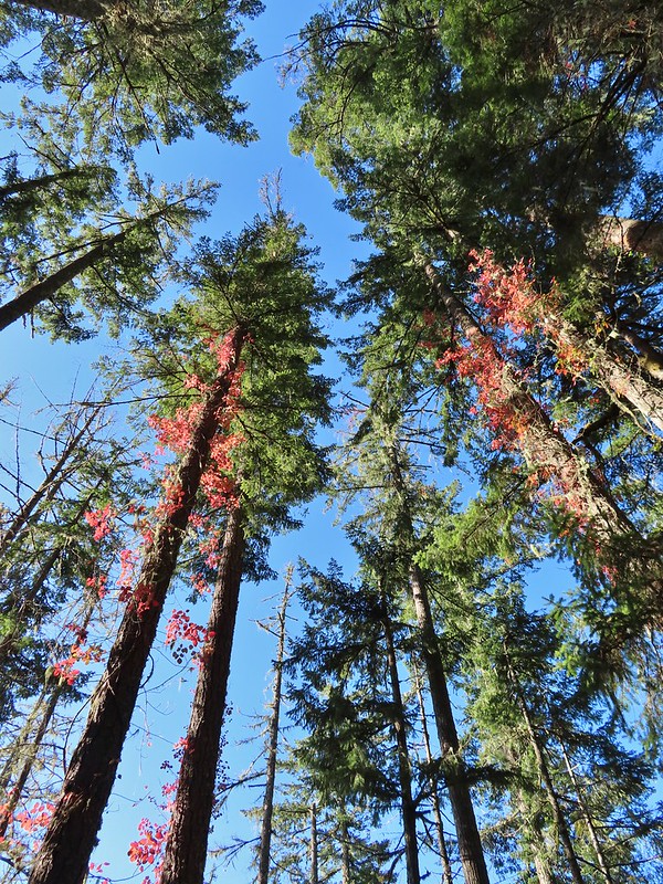 Poison oak climbing trees.
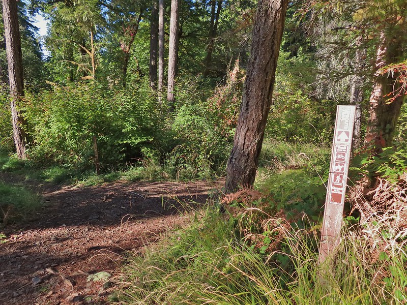 Signs for the Uproute and Extendo Trails.
 Road 680


 A few larger trees in the forest.
 A sea of green grass.
 Horsetails
 The 4-way junction.


 Summit of Dimple Hill.
 Mary’s Peak
 Approaching the junction on Road 650.
 Junco
Junco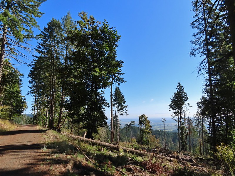
 Mt. Hood
 Mt. Jefferson
 The Three Sisters


 The High Horse Trail and another trail heading uphill at the 4-way junction.
 What we assume is the Bombs Away Trail on the left and the High Horse Trail on the right at the 4-way junction.
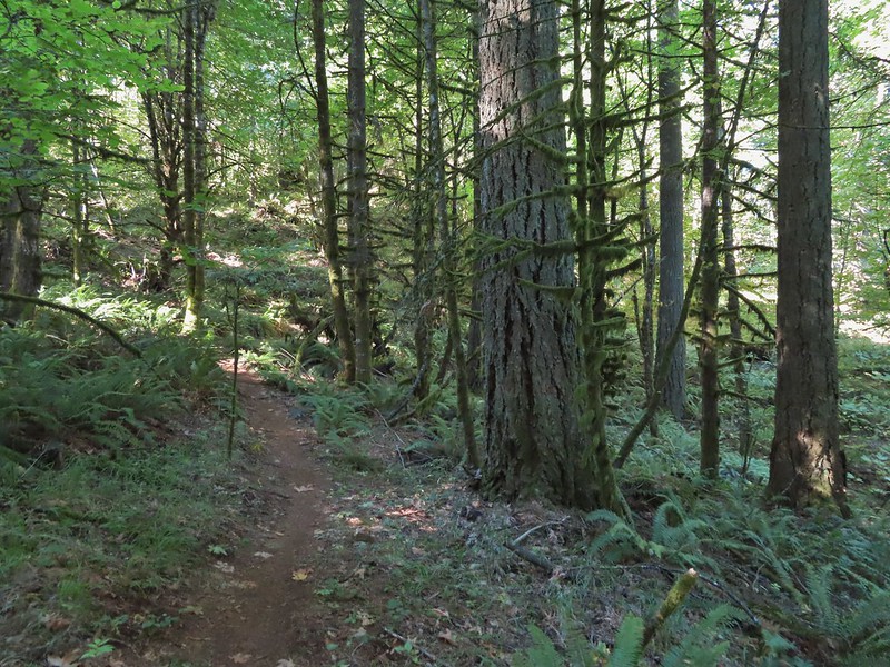

 Left or right? More often than not both ended up in the same spot.
 Road 640
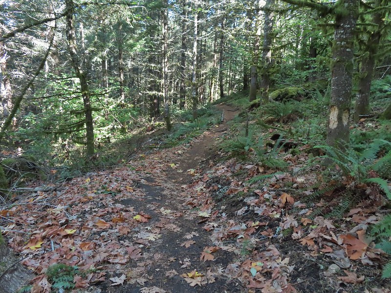


 Junction with the Alpha Trail.


 Looking back at the Alpha Trail from Road 810.

 Road 800 below Road 810.
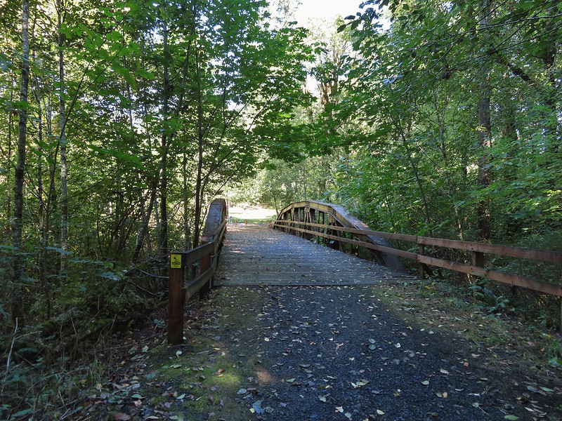
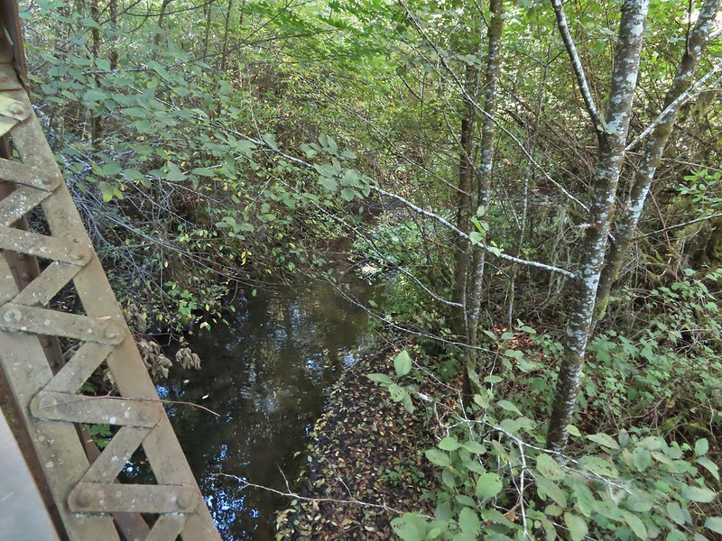
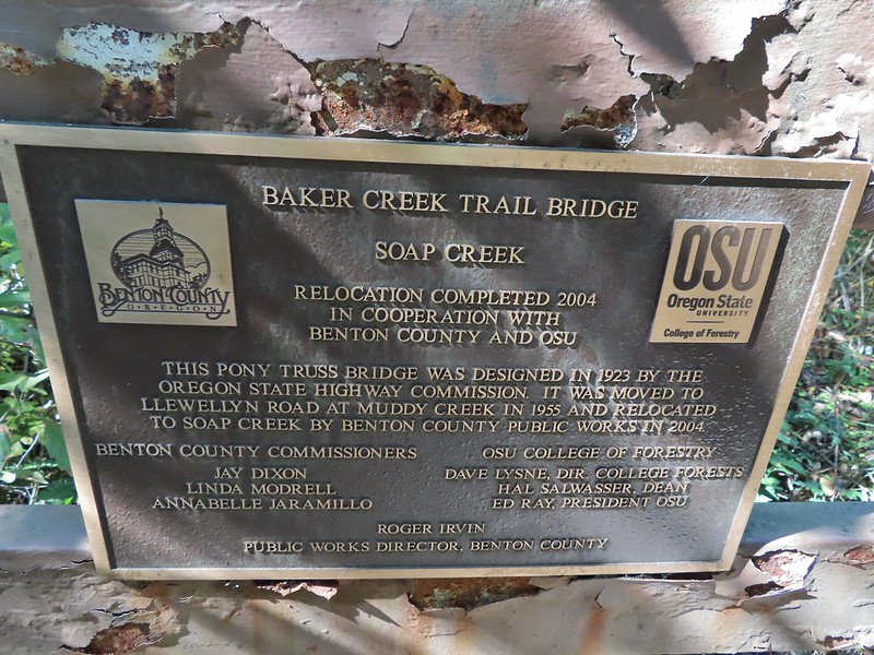
 Baker Creek Trail ahead on the right.
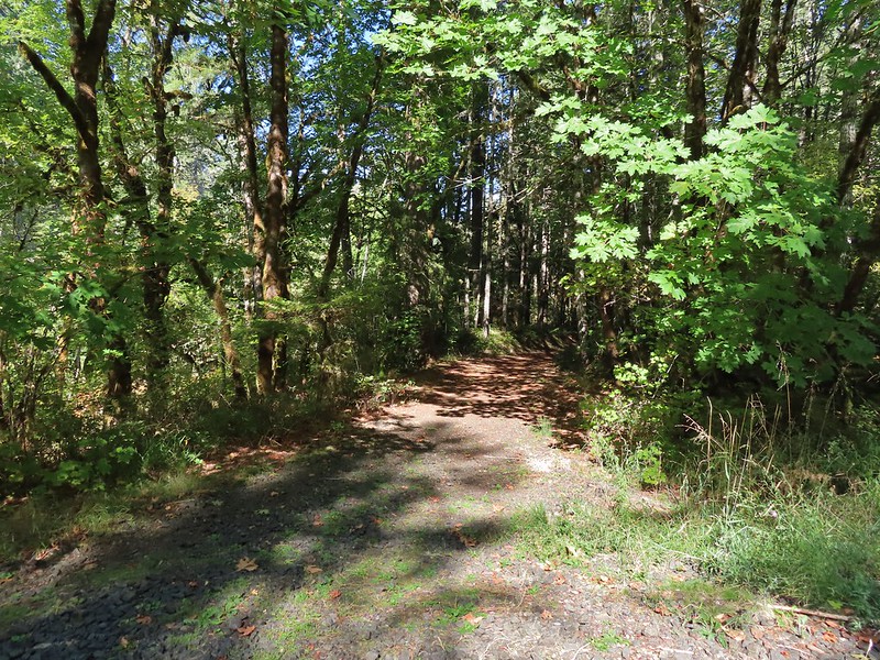


 Mt. Bachelor
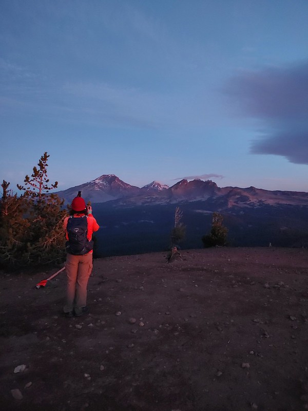 The Three Sisters and Broken Top
 Mt. Bachelor via the Nikon.
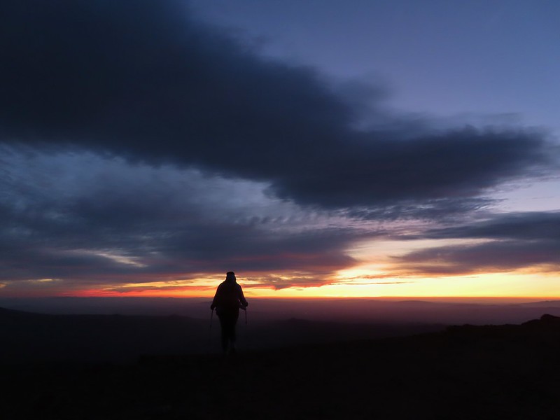 Heather watching the show taken with the Canon.
 The Three Sisters with the Canon.
 Canon
Canon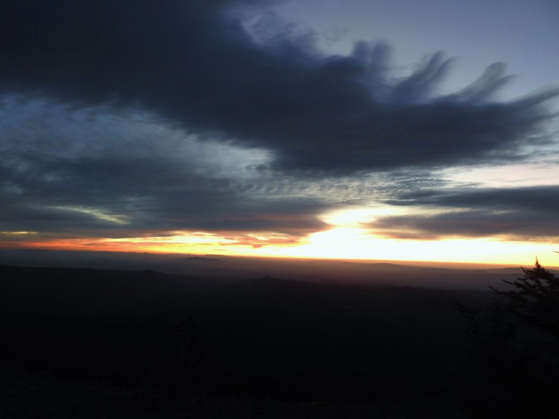 Nikon
Nikon Mt. Bachelor (
 Canon shortly before the Sun became visible.
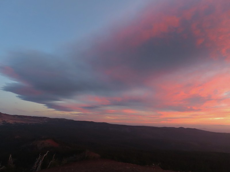 Canon shortly before the Sun became visible.
 The Three Sister just before sunrise with the Nikon.
 The Three Sister just before sunrise with Heather’s phone.
 Canon moments before sunrise. A line of wildfire smoke on the horizon gave it a red tint.
 Canon
Canon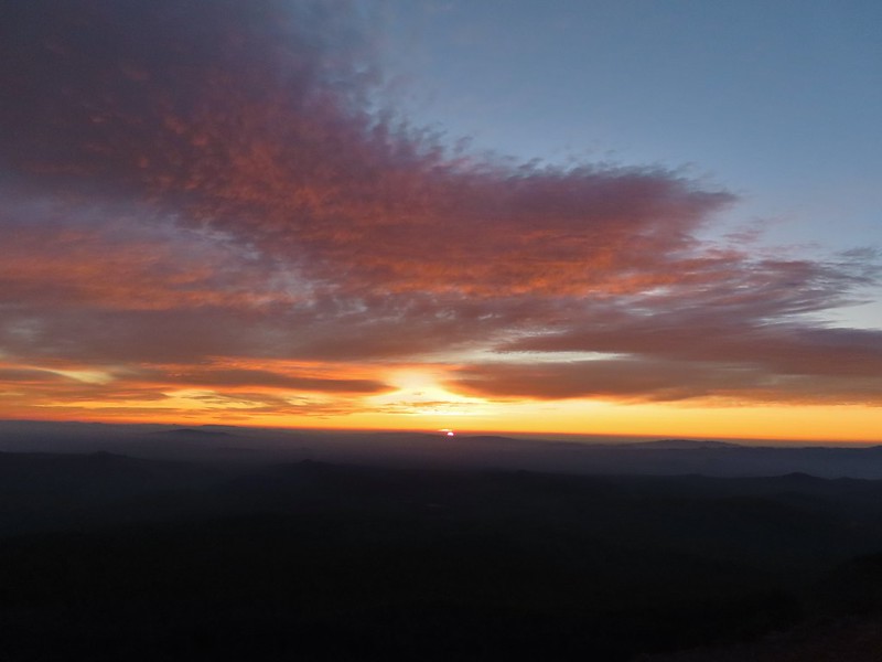 Canon catching the Sun.
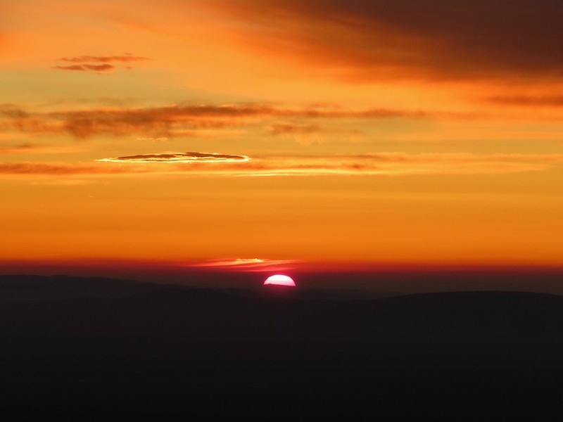 Canon
Canon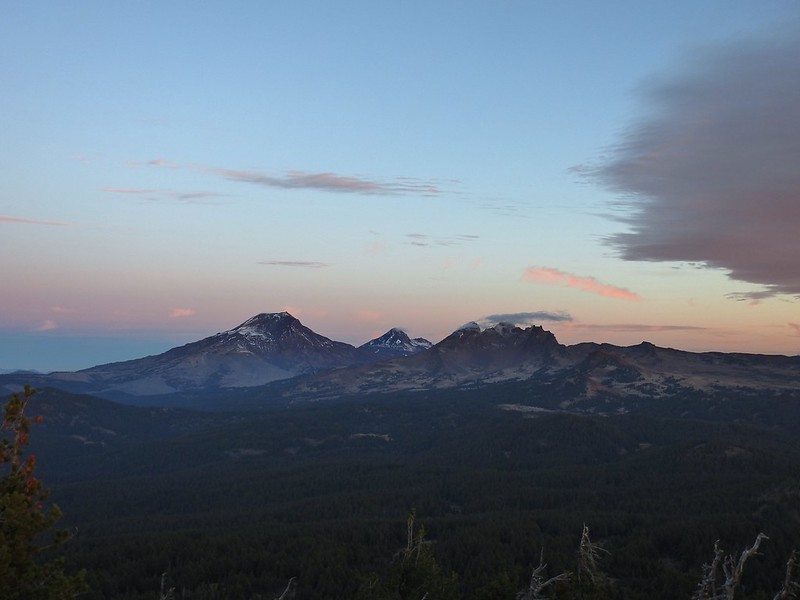 The Three Sisters and Broken Top (Nikon)
 South Sister (
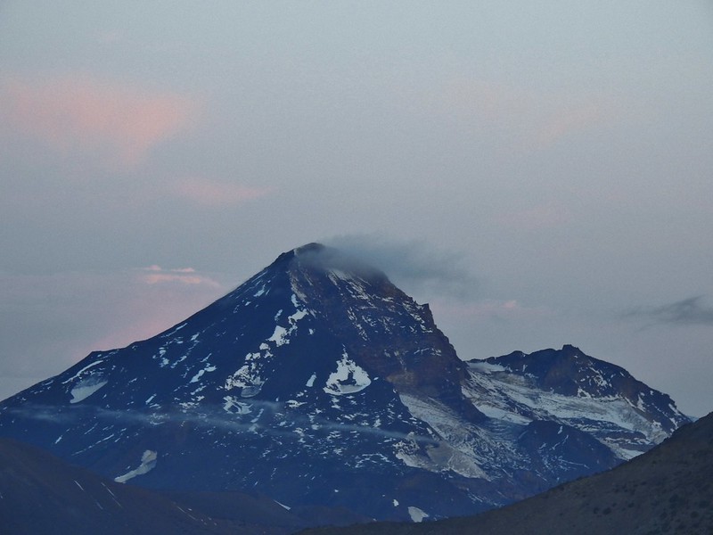 Middle and North Sister (Nikon)
 Broken Top (
 Aline glow hitting the mountains. (Canon)
 South Sister (Canon)
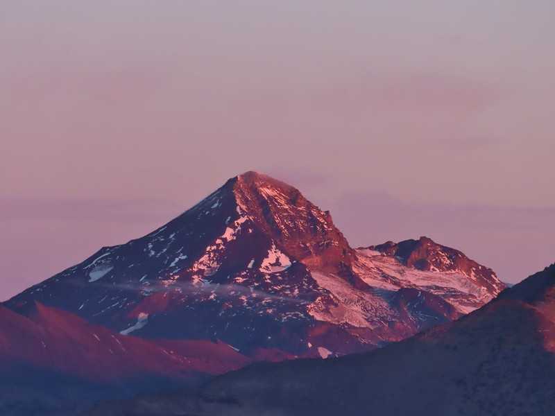 Middle and North Sister (Canon)
 Broken Top (Canon)
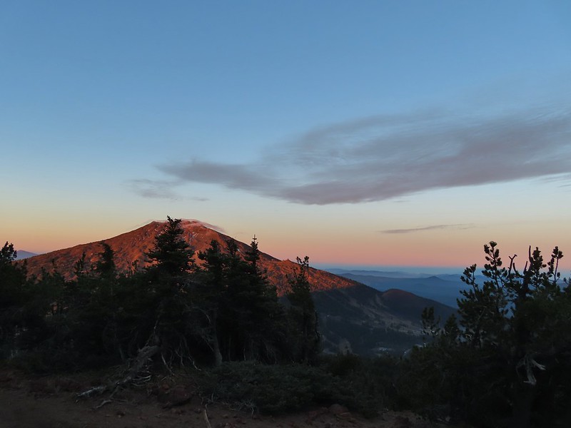 Mt. Bachelor (Canon)

 Mt. Scott to the left and Mt. Thielsen to the right.
 Grouse
 Chipmunk
 Mt. Bachelor as we arrived back at the snow-park.


 Sunlight on Haystack Butte in Washington.
 Part of Moody Rapids.
 Gum weed
 The last petals on a blanket flower.
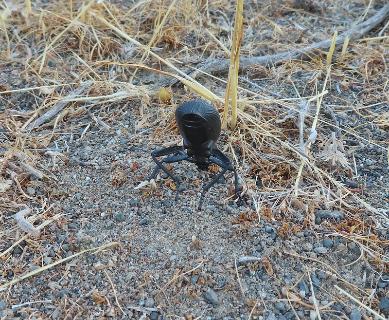 We saw several of these large beetles, all prepared to defend themselves.
 Snow buckwheat
 Chicory
 Seagull
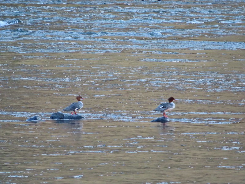 Mergansers
 Sparrow
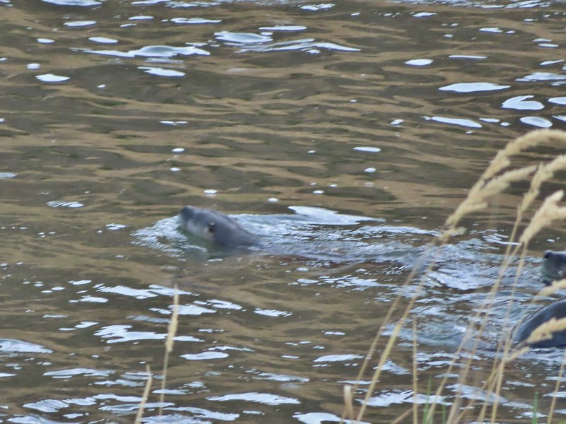 One blurry otter head and another partial otter on the right.
 A bunch of tree branches, oh and an otter in the water.

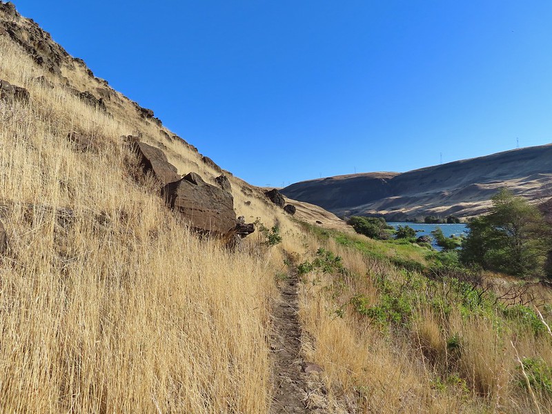
 At times there were multiple trails to choose from.
 Rattlesnake Bend is up ahead but we stopped here for a bit to watch a heron getting breakfast.

 A sparrow, possibly a Savannah sparrow.
 The trail climbed higher on the hillside for a bit to avoid some thick vegetation below.
 Rattlesnake Bend
 Railroad tracks above the trail.
 Looking back from Rattlesnake Bend near where we turned around.
 Rattlesnake Rapids
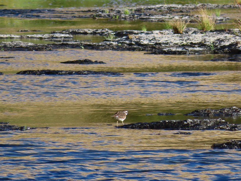 Killdeer
 An older channel?
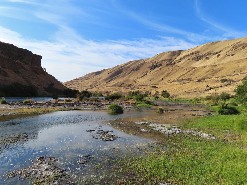

 Had to go back up to avoid the vegetation here.
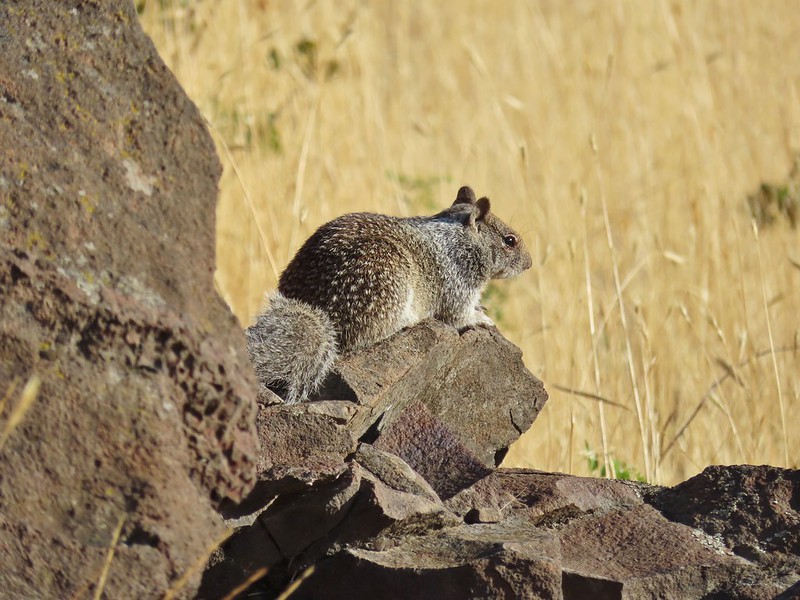 Ground squirrel
 Heron flying up river.
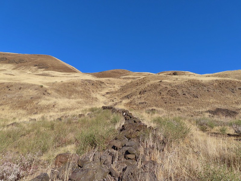 Old rock wall along the way.
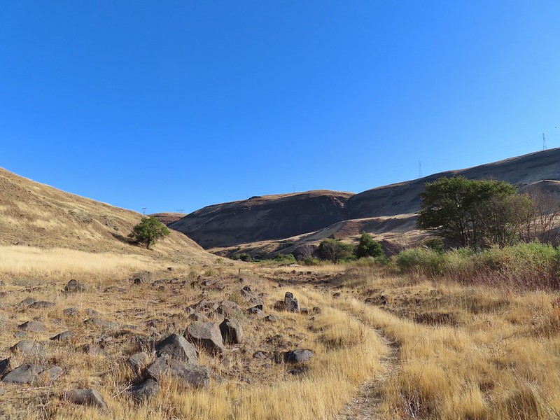 Typical use trail.
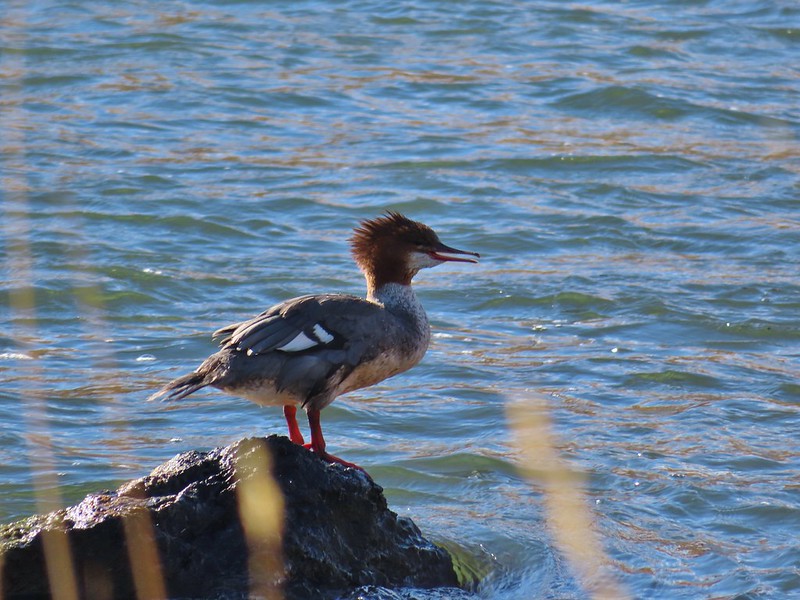 Merganser
 Aster
Aster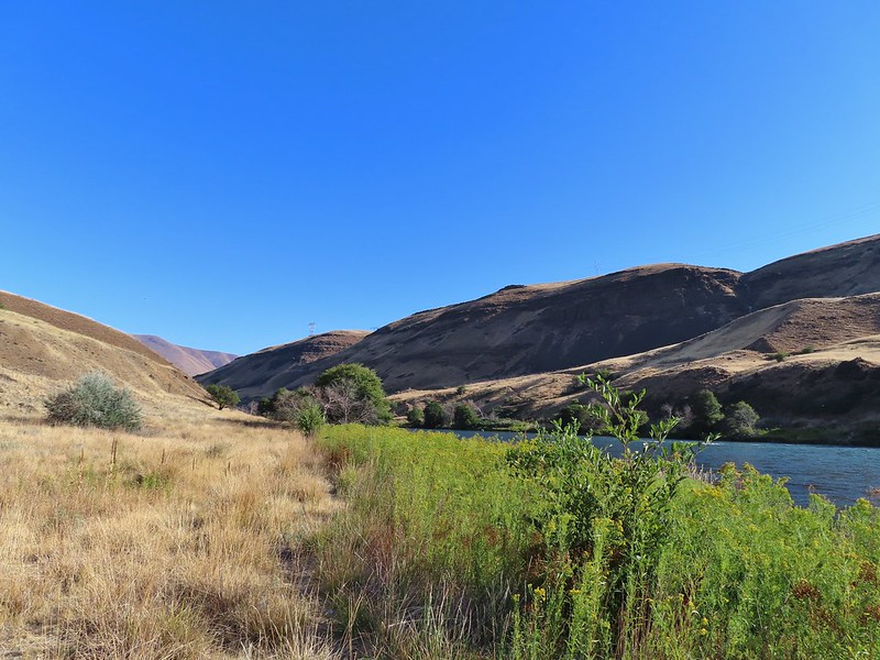
 Osprey showing up the fishermen.
 Finch
Finch More birds near the spring.
 Little yellow birds, maybe warblers?
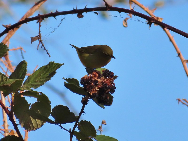 One of the yellow birds on a blackberry plant.
 Moody Rapids
 Haystack Butte
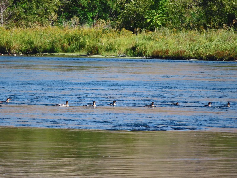 A line of mergansers.


 This squirrel was making an impressive amount of noise with its mouth full.
 Passing around one of the lake’s arms.
 One of several bridges over creeks.
 Mergansers
 The view next to the bench.
 The view from the bench.
 Going around another arm.
 A checker-mallow
 Aster
Aster Forest as we neared the campground again.
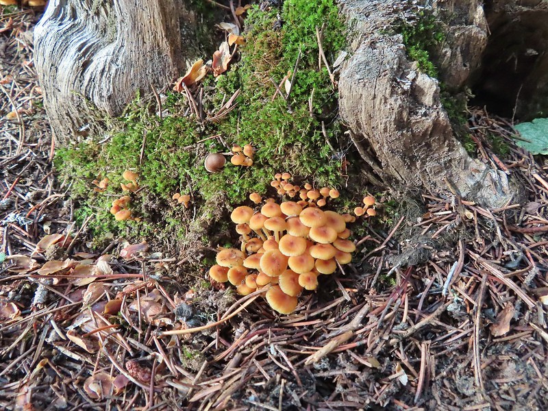
 Arriving back at the ramp.
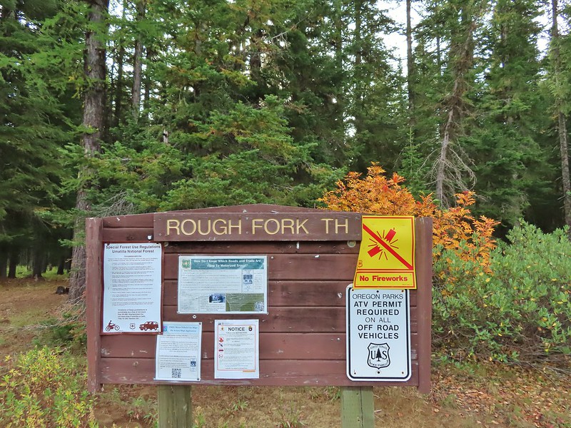

 The first part of the trail passed through a stand of trees.
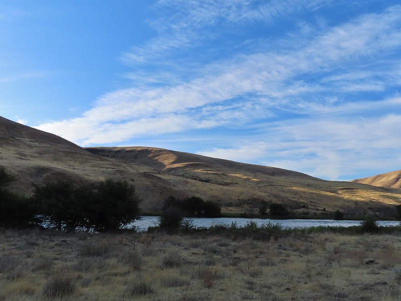
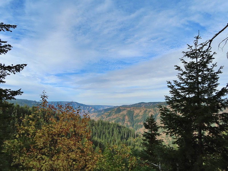 View to the west along the South Fork Walla Walla River canyon.
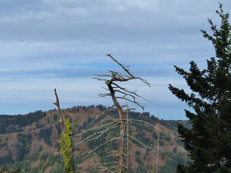 Loved the top of this tree.
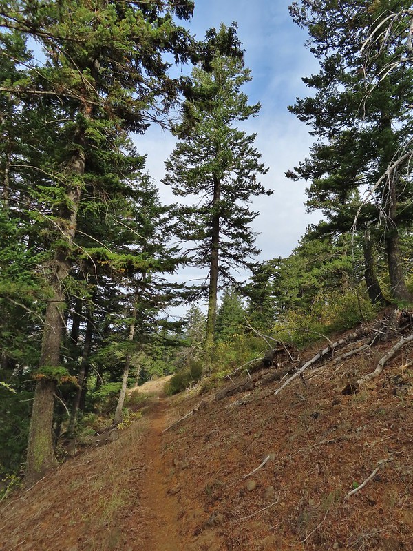
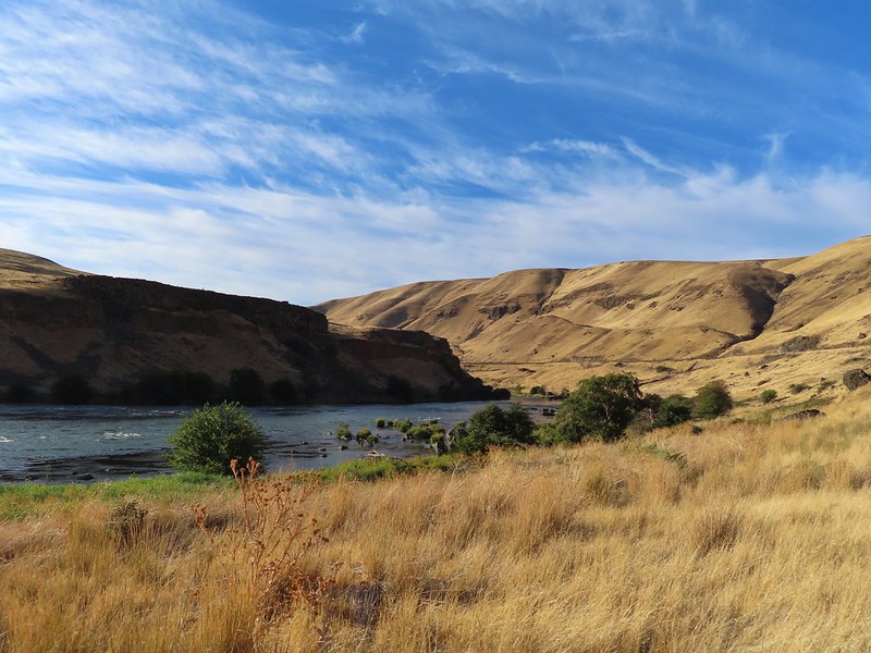
 Another view, there was just a hint of smoke in the air giving the hillsides a blue tint which is where the name “Blue Mountains” comes from. Apparently smoke has been a common occurrence here for a long time.
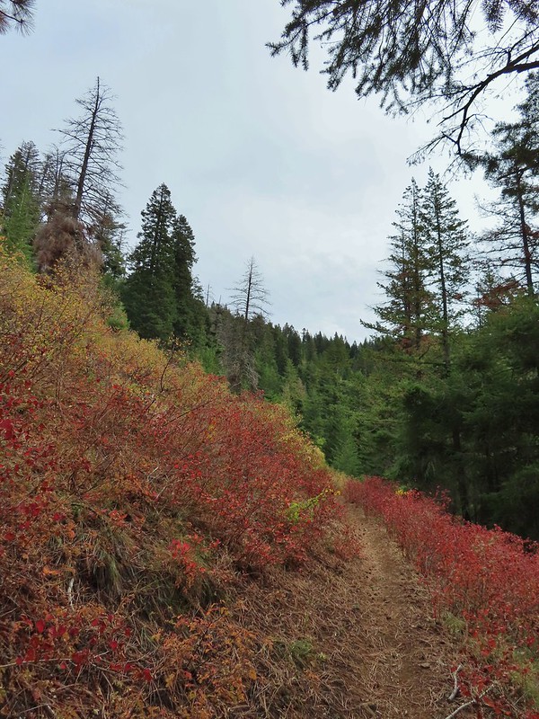
 There was a lot more Fall color along this trail.
 Paintbrush
 Cone flower
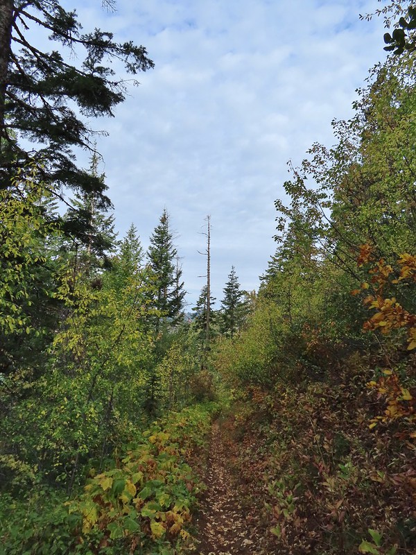
 Aster amid some thimbleberry leaves.
 Vine maple


 Looking down toward the Sheep Creek.
 Finally found the river.
 There was a 6 to 8′ waterfall along Sheep Creek but no way to get a clear view of it through the thick vegetation on a steep hillside.

 Two types of clover.
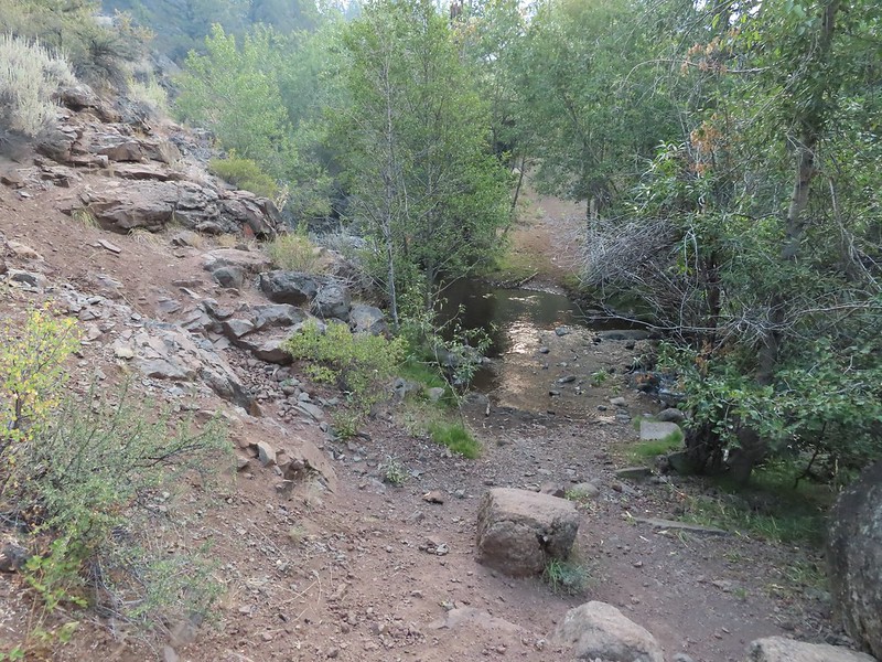
 Footbridge over the South Fork Walla Walla River.


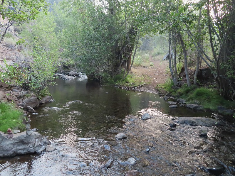
 Reser Creek on the left joining the South Fork Walla Walla River just upstream from the bridge.
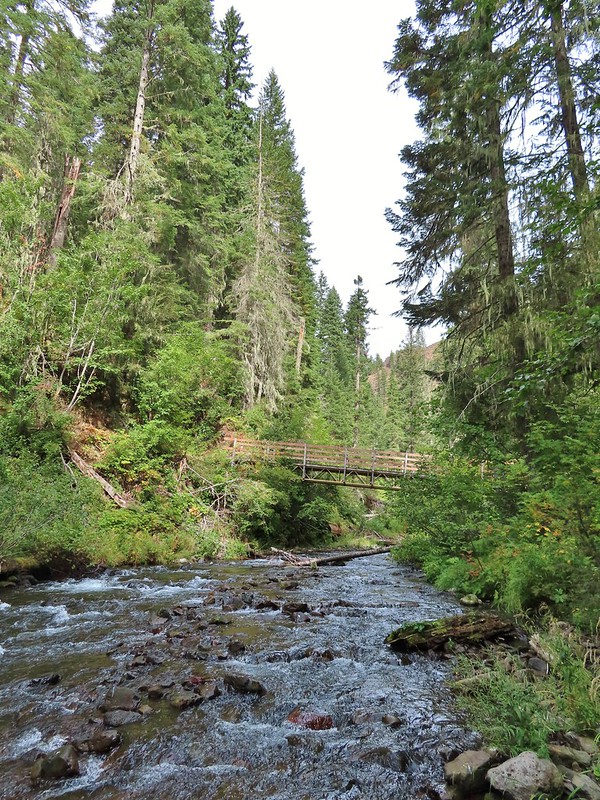 There were just enough exposed rocks for me to work my way downstream from the bridge to Sheep Creek.

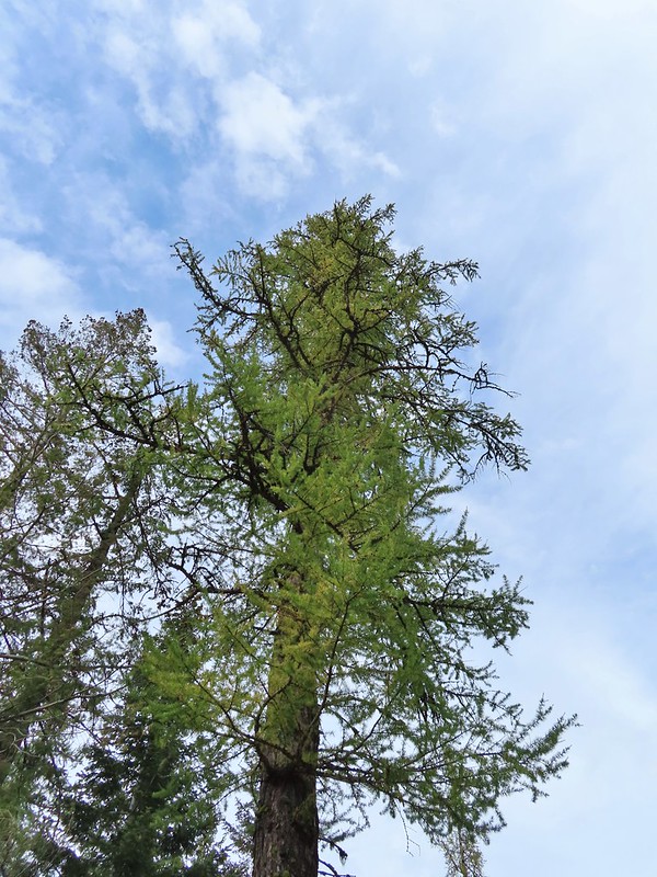 A couple of the larch trees were just starting to turn color for the fall.
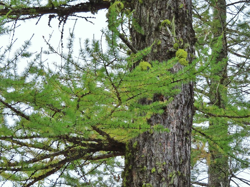

 A scarlet gilia blossom waiting to fall off.
 A final view back over the canyon with the crooked tree.
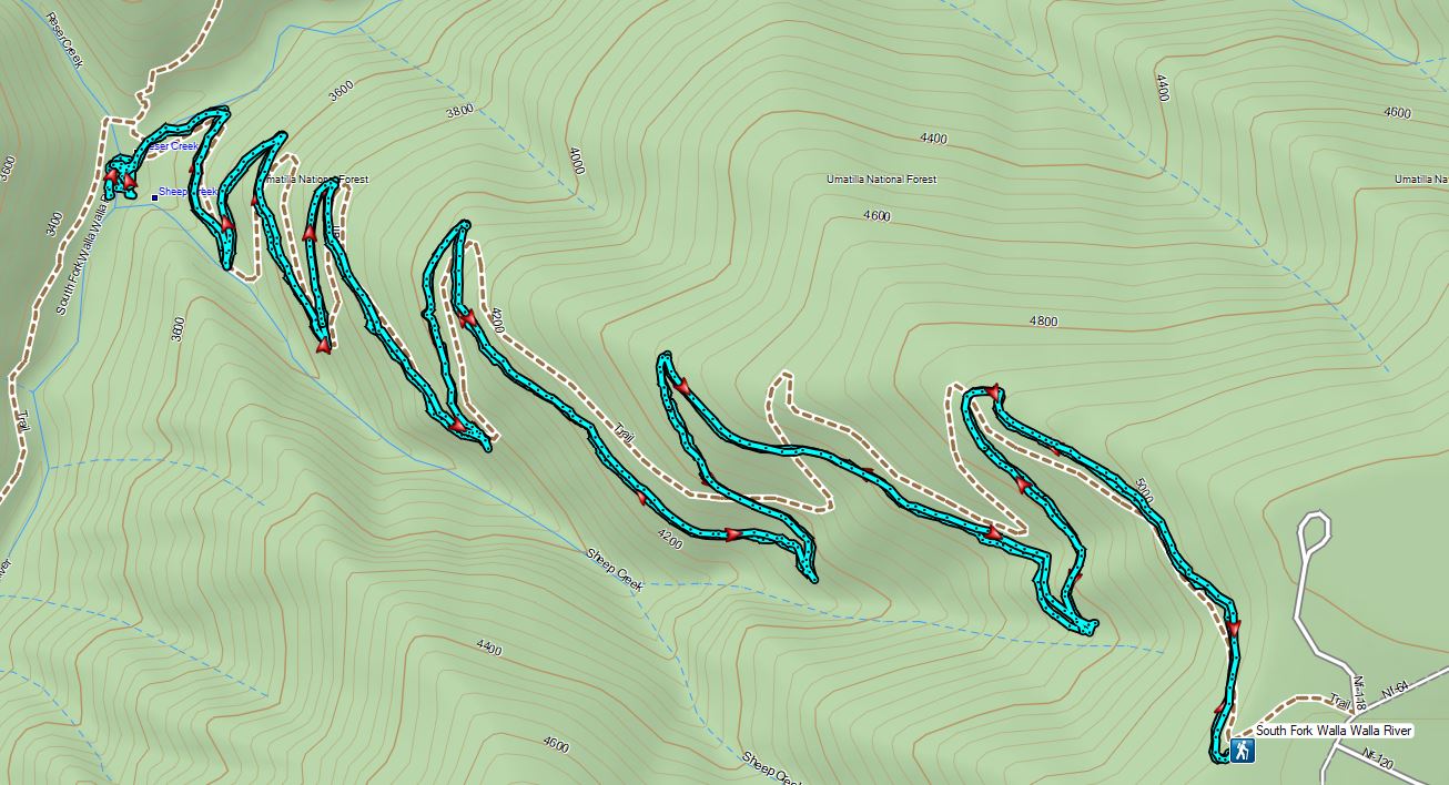
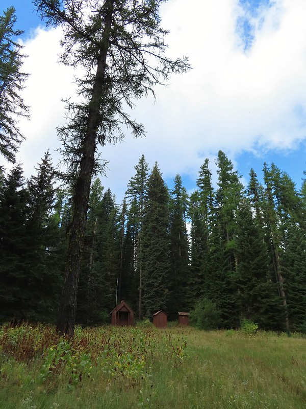 The guard station.
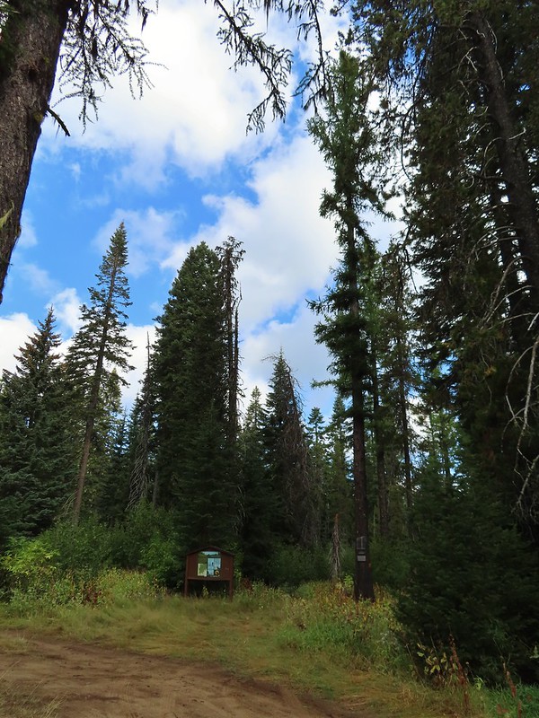 The only “parking spot” open near the actual trailhead.

 There was a lot of cone flower along the trail.
 It had rained the night before but most of the moisture had already dried up or evaporated.
 There were just a few flowers hanging on.
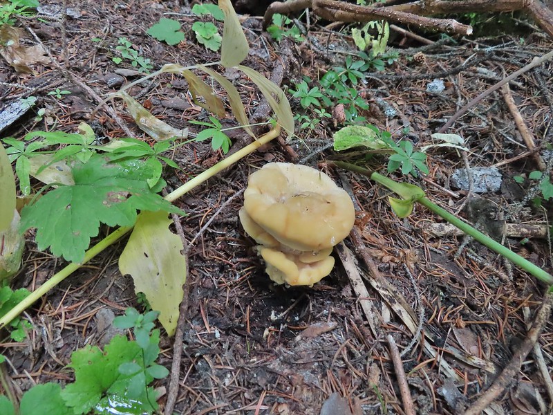
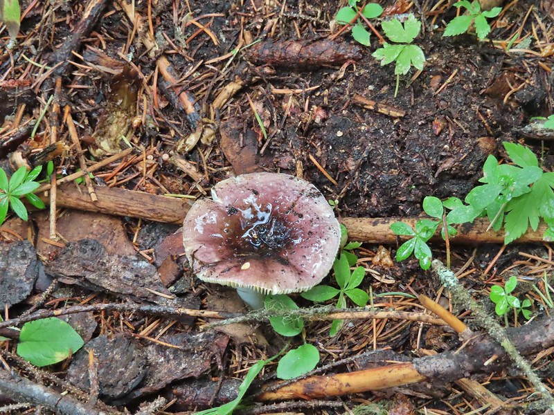
 There was also a nice variety of mushrooms.
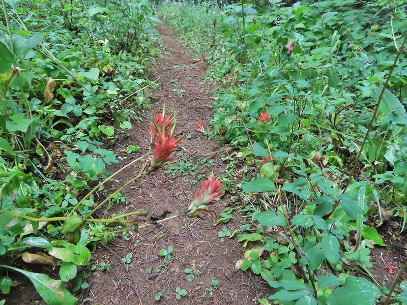 Paintbrush

 One of the small streams.
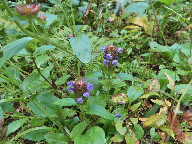 Self-heal
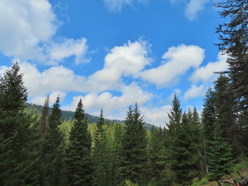 There weren’t many views along the trail but this one was nice.
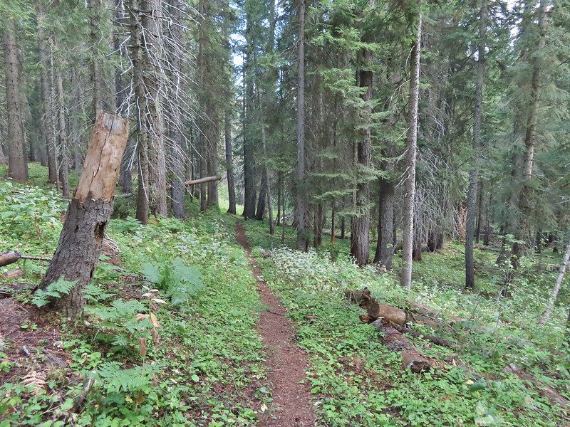
 Pearly everlasting
 Ghost pipe
  This was one of the smallest frogs we’ve seen. When I first saw it jump I mistook it for a grasshopper.

 South Fork Wenaha River


 One of two snakes we came across, both the harmless types.
 South Fork Wenaha River
 Fall colors along the trail.
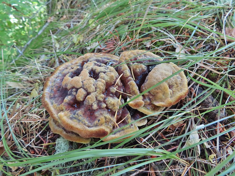

 Milk Creek with the Wenaha River Trail continuing on the far side.
 Milk Creek joining the South Fork Wenaha River.
 Elderberry near Milk Creek
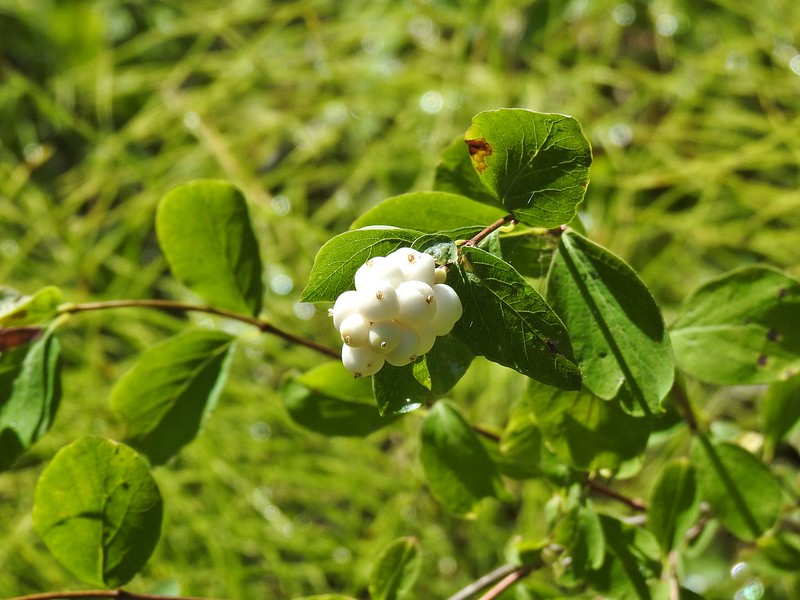 Snowberry
 Might be an aven?
 Coral fungus
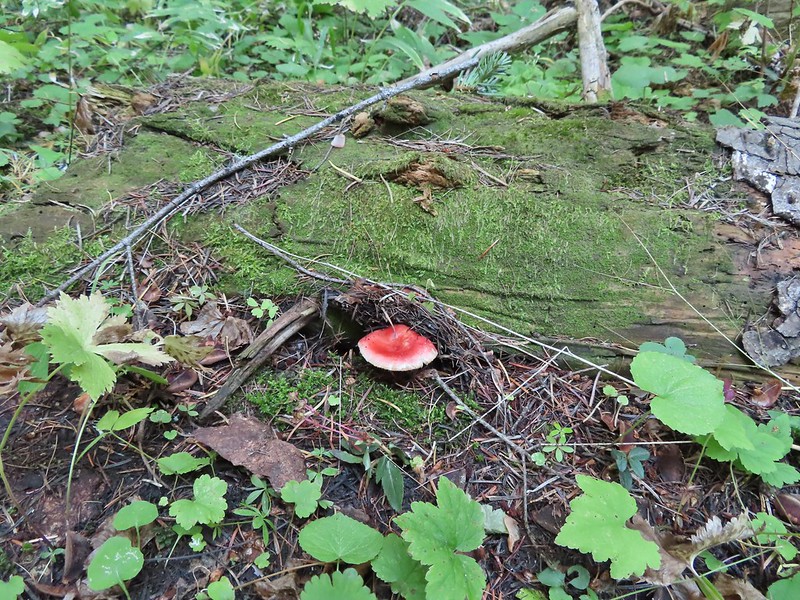

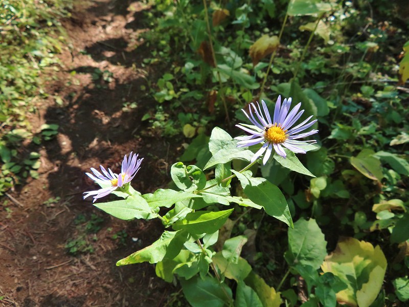 Aster
Aster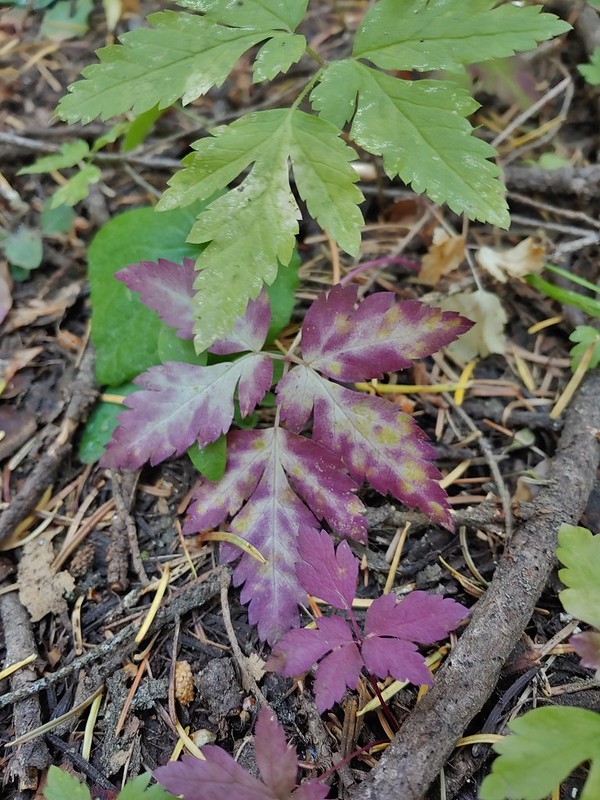
 A lone arnica still blooming.


 The view back along the road to the fork.
 Road walk
 Rabbit


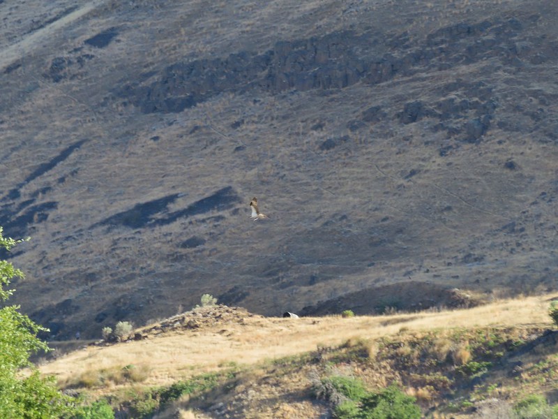
 A hawk in a dead tree above the springs feeding Sesena Creek.
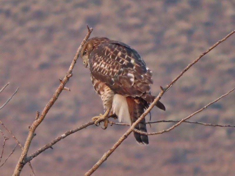
 This was the only water we’d see all day.
 The first cairn from later in the day.


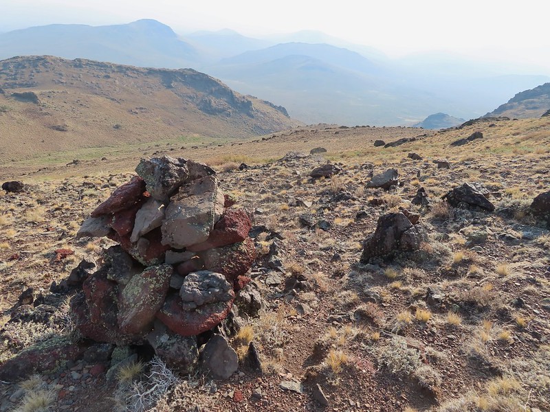
 View from cairn #3.
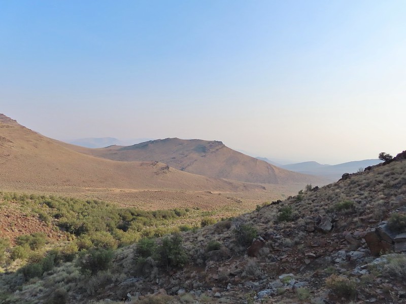 Looking back over the mahogany trees, the rise with cairn #2 and the cow lick.
 Looking up the steep hillside.
 On the climb up to #5.

 The view from the saddle.


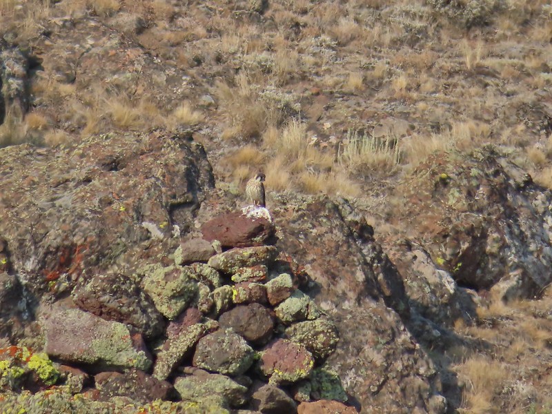 A kestral on a cairn.
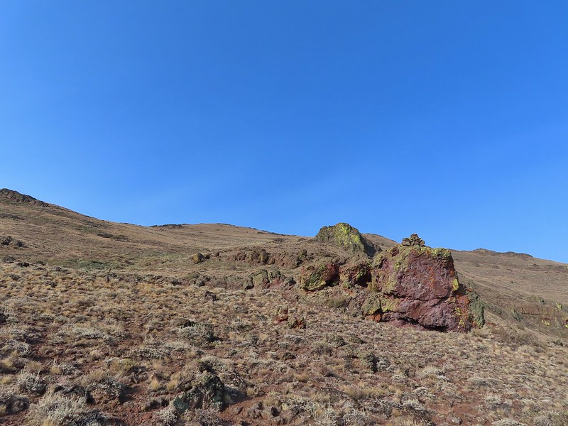

 You can see Heather following me up on this “less” steep section.
 Looking down into the haze in the east.
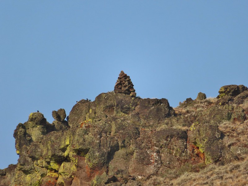 Cairn #7 was being guarded by magpies.
 View south over the Pueblo Mountains.
 Passing below cairn #7 (upper right corner).
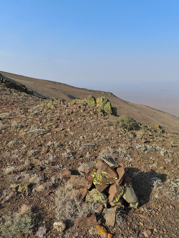
 View to the NW from the pass.
 Pueblo Mountain (the large rounded peak) from the pass.
 We climbed this rise on the ridge and continued on the top for a bit.
 Looking at the rocky cliffs that would force us to the west.
 It’s not a desert trail without bones.
 Looking back
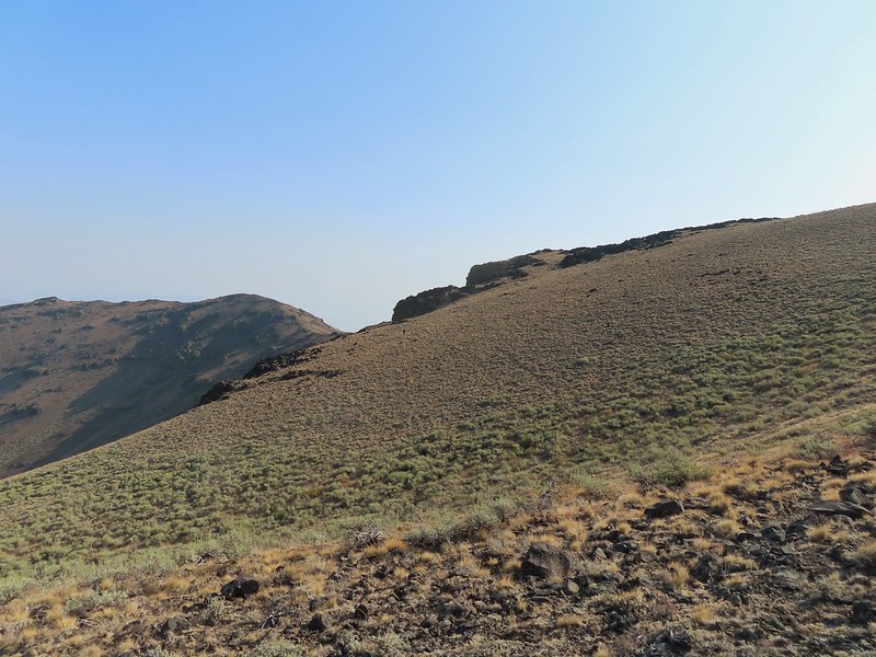 The sagebrush draw below (Heather is traversing the hillside.)
 Cairn #9 and the view west.
 The next ridge is where the high point we were planning to turn around at was.
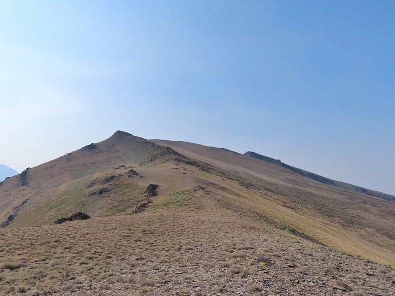 Cairn #11 in the saddle along the ridge.
 Heather dropping down to the saddle, cairn #10 was out of frame to the left here.
 View to the west from the saddle.
 Sculpted rock along the ridge.
 Heather making her way up to #12.
 Thought this might be an arrowhead or at least something that was used for a tool of some sort.
 Heather resting by cairn #12 while I scouted the route.
 A hazy Pueblo Mountain (and more of the Pueblo Mts.) from the high point.
 Cairn #15 is on a small rock outcrop near the saddle at center.
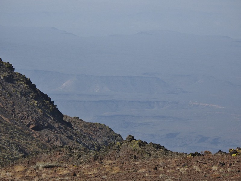 Cairn #15 (at least we think).
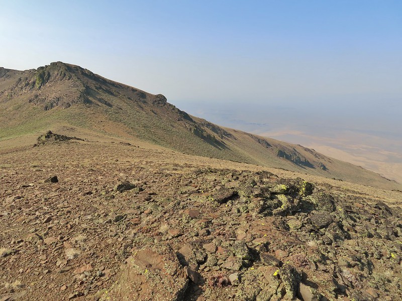 Cairn #15 below from the cairn #14 coordinates, it appears that cairn #14 may have been at least partially dismantled.
 Oh great, more uphill.
 Peaks in the Pueblo Mts. near the Nevada border.
 Cairn #12 and the saddle zoomed in.
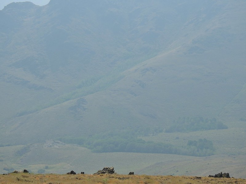 Van Horn Creek is down there somewhere as is Ten Cent Meadows.
 A lupine with a few blossoms left.
 Lots of colored lichen on the rocks along the way.
 Vertical rocks.
 Rounded rocks.
 Back to the mahogany trees.
 Cairn #2 dead ahead.
 Found the cow lick again.
 Looking back at the Pueblo Mountains from the road walk.
 Trees marking the spring and Sesena Creek.
 The southern end of Steens Mountain from the road walk.
 Sage grouse hen


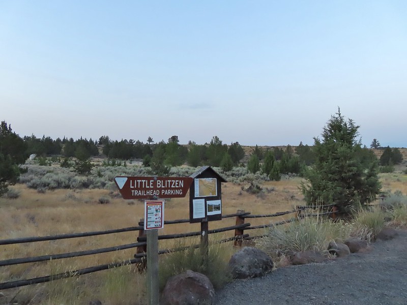


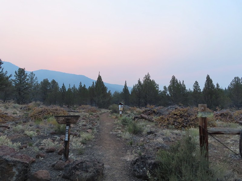
 Big and Little Indian Gorges from the Little Blitzen Trail.
 Heading for the Little Blitzen Gorge.
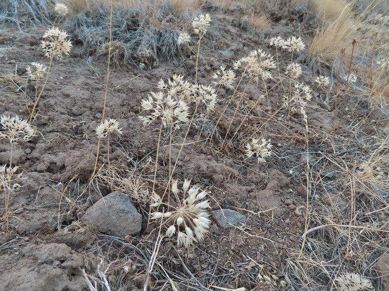
 So many dried out wild onions.


 Looking back the way we’d come.
 The view ahead.
 A stand of quacking aspen.
 Something to avoid.
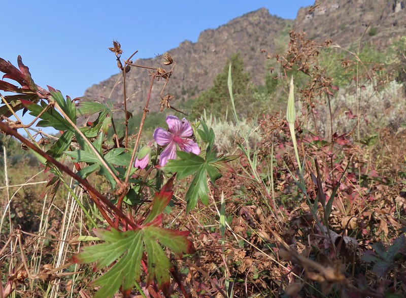 A geranium blossom.
 Passing through some willows.
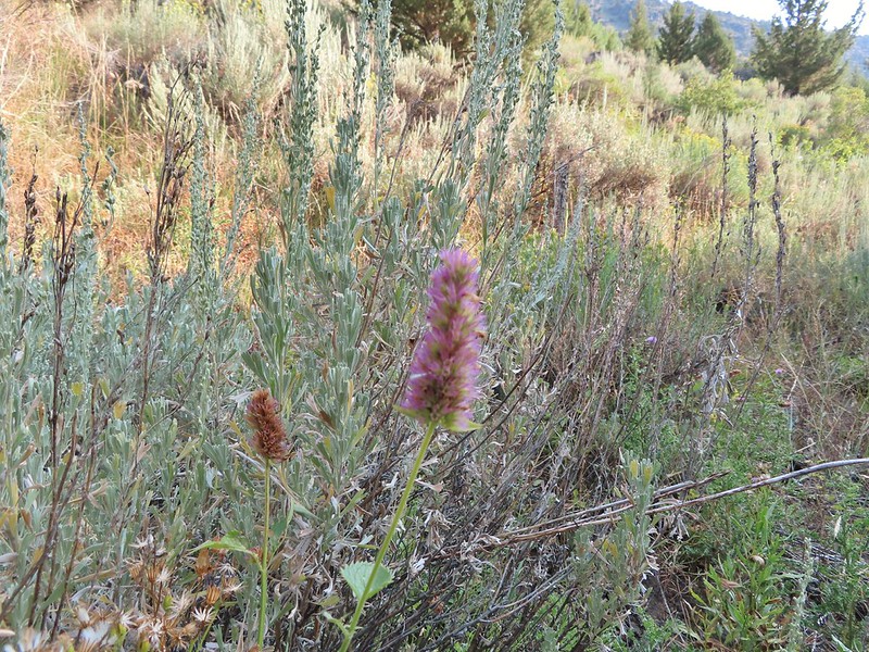 Hyssop
 Vegetation along a spring fed creek.
 Monkshood
 The view ahead where we turned around.
 A robin
 Heading back
 The Little Blitzen River near Four Mile Camp
 More of the old corral.
 Gentians under a willow.
 Paintbrush
 Another little cascade along the river.
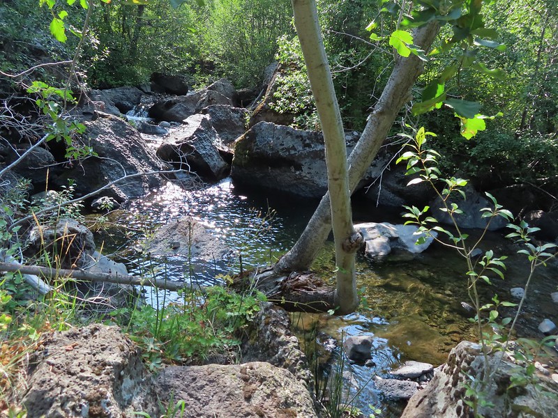 A nice pool.
 There were a number of tiny grey birds in here, at least two in this photo.
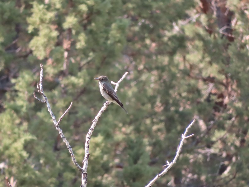 A bigger bird, but not by a lot.
 A wood nymph
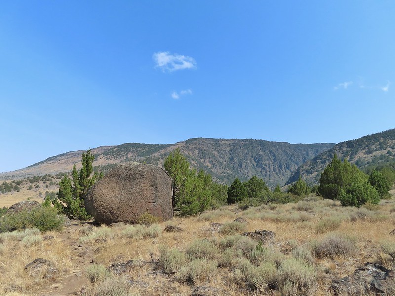 This was a huge boulder along the trail. At least two small junipers were growing out of it.
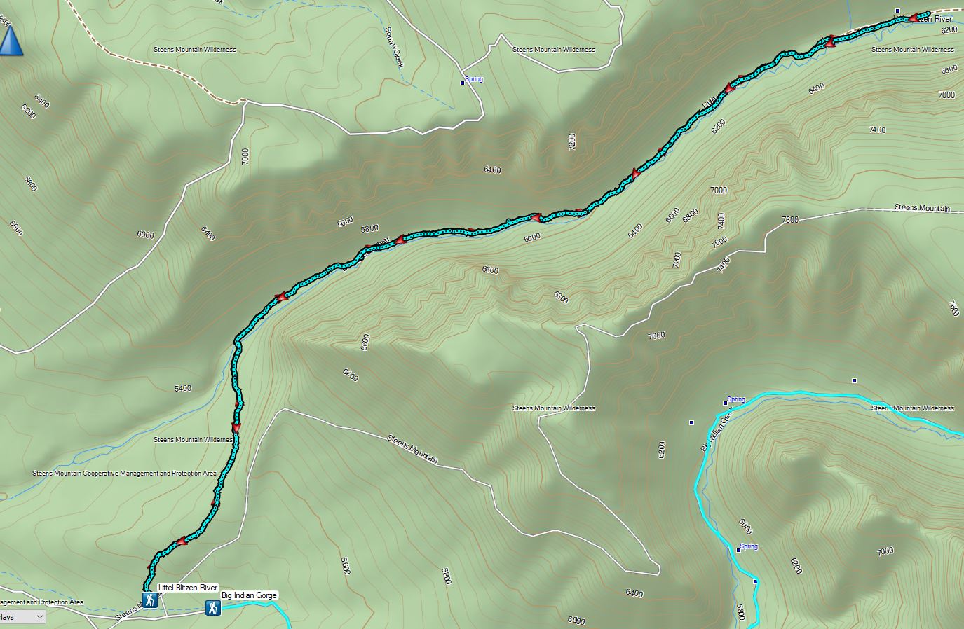

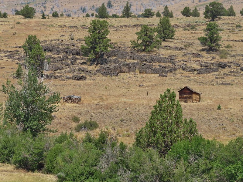
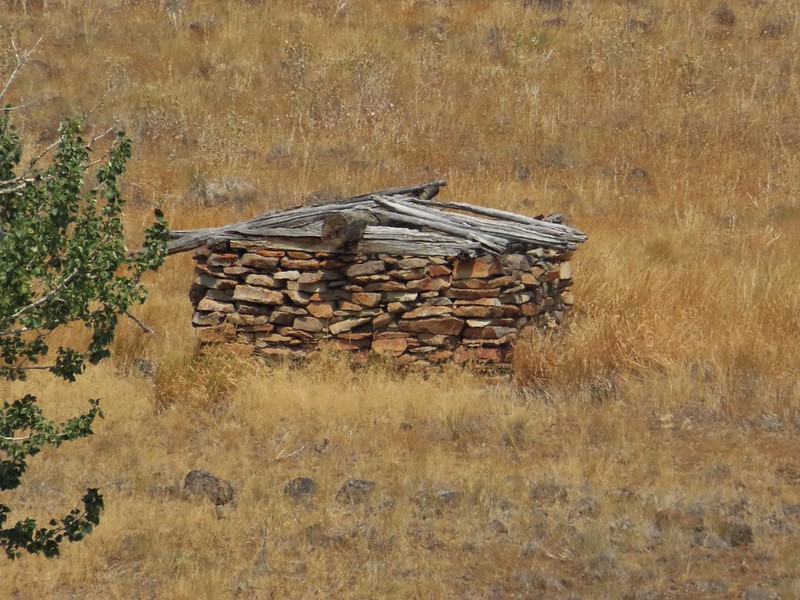 The stone house is too low to even stand up in but it was enough to stake a claim to the land.


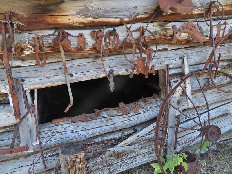
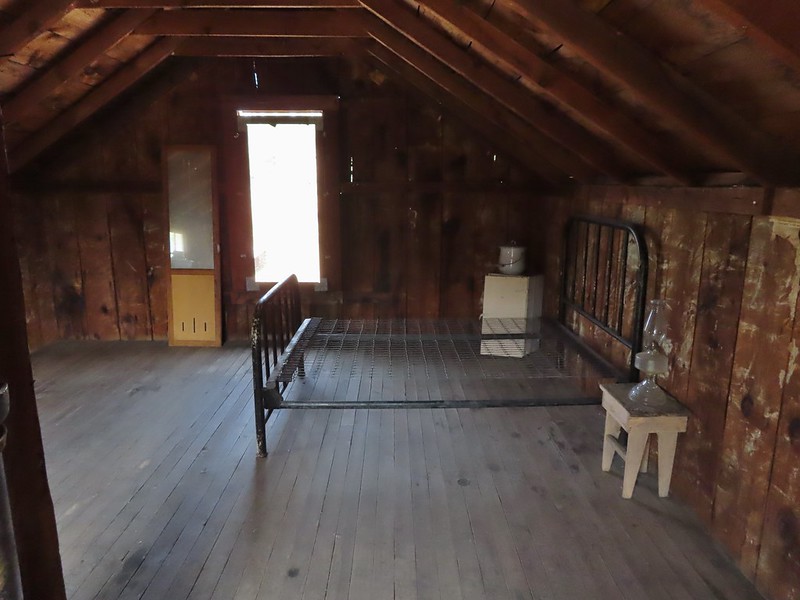 Upstairs
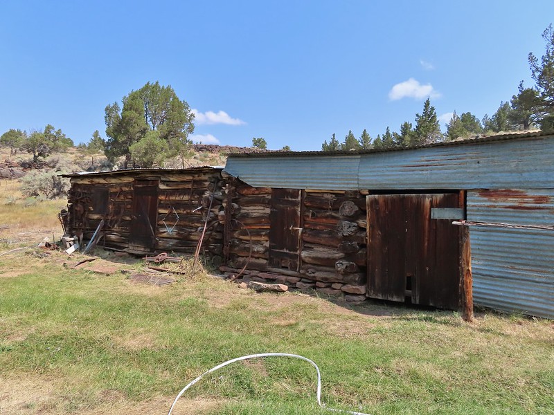
 The barn
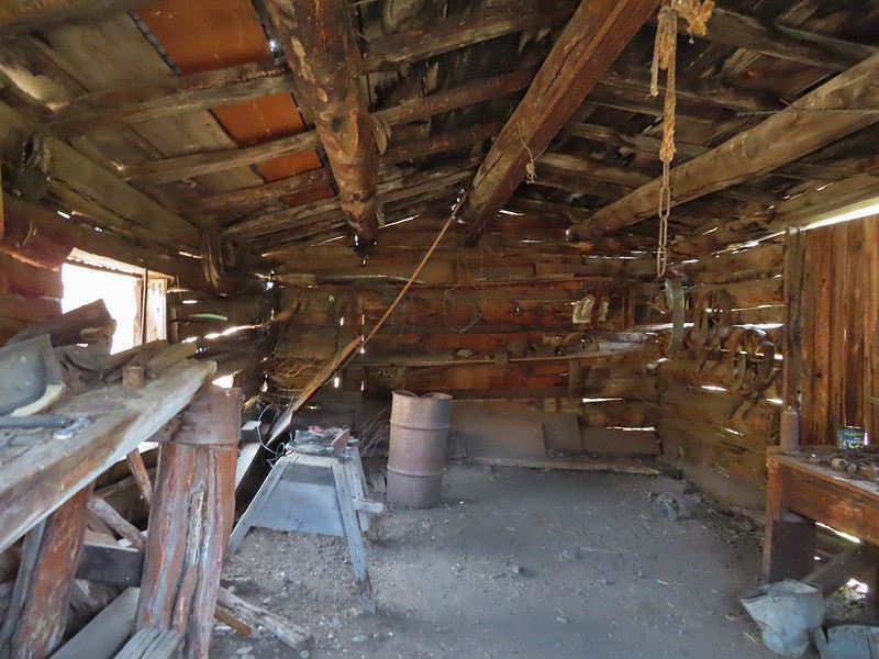
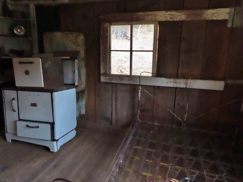 Inside the Bunkhouse
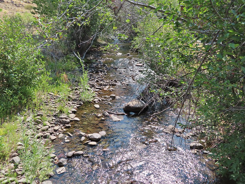
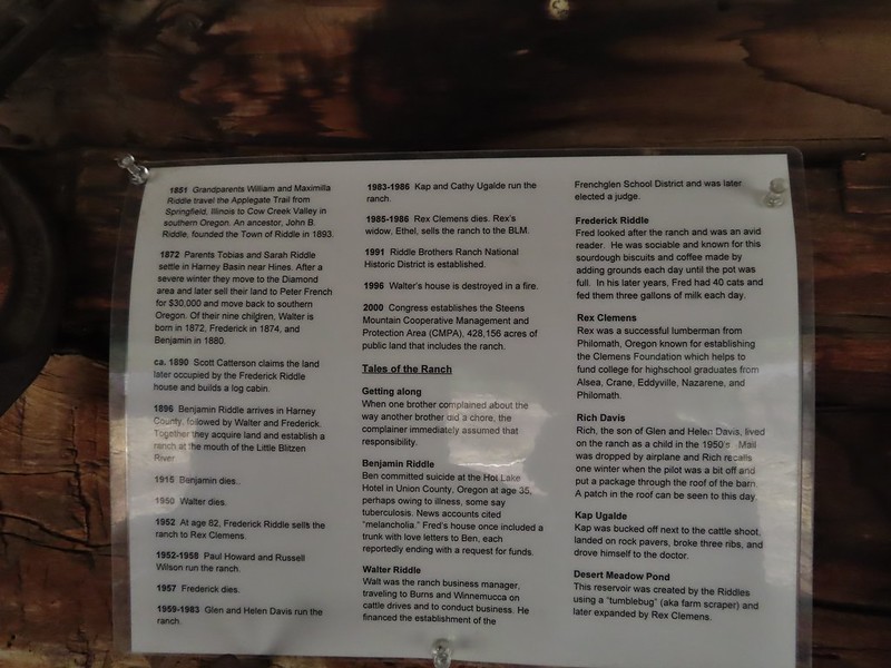
 Levi was one of 9 Prinveille Hotshot firefighters who perished on Storm King Mountain in Colorado fighting the South Canyon Fire. This hit home for me having gone to school with one of the 9, Bonnie Holtby.
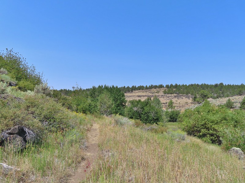
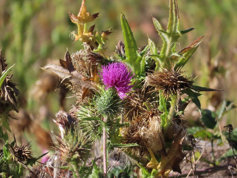
 Thistle in a field once used for hay production by the Riddles.
 Could be a green-tailed towhee


 Lots of butterflies in the grassy areas.
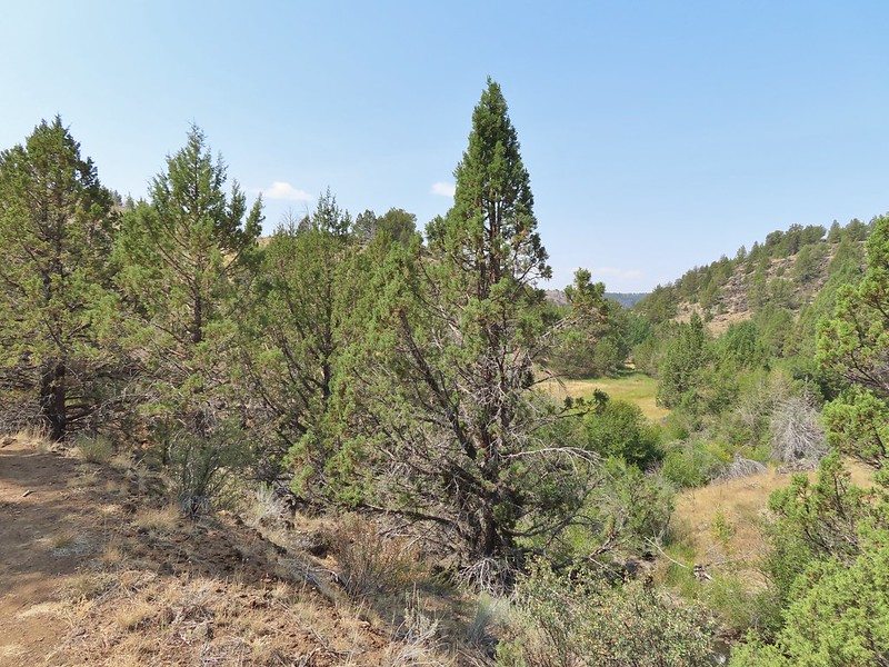


 Nearing the confluence.
 The confluence of the Donner und Blitzen River (left) and Little Blitzen River (right).
 A skipper at the confluence.
 A ringlet
 The mouth of Big Indian Gorge from the Levi Brinkley Trail.
 Old wagon at Fields Station.


 Still some smoke to the east as shown by the red Sun.
 Here come the clouds.

 Between the Sun and haze it was hard to see much of the ragged eastern side of Steens Mountain or the Alvord Desert (
 Frozen thistle
 The Alvord Desert through the haze.
 A look back at the parking area.
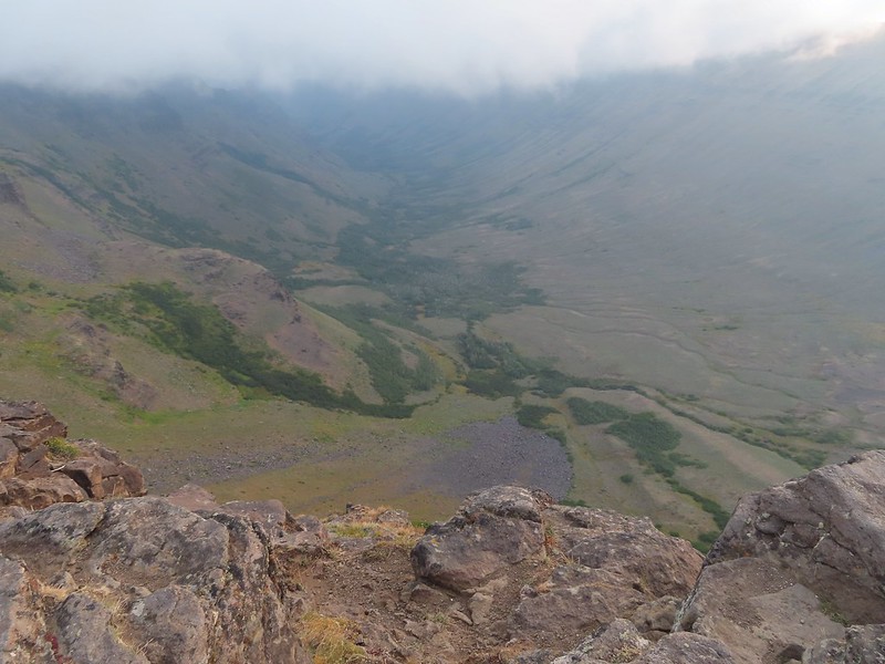
 Wildhorse Lake below the summit.
 The rocks here provided a little protection from the freezing wind.
 Big Indian Gorge (
 Heather getting a closer look at Wildhorse Lake.
 Not much snow left up here.

 Typical tread near the top.
 Buckwheat
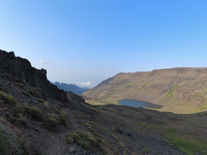 The bench.
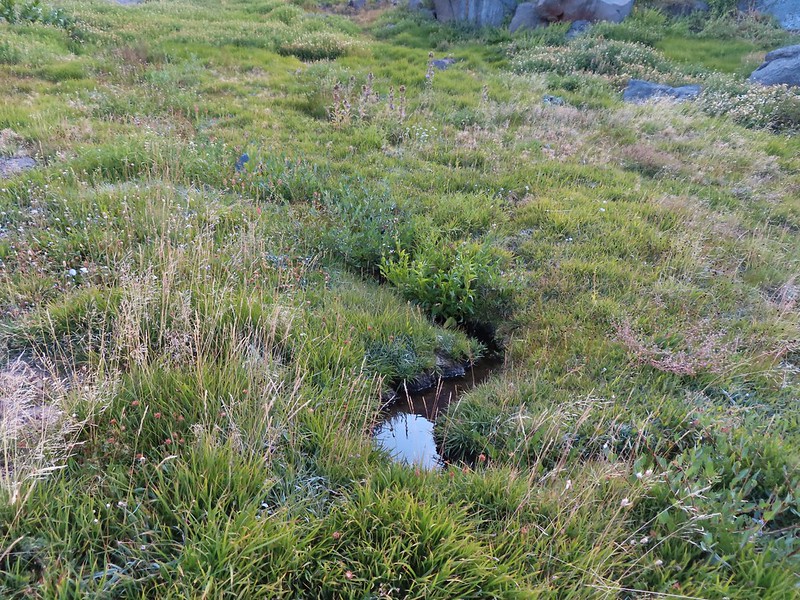 The small stream.
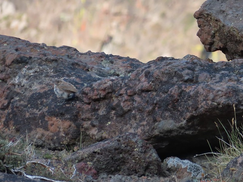 A wren.
 Wildhorse Lake from near the end of the bench.
 We were a little disappointed to see just how late we were for most all of the wildflowers. I don’t know how much the drought this year affected the timing or if it blooms that much earlier in SE Oregon but the remains of what looked to have been an excellent display were all we were left with.
 A few stone steps began the steep descent along the stream.
 A few of these little yellow flowers were still in bloom.
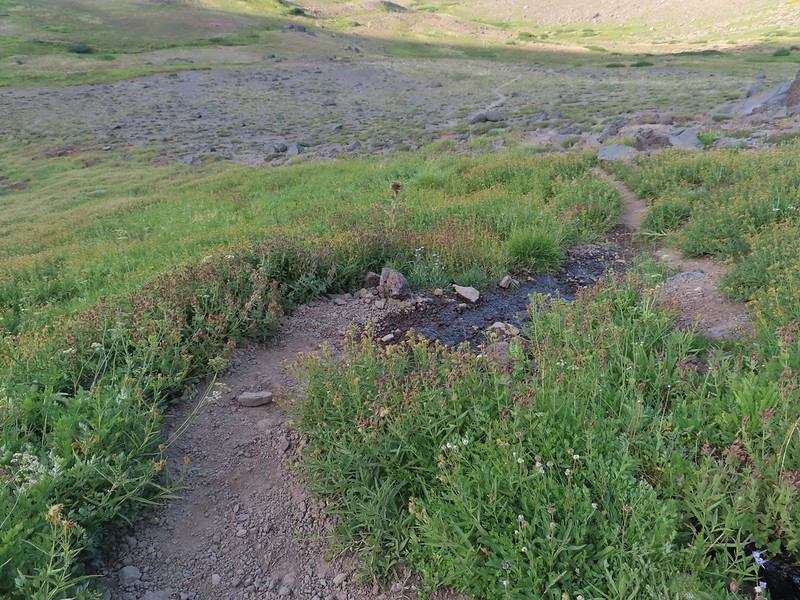 This was a mass of pink monkeyflower a few weeks ago.
 A look up at the summit.
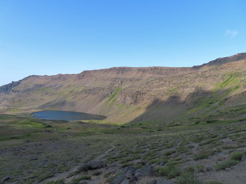 The trail descending less steeply to the lake.
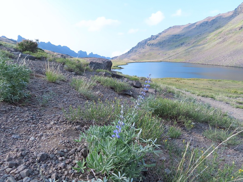 A lone lupine blooming near the lake.
 A pair of paintbrush and the remainder of some aster or fleabane.
 A ground squirrel near the lake.

 The only pink monkeyflower blossom we spotted.
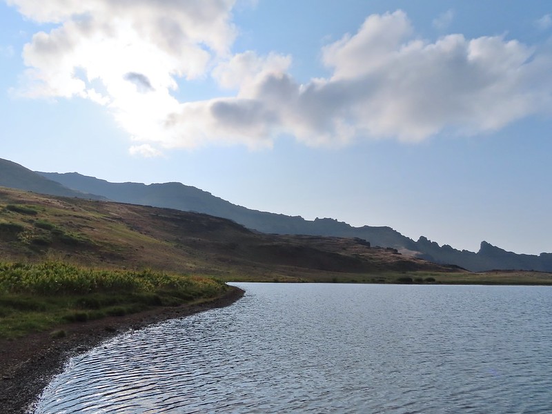
 Ranger buttons
 Mountain coyote mint
 Cascade grass-of-parnassus

 Gentians
 Wildhorse Creek
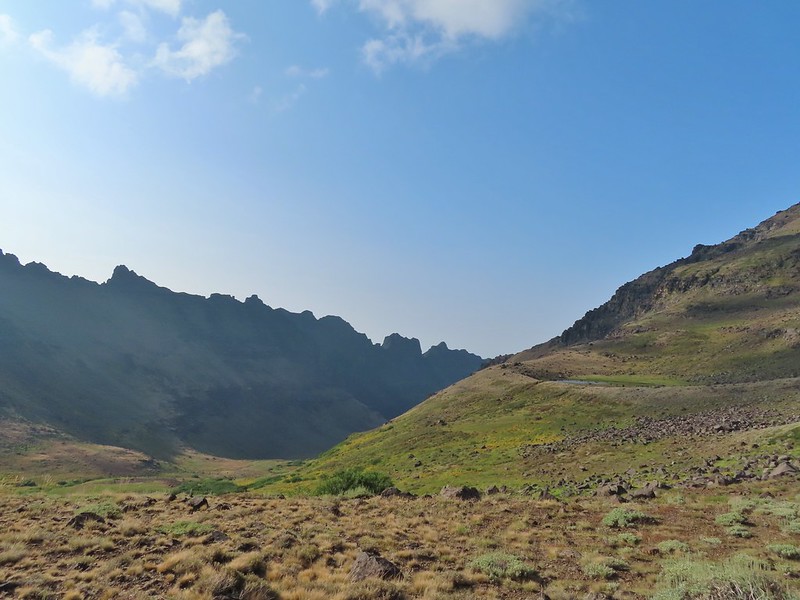 Looking down along Wildhorse Creek.
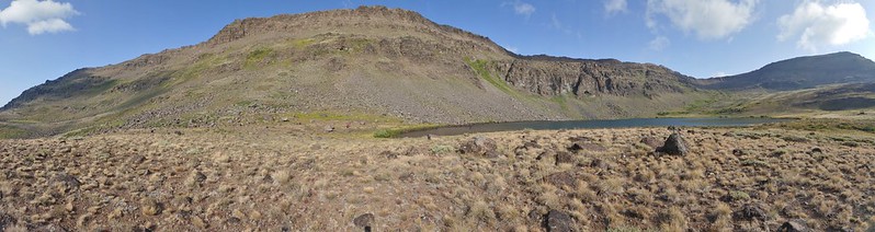 Wildhorse Lake and Steens Summit.


 Rockfringe willowherb
 Raptors soaring above Steens Mountain.

 Big Indian Gorge
 The summit from the unofficial trail.
 The trail on the ridge.
 Looking ahead at the ridge the rocky outcrop looked a bit intimidating.
 The view out over Big Indian Gorge.
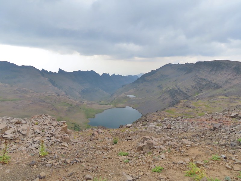 Wildhorse Lake
 I turned back here, I’m not that adventurous.
 Darker clouds over the summit from the trailhead.
 A little better view of the Alvord Desert.
 The view as we prepared to drive off.
 We did stop along the way to take a couple of photos.
 Our planned hike for the next day was up this gorge.


 The historic

 There were tons of wild onions along the way.
 Deer on one of the hillsides.
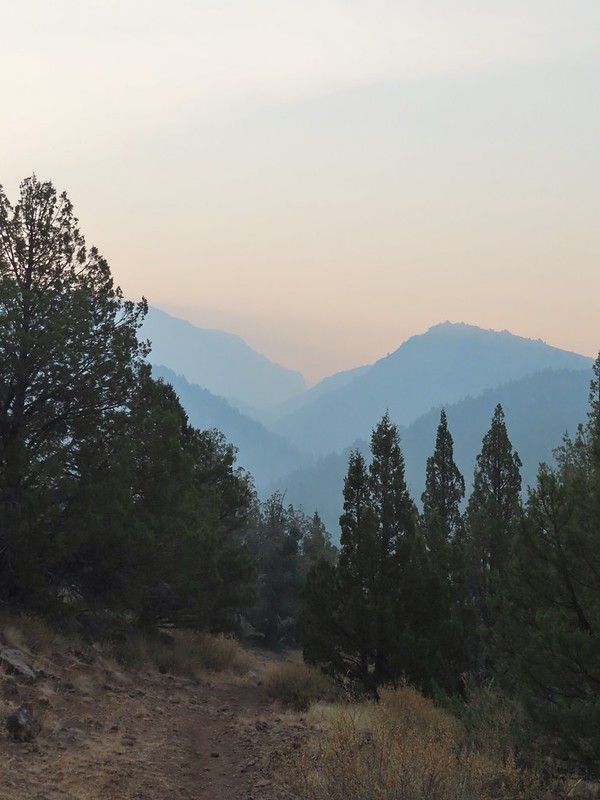 Beginning to drop down to Big Indian Creek.


 Quacking aspen along the trail.

 One of the many Brown’s peonies along the trail.
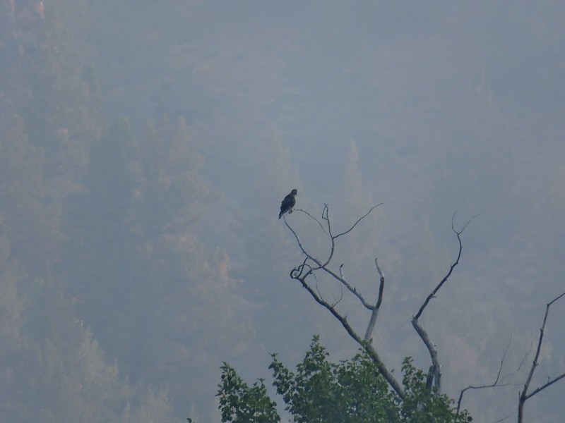 Hawk atop a cottonwood
 This counts a lupine in bloom!
 A lone yarrow
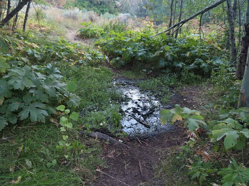 One of a couple of spring fed streams along the trail.
 Aspens and junipers
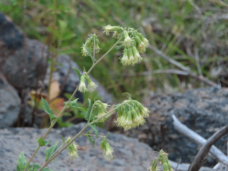 Tassel-flowered Brickellbush
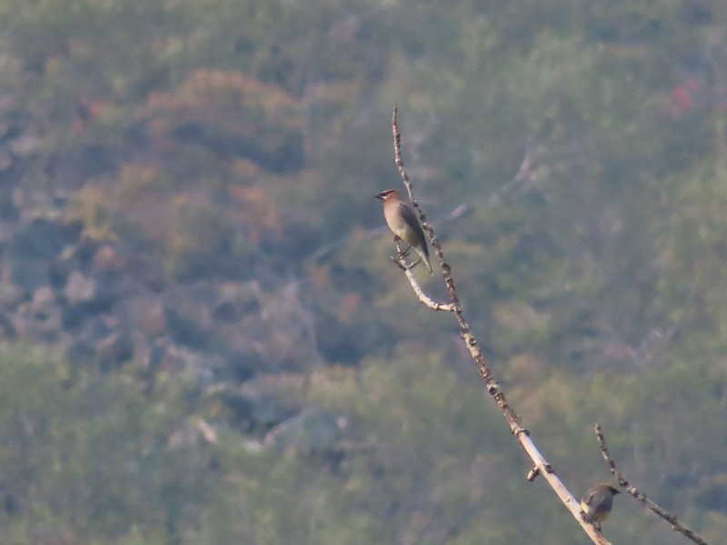 Waxwings
 The large boulder later in the day on our way out.
 One of the other spring fed crossings.
 There were lots of crickets/grasshoppers bouncing about.
 We could see some of the closer cliffs through the haze.
 We started to see a few more lupine in bloom the further in we hiked.
 What the smoke looked like ahead.
 Lots of butterflies too.
 Salsify
 Paintbrush
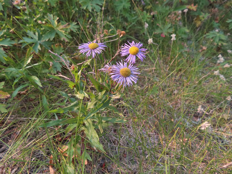 Aster or fleabane
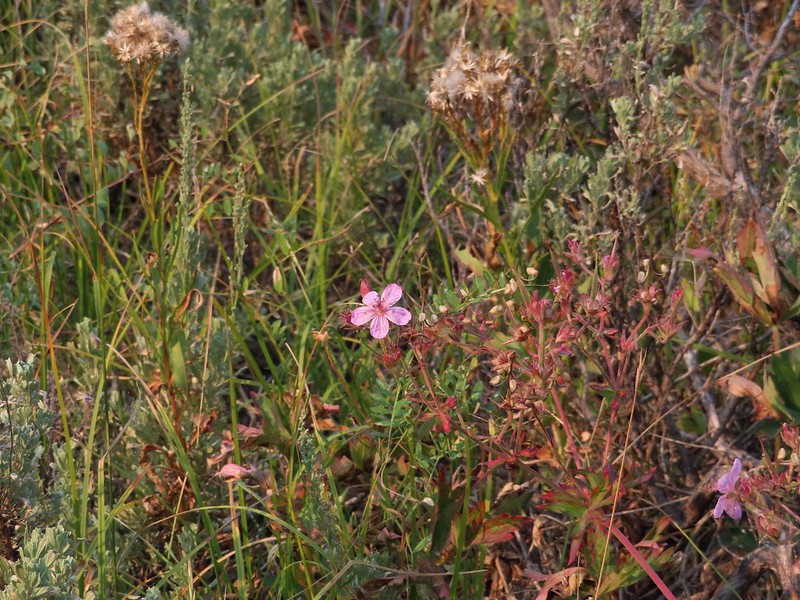 Geranium
 We couldn’t see very far up the gorge because of the smoke.
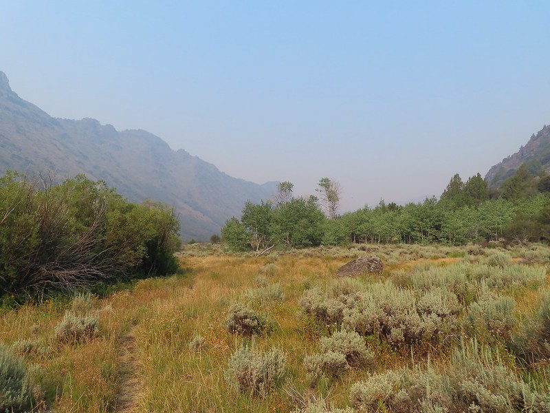 The view was better behind us.
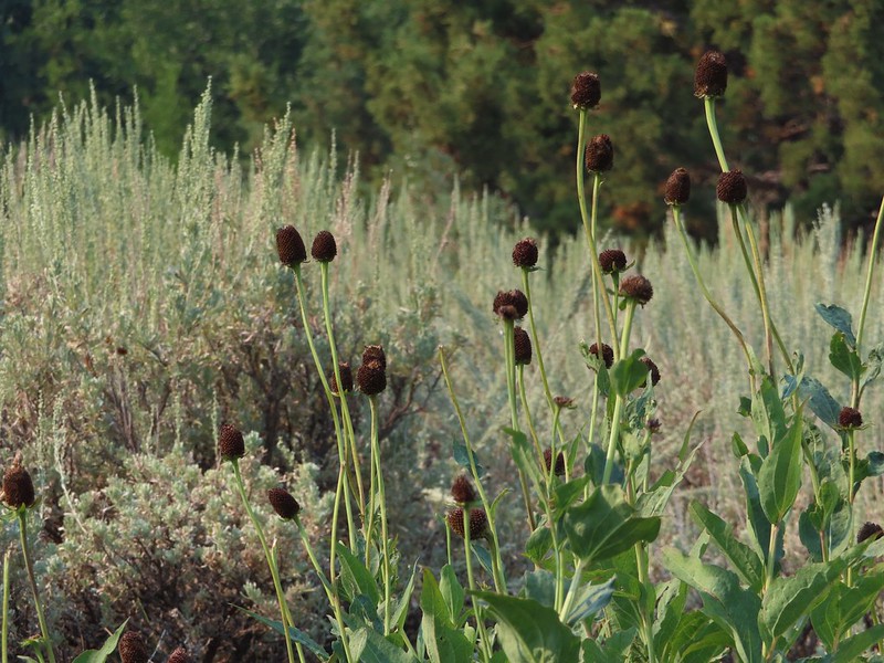 Coneflower
 Hummingbird visiting paintbrush
 A few aspen already turning golden.
 Cottonwood Camp down to the right.
 Looking up Big Indian Gorge from the trail near Cottonwood Camp.
 Genitian
 Raptor
 Cottonwood Camp
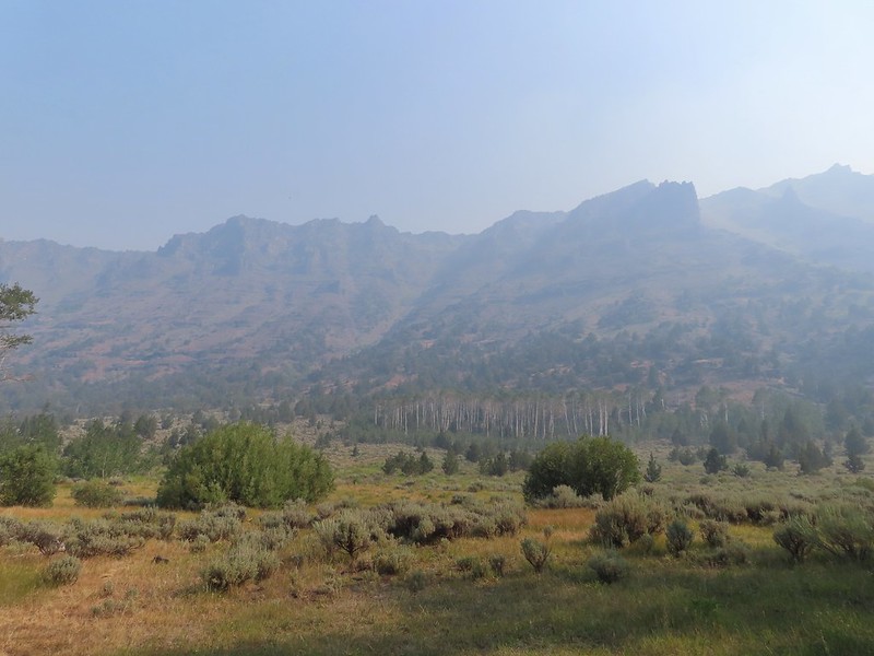 View across the gorge when we arrived at the camp.
 Big Indian Creek
 A few white clouds started to appear along with the breeze.
 The near wall above Big Indian Creek and Cottonwood Camp.
 We missed this nest on the first pass. It was about 30 yards off the trail.
 We also missed this Nuttall’s linanthus blooming along the trial.
 Improving views
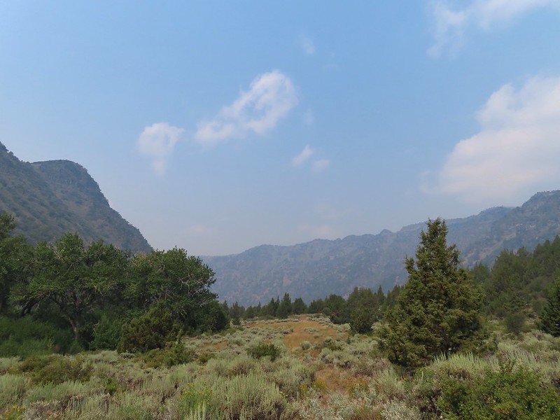
 This was a very pretty butterfly that for some reason the camera just didn’t want to focus on.
 Clearer skies above.
 Skipper
 Clouds building up over Steens Mountain
 Lorquin’s admiral
 Ground squirrel
 Some type of wood nymph.
 Back to the first ford, which I again managed to cross dry footed giving me a perfect record for the day which is unheard of.
  A comma of some sort.
 A vast improvement over the morning.
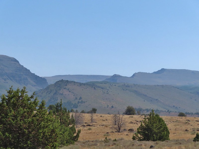 Looking back toward the gorge from the old road bed.
 What a difference a few hours can make.
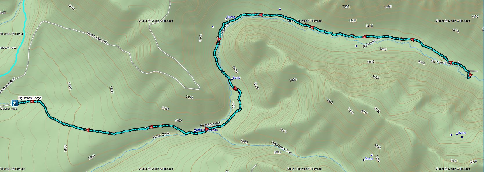
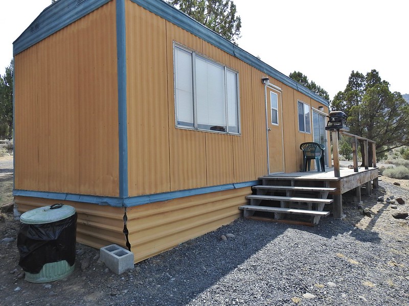 Our accommodations.
