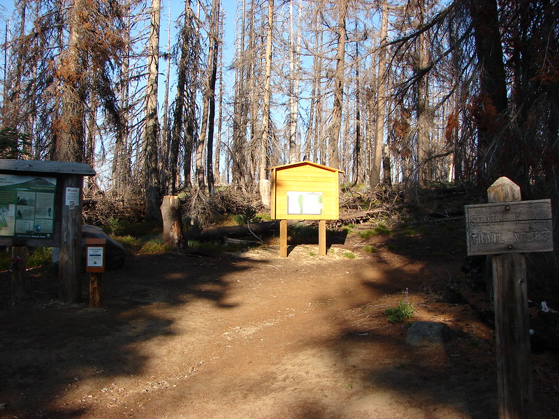
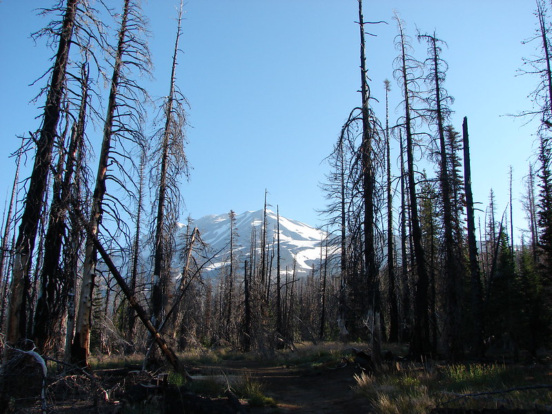
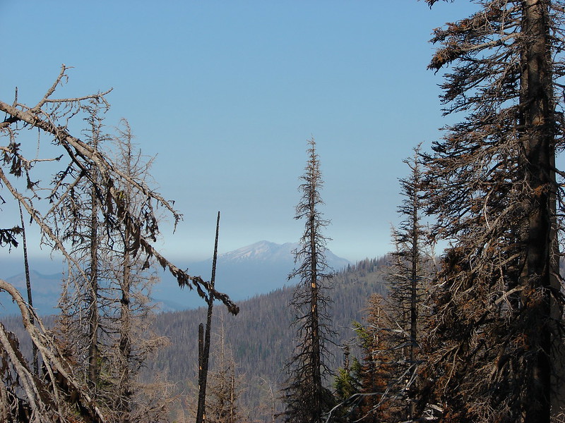
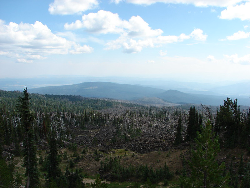
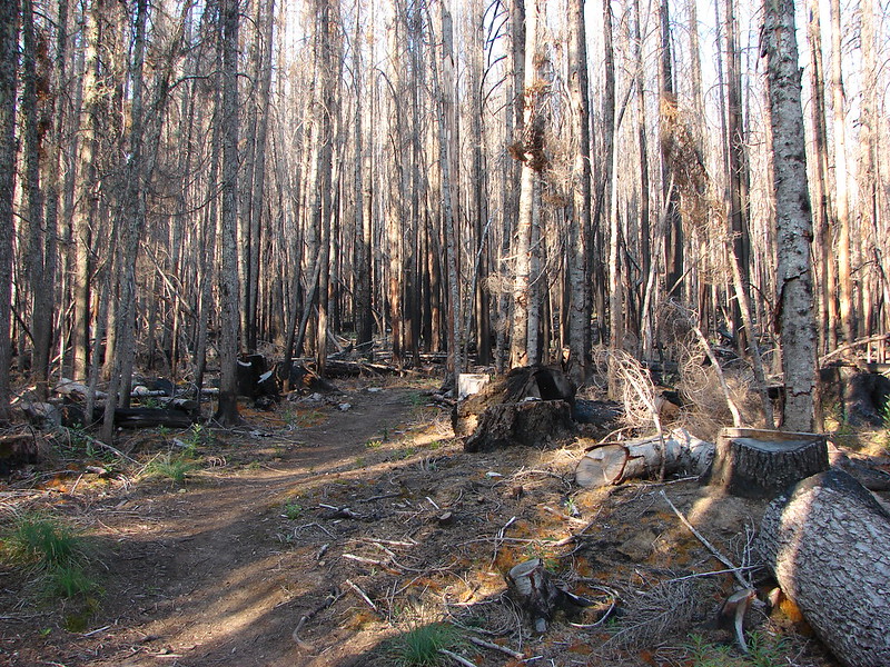
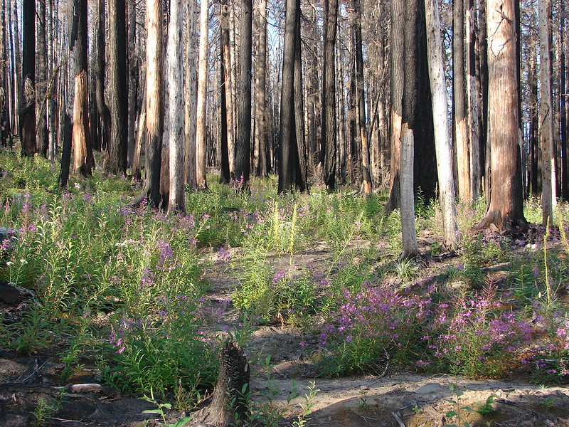
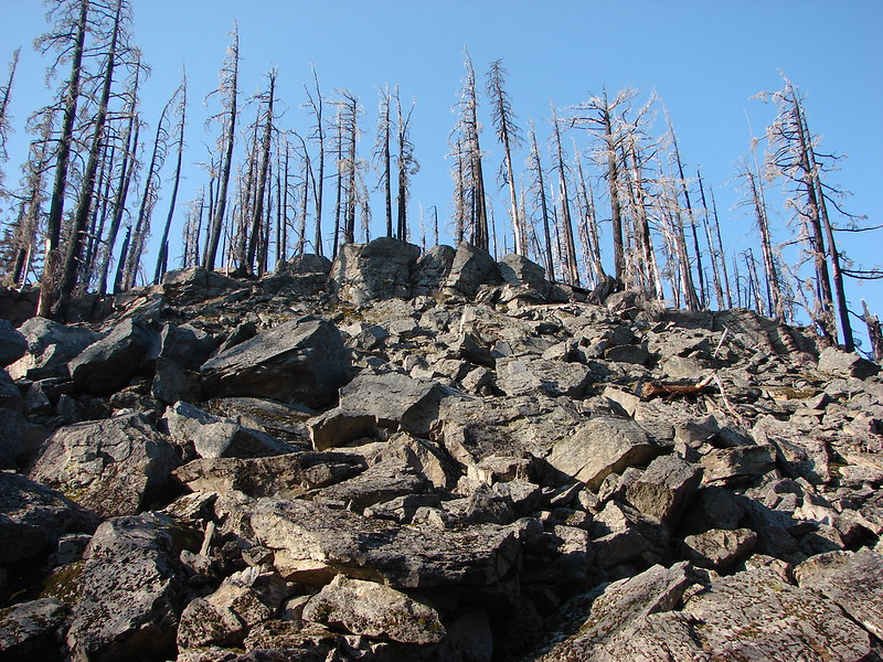
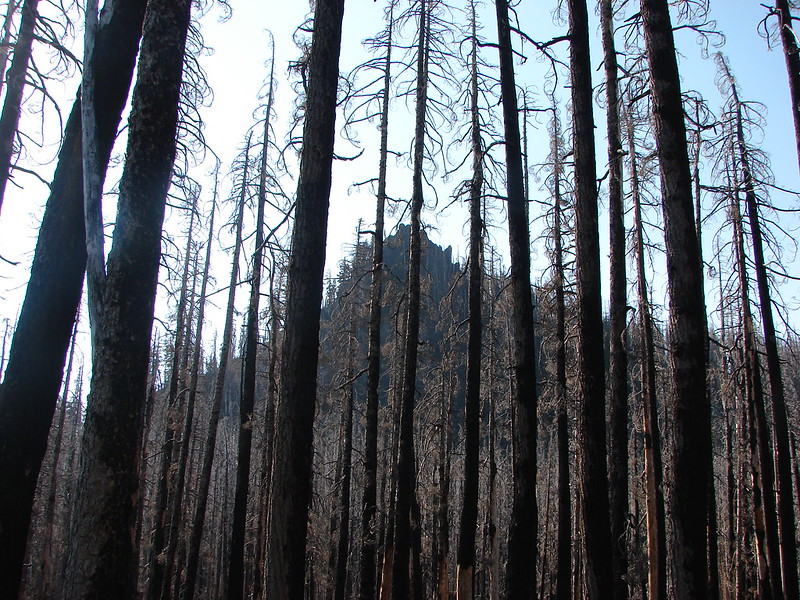
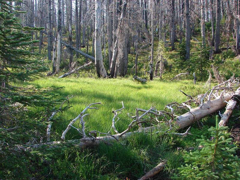
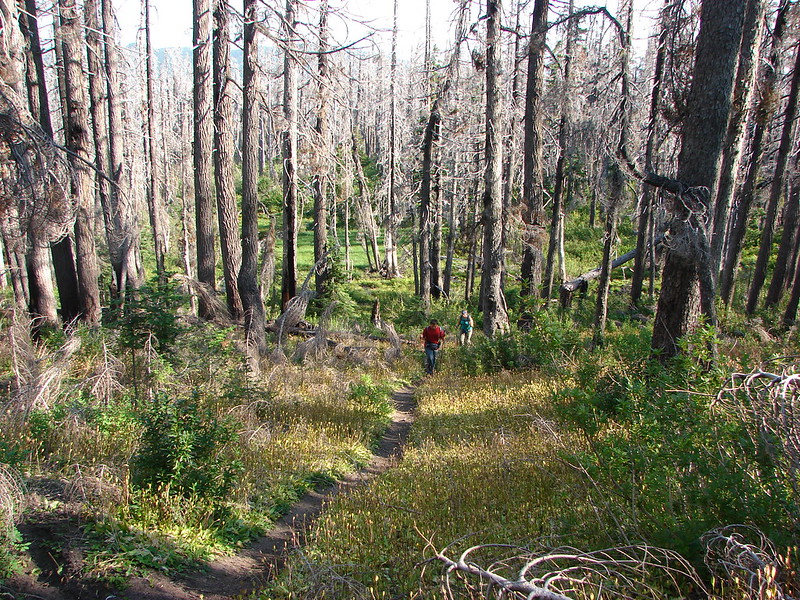
**Note the 2017 Separation and Nash Fires burned a portion of this hike.**
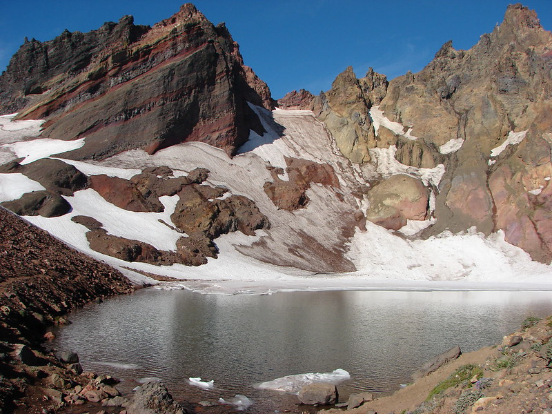
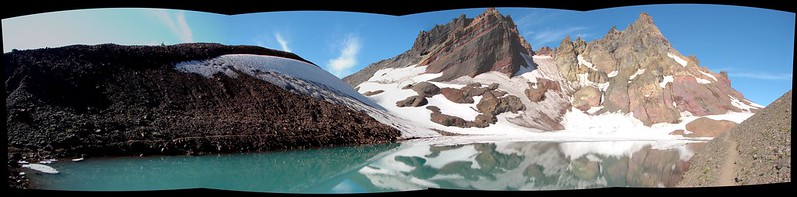
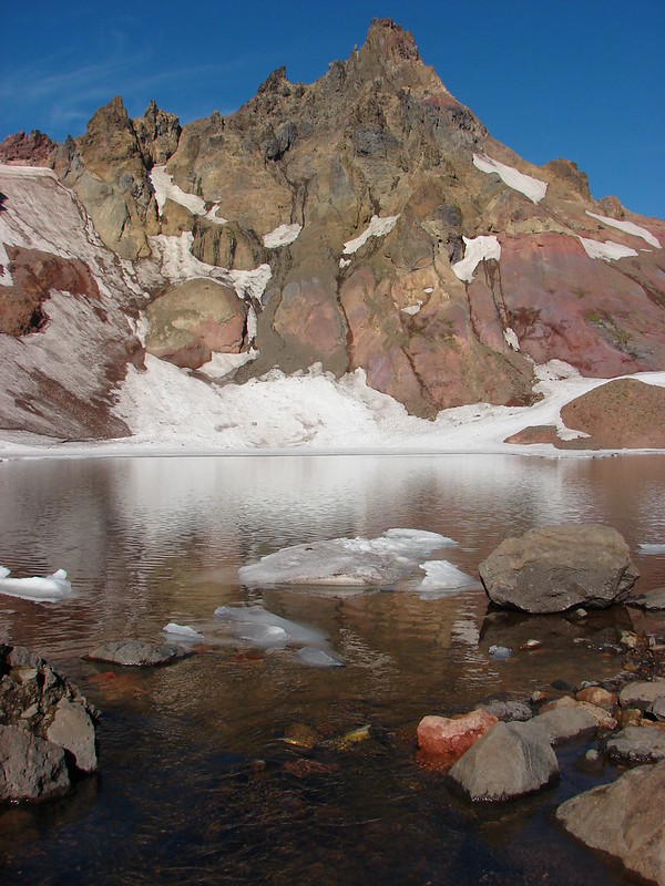
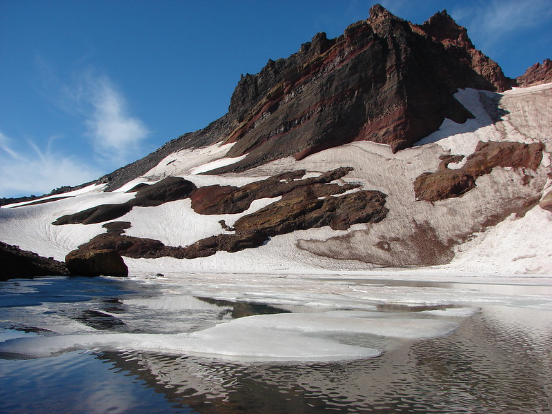
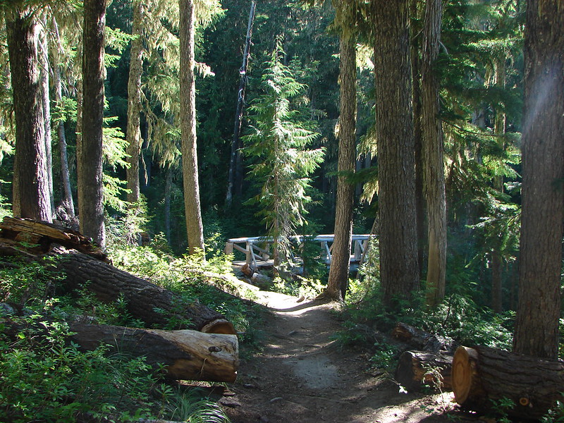
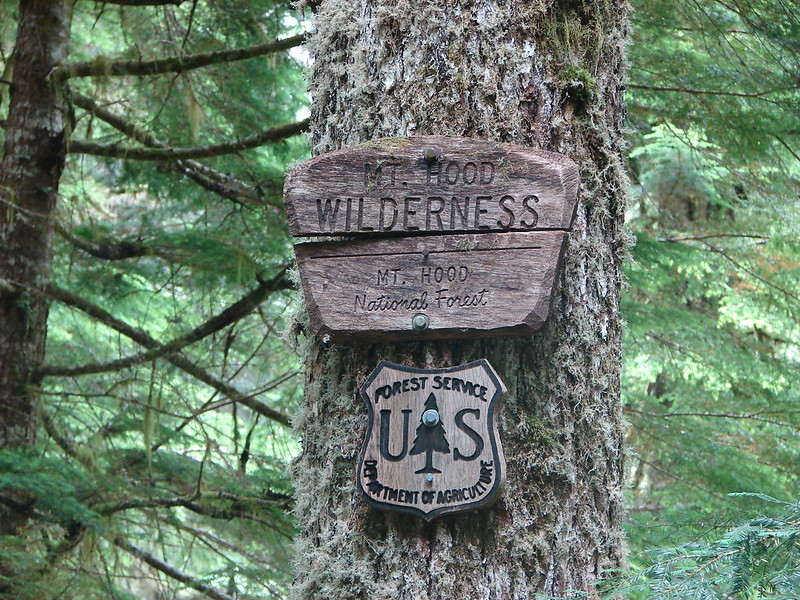
After kicking off our vacation with a visit to Broken Tops no name lake we took a day off and got ready for what we originally planned to be a 4 day backpacking trip around the South Sister in the Three Sisters Wilderness. We wound up finishing the loop in 3 days instead of 4 hiking two 20+ mile days, our first ever over that number. Given the mileage and the amount of places we visited we are going to break this report up into three entries instead of trying to fit it all into one.
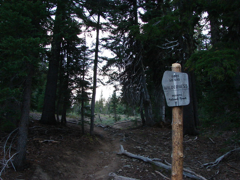
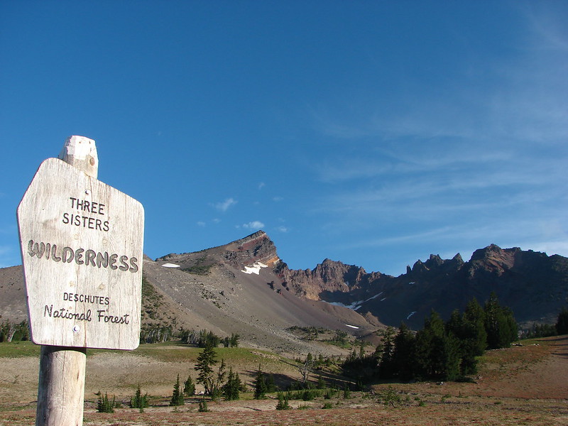
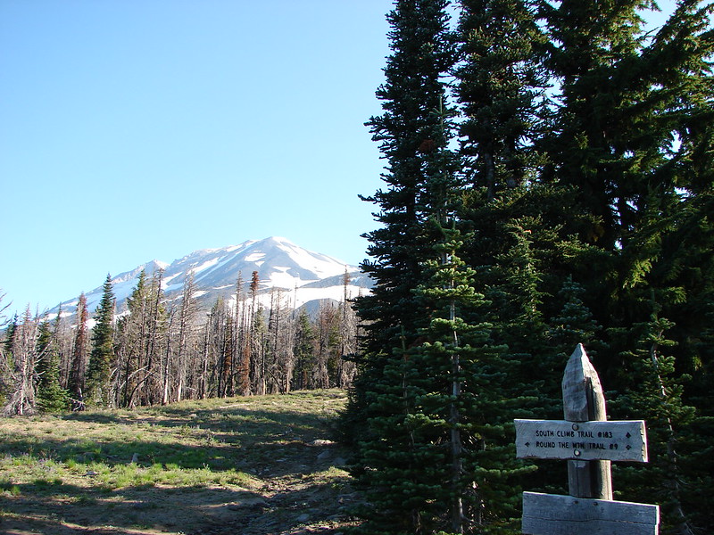
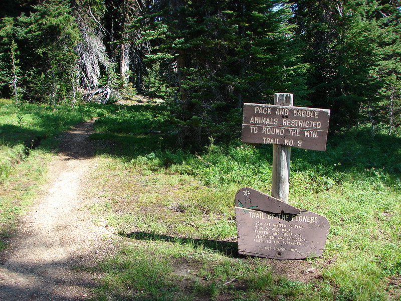
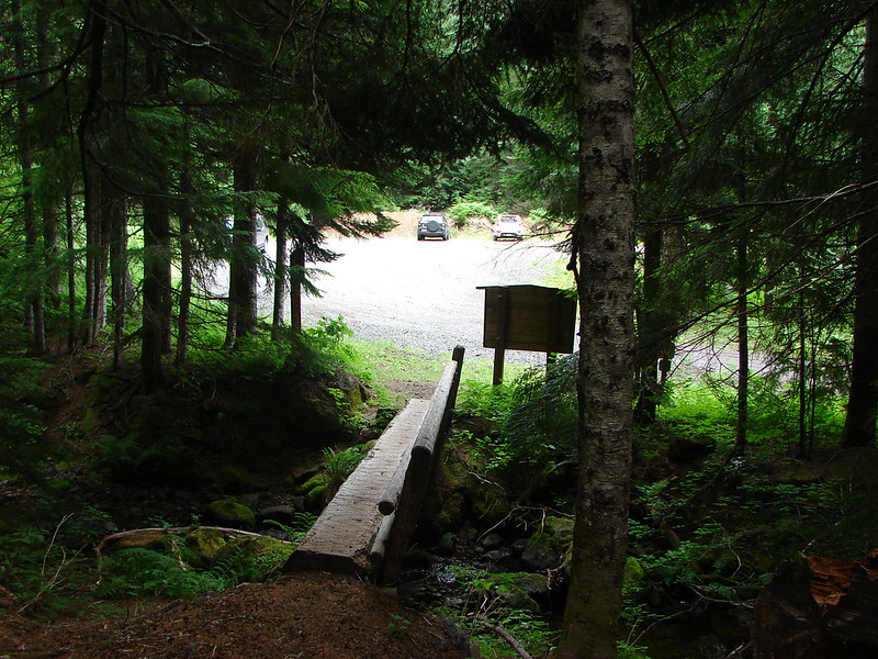
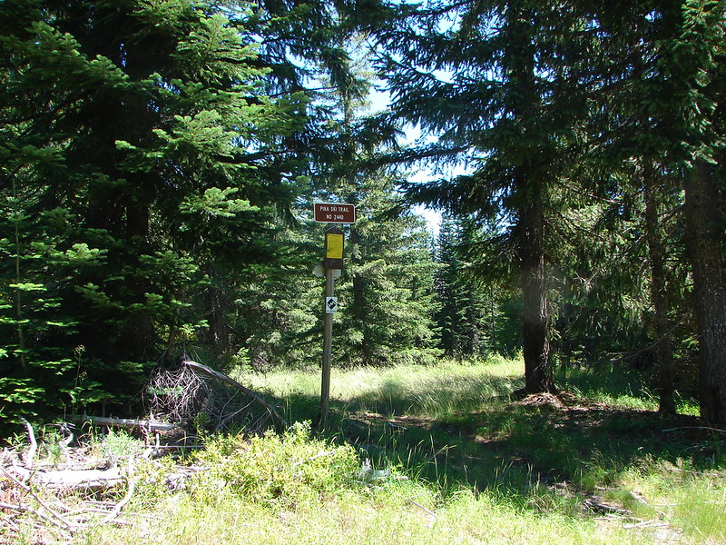
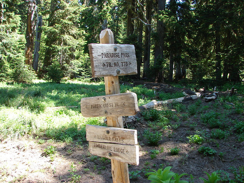
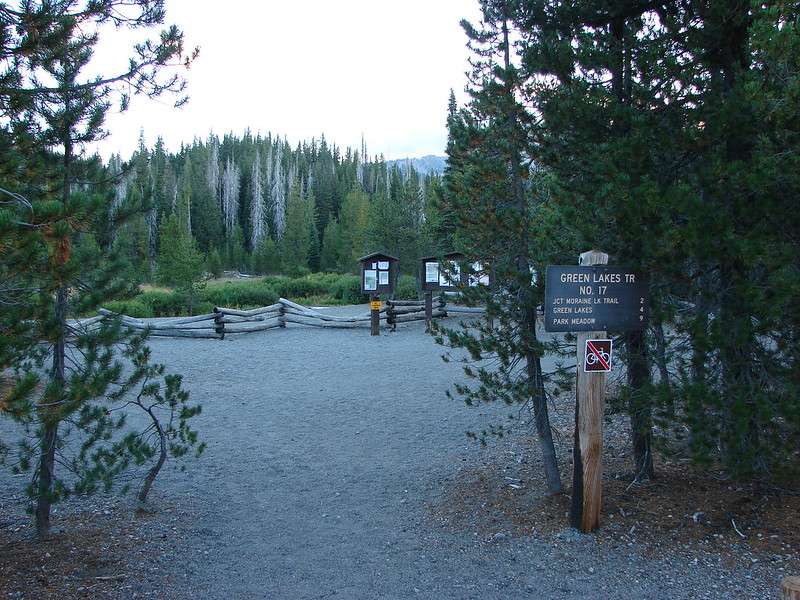
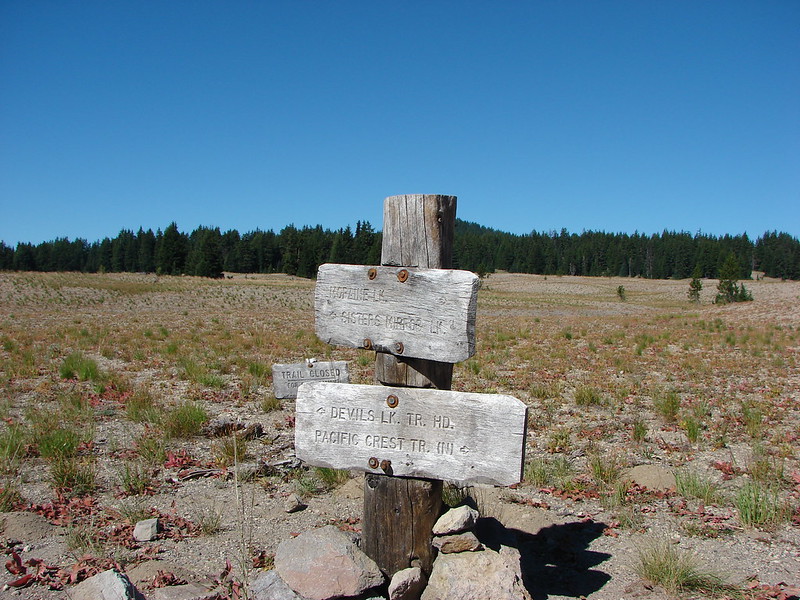
The route we were going to take would start and end at the Green Lakes/Soda Creek Trailhead. http://www.fs.usda.gov/recarea/deschutes/recreation/hiking/recarea/?recid=38870&actid=50
We decided to take a less direct route around the mountain in order to visit some of the places we had yet to see in the wilderness. Below is our GPS track from the trip (The hike to the no name lake is also on the map to the right).

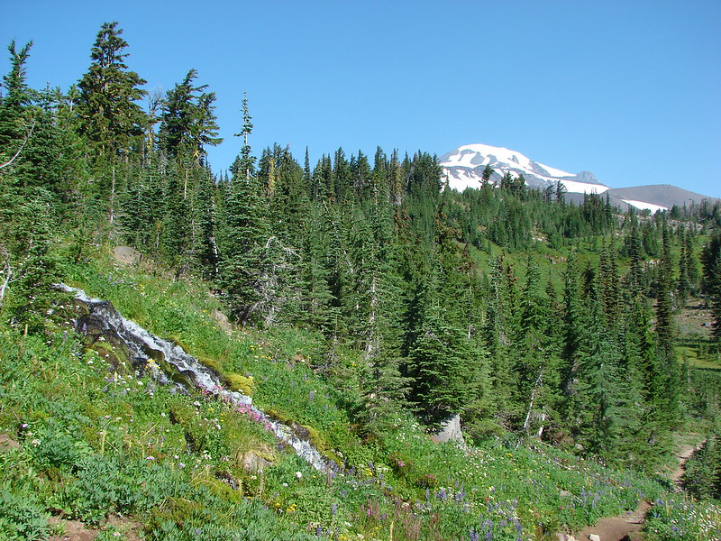
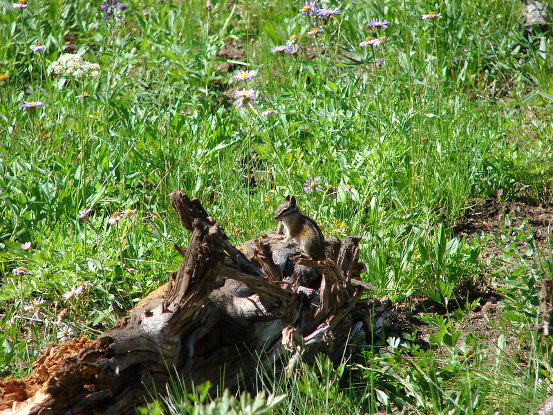
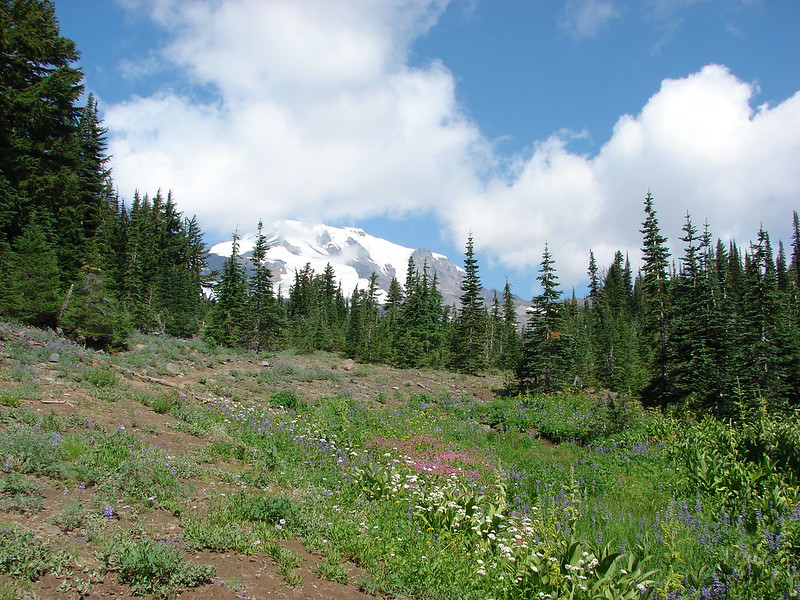
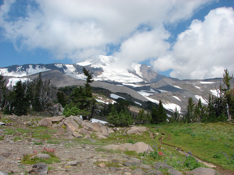
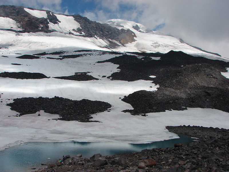
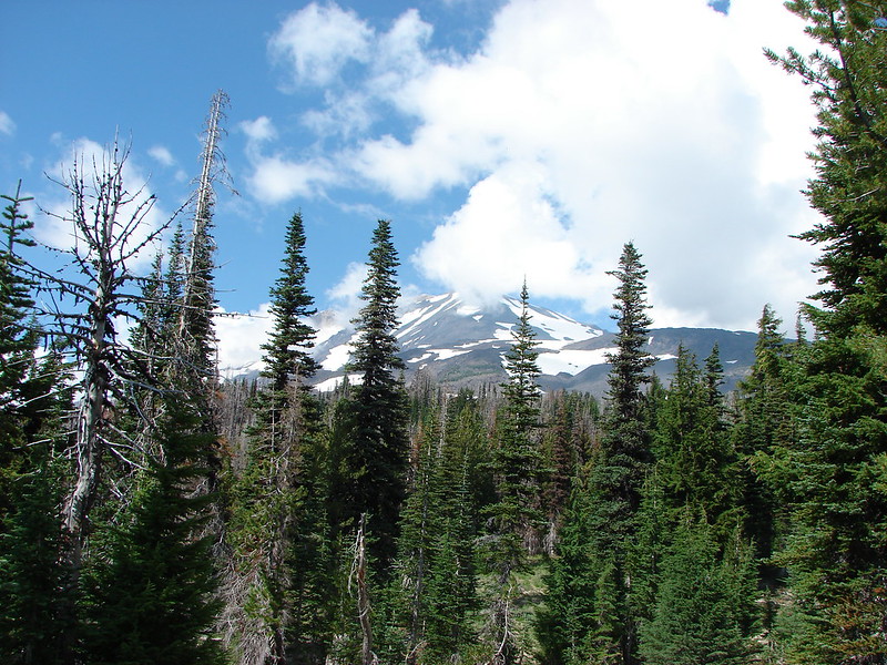
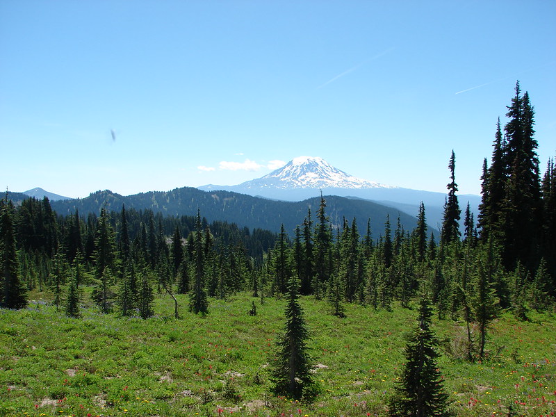
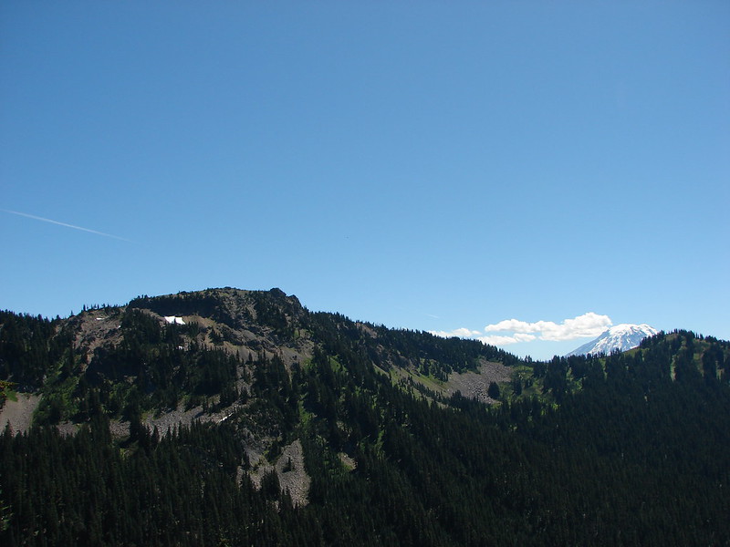
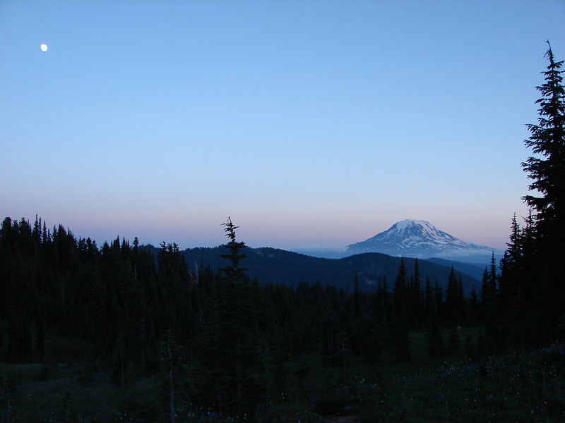
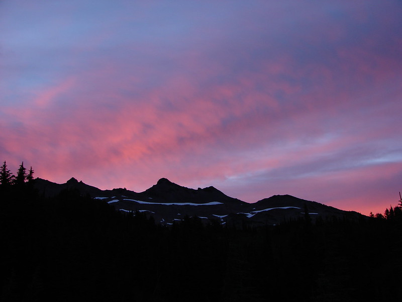
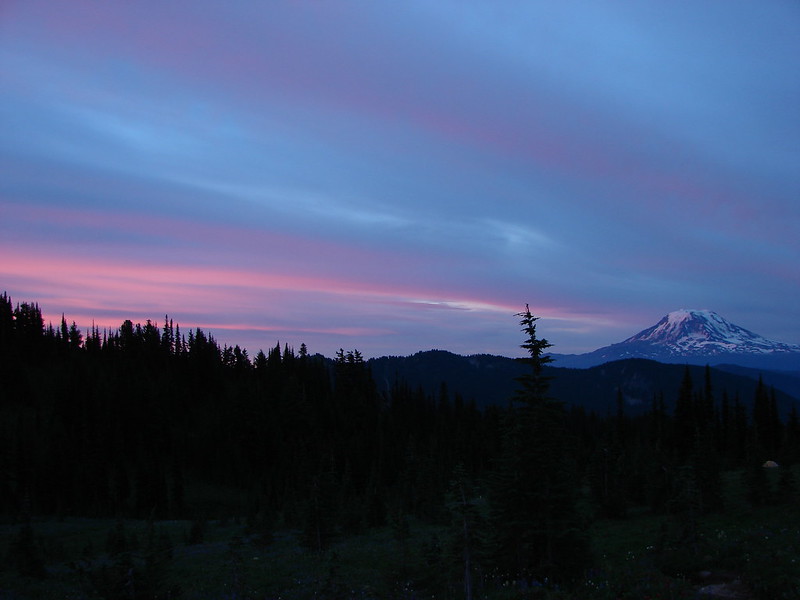
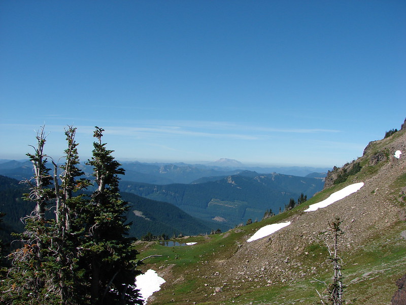
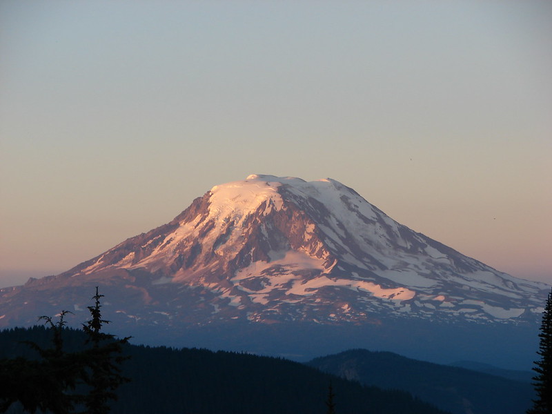
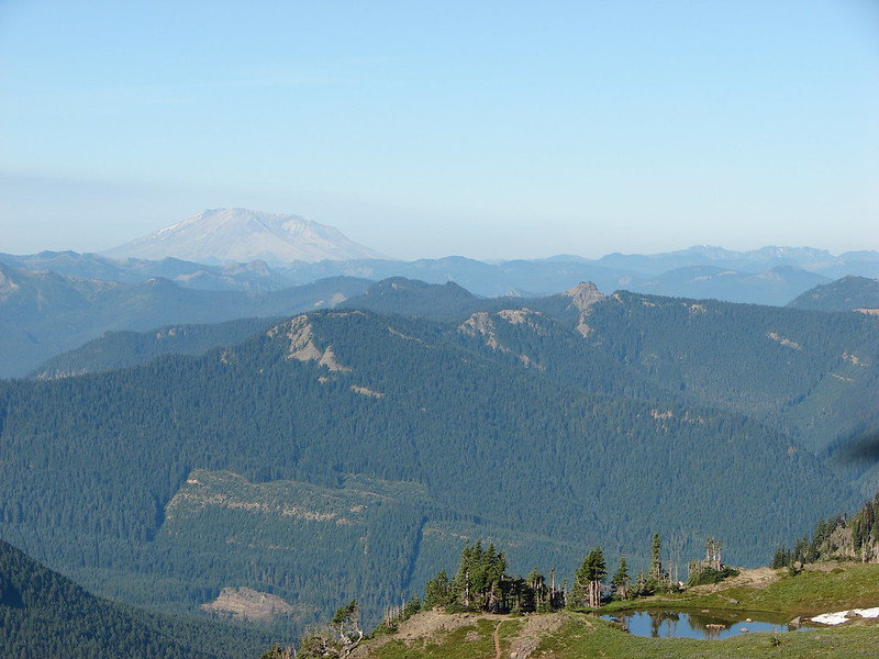
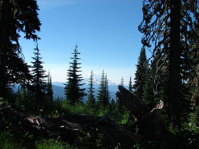
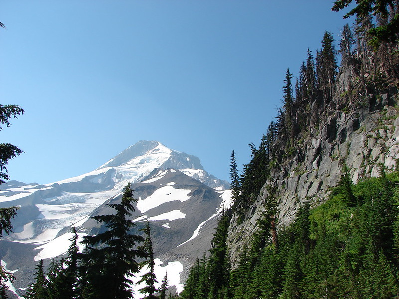
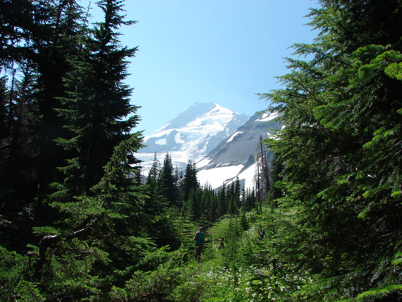
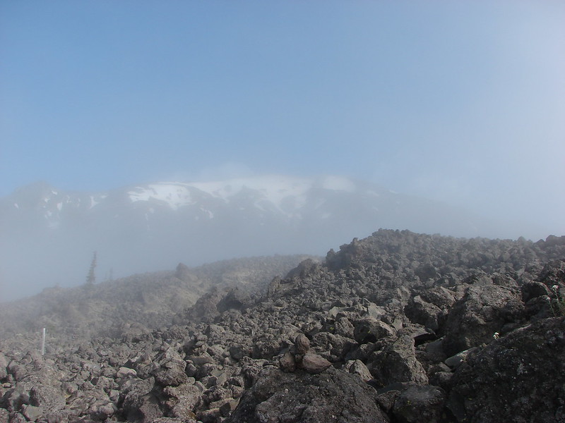
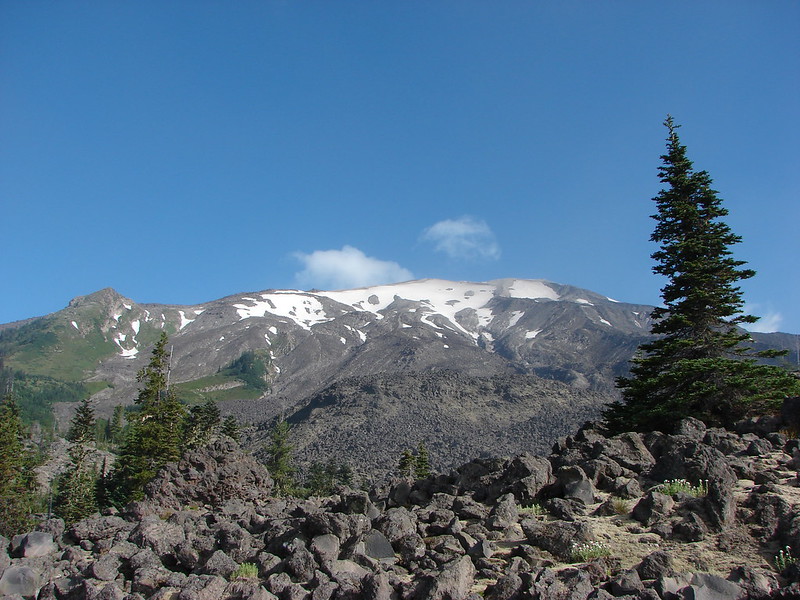
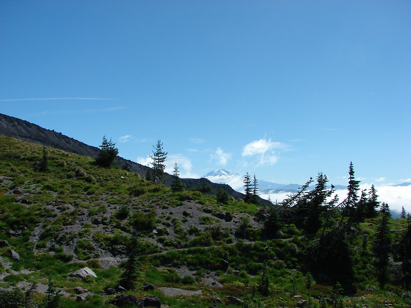
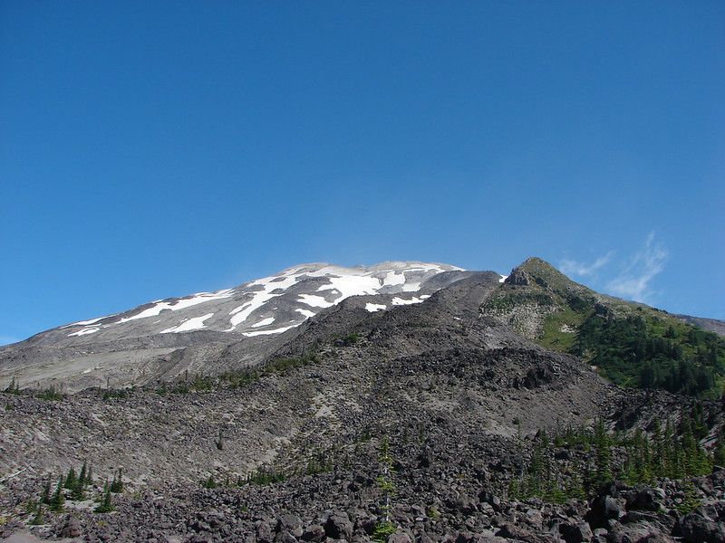
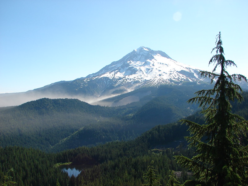
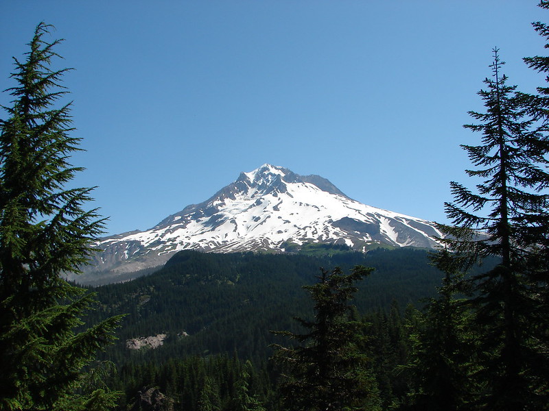
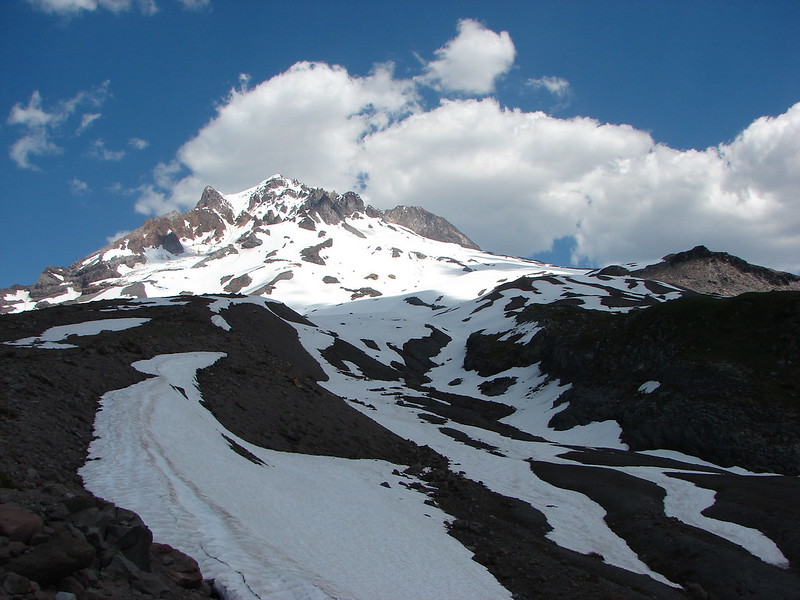
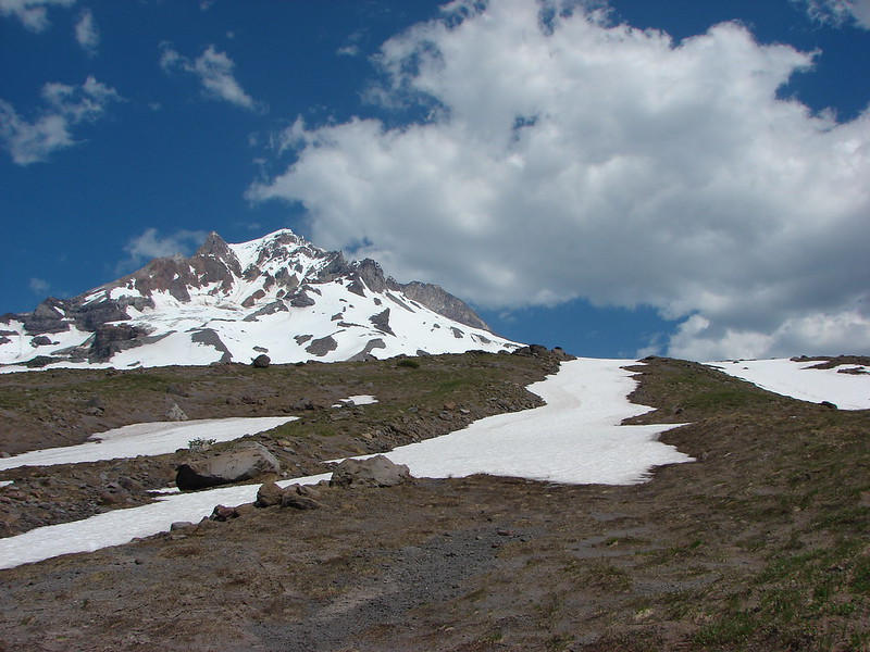
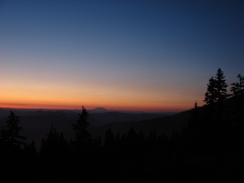
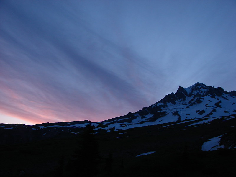
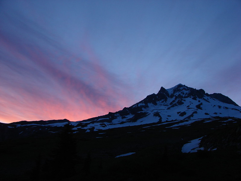
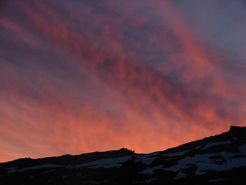
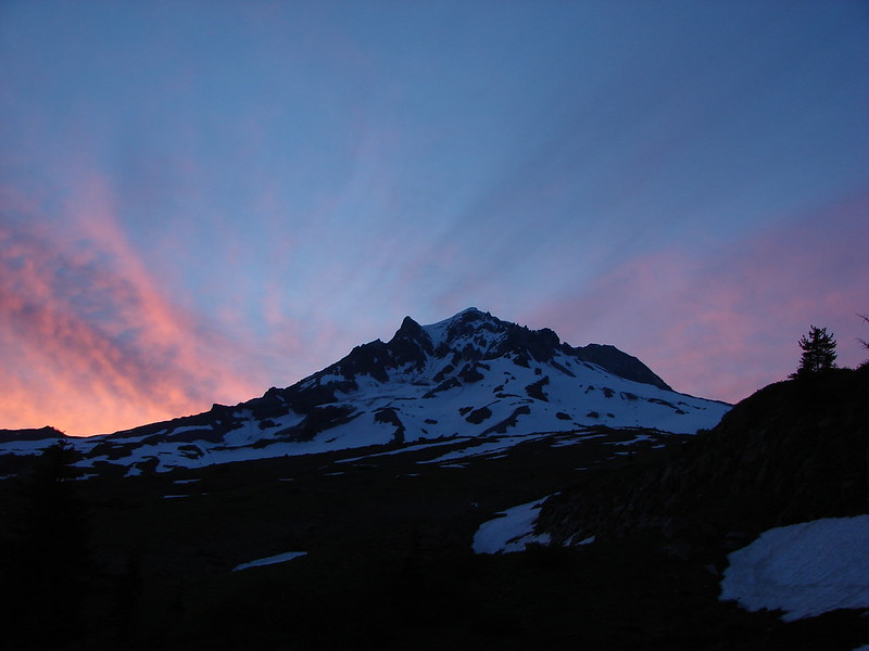
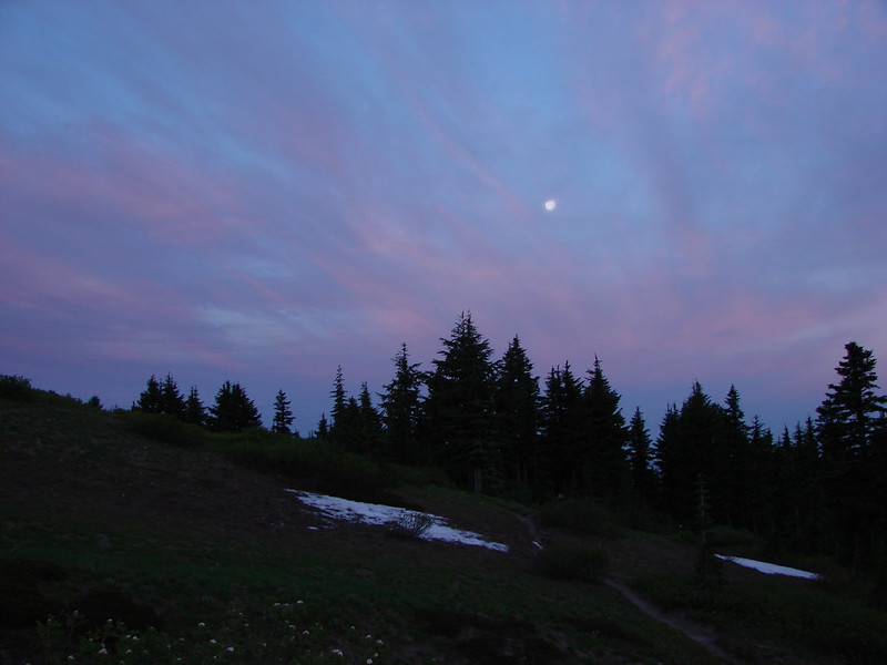
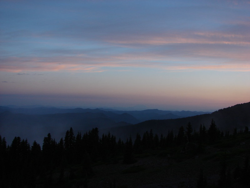
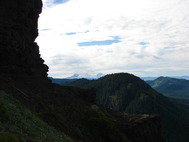
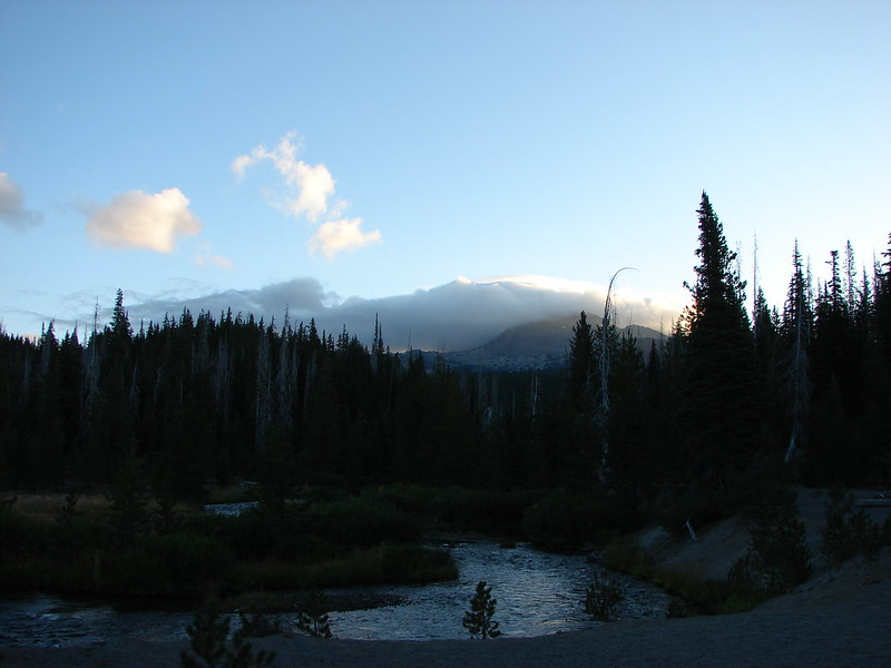
We were excited for this hike for a number of reasons. We had tried to visit the Green Lakes on four previous occasions including our first attempted hike together over 20 years earlier. Snow had turned us back that day and again in 2011, in 2012 it was a forest fire, and in 2013 thunderstorms stymied our plans. The forecast was good this time around and there were no fires in the immediate area as we set off from the trailhead. The sky was blue except for above each of the mountains which were each covered in white clouds.

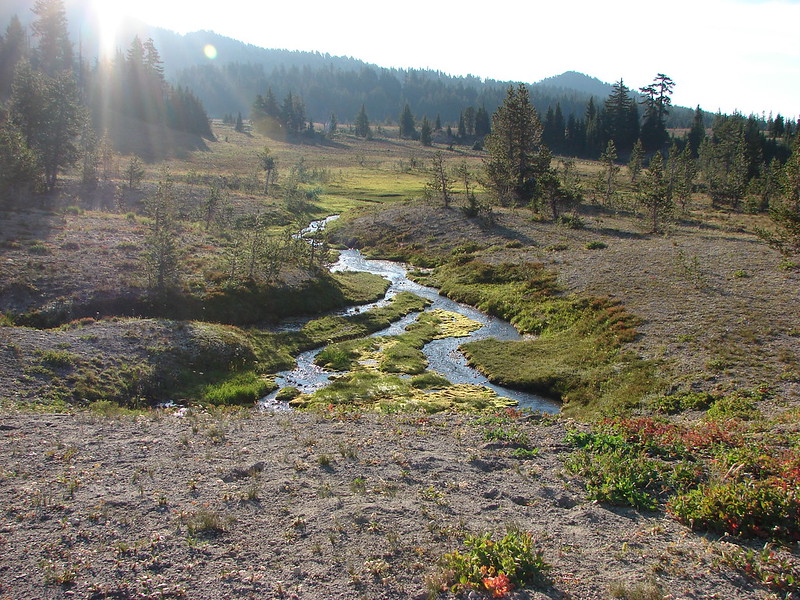
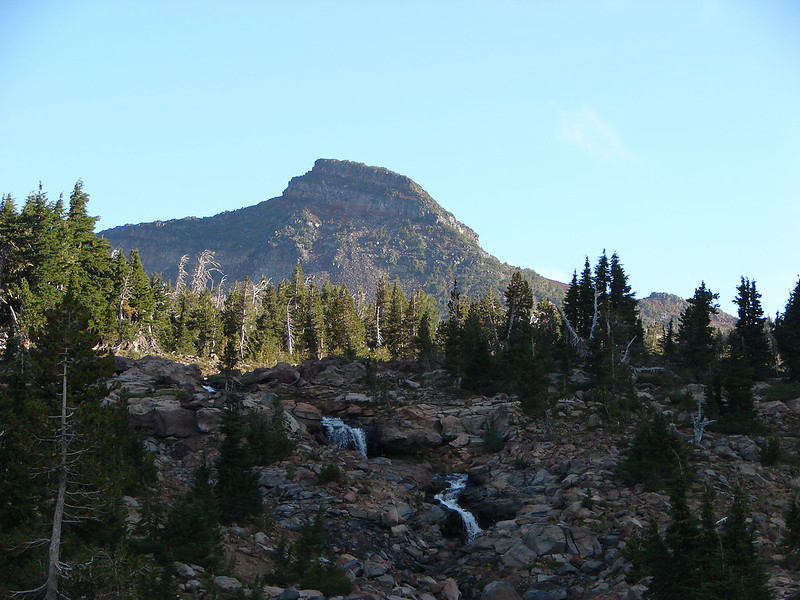
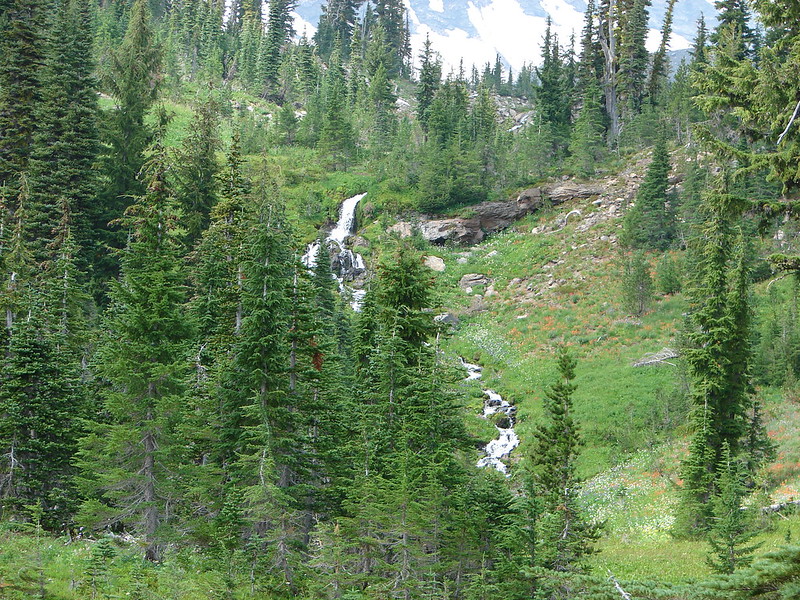
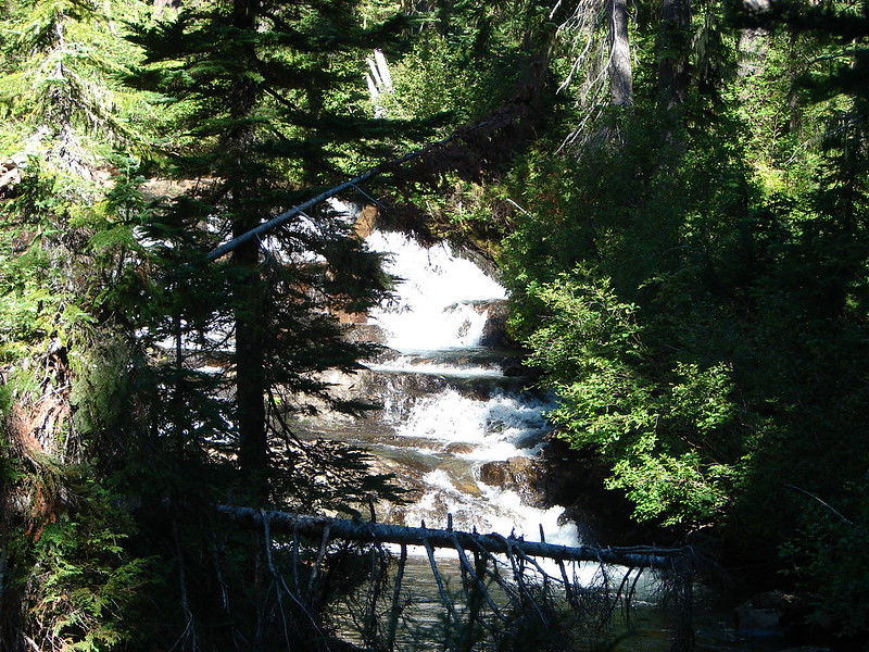
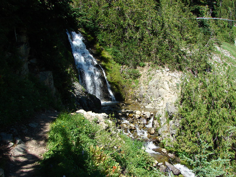
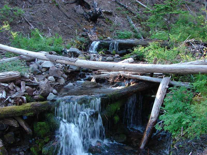
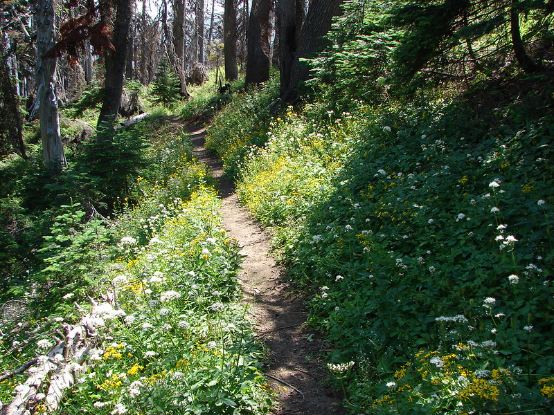
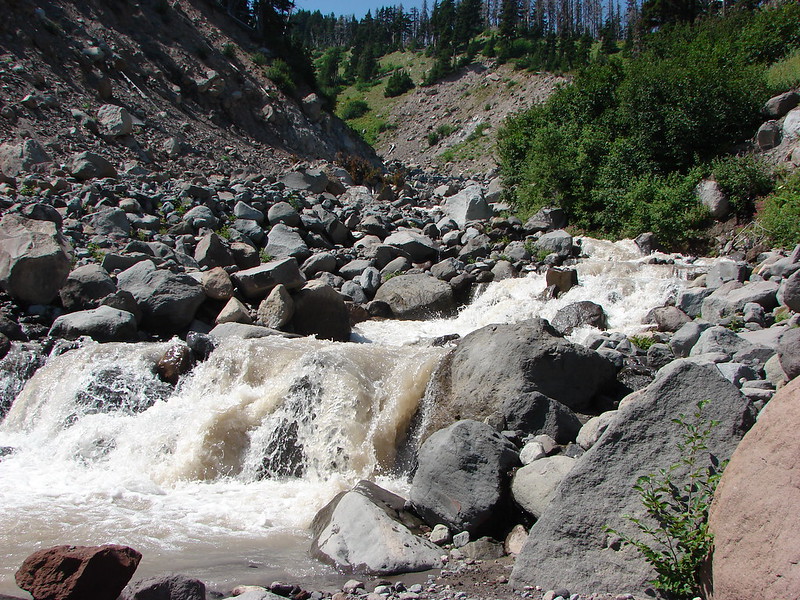
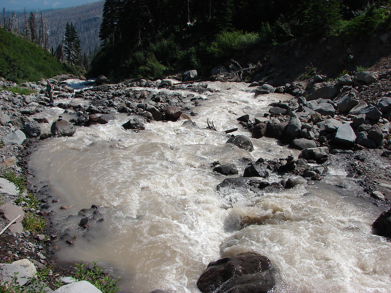
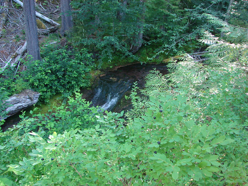
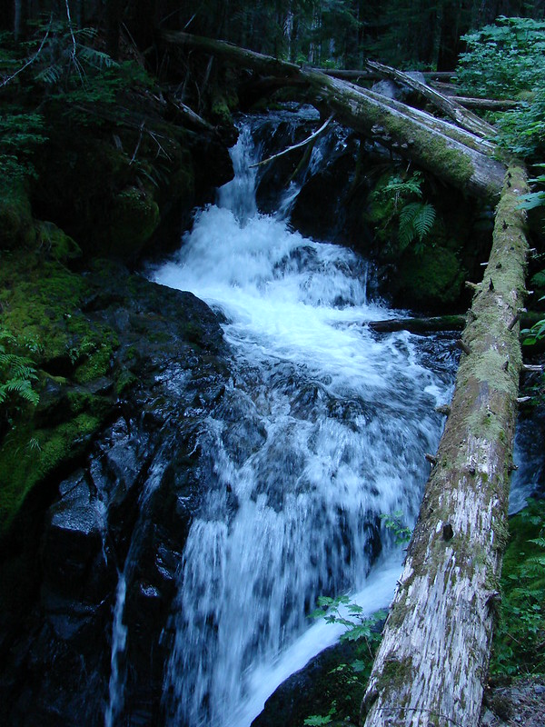
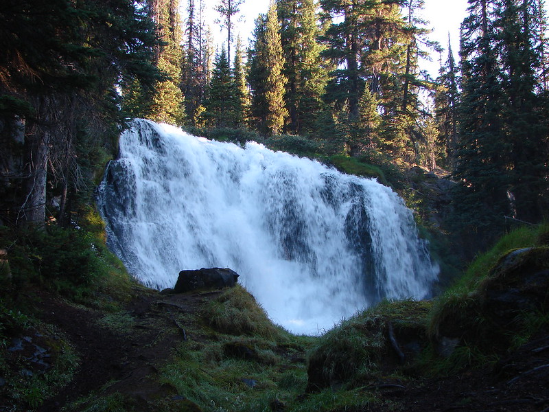
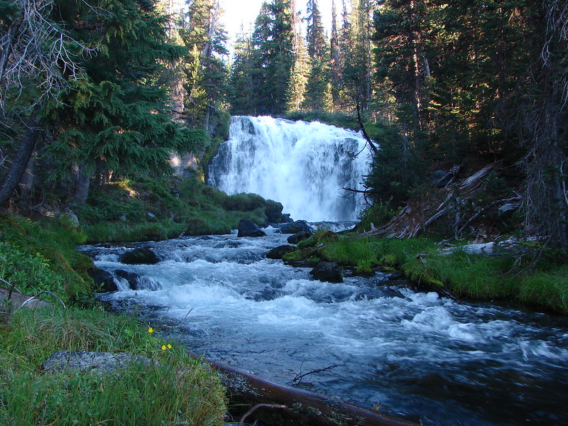
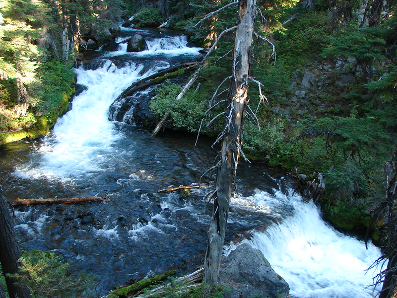
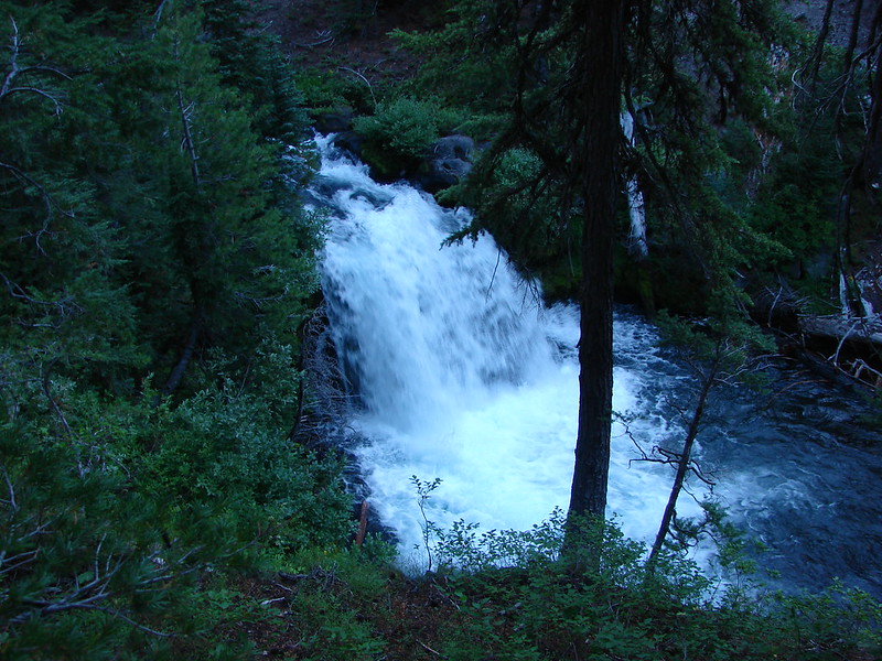
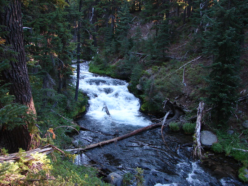
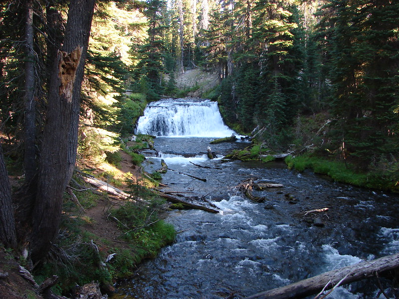
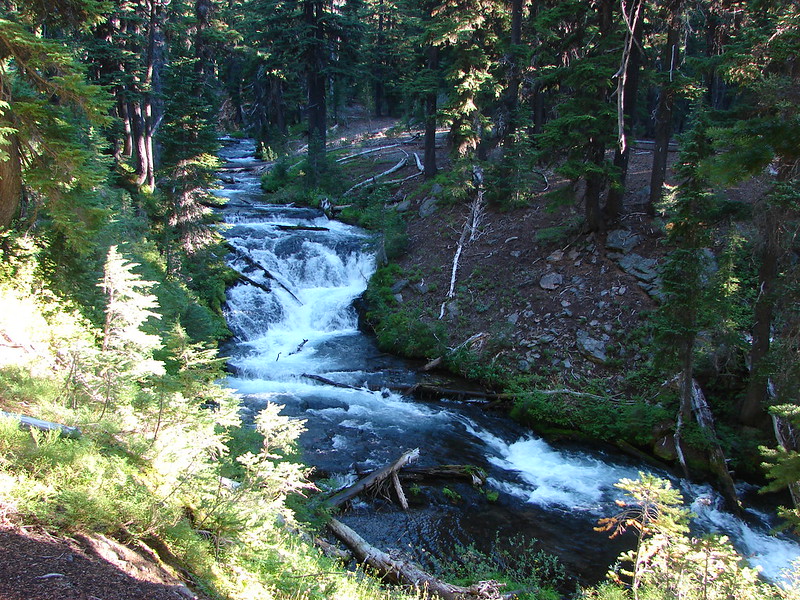
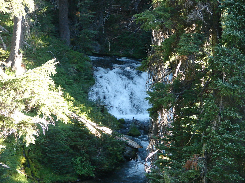
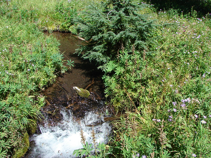
In 1994 we managed to hike up Fall Creek a little over a mile before being turned back. We both remembered being impressed with the creek and the scenery but couldn’t remember exactly what we had seen. We were quickly reminded of why Fall Creek left such an impression on us. In the first two miles Fall Creek lived up to its name with over a half dozen cascades of varying sizes.
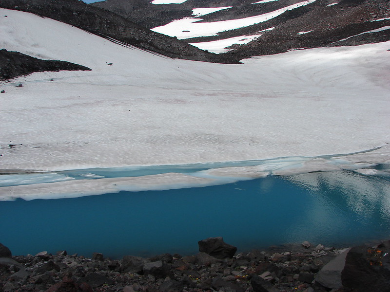
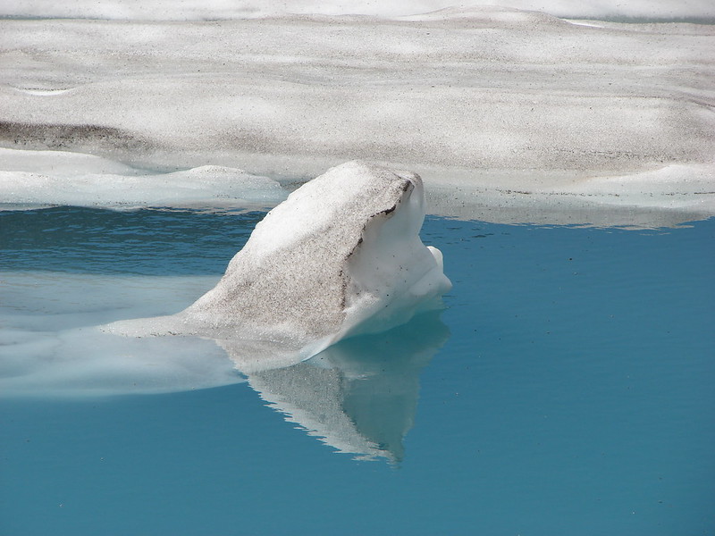
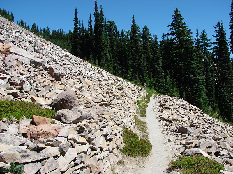
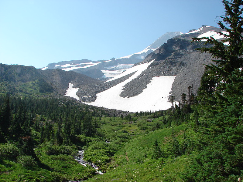
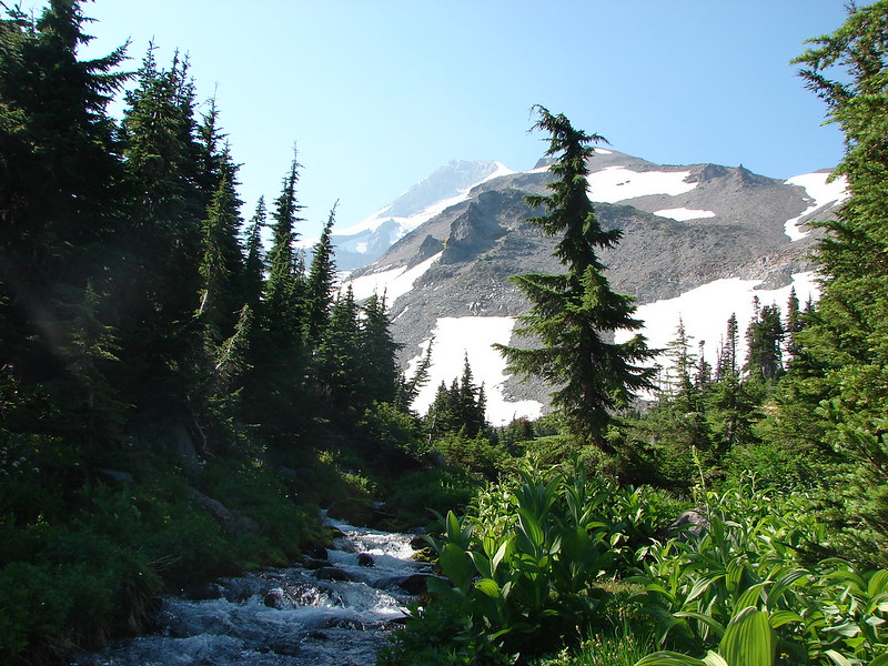
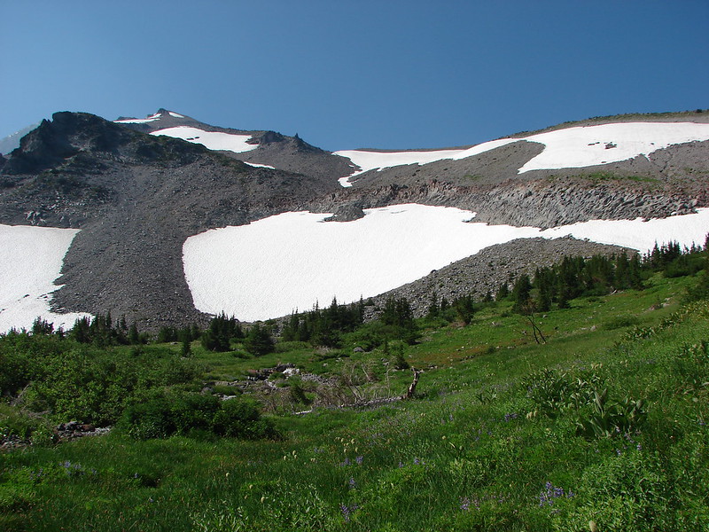
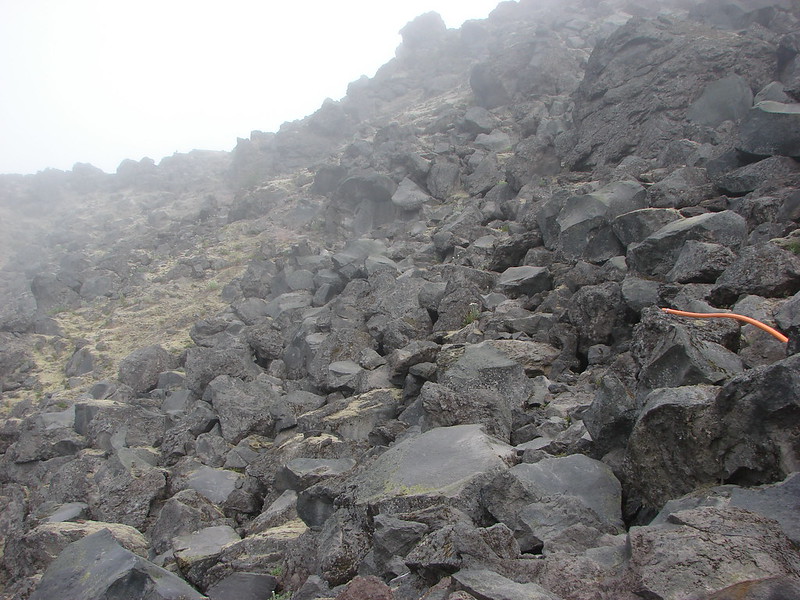
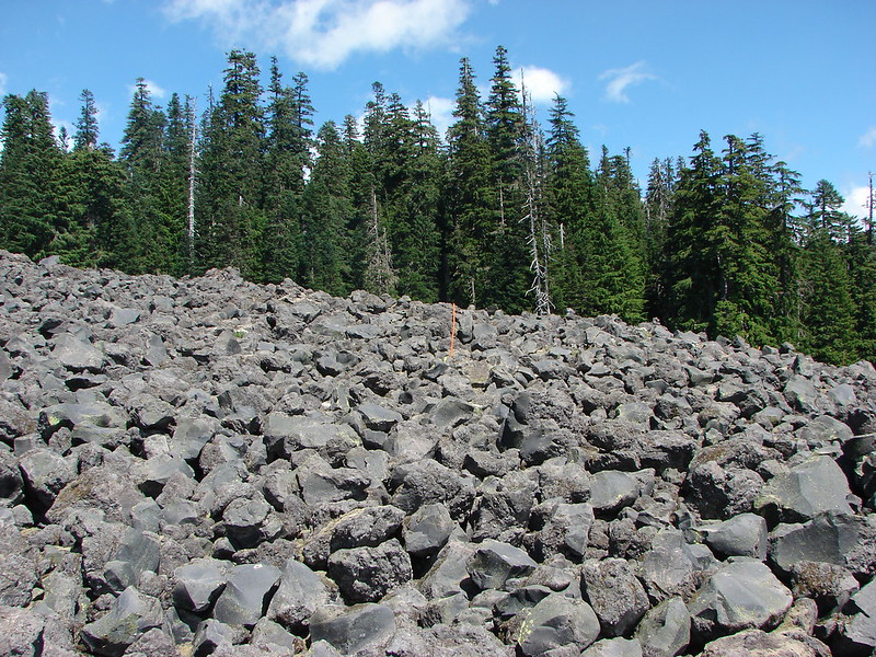
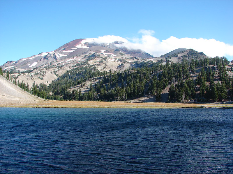
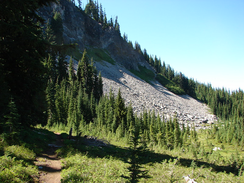
At the two mile mark we took the Moraine Lake Trail to the left and veered away from the creek. After crossing a lava flow and climbing over a ridge we arrived at Moraine Lake. We had been at the lake the year before after climbing the South Sister. It was just as pretty this time around nestled beneath a moraine with a front row view of the South Sister.

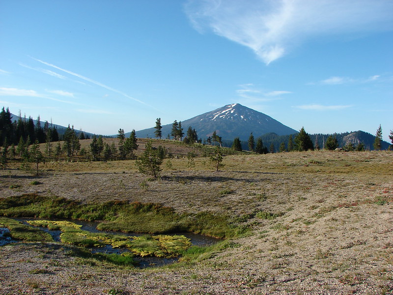
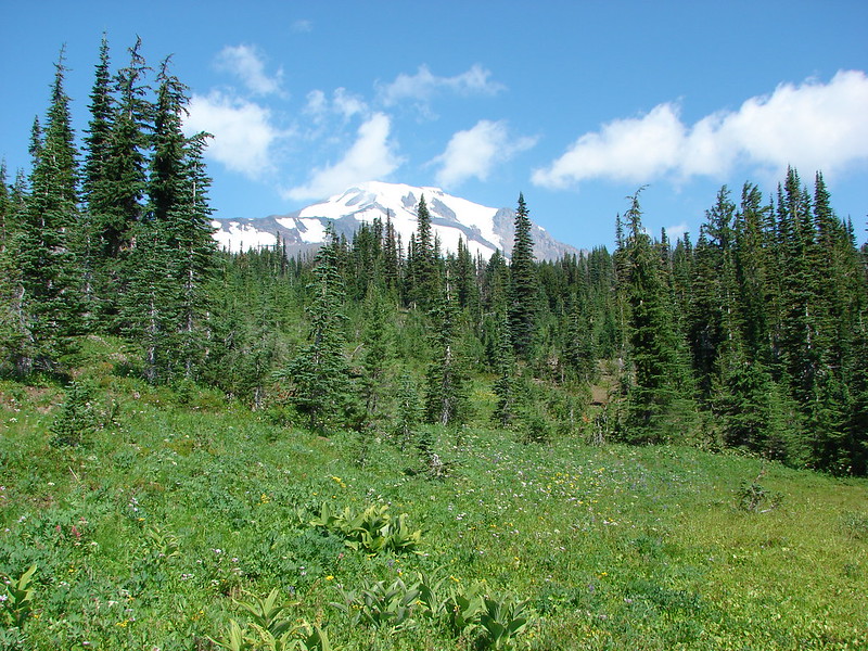
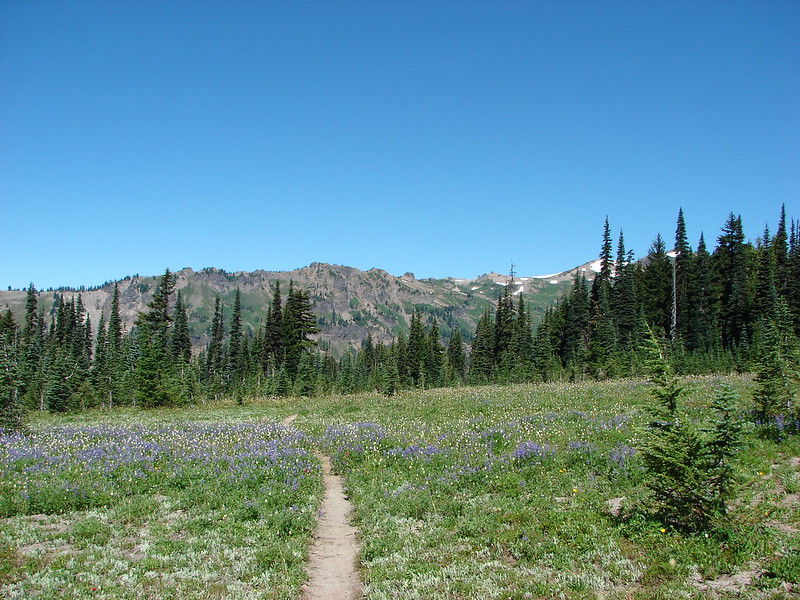
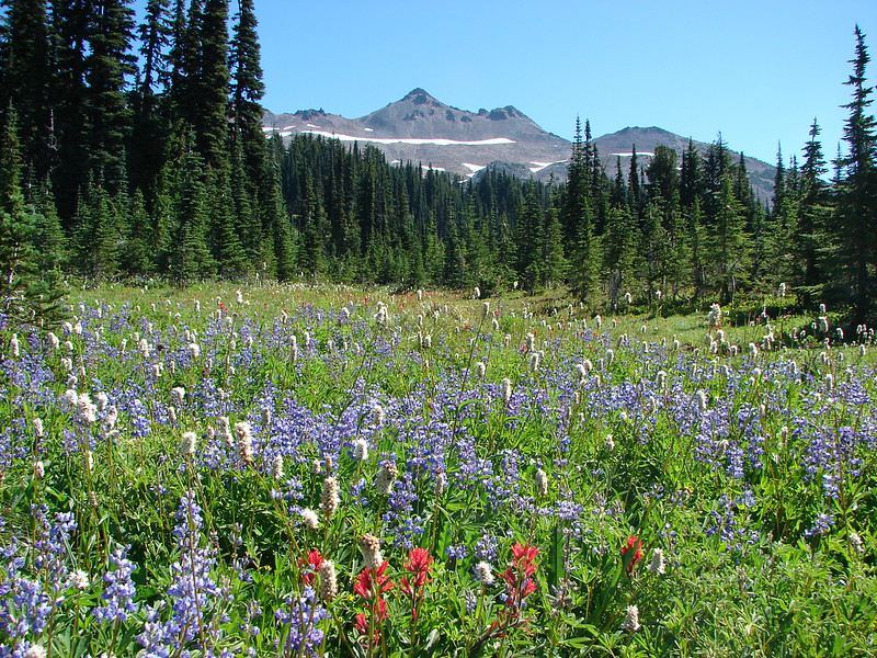
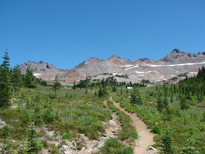
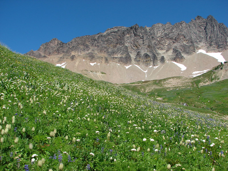
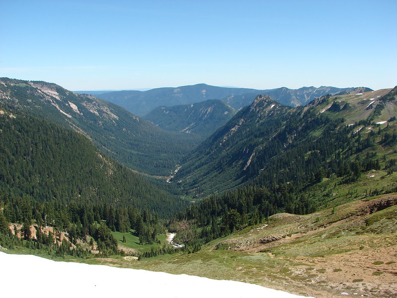
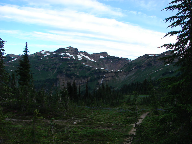
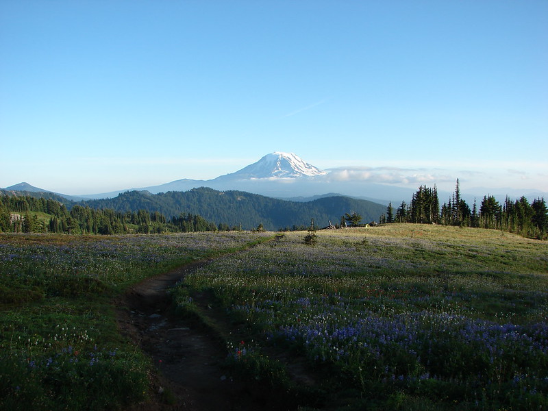
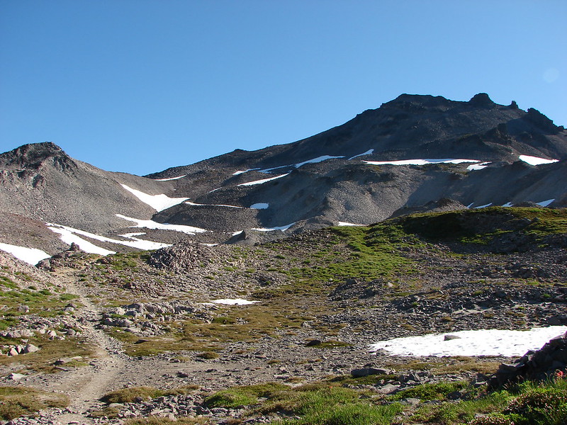
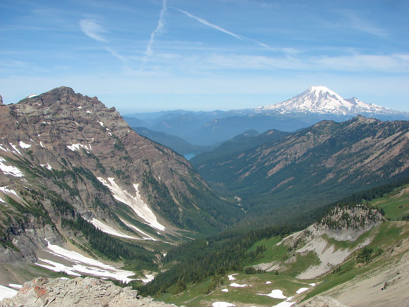
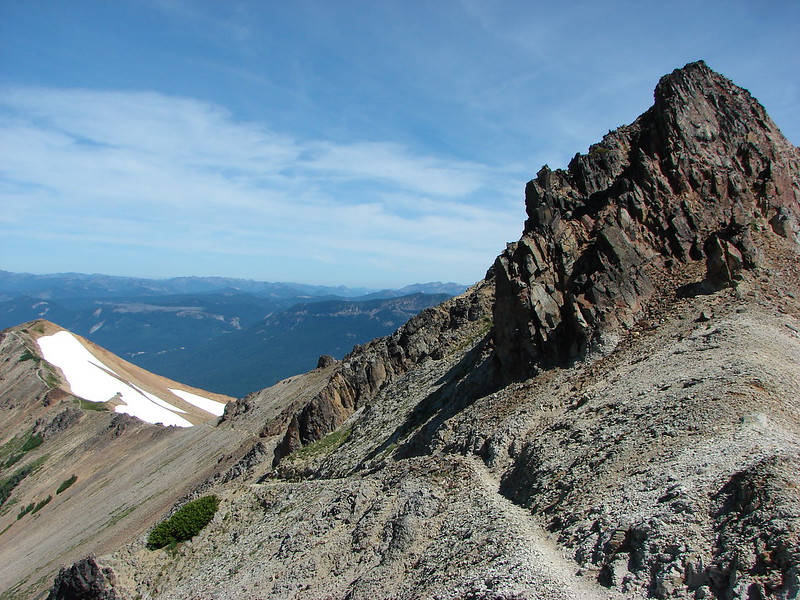
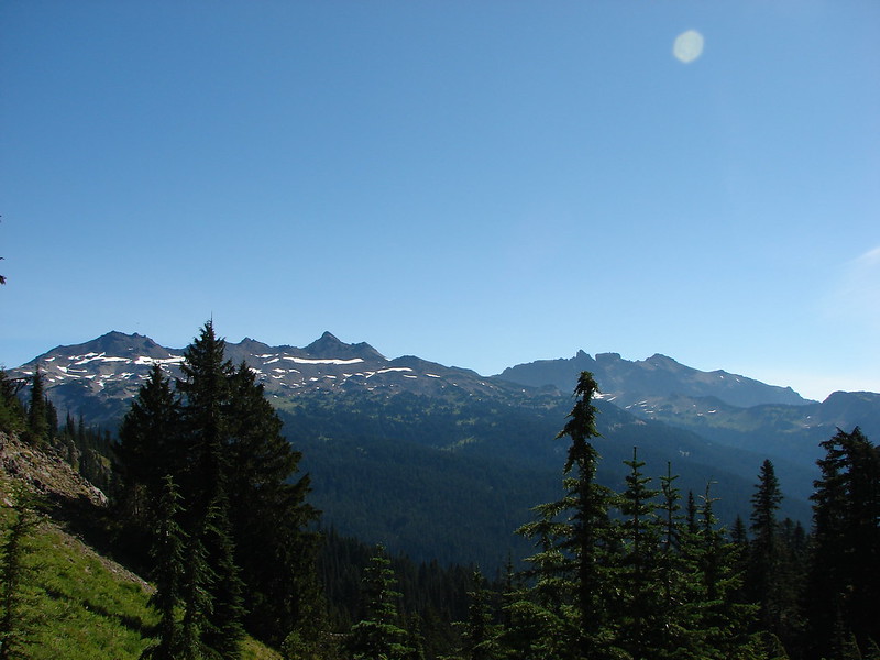
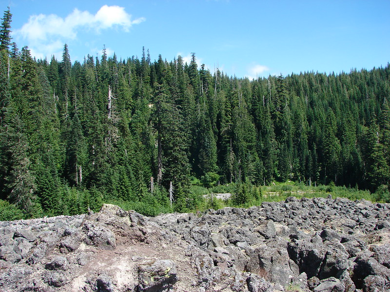
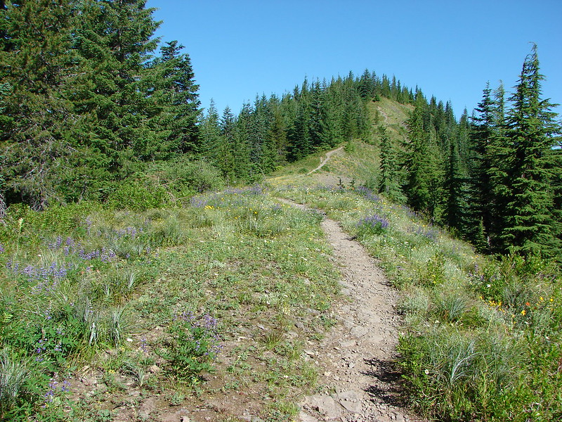
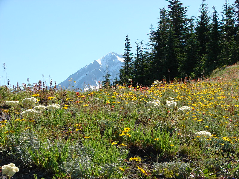
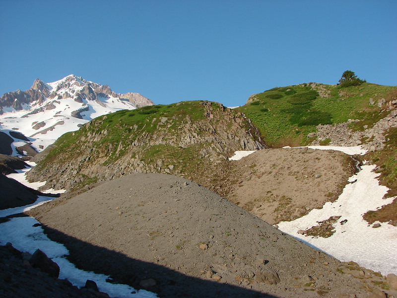
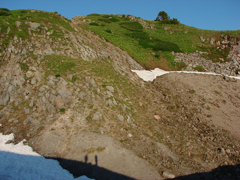
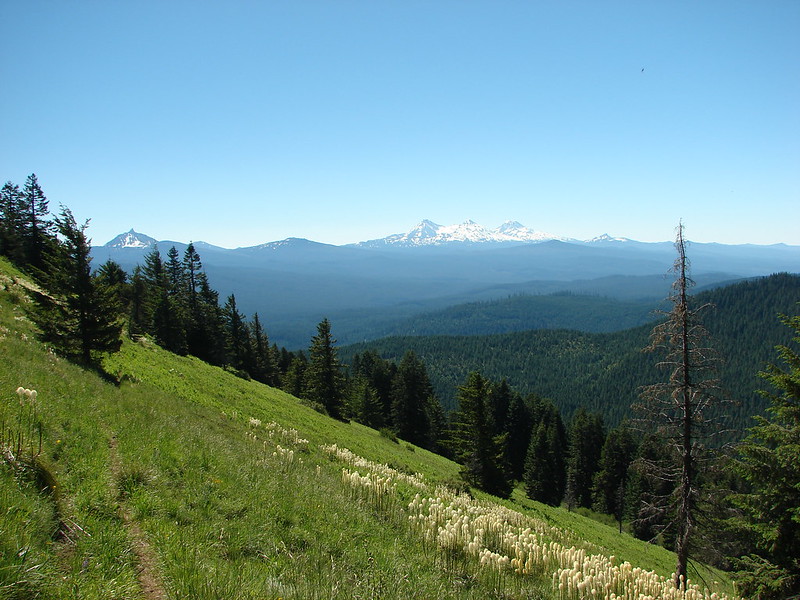
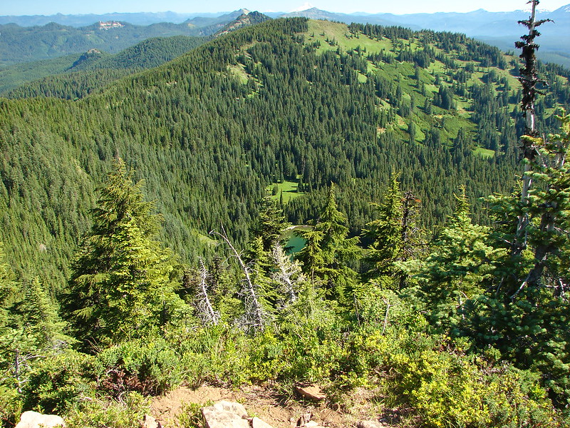
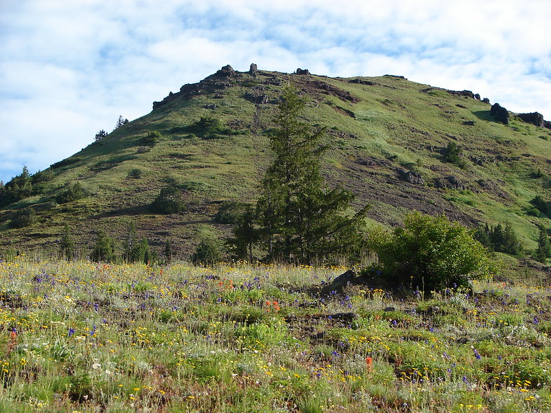
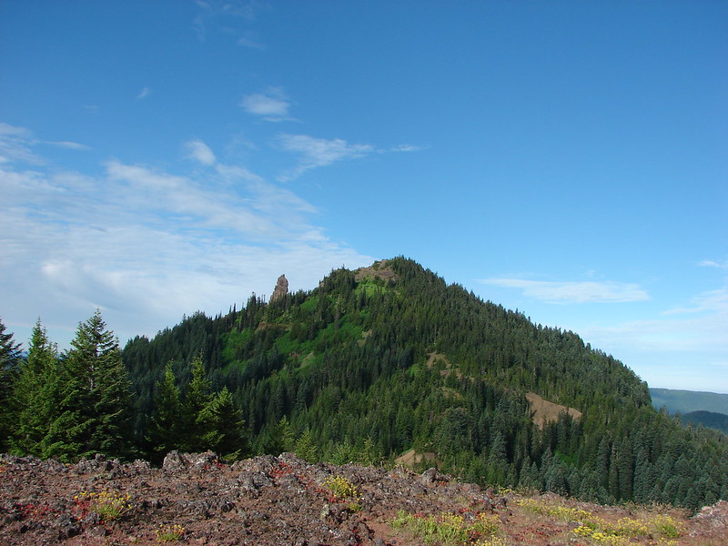
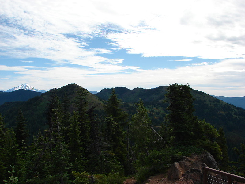
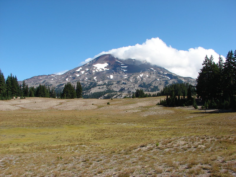
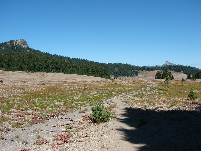
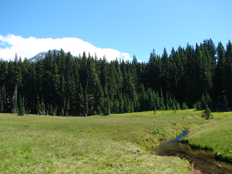
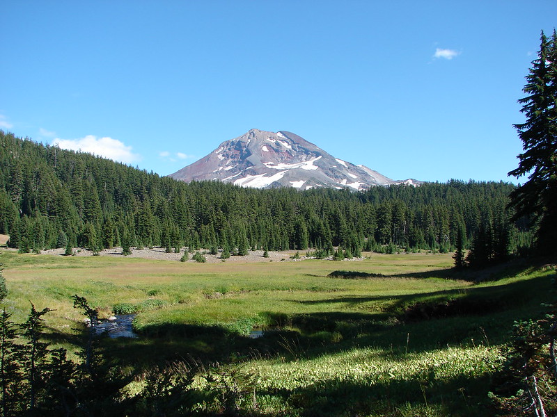
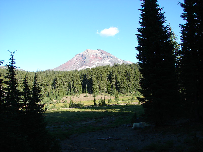
After leaving Moraine Lake we headed toward the Wickiup Plains on our way to the Pacific Crest Trail. The clouds were starting to burn off of the mountains as we passed through the plains. Broken Top was behind us with the South Sister on our right and the Wife ahead.
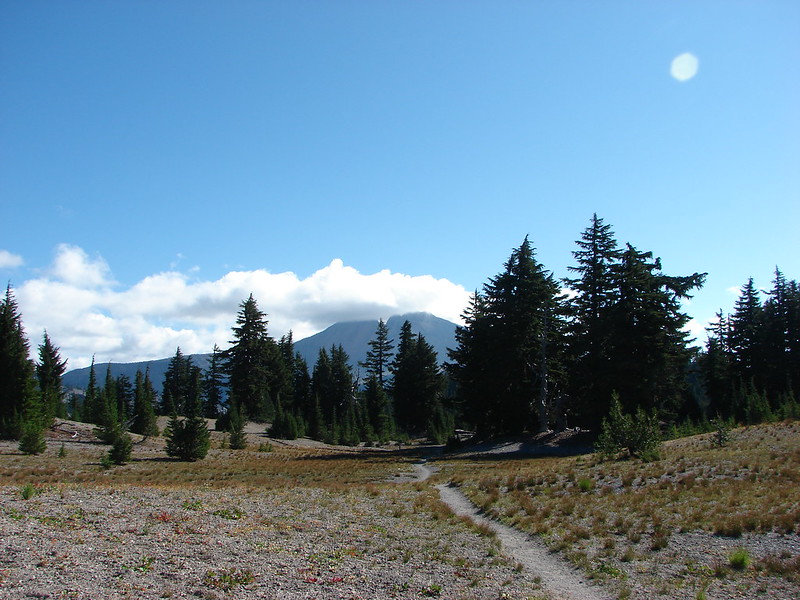
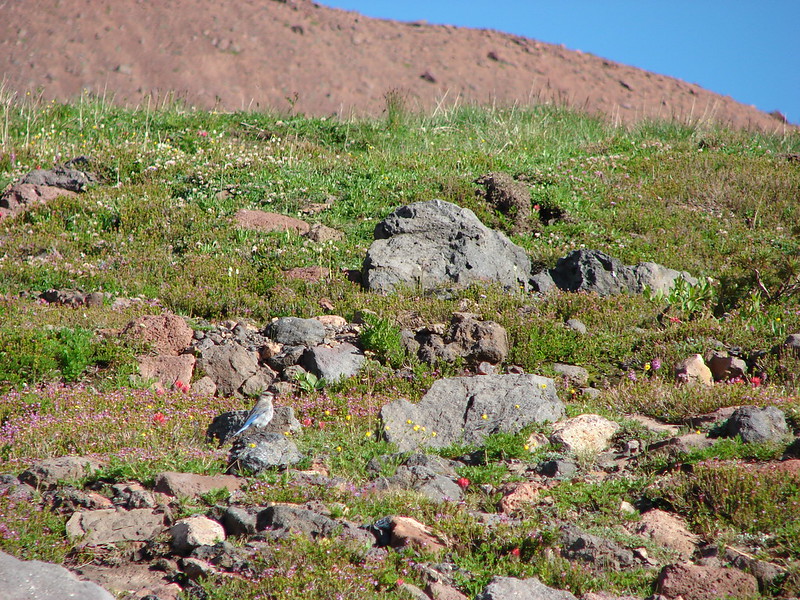
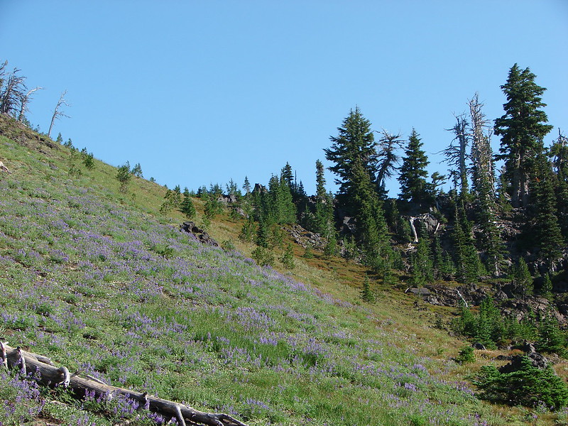
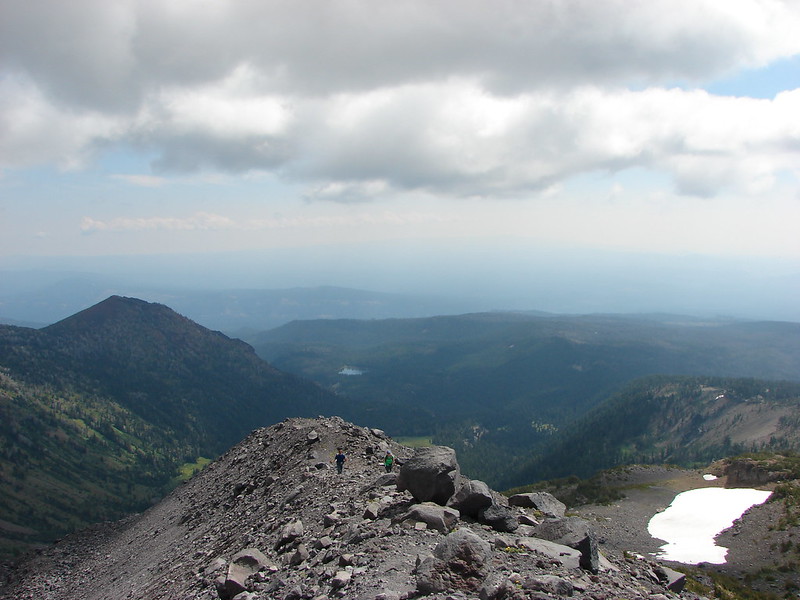
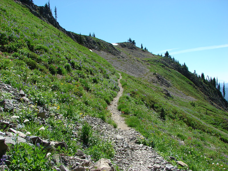
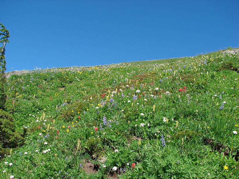
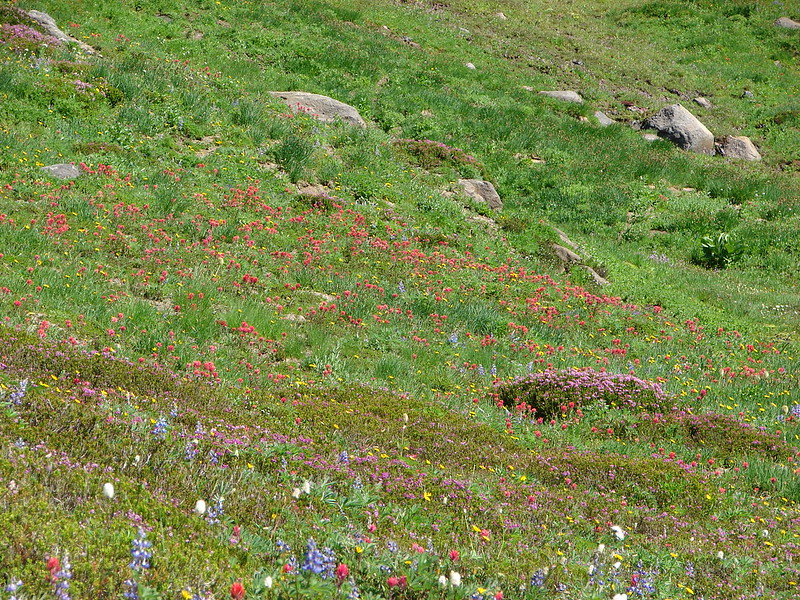
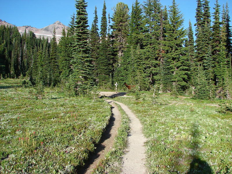
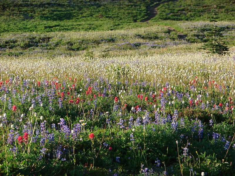
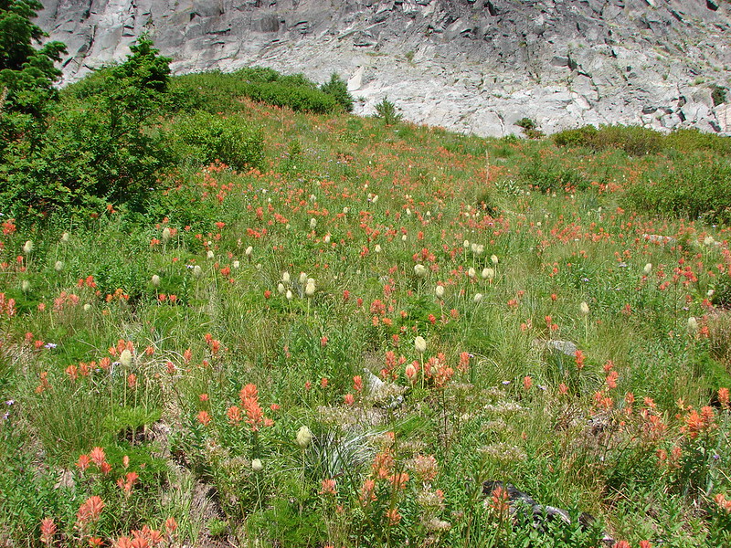
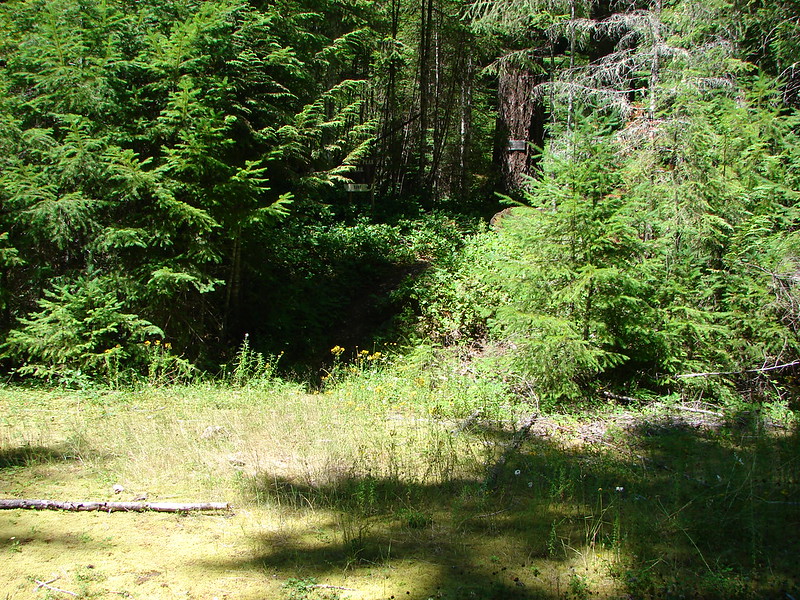
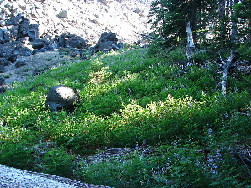
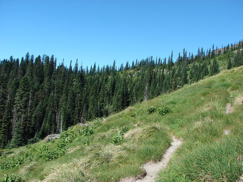
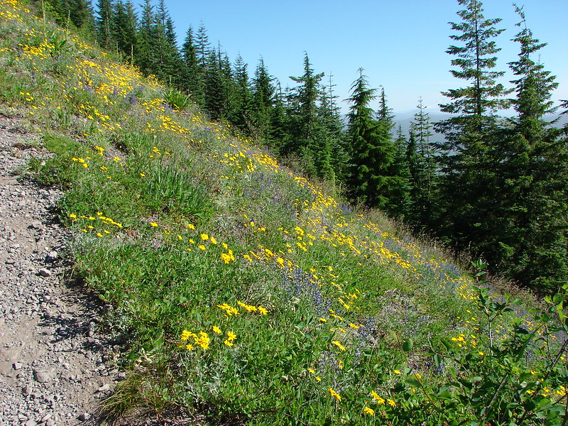
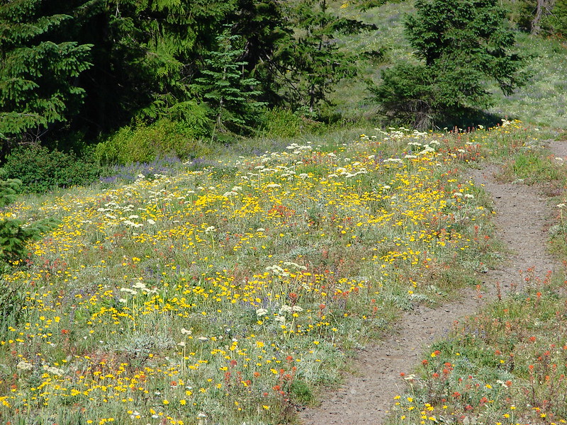
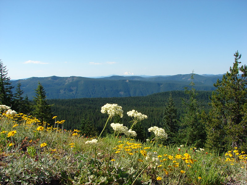
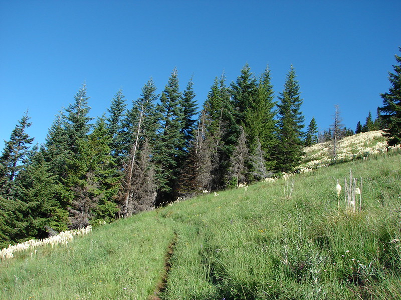
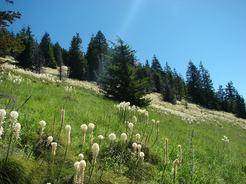
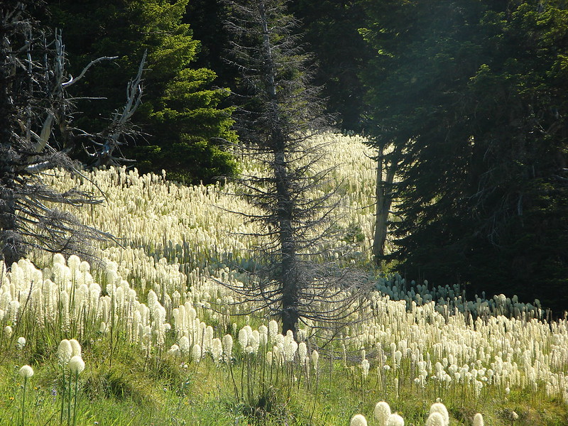
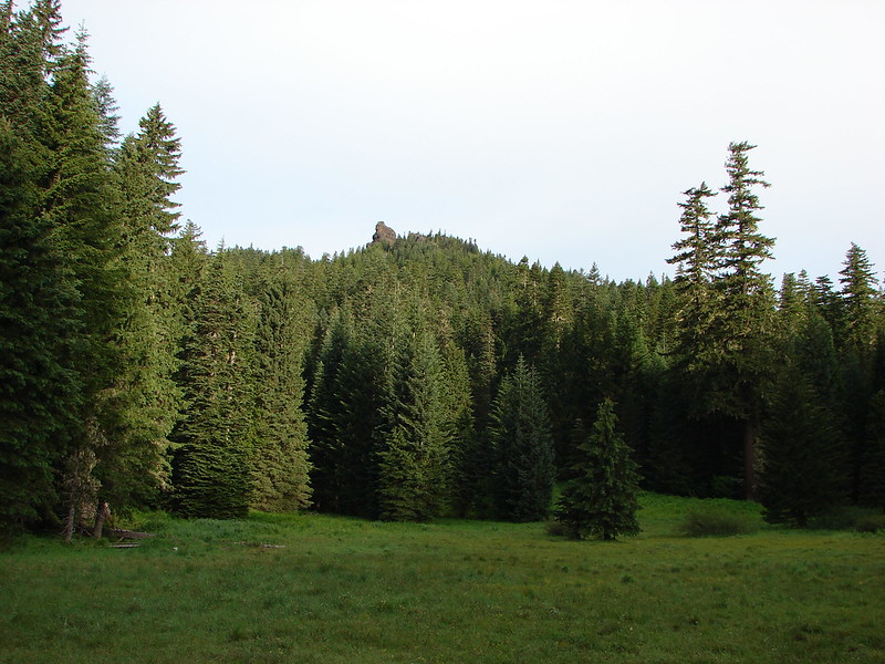
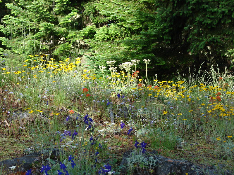
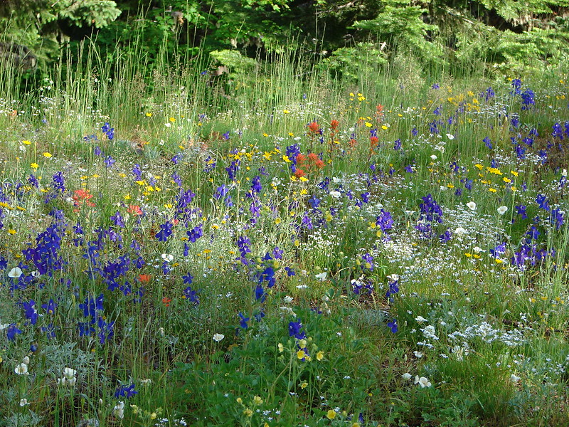
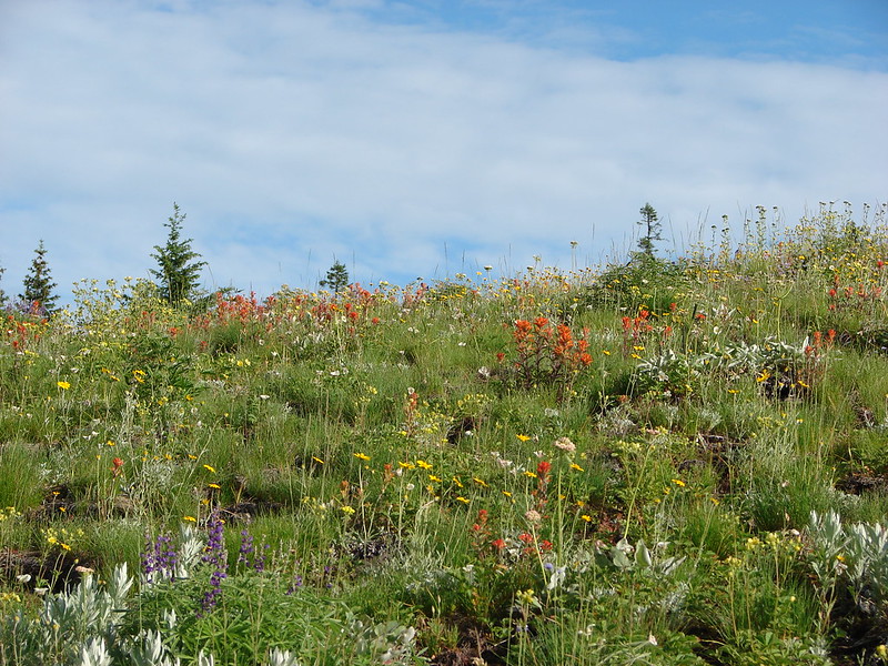
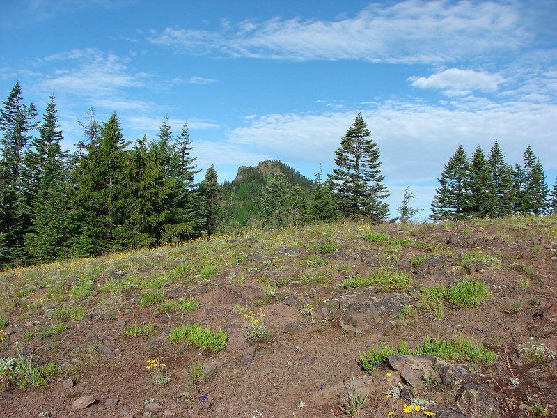
The plains offered an interesting landscape with open views all around.

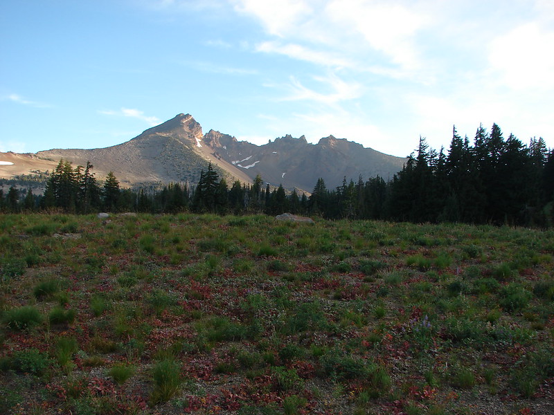
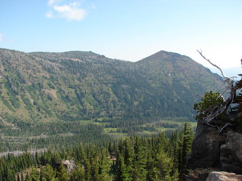
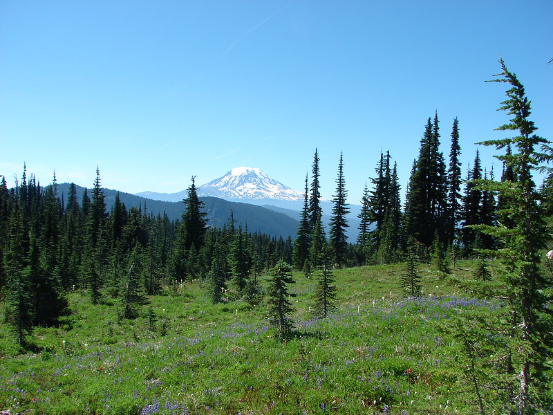
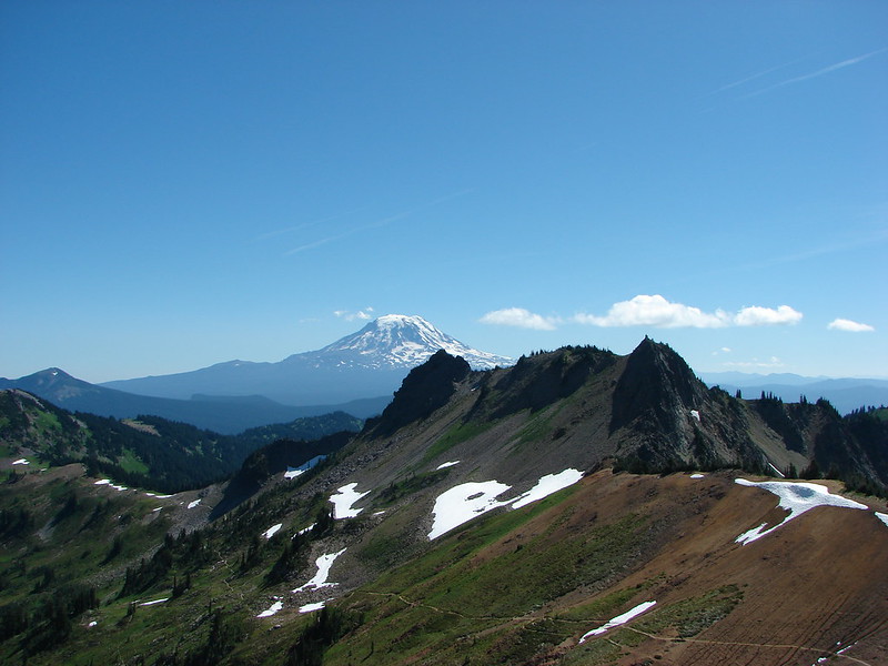
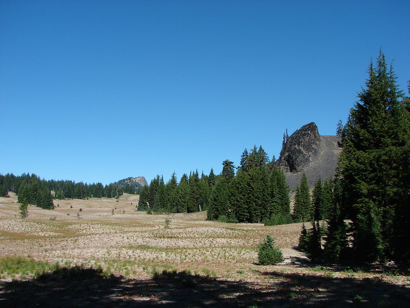
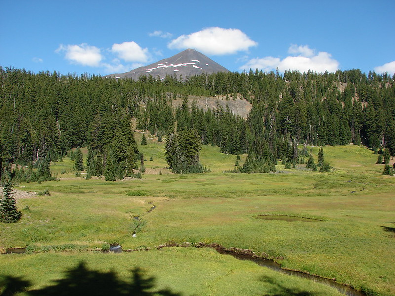
As we headed North toward the PCT on the Le Conte Trail we were able to see a couple of peaks that are often overlooked due to their proximity to the larger Three Sisters, The Wife at 7054′ and The Husband at 7524′.
We met the PCT and turned right passing the Rock Mesa lava flow and views of the South Sister.

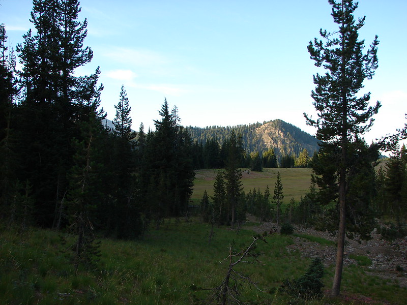
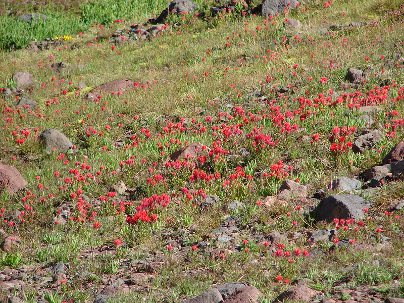
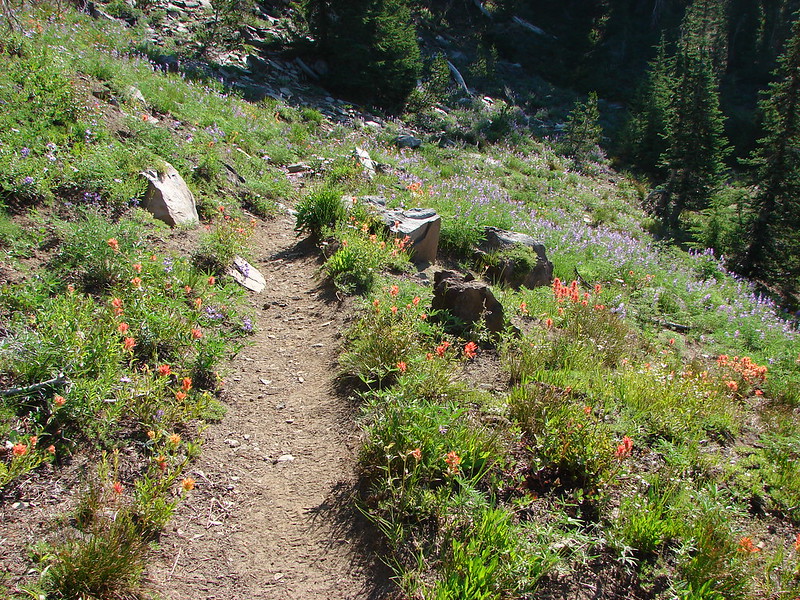
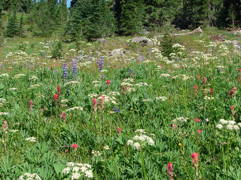
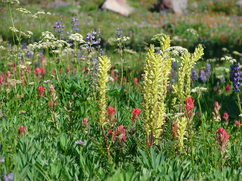
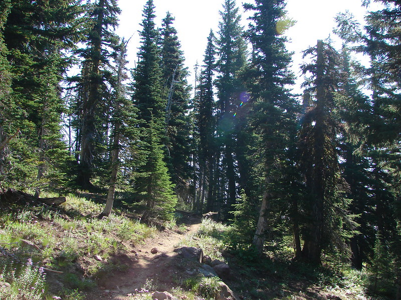
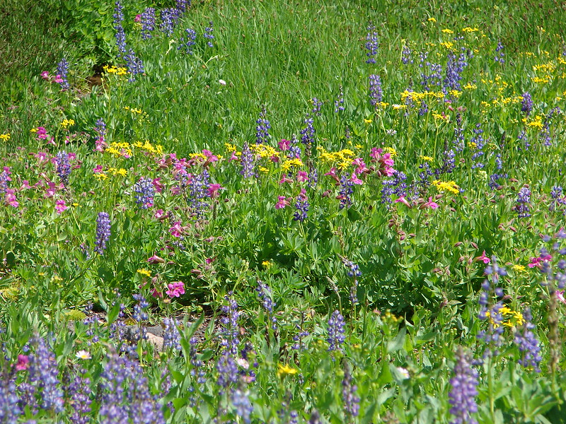
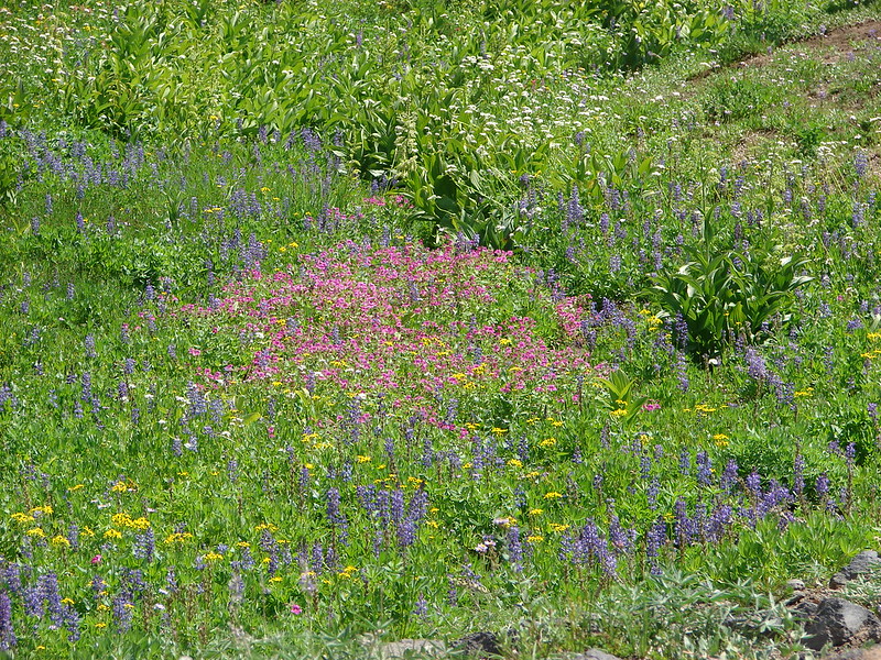
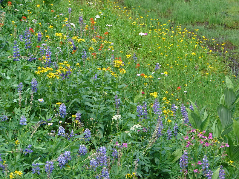
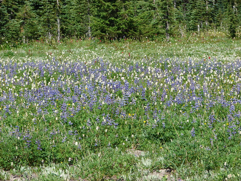
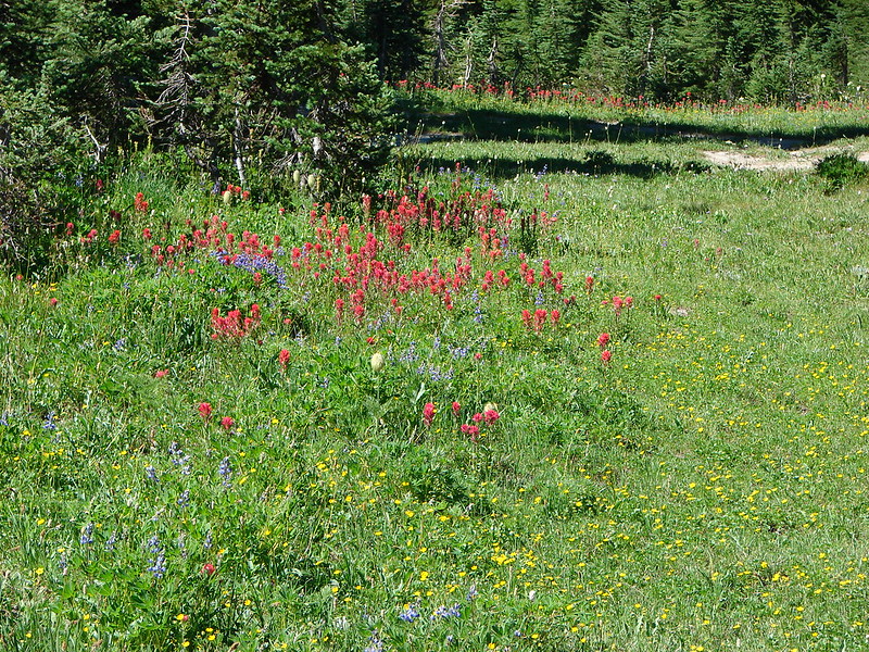
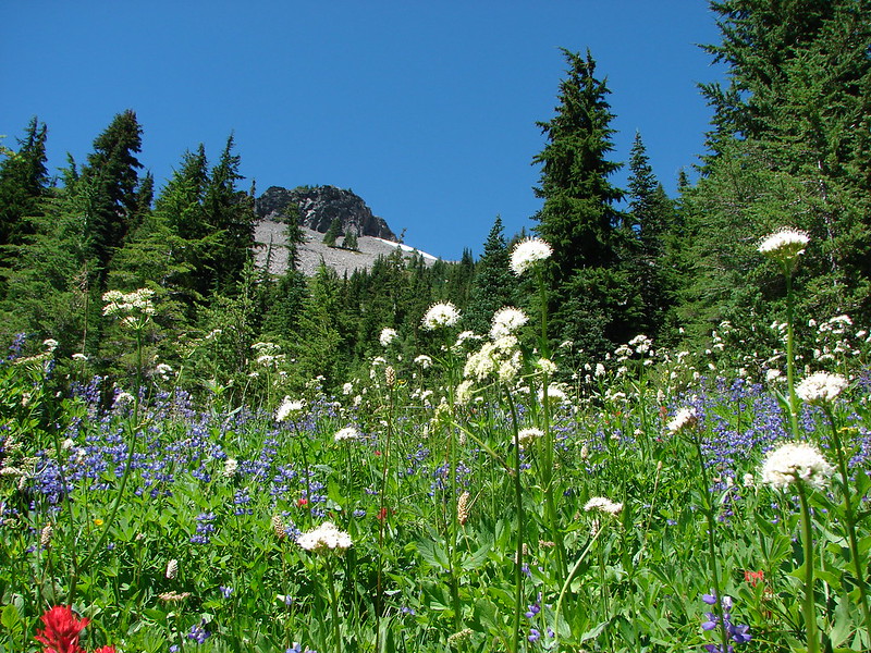
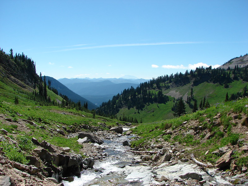
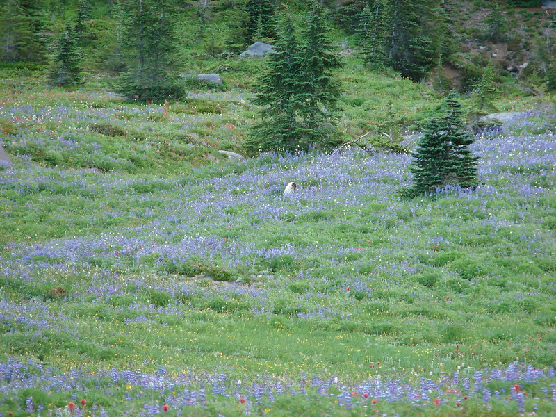
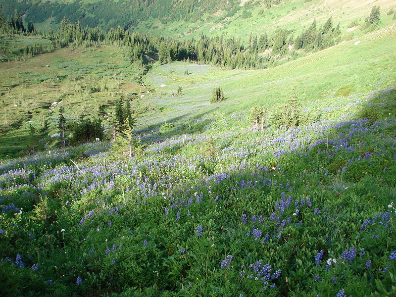
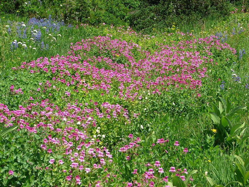
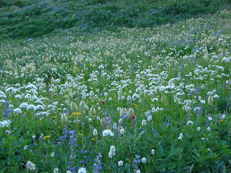
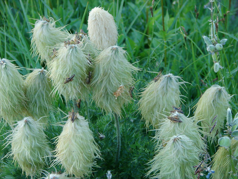
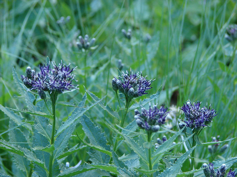
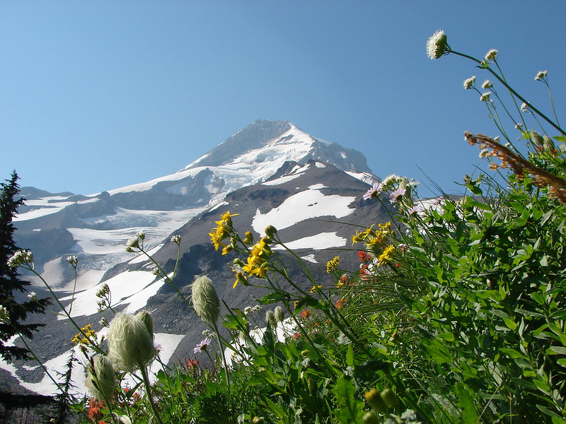
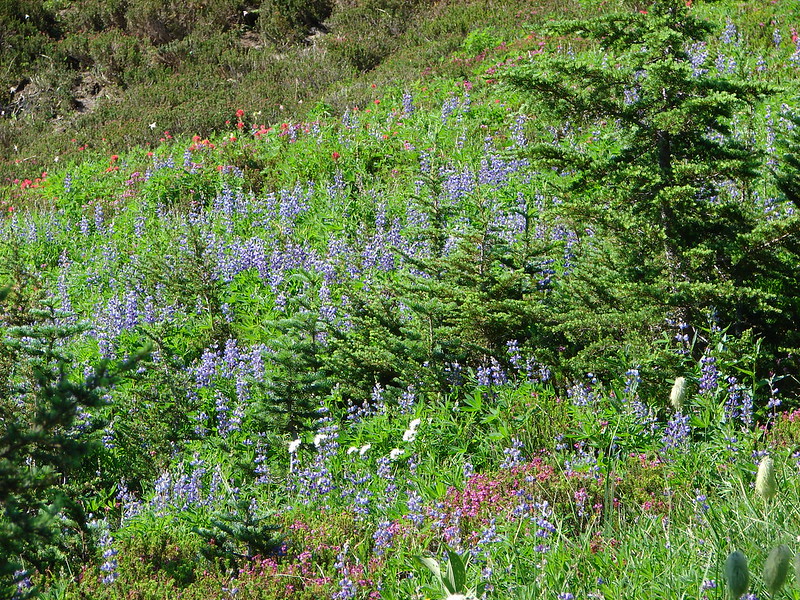
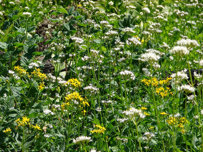
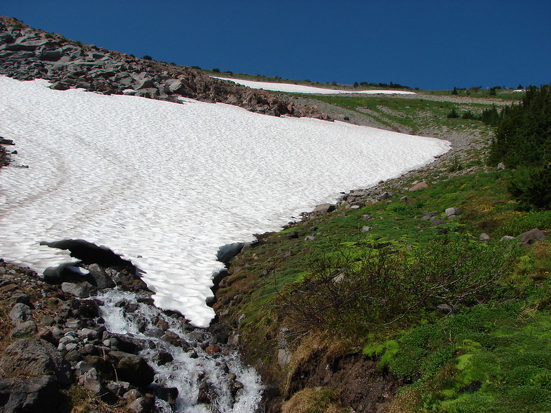
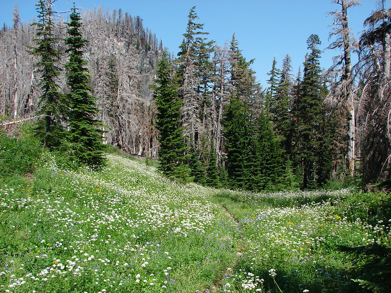
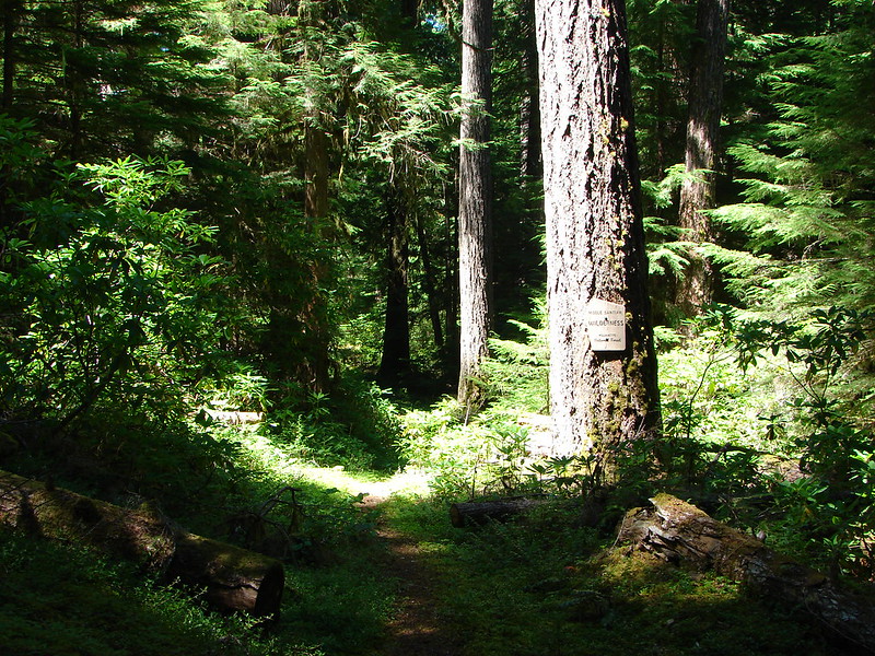
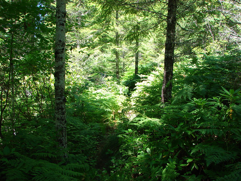
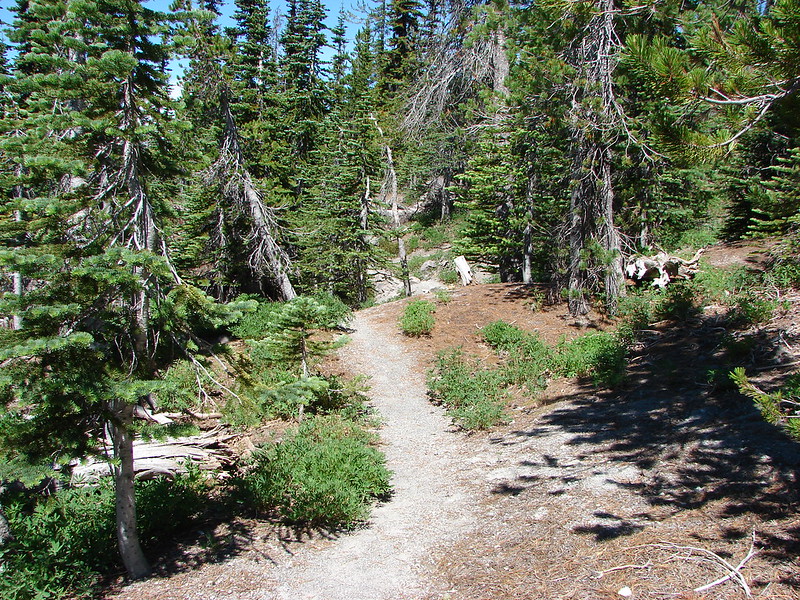
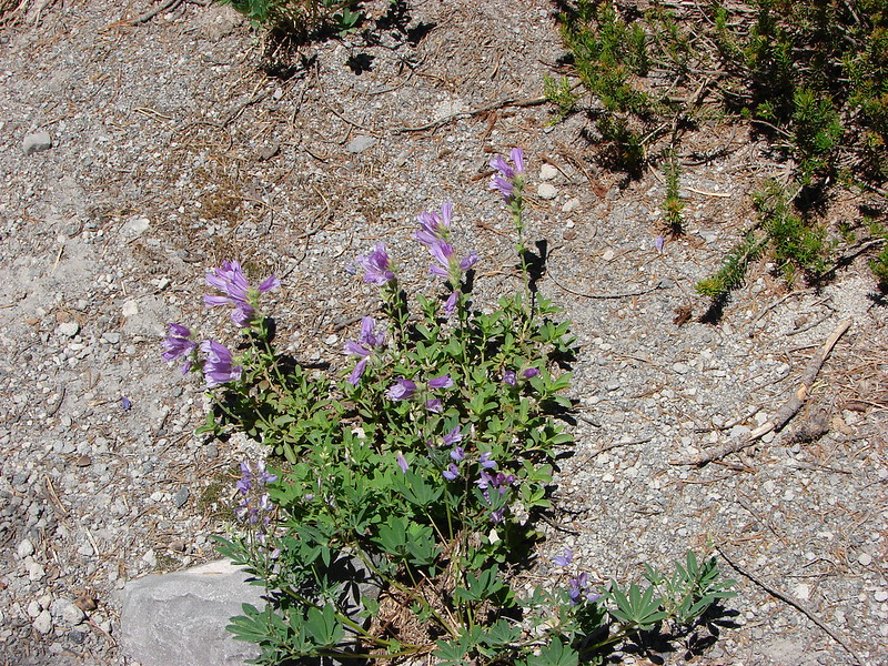
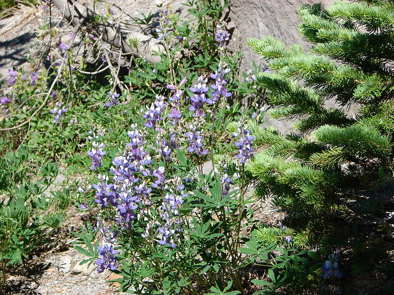
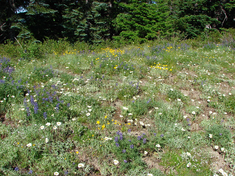
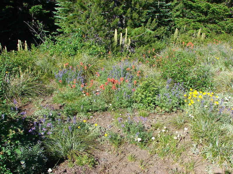
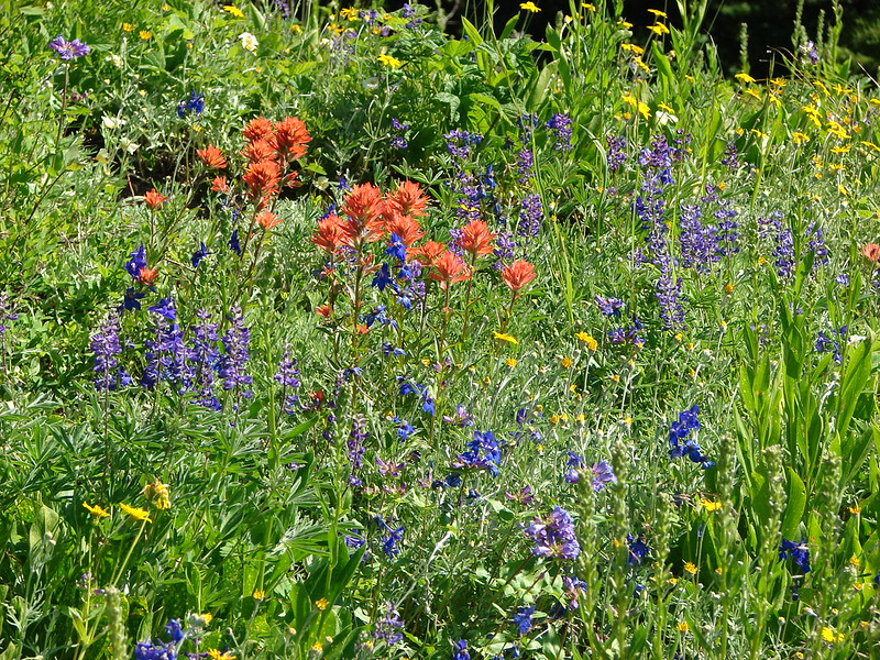
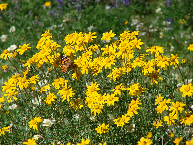
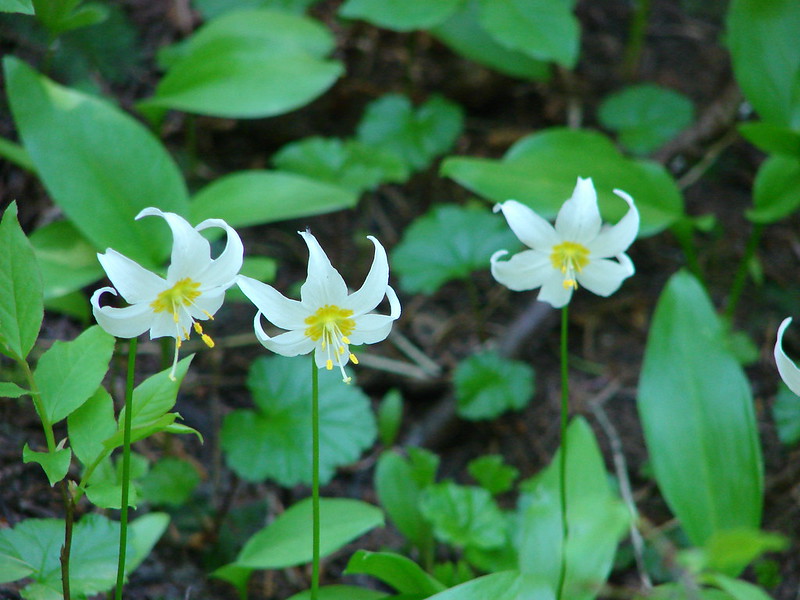
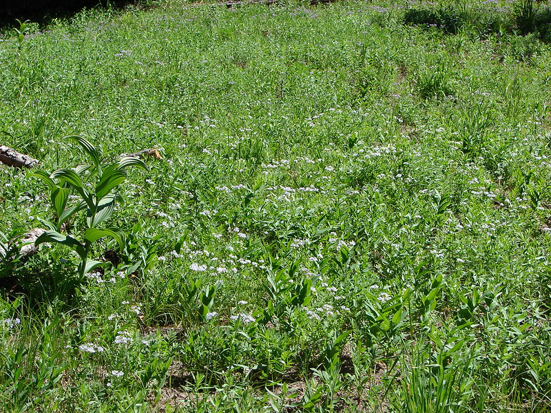
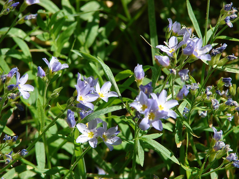
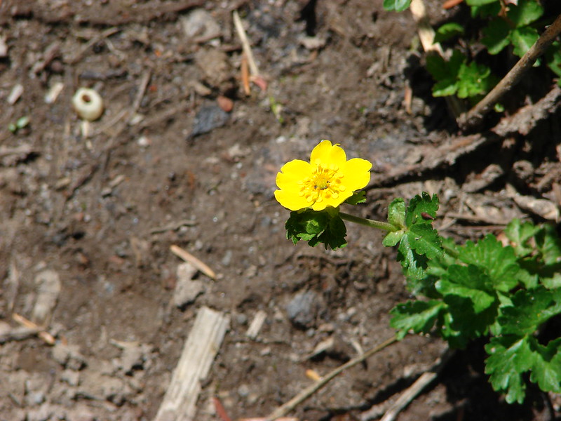
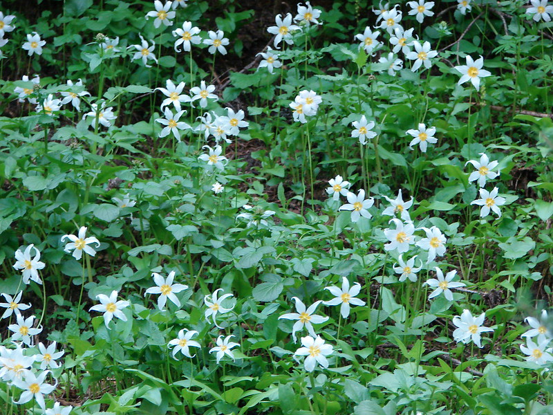
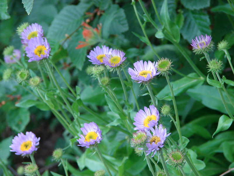
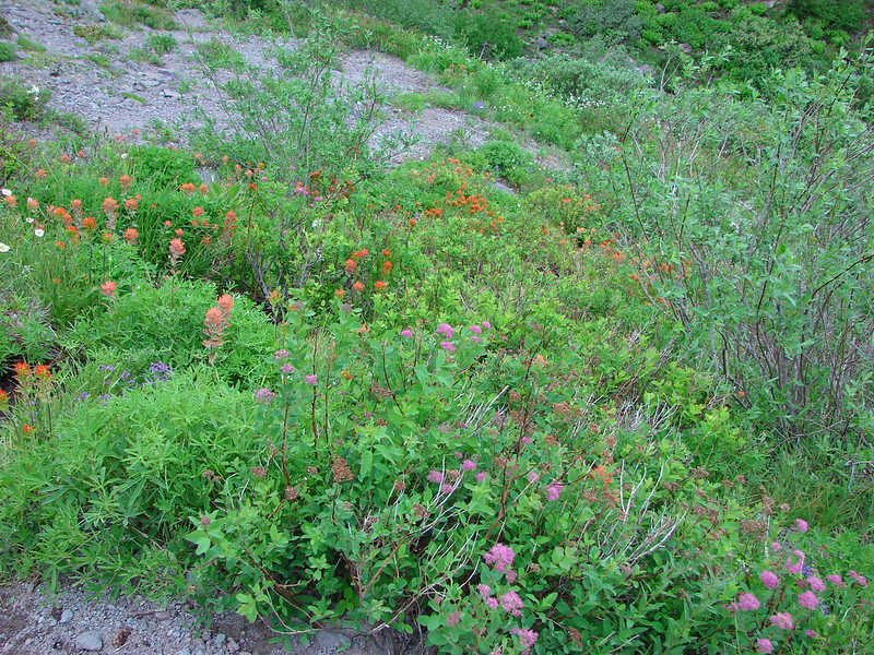
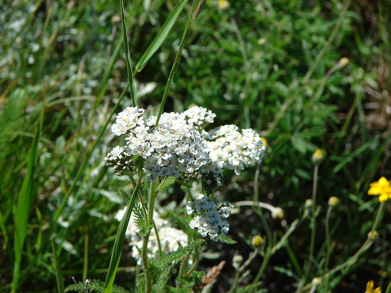
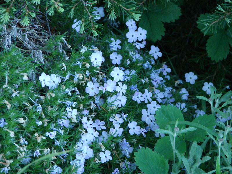
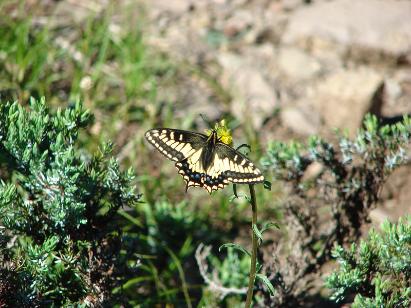
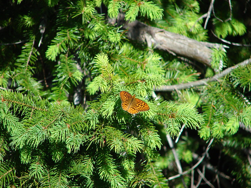
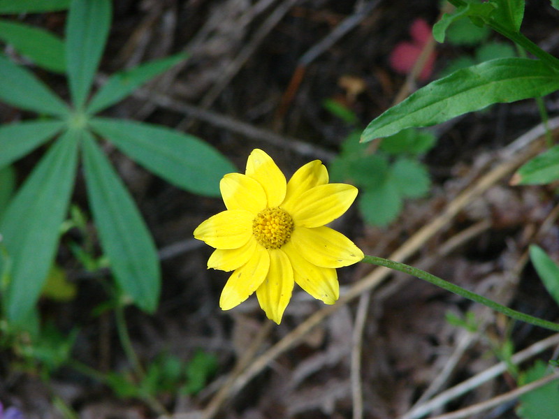
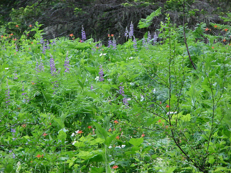
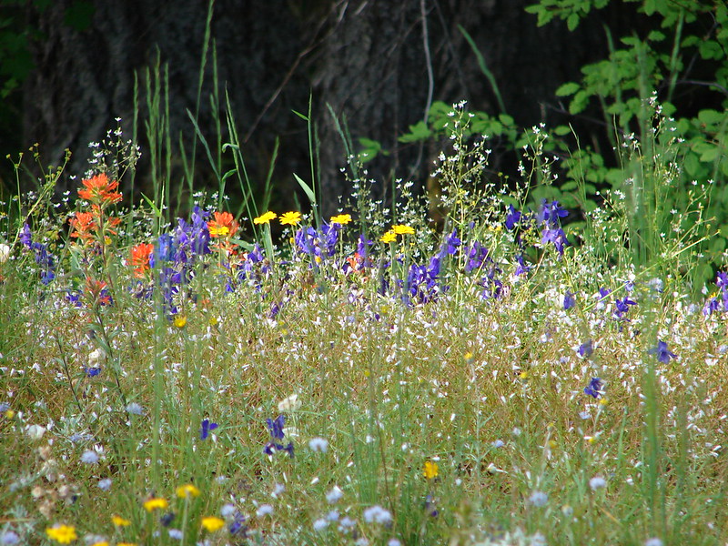
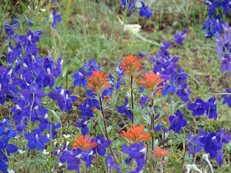
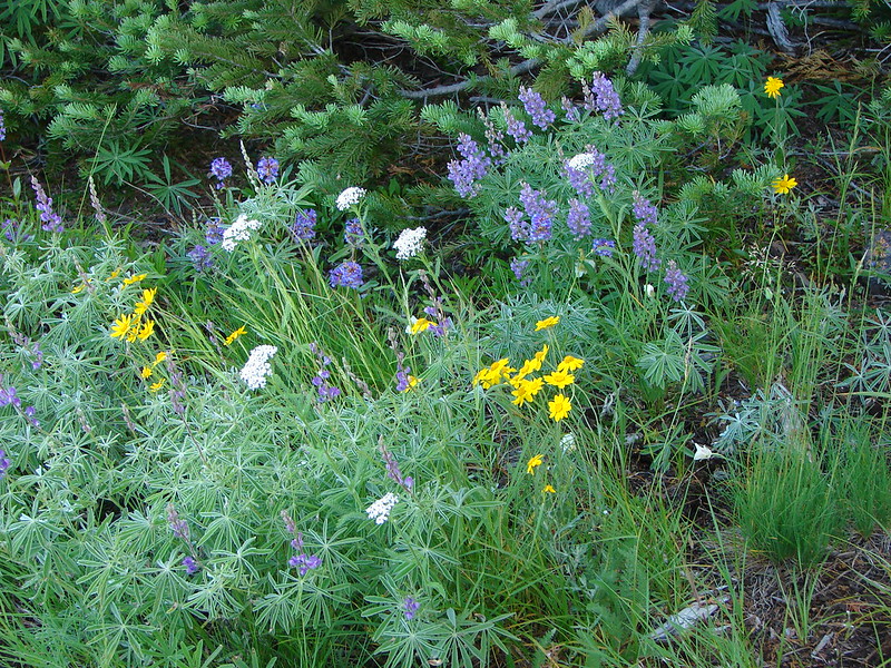
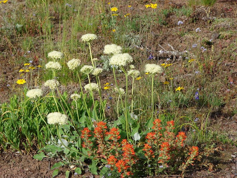
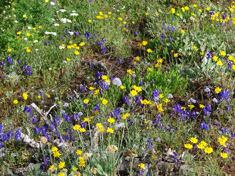
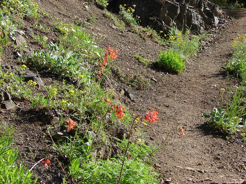
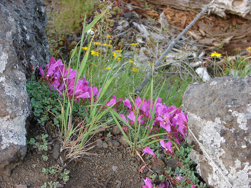
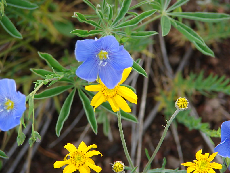
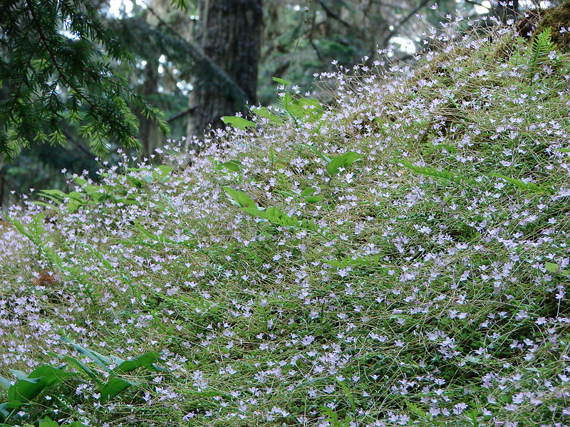
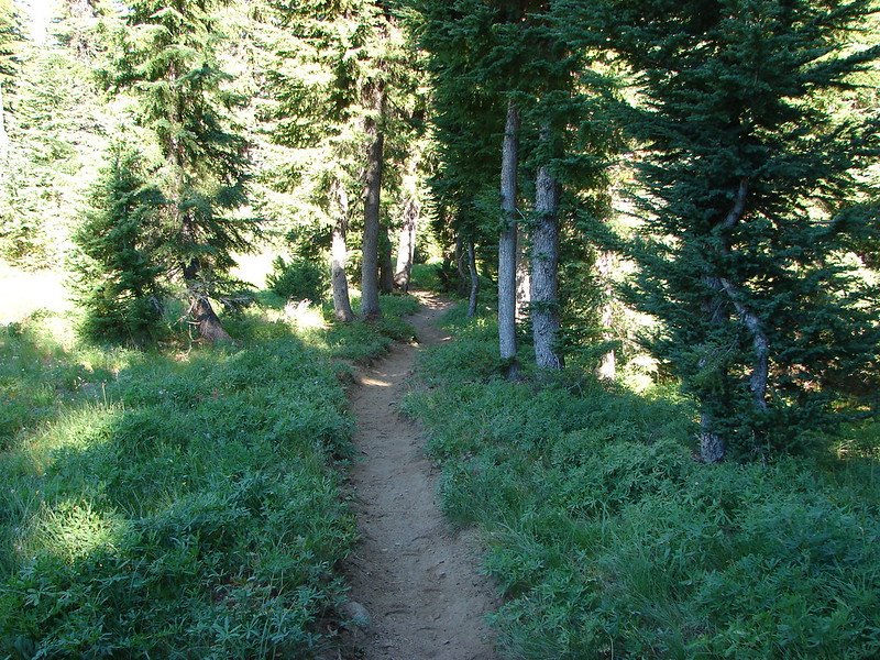
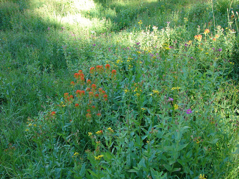
The PCT eventually left the plains and entered more forested terrain crossing several branches of Mesa Creek amid meadows and wildflowers.


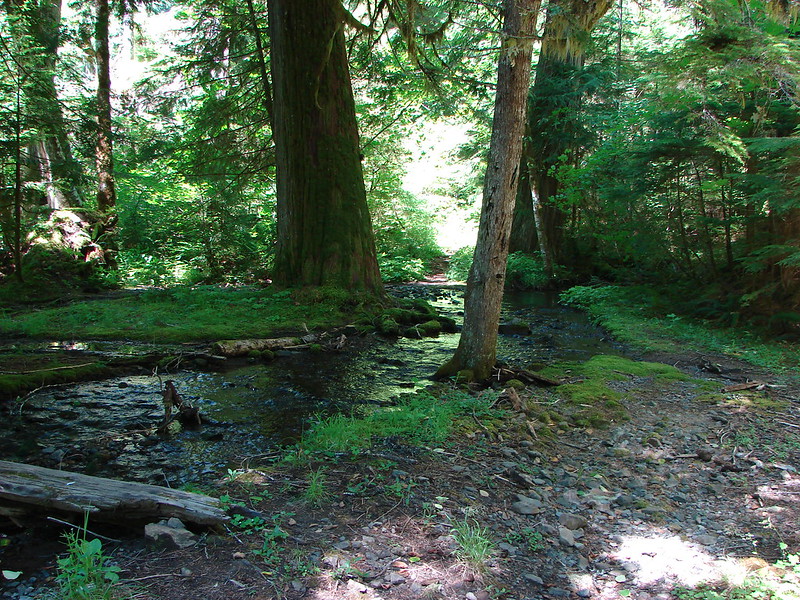
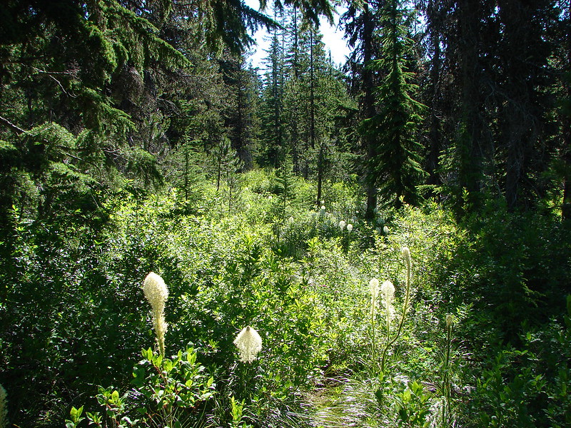
We left the PCT when we reached the James Creek Trail. We had planned on camping at Linton Meadows the first night and this trail would eventually lead us there and take us past some other interesting sights. The first of these was the James Creek Shelter which sat at the edge of a meadow made green by James Creek.

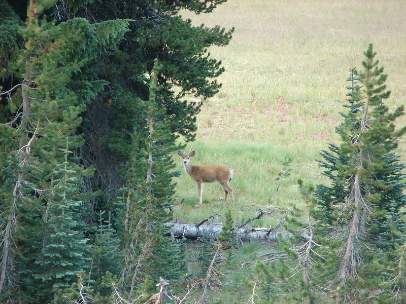
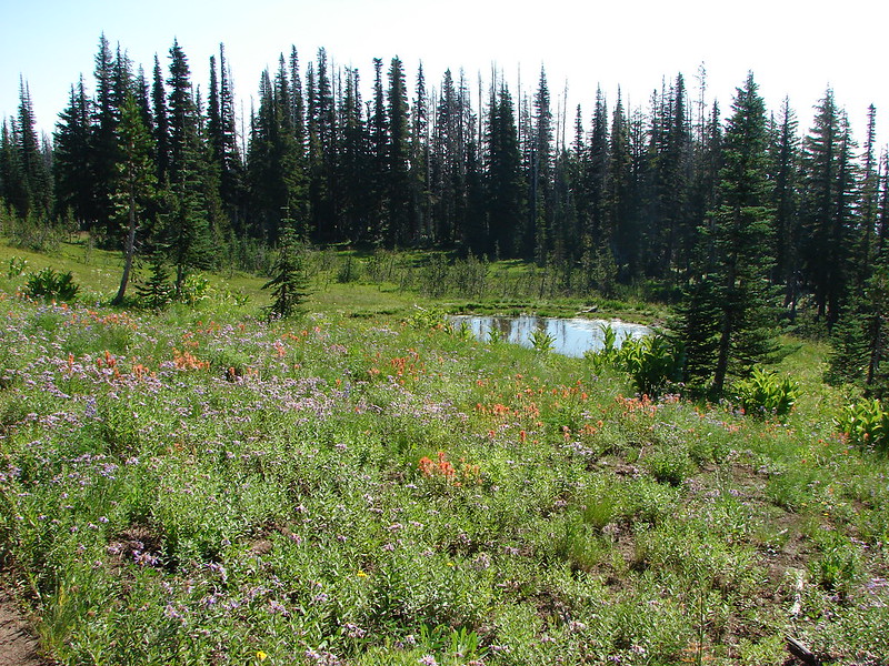
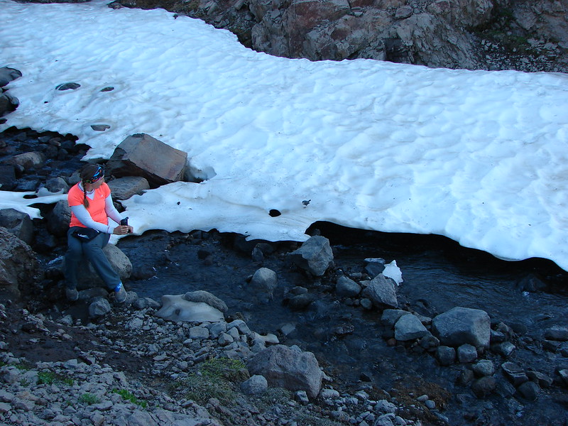
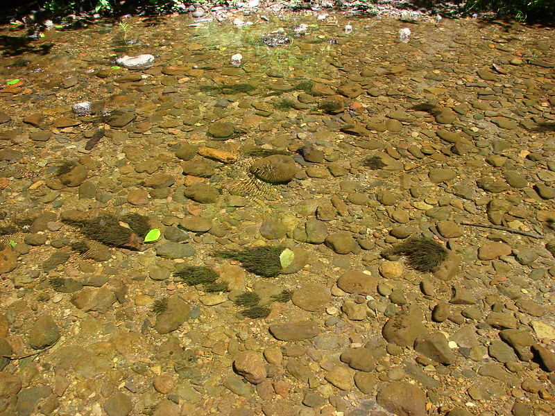
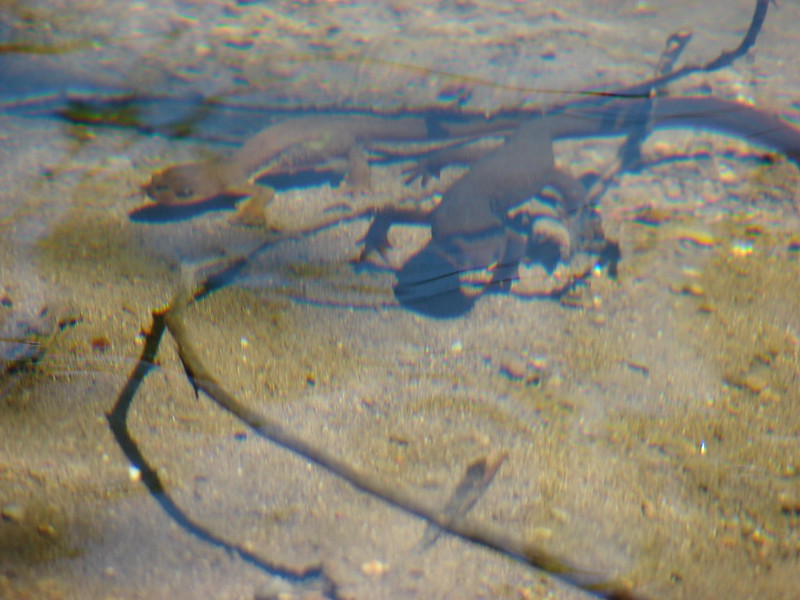
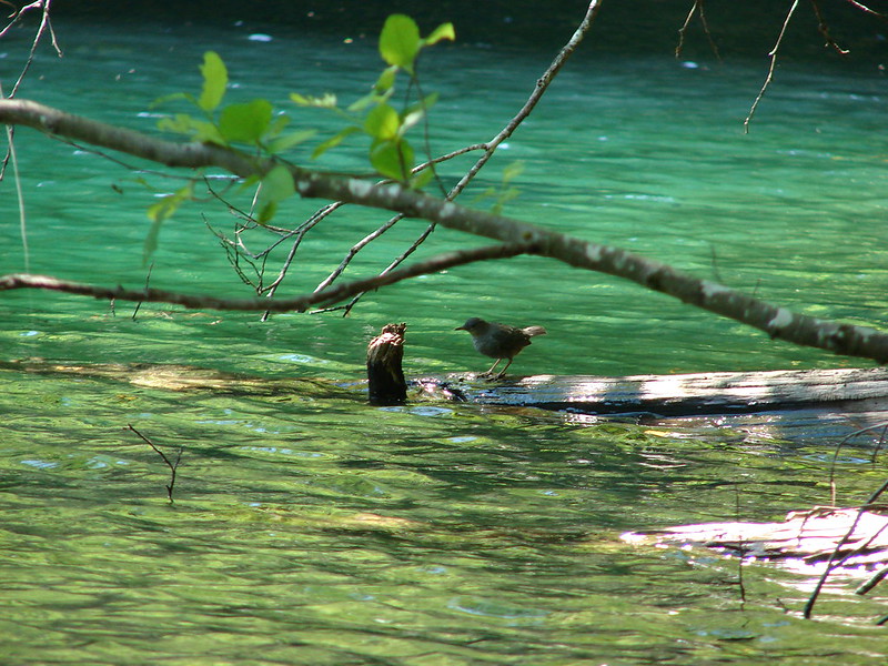
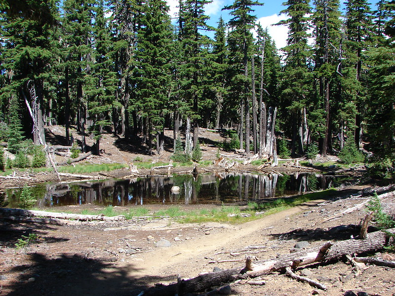
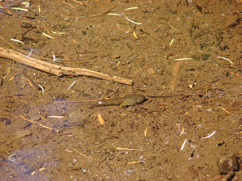
Next we passed a small pond where Heather spotted a tadpole.
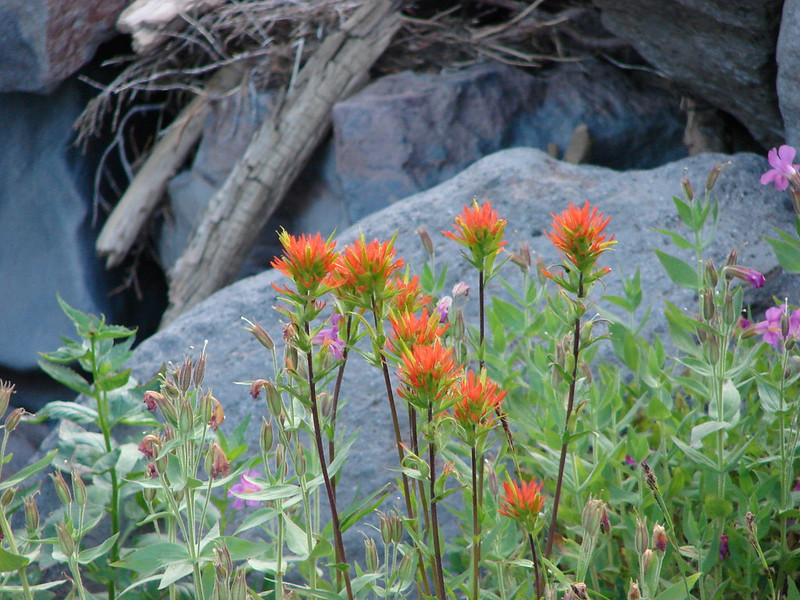
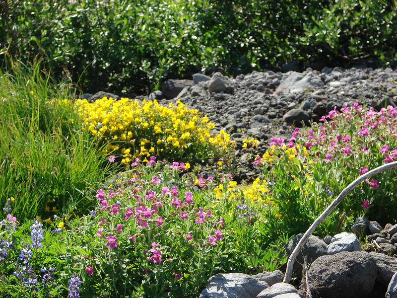
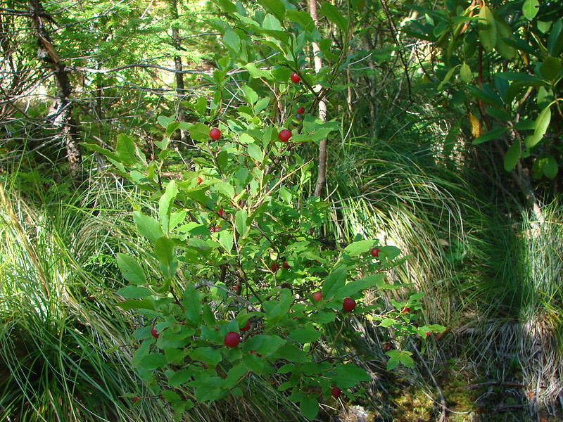
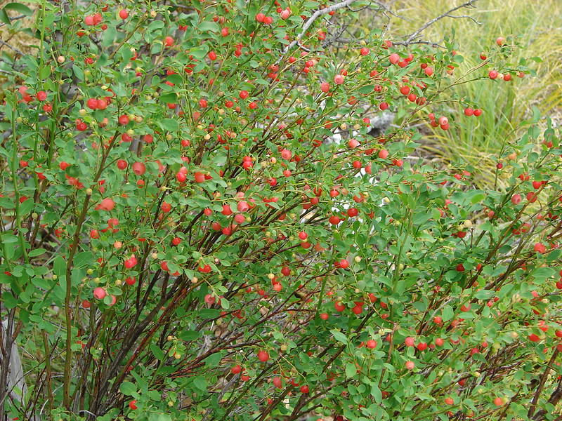
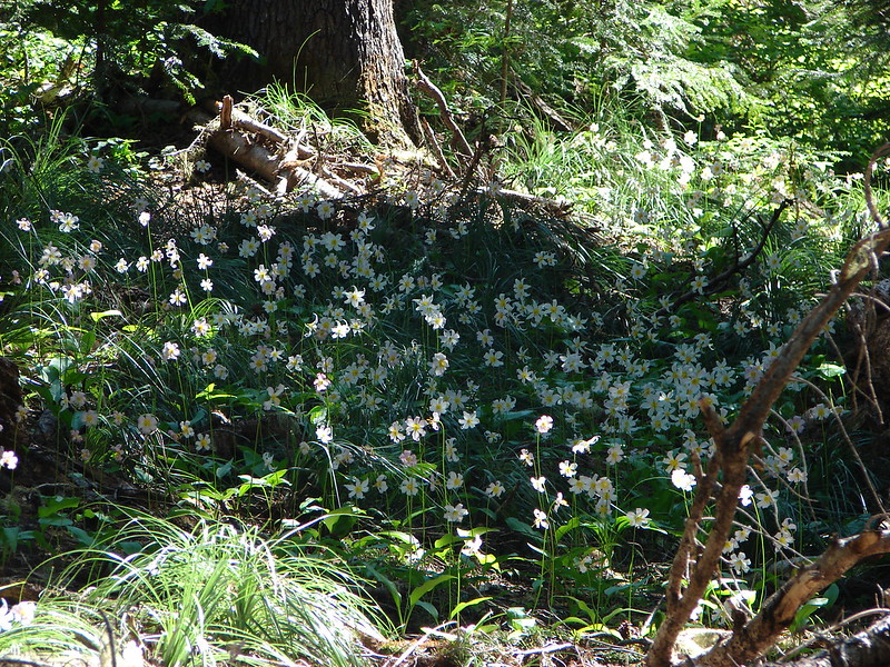
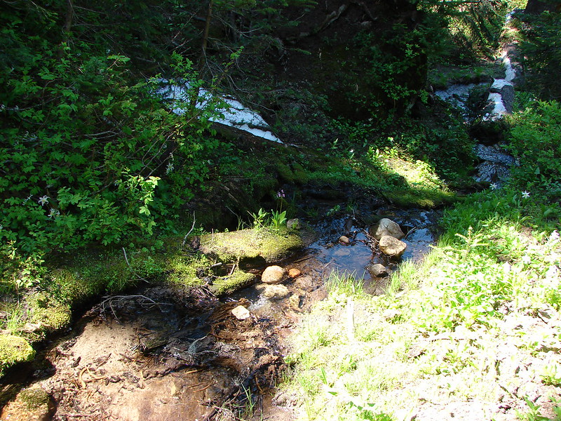
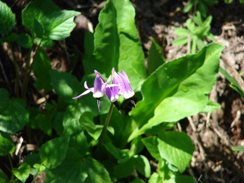
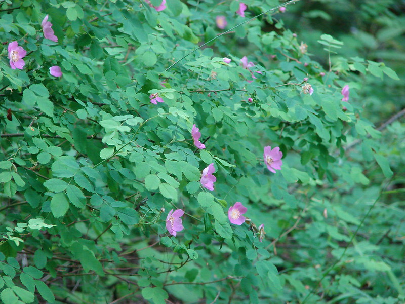
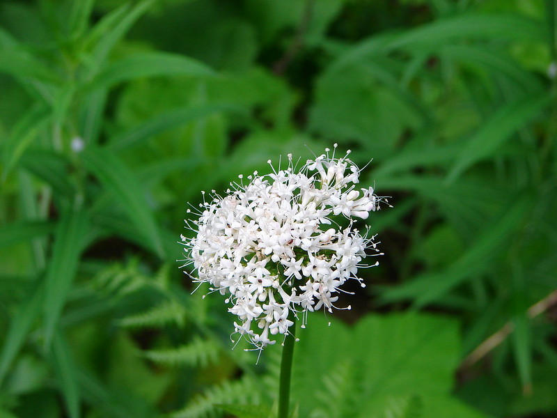
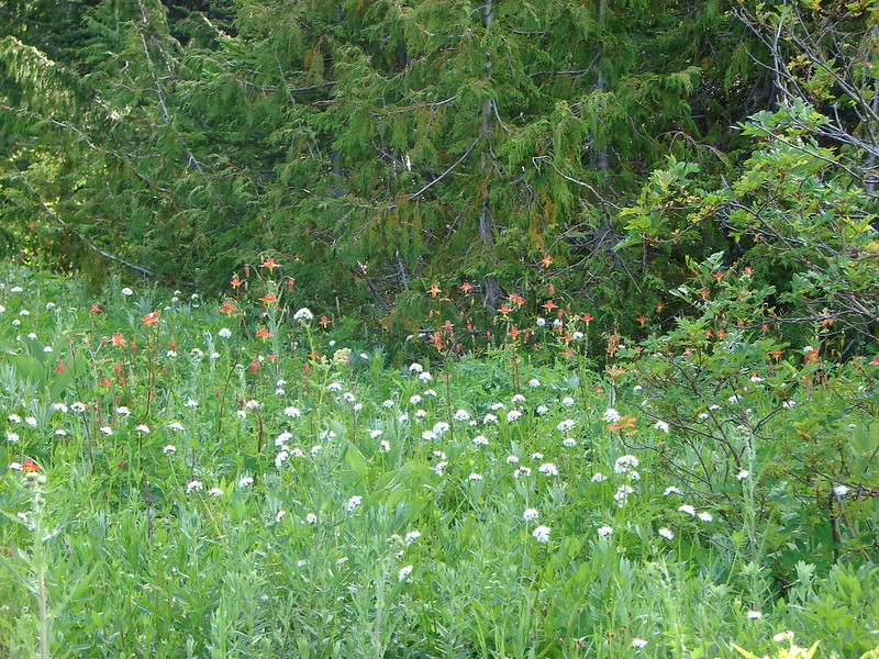
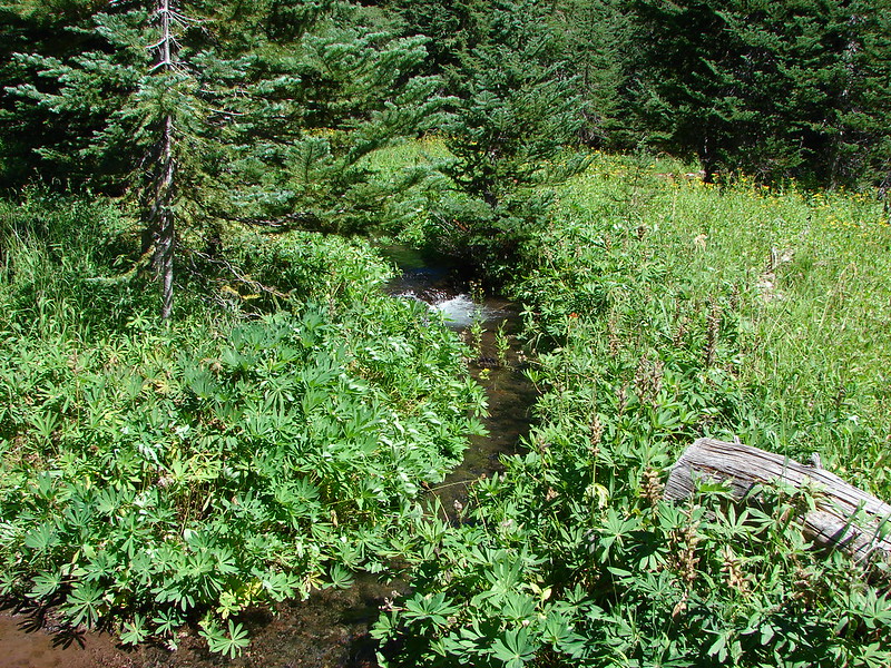
Flower lined Hinton Creek was next.
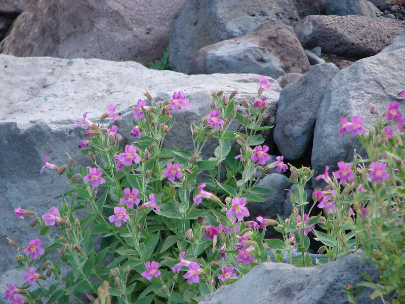
Followed by Separation Creek. We may have found some of the tadpoles relatives there.

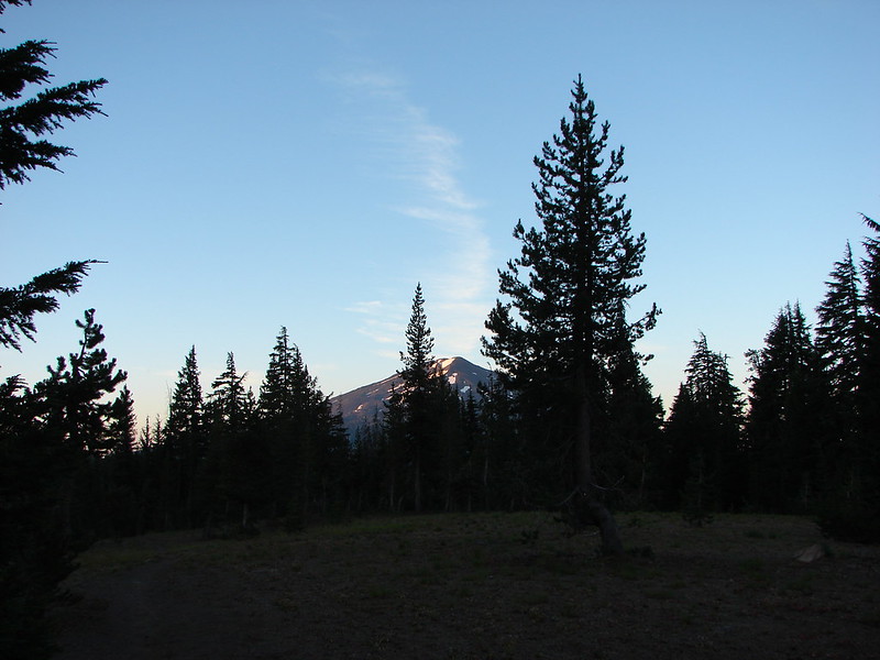
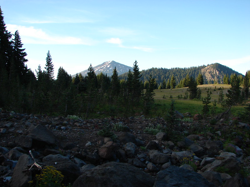
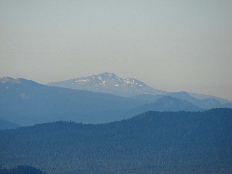
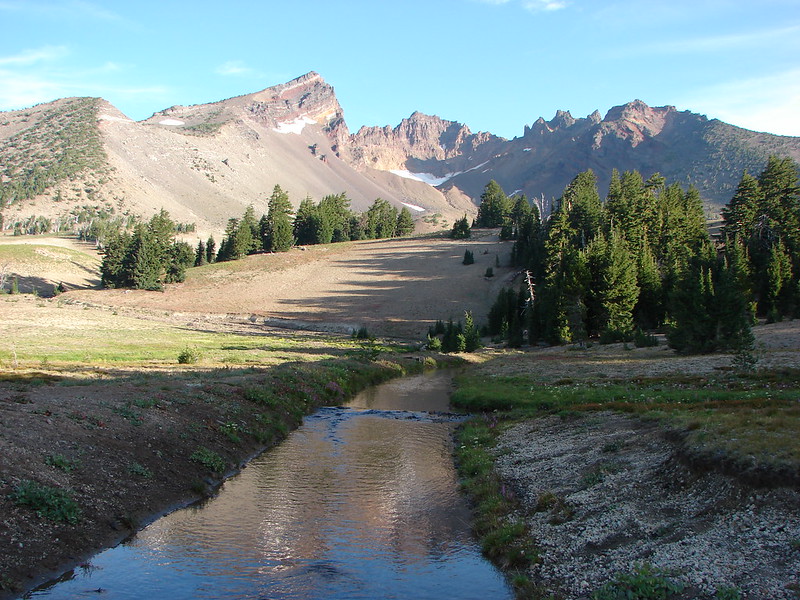
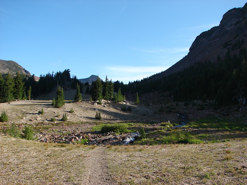
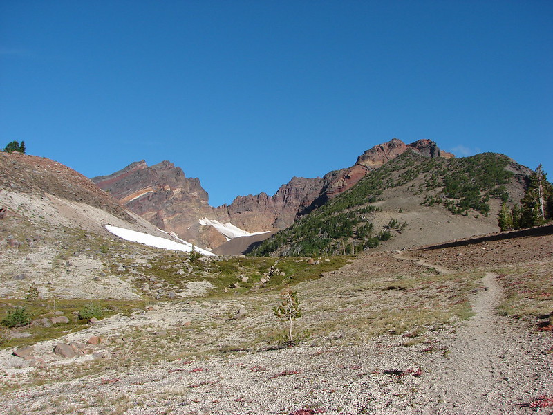
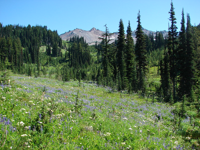
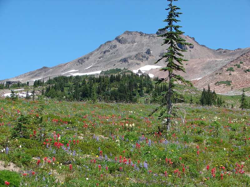
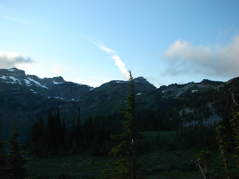
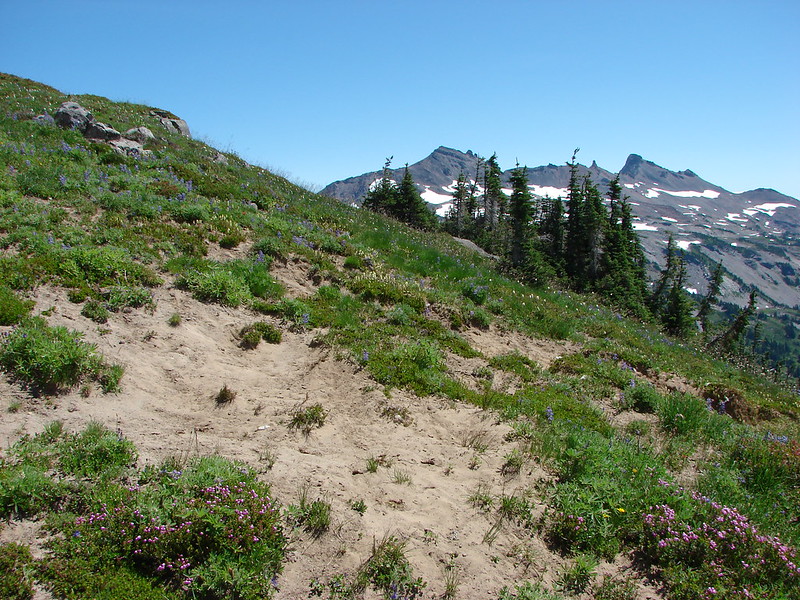
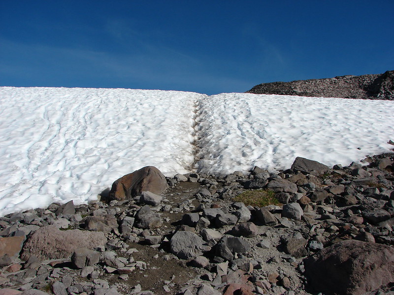
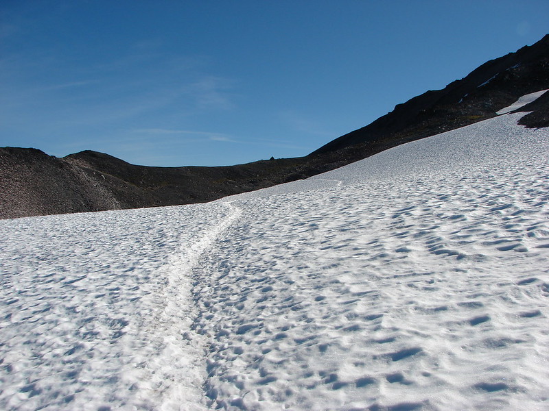
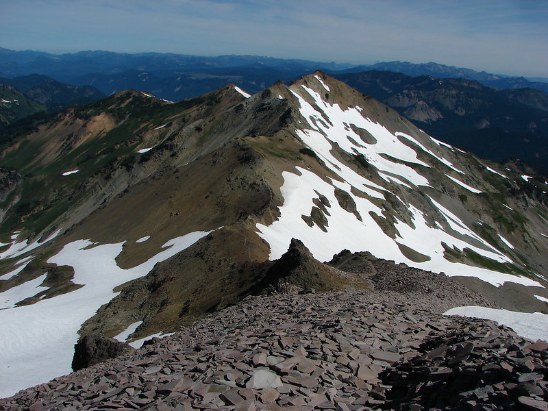
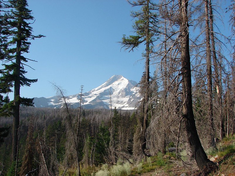
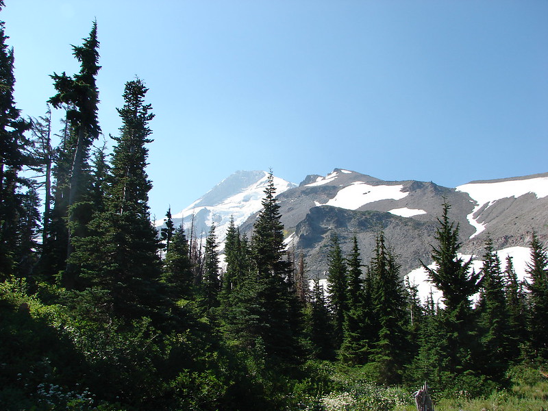
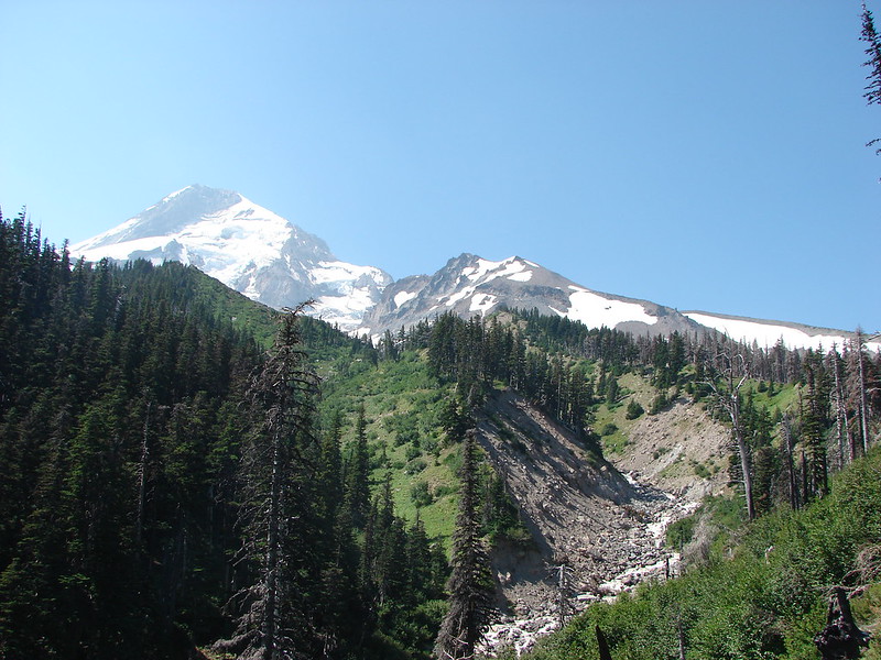
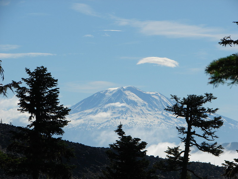
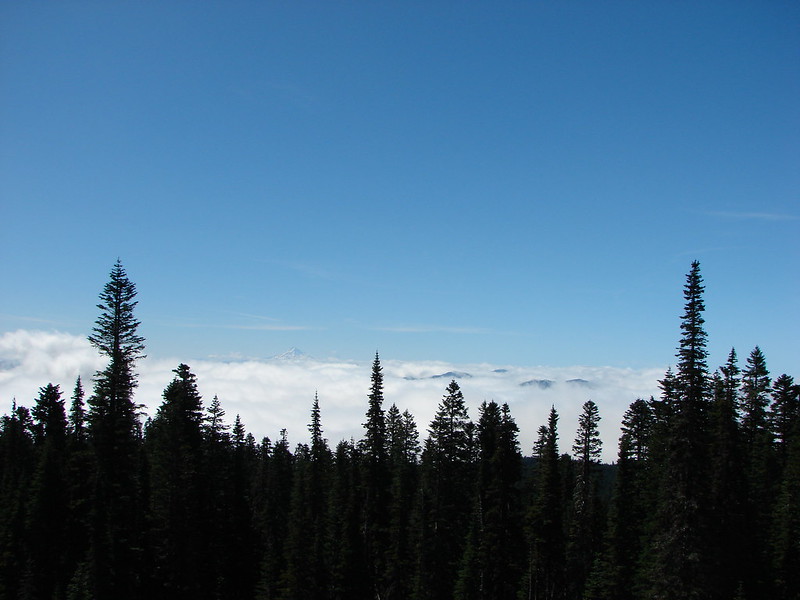
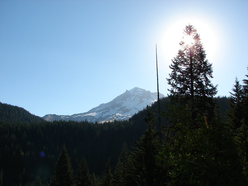
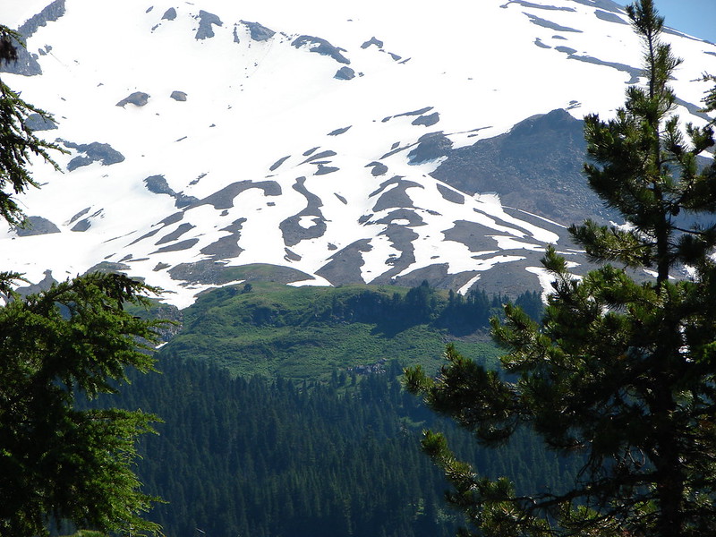
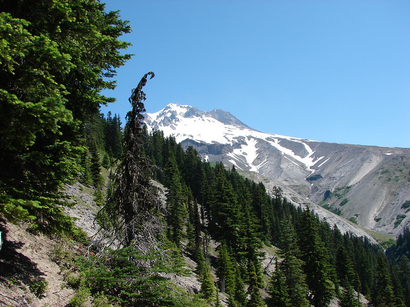
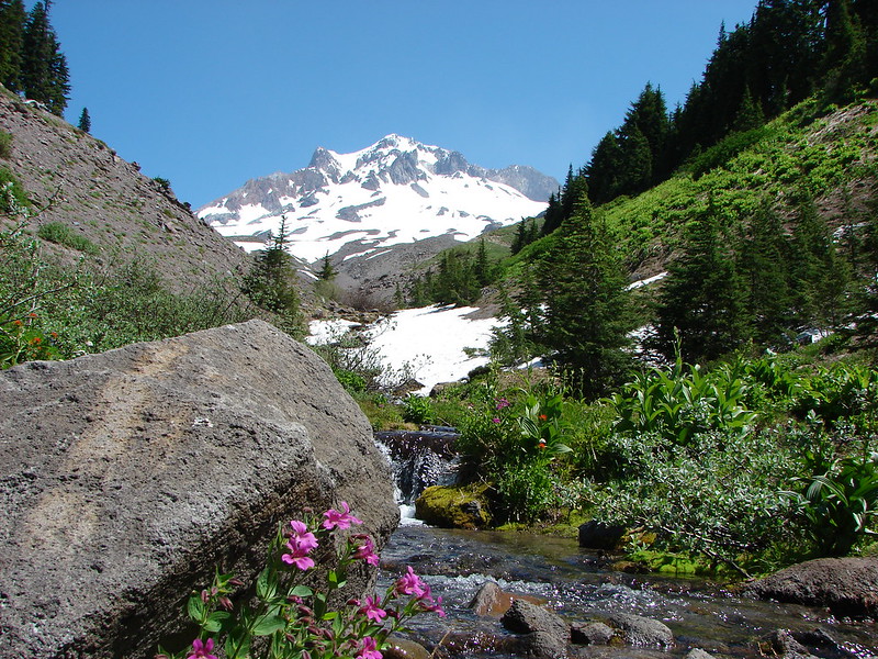
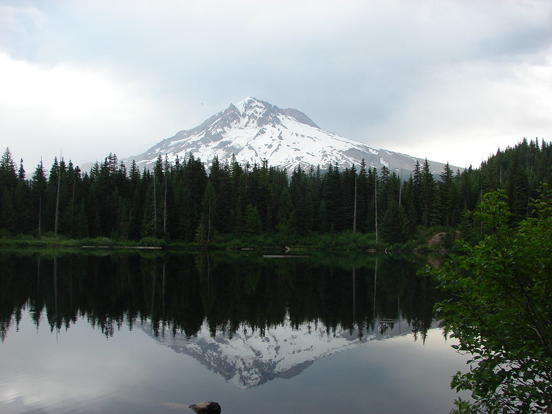
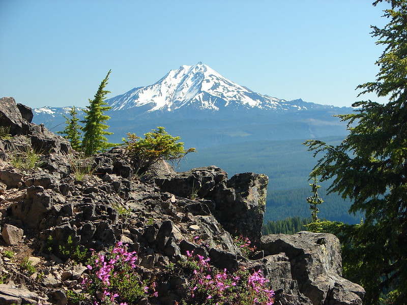
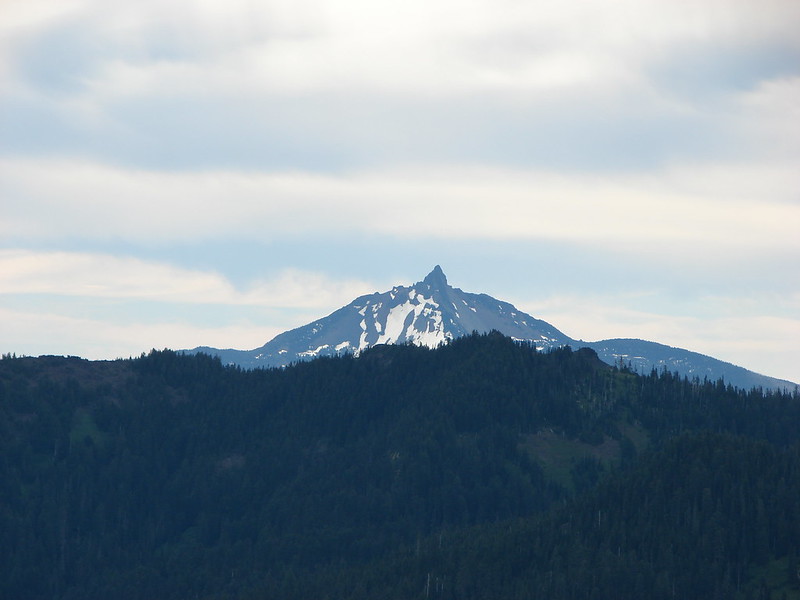
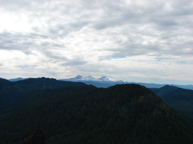
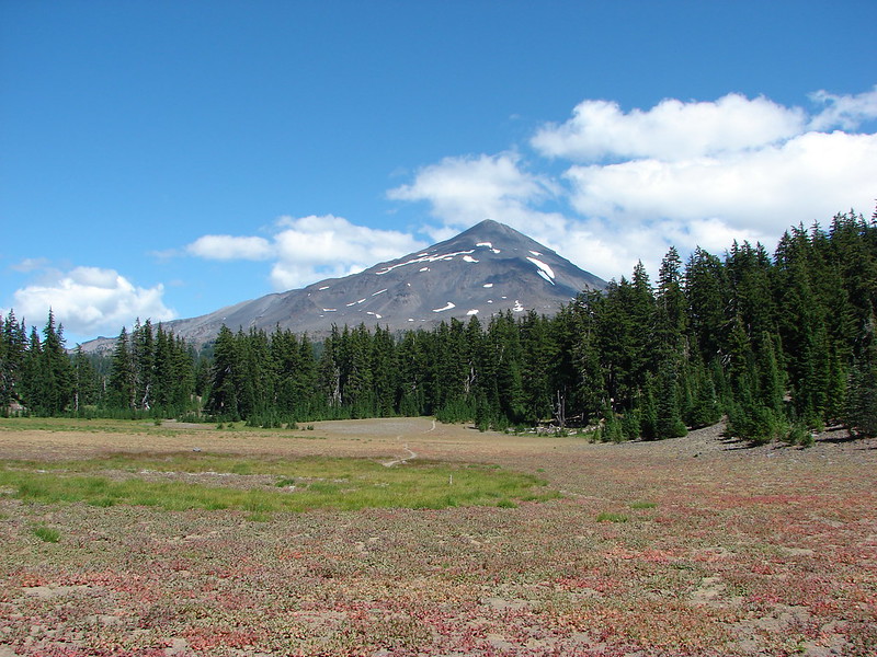
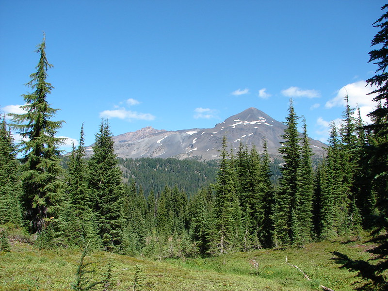
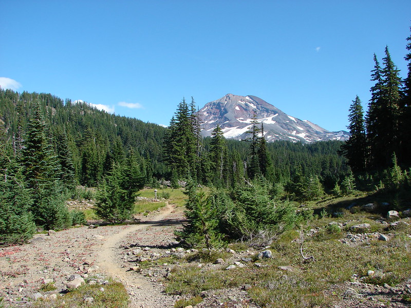
At a five way trail junction we stayed straight continuing on toward Linton Meadows. The clouds had finally lifted from the mountain tops and here we got our first good look at the Middle Sister.
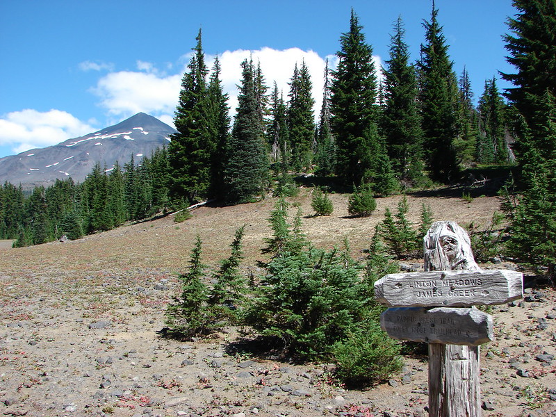
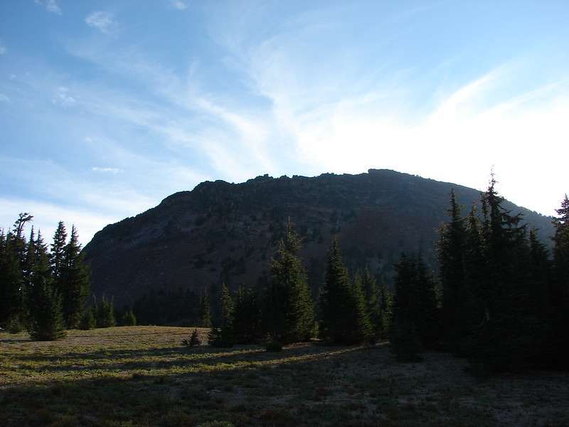
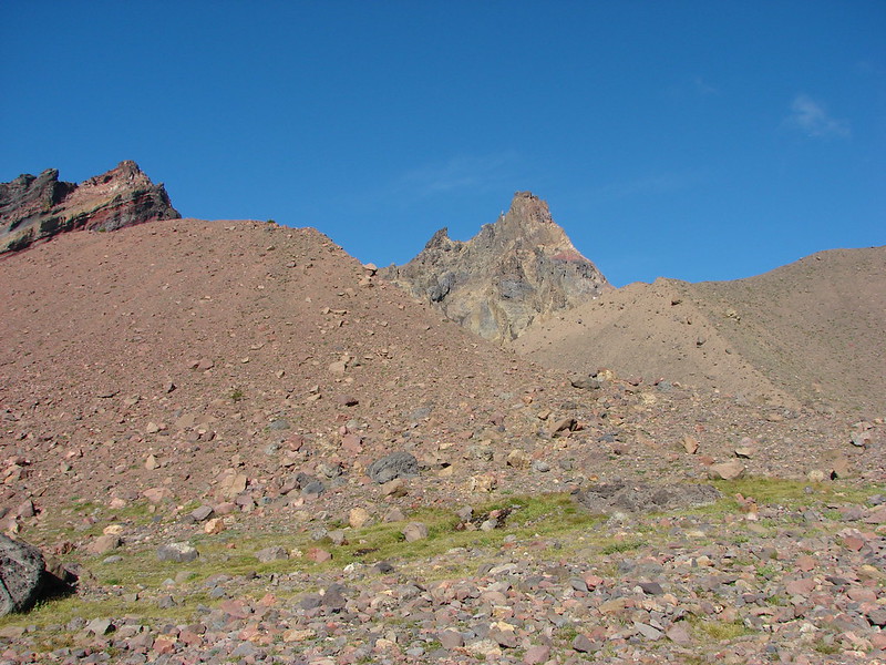
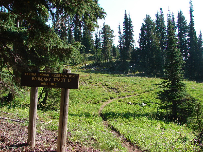
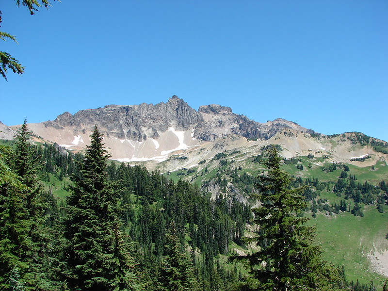
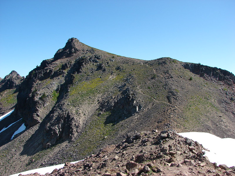
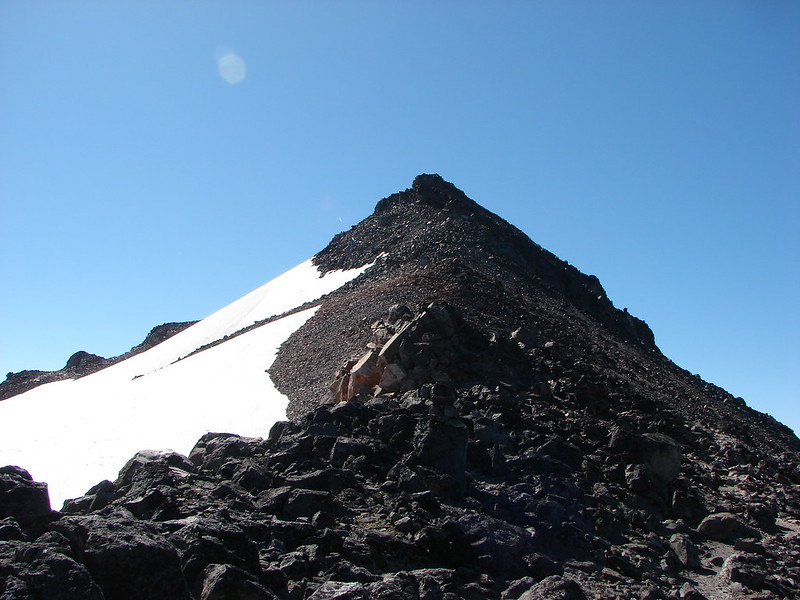
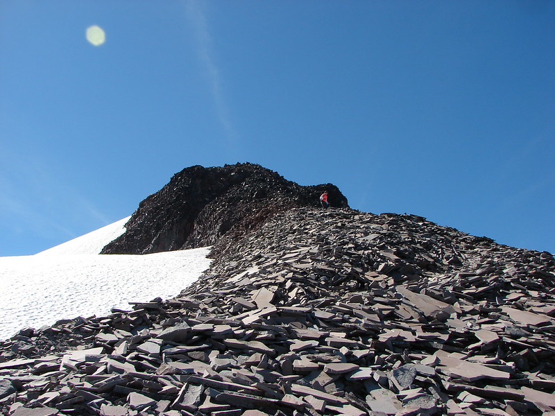
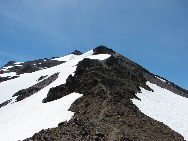
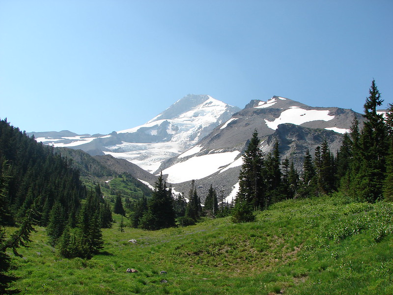
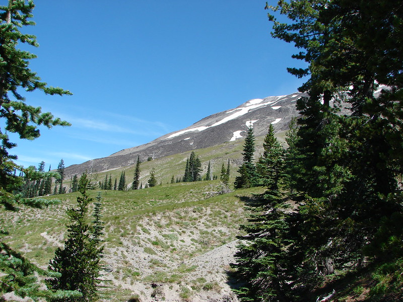
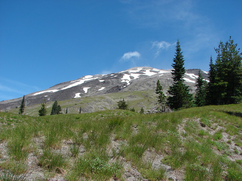
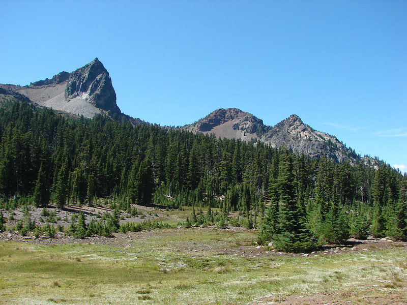
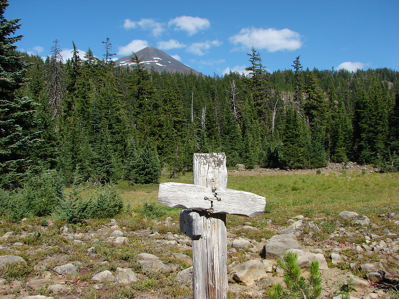
Another junction awaited just .3 miles later. We had originally planned on staying straight and going directly to Linton Meadows but we were enjoying the scenery so much we decided to take a longer route to the meadows and go past Husband and Eileen Lakes first. The 2.4 mile trail would lead us beneath The Husband, past the two lakes, and back to the far end of Linton Meadows. It was interesting to see The Husband up close. The shape reminded us a lot of Broken Top.
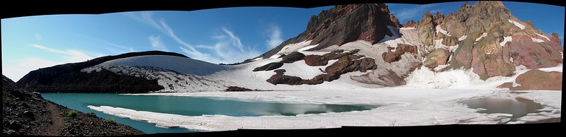
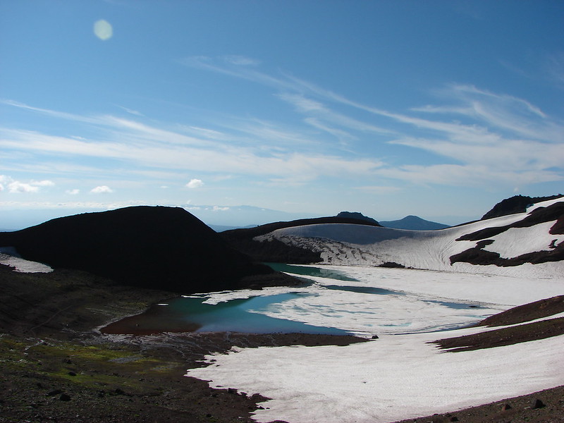
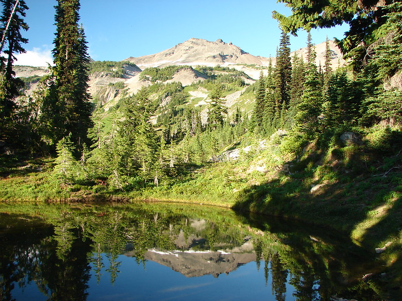
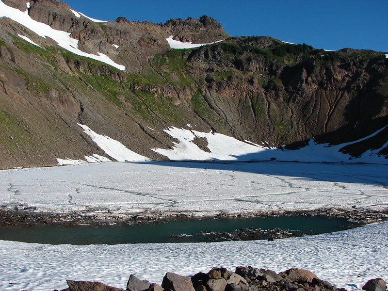
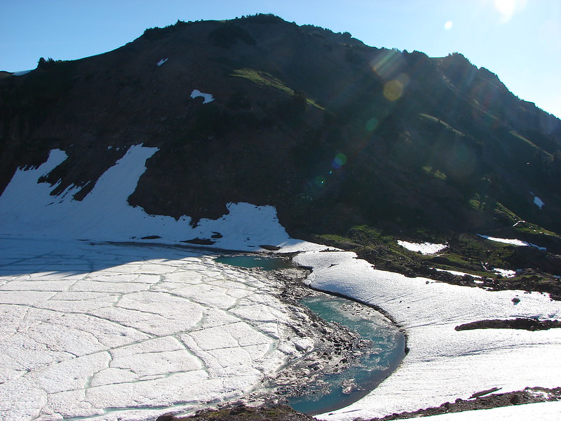
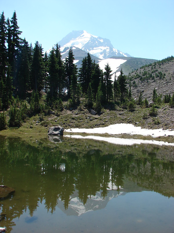
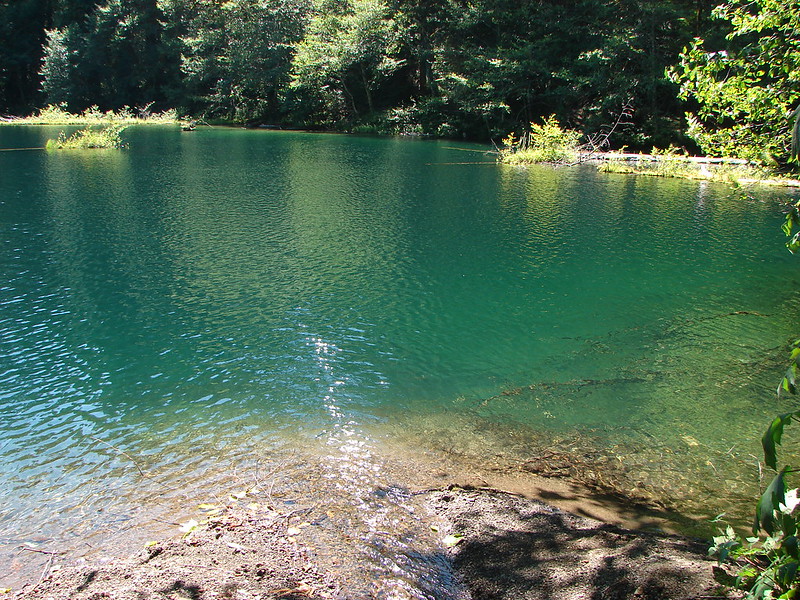
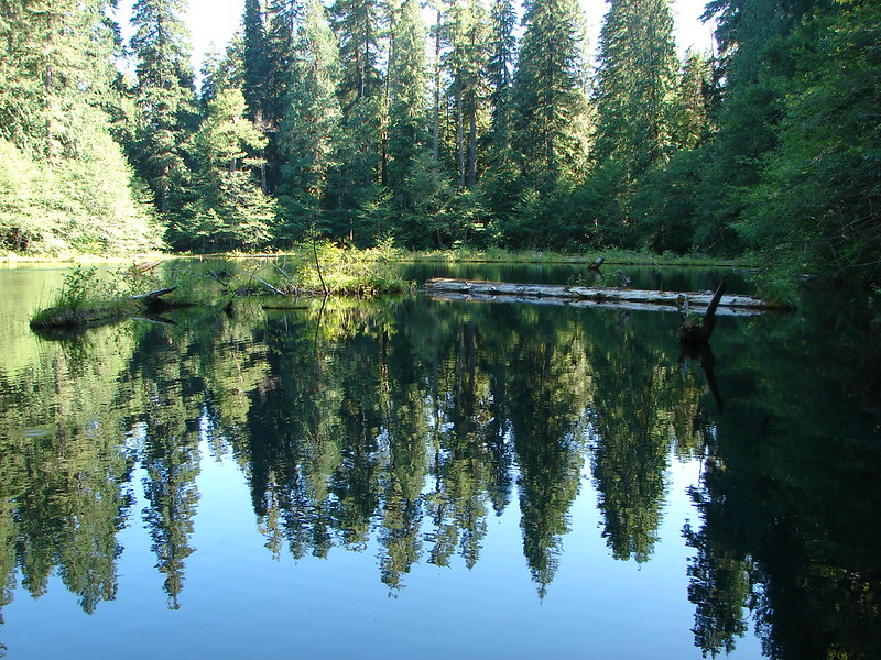
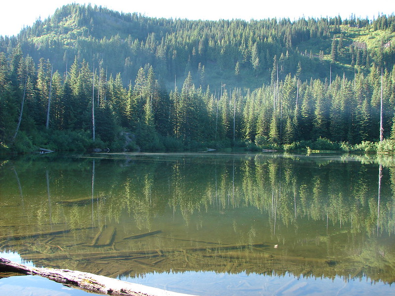
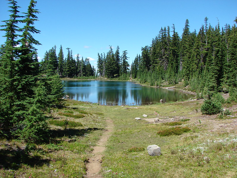
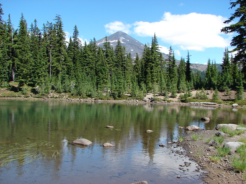
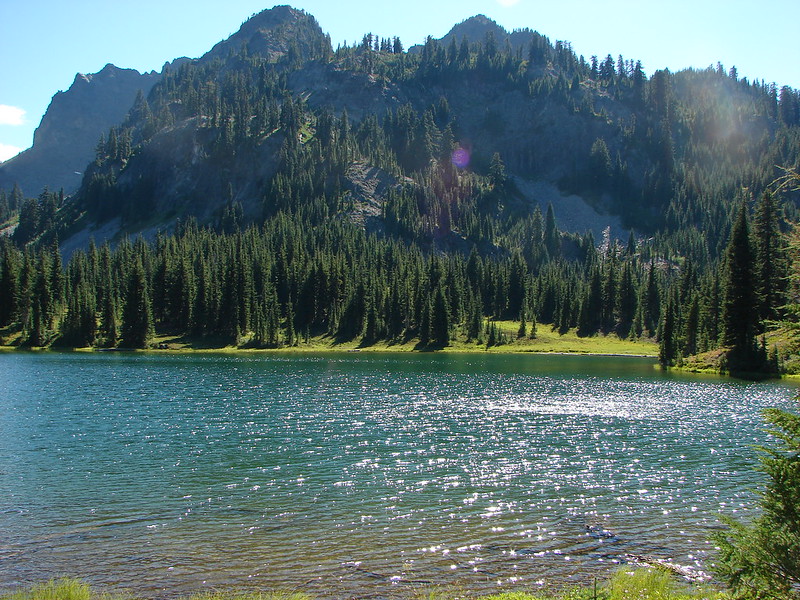
The first lake we reached was Husband Lake. It was a nice lake with views of both the Middle and South Sister.
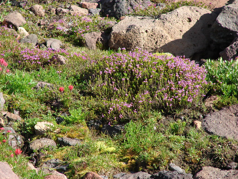
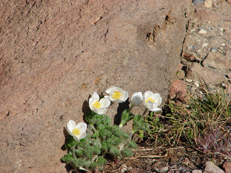
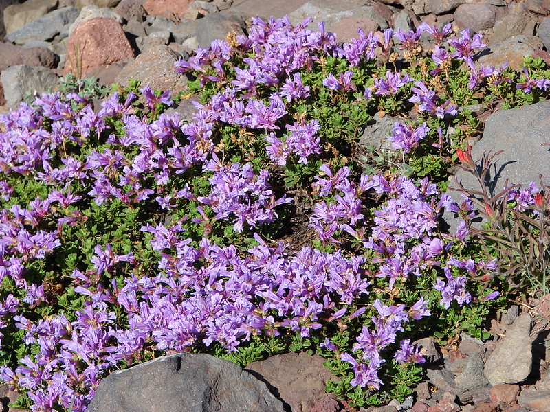
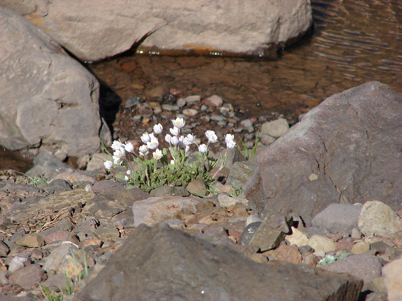
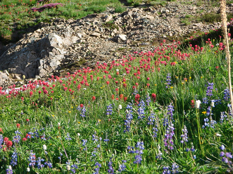
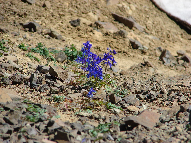
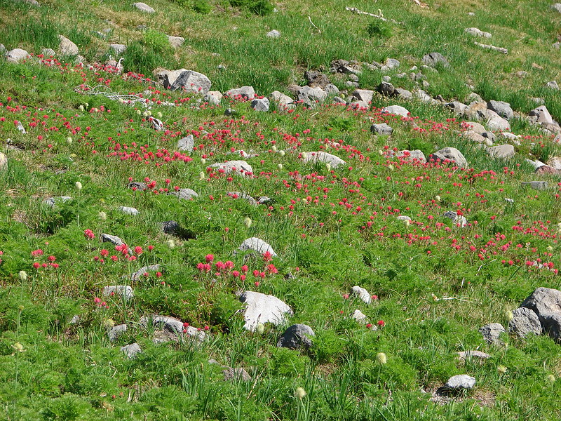
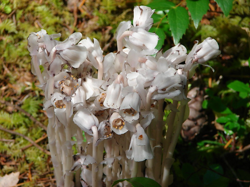
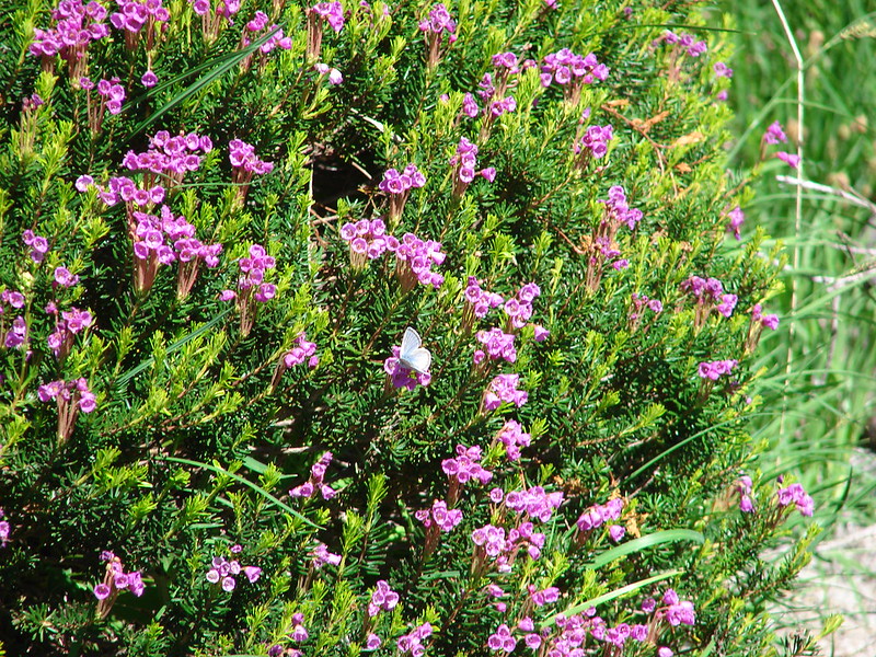
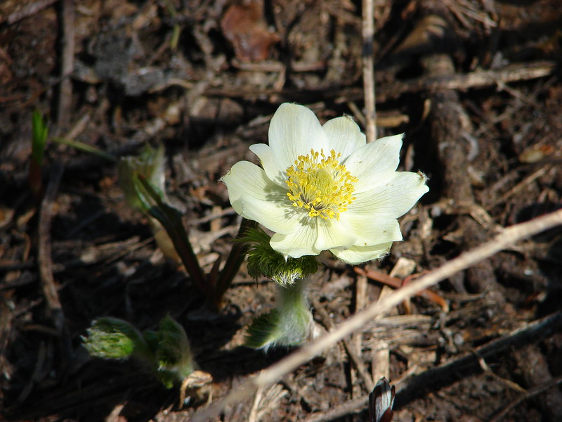
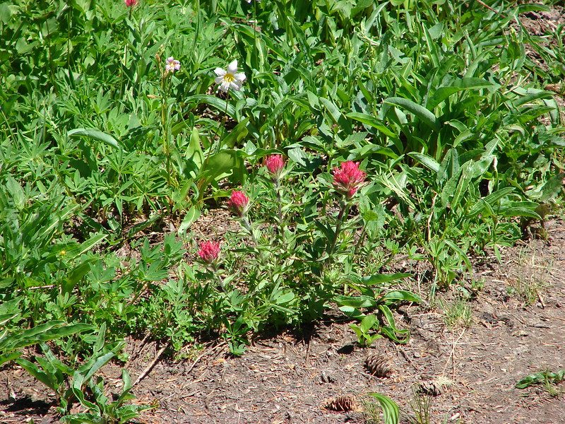
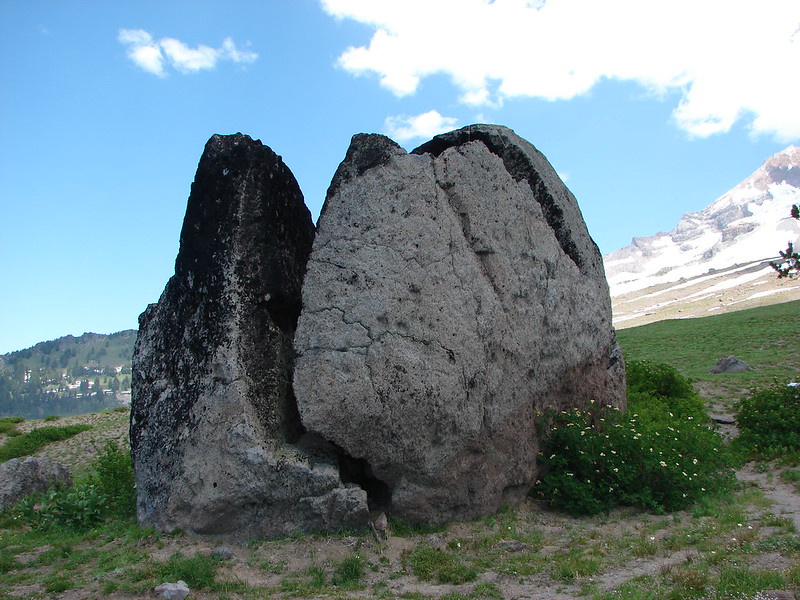
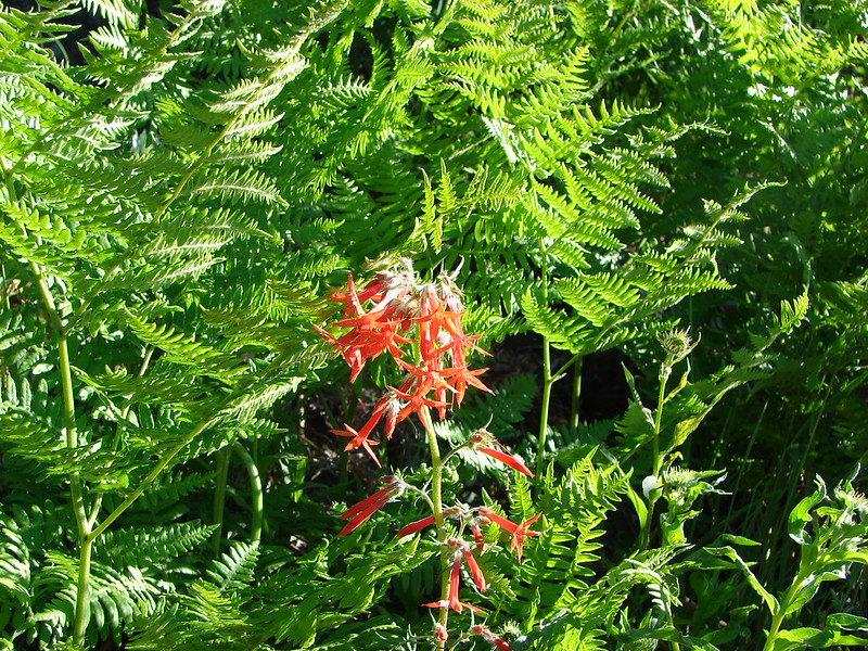
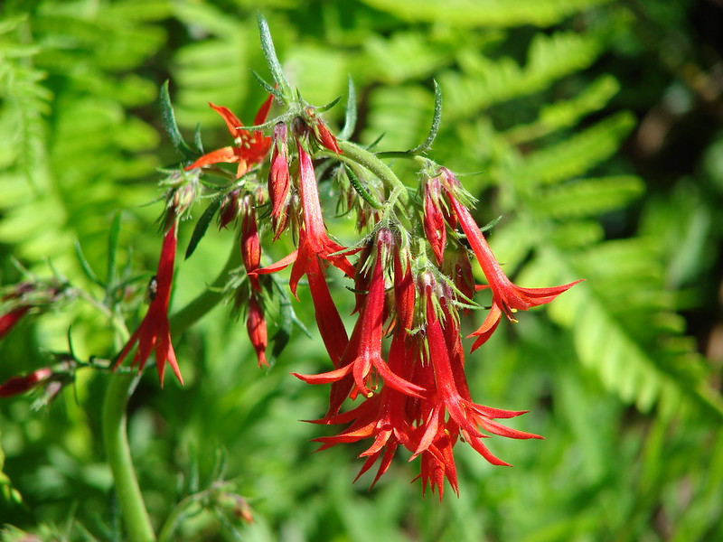
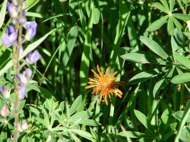
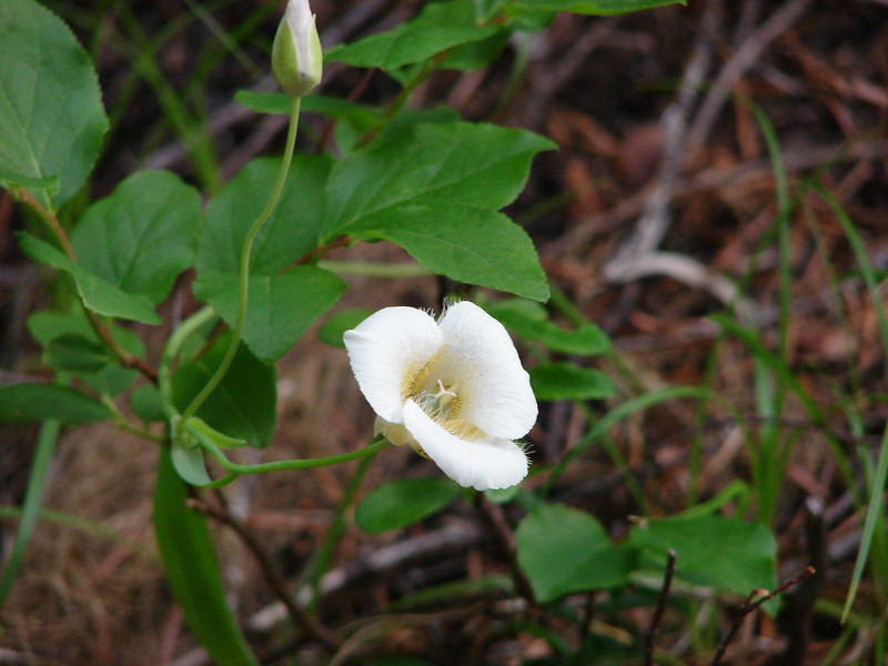
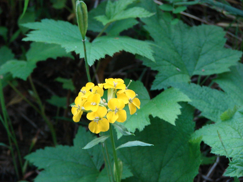
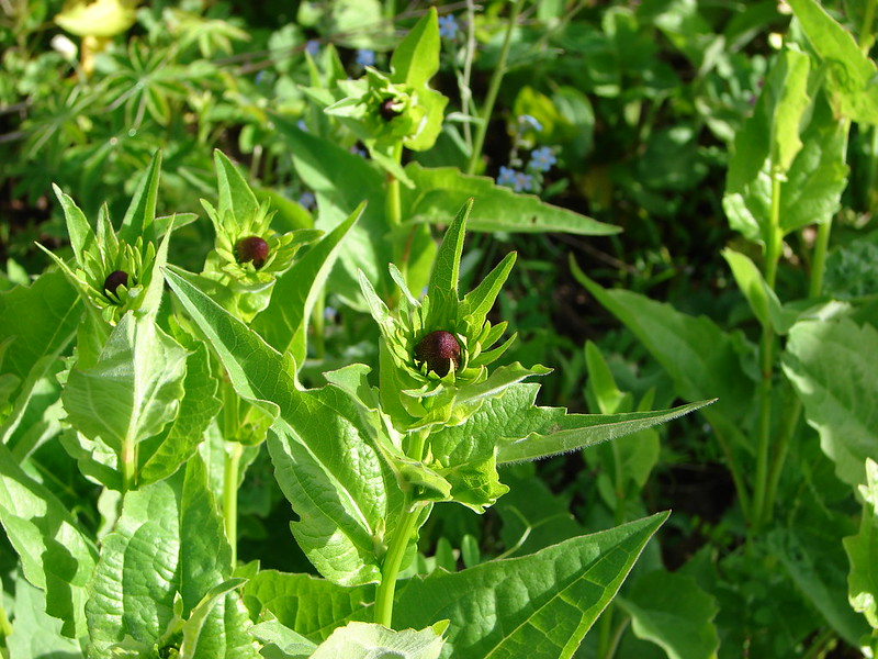
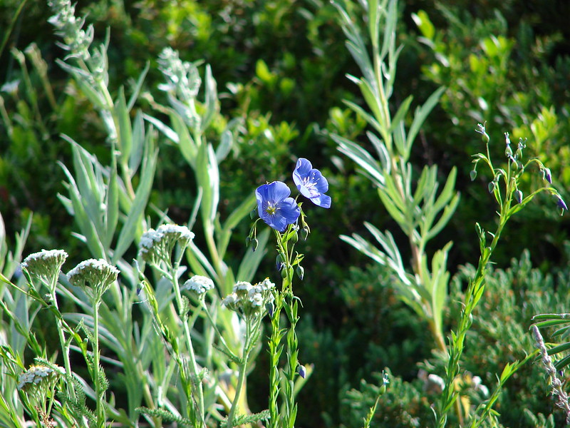
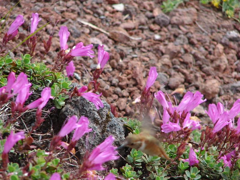
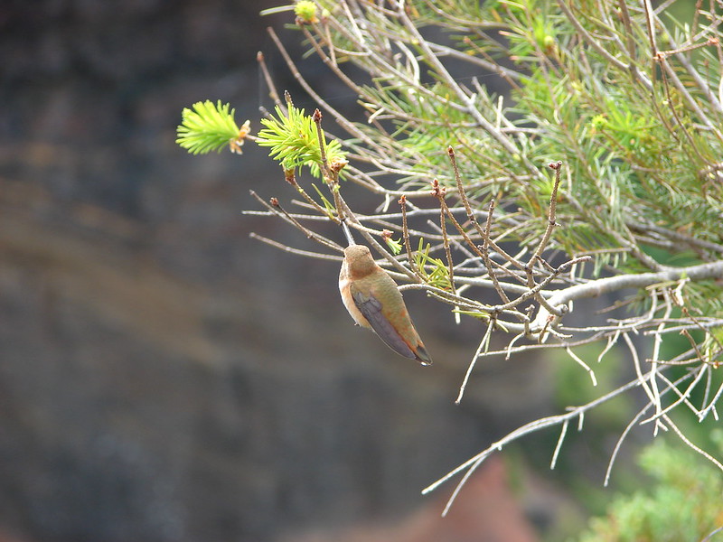
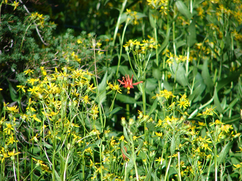
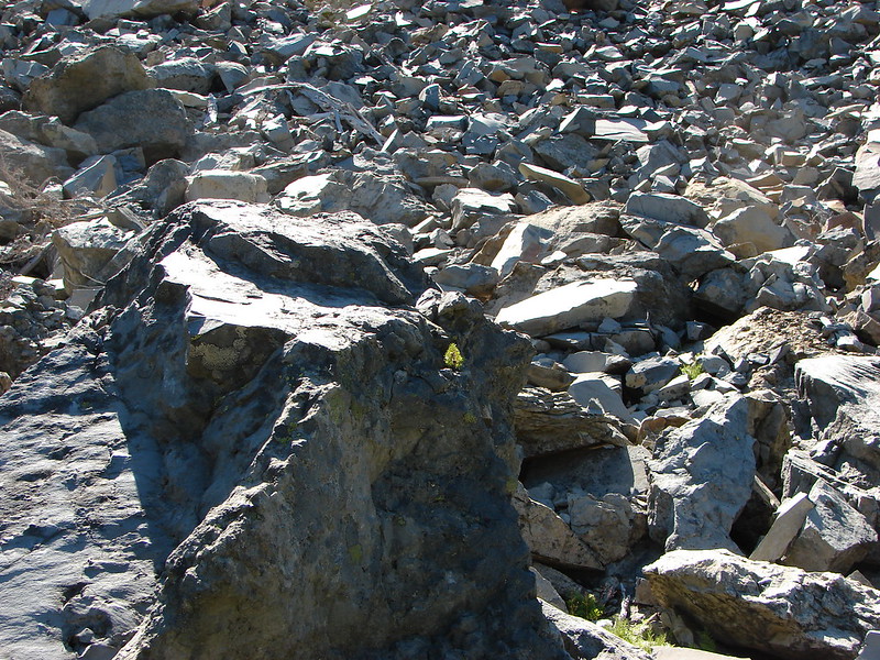
After a nice break at Husband Lake we continued on toward Eileen Lake. The trail passed a rock slide at the base of The Husband where we were surprised to see some Columbine in bloom.
There was also the cutest little tree attempting to grow out of the side of a boulder.
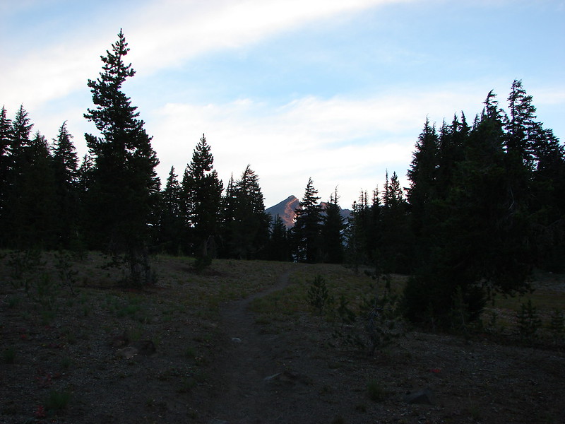
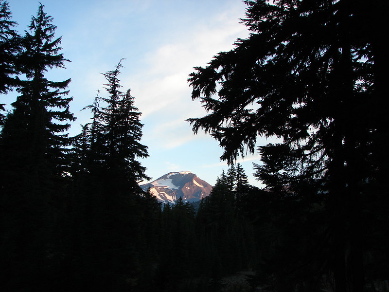
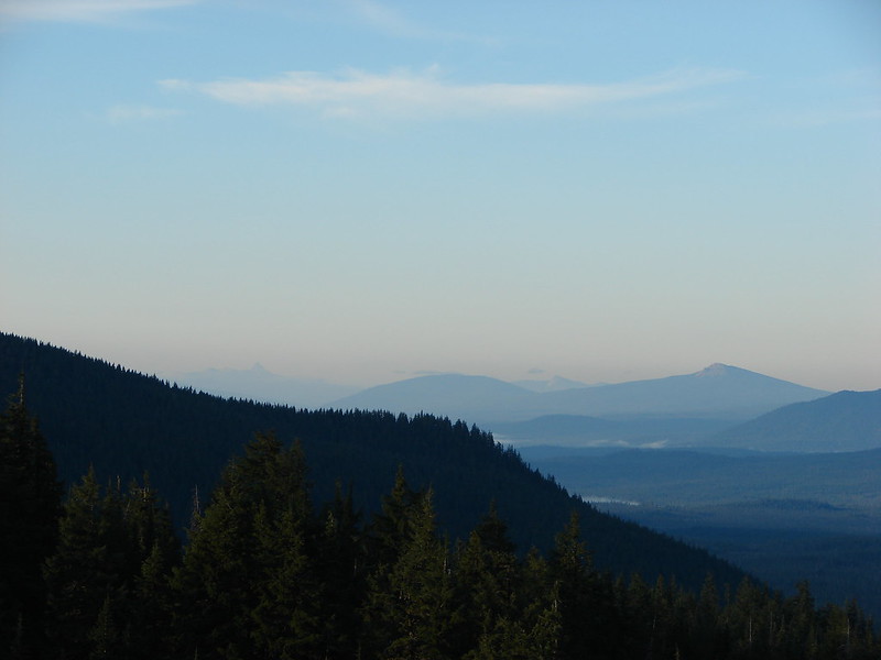
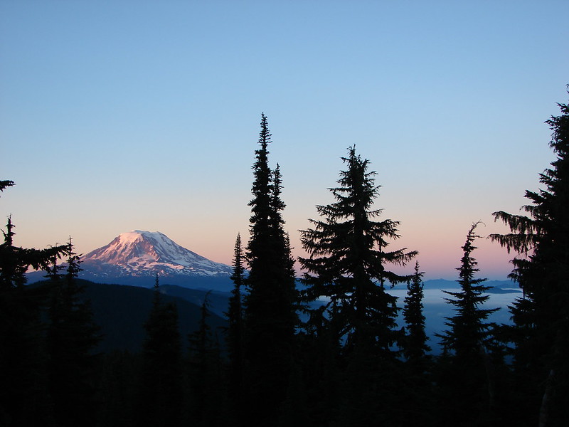
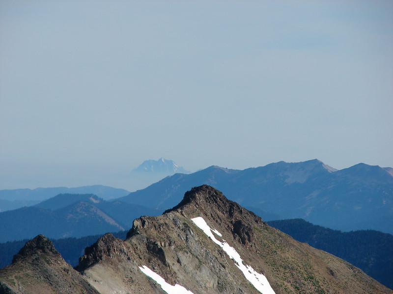
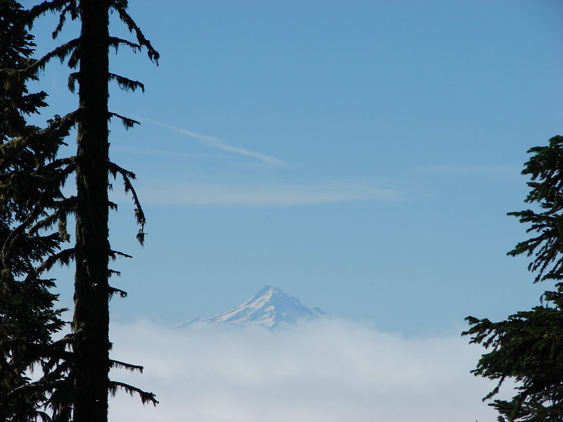
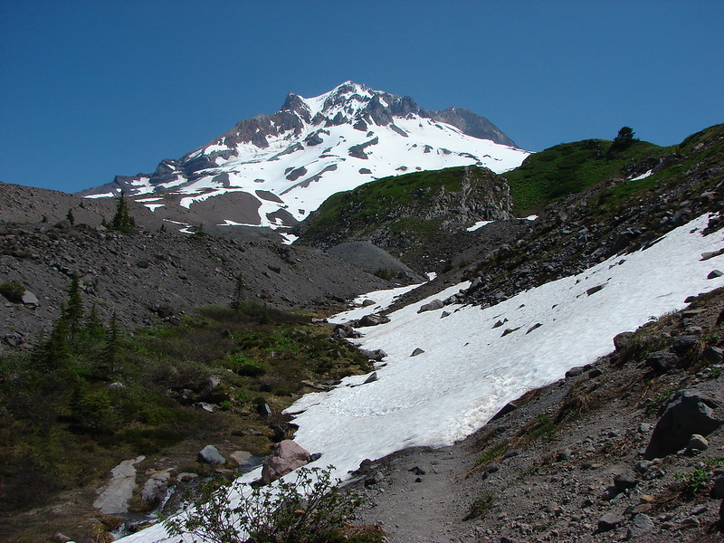
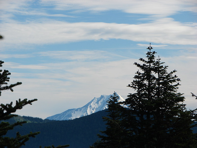
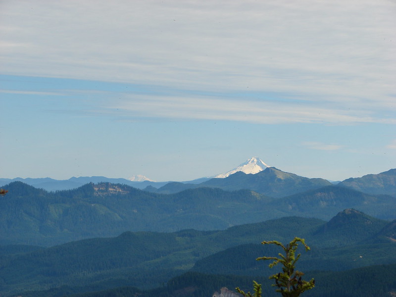
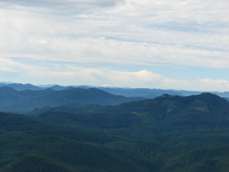
The North Sister made its first appearance of the day as we continued North.
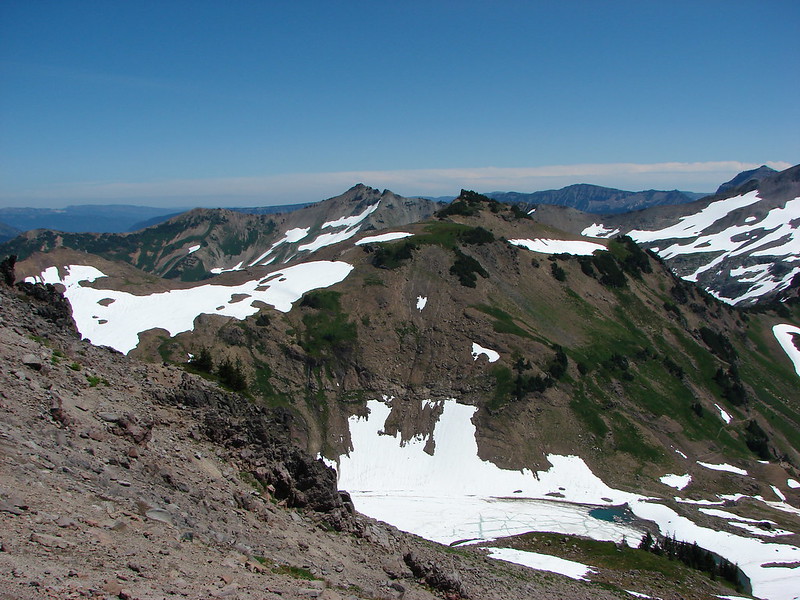
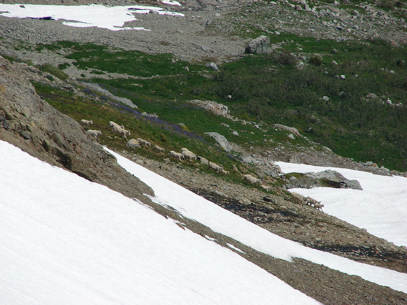
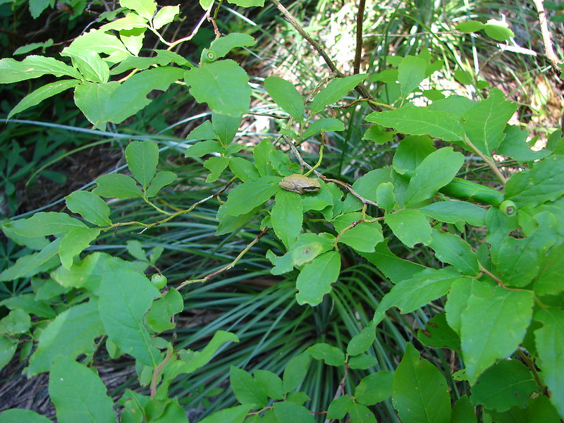
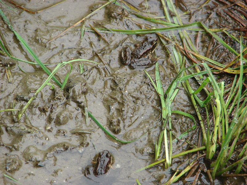
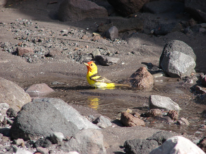
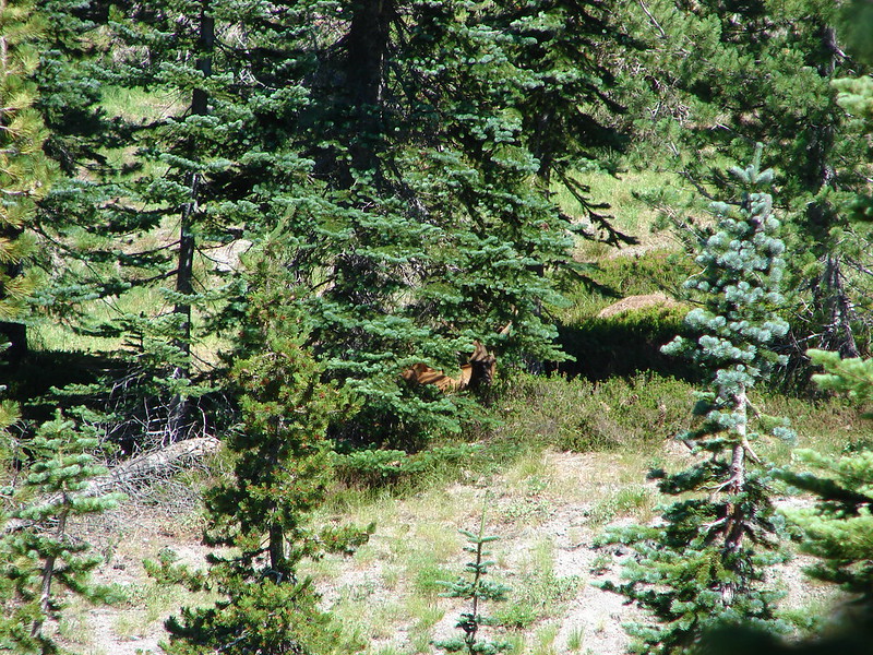
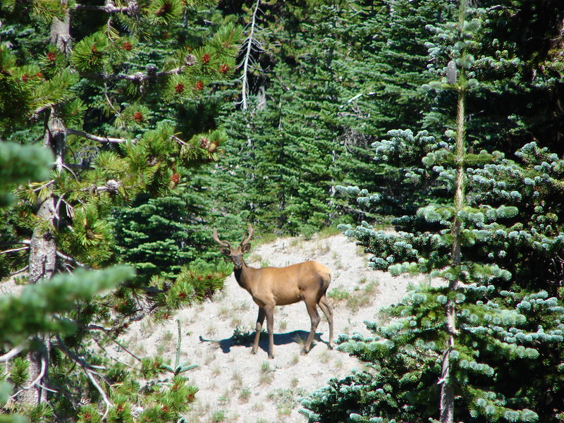
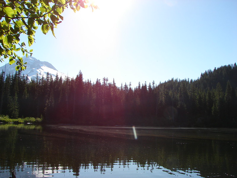
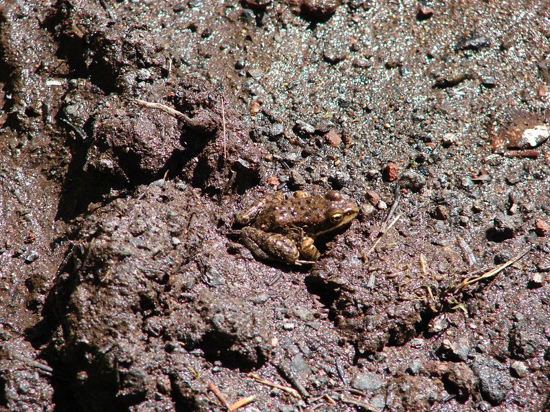
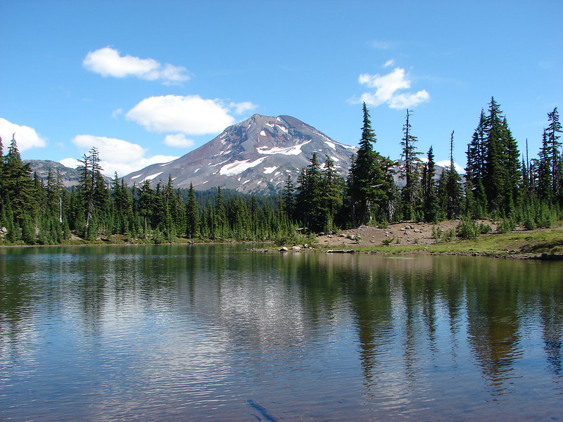
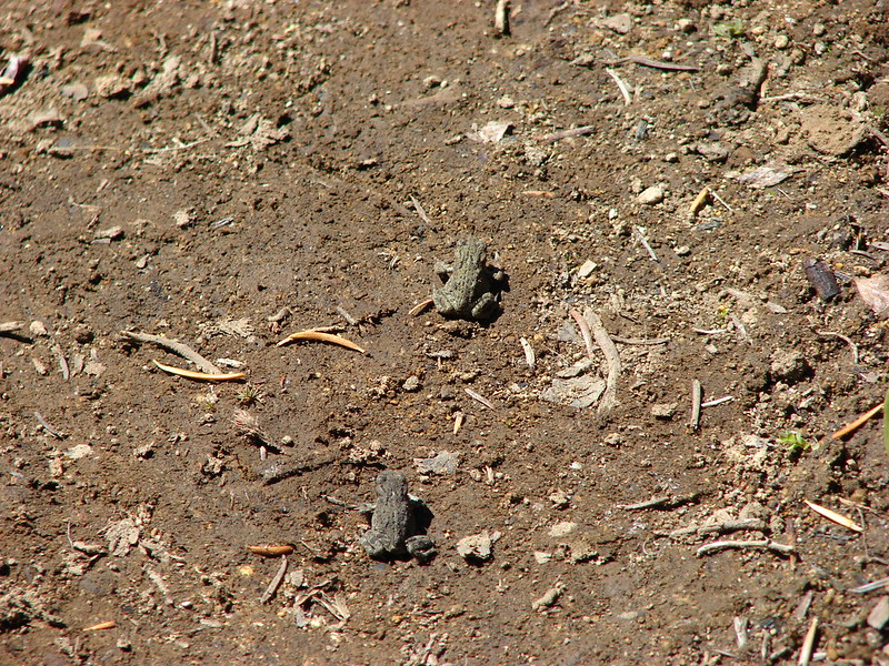
Eileen Lake was a gem with green shores and great views. There had been several people camped near Husband Lake but for some reason no one was at Eileen Lake. As we made our way around the lake we encountered a large number of tiny frogs. We had to walk very carefully so we didn’t step on any since they were all over on the trail.
We eventually made our way around to the best views from the lake.

We left the lake and the frogs behind and in another .8 miles reached the junction with the James Creek Trail at the edge of Linton Meadows.
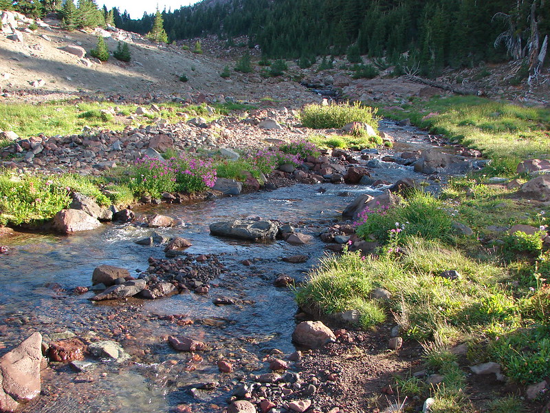
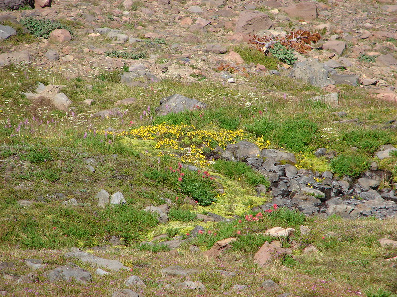
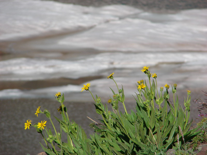
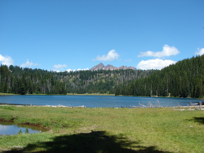
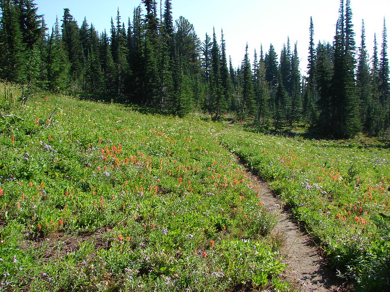
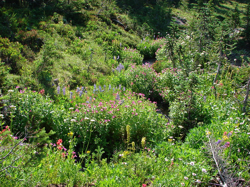
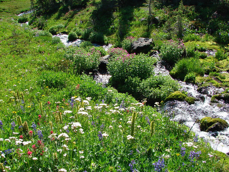
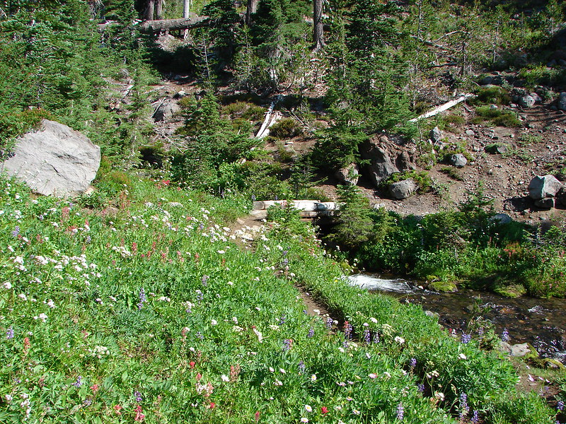
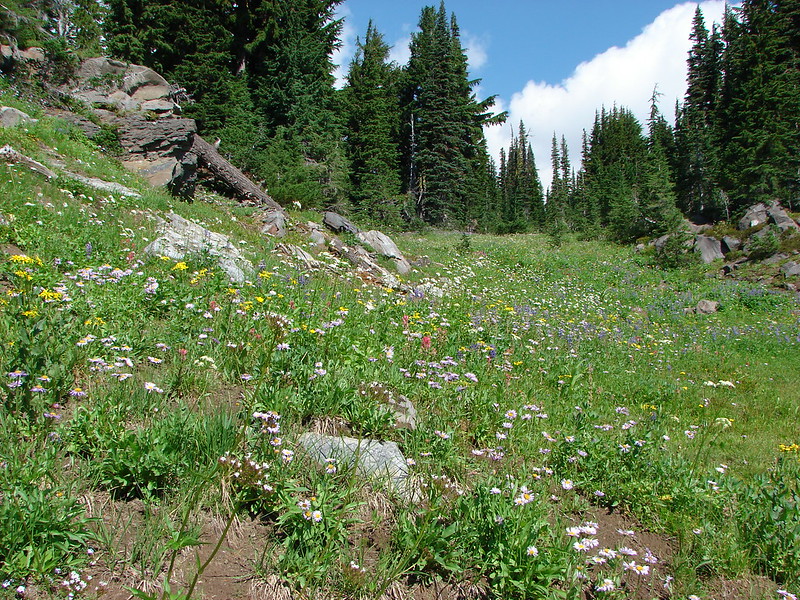
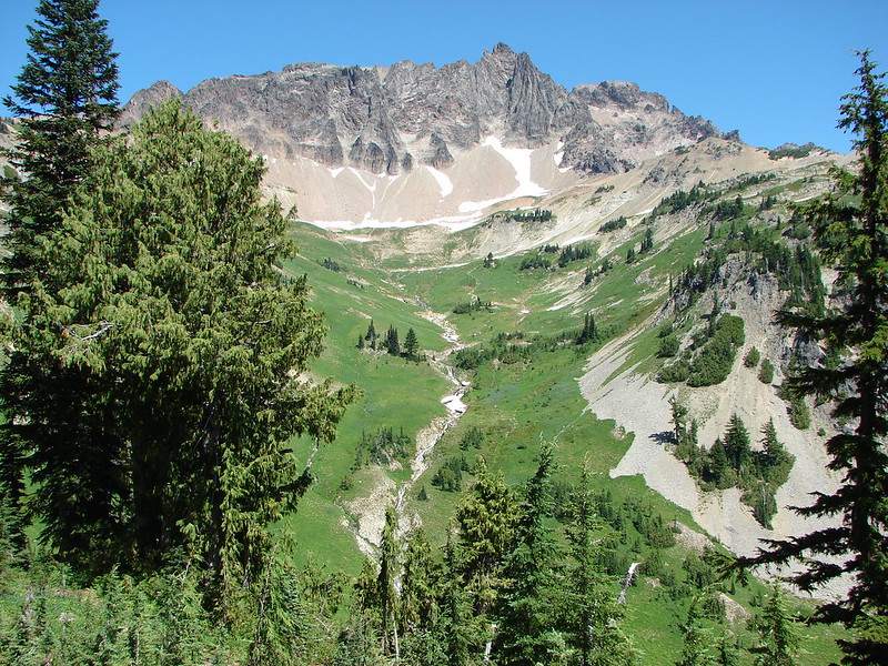
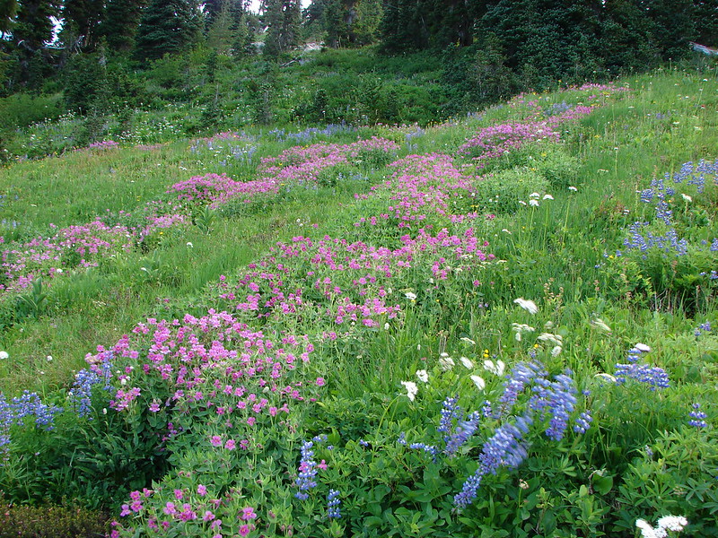
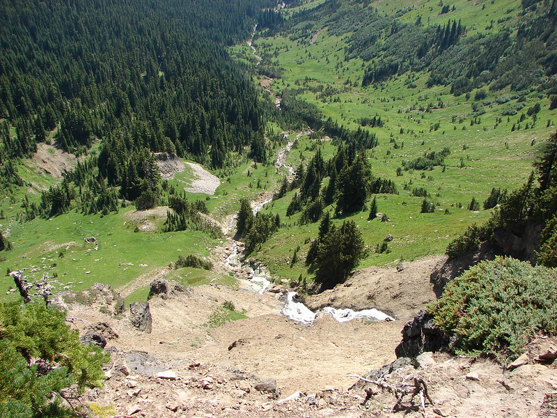
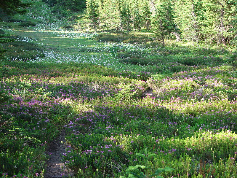
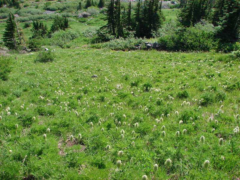
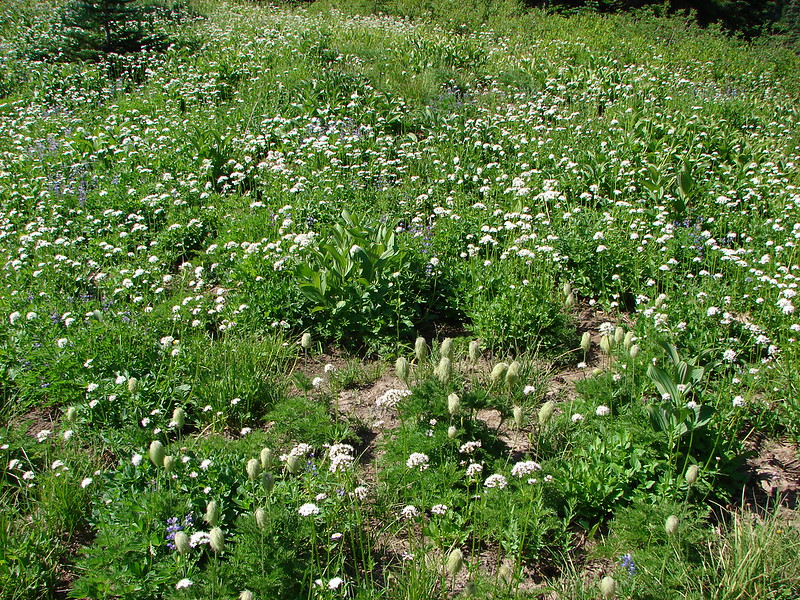
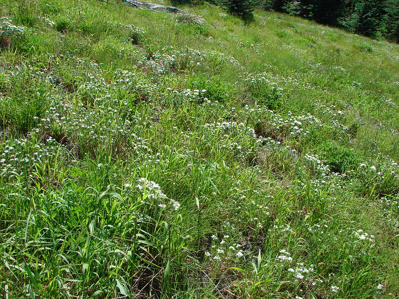
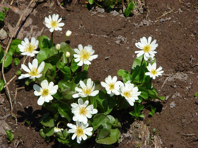
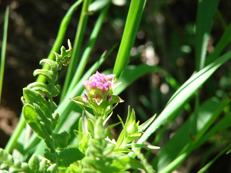
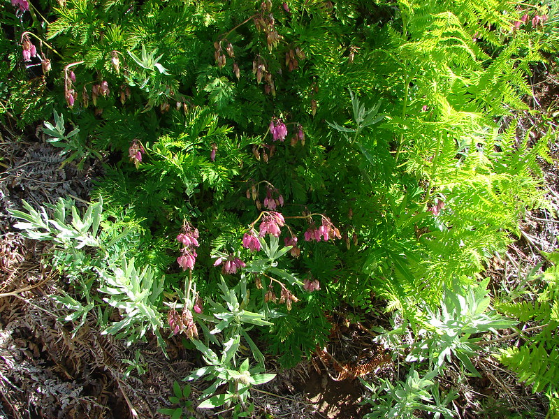
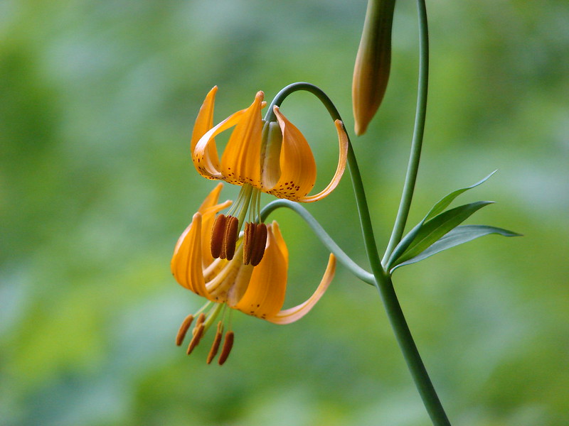
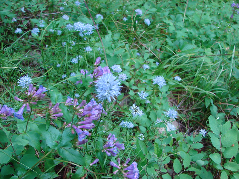
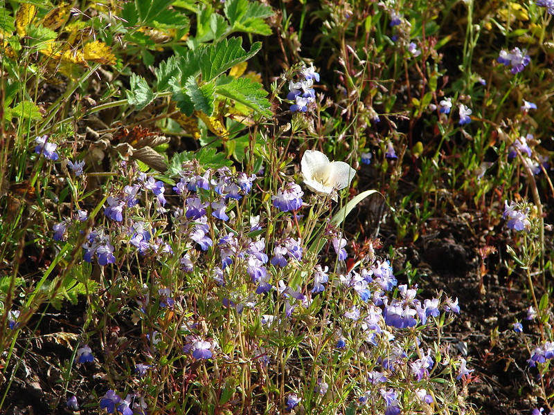
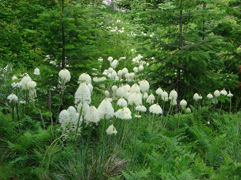
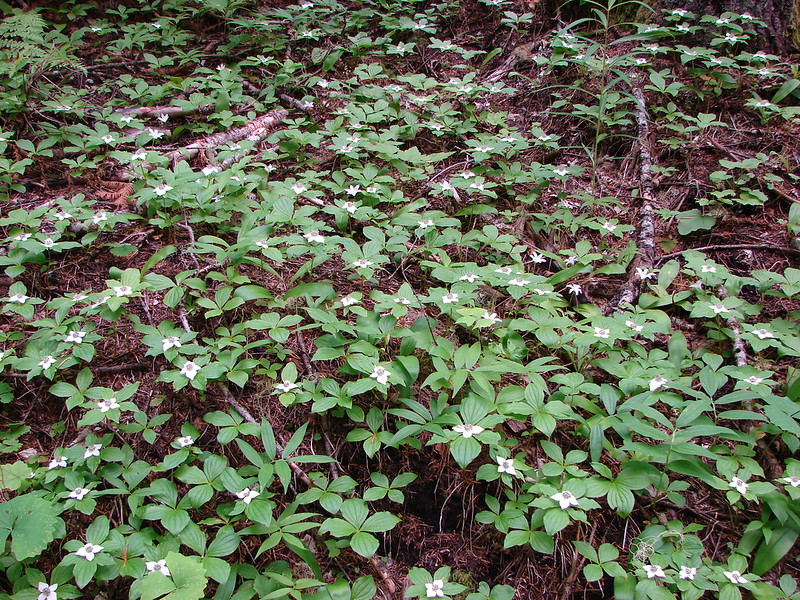
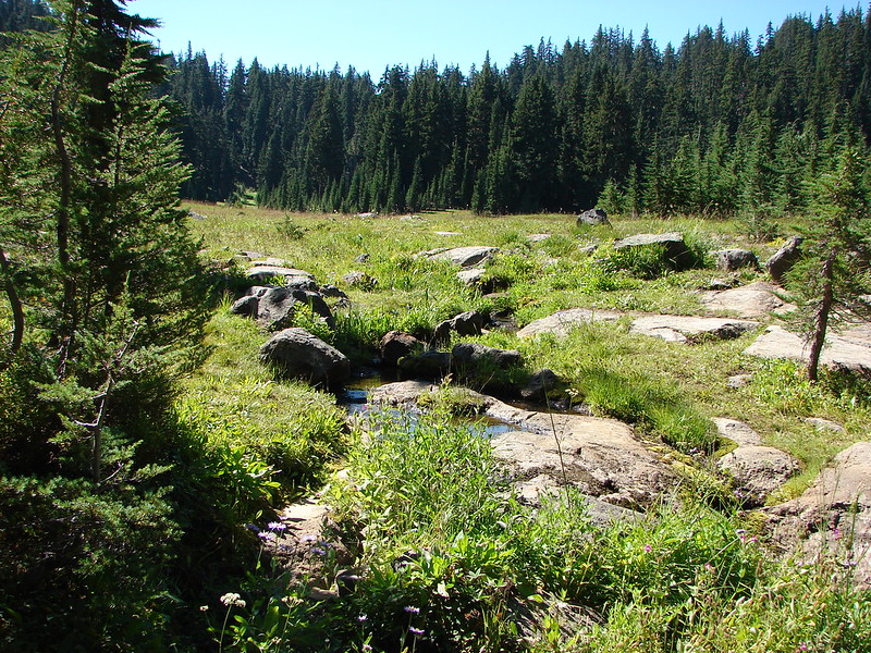
Several branches of Linton Creek flow through the meadows creating a large swath of green with the Middle & South Sister providing the backdrop. There were not many flowers left but a couple of patches remained and the sound of the streams roaring down hillside on the far side of the meadows completed the experience.
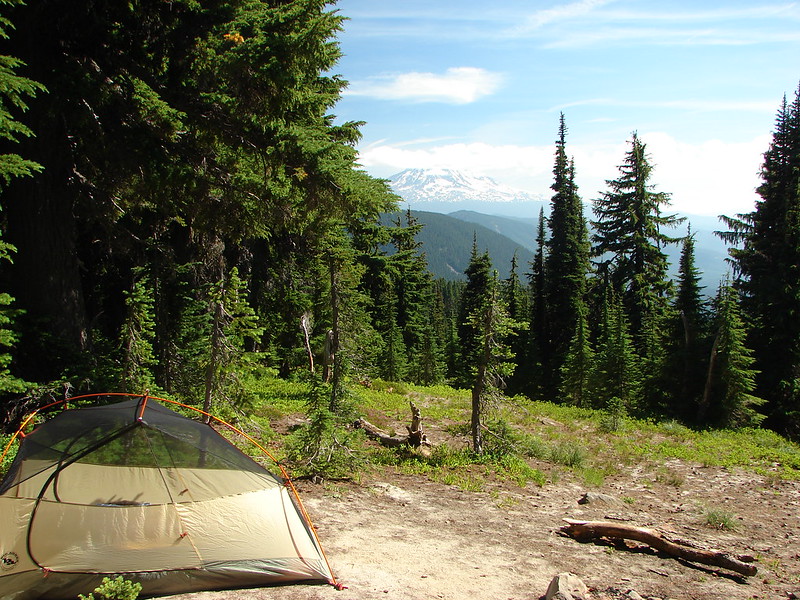
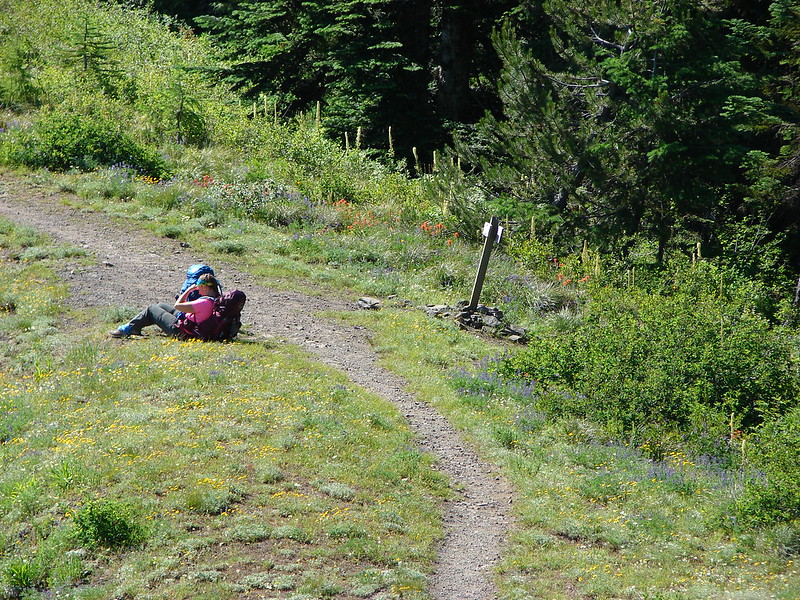
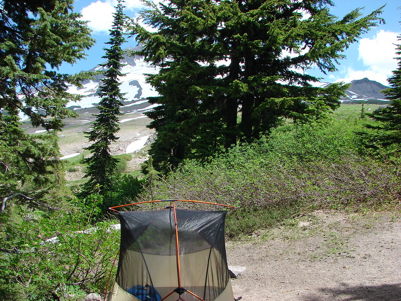
We headed back South here and found a campsite at the edge of the meadows. We seemed to be the only ones camped in the area which suited us just fine.

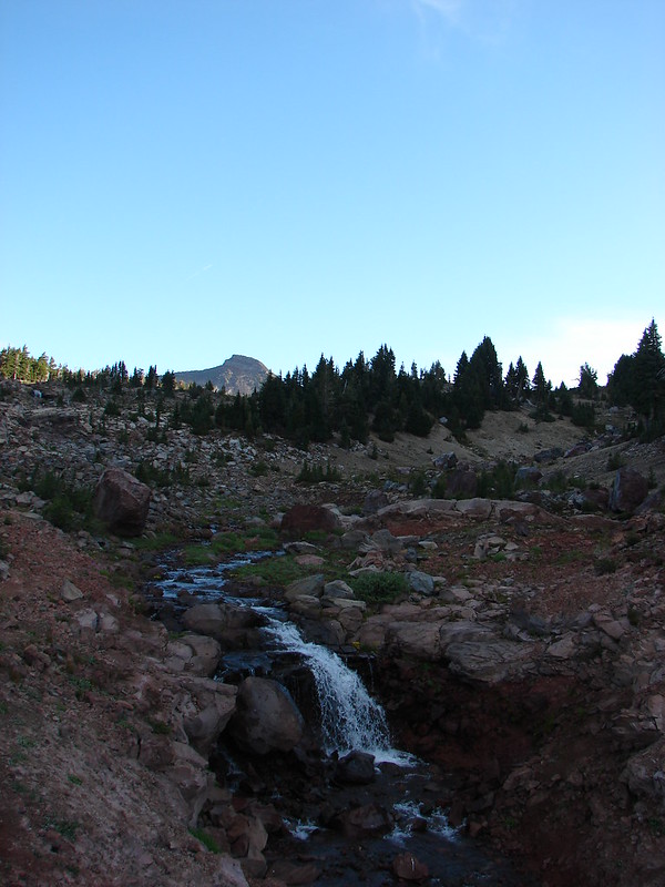
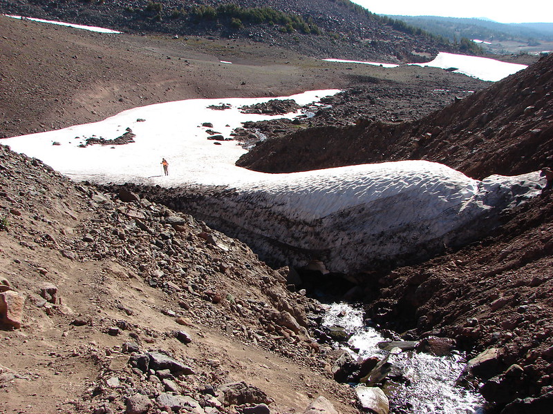
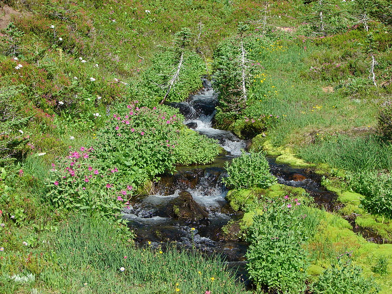
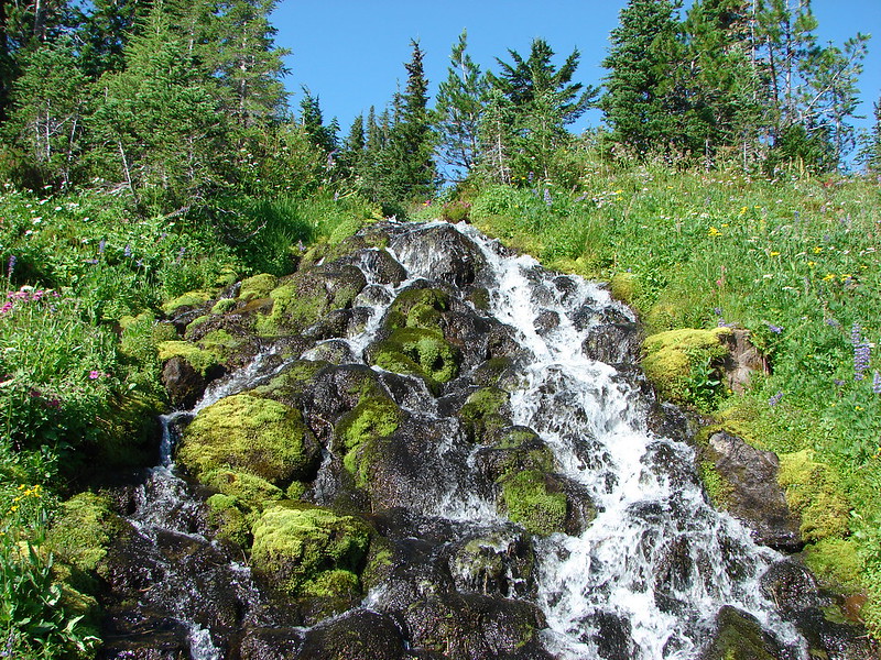
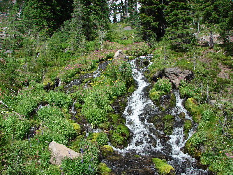
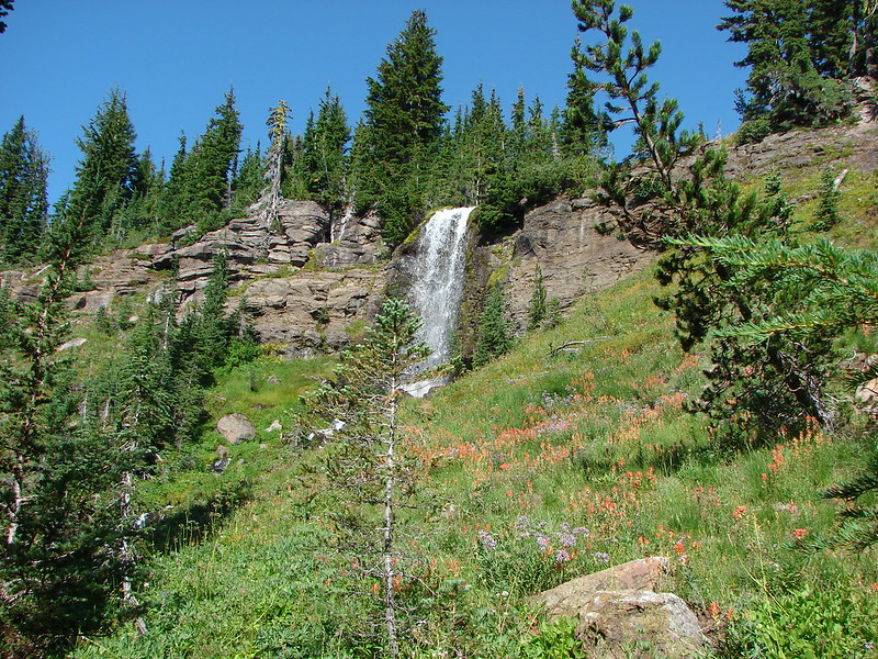
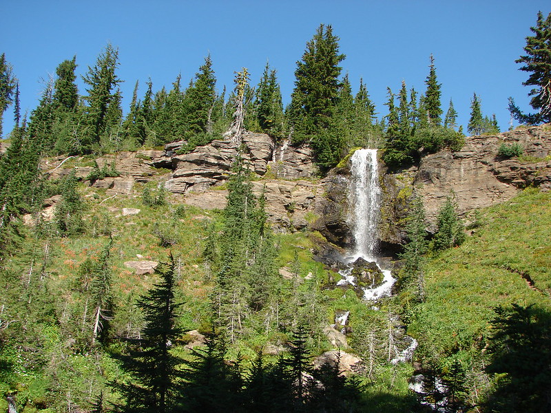
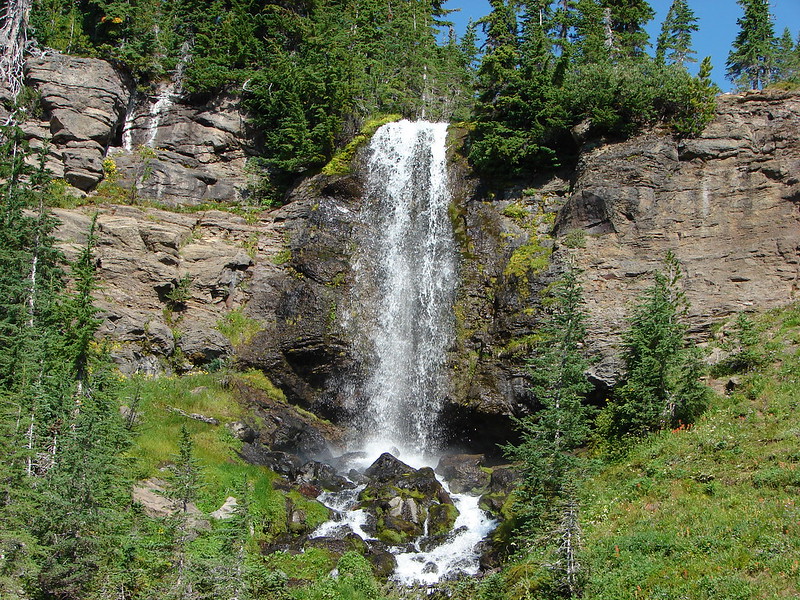
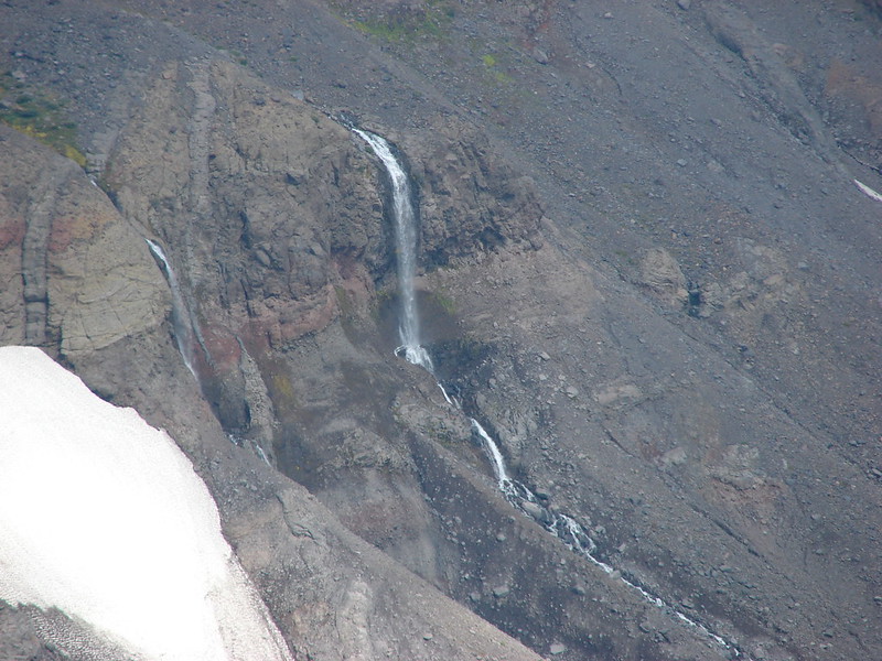
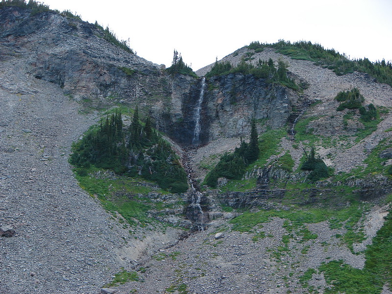
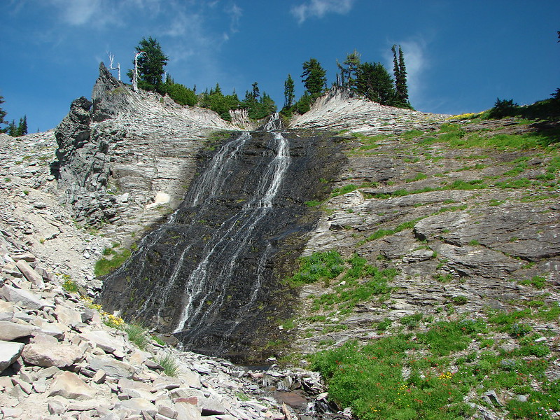
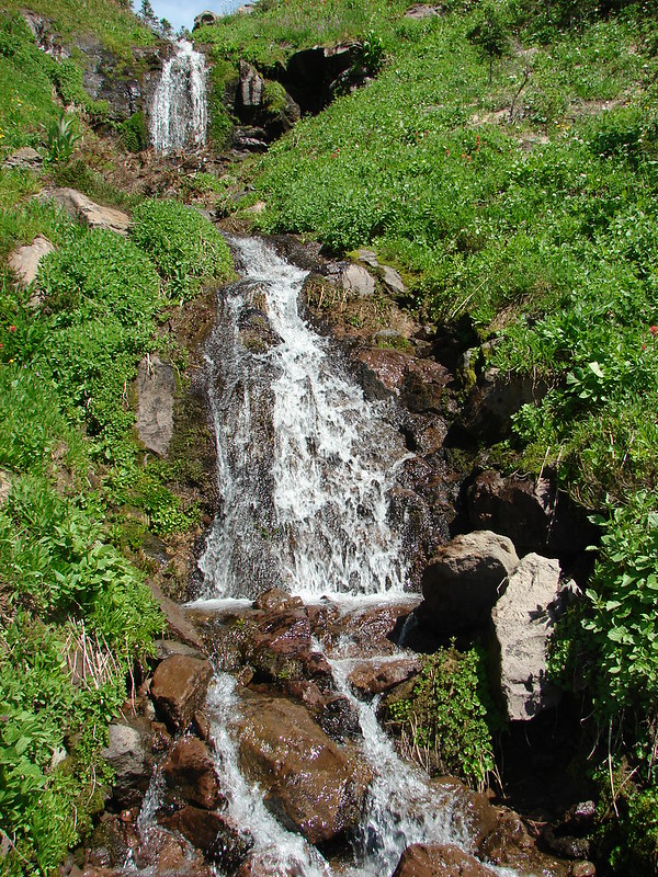
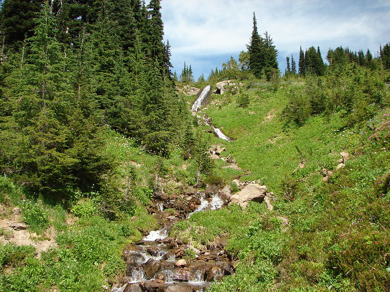
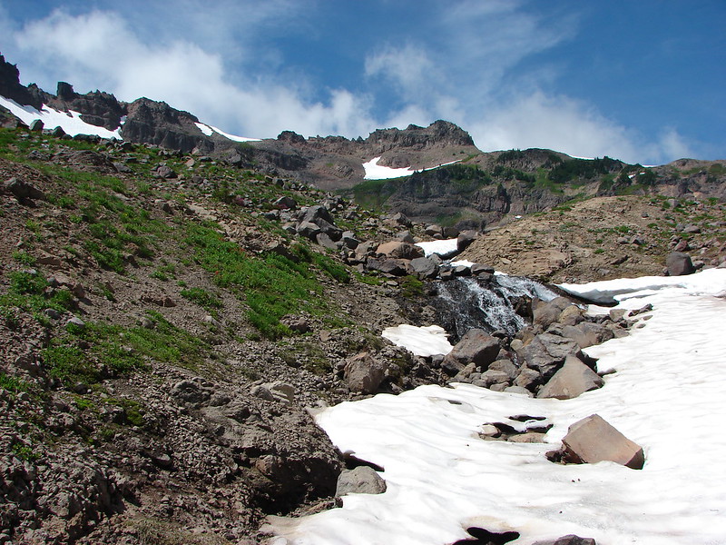
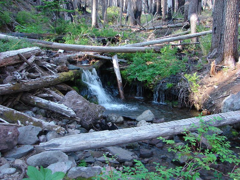
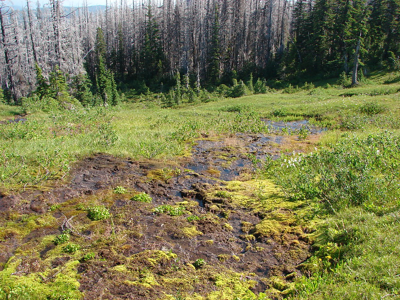
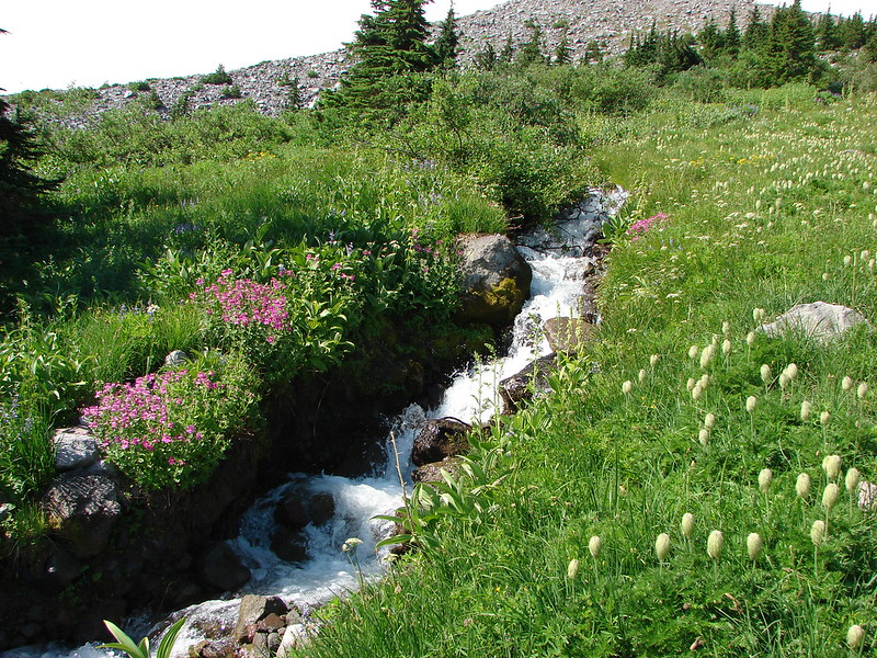
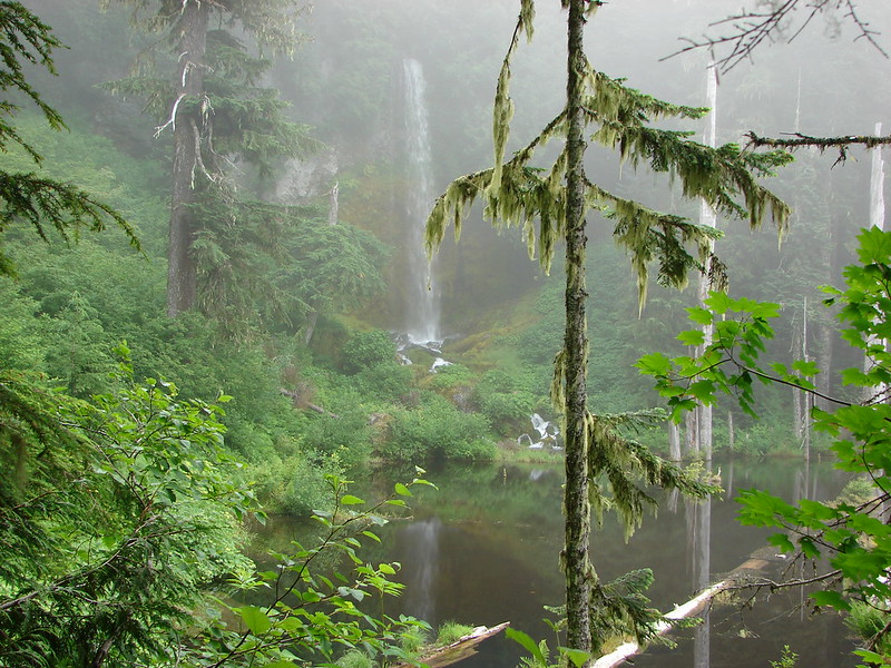
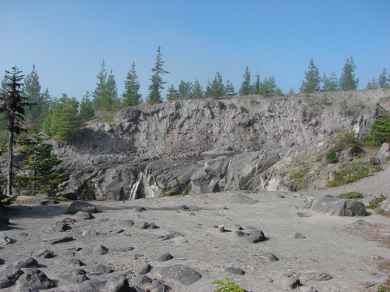
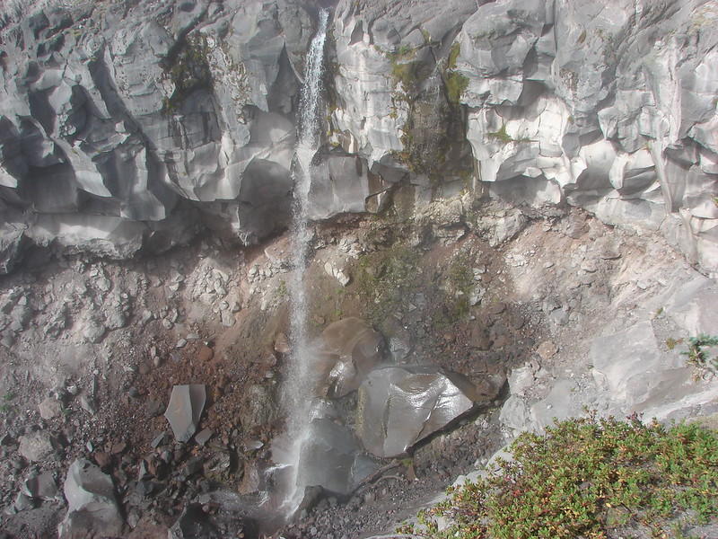
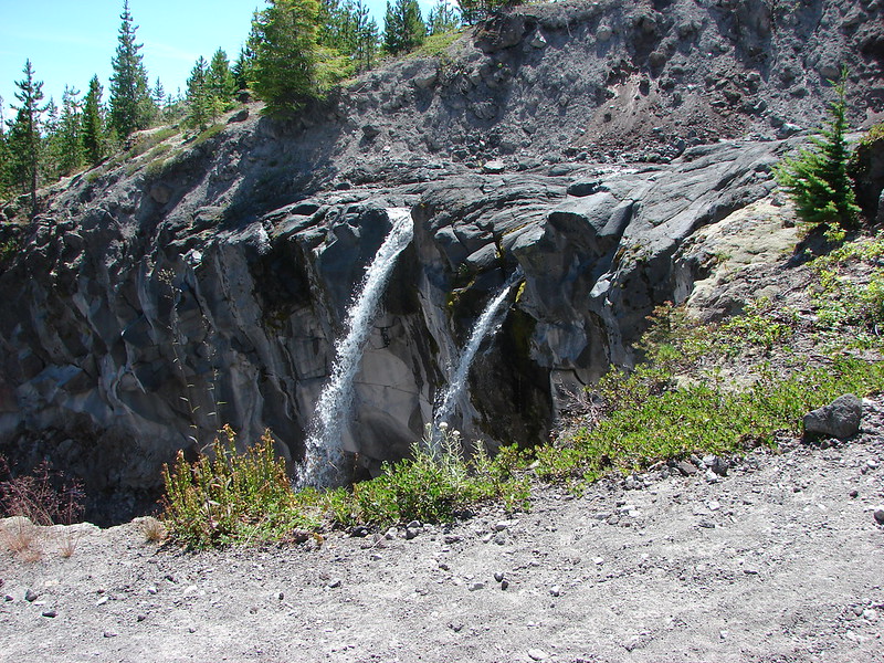
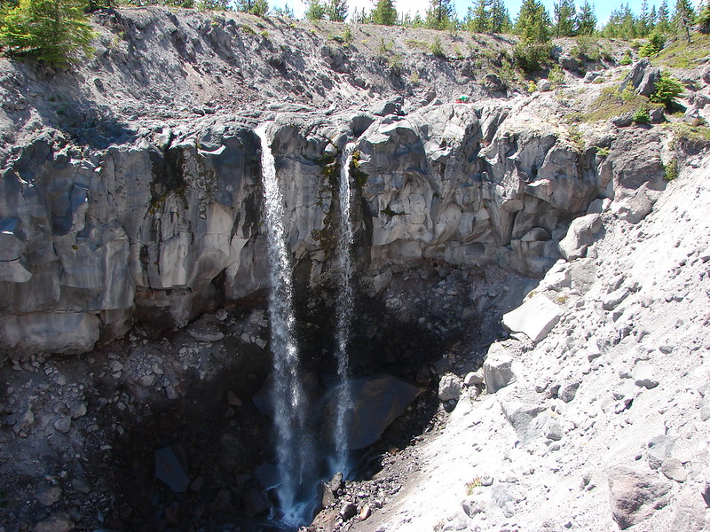
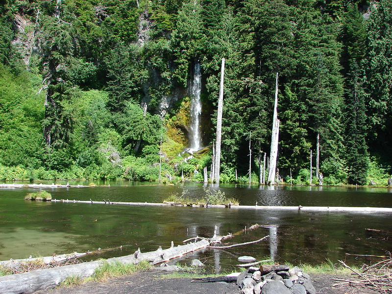
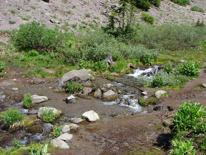
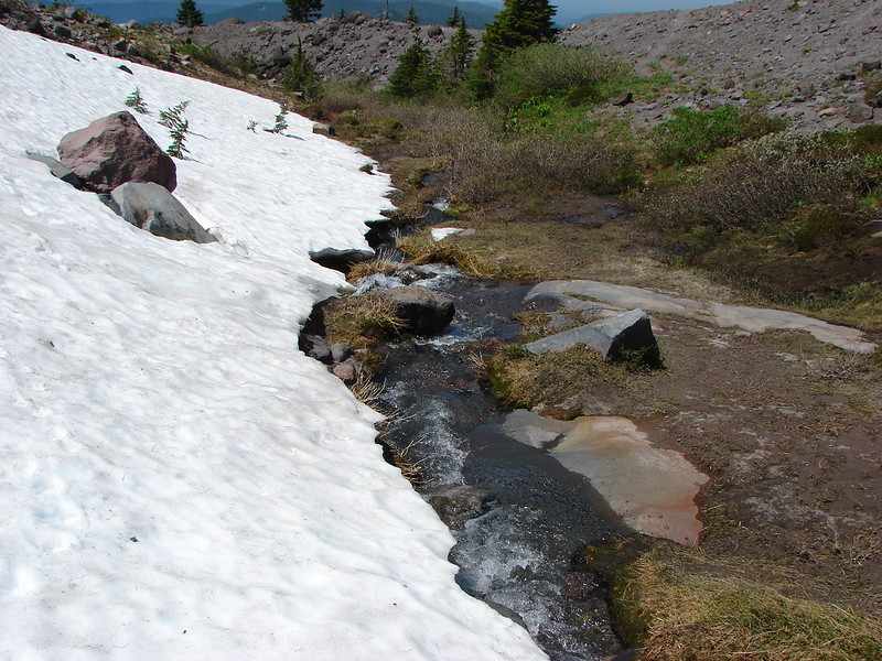
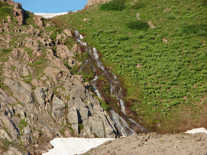
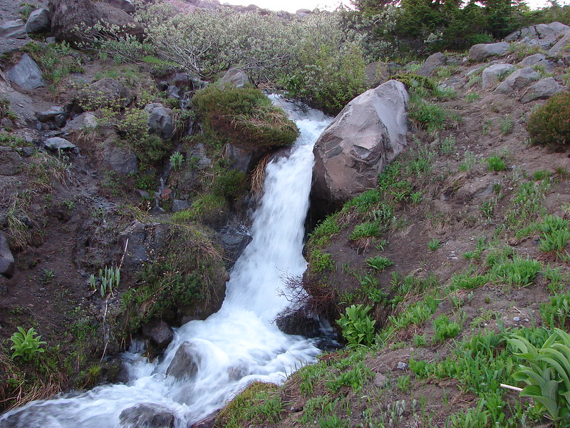
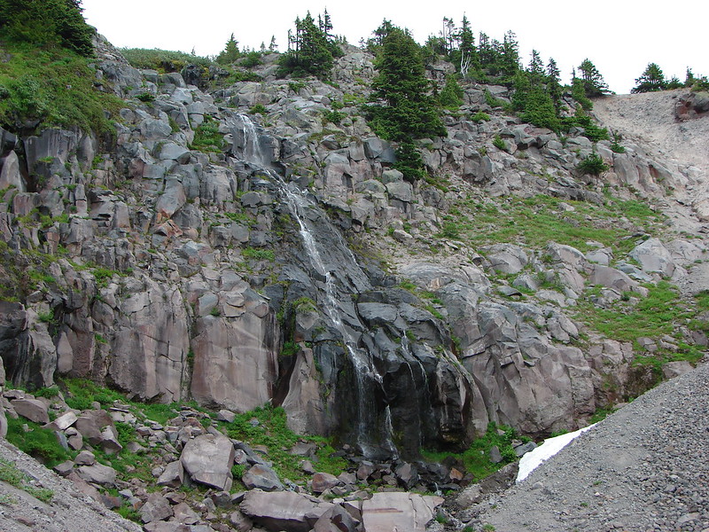
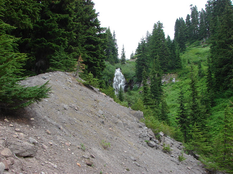
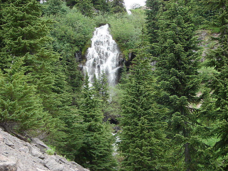
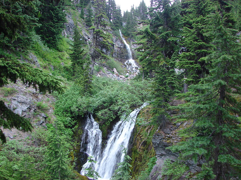
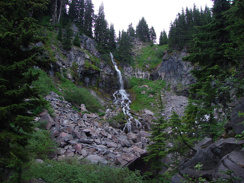
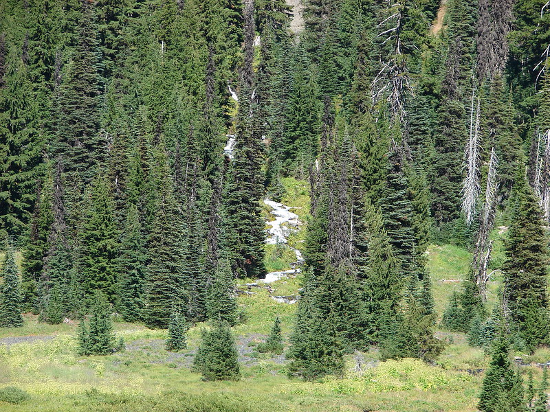
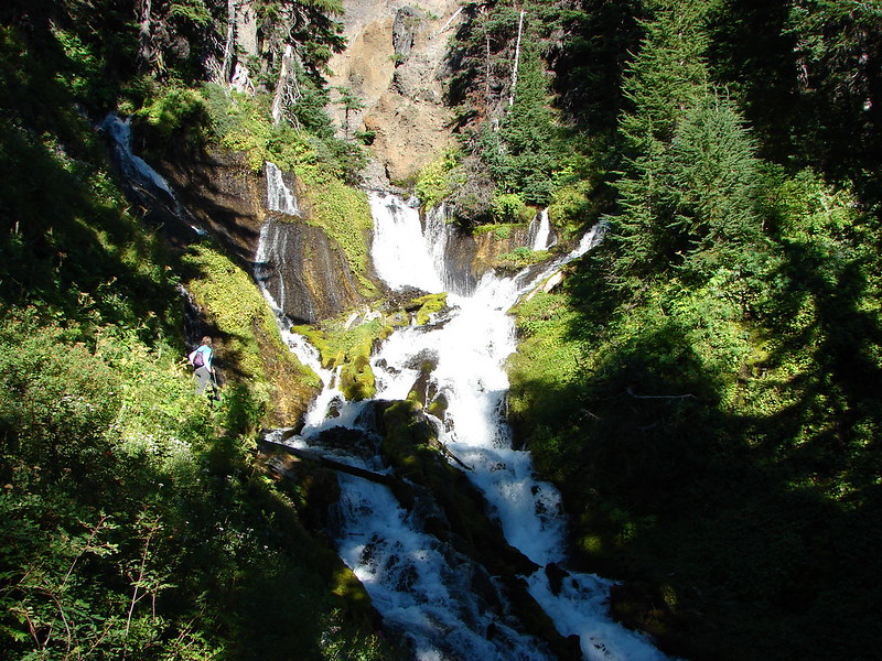
After getting camp set up we had one more thing to visit – Linton Springs. There is no official trail to the springs but I had a feeling there might be a way up to them so we set off looking for any signs of a trail that might lead us to them. We managed to find some faint trails and picked our way up the main stream being careful to avoid damaging the plants. As we neared the springs we found a more established path and followed it up to an amazing view.
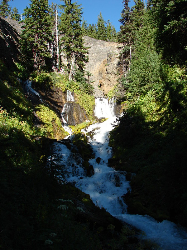
The springs were truly impressive cascading down from all around the rim of a small bowl.
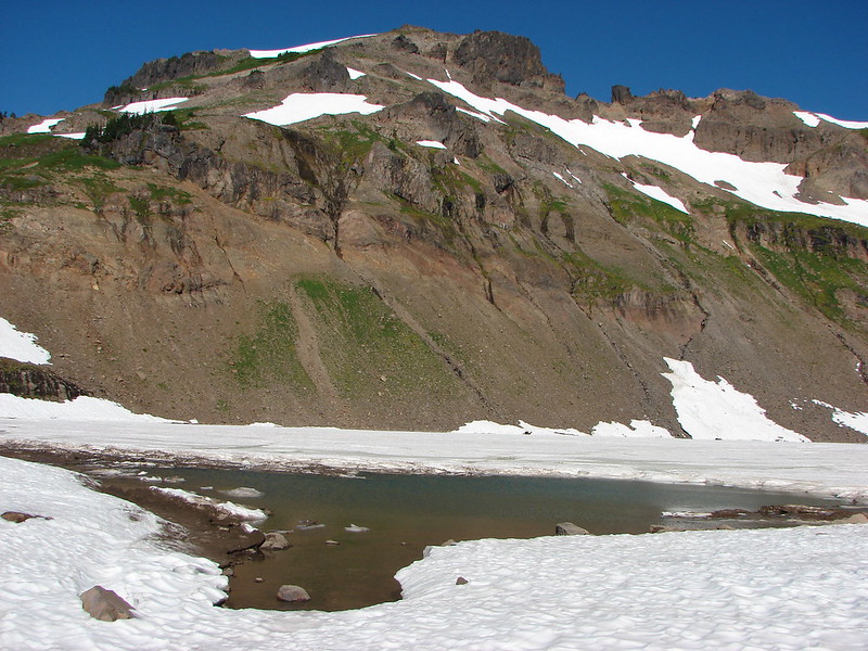
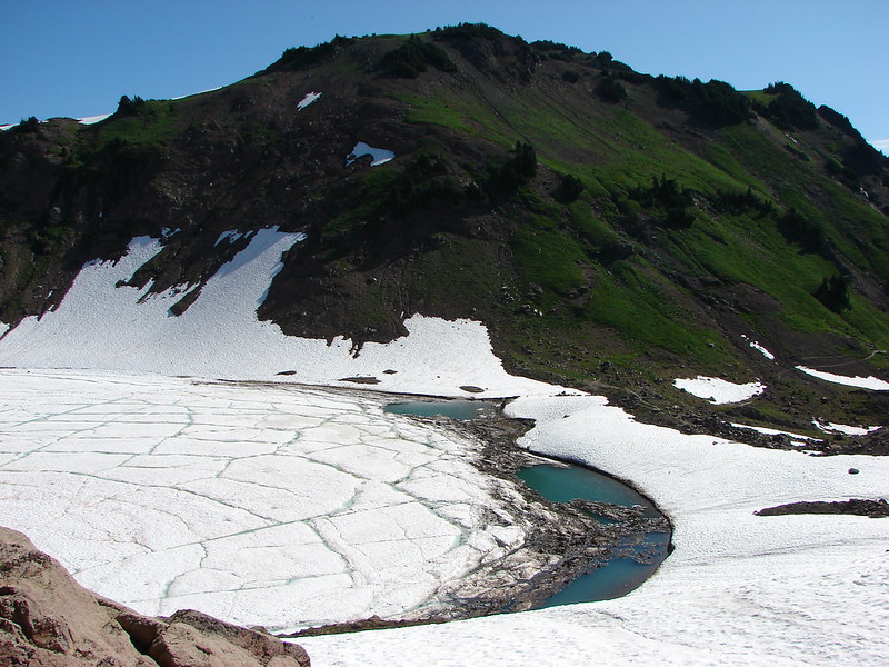
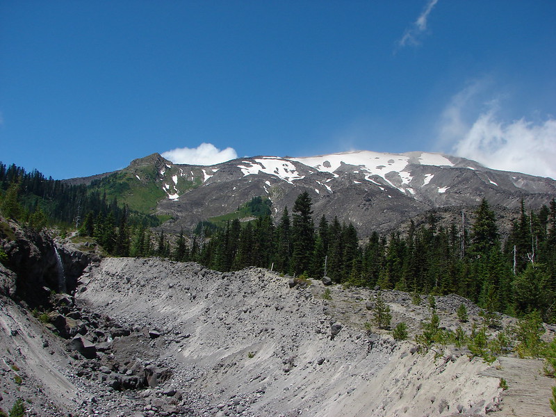
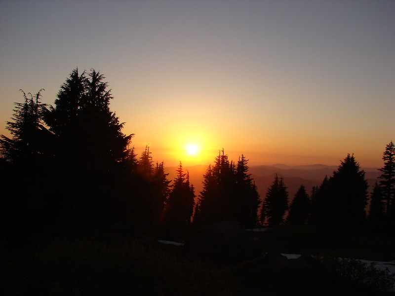
It was a perfect way to cap off our first day. We had already visited so many diverse and beautiful places we couldn’t wait to see what day 2 had in store when we would return to the PCT and head to the Chambers Lakes between the Middle and South Sister and finally past Camp Lake to Demaris Lake for our second night.
Happy Trails!
Flickr: https://www.flickr.com/photos/9319235@N02/sets/72157646955382382/
Facebook: https://www.facebook.com/media/set/?set=a.10204860263453559.1073741903.1448521051&type=1