2025 was the first time in several years where we weren’t focused on achieving a specific hiking goal. It also marked the first year in which I had significantly more vacation time than Heather. We also adjusted our off-season modus operandi from “one hike a month” to “at least one hike a month and more if the weather cooperates”. These factors along with some medical restrictions resulted in a very different set of hikes in 2025 than previous years. For the first time since 2014 we didn’t spend any time backpacking, spent minimal time hiking in either Eastern or Southern Oregon, and for only the second time since 2012 failed to hike at an elevation above 8000′. In fact, it was the first year in which the average highest elevation of our outings came in under 3000′ at 2947′.
One thing that did not change was our focus on visiting new trails or, in the case of areas we’d visited before, new sections of trail. Together, Heather and I spent 46 days exploring trails, and I headed out on an additional 20 days. The 66 days for me marked the most days hiking in a calendar year topping the previous high of 64 in 2017. With multiple stops on several of the days the number of trailheads I started off from was 98 (75 for Heather). Fifty-eight of those ninety-eight stops, and twenty-eight of the days were entirely new. The only hike that was 100% on trails previously hiked was to celebrate our friend’s birthday with a hike to Dimple Hill in the McDonald-Dunn Forest. The hikes on our 46 days together came to 402.8 miles with another 245 miles on my 20 solo hikes resulting 647.8 miles for me in 2025. Of those miles 440.6 were new. Our shortest hike was just 0.9-miles when we stopped to check out McCredie Hot Springs on the way home from Bend in October, and my longest was the 17.8-mile Obsidian Loop in the Three Sisters Wilderness in July.
As far as where we spent our time the Central Cascades were at the top followed by the Oregon Coast & Coast Range, NW Oregon, and Washington. The hikes in Washington were one of the reasons for the low number of hikes in Eastern and Southern Oregon. Our two vacations were spent at National Parks in that state, Olympic and Mt. Rainier.
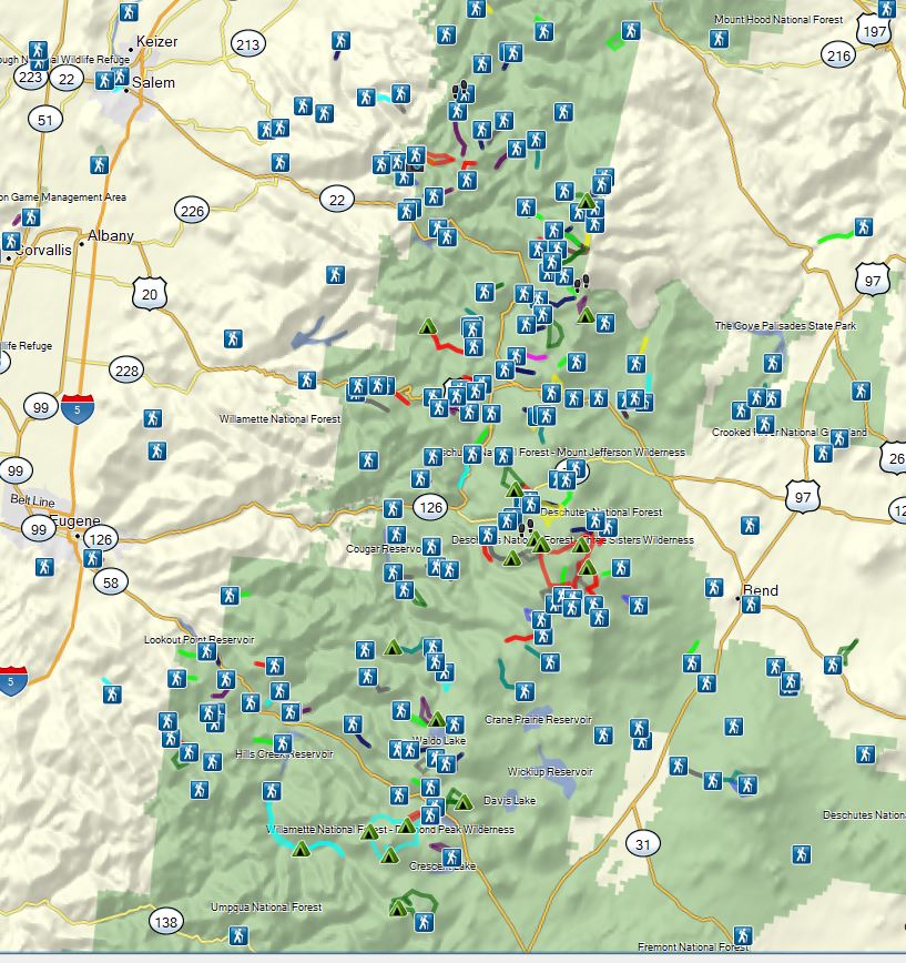
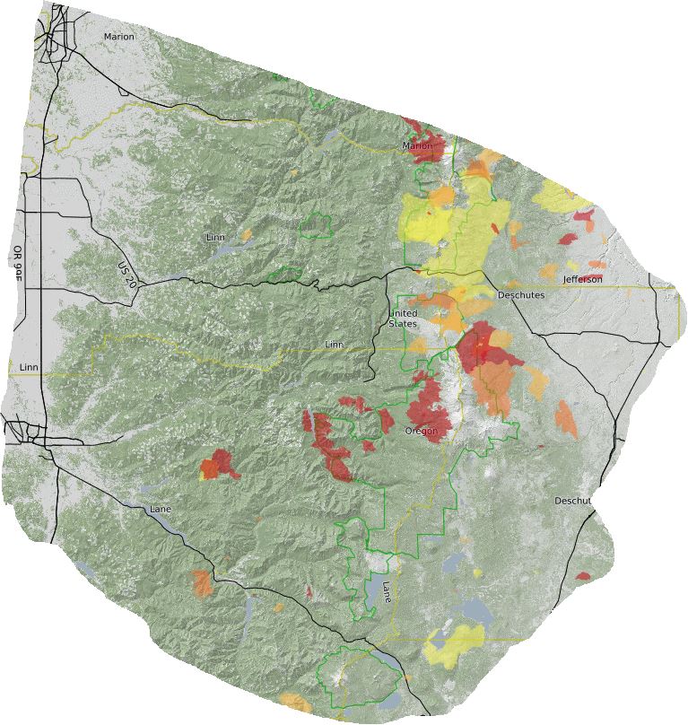
Locations of the trailheads we started from in 2025. (There are 96 THs since we hiked multiple trails on a number of days.)
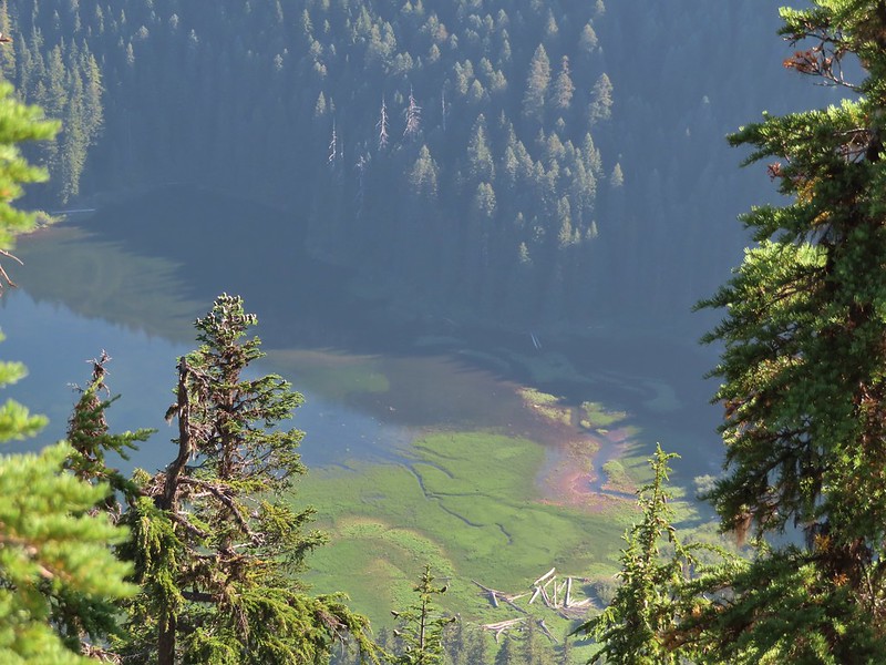
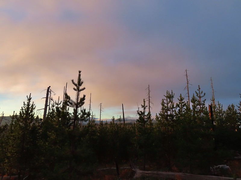
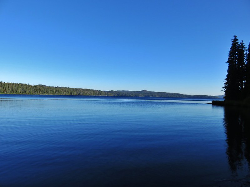
Our northernmost hike this year, Ozette Triangle in Olympic National Park, was also the furthest north we’d ever hiked. This was also the furthest west we would be all year.
Looking north from the most northerly location we’ve been.
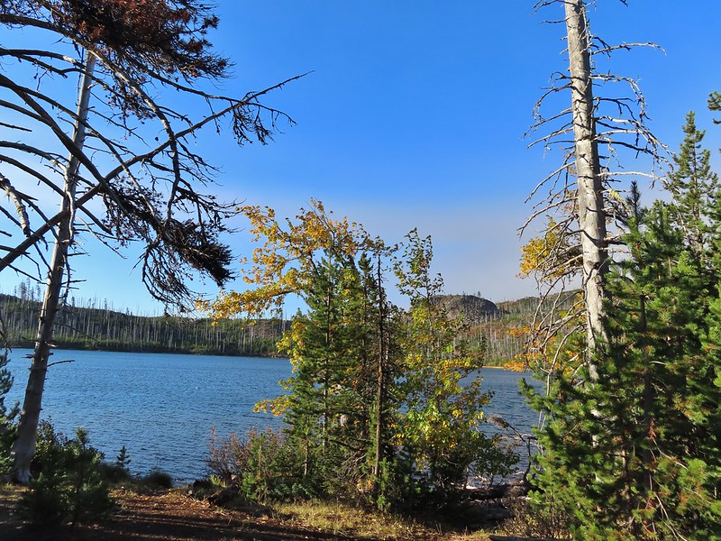
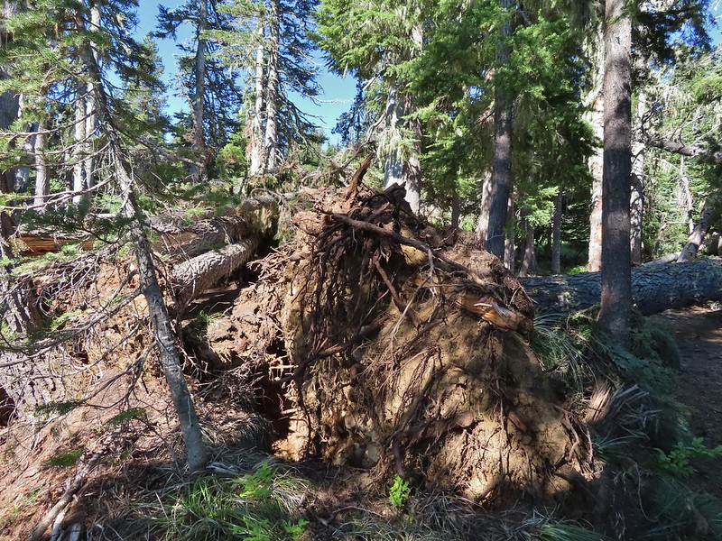
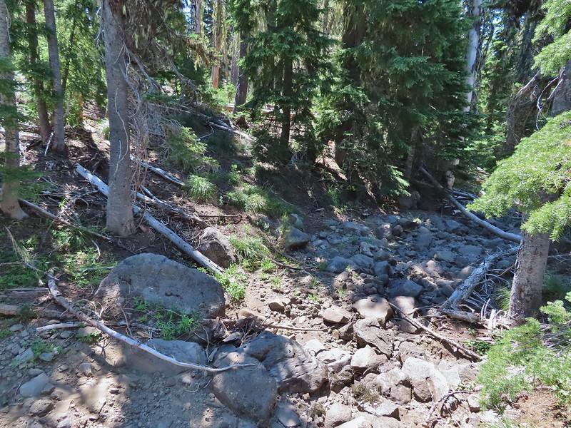
Our southernmost hike was on the Cow Creek Trail SE of Roseburg, OR in the Umpqua National Forest.
Downed trees that marked my turn around point, and southernmost point, on the Cow Creek Trail.
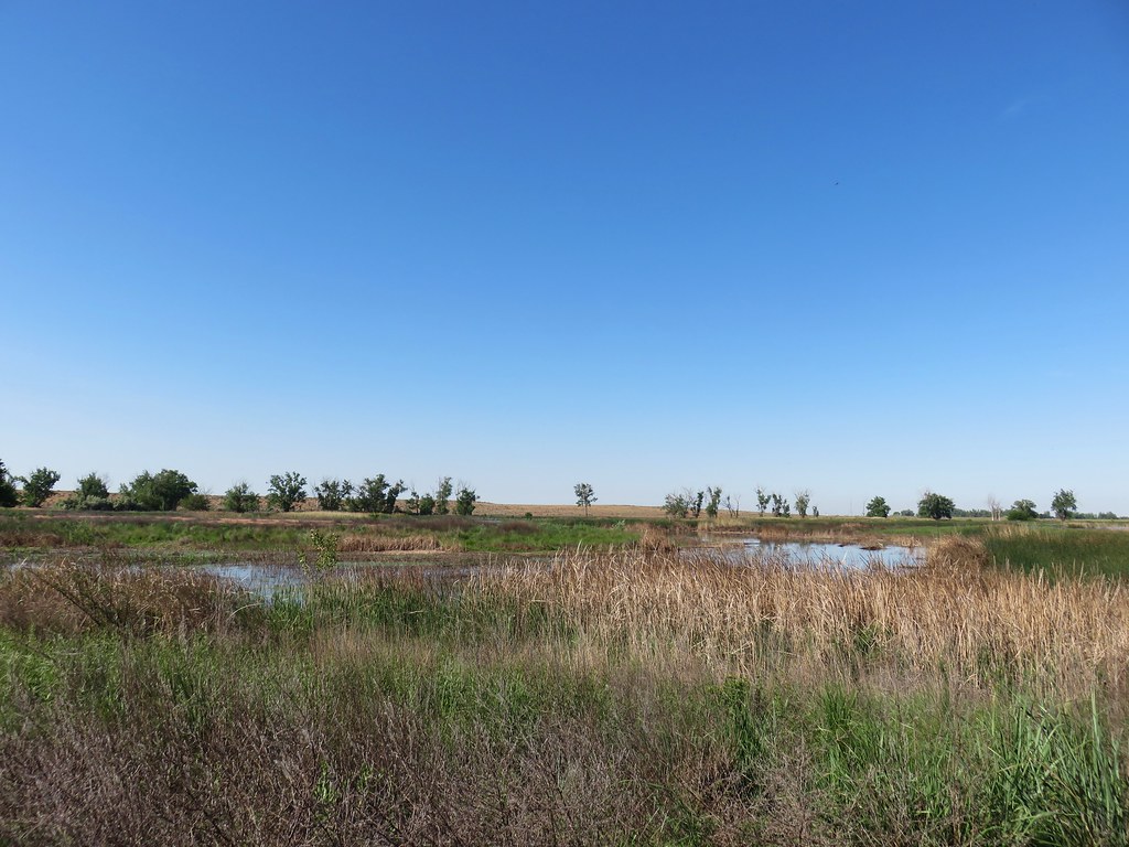
Not surprisingly our easternmost hike was our sole hike in Eastern Oregon in the BLM’s Criterion Tract.
Roughly the furthest point east we reached this year.
The 2025 wildfire season was comparatively tame to the last few years however there were still more than 1,100 fires from early June to mid-October. According to the Office of the State Fire Marshal over 700 of those fires were human caused which is disappointing as these are by and large avoidable.
While none of the fires directly impacted our plans this year, sadly 200 homes and structures were lost this past year and several trails we’d previously hiked were burned.
On a more positive note, we once again were blessed to be able to see and experience so many beautiful places. So many in fact that in addition to our usual wildlife and wildflower galleries we’re adding one for the waterfalls we saw in 2025.

January – Driftwood Beach, OR

February – Clackamas River from Milo McIver State Park, OR

March – Catherine Creek/Coyote Wall, WA (This area burned in July 2025 in the Burdoin Fire.)

April – Devil’s Lake Fork, Tillamook State Forest, OR

April – Basket Slough Wildlife Refuge, OR

May – Tualatin River National Wildlife Refuge, OR

May – Hoh Rainforest, Olympic National Park, WA

May – Devil’s Punchbowl, Olympic National Park, WA

May – Rialto Beach, Olympic National Park, WA

May – Little Badger Trail, Mt. Hood National Forest, OR

May – Deschutes River, BLM Criterion Tract, OR

June – Blue Lake, Hampton Family Forests (Private Timberland), OR

June – Fivemile Butte Lookout, Mt. Hood National Forest, OR

June – Champoeg State Park, OR

June – Clearwater River, Umpqua National Forest, OR

Elk Camp Shelter, Willamette National Forest, OR

July – Mt. Hood, OR

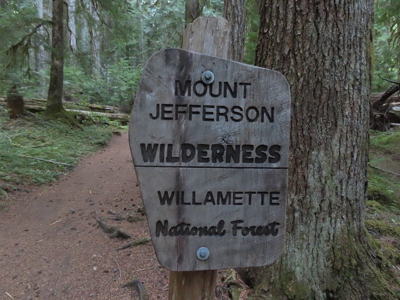
July – Bays Lake, Mt. Jefferson Wilderness, OR

July – Three Sisters Wilderness, OR

July – Craig Lake, Mt. Jefferson Wilderness, OR

July – Big Lake, Willamette National Forest, OR

August – Walupt Lake, Goat Rocks Wilderness, OR

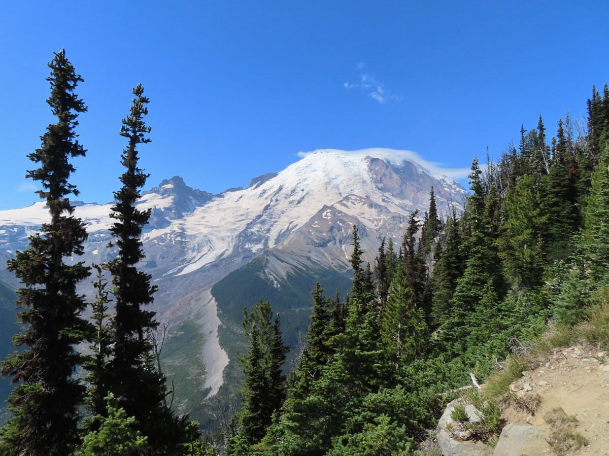
August – Mt. Rainier National Park, WA

August – Mt. Freemont Trail, Mt. Rainier National Park, WA

August – Snow Lake, Mt. Rainier National Park, WA

August – Naches Peak Loop, Mt. Rainier National Park, WA

August – Lava Canyon Trail, Mt. St. Helens National Volcanic Monument, WA

September – Zigzag Canyon, Mt. Hood Wilderness, OR

September – Twin Rocks, Rockaway Beach, OR

September – Three Sisters Wilderness, OR

September – Duffy Lake, Mt. Jefferson Wilderness, OR

September – Fuji Mountain, Willamette National Forest, OR

September – Mt. St. Helens National Volcanic Monument, WA

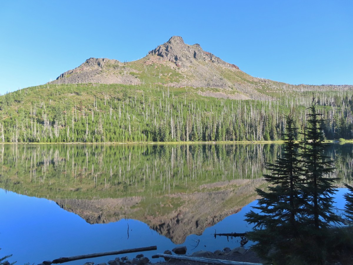
September – Charlton Lake, Deschutes National Forest, OR

October – Head of Jack Creek, Deschutes National Forest, OR

October – Nehalem River, Nehalem, OR

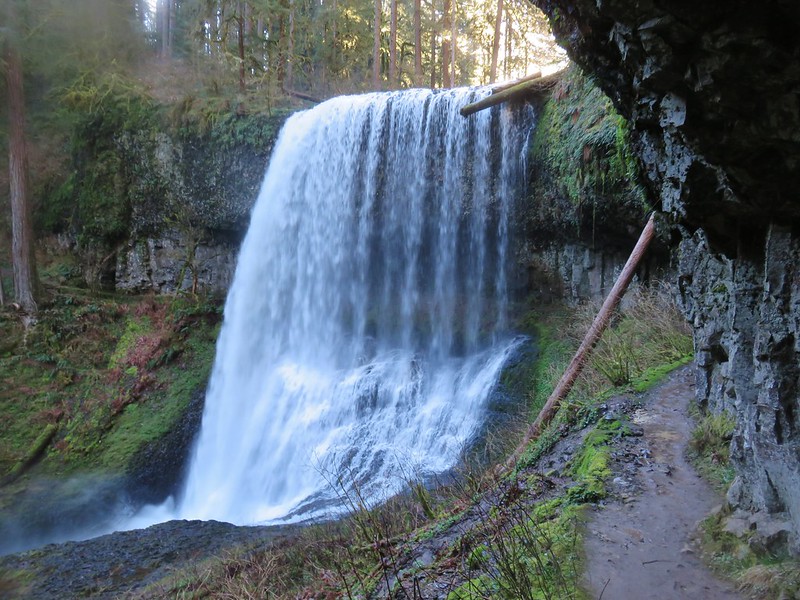
October – Silver Falls State Park, OR

October – Maxwell Butte, Mt. Jefferson Wilderness, OR

October – Willamette Mission State Park, OR

November – Silver Falls State Park, OR

November – Clear Lake, Willamette National Forest, OR

December – Little Rock Creek, Santiam State Forest, OR
Looking ahead to 2026 there are still trails we’ve yet to explore and many that we’d be more than happy to revisit. We’re looking forward to continuing the journey for as long as we are able. Happy Trails and have a wonderful New Year!


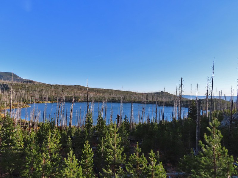
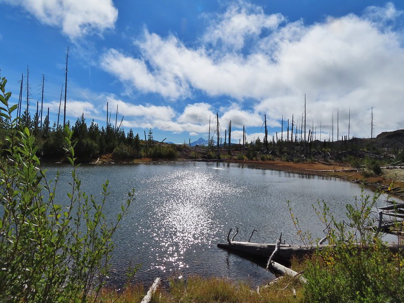
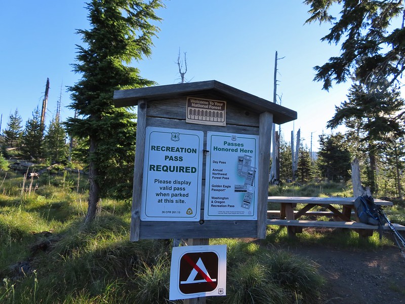
 Another reminder that overnight permits are required in the wilderness.
 Low clouds in the valley.
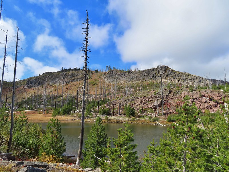
 Mt. Jefferson through some of the snags with a few surviving trees on the right.
 Mt. Jefferson from the junction, note the rock cairn on the left marking the PCT.
 The cairn at the junction.
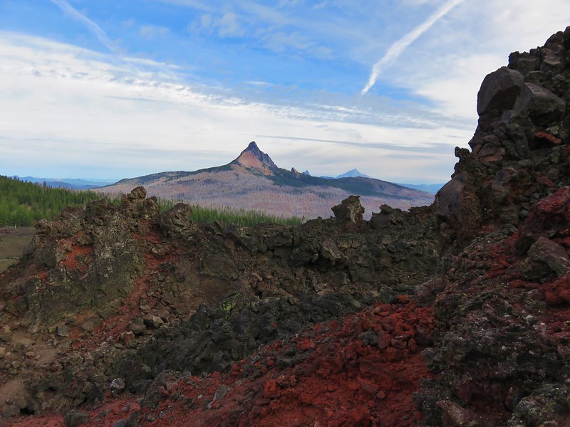
 Triangulation Peak (
 Whitewater Lake
 Triangulation Point and Bocca Cave (Trailheads still closed.)
 Tarn 0.3-miles from the junction.
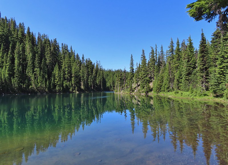
 Mt. Jefferson reflecting in the tarn.
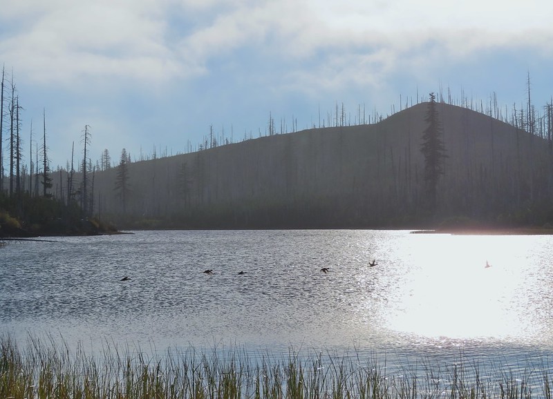
 Ducks on the tarn.
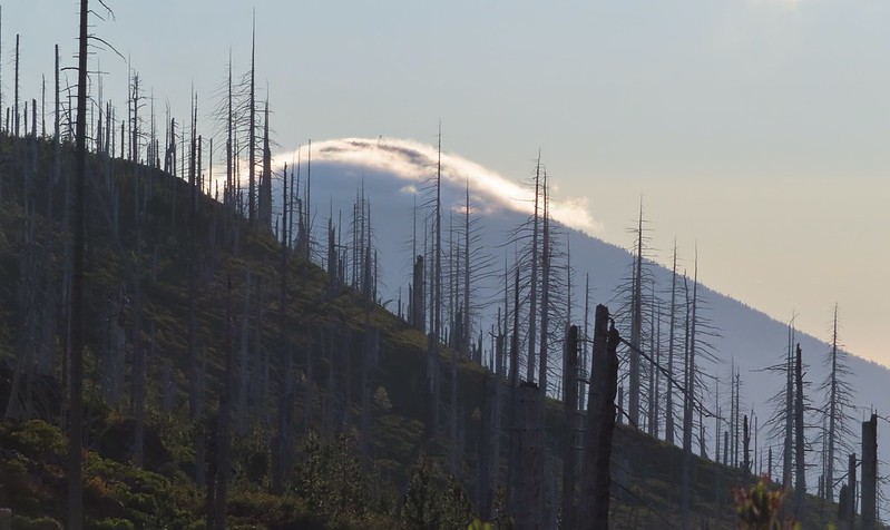
 The Sentinel Hills with Park Butte behind to the right. The Whitewater Trail (
 The fires did open up fairly consistent views of the mountain.
 A few remaining penstemon blossoms.
 Heading down to the Russell Creek crossing.
 This can be a tricky crossing at times, but there was a makeshift bridge which made it fairly easy this time.
 Aster and pearly everlasting near the creek.
 We started seeing more trees that had survived the fire as we got closer to Jefferson Park.
 Gentians and aster
 Grass-of-parnassus
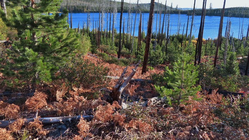
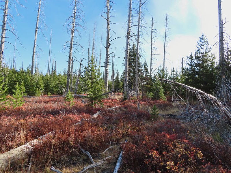
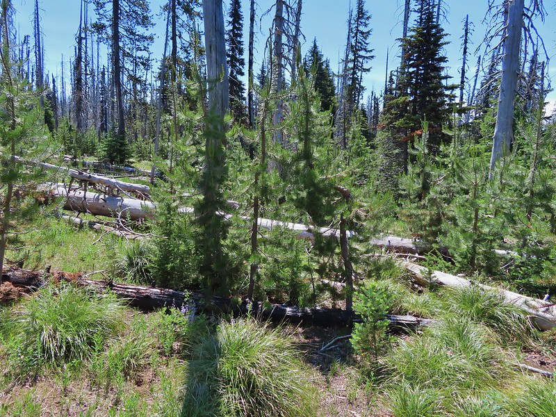
 There were patches of burned forest along this stretch.
 Approximately 0.4-miles from the junction the trail crosses Whitewater Creek.
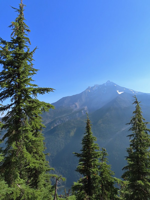
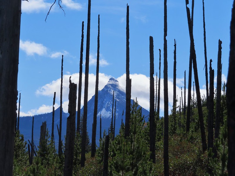
 From the other side of Whitewater Creek the views of Mt. Jefferson are amazing.
 Based on the barred sides I believe this is a black-backed woodpecker.
 Unofficial use trails are an issue in Jefferson Park which has prompted the Forest Service to install a number of “Closed for Rehabilitation” sign such as the one on the left side of the trail.
 They’ve also added quite a few signs to indicated sanctioned trails. Typically in wilderness areas the Forest Service tries to keep signage to a minimum, but overuse has led them to add additional signs.
 Another sign with Park Butte in background.
 The last of the pointers for Scout Lake.
 PCT heading for Park Butte and Park Ridge.
 Russell Lake pointer.

 This was at least the third posted notice so there is no claiming you weren’t aware that a permit is needed.
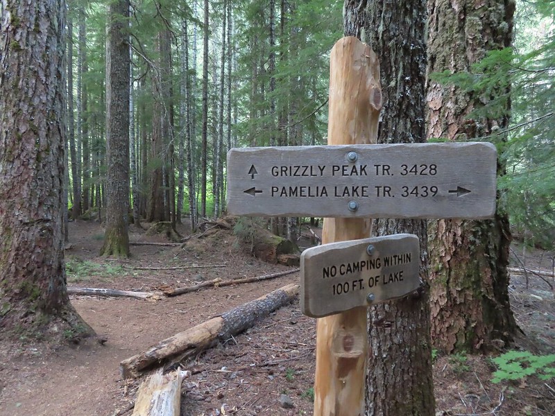
 Pamelia Creek
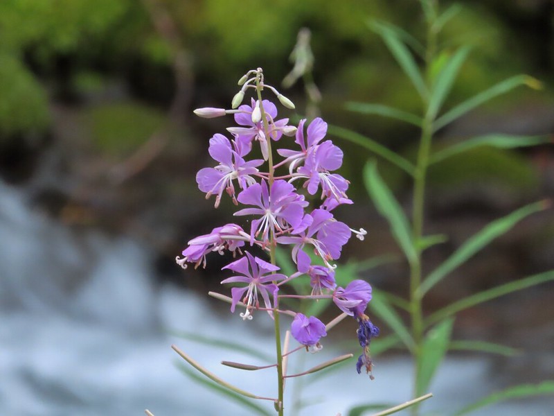 Fireweed along the creek.

 Pamelia Creek only flows underground here much of the year.
 Heading up.
 A glimpse of Mt. Jefferson.
 That might be Woodpecker Hill, it was hard to tell exactly which ridge we could see with nothing else visible to help orient.
 This looked like it might be a nice little waterfall with enough water.
 That’s not enough water.
 Heather below one of several switchbacks.
 Turning up the ridge.
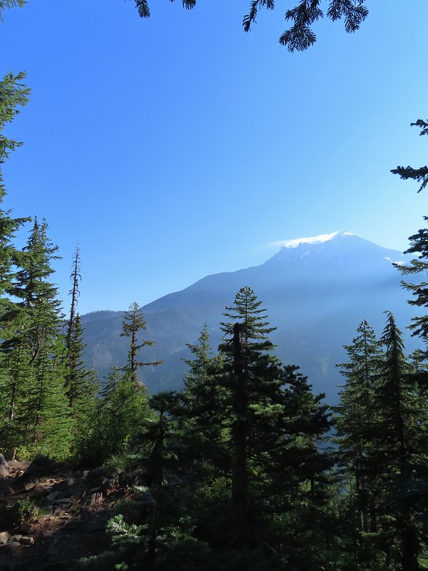 The haze was probably a combination of morning cloud/fog and smoke from the Cedar Creek Fire near Waldo Lake.
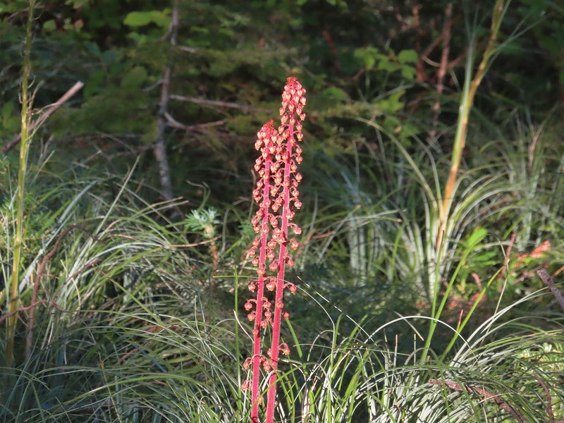 Pinedrops
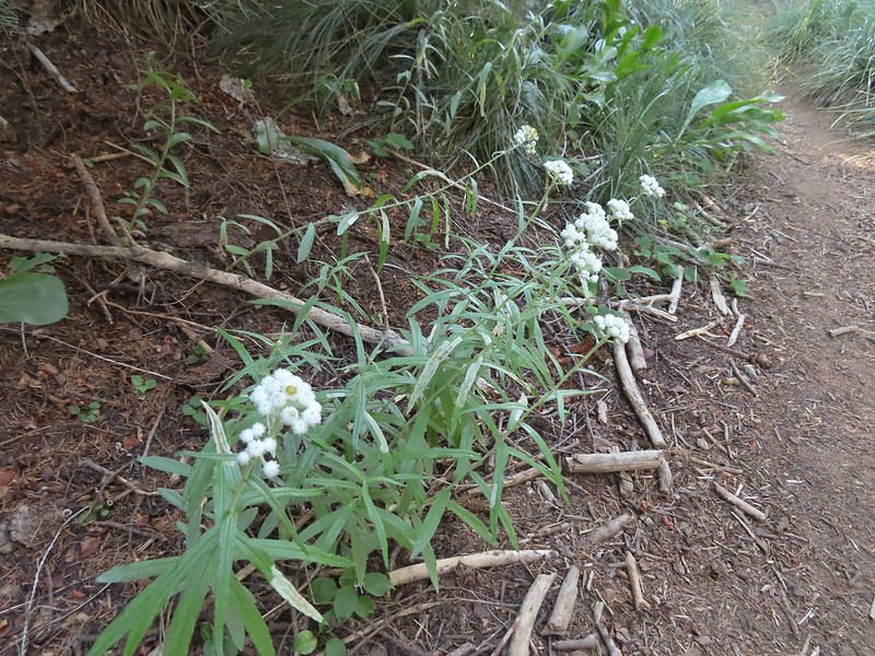 We were too late for most of the flowers but there were a few pearly everlasting going.
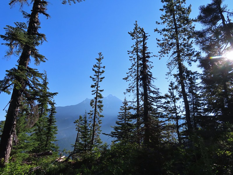 There’s that pesky Sun again.
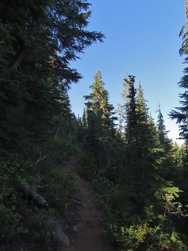
 Aster
Aster Lousewort
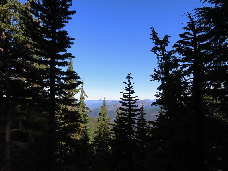
 Lots of burnt forest out there.
 Triangulation Peak and Boca Cave (
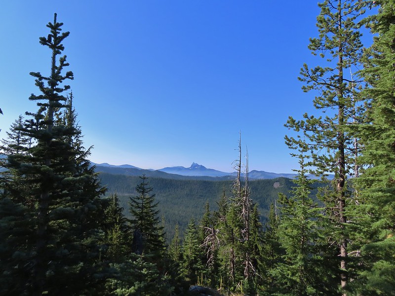
 Broken Top to the far left blending into the haze and Three Fingered Jack to the right with the Three Sisters in between.
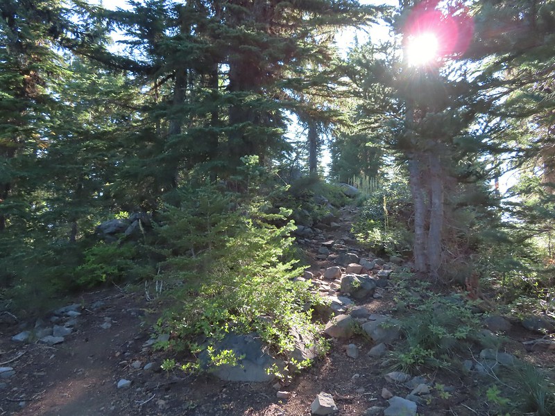 Just below the summit.
 Pamelia Lake below Mt. Jefferson.
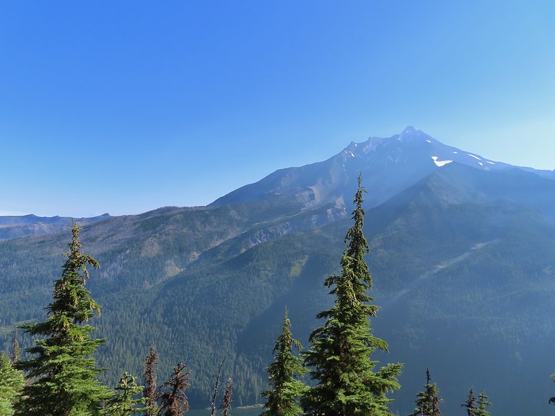
 Hunts Creek flowing into Pamelia Lake.
 Had to hunt for a view of Three Fingered Jack.
 A hard to make out Mt. Hood beyond the far ridge which consists of Bear Point to the left (
 Mt. Hood
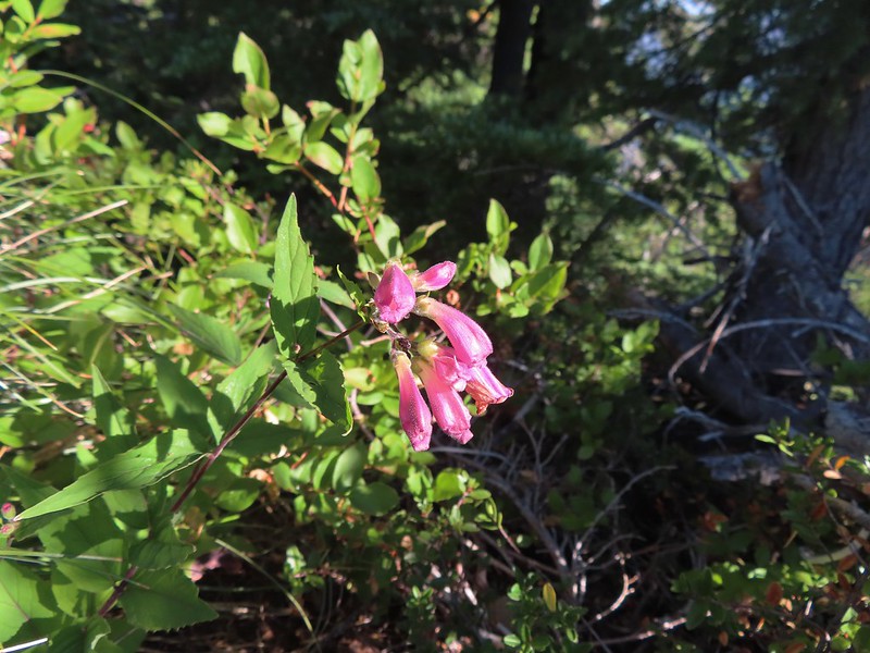 Beardtongue
 A fritillary butterfly.
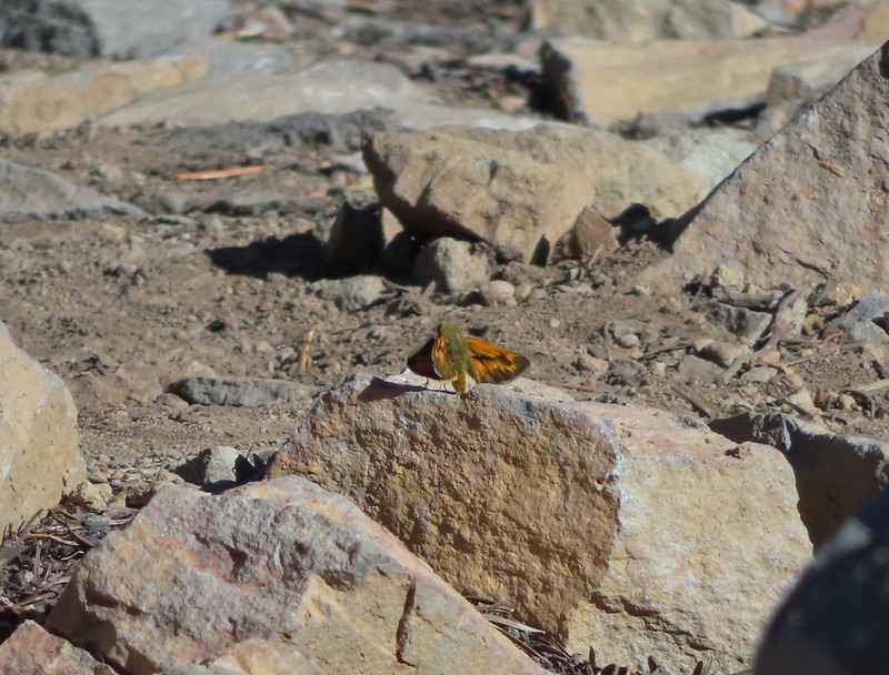 A skipper
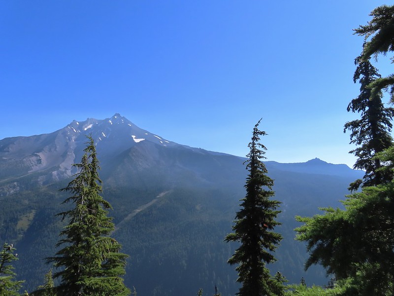 Goat Peak is to the right of Mt. Jefferson.
 Mt. Jefferson and Pamelia Lake from one of the viewpoints along the ridge.
 Cascade toad
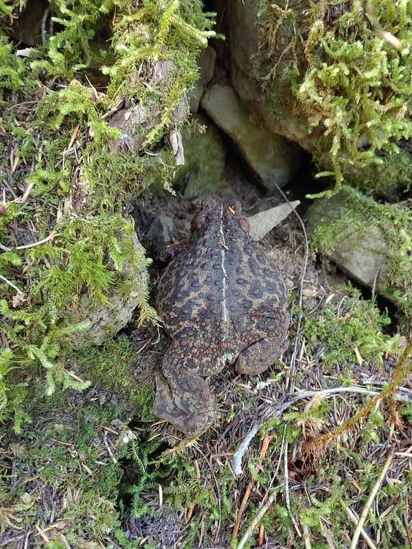

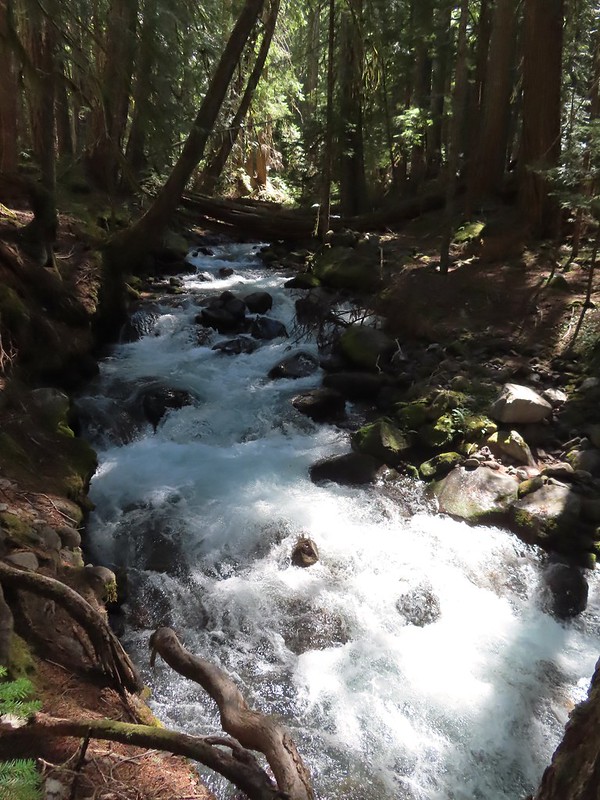 One more of Pamelia Creek.


 Banks-Vernonia State Trail in January. (
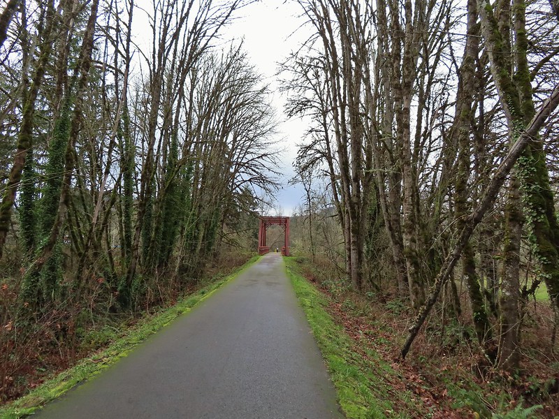 Row River Trail in December. (
 John Day River from the Lost Corral Trail
 Ninemile Ridge in the North Fork Umatilla Wilderness in June. (
 Devil’s Staircase Wilderness in July. (
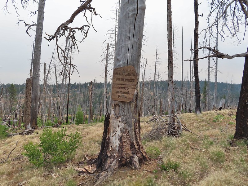 Black Canyon Wilderness in July. (
 Monument Rock Wilderness in July. (
 Ledbetter Point, the last of the hikes from the coast book. (
 Badger Lake, the last hike from the northwestern book. (
 Redwoods

 Falls Creek – February
 Cascade Head from God’s Thumb – March
 Columbia River from Mitchell Point – March
 Mt. Hood from Sevenmile Hill – March
 Dalles Mountain Ranch – April
 Mt. Adams from Grayback Mountain – May
 Navigating a downed tree along the Pawn Old Growth Trail – May
 Rogue River Trail – May
 Golden Falls – May
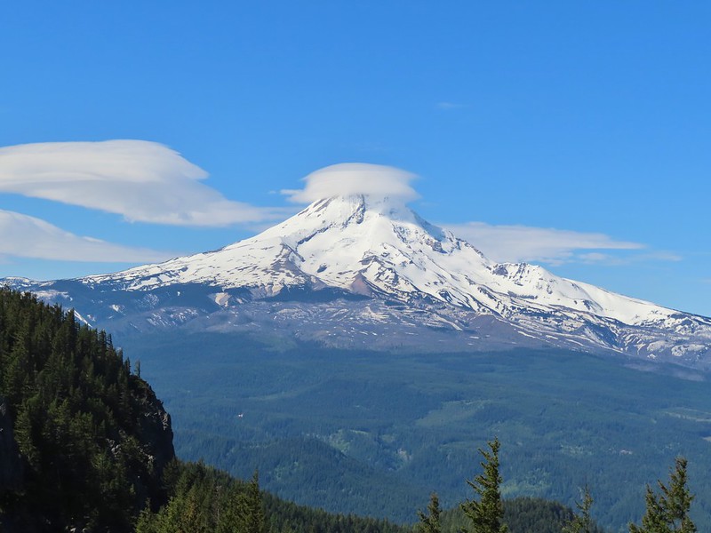 Lenticular cloud over Mt. Hood from Surveyor’s Ridge – May
 Whychus Canyon – May
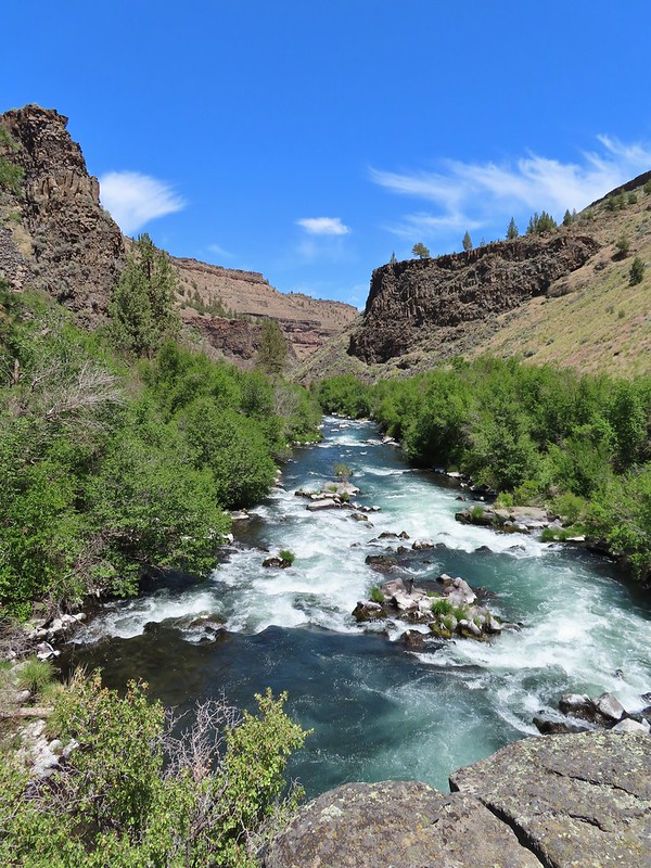 Deschutes River – May
 Whychus Creek Overlook – May
 Forest on Mary’s Peak – June
 North Fork Umatilla River – June
 Tower Mountain Lookout – June
 Malheur River – June
 Meadow on Round Mountain – June
 Santiam Lake – July
 Three Fingered Jack from Lower Berley Lake (and a butterfly photobomb) – July
 The Husband and Three Sisters from Substitute Point – July
 Ochoco
 Red Sun through wildfire smoke from the Monument Rock Wilderness – July
 Canyon Mountain Trail, Strawberry Mountain Wilderness – July
 Aldrich Mountains – July
 Mt. Mitchell summit on a rare poor weather day – August
 Mt. Bachelor – August
 Cottonwood Camp, Big Indian Gorge in the Steens Mountain Wilderness – August
 Wildhorse Lake, Steens Mountain Wilderness – August
 Evening at the Steens Mountain Resort – August
 Little Blitzen Gorge – August
 Riddle Ranch – August
 Morning in the Pueblo Mountains – August
 Oregon Desert Trail, Pueblo Mountains – August
 Mt. St. Helens and Spirit Lake – August
 Harmony Falls – August
 Loowit Falls – August
 Mt. St. Helens from Norway Pass – August
 Mt. Hood from the PCT in the Indian Heaven Wilderness – September
 Mt. Adams and Soda Peaks Lake, Trapper Creek Wilderness – September
 Jubilee Lake – September
 Rough Fork Trail, Blue Mountains – September
 Heritage Landing Trail, Deschutes River – September
 McDonald-Dunn Forest – October
 Cascade Mountains from the Mt. Jefferson Wilderness – October
 Three Fingered Jack from Round Lake – October
 Mt. Hood from the Flag Point Lookout
 Mt. Hood from Lookout Mountain – October
 Silver Falls State Park – October
 Laurel Hill Wagon Chute – October
 Barlow Ridge, Mt. Hood Wilderness – October
 Fern Ridge Wildlife Area – November
 Black Crater (

 Black Crater and North Sister
 Black Crater, the top of Broken Top, some of the Sisters, and part of Mt. Washington.
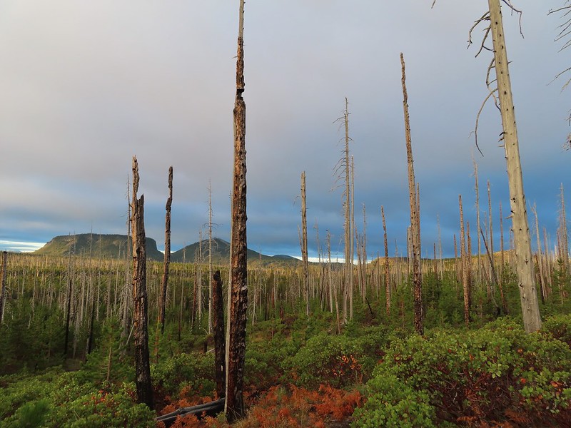 Hayrick and Hoodoo
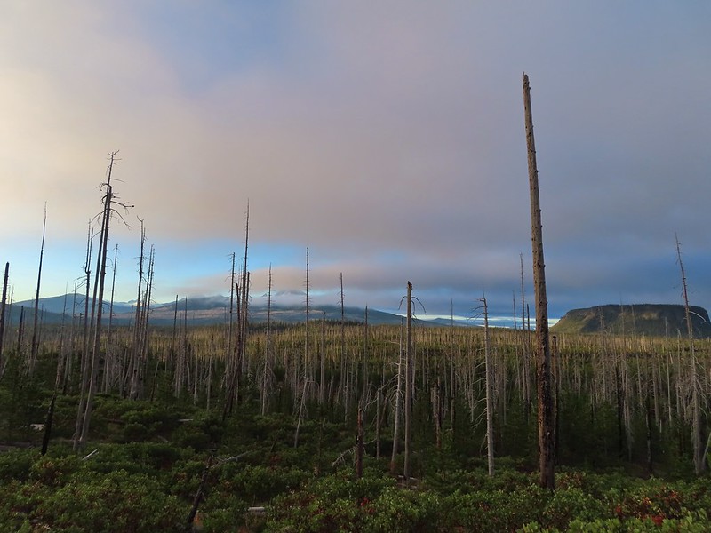 Between Mt. Washington and Hayrick Butte is Scott Mountain (
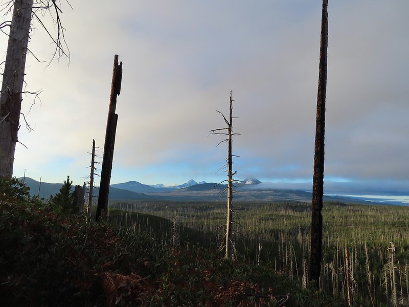 Cache Mountain is the high point furthest to the left.
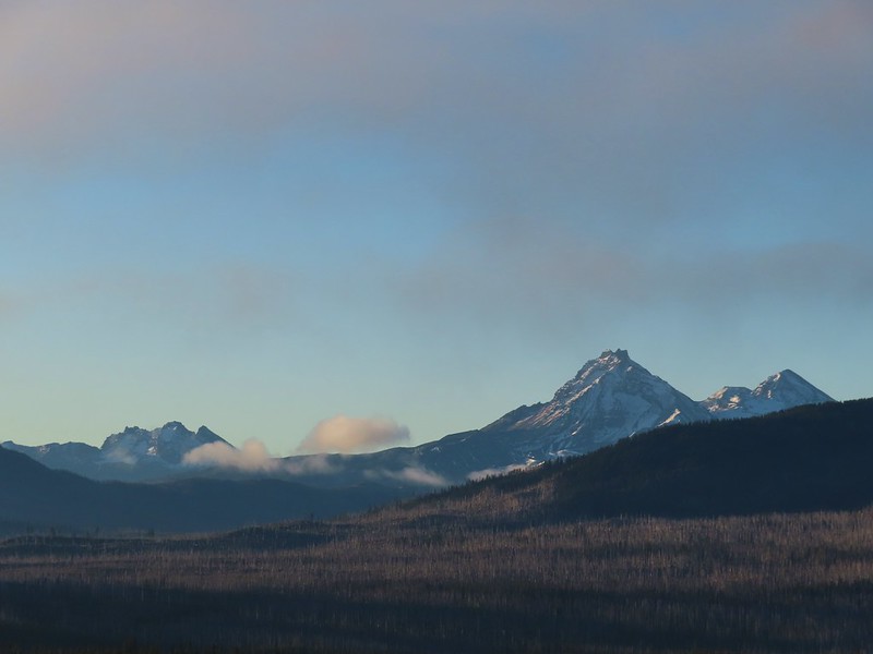 Broken Top and the Three Sisters
 Mt. Washington
 The Three Sisters. The summit of South Sister is between North and Middle Sister behind 9321′
 Black Butte (
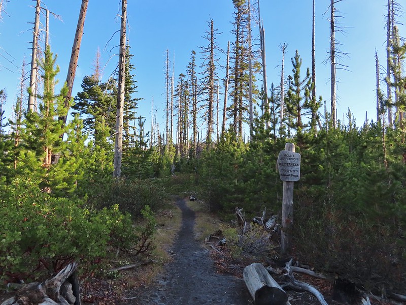
 A different angle from 2012.

 One white rump with a black tail amid the ferns near the center of the photo (good luck).
 The only paintbrush we would see all day.
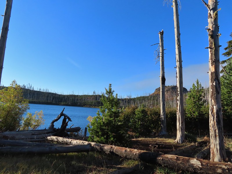 The top of Mt. Washington is just visible on the other side of Square Lake.

 Mt. Washington’s spire again.
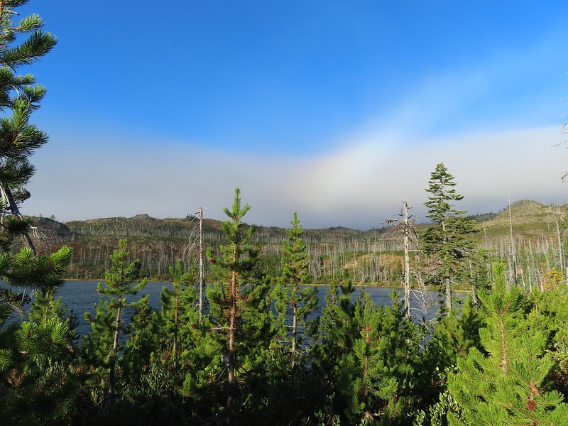 A rainbow was trying to form to the west.

 Lodgepole pine seeds require fire in order to be released from their tight cones.
 Our first sighting of Long Lake (zoomed in).
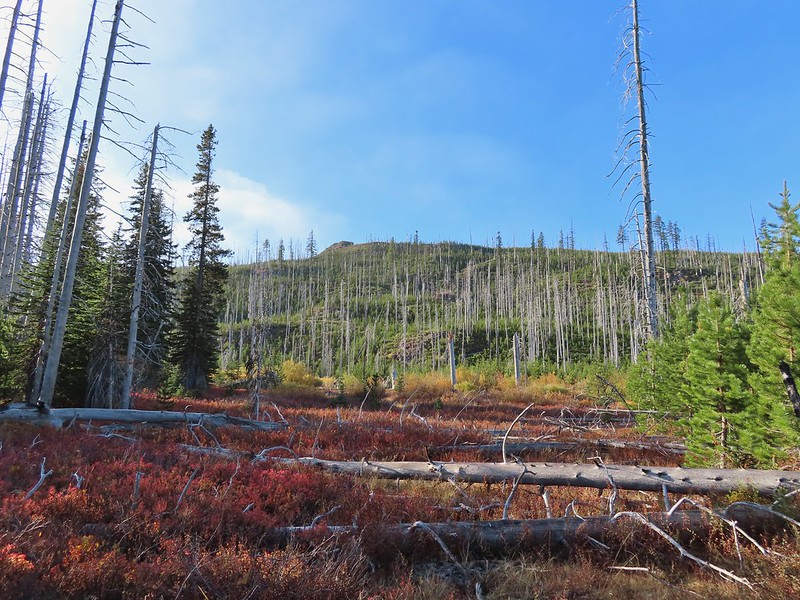

 Ducks taking off from Long Lake.
 This is one of the areas that we could see getting pretty muddy/wet.
 Rainbow
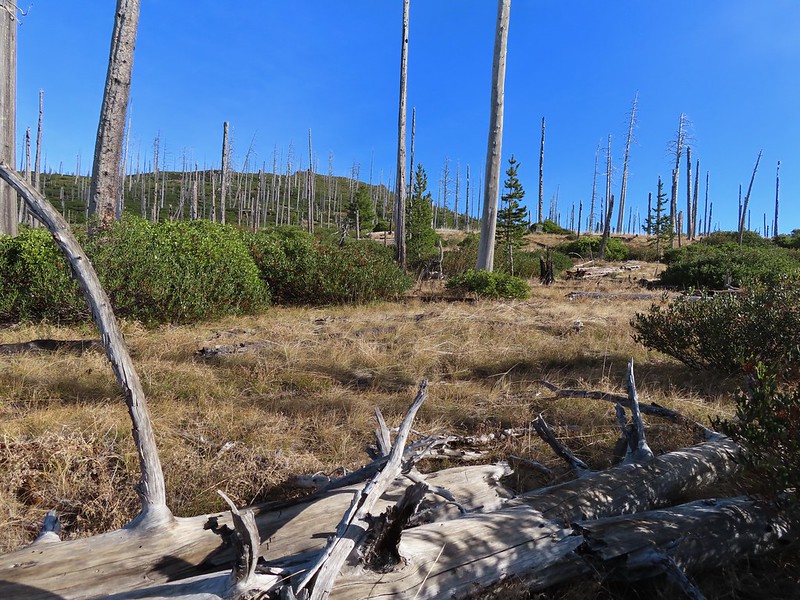 The Round Lake Trail just on the other side of the downed tree.
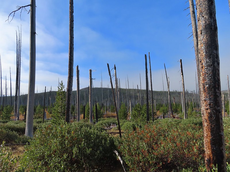 Long Lake is back down that way somewhere.
 Back on the Round Lake Trail.
 Black Butte shedding the morning clouds.
 The top of Three Fingered Jack behind some thin clouds.
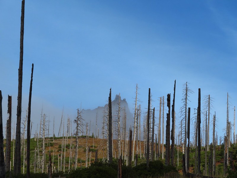
 Green Ridge (
 A better look at Three Fingered Jack.
 First glimpse of Round Lake.


 Starting to look kind of grey.
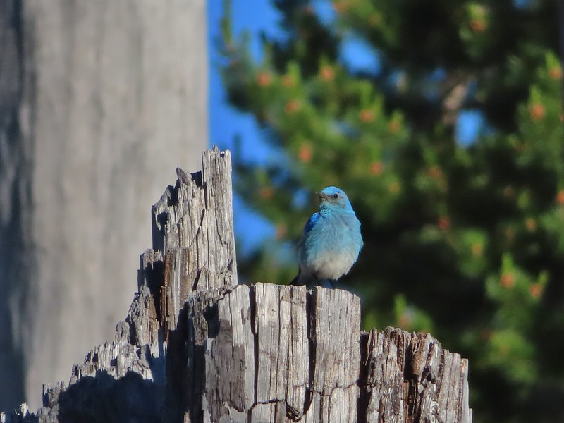
 A mountain bluebird adding a splash of blue to the green backdrop.
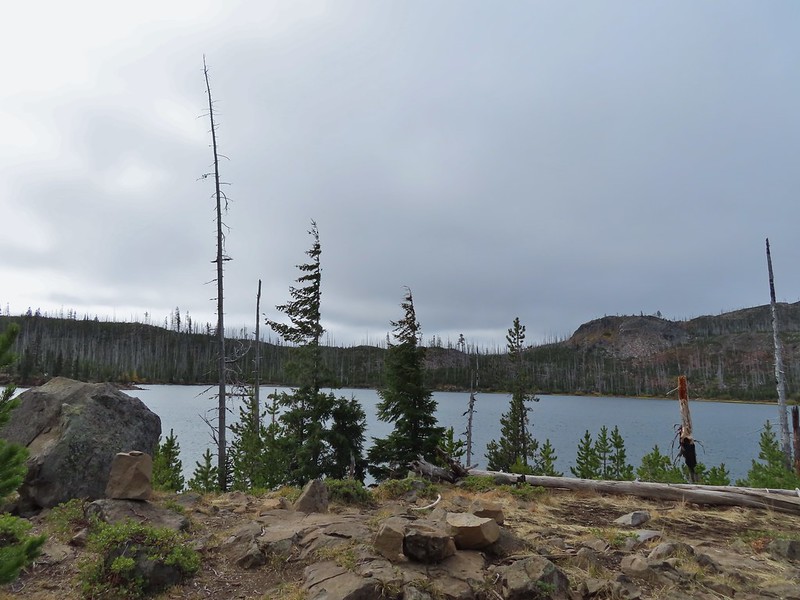 Clouds over Square Lake.
 A few scarlet gilia blossoms.
 The unnamed lake is about halfway up the far hillside.
 Black Butte and Long Lake from the trail.
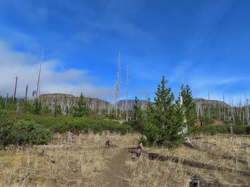 Heading toward Three Fingered Jack we got back under blue skies.
 Square Lake still under a clouds,
 The unnamed lake that drew our attention.
 Similar view from 2012.
 The trail at the gap. It was grey and cloudy to the west.
 Still at the gap, it was blue skies to the east.
 There is Three Fingered Jack.
 A good look at Green Ridge.
 A lupine that was late to the party.
 Booth Lake
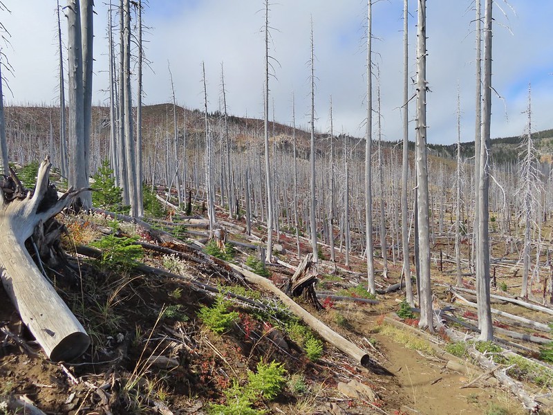


 The trail cut on the far hillside.
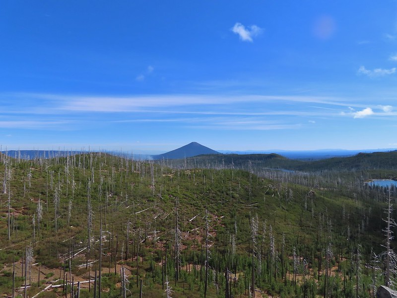 Black Butte, Long Lake, and part of Square Lake.
 Square Lake along with Broken Top and the Three Sisters (Mt. Washington was hiding in the clouds still).
 Part of the rock ledge.
 Three Fingered Jack had once again disappeared.
 Where’s Heather.

 View climbing away from Square Lake.
 Similar view in 2012.
 2012
2012

 Finally clear!
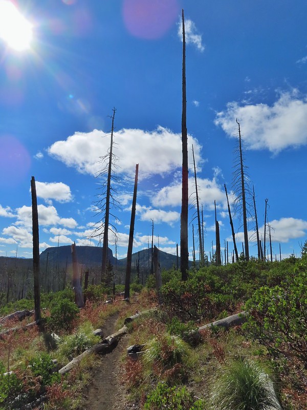 Hayrick Butte and Hoodo as we neared the trailhead.


 Trail sign at the junction on 10/13/2012.
 Trail sign at the junction on 07/03/2021.
 Entering the Mt. Jefferson Wilderness in 2012 (0.3 miles from the TH).
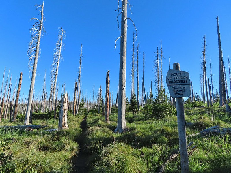 Entering the wilderness in 2021.
 Cache Mountain, Black Crater (post), Tam McArthur Rim & Broken Top (post), North & Middle Sister, Mt. Washington, and Hayrick Butte (flat top on the right).
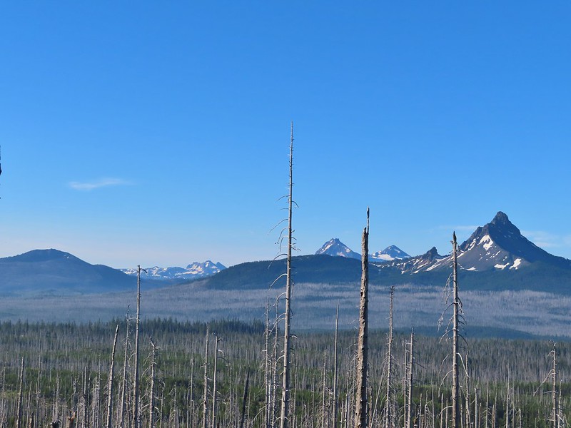

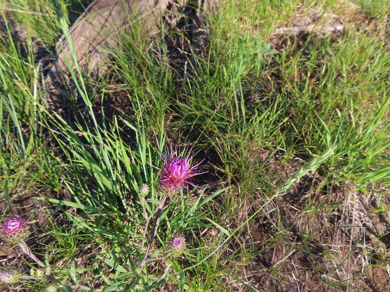 A thistle
 Penstemon
 Bleeding heart
 Pussytoes
 California stickseed
 Another penstemon
 Mountain bluebird by the lake.

 There was a good amount of scarlet gilia blooming along this section of trail.
 Three Fingered Jack
 One of the ponds.
 Queen’s cup
 Another pond with Maxwell Butte (
 Unnamed lake along the trail with Maxwell Butte behind.
 Lupine
 Dark-eyed junco
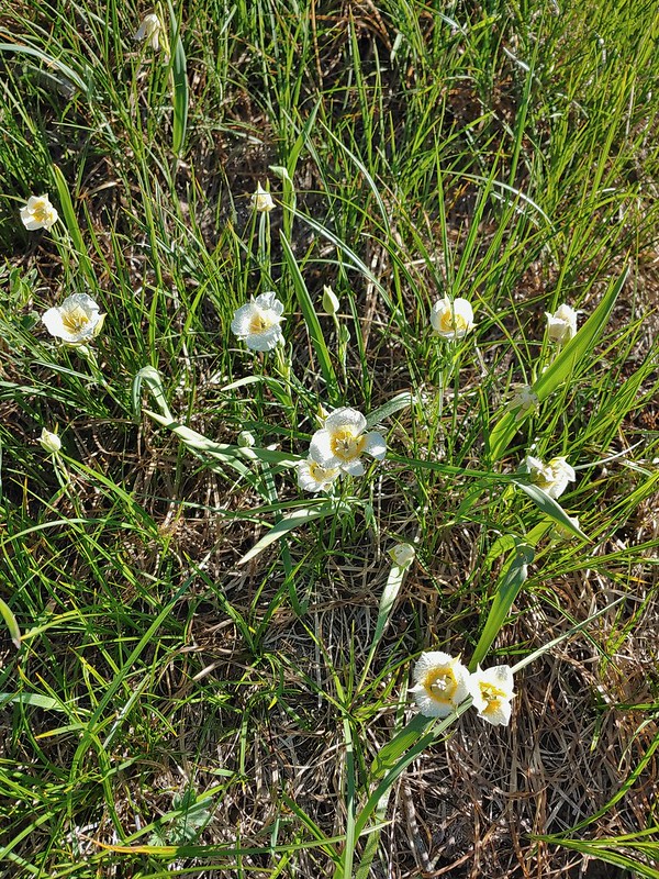 Sub-alpine mariposa lilies
 Woodpecker
 The view south.


 Beargrass
 Recent snow melt is another recipe for mosquitos.
 Another creek crossing.
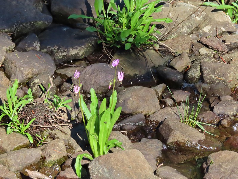 Shooting star
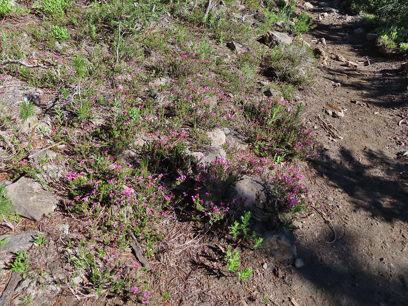 Mountain heather. Typically if we see this blooming we expect there to be mosquitos.
 A sulphur
 Alpine false dandelion
 One of several snow patches at the tree line.
 Nearing the end of the opening.
 More snow in the trees.
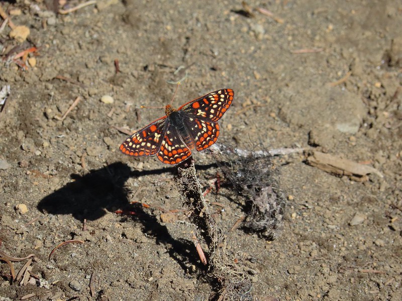
 A checkerspot
 Trees & melting snow = more mosquitos.
 Not Santiam Lake but a very pretty unnamed lake just to the left of the trail approximately 0.4 miles from Santiam Lake.
 Not sure what type this is but the orange on the wing was pretty.
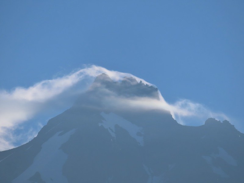
 Mt. Jefferson behind Red Butte
 Duffy Butte on the left.
 Three Fingered Jack
 Paintbrush, shooting stars, and buttercups.
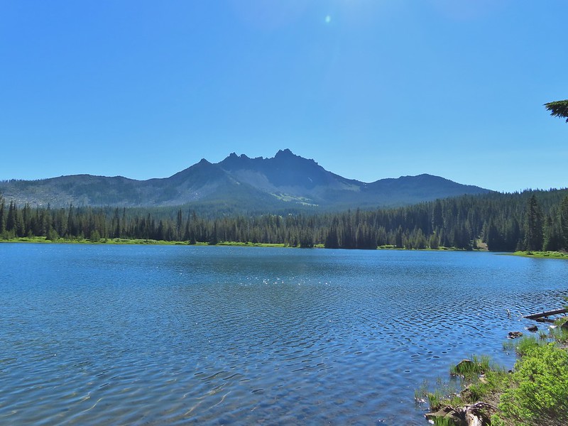
 Just one of several large uprooted trees along the shore.

 The “topographic feature” ahead on the right where we planned on turning for Lower Berley Lake.
 Mountain heather along the trail, it was warm and sunny enough that the mosquitos weren’t as bad this time by.
 Threeleaf lewisia
 Getting closer to the hill where we planned on turning.
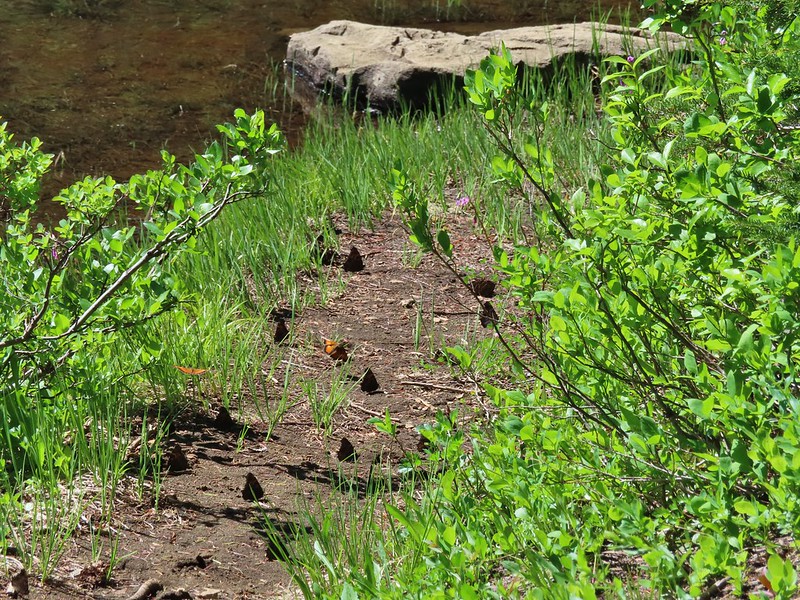
 California tortoiseshell butterflies in the bed of Lost Lake Creek.


 Three Fingered Jack from the rocks.
 More tortoiseshells


 The bed was popular with the butterflies.
 Cross country to Upper Berley Lake, the doe was in this meadow and headed in the direction of the patch of snow at the far end.
 Upper Berley Lake
 We wound up finding the same “user trail” and followed it down to the lower lake.
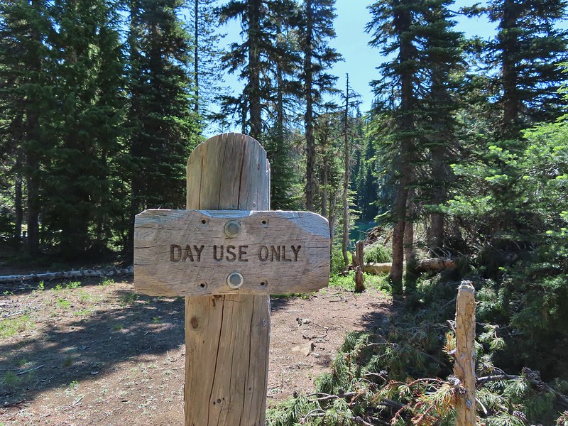
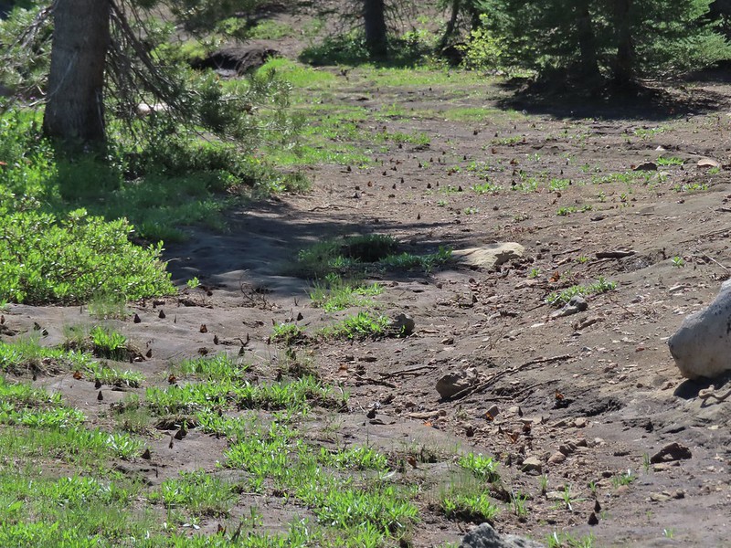 California tortoiseshell butterflies along Lower Berley Lake.
 Three Fingered Jack and about a half dozen butterflies.
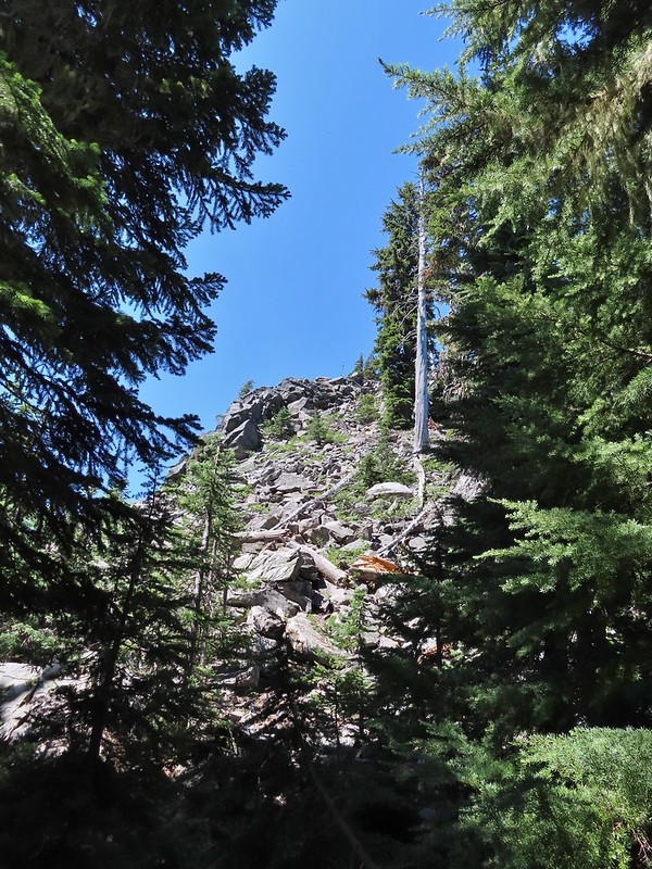 The hillside on the right was rocky.
 The trail dropping down from the saddle with Mt. Washington and the North Sister ahead.

 Found it!


 Yellow beetle on lupine.
 Orange agoseris
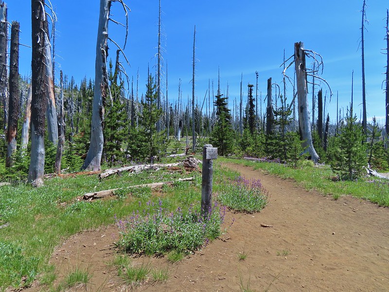 Back at the PCT.
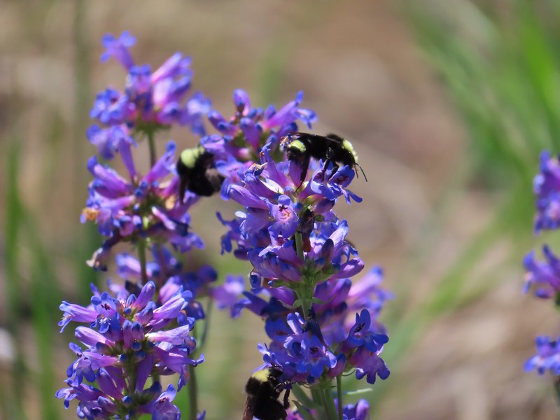 Bumble bees on penstemon.
 Cicada in the grass.
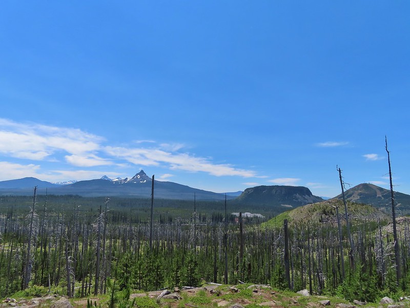 Black Crater, Broken Top, North & Middle Sister, Mt. Washington, Hayrick Butte, and Hoodoo Butte from the viewpoint.


 Middle North Falls
 Shellburg Falls
 Henline Falls
 Jawbone Flats
 Tumble Lake from Dome Rock
 Mt. Jefferson from Battle Ax
 View from Stahlman Point
 Meadow below the Three Pyramids
 Beargrass on Crescent Mountain
 Mt. Jefferson from Browder Ridge
 Boardwalk in Echo Basin
 Iron Mountain from the trail.

 Soda Creek Falls
 Majestic Falls
 Roaring Creek
 Mt. Jefferson
 Three Fingered Jack from Marion Lake
 Mowich Lake and Duffy Butte from Red Butte
 Three Fingered Jack
 Wizard Falls
 Deschutes River

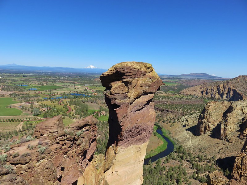 Monkey Face
 Hixson Crossing Covered Bridge
 Benham Falls
 Deschutes River
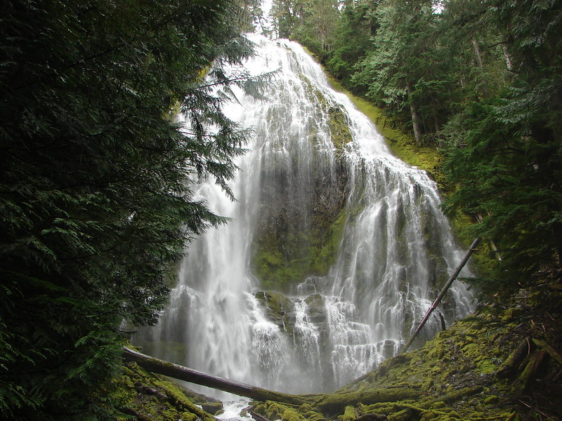 Proxy Falls
 Obsidian Falls
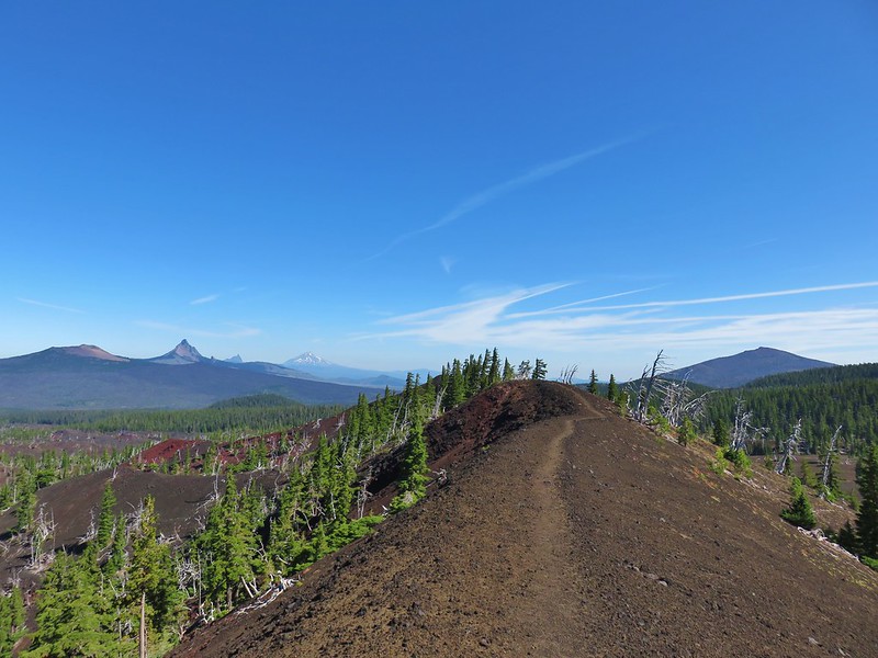 View from Four-in-One-Cone

 Mt. Washington, Three Fingered Jack, and Mt. Jefferson from Little Belknap Crater
 North Sister from South Matthieu Lake
 Former lookout site on Black Crater.
 South Sister from Camp Lake
 Middle and North Sister from Golden Lake
 Broken Top and Broken Hand from Tam McArthur Ridge
 Trees near the summit of Tumalo Mountain.
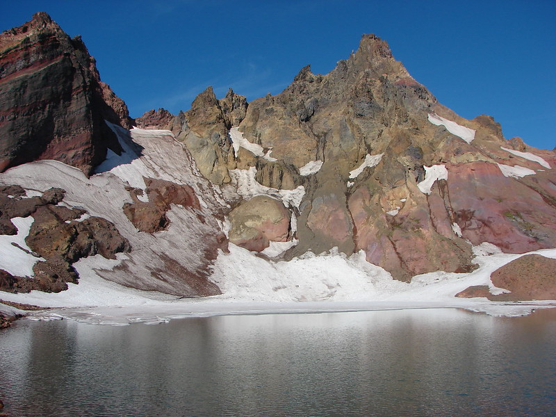 Broken Top from No Name Lake
 South Sister from Sparks Lake
 The third Green Lake
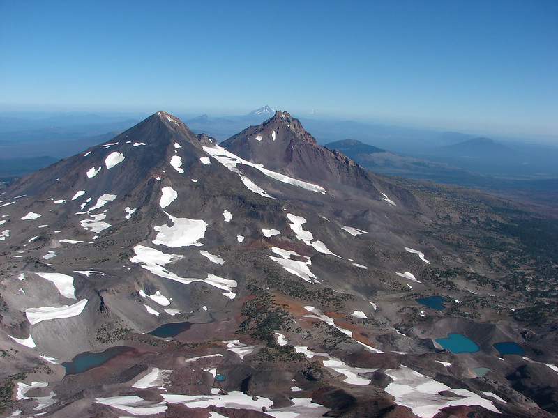 Looking north from the South Sister.
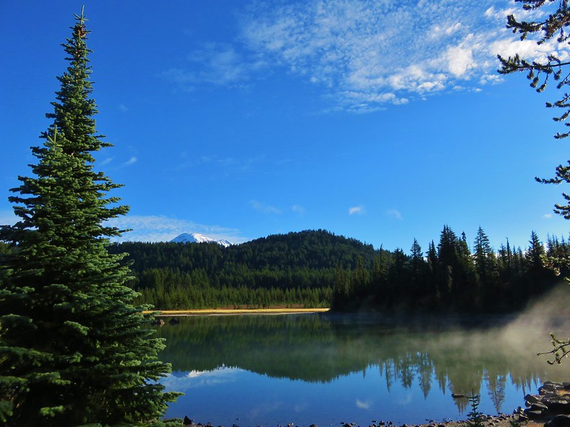 South Sister from Sisters Mirror Lake
 Horse Lake
 Doris Lake
 Sahalie Falls
 Separation Lake
 South Sister and Mt. Bachelor form Horsepasture Mountain.
 View from Lowder Mountain.
 View from Tidbits Mountain.
 Monkeyflower and plectritis on Castle Rock.
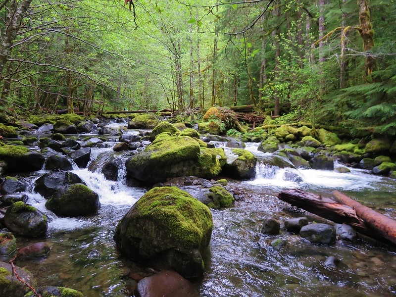
 Middle Erma Bell Lake
 Fog over Eugene.
 Summit marker on Mt. Pisgah.
 Sawtooth Trail
 Lone Wolf Meadow
 Wildflowers along the Tire Mt. Trail.
 Buffalo Rock from the North Fork Willamette River
 Beargrass meadow along the Blair Lake Trail.
 Indigo Springs (These springs have not burned.)
 Moon Falls
 Upper Trestle Creek Falls
 Lower Eddeeleo Lake
 View from the Waldo Mountain Lookout.


 Pulpit Rock from Middle Rosary Lake
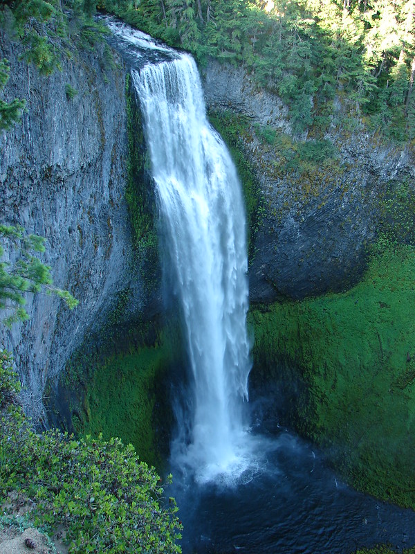
 Yoran Lake
 Diamond Peak from Diamond View Lake
 Huckleberry Bushes along Saddle Lake.
 Notch Lake
 Diamond Peak from Corrigan Lake
 Diamond Peak
 Sawtooth Mountain from Timpanogas Lake

 MCormack Slough in the Umatilla Wildlife Refuge.
 Looking towards Hells Canyon from Freezout Saddle.
 Wenaha River Canyon
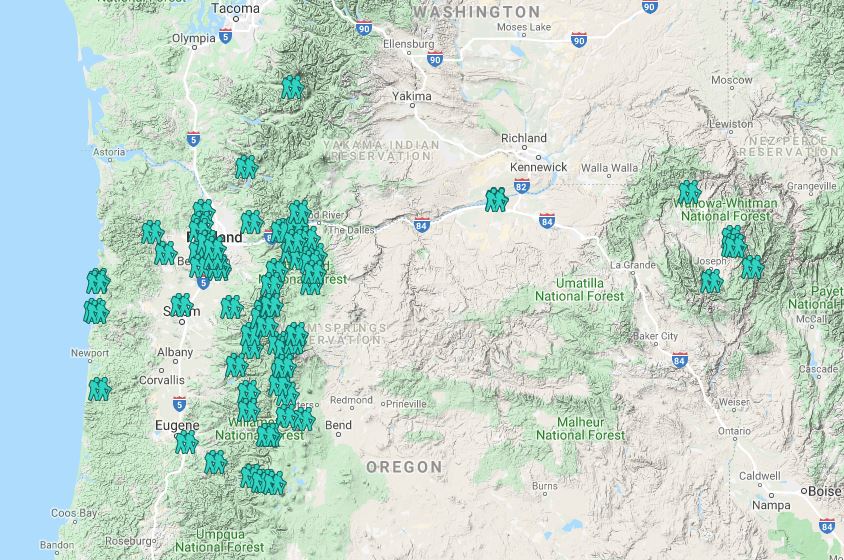


 Road walk at Henry Haag Lake
 Decommissioned road to Baty Butte.
 Cross country to Thayer Glacial Lake.
 Snow falling on our Freezout Saddle hike.
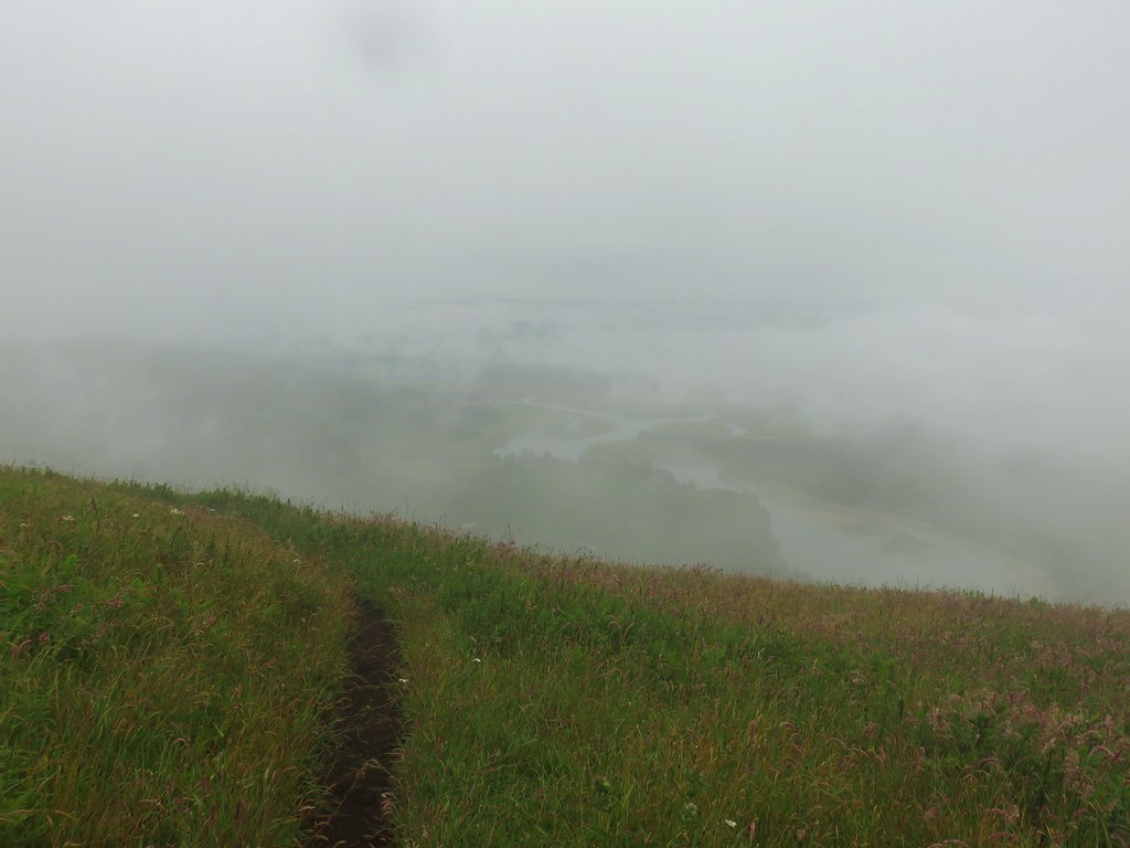 Rain shower approaching at Cascade Head.
 Taking cover under a tree in the Mollala River Recreation Area as a rain shower passes overhead.
 Rainbow framing the Wallowa Mountains from the Feezout Saddle Trail.
 View from Cascade Head after the shower.
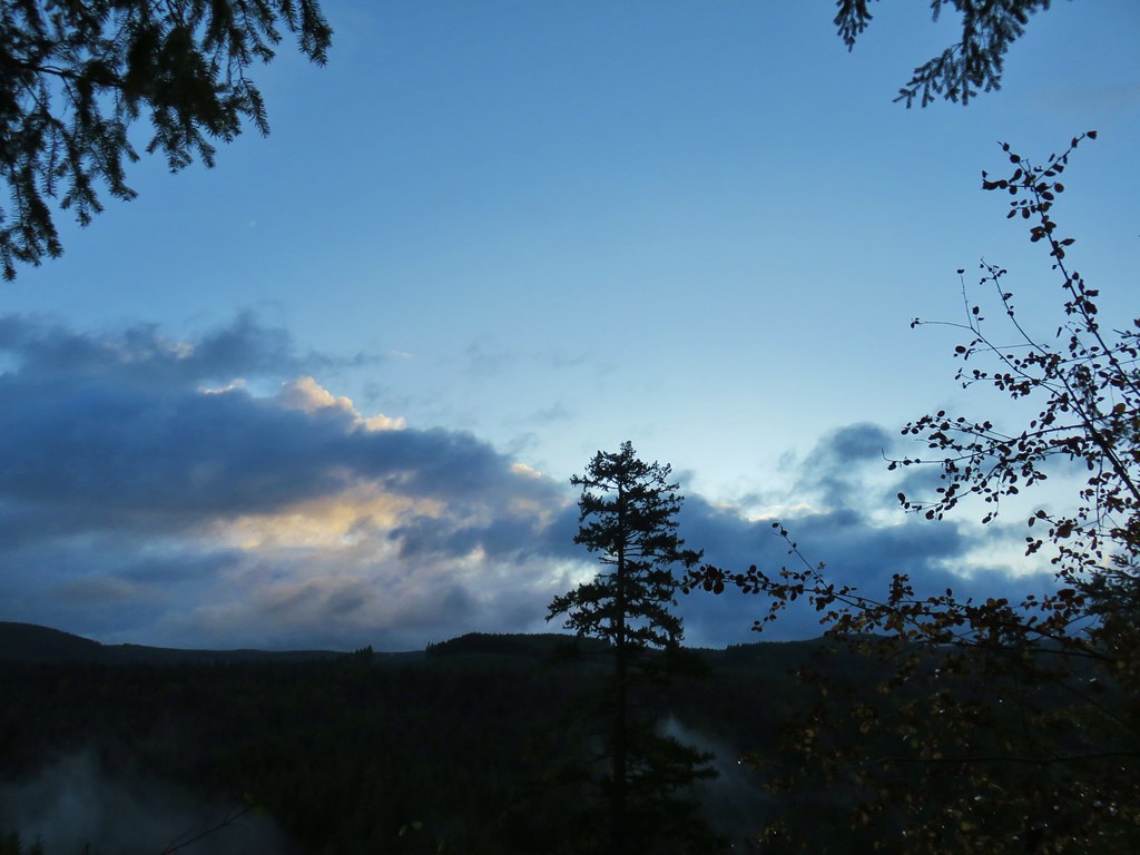 View from the morning across the Mollala River Canyon.
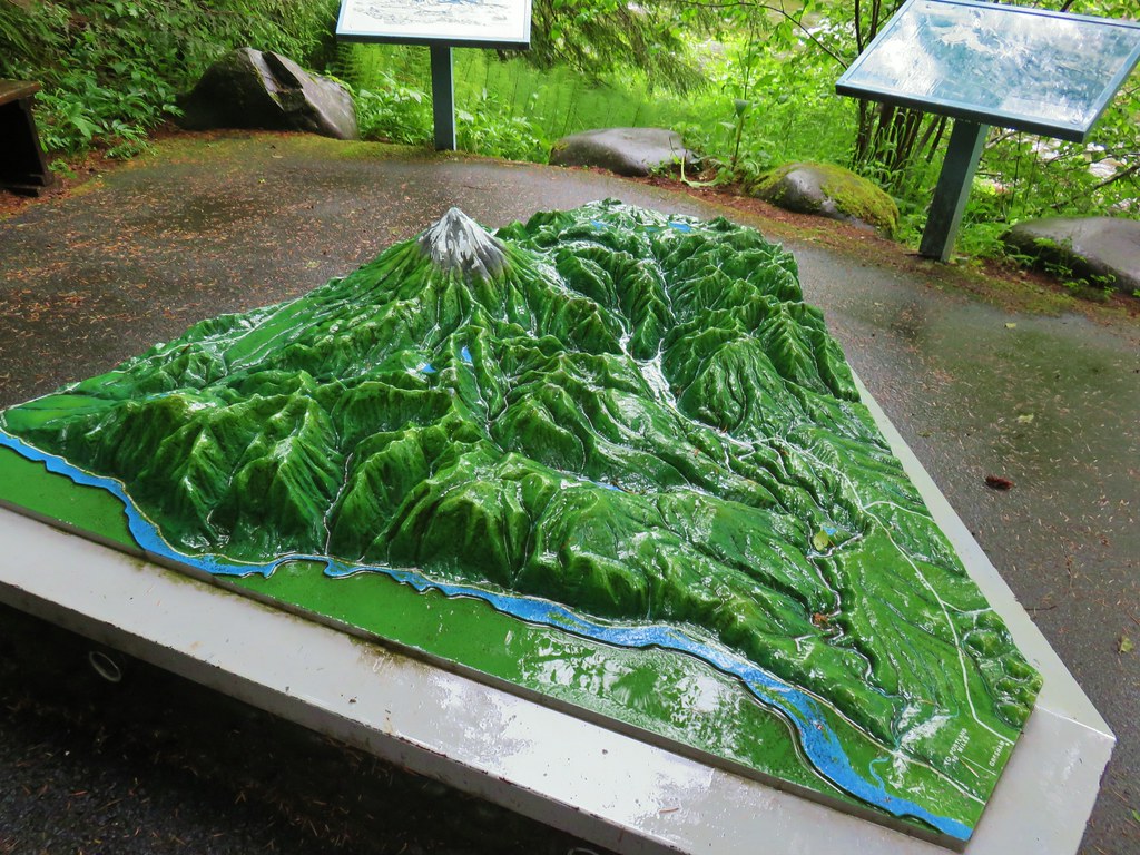 Neat 3D display at Wildwood Recreation Area.
 View atop Huckleberry Mountain.

 Gales Creek – Coast Range
 Dry Creek Falls – Columbia River Gorge, OR
 Camassia Natural Area – West Linn
 Two Chiefs and Table Mountain – Columbia River Gorge, WA
 Oak Island – Columbia River
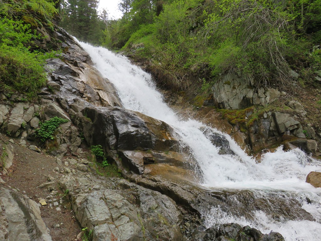 B.C. Creek Falls – Wallowa Mountains
 Wallowa Mountains
 Harsin Butte – Zumwalt Prairie
 Sardine Mountain – Willamette National Forest
 Gorton Creek Falls – Columbia River Gorge, OR
 Mt. Hood from Lost Lake
 Mt. Hood from Vista Ridge
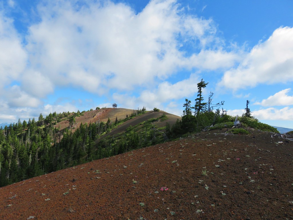 Sand Mountain Lookout – Willamette National Forest
 Cape Kiwanda and Haystack Rock from Sitka Sedge Beach
 High Lake – Mt. Hood National Forest
 Tidbits Mountain – Willamette National Forest
 Bunchgrass Meadow – Willamette National Forest
 Breitenbush Cascades – Willamette National Forest
 Mt. St. Helens from Cinnamon Ridge – Mt. St. Helens National Volcanic Monument
 Mt. Jefferson from Bear Point – Mt. Jefferson Wilderness
 Sawmill Falls – Little North Fork Santiam River
 Three Fingered Jack, The Three Sisters, and Mt. Washington
 Scramble route to Baty Butte – Mt. Hood National Forest
 Boulder Lake – Mt. Hood National Forest
 Drift Creek – Drift Creek Wilderness
 North Sister and Thayer Glacial Lake – Three Sisters Wilderness
 North Sister, Middle Sister, and The Husband from Four-In-One Cone – Three Sisters Wilderness
 Mt. Hood from Tumala Mountain – Mt. Hood National Forest
 Bull of the Woods Lookout – Bull of the Woods Wilderness
 Mt. Hood from Elk Cove – Mt. Hood Wilderness
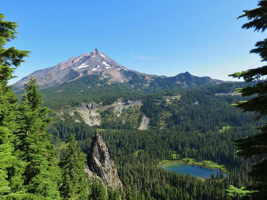 Mt. Jefferson and Hunts Cove – Mt. Jefferson Wilderness
 View from Olallie Butte – Warm Springs Indian Reservation
 Lillian Falls – Waldo Lake Wilderness
 Olallie Mountain Lookout – Three Sisters Wilderness
 King Tut – Crabtree Valley
 Mt. Jefferson from Ruddy Hill – Mt. Hood National Forest
 Henry Haag Lake – Scoggins Valley
 Waldo Lake and the Cascade Mountains from The Twins – Deschutes National Forest
 Bobby Lake – Deschutes National Forest
 Indian Henry’s Hunting Ground – Mt. Rainier National Park
 Fog over the valley from Mt. Pisgah – Eugene, OR
 Twin Peaks and Gifford Lake – Olallie Lake Scenic Area
 Mt. Adams from Lookout Mountain – Badger Creek Wilderness Area
 Mollala River Recreation Area
 View toward Washington from the Pacific Crest Trail near Indian Mountain – Mt. Hood National Forest
 Clackamas River – Mt. Hood National Forest
 Forest Park – Portland, OR
 Tilikum Crossing – Portland, OR