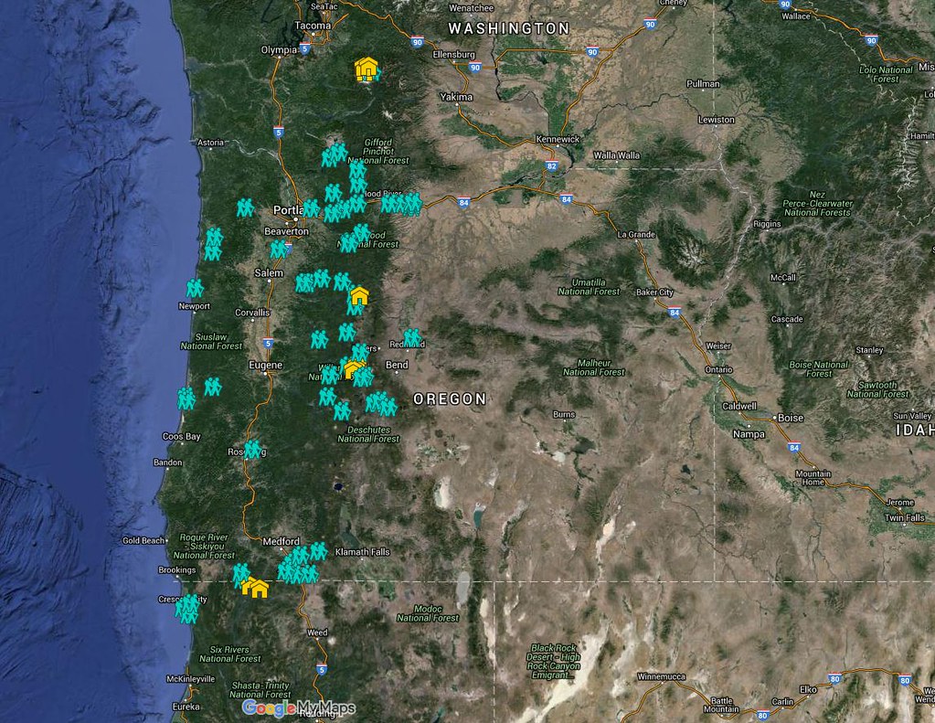
Several years ago we set a goal for ourselves to hike all 500 featured hikes in William L. Sullivan’s “100 Hikes…” series of guidebooks (post). Last year we completed the first of these books covering the Central Oregon Cascades (post). We followed that up by completing a pair of books in 2021 starting with Sullivan’s “100 Hikes/Travel Guide Oregon Coast and Coast Range” 3rd edition. Up until the start of 2021 we had been intending to finish his 4th edition but the continued closure of the Salmonberry Railroad prompted us to revert to the earlier edition. That meant going from only needing to finish 5 hikes to 9 hikes but at least the 9 hikes were open and thus we were able to visit them. The last final featured hike happened to be featured hike #1 – Leadbetter Point (post) which we visited on 7/31/2021. Many of the featured hikes in this book are shorter hikes with some barely more than a half mile so we often did multiple hikes in a single day.
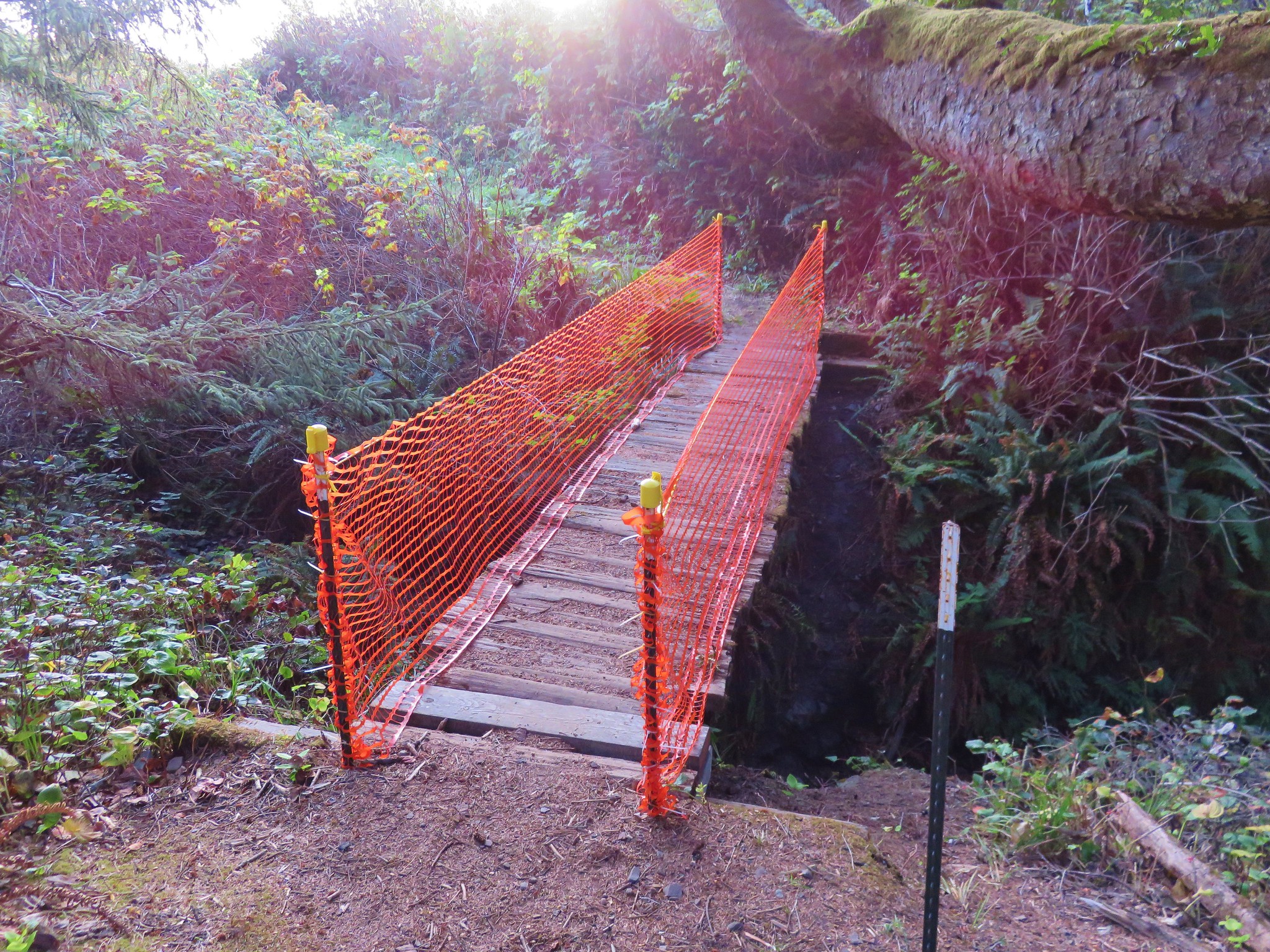
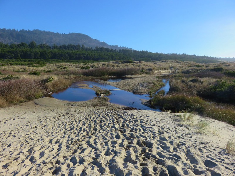
Generally speaking in order to check a hike off our list we need to have hiked a substantial portion of Sullivan’s described hike or visited the main attraction(s) he identifies for the hike. For 59 of the hikes we stuck to a nearly identical route to the one described in the book. For another 22 hikes we added to the hike, either following Sullivan’s “other options” or making it up on our own. Eighteen of the hikes were limited to the main attraction which typically involved hikes where there was an option for a shuttle from a second trailhead or as in the case of the Rogue River Trail there were options for multi-day backpacking trips. (We will get to more of the Rogue River Trail as we work through his Southern Oregon book.) Finally one hike, #86 Lower Rogue River, was cut very short due to trail damage. We may revisit that trail at a later date but we counted it as we went as far as we felt we could safely at the time.
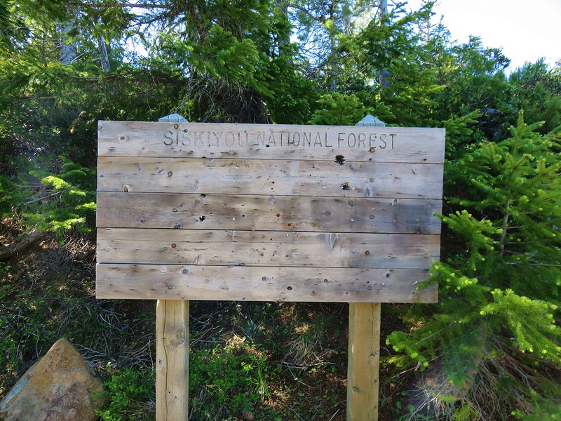
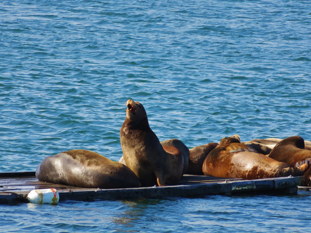
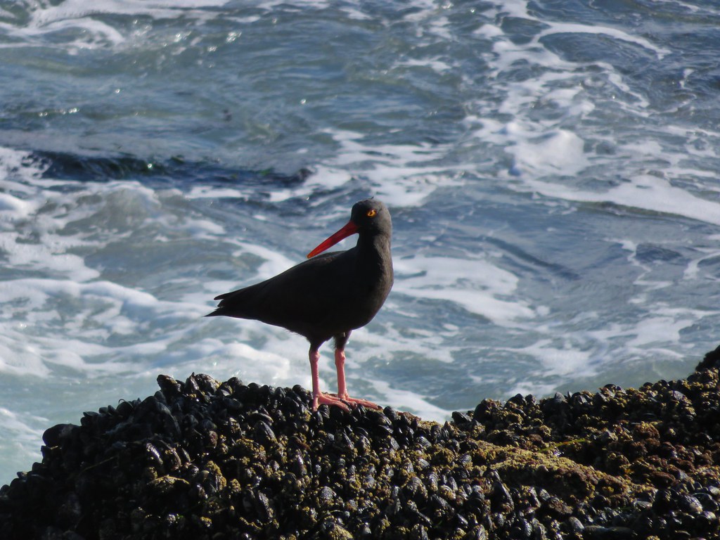
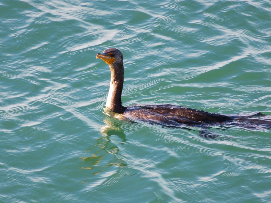
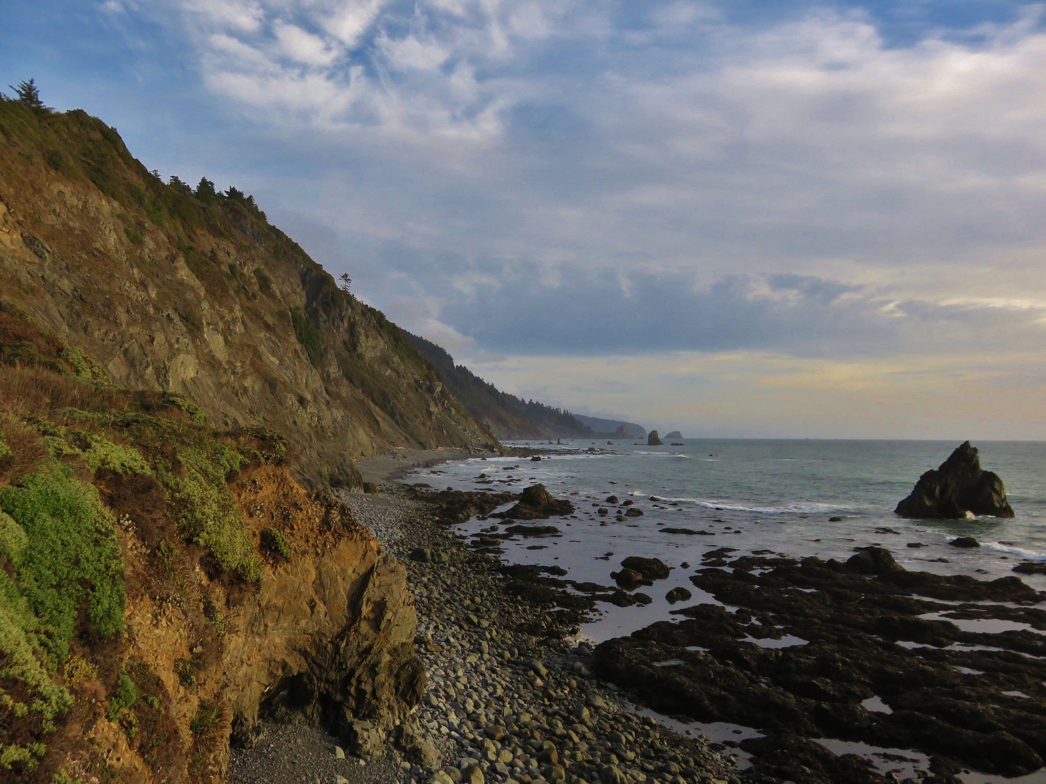
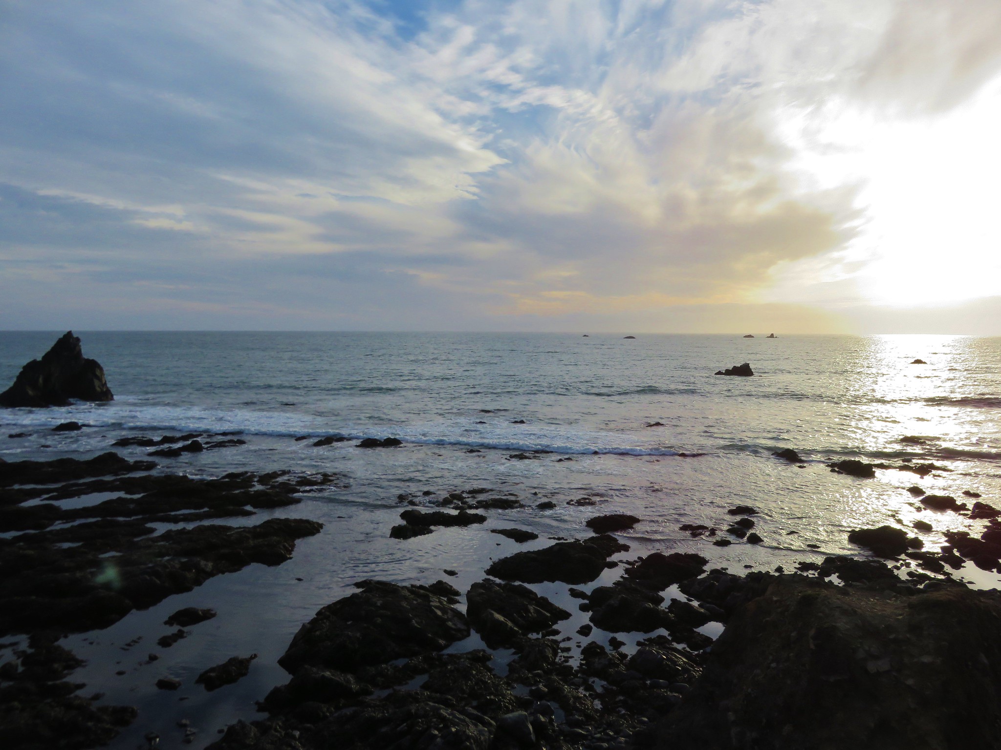
The area covered by Sullivan in this book is unique in that it is the only area in which there are featured hikes in three states – Washington, Oregon, and California. It also contains the northern most featured hike the aforementioned Leadbetter Point. The area covered is a somewhat narrow strip running down the coastline from Leadbetter Point south to Redwoods National Park in California. A few hikes are located as far inland as the foothills of the Coast Range along the edge of the Willamette Valley.

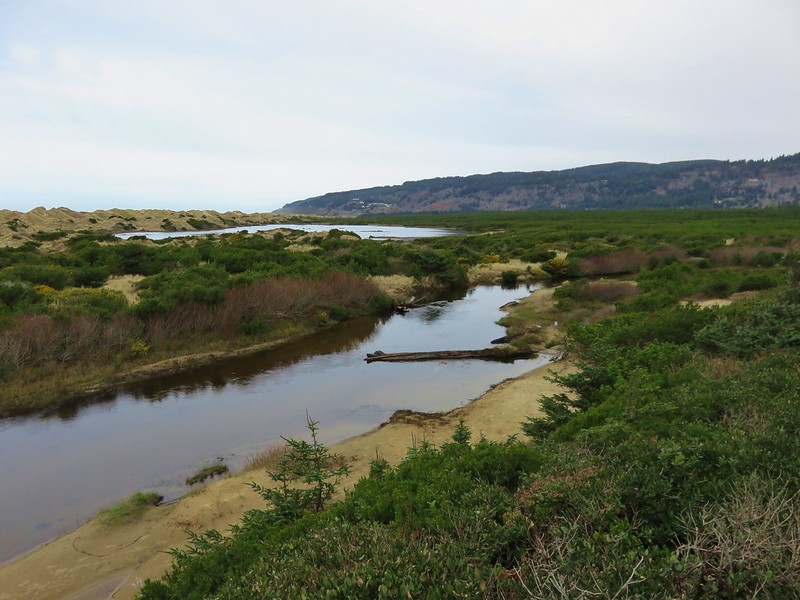
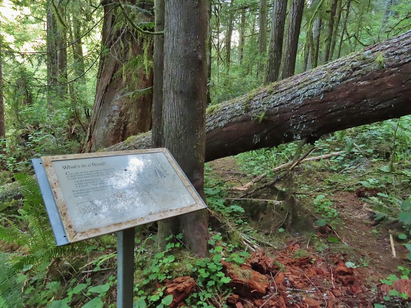
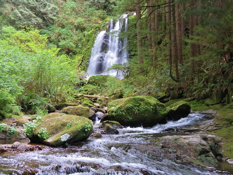
Despite being a fairly narrow (approximately 60 miles east to west) area the hikes were quite varied from beach walks to mountain summits, sand dunes to temperate rain forests, and urban walks to the solitude of remote wilderness.
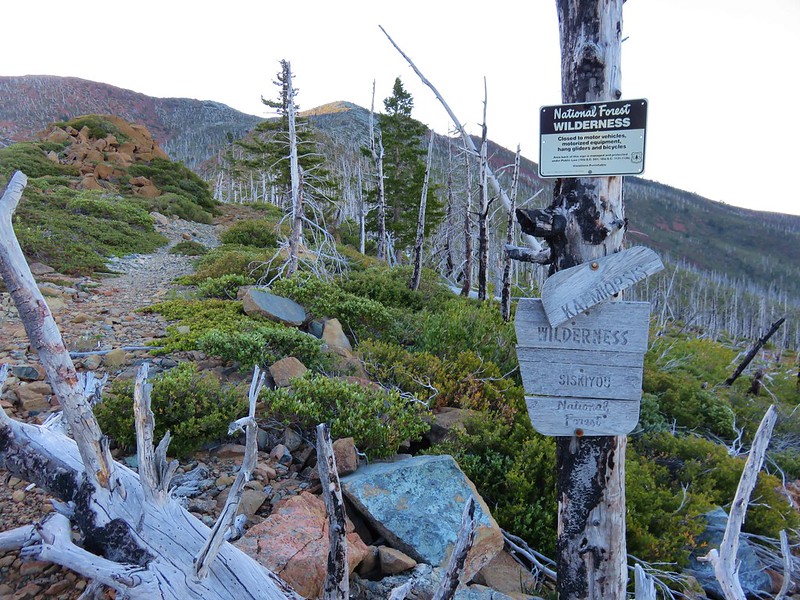
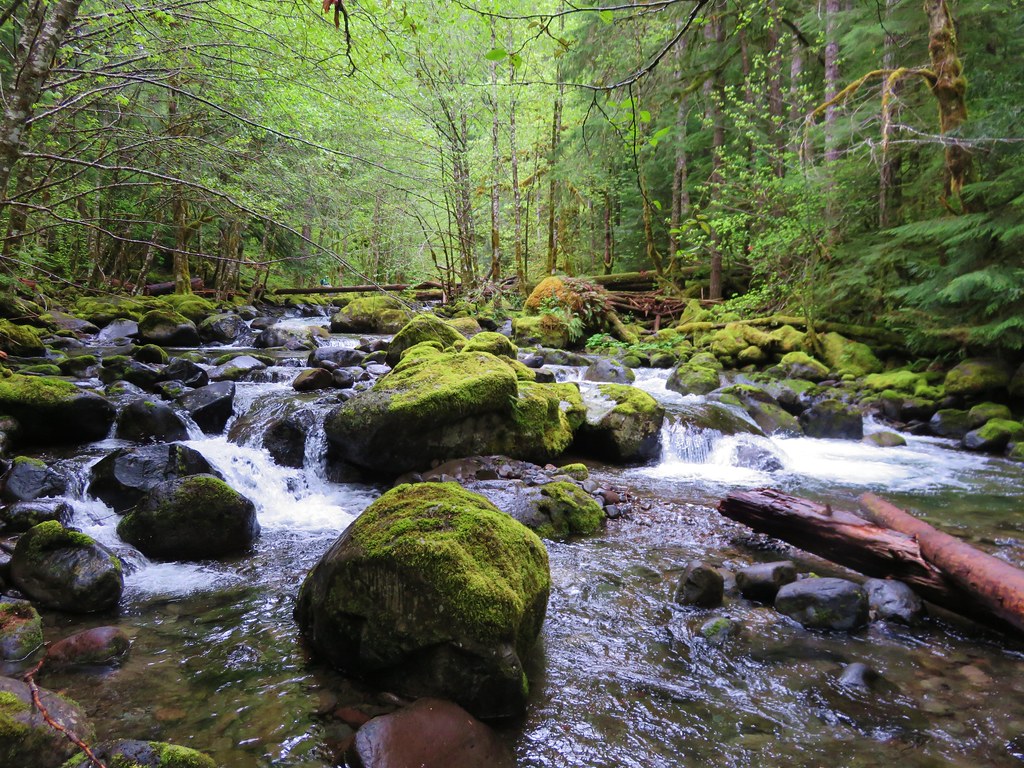
The area is home to several designated wilderness areas including the two areas that are off-limits to visitors, Oregon Islands and Three Arch Rocks. The areas open to visitors are the Drift Creek, Cummins Creek, Rock Creek, Devils Staircase, Grassy Knob, Copper-Salmon, Wild Rogue, and Kalmiopsis.
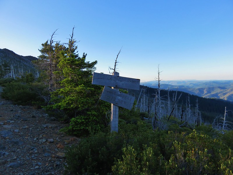
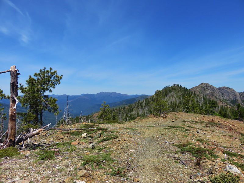
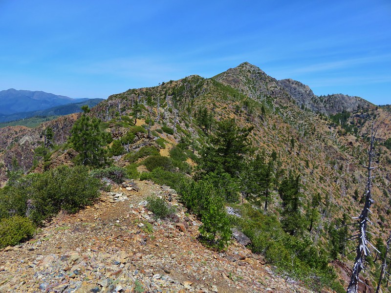
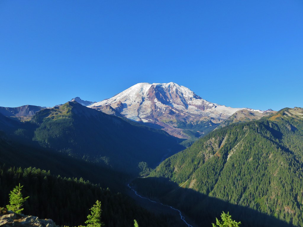
Two mountain ranges are home to several hikes. The Coast Range extends over 200 miles from the Oregon/Washington border south to the Middle Fork Coquille River. At the southern end of the Coast Range the Klamath Mountains begin extending south into California. The elevations for these hikes ranged from sea level to 4655′ atop Vulcan Peak in the Klamath Mountains (Mary’s Peak at 4097′ marked the high point in the Coast Range).
Lastly many of the hikes along the Oregon Coast follow the route of the Oregon Coast Trail.
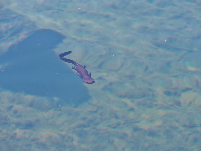
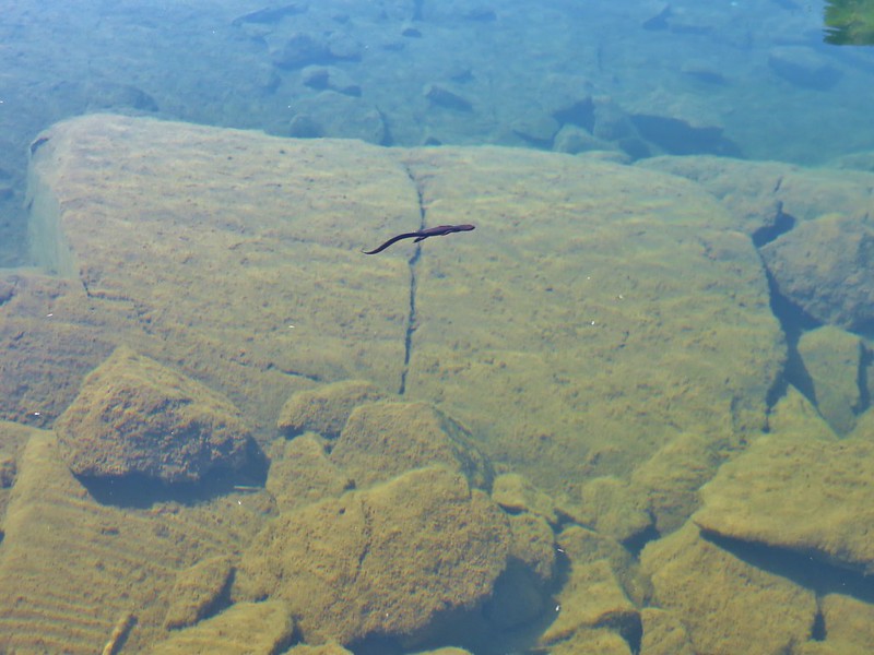
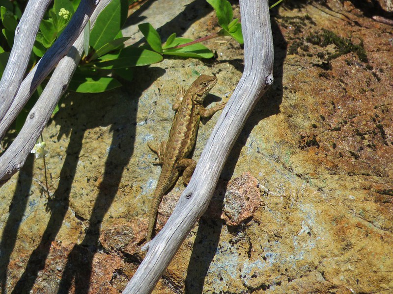
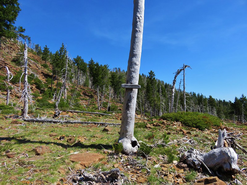
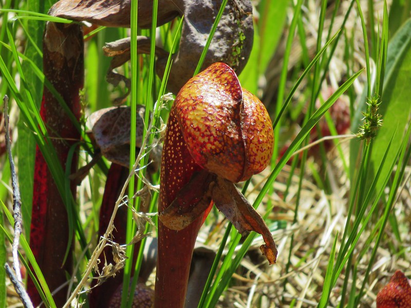
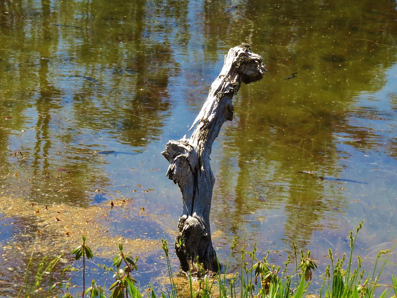
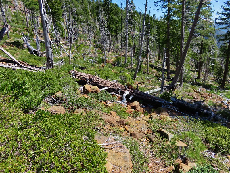
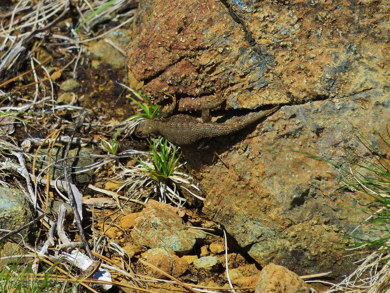
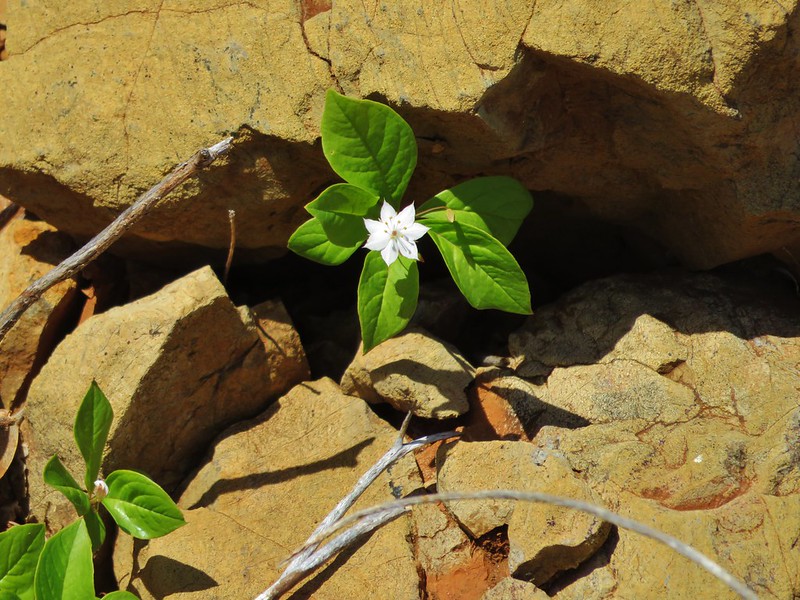
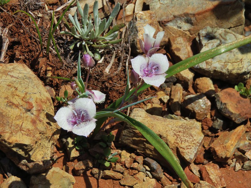
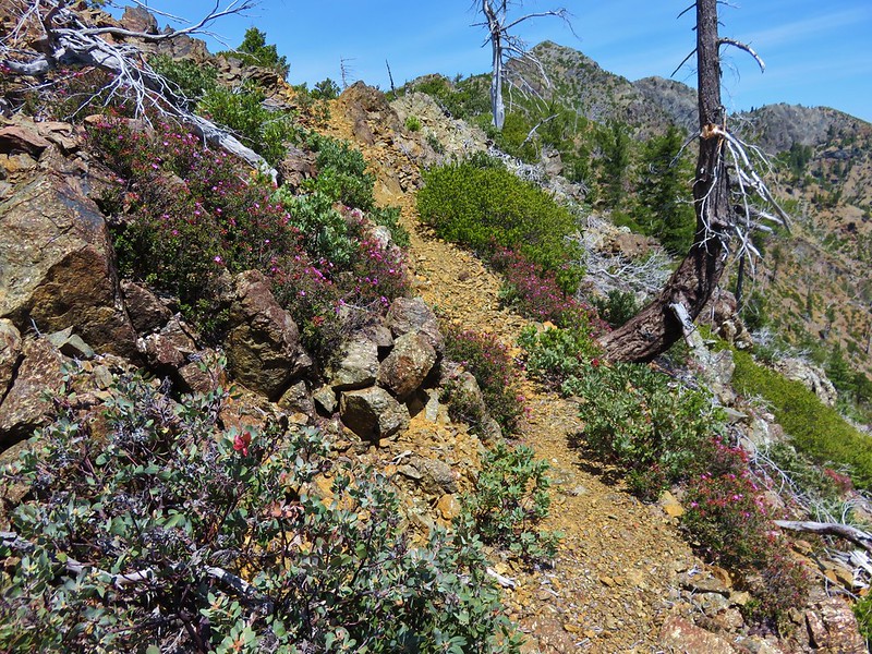
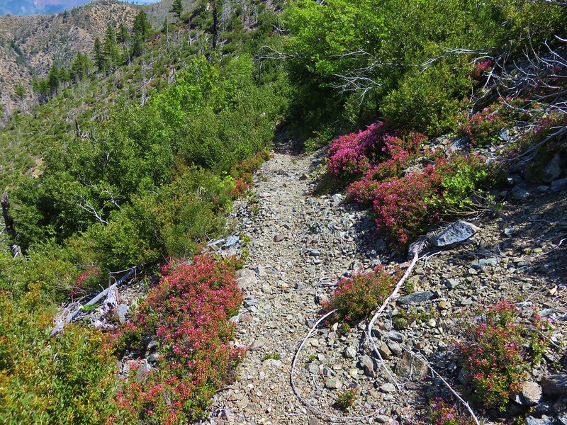
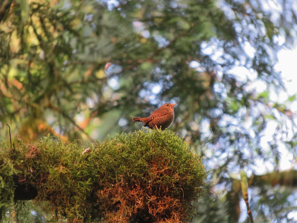
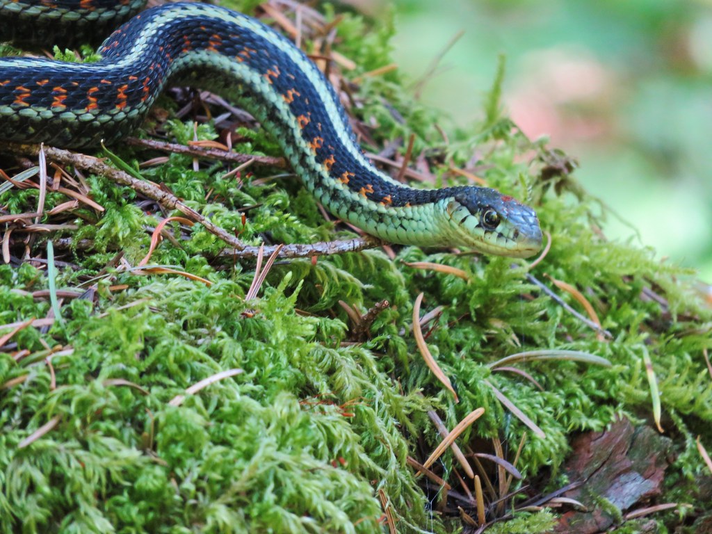
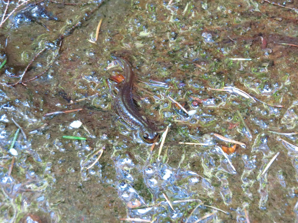
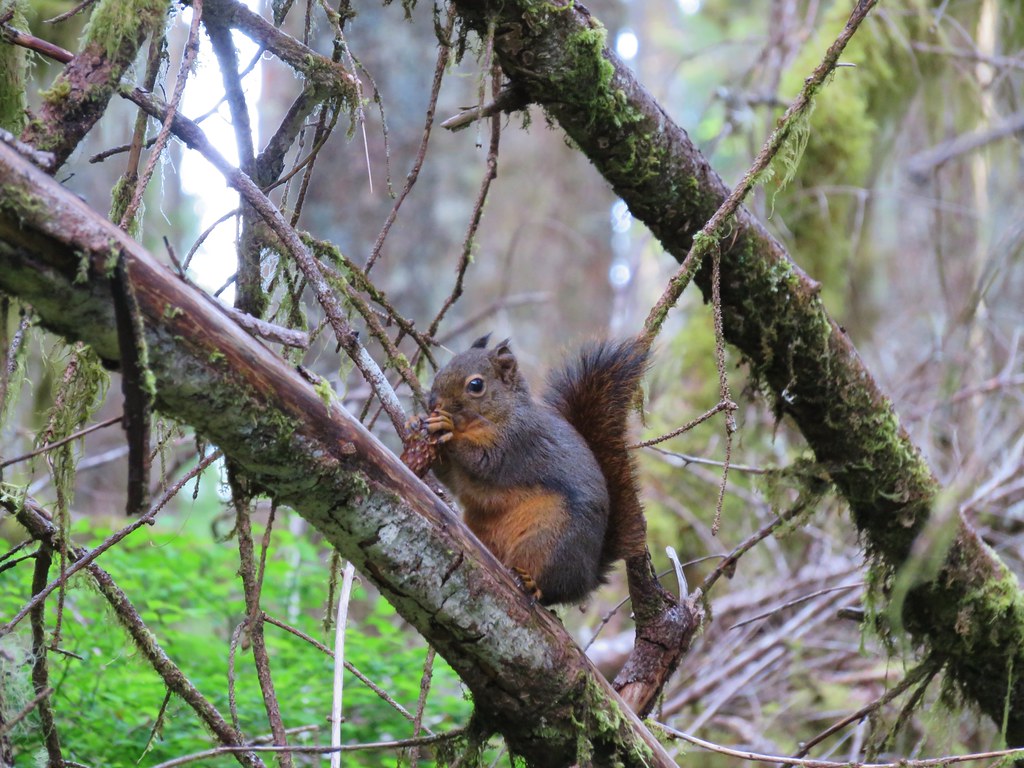
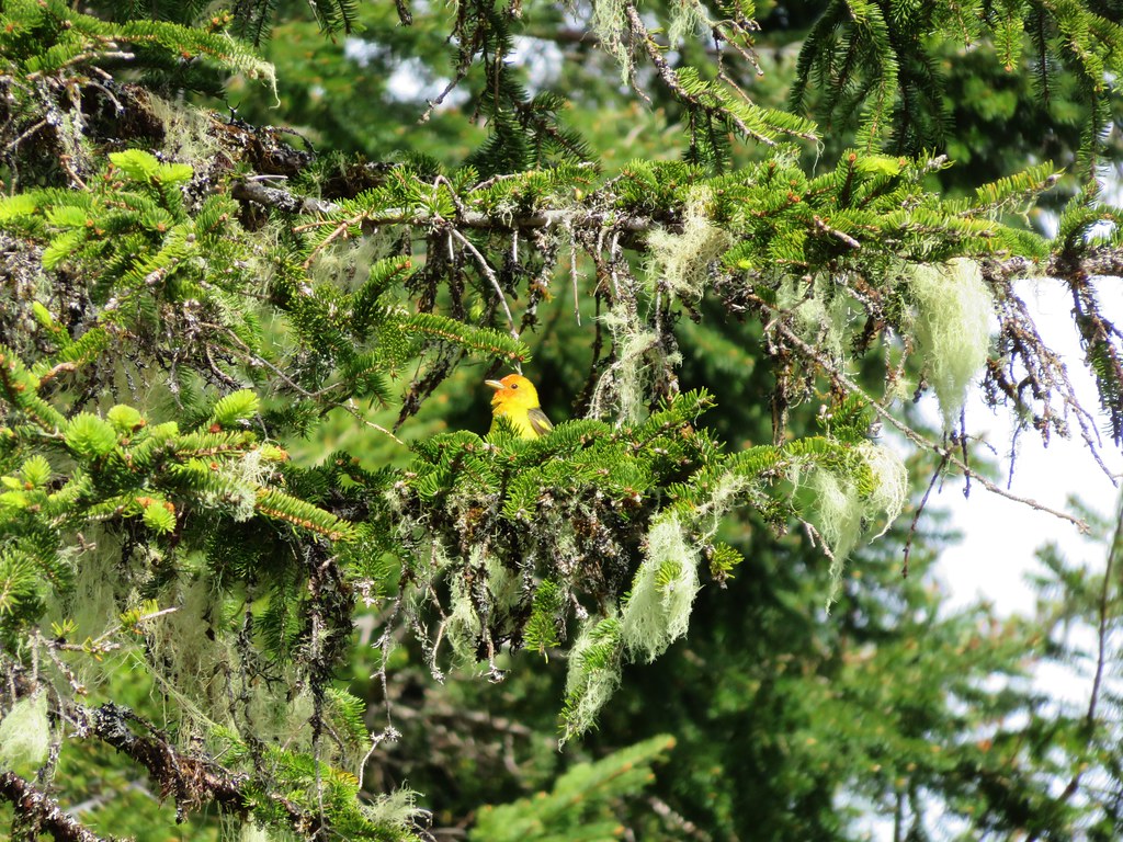
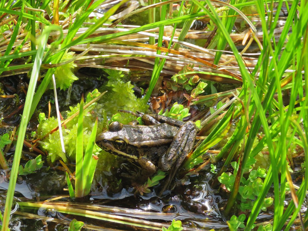
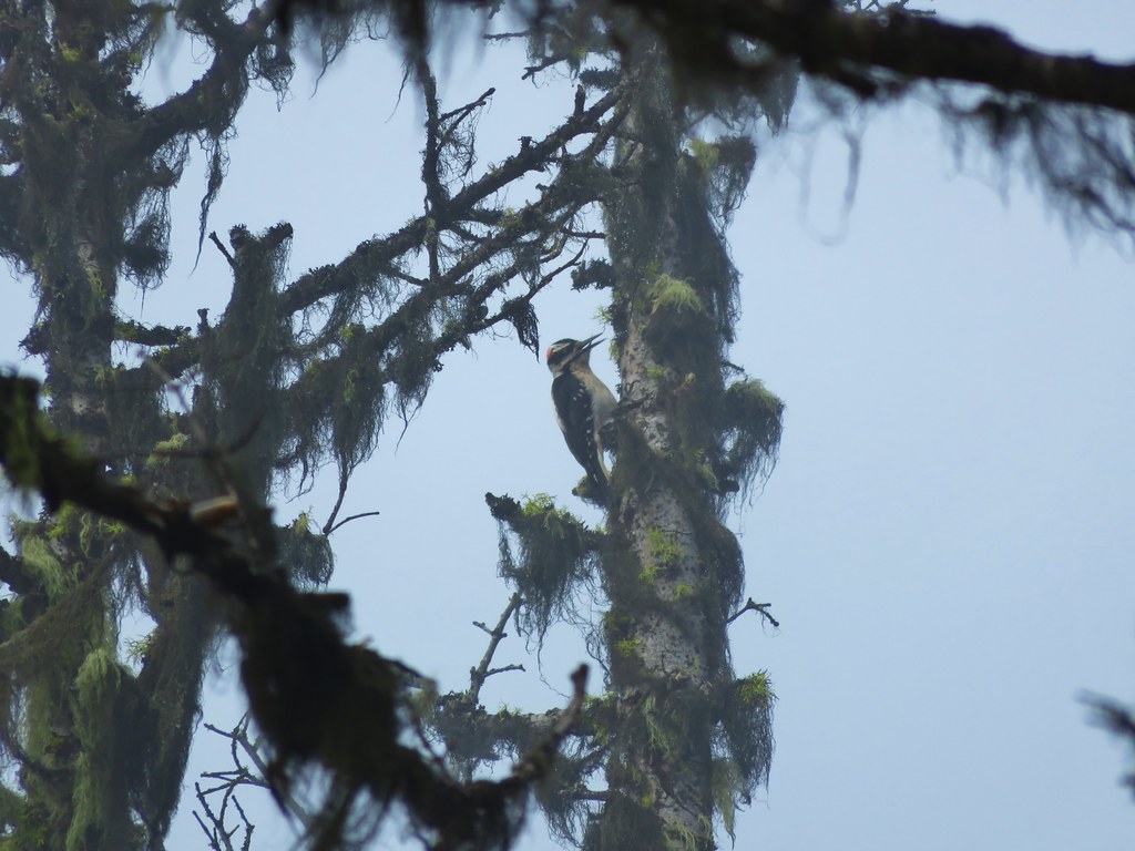
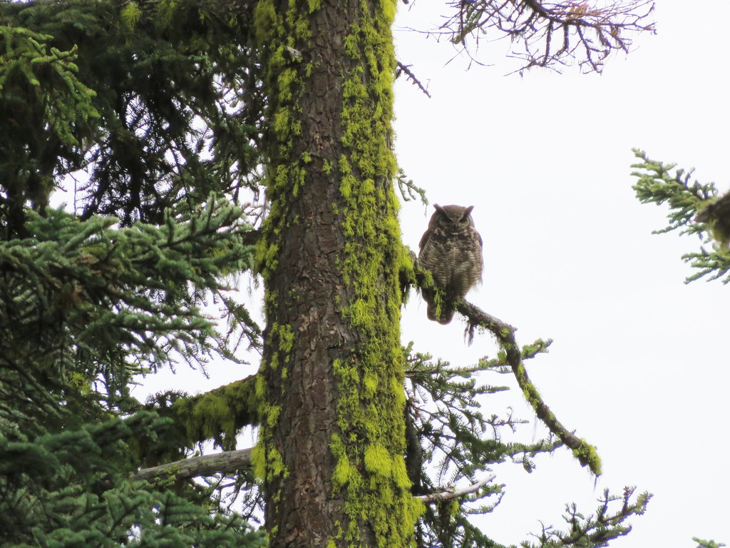
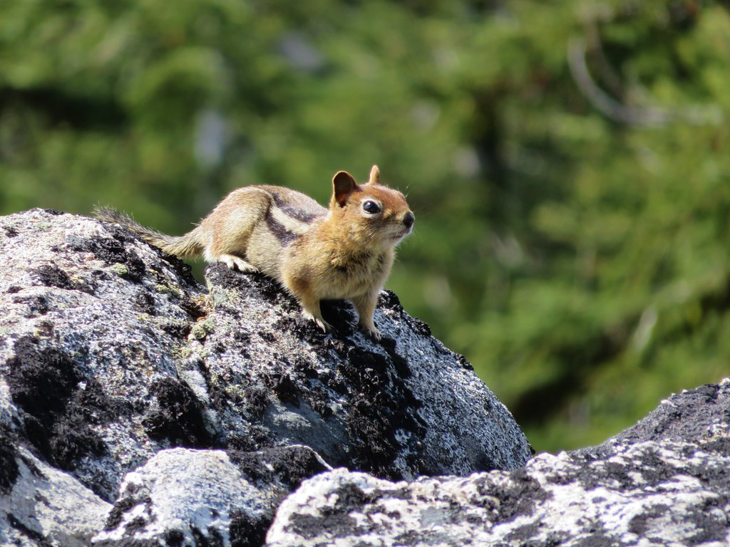
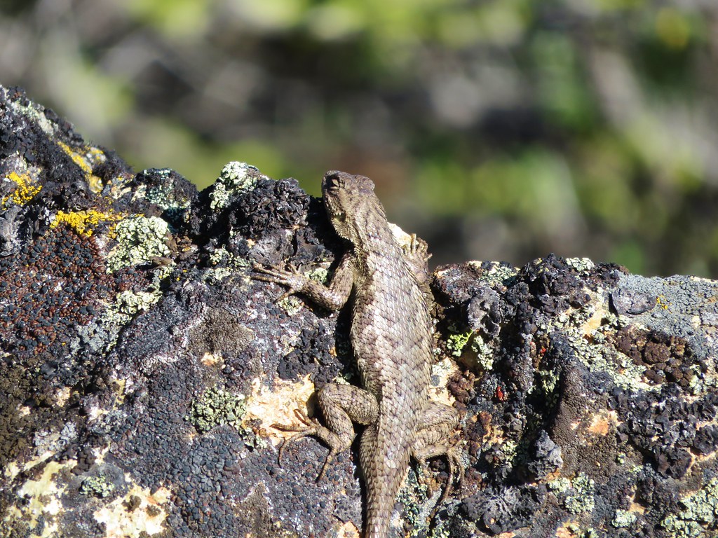
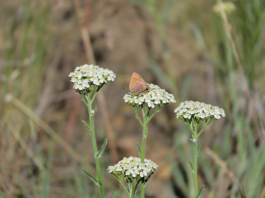
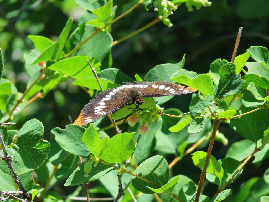
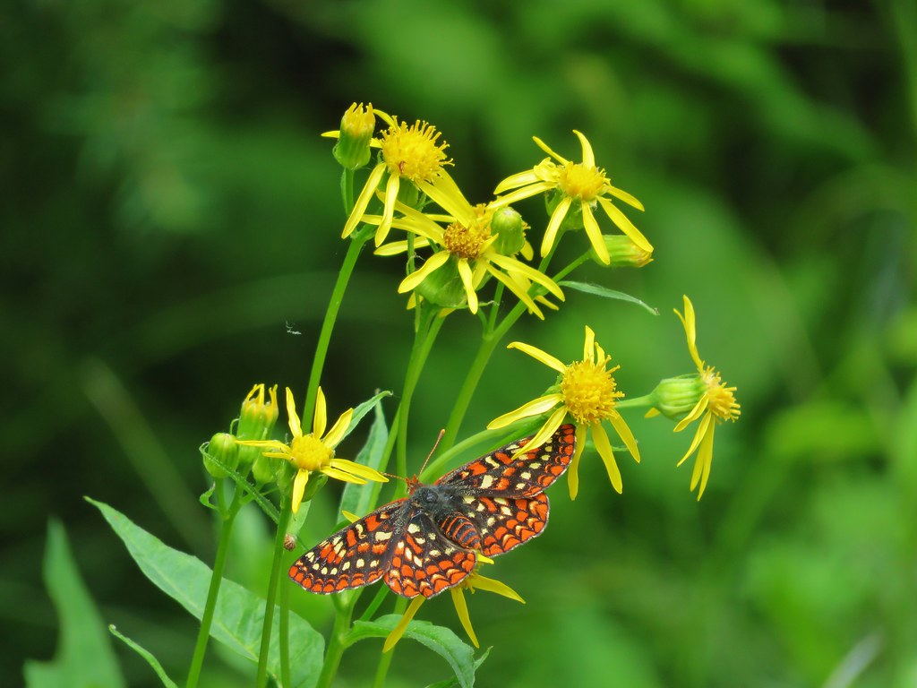
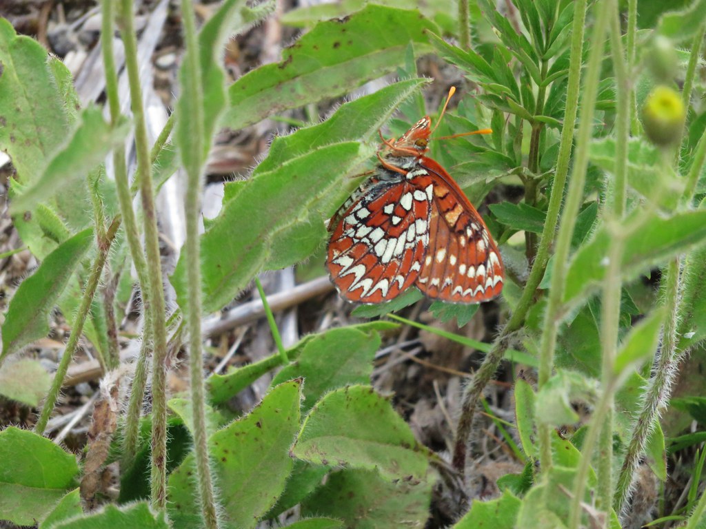
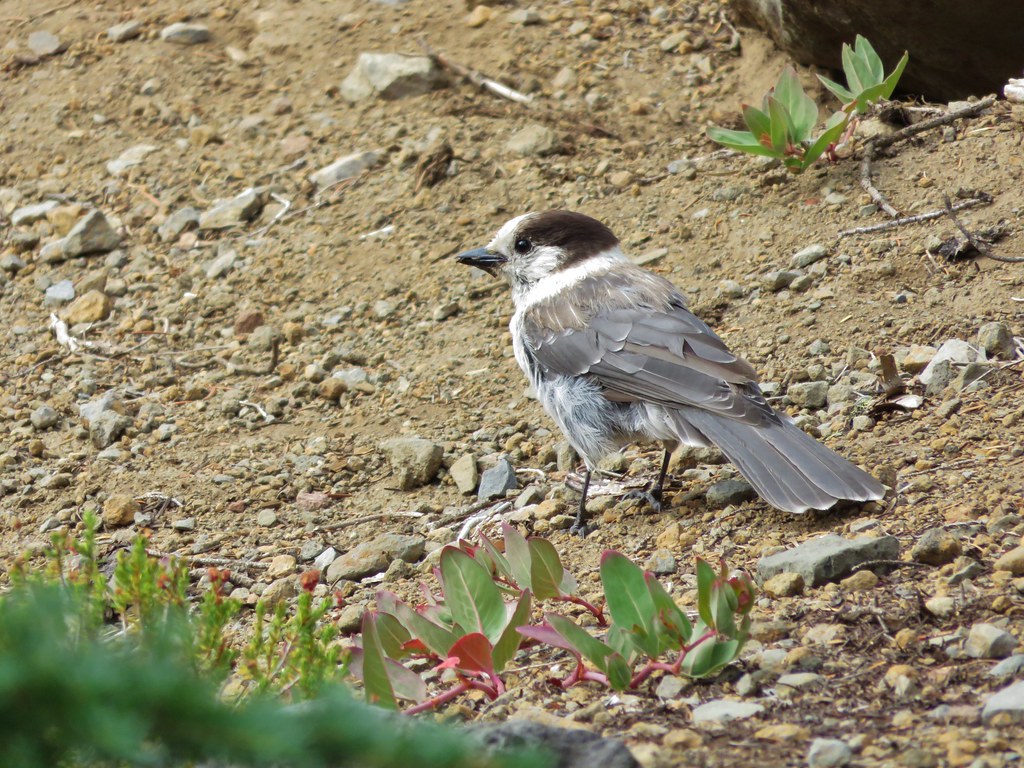
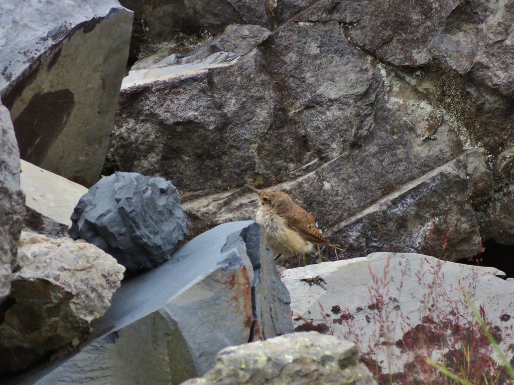
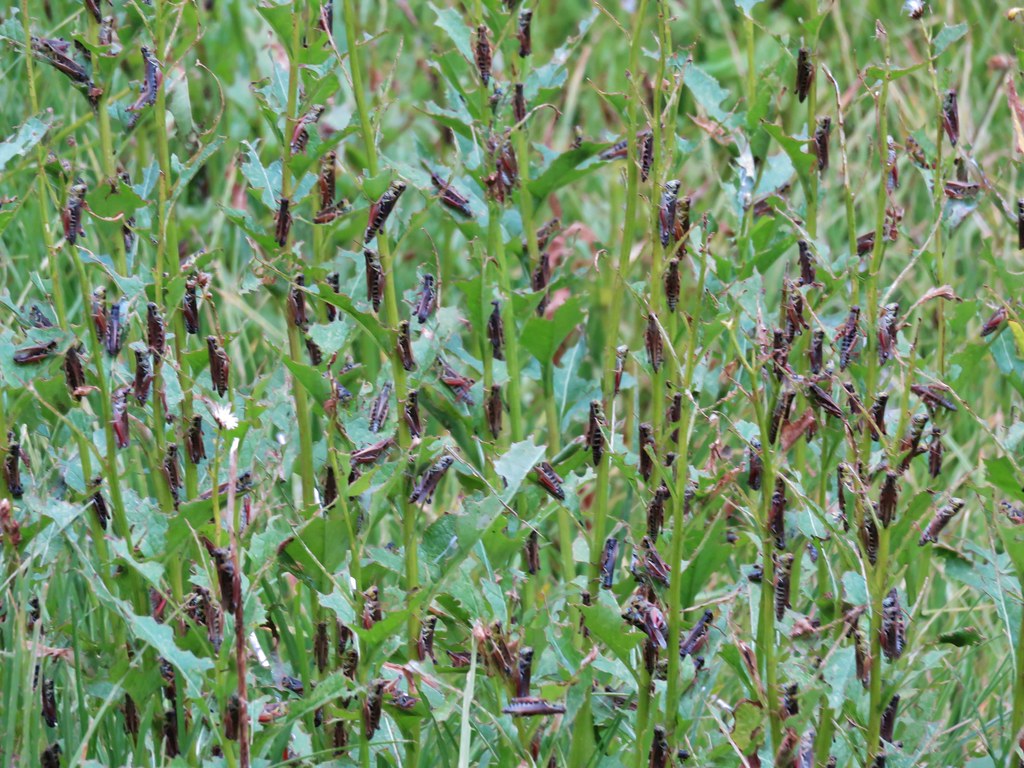
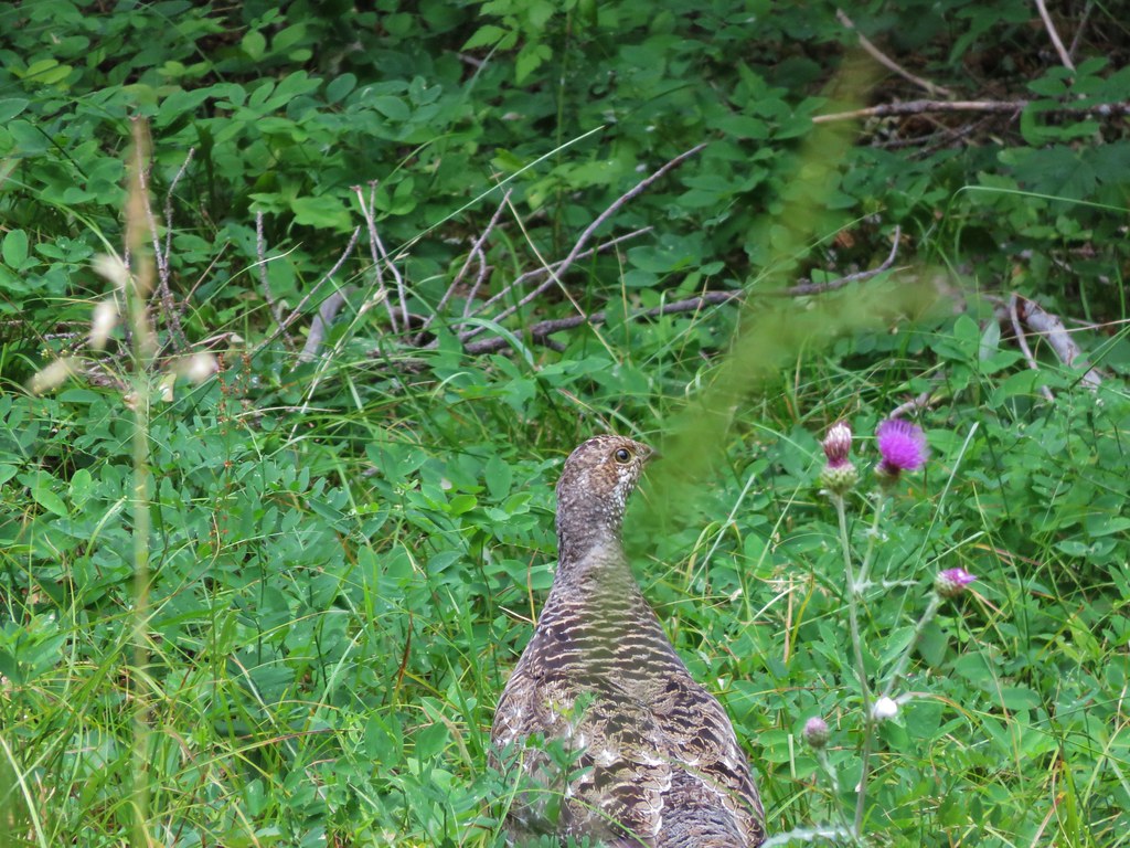
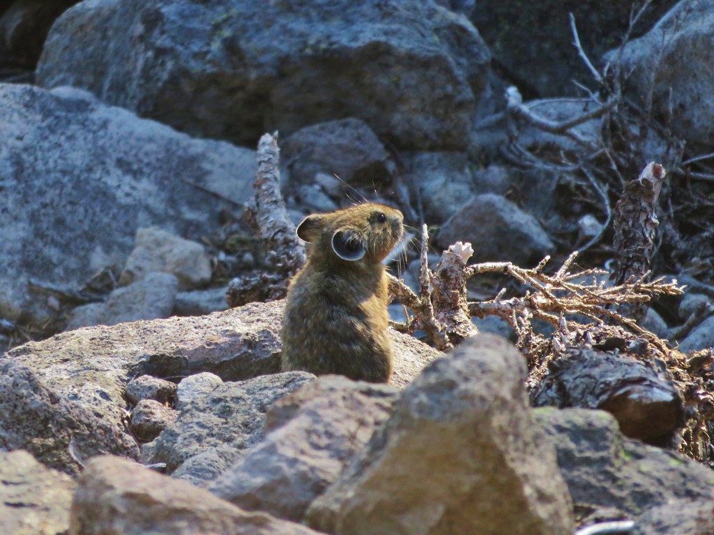
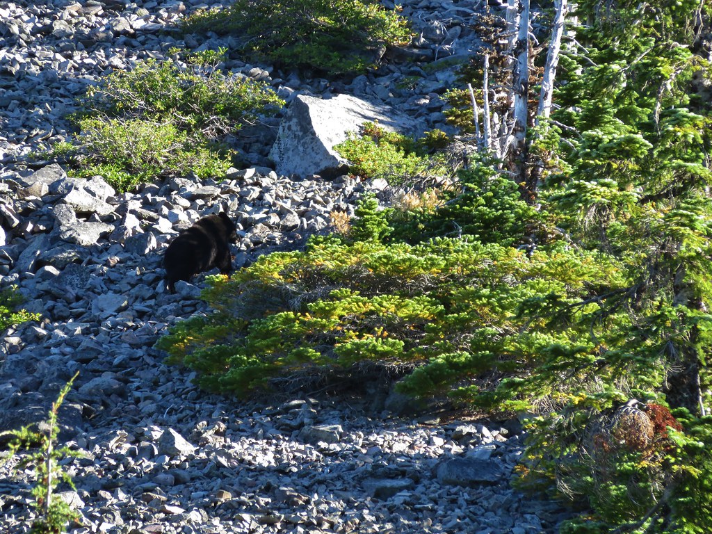
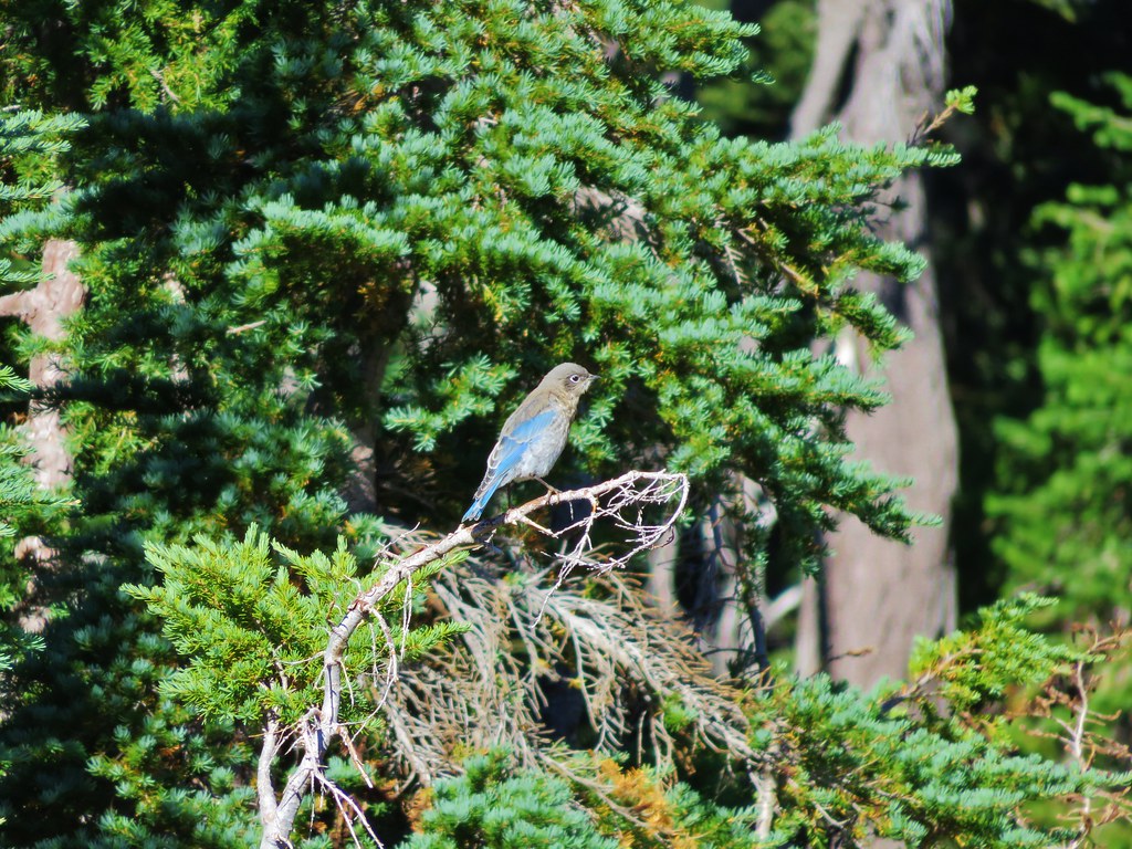
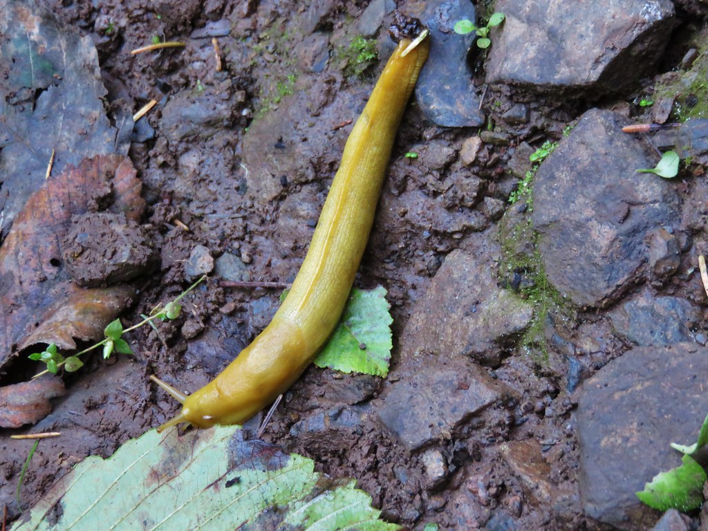
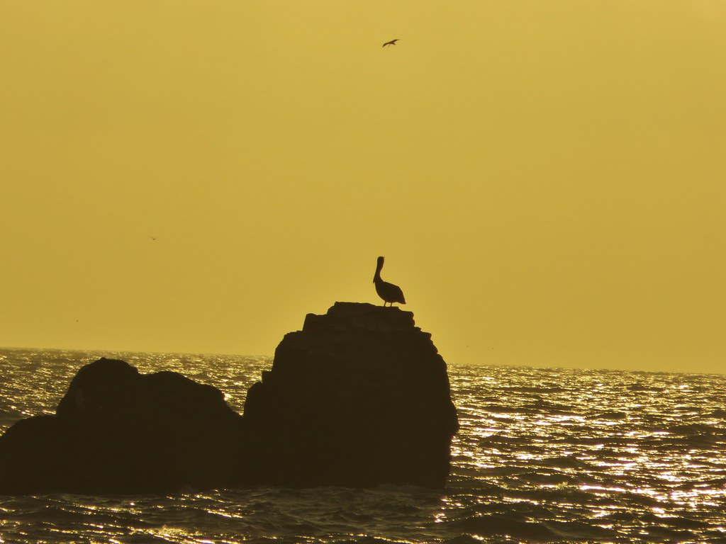
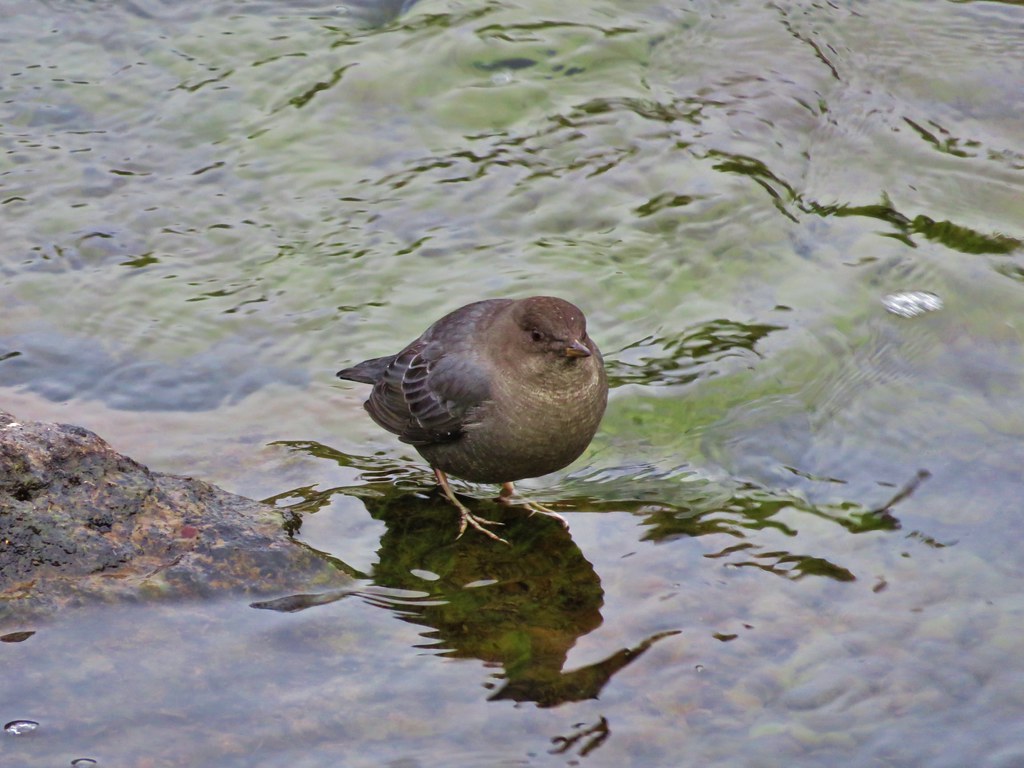
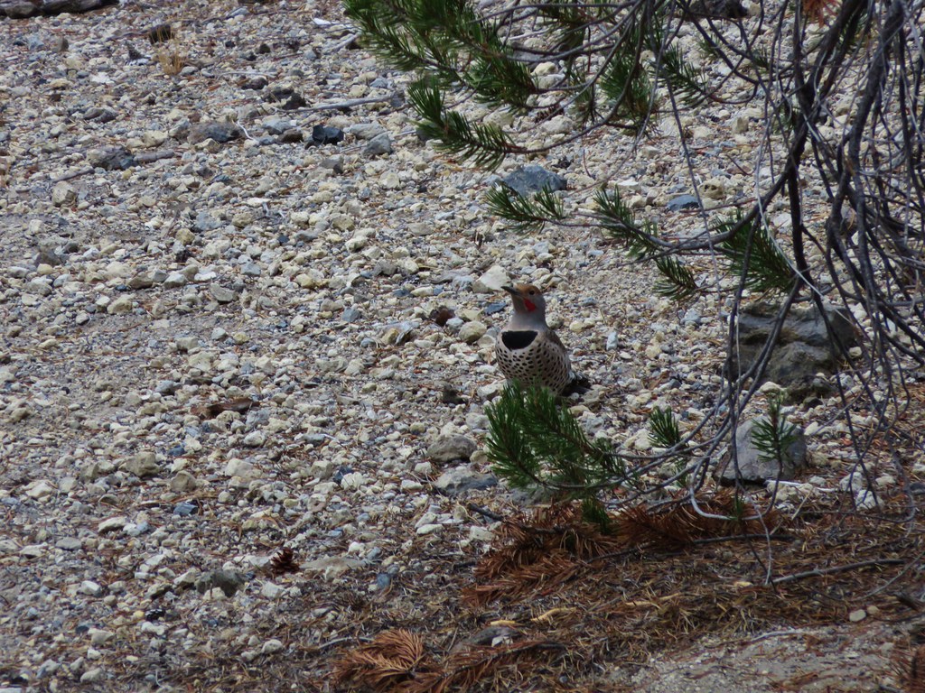
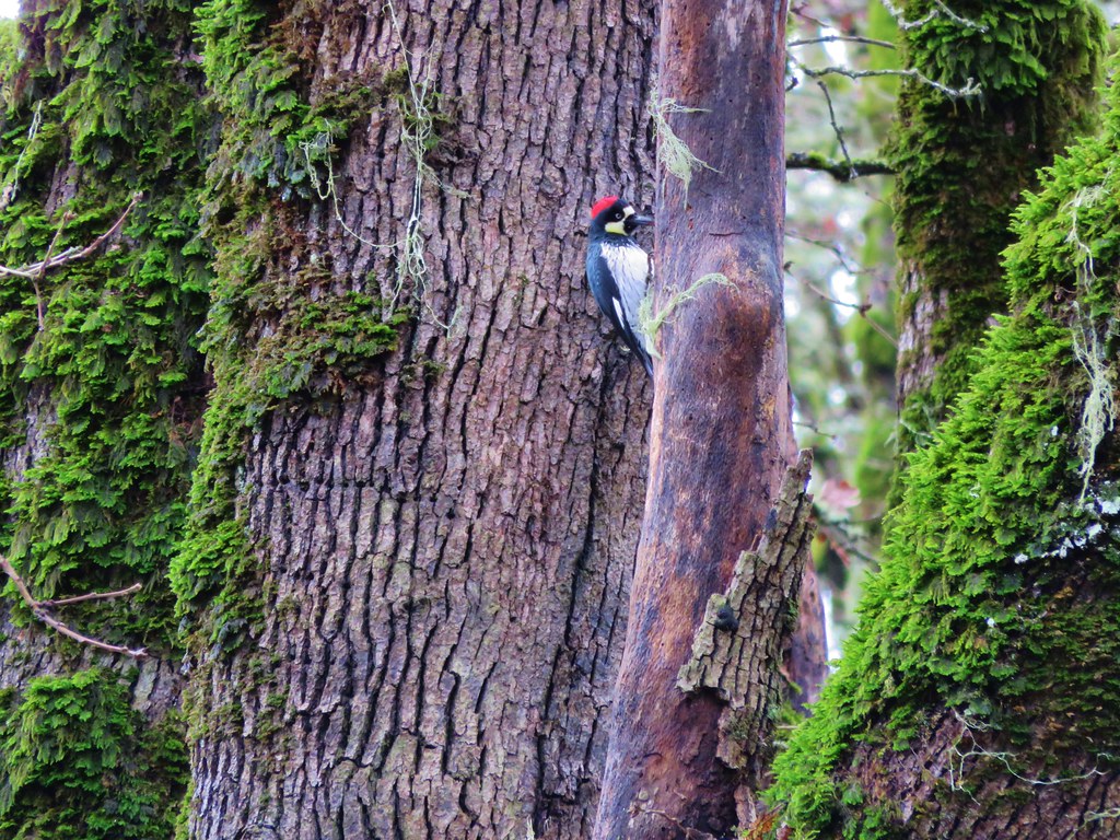
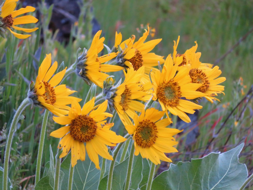
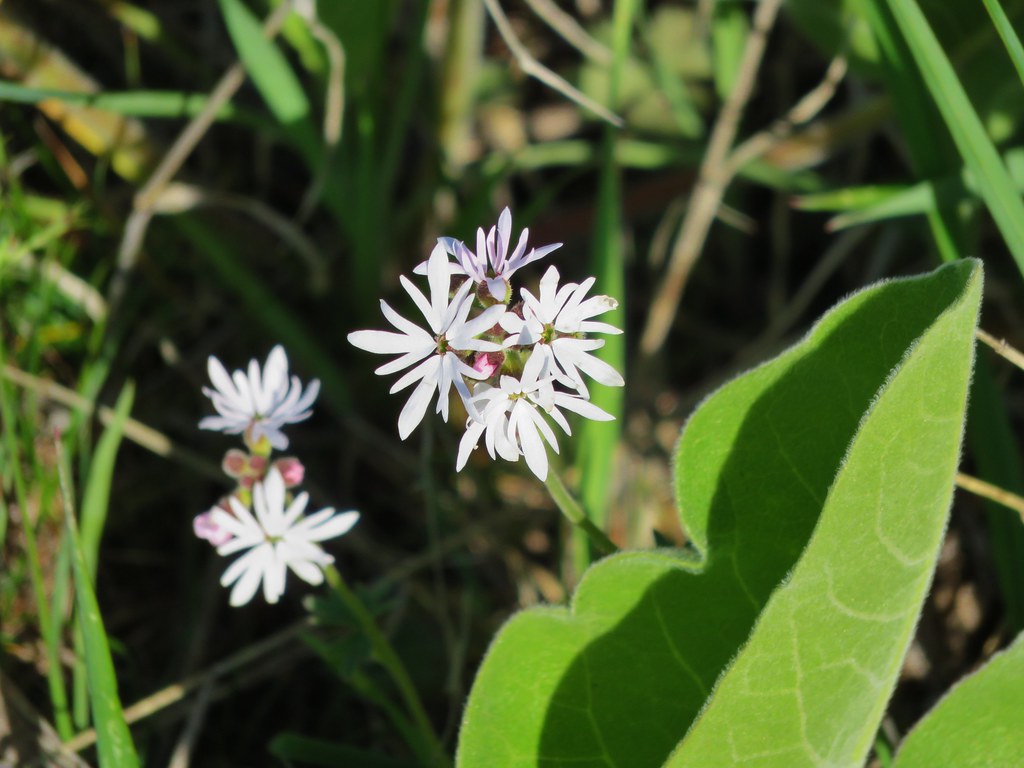
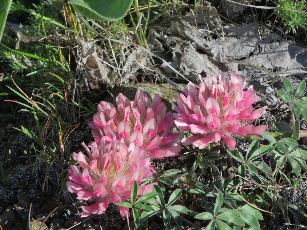
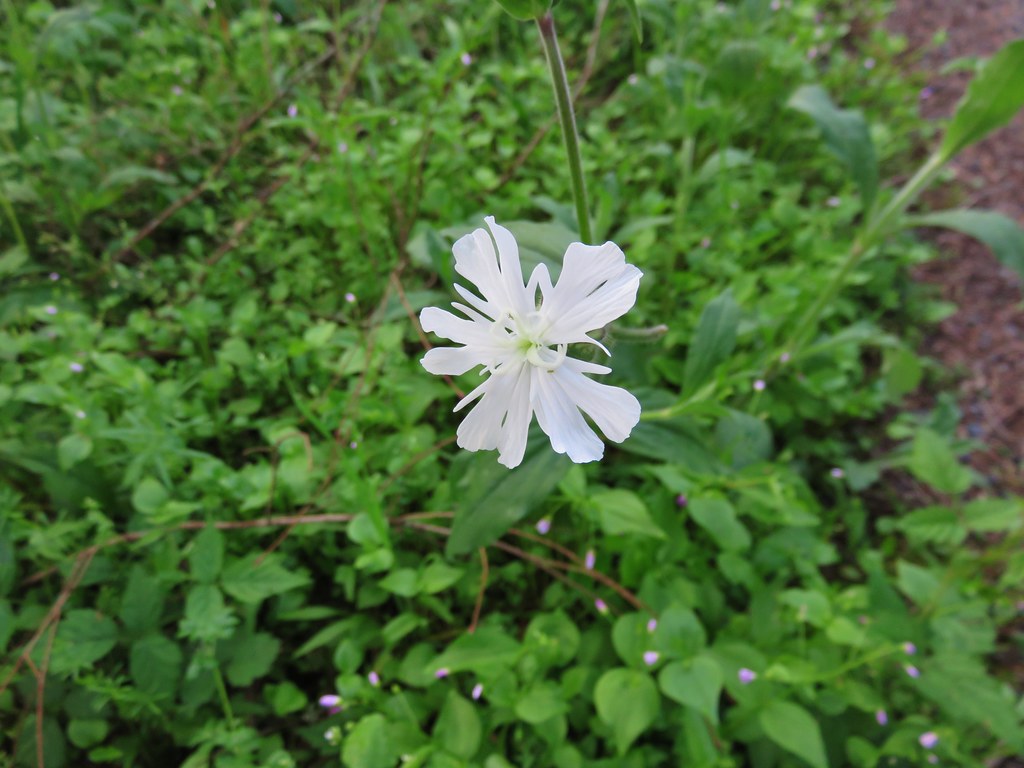
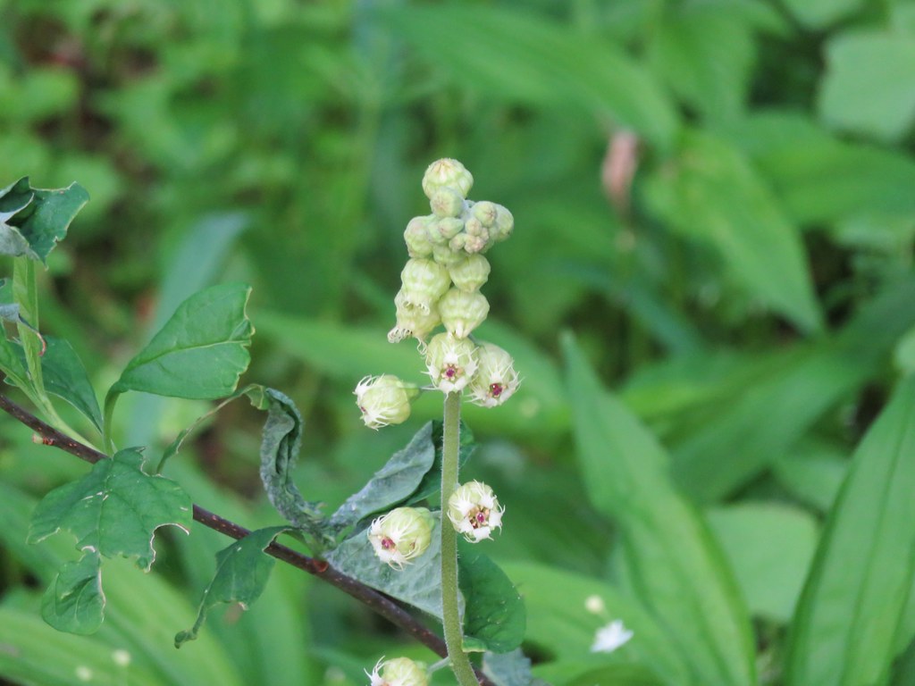
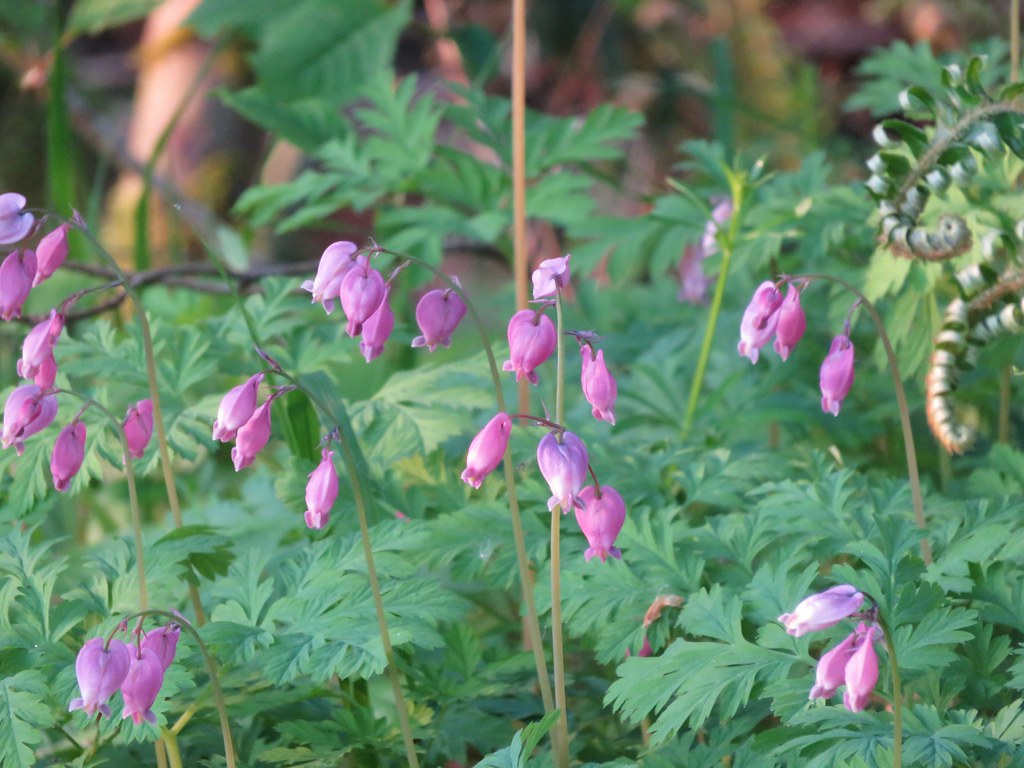
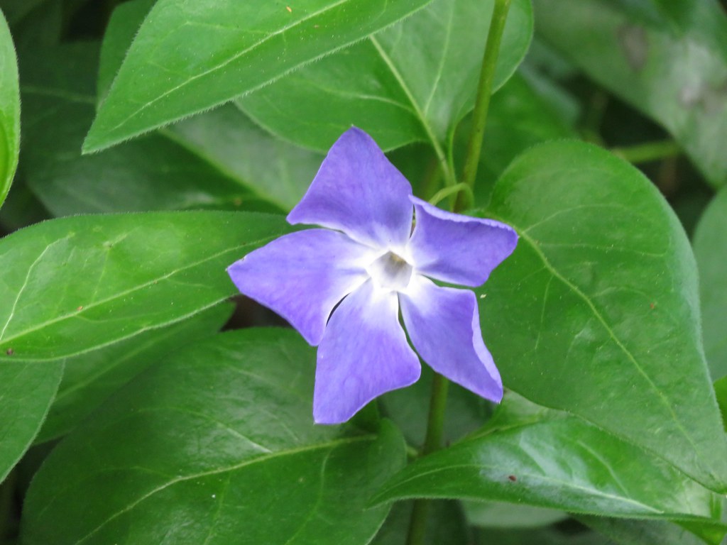
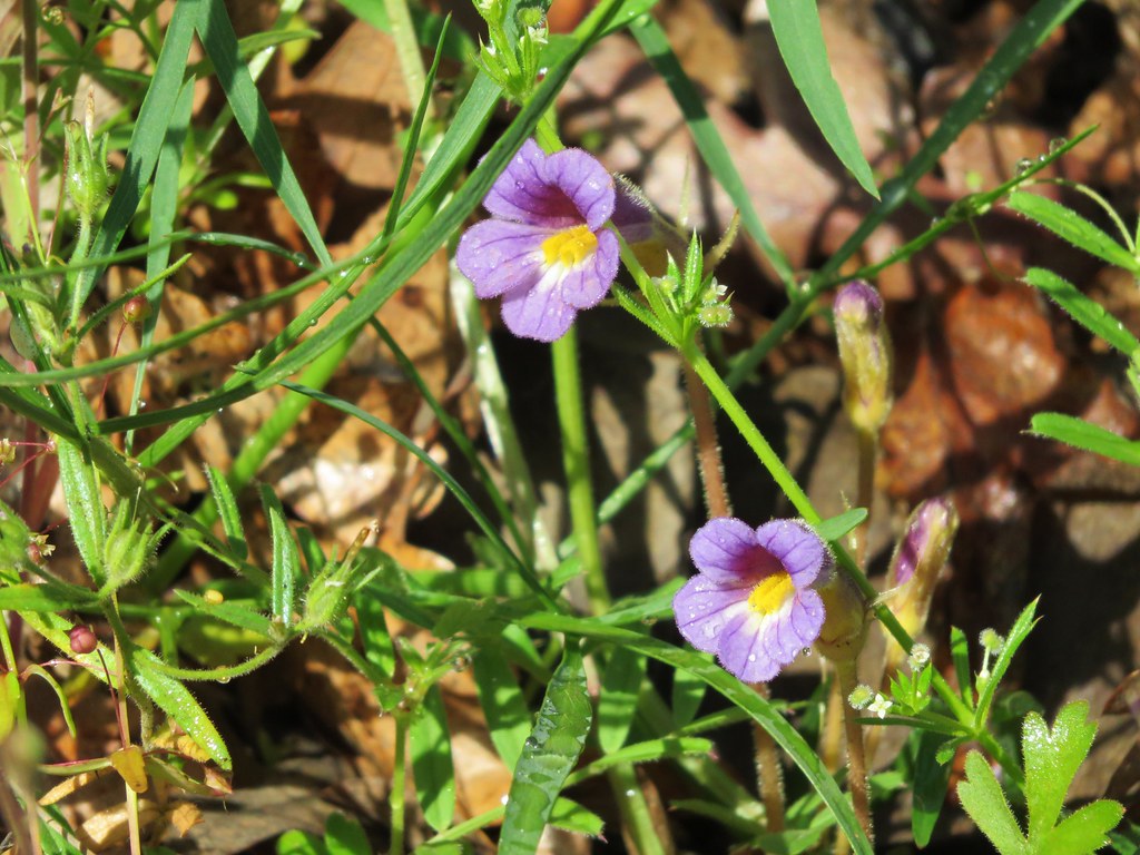
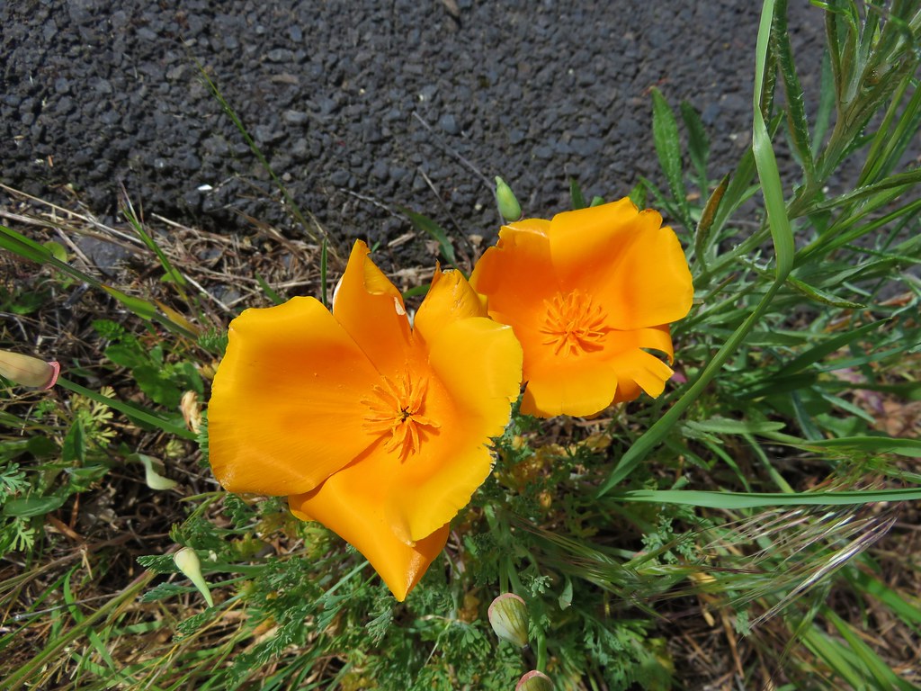
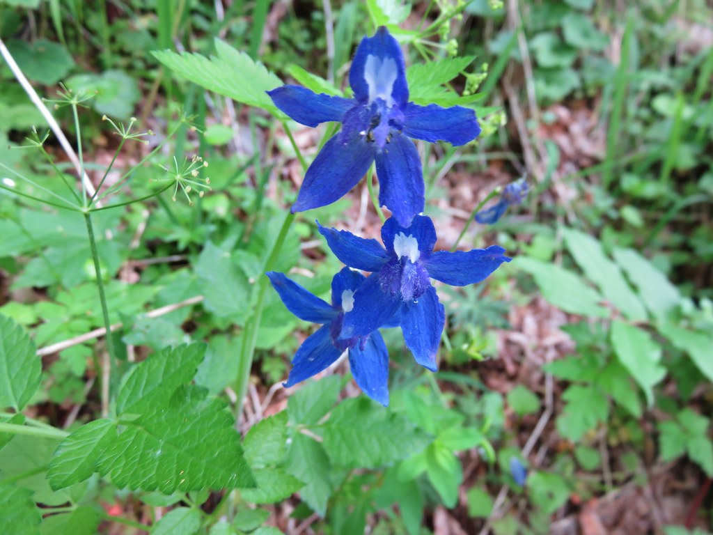
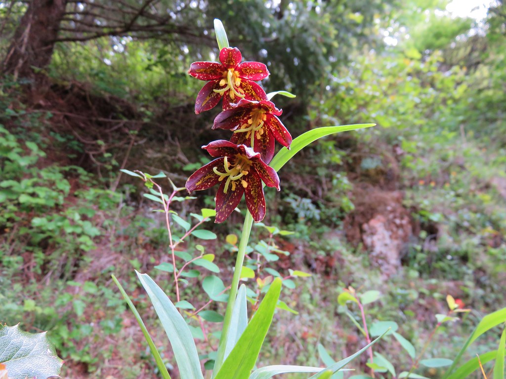
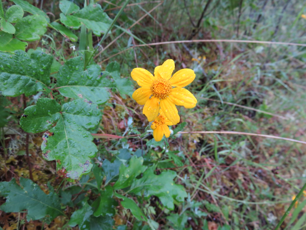
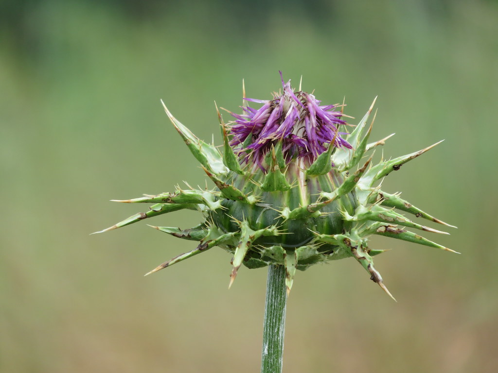
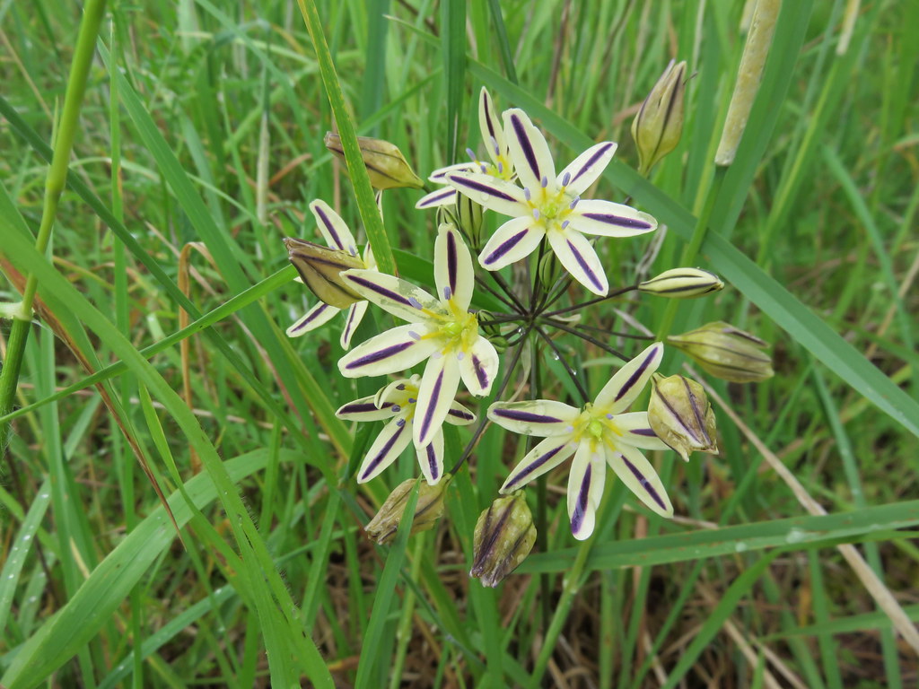
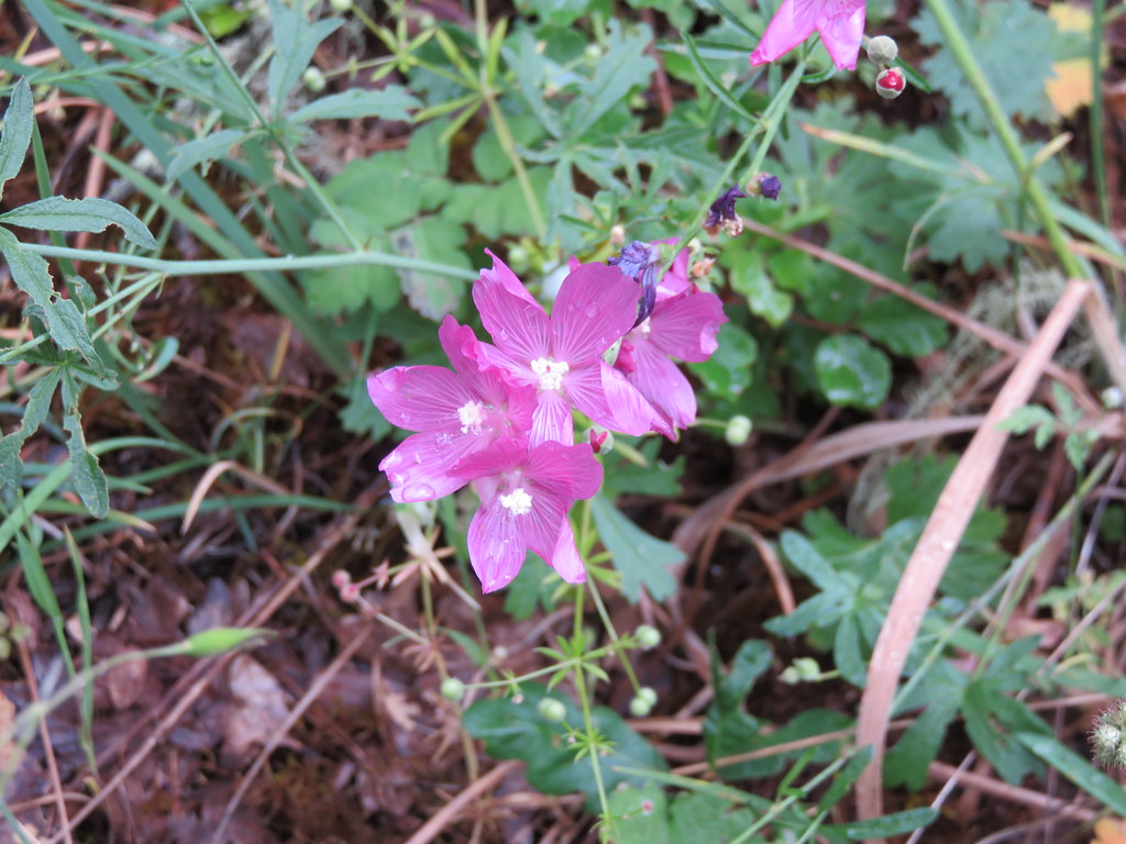
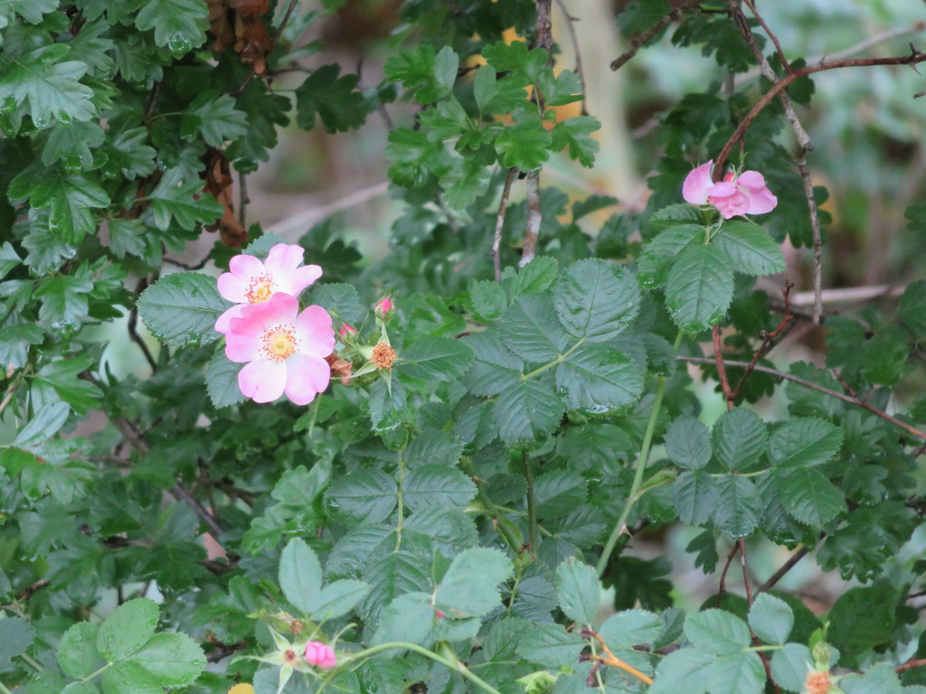
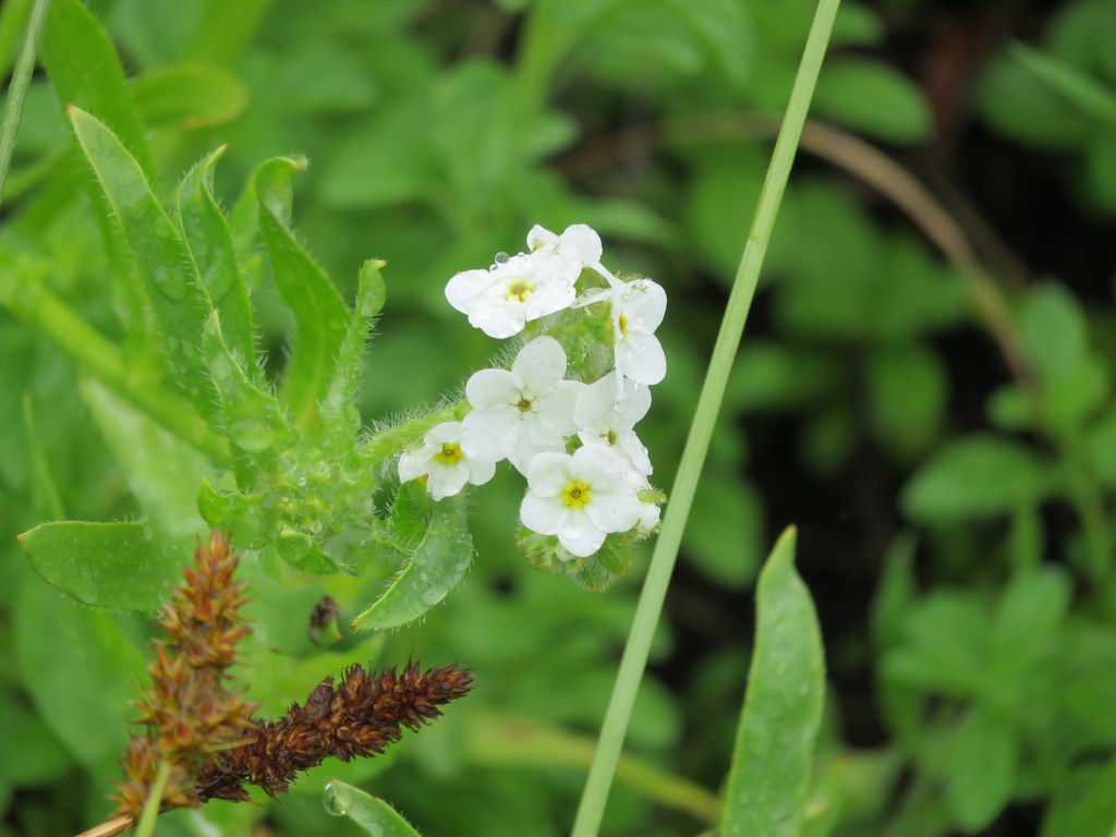
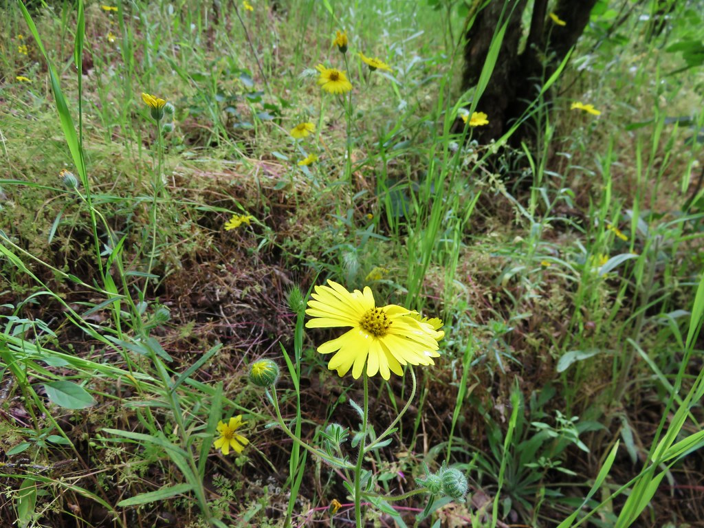
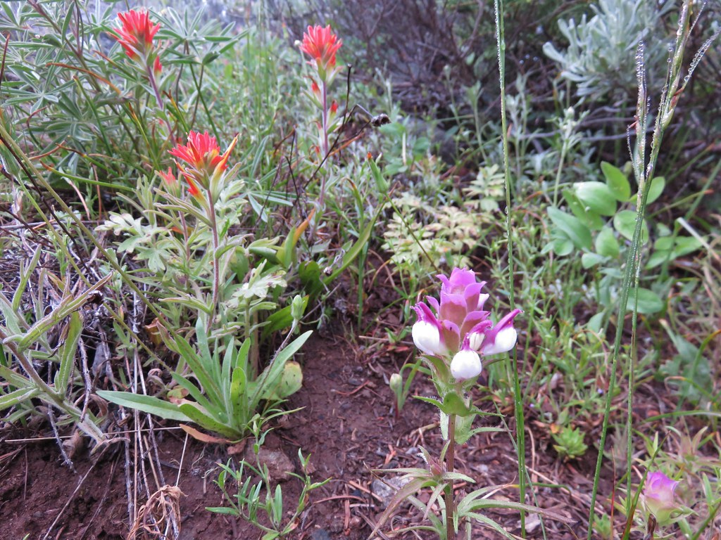
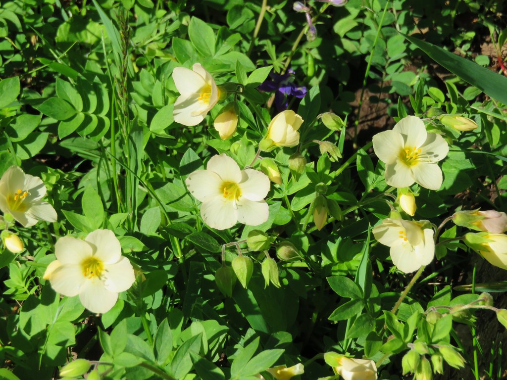
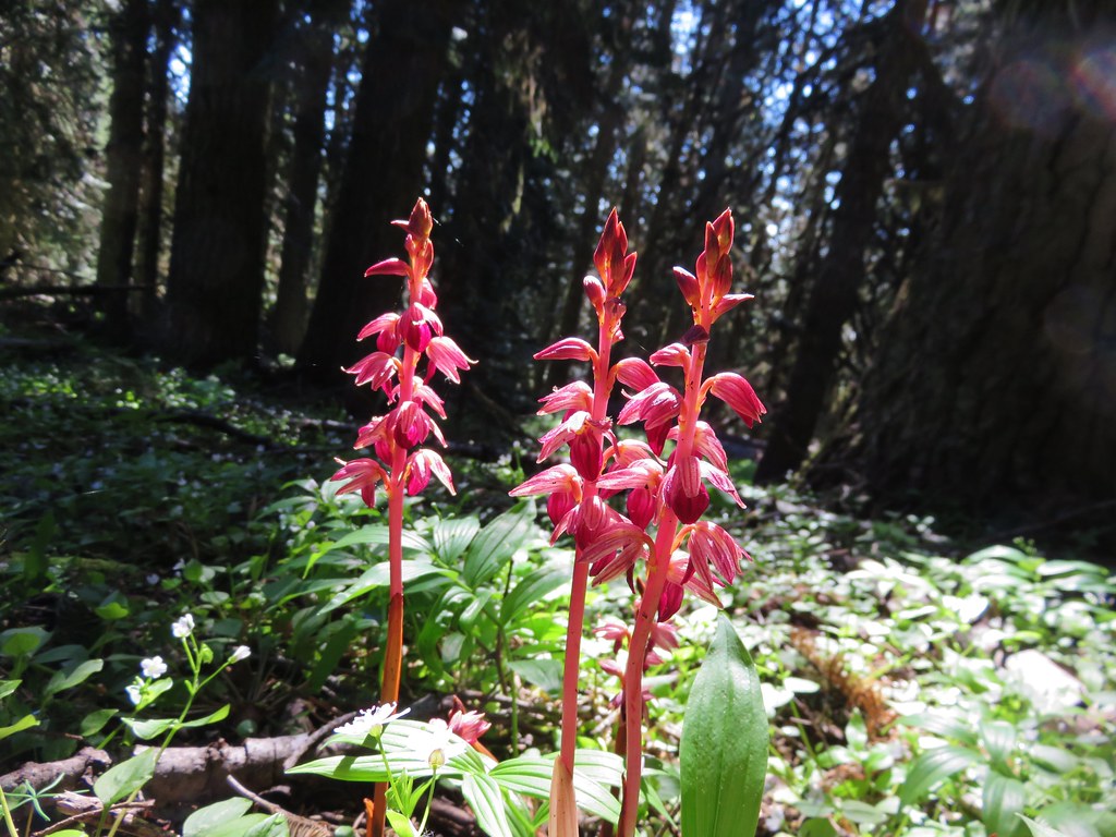
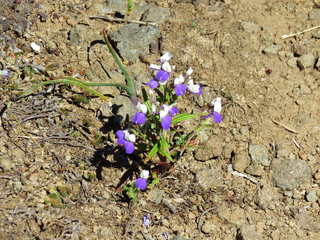
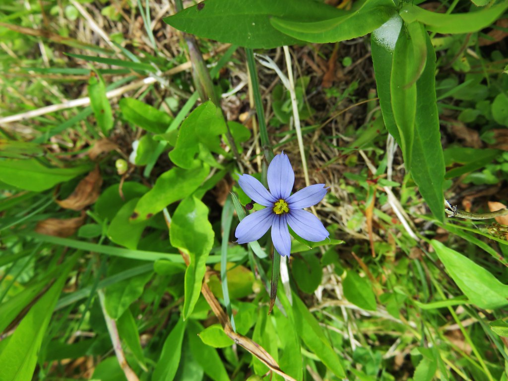
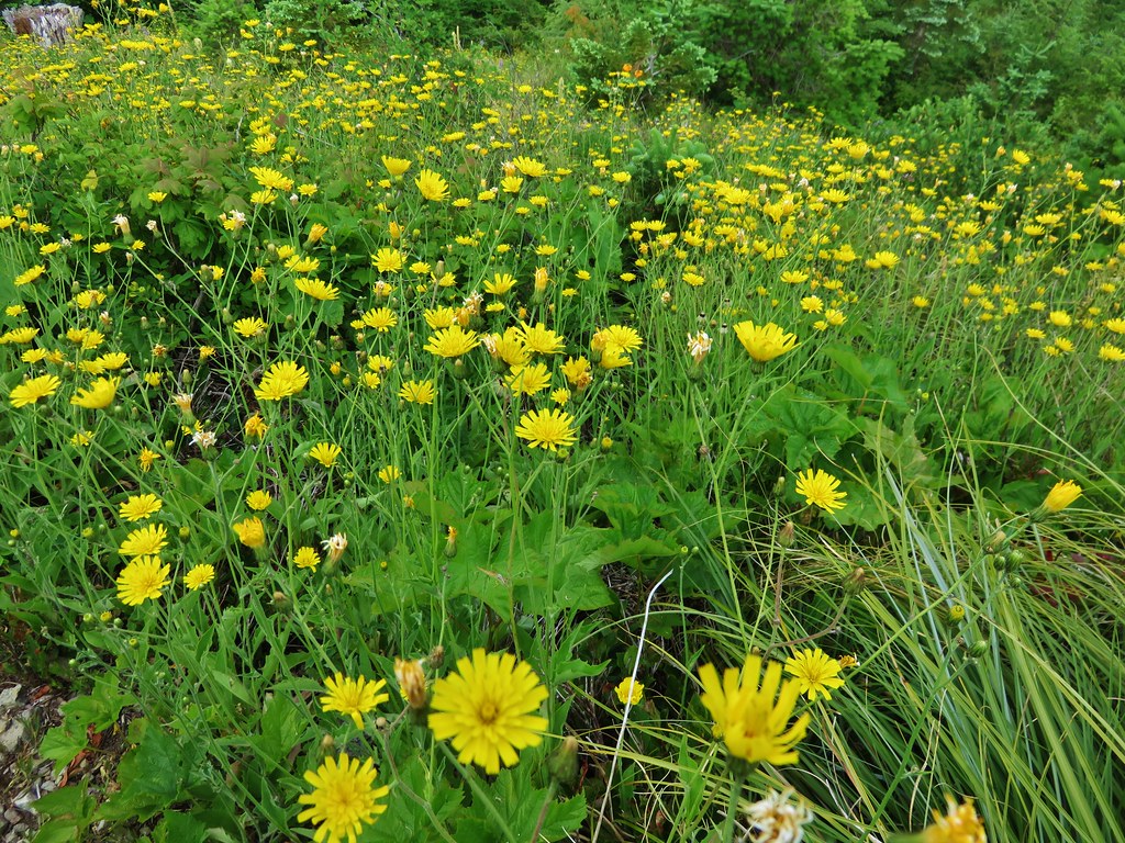
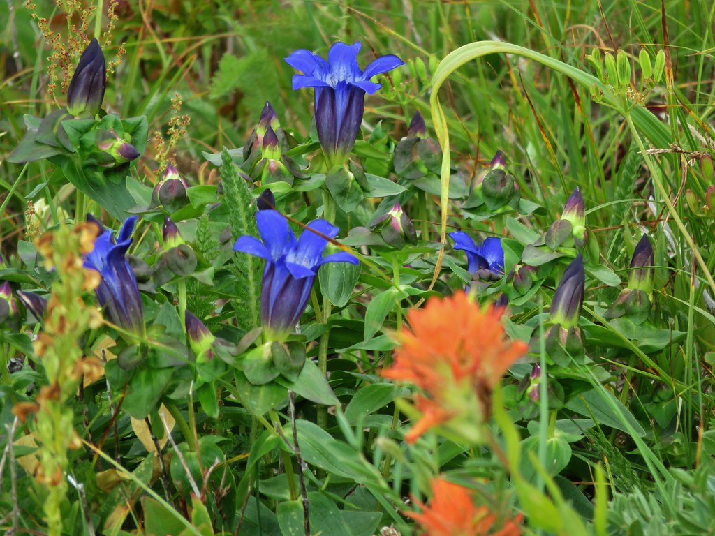
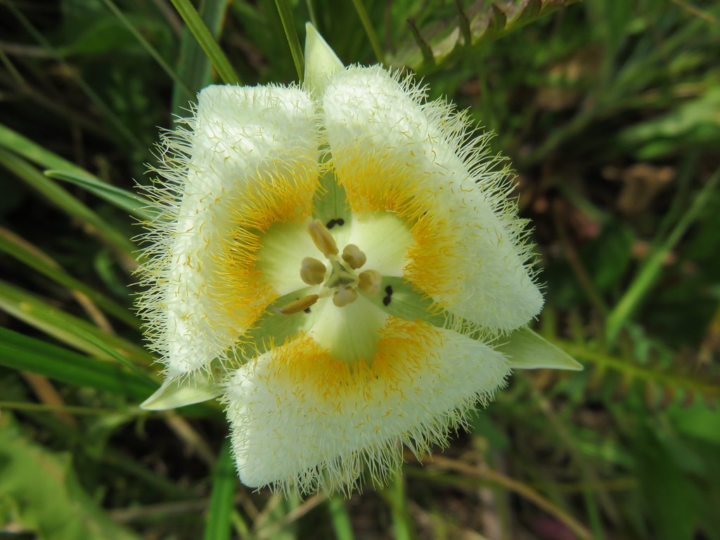
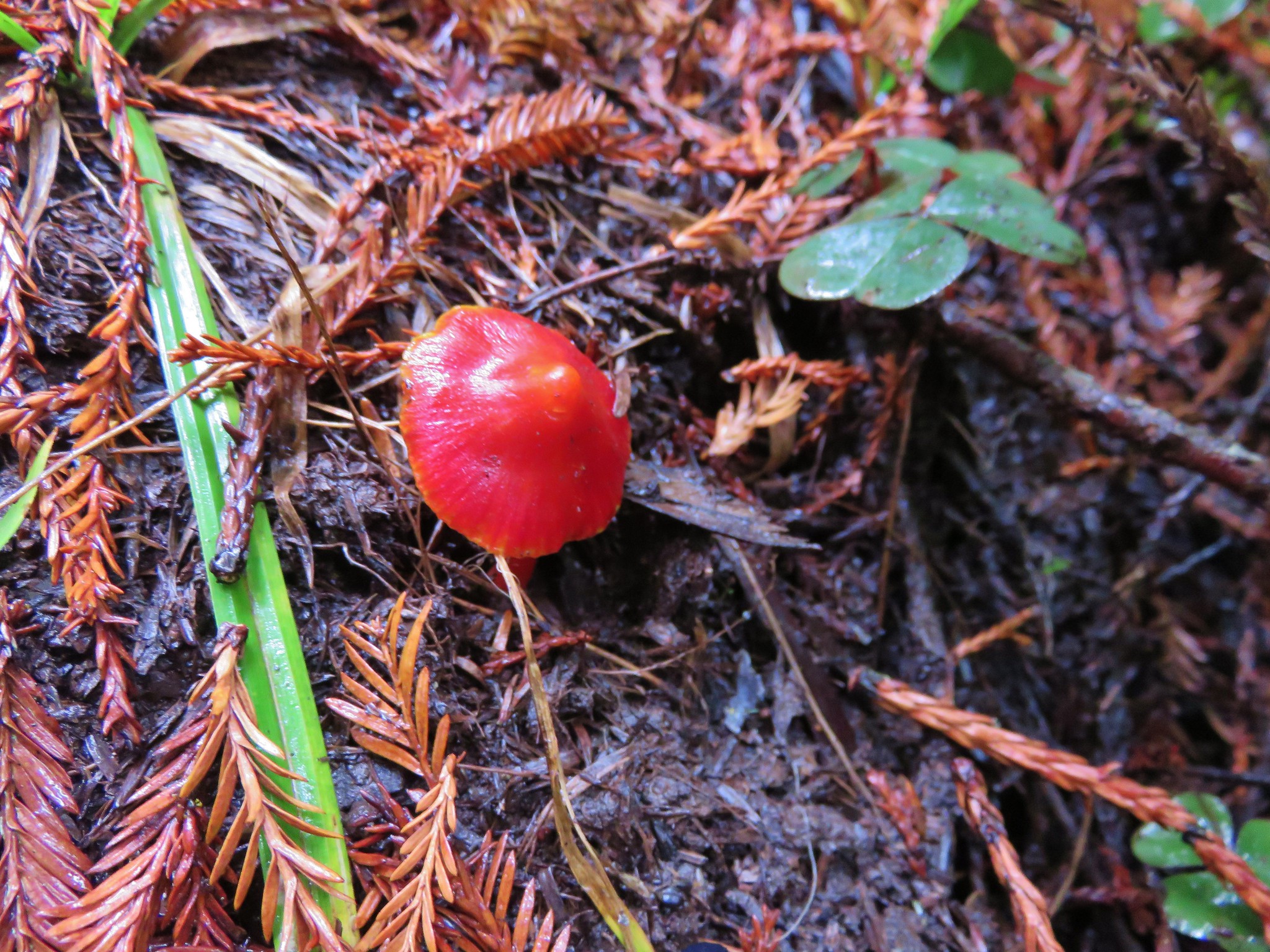
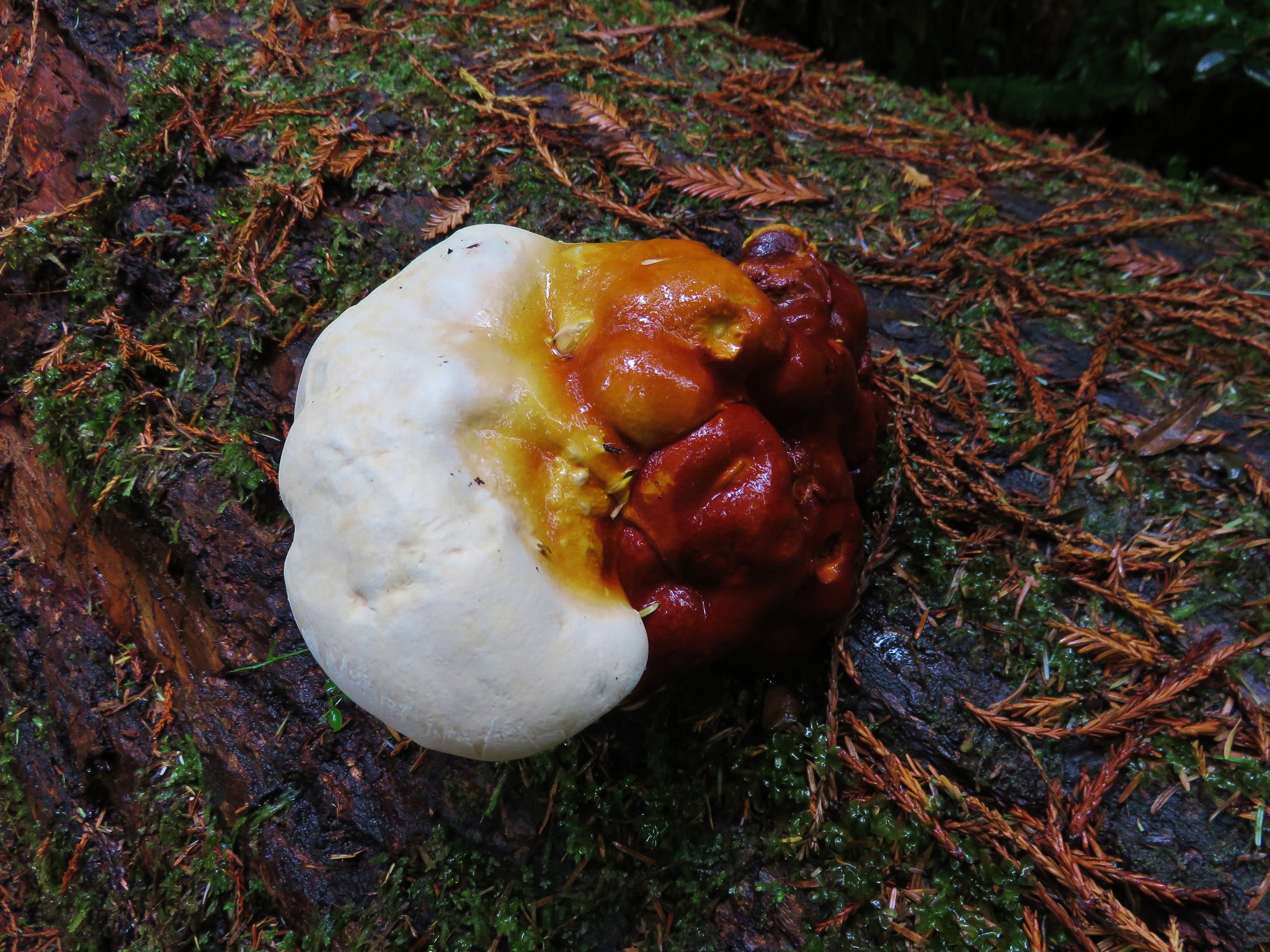
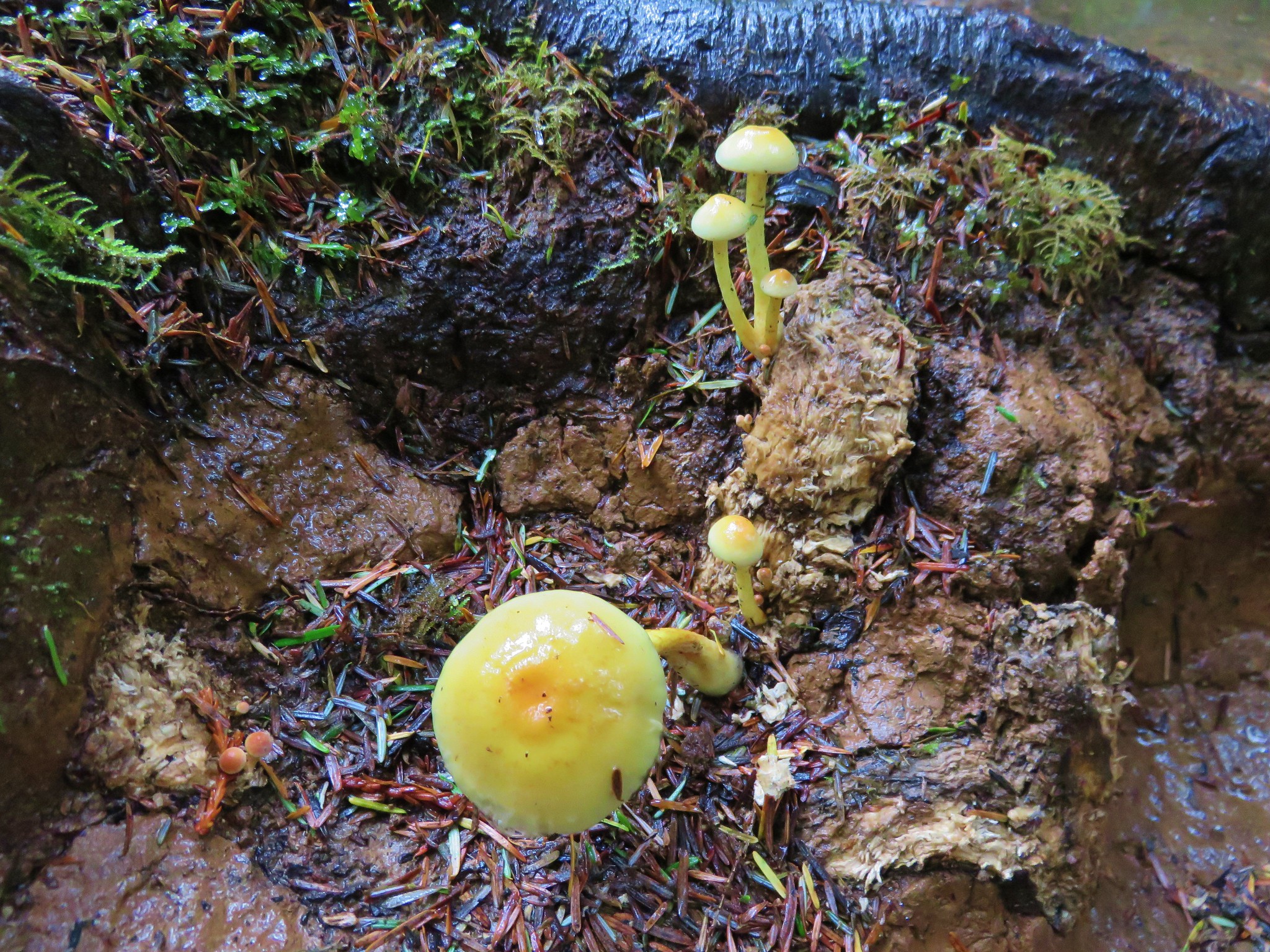
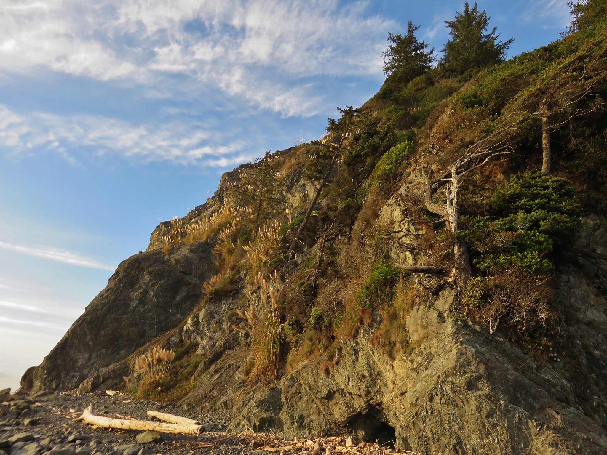
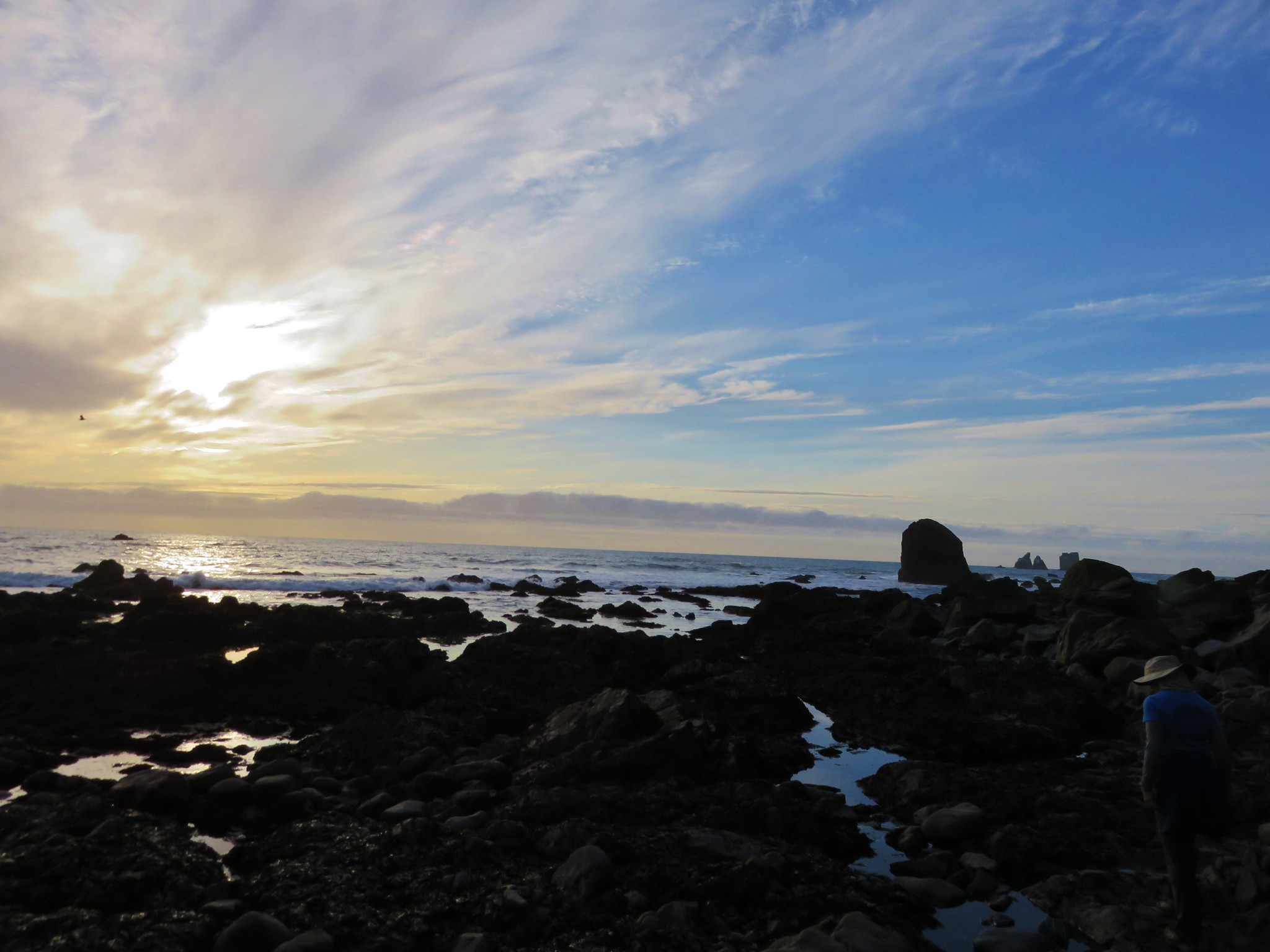
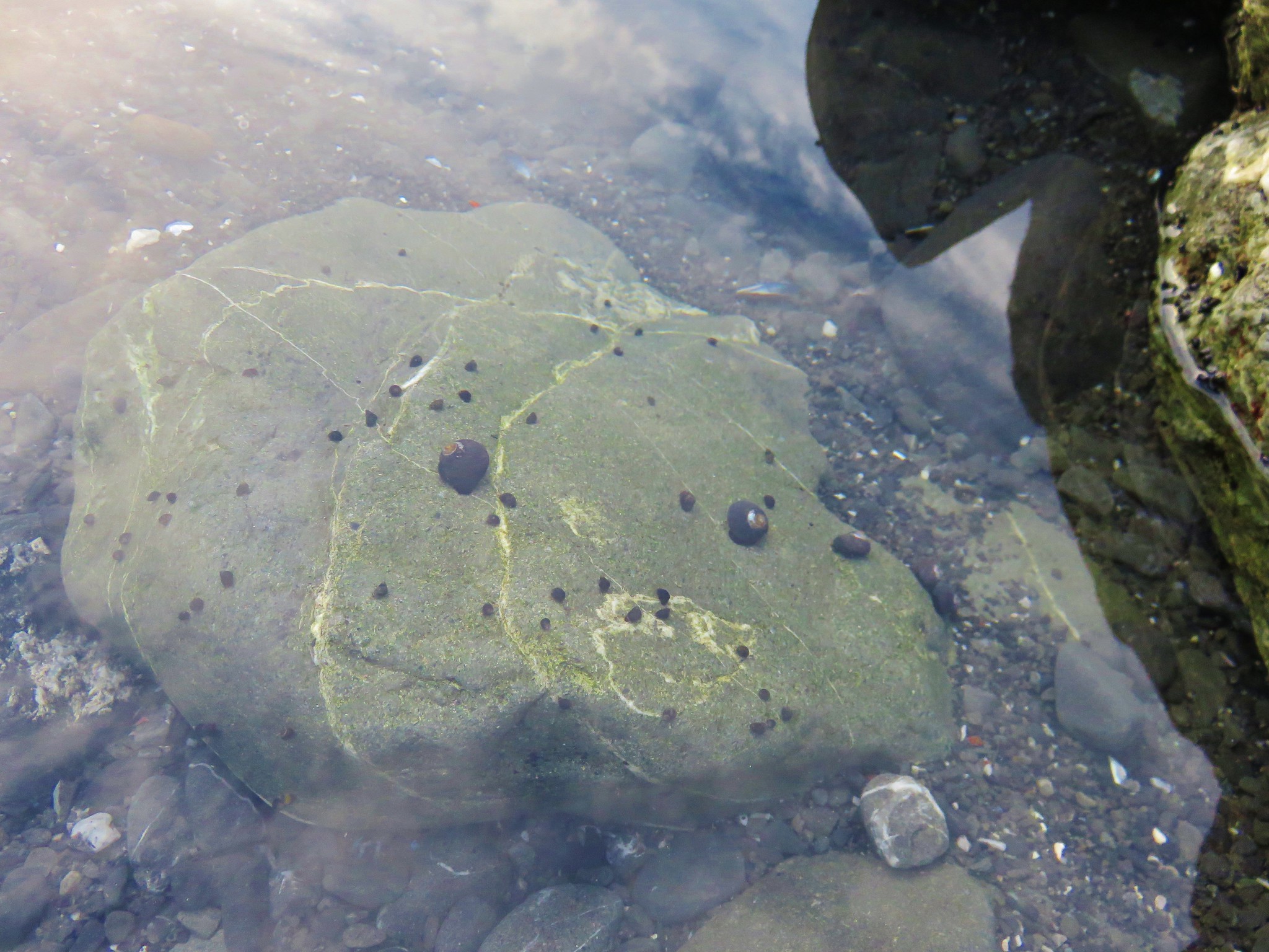
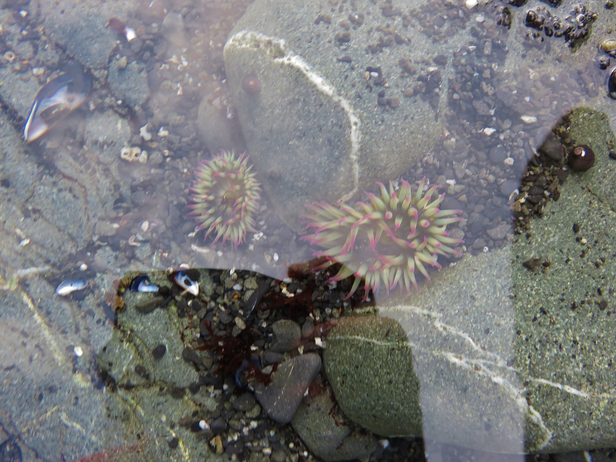
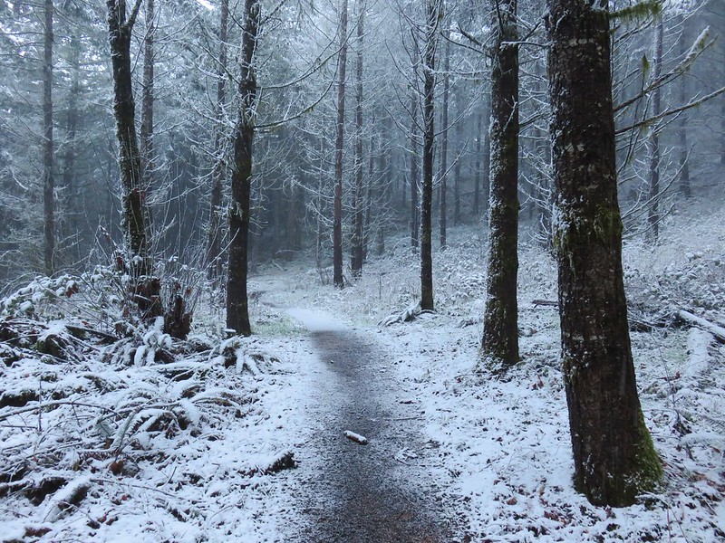
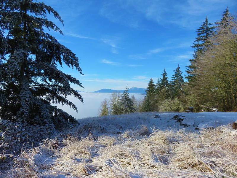
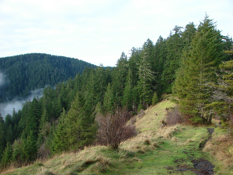
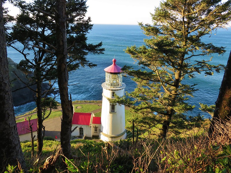
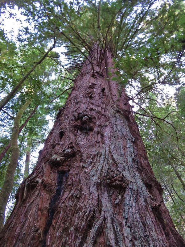
Without further ado here is a list of the 100 featured hikes along with a photo (or two where two distinctly different hikes were included in the entry) from the 2009 3rd edition of “100 Hikes/Travel Guide Oregon Coast & Coast Range”.
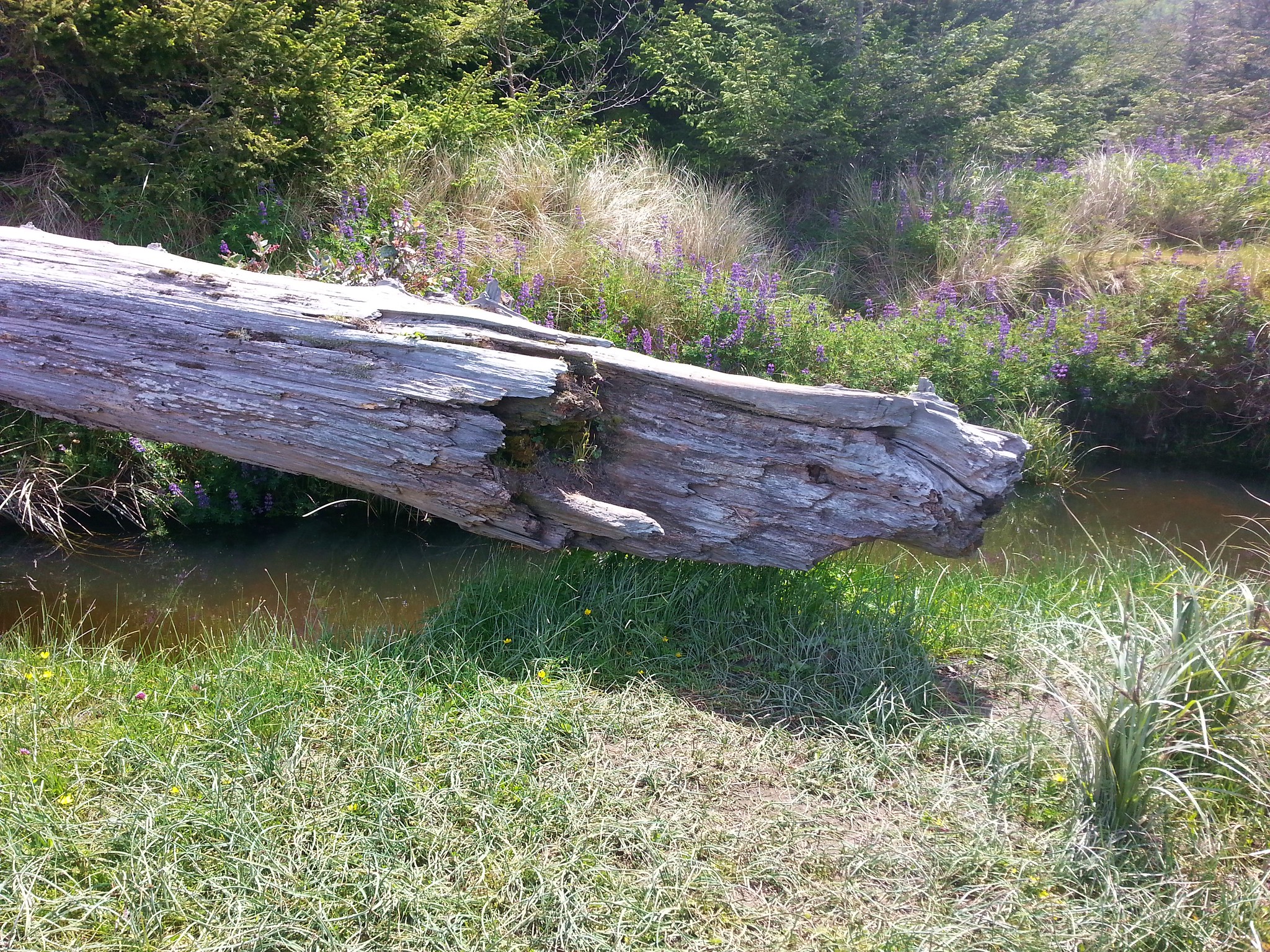
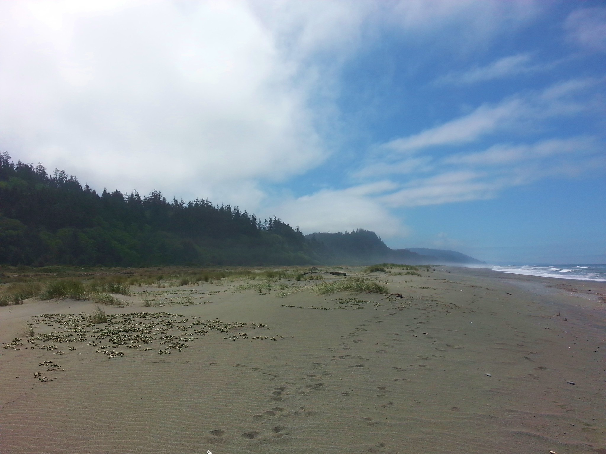
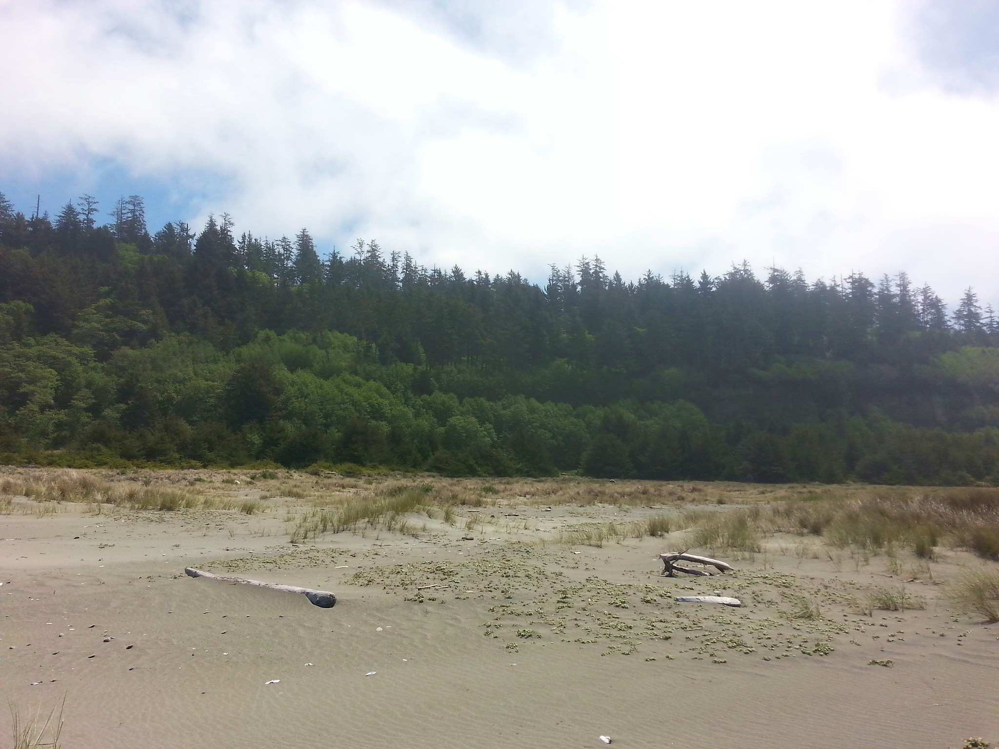
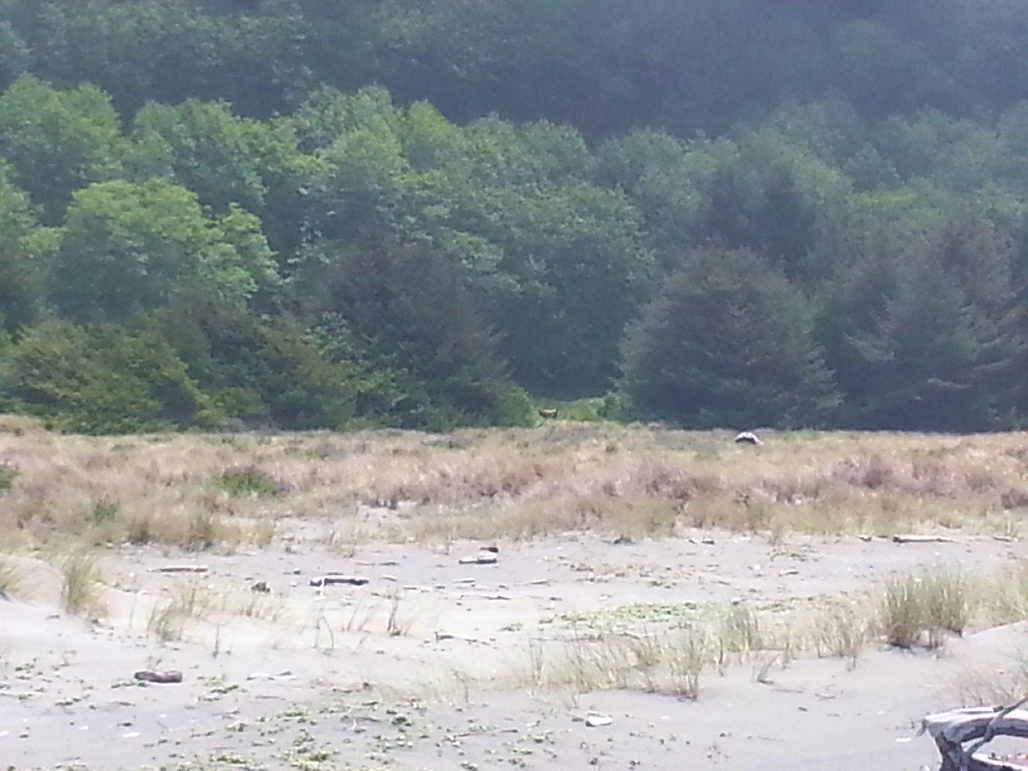
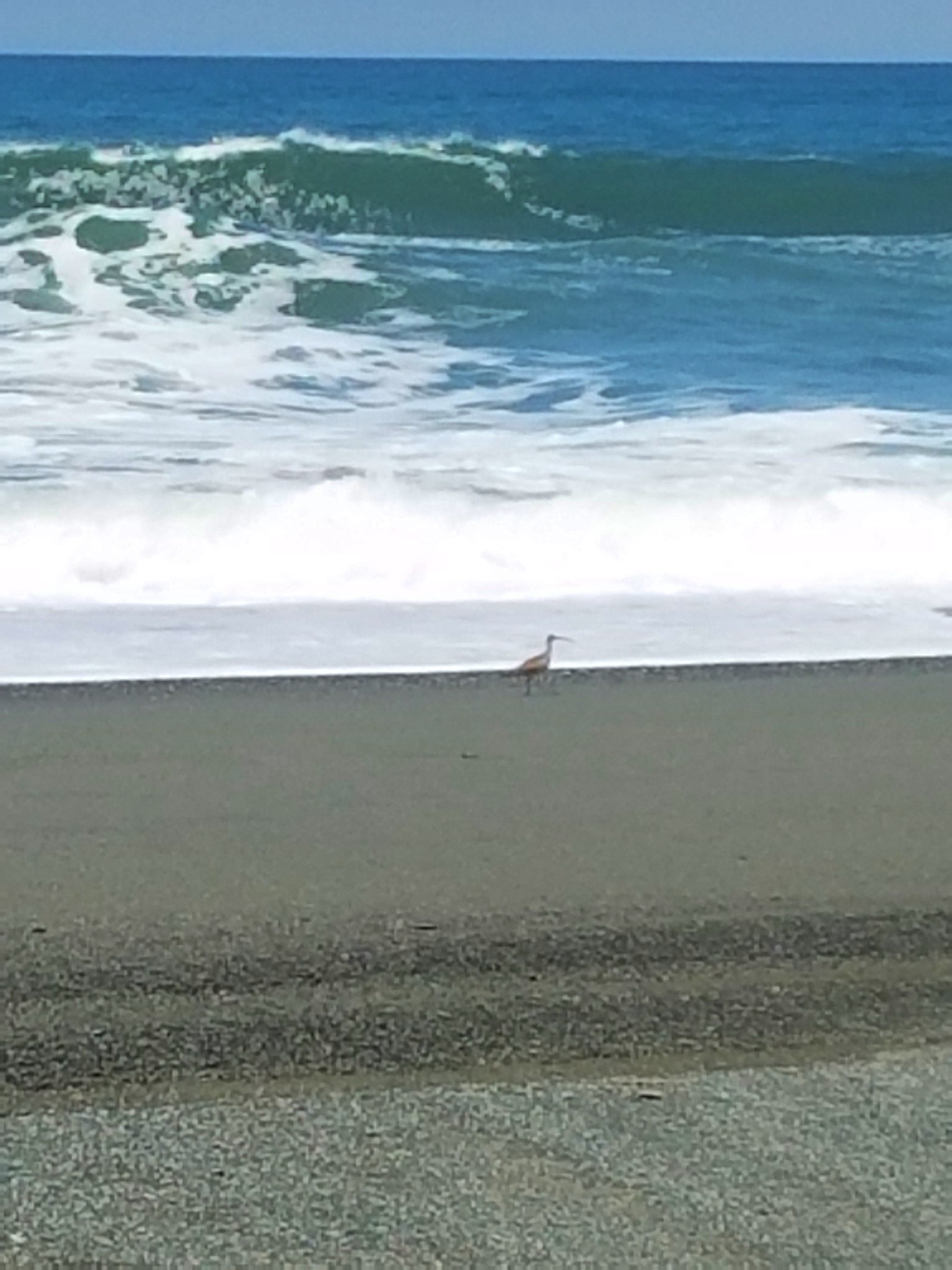
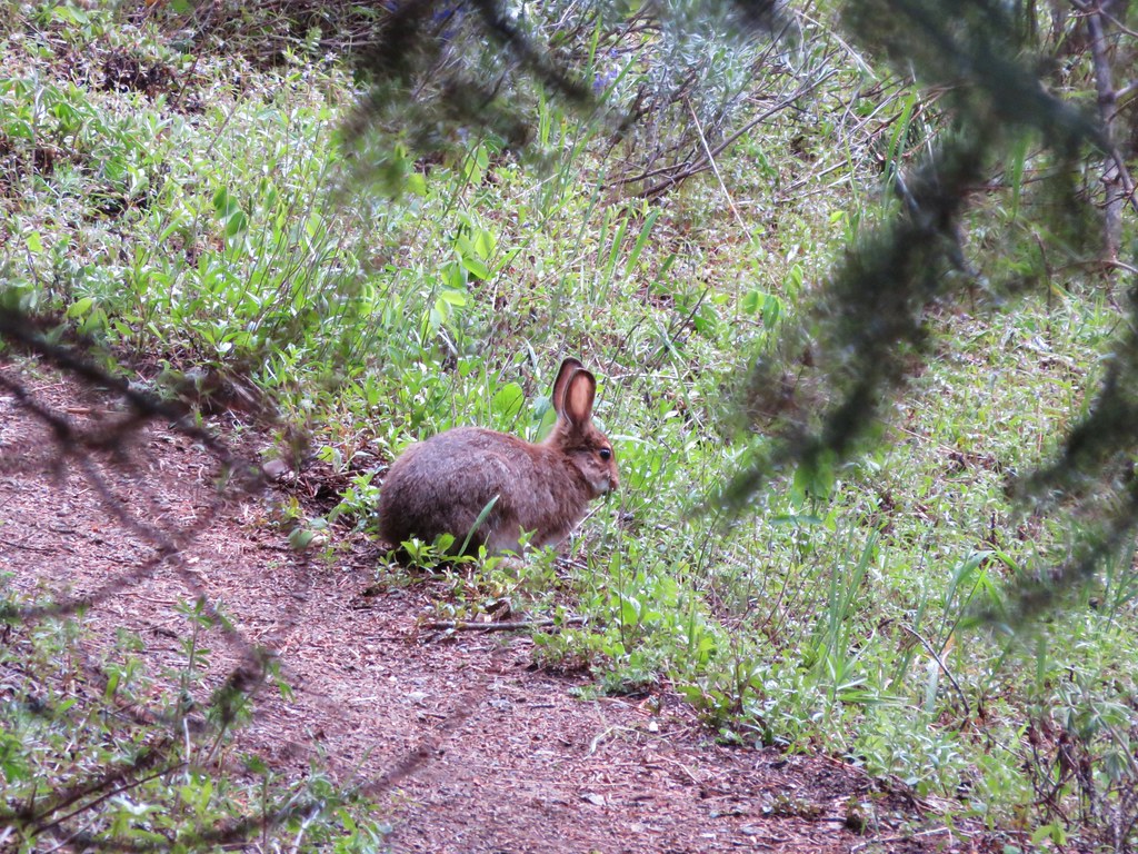
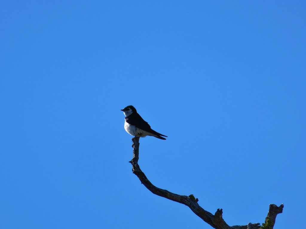
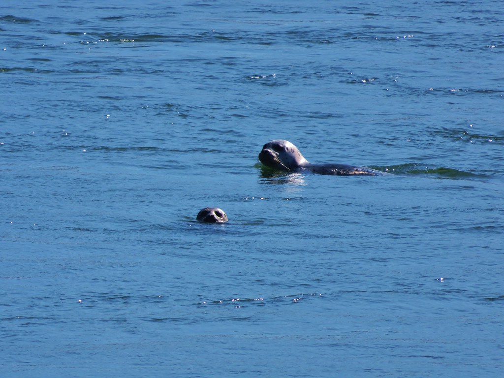
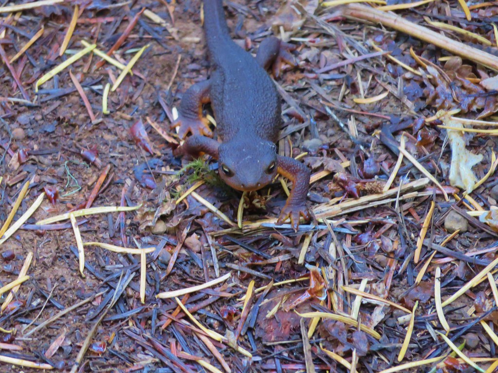
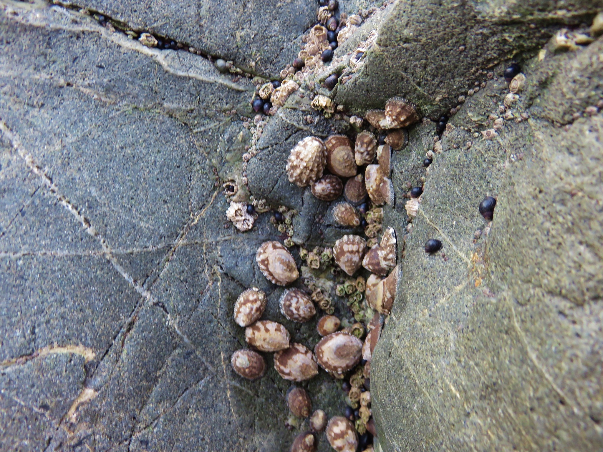
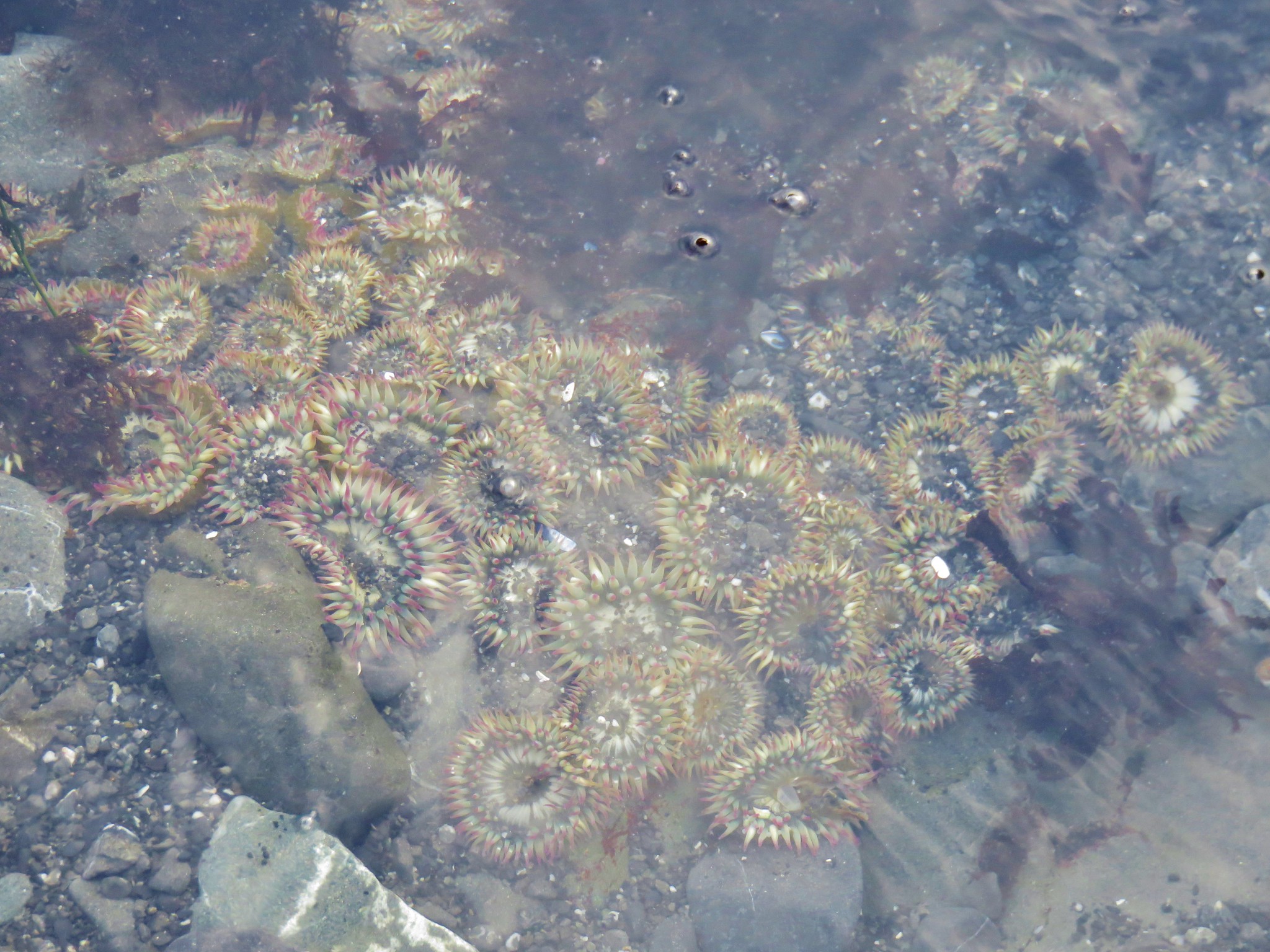
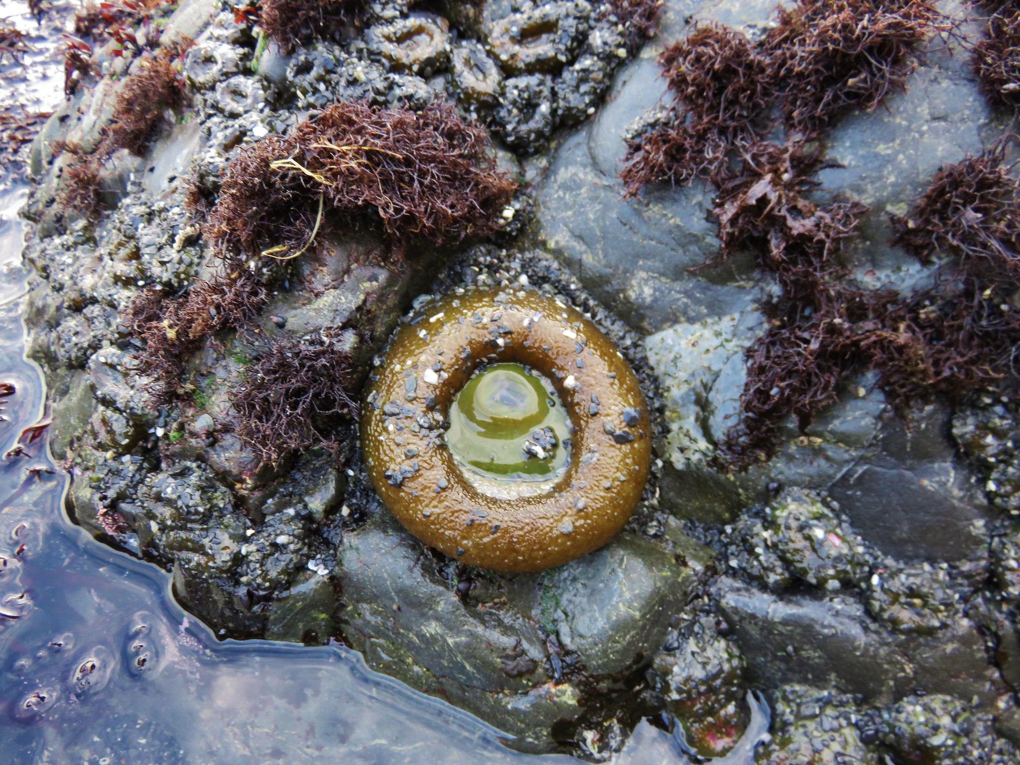
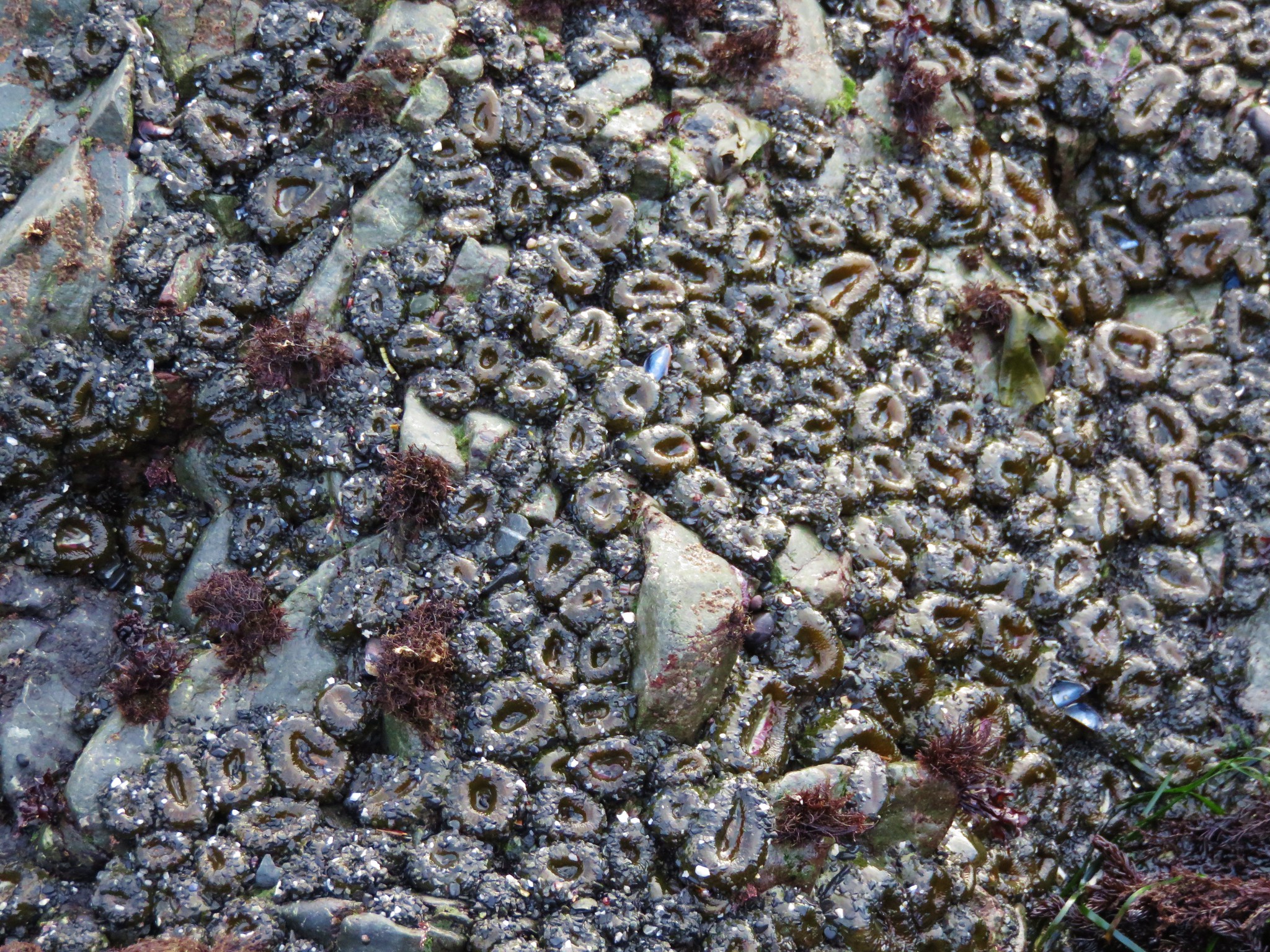
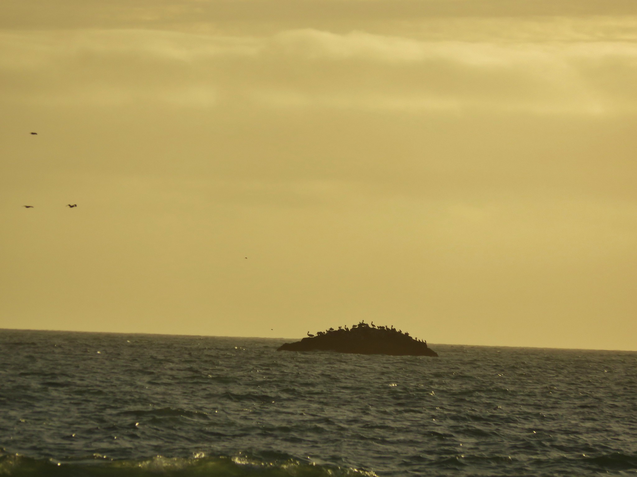
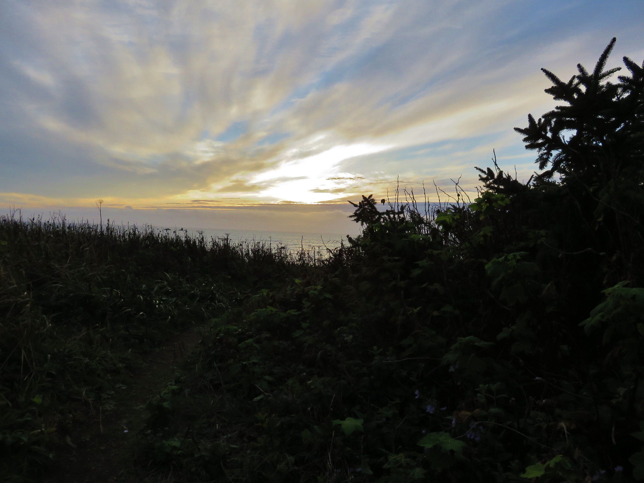
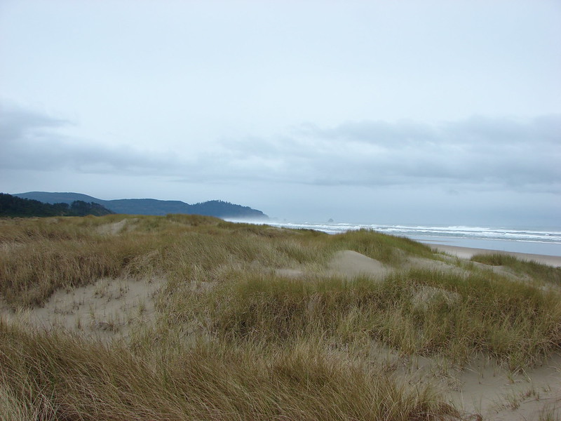
#1 Leadbetter Point – Hiked 7/31/2021

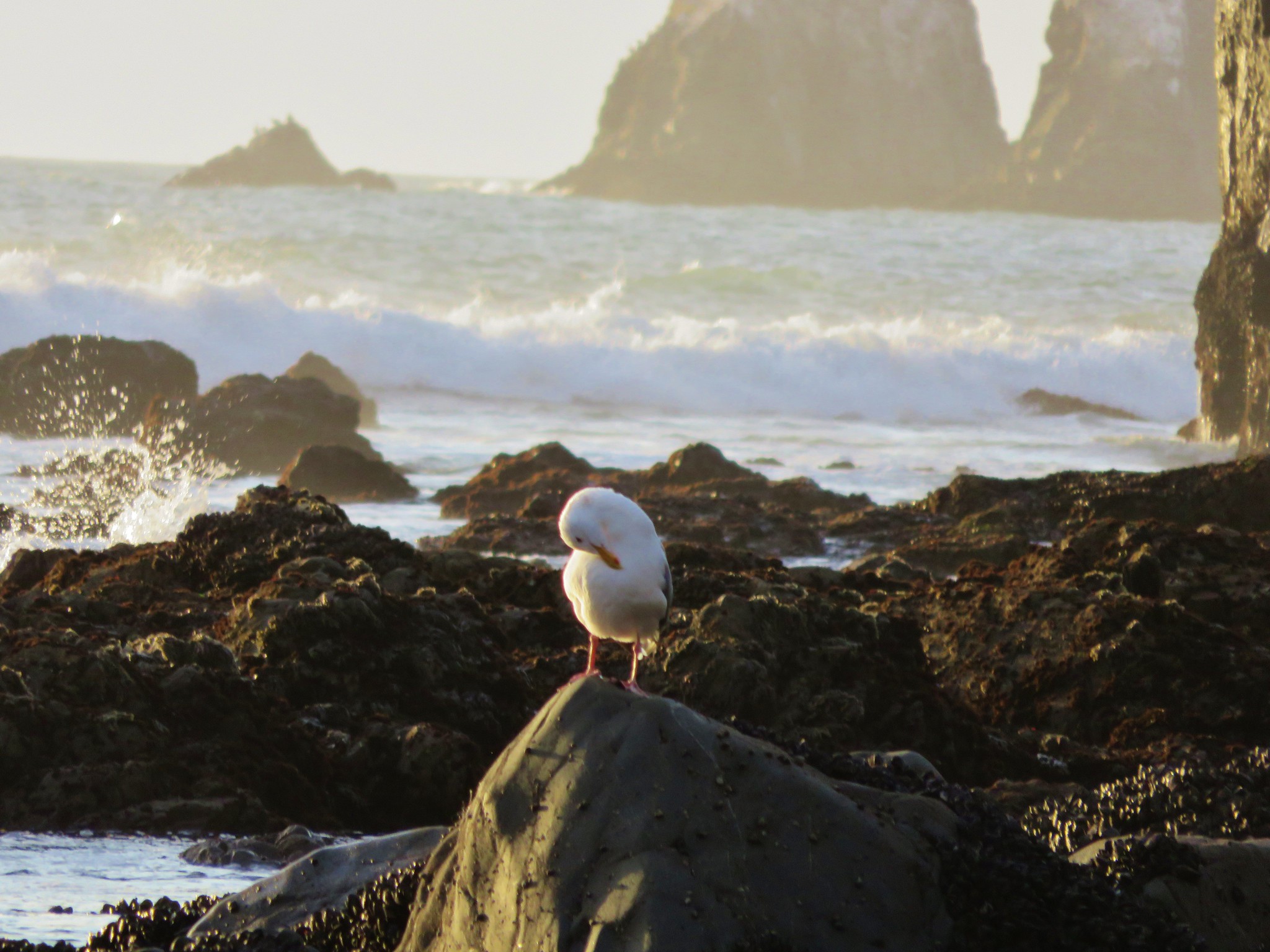
#2 Long Beach – Hiked 9/11/2017

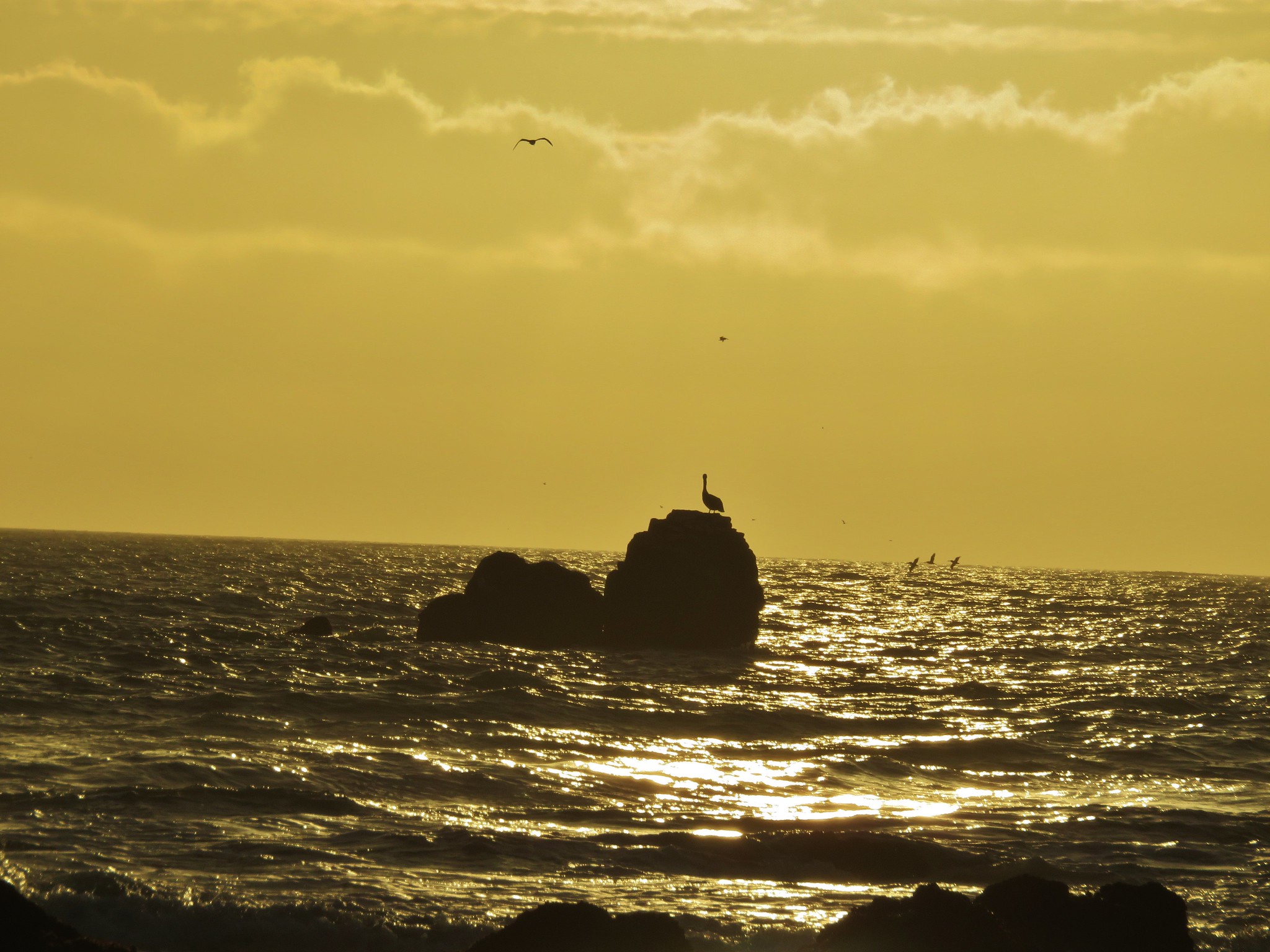
#3 North Head – Hiked 9/11/2017

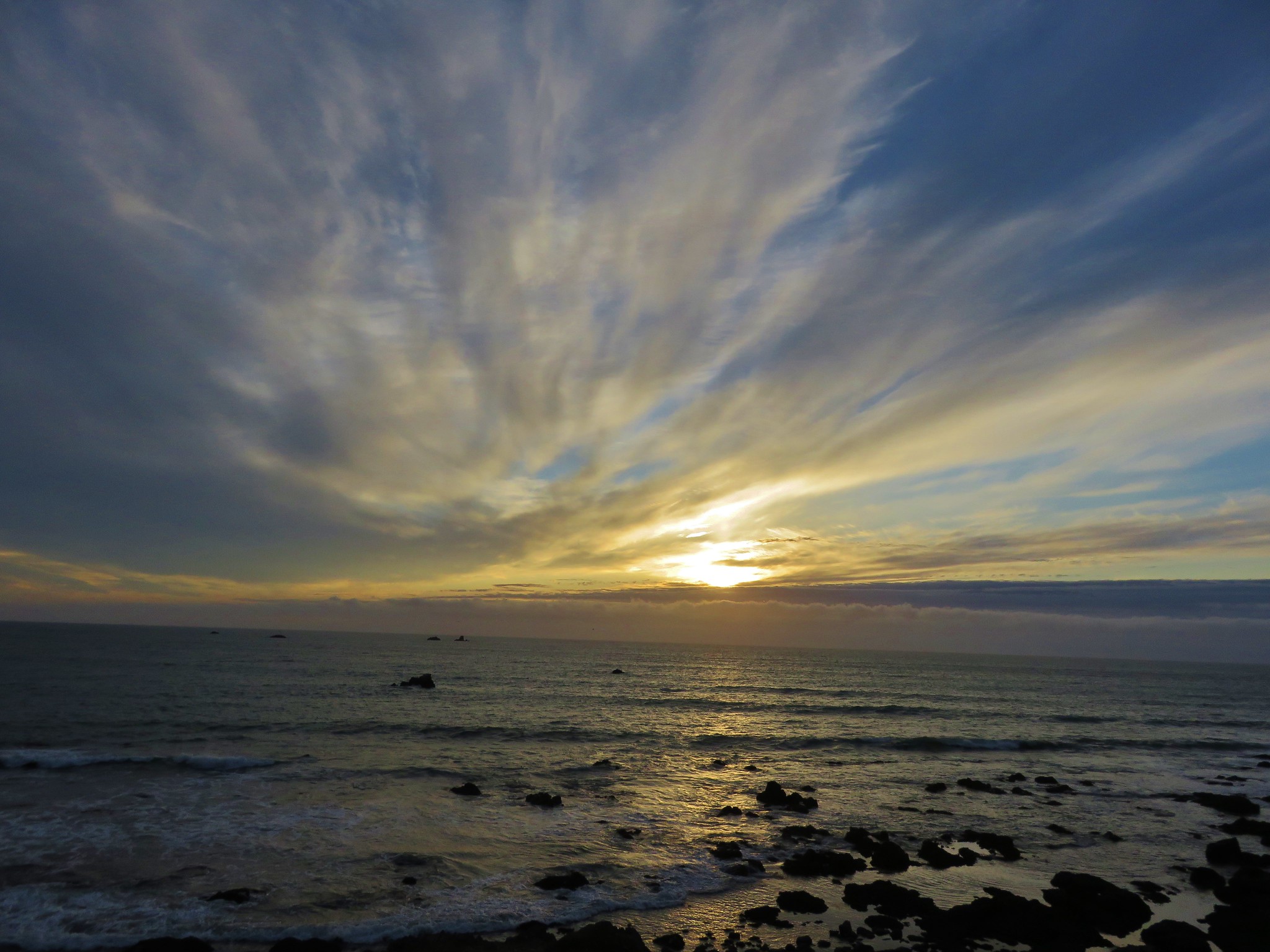
#4 Cape Disappointment – Hiked 9/11/2017

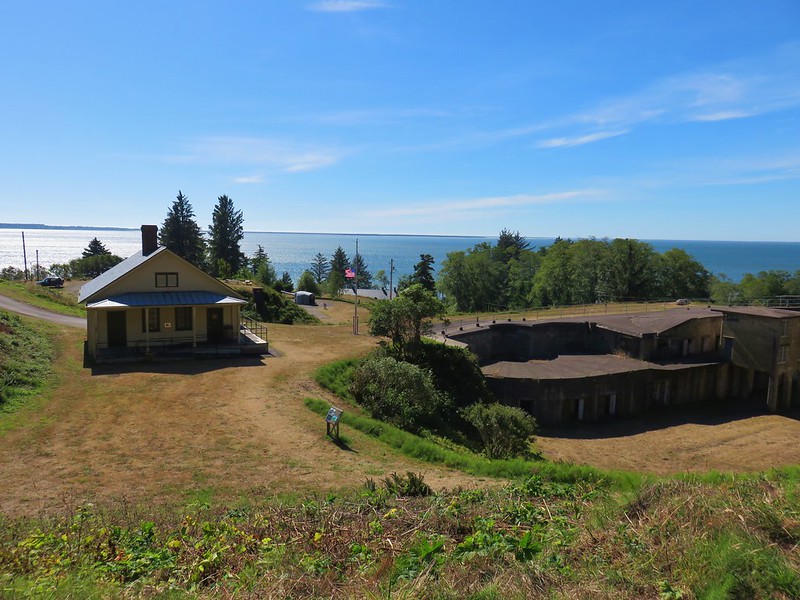
#5 Fort Columbia – Hiked 9/11/2017
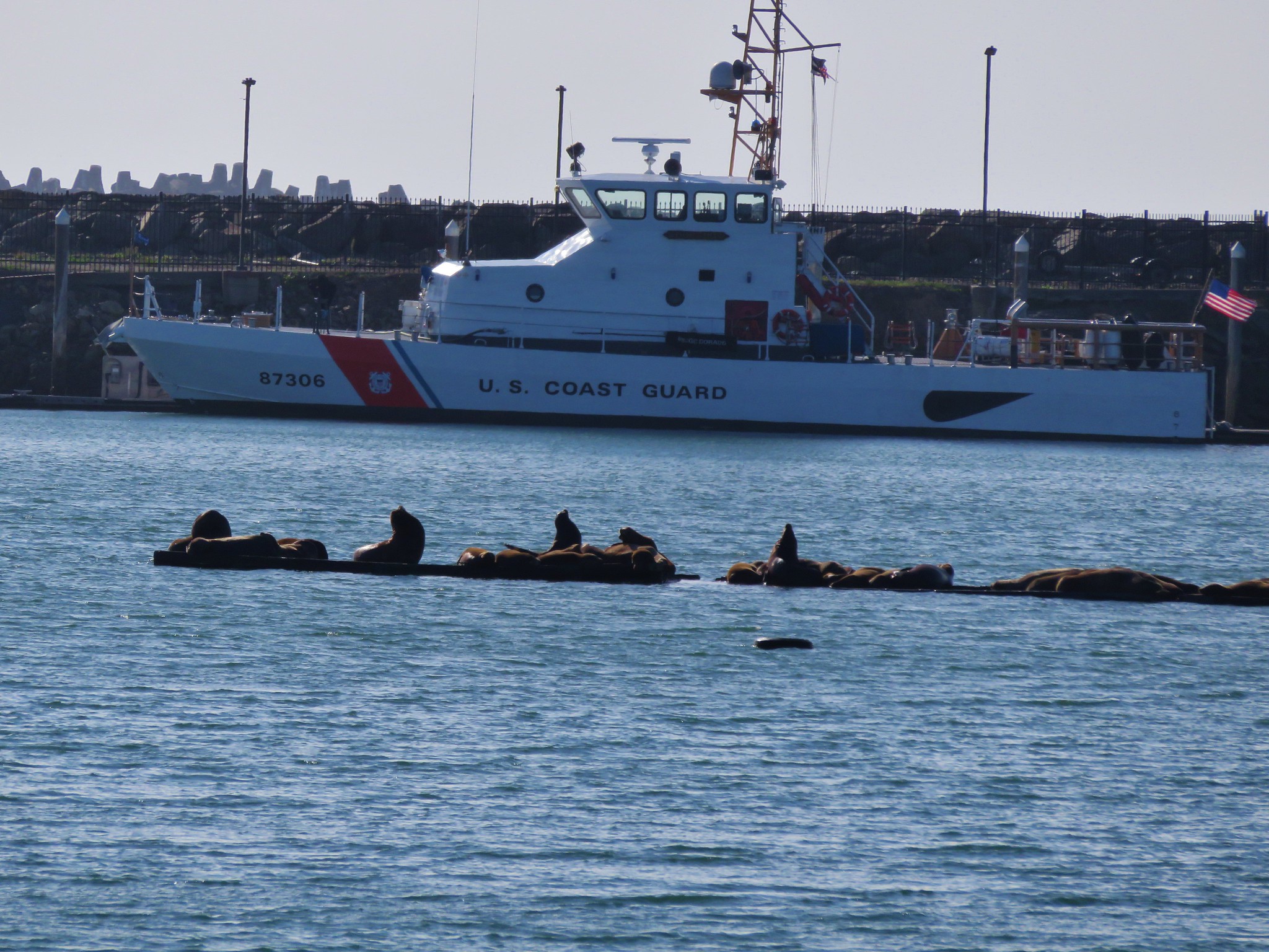
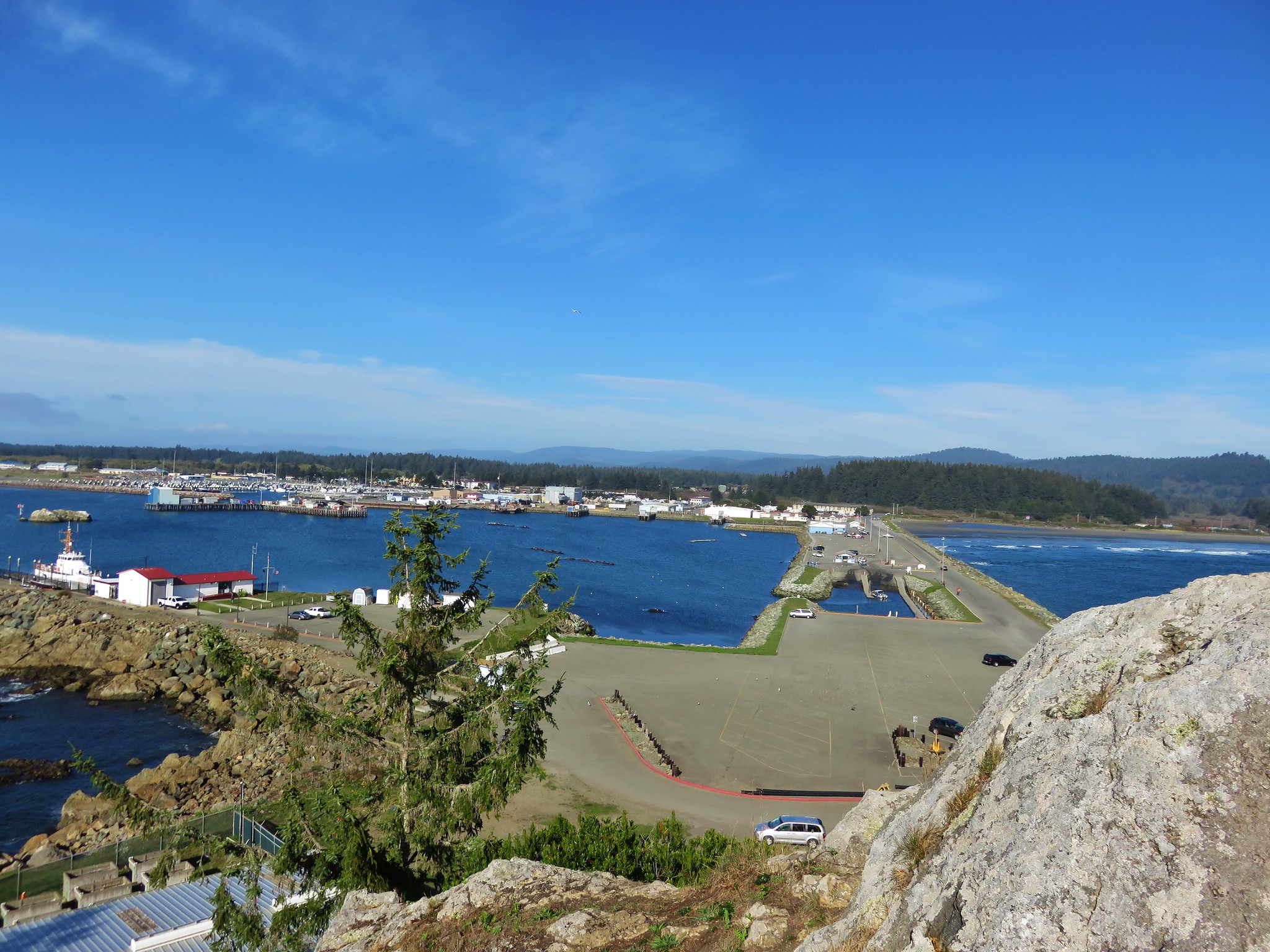
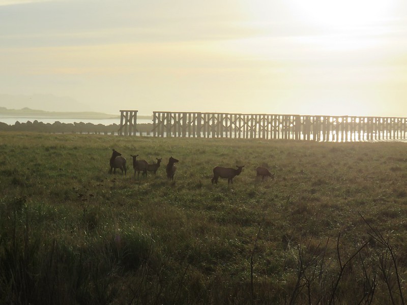
#6 Clatsop Spit – Hiked 9/9/2017
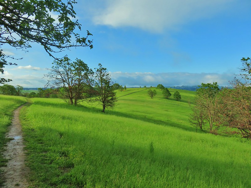
#7 Fort Stevens – Hiked 9/9/2017

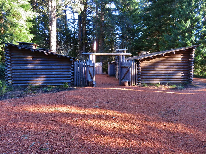
#8 Fort Clatsop – Hiked 1/10/2016
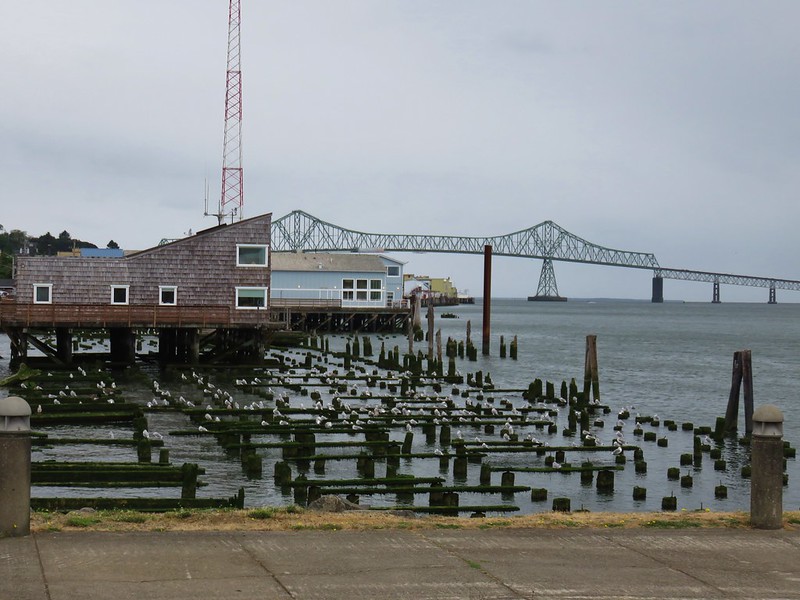
#9 Astoria – Hiked 9/9/2017
#10 Seaside Promenade – Hiked 9/12/2017

#11 Tillamook Head – Hiked 12/8/2013

#12 Cannon Beach – Hiked 9/10/2017

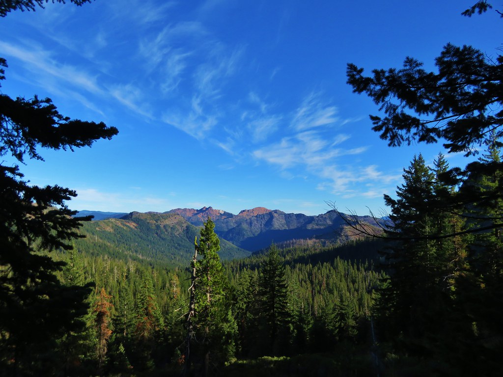
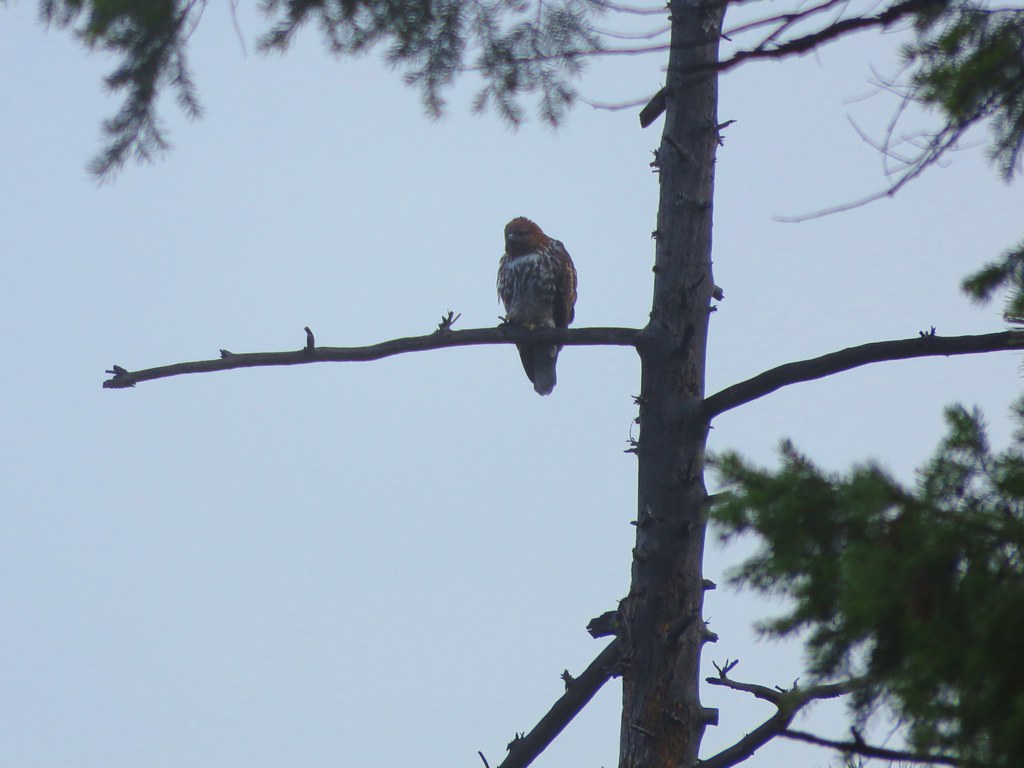
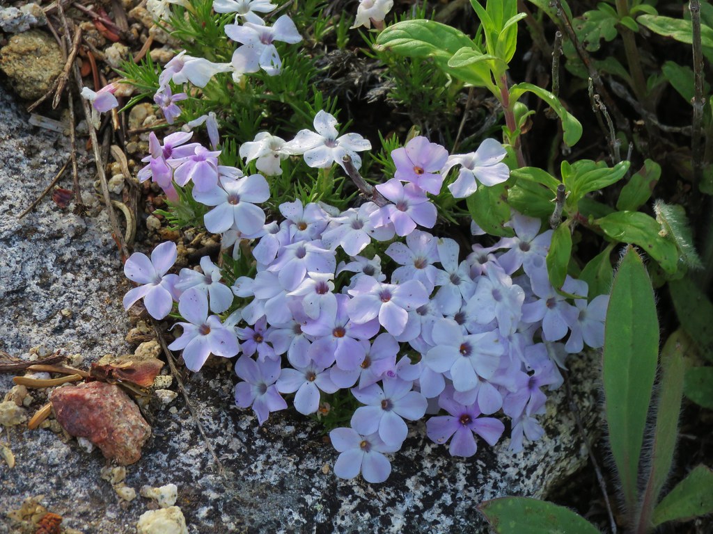
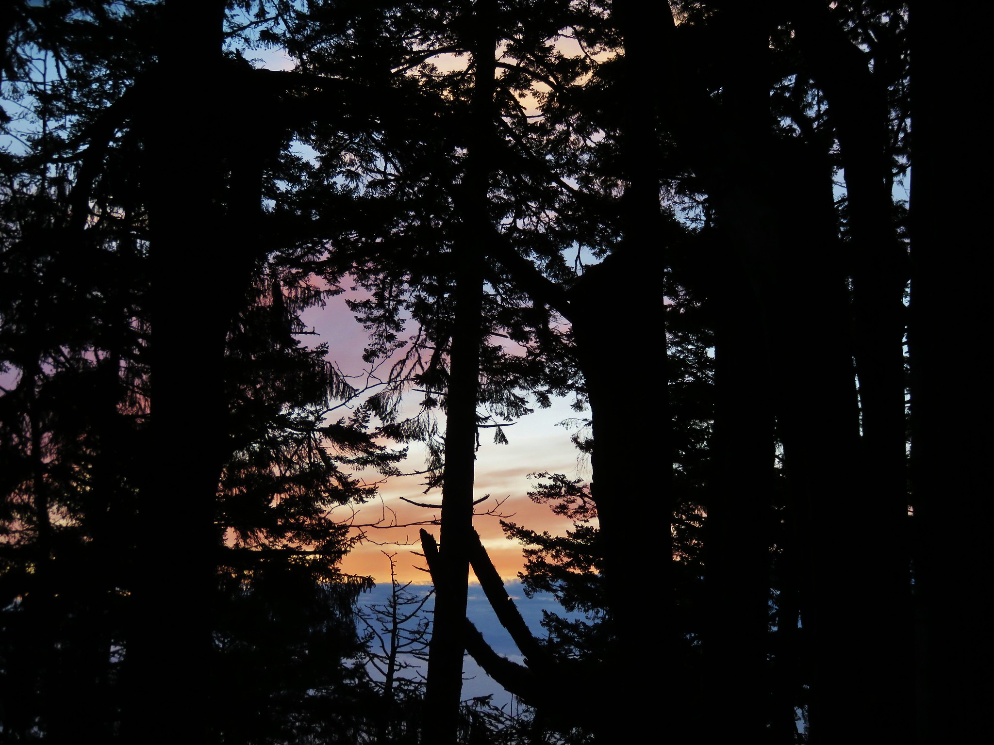
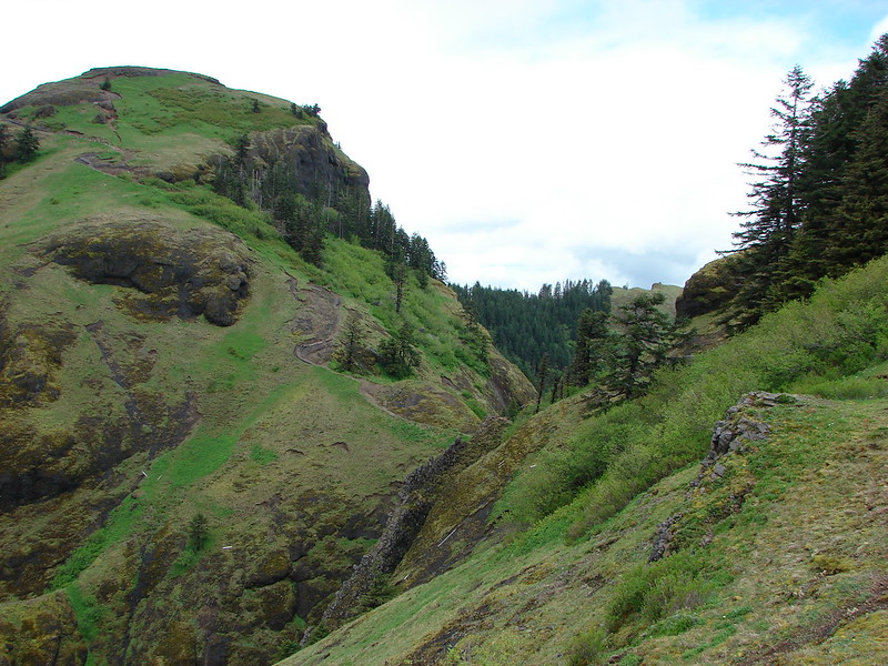
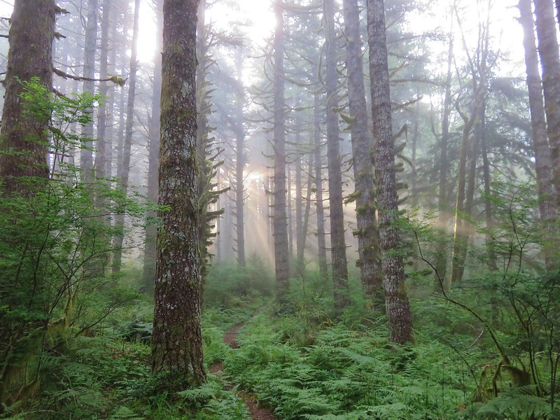
#13 Saddle Mountain – Hiked 5/31/2013 & 6/23/2018
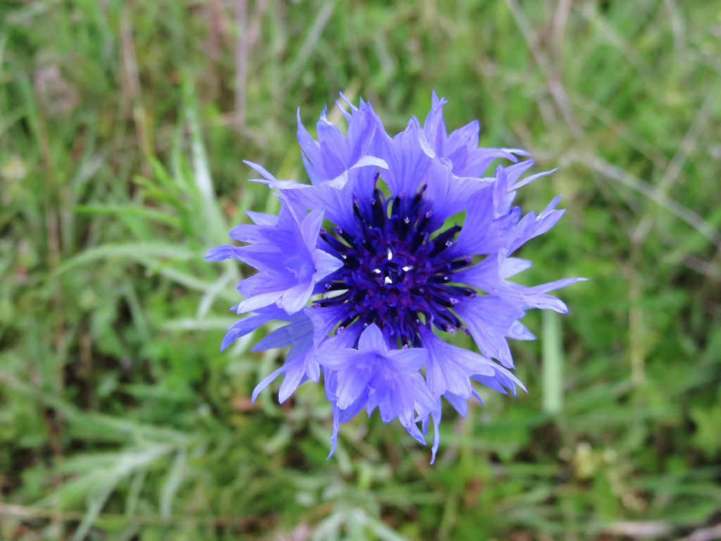
#14 Highway 26 Waysides – Hiked 6/23/2018
 Four County Point
 Sunset Rest Area
#15 Banks-Vernonia Railroad – Hiked – 4/10/2016 & 1/16/2021 (Also ran as a marathon in 2014.)

#16 Cape Falcon – Hiked 6/22/2012 & 4/29/2017

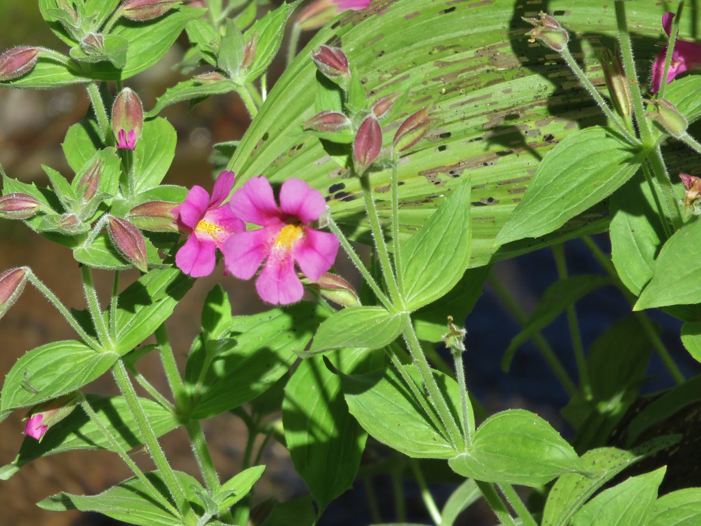
#17 Neahkahnie Mountain – Hiked 1/5/2014

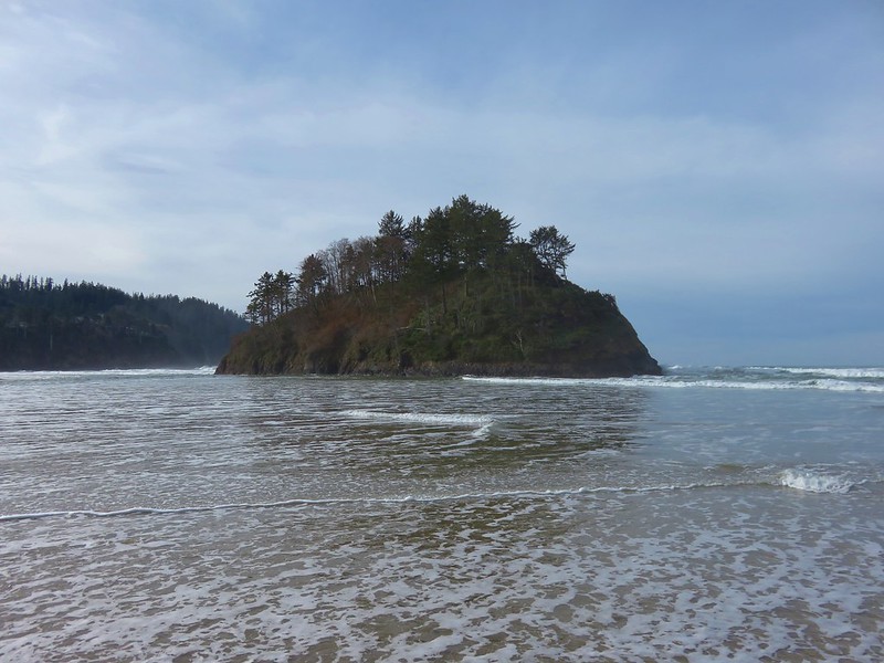
#18 Nehalem Bay – Hiked 1/1/2018

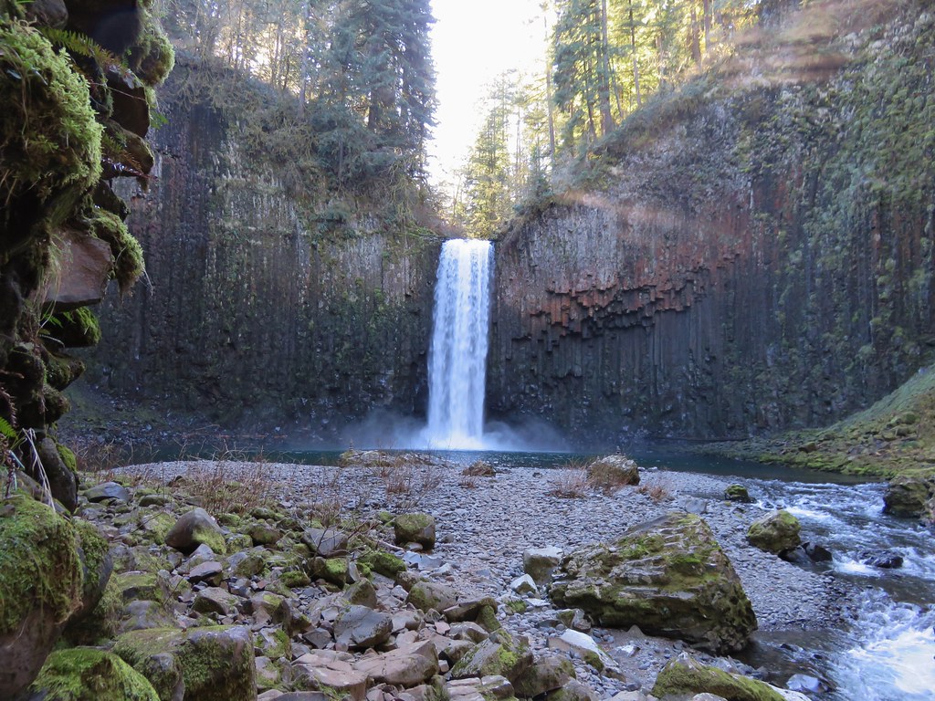
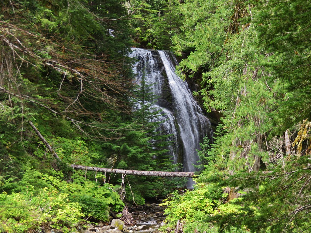
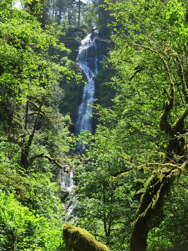
#19 Munson Falls – Hiked 5/30/2015
#20 Bayocean Spit – Hiked 4/14/2013
#21 Cape Meares – Hiked 1/1/2018
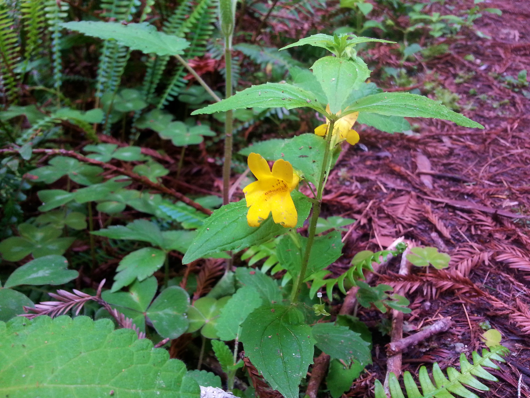
#22 Wilson River – Hiked 3/8/2014

#23 Kings Mountain – Hiked 8/16/2010

#24 Gales Creek – Hiked 2/15/2015

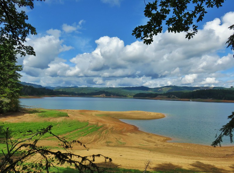
#25 Hagg Lake – Hiked 9/13/2019
#26 Cape Lookout – Hiked 11/11/2011
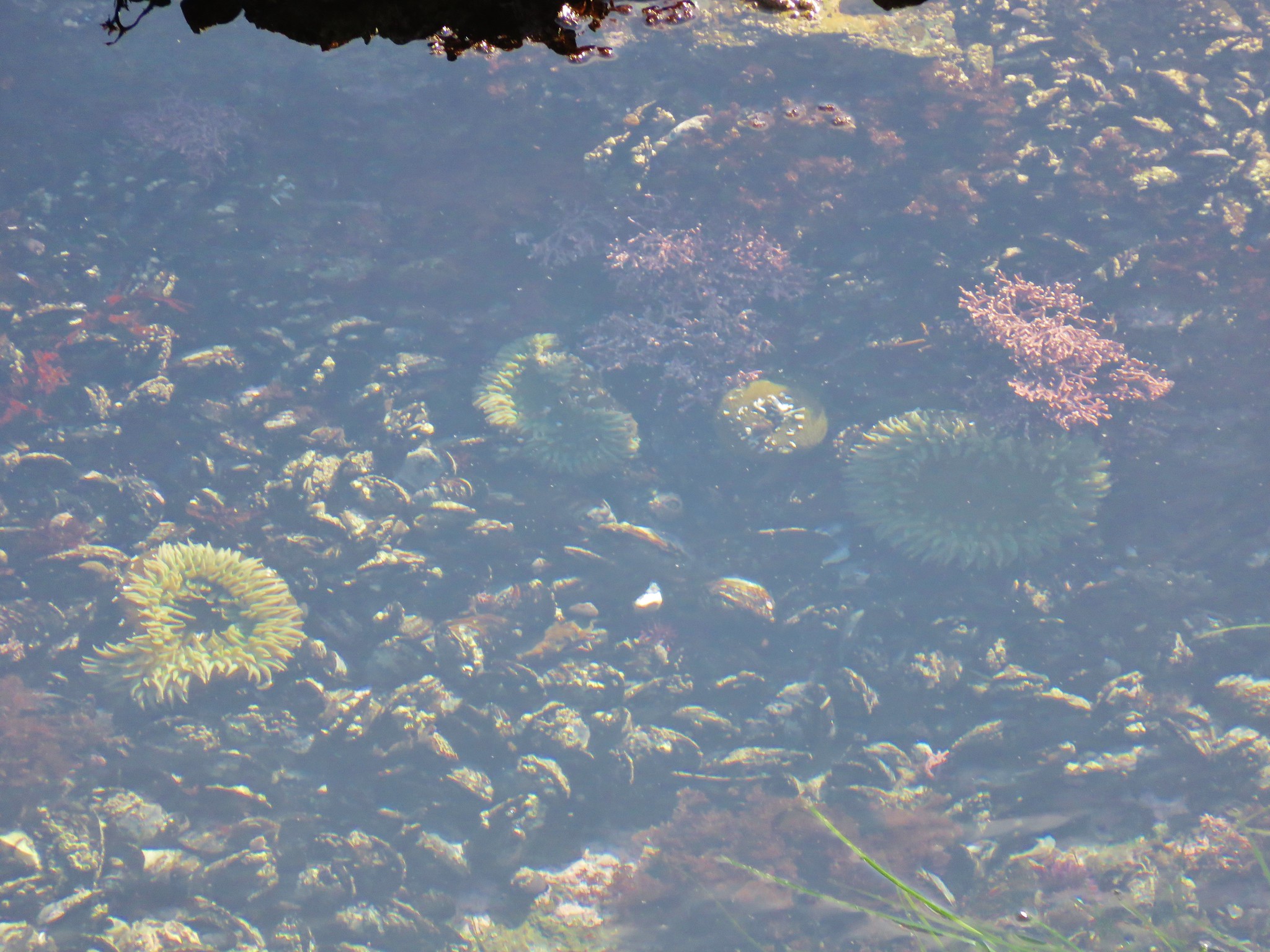
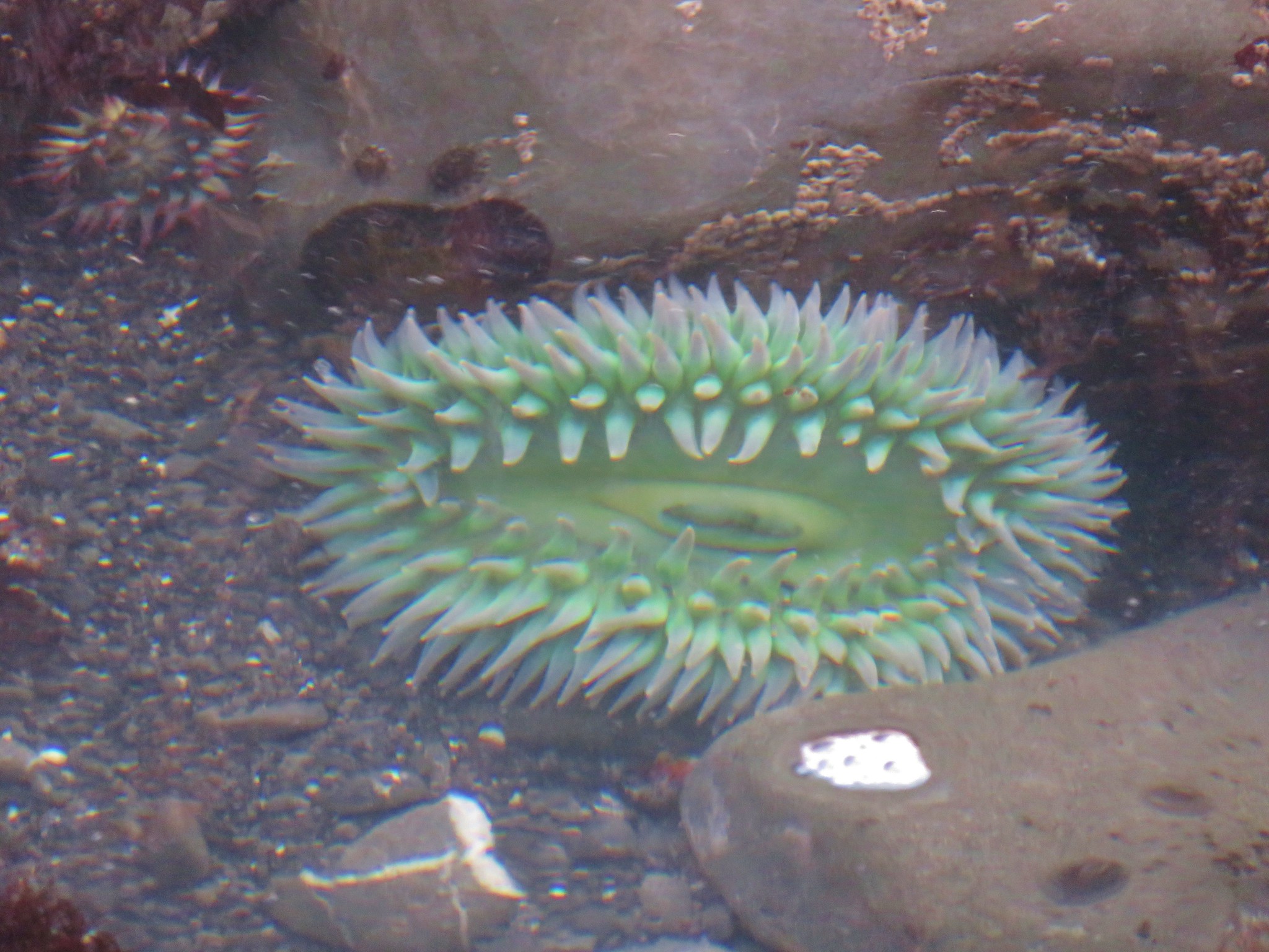
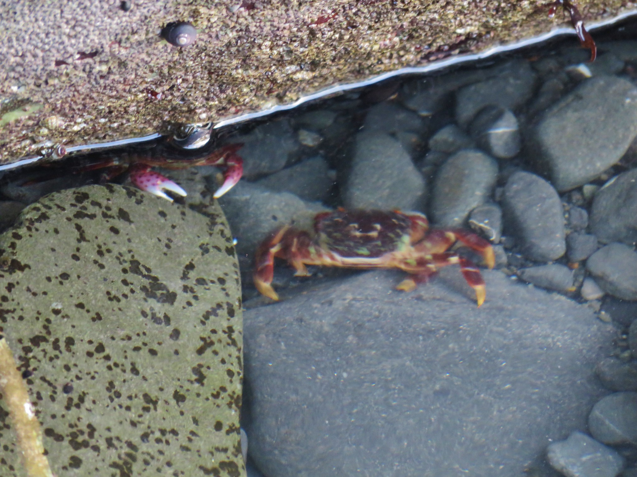
#27 Pacific City – Hiked 10/8/2013

#28 Mount Hebo – Hiked 5/30/2011 & 5/30/2015
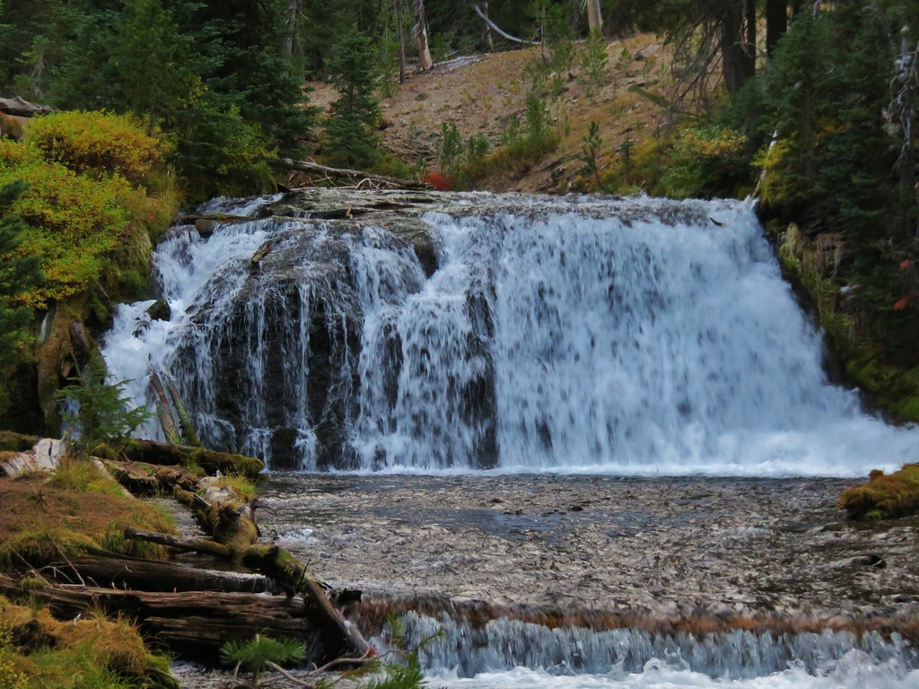
#29 Niagara Falls – Hiked 2/12/2017

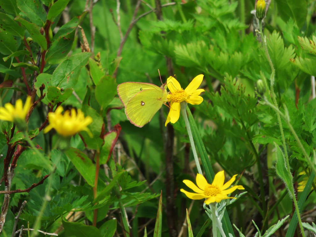
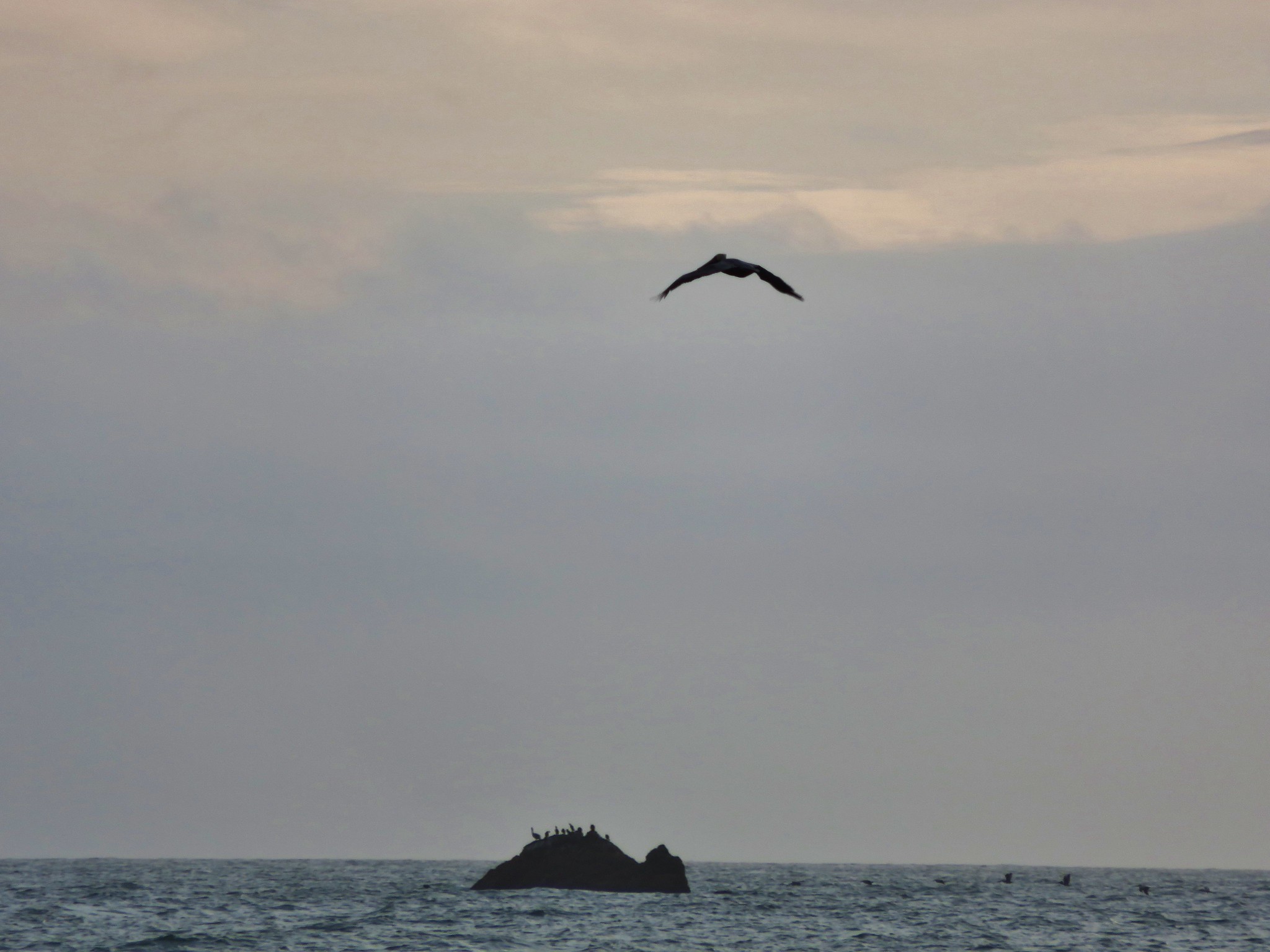
#30 Neskowin – Hiked 2/12/2017
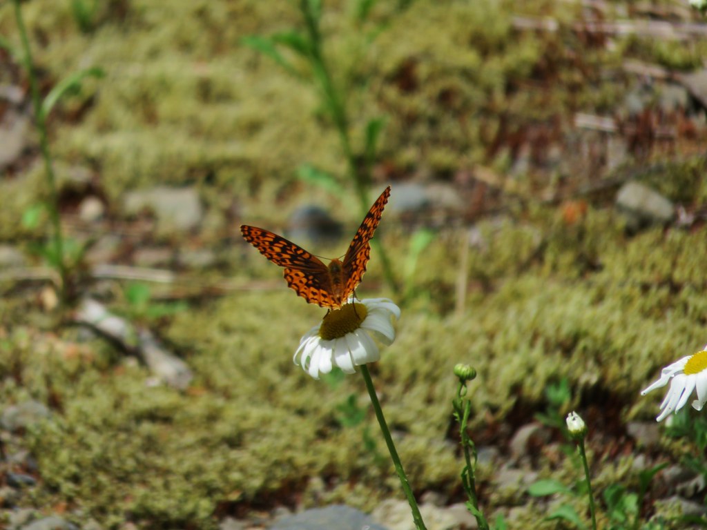
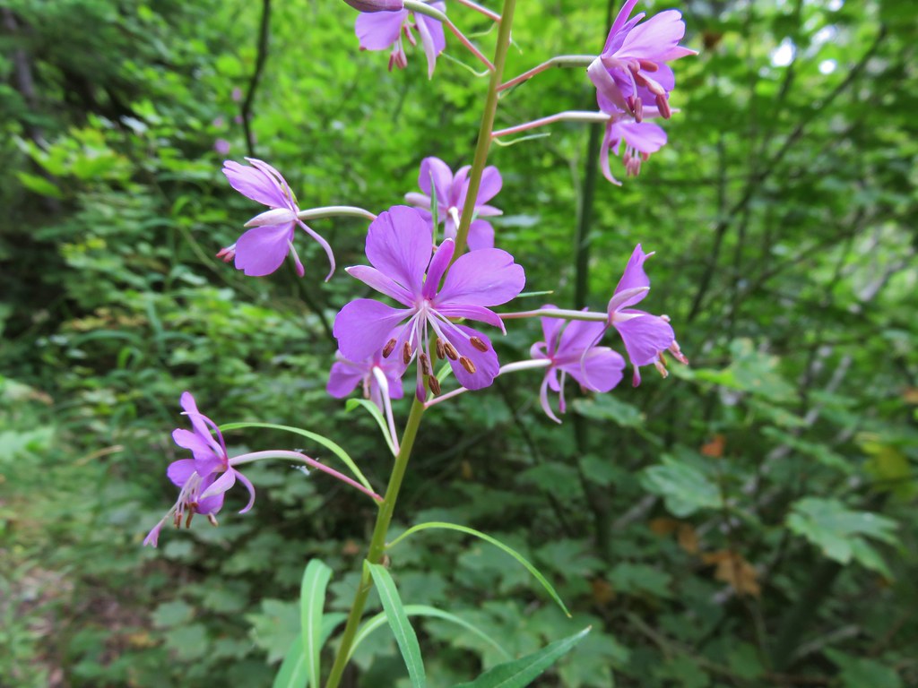
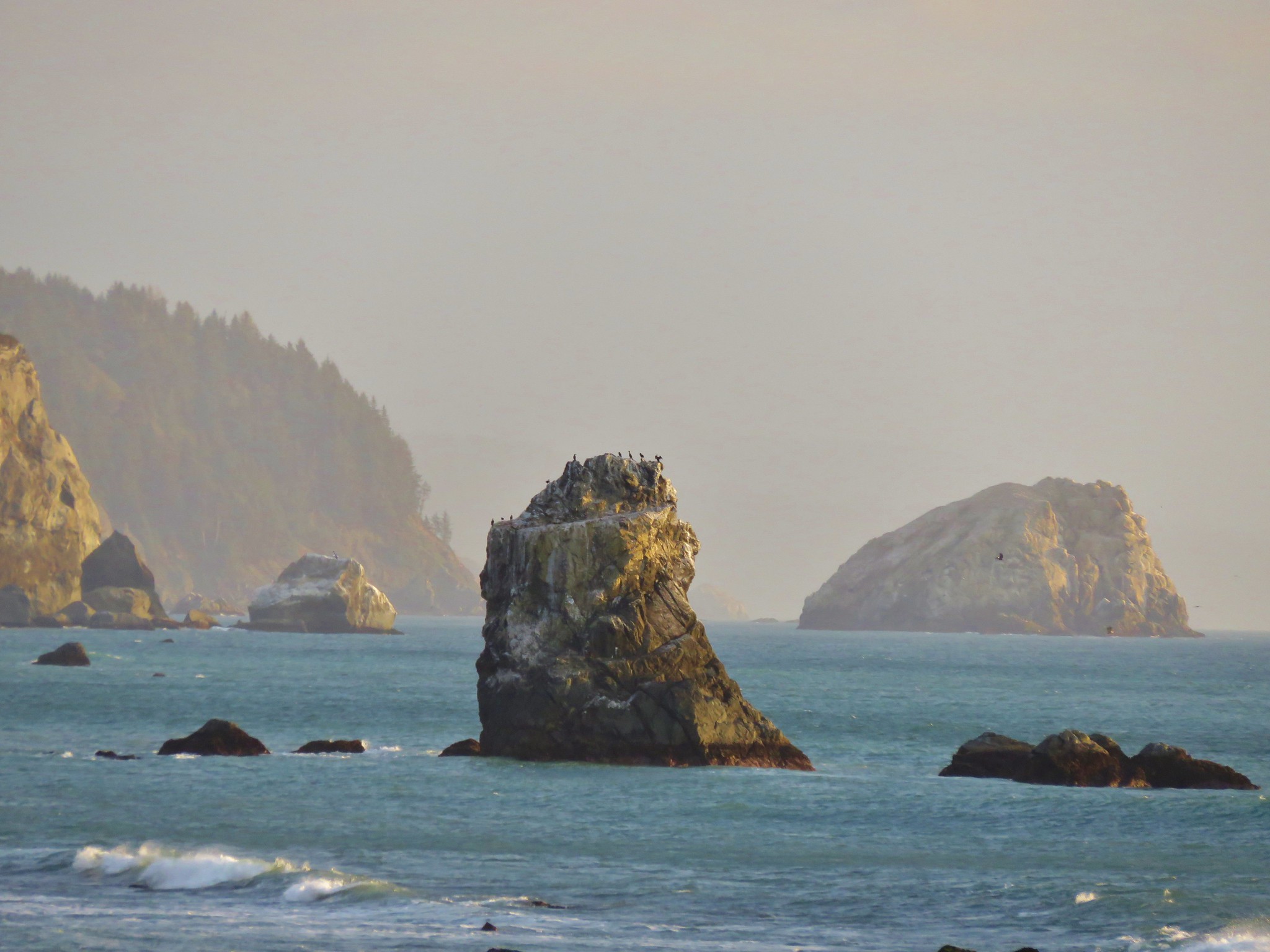
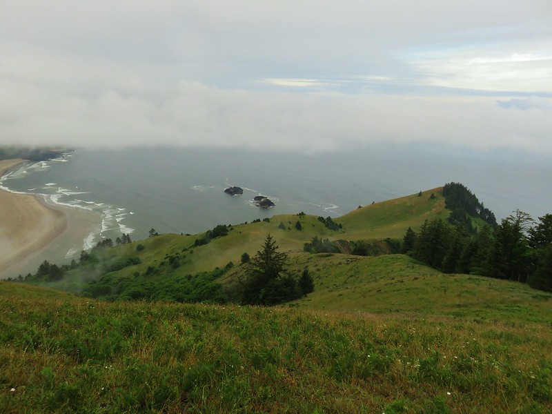
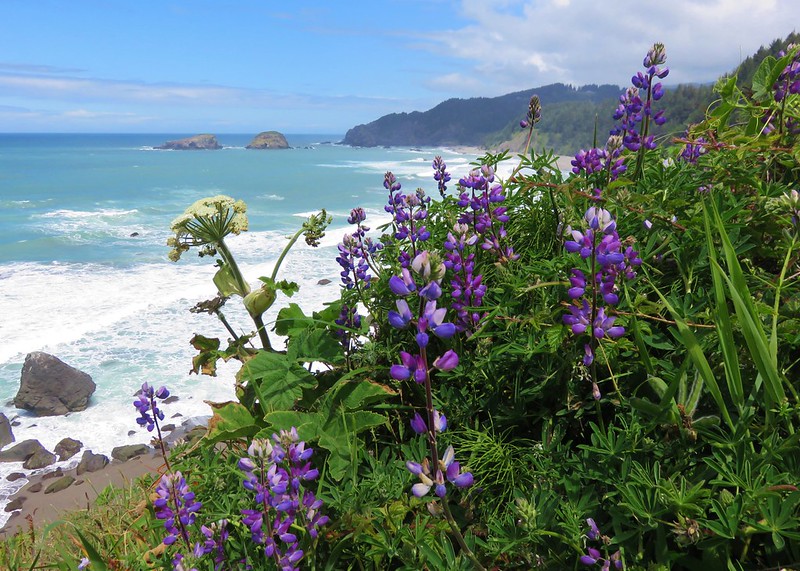
#31 Harts Cove – Hiked 12/6/2014
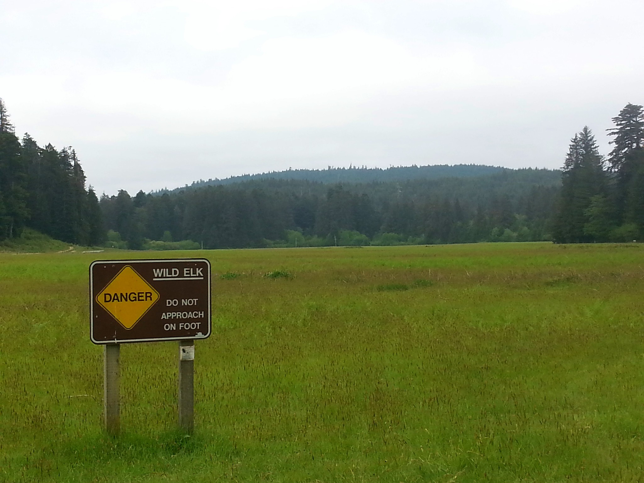
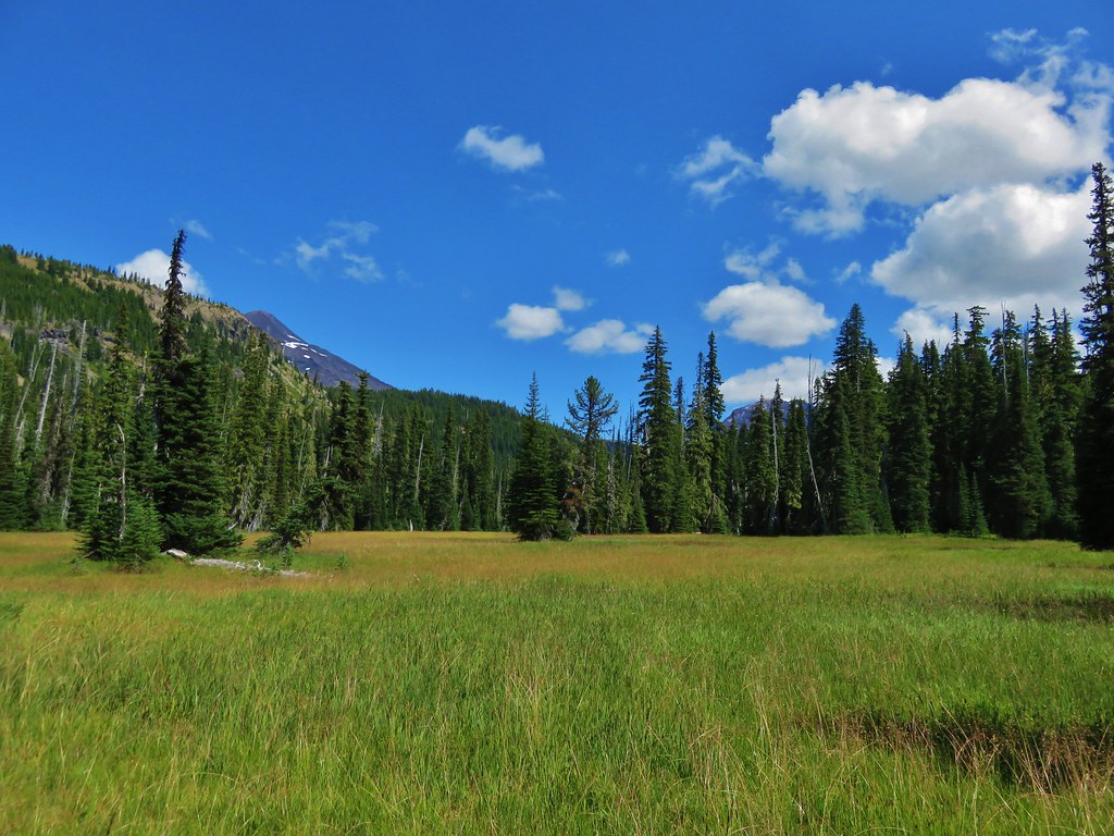
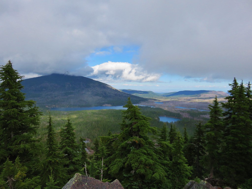
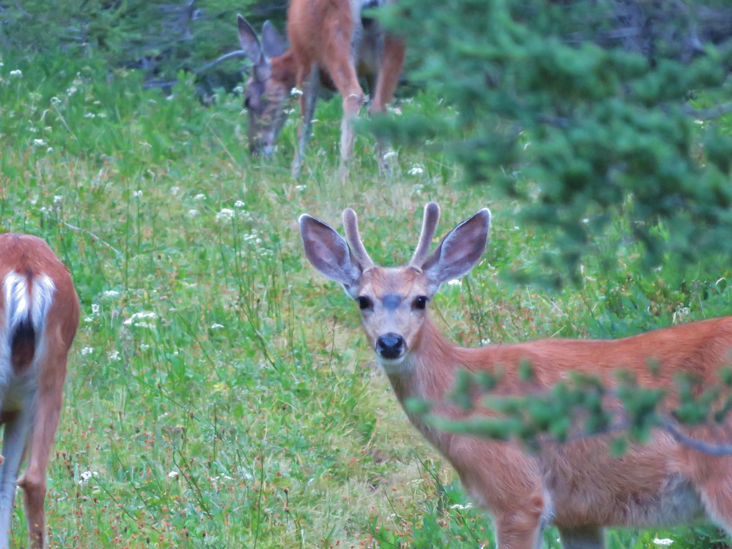
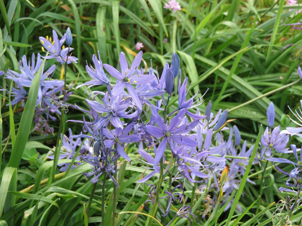
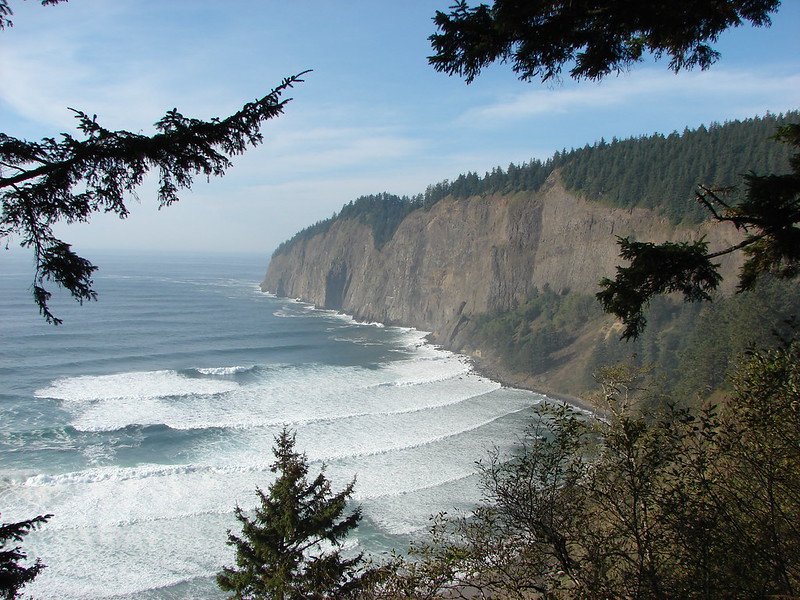
#32 Cascade Head – Hiked 8/8/2010, 6/25/2019, & 9/28/19 (Inland Trail)
 Inland (Rainforest) Trail
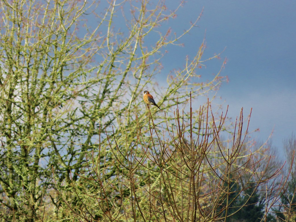
#33 Baskett Slough Refuge – Hiked 7/11/2010, 5/3/2020 & 4/15/2021
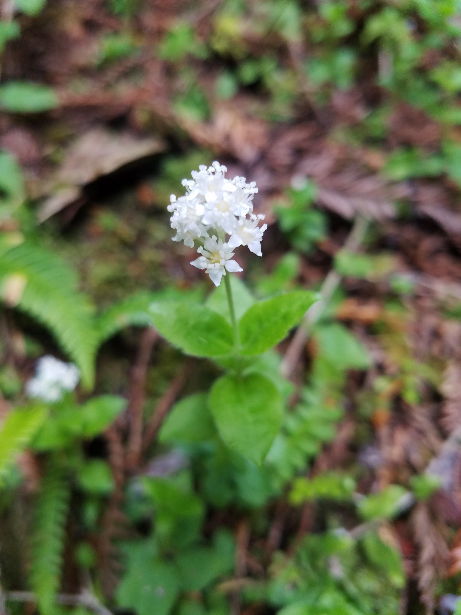
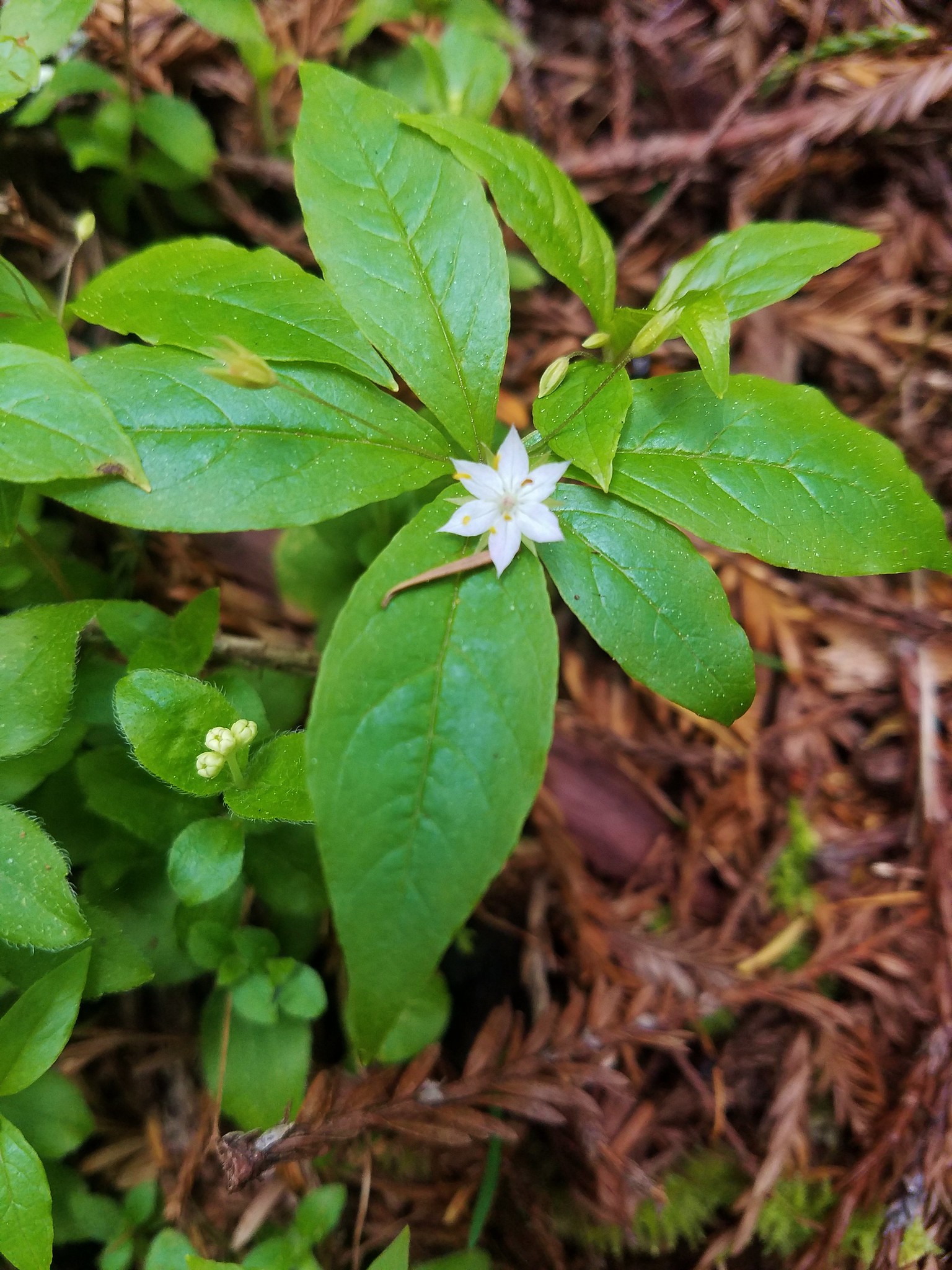
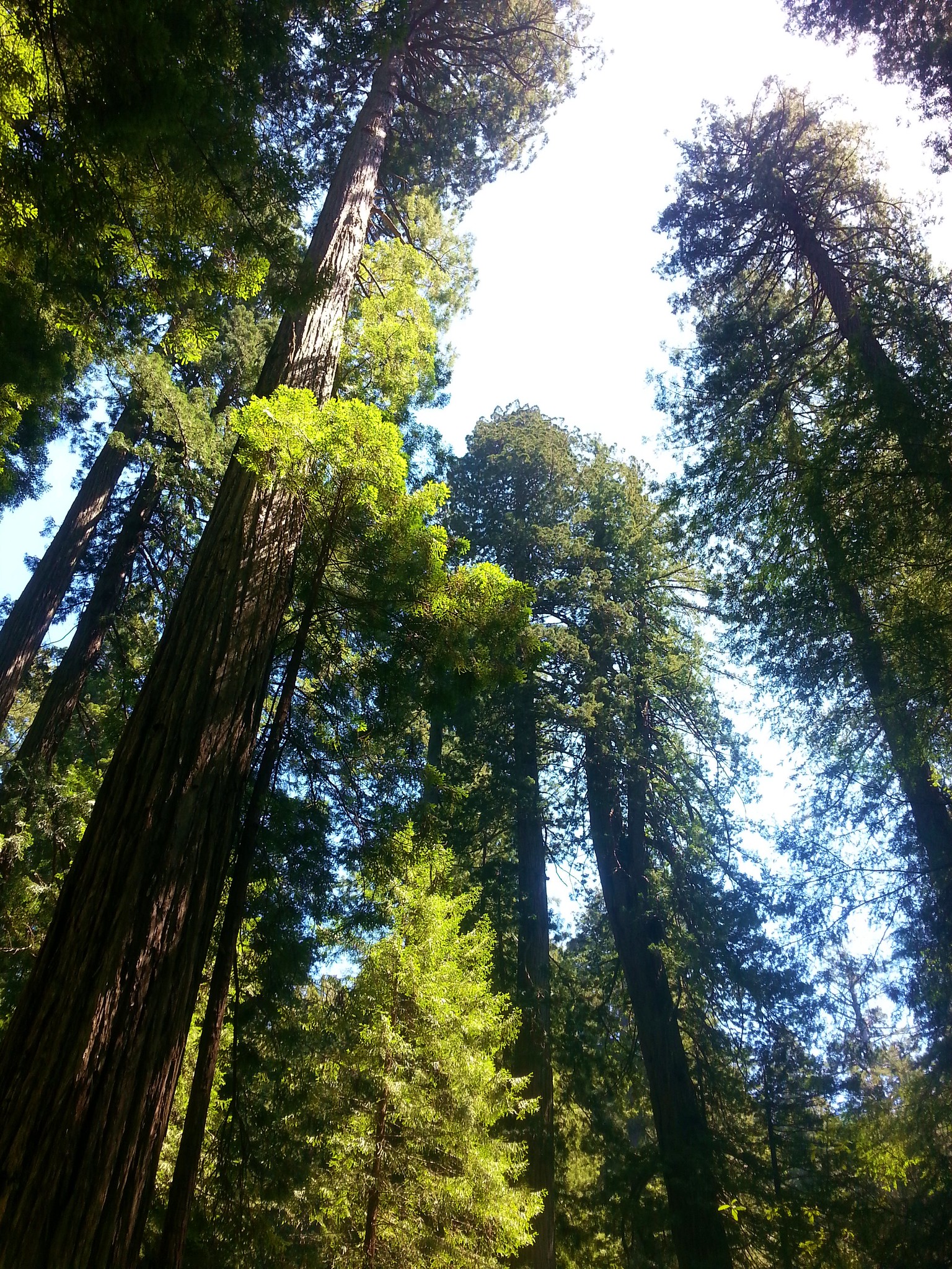
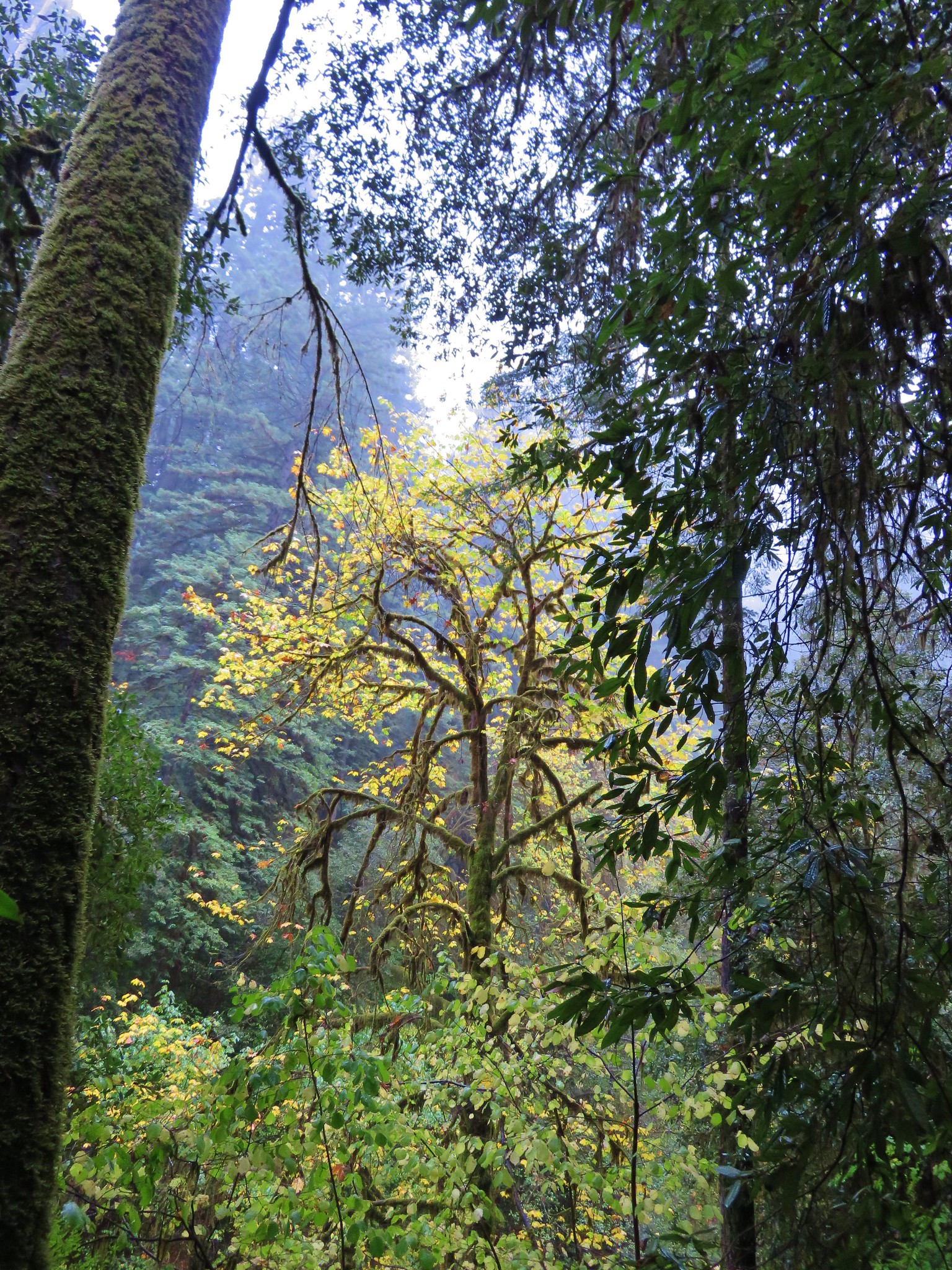
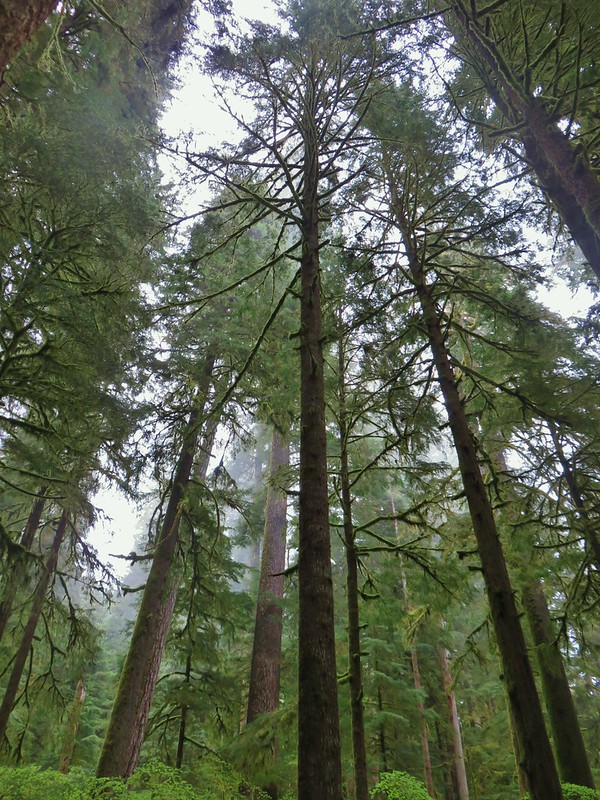
#34 Valley of the Giants – Hiked 5/18/2020
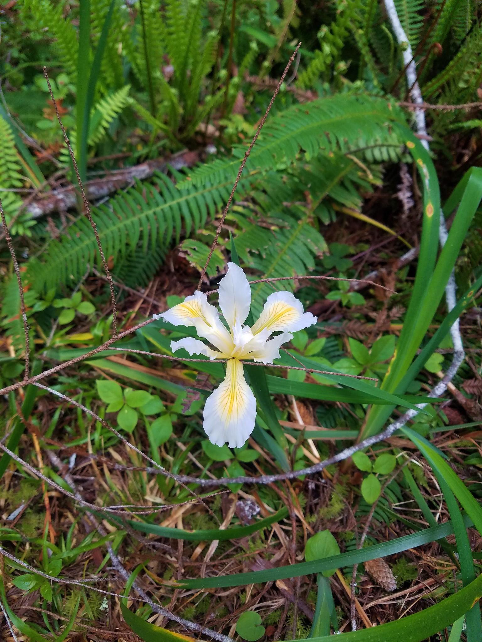
#35 Roads End – Hiked 3/6/2021

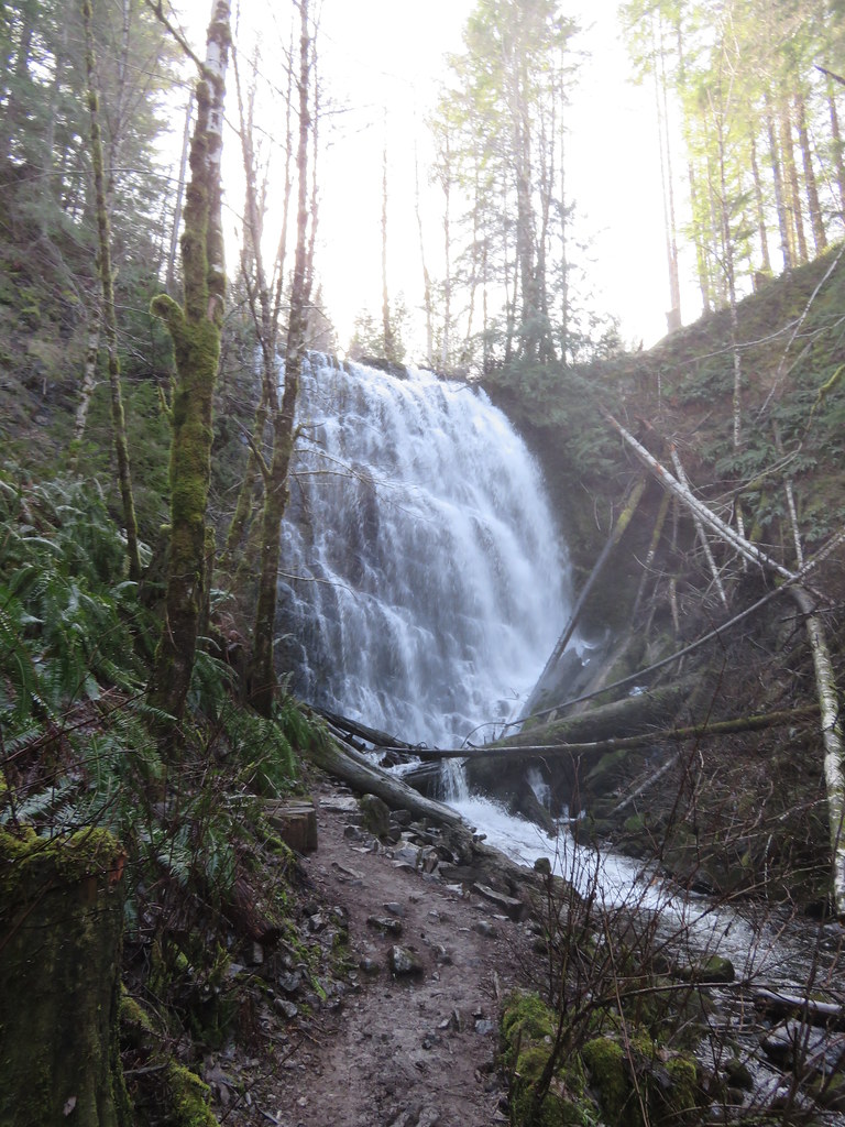
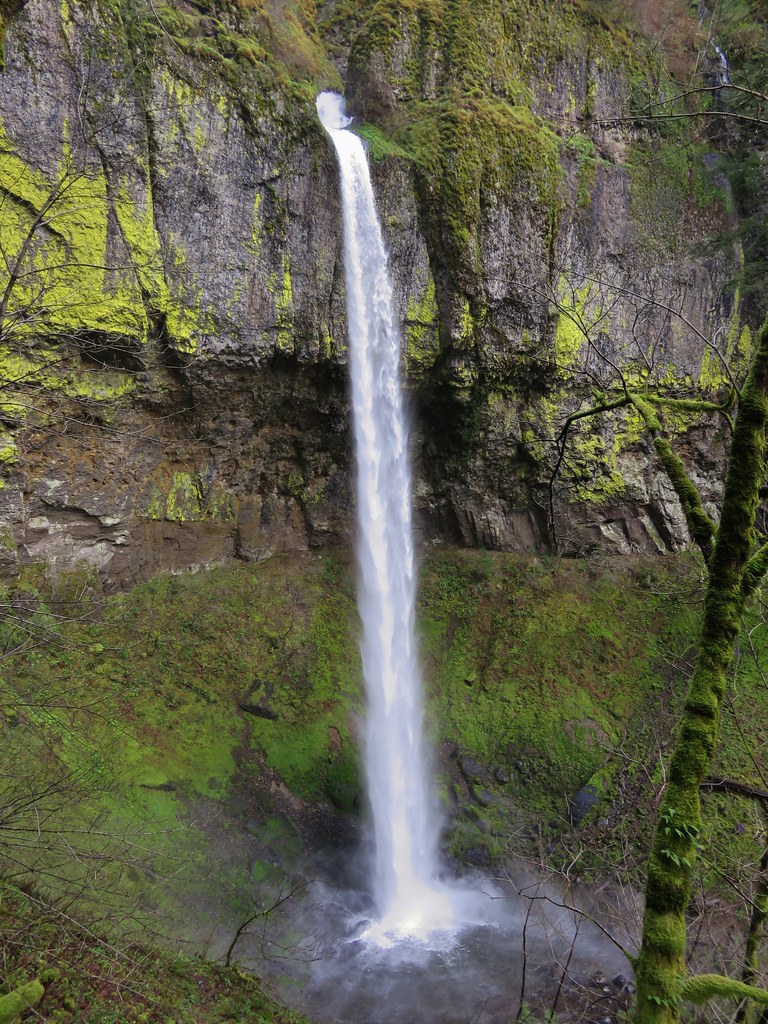
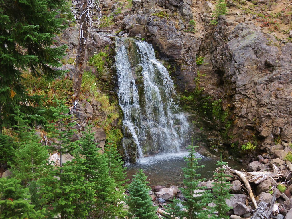
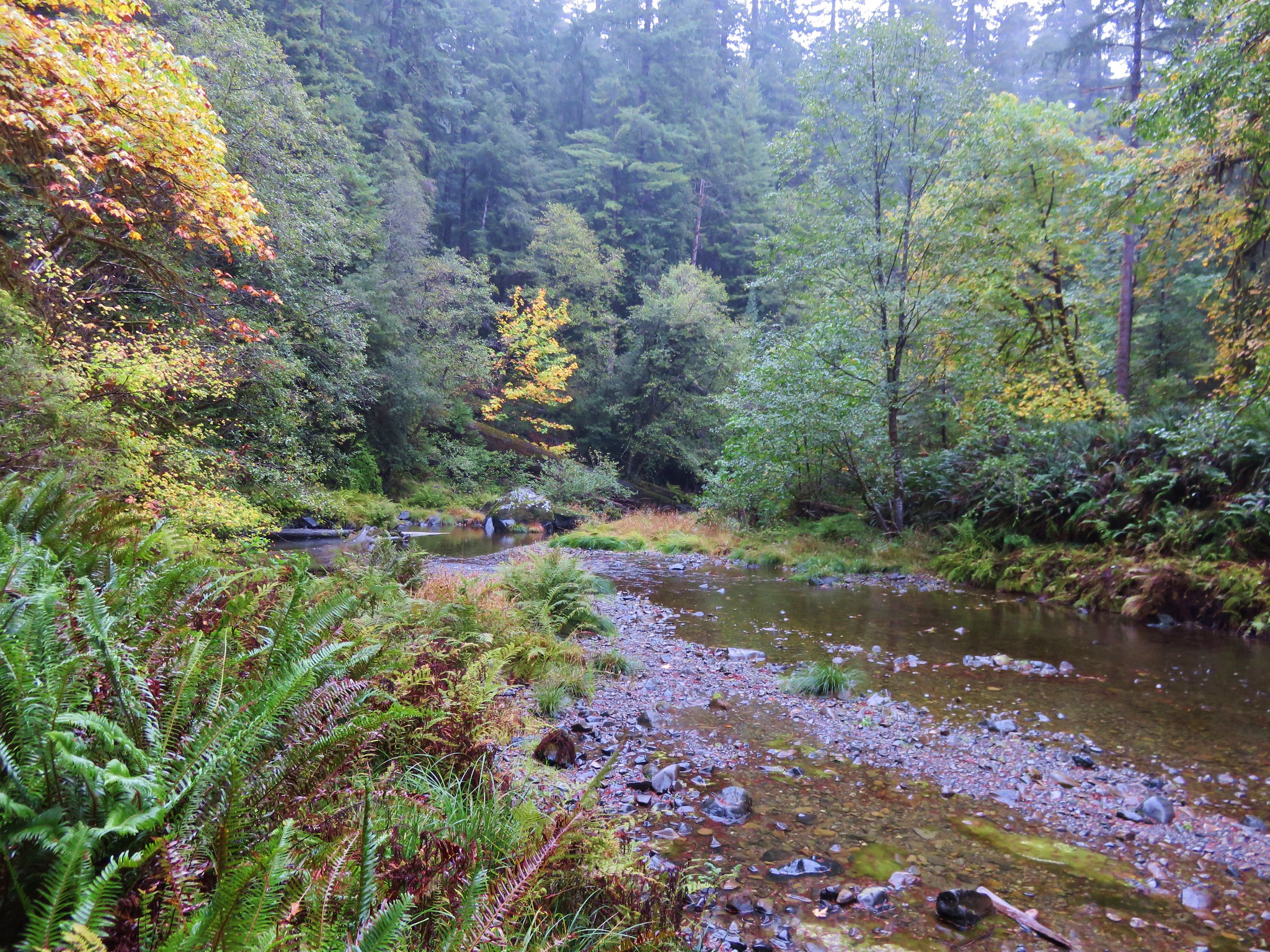
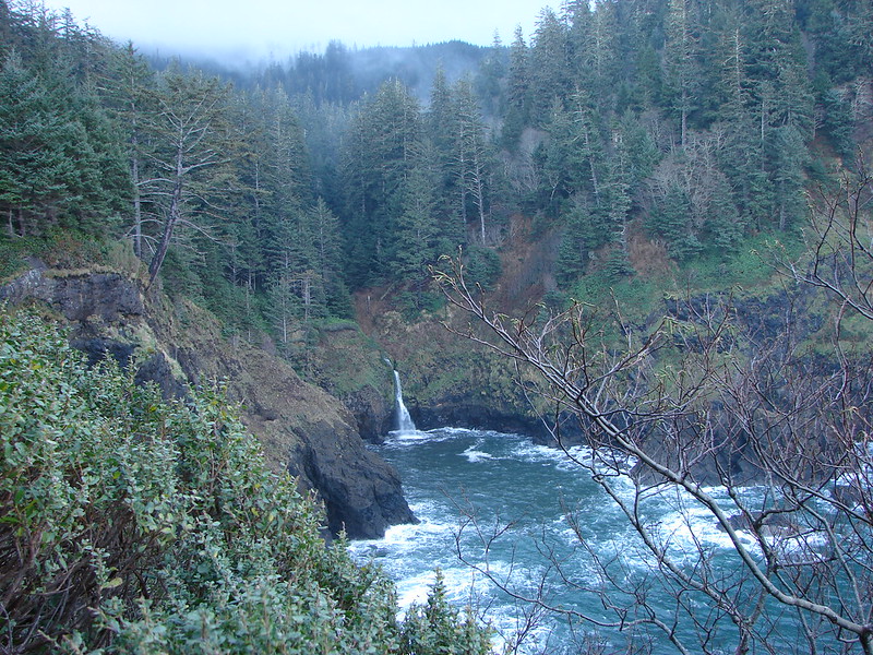
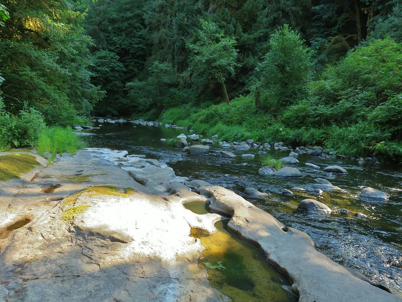
#36 Drift Creek Falls – Hiked 12/6/2014

#37 Salishan Spit – Hiked 8/1/2015

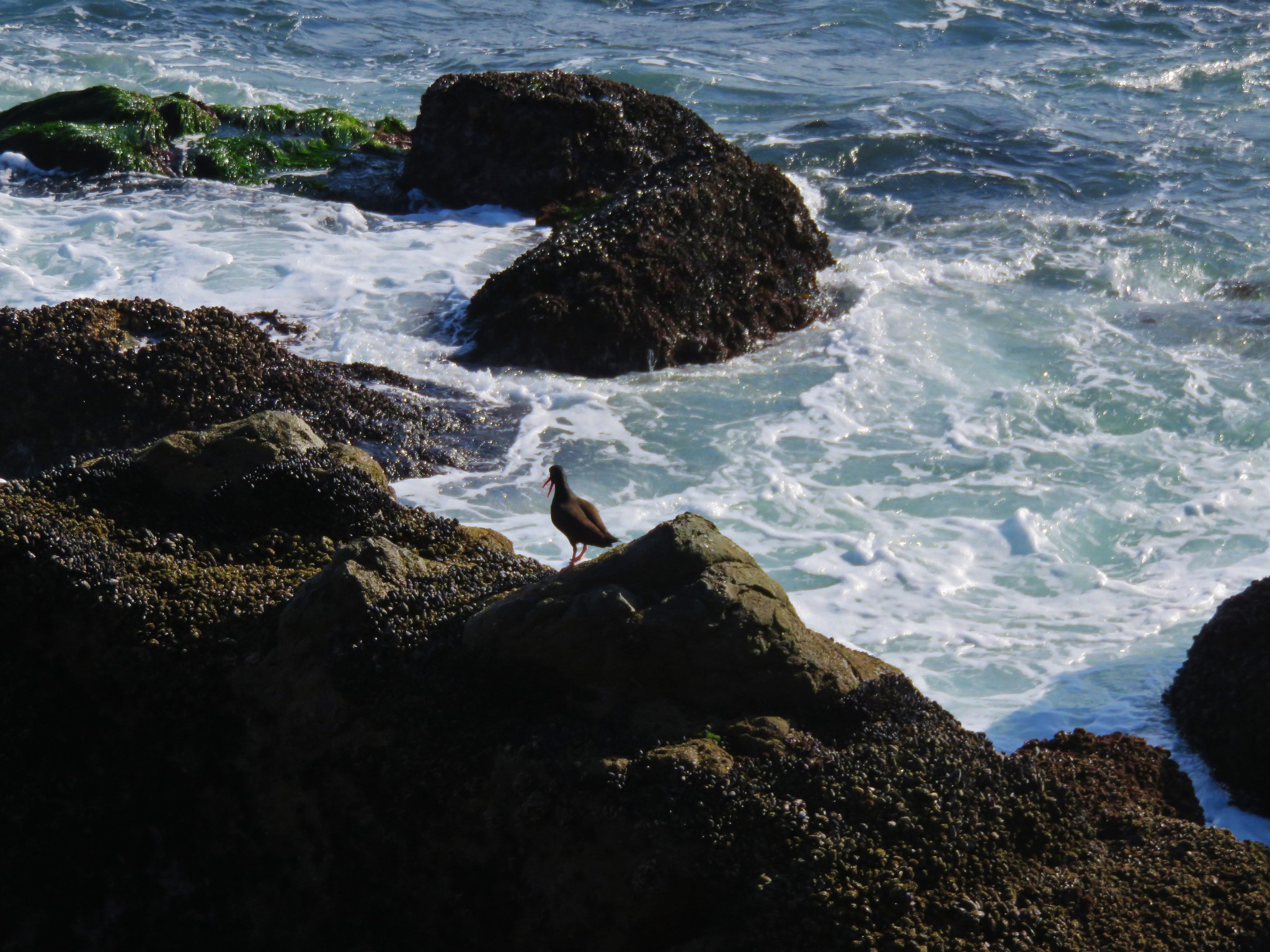
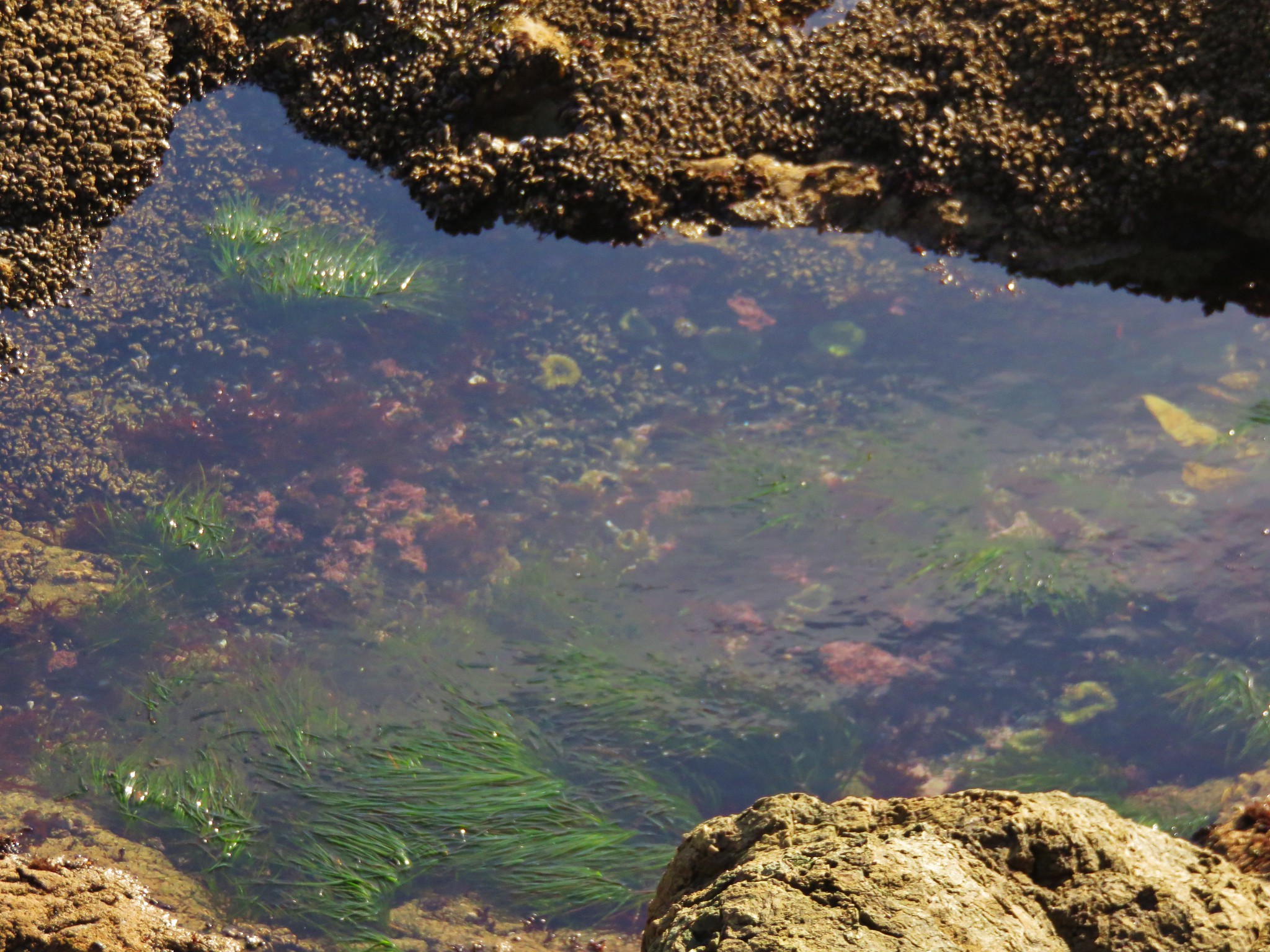
#38 Devil’s Punchbowl – Hiked 7/12/2012

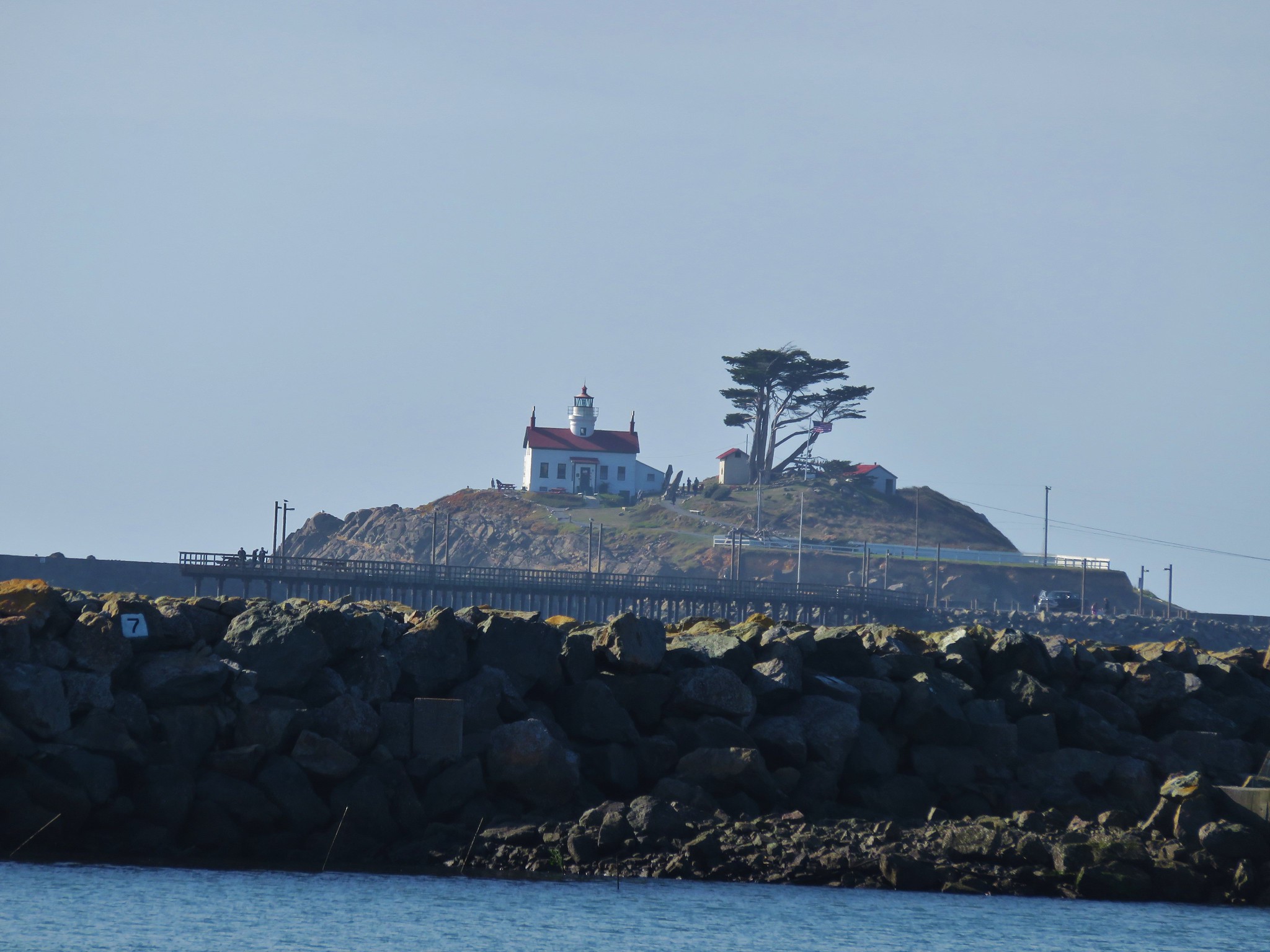
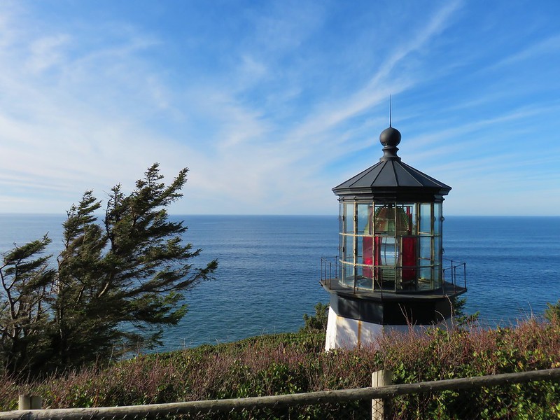
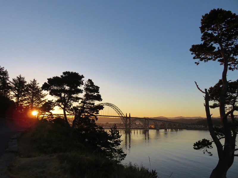
#39 Newport Lighthouses – Hiked 8/26/2017
 Yaquina Head
 Yaquina Bay
#40 South Beach – Hiked 8/4/2018
 Estuary Trail
 South Jetty
 Mike Miller Trail
#41 Ona Beach and Seal Rock – Hiked 12/11/2017

#42 Drift Creek North – Hiked 9/15/2010

#43 Drift Creek South – Hiked 8/3/2019
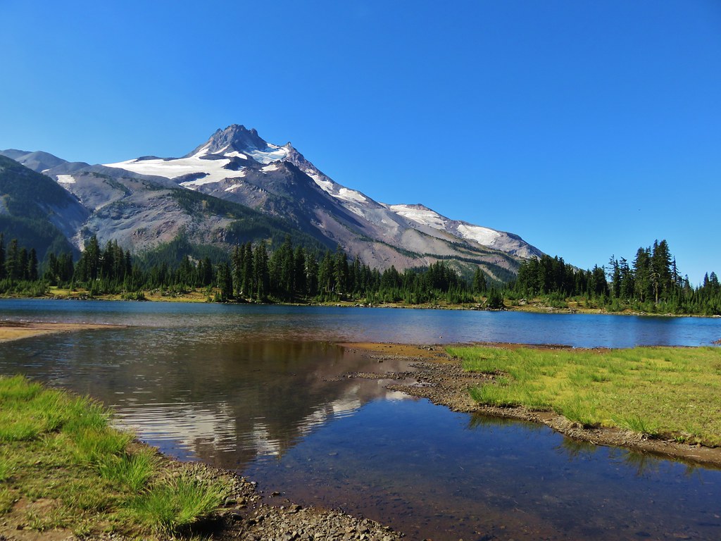
#44 Mary’s Peak – Hiked 2009 (day unknown), 6/1/2014, & 6/5/2021

#45 Kings Valley – Hiked 6/1/2014
 Fort Hoskins
 Beazell Forest
#46 Peavy Arboretum – Hiked 2/19/2018
#47 Chip Ross Park & Dimple Hill – Hiked 12/18/2016 & 10/2/2021
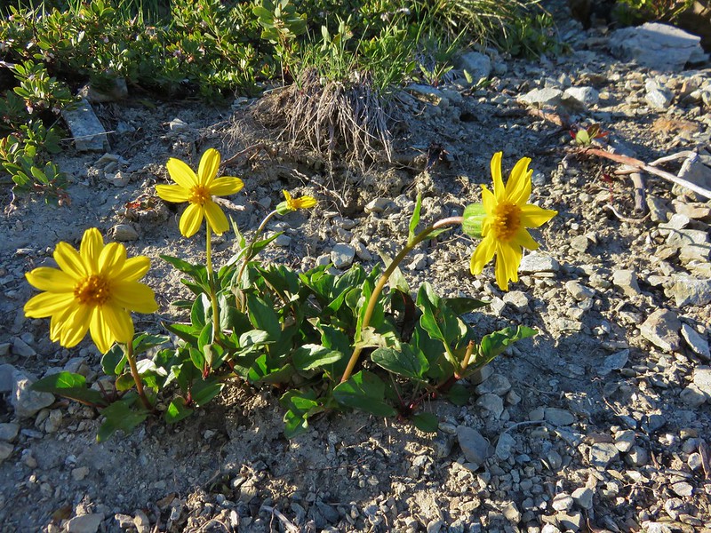
#48 Finley Wildlife Refuge – Hiked 10/21/2017, 5/31/20, & 4/14/2021

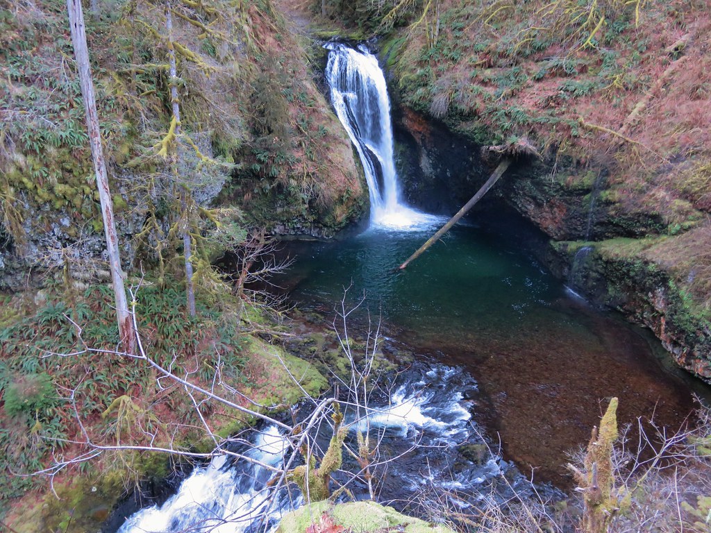
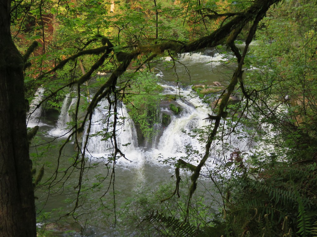
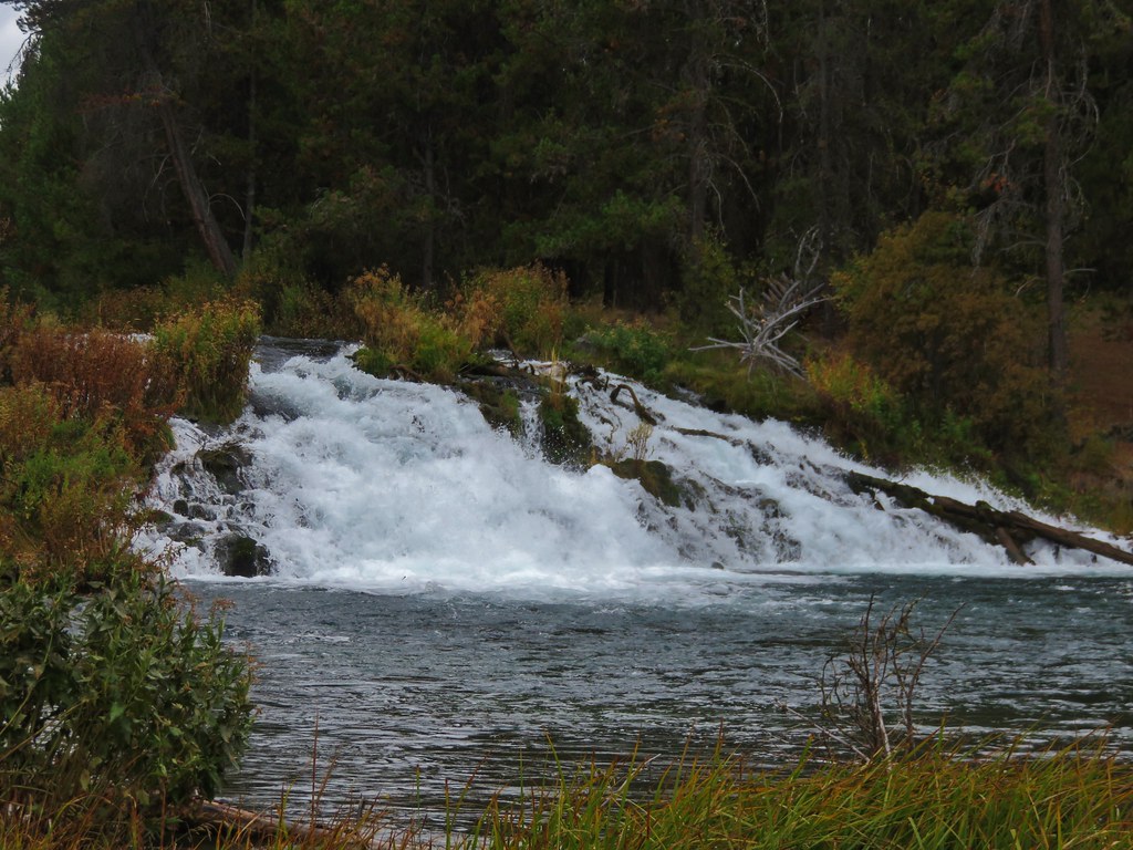
#49 Alsea Falls – Hiked 12/19/2012

#50 Yachats – Hiked 12/5/2020

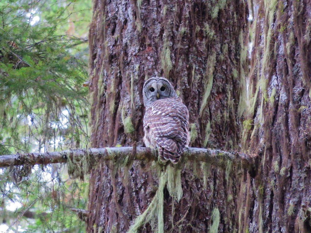
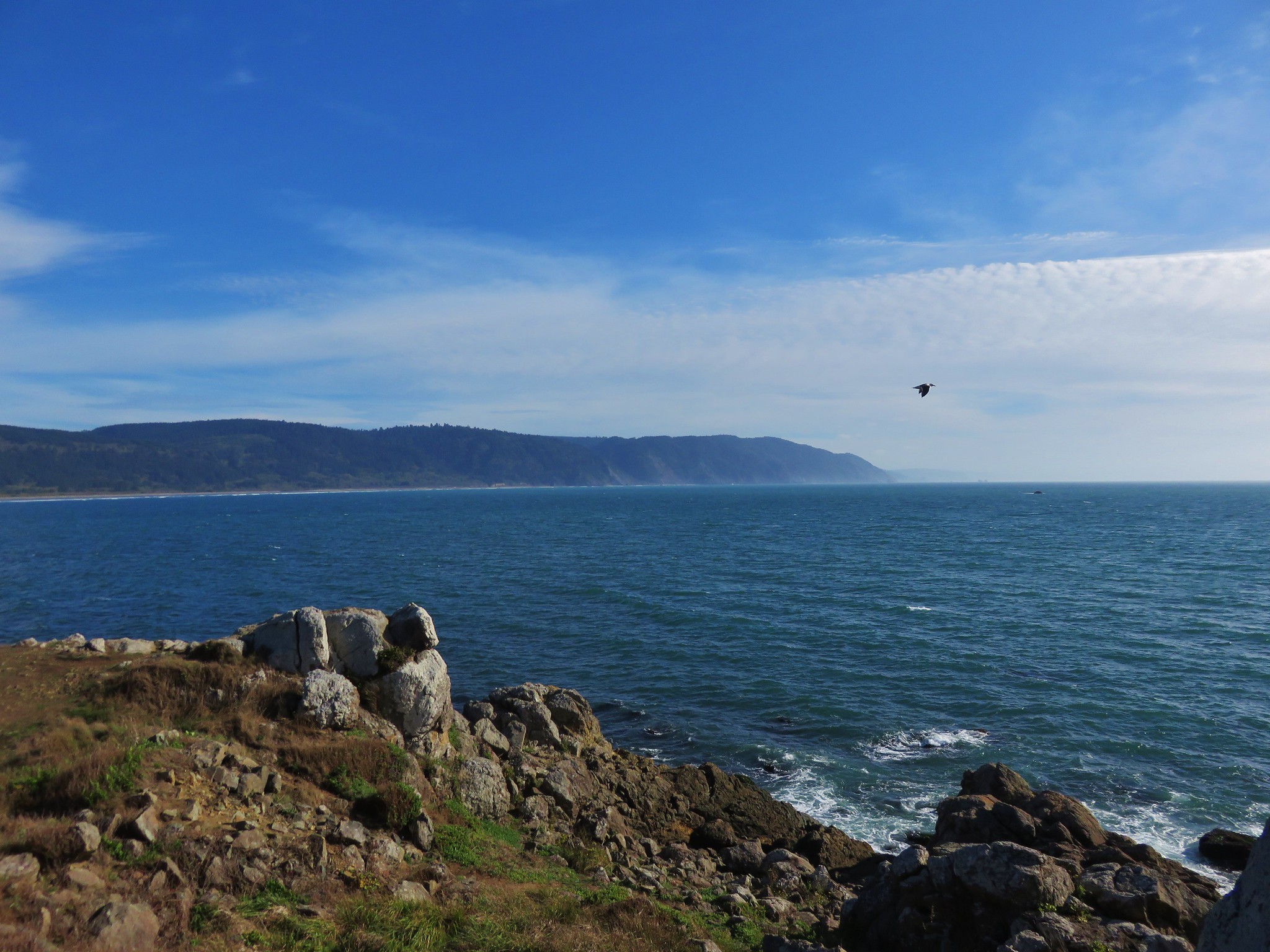
#51 Cape Perpetua – HIked 9/15/2010, 2/17/2013, & 10/27/2018

#52 Gwynn Creek – Hiked 2/17/2013
#53 Heceta Head – Hiked 12/11/2017
#54 Baker Beach – Hiked 1/15/2017
#55 Sutton Creek – Hiked 2/20/2016
#56 Cape Mountain – Hiked 9/5/2011

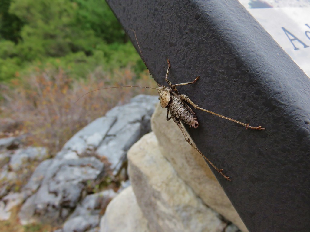
#57 Pawn and Pioneer Trails – Hiked 5/13/2021
 Pioneer Hill Trail
 Pawn Old Growth Trail
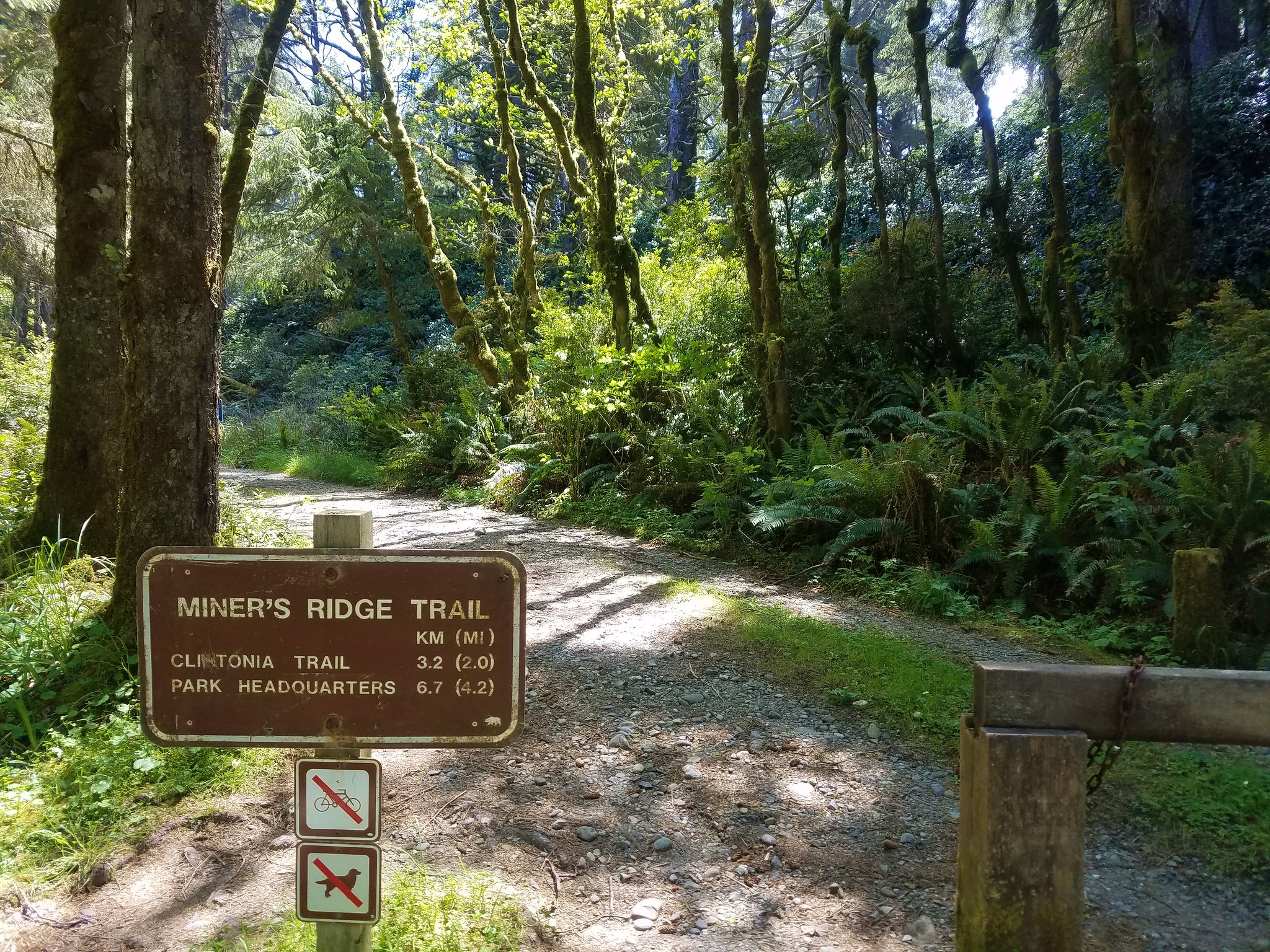
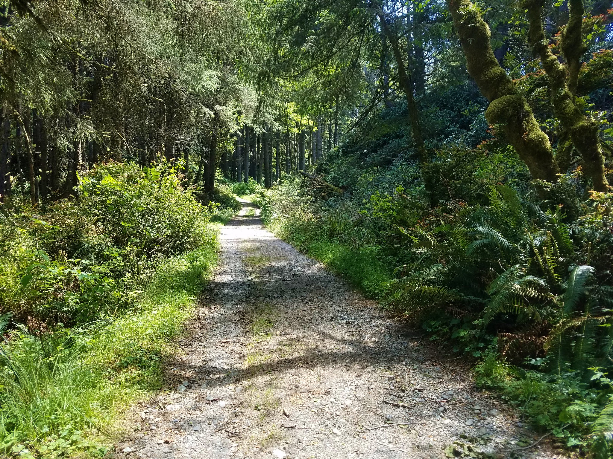
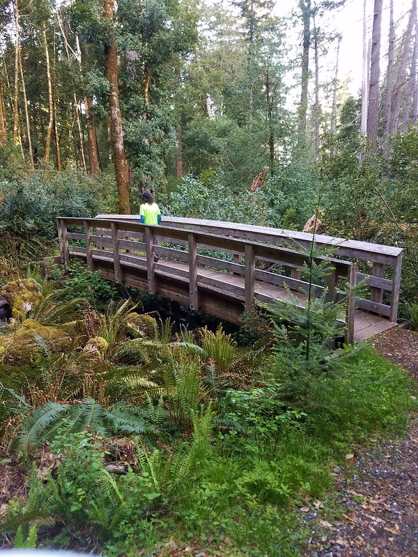
#58 Siuslaw Ridge Trails – Hiked 2/20/2016 & 11/20/2021
 Old Growth Ridge Trail
 Clay Creek Trail
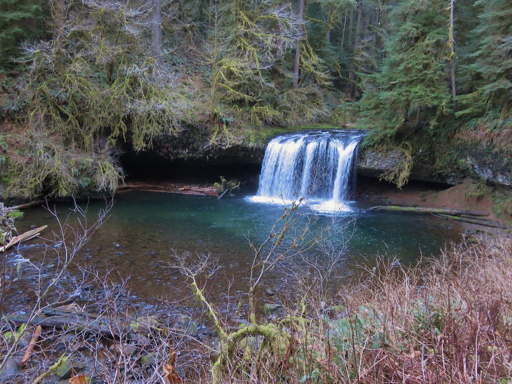
#59 Sweet Creek Falls – Hiked 2/20/2016

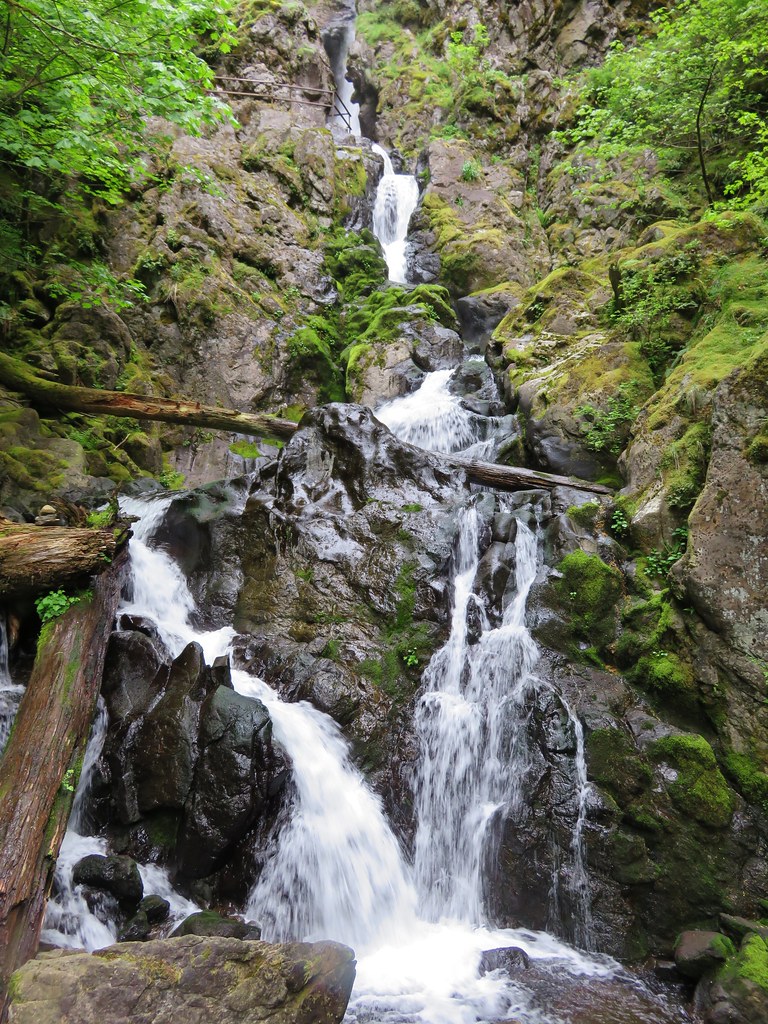
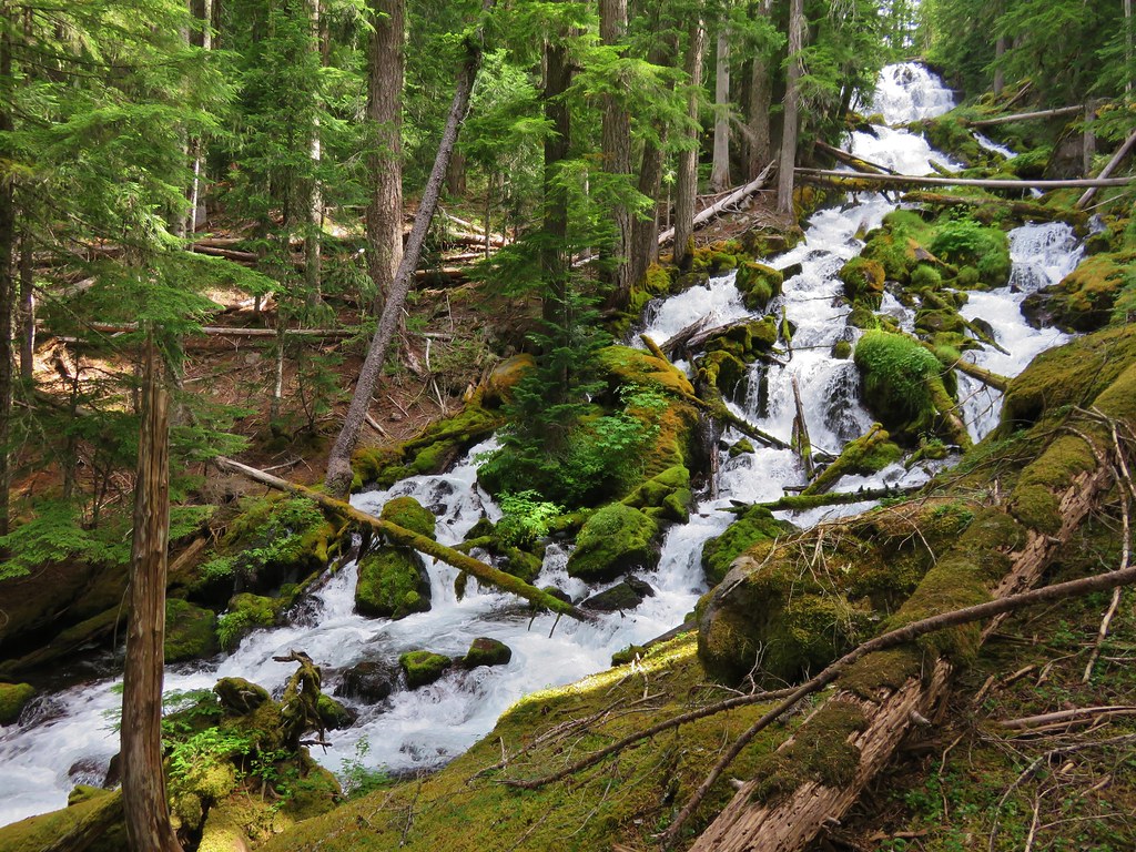
#60 Kentucky Falls – Hiked 5/9/2015
#61 Honeyman Park – Hiked 12/8/2018
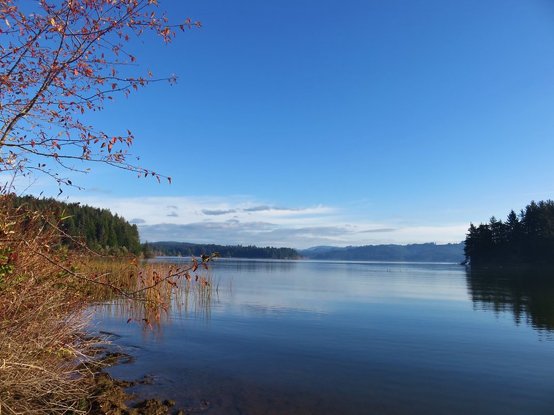
#62 Siltcoos Lake – Hiked 12/8/2018
#63 Siltcoos River – Hiked 12/8/2018

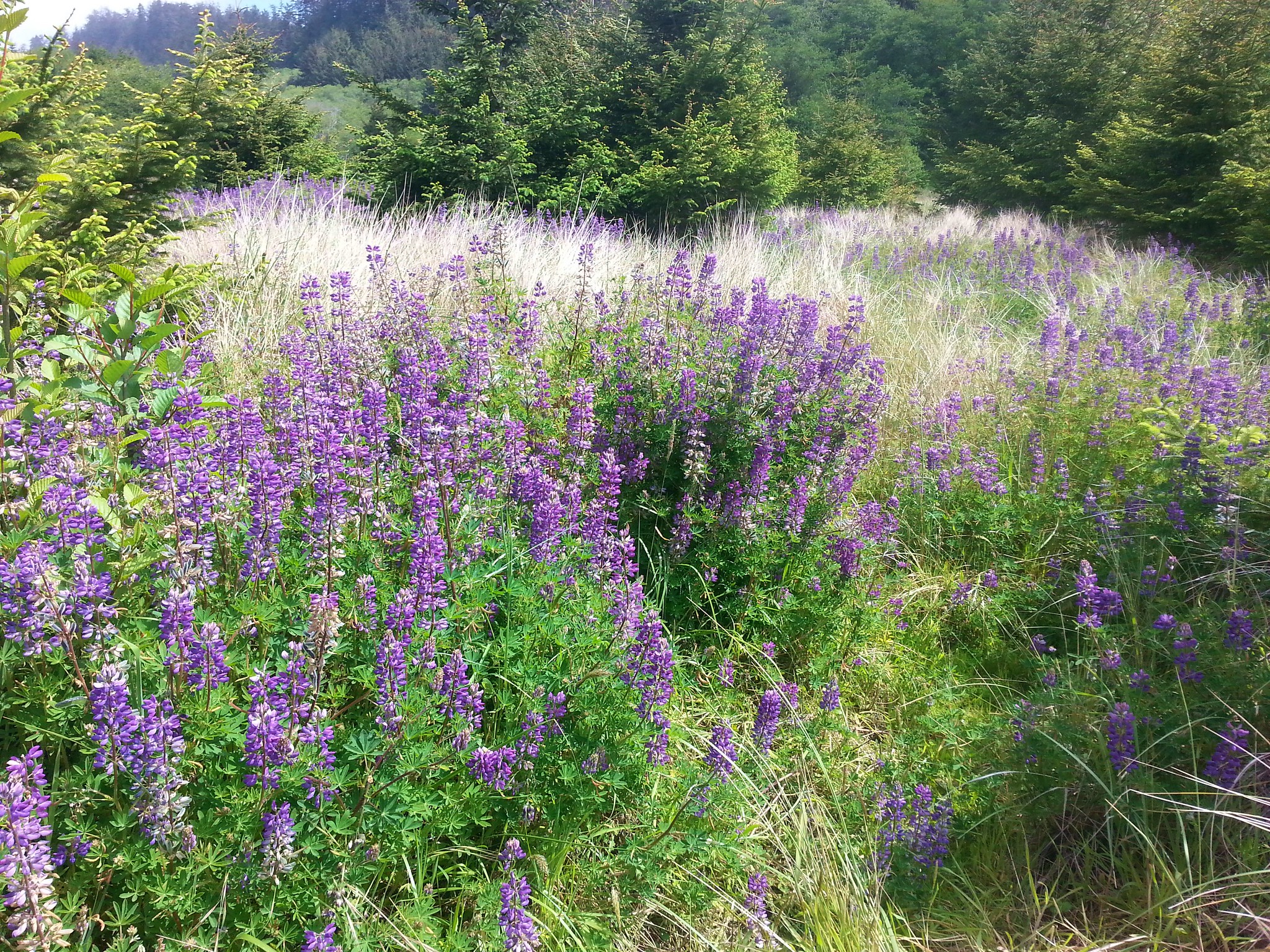
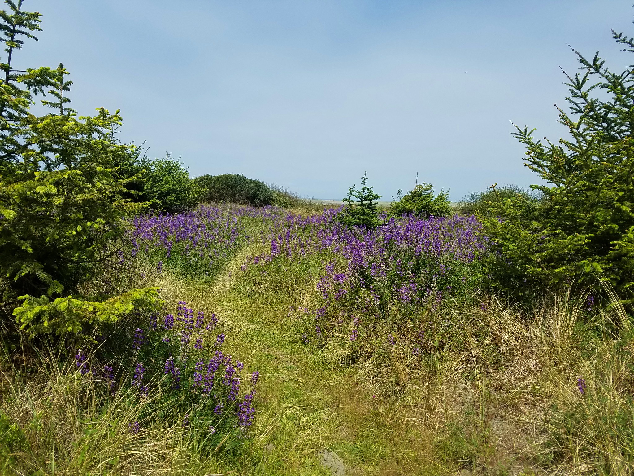
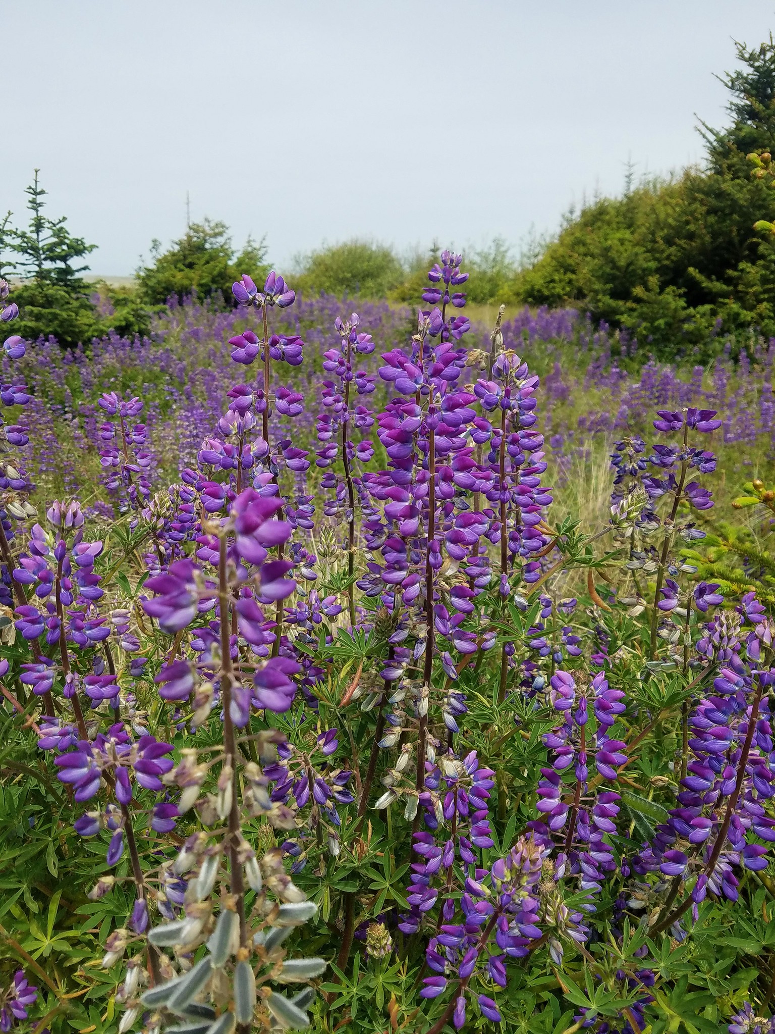
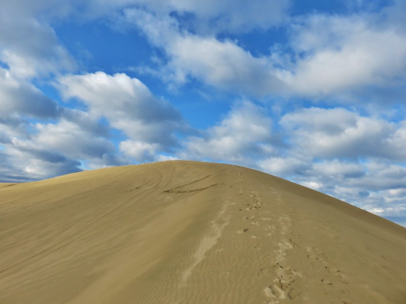
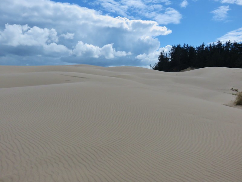
#64 Taylor Dunes – Hiked 9/13/2018

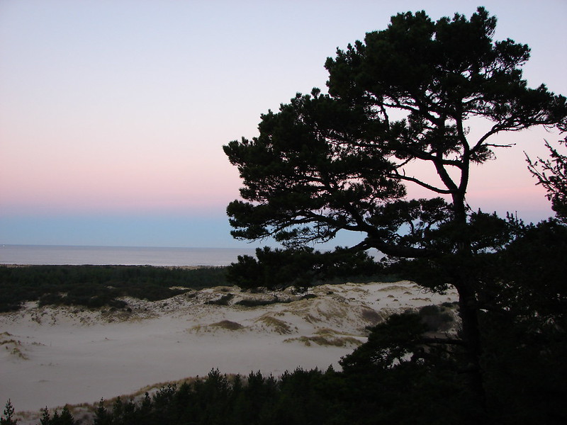
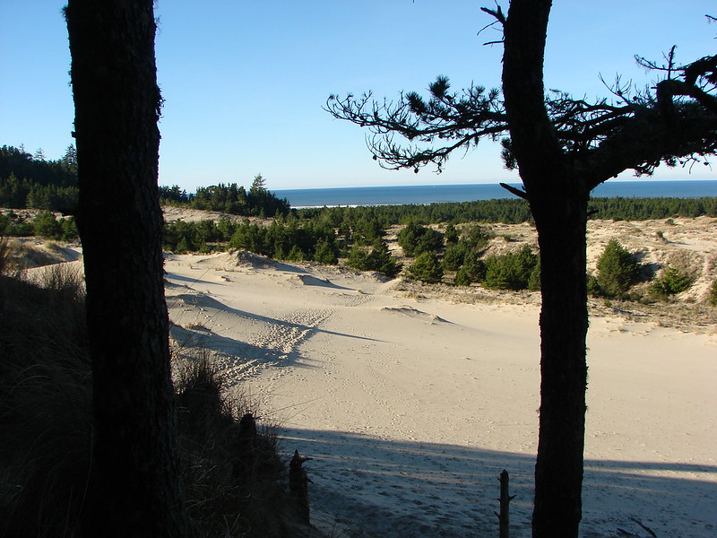
#65 Oregon Dunes – Hiked 1/1/2015
#66 Tahkenitch Creek – Hiked 1/1/2015 & 9/16/2018

#67 Tahkenitch Dunes – Hiked 1/1/2015
#68 Lake Marie – Hiked 9/13/2018

#69 Umpqua Dunes – Hiked 9/13/2018
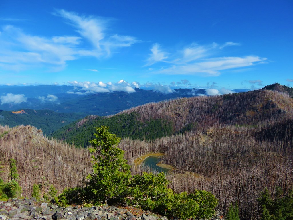
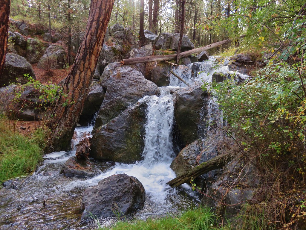
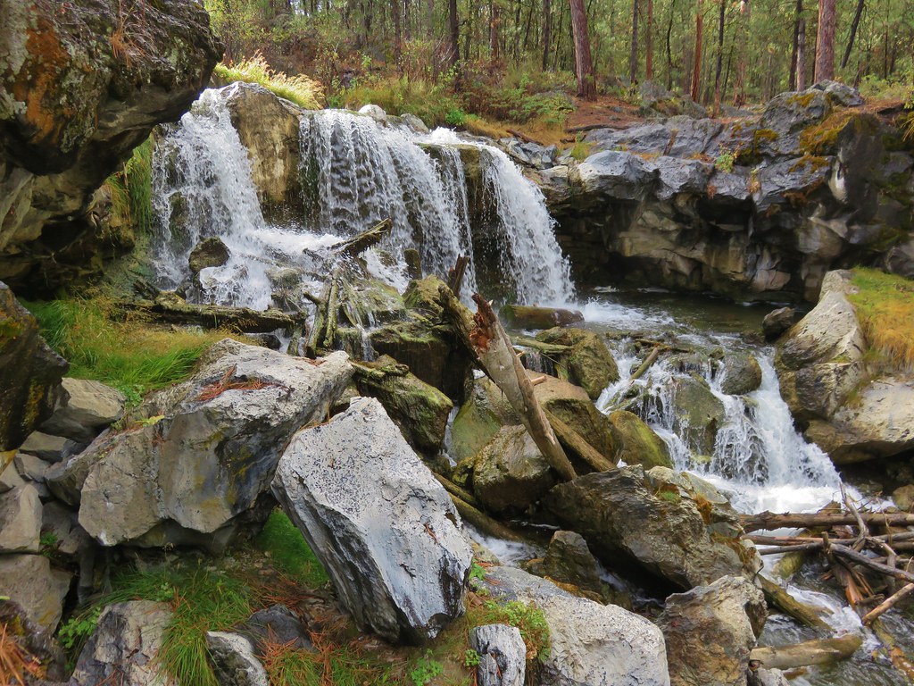
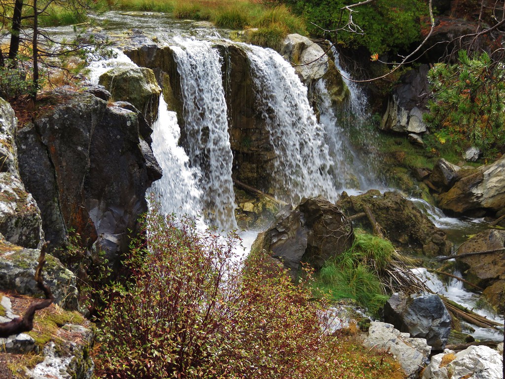
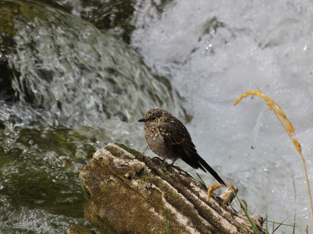
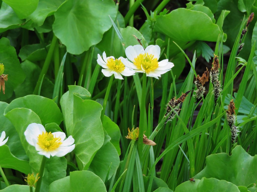
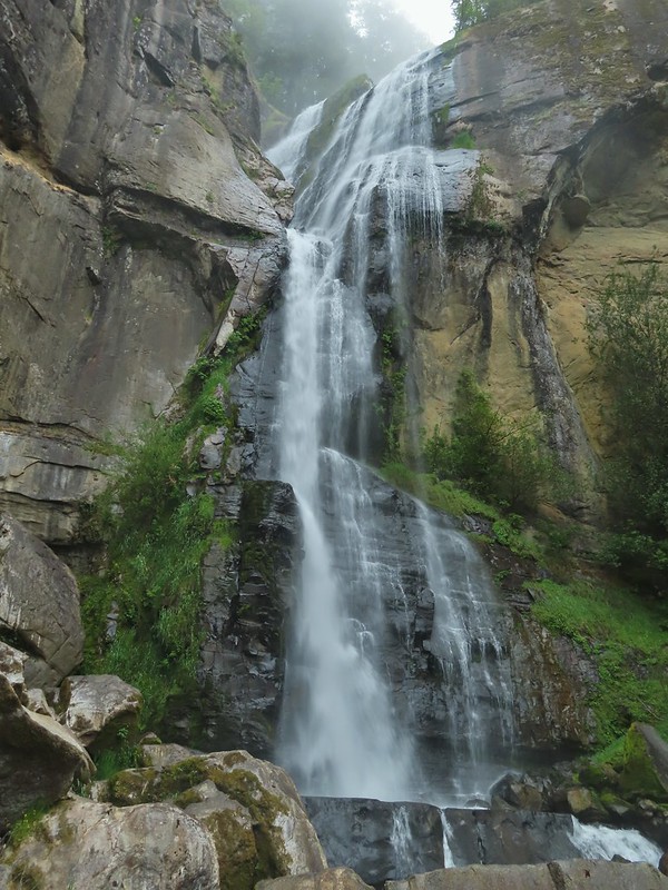
#70 Golden and Silver Falls – Hiked 5/16/2021
#71 Shore Acres – Hiked 5/15/2021

#72 South Slough Estuary – Hiked 5/15/2021

#73 Fivemile Point – Hiked 5/13/2021

#74 Bullards Beach – Hiked 9/15/2018

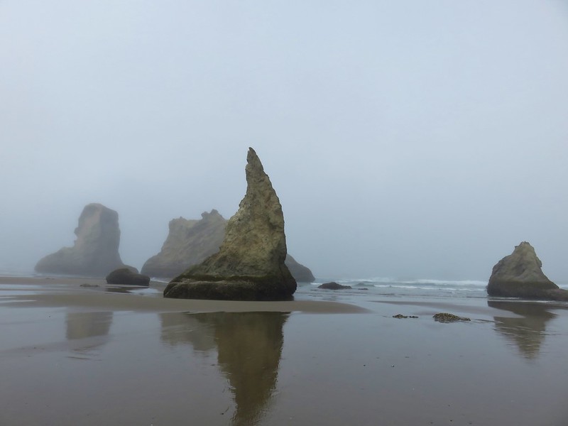
#75 Bandon Islands – Hiked 9/14/2018
#76 New River – Hiked 9/14/2018

#77 Floras Lake – Hiked 5/8/2017

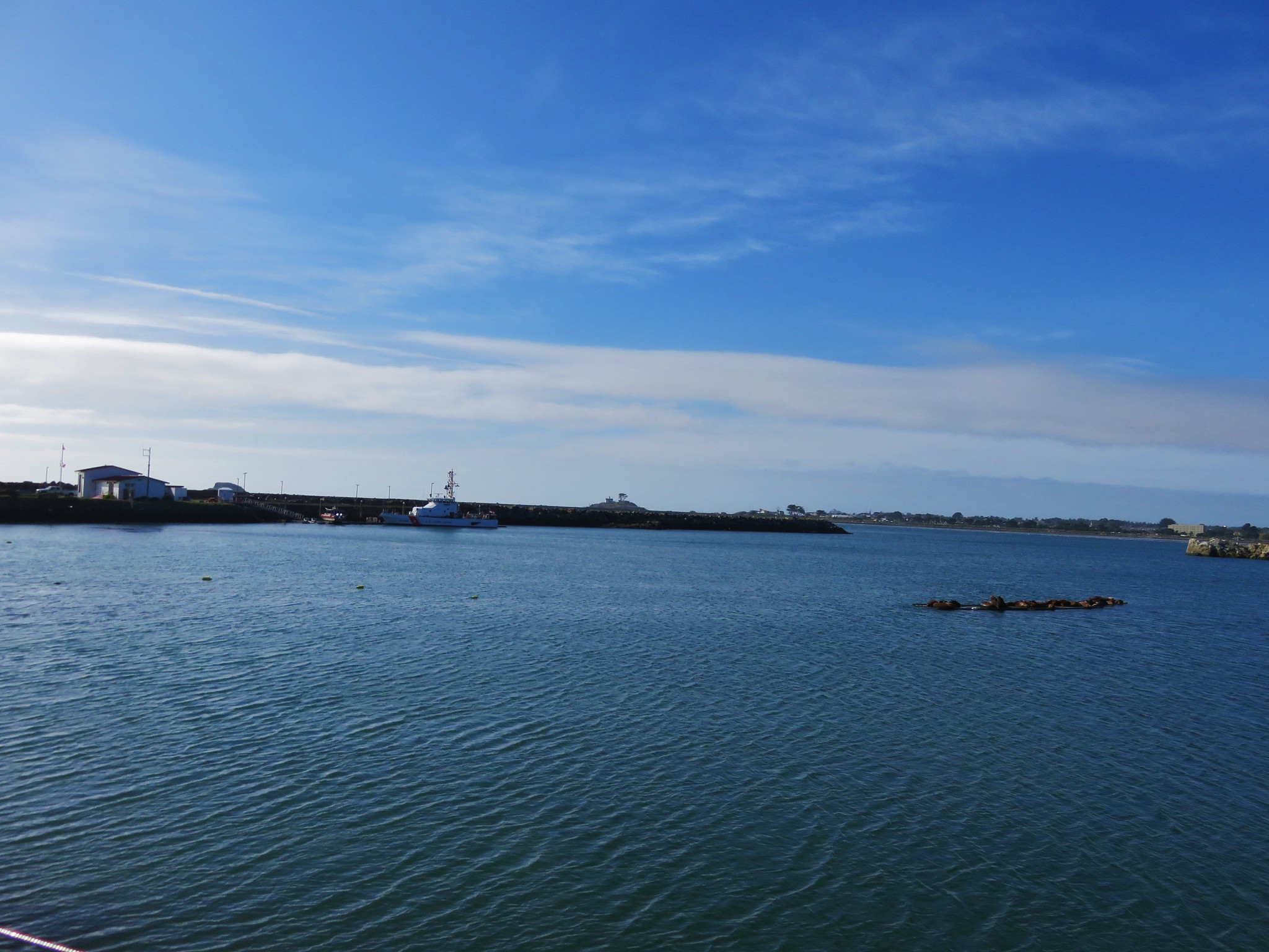
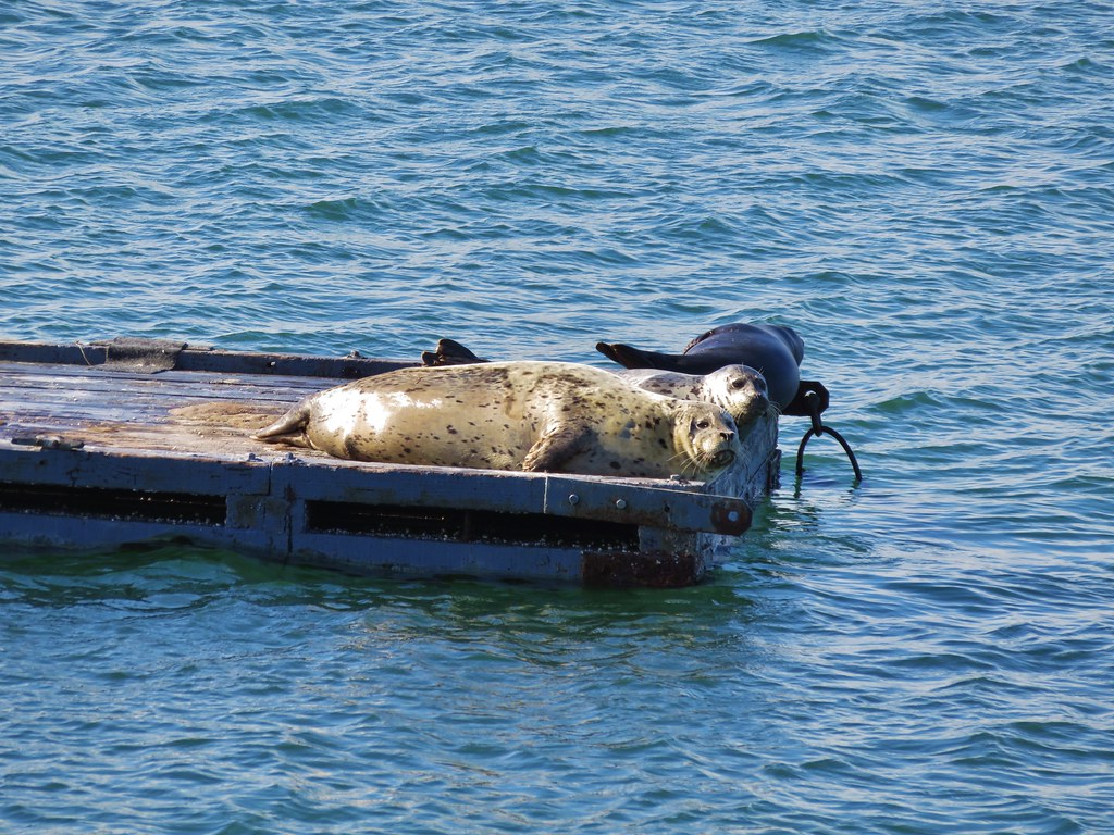
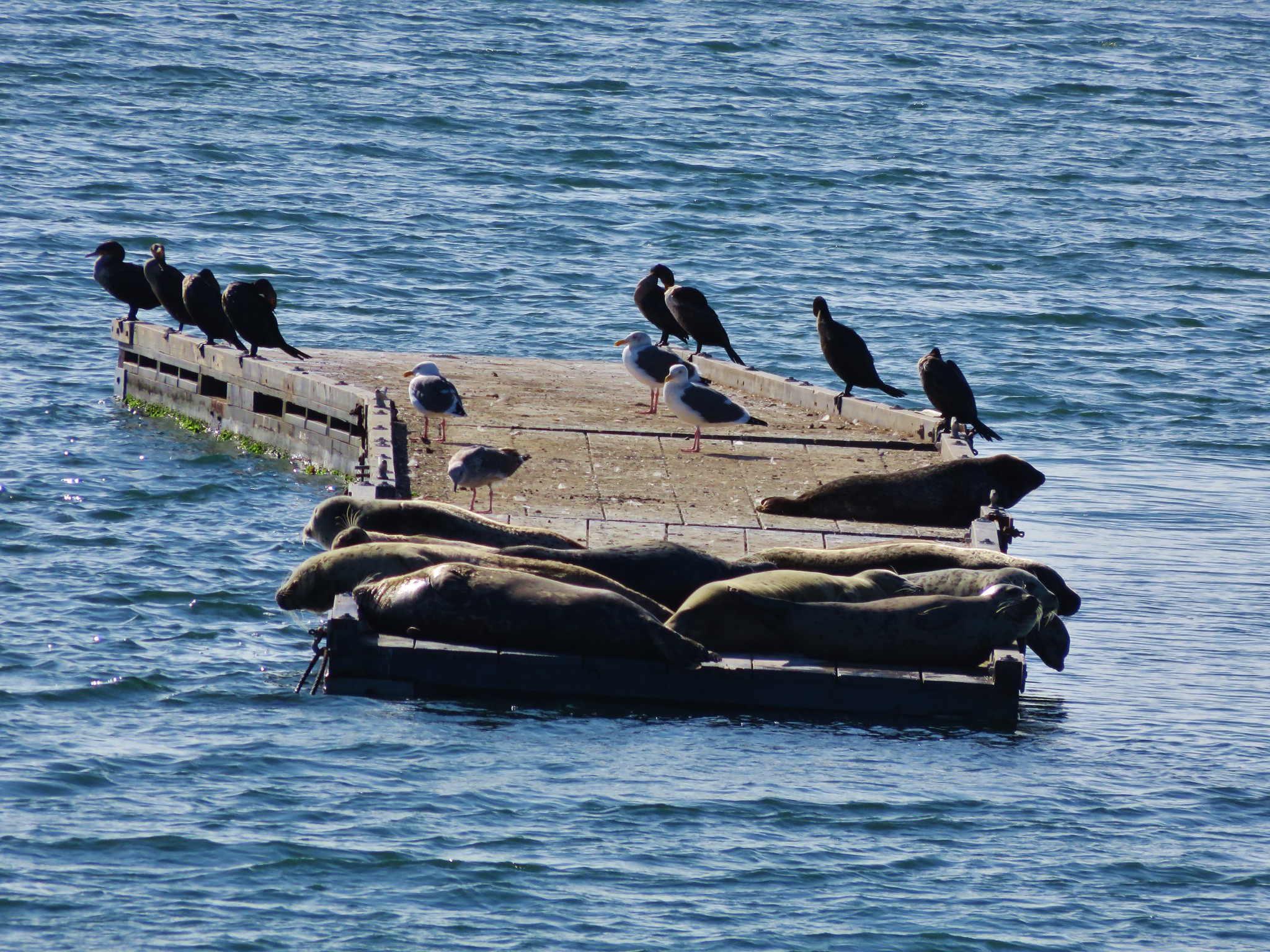
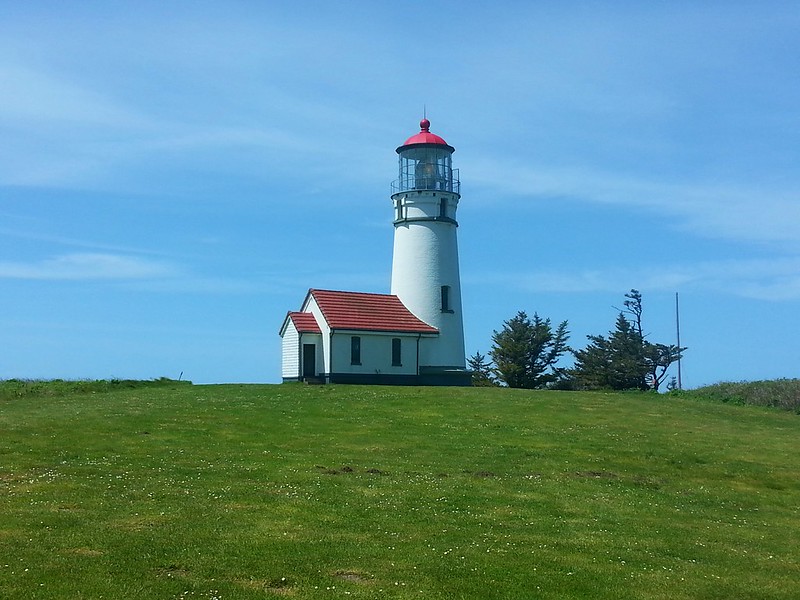
#78 Cape Blanco – Hiked 5/8/2017
#79 Port Orford Heads – Hiked 5/8/2017

#80 Humbug Mountain – Hiked 5/16/2016

#81 Sisters Rock – Hiked 5/16/2016

#82 Otter Point – Hiked 5/16/2016

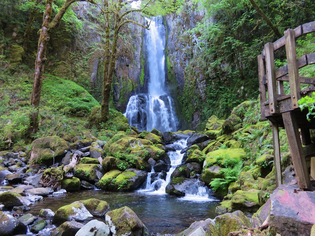
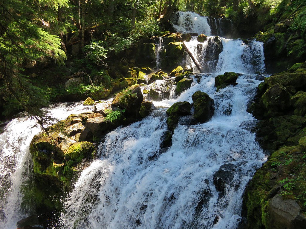
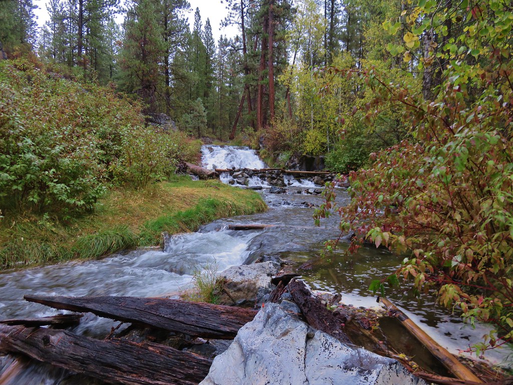
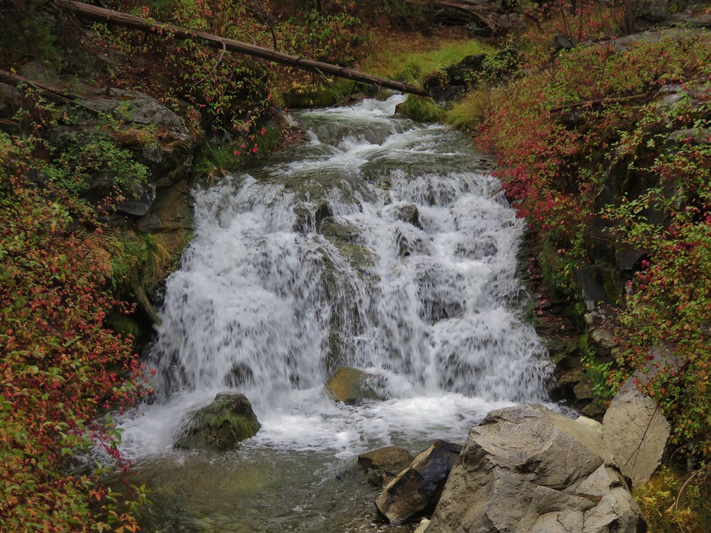
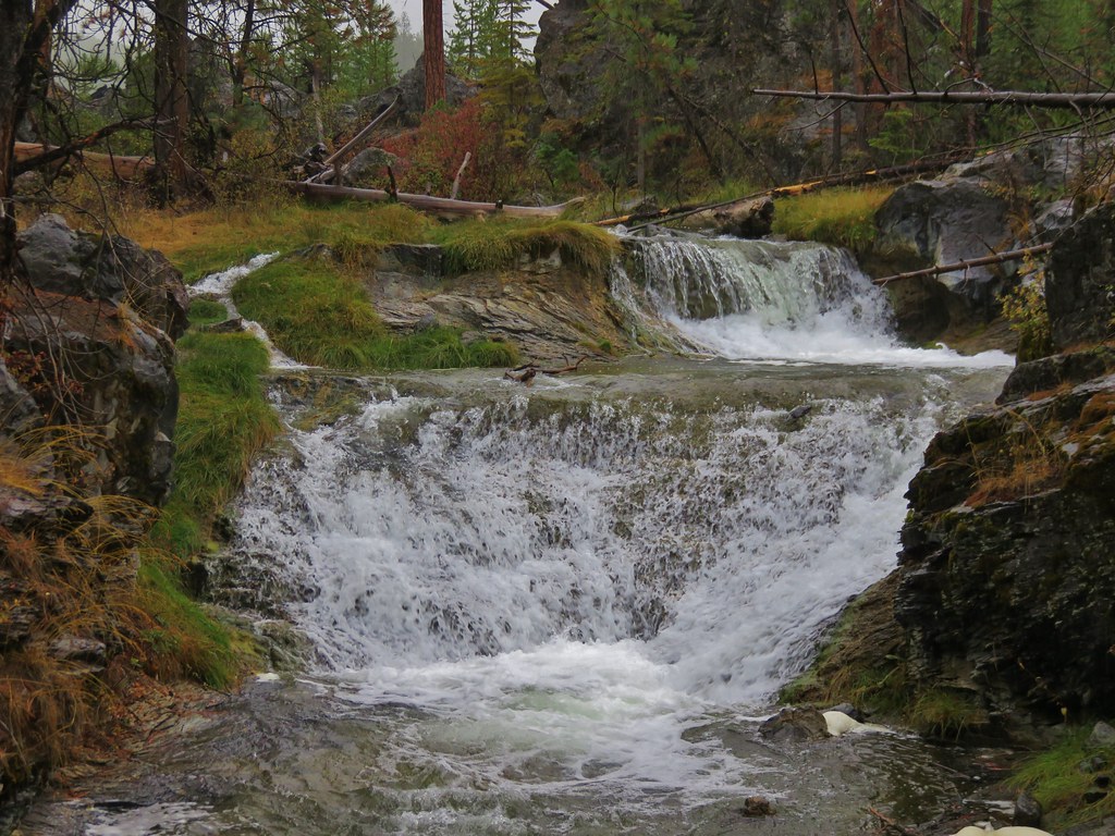
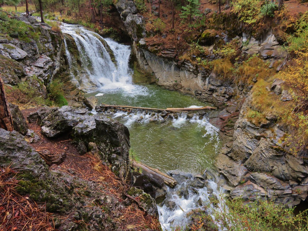
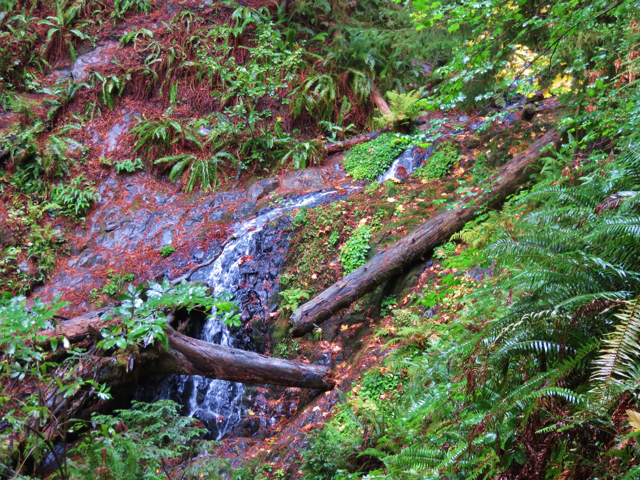
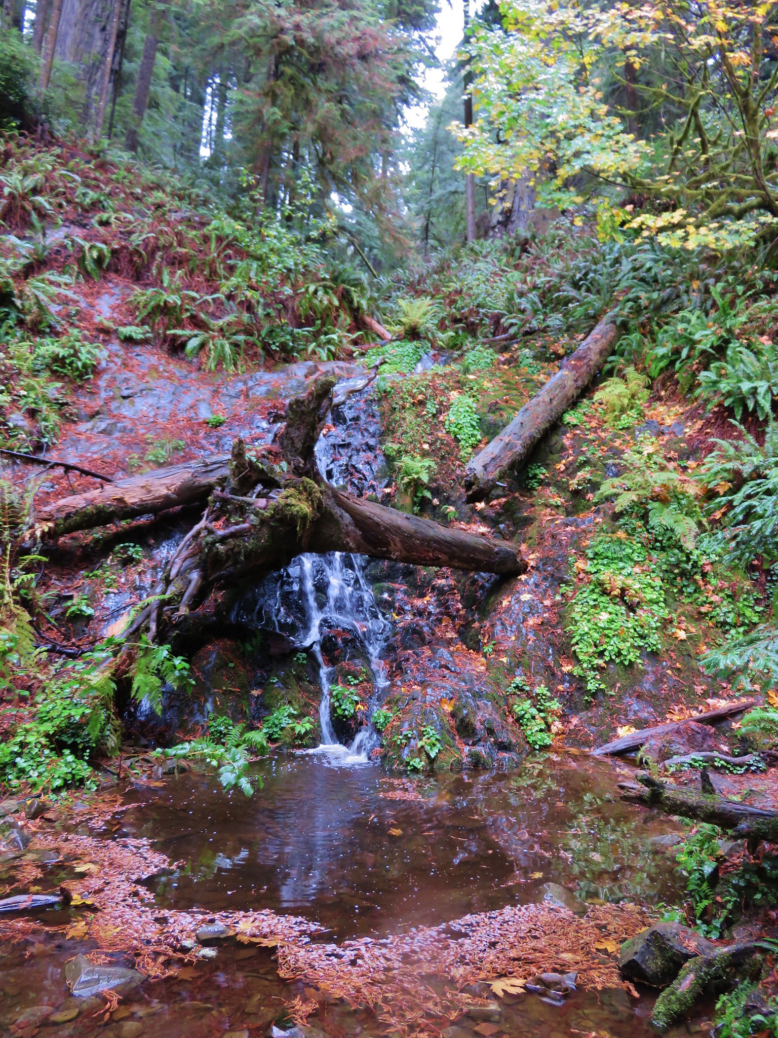
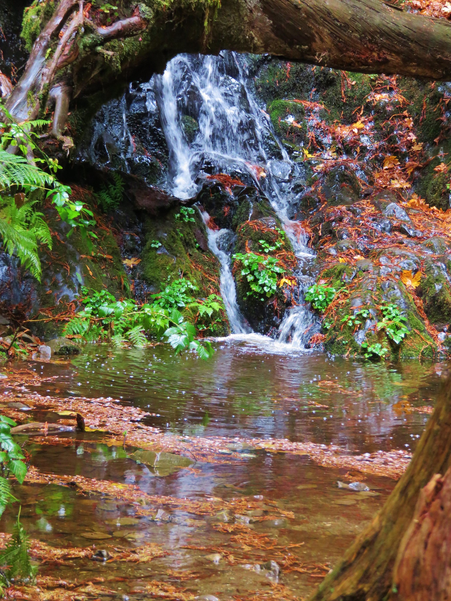
#83 Coquille River Falls – Hiked 5/6/2017
 Coquille River Falls
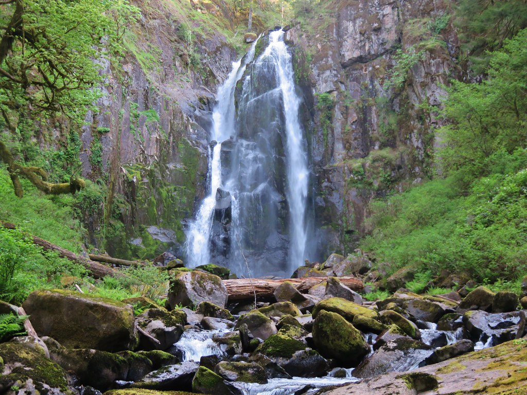
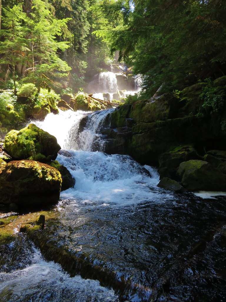
 Elk Creek Falls
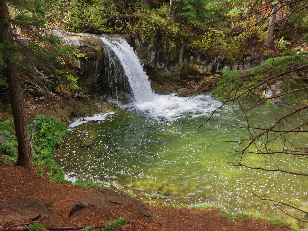
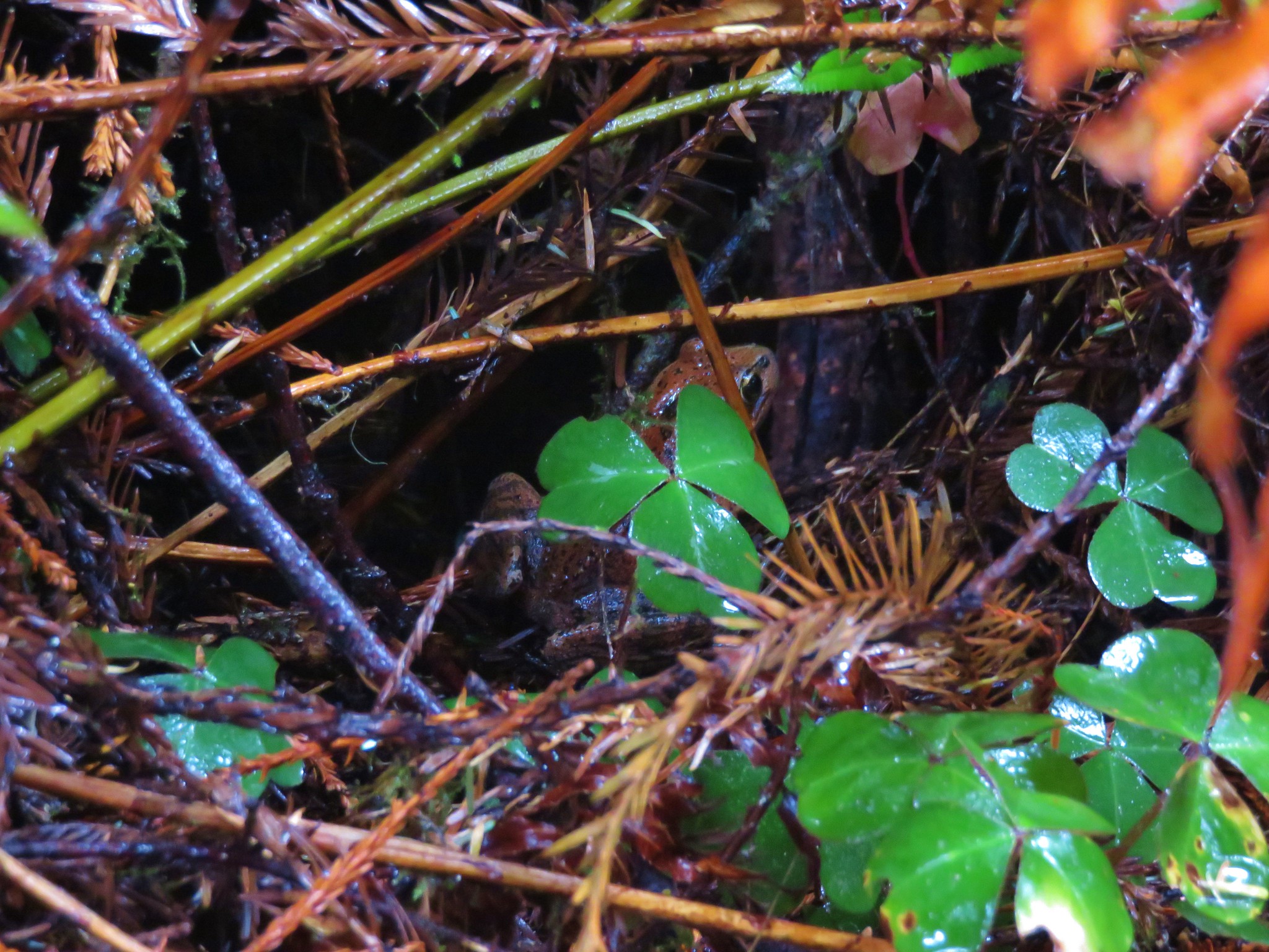
#84 Hanging Rock – Hiked 5/7/2017
 Hanging Rock
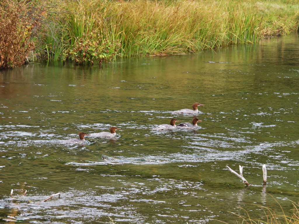
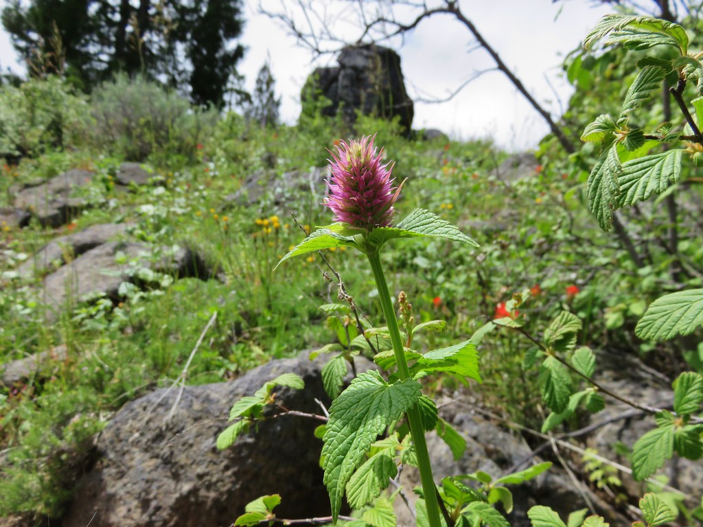
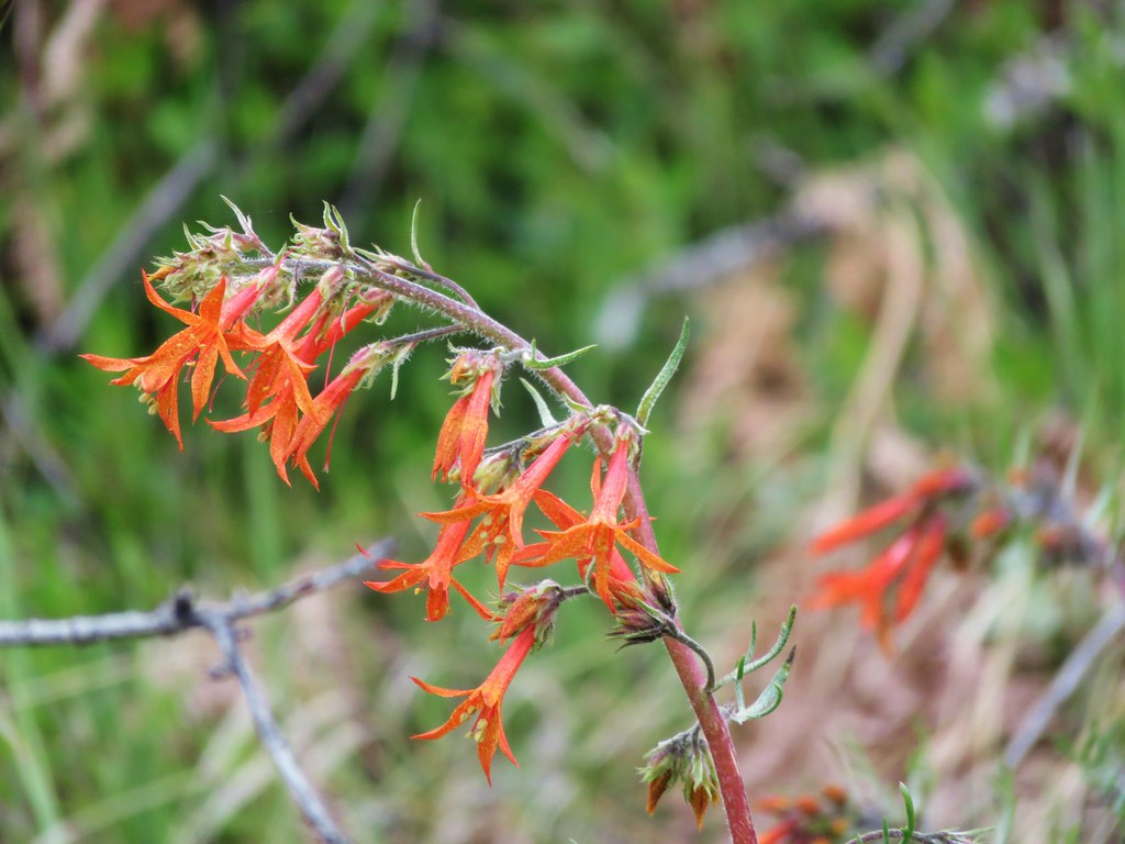
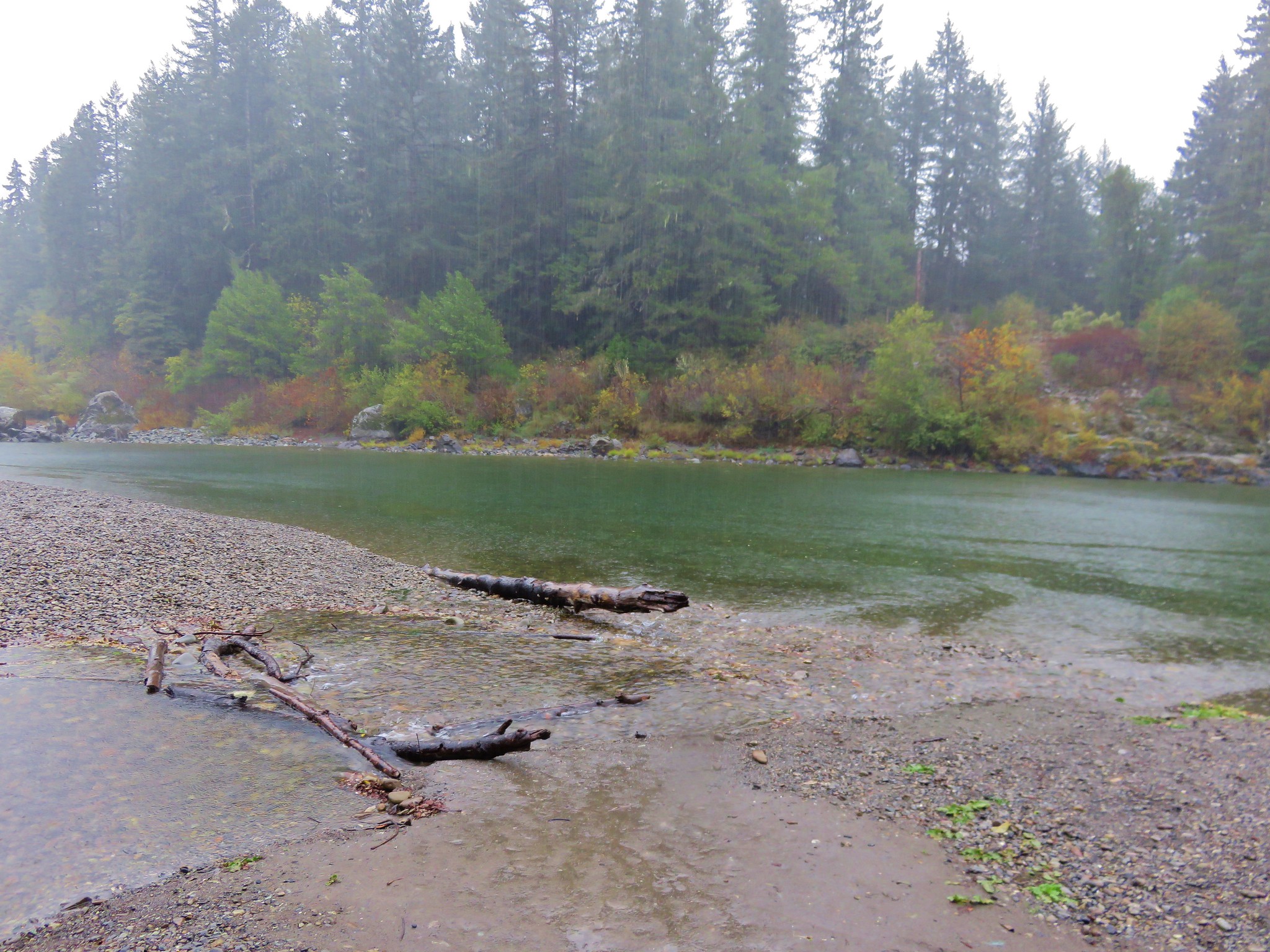
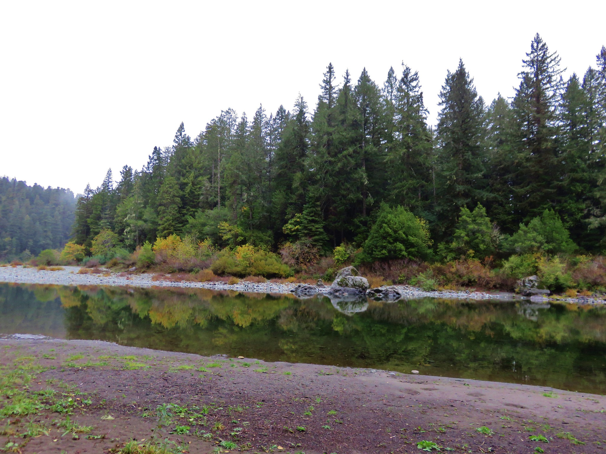
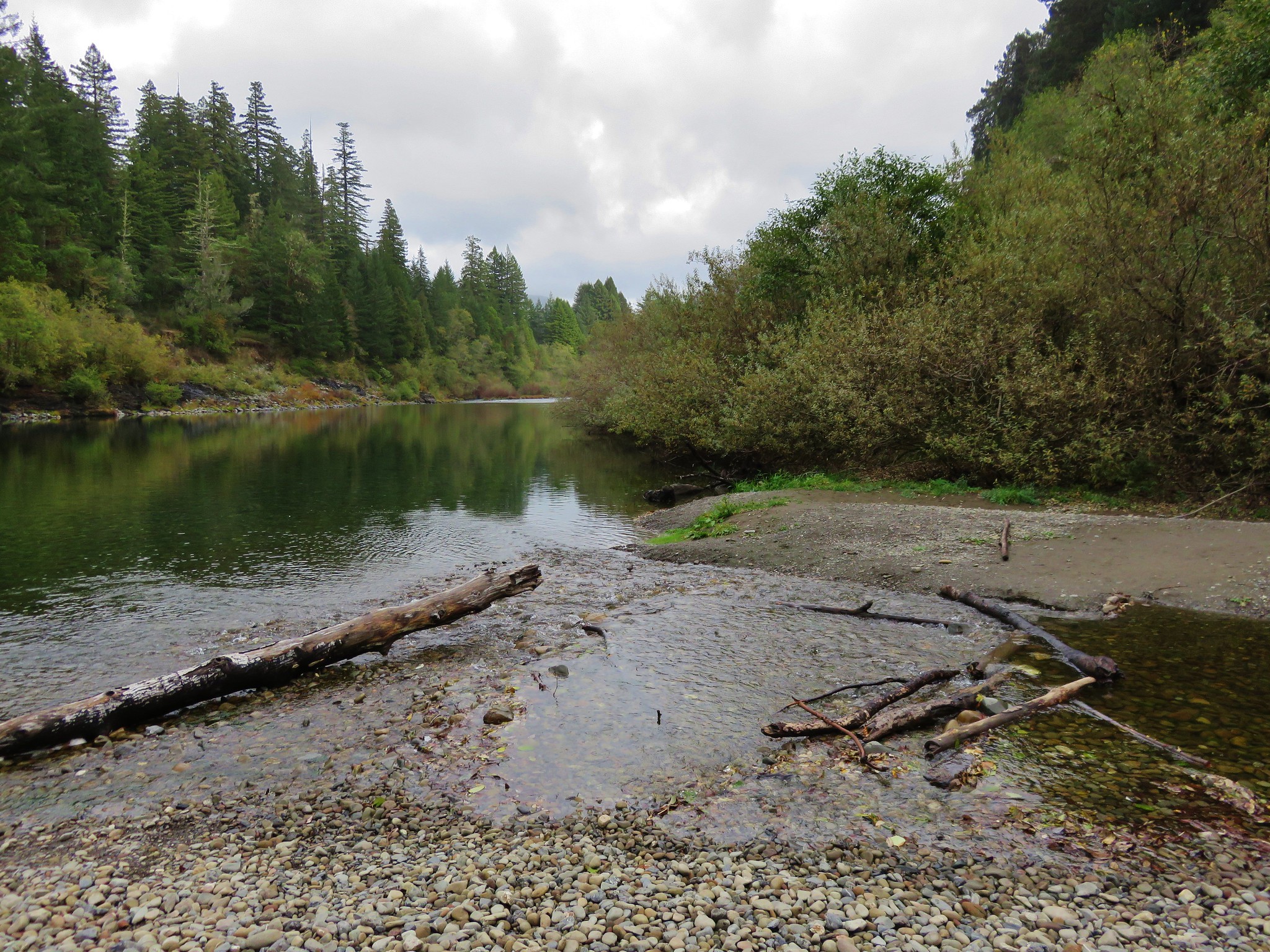
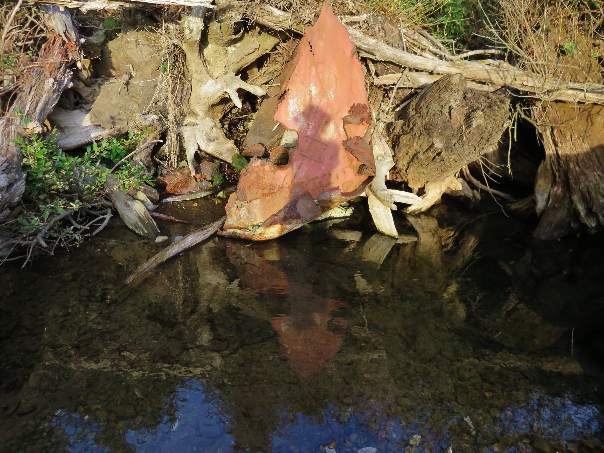
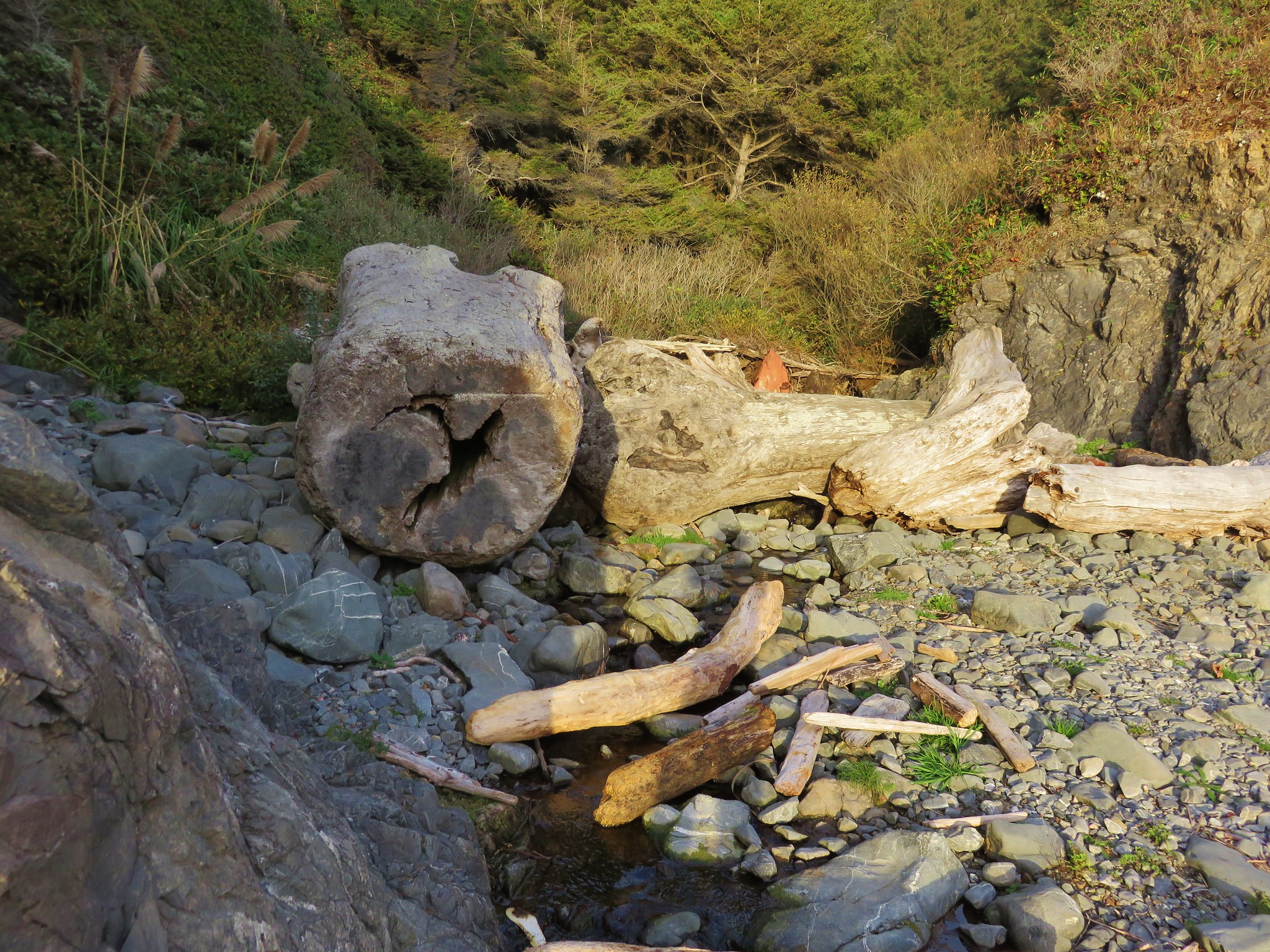
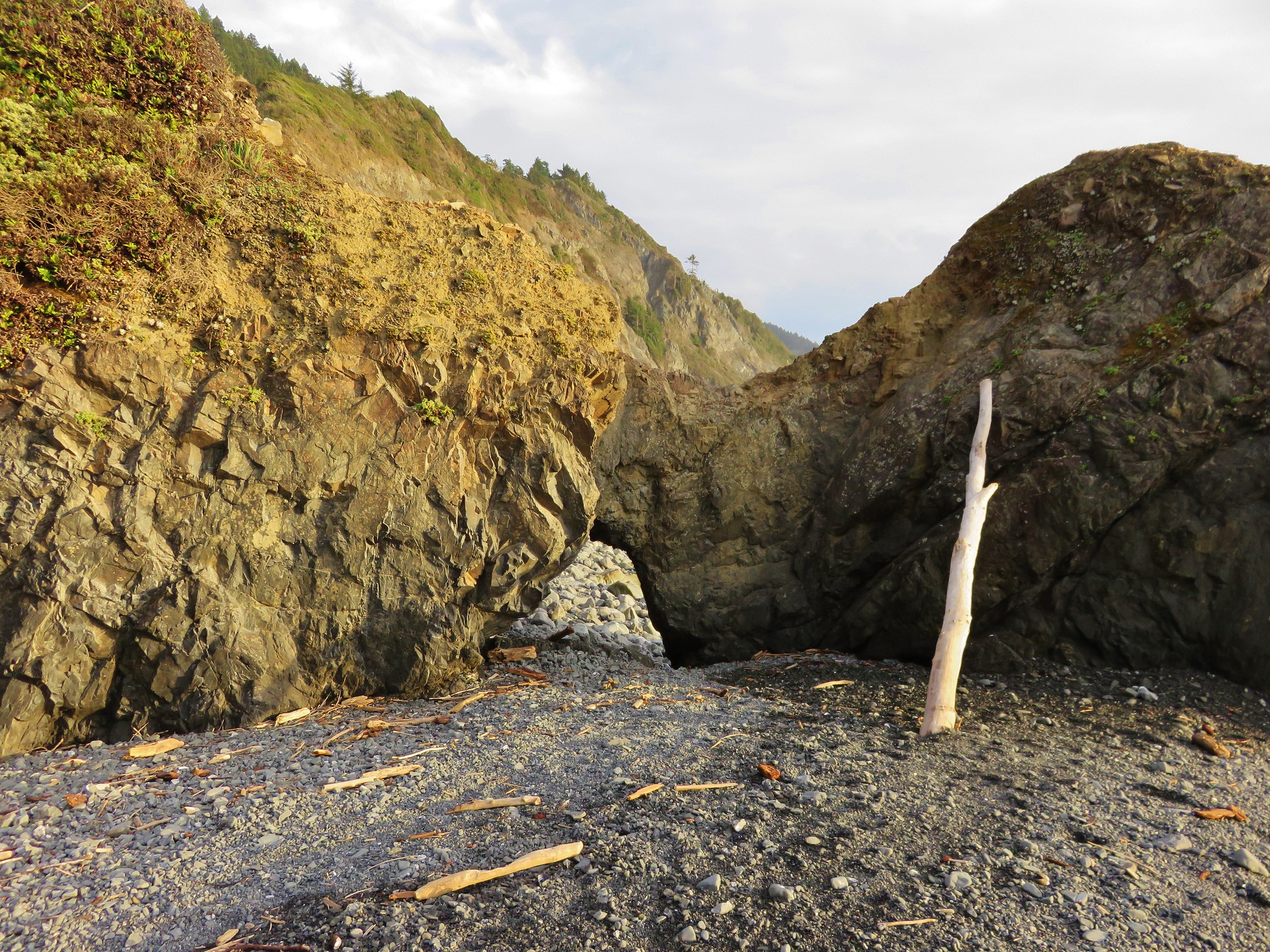
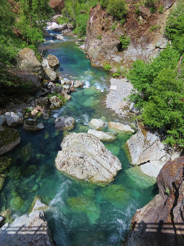
#85 Rogue River Trail – Hiked 5/14/2021

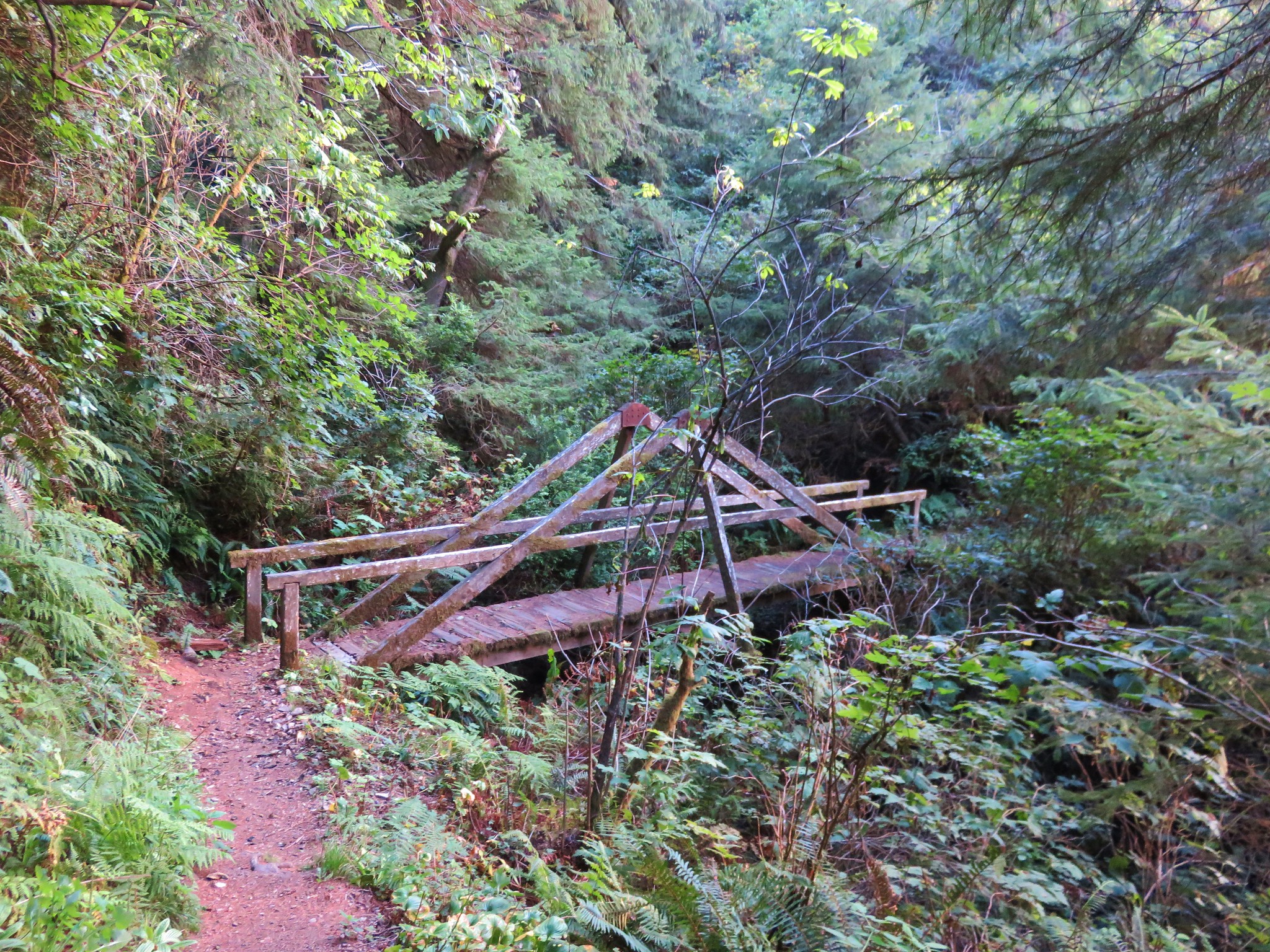
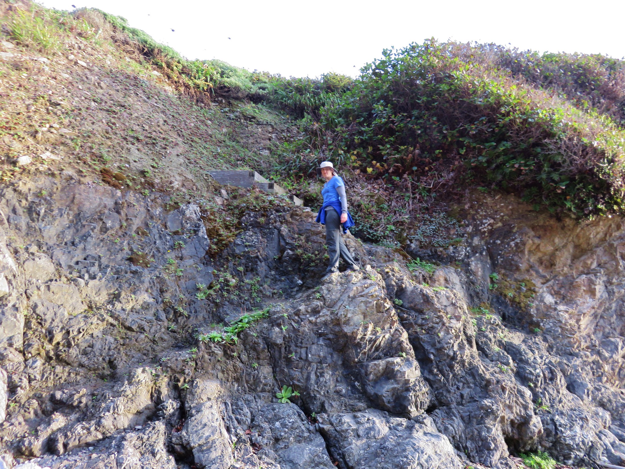
#86 Lower Rogue River – Hiked 5/9/2017

#87 Illinois River – Hiked 5/20/2016
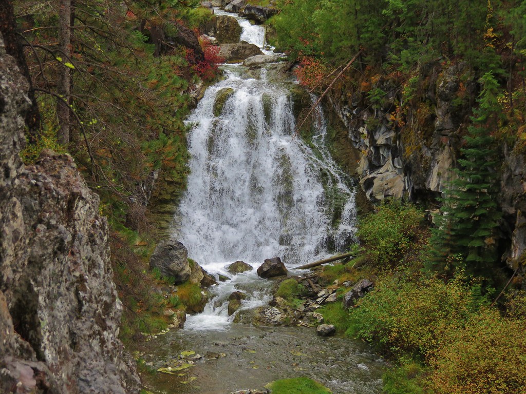
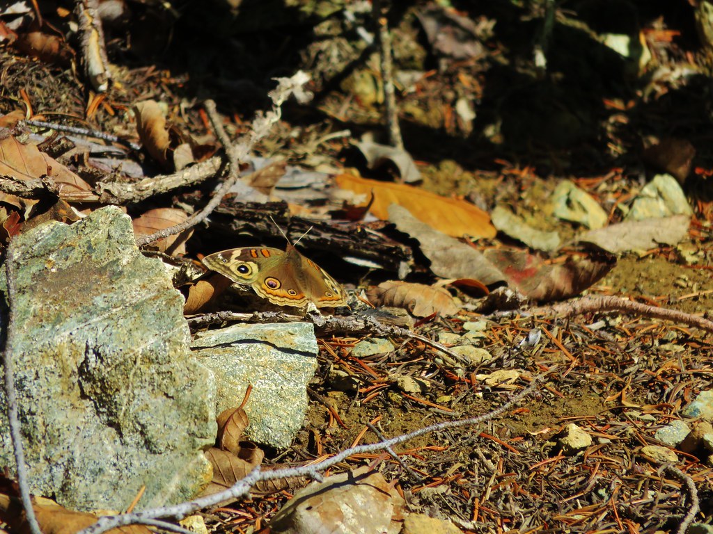
#88 Shrader Old Growth Trail – Hiked 5/9/2017
 Shrader Old Growth Trail
 Myrtle Tree Trail
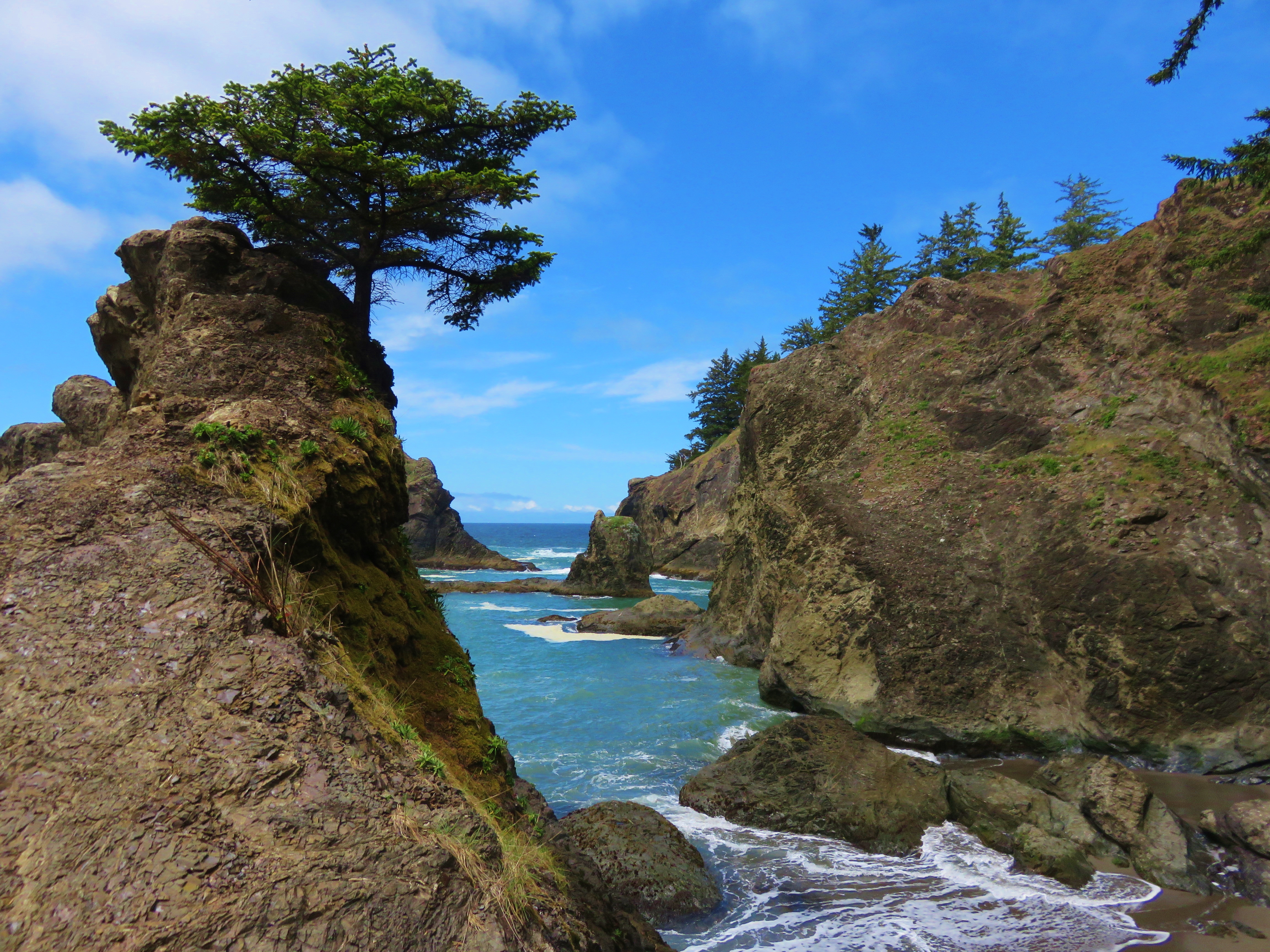
#89 Cape Sebastian – Hiked 5/18/2016

#90 Boardman Park North – Hiked 5/21/2016
#91 Boardman Park South – Hiked 5/19/2016
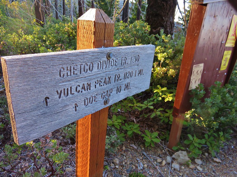
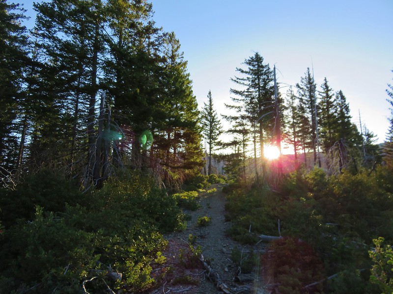
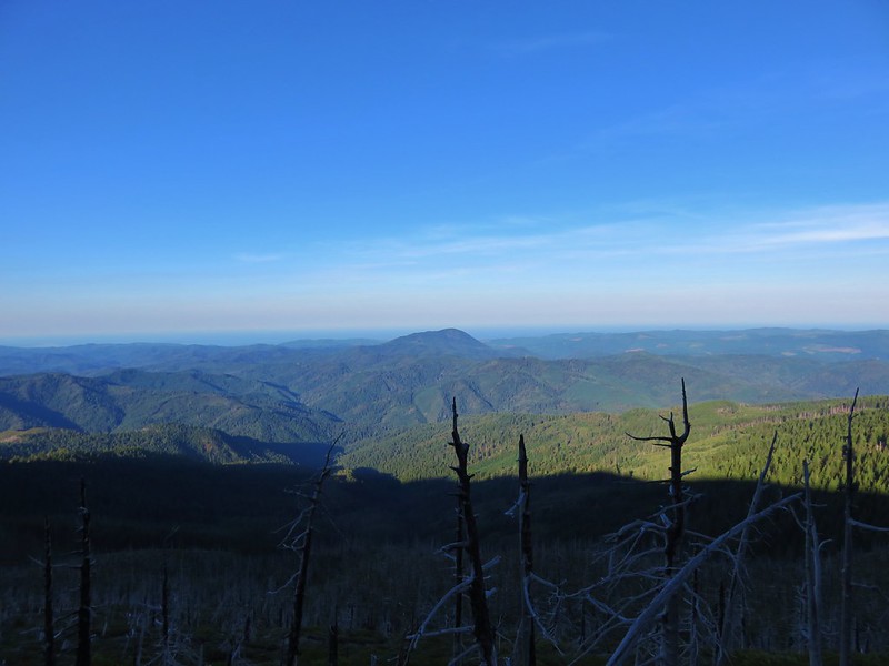
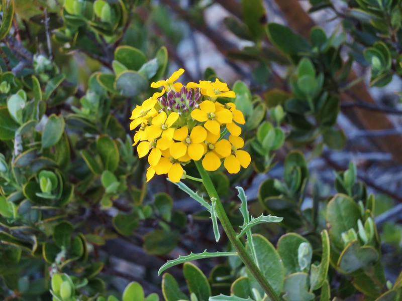
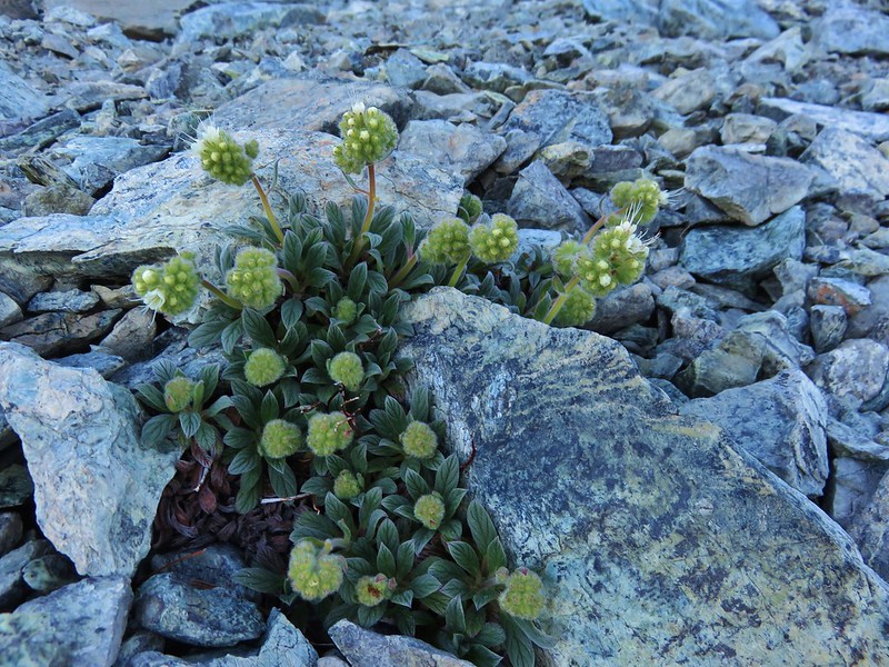
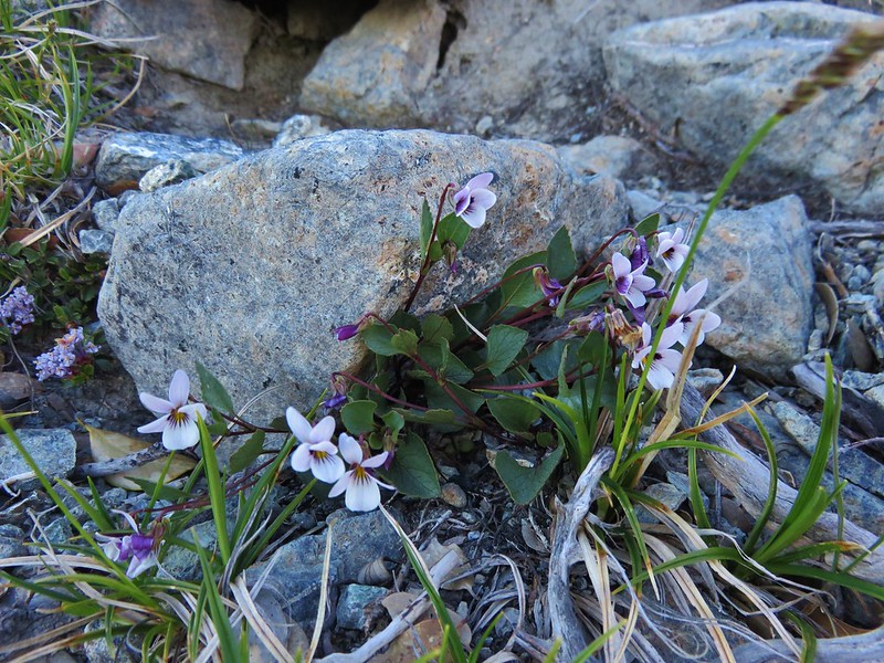
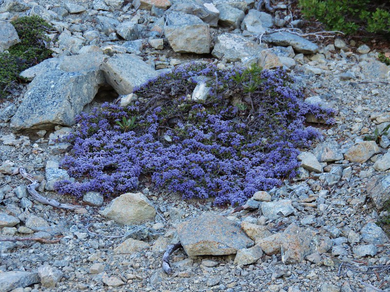
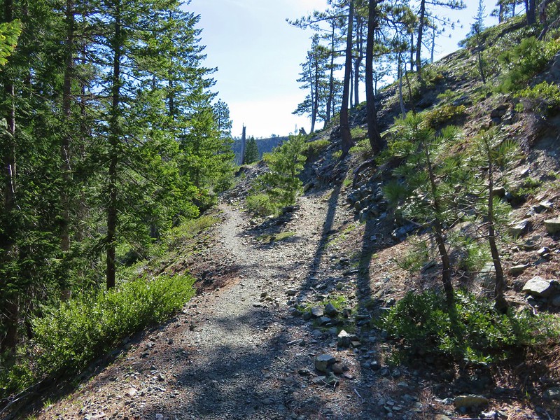
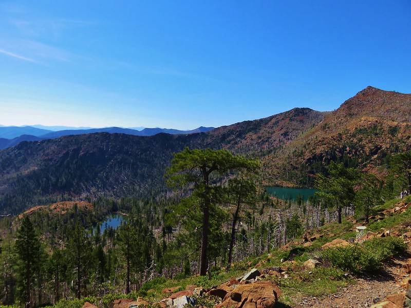
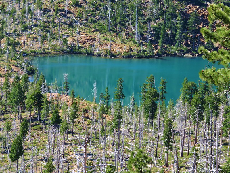
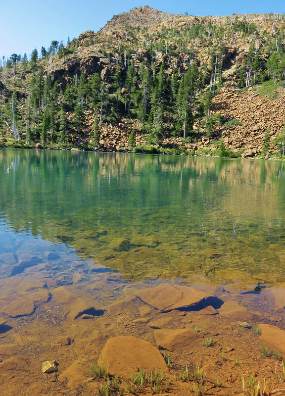
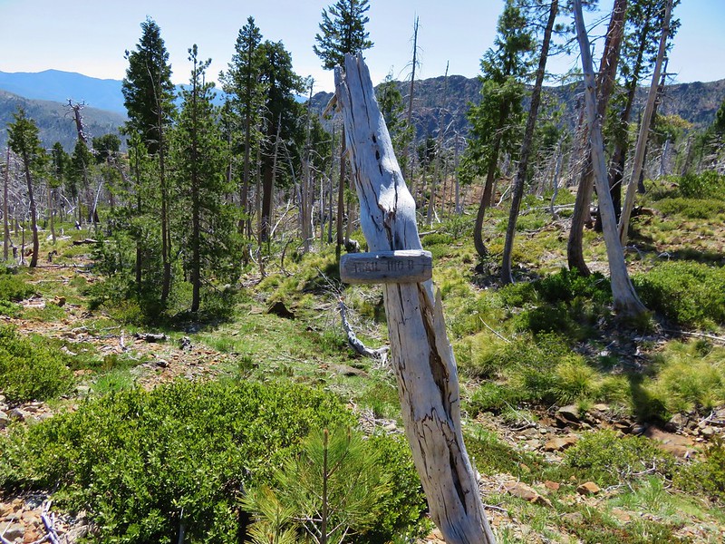
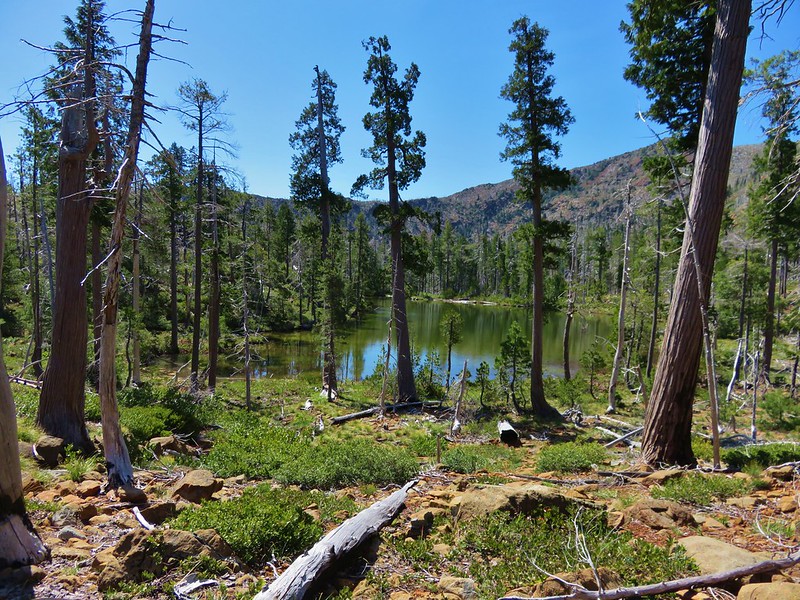
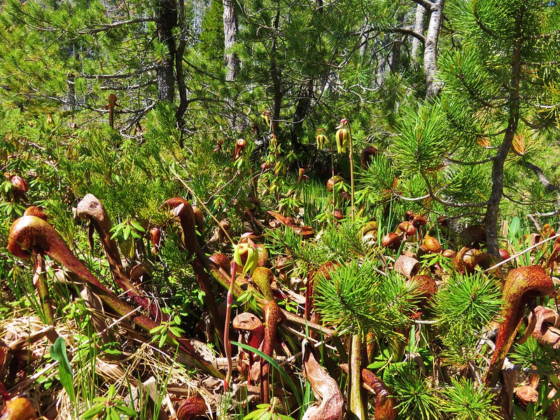
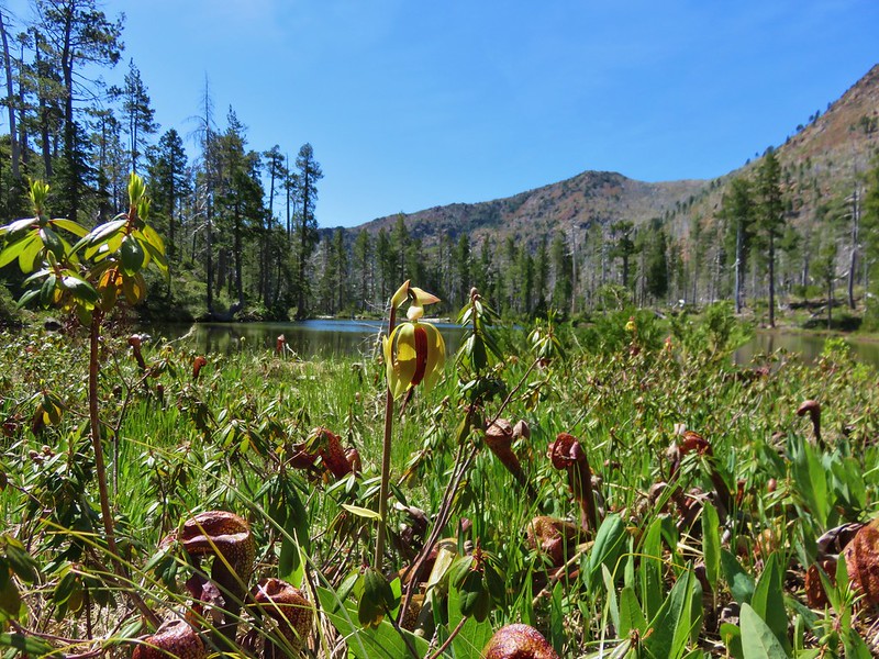
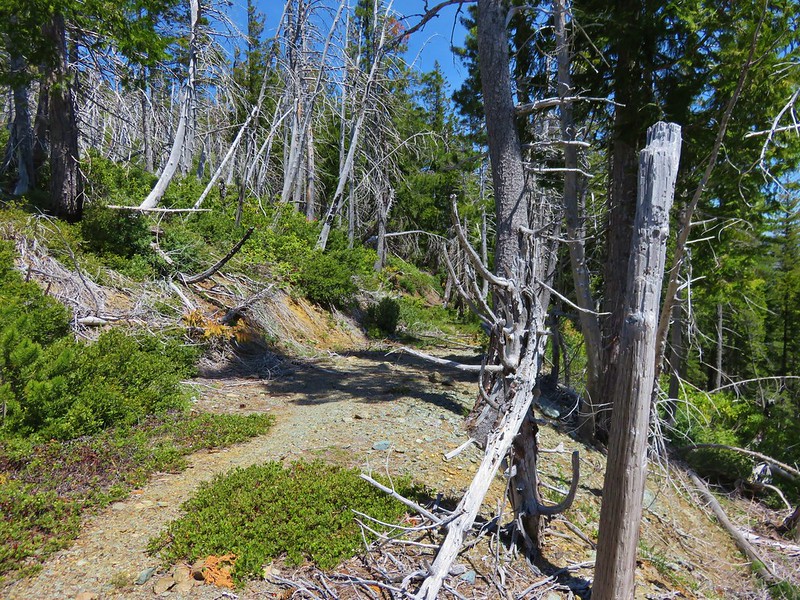
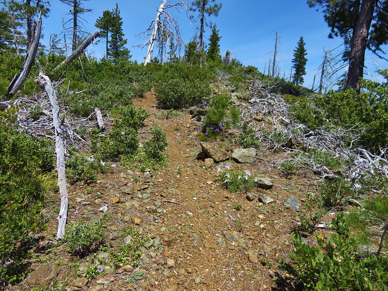
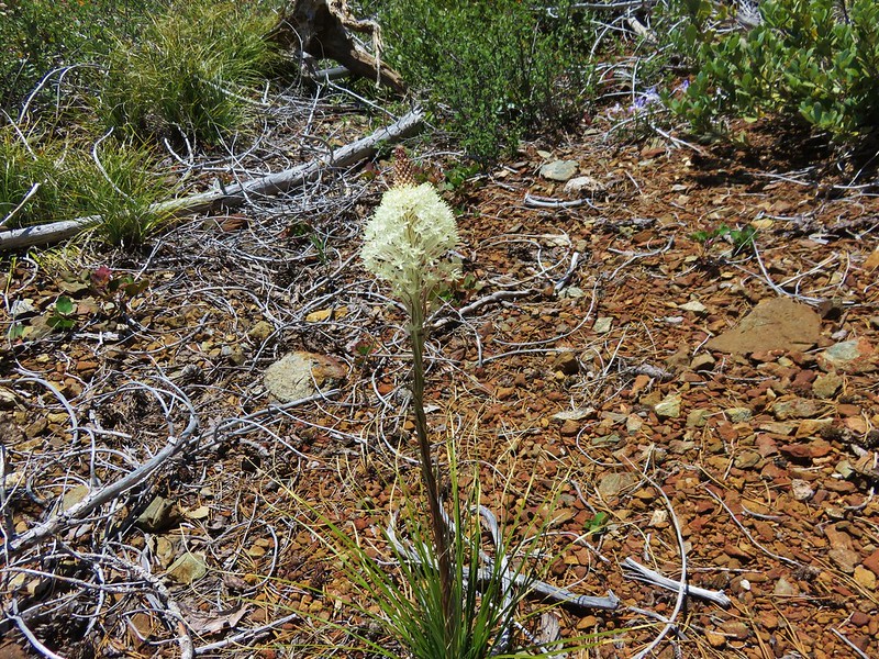
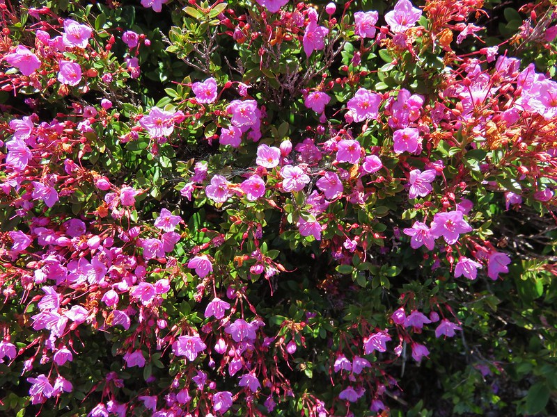
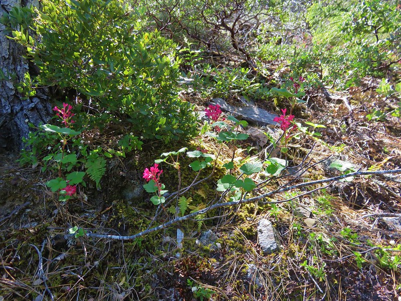
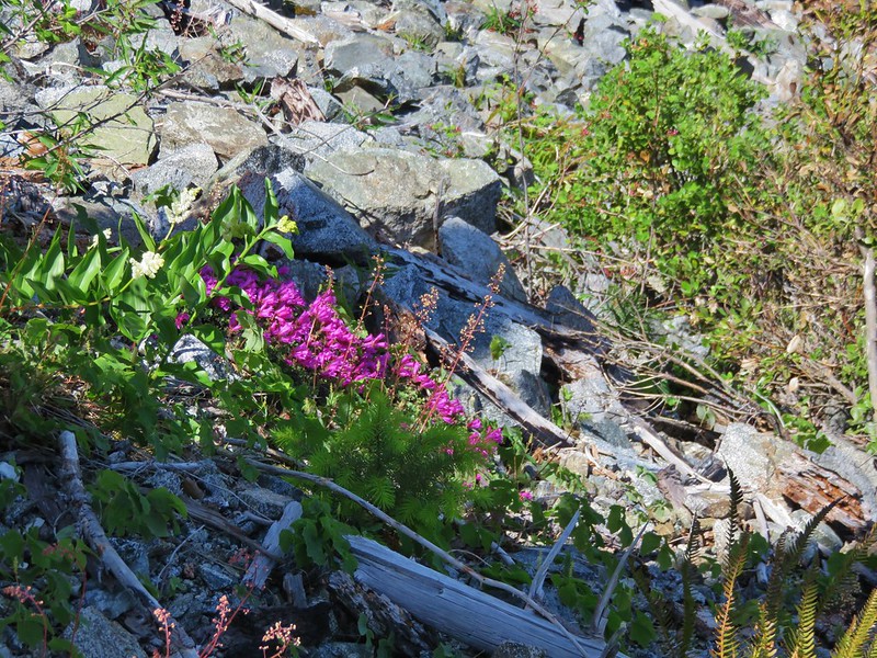
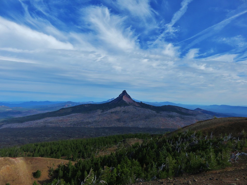
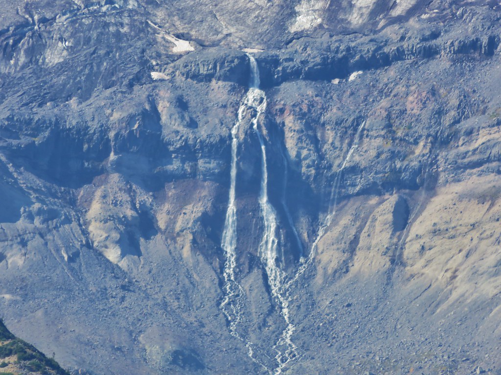
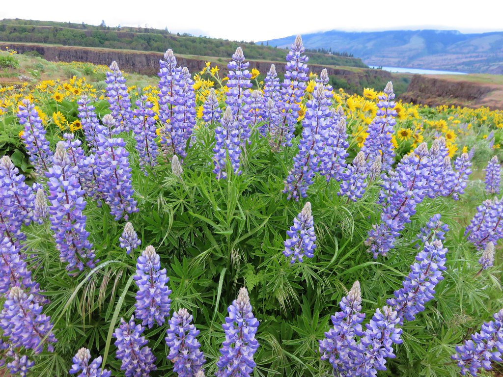
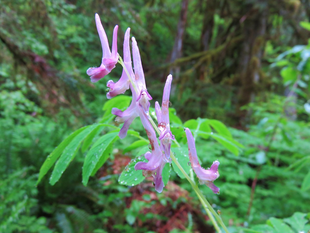
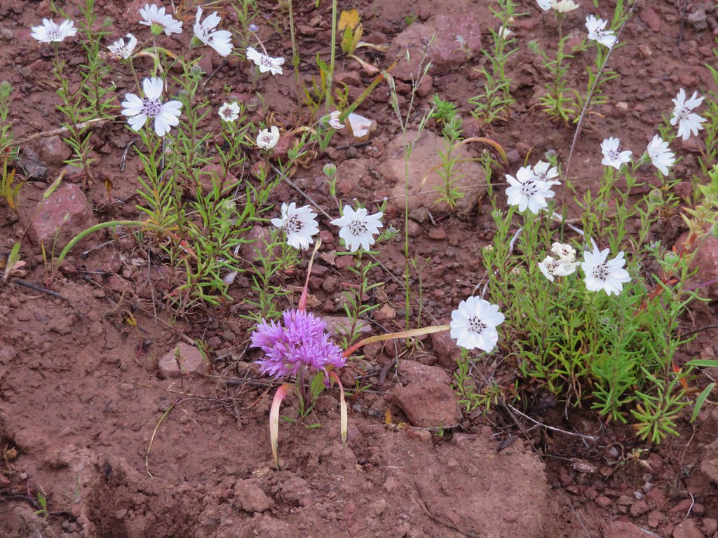
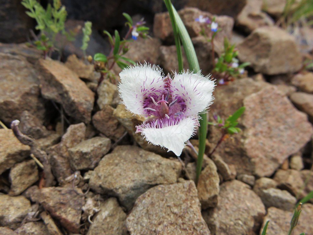
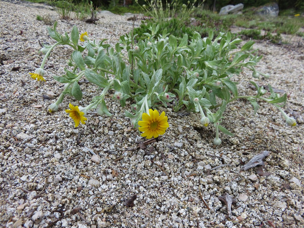
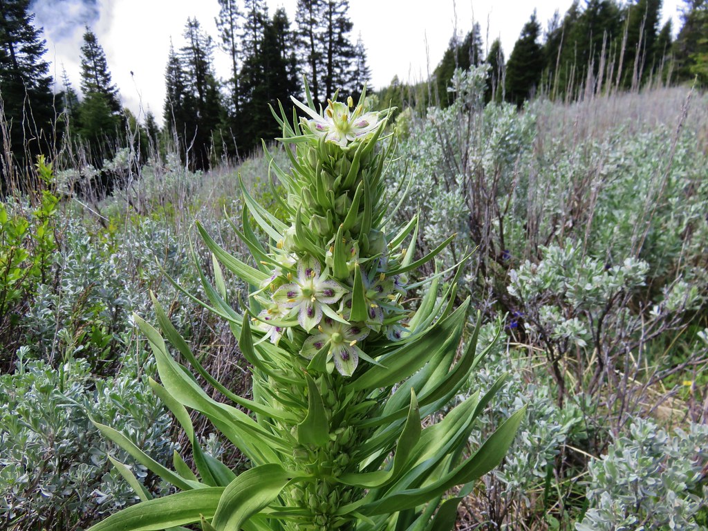
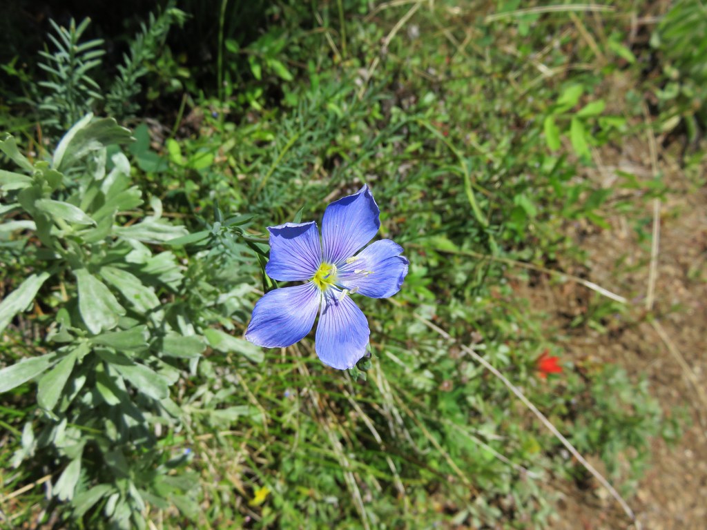
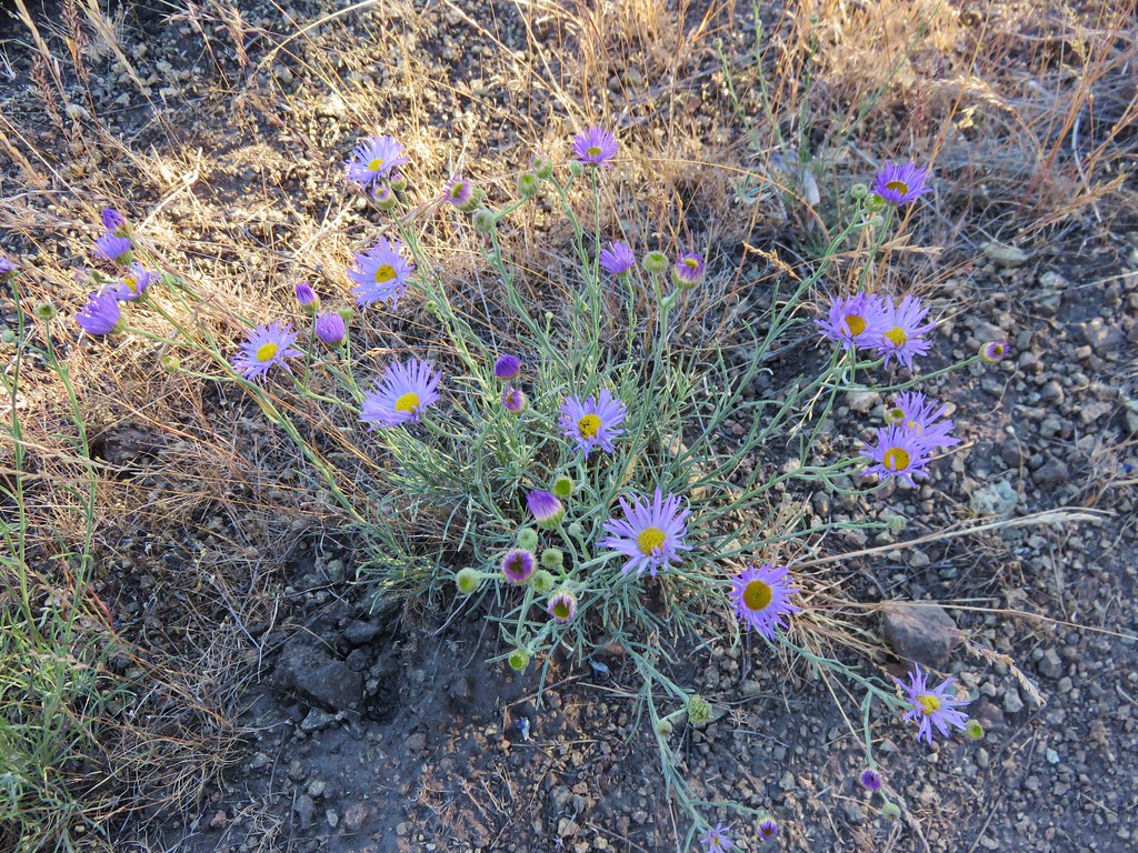
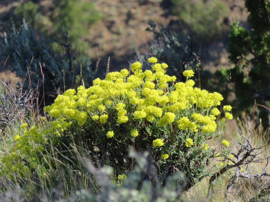
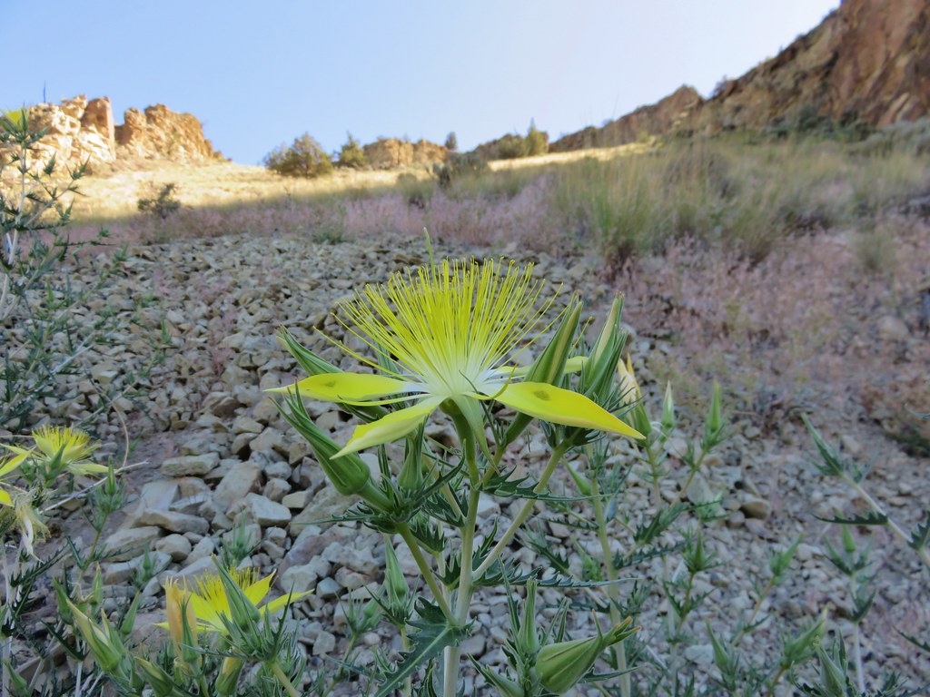
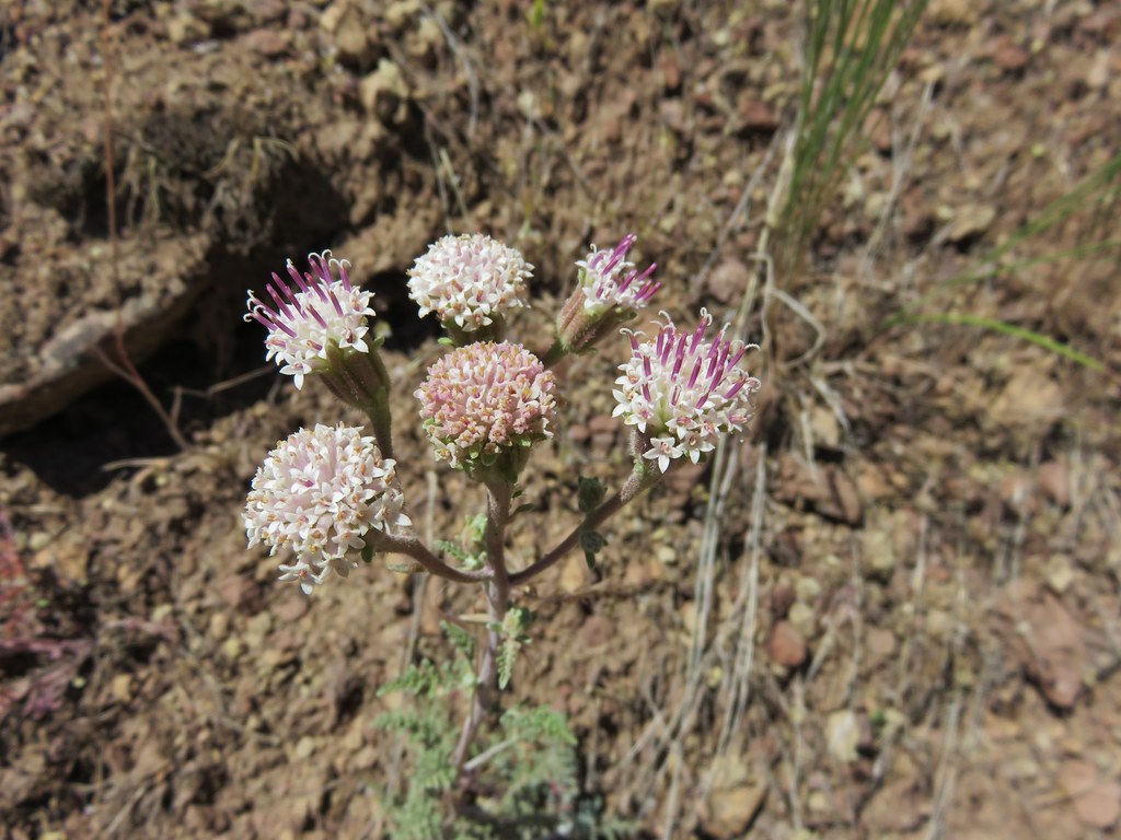
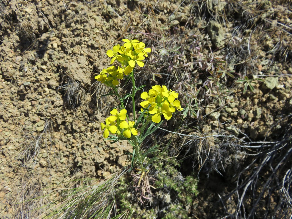
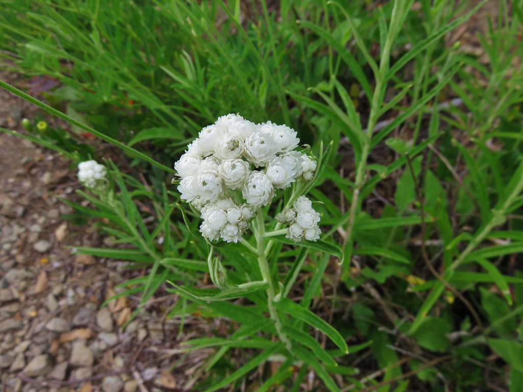
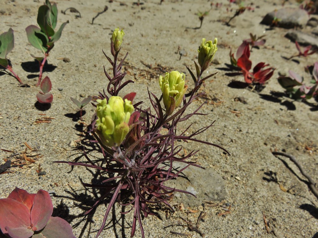
#92 Vulcan Lake – Hiked 5/17/2016
 Vulcan Lake
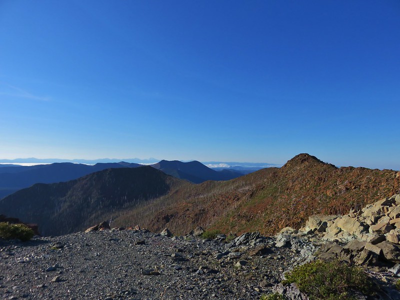
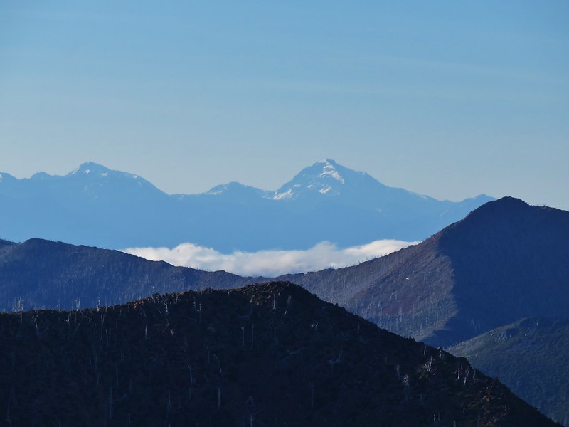
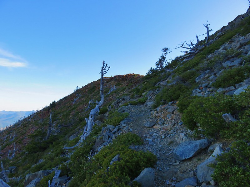
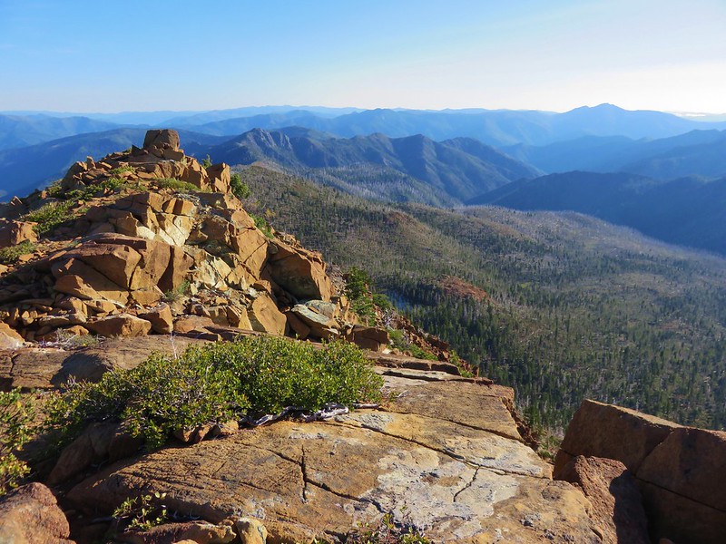
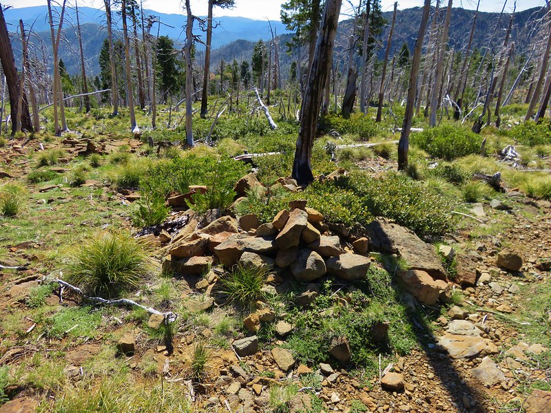
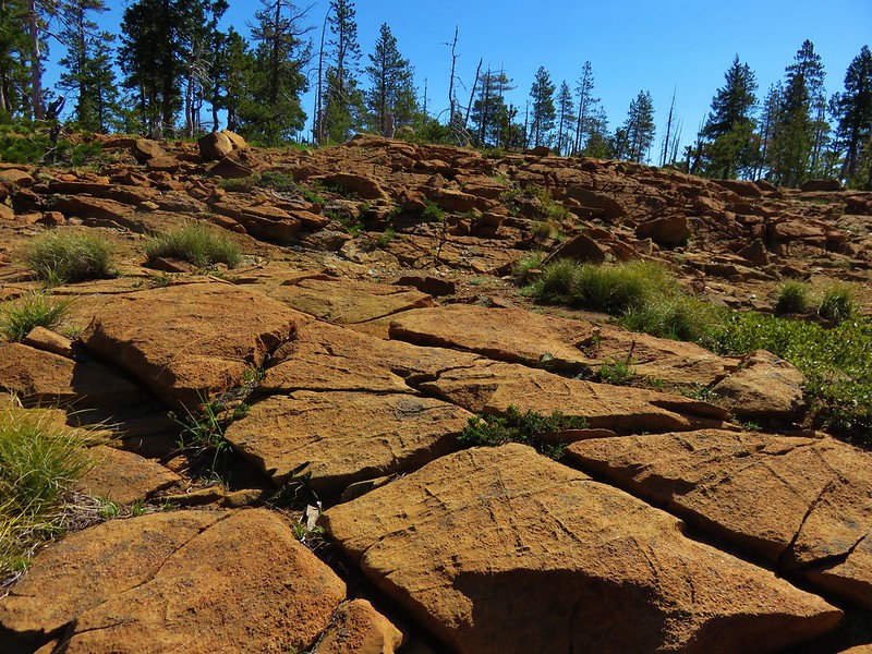
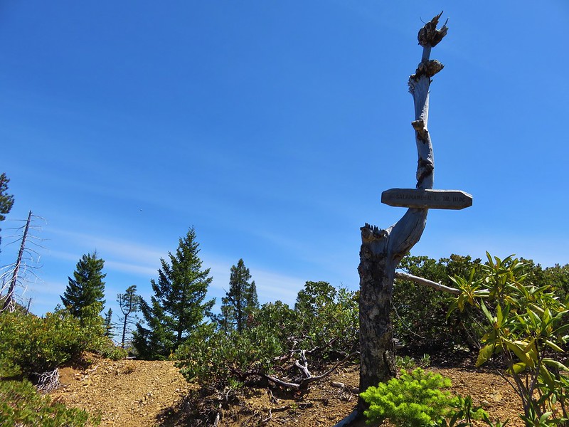
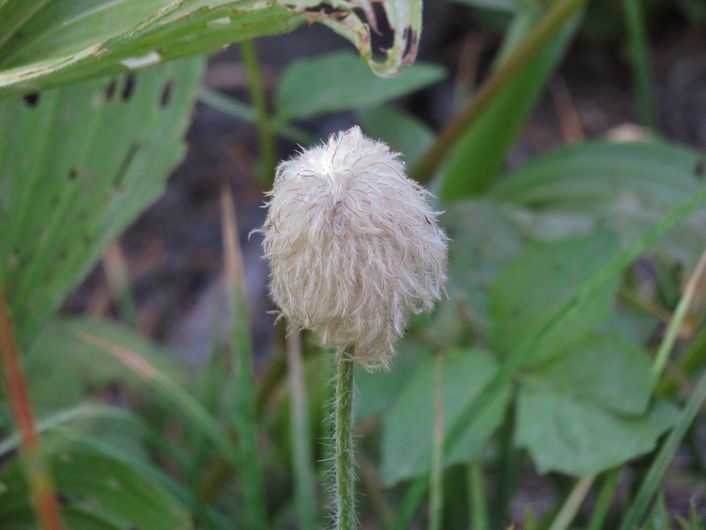
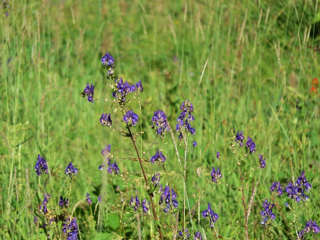
 Vulcan Peak
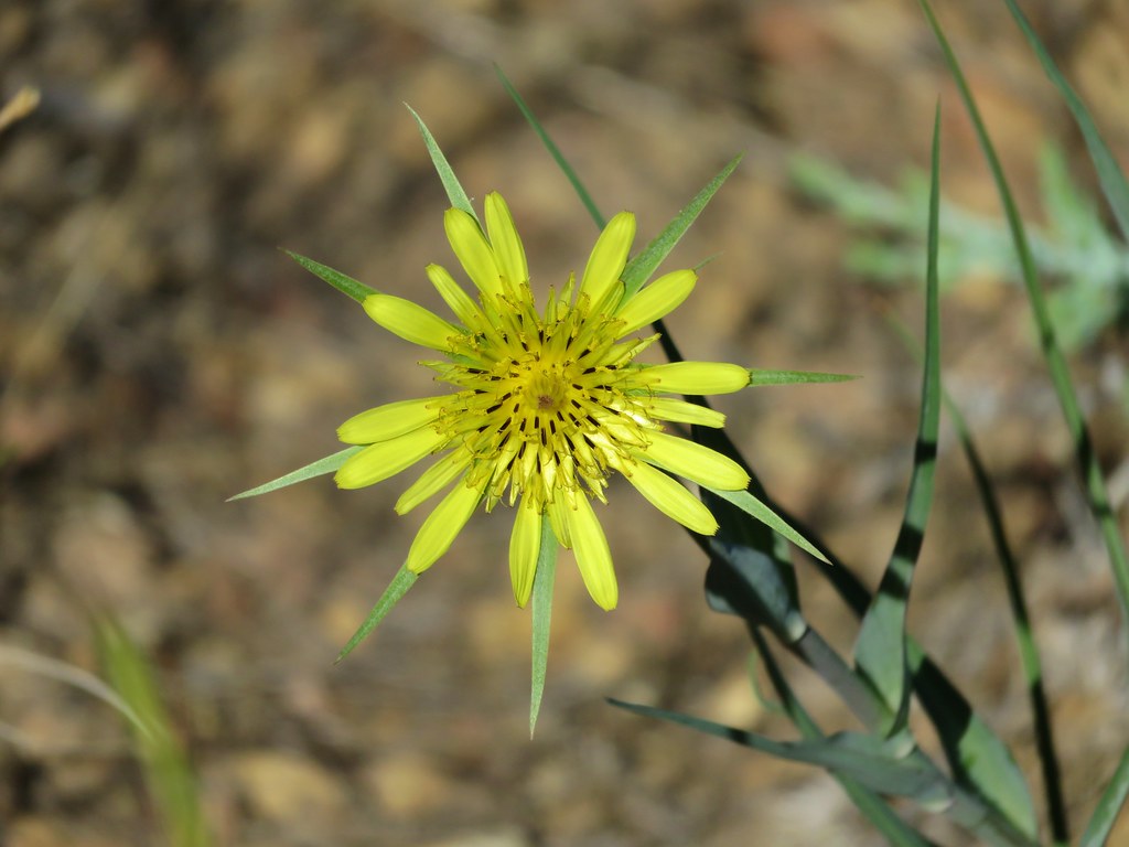
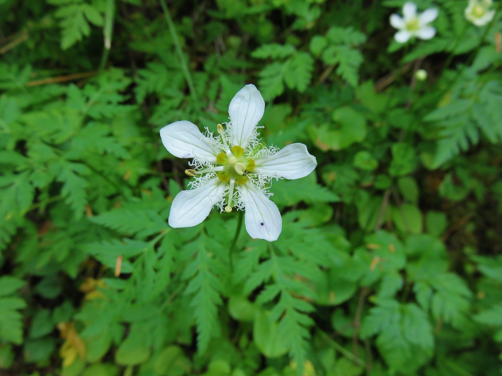
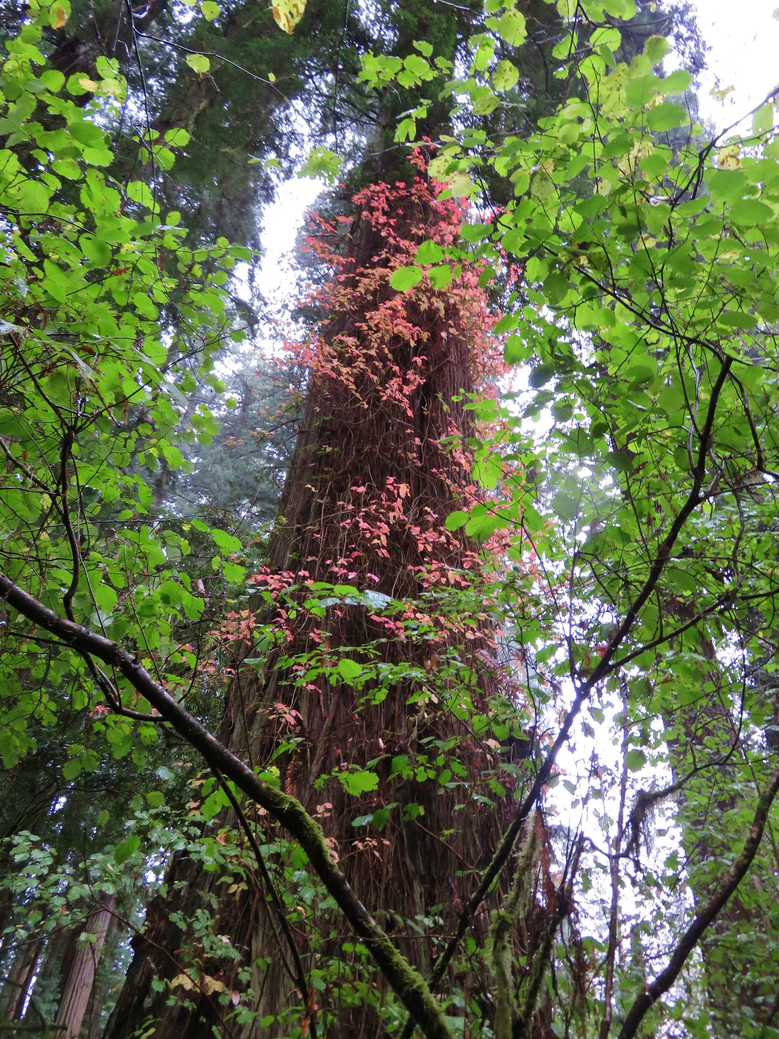
#93 Redwood Nature Trail – Hiked 5/17/2016
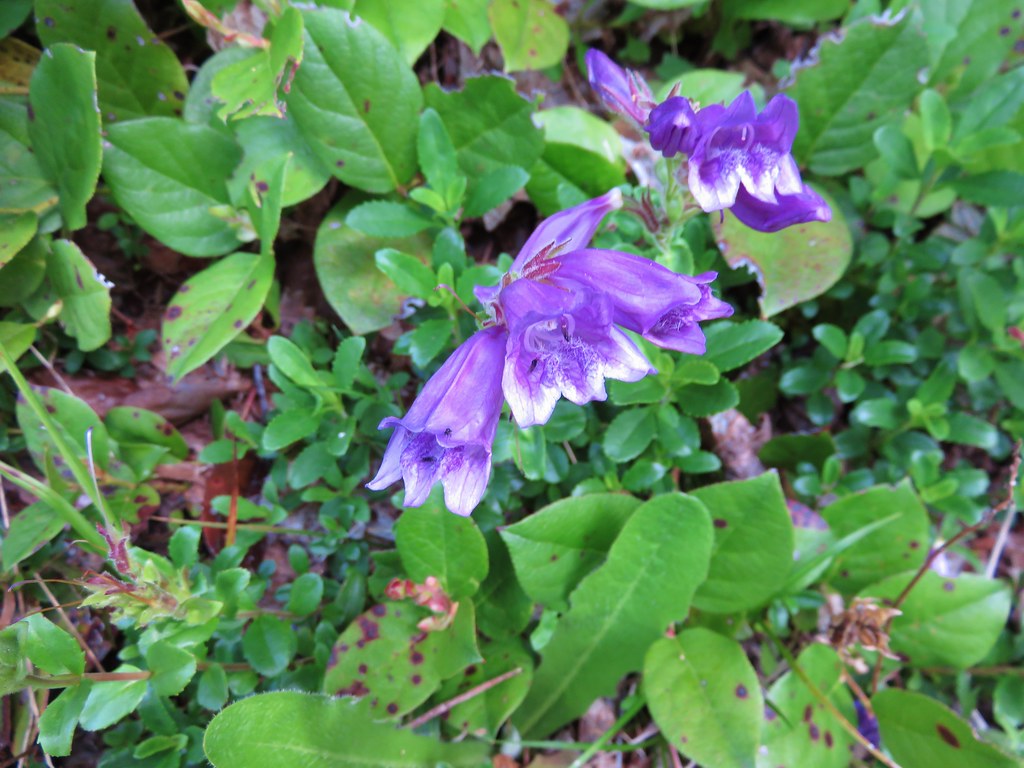
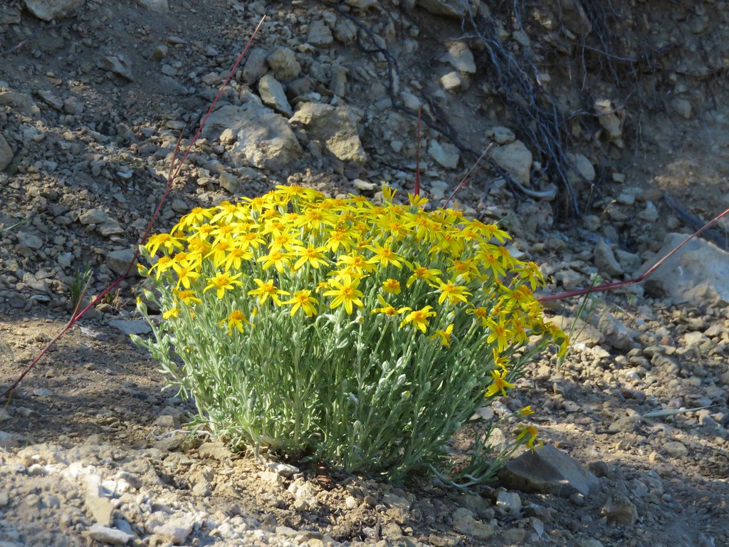
#94 Wheeler Ridge Bomb Site – Hiked 5/19/2016

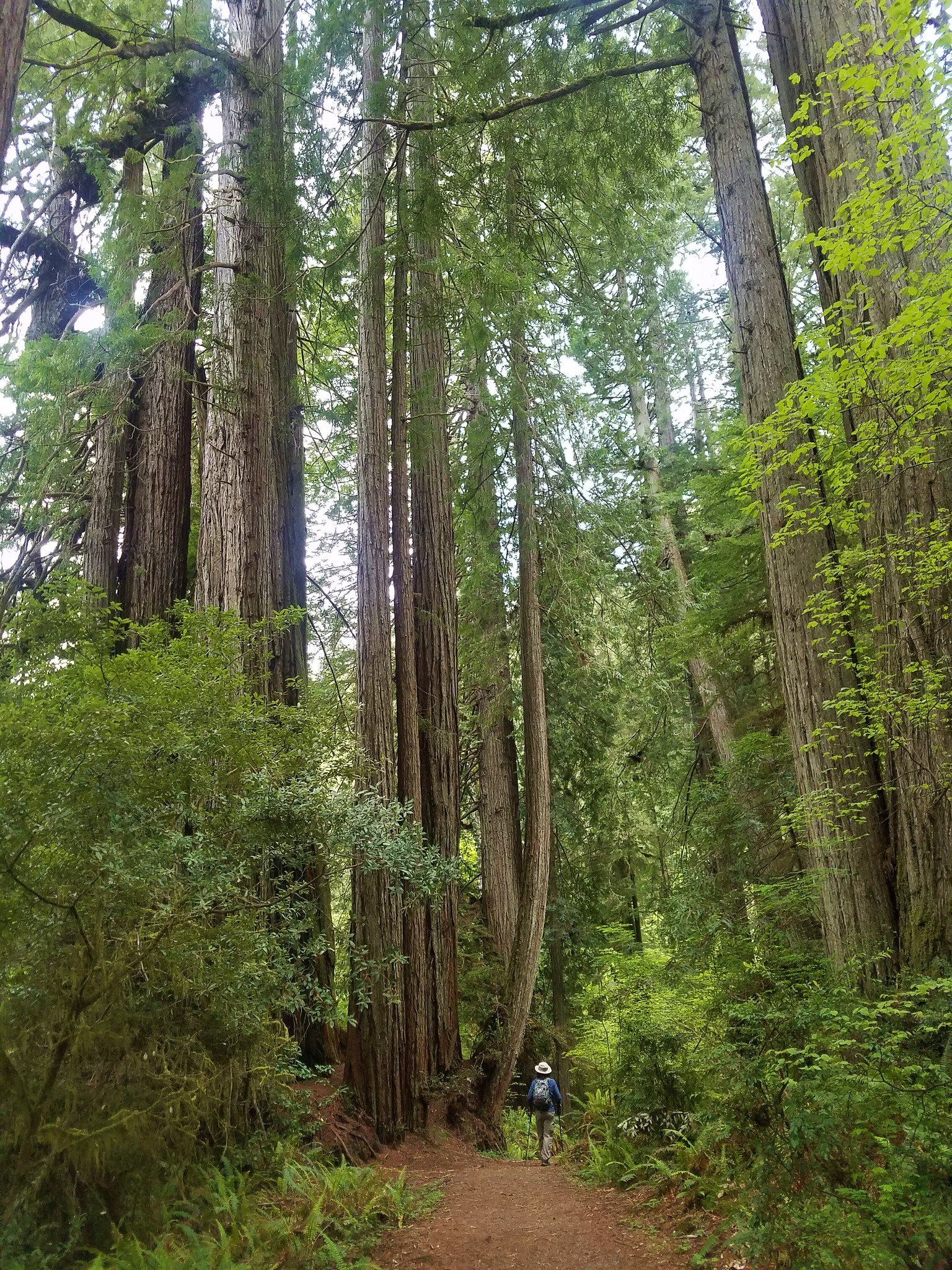
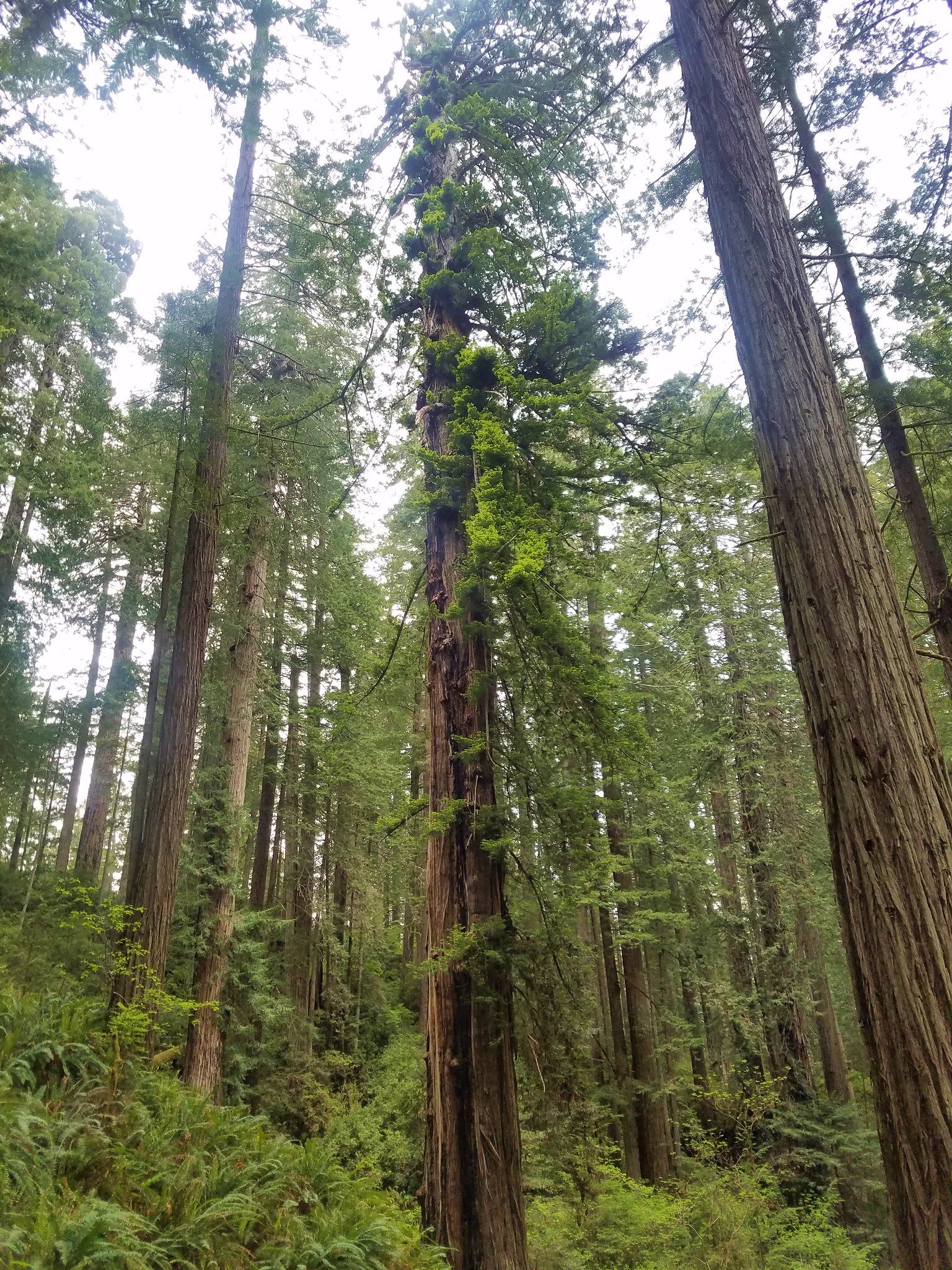
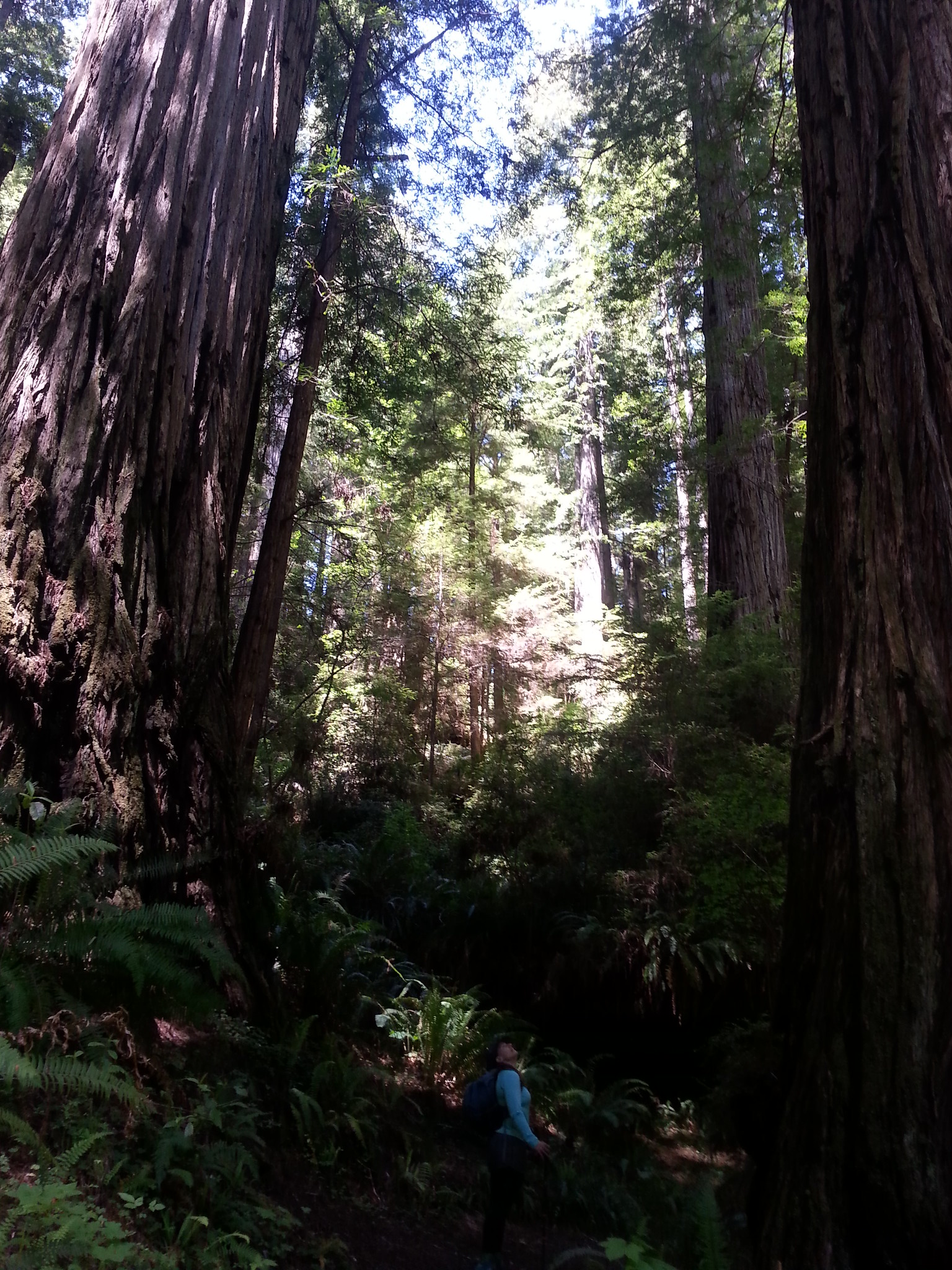
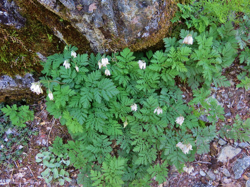
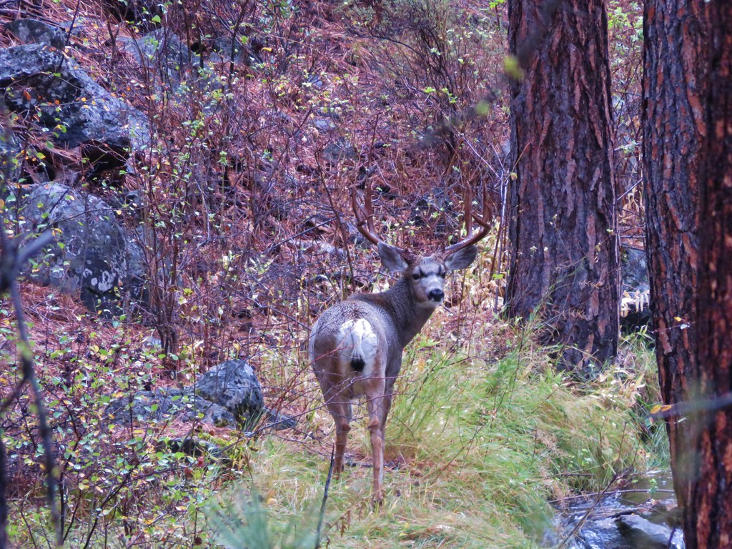
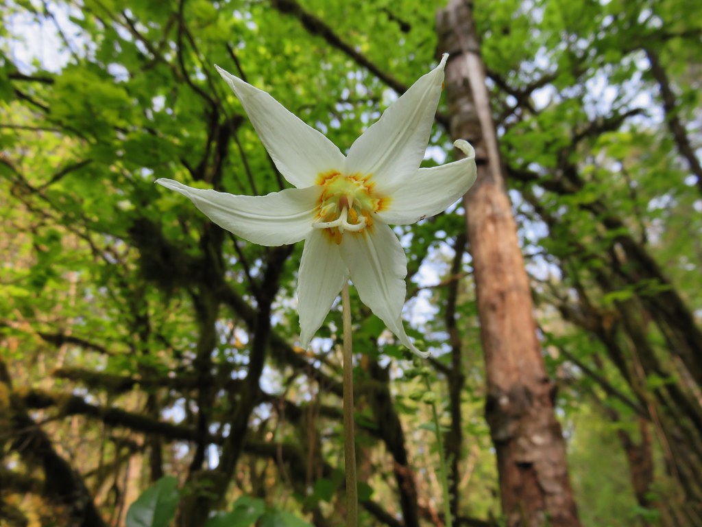
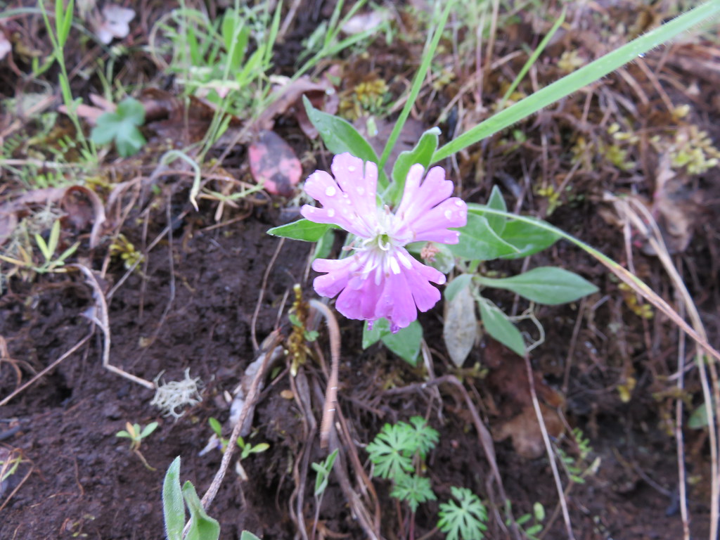
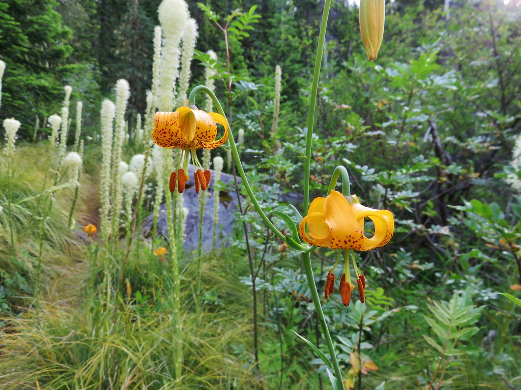
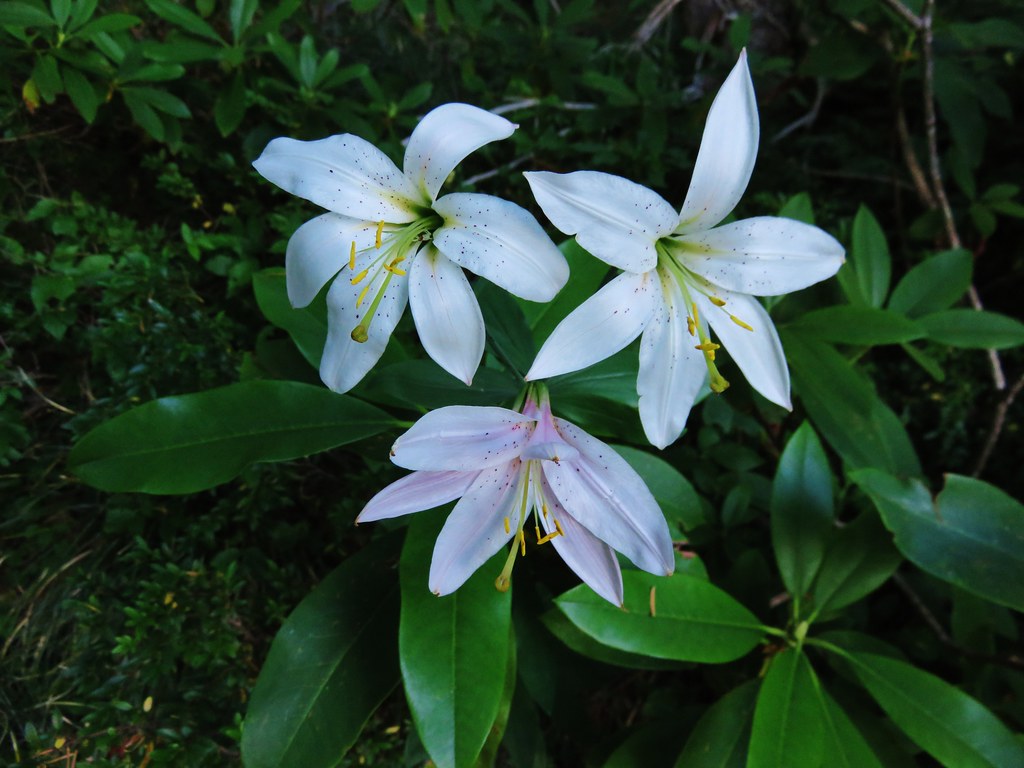
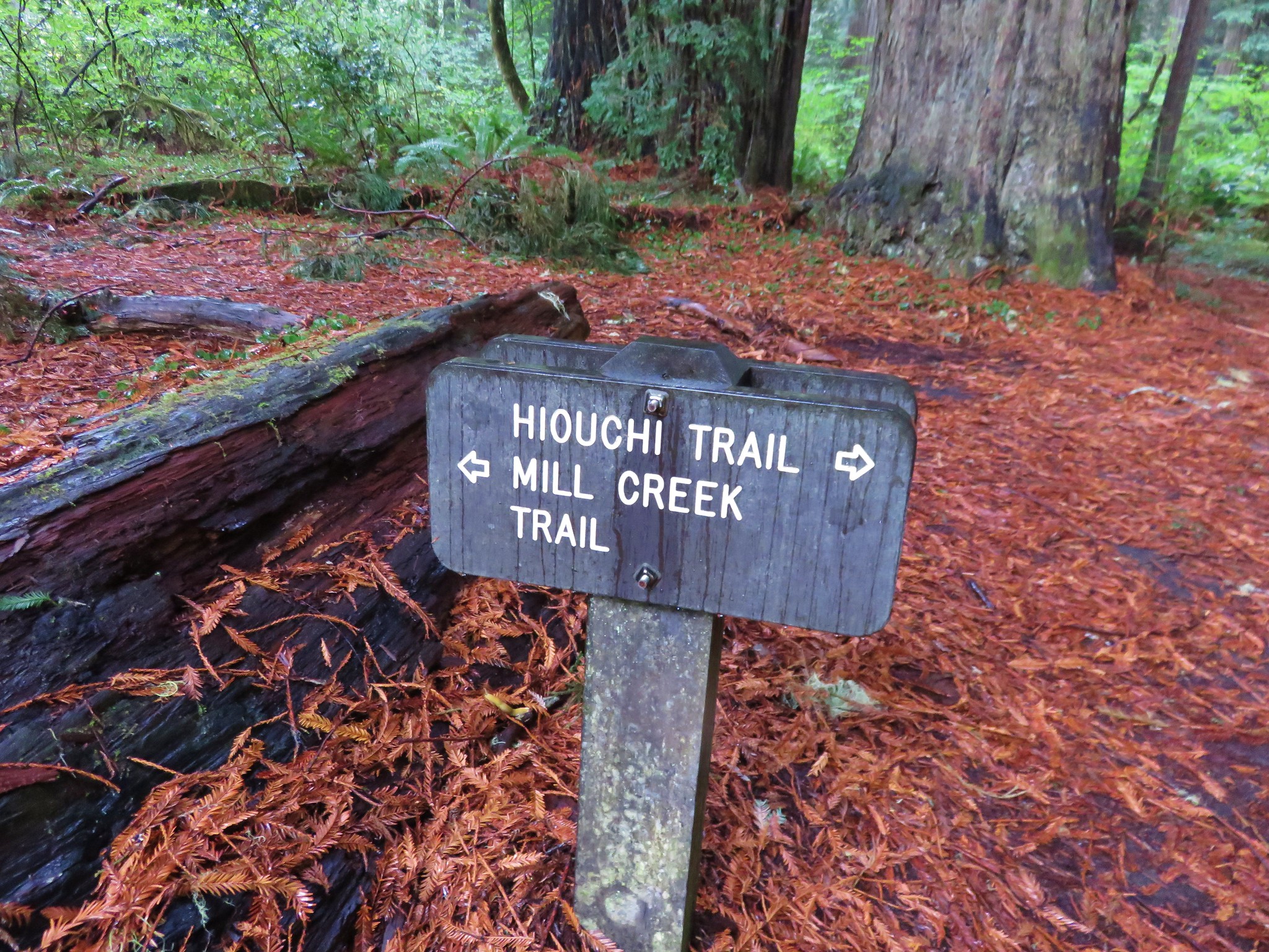
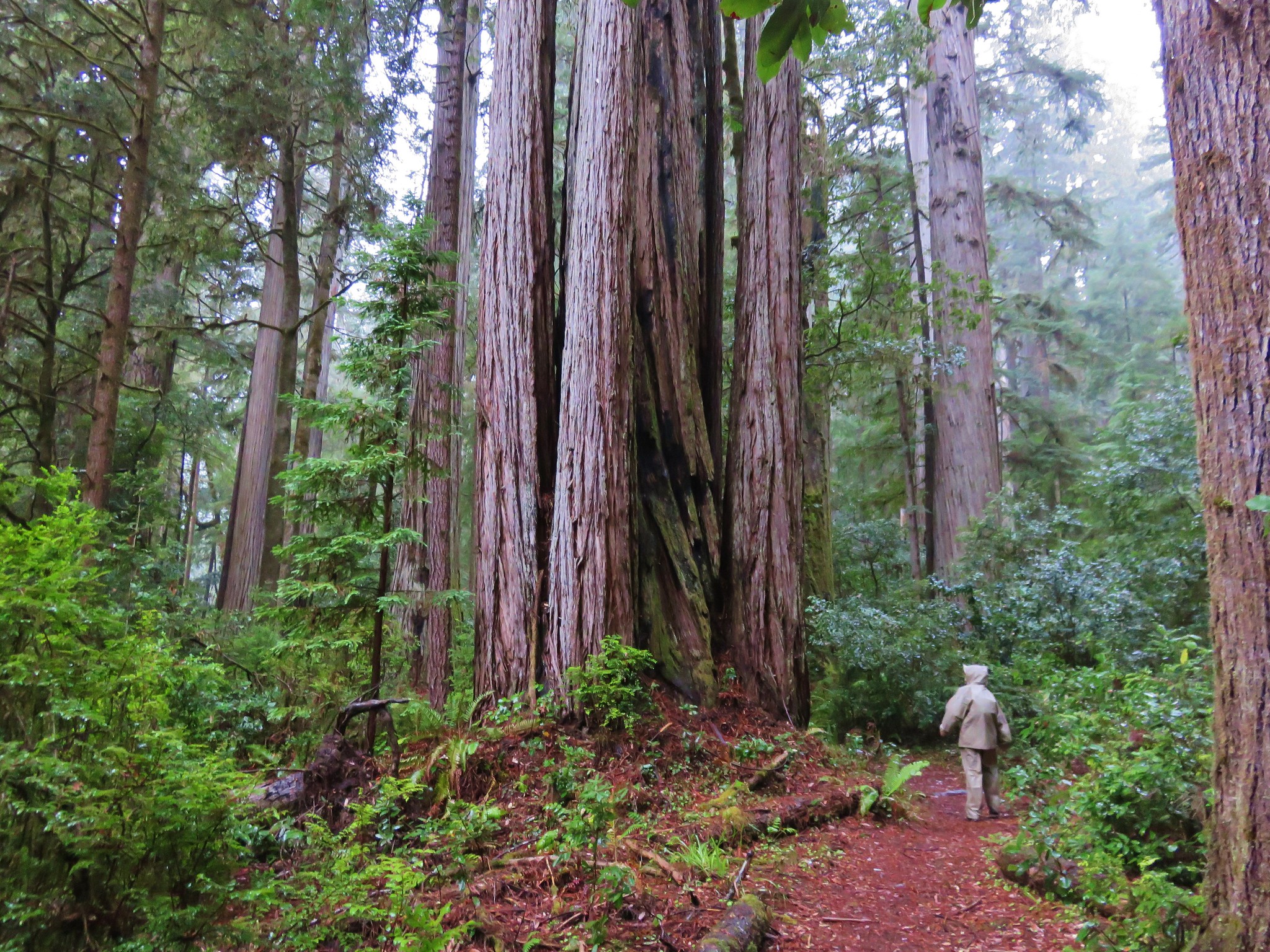
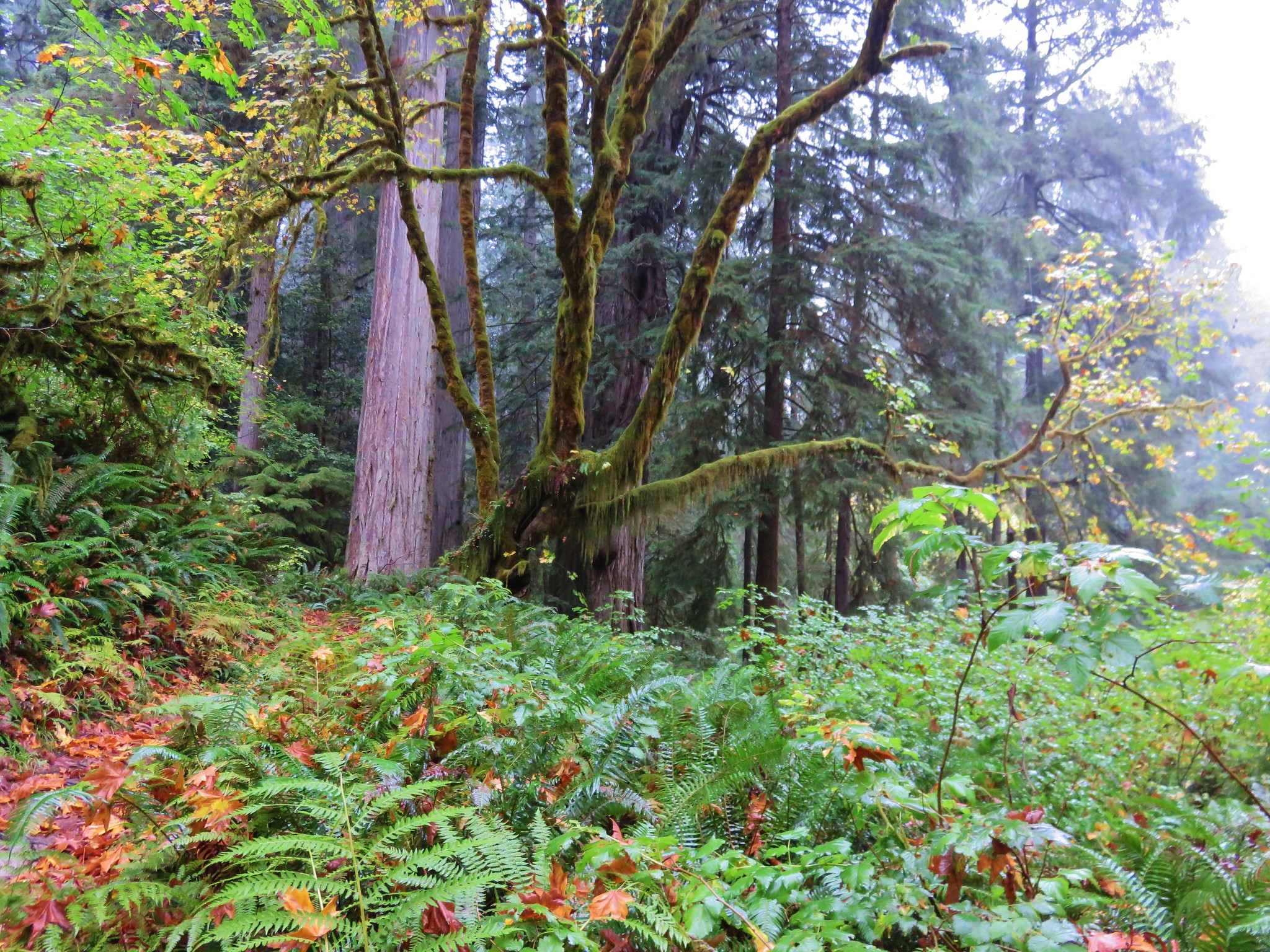
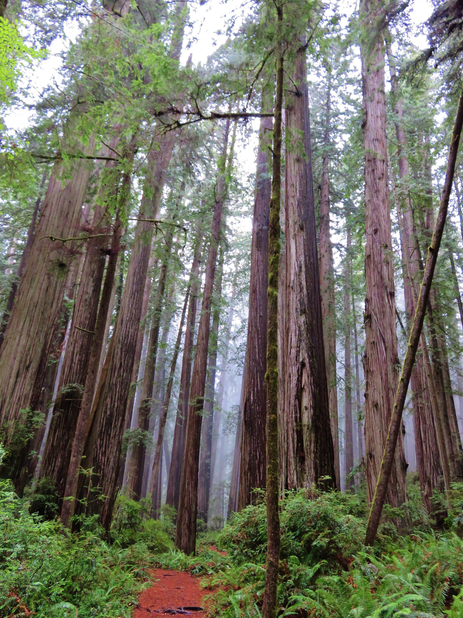
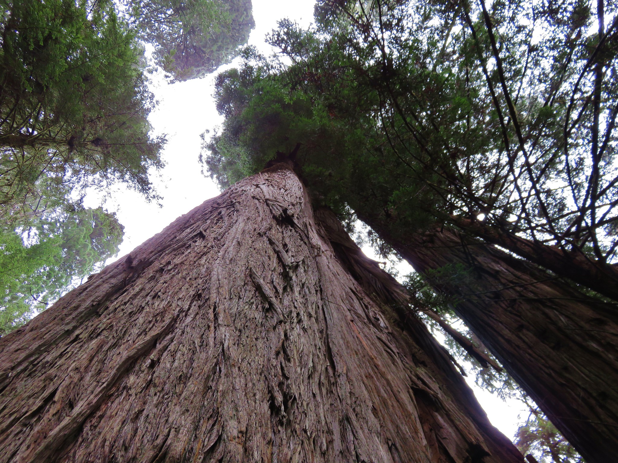
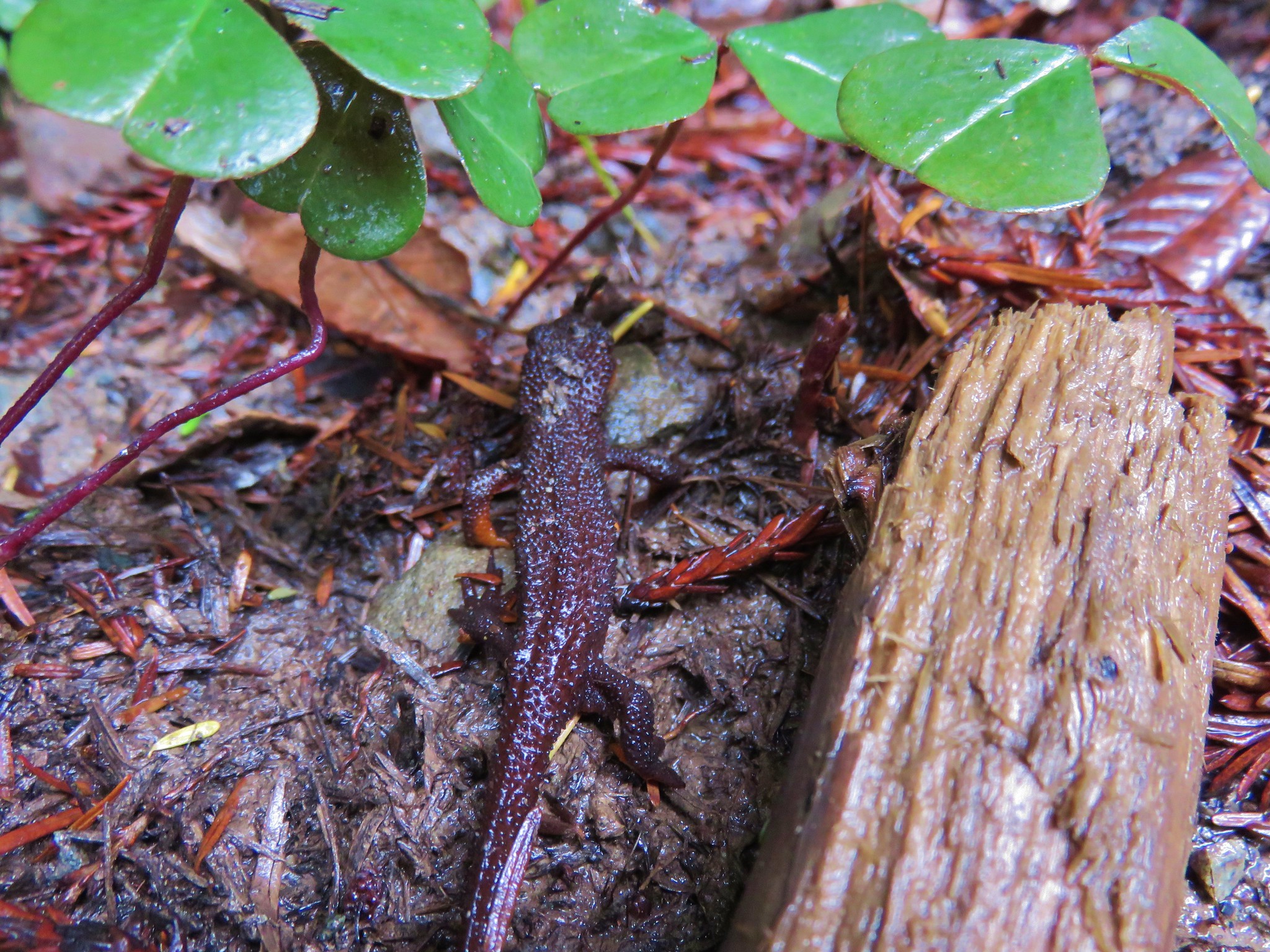
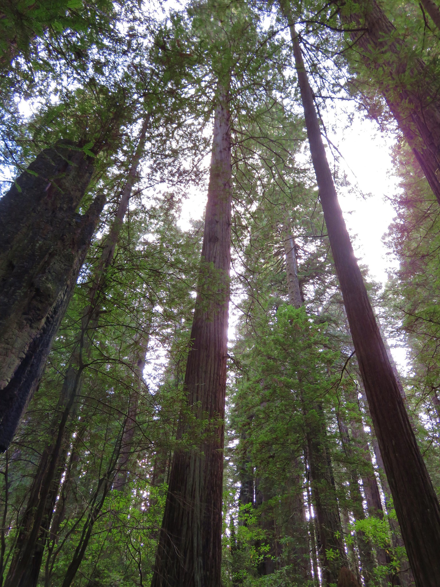
#95 Oregon Redwoods – Hiked 5/13/2021

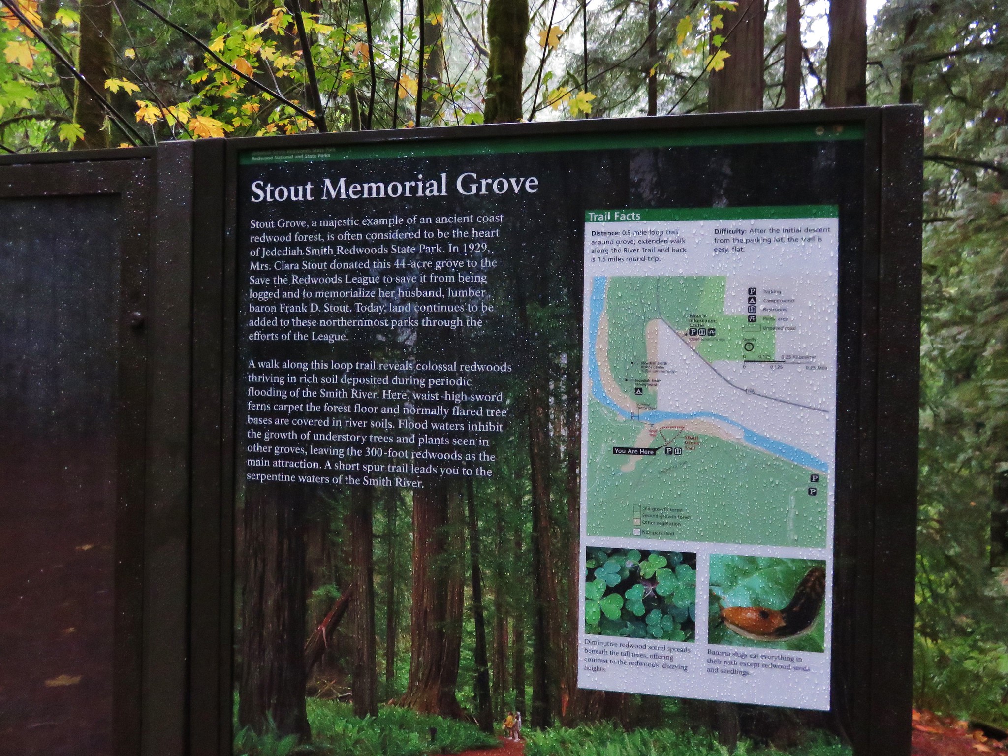
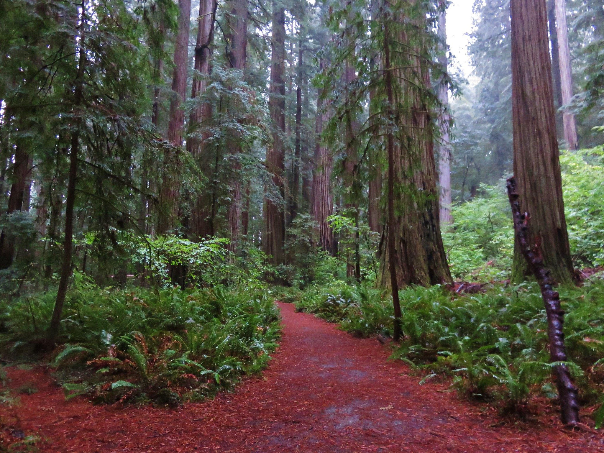
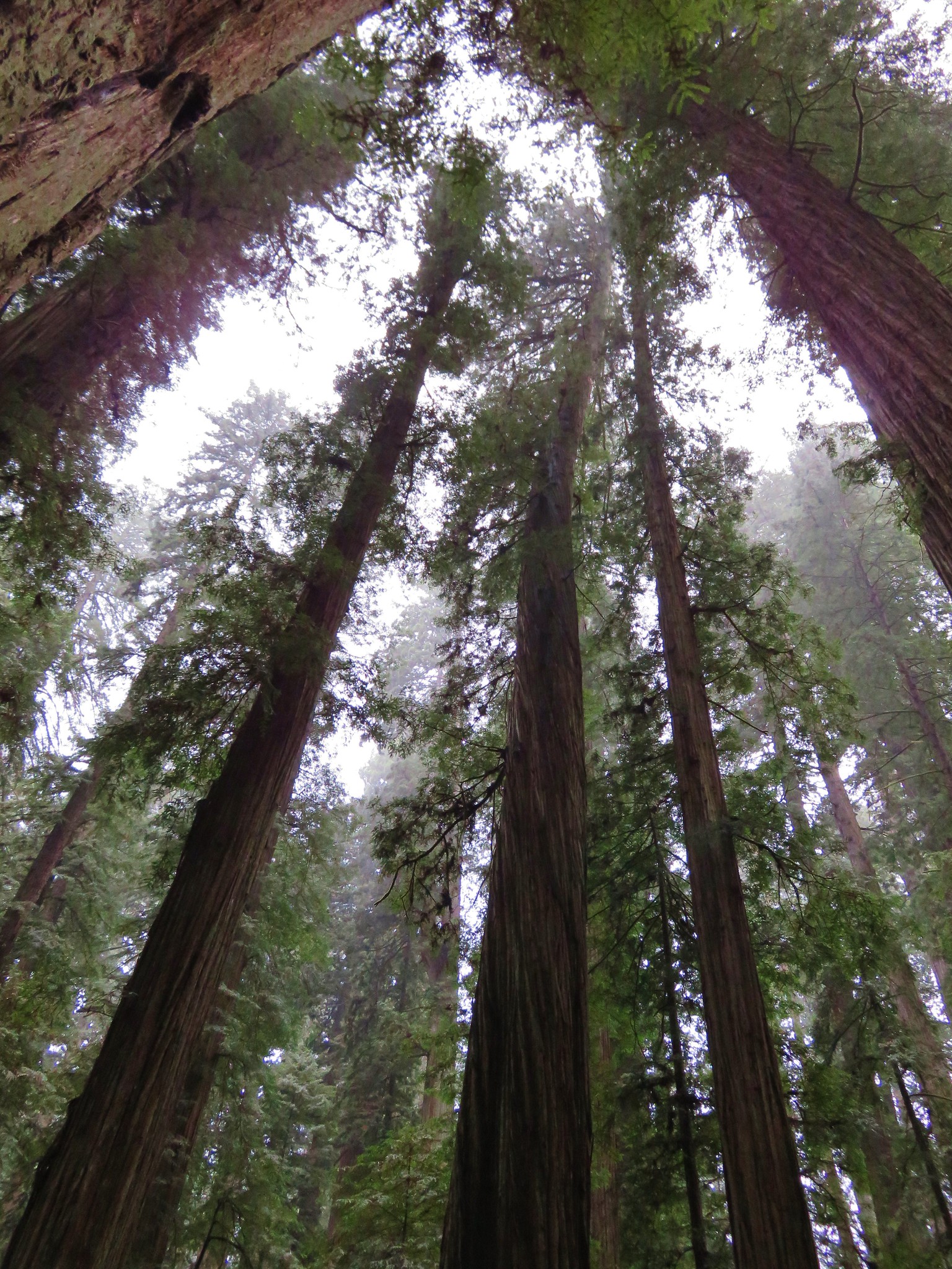
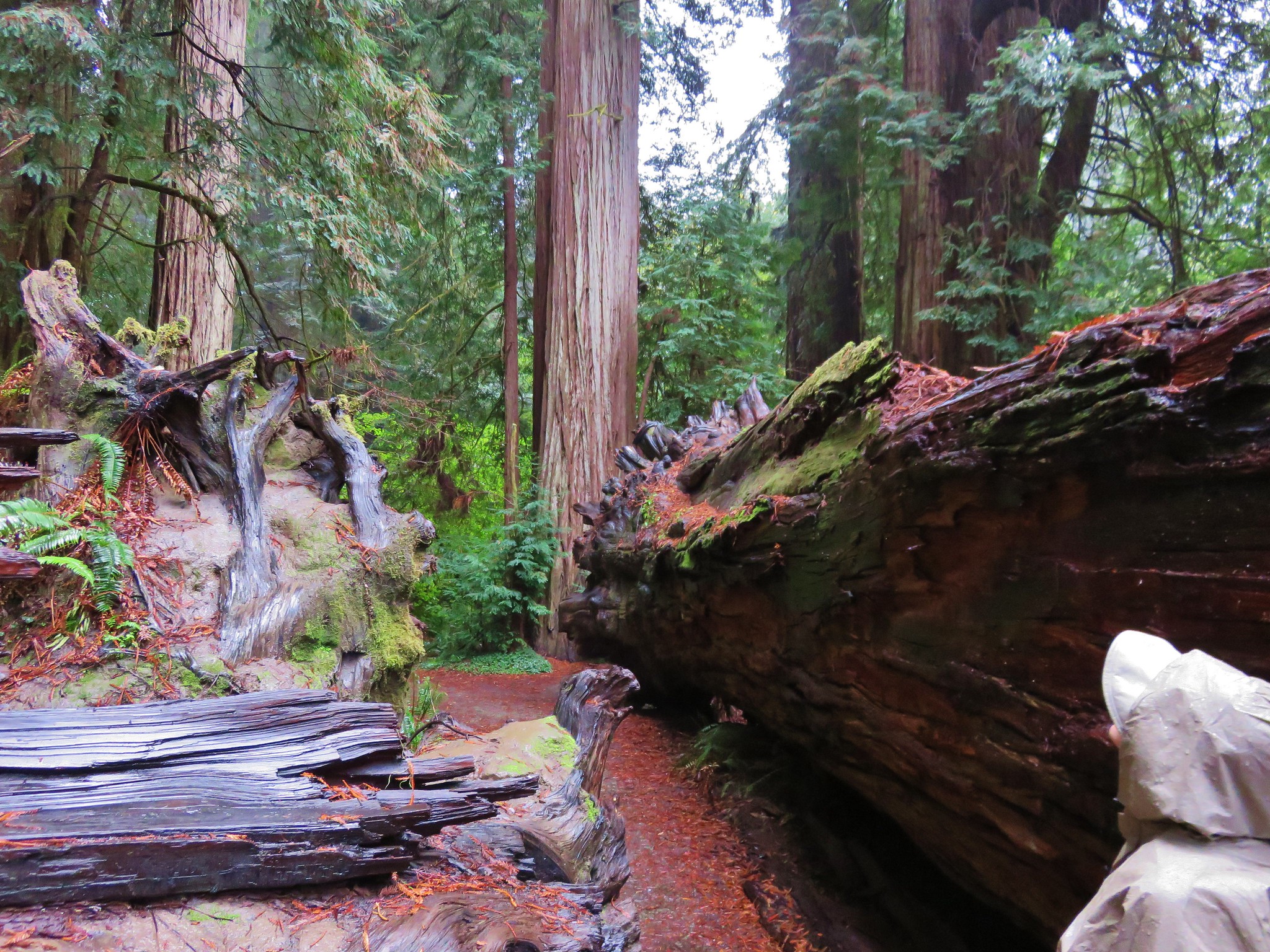
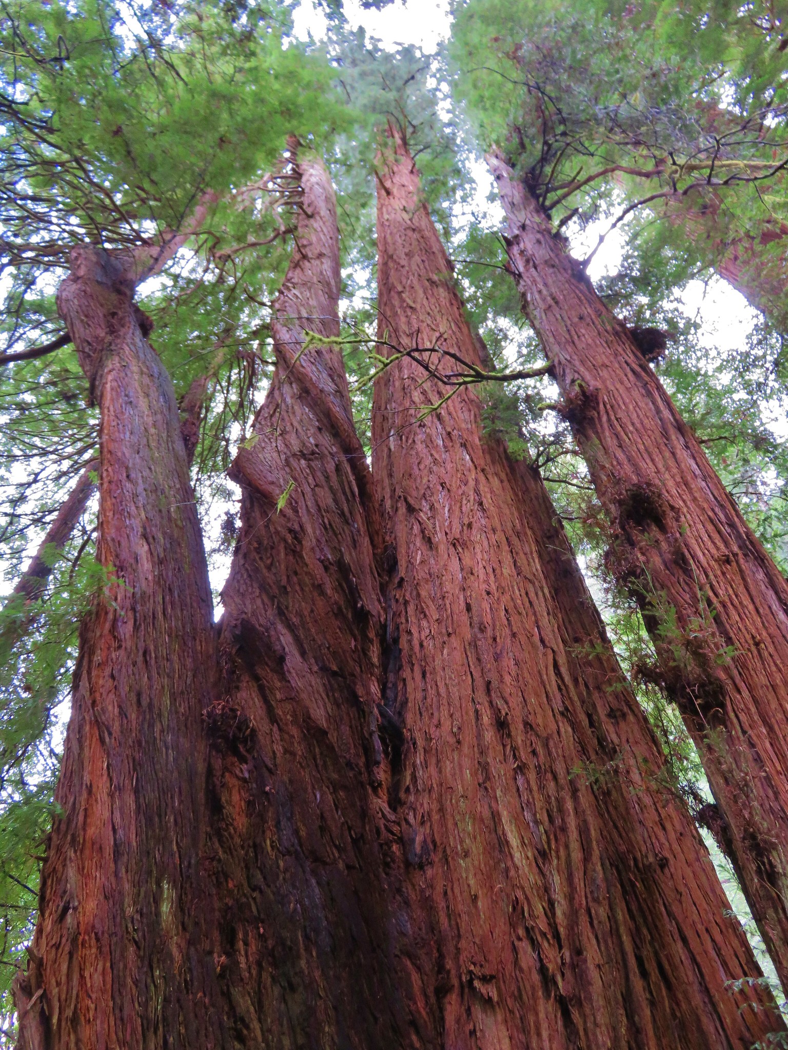
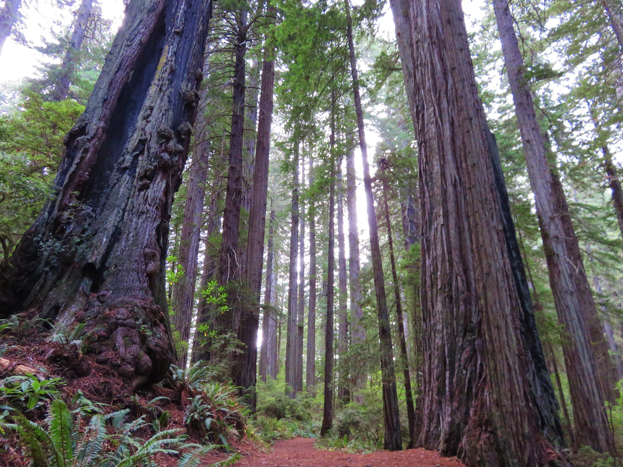
#96 Stout Grove – Hiked 10/25/2015

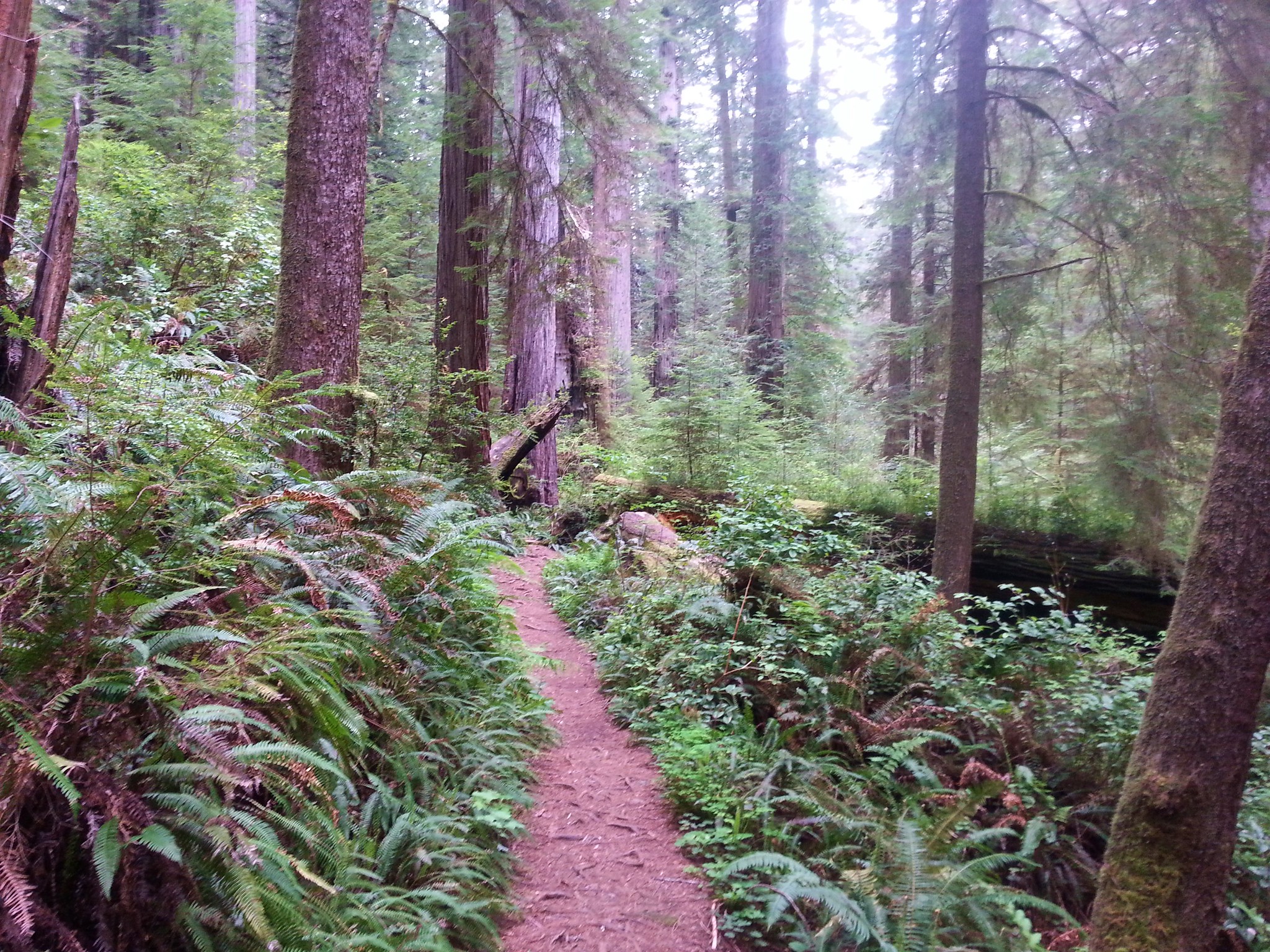
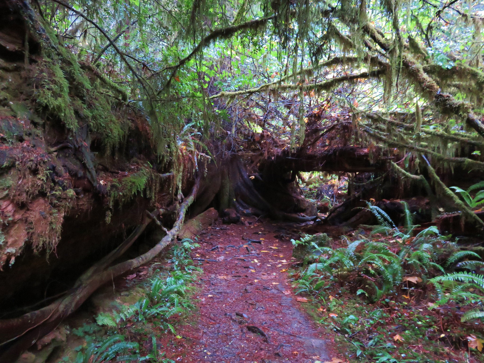
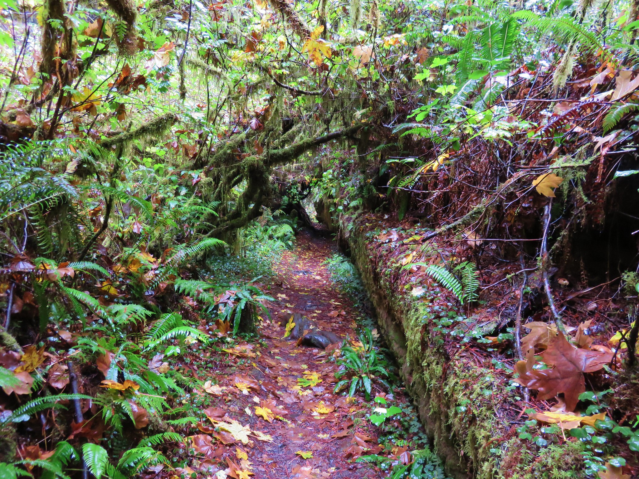
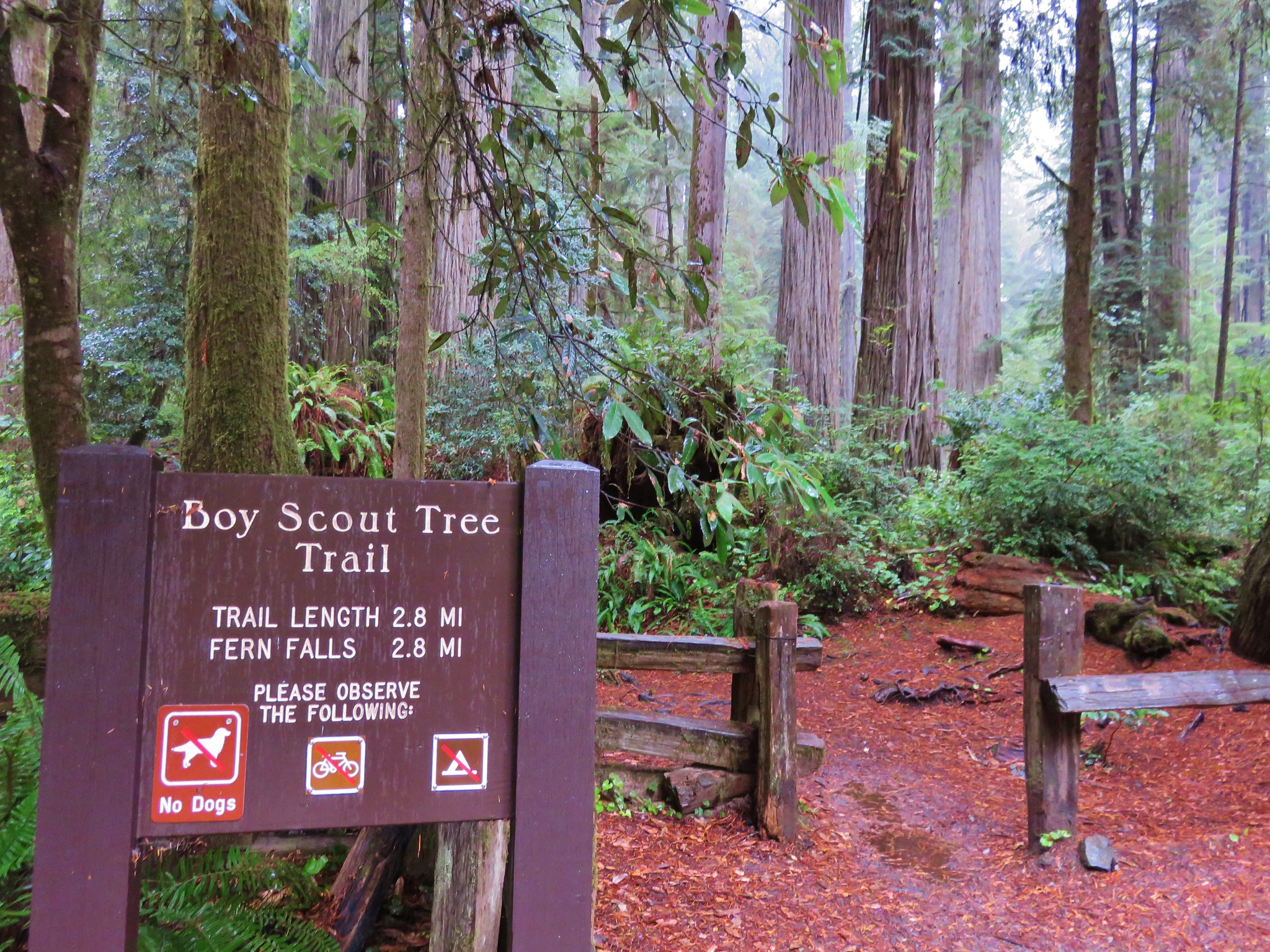
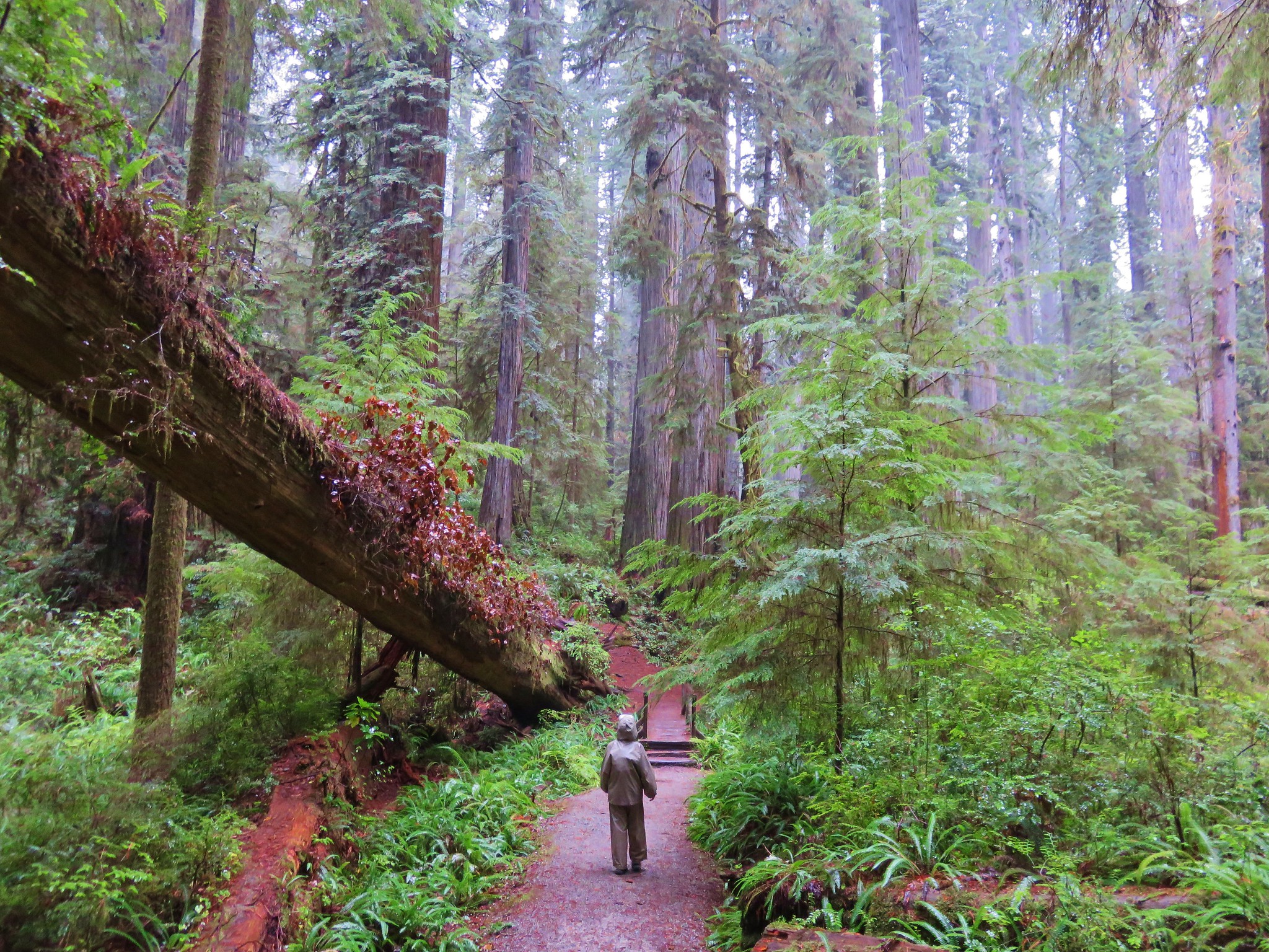
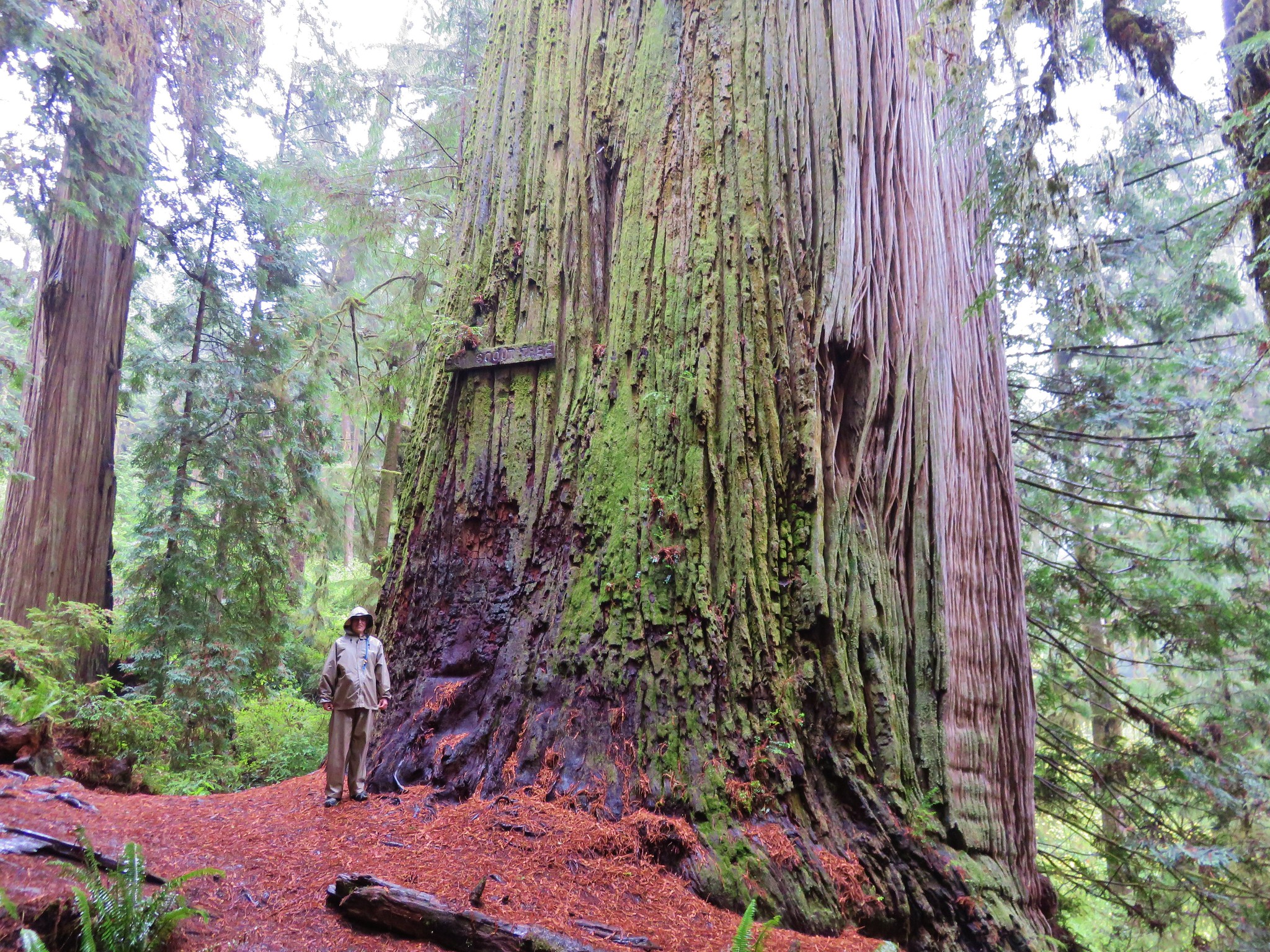
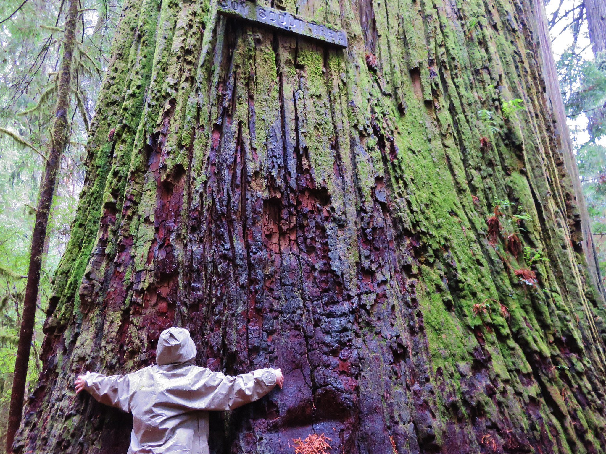
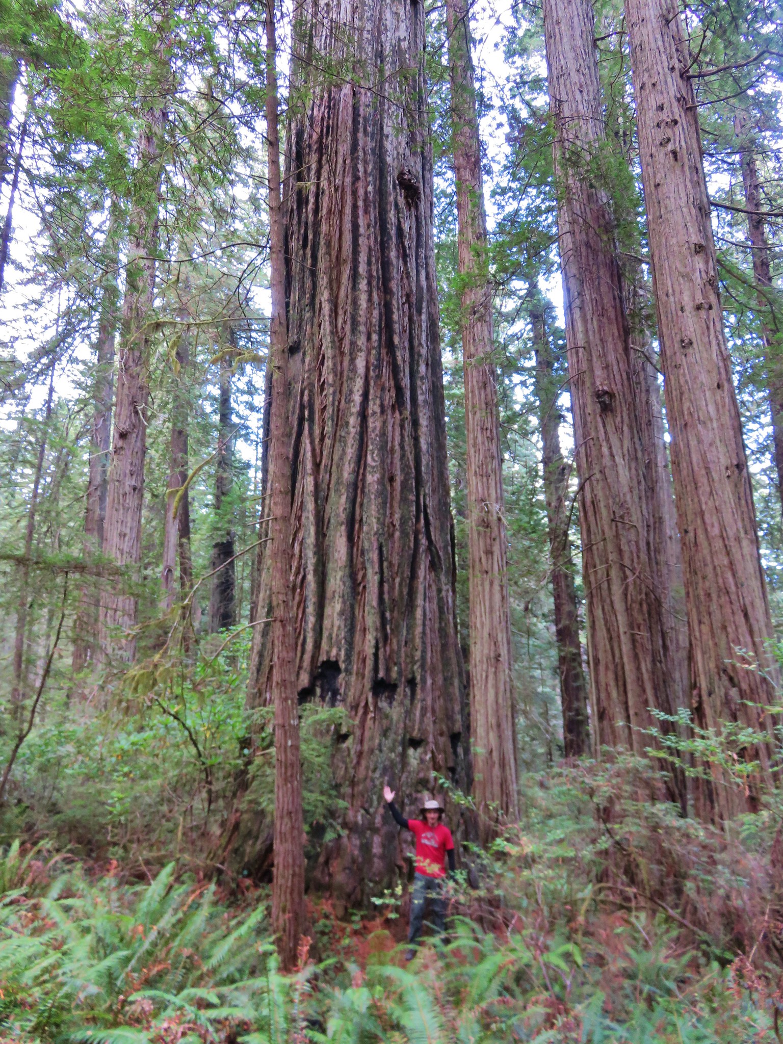
#97 Boy Scout Tree – Hiked 10/25/2015

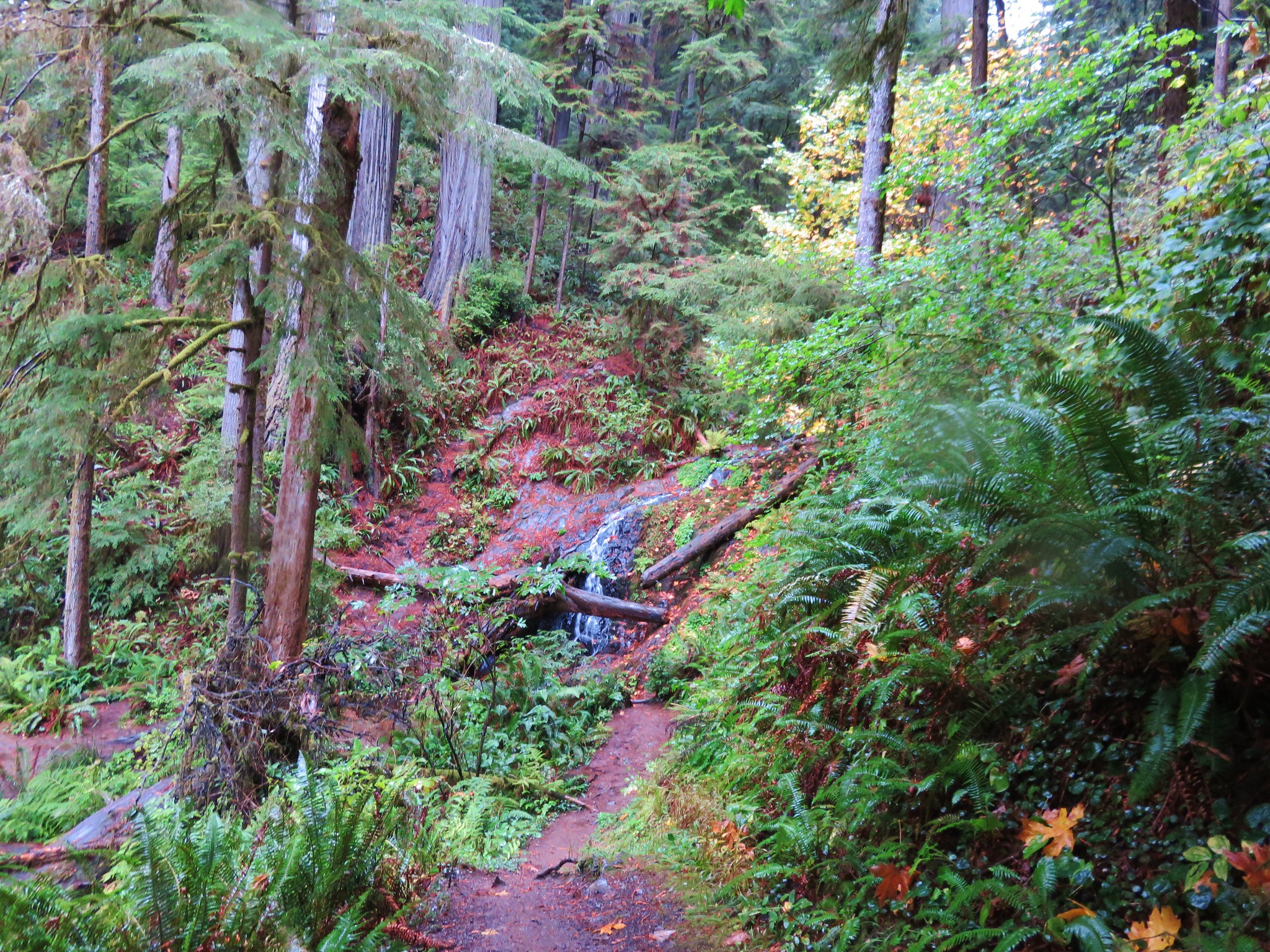
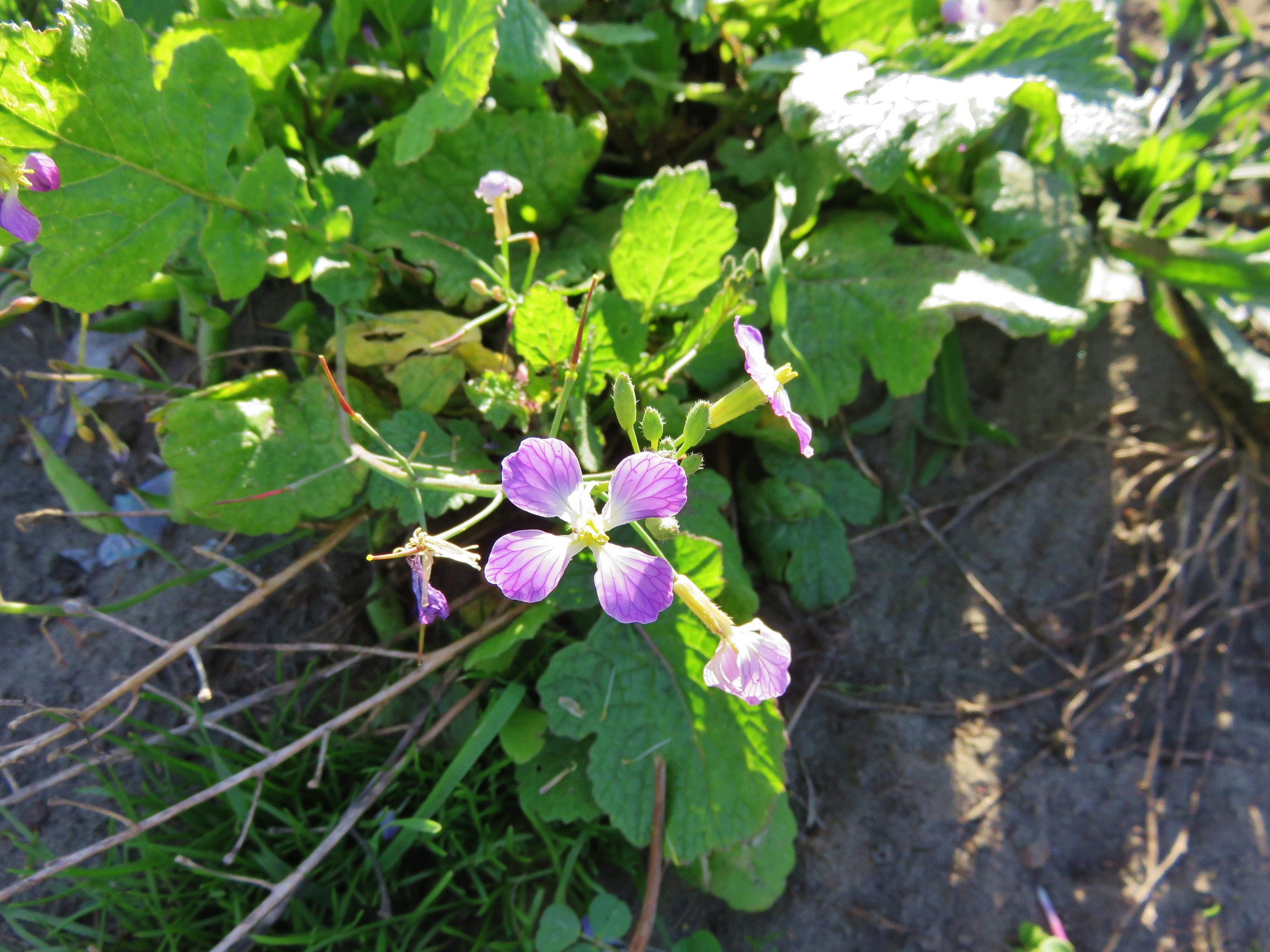
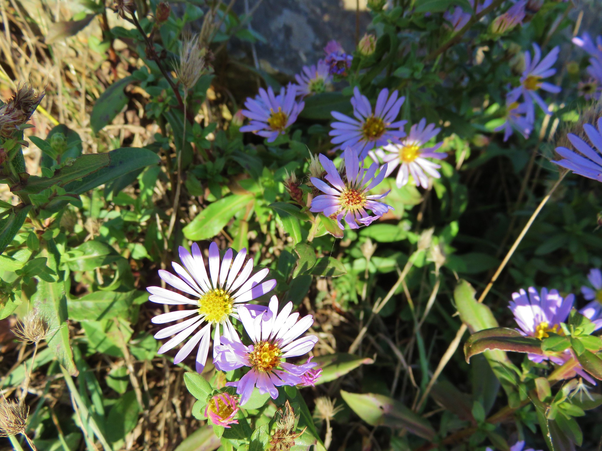
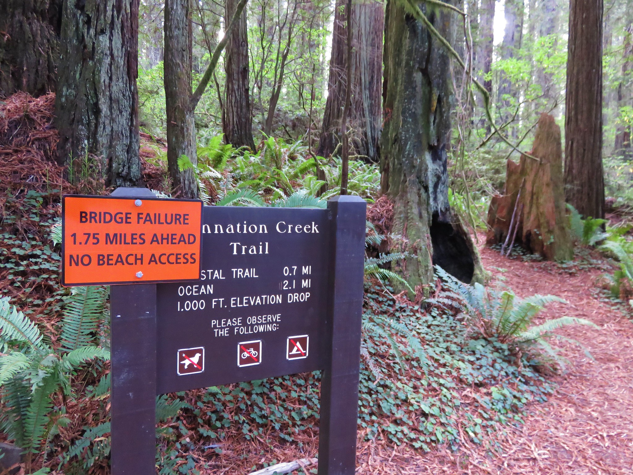
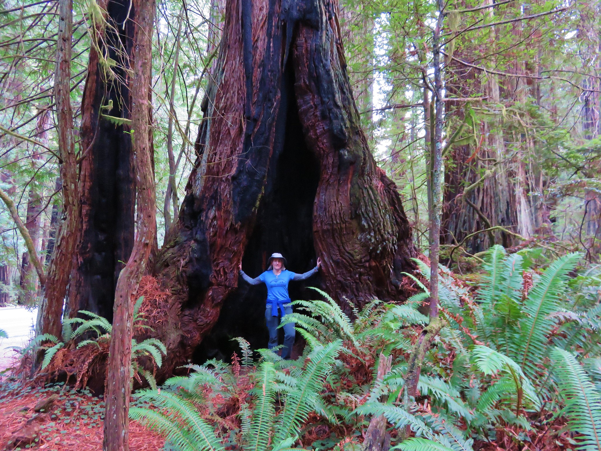
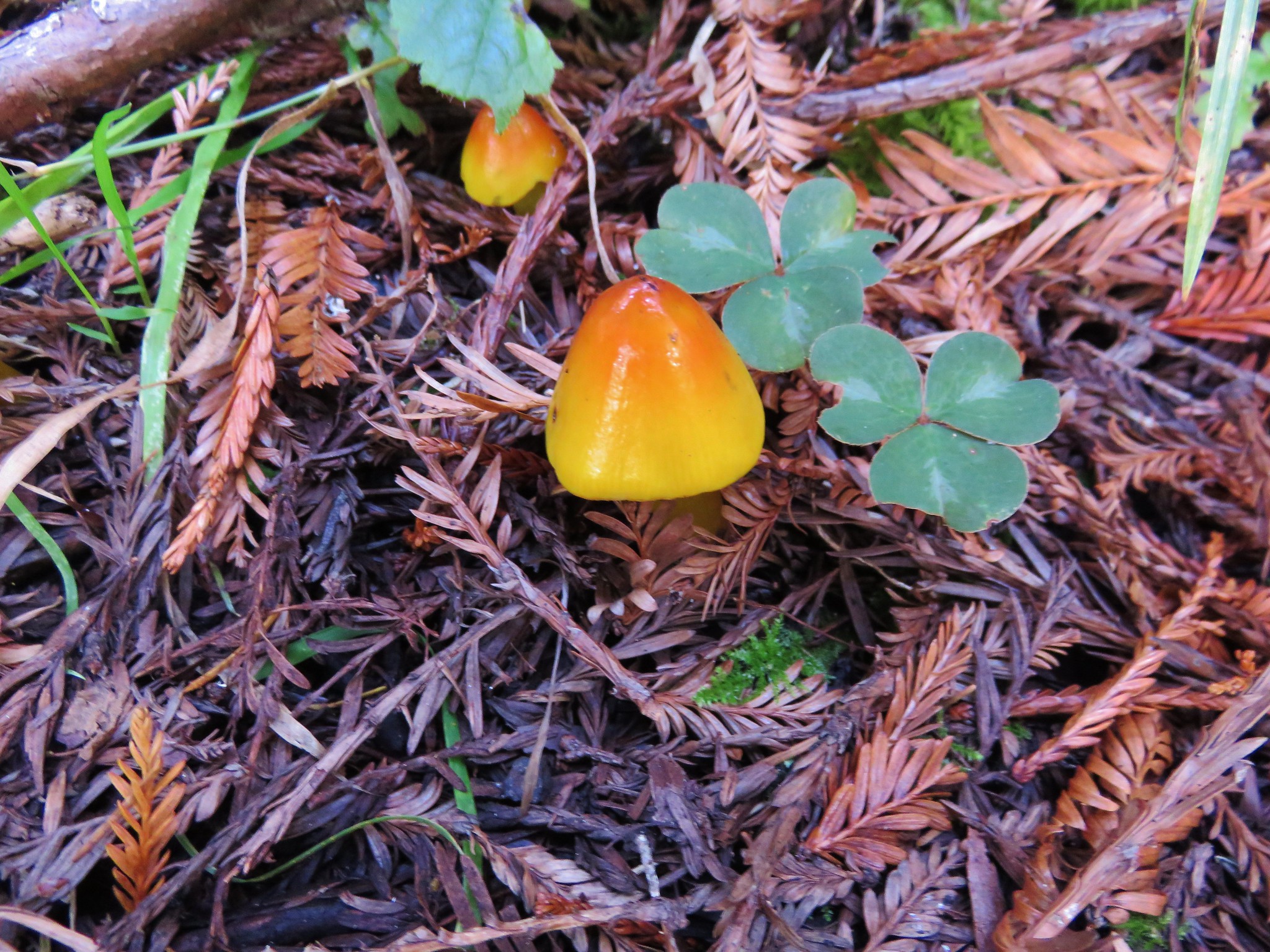
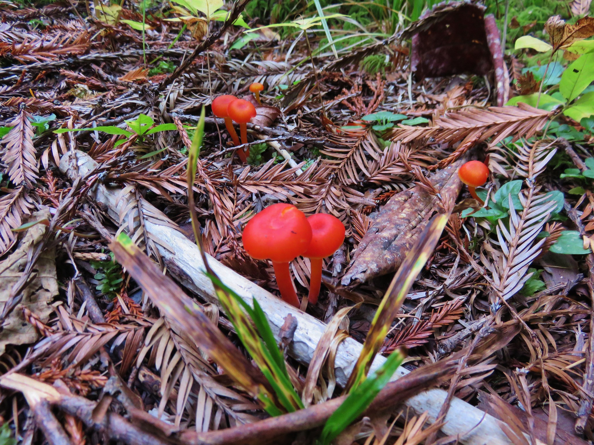
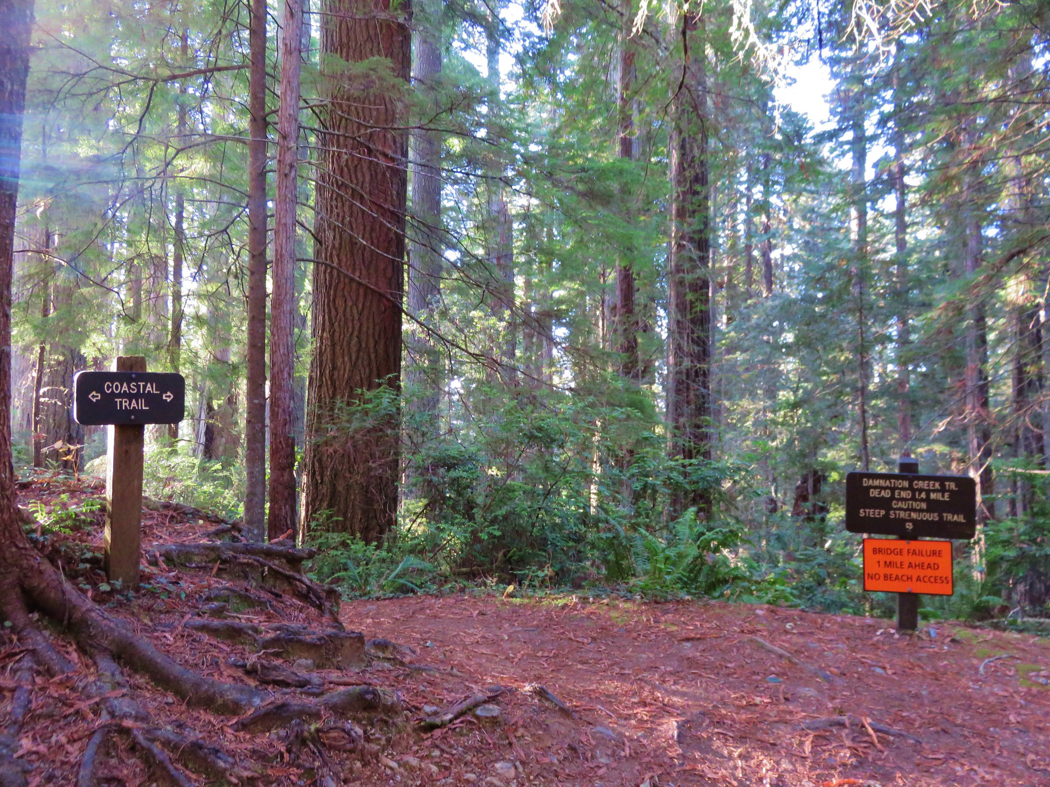
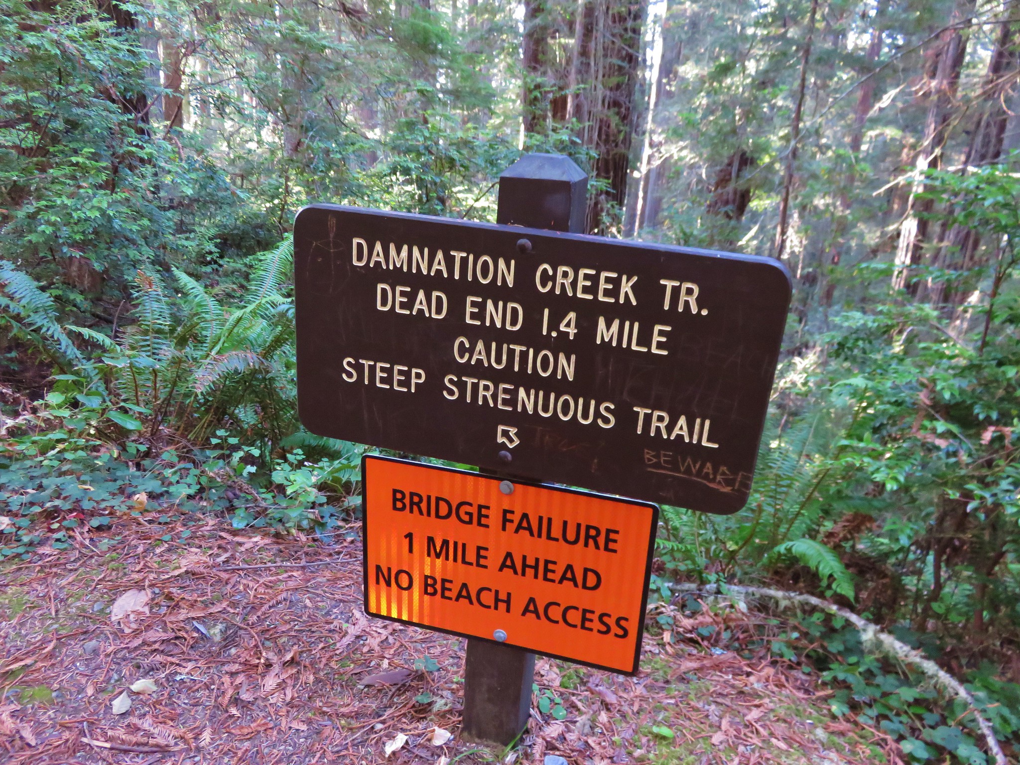
#98 Damnation Creek – Hiked 10/24/2014

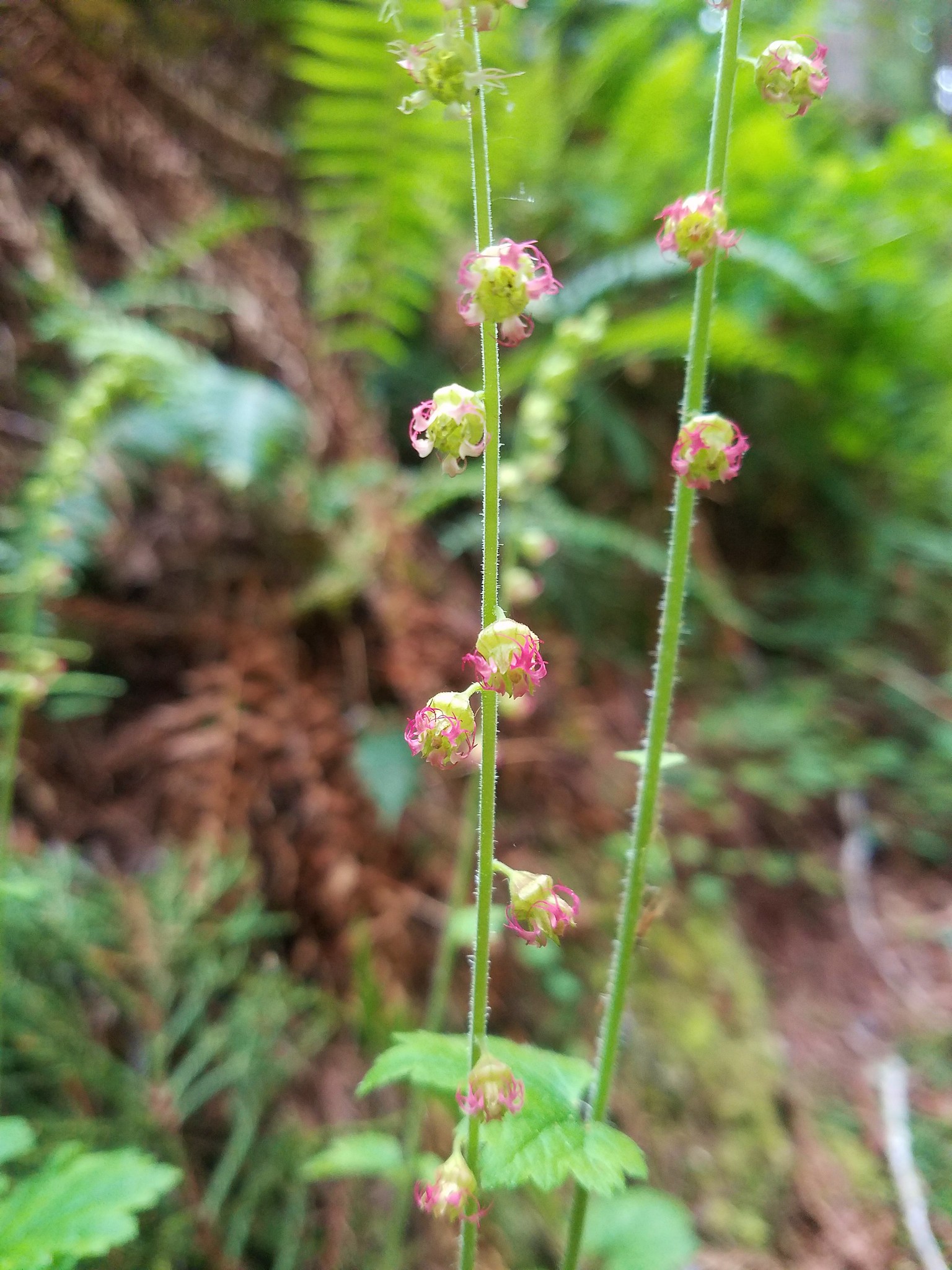
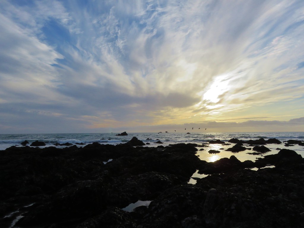
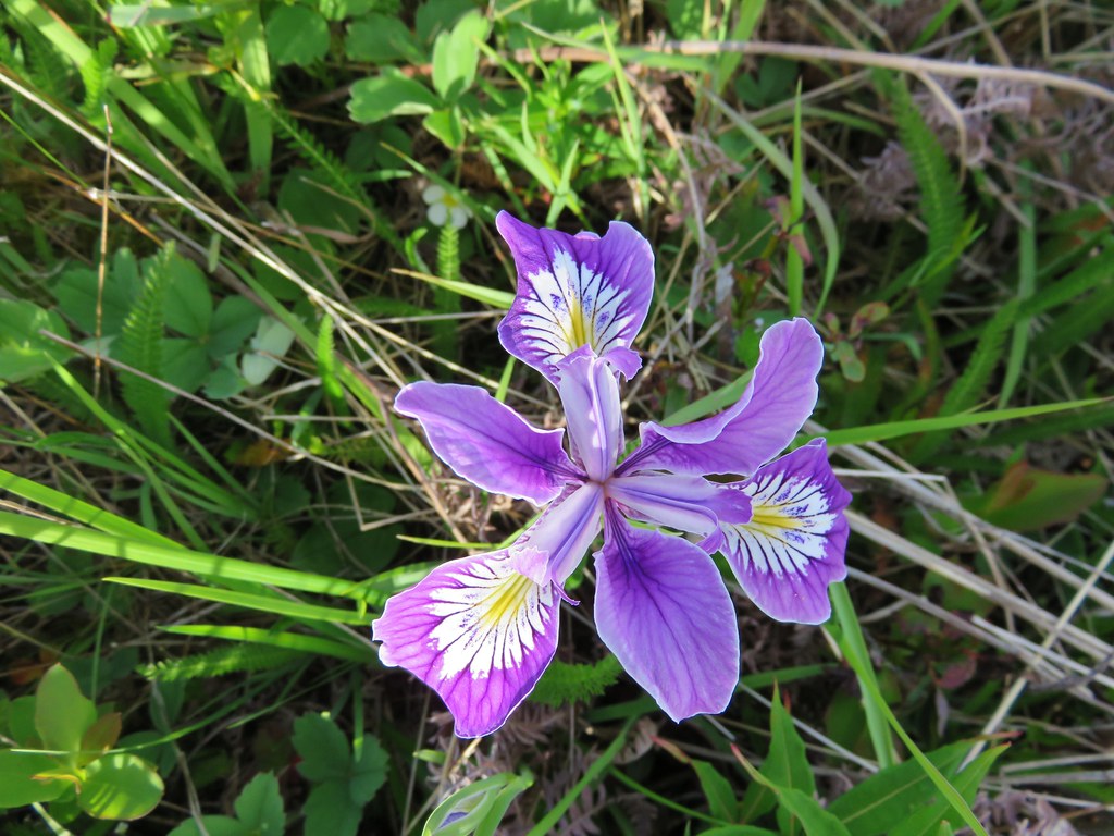
#99 Hidden Beach – Hiked 5/11/2017

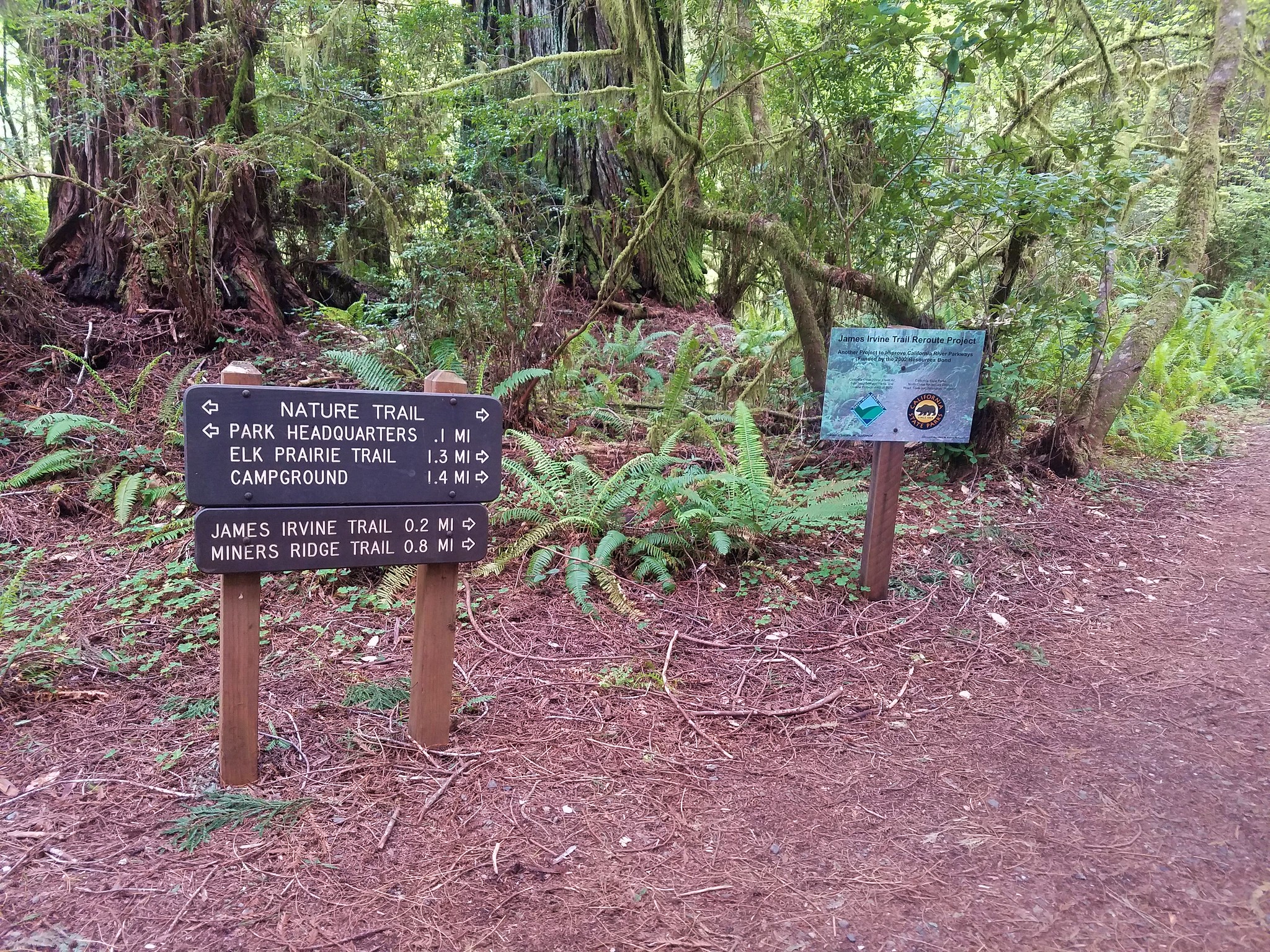
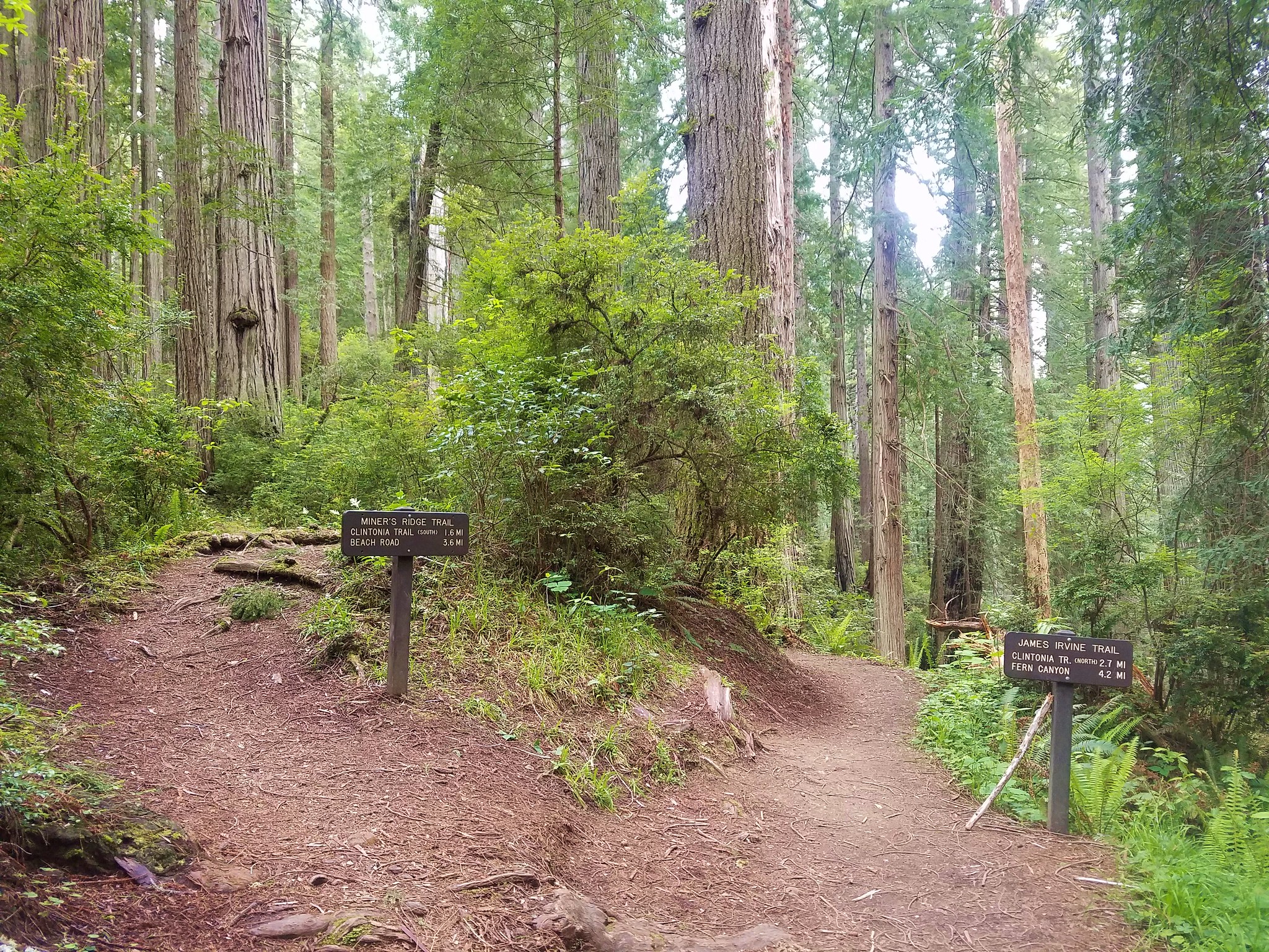
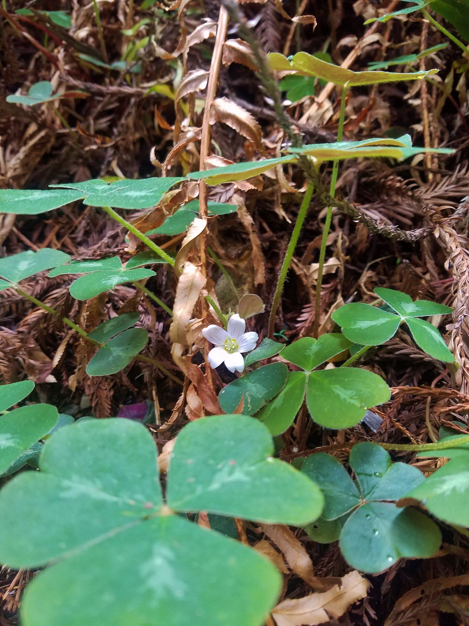
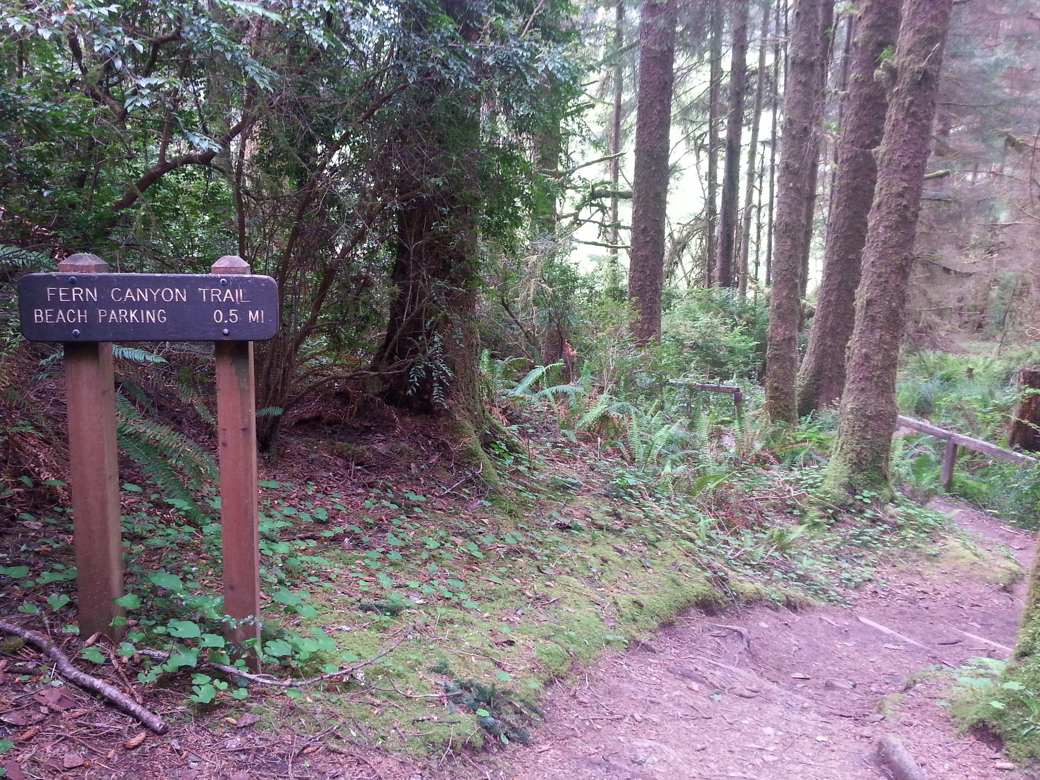
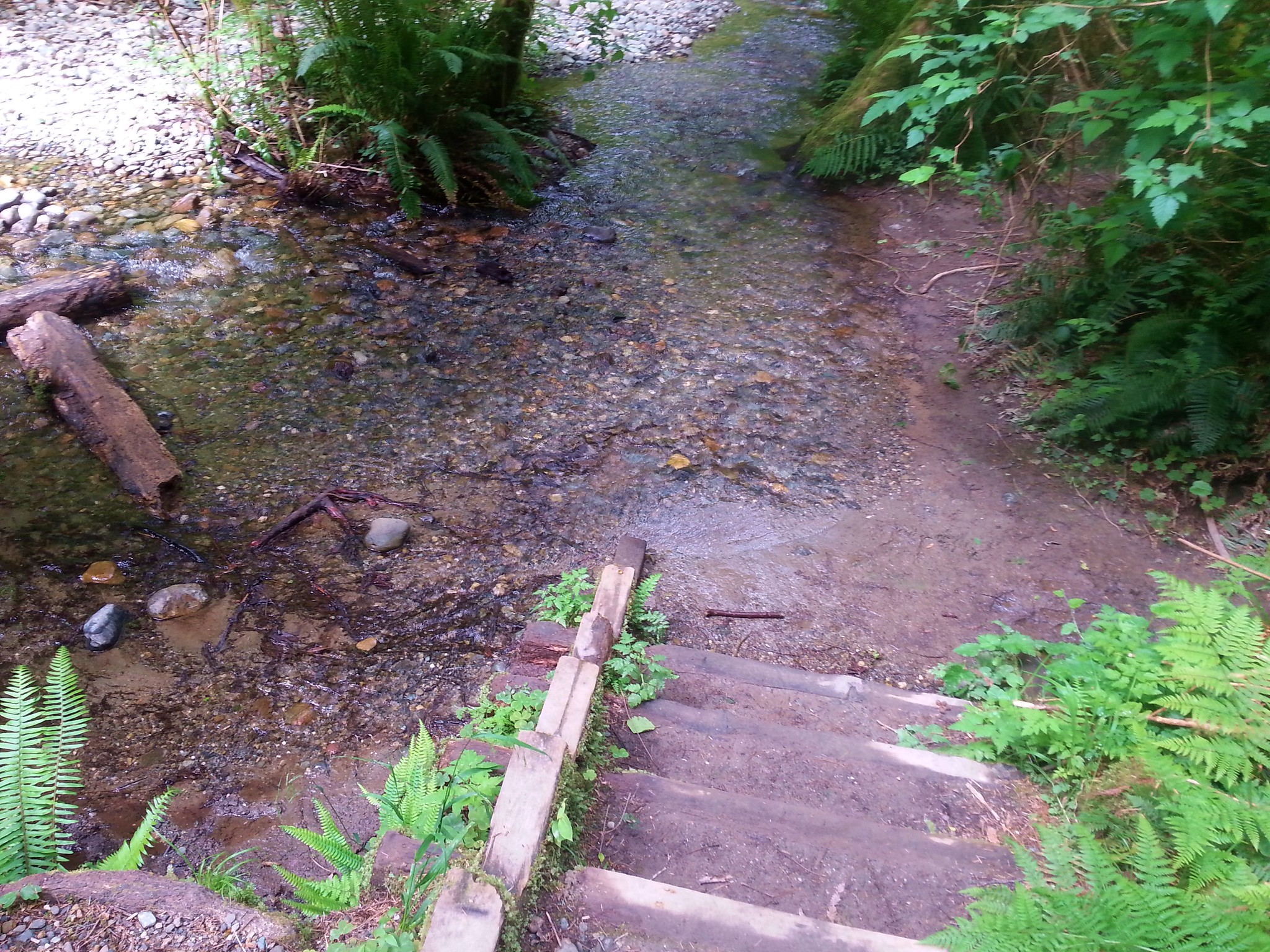
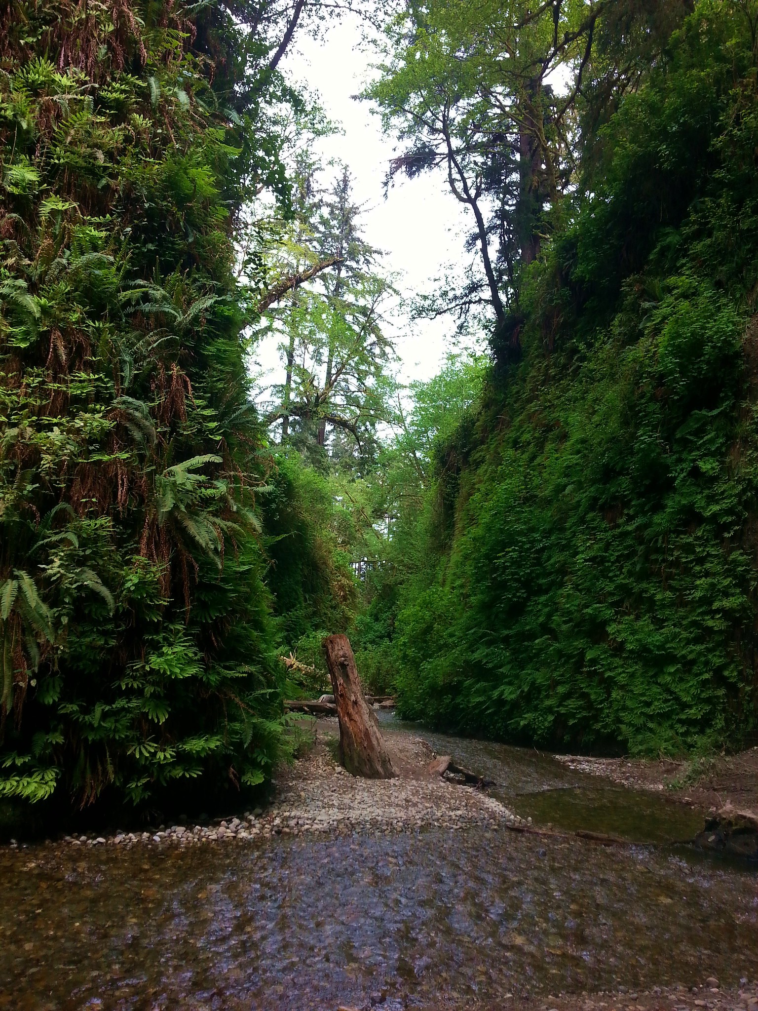
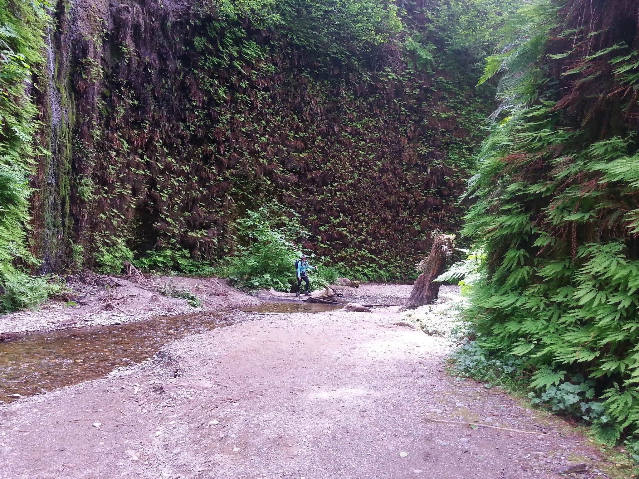
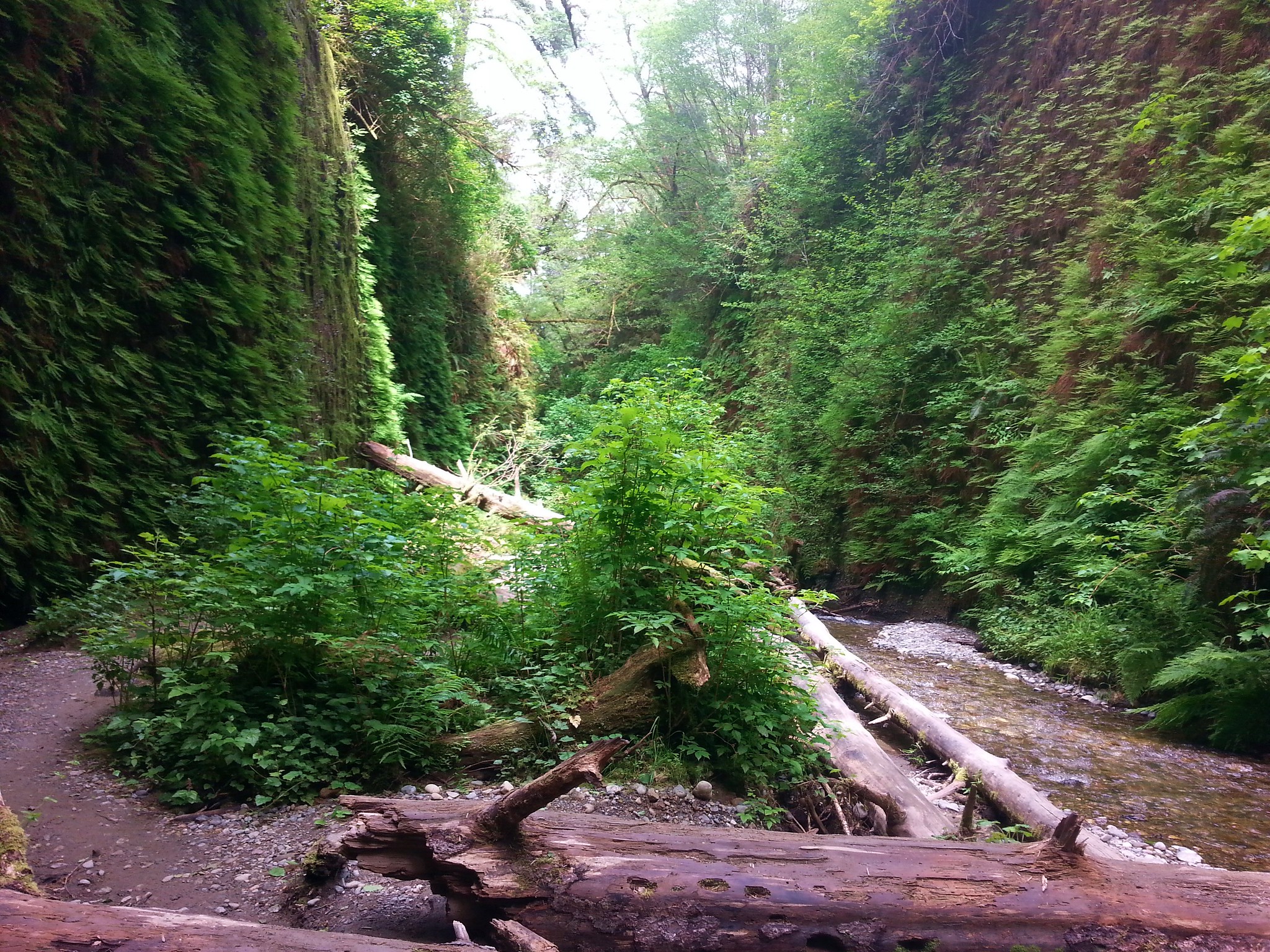
#100 Fern Canyon – Hiked 5/10/2017

With any luck the Salmonberry Railroad will be reopened in the not too distant future so we can say we’ve completed the 4th edition as well. In the meantime there are still other non-featured hikes to explore and trails to revisit. Happy Trails!