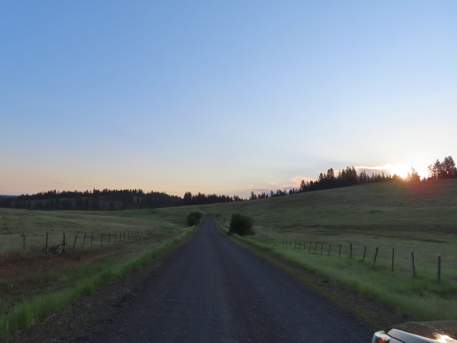
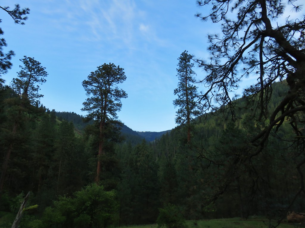
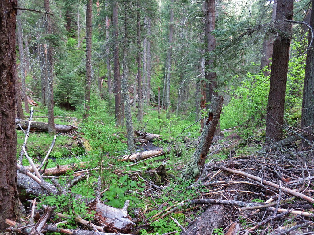
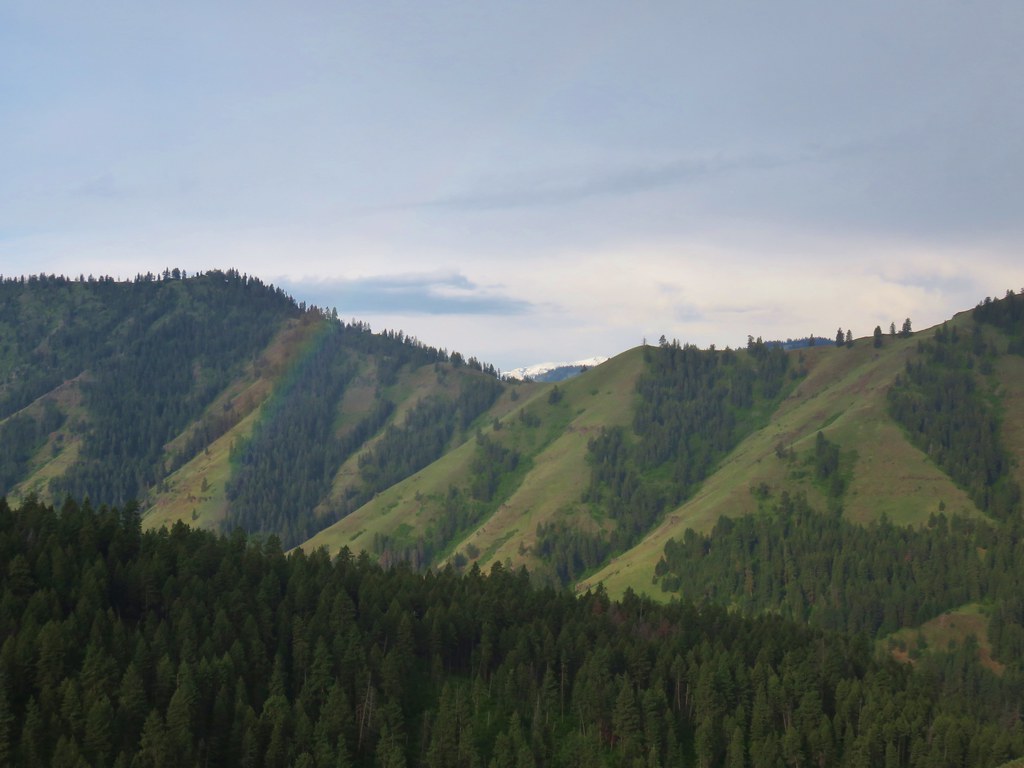
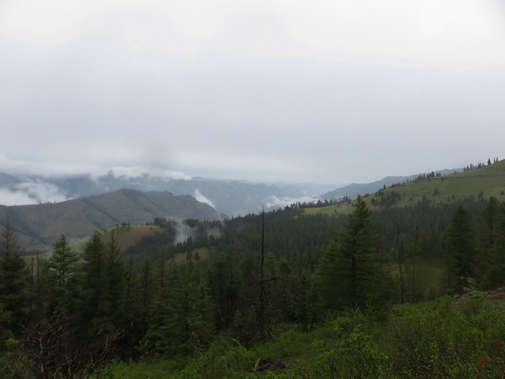
Back in 2016 we set a goal for ourselves to hike all 500 featured hikes in William L. Sullivan’s “100 Hikes…” series of guidebooks post. In 2020 we completed the first of these books covering the Central Oregon Cascades (post). We followed that up by completing a pair of books in 2021 starting with Sullivan’s “100 Hikes/Travel Guide Oregon Coast and Coast Range” 3rd edition (post) followed up by “100 HIkes/Travel Guide Northwest Oregon & Southwest Washington” 4th edition (post). Southern Oregon & Northern California was completed in 2023 leaving us with Eastern Oregon.
In 2023 we pivoted from the 3rd edition of Sullivan’s “100 Hikes/Travel Guide Eastern Oregon” to his renamed 2022 1st edition “100 Hikes Eastern Oregon” book. This was to avoid needing to make the tedious drive on horrible roads to Dug Bar in Hells Canyon which had been replaced as a featured hike in the newer edition.
The criteria for checking a hike off our list is to hike a portion of Sullivan’s described hike or, at least visit the main attraction(s) he identifies for the hike. For 67 of the hikes we completed the books described route. For the other 33 hikes various factors contributed to us not completing every option of each featured hike. For some we started at a different trailhead, others had portions of trail(s) closed when we visited, and several had additional options that we did not do.
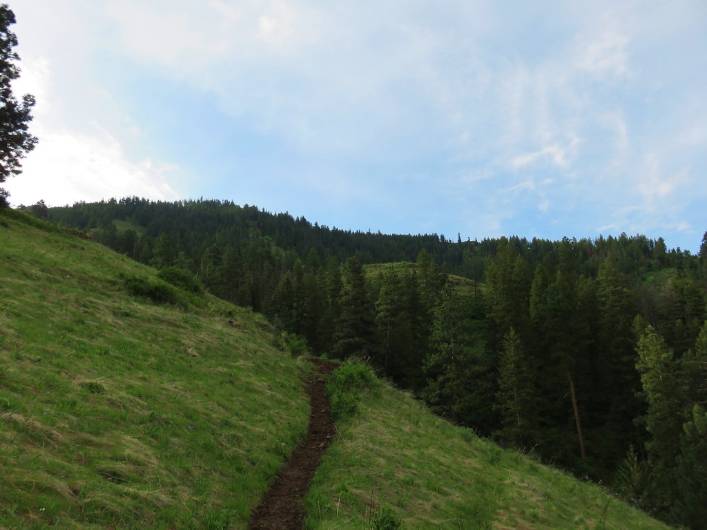
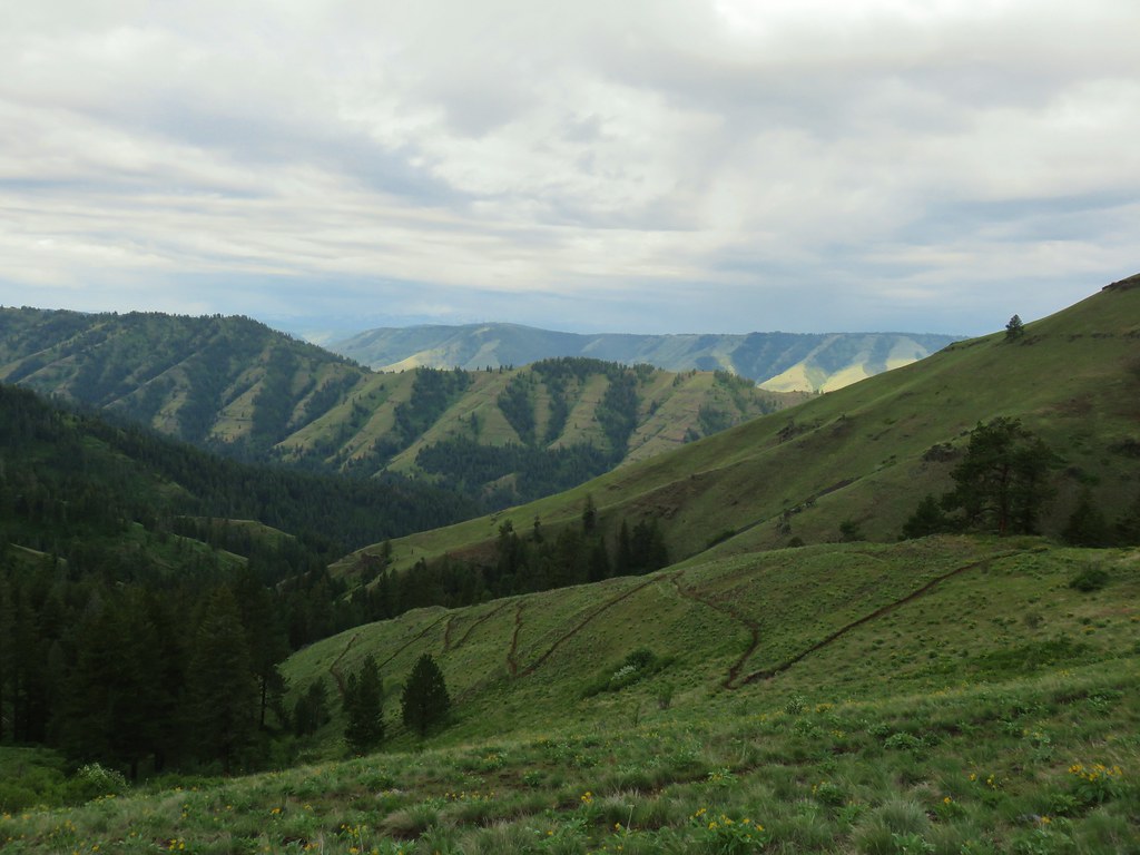
Of the five regions Sullivan breaks his guidebooks into, the Eastern Oregon region is the largest and most diverse. The area covered in this book includes hikes in Oregon east of the Deschutes River in Central Oregon and from Klamath Falls (western most hike) east to the Idaho border. There is however one hike in Washington west of the Deschutes across the Columbia River from The Dalles, OR. It also includes one short option in Idaho (eastern most), one featured hike in California (southern most) making it his only book with hikes in more than two different States. The northern most hike is not the one in Washington. That honor belongs to the Wenaha River near Troy in NE Oregon.

The hikes involved several wilderness areas: Oregon Badlands, Mill Creek, Spring Basin, Strawberry Mountain, North Fork John Day, North Fork Umatilla, Wenaha-Tucannon, Eagle Cap, Hells Canyon, Monument Rock, and Steens Mountain. Missing from this list are the Black Canyon (post) and Gearhart Mountain (post) wilderness areas which had featured hikes in earlier versions of Sullivan’s book that we’d completed, but were removed in the 2022 edition due to wildfire damage.
In addition to the 11 designated wilderness areas there were hikes in two National Monuments, the John Day Fossil Beds National Monument in Oregon and the Lava Beds National Monument in California, and one National Volcanic Monument, the Newberry National Volcanic Monument.
Following is a list of the 100 featured hikes and the dates we visited.
#1 Cottonwood Canyon – Hiked 5/27/2017

#2 Columbia Hills – Hiked 4/4/2015 & 4/17/2021

#3 Lower Deschutes River – Hiked 6/9/2018

#4 Macks Canyon – Hiked 5/26/2018

#5 Criterion Tract – Hiked 05/28/2023

#6 Trout Creek – Hiked 10/12/2013

#7 Willow Creek at Madras – Hiked 5/27/2024

#8 Cove Palisades – Hiked 6/16/2018

#9 Gray Butte – Hiked 6/13/2015

#10 Oregon Badlands – Hiked 5/15/2016 & 12/24/2016

#11 Pine Mountain – Hiked 7/30/2012

#12 Paulina Falls – Hiked 8/9/2011 & 9/16/2017

#13 Paulina Lake – Hiked 8/9/2011 & 9/16/2017

#14 Obsidian Flow – Hiked 8/9/2011

#15 Crooked River Wetlands – Hiked 5/29/2024

#16 Chimney Rock – Hiked 9/22/2017

#17 Steins Pillar – Hiked 5/8/2013

#18 Juniper Hill – Visited* 5/27/2024

#19 Mill Creek – Hiked 7/31/2012

#20 Lookout Mountain – Hiked 6/12/2014

#21 Walton Lake – Hiked 6/17/2017 & 6/18/2021

#22 Spring Basin – Hiked 4/22/2017

#23 John Day Fossil Beds – Hiked 4/30/2016, 4/22/2017 & 9/17/2017
 Painted Hills Unit
 Clarno Unit
 Blue Basin Unit
#24 Sutton Mountain – Hiked 4/30/2016

#25 Spanish Peak – Hiked 7/19/2021 & 7/20/2021

#26 Madison Butte – Hiked 5/28/2024

#27 Wildcat Basin – Hiked 7/24/2018

#28 High Lake – Hiked 7/26/2018

#29 Strawberry Lake – Hiked 7/25/2018

#30 Malheur River – Hiked 6/17/2021

#31 Canyon Mountain – Hiked 7/22/2021

#32 Monument Rock – Hiked 7/21/2021

#33 Bates and Sumpter – Hiked 9/17/2017

#34 Olive Lake – Hiked 9/18/2017

#35 Granite Creek – Hiked 9/21/2017

#36 North Fork John Day River – Hiked 9/19/2017

#37 Mount Ireland – Hiked 7/9/2022

#38 Baldy Lake – Hiked 9/20/2017

#39 Crawfish Lake – Hiked 8/16/2018

#40 Anothony Lake – Hiked 8/16/2018

#41 Elkhorn Crest – Hiked 8/12/2018, 8/13/2018, 8/14/2018, 8/15/2018 & 08/16/2018

#42 Twin Lakes – Hiked 8/13/2018

#43 North Fork Umatilla River – Hiked 6/14/2021

#44 Jubilee Lake – Hiked 9/12/2021

#45 Wenaha River – Hiked 5/25/2019

#46 Zumwalt Prairie – Hiked 5/26/2019

#47 Buckhorn Lookout – Hiked 6/15/2023

#48 Eureka Bar – Hiked 6/14/2023

#49 Hat Point – Hiked 7/21/2024

#50 Freezeout Saddle – Hiked 5/24/2019

#51 Hells Canyon Dam – Hiked 6/16/2023

#52 Hells Canyon Reservoir – Hiked 6/16/2023

#53 Imnaha Falls – Hiked 6/12/2023

#54 Bonny Lakes – Hiked 7/24/2024

#55 McCully Basin – Hiked 7/23/2024

#56 Mount Howard – Hiked 7/26/2024

#57 Aneroid Lake – Hiked 8/22/2024

#58 Wallowa Lake – Hiked 5/23/2019
 B.C. Falls
#59 Ice Lake – Hiked 7/31/2016

#60 Horseshoe Lake – Hiked 8/3/2016 & 8/04/2016

#61 Hurricane Creek – Hiked 7/22/2024

#62 Eagle Cap – Hiked 8/3/2016

#63 Minam Lake – Hiked 7/25/2024

#64 Maxwell Lake – Hiked 8/21/2024

#65 Chimney Lake – Hiked 8/20/2024

#66 Wallowa Homeland – Hiked 7/14/2022

#67 Bear Creek – Hiked 7/14/2022

#68 Rock Springs – Hiked 7/11/2022

#69 Moss Springs – Hiked 7/13/2022

#70 Catherine Creek Meadows – Hiked 7/10/2022

#71 Burger Pass – Hiked 7/12/2022

#72 Tombstone Lake – Hiked 8/16/2023 & 8/17/2023

#73 Eagle Lake – Hiked 8/13/2023

#74 Bear Lake – Hiked 8/14/2023

#75 Hidden Lake – Hiked 9/9/2024

#76 Summit Point Lookout – Hiked 8/18/2024

#77 Pine Lakes – Hiked 8/19/2024

#78 Fort Rock – Hiked 6/14/2014 & 5/28/2017

#79 Fort Rock Valley – Hiked 5/28/2017

#80 Hager Mountain – Hiked 7/30/2013 & 6/14/2014

#81 Summer Lake – Hiked 7/24/2020

#82 Winter Ridge – Hiked 7/19/2020

#83 OC&E Railroad – Hiked 10/5/2018

#84 Klamath Falls – Hiked 10/20/2018

#85 Modoc Lava Beds – Hiked 10/6/2018

#86 DeGarmo Canyon – Hiked 7/22/2020

#87 Hart Mountain Hot Springs – Hiked 7/21/2020

#88 Petroglyph Lake – Hiked 7/22/2020

#89 Steens Summit – Hiked 8/18/2021

#90 Little Blitzen River – Hiked 8/19/2021

#91 Big Indian Gorge – Hiked 8/17/2021

#92 Threemile Canyon – Hiked 9/3/2023

#93 Pike Creek – Hiked 6/14/2018

#94 Big Sand Gap – Hiked 6/14/2018

#95 Borax Hot Springs – Hiked 6/14/2018

#96 Pueblo Mountains – Hiked 8/20/2021

#97 Leslie Gulch – Hiked 6/11/2018

#98 Coffeepot Crater – Hiked 6/11/2018

#99 Chalk Basin – Hiked 6/13/2018

#100 Three Forks – Hiked 6/12/2018

*The Juniper Hills Preserve is owned by the Nature Conservancy and had been closed to public entry in 2023, so we were unable to hike the trails. We parked and walked to the gates to take photos. If they ever reopen it to the public we will go back.
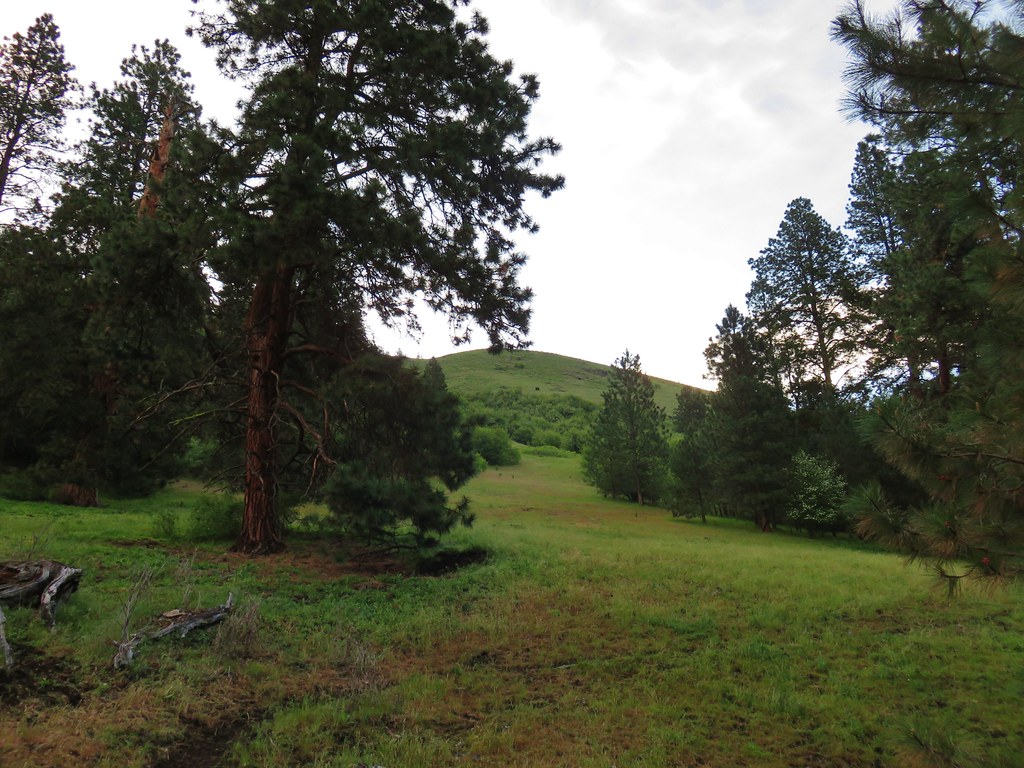
Completing our featured hike goals provided a sense of relief. While we thoroughly enjoyed all of the hikes, and the Wallowa Mountains became our favorite destination in Oregon, we had begun to put pressure on ourselves to finish. That pressure had begun following the September 2020 wildfires that ravaged parts of the Central Cascades and left many trails closed for years. We had just finished the featured hikes in that area earlier that year and realized how close we’d come to having to put our goal on hold. In the grand scheme of things reaching 500 featured hikes is irrelevant but having worked on it for several years it was something we didn’t want to abandon. We will gig deeper into that in a later post covering finishing the 500, but it’s nice to have the urgency to get to specific places removed.
Setting the goal did provide us with an excuse to visit parts of Oregon that we’d never seen before. While we were checking off the 100 featured hikes we stopped at over three dozen additional spots including eight previously featured hikes. There are still numerous trails left for us to explore so we will almost certainly be heading back to Eastern Oregon from time to time to see new sights and possibly revisit some familiar ones. Happy Trails!
 It was warm and smokey at the viewpoint.

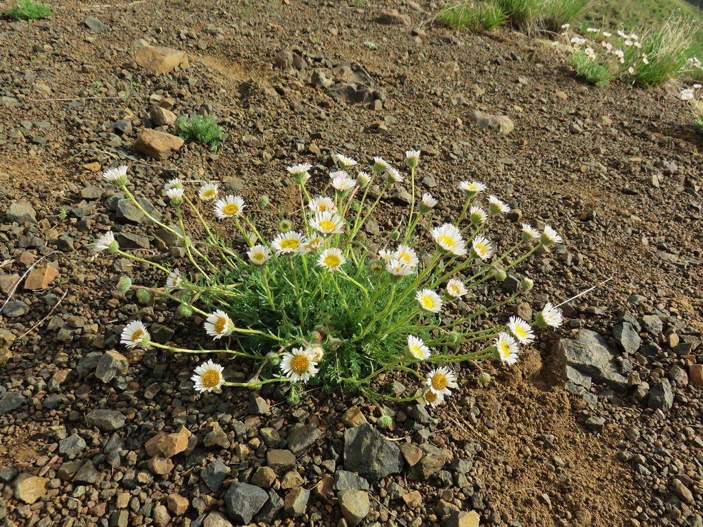
 Yarrow
 White mariposa lily
 Aster
Aster Sulphur buckwheat
 Scarlet gilia
 Bee visiting some penstemon
 Imnaha River canyon
 A small section of the loop was lost in a 2022 wildfire.
 The other end of the missing trail.
 One of several interpretive signs along the loop.
 Nettle-leaf giant hyssop
 This appeared to be the last of the elkhorn clarkia in bloom.
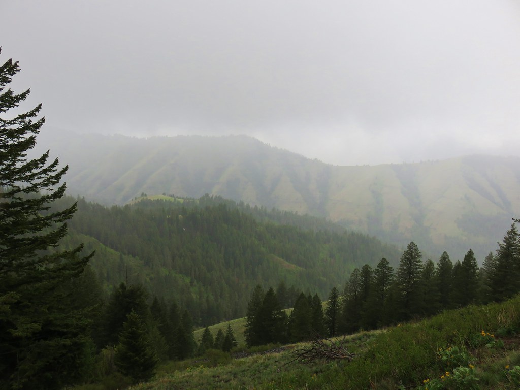
 Looking down wasn’t bad, but we couldn’t really make out any of the mountain peaks in the distance.
 Taper-tip onions
 A smokey Sun was heating things up fast.
 Grouse
 One of a pair of hawks.
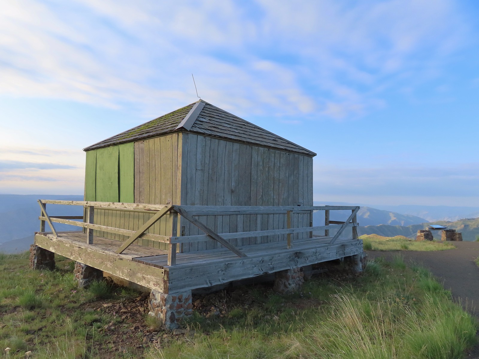
 The Hat Point Lookout from the parking area.
 Paintbrush
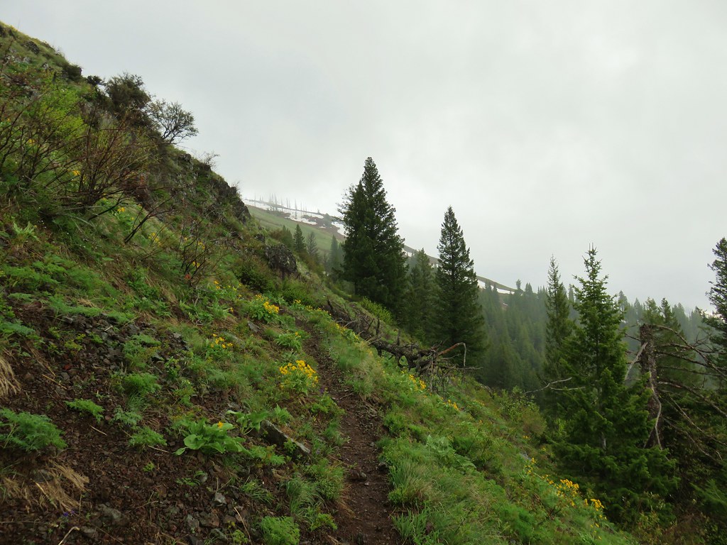
 The start of the loop.
 Fireweed
 The lookout staffer?
 Sunlight reflecting off of the Snake River in Hells Canyon.
 Hidden in the haze are the Seven Devils mountains in Idaho.
 Penstemon
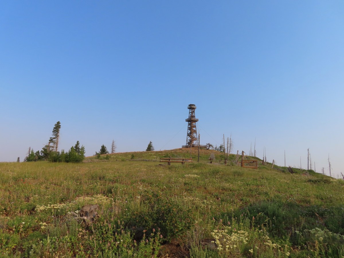
 The tower was closed to the public due to safety concerns.

 Hells Canyon is deeper than the Grand Canyon from its highest point, 9,393′ He Devil in Idaho at 8,043′ from the river. The depth from Hat Point to the river is 5,632′.
 Mountain coyote mint
 Lewis flax


 The tread was faint in spots amid the patches of wildflowers.
 There was a small rock outcrop at the ridge end.
 This is where we turned around not wanting to lose anymore elevation and have to climb back up on what was already an uncomfortably warm day. As it turns out we were just about at the boundary of the
  The lookout from our turn around point.


 Hat Point Trail sign near the quarters.
 This trailhead sign was in a large parking area near the quarters, but there were “No Parking” signs along the road here.
 Lupine

 Imnaha River canyon
 Imnaha from the Five Mile Overlook.
 The smoke that had moved in the day before was still around.

 Toadflax
 Fleabane

 There were lots of fish visible in the reservoir.
 Penstemon
 Showy milkweed
 Approaching Nelson Creek.
 Nelson Creek
 Red-eyed vireo
 Looking up Nelson Creek.
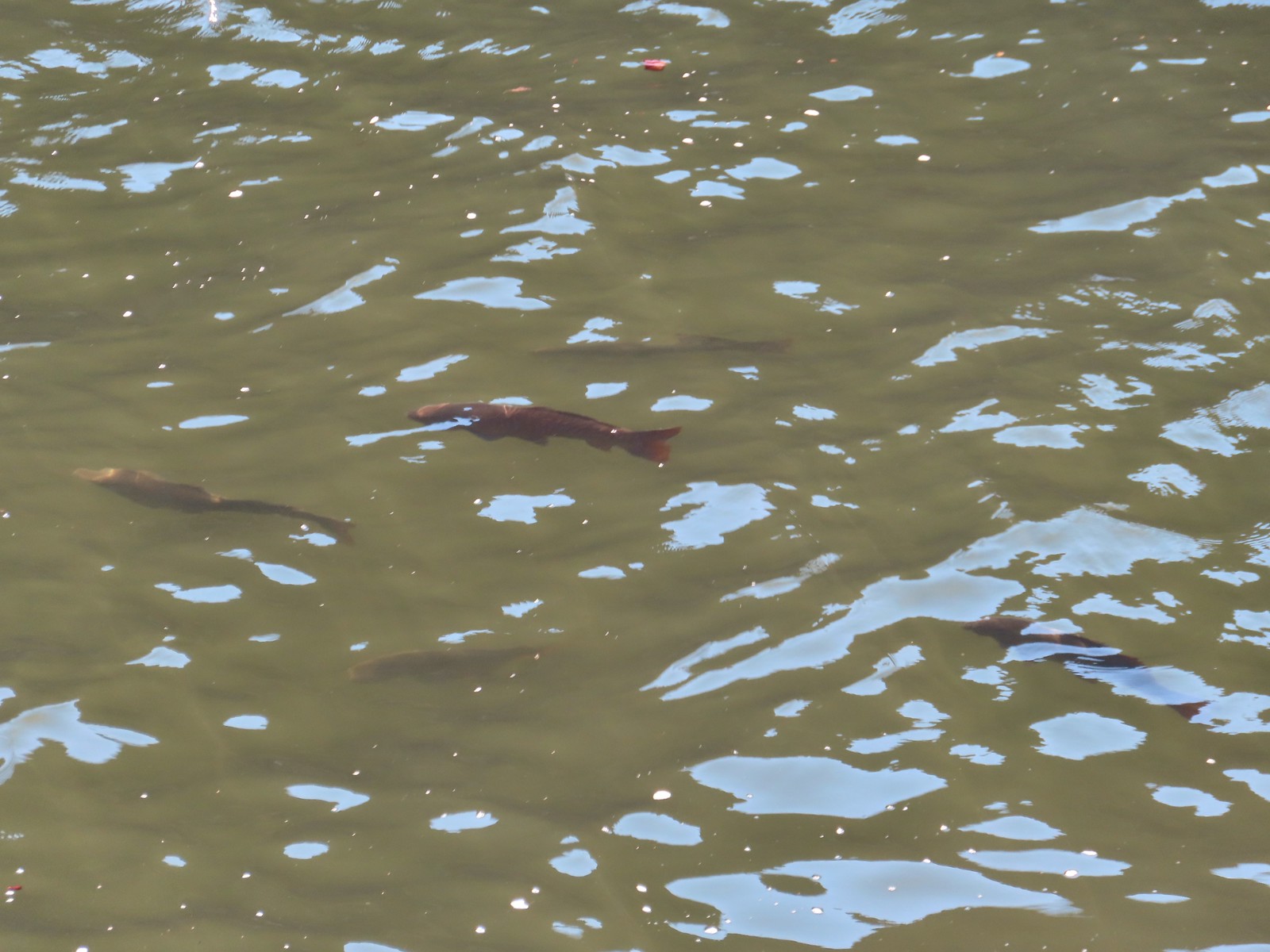 More fish.
 Lazuli bunting

 McGraw Creek
 Lizard
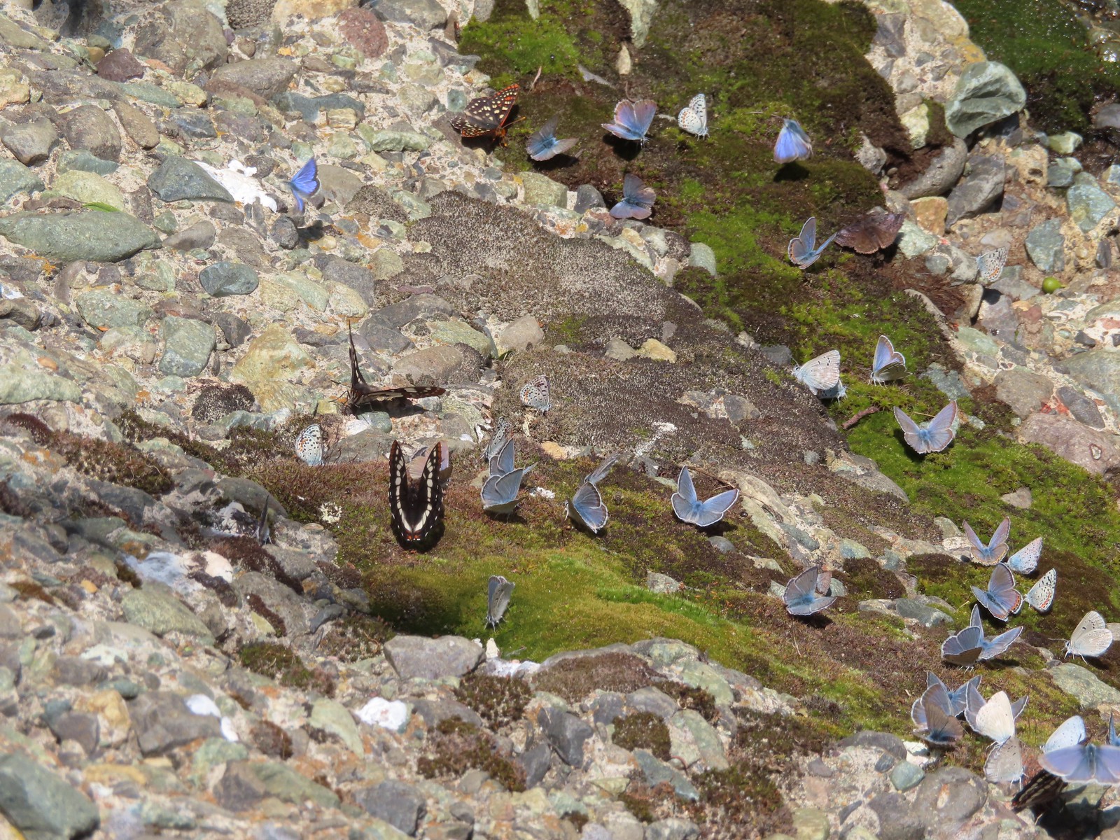
 Common wood nymph
 Moth
Moth Cabbage whites
 Lorquin’s admiral
 Copper Creek Trailhead from the trail.


 The start of the trail.
 Penstemon

 Western clematis
 We watched an osprey dive for a fish in the river.
 It pulled a small fish out of the water.
 Threadleaf phacelia
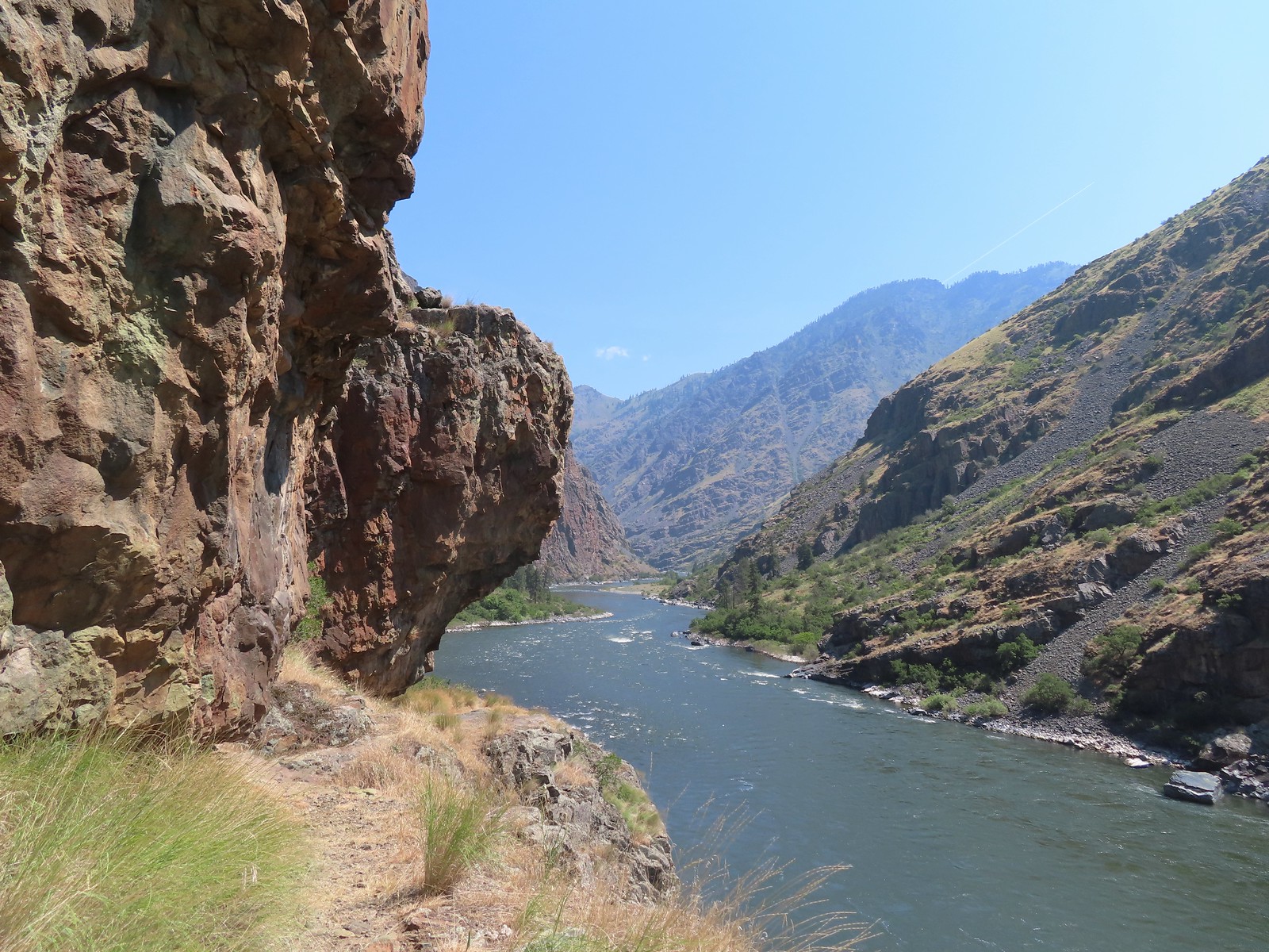
 Rafters that had set off from the dam.
 Ant in a sagebrush mariposa lily.
 Monkeyflower and heart-leaved bittercress
 View near Stud Creek.

 Cobble Beach near Stud Creek
 Jet boat passing by.
 Interpretive sign near the visitors center.
 Hells Canyon Creek
 View from the visitors center.
 The empty trailhead parking area.
 The structure on the right is an old fish trap.
 This was only our second hike in Idaho (
 The Payette National Forest manages this trail.

 Going up.
 Snake River from the trail.
 Going back down.
 There were a couple of dirt/rock sections, but the trail was mostly metal stairs and catwalks.
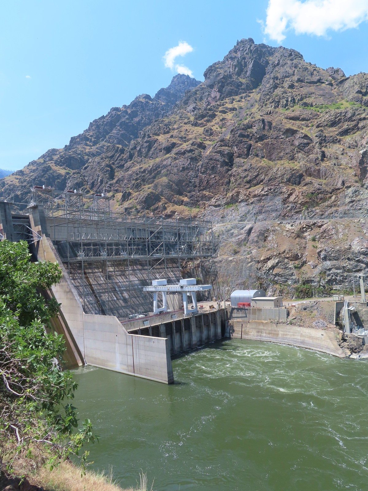
 Ahmed’s fishing pole was still out, and you might notice a little red to the left of the structure ahead.
 There was a very short scramble to get up to the continuation of the trail above the structure along the creek.
 A few patches of snow in the Payette National Forest.
 Deep Creek


 At least one bull in the herd.
 Buckhorn Lookout

 Hells Canyon
 Tolmie’s onion
 Pale paintbrush
 Larkspur, lupine, and northern mules ears.
 Prairie smoke a.k.a. old man’s whiskers
 Purple sticky geranium
 Paintbrush
 Parsley, larkspur, large flower triteleia, and Tolmie’s onion
 Phlox
Phlox We could have driven the 1.2-miles on FR 780 to the gate but the road was not in good shape and after driving to Eureka Bar the day before we weren’t interested in another rough road.
 Mallow ninebark
 Arnica
 Large flower triteleia

 Gate at the end of the road.
 Marker for the Nez Perce – Nee-Mee-Poo National Historic Trail.

 Columbian lewisia
 Seven Devils in Idaho
 Lupine, yarrow, buckwheat, and scarlet gilia
 Scarlet gilia

 Elkhorn clarkia a.k.a. ragged robin
 Another impressive scarlet gilia.
 Paintbrush, lupine, phacelia, thistle, and scarlet gilia
 Penstemon
 A phlox
 Scabland penstemon
 Threadleaf phacelia
 Penstemon
 Paintbrush
 Lark sparrow
 Cedar waxwing
 Elkhorn clarkia
 Wallflower
 Skullcap
 Nettle-leaf giant hyssop
 Monkeyflower and some tiny white flowers near a seep.
 Buckwheat

 Mylitta crescent
 Rough eyelashweed
 Looking back up the trail.
 At Spain Saddle the road switched to the opposite side of the ridge.
 Bush penstemon
 Another type of penstemon
 White spiraea
 Manyflower tonella
 Owl’s clover
 The viewpoint on the far side of the fence.
 Boat on the Snake River.
 Salsify
 Bindweed
 Thistle with bugs.
 Clouds moving in behind us.
 Prickly pear cactus
 The only poison ivy we saw all hike.
 Eureka Viewpoint ahead to the left.
 Hairy goldenaster
 Fleabane
 Eureka Viewpoint
 Looking back
 Looking down
 Clustered broomrape


 A very small part of the river is visible to the left and more to right.


 Here come the clouds.
 We spotted a rock arch on the way up that we’d missed earlier.
 A closer look at the arch.
 Common wood nymph
 Spotted towhee
 Northern flicker
 The only time we noticed the Imnaha River from the trail.
 Butterfly near the seep.
 Mountain parnassian on yarrow.
 A painted lady butterfly.
 Chipping sparrow
 We could actually smell a little smoke at times on the way back.
 Tiny trumpet
 Hound’s tongue and roses
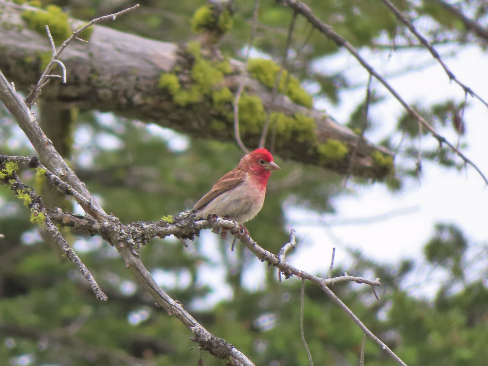 Cassin’s finch
 Western bluebird
 Western tanager
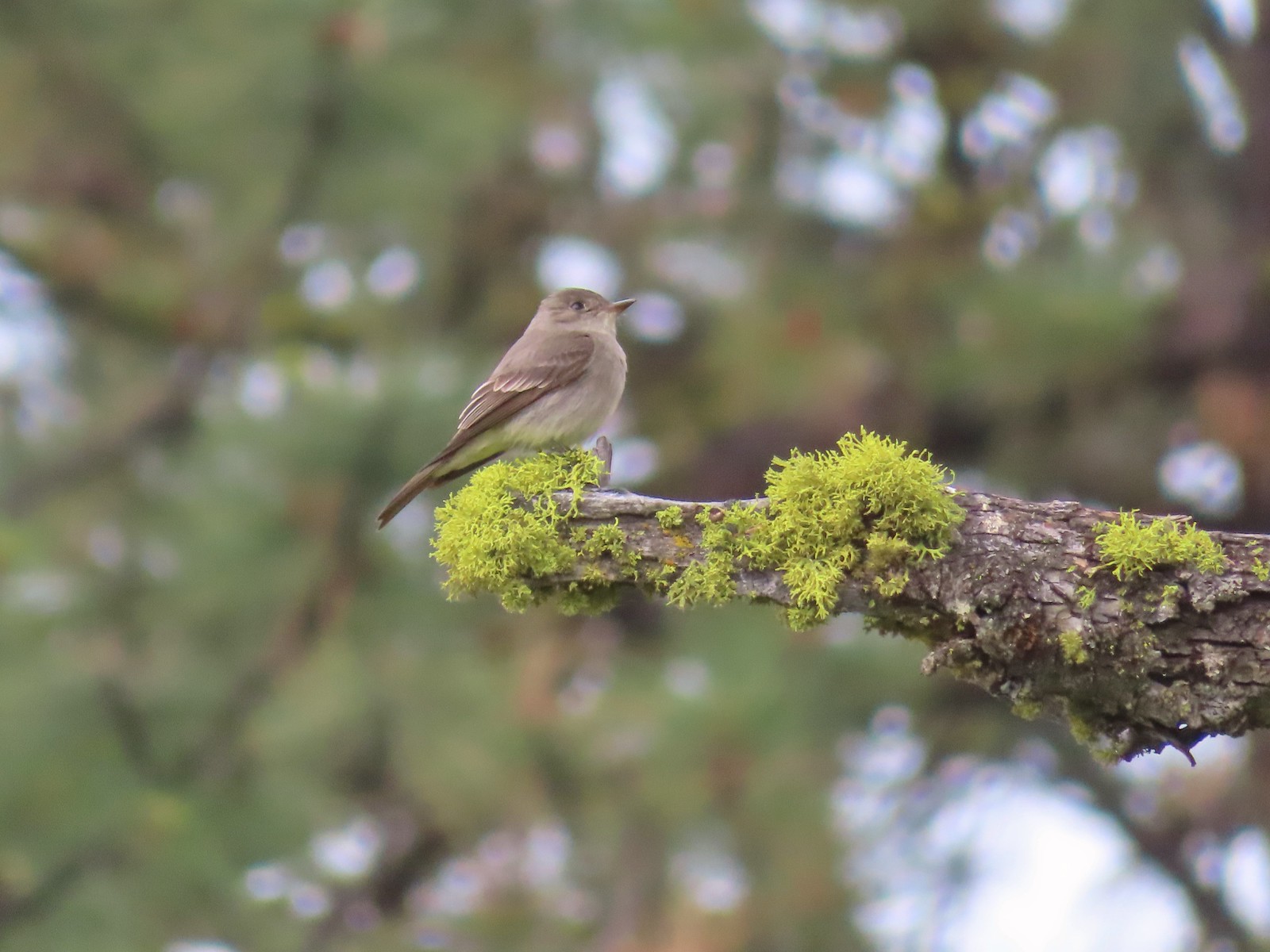 Western wood peewee
 Hairy Indian paintbrush
 Hoary balsamroot
 Mountain bluebird
 The view in the afternoon from the lookout.

 Cow Creek Bridge at the Cow Creek Trailhead.
 Garbage can at the trailhead.

 Penstemon along the trail.
 Geese on the river.
 Cliff swallows
 Moth mullein
 Hawk
Hawk Showy milkweed
 Prickly pear cactus
 Heading into a brushy area.
 Rose
Rose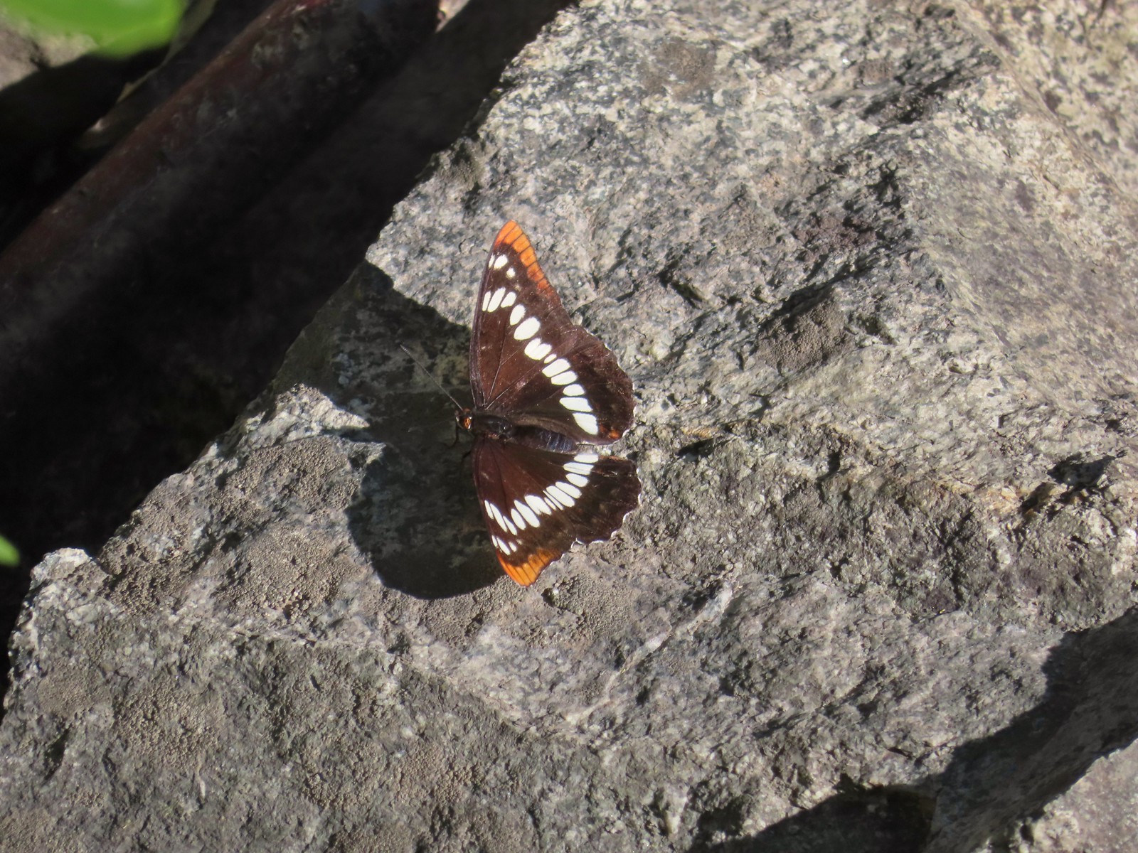 Lorquin’s admiral
 Can you spot the snake?
 The snake heading off the rocks into the brush.
 I cleared this section of trail.
 Sumac along the trail.
 The only marker that Sullivan mentioned along the trail was this pillar on the right at the 2.8-mile mark.
 Painted lady
 St. John’s wort and poison ivy.
 Skullcap
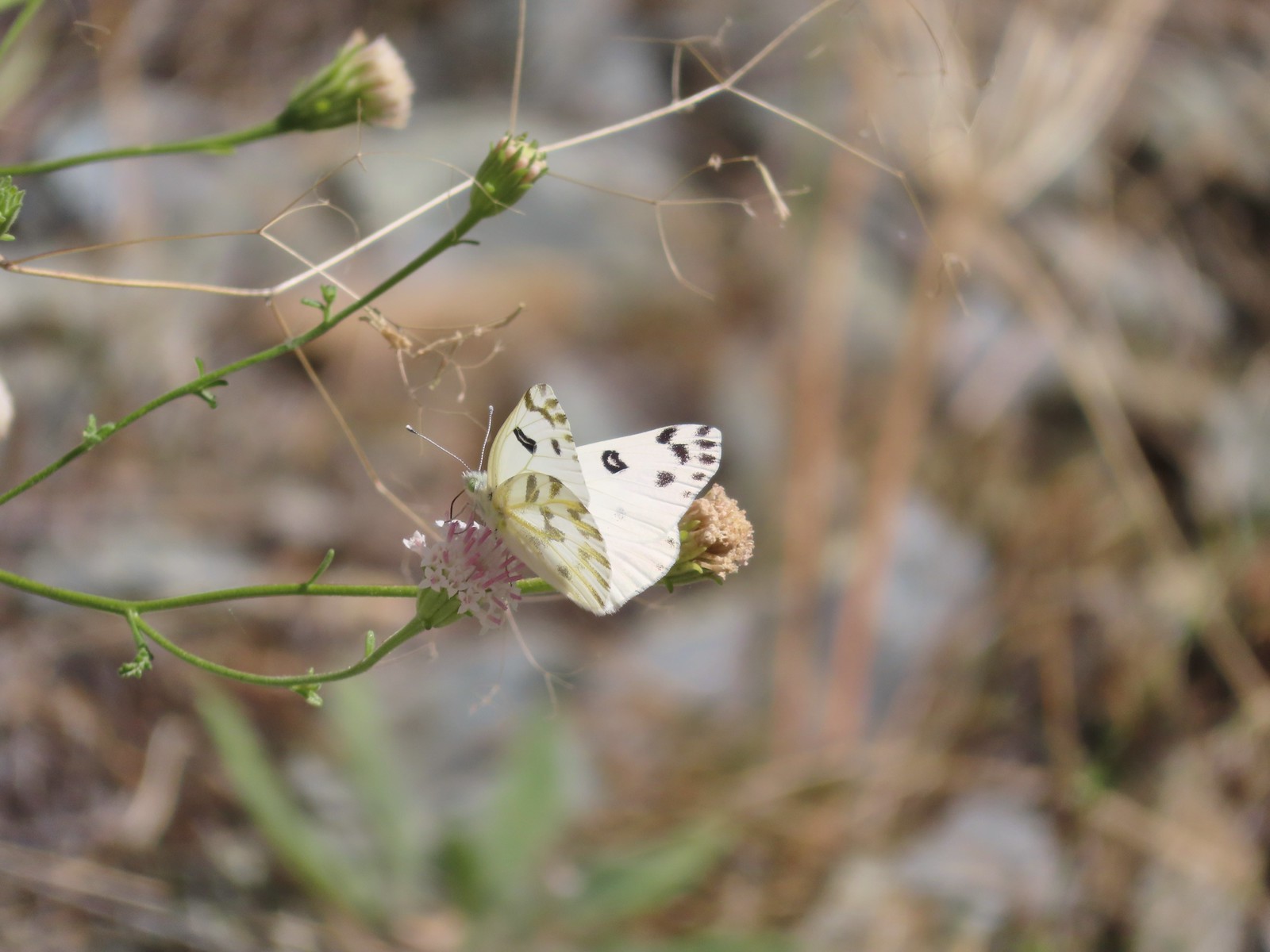 Becker’s white
 Our first view of the Snake River.
 One of several reminders of the mining town at Eureka Bar in the early 1900’s.
 The Mountain Chief Mine across the Imnaha River.
 The Snake River
 Chuckar in the brush across the Imnaha River.
 Eureka Bar
 Skipper on common bugloss.
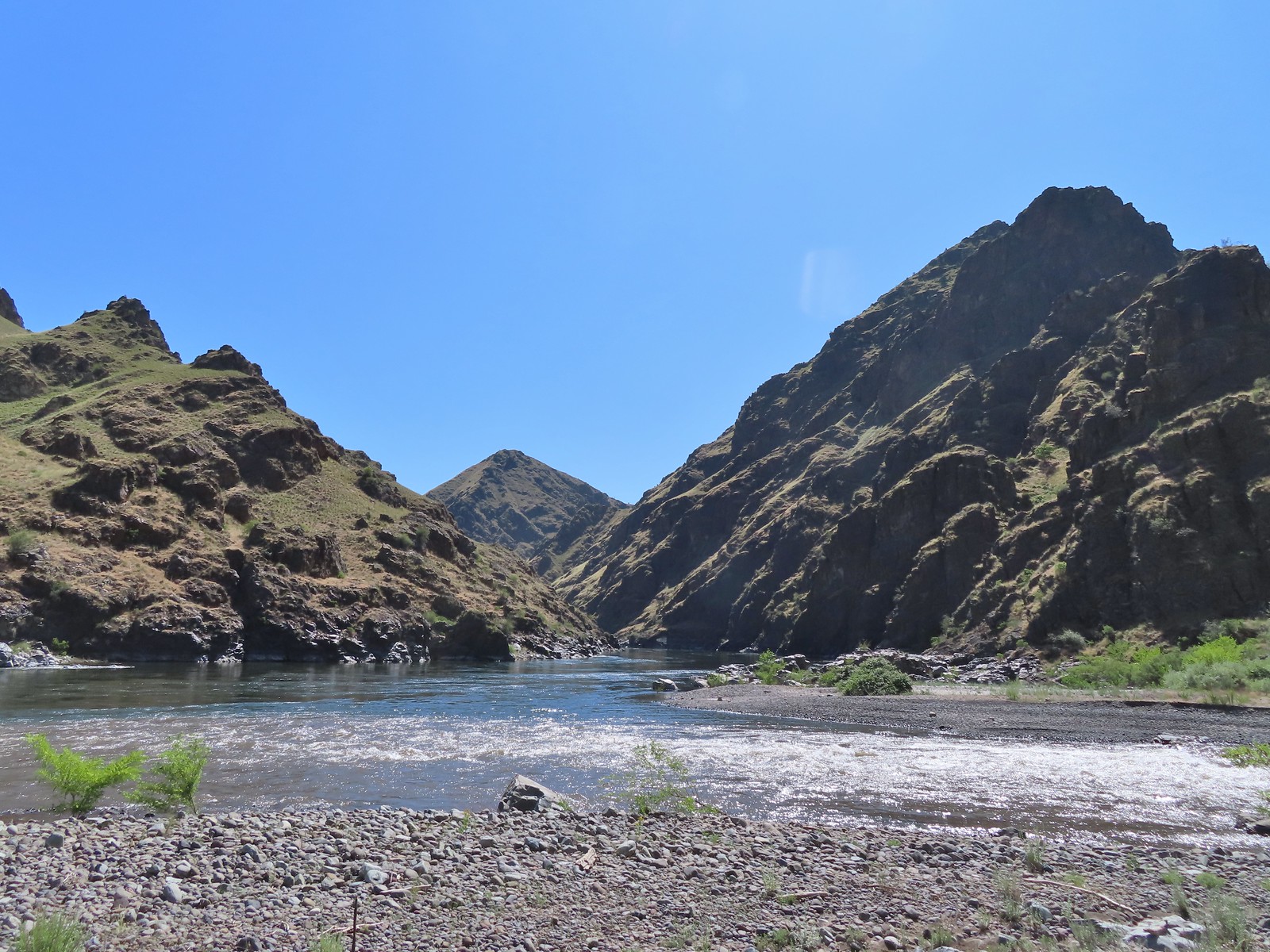 Imnaha River emptying into the Snake.
 Blanketflower
 Bindweed
 Sagebrush mariposa lily
 Another sagebrush mariposa lily
 Fleabane
 Stones where the gold processing mill was going to be.
 Long-leaved ground-cherry (Physalis longifolia)
 Orange globe-mallow
 Orange globe-mallow
 Our turnaround point.
 Another mariposa lily
 Ruins at Eureka Bar.
 Common merganser
 A prickly pear cactus near Eureka Bar.
 Green cricket on poison ivy.
 Lazuli bunting
 Mourning cloak

 We missed all of these prickly pear cacti on the first pass.
 Arriving back at Dug Bar Road.


 (The black dot in the center of the hill is one such cow.)
 Western stoneseed
 Prairie stars
 Lupine
 Heather emerging from the brushy section.


 Blue Dicks
 Balsamroot
 Balsamroot, paintbrush and biscuitroot


 Larkspur and monkeyflower
 Paintbrush
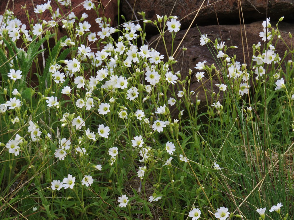 Chickweed
 Possibly going to be a penstemon
 Unkown
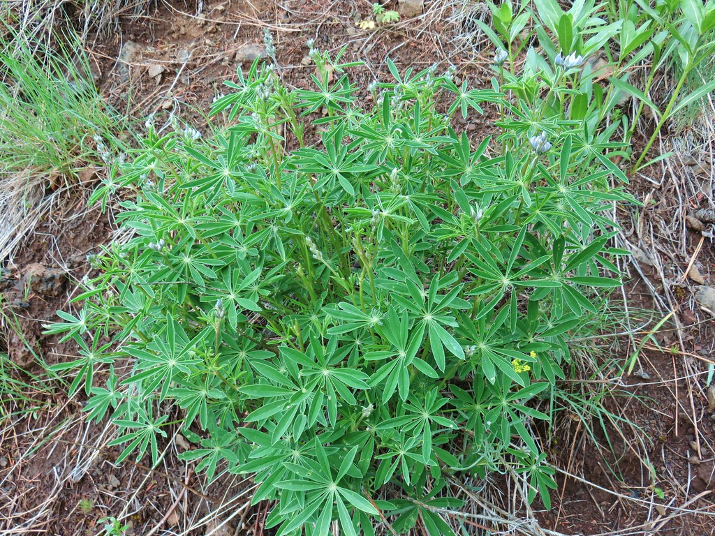 Lupine

 West to the quickly vanishing Wallowa Mountains.
 North
North South
South East into Hells Canyon
 Cutleaf daisy
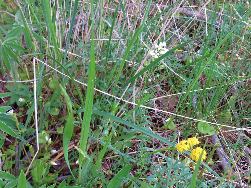
 Largehead clover


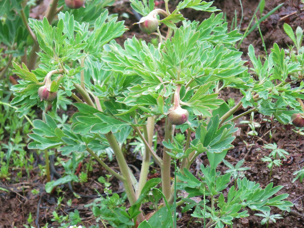 Brown’s peony getting ready to bloom.
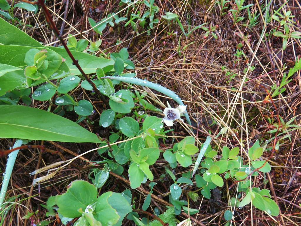 Mariposa lily starting to open.
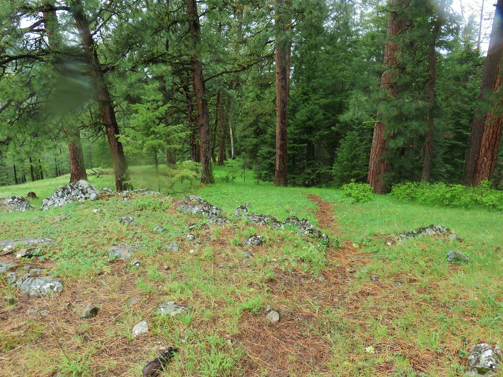


 Small flower miterwort