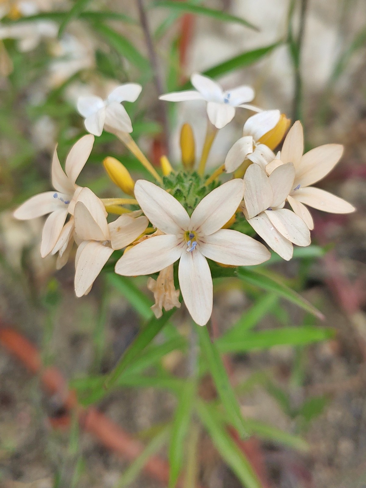
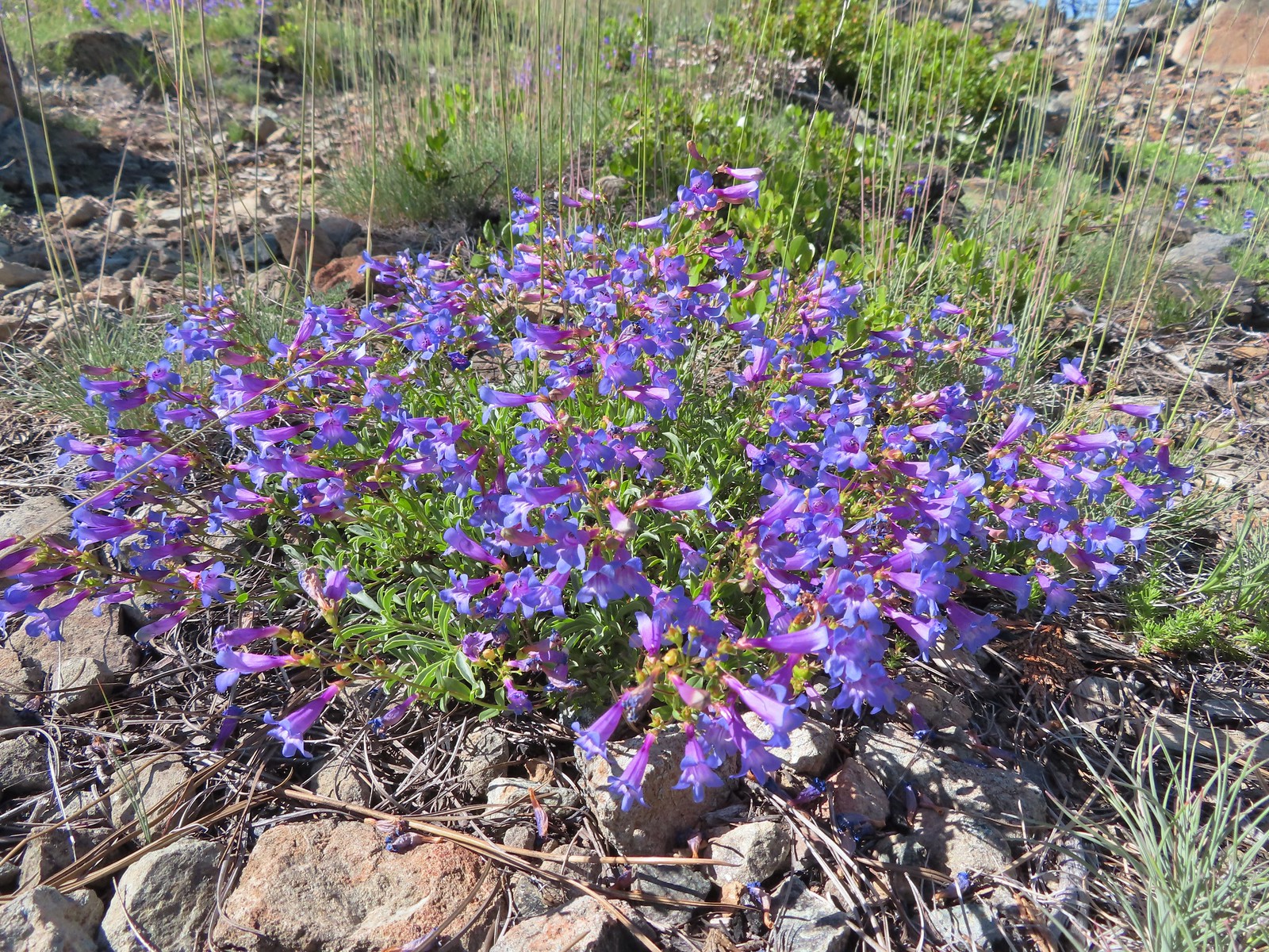
In 2018 we began a tradition of posting a collection of the variety of flowers that we encountered during the years hikes. It’s always a bit shocking to see just how many different varieties we actually saw over the course of the year. It appears that the total in 2022 was right around 400. We are still learning to identify the flowers and are a long way from being able to tell some of the different species apart. For instance, we encounter species in both the genus Castilleja as well as Penstemon regularly but are not typically knowledgeable enough to determine which one we are seeing. That doesn’t take away from our ability to enjoy the flowers though, but the large number of different flowers makes it difficult if not impossible to get them all in one post.
With that in mind here are some (but not all) of the different flowers we saw this past year, in no particular order. (Any IDs provided are best guesses and any corrections or additional IDs are greatly appreciated.)
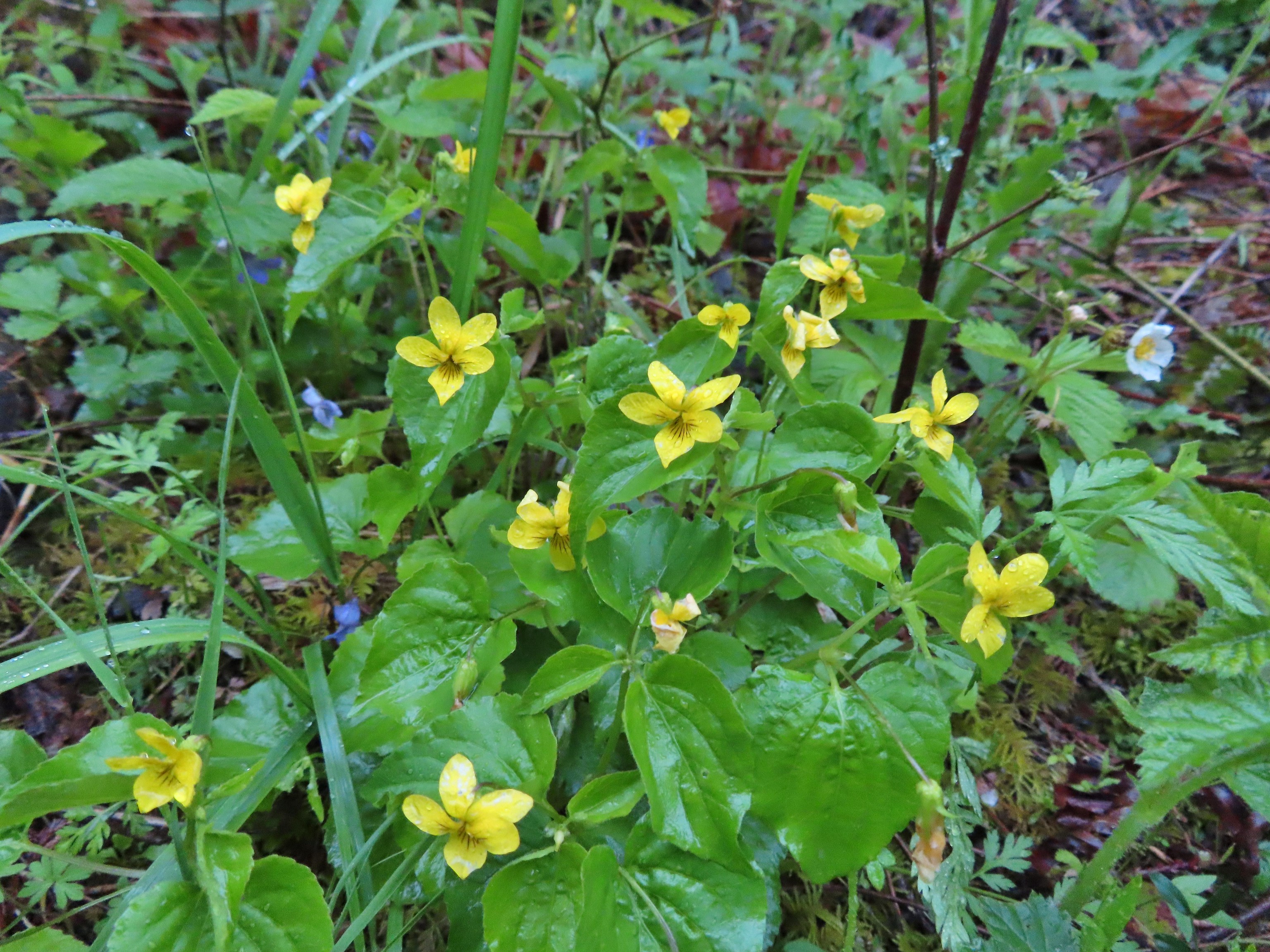
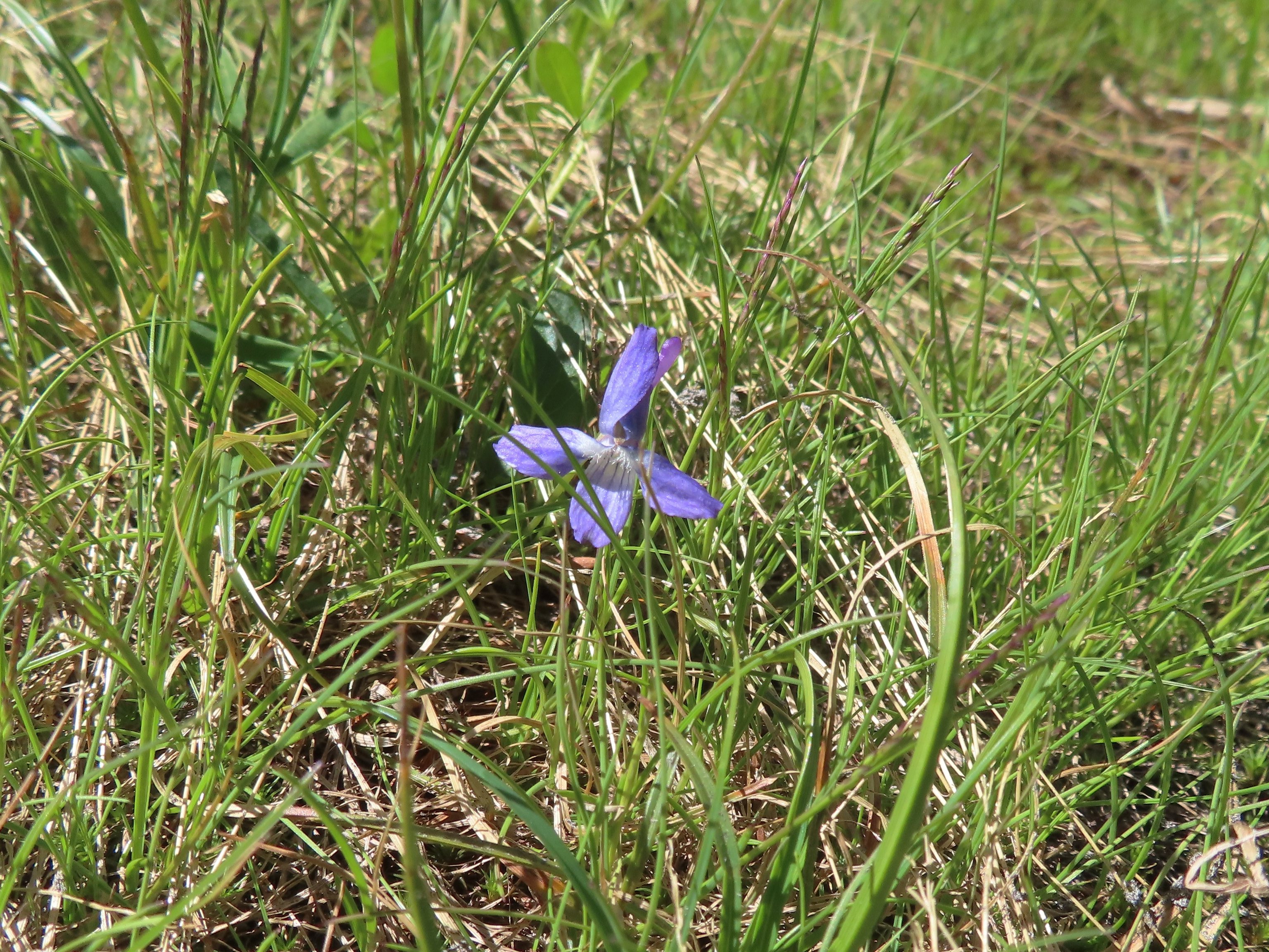
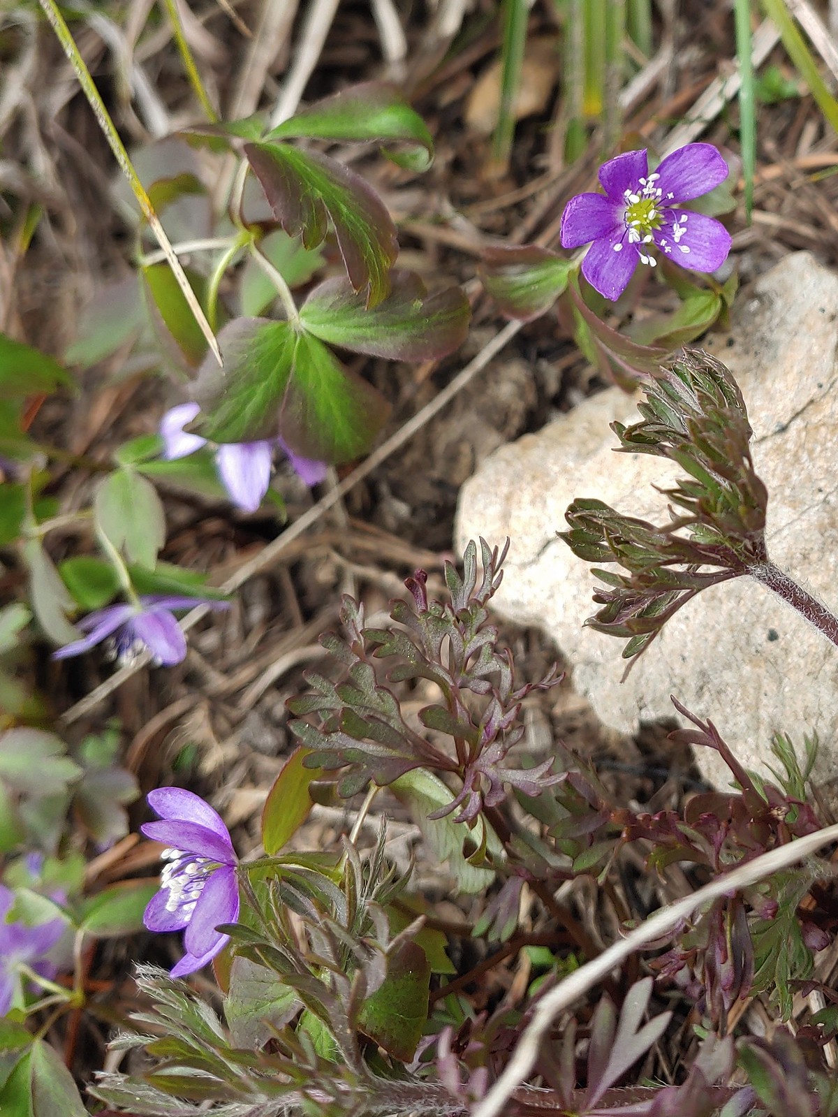
The first wildflower we spotted was a little violet on February 5th at the Yakona Nature Preserve.

It was certainly not the last violet we’d encounter as they are one of the more common flowers we see and also one that struggle to identify beyond “violet”.
 May 14th – Chehalem Ridge Nature Park
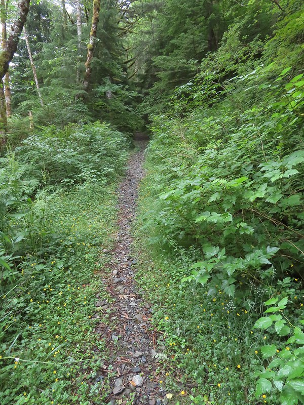
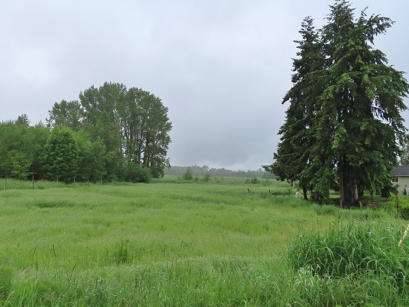
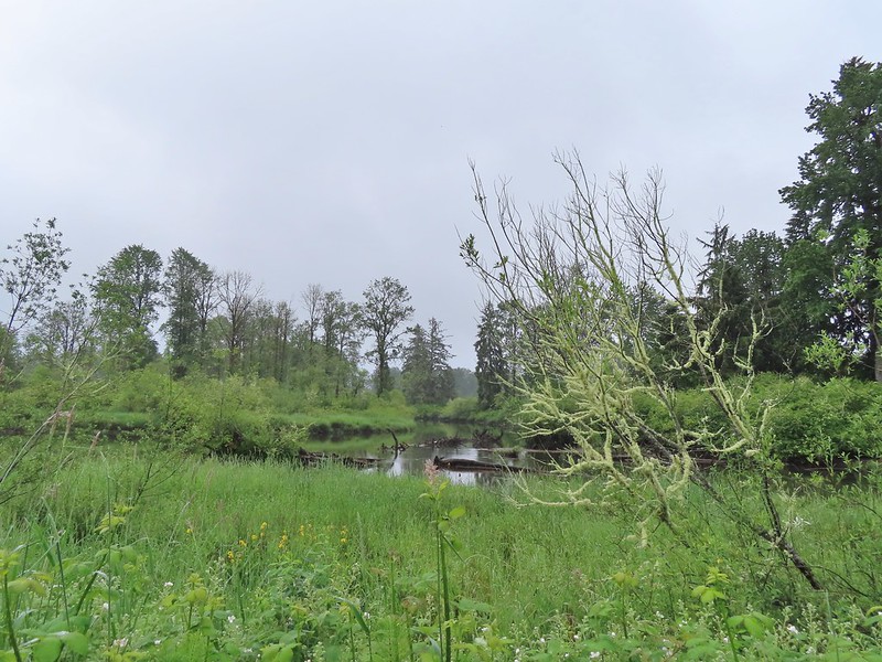
 June 15th – Donomore Meadows
 June 16th – Pacific Crest Trail near Siskiyou Gap
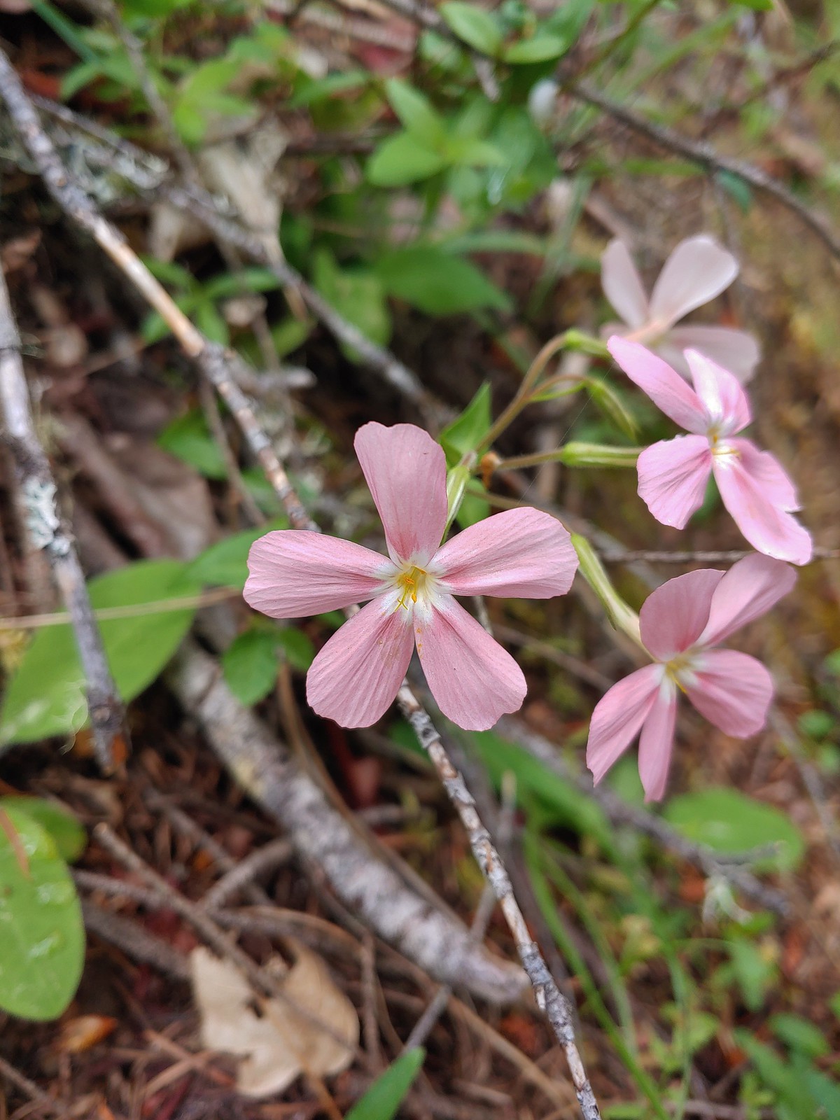
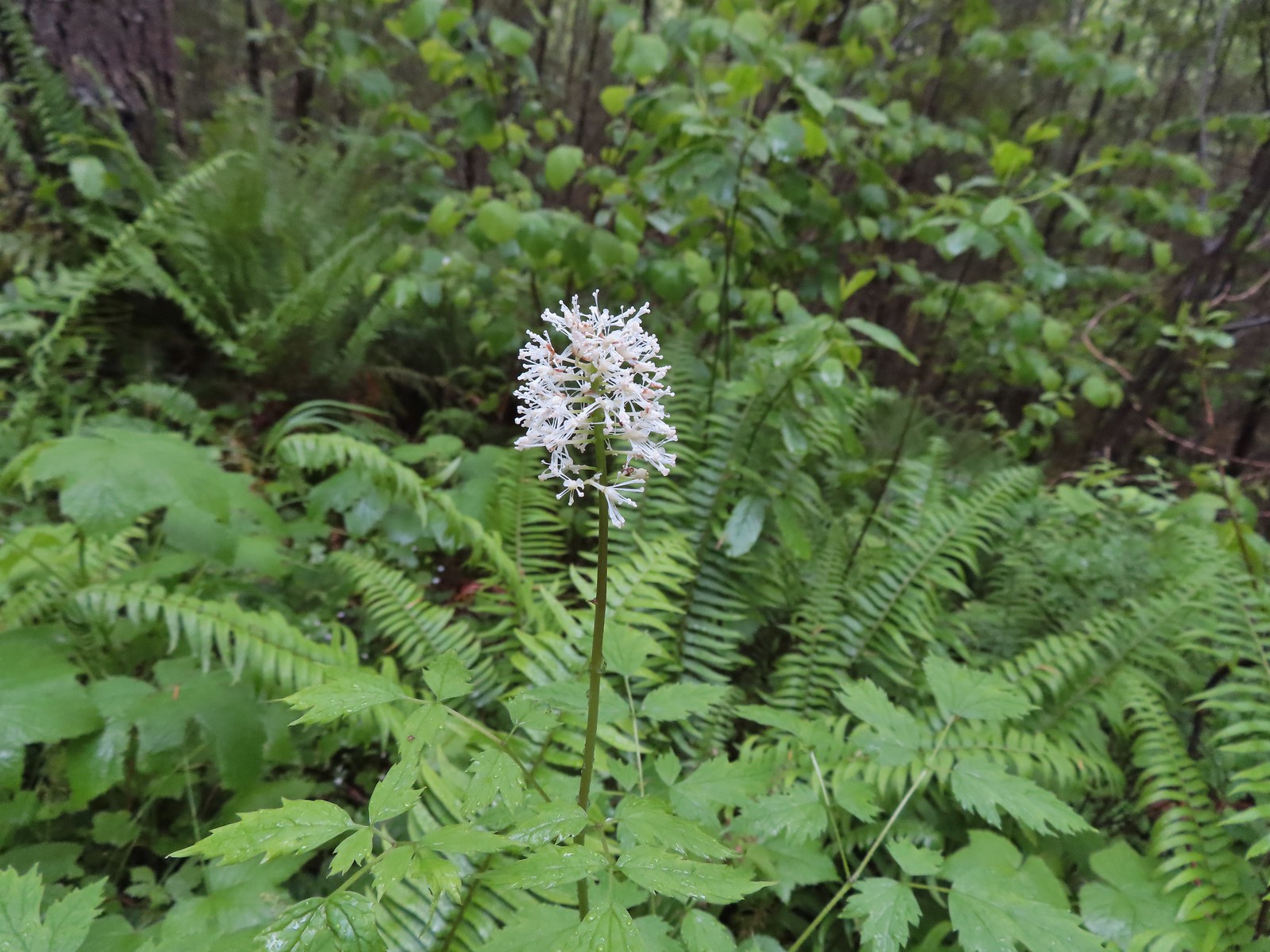
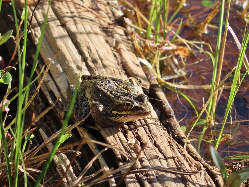
 Marsh violet, June 25th – Goat Marsh Lake
 July 1st – Siskiyou Wilderness
 Wedgeleaf? violet – July 1st – Youngs Valley, Siskiyou Wilderness
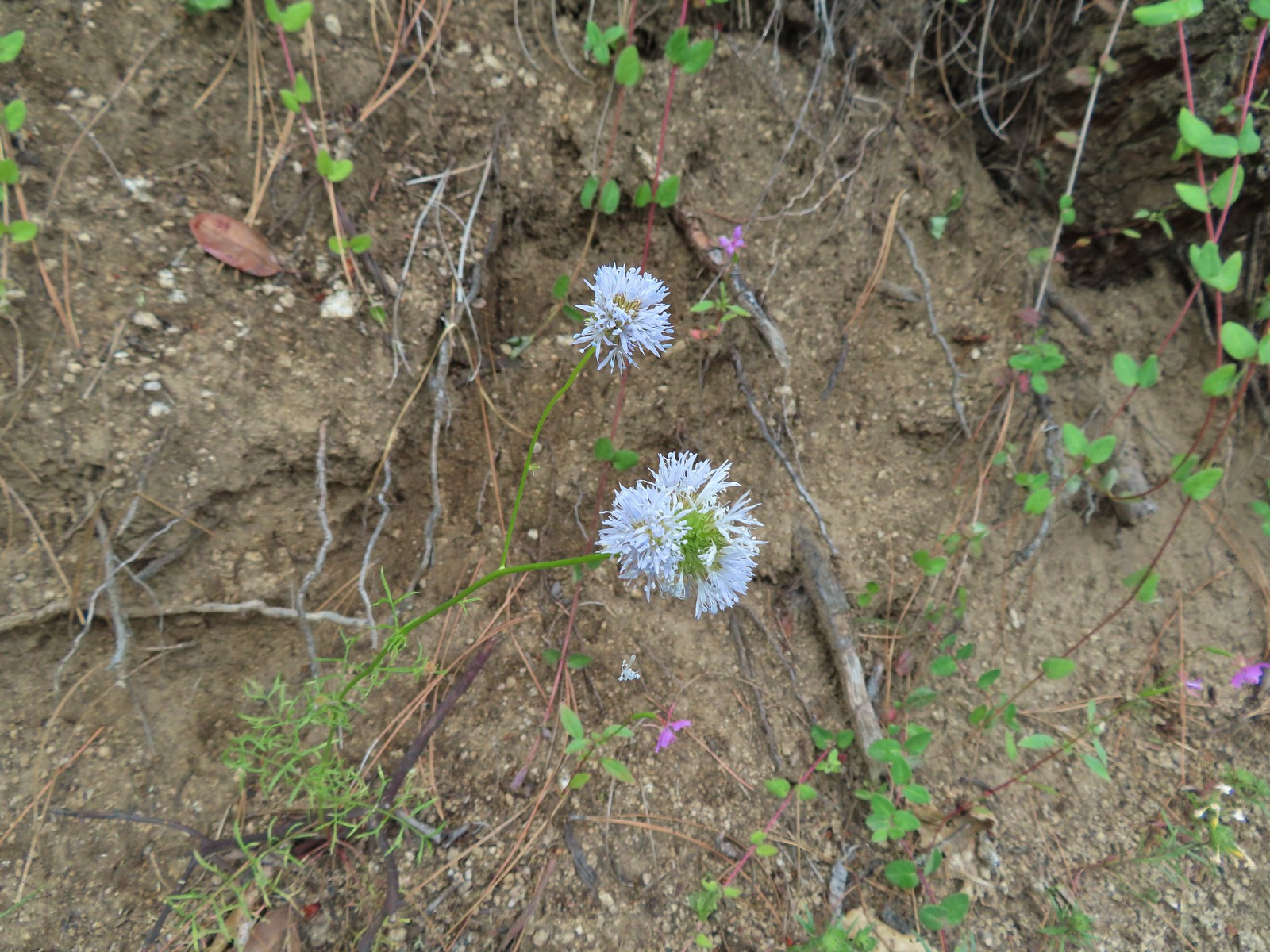
 Goosefoot? violet, July 9th – Mt. Ireland
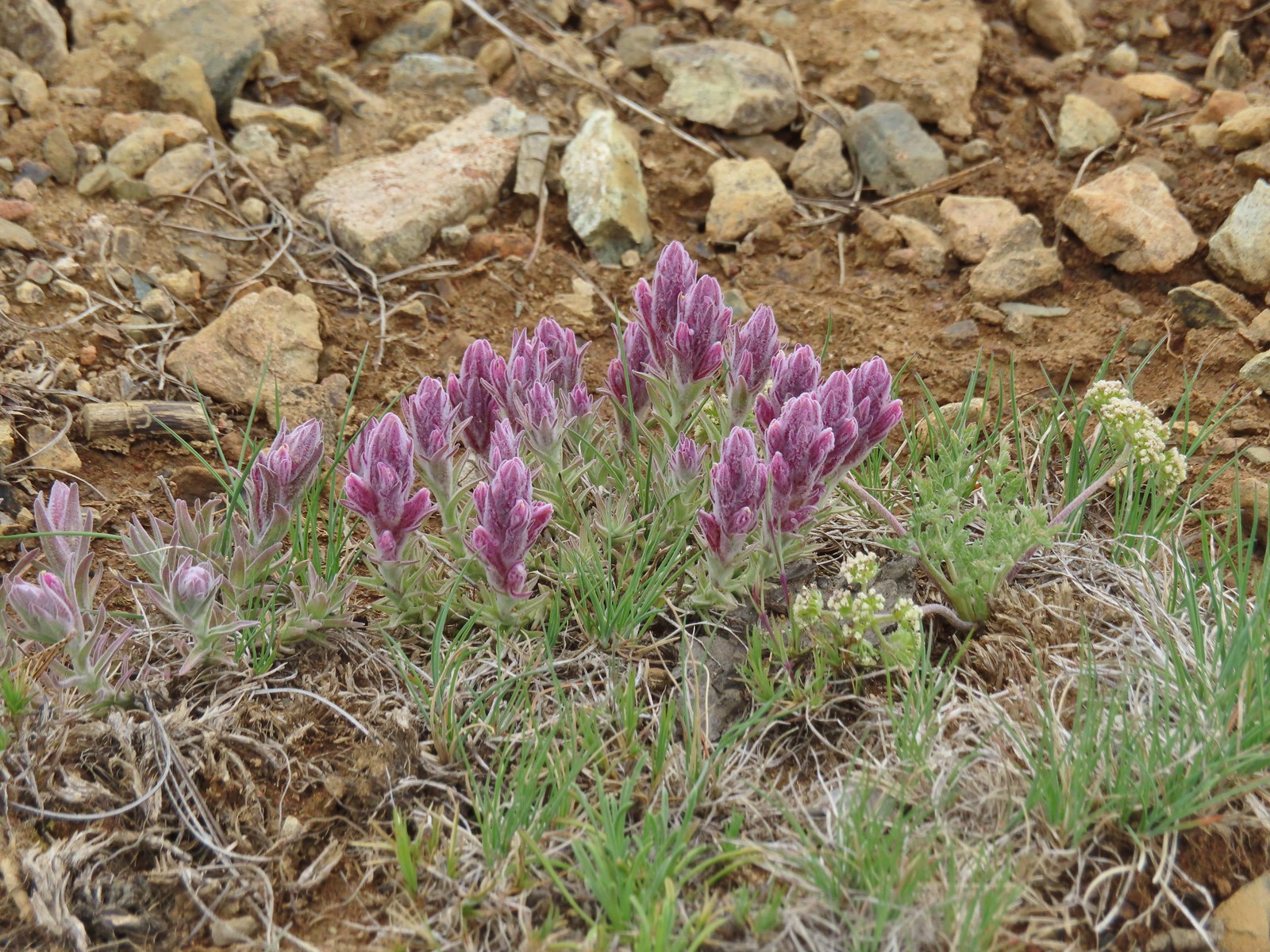
 July 9th – Mt. Ireland
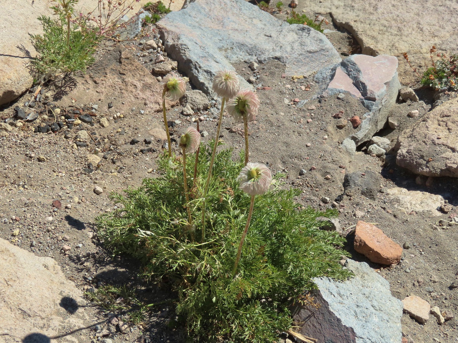
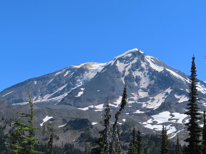
 August 13th – Mt. Adams Wilderness.
The final flower to be photographed was a bleeding heart enjoying a late season bloom along the Eagle Creek Trail on November 19th.

 Here is a more photogenic bleeding heart from May 21st on the Kings Mountain Trail.
We were lucky enough to see a handful of bucket list flowers during our trips to Southern Oregon and Northern California.
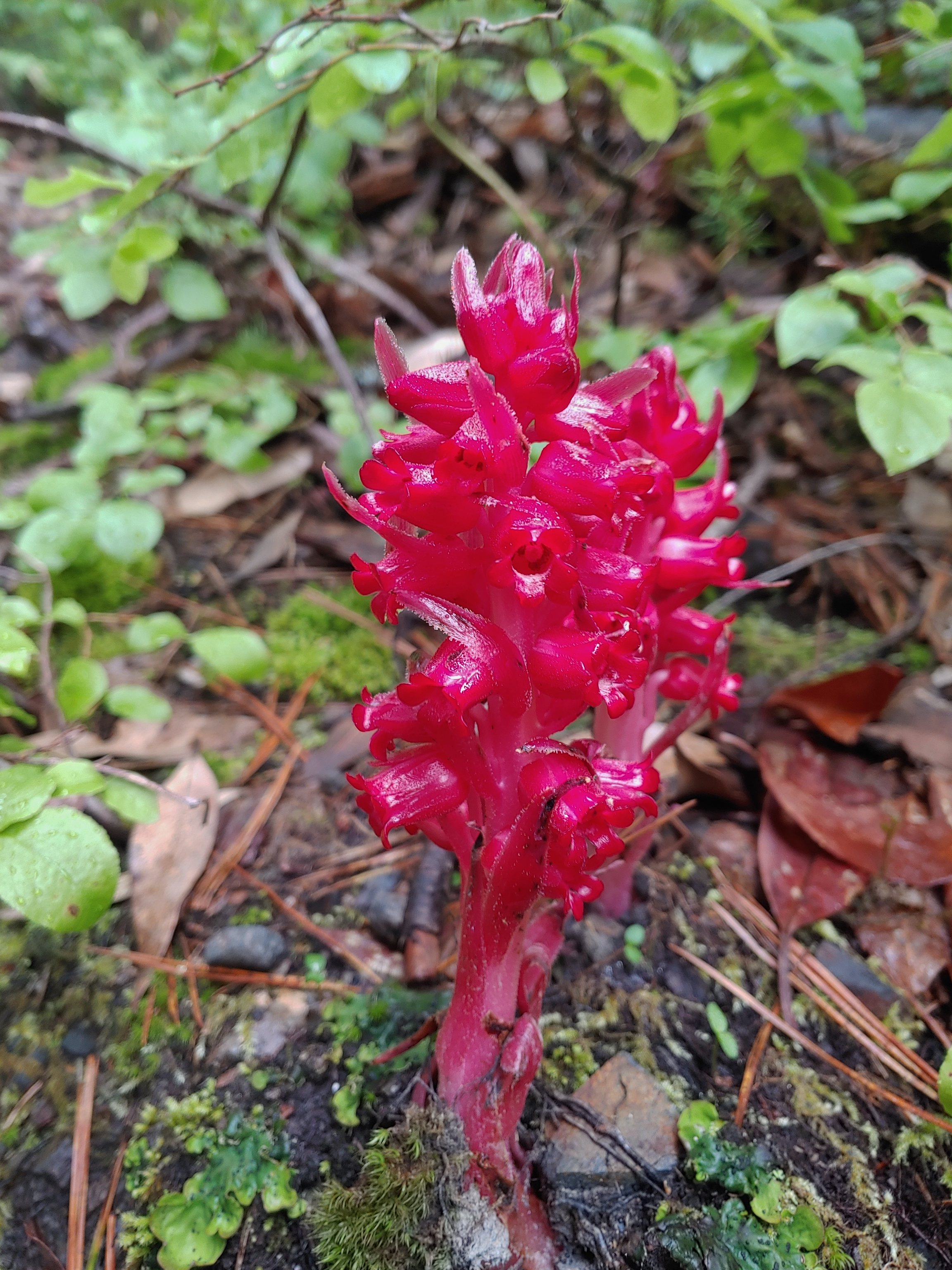 Snow plant, June 18th – Red Buttes Wilderness
 California lady slippers, July 2nd – Siskiyou Wilderness
 Bolander’s lily, July 2nd – Siskiyou Wilderness
 Scarlet fritillary, May 27th – Jack-Ash Trail
 Henderson’s fawn lily, May 27th – Jack-Ash Trail
Here are some of the other’s that we encountered over the course of the year.
 Pungent desert parsley, April 2nd -Balfour Trail
 Columbia desert parsley, April 2nd – Klickitat Trail
 Woodland stars, April 2nd – Balfour Trail
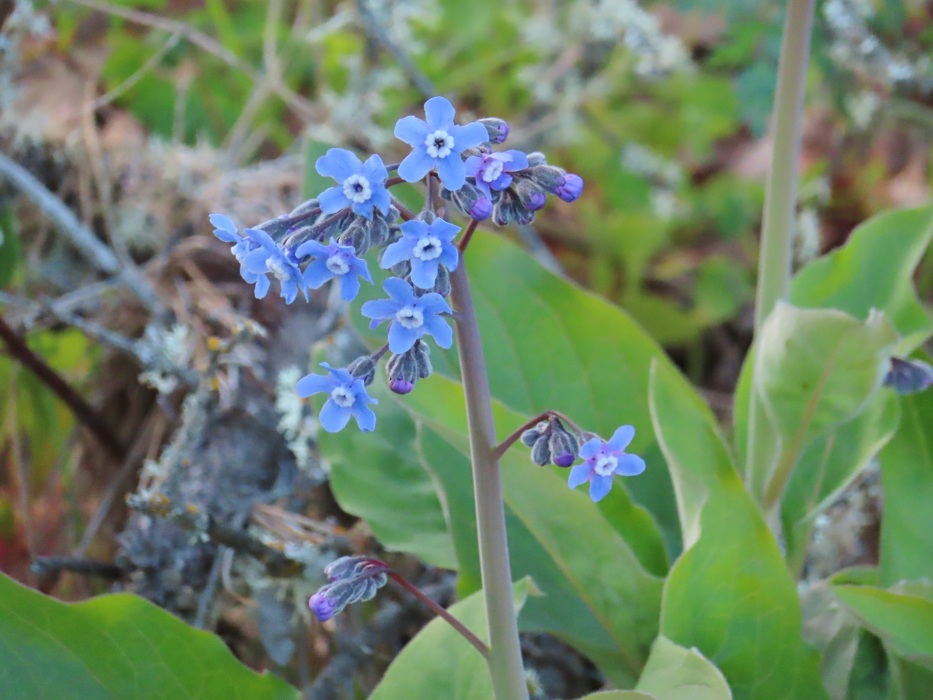 Pacific hound’s tongue, April 2nd – Balfour Trail
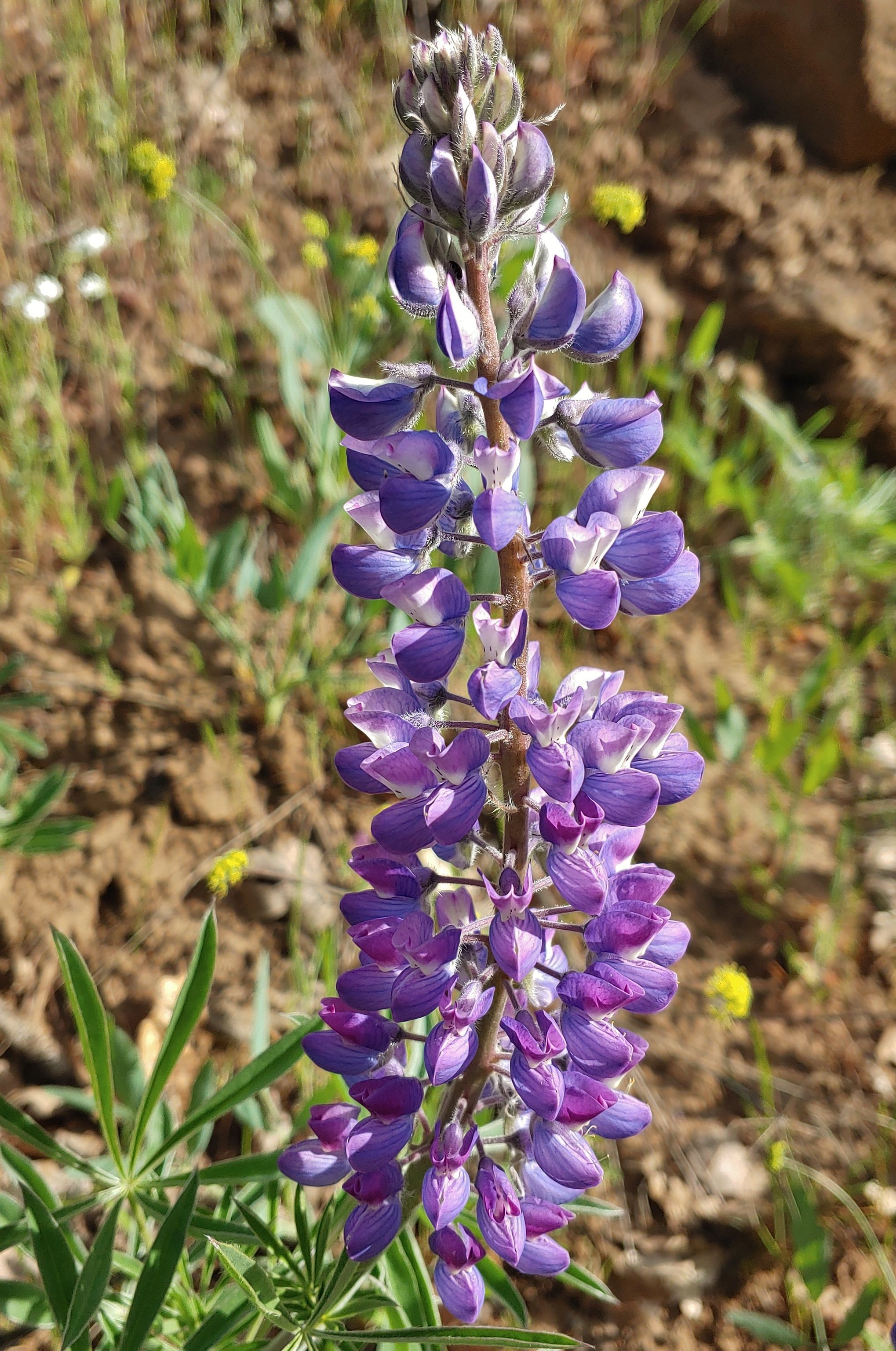 Lupine, April 2nd – Klickitat Trail
 Big leaf maple, April 2nd – Klickitat Trail
 Slender phlox, April 2nd – Klickitat Trail
 Fringecup, April 23rd – Ankeny Wildlife Refuge
 Buttercups, April 23rd – Ankeny Wildlife Refuge
 Checkermallow, April 23rd – Ankeny Wildlife Refuge
 Another checkermallow, April 23rd – Ankeny Wildlife Refuge
 Iris, April 23rd – Ankeny Wildlife Refuge
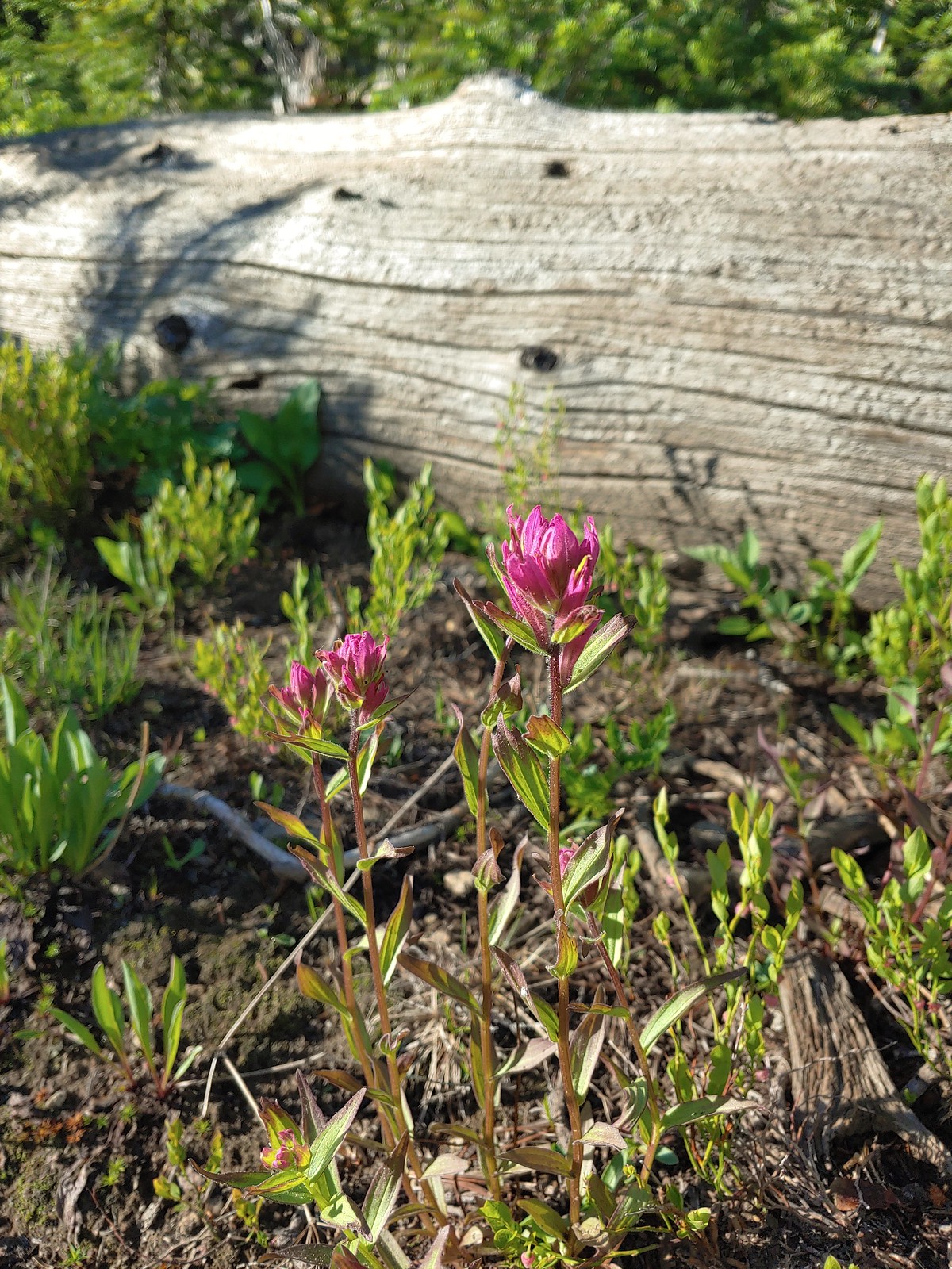
 A paintbrush, May 1st – Memaloose Hills
 Balsamroot, May 1st – Memaloose Hills
 Large-flower triteleia, May 1st – Memaloose Hills
 Naked broomrape, May 1st – Memaloose Hills
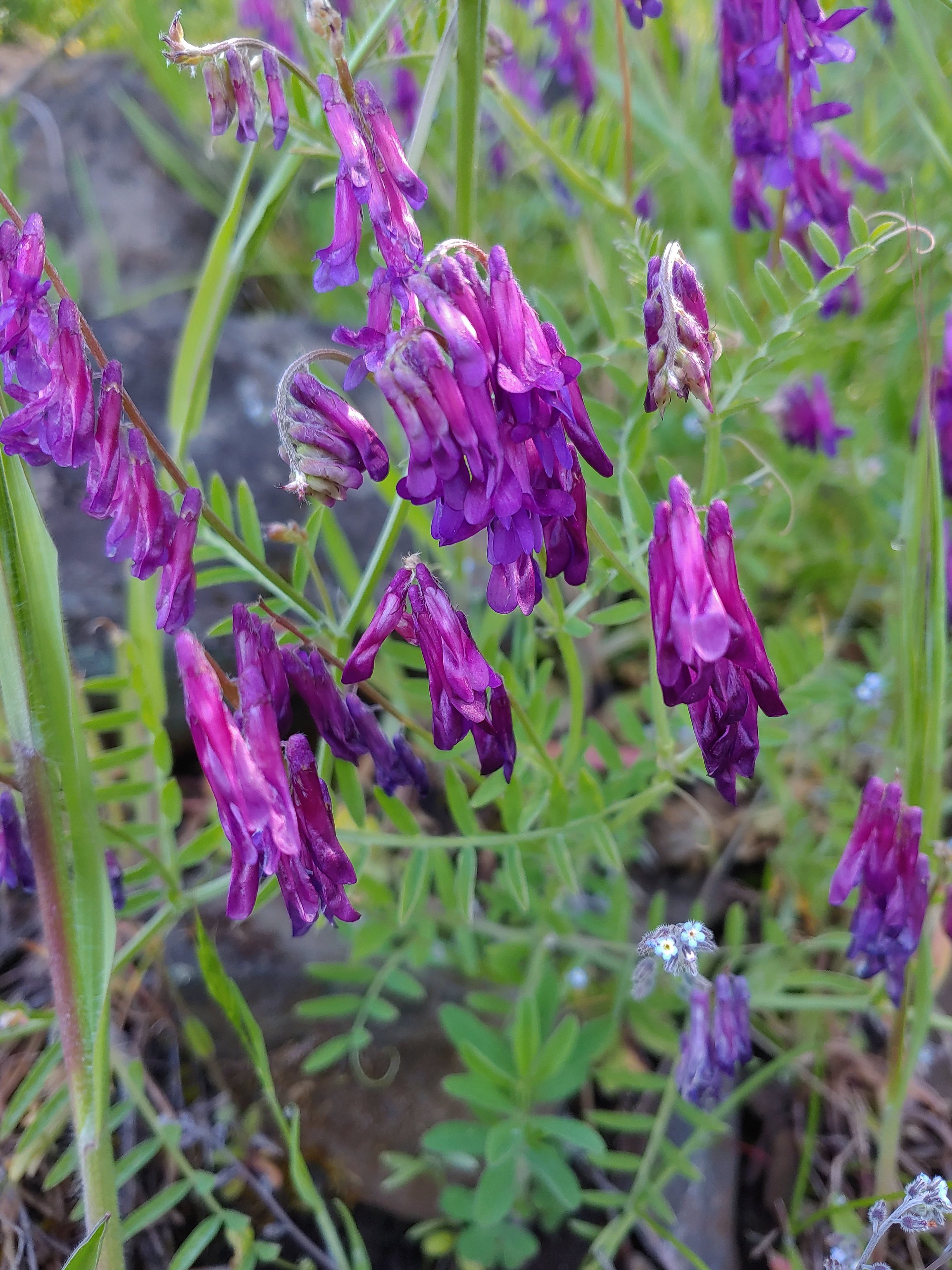 Vetch, May 1st – Moiser Plateau
 Large-head clover, May 1st – Moiser Plateau
 Fiddleneck, May 1st – Moiser Plateau
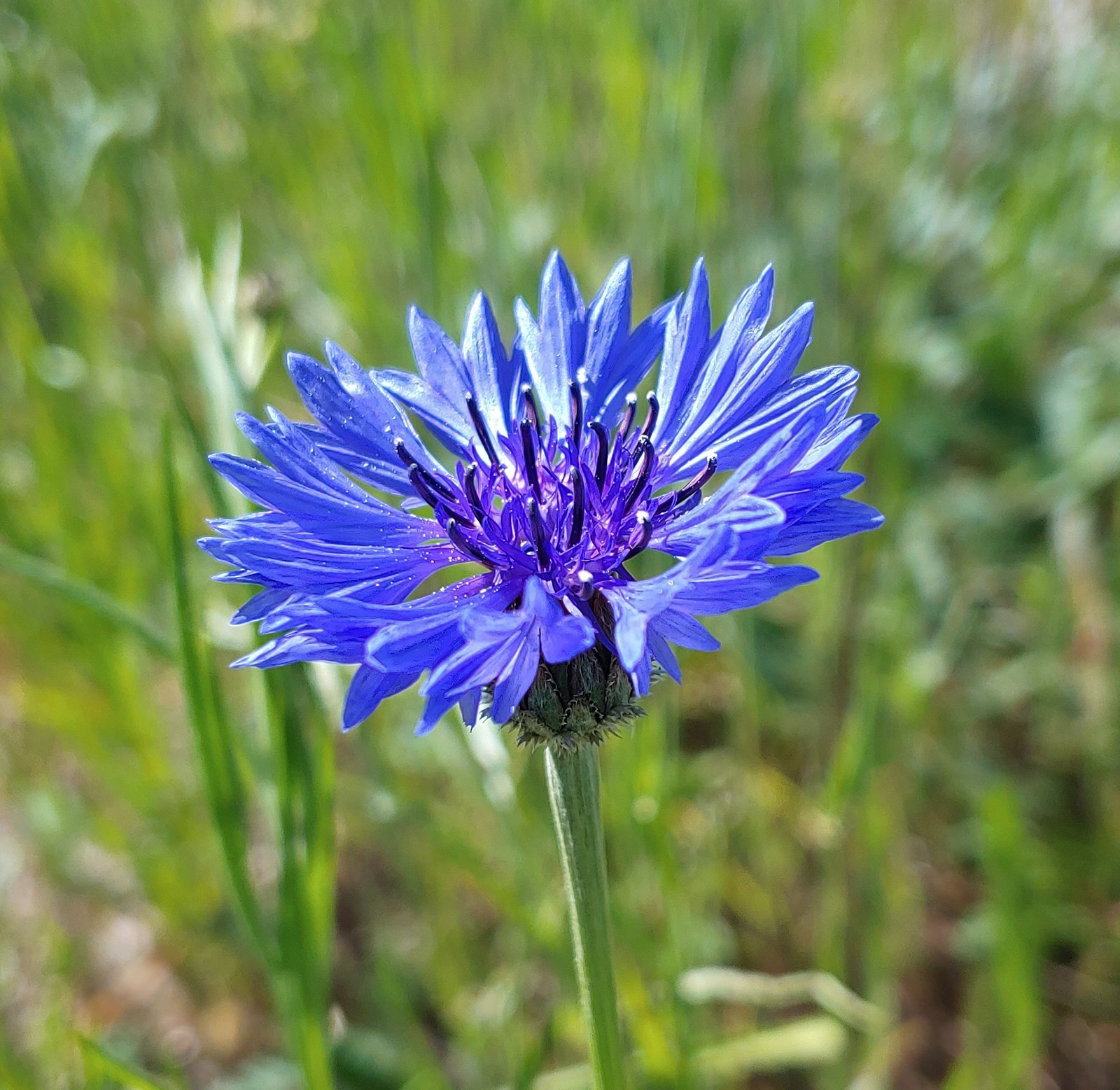 Bachelor button (non-native), May 1st – Moiser Plateau
 Service berry, May 7th – Orenco Woods
 Aven, May 7th – Noble Woods
 Camas, May 7th – Miller Woods
 Wild ginger, May 7th – Miller Woods
 Striped coralroot, May 7th – Miller Woods
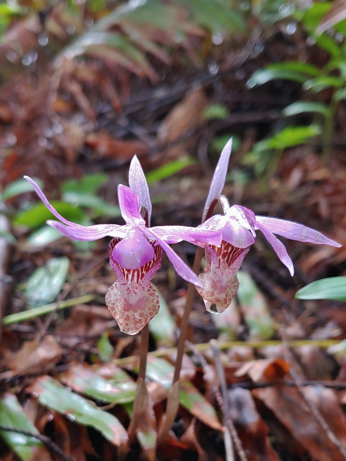 Fairy slippers, May 7th – Miller Woods
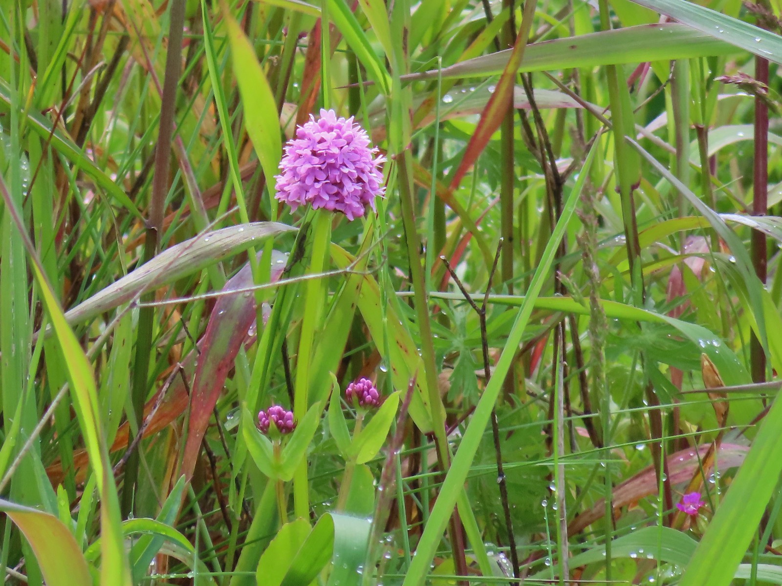 Plectritis, May 14th – Chehalem Ridge Nature Park
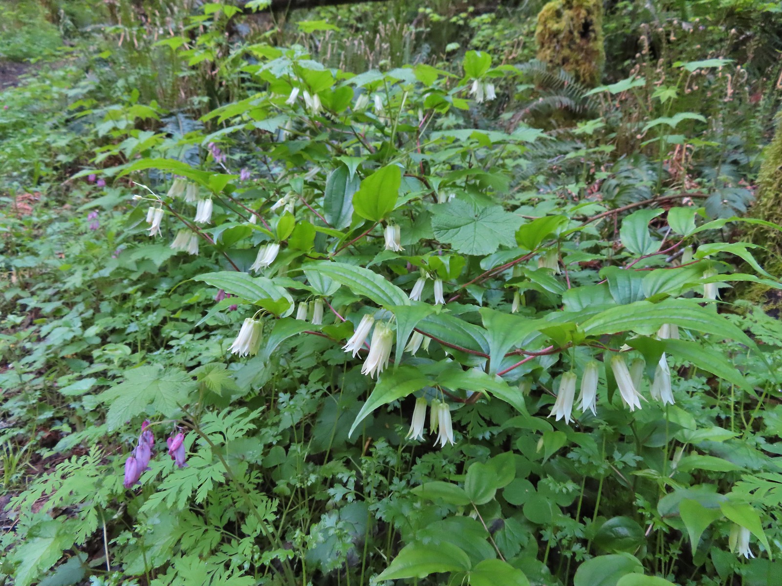 Fairy bells, May 21st – Elk/Kings Mountain Traverse
 Snow queen, May 21st – Elk/Kings Mountain Traverse
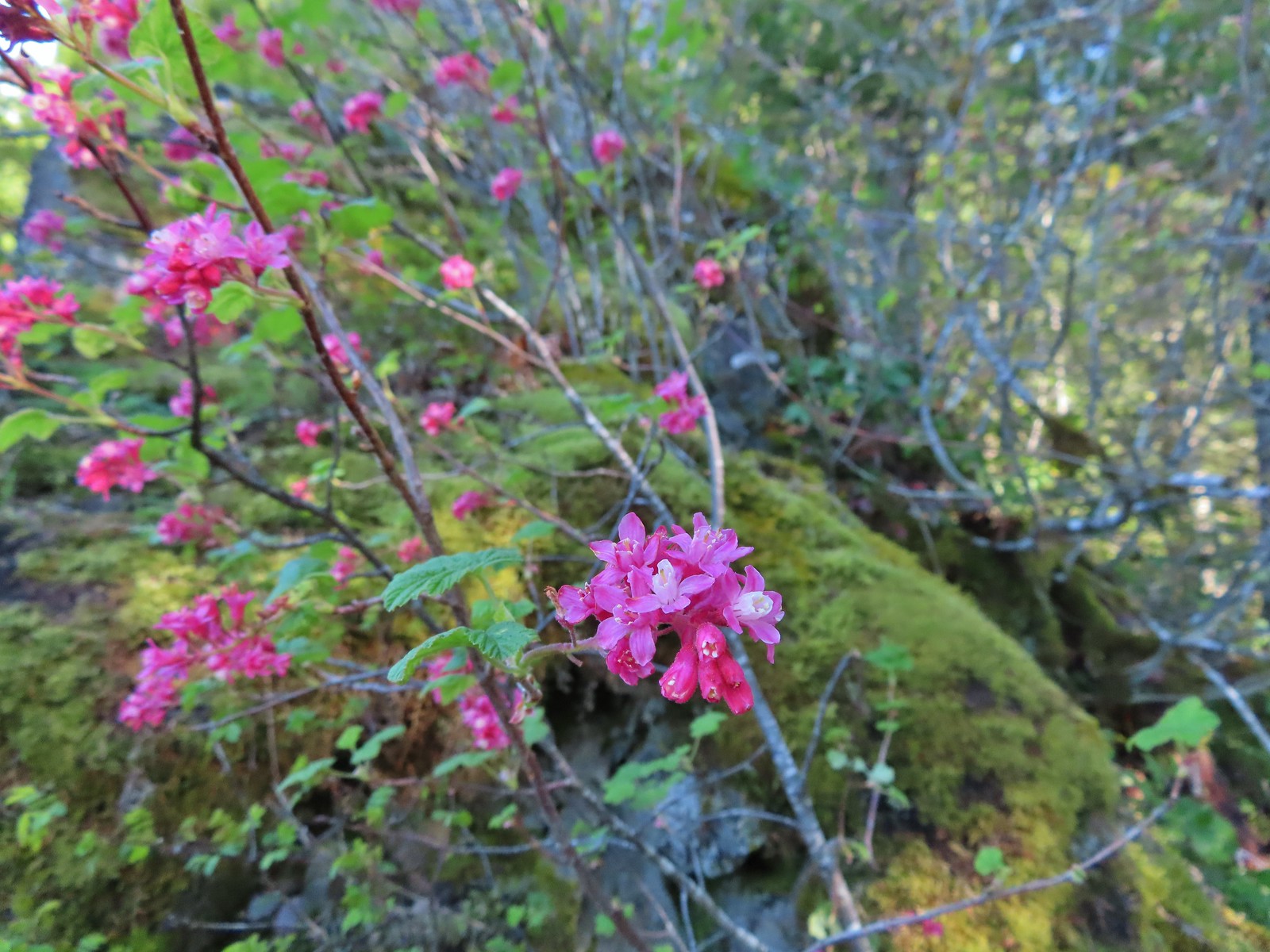 Red flowering currant, May 21st – Elk/Kings Mountain Traverse
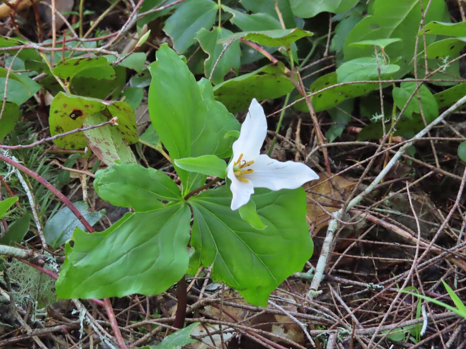 Trillium, May 21st – Elk/Kings Mountain Traverse
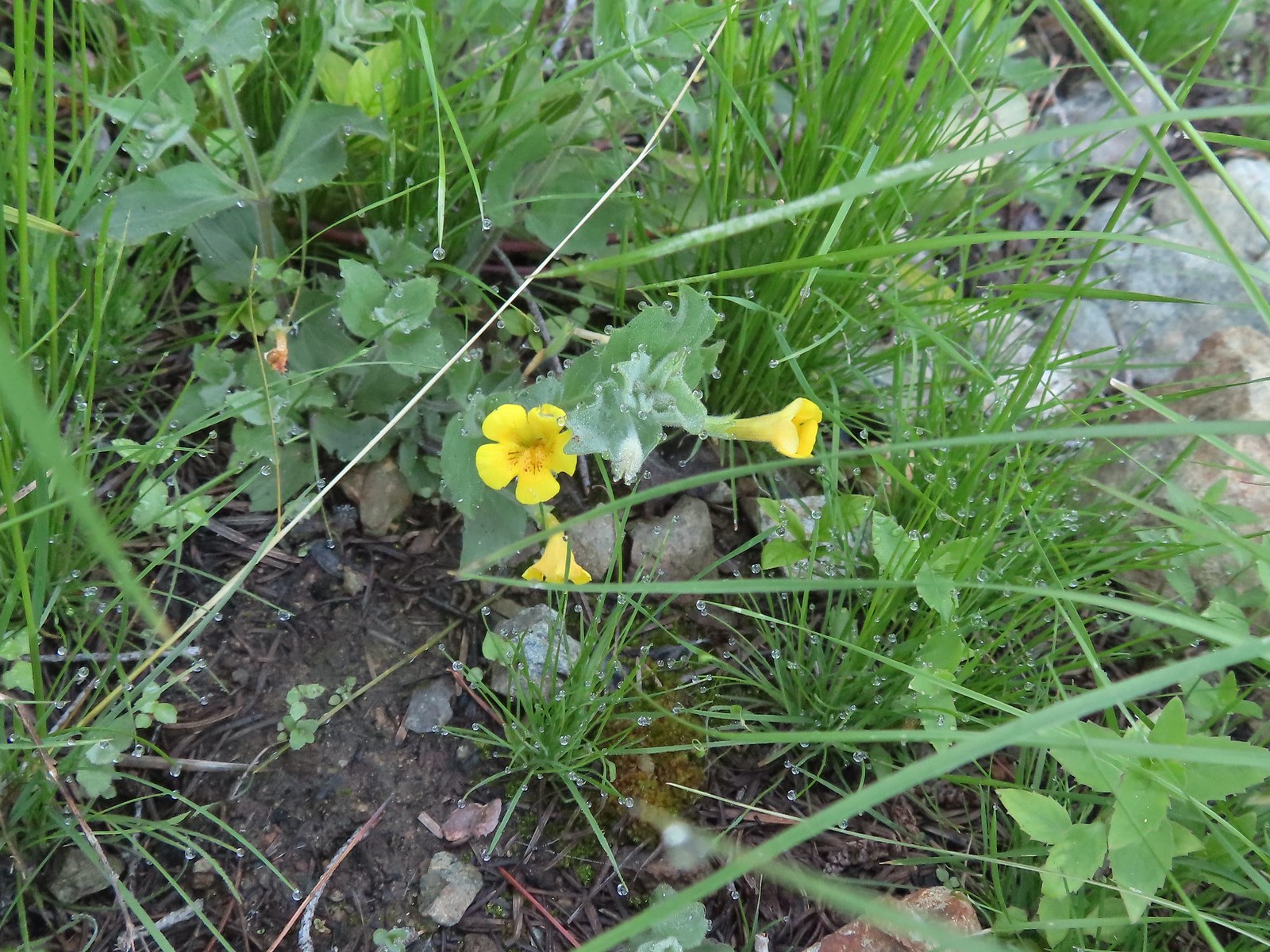
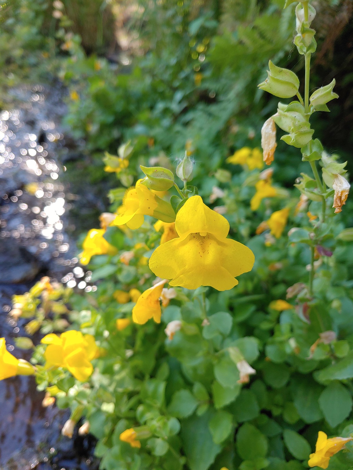
 A monkeyflower, May 21st – Elk/Kings Mountain Traverse
 Chocolate lily, May 21st – Elk/Kings Mountain Traverse
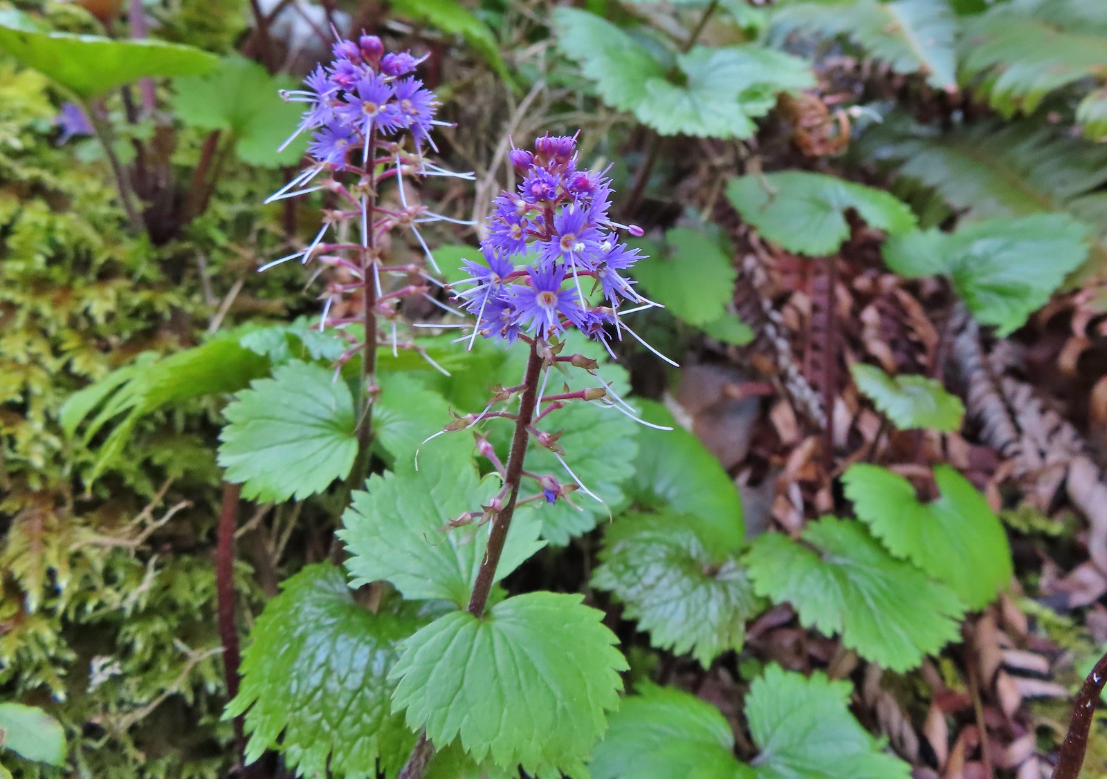 Kittentails, May 21st – Elk/Kings Mountain Traverse
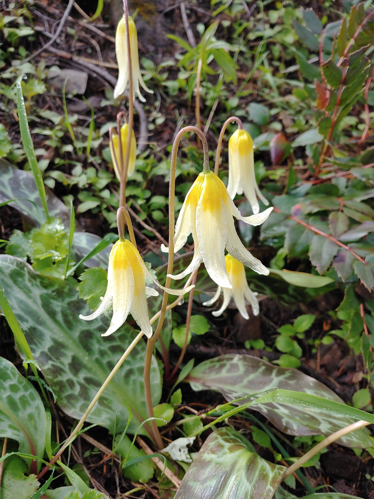
 Glacier lily, May 21st – Elk/Kings Mountain Traverse
 Henderson’s stars, May 25th – Mule Mountain
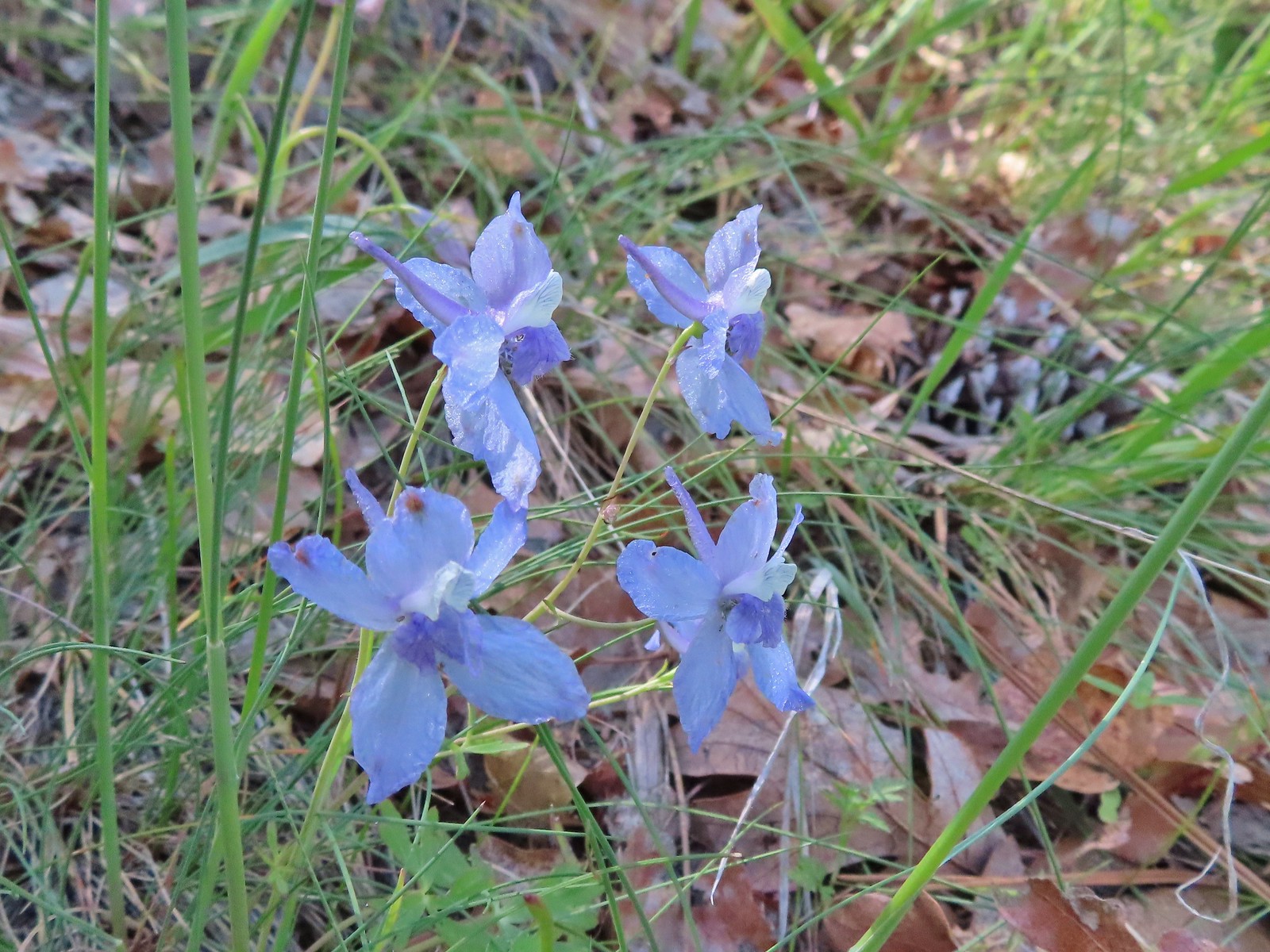 Larkspur, May 25th – Mule Mountain
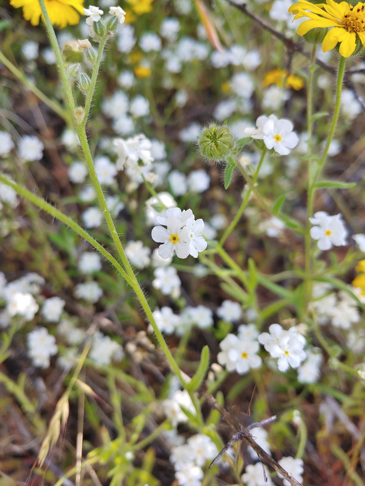 Not sure if this is a cryptantha or a popcorn flower, May 25th – Mule Mountain
 Douglas’ stichwort, May 25th – Mule Mountain
 A blue-eyed Mary, May 25th – Mule Mountain
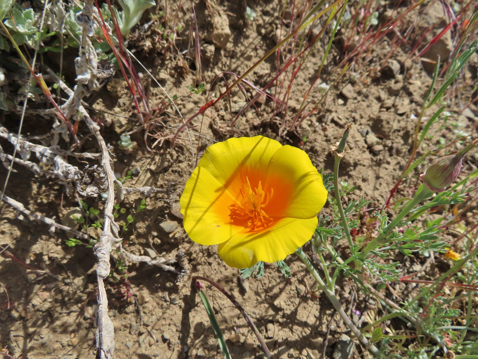 California poppy, May 25th – Mule Mountain
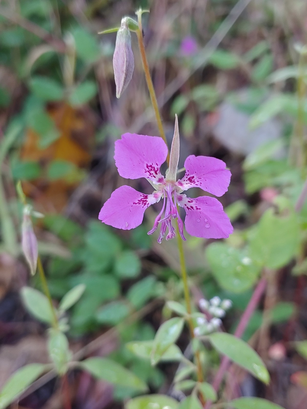
 A clarkia, May 25 – Mule Mountain
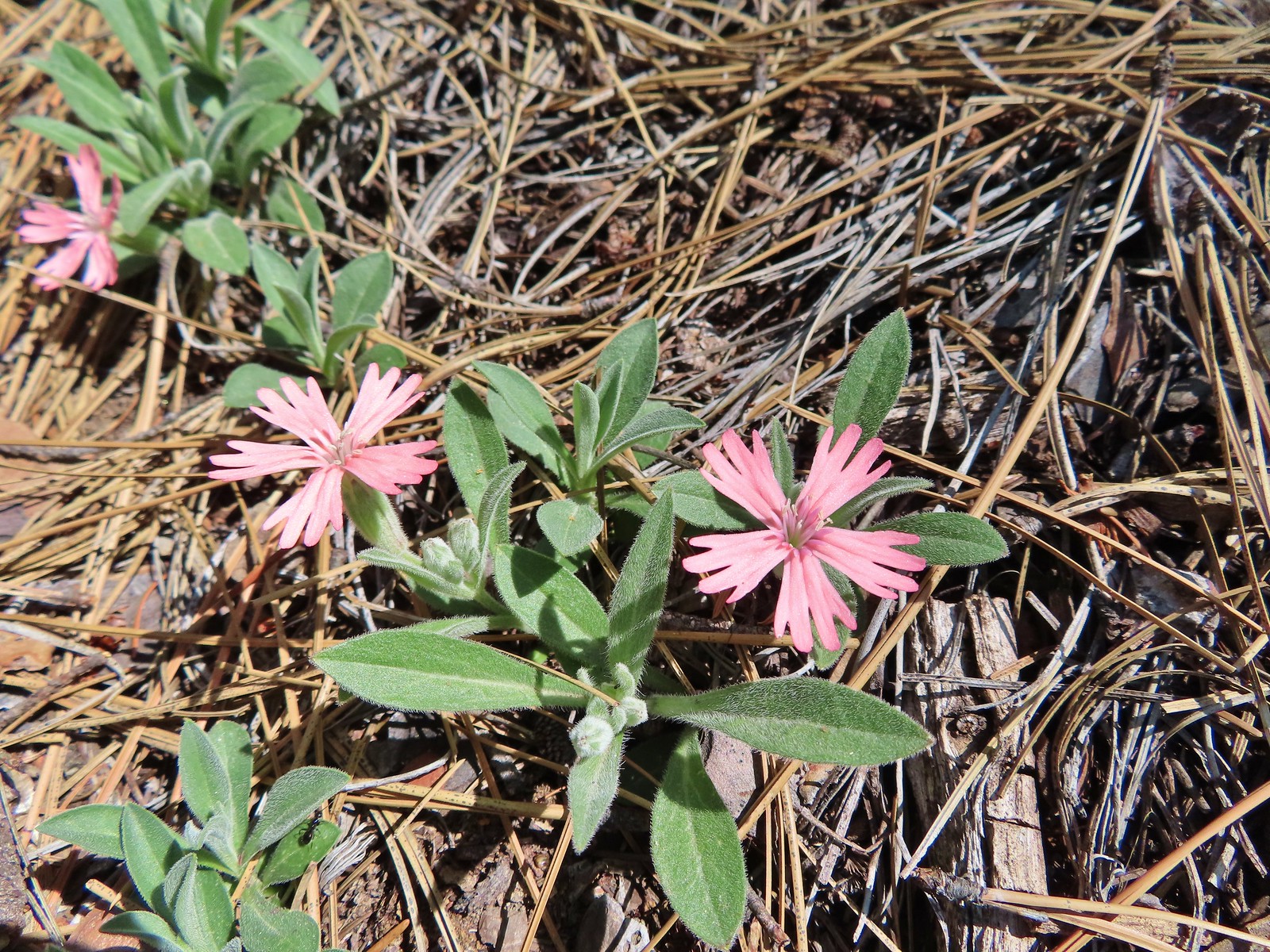 Hooker’s Indian pink, May 25th – Mule Mountain
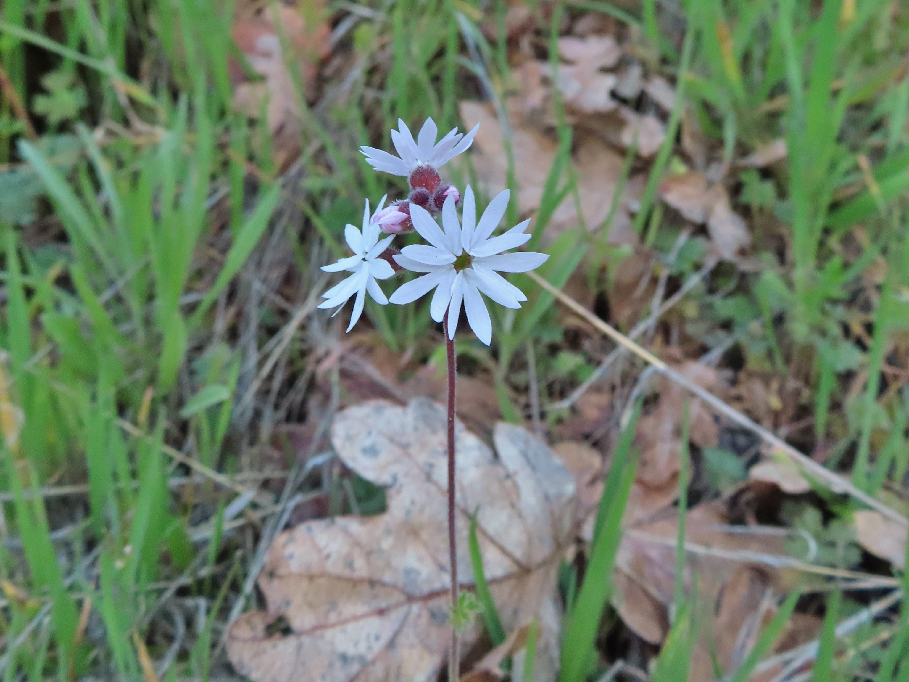
 Star flower, May 25th – Mule Mountain
 California ground cone, May 25th – Mule Mountain
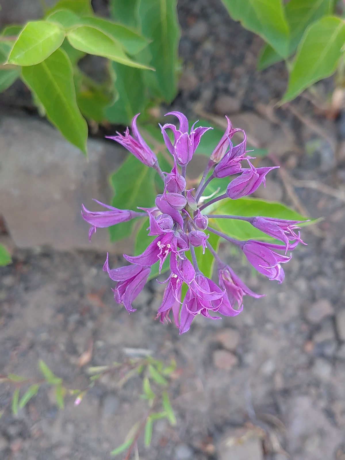
 Ookow, May 26th – Upper Table Rock
 Blow wives, May 26th – Upper Table Rock
 Best guess is Parry’s hawkweed, May 26th – Upper Table Rock
 Clustered broomrape, May 26th – Upper Table Rock
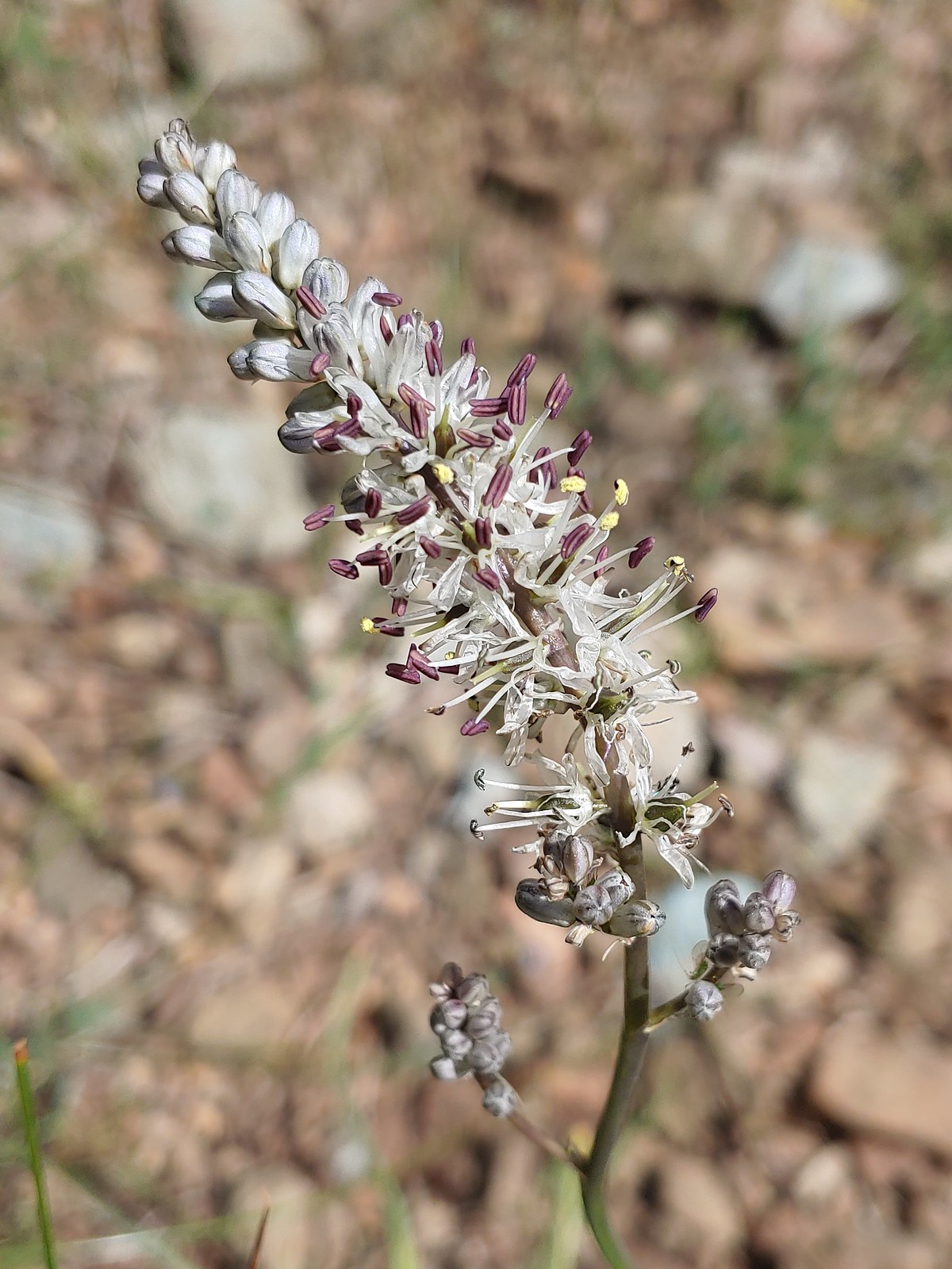
 Narrowleaf onion, May 26th – Upper Table Rock
 California goldfield, May 26th – Upper Table Rock
 Possibly Fitch’s tarweed, May 26th – Upper Table Rock
 Marigold pincushion plant, May 26th – Upper Table Rock
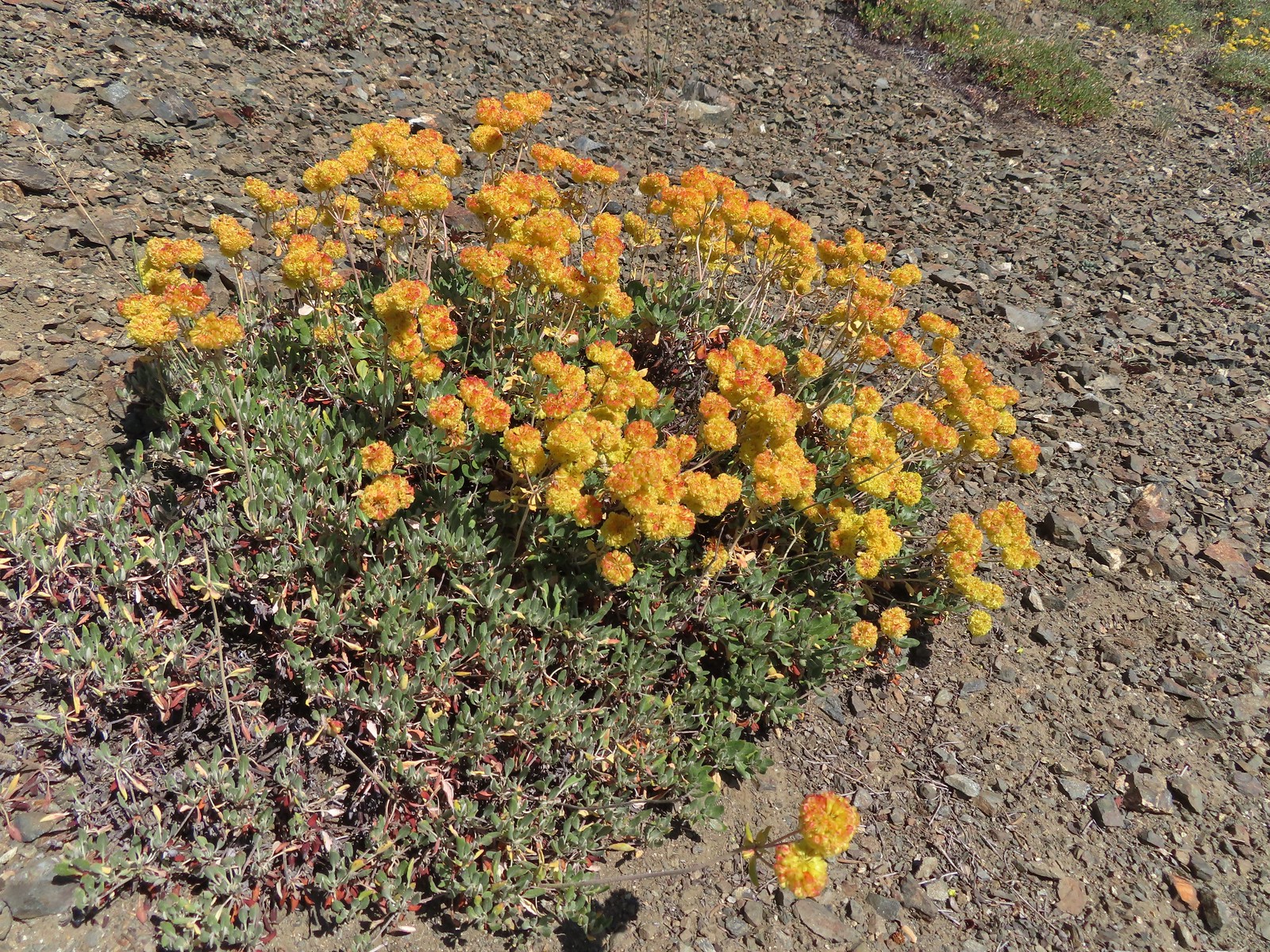
 Arrowleaf buckwheat, May 26th – Upper Table Rock
 A clarkia, May 26th – Upper Table Rock
 Iris, May 27th – Jack-Ash Trail
 Milkvetch, May 27th – Jack-Ash Trail
 Unknown on Anderson Butte, May 27th – Jack-Ash Trail
 Giant white wakerobbin, May 27th – Jack-Ash Trail
 A larkspur, May 27th – Jack-Ash Trail
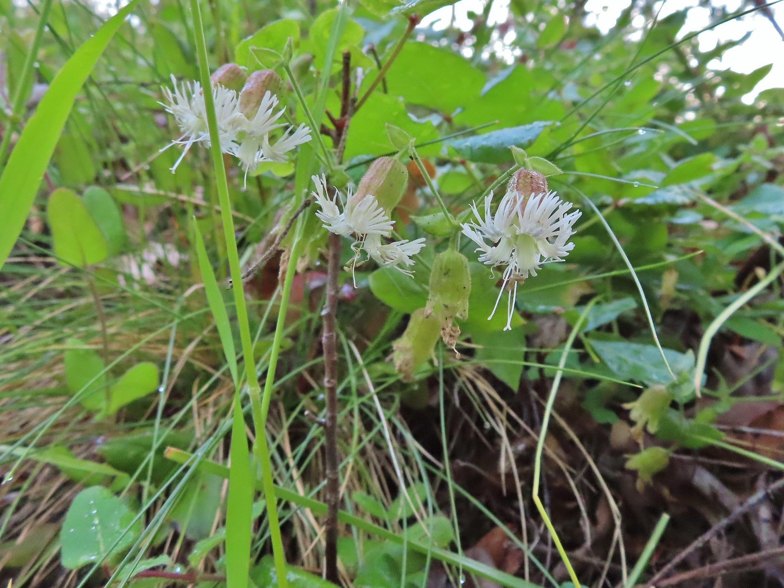
 Rough eyelashweed, May 27th – Jack-Ash Trail
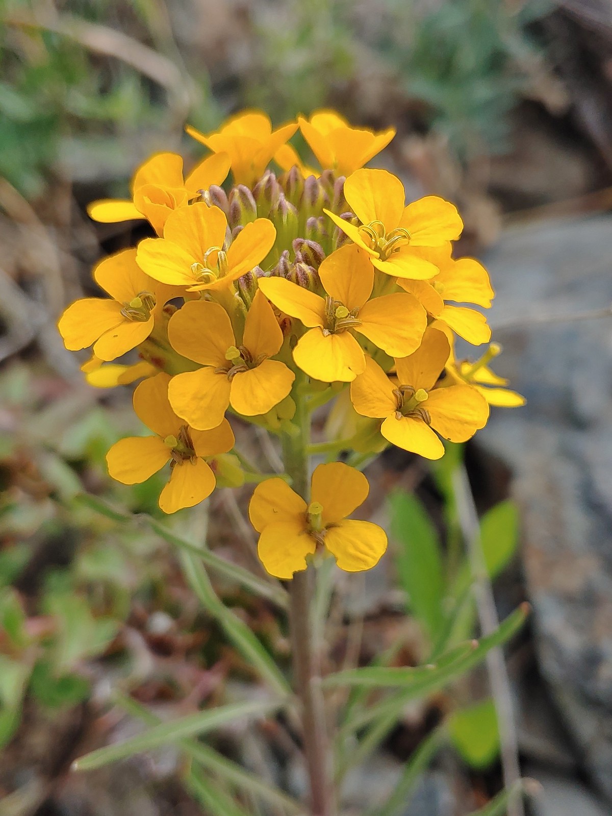 Wallflower, May 27th – Jack-Ash Trail
 A wild onion, May 27th – Jack-Ash Trail
 Jacob’s ladder, May 27th – Jack-Ash Trail
 Death camas, May 28th – Denman Wildlife Area
 Common madia, May 28th – Denman Wildlife Area
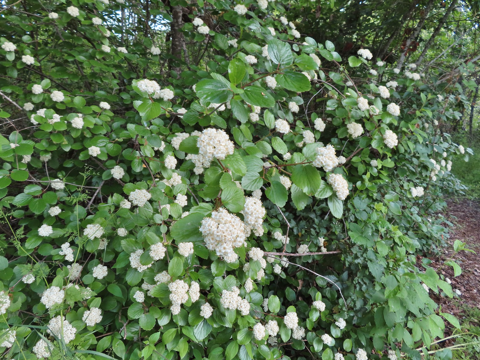 Common viburnum, May 28th – Denman Wildlife Area
 Hairy Indian paintbrush, May 28th – Denman Wildlife Area
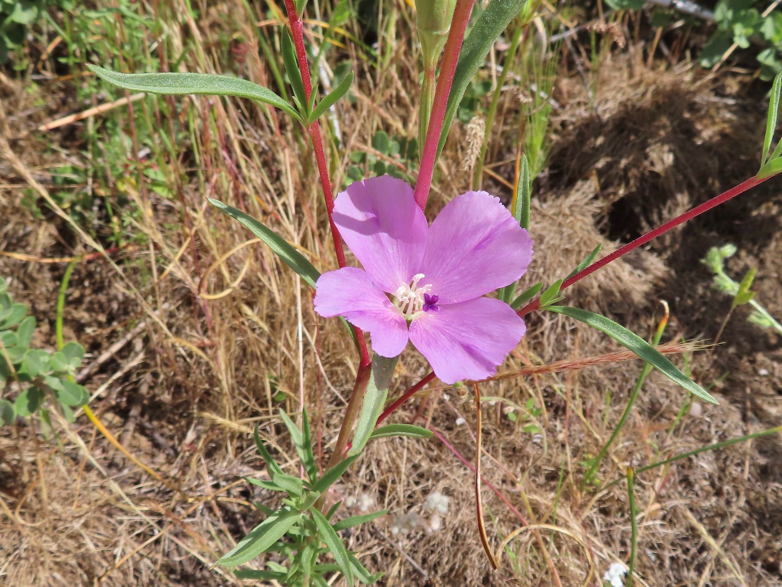
 White campion, May 28th – Denman Wildlife Area
 Pale flax, May 28th – Denman Wildlife Area
 Purple oyster (non-native), May 28th – Denman Wildlife Area
 Rose, May 28th – Denman Wildlife Area
 Pea, May 28th – Denman Wildlife Area
 Kellog’s monkeyflower, May 29th – Applegate Lake
 Heart-leaf milkweed, May 29th – Applegate Lake
 Northern phlox, May 29th – Applegate Lake
 White lupine, May 29th – Applegate Lake
 Carrotleaf horkelia, May 30th – Roxy Ann Peak
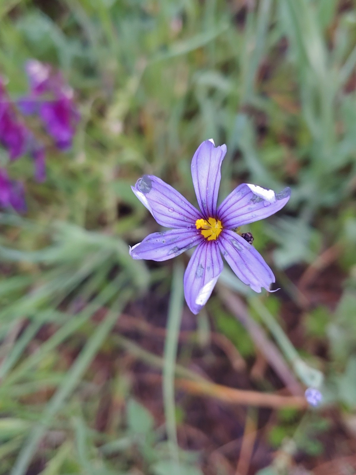 Blue-eyed grass, May 30th – Roxy Ann Peak
 Baneberry, June 4th – North Siouxon Trail
 Star-flower solomonseal, June 4th – North Siouxon Trail
 False lily-of-the valley, June 4th – North Siouxon Trail
 Candyflower, June 4th – North Siouxon Trail
 Scouler’s corydalis, June 4th – North Siouxon Trail
 Yellow glandweed (non-native), June 11th – Julia Butler Hanson Wildlife Refuge
 Daisy (non-native), June 11th – Julia Butler Hanson Wildlife Refuge
 Unknown shrub (non-native), June 11th – Julia Butler Hanson Wildlife Refuge
 A vetch or pea, June 13th – Susan Creek Falls Trail
 Columbine, June 13th – Susan Creek Falls Trail
 Solomonseal, June 13th – North Umpqua Trail
 Valerian, June 13th – Lemolo Falls Trail
 Gooseberry, June 14th – Illahee Rock
 Blue-eyed Mary, June 14th – Illahee Rock
 Fawn lilies, June 14th – Illahee Rock
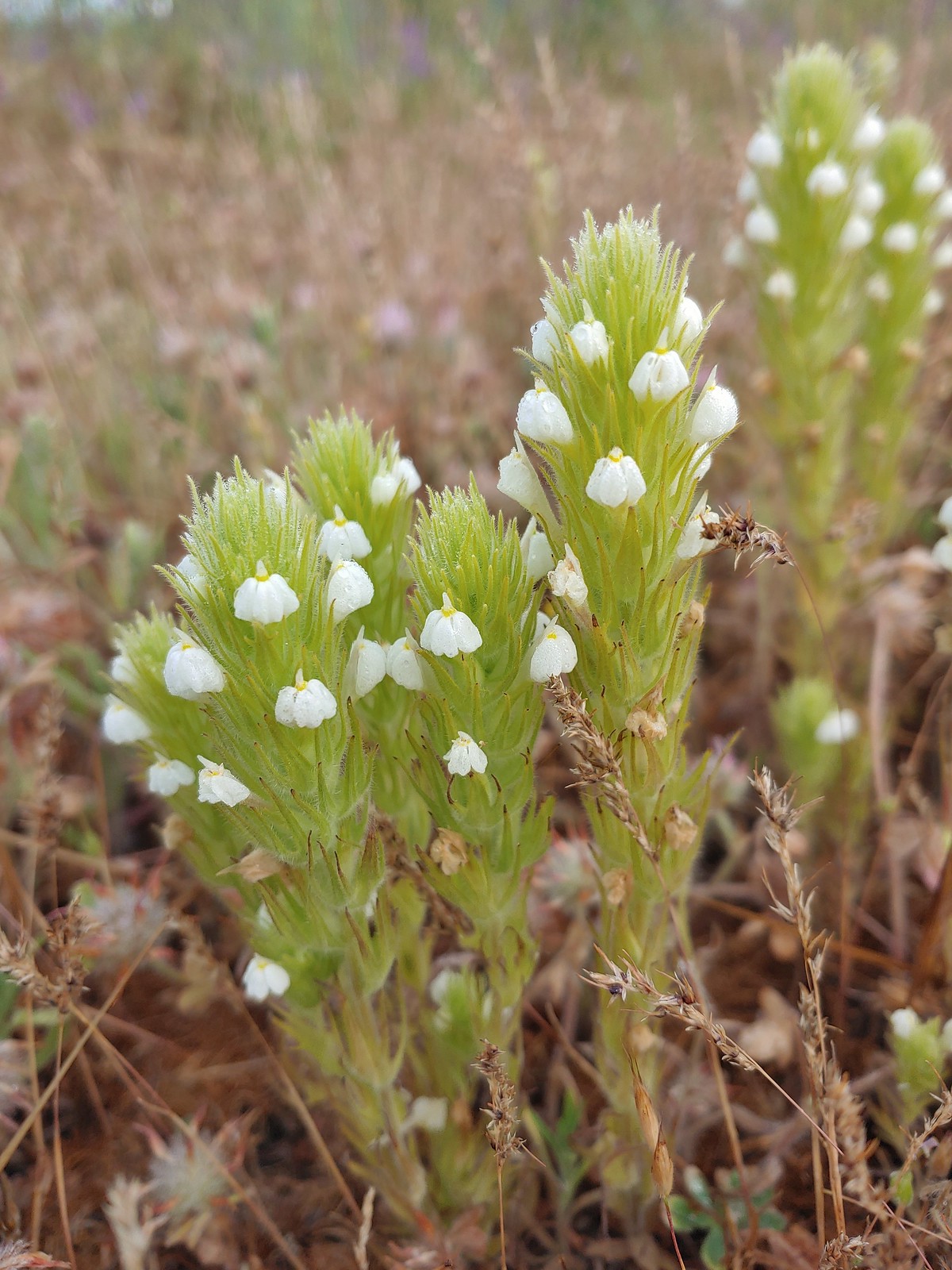
 Pussytoes, June 15th – Pacific Crest Trail near the Stateline Trailhead
 Bistort, June 15th – Donomore Meadows
 Cutleaf daisy, June 15th – Observation Peak
 Lance-leaf spring beauty, June 15th – Observation Peak
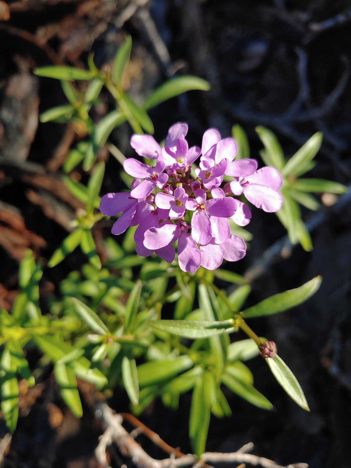
 A rockcress, June 15th – Observation Peak
 Alpine pennycress, June 15th – Observation Peak
 Quill-leaf lewisia, June 15th – Observation Peak
 Marsh marigold, June 15th – Pacific Crest Trail
 Anemone, June 16th – Pacific Crest Trail near Siskiyou Gap
 Jacob’s ladder, June 16th – Pacific Crest Trail
 Buds of an unknown flower, June 16th – Pacific Crest Trail near Big Red Mountain
 A paintbrush, June 16th – Pacific Crest Trail near Big Red Mountain
 Drummond’s anemone, June 16th – Pacific Crest Trail near Big Red Mountain
 Ballhead waterleaf, June 16th – Pacific Crest Trail near Big Red Mountain
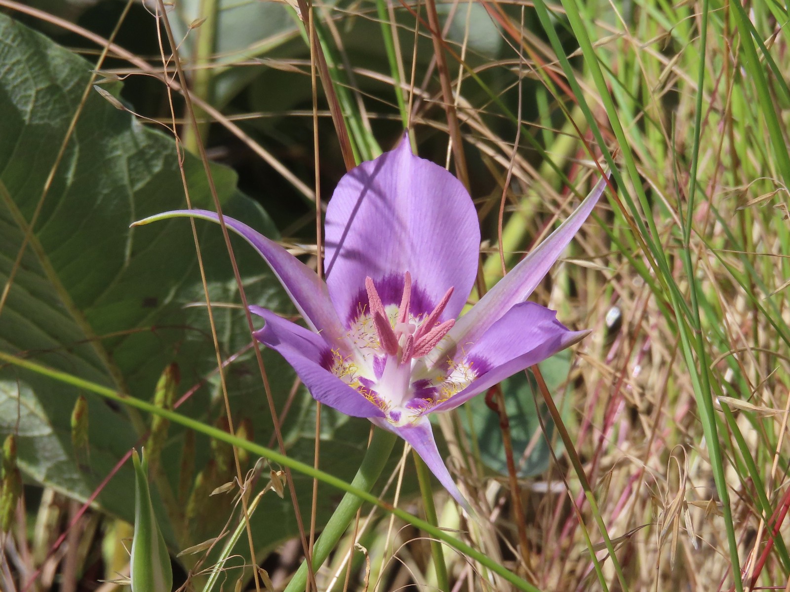
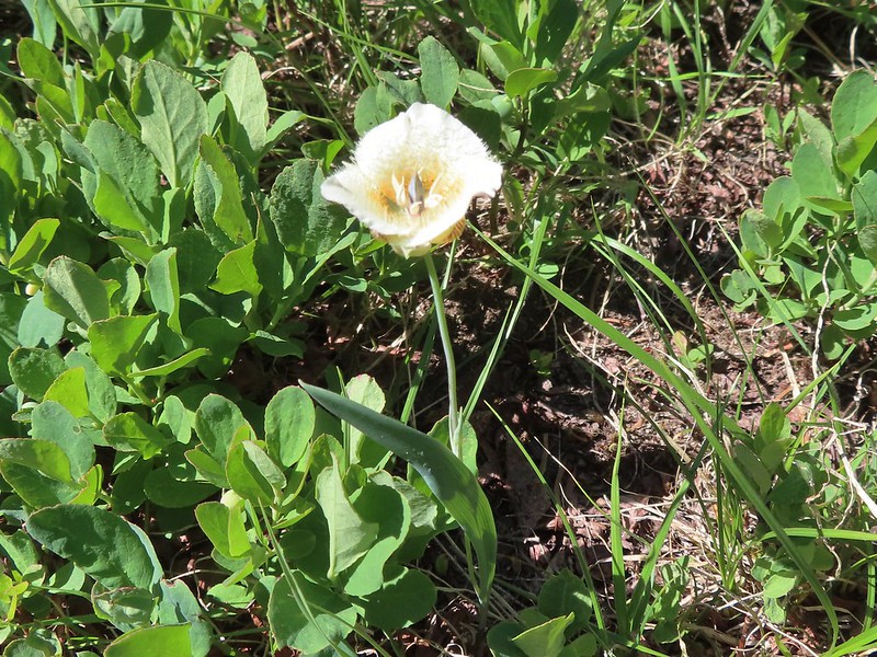
 A mariposa lily, June 16th – Pacific Crest Trail near Siskiyou Gap
 Diamond? clarkia, June 17th – Bandersnatch Trail
 A honeysuckle, June 17th – Bandersnatch Trail
 A catchfly, June 17th – Bandersnatch Trail
 Blue-head gilia, June 17th – Red Queen Trail
 Deerbrush, June 17th – Mike Uthoff Trail
 Grand collomia, June 17th – Mike Uthoff Trail
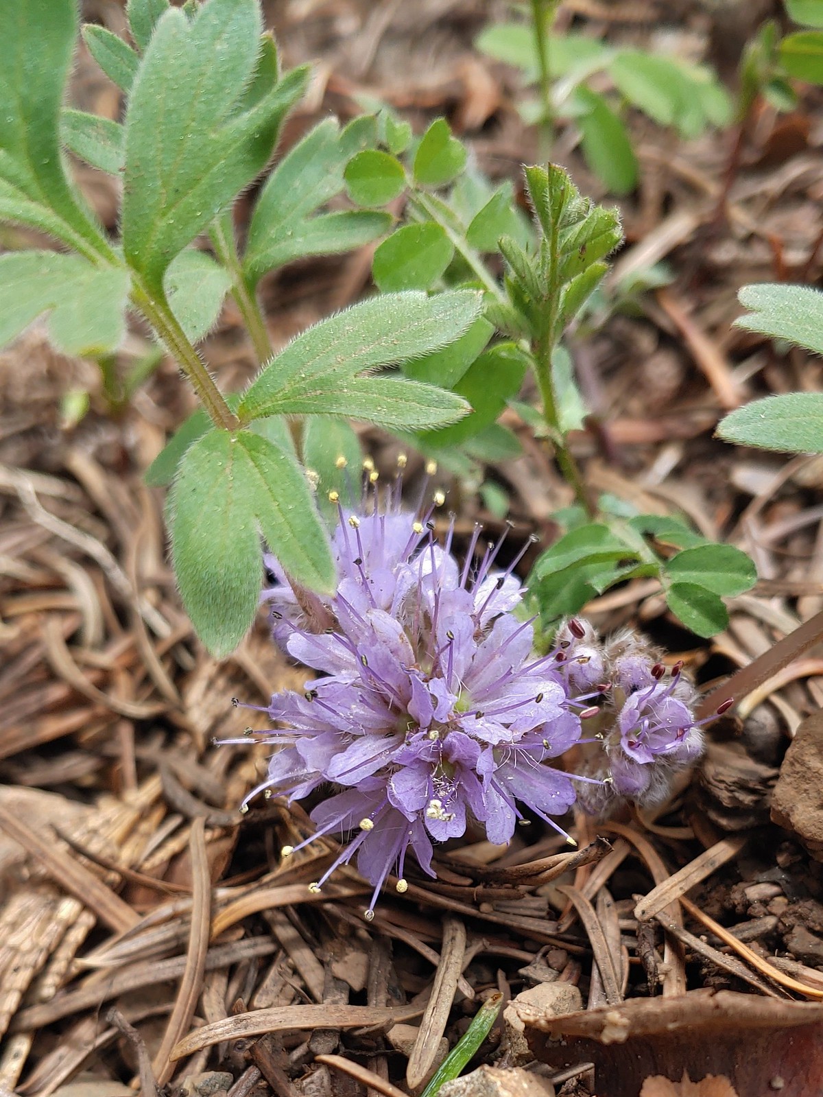
 A phaceli, June 17th – Mike Uthoff Trail
 Rhododendron, June 18th – Frog Pond Trail
 Pretty Face, June 18th – Frog Pond Trail
 Believe this is some sort of saxifrage, June 25th – Toutle Trail
 Avalanche lily, June 25th – Toutle Trail
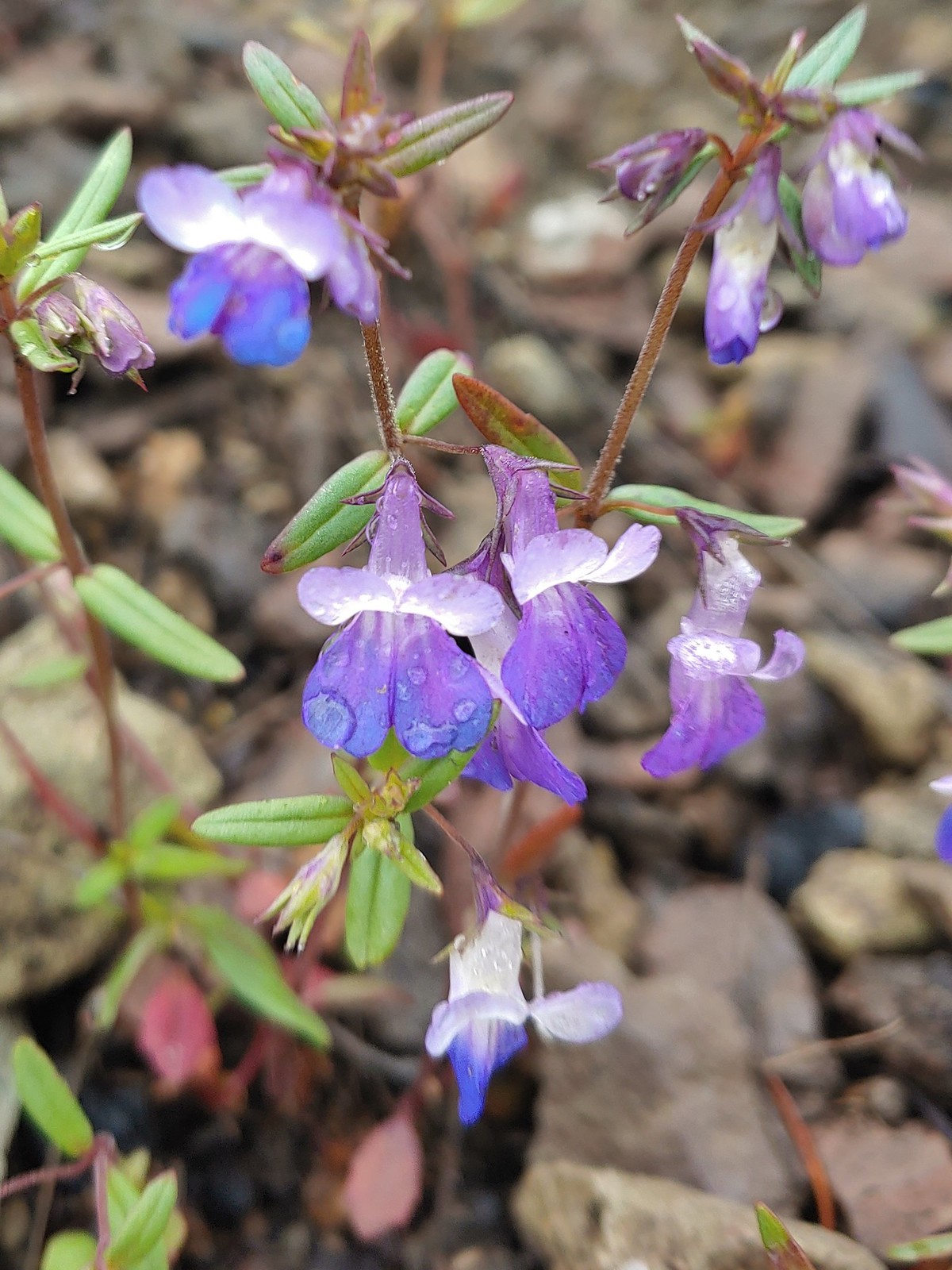
 A penstemon, July 1st – Siskiyou Wilderness
 A phlox, July 1st – Siskiyou Wilderness
 Lewis flax, July 1st – Siskiyou Wilderness
 A paintbrush, July 1st – Siskiyou Wilderness
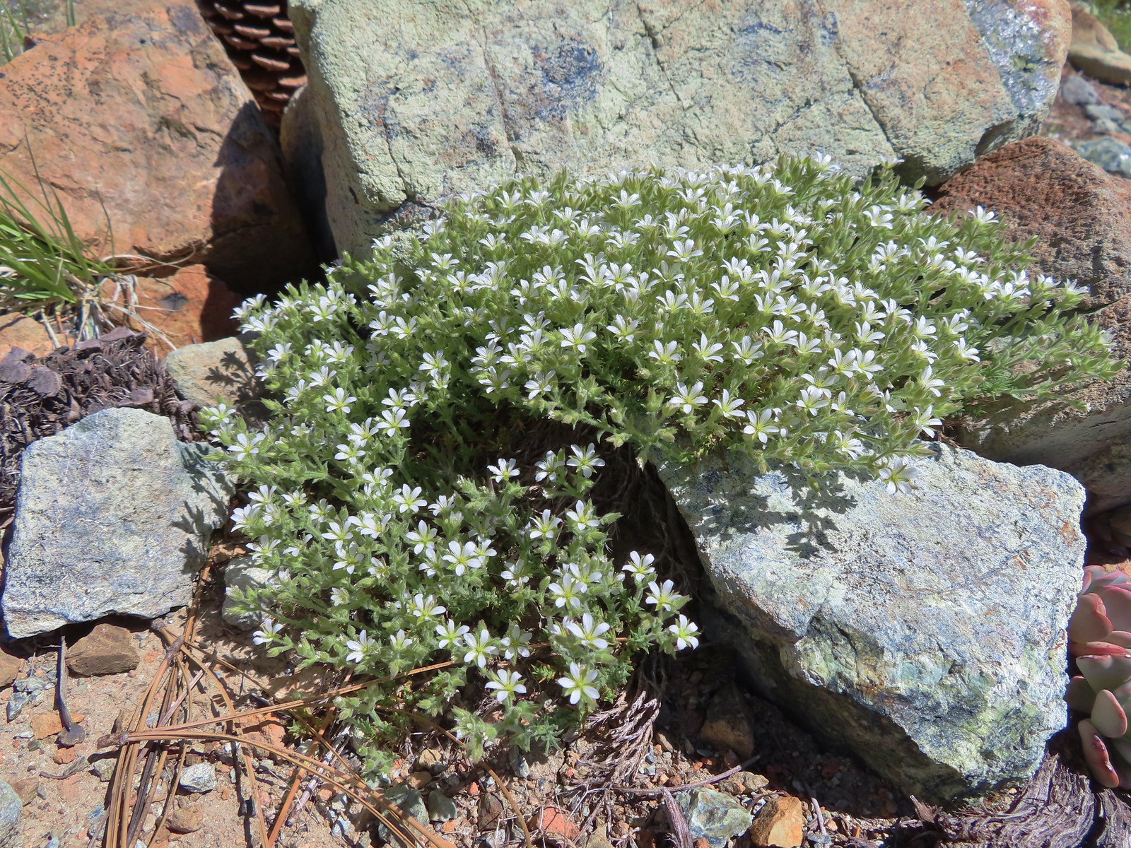 Nuttall’s sandwort?, July 1st -Siskiyou Wilderness
 Queen’s cup, July 1st – Siskiyou Wilderness
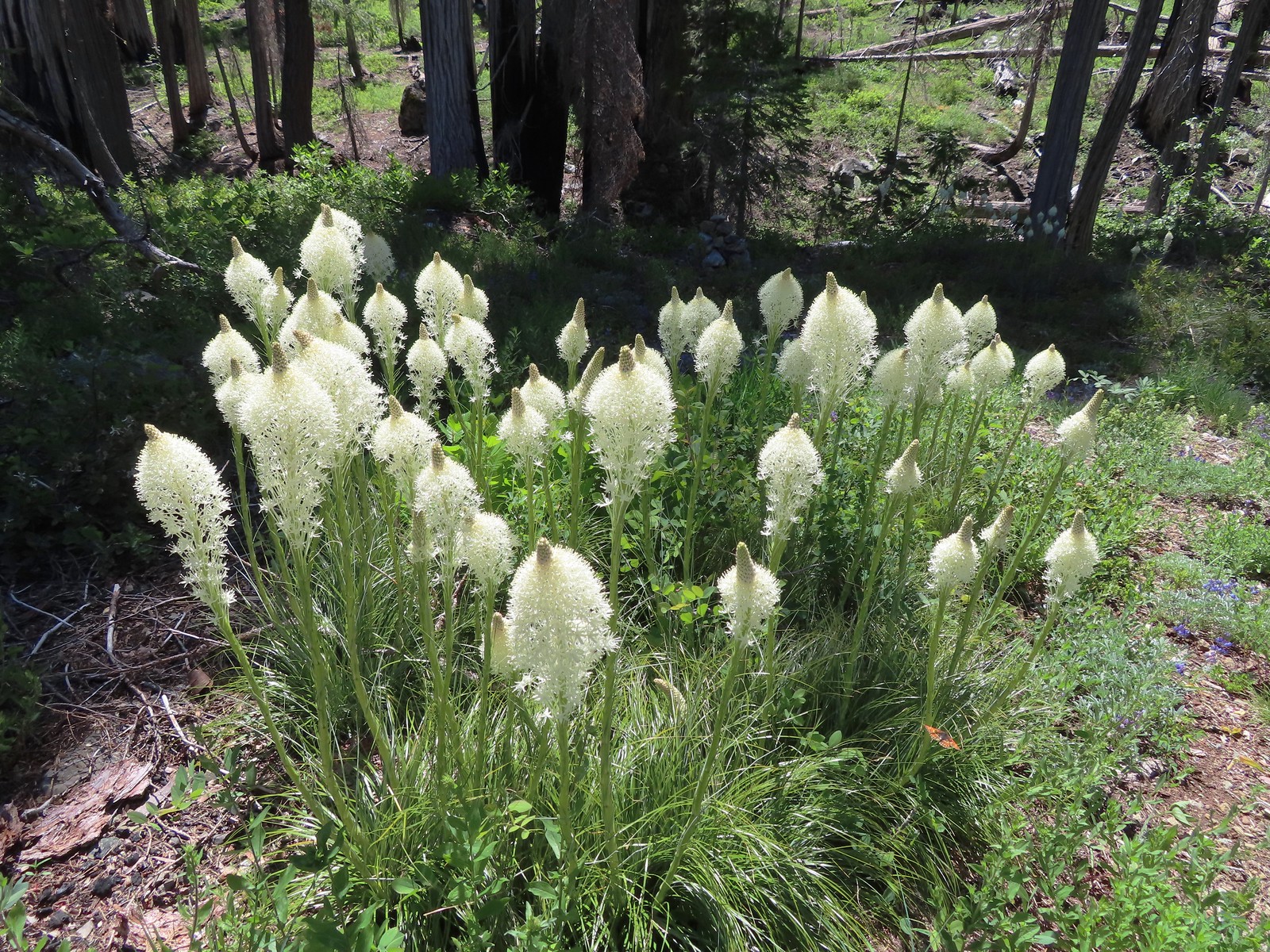 Beargrass, July 1st – Siskiyou Wilderness
 Shooting star, July 1st – Siskiyou Wilderness
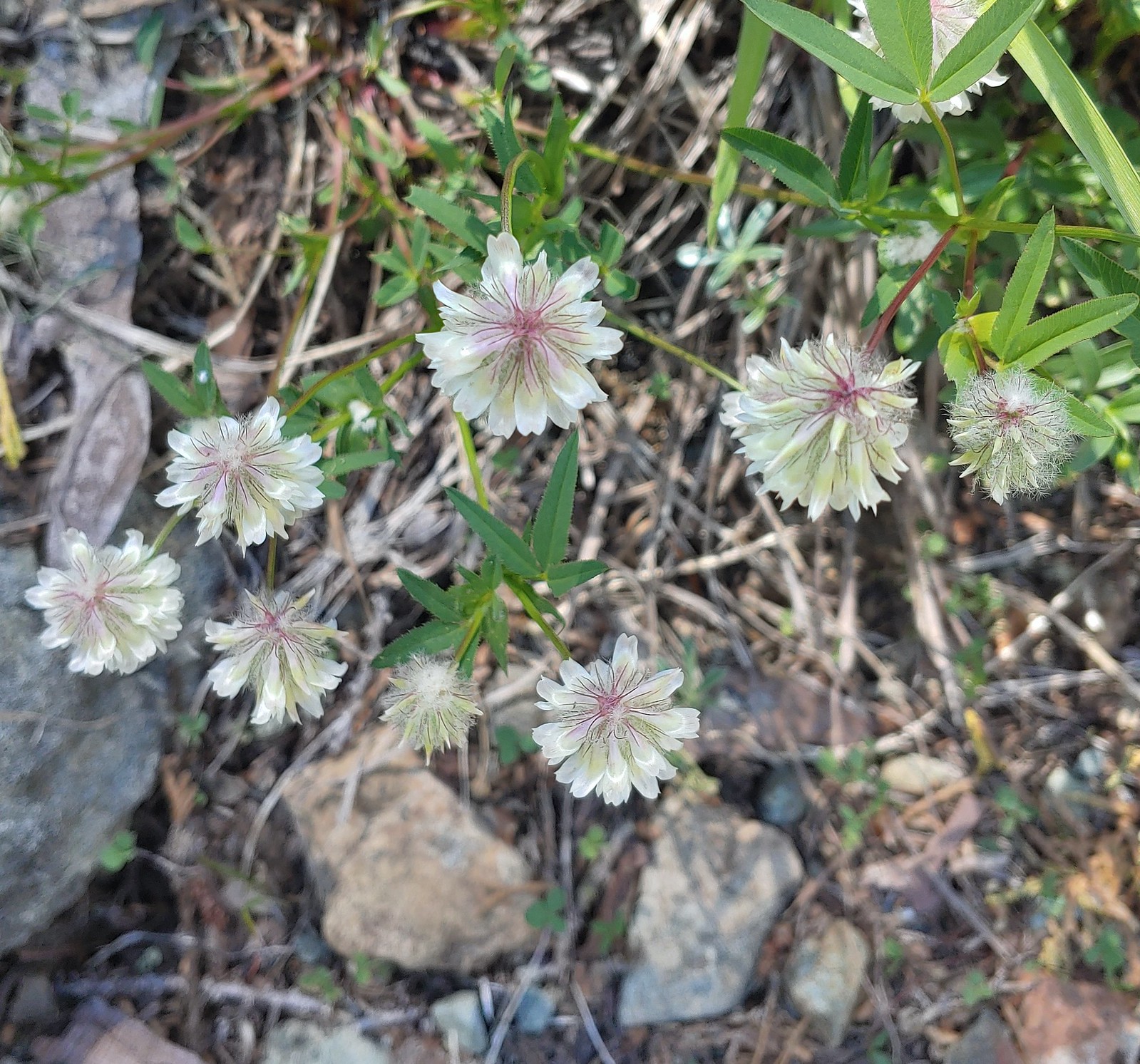 Wolley-head clover, July 1st – Siskiyou ikyWilderness
 A nightshade, July 1st – Siskiyou Wilderness
 Siskiyou lewisia, July 1st – Siskiyou Wilderness
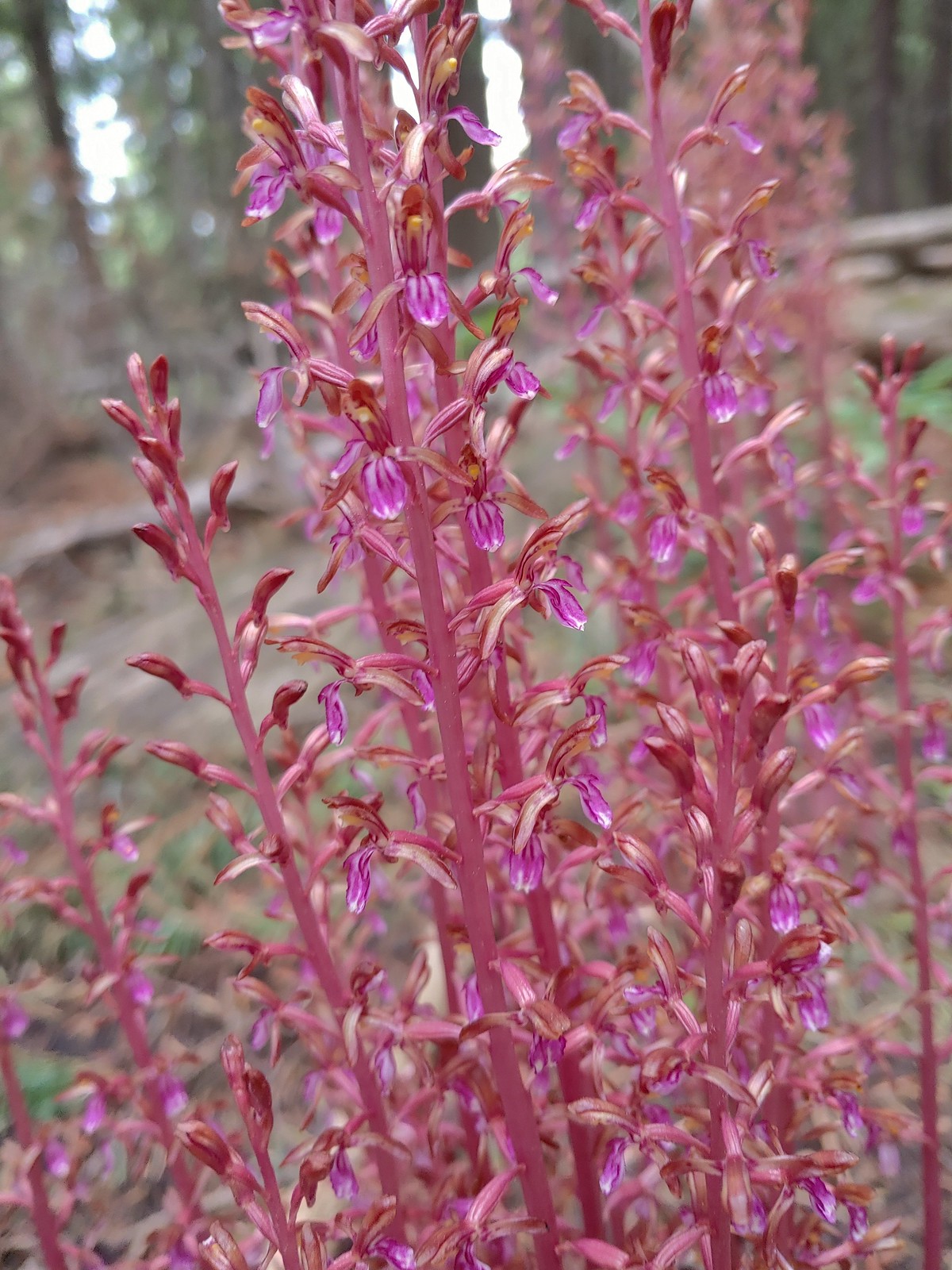
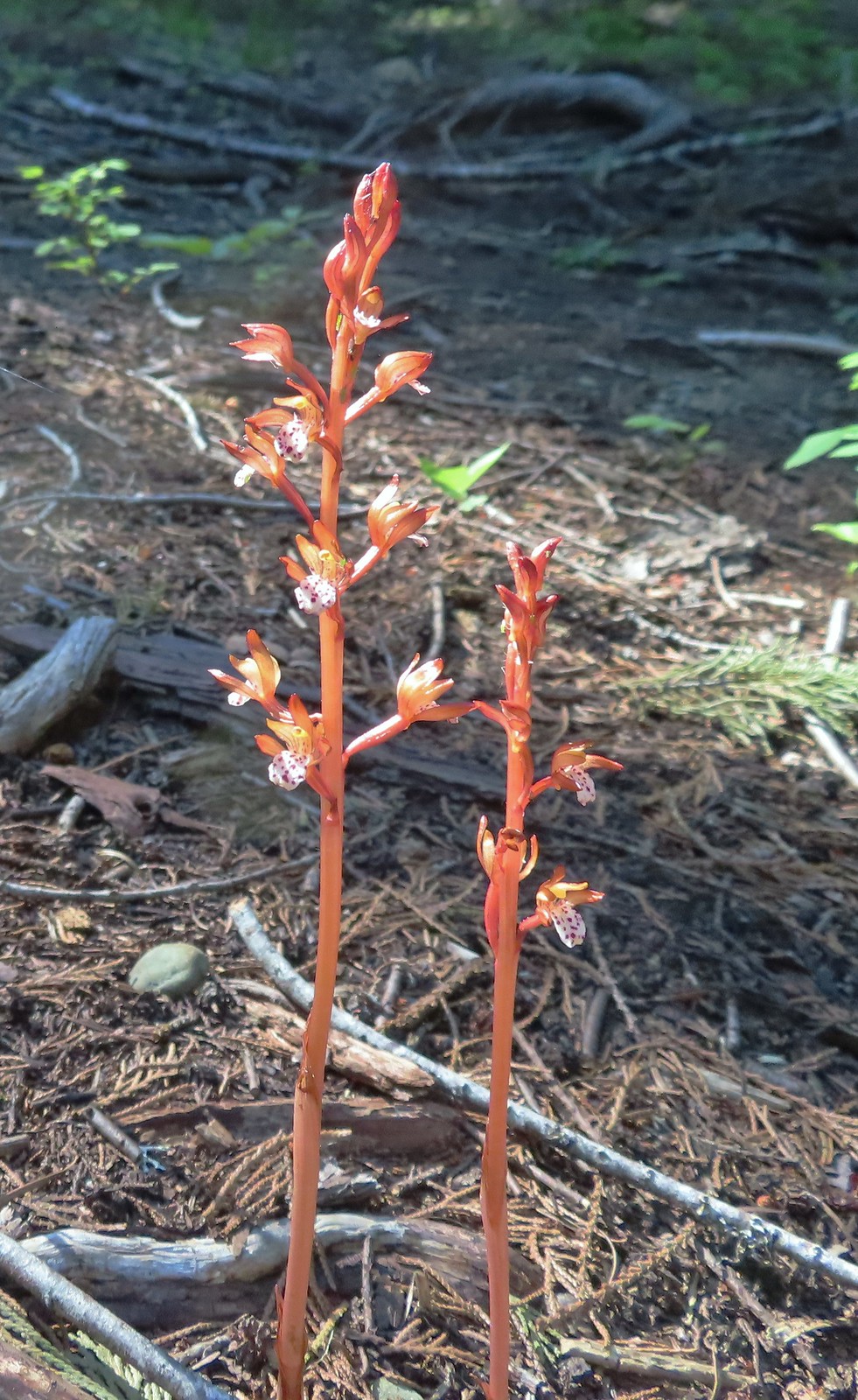 Spotted coralroot, July 1st – Siskiyou Wilderness
 This tiny flower was at the edge of the meadow in Young’s Valley, July 1st – Siskiyou Wilderness
 Azalea, July 2nd – Siskiyou Wilderness
 Honeysuckle, July 2nd – Siskiyou Wilderness
 Pacific ninebark, July 2nd – Siskiyou Wilderness
 Streambank bird’s-foot trefoil, July 2nd – Siskiyou Wilderness
 White-vein wintergreen, July 2nd – Siskiyou Wilderness
 California pitcher-plant, July 2nd – Siskiyou Wilderness
 Also California pitcher-plant, July 2nd – Siskiyou Wilderness
 White-stemmed frasera, July 2nd – Siskiyou Wilderness
 Washington lily, July 2nd – Siskiyou Wilderness
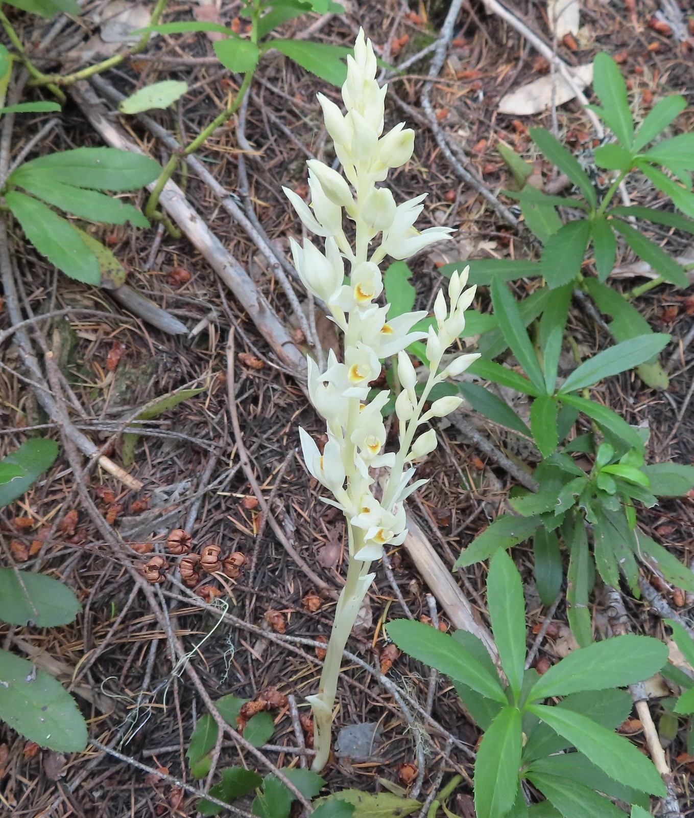 Phantom orchid, July 2nd – Siskiyou Wilderness
 Oregon sunshine, July 2nd – Siskiyou Wilderness
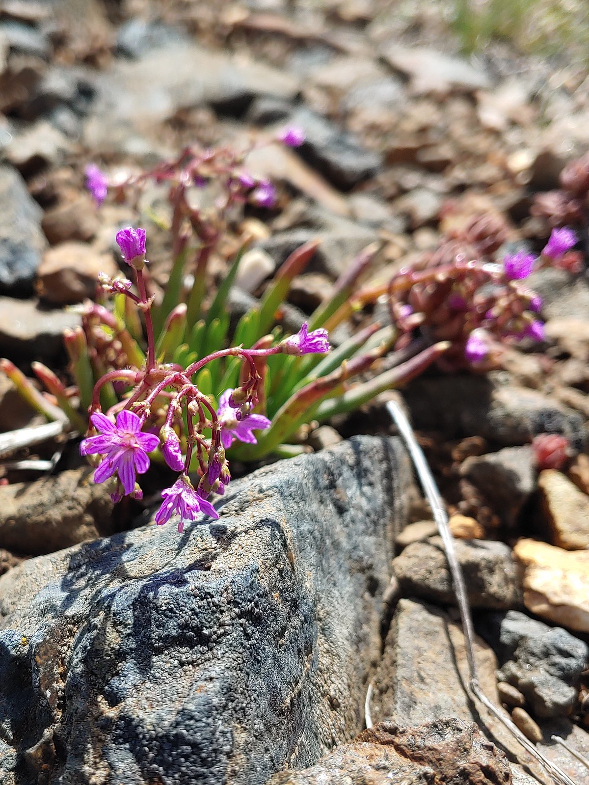
 Pussypaws, July 2nd – Siskiyou Wilderness
 Musk monkeyflower, July 3rd – Siskiyou Wilderness
 Klamath arnica, July 3rd – Siskiyou Wilderness
 White rushlily, July 3rd – Siskiyou Wilderness
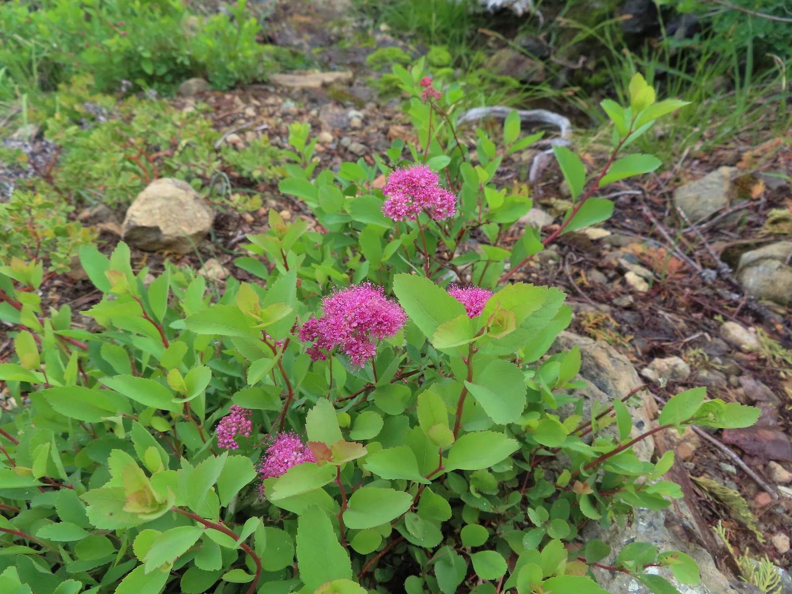 Spirea, July 4th – Siskiyou Wilderness
 Wild onion, July 4th – Siskiyou Wilderness
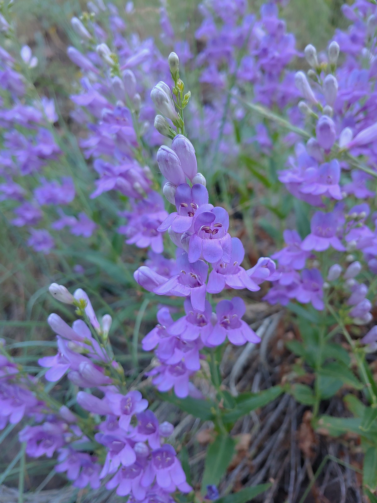
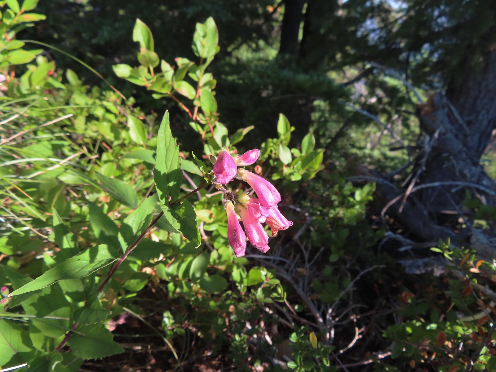
 A penstemon, July 4th – Siskiyou Wilderness
 Phlox, July 9th – Mt. Ireland
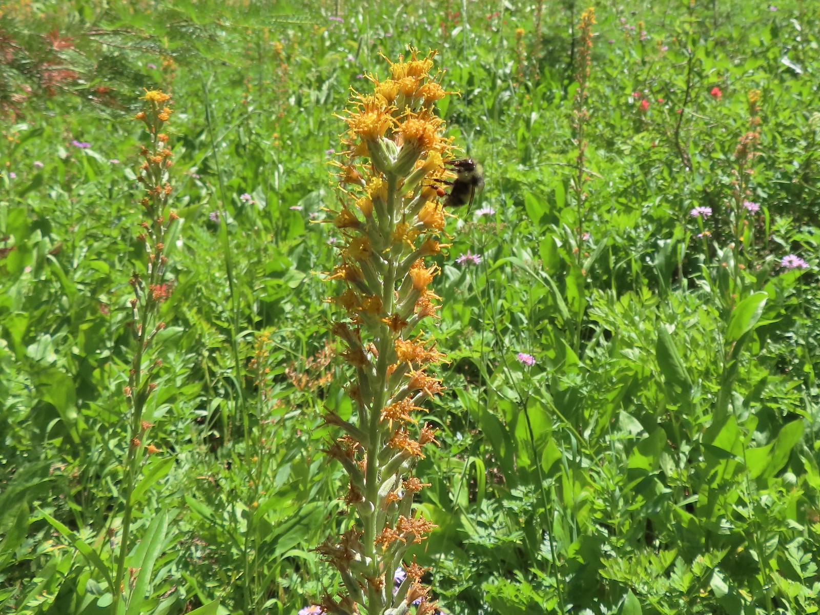
 Brown’s peony, July 9th – Mt. Ireland
 Yet another paintbrush, July 9th – Mt. Ireland
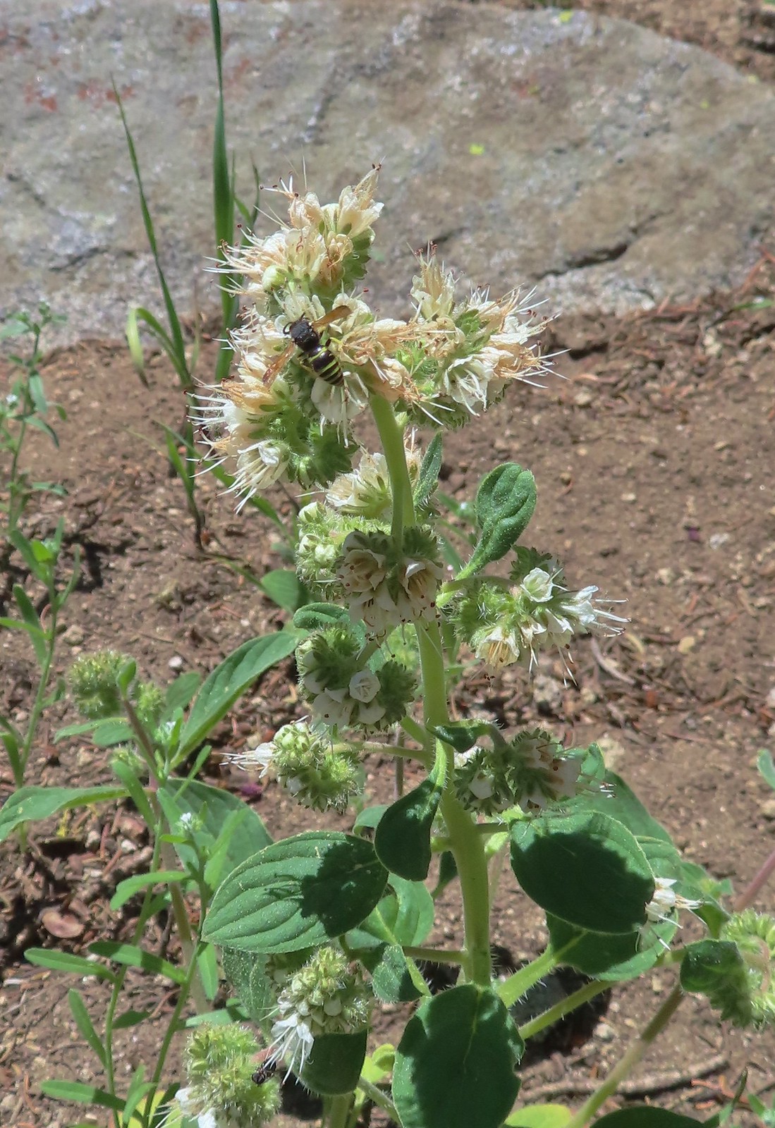 Silverleaf phacelia with visitor, July 9th – Mt. Ireland
 Venus penstemon, July 10th – Catherine Creek Trail
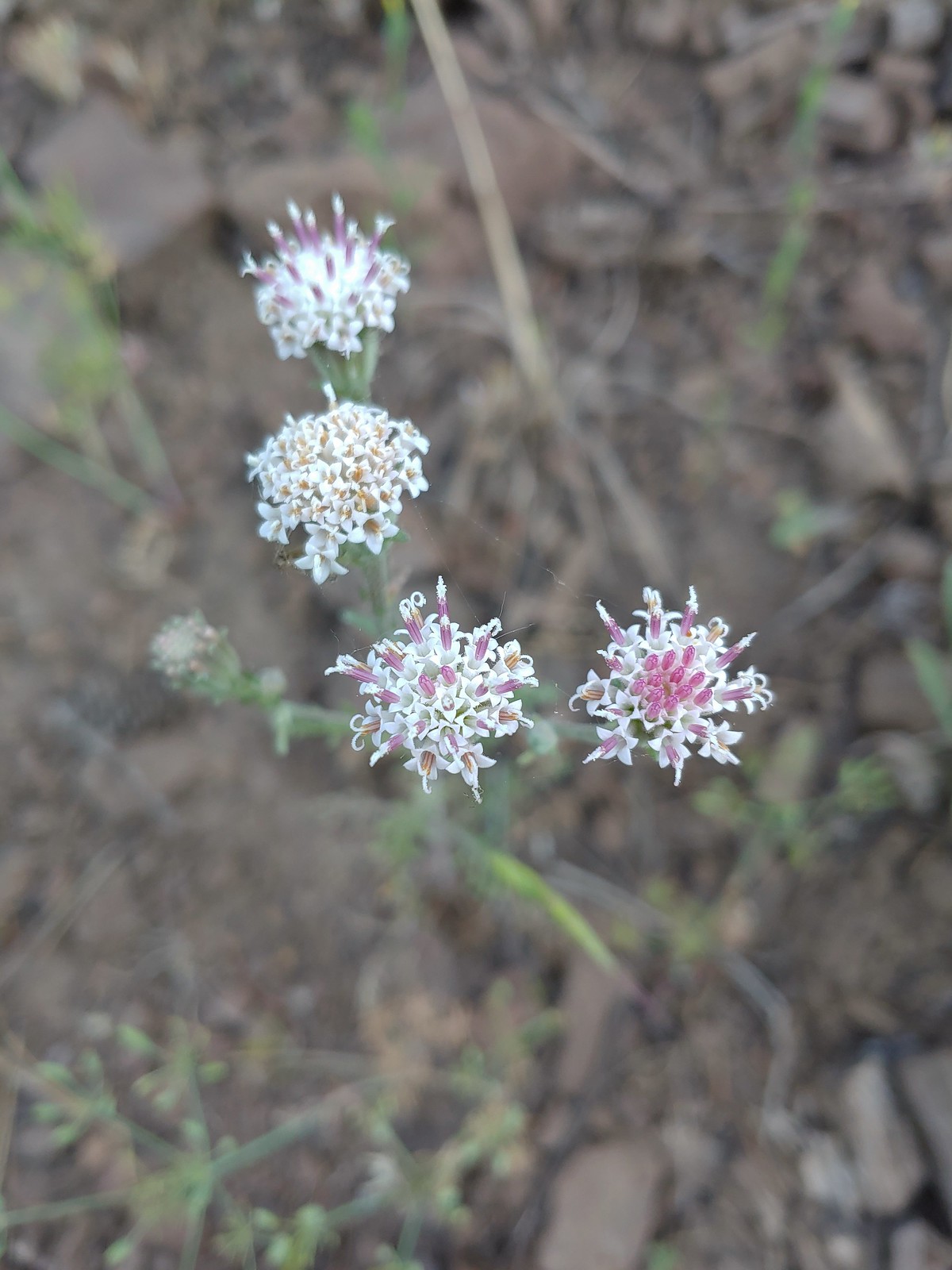 Douglas dustymaidens, July 10th – Catherine Creek Trail
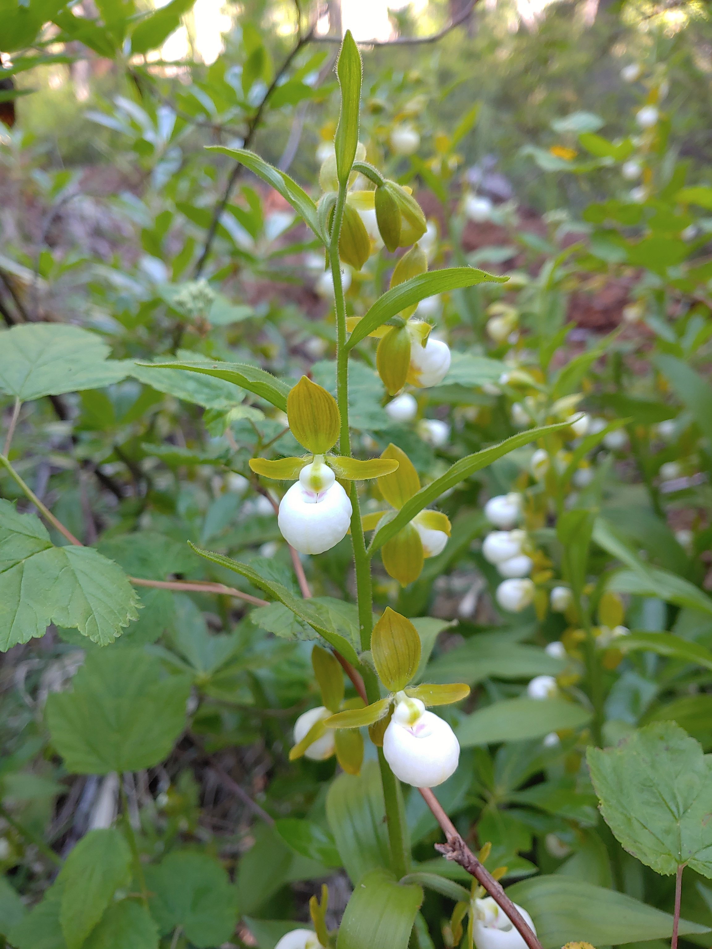
 Bog orchid, July 10th – Catherine Creek Trail
 Mountain lady slippers, July 10th – Catherine Creek Trail
 Rosy pussytoes, July 10th – Catherine Creek Trail
 Yellow columbine, July 10th – Catherine Creek Trail
 Heart-leaved bittercress?, July 10th – Catherine Creek Trail
 Elephants head, July 10th – Catherine Creek Trail
 Cone flower, July 10th – Catherine Creek Trail
 Tall mountain bluebells, July 10th – Catherine Creek Trail
 Another wild onion, July 11th – Horse Ranch Trail
 Scarlet gilia, July 11th – Horse Ranch Trail
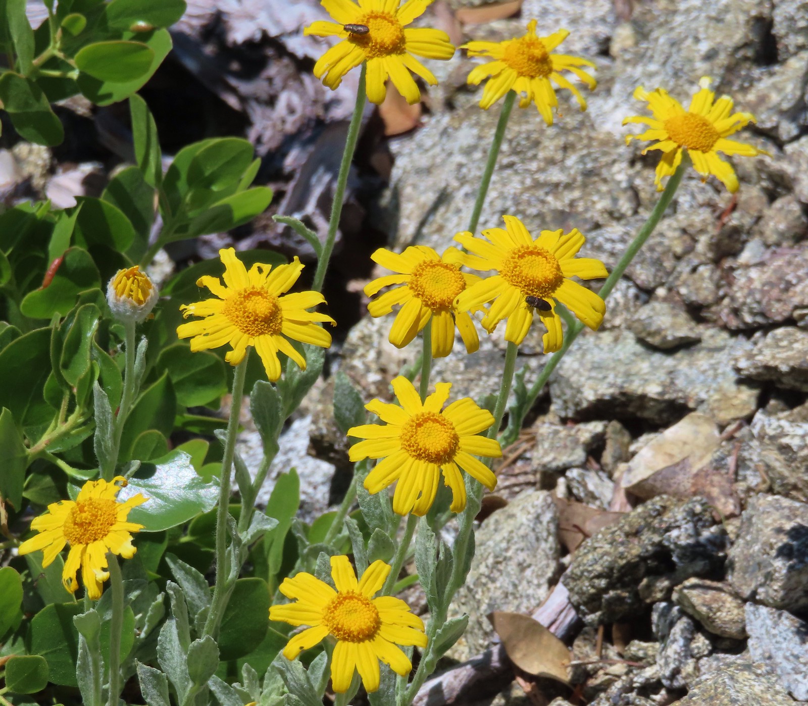
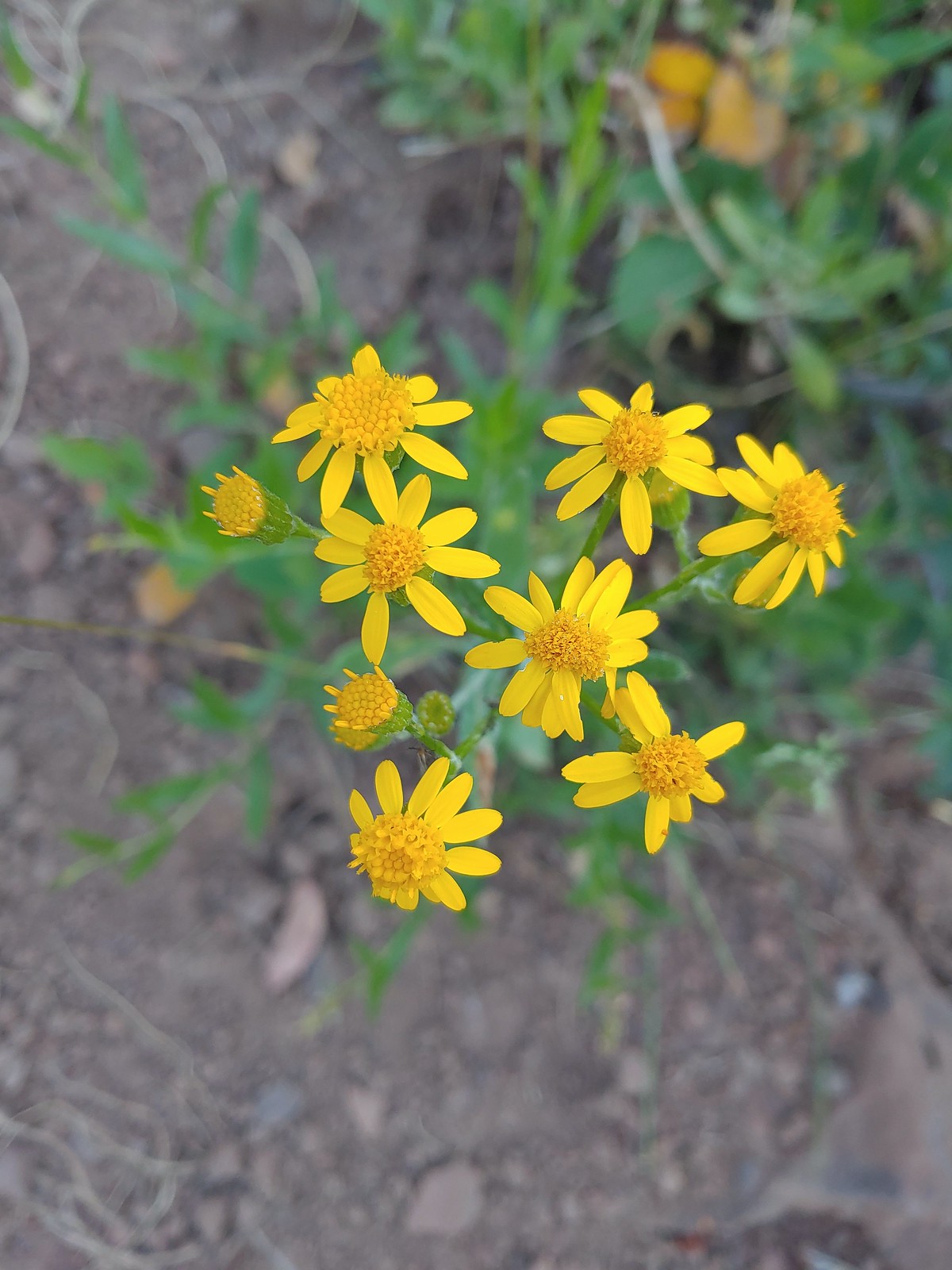 Arrowleaf groundsel, July 11th – Horse Ranch Trail
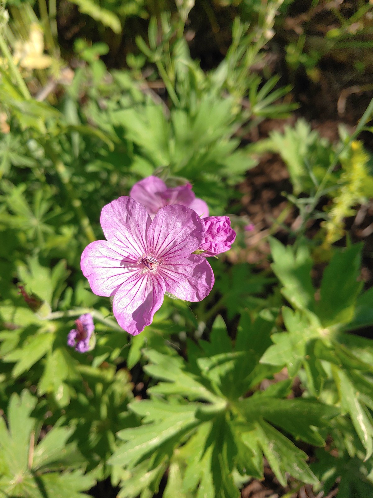 Purple sticky geranium, July 11th – Horse Ranch Trail
 Ragged robin, July 11th – Horse Ranch Trail
 False? sunflower, July 11th – Horse Ranch Trail
 White mariposa lily, July 11th – Horse Ranch Trail
 Rosy paintbrush, July 12th – Buck Creek Trail
 Lyall’s rockcress, July 12th – Buck Creek Trail
 Pacific coralroot, July 13th – Rock Springs
Trail
 Hyssop, July 13th – Rock Springs
Trail
 Another penstemon, July 13th – Rock Springs
Trail
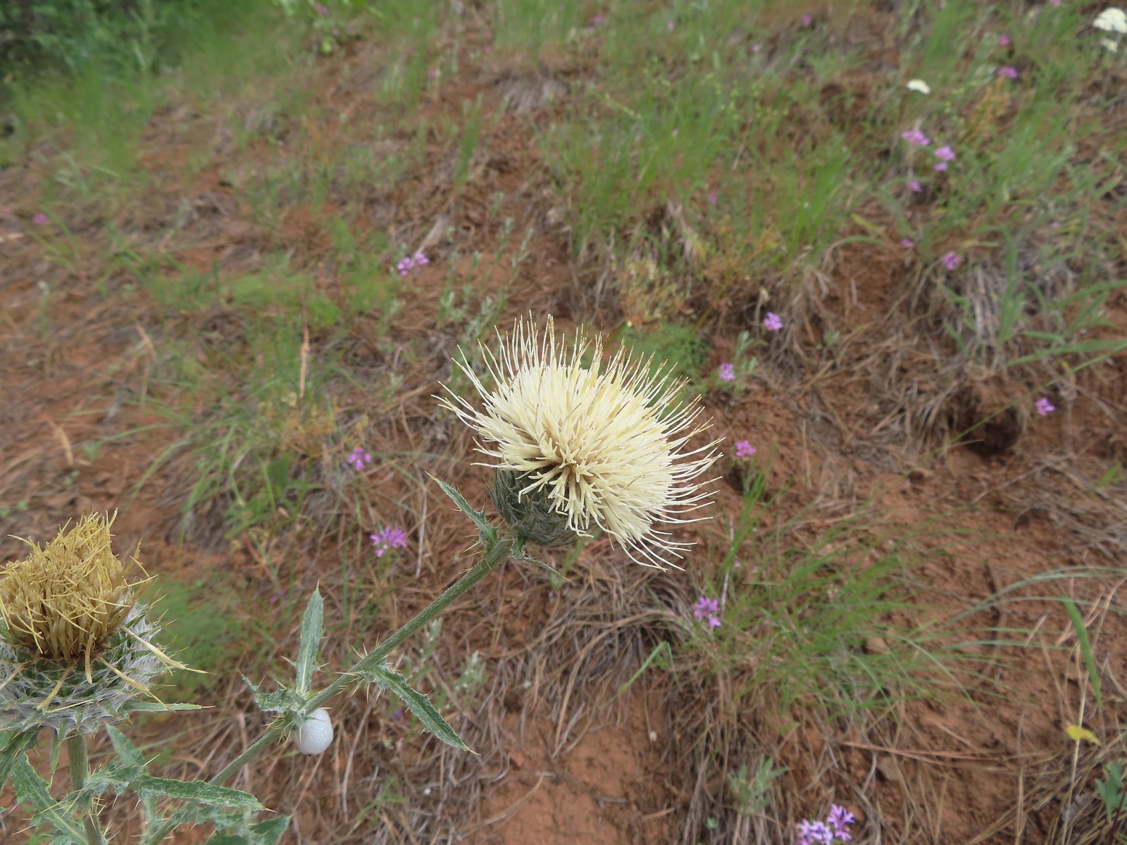 Thistle, July 13th – Rock Springs
Trail
 Oregon checker-mallow, July 13th – Rock Springs
Trail
 This was a new one for us one-flowered moneses, July 14th – Bear Creek Trail
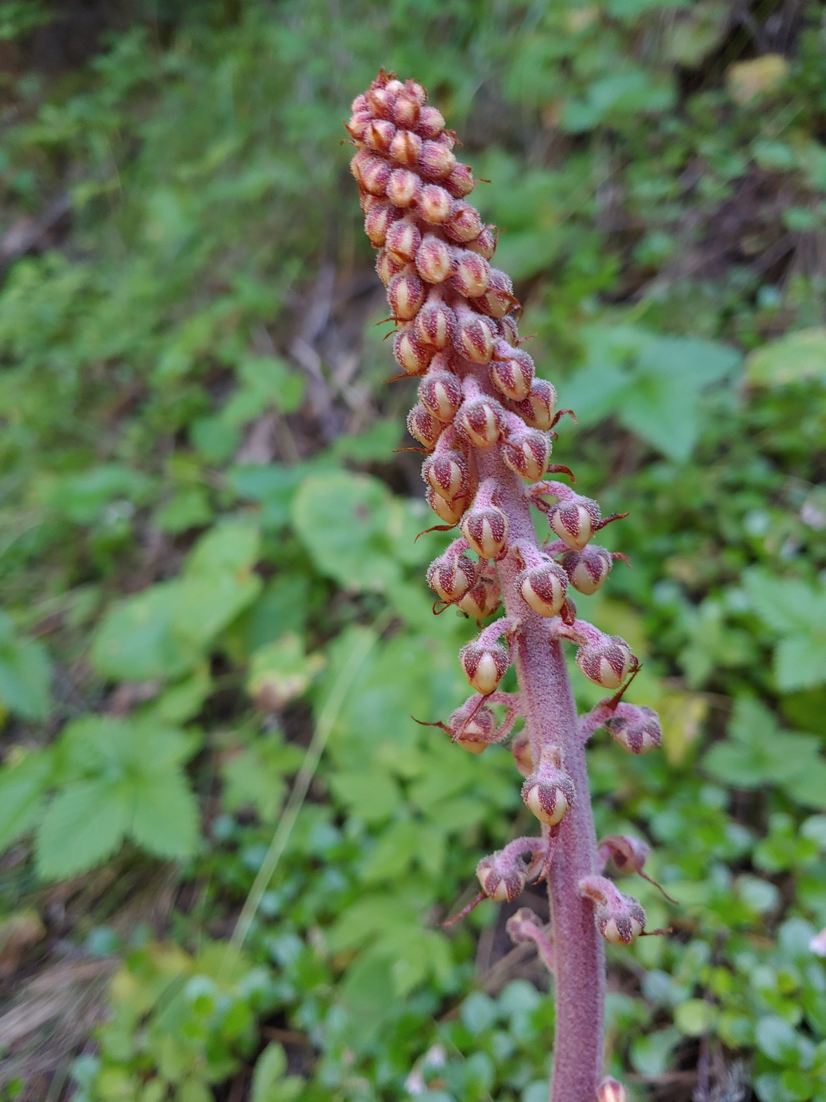 Pinedrop, July 14th – Bear Creek Trail
 Sagebrush mariposa lily, July 14th – Wallowa Homeland
 Blanket flower, July 14th – Wallowa Homeland
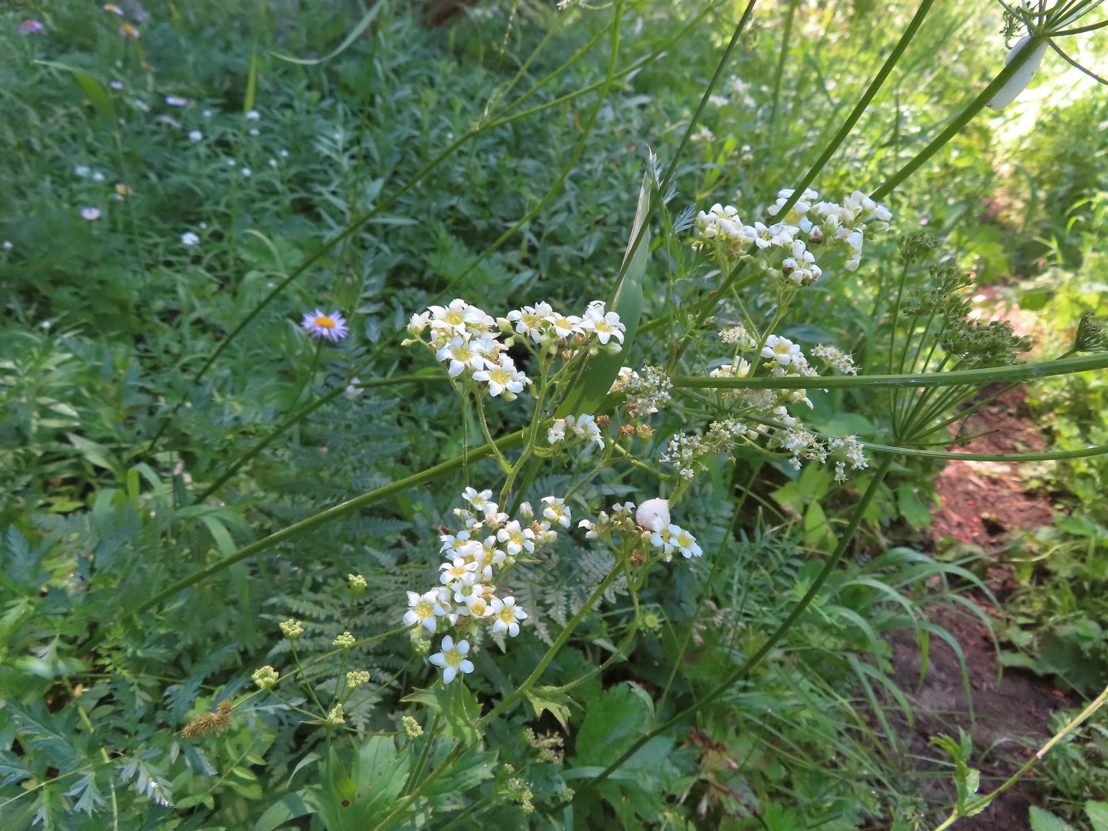
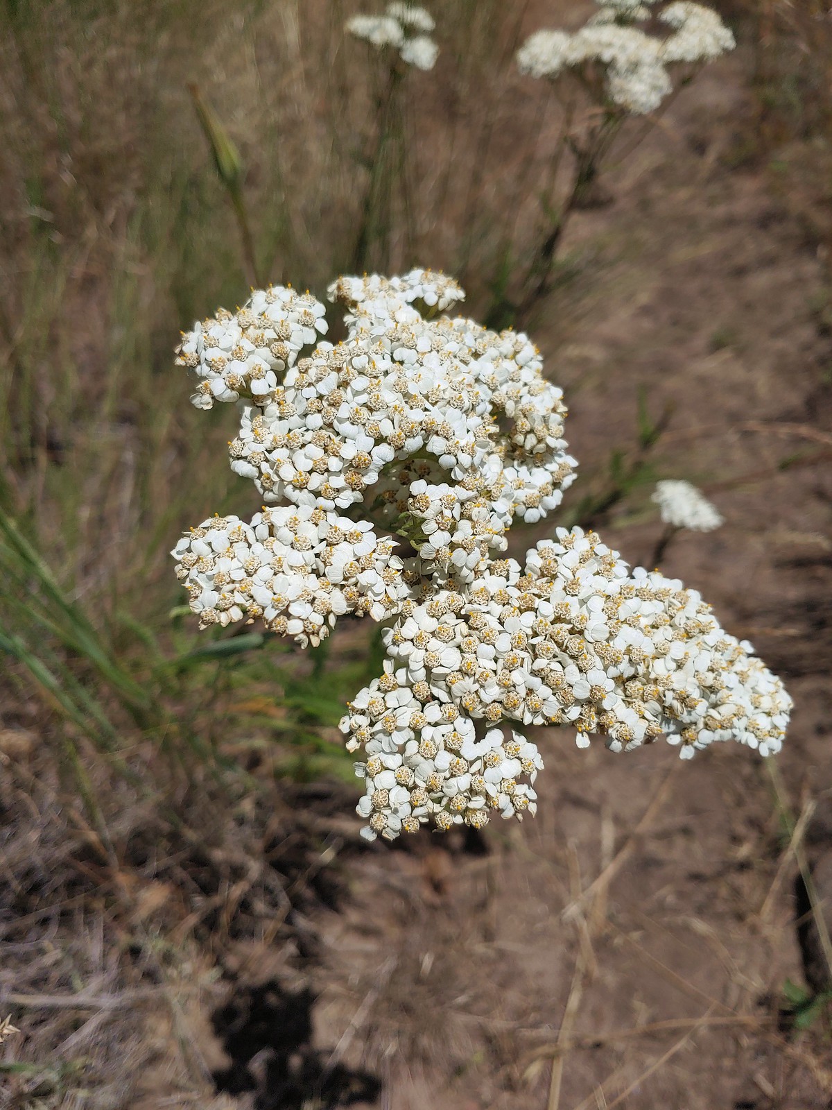 Yarrow, July 14th – Wallowa Homeland
 Scouler’s bluebells, July 23rd – Silverstar Mountain
 Inside-out flower, July 23rd – Silverstar Mountain
 Tiger lily, July 23rd – Silverstar Mountain
 Bluebells of Scotland, July 23rd – Silverstar Mountain
 Subalpine mariposa lily, July 23rd – Silverstar Mountain
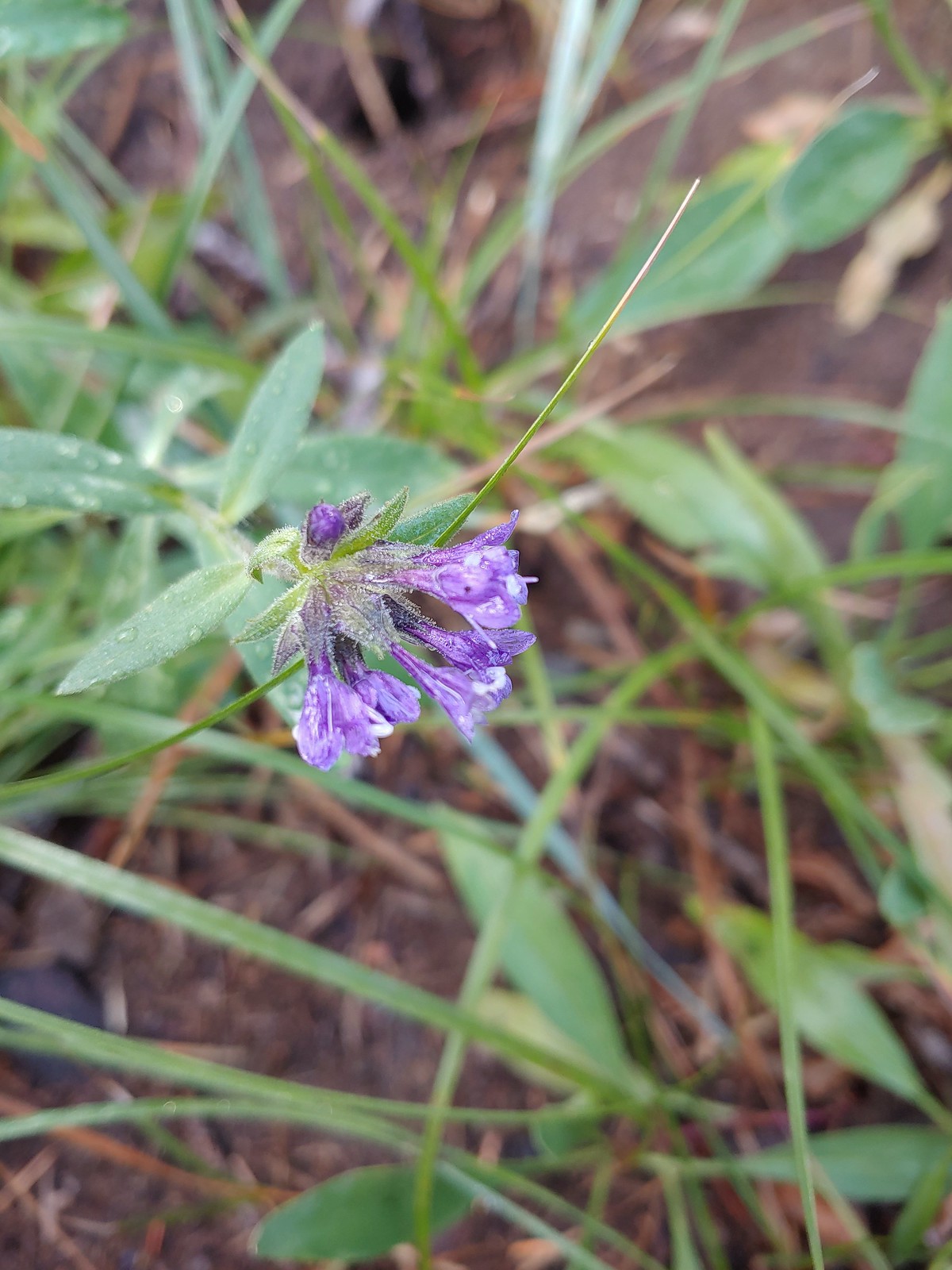
 Western sweetvetch, July 23rd – Silverstar Mountain
 Coiled lousewort, July 23rd – Silverstar Mountain
 Best guess is subapline fleabane, July 23rd – Silverstar Mountain
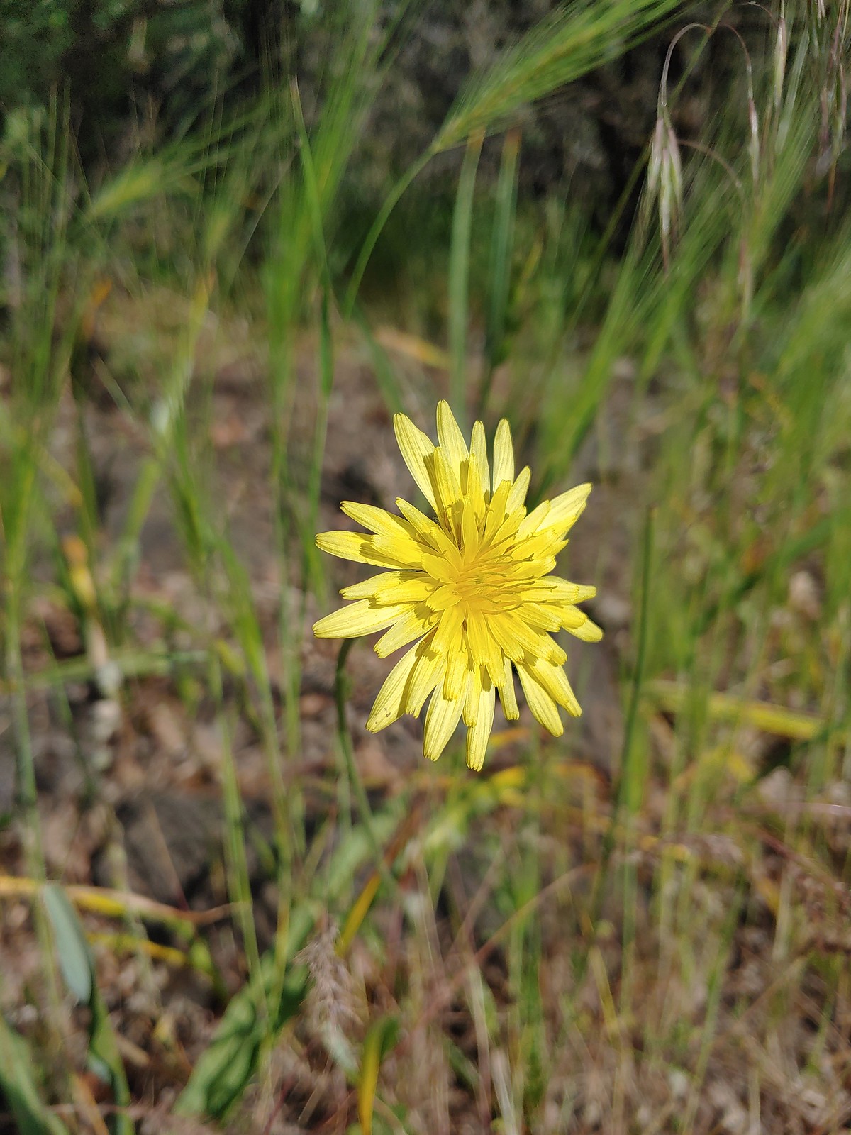
 Orange agoseris, July 23rd – Silverstar Mountain
 A larkspur, July 23rd – Silverstar Mountain
 Mock orange, July 23rd – Silverstar Mountain
 Chicory (non-native), July 30th – E.E. Wilson Wildlife Area
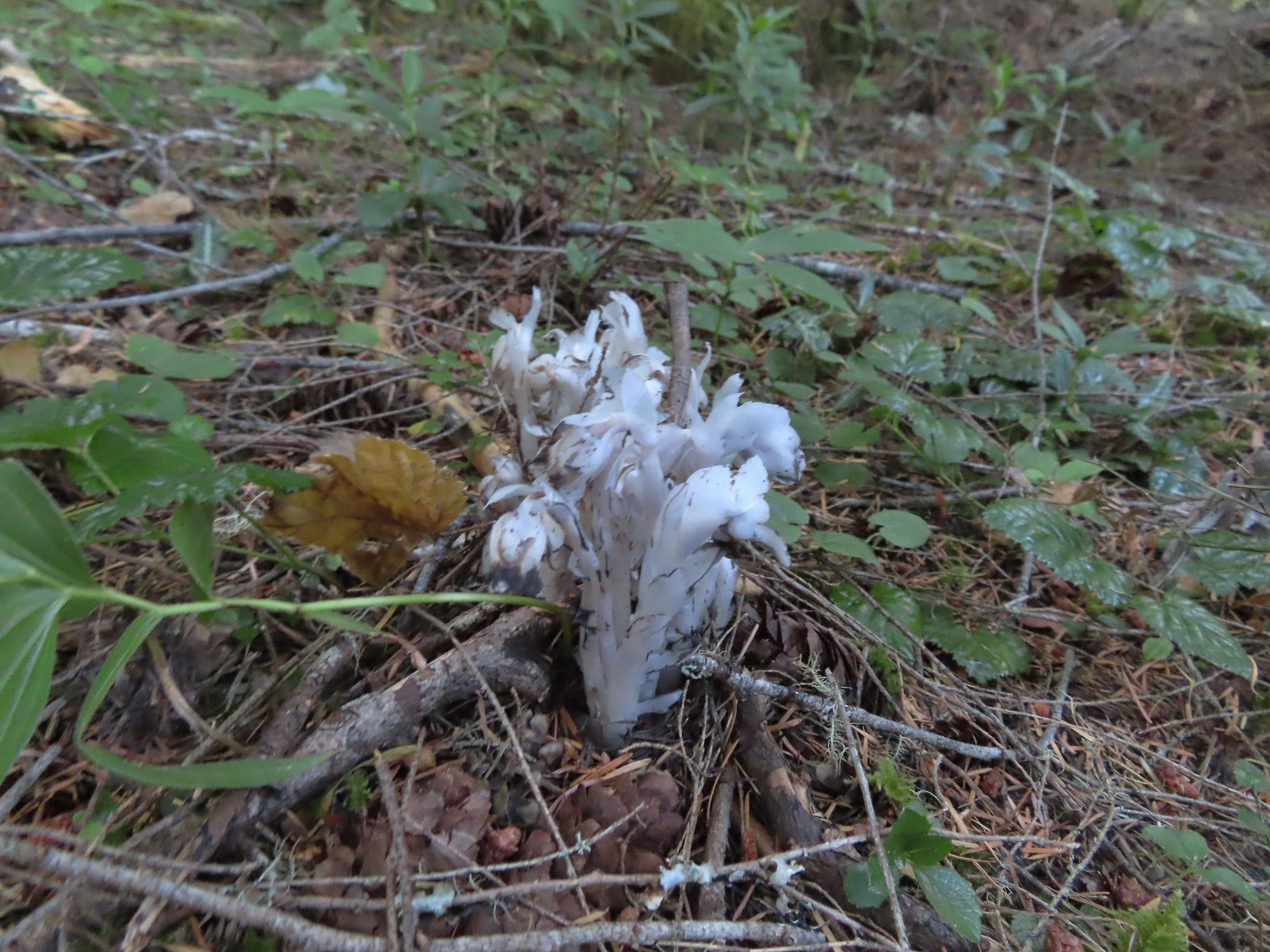 Indian pipe, August 6th – Yasko Falls Trail
 Leopard lily, August 6th – Hemlock Creek Trail
 Mountain owl’s clover, August 6th – Yellowjacket Loop Trail
 Rainiera, August 6th – Yellowjacket Loop Trail
 Hedgenettle, August 6th – Yellowjacket Loop Trail
 Large boykina, August 6th – Yellowjacket Loop Trail
 Candy sticks, August 6th – Yellowjacket Loop Trail
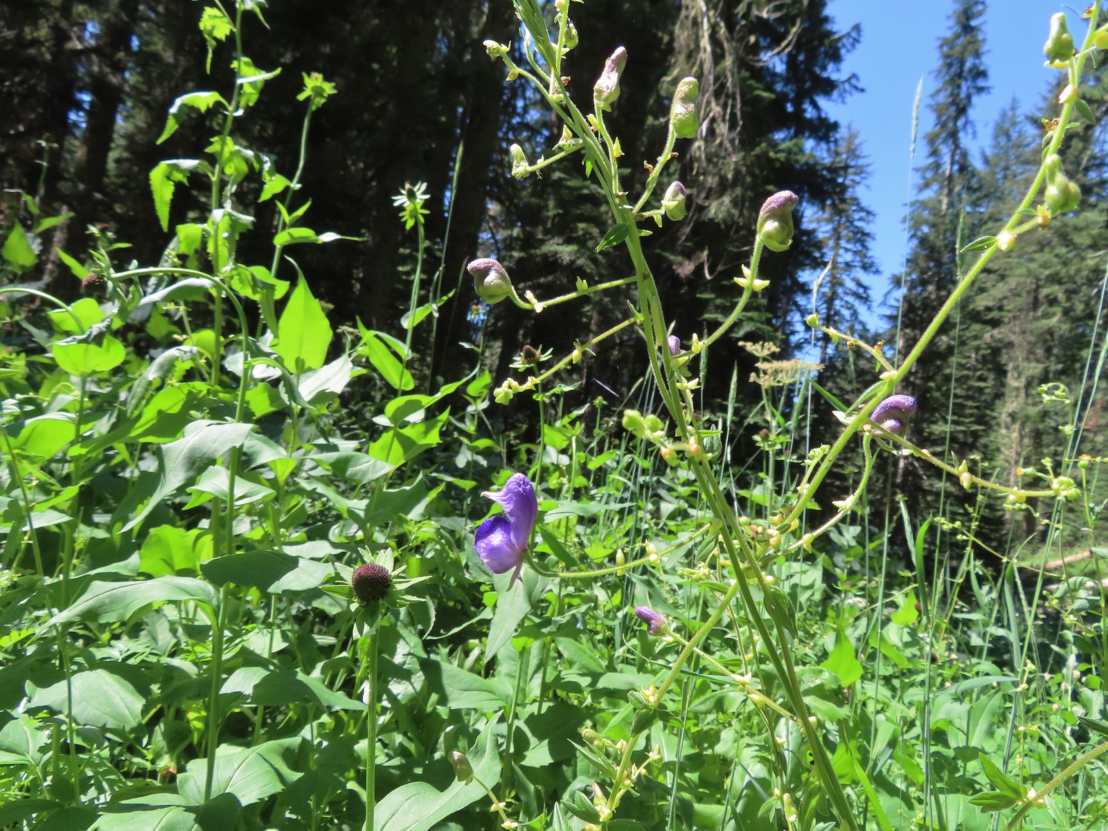 Monkshood, August 6th – Yellowjacket Loop Trail
 Scarlet monkeyflower, August 7th – Fall Creek Falls Trail
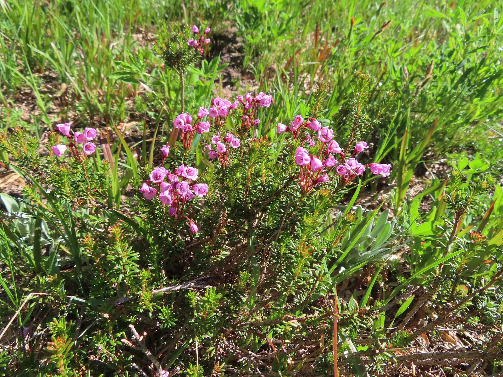
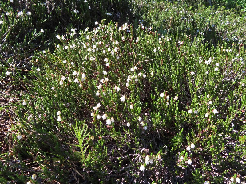
 White mountain heather, August 13th – Mt. Adams Wilderness
 Mountain heather, August 13th – Mt. Adams Wilderness
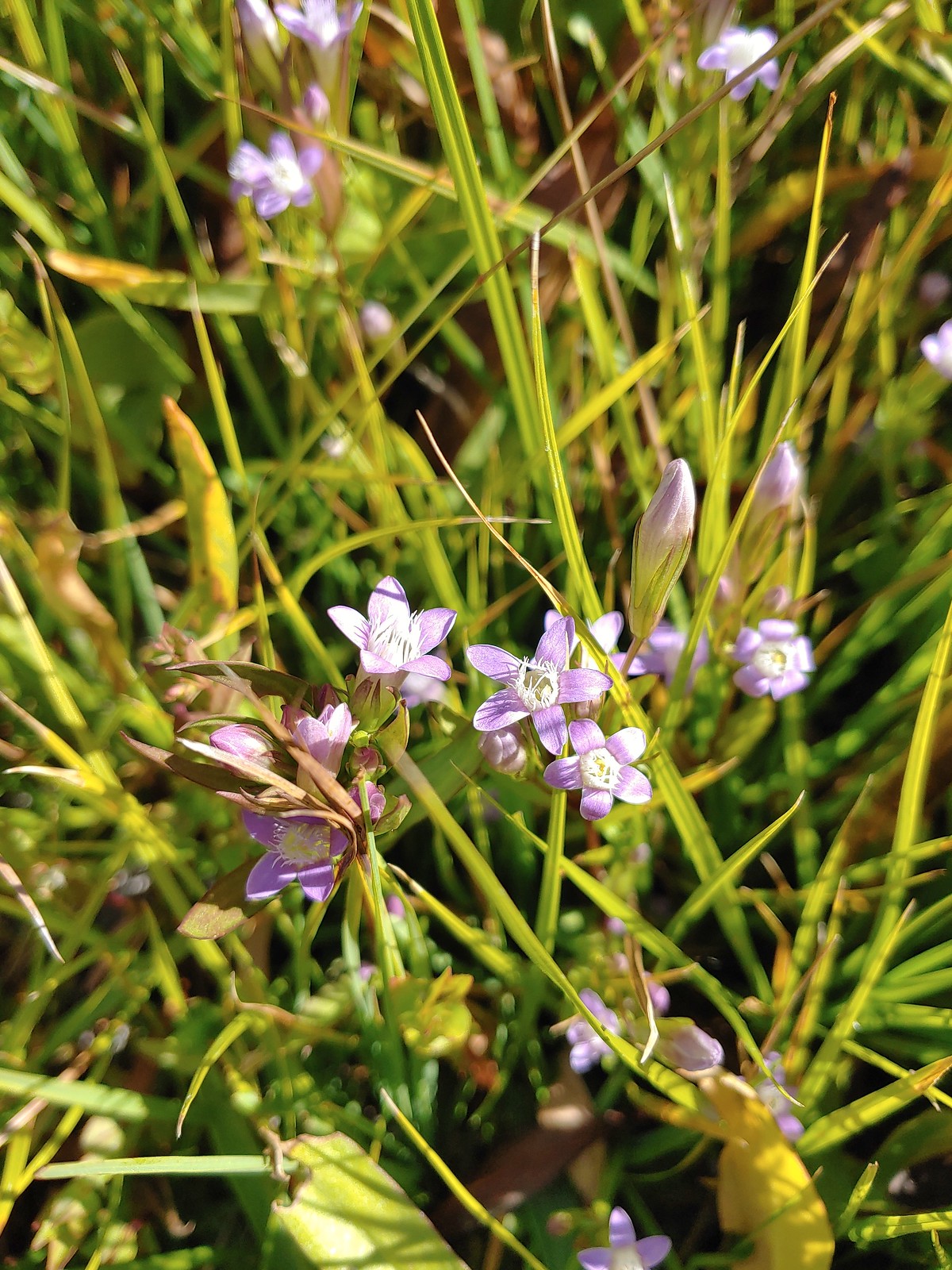
 Gentian, August 13th – Mt. Adams Wilderness
 False hellebore, August 13th – Mt. Adams Wilderness
 A saxifrage, August 13th – Mt. Adams Wilderness
 Beardstongue, August 20th – Grizzley Peak
 Shasta knotweed, August 22nd – Mt. Shasta Wilderness
 Marsh grass-of-Parnassus, August 22nd – Mt. Shasta Wilderness
 Western pasque flower, August 22nd – Mt. Shasta Wilderness
 Bigelow’s sneezeweed, August 23rd – Trinity Alps Wilderness
 Western snakeroot, August 23rd – Trinity Alps Wilderness
 A buckwheat, August 23rd – Trinity Alps Wilderness
 Autumn dwarf gentian, August 23rd – Trinity Alps Wilderness
 Saffron-flowered lupine, August 23rd – Trinity Alps Wilderness
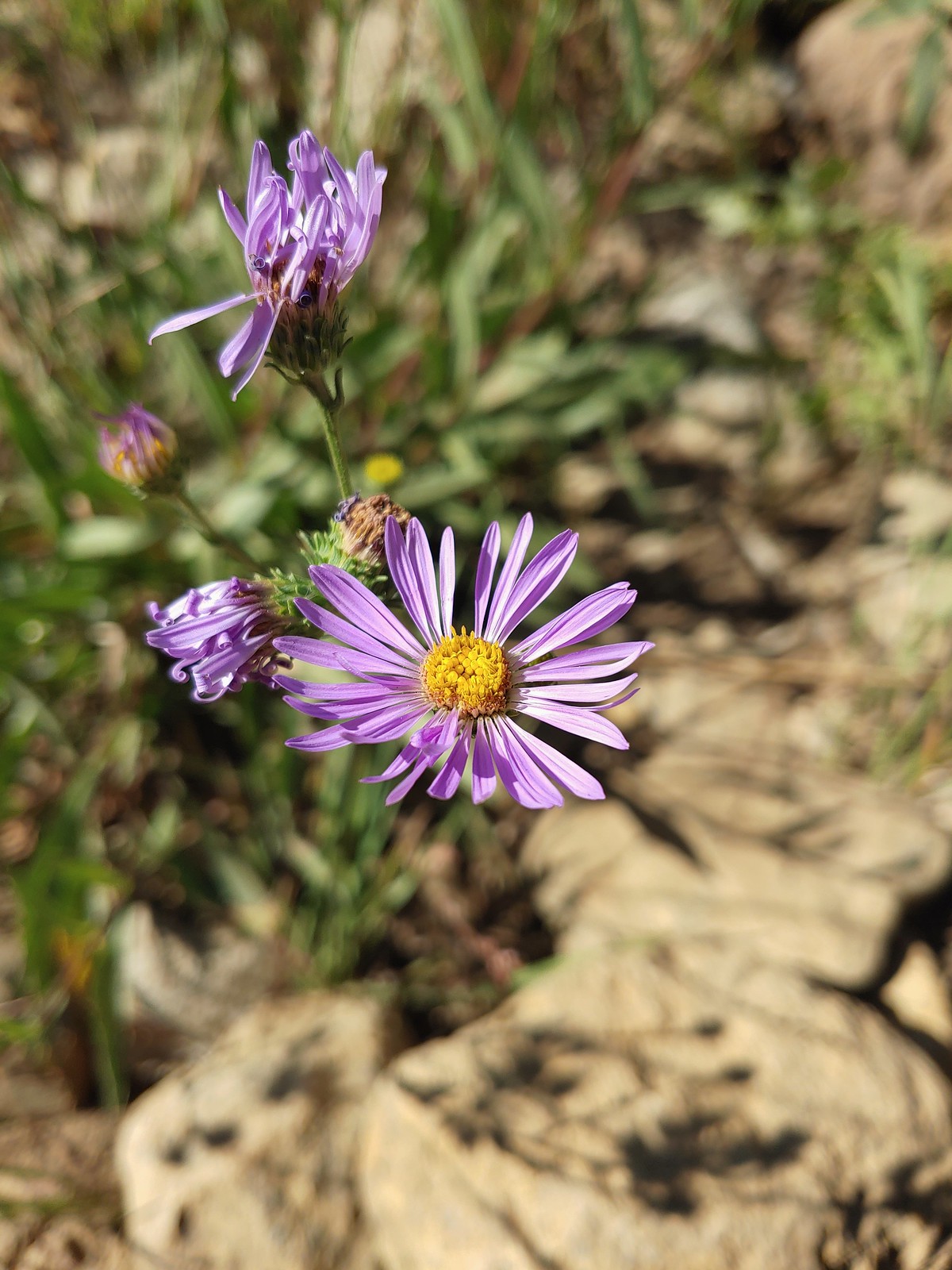 An aster or fleabane, August 23rd – Trinity Alps Wilderness
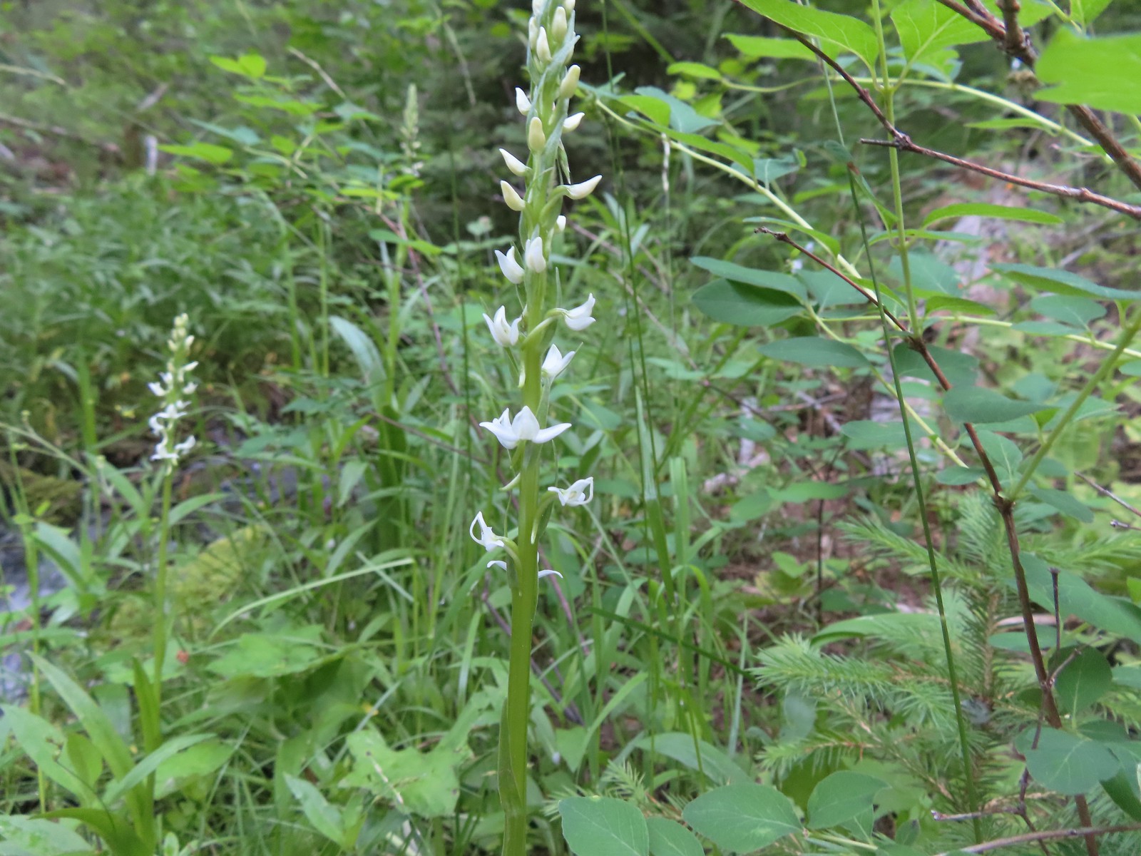
 Hooded ladies tresses, August 24th – Russian Wilderness
 Can’t seem to identify this flower on the shore of Russian Lake, August 24th – Russian Wilderness
 This one has me a bit stumped too, it looks like a wirelettuce or some sort of lewisa, August 24th – Russian Wilderness
 Buckwheat, August 24th – Russian Wilderness
 A monkeyflower (dwarf purple?), August 26th -Pacific Crest Trail near Carter Meadows Summit
 Mountain coyote mint, August 26th – Pacific Crest Trail near Carter Meadows Summit
 Sierra larkspur, August 26th – Pacific Crest Trail
 Tasselflower brickellbush, August 26th – South Fork Lakes Trail
 Monkeyflower, August 26th – South Fork Lakes Trail
 Thistle, August 26th – South Fork Lakes Trail
 California hairbells, August 26th – South Fork Lakes Trail
 Common toadflax (non-native), September 10th – Spring Valley Greenway
 Fireweed, September 17th – Union Peak Trail
 Douglas spirea, September 18th – Sky Lakes Wilderness
 Best guess is Crater Lake collomia, September 19th – Dutton Creek Trail
 Another mystery seen near the Cold Springs Trailhead, September 25th – Sky Lakes Wilderness
We have a few wildflower hikes planned in 2023. We are hoping to see at least one or two more that we haven’t before along with plenty of familiar faces. Happy Trails!

 Ants dropping sawdust from a log along the Catherine Creek Trail. We sat and watched these busy ants for quite a while. They had created a good-sized pile on the ground below.
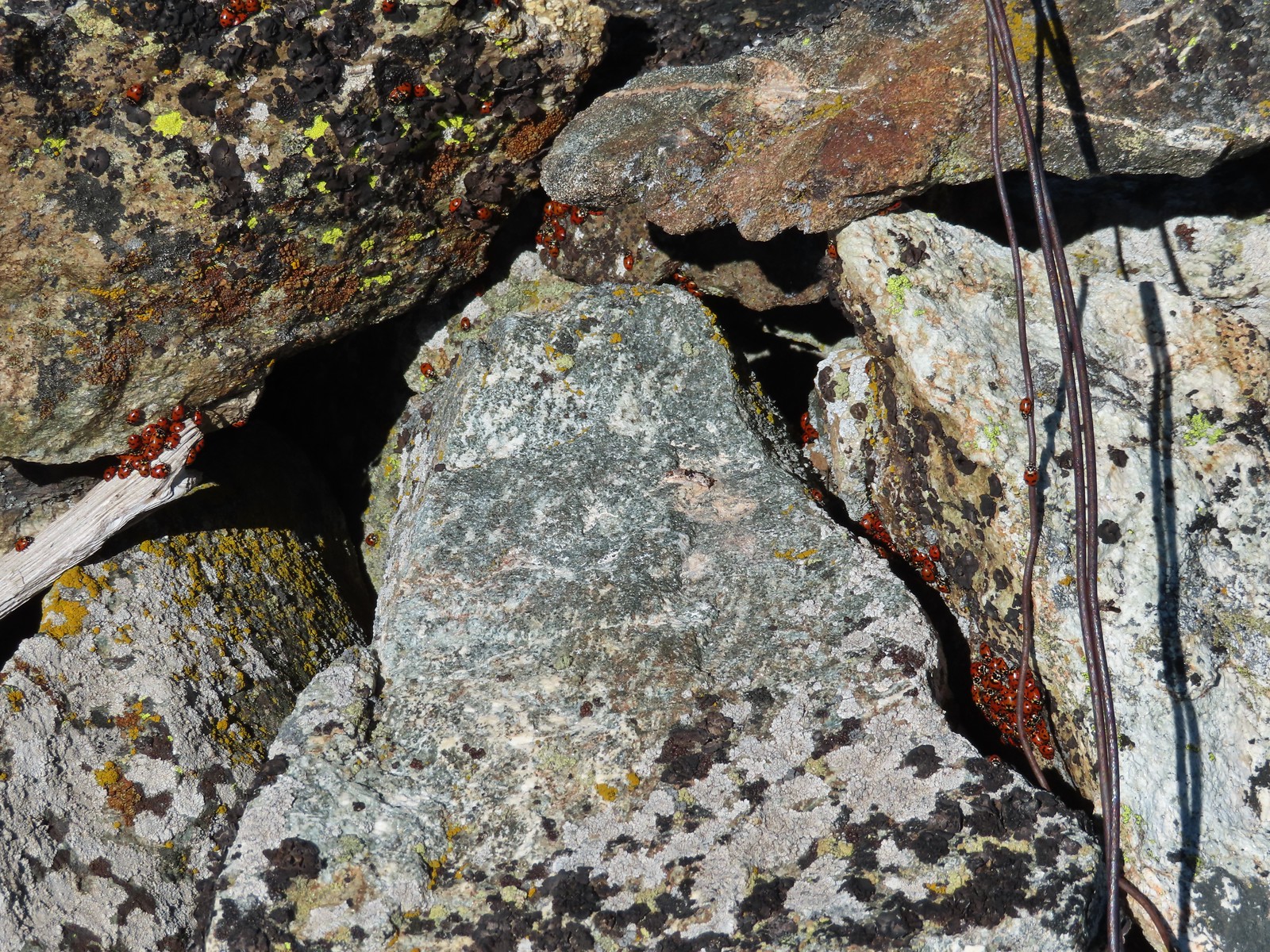 We see a lot of beetles but usually not all at once like these lady bugs on Observation Peak.
 Lady bug – Upper Table Rock
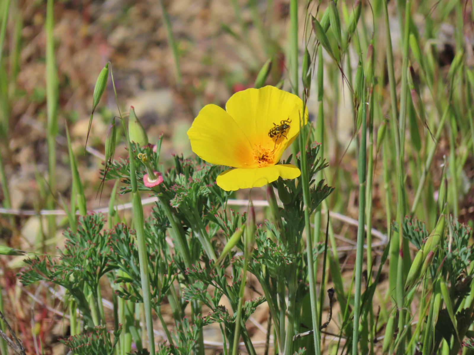 Yellow & black beetle – Mule Mountain
 Green beetle – Siskiyou Wilderness
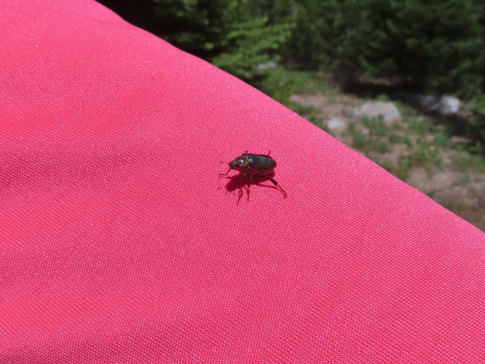 Hitchhiker – Mt. Ireland
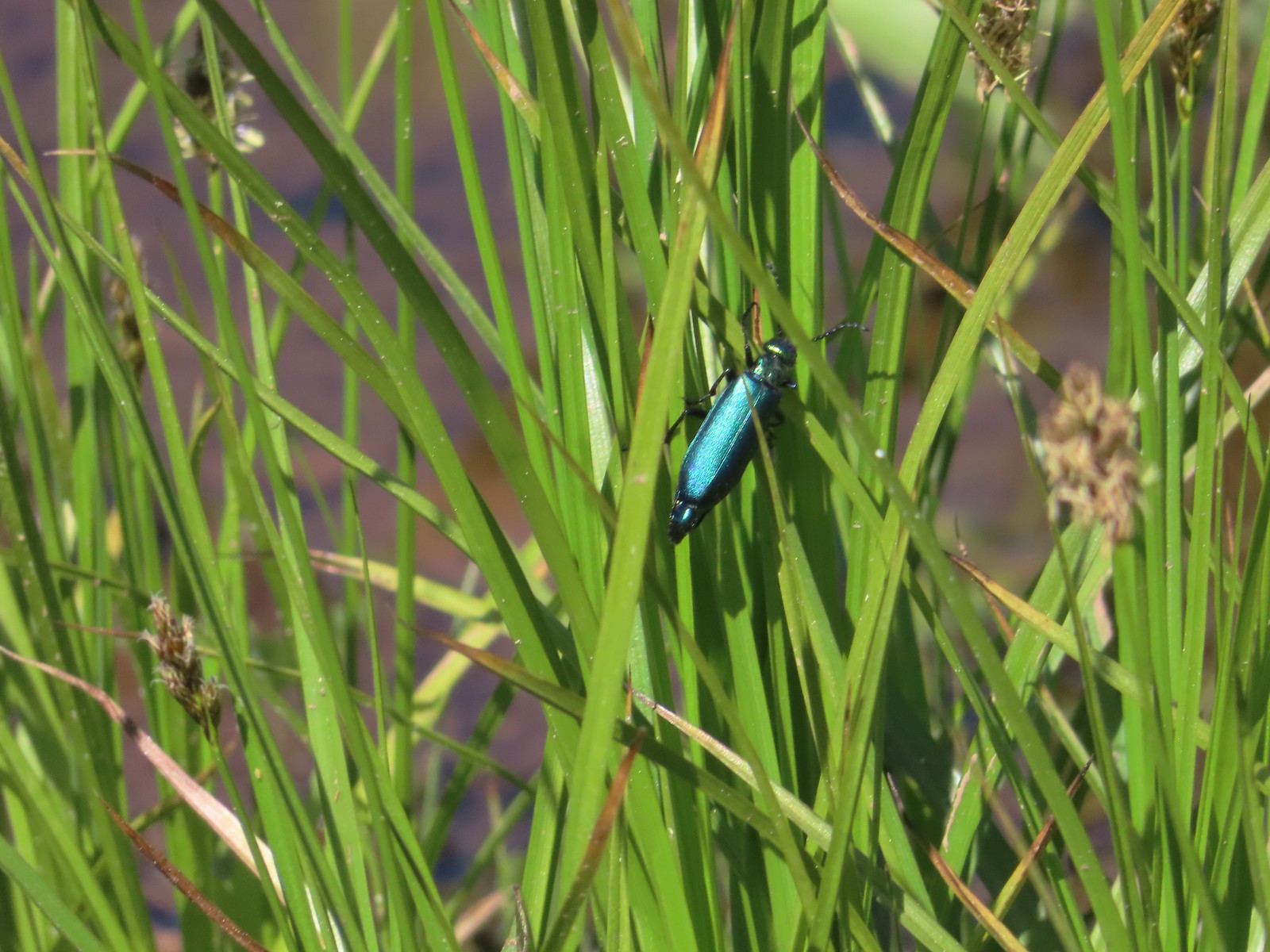 Blueish green beetle – Catherine Creek Meadows
 Small beetle – Catherine Creek Meadows
 Green beetle on a geranium – Eagle Cap Wilderness
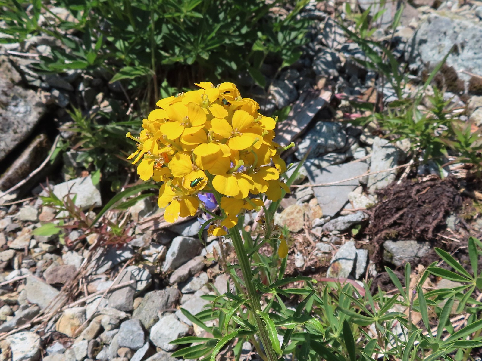 Green beetle on a wallflower – Silver Star Mountain
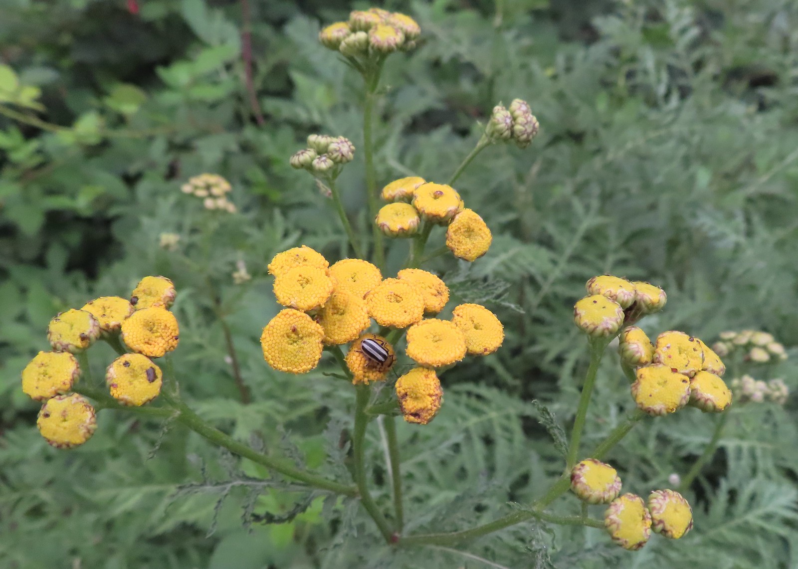 Stripped beetle – Spring Valley Greenway
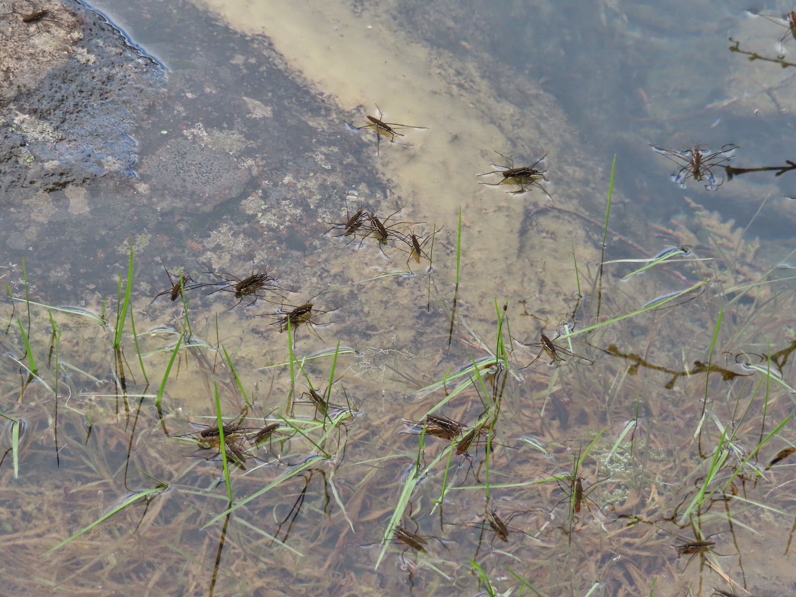 Water skippers – Big Twin Lake
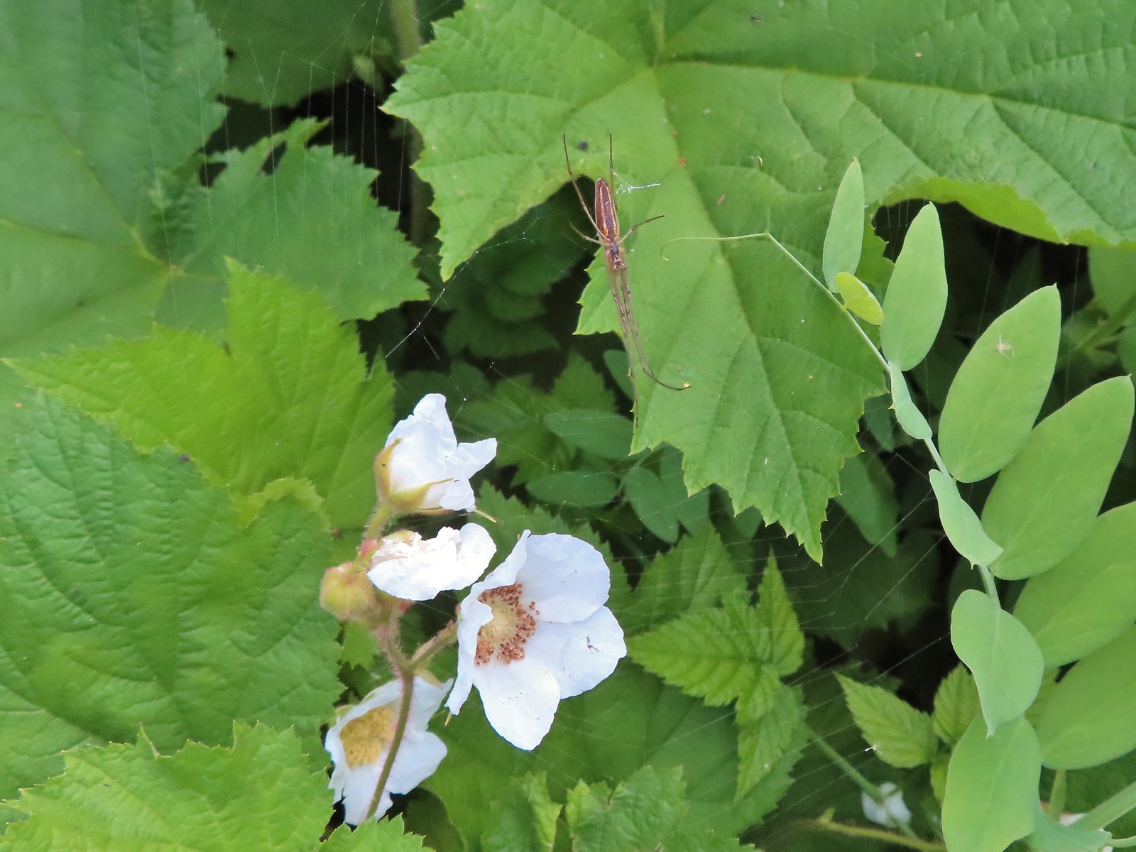 Spider on thimbleberry – Siskiyou Wilderness
 Crab spider – Eagle Cap Wilderness
 Another crab spider – Eagle Cap Wilderness
 Cricket – Pacific Crest Trail
 We are often literally struck by grasshoppers as we hike. Sometimes they stick when they hit us such as this one along the PCT.
 Bee on phacelia – Mule Mountain
 Wet bee on lupine – Julia Butler Hanson Wildlife Refuge
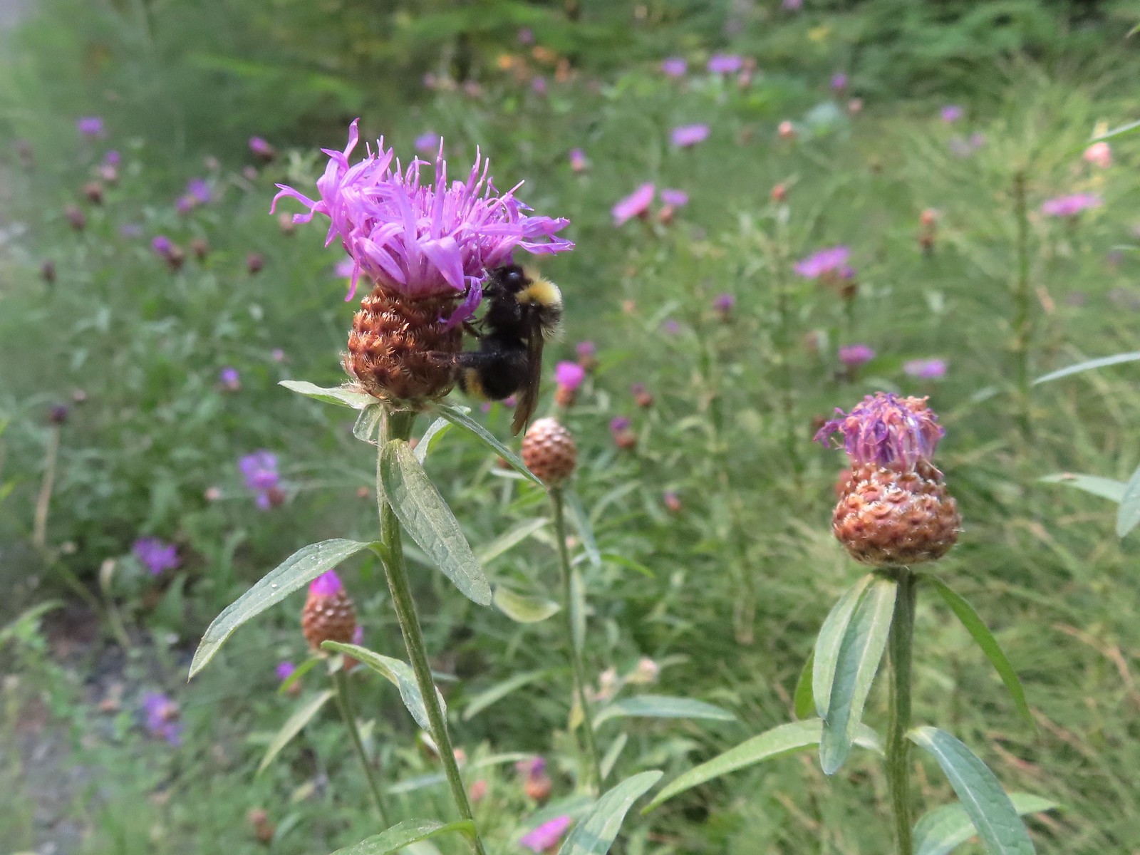 Bumble bee – Hemlock Creek Trail
 Lots of pollen – Mt. Adams Wilderness
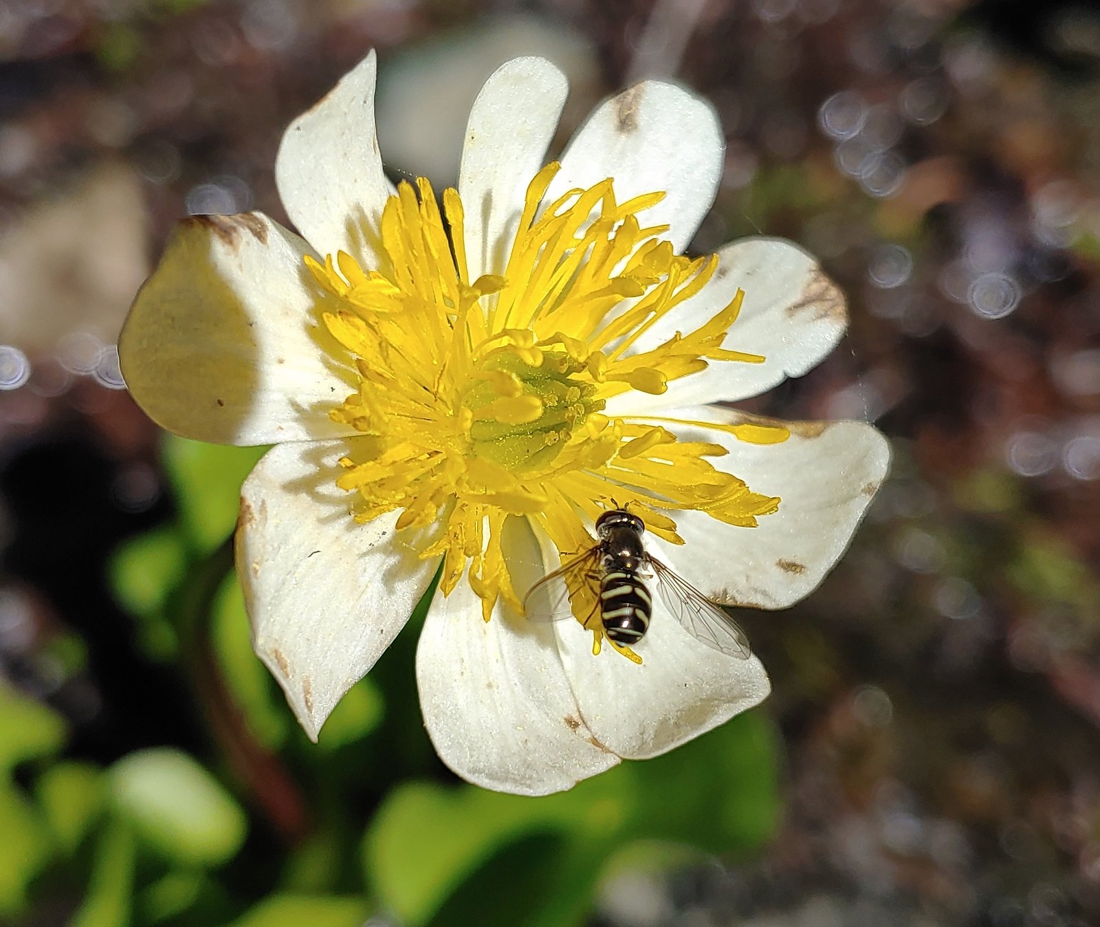 Bee landing on a marsh marigold along the PCT
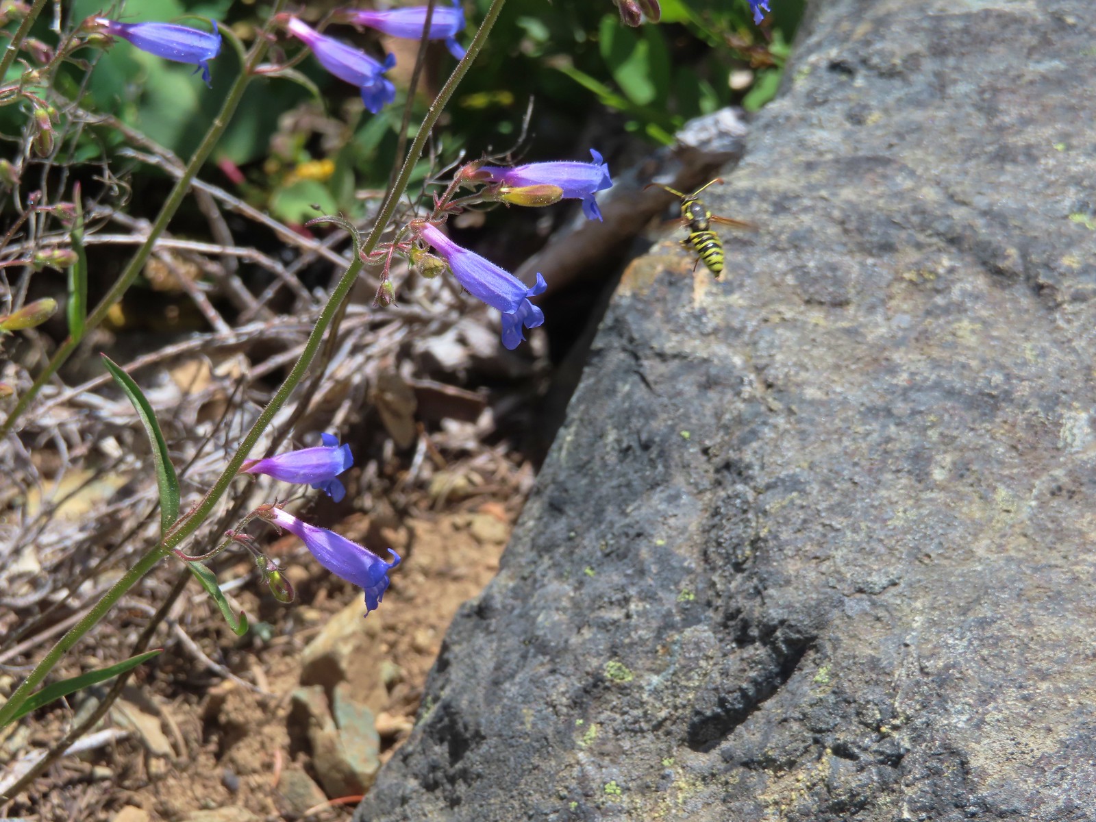 Bee approaching penstemon – Siskiyou Wilderness
 Bee and a tiny ant in a bindweed – Siskiyou Wilderness
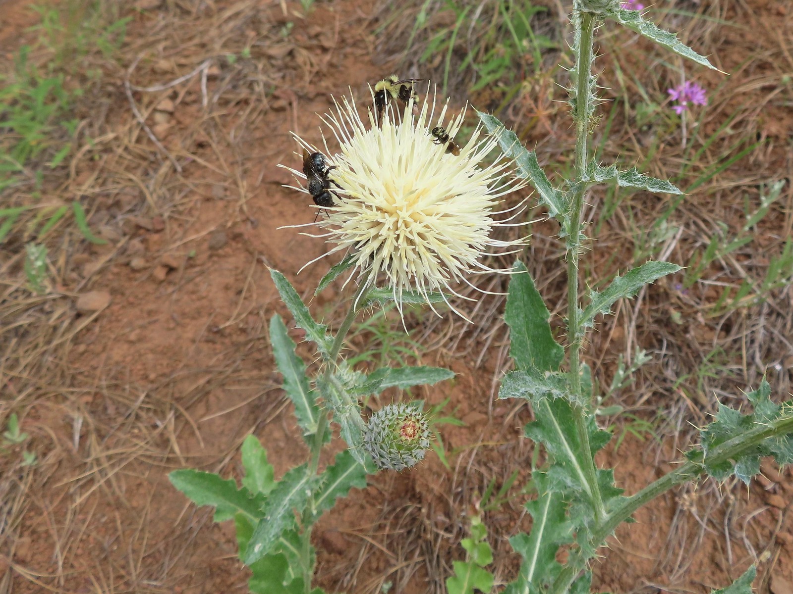 Insects on thistle – Eagle Cap Wilderness
 Wasp? – Eagle Cap Wilderness
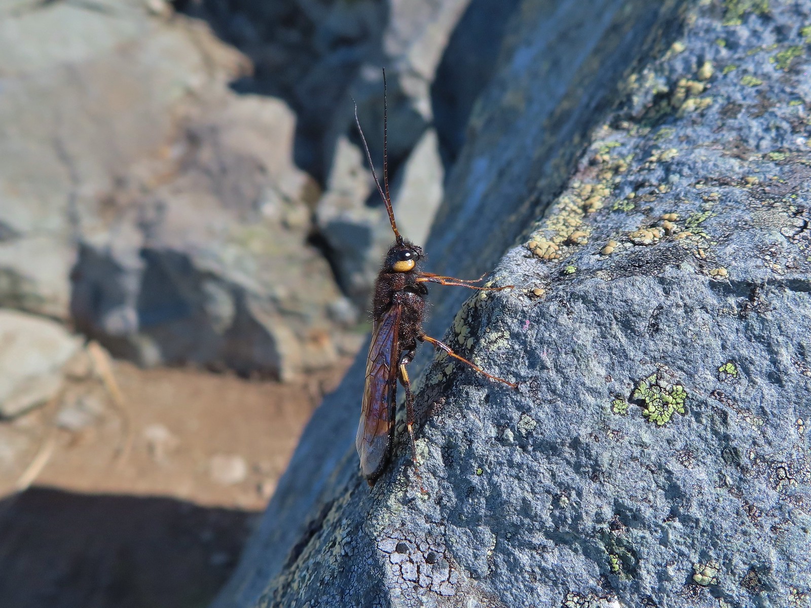 Some sort of wasp – Silver Star Mountain
 Insect along Bear Creek – Eagle Cap Wilderness
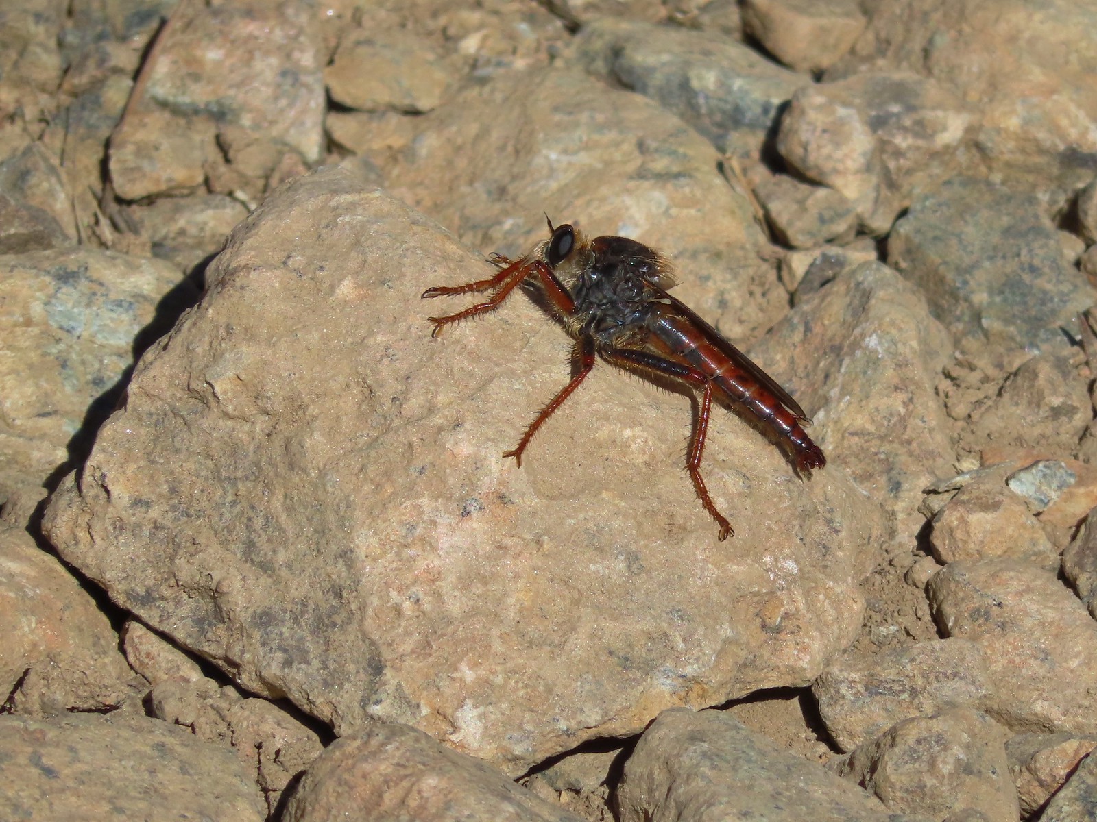 My brother and I used to call these “weird things”; I have no idea what it actually is – Trinity Alps Wilderness
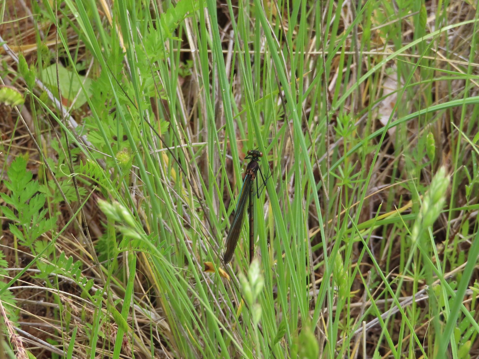 Damsel fly – Denman Wildlife Area
 Damsel fly – Hemlock Lake
 Dragon fly – Goat Marsh Lake
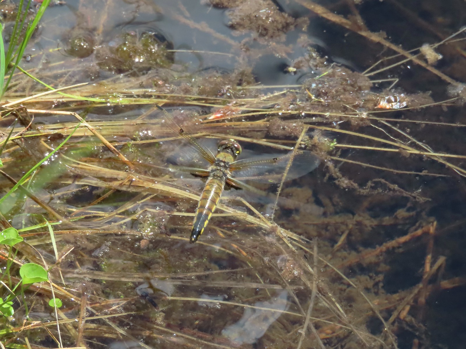 Dragon fly – Siskiyou Wilderness
 Dragon fly – Siskiyou Wilderness
 Dragon fly – Eagle Cap Wilderness
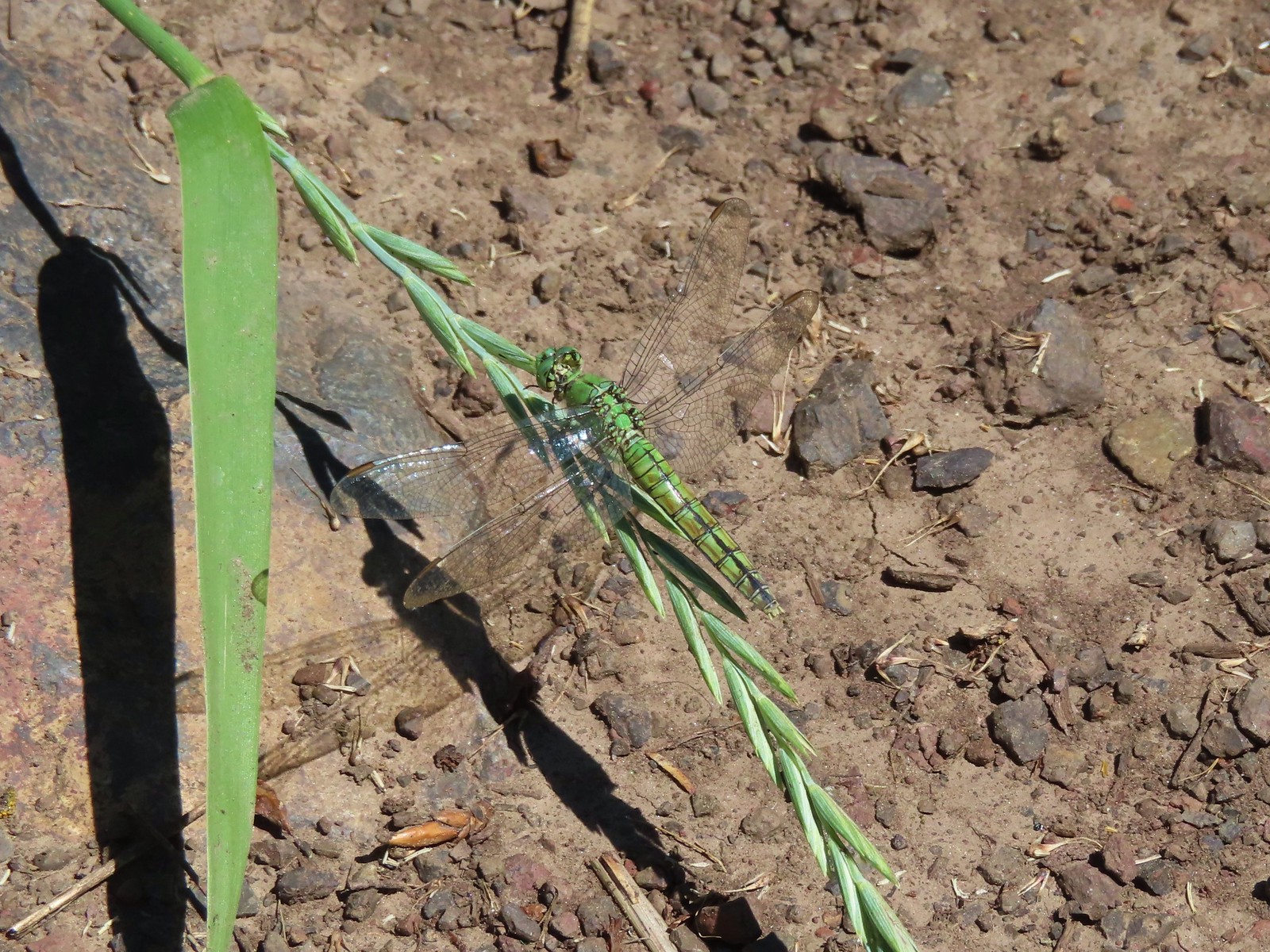 Dragon fly along the Wallowa River – Wallowa Homeland
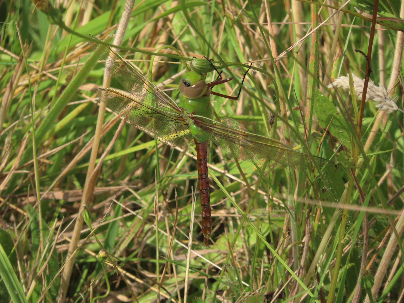 Dragon fly – E.E. Wilson Wildlife Area
 Dragon fly – Hemlock Lake
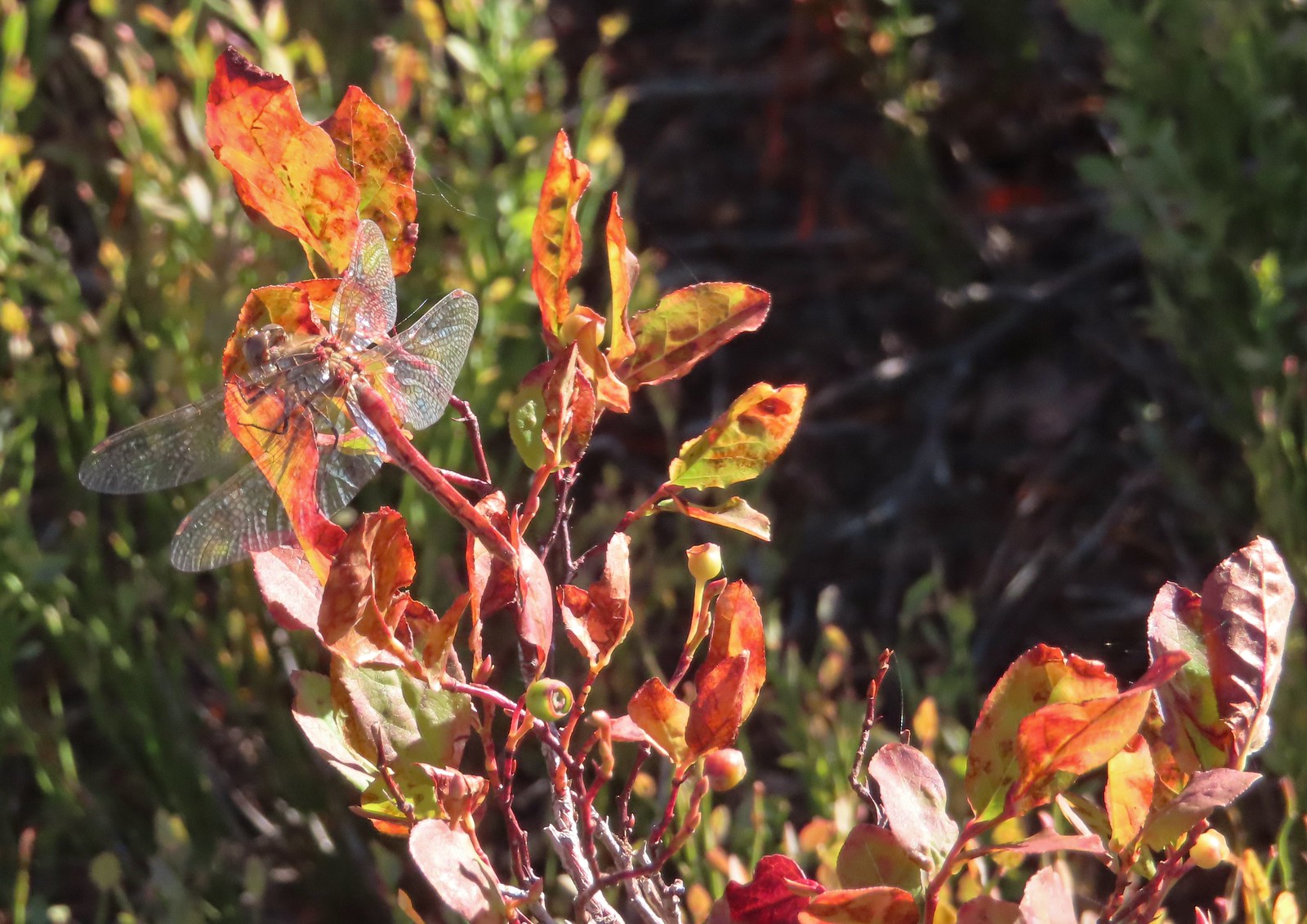 Dragon fly – Sky Lakes Wilderness
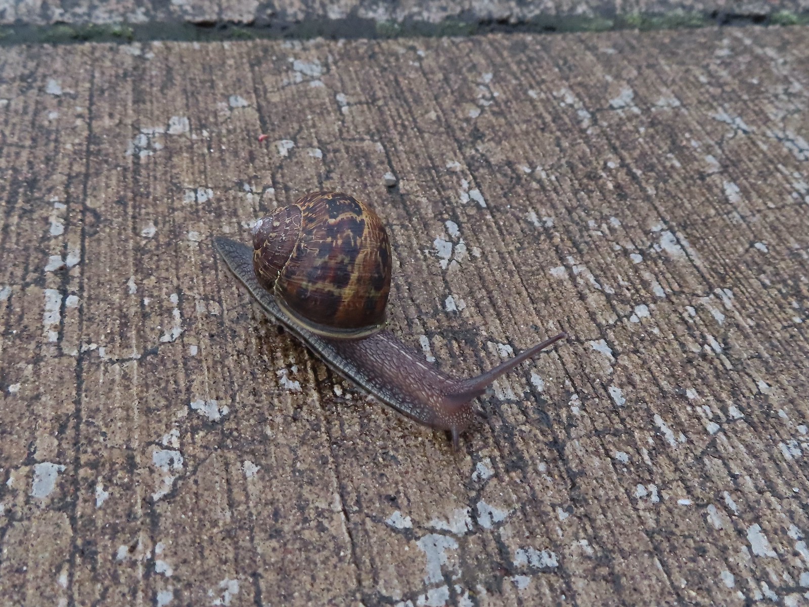 Snail – Rock Creek Trail
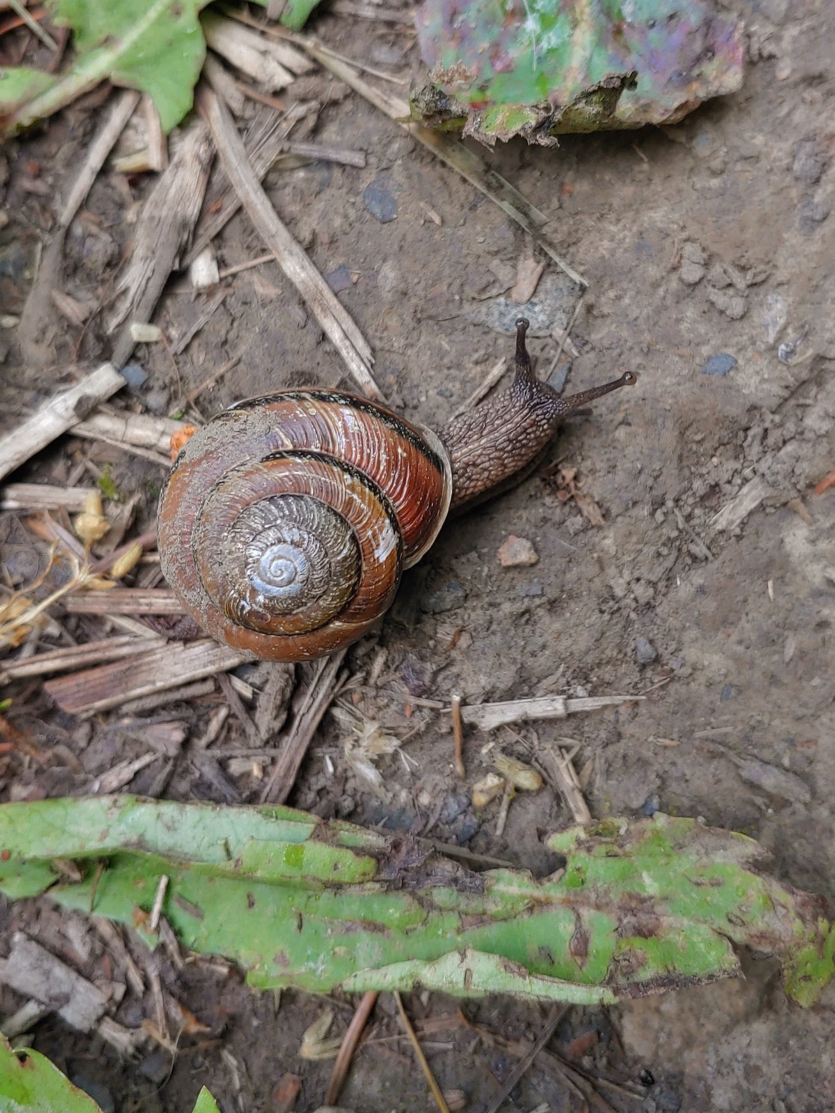 Snail – Applegate Lake
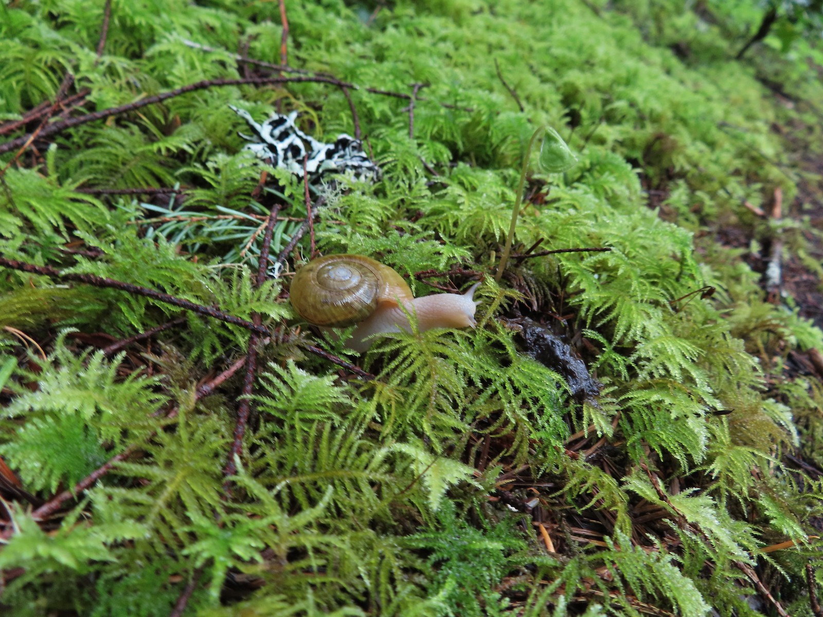 Snail – North Siouxon Trail
 Snail – Julia Hansen Butler Wildlife Refuge
 Snail – Siskiyou Wilderness
 Snail – Cascade Head
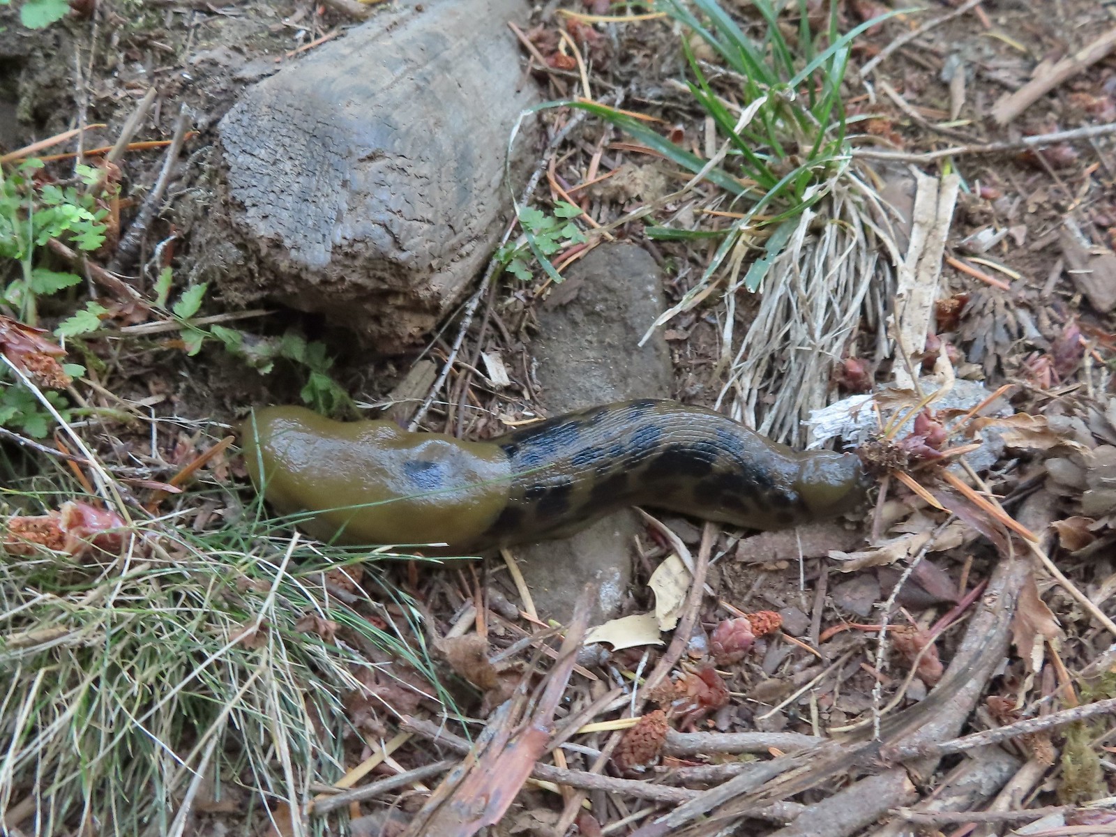 Slug – Larch Mountain Trail
 Slug (and a fly) – Susan Creek Trail
 Slug – Fish Lake
 Slug on lupine – Julia Butler Hansen Wildlife Refuge
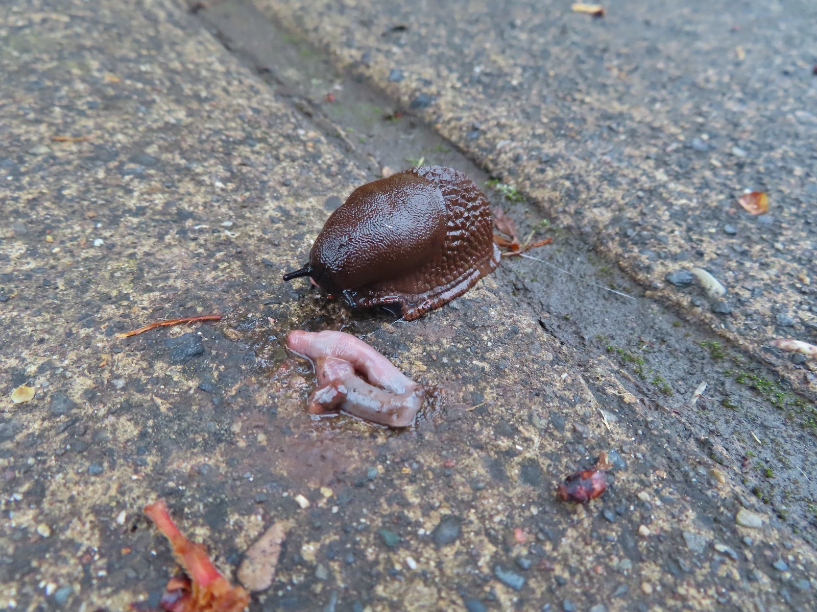 Slug and an unfortunate earth worm – Rock Creek Trail
 Worms – Chehalem Ridge Nature Park
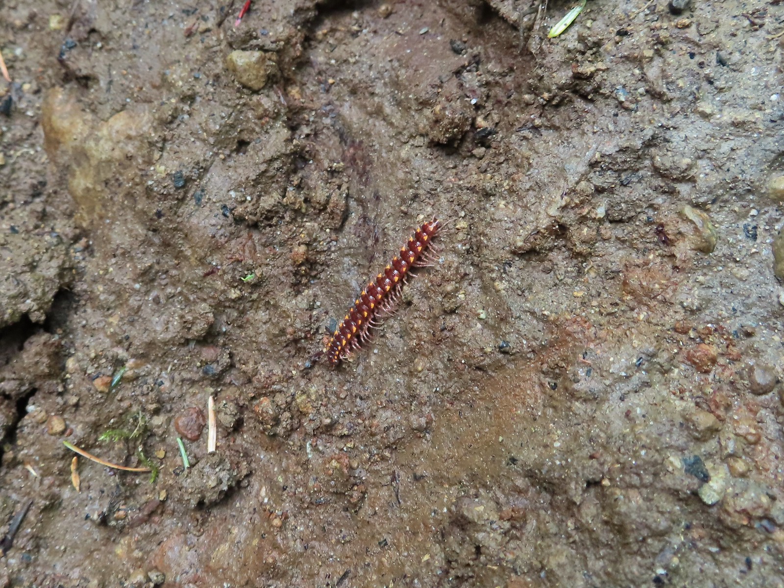 Millipede – North Siouxon Trail
 Millipede – Rock Creek Trail
 Millipede – Illahee Rock
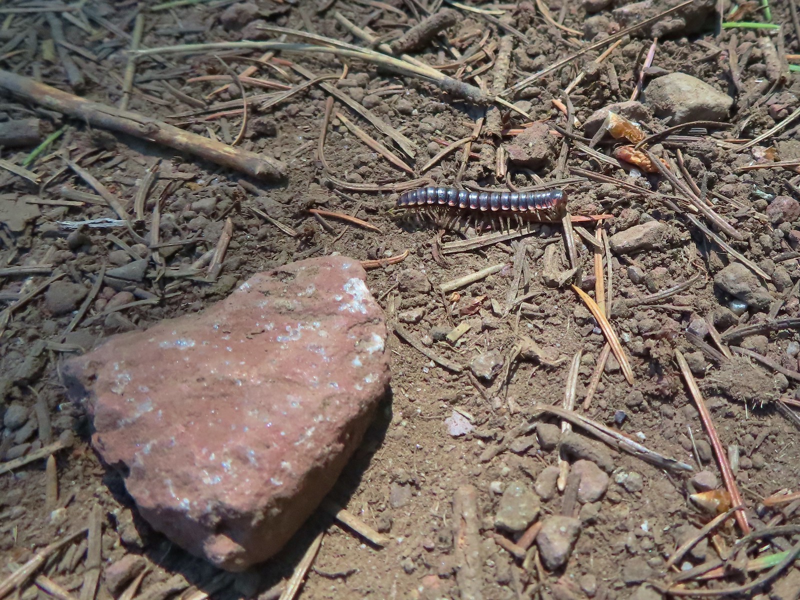 Millipede – Eagle Cap Wilderness
 Wet caterpillar – Yakona Nature Preserve
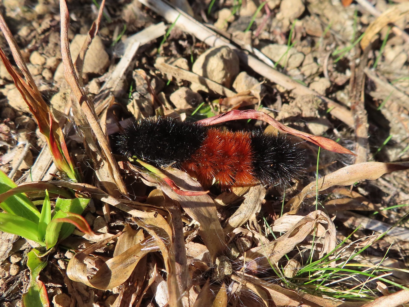 Dry version – Larch Mountain Trail
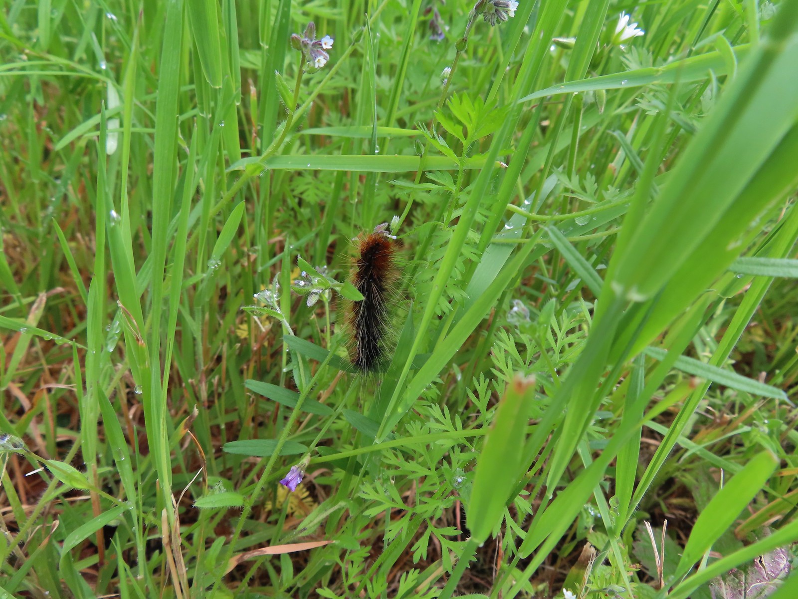 Caterpillar – Julia Butler Hansen Wildlife Refuge
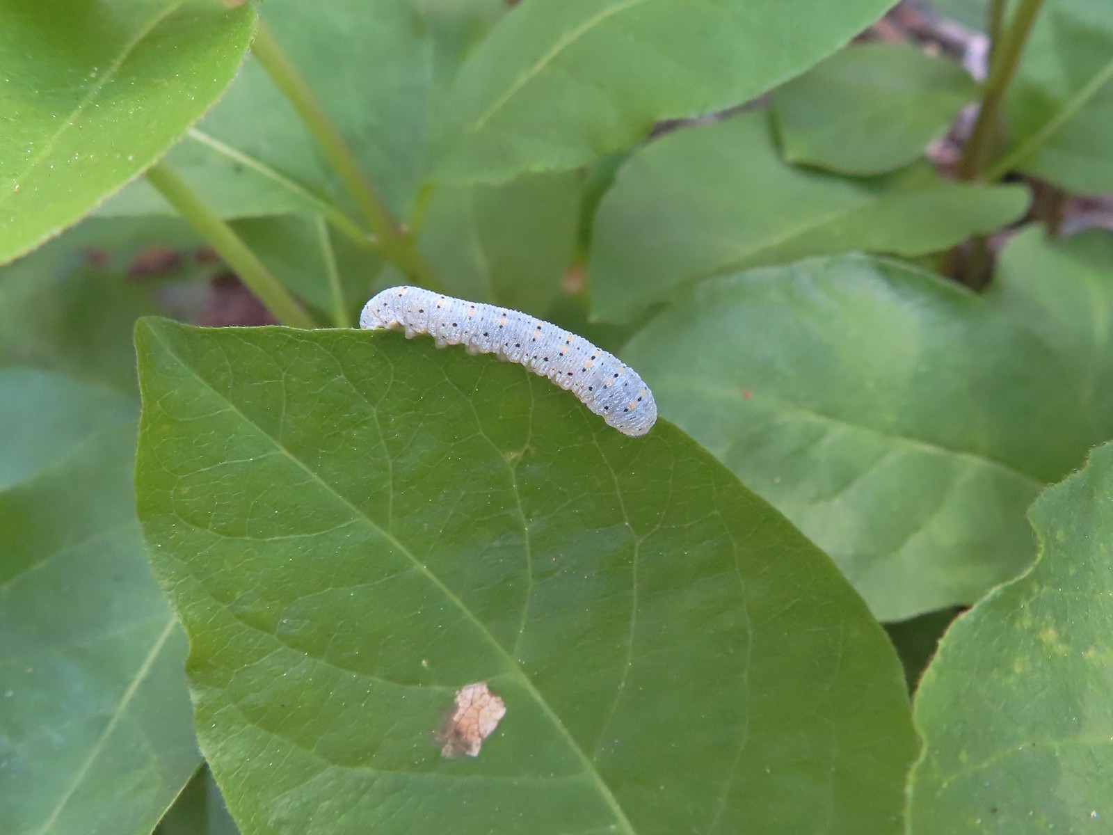 Caterpillar – Siskiyou Wilderness
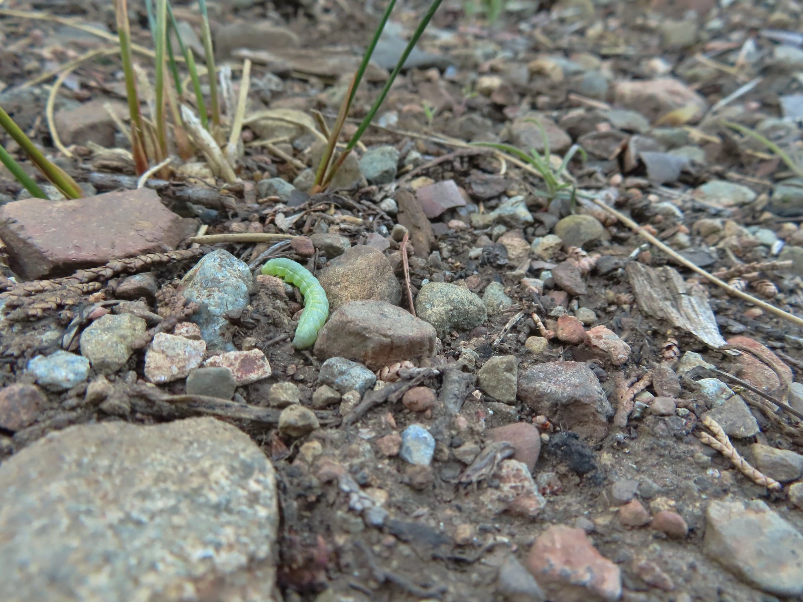 Caterpillar – Siskiyou Wilderness
 Caterpillar – Larch Mountain Trail
 Caterpillar – Larch Mountain Trail
 Caterpillar – Larch Mountain Trail
 Moth – Klickitat Trail
 Moth -Eagle Cap Wilderness
 Moth – Twin Lakes
 Moth – Eagle Cap Wilderness
 Moth – Eagle Cap Wilderness
 Moth – Eagle Cap Wilderness
 Moth – Wolf Creek Falls Trail
 Moth – Cascade Head
 Propertius duskywing (Erynnis propertius) – Klickitat Trail
 Duskywing – Siskiyou Wilderness
 Northern Cloudywing? – Siskiyou Wilderness
 Silver-spotted skipper – Siskiyou Wilderness
 Skipper – Grizzly Peak
 Skipper – Rogue-Umpqua Divide Wilderness
 Skipper – E. E. Wilson Wildlife Area
 Hairstreak (bramble?) – Siskiyou Mountains
 Cedar hairstreak – Siskiyou Wilderness
 Hairstreak (possibly thicket) – Eagle Cap Wilderness
 Ochre ringlet – Jack Ash Trail
 Butterfly – Siskiyou Wilderness
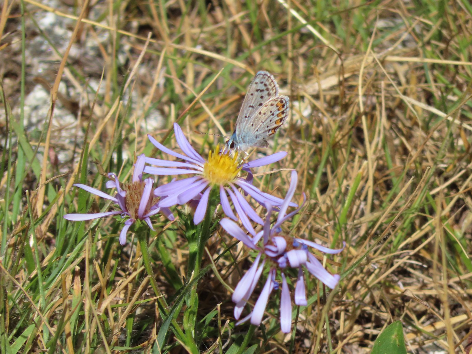 Butterfly – Trinity Alps Wilderness
 Butterfly – Trinity Alps Wilderness
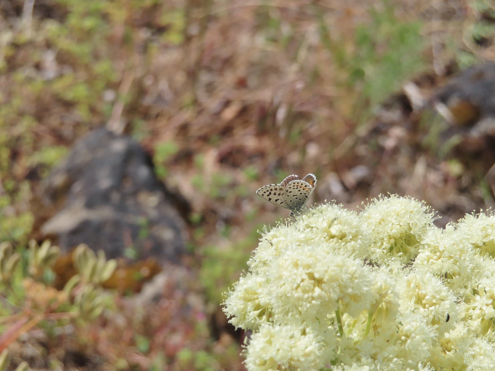 Butterfly – Upper Table Rock
 Butterfly – Mule Mountain
 Butterfly – Eagle Cap Wilderness
 Butterfly – Eagle Cap Wilderness
 Butterfly – Mt. Adams Wilderness
 Butterfly – Mt. Adams Wilderness
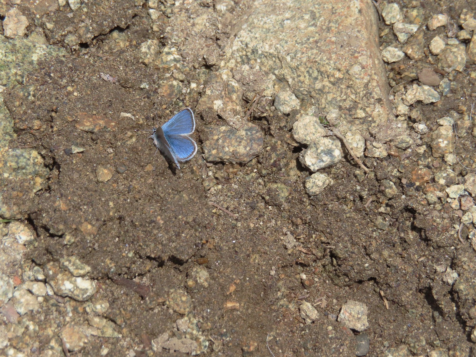 Butterfly – Mt. Ireland
 Butterfly – Trinity Alps Wilderness
 Butterfly – Silver Star Mountain
 Butterfly – Russian Wilderness
 Butterfly – Trinity Alps Wilderness
 Sara’s orangetip – Klickitat Trail
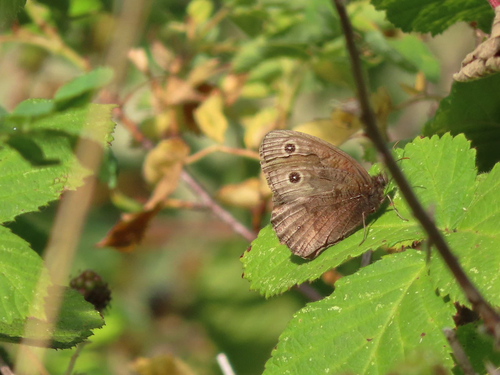 Common woodnymph – E. E. Wilson Wildlife Area
 Another woodnymph – Rogue-Umpqua Divide Wilderness
 Orange sulphur – Siskiyou Wilderness
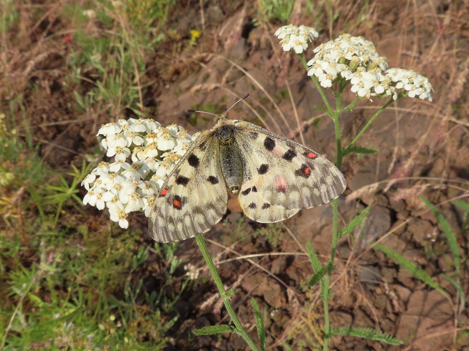 Mountain parnassian – Eagle Cap Wilderness
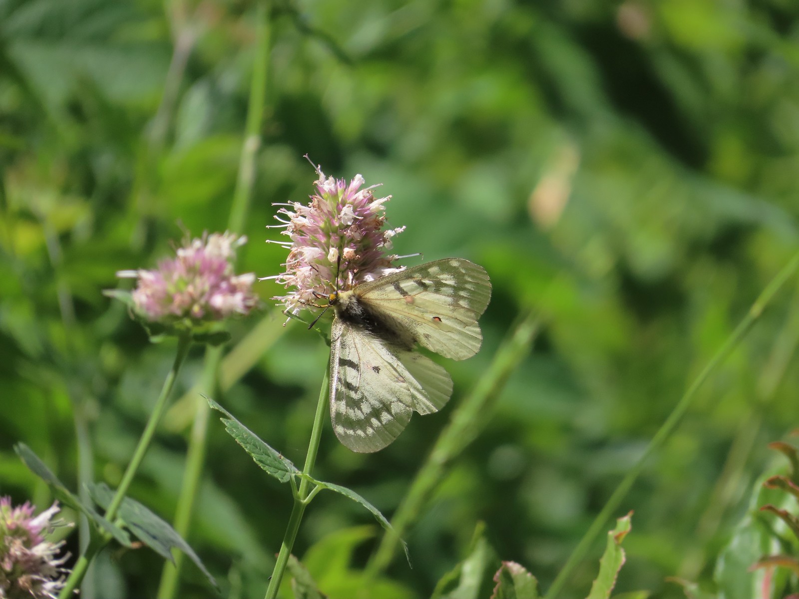 Clodius parnassian – Hemlock Lake
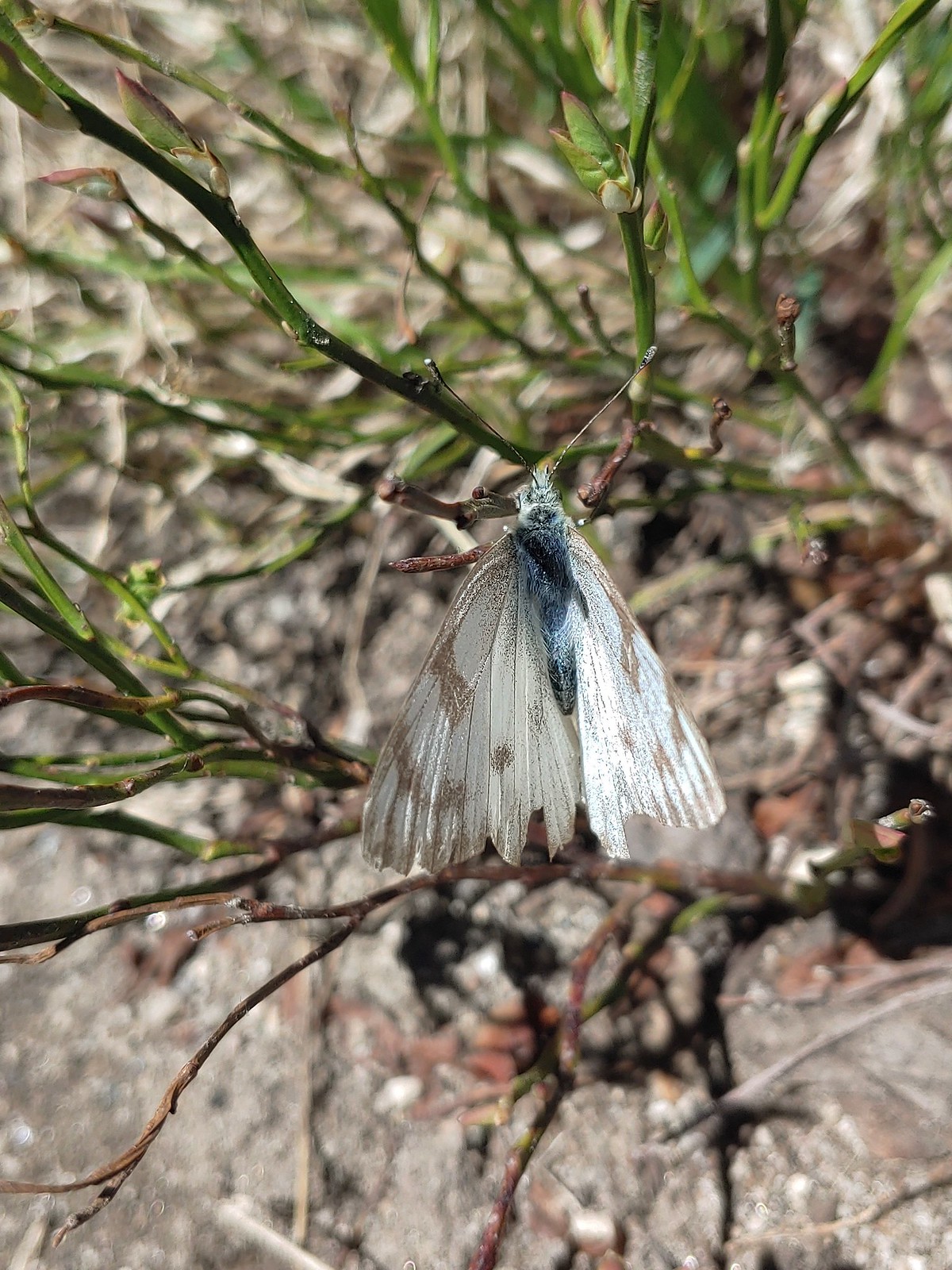 Western white? – Eagle Cap Wilderness
 Western white – Trinty Alps Wilderness
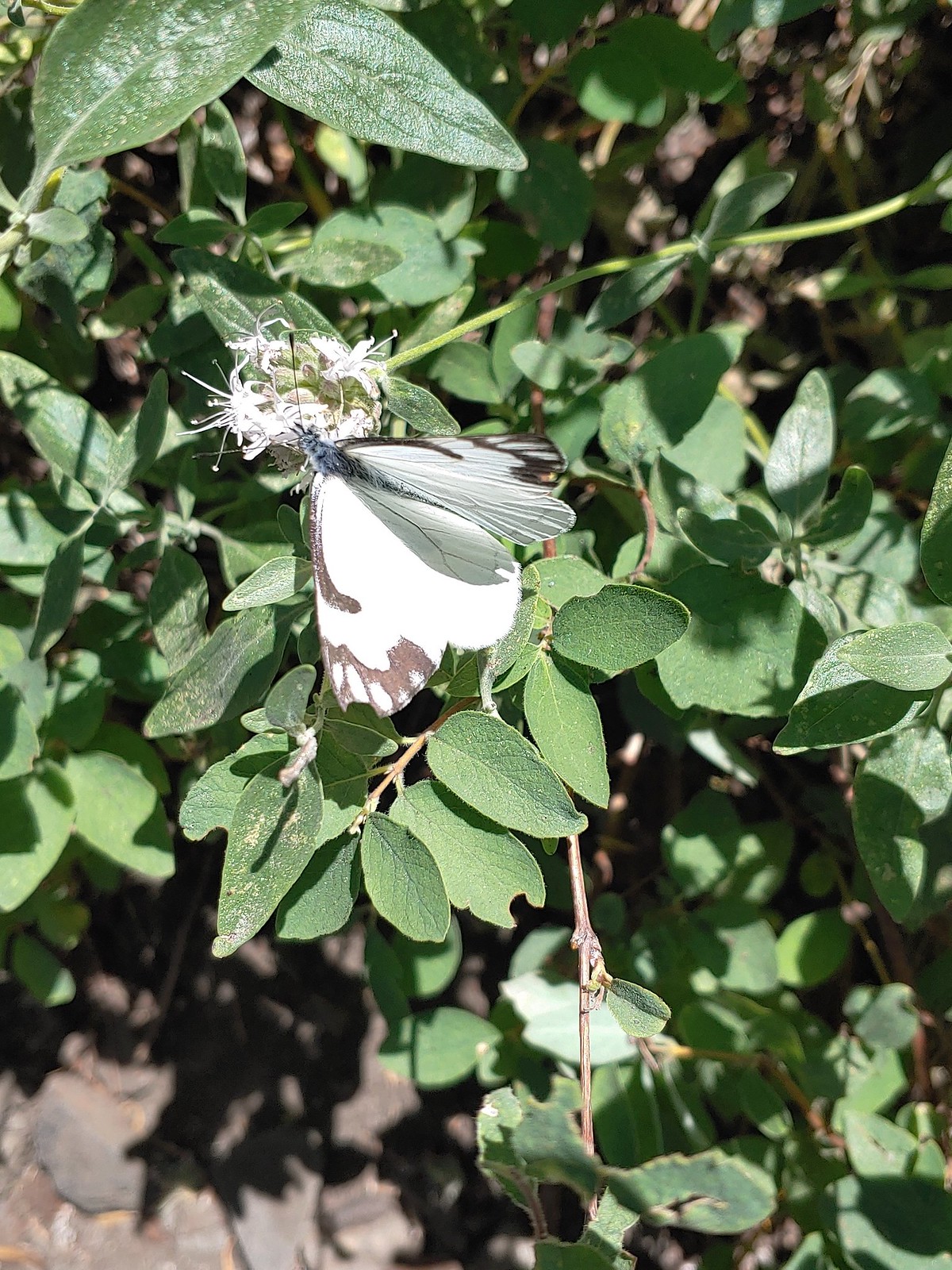 Pine white – Russian Wilderness
 Butterfly – Eagle Cap Wilderness
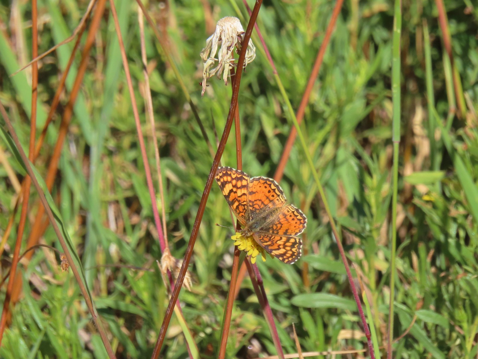 Butterfly – Russian Wilderness
 Butterfly – Mt. Adams Wilderness
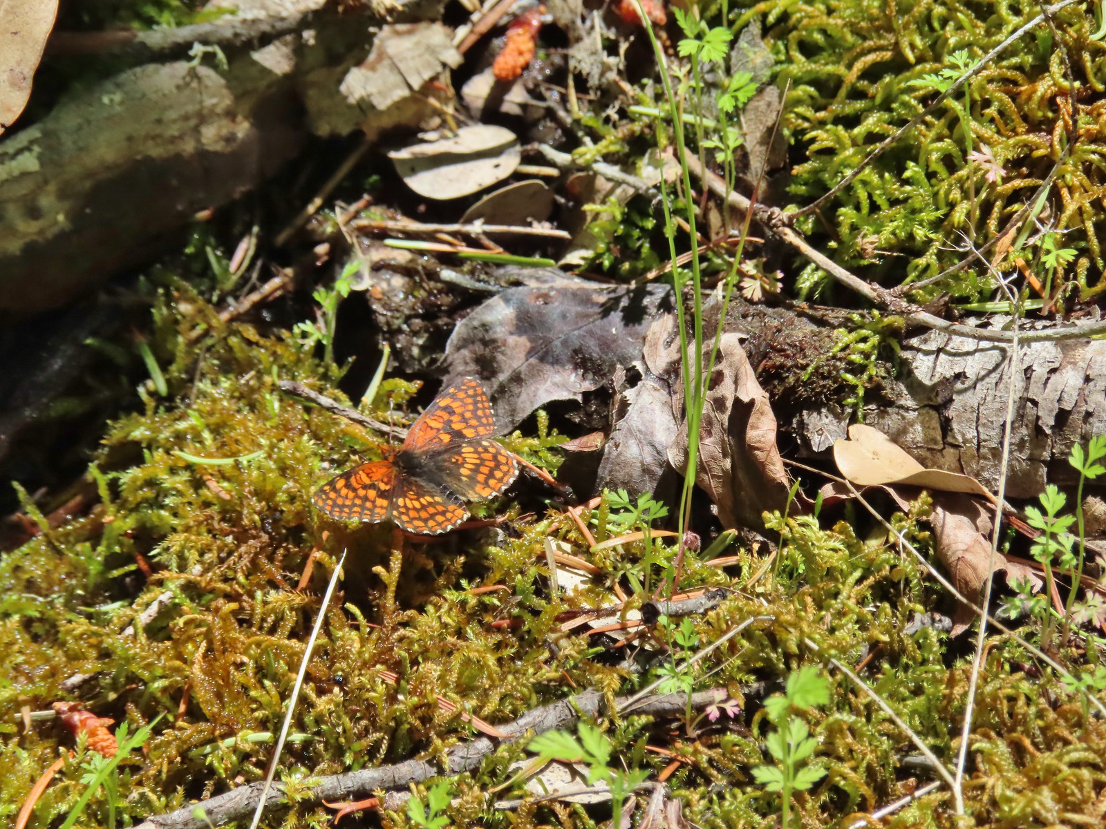 Butterfly – Mule Mountain
 Butterfly – Silver Star Mountain
 Butterfly – Silver Star Mountain
 Butterfly – Silver Star Mountain
 Western meadow fritillary? – Silver Star Mountain
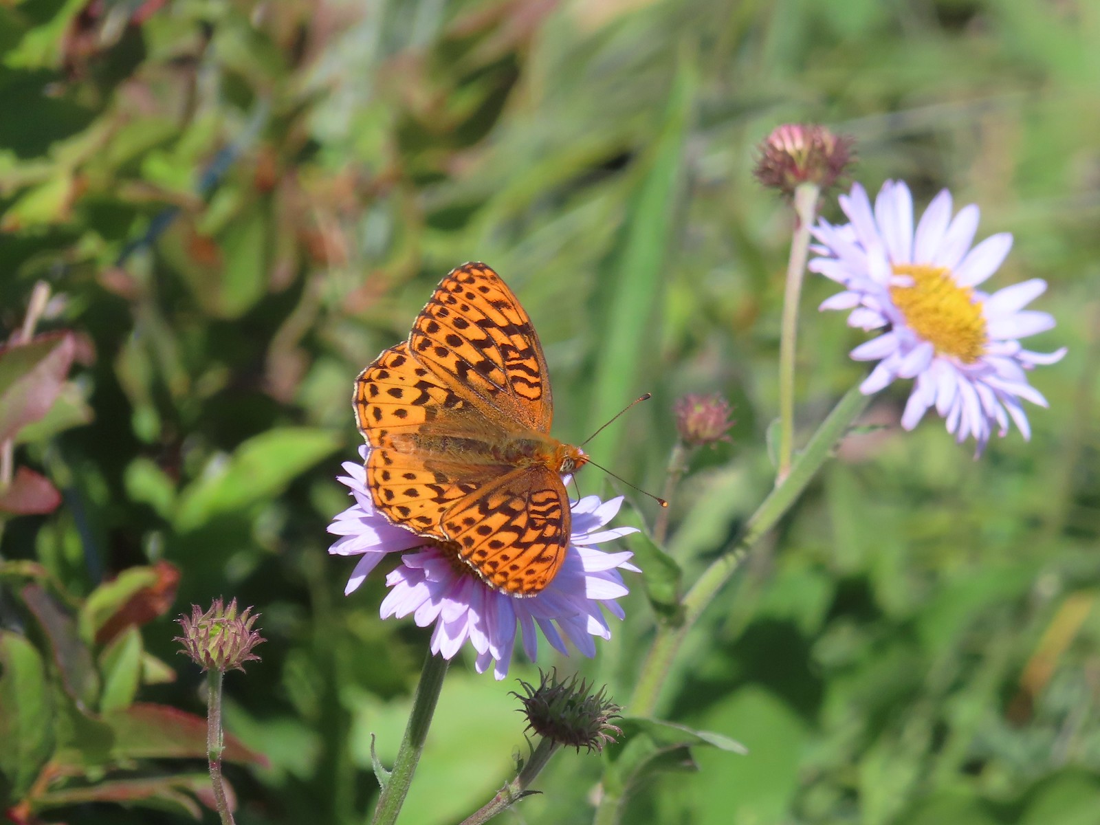 A fritillary – Silver Star Mountain
 A fritillary – Trinity Alps Wilderness
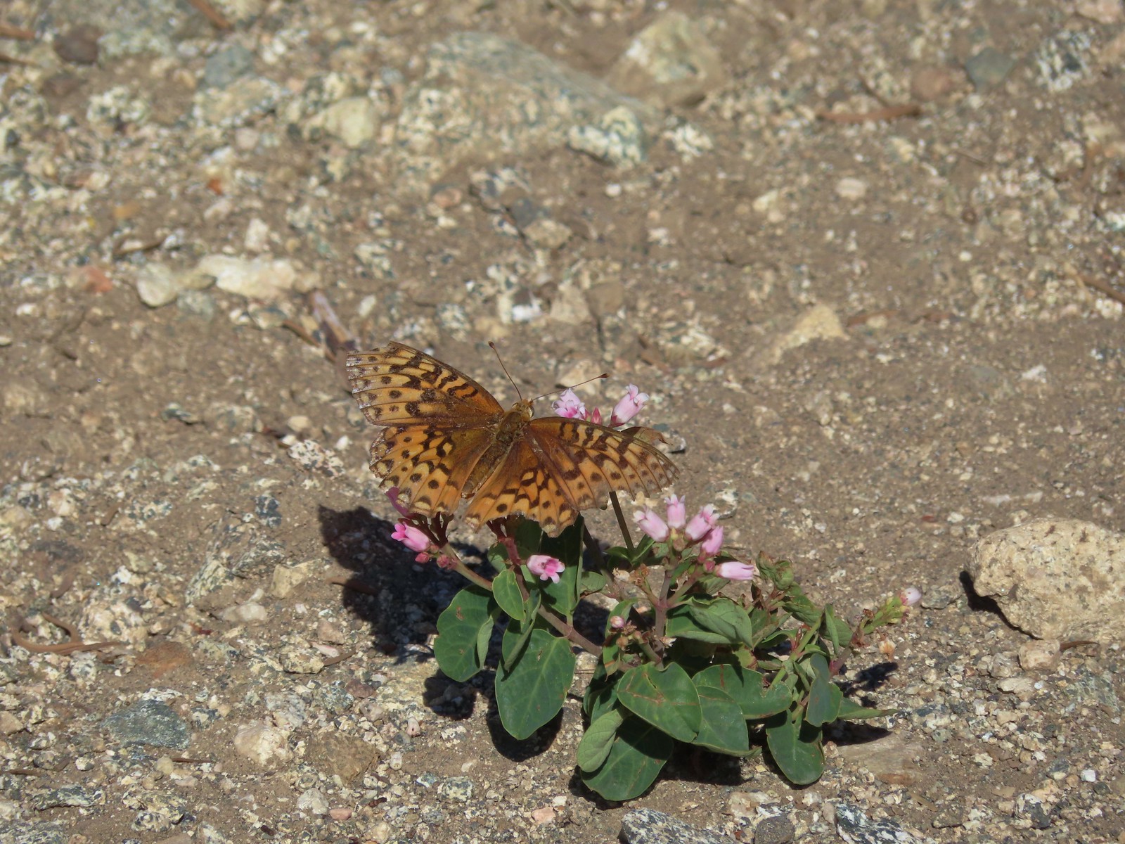 A fritillary -Russian Wilderness
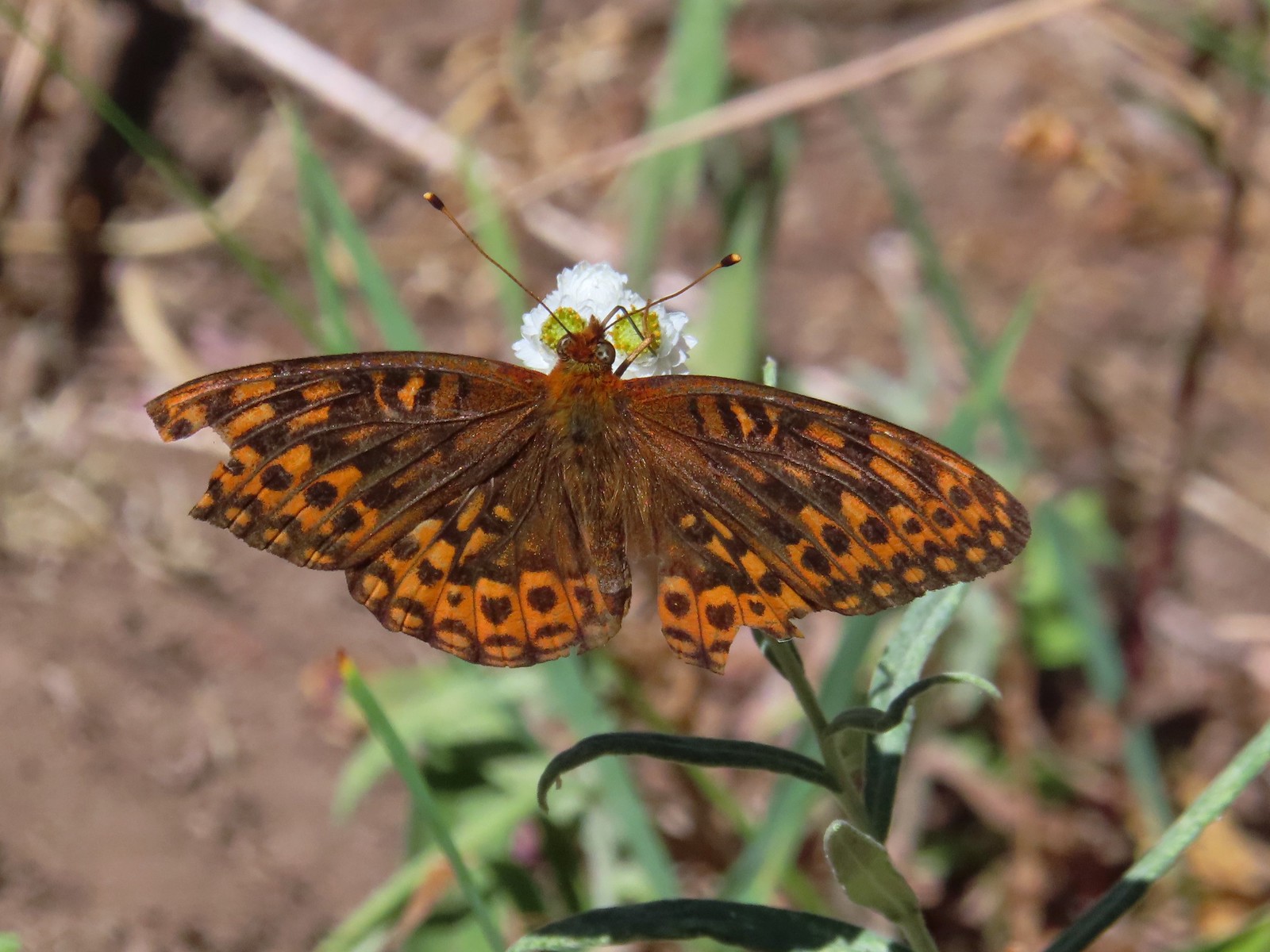 A fritillary – Rogue-Umpqua Divide Wilderness
 Mourning cloak – Klickitat Trail
 California tortoiseshell – Siskiyou Wilderness
 Milbert’s tortoiseshell – Eagle Cap Wilderness
 Lorquin’s admiral – Eagle Cap Wilderness
 Common buckeye – Mt. Shasta Wilderness
 Hoary comma – Sky Lakes Wilderness
 Green comma? – Eagle Cap Wilderness
 Klickitat Trail
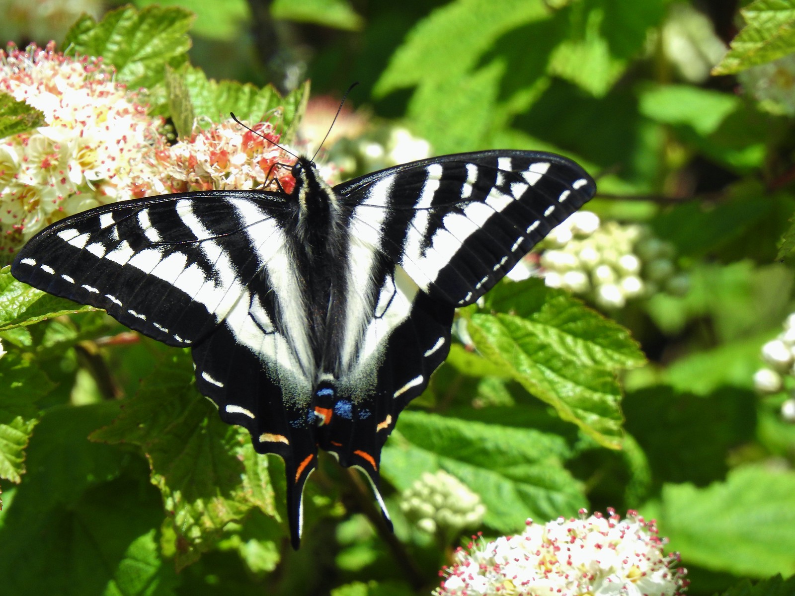 Julia Butler Hanson Wildlife Refuge
 Eagle Cap Wilderness
 Tadpoles – Russian Wilderness
 Tadpole transforming – Mt. Adams Wilderness
 Frog – Russian Wilderness
 Frog – Goat Marsh Lake
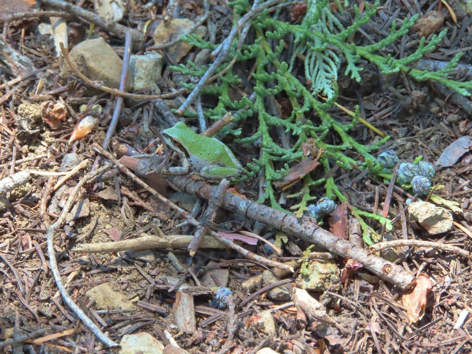 Tree frog – Siskiyou Wilderness
 Frog – Trinity Alps Wilderness
 Toad – Trinity Alps Wilderness
 Toad – Mt. Jefferson Wilderness
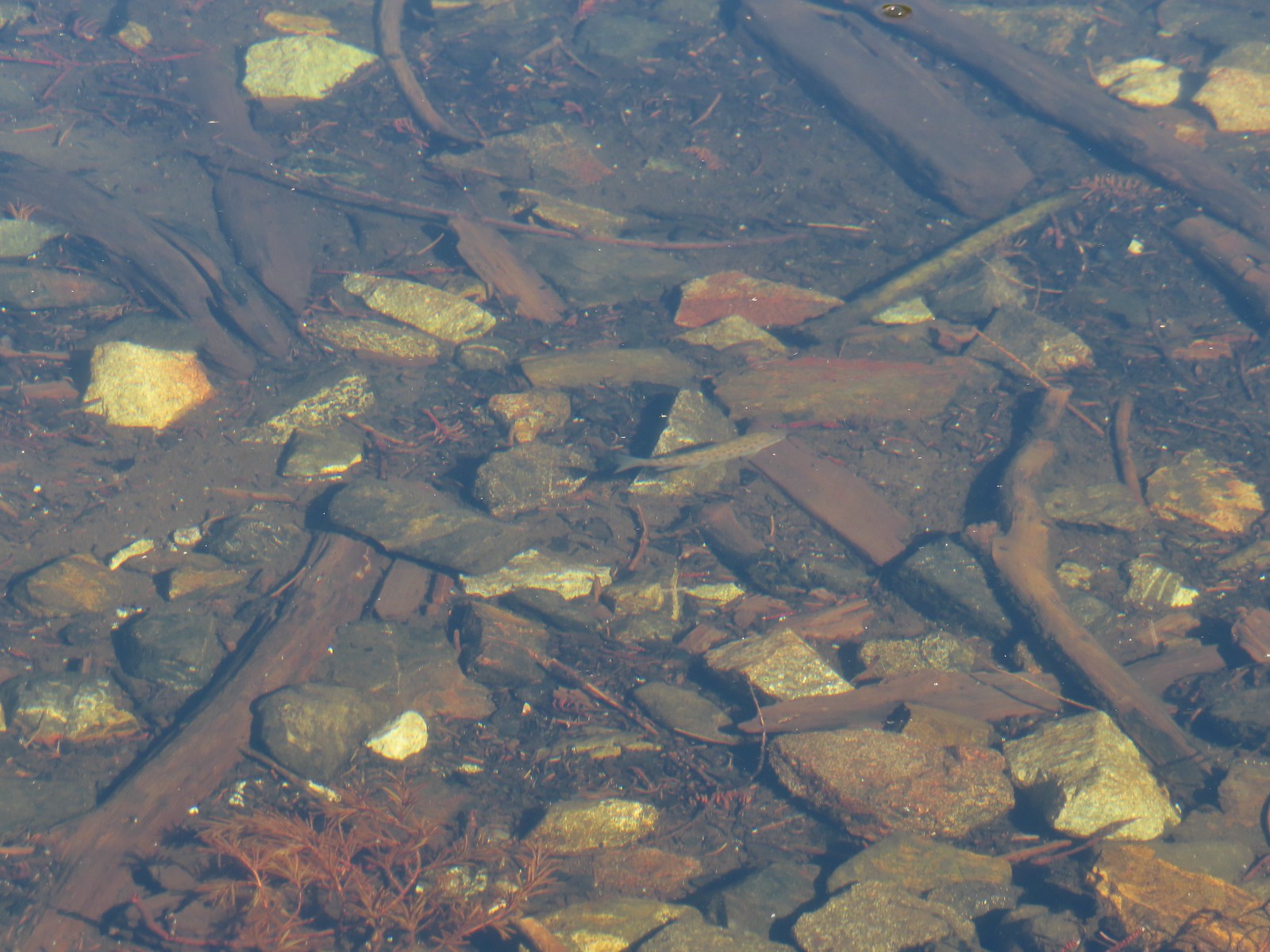 Fish – Siphon Lake
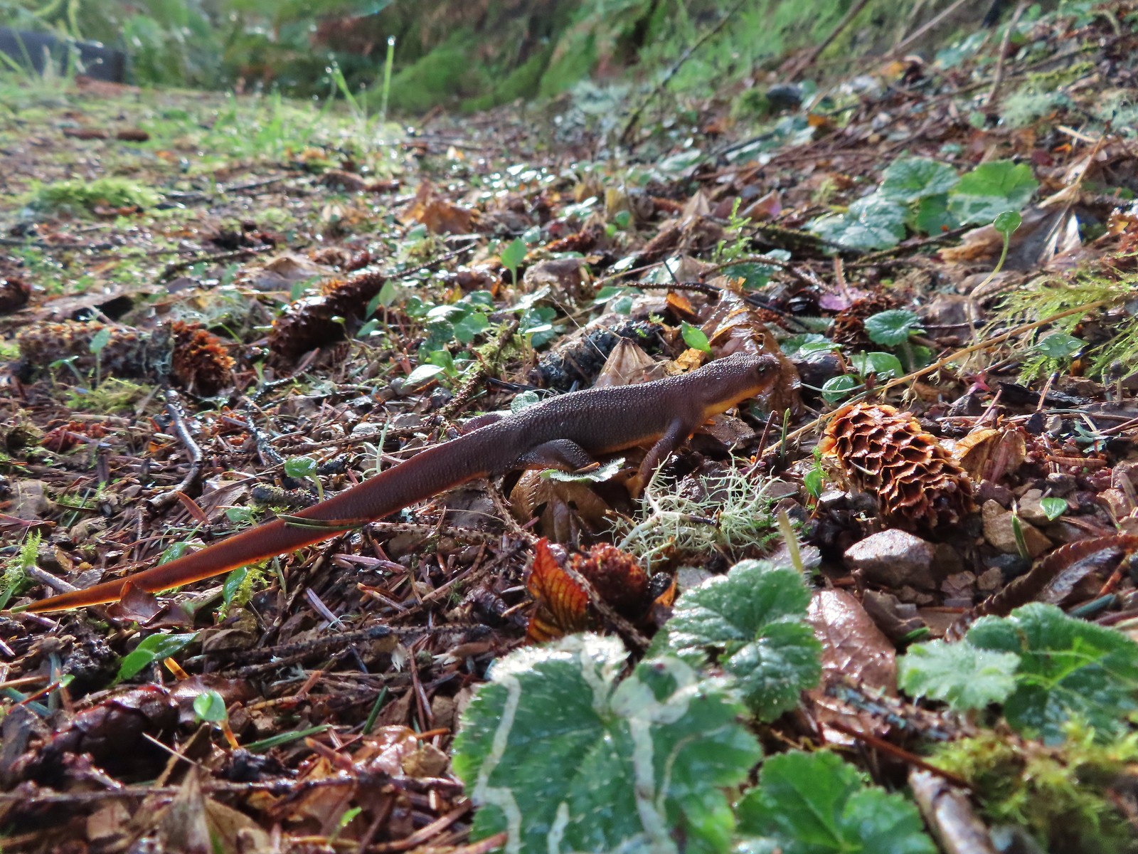 Rough skinned newt – Yakona Nature Preserve
 Western painted turtle – Julia Hansen Butler Wildlife Refuge
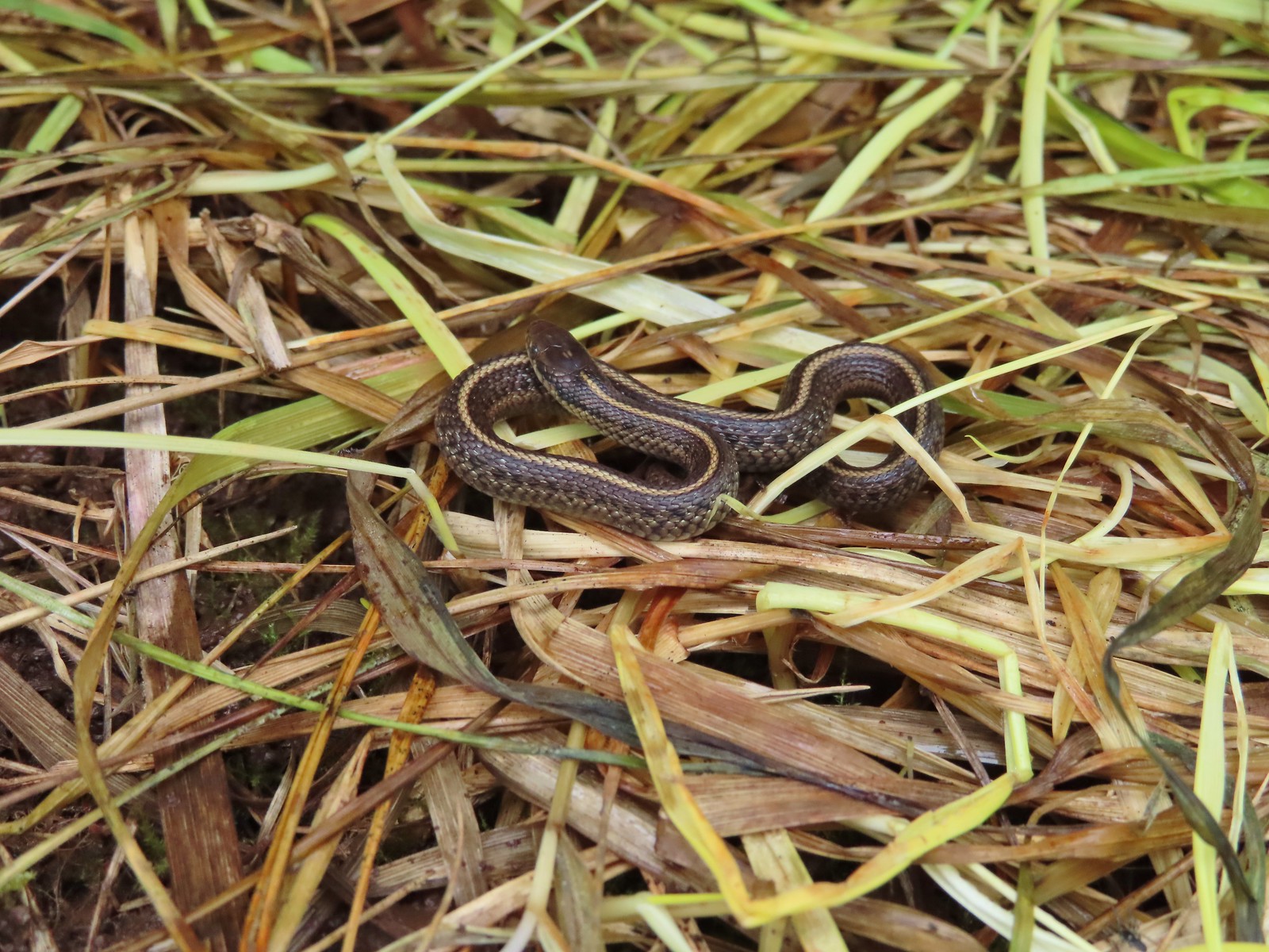 Baby snake – Miller Woods
 Garter snake – Julia Hansen Butler Wildlife Refuge
 Lizard – Mule Mountain
 Lizard – Upper Table Rock
 Lizard – Russian Wilderness
 Lizard – Siskiyou Wilderness
 Lizard – Klickitat Trail
 Lizard – Upper Table Rock
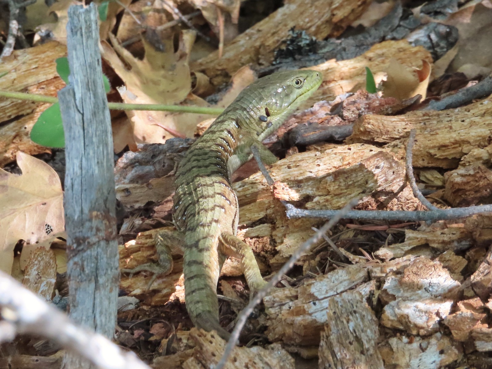 Alligator lizard – Mule Mountain
 Chipmunk – Observation Peak
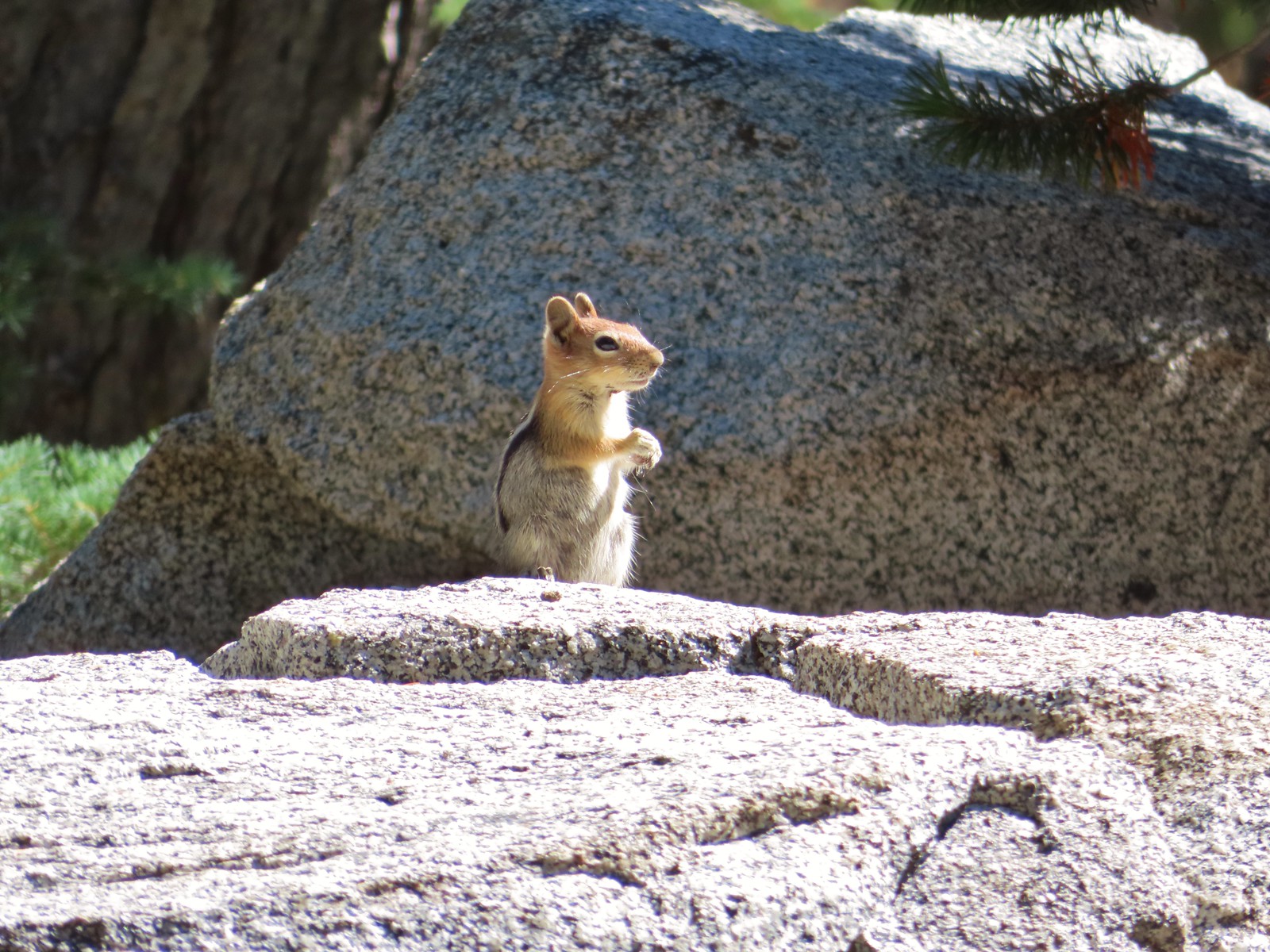 Ground squirrel – Russian Wilderness
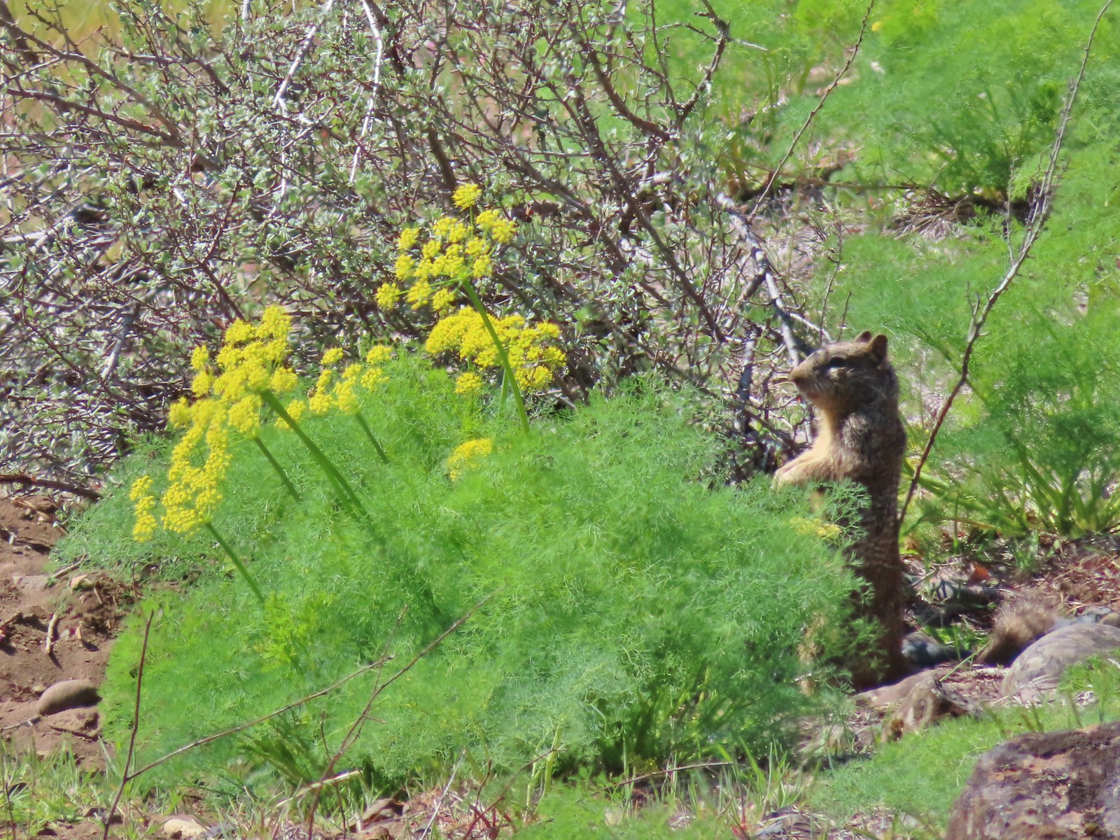 Ground squirrel – Klickitat Trail
 Ground squirrel – Eagle Cap Wilderness
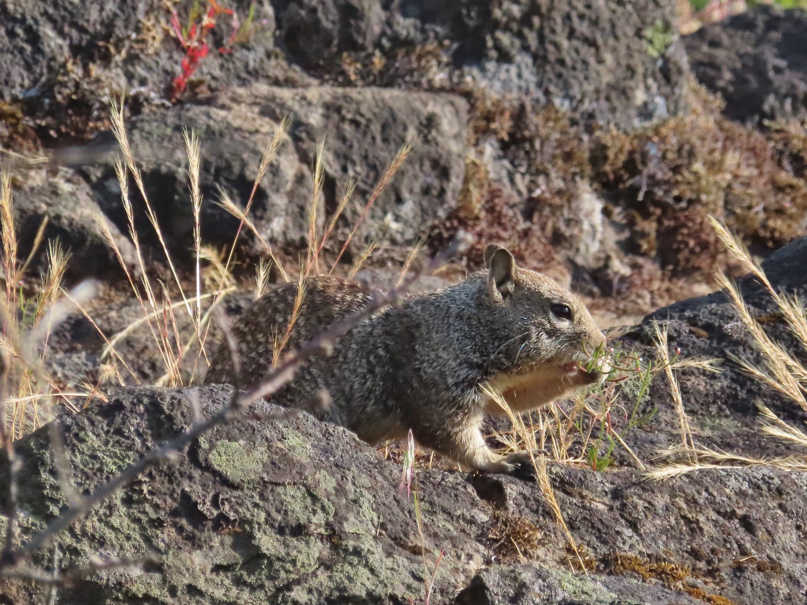 Ground squirrel – Upper Table Rock
 Squirrel – Rock Creek Trail
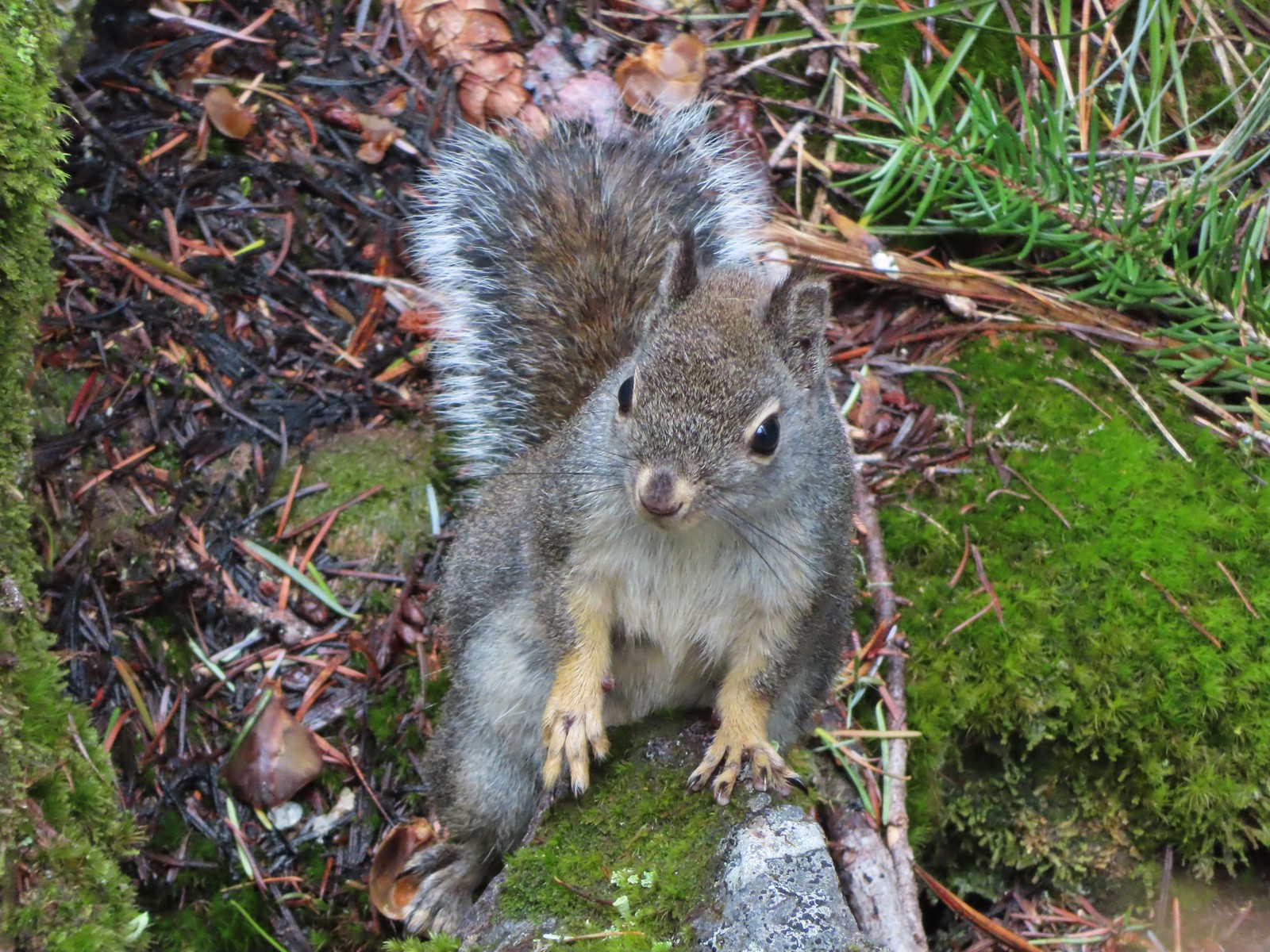 Squirrel – Twin Lakes
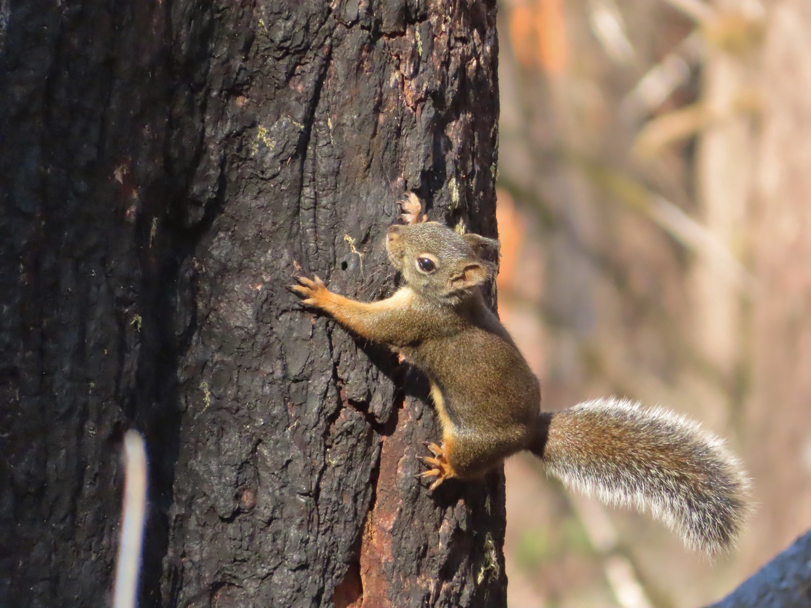 Squirrel – Larch Mountain Trail
 Marmot – Wallowa Homeland
 Jack rabbit – Denman Wildlife Area
 Rabbit – E. E. Wilson Wildlife Area
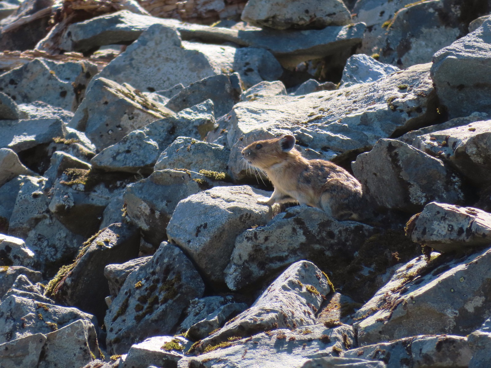 Pika – Silver Star Mountain
 Muskrat – Julia Butler Hansen – Wildlife Refuge
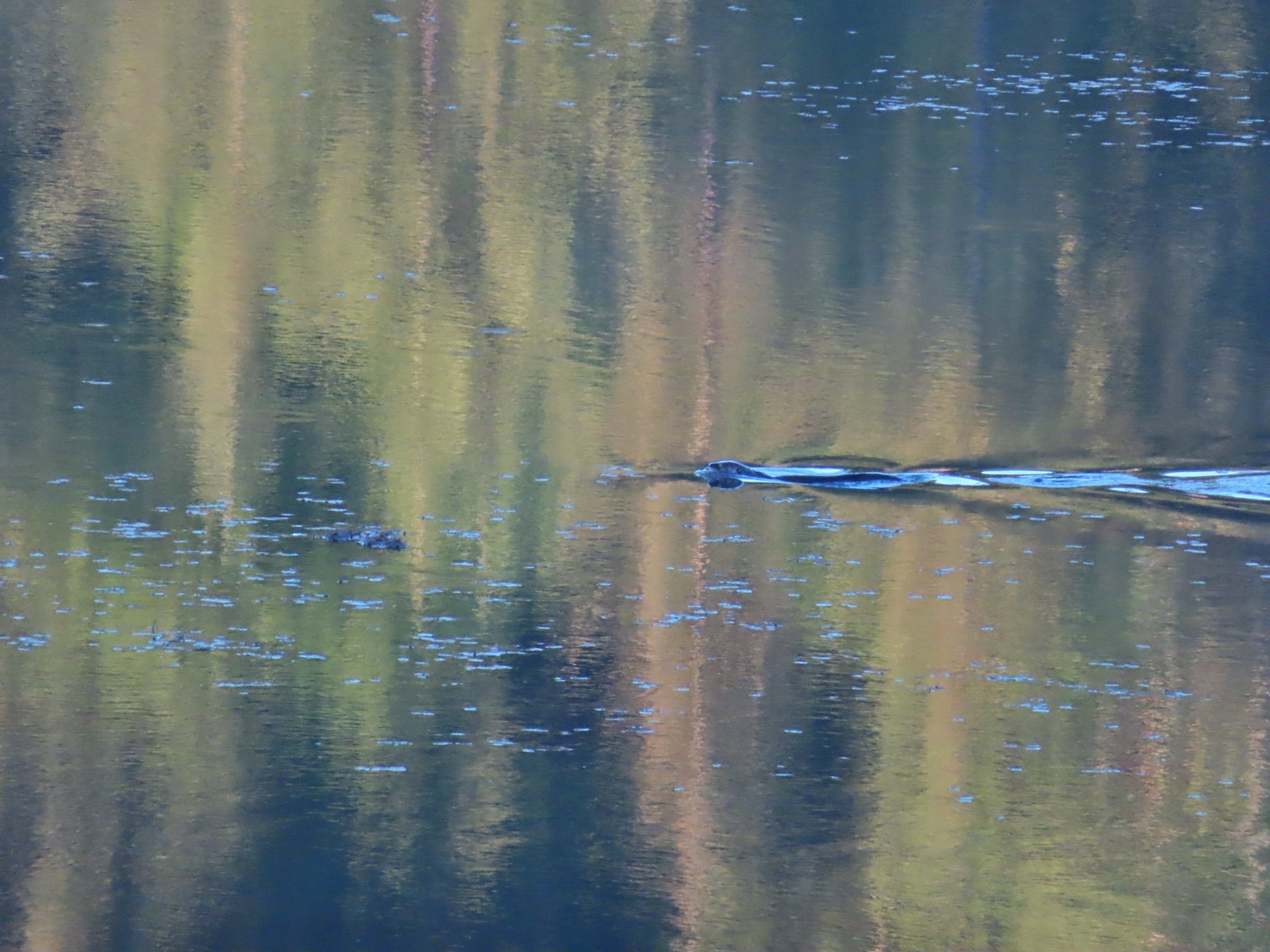 Otter – Killin Wetlands
 Sea lion – Hart’s Cove
 Deer – Memaloose Hills
 Doe – Miller Woods
 Mamma – Roxy Ann Peak
 Fawn – Roxy Ann Peak
 Columbian white-tailed buck – Julia Butler Hansen Wildlife Refuge
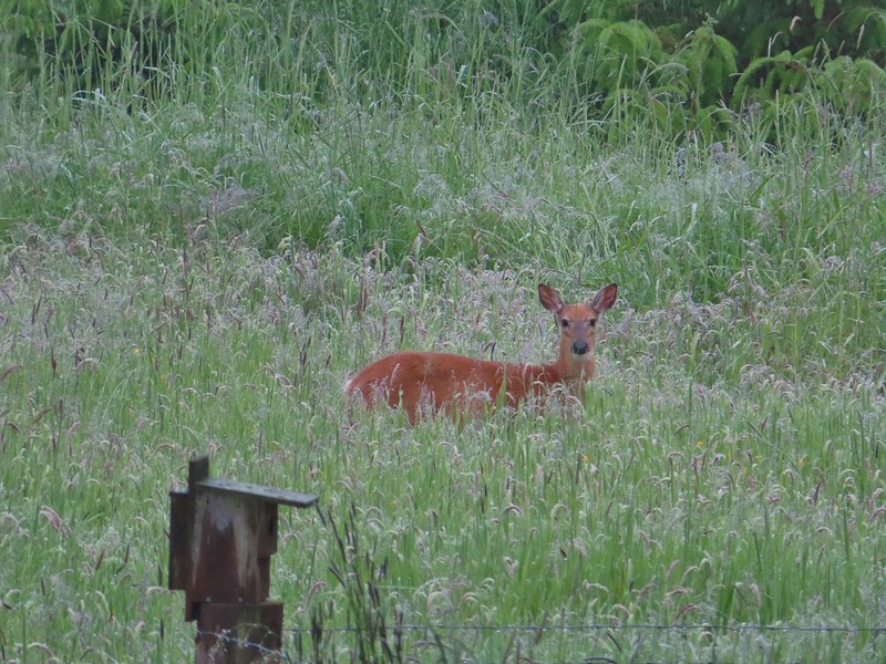
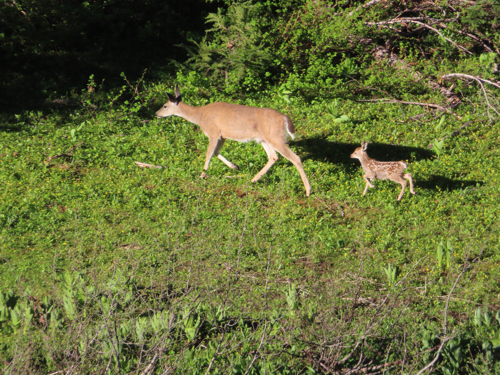 Doe & fawn – Donomore Meadows
 Three bucks – Siskiyou Wilderness
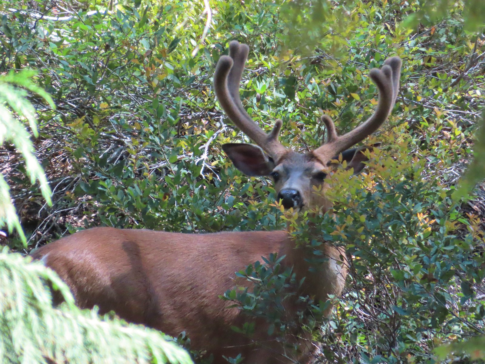 Buck – Siskiyou Wilderness
 Buck – Trinity Alps Wilderness
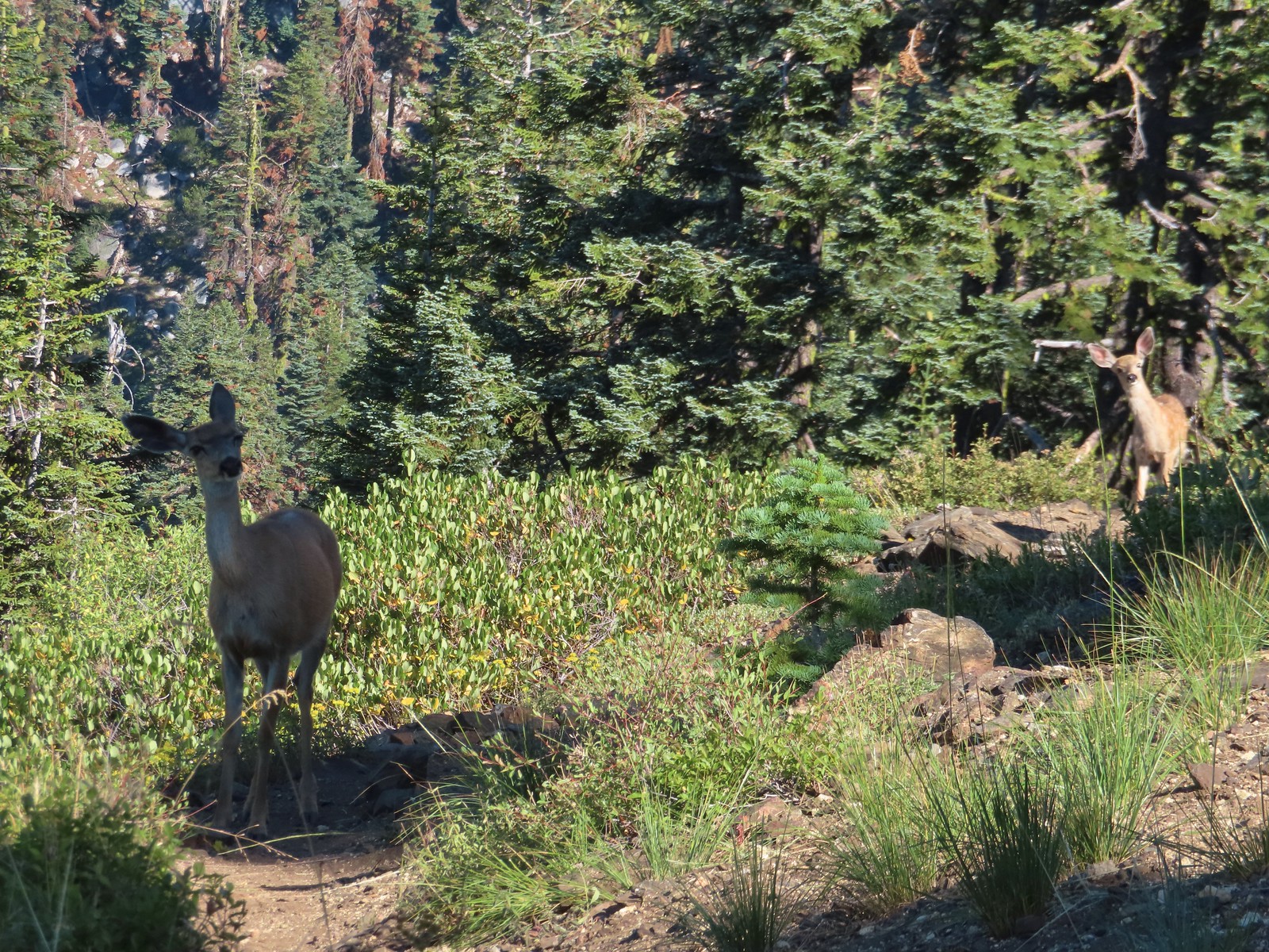 Doe & fawn – Russian Wilderness
 Buck and does – Russian Wilderness
 Two bucks – Crater Lake National Park
 Elk – Yakona Nature Preserve
 Bull elk – Julia Butler Hansen Wildlife Refuge
 Mountain goat below the Mt. Ireland Lookout – Mt. Ireland
 Domestic goat – Near the Julia Butler Hansen Wildlife Refuge
 Black bear – Siskiyou Wilderness
 The same black bear making eye contact the day before.
 Hummingbird at Memaloose Hills in May.
 Hummingbird at Upper Table Rock in May.
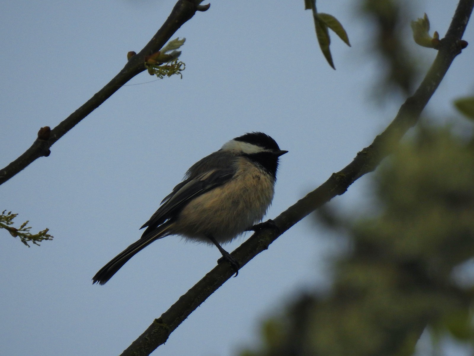 Black capped chickadee at Ankeny Wildlife Refuge in April.
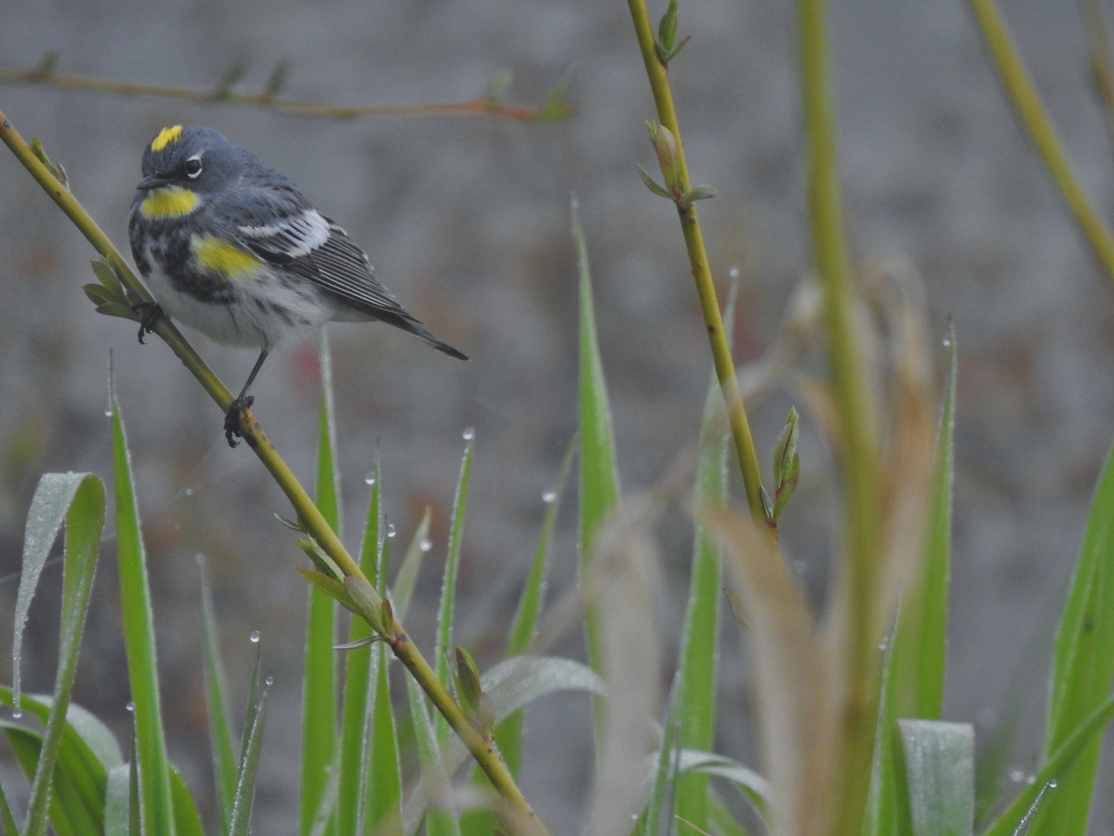 Yellow-rumped warbler (Audubon’s) at Ankeny Wildlife Refuge in April.
 Wren (marsh?) at Ankeny Wildlife Refuge in April.
 White-crowned sparrow at Ankeny Wildlife Refuge in April.
 Sparrow? at Ankeny Wildlife Refuge in April.
 Common yellow throat at Ankeny Wildlife Refuge in April.
 Yellow-rumped warbler (Myrtle) at Ankeny Wildlife Refuge in April.
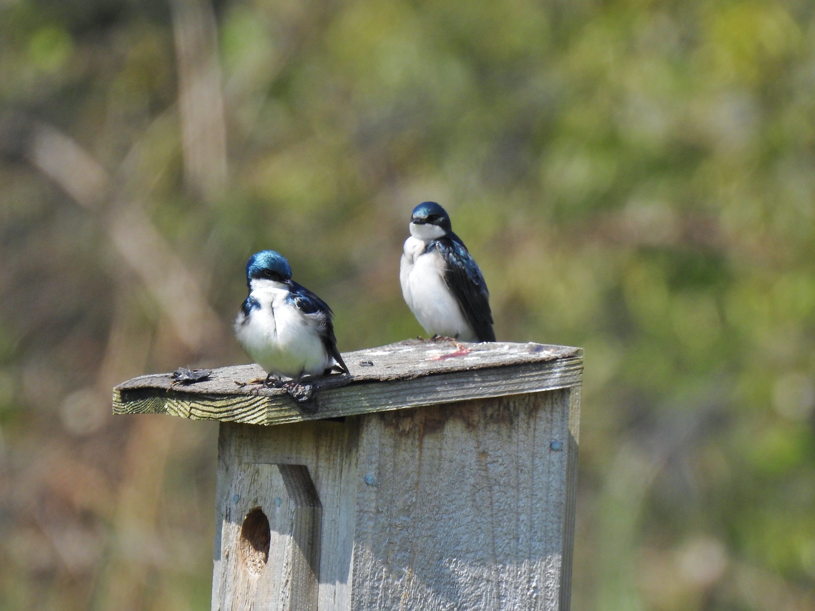 Tree swallows at Ankeny Wildlife Refuge in April.
 White-crowned sparrow and a wren at Miller Woods in May.
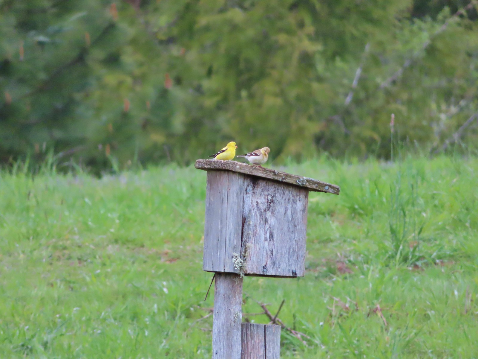 American goldfinch pair at Miller Woods in May.
 Another sparrow at Miller Woods in May.
 Hermit warbler? near Kings Mountain in May.
 House finch? at Upper Table Rock in May.
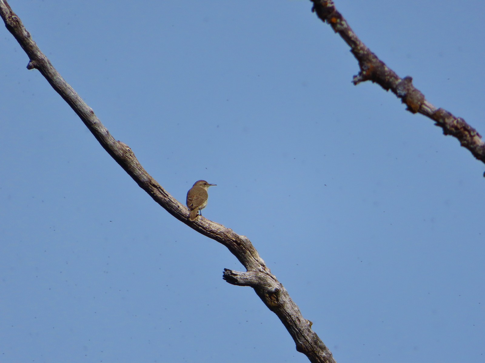 Rock wren? at Upper Table Rock in May.
 Ash-throated flycatcher at Denman Wildlife Area in May.
 Unknown at Denman Wildlife Area in May.
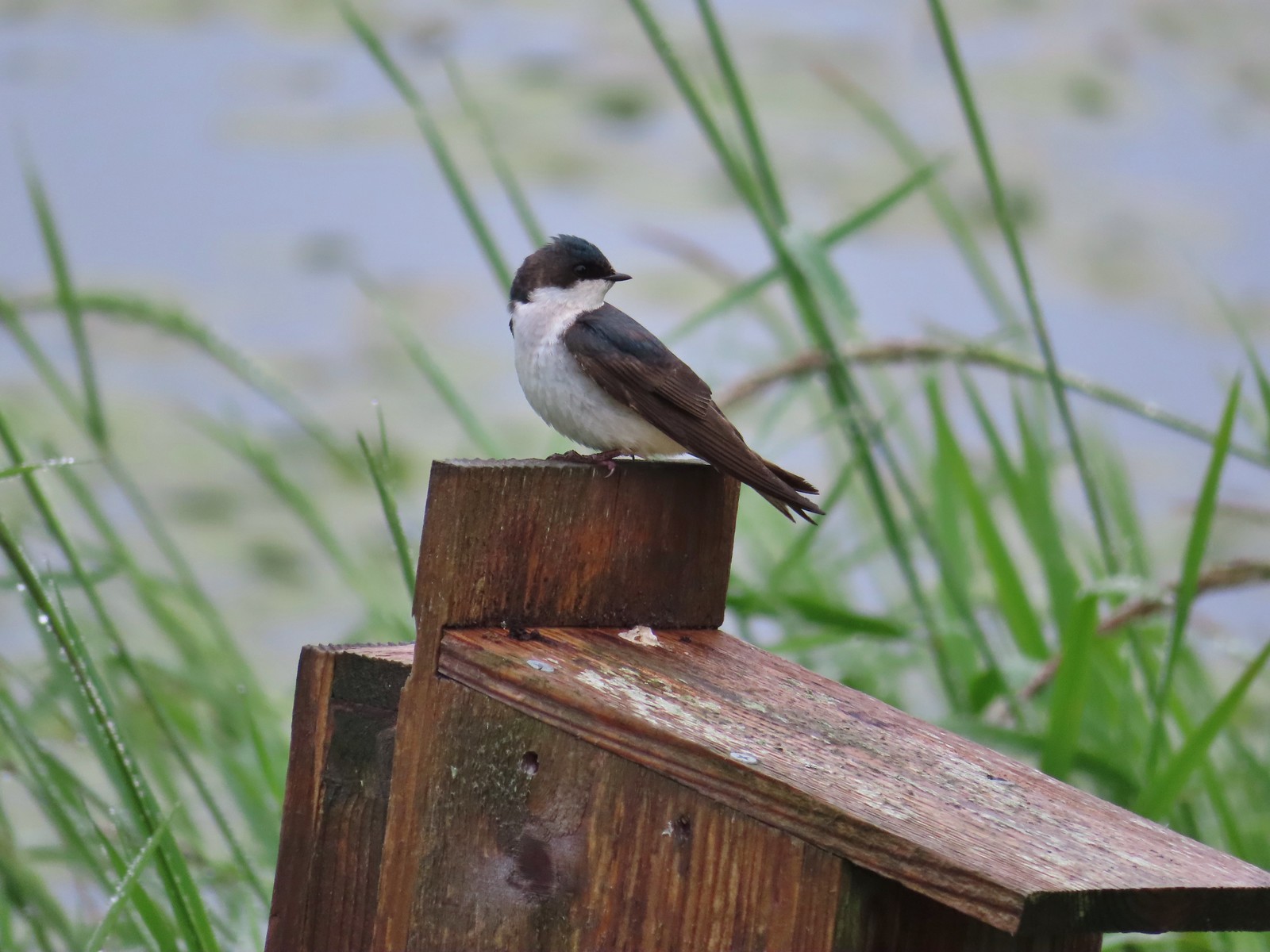 Swallow at Julia Hansen Butler Wildlife Refuge in June.
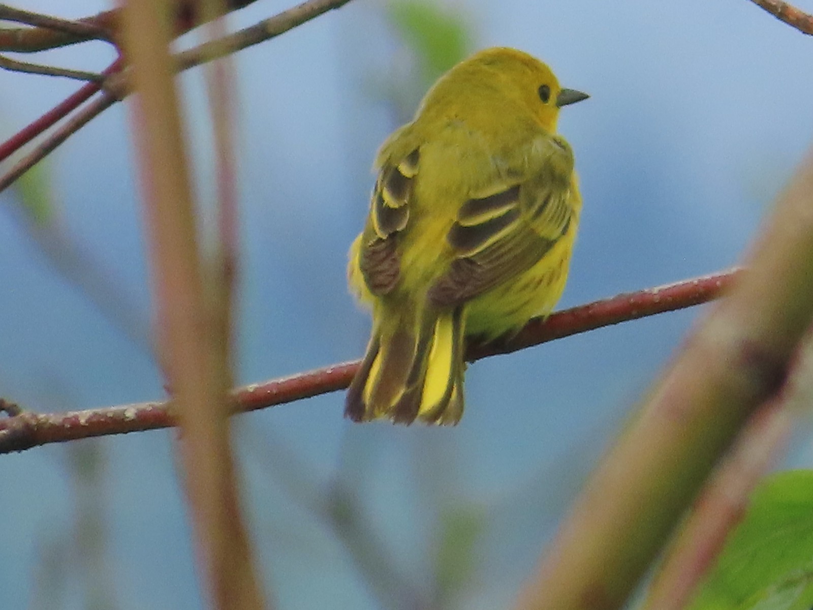 Some sort of warbler? at Julia Hansen Butler Wildlife Refuge in June.
 Purple martins at Julia Hansen Butler Wildlife Refuge in June.
 Another wren at Julia Hansen Butler Wildlife Refuge in June.
 Unknown at Julia Hansen Butler Wildlife Refuge in June.
 Sparrow? at Julia Hansen Butler Wildlife Refuge in June.
 Warbler? at Julia Hansen Butler Wildlife Refuge in June.
 Black phoebe? at Julia Hansen Butler Wildlife Refuge in June.
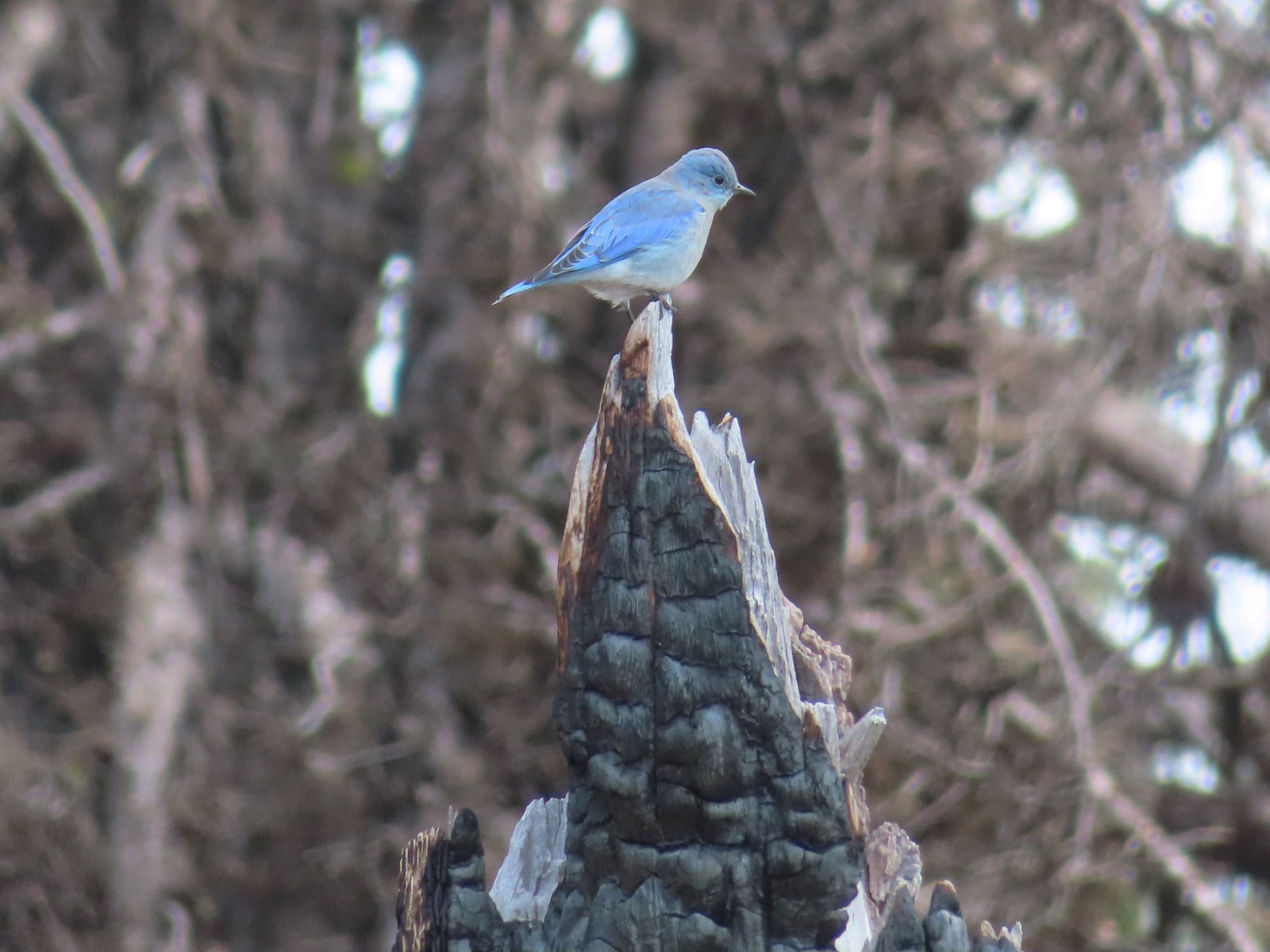 Mountain bluebird near Union Peak in September.
 Red-breasted nuthatch (best I could get) at Crater Lake in September.
 Red crossbilss at Crater Lake in September.
 Wren on the Eagle Creek Trail in November.
 Dark eyed junco at Waverly Lake in December.
 Canada jay (grey jay) along the Crown Zellerbach Trail in March.
 California scrub jay along the Balfour-Klickitat Trail in April.
 Stellar’s jay along the Hood River Pipeline Trail in May.
 Female red-winged blackbird at Ankeny Wildlife Refuge in April.
 Red-winged blackbird at Ankeny Wildlife Refuge in April.
 Spotted towhee at Ankeny Wildlife Refuge in April.
 Starlings along the Hood River Pipeline Trail in May.
 Brownheaded cowbird at Upper Table Rock in May.
 American robin at Ankeny Wildlife Refuge in April.
 Tropical kingbird? at Denman Wildlife Area in May.
 Black-headed grosbeak (also all I could get) at Applegate Lake in May.
 Lazuli bunting at Roxy Ann Peak in May.
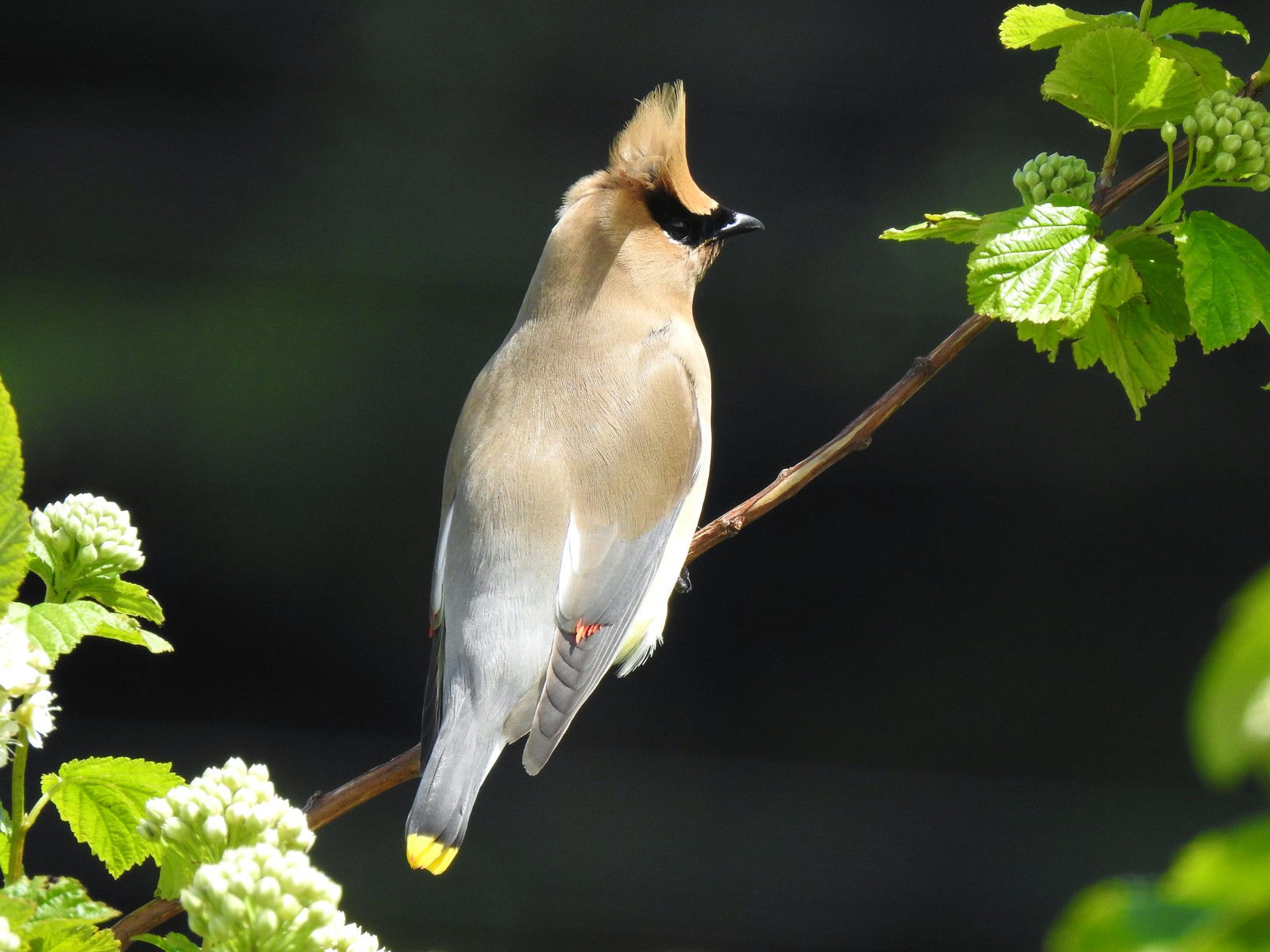 Cedar waxwing at Julia Hansen Butler Wildlife Refuge in June.
 Western tanagers, Siskiyou Wilderness in July.
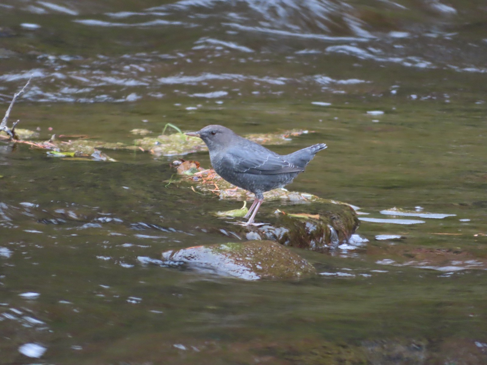 American dipper (Ouzel) near South Umpqua Falls in September.
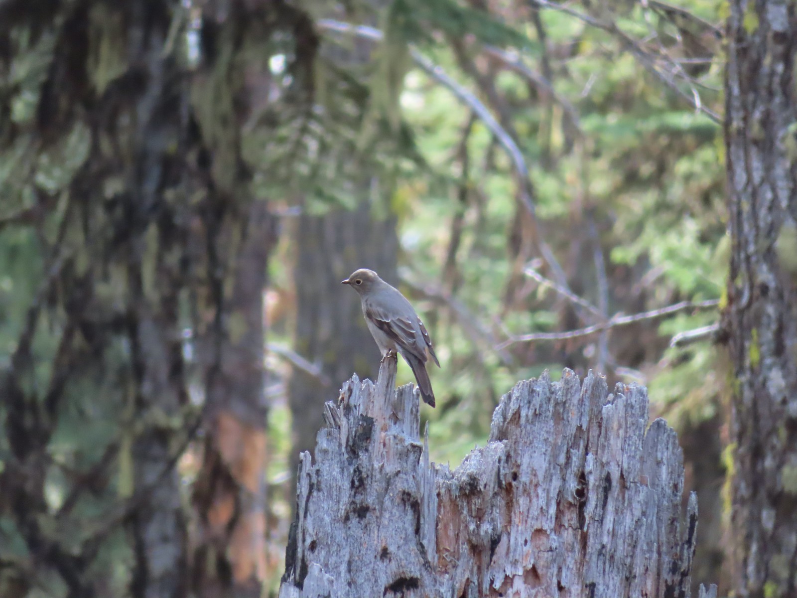 Townsends solitaire at Crater Lake National Park in September.
 Clark’s nutcracker at Crater Lake National Park in September.
 Varied thrush along the Eagle Creek Trail in November.
 Unknown at Cascade Head in October.
 Forest Park in January.
 Northern flicker at Ankeny Wildlife Refuge in April. We seem to see flickers on nearly every hike, but they don’t often sit still long enough for us to get a decent picture.
 Pileated woodpecker at Chehalem Ridge Nature Park in May. We rarely see these but like the flickers, when we do they are very difficult to get a photo of.
 Acorn woodpecker at Denman Wildlife Area in May.
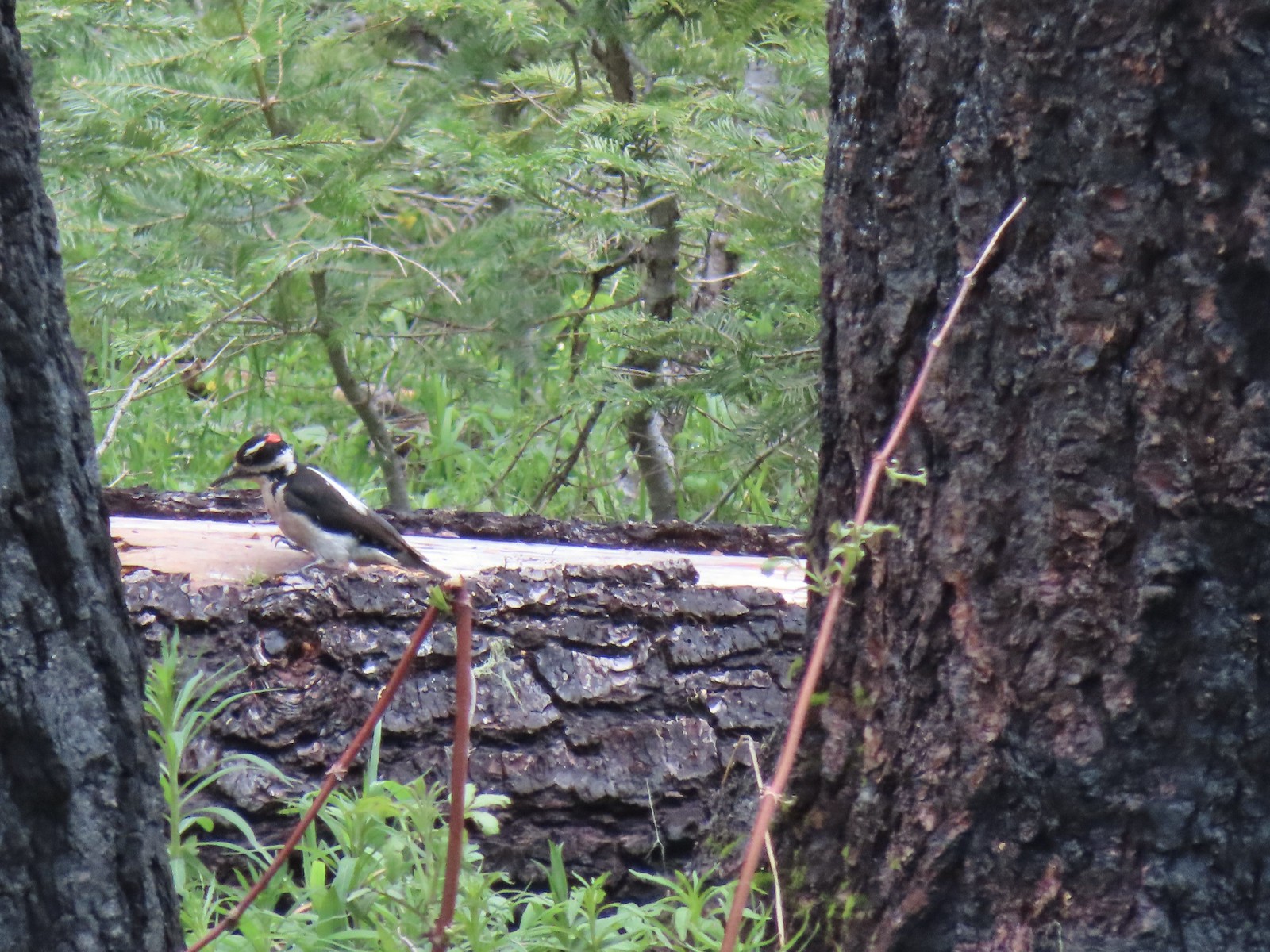 Hairy? woodpecker near Twin Lakes in the Umpqua National Forst in June.
 Red breasted sapsucker at E.E. Wilson Wildlife Area in July.
 Either a hairy or downy woodpecker along the Eagle Creek Trail in November.
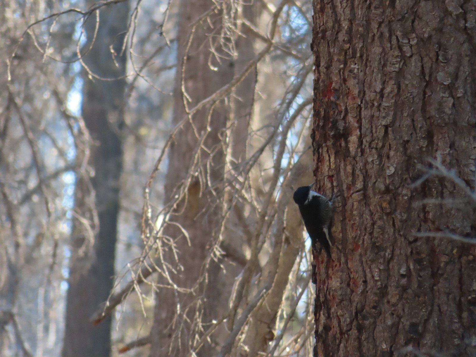 Unknown, Sky Lakes Wilderness in late September.
 Crow along the Crown Zellerbach Trail in March.
 Raven at Upper Table Rock in May.
 Turkey Vulture at Julia Hansen Butler Wildlife Refuge in June.
 American kestral along the Crown Zellerbach Trail in March.
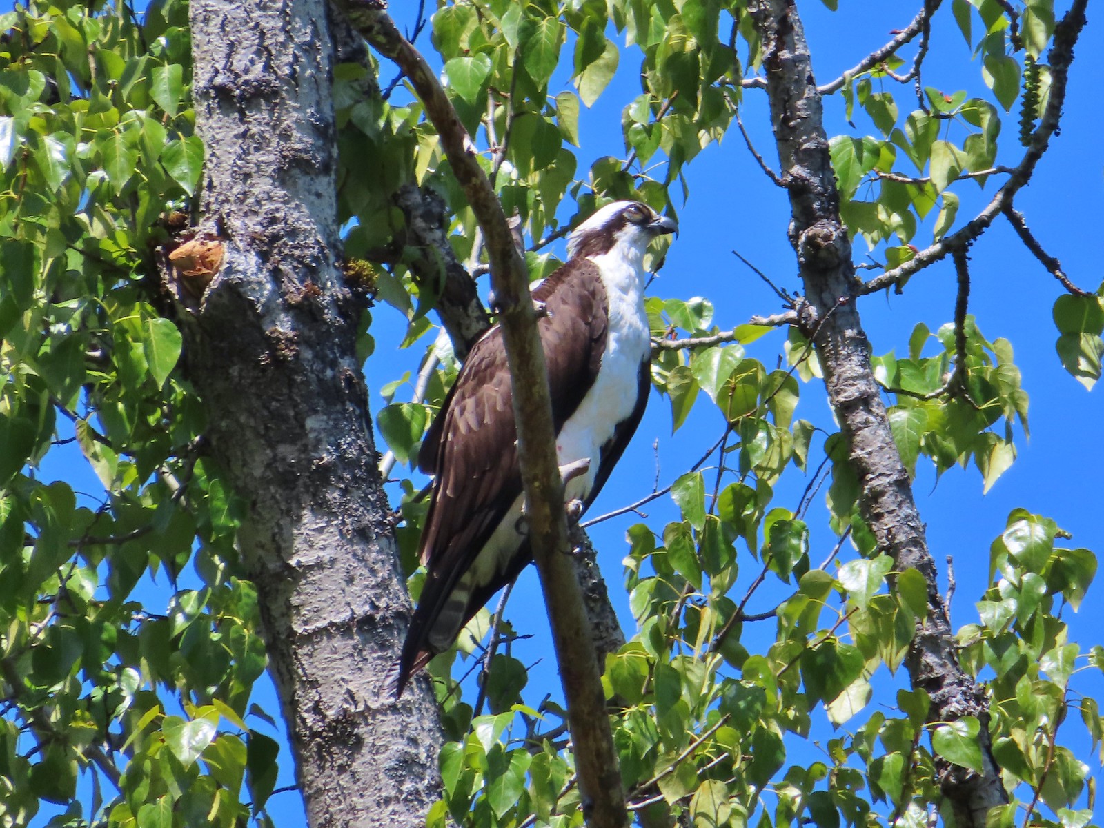 Osprey along the Hood River Pipeline Trail in May.
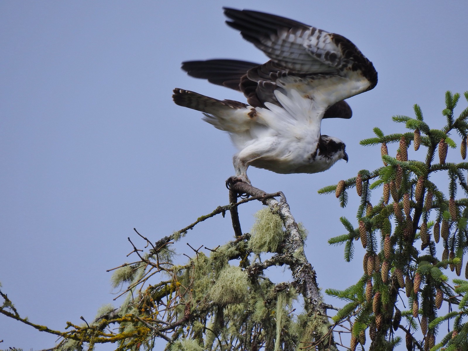 Another osprey at Julia Hansen Butler Wildlife Refuge in June.
 Bald eagle at Julia Hansen Butler Wildlife Refuge in June.
 Eagle in the Sky Lakes Wilderness in September. Not sure if it is a bald or golden.
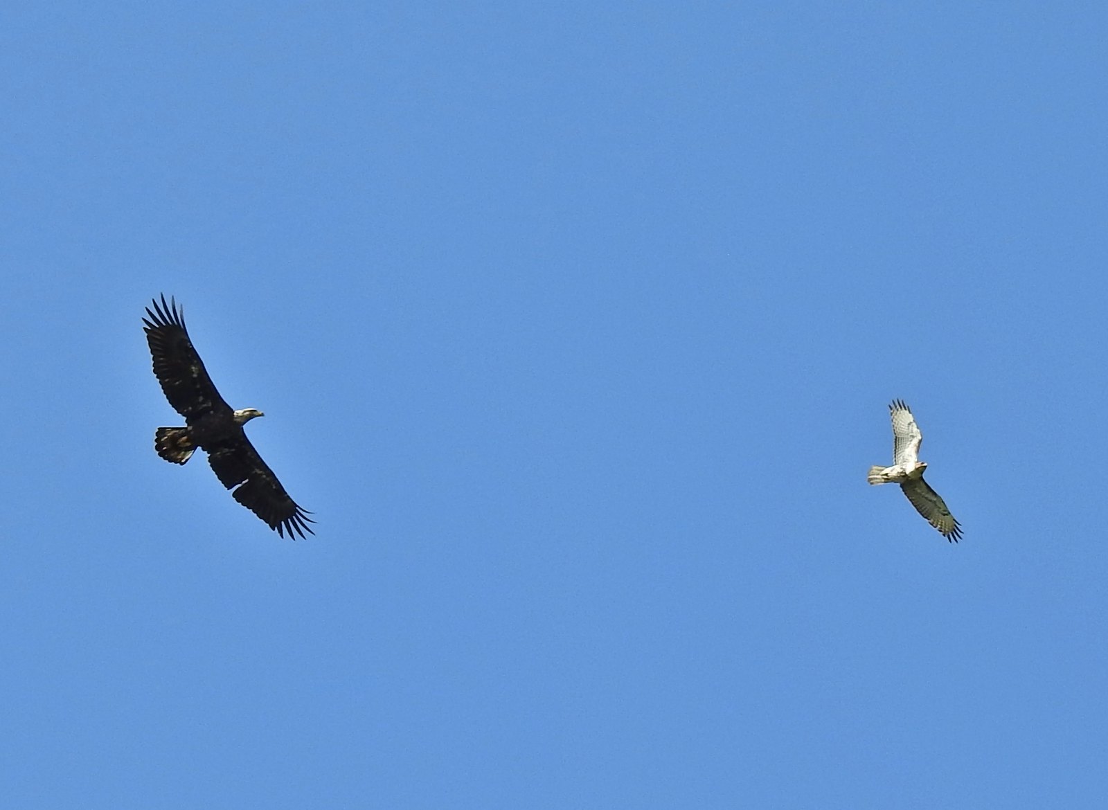 A bald eagle and hawk at Ankeny Wildlife Refuge in April.
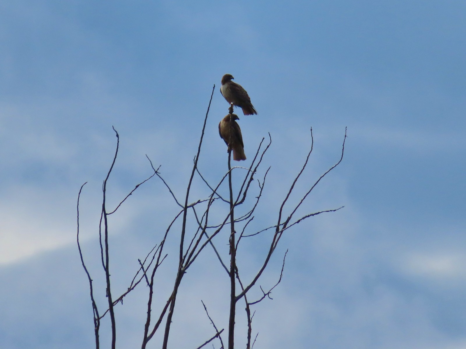 Pair of hawks at Denman Wildlife Area in May.
 Hawk at Denman Wildlife Area in May.
 Hawk at Julia Hansen Butler Wildlife Refuge in June.
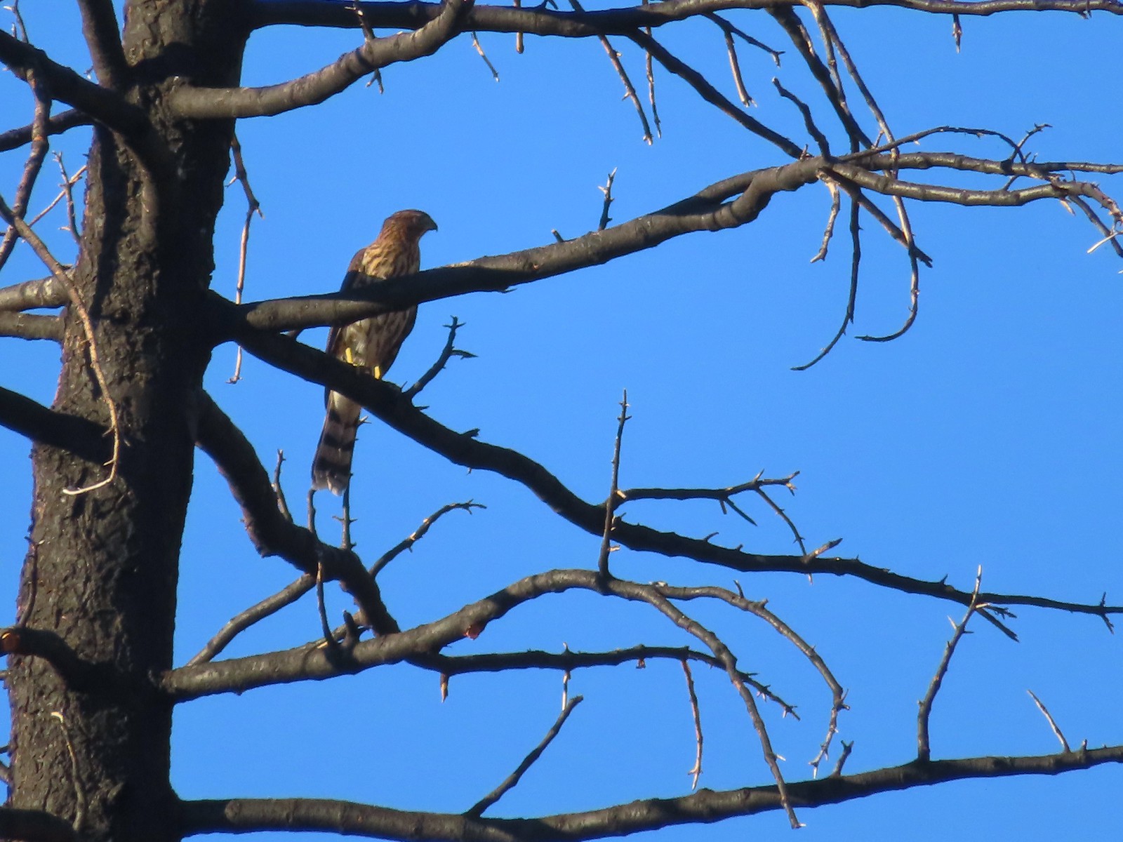 Hawk along the Pacific Crest Trail near Carter Meadows Summit in August.
 Hawk at Crater Lake National Park in September.
 Barred owl at Noble Woods in May.
 Great horned owl at Denman Wildlife Area in May.
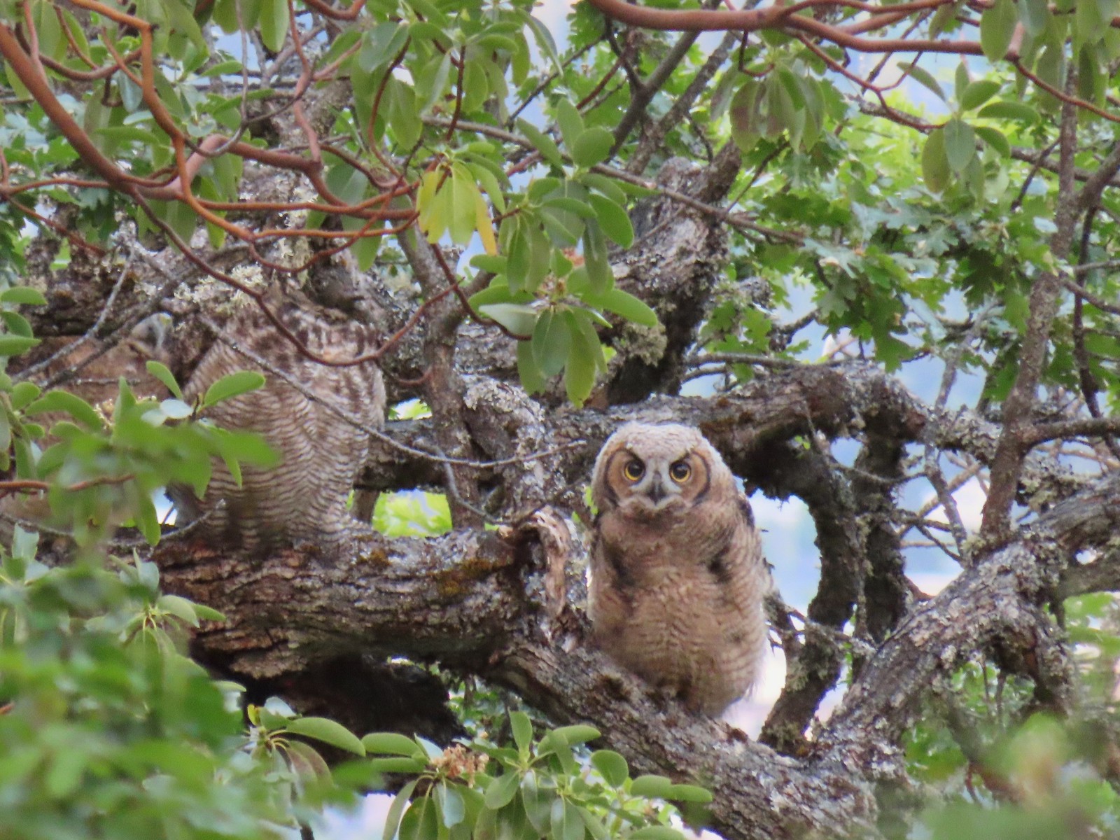 Young great horned owl at Roxy Ann Peak in May.
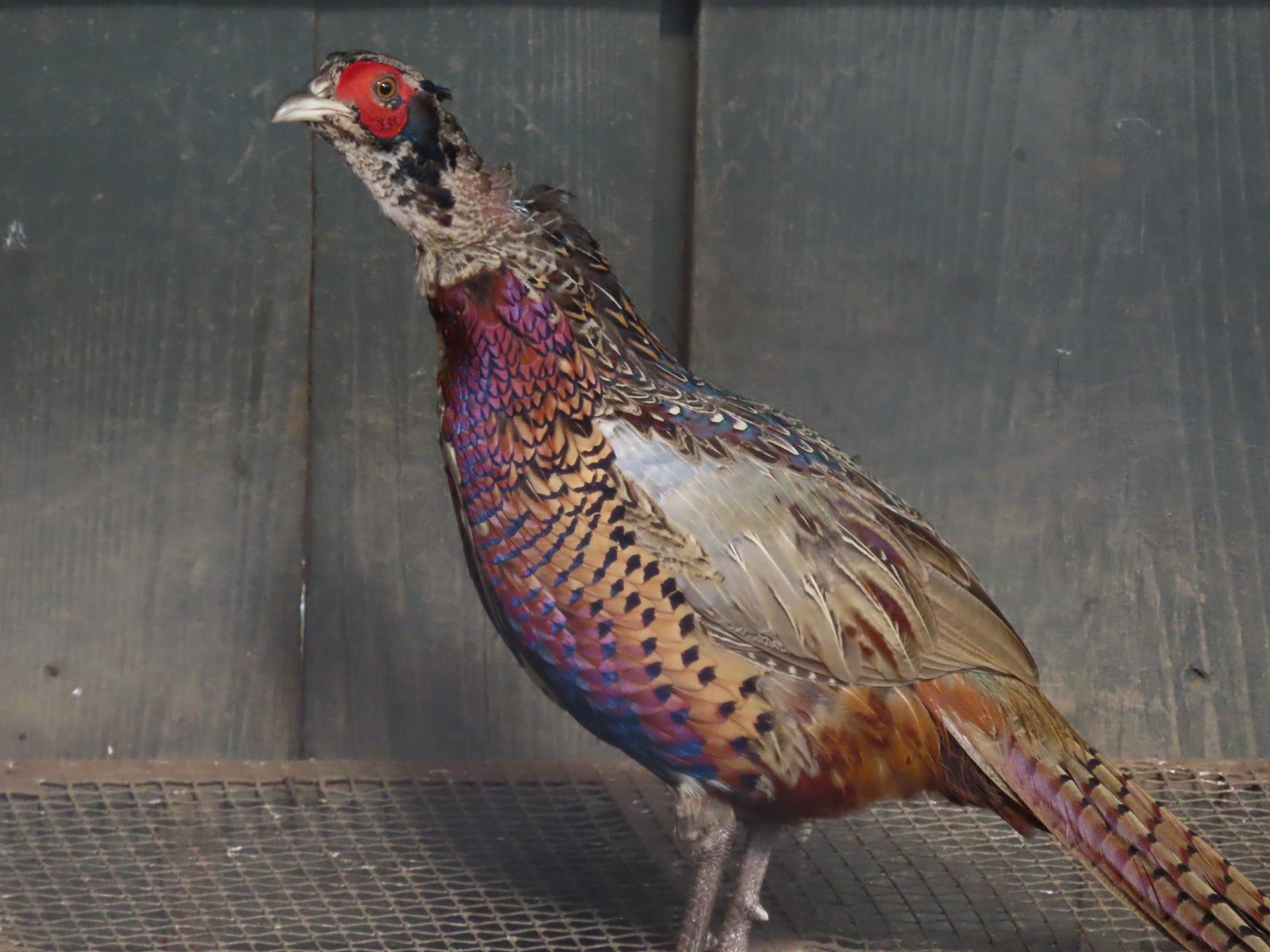 Ring-necked pheasant
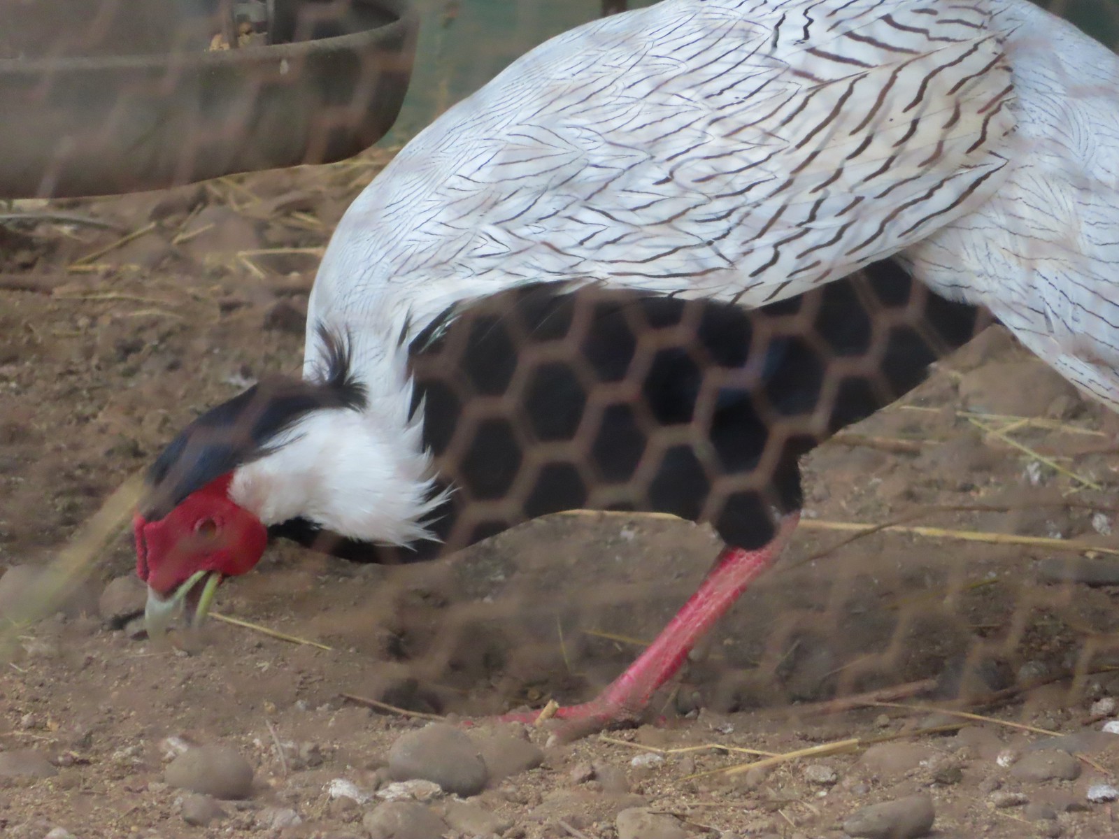 Silver pheasant
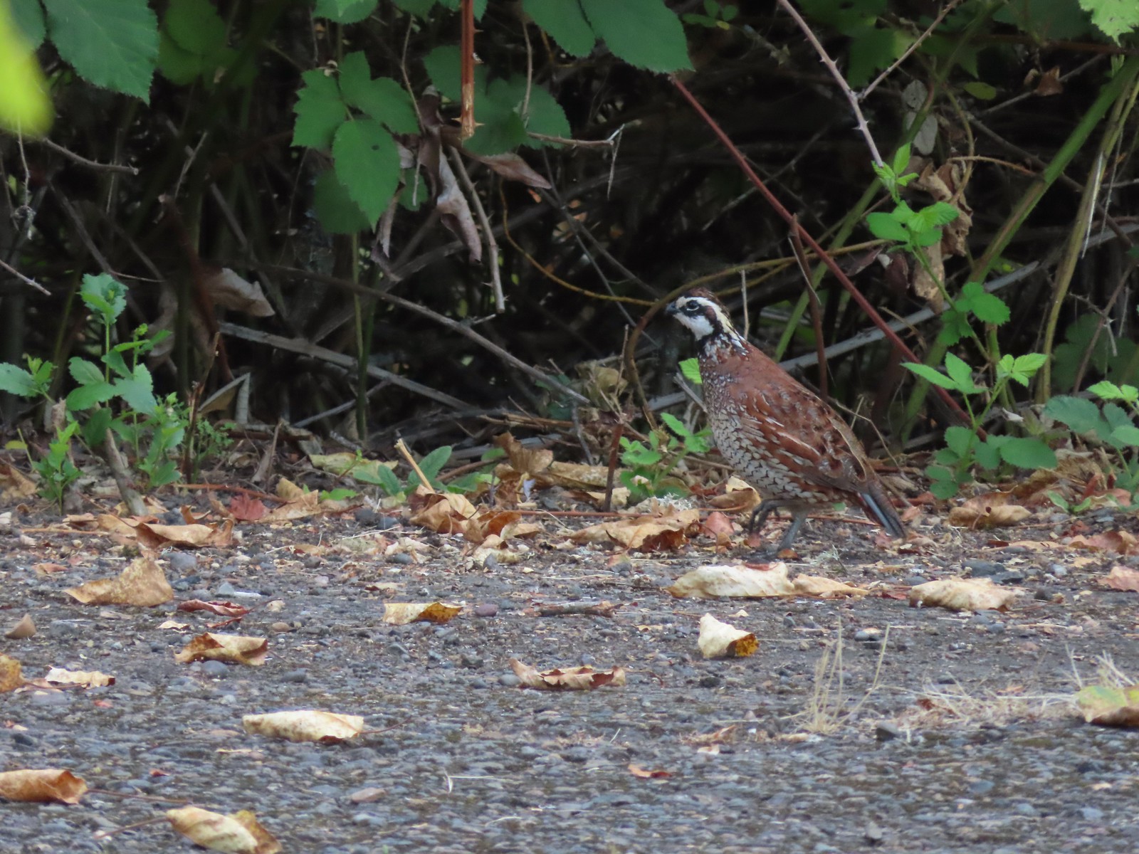 Near the breeding facility at E.E. Wilson Wildlife Area.
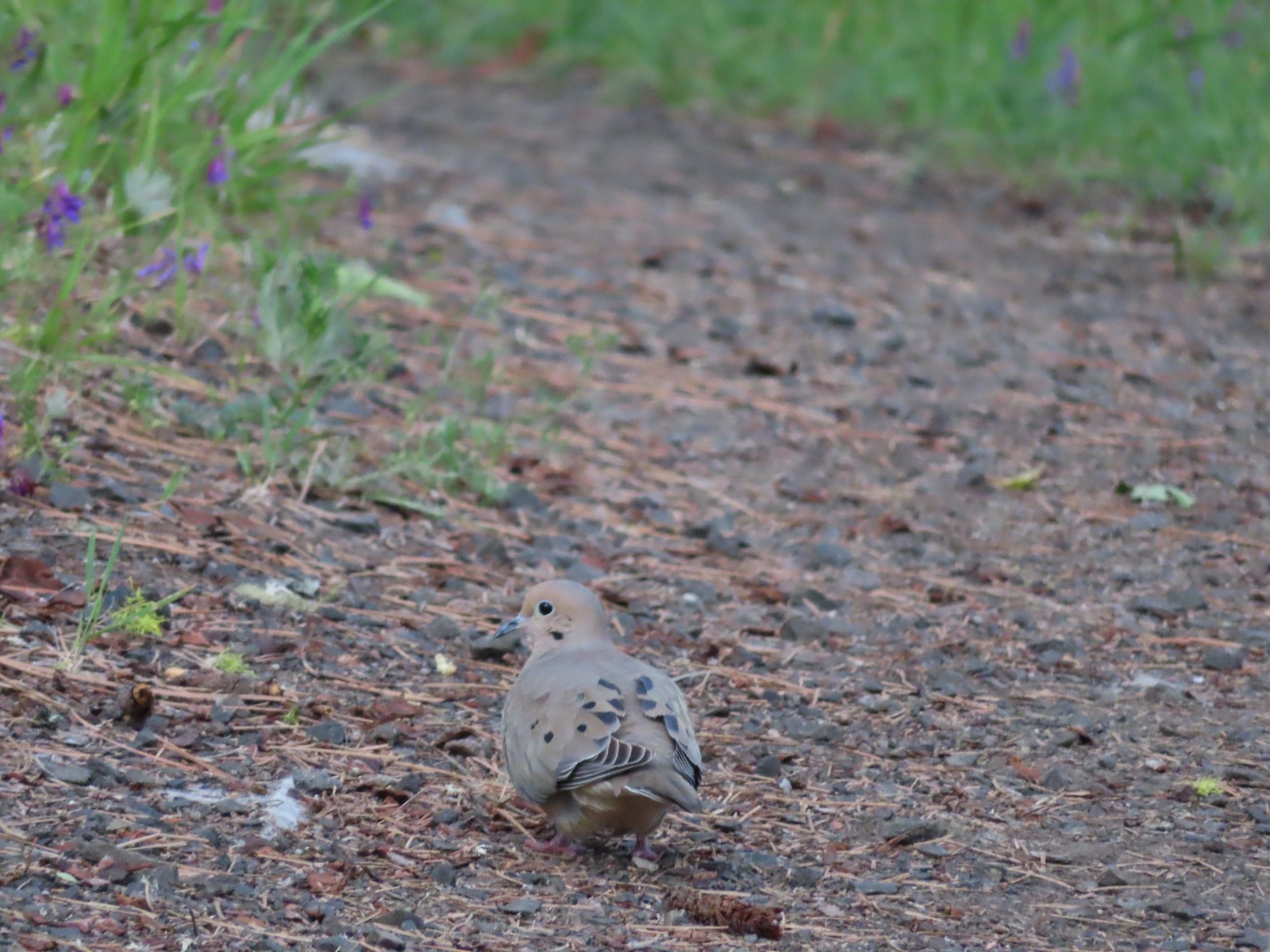 Mourning dove at Roxy Ann Peak a in May.
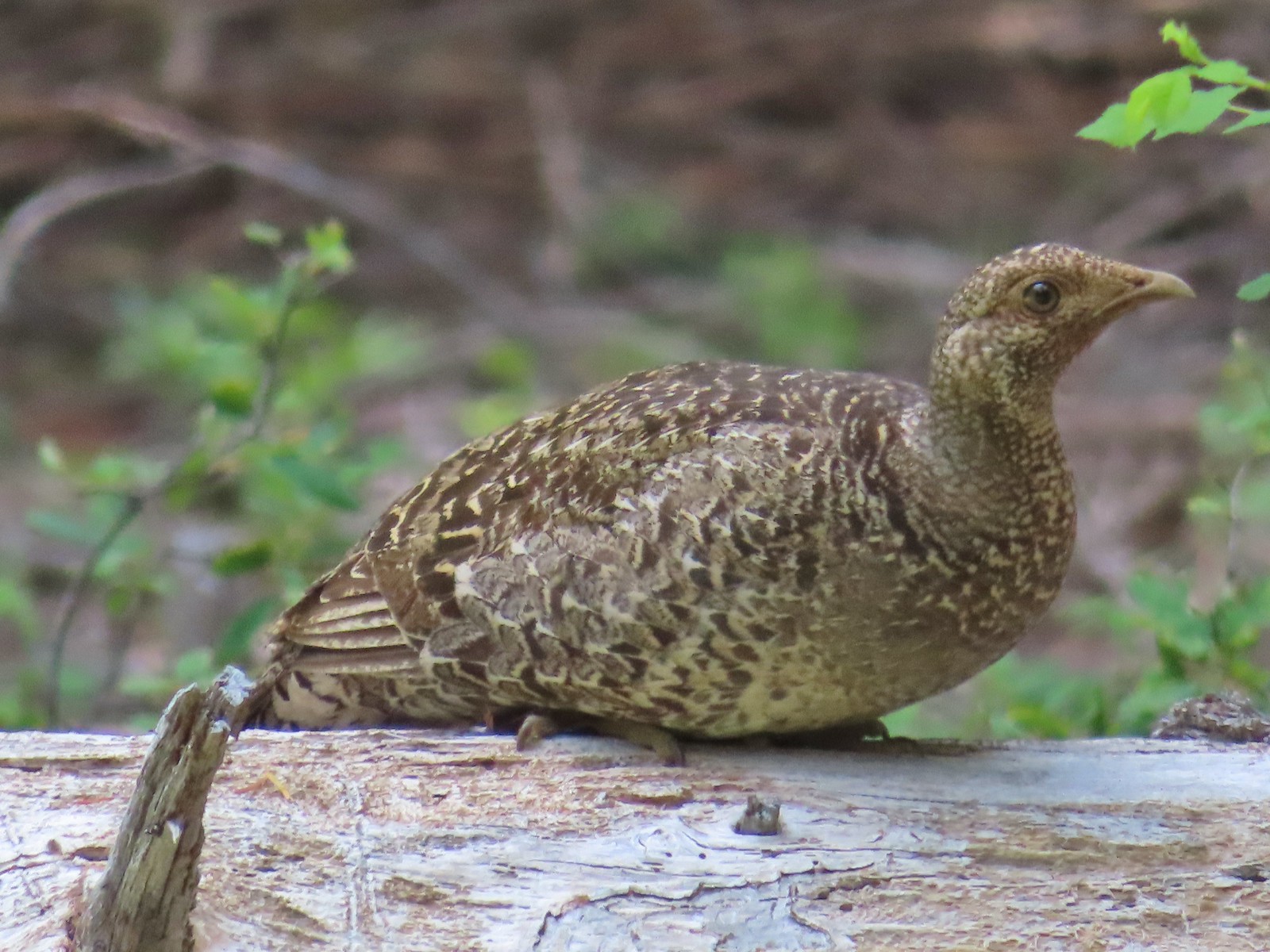 Grouse? in the Siskiyou Wilderness in July.
 Grouse in the Mt. Adams Wilderness in August.
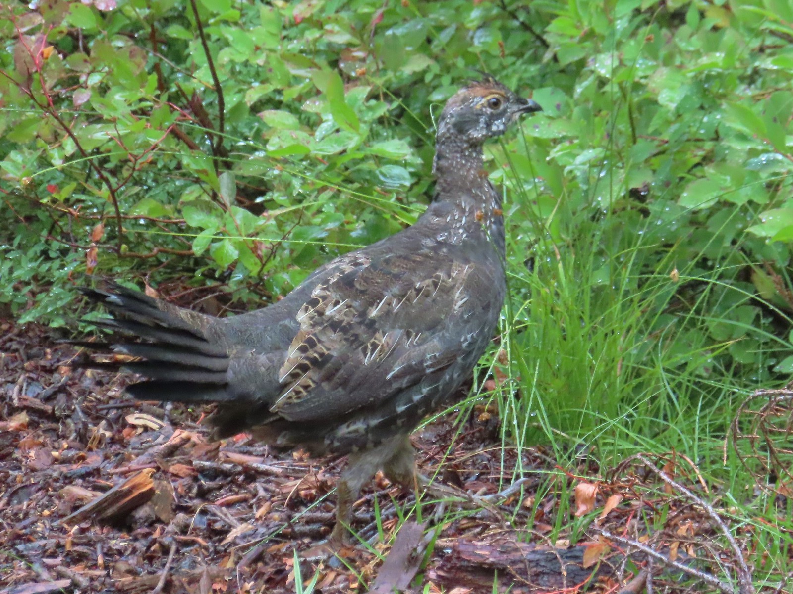 Grouse in the Sky Lakes Wilderness in September.
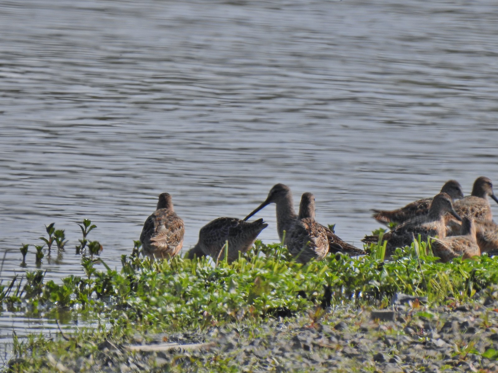 Long billed dowitchers? at Ankeny Wildlife Refuge in April.
 Killdeer at Ankeny Wildlife Refuge in April.
 Sandpiper? at Ankeny Wildlife Refuge in April.
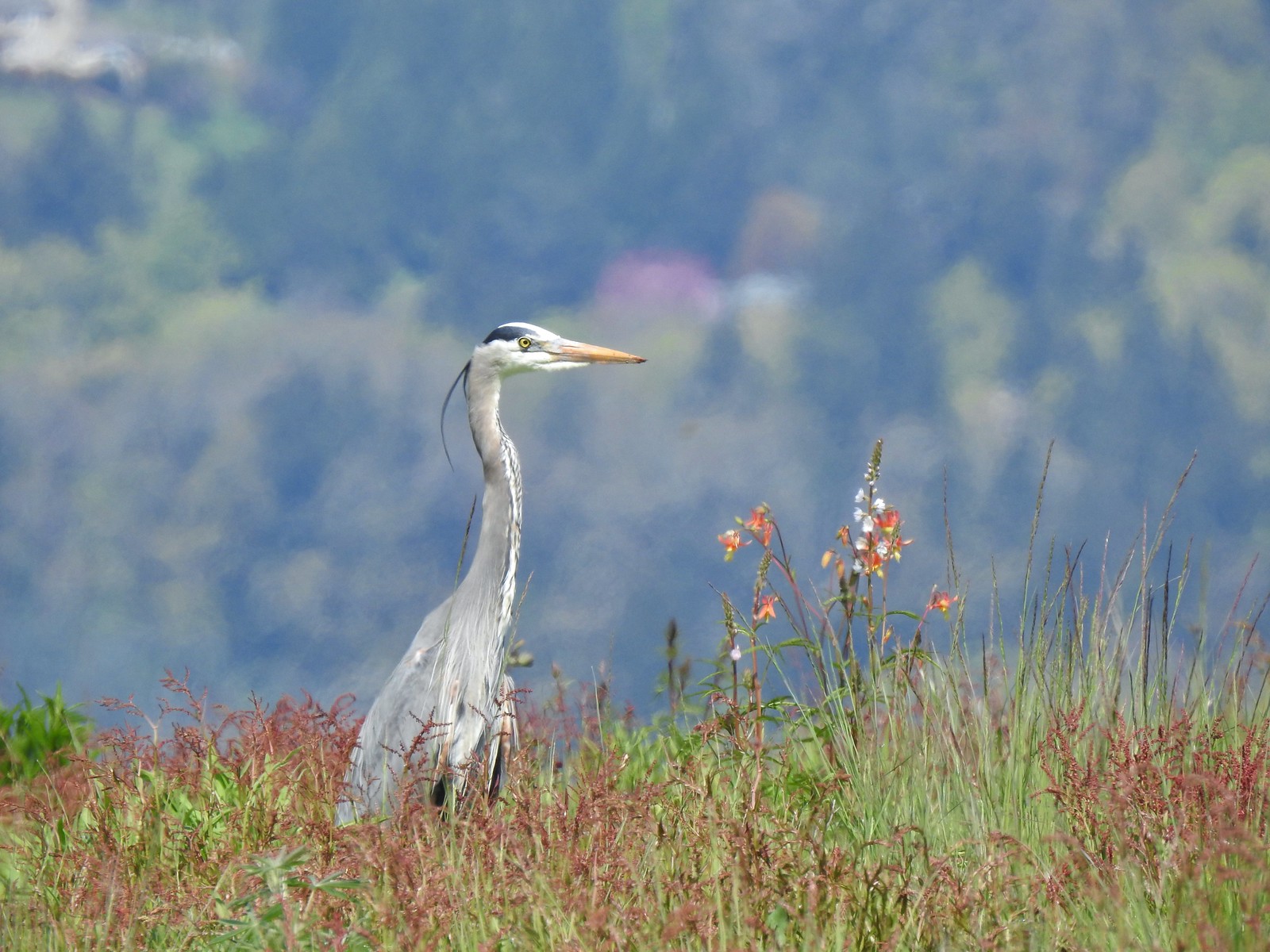 Great blue heron at Ankeny Wildlife Refuge in April.
 Kingfisher at Julia Butler Hansen Wildlife Refuge in June.
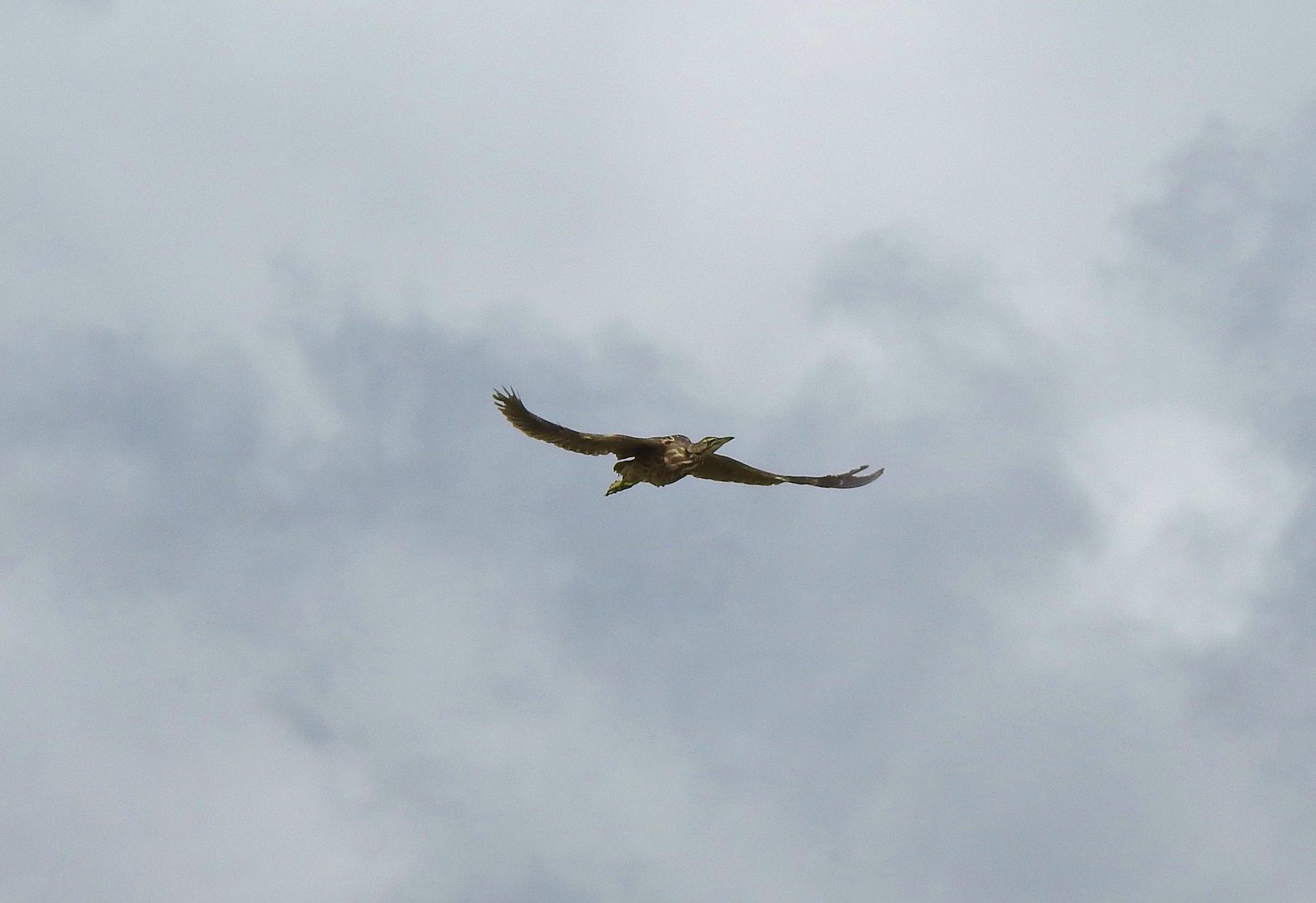 American bittern at Julia Butler Hansen Wildlife Refuge in June.
 White pelicans at Julia Butler Hansen Wildlife Refuge in June.
 Hooded mergansers at Yakona Nature Preserve in February.
 Common mergansers along the Klickitat Trail in April.
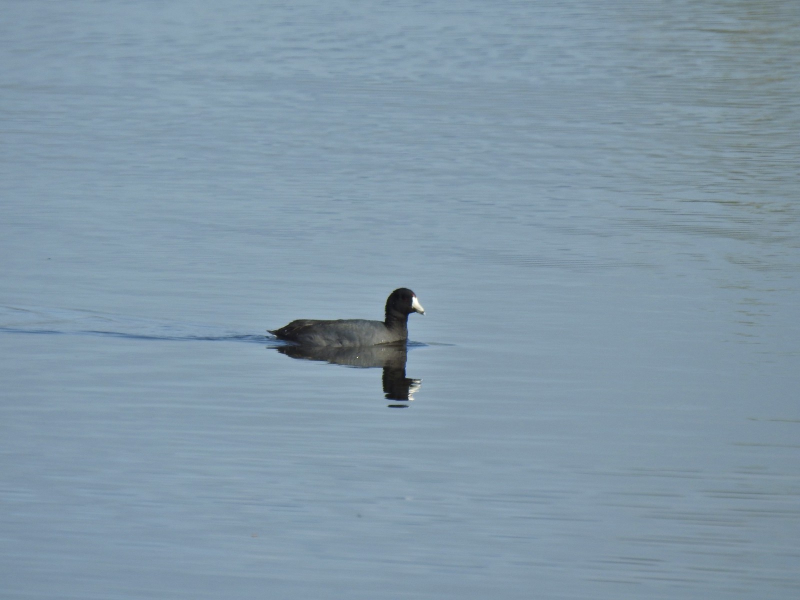 American coot at Ankeny Wildlife Refuge in April.
 Cinnamon teal at Ankeny Wildlife Refuge in April.
 Ring-necked ducks (and an American coot) at Ankeny Wildlife Refuge in April.
 Northern shoveler at Ankeny Wildlife Refuge in April.
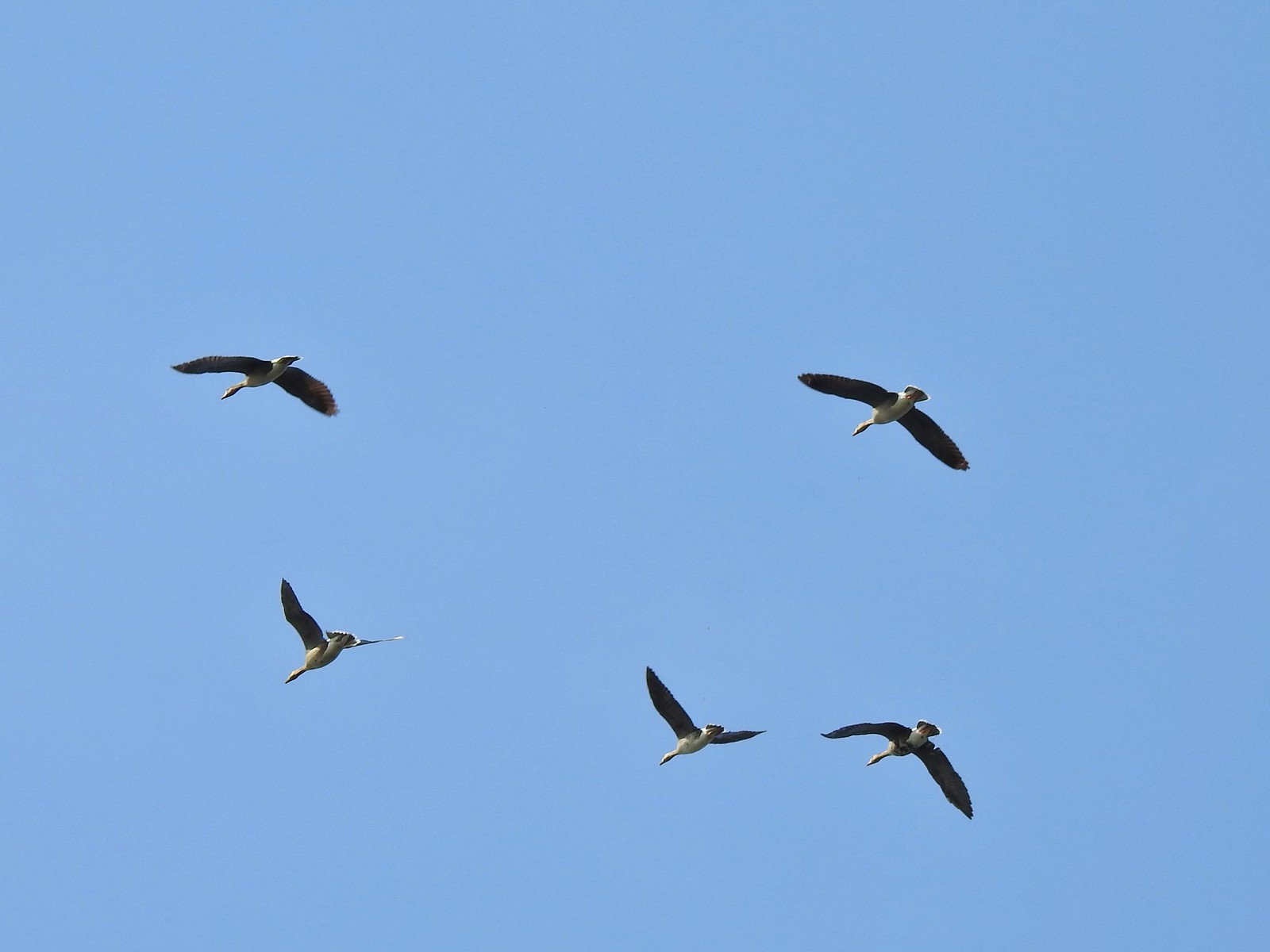 White-fronted geese at Ankeny Wildlife Refuge in April.
 Mallard along the Hood River Pipeline Trail in May.
 Wood duck at Denman Wildlife Area in May.
 Not sure if this is a ruddy duck at Waverly Lake in December.
 Mostly American widgeons with a green winged teal and a female bufflehead or two mixed in at Talking Water Gardens in December.
 Bufflehead at Talking Water Gardens in December.
 Canada geese at Applegate Lake in May.
 Domestic geese near the Klickitat Trail in April.
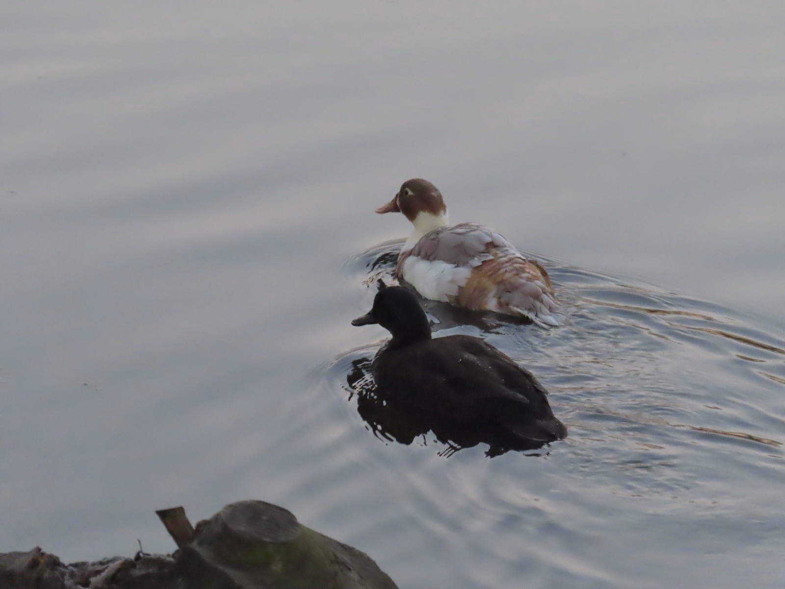 Domestic or hybrid? ducks at Waverly Lake in December.
 Long Gulch Lake. The furthest south we hiked was on the trail a short distance after leaving this lake.
 Technically the western most spot we hiked at was the trailhead for this hike, but the Yaquina River was a nicer picture.
 We hit our northernmost point during the stretch of our hike that followed Brooks Slough.
 View of the Wallowa Mountains from our easternmost point.

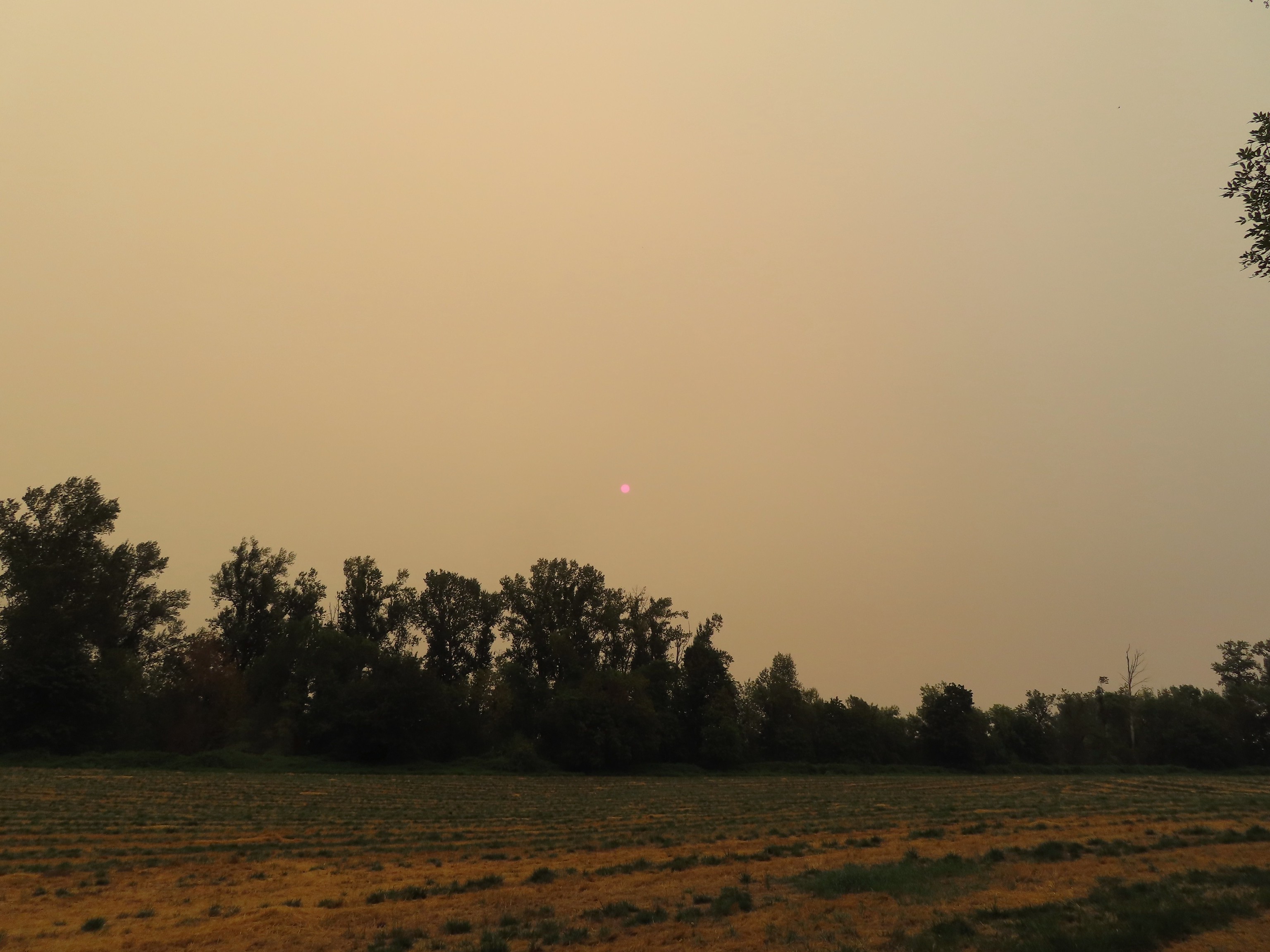 That’s the Sun above the trees.
 Iced over snow in Portland’s Forest Park.
 The Crown-Zellerbach Trail, a converted logging road.
 The Klickitat Trail, a converted railroad.
 The Hood River Pipeline Trail.
 Sidewalk, Rock Creek Trail.
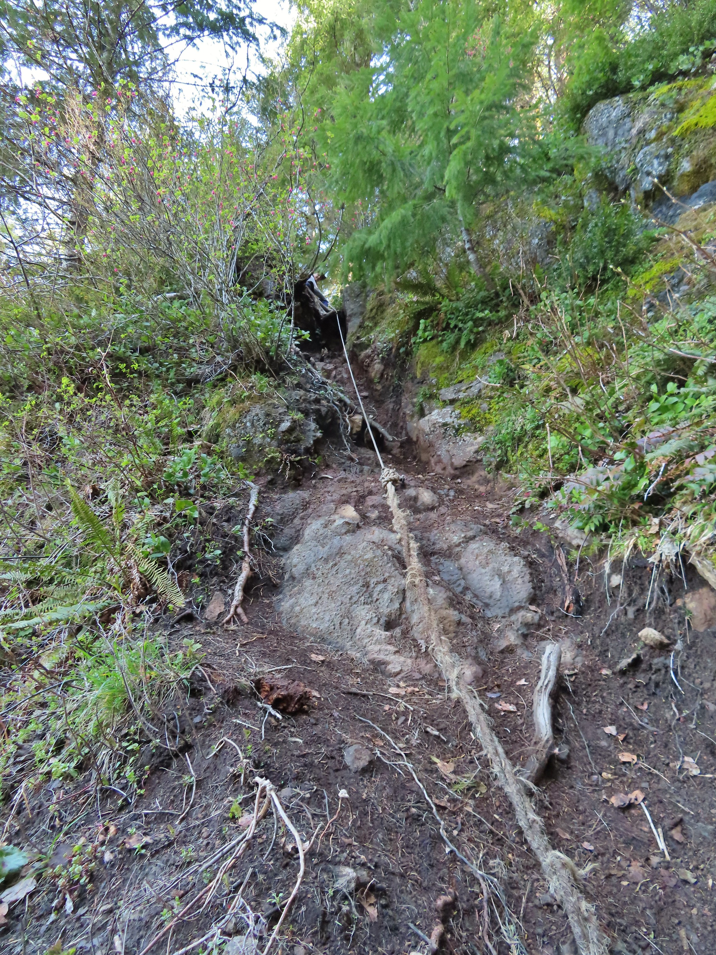 Rope section of the Kings Mountain Trail.
 Gravel Road at Denman Wildlife Area.
 Paved Brooks Slough Road, Julia Hansen Butler Wildlife Refuge (it is open to cars).
 Dirt road at Siskiyou Gap.
 Cross-country to Observation Peak.
 Crossing over granite to reach the Devil’s Punchbowl in the Siskiyou Wilderness.
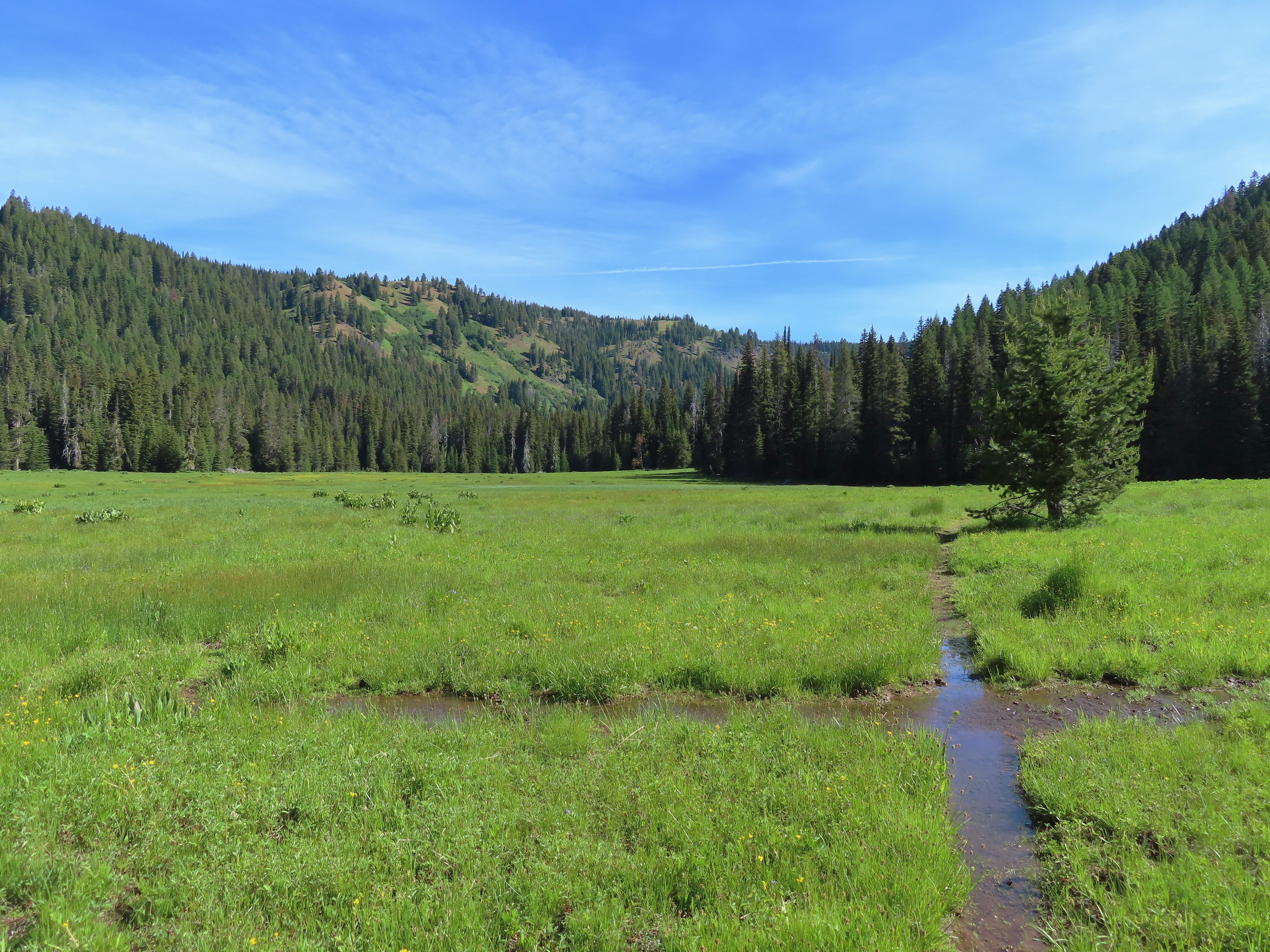 Water covered trail at Catherine Creek Meadows.
 Sandy dirt Mt. Shasta.
 Rock field, Union Peak.
 The remains of the Union Creek Trail.
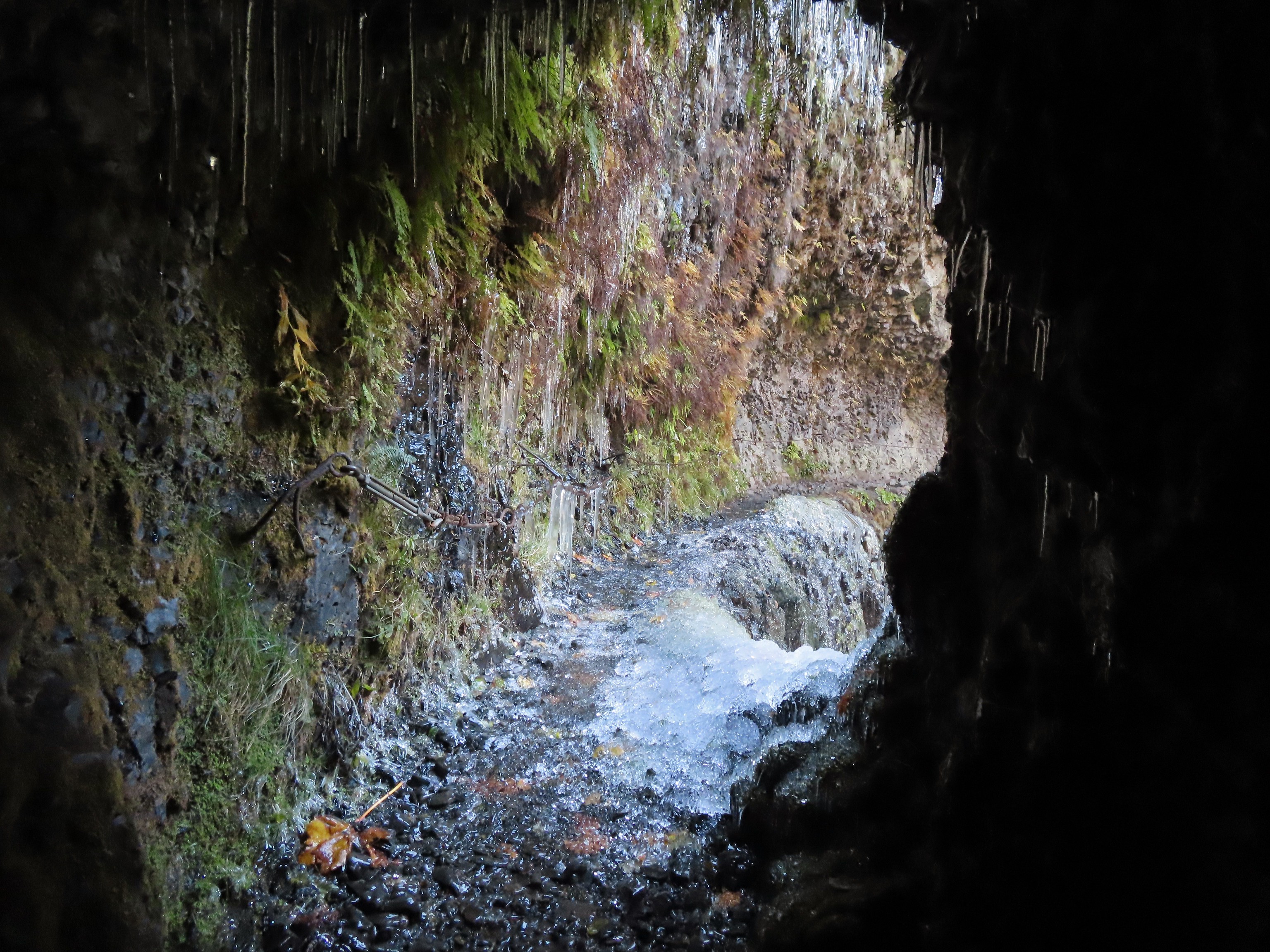 Frozen tunnel on the Eagle Creek Trail.
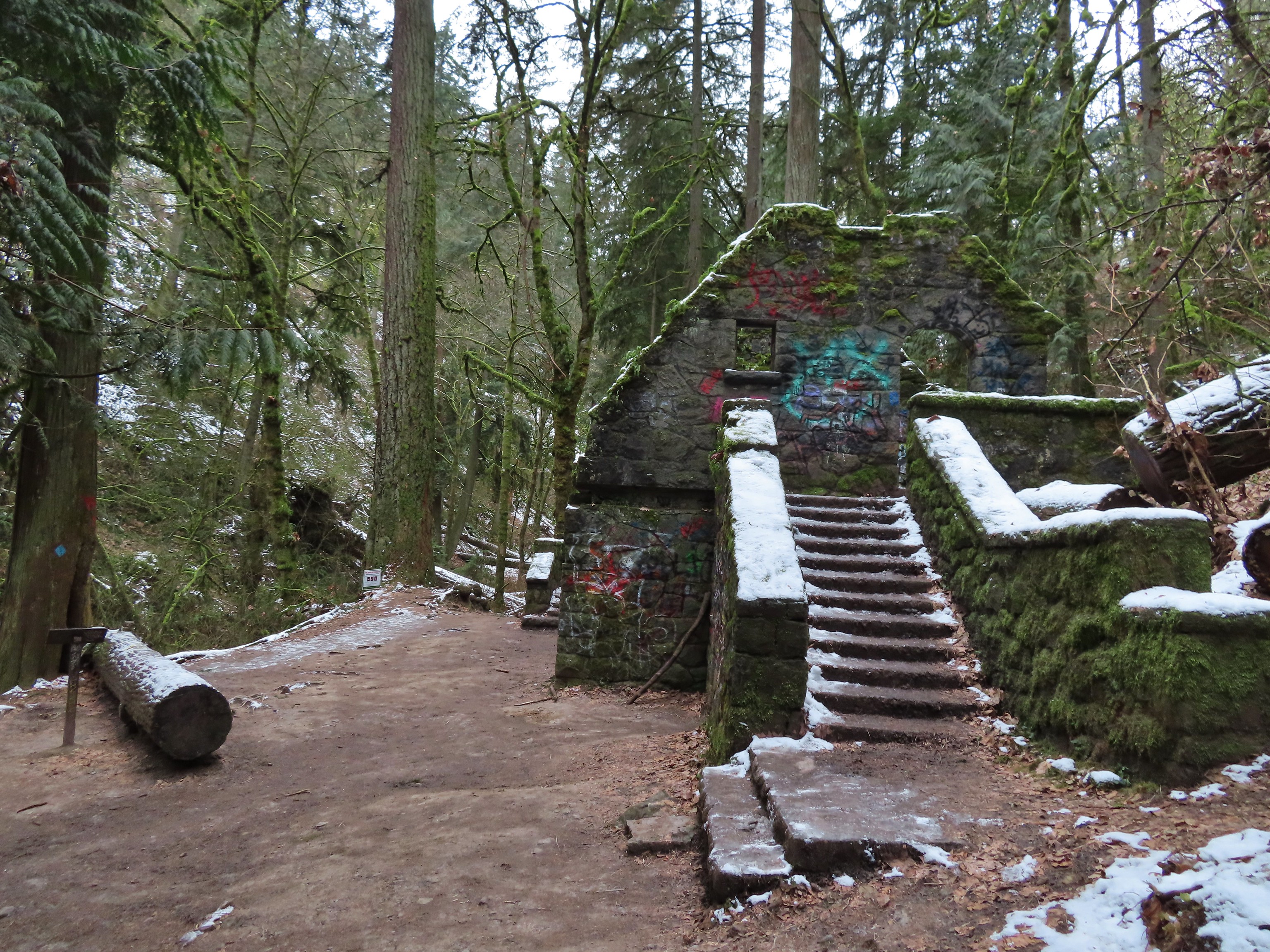 Witch’s Castle – Forest Park, Portland, OR
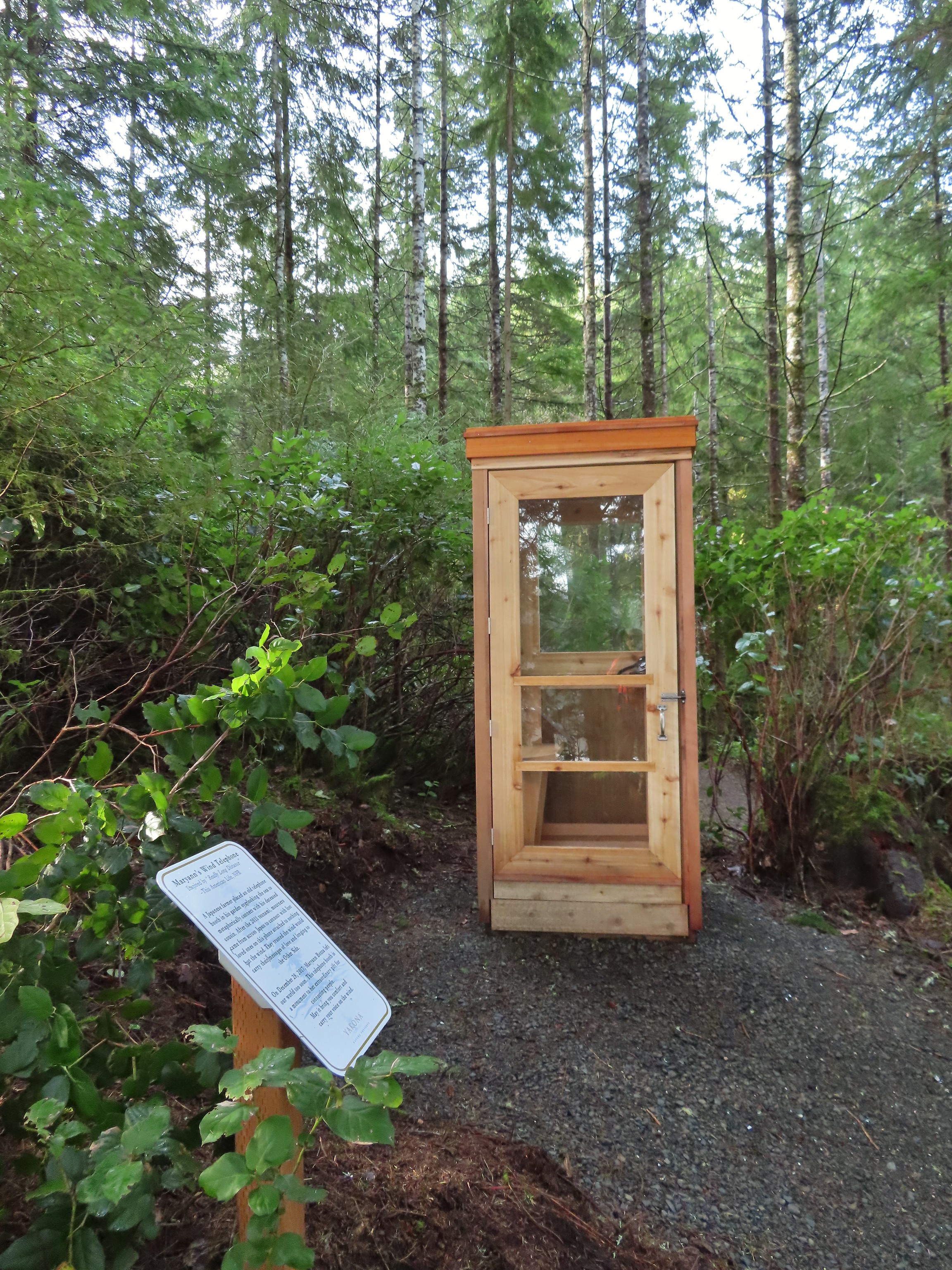 Wind Telephone, Yakona Nature Preserve – Newport, OR
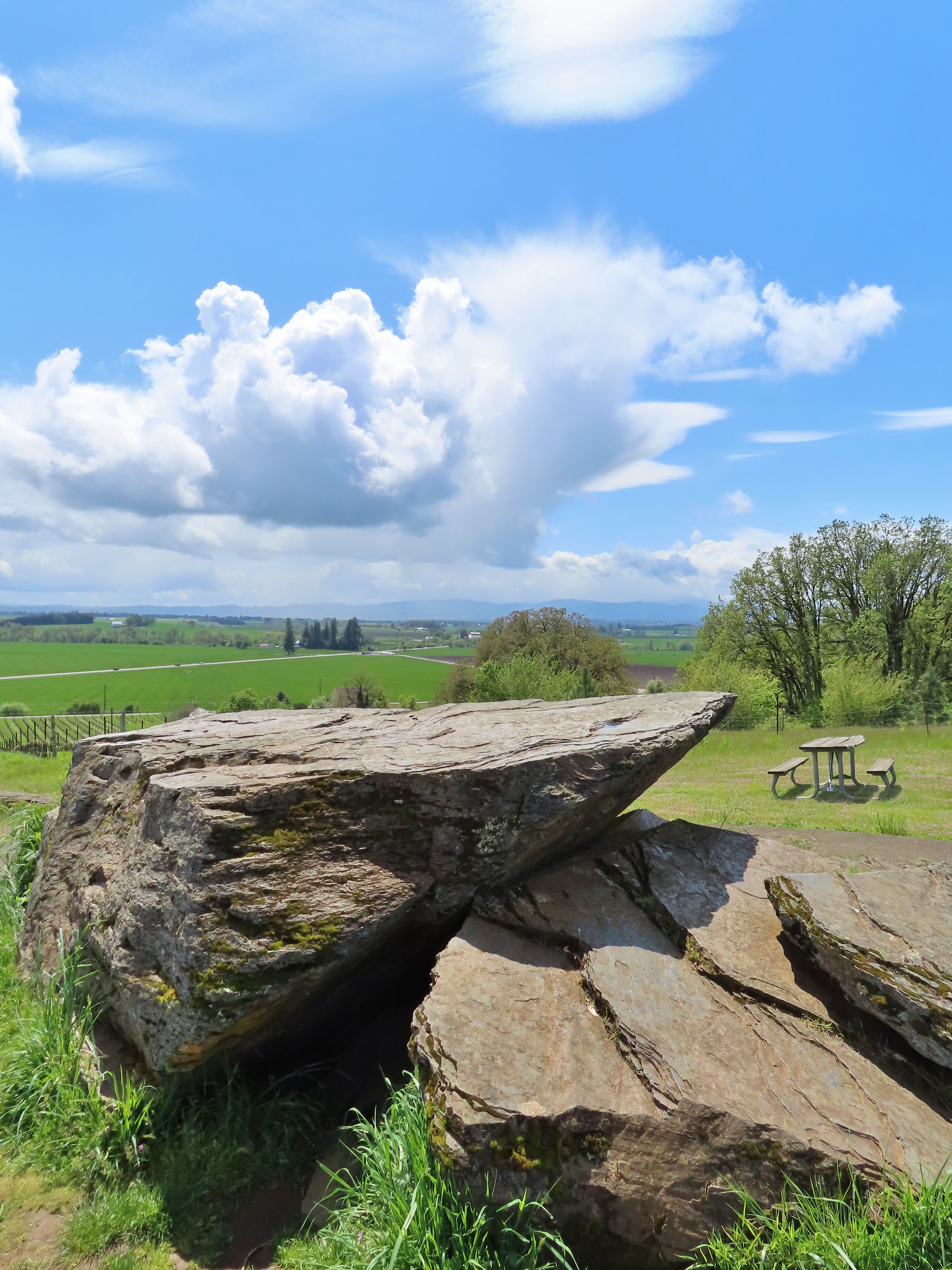 Erratic Rock (
 One of several military bunkers at Ken Denman Wildlife Area – Medford, OR
 Umpqua Hot Springs – Umpqua National Forest, OR
 Illahee Rock Lookout – Umpqua National Forest, OR
 Twin Lakes Shelter – Umpqua National Forest, OR
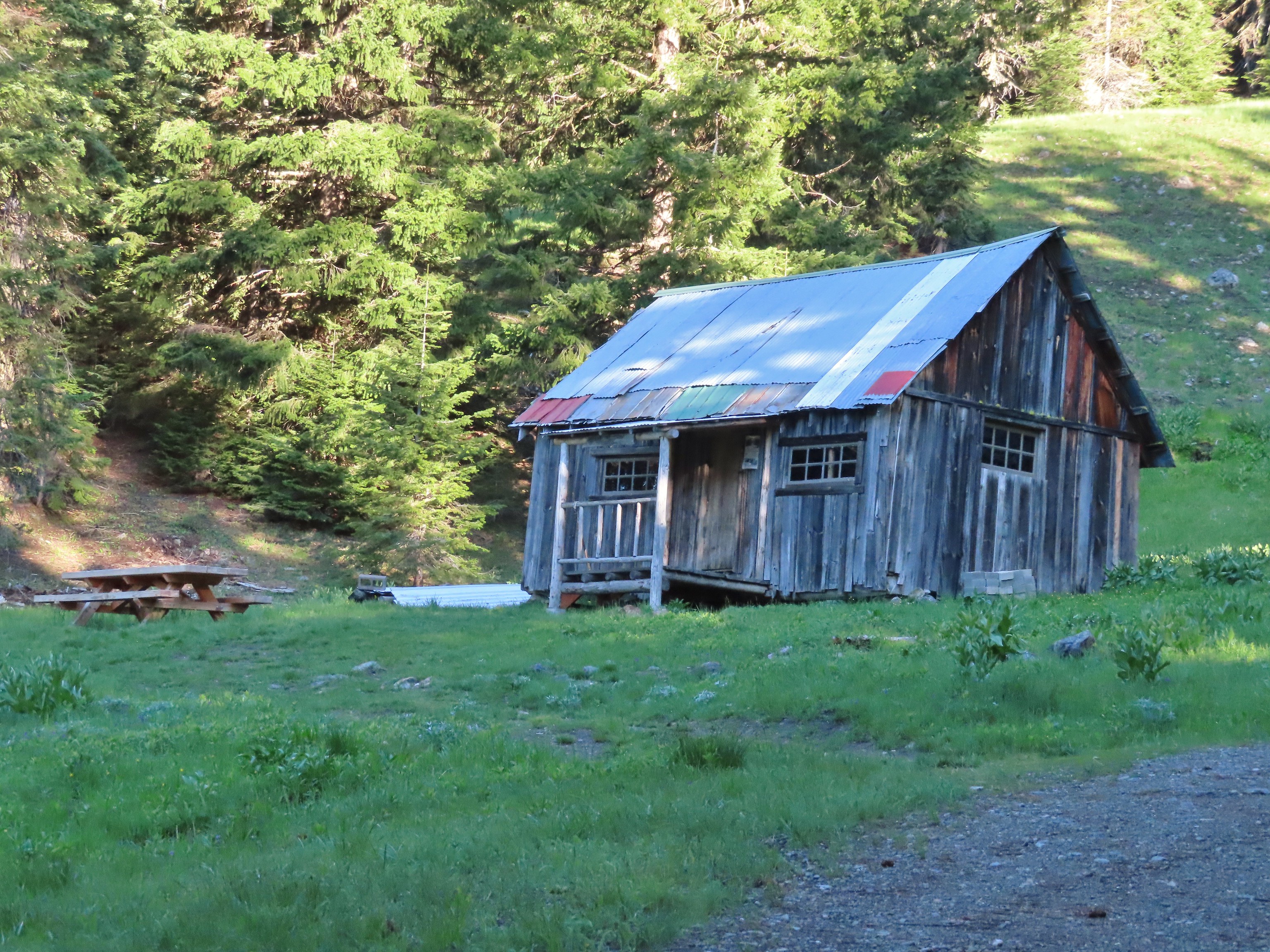 Donomore Cabin – Donomore Meadows, CA
 Mt. Ireland Lookout – Wallowa-Whitman National Forest, OR
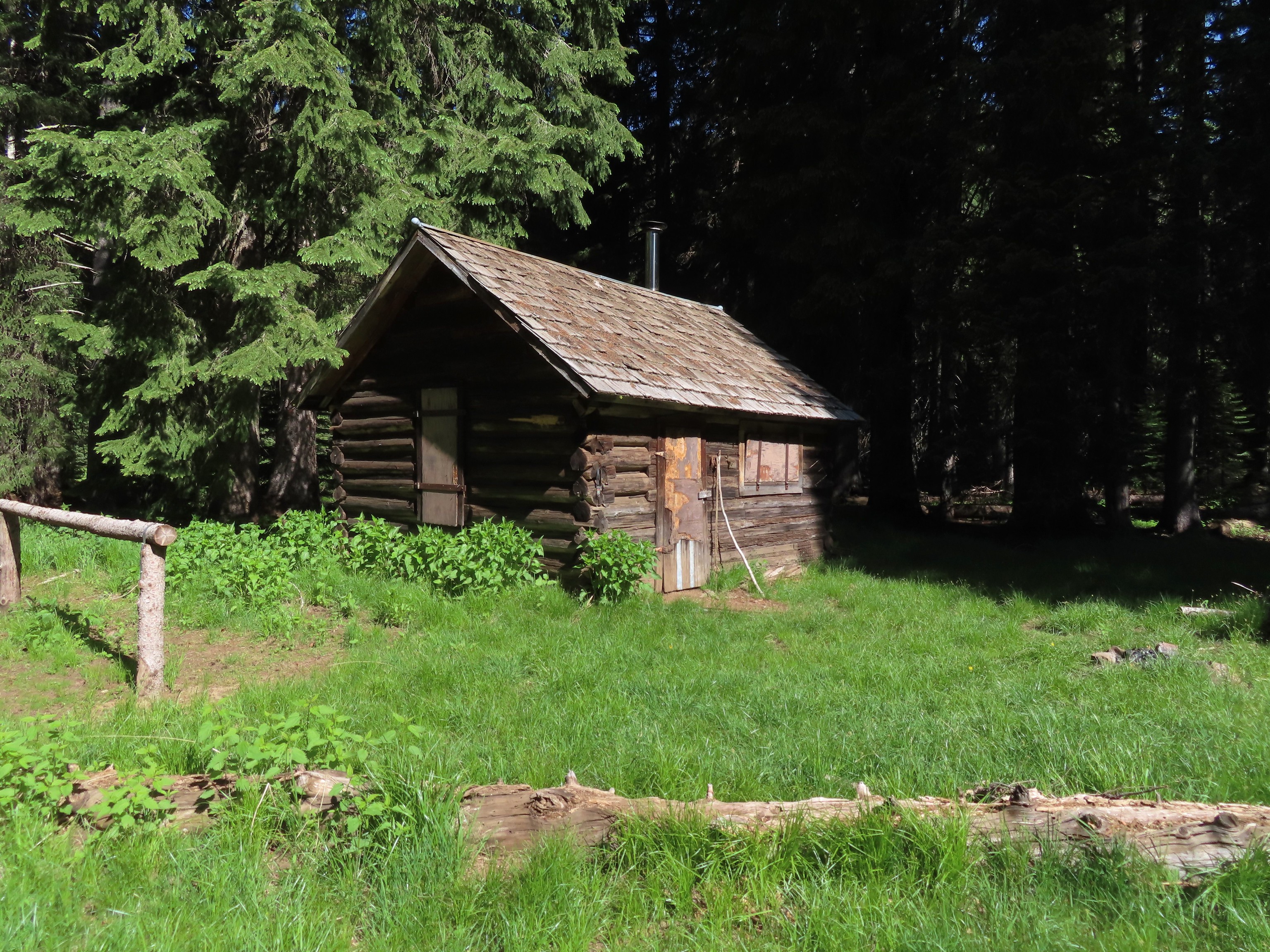 Cabin at Catherine Creek Meadows – Wallowa-Whitman National Forest, OR
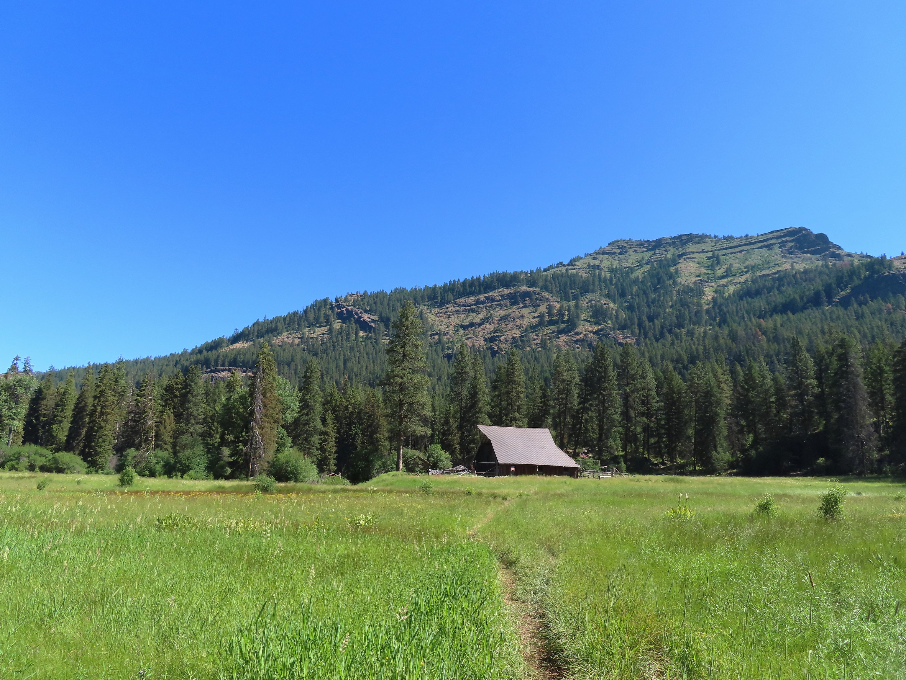 Reds Horse Ranch – Wallowa-Whitman National Forest, OR
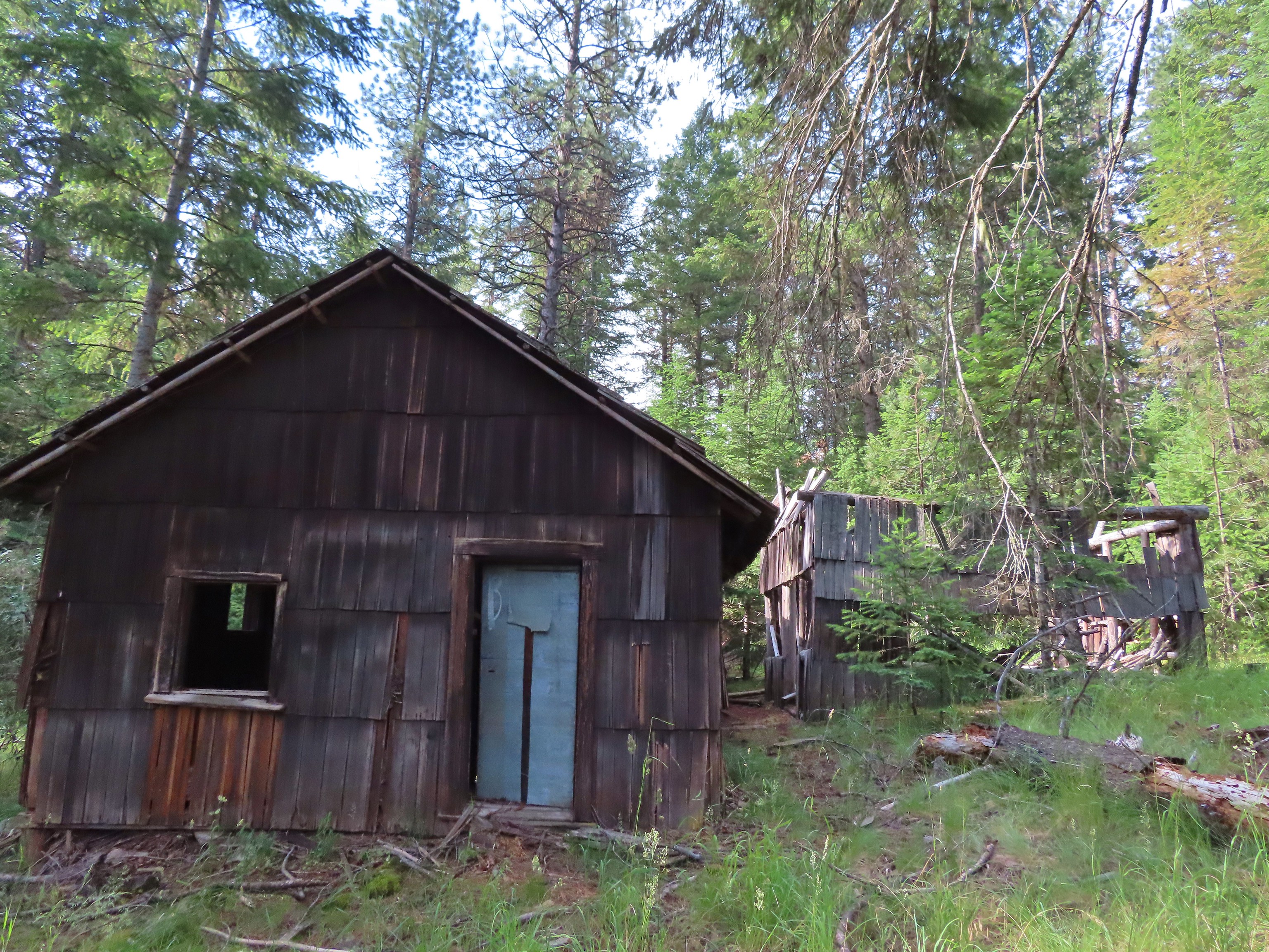 Lodge ruins – Wallowa-Whitman National Forest, OR
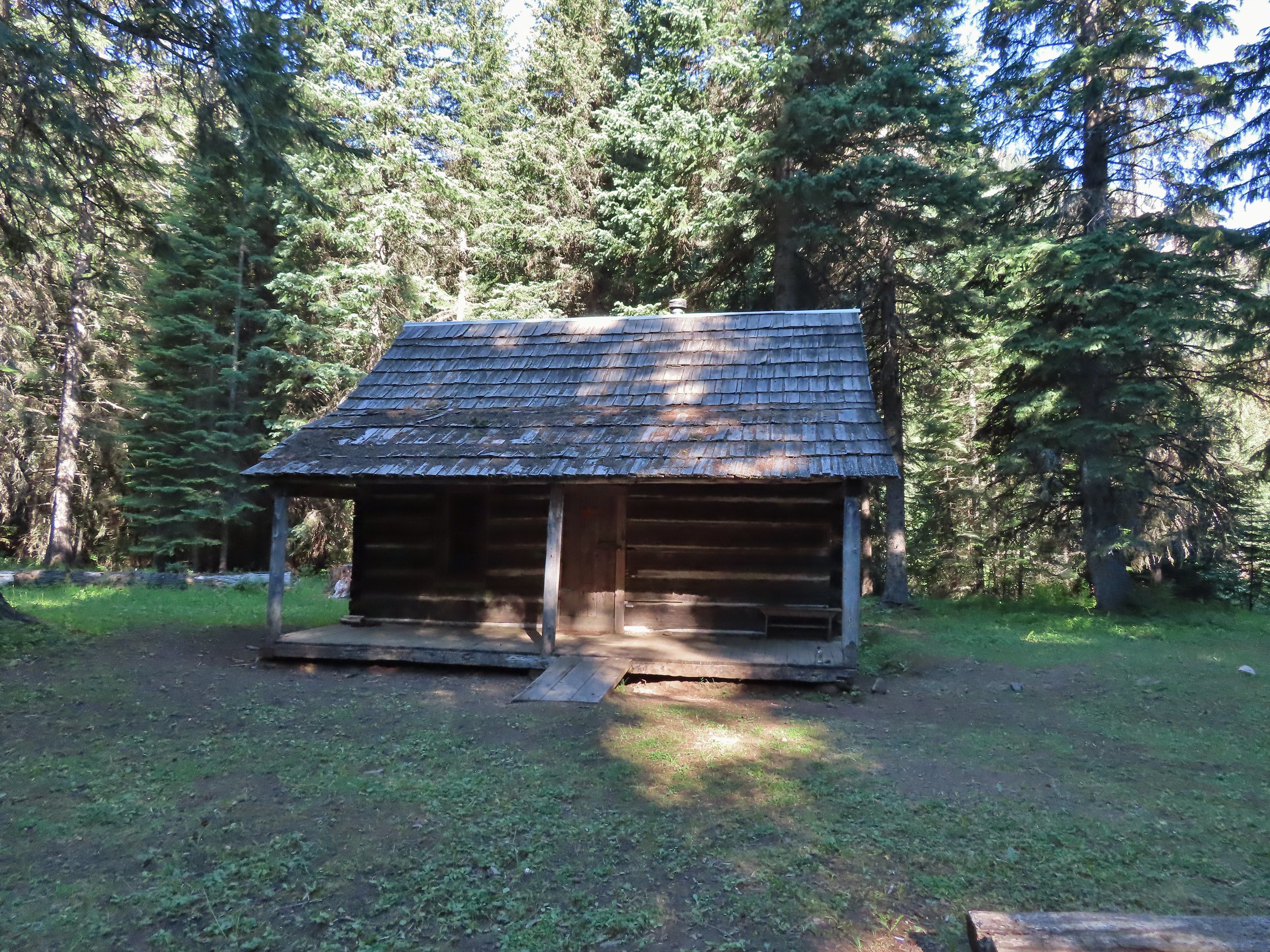 Bear Creek Guard Station – Wallowa-Whitman National Forest, OR
 Gazebo on Tick Hill – Wallowa, OR
 Spring above Southgate Meadows – Mount Shasta Wilderness, CA
 Panther Spring – Mount Shasta Wilderness, CA
 Remnants of the OSU Dean’s house – McDonald Forest, Corvallis, OR
 Talking Water Gardens – Water treatment wetlands, Albany, OR
 The Riley Camp Trail (Trail 64) on the opposite side of FR 23.


 We weren’t aware that the Forest Service was employing wilderness greeters.
 May I see your self-issued permit?
 The trail was in pretty good shape with just a few downed trees to step over/under.
 First look at Mt. Adams through the trees.


 Luna Lake
 Aster
Aster

 More Mt. Adams.
 Paintbrush and lupine

 Sub-alpine mariposa lily
 Riley Creek along the trail.
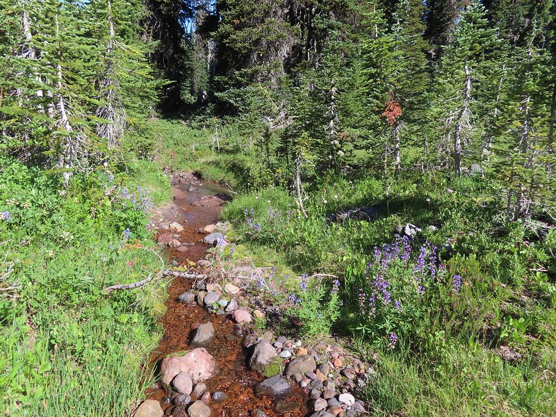 Riley Creek at the crossing.
 A trail sign up ahead at the junction.
 PCT marker on the tree.
 Riley Creek below the PCT crossing.
 White mountain heather
 A nice paintbrush
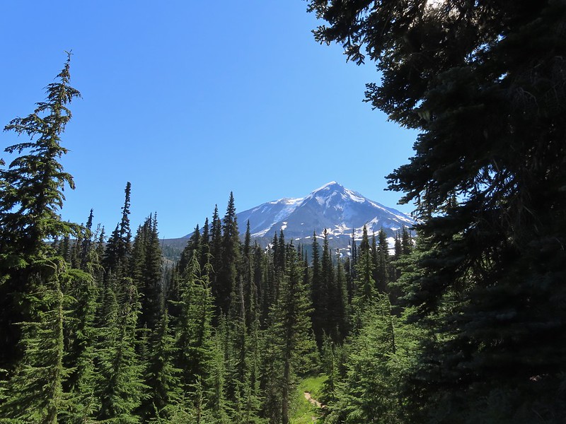 Mt. Adams behind us as we headed south.
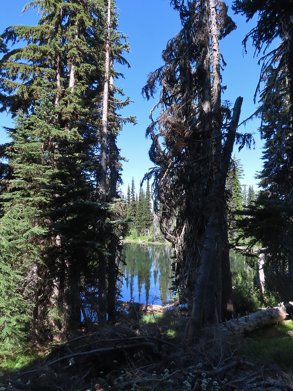 Sheep Lake
 Mt. Rainier behind a line of clouds.
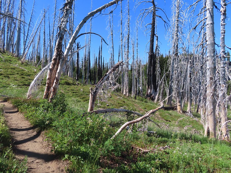 Burnt Rock behind the snags left over from the 2012 Cascade Creek Fire.
 Alpine false dandelion
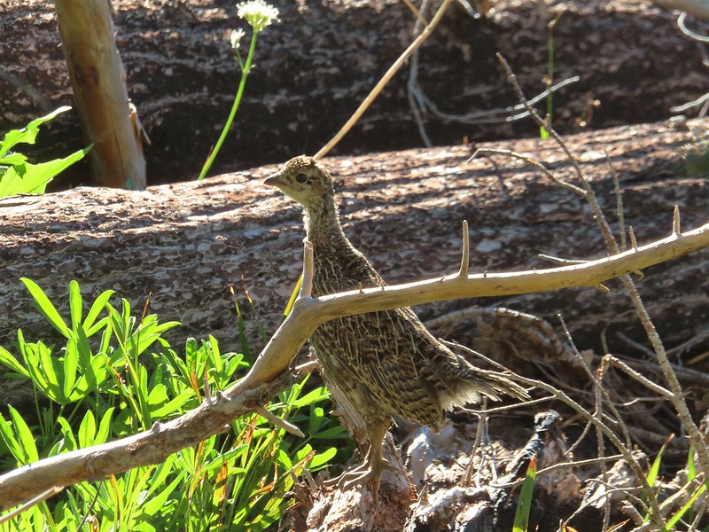 Grouse
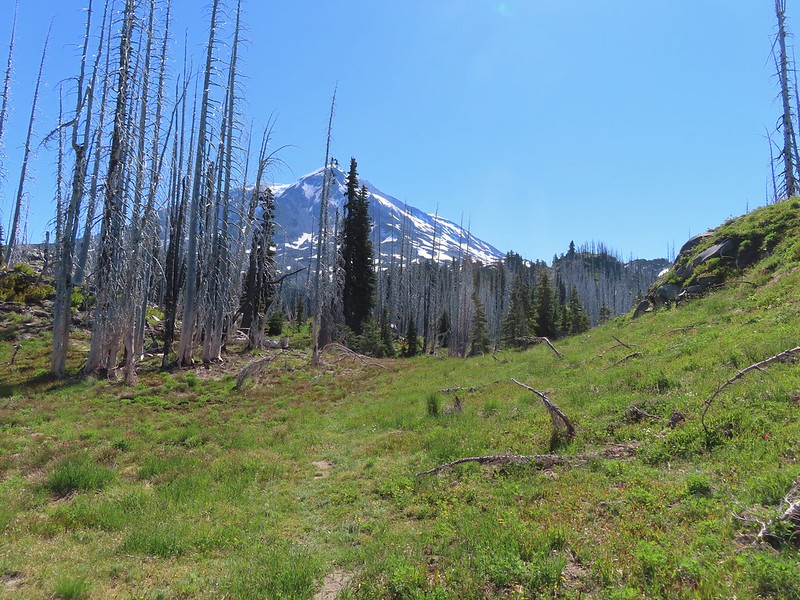

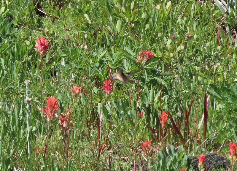 Hummingbird visiting paint.
 Mountain heather

 On the final pitch.
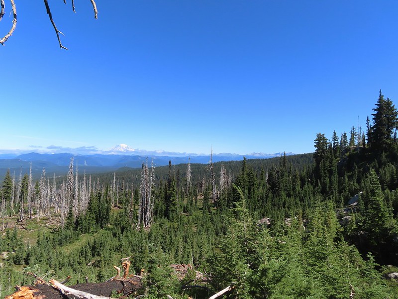 Mt. Rainier and Goat Rocks
 Phlox
Phlox Almost there.
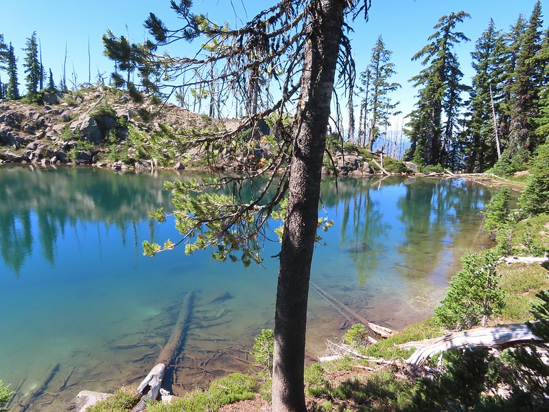
 Not Crystal Lake, just a pretty little tarn nearby.
 Mt. Rainier
 Just a bit of snow left around 6300′.
 The little tarn we’d passed.
 While not big Crystal Lake was deep.
 View down from the rocky ridge on the south side of the lake.
 The rocky ridge along the south side of the lake.
 We continued a tenth of a mile beyond the lake for a dramatic view of Mt. Adams.
 We could hear a waterfall below on Riley Creek.
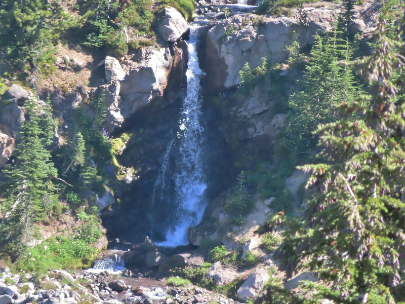 Zoomed in on the waterfall below.
 Crystal Lake from above.
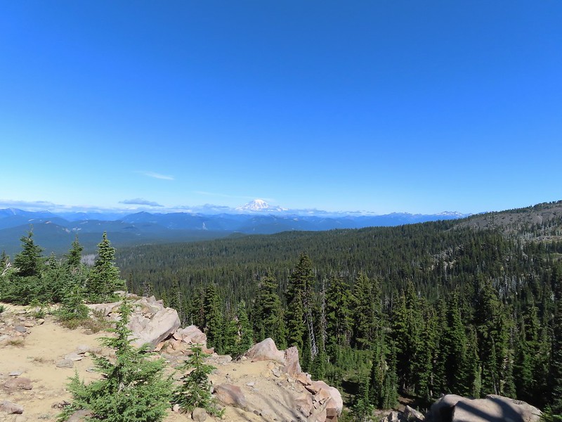 Mt. Rainier with Goat Rocks to the right.
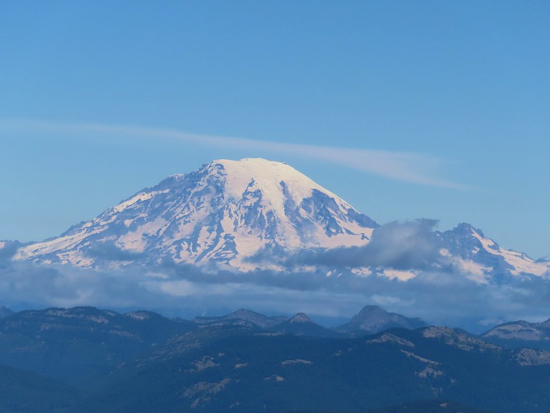 Mt. Rainier
 Some of Goat Rocks.
 Golden-mantled grounds squirrel


 Getting ready to drop down.
 Clark’s nutcrackers
 Butterfly on mountain heather.
 Saxifrage
 Violet
 Alpine speedwell
 A checkerspot
 A crescent
 Mountain bluebird
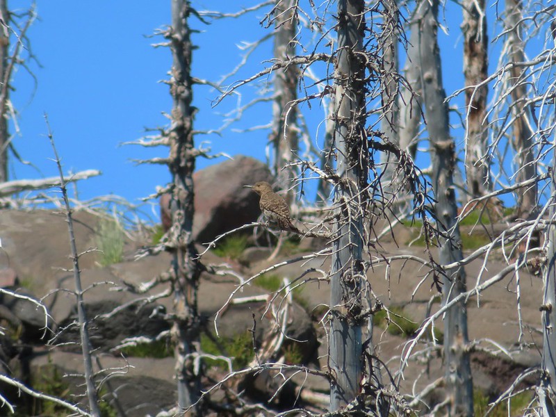 Northern flicker
 I’m guessing a warbler of some sort. We saw quite a few of these little yellow birds but had a hard time actually getting a photo.
 Mt. Adams from the PCT.
 Adams Glacier
 Riley Creek at the PCT crossing.
 Wildflowers along the PCT.
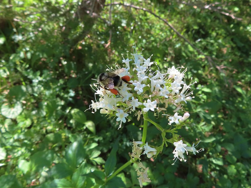 Bee on valerian
 Butterfly on valerian
 Another butterfly on valerian
 Looking back at Mt. Adams from the Riley Camp Trail.
 Passing through Riley Creek Meadows.
 Gentian
 We only saw a couple of beargrass blooms.
 Pollinators on fleabane.
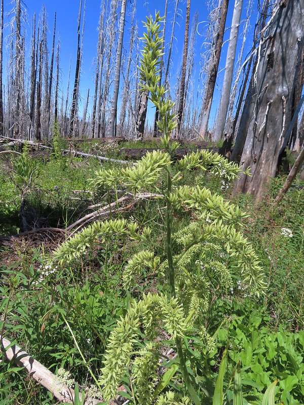 False hellebore
 Luna Lake and Mt. Adams from the trail.


 Overgrown roadbed that is now the Starway Trail.
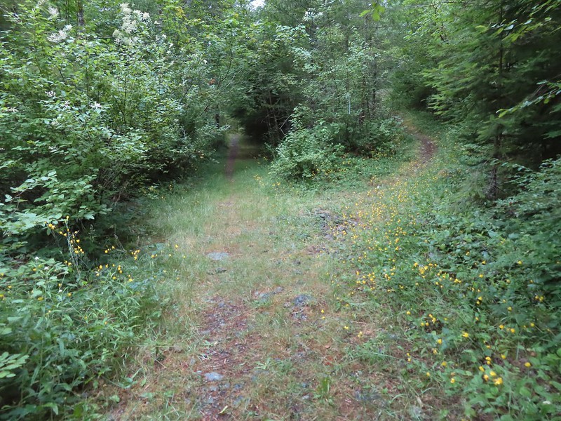 The fork with the Starway Trail to the right.
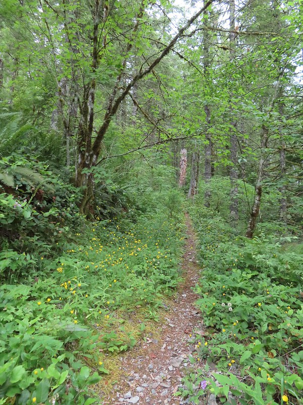
 Scouler’s bluebells
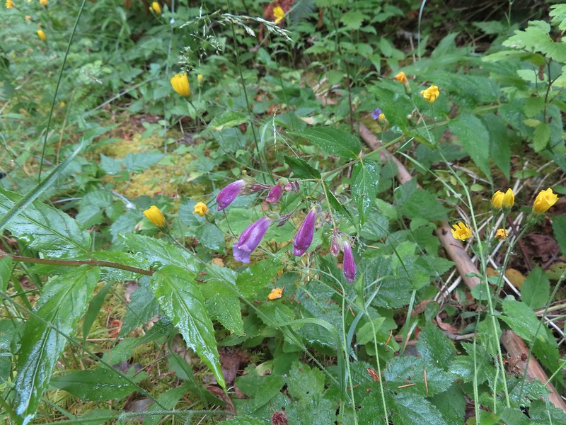 Beardstongue
 Paintbrush
 Taken from the first switchback this gives a little reference for how steep the trail was.
 Pictures never do justice to just how steep trails are.
 Almost to the bench.
 Level trail!
 Inside out flower
 The trail starting to steepen again.
 The first set of what appeared to be fairly recently built switchbacks.
 Approaching the little meadow.
 A little bit of blue overhead through the fog.
 Tiger lily
 Paintbrush
 Wood rose
 Thimbleberry
 Into the trees to look for a log.
 Silver Star Mountain
 Bunchberry
 Our first view of Mt. St. Helens
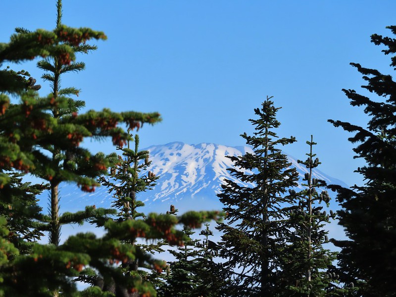 Zoomed in on Mt. St. Helens.
 Arriving below Point 3977.
 Point 3977
 Pollinator on catchfly
 The pink vetch was very bright.
 Silver Star Mountain from the trail below Point 3977.
 Rose
Rose Wildflowers on Point 3977.
 Bluebells of Scotland
 Sub alpine mariposa lily
 Checkerspot on Oregon sunshine
 Lots of purple larkspur amid the other flowers.
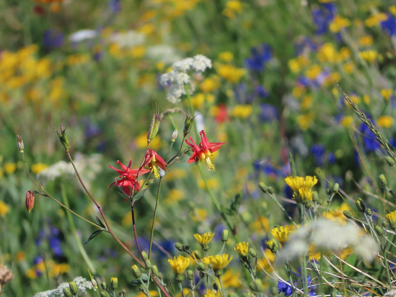 A few columbine were hiding in the mix.
 Violet
 Starting down.
 Looking back up.
 Stars on the trees marked the Starway Trail at times.
 Pinesap emerging from the ground.
 A cairn at the end of this brief level section marked the start of another steep descent. By this time we’d lost enough elevation to be back in the clouds.
 Part of the elevation loss was to drop below some interesting rock outcrops.
 Fully back in the fog.
 Time to climb again.
 Big root balls.
 Trail sign near the Bluff Mountain Trail junction.
 Final pitch to the Bluff Mountain Trail.
 On the Bluff Mountain Trail at the junction.

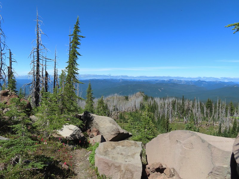
 Lots of nice wildflowers along the Bluff Mountain Trail.
 Another checkerspot
 Paintbrush
 Penstemon
 We just couldn’t quite shake the fog.
 First sighting of Mt. Rainier.
 Mt. St. Helens to the left with Mt. Rainier to the right.
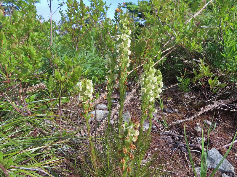 Coiled lousewort
 Lupine
 Getting closer to Silver Star.
 Crab spider on fleabane
 Spirea along the trail.
 Bistort and mountain goldenbanner
 First Mt. Adams sighting.
 A crescent on bistort.
 Penstemon
 Wallflower with beetle.
 Passing below Silver Star Mountain.
 Mt. Hood
 Rock arch below Silver Star’s summit.
 Fading avalanche lily.
 The old roadbed.
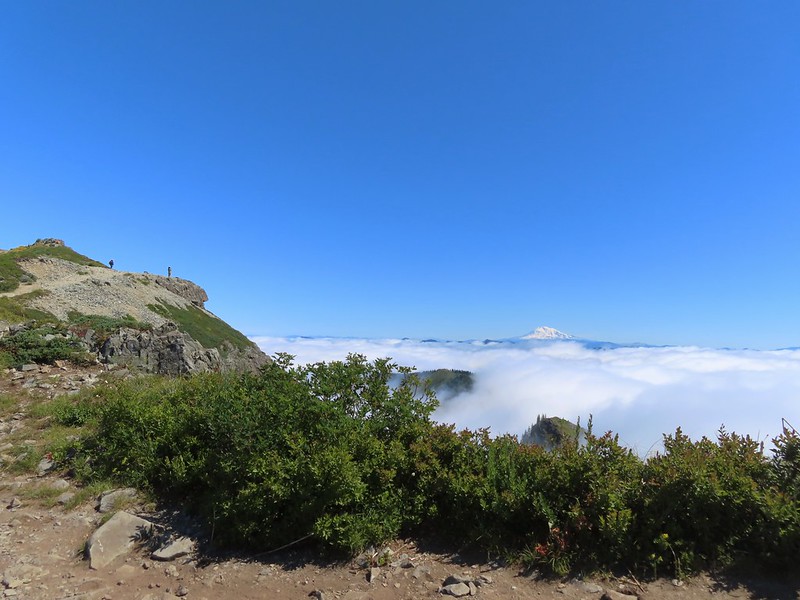 The summit to the left with Mt. Adams in the distance.
 Mt. Hood to the right at the saddle.
 Mt. St. Helens, Mt. Rainier, and Mt. Adams.
 Goat Rocks (between Mt. Rainier and Mt. Adams)
 Mt. Hood and Mt. Jefferson
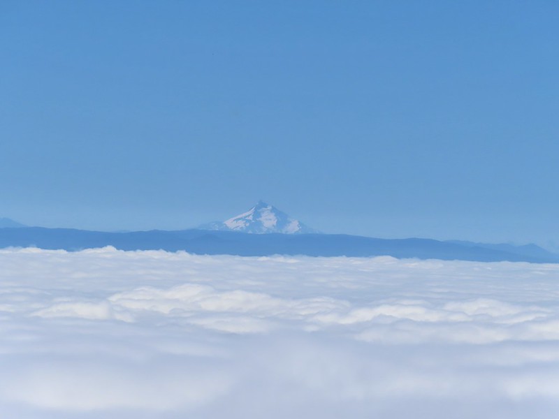 Mt. Jefferson. If you enlarge and look closely you can also make out Three Fingered Jack and the North Sister to the far right.
 Swallowtail
 Sturgeon Rock
 Wildflowers at the summit.
 Bug at the summit.
 Point 3977 is the the island surrounded by clouds.

 The only beargrass bloom we saw all day.
 The talus slope.
 Pikas are not easy to spot.
 On alert.
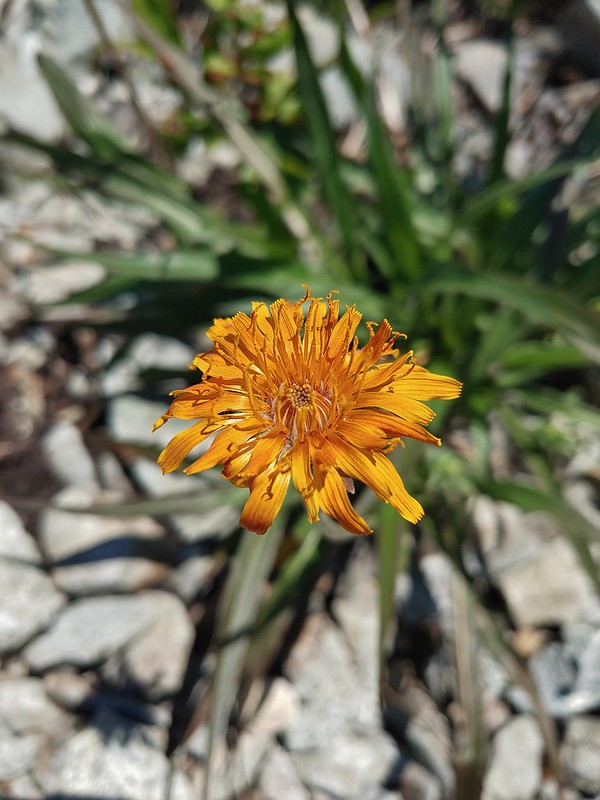 Orange agoseris
 Ladybug
 Making the steep climb back up to Point 3977.
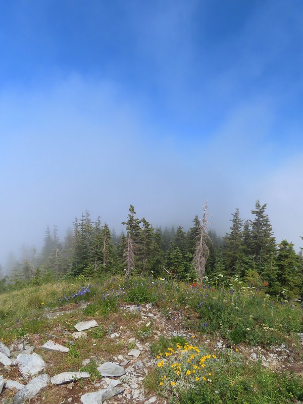 Looking toward Mt. St. Helens and Mt. Rainier.
 Looking toward Silver Star.
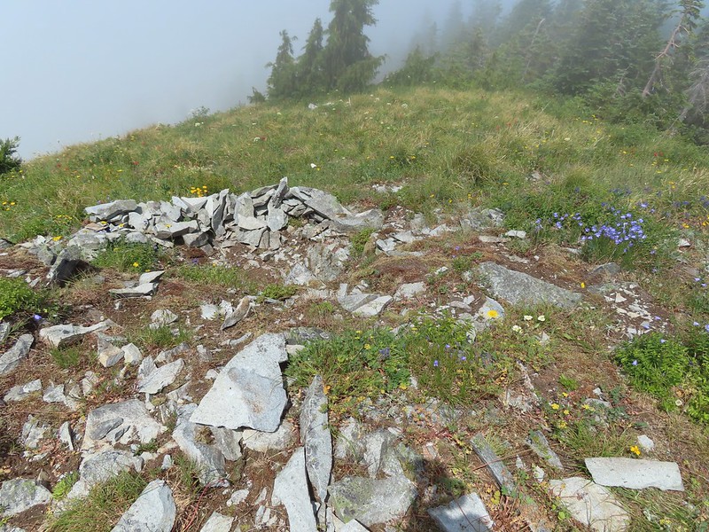 Possibly a Native American vision quest pit.
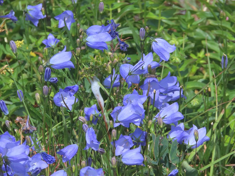 Bluebells of Scotland with at least three visible insects.
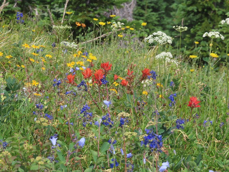 Some bright paintbrush.
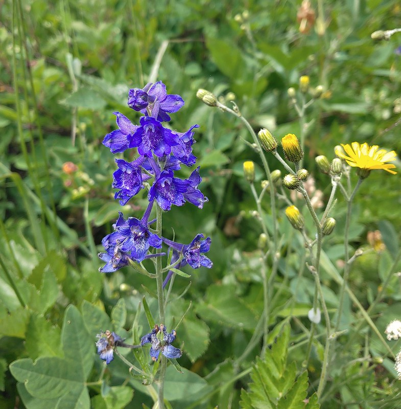 Larkspur
 A brief appearance by Silver Star’s summit.
 Sorry knees.
 Mock orange
 A little blue sky in the afternoon.
 Salmonberries along FR 4107. I may have eaten a few as well as some red huckleberries along the lower portion of the Starway Trail.
 Looking back at the hillside the Starway Trail climbs from FR 4107.

 FR 8123

 It appeared the trail had been rerouted at least a couple of times to cross this dry creek bed.


 Fence at the boundary for the Research Area.
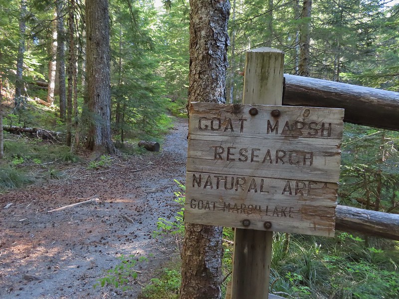
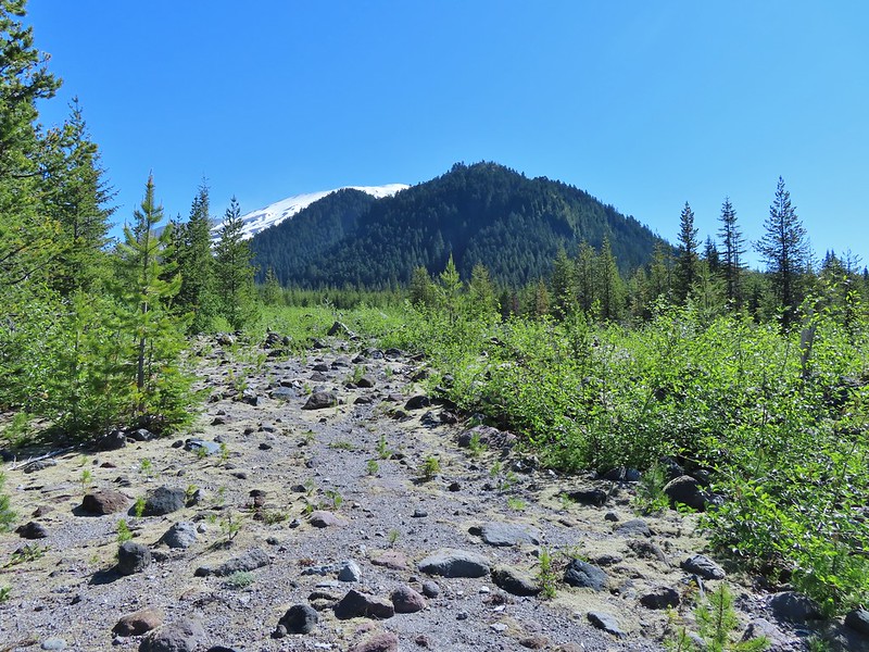
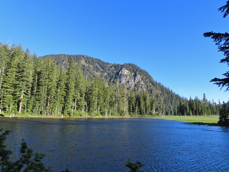 Goat Mountain and Goat Marsh Lake.
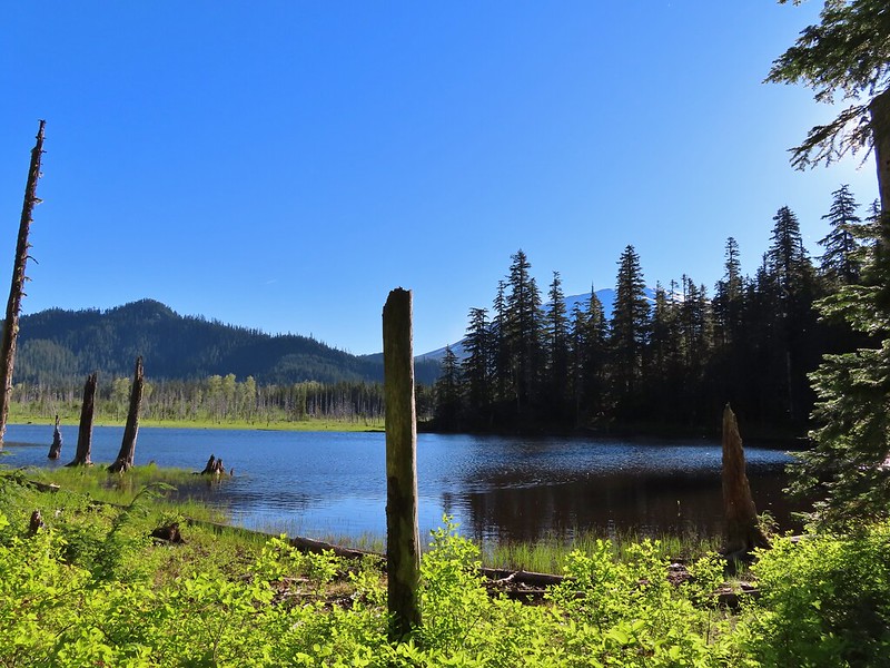 Mt. St. Helens
 Trillium
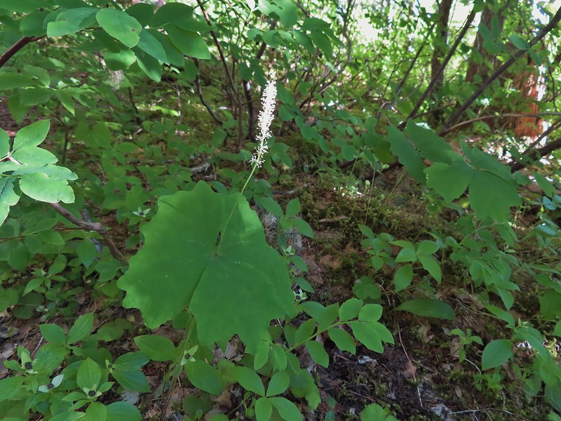 Vanilla leaf

 Frog on a log.
 The two cow elk in the middle of the grassy area.

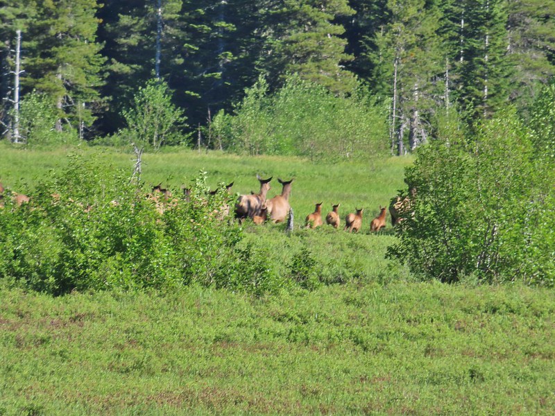 Calves lined up, this one is a bit blurry due to them moving and the amount of zoom used.
 The elk herd not zoomed in.
 Zoomed
 Coralroot
 Goat Mountain
 Avalanche lilies
 Mt. St. Helens
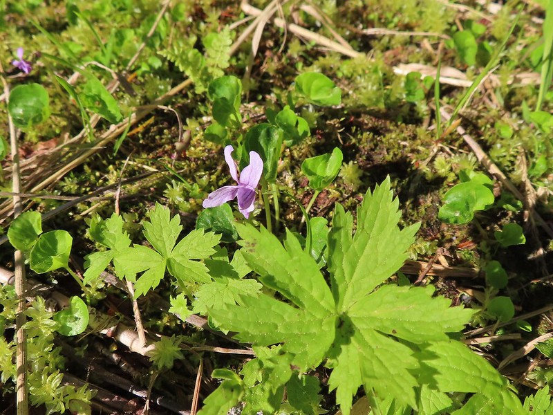 Marsh violet
 Frog under a log.
 Salmonberry
 Sign near the end of the trail.
 At the end of the trail.
 Beaver lodge
 Duck and ducklings
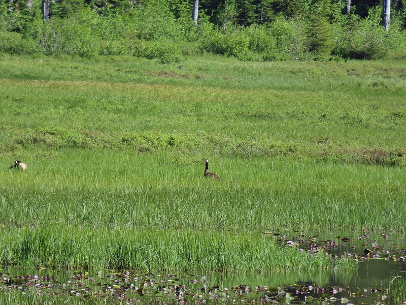 Geese out in the grass.
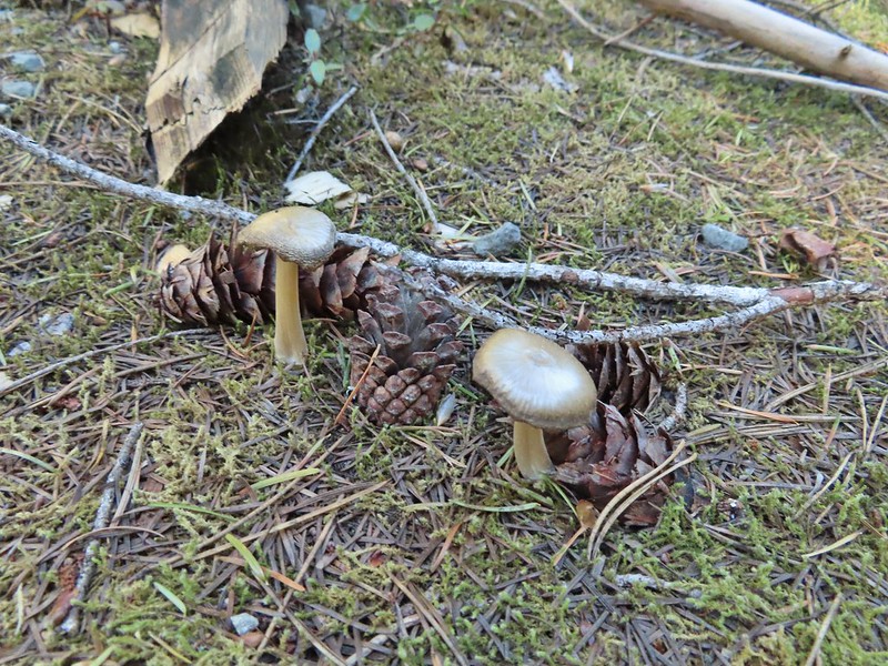

 The road crossing.
 In the campsite trying to decide which way to go.
 Once we found it the trail was pretty obvious, at least for a while.


 Gray jay with a snack.
 Western tanager. Right after this photo he flew straight at us snatching an insect out of mid-air.

 Butte Camp Dome in front of Mt. St. Helens.
 Crossing another dry bed.
 Where is the trail?
 In one of the creek beds. We were using the GPS along with looking for cairns and/or flagging.
 Goat Mountain
 You can’t really make them out in the photo but there is a pink flag and a blue diamond (on a downed tree) near the edge of the green trees.
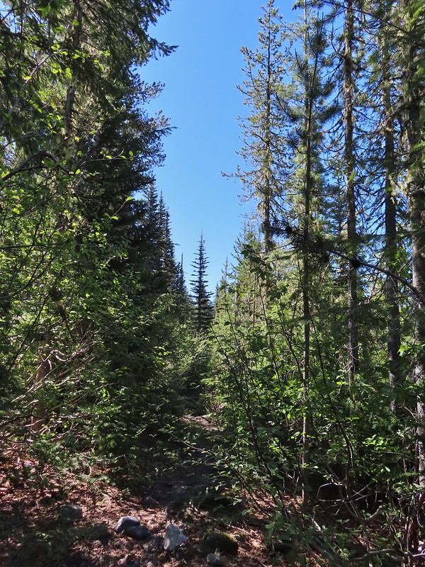 There was another short brushy section before the forest opened up.
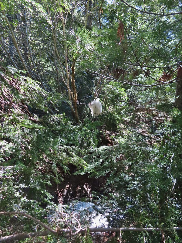 One of the strangest snow sightings we’ve come across.
 My theory was bigfoot hung this.

 The NOHRSC estimated 2″-3.9″ of snow and that seemed to be about right.
 Looking back at the junction from the Toutle Trail. The post with no sign is the continuation of the Toutle while the trail on the left is the ski trail.

 Last years beargrass.
 Strawberry
 Phlox
Phlox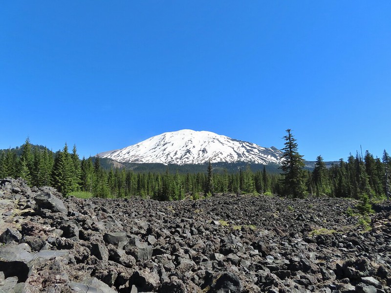
 FR 81 below the trail.
 Trail sign at the trailhead.
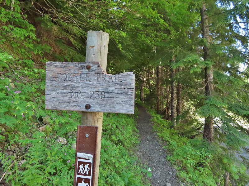
 Raven flyover
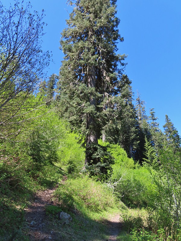 The fork.
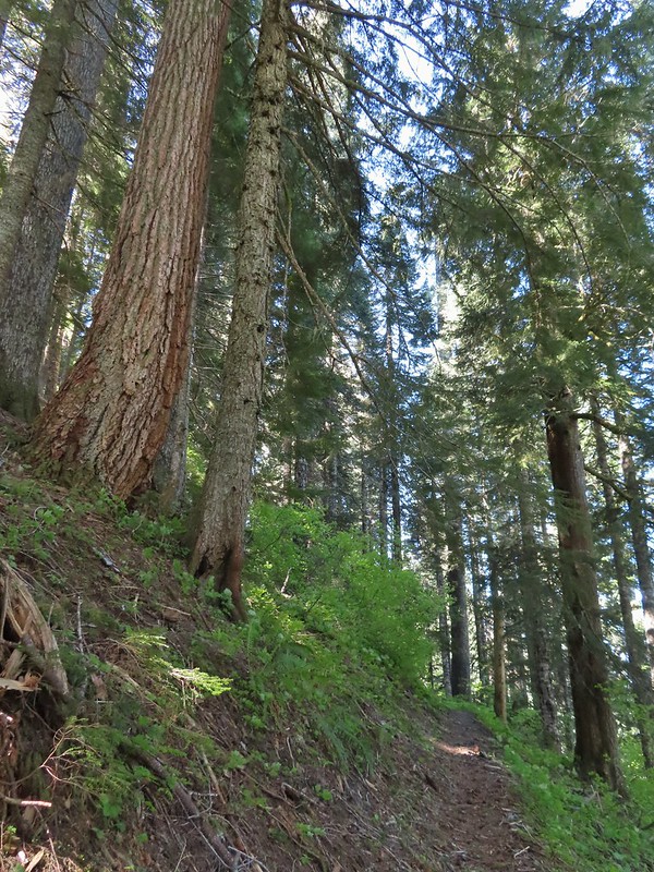
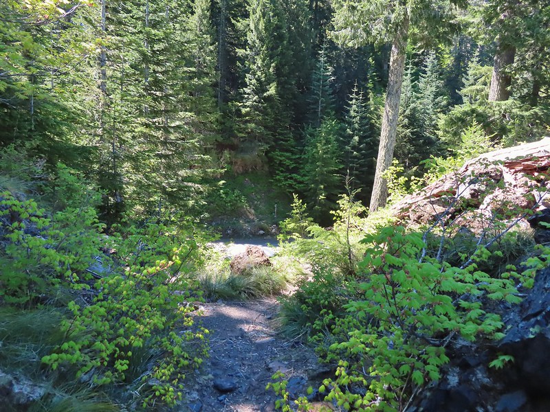
 One of several side creeks we crossed.
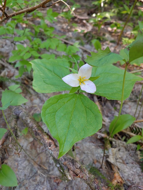 Trillium
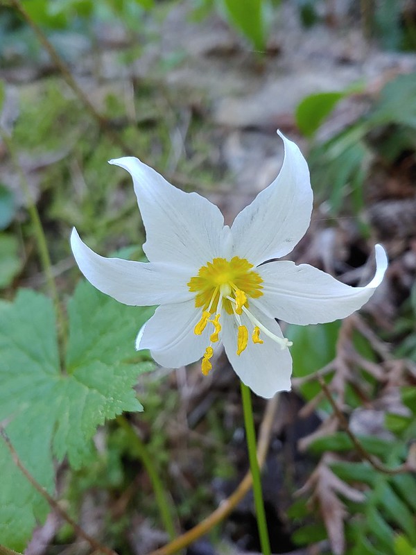 Avalanche lily
 Violet
 Goat Mountain beyond McBride Lake.
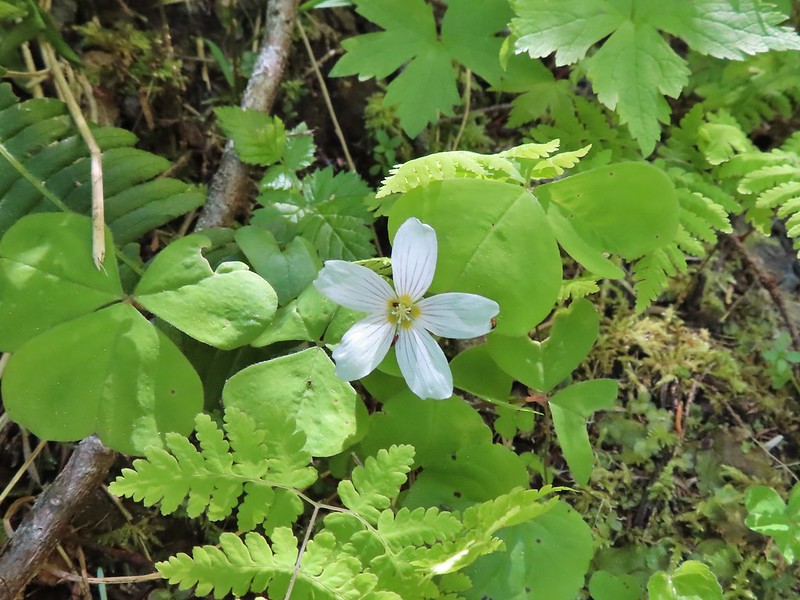 Sourgrass
 Valerian
 Solomonseal
 Saxifrage
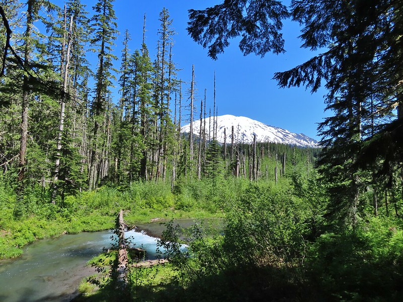


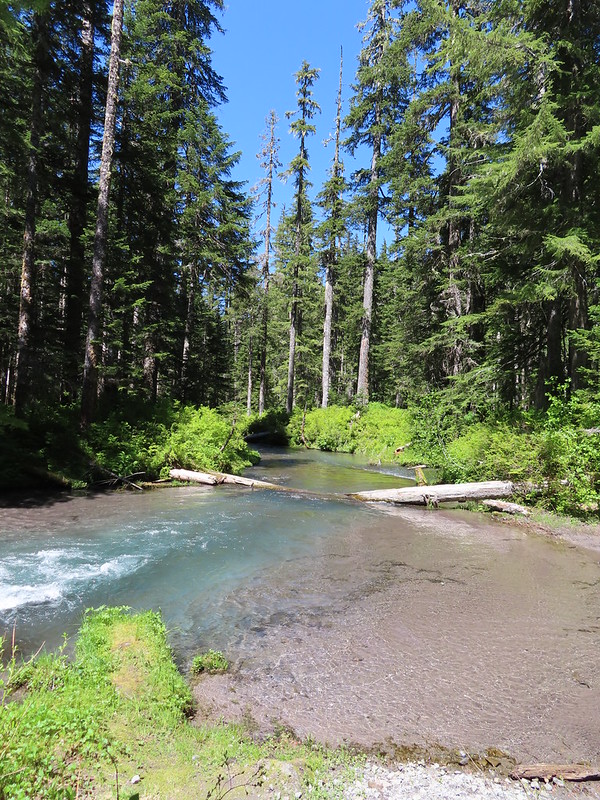 Kalama River from the road bed.
 The Blue Lake Horse Trail on the far side of FR 81.
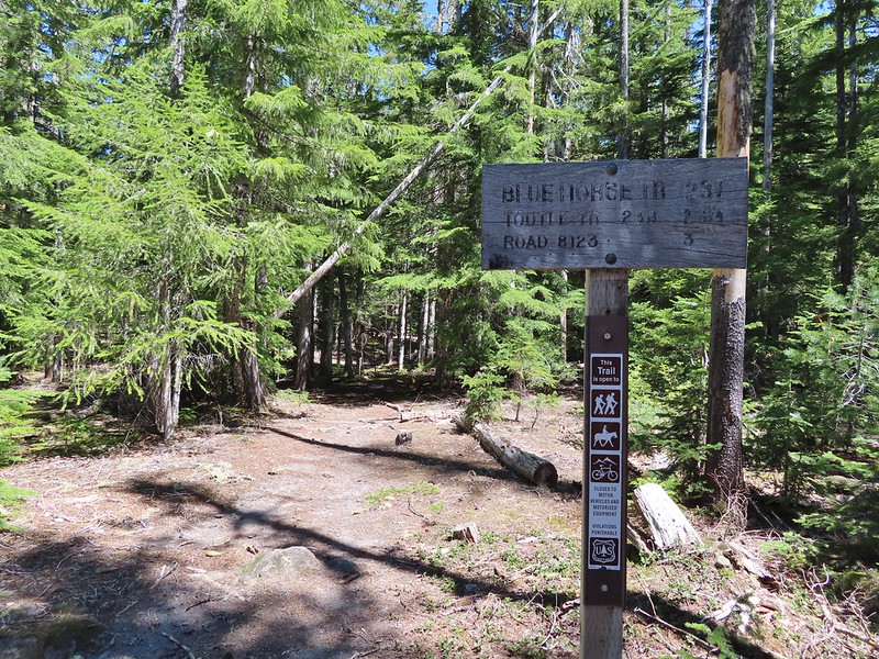 The sign did show FR 8123 which was the road the trailhead was on so that fed into us not realizing our mistake at first.
 An orange diamond on a tree ahead.
 Where we left the horse trail.
 Typical terrain for the cross-country walk.
 It seems like every time we go off-trail we come across a mylar balloon. We’ve really come to despise those things. We packed it and the ribbon out.
 The trickiest part was crossing this dry stream bed but we fortunately came to it at a spot that was perfect for crossing.
 FR 8123
 Coming up to the Goat Marsh Lake Trailhead (and our car) on FR 8123.


 A damp and cloudy morning.
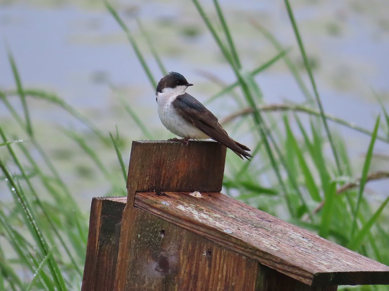 Swallow
 Indian Jack Slough and the garage from Refuge HQ.
 Elochoman Slough
 The first of many bald eagles we spotted (atop the dead tree across the slough).
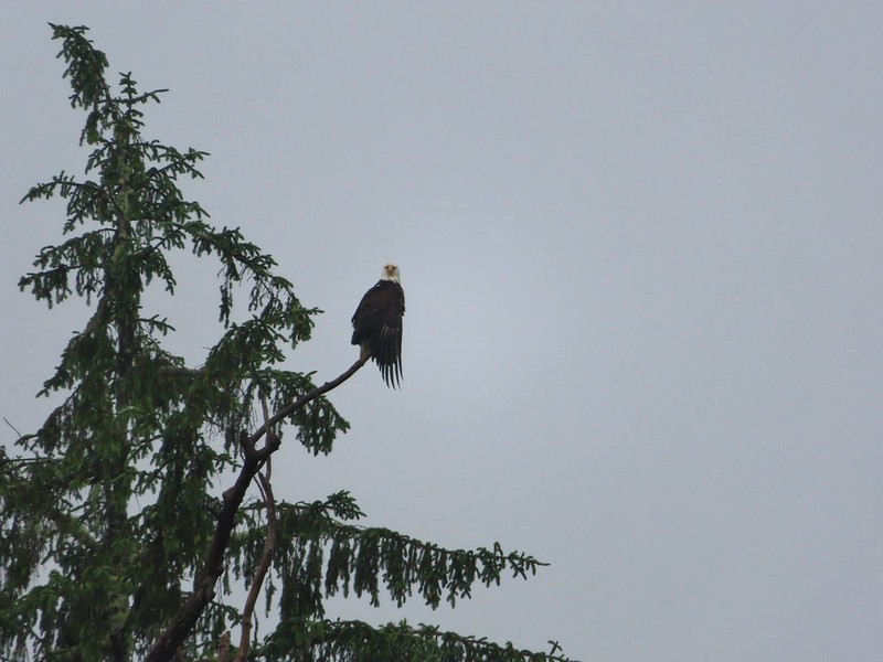 Working on drying out.
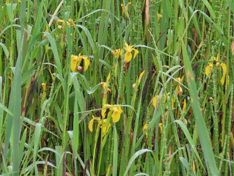 Lots of non-native yellow flag iris in the area.
 Little birds such as this sparrow were everywhere but rarely sat still.
 A different eagle waiting to dry.
 There are at least 5 birds in the tree including four goldfinches.
 A male goldfinch takes off.
 The morning clouds were starting to break up as forecasted.
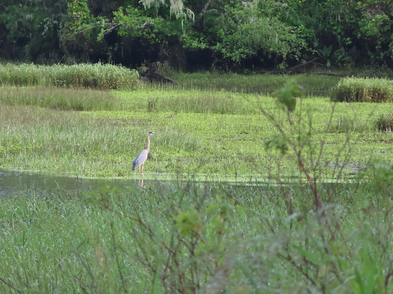 One of many great blue herons.

 A male wood duck.
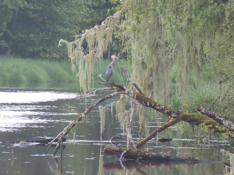 Another great blue heron with the female wood duck on the log below.
 The first of several osprey.
 Cattle in a field along the road.
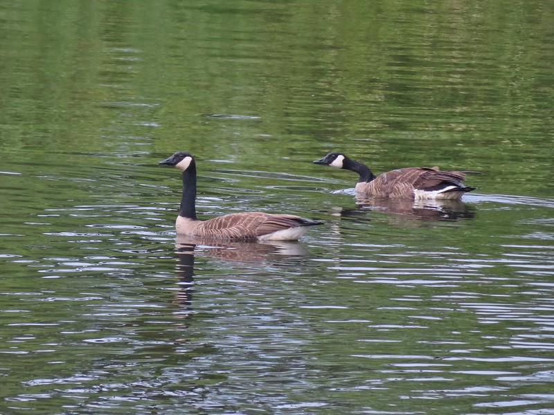 Geese
Geese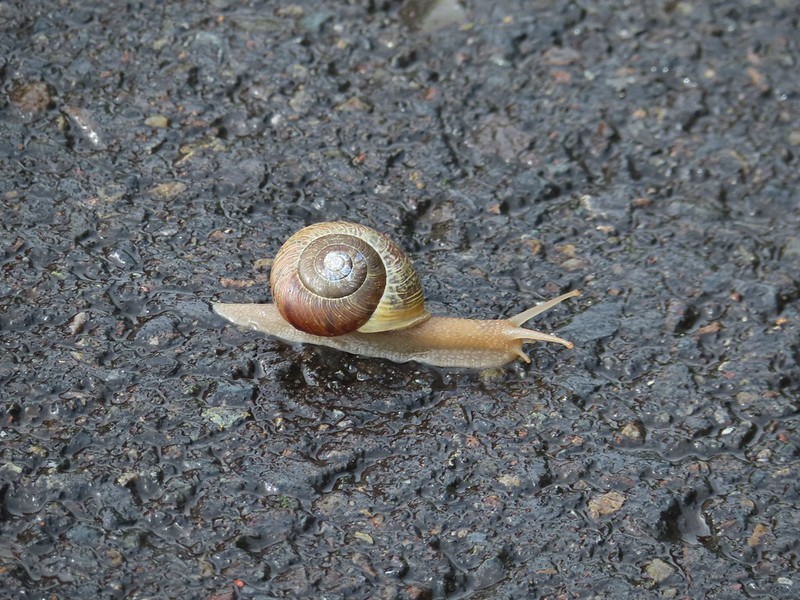 Snail crossing the road.
 Maybe a yellow warbler. I had to use the digital zoom to get between the branches so it’s not the clearest photo.
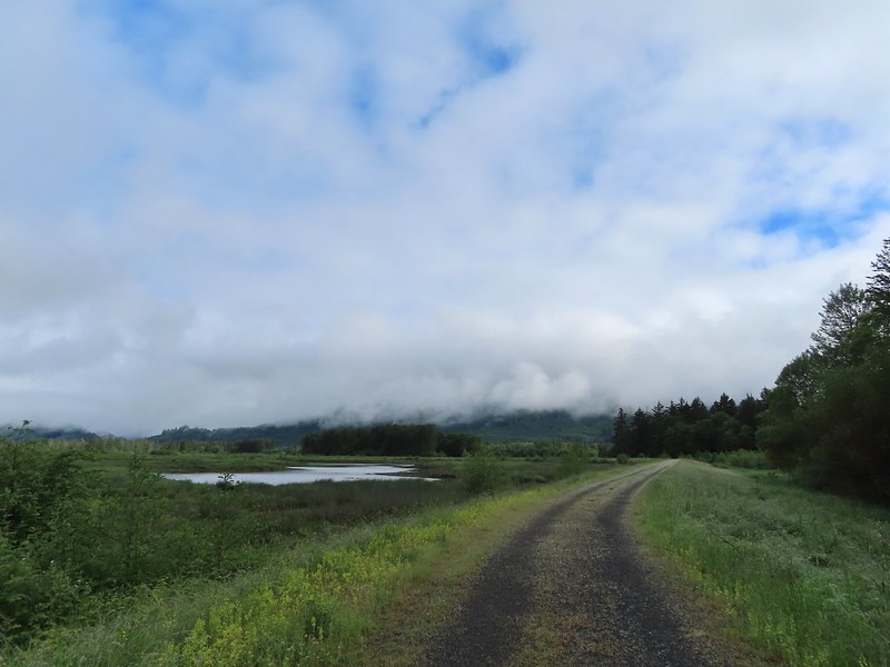
 There was a pole with a bunch of bird nests hung from it near the start of the trail. We’d never seen one like it before.
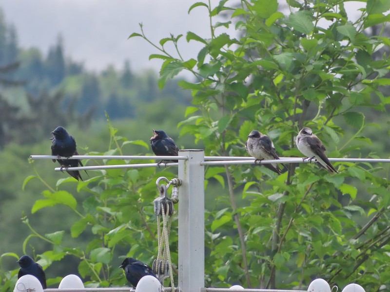
 Bald eagle in the same area.
 Slug on lupine
 A different type of lupine.
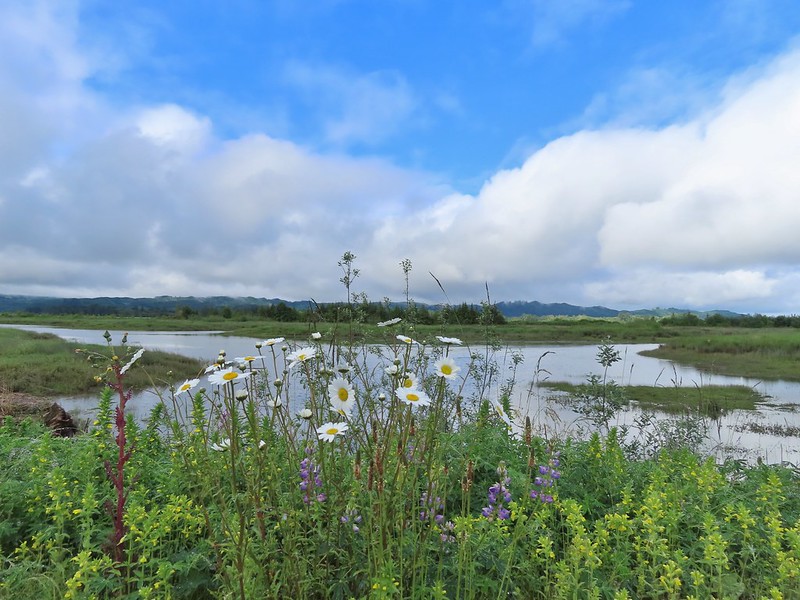 Lupine, daisies and yellow gland-weed.
 Bumble bee needing to dry out.


 A look at the white tail. He gave us a better look but in that one he was also doing his business so we stuck with this uncentered, slightly blurry version.
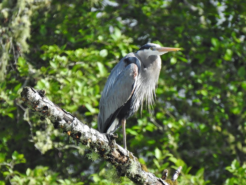

 Guessing marsh wren.
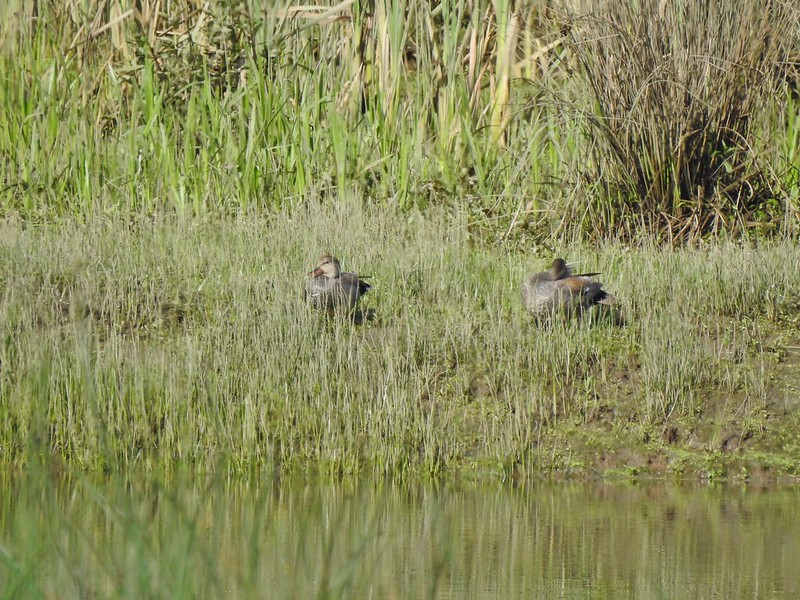 Ducks
Ducks Goose with goslings.
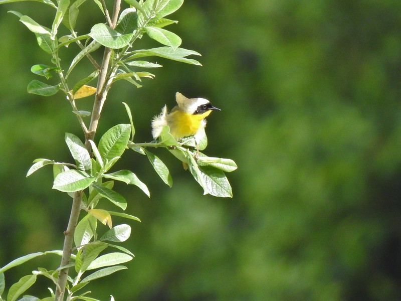 Common yellow throat.
 Male gadwall?
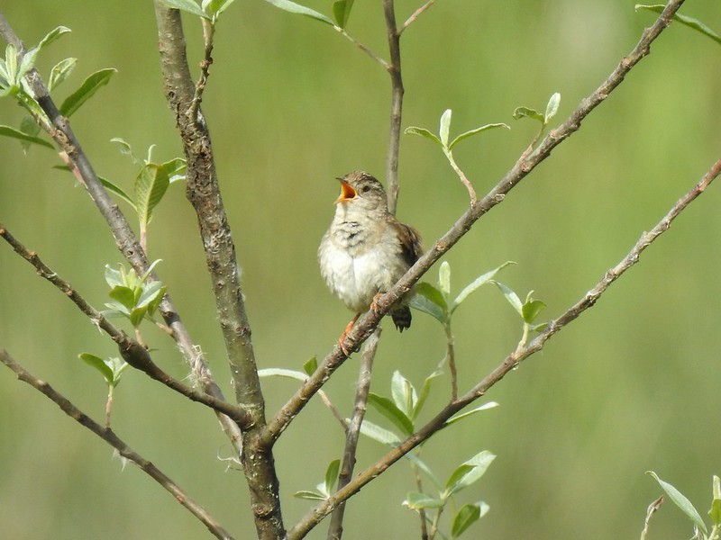 There was pretty much non-stop bird song throughout the day.
 Traffic on the Columbia River.
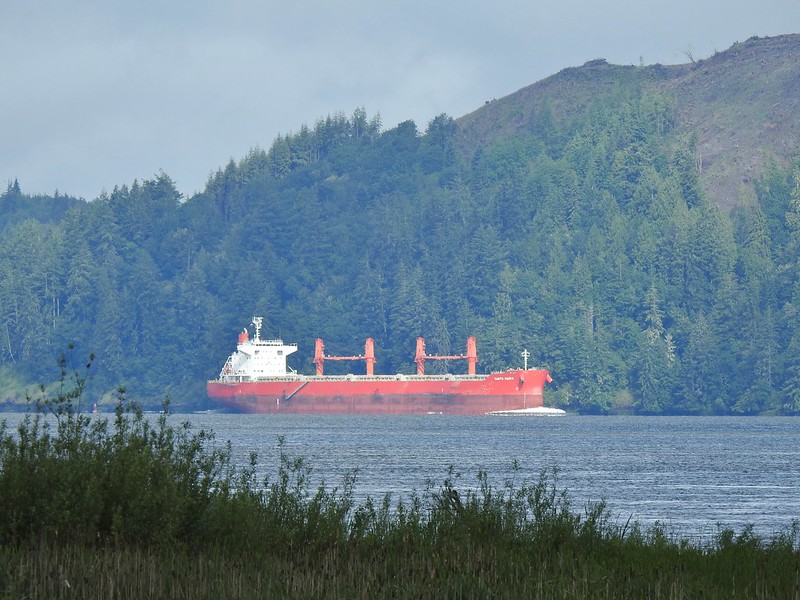 The Santa Maria on the Columbia.
 Female brown-headed cowbird?
 Flowers along the levee.
 American robin
 Red-winged blackbird chasing a heron.
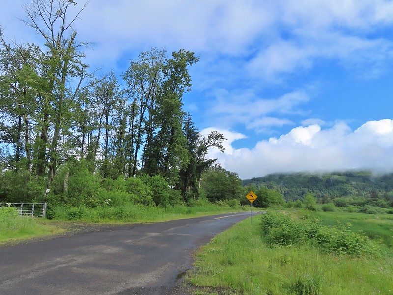

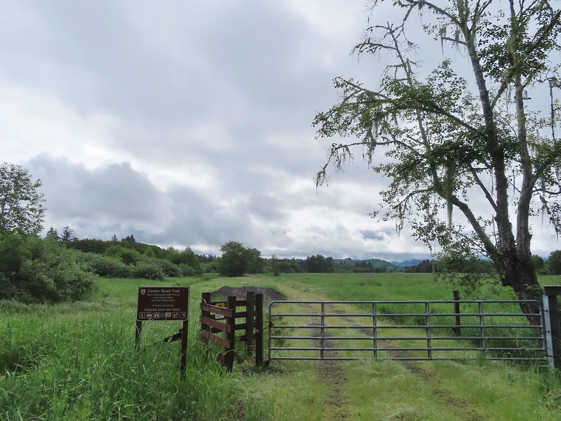 Note the sign does not indicate that you cannot reach the HQ from the road, it simply says it is 5 miles round trip. Online it adds that hikers must exit the trail the way they entered.
 Roses along the road.
 Muskrat
 Warbler
 Osprey
 Brooks Slough Road junction.
 Another eagle sitting near the top of the first tall tree on the far side of the slough.
 Interesting shrub along the road.
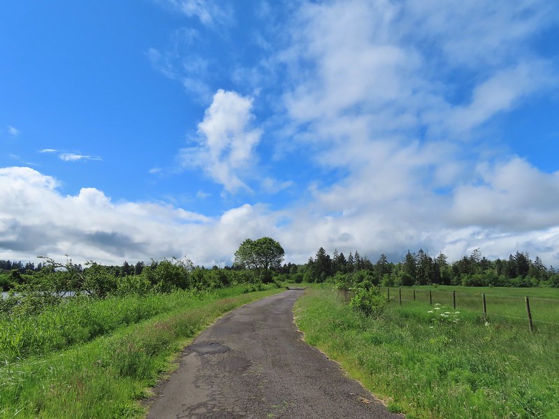 The partly sunny skies had indeed materialized.
 Kingfisher
 California scrub jay
 White pelicans
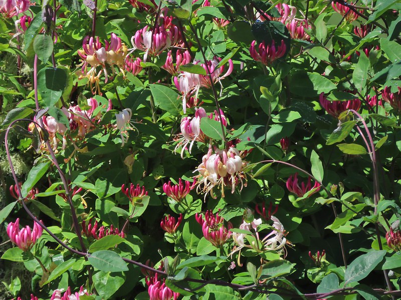 Some sort of ornamental shrub/tree but it had cool flowers.
 Turkey vulture
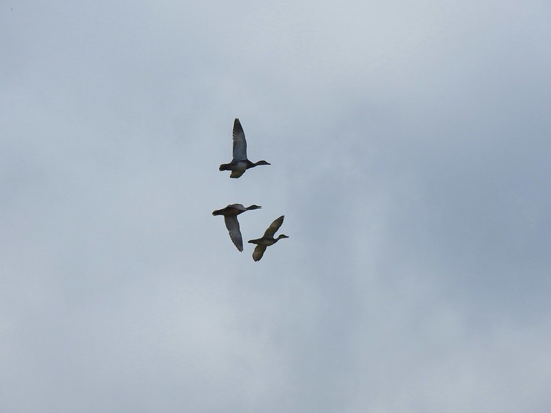 Couldn’t tell what type of ducks they were.
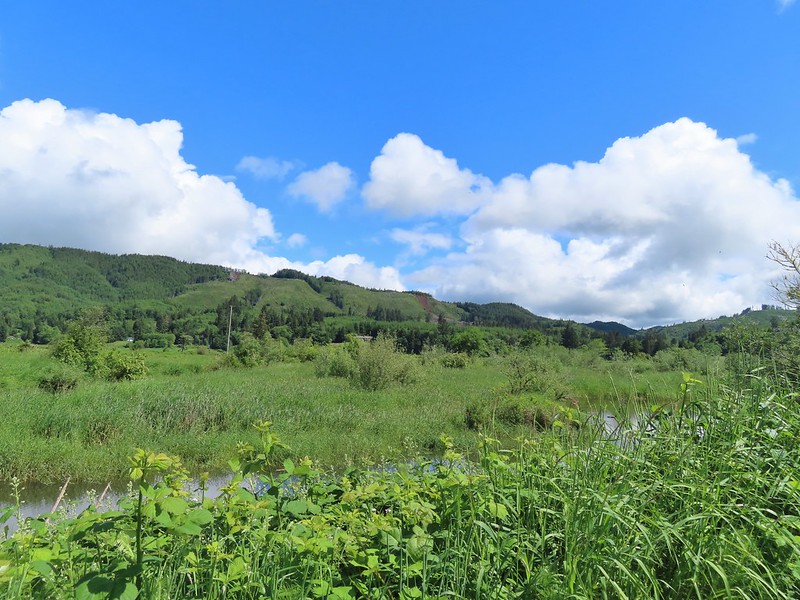 Alger Creek somewhere in the grass flowing into Brooks Slough.
 Pond on the other side of the road.
 Black pheobe?
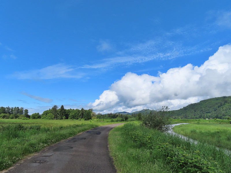
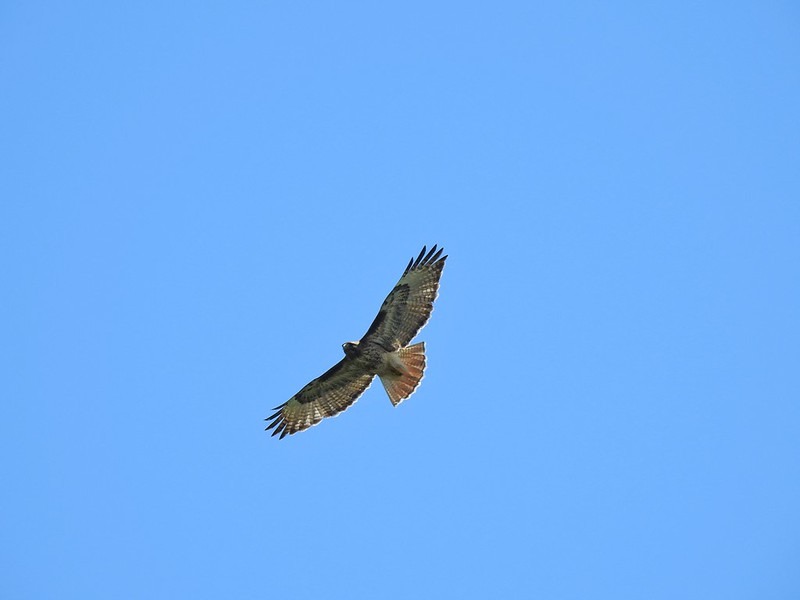 Red-tailed hawk
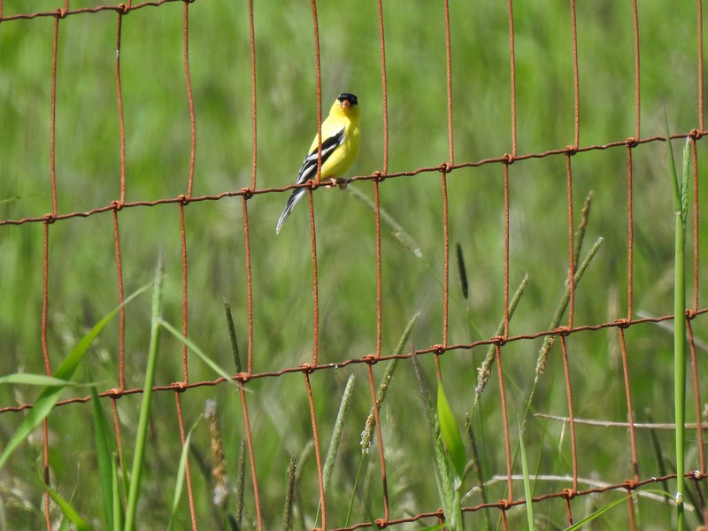 American goldfinch
 Swallowtail
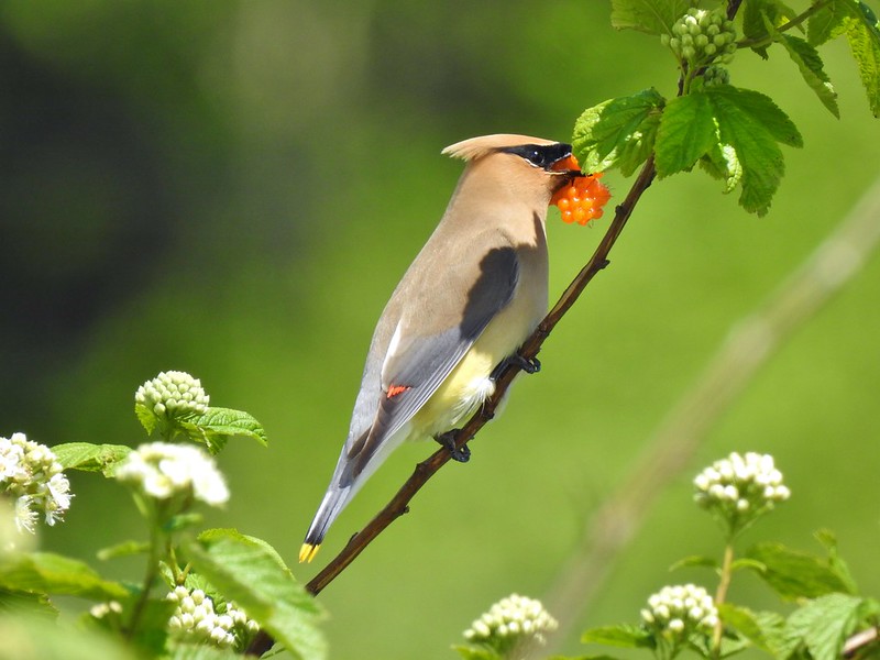 Cedar waxwing with a salmonberry.
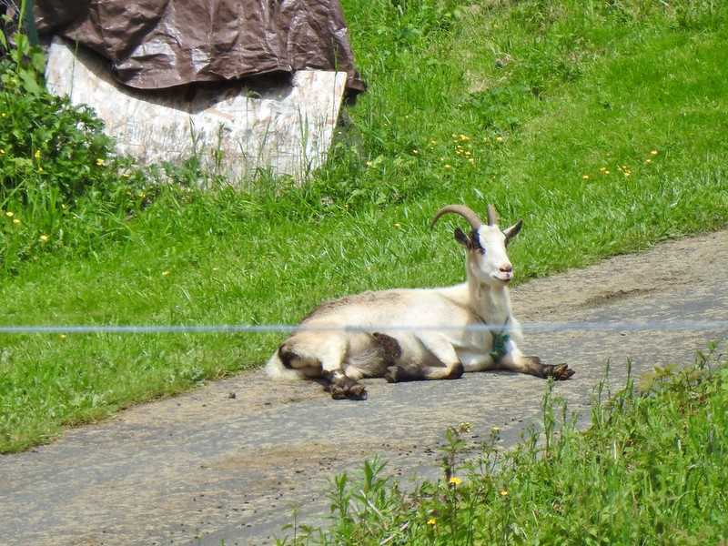 Goat lounging in a driveway across the highway. There had actually been a black goat in nearly the same spot on our first pass.
 Caterpillar
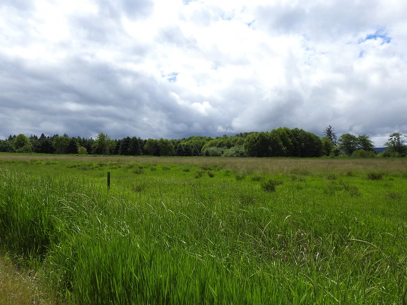 The elk is in the center of the photo near the tree line.
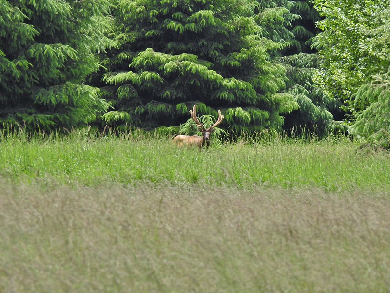
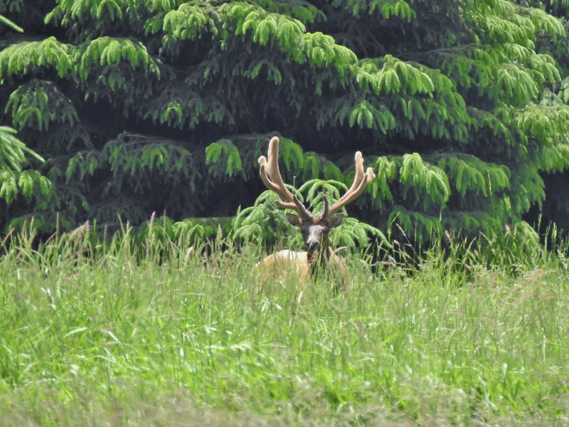
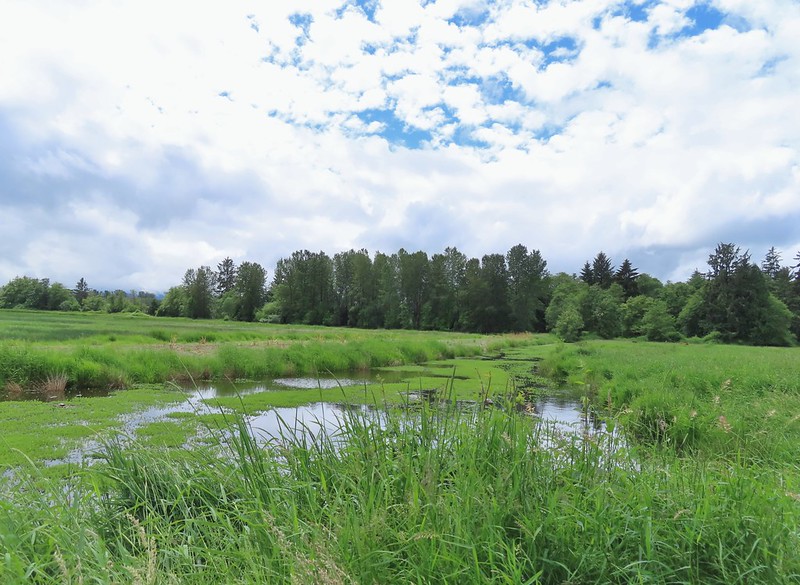


 Here is a not so decent picture of the egrets.
 One of the bitterns in flight.
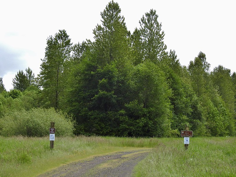


 Heather spotted this garter snake along Center Road. Another animal to add to the days list.
 Back at the White-tail Trail.
 It had cooled down again which provided some relief as we trudged back.
 A second turtle
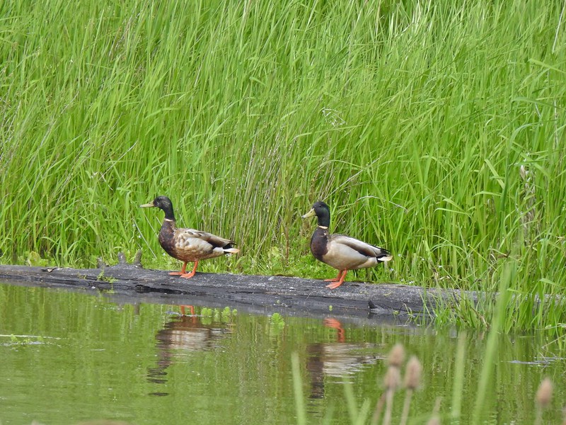 Mallards
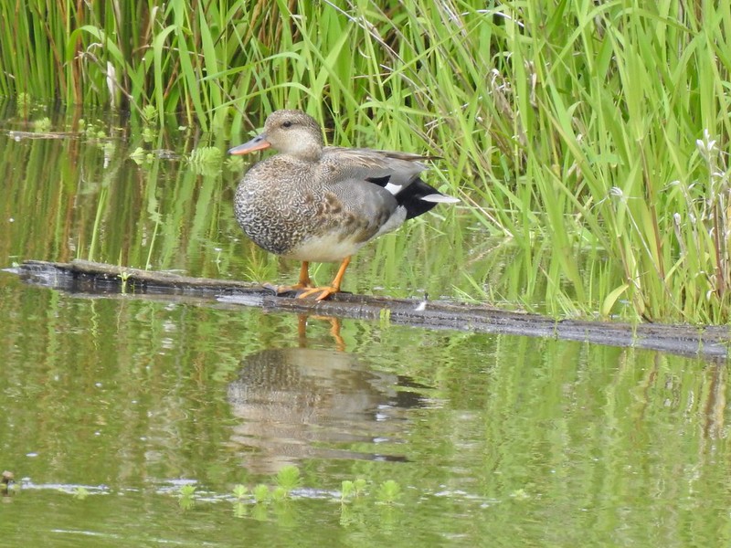
 Way more water in the afternoon.
 Another kingfisher. It was in the same tree as the heron had been earlier that morning when we were watching the bucks.
 Family swim
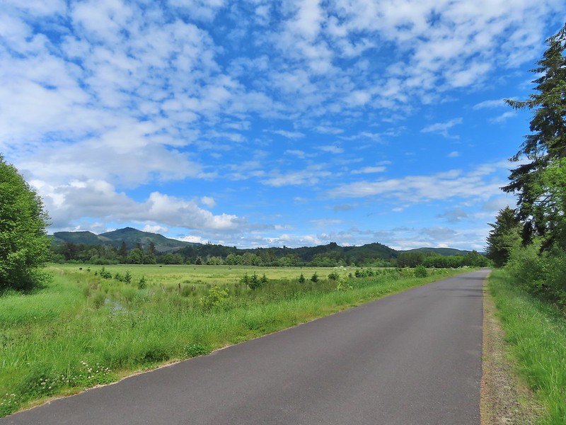 By Steamboat Slough Road we had all kinds of blisters/hotspots on our feet.
 Arriving back at the refuge HQ.
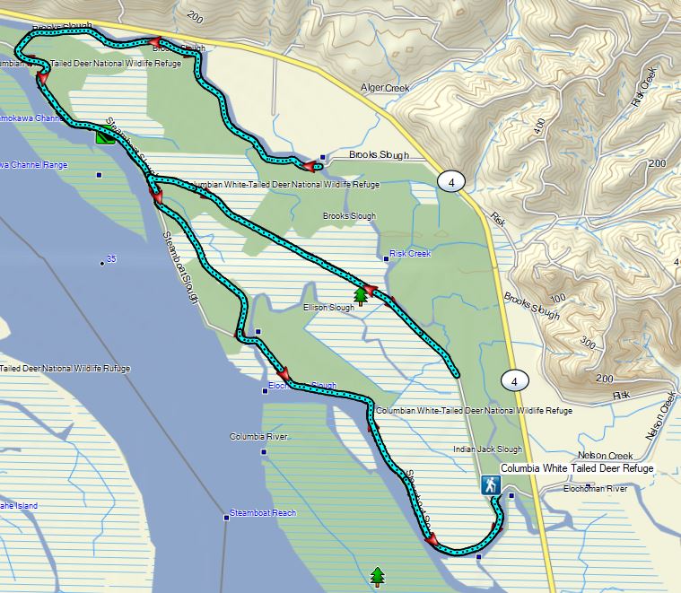


 Dropping into the forest.
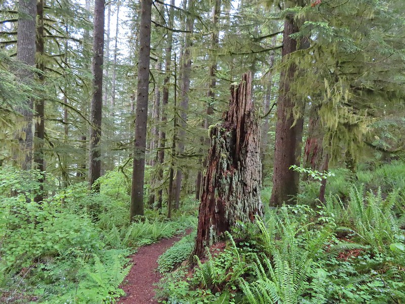
 Anemone
 Vanilla leaf
 Baneberry


 Quite a few snails and slugs along the trail.
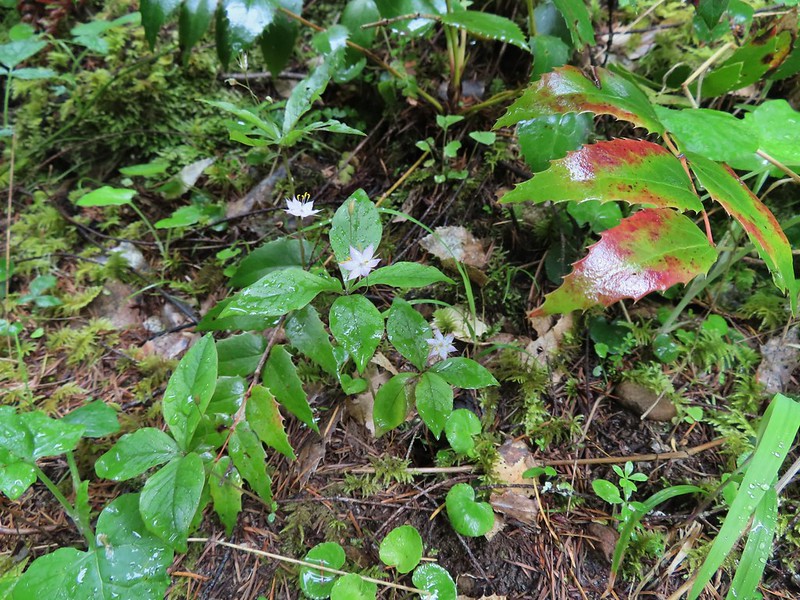 Starflower


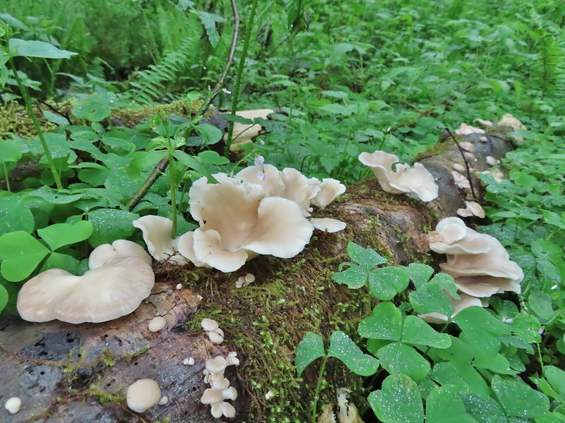
 Some of the logs had had tiles and ropes placed on them to help avoid slipping.
 Surprisingly this was the only rough-skinned newt we spotted all day.
 Foam flower
 Inside-out flower
 There were some huge nursery logs in the forest here.
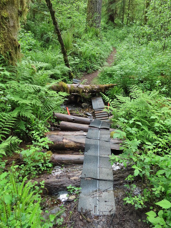 A good example of a makeshift crossing.
 Most of the flowers were white or pale pink but this salmonberry blossom added a splash of bright color.


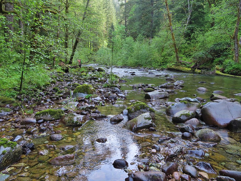
 Violets
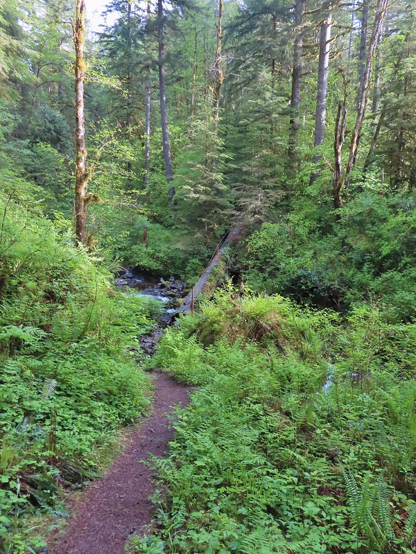 This was an interesting log/bridge.
 Millipedes were everywhere but this one was a color we hadn’t seen before.
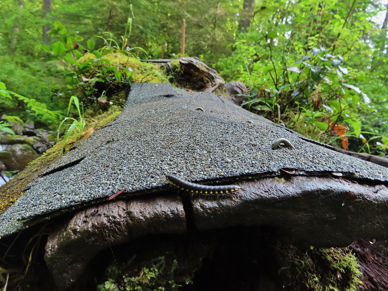 These were the ones we were seeing all over.
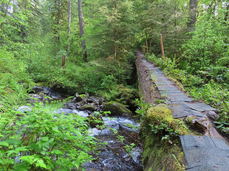
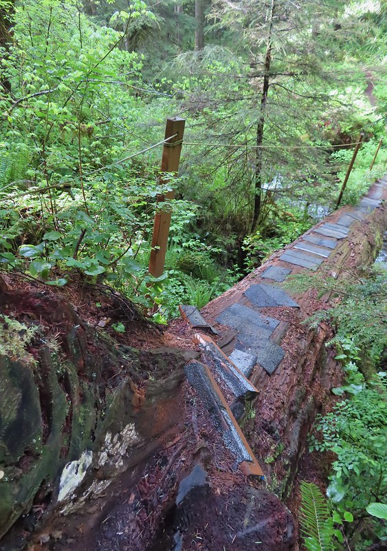 The dismount was a little awkward but doable.
 Star-flowered solmonseal catching a moment of sunlight.
 Fairybells
 Solomonseal
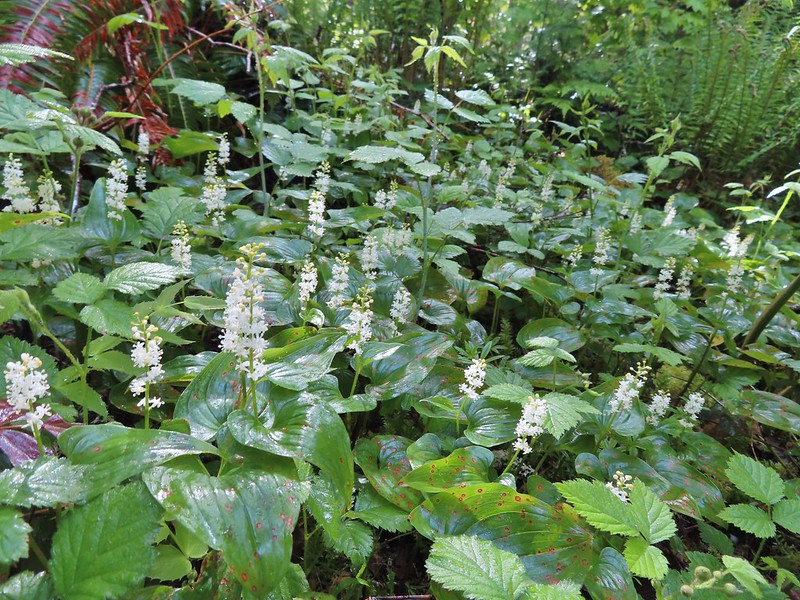 False lily of the valley
 Moss and lichens
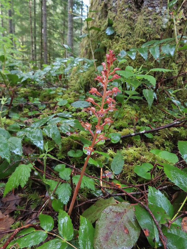 Spotted coralroot
 Bunchberry
 Small fall along the trail.
 Did I mention millipedes were everywhere?
 Another creek crossing.
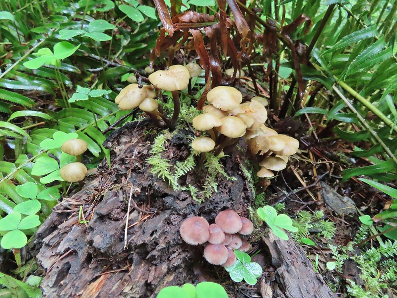
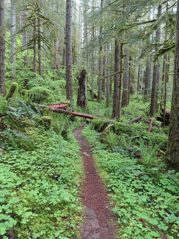

 The reroute
 This was one of the log crossings that looked too slick and high to warrant an attempt so we forded here. The water was ankle deep and we crossed easily.
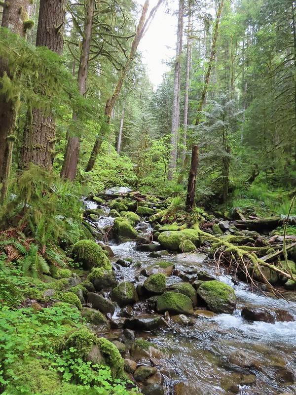 We forded just above the larger rocks in the middle of the creek.
 The lower of the two cascades.
 The upper cascade.
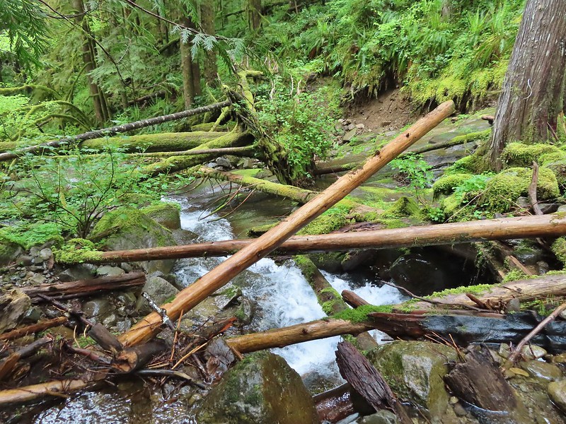 Looking across the old crossing you can see where some of the hillside was washed out.
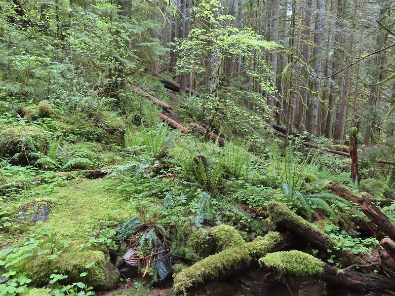 Looking back at the trail from the creek. The large downed tree was the one that was too wide to climb over.
 Most of the downed trees were like this although there was one that required ducking pretty low.
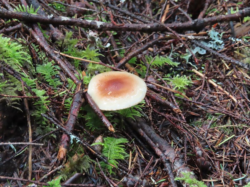
 We could hear the songs of wrens throughout the hike but only caught flitting glimpses of the little singers.
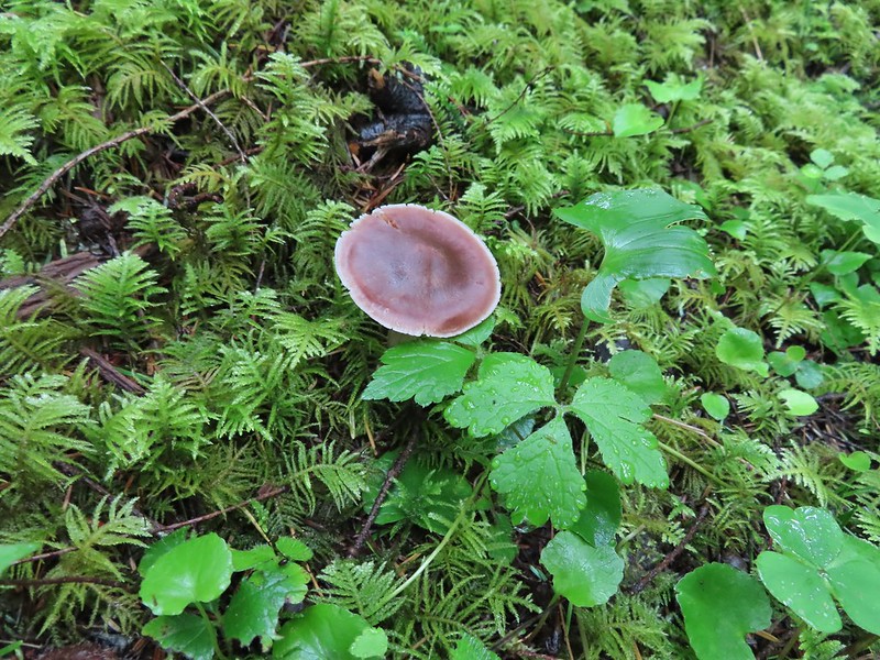
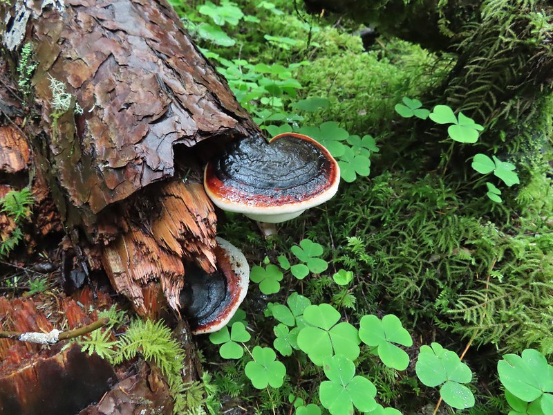

 Two of the footbridges were in a state like this. It held but we had to watch our step to not only avoid the holes but also the millipedes.
 This was another ford/rock hop. There was a log serving as the bridge but it also looked slick. The rope in the picture was connected to the log and I almost didn’t see it (both times by).
 Deep pool near the crossing.
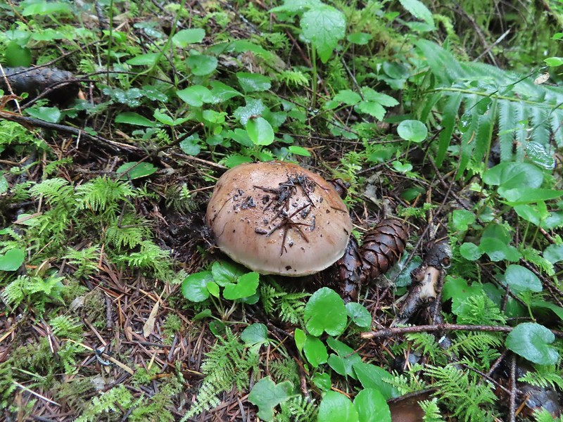

 First view through the trees.
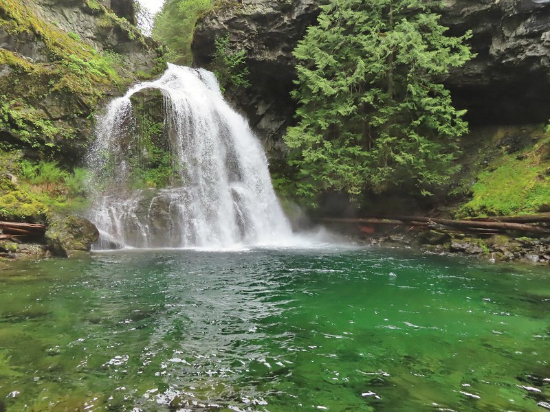 The pool was a beautiful green.
 More cascades and clear pools were located downstream.
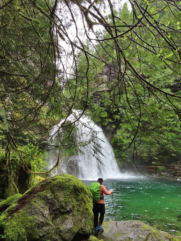 Heather taking in the view.
 Since I was already wet from the fords I waded out in the calf deep creek to get a different angle.
 The right fork heading on toward Mount Mitchell.
 A really long nursery log spanning across this whole depression.
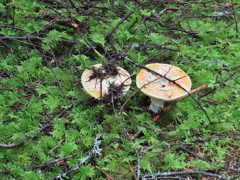 Camouflaged mushrooms.
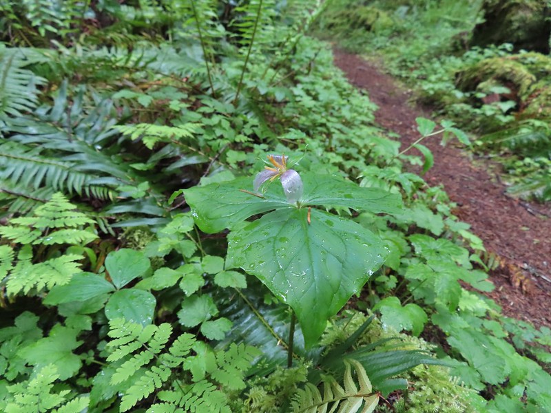 The only trillium that still had its petals.
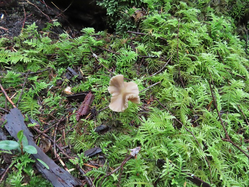
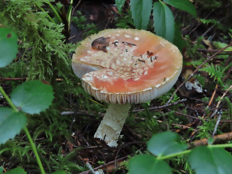 It looked like someone took a slice of this mushroom.
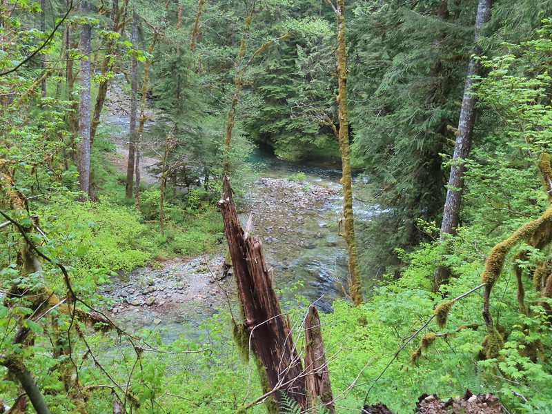 There weren’t too many views of North Siouxon Creek from the trail but this was a nice one.
 Sour grass
 Youth-on-age
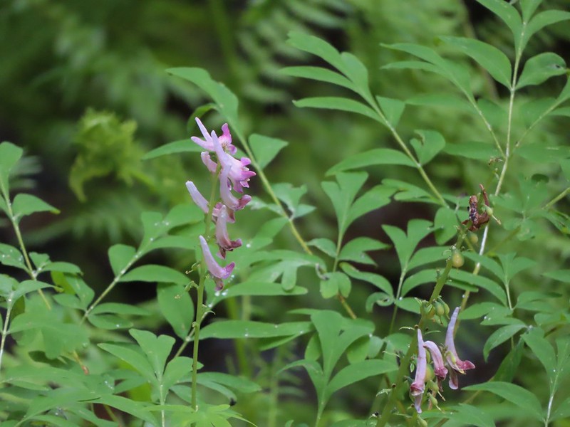 Scouler’s corydalis
 Candy flower


 Rowena Plateau and Tom McCall Point (


 A blurry heron along the river.
 Acorn woodpecker
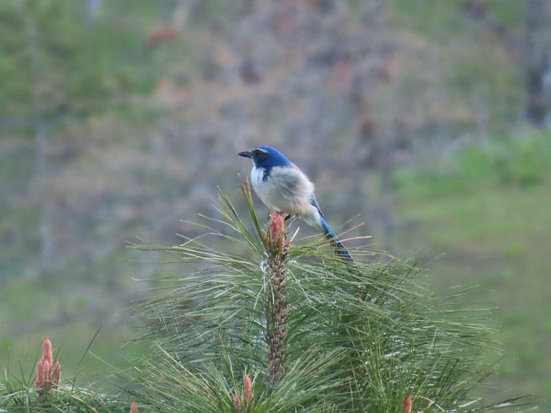 Scrub jay
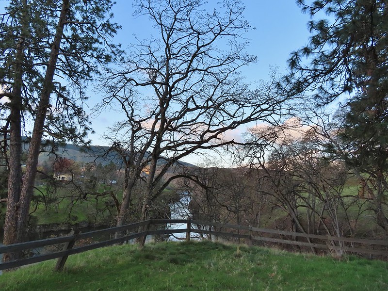 View from the picnic table.
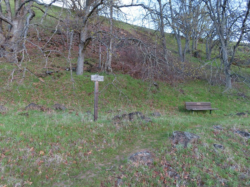
 This trail was not paved.
 Woodland-stars
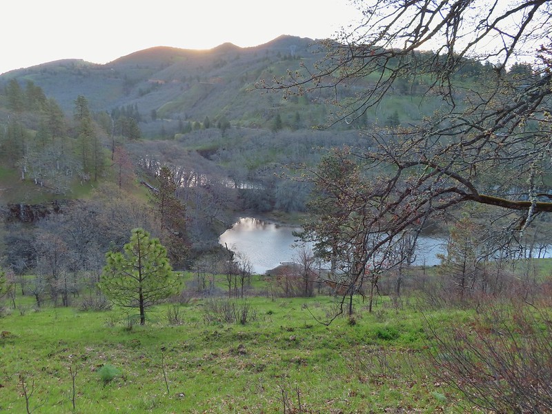 View from a bench at the end of the trail.
 Mallards on the water below.

 Starting at mile 0.
 Keep your eyes out for poison oak which was prevalent along the trail. Luckily the trail is nice and wide so avoiding it was easy enough.
 Heather spotted these three deer across the river.
 Another group of deer.
 Bald eagle
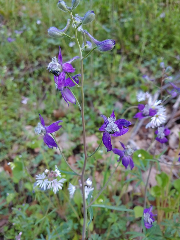 Larkspur and woodland-stars
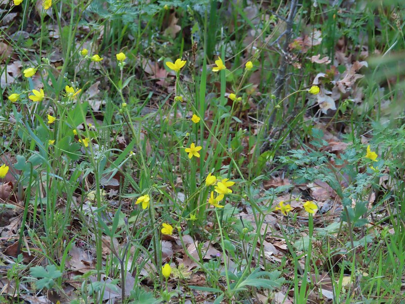 Buttercups
 Pacific hound’s tongue
 Milepost 1
 Saxifrage
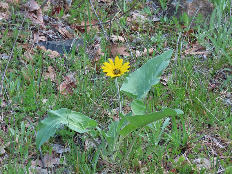 Balsamroot
 Silvas Creek


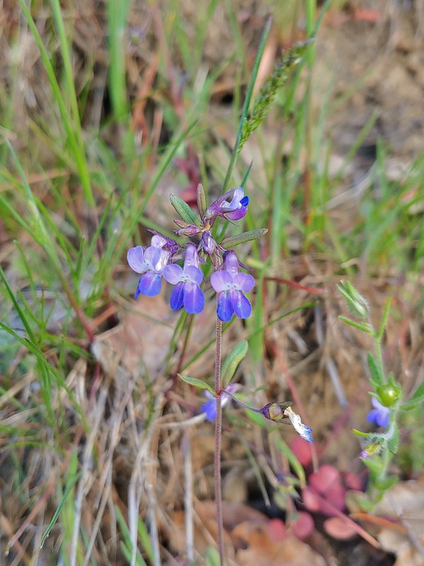 Blue-eyed Mary

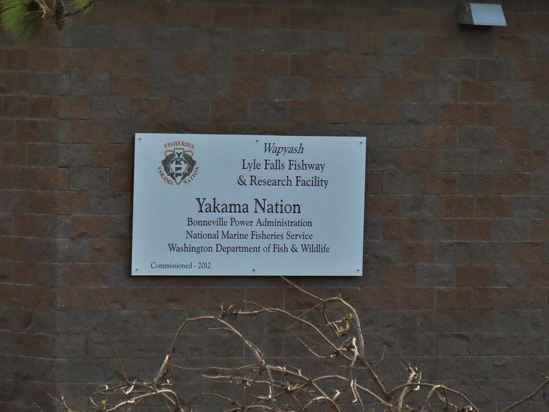


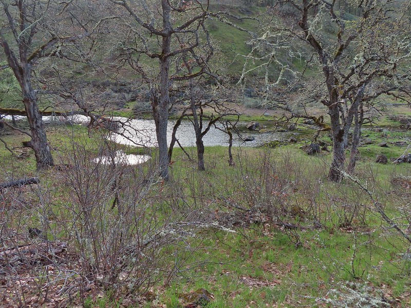 Seasonal pool along the trail.
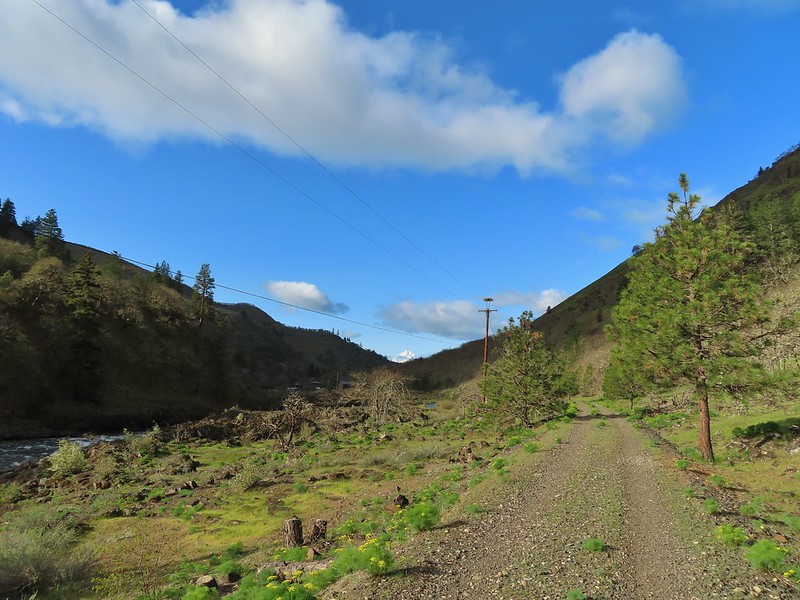
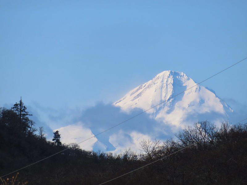
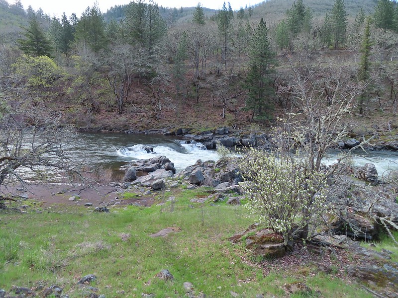
 Common mergansers

 Popcorn flower
 Columbia desert parsley
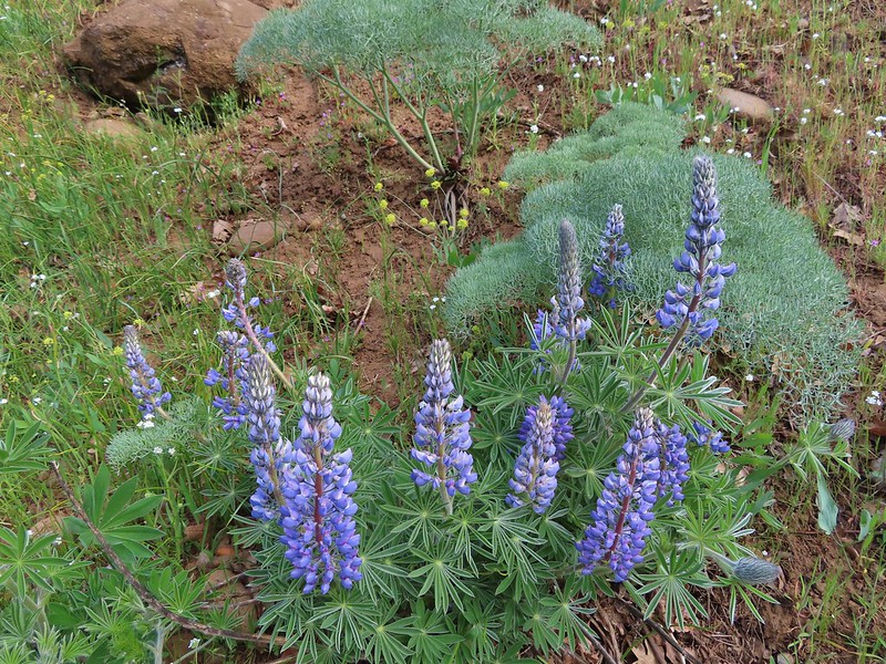 Lupine
 Balsamroot
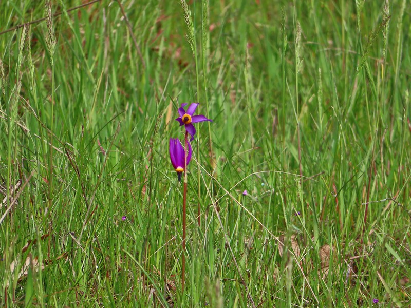 Shooting stars
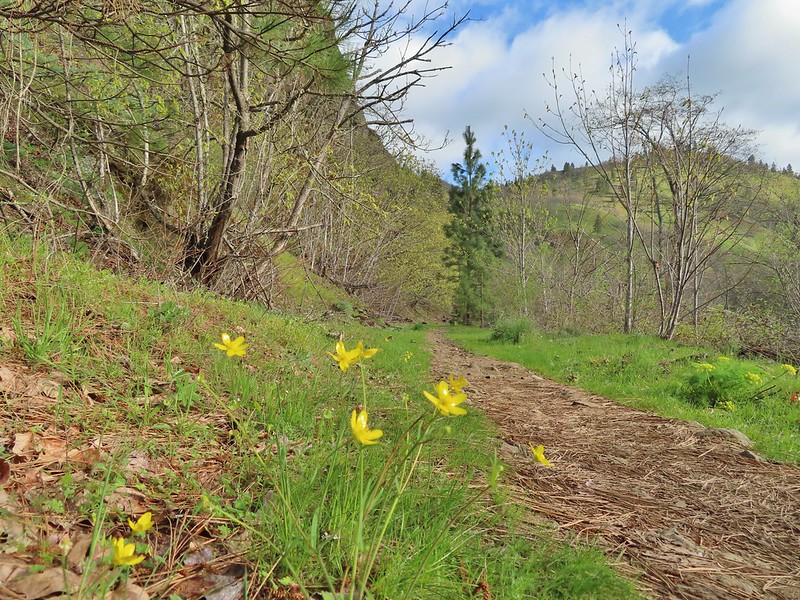 Buttercups
 Waterleaf
 A balsamroot amid pungent desert parsley
 Big-leaf maple trees lining the trail.
 Big-leaf maple blossoms
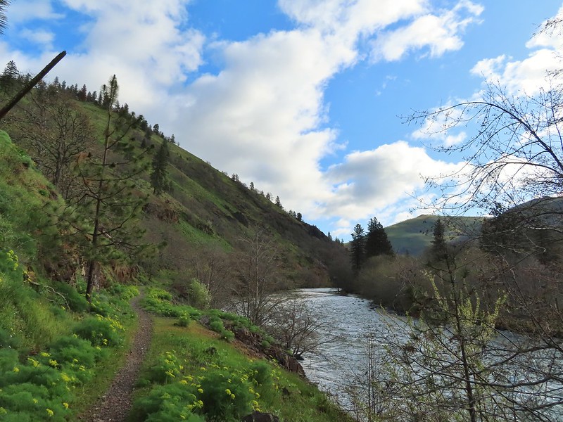
 Gold stars
 Larkspur, poison oak, and buttercups
 Spotted towhee
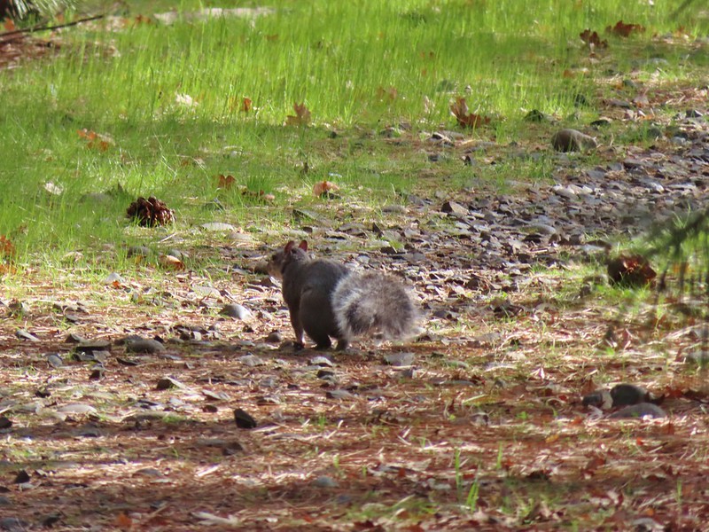 Squirrel
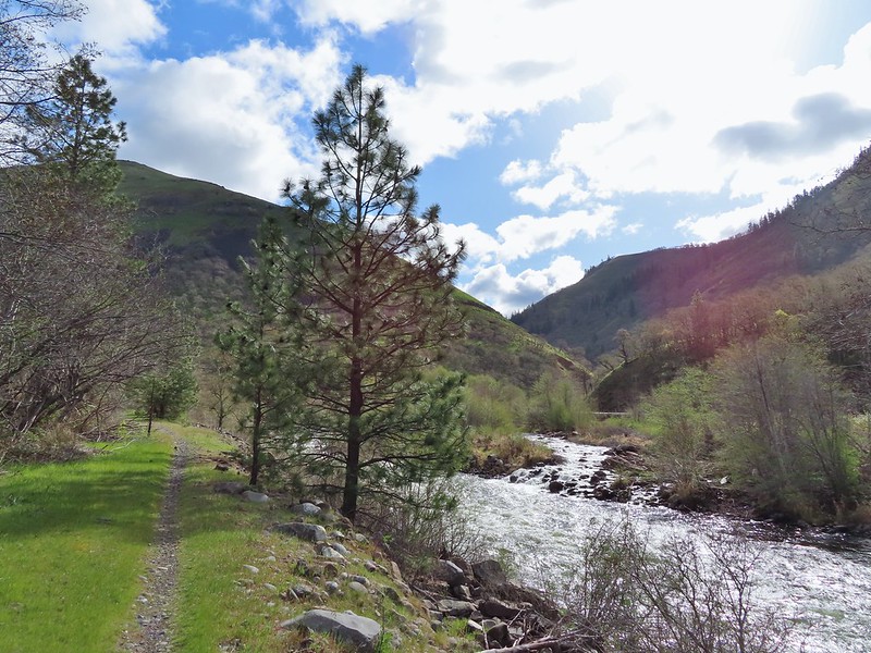 Dillacort Canyon
 Red-stem storksbill

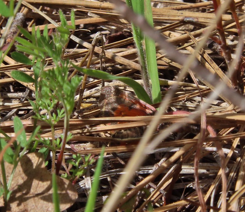 Couldn’t get a good look at this small moth but it was pretty.
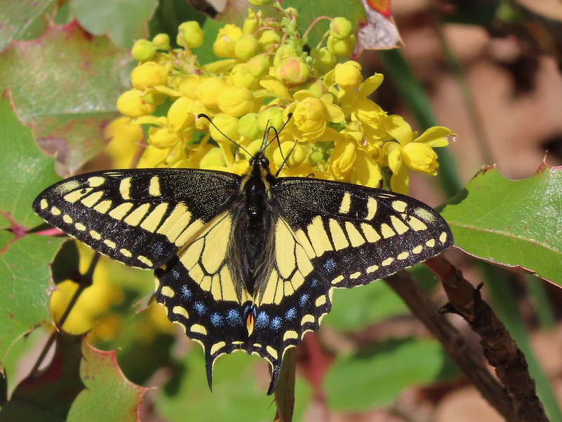 Anise swallowtail
 Sara’s orangetip
 Grass widow
 Slender phlox
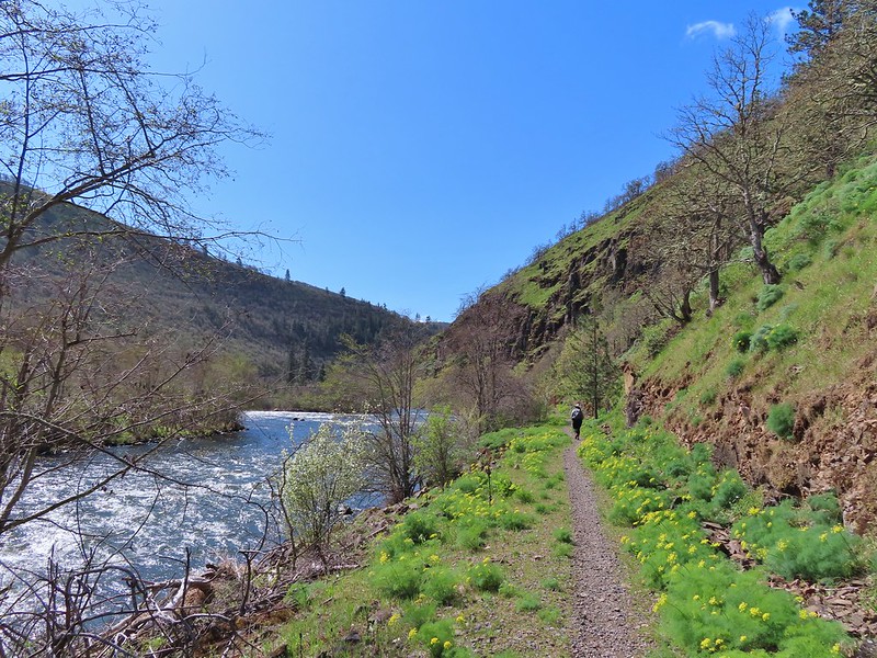 Heading back.
 Immature bald eagle
 Propertius duskywing – Erynnis propertius
 The mergansers had moved to the near bank.
 Hood behind some clouds.
 Ground squirrel
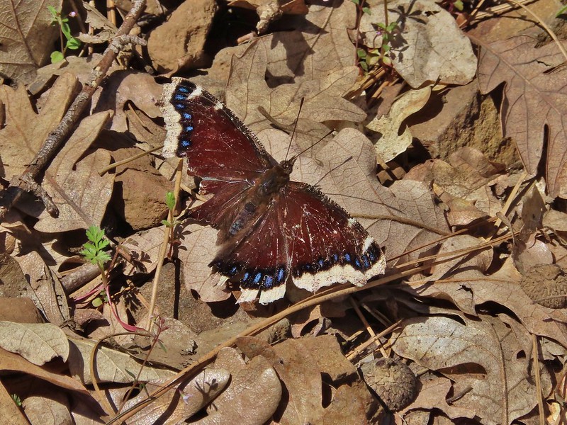 Mourning cloak
 Lizard

 Arriving back at the Lyle Trailhead.