** Note the 2025 Burdoin Fire burned over parts of the route described here. **
We have spent much of our hiking “off-season” addressing long overdue house projects including replacing siding, windows, floors, and now countertops. Hopefully the projects will be done shortly after our official hiking season starts. In the meantime we welcomed the start of a new month with an outing to Lyle, WA for hikes on a pair of trails along the Klickitat River. Our first stop, on the west side of the river, was at the Balfour-Klickitat Trail. The site of a former ranch this day-use area includes a short interpretive loop, picnic tables, and a wildlife viewing path.
Rowena Plateau and Tom McCall Point (post) on the Oregon side of the Columbia River
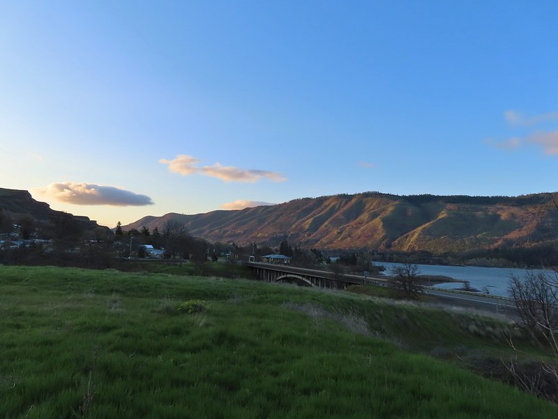
We headed counter-clockwise on the loop which provided views of the Columbia River and across the Klickitat to Lyle.
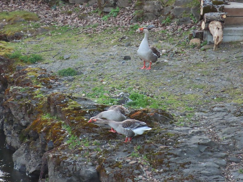
The trail then turned inland along the Klickitat where a noisy group of domestic geese drew our attention to a pair of common mergansers and great blue heron.
A blurry heron along the river.
We spotted a number of smaller birds in the bushes and trees as we made our way around the loop. We also took a quick detour downhill to a picnic table overlooking the river. Acorn woodpecker
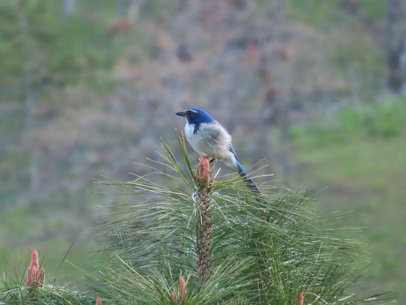
Scrub jay
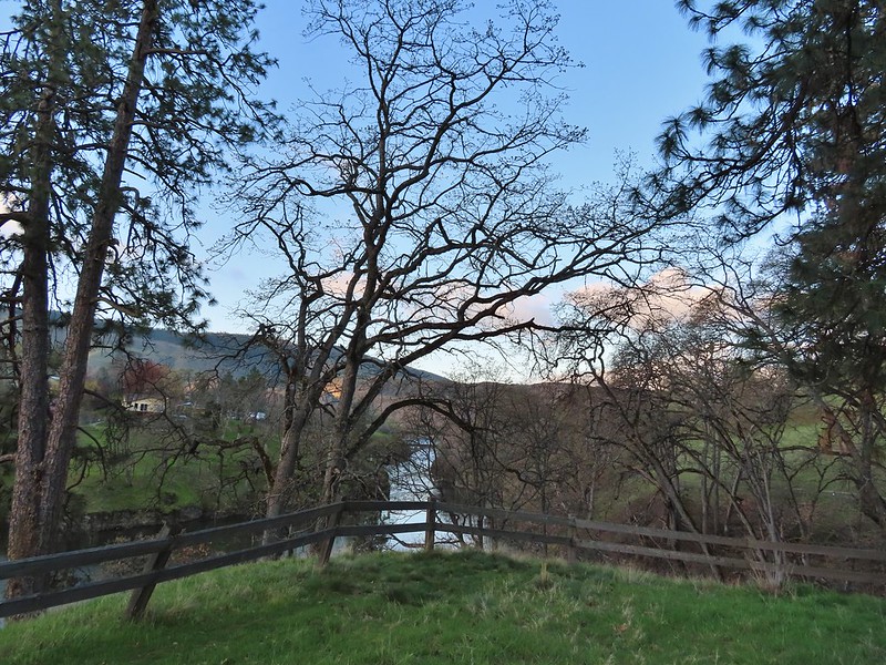
View from the picnic table.
A short time after returning to the loop we came to a sign for the Wildlife Viewing Area near a bench where we made another short detour.
This trail was not paved.
Woodland-stars
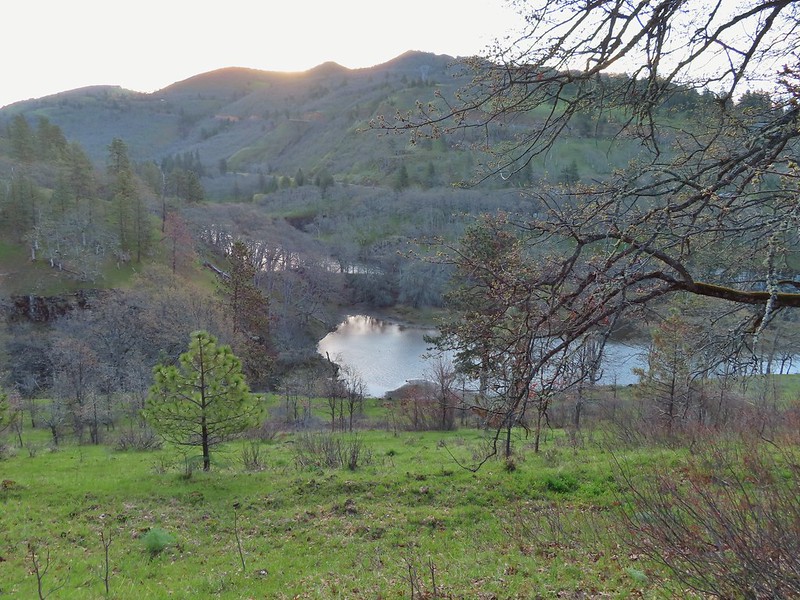
View from a bench at the end of the trail.
Mallards on the water below.
After checking out the wildlife viewing area we completed the 0.75 mile loop which brought our stop here to a total of 1.3 miles. We hopped in our car and drove across the river on Hwy 14 to the Lyle Trailhead. Here the 31-mile long Klickitat Trail begins. This Washington State Park trail follows the historic rail bed of the Spokane, Portland, Seattle Railway (SP&S). A 3 mile section of the trail north of Klickitat, WA is currently unhikeable due to a missing bridge over the Klickitat River effectively splitting the trail southern and northern sections of 13 and 15 miles respectively. We hiked 3.8 miles along the end of the northern section from Harms Road in 2014 (post).
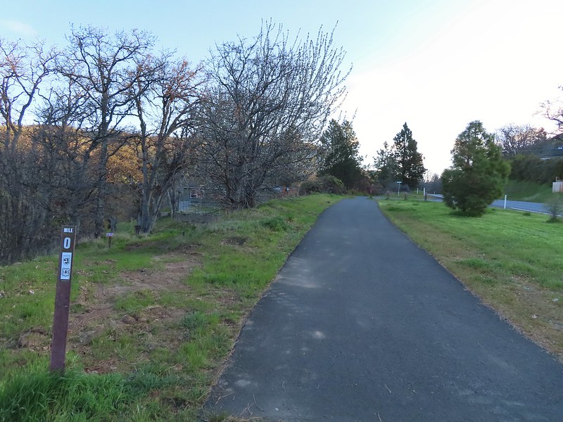
Starting at mile 0.
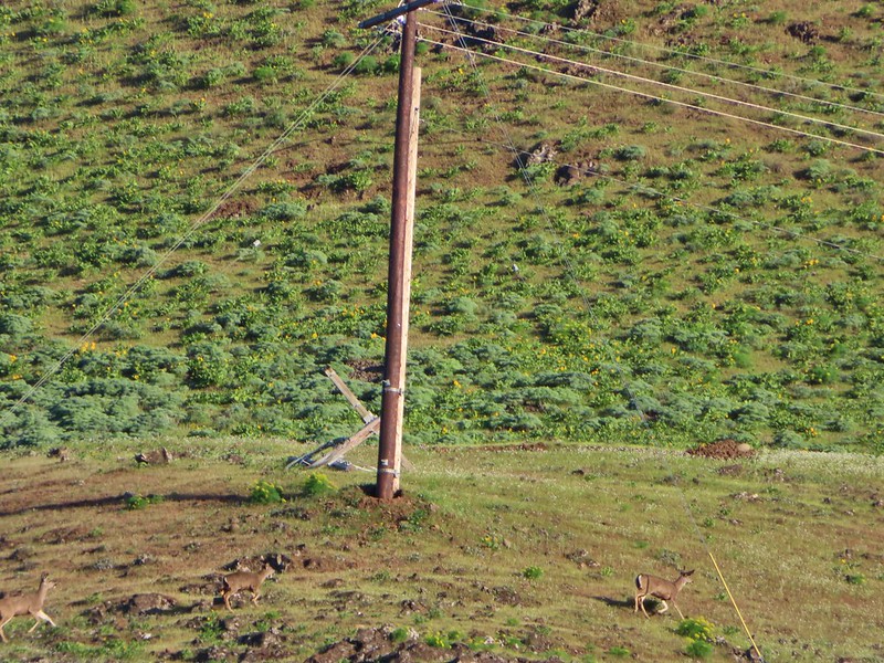
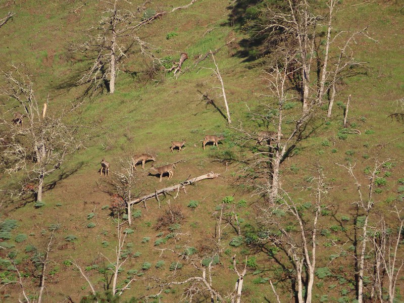
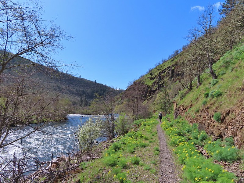
The trail starts by passing some private homes in Lyle but soon provides views down to the Klickitat River. Across the river we spotted a number of deer working their across the hillside and a bald eagle surveying the river below.
Keep your eyes out for poison oak which was prevalent along the trail. Luckily the trail is nice and wide so avoiding it was easy enough.
Heather spotted these three deer across the river.
Another group of deer.
Bald eagle
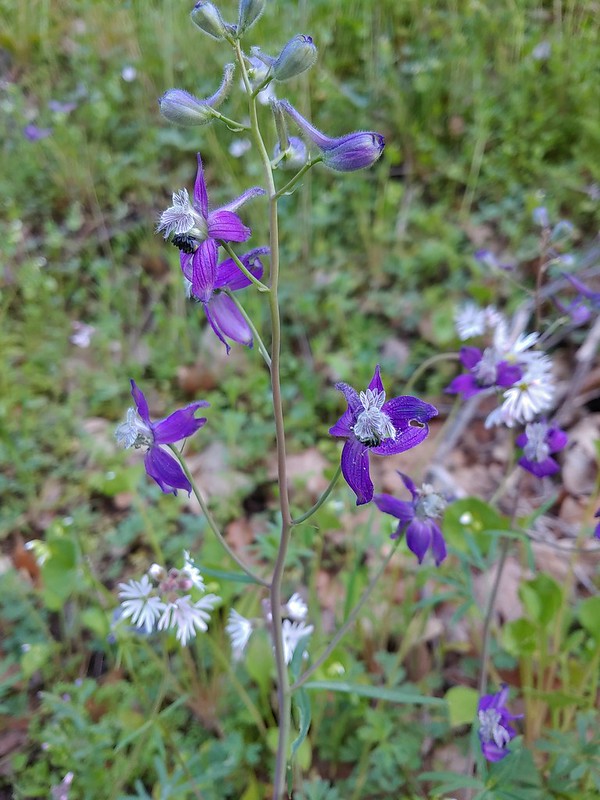
We had chosen this hike based on Matt Reeder’s entry in his “PDX Hiking 365” guidebook where he recommends a late March visit for wildflowers. We kept our eyes out for flowers as we went and were not disappointed. Larkspur and woodland-stars
Buttercups
Pacific hound’s tongue
Milepost 1
Saxifrage
Balsamroot
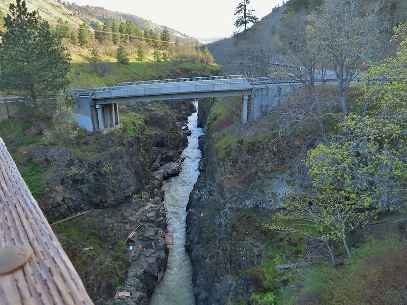
At the 1.7 mile mark we crossed the river on a Fisher Hill Bridge. The view was great and included a series of small cascades on Silvas Creek.
Silvas Creek
We continued north on the trail passing some nice views of the river which were briefly ruined by the smell of rotting flesh (fish?) which brought back memories of the decomposing whale we passed several years ago on our Floras Lake Hike (post).
Blue-eyed Mary
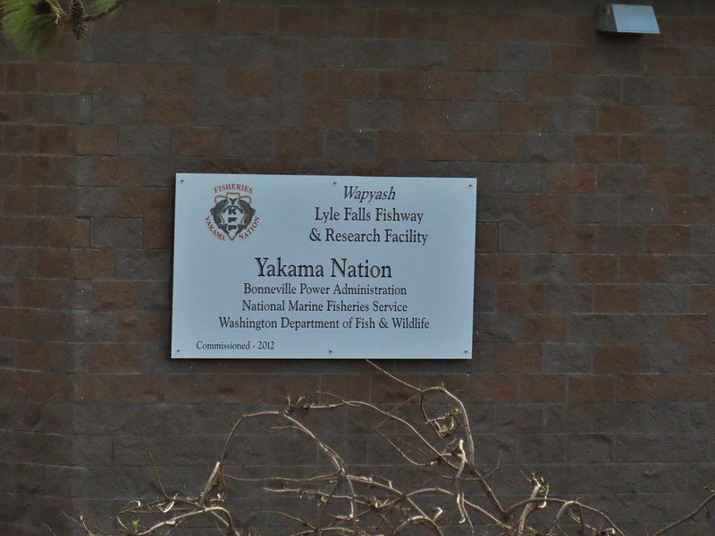
At mile two we passed the Lyle Falls Facility which is a fish monitoring station.
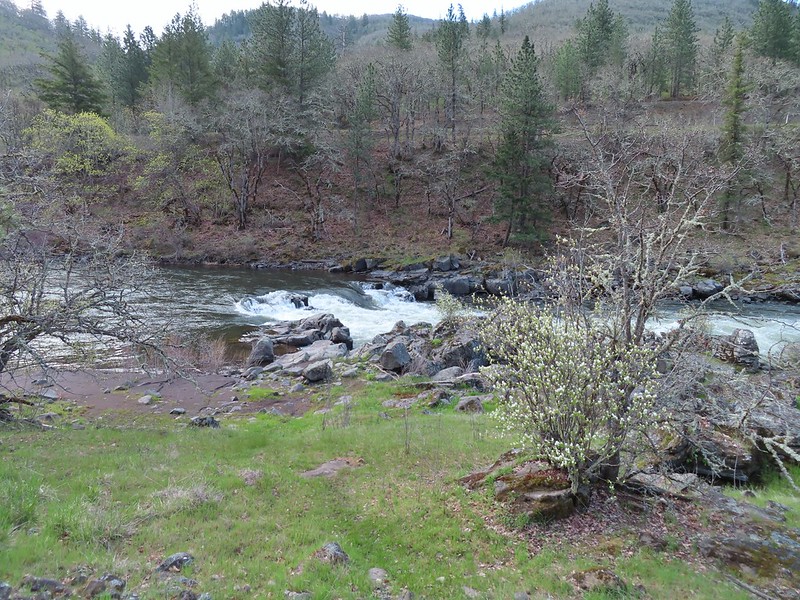
Beyond the fish facility the gap between the trail and the river closed and the views become even prettier.
Seasonal pool along the trail.
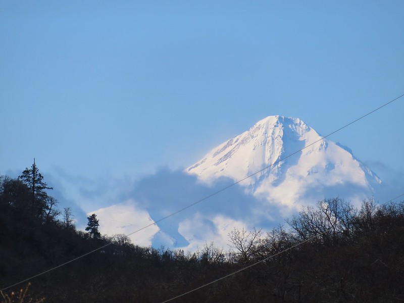
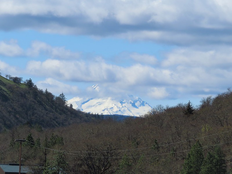
The only mountain view of the day was along this stretch with Mt. Hood making an appearance to the south.
Common mergansers
A short distance upstream we passed a screw trap, an instrument used to trap and count young fish.
We continued upriver until we reached milepost 6 where we called it good and turned around. I had gotten myself confused by misreading Reeder’s hike description and thought that there was another bridge around the 5 mile mark and had originally planned to turn around at that but since it didn’t exist (and we didn’t realize that until after passing MP 5) we made MP 6 the turnaround marker.
Popcorn flower
Columbia desert parsley
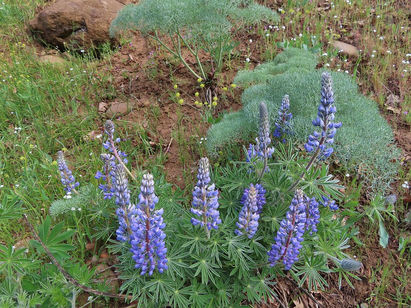
Lupine
Balsamroot
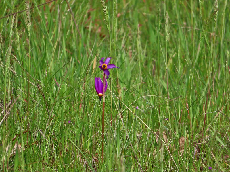
Shooting stars
Buttercups
Waterleaf
A balsamroot amid pungent desert parsley
Big-leaf maple trees lining the trail.
Big-leaf maple blossoms
Gold stars
Larkspur, poison oak, and buttercups
Spotted towhee
Squirrel
Dillacort Canyon
Red-stem storksbill
After turning around we took a brief break on a rocky beach near MP6.
On our way back it had warmed enough for the butterflies (and moths) to come out and we watched for them along with anything we’d missed on our first pass. Couldn’t get a good look at this small moth but it was pretty.
Anise swallowtail
Sara’s orangetip
Grass widow
Slender phlox
Heading back.
Immature bald eagle
Propertius duskywing – Erynnis propertius
The mergansers had moved to the near bank.
Hood behind some clouds.
Ground squirrel
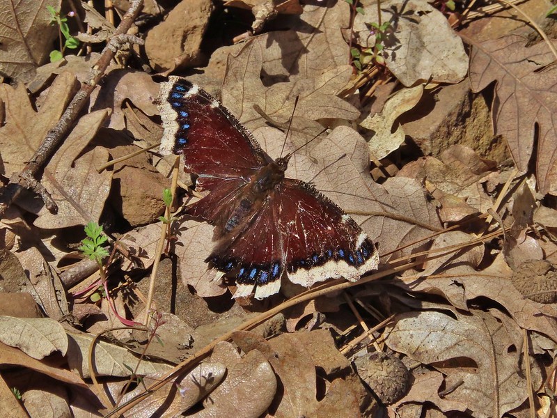
Mourning cloak
Lizard
View from the Fisher Hill Bridge in the afternoon.
Arriving back at the Lyle Trailhead.
Some backtracking and detours brought our hike to a little over 12.5 miles here giving us close to 14 miles on the day with only a couple of hundred feet of elevation gain.
Rattlesnakes and ticks are present in the area but we encountered neither on this day. It was a nice break from the projects at home and a good way to end our off-season. Happy Trails!
Several years ago we set a goal for ourselves to hike all 500 featured hikes in William L. Sullivan’s “100 Hikes…” series of guidebooks (post). Last year we completed the first of these books covering the Central Oregon Cascades (post). We followed that up by completing a pair of books in 2021 starting with Sullivan’s “100 Hikes/Travel Guide Oregon Coast and Coast Range” 3rd edition. Up until the start of 2021 we had been intending to finish his 4th edition but the continued closure of the Salmonberry Railroad prompted us to revert to the earlier edition. That meant going from only needing to finish 5 hikes to 9 hikes but at least the 9 hikes were open and thus we were able to visit them. The last final featured hike happened to be featured hike #1 – Leadbetter Point (post) which we visited on 7/31/2021. Many of the featured hikes in this book are shorter hikes with some barely more than a half mile so we often did multiple hikes in a single day.
Generally speaking in order to check a hike off our list we need to have hiked a substantial portion of Sullivan’s described hike or visited the main attraction(s) he identifies for the hike. For 59 of the hikes we stuck to a nearly identical route to the one described in the book. For another 22 hikes we added to the hike, either following Sullivan’s “other options” or making it up on our own. Eighteen of the hikes were limited to the main attraction which typically involved hikes where there was an option for a shuttle from a second trailhead or as in the case of the Rogue River Trail there were options for multi-day backpacking trips. (We will get to more of the Rogue River Trail as we work through his Southern Oregon book.) Finally one hike, #86 Lower Rogue River, was cut very short due to trail damage. We may revisit that trail at a later date but we counted it as we went as far as we felt we could safely at the time.
The area covered by Sullivan in this book is unique in that it is the only area in which there are featured hikes in three states – Washington, Oregon, and California. It also contains the northern most featured hike the aforementioned Leadbetter Point. The area covered is a somewhat narrow strip running down the coastline from Leadbetter Point south to Redwoods National Park in California. A few hikes are located as far inland as the foothills of the Coast Range along the edge of the Willamette Valley.
Despite being a fairly narrow (approximately 60 miles east to west) area the hikes were quite varied from beach walks to mountain summits, sand dunes to temperate rain forests, and urban walks to the solitude of remote wilderness.
Two mountain ranges are home to several hikes. The Coast Range extends over 200 miles from the Oregon/Washington border south to the Middle Fork Coquille River. At the southern end of the Coast Range the Klamath Mountains begin extending south into California. The elevations for these hikes ranged from sea level to 4655′ atop Vulcan Peak in the Klamath Mountains (Mary’s Peak at 4097′ marked the high point in the Coast Range).
Lastly many of the hikes along the Oregon Coast follow the route of the Oregon Coast Trail.
Without further ado here is a list of the 100 featured hikes along with a photo (or two where two distinctly different hikes were included in the entry) from the 2009 3rd edition of “100 Hikes/Travel Guide Oregon Coast & Coast Range”.
With any luck the Salmonberry Railroad will be reopened in the not too distant future so we can say we’ve completed the 4th edition as well. In the meantime there are still other non-featured hikes to explore and trails to revisit. Happy Trails!
It’s hard to believe another year has passed but here we are once again looking back on 12 months worth of hikes. While 2021 was an improvement over 2020 in almost every way it still had its share of ups and downs including losing our remaining cat Hazel in June and my Grandmother in October. While the challenge of finding places to hike due to COVID in 2020 were no more, the same couldn’t be said for COVID itself and it seems like it will be around for awhile. Wildfires once again were a large factor in deciding on our destinations, another issue that doesn’t appear to be going away any time soon.
Despite these issues we had some great hikes in 2021. I slipped an extra three hikes in during the month of April to wind up hiking on 58 days for a total of 641.5 miles while Heather got 55 days in and 614.7 miles. Forty of the hikes were entirely new to us while only one, Tumalo Mountain (post), was an complete repeat. We had done that one over after failing to catch the sunrise on our first try and boy was it worth it.
Our first and final hikes of the year were on converted railroads. Banks-Vernonia State Trail in January. (post)
Over the course of the year we managed to complete several of our long term hiking goals. A trip to Cottonwood Canyon State Park in May marked our first hike in Gilliam County which is the last of Oregon’s 36 counties that we had not hiked in. John Day River from the Lost Corral Trail
Trips in June and July took us to the final four of the 46 designated wilderness areas (open to visitors) that we had yet to visit in Oregon. In all we spent twenty-one days hiking in 15 different designated wilderness areas. Ninemile Ridge in the North Fork Umatilla Wilderness in June. (post)
By the end of July we had also completed our goal of hiking at least part of all 100 featured hikes in William L. Sullivan’s “100 Hikes/Travel Guide Oregon Coast” guidebook and in August we did the same with his “100 Hikes/Travel Guide Northwest Oregon and Southwest Washington” guidebook. Ledbetter Point, the last of the hikes from the coast book. (post)
Badger Lake, the last hike from the northwestern book. (post)
Finishing those two books in addition to the central Cascades book we completed last year (post) left just the eastern and southern books. We checked off 14 featured hikes from the eastern book but were unfortunately unable to make any headway on the southern book due to the wildfires and persistent smoke that plagued southern Oregon and northern California for much of the hiking season.
Our northern most hike was at the aforementioned Ledbetter Point while our southern most hike was on the Oregon Redwoods Trail near the California border (post). Redwoods
The western most hike was, as usual, along the Oregon Coast at Cape Argo State Park. (post)
This marked the first time 3 hikes from the same guidebook marked the furthest in different directions. For obvious reasons the eastern most hike was not from the coast book but from the eastern book. That was our hike on the Wenaha River Trail. (post)
As we have done the last couple of years we plan on putting together 2021 wildlife and wildflower posts but we’ll leave you with a few of our favorite sights throughout the year. For the most part the weather was good but wildfire smoke often impacted views. Falls Creek – February
Cascade Head from God’s Thumb – March
Columbia River from Mitchell Point – March
Mt. Hood from Sevenmile Hill – March
Dalles Mountain Ranch – April
Mt. Adams from Grayback Mountain – May
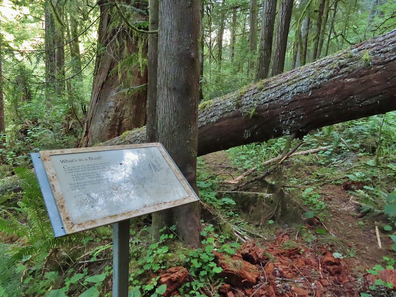
Navigating a downed tree along the Pawn Old Growth Trail – May
Rogue River Trail – May
Golden Falls – May
Lenticular cloud over Mt. Hood from Surveyor’s Ridge – May
Whychus Canyon – May
Deschutes River – May
Whychus Creek Overlook – May
Forest on Mary’s Peak – June
North Fork Umatilla River – June
Tower Mountain Lookout – June
Malheur River – June
Meadow on Round Mountain – June
Santiam Lake – July
Three Fingered Jack from Lower Berley Lake (and a butterfly photobomb) – July
The Husband and Three Sisters from Substitute Point – July
Ochoco
Mountain Trail – July
Red Sun through wildfire smoke from the Monument Rock Wilderness – July
Canyon Mountain Trail, Strawberry Mountain Wilderness – July
Aldrich Mountains – July
Mt. Mitchell summit on a rare poor weather day – August
Mt. Bachelor – August
Cottonwood Camp, Big Indian Gorge in the Steens Mountain Wilderness – August
Wildhorse Lake, Steens Mountain Wilderness – August
Evening at the Steens Mountain Resort – August
Little Blitzen Gorge – August
Riddle Ranch – August
Morning in the Pueblo Mountains – August
Oregon Desert Trail, Pueblo Mountains – August
Mt. St. Helens and Spirit Lake – August
Harmony Falls – August
Loowit Falls – August
Mt. St. Helens from Norway Pass – August
Mt. Hood from the PCT in the Indian Heaven Wilderness – September
Mt. Adams and Soda Peaks Lake, Trapper Creek Wilderness – September
Jubilee Lake – September
Rough Fork Trail, Blue Mountains – September
Heritage Landing Trail, Deschutes River – September
McDonald-Dunn Forest – October
Cascade Mountains from the Mt. Jefferson Wilderness – October
Three Fingered Jack from Round Lake – October
Mt. Hood from the Flag Point Lookout
Mt. Hood from Lookout Mountain – October
Silver Falls State Park – October
Laurel Hill Wagon Chute – October
Barlow Ridge, Mt. Hood Wilderness – October
Fern Ridge Wildlife Area – November
Here’s to an even better 2022. Happy New Year and Happy Trails!
For Labor Day we headed back up to Washington where we’d been able to mostly avoid smoke from the numerous wildfires in the West. We’d spent the day before in the Indian Heaven Wilderness (post) and today we were returning to the Trapper Creek Wilderness for the first time since 2013 (post). The wilderness areas are just eight miles apart, separated by the Wind River Highway (and Wind River).
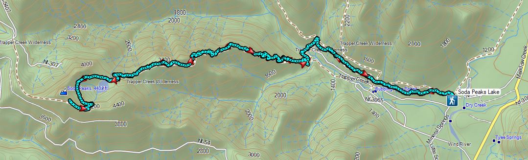
Our planned hike for the day was inspired by a featured hike in Sullivan’s 5th edition of his “100 Hikes/Travel Guide Northwest Oregon & Southwest Washington” book. While Sullivan describes two options for hike #34, Trapper Creek, both were a bit short for us after the 2 hour drive to reach the closest trailhead. His first option is a 3.8 mile out and back to what he calls the “Grove of Giants”, a stand of old growth cedar trees starting at the Trapper Creek Trailhead. His second option (beginning at a different trailhead) is a 5 mile out and back to visit Soda Peaks Lake. Our plan was to park at the Trapper Creek Trailhead and do an out and back hike passing the Grove of Giants, then continuing on the Soda Peaks Lake Trail to Soda Peaks Lake and beyond to a viewpoint on the rim above the lake.
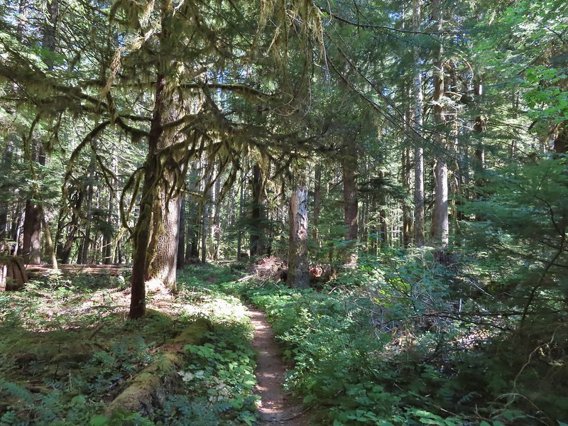
The Trapper Creek Trail started out nearly level which made for a nice warm up before climbing.
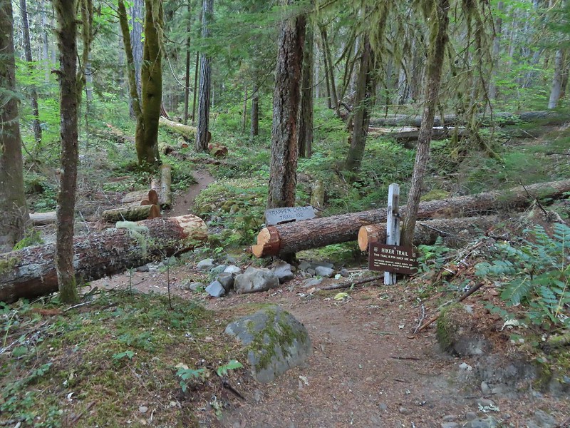
Not far from the trailhead the unsigned Dry Creek Trail joined from the right.
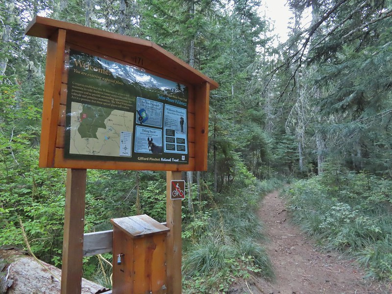
Warning sign for burned trees due to the 2020 Big Hollow Fire (there’s that four letter “F” word again). The wilderness had been closed most of the year due to that fire (and some bad winter storms) and was only reopened in August.
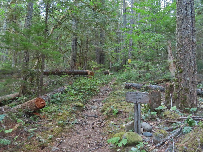
The trail climbed gradually along a hillside above Trapper Creek for three quarters of a mile to a 4-way junction with the Observation Trail which we had been on in 2013.
The Observation Trail.
We stayed straight on the Trapper Creek Trail here.
For the next three quarters of a mile the trail gradually descended to a unnamed creek crossing.
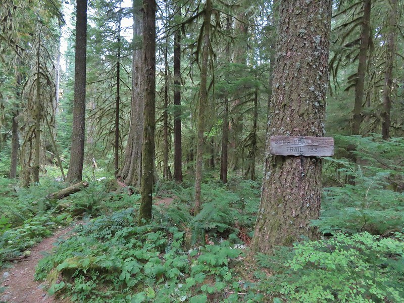
On the far side of the creek we turned left onto the Soda Peaks Lake Trail.
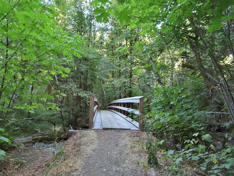
We followed the creek downhill ignoring a side trail joining from the left and came to a footbridge over Trapper Creek.
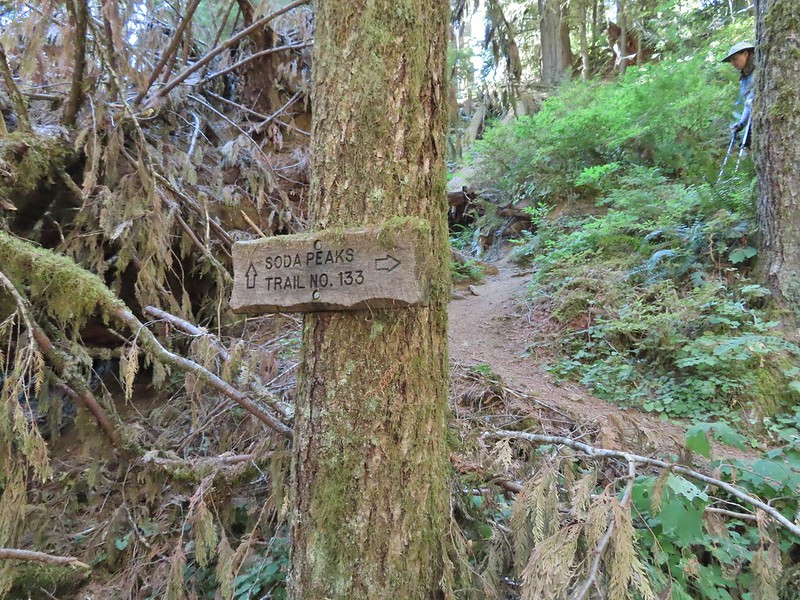
Sign at the jct with the side trail joining from some private cabins.
The trail then passed through a stand of alder before turning left and reaching the Grove of Giants just under half a mile from the Trapper Creek Trail.
One of the big trees was down.
At the grove the trail made a sharp right turn and began an arduous three mile climb gaining over 2300′ of elevation.
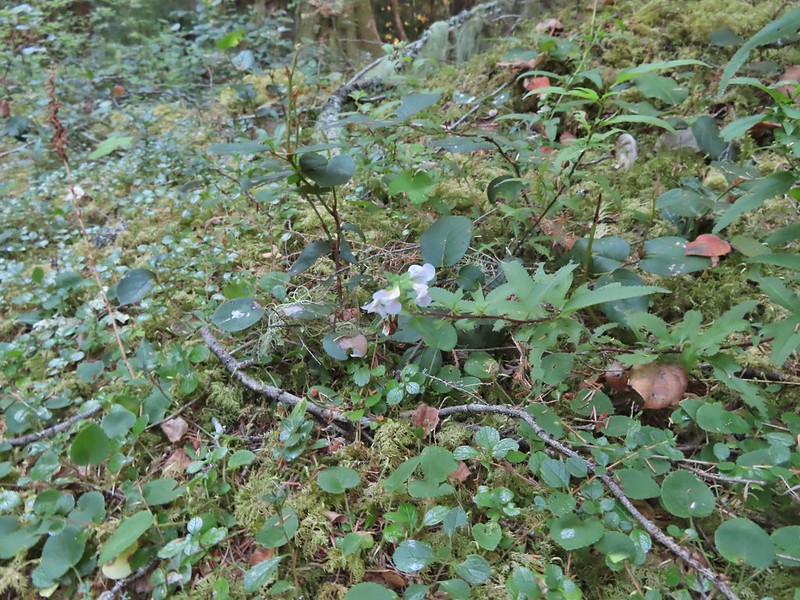
Lousewort was just about the only flowers left blooming along the trail.
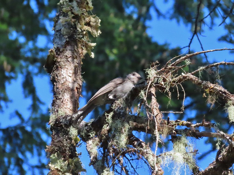
Grey jay
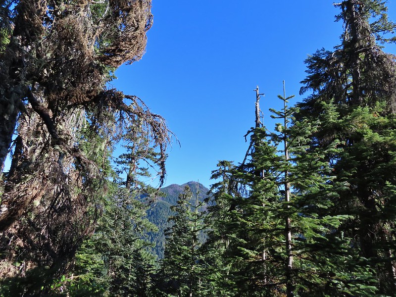
Observation Peak from the trail.
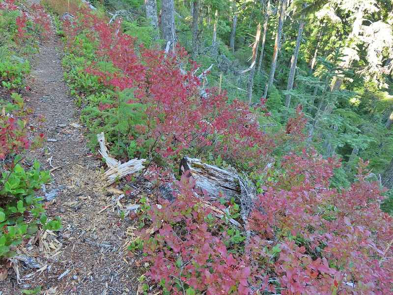
Huckleberry leaves
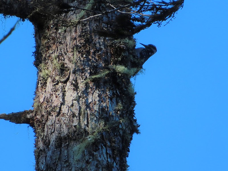
Woodpecker
There were three short stretches in saddles where the trail briefly leveled out giving us a respite from the climb.
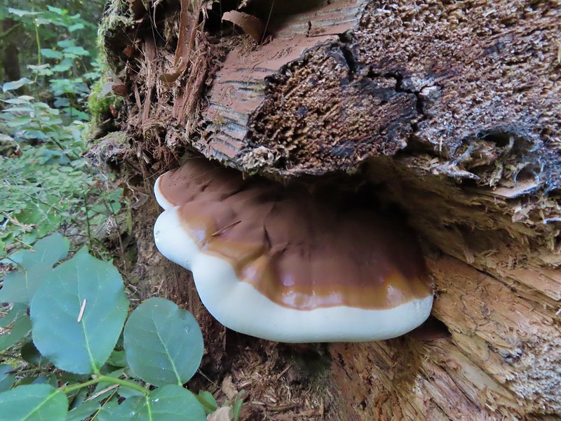
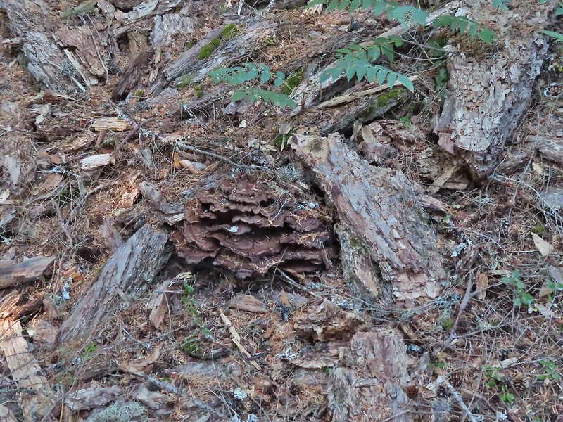
Fungus amid some bark.
Big rock outcrop along the trail.
Mountain ash changing into its Fall colors.
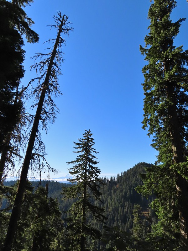
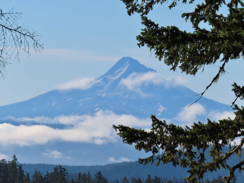
Mt. Hood from the trail.
Mt. Hood
Red bunchberries and a blue berry from a queen’s cup.
Mt. St. Helens from the trail.
Mt. St. Helens
The only real obstacle came about a quarter of a mile from the lake where a large tree trunk blocked the trail. It was too wide to step over and at too steep an angle to climb over.
The only option was to climb steeply uphill to pass around the top of it.
Mt. Adams from the trail.
Almost to the lake which was busy with folks that most likely took the shorter route in.
Day use area at Soda Peaks Lake.
I don’t think we’d seen anyone all morning on the trails so the barking dogs and yelling people (maybe they were just talking loud but I wasn’t used to hearing voices) were enough encouragement to move on after a short break. The rim viewpoint that we planned to make our turnaround point was another 1.1 miles and 600′ of climbing away. The trail immediately climbed away from the lake from the day use area.
It then curved around the north side of the lake passing through several rock fields where we heard a few pikas but were not able to spot any.
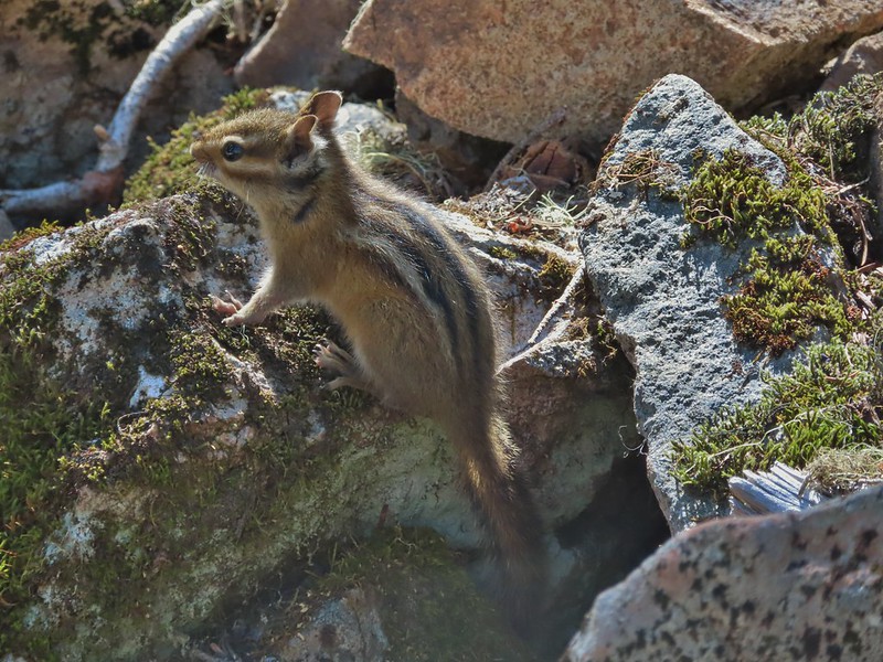
Not a pika, but it was a cute chipmunk.
After some gradual climbing the trail got serious and switchbacked steeply to the rim where it turned right following it for 0.2 miles to the viewpoint.
Mt. Rainier
Mt. Rainier
The Goat Rocks with a smoke plume rising behind them to the north.
Mt. Adams with Soda Peaks Lake in the trees below. The row of peaks in between Mt. Adams and the lake is the Indian Heaven Wilderness.
The Red Mountain lookout where we’d been the day before.
There were more people coming down the trail headed for the lake. After a moment admiring the view and catching our breath we also headed back down. We stopped again briefly at the lake then said our goodbyes.
It was a long descent and our knees were happier once we were back on the Trapper Creek Trail. Heather also suffered a yellow jacket sting on her calf on the way down which wasn’t a nice surprise.
Mt. Hood and some vine maples.
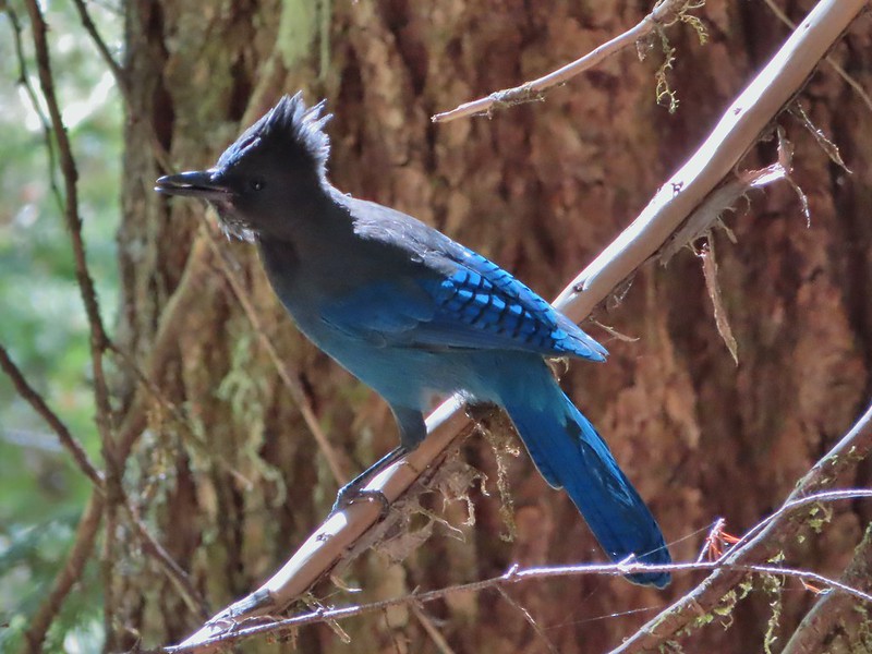
This stellar’s jay almost hit Heather in the head.
Back on level ground.
The hike wound up being 12.5 miles with 3800′ of elevation gain. It was in the 80’s when we arrived back at the trailhead and the heat just made the hike a little harder. Nevertheless it was an enjoyable day in the Trapper Creek Wilderness. Happy Trails!
The horrible wildfire season finally thwarted one of our planned trips when California announced that all National Forests would be closed over Labor Day Weekend (and at least through September 17th). This was at least the third year in a row we had a backpacking trip in the Siskiyou Wilderness planned but either fire or weather has kept those plans from happening each time. Much like last September many of the areas that aren’t on fire are suffering from unhealthy air quality due to the smoke so our options were limited. (How I miss the days of rain being the driving factor on where we were going to hike.) One of the areas that has been less impacted by the smoke has been SW Washington and so we turned to that area once again for a pair of hikes over the holiday weekend. We skipped Saturday as smoke was an issue pretty much everywhere save for the Coast and Coast Range and waited for the next system to push the smoke east (sorry Central Oregon).
For our hike on Sunday we turned to Matt Reeder’s “Off the Beaten Trail” 2nd edition. In his Indian Racetrack and Red Mountain description (hike #15) Reeder describes an alternate loop using the unmaintained Basin Lakes Trail and the Pacific Crest Trail as an alternate to the 7.4 mile out and back that he suggests. We’d been to Indian Racetrack and Red Mountain as part of a diffent loop (post) so this other loop sounded more interesting than the out and back. We figured if the old Basin Lakes Trail was too hard to follow we could simply turn back and still do the out and back as described since it was only 2 miles to the basin then an additional mile up to the Pacific Crest Trail. We started our hike at the Falls Creek Horse Camp. The Falls Creek Trail heads southwest from the horse camp descending to Falls Creek Falls.
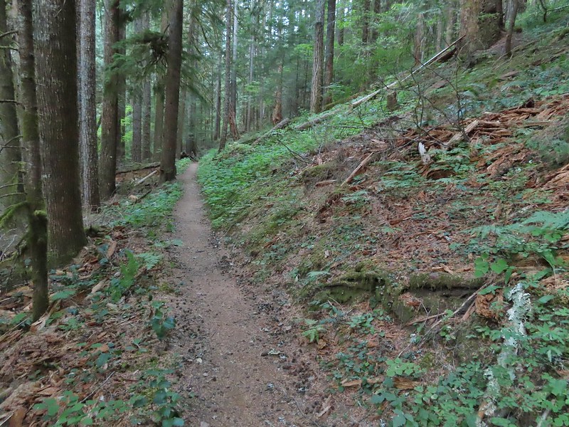
The trail we wanted, the Indian Racetrack Trail, began on the opposite side of Forest Road 65. There were no signs for the obvious trail.
Once we were on the trail we ignored an unsigned side trail on the right which presumably led down to Falls Creek.
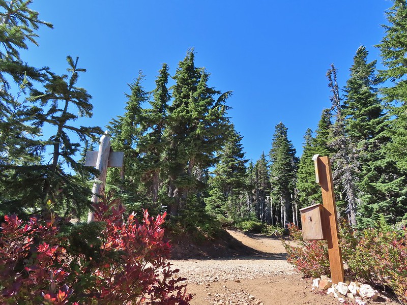
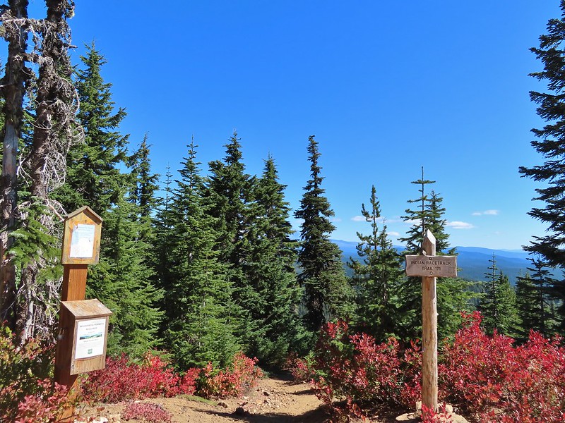
Approximately 0.2 miles from FR 65 a second trail joined from the left at a wilderness signboard.
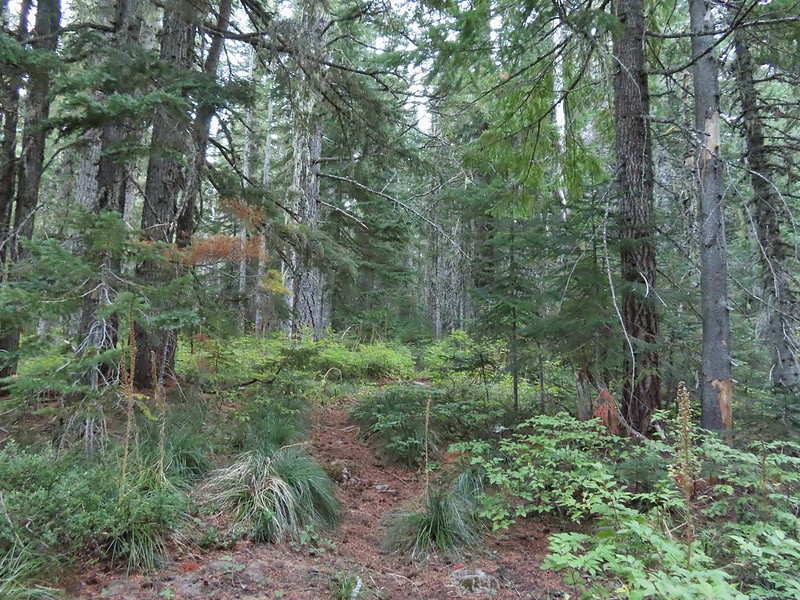
Approximately 120 yards beyond the signboard we arrived at an unsigned fork.
The Indian Racetrack Trail continued to the right while the abandoned Basin Lake Trail veered left. While the Forest Service no longer maintains the trail (or even lists it on their website) the tread was obvious and based on the number of road apples on the ground it is used fairly regularly by equestrians.
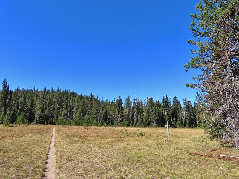
A half a mile up this trail we came to a small meadow where a couple of hikers were camped.
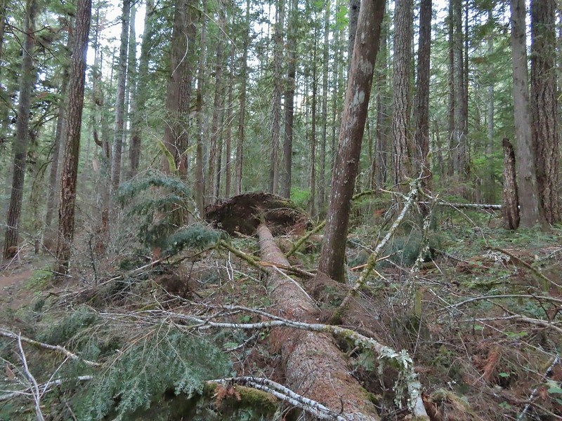
They warned us that where were quite a few trees down the closer you got to the Basin Lakes but that didn’t dissuade us and we continued on. The trees weren’t much of an issue and in most cases clear paths simply went around them.
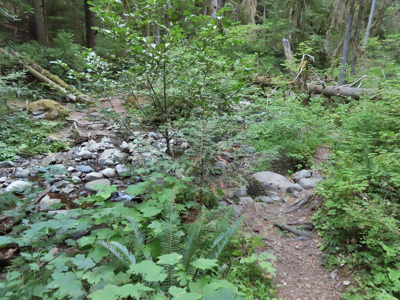
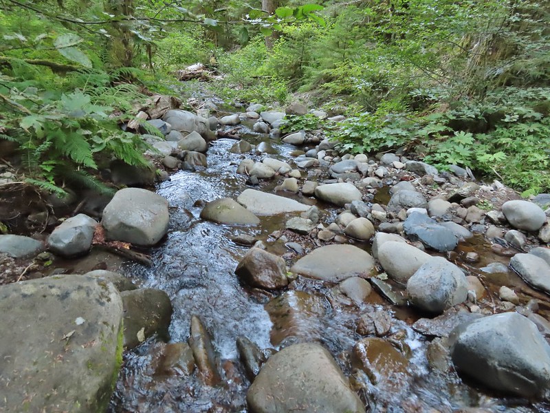
We crossed a branch of Falls Creek just under a mile along the trail.
The tread continued to be fairly easy to follow for another half mile and then it vanished, at least from our sight, near a gully.
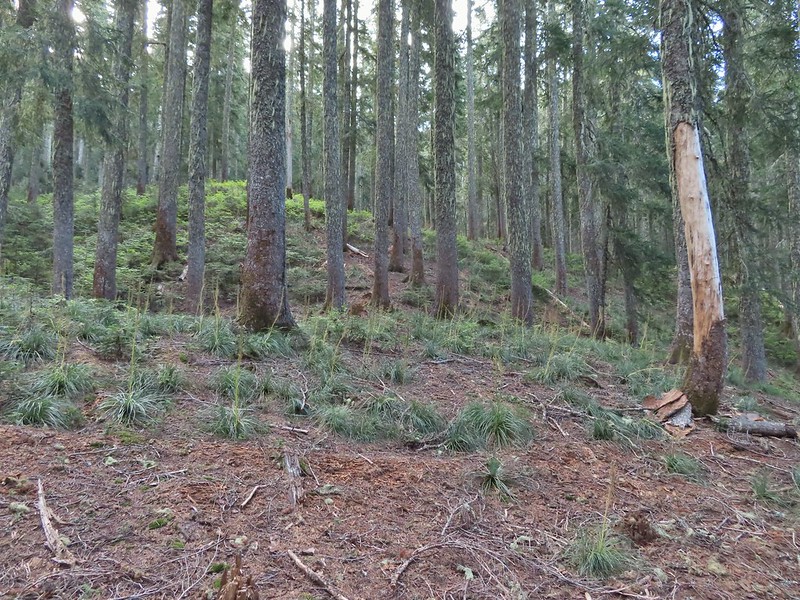
After a few minutes of hunting for it (which included crossing and recrossing the gully) we decided to simply follow the tallest ridge in the direction of the lakes using our GPS and Reeder’s map. A quarter mile later we were looking down at Peggy Lake on our left.
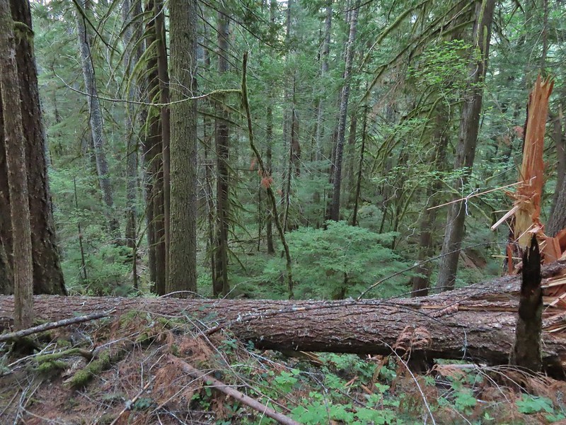
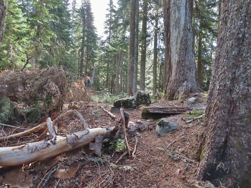
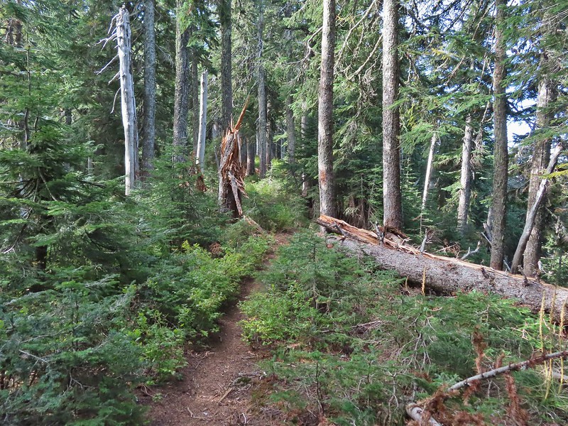
We stayed on the ridge above Peggy Lake and turned on the far end made a hard right toward Janet Lake. Typical vegetation and trees on the ridge.
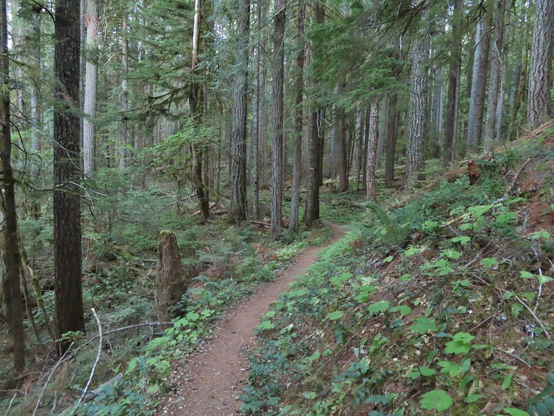
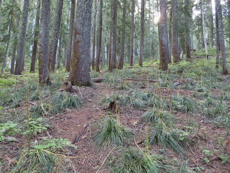
We rediscovered tread as we dropped to a saddle near Janet Lake.
Sign at the saddle between Peggy and Janet Lakes.
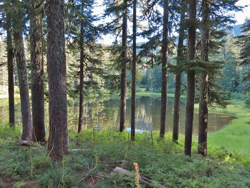
We did walk down to the bank of Janet Lake to admire its reflection.
From Janet Lake it was another 0.1 miles to an unnamed (at least officially) Basin Lake, sometimes on tread and sometimes not.
Sleepy ducks
I believe Oregon Hikers calls this one “Cindy Lake”.
We passed another lake on our left a quarter mile later.
That was followed by what appeared to be a mostly dry lake bed on the right, now filled with green grass.
We were now at the eastern end of the basin facing a steep climb up to the Pacific Crest Trail. We needed to gain almost 500′ to reach that trail and at the moment we weren’t sure if there was any tread to follow up.
We scanned the hillside but couldn’t pick anything out so we put our route finding hats on and identified a small saddle where it looked like a trail would go and headed for it. As we approached we stumbled on tread.
The small saddle we’d been aiming for.
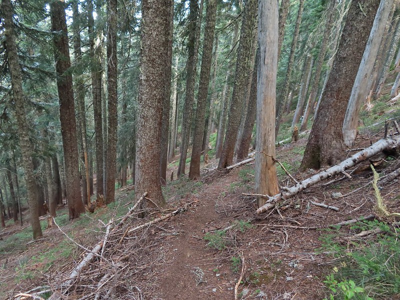
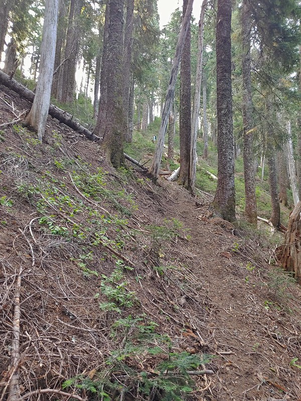
From there we were able to follow a faint path up and out of the basin.
Heather down to the right between a couple of trees.
Me getting close to the top.
The top of the ridge.
The Pacific Crest Trail runs right along the ridge (despite where it’s shown on Google Maps) and passes over the top of Berry Mountain to the south. After catching our breath we turned right and headed toward Berry Mountain and yet more climbing.
Fortunately it was the PCT so the climb was relatively gradual as it switchbacked up 170′ in 0.4 miles.
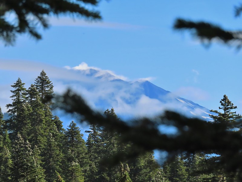
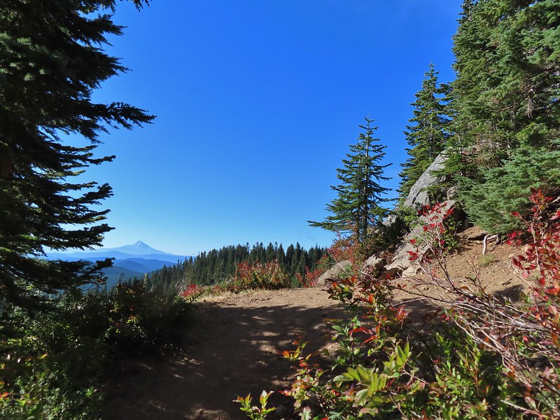
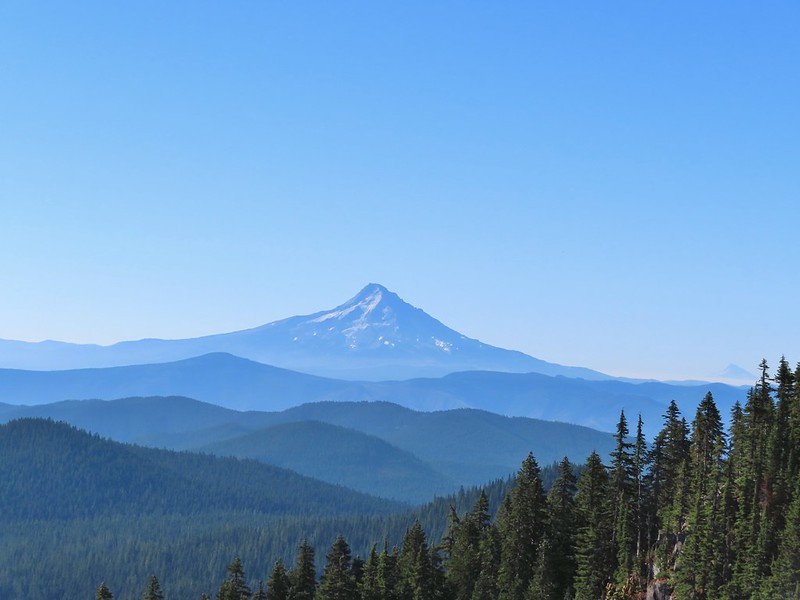
At a switchback a bit below the summit we were treated to a spectacular view of Mt. Hood.
Mt. Jefferson was also visible to the right of Mt. Hood. Unfortunately so was the smoke being produced by the Bull Complex Fire which destroyed the historic Bull of the Woods Lookout (post) on Labor Day 😦 .
Autumn is on the way, bring on the rain please.
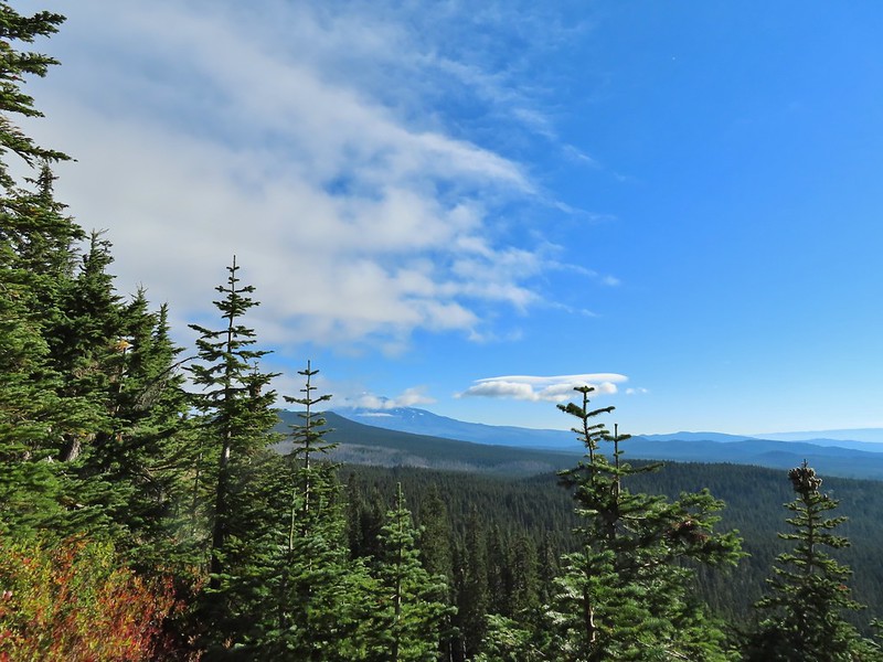
The PCT stuck to the long summit which would have also provided good views of Mt. Adams and Mt. St. Helens on a clearer day. Mt. Adams
Looking toward Mt. St. Helens
The peaks in the Trapper Creek Wilderness (post) to the west.
We finally began to descend from Berry Mountain and after 3 miles on the PCT arrived at a signed junction for the Indian Racetrack Shortcut Trail. Cliffs on Berry Mountain
Mt. Hood as we headed downhill.
Red Mountain and its lookout tower.
This beargrass is way off schedule.
On our previous hike we’d arrived at this junction from the other direction so when we turned right we one a somewhat familiar trail. After a brief stint in the forest the trail entered larger and larger meadows.
After a half mile we arrived at the Indian Racetrack Trail arriving on our right.
This would be the route back to our car but first we wanted to revisit the lookout on Red Mountain so we continued straight for approximately 50 yards and turned left at a pointer for the Indian Racetrack Trail.
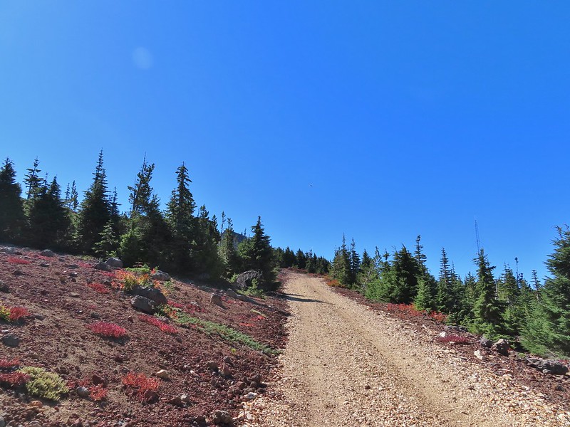
We followed the trail 0.8 miles to a road and then followed the road another quarter mile to the lookout gaining a total of 700′ along the way.
Mt. Adams from a viewpoint along the way.
We passed two sets of hikers on their way down, the second of which mentioned having accidentally driven to the lookout. Apparently someone had vandalized the gate which allowed vehicles to drive up the road. Hopefully the Forest Service can get that remedied quickly as Google still shows the Indian Racetrack Trailhead on Red Mountain.
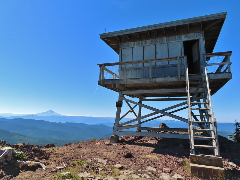
Not sure if someone forced the door open too or not.
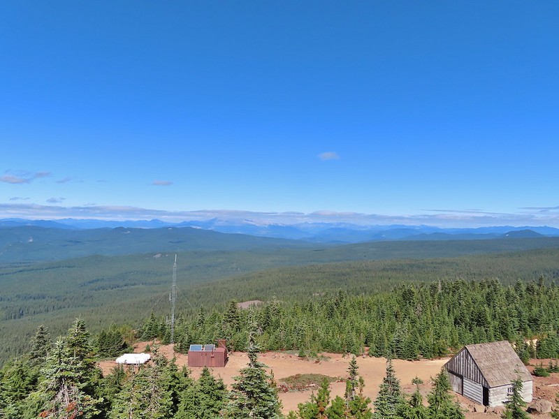
View of Mt. Adams beyond Indian Heaven.
Photo taken from the doorway, it looked like nothing had been vandalized.
Mt. St. Helens still hiding behind that line of clouds.
We took a long enough break at the summit to get to a brief glimpse of Mt. St. Helens summit.
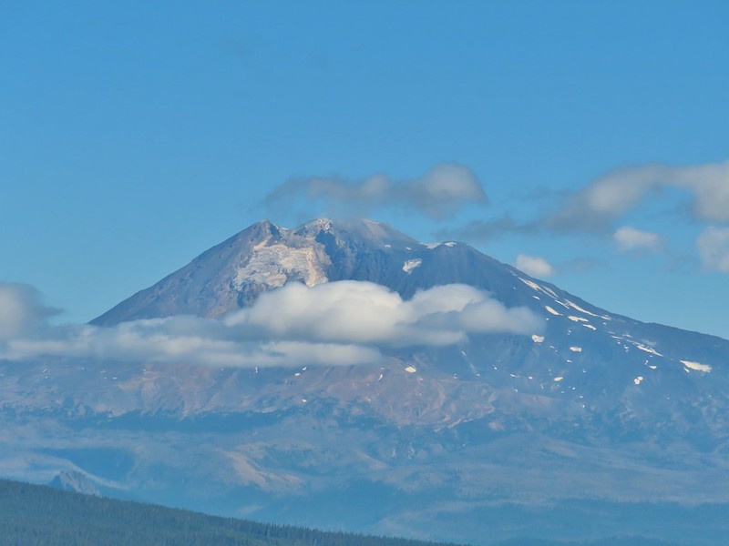
Mt. Adams with a few clouds passing by.
Mt. Hood with smoke from the Bull Complex behind.
We headed back down the Indian Racetrack Trail to Indian Racetrack and then continued on it past Race Track Lake. We passed quite a few hikers on our way down and saw more at Indian Racetrack. Indian Heaven Wilderness sign on Red Mountain with Mt. Adams in the background.
Race Track Lake on the left.
It was 2.3 miles total from the junction back to the Falls Creek Horse Camp. We continued to see more and more hikers and were once again glad we’d gotten an early start allowing us to have the lookout to ourselves. Hardhack
Footbridge over Falls Creek.
Falls Creek
Butterfly near Falls Creek.
Sign at the final trail junction near FR 65.
Reeder called this a 12 mile loop but our GPS came in at 11.2 miles which was a nice surprise. Total elevation gained was approximately 2850′. For this loop route finding, map, and navigation skills are highly recommended, otherwise the out and back option still provides a nice hike. Happy Trails!
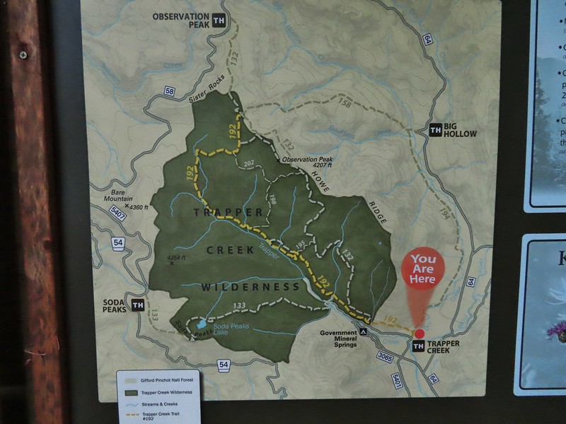
Orange represents the old Basin Lakes Trail which is not shown on most maps.
After spending the night in our tent at Badger Lake (post) Heather’s foot was feeling better enough to give the Norway Pass hike a go. We were up nice and early thanks in part to an owl who visited the lake just before 4am. After a breakfast of Mountain House’s Spicy Southwest Skillet (our current favorite) we packed up and started our hike back to Elk Pass. The view from the trees surrounding our campsite as we prepared to leave.
We had decided not to follow the Boundary Trail all the way back to Elk Pass opting to cut over to a forest road after the first two miles near the Mosquito Meadows Trail junction. Sullivan mentions doing this stating that it is “slightly quicker, but a bit tedious”. Our hope was there would be less elevation gain because we’d done a fair amount of up and down on the trail the day before.
Mt. St. Helens catching some morning light.
Mt. Rainier without a whole bunch of smoke.
There were a couple of paths near the trail junction where people had cut over to the old forest service road which was only about 10 yards away (but hidden by trees from the trail). We turned left at the first of the paths and quickly popped out onto the road.
We turned right on the roadbed and followed it downhill just under half a mile to FR 2551 which is still in use.
We snagged a few black caps along the road to as a post breakfast snack.
FR 2551
We turned right onto FR 2551 and were pleasantly surprised to find that there was very little elevation change (just a slight gain) over the 1.7 miles back to FR 25. The very top of Mt. St. Helens from FR 2551.
Sullivan had labeled this stretch with the word slide which had caused a little apprehension in deciding to try this return route but despite the obvious slide(s) that had occurred here the road was in decent shape.
Not sure what kinds of birds were in this tree but there were a lot of them.
FR 25 at the end of a long straight away.
We turned right again at FR 25 walking along the shoulder for 150 yards to the Boundary Trailhead.
The Boundary Trail crosses FR 25 near the road sign ahead. The picture was taken from FR 2551 at FR 25.
We pulled our day packs out, refilled our water with some extra we had left in the car and drove north on FR 25 to FR 99 where we turned left heading for the Norway Pass Trailhead. A short connector from the trailhead leads to the Boundary Trail.
We turned left at the Boundary Trail and climbed for just over a mile to a signed junction with the Independence Ridge Trail. A couple was taking a break at the junction and another hiker, from the Mt. St. Helens Institute, coming down hill stopped to ask them if they were debating on which way to go. They weren’t and she said good because the Independence Ridge Trail is “dicey”.
Paintbrush
Buckwheat
We could hear a waterfall in the valley below.
The top of the waterfall.
Penstemon and pearly everlasting.
Looking back over our shoulders to Meta Lake.
Mt. Adams also from over our shoulders.
Aster
Switchback at the Independence Ridge Trail junction.
The Boundary Trail climbed less steeply beyond the junction with the exception of an up and down to cross a dry stream bed.
Heading down to the stream bed.
Penstemon
Monkeyflower
As the trail made it’s final climb to Norway Pass Mt. Rainier was visible beyond the ridges to the north.
Norway Pass (the low saddle to the right) from the trail.
Orange agoseris
Approaching the pass.
To get a good view of Mt. St. Helens we had to descend on the trail a short distance beyond the pass.
After admiring the view we headed back stopping along the way to debate what these flowers were and whether or not they were non-natives (we believe they probably are).
With much of the 2.2 mile return hike being downhill we made good time back to the trailhead where we changed and then started the long drive home. Mt. Adams and Meta Lake from the trail.
This hike was just 4.4 miles but gained nearly 900′ of elevation making it a good workout with great views.
The hike out of Badger Lake had been 4.2 miles so combined it was an 8.6 mile day. Knowing that we had now hiked at least portions of all 100 featured hikes in another of Sullivan’s books was the icing on the cake of a fun but tiring visit to Mt. St. Helens. Happy Trails!
After having spent a week in SE Oregon checking off a few of Sullivan’s featured hikes in that region we turned our focus back to the Northwest Oregon/Southwest Washington guidebook where just 3 featured hikes remained. All three hikes were located on the NW side of Mt. St. Helens, a three and a half hour drive from Salem. These last three hikes were a good example of some of the things we’ve had to work out on what counts toward being able to check off a hike. Due to their distance day hikes were out and a limited number of nearby rooms meant we needed to get creative. Our plan was to do portions of all three hikes on Saturday starting at Mt. St. Helens and ending with us backpacking in to Badger Lake and the finishing up on Sunday by driving back to Mt. St. Helens to complete one of the three options Sullivan has for his Spirit Lake hike (4th edition hike #29).
One of the quirks with Sullivan is that while he has the 100 featured hikes he often gives multiple options. Typically the second option is an extension of the shorter option but sometimes the options go in different directions or are even completely different hikes starting at different trailheads. Two of these last three hikes had three options. For Spirit Lake the shortest option, Harmony Falls, started at the Harmony Trailhead while the other two, Norway Pass and Mt. Margaret, began at the Norway Pass Trailhead. We had hiked up Mt. Margaret on a previous trip coming from the other direction (post) so we didn’t feel we needed to do that option but the other two options would be new to us so we planned on doing them both starting with Harmony Falls and saving Norway Pass for Sunday.
From the Harmony Viewpoint a 1.2 mile trail leads 700′ downhill to Spirit Lake.
Mt. St. Helens from the viewpoint.
As has been the case this Summer there was a good deal of haze surrounding us but we had blue(ish) sky overhead. There were also a fair amount of wildflowers blooming, at least compared to what we had seen in SE the previous week.
Pearly everlasting
Penstemon
Paintbrush
Mt. St. Helens
Prior to the 1980 eruption of the mountain Harmony Falls was a 50′ waterfall but most of the falls were buried as was the lodge that sat near the base of the falls. Now there is only a small cascade along the trail.
Mt. St. Helens and Spirit Lake from the end of the trail.
As we were making our way back we were doing our best to try and identify the various rock formations and peaks across the lake. Coldwater Peak (post) is easy with the white equipment on top.
The Dome
Mt. Margaret
Mount Teragram
After finishing this 2.4 mile hike we continued driving toward Mt. St. Helens on FR 99 and parked at the Windy Ridge Interpretive Site where the road is gated and only open to research vehicles.
We were now working on featured hike #28 – Windy Ridge. Again Sullivan had three options, this time all starting from this parking lot. The shortest option was a .2 mile round trip up a steep set of stairs to the Windy Ridge Viewpoint at the northern end of the parking lot (see photo above). We set off across the lot to tackle this one first.
<img src="https://live.staticflickr.com/65535/51413600517_e0b437d3fb_c.jpg" width="800" height="600" alt="IMG_3847">The interpretive site and Spirit Lake.
Mt. St. Helens.
Aside from a little section near the top the stairs were nicely spaced making the climb better than it looked from the bottom.
In addition to Mt. St. Helens both Mt. Adams and Mt. Rainier were visible from the viewpoint although on this day the haze was an issue. Mt. Adams
Mt. Rainier
The interpretive signs at the viewpoint did a good job of identifying different features that were visible which we appreciated.
The Johnston Ridge Observatory was visible across Spirit Lake on a far hillside.
It’s often hard to tell if you’re seeing dust from rockfall or steam from one of the vents.
After reading the signs and taking in the views we headed down the stairs and to the other end of the parking area where we walked past the gate and followed FR 99 for 1.8 miles to a sign for the Abraham Trail, the return route for the longer option.
Butterfly on ragwort
Butterfly on pearly everlasting
Lupine in the pearly everlasting
Golden-mantled ground squirrel
Might be Oregon sunshine
Penstemon
The longer option would add approximately 2.2 miles and 500′ to our hike and visit the Plains of Abraham. As with Mt. Margaret we had visited the Plains of Abraham (post) previously so we were going to stick to the shorter option. Beyond the junction with the Abraham Trail FR 99 dropped to a small parking area for research vehicles where two trails began.
To the left was the Windy Trail and to the right was the Truman Trail. Our plan was to take the Windy Trail and hike a clockwise loop returning on the Truman Trail.
We followed the Windy Trail just over a mile to the Loowit Trail where we turned right.
Paintbrush and dwarf lupine
Pearly everlasting
The Loowit Trail junction.
The Loowit Trail immediately dropped into a gully to cross a small stream. Spirit Lake from the junction.
In the gully.
We continued another 0.4 miles before arriving at Big Spring which was a big surprise.
Another gully to cross.
Big Spring is in the willow thicket.
We knew that there was a spring but more often than not the springs wind up being small trickles or big mud puddles but not Big Spring. This was a good sized stream beginning almost right next to the Loowit Trail.
The stream flowing over the Loowit Trail.
A pink monkeyflower at the spring.
Looking back at the willows and Big Spring.
Another half mile of big views and a couple of gully crossings followed Big Spring. We were excited to spot mountain goats lounging on a ridge between the mountain and the trail along this stretch. Coldwater Peak to the right.
The Sugar Bowl lava dome.
Spirit Lake from the trail.
The first goats we spotted are on this ridge above the lone tree.
The Loowit Trail crossing two gullies in a short stretch, one red one black.
Dropping into the second gully.
From the second gully we could see quite a few more goats on the ridge.
A half mile from Big Spring we arrived at another trail junction. Approaching the junction with the side trail to Loowit Falls.
Sign for Loowit Falls.
We stayed straight here following the pointer for Loowit Falls for another half mile. Loowit Falls (right side of the photo) was visible for much of the half mile.
Looking back at Coldwater Peak and Spirit Lake. (The top of Mt. Rainier is barely visible peaking over the top of the ridges.)
As we neared the falls we noticed another small herd of mountain goats on the hillside.
We could also see the hummocks (post) off in the distance to the NE, pieces of the mountain that slid off during the 1980 eruption and settled in the debris flow creating odd mounds.
Loowit Falls looked bigger than I had expected. We took a good break at the viewpoint with a couple of other hikers and a pair of young Forest Service workers.
Spirit Lake from the viewpoint.
After our break we returned to the Loowit Trail to continue the loop.
Paintbrush
Dwarf lupine
Just under three quarters of a mile from the Loowit Falls Trail junction we arrived at the Willow Springs Trail junction.
Here we left the Loowit Trail by turning right on the 0.8 mile long Willow Springs Trail.
Mt. St. Helens from the Willow Springs Trail.
Heading toward Spirit Lake.
The Willow Springs Trail ended at the Truman Trail where we again turned right.
We followed the Truman Trail for a mile and a half back to the research vehicle parking area, re-crossing the gullies and streams we had crossed on the Loowit Trail.
The Dome above Spirit Lake
Vehicles ahead in the research parking area.
From the parking area we followed FR 99 (mostly uphill until the very end) 1.8 miles back to the Windy Ridge Interpretive Site. The haze was improving as the day wore on and we could now at least make out some snow on Mt. Adams.
Mt. Adams to the left.
Mt. Adams
Look out for snakes, not the poisonous kind just don’t want to step on them.
Some sort of sulphur butterfly on pearly everalsting.
Our 10.7 mile track from the Windy Ridge Interpretive Site
The 53.7 mile long Boundary Trail’s western end is near Norway Pass where we planned on hiking the next day while the eastern end is located at Council Lake near Mt. Adams. The section of the trail that we planned on hiking was a 4.3 mile segment from Elk Pass to Badger Lake. From the signboard at the trailhead a short spur led away from FR 25 into the trees before joining the Boundary Trail.
We turned left on the Boundary Trail and promptly arrived at FR 25 which we then crossed.
This trail is open to both mountain bikes and motorcycles which probably explains why it was only briefly one of Sullivan’s featured hikes (#30 in his 4th edition). The forest was pretty and quiet (no motorcycles during our visit) but the trail showed a lot of wear from tires.
One plus was a good variety of berries along the way and there were a few flowers as well. Salmonberries
Blueberries
Huckleberries
Mushrooms (the flowers of Fall)
I was really surprised to still be able to make out the remains of the petals on these trillium.
These bunchberries with a few petals left were near the trillium above.
Candyflower
At the 2.3 mile mark we passed the Mosquito Meadows Trail on the left.
At this junction Heather told me to go on ahead and find a campsite then hike up Badger Peak without her if I wanted. Her plantar fasciitis had flared up on the way back from Loowit Falls and was struggling a bit. We had planned on hiking up to the summit after setting up camp and I didn’t want to wait for morning because the rising Sun would have been directly behind Mt. Adams. (Sullivan’s short option for this hike was to the lake and back while the longer option was to the summit.)
The trail gained a little over 600′ over the next two miles which doesn’t sound like a lot but nearly all the elevation was packed into two short sections of the leg.
These thimbleberries weren’t ripe but a short distance further were a lot of ripe ones. I thought I might have to hike back and retrieve Heather from them.
A brief glimpse of Mt. Rainier from the ridge the trail was following, it looked like a lot of the smoke had blown away.
Two miles from the Mosquito Meadows Trail I arrived at a junction with the Badger Peak Trail.
Before I headed up that trail though I needed to hike on to Badger Lake to find a campsite (and get rid of my full backpack). Beyond this junction the trail passed through a meadow crossing Elk Creek and arriving at the lake on the far side.
Aster
Elk Creek
Pink monkeyflower along Elk Creek
Lupine
The trail near Badger Lake was particularly torn up and there were several signs posted admonishing motorcyclists to stop driving off trail.
Torn up hillside near the lake, it only takes one or two idiots to cause a lot of damage (the same goes for hikers/mountain bikers).
The little puddle in the foreground is not the lake, it is further back.
I found a tent site back in the trees near the meadow and dropped my pack off and hung my hunter orange shirt so Heather couldn’t miss it. Then I grabbed my day pack and hiked back to the Badger Peak Trail and headed uphill.
This mushrooms was at least as wide as a salad plate.
It was 0.8 miles to the summit with 700′ of elevation to gain which meant the trail was pretty steep. In addition the motorcycles had gouged a deep trough in the center of much of the trail which was uncomfortably narrow to walk in. It turned out to be for the best that Heather had decided to skip the summit.
A columbine
The view was nice though and the sky around Mt. Adams had also cleared up greatly from earlier in the day.
A hiker from Boise was at the summit when I arrived. She said she had been planning on staying up there until sunset but was having second thoughts due to the chilly breeze and not wanting to have to hike down the trail in the dark. I helped her identify the different mountains as this was her first time to the area. She was on a driving expedition as was thinking of heading to the Olympic Mountains next. Mt. St. Helens was hard to make out with the combination of haze and Sun position.
Looking south toward Mt. Hood (I could make it out with the naked eye.)
Mt. Hood in the haze.
Mt. Rainier
Mt. Rainier
Mt. Adams
The Goat Rocks were also hard to make out due to the smoke.
Western pasque flowers, aka hippies on a stick, below the summit.
I headed down after a short break and found Heather finishing setting up our tent.
We took our dinner over near Badger Lake and then turned in for the night. It had been a long day with a lot of hiking. For me it was a 19.4 mile day with approximately 3800′ of elevation gain and Heather was in the 18 mile range with over 3000′, no wonder her plantar acted up.
The last of the sunlight hitting Badger Peak.
We hoped her foot would be feel better in the morning so the hike out wasn’t too miserable and so she might be able to do the Norway Pass hike. For now though we just needed to get our sore bodies to let us fall asleep. Happy Trails!
Mount Mitchell is located near Cougar, WA just south of the Lewis River (post) and only 10 miles south of Mt. St. Helens providing an up close view of the mountain’s southern flank. That is if there is any visibility at the summit. On our recent visit we had near zero visibility from the former lookout site but despite missing out on the view this was an enjoyable hike which will soon likely be inaccessible due to planned logging activities.
Until 2011 the hike to Mount Mitchell began at the Mount Mitchell Trailhead on the north side of the mountain and was a 5 mile round trip gaining just over 2000′. In 2011 the owner of private land which the access road passes through gated the road and cut off recreational access. An alternate route via the North Siouxon Creek Trail requires a 20+ mile hike and quite a bit more elevation gain but for now at least there is a third unofficial option, a hunter’s path from the east along Sugarloaf Ridge to the Mount Mitchell Trail. The hike starts on Washington Department of Natural Resources land (which means a Discover Pass is required) at the end of a dirt/gravel road not shown on Google Maps (it is visible on the satellite image though). The start of the “trail” at the end of the road.
Wildflowers at the trailhead.
It was a cloudy morning but the last forecast I had seen was for partly sunny skies so we were hoping the clouds might burn off, although some precipitation wouldn’t be the worst thing given the current drought conditions in the West. After briefly following an old road bed the trail launched steeply uphill through thick vegetation.
It’s hard to capture steepness in pictures but it was steep. Luckily this wasn’t the case for long and we soon found ourselves on a more level trail.
For an unofficial trail it was in good shape and easy to follow. We did run into a hunter later in the day who said he had been one of the people that originally cleared some of the trail years ago. He wasn’t sure the history of the trail, he thought possibly loggers, but the tread had been there. He also said that it had become a much clearer and well wore trail ever since it showed up on “some yuppie hiker website”. While the tread was good and there were pointers and flagging present there was also a lot of recent flagging done for the timber sales along the first mile or so of the hike. Orange dot on a tree.
Another orange dot.
Occasionally there were short steep climbs but nothing as steep as the first part.
Mushroom
Pink flagging on the right related to the timber sale.
Water in a creek bed.
Mushroom amid bunchberry leaves.
Red huckleberries
Timber sale boundary sign on the right with a flag.
More huckleberries.
After leaving the timber sale the trail continued through a nice forest until reaching basalt cliffs below Sugarloaf Mountain near the 2.5 mile mark.
The cliffs reminded us a lot of Table Rock (post) near Mollalla just not quite as tall. We thought we heard a pika or two “meep” from the rocks but weren’t able to spot any. There were however a good number of flowers blooming along the route below the cliffs. Bluebell of Scotland
Gentian
Pearly everlasting
The view north, not much to see.
Mount Mitchell from the path.
Paintbrush
Gentian
Penstemon
aster
Oregon sunshine
Yarrow
The trail nearing the end of the basalt cliffs.
The trail reentered the forest beyond the cliffs and a short distance later arrived a junction with the Sugarloaf Trail.
We turned right on the Sugarloaf Trail and followed it 200 yards to a viewpoint where we met the hunter who gave us the back history on the area. The view south across North Siouxon Creek was the same as it had been to the north.
It’s possible to follow a faint trail from the viewpoint to the top of Sugarloaf Mountain but with no views to be gained by doing so we returned to the junction and continued east on the Sugarloaf Trail toward Mount Mitchell.
It was apparently a good beargrass year along the trail.
A half mile from the junction we arrived at the Mount Mitchell Trail as it made a turn uphill.
We followed the left hand fork uphill through more beargrass stalks.
Fireweed amid the beargrass.
We reached the rocky summit after 0.4 miles only to find ourselves in the middle of passing clouds.
Mt. St. Helens is out there somewhere.
Looking east over the site of the former lookout.
The survey marker and one of several neat rock formation near the summit.
Closer look at the formation.
It was an interesting summit even without the views but it was also a little chilly due to the dampness of the passing clouds and our own sweat from the hike up so we didn’t stay too long before heading back down. We had wondered if this was going to be one of those hikes where the skies didn’t clear up until we were on our way back down but that wasn’t the case today. By the time we were passing the basalt cliffs it was sprinkling off and on and the visibility was even less than it had been earlier when we passed through.
This time we for sure were hearing the meeps of pikas so we took our time passing through and stopped below the largest rock field and watched.
Heather was the first to spot one darting toward some brush at the edge of the rocks. After a little more surveying I spotted a flash of movement in the middle of the rocks. After seeing another bit of movement I took a picture of the area and even though I couldn’t pick it out then I got a pika in the picture.
A second picture after seeing it move again.
The pika disappeared for a moment behind a larger rock but we waited it out knowing from experience that it would probably reemerge to keep an eye on us. The pika popped back out below the larger rock that it had run behind.
This was our first pika this year as we haven’t spent much time in areas where they are present in 2021 and they are not easy to spot. A non zoomed in photo, the pika is still in the same spot as in the two photos immediately above.
Having seen the pika more than made up for the lack of views. We completed the final 2.5 miles in on-again off-again light showers.
Spotting this patch of ghost pipe emerging from the forest floor was another highlight on the return hike. The hike is reportedly 7.3 miles with a little over 2000′ of elevation gain but Heather’s GPS put us at 7.8 miles and mine registered 8.3 miles. (If you’ve read other posts you know that Heather’s unit used to almost always show the higher mileage but lately mine has been.) Whatever the actual mileage it was a good hike through a very nice forest which sadly, barring a last minute successful change, may not be possible in the future.
Our track for Mount Mitchell
Typically I’d say Happy Trails here but the thought of losing another to logging, fire or abandonment somehow makes it seem inappropriate.
As we continue to close in on and complete some of our long term hiking goals such as hiking all 100 featured hikes in at least one edition of William L. Sullivan’s five 100 Hikes guidebooks some of the remaining hikes have provided some challenges (post). Distance, weather, and various closures have required us to be flexible and get creative at times. Our visit to the Ridgefield and Willapa Wildlife Refuges in SW Washington was a good example. We had a visit to the Ridgefield Wildlife Refuge on our schedule for 2020 but then COVID-19 struck and things changed. It was back on the schedule for this Spring but nesting Sandhill Cranes caused the refuge to close the 1.5 mile Kiwa Trail which was part of Sullivan’s featured hike. The Ledbetter Point hike had been a featured hike in the “100 Hikes/Travel Guide Oregon Coast & Coast Range” 3rd edition but was moved to an additional hike in the 4th edition. We had switched to the 4th edition as the one to attempt completing all 100 featured hikes in part because the hike at Ledbetter Point was only 4 miles long but was a three and a half hour drive from Salem. Subsequently we switched back to the 3rd edition due to the indefinite closure of the Salmonberry Railroad which was a new featured hike in the 4th edition.
After having to postpone our Ridgefield hike and modify the plan if we were going to hike there this year (I had originally combined it with a hike at the Stiegerwald Wildlife Refuge but a restoration project has closed it for the entirety of 2021.) I came up with the idea to combine it with the Ledbetter Point hike which was also planned for this year. It was only a little bit out of the way to stop at Ridgefield before continuing up to Ledbetter Point State Park. The combined hikes would be close to 11 miles which was a reasonable distance and with an early start would likely get us back home between 5 and 6pm. (This did mean breaking our self imposed rule of not spending more time driving than hiking on day hikes but sometimes compromises must be made.) With the plan set we just needed for the hikes to be open and as luck would have it the sandhill crane colt fledged and the Kiwa Trail was set to reopen on the very day we had hoped to do the hike.
After paying the $3.00 entry fee at the Ridgefield Wildlife Refuge our first stop of the morning was at the Kiwa Trailhead.
The Kiwa Trail crossed the Bower Slough and then splits to create a loop around South East and Middle Lakes. We chose to hike the trail in a counter clockwise direction. Bower Slough
Ducks in the slough.
South East Lake which was mostly dried up at this point in the year.
Apparently deer can’t read based on the trail leading past the sign.
The bed of South East Lake
Some moisture passing through this morning.
Dove
Walking along a cleaner looking portion of the slough.
Bridge/boardwalk between Middle Lake (left) and West Lake (right).
Wapato blossoms
With the lack of water this time of year there wasn’t much in the way of wildlife other than lots of little birds flying in and out of the vegetation. The views were nice enough to keep us entertained on the short loop though and when we got back to the trailhead there were several deer in the field across the road and a rabbit just a short distance from our car.
Lots of ripening blackberries.
Second crossing of Bower Slough near the end of the loop.
Since the trailhead is along the 4.2 mile one-way auto tour loop we drove back around to the fee booth and restrooms at the start of the loop. Along the way we stopped several times for wildlife. Great blue heron
Doe
Deer near the restrooms/fee booth.
Kiwa Trial Track
From the auto tour loop we drove to our second stop in the refuge at the Ridgefield Trailhead in the Carty Unit.
Construction to build a new multi-purpose building is in process to be completed in 2022.
We passed the new building and crossed over some railroad tracks on a nice footbridge. <
Doe in the brush near the tracks.
The trail then led to a replica plankhouse.
The trail split on the far side of the plankhouse with the Carty Lake Trail heading left around Duck Lake and the Oaks to Wetland Trail system to the right. Carty Lake Trail and Duck Lake
Ducks on Duck Lake
We went right to explore the Oaks to Wetland Trails. The maps show several loop possibilities but an ongoing restoration project currently has some connector trails closed and an entire portion of the system closed on Thursdays.
Paved and dirt options allow for a mini-loop near the start, later the trails are all dirt.
Big oak
One-way pointers for a second loop.
The trails can reportedly be quite muddy during the wet season but the current drought meant a hard packed surface.
Bright red poison oak climbing some of the tree trunks.
It’s possible to follow the Carty Lake Trail all the way to the Port of Ridgefield Trailhead on the Lake River but for our hike today we simply hiked until the trail turned south on the far side of Carty Lake then turned around and headed back to the car. Gee Creek
Orange jewelweed along Gee Creek.
Carty Lake also lacking much water.
Bindweed
A primrose
Wapato at Carty Lake
The trail turning south toward the Port of Ridgefield.
Carty Unit Track
From Ridgefield we drove north to Longview, WA where we crossed back into Oregon to take Highway 30 to Astoria only to return once again to Washington eventually making our way to the Ledbetter Point Trailhead.
We got a little confused at the trailhead as three trails appeared to start here, one was to the left of the restrooms, one on the right of the signboard which appeared to head straight for Willapa Bay, and another to the right of the signboard that appeared to head parallel to the bay. Our plan was to follow the Bay Loop Trail (Green) north along the bay to the Bayberry Trail (Yellow) and take that trail west across the peninsula to the Beach Trail at the Pacific Ocean. We’d then head south along the beach to the Weather Beach (Blue) Trail where we would turn inland and hook up with the Dune Forest Loop Trail (Red). Sullivan’s description of this hike would have had us turn left here for 0.6 miles back to the trailhead but our plan was to go right for 1.5 miles to the southern parking lot and then turn north along Willapa Bay for 0.7 miles back to the car.
The official trail is the one to the left of the restrooms but being unaware of that we struck out on the path which looked to head directly to the Willapa Bay.
Lots of salal along the trail.
The trail did pop us out near the bay and onto an official trail where we turned left.
We realized we’d chosen the wrong path when we spotted a group of hikers that had taken the left hand trail ahead of us on the trail. When we made it to where they had come out we found a signboard and viewing platform indicating it had been the official trail.
Map near the platform.
We continued up the beach until we spotted another signboard and hiker post.
High tide had been between 7 and 8am so the water was retreating from the Bay.
Looking south.
A short distance later we came to another signboard at the junction of the Bay Loop and Bayberry Trails. Here we began to follow the hiker posts coded in yellow for the Bayberry Trail.
The Bayberry Trail soon turned inland into the forest.
We were following another pair of hikers who had spotted something small running along the trail. We stopped and watched as what we believe was a mole hurried down the trail right past us nearly running into my foot in the process.
The trail eventually left the forest and entered the deflation plain behind the dunes along the beach.
Looking back along the trail.
Cresting the dune.
Snowy plover sign, a common sight along the beaches in Oregon too.
Bayberry Trail passing through the snowy plover closure area.
Bumblee on American skyrocket.
While there had been a bit of blue sky above Willapa Bay the Pacific Ocean was covered in fog (another familiar sight to for us).
We turned south as planned, hiking through the fog between the Pacific and the snowy plover closure area, until we spotted an opening in the foredune marking the Weather Beach Trail.
We followed this trail back into the forest to its end at the Dune Forest Loop Trail.
Chestnut backed chickadee
We turned right as planned wondering why Sullivan didn’t have you do the same.
Someone had written “umpassable (sic) swamp” below the word loop on this sign. This is when we began to guess why Sullivan had you turn left at the Weather Beach Trail junction.
Slug and a mushroom. We both thought of Alice in Wonderland.
While we did not encounter any swamps the vegetation did get thick and it was easy to see how in wetter times of the year the trail would be difficult if not impossible. Our biggest problem though were the mosquitos which were a nuisance.
Signboard at the southern trailhead.
We were happy to have reached the southern trailhead and gotten back to the bay where the openness and breeze kept the mosquitos away.
We turned north and followed the trail back to where we had come down from the trailhead and hiked back up that same way. There were a few downed trees that needed to be climbed over along this stretch. We were also fortunate to have a bald eagle land ahead of us with its catch and then watch as some pesky crows tried to steal it for their own.
Looking back over one of the trees.
Bumble bee on gumweed.
A pair of great blue herons in Willapa Bay.
The eagle has landed.
Crow attack
Looking for a quite place to eat.
We didn’t see what happened to the kill, if the eagle got to eat it or not.
The crows weren’t leaving the eagle alone.
Last of the trees to navigate.
Our hike here was a little over 6 miles giving us about 10.5 miles on the day with minimal elevation gain.
Ledbetter Point Track (no we weren’t in the water)
On the way home we stopped in Warrenton for a late lunch/early dinner at Nisa’s Thai Kitchen. We’d eaten here in 2017 and really enjoyed the food and it was as good as we had remembered. It was a good way to celebrate checking off our final featured hike of the coast guidebook as well as the 97th in the northwestern Oregon book. Happy Trails!
For the third hike in a row we found ourselves headed to Washington. Our destination this time was Beacon Rock State Park for a hike to Hardy Ridge. We’d been to the park twice before with Hamilton Mountain being our goal each time (on our second visit we also hiked up Beacon Rock (post)). For each of our hikes to Hamilton Mountain we had started at the Hamilton Mountain Trailhead but for today’s hike we parked at the Equestrian Trailhead.
There is a gated road and a trail that begin at the far end of the parking area which meet after a few hundred feet. Equestrian Trail at the trailhead.
On the old roadbed/Equestrian Trail.
We followed the Equestrian Trail uphill through the forest and past a number of wildflowers for 1.2 miles to a 4-way junction. Vanilla leaf
Fairy bells
Violets
Star-flowered false solomon seal
Youth-on-age
Possibly a cinquefoil
Thimbleberry
Fringecup
At the 4-way jct the Equestrian Trial continued straight with the West Hardy Trail to the left and Lower Loop Trail to the right.
We turned left on the West Hardy Trail which followed an overgrown road bed along the west flank of Hardy Ridge. A brief appearance of blue sky gave us a moment of hope that the mostly cloudy forecast might have been wrong but the blue was quickly replaced with gray clouds.
Salmonberry
False solomon seal
Bleeding heart
Here come the clouds.
After 1.3 miles on the West Hardy Trail we turned right onto the Hardy Ridge Trail.
This hiker only trail climbed approximately 800′ in 0.8 miles to a junction at a saddle on Hardy Ridge.
At the junction we turned left onto a well worn trail (not shown on maps) that led north along Hardy Ridge. This trail followed the spine of the ridge 0.8 miles to the ridge’s highest point at an elevation a little under 3000′. On a clear day Mt. Hood and the tops of Mt. Adams and Mt. Rainier would have been visible from the high point, but on this day the sights were limited to the various flowers blooming along the ridge. As we approached the high point we were greeted with a few snowflakes.
Glacier lily
Trilliums
Glacier lilies along the trail.
Another hiker caught up to us at this rock field not far from the high point. It looked like the trail was going across the rocks for a bit and she decided to turn around but after just a few feet the trail resumed behind a bush.
Phlox
Paintbrush and glacier lilies.
The high point.
Glacier lilies at the high point.
We didn’t stay long at the top, while we were fortunate to not be dealing with any of the winds the Columbia Gorge is known for it was chilly (as evidenced by the snowflakes) so we headed back down. Along the way we met a spotted towhee that wasn’t the least bit bothered by the weather.
As we made our way down the clouds began to lift a bit and by the time we were approaching the junction we were under them which gave us a nice view of Hamilton Mountain.
Hamilton Mountain (high point to the right) and the Columbia River.
Bonneville Dam and the Hamilton Mountain Trail crossing The Saddle.
Upper McCord Creek Falls (post-partially closed due to fire damage as of writing)
The only snowy peak we could see though was Larch Mountain (post) to the SW.
When we reached the junction we turned left onto the East Hardy Trail and began a mile long descent to another junction.
Squirrel
Snail
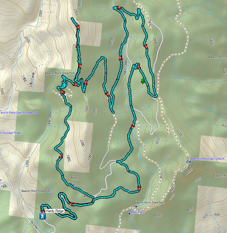
At this 3-way junction we faced a choice. Most descriptions of the Hardy Ridge Loop (including Sullivan’s) would have sent us straight on the East Hardy Trail for 0.8 miles to the Equestrian Trail then right on that trail 1.7 miles back to the trailhead for an 8.5 mile hike. We opted to extend our hike by turning left instead on the Bridge Trail.
Bleeding heart along a little stream.
False lily-of-the-valley getting ready to bloom.
Possibly a Dictyoptera aurora (Golden net-winged beetle)
A little over three quarters of a mile we arrived at the trail’s namesake bridge over Hardy Creek.
After crossing the creek the trail climbed for a tenth of a mile to the Upper Hardy Trail (another old roadbed).
Here again we could have shortened our hike by turning right following a pointer for the Equestrian Trail but we wanted to revisit The Saddle north of Hamilton Mountain. We turned left on the Upper Hardy Trail climbing approximately 300′ in 0.6 miles to yet another junction.
Hardy Ridge from the Upper Hardy Trail.
We once again faced a choice at this junction. The left fork would have been slightly longer by leading us around the back side of a knoll and making a 180 degree turn following the east side of the ridge toward The Saddle.
We turned right opting for the slightly shorter route to The Saddle.
Coltsfoot
Just under three quarters of a mile after turning right we were rejoined by the the left hand fork of the Upper Hardy Trail. Southern junction of the two forks of the Upper Hardy Trail.
The Upper Hardy Trail then descended for .2 miles to The Saddle and a junction with the Hamilton Mountain Trail.
Hikers coming down from Hamilton Mountain.
For the first time on this hike were at a familiar spot. We turned right onto the Equestrian Trail following it for 150 yards to a sign for Dons Cutoff Trail.
On both of our previous visits we had stayed on the Equestrian Trail following it downhill for a mile to a 3-way junction at Hardy Creek. This time we took Dons Cutoff which would bring us to the same junction in just a tenth of a mile more. Dons Cutoff headed steeply downhill arriving at the Upper Hardy Trail after half a mile.
Dons Cutoff Trail nearing the Upper Hardy Trail.
We turned left on the old roadbed following the Upper Hardy Trail for .4 miles to a junction with the Equestrian Trail and then arrived at Hardy Creek after another tenth of a mile. Upper Hardy Trail
Equestrian Trail
Hardy Creek
We crossed Hardy Creek on the Equestrian Trail following it for a half mile to the 4-way junction.
Had we opted for the described hike we would have arrived at this junction on the East Hardy Trail. We faced another choice here, keep on the Equestrian Trail for 1.7 miles or turn left onto the Lower Loop Trail and add approximately 0.4 miles to the hike. You guessed it we turned left and took the Lower Loop Trail which popped us out onto the Equestrian Trail at the 4-way junction where we had turned up the West Hardy Trail that morning.
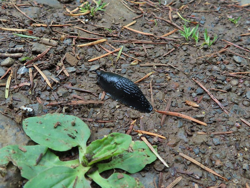
We turned left and followed the Equestrian Trail downhill for the final 1.2 miles of what turned out to be 13 mile hike that gained approximately 2700′ of elevation. Slugs were out in force along the final stretch including a number of small black specimens.
Spotted this guy while I was photographing the slug above. Not sure if it’s a crane fly or ?
There are some hikes where missing out on the mountain views is a real bummer but this wasn’t one of those for us. It was just a great day in the forest with flowers, creeks, critters, and a good deal of solitude despite the park being popular. The number of trails and options provided in the park allow for people to spread out a bit with Hamilton Mountain being the busiest area which we pretty much avoided (other than The Saddle) on this day. Happy Trails!


 Rowena Plateau and Tom McCall Point (post) on the Oregon side of the Columbia River


 A blurry heron along the river.
 Acorn woodpecker
 Scrub jay
 View from the picnic table.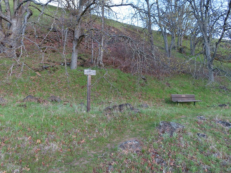
 This trail was not paved.
 Woodland-stars
 View from a bench at the end of the trail.
 Mallards on the water below.

 Starting at mile 0.
 Keep your eyes out for poison oak which was prevalent along the trail. Luckily the trail is nice and wide so avoiding it was easy enough.
 Heather spotted these three deer across the river.
 Another group of deer.
 Bald eagle
 Larkspur and woodland-stars
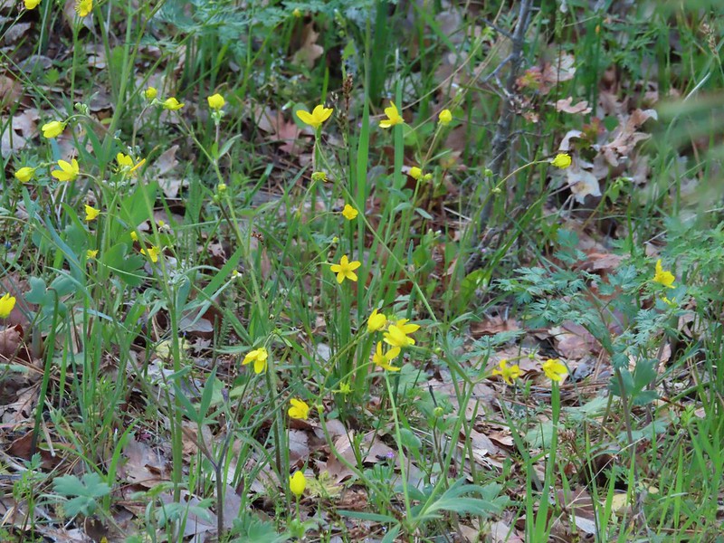 Buttercups
 Pacific hound’s tongue
 Milepost 1
 Saxifrage
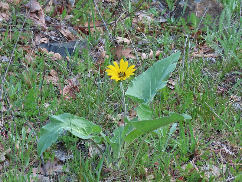 Balsamroot
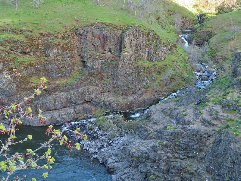 Silvas Creek


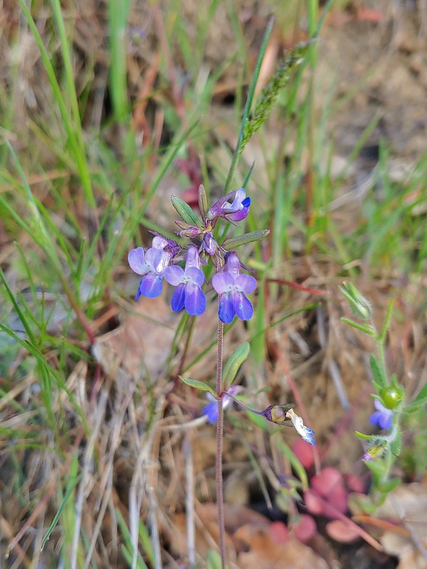 Blue-eyed Mary



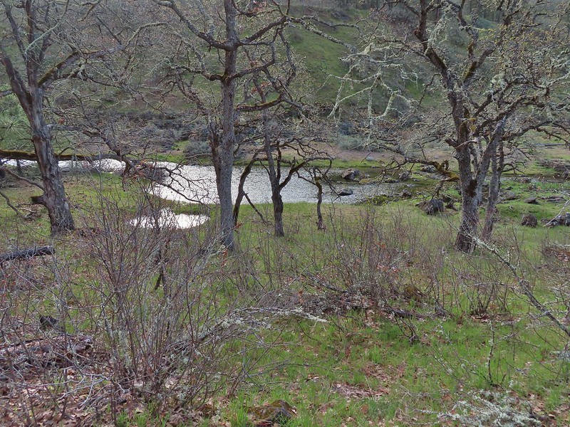 Seasonal pool along the trail.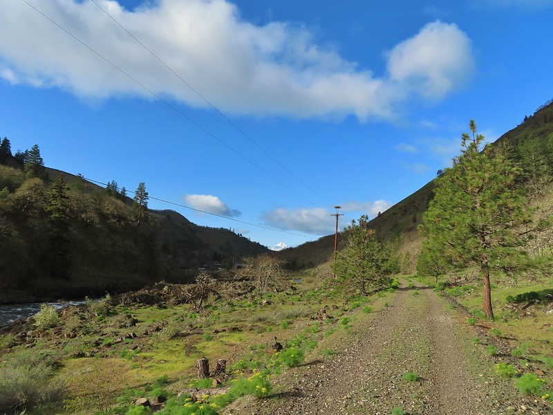
 Common mergansers

 Popcorn flower
 Columbia desert parsley
 Lupine
 Balsamroot
 Shooting stars
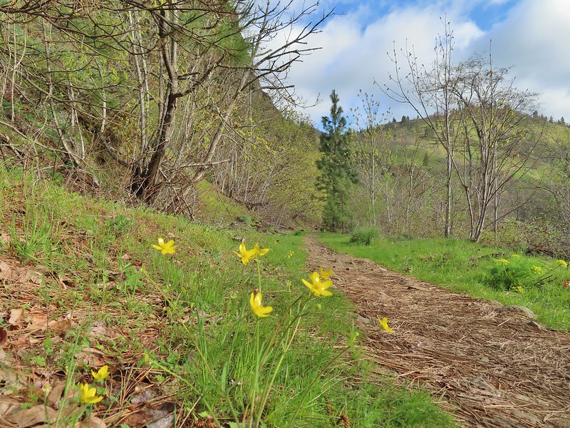 Buttercups
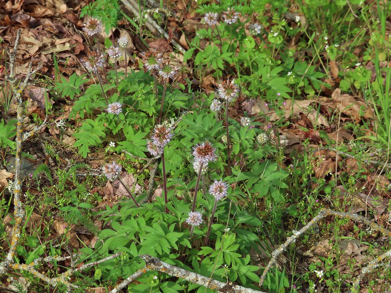 Waterleaf
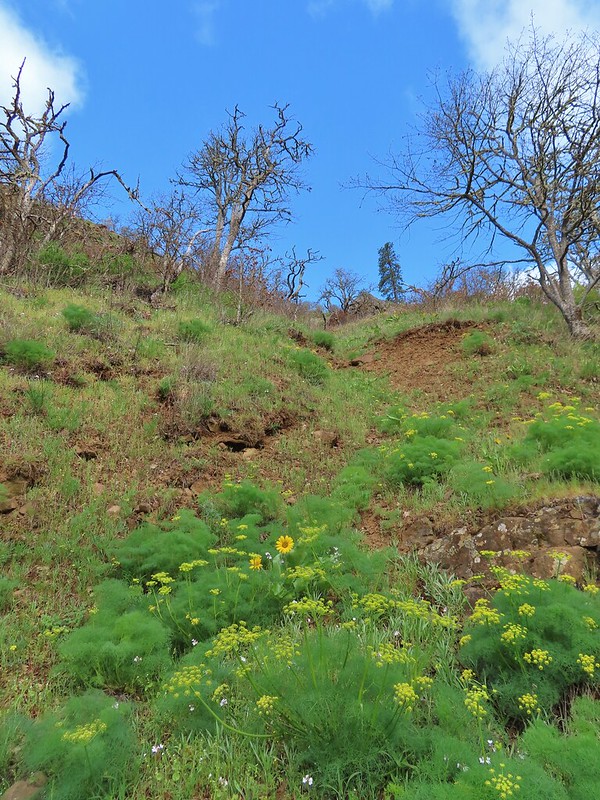 A balsamroot amid pungent desert parsley
 Big-leaf maple trees lining the trail.
 Big-leaf maple blossoms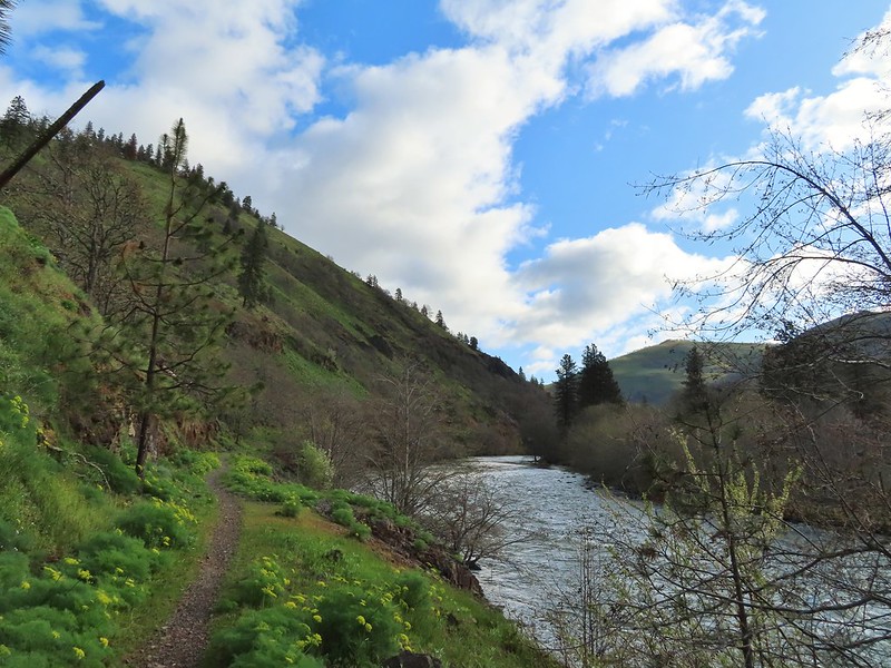
 Gold stars
 Larkspur, poison oak, and buttercups
 Spotted towhee
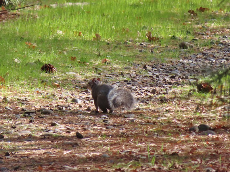 Squirrel
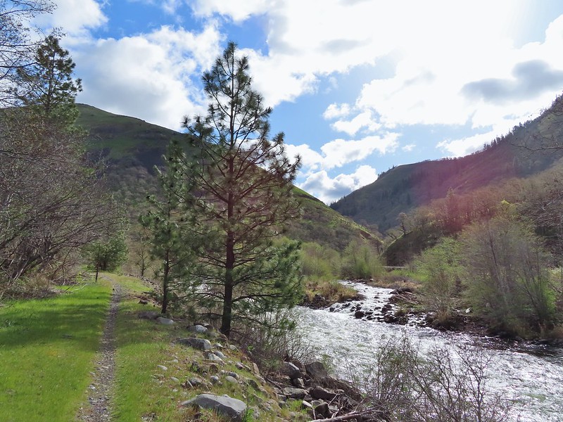 Dillacort Canyon
 Red-stem storksbill

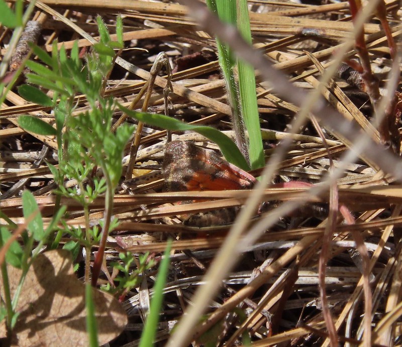 Couldn’t get a good look at this small moth but it was pretty.
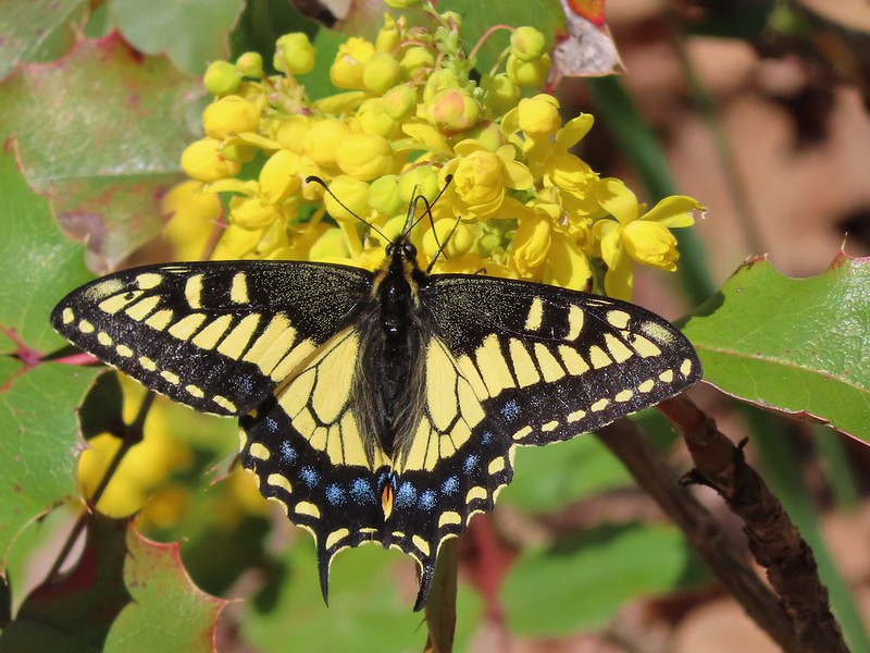 Anise swallowtail
 Sara’s orangetip
 Grass widow
 Slender phlox
 Heading back.
 Immature bald eagle
 Propertius duskywing – Erynnis propertius
 The mergansers had moved to the near bank.
 Hood behind some clouds.
 Ground squirrel
 Mourning cloak
 Lizard

 Arriving back at the Lyle Trailhead.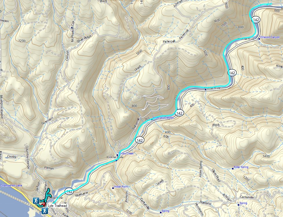





 Four County Point
 Sunset Rest Area






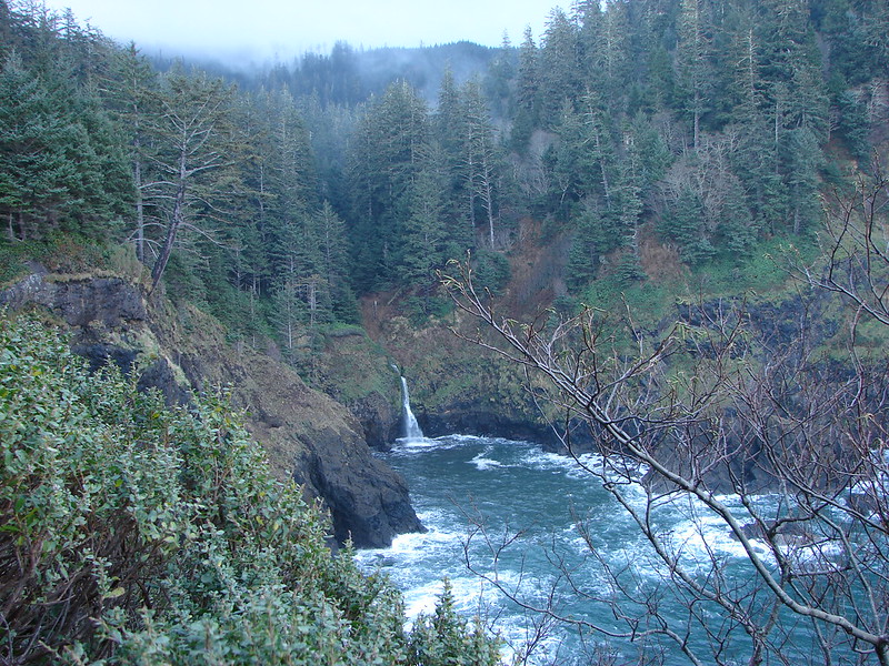
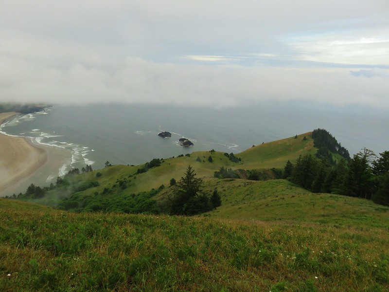
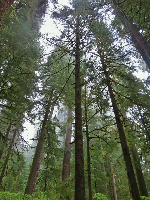
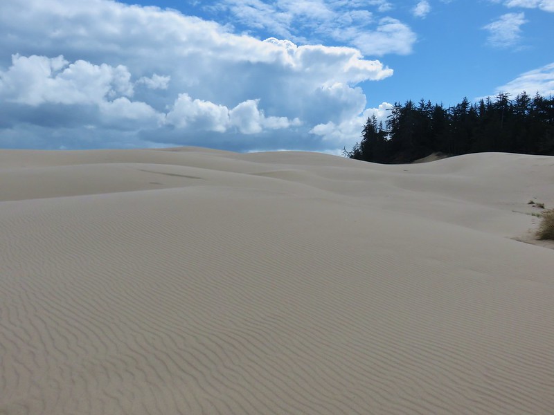
 Inland (Rainforest) Trail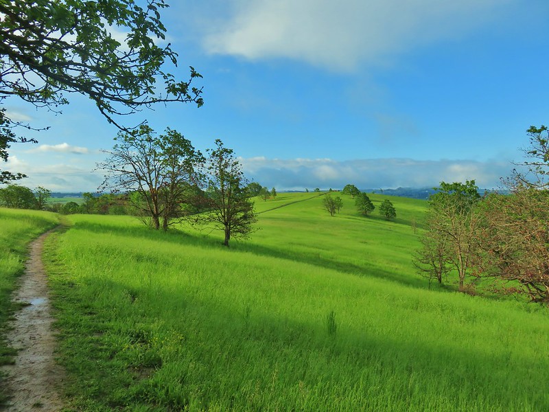


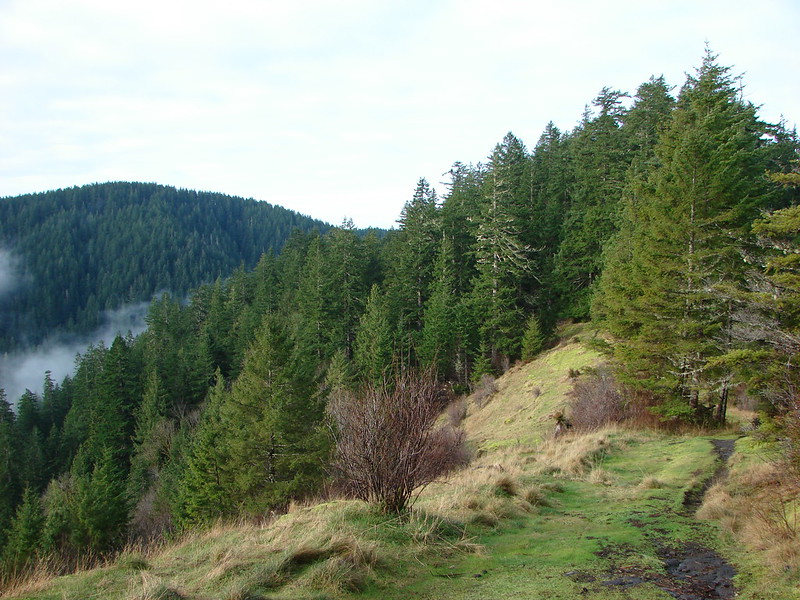
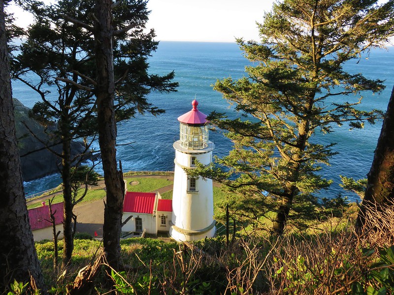
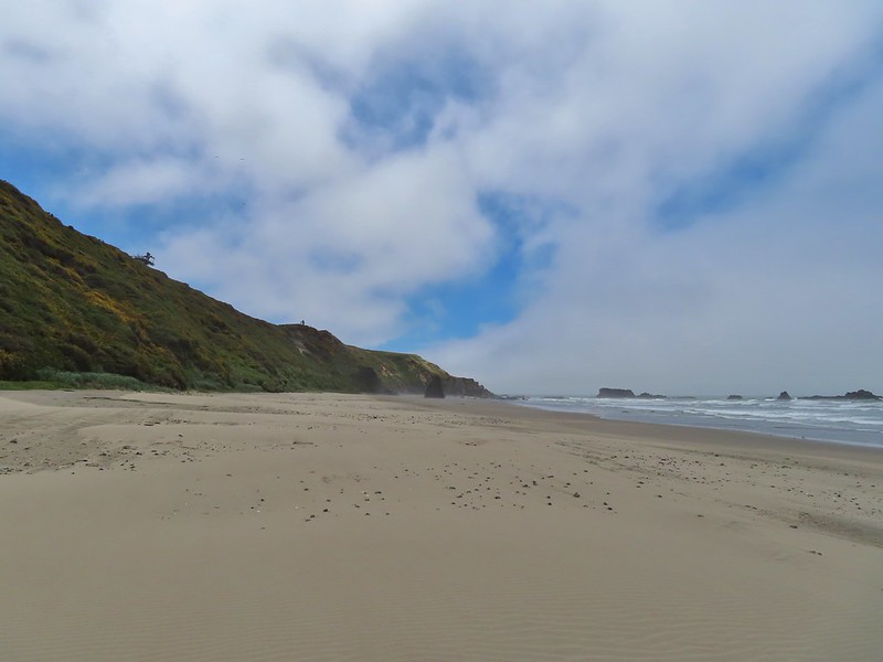
 Yaquina Head
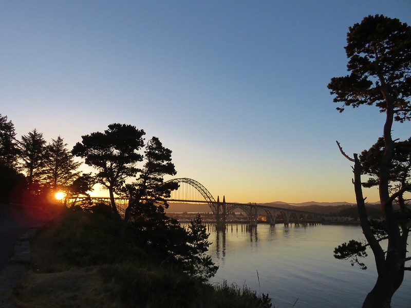 Yaquina Bay
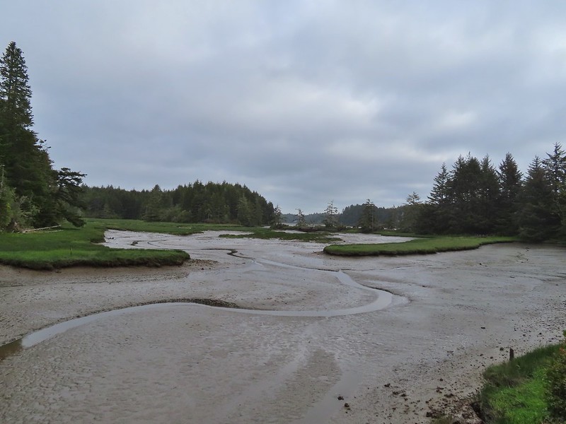
 Estuary Trail
 South Jetty
 Mike Miller Trail

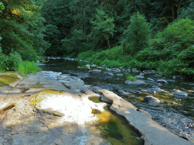

 Fort Hoskins
 Beazell Forest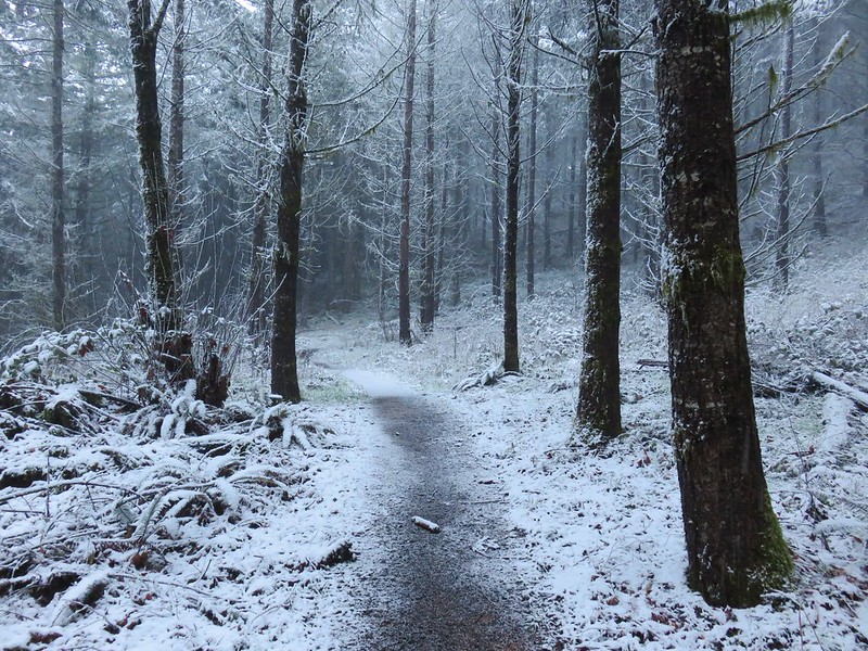
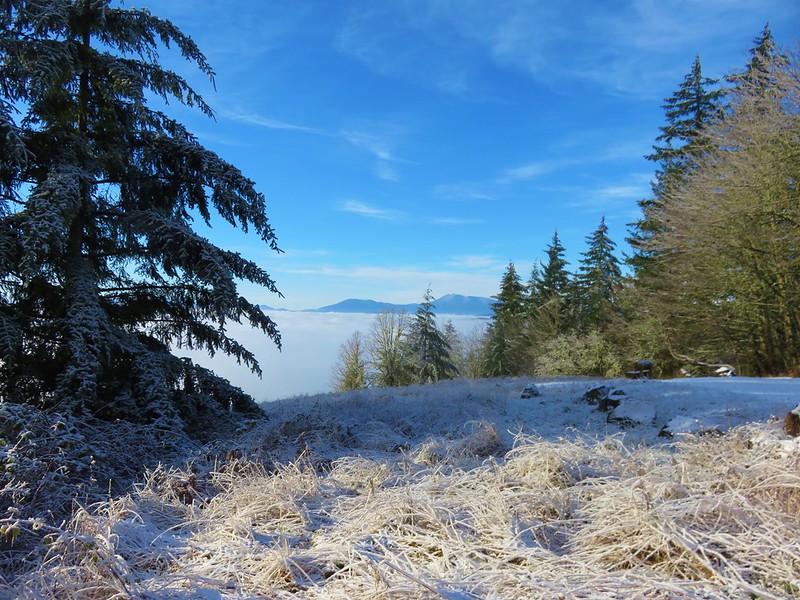



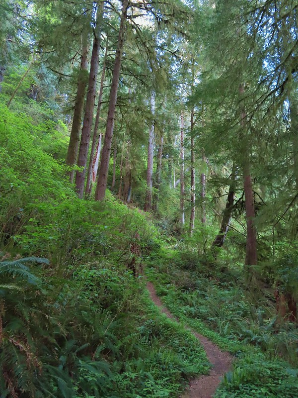
 Pioneer Hill Trail
 Pawn Old Growth Trail
 Old Growth Ridge Trail
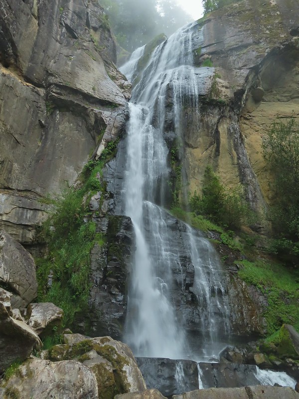
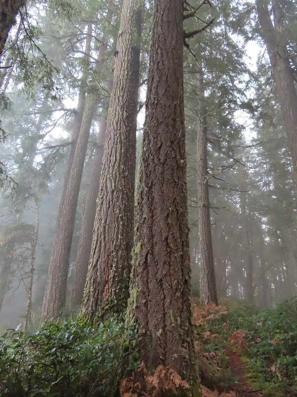 Clay Creek Trail
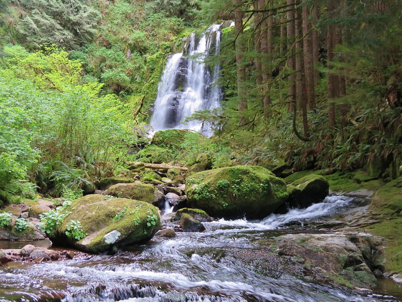
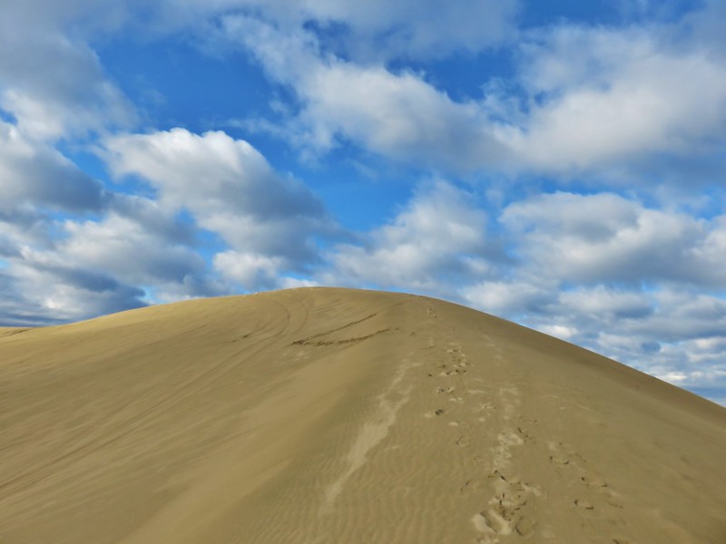
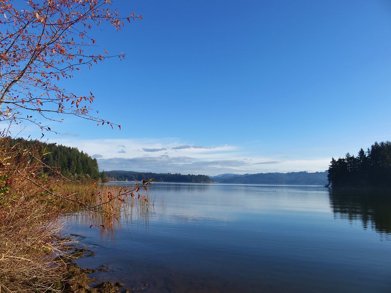


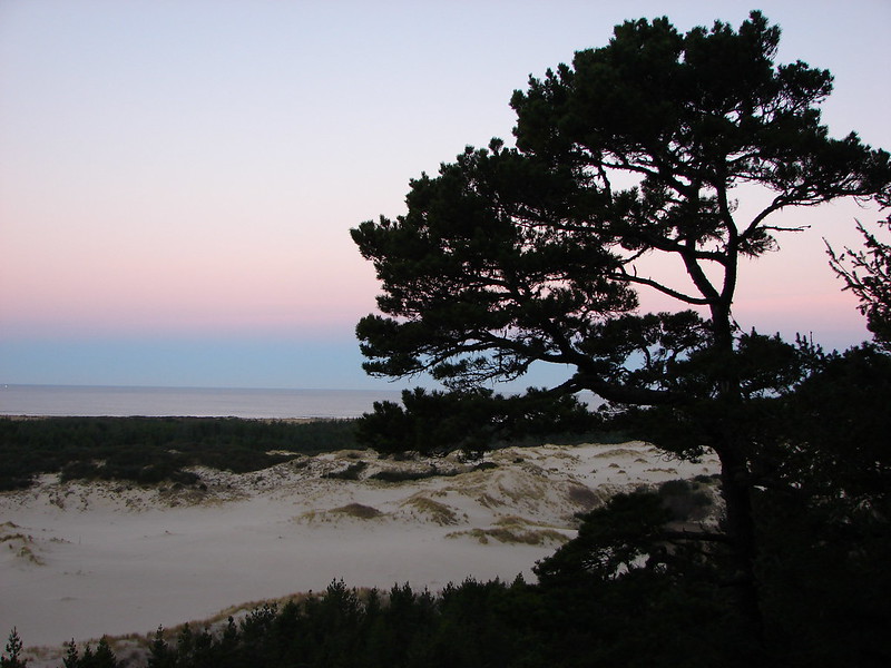

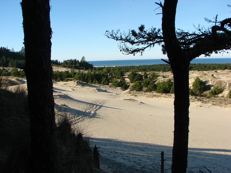



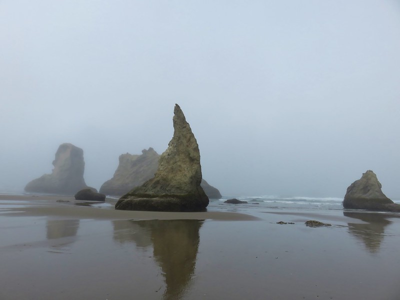


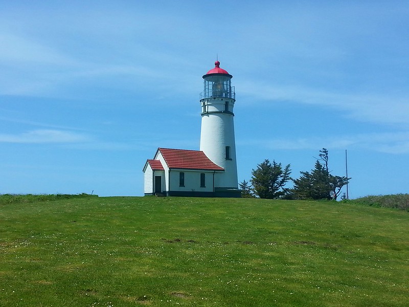


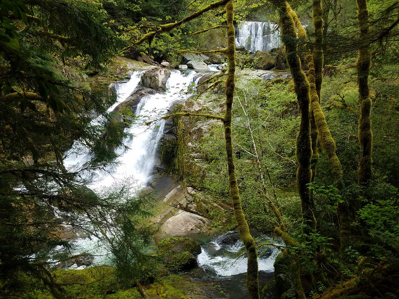 Coquille River Falls
 Elk Creek Falls
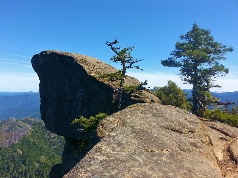 Hanging Rock

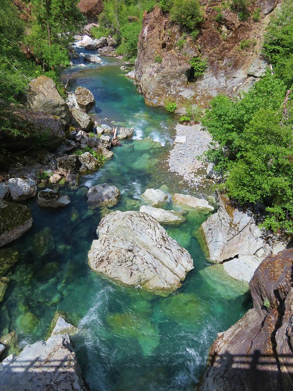
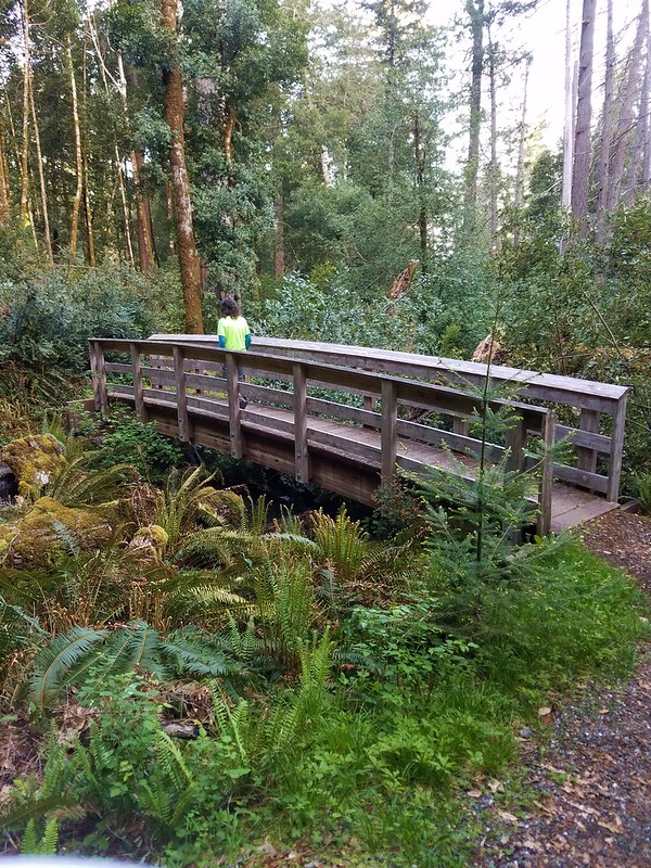 Shrader Old Growth Trail
 Myrtle Tree Trail
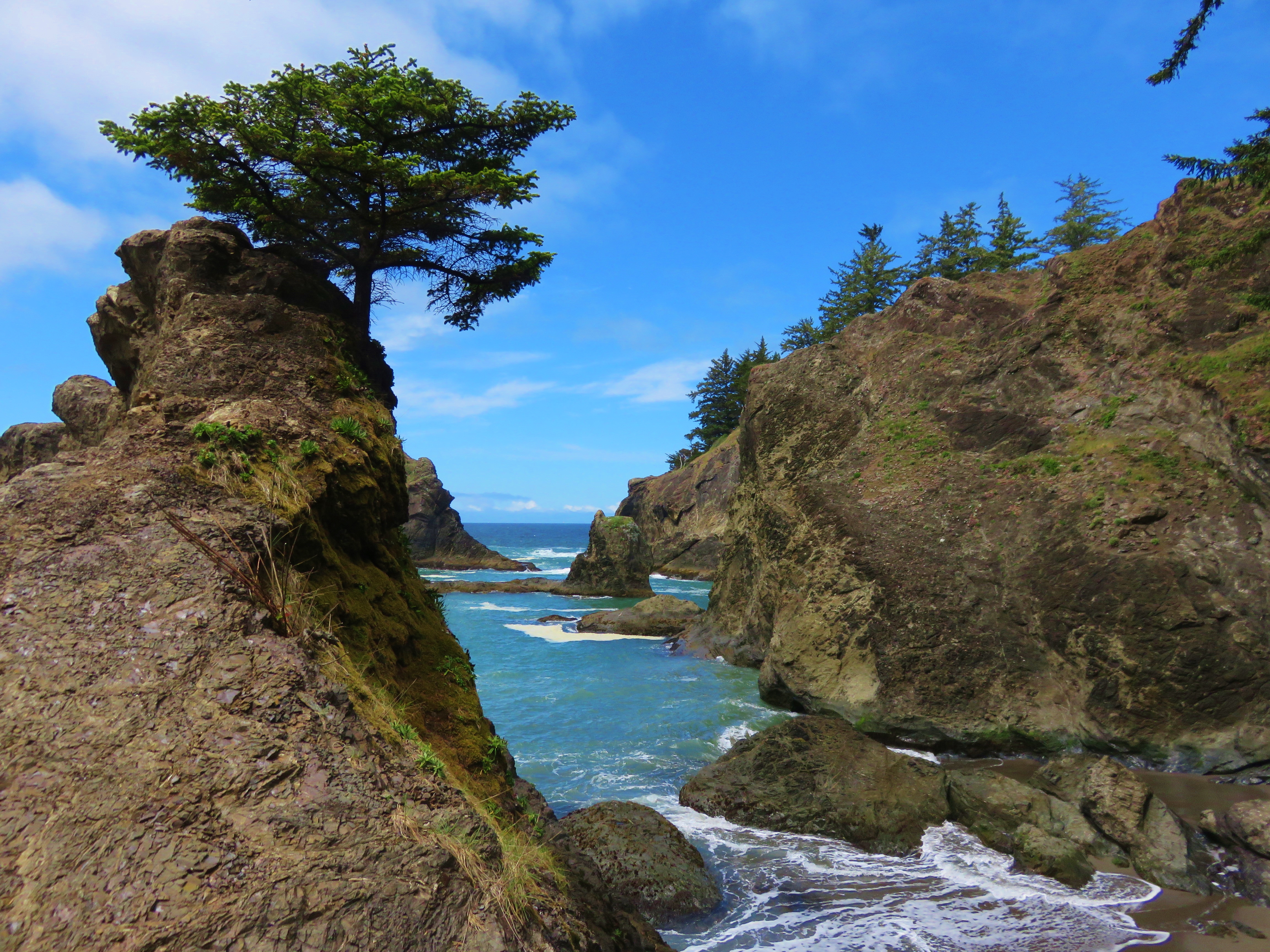
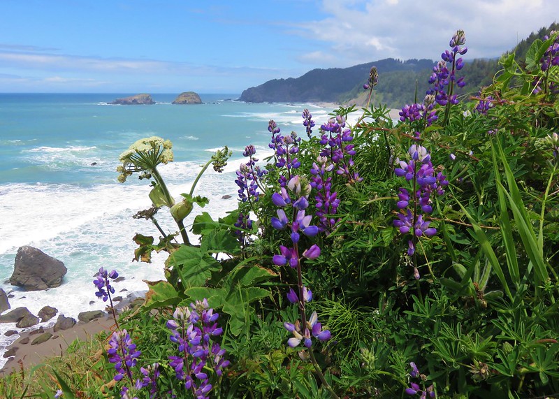
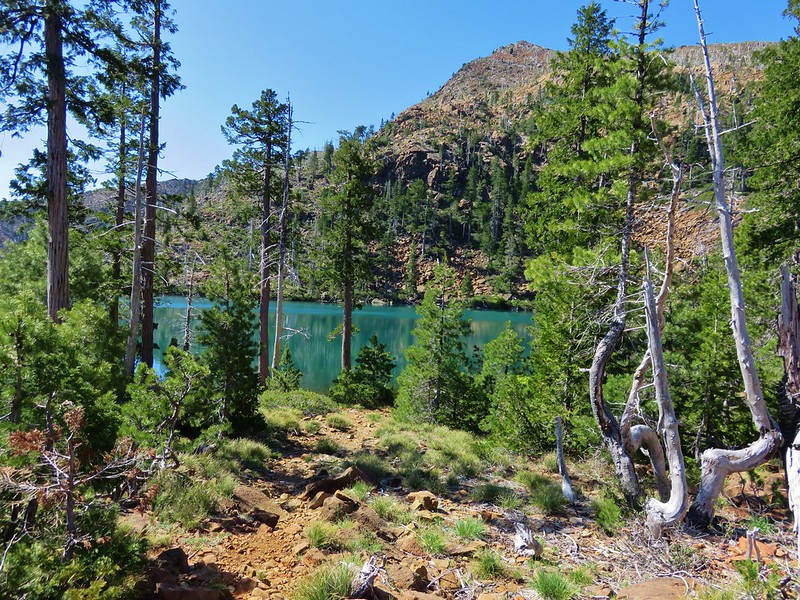 Vulcan Lake
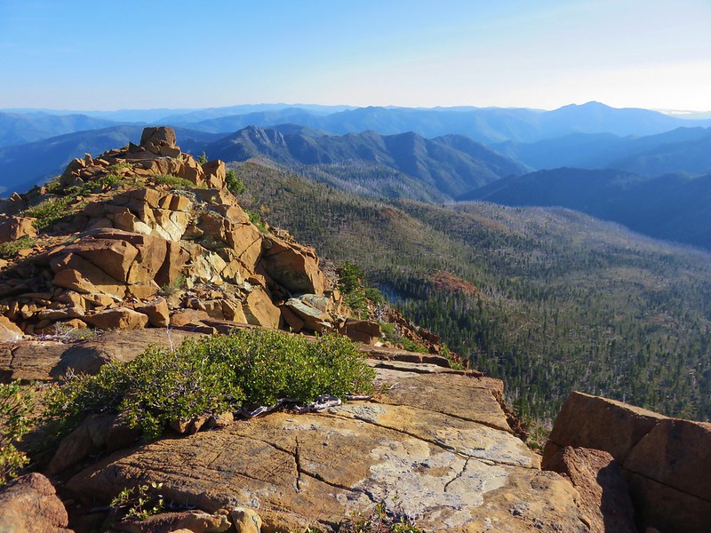 Vulcan Peak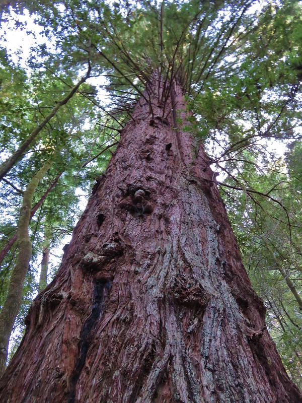


 Banks-Vernonia State Trail in January. (
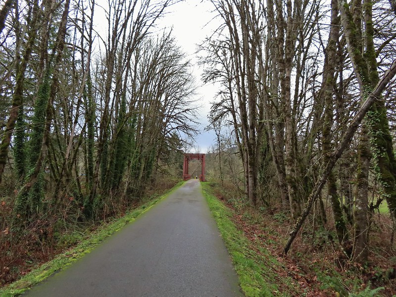 Row River Trail in December. (
 John Day River from the Lost Corral Trail
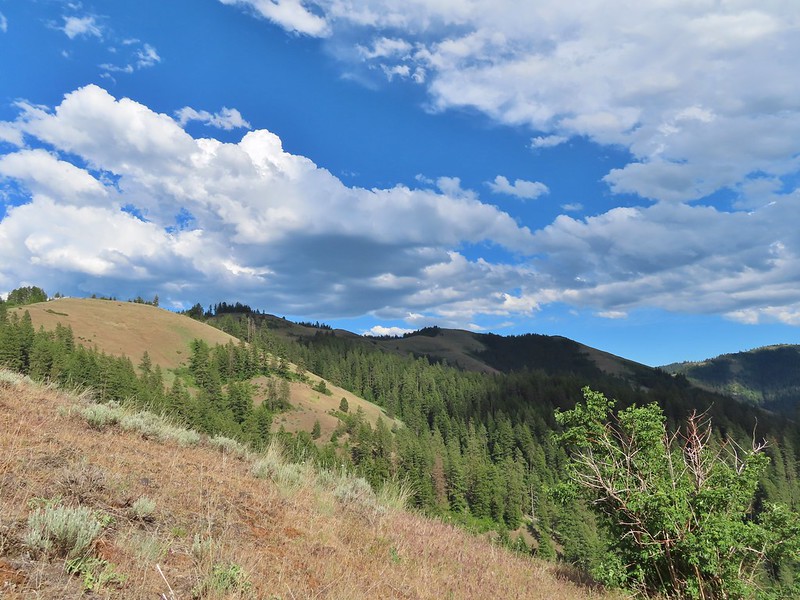 Ninemile Ridge in the North Fork Umatilla Wilderness in June. (
 Devil’s Staircase Wilderness in July. (
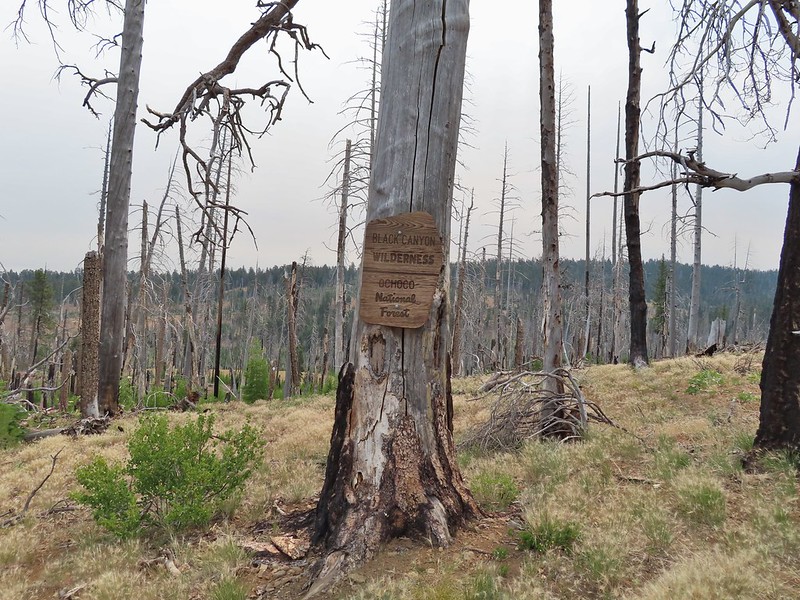 Black Canyon Wilderness in July. (
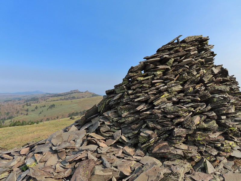 Monument Rock Wilderness in July. (
 Ledbetter Point, the last of the hikes from the coast book. (
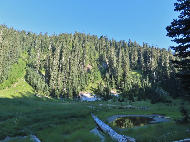 Badger Lake, the last hike from the northwestern book. (
 Redwoods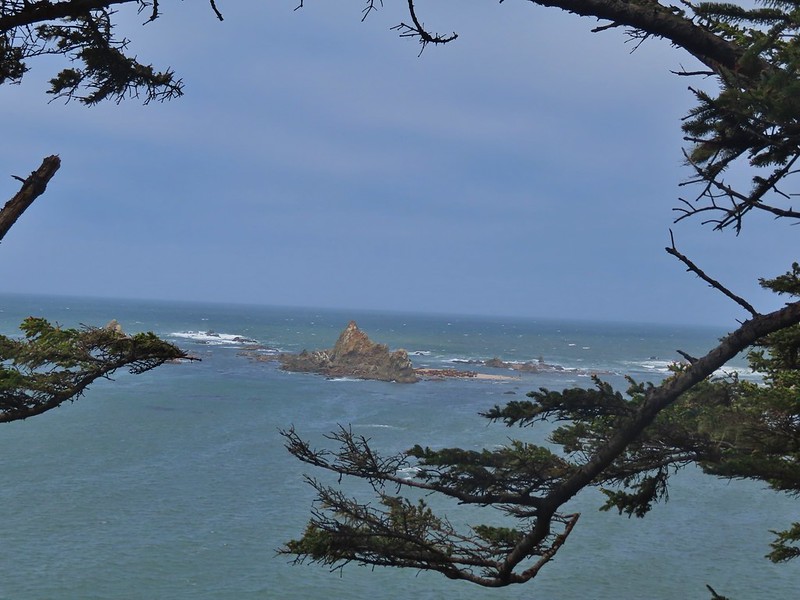
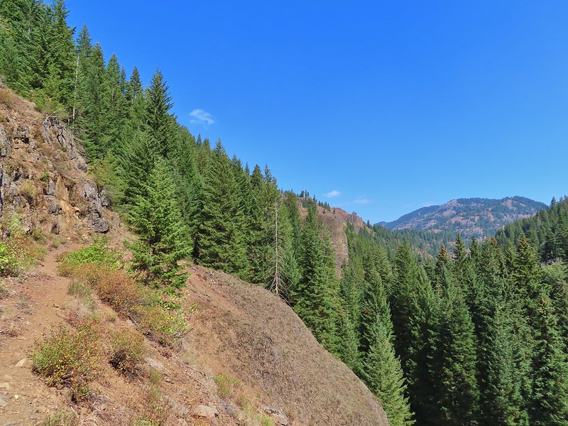
 Falls Creek – February
 Cascade Head from God’s Thumb – March
 Columbia River from Mitchell Point – March
 Mt. Hood from Sevenmile Hill – March
 Dalles Mountain Ranch – April
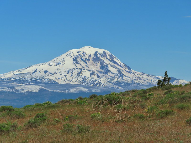 Mt. Adams from Grayback Mountain – May
 Navigating a downed tree along the Pawn Old Growth Trail – May
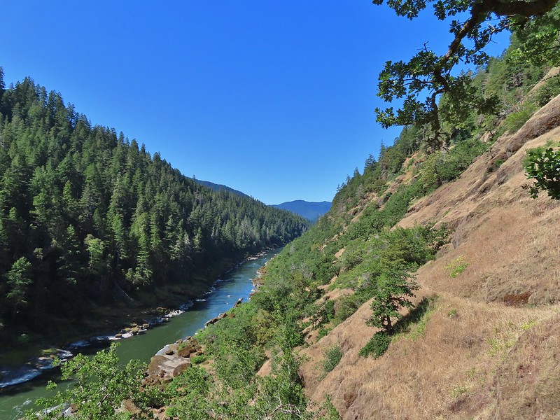 Rogue River Trail – May
 Golden Falls – May
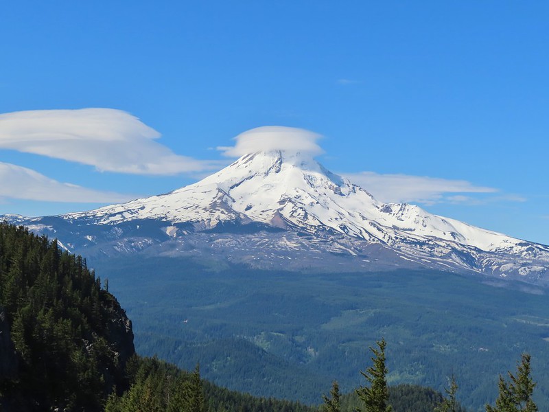 Lenticular cloud over Mt. Hood from Surveyor’s Ridge – May
 Whychus Canyon – May
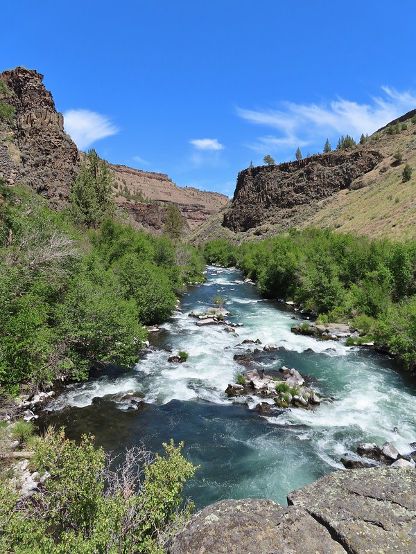 Deschutes River – May
 Whychus Creek Overlook – May
 Forest on Mary’s Peak – June
 North Fork Umatilla River – June
 Tower Mountain Lookout – June
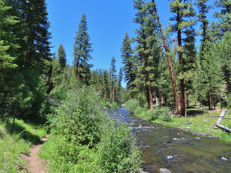 Malheur River – June
 Meadow on Round Mountain – June
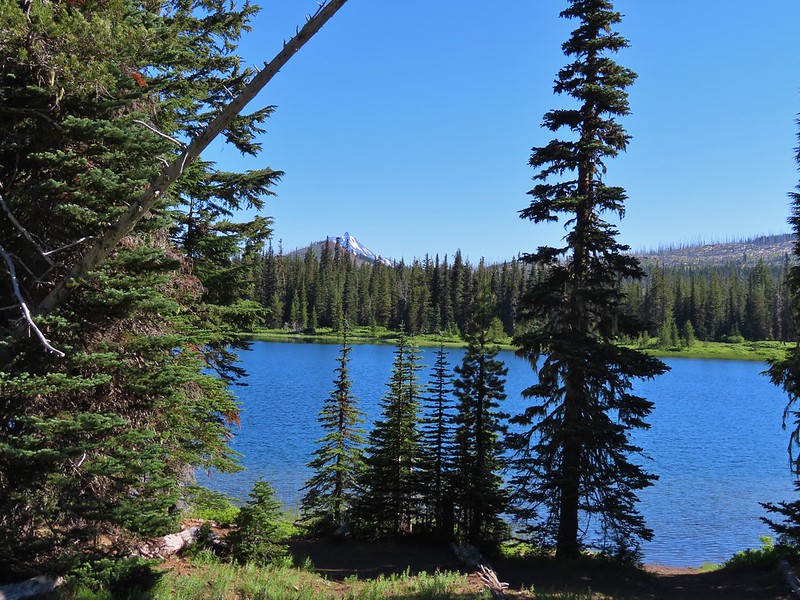 Santiam Lake – July
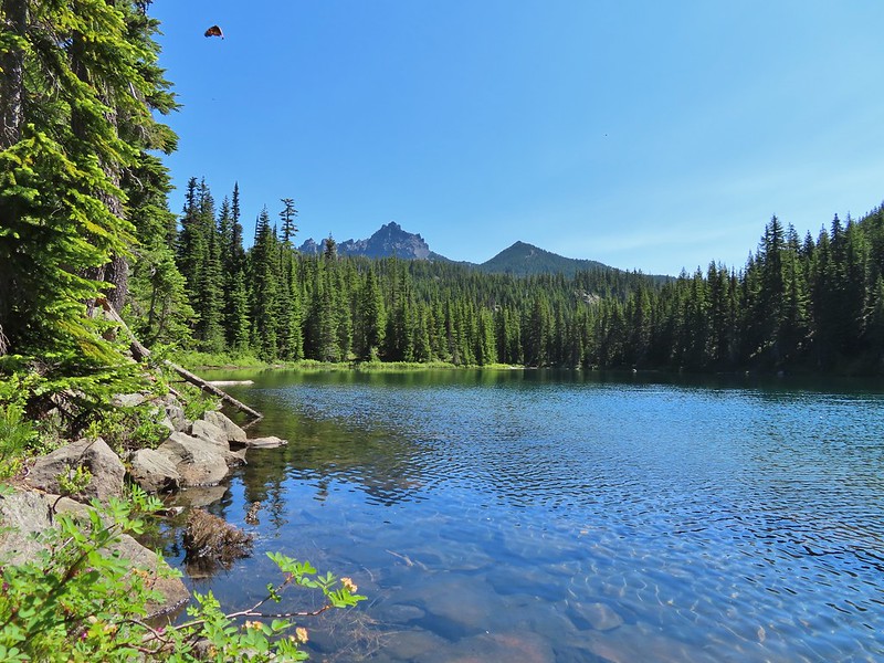 Three Fingered Jack from Lower Berley Lake (and a butterfly photobomb) – July
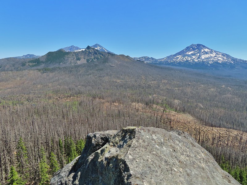 The Husband and Three Sisters from Substitute Point – July
 Ochoco
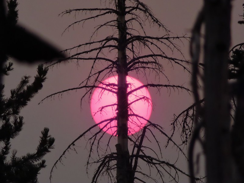 Red Sun through wildfire smoke from the Monument Rock Wilderness – July
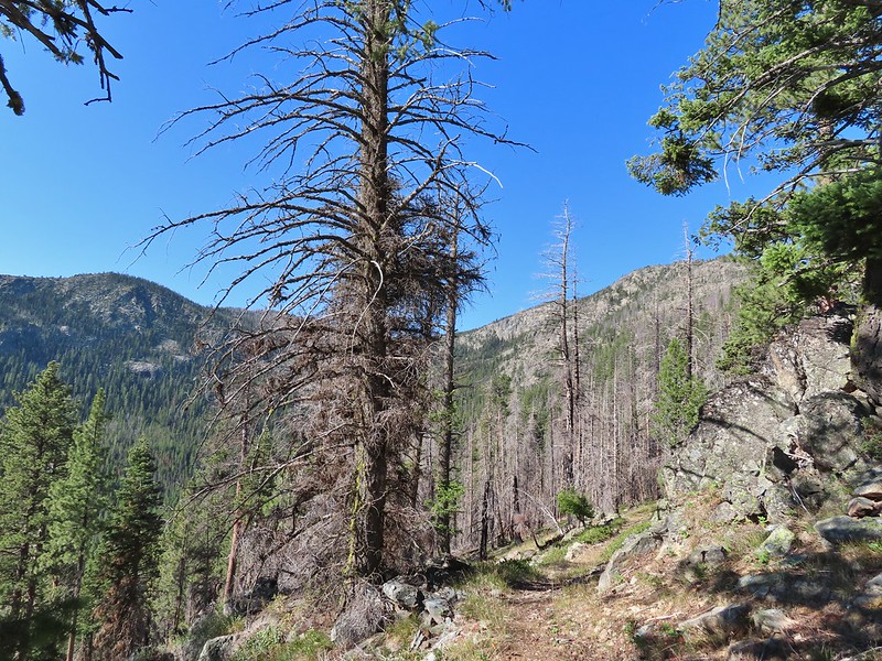 Canyon Mountain Trail, Strawberry Mountain Wilderness – July
 Aldrich Mountains – July
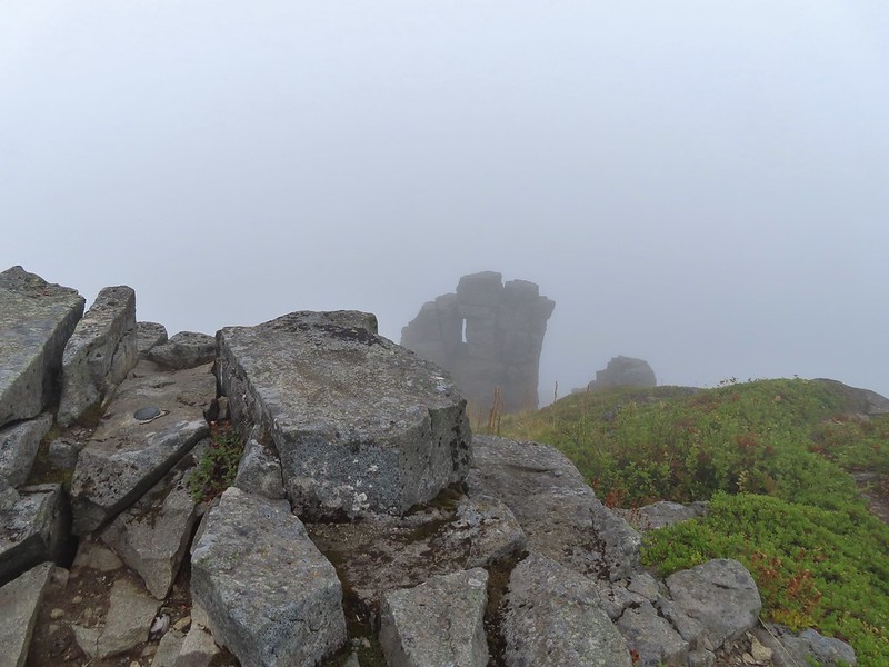 Mt. Mitchell summit on a rare poor weather day – August
 Mt. Bachelor – August
 Cottonwood Camp, Big Indian Gorge in the Steens Mountain Wilderness – August
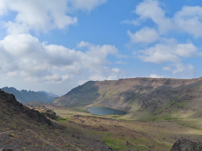 Wildhorse Lake, Steens Mountain Wilderness – August
 Evening at the Steens Mountain Resort – August
 Little Blitzen Gorge – August
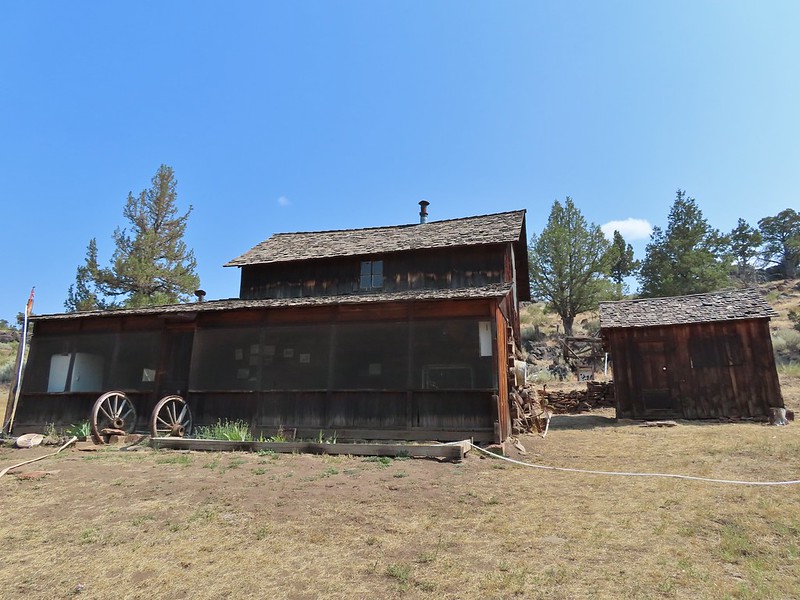 Riddle Ranch – August
 Morning in the Pueblo Mountains – August
 Oregon Desert Trail, Pueblo Mountains – August
 Mt. St. Helens and Spirit Lake – August
 Harmony Falls – August
 Loowit Falls – August
 Mt. St. Helens from Norway Pass – August
 Mt. Hood from the PCT in the Indian Heaven Wilderness – September
 Mt. Adams and Soda Peaks Lake, Trapper Creek Wilderness – September
 Jubilee Lake – September
 Rough Fork Trail, Blue Mountains – September
 Heritage Landing Trail, Deschutes River – September
 McDonald-Dunn Forest – October
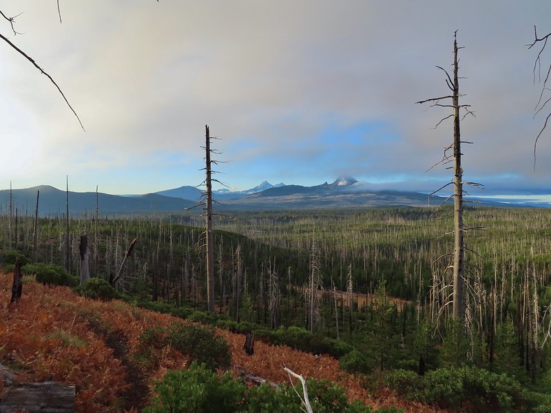 Cascade Mountains from the Mt. Jefferson Wilderness – October
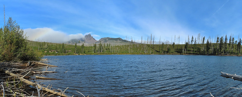 Three Fingered Jack from Round Lake – October
 Mt. Hood from the Flag Point Lookout
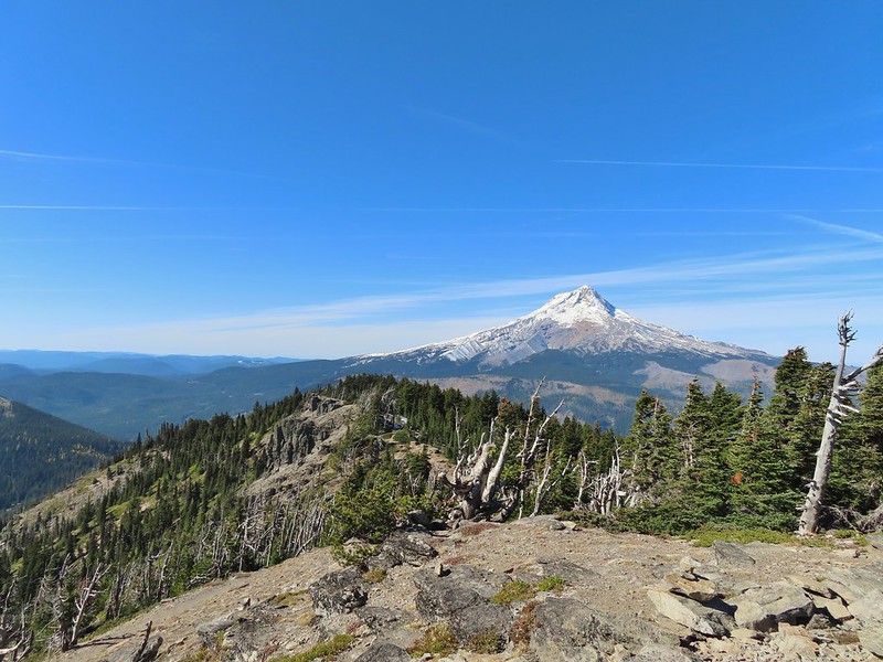 Mt. Hood from Lookout Mountain – October
 Silver Falls State Park – October
 Laurel Hill Wagon Chute – October
 Barlow Ridge, Mt. Hood Wilderness – October
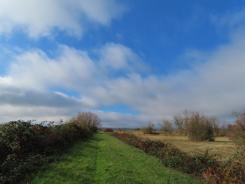 Fern Ridge Wildlife Area – November


























 There were no signs for the obvious trail.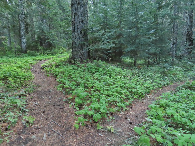

 Entering the


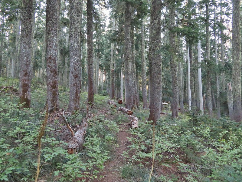


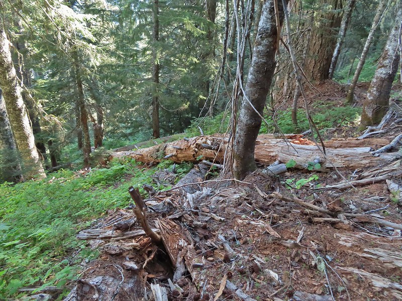
 Typical vegetation and trees on the ridge.
 We rediscovered tread as we dropped to a saddle near Janet Lake.
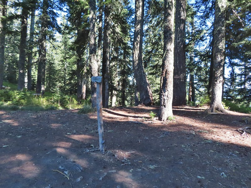
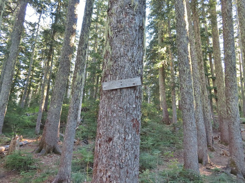 Sign at the saddle between Peggy and Janet Lakes.



 Sleepy ducks
 I believe Oregon Hikers calls this one “Cindy Lake”.

 The small saddle we’d been aiming for.

 Heather down to the right between a couple of trees.
 Me getting close to the top.
 The top of the ridge.
 Mt. Adams in some clouds.
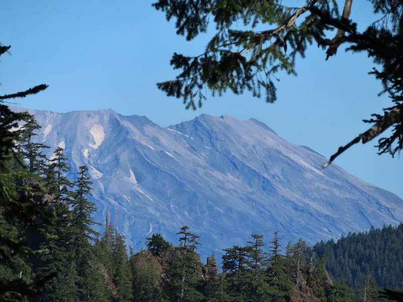
 Mt. St. Helens behind a line of clouds.
 Gifford Peak (
 Chipmunk

 Mt. Jefferson was also visible to the right of Mt. Hood. Unfortunately so was the smoke being produced by the Bull Complex Fire which destroyed the historic Bull of the Woods Lookout (
 Autumn is on the way, bring on the rain please.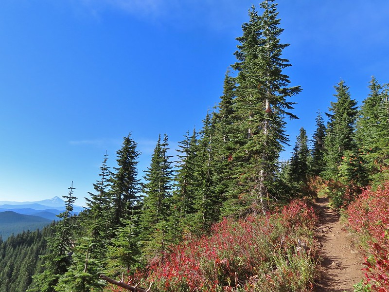
 Mt. Adams
 Looking toward Mt. St. Helens
 The peaks in the Trapper Creek Wilderness (
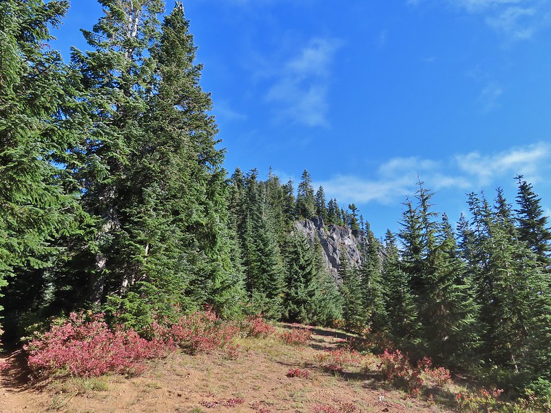 Cliffs on Berry Mountain
 Mt. Hood as we headed downhill.
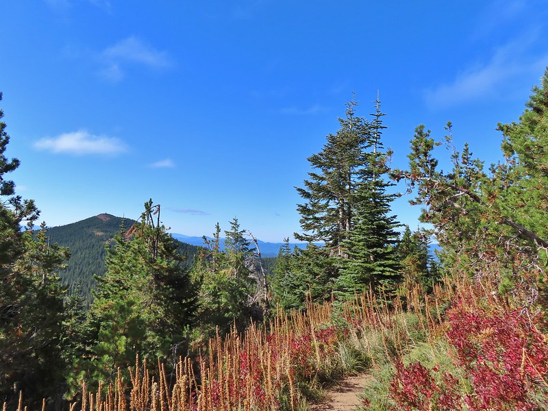 Red Mountain and its lookout tower.
 This beargrass is way off schedule.


 Mt. Adams from a viewpoint along the way.


 Not sure if someone forced the door open too or not.
 View of Mt. Adams beyond Indian Heaven.
 Photo taken from the doorway, it looked like nothing had been vandalized.
 Mt. St. Helens still hiding behind that line of clouds.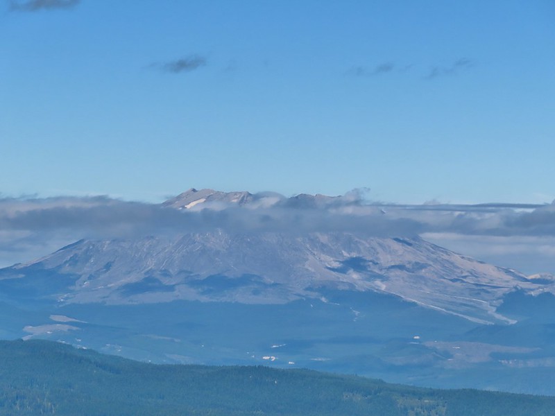
 Mt. Adams with a few clouds passing by.
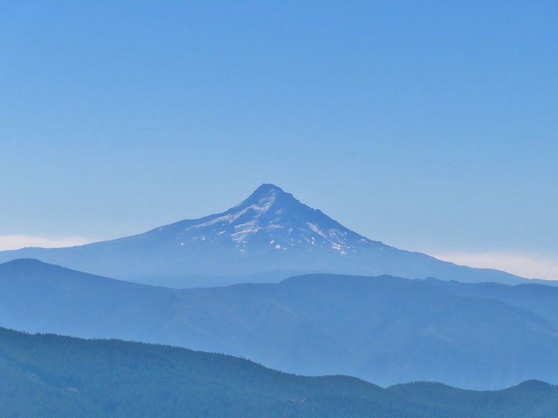 Mt. Hood with smoke from the Bull Complex behind.
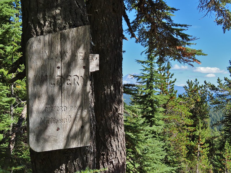 Indian Heaven Wilderness sign on Red Mountain with Mt. Adams in the background.
 Race Track Lake on the left.

 Hardhack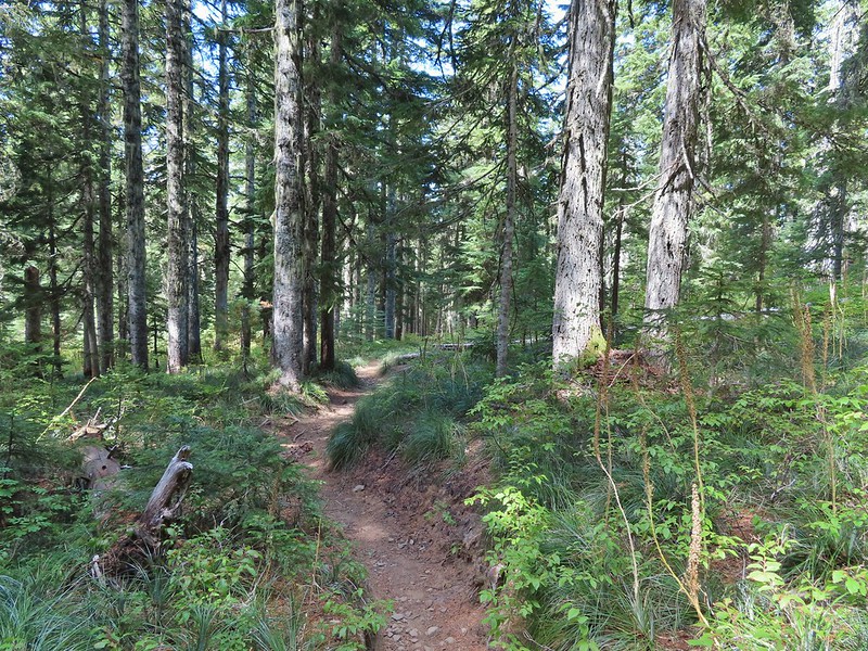
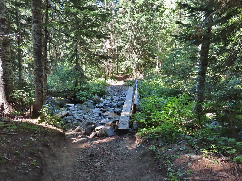 Footbridge over Falls Creek.
 Falls Creek
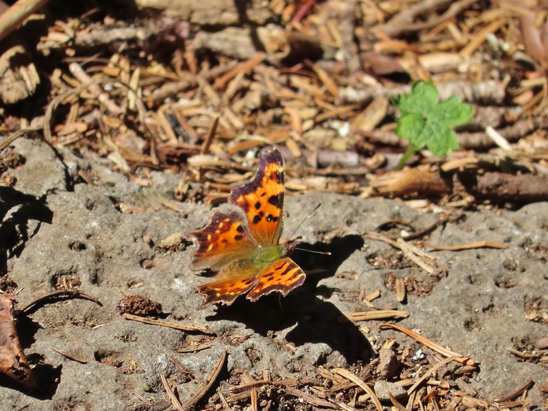 Butterfly near Falls Creek.
 Sign at the final trail junction near FR 65.
 The view from the trees surrounding our campsite as we prepared to leave.
 Mt. St. Helens catching some morning light.
 Mt. Rainier without a whole bunch of smoke.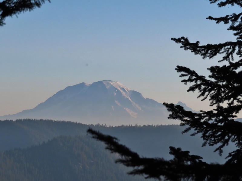
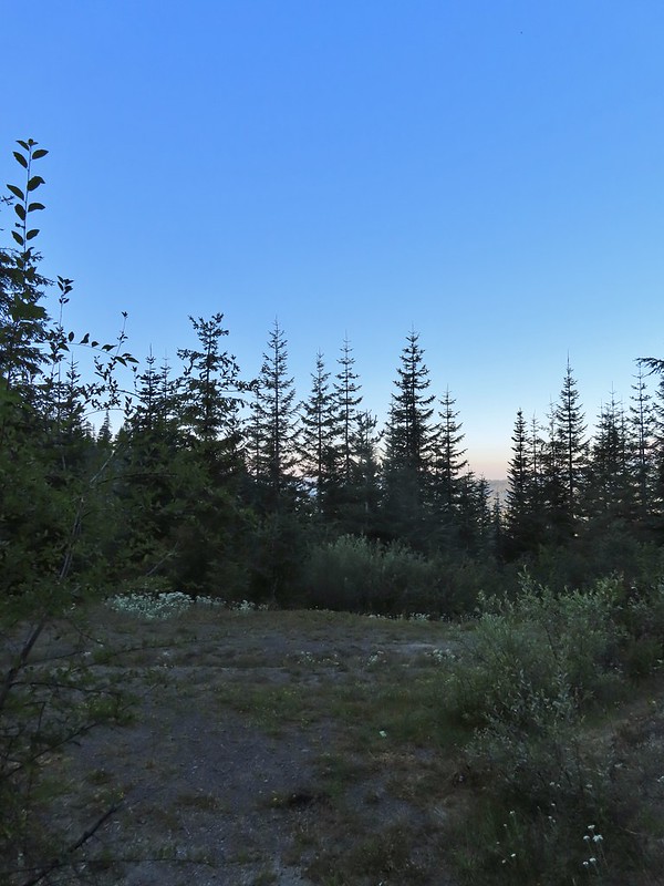
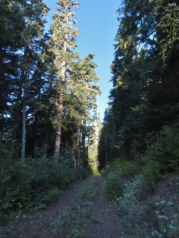
 We snagged a few black caps along the road to as a post breakfast snack.
 FR 2551
 The very top of Mt. St. Helens from FR 2551.
 Sullivan had labeled this stretch with the word slide which had caused a little apprehension in deciding to try this return route but despite the obvious slide(s) that had occurred here the road was in decent shape.
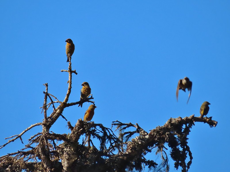 Not sure what kinds of birds were in this tree but there were a lot of them.
 FR 25 at the end of a long straight away.
 The Boundary Trail crosses FR 25 near the road sign ahead. The picture was taken from FR 2551 at FR 25.
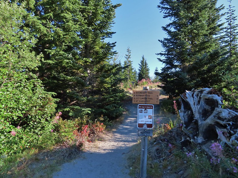
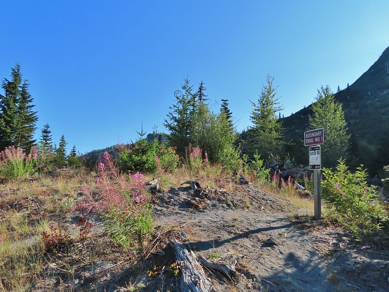
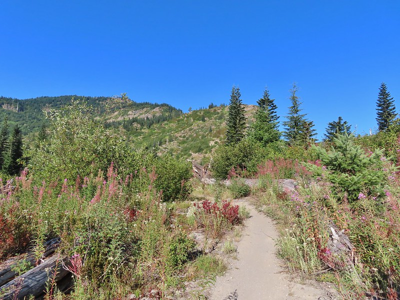

 Paintbrush
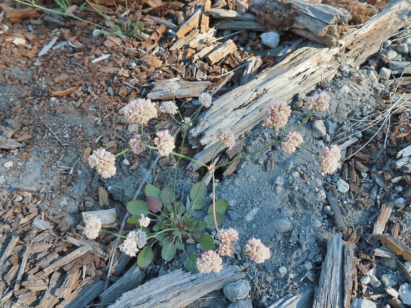 Buckwheat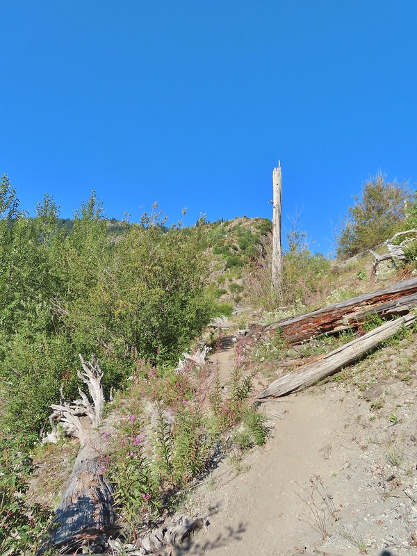

 We could hear a waterfall in the valley below.
 The top of the waterfall.
 Penstemon and pearly everlasting.
 Looking back over our shoulders to Meta Lake.
 Mt. Adams also from over our shoulders.
 Aster
Aster
 Switchback at the Independence Ridge Trail junction.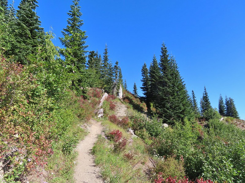
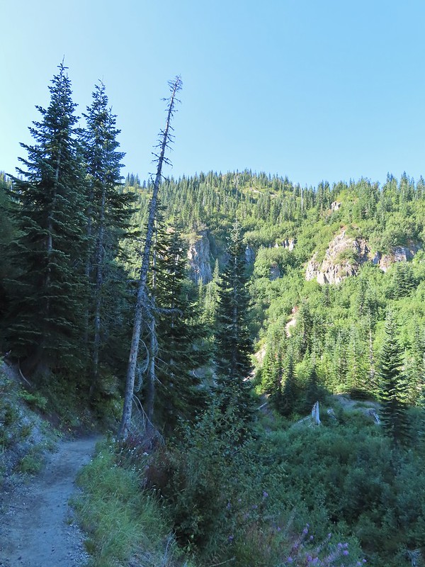 Heading down to the stream bed.
 Penstemon
 Monkeyflower

 Norway Pass (the low saddle to the right) from the trail.
 Orange agoseris
 Approaching the pass.


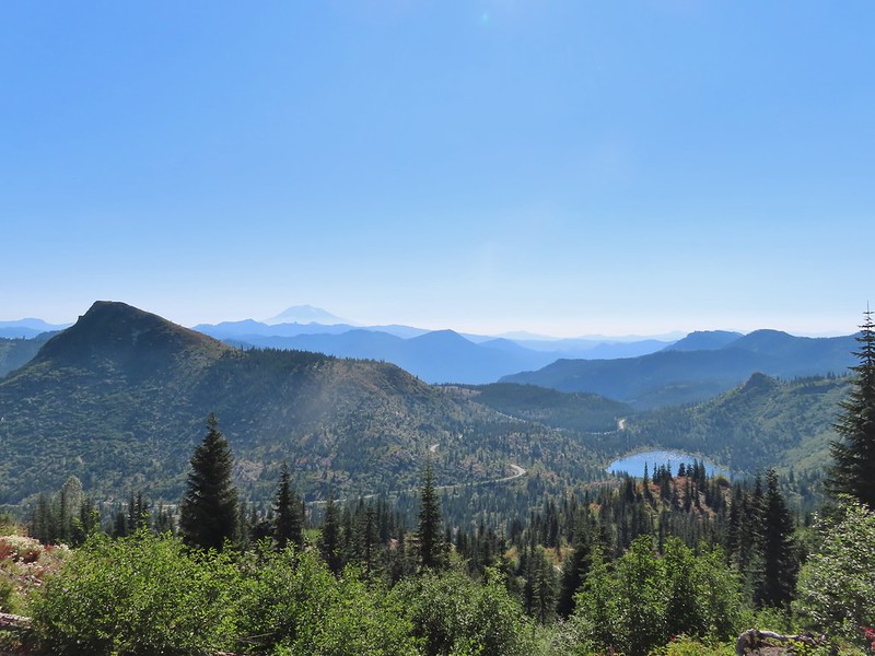 Mt. Adams and Meta Lake from the trail.

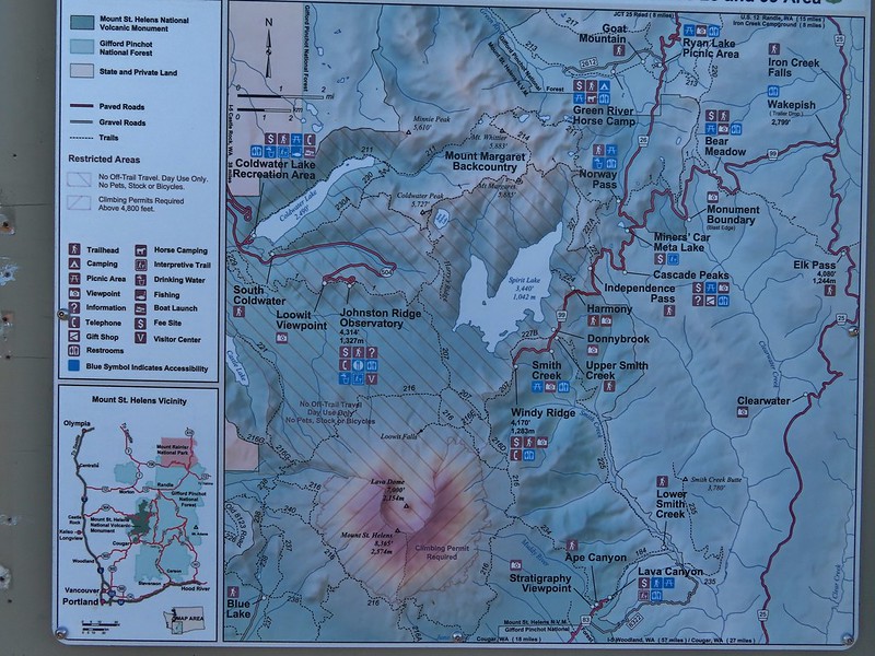

 Mt. St. Helens from the viewpoint.
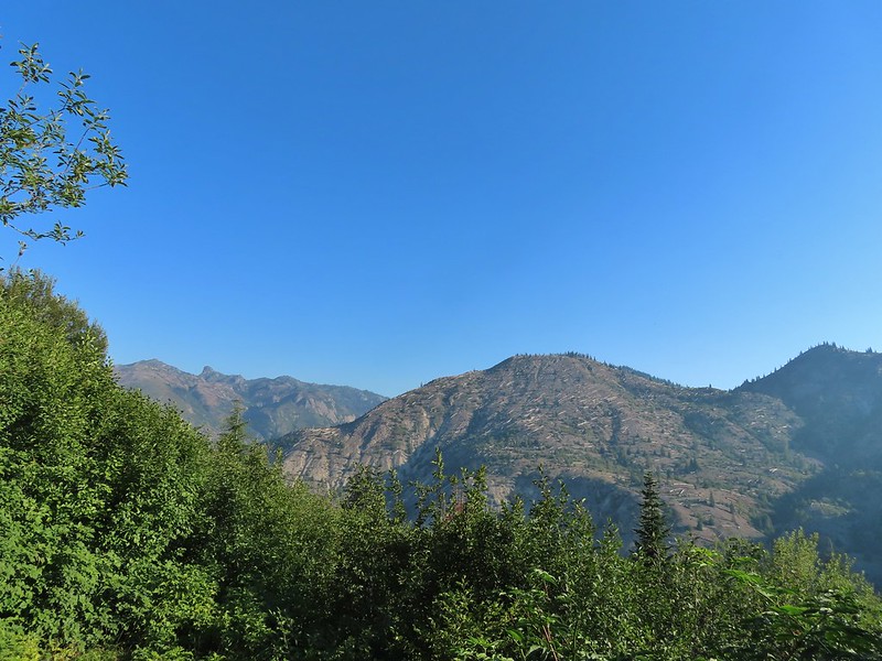

 Pearly everlasting
 Penstemon
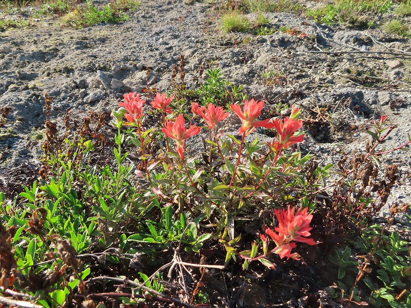 Paintbrush
 Mt. St. Helens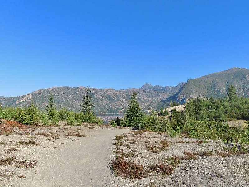
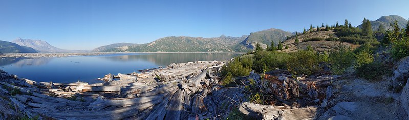 Mt. St. Helens and Spirit Lake from the end of the trail.
 Coldwater Peak (
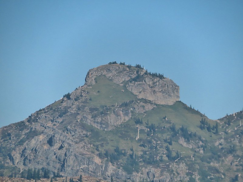 The Dome
 Mt. Margaret
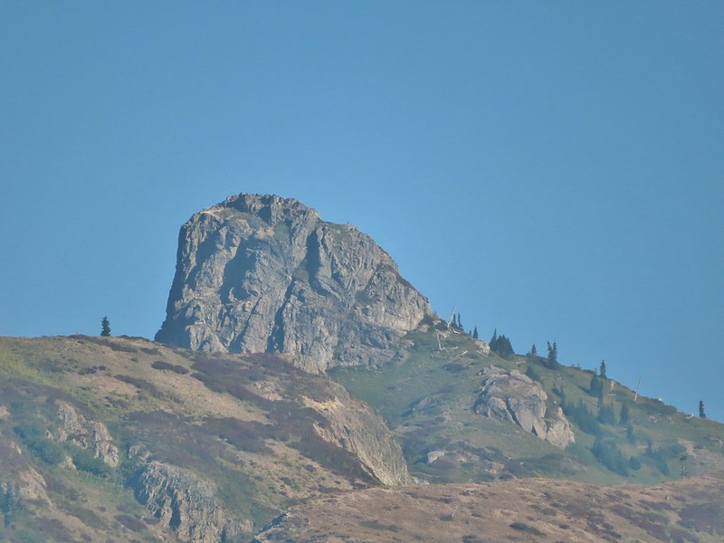 Mount Teragram
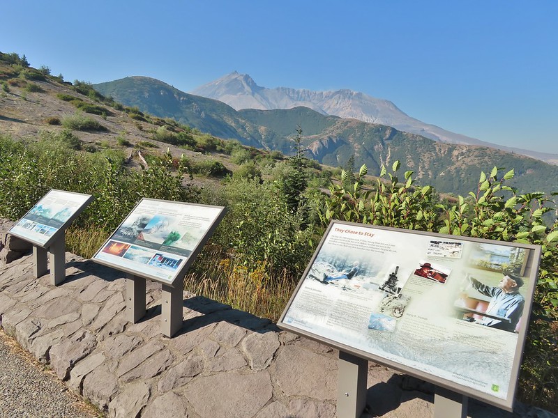 Mt. St. Helens.

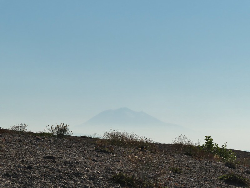 Mt. Adams
 Mt. Rainier

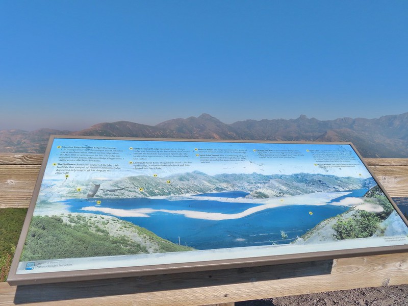
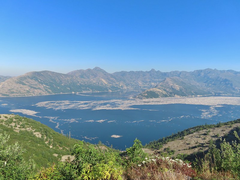
 The Johnston Ridge Observatory was visible across Spirit Lake on a far hillside.
 It’s often hard to tell if you’re seeing dust from rockfall or steam from one of the vents.

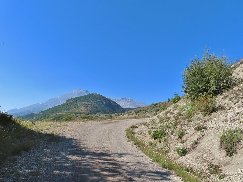
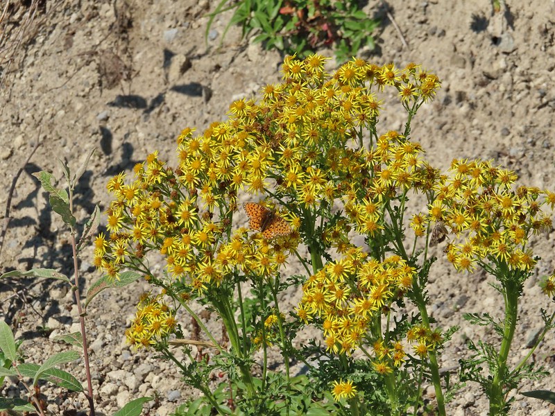 Butterfly on ragwort
 Butterfly on pearly everlasting
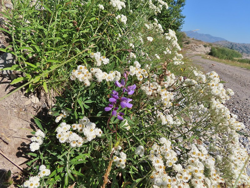 Lupine in the pearly everlasting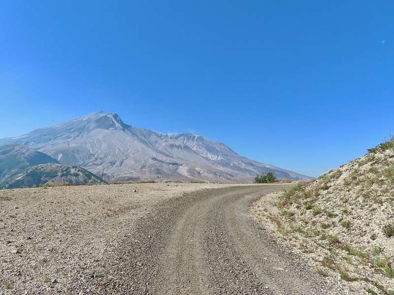
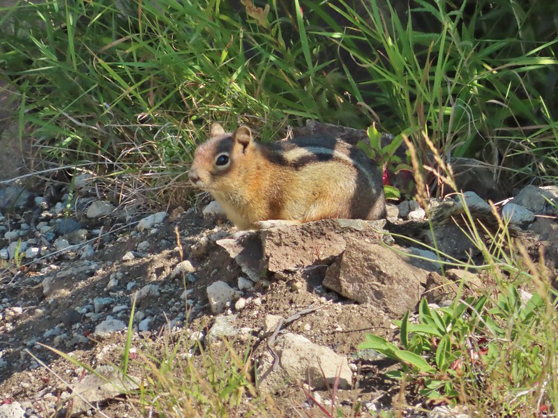 Golden-mantled ground squirrel
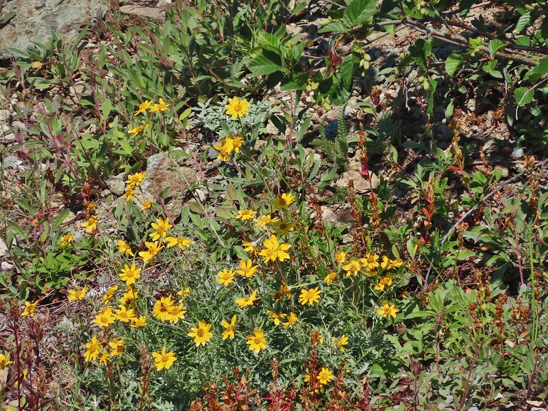 Might be Oregon sunshine
 Penstemon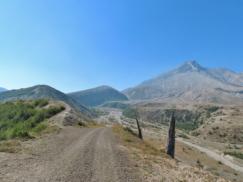
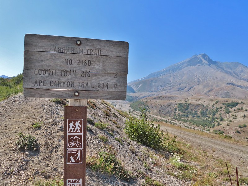


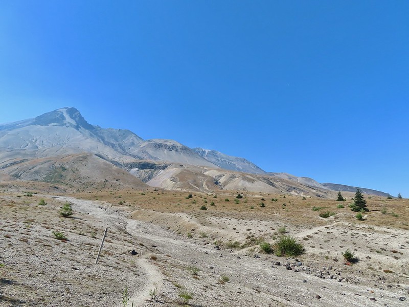
 Paintbrush and dwarf lupine
 Pearly everlasting
 The Loowit Trail junction.
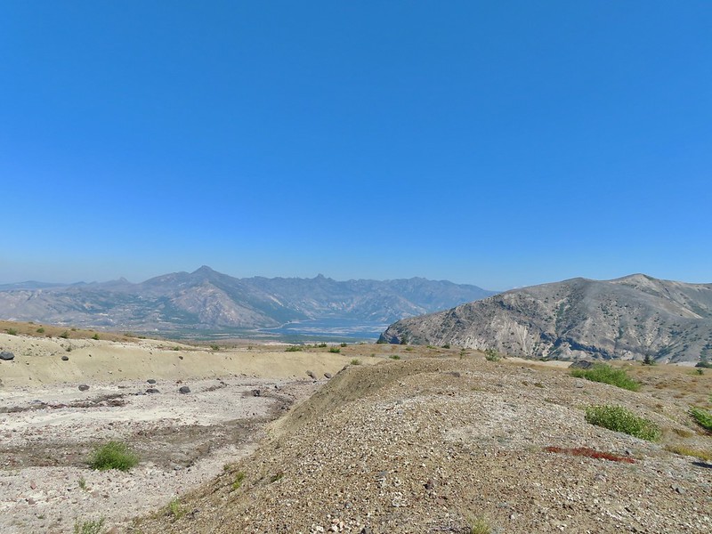 Spirit Lake from the junction.
 In the gully.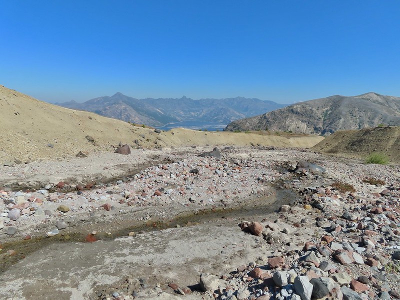
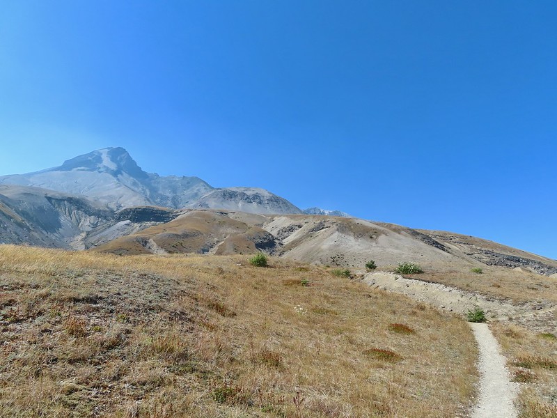
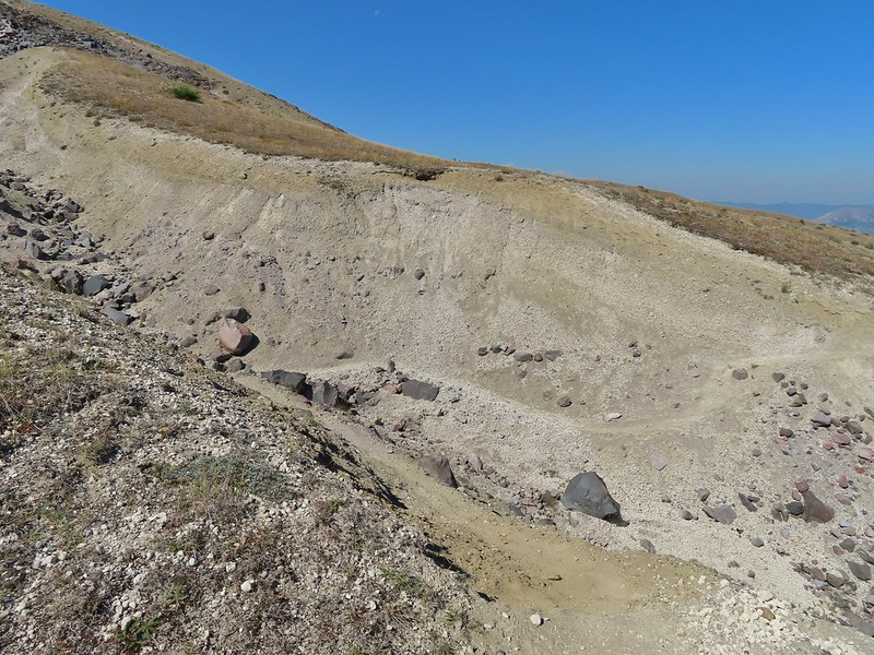 Another gully to cross.
 Big Spring is in the willow thicket.
 The stream flowing over the Loowit Trail.
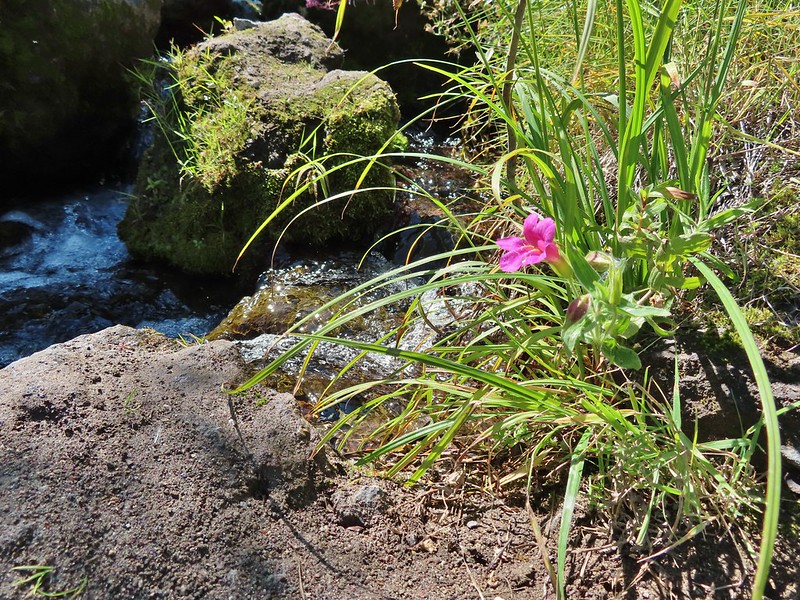 A pink monkeyflower at the spring.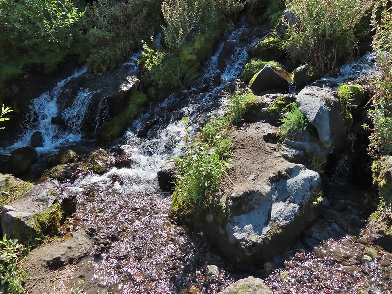
 Looking back at the willows and Big Spring.
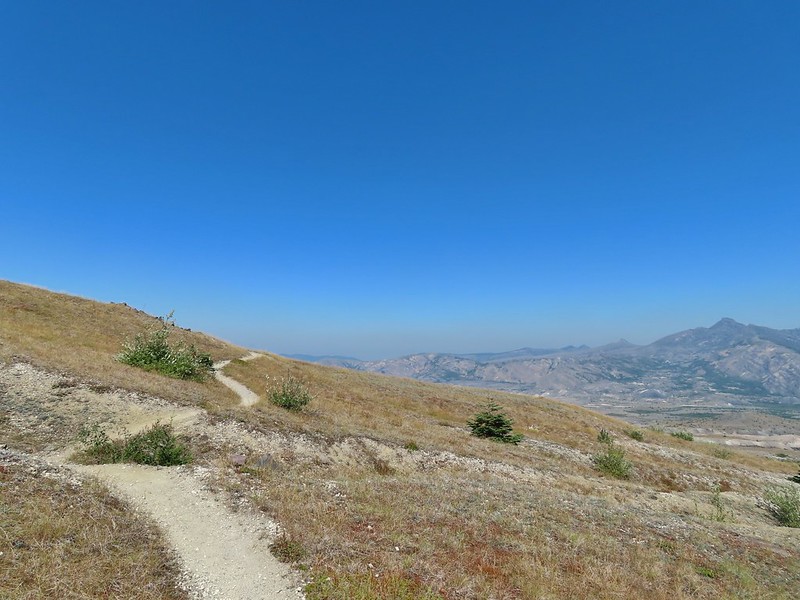 Coldwater Peak to the right.
 The Sugar Bowl lava dome.
 Spirit Lake from the trail.
 The first goats we spotted are on this ridge above the lone tree.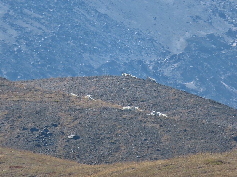
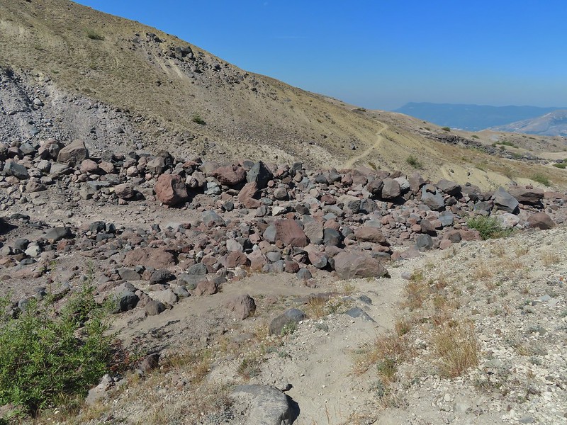 The Loowit Trail crossing two gullies in a short stretch, one red one black.
 Dropping into the second gully.
 From the second gully we could see quite a few more goats on the ridge.
 Approaching the junction with the side trail to Loowit Falls.
 Sign for Loowit Falls.
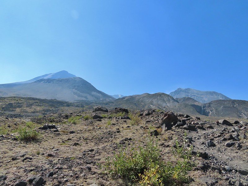 Loowit Falls (right side of the photo) was visible for much of the half mile.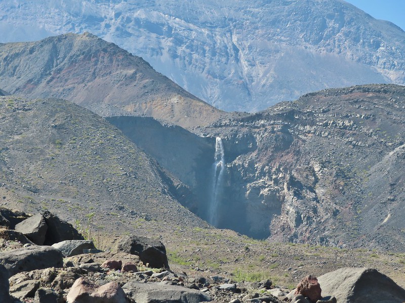
 Looking back at Coldwater Peak and Spirit Lake. (The top of Mt. Rainier is barely visible peaking over the top of the ridges.)

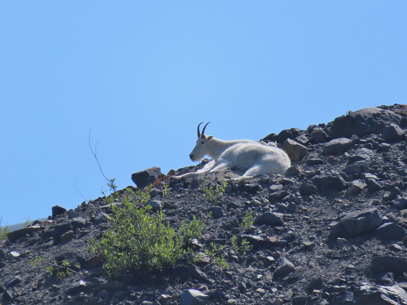

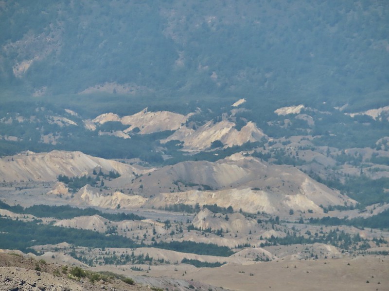

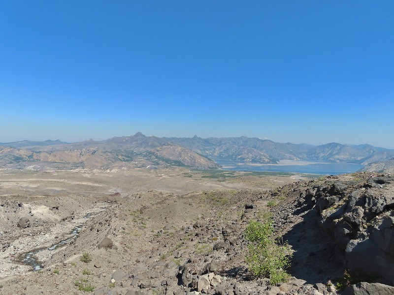 Spirit Lake from the viewpoint.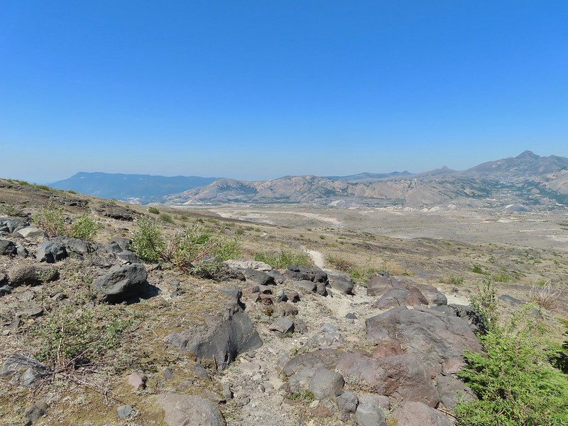

 Paintbrush
 Dwarf lupine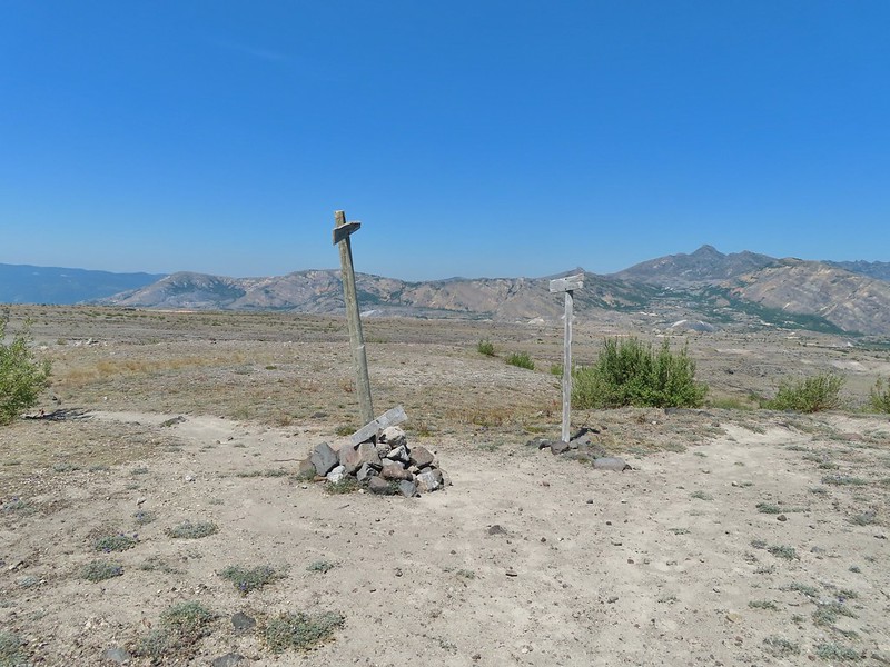
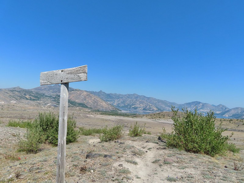
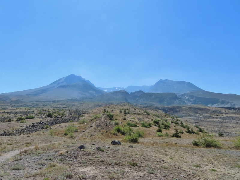 Mt. St. Helens from the Willow Springs Trail.
 Heading toward Spirit Lake.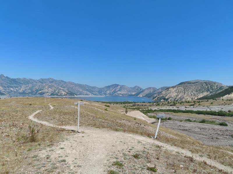

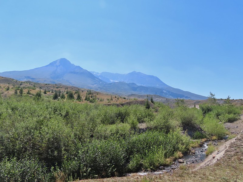
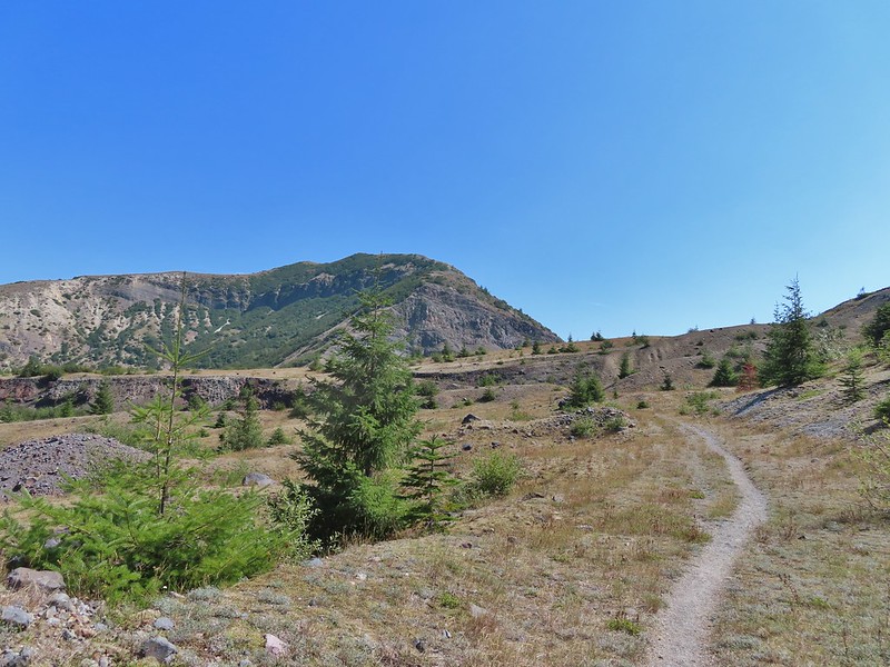

 The Dome above Spirit Lake

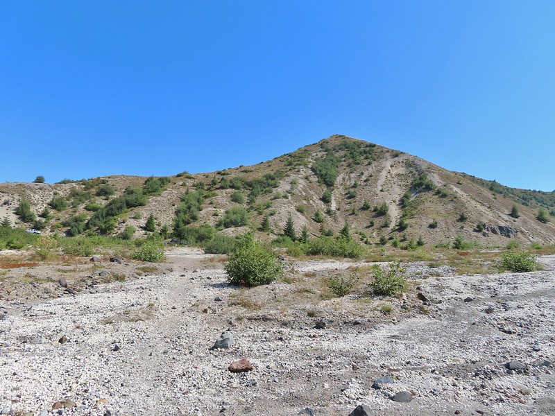 Vehicles ahead in the research parking area.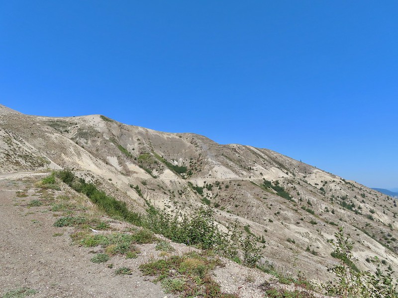
 Mt. Adams to the left.
 Mt. Adams
 Look out for snakes, not the poisonous kind just don’t want to step on them.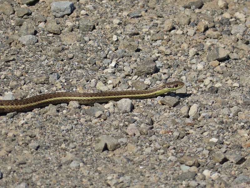
 Some sort of sulphur butterfly on pearly everalsting.
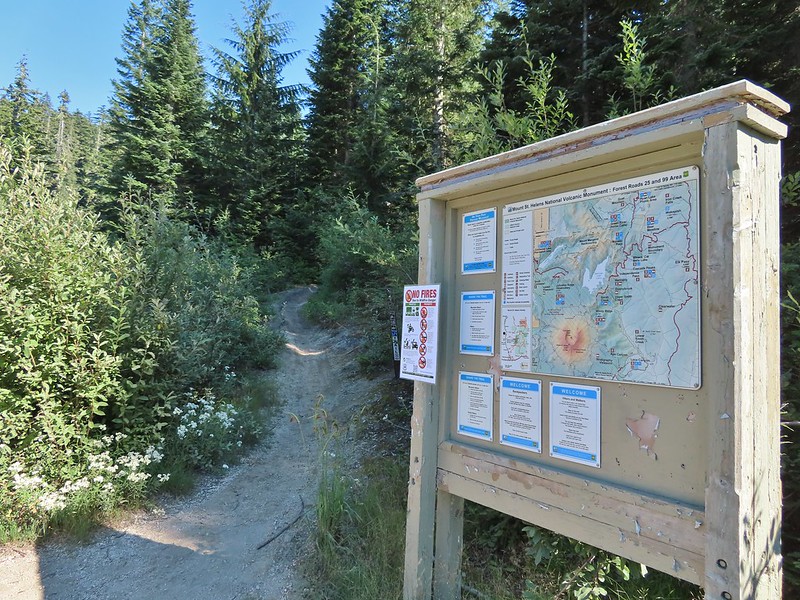


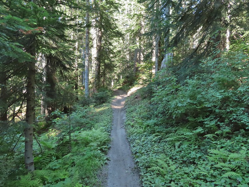

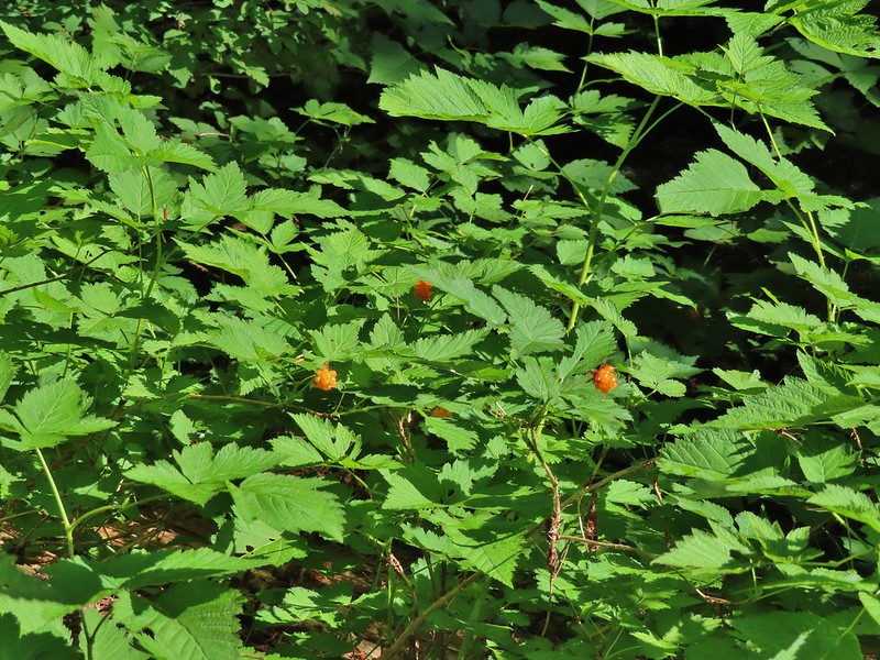 Salmonberries
 Blueberries
 Huckleberries
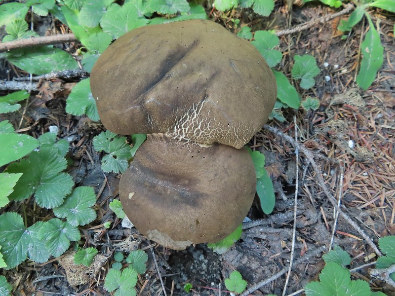 Mushrooms (the flowers of Fall)
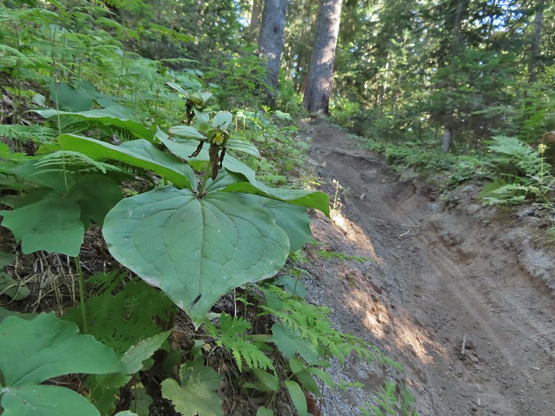 I was really surprised to still be able to make out the remains of the petals on these trillium.
 These bunchberries with a few petals left were near the trillium above.
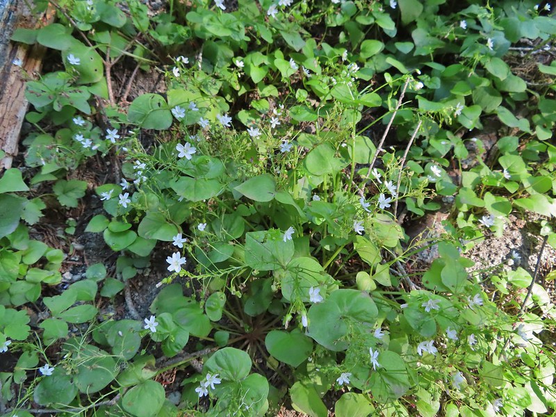 Candyflower

 These thimbleberries weren’t ripe but a short distance further were a lot of ripe ones. I thought I might have to hike back and retrieve Heather from them.
 A brief glimpse of Mt. Rainier from the ridge the trail was following, it looked like a lot of the smoke had blown away.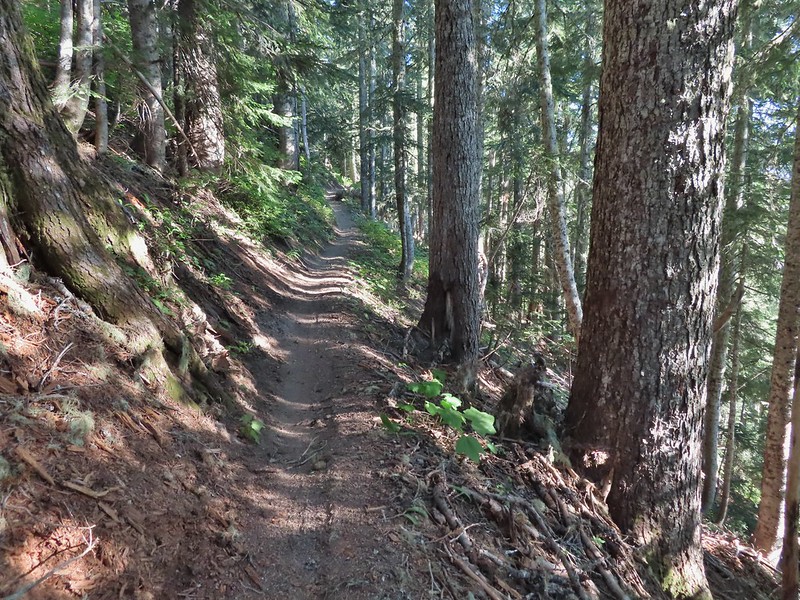

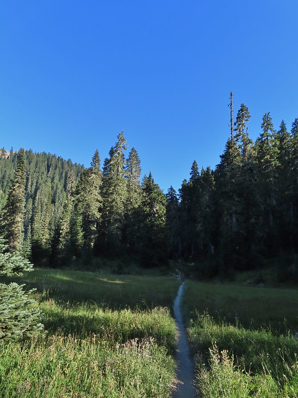
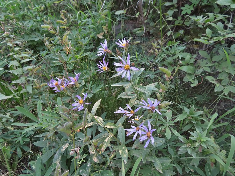 Aster
Aster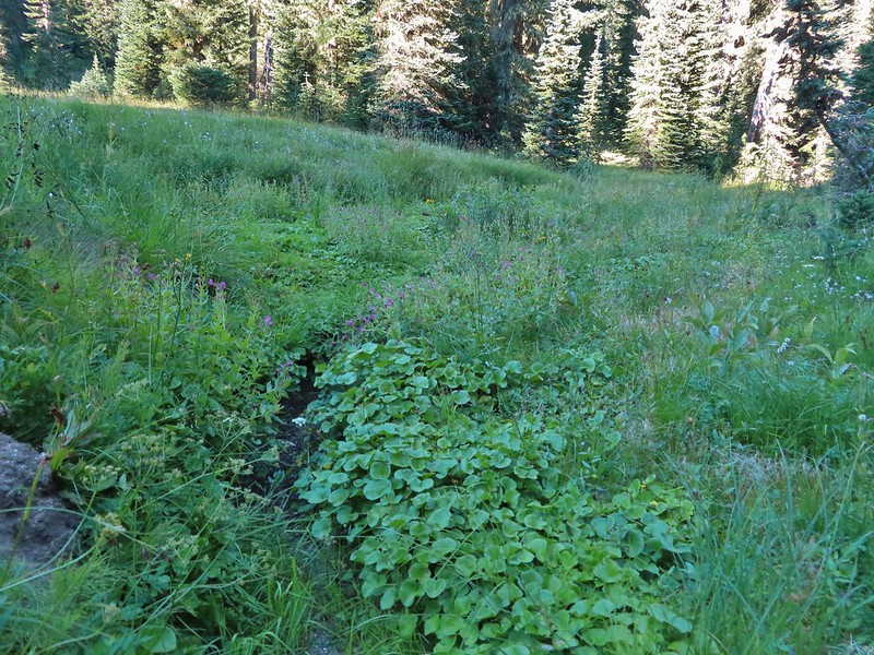 Elk Creek
 Pink monkeyflower along Elk Creek
 Lupine
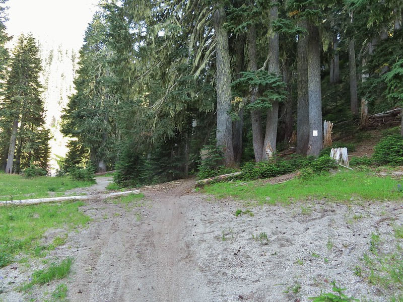 The trail near Badger Lake was particularly torn up and there were several signs posted admonishing motorcyclists to stop driving off trail.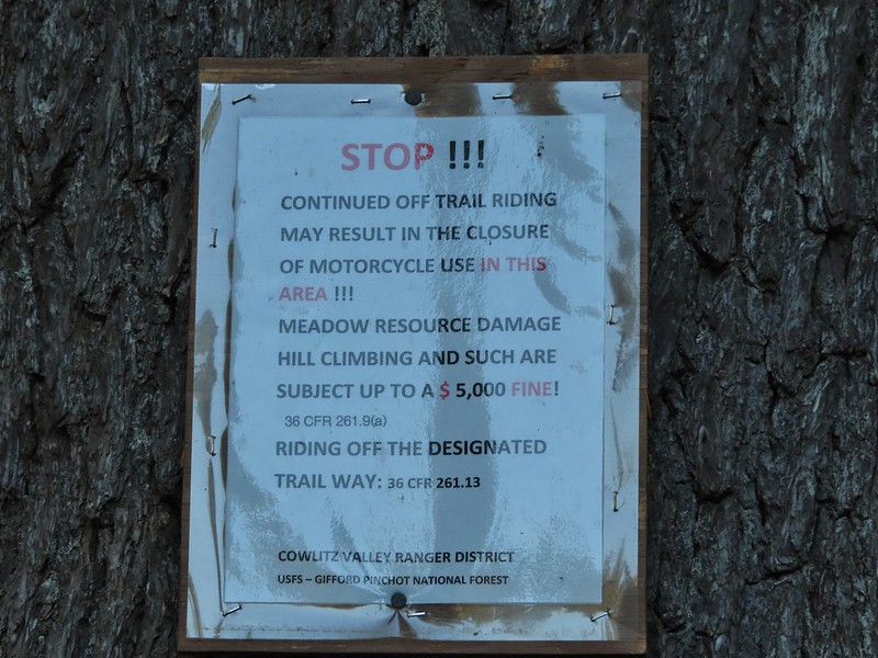
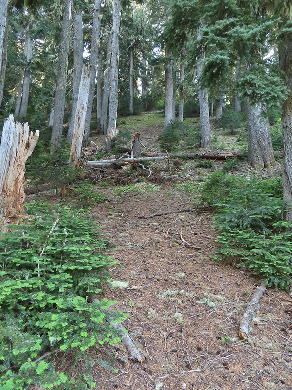 Torn up hillside near the lake, it only takes one or two idiots to cause a lot of damage (the same goes for hikers/mountain bikers).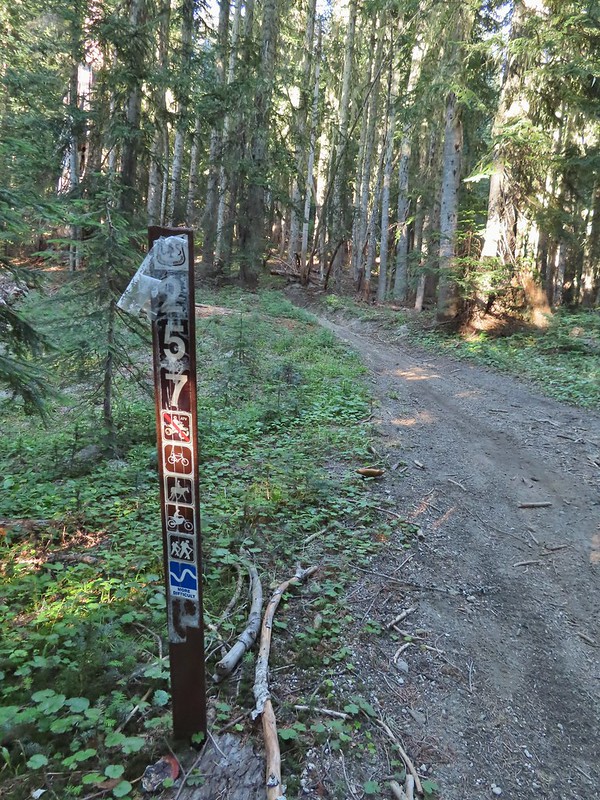
 This mushrooms was at least as wide as a salad plate.


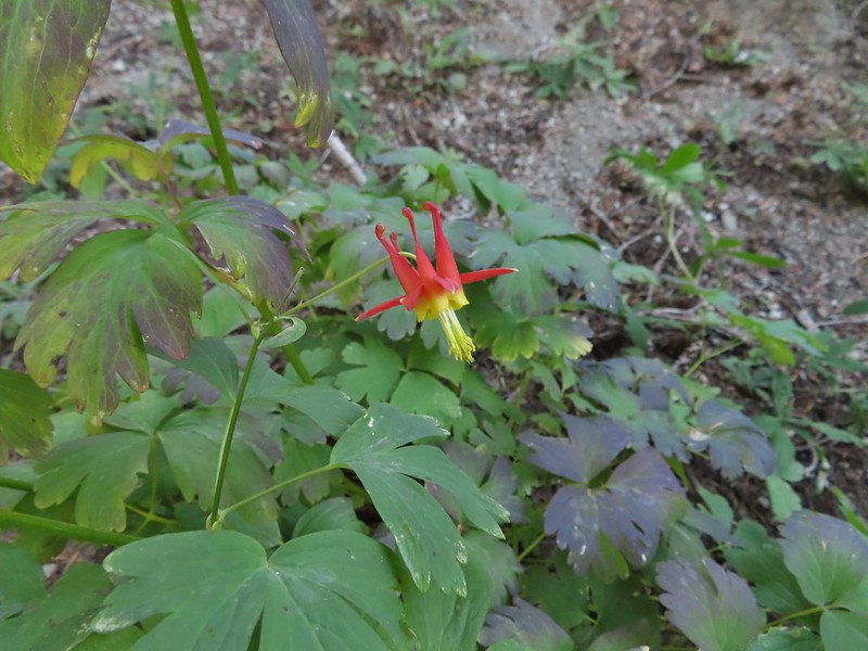 A columbine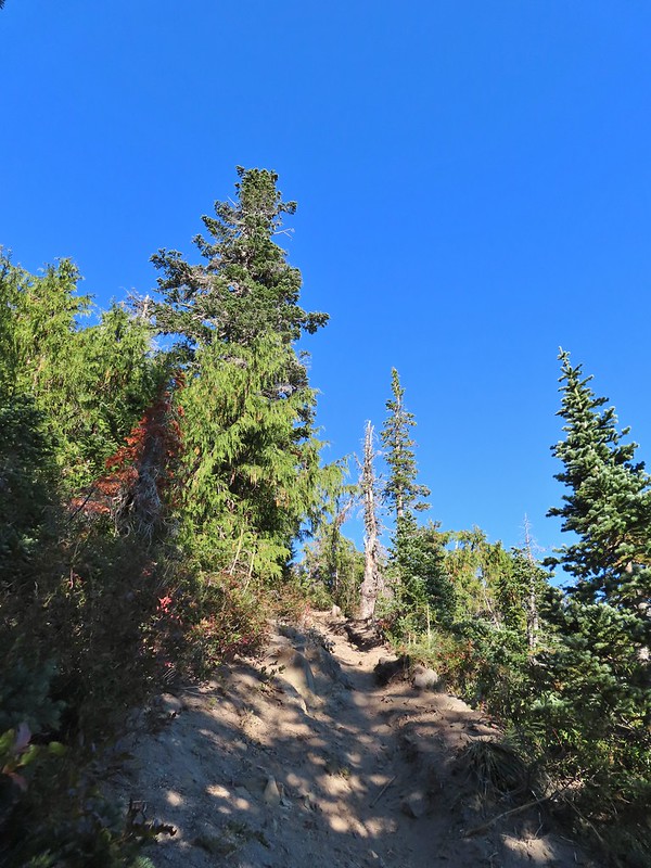
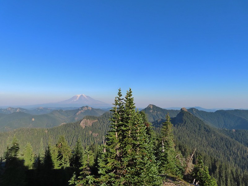
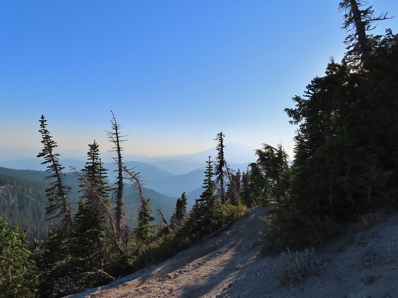 Mt. St. Helens was hard to make out with the combination of haze and Sun position.
 Looking south toward Mt. Hood (I could make it out with the naked eye.)
 Mt. Hood in the haze.
 Mt. Rainier
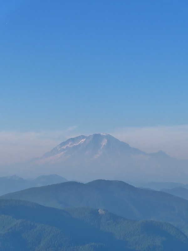 Mt. Rainier
 Mt. Adams
 The Goat Rocks were also hard to make out due to the smoke.
 Western pasque flowers, aka hippies on a stick, below the summit.


 The last of the sunlight hitting Badger Peak.
 The start of the “trail” at the end of the road.
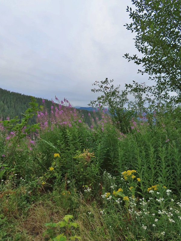 Wildflowers at the trailhead.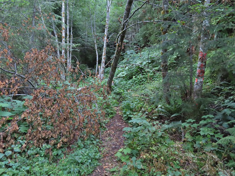
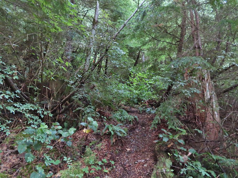


 Orange dot on a tree.
 Another orange dot.
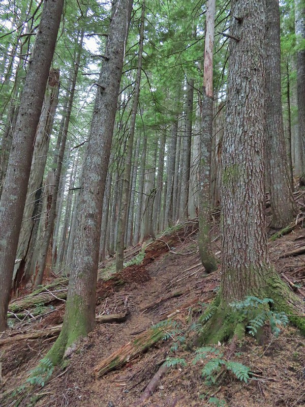 Occasionally there were short steep climbs but nothing as steep as the first part.
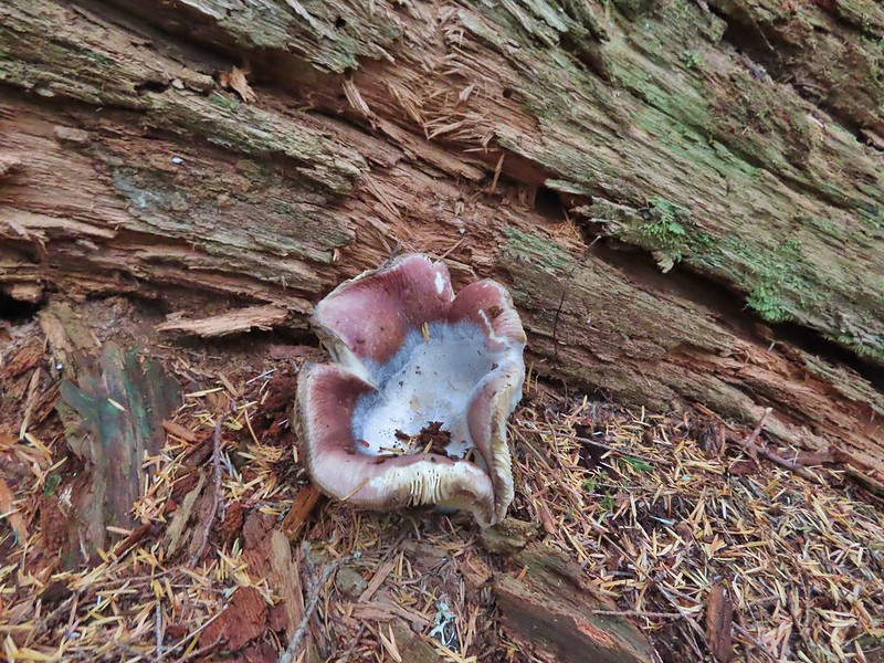 Mushroom
 Pink flagging on the right related to the timber sale.
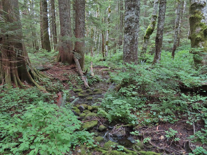 Water in a creek bed.
 Mushroom amid bunchberry leaves.
 Red huckleberries
 Timber sale boundary sign on the right with a flag.
 More huckleberries.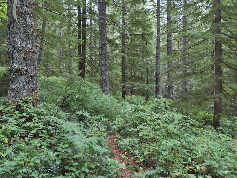


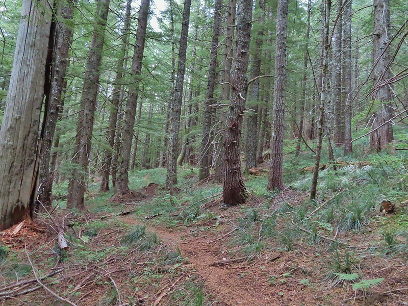
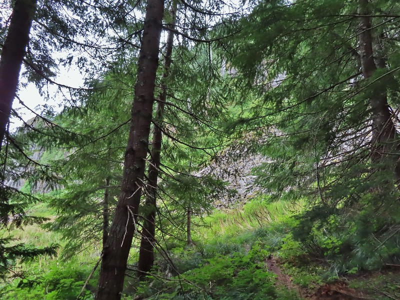
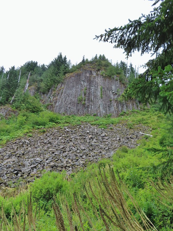

 Bluebell of Scotland
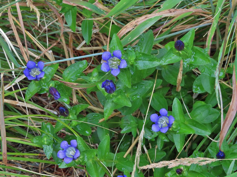 Gentian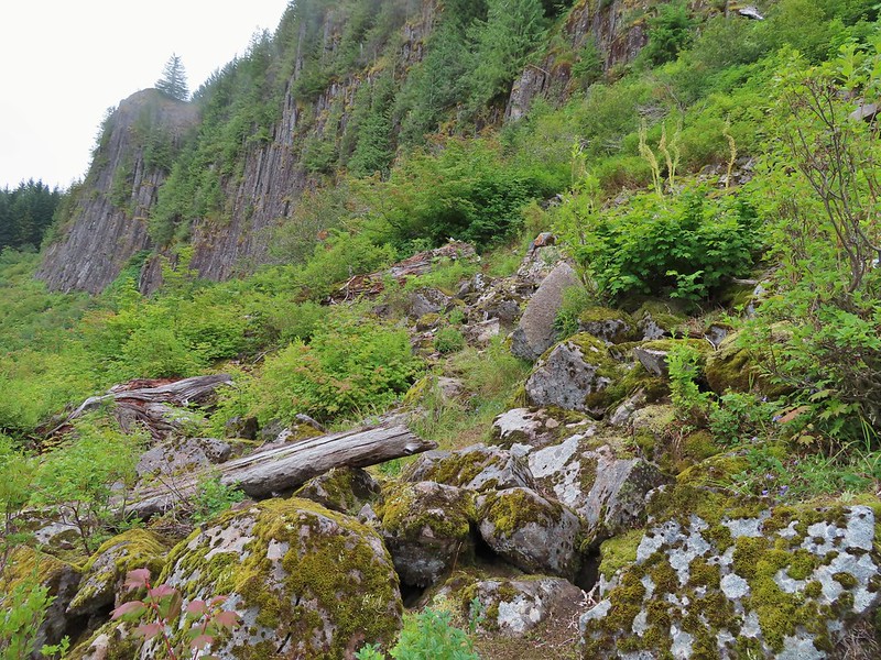
 Pearly everlasting
 The view north, not much to see.
 Mount Mitchell from the path.
 Paintbrush
 Gentian
 Penstemon
 aster
aster Oregon sunshine
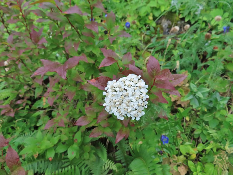 Yarrow
 The trail nearing the end of the basalt cliffs.
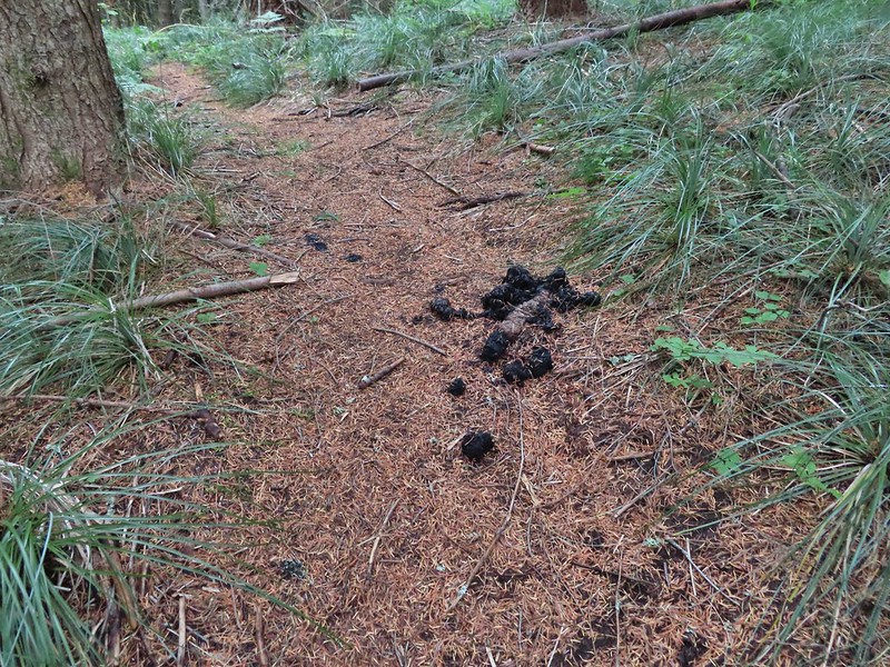
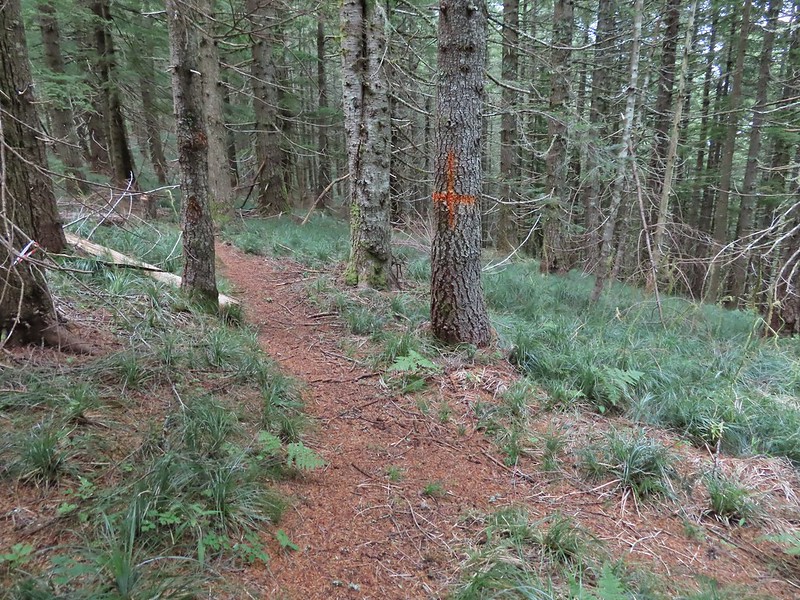
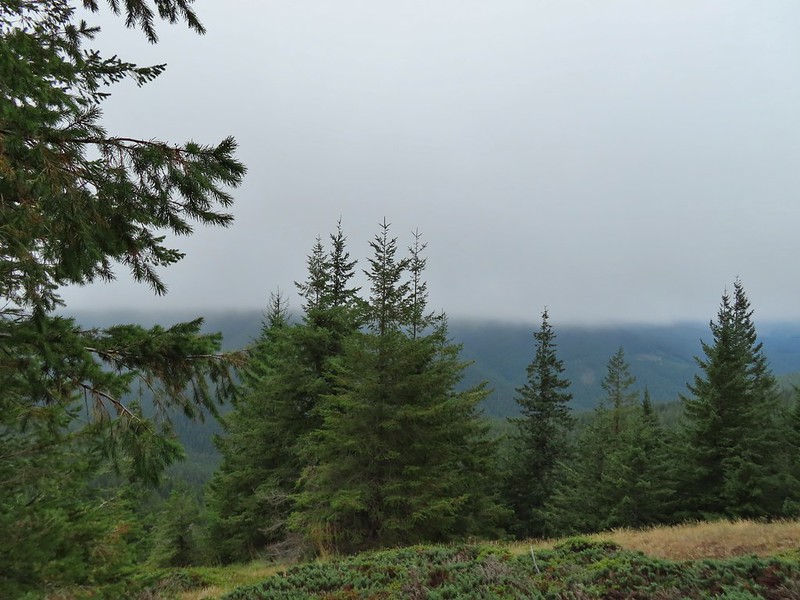 The view south across North Siouxon Creek was the same as it had been to the north.

 It was apparently a good beargrass year along the trail.

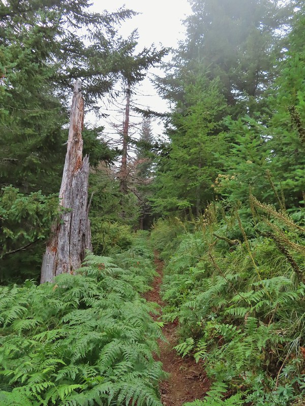

 Fireweed amid the beargrass.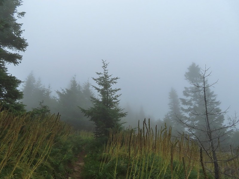


 Mt. St. Helens is out there somewhere.
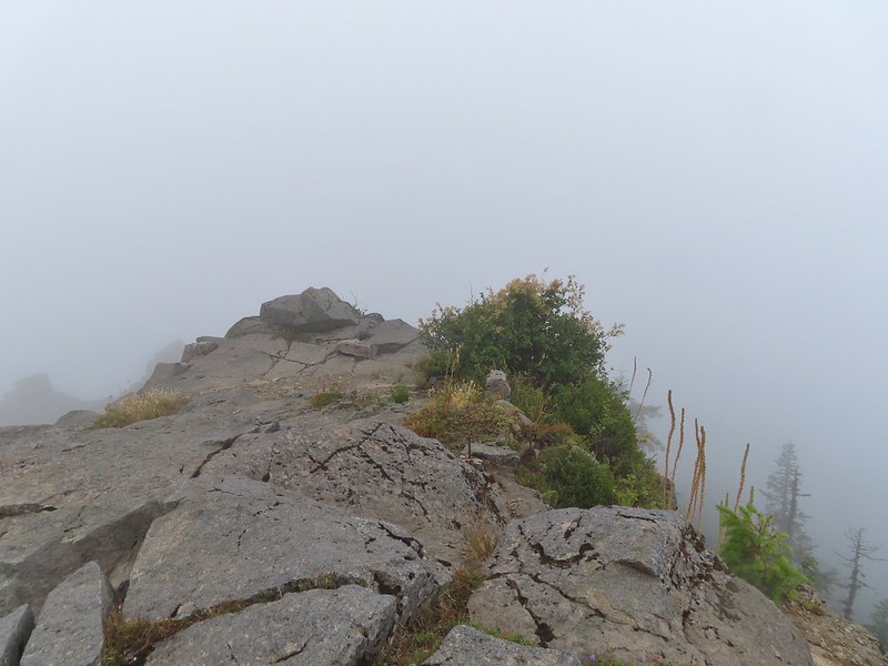 Looking east over the site of the former lookout.
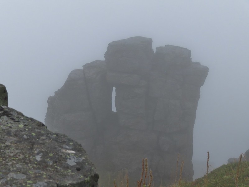 Closer look at the formation.
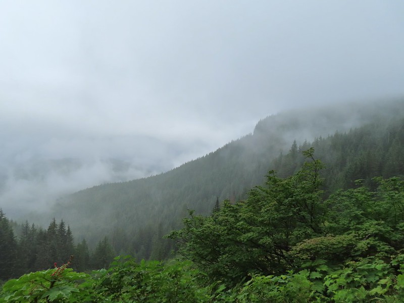

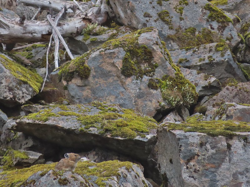
 A second picture after seeing it move again.
 The pika popped back out below the larger rock that it had run behind.
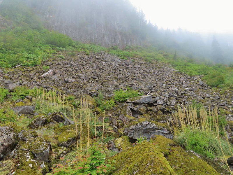 A non zoomed in photo, the pika is still in the same spot as in the two photos immediately above.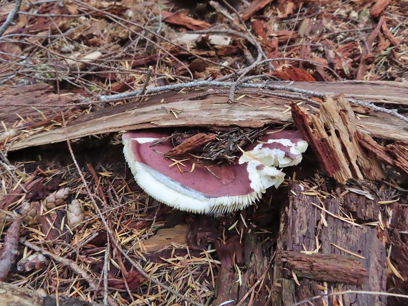
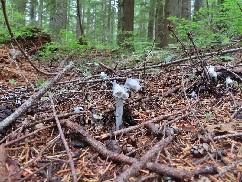 Spotting this patch of ghost pipe emerging from the forest floor was another highlight on the return hike. The hike is reportedly 7.3 miles with a little over 2000′ of elevation gain but Heather’s GPS put us at 7.8 miles and mine registered 8.3 miles. (If you’ve read other posts you know that Heather’s unit used to almost always show the higher mileage but lately mine has been.) Whatever the actual mileage it was a good hike through a very nice forest which sadly, barring a last minute successful change, may not be possible in the future.
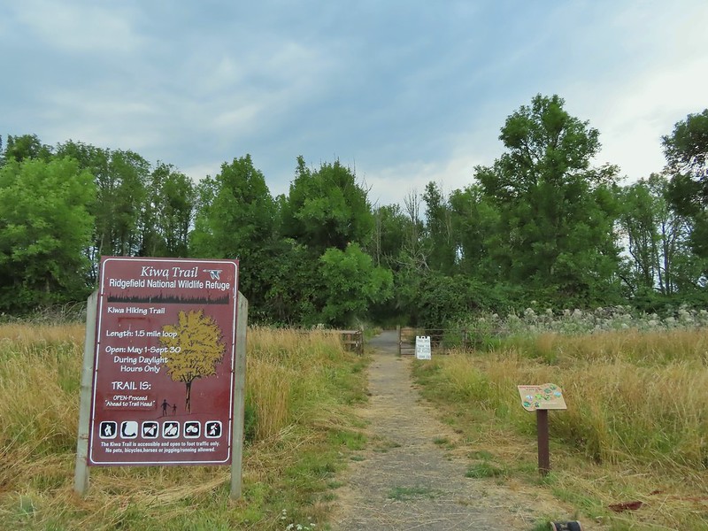
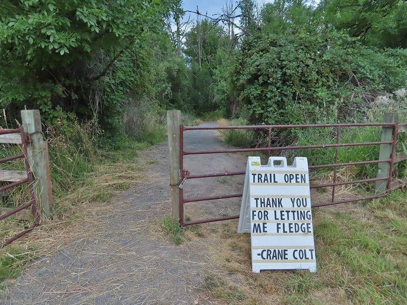
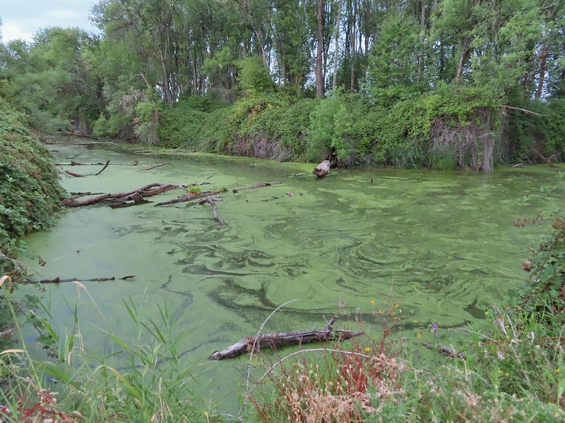 Bower Slough
 Ducks in the slough.
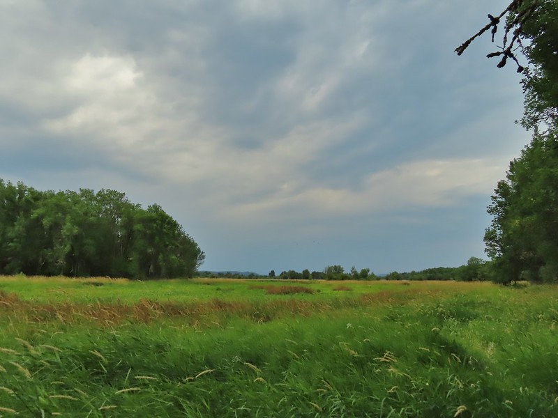 South East Lake which was mostly dried up at this point in the year.
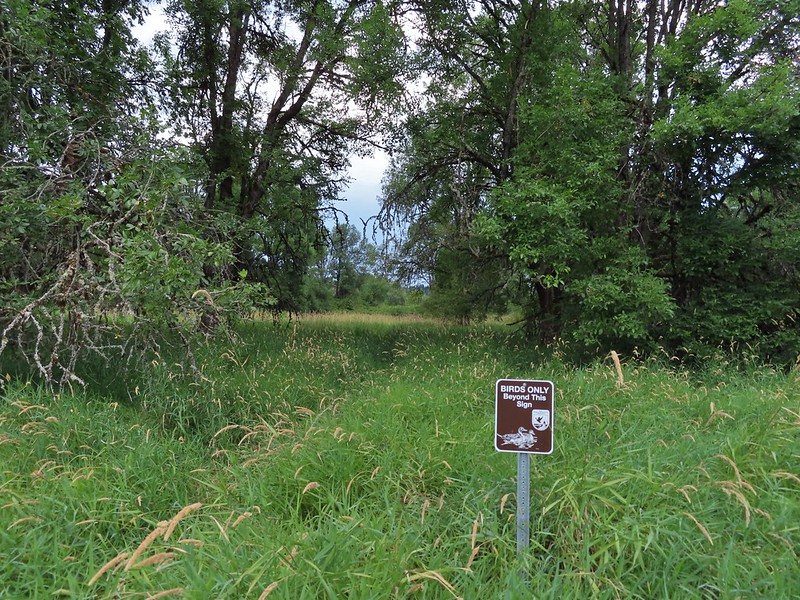 Apparently deer can’t read based on the trail leading past the sign.
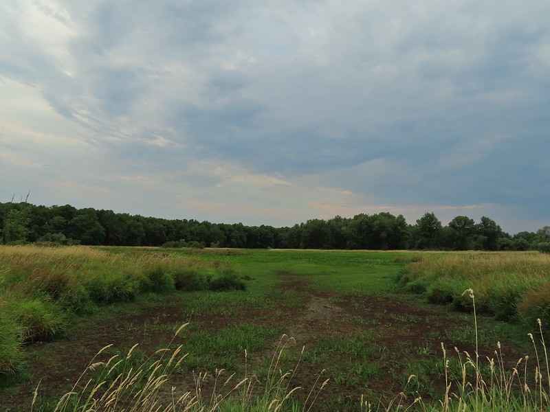 The bed of South East Lake
 Some moisture passing through this morning.
 Dove
Dove Walking along a cleaner looking portion of the slough.
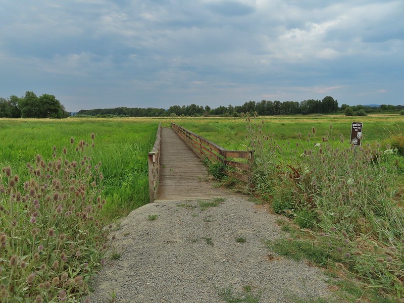 Bridge/boardwalk between Middle Lake (left) and West Lake (right).
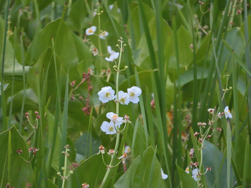 Wapato blossoms
 Lots of ripening blackberries.
 Second crossing of Bower Slough near the end of the loop.

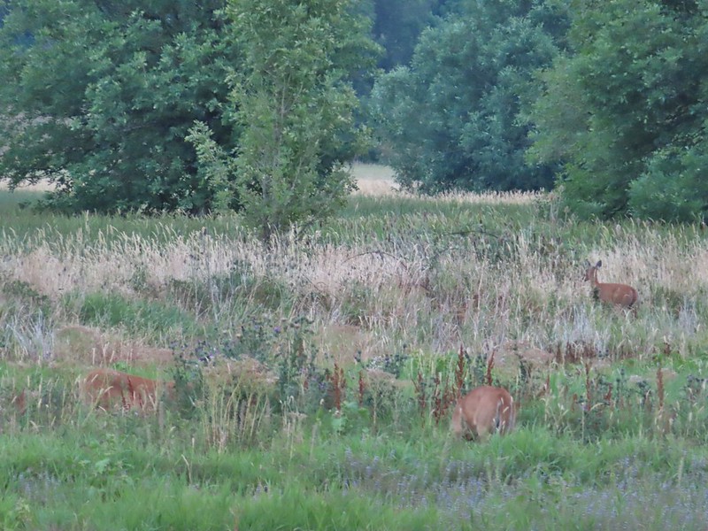

 Great blue heron
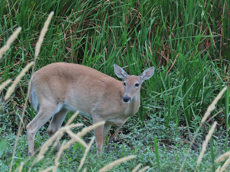 Doe
Doe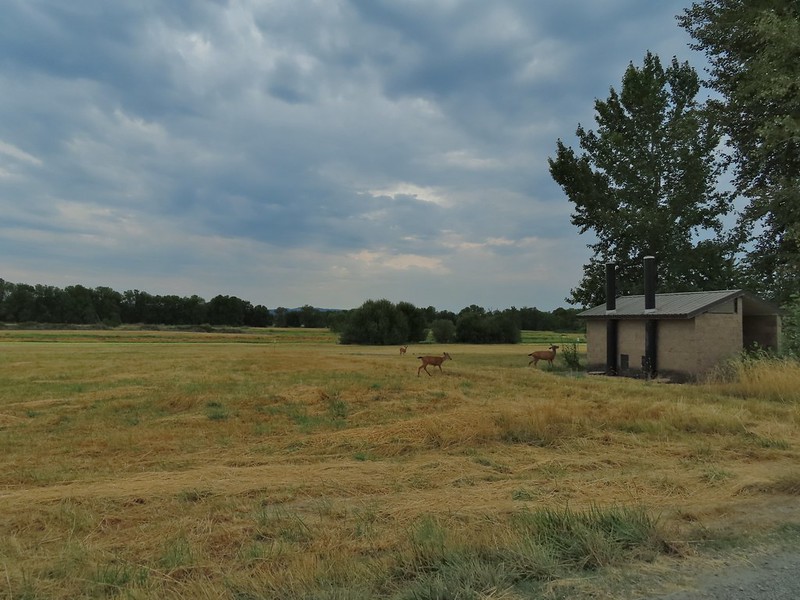 Deer near the restrooms/fee booth.
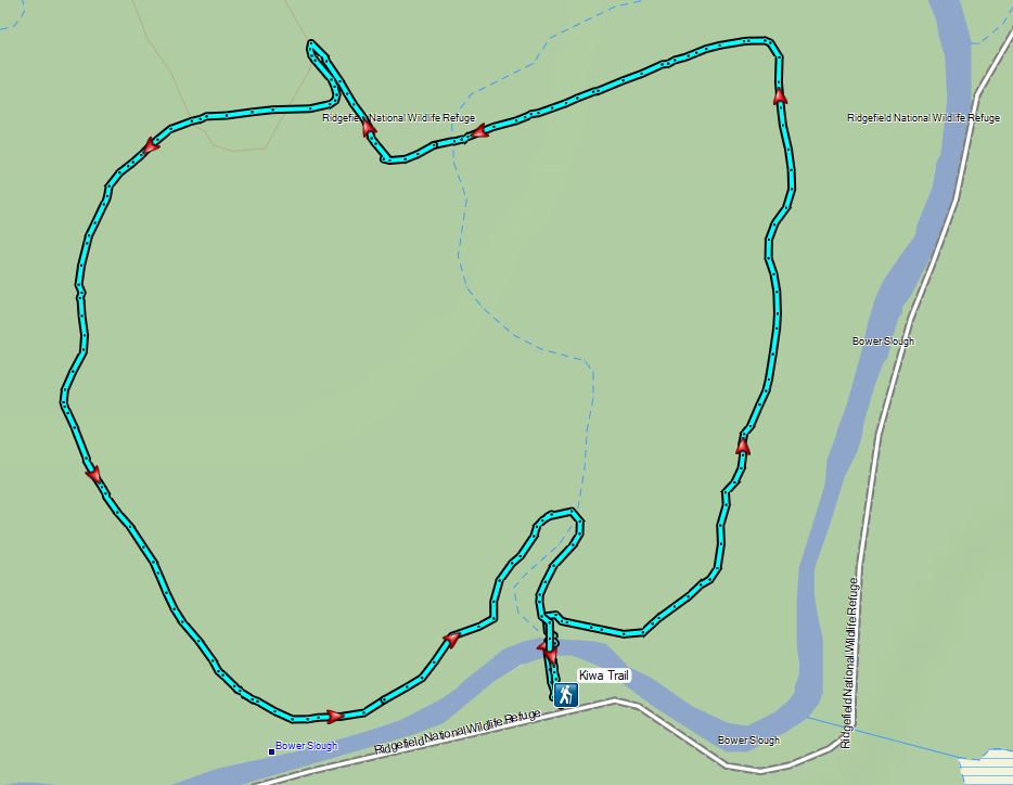

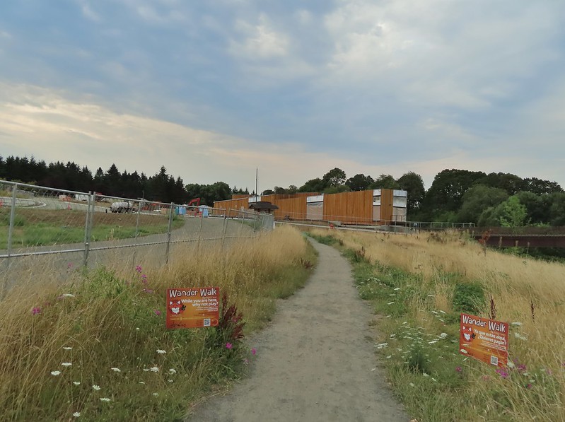
 <
<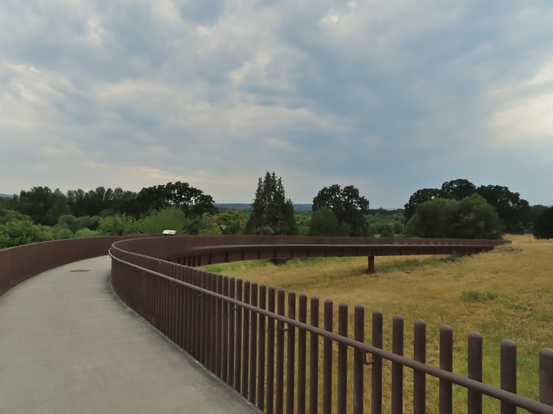
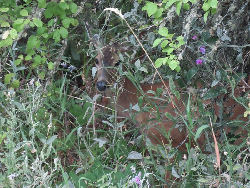 Doe in the brush near the tracks.


 Carty Lake Trail and Duck Lake
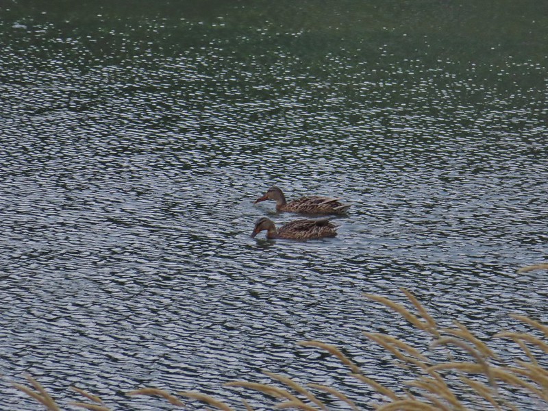 Ducks on Duck Lake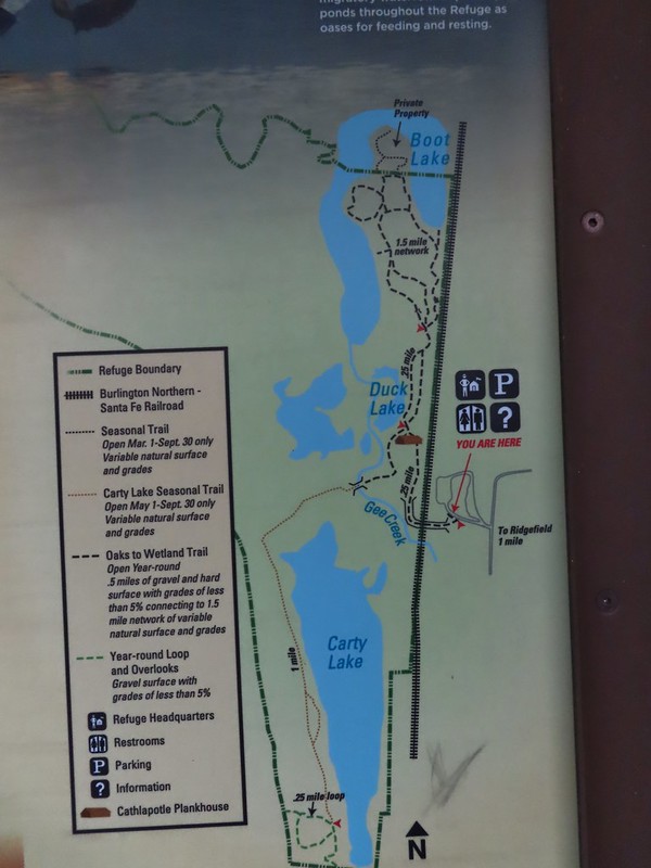
 Paved and dirt options allow for a mini-loop near the start, later the trails are all dirt.

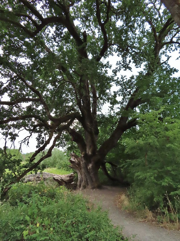 Big oak
 One-way pointers for a second loop.
 The trails can reportedly be quite muddy during the wet season but the current drought meant a hard packed surface.
 Bright red poison oak climbing some of the tree trunks.
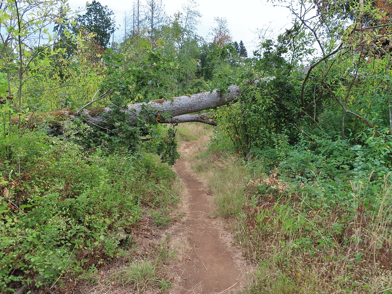 A bit of a low bridge.
 Spotted towhees
 Onward toward Carty Lake.
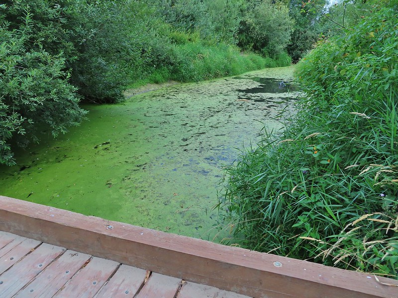 Gee Creek
 Orange jewelweed along Gee Creek.
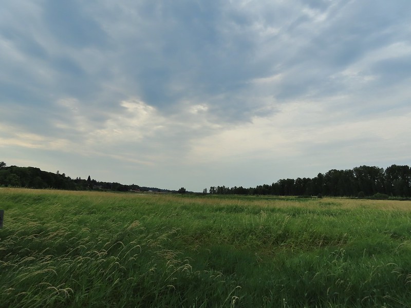 Carty Lake also lacking much water.
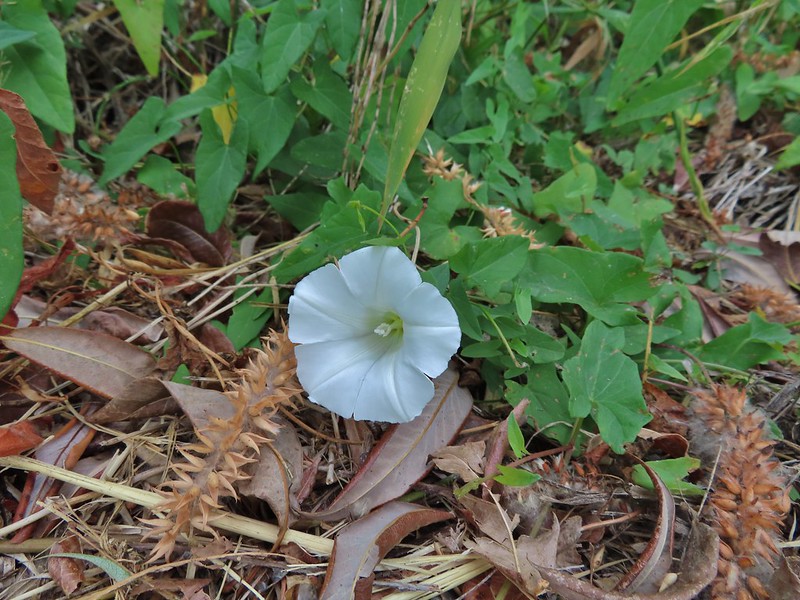 Bindweed
 A primrose
 Wapato at Carty Lake
 The trail turning south toward the Port of Ridgefield.


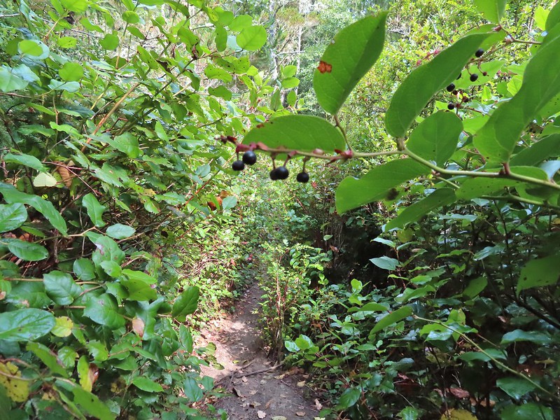 Lots of salal along the trail.
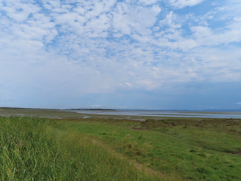

 Map near the platform.
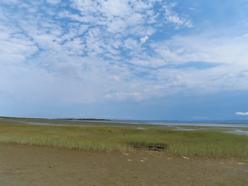 High tide had been between 7 and 8am so the water was retreating from the Bay.
 Looking south.
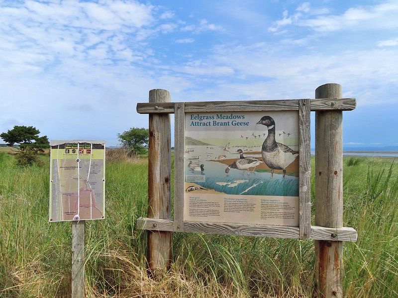


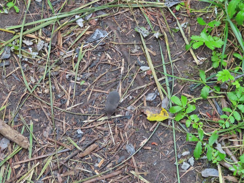
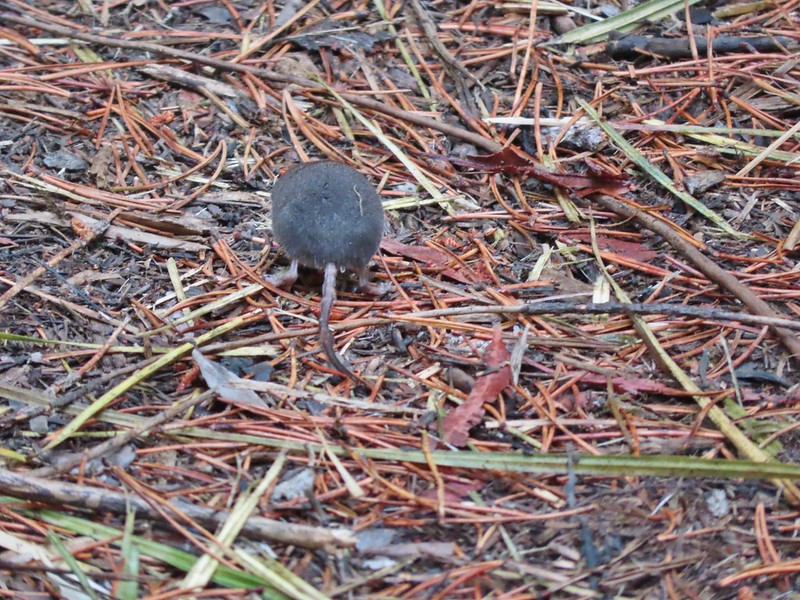


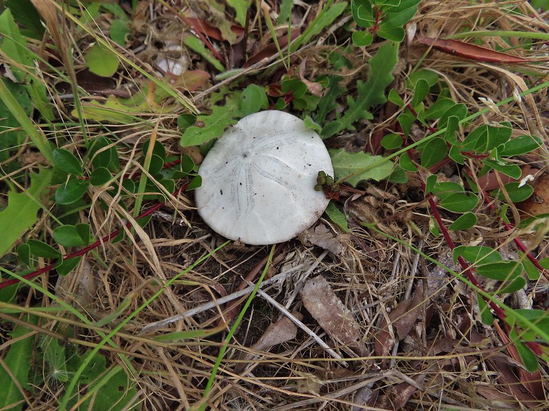
 Looking back along the trail.
 Cresting the dune.
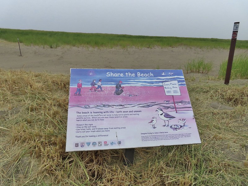 Snowy plover sign, a common sight along the beaches in Oregon too.
 Bayberry Trail passing through the snowy plover closure area.
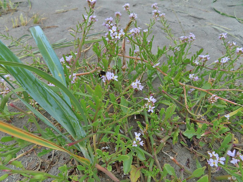 Bumblee on American skyrocket.


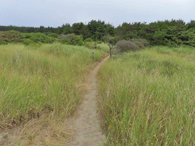
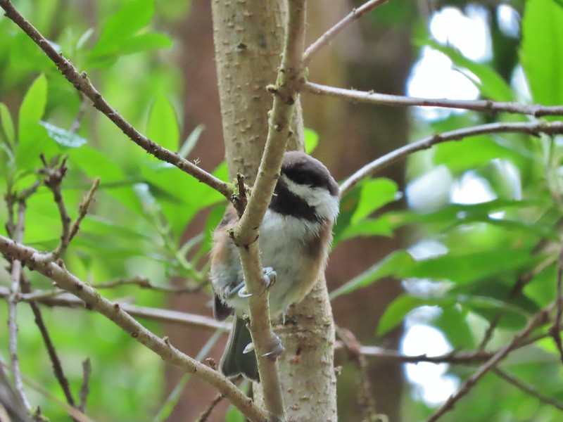 Chestnut backed chickadee
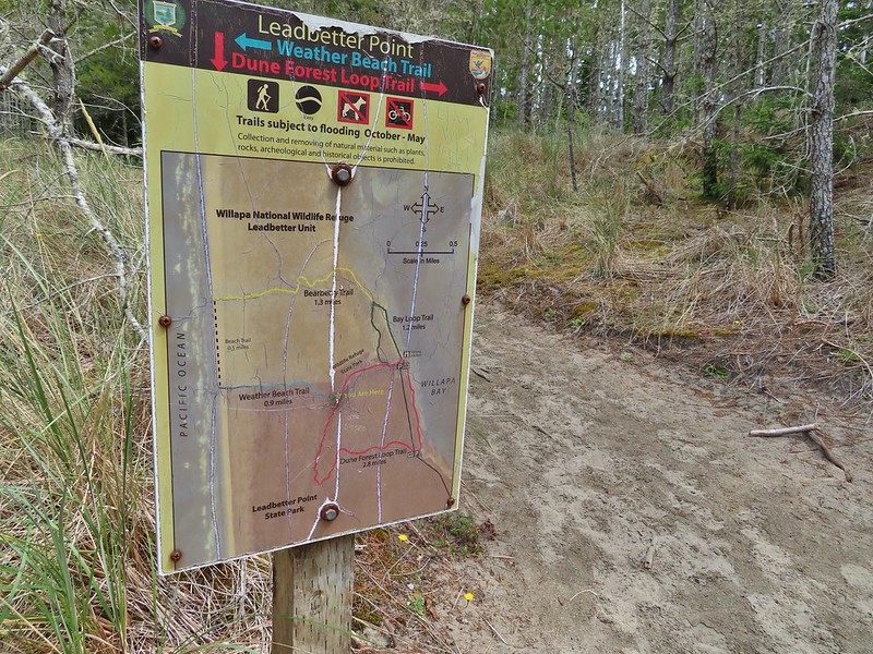
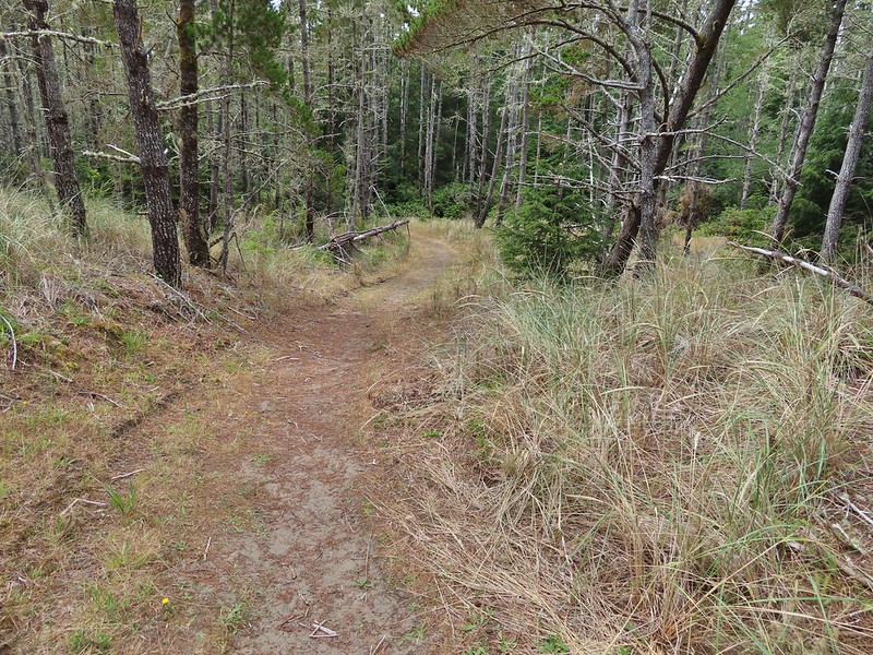

 Someone had written “umpassable (sic) swamp” below the word loop on this sign. This is when we began to guess why Sullivan had you turn left at the Weather Beach Trail junction.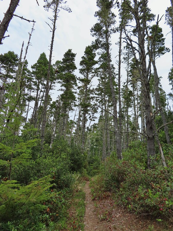
 Slug and a mushroom. We both thought of Alice in Wonderland.

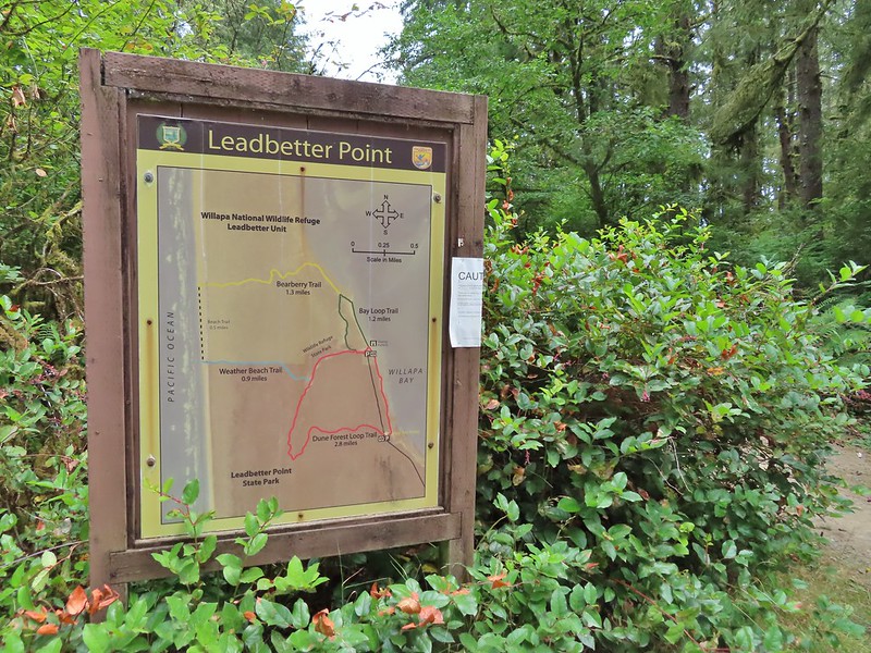 Signboard at the southern trailhead.


 Looking back over one of the trees.
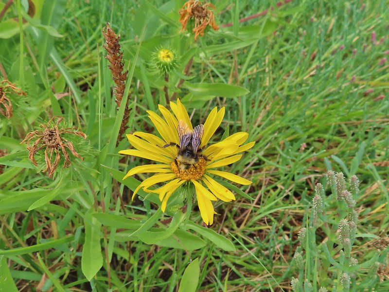 Bumble bee on gumweed.
 A pair of great blue herons in Willapa Bay.
 The eagle has landed.
 Crow attack
 Looking for a quite place to eat.
 We didn’t see what happened to the kill, if the eagle got to eat it or not.
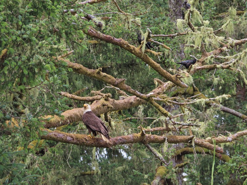 The crows weren’t leaving the eagle alone.
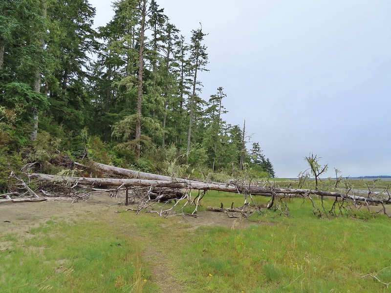 Last of the trees to navigate.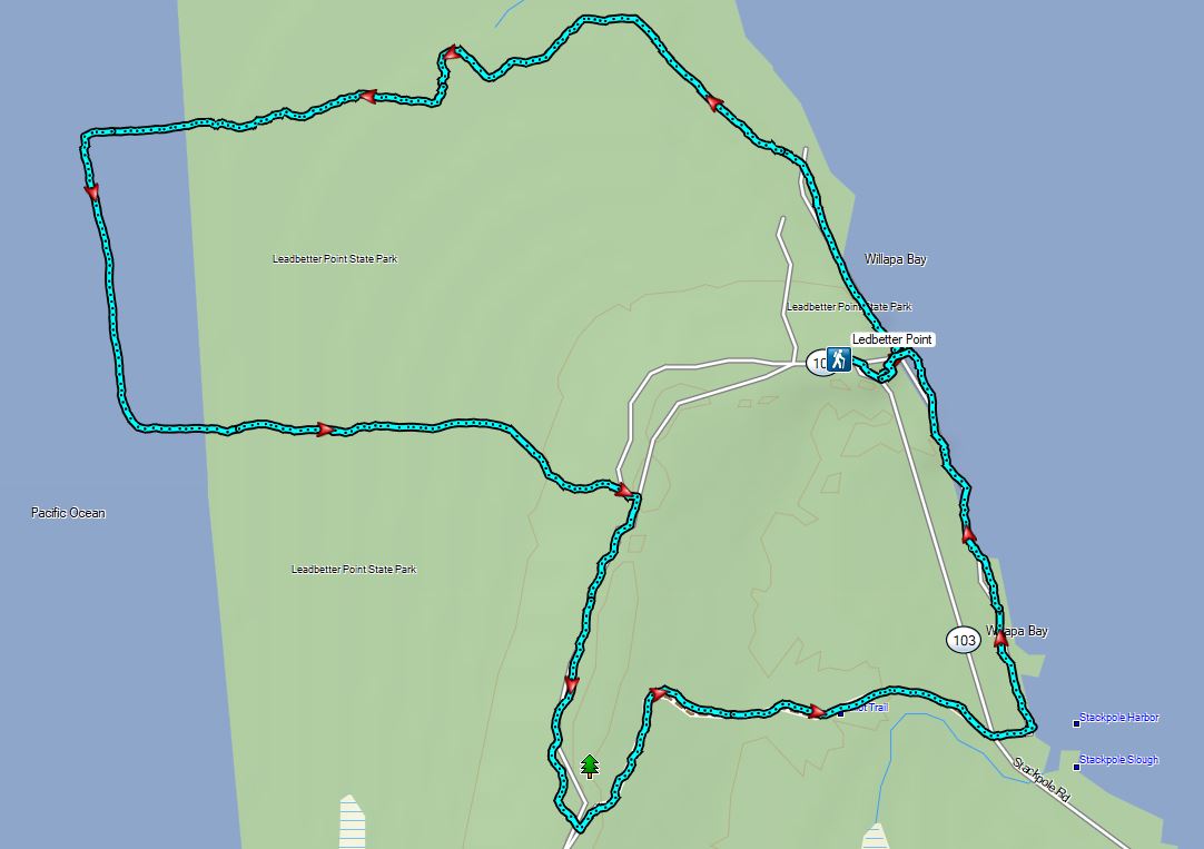
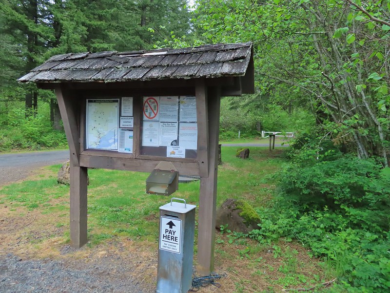
 Equestrian Trail at the trailhead.
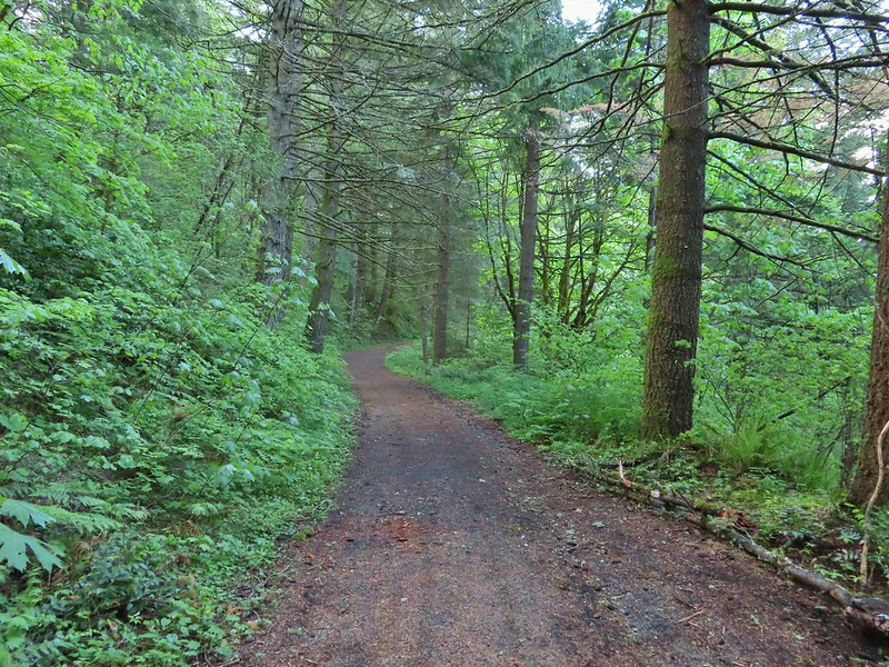 On the old roadbed/Equestrian Trail.
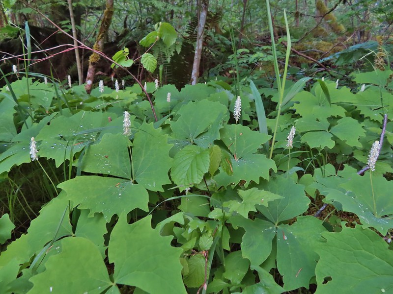 Vanilla leaf
 Fairy bells
 Violets
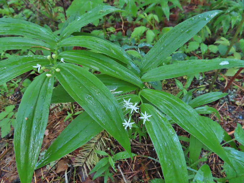 Star-flowered false solomon seal
 Youth-on-age
 Possibly a cinquefoil
 Thimbleberry
 Fringecup
 At the 4-way jct the Equestrian Trial continued straight with the West Hardy Trail to the left and Lower Loop Trail to the right.

 Salmonberry
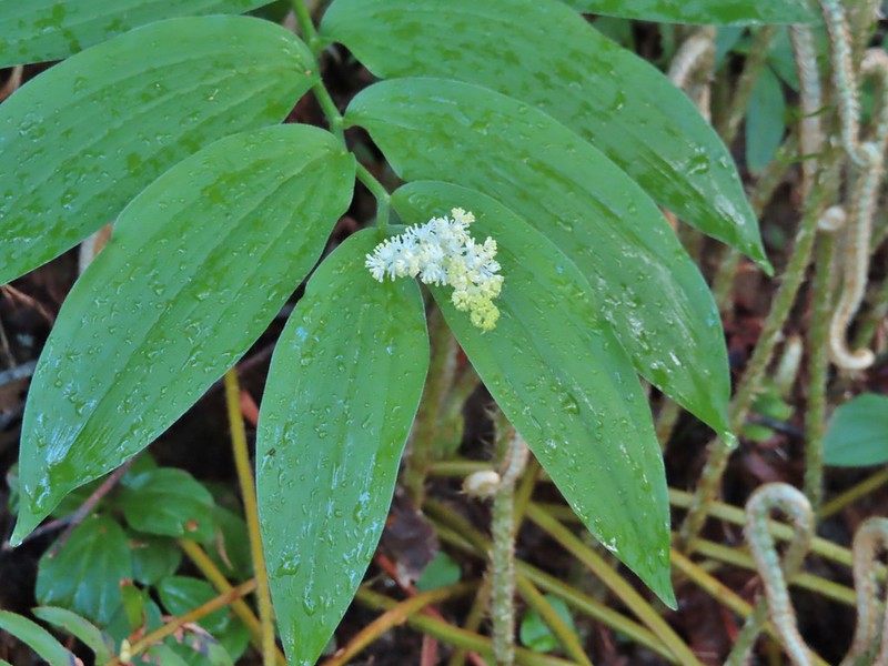 False solomon seal
 Bleeding heart
 Here come the clouds.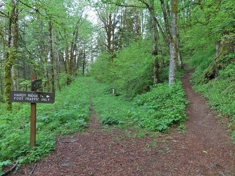

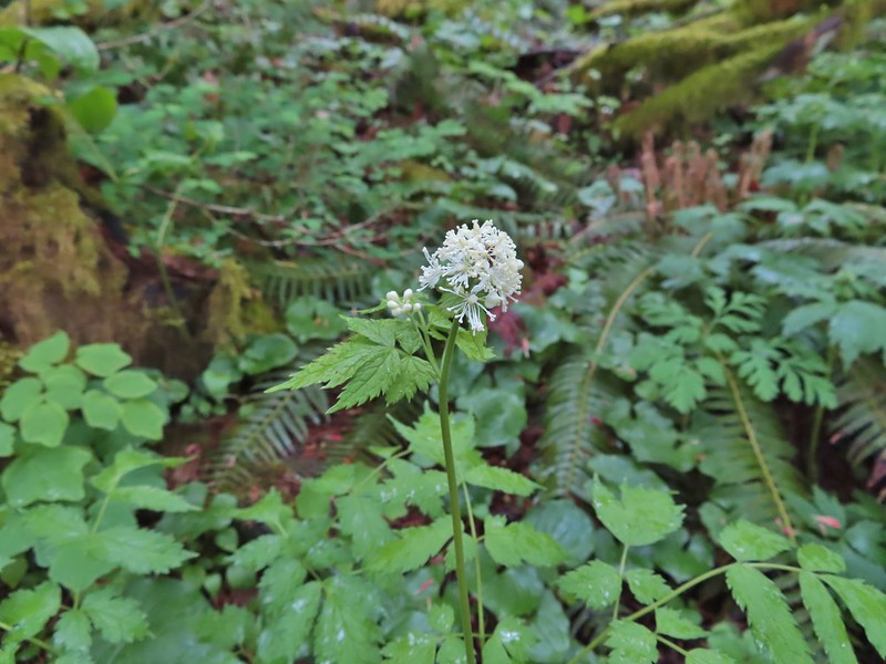 Baneberry
 Trillium
 Paintbrush
 Red flowering currant
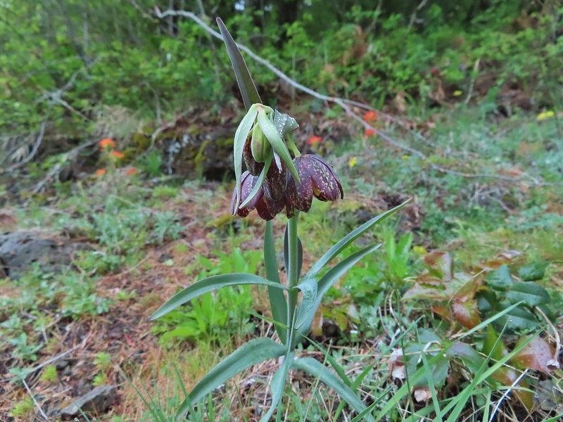 Chocolate lily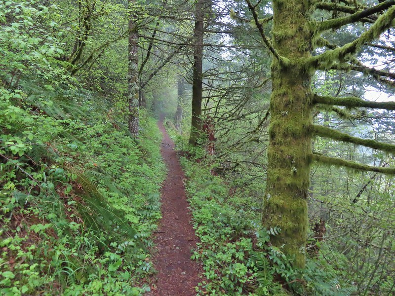
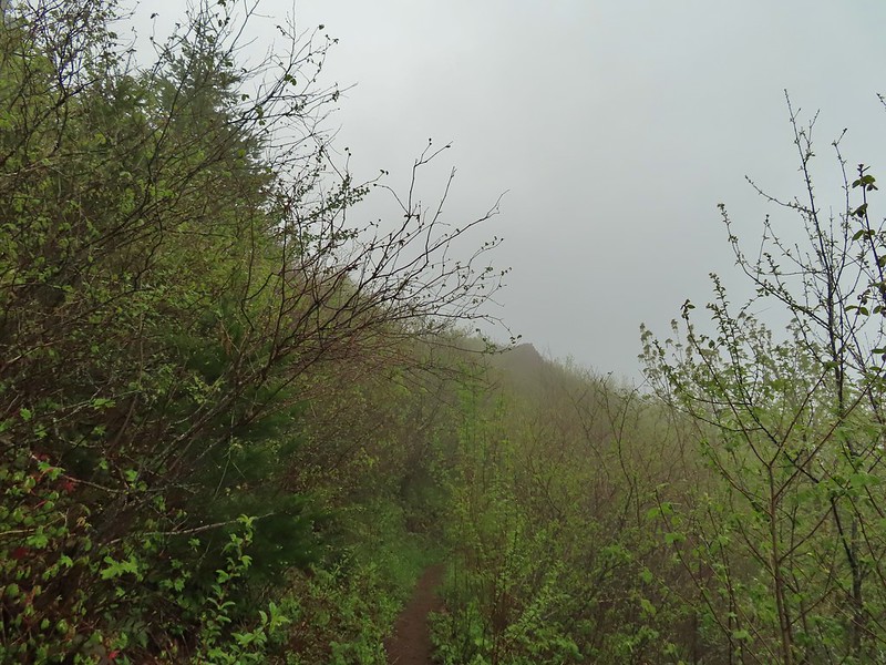
 Anemones
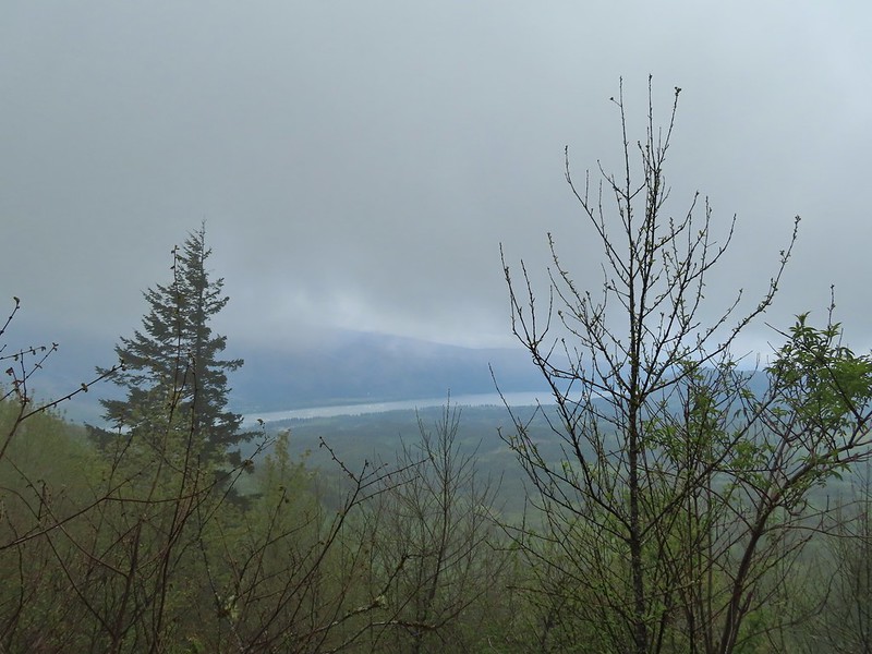 Looking across the Columbia River into Oregon.
 Horsetail Falls (
 Field chickweed and Oregon grape
 Junction at the saddle.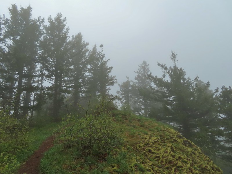
 Glacier lily
 Trilliums
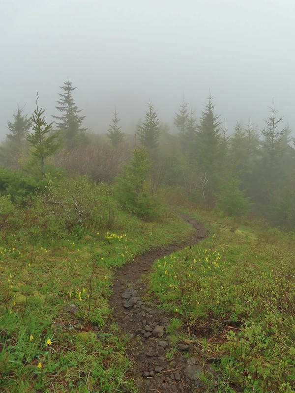 Glacier lilies along the trail.
 Another hiker caught up to us at this rock field not far from the high point. It looked like the trail was going across the rocks for a bit and she decided to turn around but after just a few feet the trail resumed behind a bush.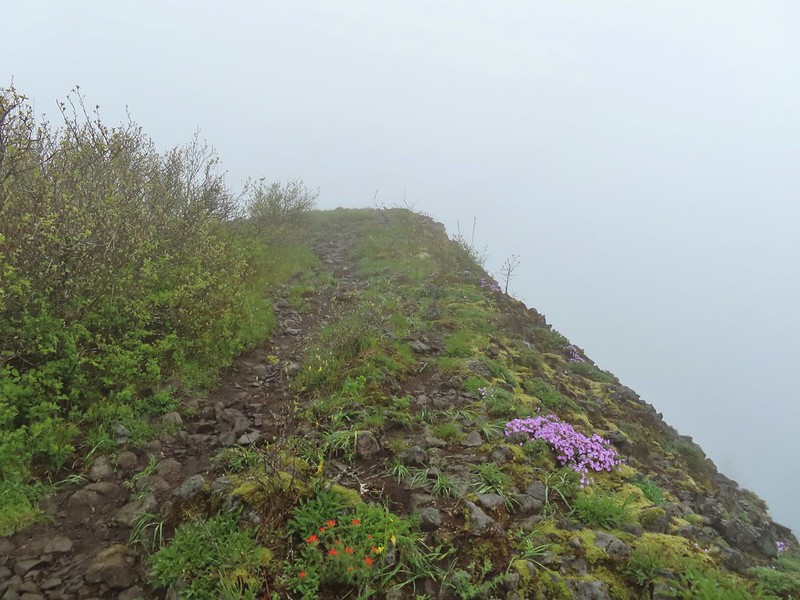
 Phlox
Phlox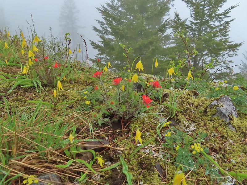 Paintbrush and glacier lilies.
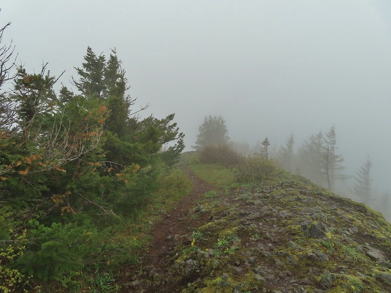 The high point.
 Glacier lilies at the high point.

 Hamilton Mountain (high point to the right) and the Columbia River.
 Bonneville Dam and the Hamilton Mountain Trail crossing The Saddle.
 Upper McCord Creek Falls (
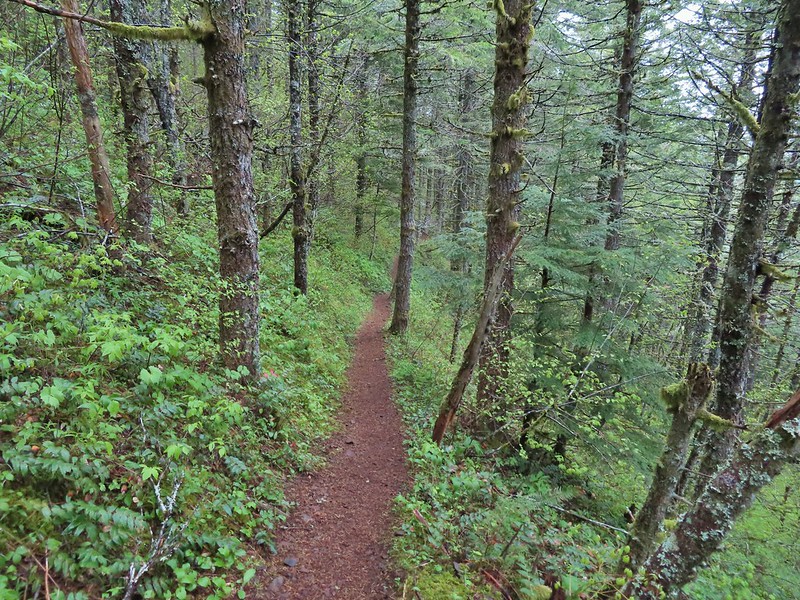
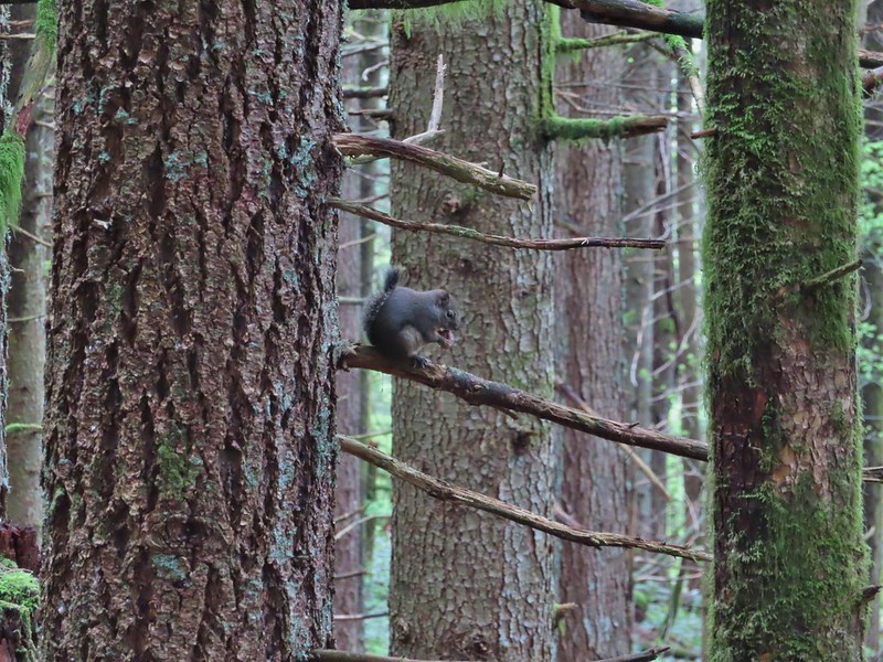 Squirrel
 Snail
Snail

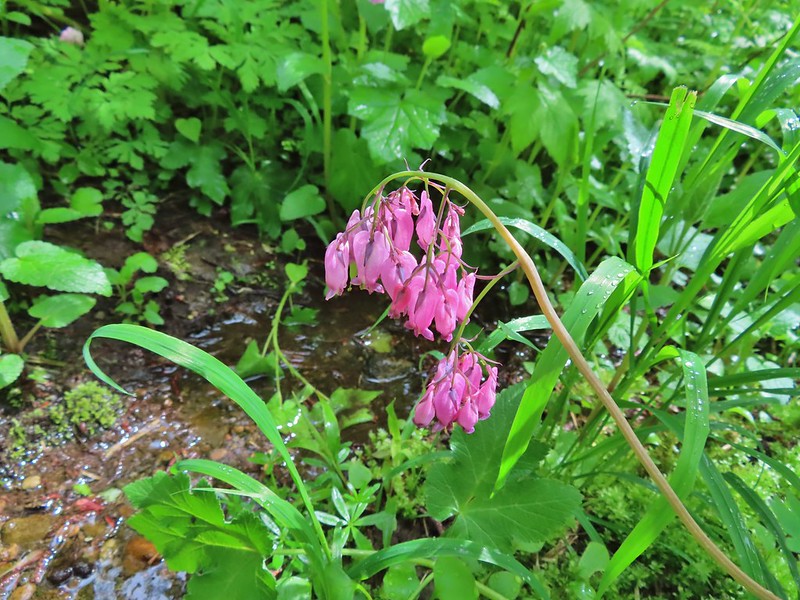 Bleeding heart along a little stream.
 False lily-of-the-valley getting ready to bloom.
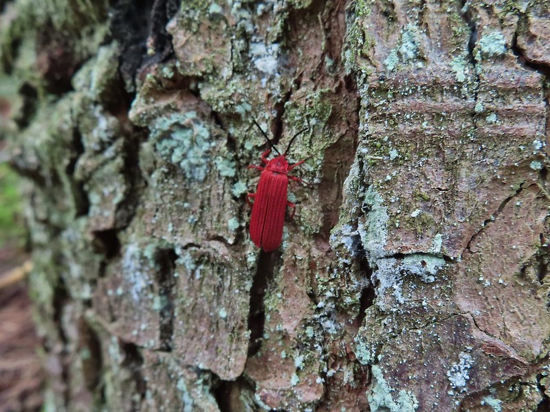 Possibly a Dictyoptera aurora (Golden net-winged beetle)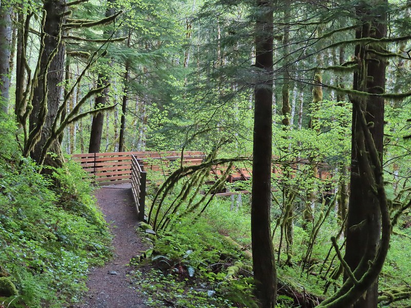
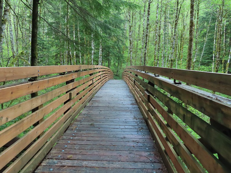

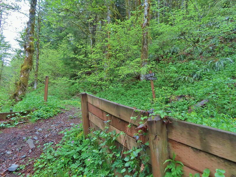

 Hardy Ridge from the Upper Hardy Trail.
 The left fork would have been slightly longer by leading us around the back side of a knoll and making a 180 degree turn following the east side of the ridge toward The Saddle.
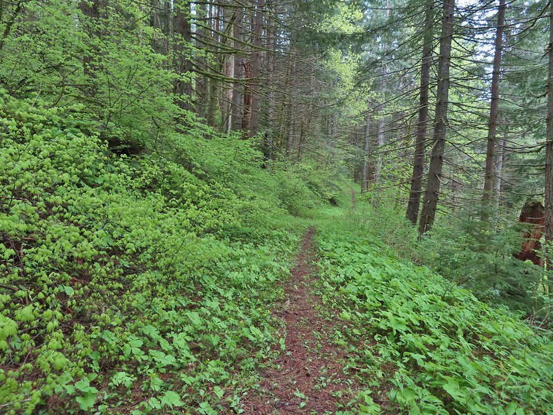 We turned right opting for the slightly shorter route to The Saddle.
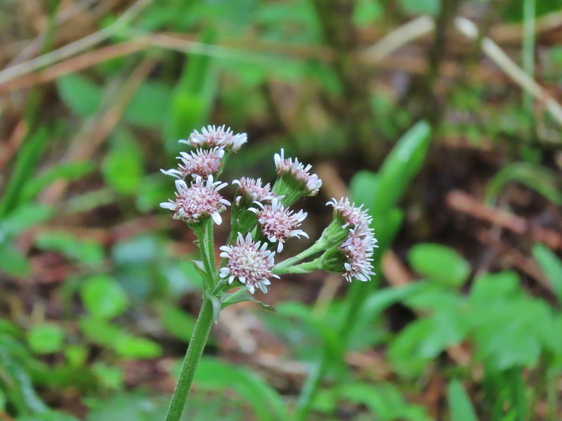 Coltsfoot
 Southern junction of the two forks of the Upper Hardy Trail.
 Hikers coming down from Hamilton Mountain.
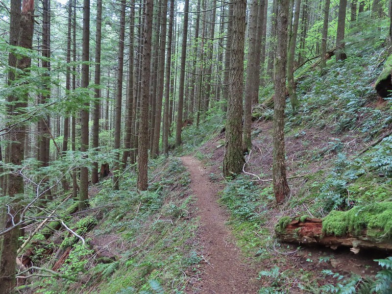
 Dons Cutoff Trail nearing the Upper Hardy Trail.
 Upper Hardy Trail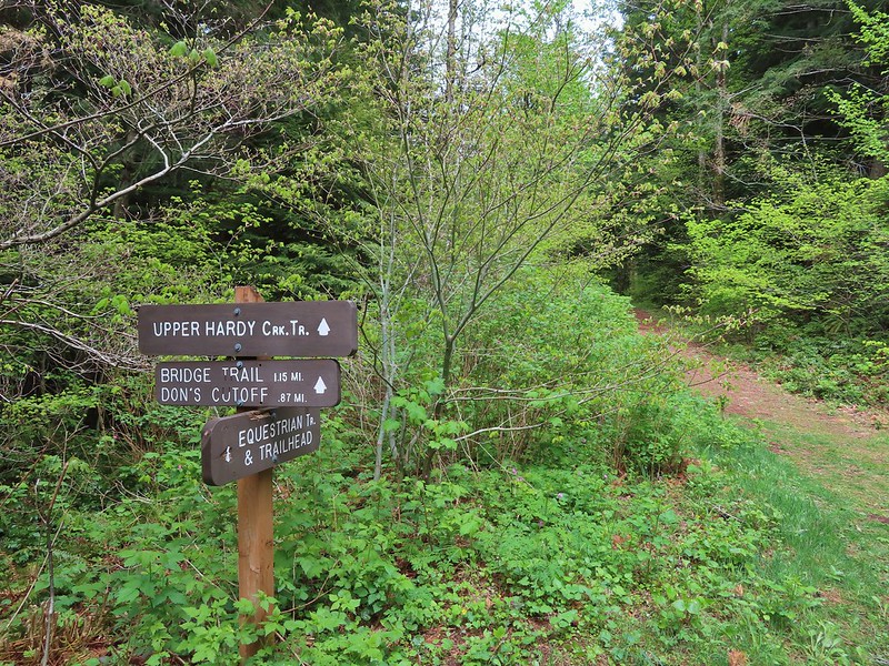
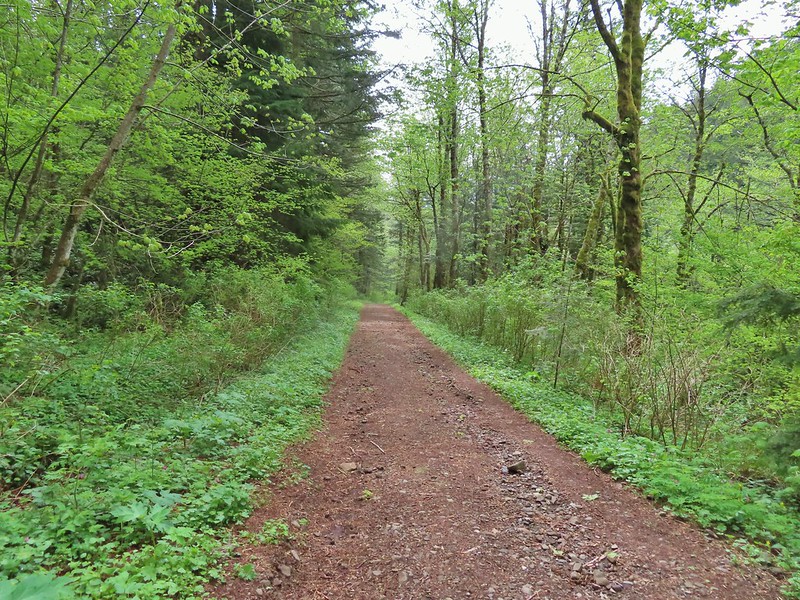 Equestrian Trail
 Hardy Creek
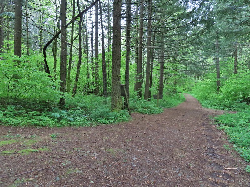

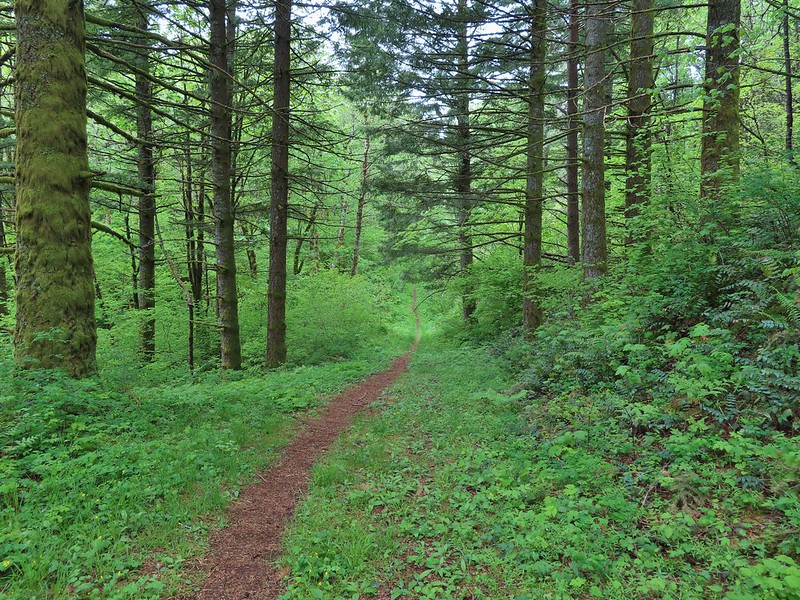


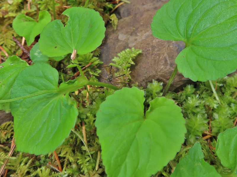 Spotted this guy while I was photographing the slug above. Not sure if it’s a crane fly or ?