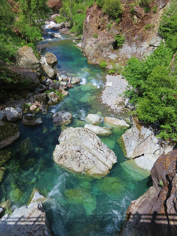
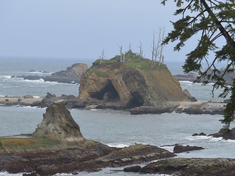
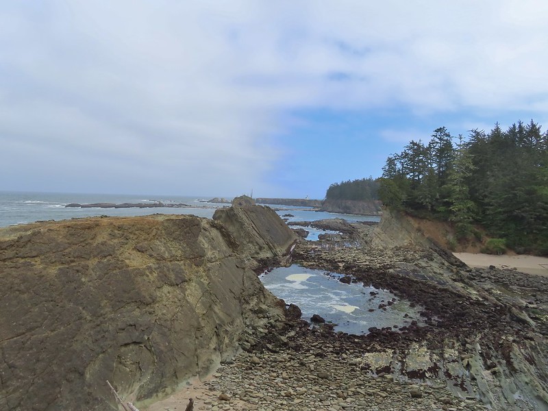
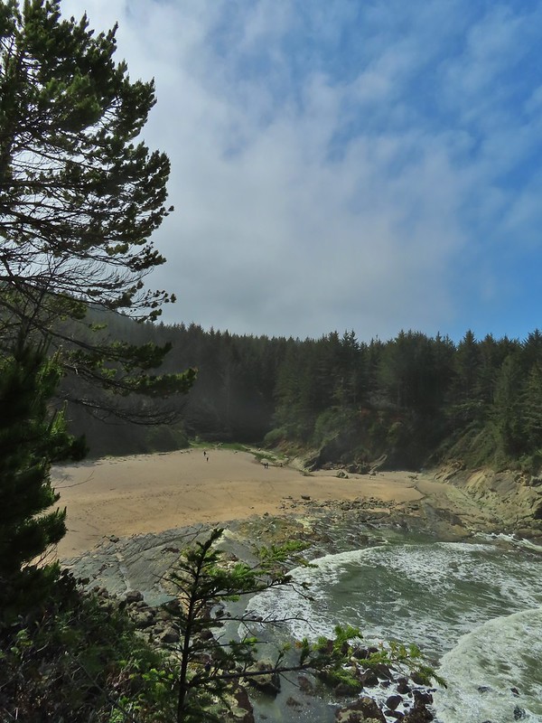
We kicked off our 2025 hikes with a multi stop day on the Oregon Coast. During our offseason, Nov-Apr, I spend a fair amount of time looking for hikes to add to our list of to-do hikes. The Oregon Hikers Field Guide provided me with three short hikes in and around Waldport Oregon that we had yet to check out.
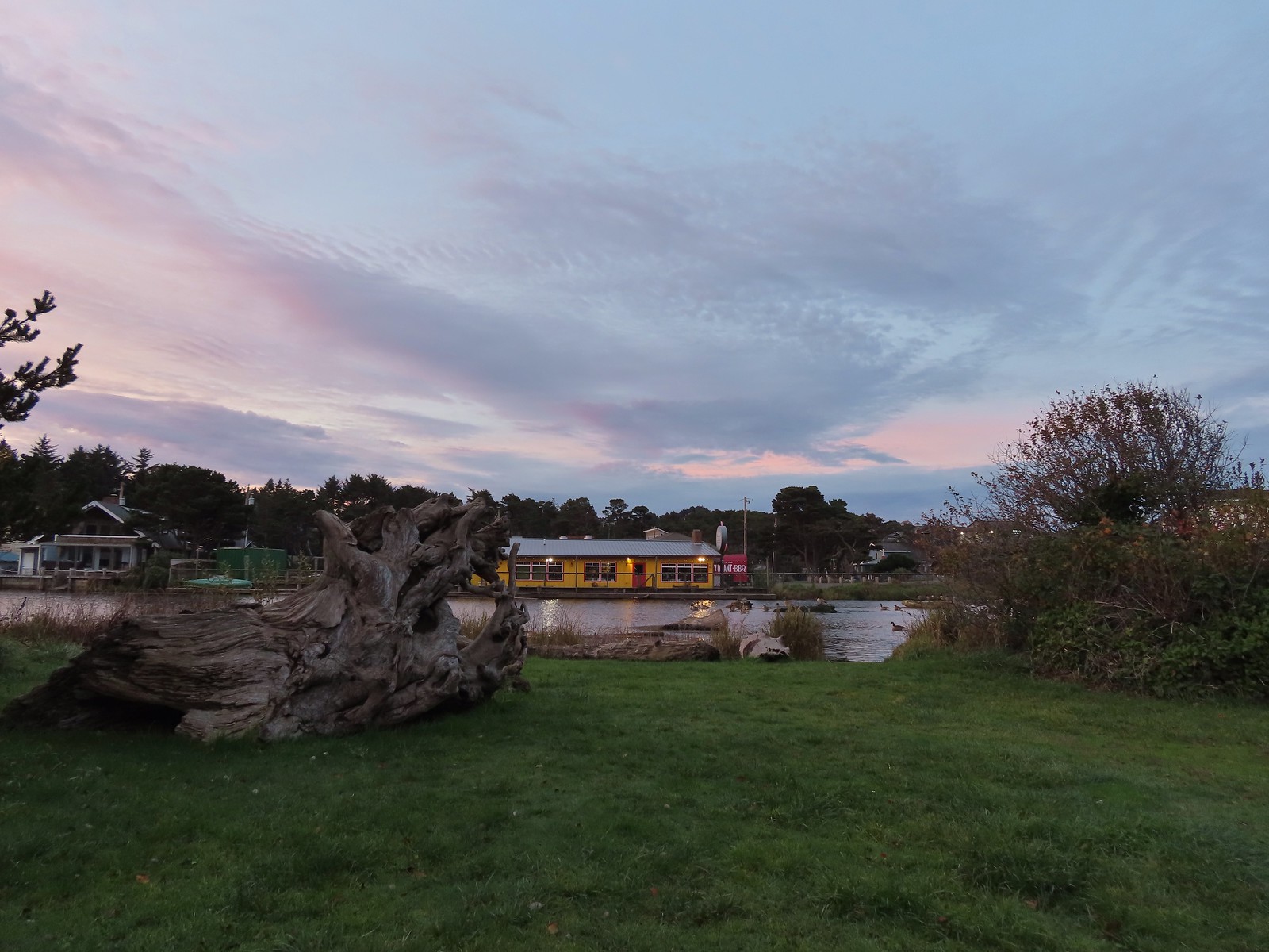
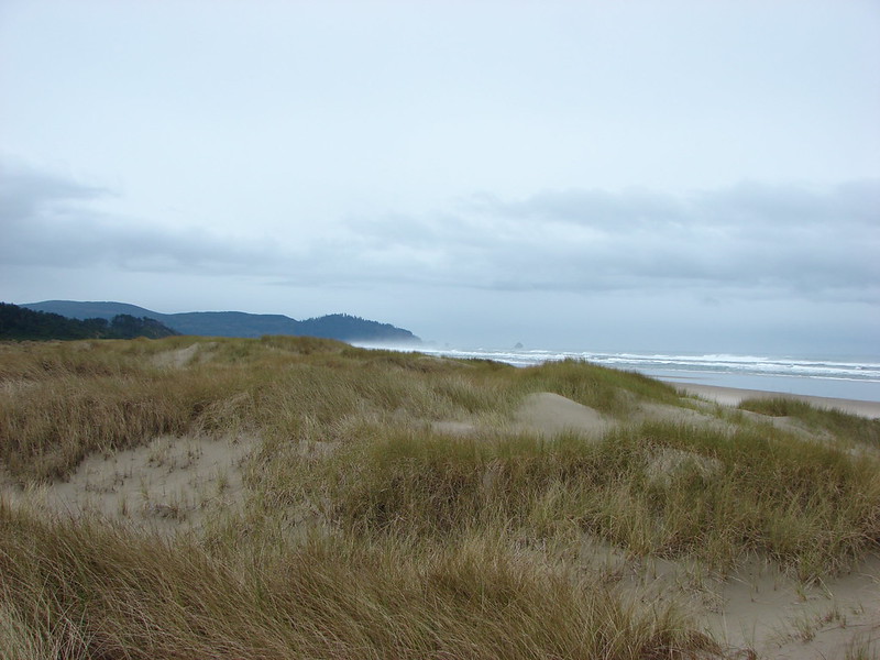
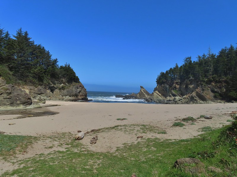
We started our morning in Yachats at the Smelt Sands State Recreation Site.

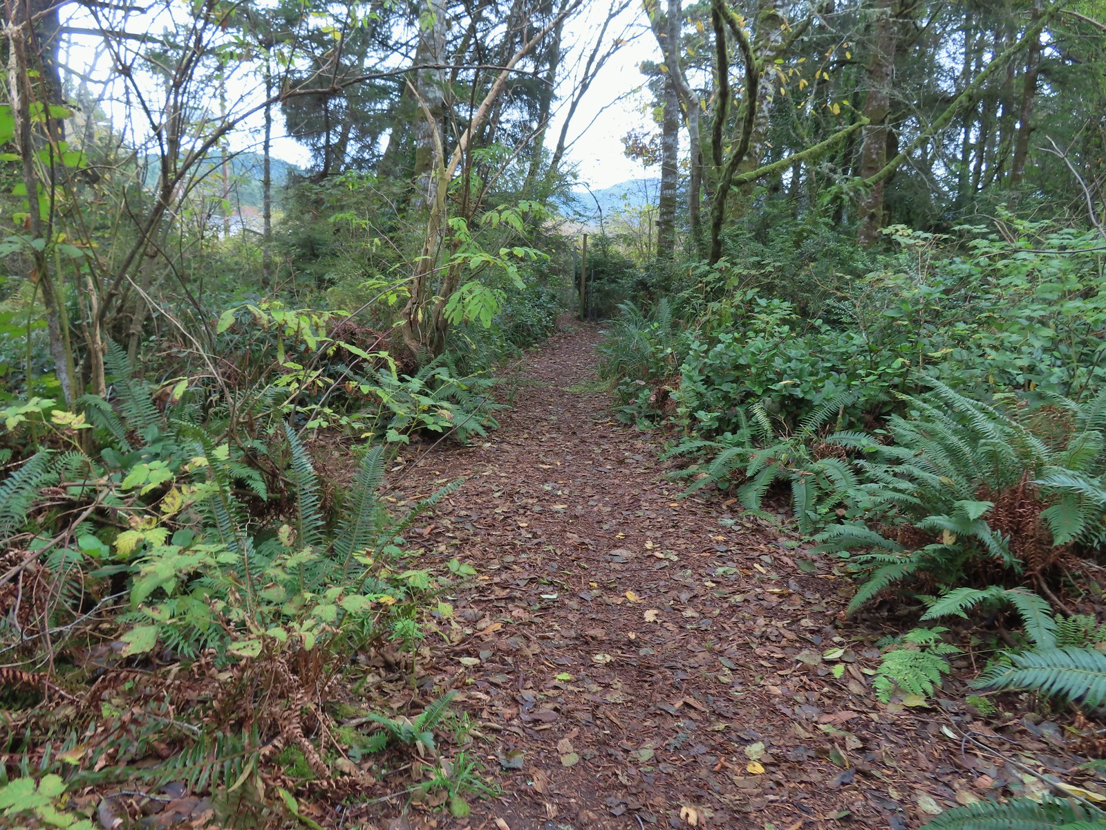
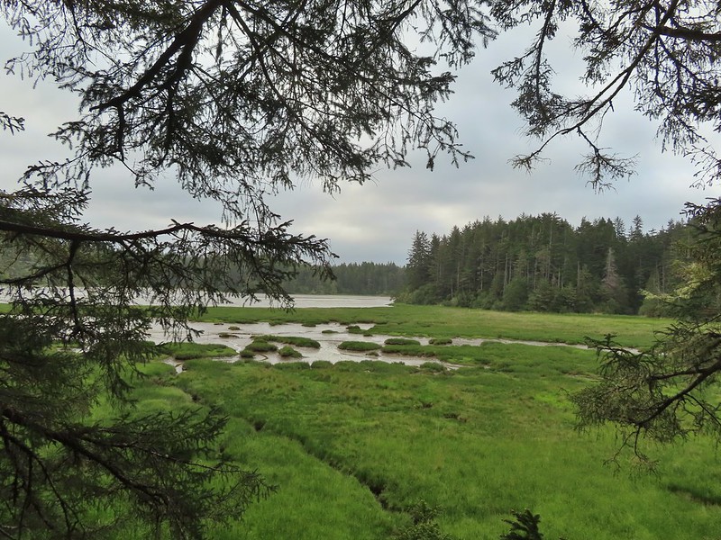
We’d used this trailhead in 2020 for a hike on the 804 Trail. We set off on the 804 Trail again this time but after two tenths of a mile we turned right off the 804 Trail.
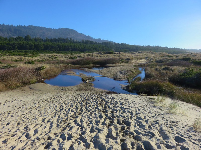
 We started with this hike in part due to it being the first day of the final king tides, abnormally high tides, for the season. High tide for Smelt Sands was going to be 9:45am so we were hoping to see some of the wave action.
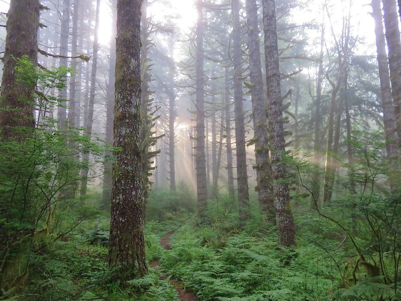
 It was just before 8am as we hiked the 804 Trail.
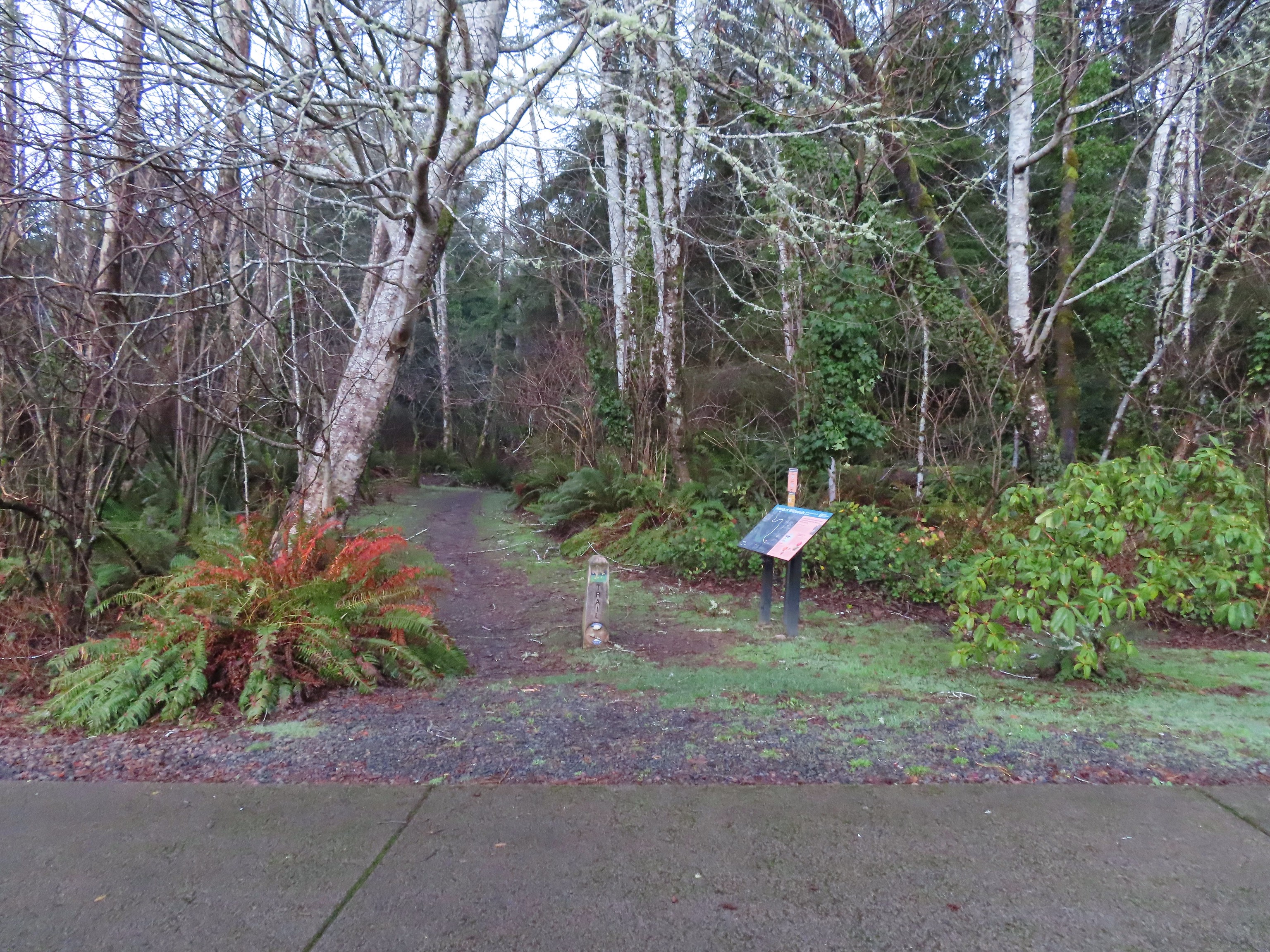
 We made a mistake and turned right on the paved path here, but we should have continued beyond the large signboard to a second path marked by a wooden post. You can see the small white and black to the left of the green signboard. We may have been distracted by “Free Coffee” being printed on the bottom of the green sign.
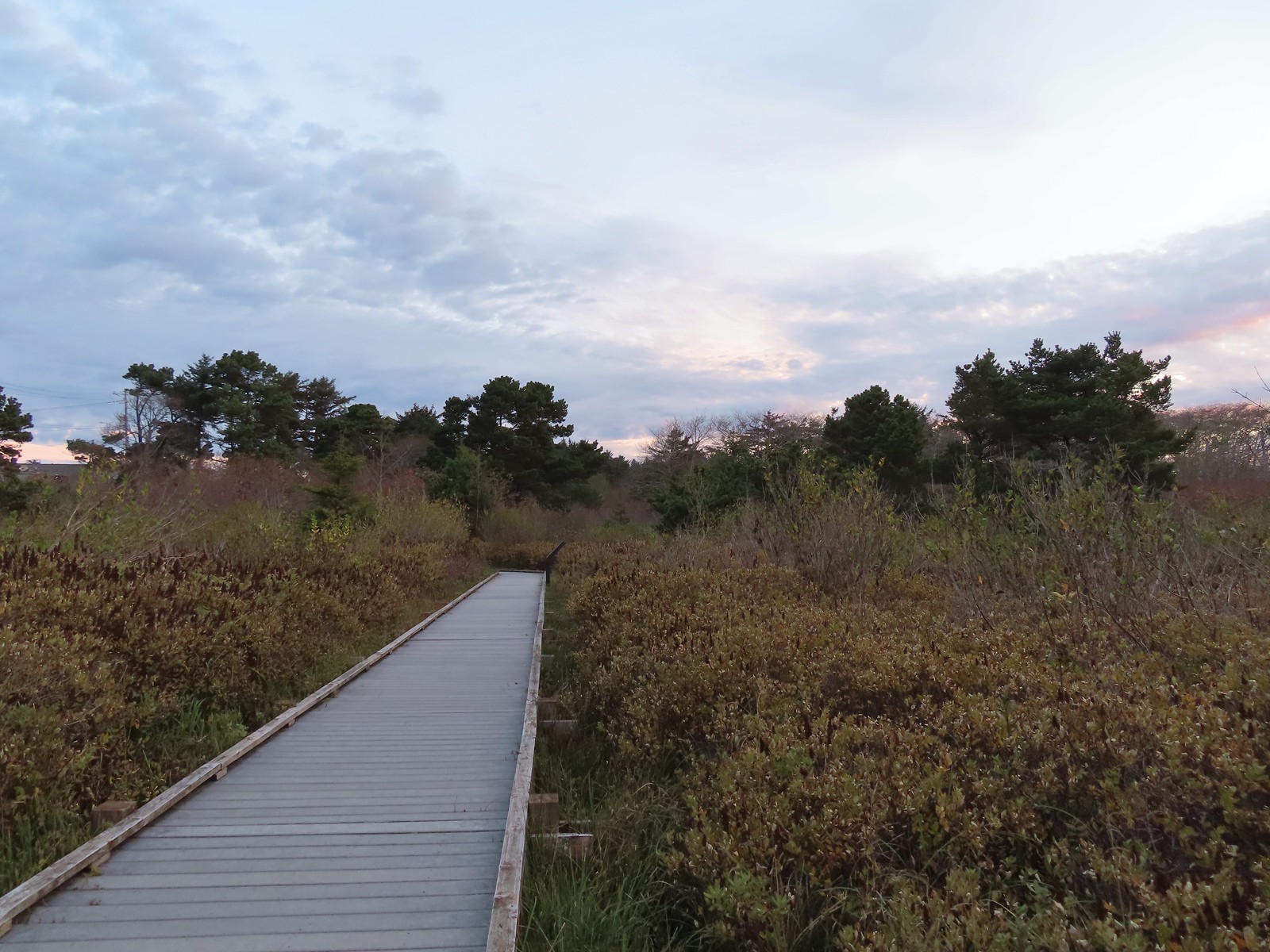
We wound up walking through the Fireside Motel’s parking lot and out to Highway 101 via its driveway instead of the Overleaf Lodge & Spa. Either way we faced a choice at the highway. We could go directly across to Diversity Drive and walk up it 125 yards to the start of the Ya’Xaik Trail. (There are a small number of parking spots available at the end of Diversity Drive but be careful not to take any of the spots reserved for the townhomes here.) Our other option was to turn north (left) along the highway for a tenth of a mile and then cross (at the Earthworks Art Gallery) where we could pick up the public footpath at the Gerdemann Botanic Preserve. Please note that dogs are not allowed on the paths at the Gerdemann Botanic Preserve. Dog owners who would like to do a loop can find a dog friendly trail to the north of the fire station between the art gallery and Diversity Drive.
We chose to walk the highway shoulder to try and minimize the amount of traffic that would be passing by.

 This post is similar to the one along the 804 Trail where we should have turned right.

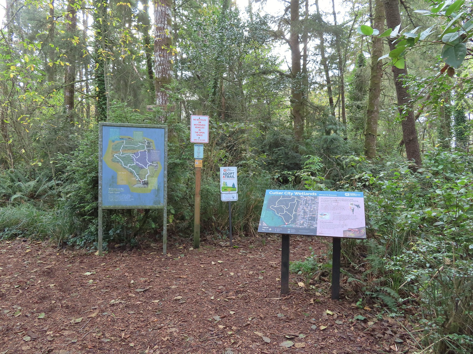
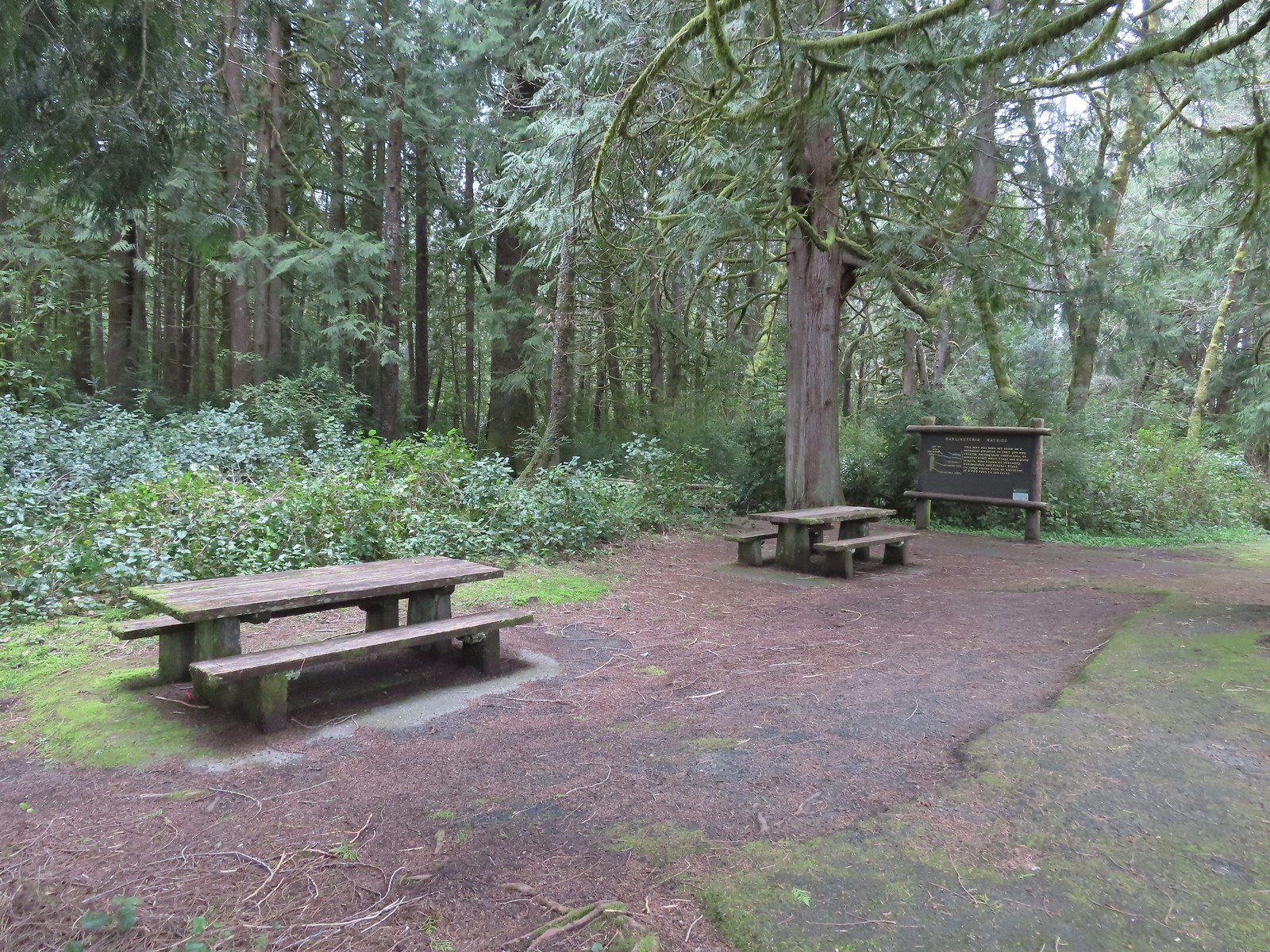
Information about the preserve.

The public entrance.
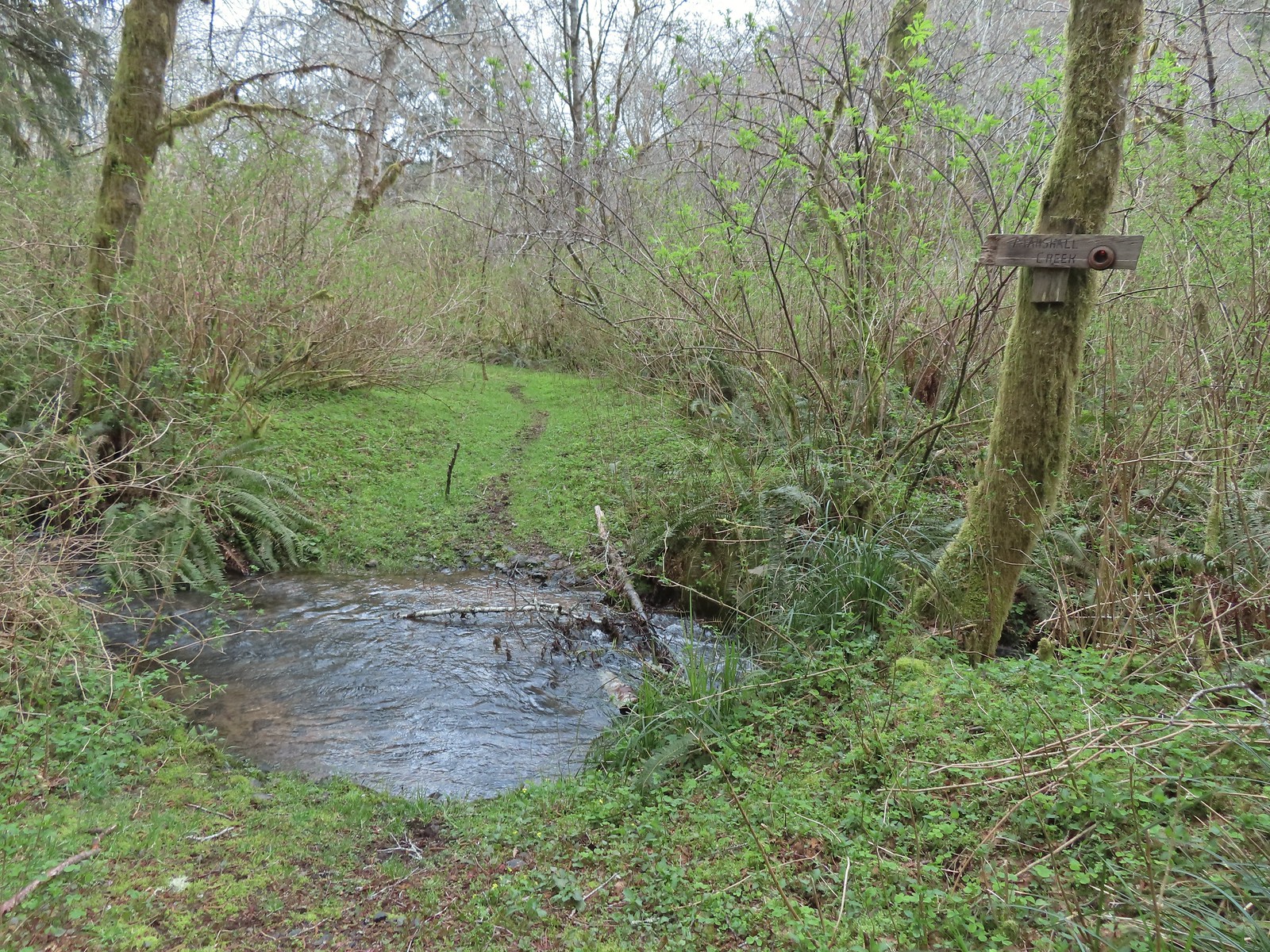
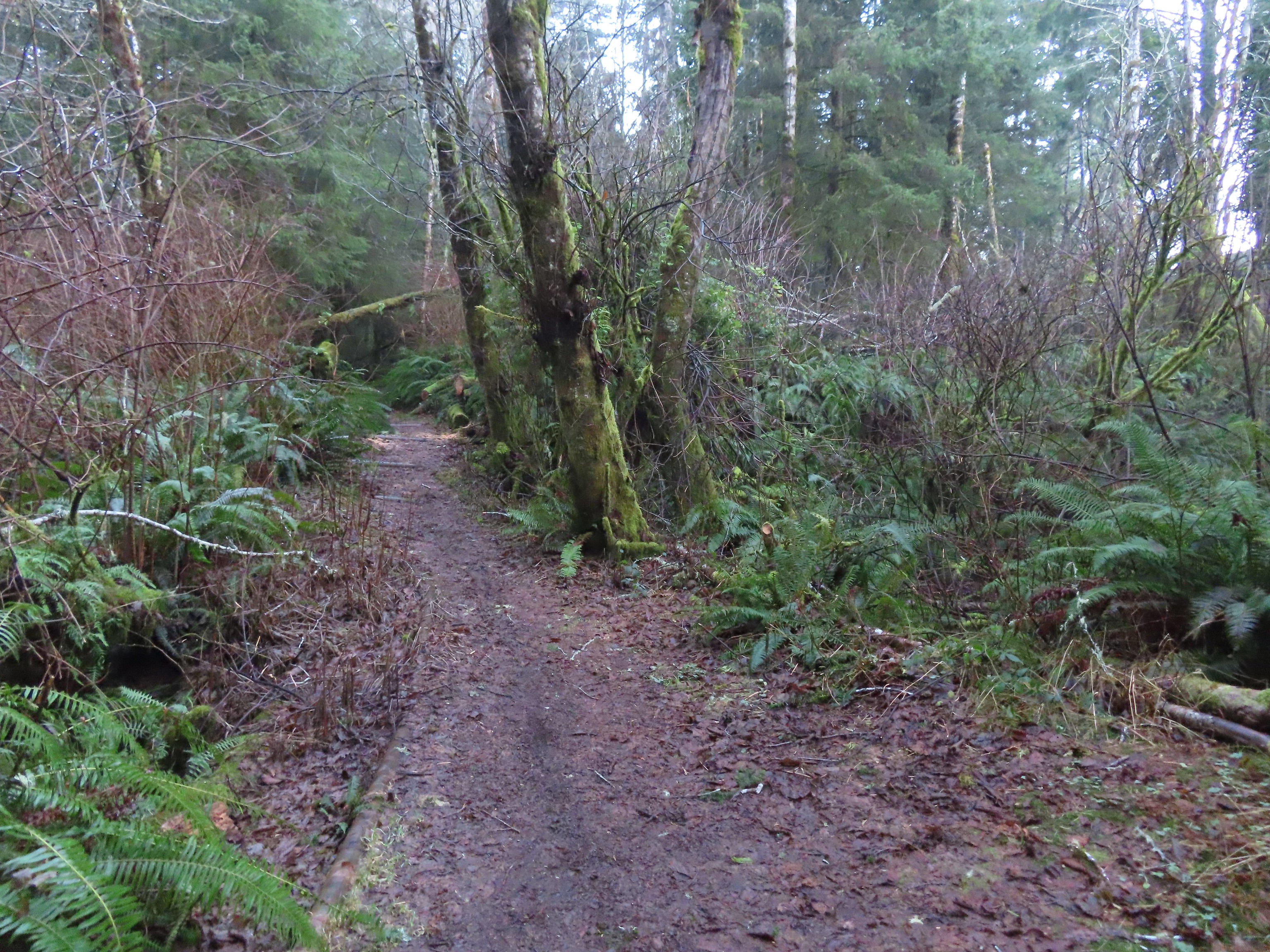
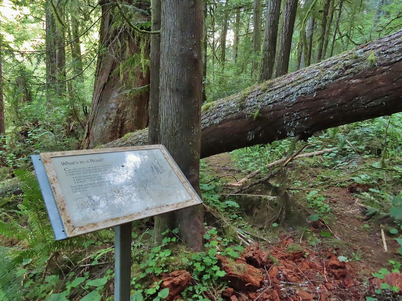
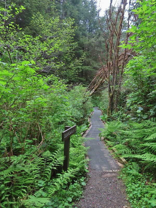
The path through the preserve is only about a quarter mile. The trail climbs gradually along Mitchell Creek with numerous interpretive signs. It also passes “Grandmother Spruce” a 300+ year old Sitka spruce that spans the small creek.

One of the interpretive signs on the left.
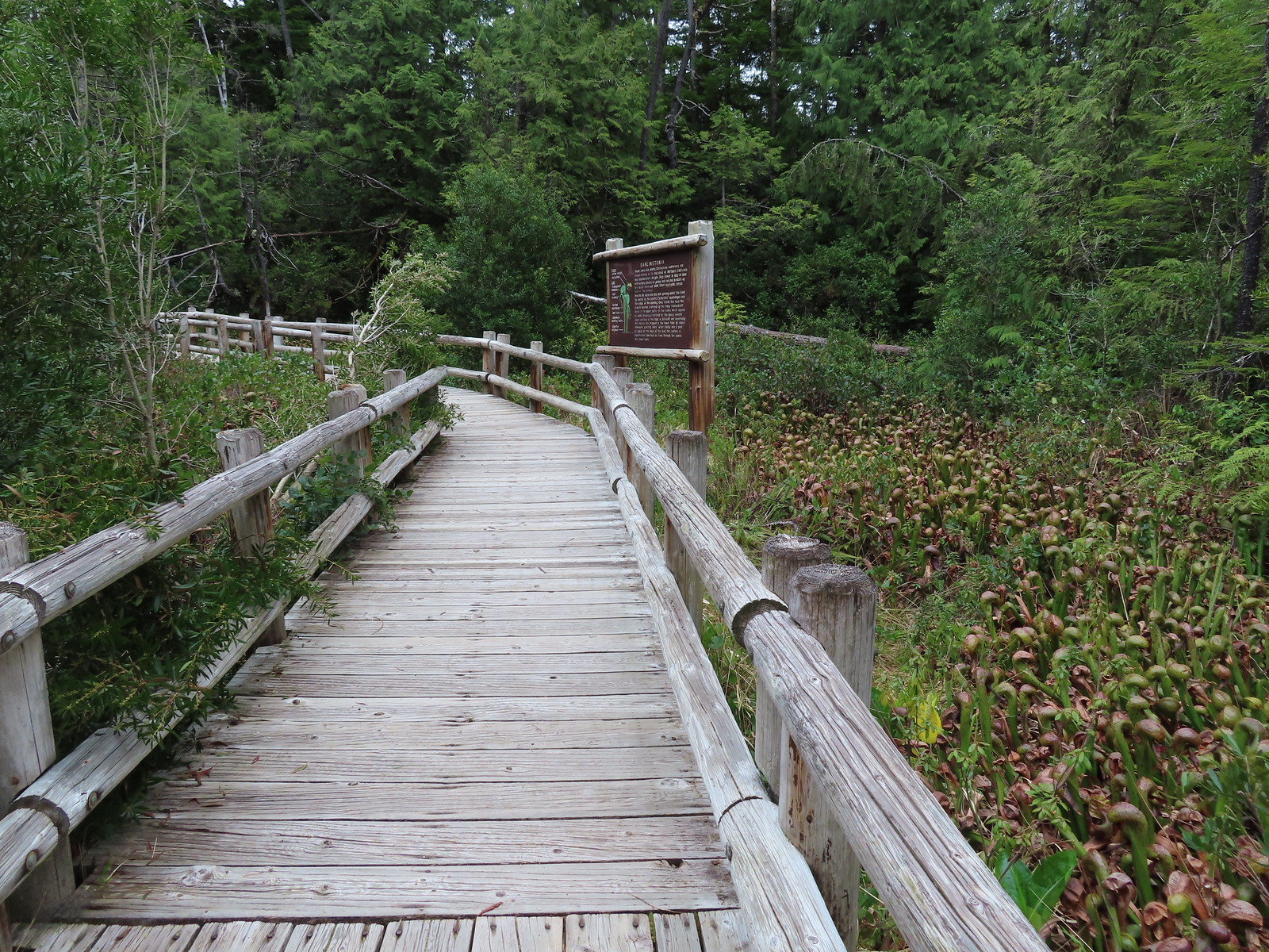
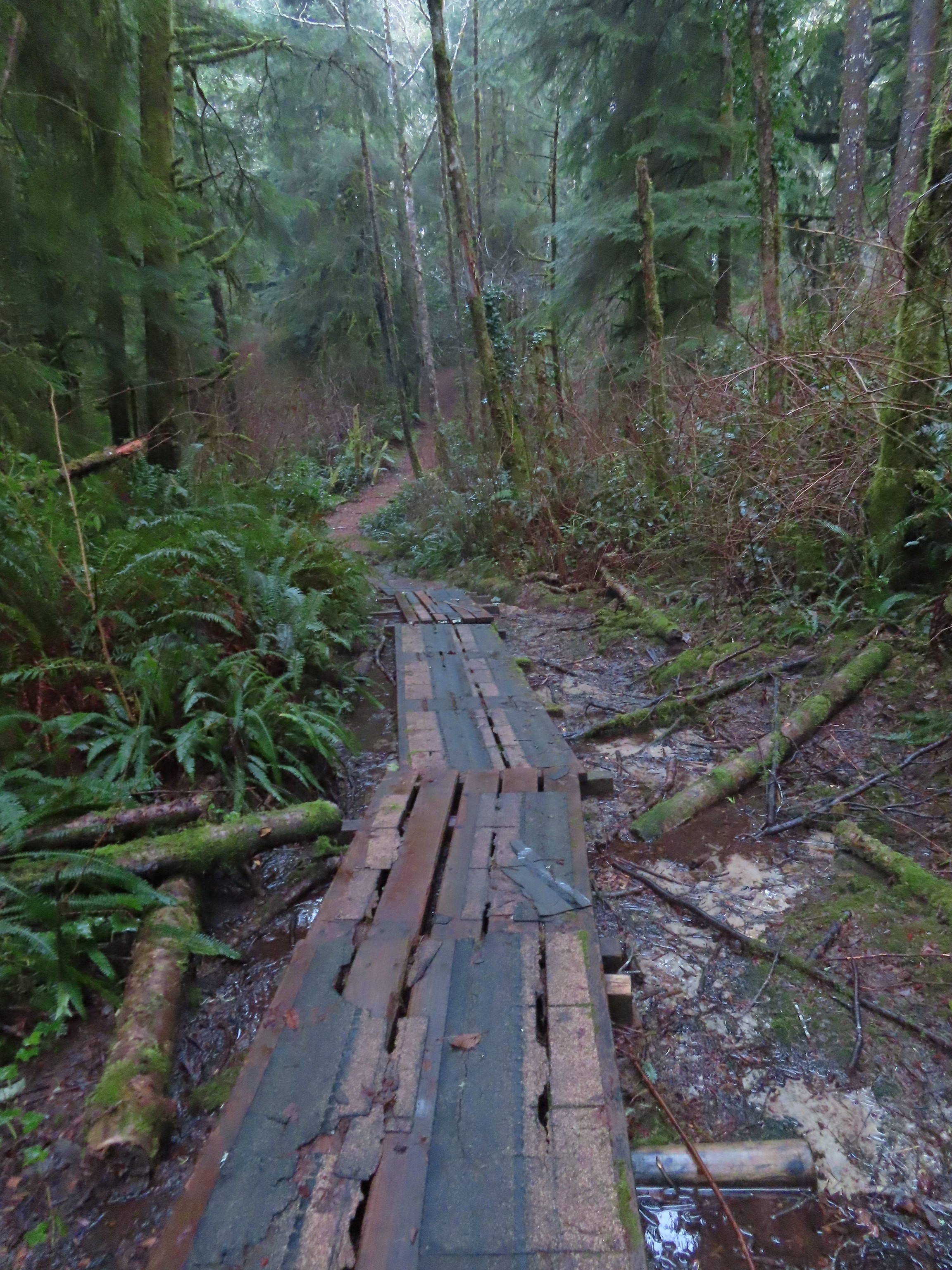
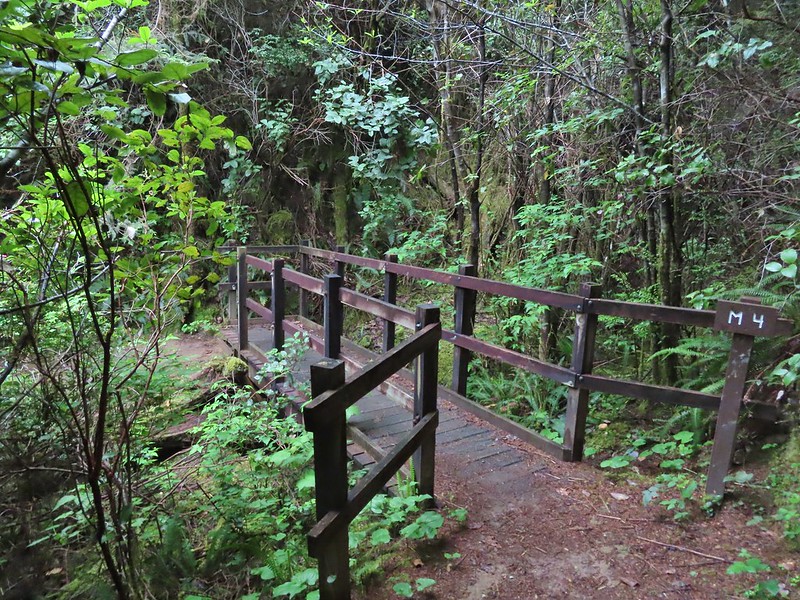
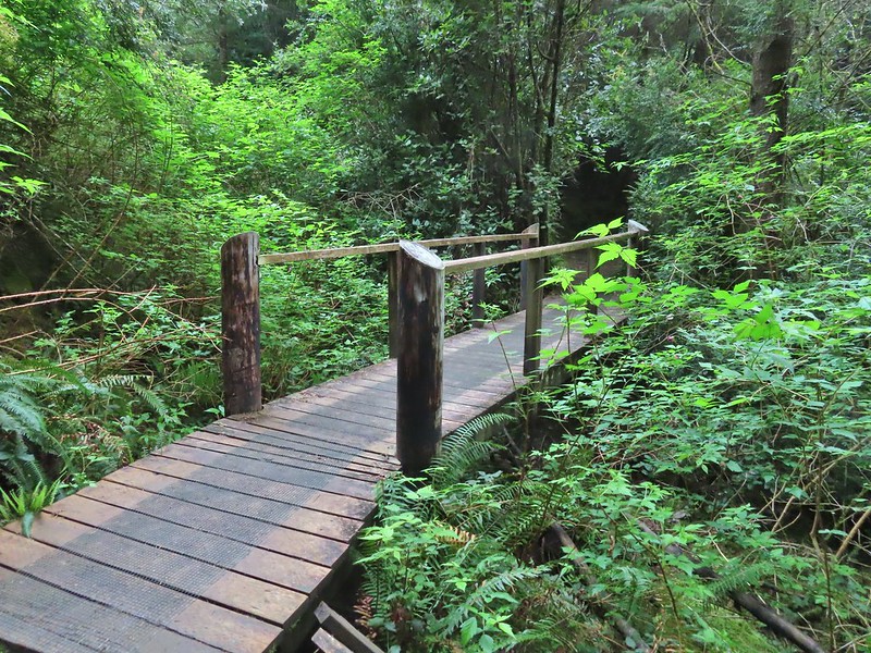
 Boardwalk over Mitchell Creek.

The plaque at the base of Grandmother Spruce.
 Grandmother Spruce
 The upper end of the preserve trail.

Pointer for the Ya’Xiak Trail on the far side of the upper gate.
Going right on the Ya’Xiak Trail would complete the loop to Diversity Drive, but before we did that we turned left on the unmarked Starr Creek Trail. This well maintained trail led a third of a mile to Starr Creek and Starr Creek Road. (Note there is no parking available at Starr Creek Road.)

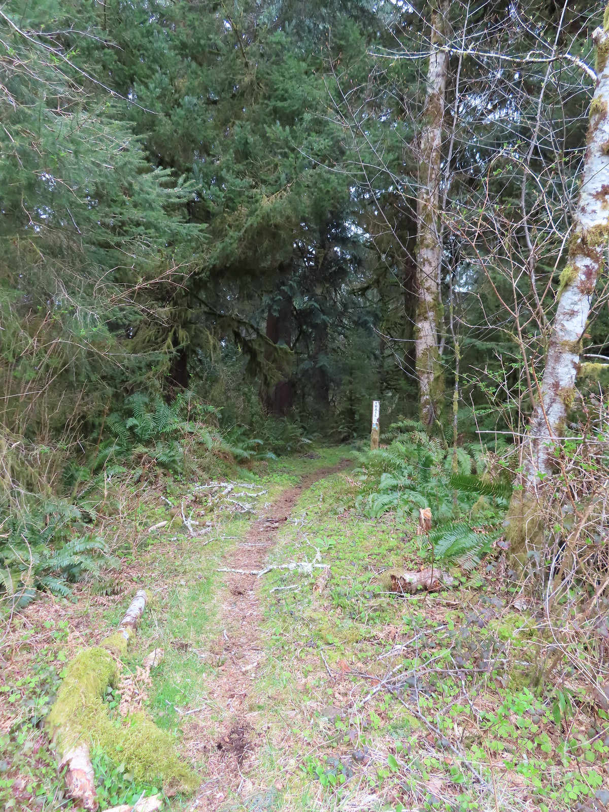
The Starr Creek Trail.
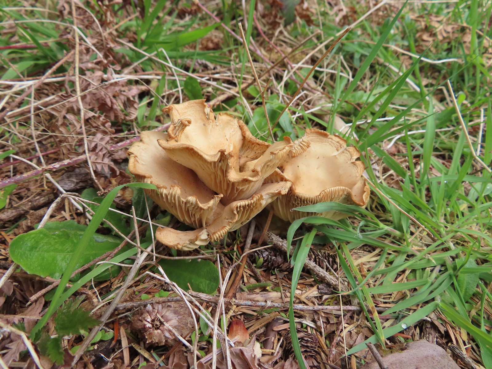
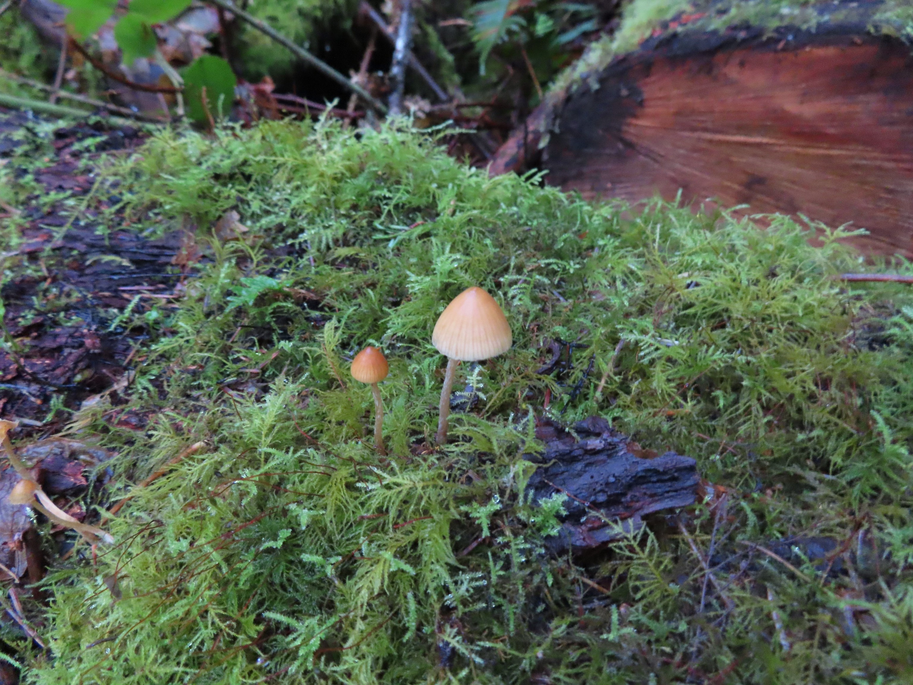
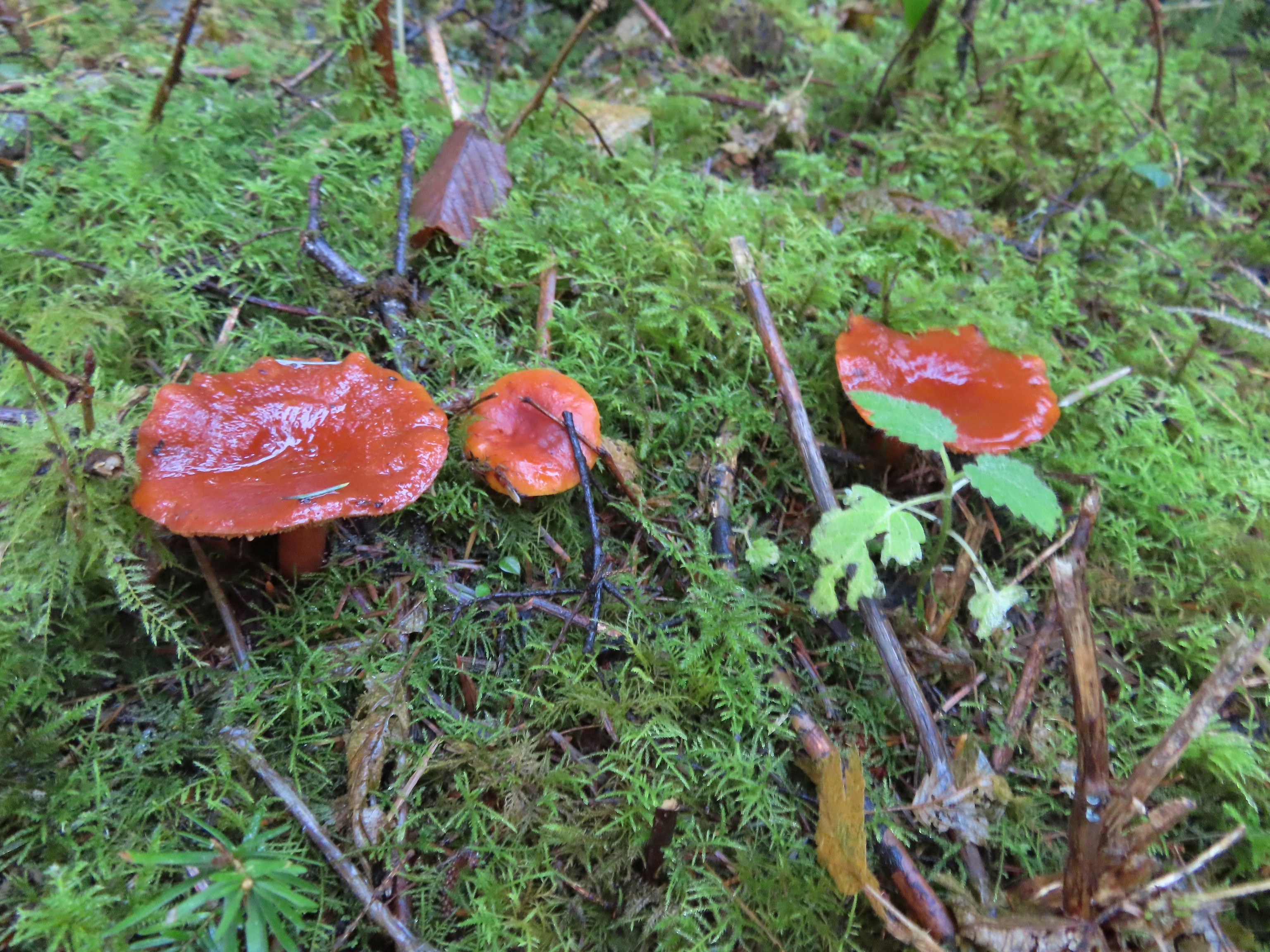
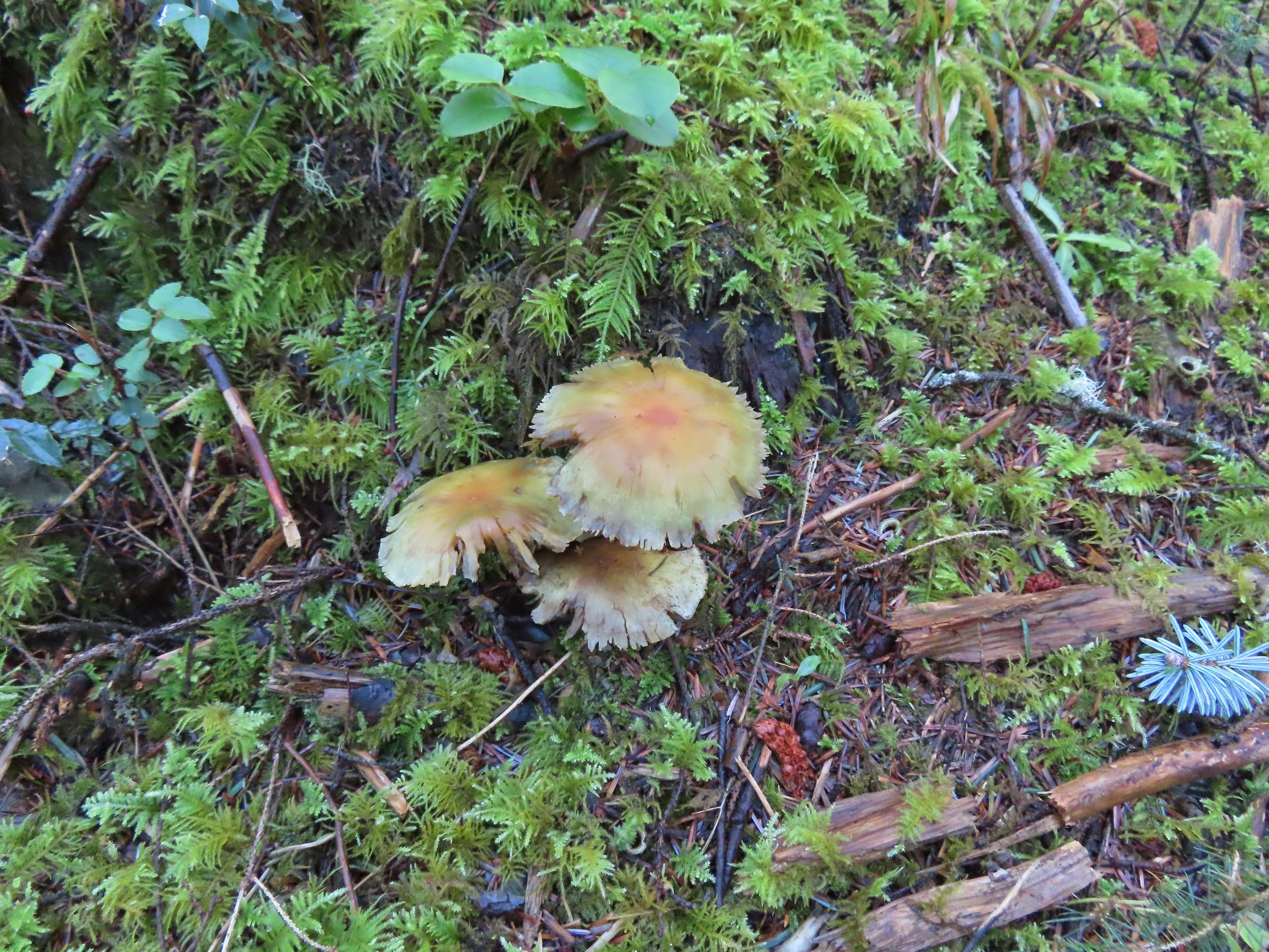
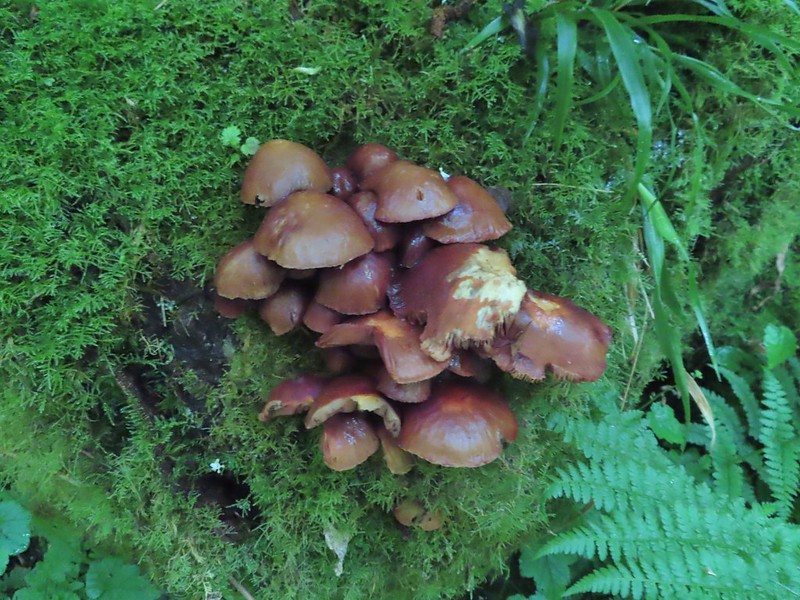
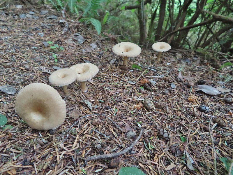
 Mushrooms
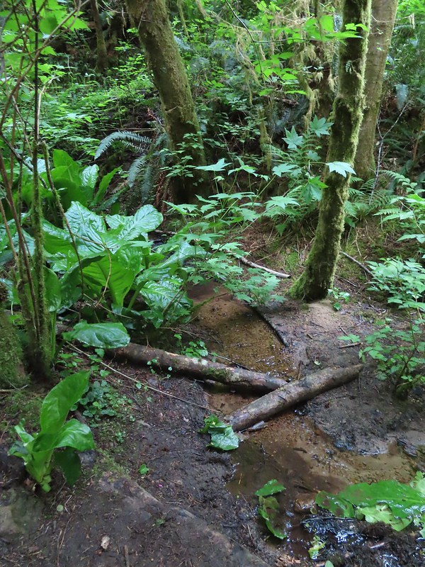
 Approaching Starr Creek.
 Starr Creek

Starr Creek Road
After tagging the road we headed back to the Ya’Xaik Trail junction and followed it south for a third of a mile before it turned west and headed downhill to Diversity Drive.
 The upper gate at the junction.
 Ya’Xaik Trail
 The right hand fork here is the trail leading down to the fire station that dog owners can use to make a loop. A local had warned us that this trail can be pretty slick. We went left to remain on the Ya’Xaik Trail.
 There was a little climbing involved before the trail headed down to Diversity Drive.


 The Ya’Xaik Trail at Diversity Drive.

We walked down Diversity Drive, recrossed Highway 101, and returned to the 804 Trail which we followed back to our car. It was a little after 9am so it was still about 45 minutes from high tide, but there were already a lot of people watching the waves come crashing in.


Our hike here clocked in just under two and a quarter mile with a little over 225′ of elevation gain.

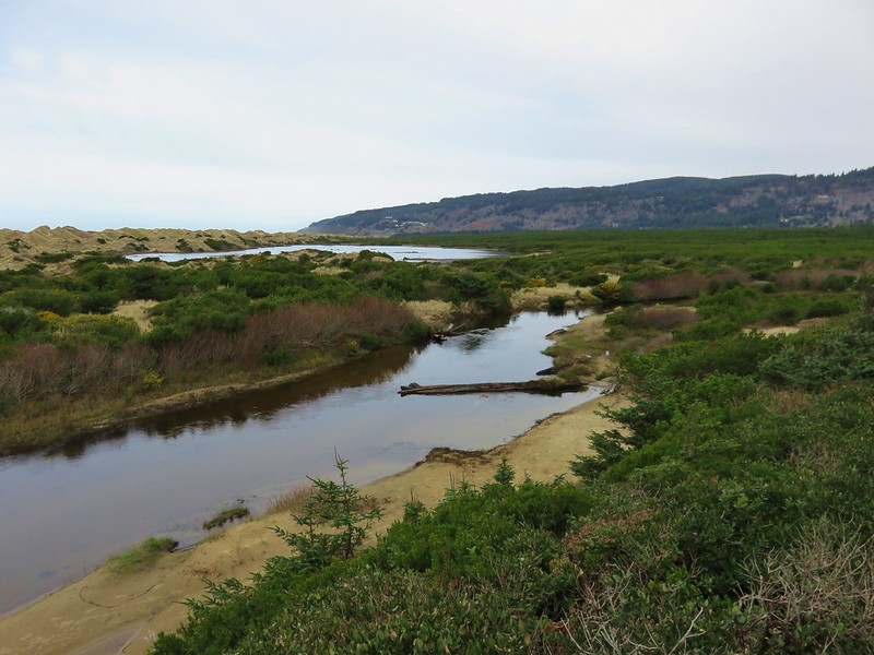
We could have extended this hike up to 14 miles by continuing north on the 804 Trail and then walking the beach to the Alsea River as we’d done in 2020, but since we’d already hiked that section of the Oregon Coast, we opted not to extend this hike but instead check out a different section of beach later in morning. From Smelt Sands we drove north on Highway 101 to Waldport and the John Maré Woodland Trailhead.

Simply put the three-quarter mile Woodland Trail runs between this lower trailhead and the Red River Disc Golf Course at Woodland Park off South Crestline Drive. The hike however is not simple, even with the fairly detailed descriptions in the OregonHikers Field Guide and a input from a local who provided some useful information. Abandoned roadbeds, trails connecting to neighborhoods, and paths used by the disc golf course create a web of interconnected trails/paths with the only signage being for the disc golf holes. With many pauses to check our map and the descriptions I believe we only took one wrong turn which resulted in us doing a figure eight near Woodland Park instead of a loop as we’d intended.
The trail set off from the interpretive signs at the trailhead and quickly crossed the Red River (actually just a creek).


 The Woodland Trail continues to the left while the right connects up to a road.


At the quarter-mile mark the trail crosses an abandoned roadbed.

It was at the end of this stretch where we ran into a local who gave us some tips on our route.
The trail climbed fairly steeply via switchbacks to another roadbed and after passing a cement barricade we veered left onto an unmarked path.

Just up this path we encountered the first signs of the disc golf course.


 A footbridge over the Red River below with a disc golf hole on the opposite ridge. We were able to use the OregonHikers Field Guide map to identify this connector trail as one we did not want to take. That map had many of the connector trails identified in red which helped keep our position located as well as keep us on the correct route.
We managed to arrive at the skate park having stayed on course.

The Woodland Trail between the skate park and playground.

Our (my) mistake came at a junction near the playground. I misinterpreted the map and had us turn right on a wide path at a junction then take a quick left when we should have stayed more of less straight.

I had taken one of the red trails then regained the OregonHikers route when we turned left only we were now hiking in the opposite direction of their route.

Heather was able to get me to understand my error and we simply looped back around to the playground then once again took the connector trail to where we’d turned left and this time turned right.

The right hand fork led us to a large opening which the local we’d spoken with earlier aptly described as a landing strip.


At the northern end of the opening the trail reentered the forest.

We continued to refer to the OregonHikers track to stay on the correct path which followed a ridge to its end above the Red River.


We dropped down to the footbridge over the creek and then continued straight on an abandoned roadbed.


The gentleman we’d spoken to earlier had mentioned these three sets of stairs.

We followed this roadbed back to the switchbacks where we’d encountered the local and at the bottom of the switchbacks turned right on another roadbed that led us back to the trailhead.

 The old roadbed at the bottom of the switchbacks.

Rainbow over the baseball fields at the trailhead.
This hike was just 1.6-miles with approximately 175′ of elevation gain.
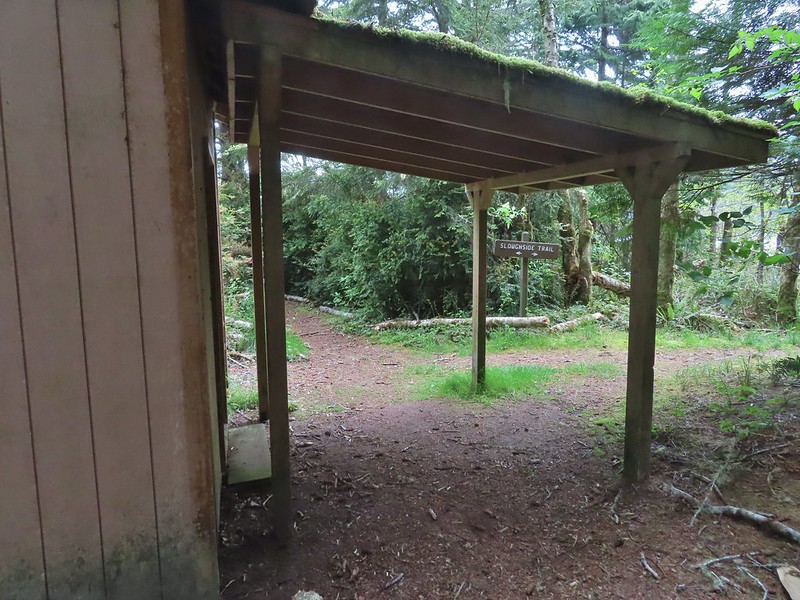
 Woodland Trail on the left and our next stop, the Lint Slough Trail, on the right.
Our next trailhead was just under a mile drive away (0.4 as the crow flies) at the Lint Slough Trail.

This short out-and-back begins on a wide grassy track along the Lint Slough before becoming single track. There are several benches along the trail which according to the city is approximately 0.8-miles long, but we only managed to get half a mile out before we lost the tread in the vegetation.


 Memorial plaque
 There was a bypass uphill for this short flooded section.
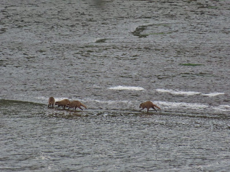
 There were a number of bufflehead ducks, a pair of geese, and one noisy great blue heron at the slough. All of the wildlife seemed to be positioned as far away from the trail as possible.
 The great blue heron in a tree across the slough.

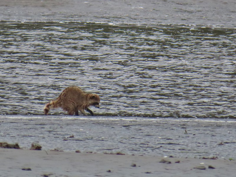
 This little group of buffleheads was the exception.

 I turned around at this bench due to not seeing an obvious continuation of the trail here. I had also lost Heather who had stayed up to avoid the flooded section and instead of returning to the trail I was on, on the other side of the flooded bench, stayed up on the higher path. That path began leading up uphill away from the actual trail without another way to get back to the correct path. She wound up backtracking and we met shortly after I had started back.
 The slough from my turn around point.

A little blue sky reflecting in the water on our hike back.
 Yarrow
 Bull thistle (non-native)
 Rose (probably non-native)
From Lint Slough we drove back to Highway 101 and headed north toward Newport and stopped at the Driftwood Beach State Recreation Site.


The king tide was now heading out which provided us with the ability to walk the beach and enjoy the breaks in the clouds giving us some much-needed glimpses of blue sky.

 Looking north along the beach.
 The view south.
We headed north first in the direction of Seal Rock (post). We turned back after 0.4-miles at a creek on Holly Beach.
 The wet sand and debris from the high tide was up to the vegetation along much of the beach.

 We decided to turn back at the creek partly to avoid crossing it, but also because we had been walking into the wind. It wasn’t a particularly cold day, but the wind chill was almost making it uncomfortable.
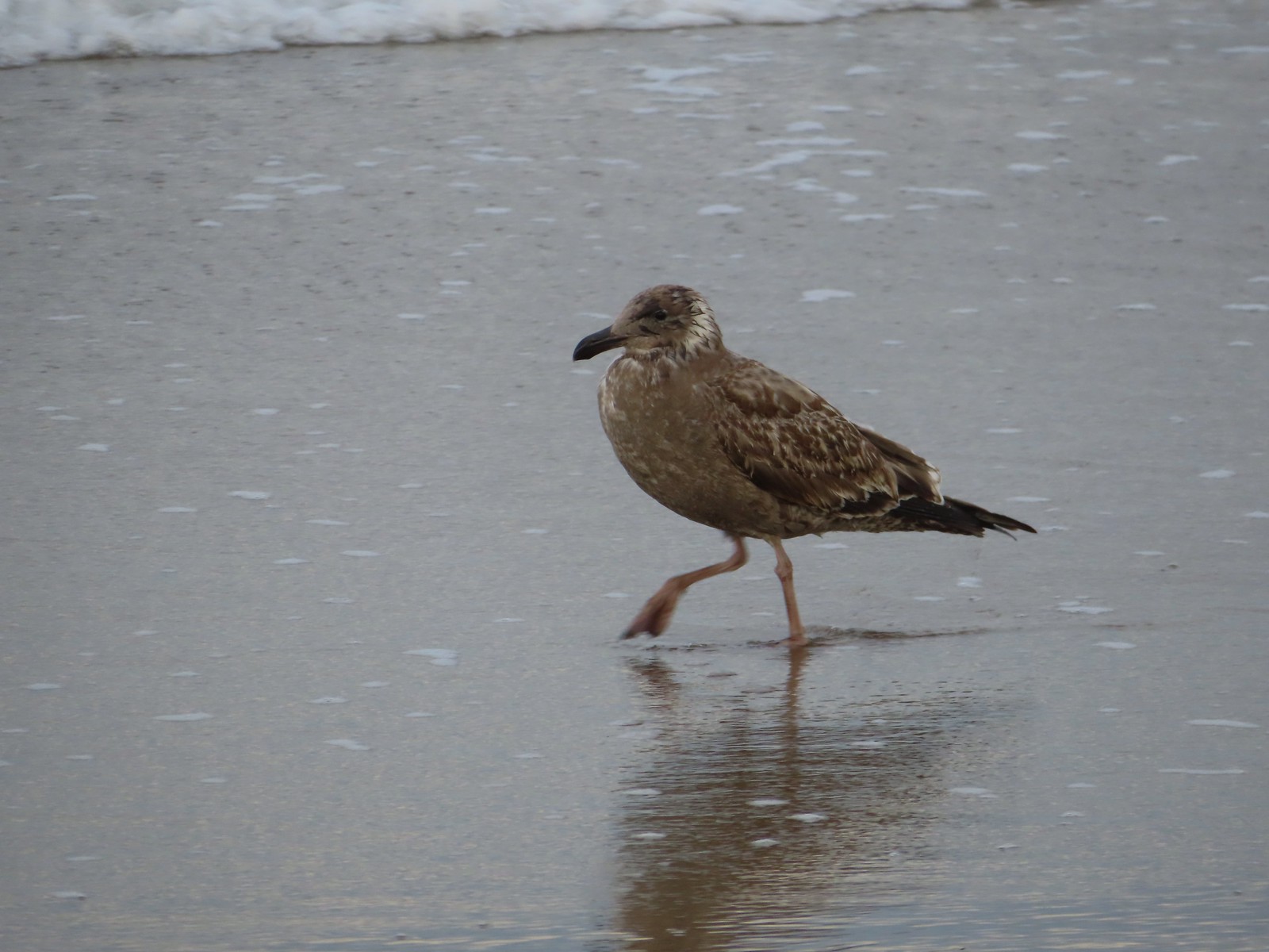
 Seagull with a crab.
We decided to continue south past the recreation site though to add a little time and distance to our day. (Our rule of spending as much time hiking as driving was in jeopardy of being broken.) We hiked 0.6-miles to the south turning around once we were confident our self-imposed rule wouldn’t be broken.
 Cape Perpetua (post) to the south.

 Buckley Creek
 We had to ford Buckley Creek which was only a couple of inches deep at most.

 Semipalmated plovers
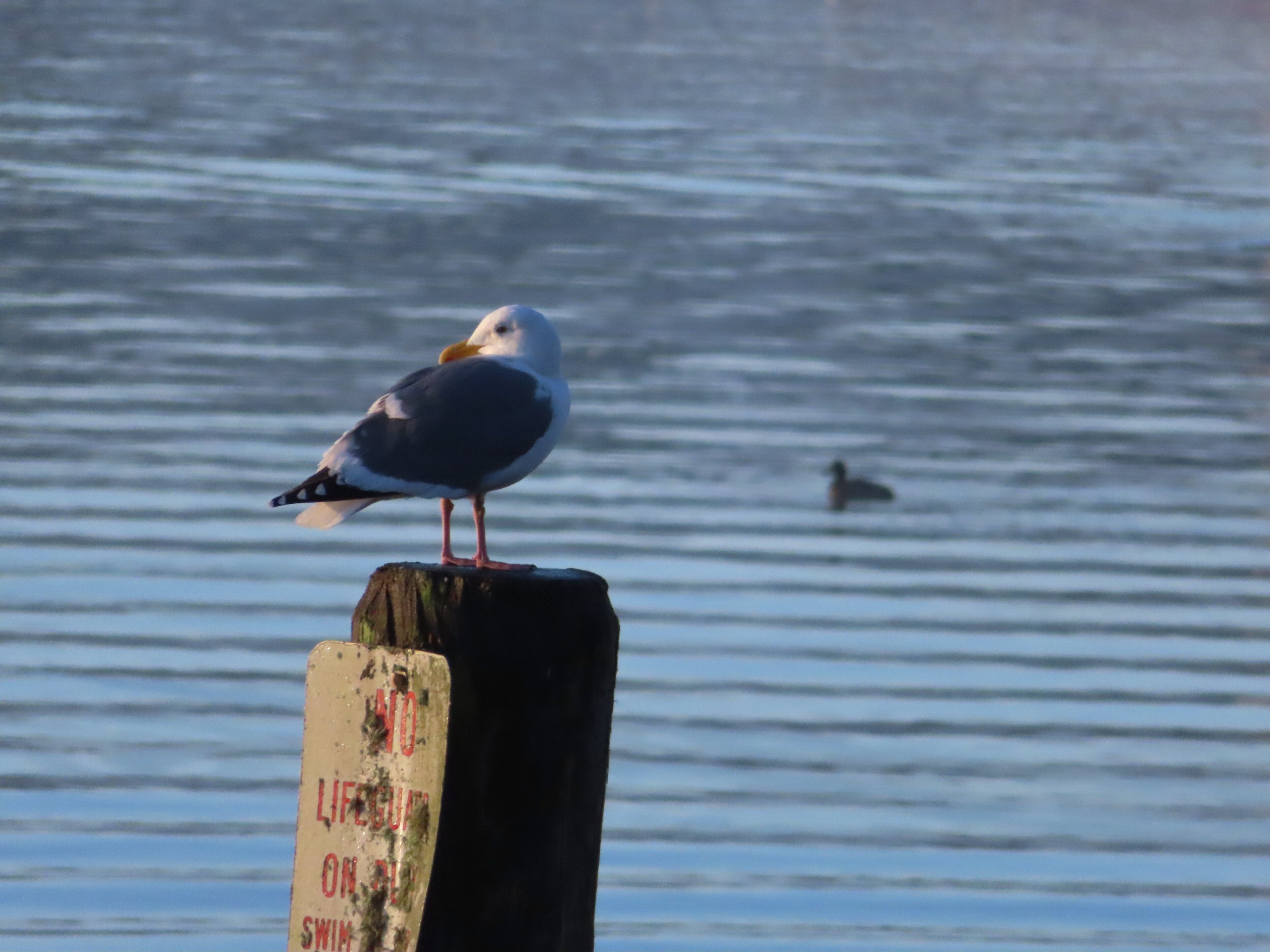
 Western gull
 Heading back north.
 The path back up to the parking area at Driftwood Beach.
This was a quiet 2.1-mile walk on the beach. We only saw a couple other people and at Noon the parking lot was nearly empty.


The weather held up great for us. I think we drove through at least one rain shower every time we were in the car except between the Woodland and Lint trails, but we never got rained on. The four hikes came to just 6.9-miles with 425′ of cumulative elevation gain making it a good early season outing. With the exception of the 804 and Ya’Xaik trails these probably aren’t destination hikes, but they were enjoyable hikes and would be worth a visit if you were staying nearby or in the area and looking for a quick outing. Happy Trails!
Flickr: Waldport Area Trails

 The highway from the parking lot.
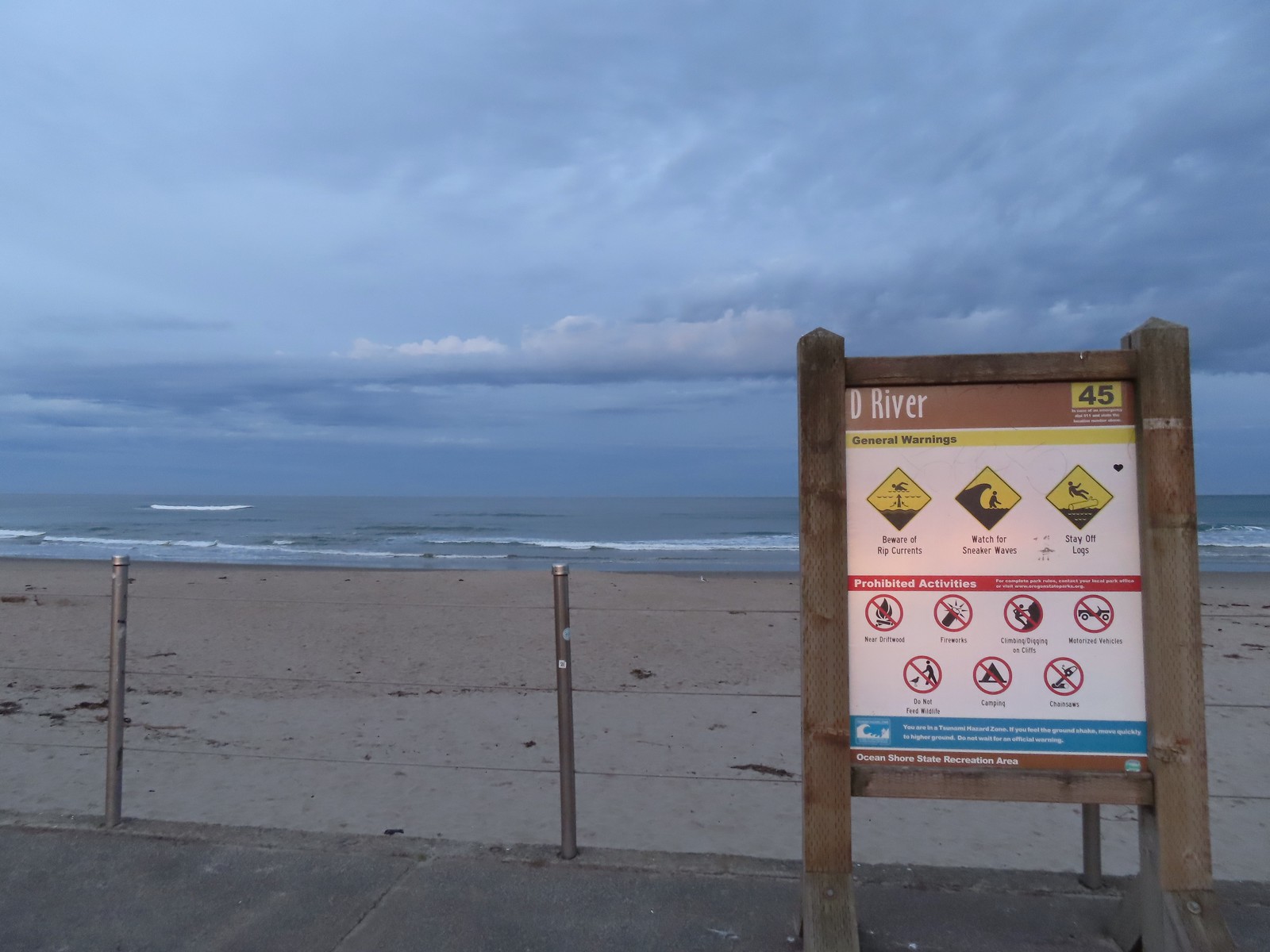
 The D River from the highway bridge. The river flows between Devil’s Lake and the Pacific Ocean and at high tide has a length of approximately 40 yards.
 Hostetler Park.


 Several interpretive signs were located along the boardwalk.
 One of the interpretive signs.
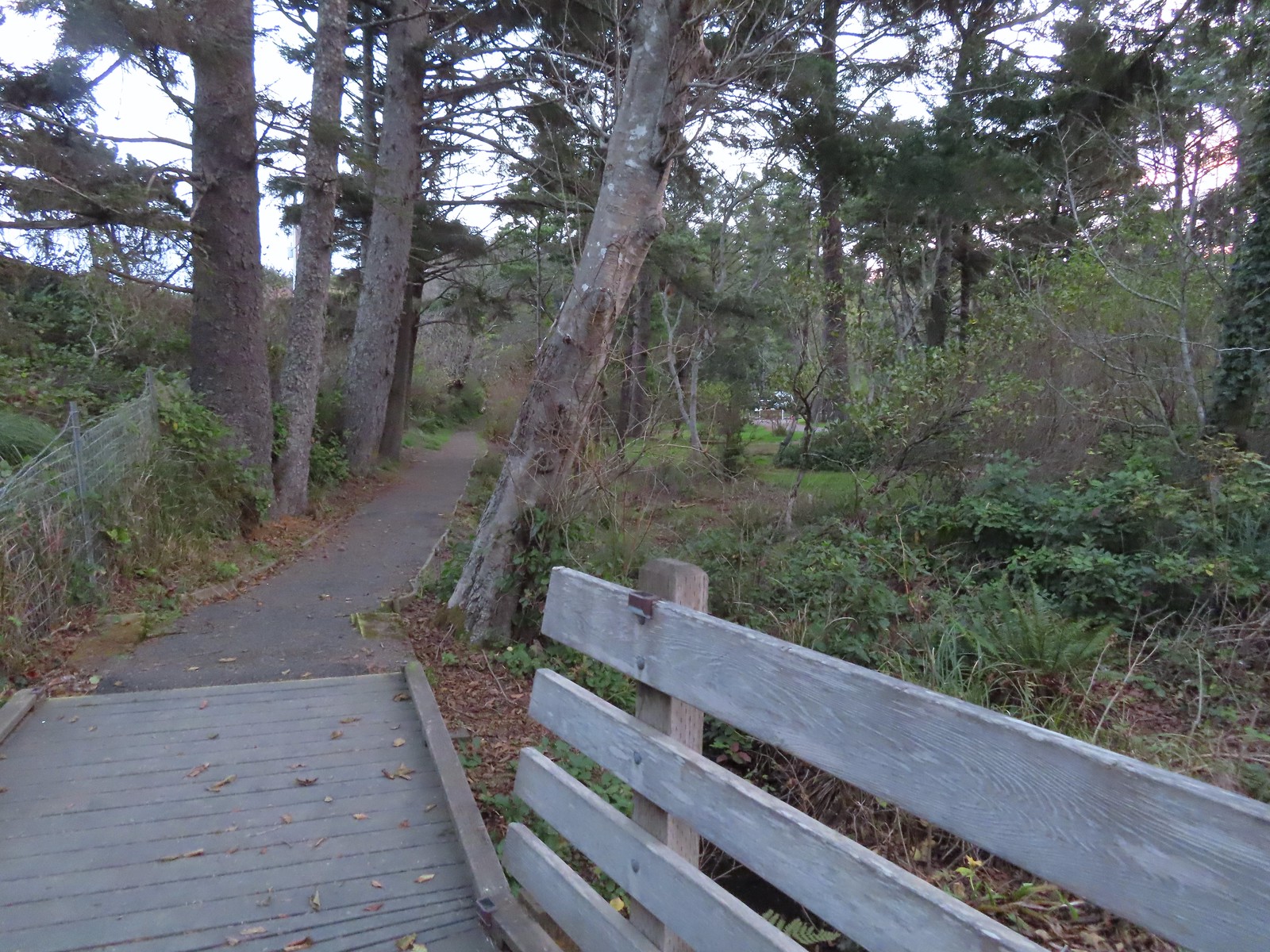 Nearing the campground.
 Orange cones, and a cat, at the far end of the path.
 Program area in the campground.
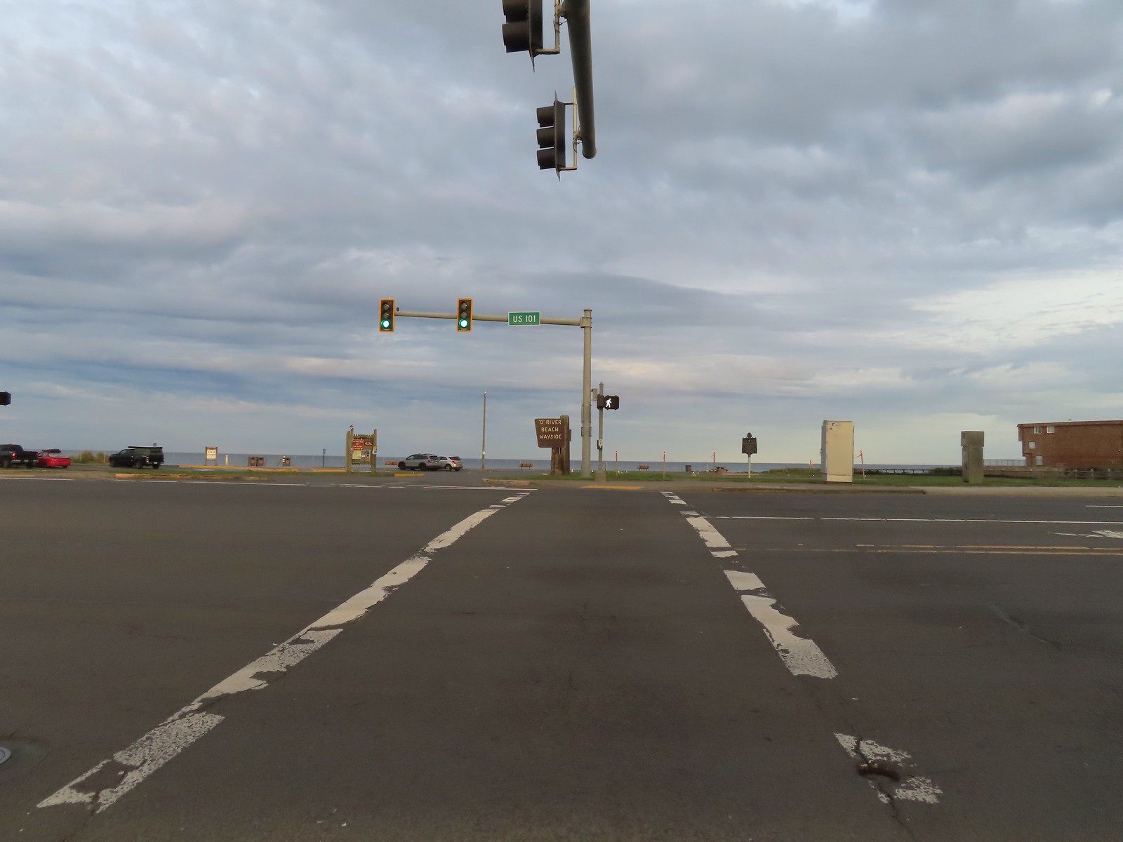
 View North from the beach.
 Cascade Head (
 Seagulls at the mouth of the D River.
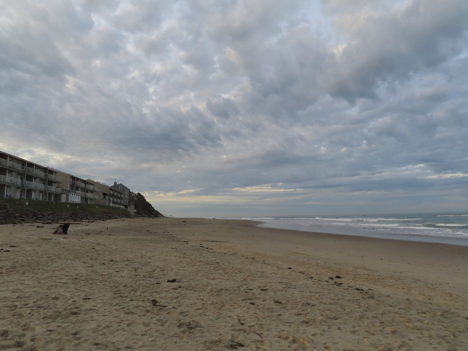


 There were of course plenty of seagulls present.
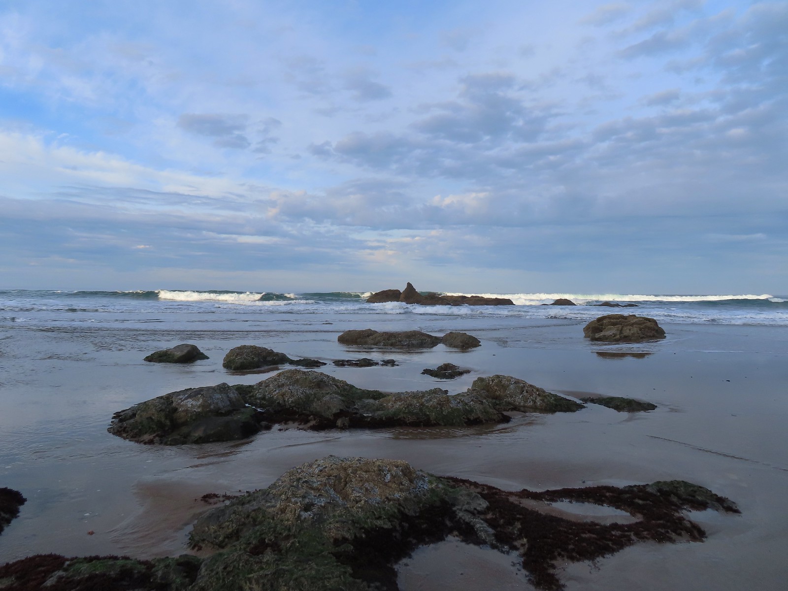
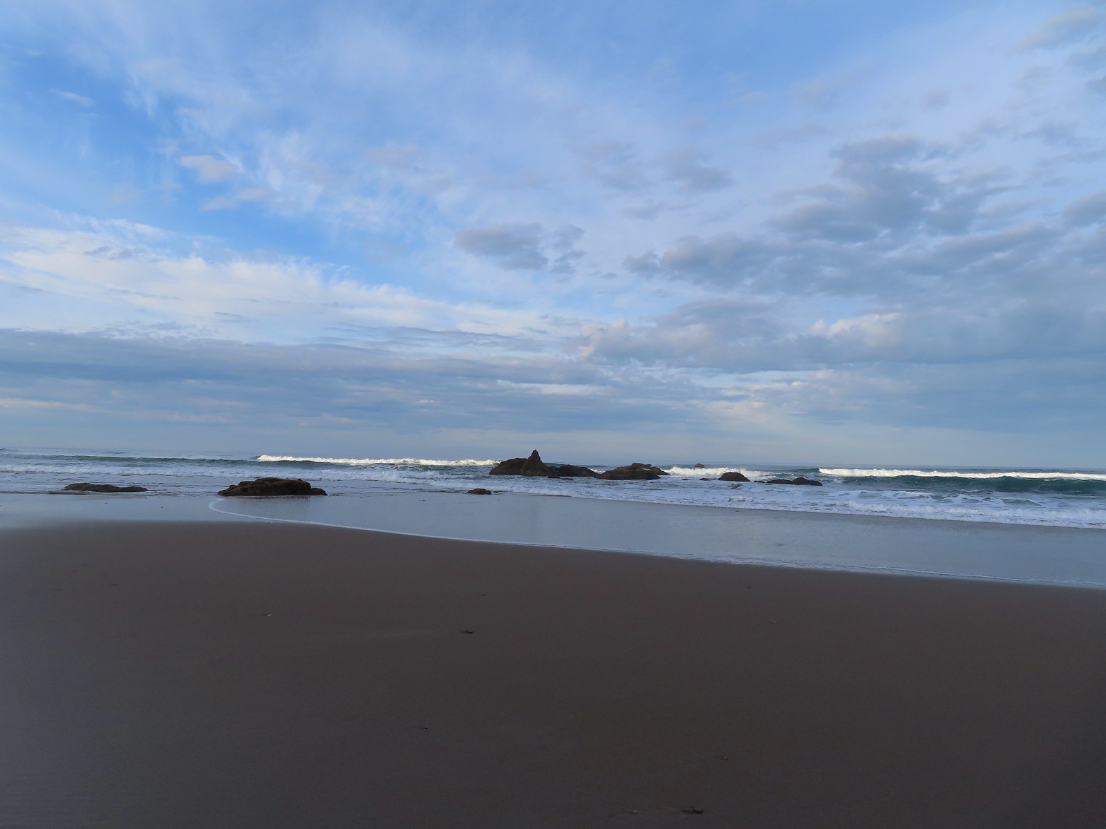 There weren’t very many ocean rocks along this stretch of beach.
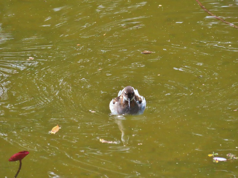
 Surf scooters
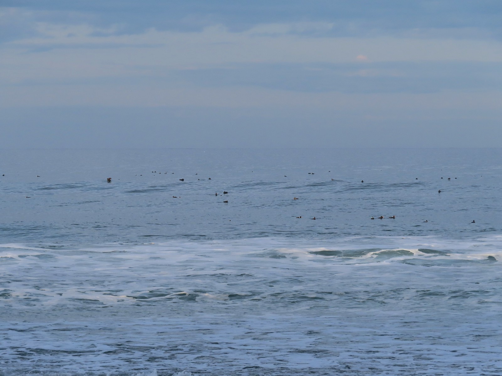
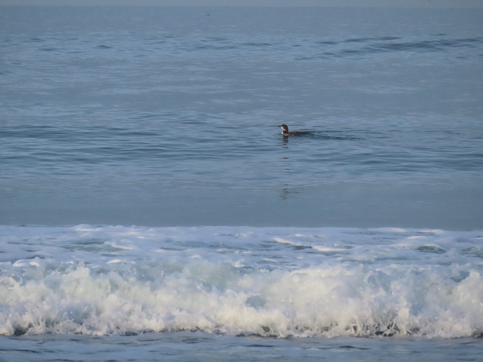 Loon, probably a common loon.
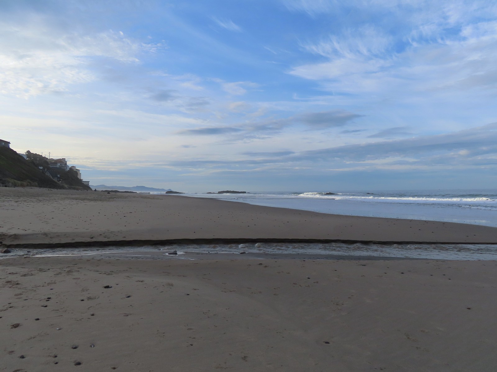 Baldy Creek
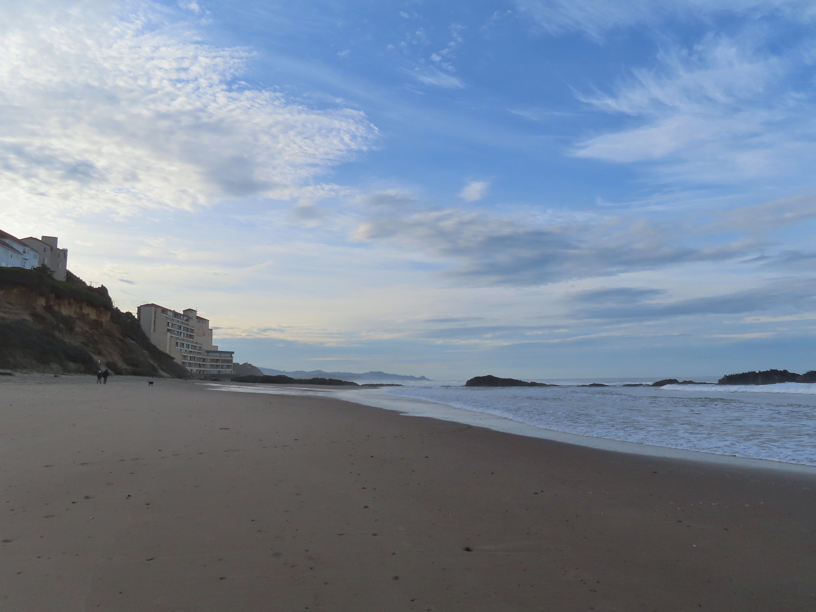 The inn on the left with the rocks extending into the Pacific.
 Cormorants and seagulls
 This was a big tree that we were able to walk under.
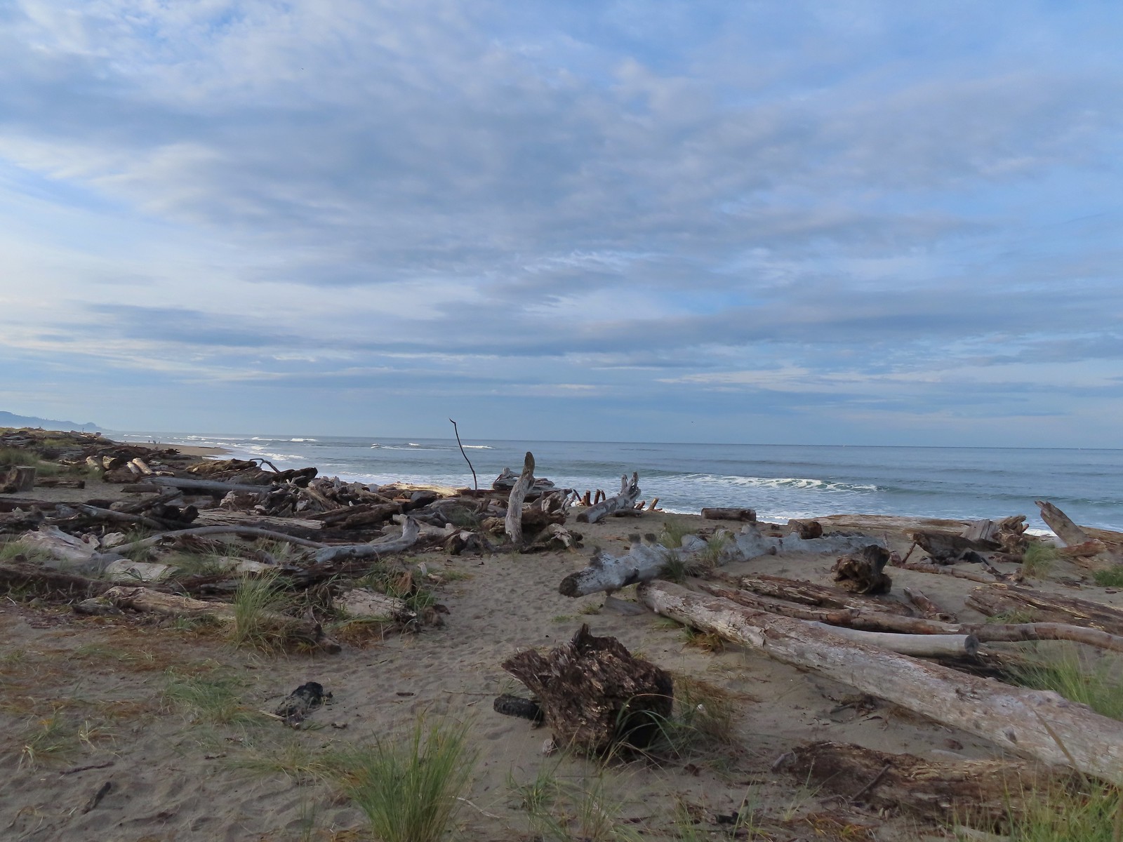
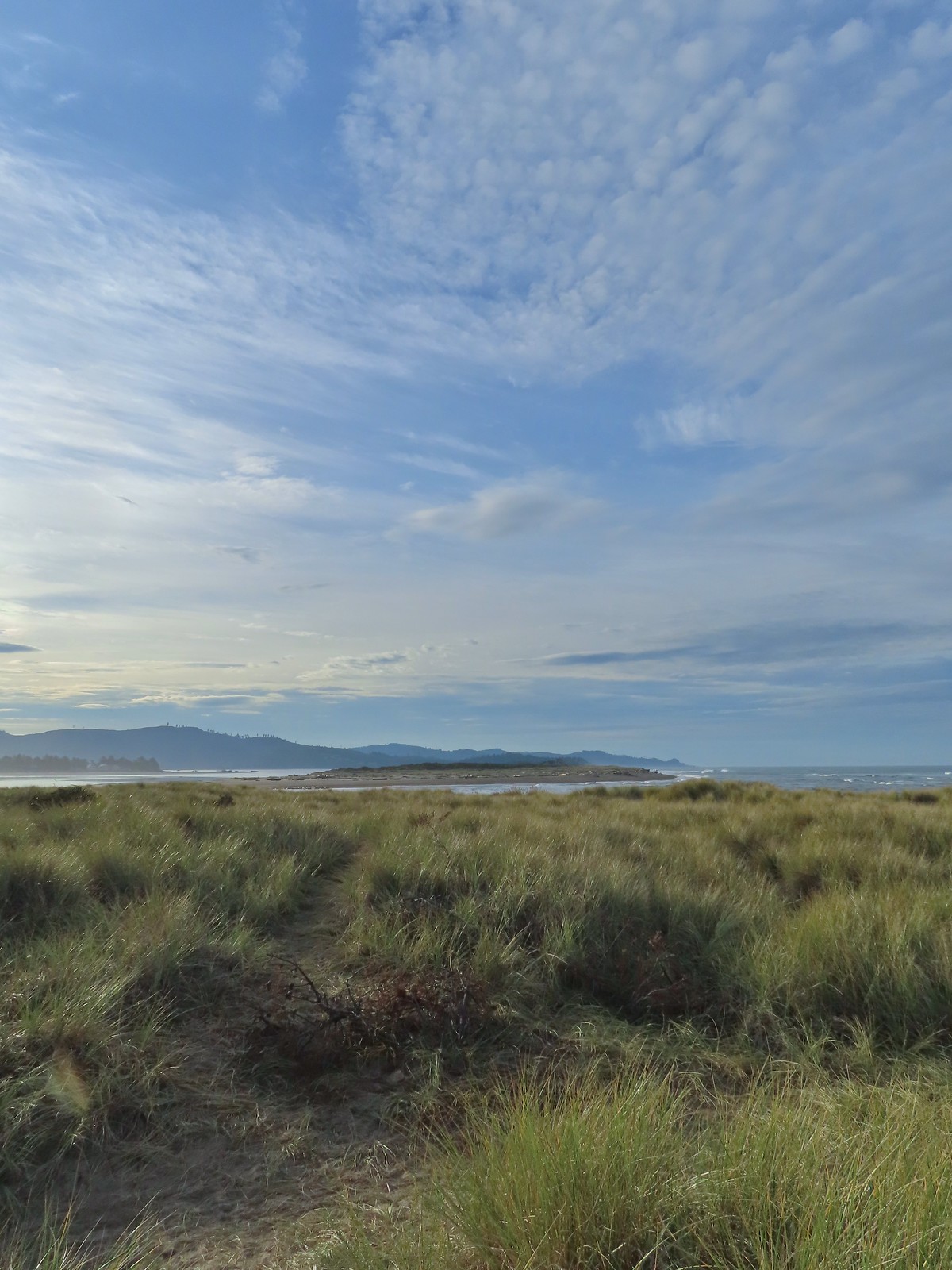 Salishan Spit across the Siletz.
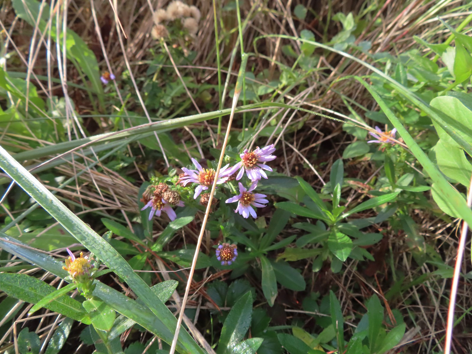 Asters on the beach.
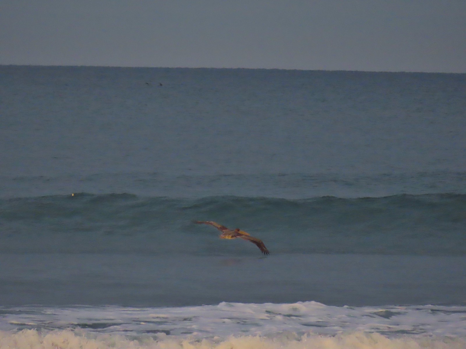
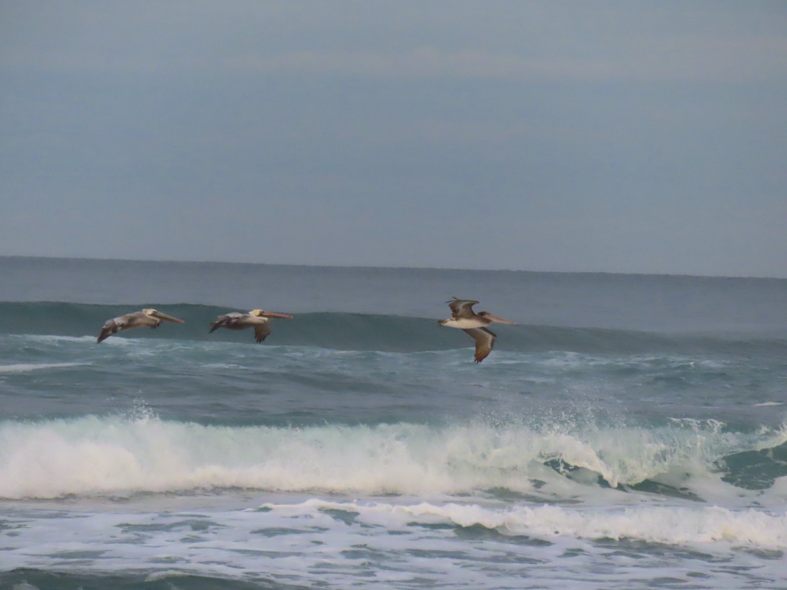
 Pelicans on the left and seals on the right at the end of Salishan Spit.
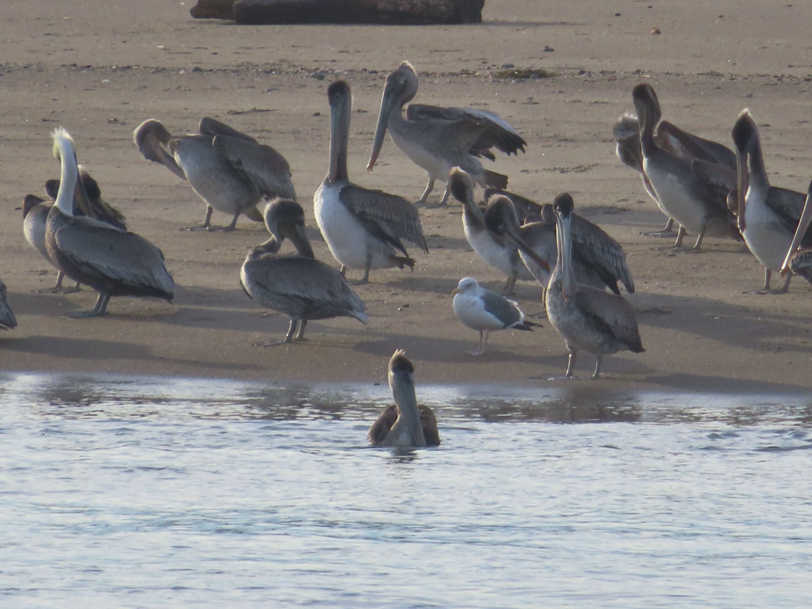 Pelicans and seagull
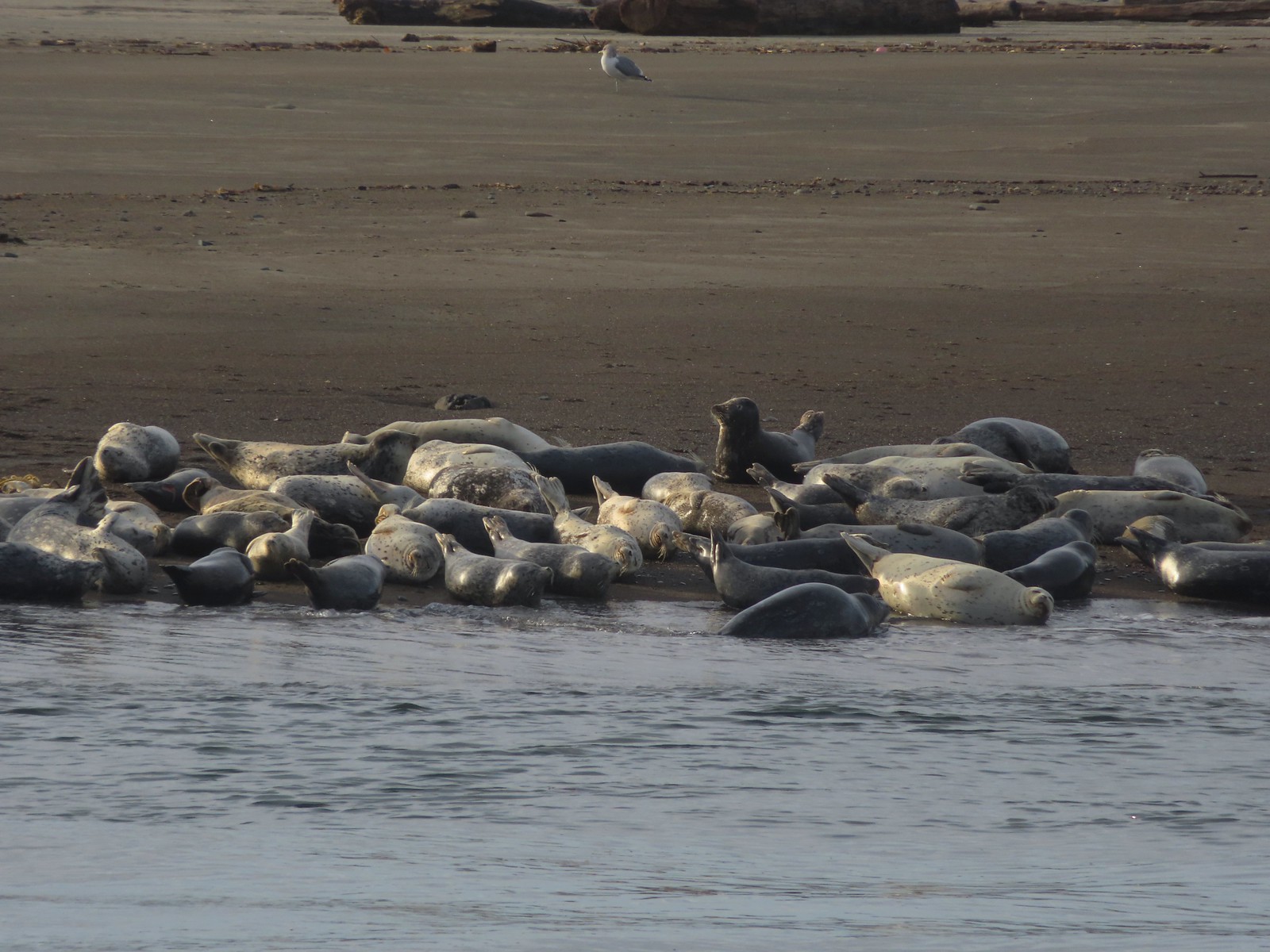 Seals and a seagull


 Drying off

 Pelican mouths are a sight to behold (righthand side).
 Cascade Head and God’s Thumb both in the sunlight now.

 The Story Circle
 Trail Challenge sign #8.
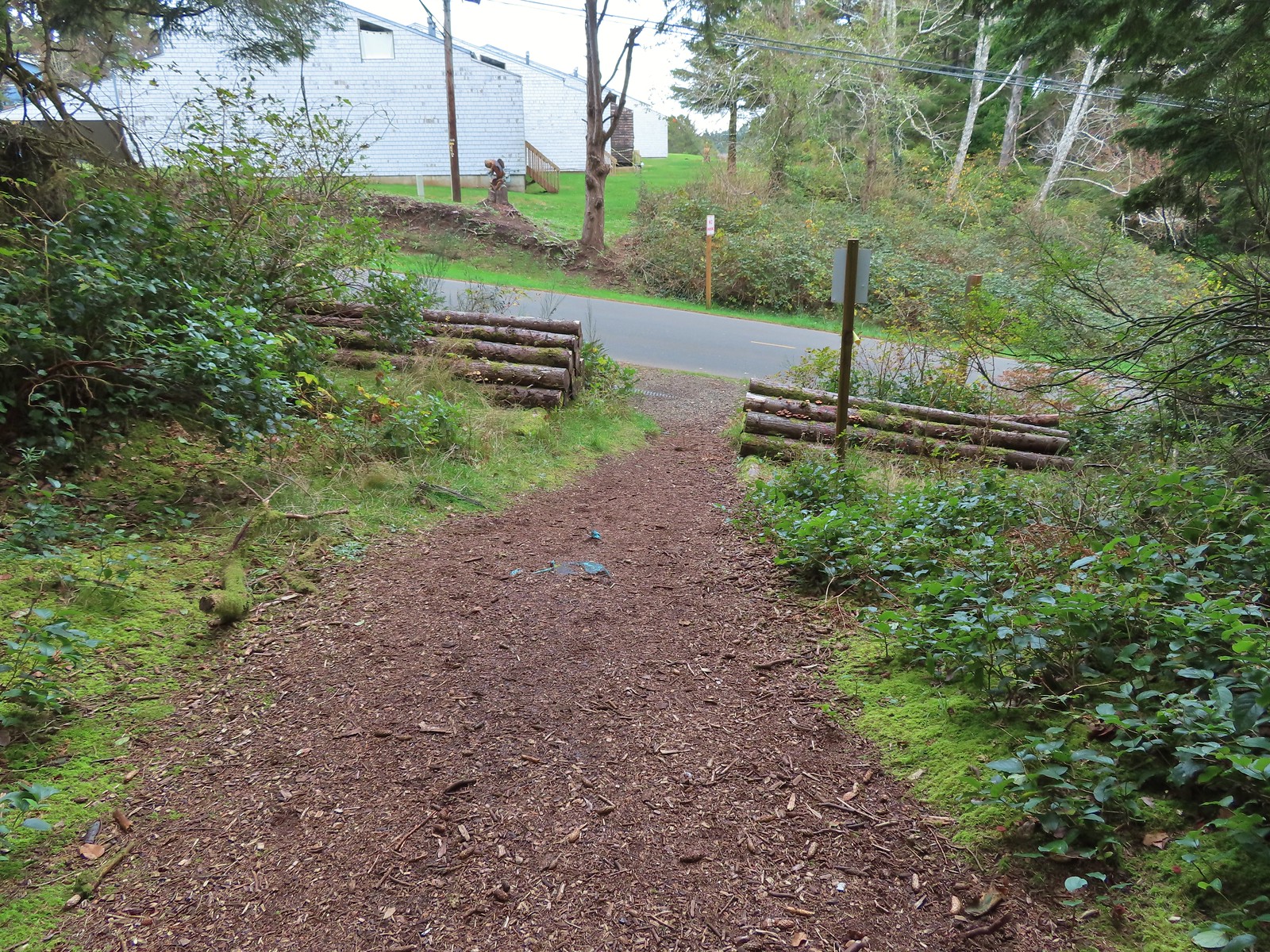 The trail ends at SE 3rd St (no parking available).
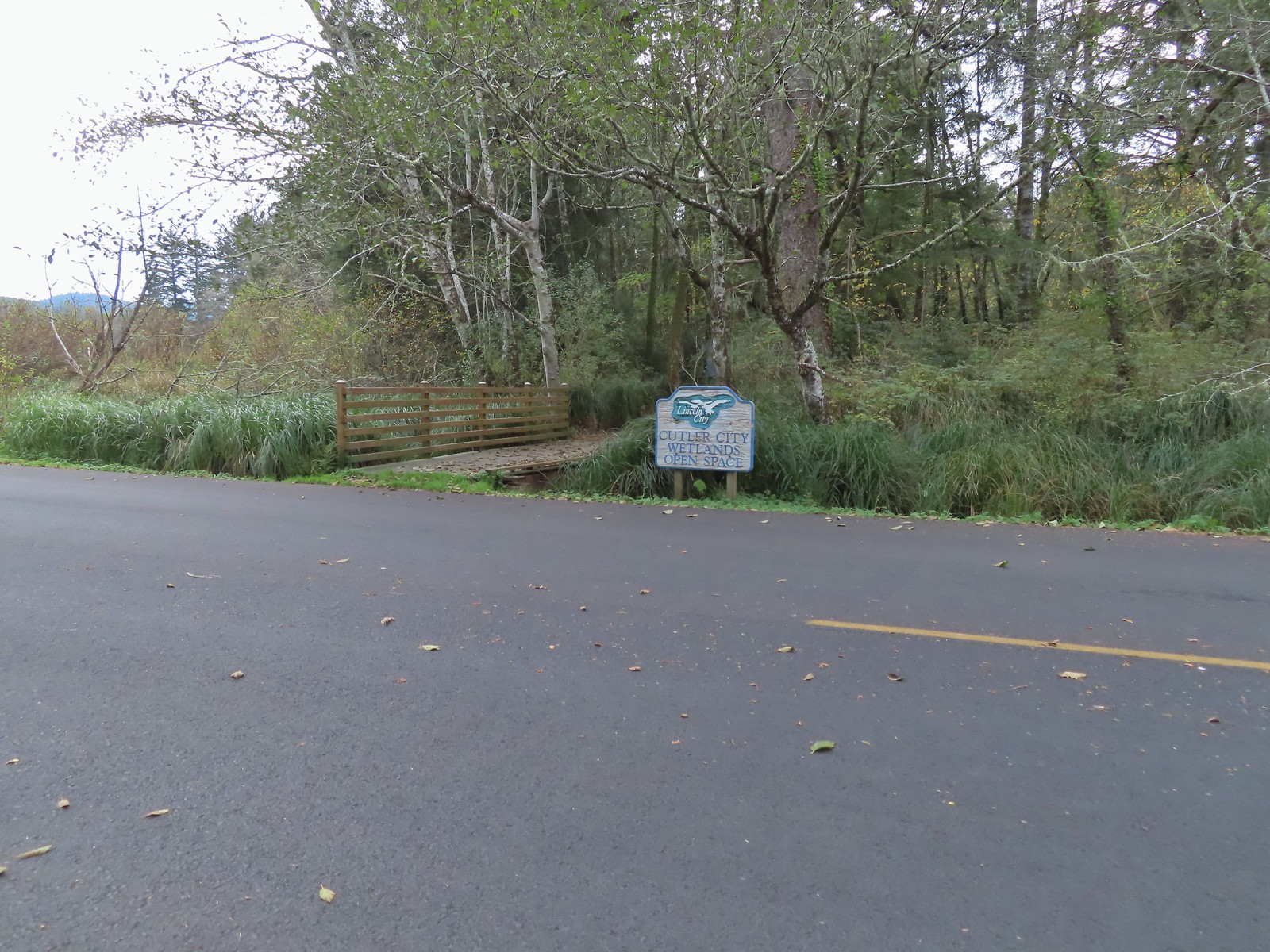

 While there are more trails to choose from here the total milage is just about 1.25 miles. We opted to loop around the outside with detours to the Salt Marsh Overlook and Pond’s Edge.
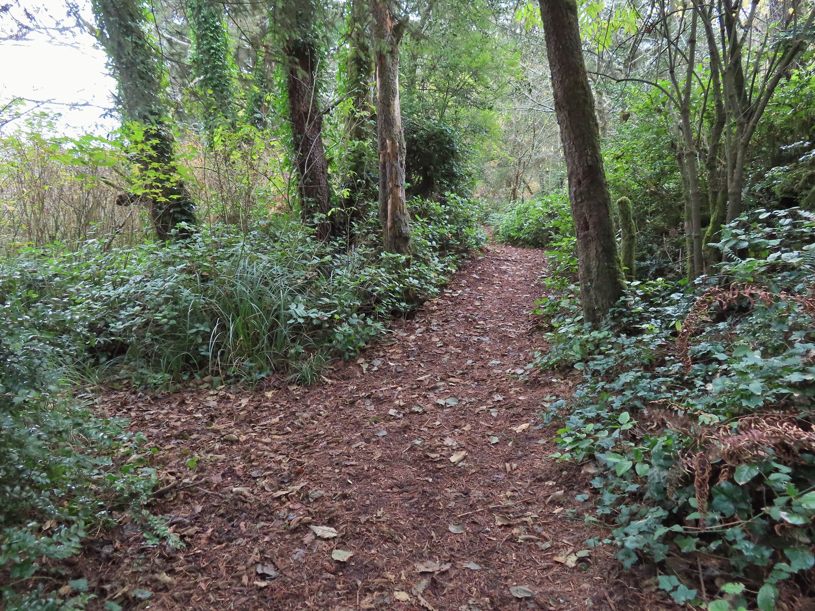 To the left is the very short spur to the Salt Marsh Overlook which was too overgrown to really see anything.
 Interpretive sign at the overlook.
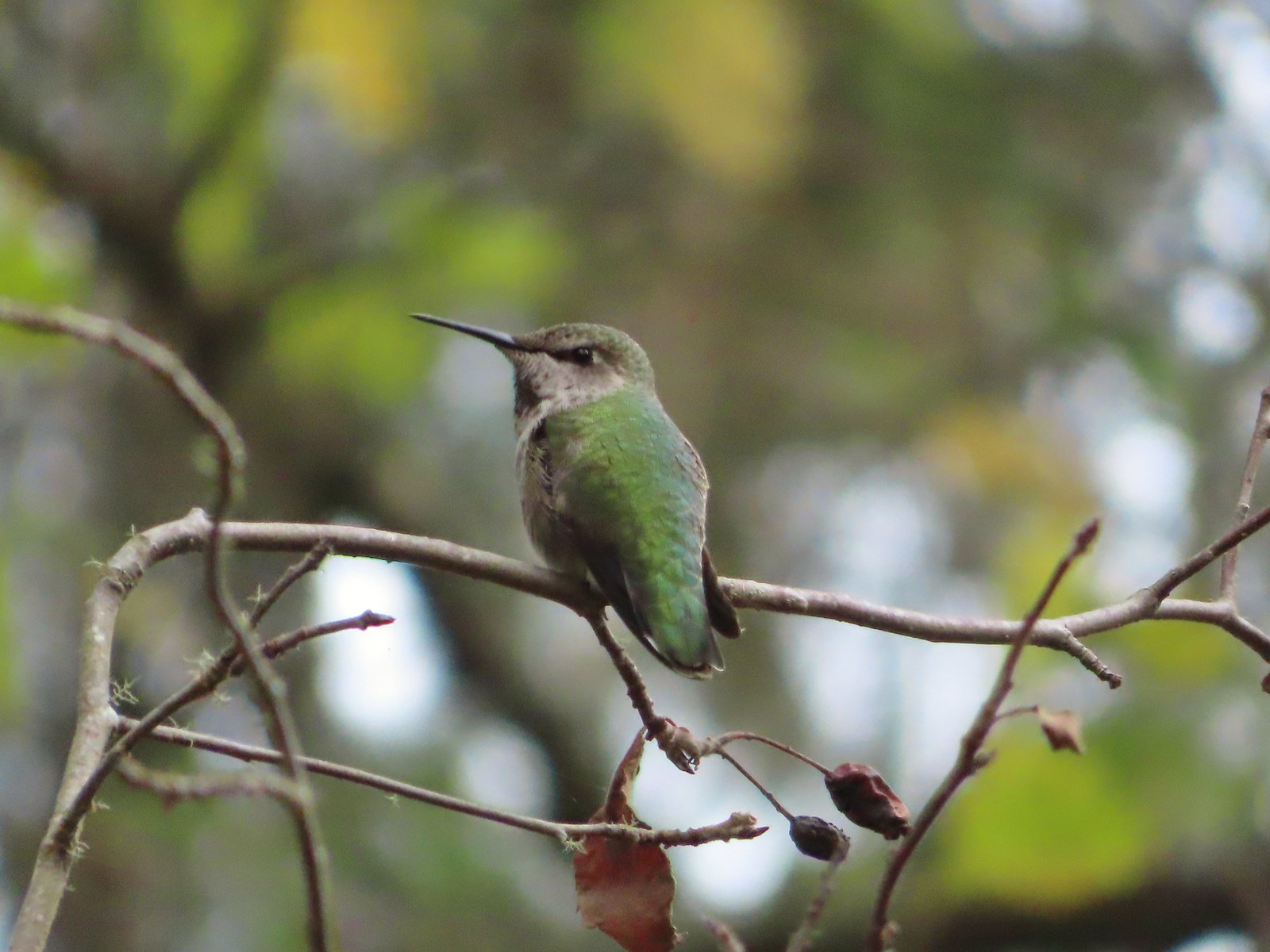 A noisy little hummer near the overlook.
 There was pretty good signage at the main trail junctions.

 Boardwalks helped cross the wet areas.
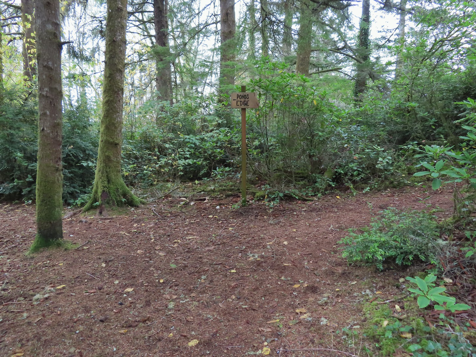 Pond’s Edge spur trail.
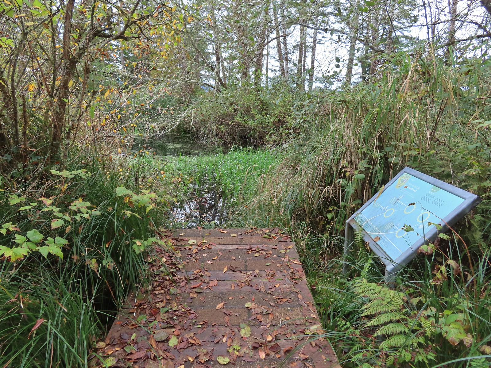 At the edge of the pond.
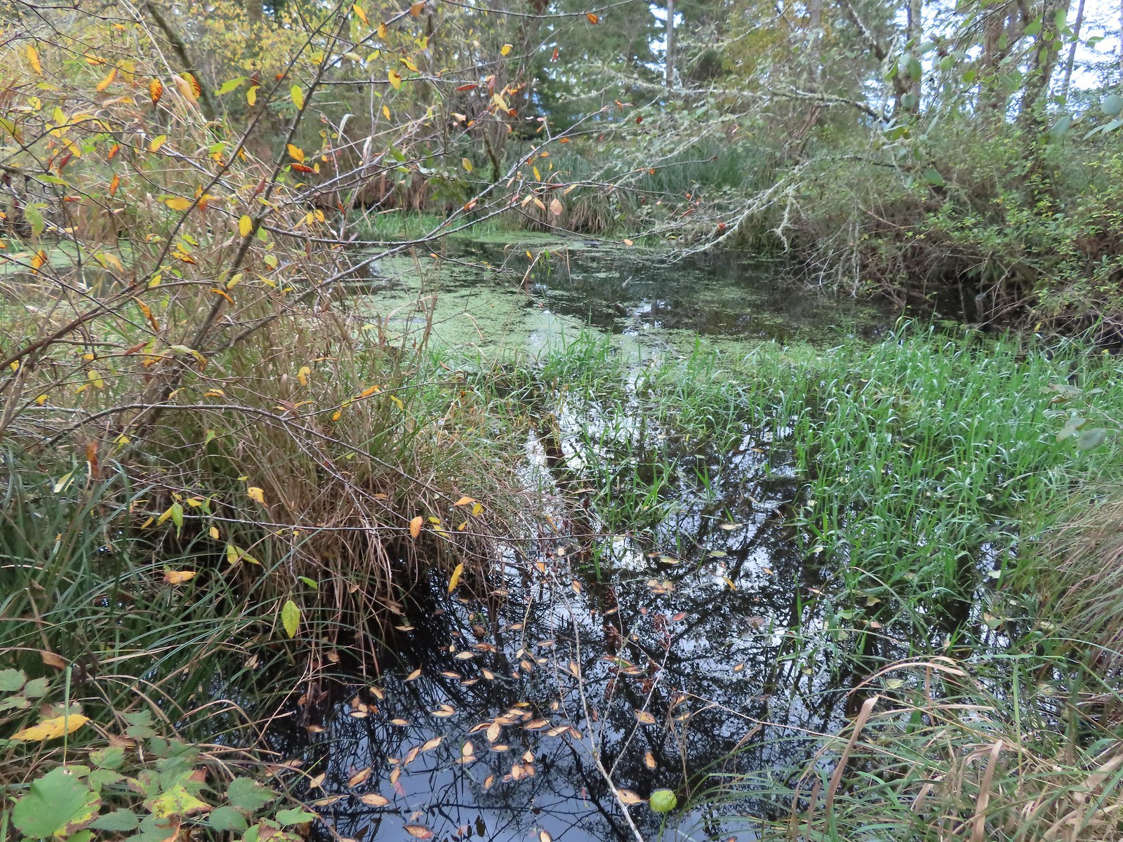
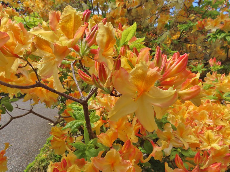
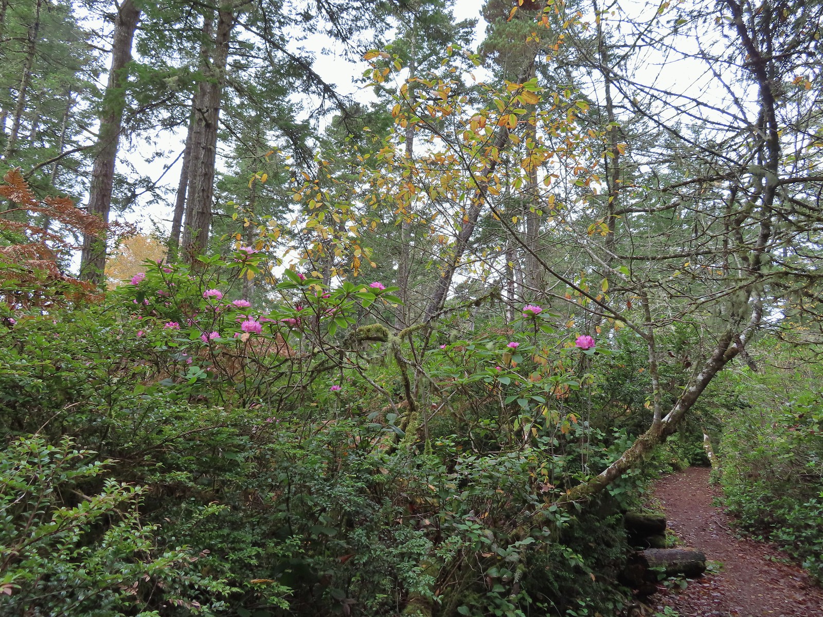 We hadn’t expected to see any blooming rhododendrons.
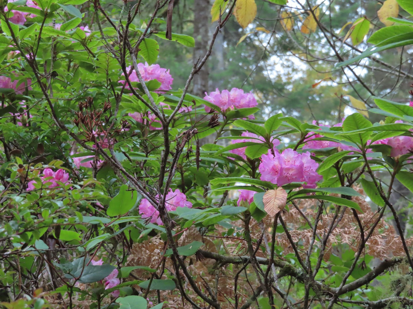
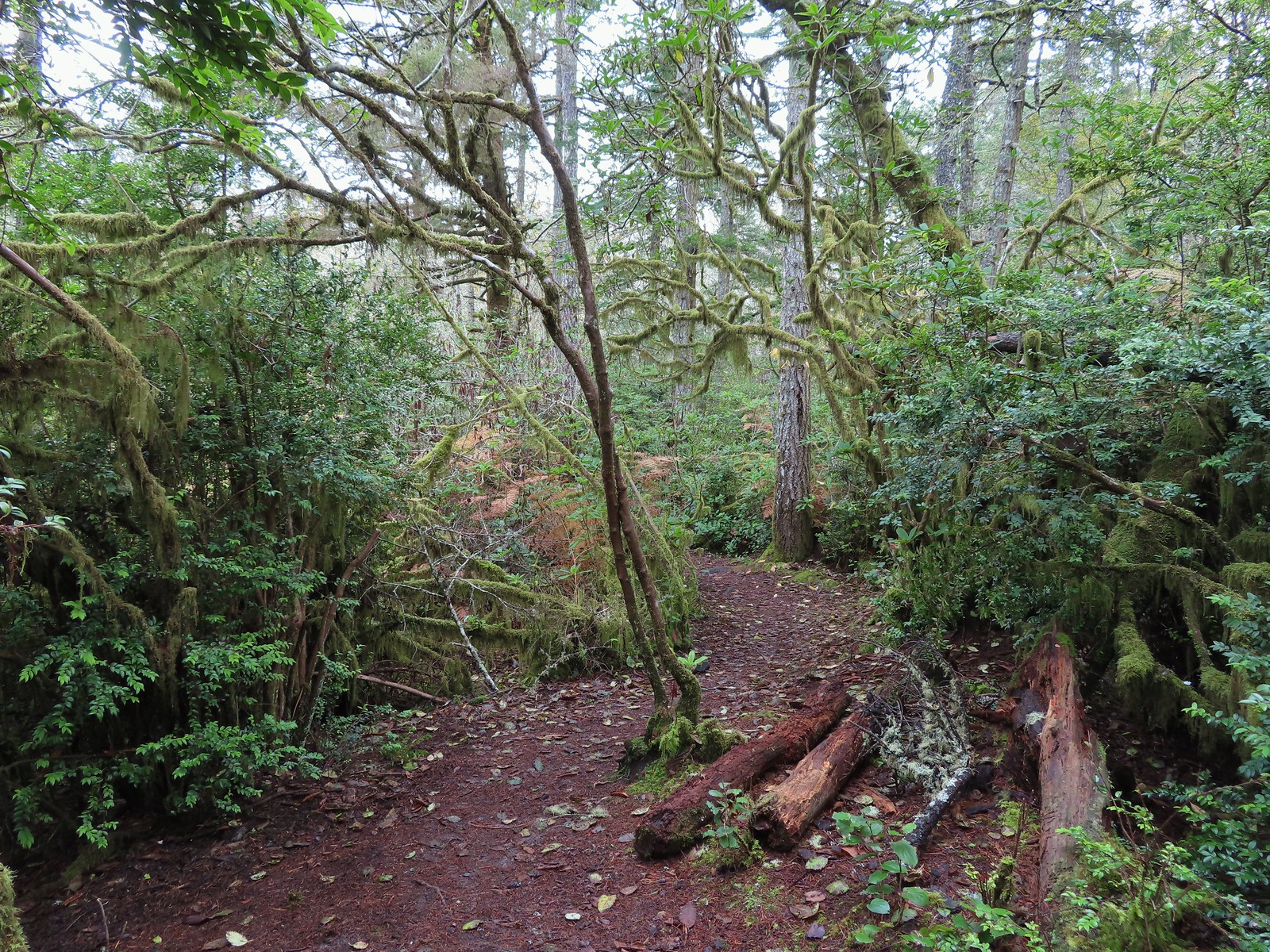
 Arriving at the signboards at the start of the loop.

 From left to right: Storm, Finely, and Shag Rocks.
 Cape Lookout (
 Maxwell Point
 View from beside Maxwell Point.
 The Tunnel was built in 1926.

 The Tunnel from Tunnel Beach.
 Three Arch Rocks from Tunnel Beach.
 The end of Tunnel Beach. At higher tide it’s not possible to get around the point here.
 Getting closer to the end of Tunnel Beach. This set of ocean rocks are part of the
  Bald eagle on top of one of the rocks.
 Seal
Seal Agate Beach
 Cape Lookout from Agate Beach.
 An assortment of sea birds.
 Maxwell Point and Cape Lookout
 Sun starting to hit the Three Arch Rocks.
 Sand dollar
 Cormorants. There was a steady stream of flocks of birds heading south along the coastline.
 Footbridge over Fall Creek.
 Fall Creek
 Frosty leaves near Fall Creek.
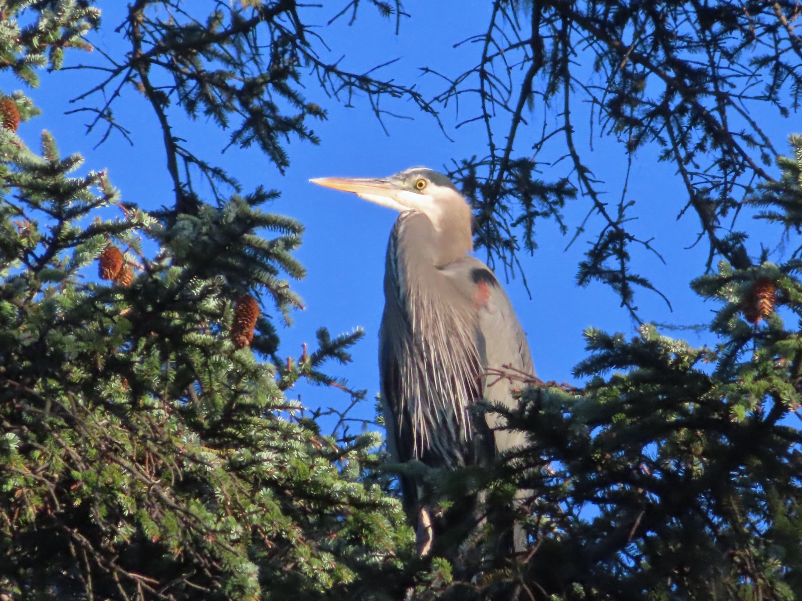 Great blue heron in a tree above Fall Creek.
 Happy Camp
 Hodgdon Creek
 Seagulls and common mergansers near Hodgdon Creek.
 Buffleheads
 Netarts Spit
 Happy Camp from our turn around point.
 Three Arch Rocks and Maxwell Point now in full Sun.


 The beach only extends a short distance to the South.
 The sea stack and Short Creek Spillway to the North.
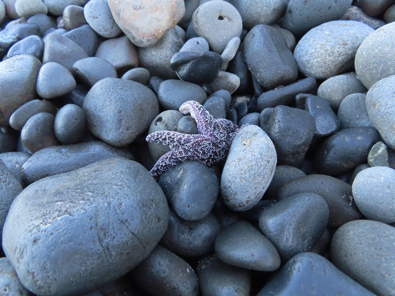 Starfish
 The sea stack
 Cape Meares (
 I didn’t notice the little waterfall along the cliffs below Cape Mears until I looked at the pictures.
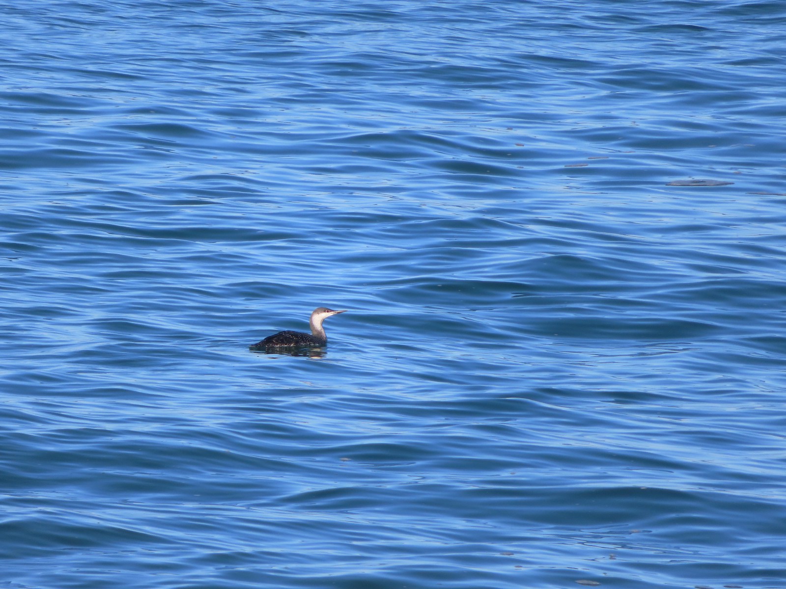 Red-throated loon

 The area ahead in the shade is where things started looking a little sketchy.


 Apparently there used to be a metal gate here instead of a the rope/chain.

 Bald eagles in the tree tops.
 Bald eagles
 This is where the dike/path turned South. Our best guess is that there has been additional wetland restoration since the entry in the field guide and some of the dikes that the guide route followed have been removed.
 We weren’t getting across that.
 Somewhere out that way, beyond the slough, was the Wilson River.
 Now heading East toward Sissek Road.
 At this point we had left Sissek Road which used to extend straight from Goodspeed Road where the signs and rope/chain is in this photo (ahead to the right at the 90-degree turn).


 Hawk above Goodspeed Road.
 One path led down to Hall Slough ending in mud at it’s bank.
 A second path led north on what the GPS showed as a former road but it was too overgrown and flooded to make it far.


 Junction with the spur trail to the power line corridor.


 Footbridge and stairs leading back up to the picnic table.


 Big Creek in the morning.
 A short section of the trail was paved.
 At the eastern end of the parking area we came to this new kiosk that is being installed marking the start of the Agate Beach TRACK Trail. There was also a path directly to the parking lot from the kiosk which we used upon our return.
 The tunnel under Highway 101. The stairs at the far end lead up to a city street while the trail makes a hard right to briefly follow the highway back across Big Creek.
 A series of boardwalks crosses the marshy bottomlands of Big Creek.
 While the kiosk was a new work in process there were a number of older looking interpretive signposts. This was one of only a handful that still contained an interpretive sign.
 The bottomlands.

 There were no signs at junctions but for the TRACK Trail stick to the level fork and ignore anything going uphill.
 Further along the trail Big Creek could actually be seen flowing.
 A non-boardwalk section along Big Creek.
 Approximately three quarters of a mile from the kiosk the trail arrived at Big Creek Road at another new signboard.
 The signboard at Big Creek Road didn’t have any information on it yet.
 Stellar’s Jay
 Northern flickers on the picnic shelter.
 Map on the signboard.
 Anderson Creek, the footbridge, and signboard from the roadbed.
 The Forest Park Trail
 A nice sitka spruce forest lined the old roadbed.
 Mushrooms
 Sunlight hitting the trees.
 The Pacific Ocean through the trees near the water towers.
 Passing the water towers.
 The drop to Jeffries Creek.
 Jeffries Creek
 Wood ducks in the wetlands.
 The gate near Fogarty Street.
 The Forest Park Trail from the other side of the gate.

 Morning fog was still burning off at 9:30am.
 A car by the gravel pile to the left with the road coming down the hillside to the right. Interestingly Google Maps labels this as “Burnt Woods Ridge Road” which both Alltrails & Garmin showed as the left-hand fork where our loop would begin. (Google doesn’t show a road there at all but you can see the road in the trees by looking at the aerial view.) Numerous times throughout the hike we relied on comparing the Alltrails Track to the GPS map and our track to that point to determine where we were and which road(s) to take.
 There was some room to park here at the start of the loop (this is not where Google marks the TH) as well as many pullouts along the loop where one could choose to start.

 Heading down into the fog.
 One positive to the fog is that it can create some dramatic Sun rays.
 Vine maple
 Blue sky in the upper left hand corner.
 The road to the right is an example of a road that wasn’t labeled on any map we had.
 Emerging from the fog.
 Looking back through the fog to blue sky and the Sun.
 The only other “hiker” we saw on the loop.
 We couldn’t see it but just over three miles from the start of the loop the road crossed Cline Creek which was the first time we heard what sounded like a decent amount of flowing water.
 A little over a tenth of a mile beyond Cline Creek we left Burnt Woods Forest Road and forked uphill to the left onto Cline Creek Road.
 Arriving at a clearcut. Much of Cline Creek Road was along different clearcuts.
 Mylitta crescent
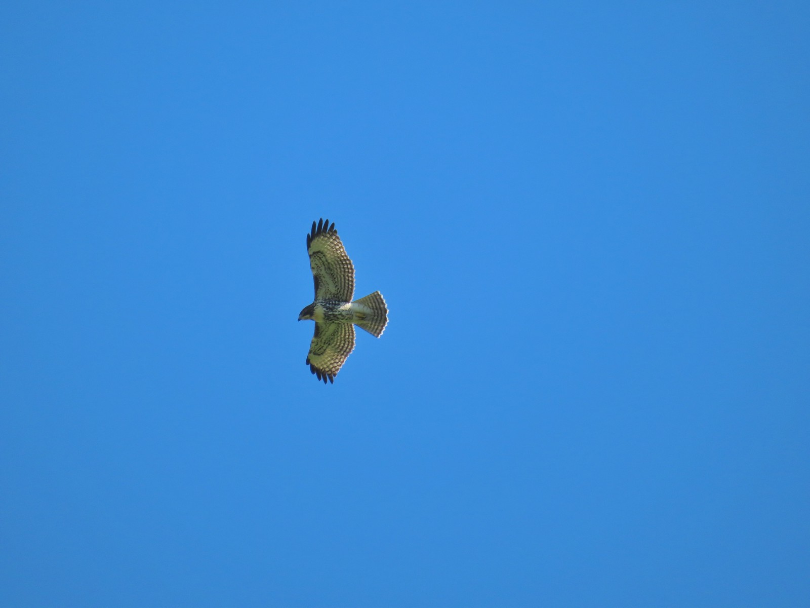
 Red-tailed hawk soaring over the clearcut.
 Trying to get the red-tailed hawk in flight.
 Lots of Fall colors starting to pop.
 The first signs we’d seen (noticed anyway) were at the Cline Creek/Burnt Woods Ridge Road junction.

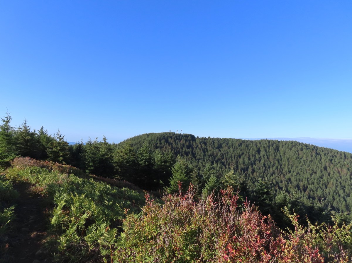
 Arriving at the high point which was actually the first good viewpoint being above one of the clearcuts.
 Looking North at more of the Coast Range.
 Theoretically we should have been able to see both Mt. Hood and Mt. Jefferson from here but between haze from the fog and clouds we couldn’t make either out.
 Mt. Jefferson is out there somewhere. The fact that the Cascades have some snow again doesn’t help them stand out in the haze and clouds.
 Yet another unsigned road junction. Sticking to the ridge is the key.
 After crossing a saddle we gained views SE to Mary’s Peak (
 The tower and summit meadow of Mary’s Peak.
 The hard left prior to the steep descent. The road on the far hillside in the clearcut is part of the road Google Maps has labeled as Burnt Ridge Road but doesn’t show on Alltrails or the Garmin maps.
 The end of the loop at the bottom of the hill.

 Hebo Lake

 Despite it being the end of Summer the forest was a lush green.
 So much green.
 Trail sign at the equestrian junction.
 The equestrian trail. In 2015 we made the mistake of turning onto it briefly.
 Love the mossy trees.
 One of the numerous trail signs.
 This more recently thinned section was full of ripe red huckleberries.
 Trail snacks.
 Chestnut-backed chickadee
 Crossing Road 14 near the 3-mile mark.
 There was a small section where there had been a lot of blowdown that had been removed.
 Arriving at the meadows.
 Looking NW toward the Pacific Ocean.
 Mt. Hebo summit from the meadows.
 Bayocean Spit (
 Cape Lookout (
 Looking back across one of the meadows.
 This late in the Summer there was no water.
 Dry marsh at the tributaries.
 Bunchberry
 Another dry crossing.


 This was the only official junction that was not signed.

 Road 14 – again.
 South Lake through the trees.


 Vine maple changing colors.
 The trail around South Lake.
 I really appreciated being reminded that it was eight miles back to Hebo Lake.
 I couldn’t really get a good view but there was a nice meadow along the trail between the two lakes.
 Oregon grape
 Bridge over Three Rivers near North Lake, I almost thought I heard a slight trickle of water here.
 Good sized garter snake in the trail ahead.
 Normally these snakes slither off into the brush as you approach but this one coiled up in the trail, so I took a long step over it and continued on.
 This was the steepest section of the climb up from North Lake.
 One of the flagged routes.
 Looking up the flagged route.
 Remains of some sort of old structure were present. The summit of Mt. Hebo could also be seen.
 Turkey vulture
 A lone lupine.

 Mountain ash and maple.
 A small bird watching me from behind some sticks.
 Going the left would have also been the way to North Lake. The road apparently gets narrow and a bit rough beyond this point.

 I turned right at the trail marker here. As it turned out it wasn’t any shorter at all and I wouldn’t recommend this route due to a lack of tread between the flagged trail and old roadbed and then having to follow Road 14 for so long.


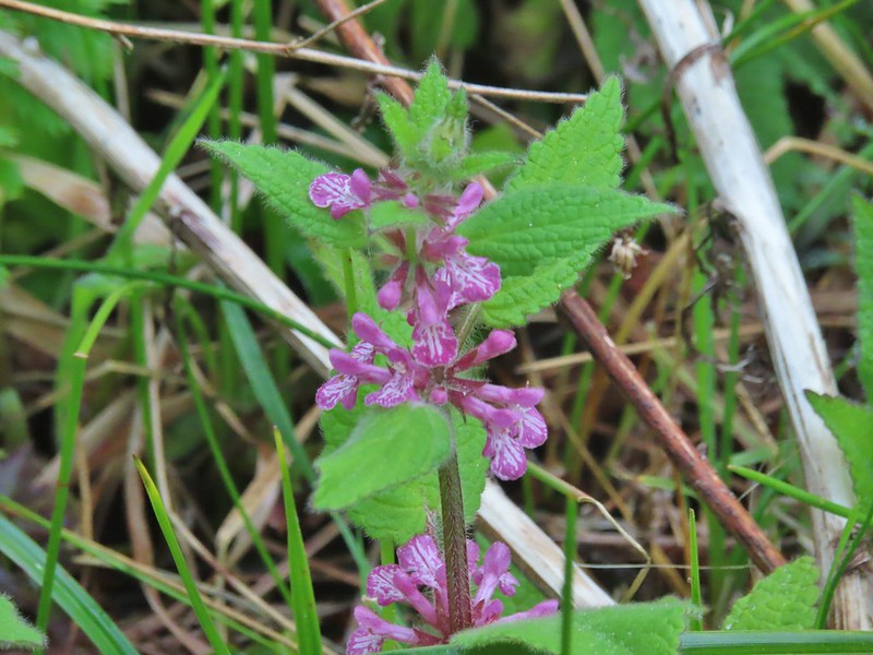
 A hedgenettle
 I took this left to cut over to Road 14.


 Lots of yarrow still blooming at the summit.
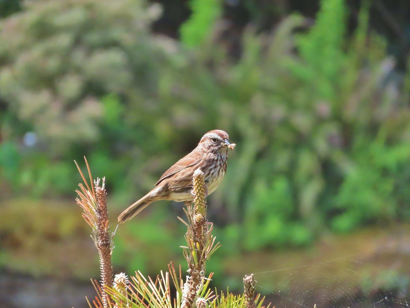
 White-crowned sparrow
 Heading toward the viewpoint.
 Three Arch Rocks
 Haystack Rock near Pacific City.
 Closer look at Haystack Rock.
 Penstemon
 Meadows along the plateau of Mt. Hebo from the summit.
 Bead lily (Queen’s cup).
 Meadow along the trail.
 So many ferns.
 Mushrooms
 This was a good-sized mushroom.
 Back at Hebo Lake.


 Most of the buildings are gone but this relocated Officers Quarters is being restored.
 It was hard to tell at times if it was cloudy or smokey which would be a theme for most of the day.
 Flagpole behind an interpretive sign.
 Most of the trail is ADA accessible but not the entire loop.
 The forest was quite a contrast from the open hillside.


 Lots of fading flowers: yarrow, goldenrod and aster mostly.
 Some of the caterpillar tents on the hillside.


 The nature trail crossed the service road after half a mile.
 The continuation of the nature trail on the right.
 We were pleasantly surprised at how forested this entire trail was.
 There were lots of frogs hopping off the trail. Can you see this one?
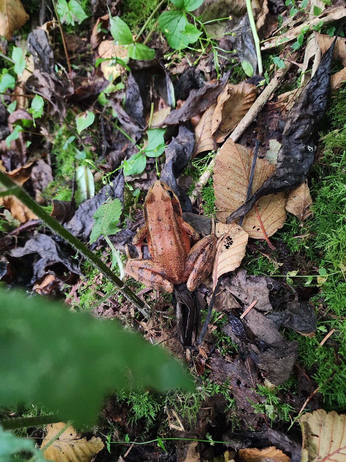 Norther red-legged frog?
 A little less than half a mile after crossing the road we passed a junction with a trail leading to the picnic area. We would visit the picnic area on our way back and pick up the service road there.

 The Little Nestucca is to the right with the Nestucca River straight ahead.
 Cormorants

 We disturbed a doe near the picnic area.
 The doe leaving the picnic area.
 A path here leads down to the bay to provide fishing access (we didn’t follow it).
 Ground squirrel
 Thistle
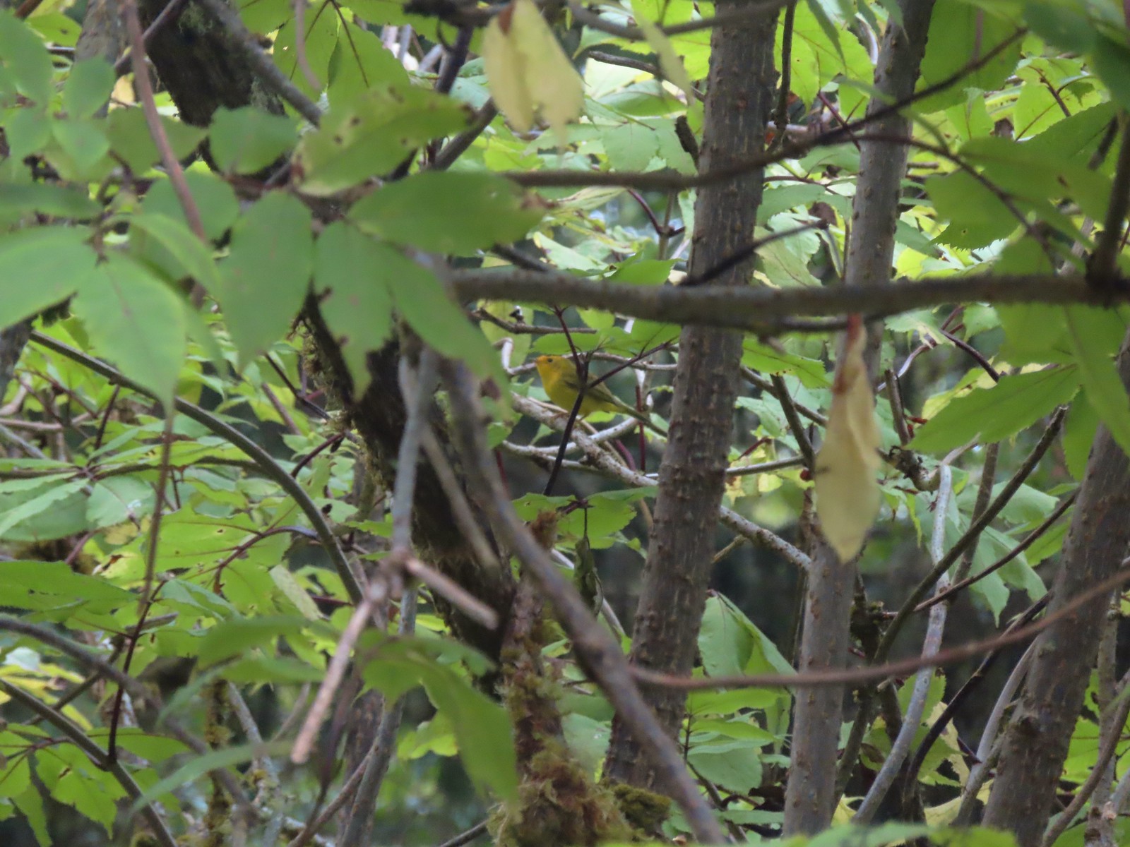 Wilson’s warbler
 The overlook on the far hillside.
 The trailhead from the service road.

 Haystack Rock and Cape Kiwanda (
 Haystack Rock
 Pearly everlasting, spirea, and aster.
 View from the overlook.
 Bench at the overlook.
 Little Nestucca River from the overlook.
 White-crowned sparrow
 Ladybug


 Trask River from the trailhead.
 Garter snake near the trailhead.
 We followed the pointer here and went right.
 Here we again followed the pointer and went left. We failed to notice the pointer on the lower sign not facing us. It was also hard to tell if the rocks were actually part of a trail or just a scramble route. Turns out they are “stone steps”.
 The inland clouds were breaking up giving us some nice blue sky.
 Ouzel
Ouzel

 Big tree along the trail.
 Arriving at the picnic area.


 The trail to the left.
 Huge nursery log.
 It’s hard to see here but this section was very steep.
 Steps along the ridge.
 The stone steps looked more like steps from this direction.
 Arriving back at the trailhead.


 Skunk cabbage
 Bindweed
 While there were quite a few people visiting the preserve there were still moments when we had the boardwalk to ourselves.

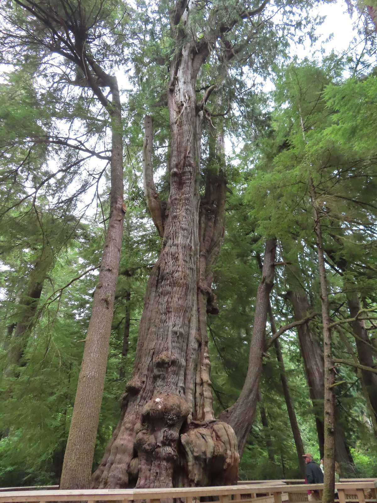


 Tree root along the cedar from another tree that is growing from it.
 Another big cedar, but not anywhere near as big as the other.
 We passed a “hiker trail” pointer which is a reportedly rough, muddy track that links up to the boardwalk near the big cedar. We had seen the other end near the smaller big cedar but there was a “trail closed” sign at that end so we hadn’t even considered taking it.
 Interpretive sign at the viewing platform. There were some benches here which were mostly occupied and not much of a view.
 Salal
Salal


 One of the muddiest sections was just beyond a small footbridge near the trailhead.
 Skunk cabbage blooming along Bailey Creek.
 Skunk cabbage
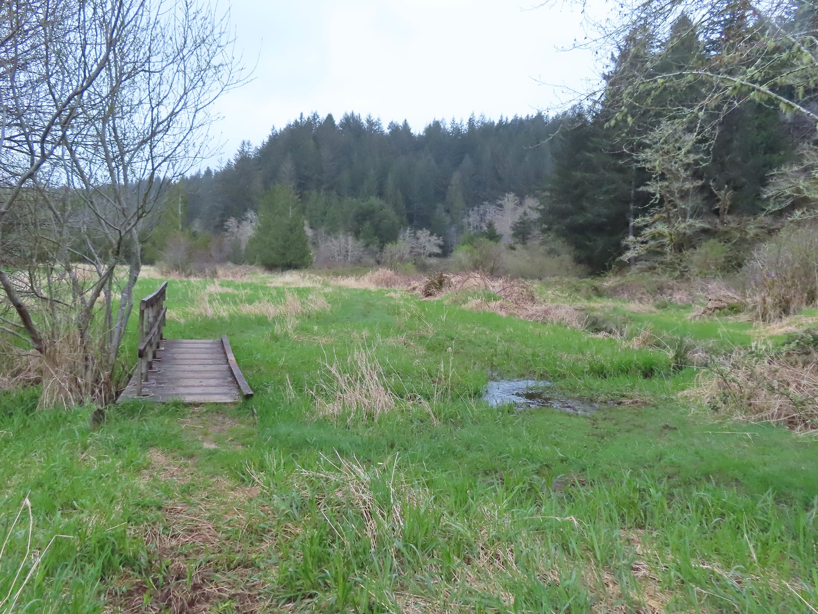 A second little footbridge.
 Coltsfoot
 Closer look at the coltsfoot.
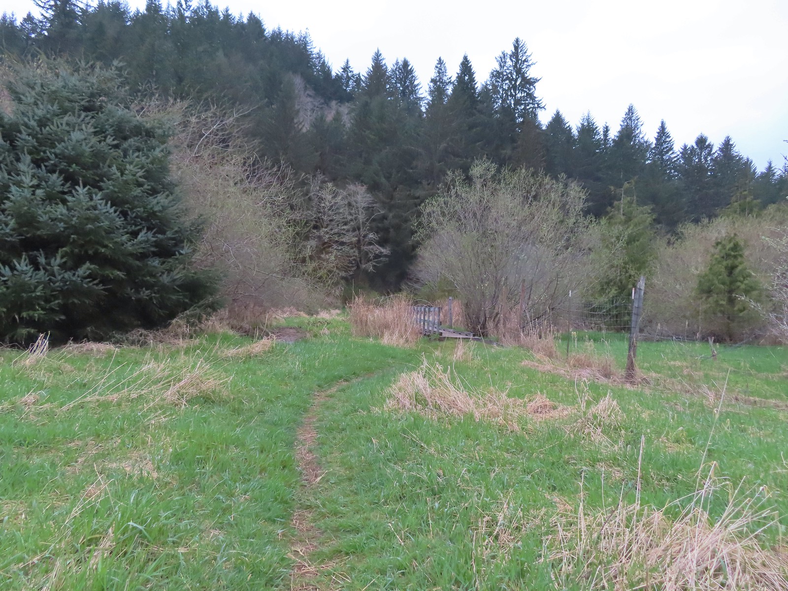 Approaching the footbridge over the unnamed creek.
 This creek was really deep here although it’s hard to tell from the photo.
 Wood sorrel
 Trillium with a resident spider.
 More skunk cabbage, also with a resident spider.
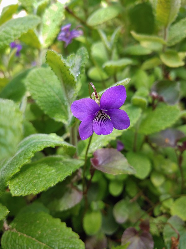
 Violet
 Bleeding heart
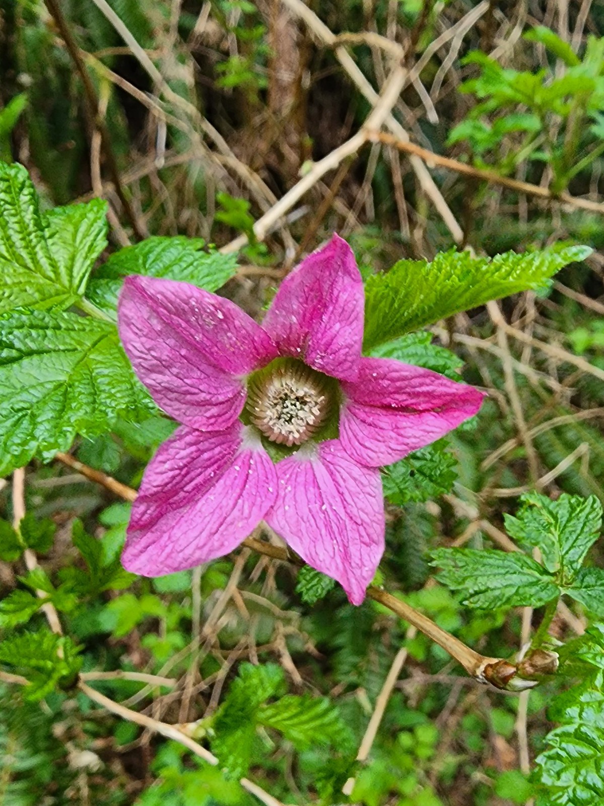 Salmonberry
 Toothwort
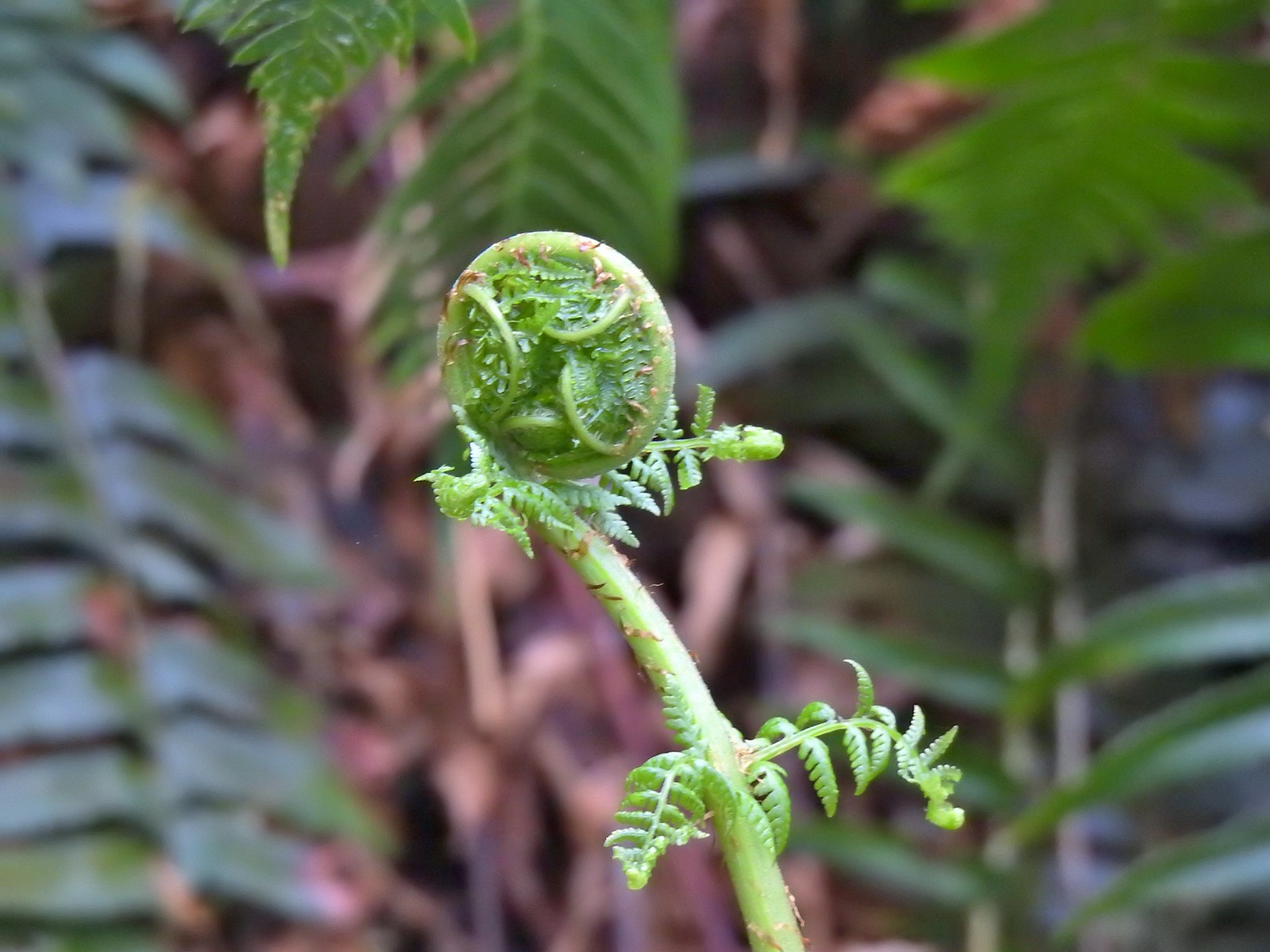 Unfurling fern
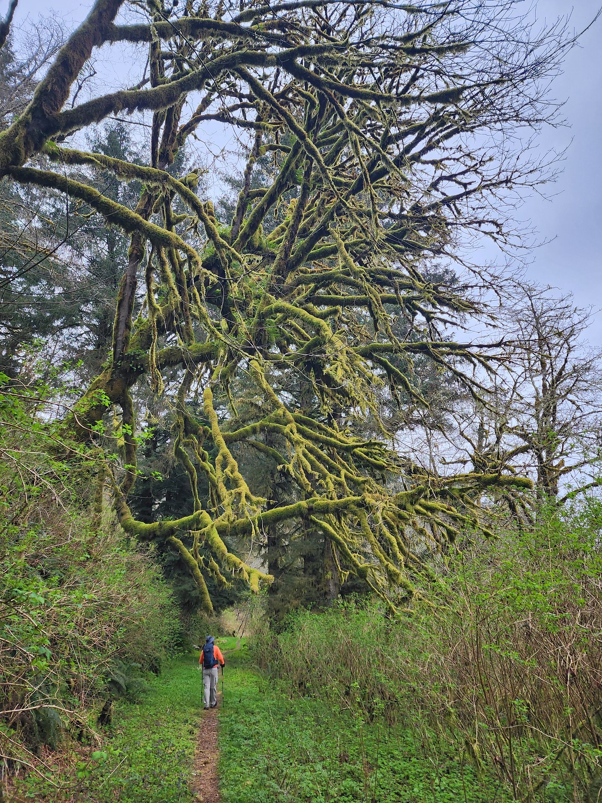 Me passing under a mossy tree.
 Snail on the trail.
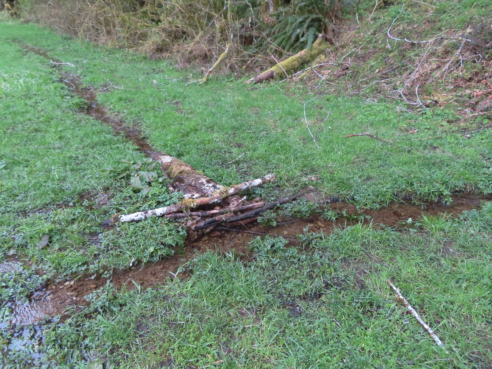 This makeshift damn was not stopping the water from flowing down the trail.
 Another of the small stream crossings.
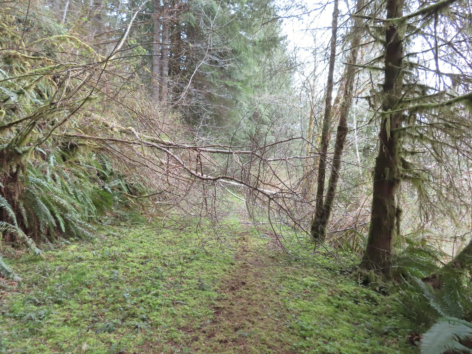
 The creek was actually pretty deep here with the recent wet weather we’d had.


 A trillium unfurling.
 Violets
 Several trails have similar markers with most of them being at or near junctions. This one was just alone along the trail.


 Rough skinned newt
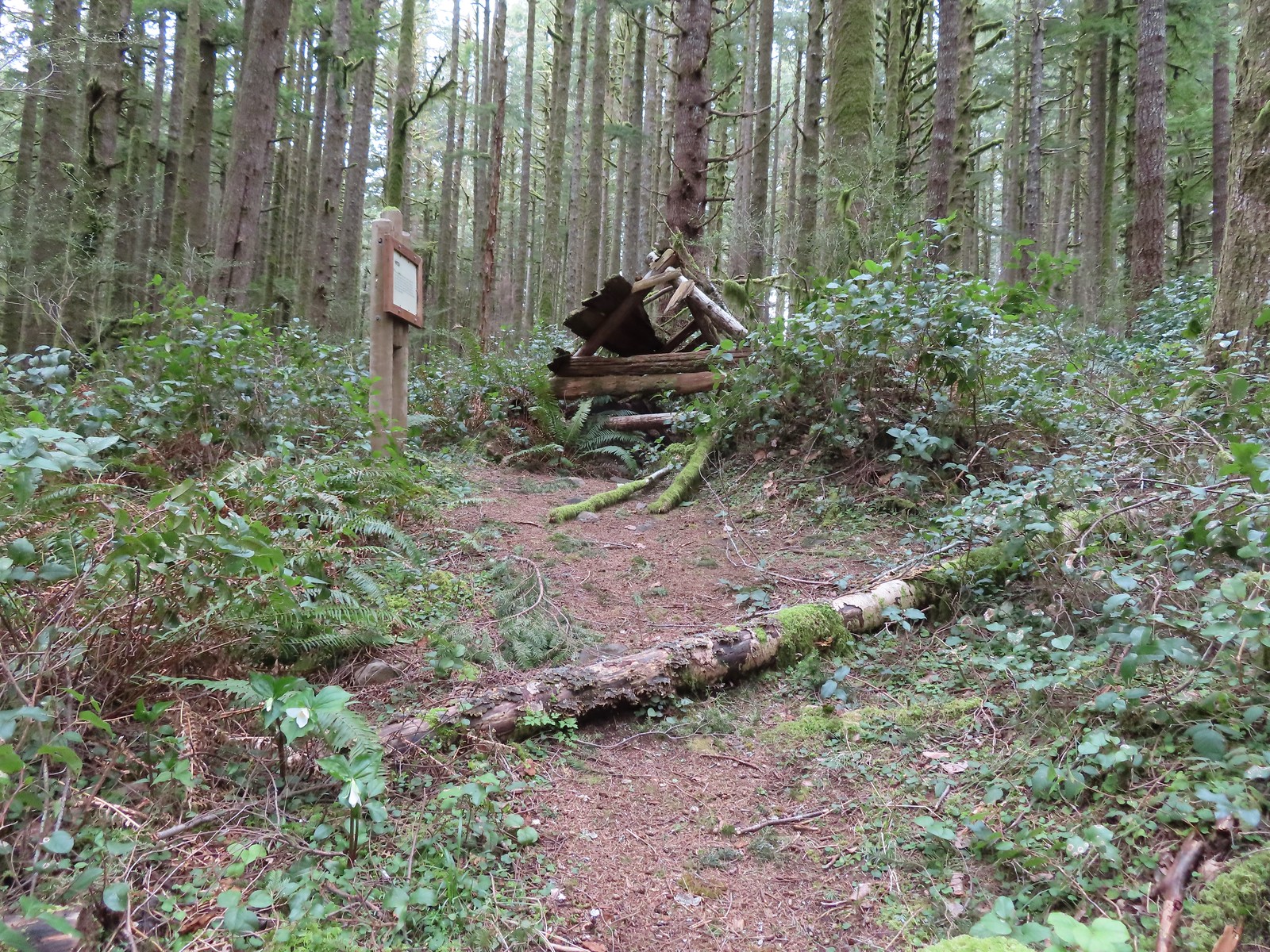
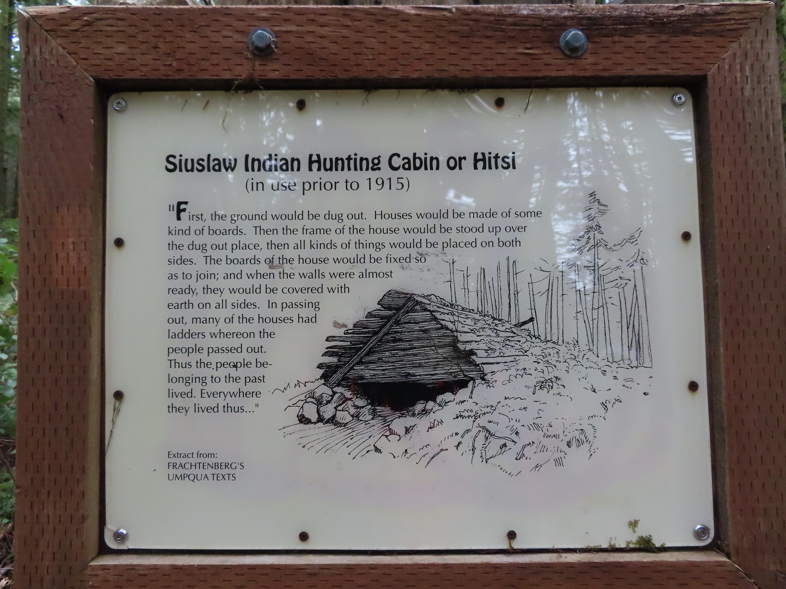

 Time has not been kind to the hitsi.


 The trail briefly followed an old roadbed.
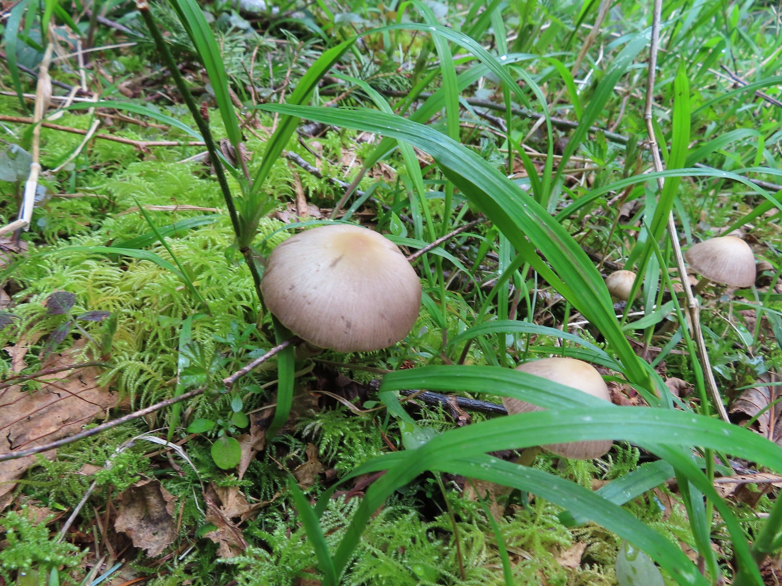 Mushrooms along the roadbed.
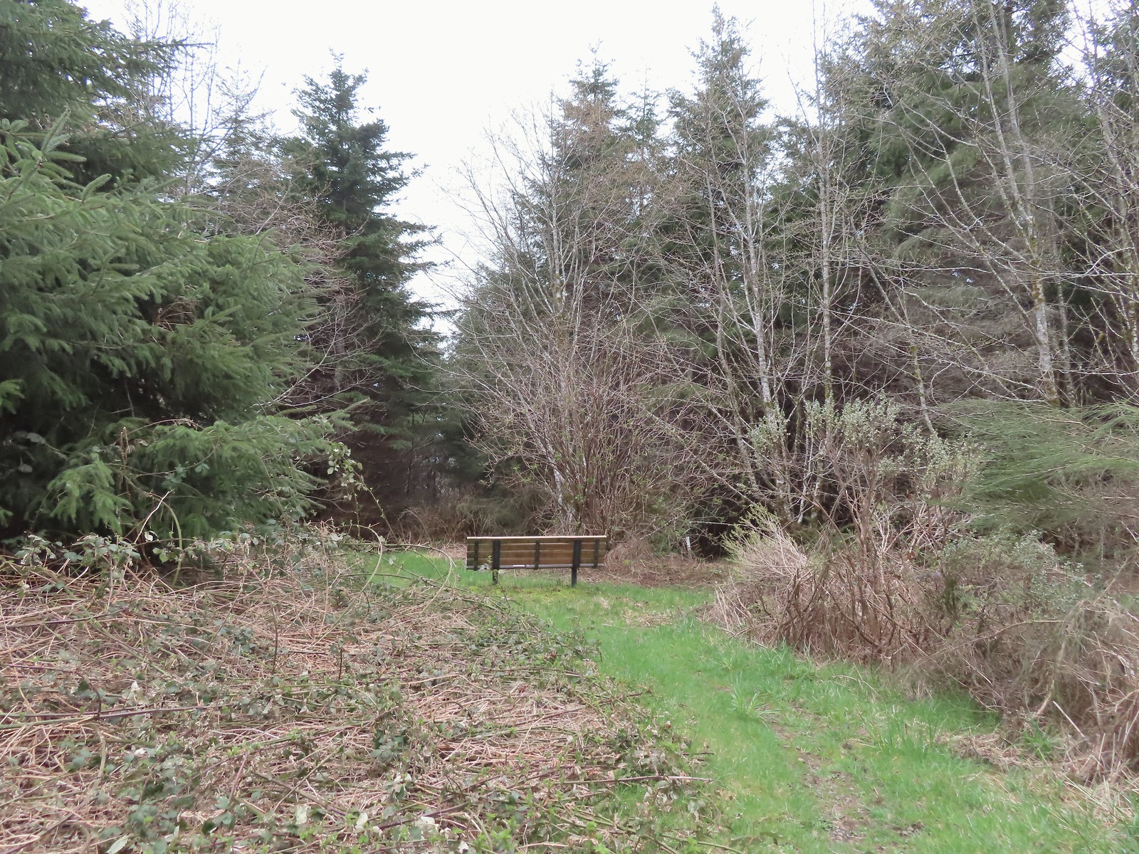 Another bench with a questionable view at the end of the roadbed segment.
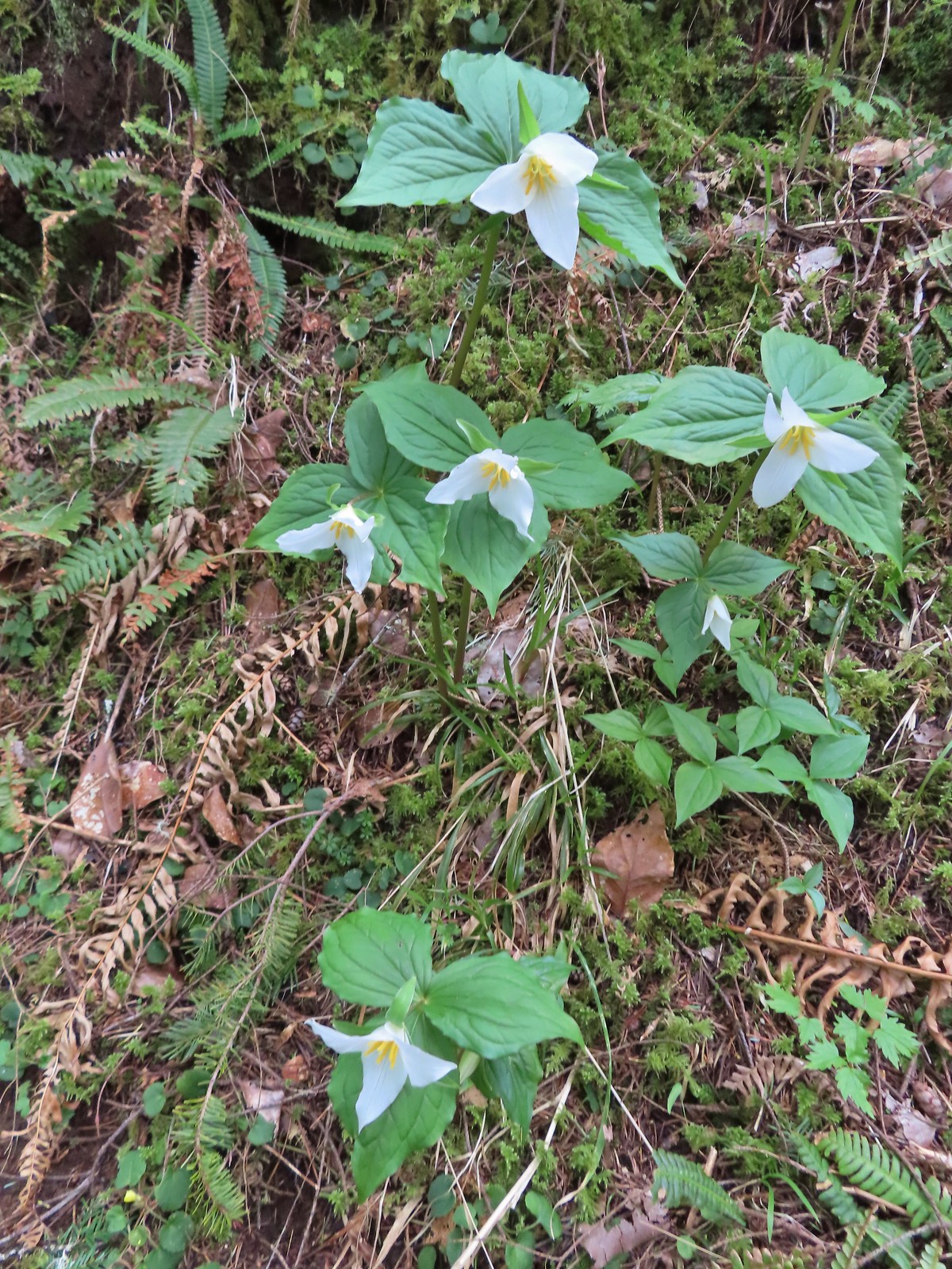 Flowers are a few weeks behind this year but there were quite a few trillium along the trails.
 Violets were the other abundant flower.
 Red flowering currant beginning to bloom.
 Wood sorrel
 This looked to be a fairly recent uprooting.
 A cute fungus
 Looking back after fording.

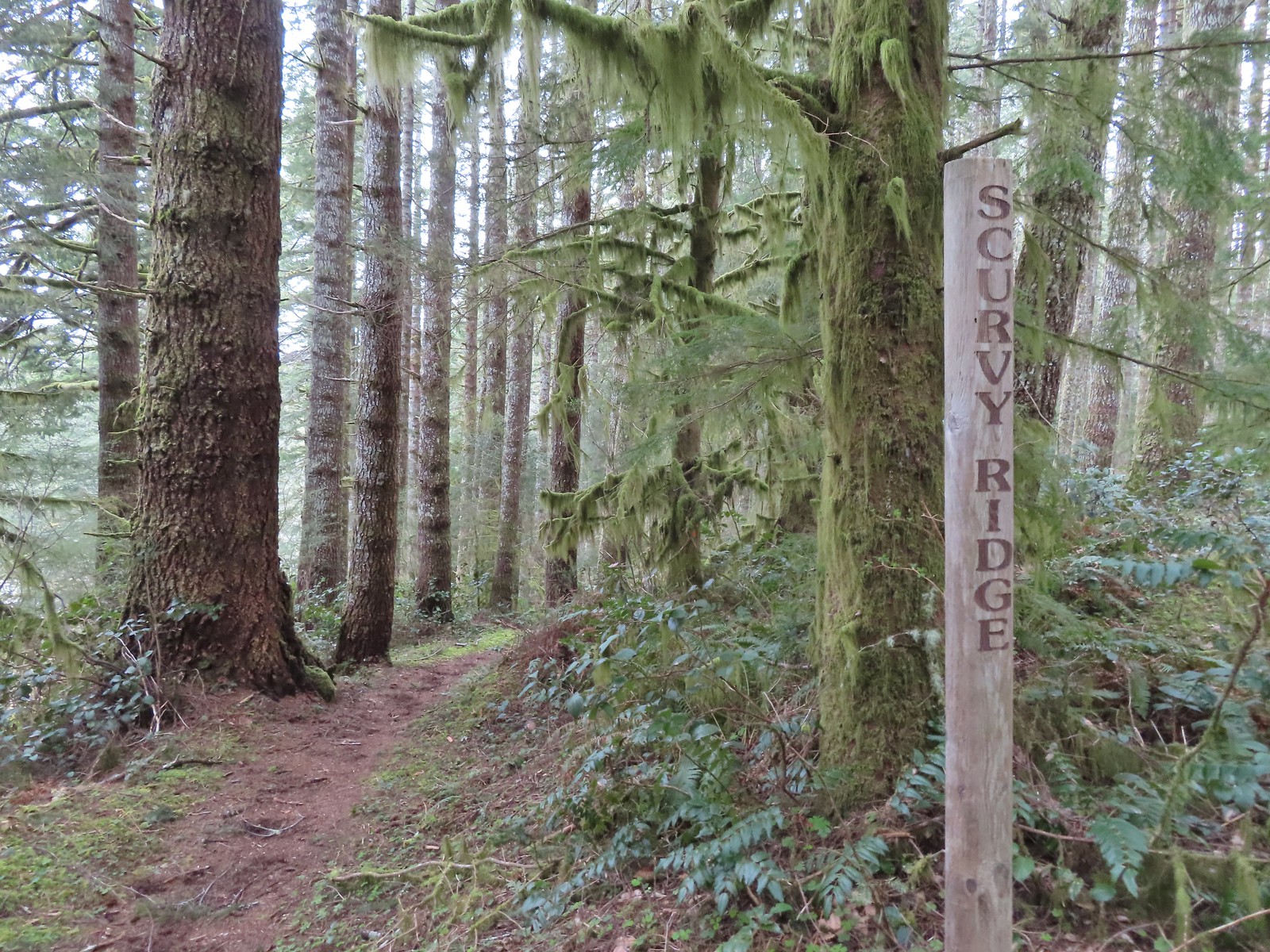
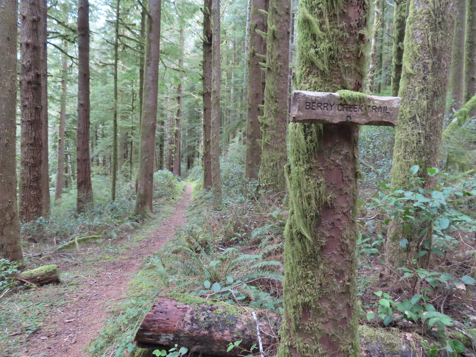
 We made a sharp right here onto the Nelson Ridge Trail.
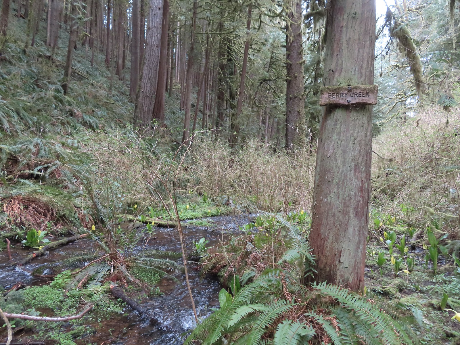
 Skunk cabbage at Berry Creek.
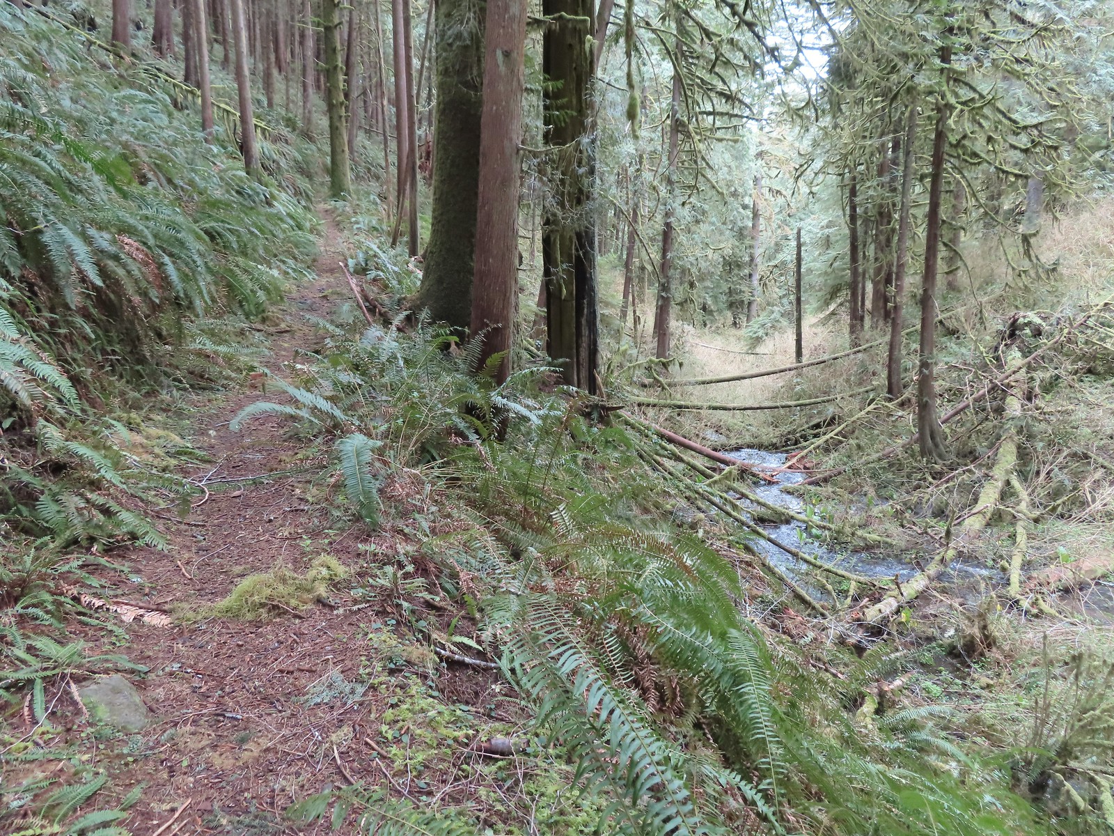
 A few bleeding-heart blooms.
 At least this bench had a view of the Pacific Ocean.
 Passing through a stand of trees along the ridge.
 Another bench.
 Some easy to walk around blow down.
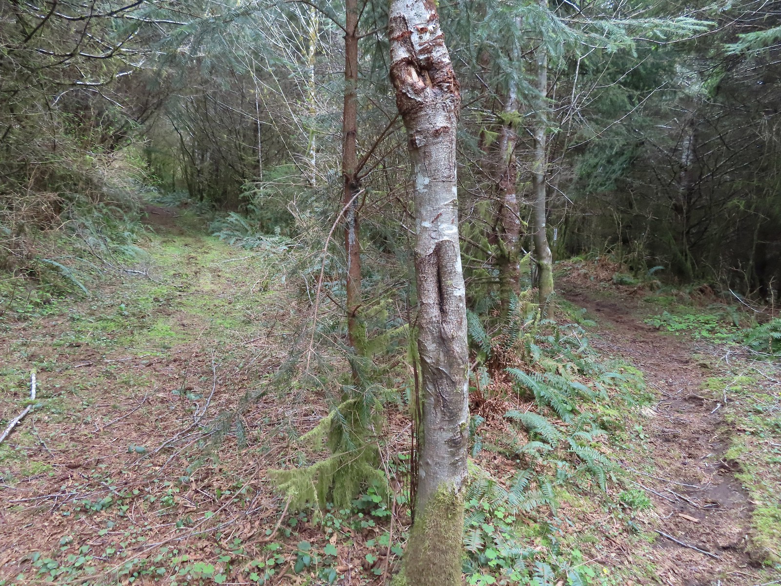 We couldn’t tell what this road/trail to the left was on the map so we stayed right to be safe at this junction.
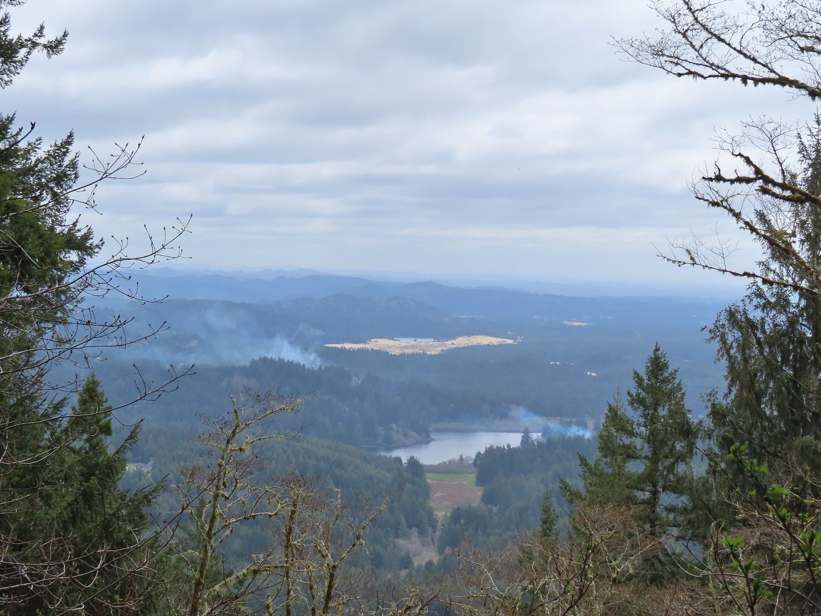 I think that is Sutton Lake and beyond the sand is Clear Lake.
 The end of another short roadbed section.
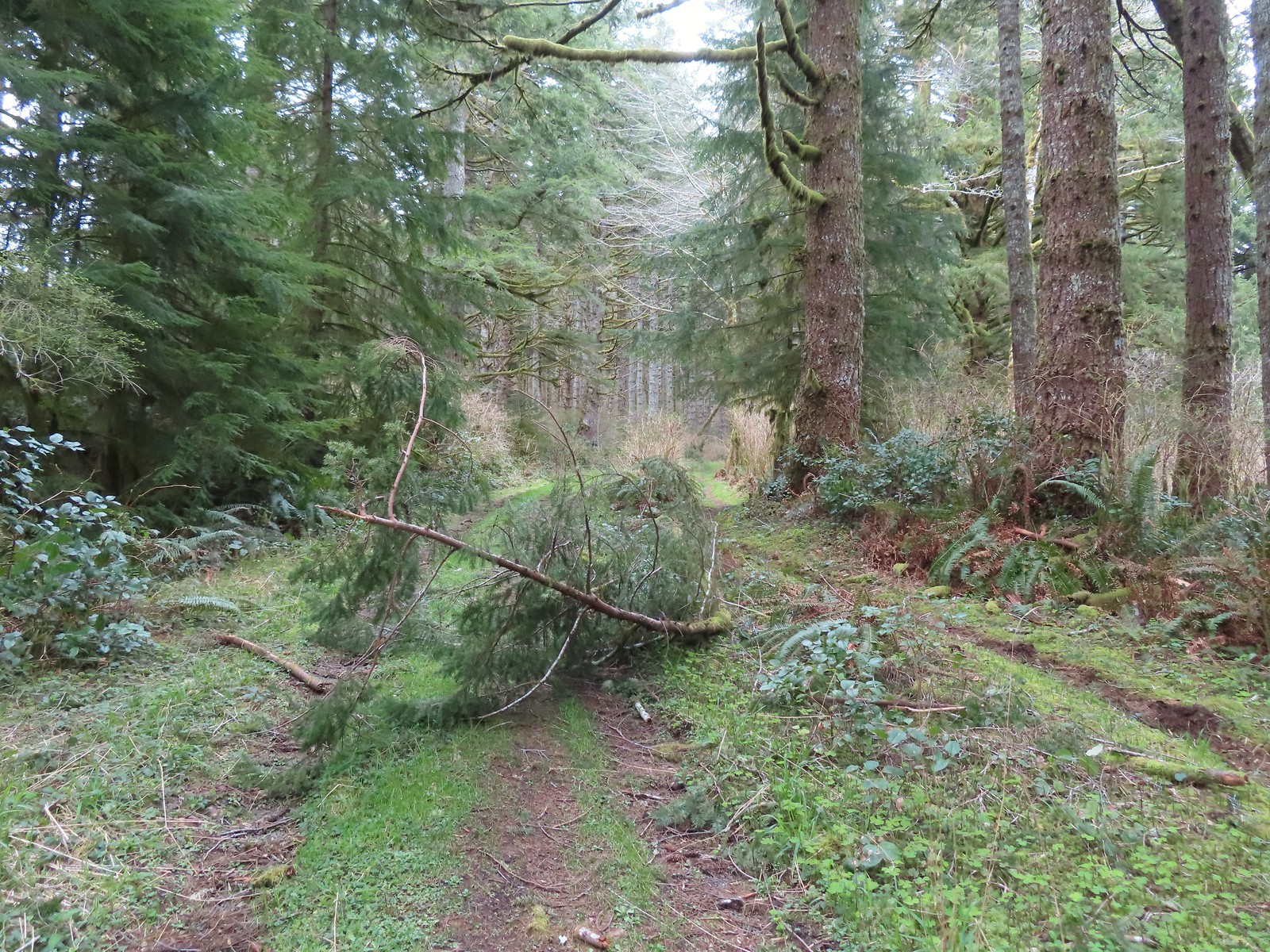 I walked on this roadbed for a bit just to do something a little different than on the first visit when I stuck to the trail (on the right).
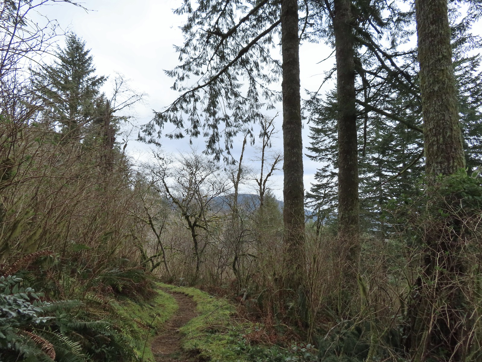 Starting to descend toward Dry Lake.
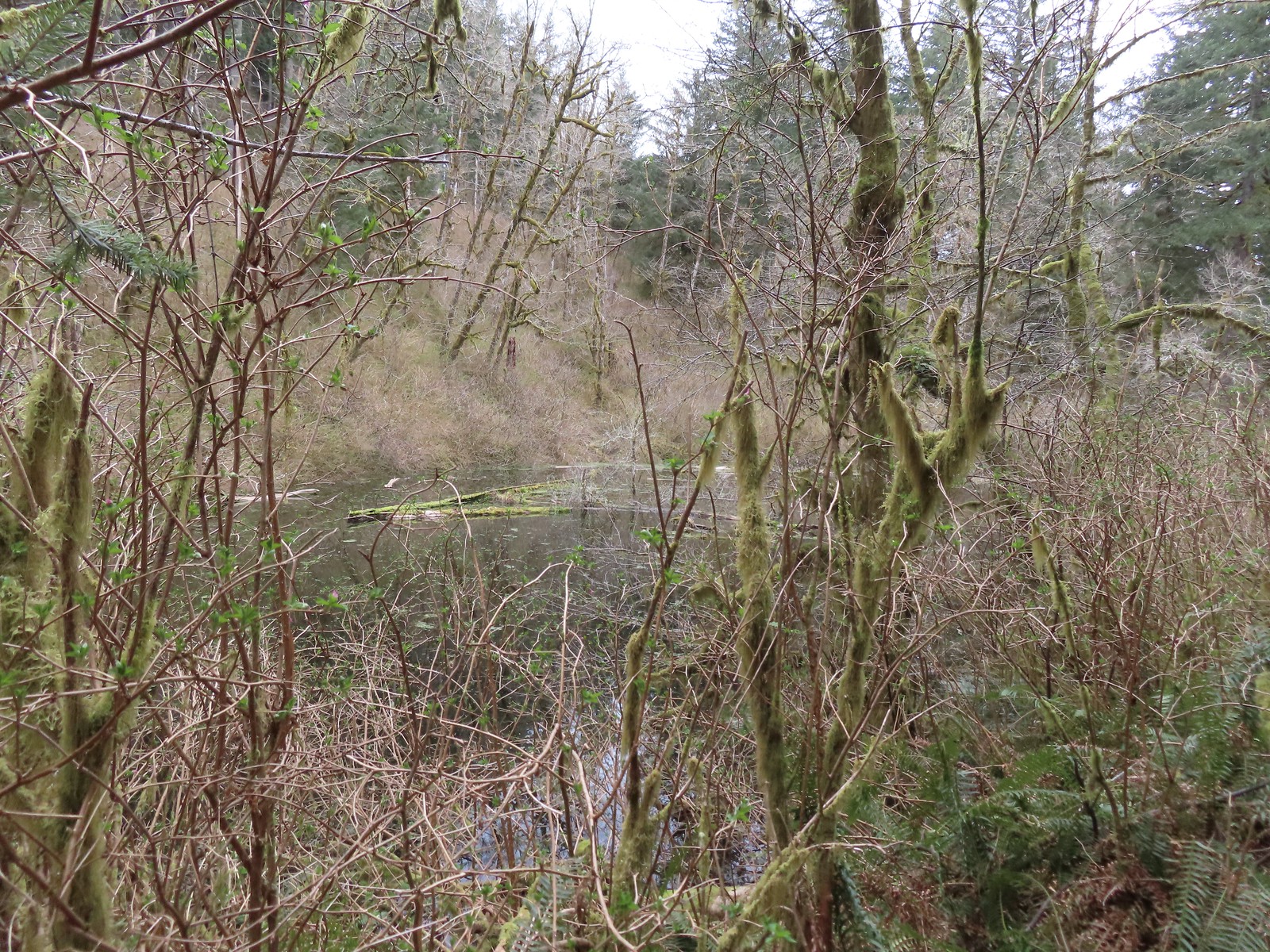 Dry Lake
 Back at the trailhead.


 Junction with the spur Wetlands Trail. The larger sign on the left is a
 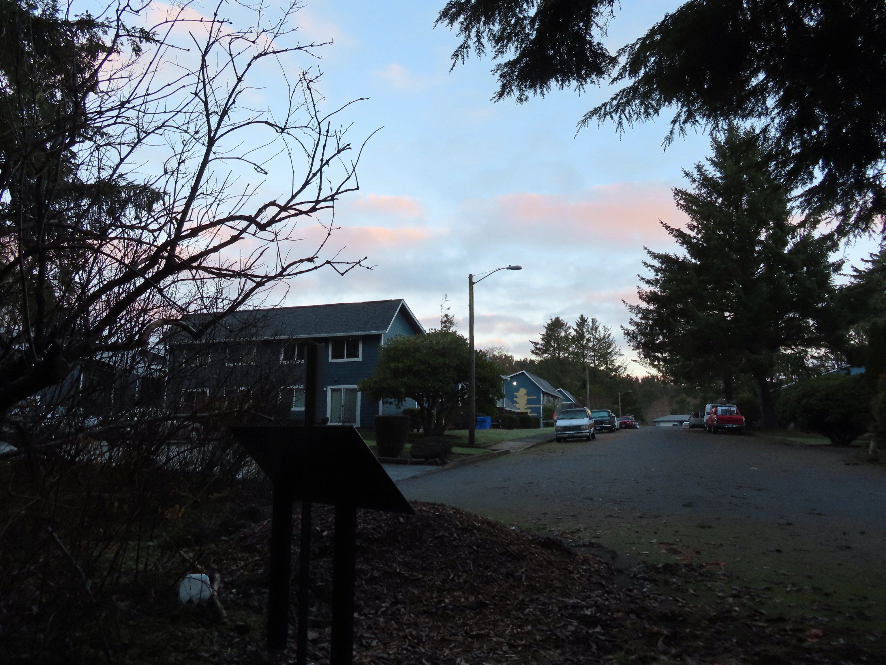 End of the trail at East Tide Ave.
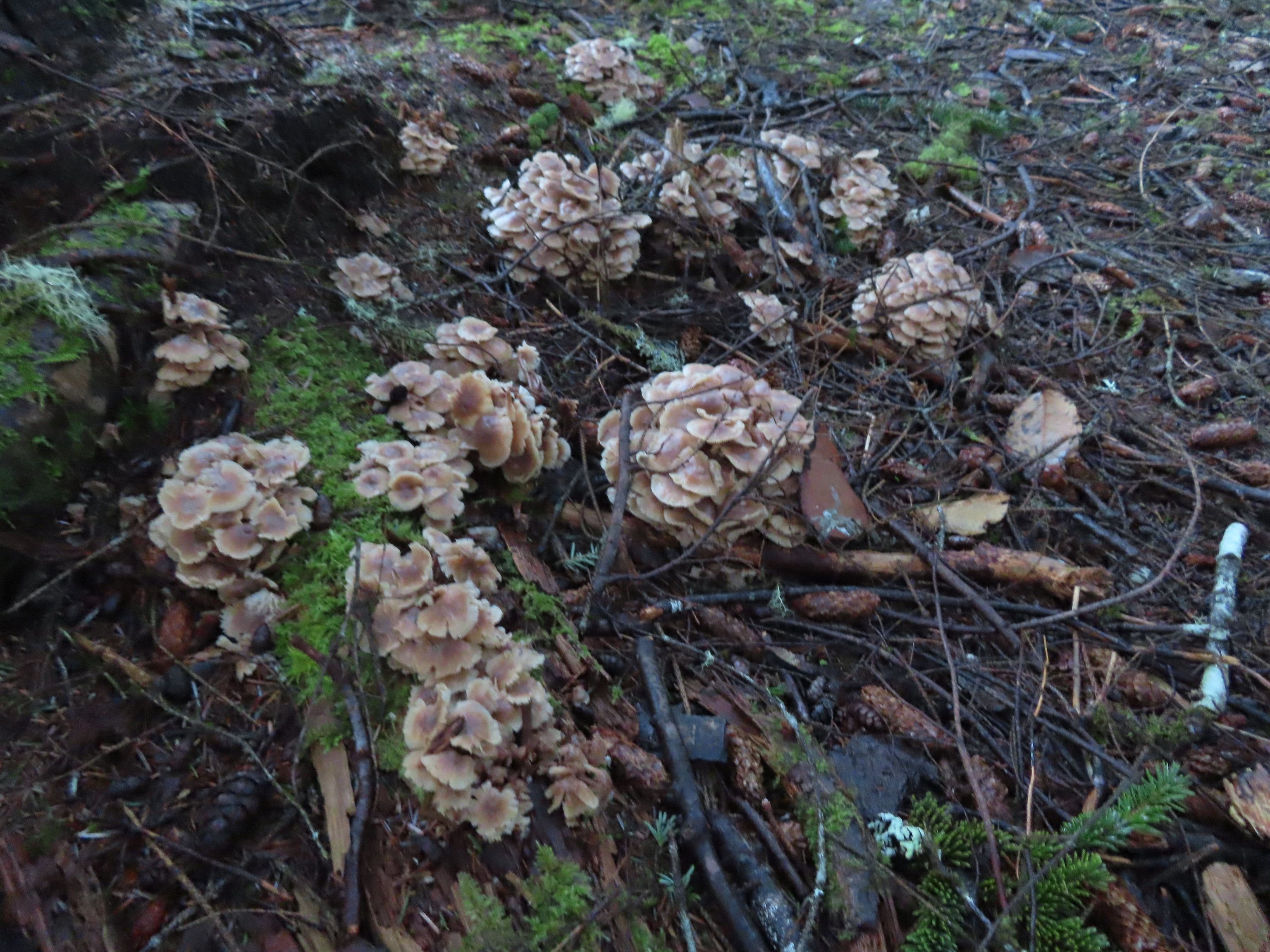
 The wetlands.
 Devil’s Lake from Regatta Park.


 Pointer for a heritage tree.

 Another Trail Challenge sign.
 Heading out of Regatta Park
 Neat dragon sculpture.
 West Devil’s Lake Road. The trail is ahead on the right just beyond the driveway on that side.
 There was no sign along the road but there was a trail marker just uphill.
 The trail briefly leveled out atop the ridge before diving down the other side.
 This junction is where our loop began and ended.
 Another fork just beyond the one in the previous photo.
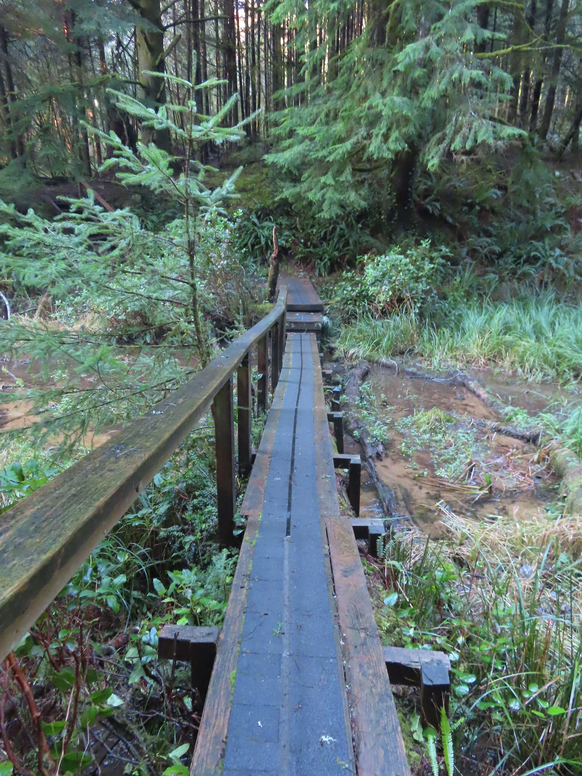 Footbridge over the northern arm of the lake.
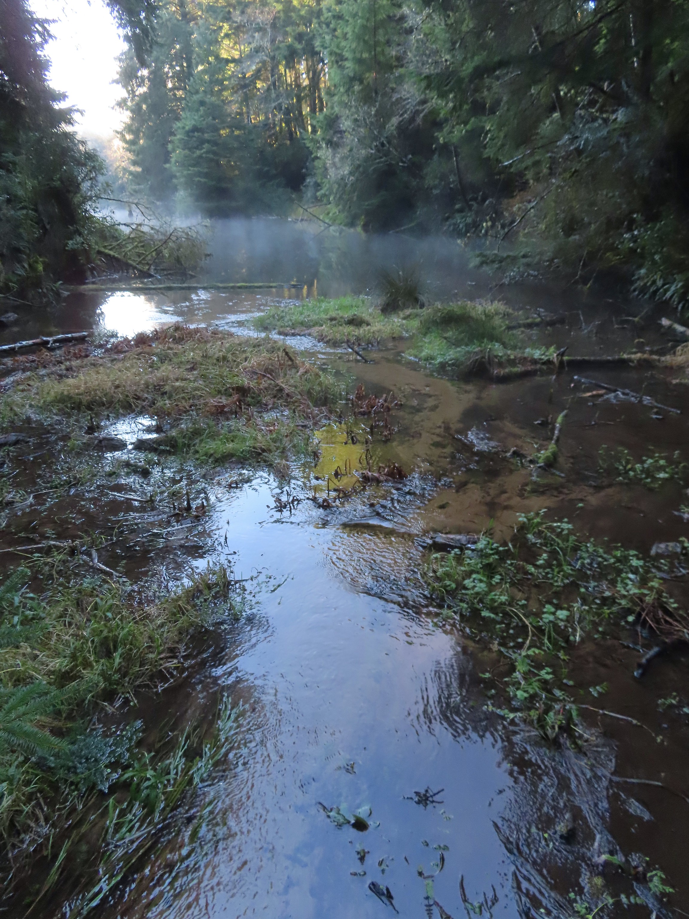 Spring Lake from the footbridge.
 Found another one.
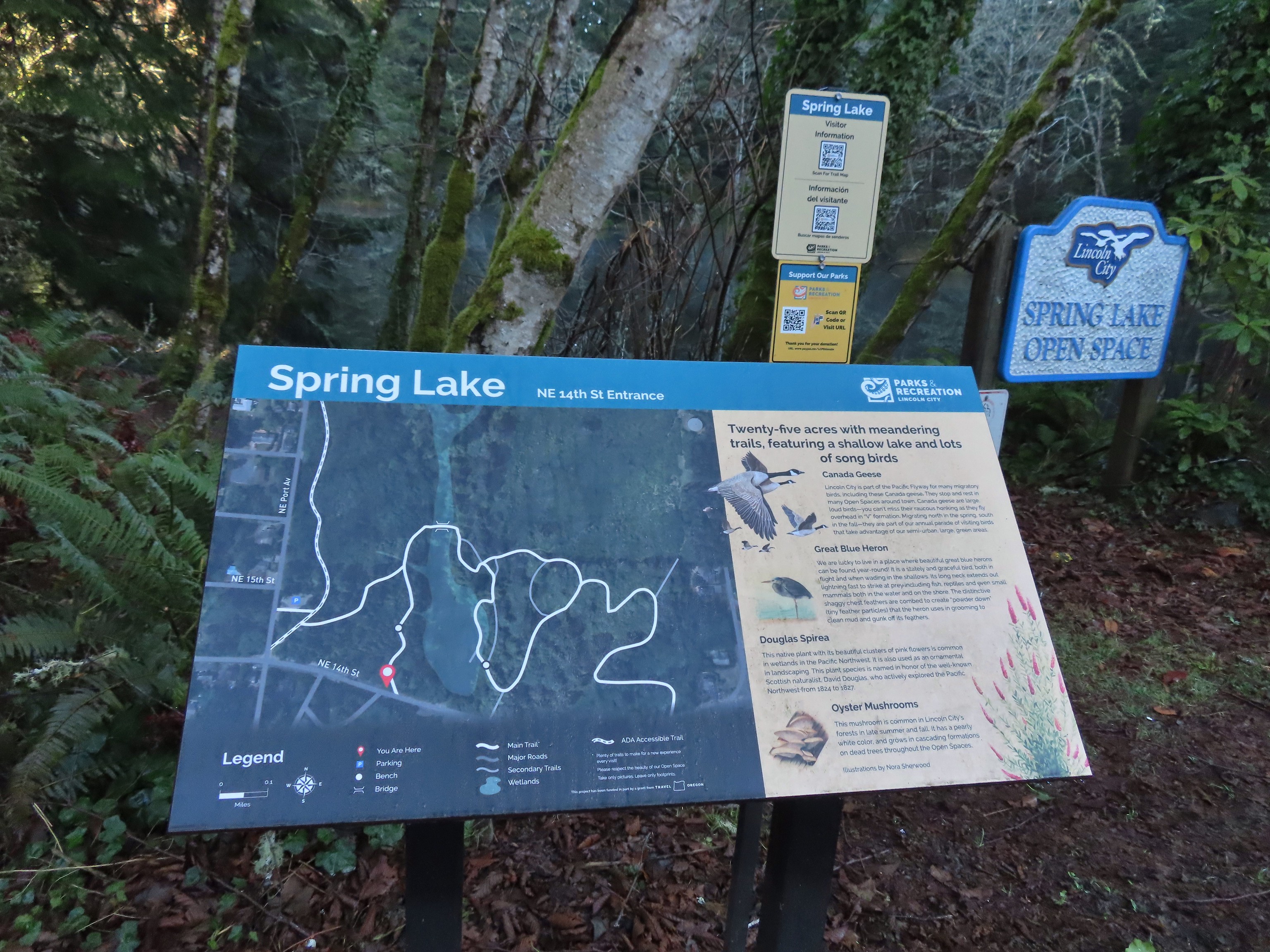 Small trailhead at 14th Street.
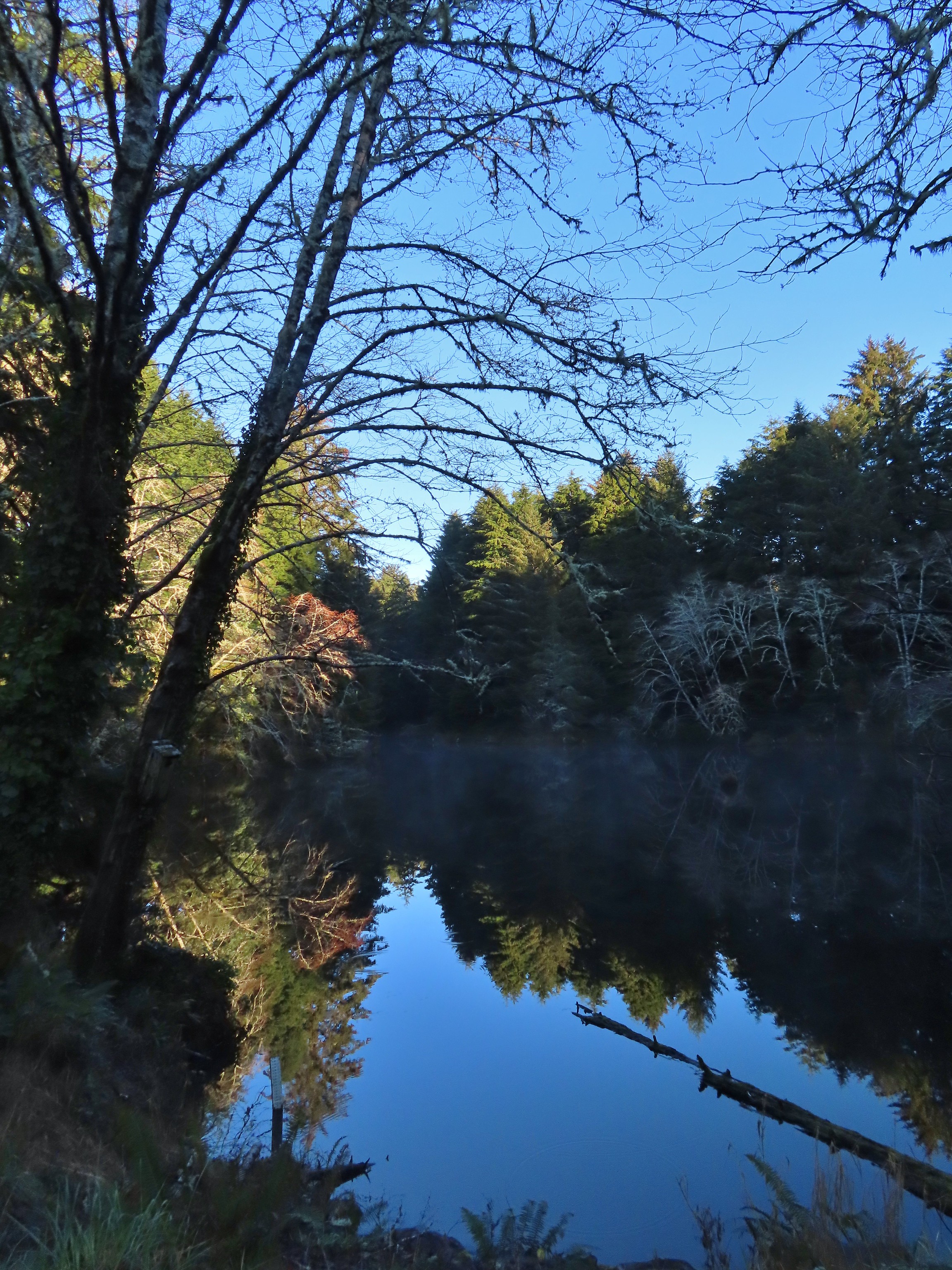 Spring Lake from the 14th Street Trailhead.
 We had to walk a few feet along 14th Street to find the trail on the east side of the lake.
 Approaching the junction at the end of our loop.
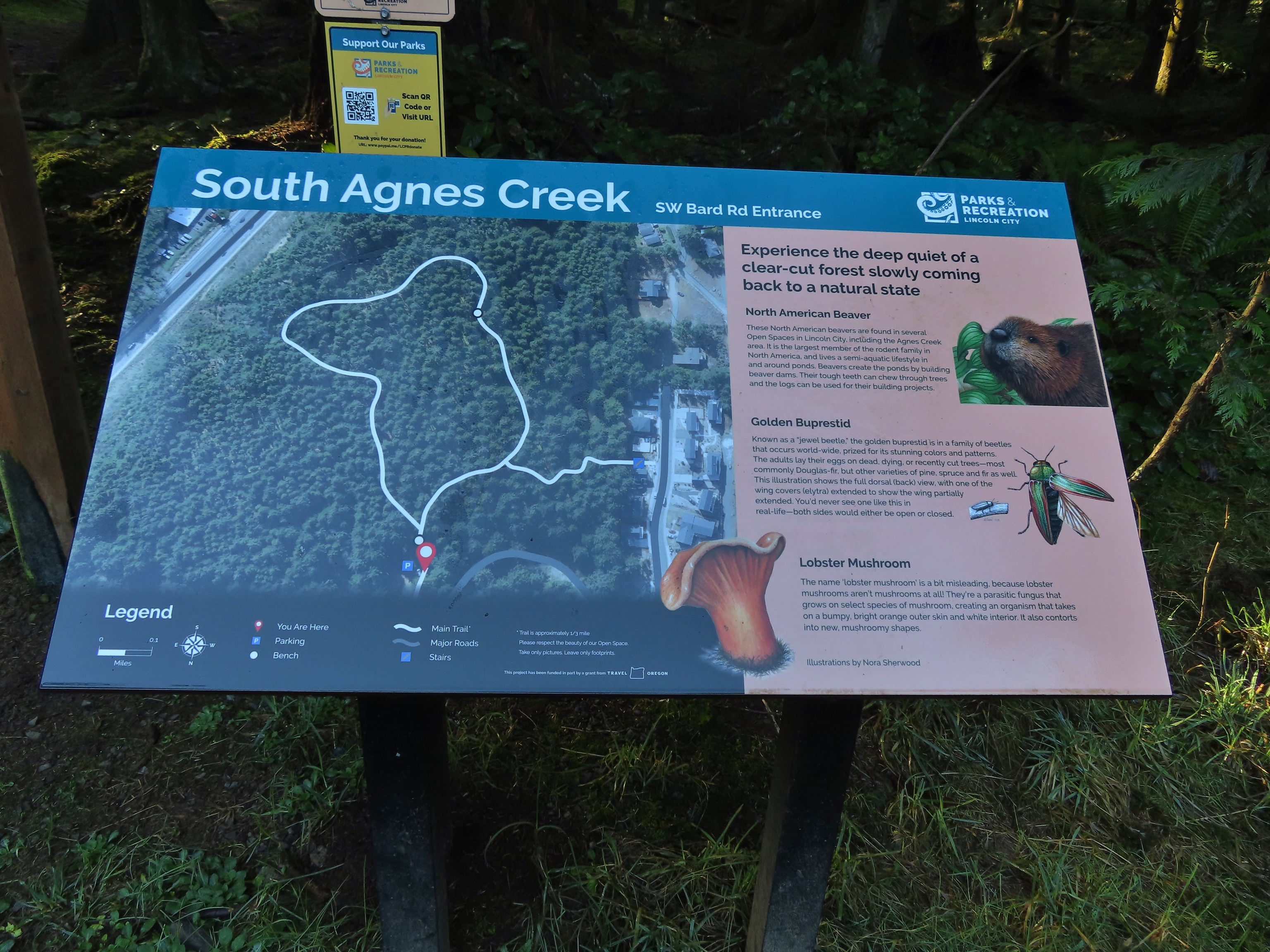

 This forested loop was full of bright green mossed covered ground.

 The connector trail at the south trailhead.
 Two short out-and-back trails begin at the north trailhead. We started with the left hand trail.
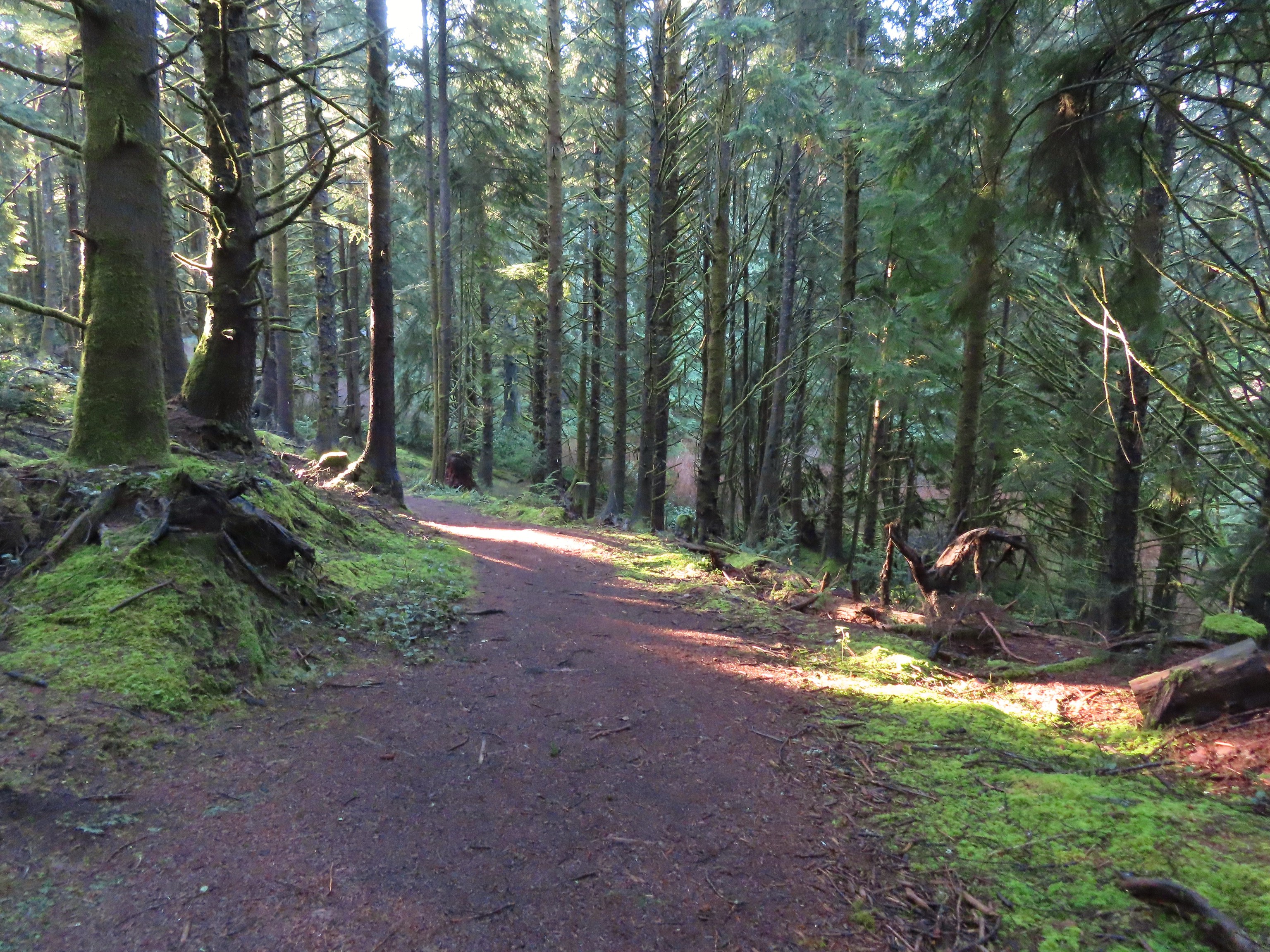

 The left hand spur abruptly ends on a ridge above what we assume was Agness Creek although we couldn’t really make out an actual creek.
 Agness Creek?
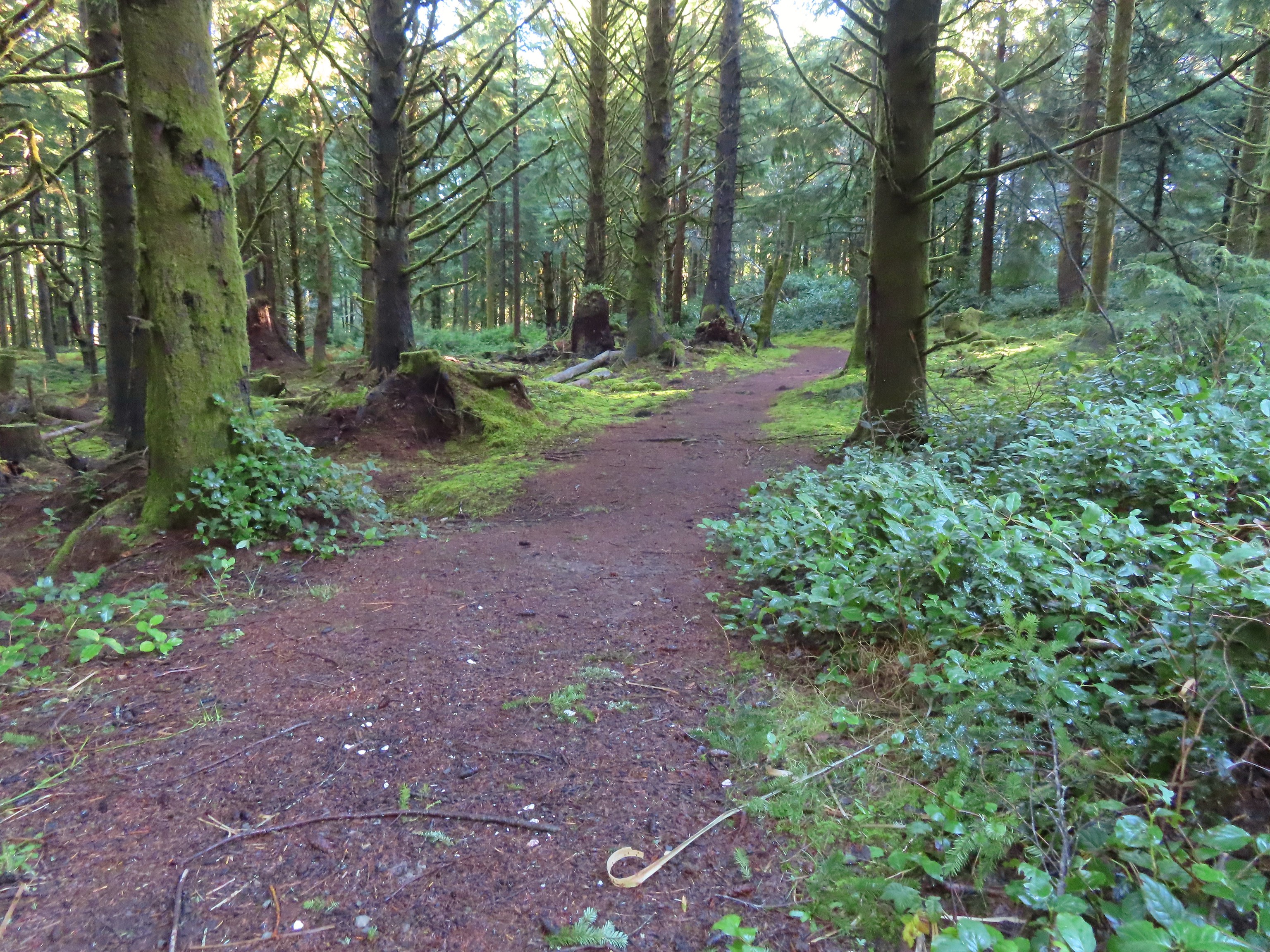


 Approaching SW 19th Street.

 This should have been the end of our loop, not the beginning. Had we realized we weren’t on the perimeter trail we would have taken the first left hand trail which would have allowed us to do our planned loop in reverse (clockwise). Instead we headed straight up the ridge.
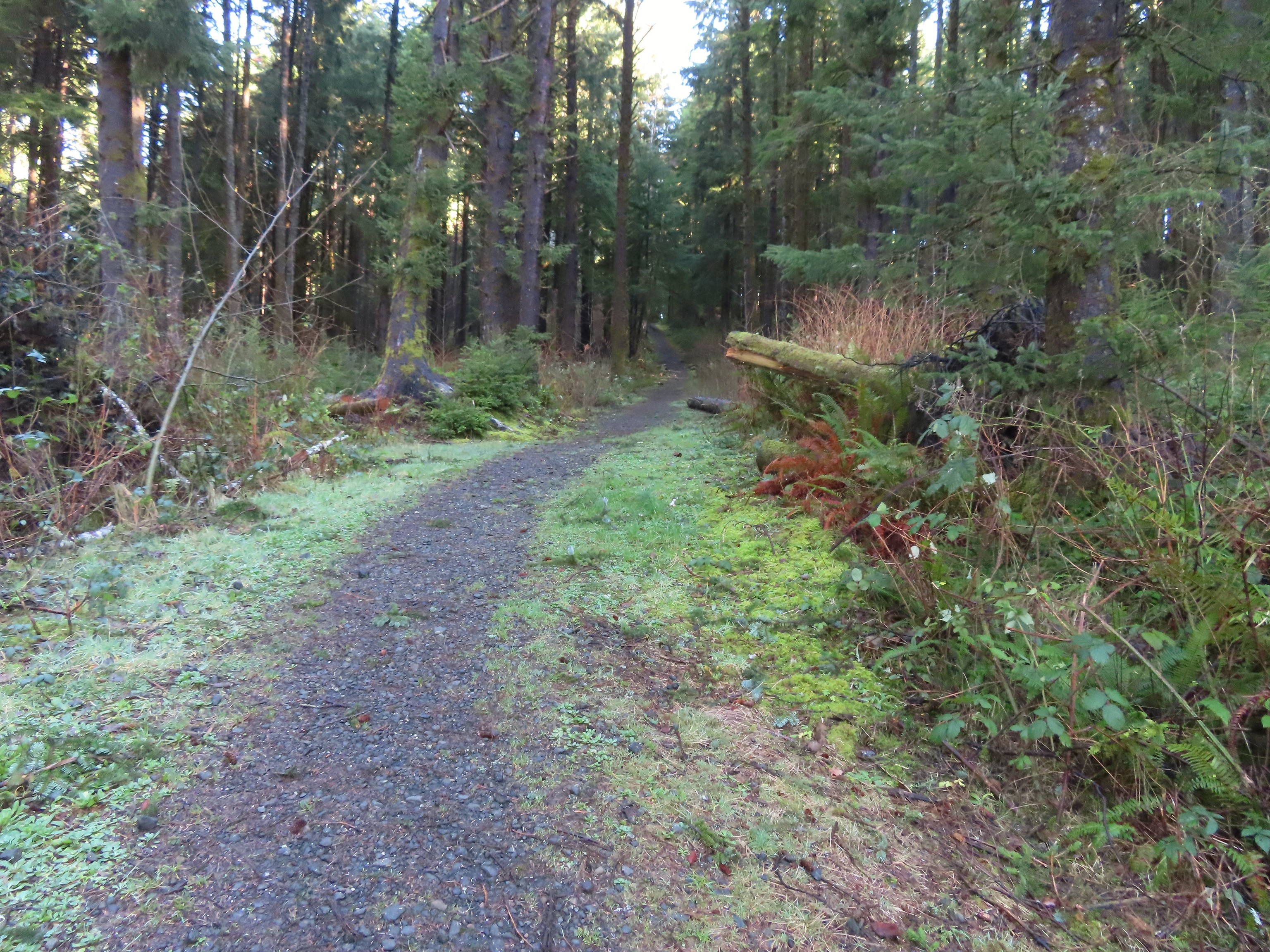
 The Trail Challenge sign here was located at a second junction, near the ridge top. A short distance beyond was another junction with an unsigned trail veering off to the right. We still hadn’t figured out our mistake and thought that the right hand trail was a spur trail shown on the map leading to a neighborhood so we went left.
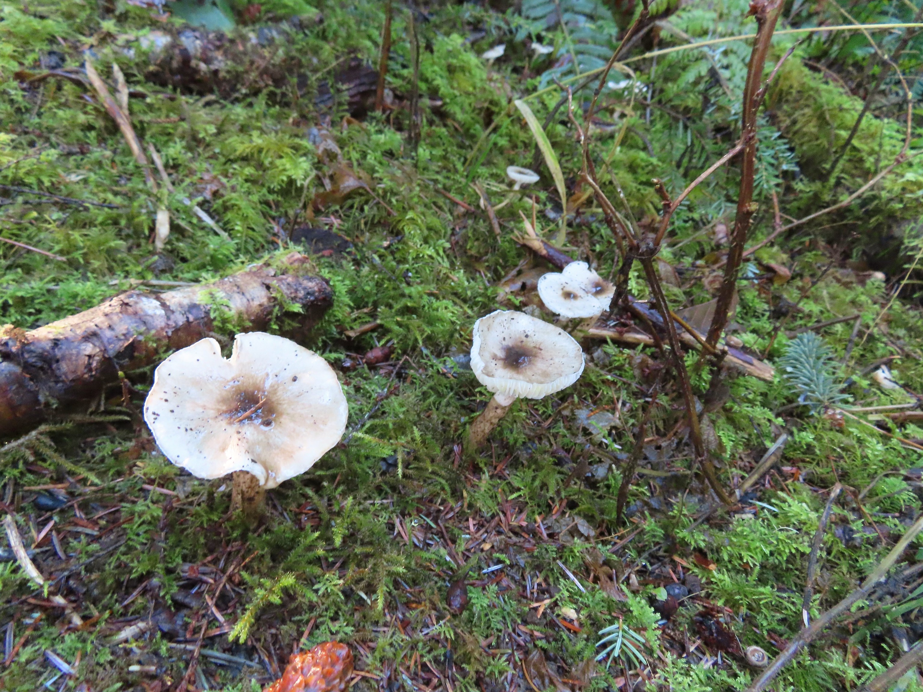

 A lot of clearcuts is what I could see.


 We were really surprised that this was the only real obstacle we encountered all day given the recent storm.
 An example of the fainter tread along this section.
 The spur to the left led to a neighborhood so we turned right.

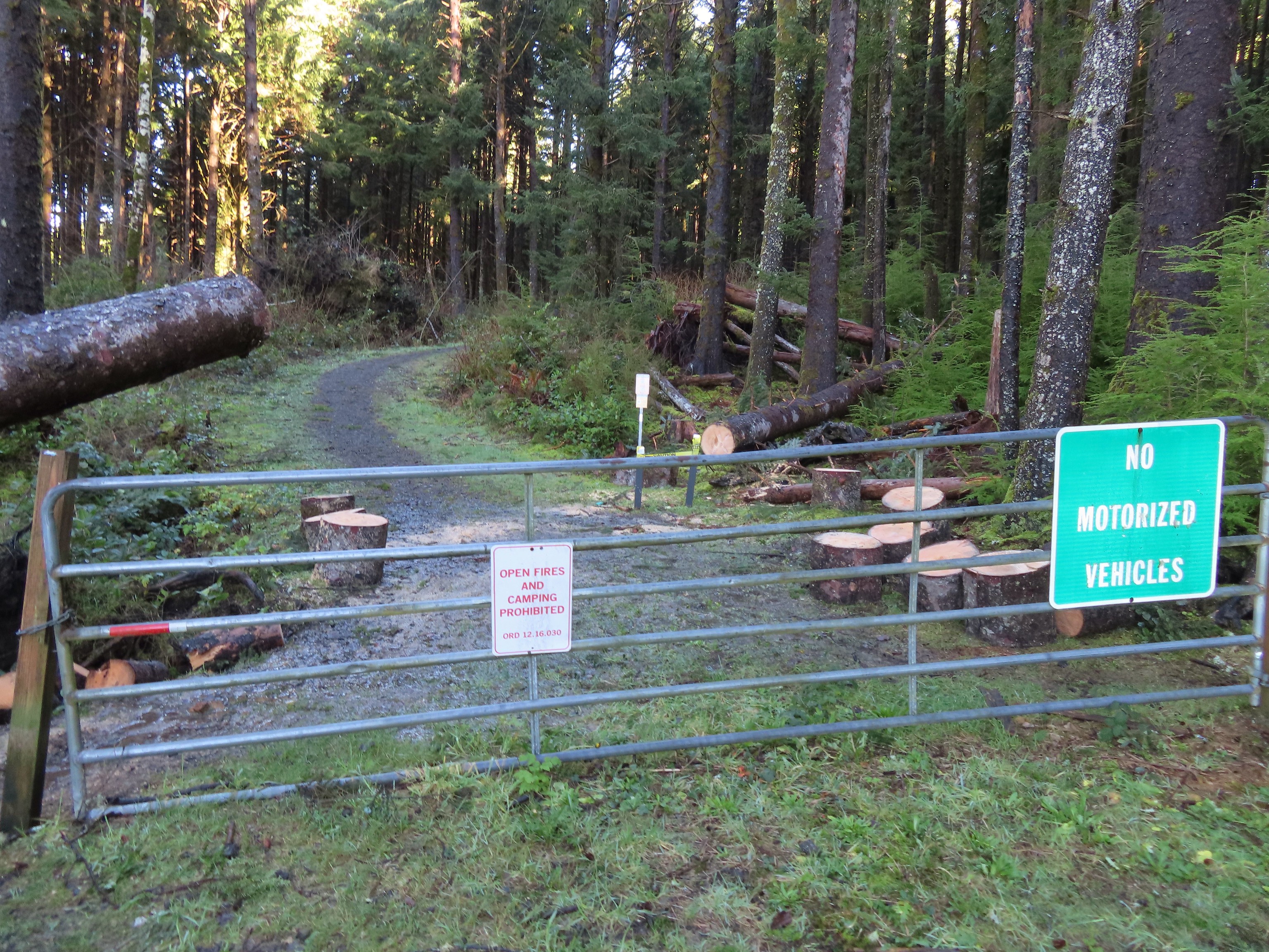
 The trail arriving at the trailhead entrance road. The chain link fence at Taft High is on the left.
 Siletz Bay from the brewpub.
 A gull and an egret.


 Four County Point
 Sunset Rest Area


 Inland (Rainforest) Trail
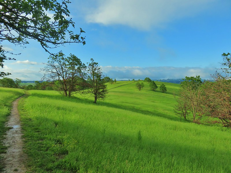


 Yaquina Head
 Yaquina Bay
 Estuary Trail
 South Jetty
 Mike Miller Trail


 Fort Hoskins
 Beazell Forest
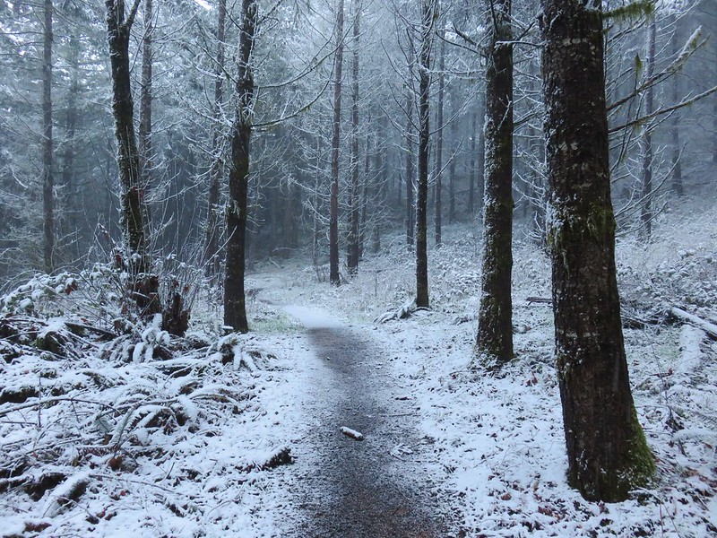


 Pioneer Hill Trail
 Pawn Old Growth Trail
 Old Growth Ridge Trail
 Clay Creek Trail


 Coquille River Falls
 Elk Creek Falls
 Hanging Rock

 Shrader Old Growth Trail
 Myrtle Tree Trail
 Vulcan Lake
 Vulcan Peak
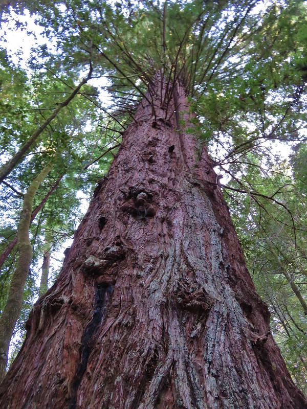


 All the bridges had labels consisting of the first initial of the trail and then the bridge number making this the 4th bridge along the Middle Creek Trail.
 Interesting seat.
 That’s a fancy hat for a stump.


 We saw a lot of rough skinned newts on the trails, but what we were really hopping for was a Pacific Giant Salamander. No luck there this time.
 A few trillium still had petals.
 Woodpecker
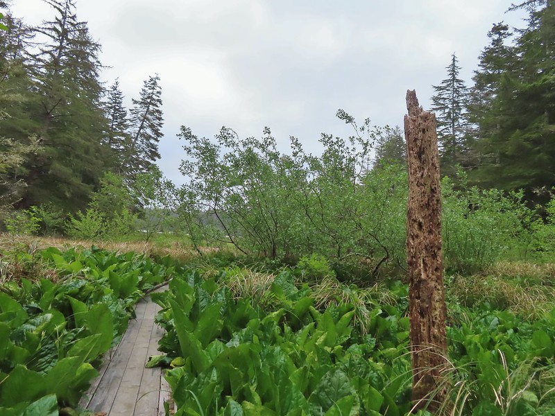


 A hedgenettle
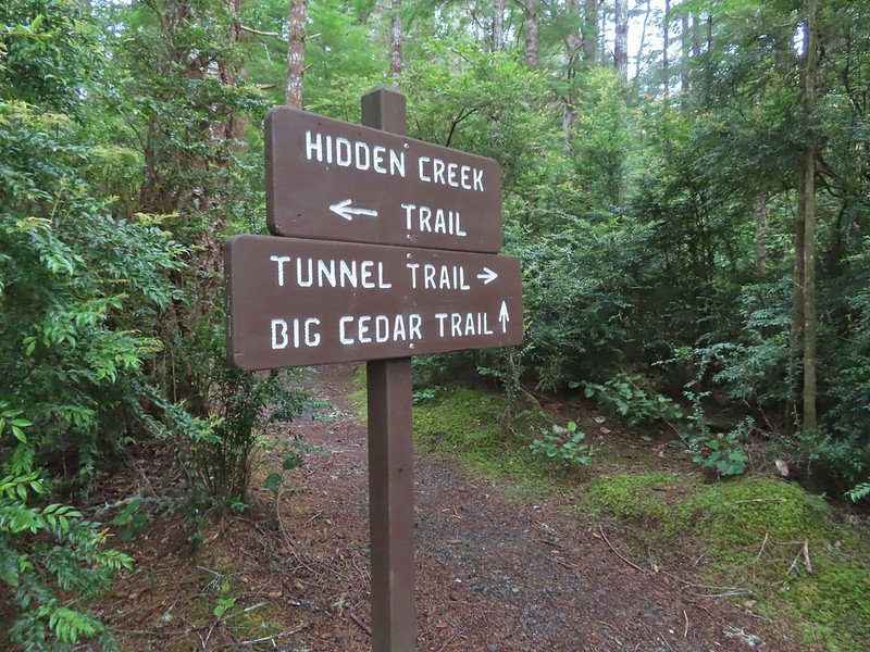


 Tunnel Trail indeed.


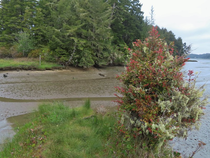
 Castilleja ambigua – Estuarine Paintbrush


 End of the line.
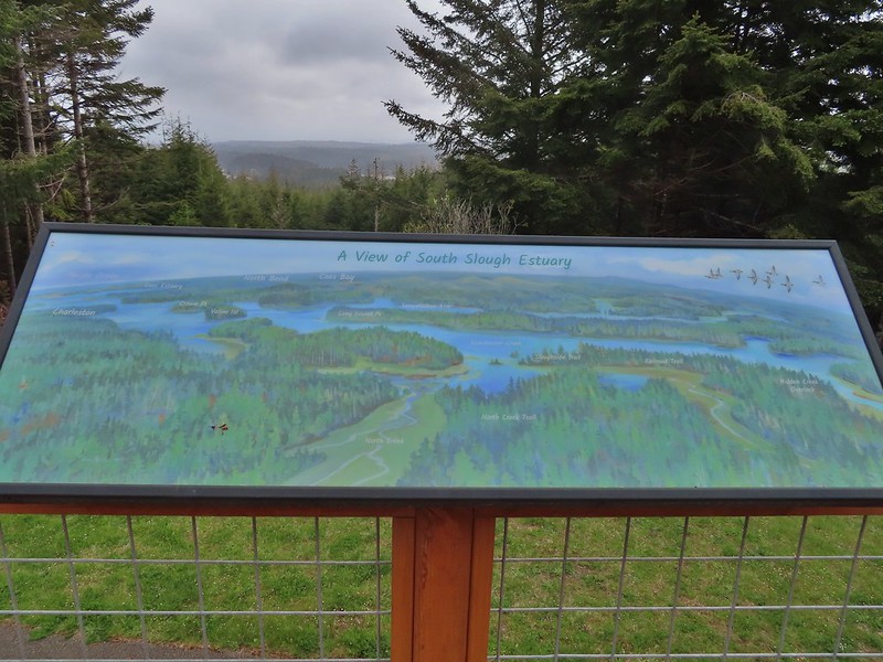
 South Slough
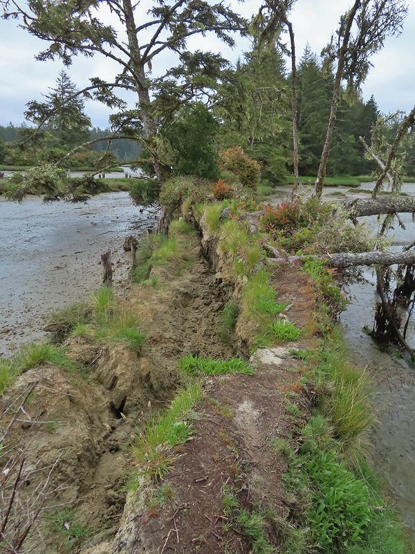 It was interesting to see how this uprooted tree peeled back a layer of the ground.
 Rhoades Marsh
 Rhododendron


 Bleeding heart, fairy bells, and youth-on-age.


 Cape Arago Lighthouse (not on Cape Arago) on Chiefs Island.
 Salal
Salal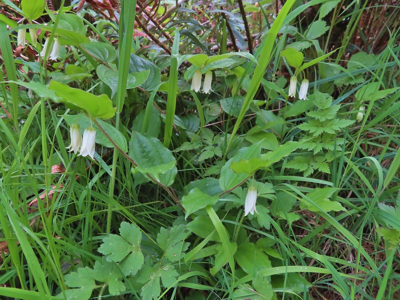
 The group campsite.


 Harbor seals in the lower right hand corner on the rocks.
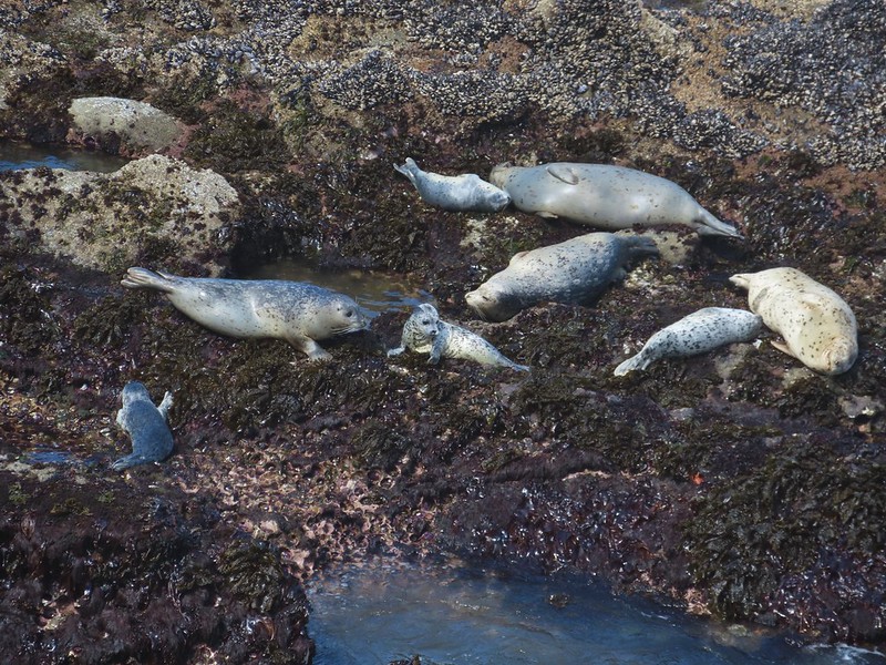

 Success!
 Paintbrush
 Sea thrift
 Mariposa lilies
 Iris
Iris Former tennis courts.
 View near the tennis courts.
 These roots explain how some of the trees that look like they should be plunging into the ocean don’t.
 Observation Building ahead on the cliff.


 Prickly Rhubarb from Chile

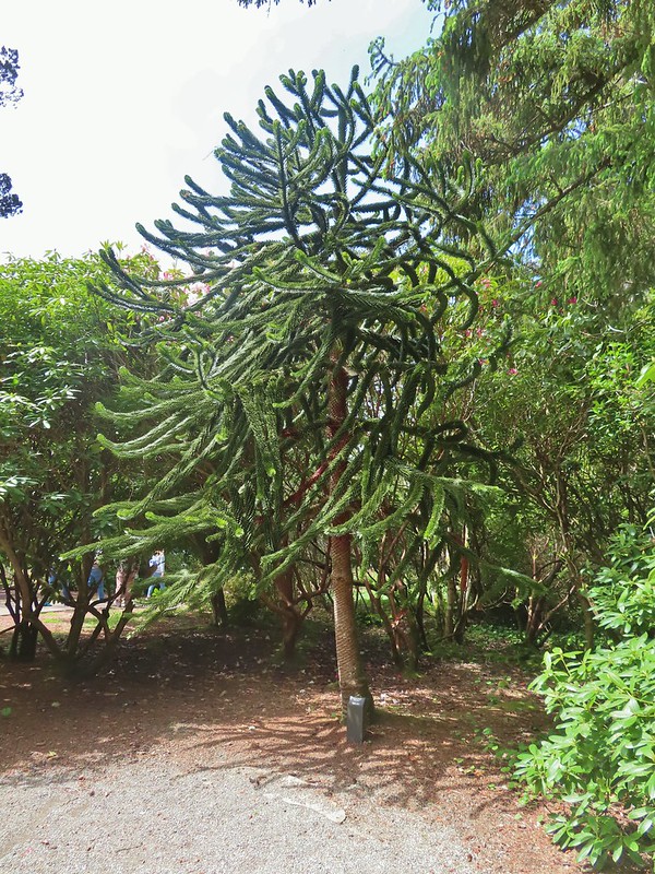 Monkey Puzzle Tree from South America
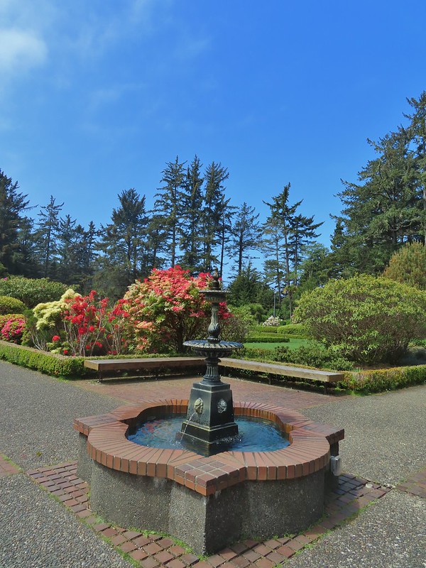
 The yet to bloom rose garden.


 Looking back across Simpson Cove to the Observation Building.
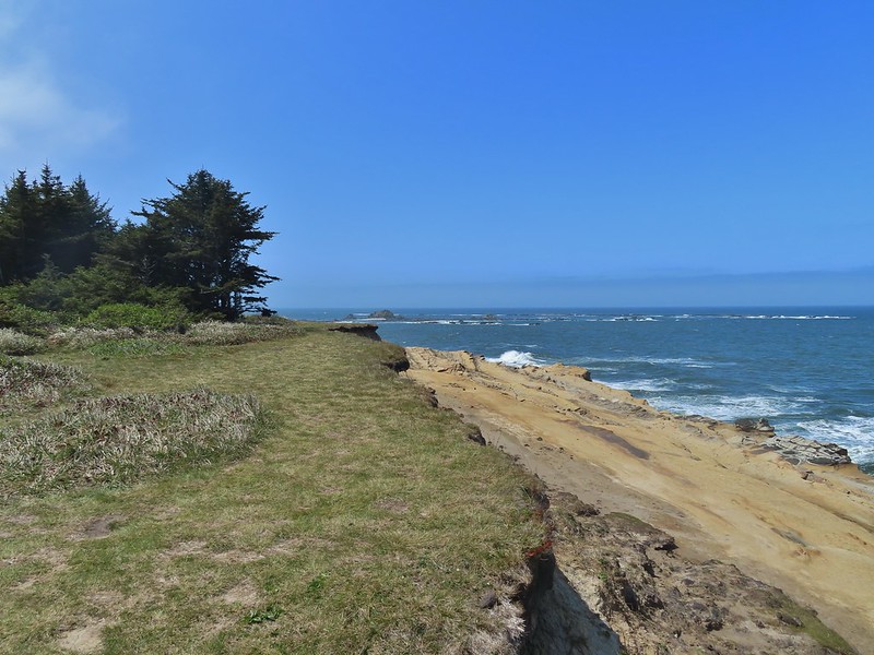 Simpson Reef extending into the Pacific.
 Shell Island in the middle of Simpson Reef.
 Sea lions and juvenile bald eagles on Shell Island.


 Harbor seals on the reef.

 Coltsfoot
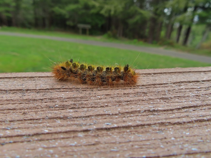
 Woolly bear caterpillar
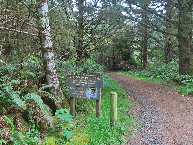 Looking back up the Pack Trail.

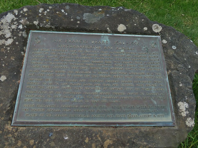 Plaque near the bench commermorating Sir Frances Drake’s visit to the area in 1579.
 Our stalker while we sat at the bench hoping we would leave some food behind (we didn’t).
 We thought we might be hearing things, but no it was a rooster crowing.
 Stellar’s jay
 North Cove (A trail down to that beach was closed for the season.)


 Heading down.
 Going up.

 The Cape Arago Pack Trail at the highway.