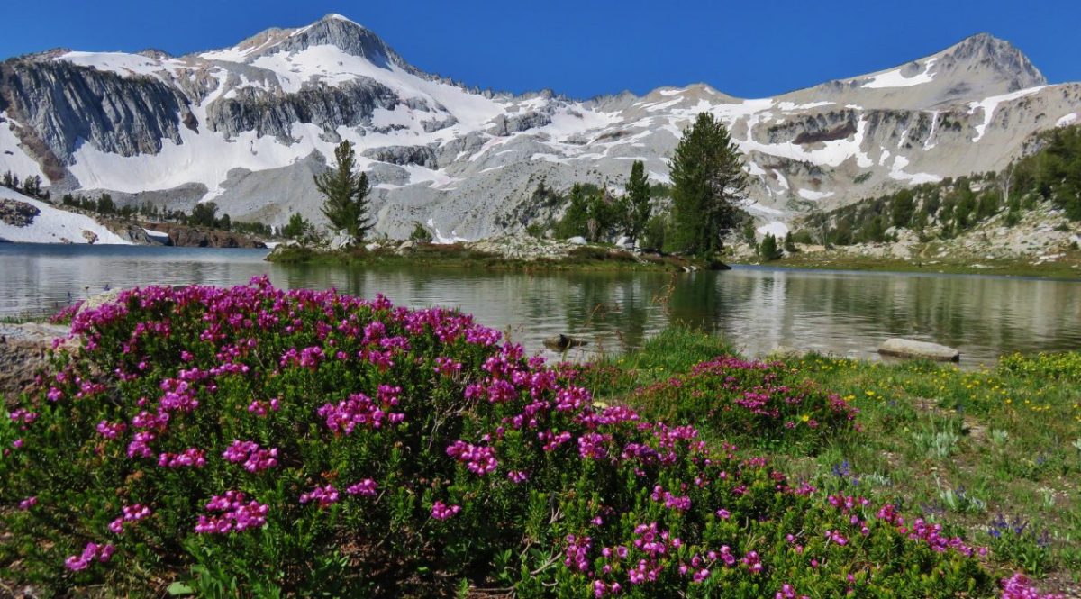
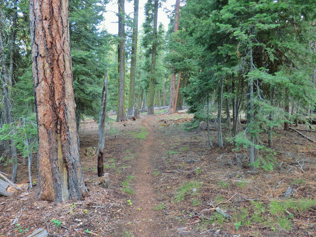
Back in 2016 we set a goal for ourselves to hike all 500 featured hikes in William L. Sullivan’s “100 Hikes…” series of guidebooks post. In 2020 we completed the first of these books covering the Central Oregon Cascades (post). We followed that up by completing a pair of books in 2021 starting with Sullivan’s “100 Hikes/Travel Guide Oregon Coast and Coast Range” 3rd edition (post) followed up by “100 HIkes/Travel Guide Northwest Oregon & Southwest Washington” 4th edition (post). Southern Oregon & Northern California was completed in 2023 leaving us with Eastern Oregon.
In 2023 we pivoted from the 3rd edition of Sullivan’s “100 Hikes/Travel Guide Eastern Oregon” to his renamed 2022 1st edition “100 Hikes Eastern Oregon” book. This was to avoid needing to make the tedious drive on horrible roads to Dug Bar in Hells Canyon which had been replaced as a featured hike in the newer edition.
The criteria for checking a hike off our list is to hike a portion of Sullivan’s described hike or, at least visit the main attraction(s) he identifies for the hike. For 67 of the hikes we completed the books described route. For the other 33 hikes various factors contributed to us not completing every option of each featured hike. For some we started at a different trailhead, others had portions of trail(s) closed when we visited, and several had additional options that we did not do.
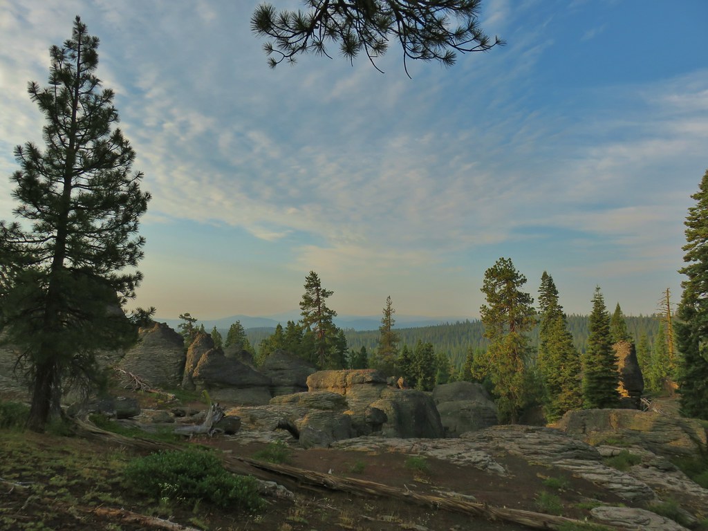
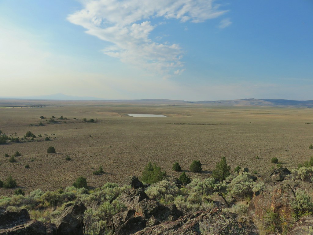
Of the five regions Sullivan breaks his guidebooks into, the Eastern Oregon region is the largest and most diverse. The area covered in this book includes hikes in Oregon east of the Deschutes River in Central Oregon and from Klamath Falls (western most hike) east to the Idaho border. There is however one hike in Washington west of the Deschutes across the Columbia River from The Dalles, OR. It also includes one short option in Idaho (eastern most), one featured hike in California (southern most) making it his only book with hikes in more than two different States. The northern most hike is not the one in Washington. That honor belongs to the Wenaha River near Troy in NE Oregon.

The hikes involved several wilderness areas: Oregon Badlands, Mill Creek, Spring Basin, Strawberry Mountain, North Fork John Day, North Fork Umatilla, Wenaha-Tucannon, Eagle Cap, Hells Canyon, Monument Rock, and Steens Mountain. Missing from this list are the Black Canyon (post) and Gearhart Mountain (post) wilderness areas which had featured hikes in earlier versions of Sullivan’s book that we’d completed, but were removed in the 2022 edition due to wildfire damage.
In addition to the 11 designated wilderness areas there were hikes in two National Monuments, the John Day Fossil Beds National Monument in Oregon and the Lava Beds National Monument in California, and one National Volcanic Monument, the Newberry National Volcanic Monument.
Following is a list of the 100 featured hikes and the dates we visited.
#1 Cottonwood Canyon – Hiked 5/27/2017

#2 Columbia Hills – Hiked 4/4/2015 & 4/17/2021

#3 Lower Deschutes River – Hiked 6/9/2018

#4 Macks Canyon – Hiked 5/26/2018

#5 Criterion Tract – Hiked 05/28/2023

#6 Trout Creek – Hiked 10/12/2013

#7 Willow Creek at Madras – Hiked 5/27/2024

#8 Cove Palisades – Hiked 6/16/2018

#9 Gray Butte – Hiked 6/13/2015

#10 Oregon Badlands – Hiked 5/15/2016 & 12/24/2016

#11 Pine Mountain – Hiked 7/30/2012

#12 Paulina Falls – Hiked 8/9/2011 & 9/16/2017

#13 Paulina Lake – Hiked 8/9/2011 & 9/16/2017

#14 Obsidian Flow – Hiked 8/9/2011

#15 Crooked River Wetlands – Hiked 5/29/2024

#16 Chimney Rock – Hiked 9/22/2017

#17 Steins Pillar – Hiked 5/8/2013

#18 Juniper Hill – Visited* 5/27/2024

#19 Mill Creek – Hiked 7/31/2012

#20 Lookout Mountain – Hiked 6/12/2014

#21 Walton Lake – Hiked 6/17/2017 & 6/18/2021

#22 Spring Basin – Hiked 4/22/2017

#23 John Day Fossil Beds – Hiked 4/30/2016, 4/22/2017 & 9/17/2017
 Painted Hills Unit
 Clarno Unit
 Blue Basin Unit
#24 Sutton Mountain – Hiked 4/30/2016

#25 Spanish Peak – Hiked 7/19/2021 & 7/20/2021

#26 Madison Butte – Hiked 5/28/2024

#27 Wildcat Basin – Hiked 7/24/2018

#28 High Lake – Hiked 7/26/2018

#29 Strawberry Lake – Hiked 7/25/2018

#30 Malheur River – Hiked 6/17/2021

#31 Canyon Mountain – Hiked 7/22/2021

#32 Monument Rock – Hiked 7/21/2021

#33 Bates and Sumpter – Hiked 9/17/2017

#34 Olive Lake – Hiked 9/18/2017

#35 Granite Creek – Hiked 9/21/2017

#36 North Fork John Day River – Hiked 9/19/2017

#37 Mount Ireland – Hiked 7/9/2022

#38 Baldy Lake – Hiked 9/20/2017

#39 Crawfish Lake – Hiked 8/16/2018

#40 Anothony Lake – Hiked 8/16/2018

#41 Elkhorn Crest – Hiked 8/12/2018, 8/13/2018, 8/14/2018, 8/15/2018 & 08/16/2018

#42 Twin Lakes – Hiked 8/13/2018

#43 North Fork Umatilla River – Hiked 6/14/2021

#44 Jubilee Lake – Hiked 9/12/2021

#45 Wenaha River – Hiked 5/25/2019

#46 Zumwalt Prairie – Hiked 5/26/2019

#47 Buckhorn Lookout – Hiked 6/15/2023

#48 Eureka Bar – Hiked 6/14/2023

#49 Hat Point – Hiked 7/21/2024

#50 Freezeout Saddle – Hiked 5/24/2019

#51 Hells Canyon Dam – Hiked 6/16/2023

#52 Hells Canyon Reservoir – Hiked 6/16/2023

#53 Imnaha Falls – Hiked 6/12/2023

#54 Bonny Lakes – Hiked 7/24/2024

#55 McCully Basin – Hiked 7/23/2024

#56 Mount Howard – Hiked 7/26/2024

#57 Aneroid Lake – Hiked 8/22/2024

#58 Wallowa Lake – Hiked 5/23/2019
 B.C. Falls
#59 Ice Lake – Hiked 7/31/2016

#60 Horseshoe Lake – Hiked 8/3/2016 & 8/04/2016

#61 Hurricane Creek – Hiked 7/22/2024

#62 Eagle Cap – Hiked 8/3/2016

#63 Minam Lake – Hiked 7/25/2024

#64 Maxwell Lake – Hiked 8/21/2024

#65 Chimney Lake – Hiked 8/20/2024

#66 Wallowa Homeland – Hiked 7/14/2022

#67 Bear Creek – Hiked 7/14/2022

#68 Rock Springs – Hiked 7/11/2022

#69 Moss Springs – Hiked 7/13/2022

#70 Catherine Creek Meadows – Hiked 7/10/2022

#71 Burger Pass – Hiked 7/12/2022

#72 Tombstone Lake – Hiked 8/16/2023 & 8/17/2023

#73 Eagle Lake – Hiked 8/13/2023

#74 Bear Lake – Hiked 8/14/2023

#75 Hidden Lake – Hiked 9/9/2024

#76 Summit Point Lookout – Hiked 8/18/2024

#77 Pine Lakes – Hiked 8/19/2024

#78 Fort Rock – Hiked 6/14/2014 & 5/28/2017

#79 Fort Rock Valley – Hiked 5/28/2017

#80 Hager Mountain – Hiked 7/30/2013 & 6/14/2014

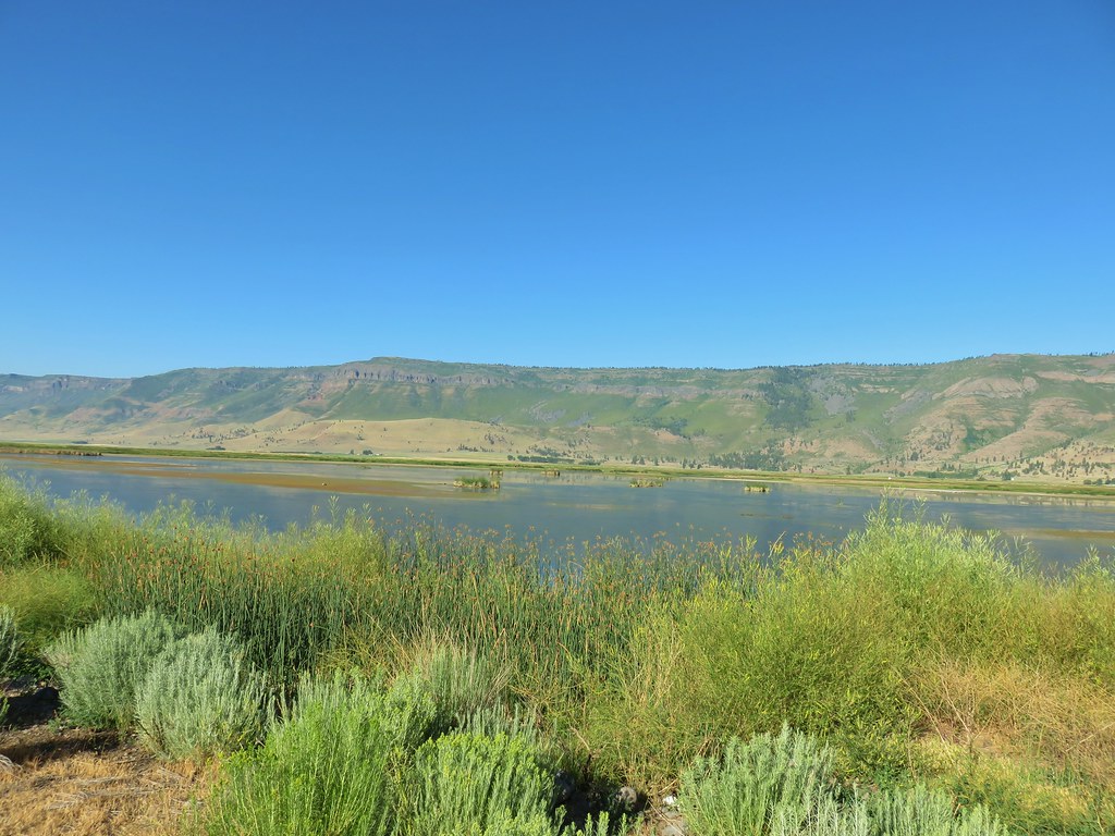
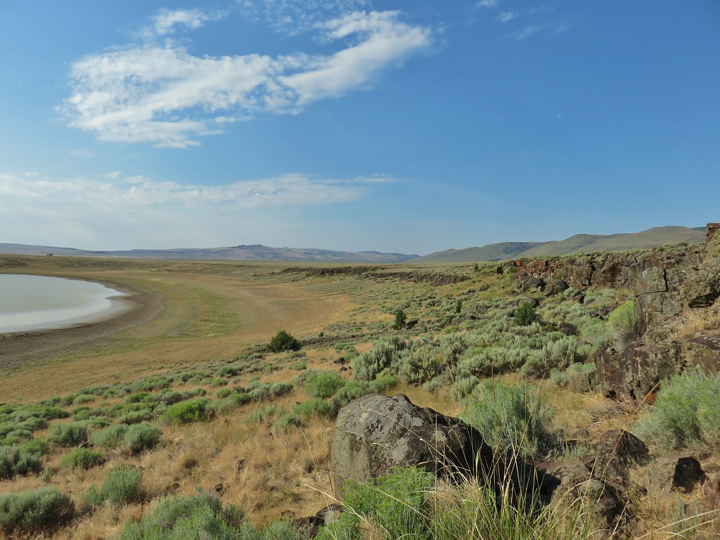
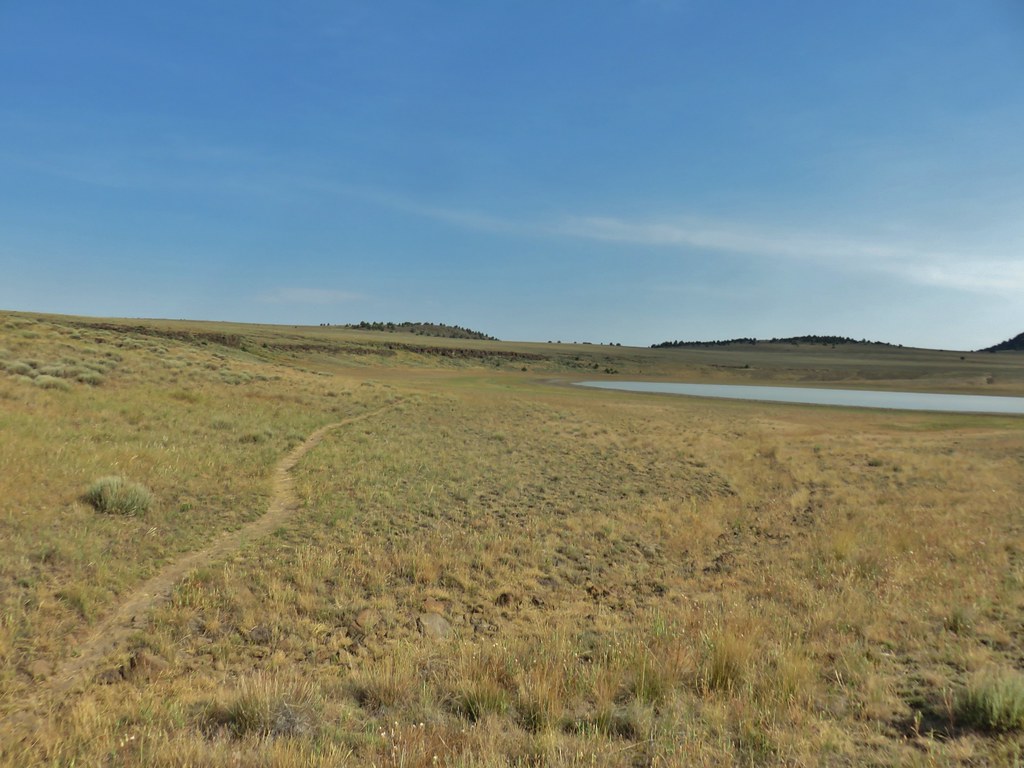
#81 Summer Lake – Hiked 7/24/2020

#82 Winter Ridge – Hiked 7/19/2020

#83 OC&E Railroad – Hiked 10/5/2018

#84 Klamath Falls – Hiked 10/20/2018

#85 Modoc Lava Beds – Hiked 10/6/2018

#86 DeGarmo Canyon – Hiked 7/22/2020

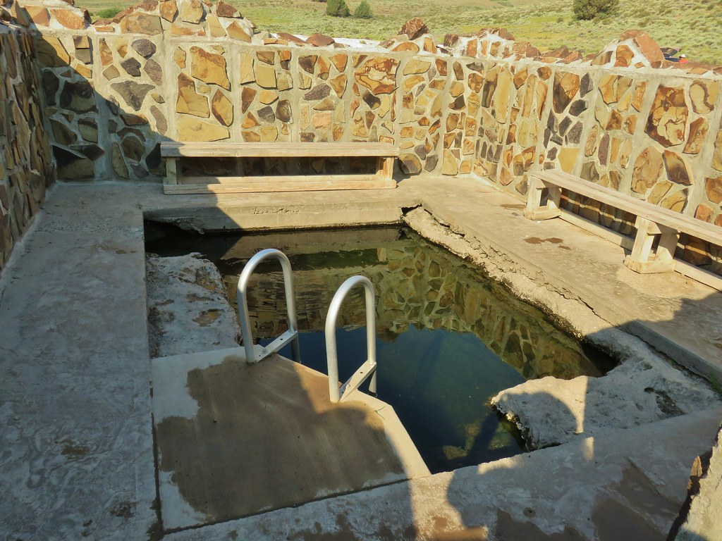
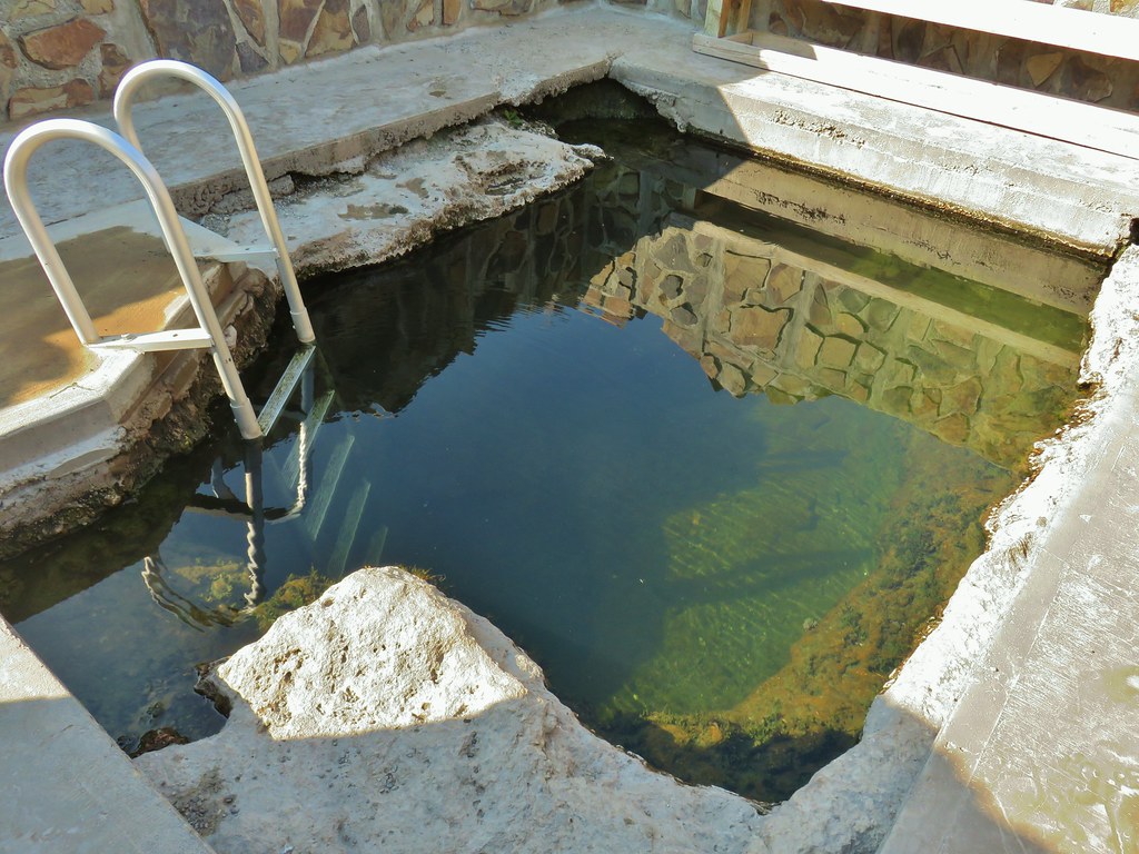
#87 Hart Mountain Hot Springs – Hiked 7/21/2020

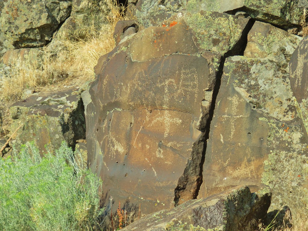
#88 Petroglyph Lake – Hiked 7/22/2020

#89 Steens Summit – Hiked 8/18/2021

#90 Little Blitzen River – Hiked 8/19/2021

#91 Big Indian Gorge – Hiked 8/17/2021

#92 Threemile Canyon – Hiked 9/3/2023

#93 Pike Creek – Hiked 6/14/2018

#94 Big Sand Gap – Hiked 6/14/2018

#95 Borax Hot Springs – Hiked 6/14/2018

#96 Pueblo Mountains – Hiked 8/20/2021

#97 Leslie Gulch – Hiked 6/11/2018

#98 Coffeepot Crater – Hiked 6/11/2018

#99 Chalk Basin – Hiked 6/13/2018

#100 Three Forks – Hiked 6/12/2018

*The Juniper Hills Preserve is owned by the Nature Conservancy and had been closed to public entry in 2023, so we were unable to hike the trails. We parked and walked to the gates to take photos. If they ever reopen it to the public we will go back.
Completing our featured hike goals provided a sense of relief. While we thoroughly enjoyed all of the hikes, and the Wallowa Mountains became our favorite destination in Oregon, we had begun to put pressure on ourselves to finish. That pressure had begun following the September 2020 wildfires that ravaged parts of the Central Cascades and left many trails closed for years. We had just finished the featured hikes in that area earlier that year and realized how close we’d come to having to put our goal on hold. In the grand scheme of things reaching 500 featured hikes is irrelevant but having worked on it for several years it was something we didn’t want to abandon. We will gig deeper into that in a later post covering finishing the 500, but it’s nice to have the urgency to get to specific places removed.
Setting the goal did provide us with an excuse to visit parts of Oregon that we’d never seen before. While we were checking off the 100 featured hikes we stopped at over three dozen additional spots including eight previously featured hikes. There are still numerous trails left for us to explore so we will almost certainly be heading back to Eastern Oregon from time to time to see new sights and possibly revisit some familiar ones. Happy Trails!


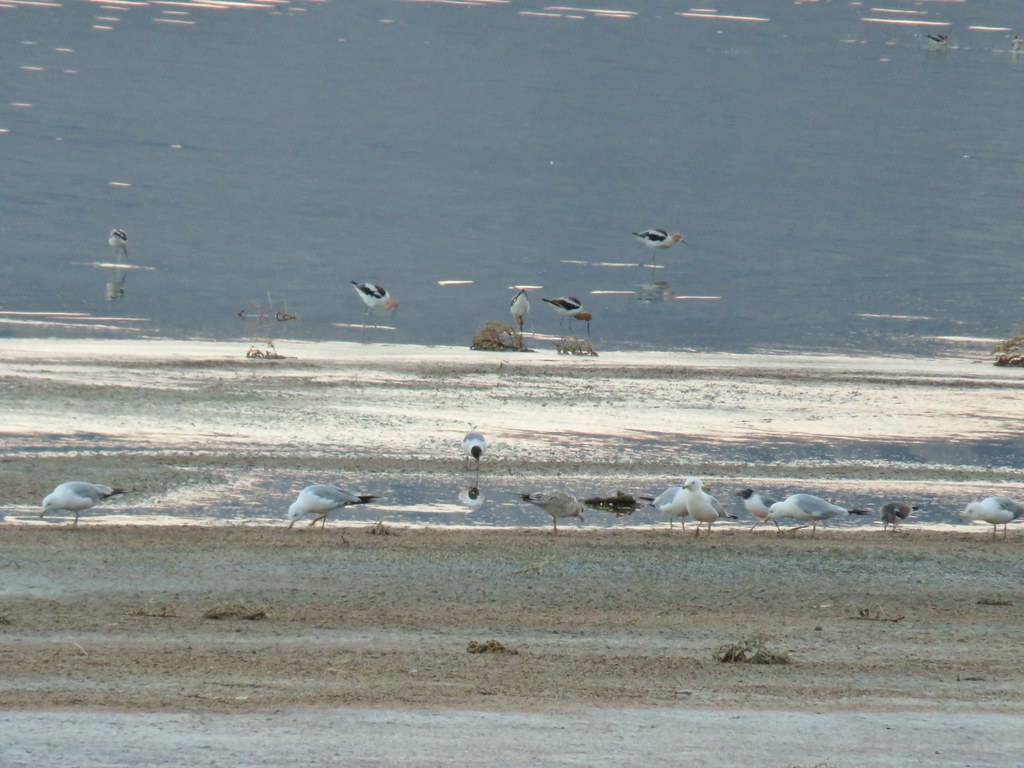 Gulls and avocets
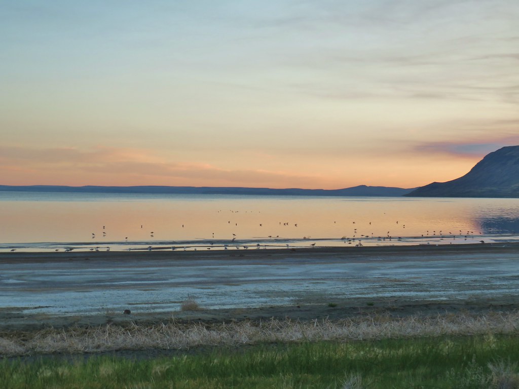
 American avocets
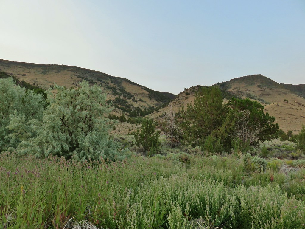


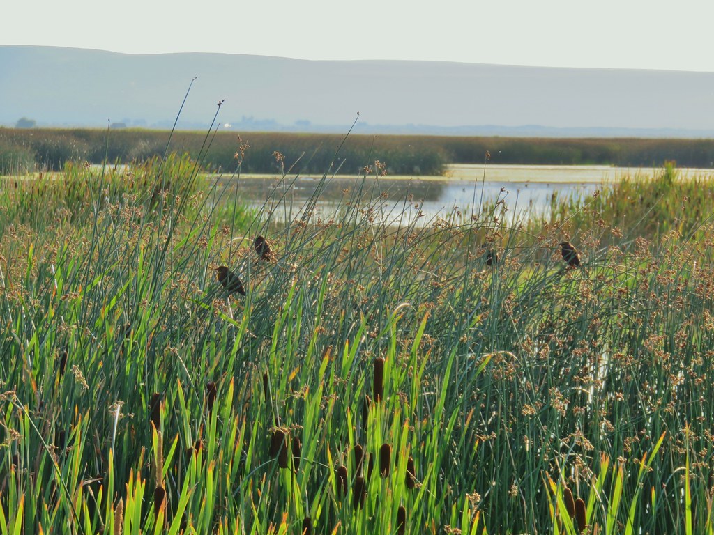
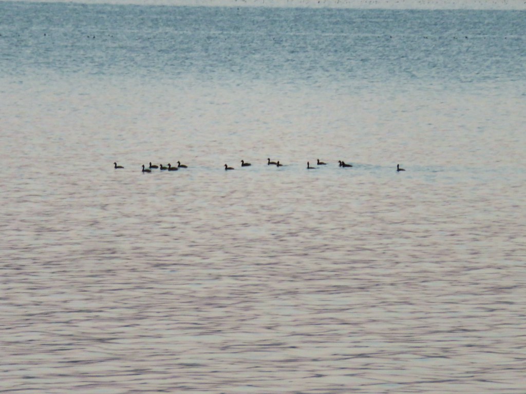
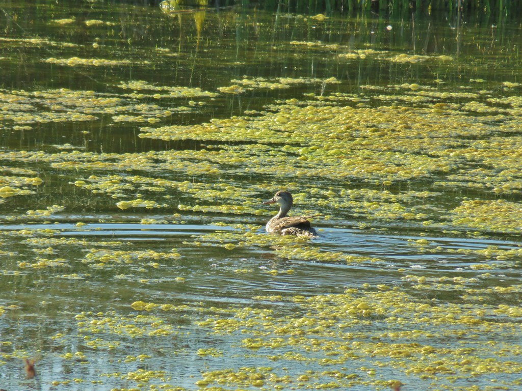
 A white faced ibis and some ducks.

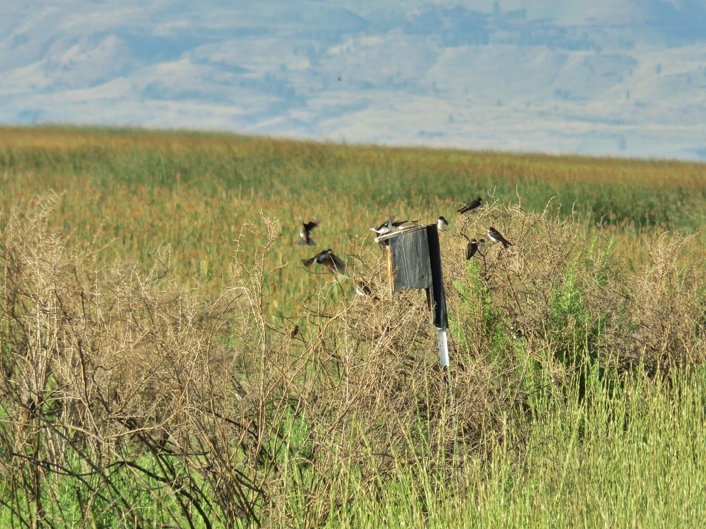 Swallow rave
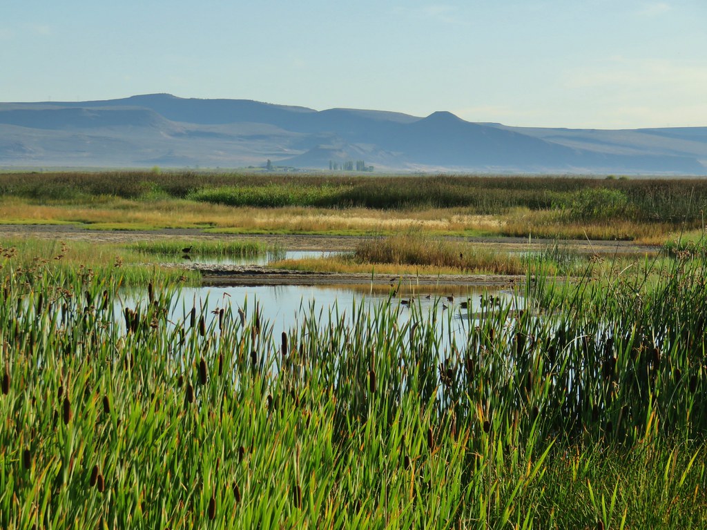
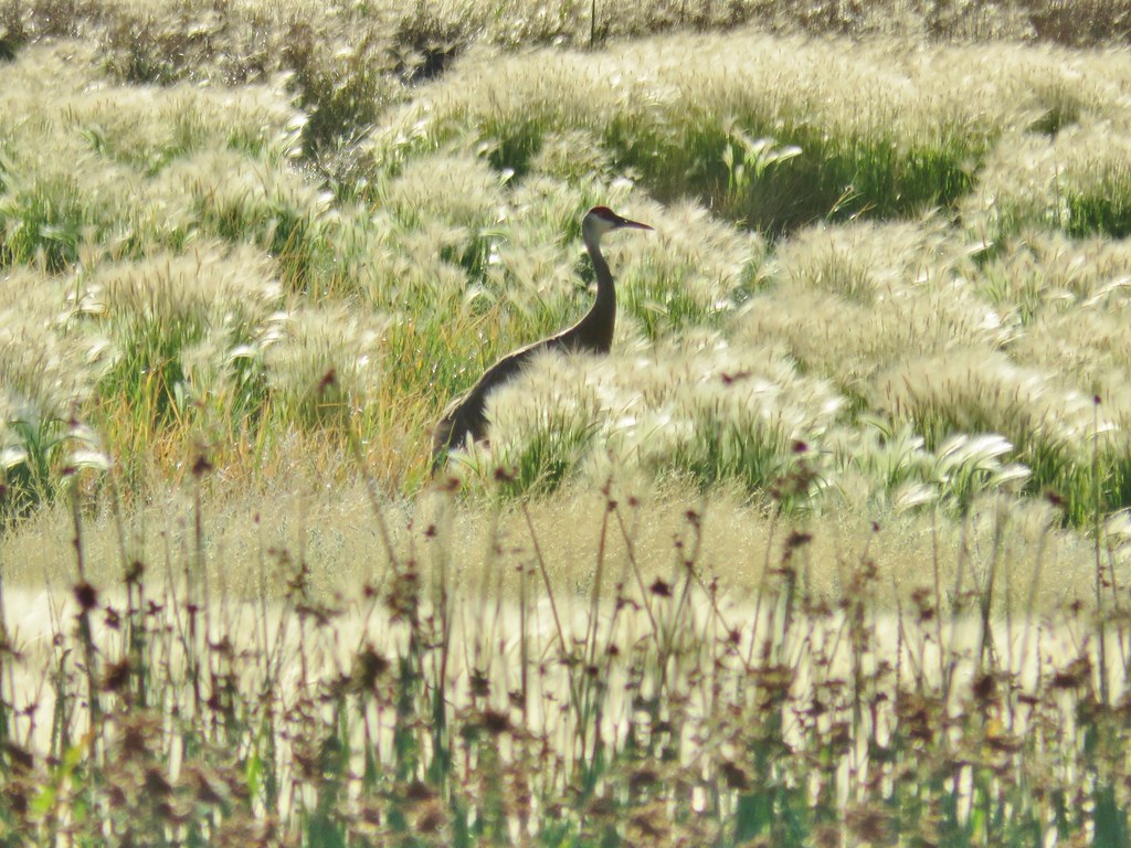 Sandhill crane
 Look more ducks!
 White faced ibis coming in for a landing.
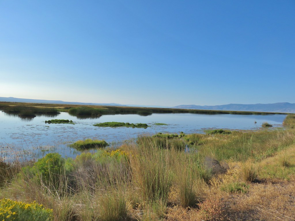 Looking out over Summer Lake
 White faced ibis
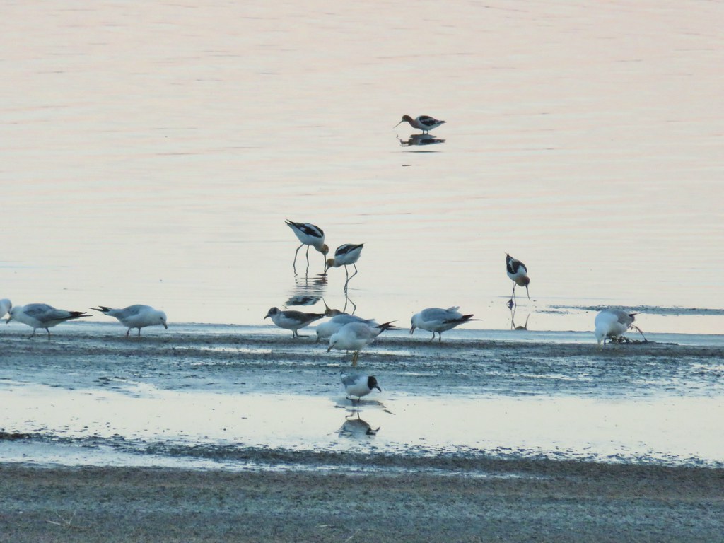
 Black-neck stilt
 Killdeer
 Great blue heron in flight.


 The gate on the right through the trees.


 Mountain coyote mint and paintbrush along the trail.
 Starting the switchback.
 Scarlet gilia
 Columbine
 Monkshood and California corn lily
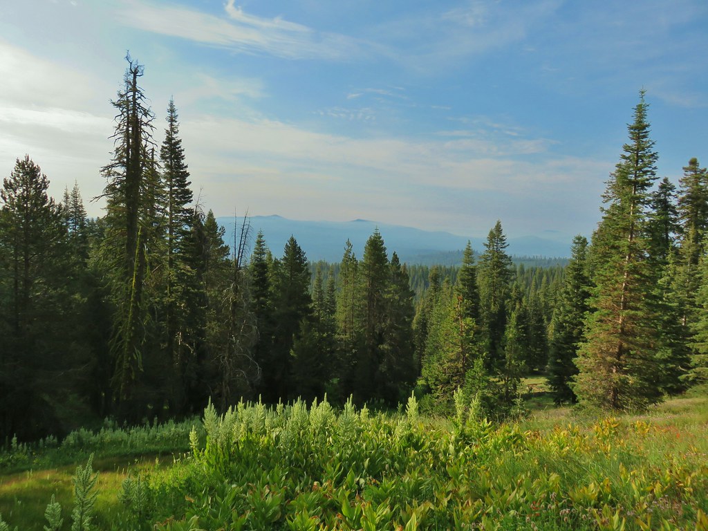
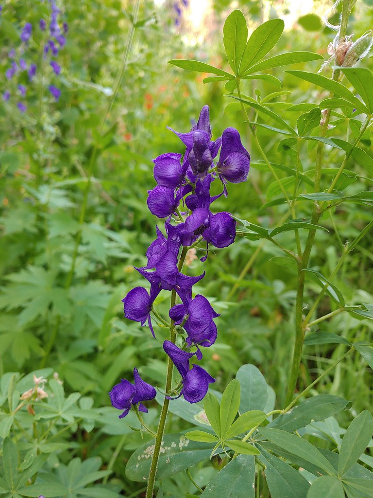 Monkshood
 Orange agoseris
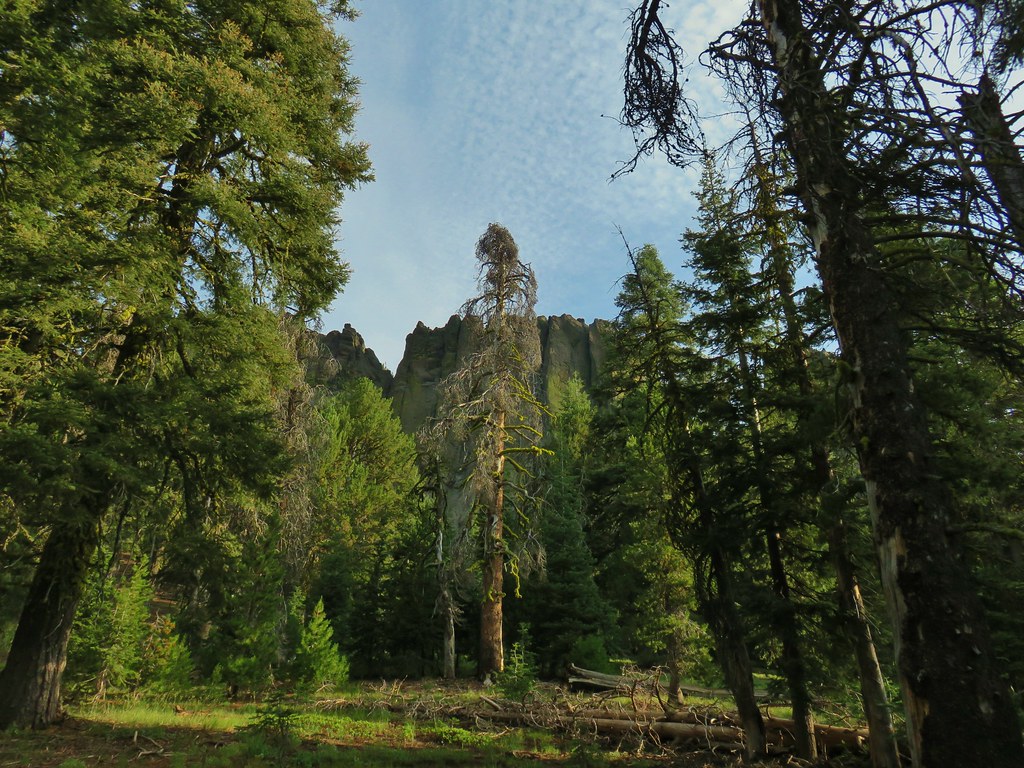 More rocks above the trail.
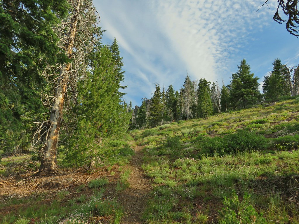


 Just about to the saddle.
 Gearhart Mountain from the saddle.
 Gearhart Mountain, The Notch to the right, and meadows below.
 Penstemon in the rocks at the saddle.
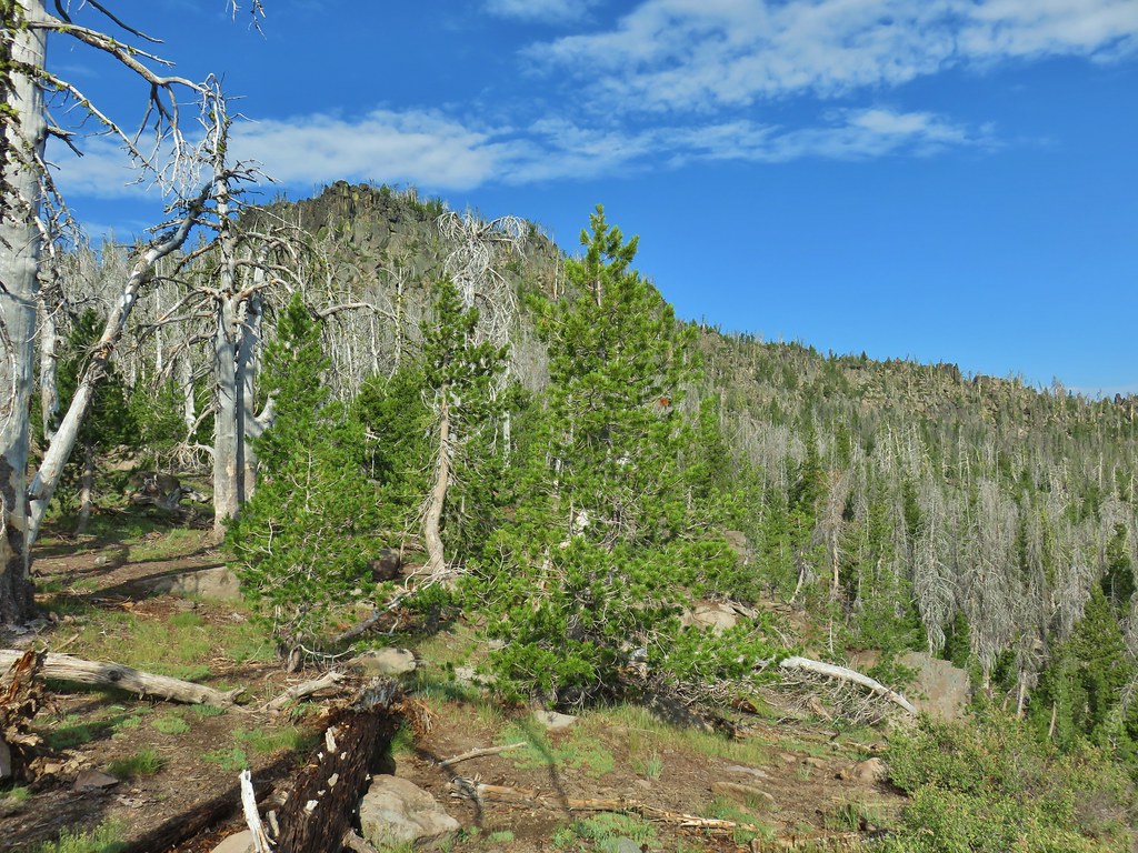


 A fire pit also made us think we were on the right course.
 You can’t make the mountain out in the picture but it was out there.
 Now you can sort of see it.
 A little blurry but there is Mt. McLoughlin

 The final little uphill on the left.
 Summit of Gearhart Mountain
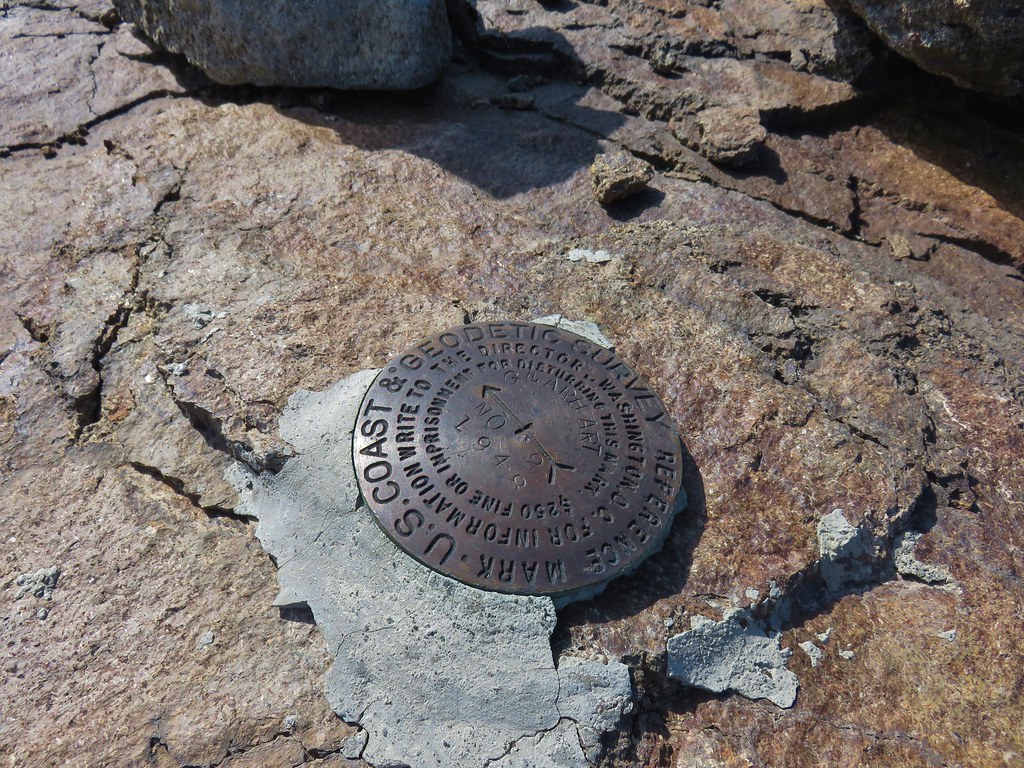 Survey marker
 Summit register
 The Notch is below to the right hidden by the cliffs.
 West toward Mt. McLoughlin which is still hard to make out.
 If you squint really hard you can make out a couple of snowy peaks on the horizon.
 NNE view.
 South back along the ridge.
 East down to the meadows below and a second survey marker.
 Getting ready to drop down toward the saddle.
 Heading down


 Paintbrush, monkshood, lupine and California corn lily
 Swamp onion
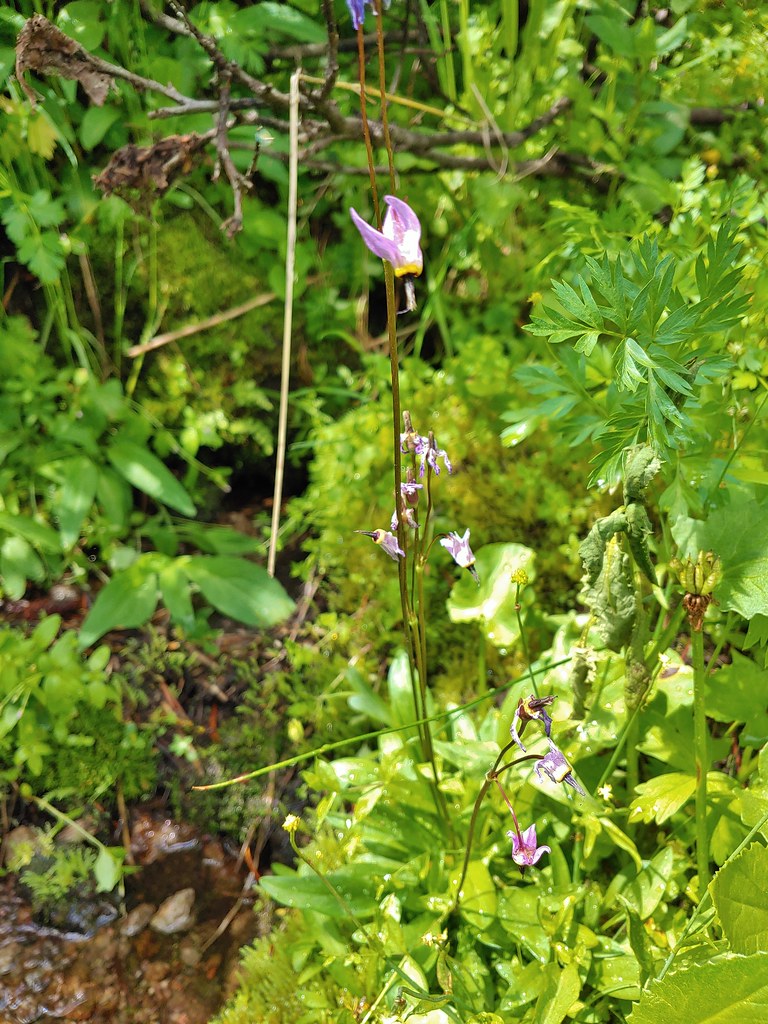 The remnants of a shooting star.
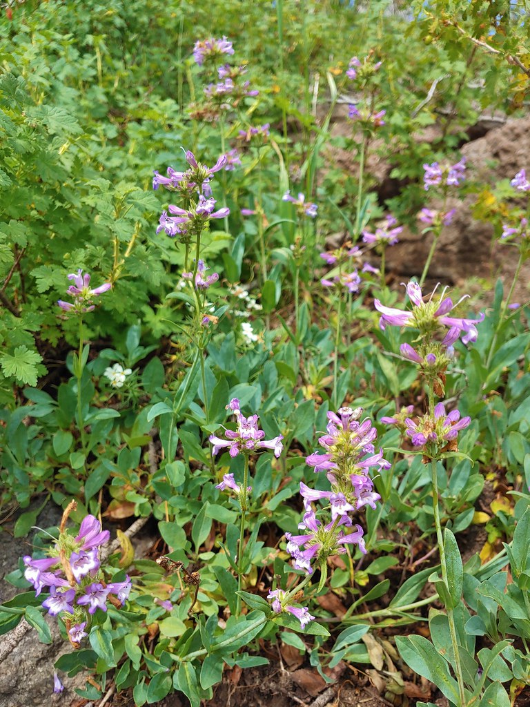 Penstemon
 Gearhart Mountain from the trail below.
 Bistort
 Mountain heather next to the stream.
 The last of an elephant’s head.
 Bog orchids
 California corn lilies below Gearhart Mountain.


 The knoll is the lower rise to the left.

 From left to right: Flagstaff Lake, Upper Campbell Lake, and Campbell Lake.
 Hart Mountain Road climbing up to the plateau.
 Campbell Lake

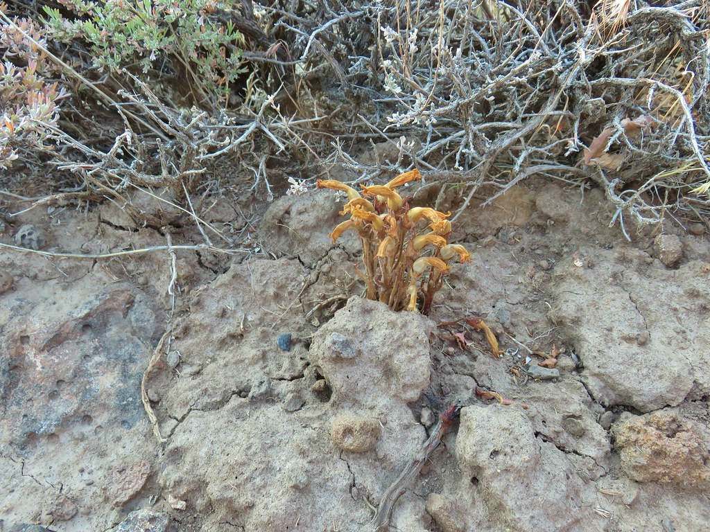 An Orobanche


 White pelicans and seagulls on Campbell Lake.
 Looking south along Poker Jim Ridge
 Looking north along Poker Jim Ridge
 Junipers on the knoll
 Bluejoint Lake below the ridge.
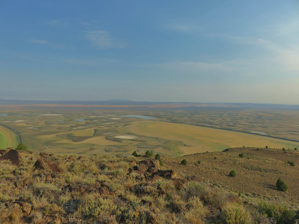 Stone Corral Lake


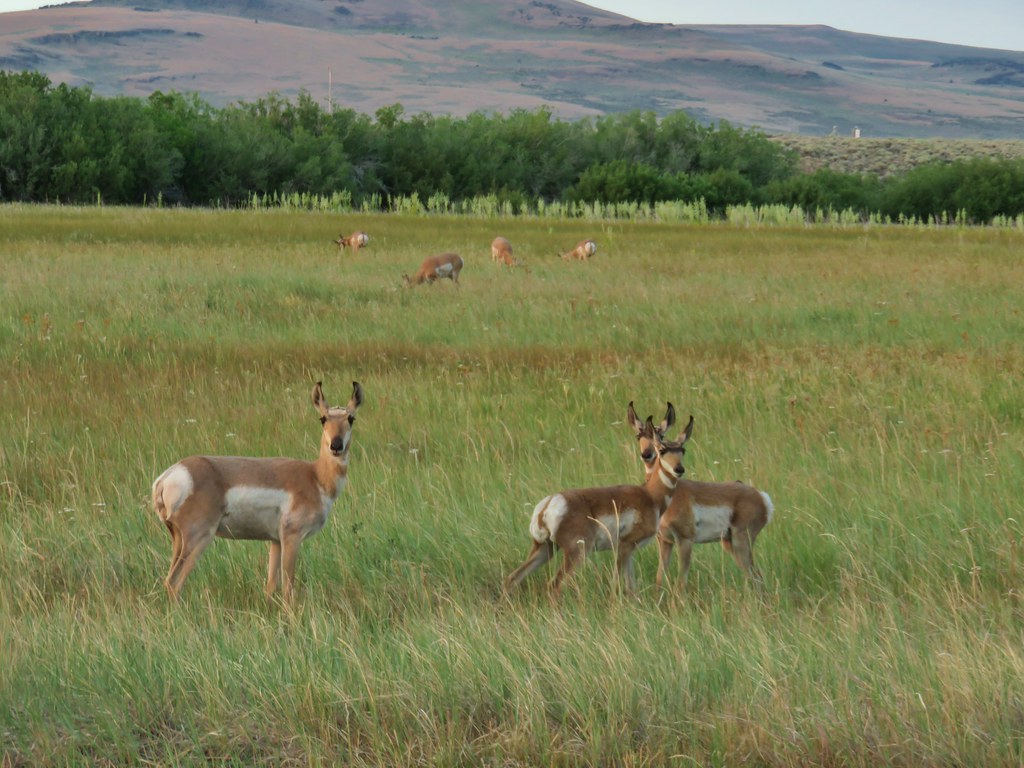
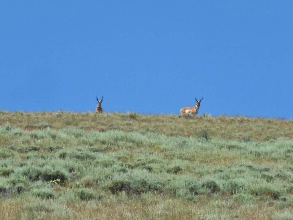
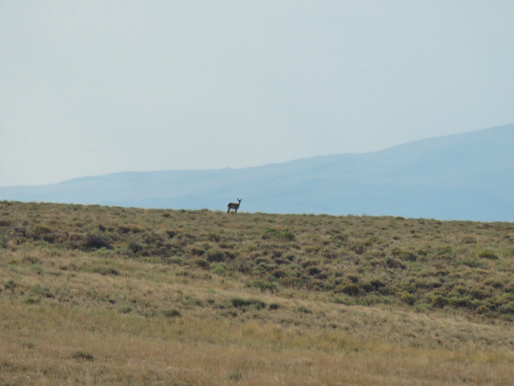 Pronghorn above the lake.


 Dragon fly
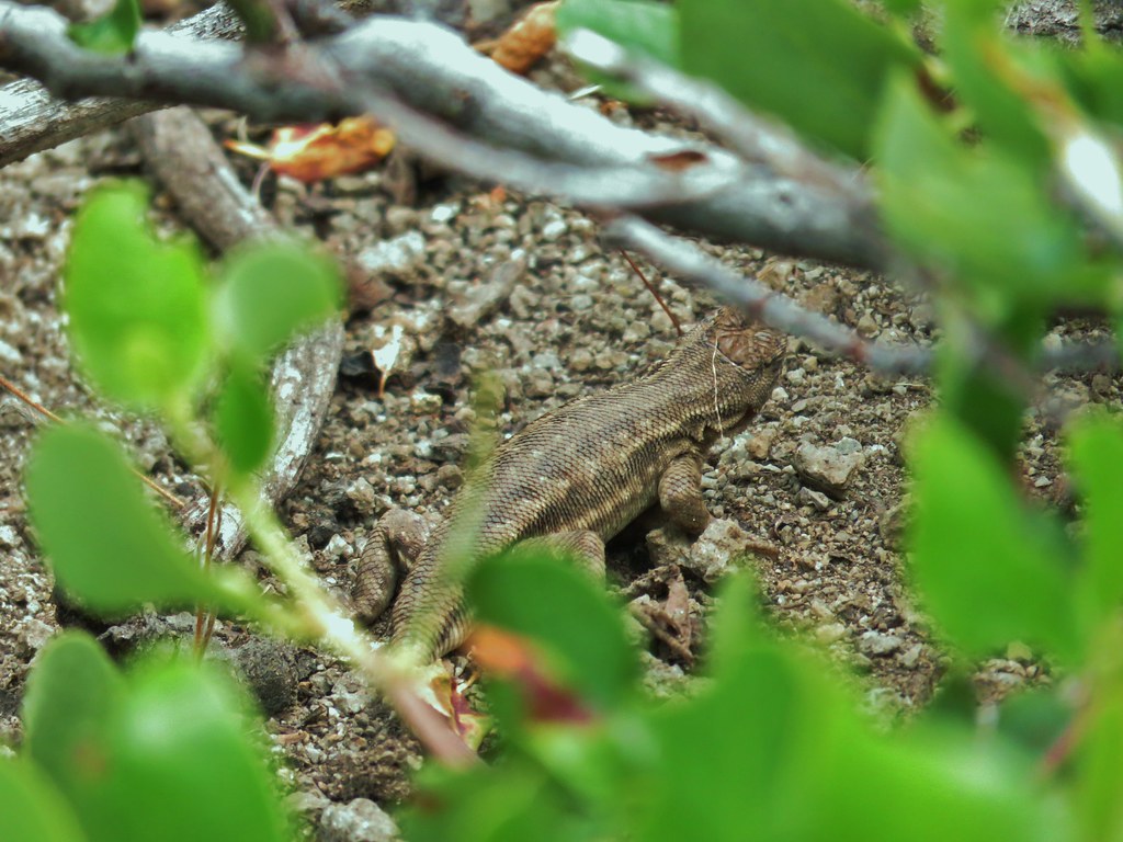
 Western fence lizard
 Yellow bellied marmot


 Some type of primrose I think.

 Lupine
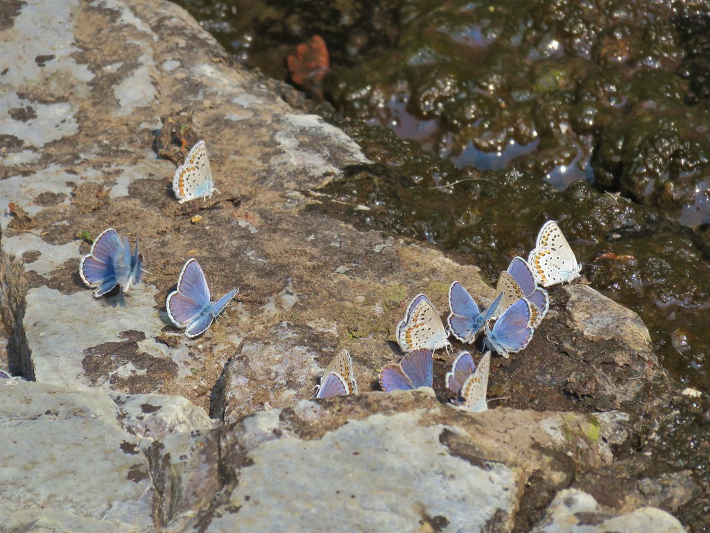
 There were dozens of butterflies and other pollinators on this rabbitbrush.
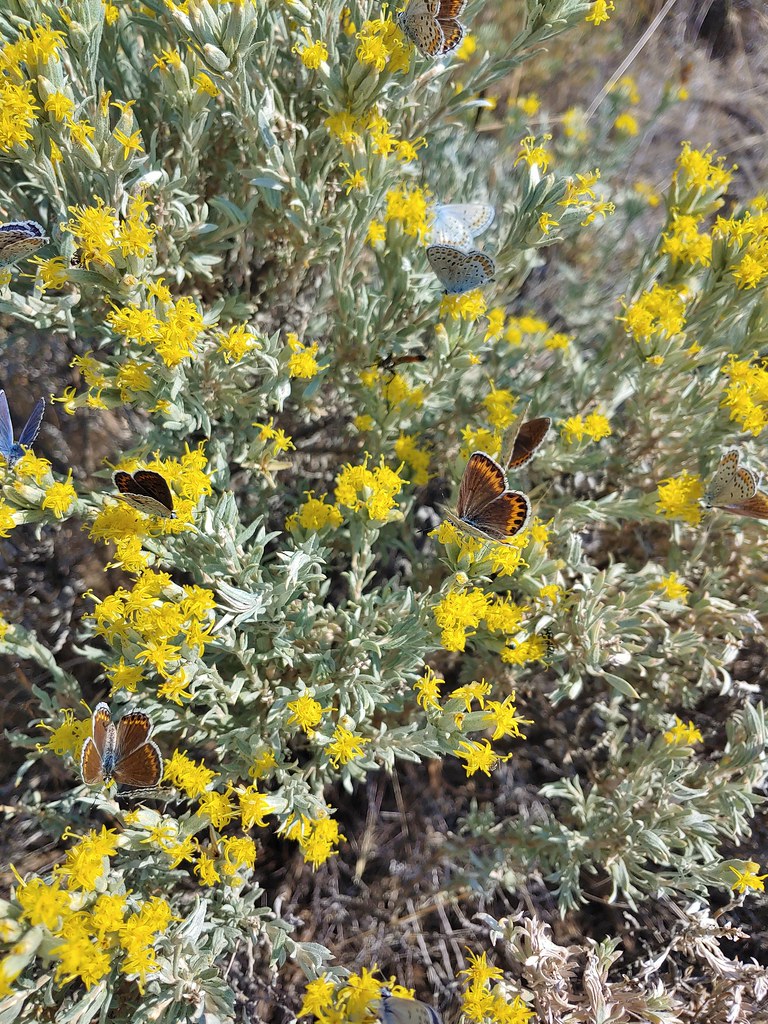

 The gate at Petroglyph Lake Road
 Hart Mountain Road
 The juniper knoll along Poker Jim Ridge and yes there are a few pronghorn out there.
 Pronghorn keeping their distance from us.
 Sign for the overlook.
 View from the pullout back up toward Hart Mountain.
 The start of the loop trail.
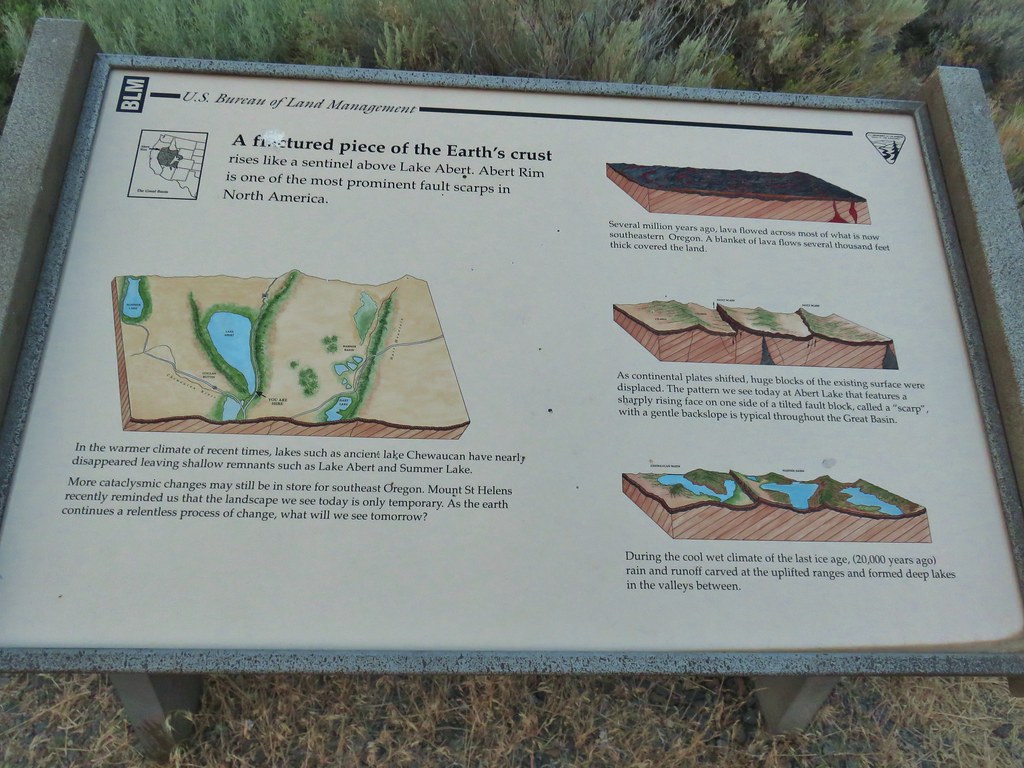
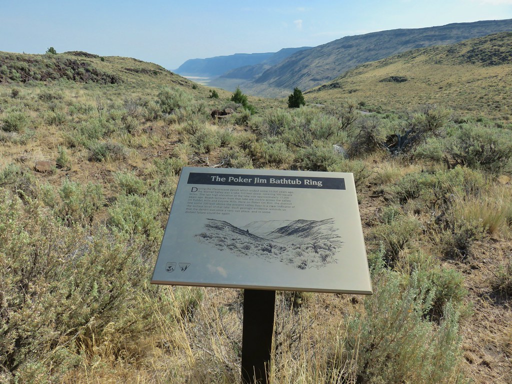 We like interpretive signs like this where we can see with our own eyes what is being described.
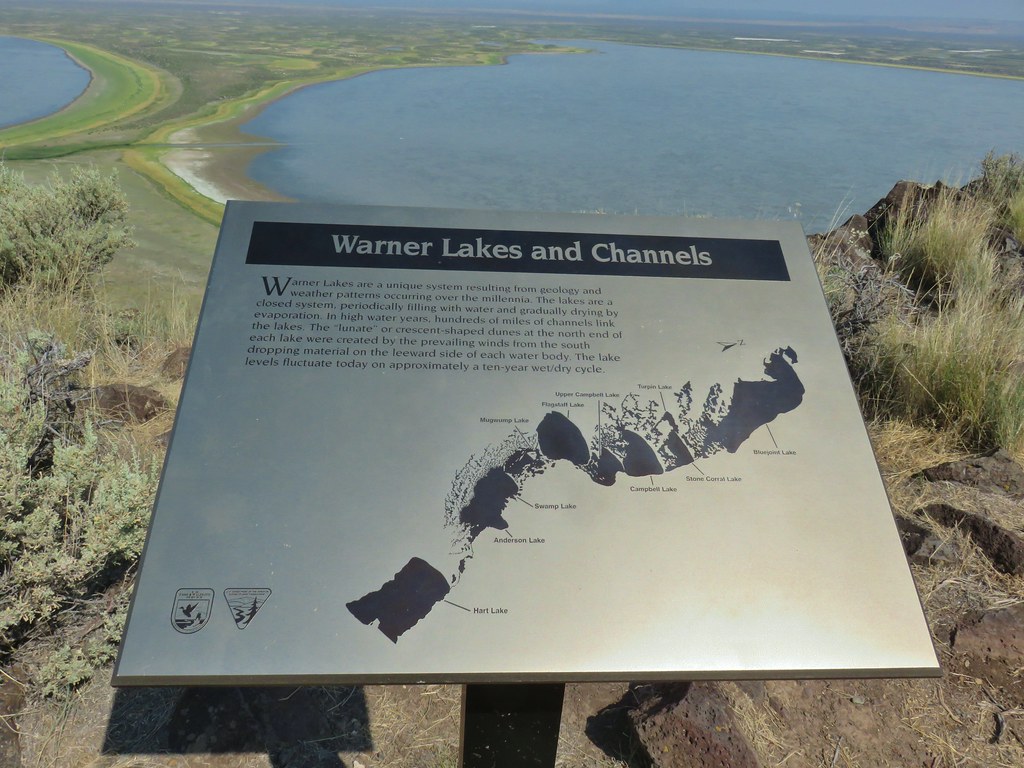 This one helped with identifying the different lakes plus provided the history.
 Another of our favorites are the ones that identify the various hills and peaks.
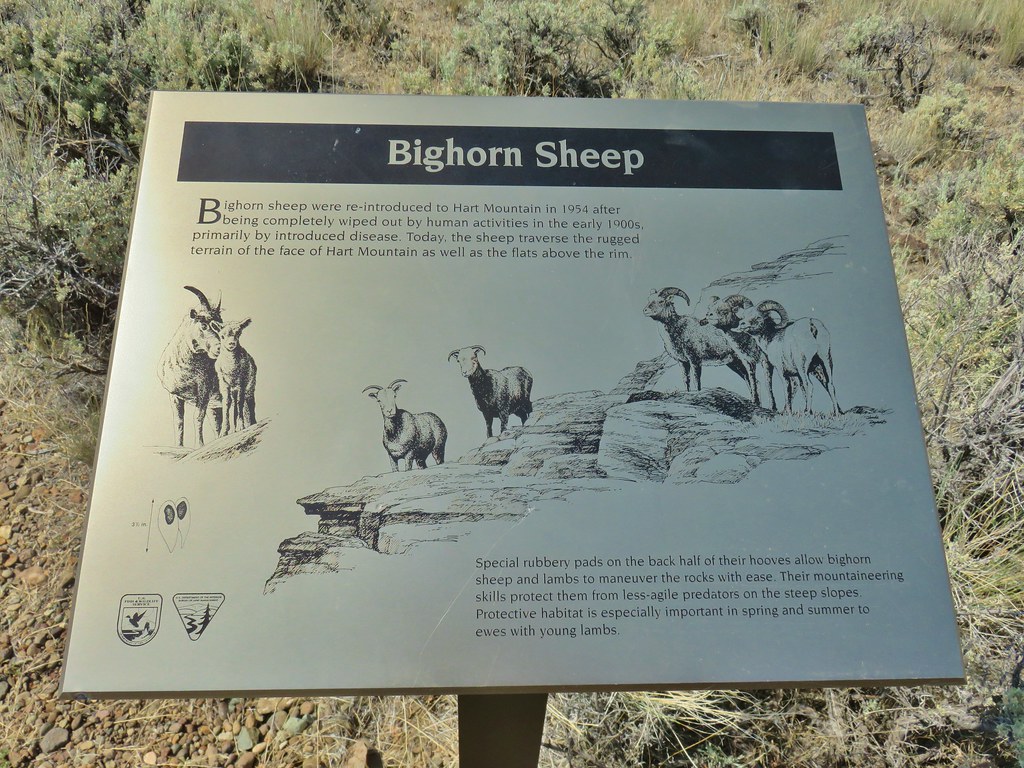 We worked really hard on spotting some big horn sheep on this trip to no avail. There was so much space that they could be in it was like looking for a needle in a haystack.
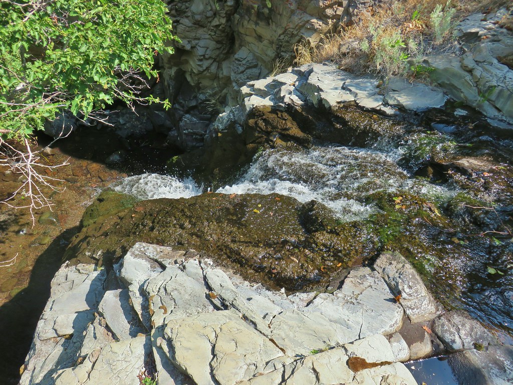 It’s not visible in this photo but there were dry rocks close enough on the far side to simply step over the water onto. The wet rock would have been very slippery and certainly dangerous.


 The scramble route is at the base of the cliff to the right.
 Looking up from the trail at where the scramble route was heading.


 Hart Mountain in the morning.
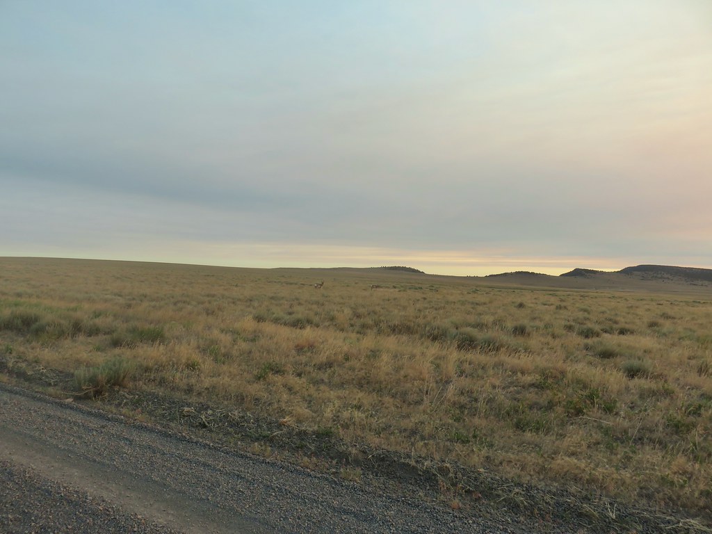
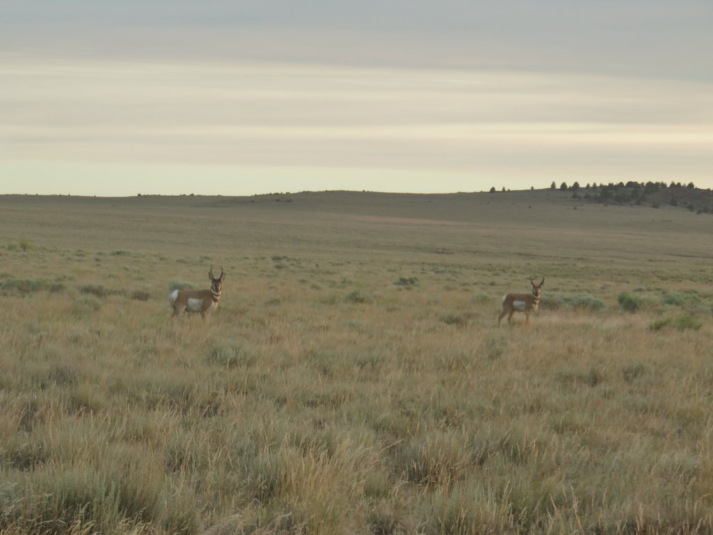
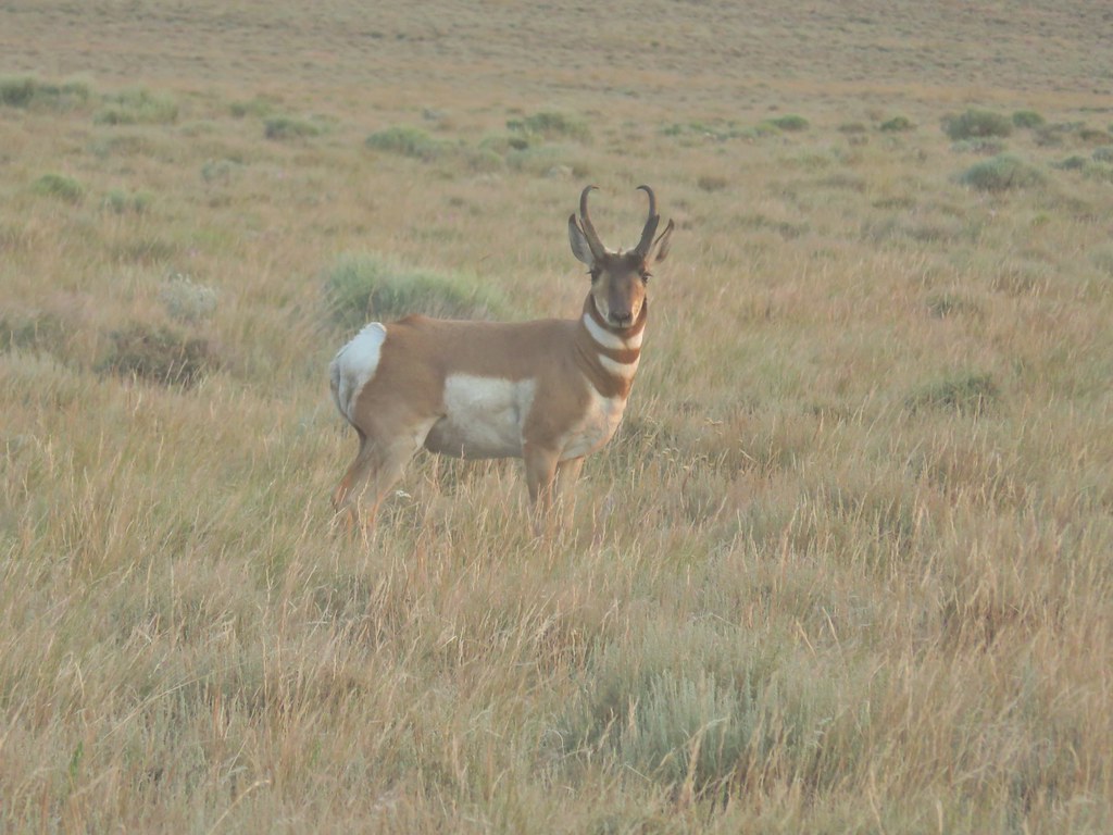
 Just a few of the many pronghorn.
 Flook Lake Road continuing on with Beatys Butte in the distance.
 The reservoir
 Steens Mountain on the horizon to the east through smoky skies.
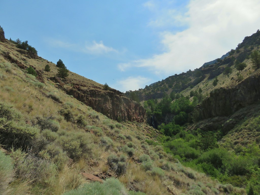
 The canyon we were aiming for from near our car.
 Zoomed in a bit.
 Rabbit #1
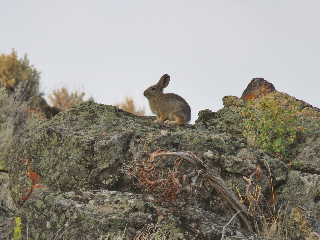 Rabbit #2
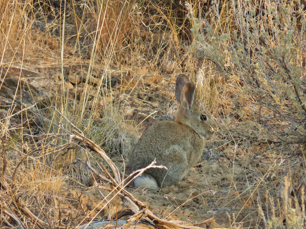 Rabbit #3
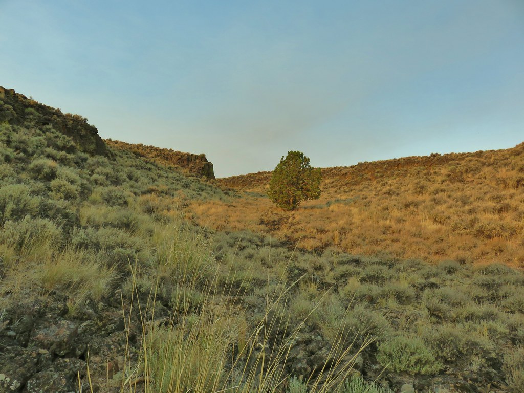 A lone juniper in the canyon.
 Rabbit #4


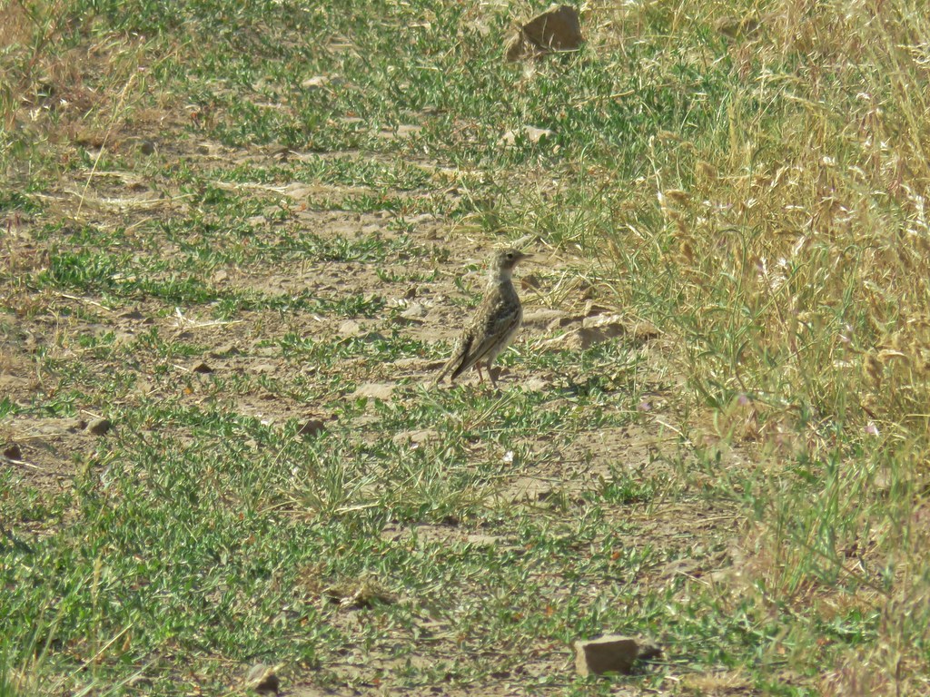
 Horned lark near the spring.
 Rabbit #5, this one was a jack rabbit.


 Hawk hanging out near the hot springs.
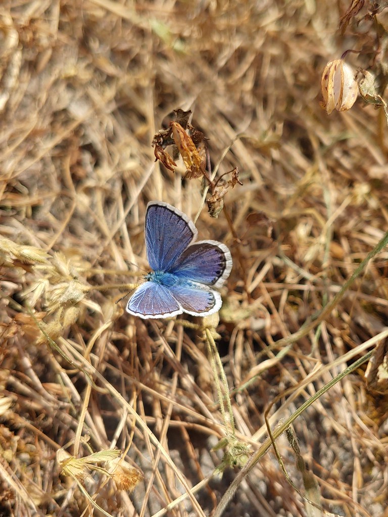
 Butterfly on dusty maiden.
 Barnhardi Road
 Campground across Rock Creek.
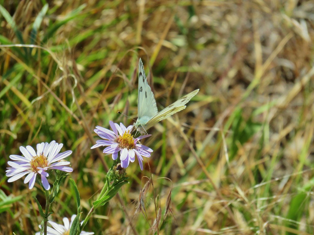
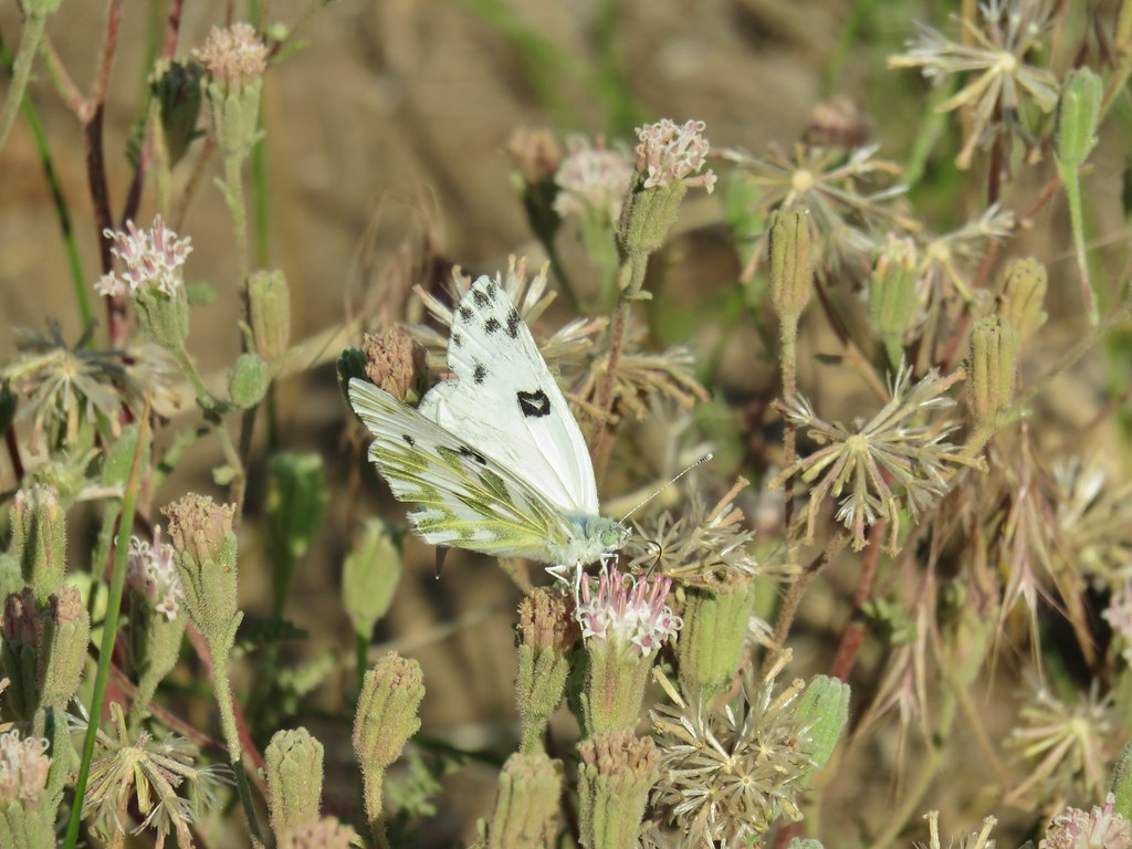 Becker’s white
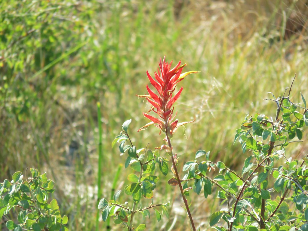 Paintbrush
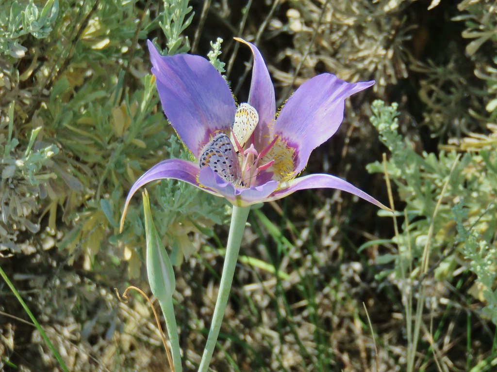
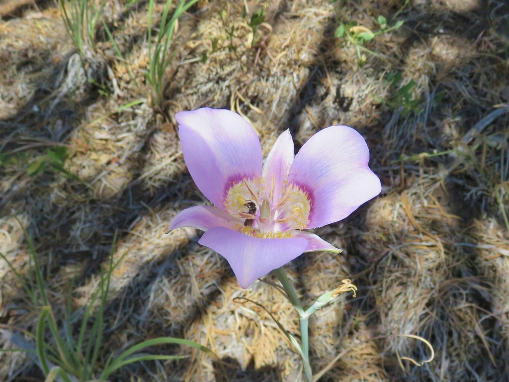
 Sagebrush mariposa lily
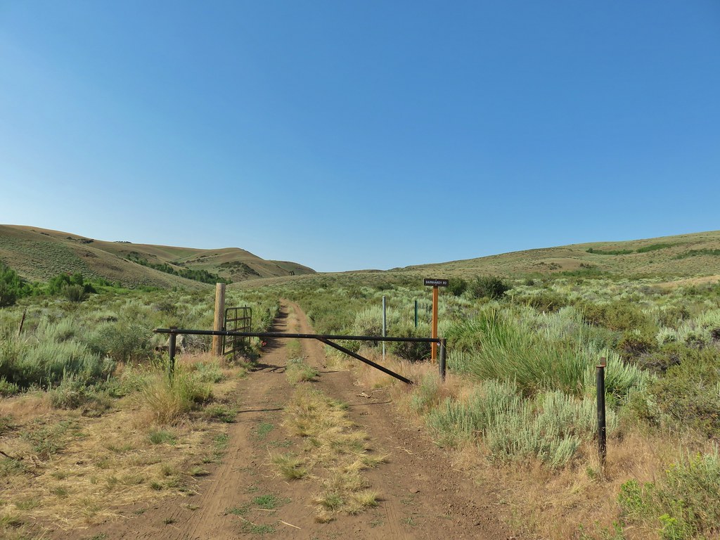
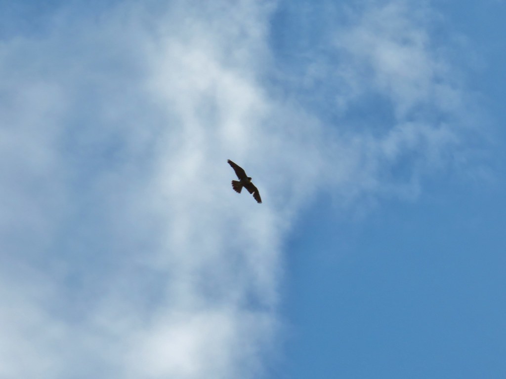
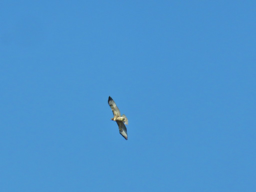 Hawk overhead
 Balsamroot in the sagebrush.
 Wild roses in a quaking aspen stand.
 Biggest bumble bee either of us had ever seen.
 Coming up on the crest at the 1 mile mark.
 View after the crest heading down to Barnhardi Basin.
 Sheep moth
 Lewis flax blooming in the meadow.
 Barnhardi Cabin


 Another sheep moth
 The spring.
 White triteleia
 Barnhardi Basin from the side of the knoll.
 View across the creek.
 The knoll was steeper and brushier than it had appeared from below but we managed to make it around.
 Hawk flying around above us.
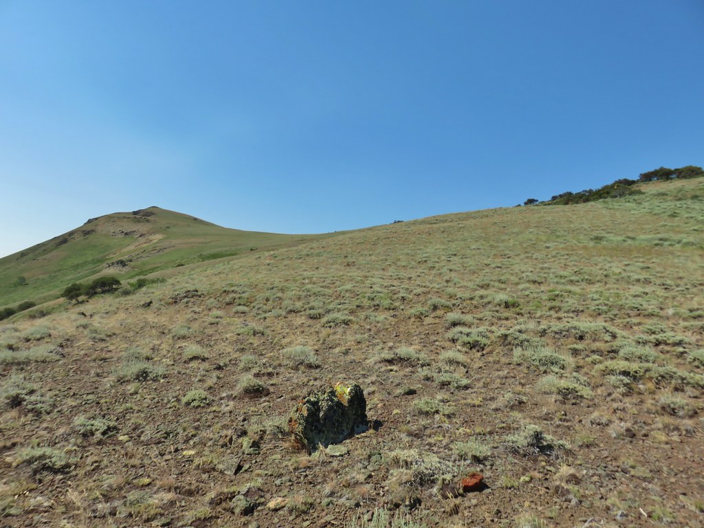 High Point is the peak ahead.
 DeGarmo Notch
 Paintbrush
 We had to drop under this.
 Warner Peak is straight ahead with a tower on top beyond the line of trees in the distance.
 Barnhardi Basin getting further away.
 Looking back toward DeGarmo Notch.
 We first aimed for the the small rock outcrop beyond High Point then bent to the right to pass the larger rock outcrop before climbing up to the trees in the distance.
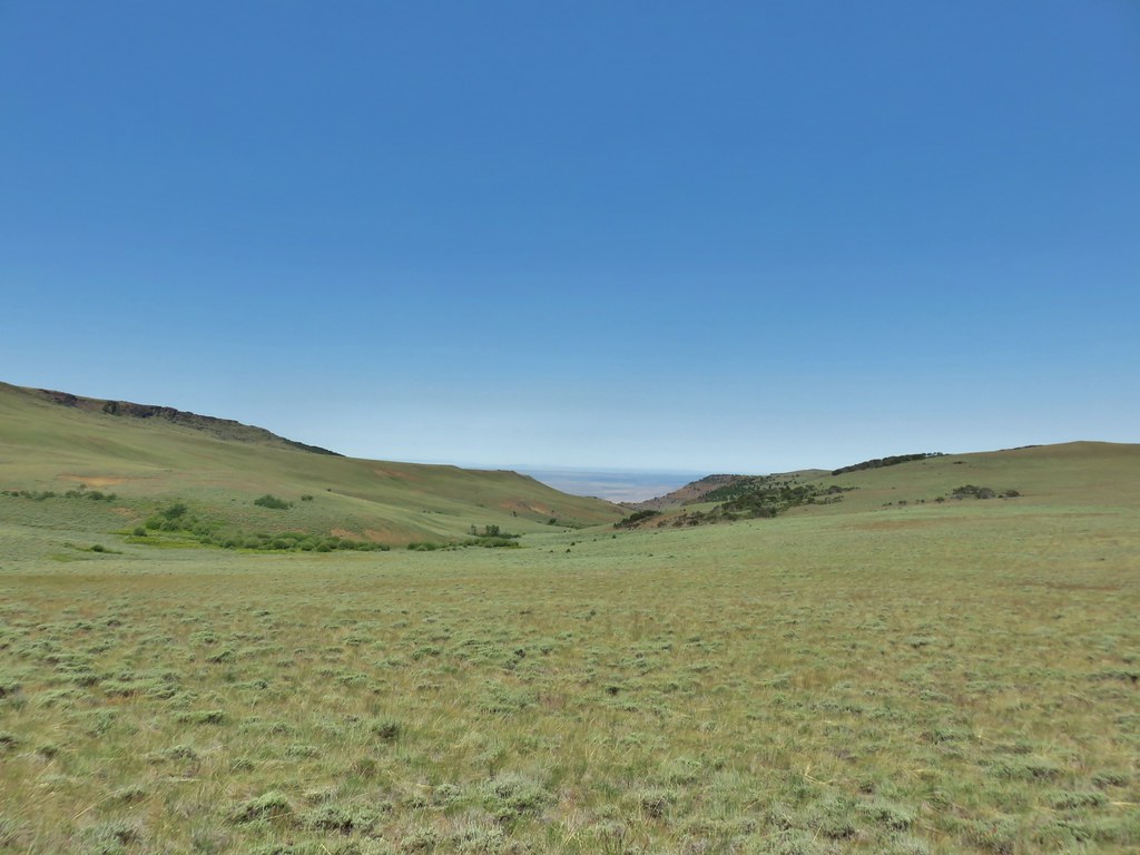
 Made it past the first outcrop and heading for the right side of the second.
 At the second outcrop.


 The white patch in the distance to the right just beyond the shadow is the parking area.
 Our car was still there.
 View south over Hart Mountain.
 SW to Drake Peak with part of Hart Lake visible below the cliffs.
 Looking north toward Juniper Mountain.
 East toward Steens Mountain
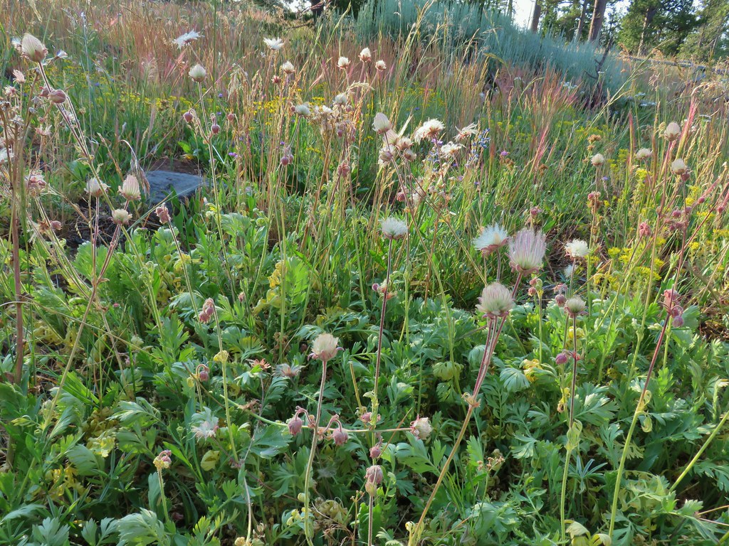
 Prairie smoke
 Balloon pod milk vetch
 Paintbrush
 Lupine
 Mountain coyote mint
 Police car moth on hyssop


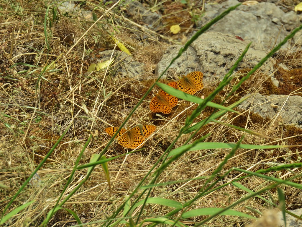
 Butterflies on rabbitbrush
 Sagebrush mariposa lily


 The trail joining the road after the 3rd creek crossing (picture is from the afternoon).
 Downed post marking the trail to avoid the creek crossings.

 A short stretch where both sides looked similar.
 Dry waterfall
 Smooth stemmed blazing star
 Oregon sunshine
 Fireweed
 Butterfly sleeping on yarrow
 Sticky purple geranium
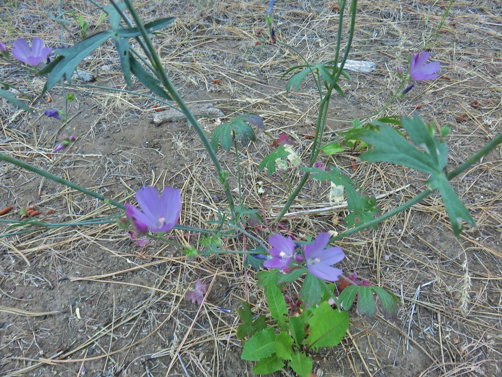 A mallow
 Balsamroot
 Rough eyelashweed
 Various wildflowers along the road bed.
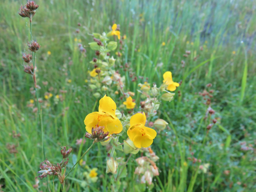 Monkeyflower
 White triteleia

 Piles from thinning while we were searching for the trail.
 Marker on a juniper heading away from Crooked Creek.
 Markers on seemingly random trees.
 Big Cove Creek crossing.
 Crooked Creek crossing near the old trailhead.
 Sagebrush mariposa lily
 Checker mallows
 A wetter meadow
 Bog orchids

 Blurry doe through the trees.


 White water buttercups


 FR 3615
 The trailhead.
 Trailhead host
 Fremont Trail on the left.
 Oregon sunshine
 Grand collomia
 Yarrow
 A paintbrush
 Checkermallow and paintbrush
 What had been a Brown’s peony
 Light Peak from Fence Pass
 Drake Peak and Light Peak
 The Drake Peak Lookout which is on Light Peak
 Twelvemile Peak
 Looking back over our route up.
 Mt. Shasta off to the SW
 Hart Mountain to the SE.


 Prairie smoke (old man’s whiskers)
 Yarrow and Oregon sunshine
 Pussytoes starting to go to seed.
 Paintbrushes
 Scarlet gilia
 Lupine
 Buckwheat
 Orange agoseris
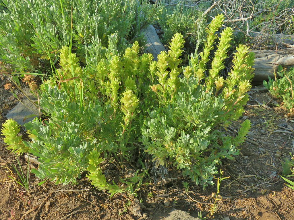 Paintbrush
 Sticky purple geranium
 Sticky sandwort
 Nuttall’s linanthus
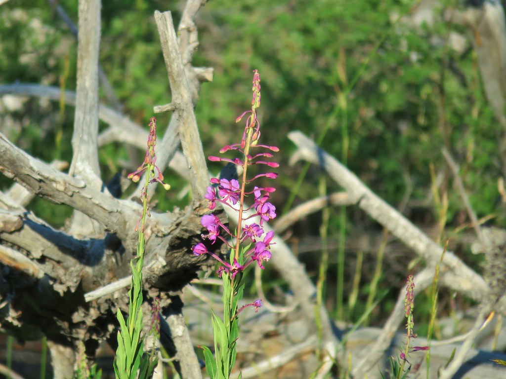 Fireweed
 Hyssop
 Golden mantled ground squirrel also enjoying the views.

 Looking down at Summer Lake
 FR 29 coming up the hillside to the right.
 Woodpecker
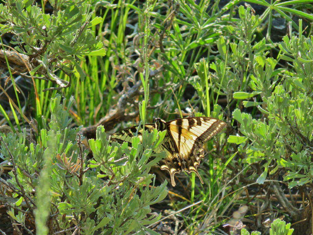 Swallowtail
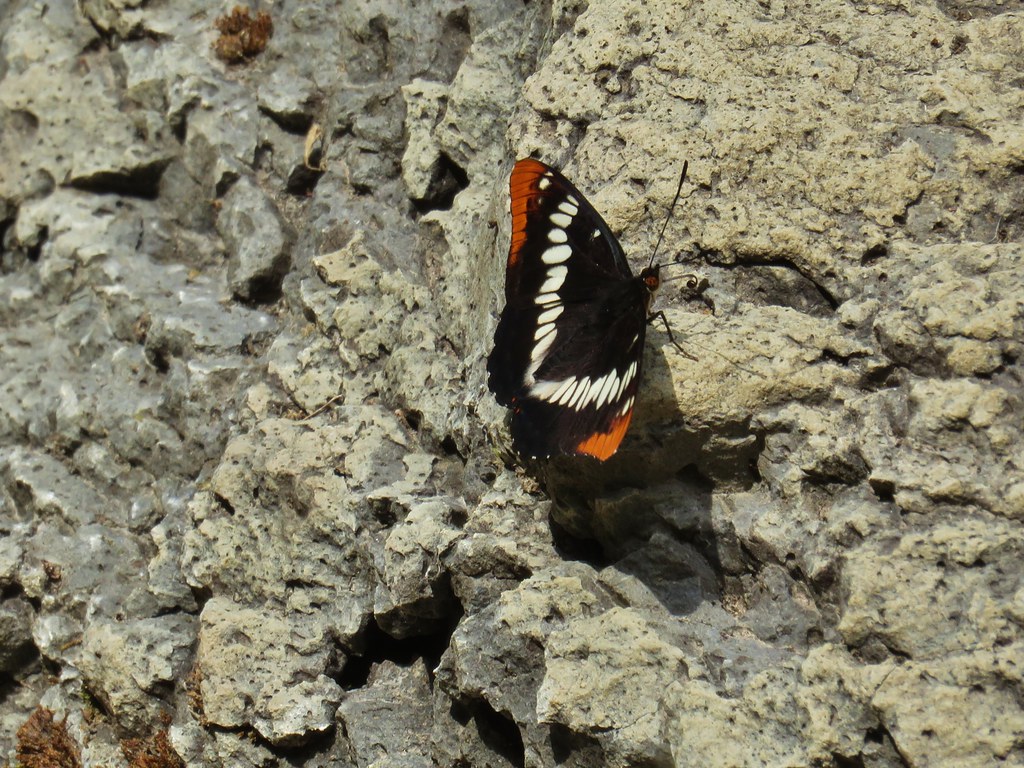
 Fritillary butterfly
 Passing through a grove of quaking aspen.
 California corn lily
 California corn lily
 Chipmunk
 More cows at the horse camp.


 Brewer’s blackbird

 White triteleia
 A checkermallow
 A view north along the ridge.
 Looking NE from Winter Ridge.
 Grand collomia
 Hummingbird
 Rosy pussytoes
 Scouler’s woollyweed (maybe)
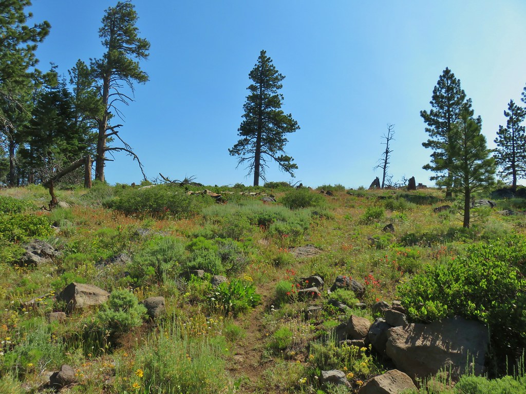 Wildflowers along the Fremont Trail
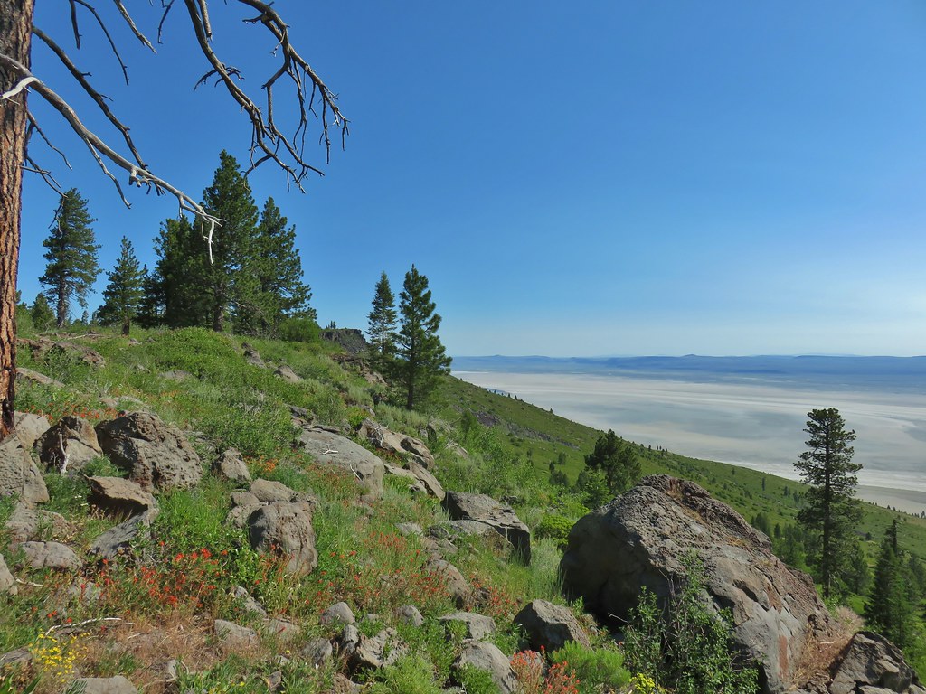 Another viewpoint
 Looking south along the ridge.
 More musk thistles.
 Fremont Trail along Winter Ridge.
 Buck watching us through the trees.
 The buck heading off.
 Western tanager near the junction.
 Snowbrush along the trail.
 Where we wound up along the rim of the ridge.
 Looking up toward the viewpoint.
 I made it to this rock outcrop which wasn’t the viewpoint I was looking for.
 A second rocky viewpoint (with the first down the ridge a bit), still not the viewpoint I was looking for.
 Looking up the ridge from the second rock outcrop. The number of snags and thicker snowbrush caused me to abandon the ridge here and follow the line that Heather was taking just a bit in from the rim.
 Looking north across the landslide to Summer Lake.
 Looking south
 Balsamroot near the viewpoint.


 Becker’s white on subalpine fleabane.
 Slender cinquefoil