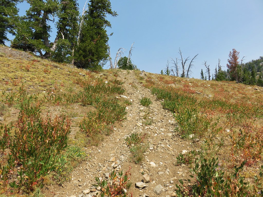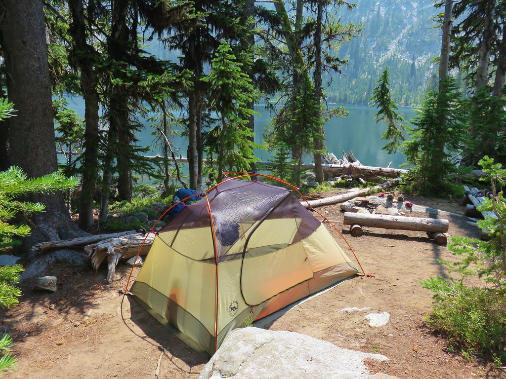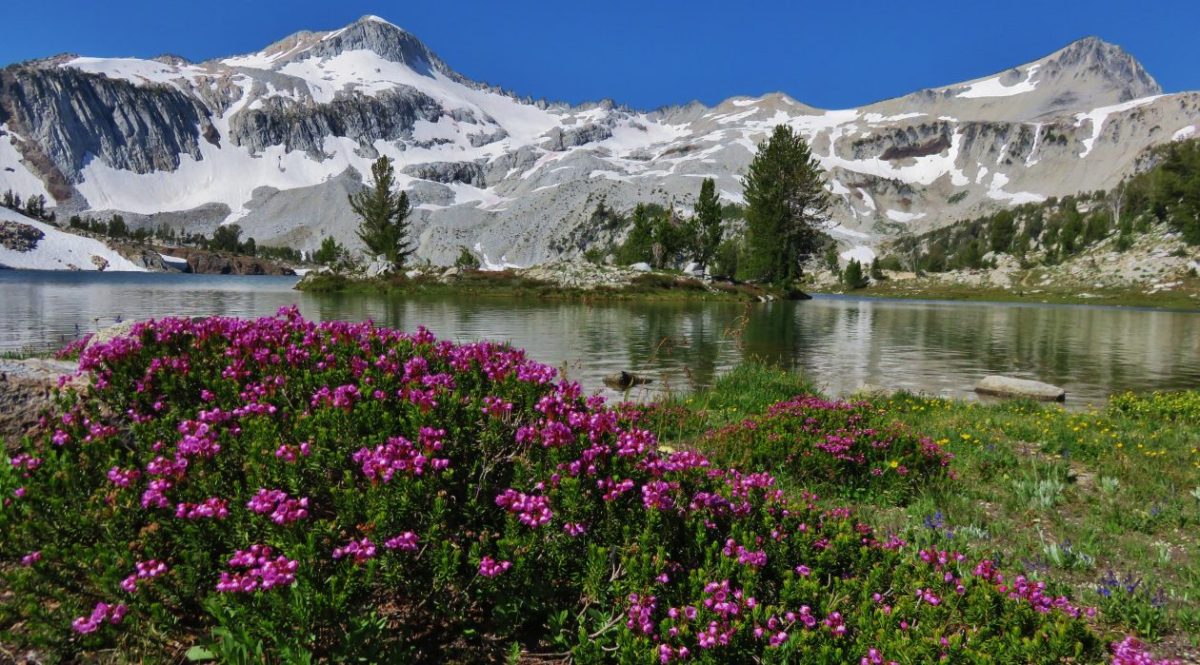
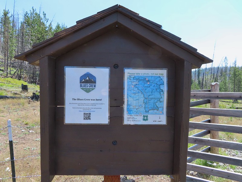
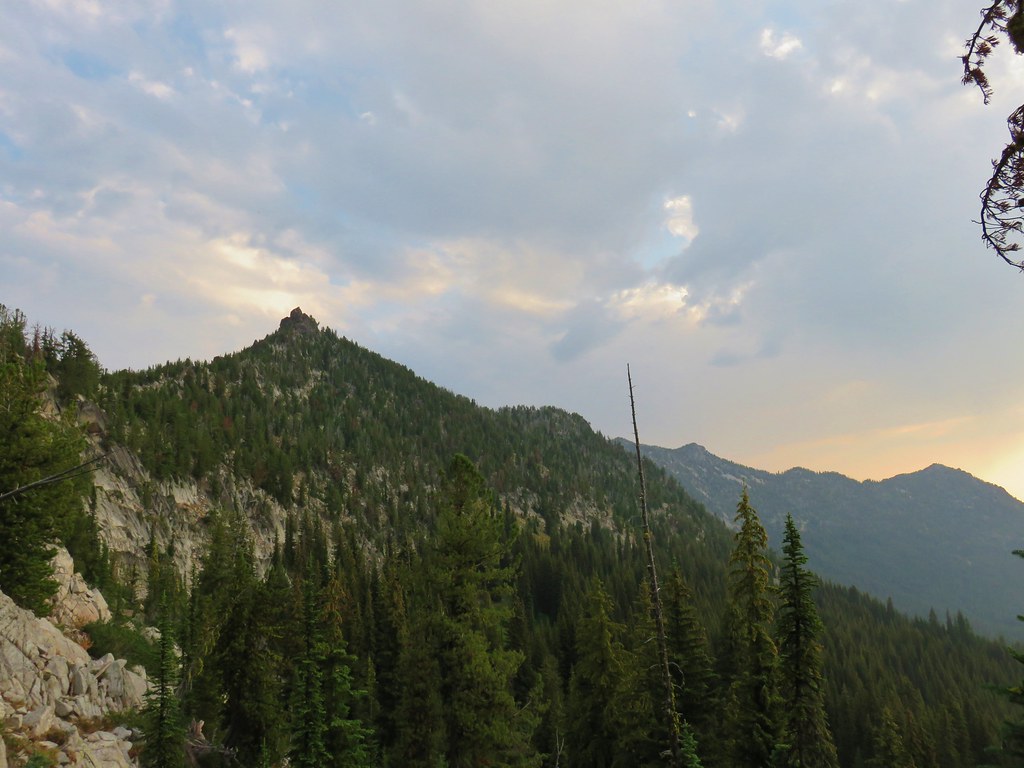
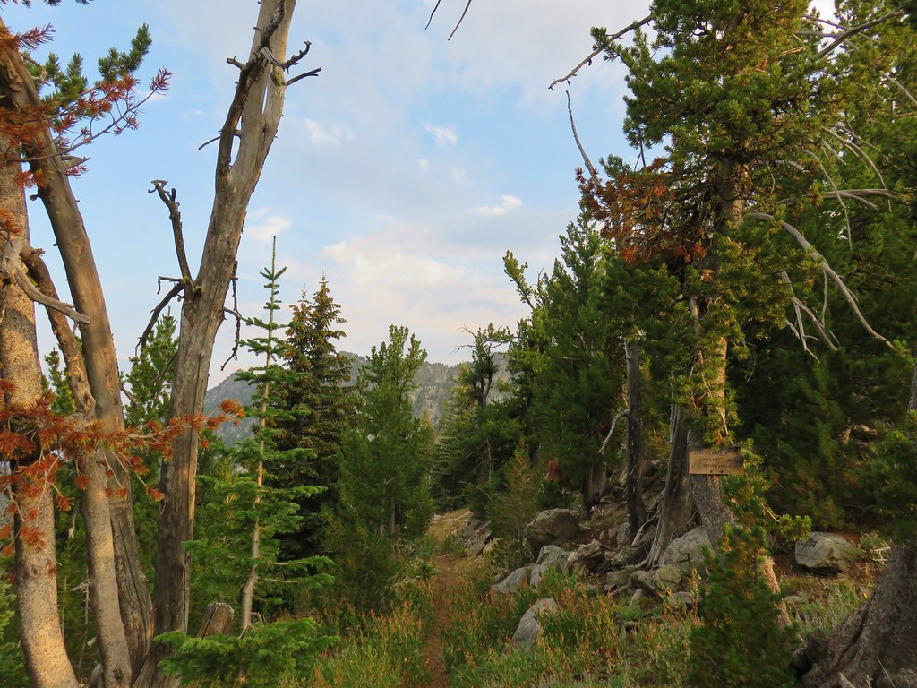
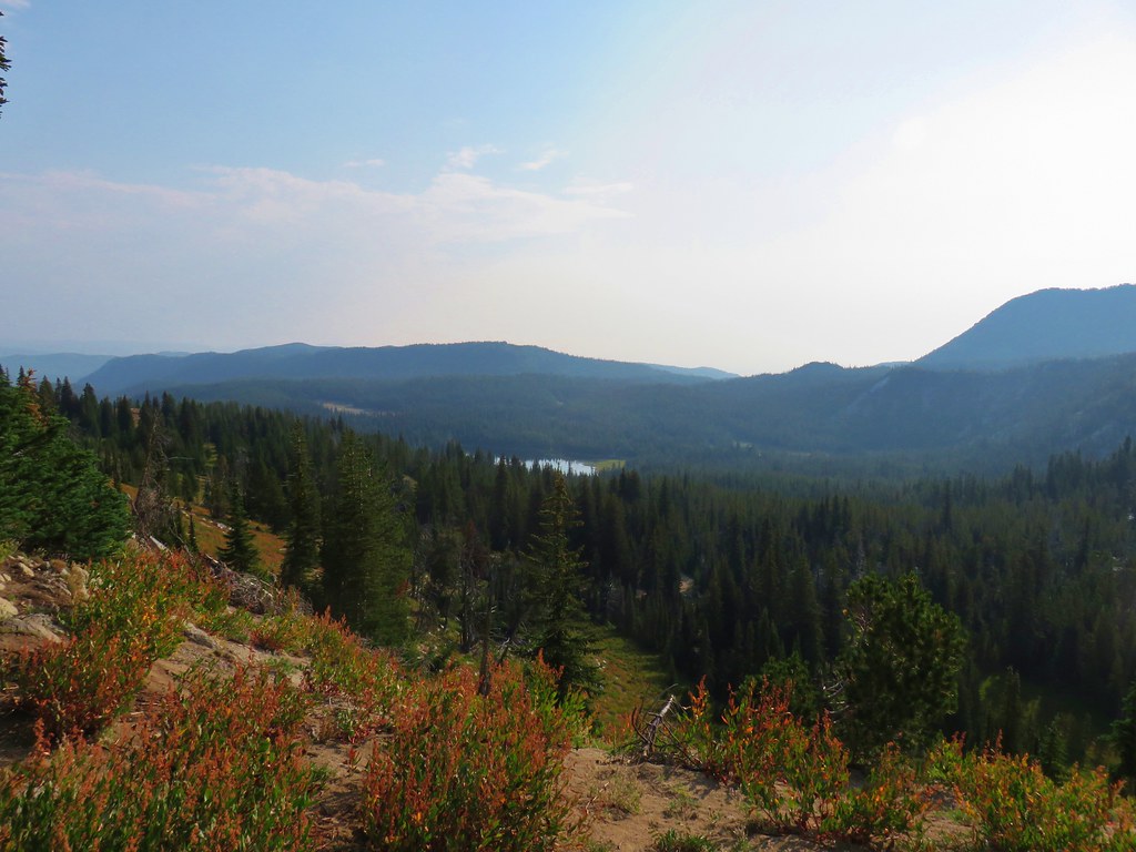
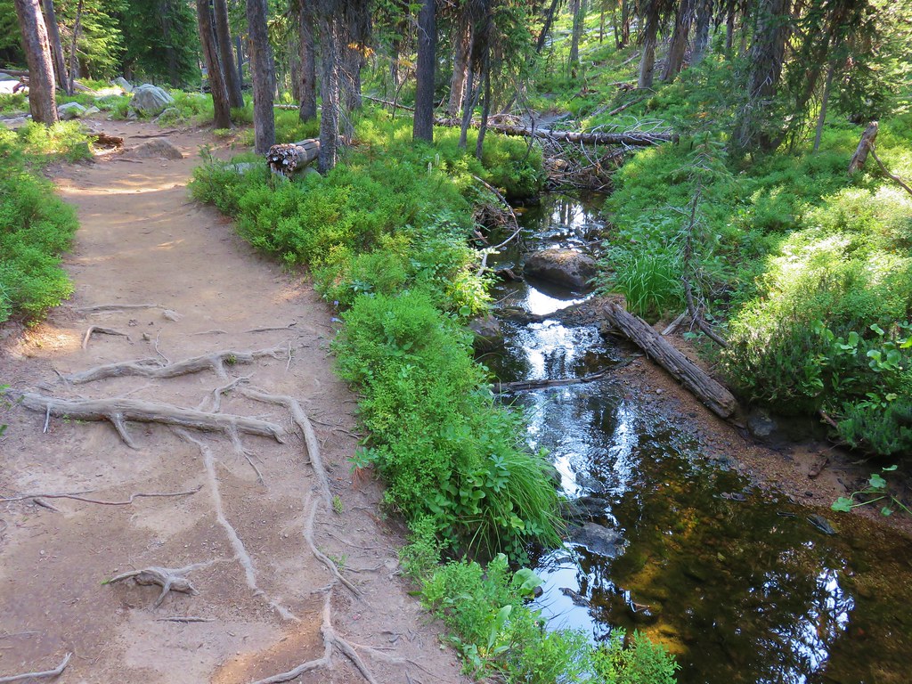
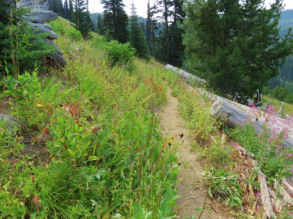
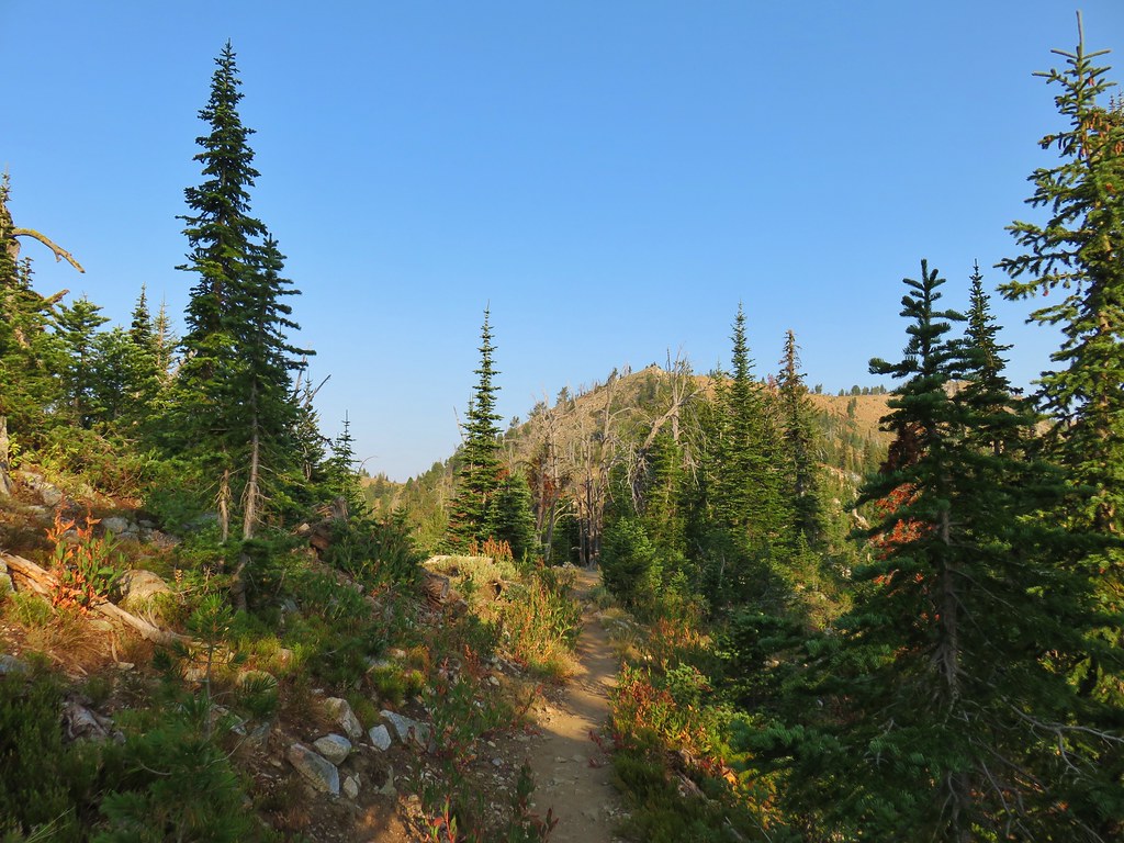
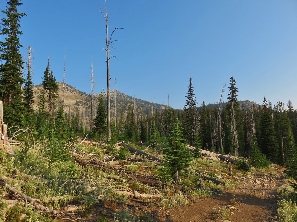
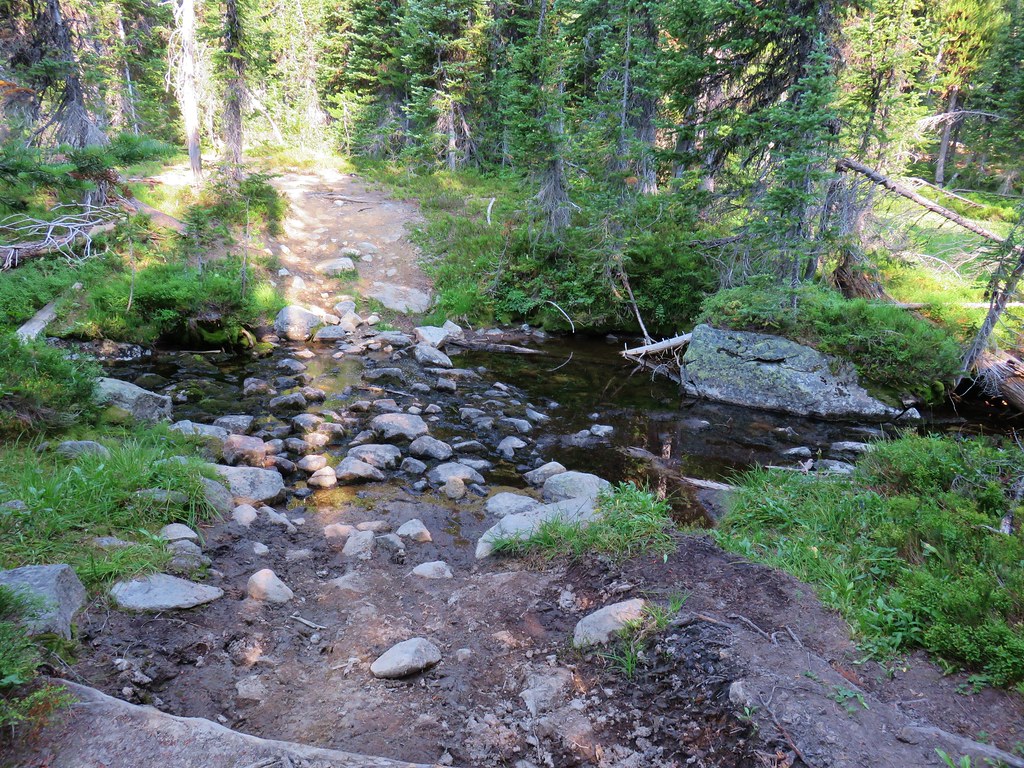
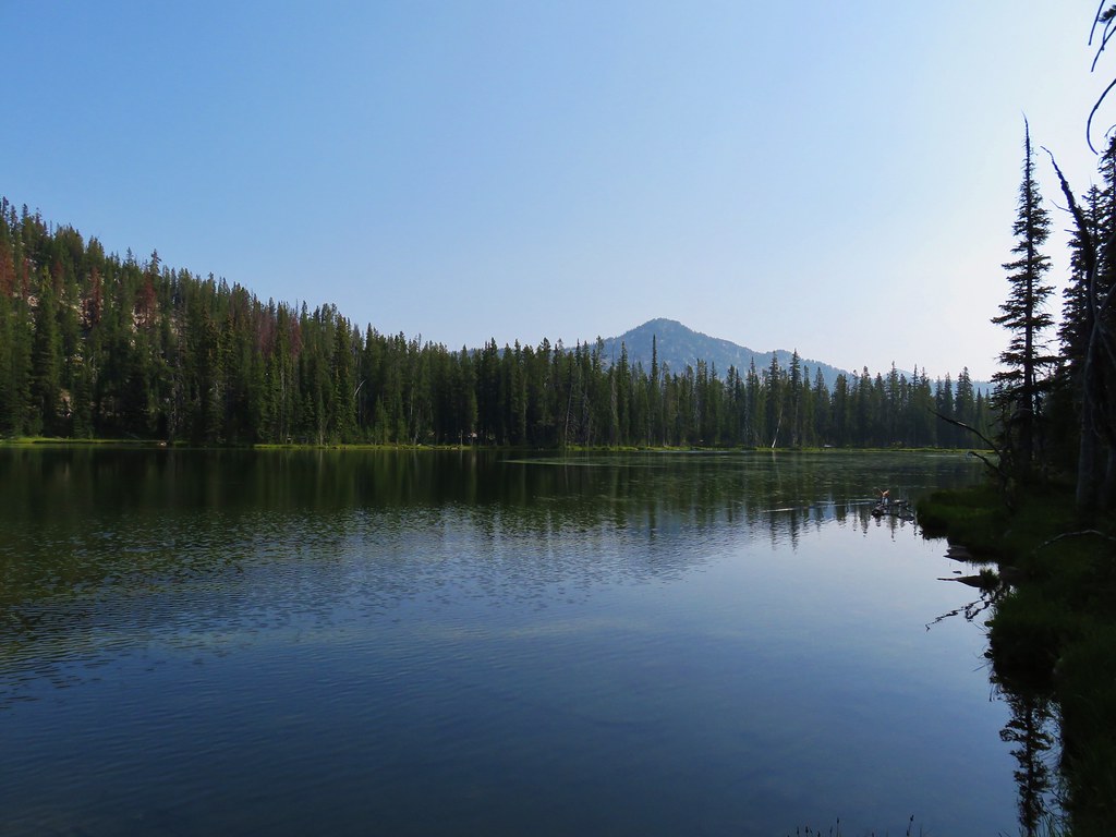
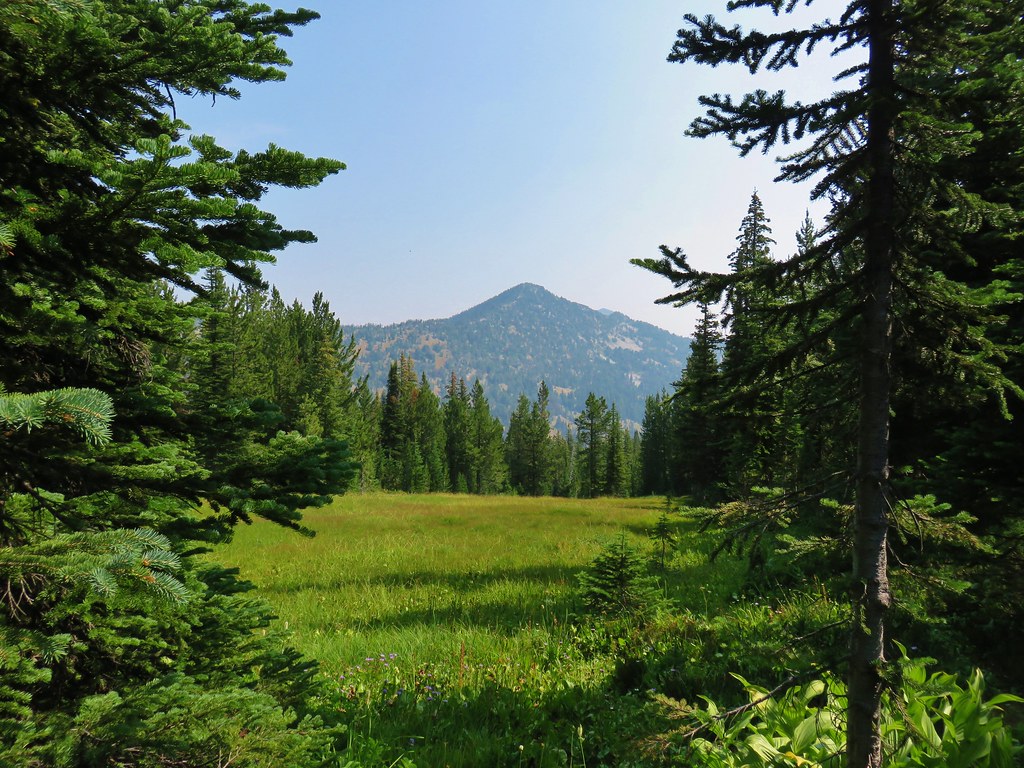
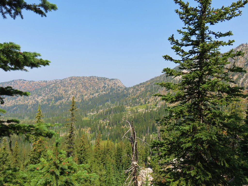
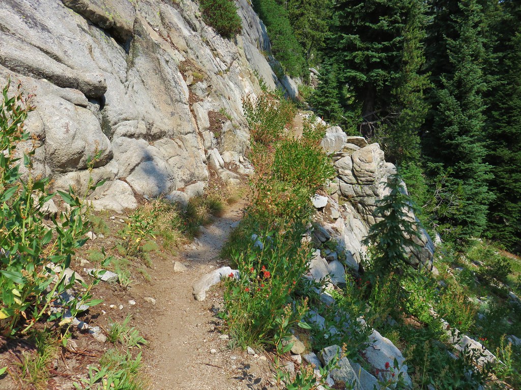
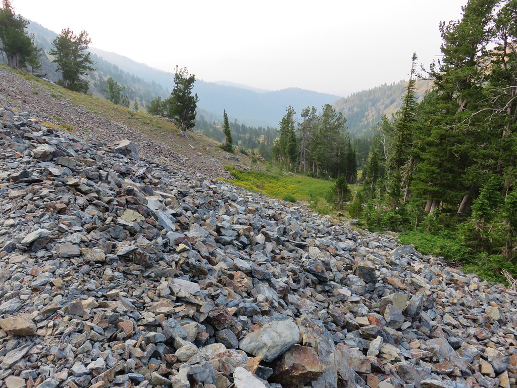
Back in 2016 we set a goal for ourselves to hike all 500 featured hikes in William L. Sullivan’s “100 Hikes…” series of guidebooks post. In 2020 we completed the first of these books covering the Central Oregon Cascades (post). We followed that up by completing a pair of books in 2021 starting with Sullivan’s “100 Hikes/Travel Guide Oregon Coast and Coast Range” 3rd edition (post) followed up by “100 HIkes/Travel Guide Northwest Oregon & Southwest Washington” 4th edition (post). Southern Oregon & Northern California was completed in 2023 leaving us with Eastern Oregon.
In 2023 we pivoted from the 3rd edition of Sullivan’s “100 Hikes/Travel Guide Eastern Oregon” to his renamed 2022 1st edition “100 Hikes Eastern Oregon” book. This was to avoid needing to make the tedious drive on horrible roads to Dug Bar in Hells Canyon which had been replaced as a featured hike in the newer edition.
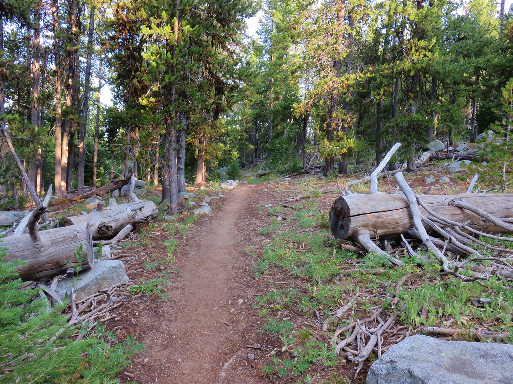
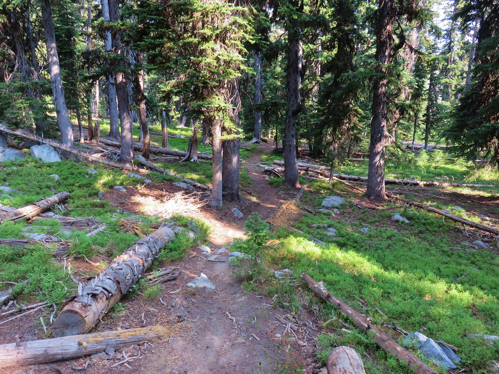
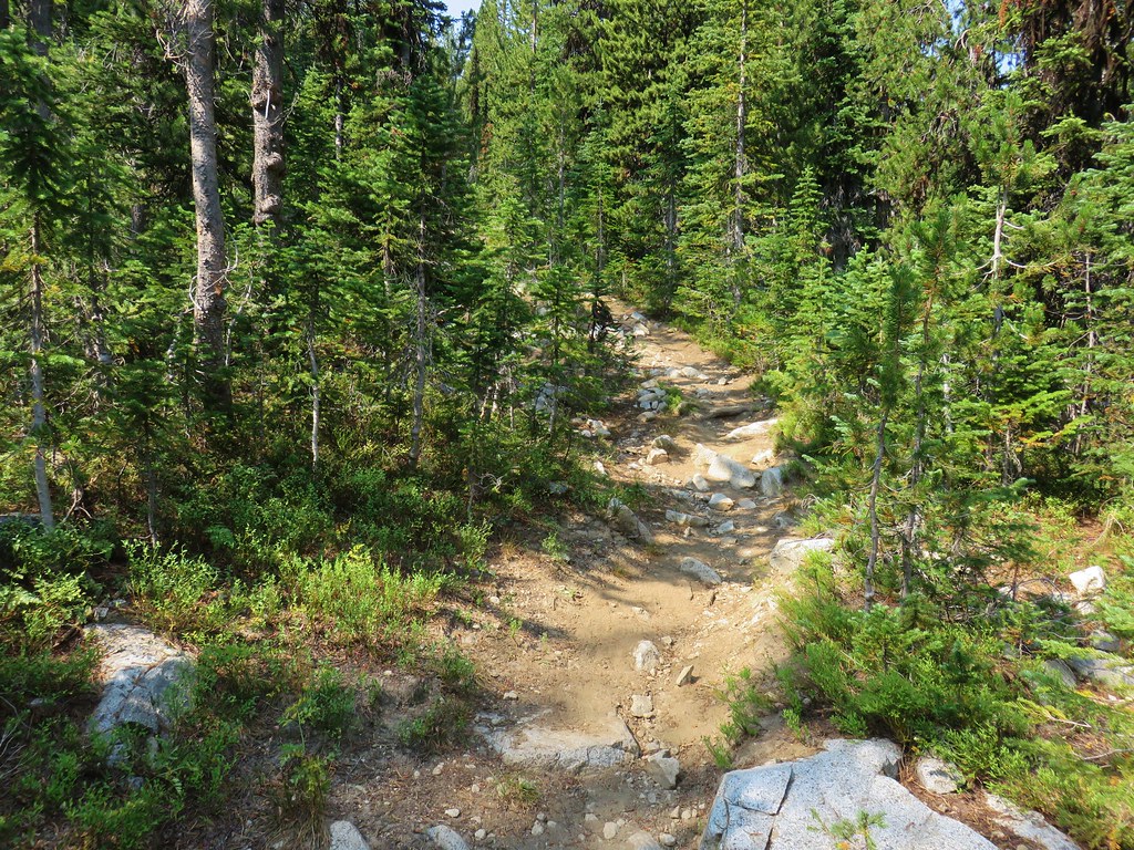
The criteria for checking a hike off our list is to hike a portion of Sullivan’s described hike or, at least visit the main attraction(s) he identifies for the hike. For 67 of the hikes we completed the books described route. For the other 33 hikes various factors contributed to us not completing every option of each featured hike. For some we started at a different trailhead, others had portions of trail(s) closed when we visited, and several had additional options that we did not do.
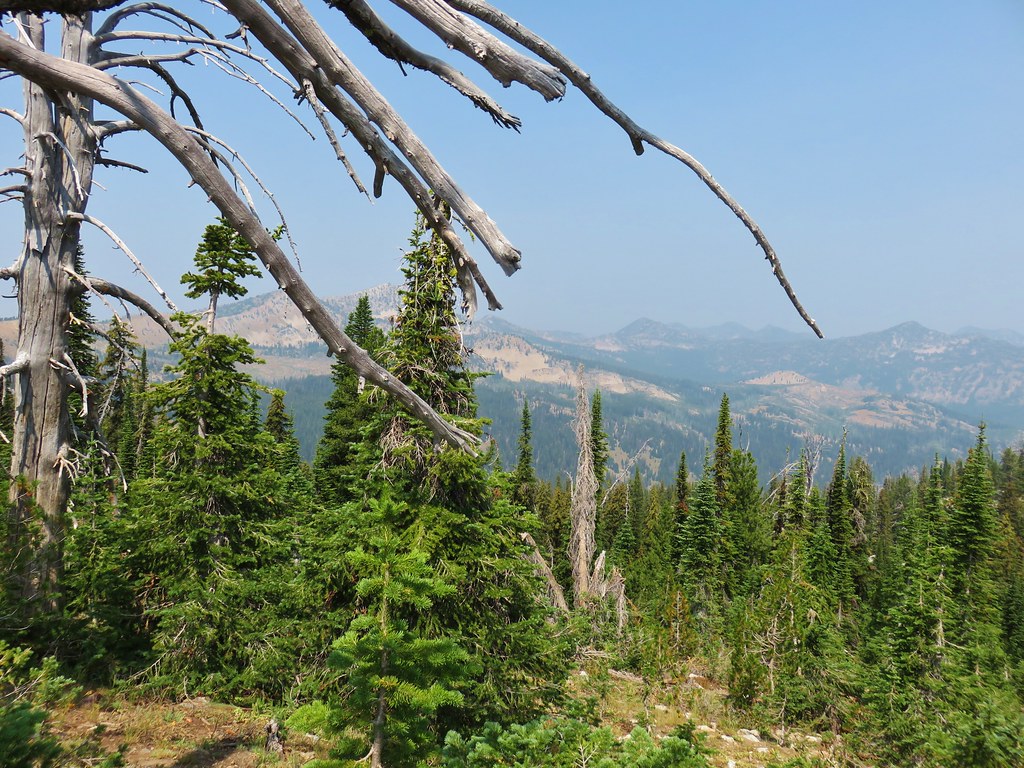
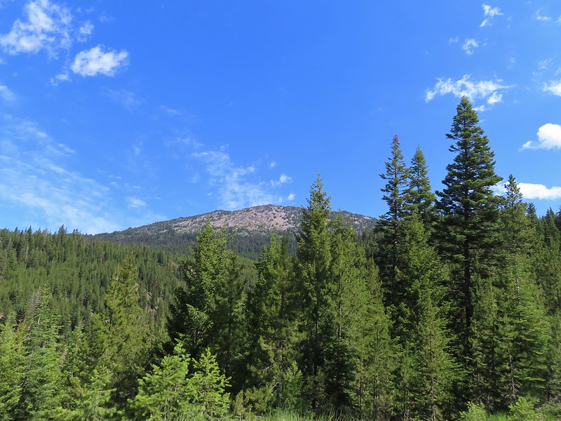
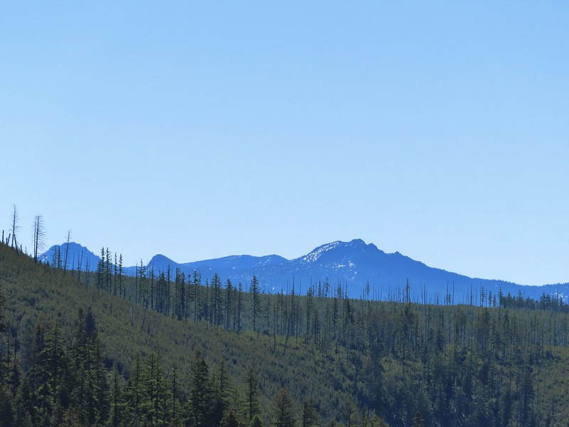
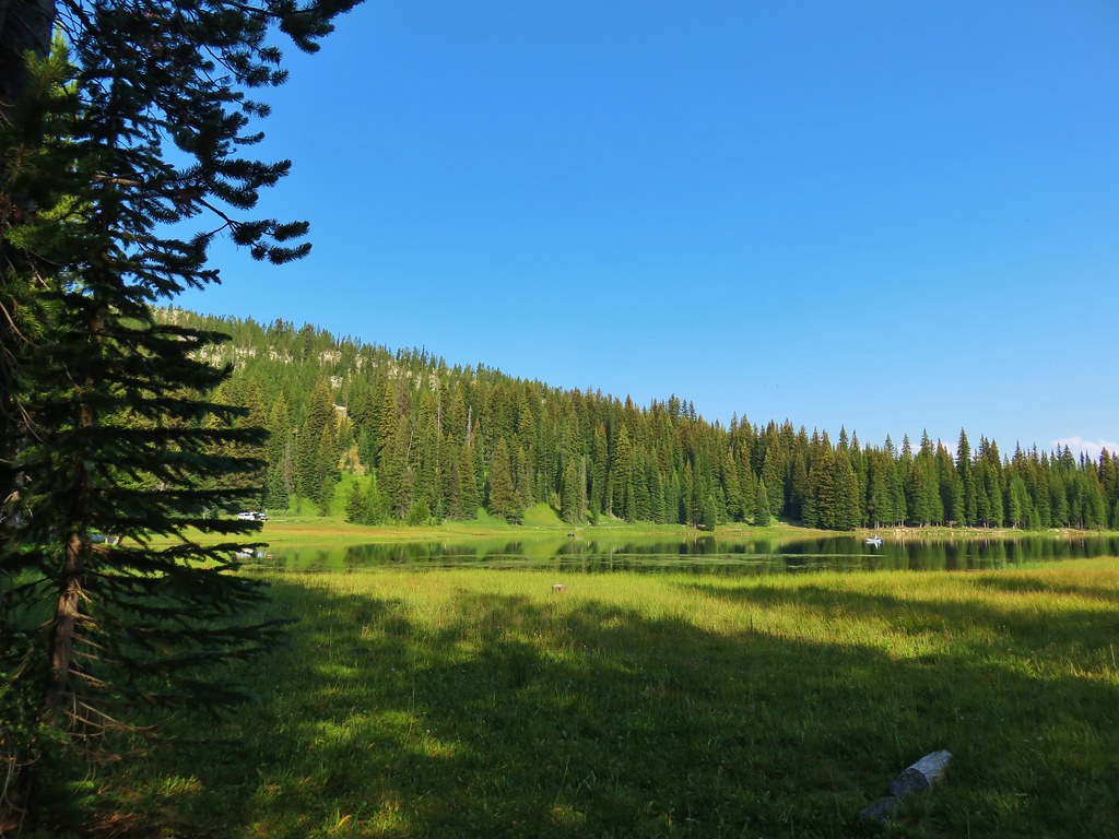
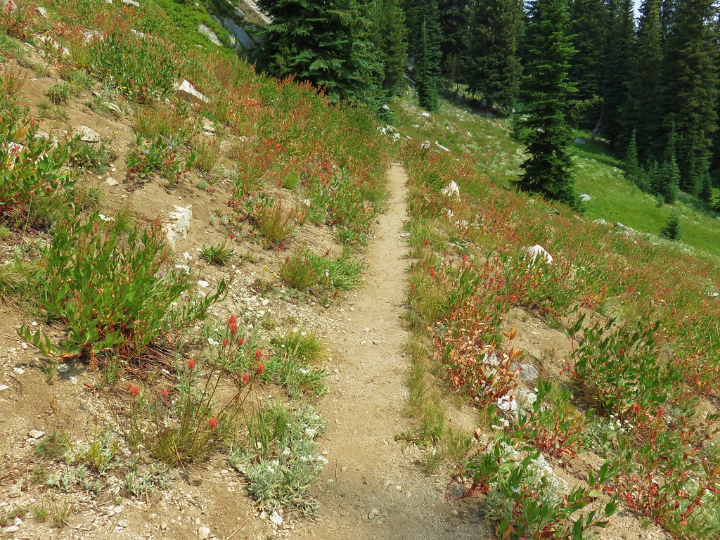
Of the five regions Sullivan breaks his guidebooks into, the Eastern Oregon region is the largest and most diverse. The area covered in this book includes hikes in Oregon east of the Deschutes River in Central Oregon and from Klamath Falls (western most hike) east to the Idaho border. There is however one hike in Washington west of the Deschutes across the Columbia River from The Dalles, OR. It also includes one short option in Idaho (eastern most), one featured hike in California (southern most) making it his only book with hikes in more than two different States. The northern most hike is not the one in Washington. That honor belongs to the Wenaha River near Troy in NE Oregon.

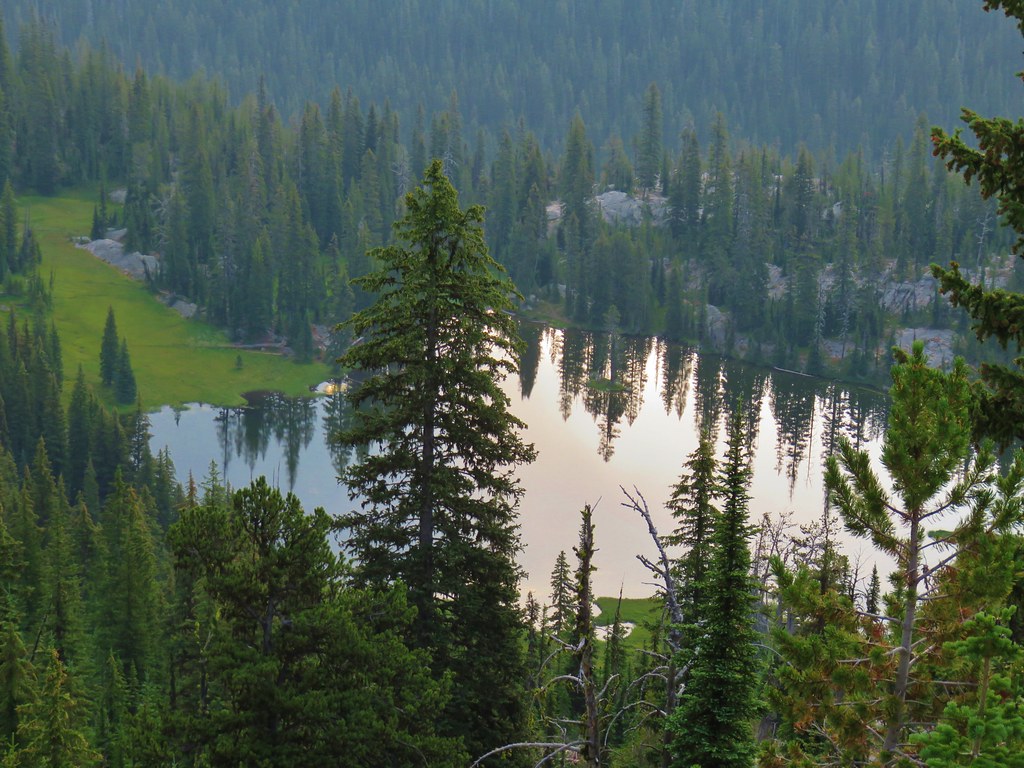
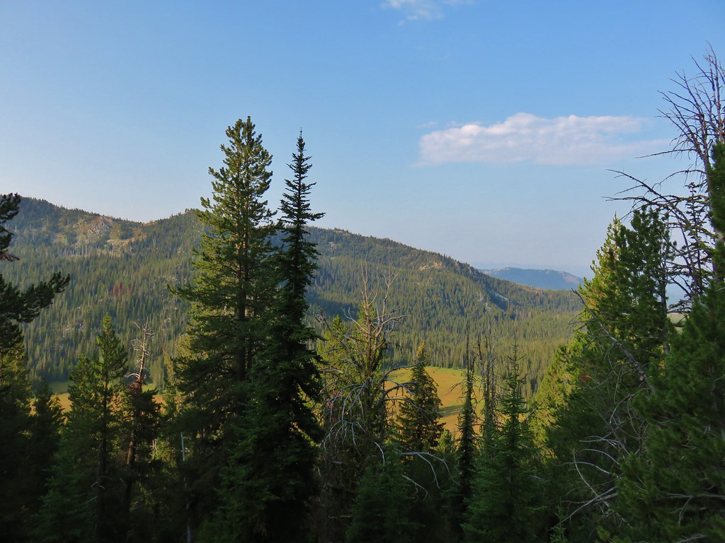
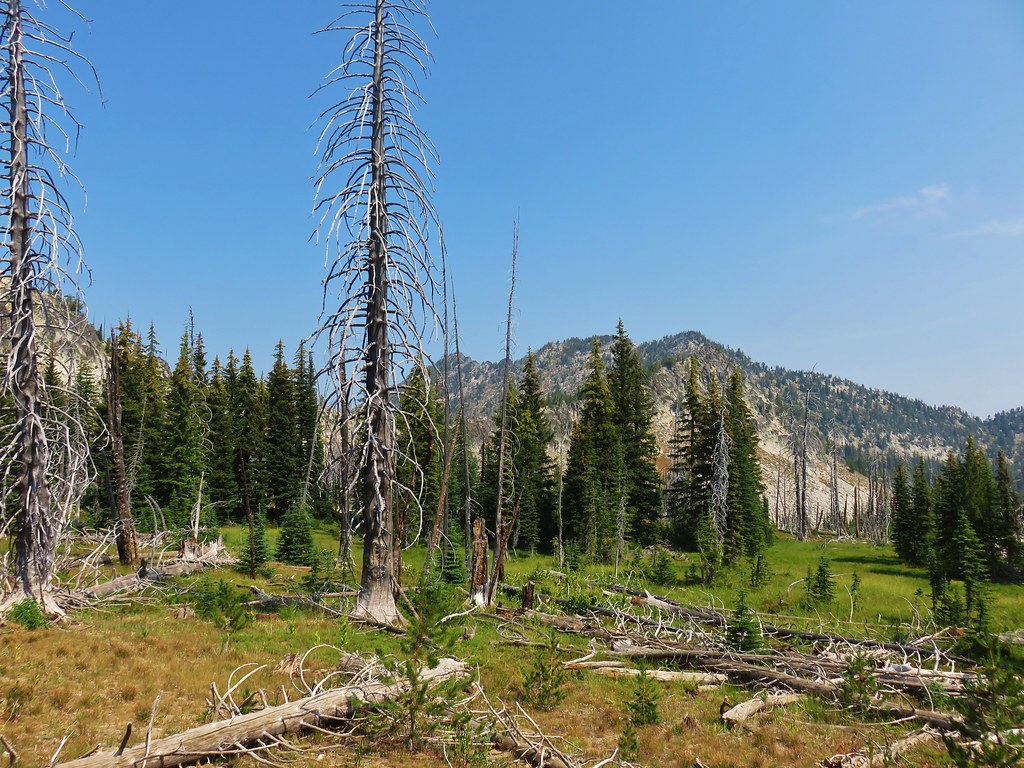
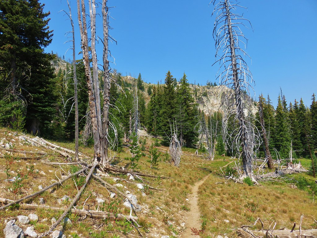
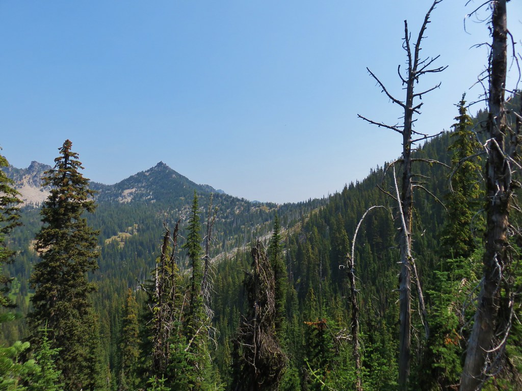
The hikes involved several wilderness areas: Oregon Badlands, Mill Creek, Spring Basin, Strawberry Mountain, North Fork John Day, North Fork Umatilla, Wenaha-Tucannon, Eagle Cap, Hells Canyon, Monument Rock, and Steens Mountain. Missing from this list are the Black Canyon (post) and Gearhart Mountain (post) wilderness areas which had featured hikes in earlier versions of Sullivan’s book that we’d completed, but were removed in the 2022 edition due to wildfire damage.
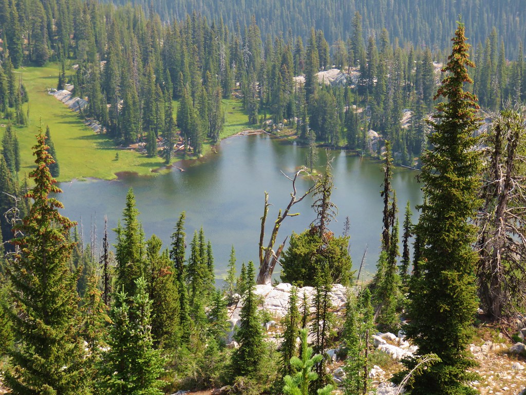
In addition to the 11 designated wilderness areas there were hikes in two National Monuments, the John Day Fossil Beds National Monument in Oregon and the Lava Beds National Monument in California, and one National Volcanic Monument, the Newberry National Volcanic Monument.
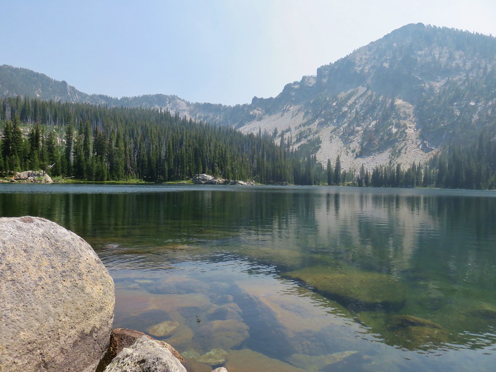
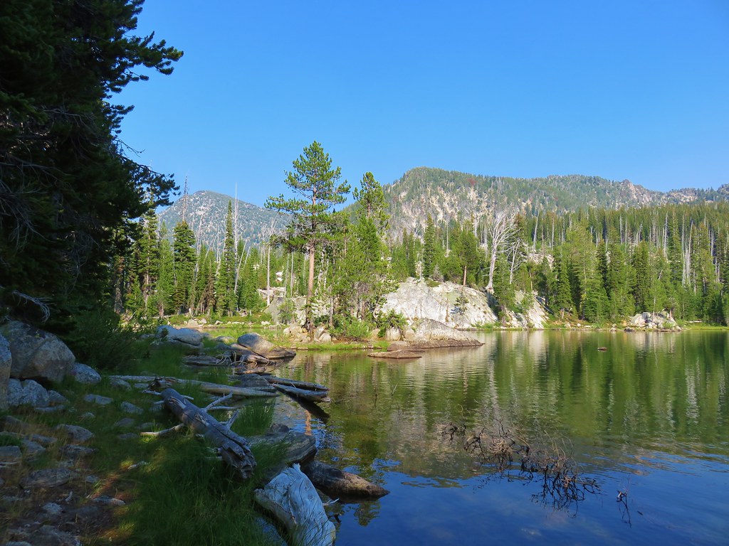
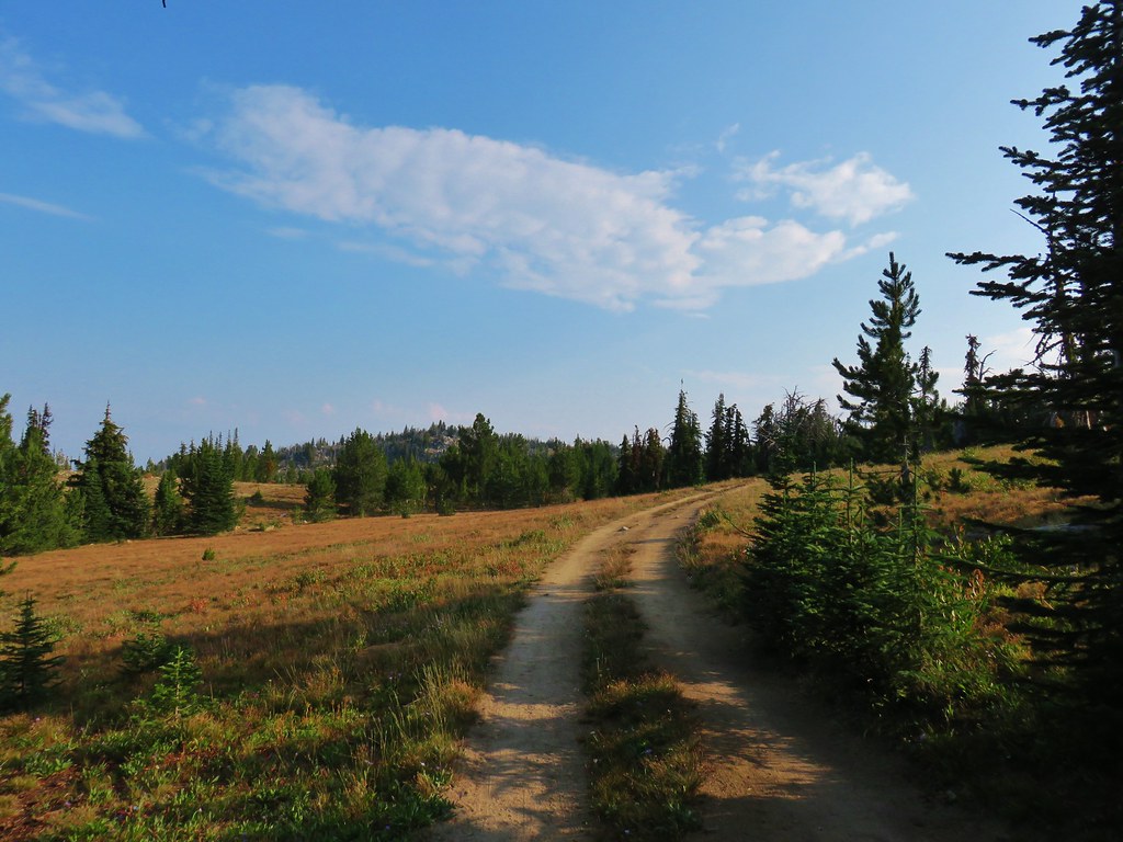
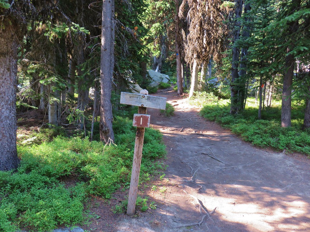
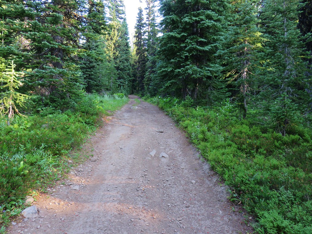
Following is a list of the 100 featured hikes and the dates we visited.
#1 Cottonwood Canyon – Hiked 5/27/2017

#2 Columbia Hills – Hiked 4/4/2015 & 4/17/2021

#3 Lower Deschutes River – Hiked 6/9/2018

#4 Macks Canyon – Hiked 5/26/2018

#5 Criterion Tract – Hiked 05/28/2023

#6 Trout Creek – Hiked 10/12/2013

#7 Willow Creek at Madras – Hiked 5/27/2024

#8 Cove Palisades – Hiked 6/16/2018

#9 Gray Butte – Hiked 6/13/2015

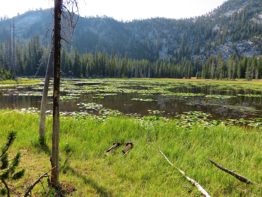
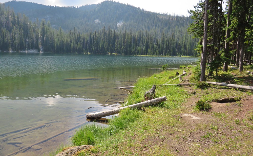
#10 Oregon Badlands – Hiked 5/15/2016 & 12/24/2016

#11 Pine Mountain – Hiked 7/30/2012

#12 Paulina Falls – Hiked 8/9/2011 & 9/16/2017

#13 Paulina Lake – Hiked 8/9/2011 & 9/16/2017

#14 Obsidian Flow – Hiked 8/9/2011

#15 Crooked River Wetlands – Hiked 5/29/2024

#16 Chimney Rock – Hiked 9/22/2017

#17 Steins Pillar – Hiked 5/8/2013

#18 Juniper Hill – Visited* 5/27/2024

#19 Mill Creek – Hiked 7/31/2012

#20 Lookout Mountain – Hiked 6/12/2014

#21 Walton Lake – Hiked 6/17/2017 & 6/18/2021

#22 Spring Basin – Hiked 4/22/2017

#23 John Day Fossil Beds – Hiked 4/30/2016, 4/22/2017 & 9/17/2017
 Painted Hills Unit
 Clarno Unit
 Blue Basin Unit
#24 Sutton Mountain – Hiked 4/30/2016

#25 Spanish Peak – Hiked 7/19/2021 & 7/20/2021

#26 Madison Butte – Hiked 5/28/2024

#27 Wildcat Basin – Hiked 7/24/2018

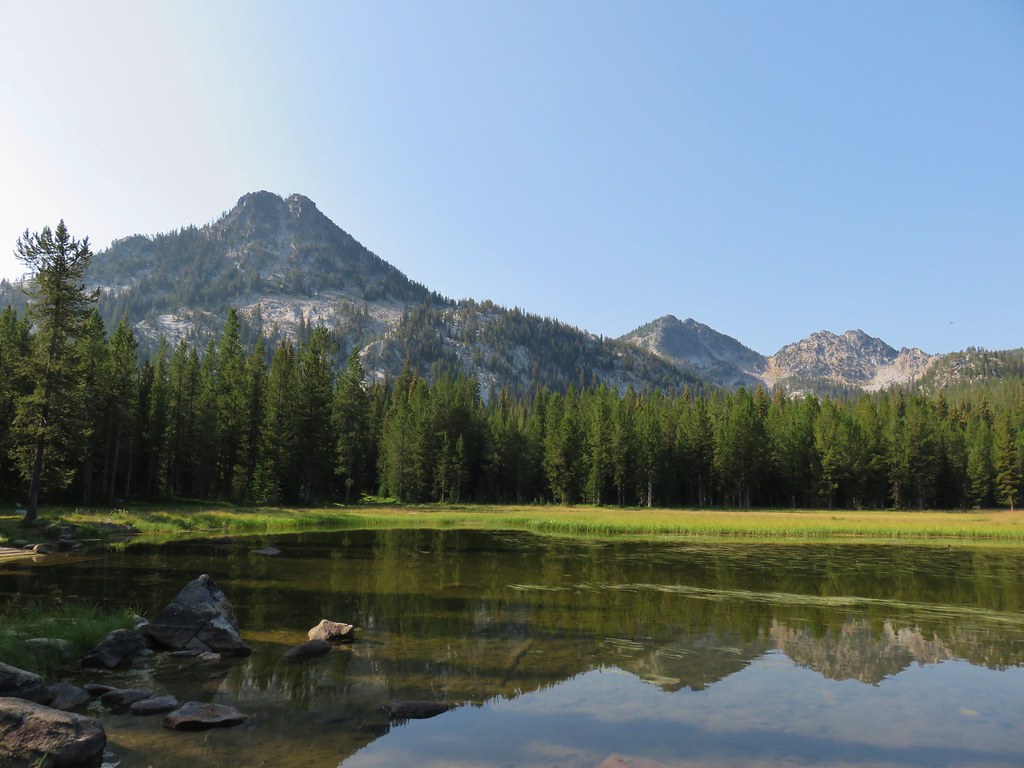
#28 High Lake – Hiked 7/26/2018

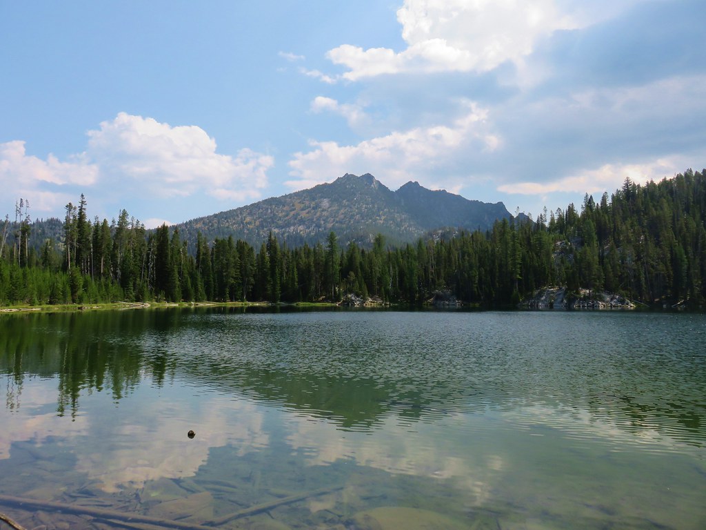
#29 Strawberry Lake – Hiked 7/25/2018

#30 Malheur River – Hiked 6/17/2021

#31 Canyon Mountain – Hiked 7/22/2021

#32 Monument Rock – Hiked 7/21/2021

#33 Bates and Sumpter – Hiked 9/17/2017

#34 Olive Lake – Hiked 9/18/2017

#35 Granite Creek – Hiked 9/21/2017

#36 North Fork John Day River – Hiked 9/19/2017

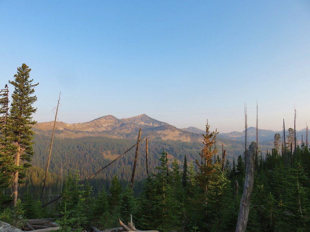
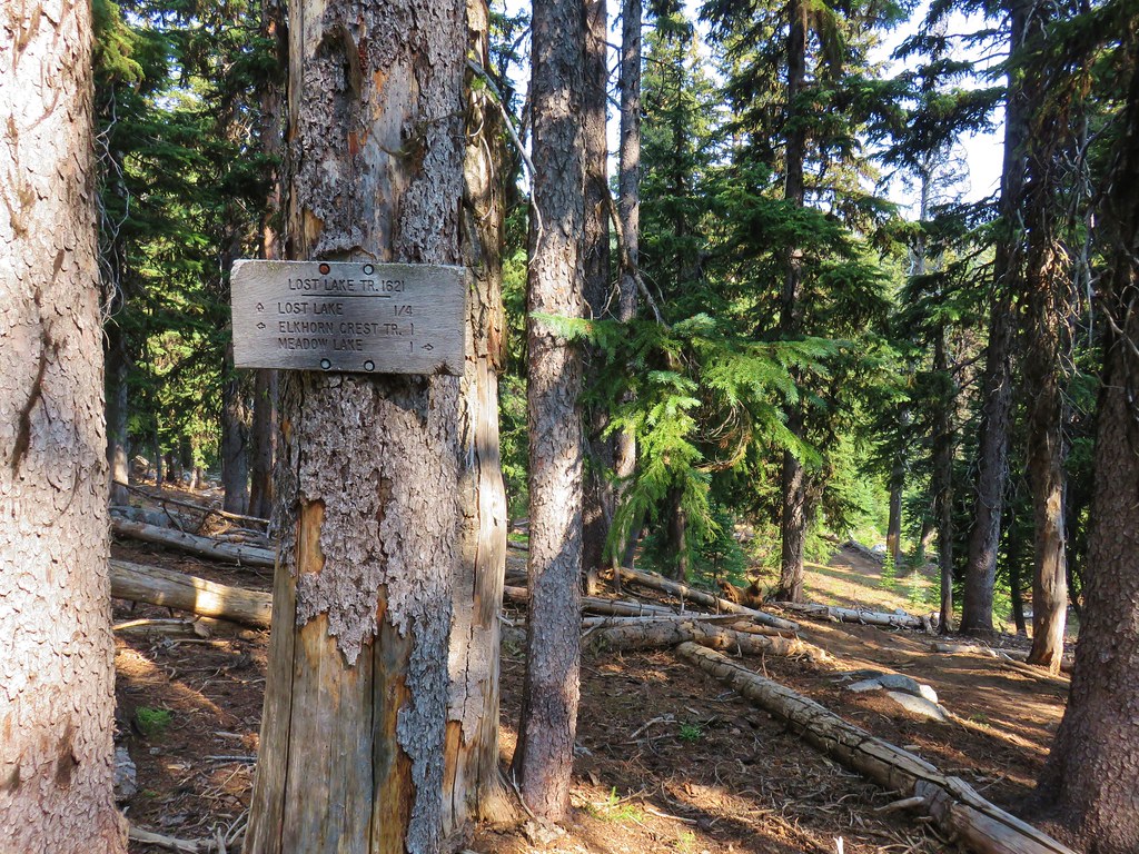
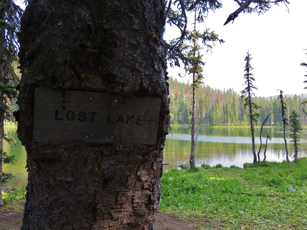
#37 Mount Ireland – Hiked 7/9/2022

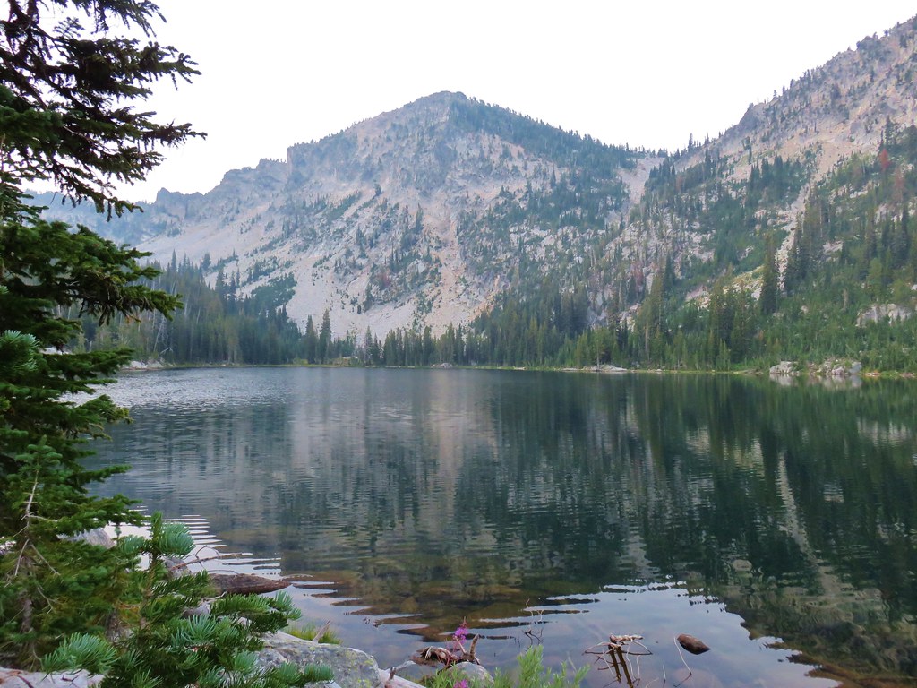
#38 Baldy Lake – Hiked 9/20/2017

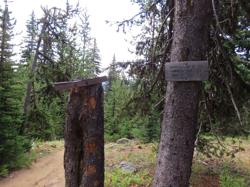
#39 Crawfish Lake – Hiked 8/16/2018

#40 Anothony Lake – Hiked 8/16/2018

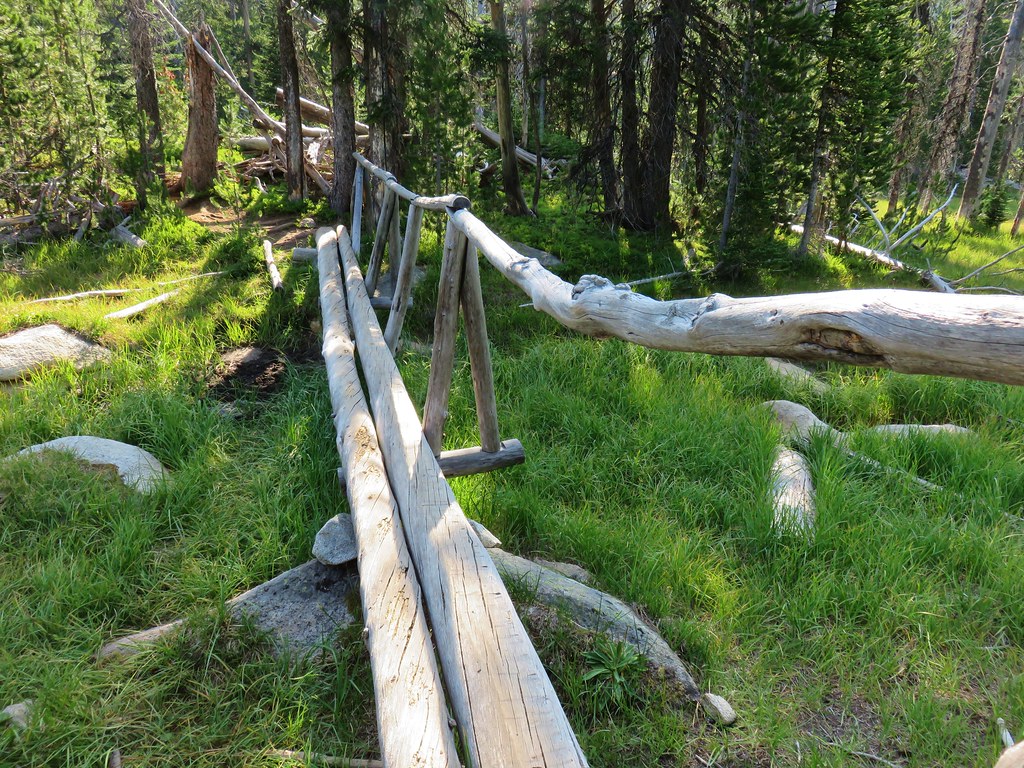
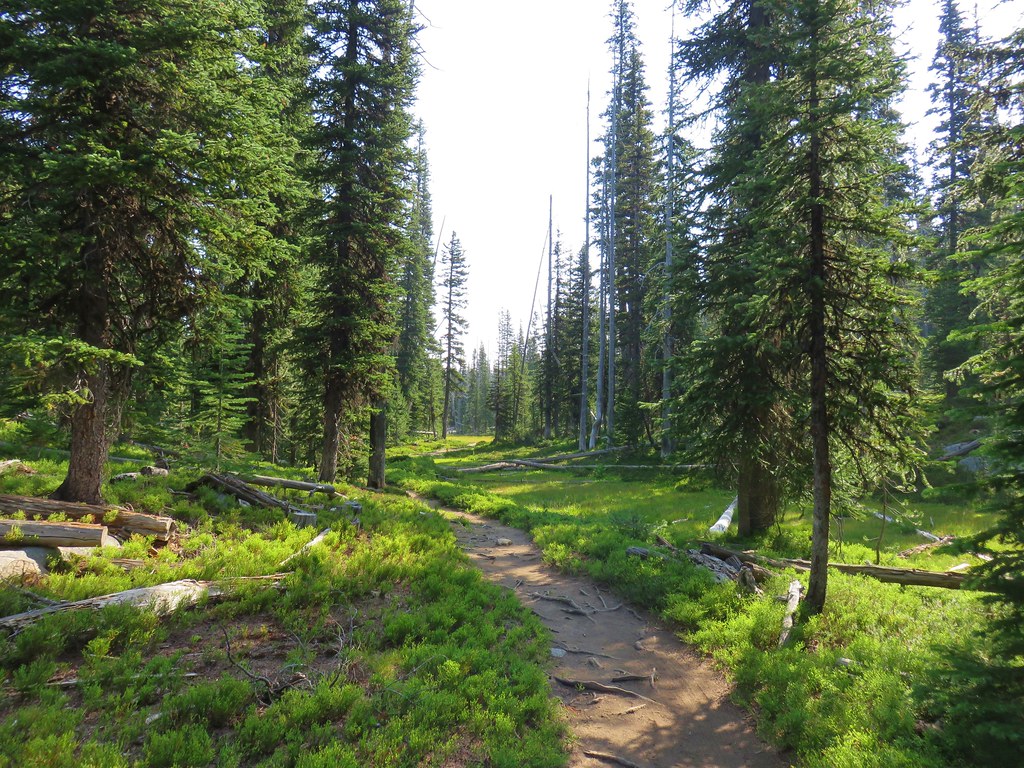
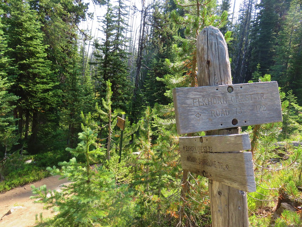
#41 Elkhorn Crest – Hiked 8/12/2018, 8/13/2018, 8/14/2018, 8/15/2018 & 08/16/2018

#42 Twin Lakes – Hiked 8/13/2018

#43 North Fork Umatilla River – Hiked 6/14/2021

#44 Jubilee Lake – Hiked 9/12/2021

#45 Wenaha River – Hiked 5/25/2019

#46 Zumwalt Prairie – Hiked 5/26/2019

#47 Buckhorn Lookout – Hiked 6/15/2023

#48 Eureka Bar – Hiked 6/14/2023

#49 Hat Point – Hiked 7/21/2024

#50 Freezeout Saddle – Hiked 5/24/2019

#51 Hells Canyon Dam – Hiked 6/16/2023

#52 Hells Canyon Reservoir – Hiked 6/16/2023

#53 Imnaha Falls – Hiked 6/12/2023

#54 Bonny Lakes – Hiked 7/24/2024

#55 McCully Basin – Hiked 7/23/2024

#56 Mount Howard – Hiked 7/26/2024

#57 Aneroid Lake – Hiked 8/22/2024

#58 Wallowa Lake – Hiked 5/23/2019
 B.C. Falls
#59 Ice Lake – Hiked 7/31/2016

#60 Horseshoe Lake – Hiked 8/3/2016 & 8/04/2016

#61 Hurricane Creek – Hiked 7/22/2024

#62 Eagle Cap – Hiked 8/3/2016

#63 Minam Lake – Hiked 7/25/2024

#64 Maxwell Lake – Hiked 8/21/2024

#65 Chimney Lake – Hiked 8/20/2024

#66 Wallowa Homeland – Hiked 7/14/2022

#67 Bear Creek – Hiked 7/14/2022

#68 Rock Springs – Hiked 7/11/2022

#69 Moss Springs – Hiked 7/13/2022

#70 Catherine Creek Meadows – Hiked 7/10/2022

#71 Burger Pass – Hiked 7/12/2022

#72 Tombstone Lake – Hiked 8/16/2023 & 8/17/2023

#73 Eagle Lake – Hiked 8/13/2023

#74 Bear Lake – Hiked 8/14/2023

#75 Hidden Lake – Hiked 9/9/2024

#76 Summit Point Lookout – Hiked 8/18/2024

#77 Pine Lakes – Hiked 8/19/2024

#78 Fort Rock – Hiked 6/14/2014 & 5/28/2017

#79 Fort Rock Valley – Hiked 5/28/2017

#80 Hager Mountain – Hiked 7/30/2013 & 6/14/2014

#81 Summer Lake – Hiked 7/24/2020

#82 Winter Ridge – Hiked 7/19/2020

#83 OC&E Railroad – Hiked 10/5/2018

#84 Klamath Falls – Hiked 10/20/2018

#85 Modoc Lava Beds – Hiked 10/6/2018

#86 DeGarmo Canyon – Hiked 7/22/2020

#87 Hart Mountain Hot Springs – Hiked 7/21/2020

#88 Petroglyph Lake – Hiked 7/22/2020

#89 Steens Summit – Hiked 8/18/2021

#90 Little Blitzen River – Hiked 8/19/2021

#91 Big Indian Gorge – Hiked 8/17/2021

#92 Threemile Canyon – Hiked 9/3/2023

#93 Pike Creek – Hiked 6/14/2018

#94 Big Sand Gap – Hiked 6/14/2018

#95 Borax Hot Springs – Hiked 6/14/2018

#96 Pueblo Mountains – Hiked 8/20/2021

#97 Leslie Gulch – Hiked 6/11/2018

#98 Coffeepot Crater – Hiked 6/11/2018

#99 Chalk Basin – Hiked 6/13/2018

#100 Three Forks – Hiked 6/12/2018

*The Juniper Hills Preserve is owned by the Nature Conservancy and had been closed to public entry in 2023, so we were unable to hike the trails. We parked and walked to the gates to take photos. If they ever reopen it to the public we will go back.
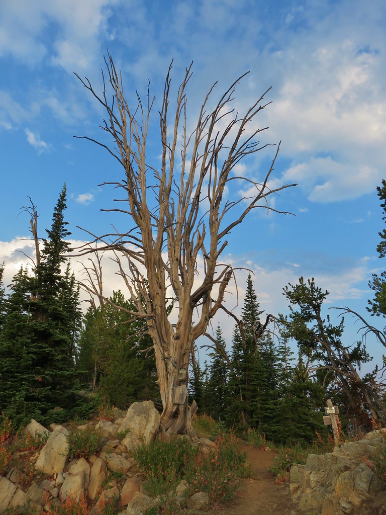
Completing our featured hike goals provided a sense of relief. While we thoroughly enjoyed all of the hikes, and the Wallowa Mountains became our favorite destination in Oregon, we had begun to put pressure on ourselves to finish. That pressure had begun following the September 2020 wildfires that ravaged parts of the Central Cascades and left many trails closed for years. We had just finished the featured hikes in that area earlier that year and realized how close we’d come to having to put our goal on hold. In the grand scheme of things reaching 500 featured hikes is irrelevant but having worked on it for several years it was something we didn’t want to abandon. We will gig deeper into that in a later post covering finishing the 500, but it’s nice to have the urgency to get to specific places removed.
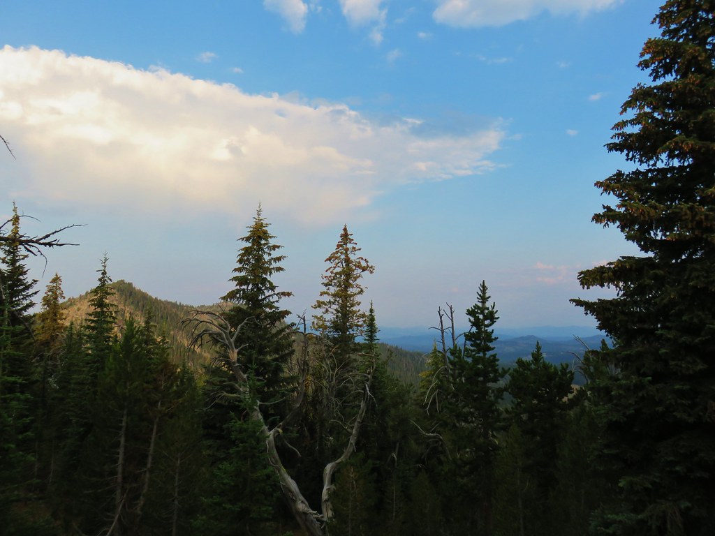
Setting the goal did provide us with an excuse to visit parts of Oregon that we’d never seen before. While we were checking off the 100 featured hikes we stopped at over three dozen additional spots including eight previously featured hikes. There are still numerous trails left for us to explore so we will almost certainly be heading back to Eastern Oregon from time to time to see new sights and possibly revisit some familiar ones. Happy Trails!


 Aster
Aster
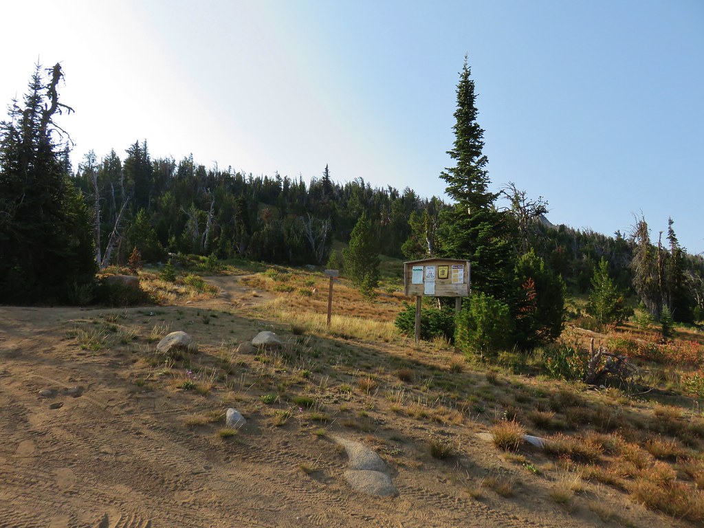
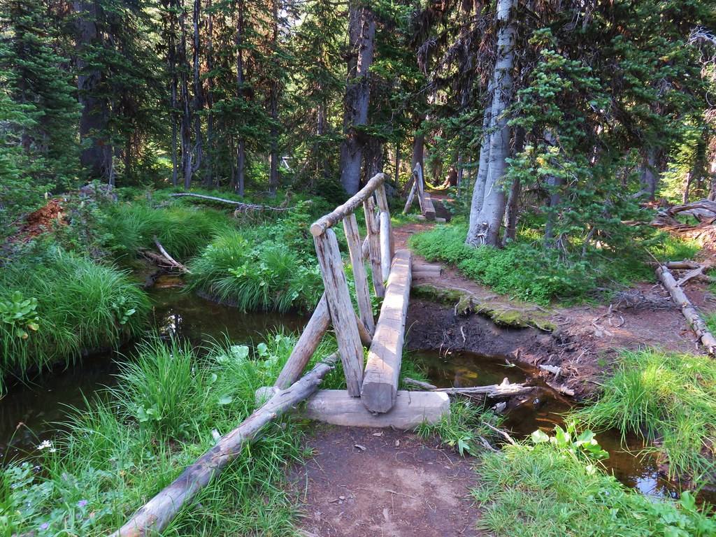
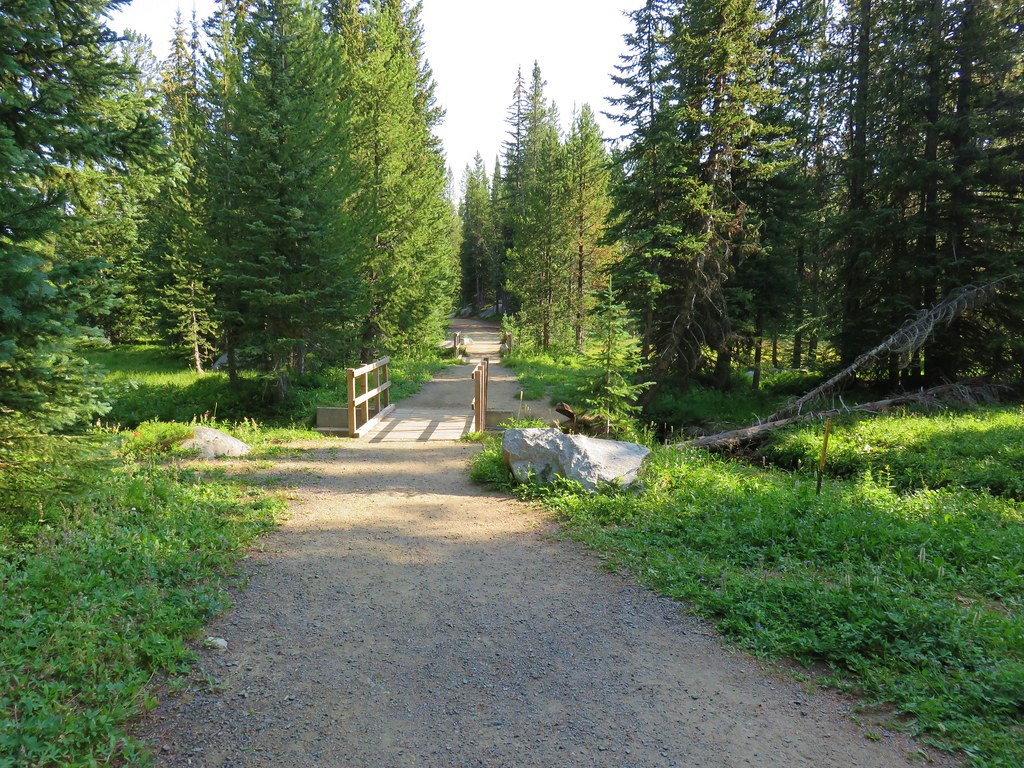
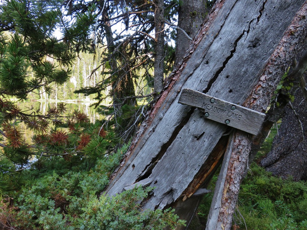
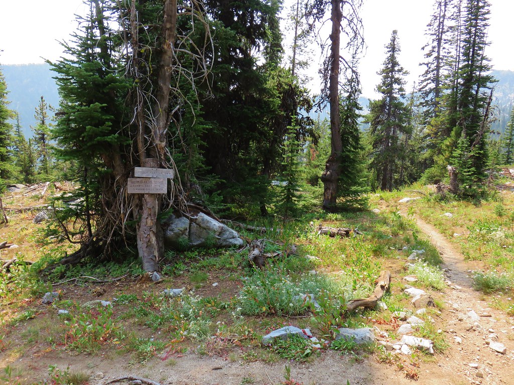
 The kiosk is straight ahead in the small gully.
 Cottontail
 In 2023 we had reached the kiosk from the Oregon Trail Ruts Trailhead along Highway 86.


 Looking back toward Panorama Point.


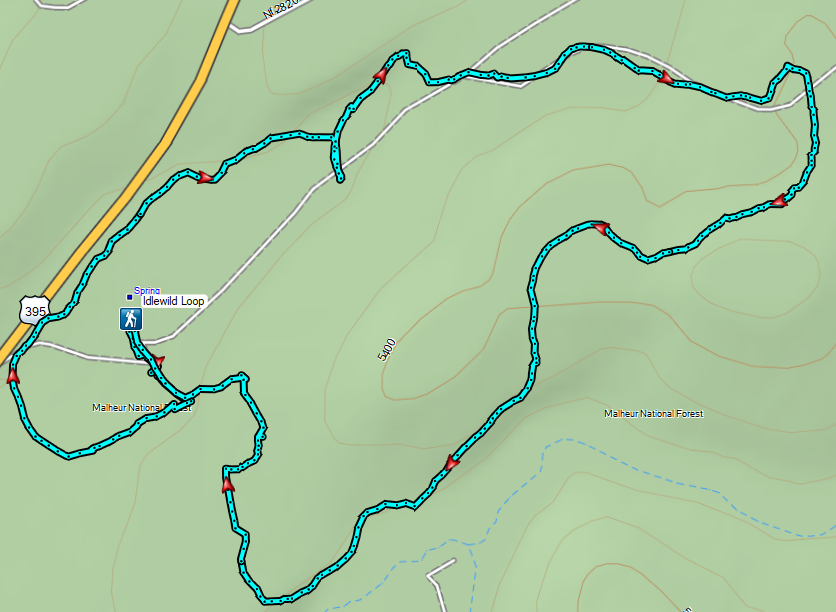
 Dotted is this trip, solid is 2023.


 Open sign at the trailhead.
 Rabbit in the sagebrush.
 Some of the exposed rocks showed the work of the ancient river.
 Shaped by water.
 Colorful rock bands along the canyon wall.


 There is a huge nest up on the cliffs.
 The nest
 Wren
Wren American kestral
 Tall sagebrush in the canyon.
 The canyon reaches a depth of approximately 300′.


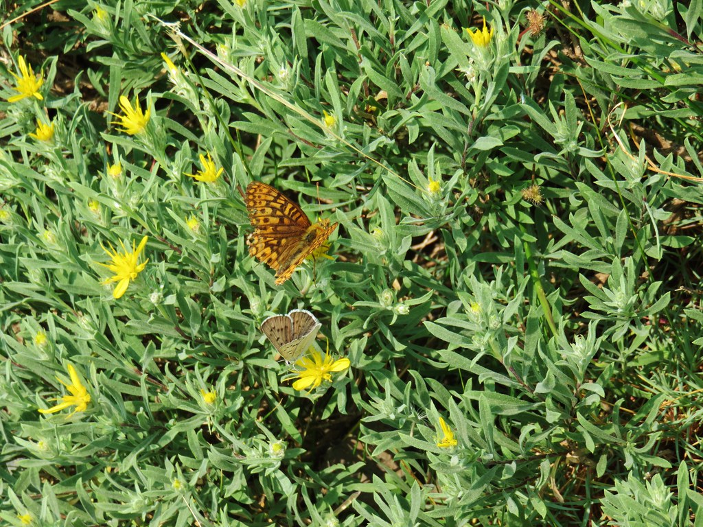
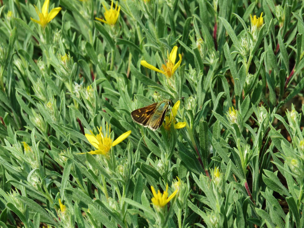
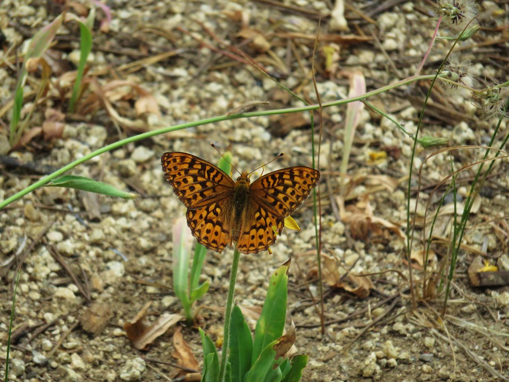
 Skipper
 I believe this is a ringlet of some sort.

 Heading toward the Evens Well Trailhead.
 Looking toward the Dry River Canyon from the plateau. It was impossible to tell that there was such a deep canyon out there.
 Pine Mountain (
 The rock steps were more obvious on the way down them.
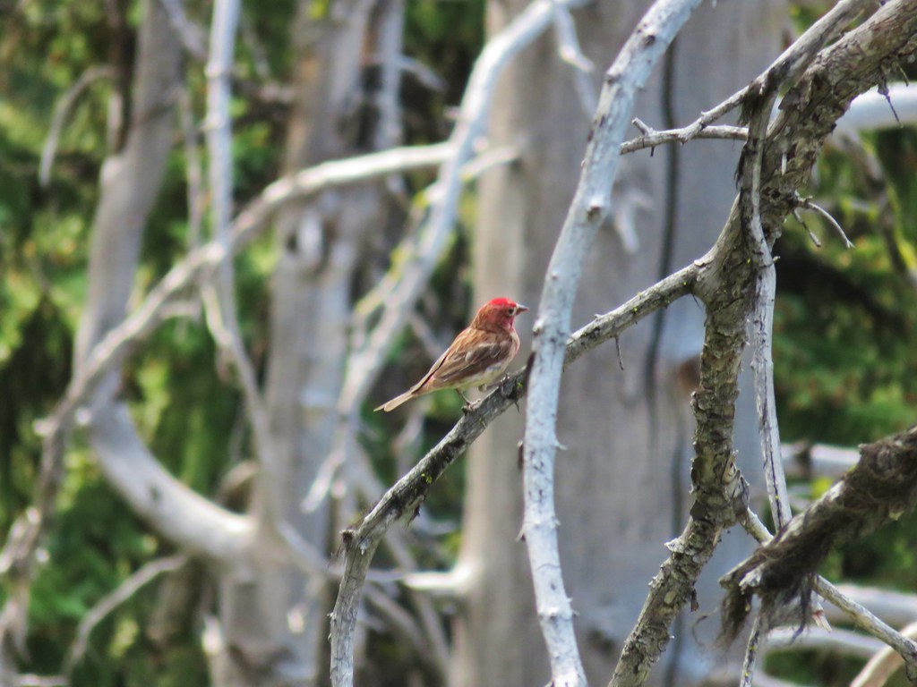
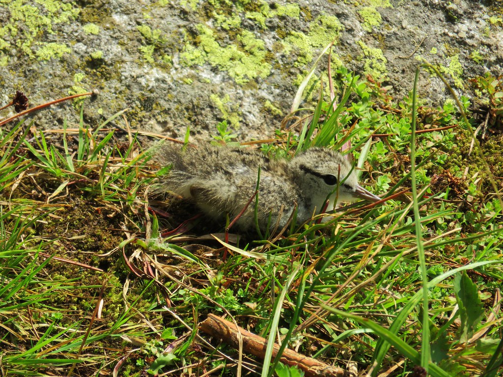
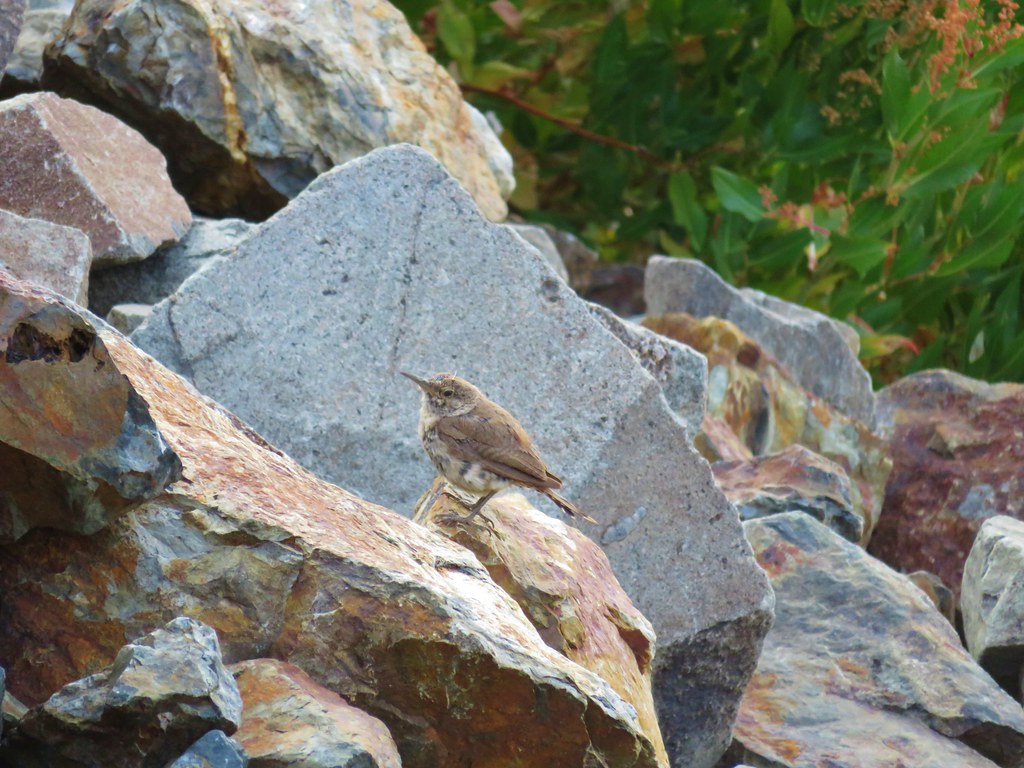
 A sparrow behind the sticks the camera was intent on focusing on.
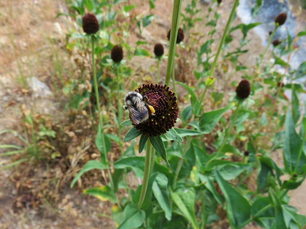
 Bee on buckwheat
 Arriving back at the official trailhead. Several SUVs were now parked here.
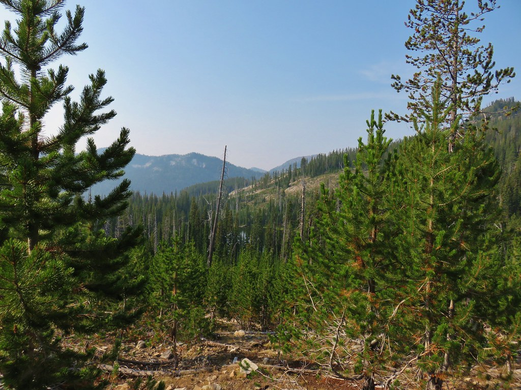
 They’re hard to make out but the Middle and North Sisters were visible from the road walk back to the gravel area.
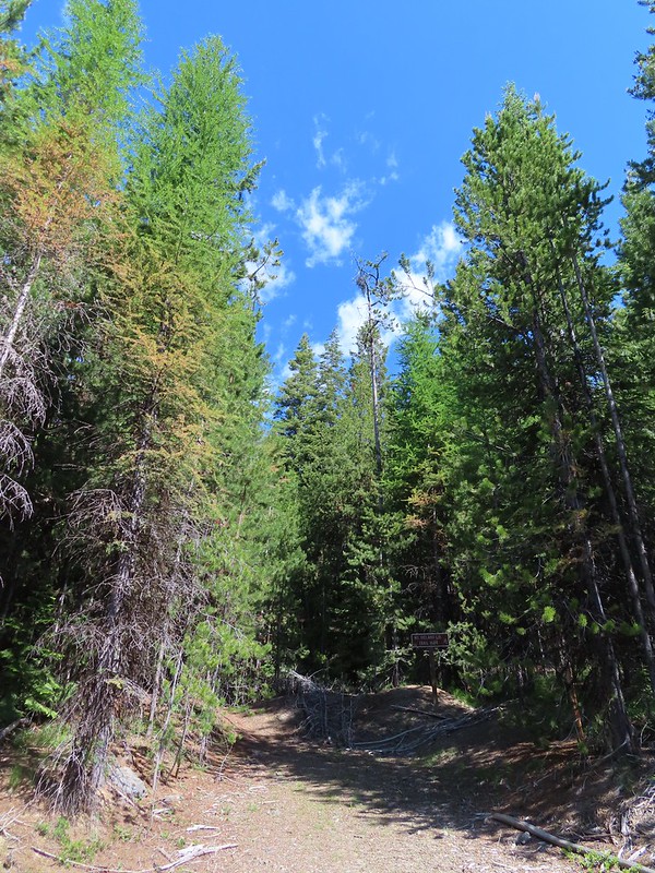
 The trailhead at the campground.
 Neat map at the trailhead.
 Gold flagging on the sagebrush ahead marked the junction.
 The trail followed a fence line before turning right along Highway 395.
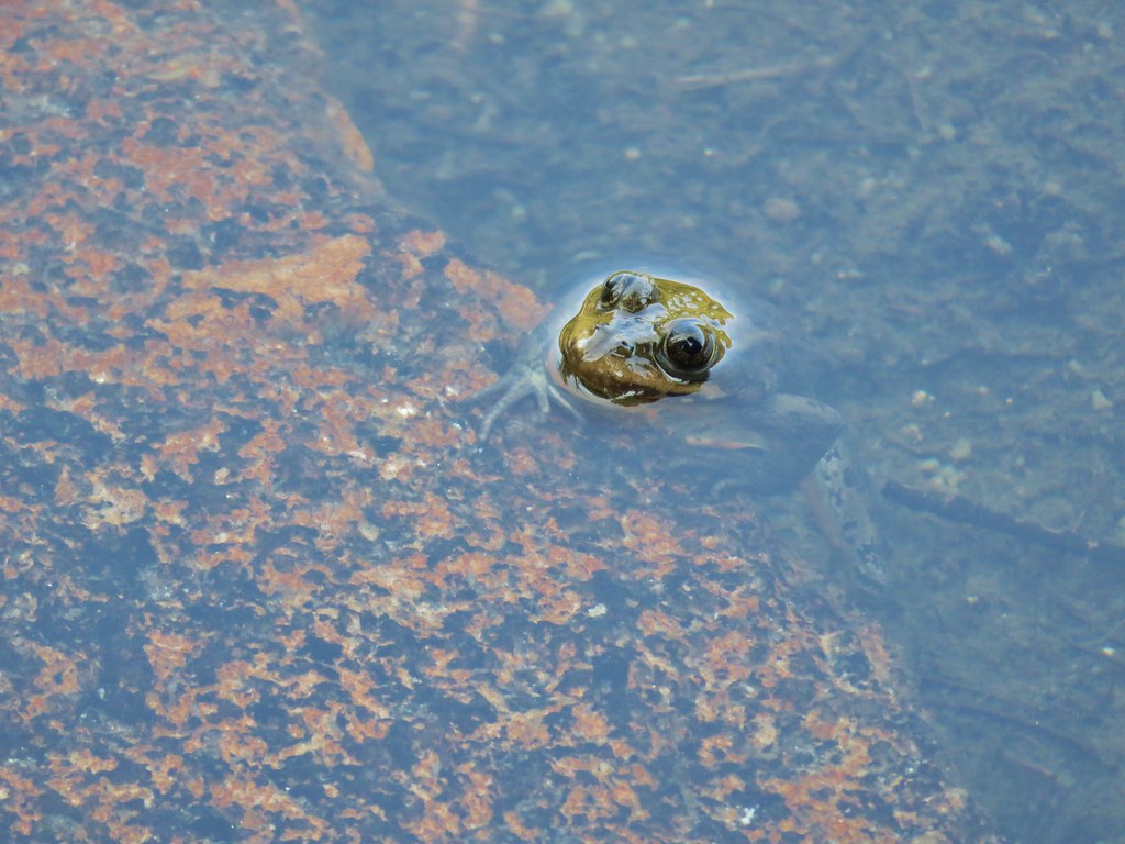
 Tiny frog
 The trail crossed this gated road near the highway. A blue diamond marked the trails continuation.
 One of several interpretive signs along the loop.
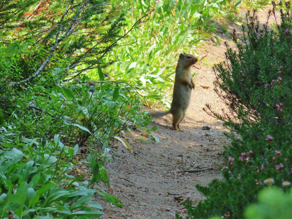
 Squirrel
 The highway was just out of sight to the left.
 Big ponderosa
 We crossed the campground road and quickly realized our mistake and backtracked.
 This time we spotted the correct trail and forked right here.
 There were lots of dragonflies in the area.


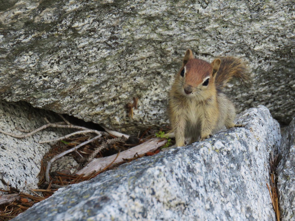
 Golden-mantled ground squirrel already sporting some of its winter weight.
 We turned right here onto the Devine Summit Trail.
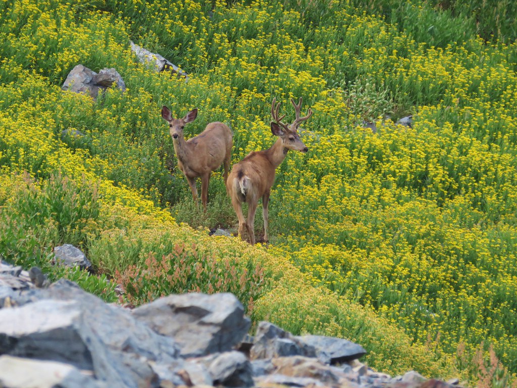
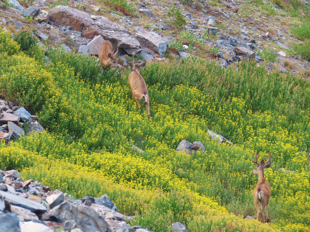
 Deer in the forest.
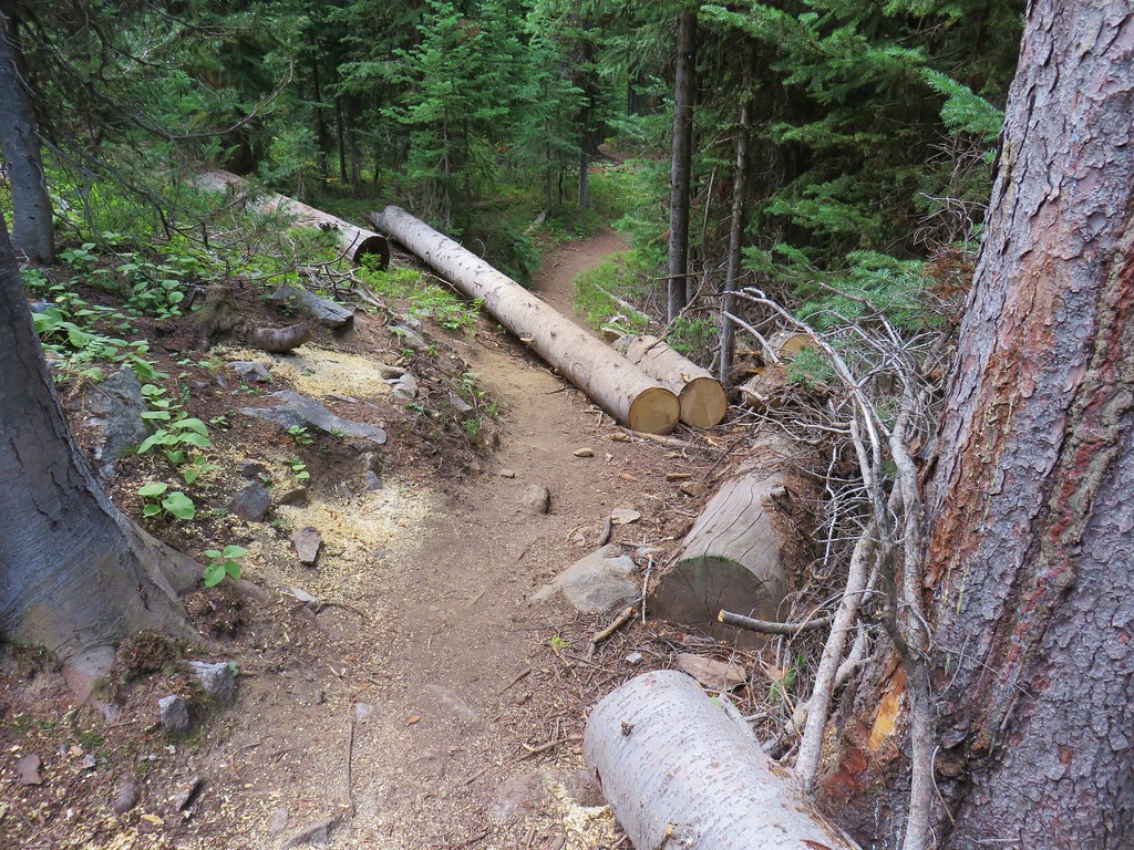
 There was a bit of blowdown to navigate along the trail.
 Some maintenance had been done in the past. There were also a good number of benches along the trail, all of which were accompanied by a post with a number.
 Another bench near this fence.
 Ponderosa forest
 White breasted nuthatch
 Another post and bench.
 Arriving at the Idlewild Loop on the far side of the fence.


 Hoary aster
 The interpretive center on Flagstaff Hill.


 Map near the wagon.


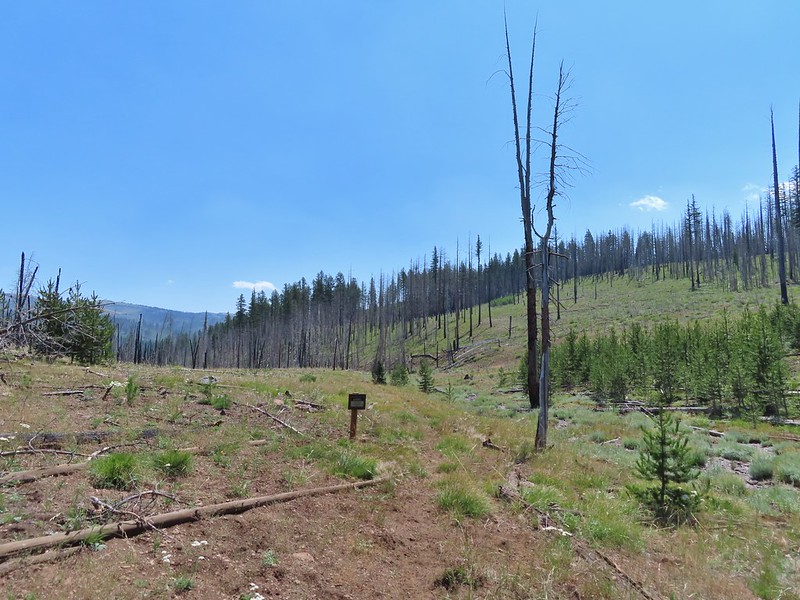
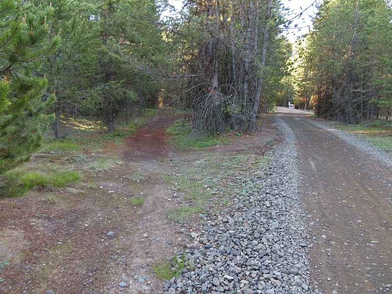
 A small sign post was all that marked the trailhead.
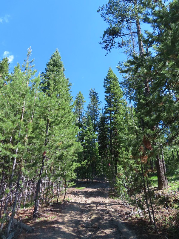
 Mt. Ireland from the junction.
 Hound’s tongue
 Flagging on the left marking the “trail”.
 Another flag hanging on the tree to the right.
 Another glimpse of Mt. Ireland.
 Small meadow near FR 142 along a tributary of East Fork Boundary Creek.
 Trail sign at FR 142.
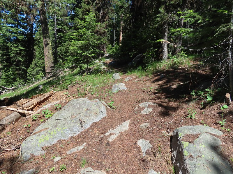

 Jacob’s ladder
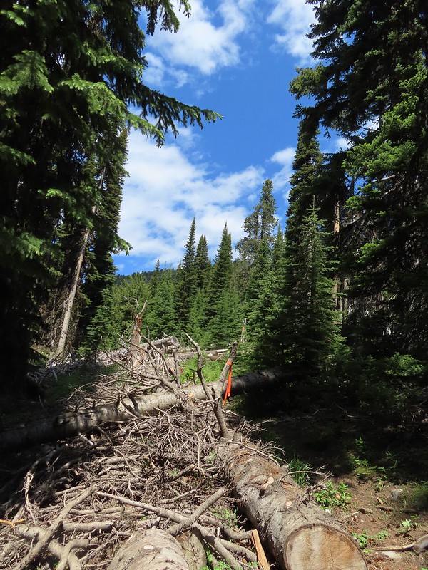 This was one of three trees across the trail, all of which were easily navigated.
 Ironside Mountain in the distance.
 Phlox
Phlox Brown’s peony
 Nearing the junction.
 Heading uphill.
 Pussy paws
 Mt. Ireland ahead.
 Rock Creek Butte (
 Paintbrush
 Goosefoot violet
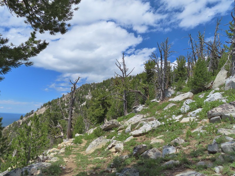
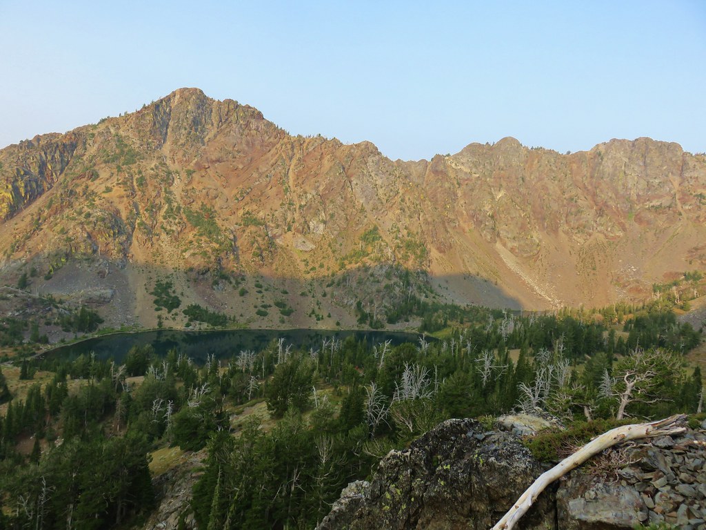
 Vinegar Hill in the Greenhorn Mountains (
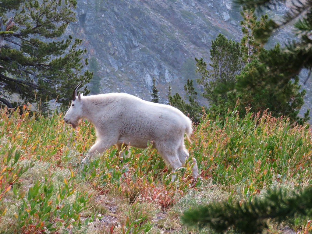
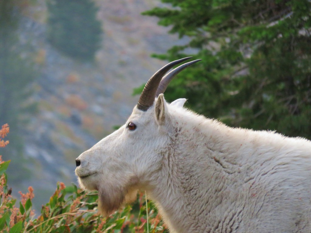
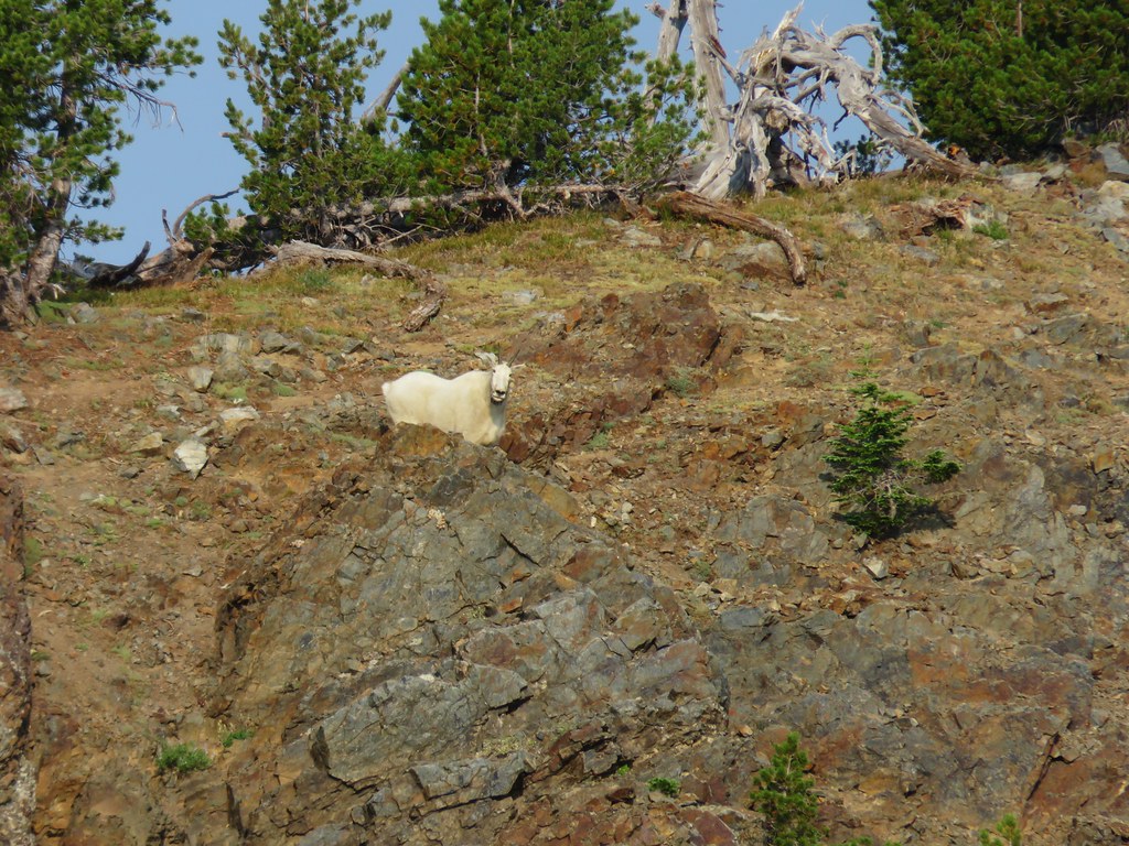
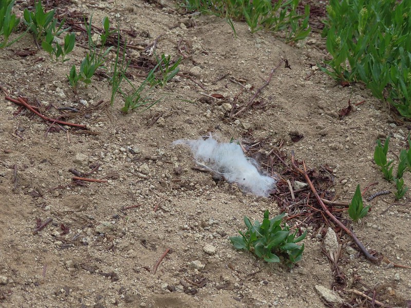 Mountain goat fur on the trail.
 Just to the right of the silver stump in the center of the photo is one of the goats.
 One of the goats below the lookout tower.
 Zoomed in shot of one of the goats leaving upon my arrival.
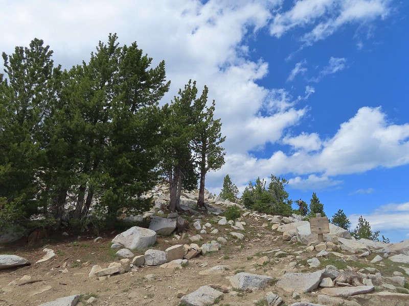 Arriving at the saddle.
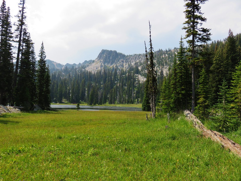
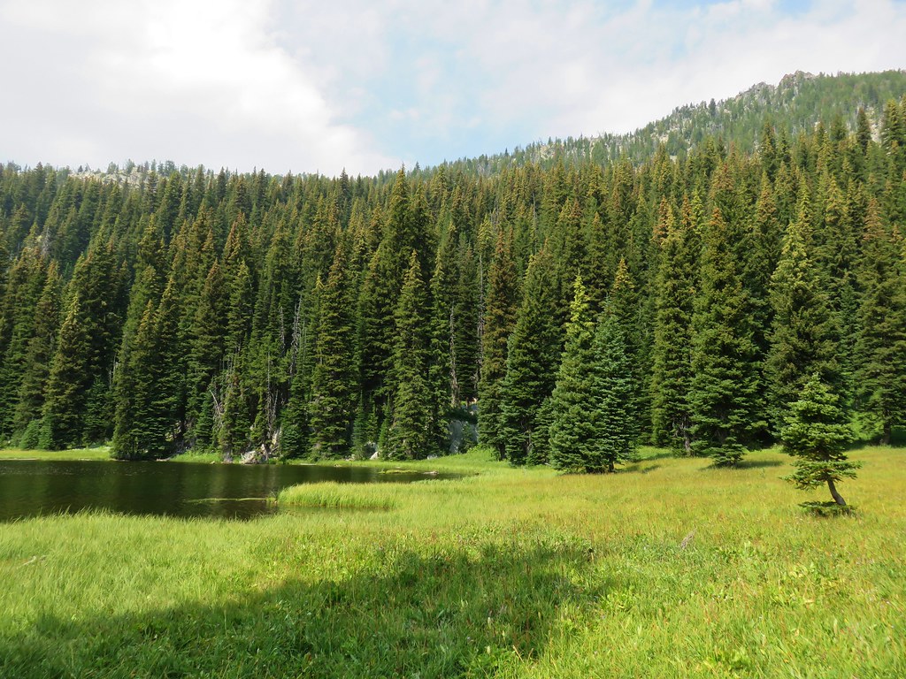
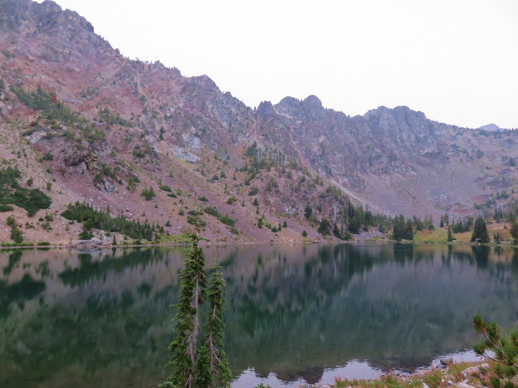
 Baldy Lake below Mt. Ireland.
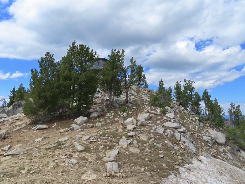 The tower from the saddle.
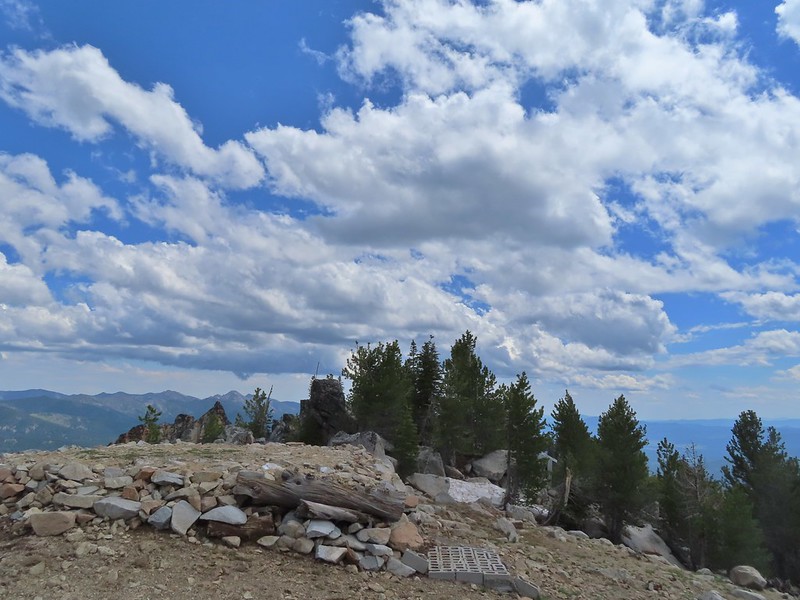 The helipad.
 Being watched.
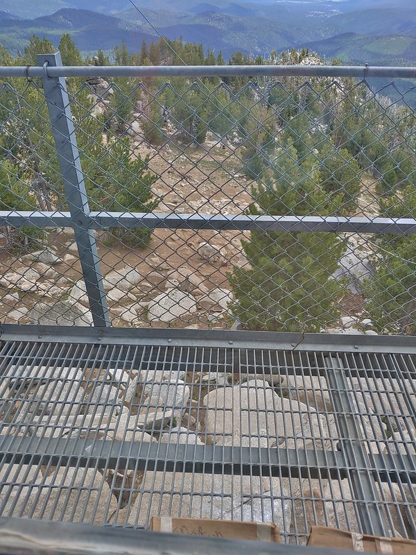 The kid was on the other side of mom.
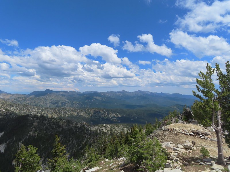 The Elkhorns from the tower.
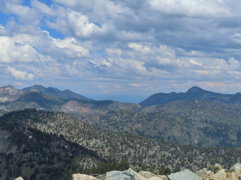 The snowy Wallowa Mountains beyond a gap in the Elkhorns.
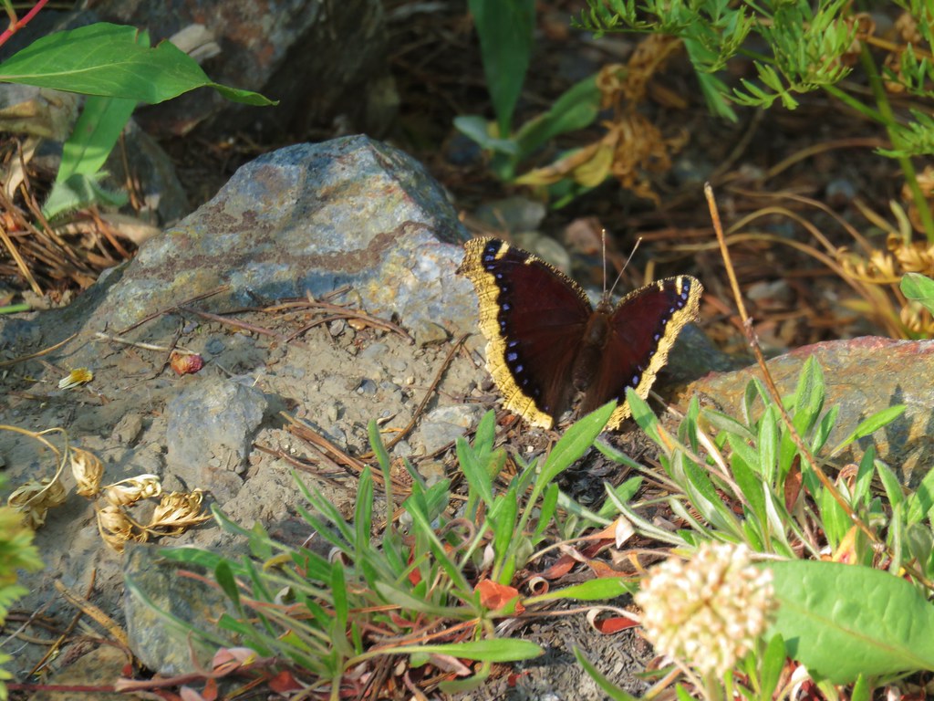
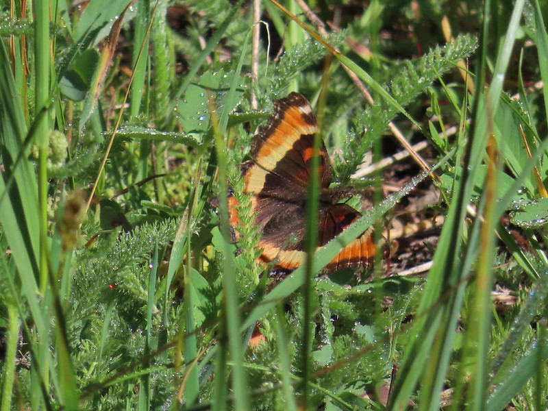
 Milbert’s tortoiseshell
 Vinegar Hill with Dixie Butte to the left and Strawberry Mountain (
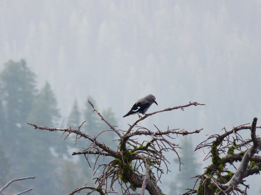
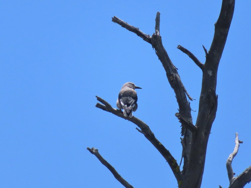 Clark’s nutcracker
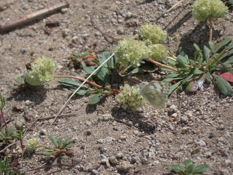 Butterfly on pussy paws.
 A comma?
 Beetle on arnica.
 Hookedspur violet

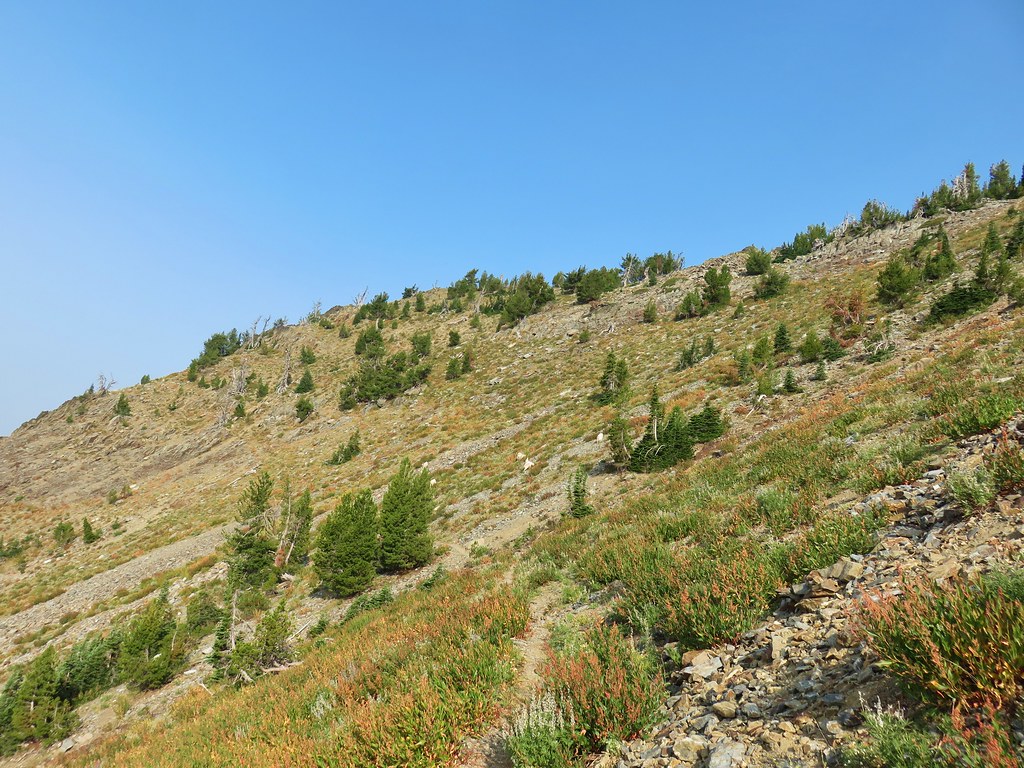
 The trailhead is at this hairpin curve below Table Rock. The road continues another 0.8 miles to the staffed Table Rock Lookout but reportedly worsens which is hard to imagine is possible.
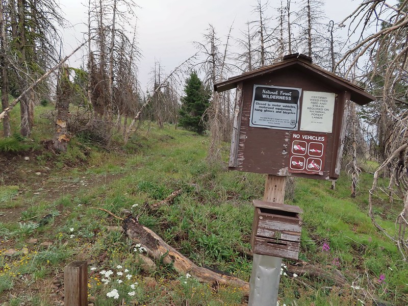
 First time seeing a wilderness sign quite like this.
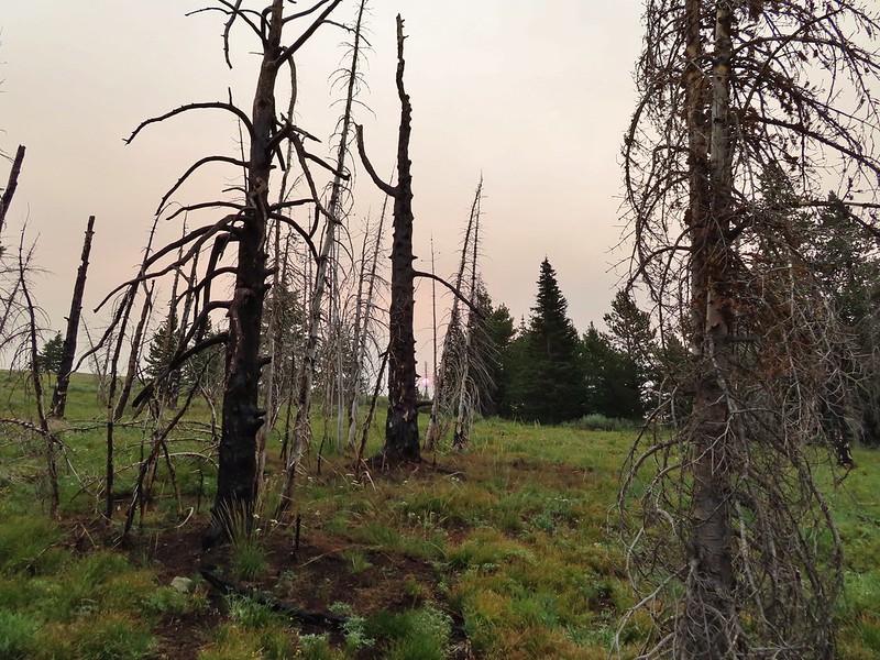
 A red Sun behind the smoke, presumably mostly from the 400,000 plus acre Bootleg Fire east of Klamath Falls in south central Oregon.
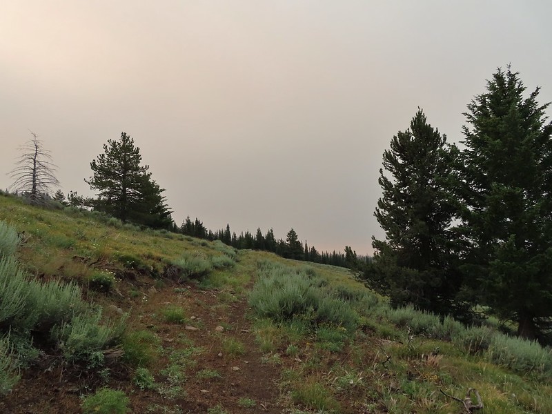
 Clark’s nutcracker
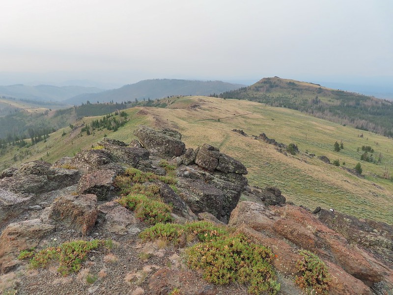
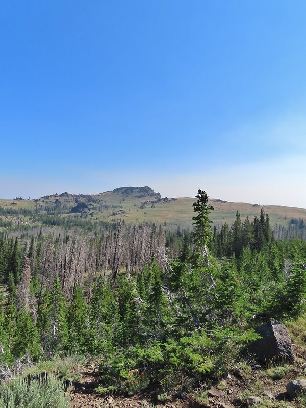
 Monument Rock in the distance.
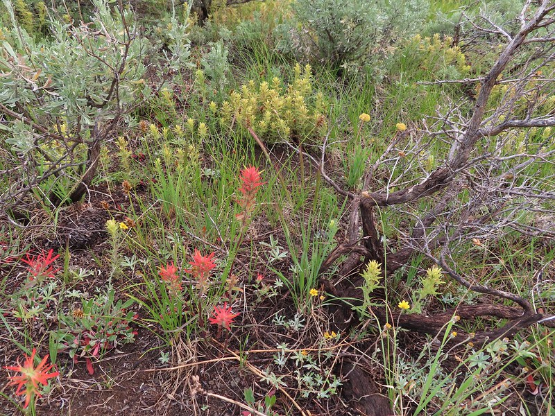
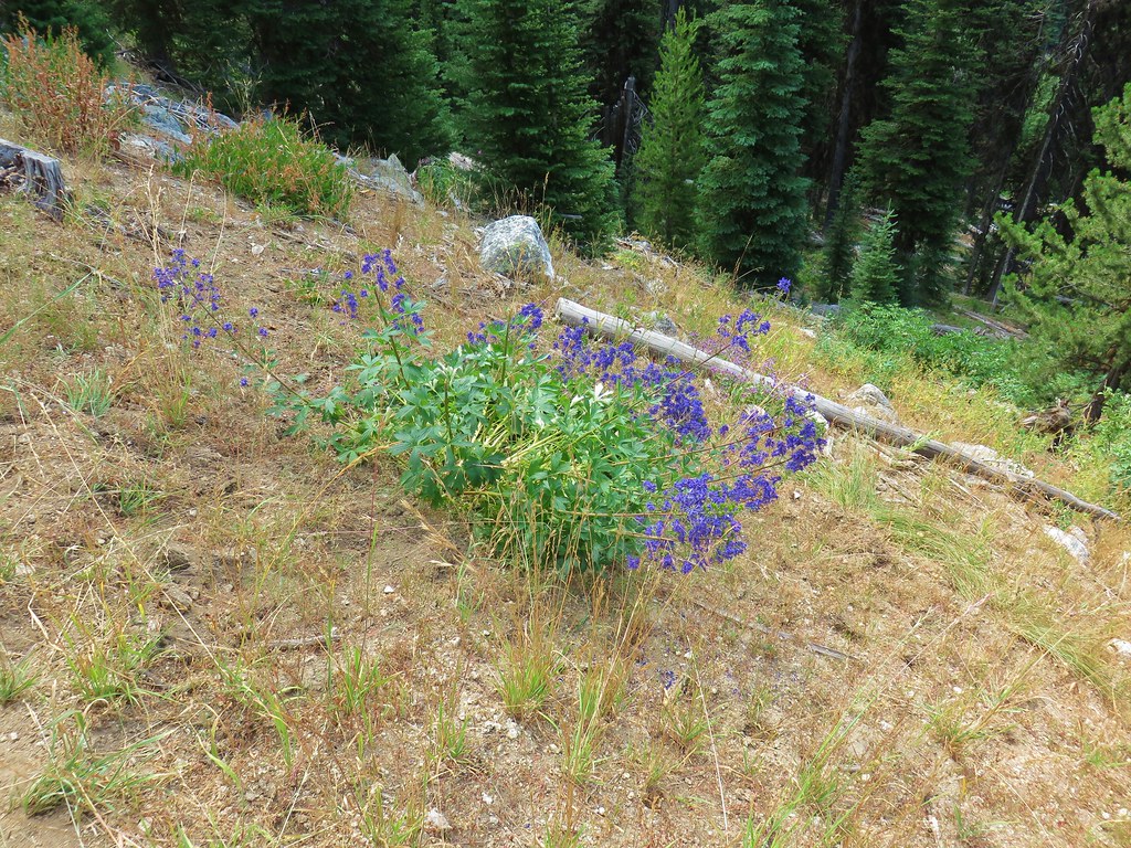
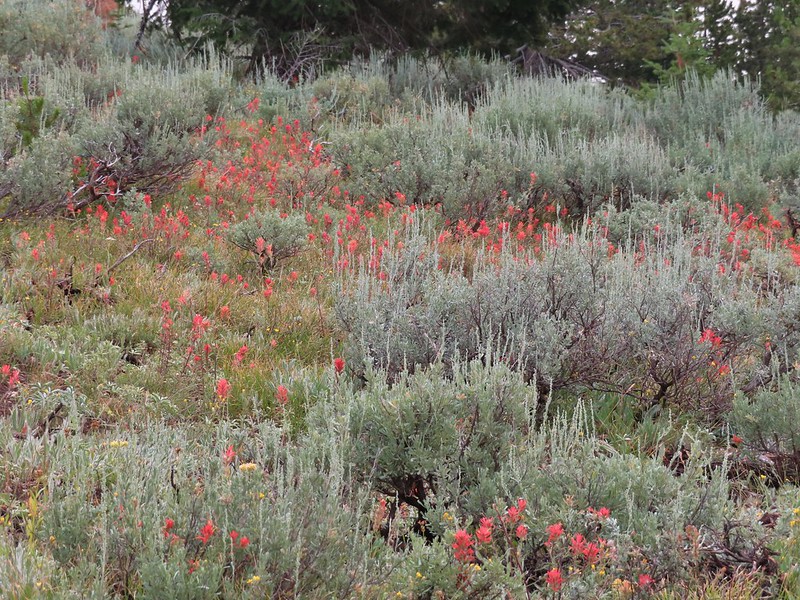 Paintbrush in the sagebrush.
 Ground squirrel
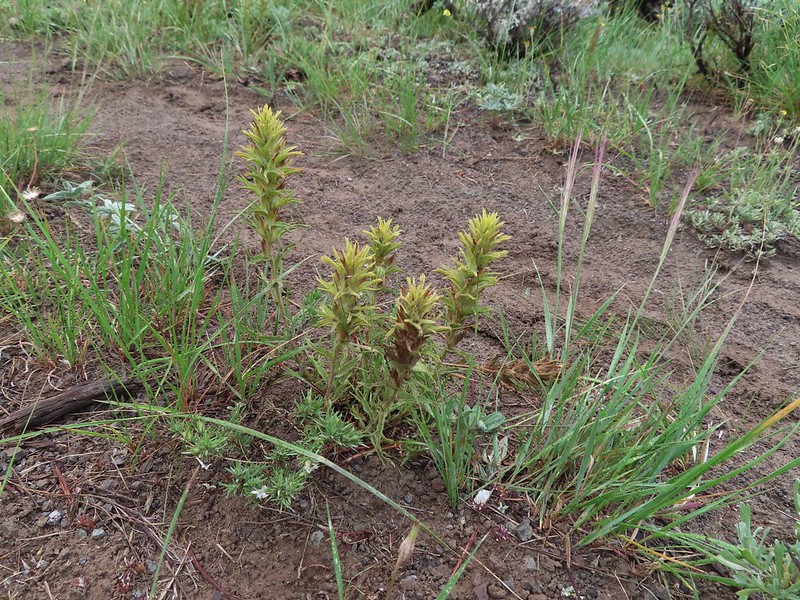 There was a fair amount of this green paintbrush too.
 We believe this post (not the 1.7 mile post) marked a side trail to Rock Spring but we didn’t see any tread in the area to know for sure.
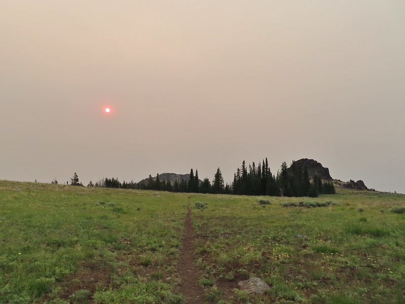 Bullrun Rock dead ahead.
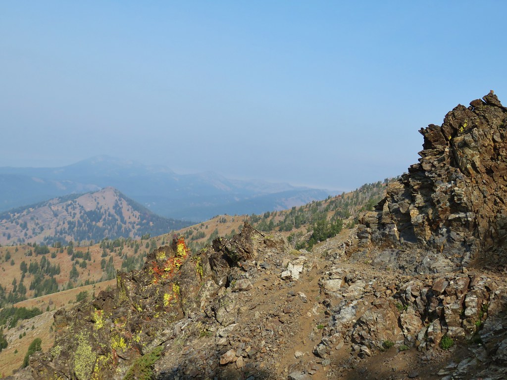
 Table Rock in the distance.
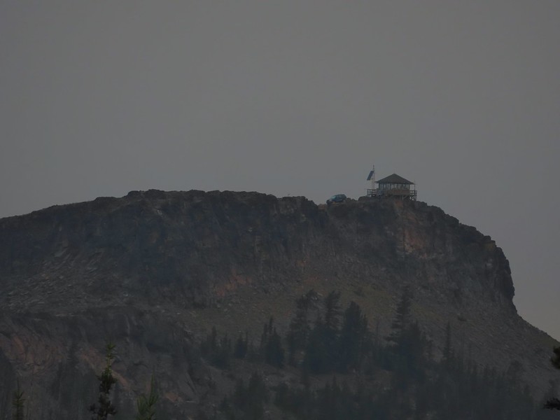 The Table Rock Lookout.
 Two kinds of paint.
 Bullrun Rock below the Sun.
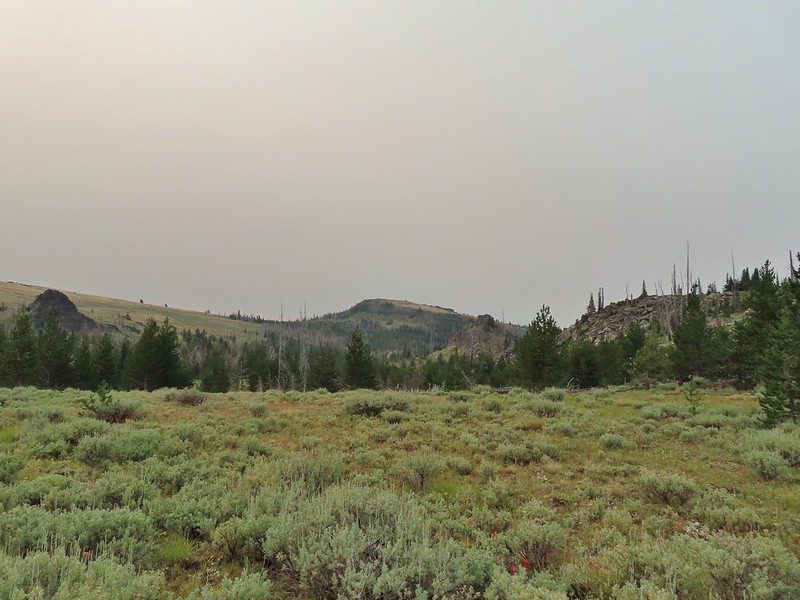 Monument Rock again.
 Old man’s whiskers
 A checkermallow
 We passed this sign for the Amelia Trail along the way but again didn’t see any trace of tread for it.
 Grazing cattle near the post.
 The post with Monument Rock in the background.
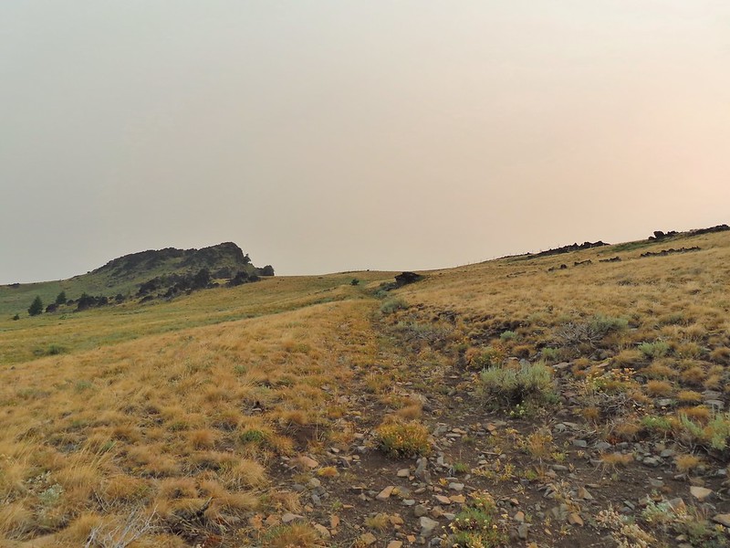

 I believe that is Ironside Mountain.
 The jeep track and Monument Rock.
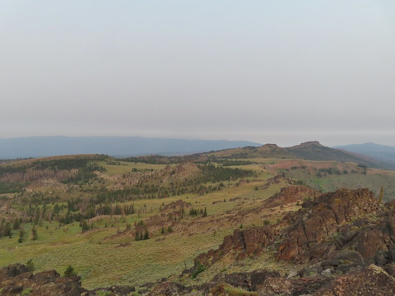 Table Rock
 Looking down into the Monument Rock Wilderness
 Woodpecker
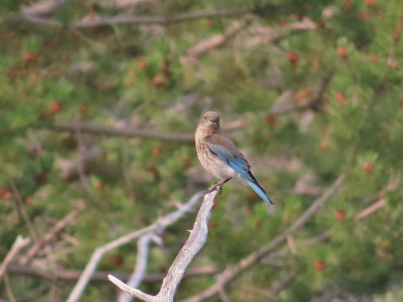 Mountain bluebird
 Looking back toward Bullrun Rock.
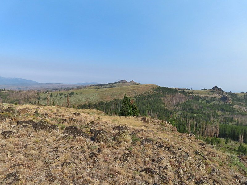 Table Rock from where we gained the ridge.
 Heading up.
 Me making my way up to the cairn.
 Bullrun Rock from the cairn.
 Table Rock from the cairn.
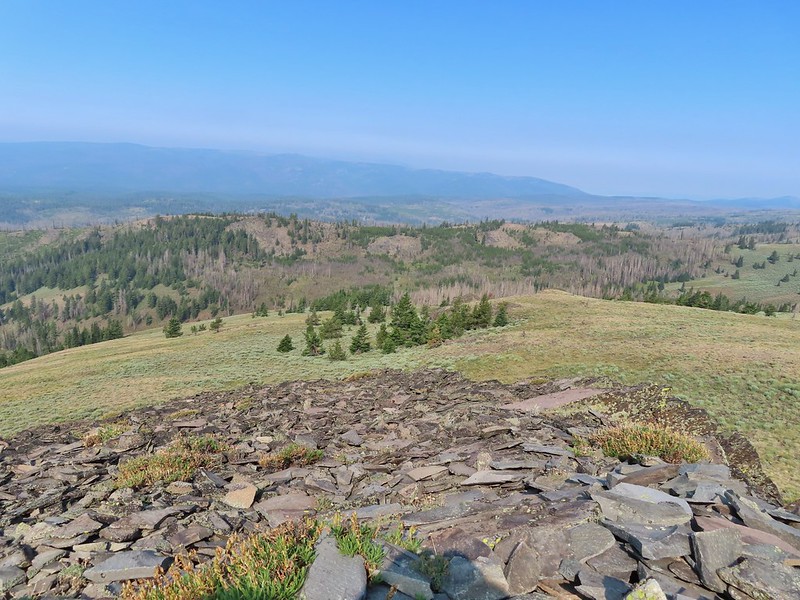 The Monument Rock Wilderness.
 The cairn on Monument Rock from below.
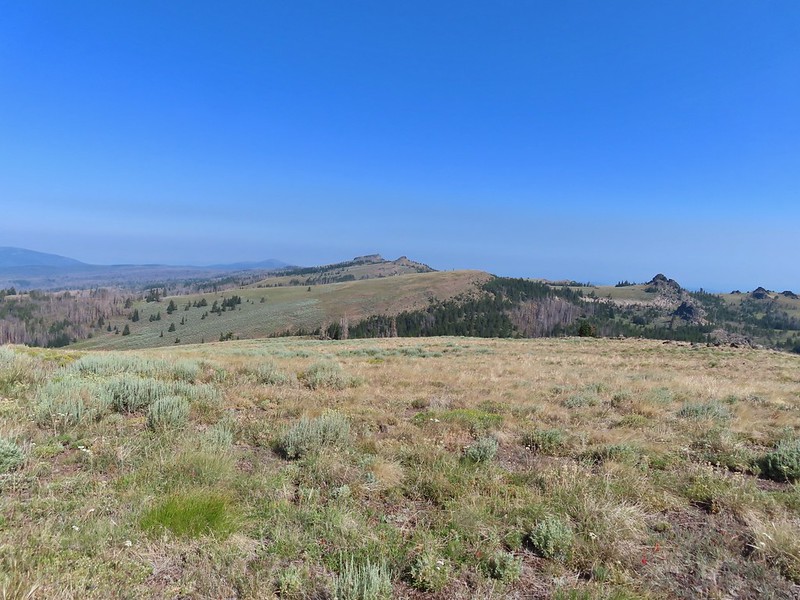 Heading downhill.
 Heather spotted this sheep moth.
 The path leading downhill.
 Table Rock in the distance with Bullrun Rock on the right.
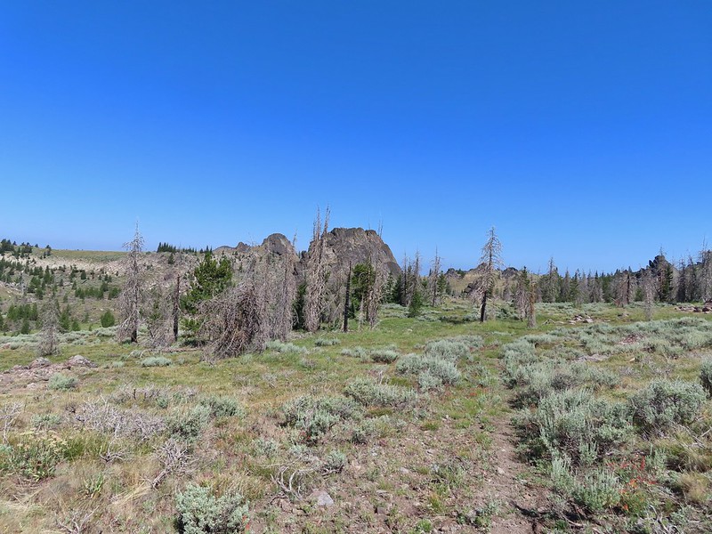


 Robin
Robin Quite a bit of a difference from the morning.
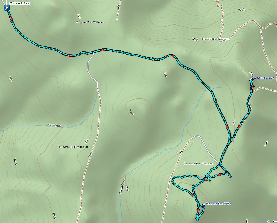


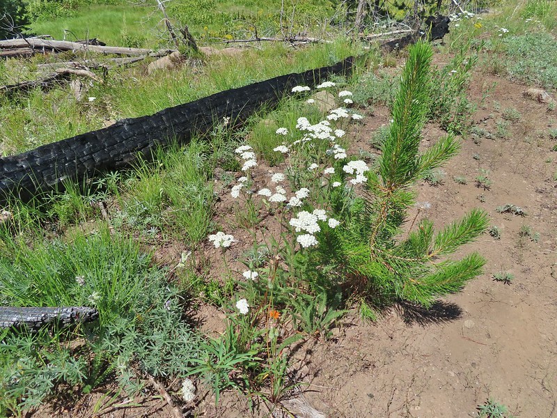 Yarrow and an orange agoseris.
 Wilderness sign marking the boundary of the Monument Rock Wilderness.
 Table Rock from the trail.
 Elk Flat Creek.
 An orange flag to the right ahead.
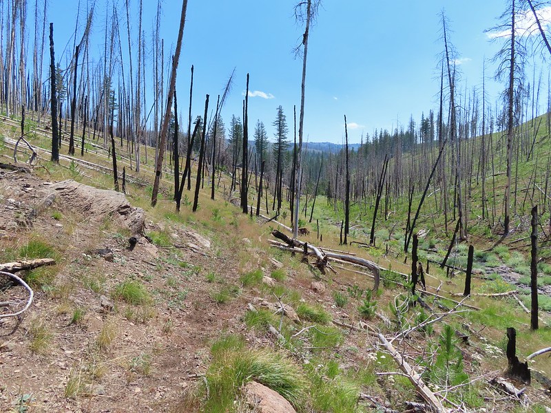 The trail following Elk Flat Creek.
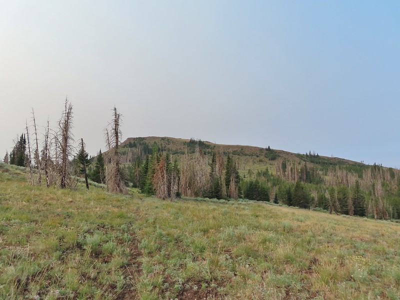
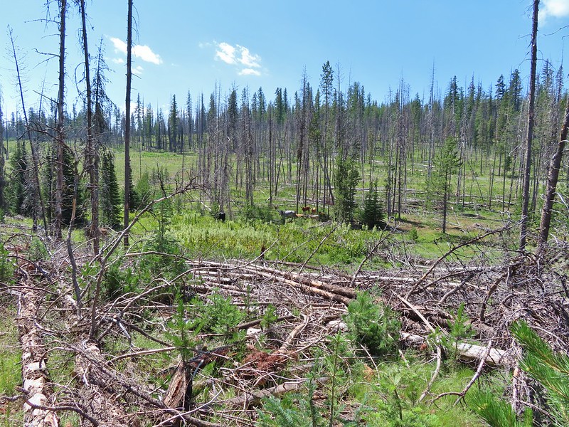
 A few areas of green trees remained.


 Unnamed stream shortly before reaching the Little Malheur River.
 Monkshood along the stream.
 It appeared that quite a few trees survived along the Little Malheur.
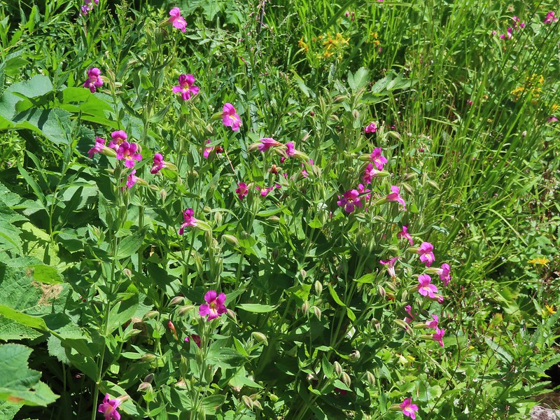
 The trail crossing the Little Malheur River. We were especially excited to see a lot of nice pink monkeyflower along the banks.


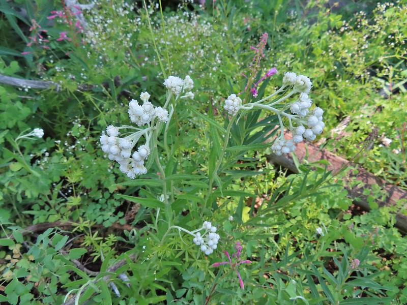 Pearly everlasting
 Ground squirrel
 Either a big ground squirrel or a small marmot.
 Another hawk.
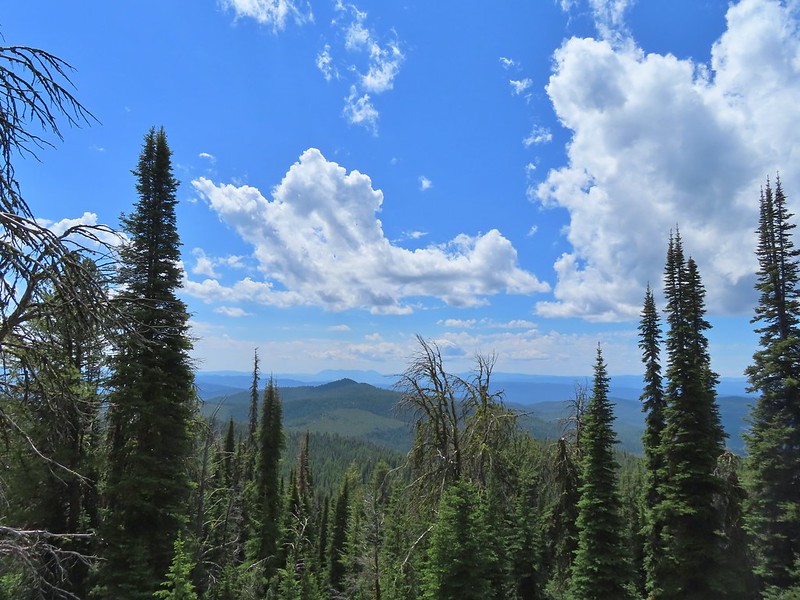
 Fluffy clouds forming over the Monument Rock Wilderness.
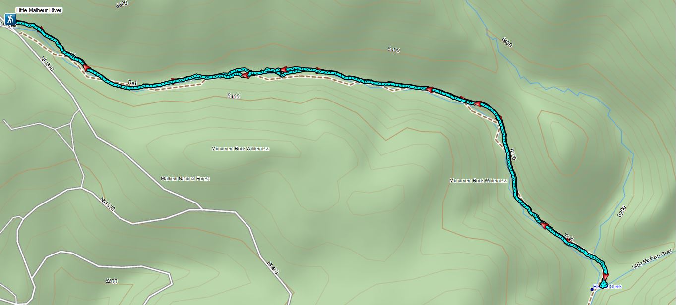

 Frosty penstemon
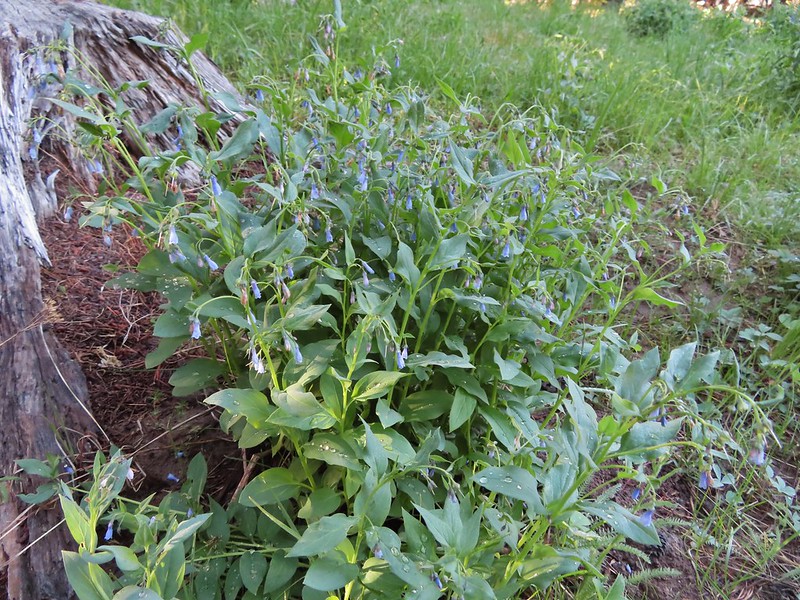 Tall mountain bluebells
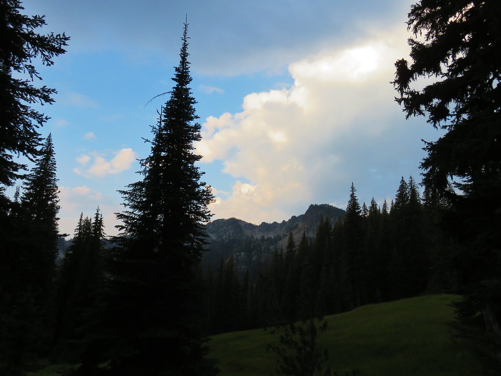
 Big Creek
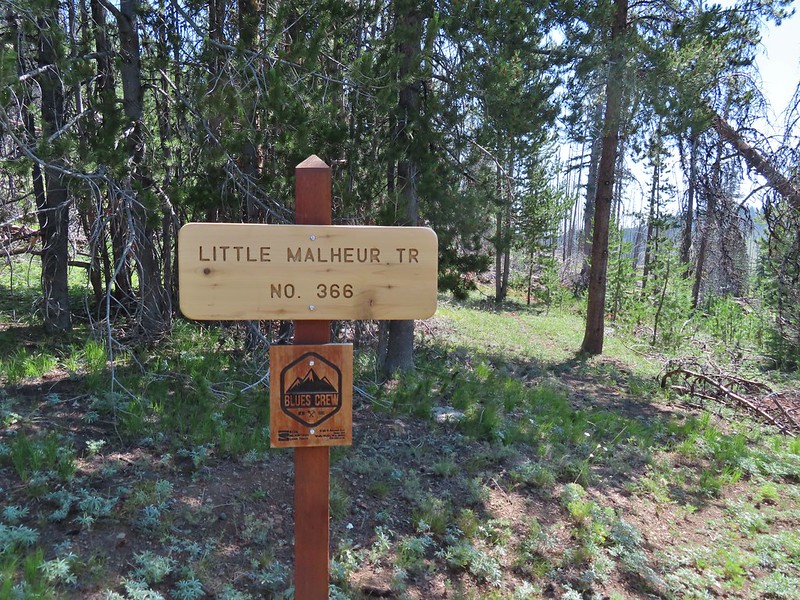
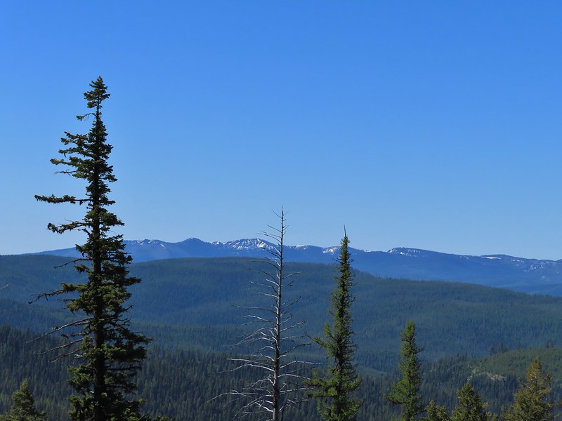
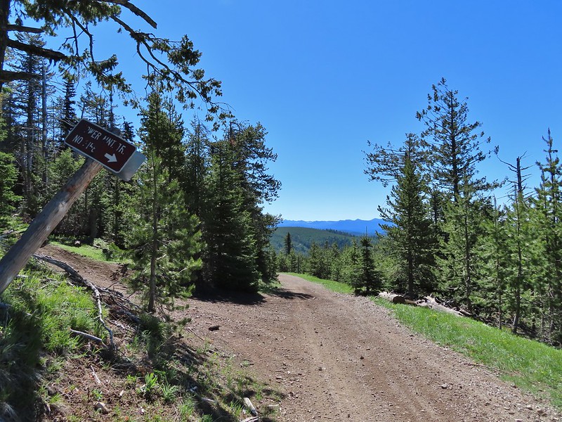
 Sign for the Tower Mountain Trail across NF-52.
 Buttercups
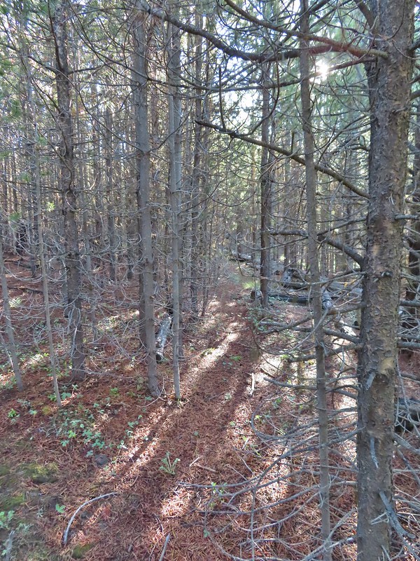 The trail passed through a stand of young lodgepole pine where it was easier to see but there wasn’t much room to maneuver. Our theory on why the Forest Service hadn’t widened this was to deter OHV riders from using the trail as there is a large network of OHV approved roads/trails in the area.
 Back to the faint tread.
 Elk had chewed up this section of trail.
 Snowshoe hare
 The hare wasn’t too concerned about us and even stopped to munch on some grass just a few feet away from us as we passed.
 The only sign/marker for the trail through the meadows.


 Elephants head


 Milberts tortoiseshell
 Fleabane along the trail.


 Either a cinquefoil or an aven.
 Arnica
 Parsley
 Woodland stars
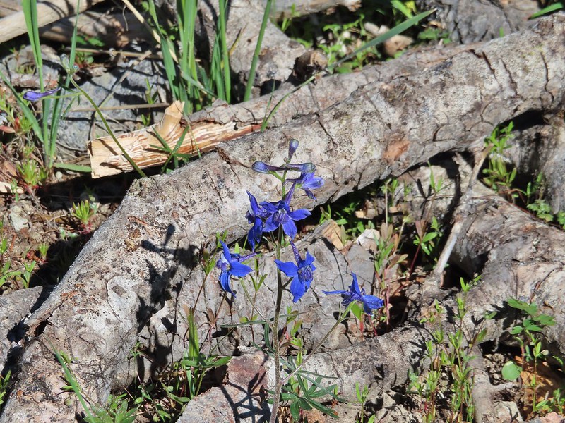 Larkspur
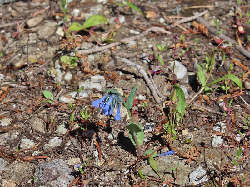 Mountain bluebells
 Violet
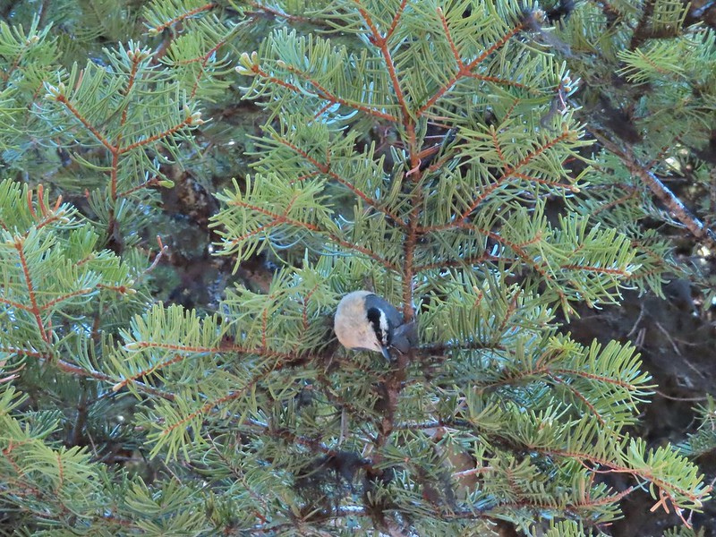 Nuthatch
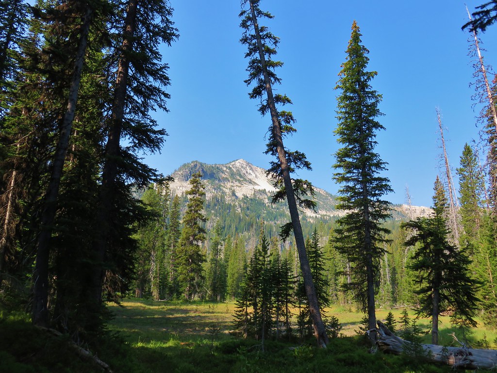
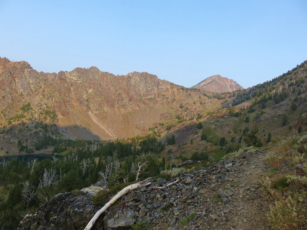
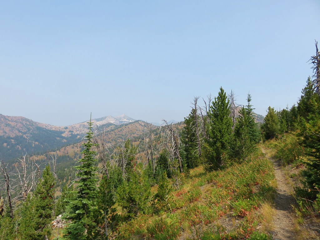
 Vinegar Hill is in the center with Ben Harrison to the right of the green tree in the foreground.
 Back in forest burned in 1996.
 Glacier lilies
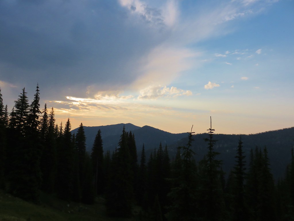
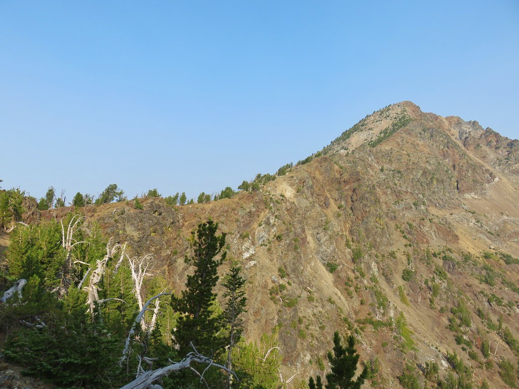
 Dropping to the saddle with Tower Mountain in the distance.
 Valerian
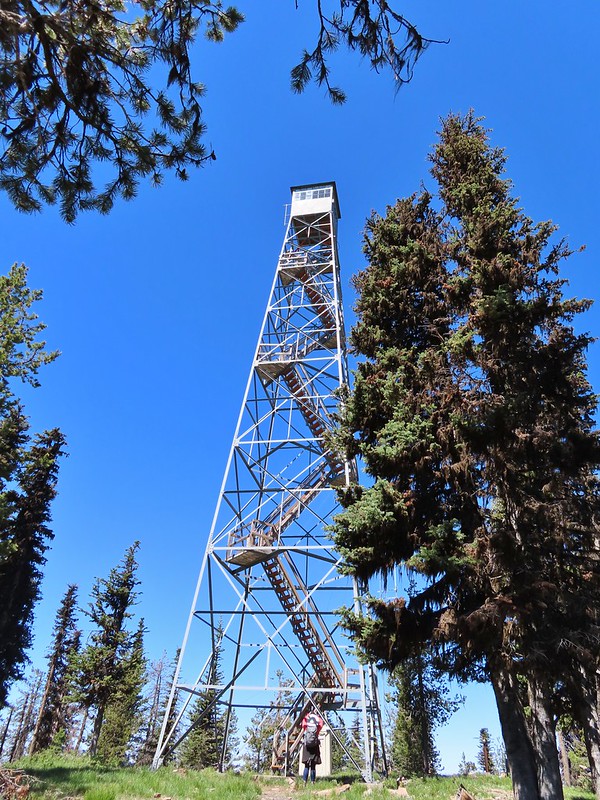
 The lookout tower on Tower Mountain.
 Huckleberry blossoms
 Arriving at the wilderness boundary.
 Looking back into the North Fork John Day Wilderness.

 The Elkhorns from NF-5226.
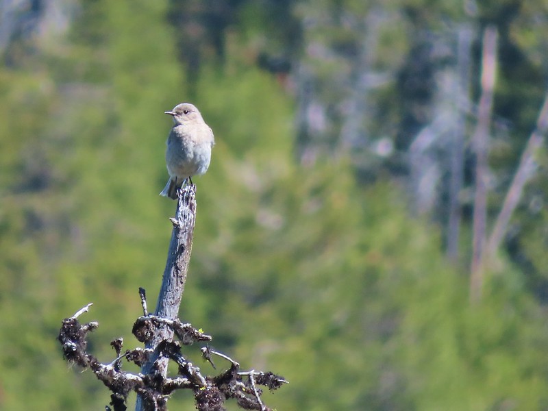 Western bluebird


 Wallowas on the left and the Elkhorns on the right.
 Wallowa Mountains including Eagle Cap
 Elkhorns
 Balloon pod milk vetch
 A patch of snow clinging to Tower Mountain.
 Lupine
 A penstemon
 Paintbrush
 Old man’s whiskers
 Ball head waterleaf
 Violets and ?
 Tortoiseshell on a cone.
 Shooting star
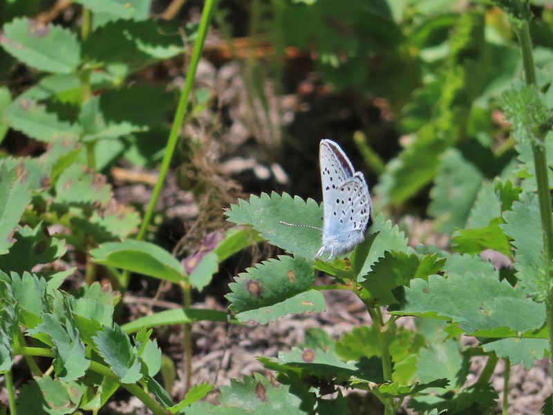
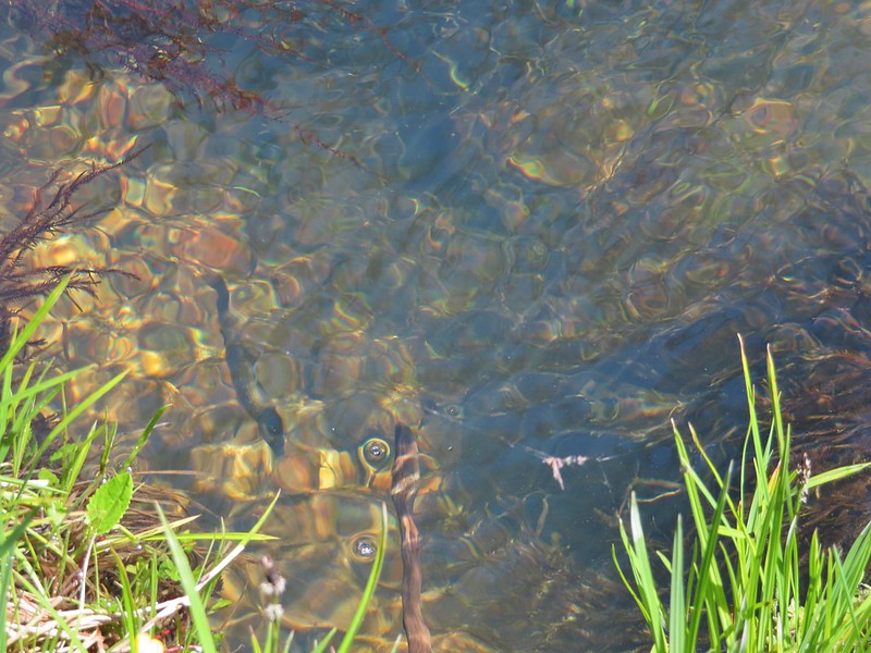 Fish in Big Creek.
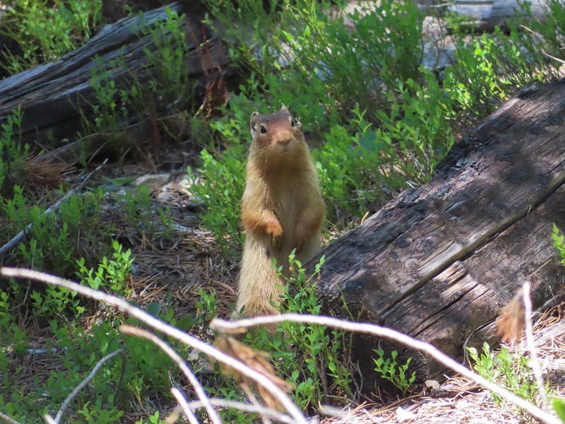 I believe this is a columbian ground squirrel.
 California tortoiseshell butterflies
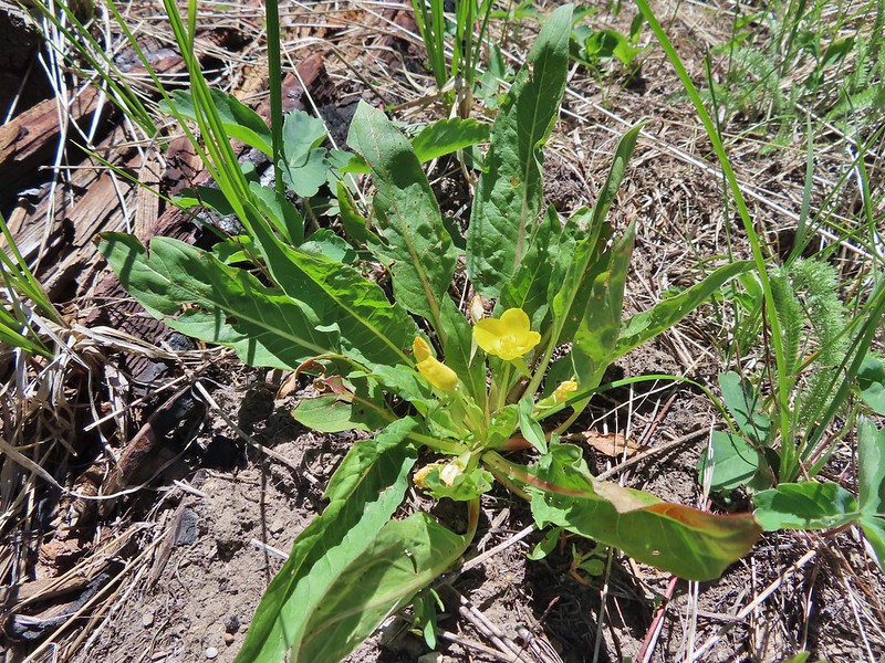 Diffuseflower Evening-primrose
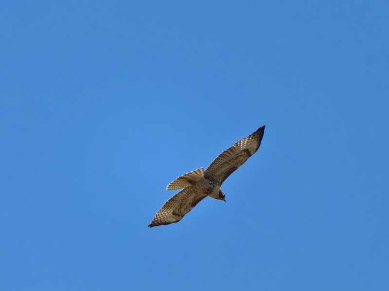
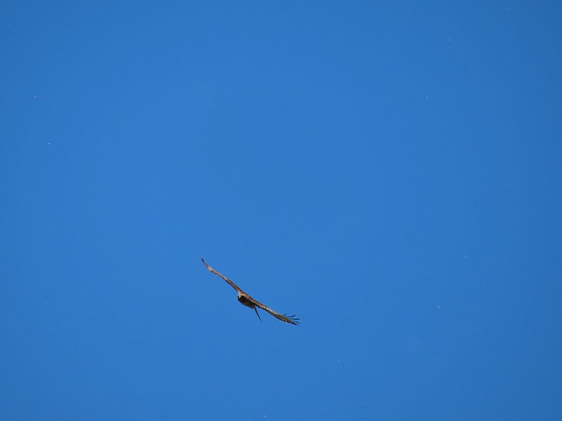 Red tailed hawk

 Lees Peak
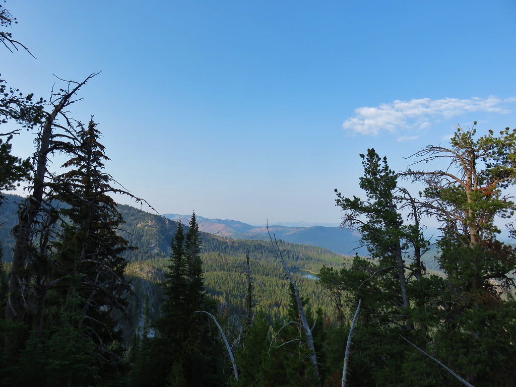
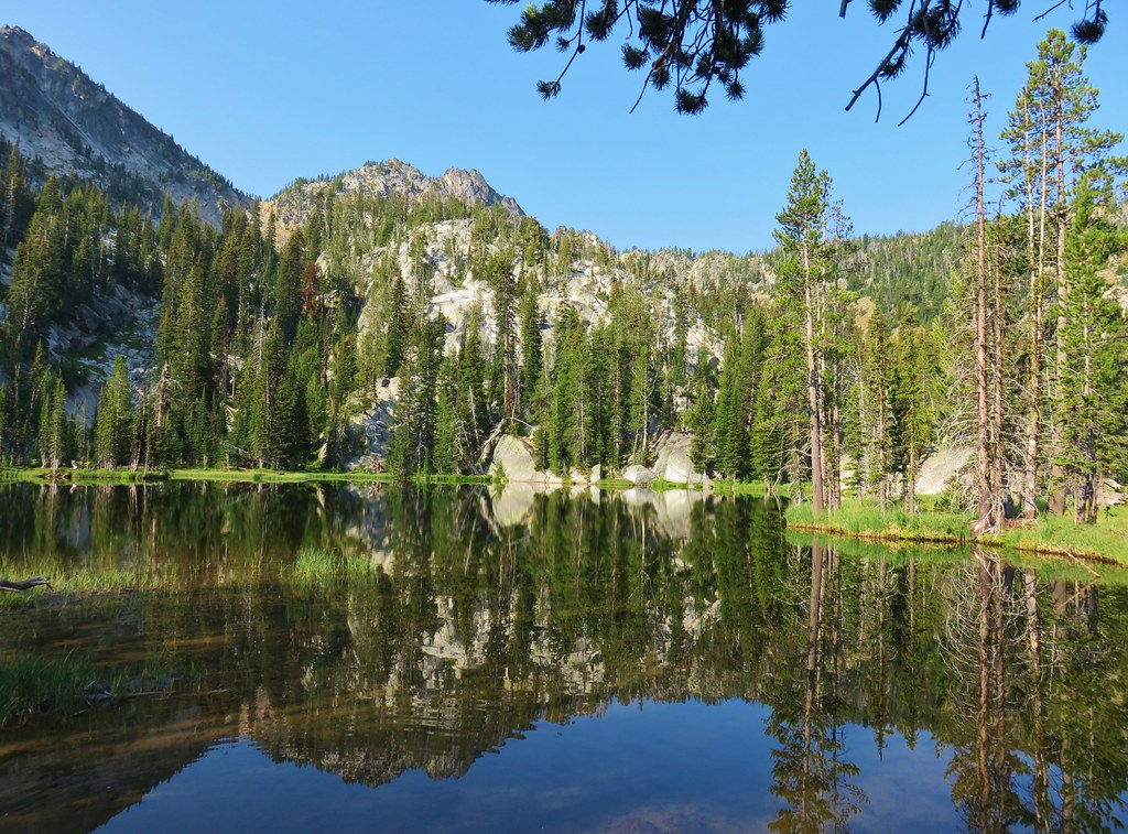
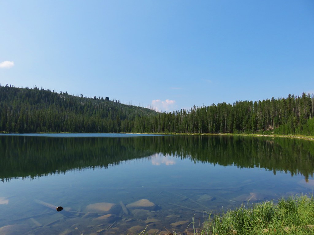
 Anthony Lake
 Ski lift on the hillside ahead.


 Trail maintenance fail.


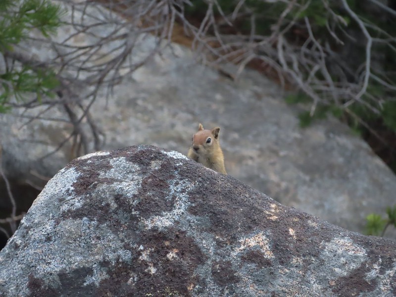
 I used the 30x zoom for the picture and didn’t get close to the little one.
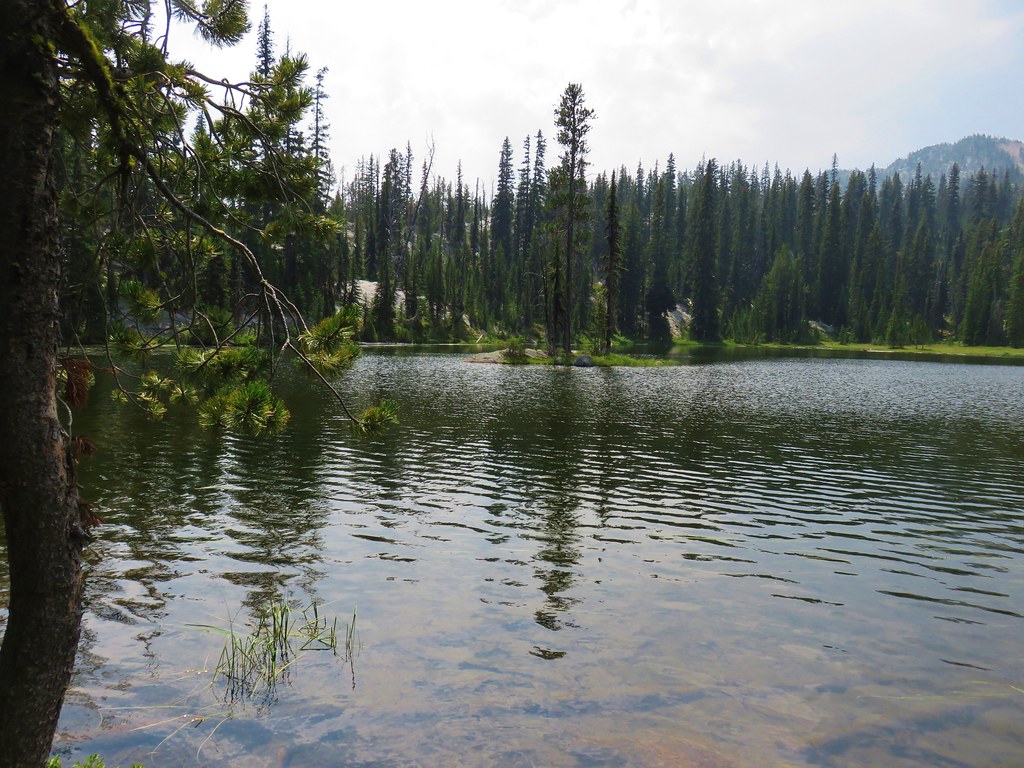


 Mt. Ruth to the north
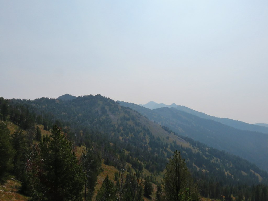 Rock Creek Butte to the south
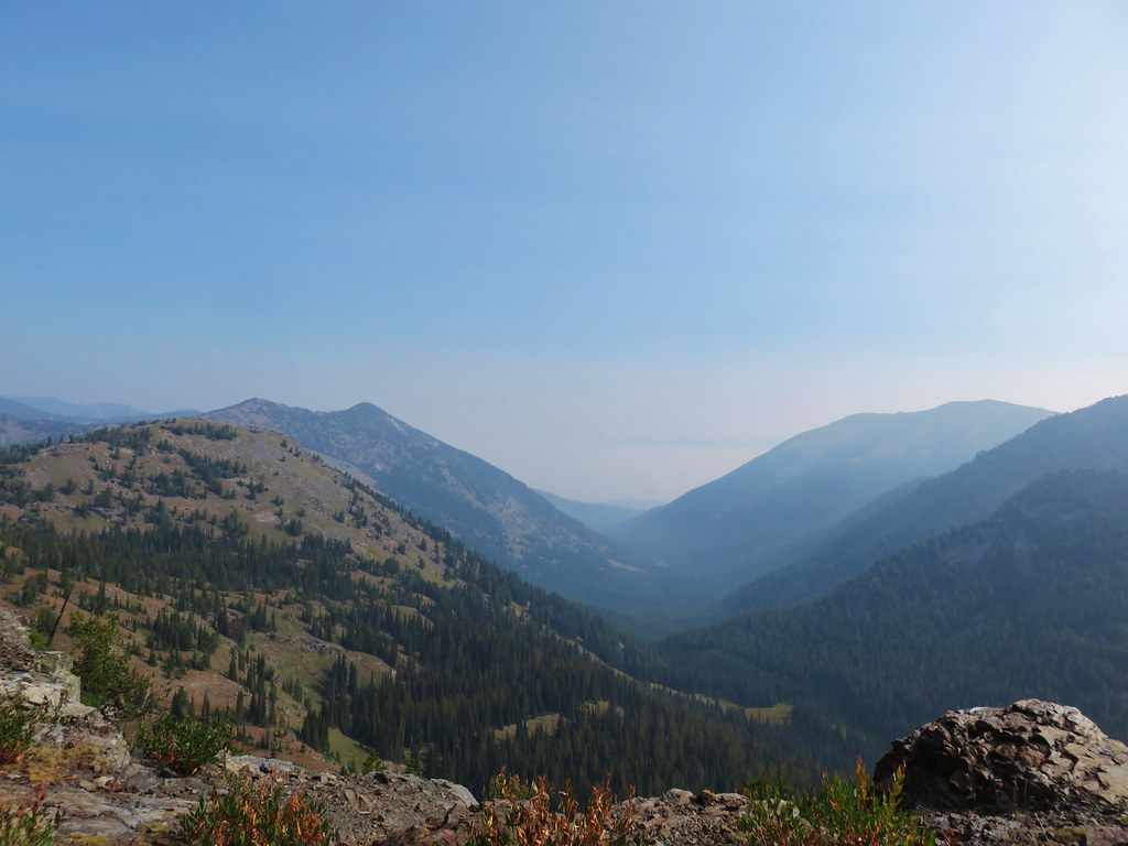 Looking east toward the Wallowas