It’s hard to believe another year has passed but here we are once again looking back on 12 months worth of hikes. While 2021 was an improvement over 2020 in almost every way it still had its share of ups and downs including losing our remaining cat Hazel in June and my Grandmother in October. While the challenge of finding places to hike due to COVID in 2020 were no more, the same couldn’t be said for COVID itself and it seems like it will be around for awhile. Wildfires once again were a large factor in deciding on our destinations, another issue that doesn’t appear to be going away any time soon.
Despite these issues we had some great hikes in 2021. I slipped an extra three hikes in during the month of April to wind up hiking on 58 days for a total of 641.5 miles while Heather got 55 days in and 614.7 miles. Forty of the hikes were entirely new to us while only one, Tumalo Mountain (post), was an complete repeat. We had done that one over after failing to catch the sunrise on our first try and boy was it worth it.
Our first and final hikes of the year were on converted railroads. Banks-Vernonia State Trail in January. (post)
Over the course of the year we managed to complete several of our long term hiking goals. A trip to Cottonwood Canyon State Park in May marked our first hike in Gilliam County which is the last of Oregon’s 36 counties that we had not hiked in. John Day River from the Lost Corral Trail
Trips in June and July took us to the final four of the 46 designated wilderness areas (open to visitors) that we had yet to visit in Oregon. In all we spent twenty-one days hiking in 15 different designated wilderness areas. Ninemile Ridge in the North Fork Umatilla Wilderness in June. (post)
By the end of July we had also completed our goal of hiking at least part of all 100 featured hikes in William L. Sullivan’s “100 Hikes/Travel Guide Oregon Coast” guidebook and in August we did the same with his “100 Hikes/Travel Guide Northwest Oregon and Southwest Washington” guidebook. Ledbetter Point, the last of the hikes from the coast book. (post)
Badger Lake, the last hike from the northwestern book. (post)
Finishing those two books in addition to the central Cascades book we completed last year (post) left just the eastern and southern books. We checked off 14 featured hikes from the eastern book but were unfortunately unable to make any headway on the southern book due to the wildfires and persistent smoke that plagued southern Oregon and northern California for much of the hiking season.
Our northern most hike was at the aforementioned Ledbetter Point while our southern most hike was on the Oregon Redwoods Trail near the California border (post). Redwoods
The western most hike was, as usual, along the Oregon Coast at Cape Argo State Park. (post)
This marked the first time 3 hikes from the same guidebook marked the furthest in different directions. For obvious reasons the eastern most hike was not from the coast book but from the eastern book. That was our hike on the Wenaha River Trail. (post)
As we have done the last couple of years we plan on putting together 2021 wildlife and wildflower posts but we’ll leave you with a few of our favorite sights throughout the year. For the most part the weather was good but wildfire smoke often impacted views. Falls Creek – February
Cascade Head from God’s Thumb – March
Columbia River from Mitchell Point – March
Mt. Hood from Sevenmile Hill – March
Dalles Mountain Ranch – April
Mt. Adams from Grayback Mountain – May
Navigating a downed tree along the Pawn Old Growth Trail – May
Rogue River Trail – May
Golden Falls – May
Lenticular cloud over Mt. Hood from Surveyor’s Ridge – May
Whychus Canyon – May
Deschutes River – May
Whychus Creek Overlook – May
Forest on Mary’s Peak – June
North Fork Umatilla River – June
Tower Mountain Lookout – June
Malheur River – June
Meadow on Round Mountain – June
Santiam Lake – July
Three Fingered Jack from Lower Berley Lake (and a butterfly photobomb) – July
The Husband and Three Sisters from Substitute Point – July
Ochoco
Mountain Trail – July
Red Sun through wildfire smoke from the Monument Rock Wilderness – July
Canyon Mountain Trail, Strawberry Mountain Wilderness – July
Aldrich Mountains – July
Mt. Mitchell summit on a rare poor weather day – August
Mt. Bachelor – August
Cottonwood Camp, Big Indian Gorge in the Steens Mountain Wilderness – August
Wildhorse Lake, Steens Mountain Wilderness – August
Evening at the Steens Mountain Resort – August
Little Blitzen Gorge – August
Riddle Ranch – August
Morning in the Pueblo Mountains – August
Oregon Desert Trail, Pueblo Mountains – August
Mt. St. Helens and Spirit Lake – August
Harmony Falls – August
Loowit Falls – August
Mt. St. Helens from Norway Pass – August
Mt. Hood from the PCT in the Indian Heaven Wilderness – September
Mt. Adams and Soda Peaks Lake, Trapper Creek Wilderness – September
Jubilee Lake – September
Rough Fork Trail, Blue Mountains – September
Heritage Landing Trail, Deschutes River – September
McDonald-Dunn Forest – October
Cascade Mountains from the Mt. Jefferson Wilderness – October
Three Fingered Jack from Round Lake – October
Mt. Hood from the Flag Point Lookout
Mt. Hood from Lookout Mountain – October
Silver Falls State Park – October
Laurel Hill Wagon Chute – October
Barlow Ridge, Mt. Hood Wilderness – October
Fern Ridge Wildlife Area – November
Here’s to an even better 2022. Happy New Year and Happy Trails!
A combination of a busy December both at work and home and uncooperative weather left us with one final day to get our December hike in before the holiday weekend. Short of an ice storm we planned on hiking somewhere but the exact hike would depend on the weather forecast. As we got closer to the day, rain was the consensus everywhere within our day hiking radius. I looked through the hikes we hadn’t done yet for options for this time of year where a day of rain would have least impact on the hike. After coming up with a couple of possibilities, each a different direction from Salem a I looked again at the forecast for each area to see if any looked better than the others. The Row River Trail just East of Cottage Grove was the clear winner with just a chance of showers in the morning increasing to rain as the day went on.
A converted rail road, the Row River Trail is a 14 mile long paved National Recreation Trail. We hiked a portion of the trail last June during a multi-stop day (post). On that day we started at Bake Stewart Park which is on the eastern side of Dorena Lake and hiked west to Rat Creek which is just beyond Harms Park. Our plan for this outing was to park on the other side of Dorena Lake at the Mosby Creek Trailhead and hike east to Harms Park. It was overcast but not raining when we pulled into the trailhead parking area.
The trail begins in Cottage Grove approximately 3 miles to the west of this trailhead it passes through town then closely follows Mosby Creek Road to the trailhead. While the trail beyond Mosby Creek crosses several roads and follows Row River Road around Dorena Lake it is more scenic than the first 3 miles would have been. Starting at the Mosby Creek Trailhead also offers the chance to make a quick 50 yard detour to the 1920 Mosby Creek Covered Bridge which was restored in 1990 and is still in use.
The Row River Trail crosses Mosby Creek on a nearby trestle bridge.
The trail is basically as straight as an arrow for 1.3 miles from the Mosby Creek bridge to a second bridge over the Row River. The scenery along this stretch is farmland and trees.
Ivy disguising itself as a tree.
Mallards and Christmas lights.
Layng Road crossing. The lights on the signs were activated when sensors picked up something approaching.
Currin Covered Bridge on Layng Road.
Cormorants flying overhead.
Approaching the bridge over the Row River.
Row River
Lesser scaup. I would have liked a better picture but it was still early and not very light and the little guy was a ways away on the river.
A short distance beyond the river we passed under Row River Road.
This was a new sign to us.
Shortly after passing under Row River Road the trail began a small climb above some farms as it made a sweeping curve to the right. Row River Road with some snowy hillsides in the distance.
Arrows and other yellow markings identified bumps and holes in the trail for equestrian and bike users.
Jelly fungus
Hamblen Creek
Turkeys in a field.
Sign along a private driveway.
Not very many mushrooms but these were good sized.
The trail crossed Row River Road again as it passed along the shoulder of Cerro Gordo, a 2112′ butte.
From the road crossing We descended slightly passing the unmarked site where the campfire scene was filmed for the 1986 movie Stand By Me before arriving at the Dorena Lake Dam.
Do squirrels jog?
Madrone along the trail.
Row River Road was overhead to the left along this rocky section.
Nearing a bench along the trail facing Dorena Lake Dam.
Interpretive sign near the bench.
A short distance beyond the bench we took a short detour down to the reservoir.
Snow in the Calapooya Mountains.
White pelicans on the other side of Dorena Lake.
We returned to the Row River Trail and continued another half a mile to a small parking area at Row Point where we again detoured to the reservoir. Still no rain despite the clouds.
Red-tailed hawk
A kingfisher and a great blue heron.
Pelicans and other waterfowl on the move.
Cerro Gordo from Row Point.
After visiting Row Point we continued east on the trail for another 1.3 miles before arriving at the Rat Creek Bridge which had been our turn around point on our previous hike. Not much water at all in the eastern end of the reservoir.
A great blue heron on the far left with a bunch of white pelicans and cormorants.
Actual sunlight hitting the dam.
Spotted towhee
Rat Creek Bridge
Rat Creek
It was a very different view from the bridge versus last time. June 2020 from the Rat Creek Bridge.
We continued the short distance into Harms Park to use the facilities and take a short break at a picnic table and then started back.
Gold tree in front of Cerro Gordo.
When we were nearing the dam again we could see a number of cormorants lining the boom.
I decided to detour over to the dam itself to check out the view. The little hill to the left provides access to the north end of the dam.
Heather had semi-reluctantly followed me but as it turned out we were both very happy we’d made the short side trip. Along with the group of cormorants making use of the boom were 4 river otters.
Just drying out.
Trying to play.
No luck.
After not having seen any otters during our hikes prior to 2021 this was now the 4th time we’d seen one but the first where we were able to watch them for any extended period. It elevated what had already been a good hike into the great category. After watching the otters for awhile we headed back to the Mosby Creek Trailhead keeping our eyes open for other wildlife along the way.
Rabbit
American wigeons
Nature slowly reclaiming an old farm truck.
Red breasted sap sucker.
Mosby Creek
The hike came in a 12.4 miles after all of the little side trips with only about 150′ of elevation gain.
There are numerous possible starting/turnaround points which make it possible to break the trial up into several smaller sections and we passed a few people doing just that with their dogs/children. The rain showers never materialized making it a much more pleasant day than we’d expected to have and the variety of wildlife, especially the otters, was a great way to finish off our 2021 hikes. Happy Trails and Merry Christmas!
A dry forecast on my birthday provided a great excuse to head out on our November hike. We had an unusually loose plan for this outing which consisted of a stop at the Clay Creek Trail followed by a visit to the Fern Ridge Wildlife Area with a third possible stop at Meadowlark Prairie. While the 2 mile hike on the Clay Creek Trail was covered in Sullivan’s “100 Hikes/Travel Guide Oregon Coast & Coast Range” we had very little information on the Fern Ridge Wildlife Area. There was enough information available on line to know that it was open to hiking but it was unclear just how long of a hike was possible which is why we were keeping the option of Meadowlark Prairie on the table. The mostly paved 14 mile long Fern Ridge Path passes along Meadowlark Prairie on its way into Eugene, OR which would have provided some extra hiking time if we’d felt that we needed it.
We started our morning by driving to the BLM managed Clay Creek Recreation Site. The hike here is one of two hike Sullivan lists under his Siuslaw Ridge Trails entry (featured hike #65, 4th edition). We had done the other hike at nearby Whittaker Creek in 2016 (post) and while we considered that earlier hike enough to check off the featured hike from our list completed this second short hike would complete it. We parked at a small pullout on the south side of the Siuslaw River. The trailhead sign for the Clay Creek Trail is ahead on the opposite side of the road.
It was a foggy morning, much like it had been on our earlier visit to the Wittaker Creek Recreation Area. Siuslaw River
Clay Creek on the left emptying into the Siuslaw.
A short use trail led down to Clay Creek and a small gravel bench. Stairs at the Clay Creek Recreation Area across the river.
After checking out the creek we walked the short distance up the road to the start of the trail. Sullivan described the hike as a 2 mile out and back but the map on the sign at the trailhead showed a lollipop loop. (Sullivan does mention the loop in his “Trail Updates” on oregonhiking.com.)
The existence of the loop at the top was a pleasant surprise. We crossed Clay Creek on a footbridge and began the 600′ climb to the ridge top.
The Clay Creek Trail climbing above Clay Creek.
We passed a bench at the second swtichback and continued climbing to a junction 0.6 miles from the parking area.
It’s hard to tell size here but the diameter of this tree was well over 5′.
The junction for the loop.
We turned right and continued to climb through the fog to the ridge top where the trail turned left. One of several reroutes we encountered.
On the ridge top.
The trail passed several madrone trees before arriving at a bench at the high point of the ridge. Madrone trunk and bark, always fascinating.
Lots of mushrooms pushing up through the forest floor.
Good sized trees near the high point.
No idea what you might see on a clear day.
The trail then began to descend to another bench at a switchback where the map indicated there was a view.
The viewpoint.
The trail continued switchbacking downhill while it wound back to the junction.
Just before reaching the junction I nearly went head over heals trying to avoid stepping on a rough skinned newt that I spotted at the last minute.
After having a one sided conversation with said newt we continued downhill to the car. Nearing the footbridge.
The fog had lifted off the river at least.
While Sullivan indicates in his update that the loop makes this a 3.6 mile hike others still list it as 2 miles and both Heather and my GPS units logged 2 miles for the hike. Despite the fog not allowing for any view it was a pleasant little hike. Sullivan does also mention that the BLM is considering a $5 parking fee for the area in the future so be sure to check the BLM site before heading out.
We spent just over an hour on the Clay Creek Trail after driving over 2 hours to get there so a second stop was a must in order to not break our rule against spending more time driving than hiking. That’s where the Fern Ridge Wildlife Area came in. Located just west of Eugene the area consists of a dozen units broken up around Fern Ridge Reservoir. We had driven by the reservoir numerous times on the way to hike in the Coast Range and around Florence and seen signs for the wildlife area which had piqued at least my curiosity. After some online research it appeared that parking at the end of Royal Avenue between the Royal Amazon and Fisher Butte units was our best bet. The ODFW website mentions possible seasonal closures but finding detailed information on them wasn’t easy. I was eventually able to determine that these two units were open to the public from 10/16 thru 1/30 from until 2pm each day (presumably starting at sunrise). Even with the earlier hike we had arrived before 9:30am so we had plenty of time to explore. There is a $10 daily fee to park in the lots which is typical for ODFW wildlife areas (although it appeared most people simply parked along the shoulder of Royal Ave to avoid the fee).
Note that Royal Ave and the trail to the viewing platform are open year around with the other restrictions listed below.
We took a picture of this map to assist us with our route.
From the signboard we continued on the gated extension of Royal Avenue. It was a lot foggier than we had expected so the visibility wasn’t good and it was in the mid 30’s so it was chilly too.
We passed a grassy path leading to the viewing platform at the 0.4 mile mark.
We opted to pass on the platform for now hoping that visibility would improve as the morning wore on and we could stop by on our way back. We continued on the old road bed watching for birds and any other animals that might be about.
White crowned sparrow
Northern harrier on the hunt.
Wetlands in the Royal Amazon unit.
As we neared sub-impoundment one a large bird flew up from the reeds. It was our first encounter with an American bittern which was on my bucket list of animals we’d yet to see. The bittern taking off.
Not the greatest photo but enough to identify it.
We turned right on a levy/old roadbed on the other side of the sub-impoundment and followed it for 0.7 miles to Gibson Island. The highlight of this stretch was a pair of bald eagles hanging out in a snag.
A hawk on a stump.
American coots
Gibson Island (with the eagles in the snag to the far left)
A short trail at the end of the levy led onto the island before petering out.
We turned around and headed back to Royal Avenue where we turned right and continued west just to see how far we could go. A flock of geese above the coots.
There were a number of these small birds pecking around in the mud which, with some help from Molly in the comments, are American pipits.
Continuing west.
We used the stones to the right to cross the water here.
Great blue heron (with Highway 126 in the background).
Sandpiper in the roadway.
End of the line.
We imagined that much of this stretch would be under water by late Winter/early Spring but we had managed to make make it 1.7 miles from the trailhead before being turned back. We headed back past sub-impound one to the grassy path near the viewing platform where we left the road bed.
Seagull
Perhaps the same northern harrier.
The harrier taking a break.
The path to the platform.
Dunlins (thanks again to Molly)
The platform.
From the platform dikes led west and south. Since we had just come from the west we decided to go south along a body of water in Field 5.
The first signs that the fog/clouds might be breaking up.
Looking back at a little blue sky and a visible Gibson Island
We watched a group of shore birds as the alternate between foraging in the mud and performing areal acrobatics.
A little over three quarters of a mile from the viewing platform we arrived at a 4-way junction.
We turned left continuing around Field 5 for a third of a mile before arriving at a “T” junction just beyond a ditch. Fisher Butte is the low hill ahead to the right.
According to the map we’d taken a picture of at the trailhead continuing straight at the junction would lead us to the area’s boundary near Fisher Butte while the right hand path led past Field 2 to Field 1 and then to a parking area off Highway 126. We turned left walking between the ditch and Field 3. Gibson Island was now lit by direct sunlight.
In another third of a mile we faced another choice. Another dike headed to the right (east) between Field 3 and Field 4. The dike running between Fields 3 & 4.
Looking back over the ditch.
We opted to turn right having misread the map for the first time. For some reason we ignored the difference between the symbols for the dikes and boundary lines (although some online sights showed paths along the boundary lines). At first everything was fine as the dike gave way to a cut mowed track wrapping around Field 4 along the boundary. There was a pond in Field 4 where several species of ducks were gathered as well as a great blue heron and a kingfisher. California scrub jay
Northern shovelers and a bufflehead.
Buffleheads and two hooded merganser females.
Kingfisher
American robin
After wrapping around the pond for half a mile the track we were following became increasingly muddy with standing water in areas. We were very close to a gravel road so we hopped onto it for a tenth of a mile where we were able to get back onto a grassy track at a signpost. The gravel road and another small portion of the wildlife area on the other side.
Noisy geese.
Back on the mowed track.
We went straight here looking for a trail on the right that would leave us back to the parking area. The clouds were really breaking up now and lots of little birds were out enjoying the warmer weather.
A sparrow
Spotted towhee and friend.
Finch
As of yet unidentified little bird.
We found what we were looking for, at least what we thought we were looking for and turned right on a clear trail that dropped down into a mowed field then mostly disappeared. We skirted along the edge of the field toward the parking area and as we neared the trailhead a clear trail emerged, or more like submerged. We followed the wet trail almost to the signboards near the trailhead where a ditch of standing water stood in our way. Our only choice (aside from backtracking) was to get wet so get wet (or wetter) we did. Luckily our hike was over and we had a change of socks and shoes waiting in the car. We finished hiking just before 1pm and managed to get a full 7 miles in while leaving parts of the area unexplored. It was nice to find another option in the valley that offered a potential destination when getting up into the mountains is possible. While we did hear occasional gun shots from hunters we only saw two duck hunters, but we also saw some families and bird watchers. This path headed north from the trailhead, something to explore on our next visit.
Track at Fern Ridge Wildlife Area
It was a good birthday hike and we were done early enough for my parents to treat us to a great birthday dinner at The Manilla Fiesta, a restaurant I’d been dying to try. Happy Trails!
We ended our hiking season with a bang, a pair of stops along the Barlow Wagon Road with an off-trail adventure, great views and beautiful weather. Created in 1846 the “Barlow Road” provided an alternate route along the Oregon Trail which previously ended at The Dalles where emigrates were forced to find passage down the Columbia River. The 80 mile road led from The Dalles to Oregon City crossing several rivers and the Cascade crest along the way. The wagons also had to navigate Laurel Hill’s steep descent and our first stop of the day was to visit the Laurel Hill Wagon Chute, the steepest drop along the road.
We parked at the small pullout along Highway 26 that serves as the Laurel Hill Trailhead. Mt. Hood from the trailhead.
We followed the trail uphill on stairs to an abandoned section of the Mt. Hood Highway then turned right to find the bottom of the rocky chute.
The wagon chute.
A trail to the right of the chute led uphill to a 4-way junction where we turned left and followed this path a short distance to the top of the chute.
The left at the 4-way junction.
Looking down the chute.
After reading the sign near the chute and trying to picture actually lowering a wagon down the chute we returned to the old highway walking a short distance past the chute to a viewpoint above Highway 26.
Sunlight starting to hit the SE side of Mt. Hood.
Ravens photo bombing a close up of the mountain.
We backtracked from the viewpoint and descended down the stairs to our car.
We then drove east through Government Camp to Highway 35 before turning right onto FR 3531 at a pointer for Barlow Road and the Pacific Crest Trail. After 0.2 miles we parked at the Barlow Pass Trailhead/Sno-Park. Both the Barlow Wagon Road and the Pacific Crest Trail pass through the trailhead. After parking we headed to a picnic table and sign boards on the south side of the parking area.
The PCT was on our right heading south toward Twin Lakes (post) while the Barlow Wagon Road lay straight ahead.
We followed the wagon road for approximately a tenth of a mile before it joined FR 3530 (Barlow Road). A portion of the original Barlow Wagon Road.
Barlow Road (FR 3530)
Just 40 yards after joining FR 3530 the Barlow Butte Trail veered downhill at a signpost.
The trail was still following the route of the wagon road as it passed through a forest that was hit hard by last Winter’s storms.
At the half mile mark we came to a junction with the Barlow Creek/Devil’s Half Acre Trail in a small meadow.
Following pointers for the Barlow Butte Trail and Mineral Springs Ski Trail we turned left here.
The trail began a gradual 0.4 mile climb to another junction where the Barlow Butte and Mineral Springs Ski Trail parted ways.
We made a hard right here sticking to the Barlow Butte Trail which quickly entered the Mt. Hood Wilderness. Wilderness sign along the Barlow Butte Trail.
It was a mile from the junction where the Mineral Springs Ski Trail parted ways to the next junction. The trail climbed gradually at first but soon steepened as it began a series of switchbacks.
Getting steeper.
This was the worst of the blow down we had to navigate on this section.
Nearing the junction.
A small rock cairn marked the junction where a spur trail led left up to the old lookout site on Barlow Butte.
We turned left on the spur trail which began with a great view to the NE of the Badger Creek Wilderness including Lookout Mountain and Gunsight Butte (post)
It was a little chilly with temps in the mid 30’s combined with a stiff breeze adding to the wind chill.
On the right of the far ridge is Bonney Butte (post).
The summit of Barlow Butte is overgrown now with trees but just downhill from the former lookout site was a small rock outcrop with a view of Mt. Hood.
Remains from the lookout.
The Oregon Hikers Field Guide mentions a better viewpoint on yet another rock outcrop below this one but we didn’t scramble down to it. Instead we planned on visiting a couple of other viewpoints on the Barlow Butte Trail further along Barlow Ridge. So after a short break trying to use the trees to block the wind we headed back down to the Barlow Butte Trail and turned left (downhill) at the small rock cairn. The trail passed through a stand of trees before popping out on a rocky spine. Barlow Butte and the top of Mt. Hood.
Frog Lake Buttes (post) is the hump in the center.
Western larches
Mt. Jefferson behind some clouds.
Sisi Butte (double humps) and Bachelor Mountain (post).
The rocks were a little frosty in spots so we had to watch our footing, especially dropping off the rocks back into the forest.
This is a good point to mention that the Oregon Hikers Field Guide has you turn back here for their Barlow Butte Hike but there is a second hike in the guide, the Barlow Ridge Loop which describes a possible 10.5 mile loop. This hike is listed as a “lost” hike due to the Forest Service having abandoned the trail along the remainder of Barlow Ridge. The Barlow Butte Trail at one time followed the ridge to its end and descended to Klingers Camp. We were keeping the loop option open but were planning on turning back possibly at the high point of the trail.
The next marker along Barlow Ridge was Lambert Rock which we reached a half mile from the small rock cairn on Barlow Butte.
It’s possible to carefully scramble up this rock past a memorial plaque for Dr. Richard Carlyle Lambert who perished while hiking in Utah.
The view of Mt. Hood was spectacular from the rock but the stiff breeze and cold air made for a short stay. Barlow Butte to the left of Mt. Hood.
If not for the clouds to the south the Three Sisters and Mt. Jefferson would have also been visible from the rock. Mt. Jefferson still behind some clouds.
Beyond Lambert Rock the trail dropped a bit into a saddle where another small rock cairn marked an unofficial cutoff trail to the left that leads downhill to FR 3560.
We continued to the right on the Barlow Butte Trail and 0.4 miles from Lambert Rock detoured to the right to what we hoped might be another viewpoint. Trees blocked the view north to Mt. Hood and east to Lookout Mountain. Again there would have been a decent view of Mt. Jefferson from this spot but we did have a good view west to Tom Dick and Harry Mountain above Mirror Lake (post)
Parts of Mt. Jefferson peaking through the clouds.
Tom Dick and Harry Mountain (with the rock fields near the top).
We continued on following the increasingly faint trail another third of a mile to it’s high point and another great view of Mt. Hood. While the trail was faint there were often cairns, blazes or diamonds marking the correct path. Small cairns in a meadow.
One of the aforementioned diamonds.
Approaching the high point.
Clouds were starting to pass over Lookout Mountain at this point.
Mt. Hood from the high point of Barlow Ridge.
Up to this point the trail had been fairly easy to follow and there hadn’t been much blow down over it so we decided to continue along the ridge at least to the point where it started to steepen on it’s way down to Klingers Camp. For the next three quarters of a mile the trail was still visible at times and the occasional marker let us know we were still on the right course. Carin in the trees ahead.
Elk or deer tracks leading the way.
Another section of frost.
We took this as a blaze.
That blaze led to this large cairn.
Things were starting to get interesting here.
Stopped here to listen for pikas, no luck though.
This could be trail.
Still on the right track, note the folded trail sign on the tree at center.
We lost the trail for good in a small beargrass meadow which was my fault. While I had brought a topographic map that showed where the trail was supposed to be I was navigating primarily based off of what I remembered reading from the Oregon Hikers field guide. I had remembered most of it well but had forgotten the part where “the trail swings off the ridge to the right….”. All I remembered was that the route eventually dropped steeply down the nose of a ridge. Not realizing it was the nose of a different ridge I kept us following Barlow Ridge for another 0.2 miles. The small meadow.
Officially off-trail now.
This looked like a place the trail would go.
A final look at Mt. Hood from Barlow Ridge.
Not realizing that we were off the trail alignment we decided that the hiking had been easy enough up until now that we would go ahead and try for the loop. Down we headed looking in vain for any sign of trail. Several times we convinced ourselves that we’d found it, but it turns out if it was anything it was game trails. This doesn’t look so bad.
One of several big trees we encountered.
Little orange mushrooms, how appropriate for Halloween.
Starting to encounter more debris.
If there had been a trail good luck finding it.
Heather coming down behind me.
We lost over 600′ of elevation in three quarters of a mile and things were only getting steeper. It was at this point that I turned my brain on and pulled the map out of Heather’s pack. I quickly saw what I’d done wrong, we were following the wrong ridge line down and should have been one ridge to the SW. The problem now was there was a stream bed between us. We backtracked up hill a bit and followed a game trail across the trickling stream and attempted to traverse over to the correct ridge. Pretty decent game trail here.
This section was fun.
A bigger orange mushroom.
We struggled down and across, occasionally having to backtrack or veer uphill to find safer passage. Uphill on this game trail.
Thickets of brush kept us from getting all the way over to the ridge we needed so we just kept going downhill knowing that we would eventually run into one of the forest roads at the bottom.
More steep fun.
We eventually made it to flat ground in a forest of young trees and ferns.
We could tell using our GPS that despite all of that we were only about two tenths of a mile from Klingers Camp. We were even closer to FR 240 and being tired of off-trail travel we headed straight for the road. Look Ma a road!
We turned right on this road and followed it to a junction with Barlow Road. It doesn’t look that steep from down here.
Barlow Road.
We turned right onto Barlow Road and followed it 150 yards to Klingers Camp.
After visiting the camp we continued on Barlow Road for five miles back to the Barlow Pass Trailhead. Along the way two pickups drove past us in the other direction. At the 1.6 mile mark we passed the Grindstone Campground and near the 4 mile mark the entrance to the Devil’s Half Acre Campground.
Western larches above Barlow Road.
Grindstone Campground
Barlow Creek
Crossing Barlow Creek near Devil’s Half Acre Meadow.
Clouds on top of Mt. Hood towering over the trees.
Barlow Road at the campground.
Devil’s Half Acre Meadow.
We could have taken the Devil’s Half Acre Trail from the campground to the Barlow Butte Trail but we weren’t sure what the condition was and the Field Guide didn’t mention taking it so we played it safe and trudged up the road. Finally back to where we’d left the road in the morning.
Arriving back at the Barlow Pass Trailhead
Before we attempted the crazy loop we had planned on also making the 2.2 mile round trip hike to the Pioneer Woman’s Grave on the other side of Barlow Pass and then stopping at the Castle Canyon Trail for a final short hike. Neither of us had any interest in making another stop at this point but we were interested in the grave site. Unfortunately Heather’s plantar was acting up. Surprisingly, given the lack of good ideas we’d displayed so far, we came up with a alternate plan. Heather would drive to the Pioneer Woman’s Grave Trailhead while I hiked the Barlow Wagon Road to it. The trailhead is located right next to the grave site so Heather didn’t have to worry about her plantar and now I only needed to hike a little over a mile downhill. The first other people (not counting the two drivers in the pickups) that we’d seen all day.
I hustled down the wagon road stopping along the way at another nice Mt. Hood viewpoint.
I did take the time to walk down the road 60 yards to the East Fork Salmon River to check out some stonework and wagon ruts left by the emigrants. East Fork Salmon River
The 10.5 mile loop hike turned into 12 miles due to our being off course and wandering around trying to figure out where we were going so my day wound up being just under 14 miles total with approximately 3100′ of elevation gain. Heather got all the elevation gain with 1.2 miles less traveled. I probably wouldn’t try that loop again but I’d be lying if I said I wasn’t kind of curious what it would be like to actually follow the field guide correctly. Happy Trails!
Loop is in blue with the Pioneer Woman’s Grave in orange.
The run of sunny Saturdays finally came to an end so we were looking for a good rainy day hike. We turned to Matt Reeder’s “Off the Beaten Trail” (2nd edition) for inspiration. Hike #7 in his book is a 9.3 mile lollipop loop in the backcountry of Silver Falls State Park. He lists Oct-Nov as some of the best months for this hike as well as mentioning that it is a good hike for rainy days so the timing seemed right. Our original plan was to start the hike at Howard Creek Horse Camp just as Reeder describes but to deviate a bit from his description to see more of the backcountry. Our previous visits to the park had all involved hikes on the uber popular Trail of Ten Falls (post). There are no waterfalls in the backcountry and therefore far fewer people. The park opens at 8am so we actually slept in a bit in order to not arrive too early but we still had a couple of minutes to kill when we arrived at the park entrance so we stopped briefly at the South Viewpoint.
Park map at the viewpoint.
Willamette Valley
It was rather windy at the viewpoint and it was cold with the wind chill in the mid-30s. We thought we were going to be in for a chilly hike only as soon as we got into the forest in the park the wind was gone and the temperature was near 50 degrees. We picked up a $5 day use permit at a fee booth between the Park Office and campground and continued toward the Howard Creek Trailhead. As we neared we kept seeing signs along the road with pointers for “base camp” and “catering”. We hadn’t seen anything on the park website but it appeared that there might be some sort of event happening. There were a bunch of trailer trucks parked at the Horse Camp and we were flagged down by a Park Ranger? who mentioned that the trailhead was open but there would be a detour to get around the equipment and wires set up on the “horse loop”. We thanked him but didn’t ask any additional questions which we probably should have. We started to park but then decided that if there was an event then it was probably going to get pretty busy/crowded there so we decided instead to start from a different trailhead.
The route that we had settled on was a combination of several trails including the Howard Creek Loop, Buck Mountain Loop, Smith Creek, and 214 Trails. The 214 Trailhead would provide us access to this loop as well as give us a reason to add the Rabbit Hole and Newt Loop Trails to the itinerary. We drove back toward the park’s south entrance and turned left into the large 214 Trailhead. (There is no fee station here so you need to pick up a day use permit elsewhere.)
From this trailhead is was just over 3/4 of a mile on the 214 Trail to the junction with the Smith Creek Trail where we would have eventually been on our originally planned loop. We followed signs for the 214 Trail at junctions. Signage in the park is hit and miss, having a map of the park is a must to avoid getting confused at unsigned junctions.
Sign post for the Newt Loop and mountain biking skills station.
As much blue sky as we were going to get on this day.
A massive old growth nursery log. The tree stood for hundreds of years and will spend hundreds more slowly decaying and providing nutrients for younger trees.
Nursery stump. While some old growth exists in the park it was also logged heavily which was the primary reason it was passed over for National Park status.
The Smith Creek Trail junction.
We stayed left on the 214 Trail at the junction with the Smith Creek Trail following it for another 0.6 miles to a junction with the 1.1 mile Nature Trail Loop.
Does anyone know their salamanders? Not sure what type this one was.
The Nature Trail junction.
We called an audible here and decided that a 1.1 mile loop wouldn’t add too much distance onto our day so we turned left and then left again to go clockwise on the Nature Trail.
In just over half a mile the trail popped us out in the park campground. After consulting our maps we determined we needed to turn left to find the continuation of the trail. From the spot that we entered the campground you could just see a hiker sign at the far end of the paved campground road.
At an unlabeled junction with the Racket Ridge Connector Trail we stayed right on the Nature Trail. The Racket Ridge Connector Trail crossed South Fork Silver Creek while the Nature Trail followed the south bank for a short distance.
It was a half mile from the jct with the Racket Ridge Connector Trail back to the 214 Trail and just before we completed the loop we passed a blind.
No wildlife to view today.
When we got back to the 214 Trail we turned left to continue on our loop. Just under half a mile later we arrived at a “T” junction with the Howard Creek Loop Trail where we turned left.
The Howard Creek Loop Trail.
This trail crossed a paved road before crossing Howard Creek on a footbridge.
Howard Creek
On the far side of Howard Creek the trail turned right along the road we had taken earlier to reach the Howard Creek Horse Camp.
Sign for the trailhead.
We hiked past the gate in the photo above and encountered the Park Ranger from earlier. He directed us to a trail on the right that would bypass the “wires and equipment”. This time we at least confirmed that the Buck Mountain Loop was open and thanked him before continuing on our way. We still aren’t sure what is/was going on but it wasn’t an event like we had thought. It appeared that they were either upgrading part of the horse camp, repairing the entrance road, or doing some thinning. Whatever they were doing we were able to pick up the Howard Creek/Buck Creek Loop trail at the SE end of the loop at the end of the road.
In a tenth of a mile we turned right on an old logging road.
Three tenths of a mile later we arrived at another junction where the Howard Creek Loop split to the right while the Buck Mountain Loop continued straight uphill.
For the next 2.7 miles we followed this road uphill until it leveled out and came to a large trail junction at the edge of a fire closure. We often turned to the maps along this stretch to ensure we stayed on the correct road.
Blue appeared to mean Buck Mountain Loop (the posts along the Howard Creek Loop had been red and later the Smith Creek Trail posts were yellow.)
The mix of tree trunks here caught our eye.
Approaching the trail junction.
The good news at this big junction was there was good signage and a full park map.
The 2020 Beachie Creek Fire threatened the Park and did in fact burn over nearby Shellburg Falls (post). As it was a small portion of the park was burned causing the very SE portion of the park to remain closed until repairs and removal of hazard trees are completed.
Orange fence marking the closure of the Catamount Trail.
We stuck to the Buck Mountain Loop which descended to a pair of crossings of tributaries of Howard Creek.
The first footbridge which spans Howard Creek. The creek was obscured by brush.
The second footbridge over a tributary not shown on the topo map.
This stream was a little easier to see.
We took a short break at this bridge before continuing on.
Just over a mile from the large junction we arrived at a 4-way junction where we turned right to stay on the Buck Mountain Loop.
A reminder of how close the Beachie Creek Fire was.
The 4-way junction.
We kept on the Buck Mountain Loop for nearly another mile before arriving at the Smith Creek Trail junction.
Approaching the Smith Creek Trail junction.
Up until this point other than a few very brief sprinkles we hadn’t seen much actual rainfall during the hike. As we started down the Smith Creek Trail though a steady rain began to fall. We followed this trail downhill for 1.6 miles to a junction near the Silver Falls Conference Center.
We stayed on the Smith Creek Trail for another 1.3 miles to yet another junction, this time with the Rabbit Hole Trail.
We faced a choice here. Looking at the map the Rabbit Hole Trail offered a slightly shorter route back to the 214 Trailhead versus the Smith Creek Trail, but it also appeared to climb a steeper hillside, albeit via switchback. The deciding factor for us though was whether or not there appeared to be many mountain bikers coming down the trail. Given the weather and not seeing any bikers or fresh tire tracks we decided to give it a shot.
There were 13 signed switchbacks in just over half a mile before arriving at the Newt Loop Trail near the mountain bike skills station.
Ramps in the background at the skills station.
We turned left on the Newt Loop and followed it through the forest ignoring side roads and trails for 0.6 miles to the 214 Trail just two tenths of a mile from the 214 Trailhead.
The Catamount Trail arriving on the left.
The 214 Trail from the Newt Loop.
We didn’t encounter any bikers on the Newt Loop or Rabbit Hole trails. In fact we only saw one mountain biker all day and that was on the Buck Mountain Loop. We did see a couple of larger groups of trail runners (or one big group split into smaller groups) on the Nature Trail but otherwise I don’t believe we saw even a half dozen other trail users during our 12.9 mile loop. Reeder had been right, this was a great rainy day hike and the fall colors made it a good time of year to visit. While we managed to spend time on a number of the trails in the backcountry there is still plenty for us to explore and I’m already coming up with other ideas for the future when the fire closure is lifted.
Our 12.9 loop
Our “hiking season” is quickly coming to an end for the year and while it wasn’t an ideal year from a drought and wildfire perspective we’ve been fortunate enough to get some great hikes in while wrapping up a number of our longer term goals which we will be posting about during our off-season. Happy Trails!
For the second weekend in a row we abandoned plans for a night in the tent in favor of day hike. Similar to the weekend before the forecast for was for a mostly sunny and warm Saturday followed by rain and/or snow moving in Saturday night through the end of the weekend. We decided on the Fret Creek Trail in the Badger Creek Wilderness. Our plan was to take that trail to the Divide Trail and visit the Flag Point Lookout to the east followed by Lookout Mountain to the west. While we had been to Lookout Mountain twice before (2014, 2019) we had not visited the Flag Point Lookout nor had we hiked the lower portion of the Fret Creek Trail. We were hoping to get some good views and see some of the areas Western Larch trees as they began to turn color.
The Fret Creek Trail starts between Fifteen Mile Campground (post) and Fret Creek along Forest Road 2730 across from a trailhead sign at a pullout on the left.
A few larches along Road 2730
Fret Creek Trail across from the pullout.
For the first third of a mile the trail climbed fairly steeply above Fret Creek. Entering the Badger Creek Wilderness.
The trail eventually leveled off crossing Fret Creek several times before once again launching steeply uphill before arriving at Oval Lake just under 2 miles from the trailhead.
Starting to climb again.
Sign for Oval Lake.
The small lake is just off the trail but has several campsites in the surrounding forest.
We’d visited the lake briefly in 2014 during our first ever backpacking trip and it looked quite a bit like we’d remember but with less water given the time of year. June 28, 2014
After checking out the lake we continued climbing on the Fret Creek Trail for 0.2 more miles to its end at the Divide Trail. A bit of snow left from the recent snowfall.
The Divide Trail.
We turned left on the Divide Trail and climbed for 0.3 miles to a ridge crest where we took a side trail out to Palisade Point. This rock outcrop has a nice view south across the Badger Creek Wilderness to Mt. Jefferson and the Three Sisters.
Some snow near a switchback along the trail.
Mt. Adams starting to peak over a ridge to the north.
Mt. Adams with some larch trees in the foreground.
Lookout Mountain from the Divide Trail (The bare peak in between the two bare snags. Just to the right of the left snag.)
Side trail to Palisade Point.
Broken Top, The Three Sisters, Mt. Washington, Three Fingered Jack (just the very top), Mt. Jefferson, and Olallie Butte (post) were visible in the distance.
Mt. Jefferson with the tip of Three Fingered Jack to the left and Olallie Butte to the right.
Mt. Hood peaking up over the rocks.
Panoramic view with Badger Creeks valley below.
Rocks below Palisade Point.
After the stop at Palisade Point we continued east along the ridge for 1.2 miles losing a little over 300′ to Flag Point Lookout Road (NF 200). Occasional views opened up along the way. We ran into this jumble of downed trees shortly after leaving Palisade Point but fortunately it was the worst of the obstacles.
Flag Point Lookout from the trail.
A small meadow that was full of flowers a couple of months ago.
A stand of larches.
A better view of Mt. Hood.
Zoomed in.
Looking back through larches at a Badger Creek Wilderness sign near Road 200.
Looking back at the Divide Trail.
We had been to this junction on our 2014 backpacking trip where we turned off the Divide Trail here onto the Badger Creek Cutoff Trail to hike down to Badger Creek. This time we took Road 200 which led to the Flag Point Lookout in 0.8 miles. Road 200
Chipmunk
Nearing the lookout.
The lookout is staffed in the Summer and used to be available as a rental during the Winter but the Forest Service discontinued that a few years ago.
A gate blocks access to the platform and tower but climbing the stairs below the gate provided for some more excellent views. Mt. Rainier and Mt. Adams to the north.
Mt. Rainier and Mt. Adams
Three Fingered Jack, Mt. Jefferson, and Olallie Butte
View east to the hills above the Columbia River.
We spent quite a while admiring the views and then more time attempting to spot one of the pikas that we could hear in the rock field below the lookout. Alas none of the little rock rabbits wanted to make an appearance but several robins did.
We headed back to the Divide Trail and stayed straight at the junction with the Fret Creek Trail. It was just 1.6 miles to Lookout Mountain and on such a beautiful day we couldn’t pass up the chance of another spectacular view. Passing the Fret Creek Trail.
We did need to gain almost 800′ of elevation to reach Lookout Mountain which at times was a fairly steep climb.
Another viewpoint along the way where Badger Lake was visible.
Badger Lake
We had seen our first fellow hikers on our return from Flag Point and now we were seeing more of them as well as a little more snow.
The final pitch to the summit, there is at least one hiker visible up top.
Looking back to Flag Point.
Looking NE toward The Dalles and the Columbia River.
Mt. St. Helens, Mt. Rainier, and Mt. Adams
View south past Badger Lake to Mt. Jefferson.
After another nice break we headed back, but just under half a mile from the summit we turned right on a side path to what Sullivan labels the Helispot. Several campsites were located here and yet another amazing view. Flag Point from the Helispot.
And of course Mt. Hood again.
After exploring the Helispot area we hopped back onto the Divide Trail and returned to the Fret Creek Trail. We made a final quick stop at Oval Lake before returning to our car and heading home.
Fret Creek from the road near the trailhead.
The hike was just over 13 miles with approximately 2800′ of elevation gain. A number of shorter options could be done and longer trips are also possible with the numerous trails in the Badger Creek Wilderness.
It was great to see the mountains with fresh snow and nice to have some snow on the ground after the dry Spring and Summer. They are calling for a La Nina Winter which could mean plenty of precipitation. After this year we would welcome it. Hopefully it will be in the form of snow for the mountains and not rain though. Happy Trails!
We were hoping to get a backpacking trip in over the holiday weekend but the forecast called for rain/snow in the mountains starting Saturday night through the rest of the weekend so we opted instead for a day hike instead. The good news was that the forecast for Saturday was for partly to mostly sunny skies so we were hoping for some nice views. We’d chosen a hike to Round and Square Lakes near Three Fingered Jack and the Mt. Jefferson Wilderness which was the shortest of the drives (a little over 1 1/2 hours from Salem) that we had been considering. While we hadn’t been to Round Lake yet we had passed by Square Lake on a loop hike in 2012 (post). Earlier this year on our hike to Santiam Lake (post) we had retraced some the beginning of that loop. For this hike we would also be starting at the Pacific Crest Trailhead at Santiam Pass but would be retracing the final 4.5 miles of the 2012 loop between Booth Lake and the trailhead.
Both Reeder and Sullivan describe hikes to Round and Square Lakes but each of their descriptions are for out and back hikes starting at the Round Lake Trailhead which is closer to the Sisters/Bend area. Starting at Santiam Pass cut off some driving but it did add approximately 5 miles of hiking to our days total. We arrived at the trailhead just in time to catch a bit of color from the sunrise.
After 0.2 miles we turned right at the junction with the Old Summit Trail.
The Old Summit Trail traverses a hillside above Highway 20 through snags left over from the 2003 B & B Complex (Bear and Booth Fires). The lack of larger trees provides plenty of views south to Black Crater, Broken Top, the Three Sisters, Mt. Washington, Hayrick Butte and Hoodoo Butte. The over night clouds were quickly breaking up as we hiked revealing more and more of the mountains. Black Crater and North Sister
Black Crater, the top of Broken Top, some of the Sisters, and part of Mt. Washington.
Hayrick and Hoodoo
Between Mt. Washington and Hayrick Butte is Scott Mountain (post).
Cache Mountain is the high point furthest to the left.
Broken Top and the Three Sisters
Mt. Washington
The Three Sisters. The summit of South Sister is between North and Middle Sister behind 9321′ Prouty Point.
Near the 2 mile mark we entered the Mt. Jefferson Wilderness. The wilderness sign provided a good reference for comparing how much taller the trees were this time versus in 2012.
A different angle from 2012.
Shortly after entering the wilderness we began descending toward Square Lake. Three Fingered Jack was somewhat hidden behind a cloud further to the north.
The only deer we spotted during the hike popped out of some brush below the trail for just a moment before disappearing back into it. As has been the case more often than not this year I did not have my camera at the ready so all I got was one of their white rumps. One white rump with a black tail amid the ferns near the center of the photo (good luck).
The trail wrapped around the lake past a large campsite to a junction with the Round Lake trail approximately 2.5 miles from the trailhead.
The only paintbrush we would see all day.
The top of Mt. Washington is just visible on the other side of Square Lake.
At the junction we followed the pointer for the Round Lake Trail and continued along Square Lake.
Mt. Washington’s spire again.
A rainbow was trying to form to the west.
We soon left Square Lake and continued through the recovering forest.
Lodgepole pine seeds require fire in order to be released from their tight cones.
The Round Lake Trail is just about 2 miles long running between the junction and the Round Lake Trailhead to the east. Several maps show the trail passing near Long Lake Lake along the way. It does not but rather veers away form that lake. It may have been an older pre-fire alignment but Reeder mentions this discrepancy in the map and warns “don’t even bother trying to find it unless you’ve got lots of time and patience”. I’ll be honest and say this sounded like a little bit of a challenge so when we were able to spot the western end of Long Lake we decided to make an attempt for it. Our first sighting of Long Lake (zoomed in).
Using our GPS and a paper map as backup we angled cross country toward the lake which quickly was hidden from sight. There were plenty of downed trees to climb over or around and one line of snowbrush to push through but we also were able to follow some game trails which helped us find ways through the obstacles. It was also evident that the area around the lake can be pretty wet and probably muddy meaning getting as close as we did probably wouldn’t be possible at other times.
We reached the western end of the lake after three tenths of a mile. It took less than 15 minutes but without a map and some route finding skills we wouldn’t advise it.
Ducks taking off from Long Lake.
Any thoughts of walking around the north side of the lake quickly vanished when we saw how dense the vegetation and downed trees were.
We did however return to the Round Lake Trail by bearing NE. It took a little over 21 minutes to find the trail just over a half mile from the lake.
This is one of the areas that we could see getting pretty muddy/wet.
Rainbow
The Round Lake Trail just on the other side of the downed tree.
Long Lake is back down that way somewhere.
We turned right and continued east on the Round Lake Trail. Back on the Round Lake Trail.
Black Butte shedding the morning clouds.
The top of Three Fingered Jack behind some thin clouds.
Green Ridge (post) in the distance with a little smoke rising from the Metolious Basin where the Forest Service had ignited a prescribed burn over the preceding two days.
A better look at Three Fingered Jack.
First glimpse of Round Lake.
The trail descended to a small parking area at the trailhead next to the Wilderness Lakes Retreat.
We’d seen some maps showing a trail around the north side of the lake through the retreat to some camp sites on the eastern end but we weren’t sure if the retreat was private property or if it was okay to hike through so we opted to follow Forest Road 600 from the trailhead around the south side of the lake.
When we spotted a path heading down off the road we took it and made our way down to the lake shore.
The partial rainbow returned as we took a break at the lake.
We eventually pulled ourselves away from Round Lake and headed back toward Square Lake. We were feeling a little moisture in the air and based on the clouds ahead we were expecting to find ourselves in some misty fog at best by the time we made it back to the Old Summit Trail.
Starting to look kind of grey.
A mountain bluebird adding a splash of blue to the green backdrop.
Clouds over Square Lake.
A few scarlet gilia blossoms.
Instead of heading straight back onto the Old Summit Trail we turned right in order to revisit Booth Lake. From Square Lake the Old Summit Trail switchbacked uphill gaining 400′ in the next mile to a gap between a rock outcrop and a rocky hill. We remembered seeing a small lake amid the rocks over on the opposite hill and as we climbed this time we began thinking that it might be possible to get to the unnamed lake. The unnamed lake is about halfway up the far hillside.
Black Butte and Long Lake from the trail.
Heading toward Three Fingered Jack we got back under blue skies.
Square Lake still under a clouds,
The unnamed lake that drew our attention.
Similar view from 2012.
We stopped momentarily at the gap discussing what route we would take if we did try and reach the lake. I was pretty certain I wanted to give it a shot but I decided to wait until we were headed back in case I changed my mind after reaching Booth Lake. The trail at the gap. It was grey and cloudy to the west.
Still at the gap, it was blue skies to the east.
Beyond the gap the trail climbed just a bit arriving at its high point above Booth Lake in 0.3 miles. There is Three Fingered Jack.
A good look at Green Ridge.
A lupine that was late to the party.
Booth Lake
Heather opted to stay at the high point instead of visiting the lake which was roughly 0.4 miles away and 150′ below. I shuffled down the trail and made my way to the familiar sandy lake shore.
It didn’t look that much different than it had in 2012.
I returned to Heather and we started back toward the gap. I was still planning on trying to reach the off trail lake but Heather was not. She had decided that she would only attempt it if the Three Sisters had been uncovered from the clouds. I went ahead of her and left the trail at the gap working my way up around rocks and over downed trees while climbing up a semi-steep slope. I trusted the deer tracks that I was trying to follow and sure enough made it to the little lake.
The trail cut on the far hillside.
The rock cliffs holding the water on the eastern side made for some easy walking and great views down to Square Lake. Black Butte, Long Lake, and part of Square Lake.
Square Lake along with Broken Top and the Three Sisters (Mt. Washington was hiding in the clouds still).
Part of the rock ledge.
Three Fingered Jack had once again disappeared.
As I was admiring the view I thought was hearing things but as I was making my way back along the ledge I spotted Heather on a small hill on the opposite side of the lake. The Three Sisters had been visible so she stuck to her word and had followed me up. Where’s Heather.
After satisfying our desire for adventure we returned to the trail and headed back to Square Lake where we made a quick stop at the campsite.
We spent the return hike watching the clouds almost clear from Mt. Washington just to reform over around its top. View climbing away from Square Lake.
Similar view in 2012.
2012
Finally clear!
Hayrick Butte and Hoodo as we neared the trailhead.
This hike was a lot of fun with some new sights and some familiar but different sights. I wound up doing 14.8 miles according to the GPS and although no climbs were particularly long the up and down nature of the hike provided approximately 2000′ of cumulative elevation gain.
Sometimes the main purpose of a hike isn’t to see a sight but rather to step away from things and find a peaceful place in nature to reflect. My Grandmother turned 97 on 9/30/21, her last birthday after suffering a massive stroke just days earlier. We were able to drive up to her home in Portland on her birthday to visit and while she couldn’t speak she was able to respond and interact with her family that had gathered. We would be returning on Saturday afternoon to visit again when my Brother and his family arrived from Missouri but that morning we felt like getting outside and taking a nice long walk would be good. Since we were heading to Portland later we wanted a hike that was close to home to cut down on driving time so we decided to revisit the McDonald-Dunn Research Forest near Corvallis, OR.
This would be our fourth hike in McDonald Forest having previously hiked to McCulloch Peak (post), Dimple Hill (post) and Peavy Arboretum (post). Each of those three hike had been entirely unique with no steps retracing an earlier path. They had also mostly avoided the center and northwestern portions of the forest. For this hike we planned on visiting those two areas and had originally hoped to connect all three of our previous hikes. We were only able to connect two of the three though due to an active logging operation which closed a portion of the loop we’d planned.
We started our hike at a pullout by the Sulphur Springs Trail along Sulphur Springs Road.
We visited the springs first by following the Sulphur Springs Trail for a tenth of a mile.
Sulphur Springs
Soap Creek near Sulphur Springs.
We then returned to Sulphur Springs Road and turned left (west) following it for 0.4 miles through some residences to the Sulphur Springs Road Trailhead. Sulphur Springs Road from the pullout.
We continued on Sulphur Springs Road (Road 700) past an orange gate to the left of the signboard.
Approximately 1.5 miles beyond the gate we came to an intersection below a clearcut where pointers in both directions were labeled McCulloch Peak.
We followed the Oregonhikers guide and went right on Road 760. We followed this road for 0.4 miles to an the unmarked, unofficial Rocky Road Trail. We stayed right at this junction with Road 761.
The Rocky Road Trail.
The sheer number of roads and trails (both official and unofficial) makes it really easy to get turned around in the forest so having plenty of maps and a plan handy helps. Roads and trails come and go as the forest is used for research purposes by Oregon State University. The Rocky Road Trail is an unofficial trail that follows an old road bed half a mile uphill before rejoining Road 760. A good sized cedar along the trail.
Road 760 ahead.
We turned left on Road 760 and followed it for another quarter mile to a junction with Road 700 where we again turned left. Road 700 followed a ridge briefly providing views of the surrounding area then wrapped around a hillside and arriving at a junction with Road 7040 which was the first familiar sight to us.
Interesting patchwork of trees. We would have liked to have been able to see when each section had been harvested and replanted.
We couldn’t see much to the east due to the Sun’s position.
We had returned down Road 7040 as part of our previous hike to McCulloch Peak but now we stuck to Road 700 for another quarter mile to a 4-way junction where we turned right on Raod 790. Pointer for McCulloch Peak at the junction. We had come up from Road 700 on the right.
The rest of the 4-way junction. After visiting the peak we would head downhill following the pointer for Oak Creek.
We followed Road 790 a half mile to its end at the peak.
It was just a little hazy to get much of a view from the peak so we headed back by following an unofficial trail down from the summit to a spur road not shown on the maps which connected to Road 790 a tenth of a mile from the summit. Trail to the spur road.
At the 4-way junction we followed Road 700 downhill for a little over three quarters of a mile to a junction with Road 680.
Fading pearly everlasting.
We stayed left here which was the shorter route.
Madrone
Tree island at the junction with Road 680.
We had originally planned on taking Road 680 from the junction but a short distance up that road there was an unofficial trail showing on the Oregonhikers Field Guide Map which looked like it would cut some distance off our hike. The trail was obvious and had even been recently brushed.
This trail began with a short climb then headed downhill reaching a junction with the Uproute and Extendo Trail near Road 680.
Nearing the trail junction.
Poison oak climbing trees.
Signs for the Uproute and Extendo Trails.
Road 680
We turned right onto Road 680 and followed it a half mile to a signboard at Road 600.
At this signboard was a notice that a portion of Road 600 was closed so we spent some time reviewing the map to come up with an alternate route.
We had planned on following Road 600 all the way to the Ridge Trail at Lewisberg Saddle which we had visited on our Peavy Arboretum hike but the closure was going to force us onto the Bombs Away Trail which would hook up with the Ridge Trail half a mile from Lewisberg Saddle. We didn’t feel like adding another mile to our hike so we would only be connecting two of our three previous hikes this time. We followed Road 600 uphill for a mile and a half to yet another 4-way junction.
A few larger trees in the forest.
A sea of green grass.
Horsetails
The 4-way junction.
We had been to this junction during our hike to Dimple Hill and hadn’t originally planned on making the 0.4 mile side trip to that viewpoint but with the upcoming detour and a couple of shortcuts we’d already taken we decided to revisit the hill. We turned right on Road 650.
After two tenths of a mile we left the road and followed a pointer for Upper Dan’s Trail.
Summit of Dimple Hill.
The view here was a bit better than it had been at McCulloch Peak. We could at least see Mary’s Peak by walking just a bit downhill.
Mary’s Peak
After a short break we followed Road 650 back to the 4-way junction and turned right back onto Road 600. Three quarters of a mile later we arrived at the closure. Along the way the road passed through a clearcut where we could just make out the tops of Mt. Hood, Mt. Jefferson and the Three Sisters. Approaching the junction on Road 650.
Junco
Mt. Hood
Mt. Jefferson
The Three Sisters
We made a hairpin turn at the closure onto the unsigned High Horse Trail.
Things got a little confusing at this point. The maps on the signboards (we had taken photos with our phones) showed the Bombs Away Trail as a planned trail for 2020. From the placement on the map it appeared that it split off of the High Horse Trail very close to Road 600 but we wound up climbing a series of switchbacks for half a mile before arriving at an unsigned 4-way junction.
The High Horse Trail and another trail heading uphill at the 4-way junction.
What we assume is the Bombs Away Trail on the left and the High Horse Trail on the right at the 4-way junction.
We took the first trail on the right since it was headed in the correct direction hoping it was indeed the Bombs Away Trail. What we found was a braided mess of trails coming and going on each side. We relied on our GPS to make sure we stayed headed in the right direction and after a confusing 0.6 miles we arrived at Road 640.
Left or right? More often than not both ended up in the same spot.
Road 640
The trail continued on the far side of the road. This stretch was more straight forward ending at Road 620 after 0.4 miles.
On the far side of Road 620 we found the Ridge Trail which we followed for a tenth of a mile to a junction with the Alpha Trail.
Junction with the Alpha Trail.
We turned left here onto the Alpha Trail.
After 0.4 mile the Alpha Trail dropped us out onto Road 810 which we followed downhill 0.6 miles to Road 800.
Looking back at the Alpha Trail from Road 810.
Road 800 below Road 810.
We turned left on Road 800 for three tenths of mile then turned right onto the Baker Creek Trail.
Baker Creek Trail ahead on the right.
The Baker Creek Trail followed Baker Creek (heard but not seen) for two tenths of mile before crossing Soap Creek on a 1923 Pony Truss Bridge.
The Baker Creek Trailhead was just on the other side of the bridge as was Sulphur Springs Road. We turned left and walked 100 yards up the road back to our car.
Our 13.1 mile hike with approx 2800′ of elevation gain.
After a brief stop at home to clean up we headed to Portland to say our last goodbyes to Grandma. She always enjoyed hearing about our hikes and looking at the pictures, and she eagerly anticipated the calendar we made each year with them. She passed the following Monday night and is with the Lord now. We’ll think of her often when we’re out exploring. Happy Trails Grandma!
After missing a week of hiking due to heavy rains arriving for the one weekend we’d obtained a Central Cascade Wilderness Overnight Permit we were heading to Bend to celebrate Heather’s parents 50th wedding anniversary (congratulations again). That was possibly the first time we were excited to have to cancel our hiking plans as the rain (and snow on the mountains) continues to be greatly needed. Saturday was set aside for the anniversary party but we planned on getting a quick hike in Sunday morning before driving home.
In 2014 we attempted a to catch the sunrise from Tumalo Mountain (post) but were thwarted by low clouds which provided almost zero viability. Nearly seven years later (9/26/21 vs 9/27/14) we returned for another attempt and this time were rewarded with a colorful show. We arrived at the Dutchman Sno-park/Trailhead just after 5am and got ready to head out using our headlamps. Things already looked more promising than on our previous trip as the Moon was visible over Mt. Bachelor.
The Tumalo Mountain Trail gains 1425′ in two miles to the site of a former lookout tower. I hustled up to the lookout site as fast as my legs would allow and arrived a little after 6am to catch the first strip of color to the east beyond Bend.
After Heather joined me we continued further along the broad summit to the northern end where the view included Mt. Bachelor to the south and the Three Sisters and Broken Top immediately to the NW. Mt. Bachelor
The Three Sisters and Broken Top
We spent the next half an hour watching the changing light and colors as we waited for the Sun to rise. We had brought an extra camera which I had been using the day before to photograph the anniversary. This proved interesting as each of the cameras we were using captured the sights in their own ways. As I’ve mentioned before I basically have no idea what I’m doing as far as photography and mostly I just rely on getting lucky once in awhile if I take enough photos. My usual camera is a Canon SX740HS, a small point and shoot with 40x optical zoom. Heather was using her phone, an LGE LM-G820, and the other camera, a Nikon Coolpix P900, belongs to my parents. Mt. Bachelor via the Nikon.
There were lots of views of Mt. Bachelor on the way down and we could also make out Mt. Thielsen (post) and Mt. Scott (post) further south.
Mt. Scott to the left and Mt. Thielsen to the right.
Grouse
Chipmunk
Mt. Bachelor as we arrived back at the snow-park.
We finished our hike just after 7:45am and headed back to Salem. The hike had been everything we could have hoped for. There were just enough clouds in the sky to create some beautiful colors (the lingering smoke even added a bit although we would rather it wasn’t in the air) and the mountains were all clearly visible. My GPS showed a total of 4.7 miles which made sense given it was too cold to simply sit while we waited for the sunrise, spending over half an hour wandering around at the summit.
There were two other groups of hikers watching the sunrise with us and we passed many more as we descended. Tumalo Mountain is a great choice for a short hike with spectacular views. It is also just outside the Three Sisters Wilderness meaning that a Cascade Wilderness Permit is not needed. Happy Trails!
After spending two days hiking in the Blue Mountains NE of Pendleton it was time to head home. We typically look for a short hike that can act as a leg stretcher when we are facing long drives to or from a vacation spot. Driving from Pendleton to Salem meant looking for something along I-84 preferably closer to Pendleton than Salem. Looking through our hiking books gave us the perfect answer, Heritage Landing. The hike along the Deschutes River from Heritage Landing is included in Matt Reeder’s “PDX Hiking 365” guidebook (Hike #9). There is also an entry for the hike on Oregonhikers.com as well. Heritage Landing is primarily used by rafters and fishermen but the fishermen and other users have created a series of trails up river at least as far as Rattlesnake Bend.
We parked in a gravel lot on the left side of the road just uphill from the boat ramp and hiked down past a gate.
We followed an old road bed upstream past Moody Rapids. We had hiked the Deschutes River Trail on the other side of the river in 2018 (post)
Sunlight on Haystack Butte in Washington.
Part of Moody Rapids.
Gum weed
The last petals on a blanket flower.
We saw several of these large beetles, all prepared to defend themselves.
Snow buckwheat
Chicory
Seagull
Mergansers
The trail passed by a spring where thick blackberry bushes and other green vegetation hosted a number of small birds (and a few fishermen).
Sparrow
Shortly after passing the spring both Heather and I noticed something that looked out of place down by the water but we both decided it was another fisherman. After a few more steps we realized it was a river otter grooming itself on a small rock or patch of grass. I tried to grab my camera but it somehow knew I wanted a photo and disappeared into the water. The next thing we knew there were three otters swimming with the current and heading downstream but they were close enough to the bank that my camera kept focusing on the grass or limbs between them and us so I still don’t have a decent picutre of an otter. 😦 One blurry otter head and another partial otter on the right.
A bunch of tree branches, oh and an otter in the water.
After the exciting and yet disappointing otter encounter we continued up river. We planned on hiking until either the tread petered out or we reached Rattlesnake Rapids. The tread petered out a little before the rapids but we had a nice view of them from Rattlesnake Bend.
At times there were multiple trails to choose from.
Rattlesnake Bend is up ahead but we stopped here for a bit to watch a heron getting breakfast.
A sparrow, possibly a Savannah sparrow.
The trail climbed higher on the hillside for a bit to avoid some thick vegetation below.
Rattlesnake Bend
Railroad tracks above the trail.
Looking back from Rattlesnake Bend near where we turned around.
Rattlesnake Rapids
On our way back we tried to choose the fishing trails closer to the river.
Killdeer
An older channel?
Had to go back up to avoid the vegetation here.
Ground squirrel
Heron flying up river.
Old rock wall along the way.
Typical use trail.
Merganser
Aster
Osprey showing up the fishermen.
Finch
More birds near the spring.
Little yellow birds, maybe warblers?
One of the yellow birds on a blackberry plant.
Moody Rapids
Haystack Butte
A line of mergansers.
This turned out to be an excellent hike with great scenery and plenty of wildlife (and no rattlesnakes). We got in a little over 4 miles round trip. Reeder listed it as a 3.2 mile out and back while Oregonhikers has it at 3.8 miles but a lot depends on where you turn around and how much back and forth you do down to the river.
Our track for the day.
It hadn’t been the vacation that we’d originally planned but our three days of hiking were beautiful and we were thankful to have been able to enjoy them so much. Happy Trails!


 Banks-Vernonia State Trail in January. (post)
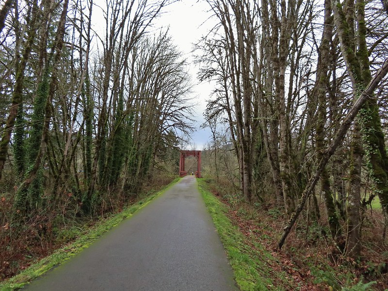 Row River Trail in December. (post)
 John Day River from the Lost Corral Trail
 Ninemile Ridge in the North Fork Umatilla Wilderness in June. (post)
 Devil’s Staircase Wilderness in July. (post)
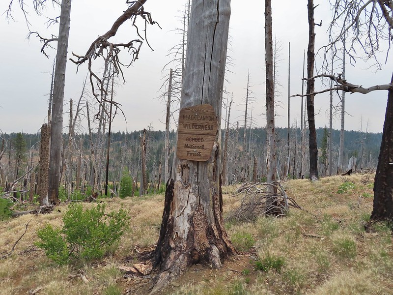 Black Canyon Wilderness in July. (post)
 Monument Rock Wilderness in July. (post)
 Ledbetter Point, the last of the hikes from the coast book. (post)
 Badger Lake, the last hike from the northwestern book. (post)
 Redwoods
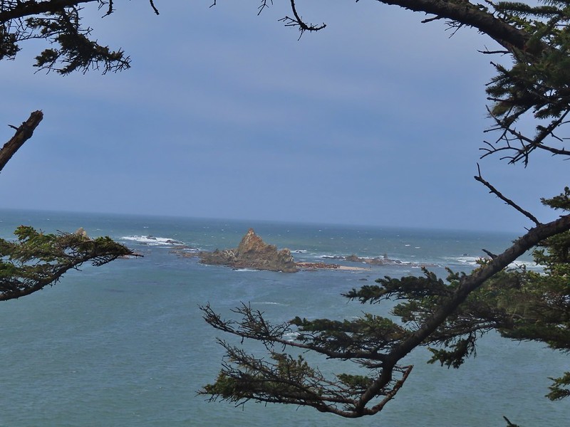

 Falls Creek – February
 Cascade Head from God’s Thumb – March
 Columbia River from Mitchell Point – March
 Mt. Hood from Sevenmile Hill – March
 Dalles Mountain Ranch – April
 Mt. Adams from Grayback Mountain – May
 Navigating a downed tree along the Pawn Old Growth Trail – May
 Rogue River Trail – May
 Golden Falls – May
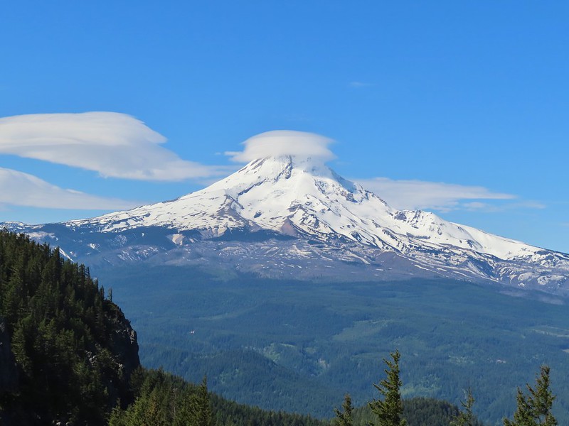 Lenticular cloud over Mt. Hood from Surveyor’s Ridge – May
 Whychus Canyon – May
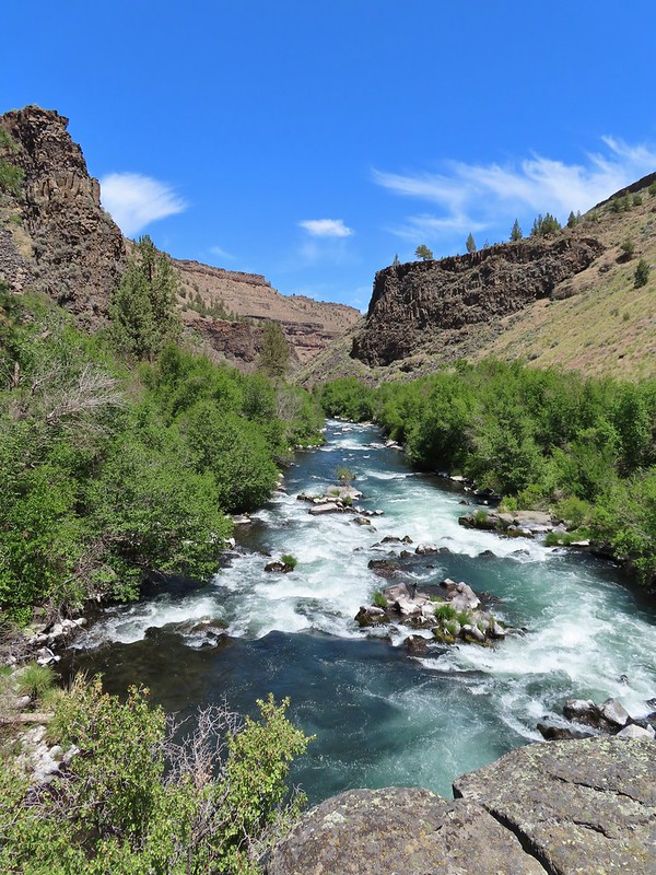 Deschutes River – May
 Whychus Creek Overlook – May
 Forest on Mary’s Peak – June
 North Fork Umatilla River – June
 Tower Mountain Lookout – June
 Malheur River – June
 Meadow on Round Mountain – June
 Santiam Lake – July
 Three Fingered Jack from Lower Berley Lake (and a butterfly photobomb) – July
 The Husband and Three Sisters from Substitute Point – July
 Ochoco
 Red Sun through wildfire smoke from the Monument Rock Wilderness – July
 Canyon Mountain Trail, Strawberry Mountain Wilderness – July
 Aldrich Mountains – July
 Mt. Mitchell summit on a rare poor weather day – August
 Mt. Bachelor – August
 Cottonwood Camp, Big Indian Gorge in the Steens Mountain Wilderness – August
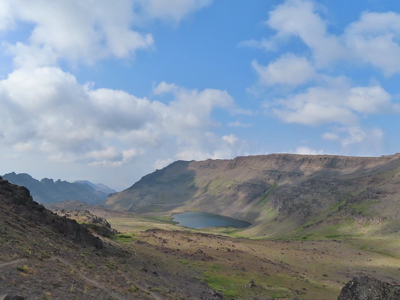 Wildhorse Lake, Steens Mountain Wilderness – August
 Evening at the Steens Mountain Resort – August
 Little Blitzen Gorge – August
 Riddle Ranch – August
 Morning in the Pueblo Mountains – August
 Oregon Desert Trail, Pueblo Mountains – August
 Mt. St. Helens and Spirit Lake – August
 Harmony Falls – August
 Loowit Falls – August
 Mt. St. Helens from Norway Pass – August
 Mt. Hood from the PCT in the Indian Heaven Wilderness – September
 Mt. Adams and Soda Peaks Lake, Trapper Creek Wilderness – September
 Jubilee Lake – September
 Rough Fork Trail, Blue Mountains – September
 Heritage Landing Trail, Deschutes River – September
 McDonald-Dunn Forest – October
 Cascade Mountains from the Mt. Jefferson Wilderness – October
 Three Fingered Jack from Round Lake – October
 Mt. Hood from the Flag Point Lookout
 Mt. Hood from Lookout Mountain – October
 Silver Falls State Park – October
 Laurel Hill Wagon Chute – October
 Barlow Ridge, Mt. Hood Wilderness – October
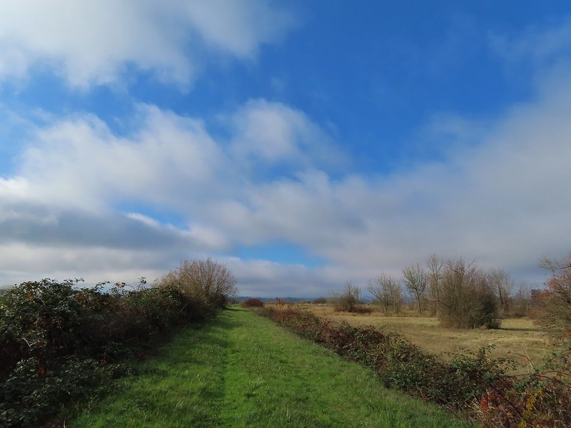 Fern Ridge Wildlife Area – November
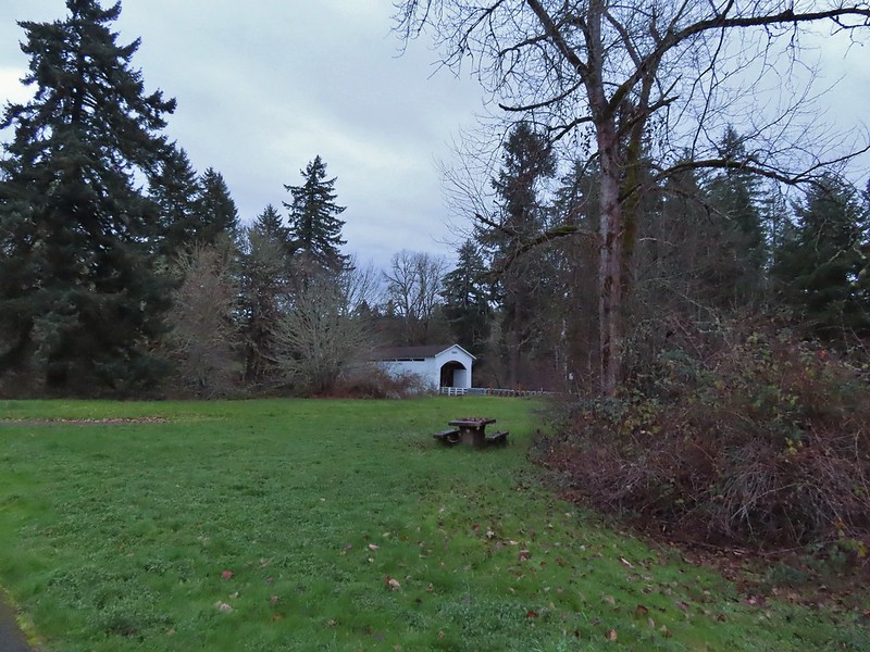

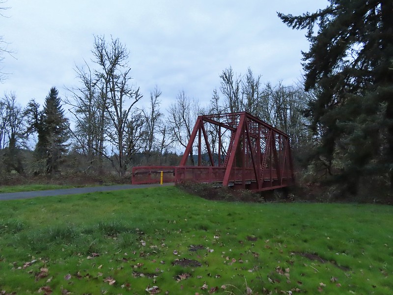
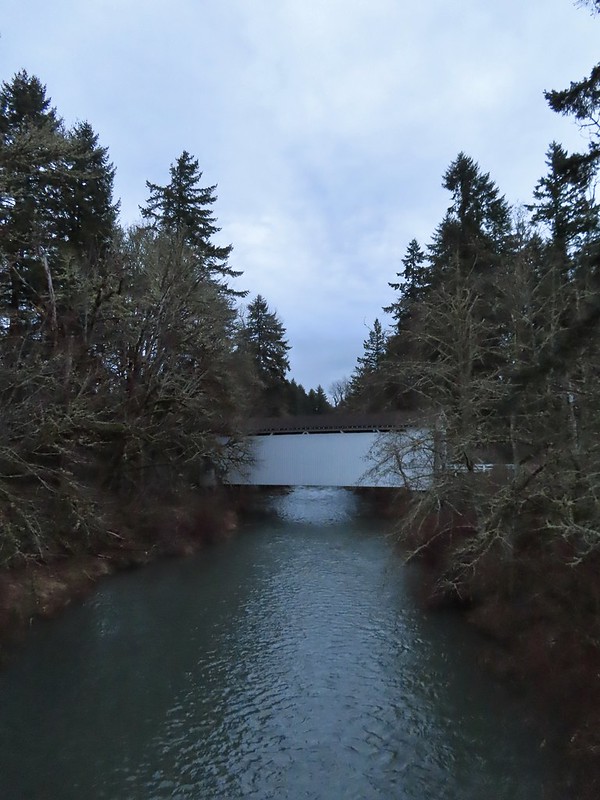
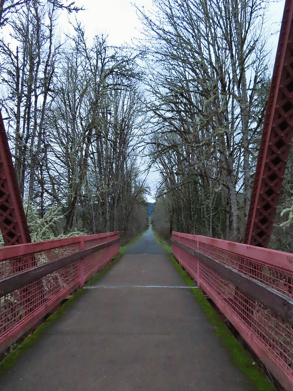

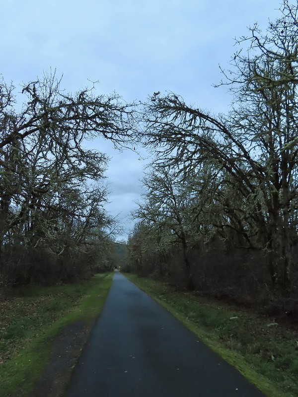
 Ivy disguising itself as a tree.
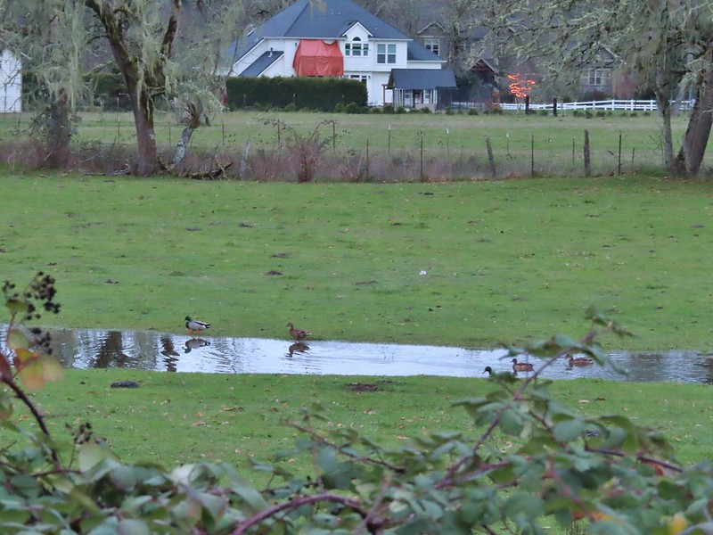 Mallards and Christmas lights.
 Layng Road crossing. The lights on the signs were activated when sensors picked up something approaching.

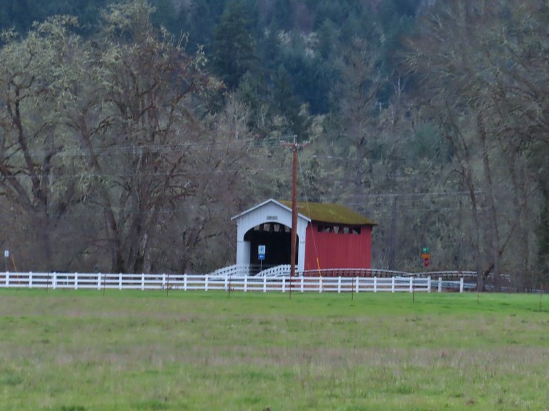 Currin Covered Bridge on Layng Road.
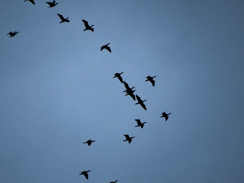 Cormorants flying overhead.
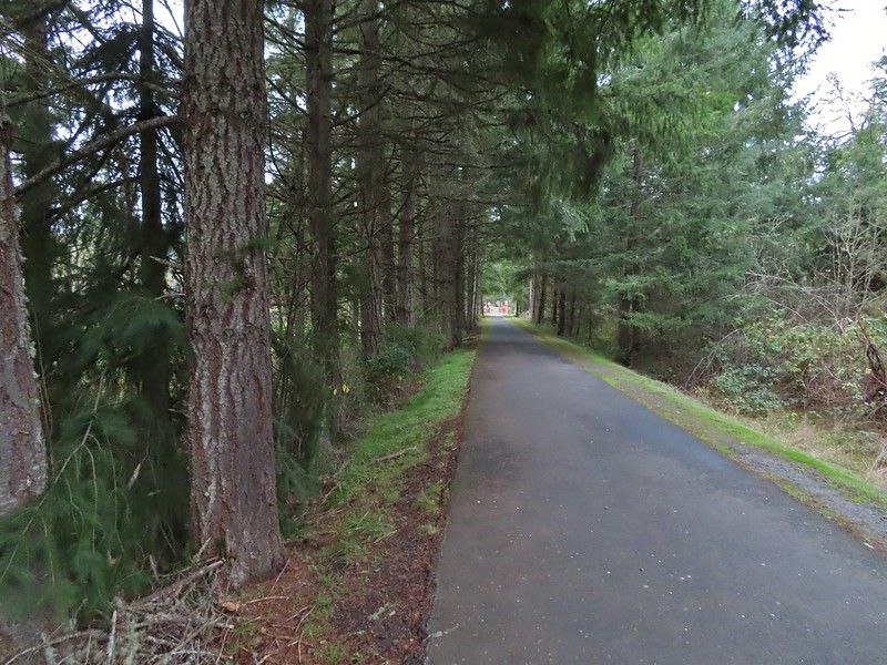 Approaching the bridge over the Row River.
 Row River
 Lesser scaup. I would have liked a better picture but it was still early and not very light and the little guy was a ways away on the river.
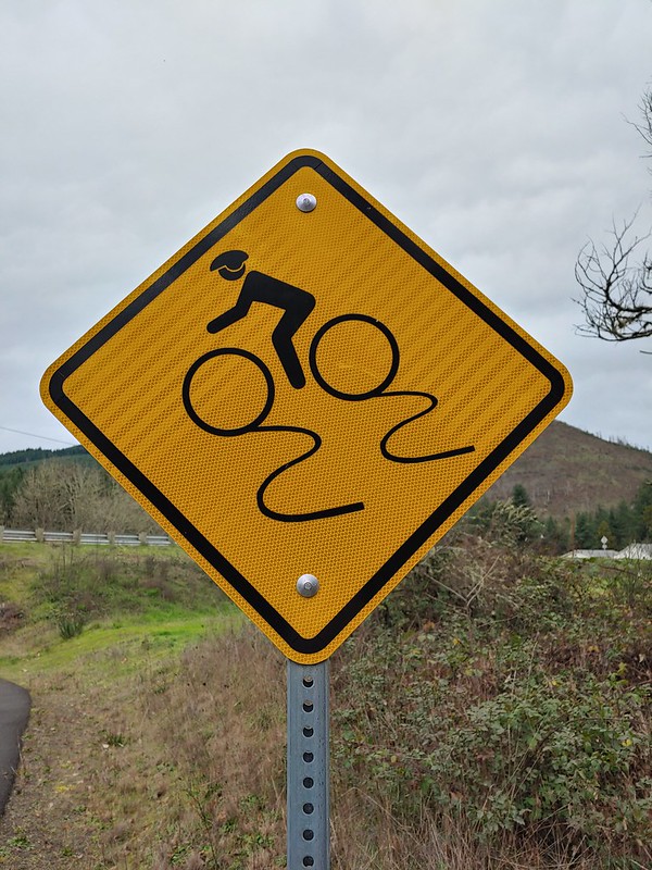 This was a new sign to us.
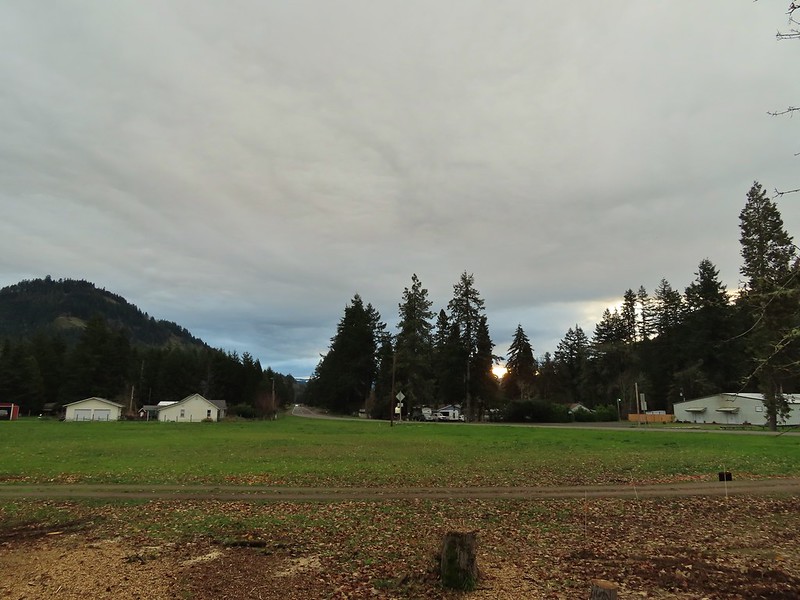 Row River Road with some snowy hillsides in the distance.
 Arrows and other yellow markings identified bumps and holes in the trail for equestrian and bike users.
 Jelly fungus
 Hamblen Creek
 Turkeys in a field.
 Sign along a private driveway.
 Not very many mushrooms but these were good sized.
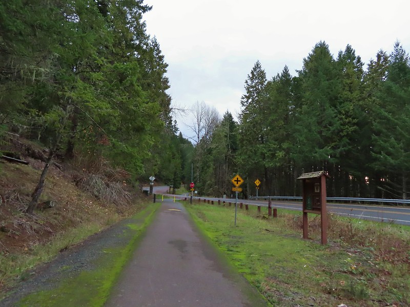

 Do squirrels jog?
 Madrone along the trail.
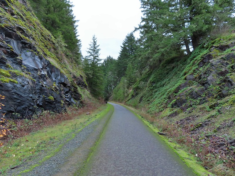 Row River Road was overhead to the left along this rocky section.
 Nearing a bench along the trail facing Dorena Lake Dam.
 Interpretive sign near the bench.

 Snow in the Calapooya Mountains.
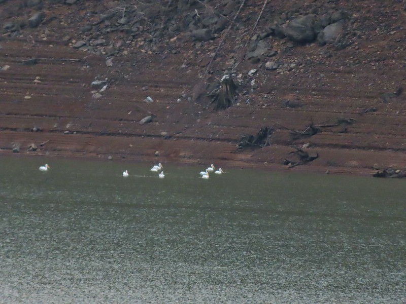 White pelicans on the other side of Dorena Lake.
 Still no rain despite the clouds.
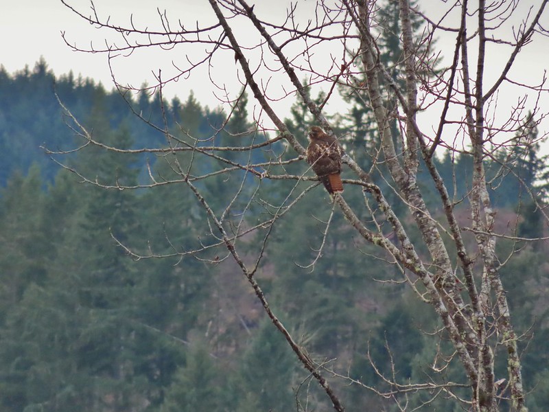 Red-tailed hawk
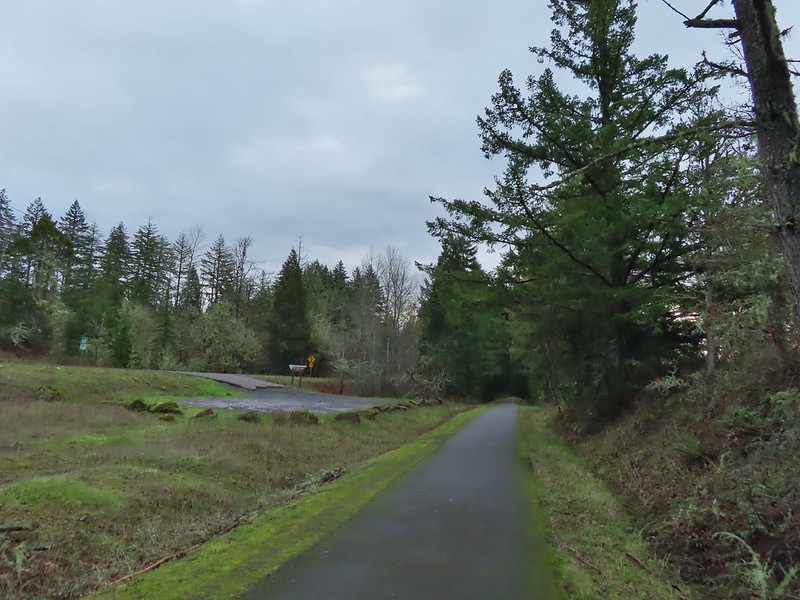


 A kingfisher and a great blue heron.
 Pelicans and other waterfowl on the move.
 Cerro Gordo from Row Point.
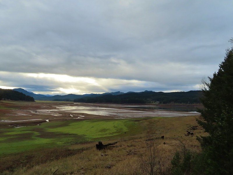 Not much water at all in the eastern end of the reservoir.
 A great blue heron on the far left with a bunch of white pelicans and cormorants.
 Actual sunlight hitting the dam.
 Spotted towhee
 Rat Creek Bridge
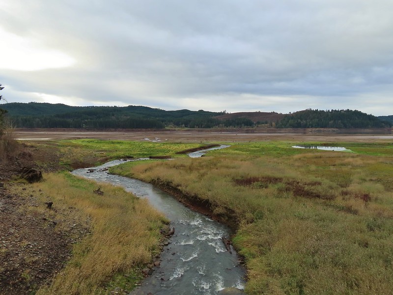 Rat Creek
 June 2020 from the Rat Creek Bridge.
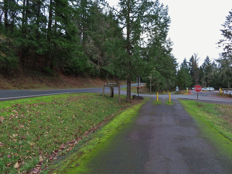

 Gold tree in front of Cerro Gordo.
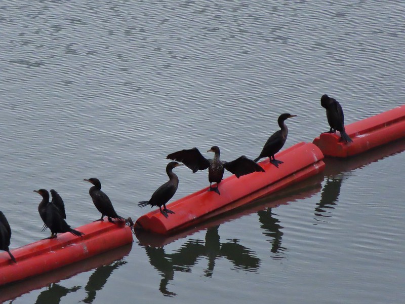
 The little hill to the left provides access to the north end of the dam.

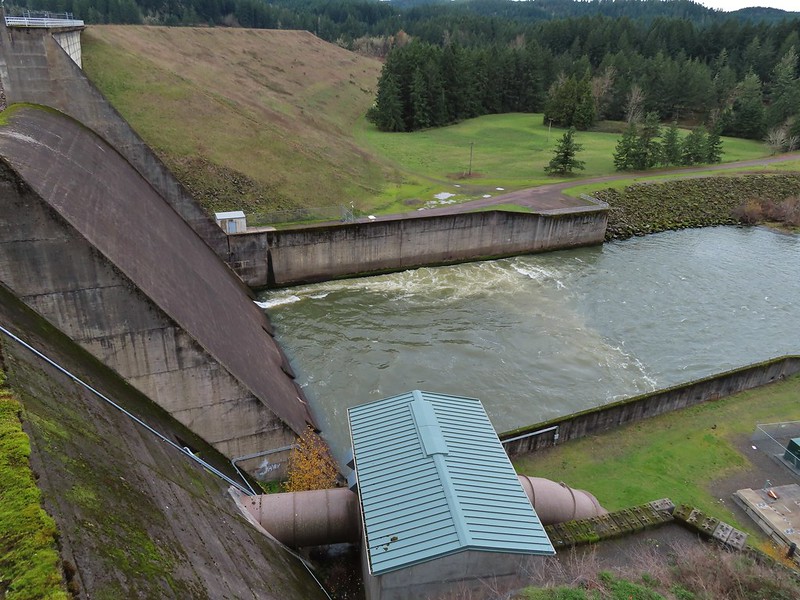

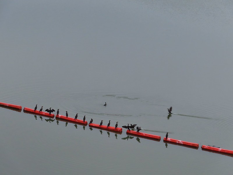
 Just drying out.
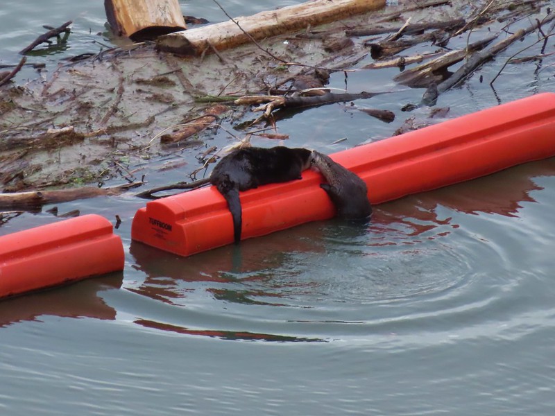 Trying to play.
 No luck.
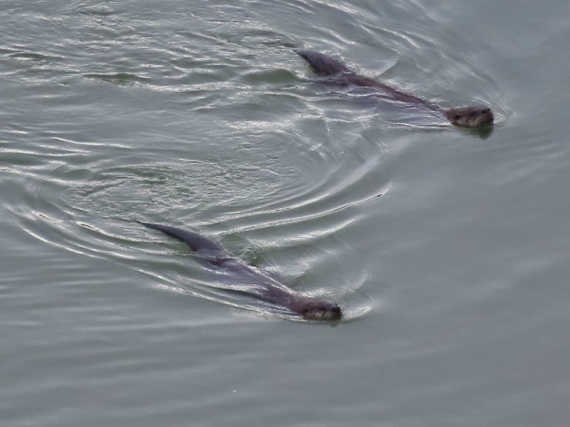

 Rabbit
 American wigeons
 Nature slowly reclaiming an old farm truck.
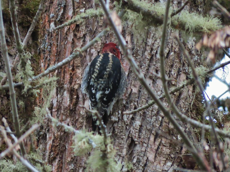 Red breasted sap sucker.
 Mosby Creek
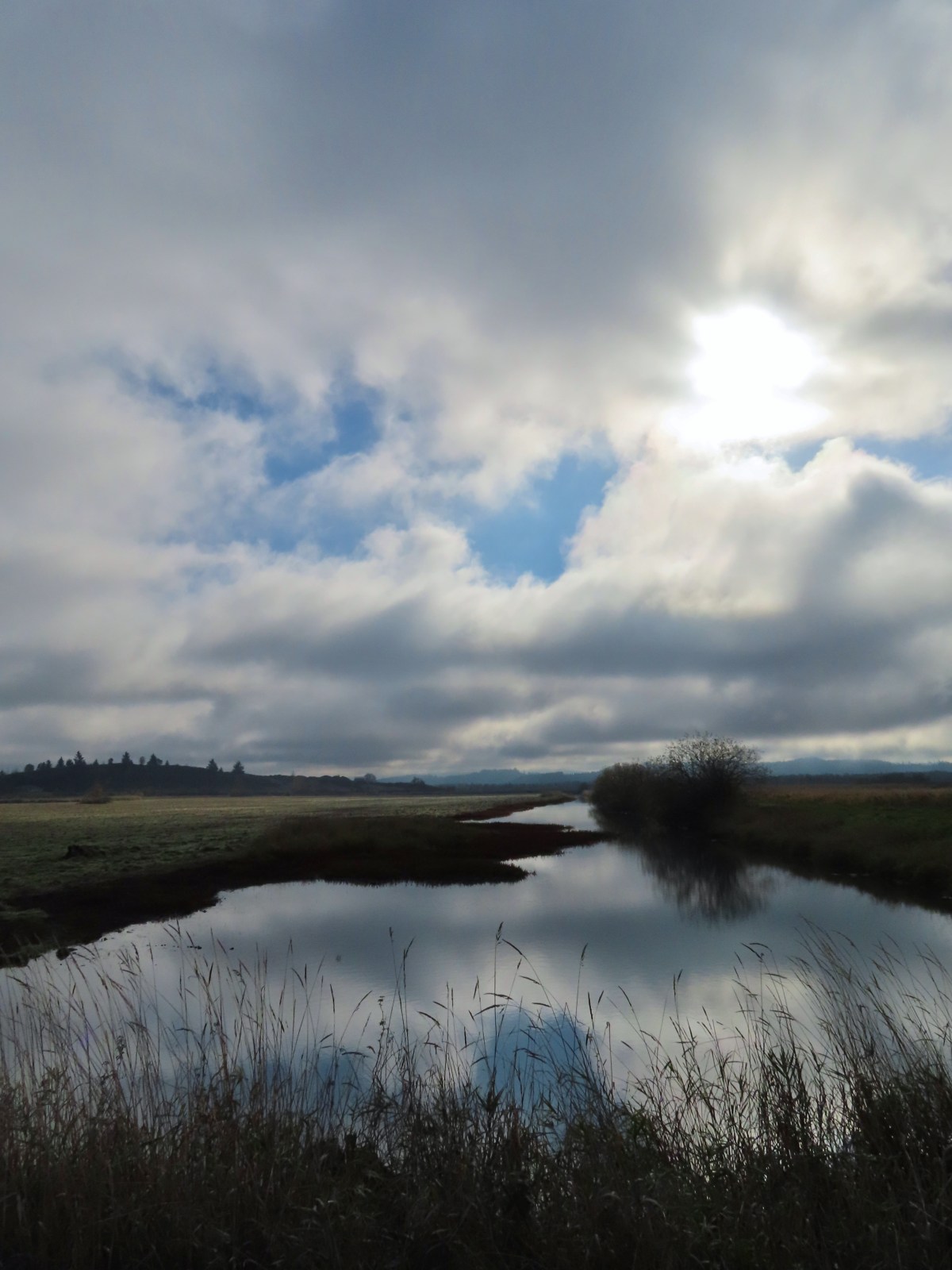
 The trailhead sign for the Clay Creek Trail is ahead on the opposite side of the road.
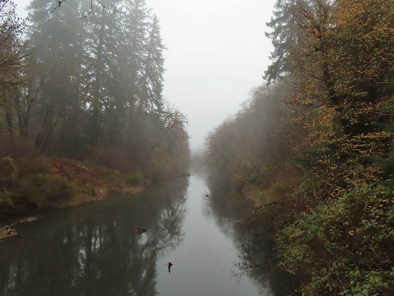 Siuslaw River
 Clay Creek on the left emptying into the Siuslaw.
 Stairs at the Clay Creek Recreation Area across the river.

 The Clay Creek Trail climbing above Clay Creek.
 It’s hard to tell size here but the diameter of this tree was well over 5′.
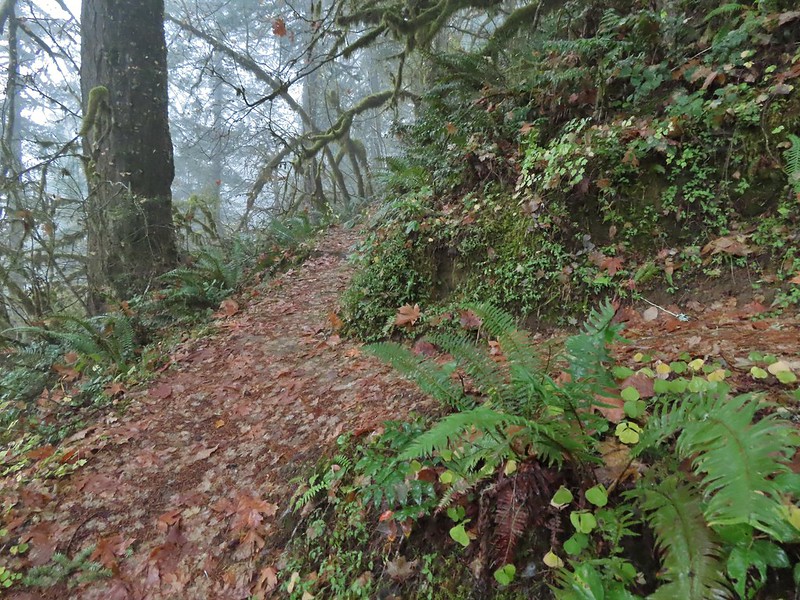 The junction for the loop.
 One of several reroutes we encountered.
 On the ridge top.
 Madrone trunk and bark, always fascinating.
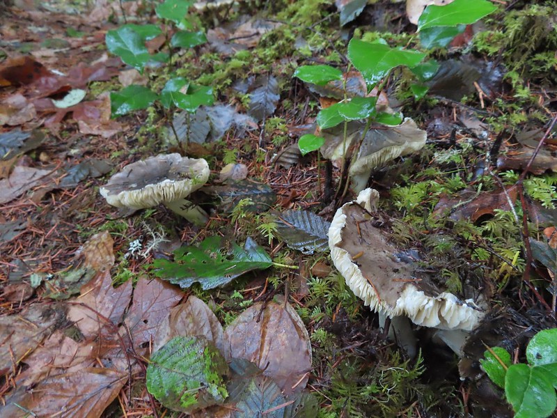 Lots of mushrooms pushing up through the forest floor.
 Good sized trees near the high point.
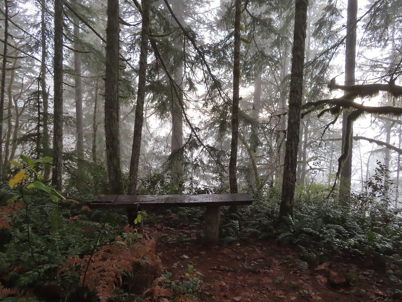 No idea what you might see on a clear day.

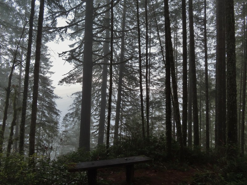 The viewpoint.
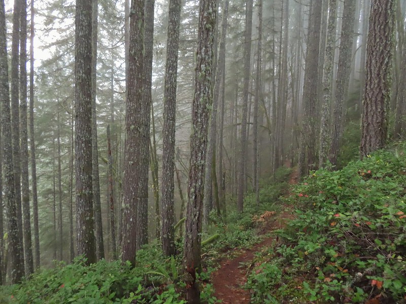
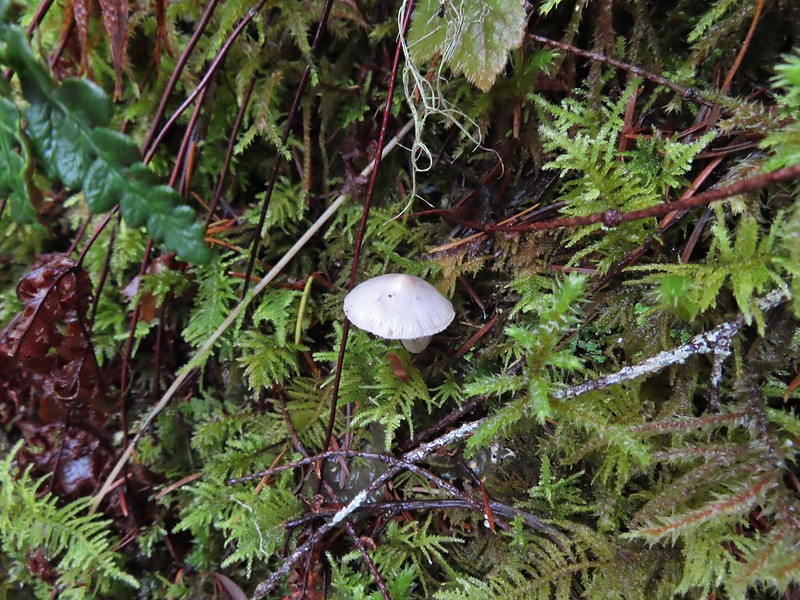

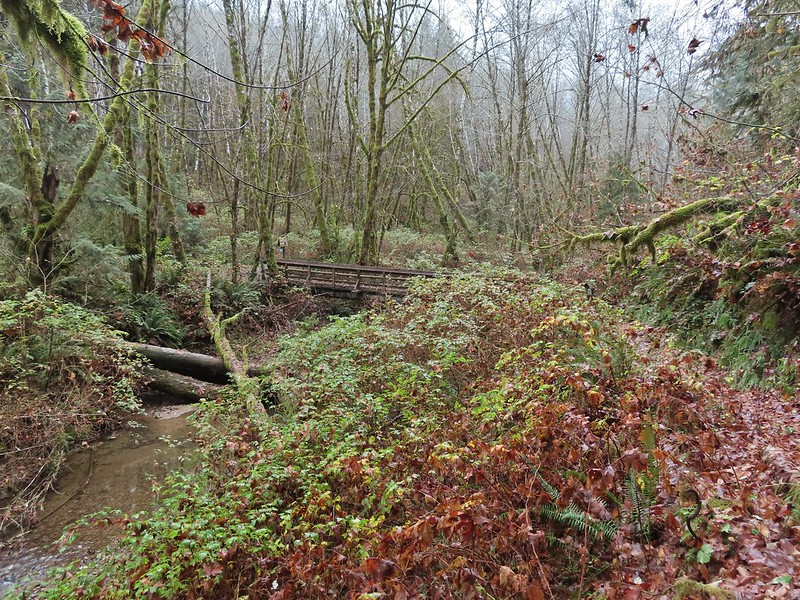 Nearing the footbridge.
 The fog had lifted off the river at least.
 Note that Royal Ave and the trail to the viewing platform are open year around with the other restrictions listed below.
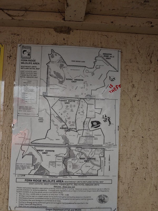 We took a picture of this map to assist us with our route.

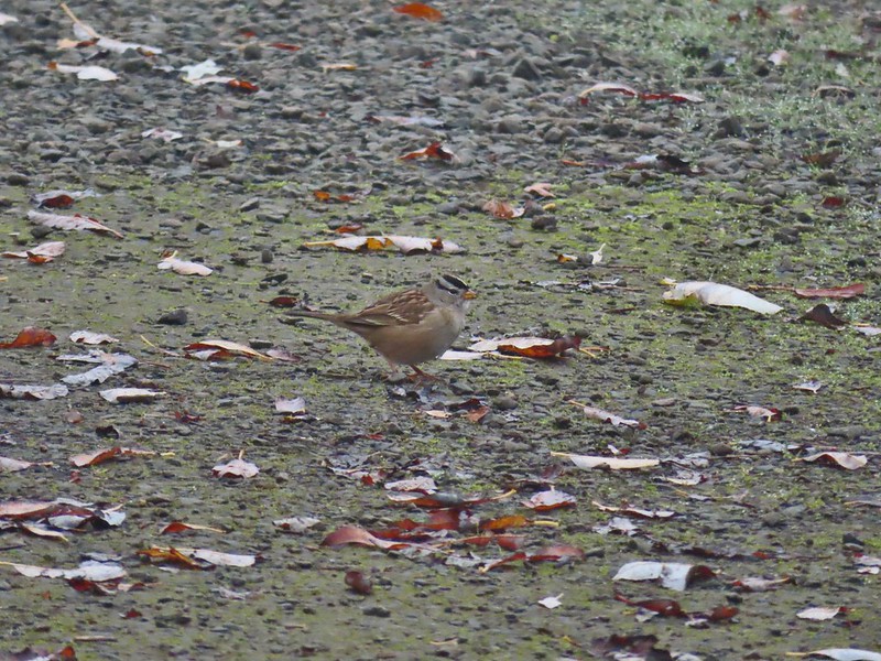 White crowned sparrow
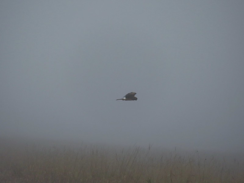 Northern harrier on the hunt.
 Wetlands in the Royal Amazon unit.
 The bittern taking off.
 Not the greatest photo but enough to identify it.
 A hawk on a stump.
 American coots
 Gibson Island (with the eagles in the snag to the far left)
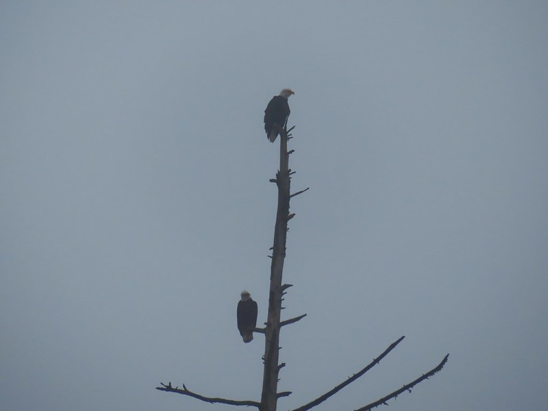

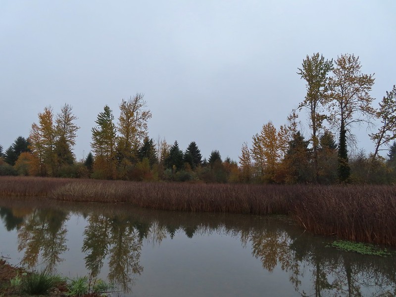


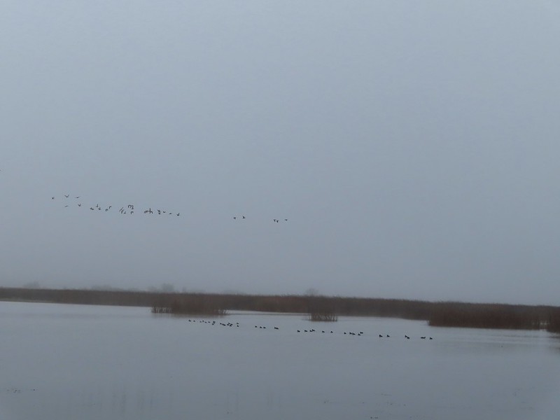 A flock of geese above the coots.
 There were a number of these small birds pecking around in the mud which, with some help from Molly in the comments, are American pipits.
 Continuing west.
 We used the stones to the right to cross the water here.
 Great blue heron (with Highway 126 in the background).
 Sandpiper in the roadway.
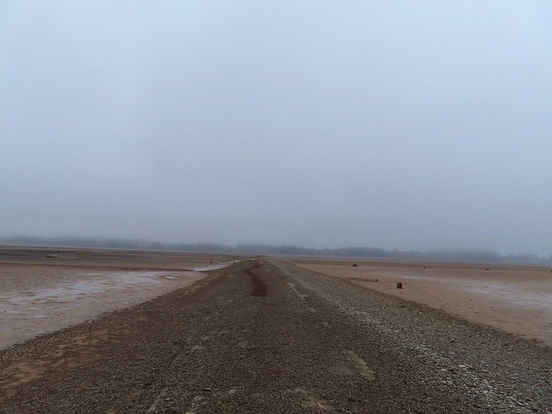
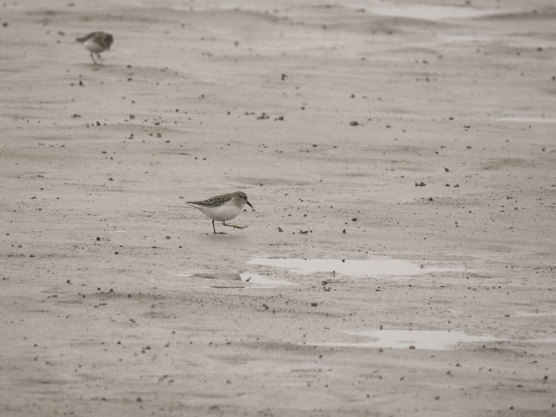
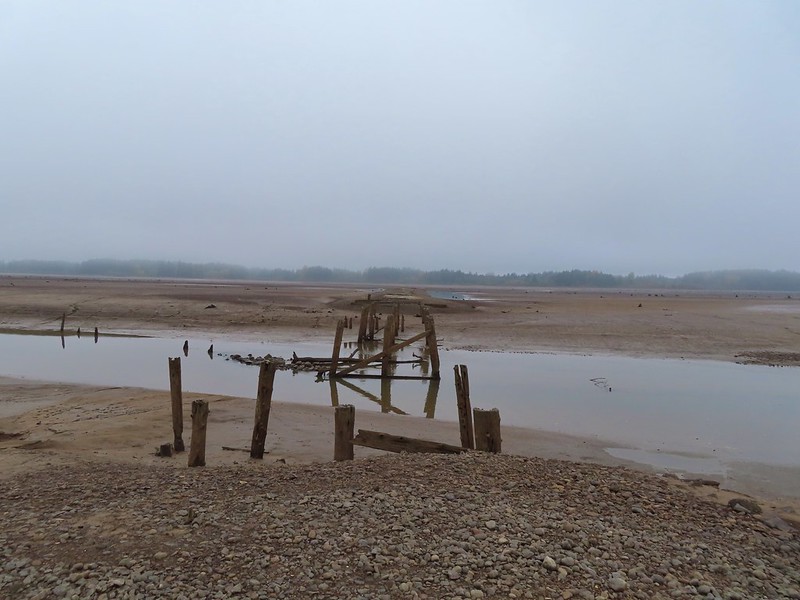 End of the line.

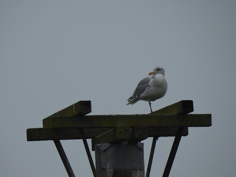 Seagull
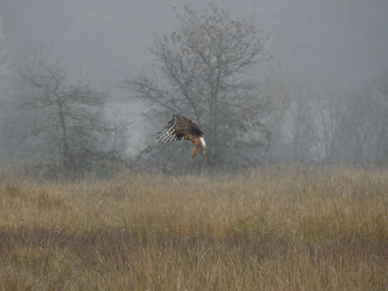 Perhaps the same northern harrier.
 The harrier taking a break.
 The path to the platform.
 Dunlins (thanks again to Molly)
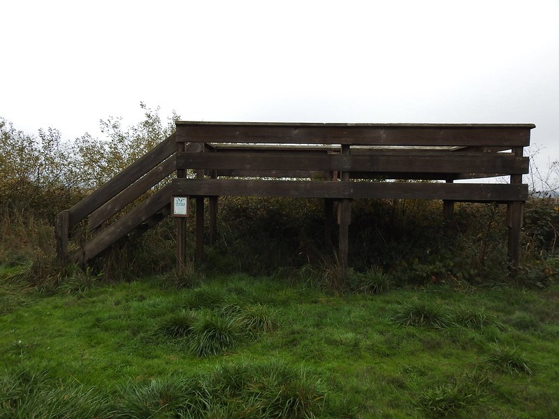 The platform.
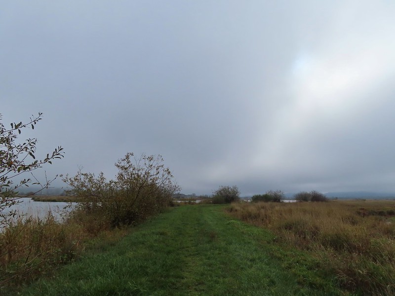
 The first signs that the fog/clouds might be breaking up.
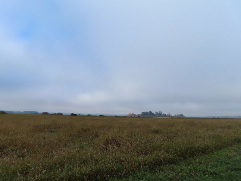 Looking back at a little blue sky and a visible Gibson Island


 Fisher Butte is the low hill ahead to the right.
 Gibson Island was now lit by direct sunlight.
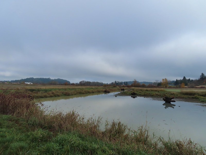 The dike running between Fields 3 & 4.
 Looking back over the ditch.
 California scrub jay
 Northern shovelers and a bufflehead.
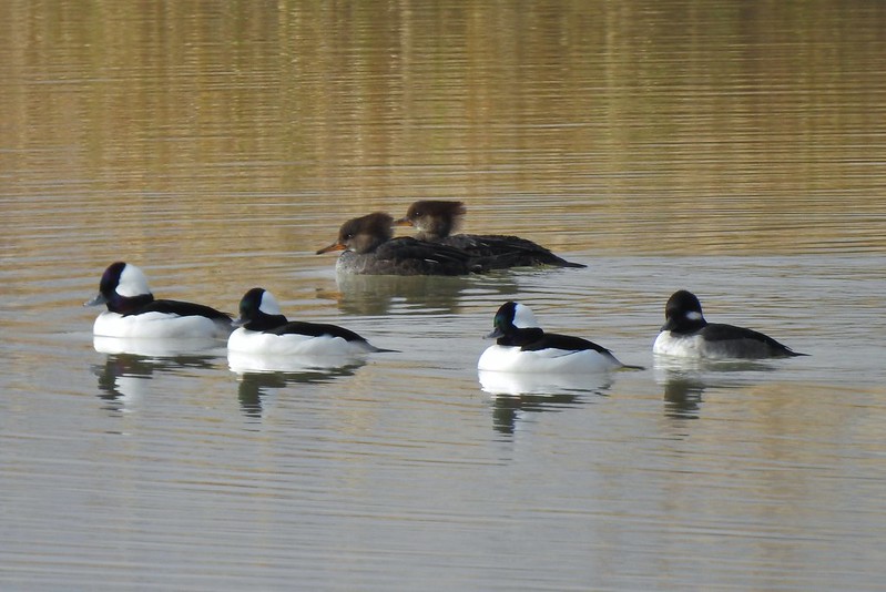 Buffleheads and two hooded merganser females.
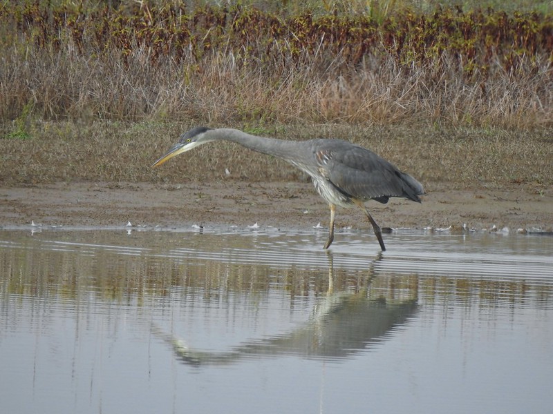
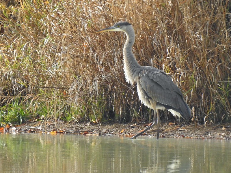
 Kingfisher
 American robin
 The gravel road and another small portion of the wildlife area on the other side.
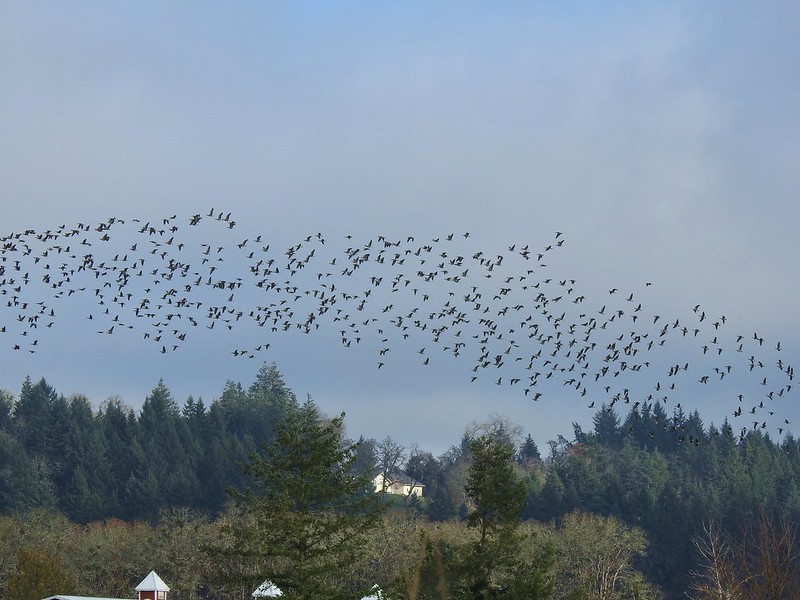 Noisy geese.
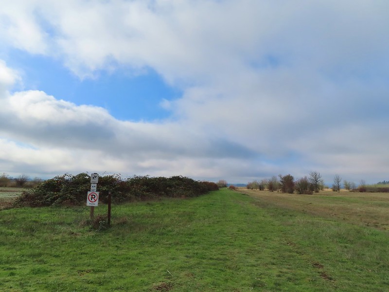 Back on the mowed track.
 A sparrow
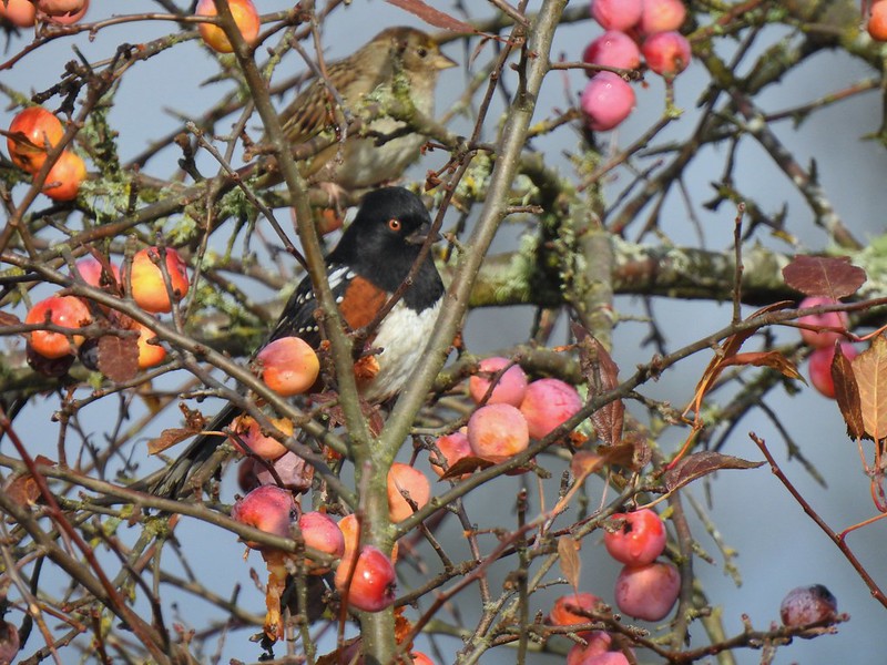 Spotted towhee and friend.
 Finch
Finch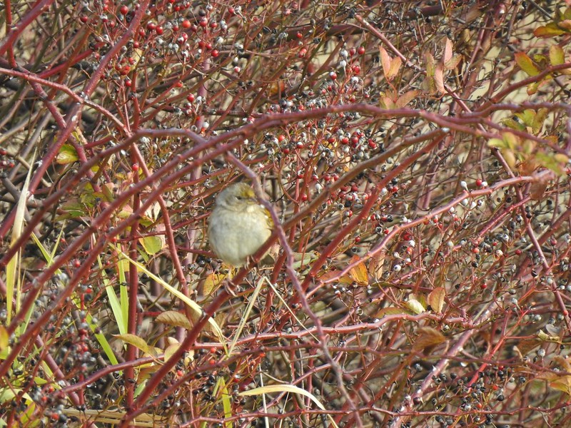 As of yet unidentified little bird.
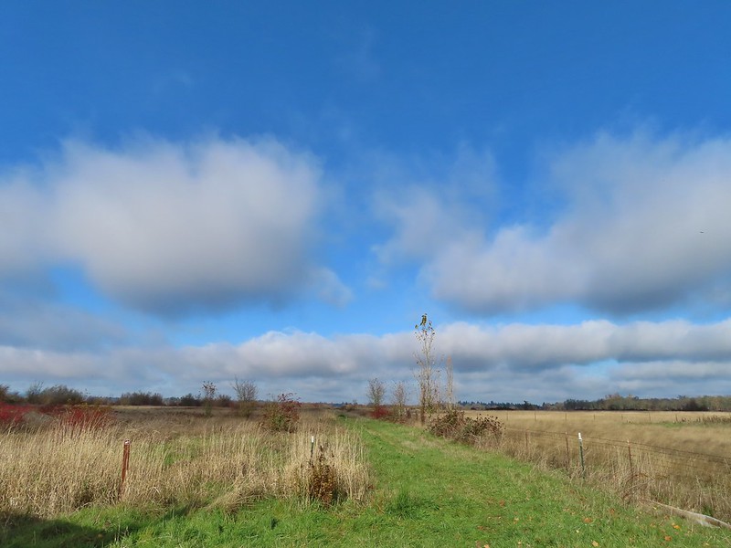 This path headed north from the trailhead, something to explore on our next visit.


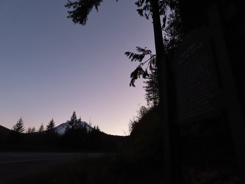 Mt. Hood from the trailhead.


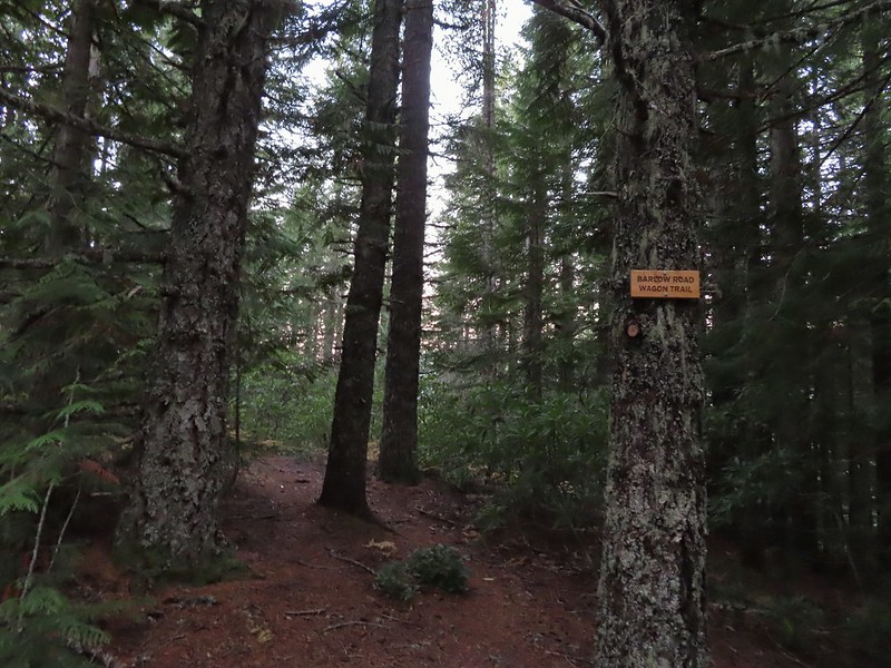 The left at the 4-way junction.
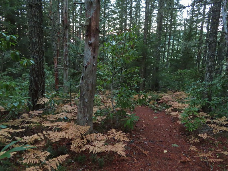
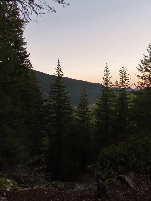
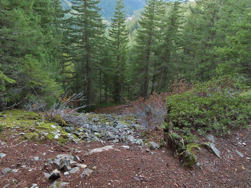 Looking down the chute.
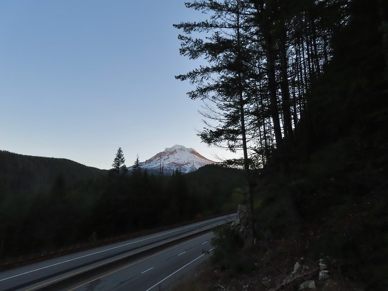
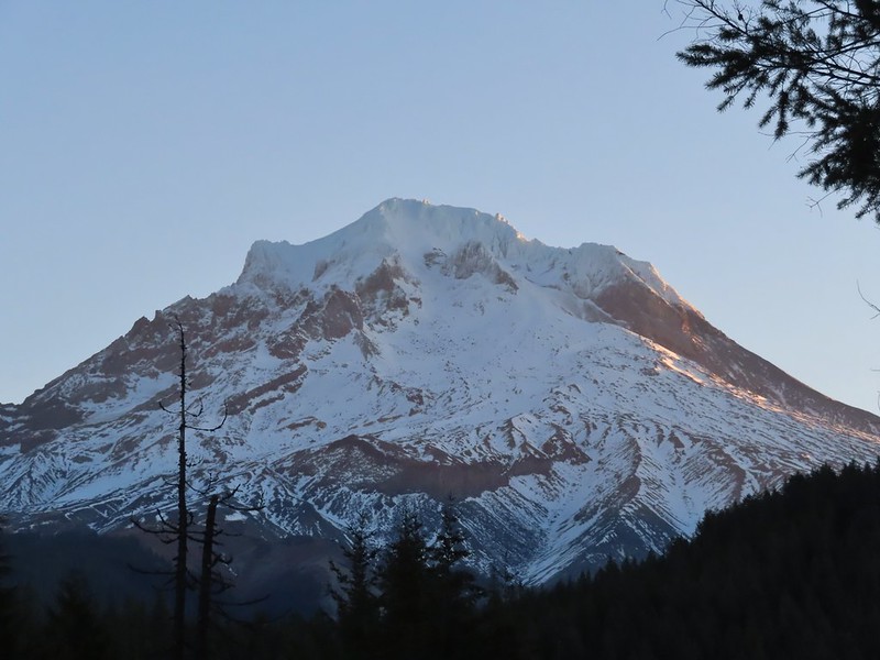 Sunlight starting to hit the SE side of Mt. Hood.
 Ravens photo bombing a close up of the mountain.


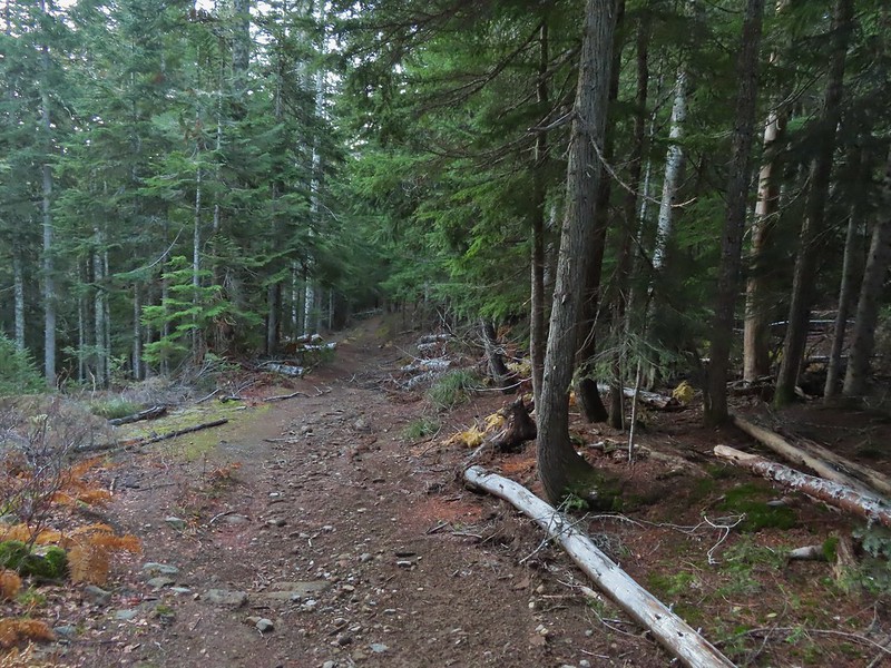 A portion of the original Barlow Wagon Road.
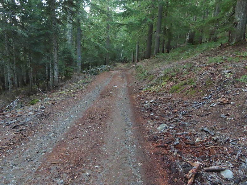 Barlow Road (FR 3530)
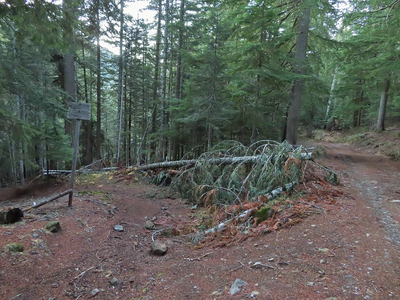

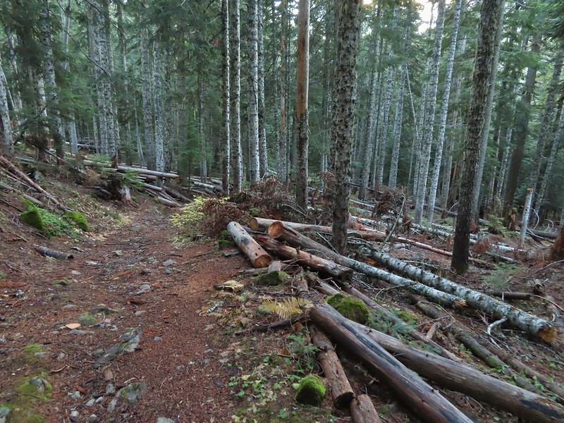


 Wilderness sign along the Barlow Butte Trail.
 Getting steeper.
 This was the worst of the blow down we had to navigate on this section.
 Nearing the junction.
 It was a little chilly with temps in the mid 30’s combined with a stiff breeze adding to the wind chill.
 On the right of the far ridge is Bonney Butte (
 Remains from the lookout.
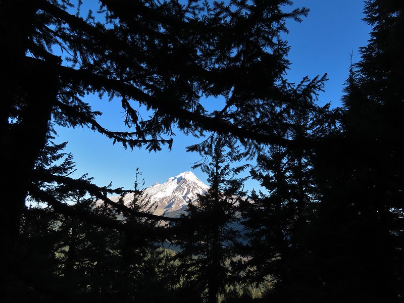
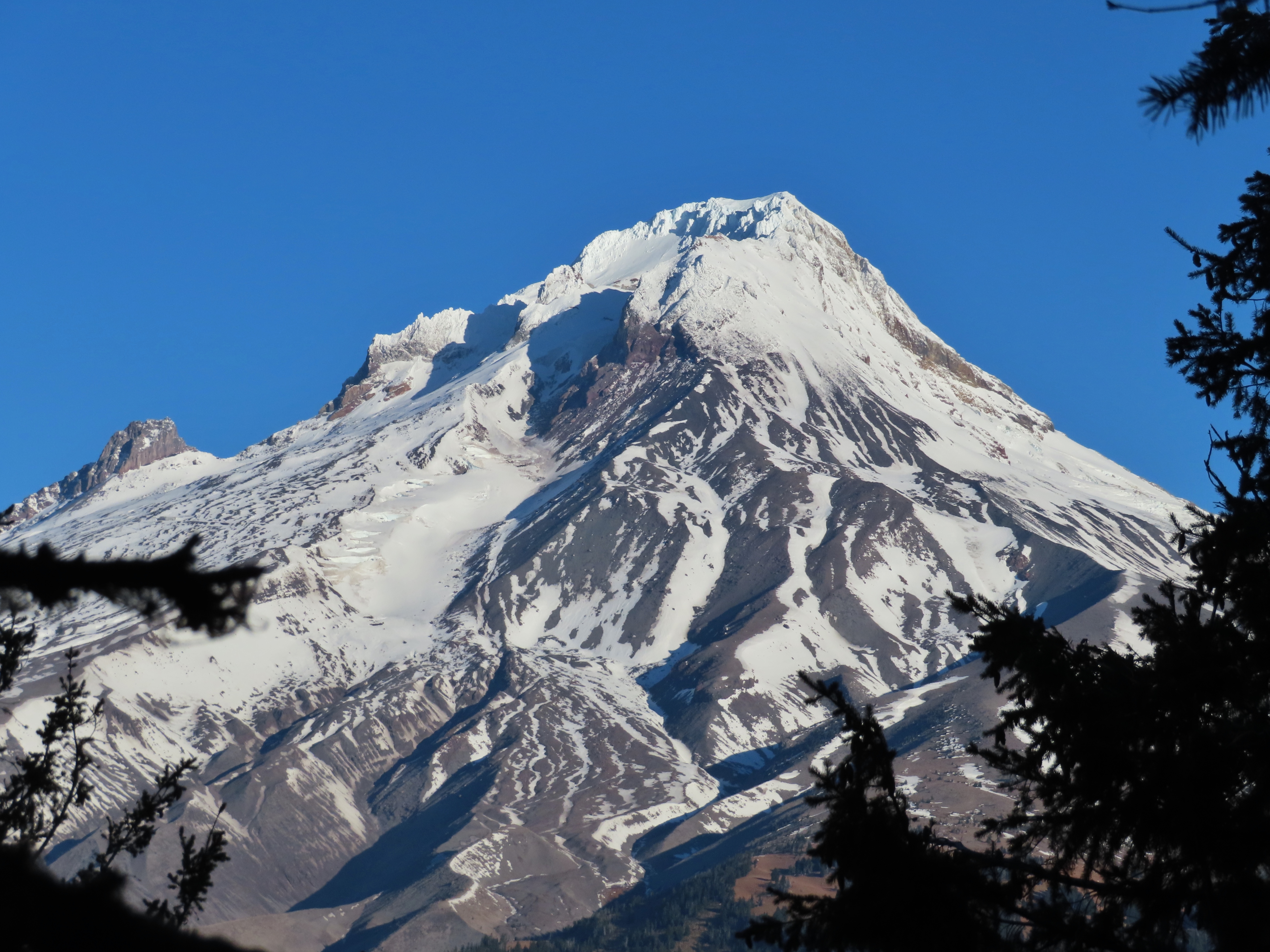
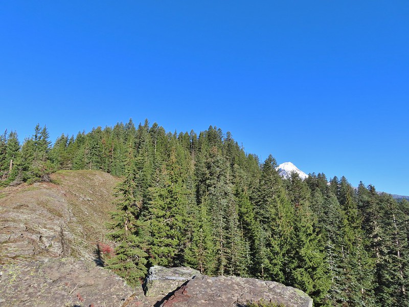 Barlow Butte and the top of Mt. Hood.
 Frog Lake Buttes (
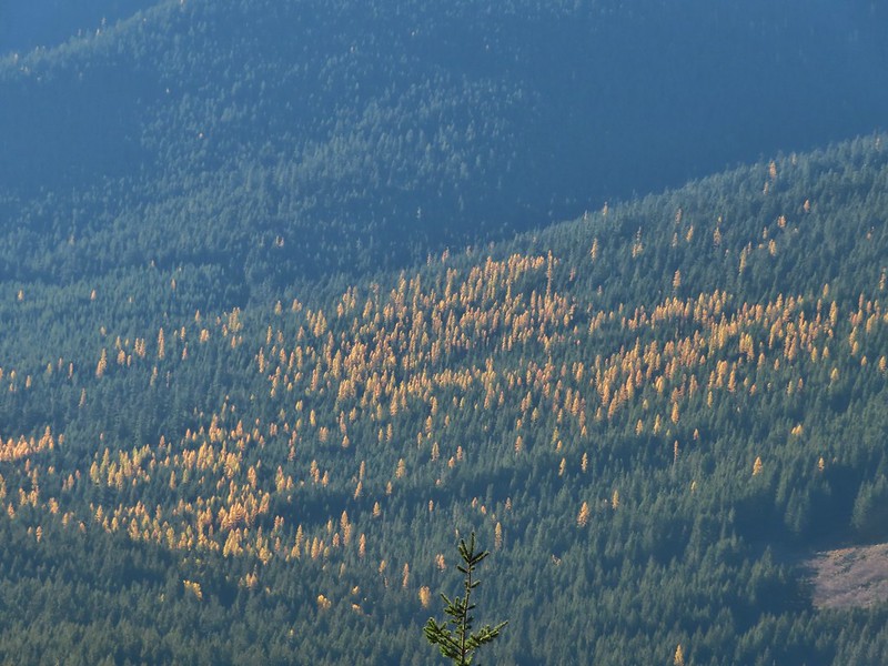 Western larches
 Mt. Jefferson behind some clouds.
 Sisi Butte (double humps) and Bachelor Mountain (
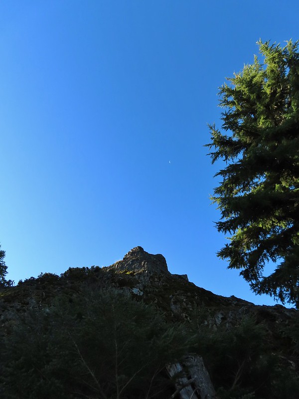


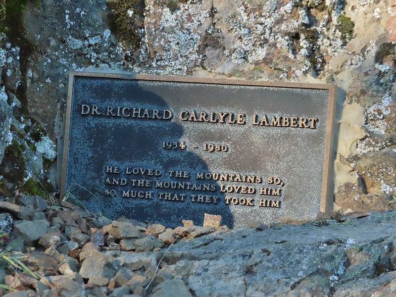
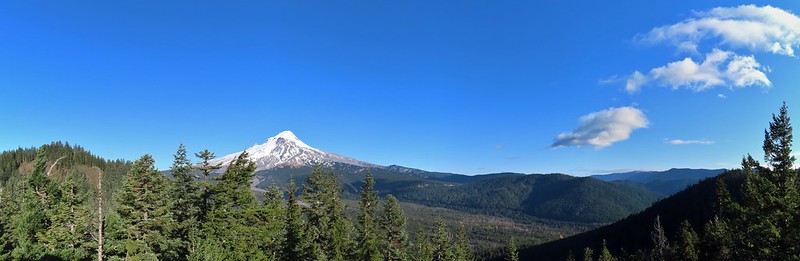 Barlow Butte to the left of Mt. Hood.
 Mt. Jefferson still behind some clouds.
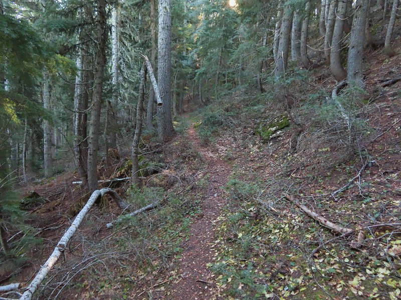
 Parts of Mt. Jefferson peaking through the clouds.
 Tom Dick and Harry Mountain (with the rock fields near the top).
 Small cairns in a meadow.
 One of the aforementioned diamonds.
 Approaching the high point.
 Clouds were starting to pass over Lookout Mountain at this point.
 Mt. Hood from the high point of Barlow Ridge.
 Carin in the trees ahead.
 Elk or deer tracks leading the way.
 Another section of frost.
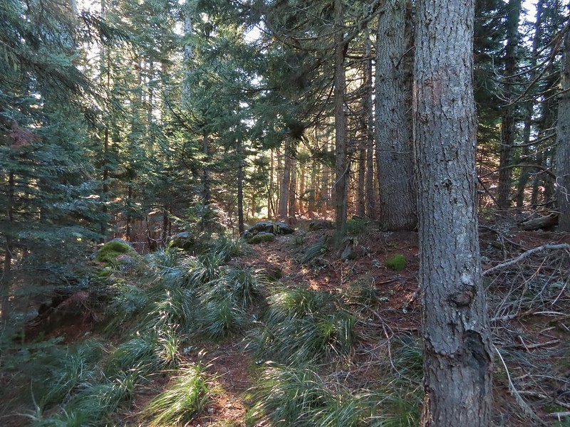 We took this as a blaze.
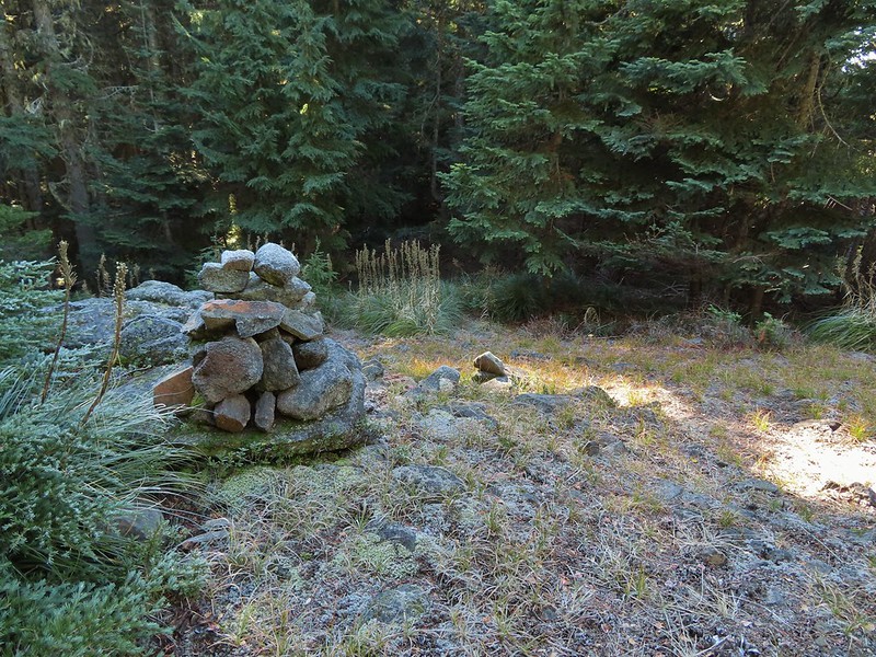 That blaze led to this large cairn.
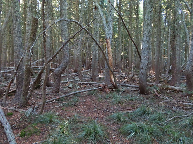 Things were starting to get interesting here.
 Stopped here to listen for pikas, no luck though.
 This could be trail.
 Still on the right track, note the folded trail sign on the tree at center.
 The small meadow.
 Officially off-trail now.
 This looked like a place the trail would go.
 A final look at Mt. Hood from Barlow Ridge.
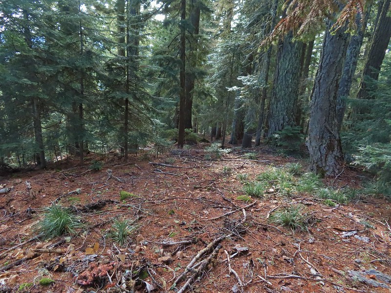 This doesn’t look so bad.
 One of several big trees we encountered.
 Little orange mushrooms, how appropriate for Halloween.
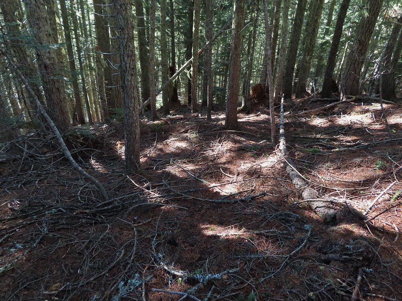 Starting to encounter more debris.
 If there had been a trail good luck finding it.
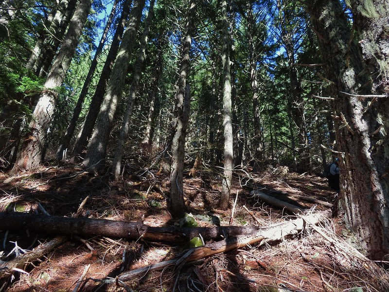 Heather coming down behind me.
 Pretty decent game trail here.
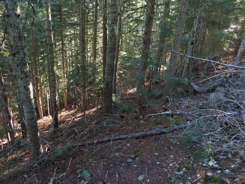 This section was fun.
 A bigger orange mushroom.
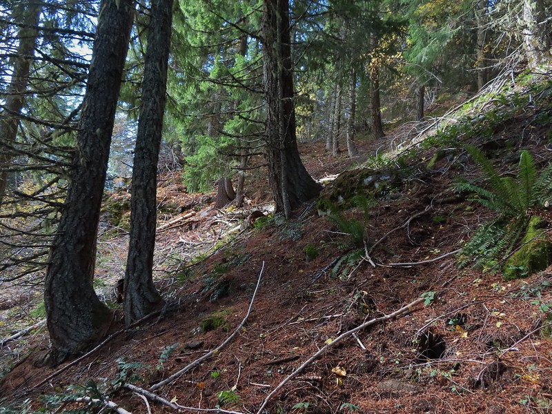 Uphill on this game trail.
 Thickets of brush kept us from getting all the way over to the ridge we needed so we just kept going downhill knowing that we would eventually run into one of the forest roads at the bottom.
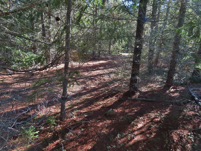 Look Ma a road!
 It doesn’t look that steep from down here.
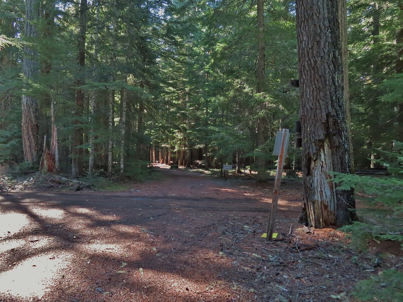 Barlow Road.
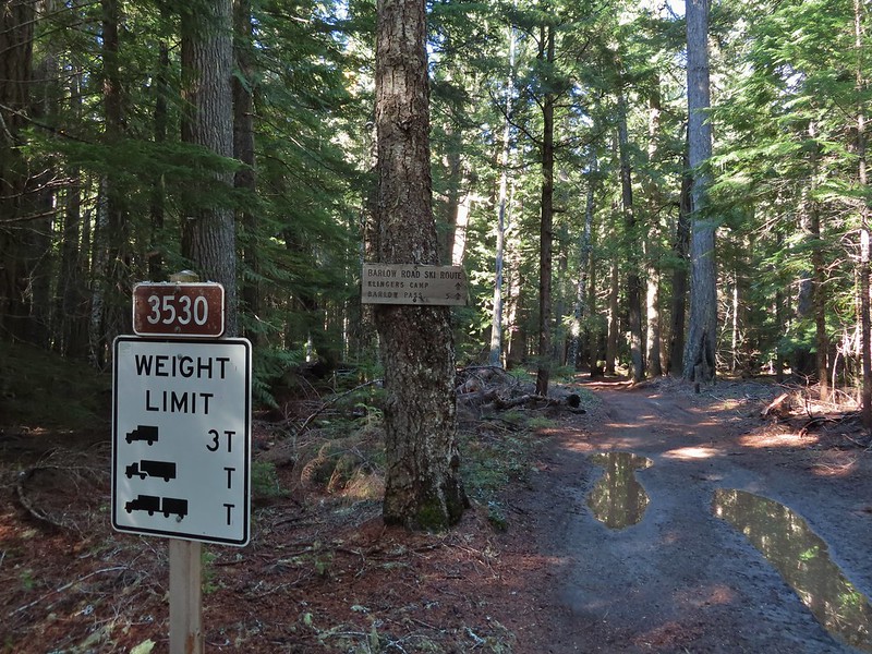


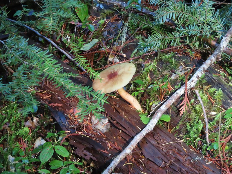

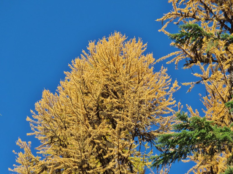 Western larches above Barlow Road.
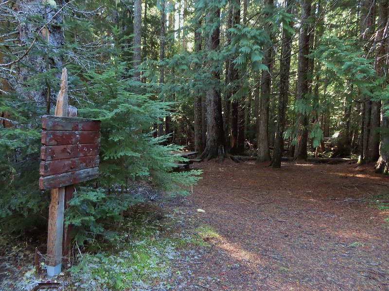 Grindstone Campground
 Barlow Creek
 Crossing Barlow Creek near Devil’s Half Acre Meadow.
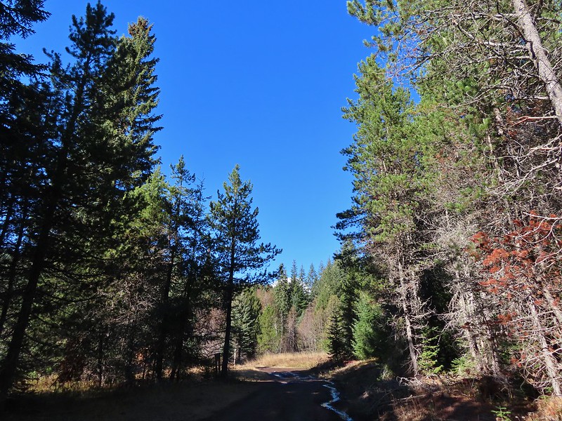 Clouds on top of Mt. Hood towering over the trees.
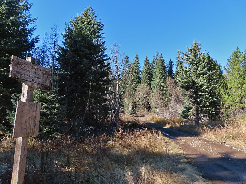 Barlow Road at the campground.
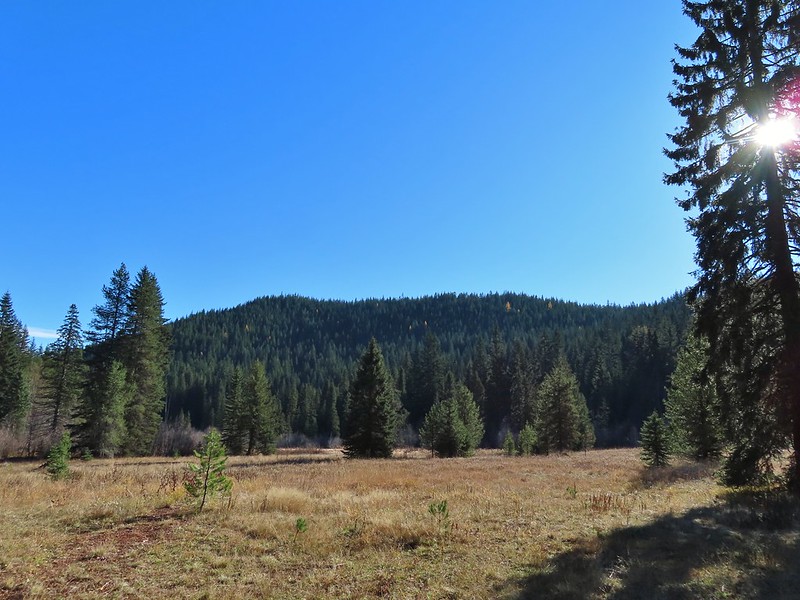 Devil’s Half Acre Meadow.
 Finally back to where we’d left the road in the morning.
 Arriving back at the Barlow Pass Trailhead
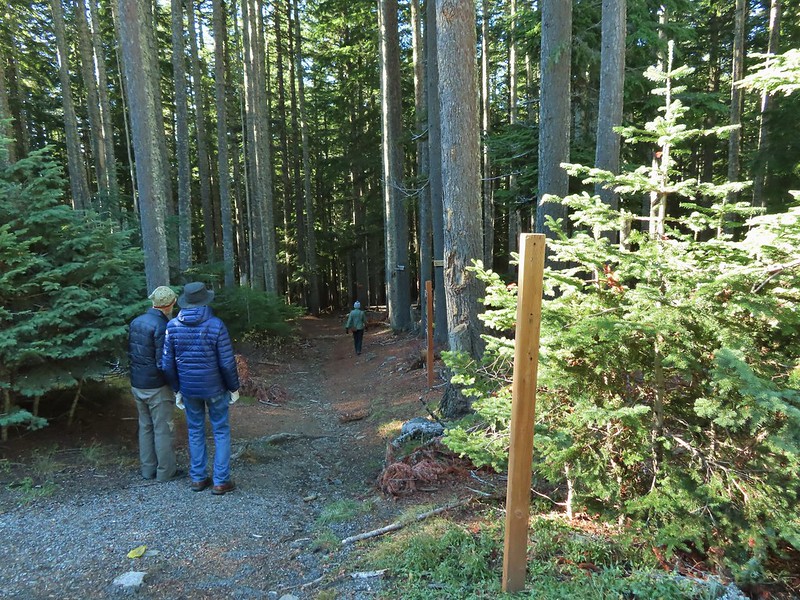 The first other people (not counting the two drivers in the pickups) that we’d seen all day.
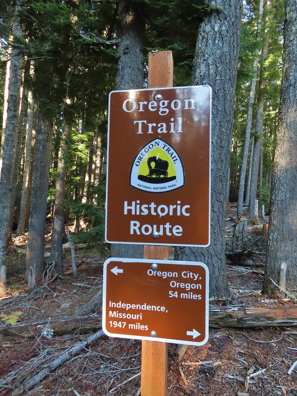
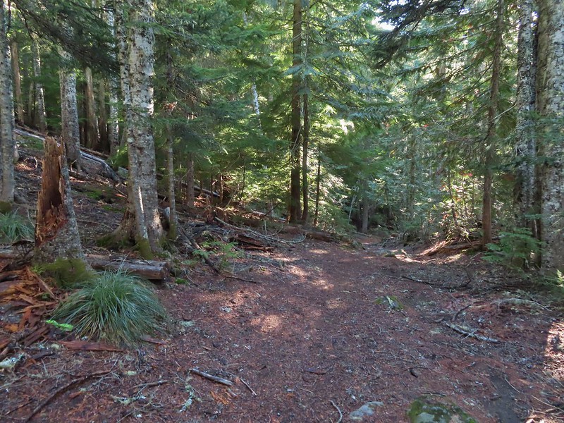


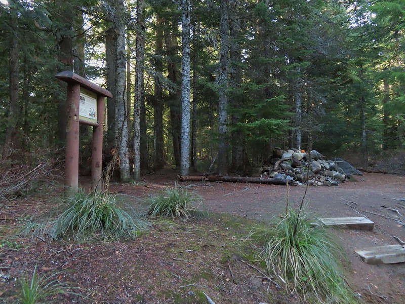
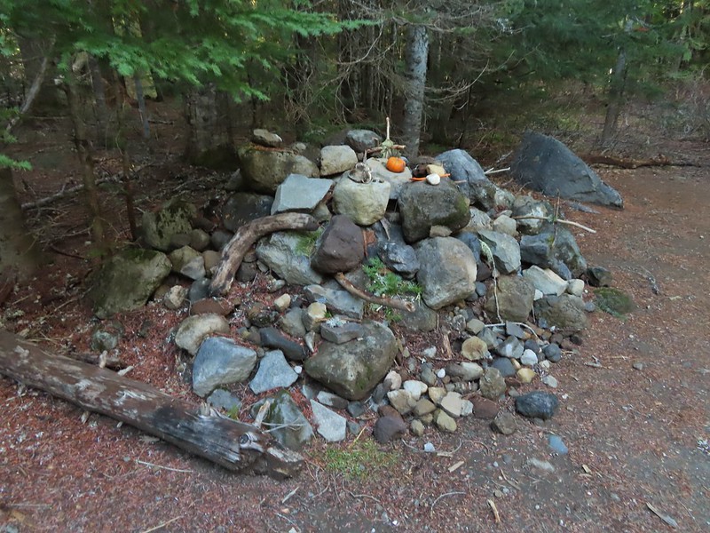

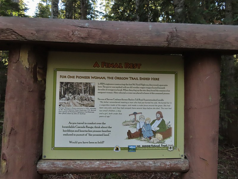
 East Fork Salmon River
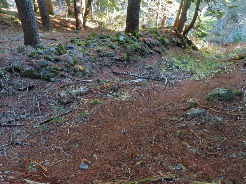

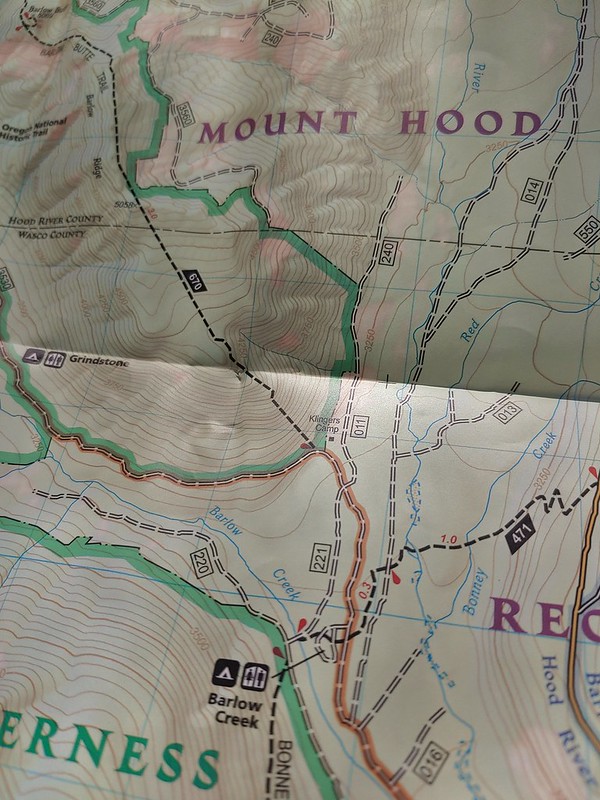


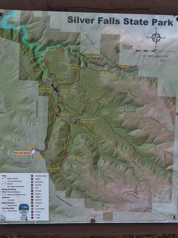 Park map at the viewpoint.
 Willamette Valley
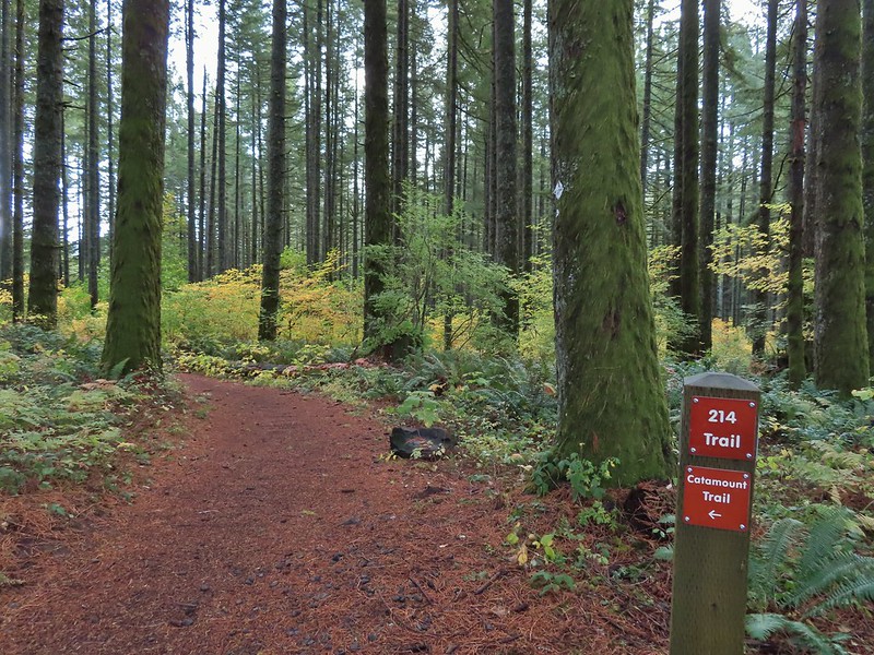

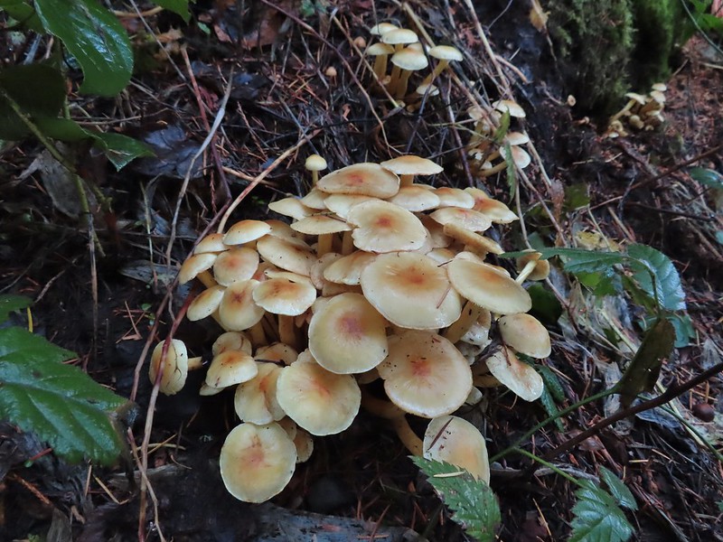
 Sign post for the Newt Loop and mountain biking skills station.
 As much blue sky as we were going to get on this day.
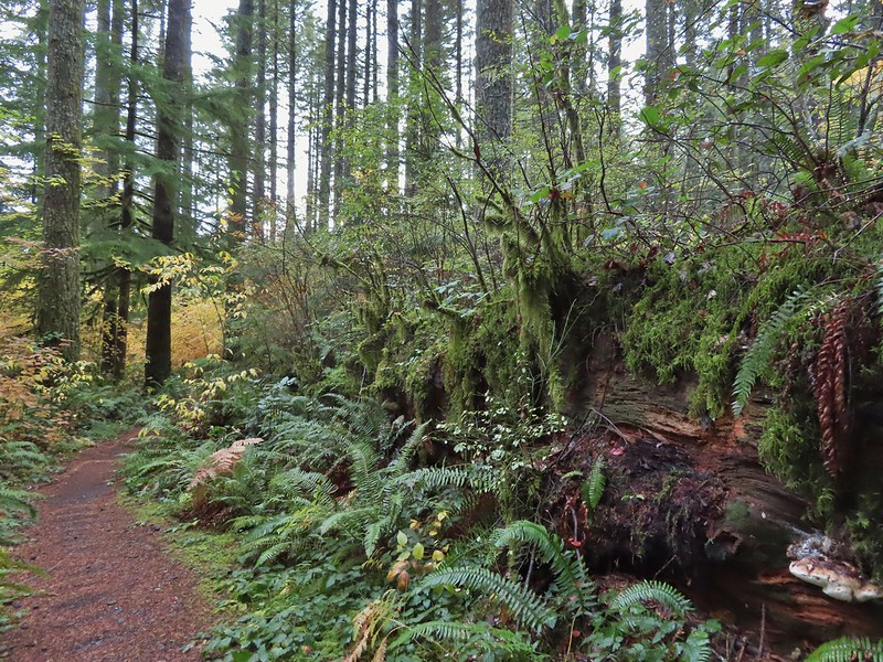 A massive old growth nursery log. The tree stood for hundreds of years and will spend hundreds more slowly decaying and providing nutrients for younger trees.
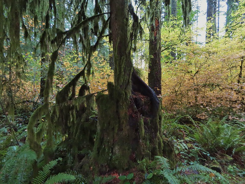 Nursery stump. While some old growth exists in the park it was also logged heavily which was the primary reason it was passed over for National Park status.
 The Smith Creek Trail junction.
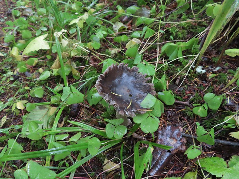
 Does anyone know their salamanders? Not sure what type this one was.
 The Nature Trail junction.
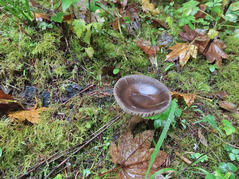
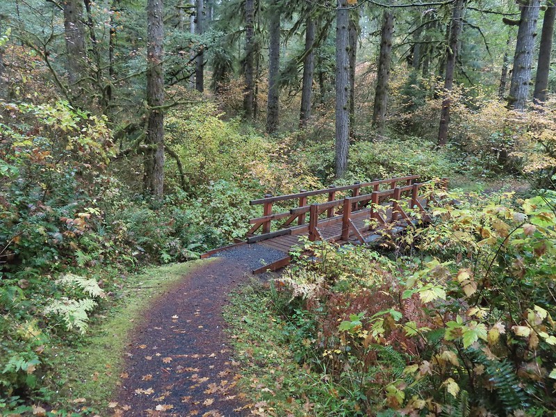


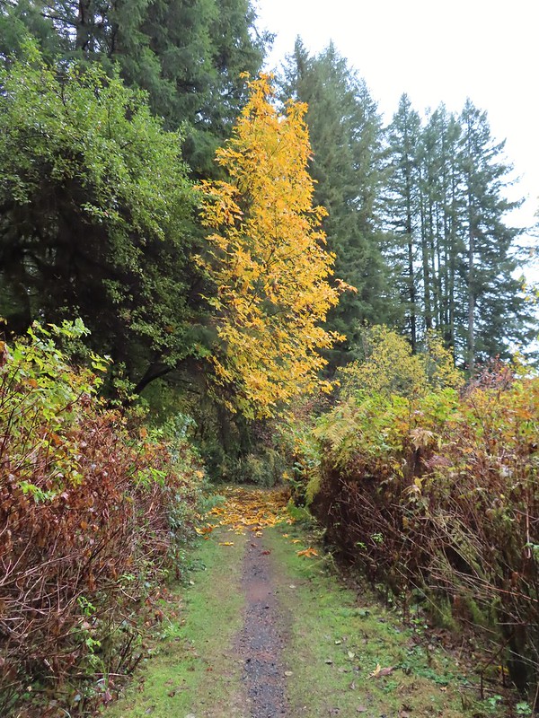

 From the spot that we entered the campground you could just see a hiker sign at the far end of the paved campground road.

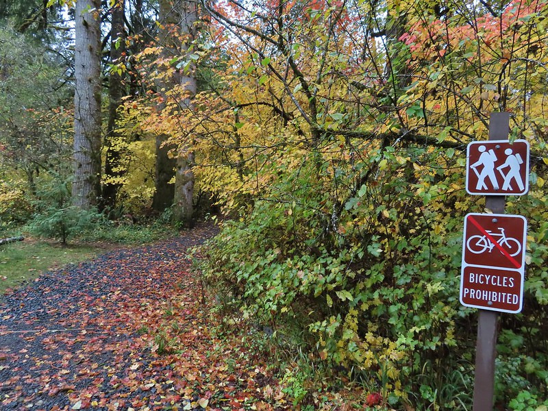
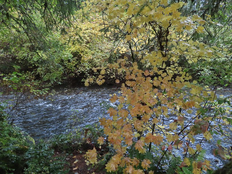
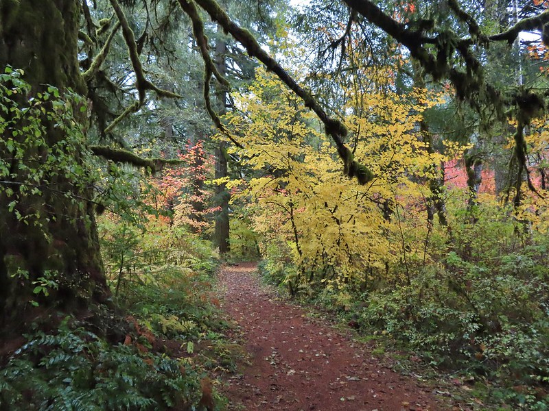

 No wildlife to view today.
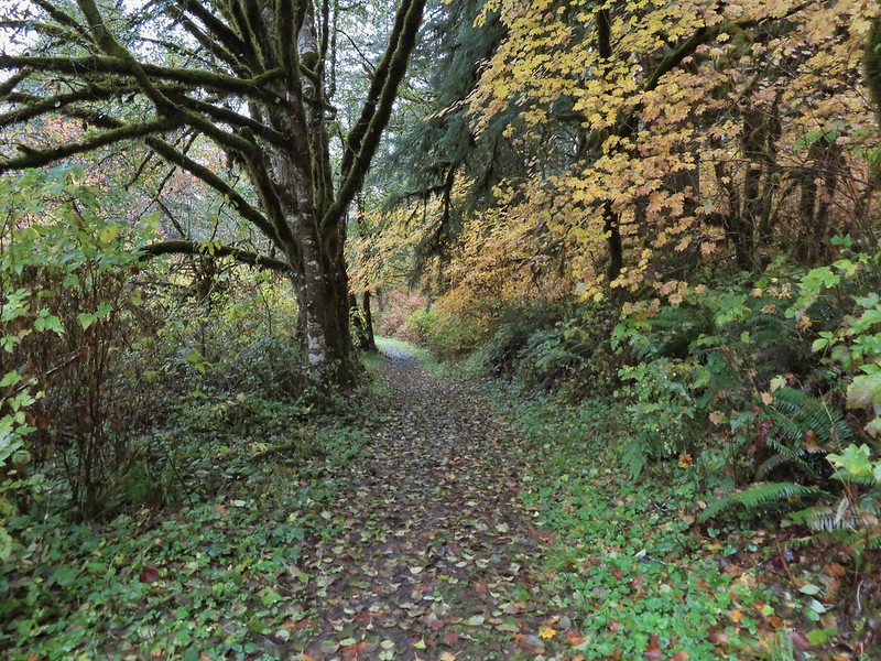

 The Howard Creek Loop Trail.
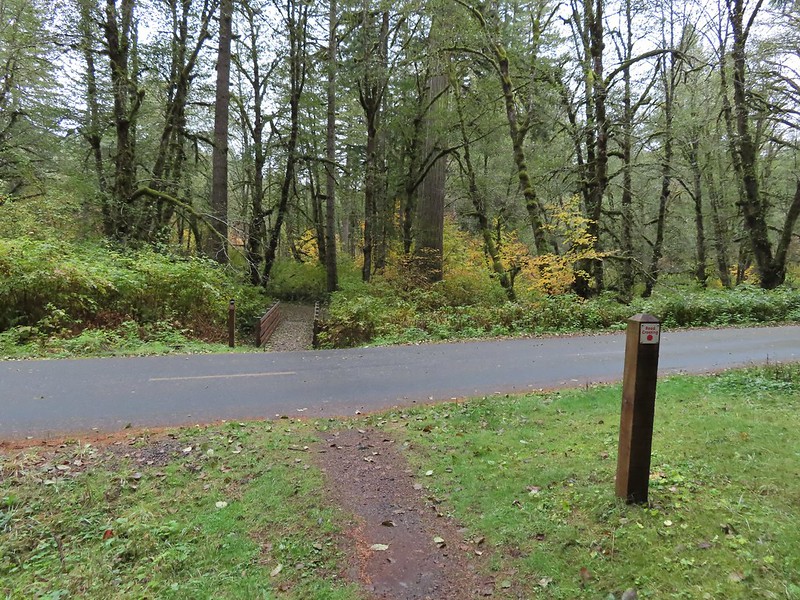
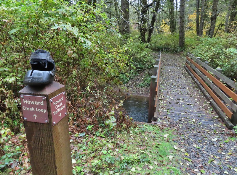
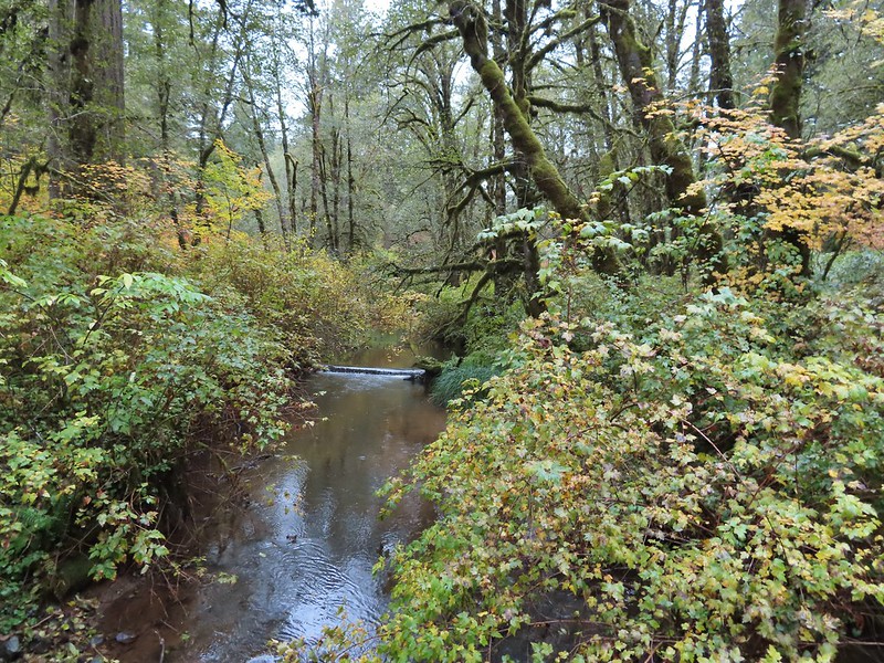 Howard Creek
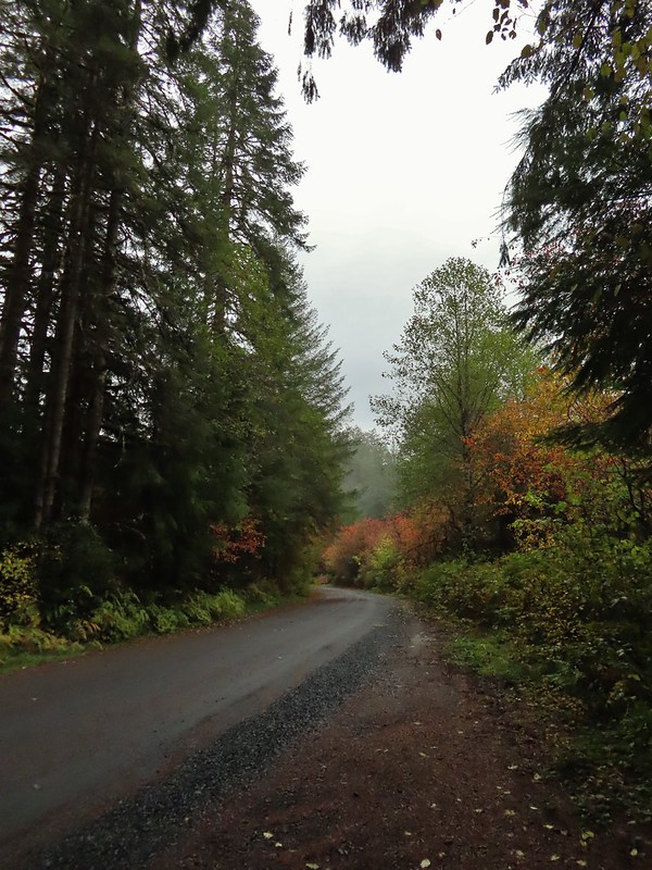
 Sign for the trailhead.


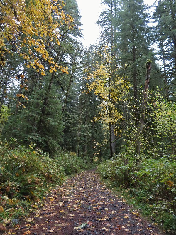
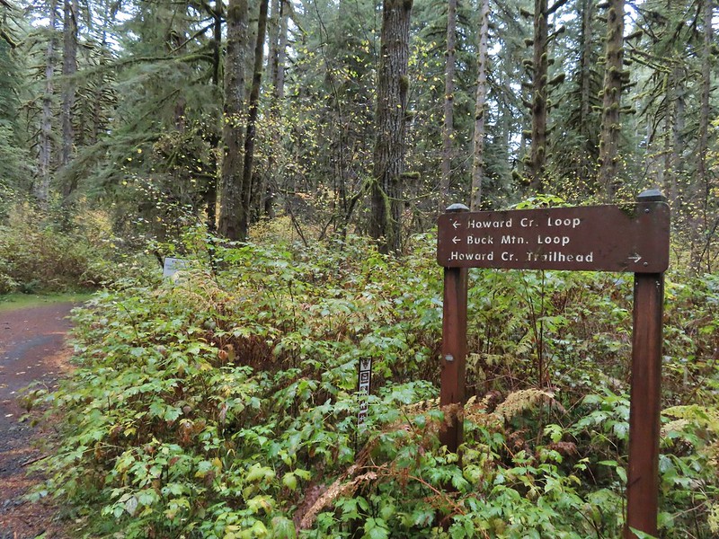
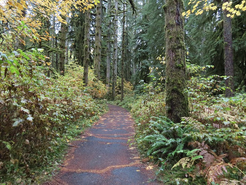

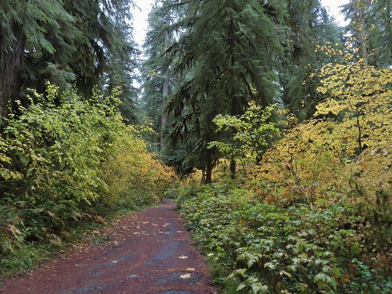
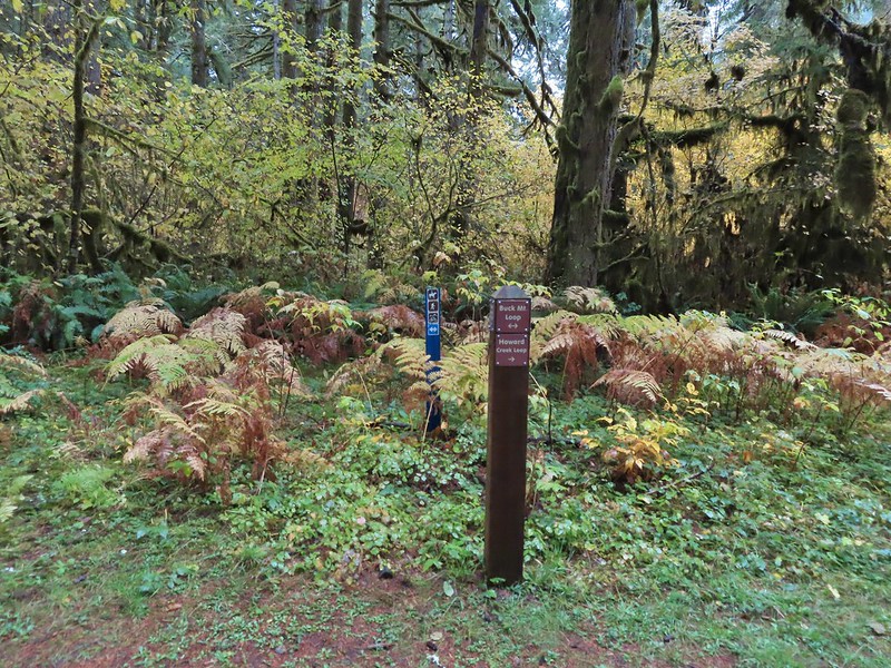


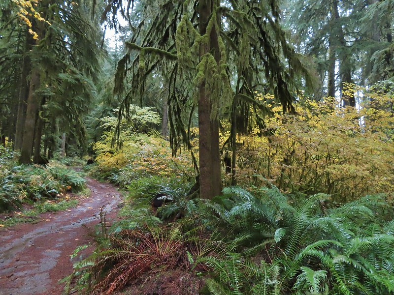

 Blue appeared to mean Buck Mountain Loop (the posts along the Howard Creek Loop had been red and later the Smith Creek Trail posts were yellow.)

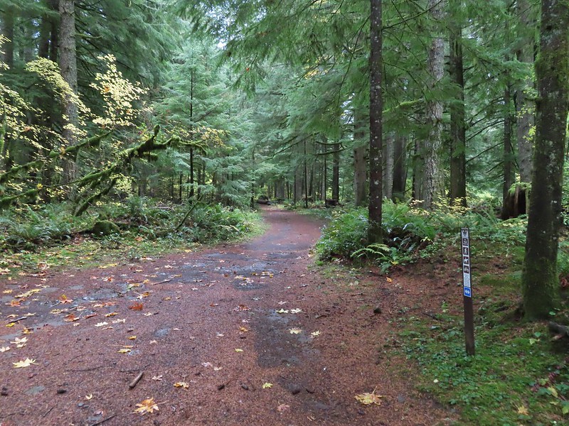
 The mix of tree trunks here caught our eye.
 Approaching the trail junction.

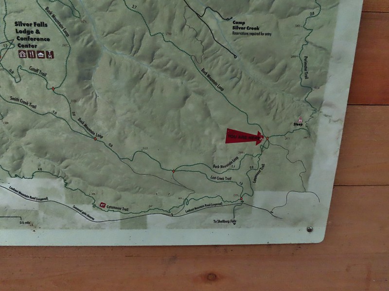
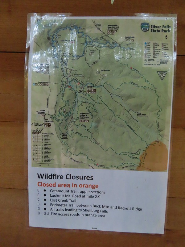 The 2020 Beachie Creek Fire threatened the Park and did in fact burn over nearby Shellburg Falls (
 Orange fence marking the closure of the Catamount Trail.
 The first footbridge which spans Howard Creek. The creek was obscured by brush.
 The second footbridge over a tributary not shown on the topo map.
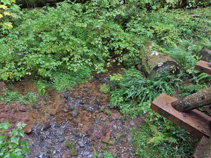 This stream was a little easier to see.
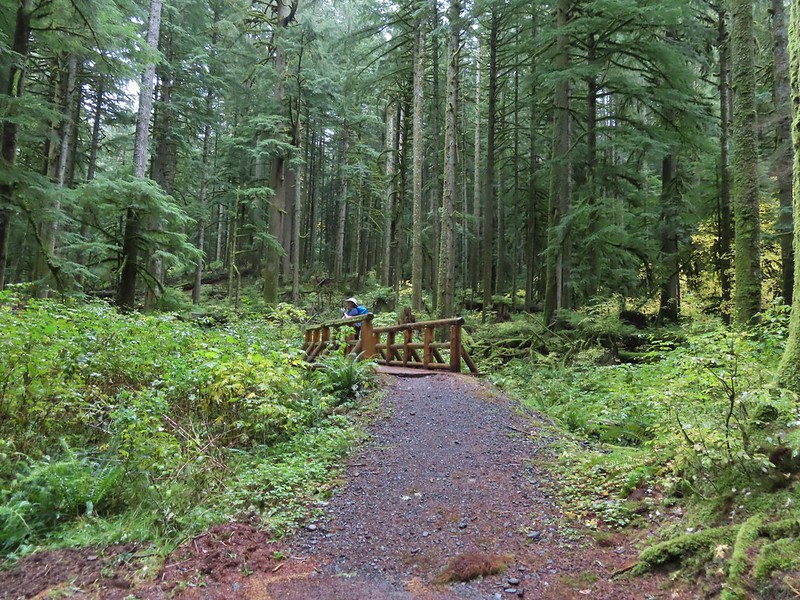
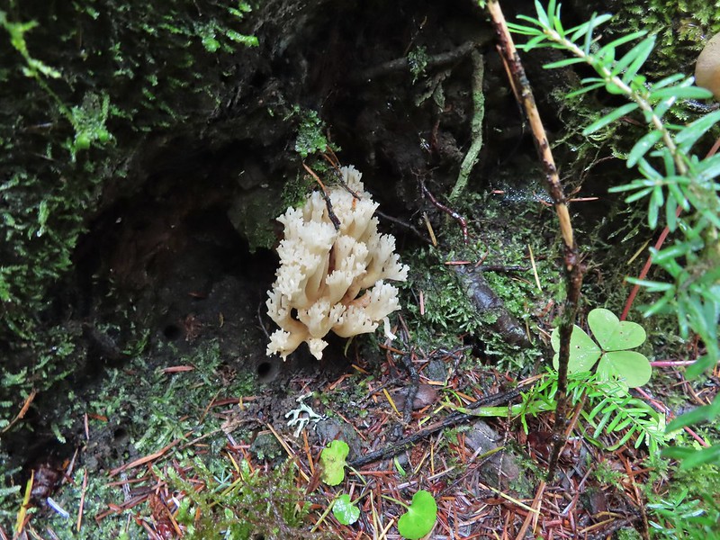
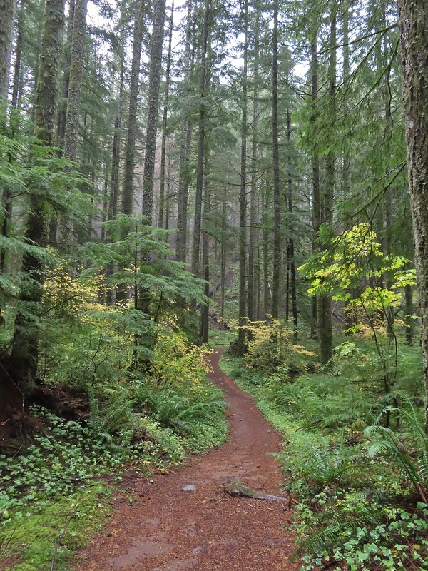
 A reminder of how close the Beachie Creek Fire was.
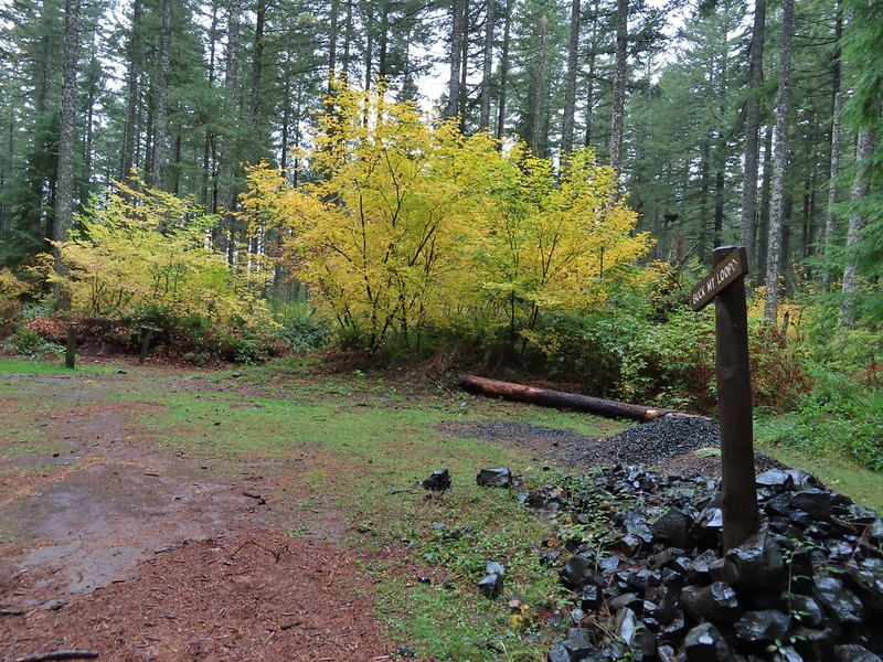 The 4-way junction.
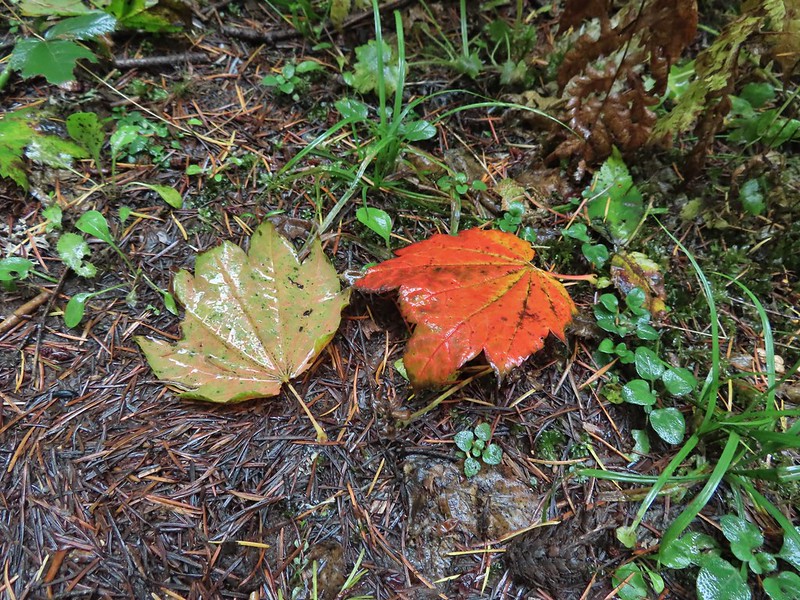

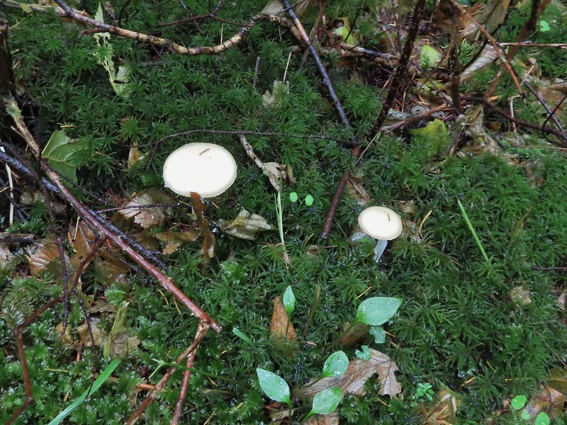
 Approaching the Smith Creek Trail junction.
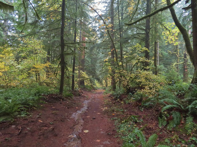


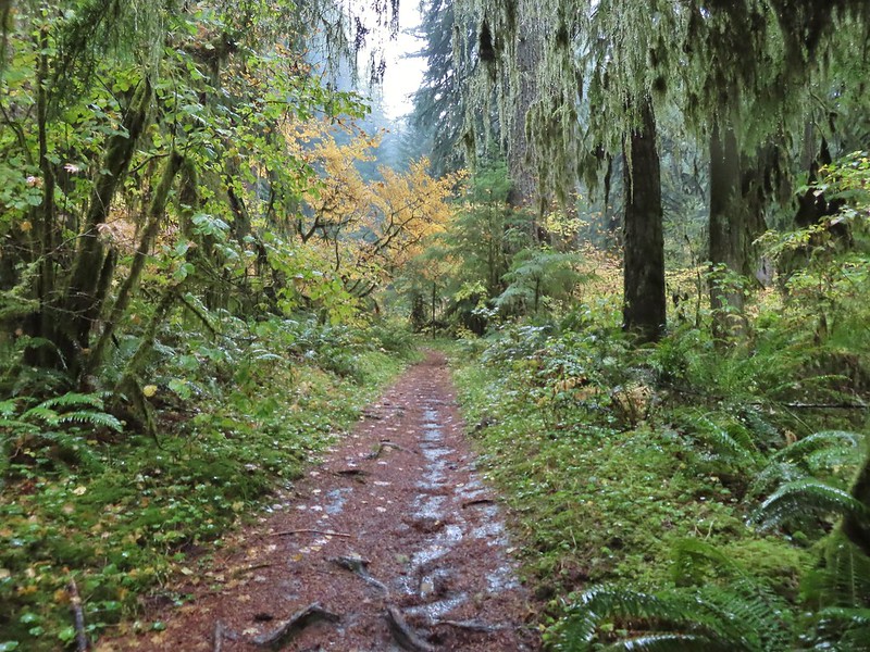
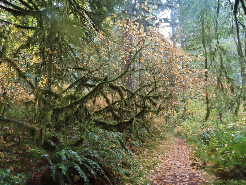


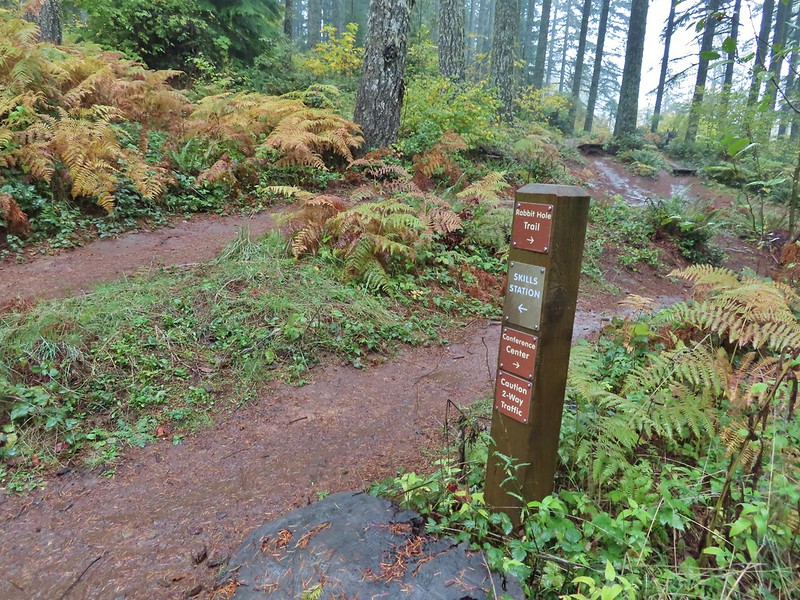 Ramps in the background at the skills station.
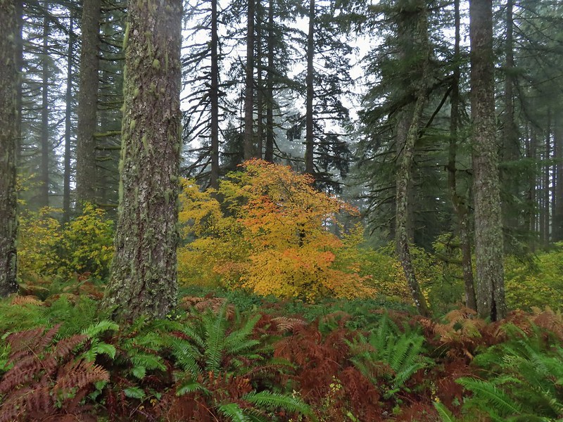
 The Catamount Trail arriving on the left.
 The 214 Trail from the Newt Loop.
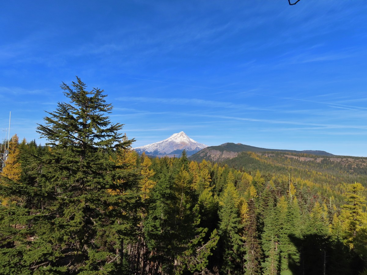

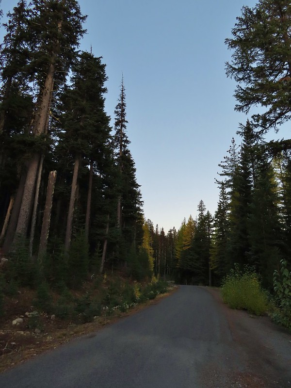 A few larches along Road 2730
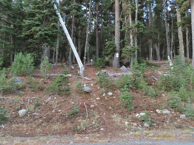 Fret Creek Trail across from the pullout.
 Entering the Badger Creek Wilderness.


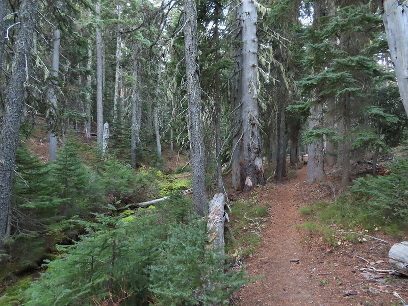
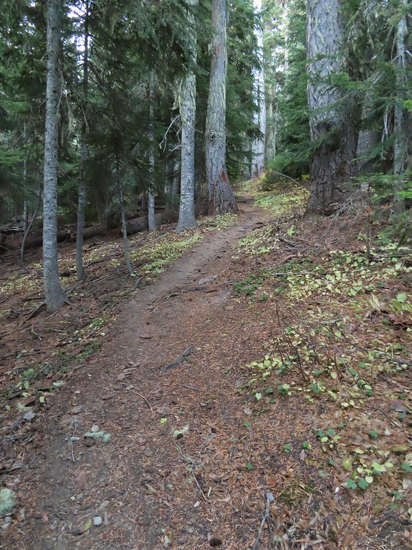 Starting to climb again.
 Sign for Oval Lake.
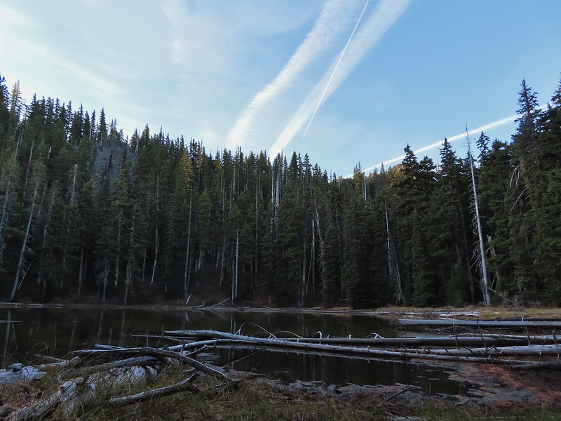
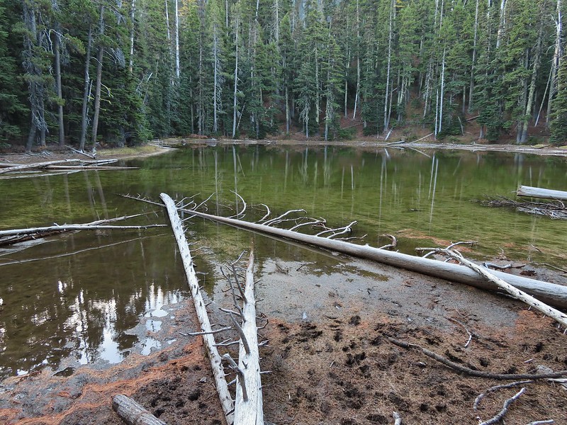
 June 28, 2014
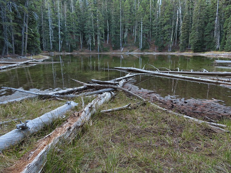
 A bit of snow left from the recent snowfall.
 The Divide Trail.
 Some snow near a switchback along the trail.
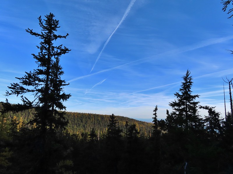 Mt. Adams starting to peak over a ridge to the north.
 Mt. Adams with some larch trees in the foreground.
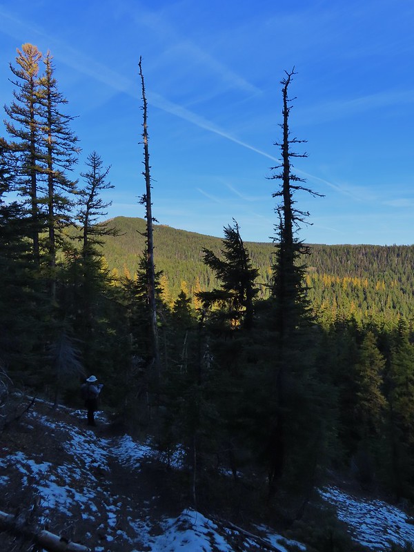 Lookout Mountain from the Divide Trail (The bare peak in between the two bare snags. Just to the right of the left snag.)
 Side trail to Palisade Point.
 Broken Top, The Three Sisters, Mt. Washington, Three Fingered Jack (just the very top), Mt. Jefferson, and Olallie Butte (
 Mt. Jefferson with the tip of Three Fingered Jack to the left and Olallie Butte to the right.
 Mt. Hood peaking up over the rocks.
 Panoramic view with Badger Creeks valley below.
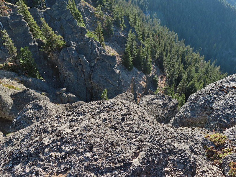 Rocks below Palisade Point.
 We ran into this jumble of downed trees shortly after leaving Palisade Point but fortunately it was the worst of the obstacles.
 Flag Point Lookout from the trail.
 A small meadow that was full of flowers a couple of months ago.
 A stand of larches.
 A better view of Mt. Hood.
 Zoomed in.
 Looking back through larches at a Badger Creek Wilderness sign near Road 200.
 Looking back at the Divide Trail.
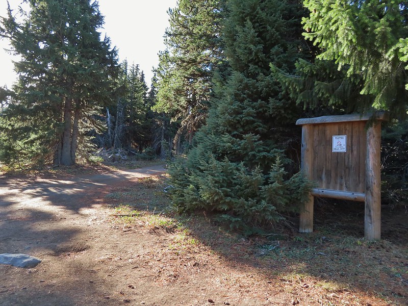 Road 200
 Chipmunk
 Nearing the lookout.
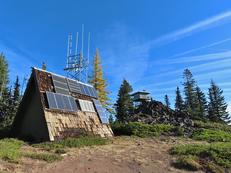

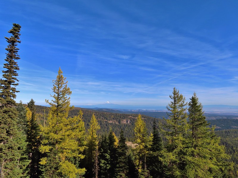 Mt. Rainier and Mt. Adams to the north.
 Mt. Rainier and Mt. Adams
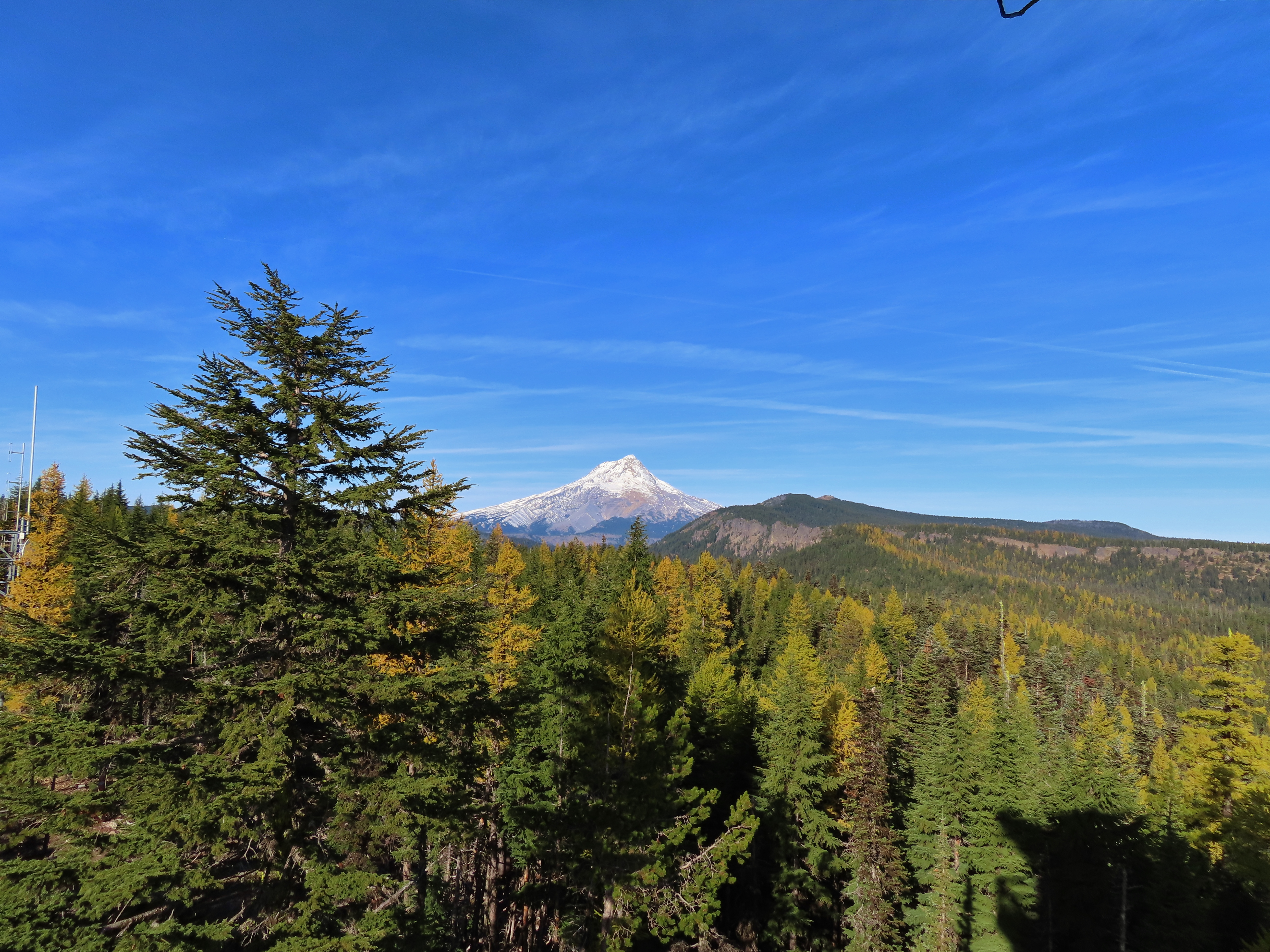

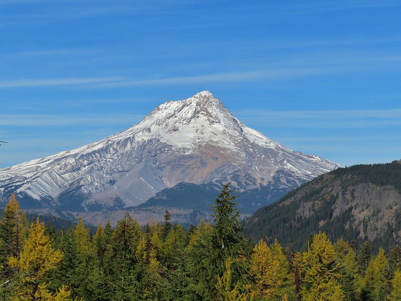
 Three Fingered Jack, Mt. Jefferson, and Olallie Butte
 View east to the hills above the Columbia River.
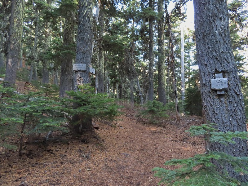 Passing the Fret Creek Trail.
 We did need to gain almost 800′ of elevation to reach Lookout Mountain which at times was a fairly steep climb.
 Another viewpoint along the way where Badger Lake was visible.
 Badger Lake

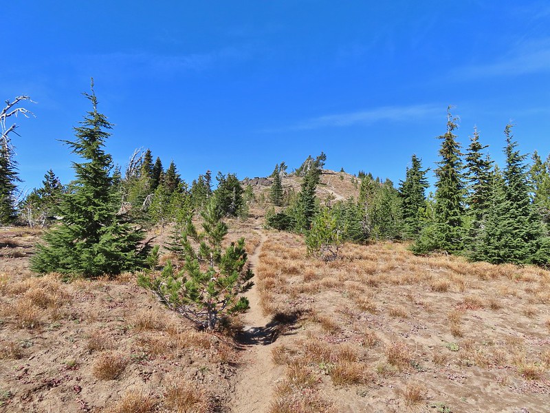 The final pitch to the summit, there is at least one hiker visible up top.
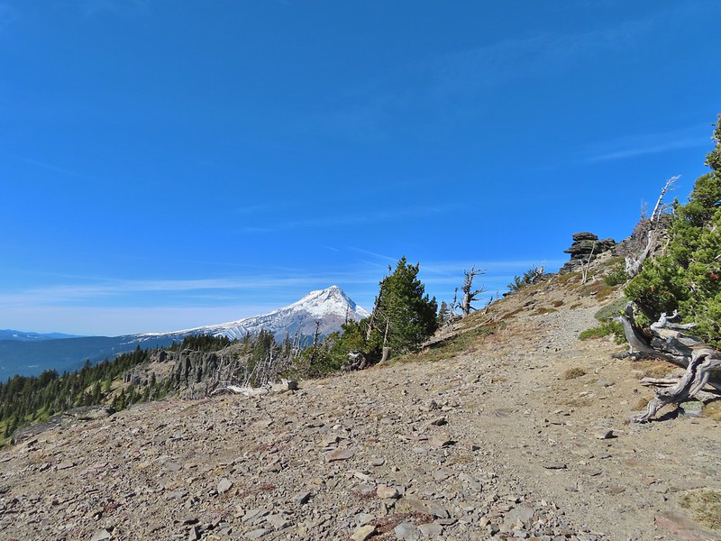
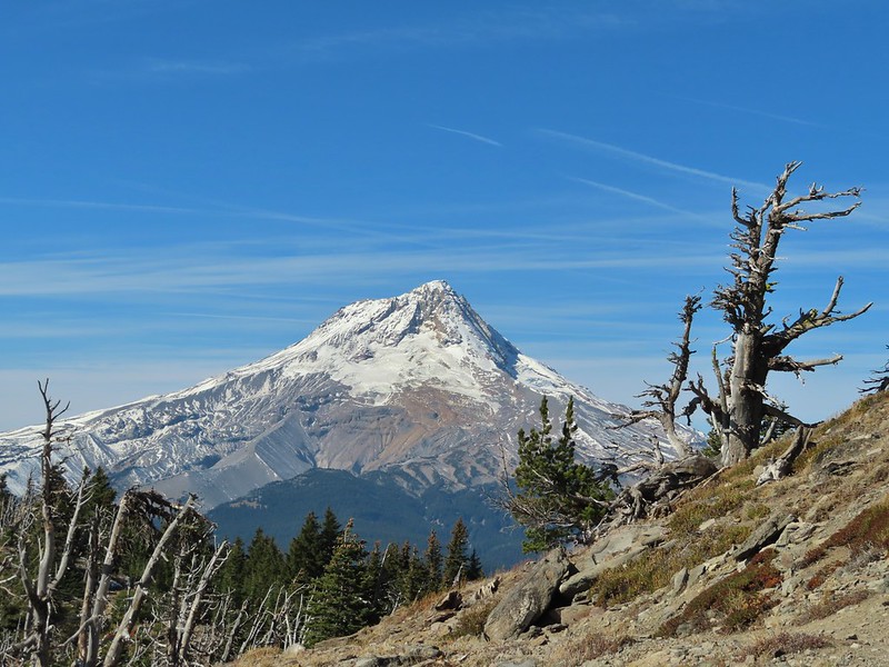
 Looking back to Flag Point.
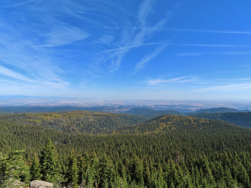 Looking NE toward The Dalles and the Columbia River.
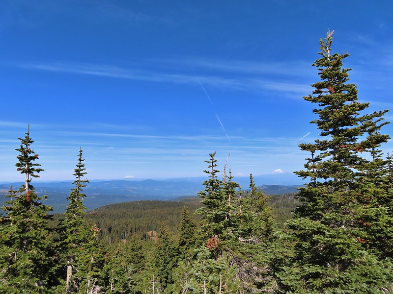 Mt. St. Helens, Mt. Rainier, and Mt. Adams
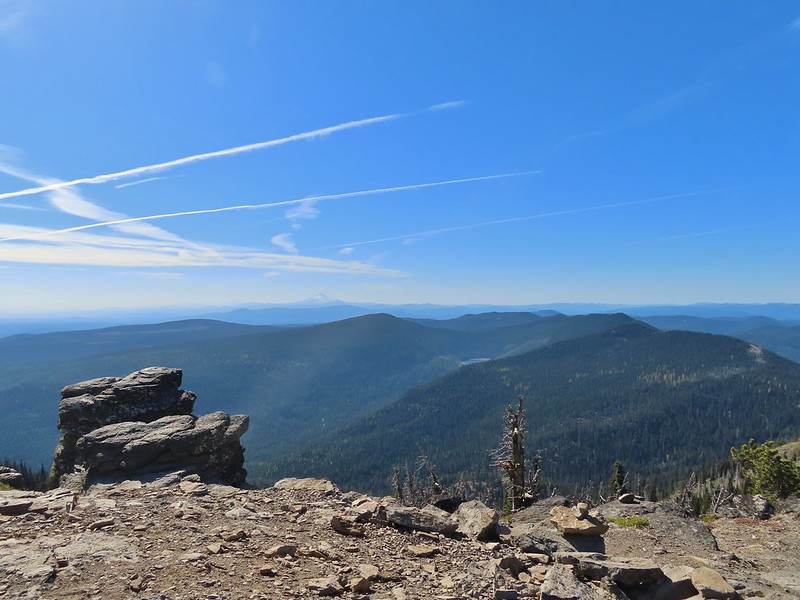 View south past Badger Lake to Mt. Jefferson.
 Flag Point from the Helispot.
 And of course Mt. Hood again.

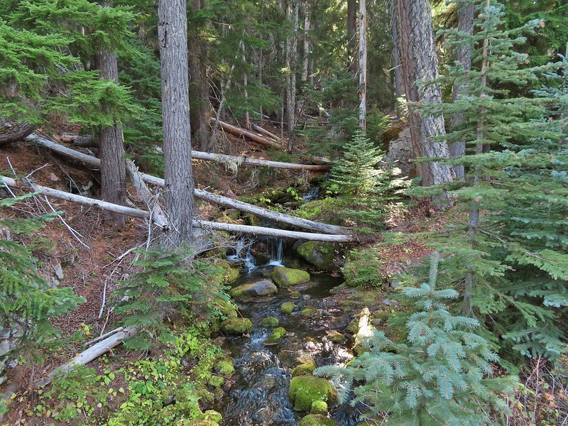 Fret Creek from the road near the trailhead.

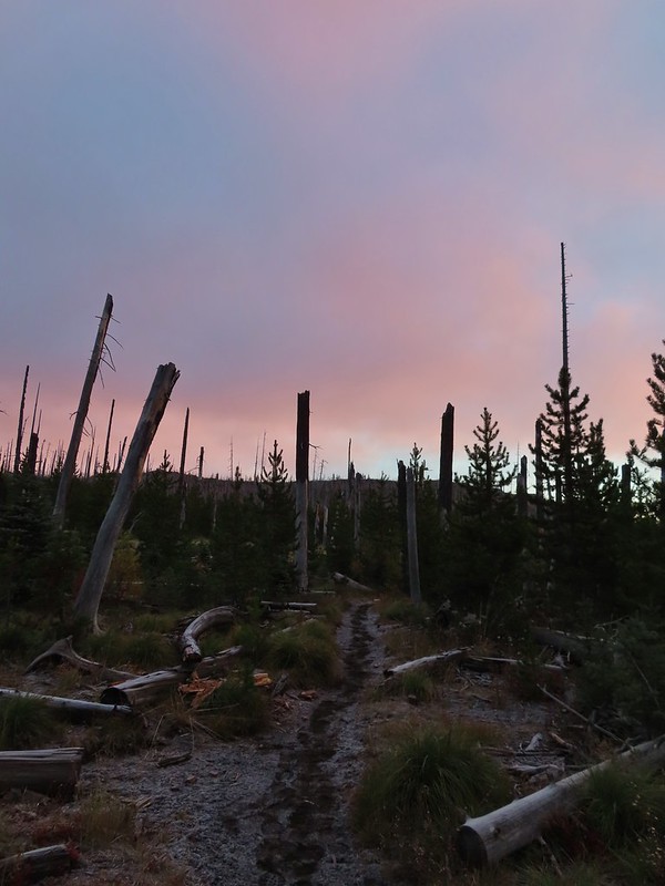
 Black Crater (
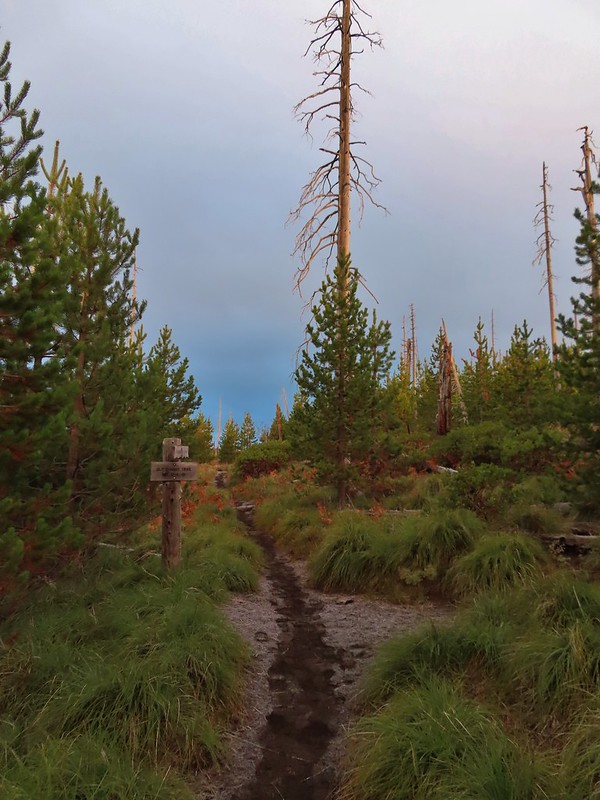

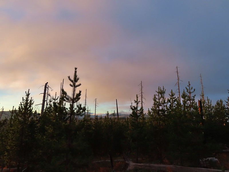 Black Crater and North Sister
 Black Crater, the top of Broken Top, some of the Sisters, and part of Mt. Washington.
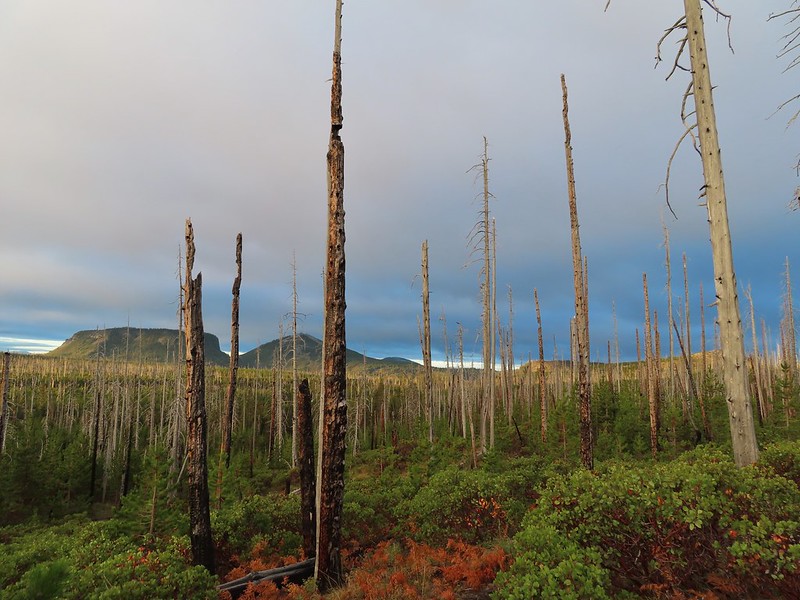 Hayrick and Hoodoo
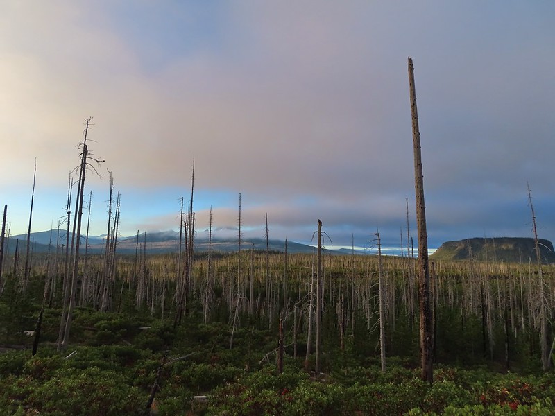 Between Mt. Washington and Hayrick Butte is Scott Mountain (
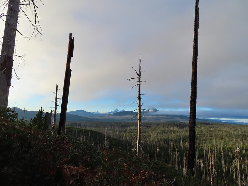 Cache Mountain is the high point furthest to the left.
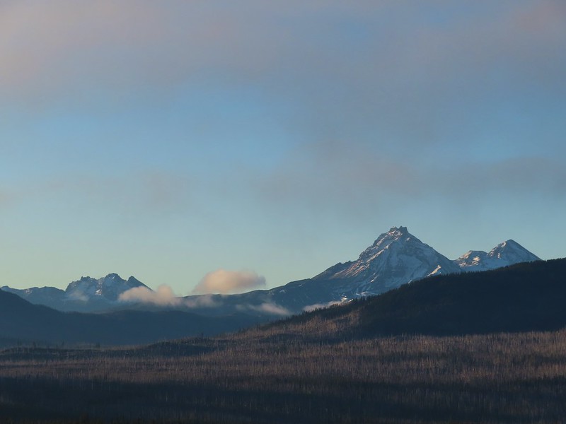 Broken Top and the Three Sisters
 Mt. Washington
 The Three Sisters. The summit of South Sister is between North and Middle Sister behind 9321′
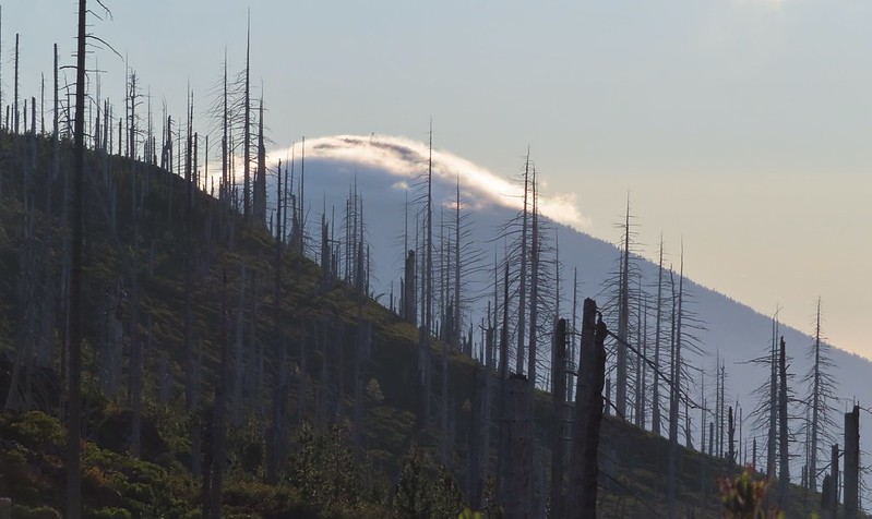 Black Butte (
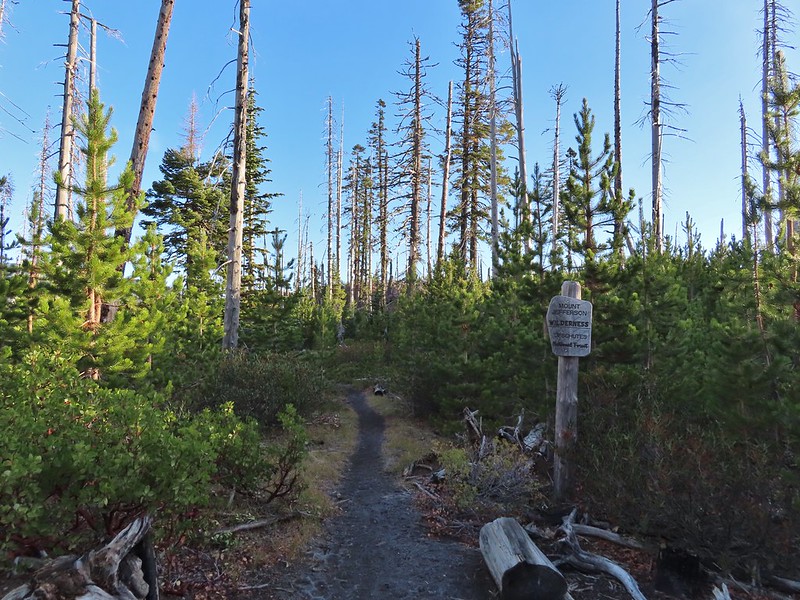
 A different angle from 2012.

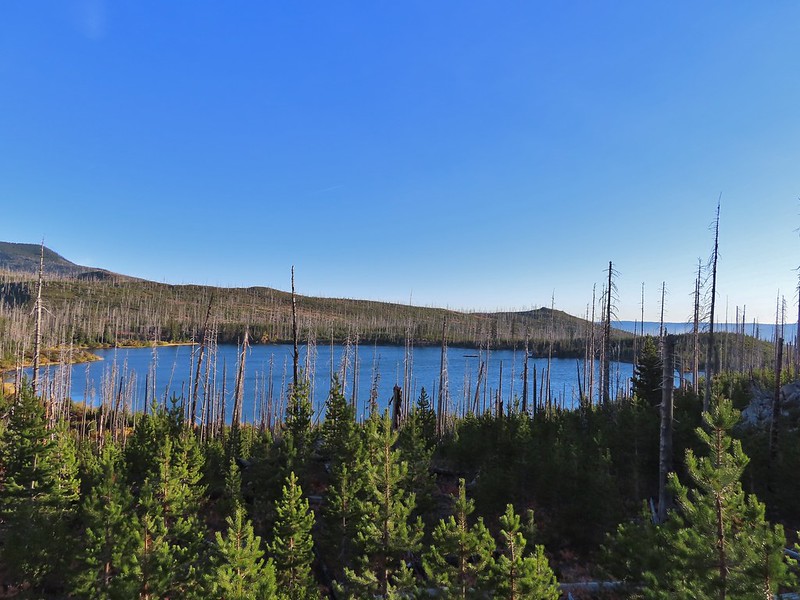
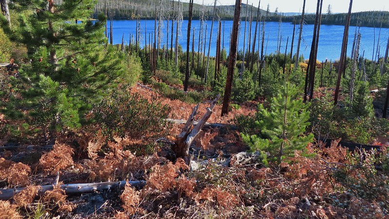 One white rump with a black tail amid the ferns near the center of the photo (good luck).
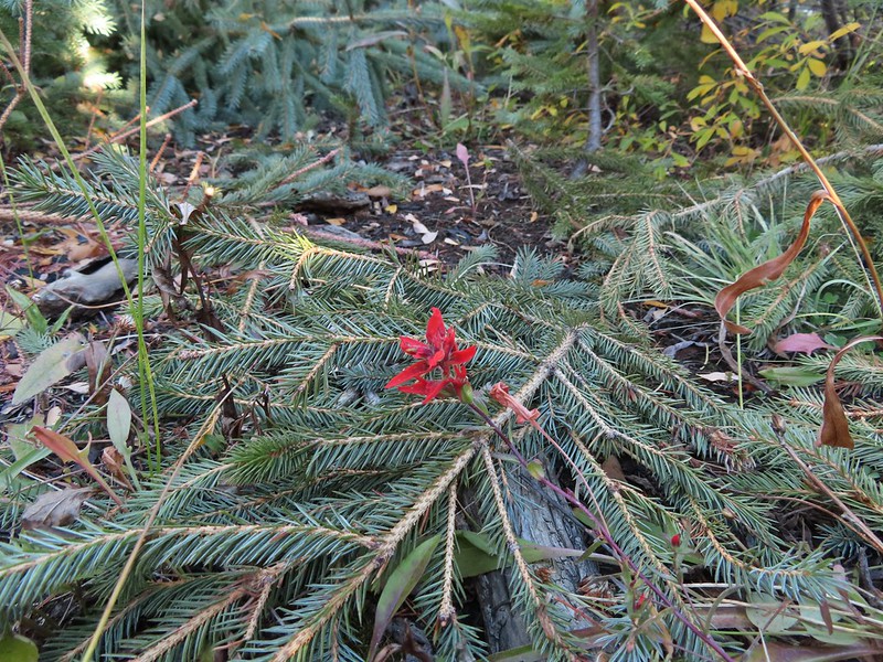 The only paintbrush we would see all day.
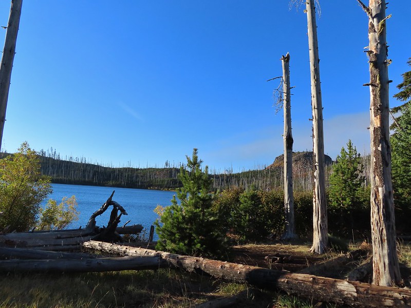 The top of Mt. Washington is just visible on the other side of Square Lake.

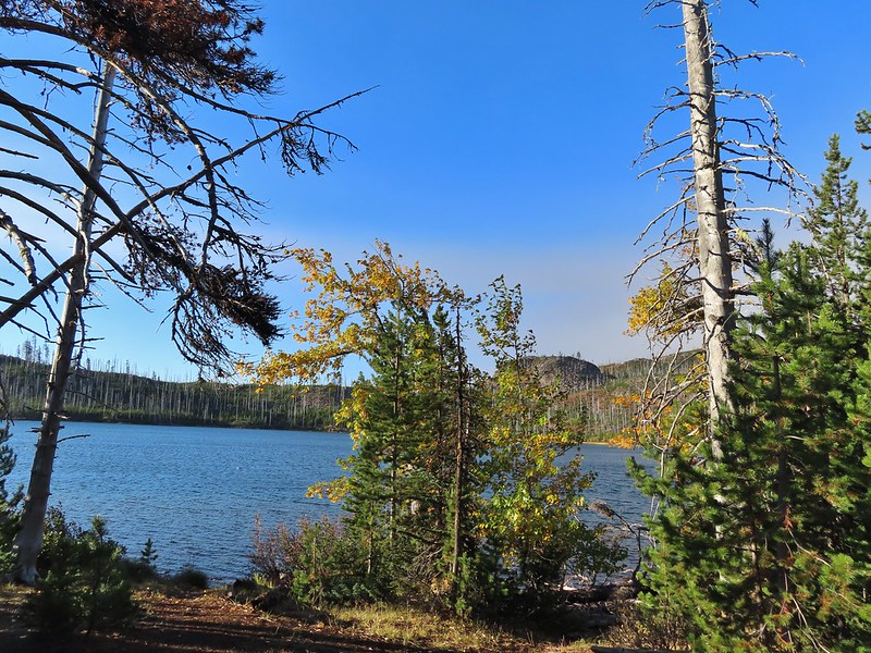
 Mt. Washington’s spire again.
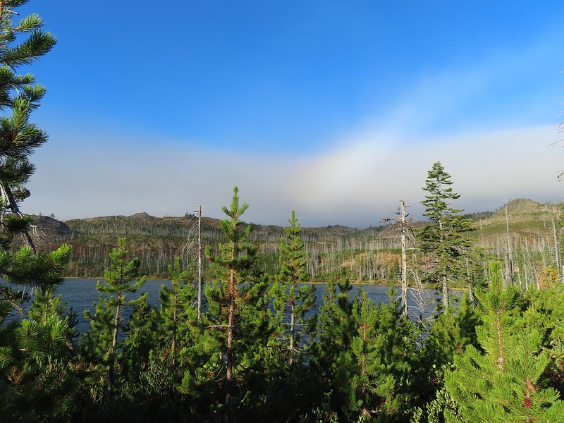 A rainbow was trying to form to the west.

 Lodgepole pine seeds require fire in order to be released from their tight cones.
 Our first sighting of Long Lake (zoomed in).
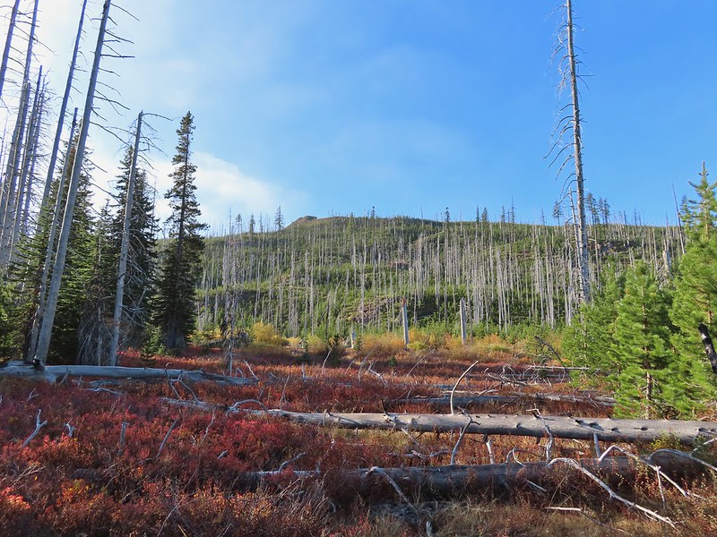
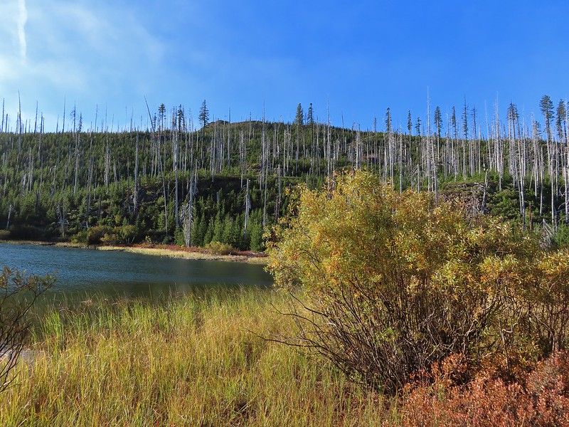

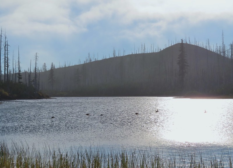 Ducks taking off from Long Lake.
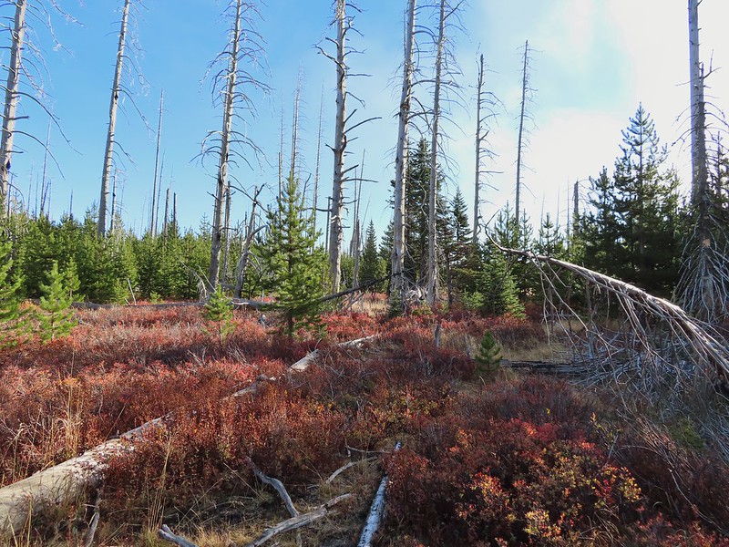
 This is one of the areas that we could see getting pretty muddy/wet.
 Rainbow
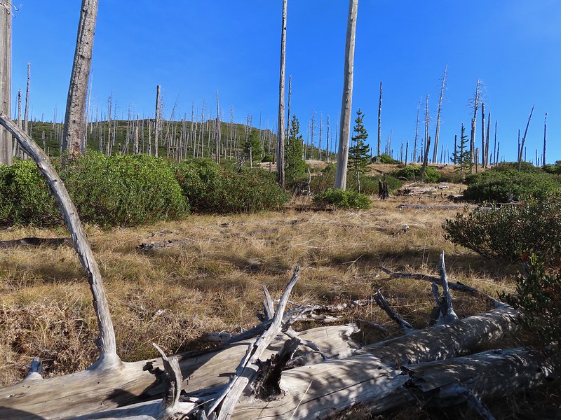 The Round Lake Trail just on the other side of the downed tree.
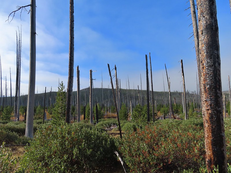 Long Lake is back down that way somewhere.
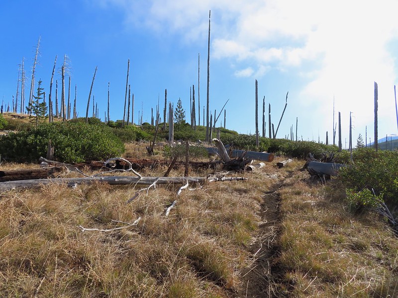 Back on the Round Lake Trail.
 Black Butte shedding the morning clouds.
 The top of Three Fingered Jack behind some thin clouds.
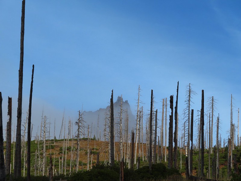
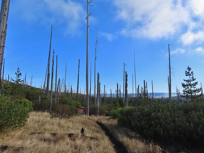 Green Ridge (
 A better look at Three Fingered Jack.
 First glimpse of Round Lake.
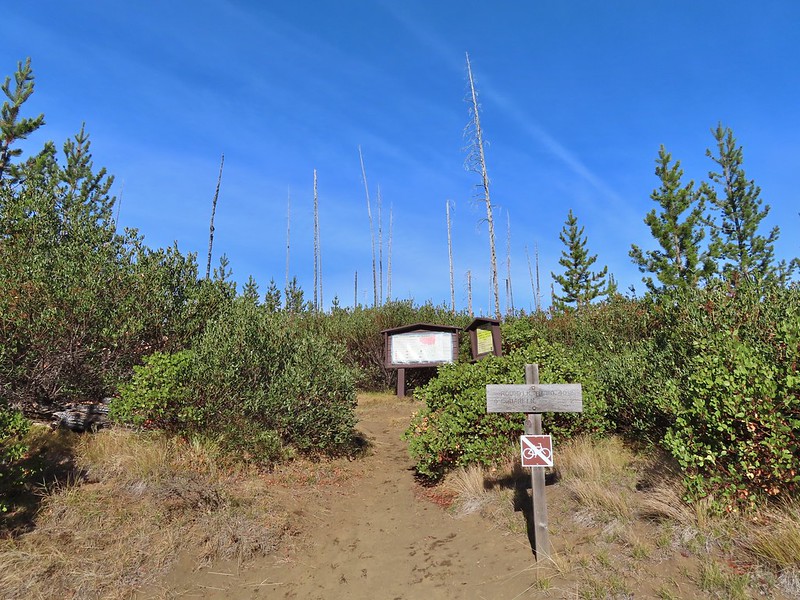
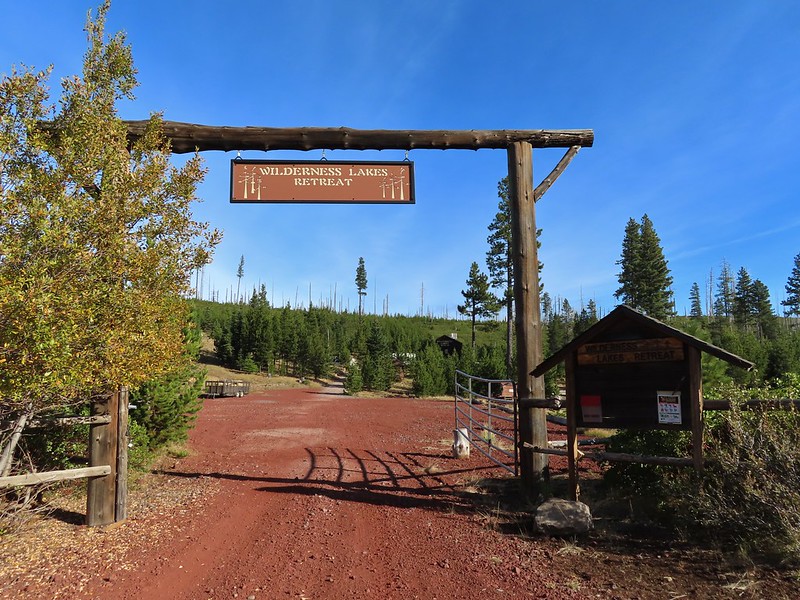

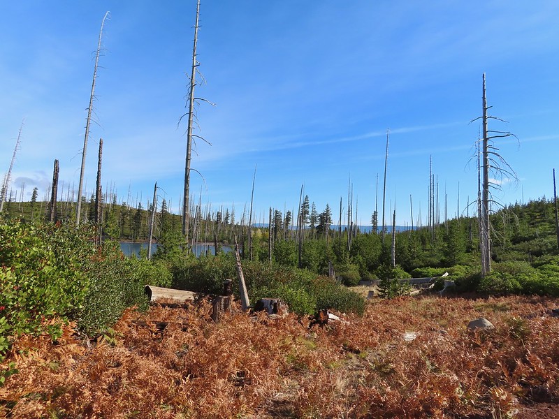


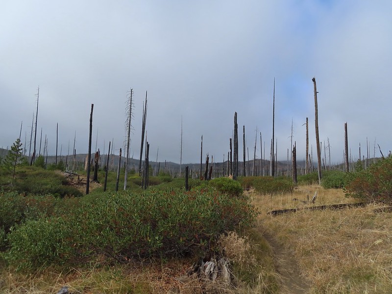
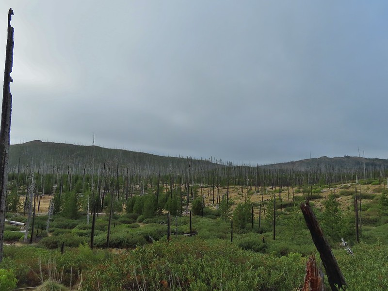 Starting to look kind of grey.
 A mountain bluebird adding a splash of blue to the green backdrop.
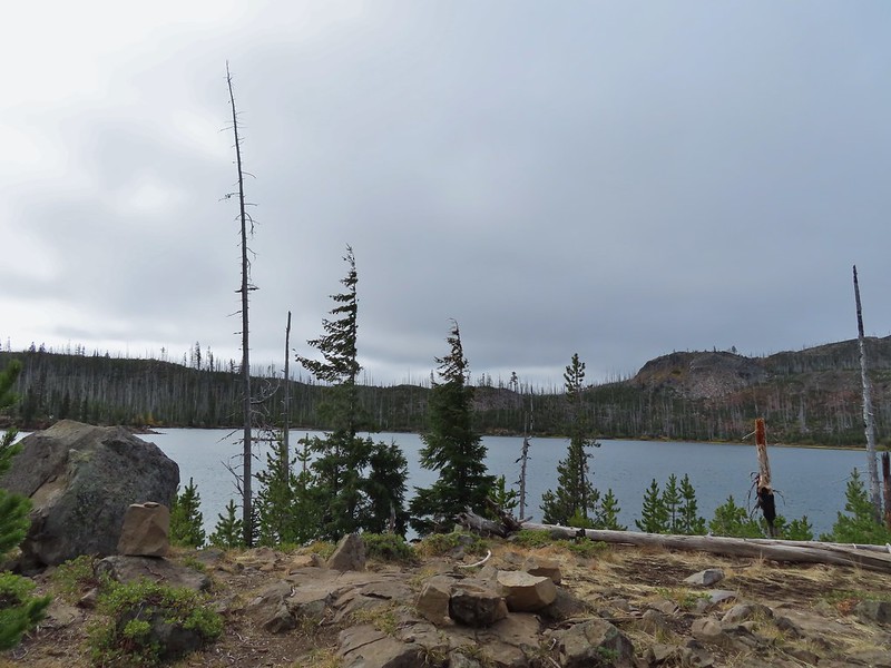 Clouds over Square Lake.
 A few scarlet gilia blossoms.
 The unnamed lake is about halfway up the far hillside.
 Black Butte and Long Lake from the trail.
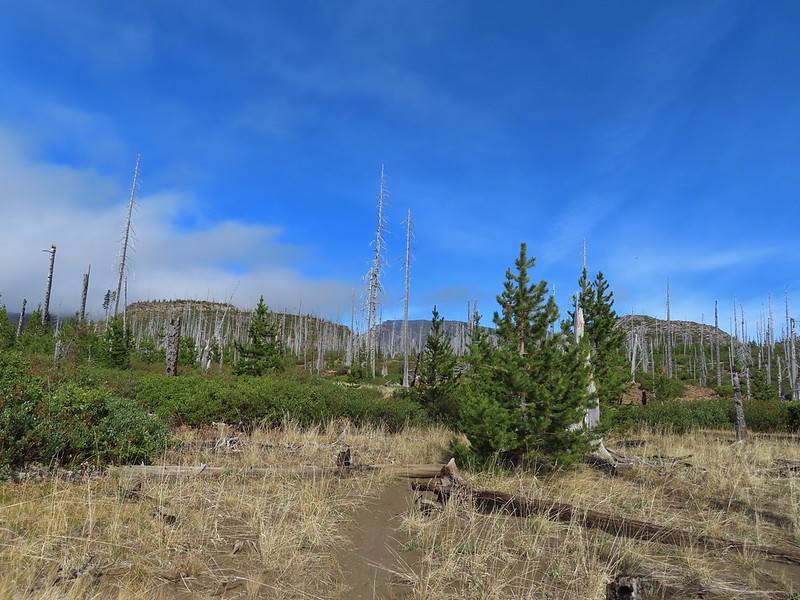 Heading toward Three Fingered Jack we got back under blue skies.
 Square Lake still under a clouds,
 The unnamed lake that drew our attention.
 Similar view from 2012.
 The trail at the gap. It was grey and cloudy to the west.
 Still at the gap, it was blue skies to the east.
 There is Three Fingered Jack.
 A good look at Green Ridge.
 A lupine that was late to the party.
 Booth Lake
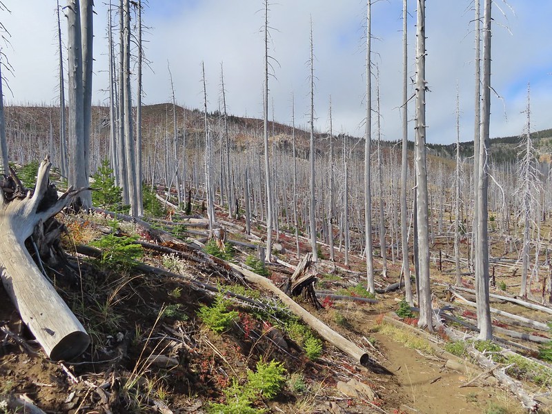
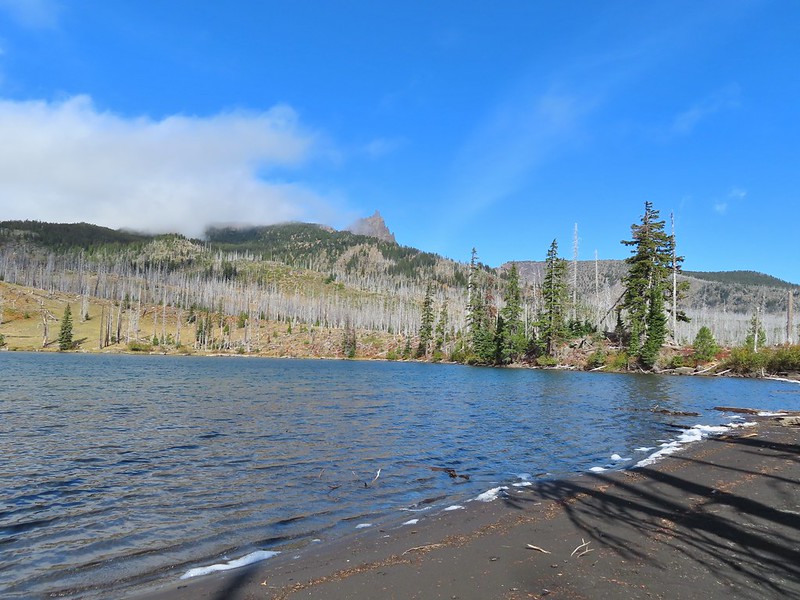


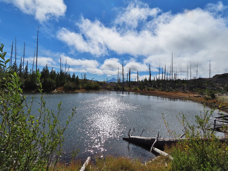
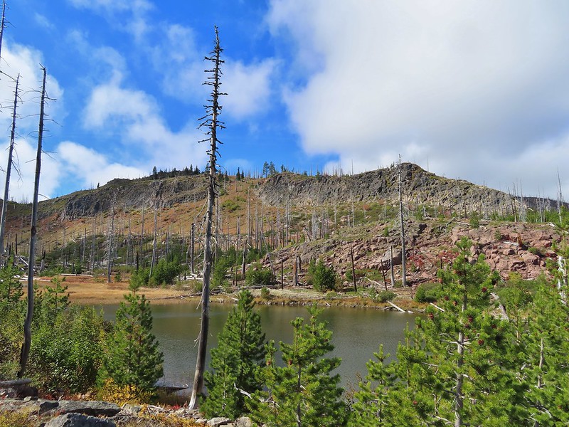
 The trail cut on the far hillside.
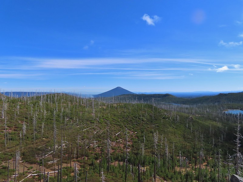 Black Butte, Long Lake, and part of Square Lake.
 Square Lake along with Broken Top and the Three Sisters (Mt. Washington was hiding in the clouds still).
 Part of the rock ledge.
 Three Fingered Jack had once again disappeared.
 Where’s Heather.

 View climbing away from Square Lake.
 Similar view in 2012.
 2012
2012
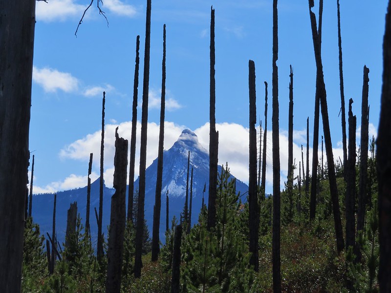

 Finally clear!
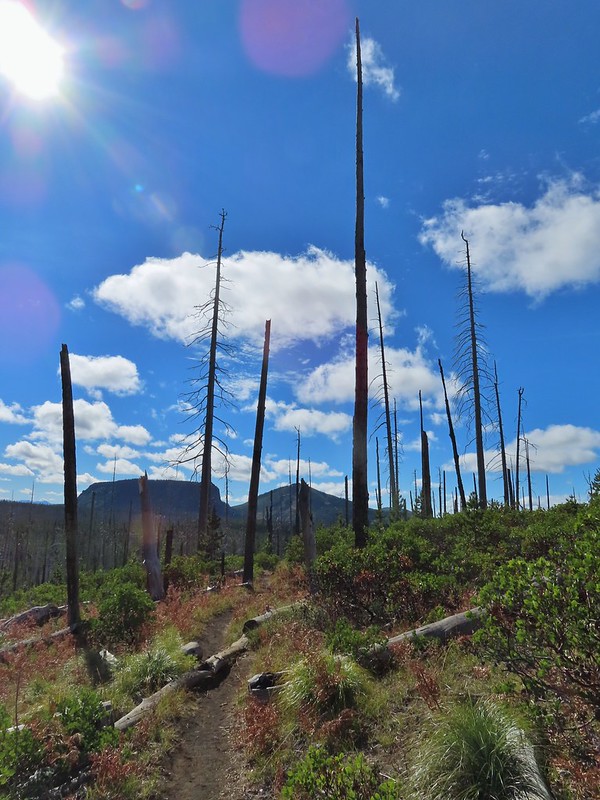 Hayrick Butte and Hoodo as we neared the trailhead.
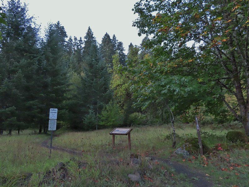


 Sulphur Springs
 Soap Creek near Sulphur Springs.
 Sulphur Springs Road from the pullout.
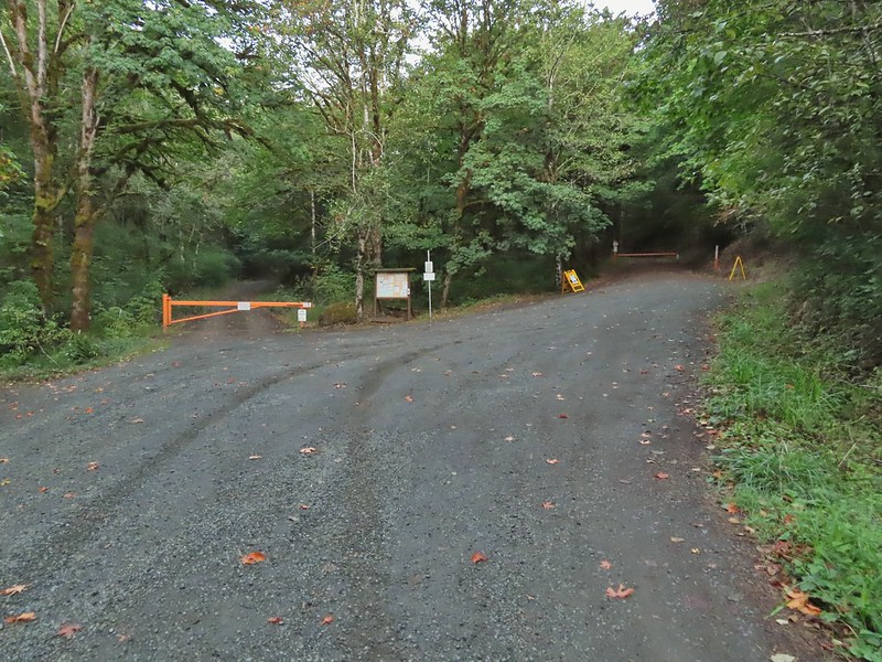 Sulphur Springs Road Trailhead.
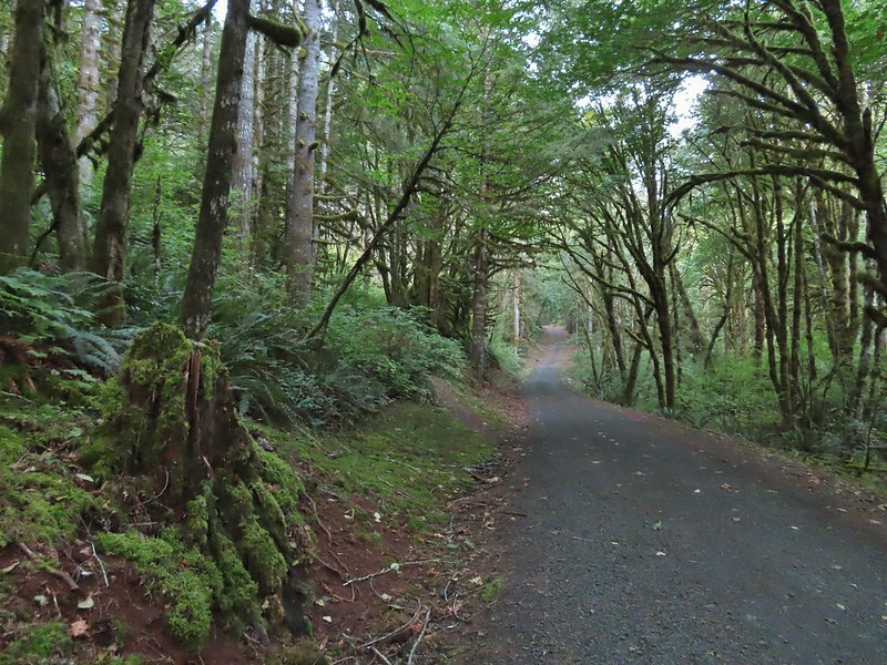

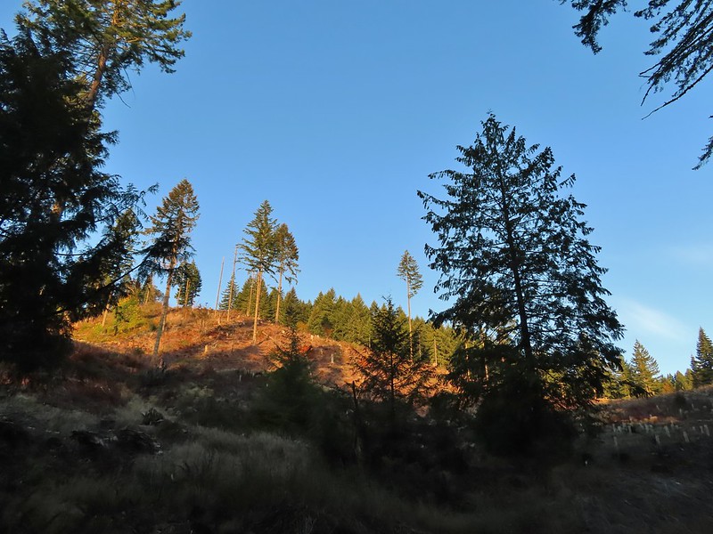
 We stayed right at this junction with Road 761.
 The Rocky Road Trail.
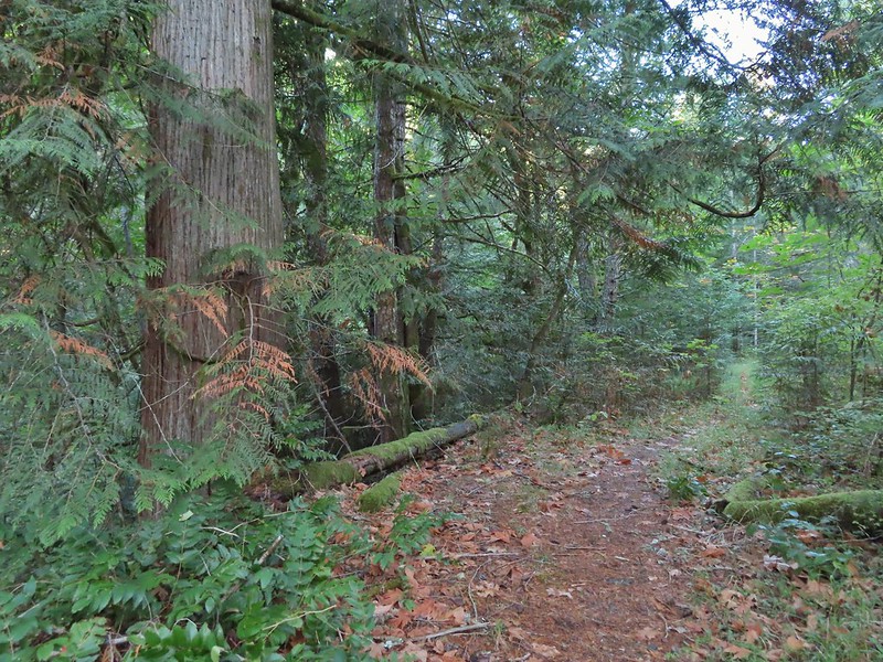 A good sized cedar along the trail.
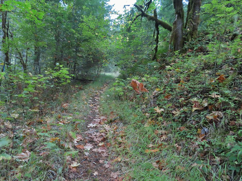
 Road 760 ahead.
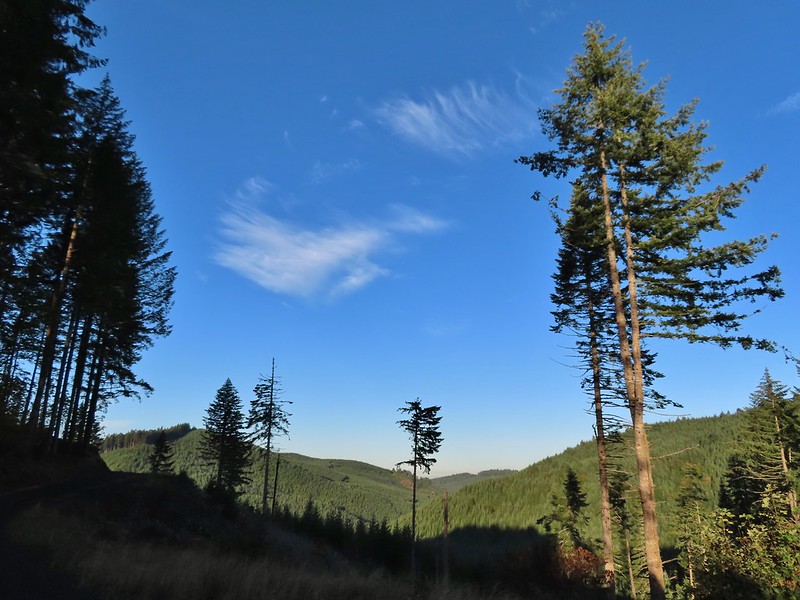
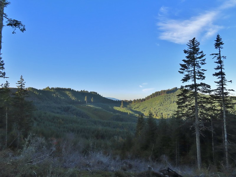 Interesting patchwork of trees. We would have liked to have been able to see when each section had been harvested and replanted.
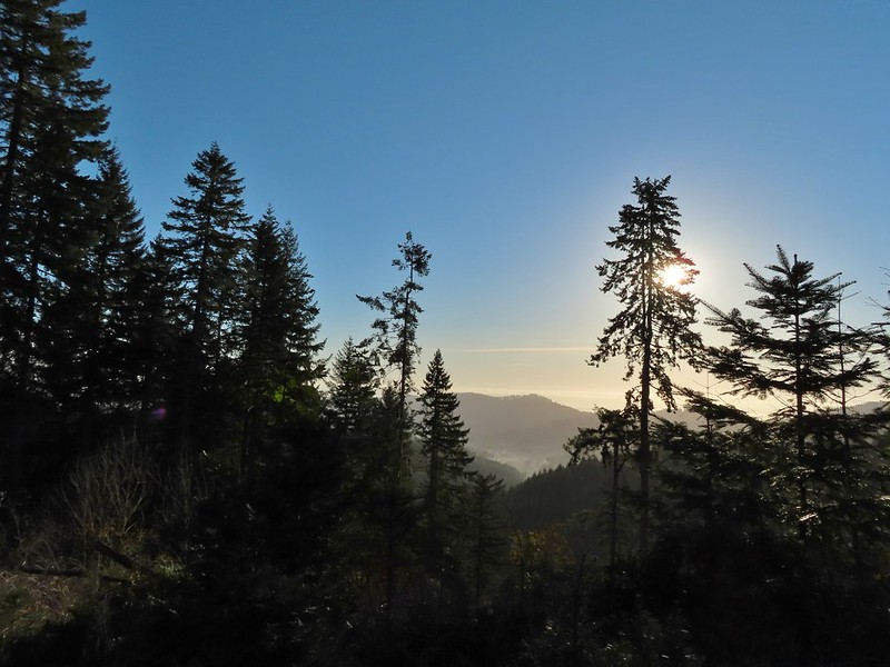 We couldn’t see much to the east due to the Sun’s position.
 Mary’s Peak (
 Road 7040 on the left.
 Pointer for McCulloch Peak at the junction. We had come up from Road 700 on the right.
 The rest of the 4-way junction. After visiting the peak we would head downhill following the pointer for Oak Creek.
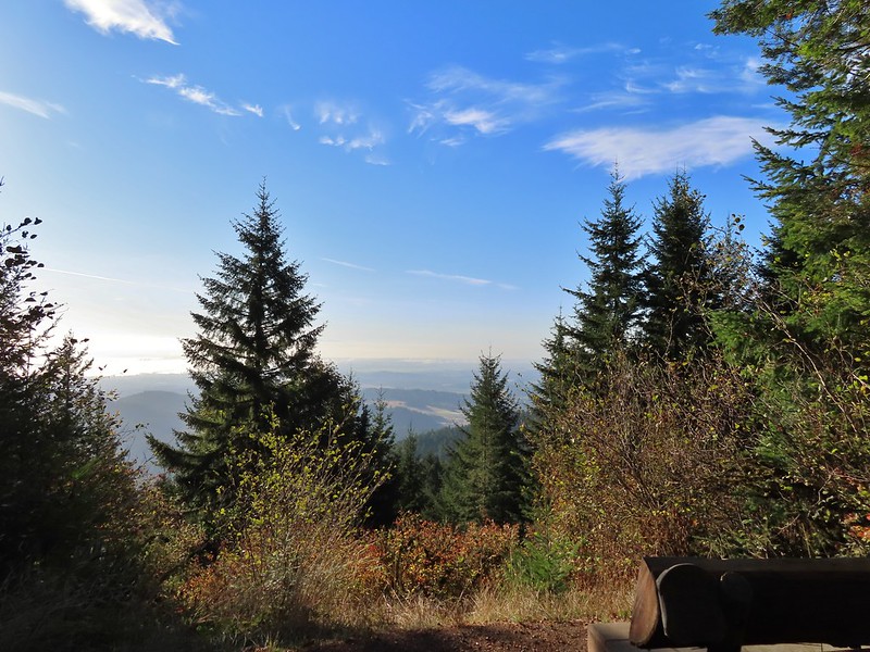
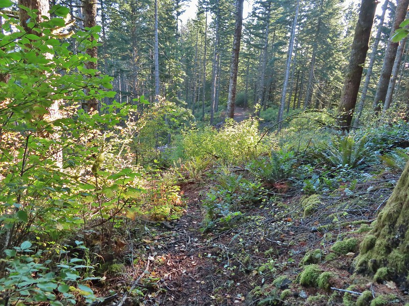 Trail to the spur road.

 Fading pearly everlasting.
 We stayed left here which was the shorter route.
 Madrone
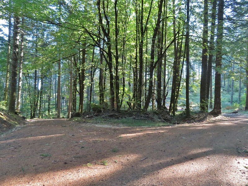 Tree island at the junction with Road 680.
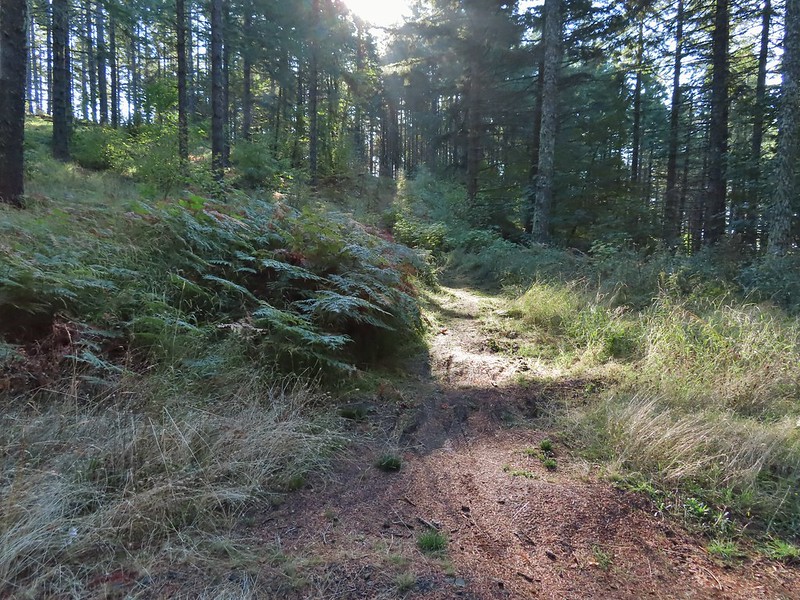
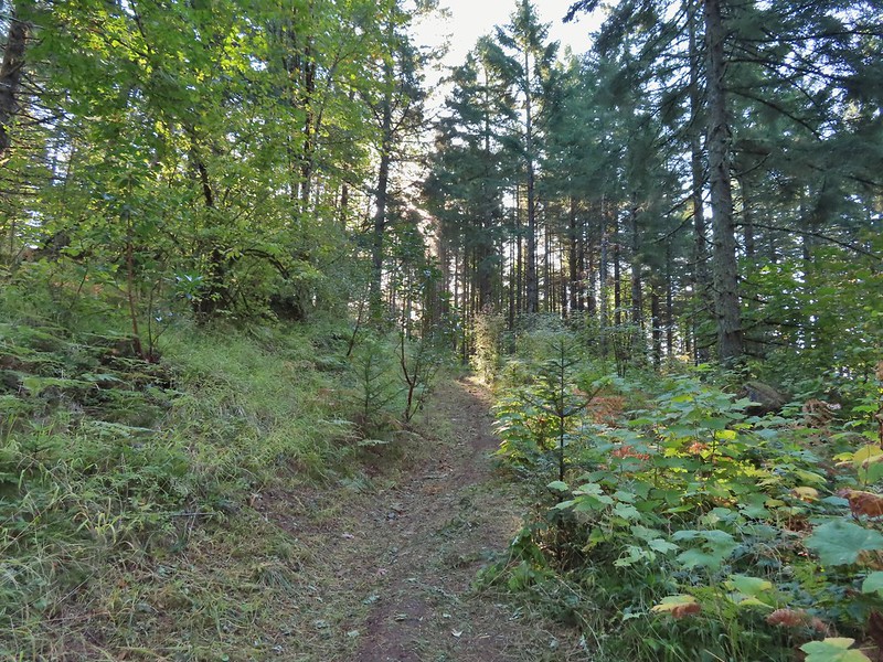


 Nearing the trail junction.
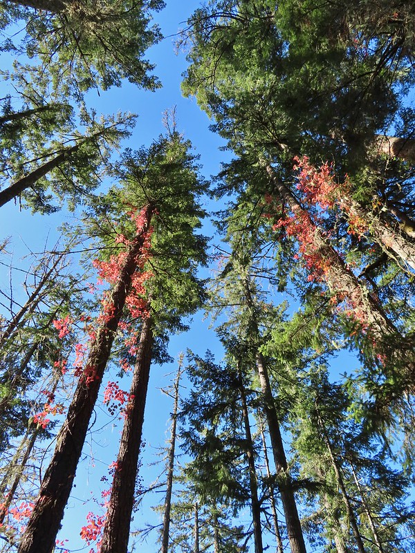 Poison oak climbing trees.
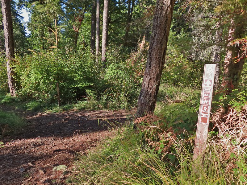 Signs for the Uproute and Extendo Trails.
 Road 680
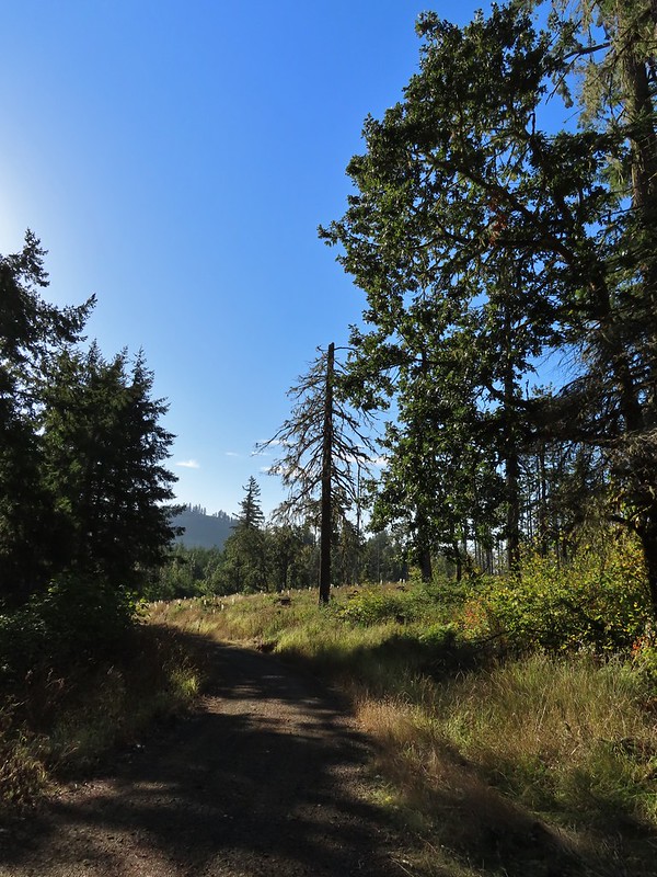
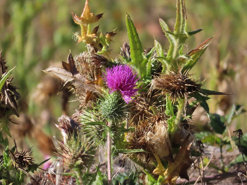


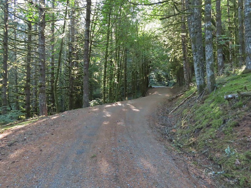
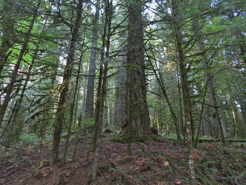 A few larger trees in the forest.
 A sea of green grass.
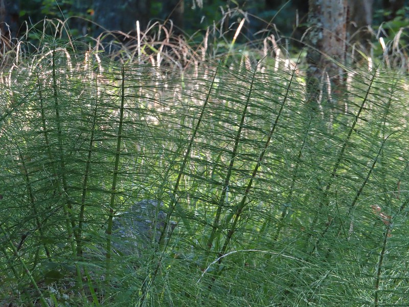 Horsetails
 The 4-way junction.


 Summit of Dimple Hill.
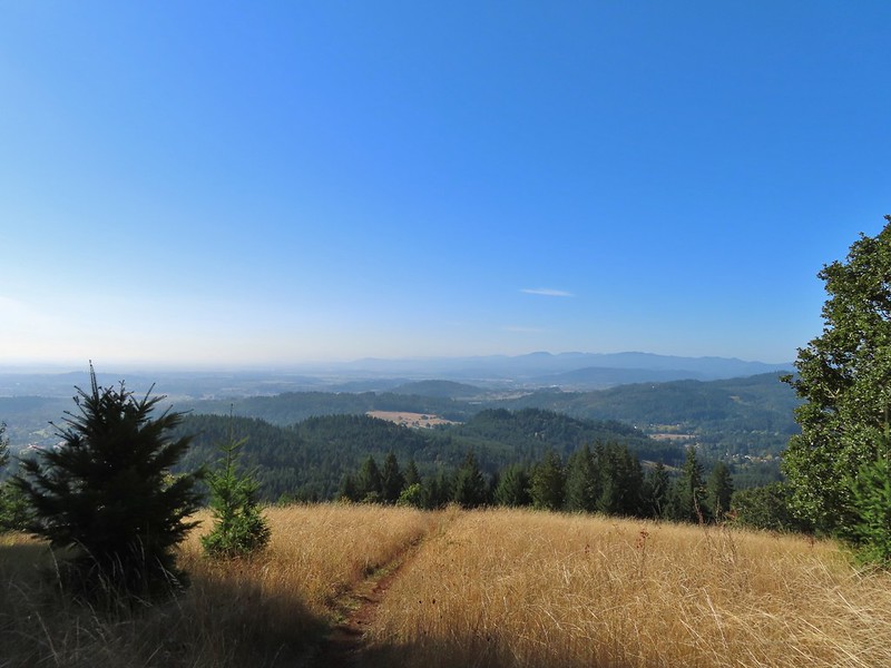
 Mary’s Peak
 Approaching the junction on Road 650.
 Junco
Junco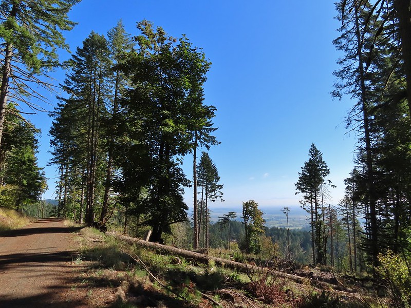
 Mt. Hood
 Mt. Jefferson
 The Three Sisters


 The High Horse Trail and another trail heading uphill at the 4-way junction.
 What we assume is the Bombs Away Trail on the left and the High Horse Trail on the right at the 4-way junction.
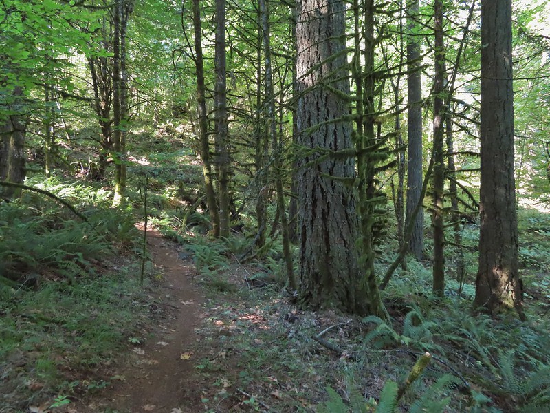

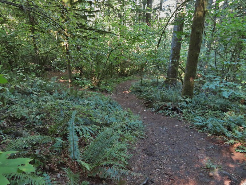 Left or right? More often than not both ended up in the same spot.
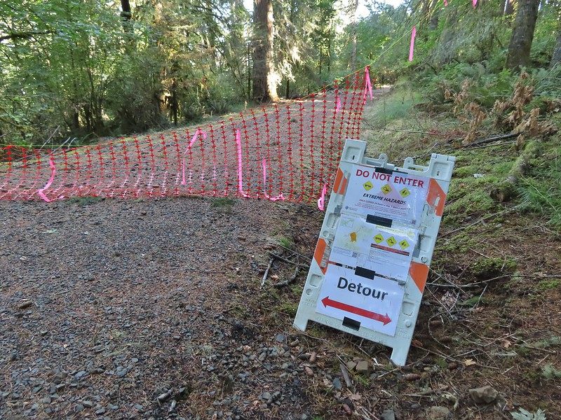 Road 640
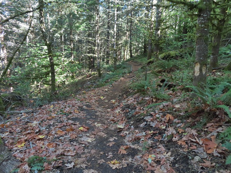


 Junction with the Alpha Trail.


 Looking back at the Alpha Trail from Road 810.
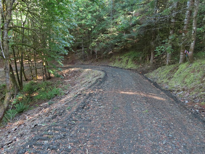

 Road 800 below Road 810.
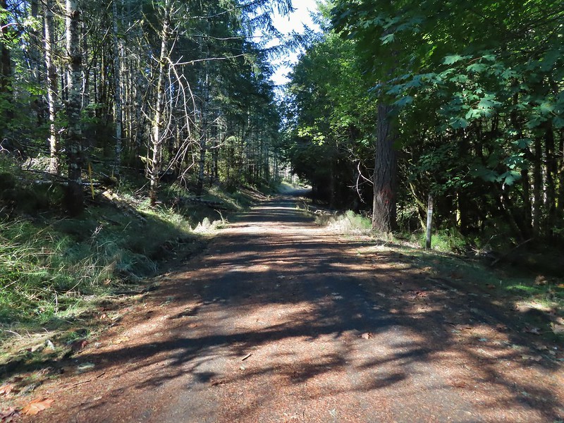
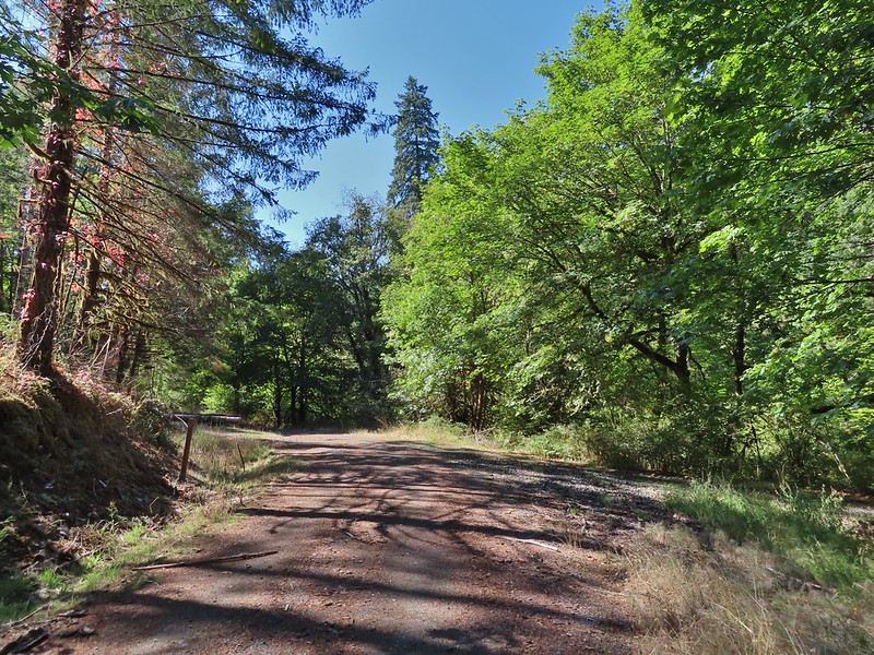 Baker Creek Trail ahead on the right.
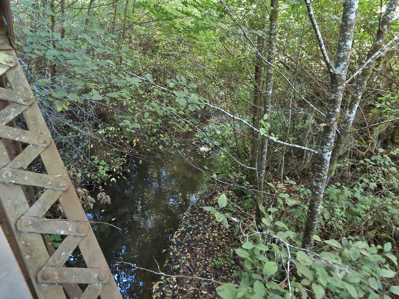
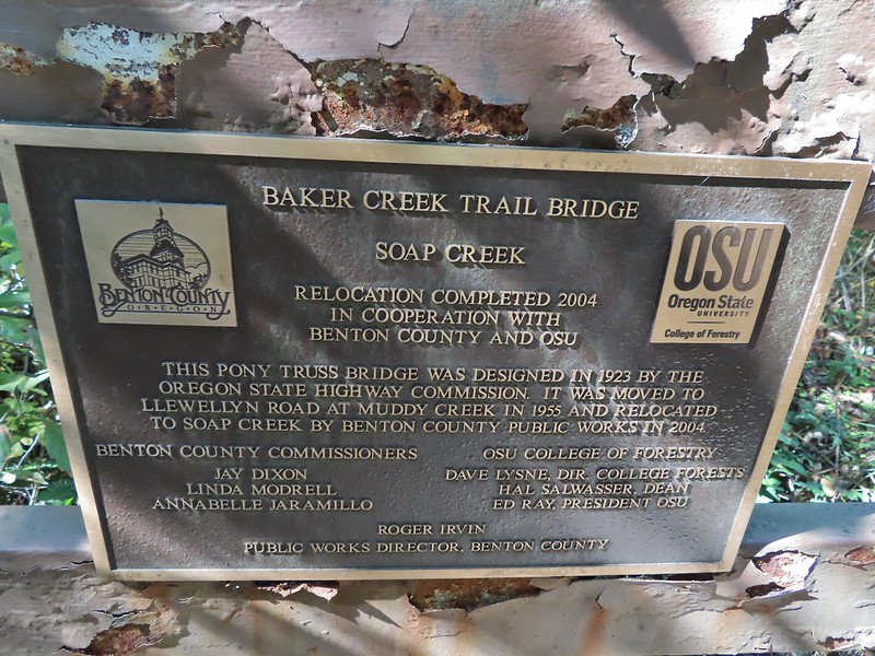


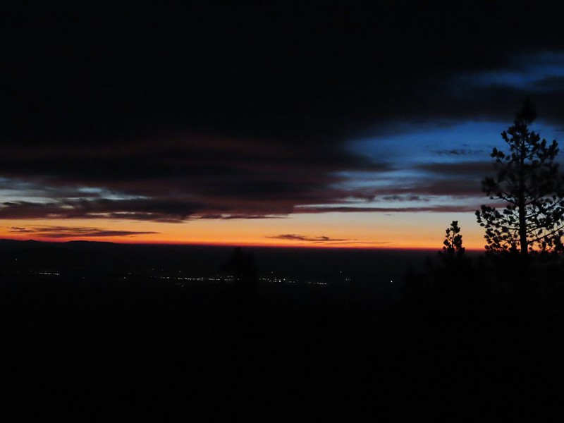
 Mt. Bachelor
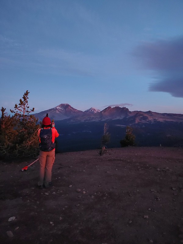 The Three Sisters and Broken Top
 Mt. Bachelor via the Nikon.
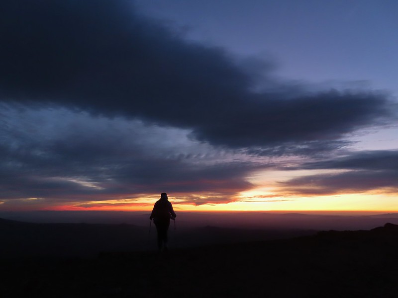 Heather watching the show taken with the Canon.
 The Three Sisters with the Canon.
 Canon
Canon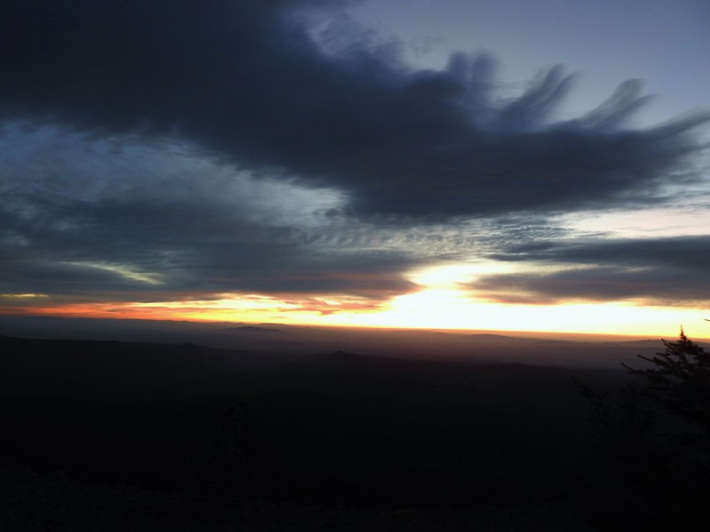 Nikon
Nikon Mt. Bachelor (
 Canon shortly before the Sun became visible.
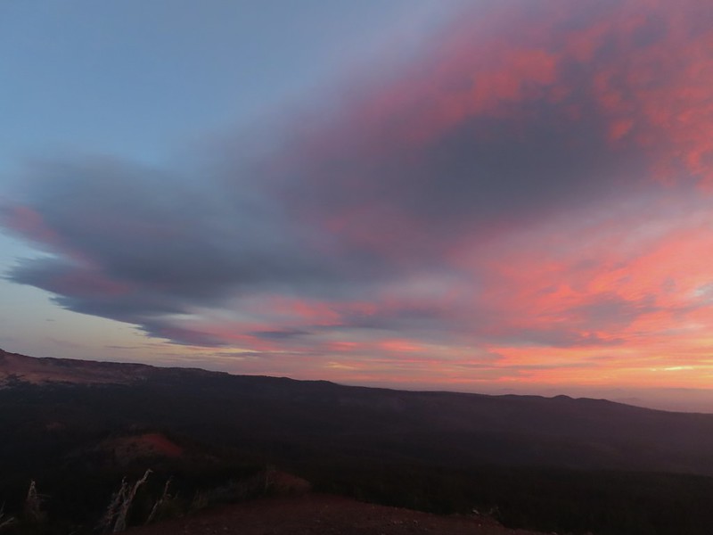 Canon shortly before the Sun became visible.
 The Three Sister just before sunrise with the Nikon.
 The Three Sister just before sunrise with Heather’s phone.
 Canon moments before sunrise. A line of wildfire smoke on the horizon gave it a red tint.
 Canon
Canon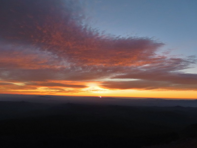 Canon catching the Sun.
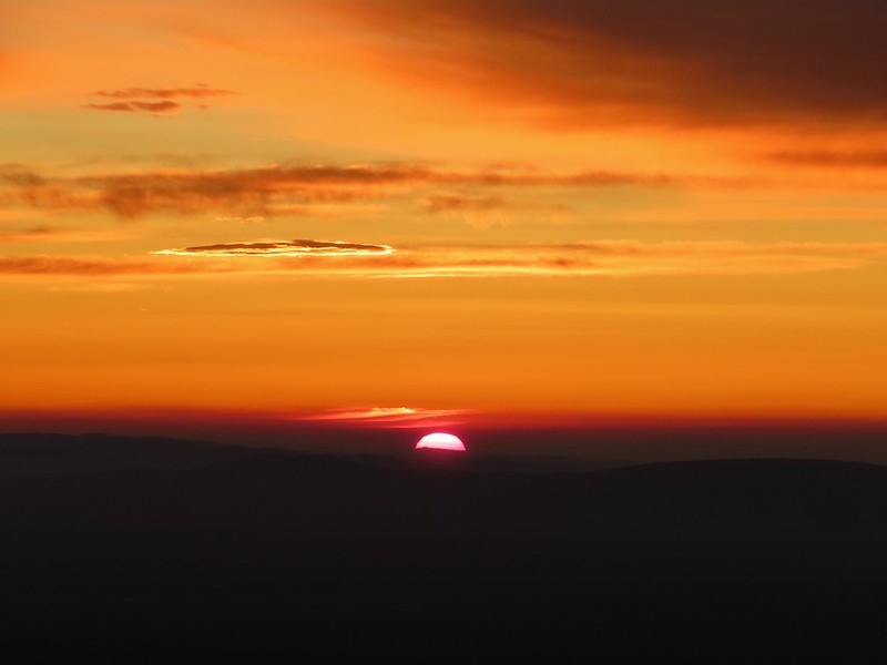 Canon
Canon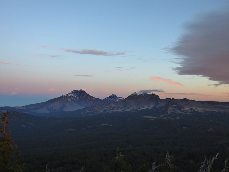 The Three Sisters and Broken Top (Nikon)
 South Sister (
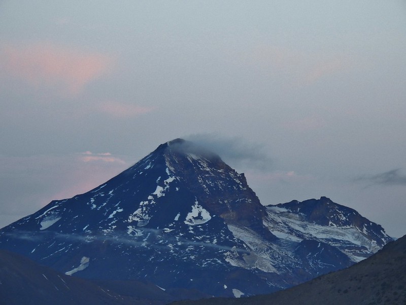 Middle and North Sister (Nikon)
 Broken Top (
 Aline glow hitting the mountains. (Canon)
 South Sister (Canon)
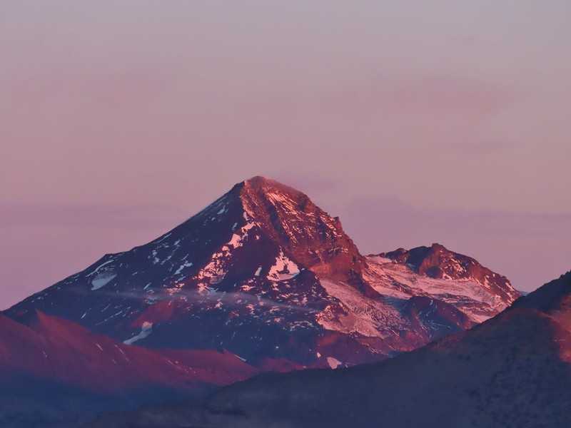 Middle and North Sister (Canon)
 Broken Top (Canon)
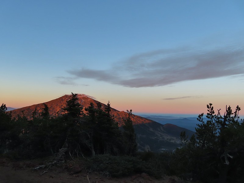 Mt. Bachelor (Canon)

 Mt. Scott to the left and Mt. Thielsen to the right.
 Grouse
 Chipmunk
 Mt. Bachelor as we arrived back at the snow-park.

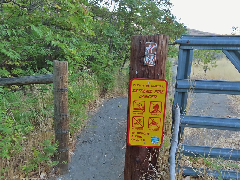

 Sunlight on Haystack Butte in Washington.
 Part of Moody Rapids.
 Gum weed
 The last petals on a blanket flower.
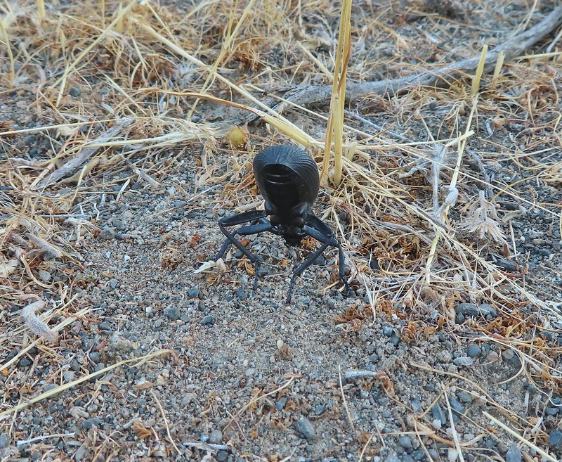 We saw several of these large beetles, all prepared to defend themselves.
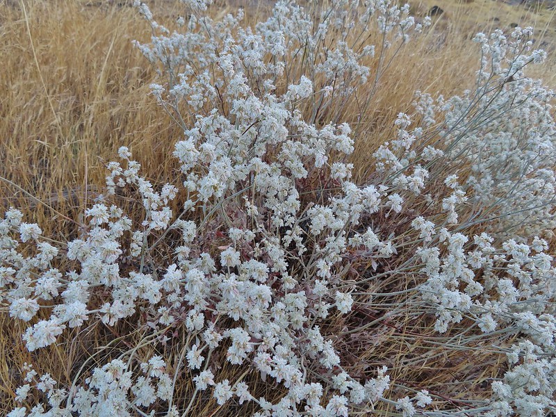 Snow buckwheat
 Chicory
 Seagull
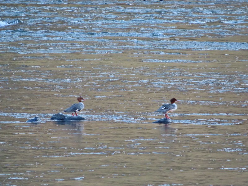 Mergansers
 Sparrow
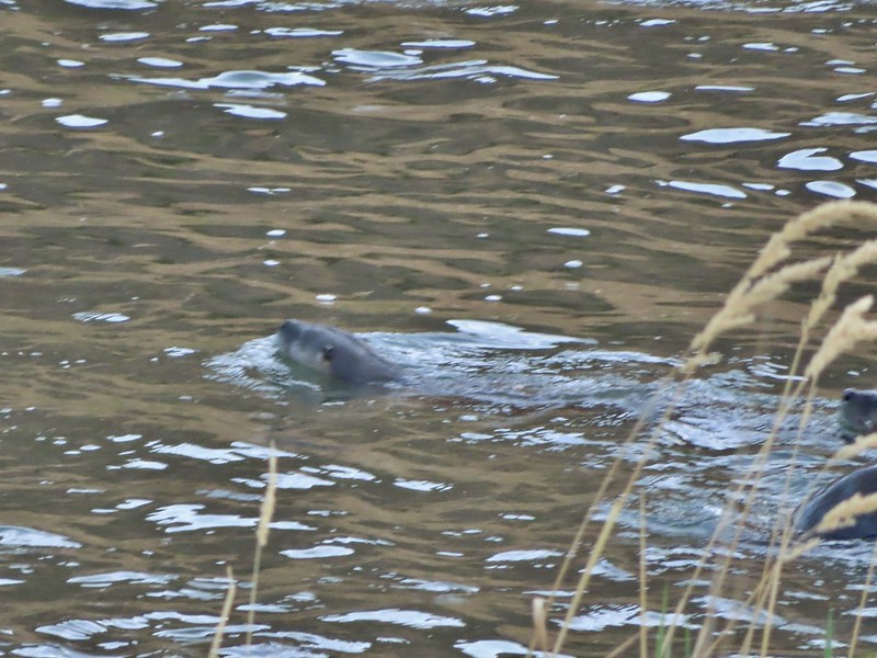 One blurry otter head and another partial otter on the right.
 A bunch of tree branches, oh and an otter in the water.

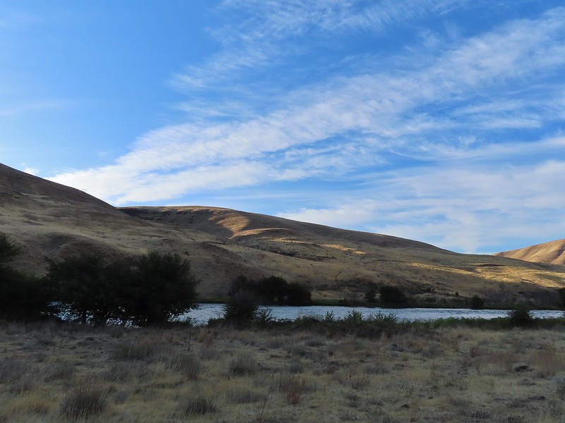

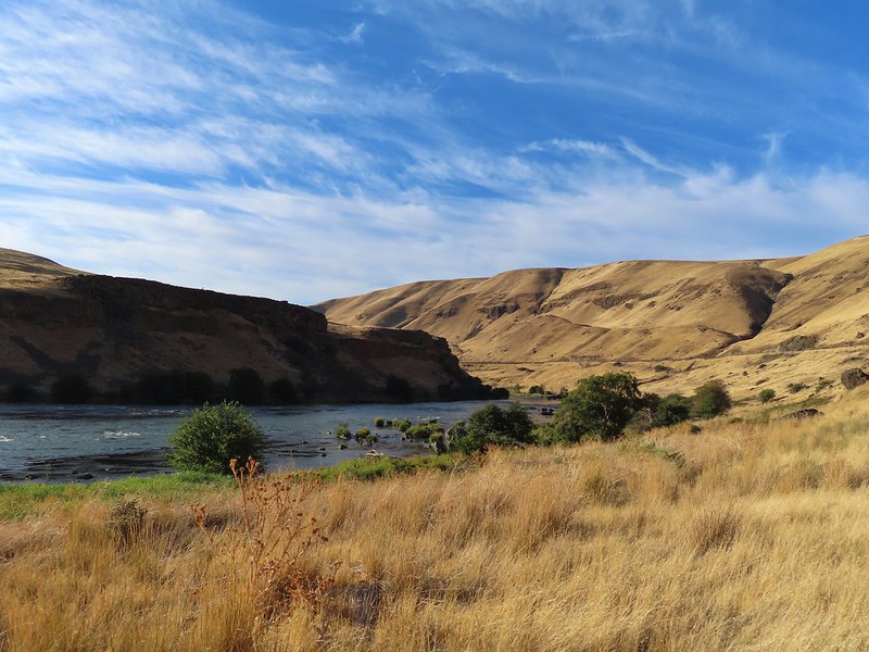 Rattlesnake Bend is up ahead but we stopped here for a bit to watch a heron getting breakfast.

 A sparrow, possibly a Savannah sparrow.
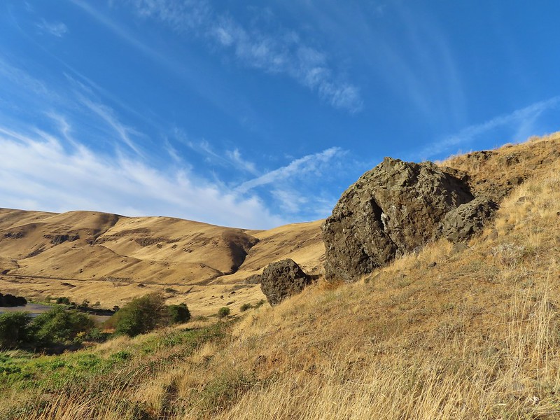 The trail climbed higher on the hillside for a bit to avoid some thick vegetation below.
 Rattlesnake Bend
 Railroad tracks above the trail.
 Looking back from Rattlesnake Bend near where we turned around.
 Rattlesnake Rapids
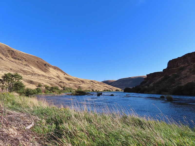
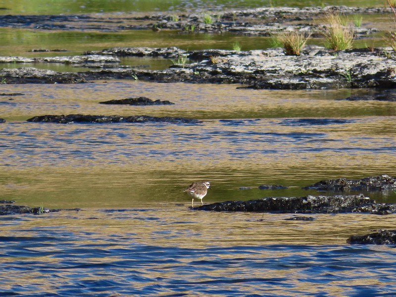 Killdeer
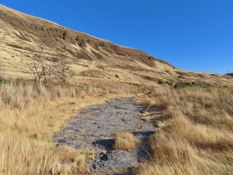 An older channel?
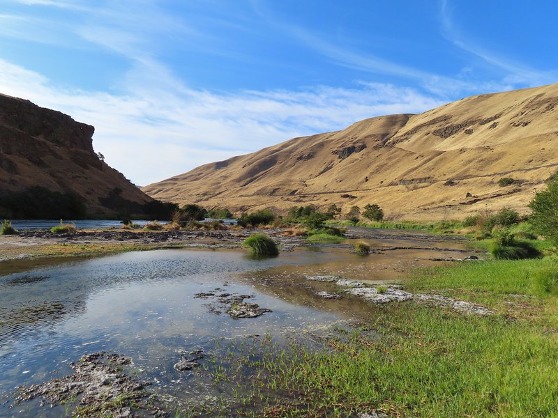

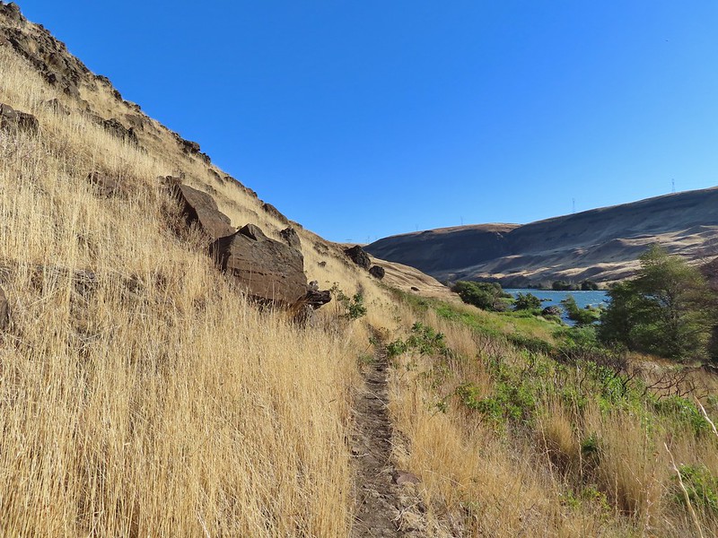 Had to go back up to avoid the vegetation here.
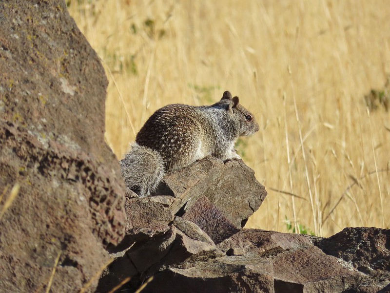 Ground squirrel
 Heron flying up river.
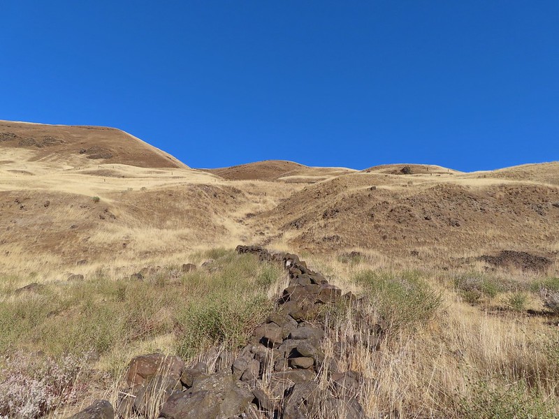 Old rock wall along the way.
 Typical use trail.
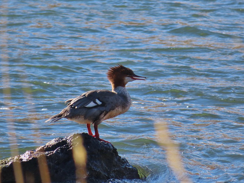 Merganser
 Aster
Aster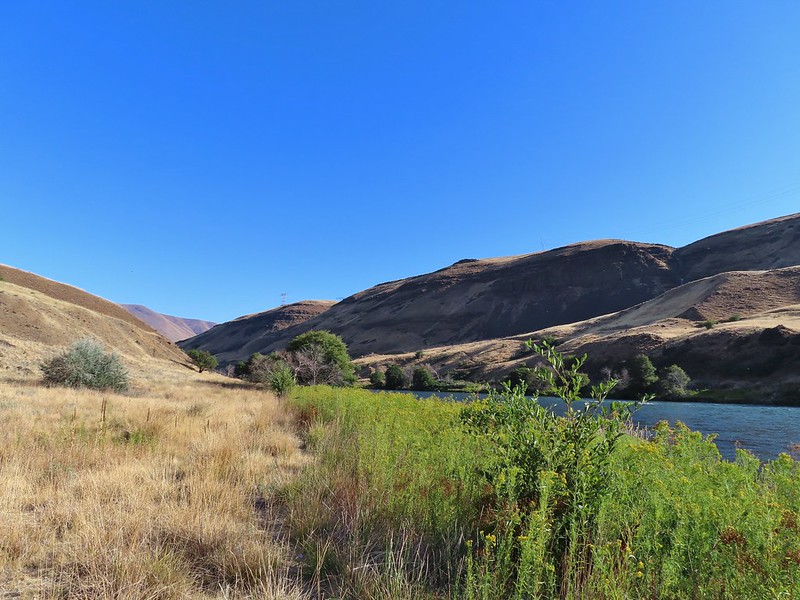
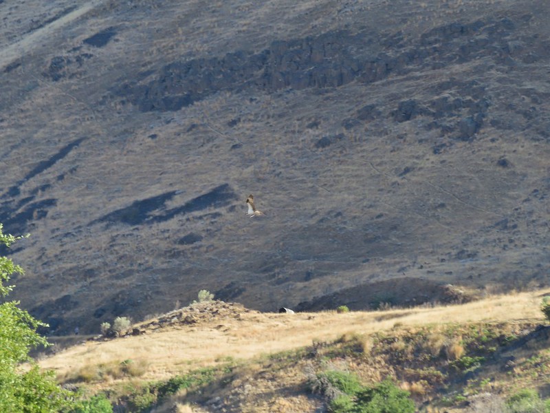 Osprey showing up the fishermen.
 Finch
Finch More birds near the spring.
 Little yellow birds, maybe warblers?
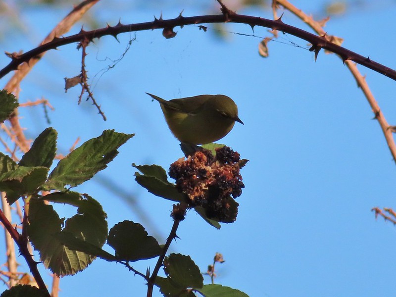 One of the yellow birds on a blackberry plant.
 Moody Rapids
 Haystack Butte
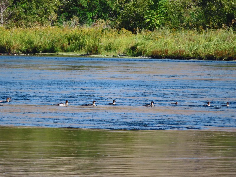 A line of mergansers.
